
Updated on January 28, 2020
Day 9 of 2019 Western US Tour, July 20, Beartooth Highway
Our fifth and last day in Yellowstone National Park, when we left the park through Lamar Valley that’s abundant with wildlife, and Beartooth Highway in stunning alpine scenes.
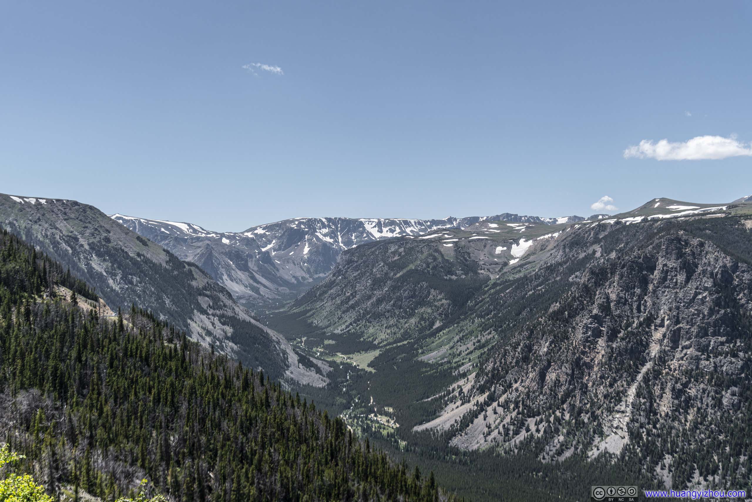
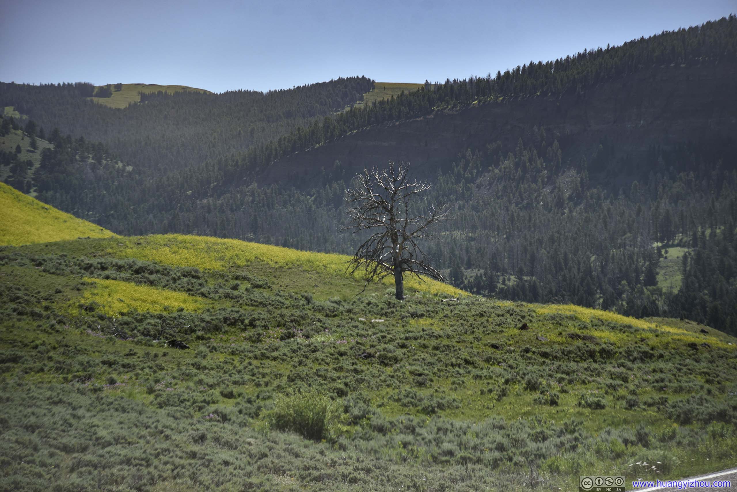
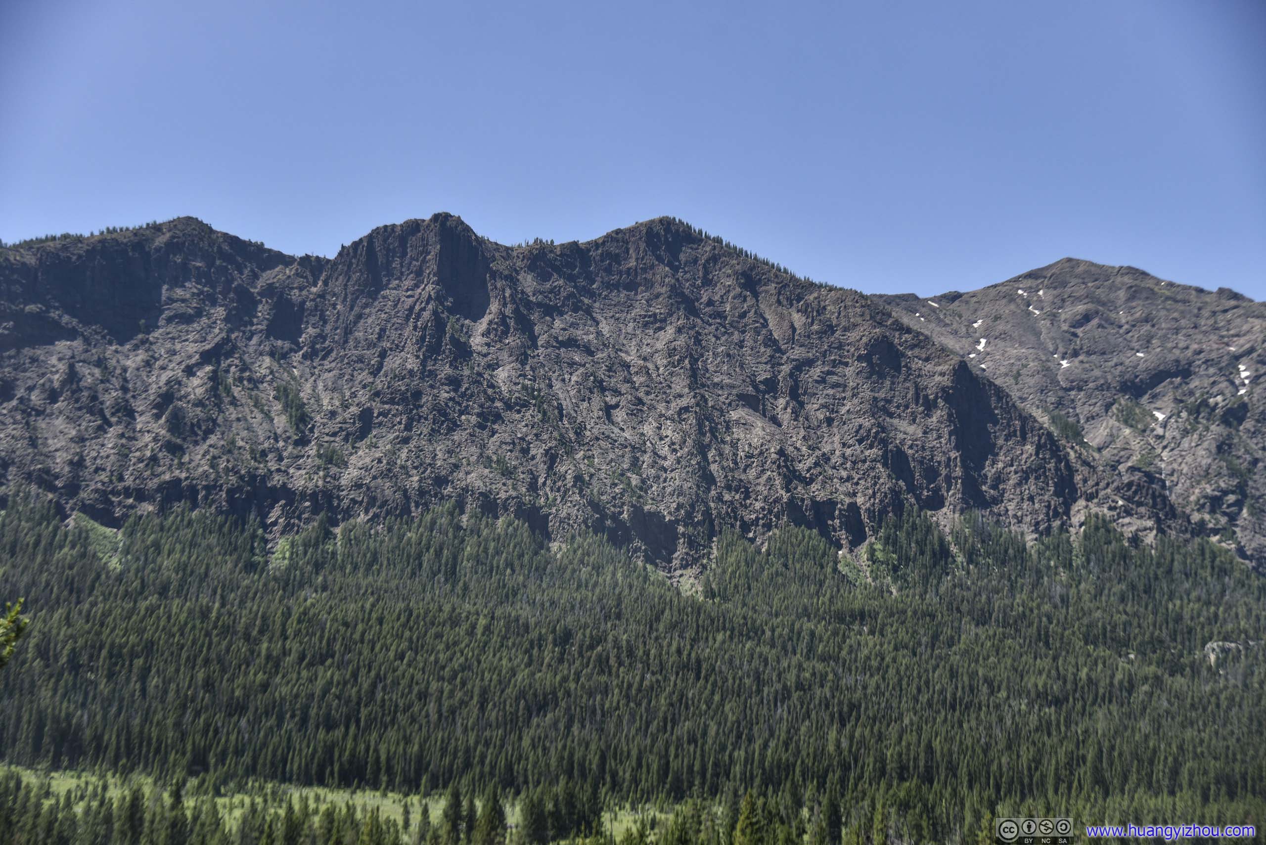
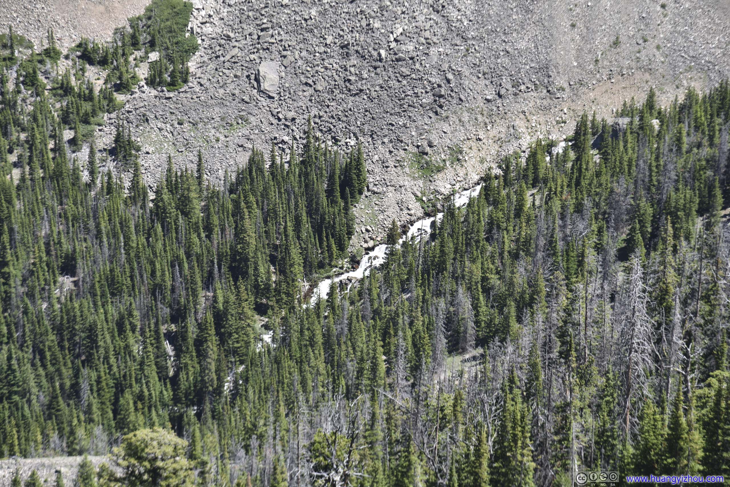
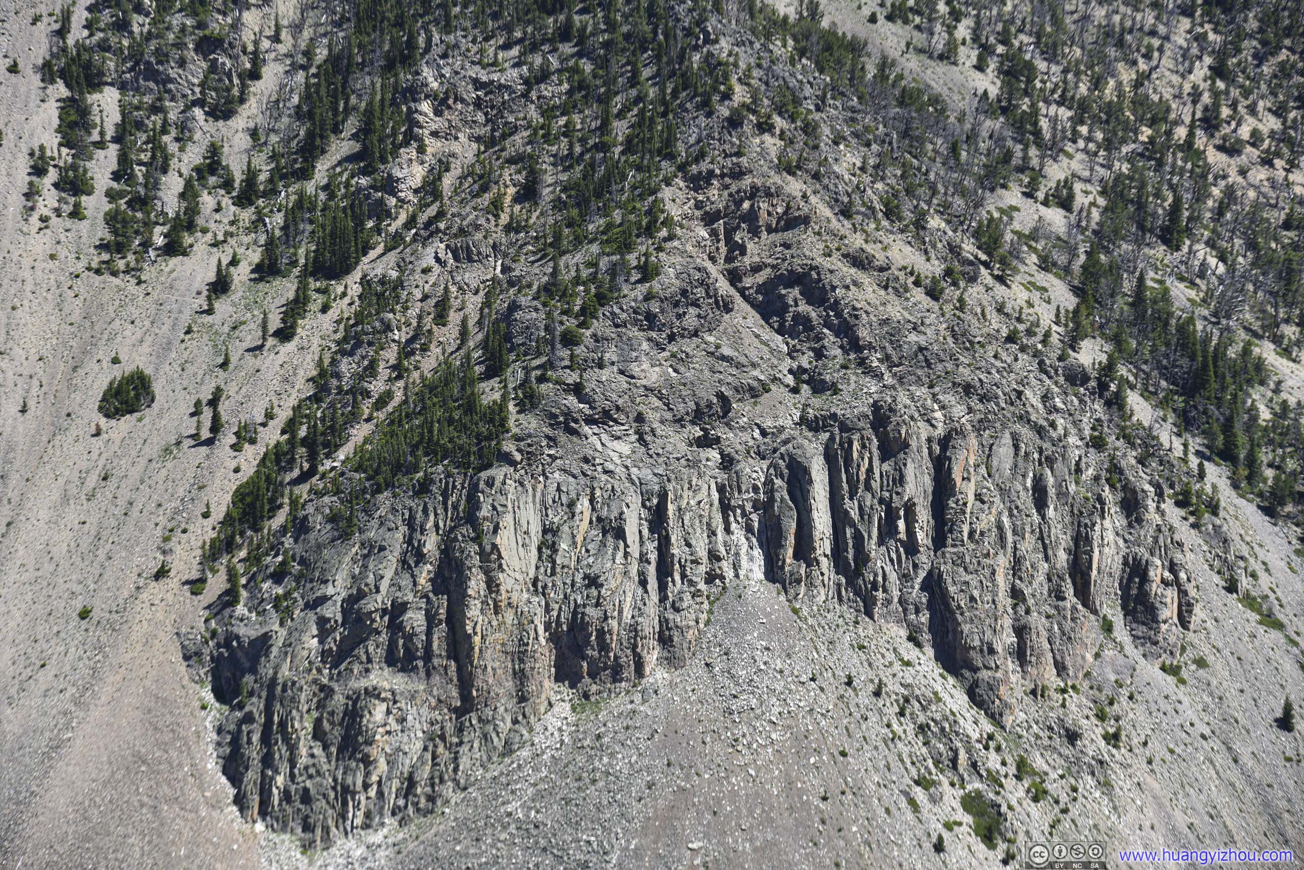
Mountains
According to Google Maps, the road trip from Gardiner (which was just outside Yellowstone National Park) to St Mary (which was just outside Glacier National Park) was 374 miles of Montana country road, that could be completed in less than 6 hours. However, we decided to split this road trip across two days with an intermediate stop in Great Falls, Montana. In this way we could fit some excursions in Two Medicine area of Glacier National Park on the second day, and take a detour along Lamar Valley and Beartooth Highway for the first day.
And it turned out to be one of the best decisions we made planning this trip.
And here’s our route on the map:
A pivotal theme of the day was wildlife, as we seemed to be watching more for the day than rest of our trip combined. And it started right outside our overnight cottage, with a pack of deer roaming the ranch on our doorstep.
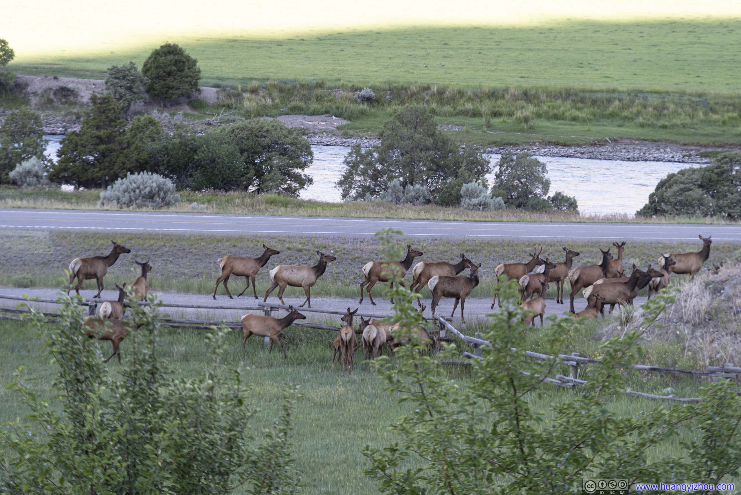
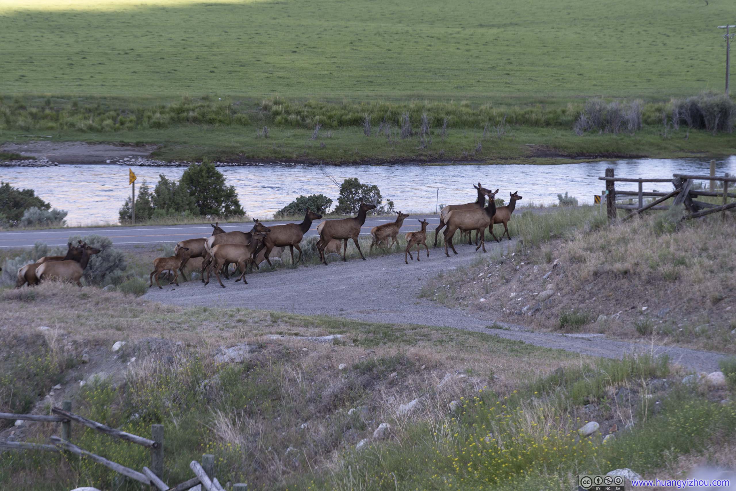
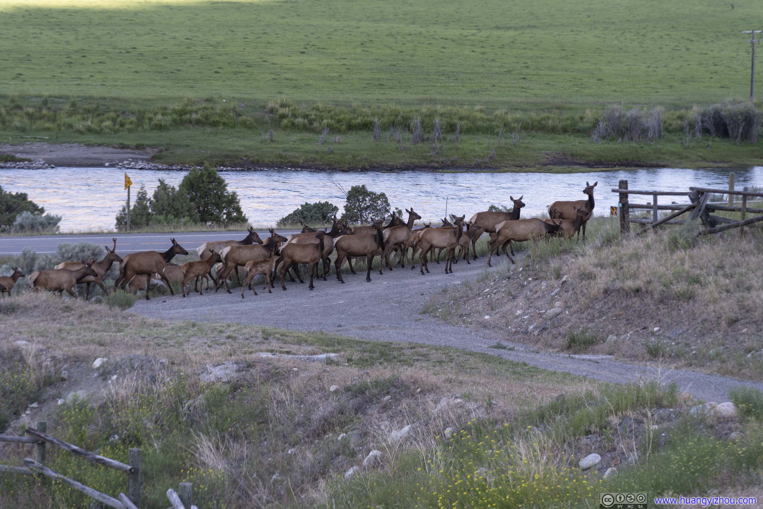
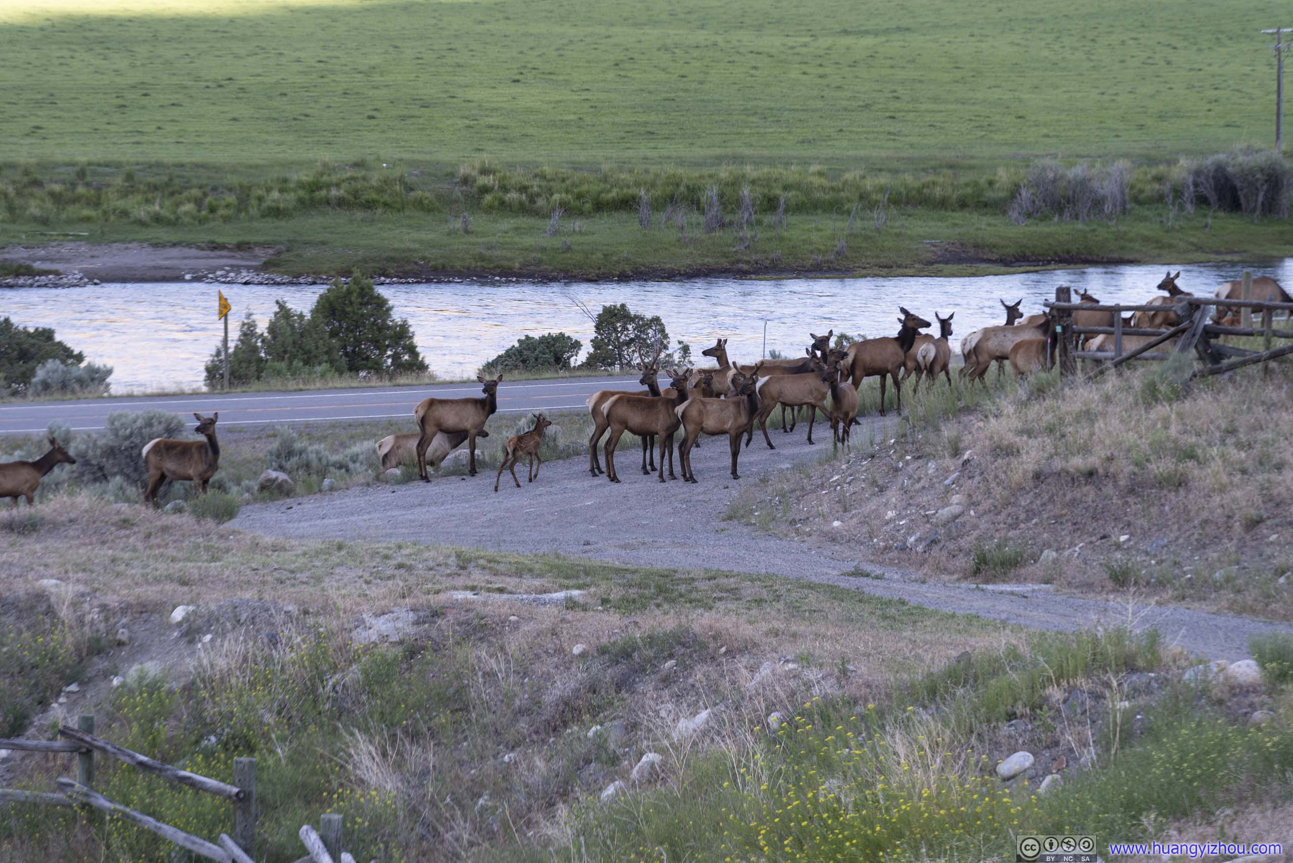
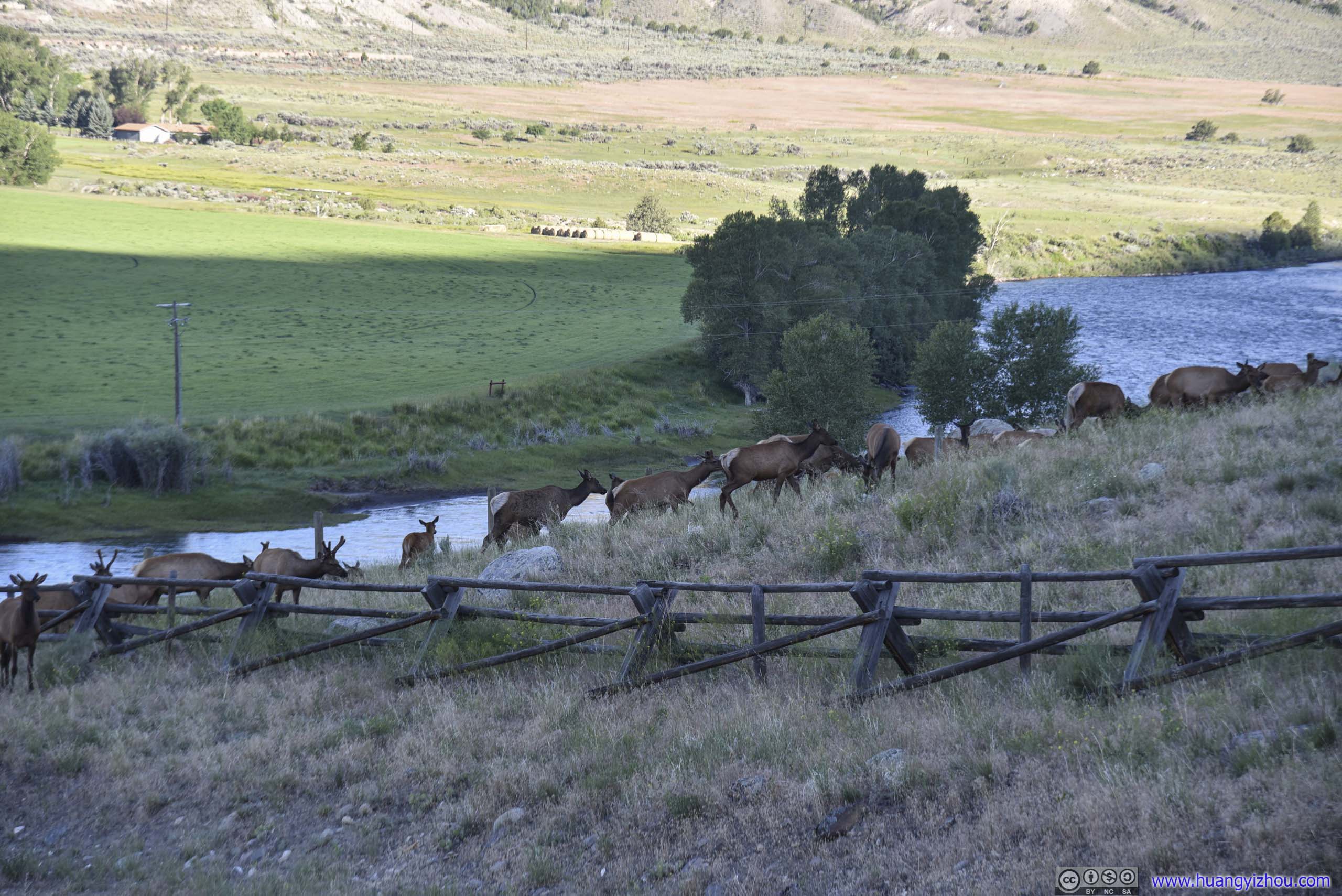 Pack of Deer
Unfortunately, a gentleman that seemed to be the ranch owner wasn’t very happy with their presence, so he herded them off, leaving us only to admire the mountainous landscape nearby.
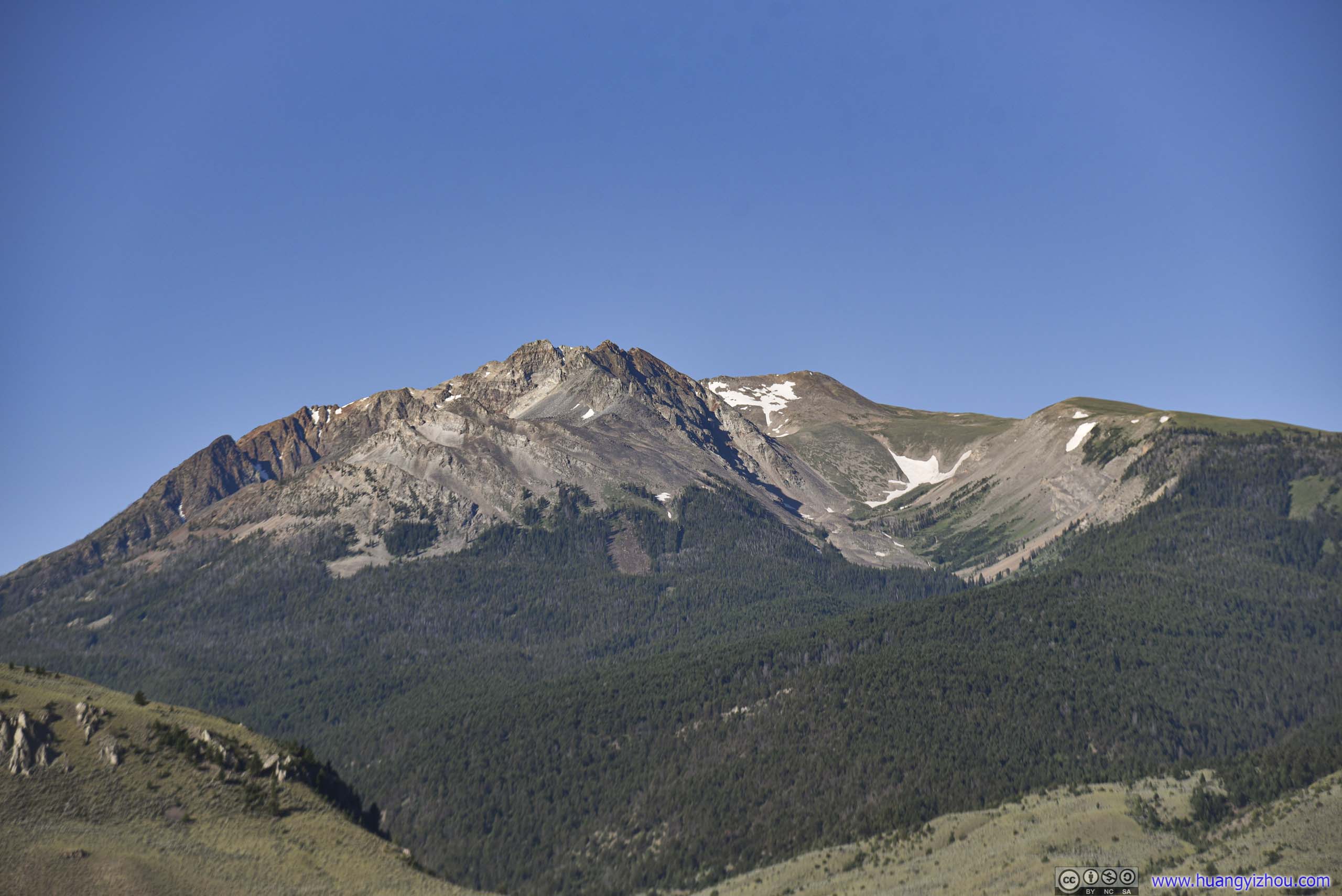
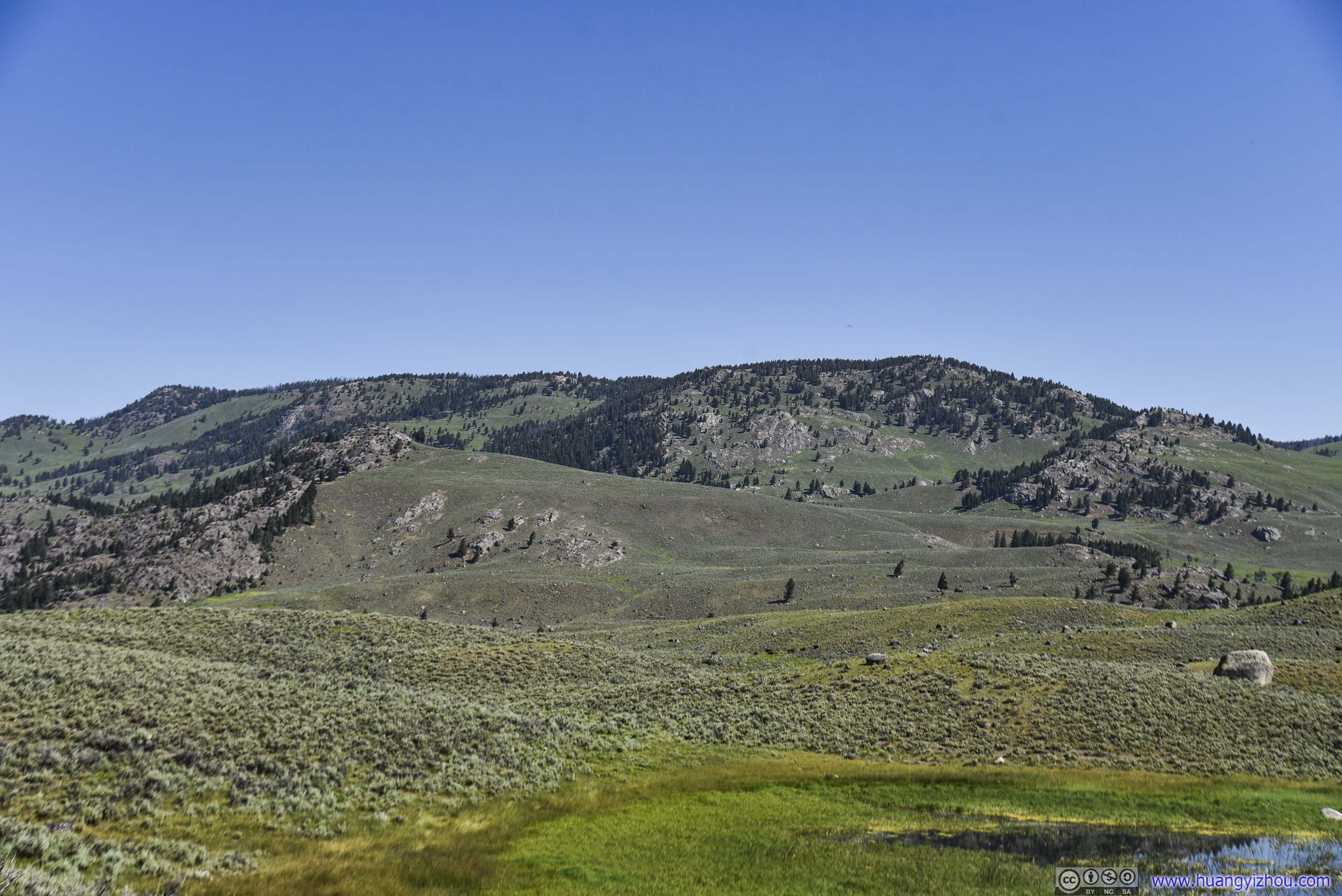
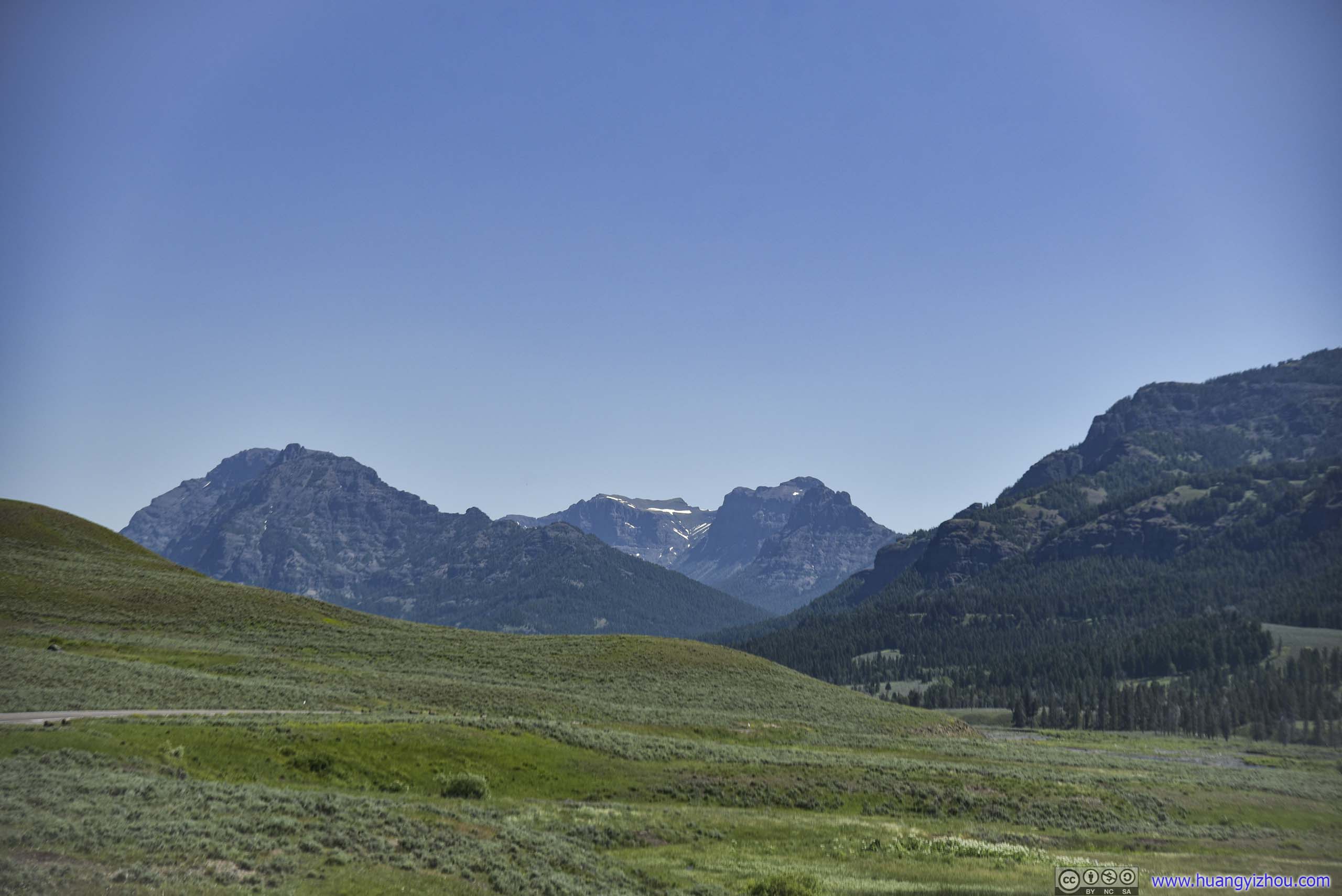
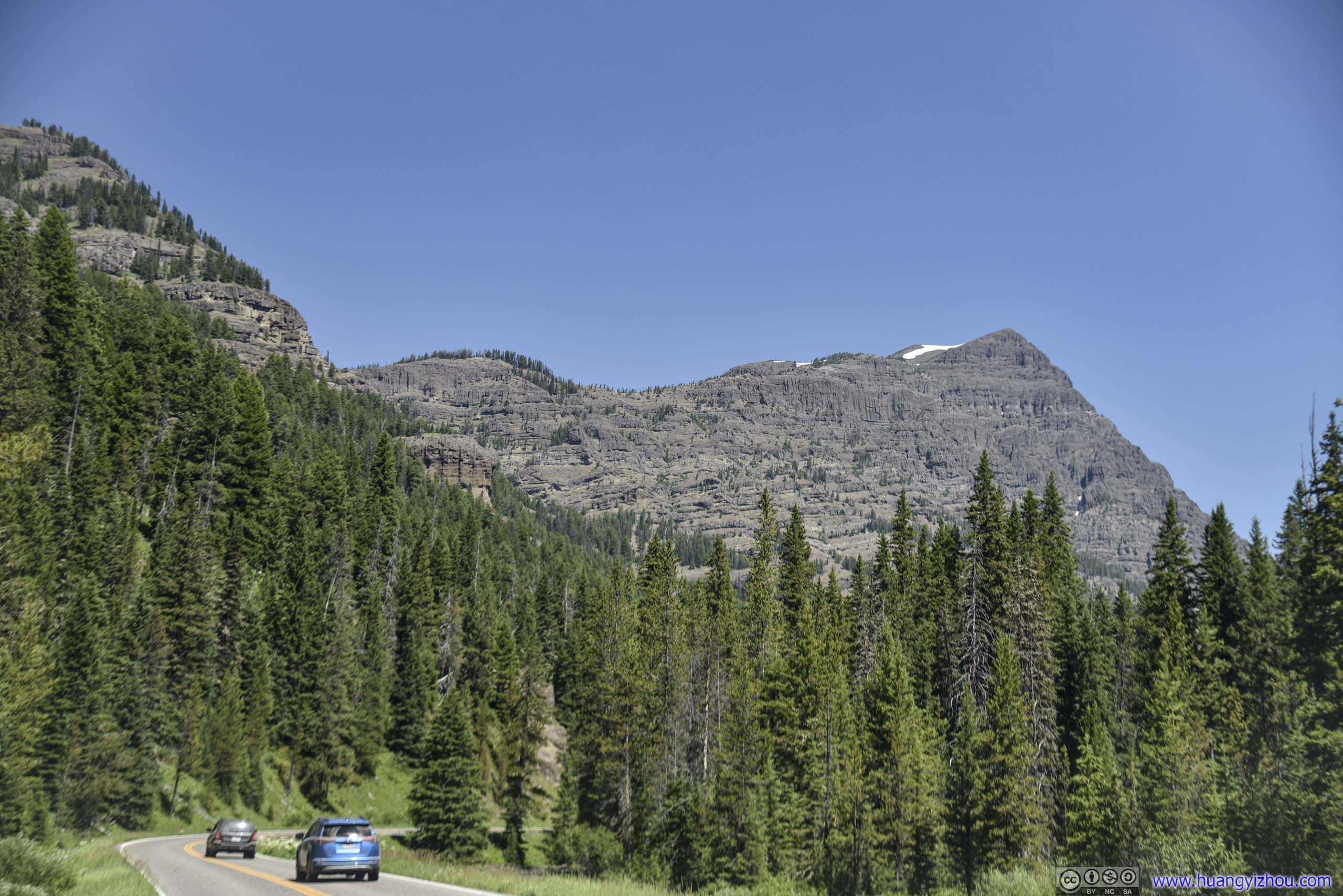
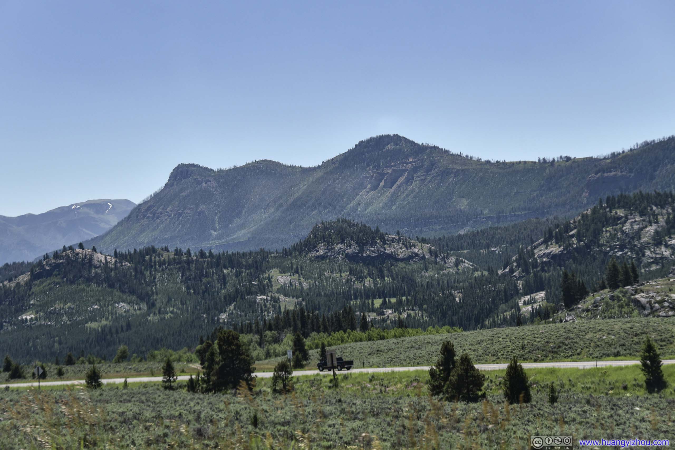
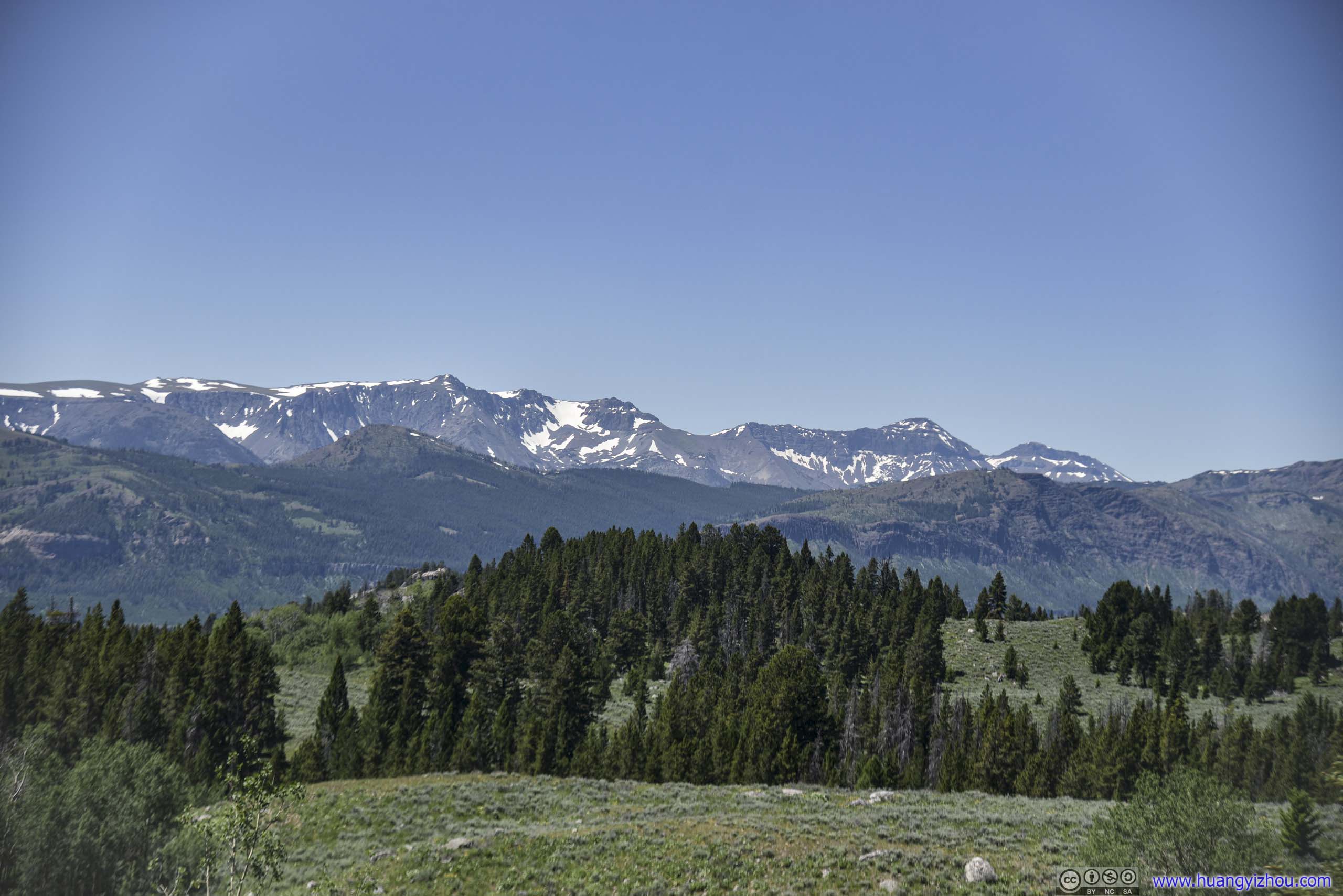
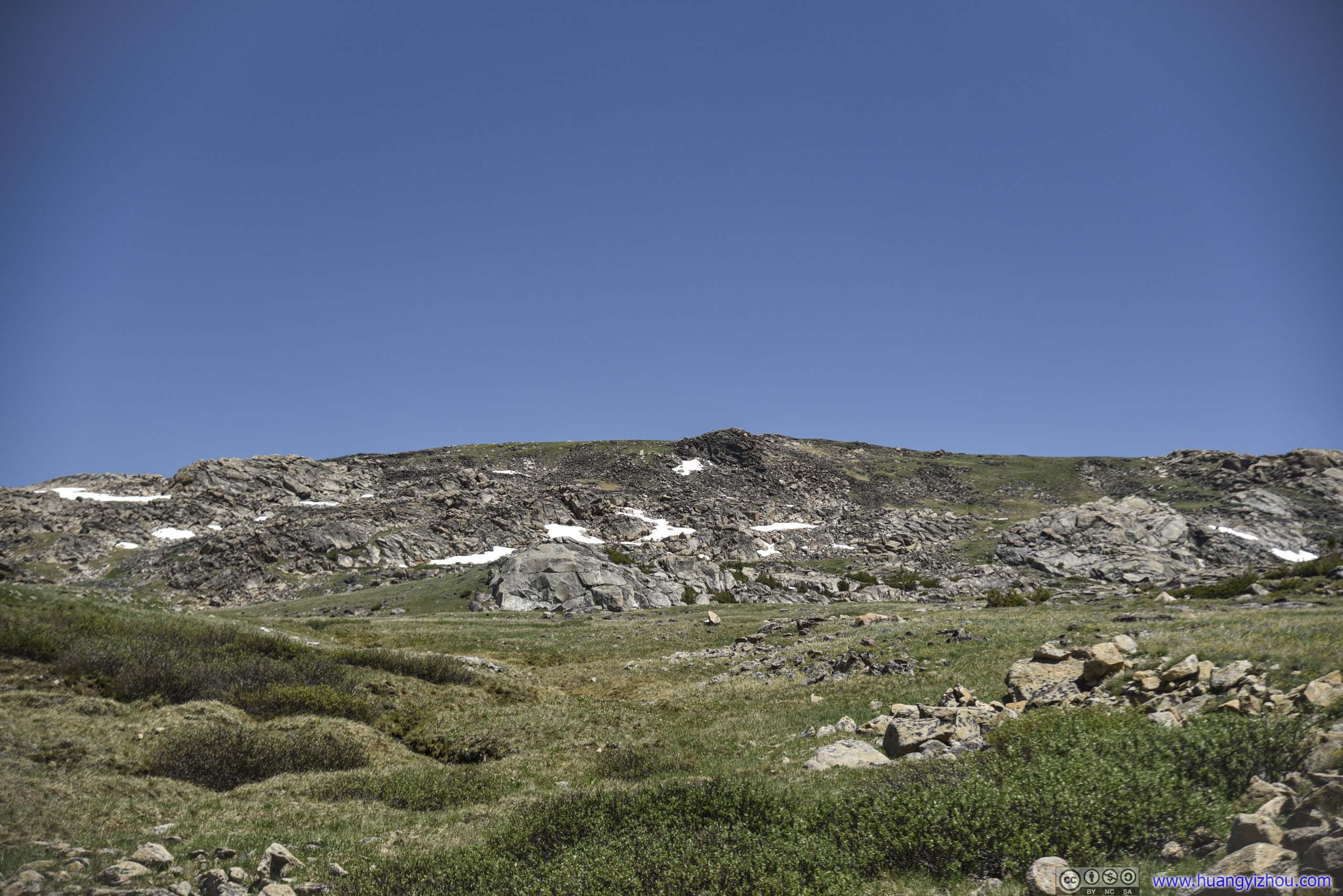
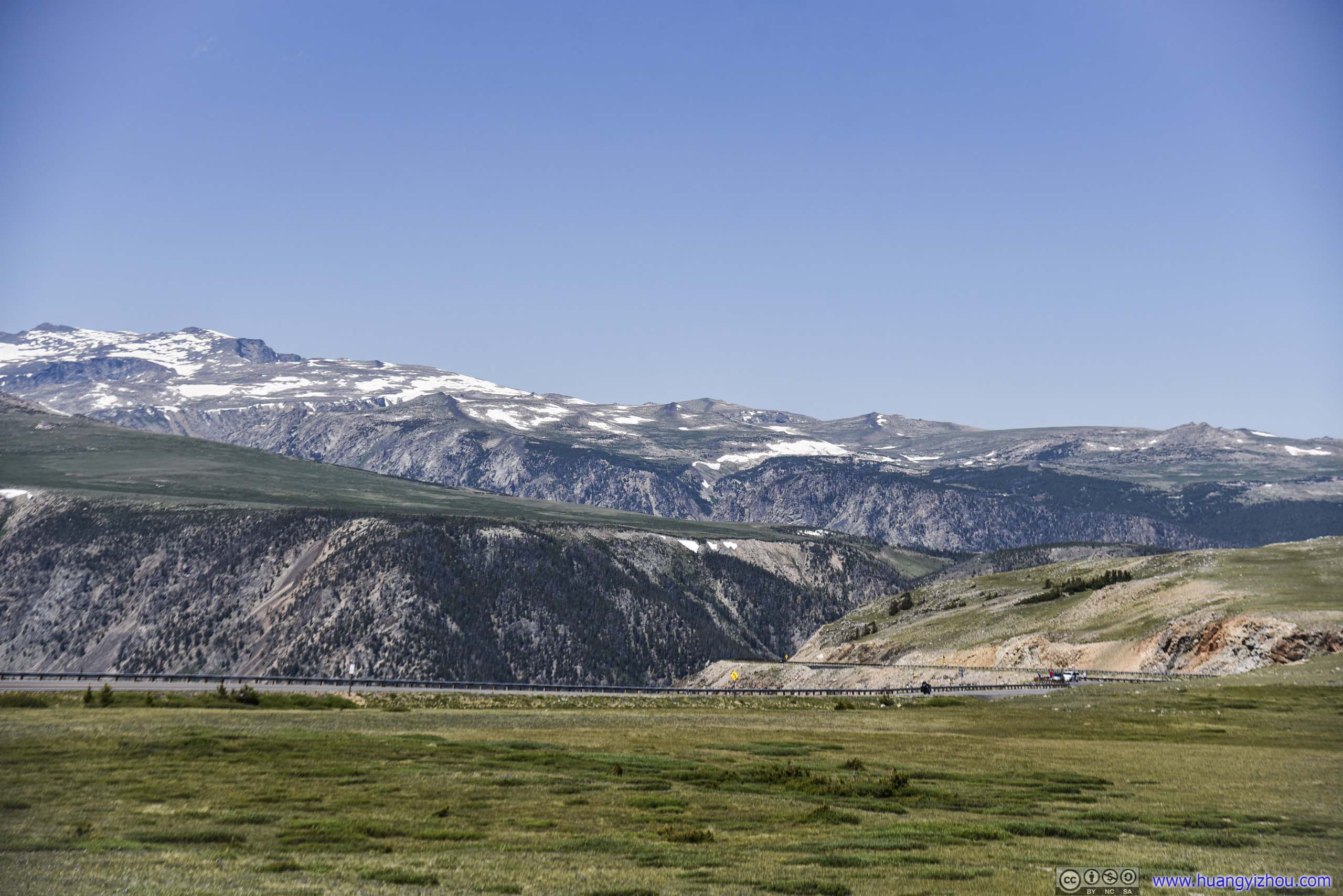
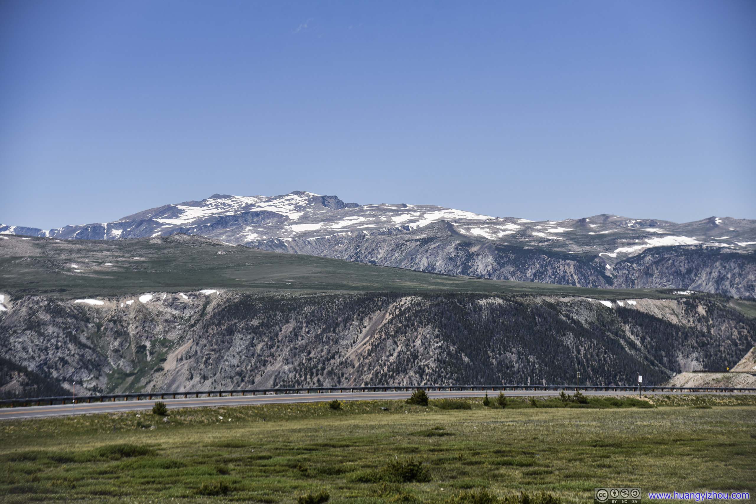
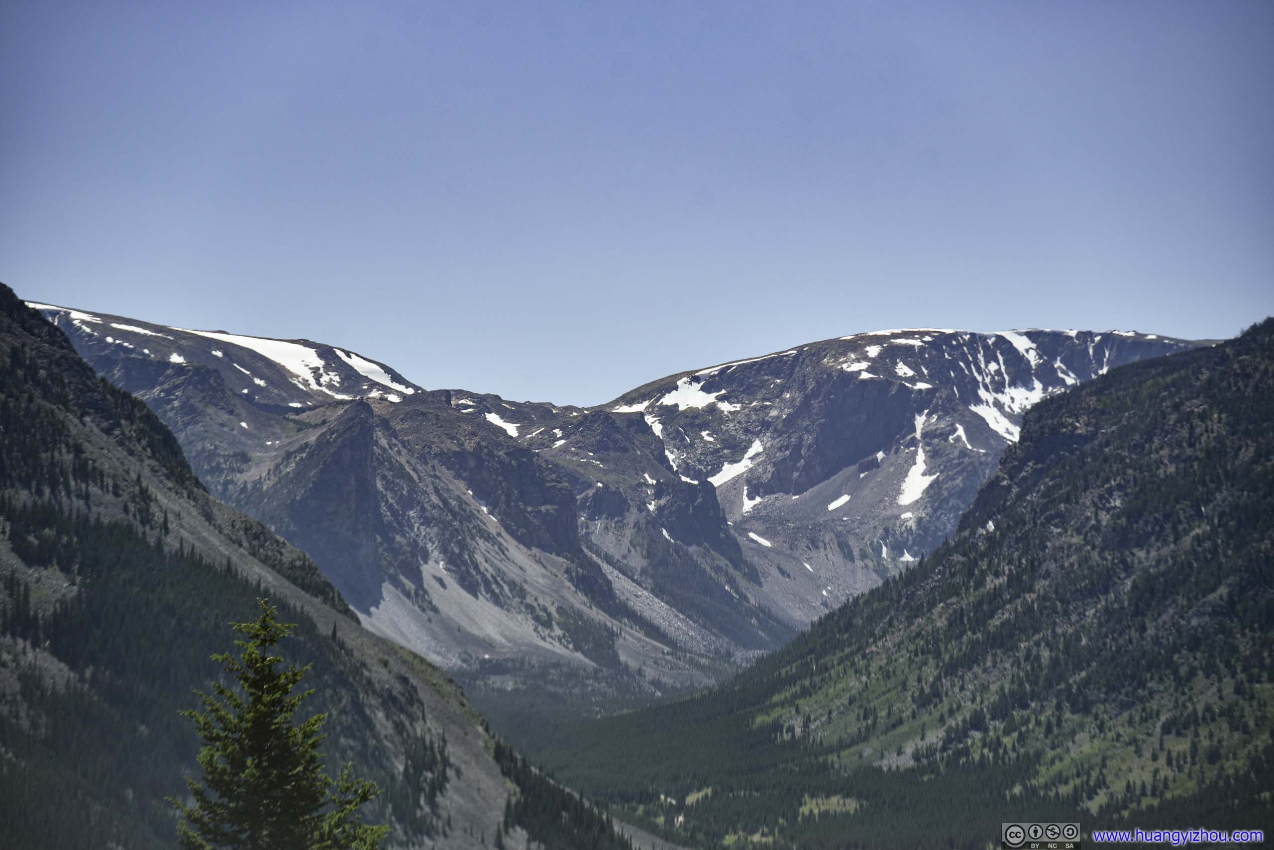
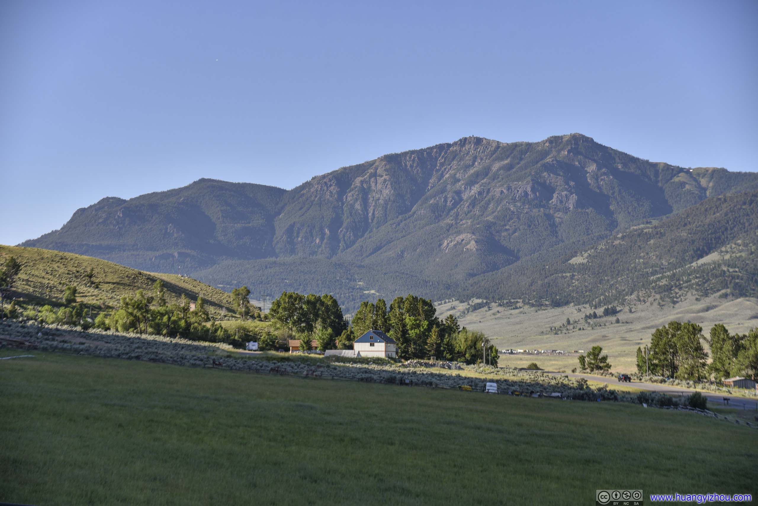 Mountains
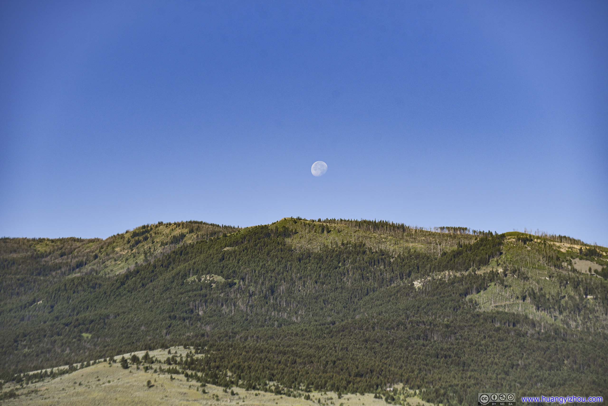
Moon over Mountains
Yellowstone National Park
After filling up tank in the town of Gardiner, which had the cheapest gasoline for the day’s trip, we entered Yellowstone National Park for the last time. We made a few stops along the Northern part of Grand Loop Road, since we were in a hurry for lunch the previous day as we drove down the same road.
Undine Falls
A waterfall with roadside pullover / viewing platform. Unfortunately this West-facing waterfall wasn’t very photo-inviting in the morning light, so we quickly set off.
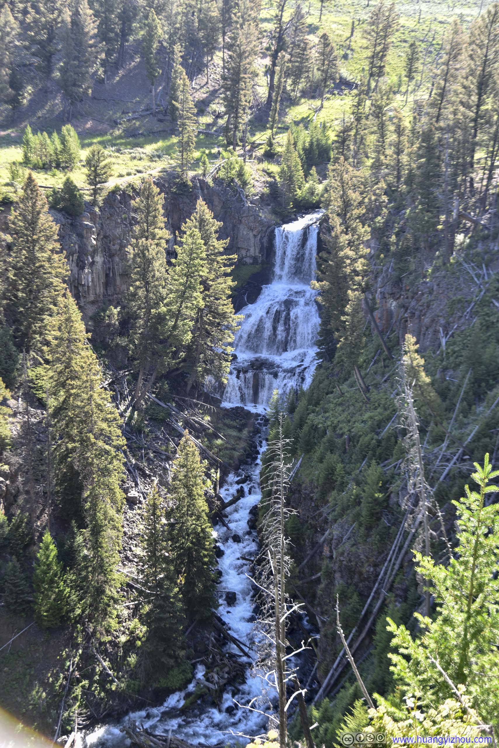
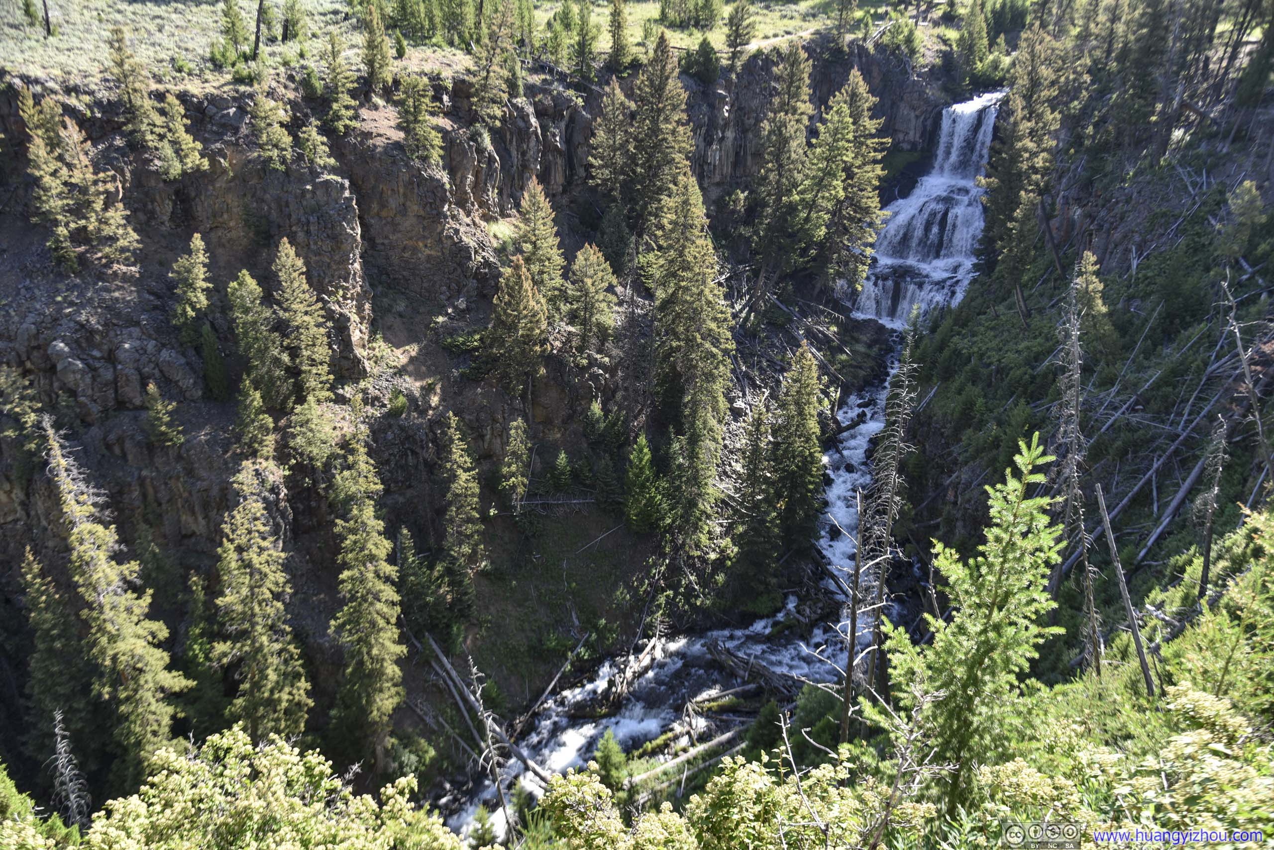 Undine Falls
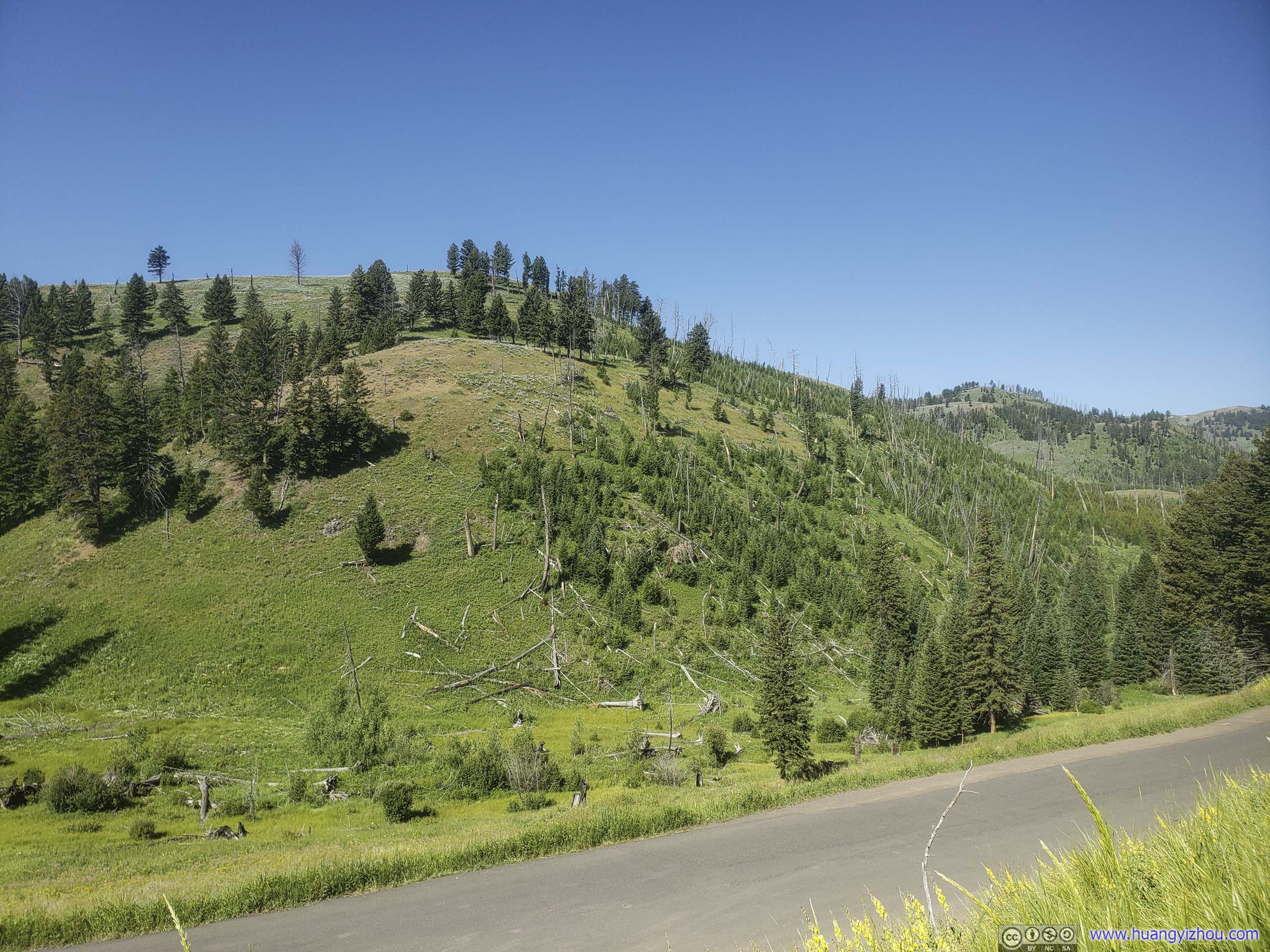
Forces of the Northern Range
Our next stop was Forces of the Northern Range, which was half a mile of boardwalk through some meadows and pine trees, aimed at educating people about wildlife and forces of nature that have sculpted Yellowstone. In particular, Huckleberry Ridge Tuff that was formed by volcanic eruptions 2.1 million years ago.
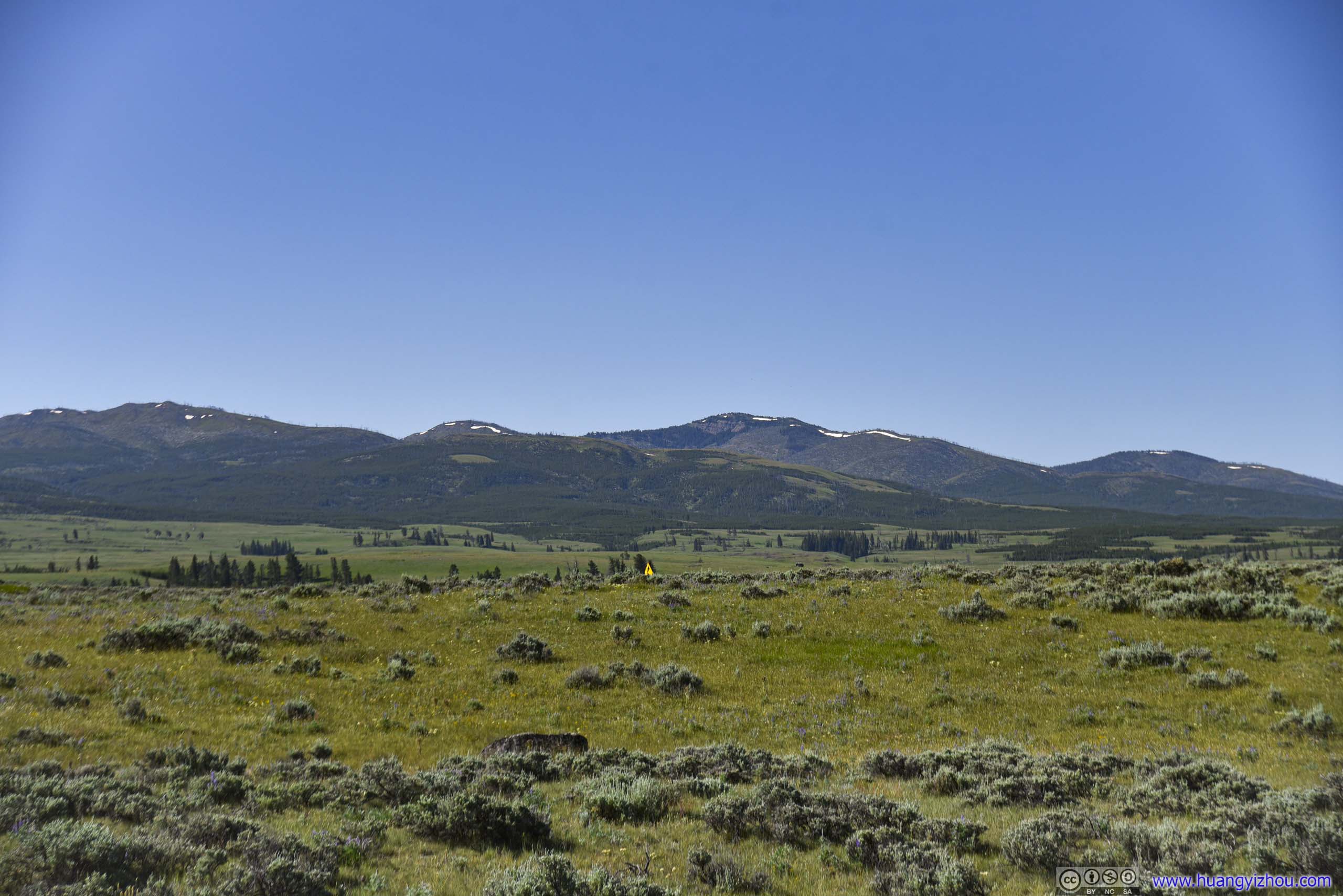
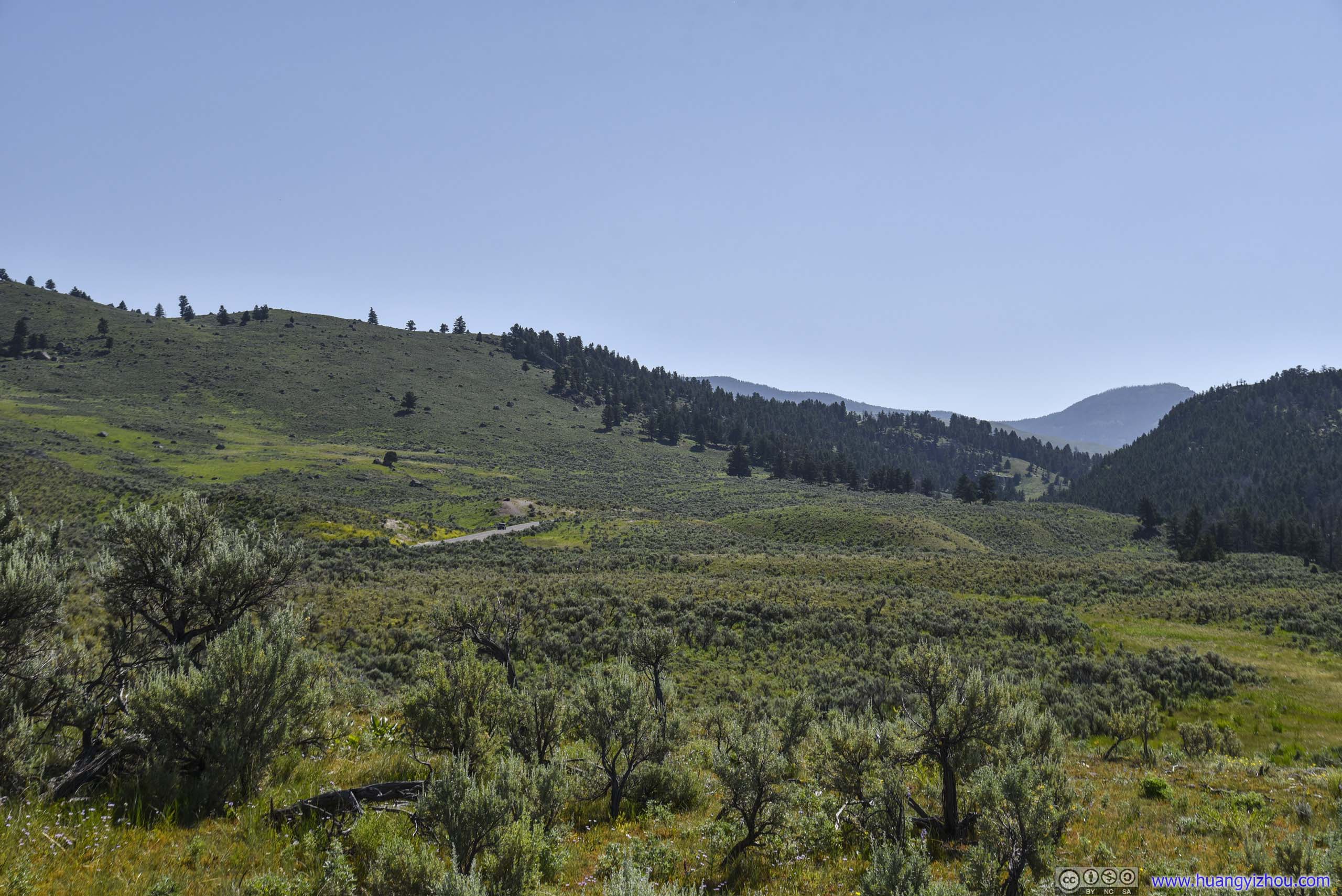
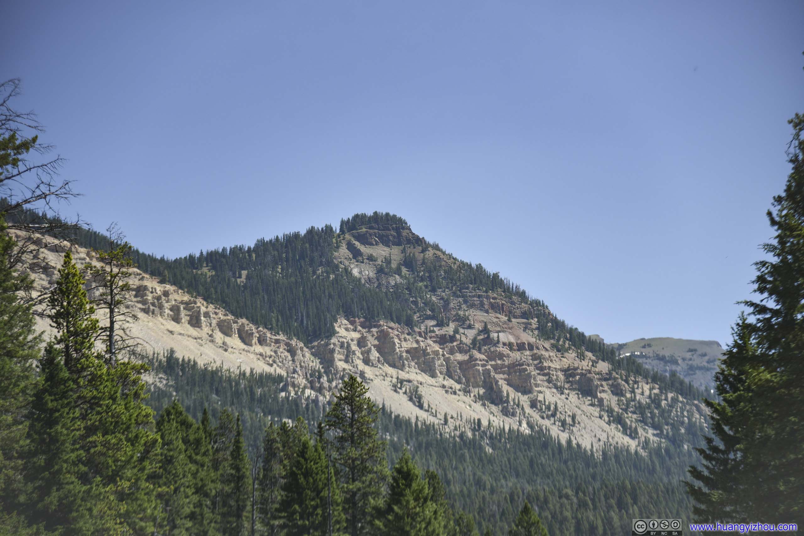
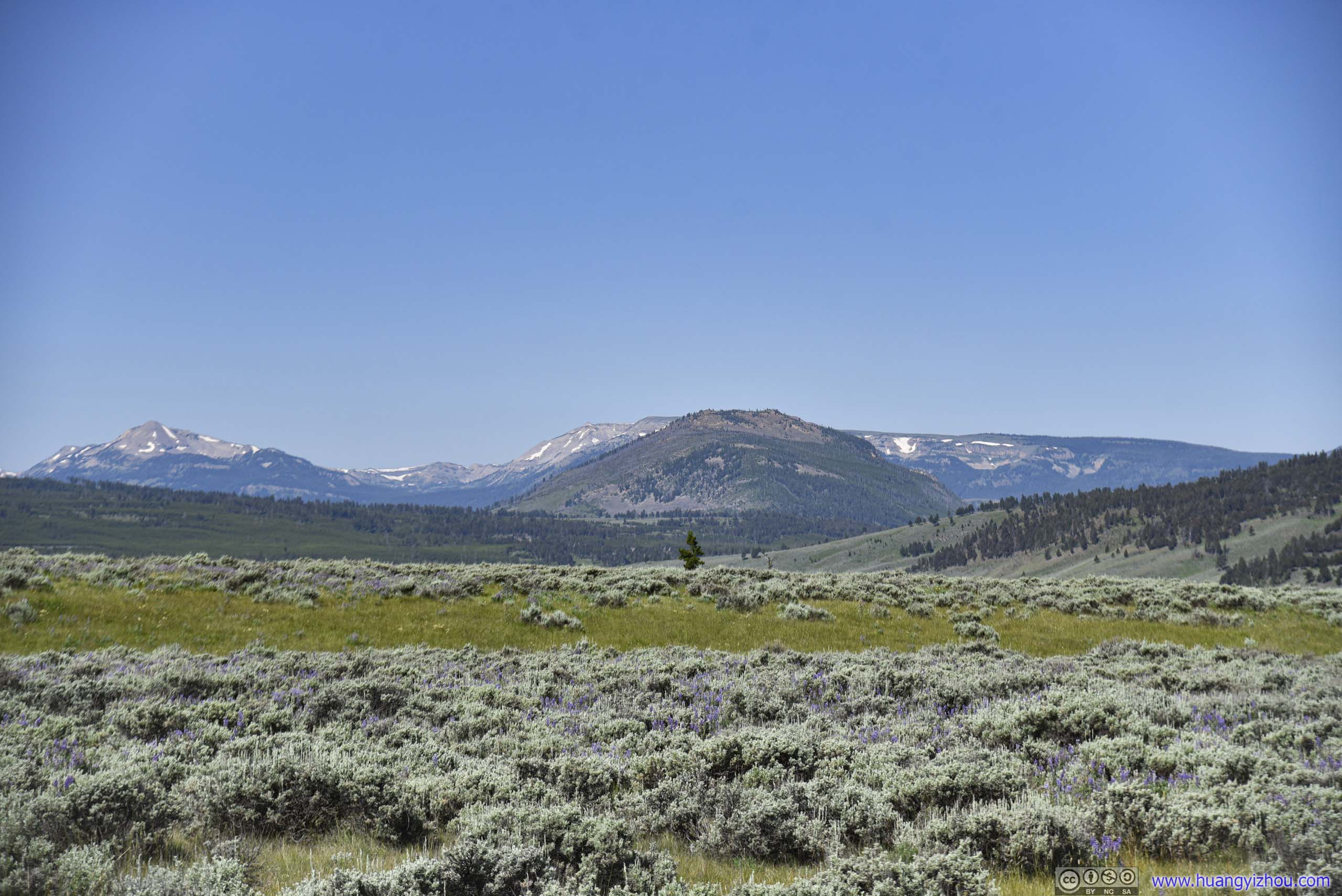 Field and Mountains
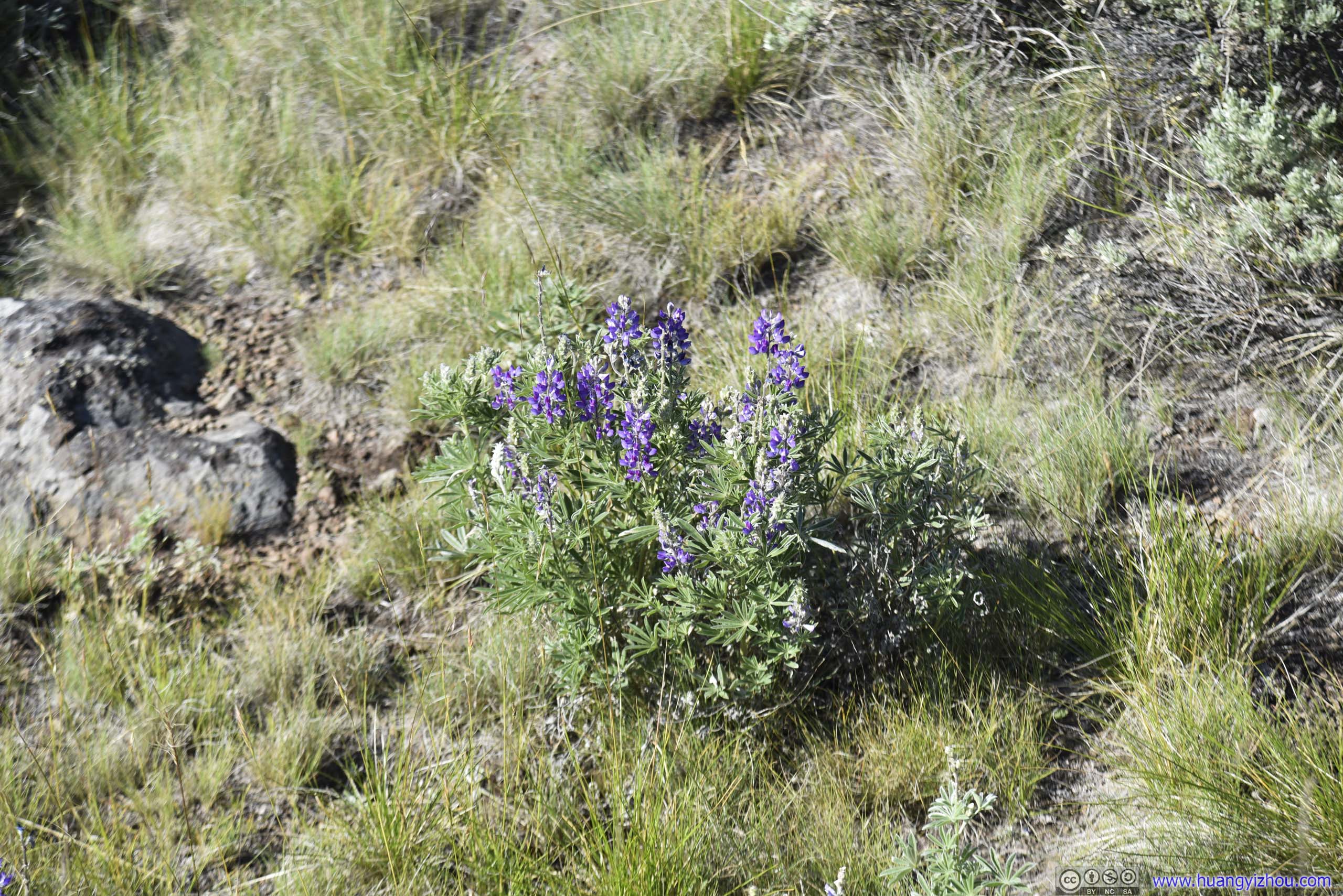
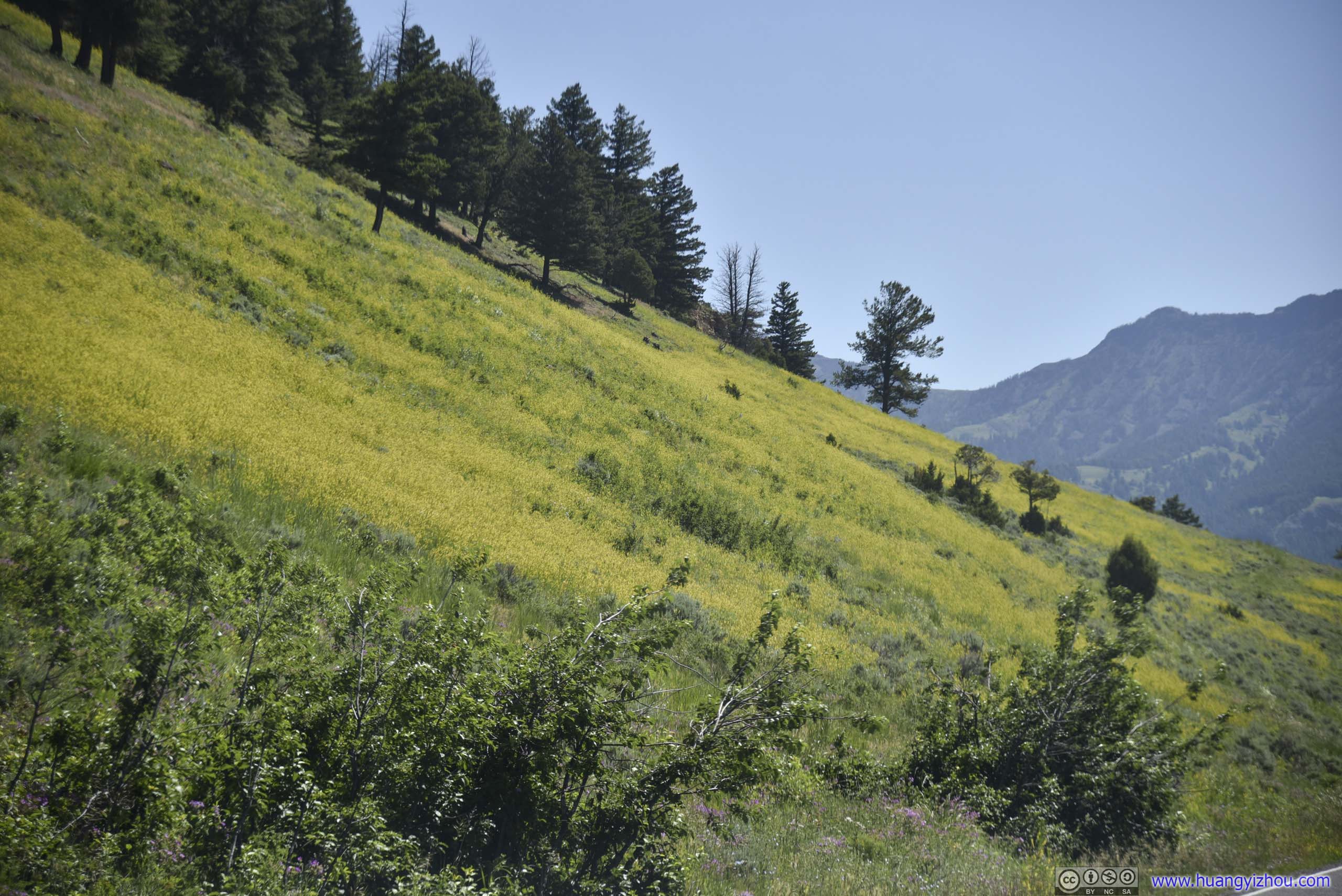
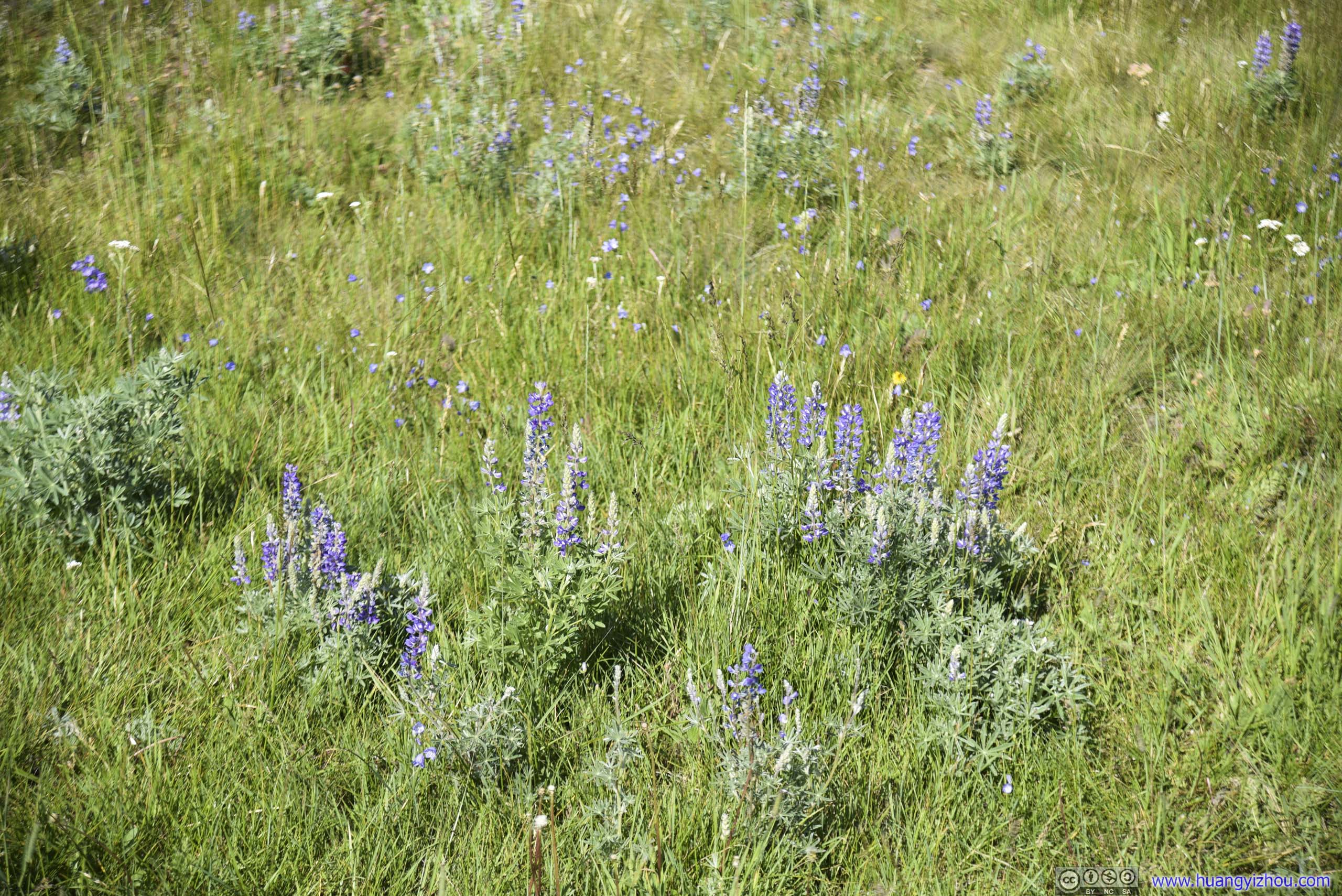 Wildflowers
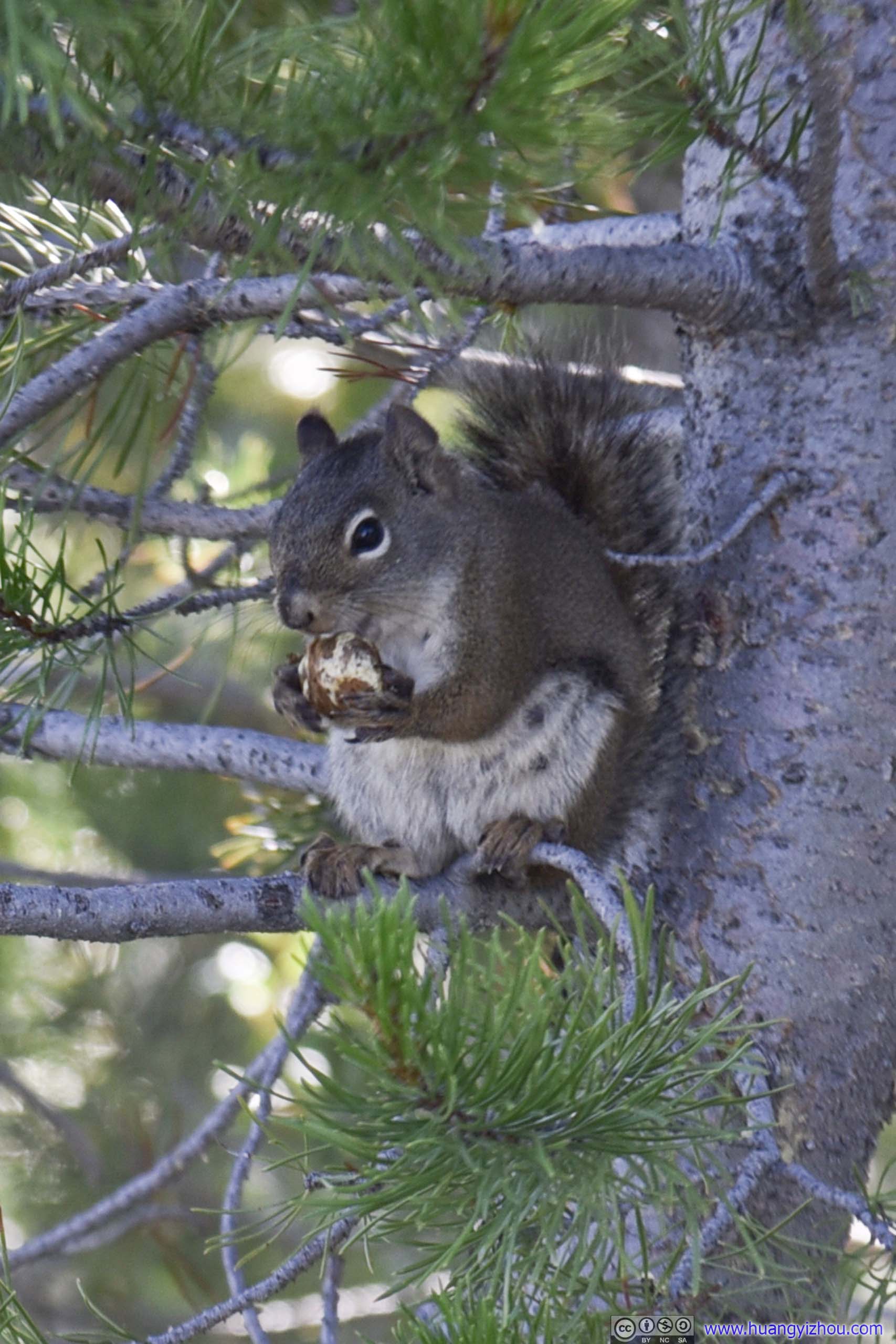
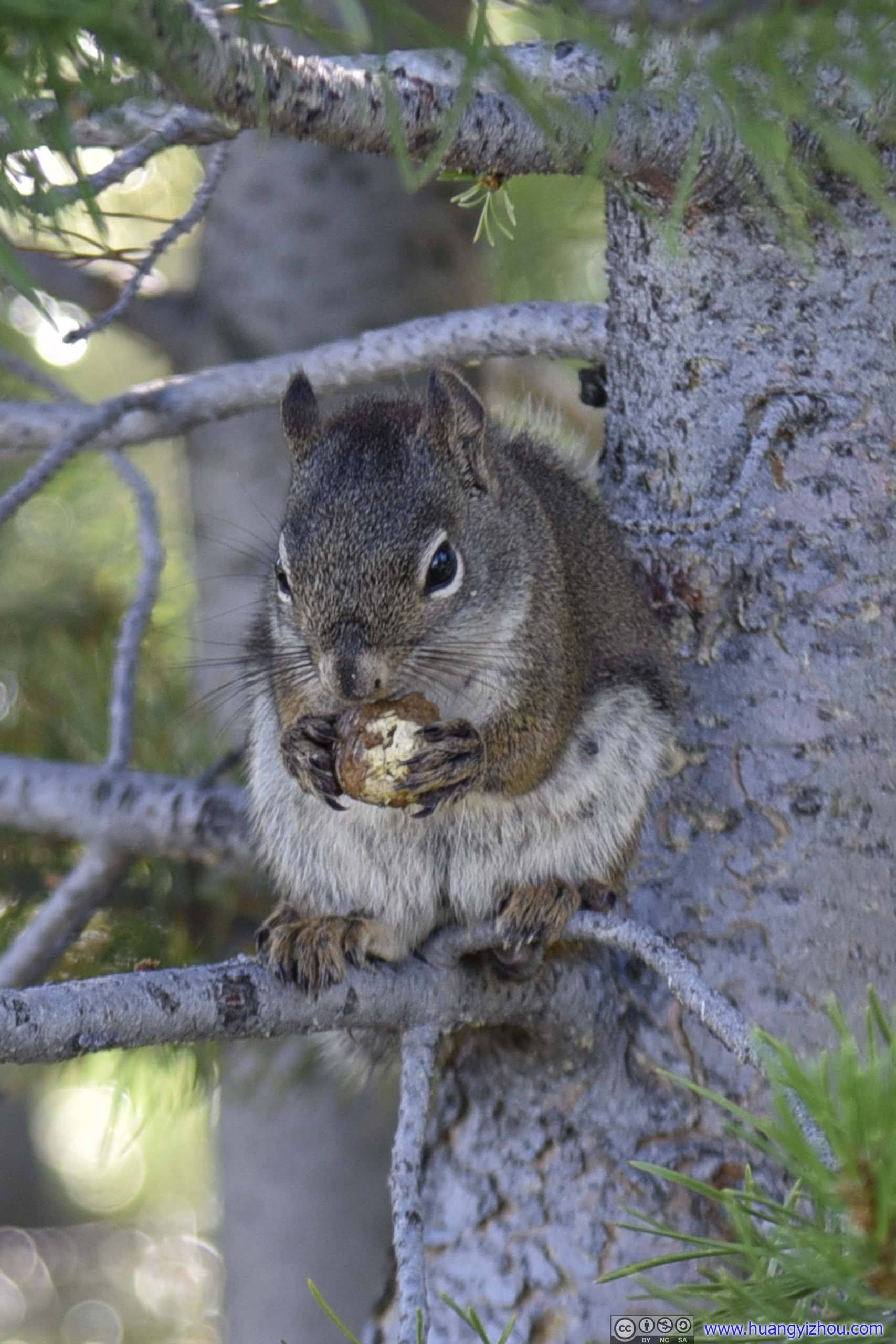
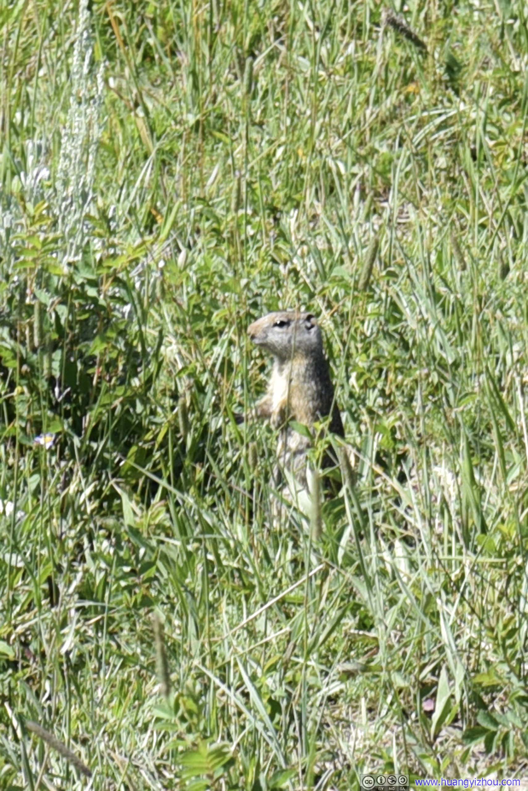
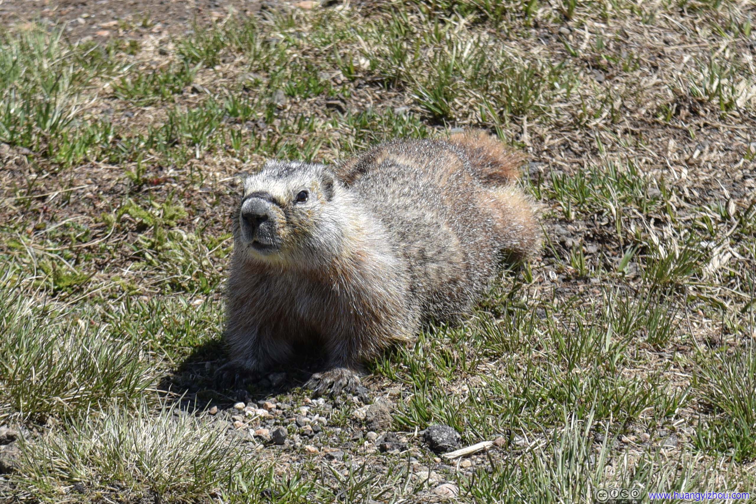
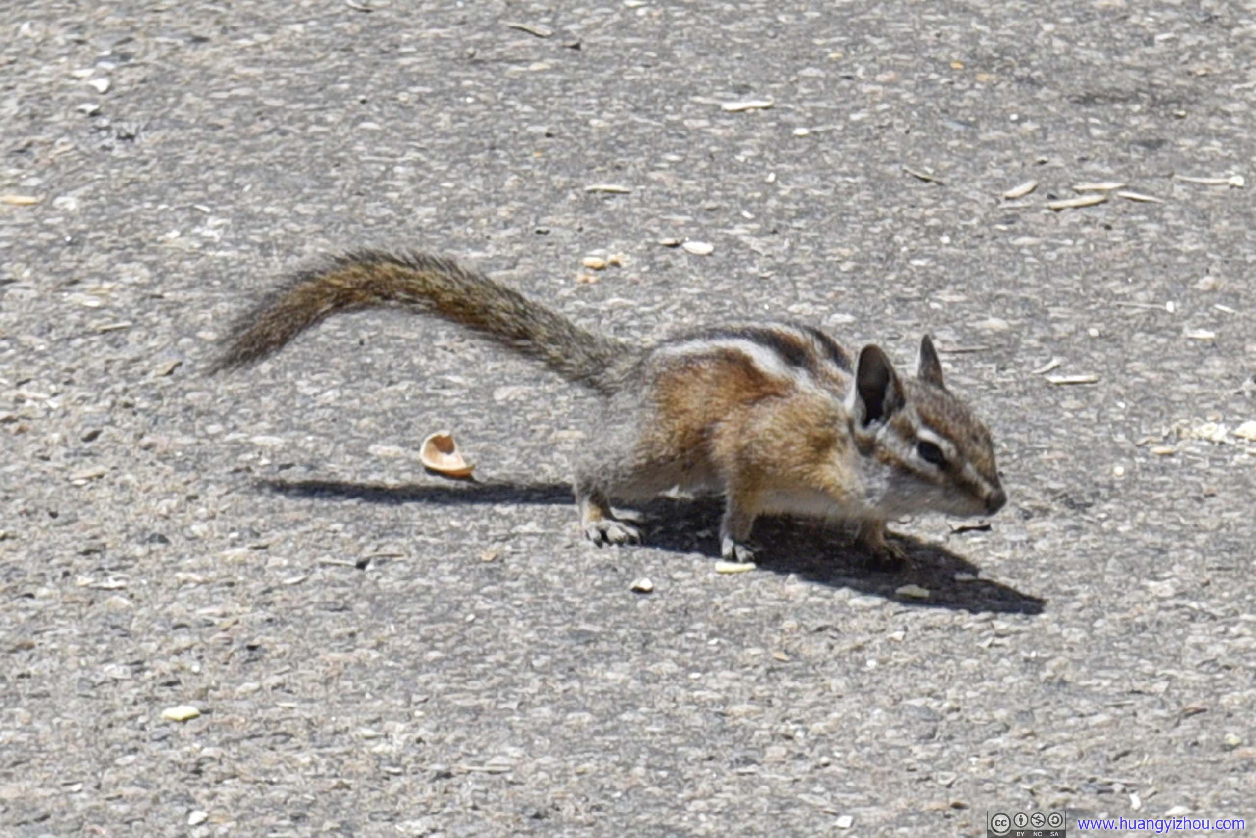
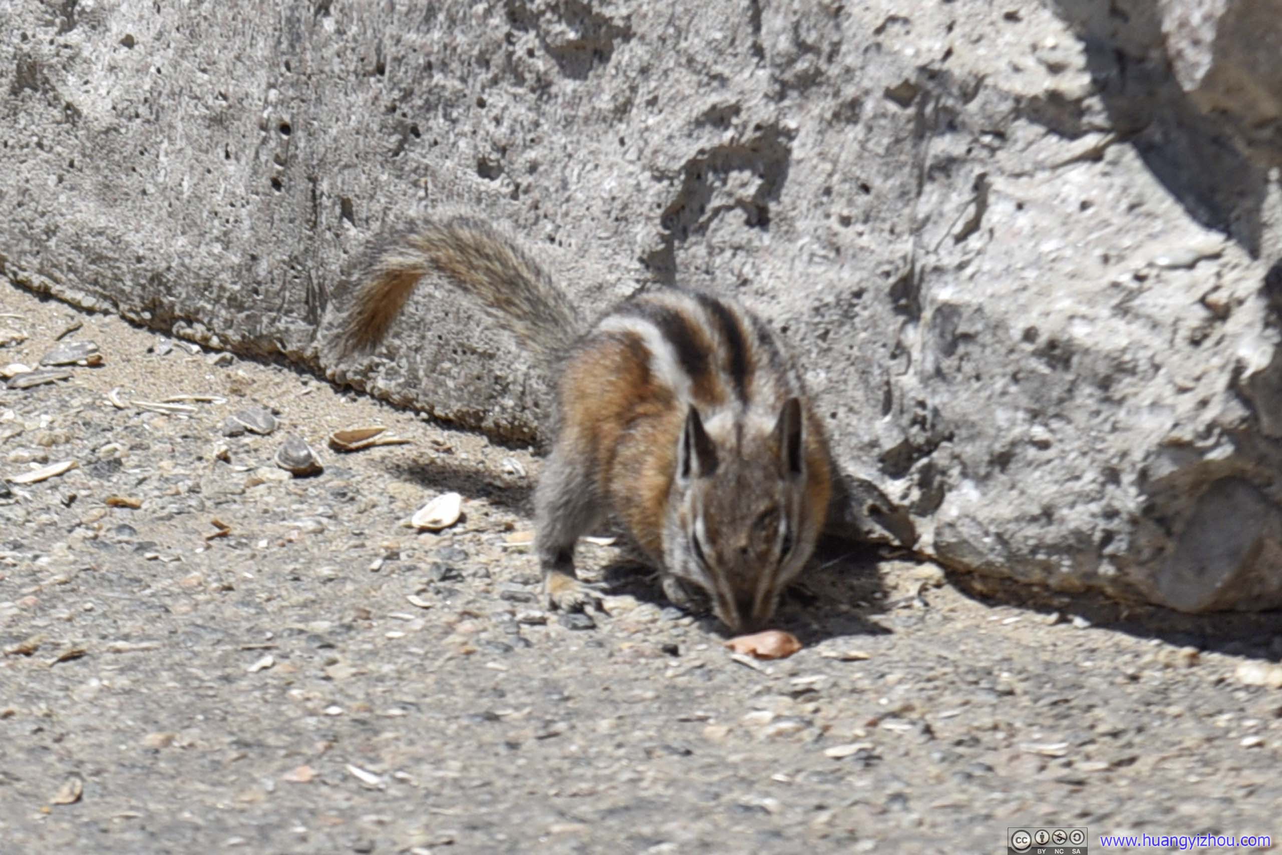
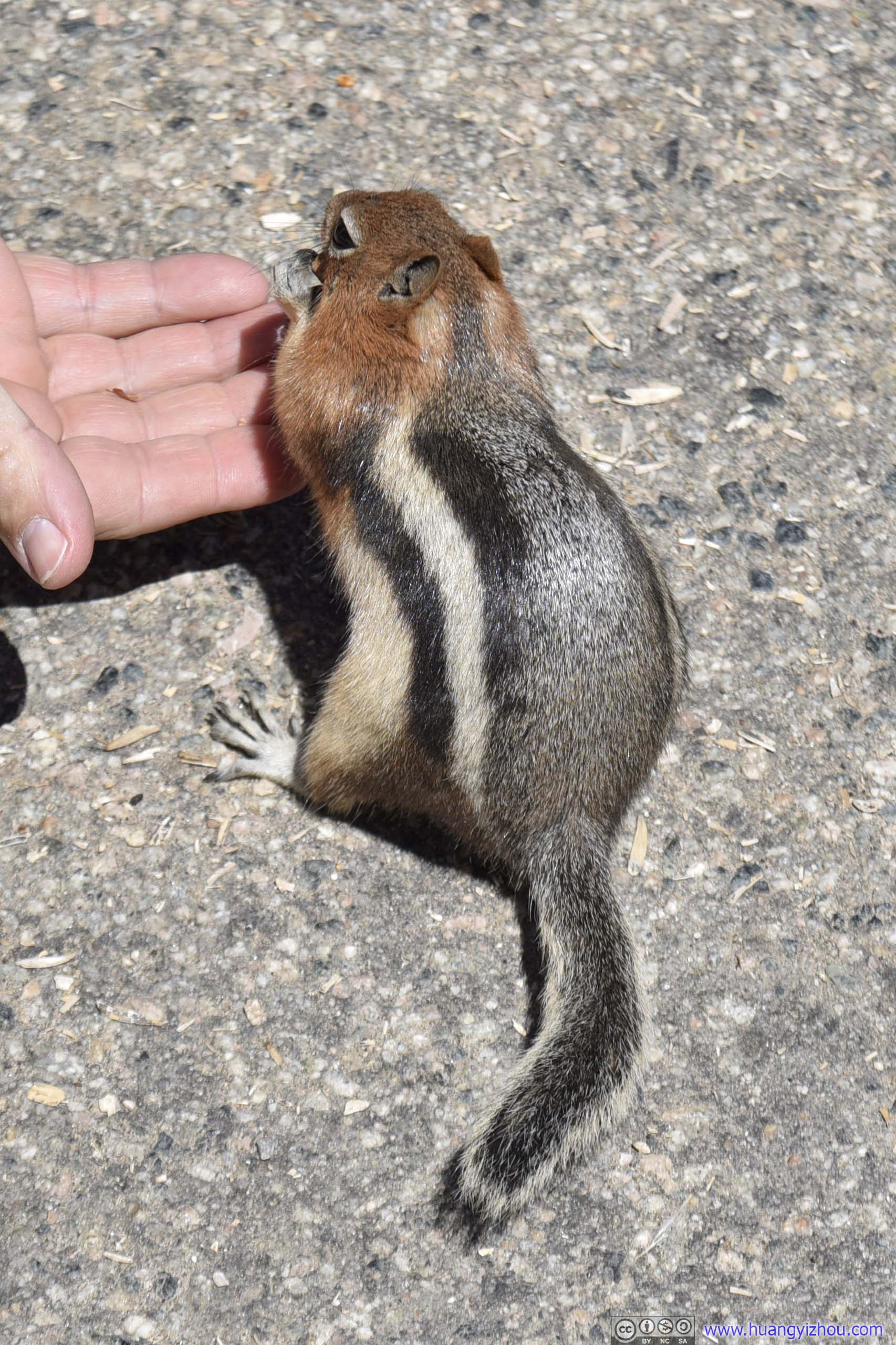
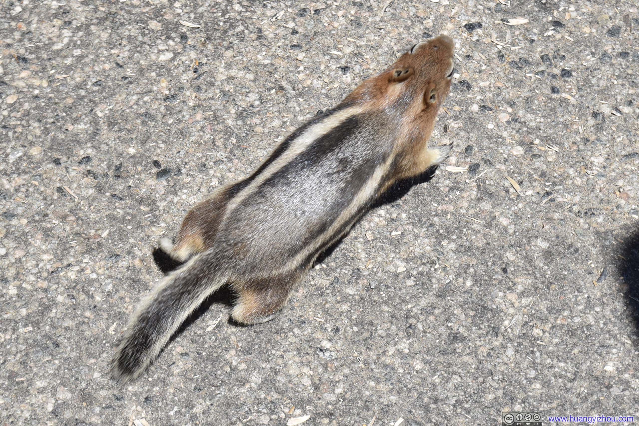
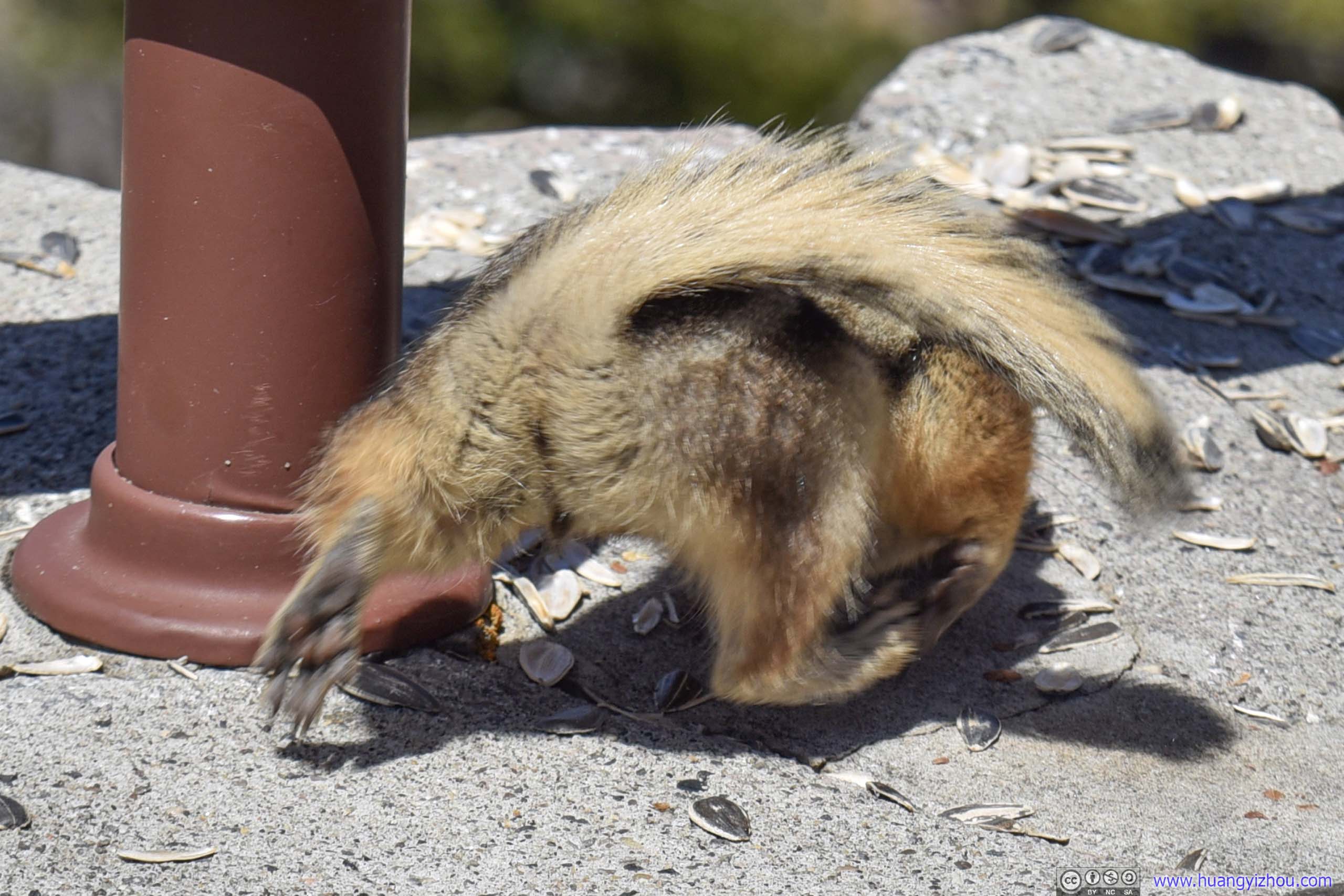
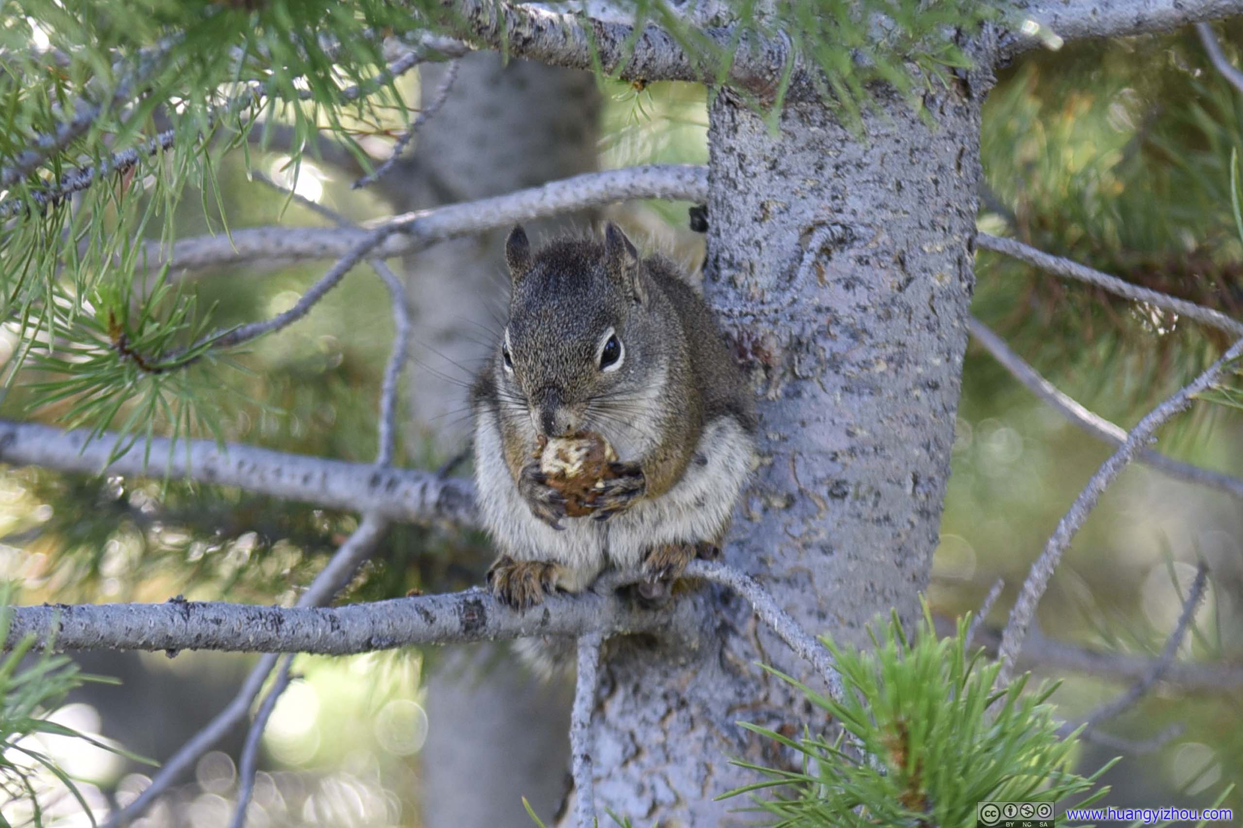 Squirrel
And here’s a video of this squirrel eating nuts.
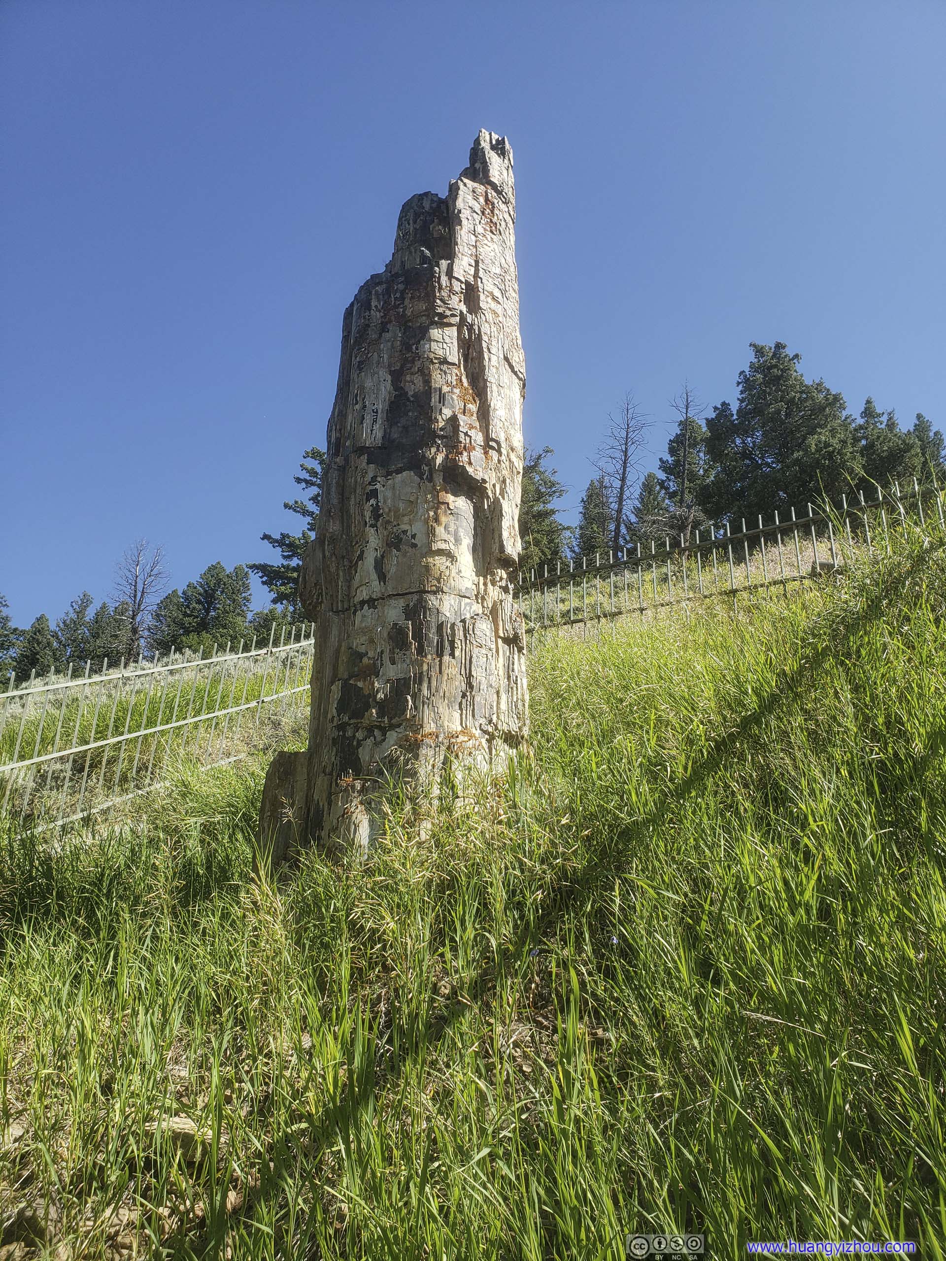
Petrified Tree
This petrified tree was created 50 million ago through a series of volcanic eruptions. After the tree was buried by landslide, silica in the volcanic flow turned this tree into stone before it can rot.
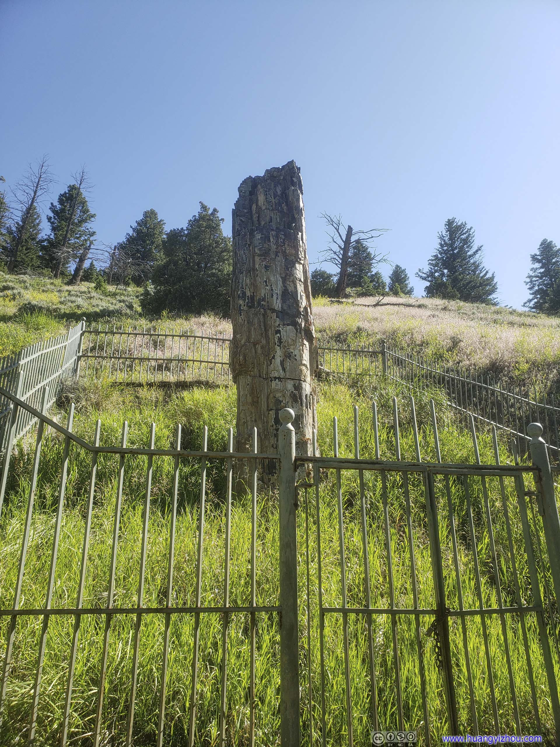
 Petrified Tree
Forest
Lamar Valley
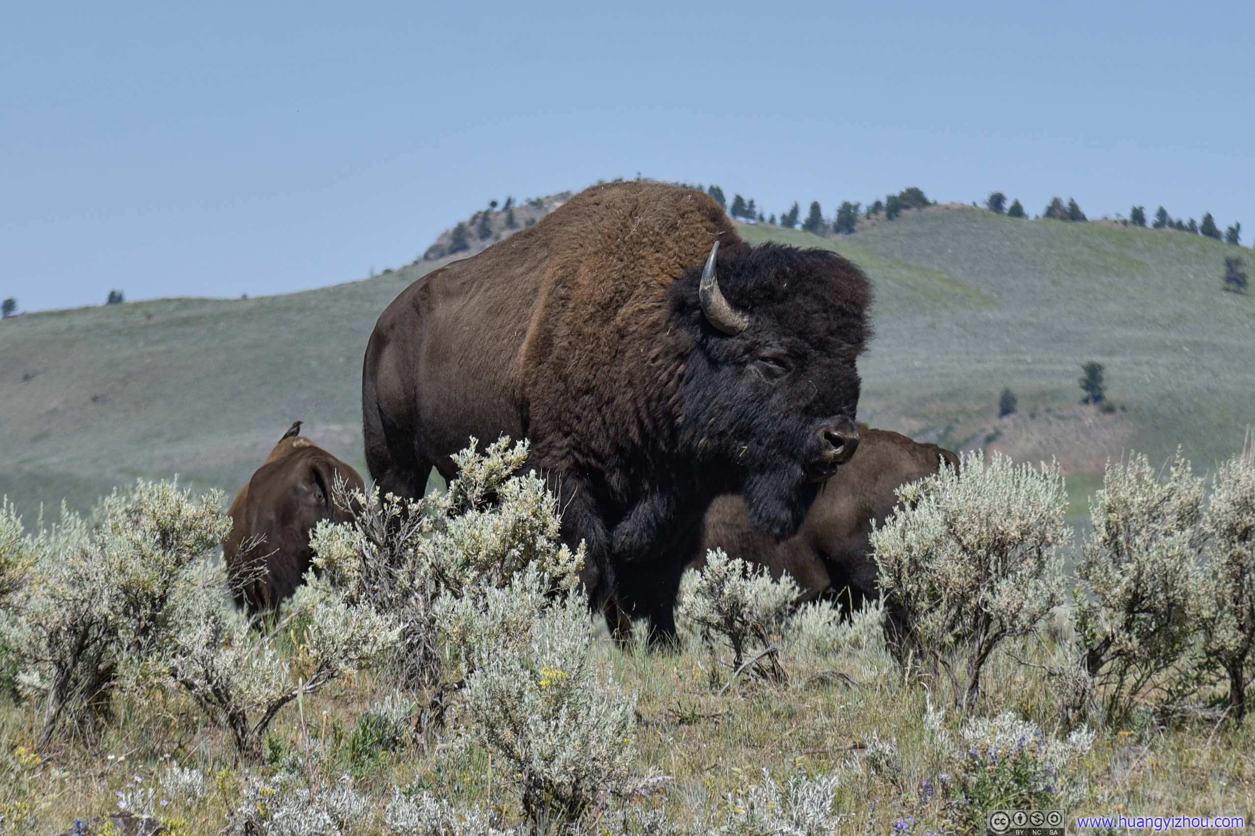
After that, we crossed Tower Junction into Northeast Entrance Road. And immediately we were greeted by the sight of a roadside bison.
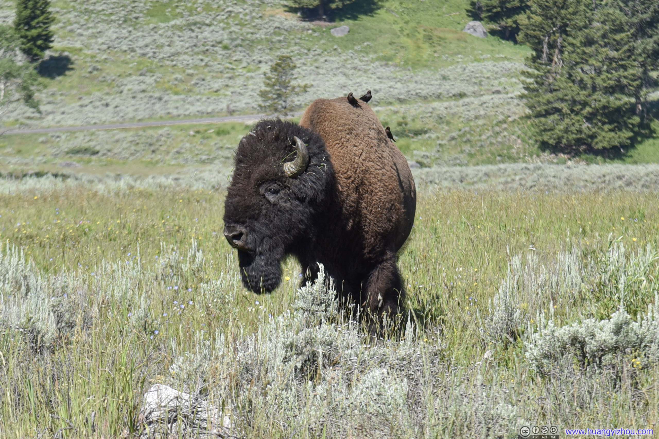
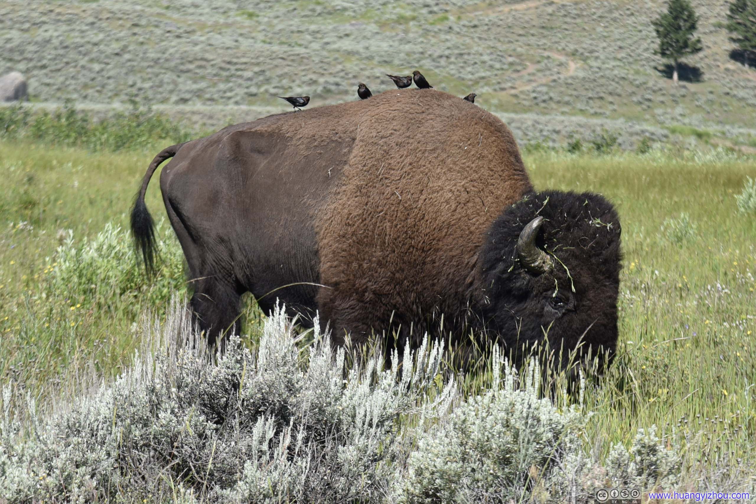
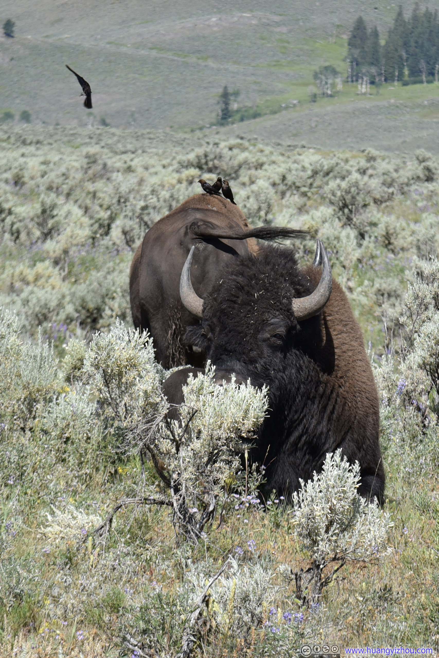
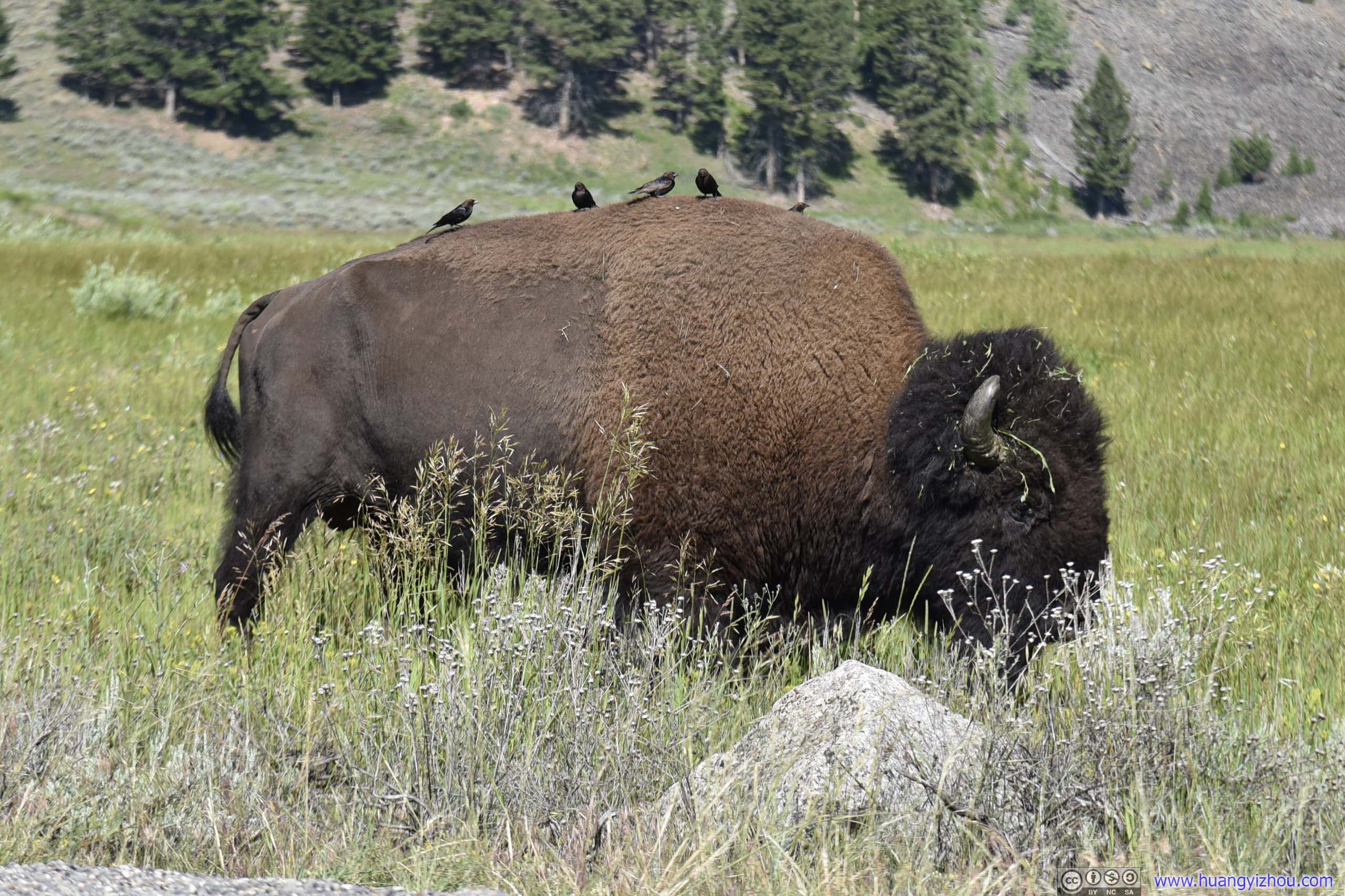 BisonIt’s an interesting sight that a few birds were resting on the back of this bison. Were they trying to get a free ride?
And here’s a video of this playful creature:
 Bison
Bison
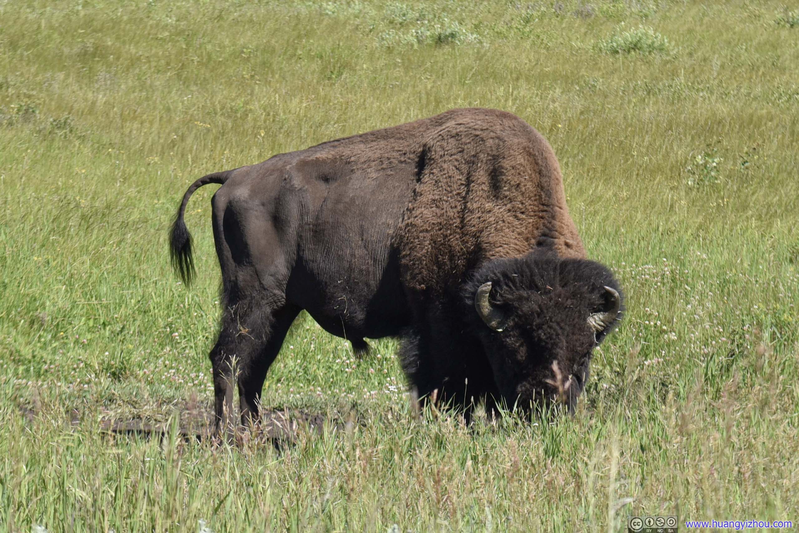
Ten minutes later, a few cars in front of us we found another pack of bison, this time they were farther from the road next to a pond. But since this was the first time we saw a bunch of bison together in Yellowstone National Park, we were still excited by their appearance.
 Bison in Field
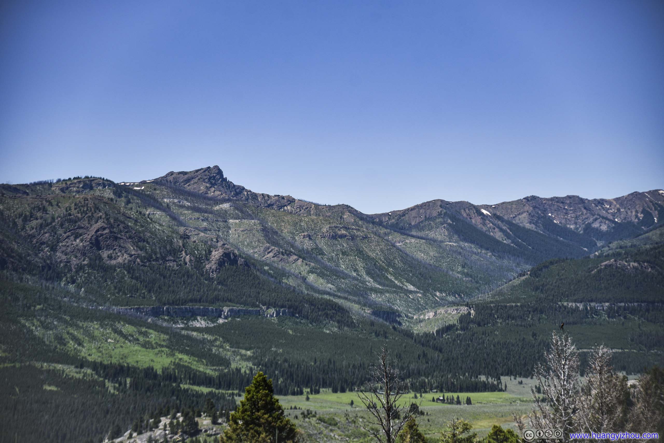
Apart from bison, the surrounding landscape was still a treat to the eye.
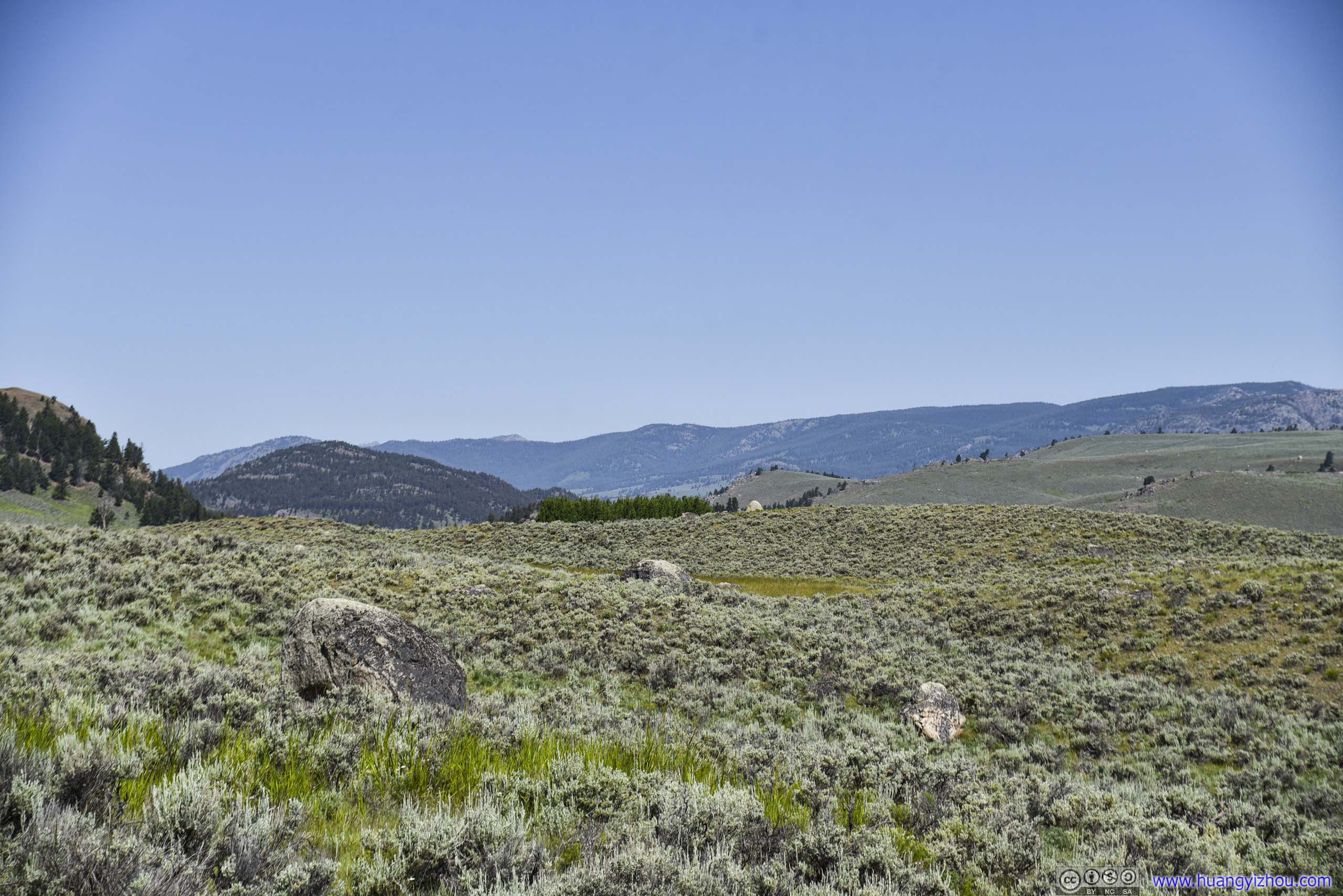
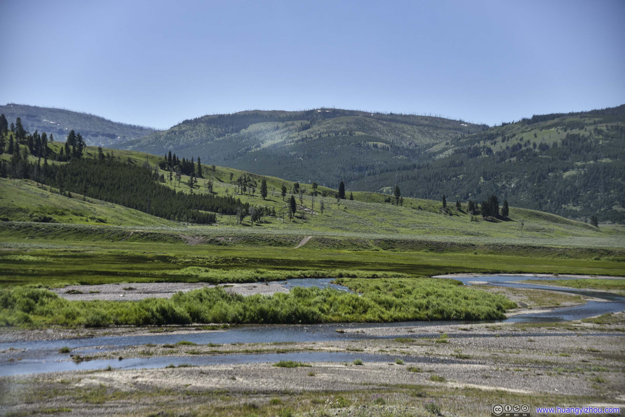
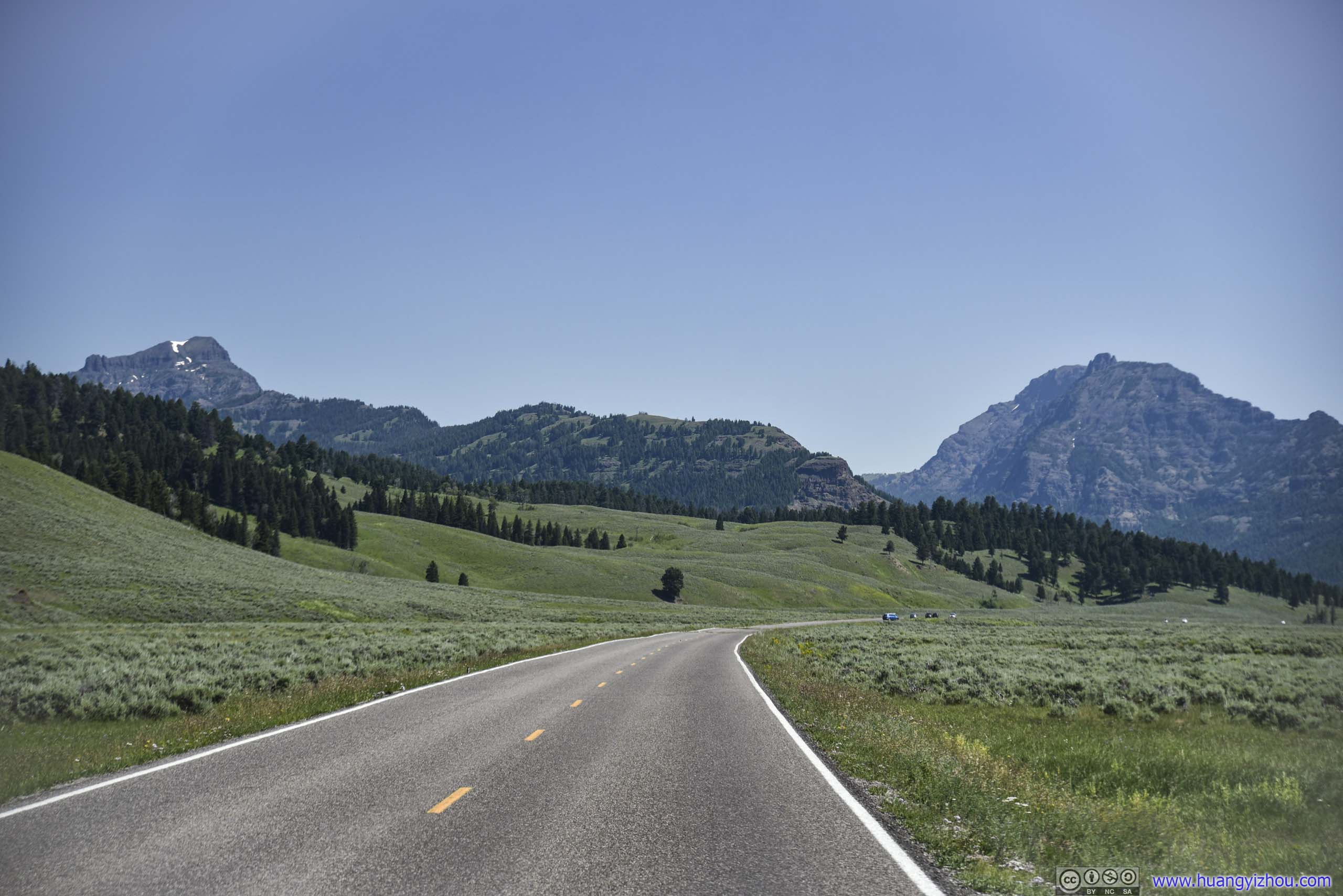
 Field and Mountains
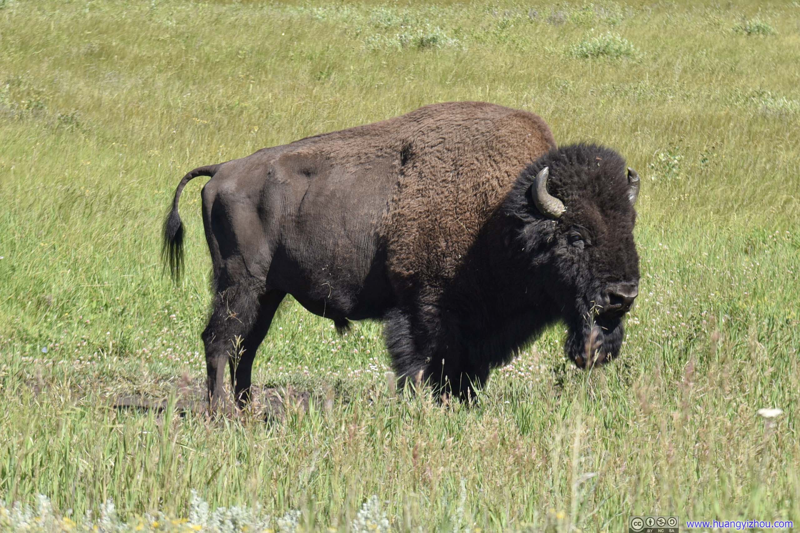
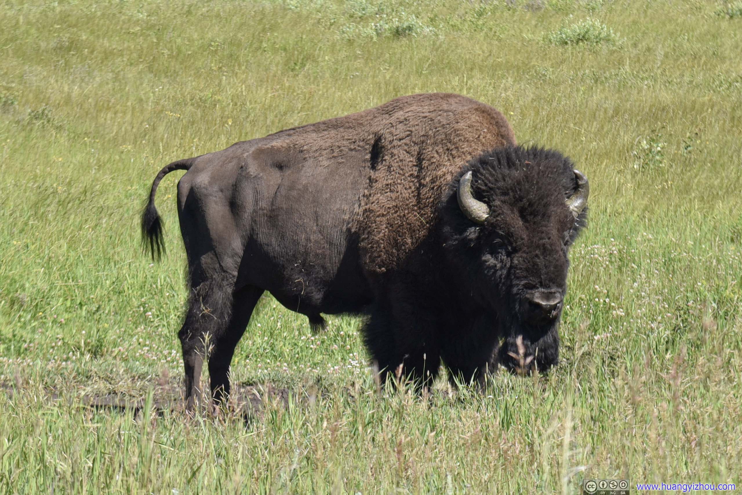
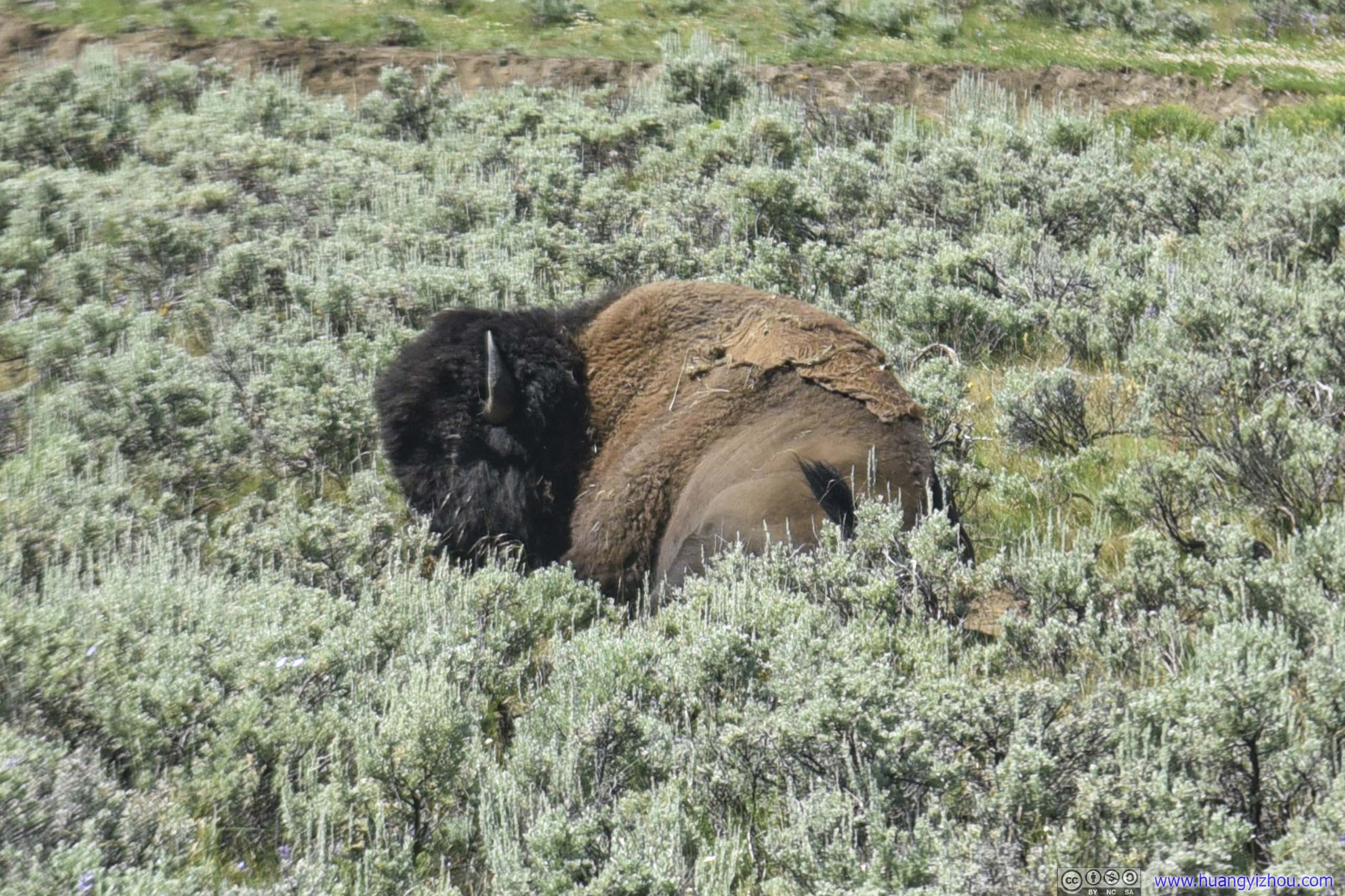
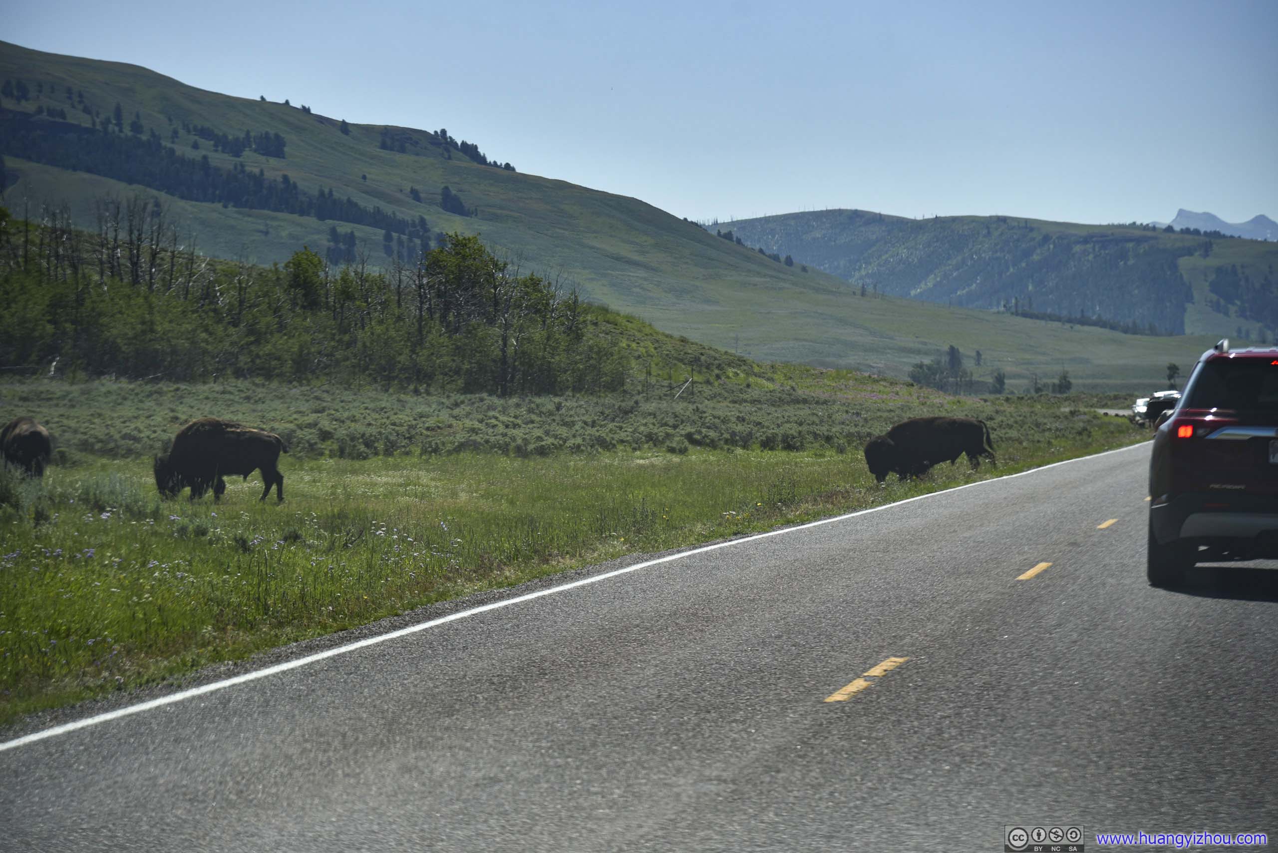
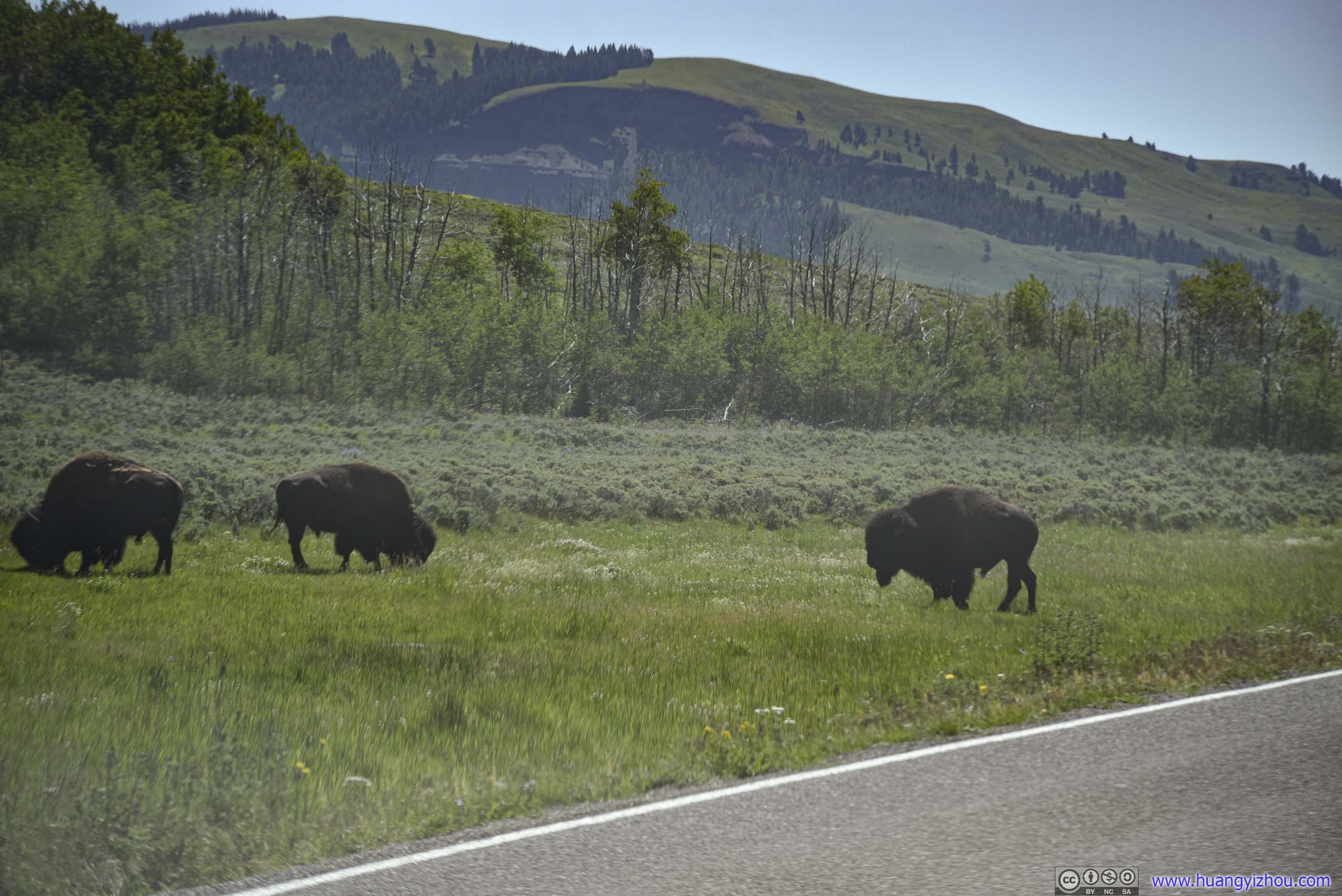
Ten minutes after that, a few cars in front of us we hit the jackpot, of a pack of bison enjoying themselves literally feet from road. I was surprised that wildlife patrol wasn’t even at scene.
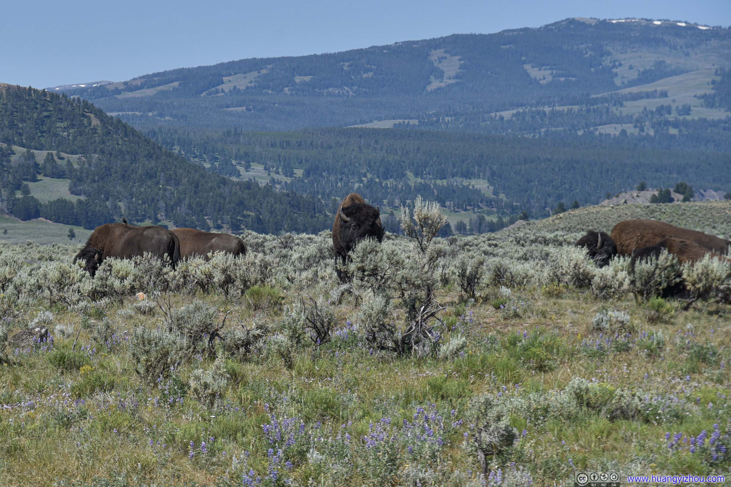
 Bison in Field
 Bison in Field
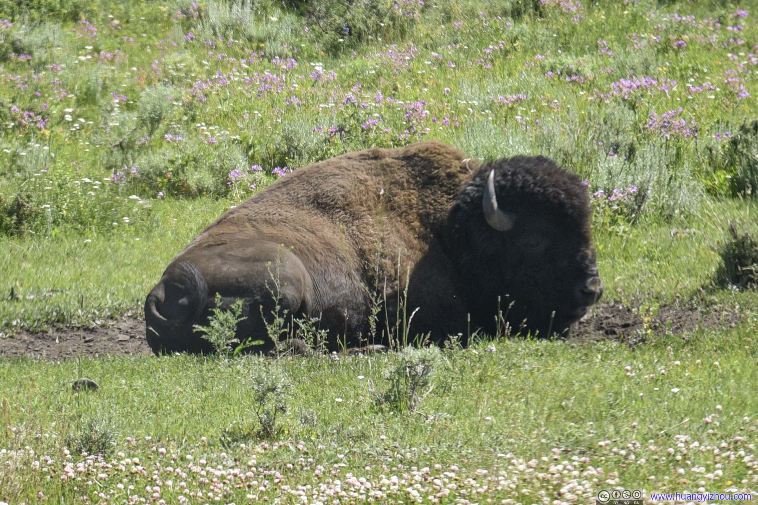
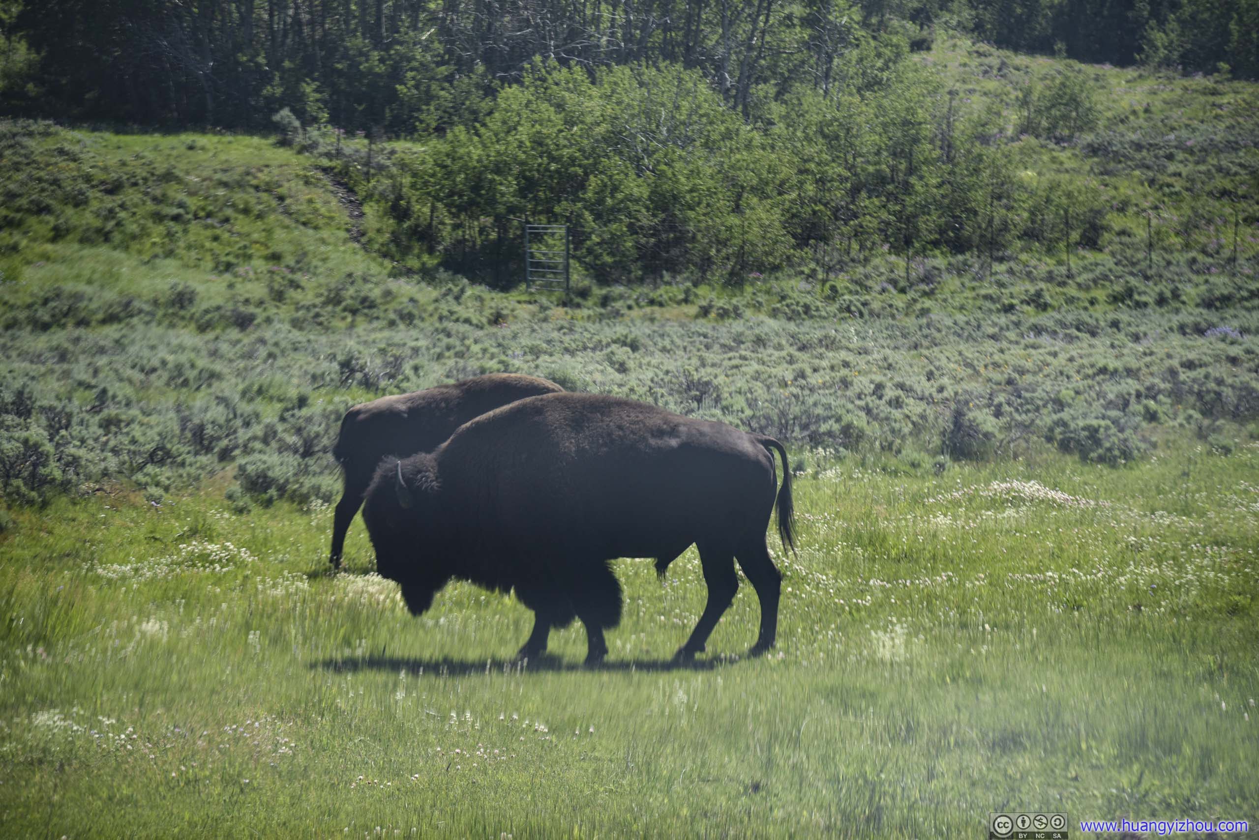
Bison in FieldThe one in the background was whipping its tail with the company of a few birds on its back. A lovely scene.
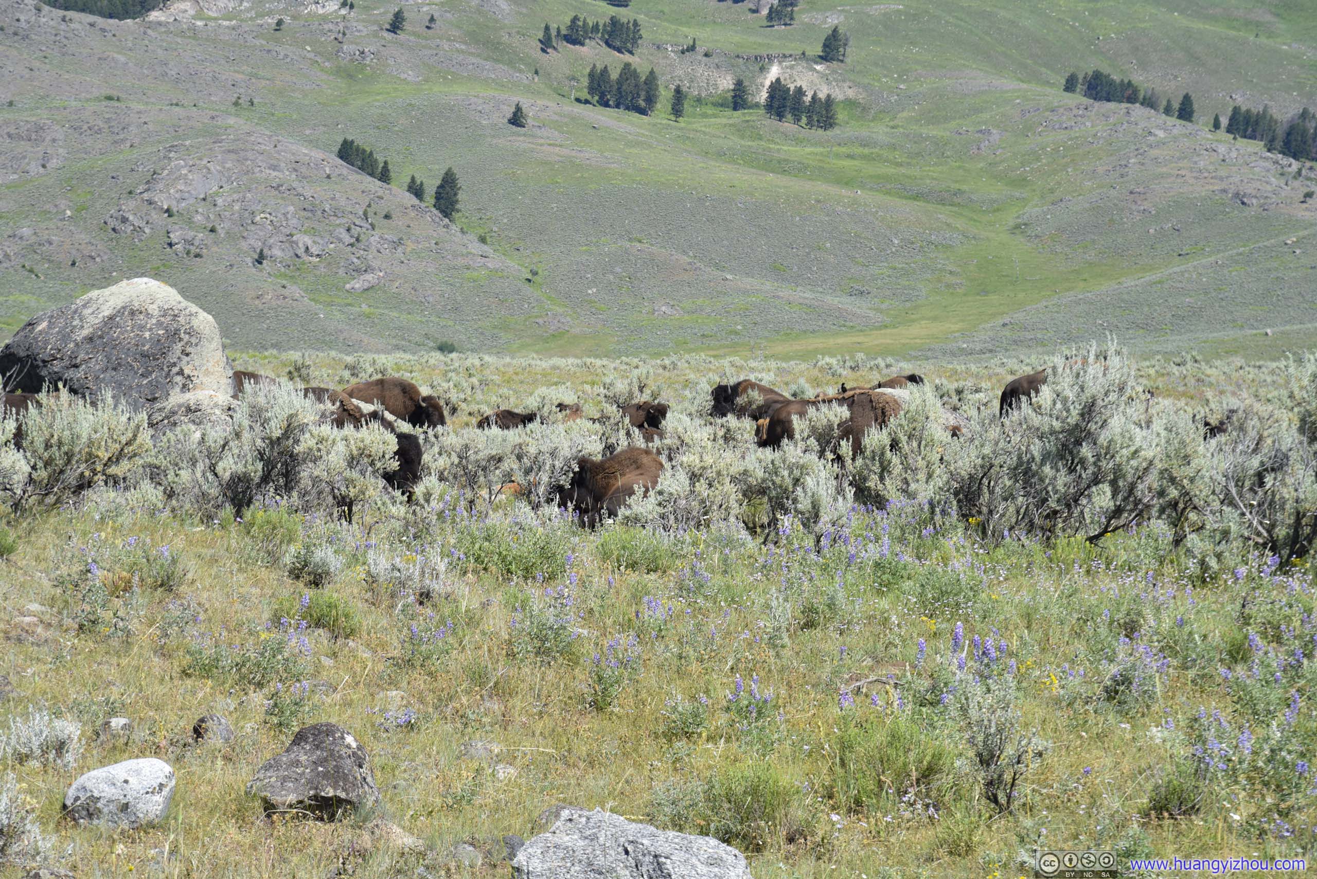
 Bison in Field
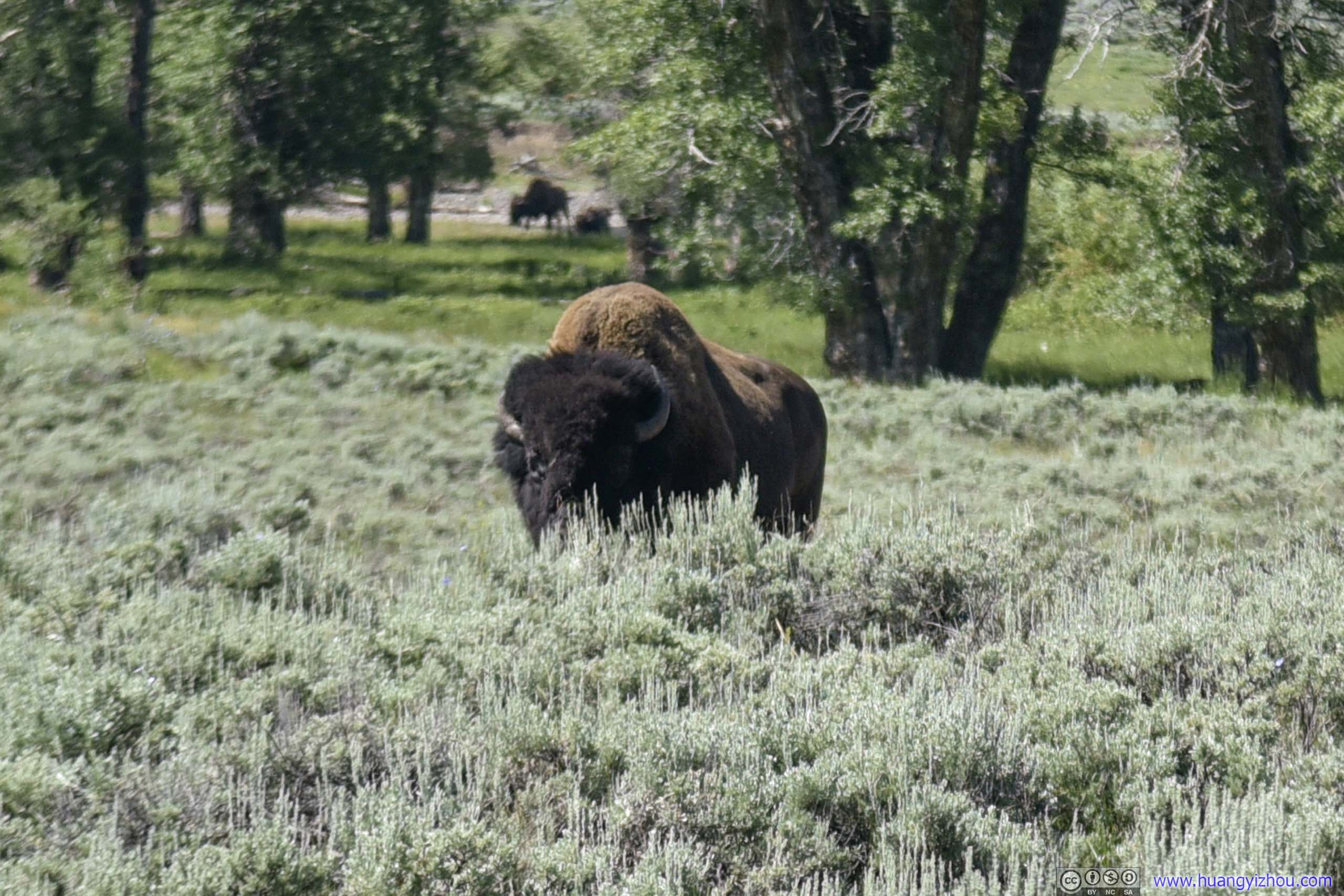
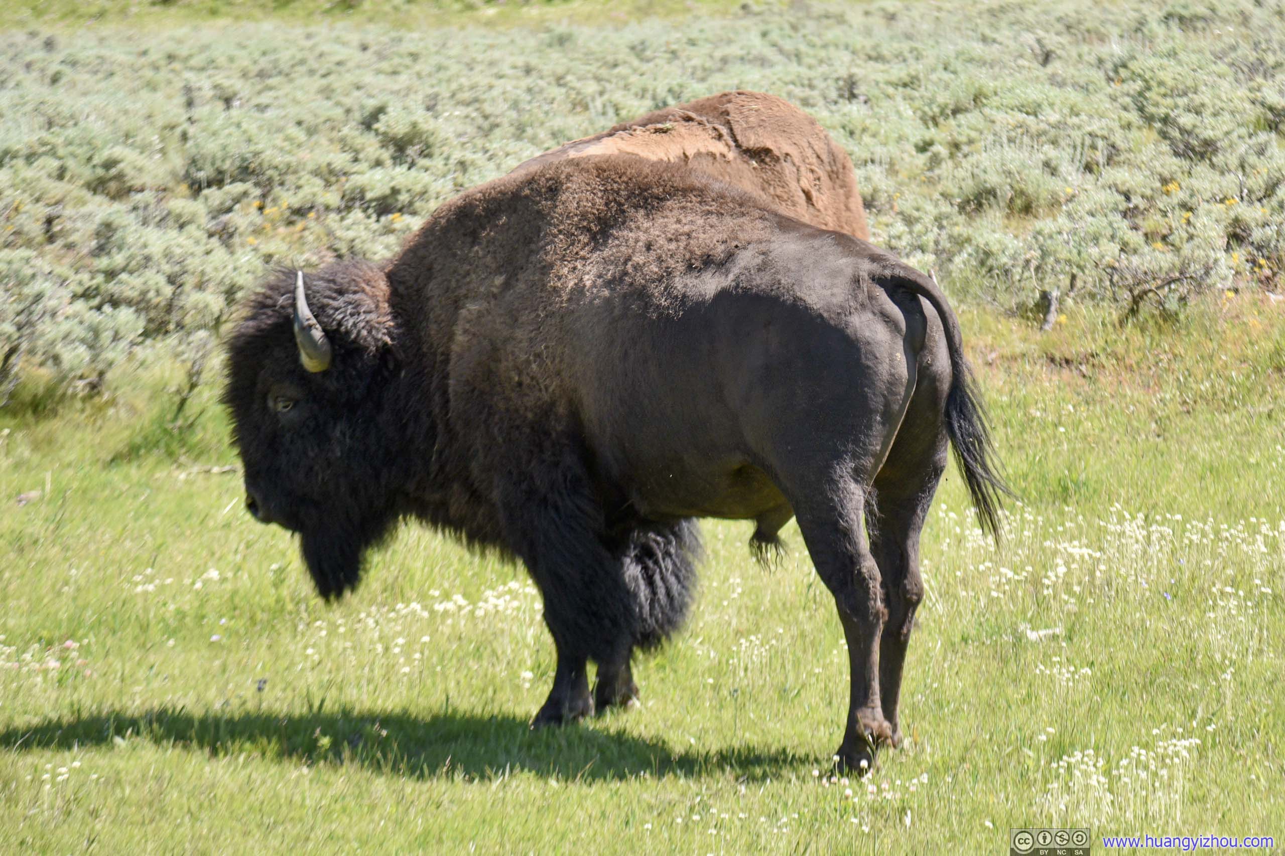
Bison in FieldThis one’s enjoying its own time on the opposite side of the road.
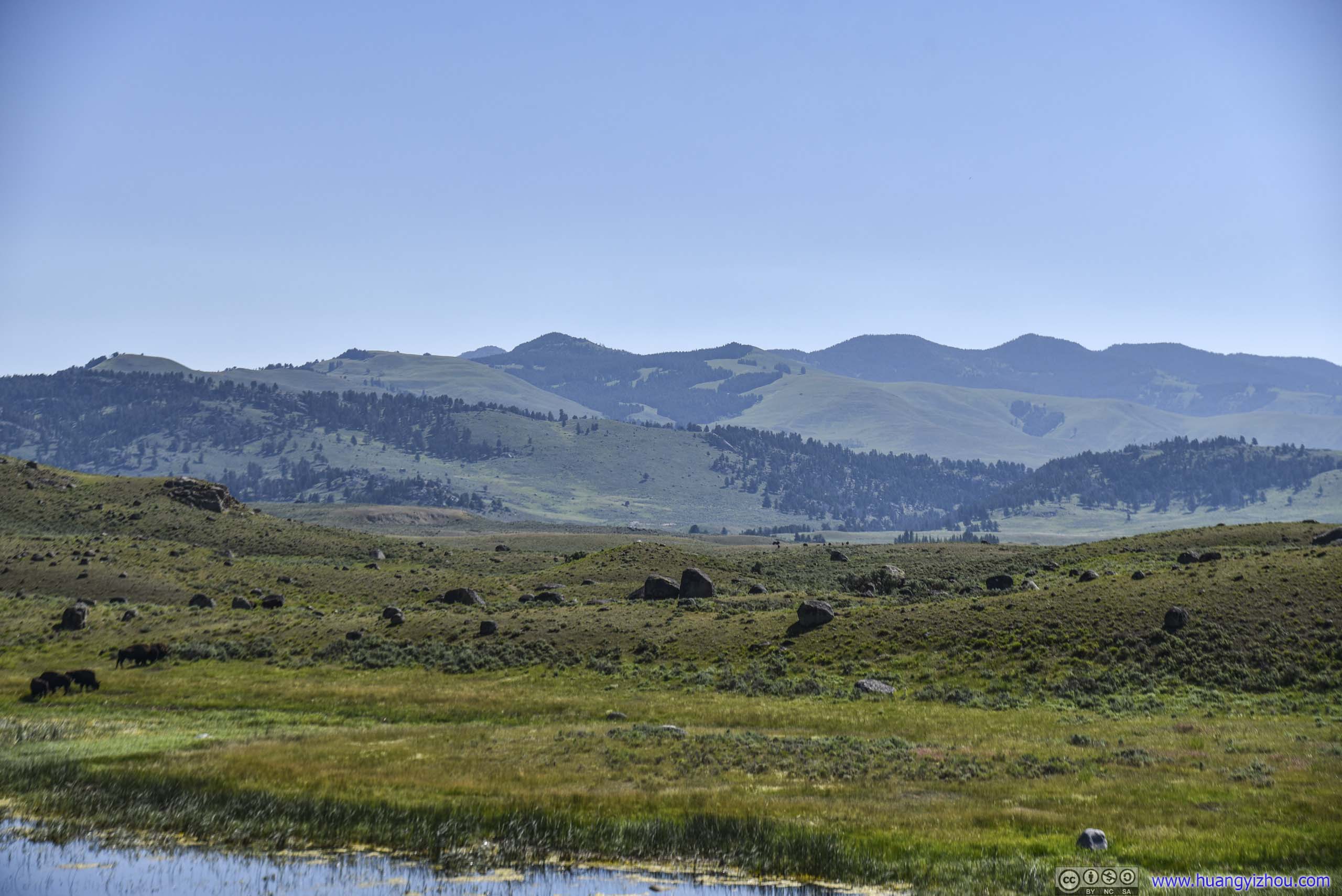
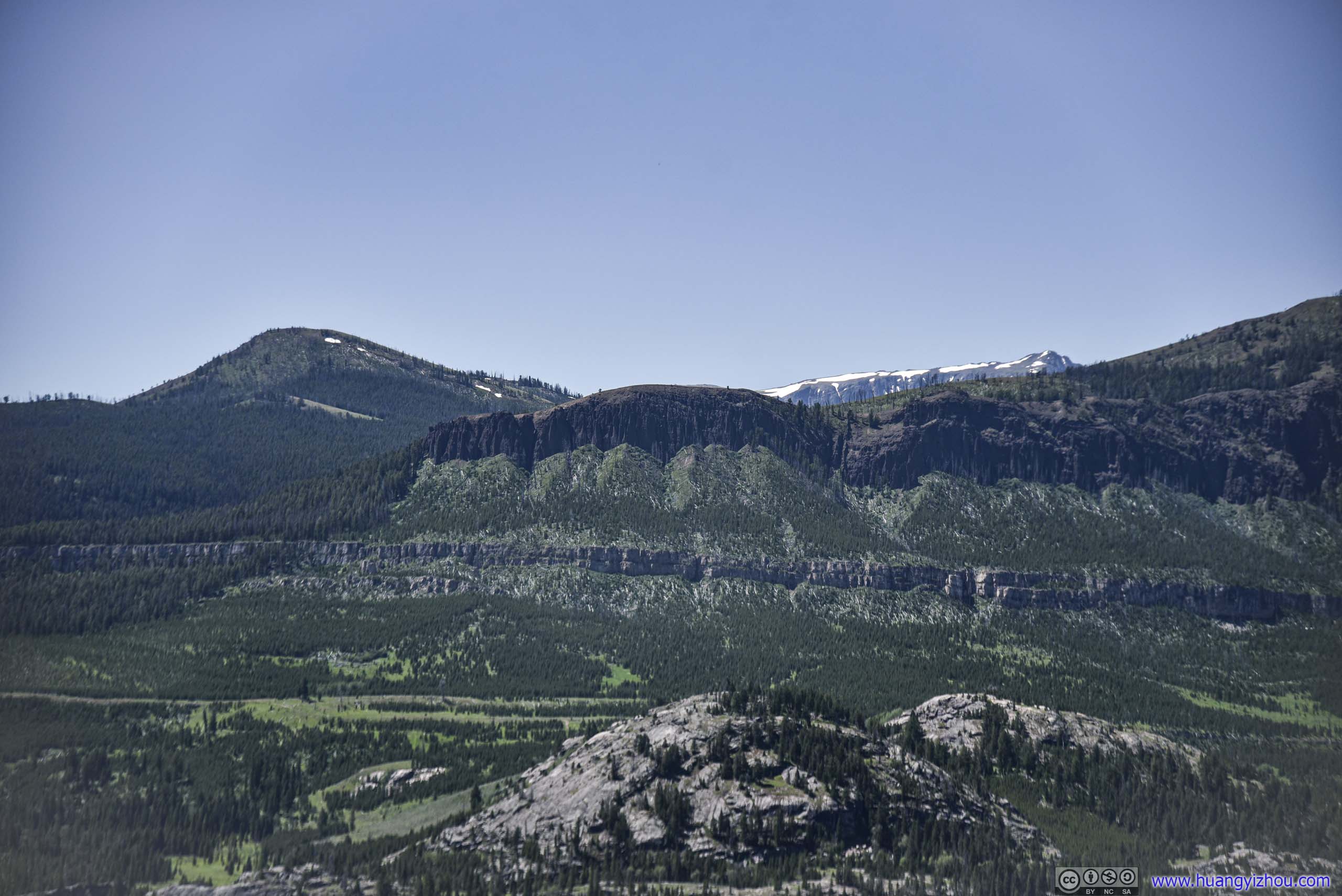
As usual, the nearby mountains never failed to impress.
 Field and Mountains
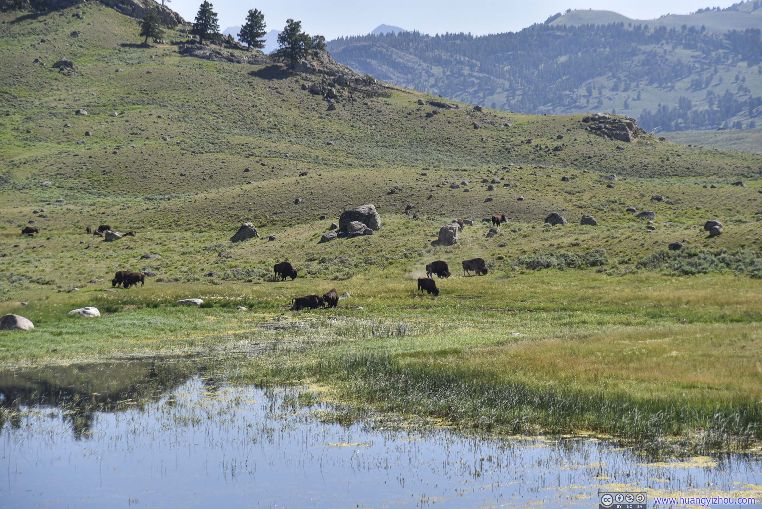
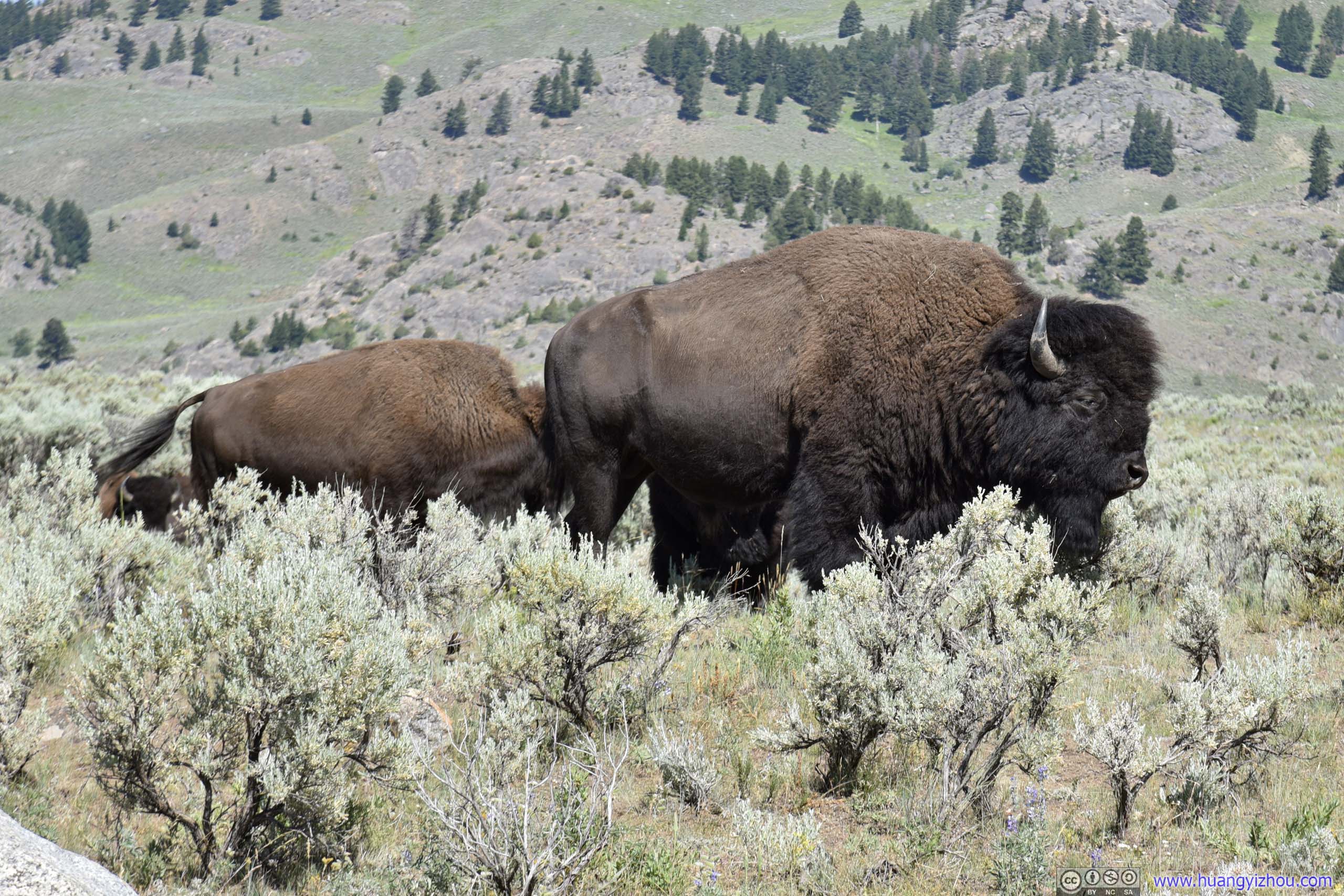
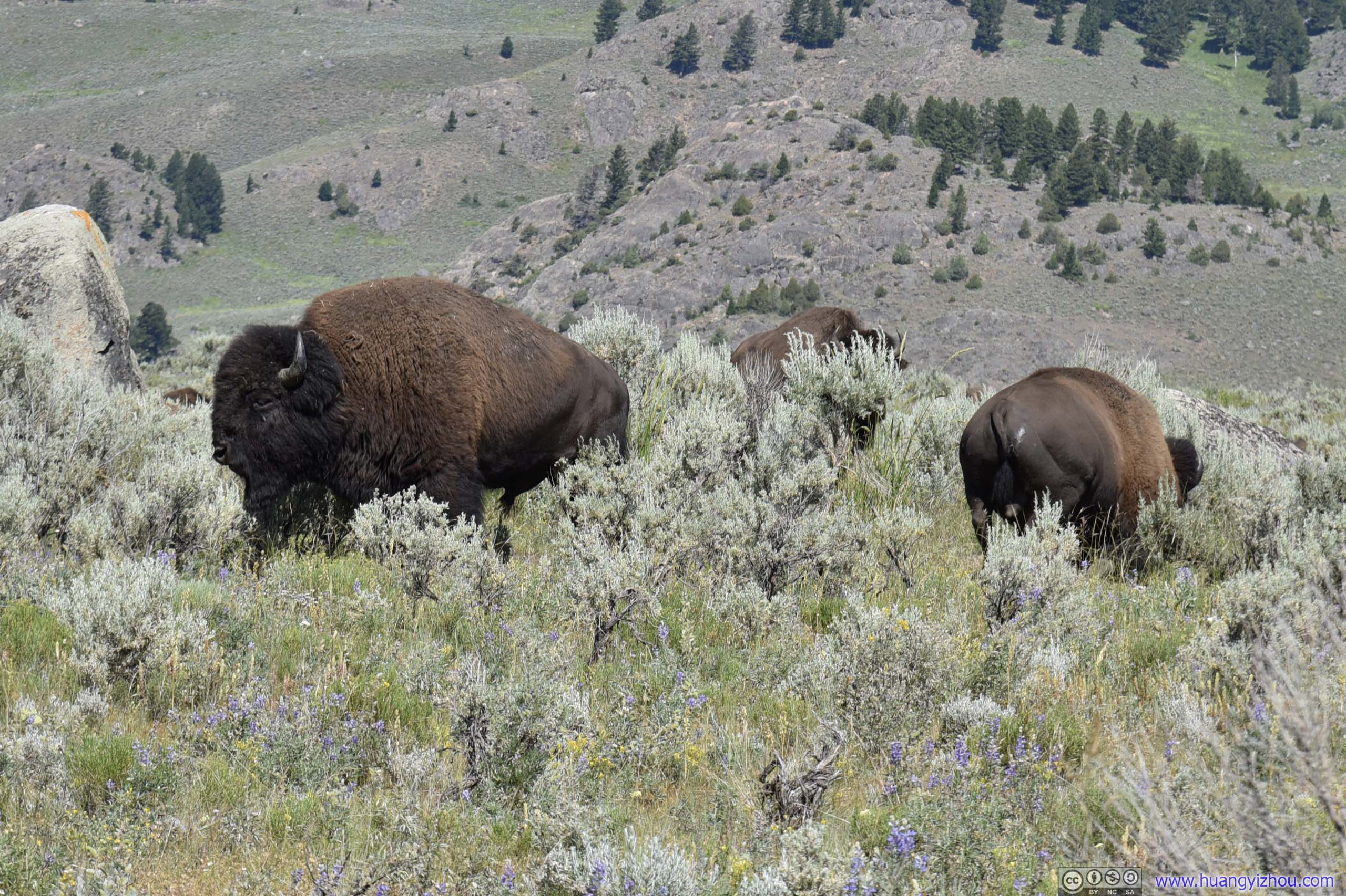
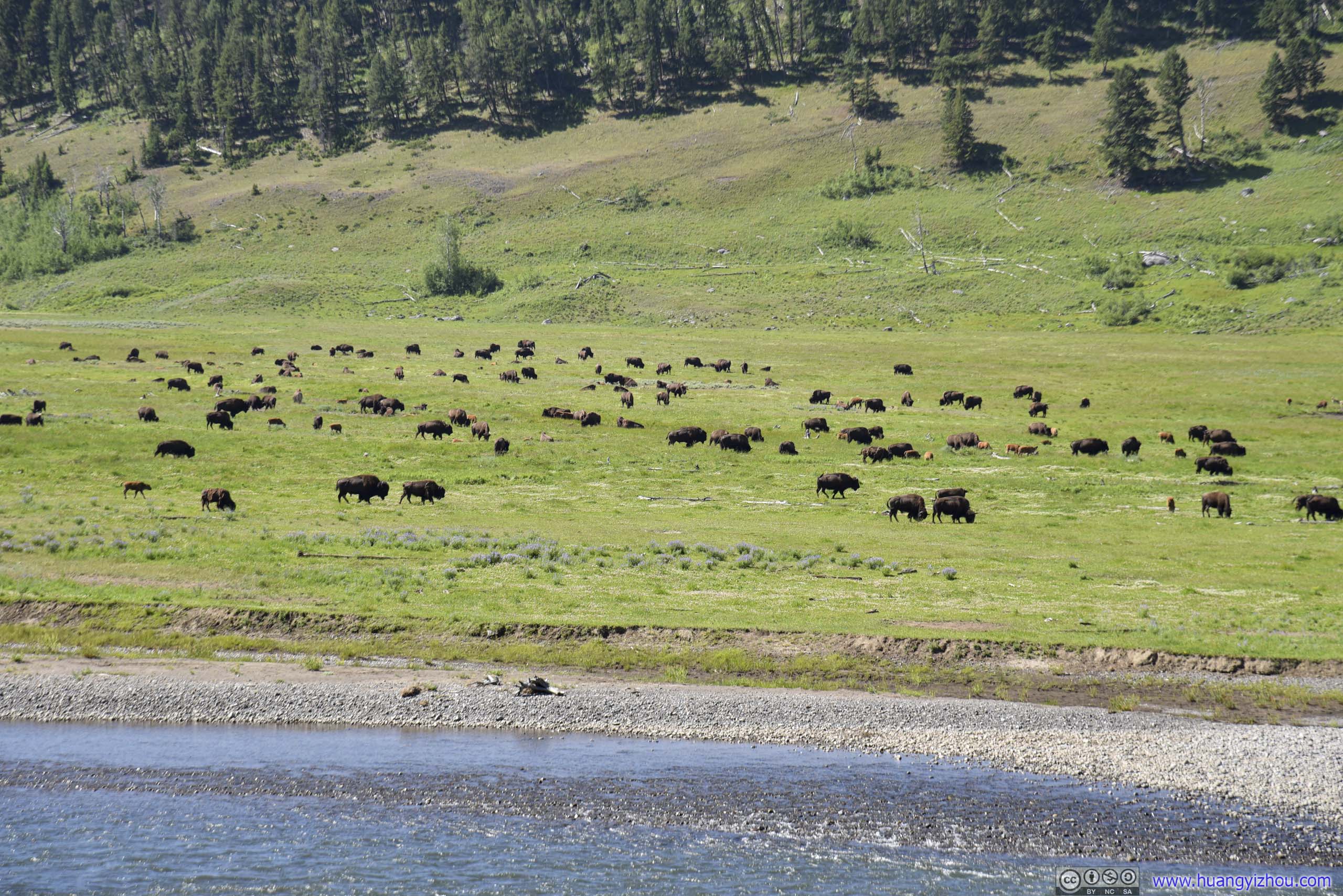
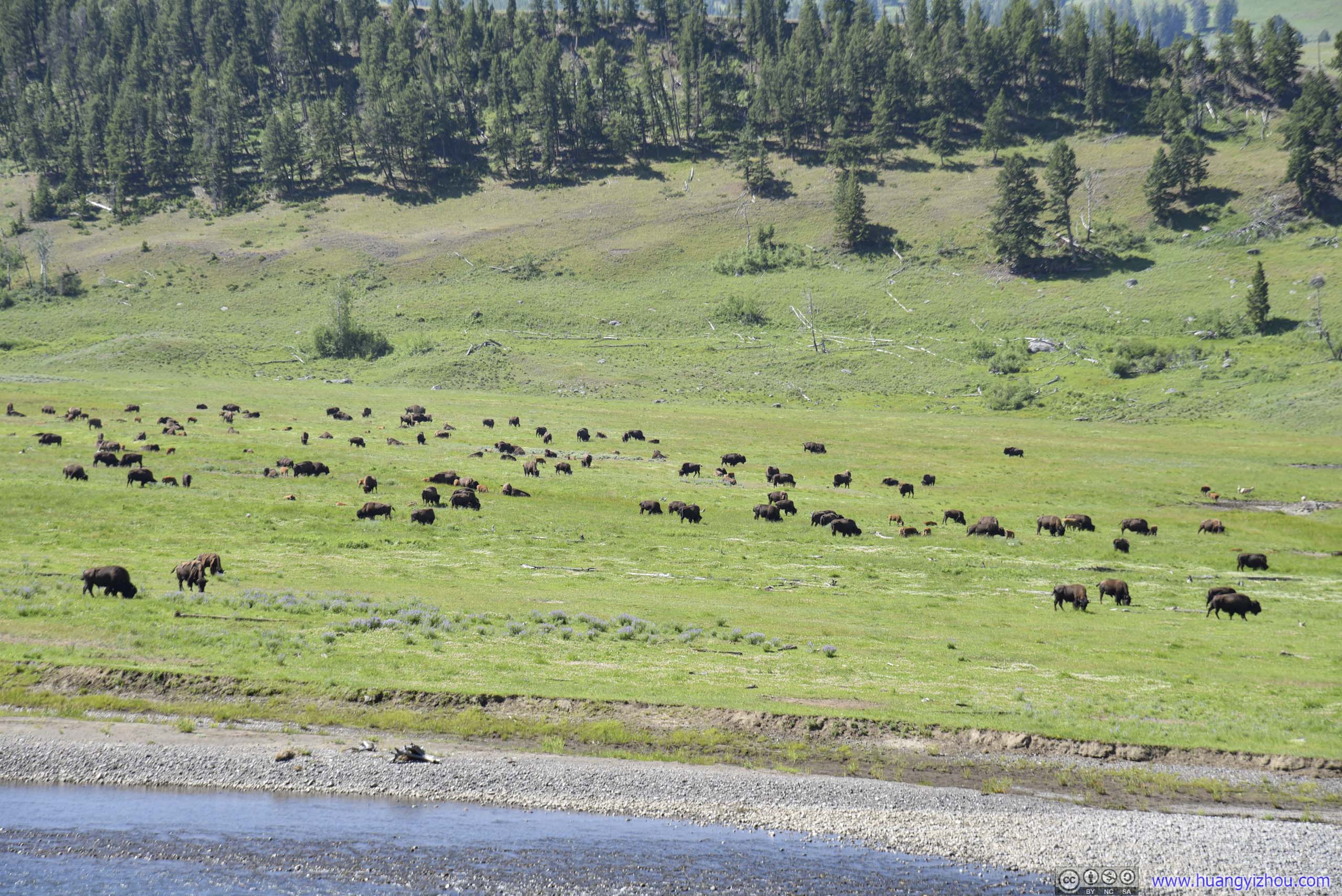
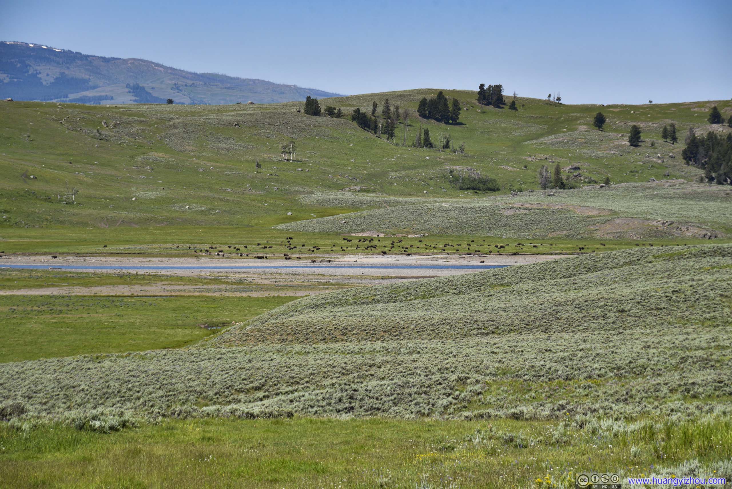
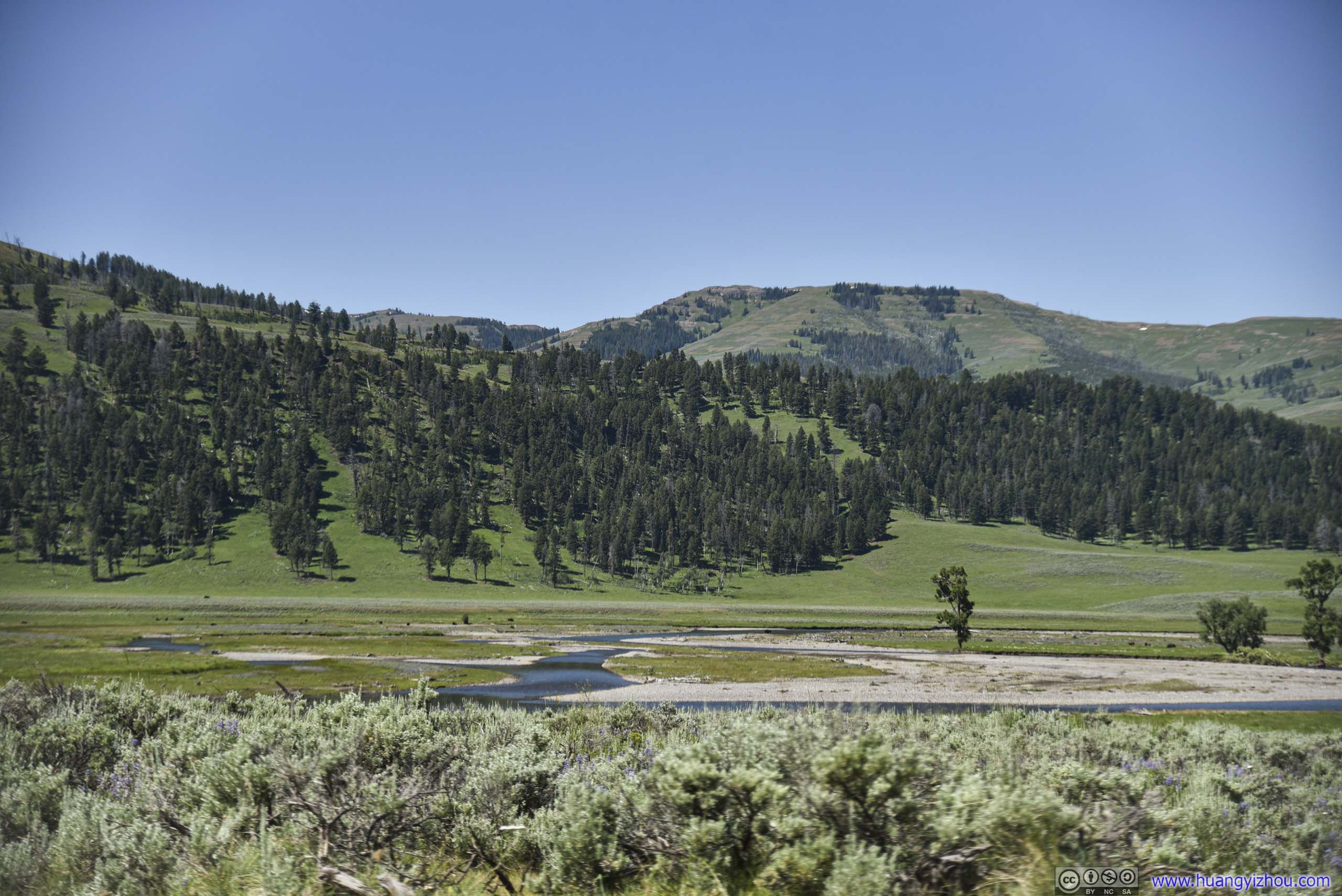
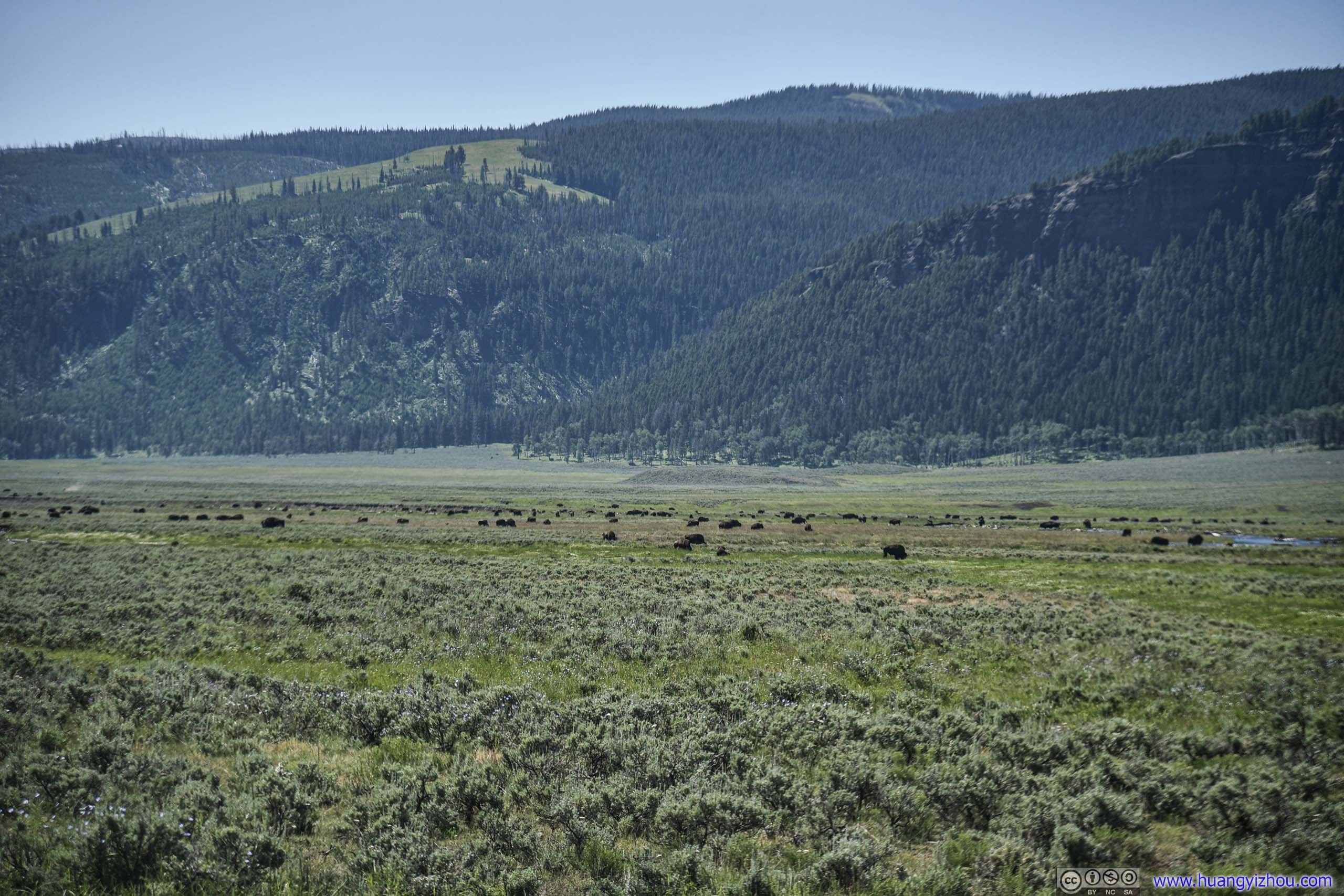
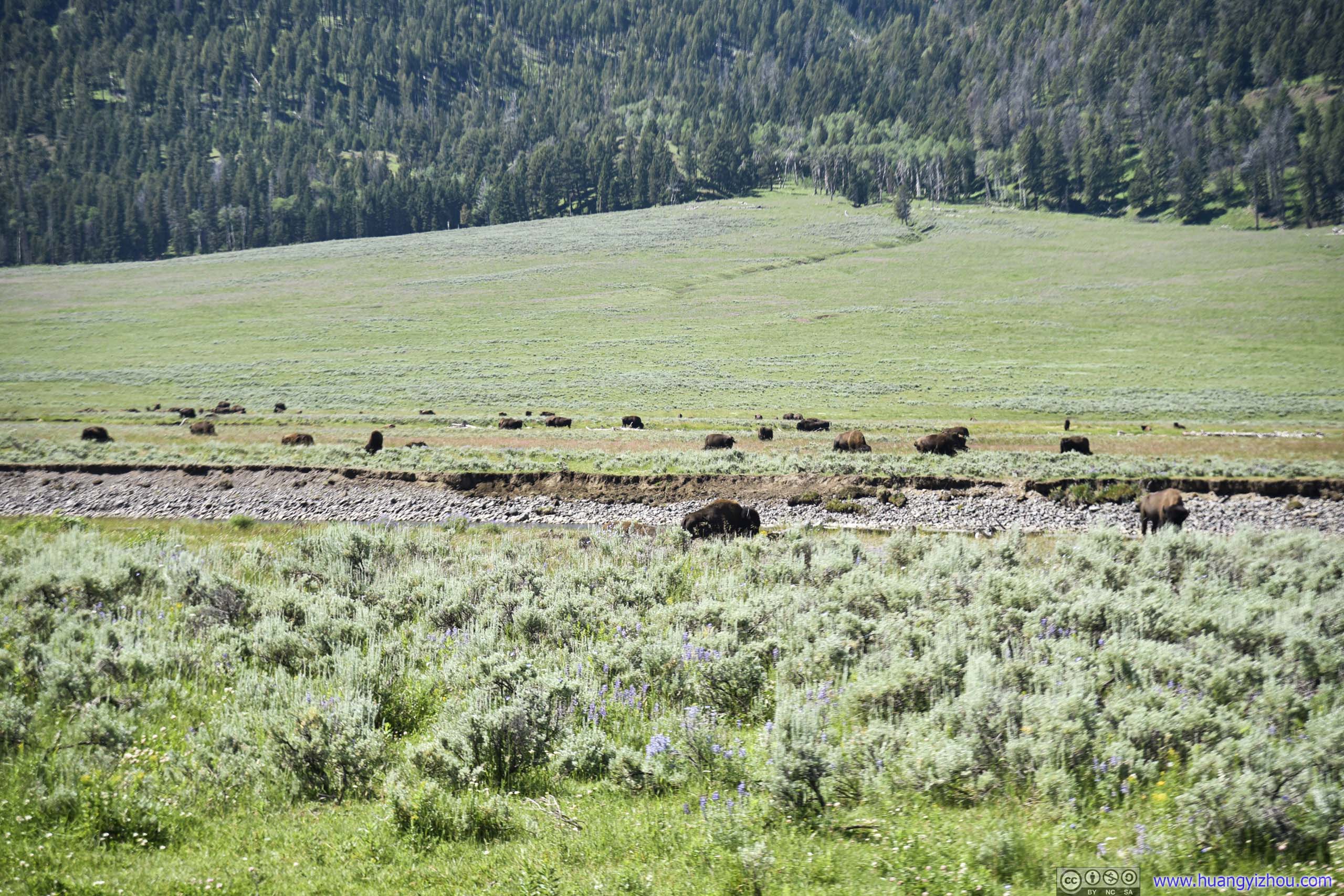
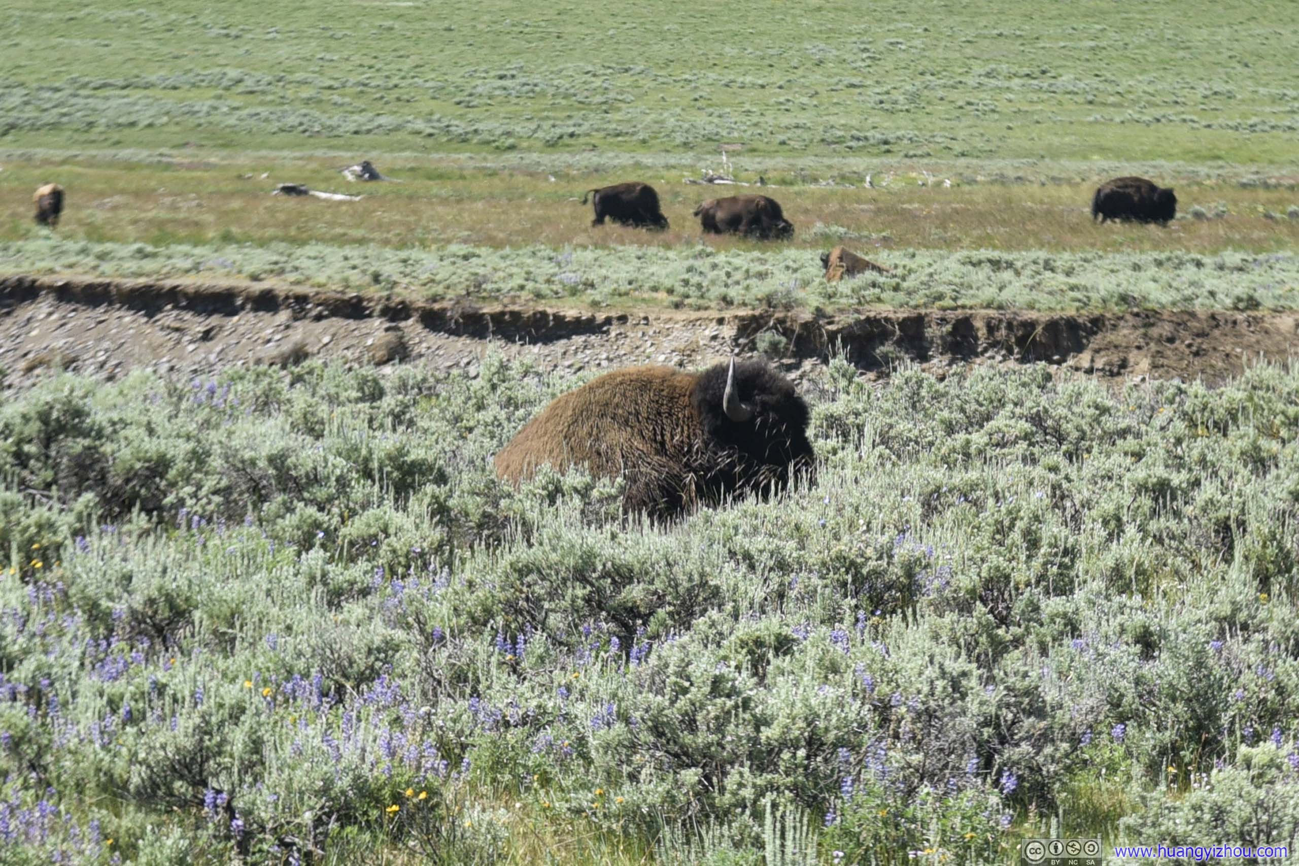
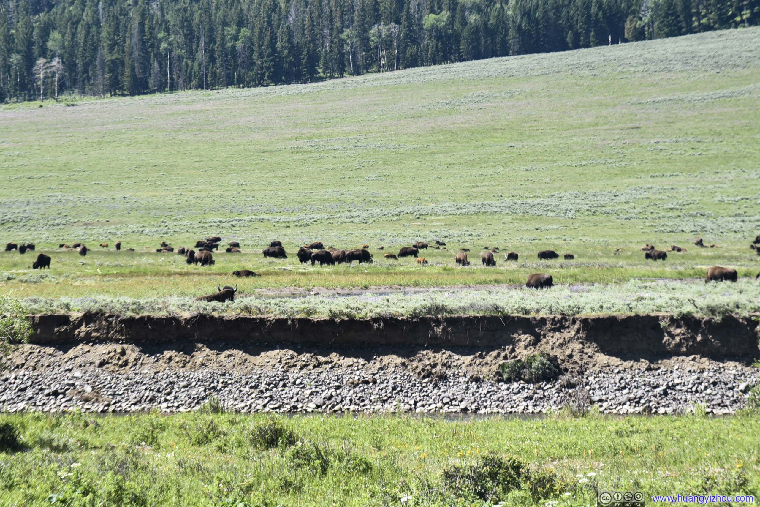
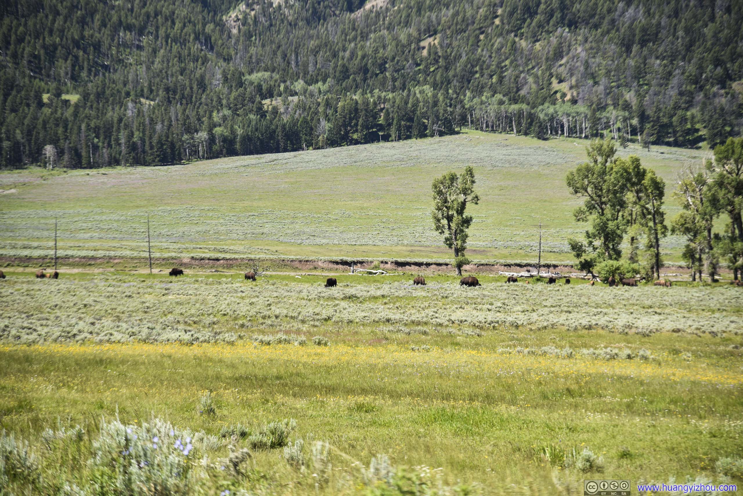
Less than five minutes after we were back on the move, we came across a bend of Lamar River, where hundreds of bison were roaming the field.
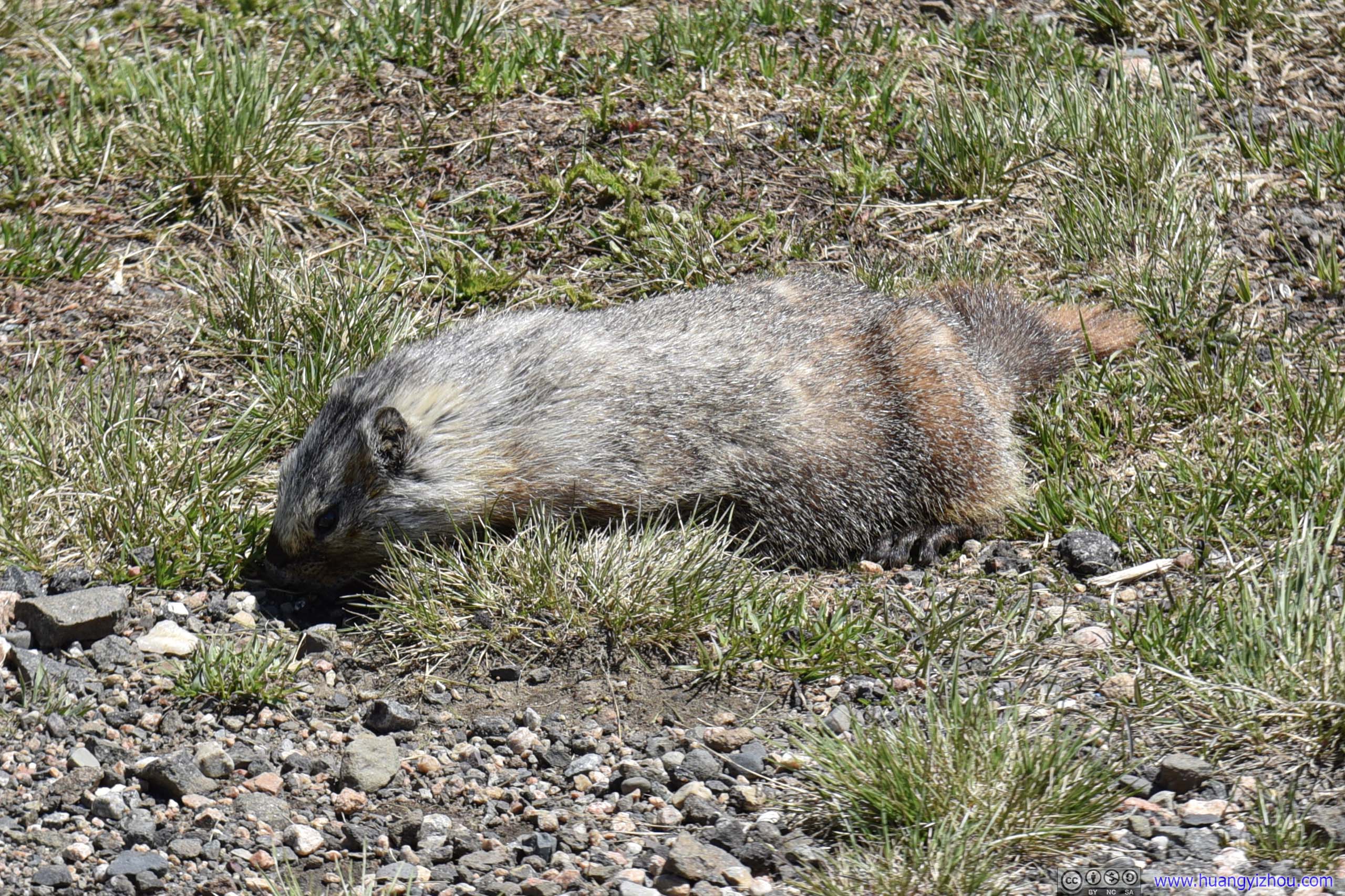
Prairie Dog
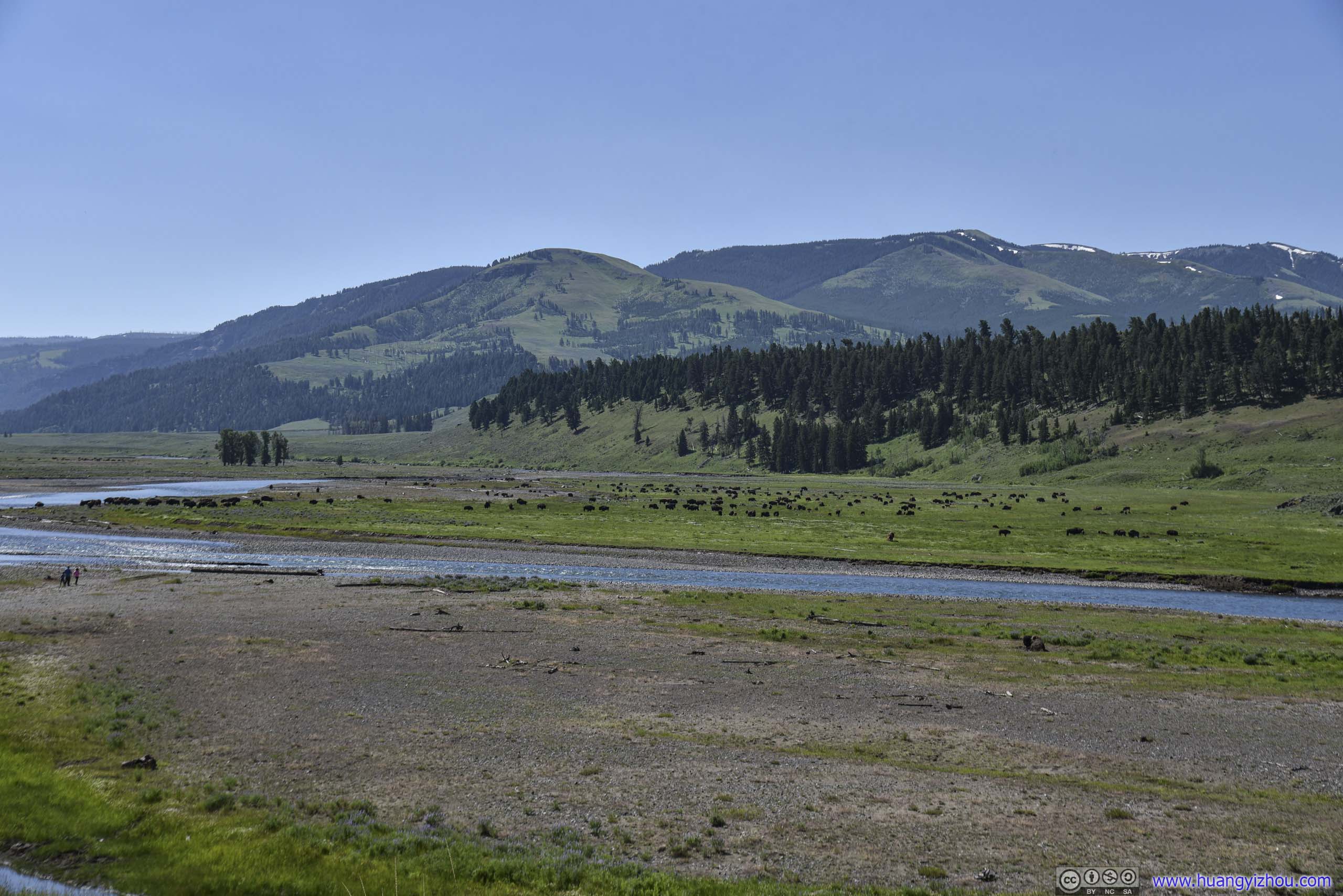
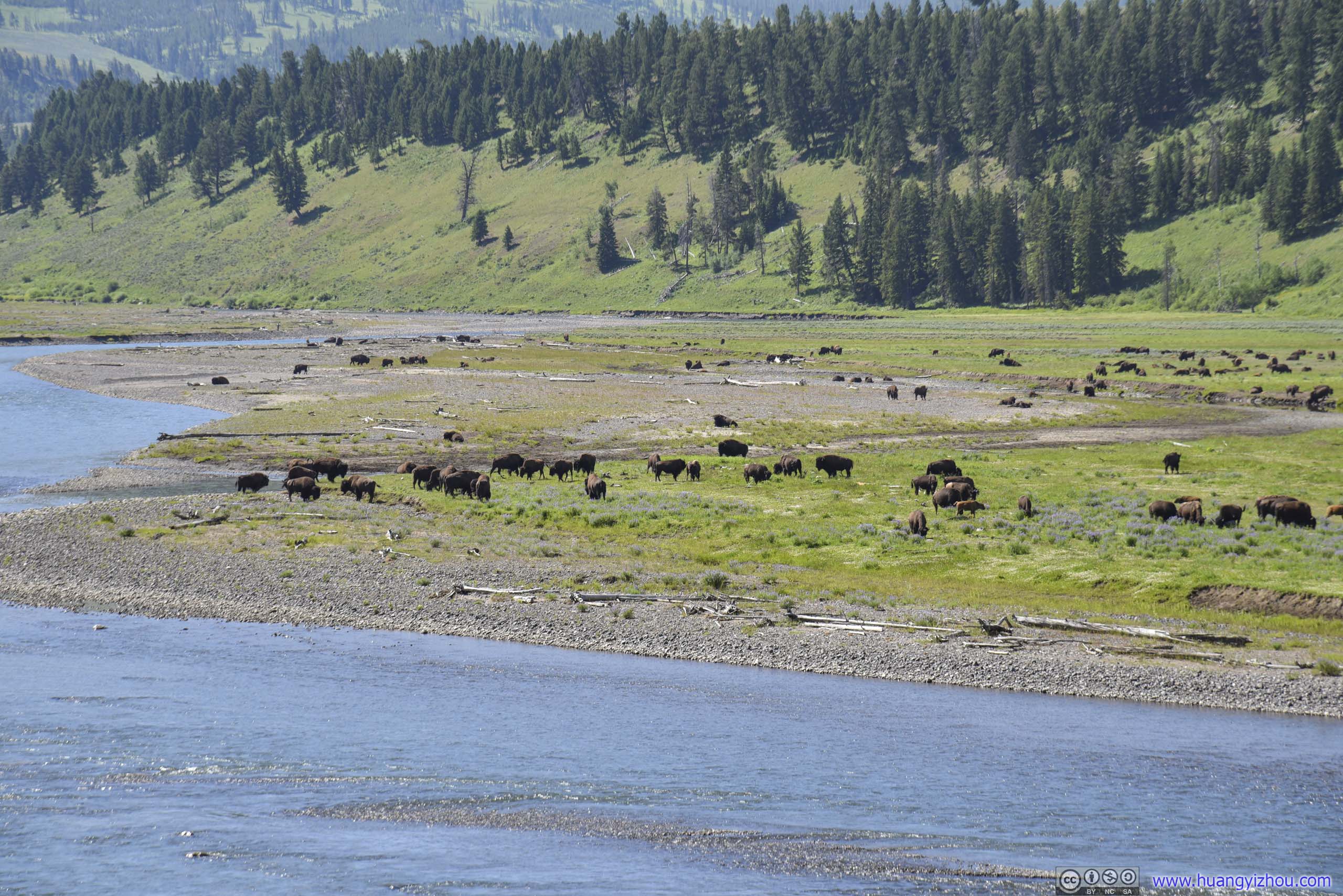
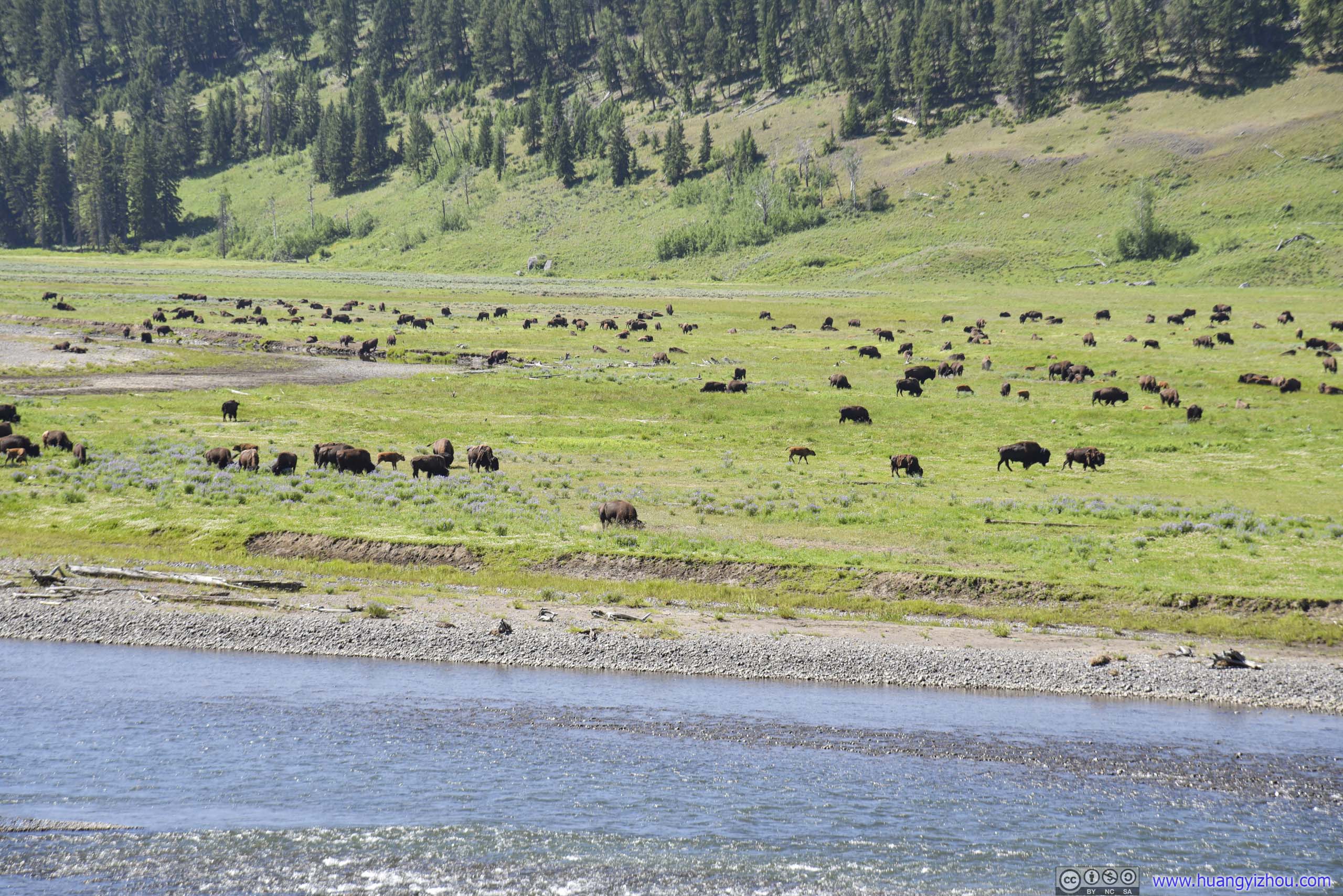
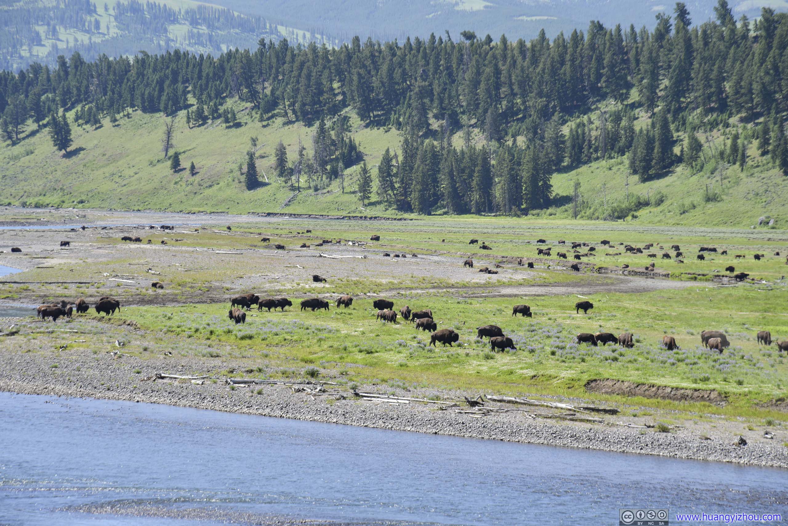 Bison Field by Lamar River

Field of Bison near Lamar River
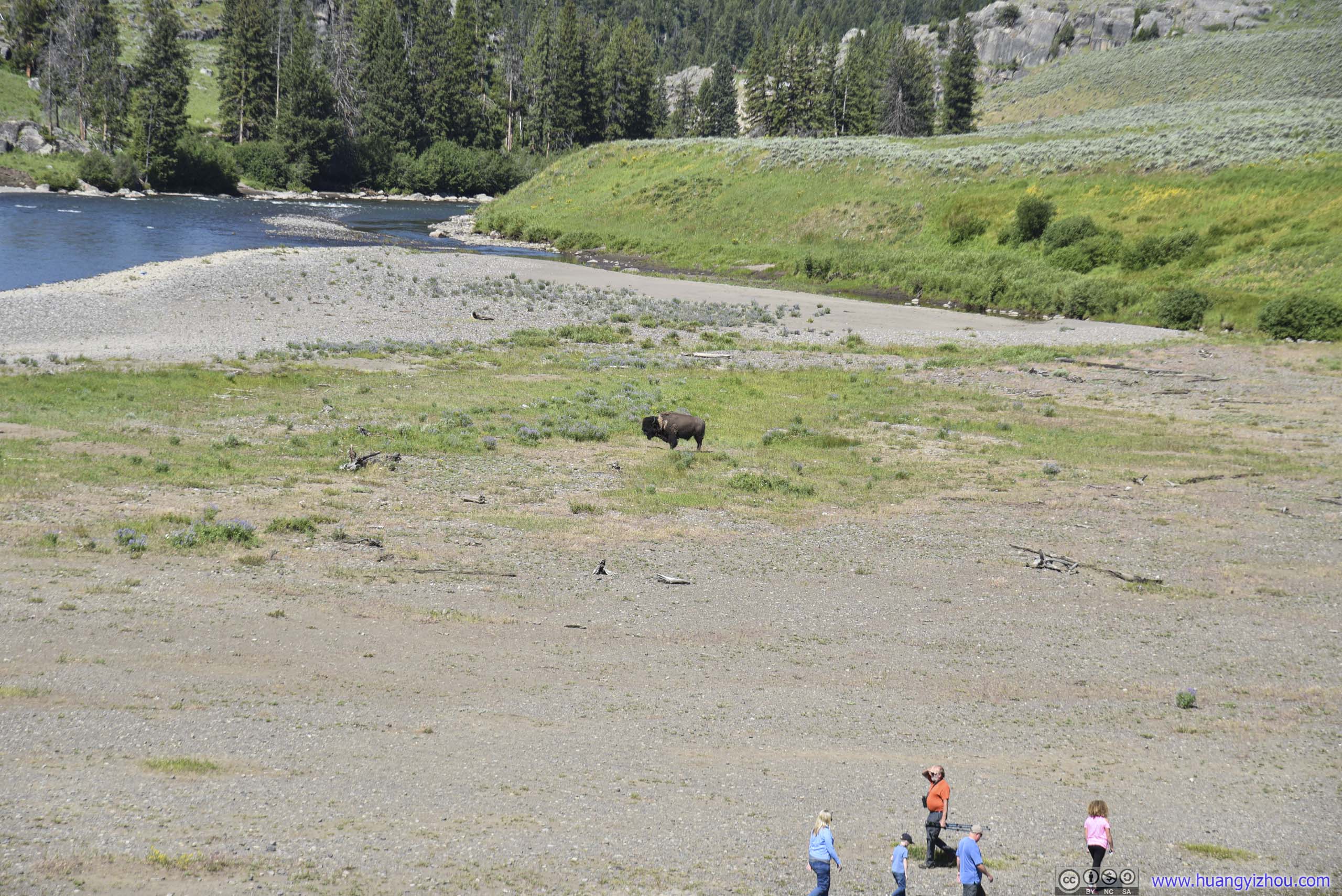
Lone BisonAnd visitors daring to venture to the side of Lamar River for a closer look of the field of bison.
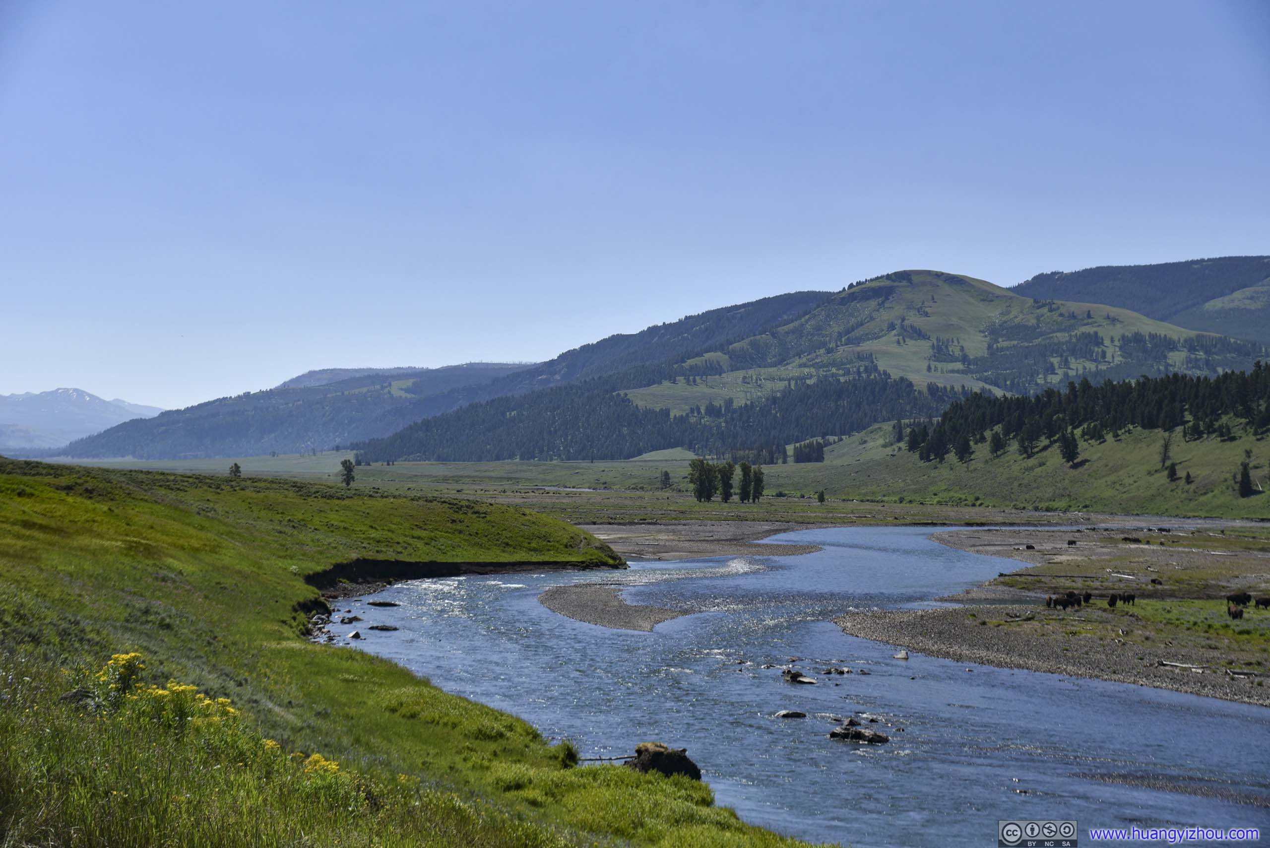
Lamar River
 Bison Field by Lamar River
Meadow and Distant Mountains
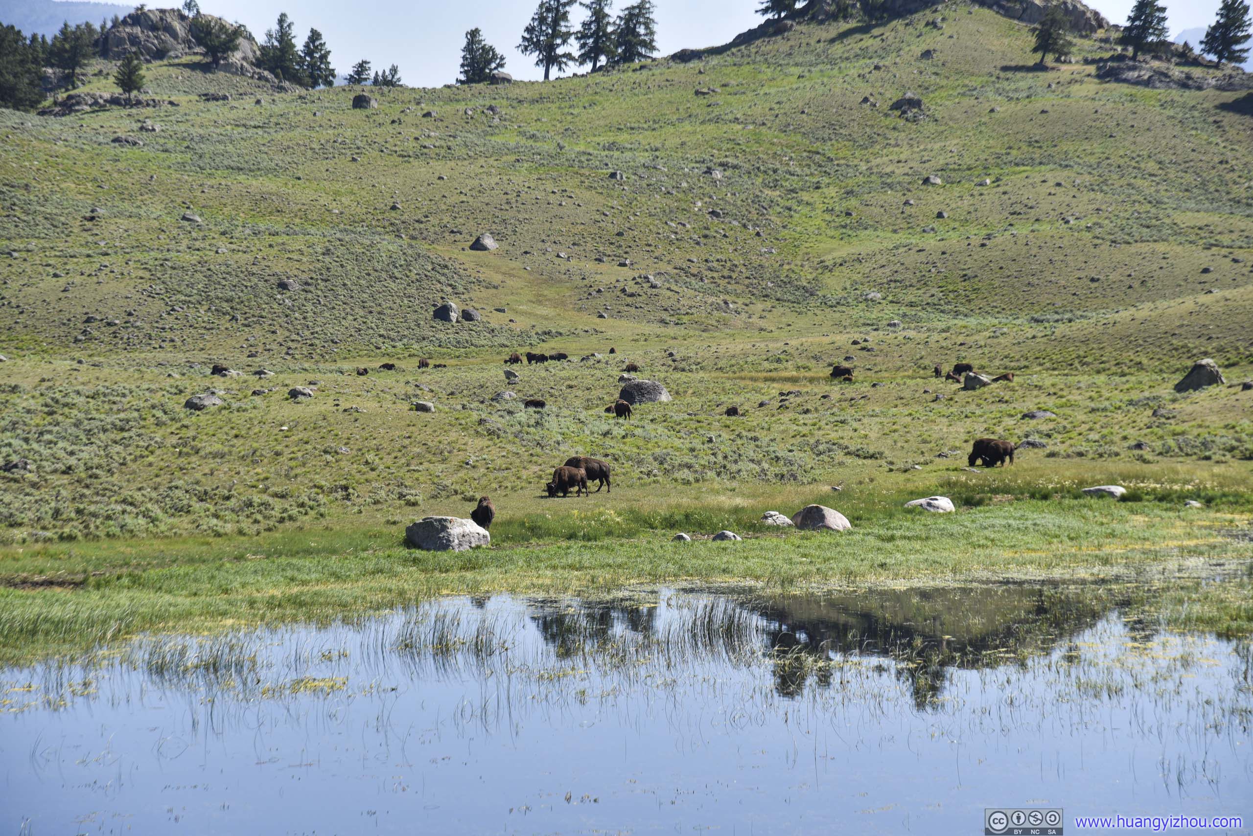
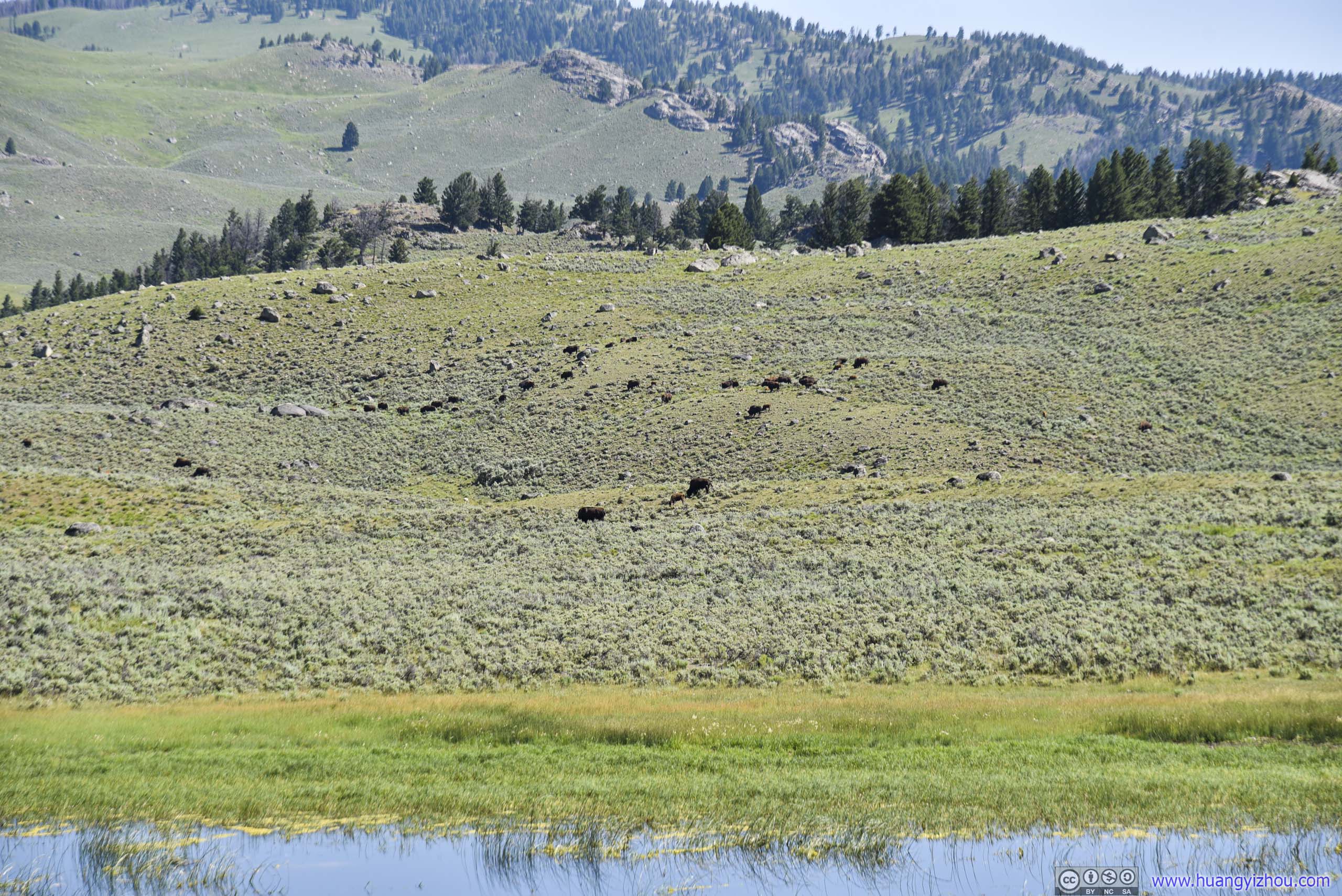
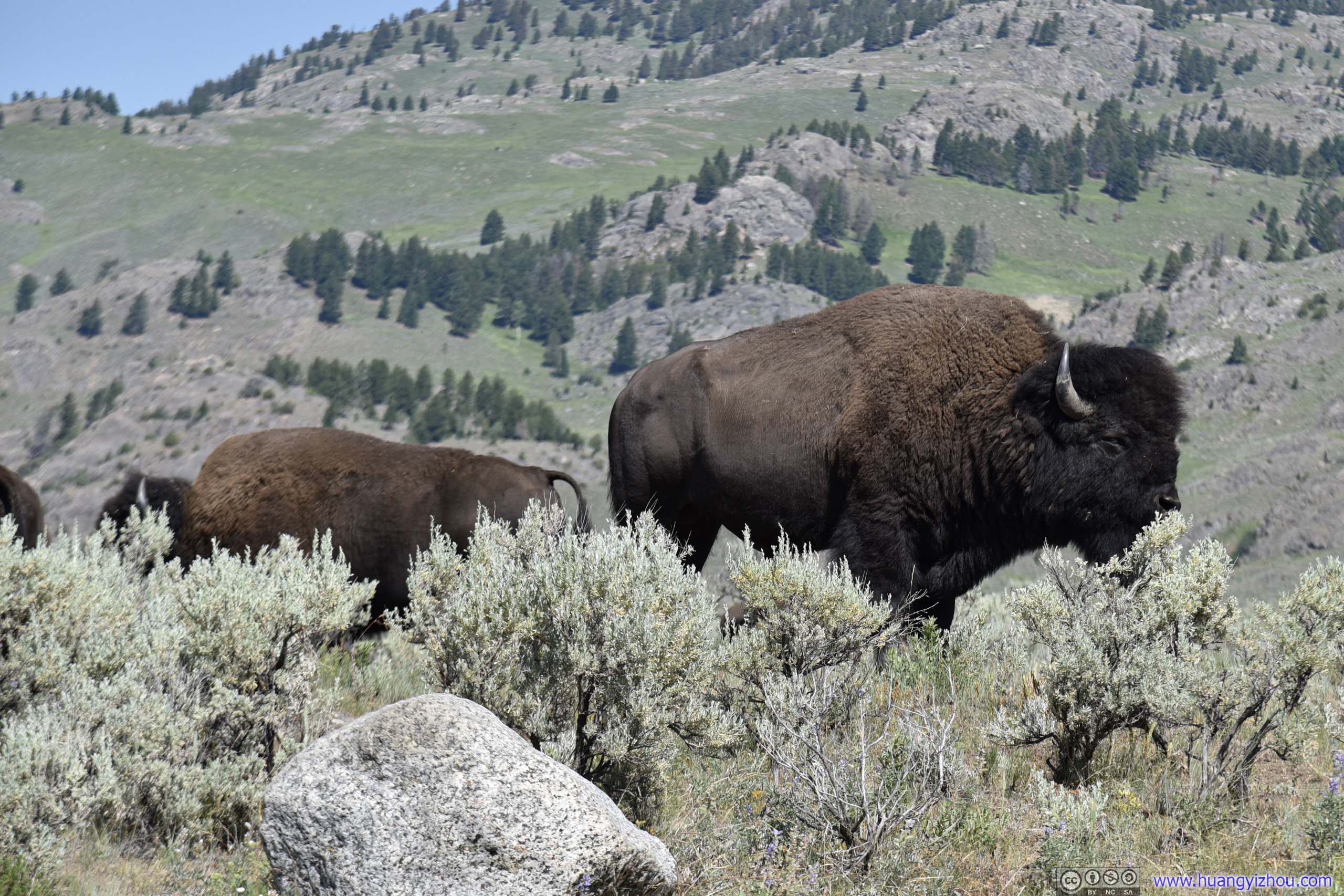
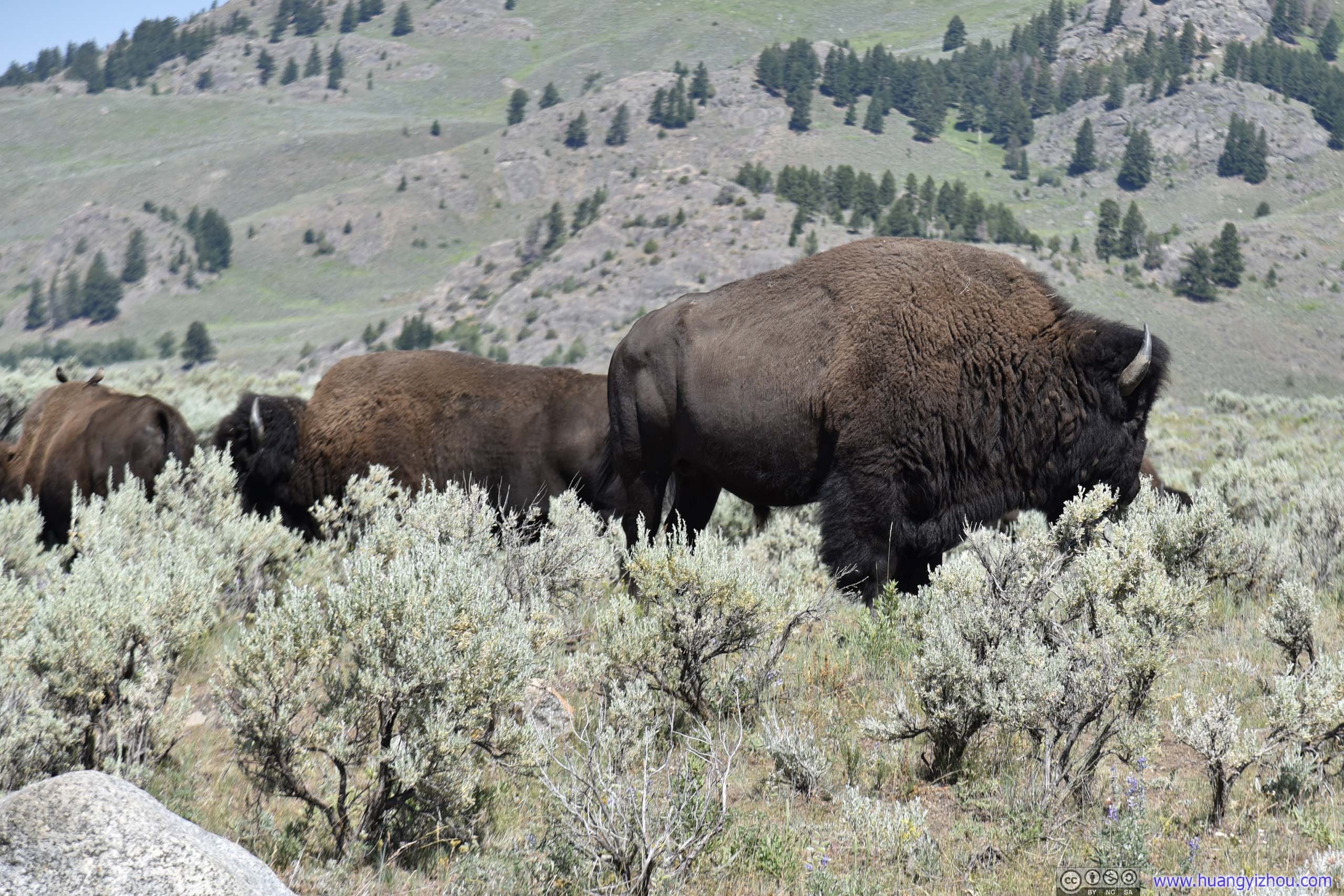
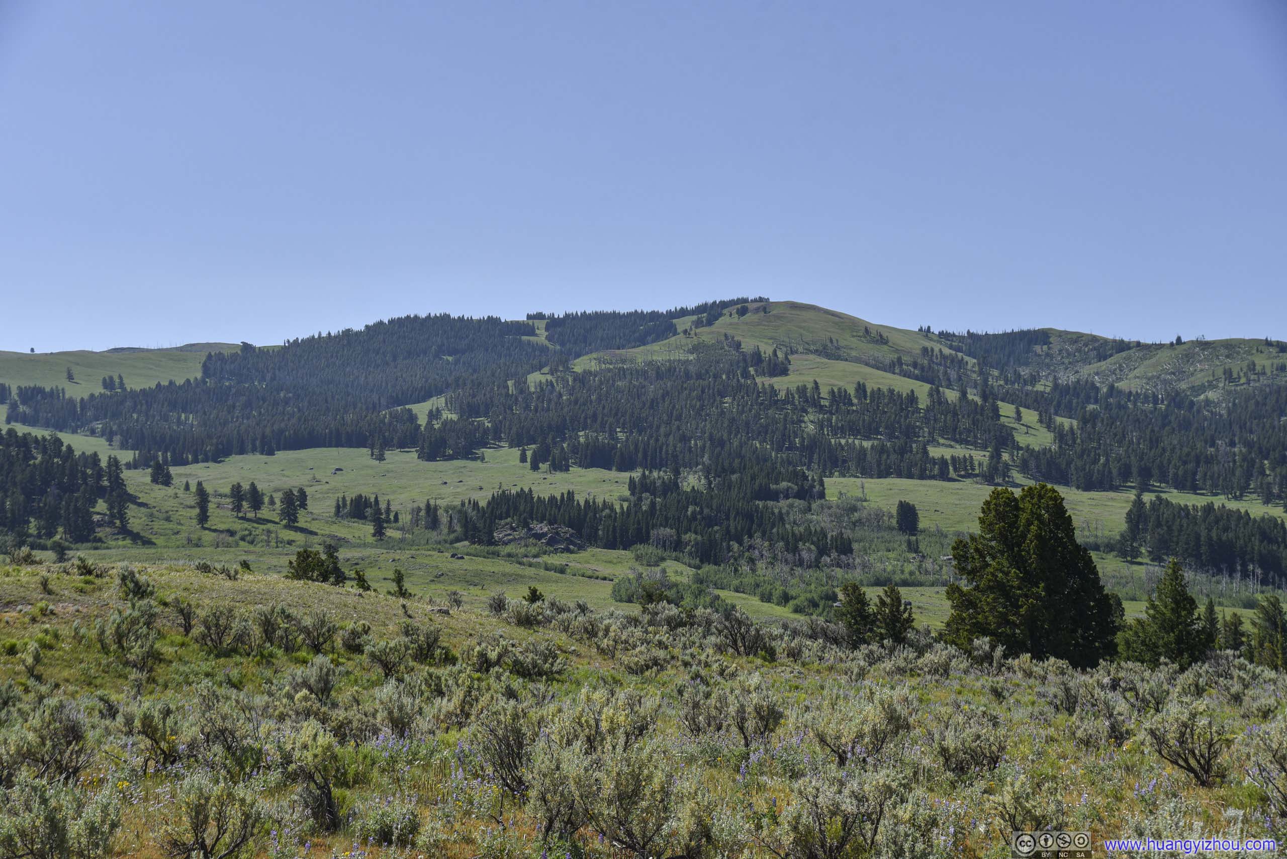
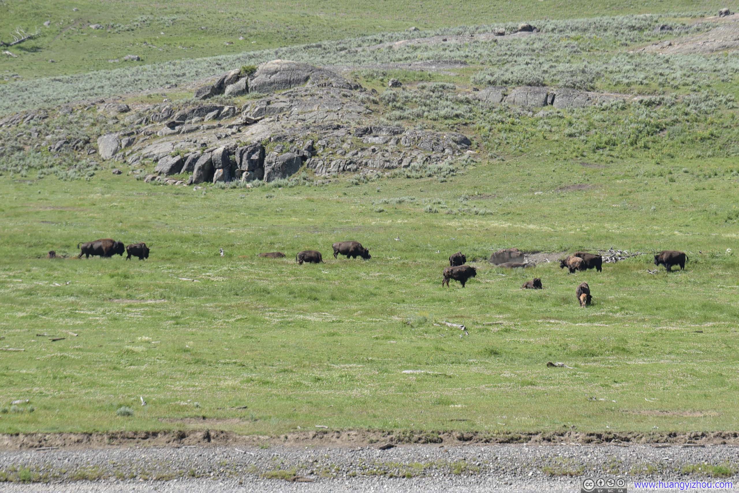
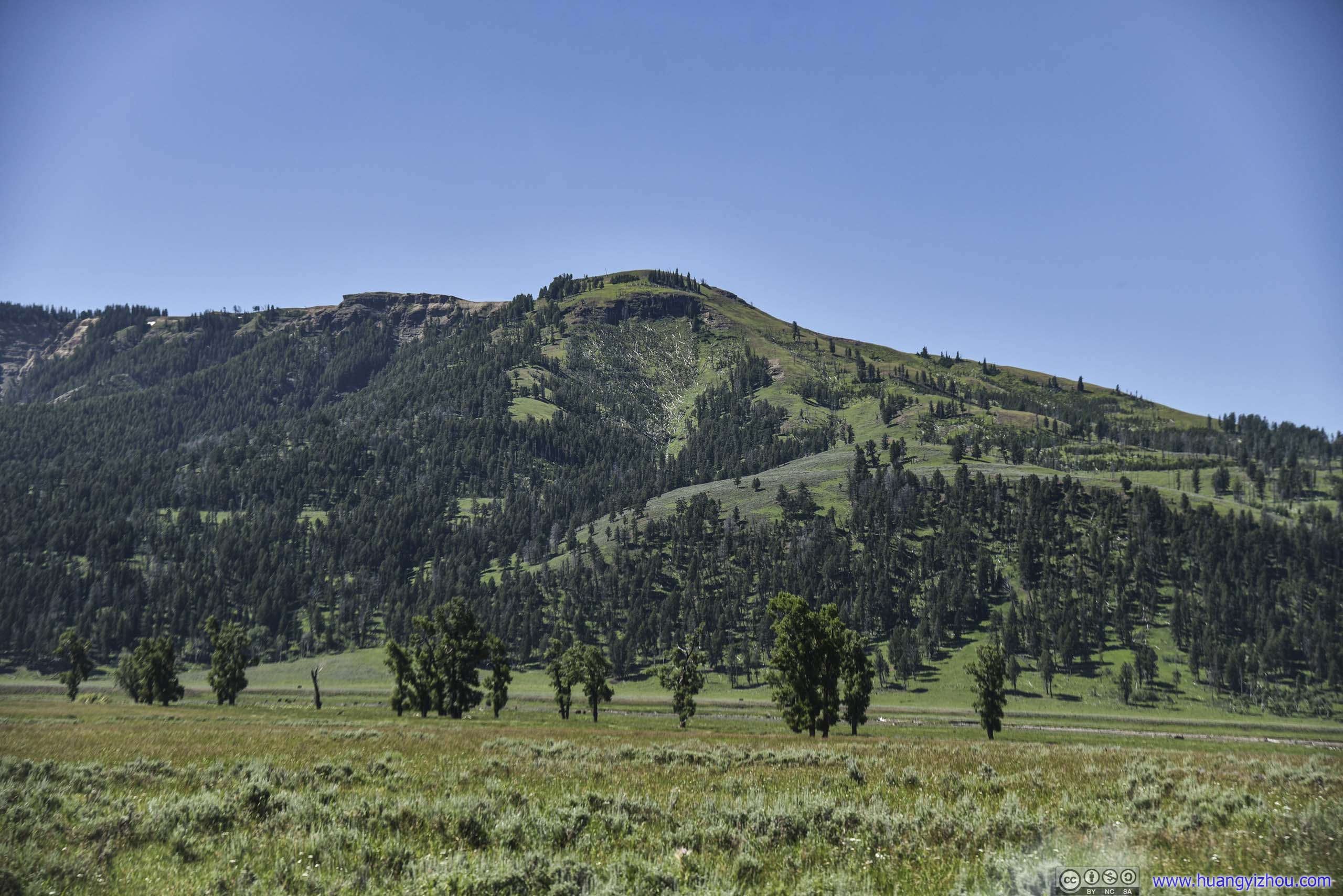
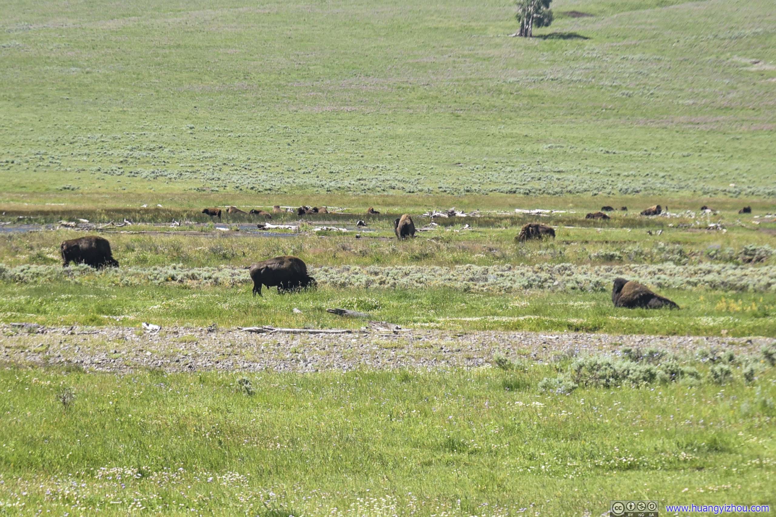
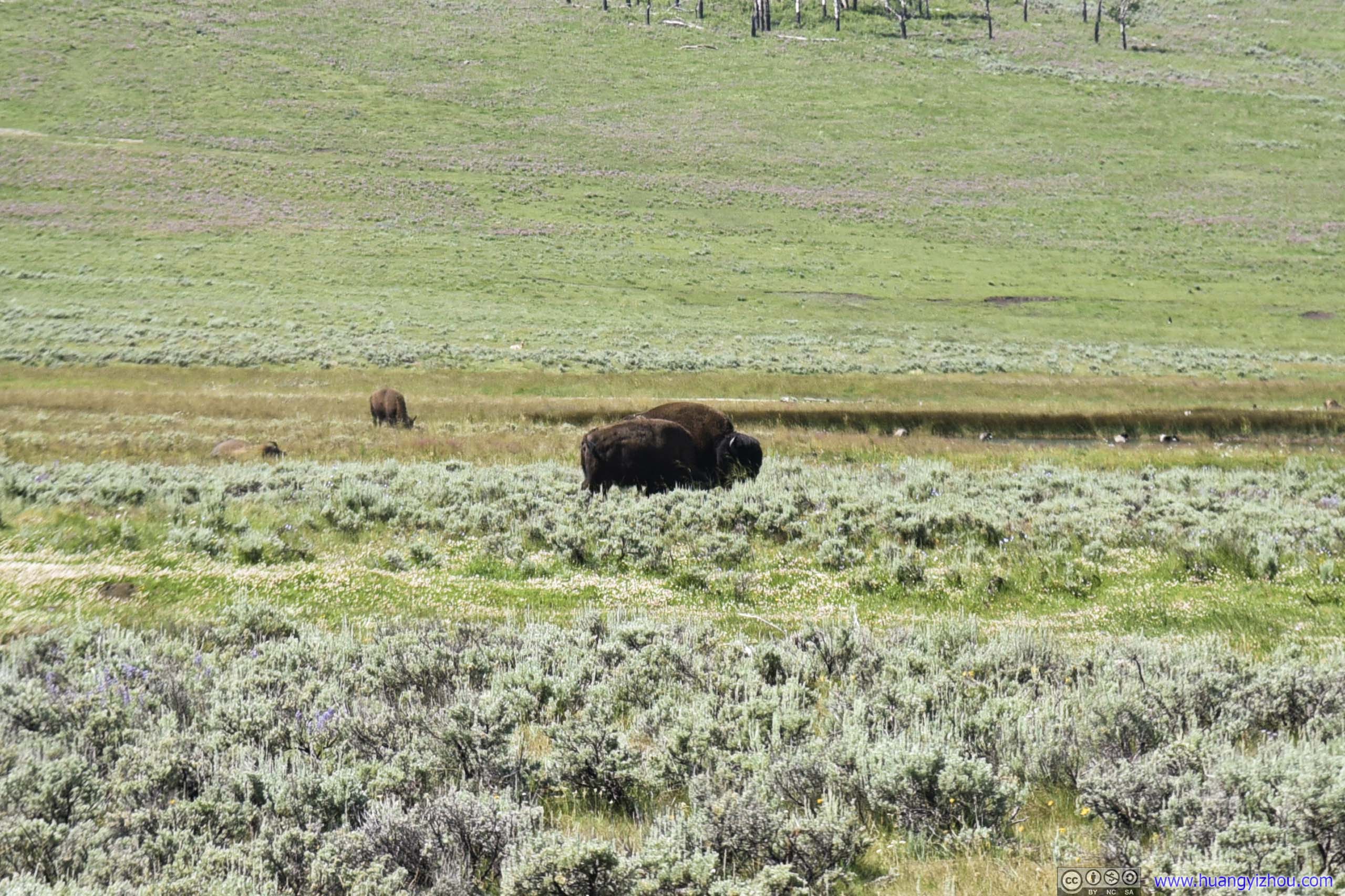
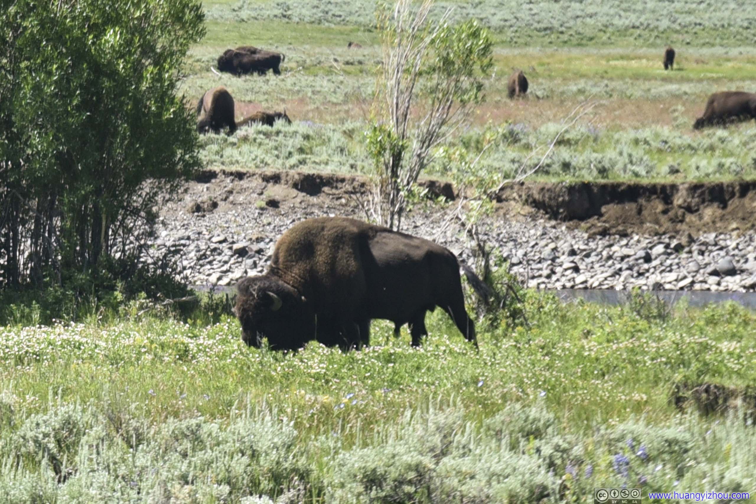
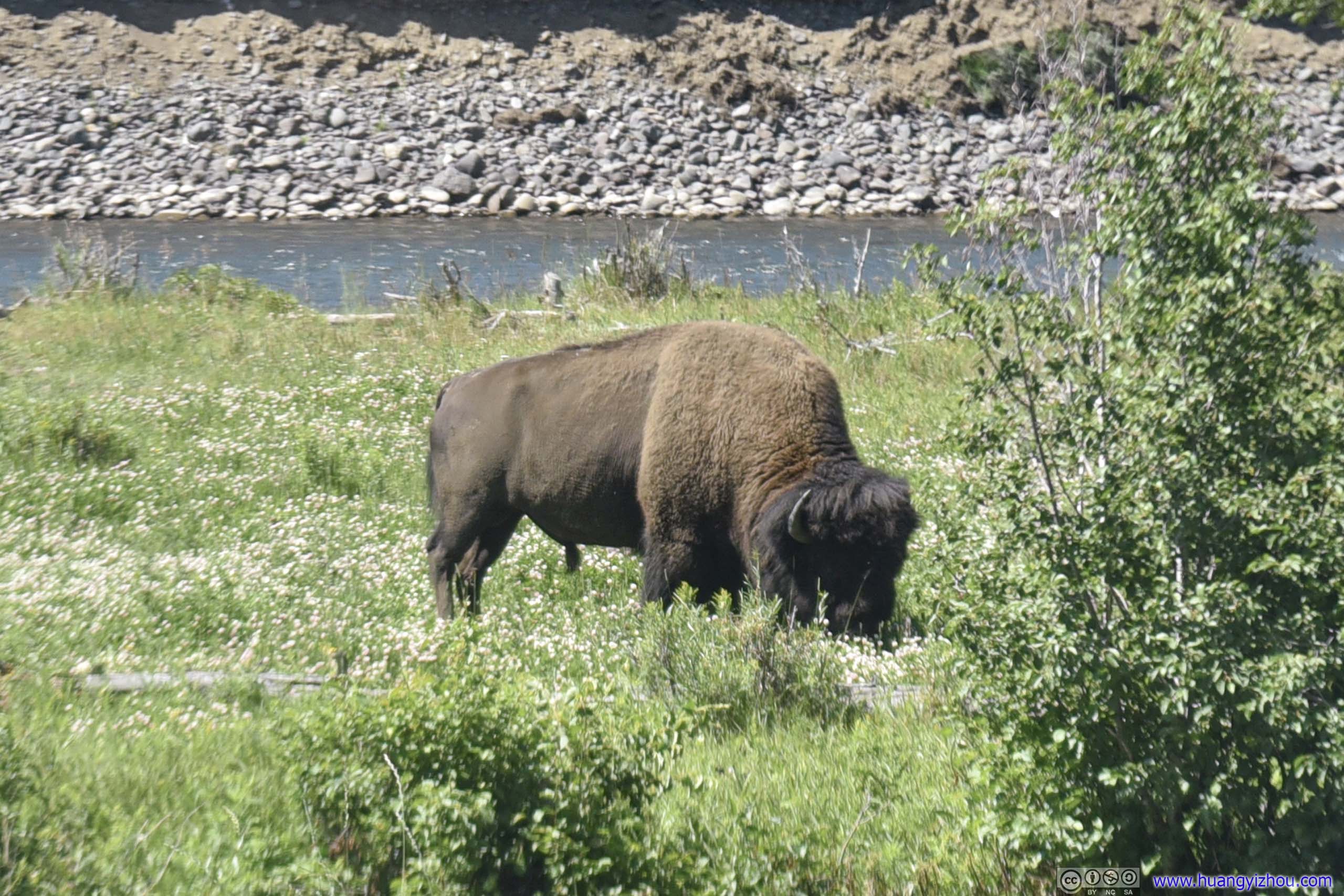
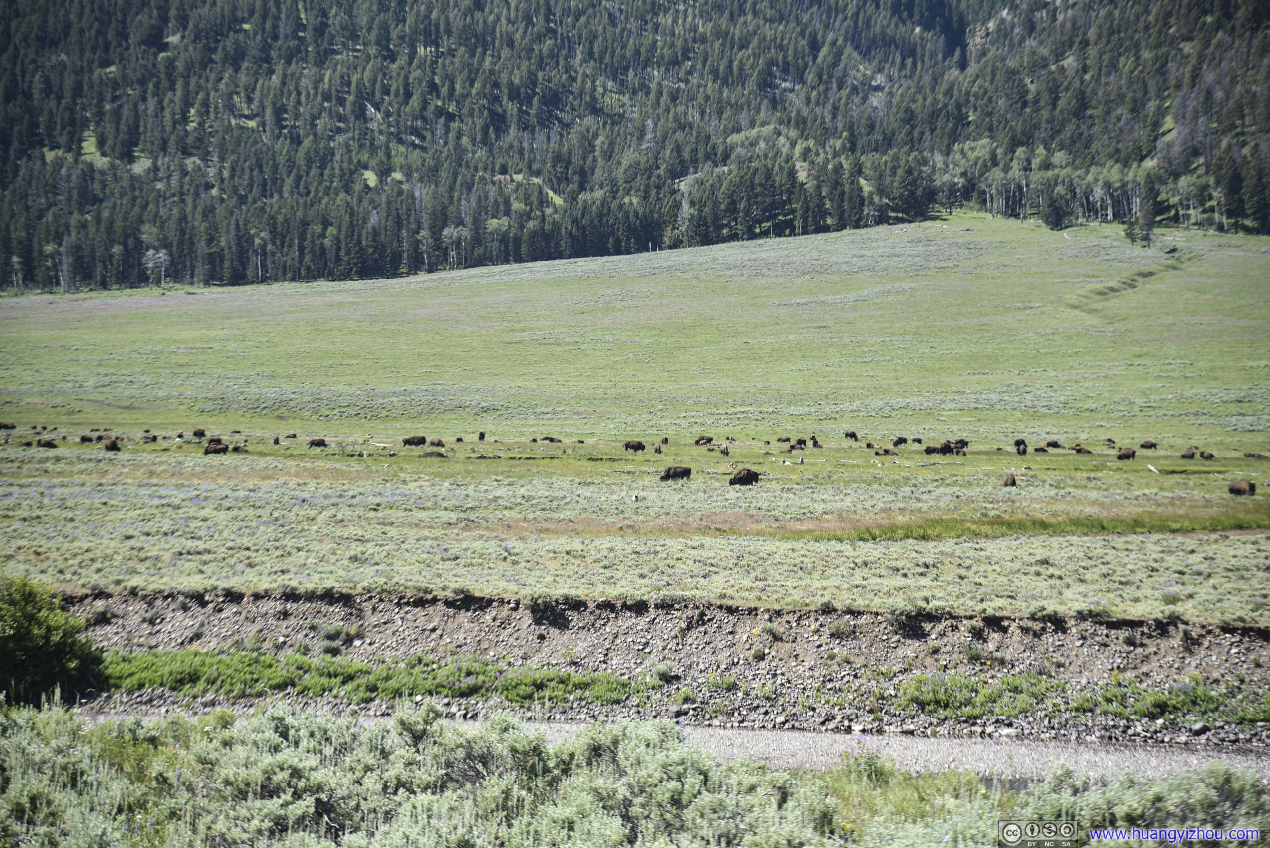
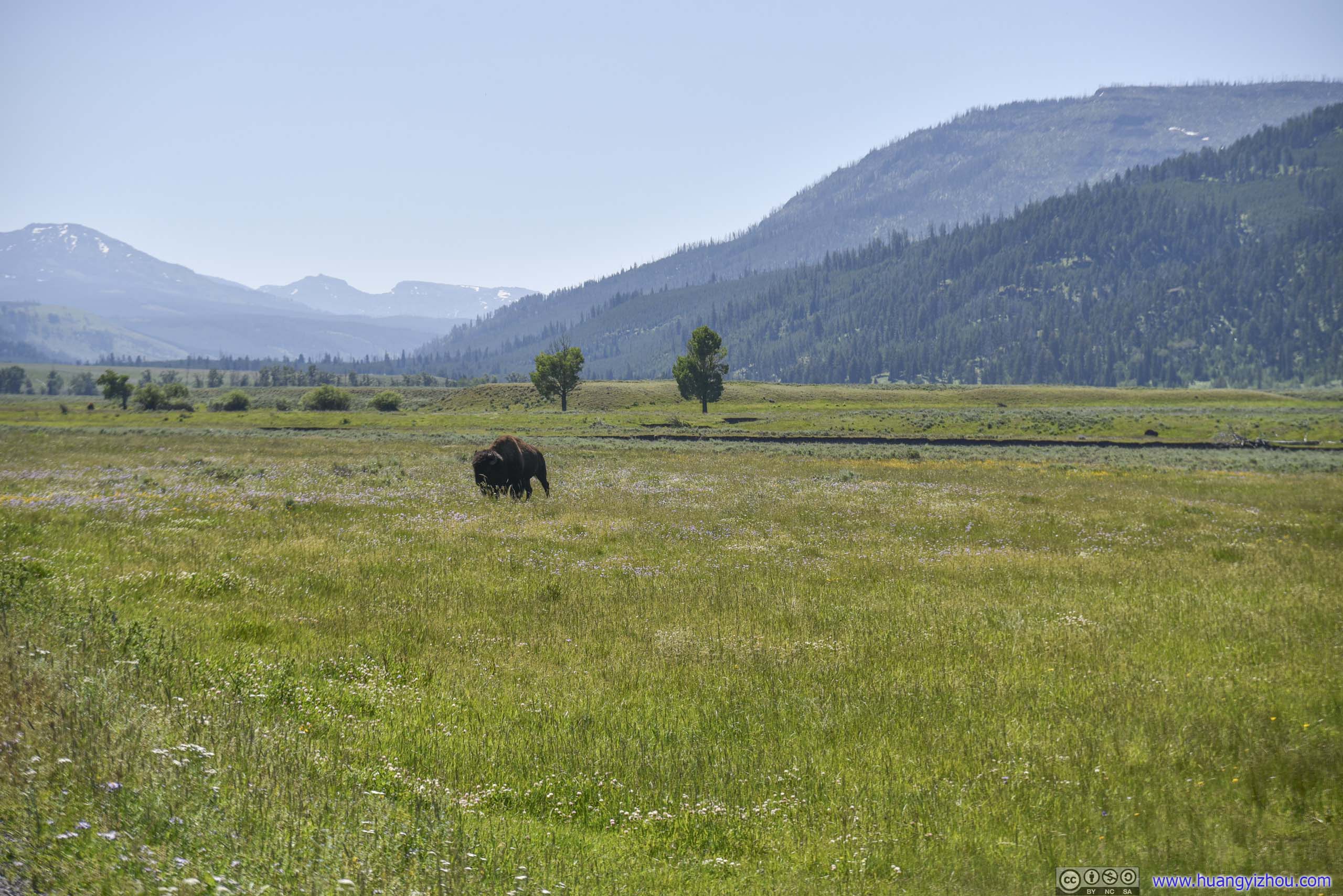
After that and deep in the heart of Lamar Valley, we came across a few packs of bison. But compared with our first four days in Yellowstone National Park that we saw a total of probably five bison, we had seen hundreds for the day and was pretty content. Thus, we no longer bothered to stop for them for the rest of this morning.
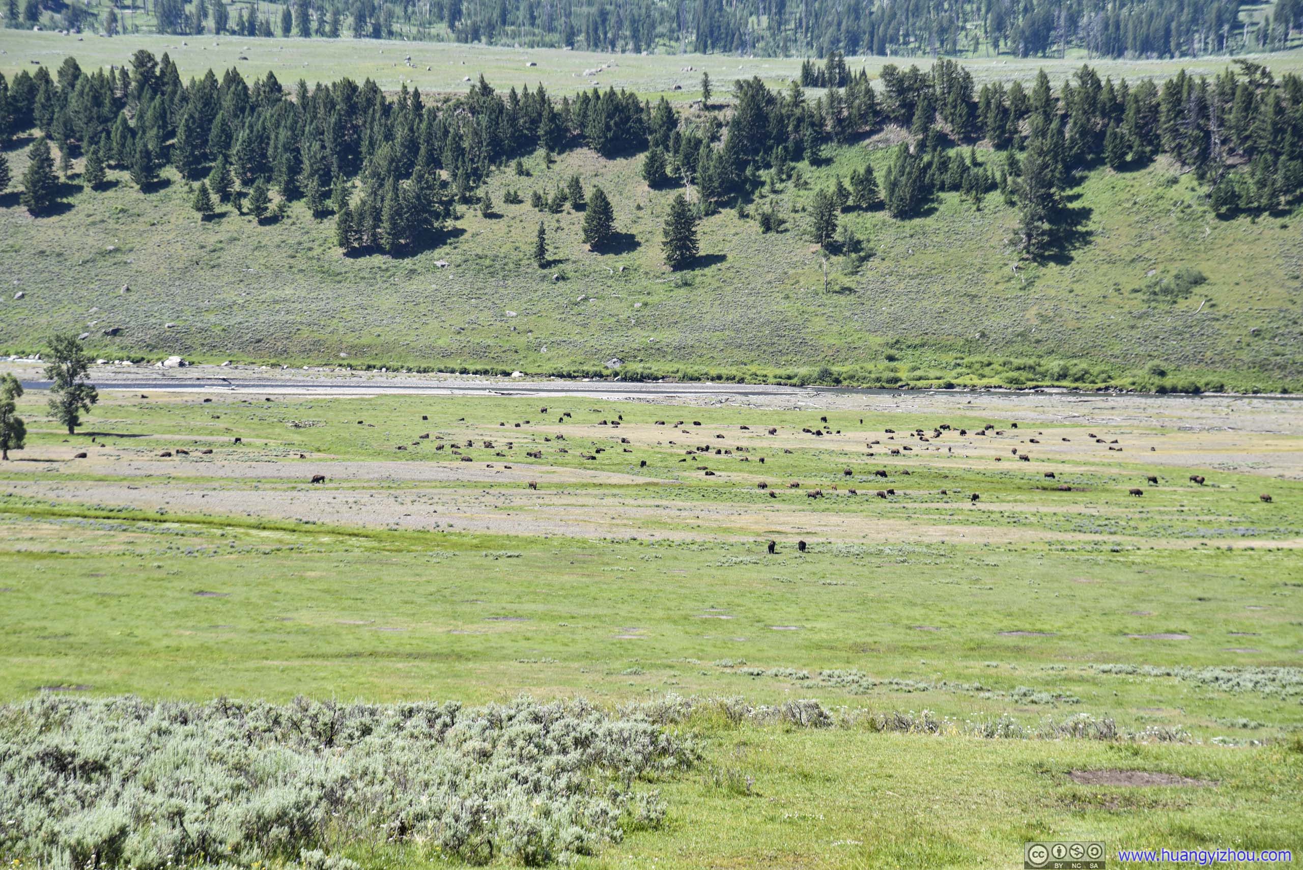 Bison Field
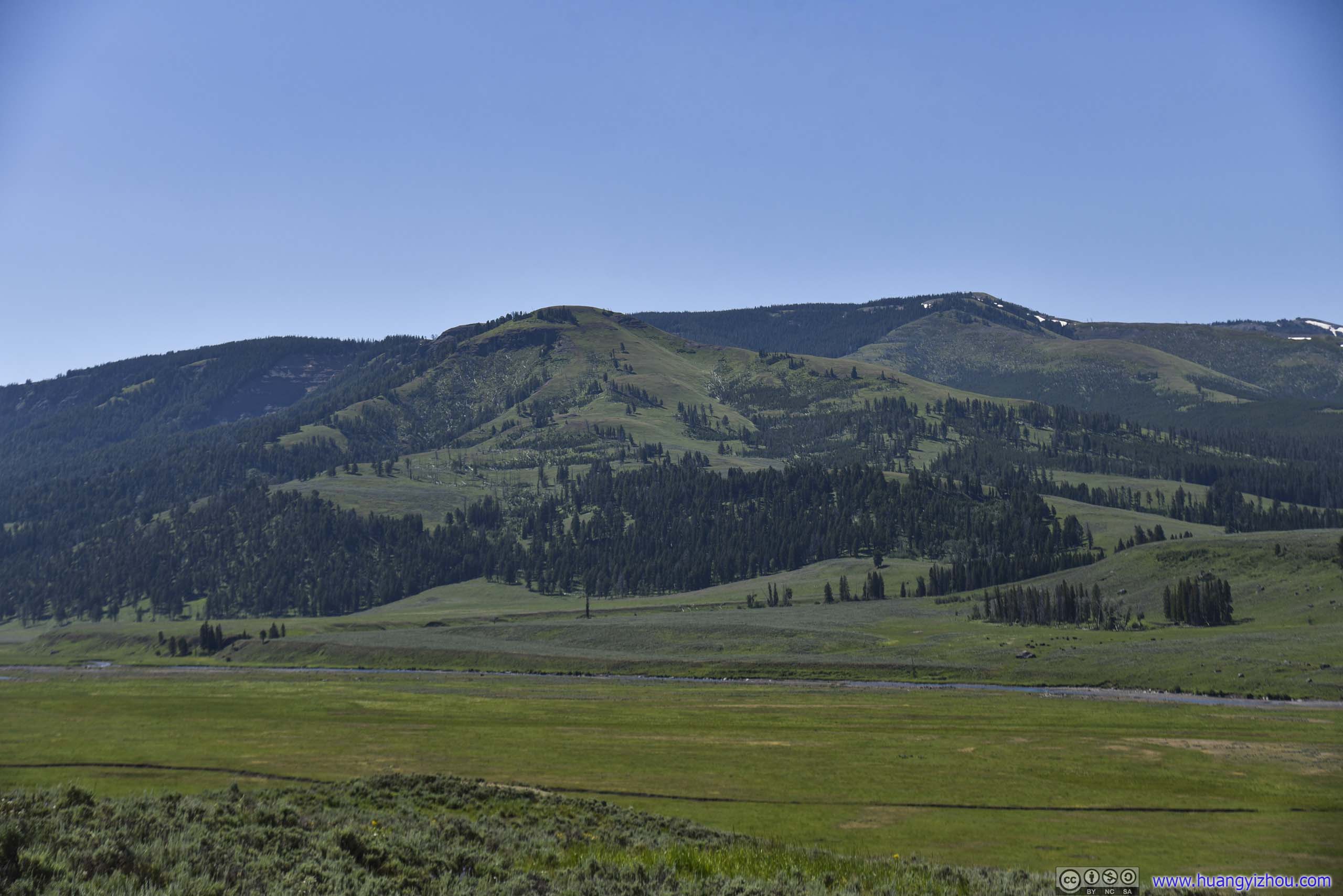
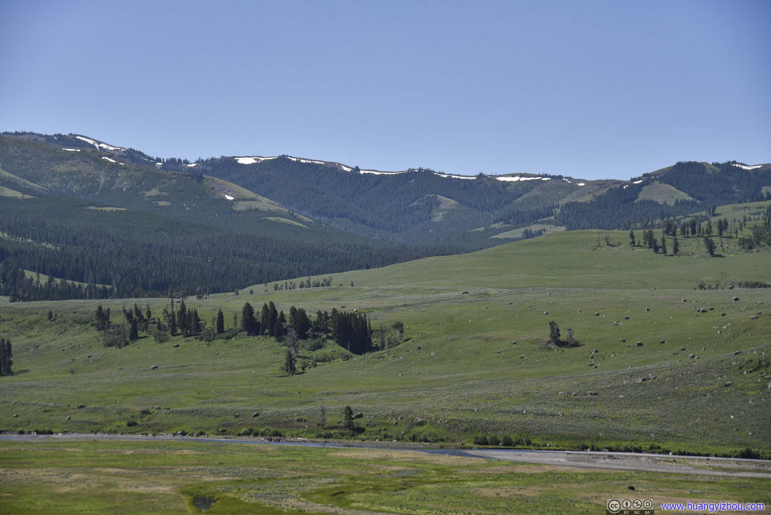
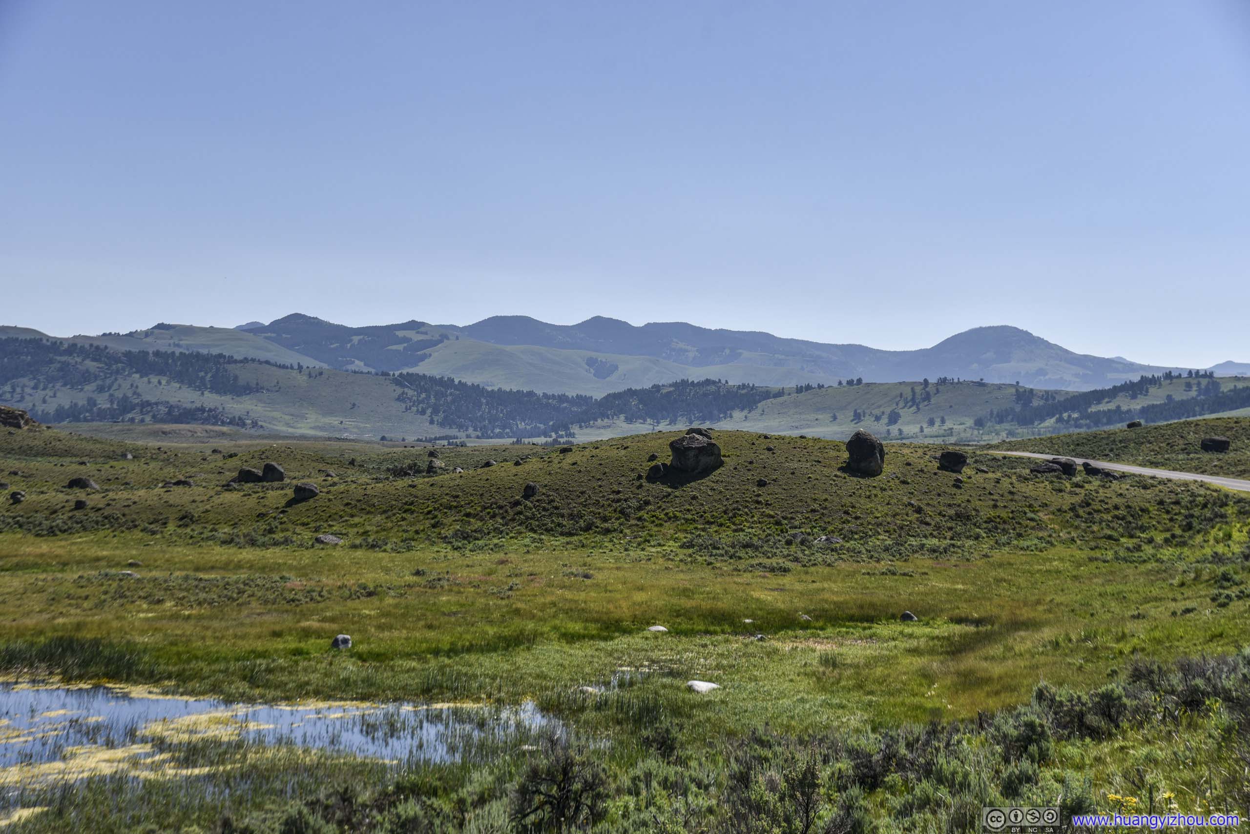
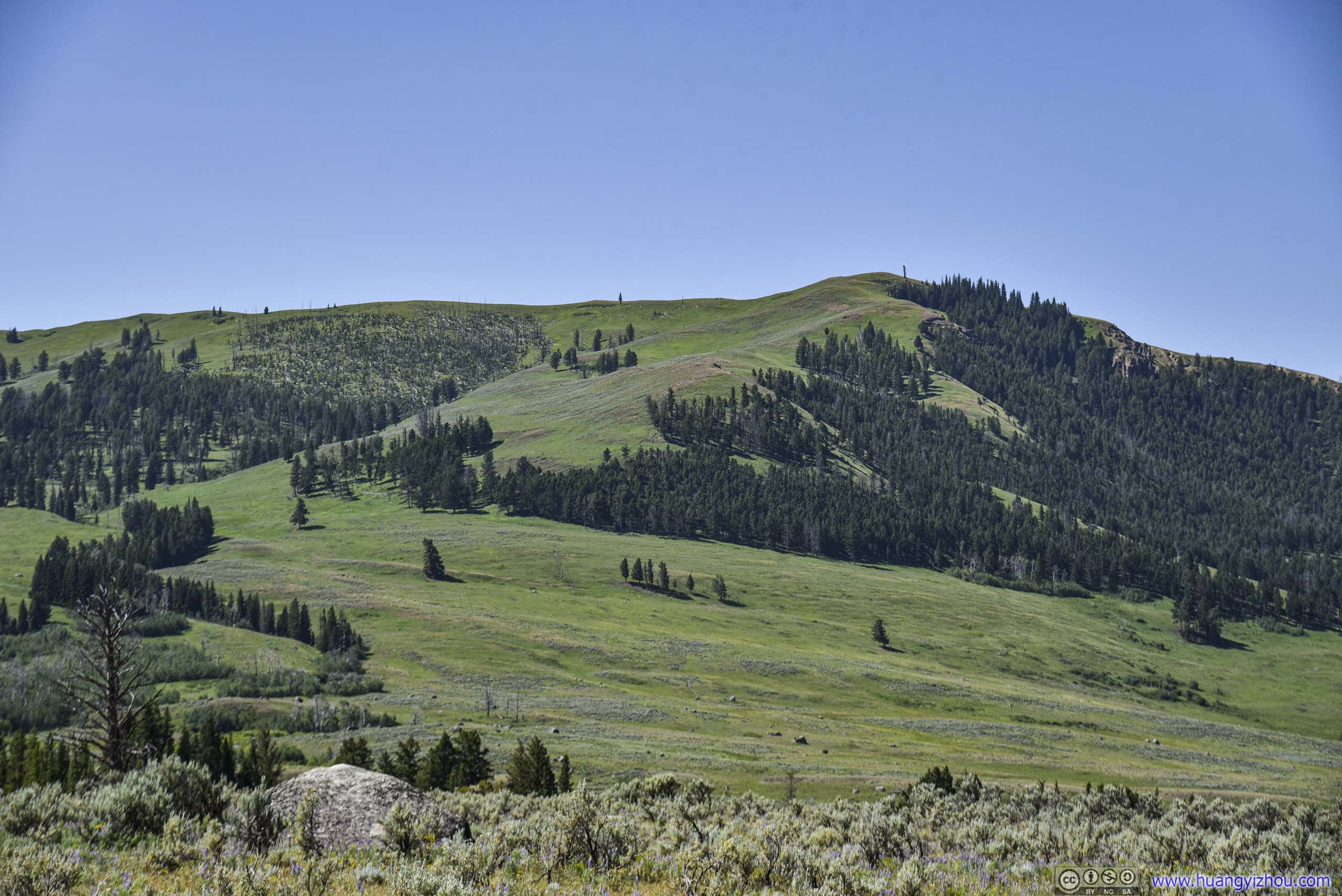
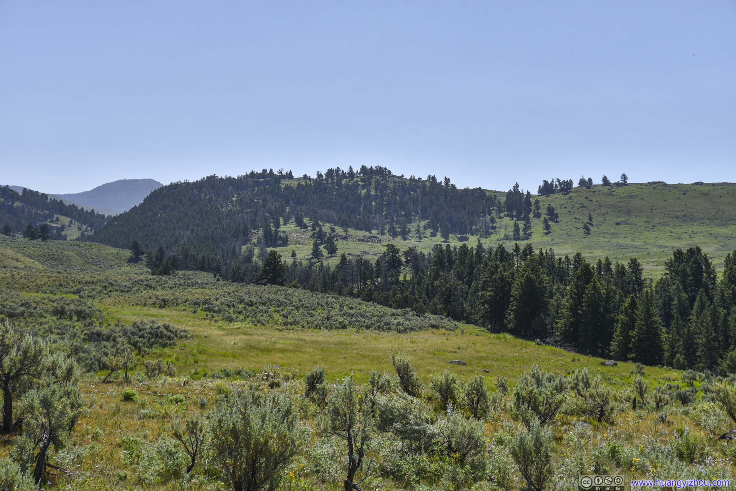
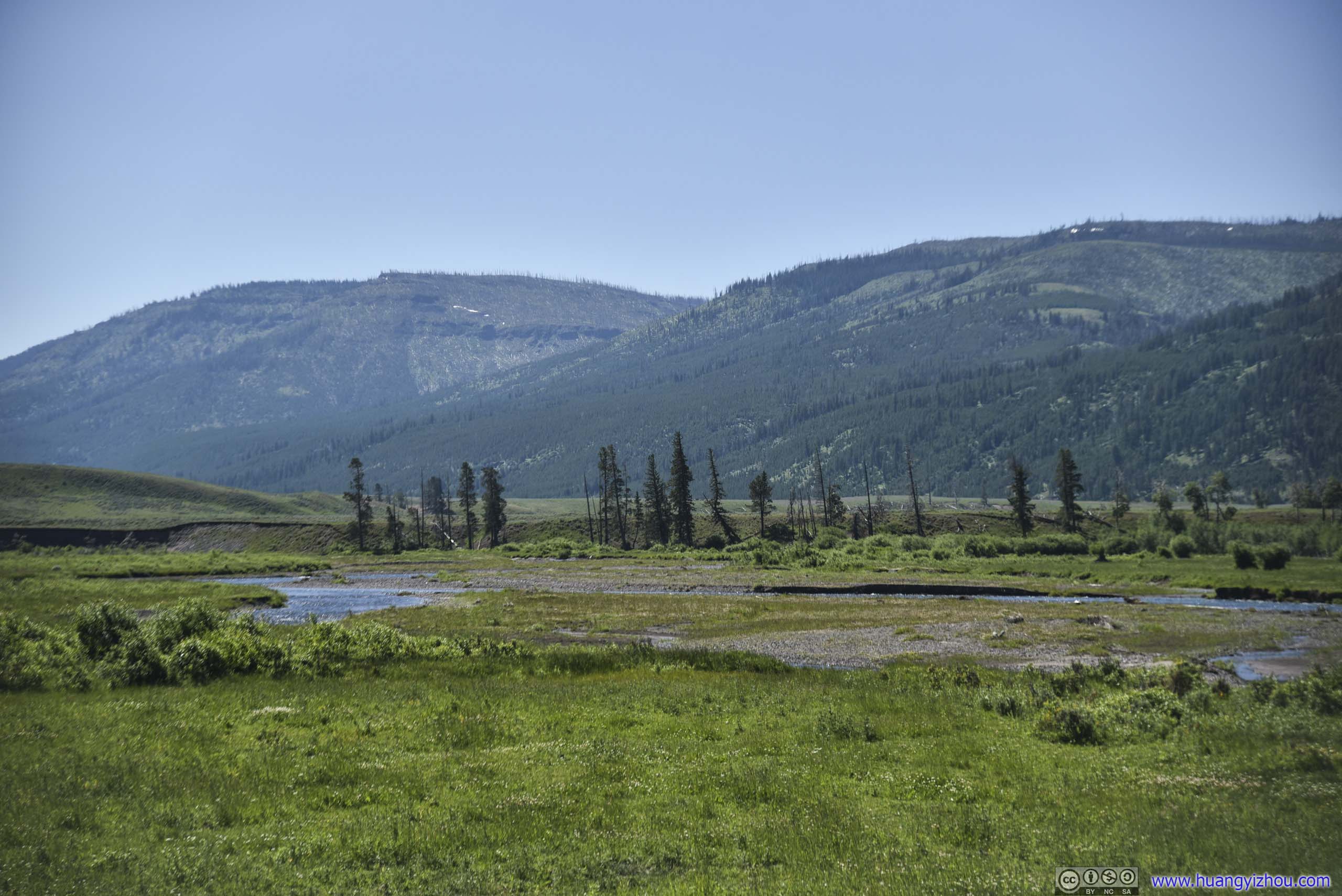
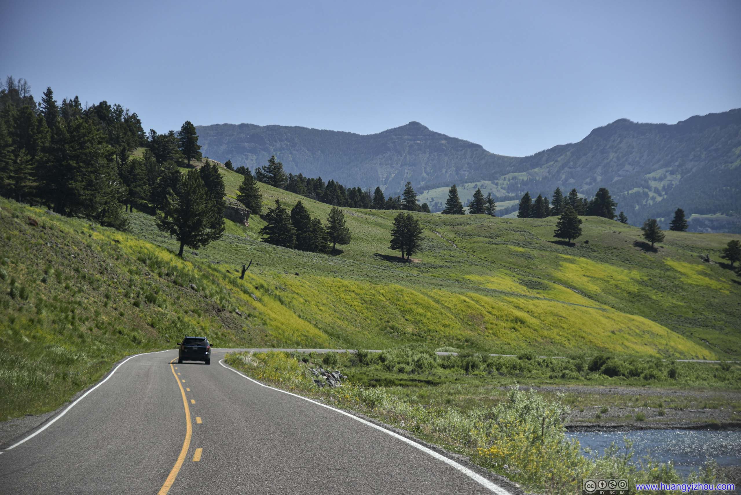
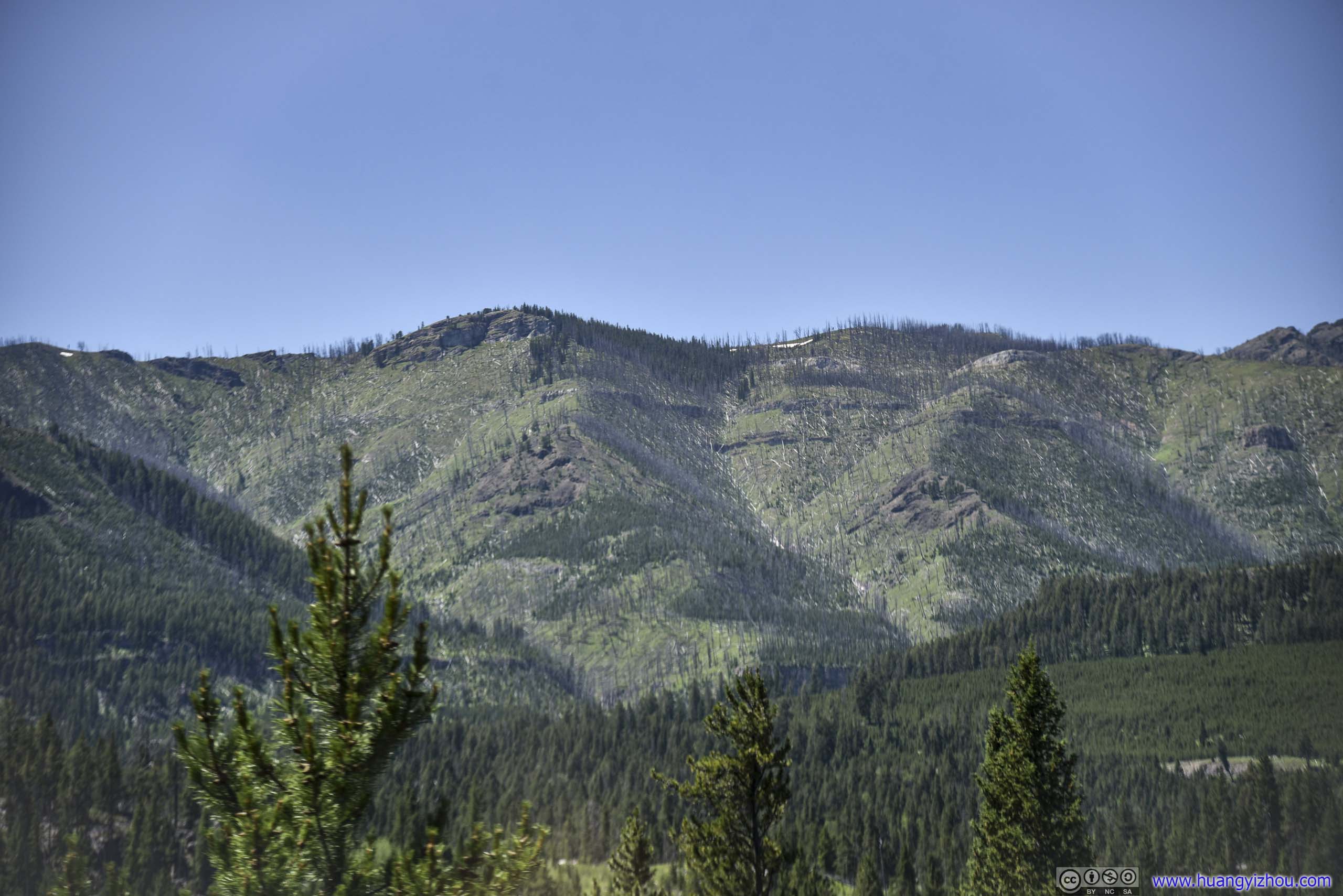
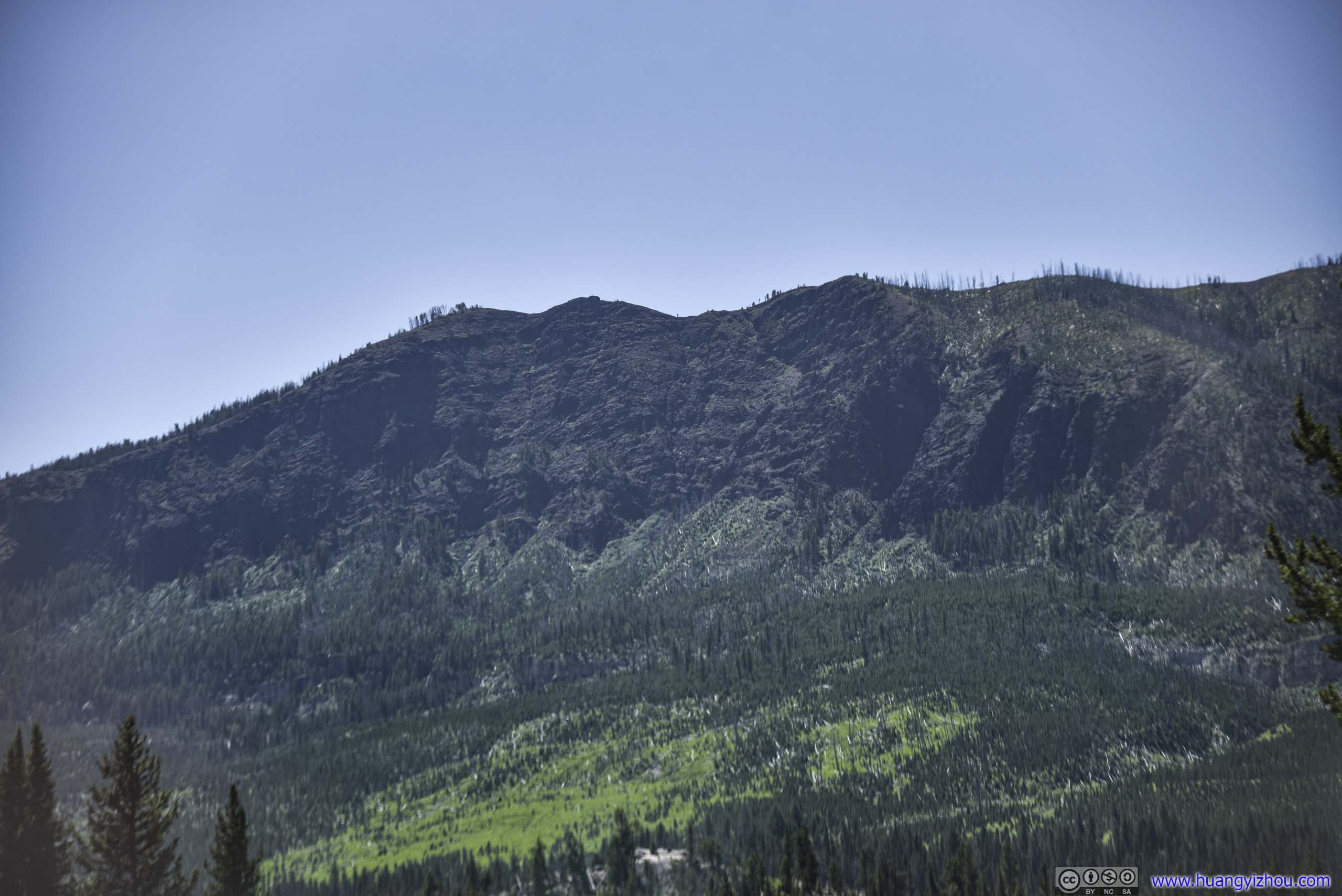
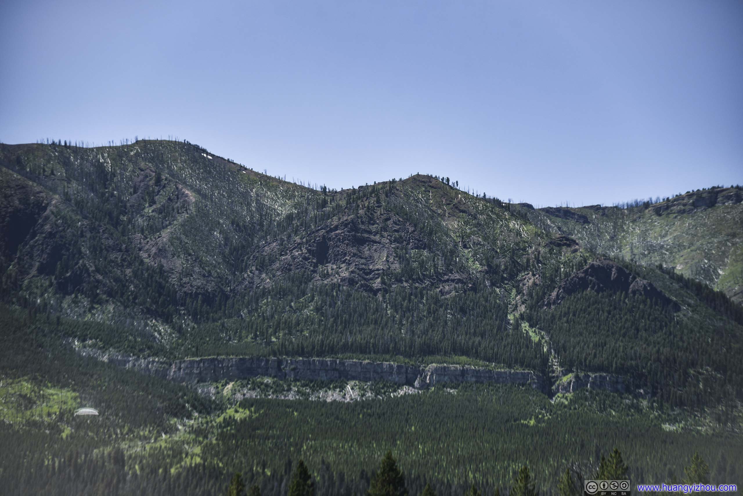
 Field and Mountains
 Park Road
 Bison Field
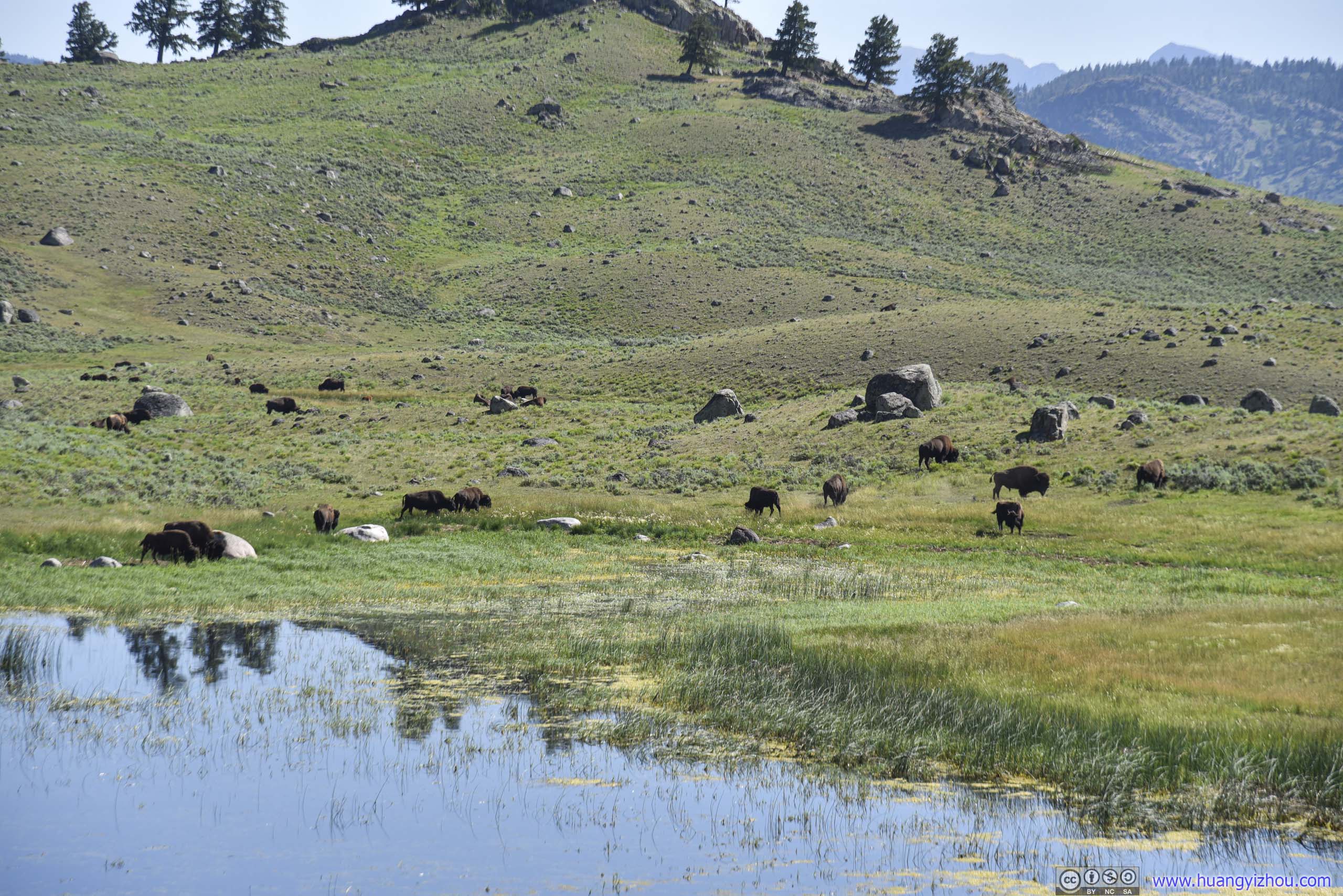
 Bison in Field
 Bison Field
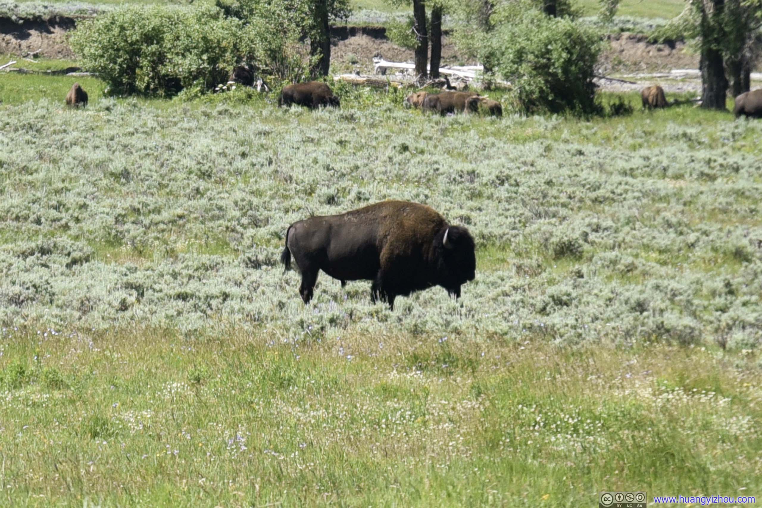 Bison in Field
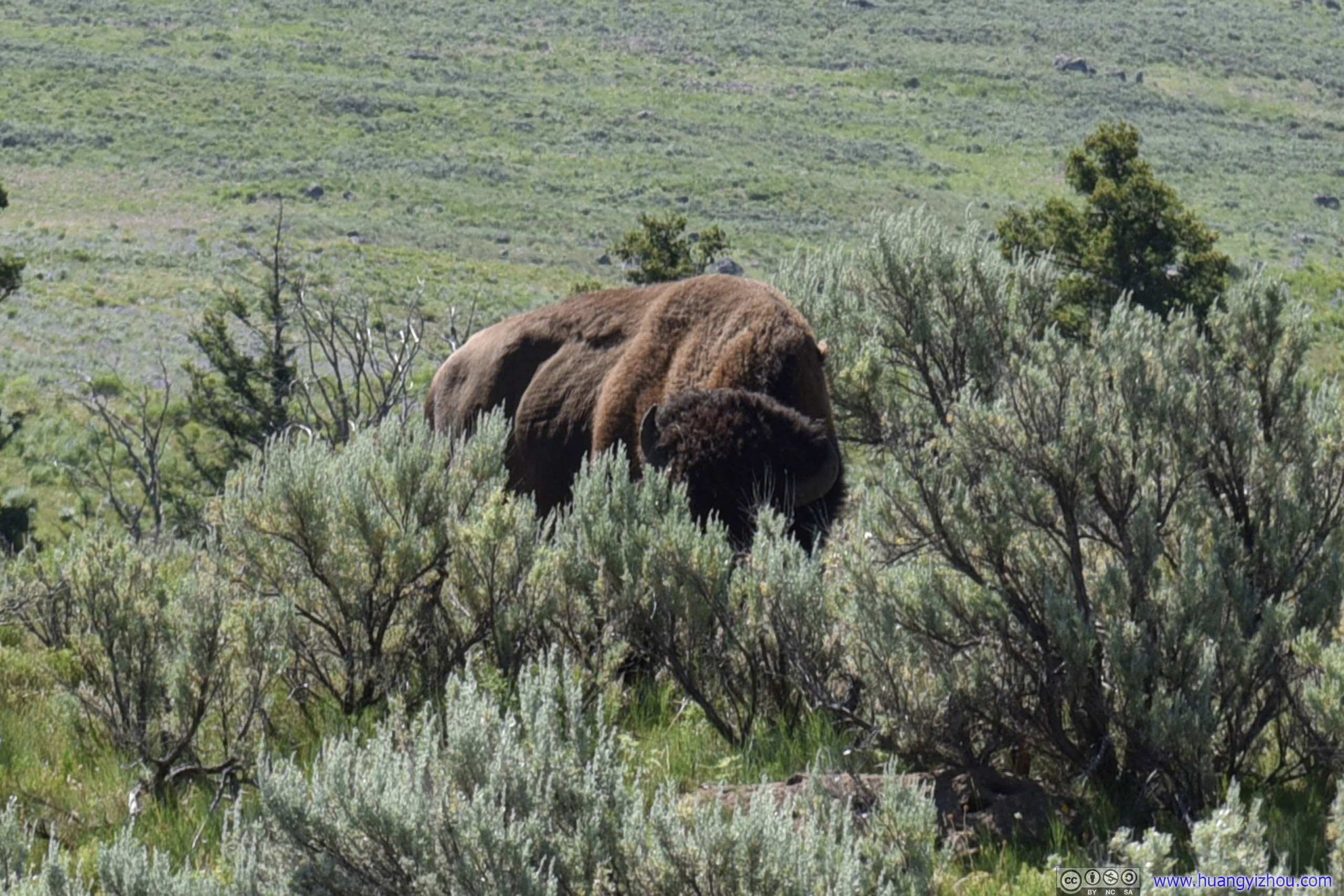
Roadside BisonThis creature was trying to cross the road, creating some sort of traffic jam ahead.
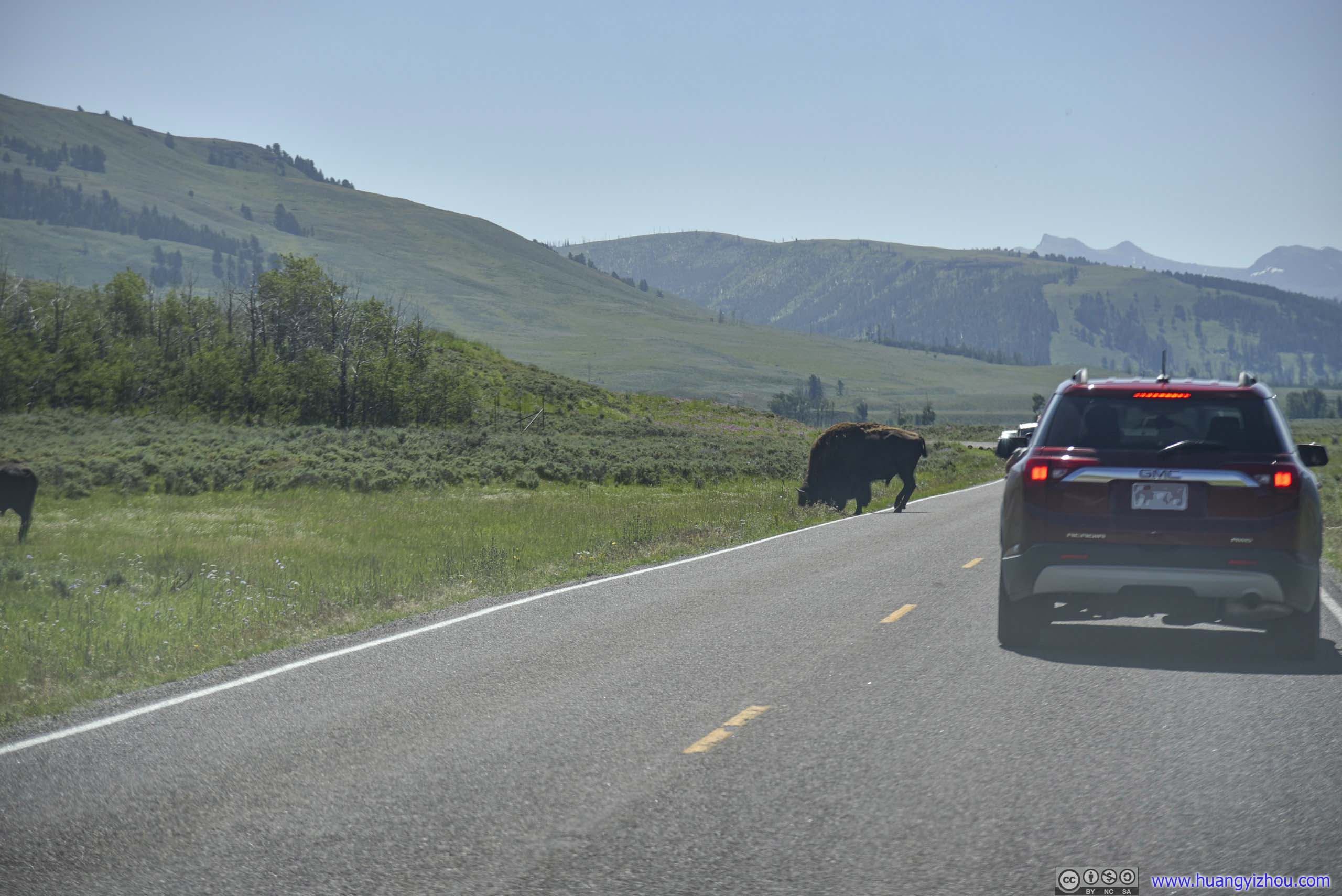
 Bison Crossing Road
 Roadside Bison
Hill with Wildflowers
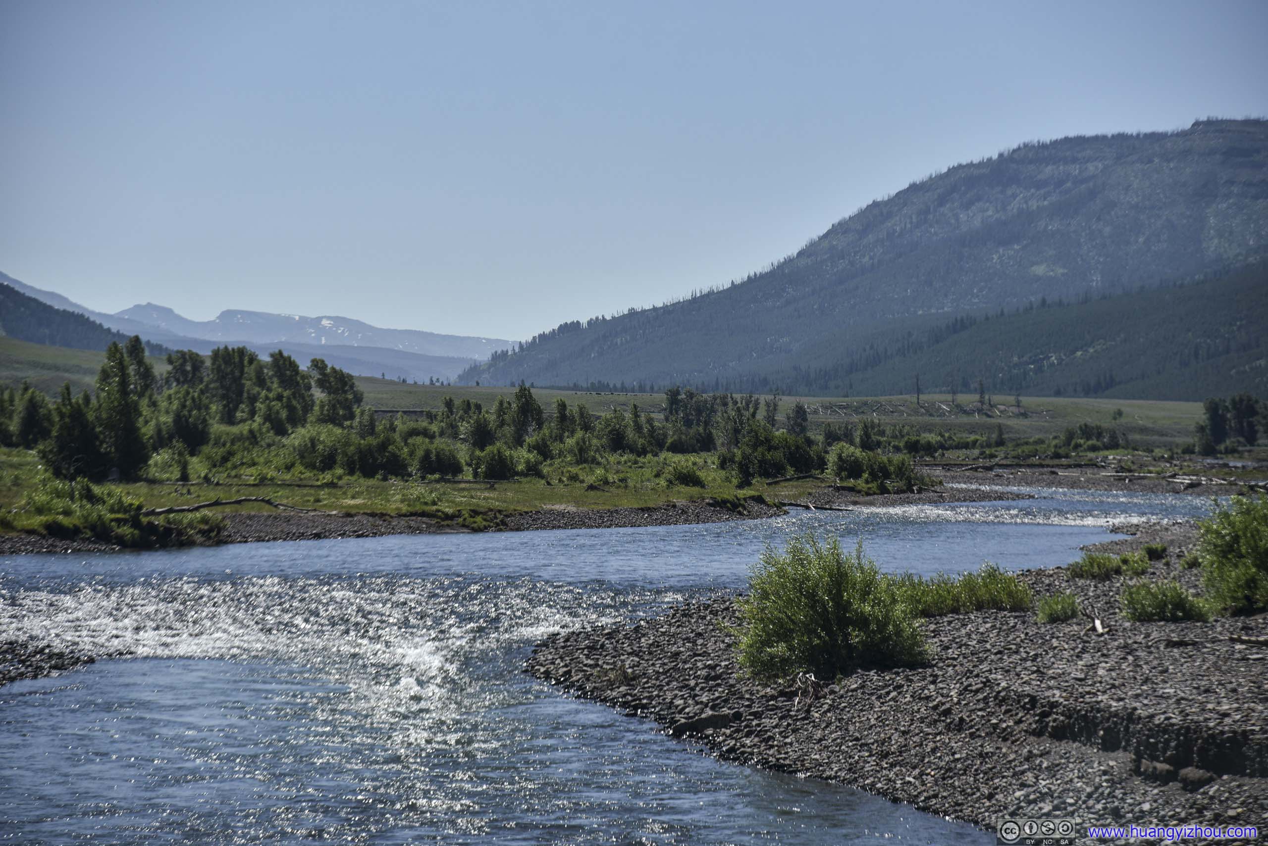
 Lamar River
Lone Tree in Field
Distant Amphitheater Mountain
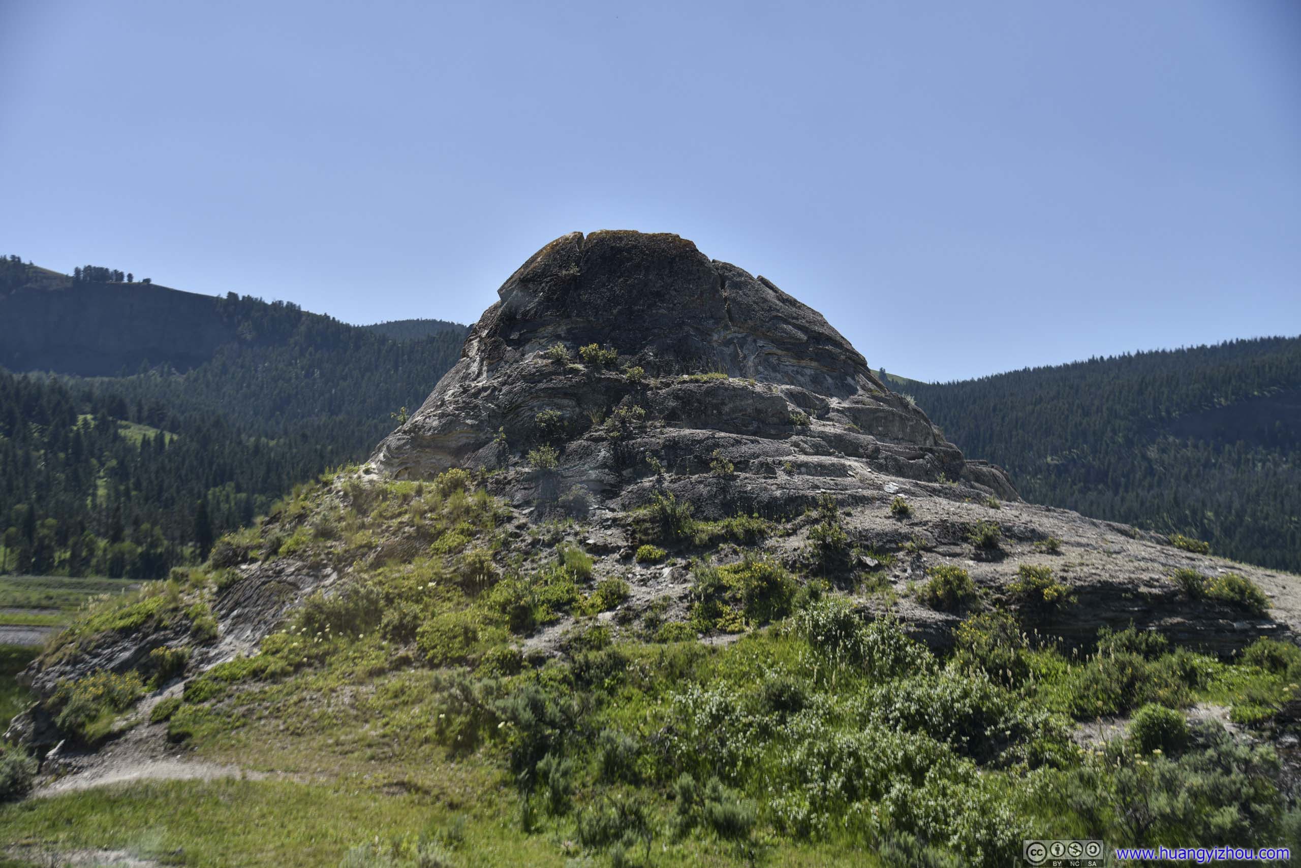
Soda ButteThis used to be a geyser. Now a nearby creek was named after this.
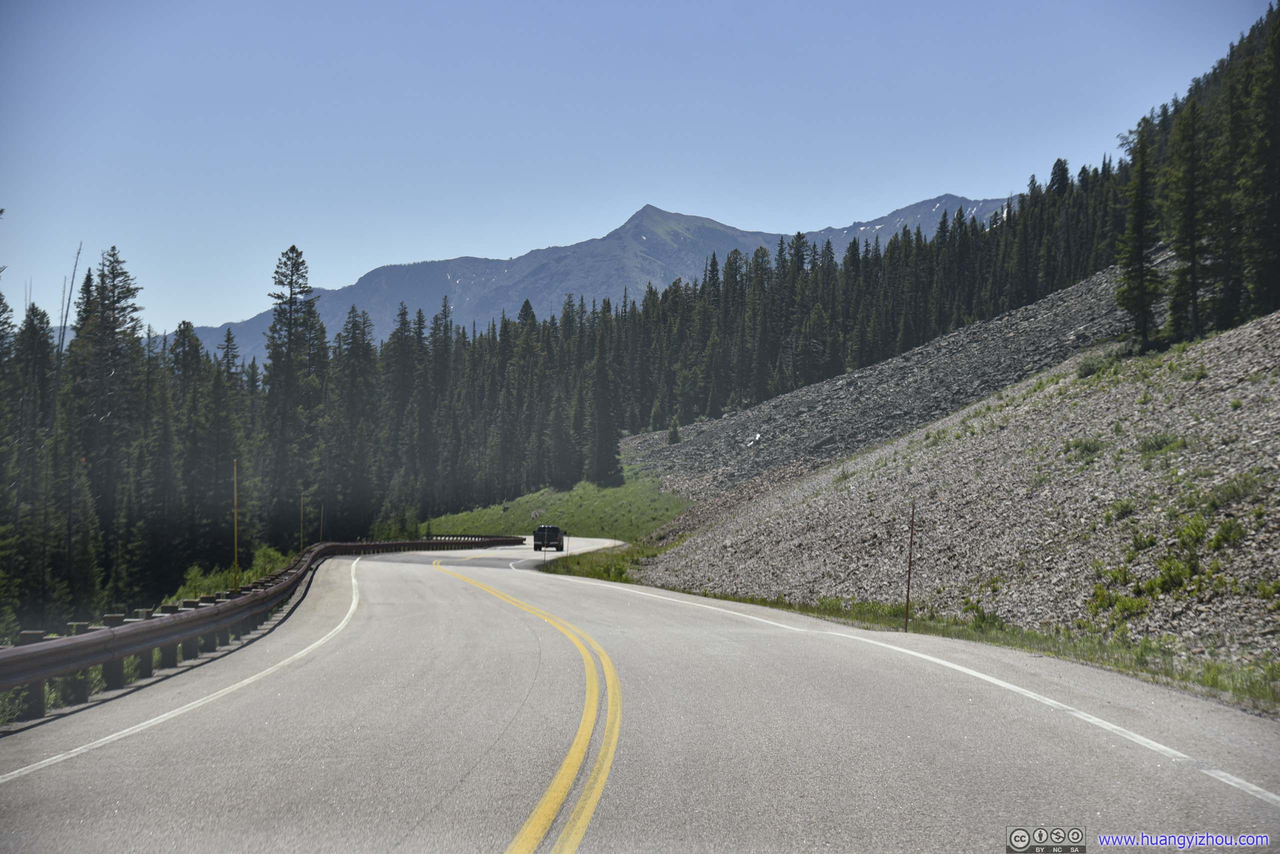
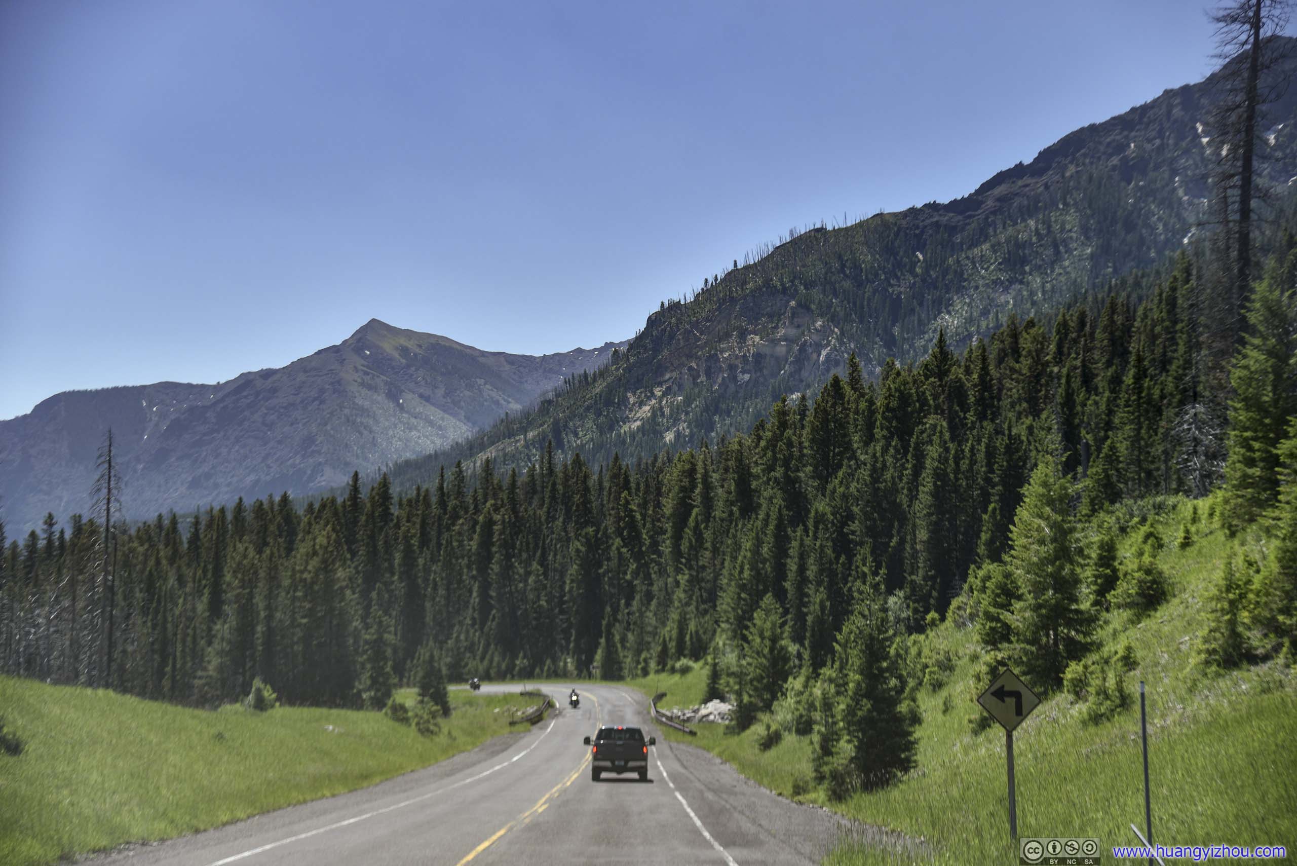
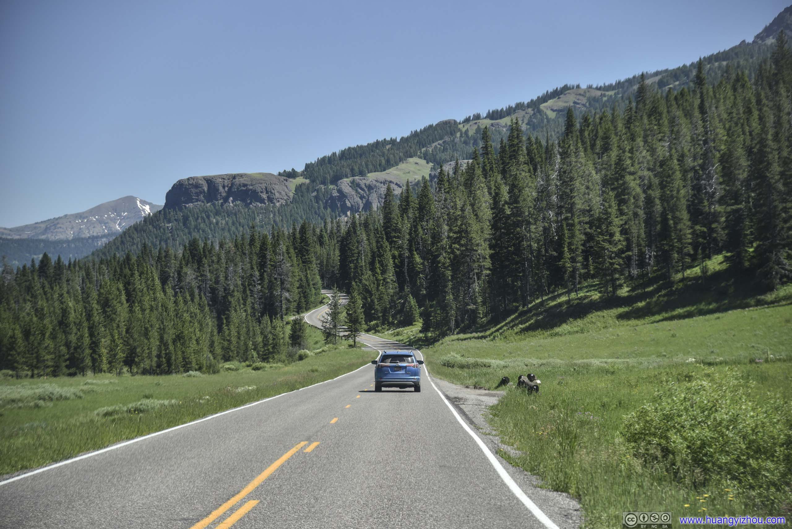 Park Road
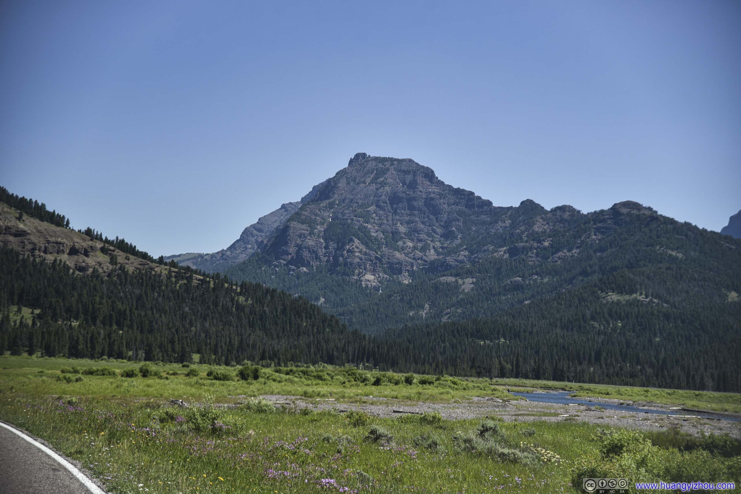
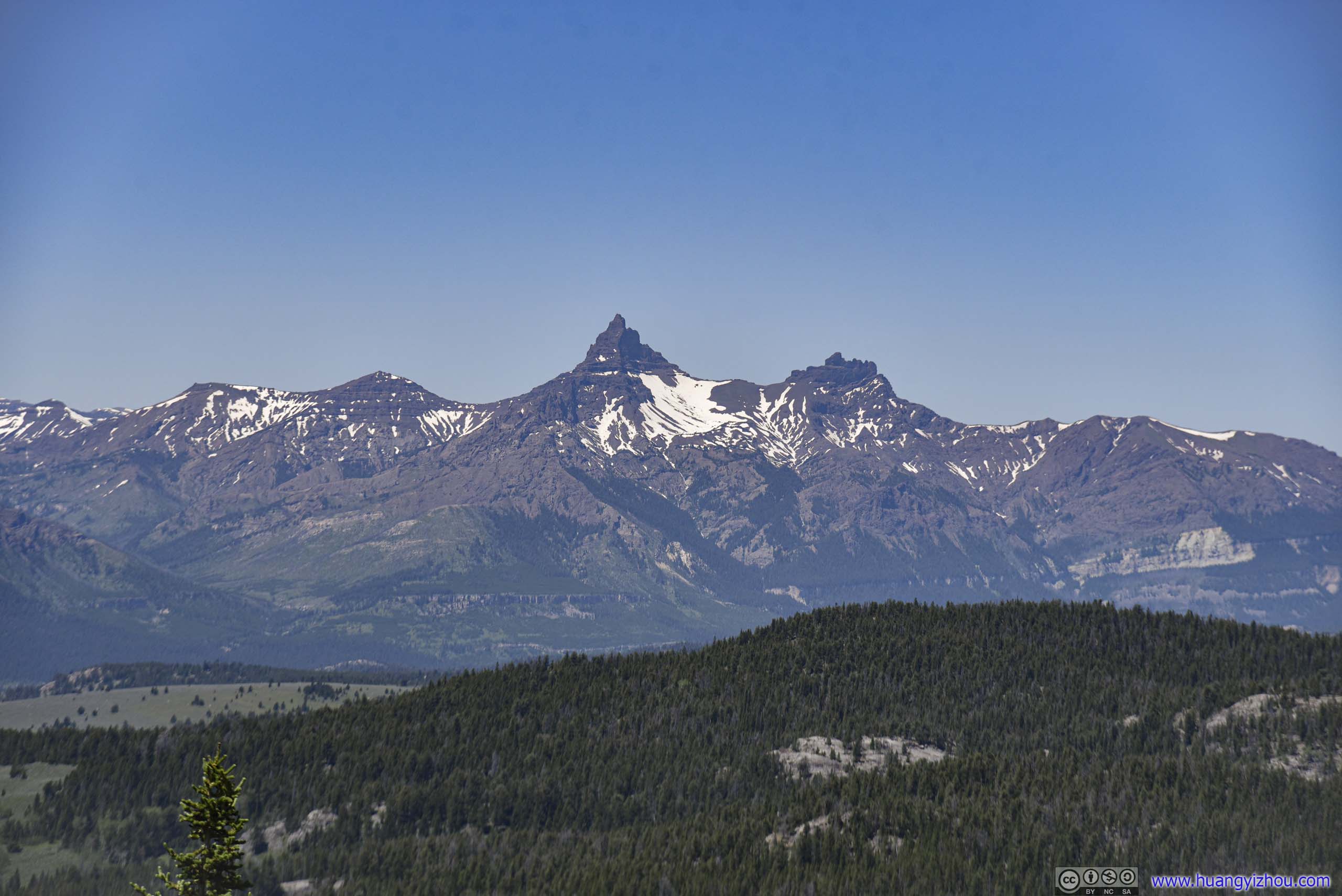
Abiathar Peak
Barronette Peak
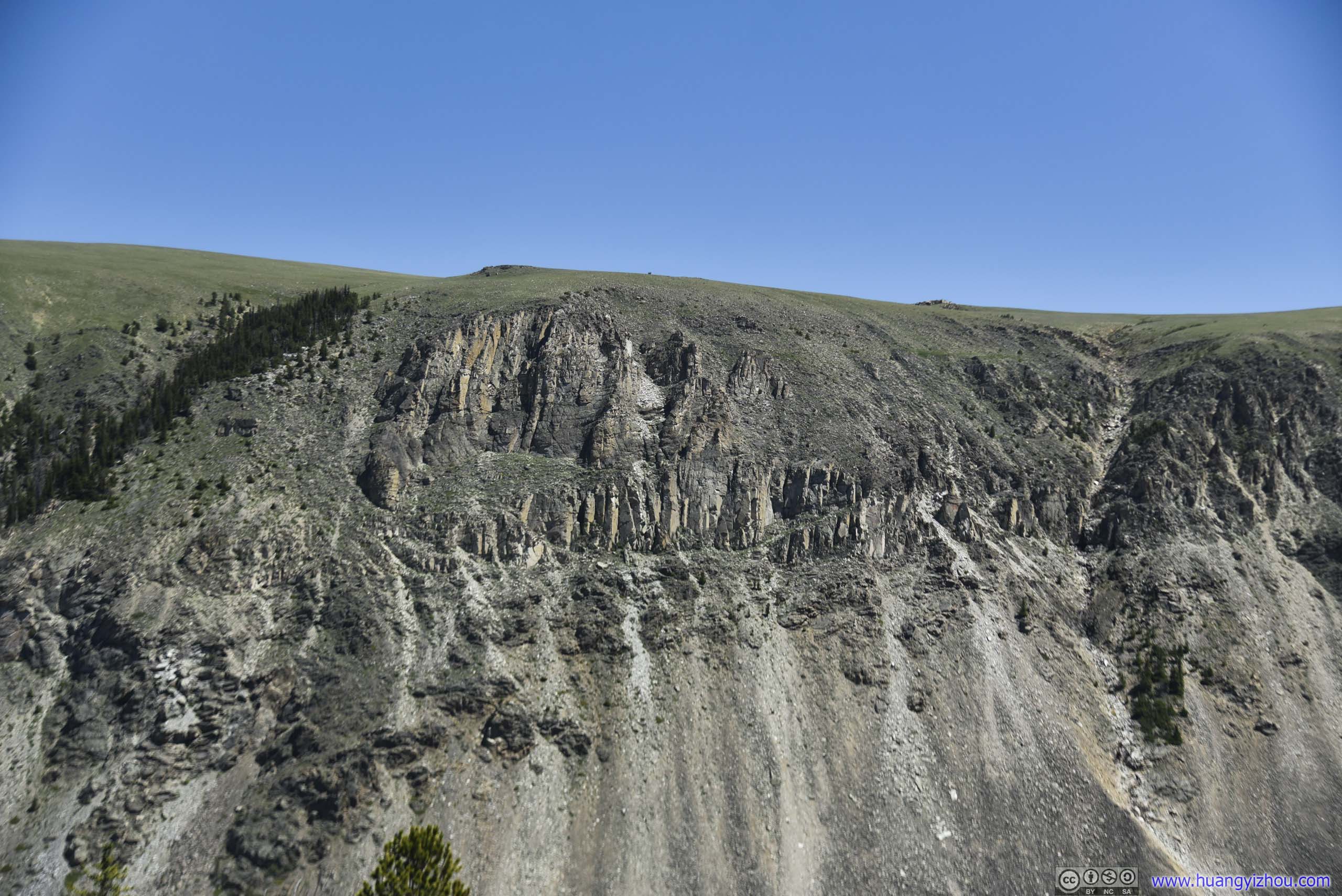
Mineral Mountain
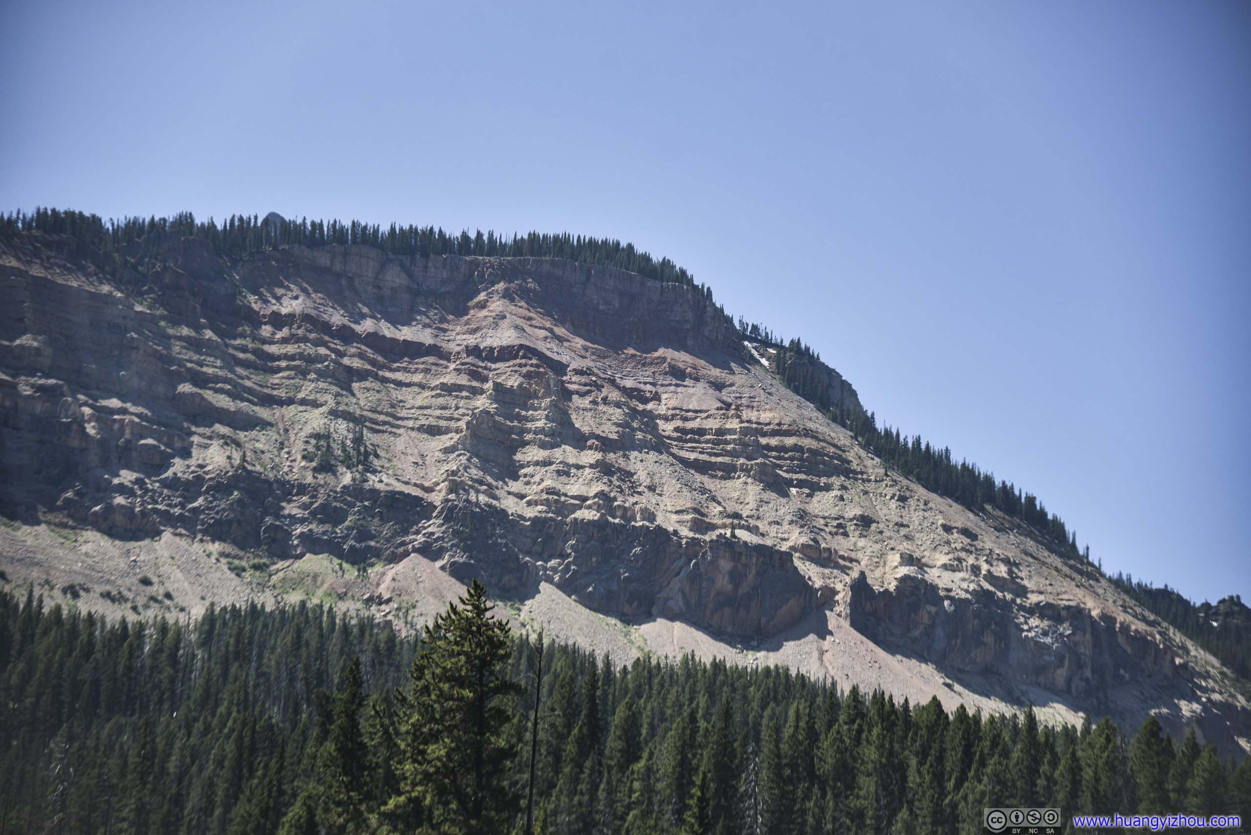
Rocky Cliff of Amphitheater Mountain
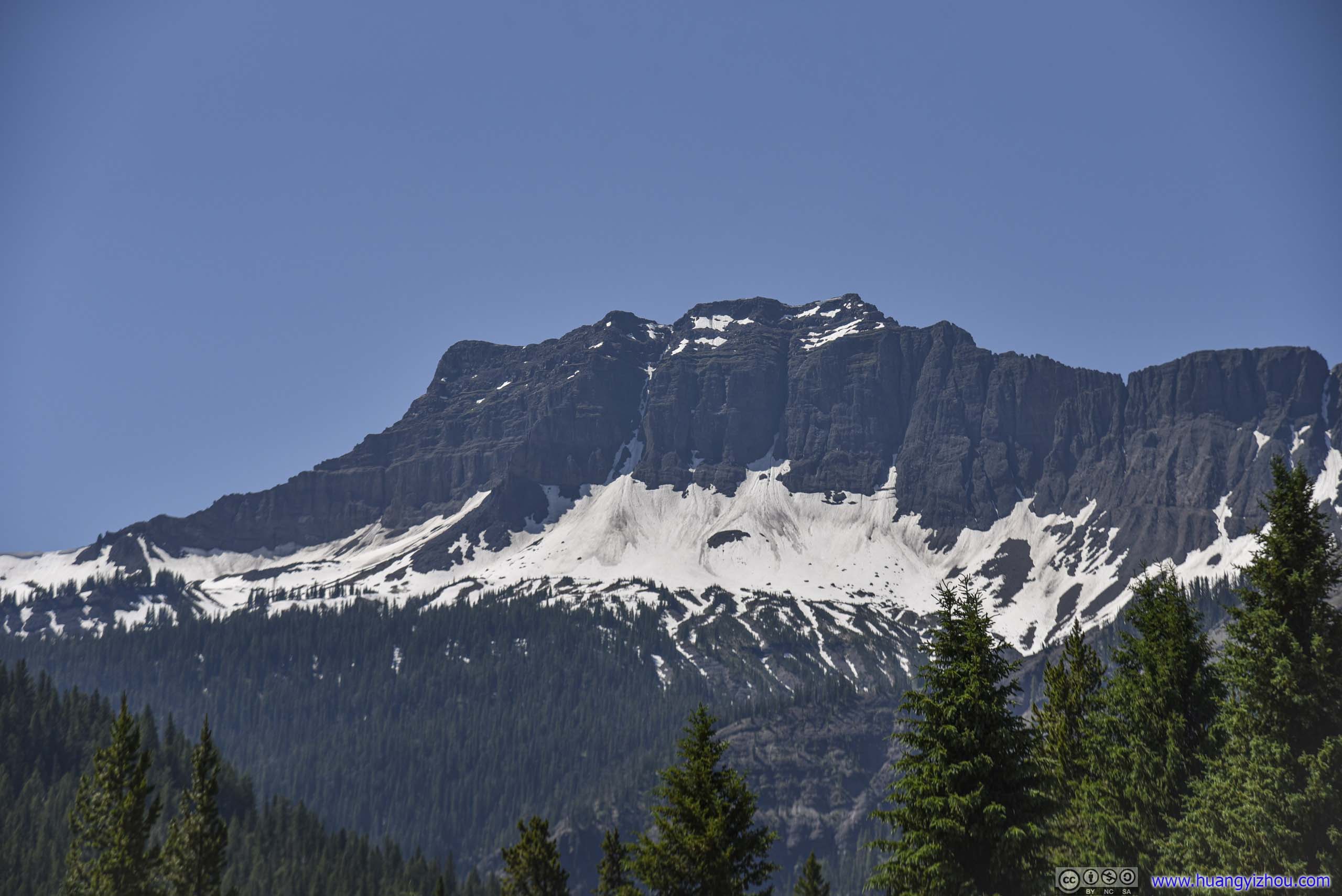
Snow on Amphitheater Mountain
Just before noon, we arrived at the small village of Silver Gate just outside Yellowstone’s Northeast entrance, with some long-missed signs of civilization.
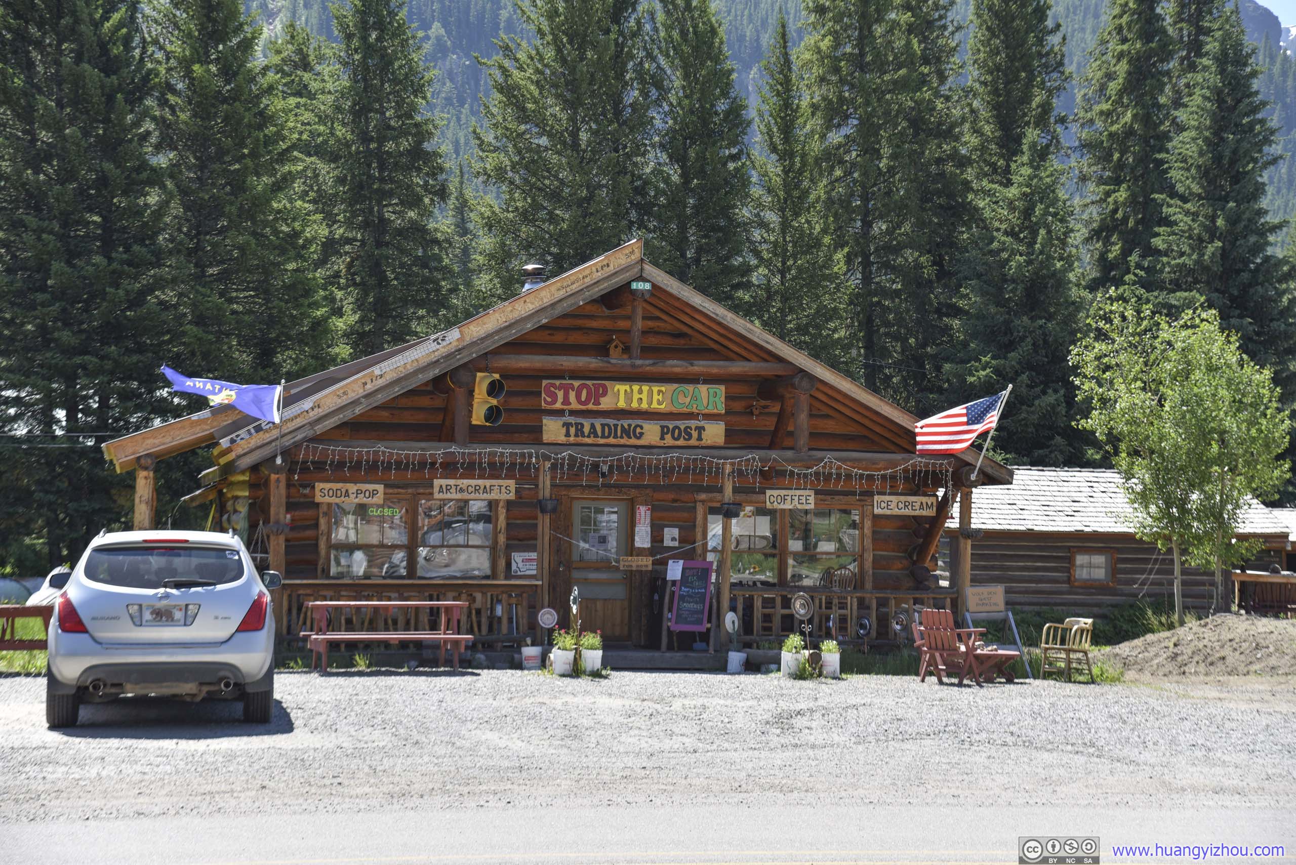
Store
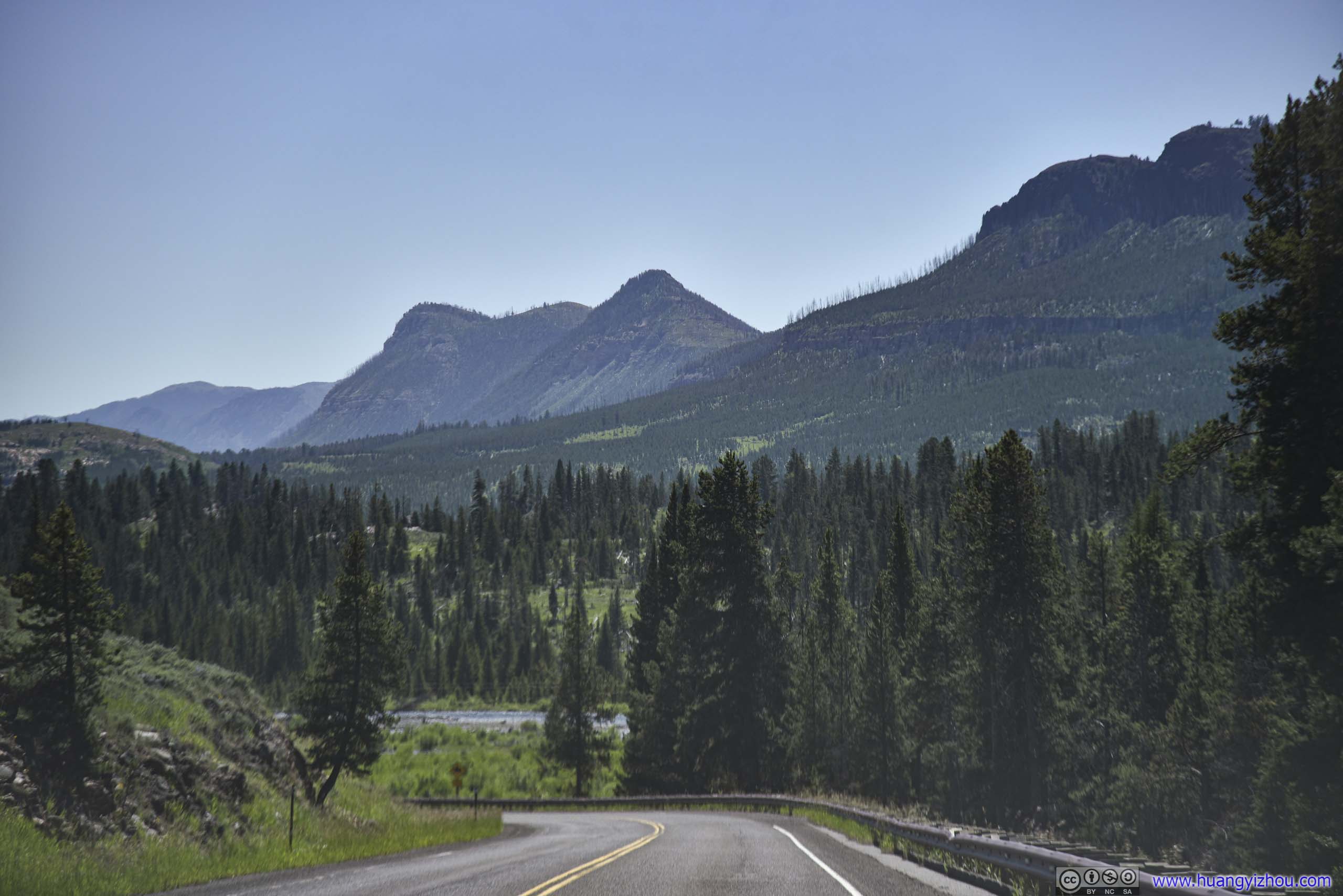
Country Road
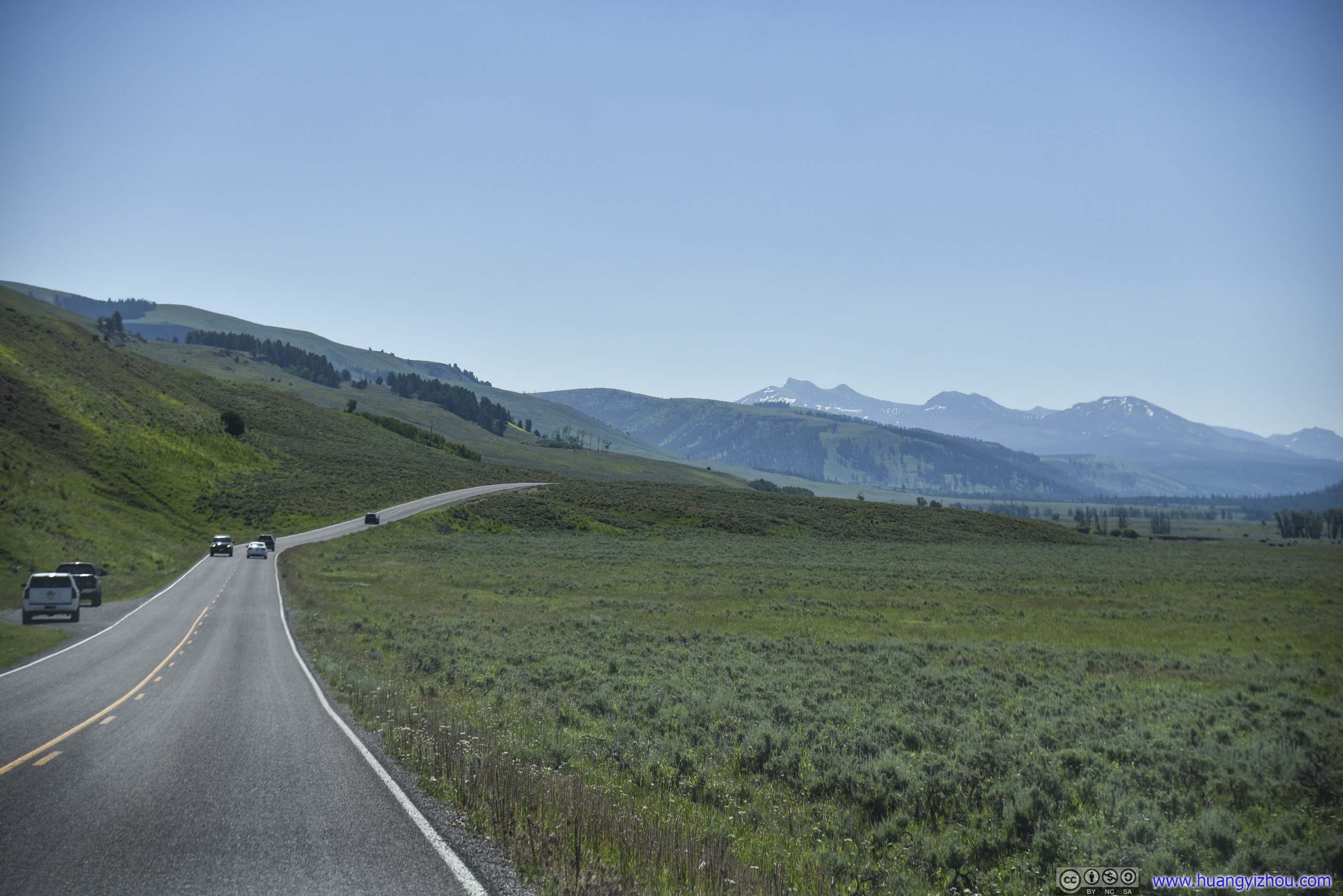
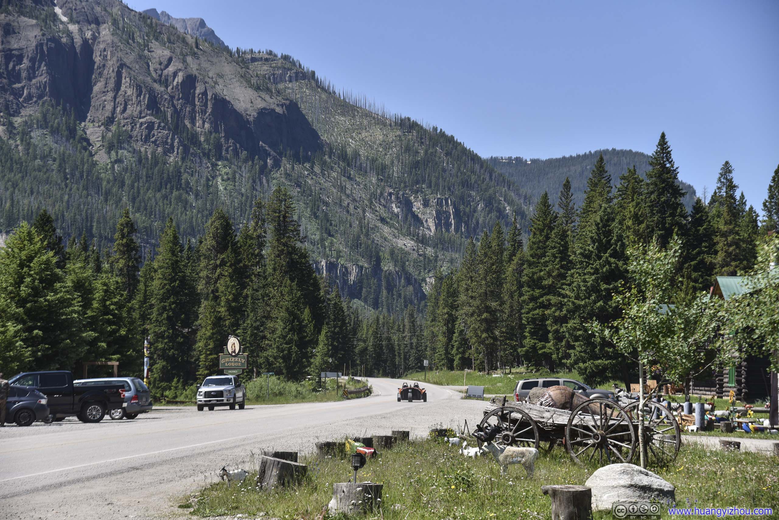
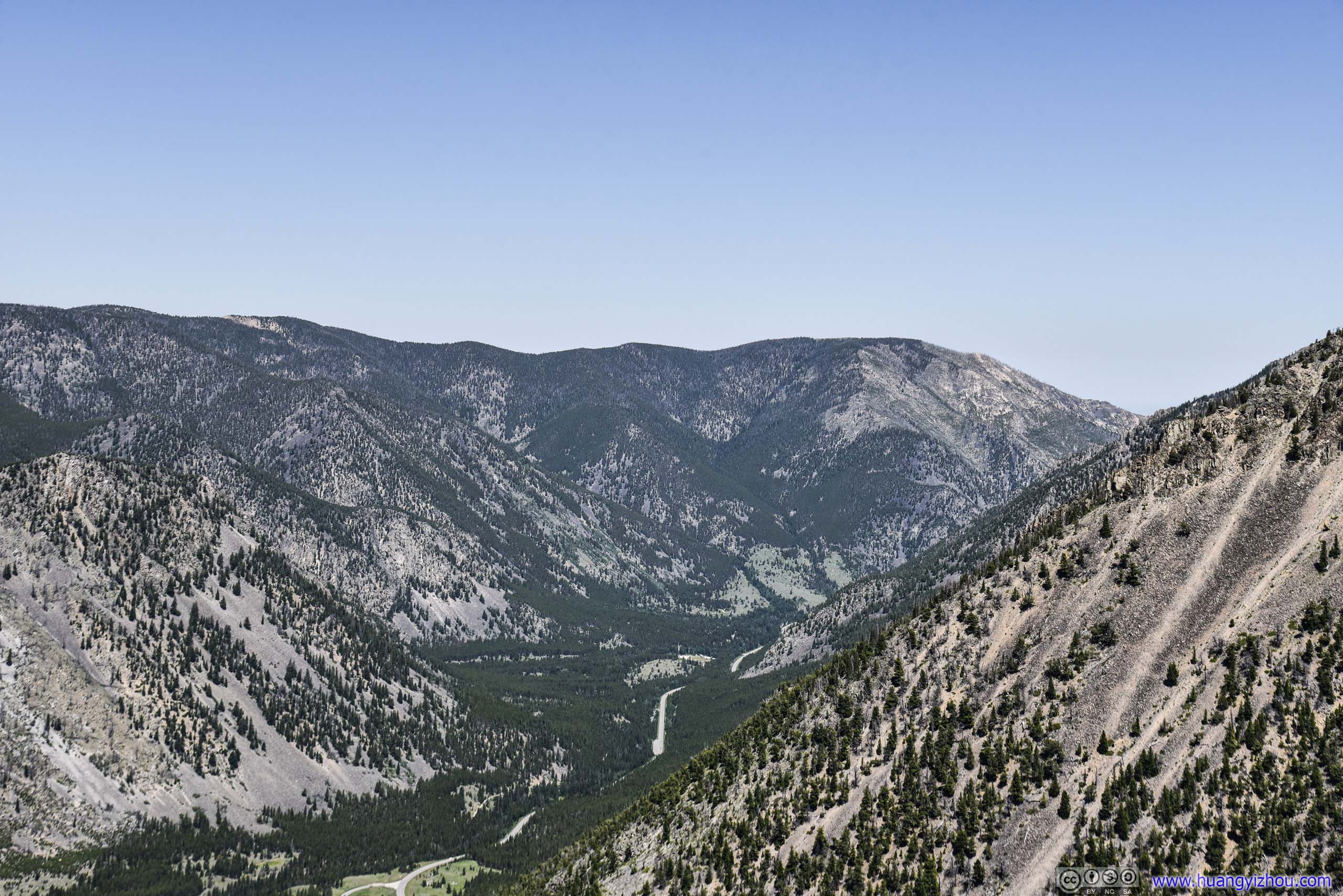
Just down the road was a larger village called “Cooke City”, a small tourism town. It’s interesting to learn that during winter, Beartooth Highway towards its East would be closed, thus the town’s only connection to the outside world would be through Yellowstone’s northern loop, via Gardiner, to Livingston Montana. An arduous 111-mile journey.
 Cooke City
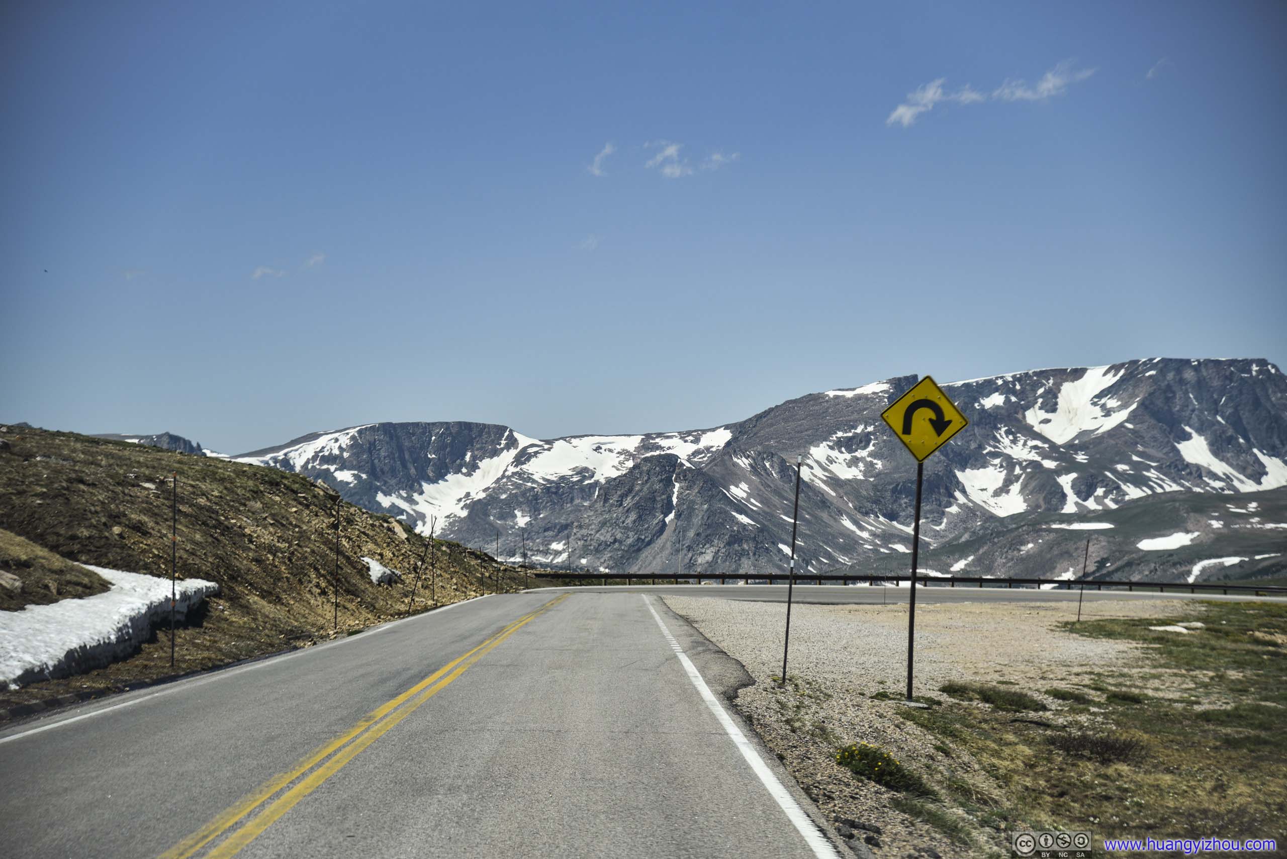
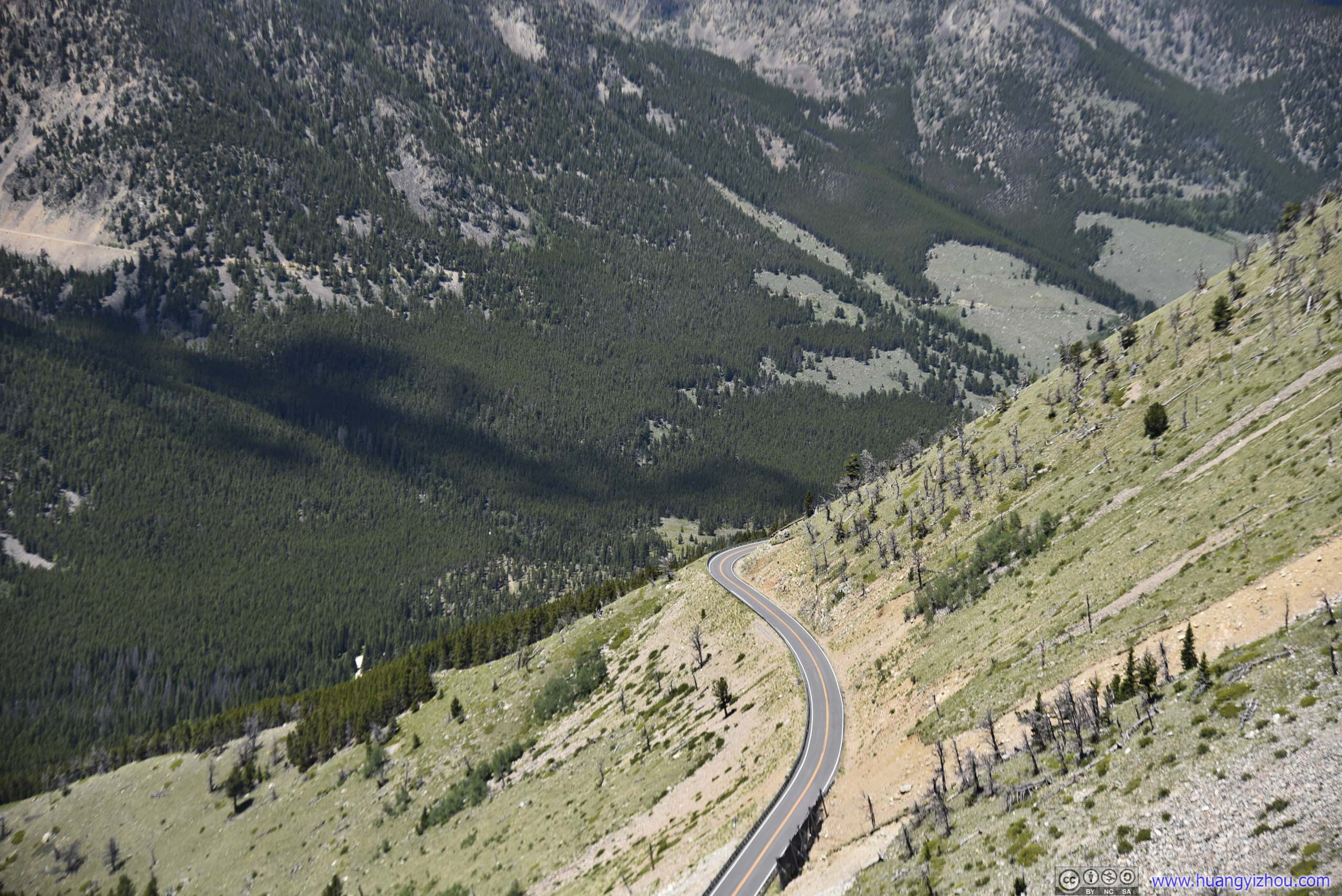
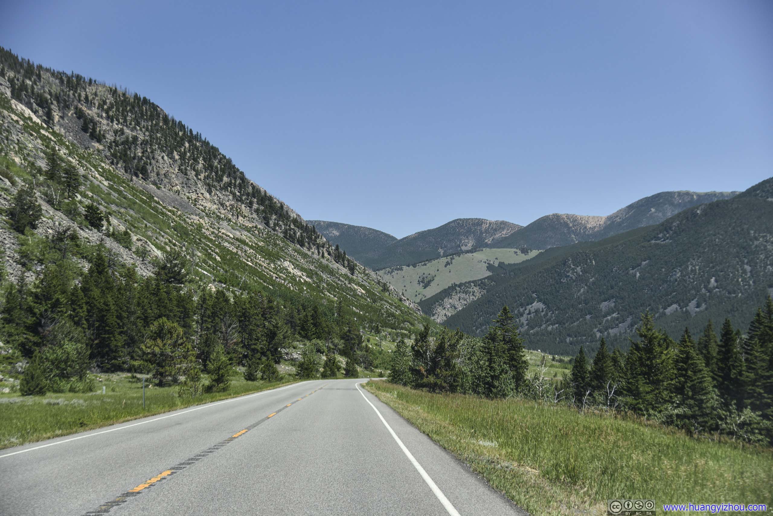
Beartooth Highway
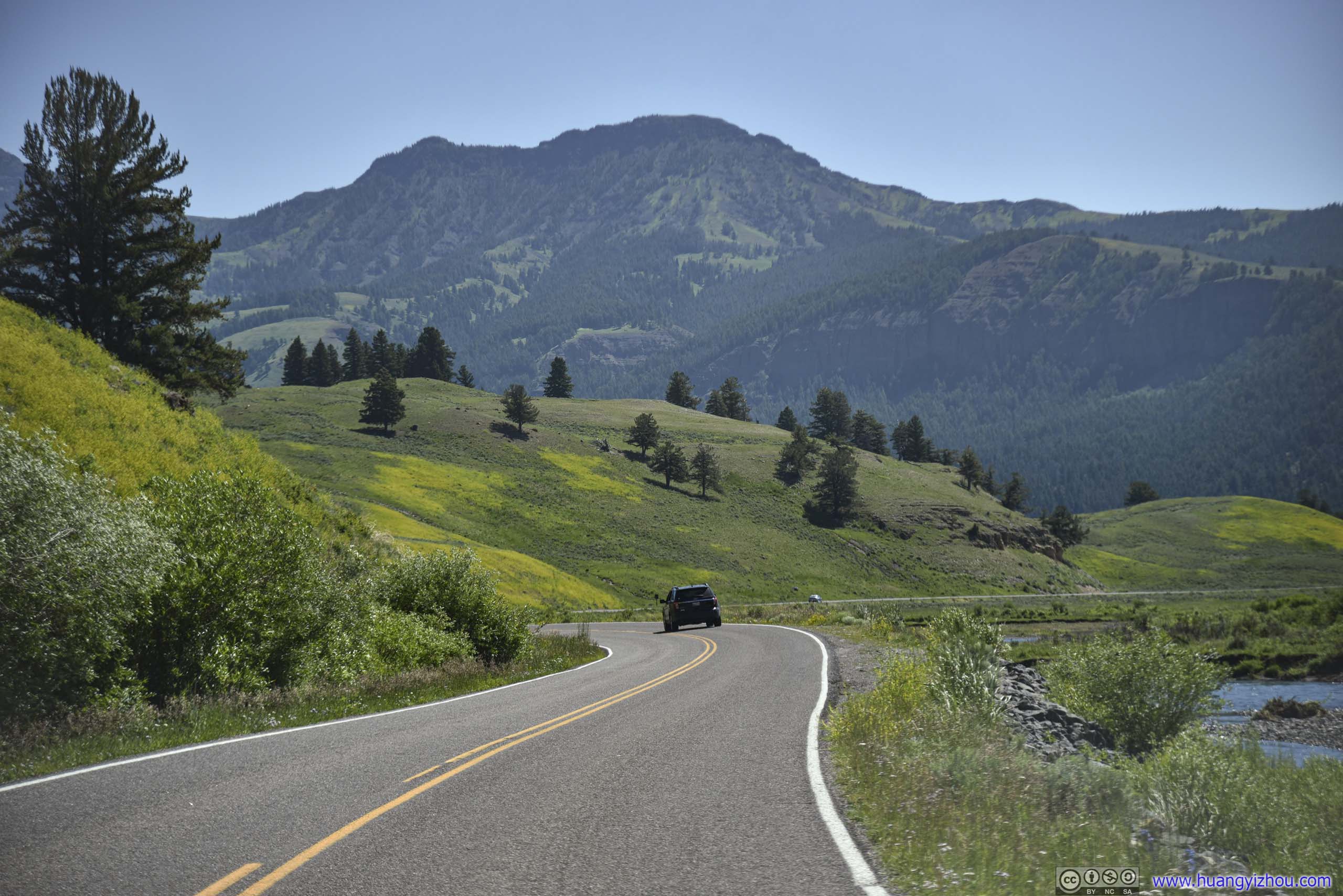
Now we were officially on Beartooth Highway, where sceneries around us were transitioning from lush forest to magnificent mountains.
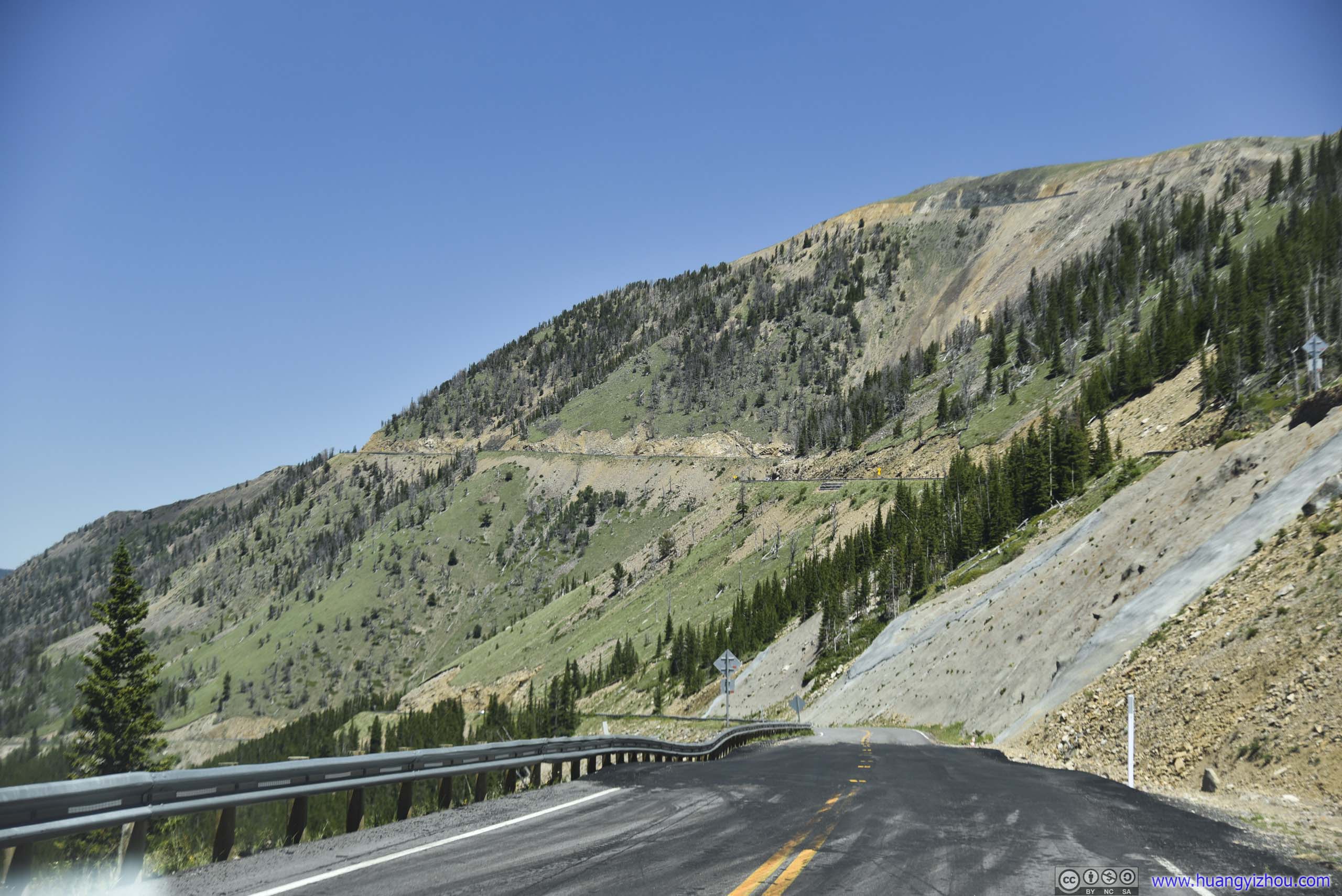
 Country Road
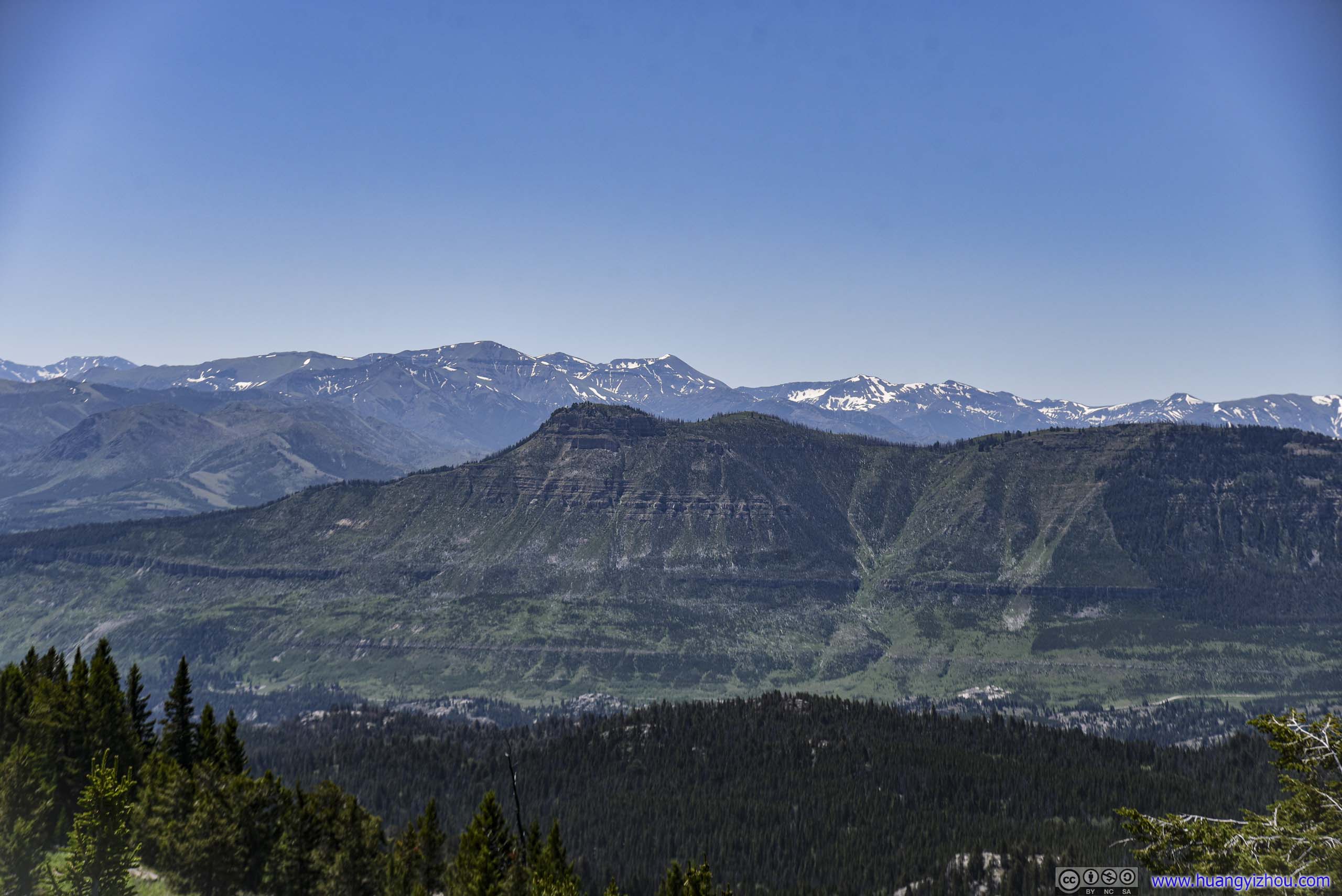
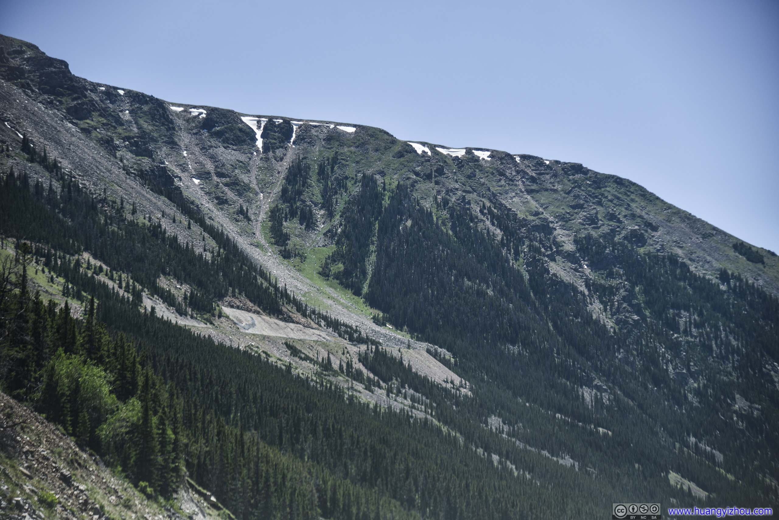
 Mountains
 Mountains
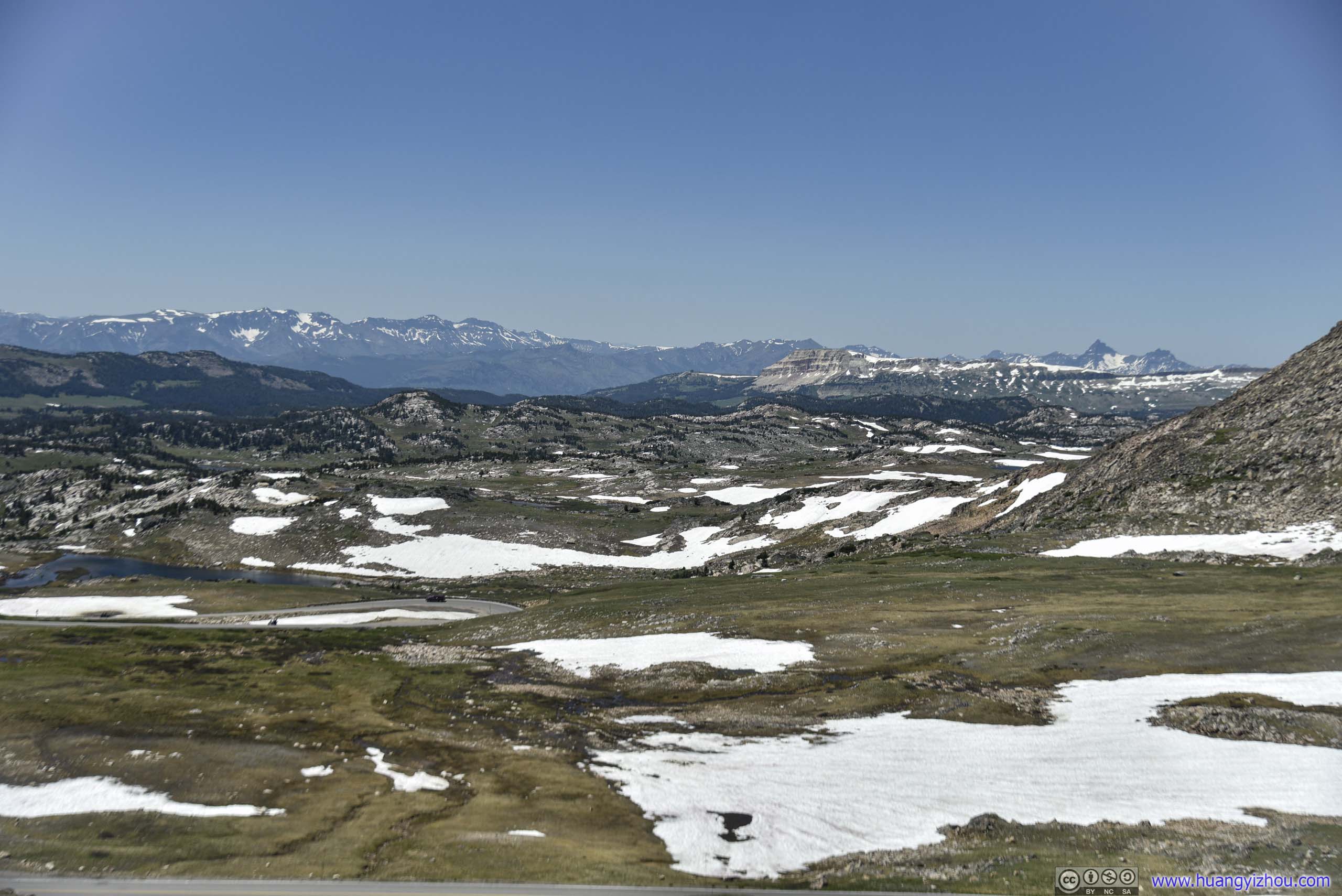
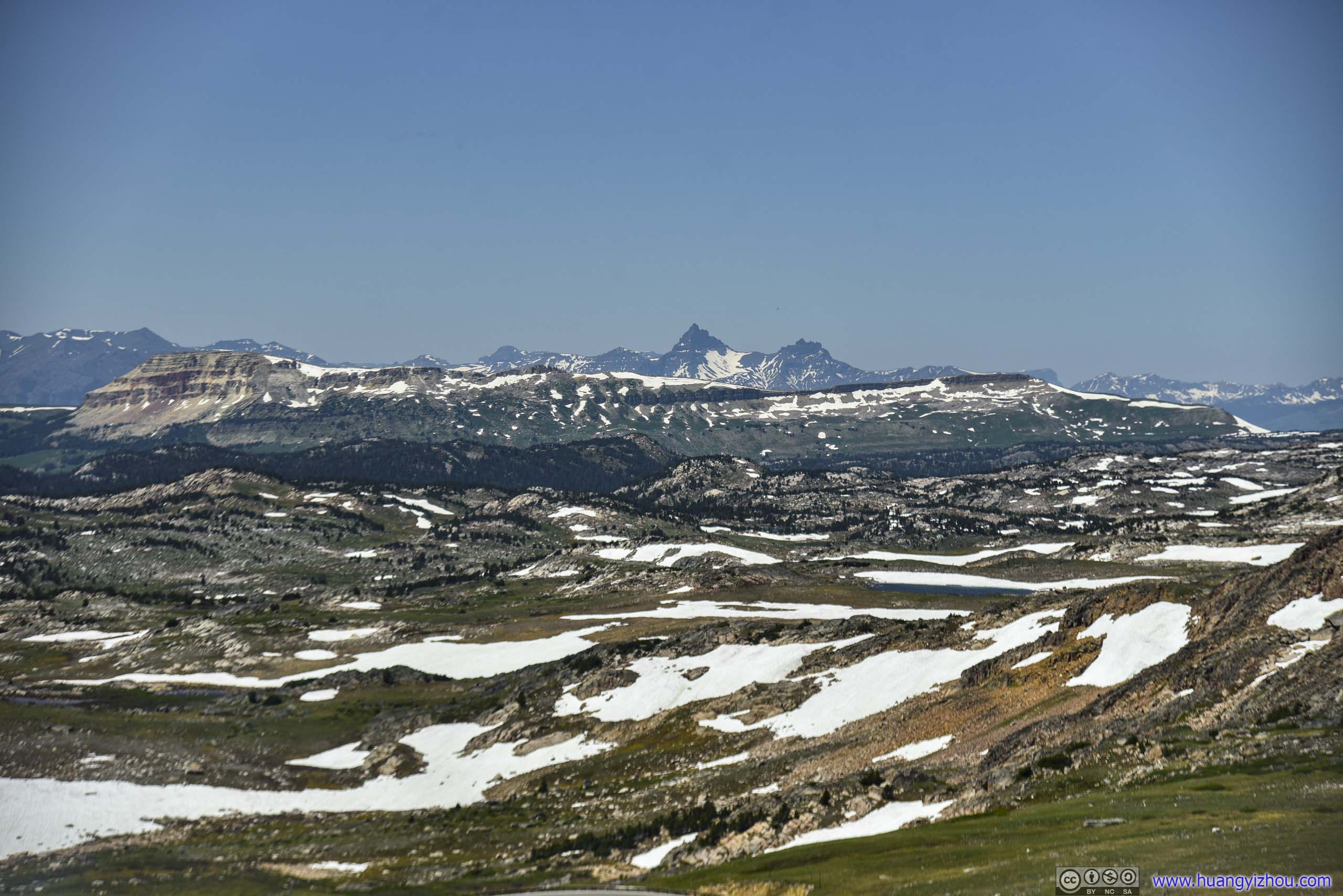
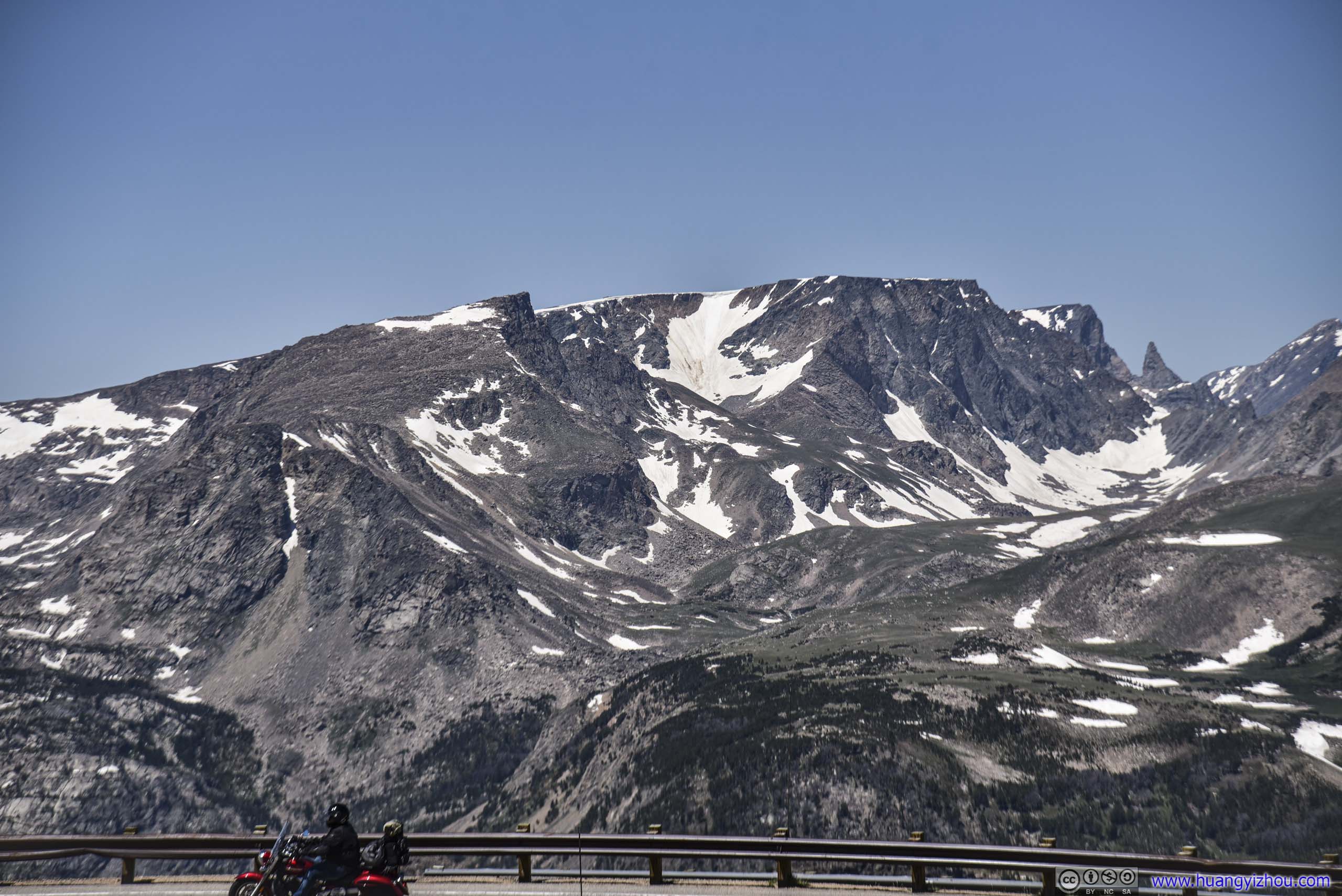
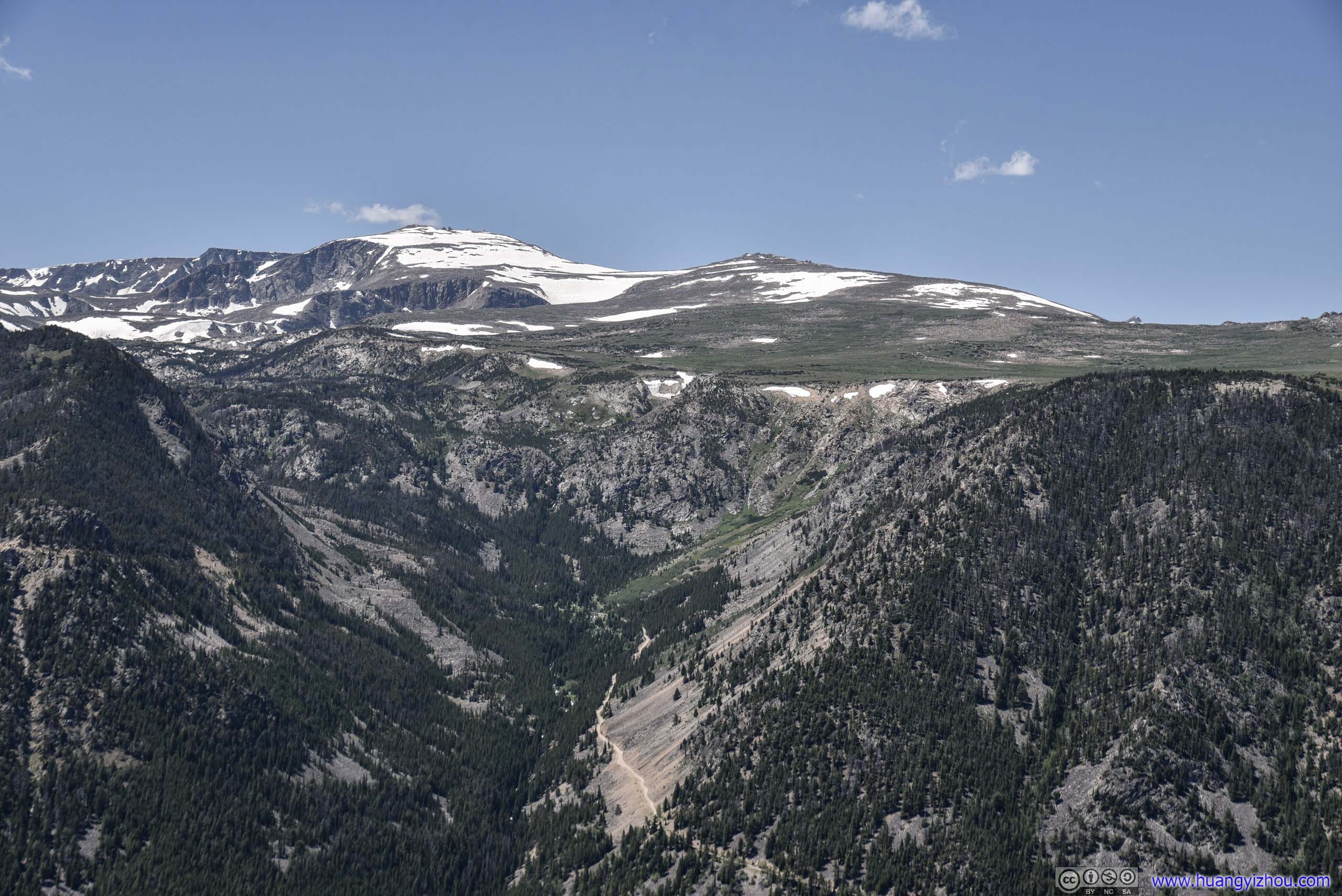
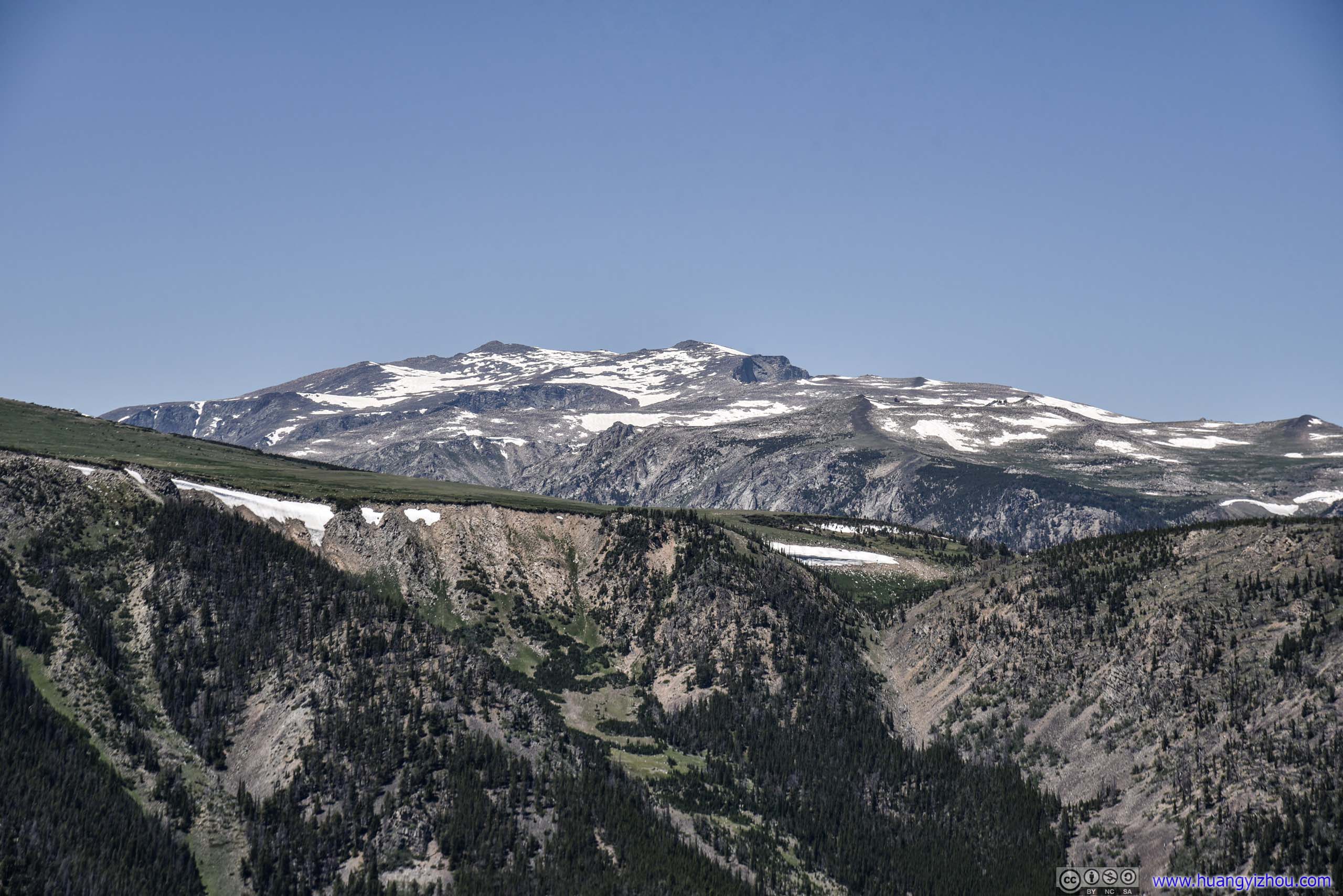
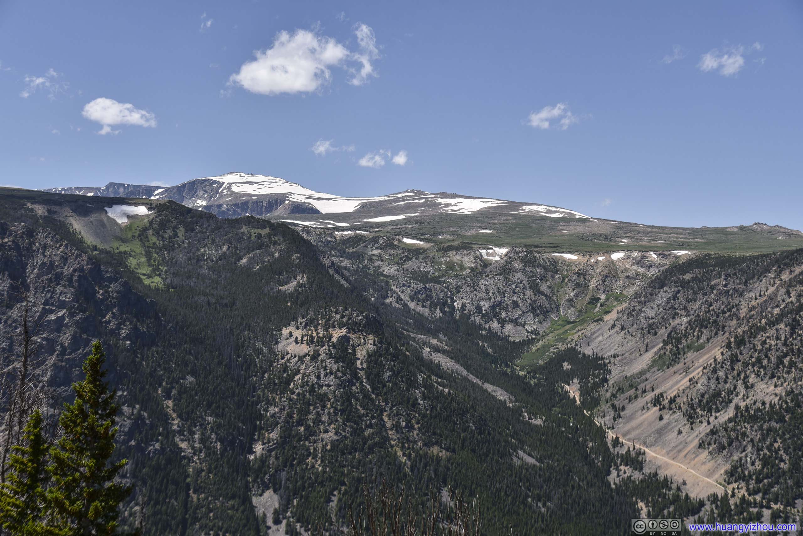
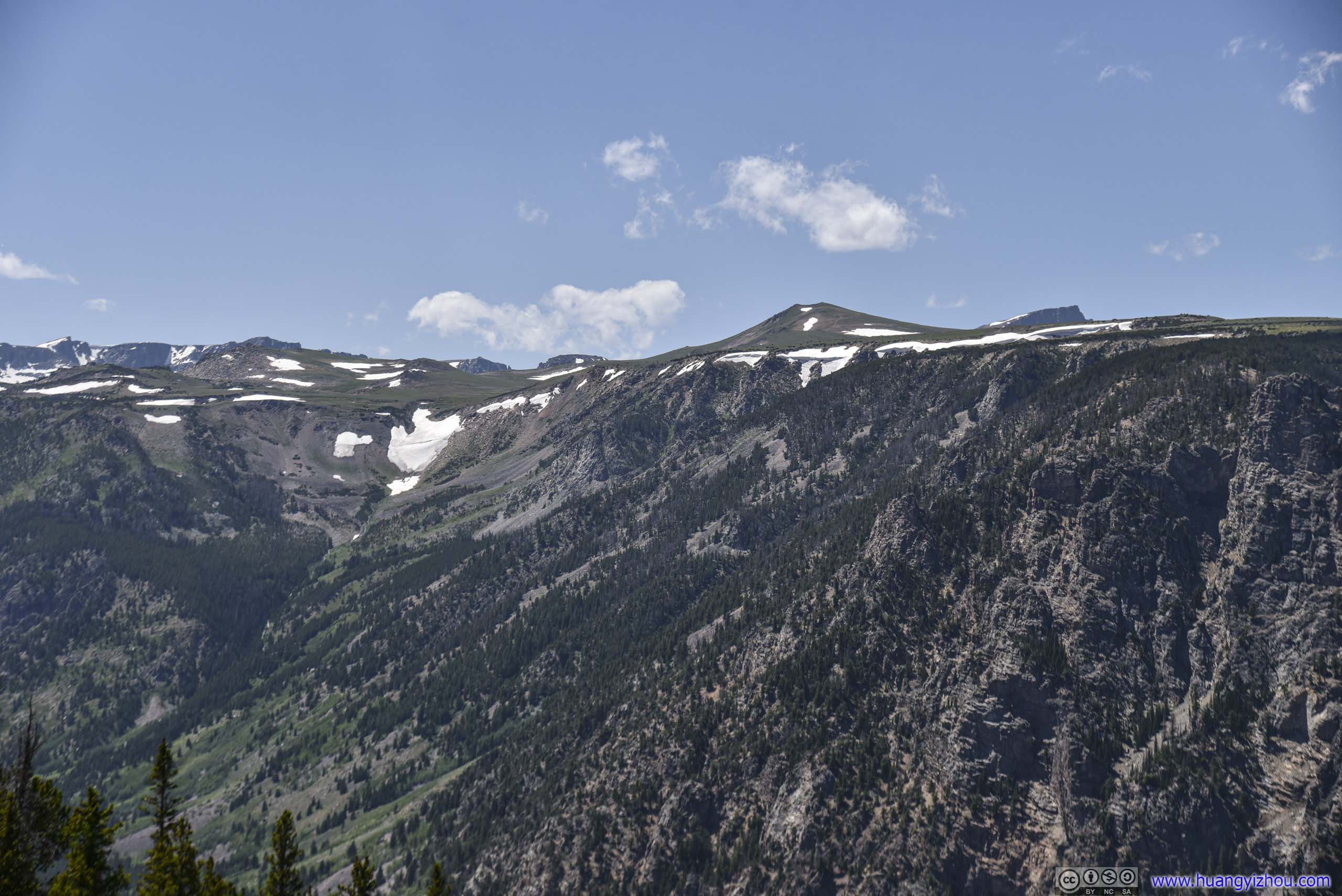
Beartooth Highway Yellowstone Overlook
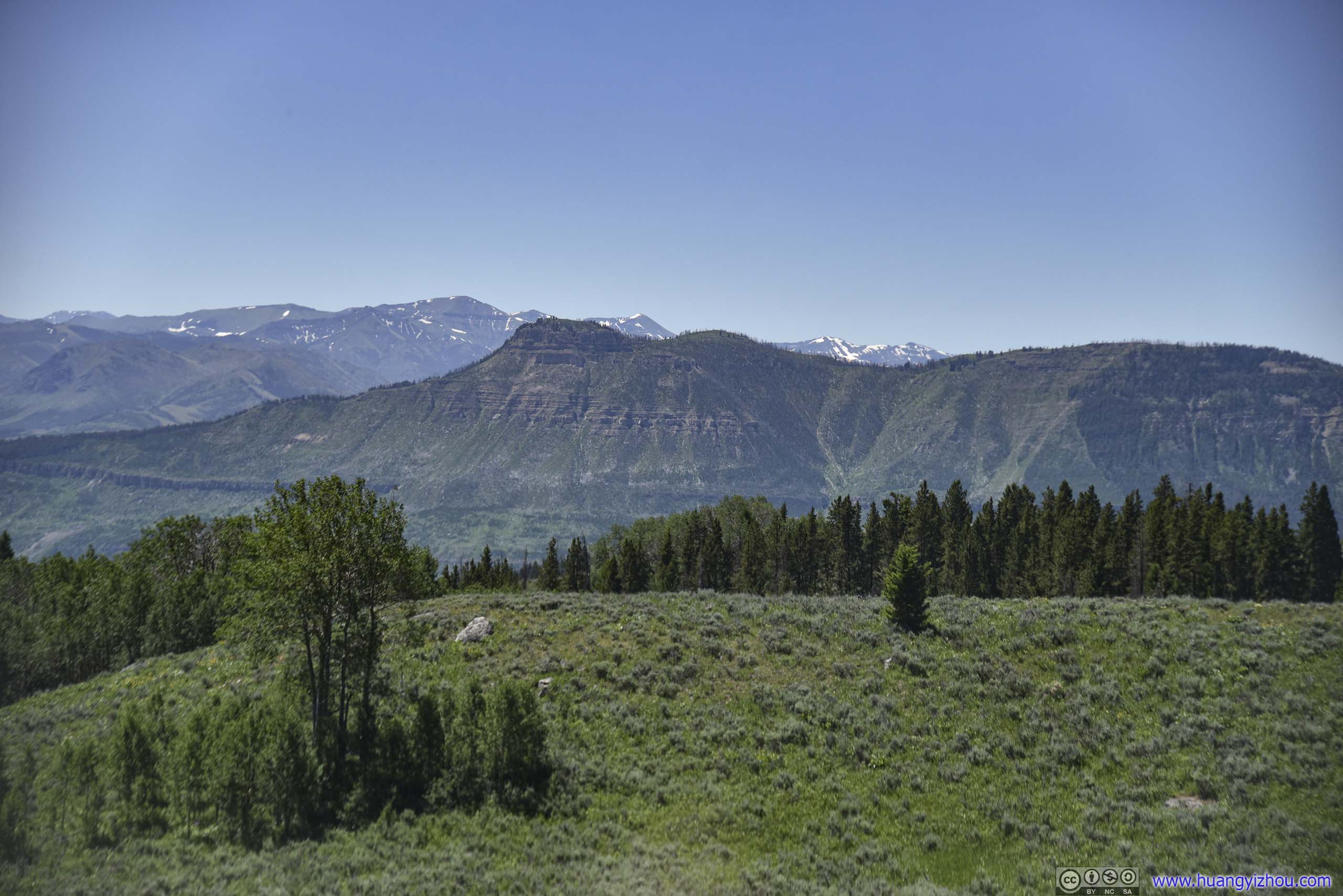
After continuing past the junction to Chief Joseph Highway, we stopped by a roadside viewing platform and admired the imposing mountain ranges.
Pilot Peak
 Mountains
View from Beartooth Yellowstone Overlook
Mountains
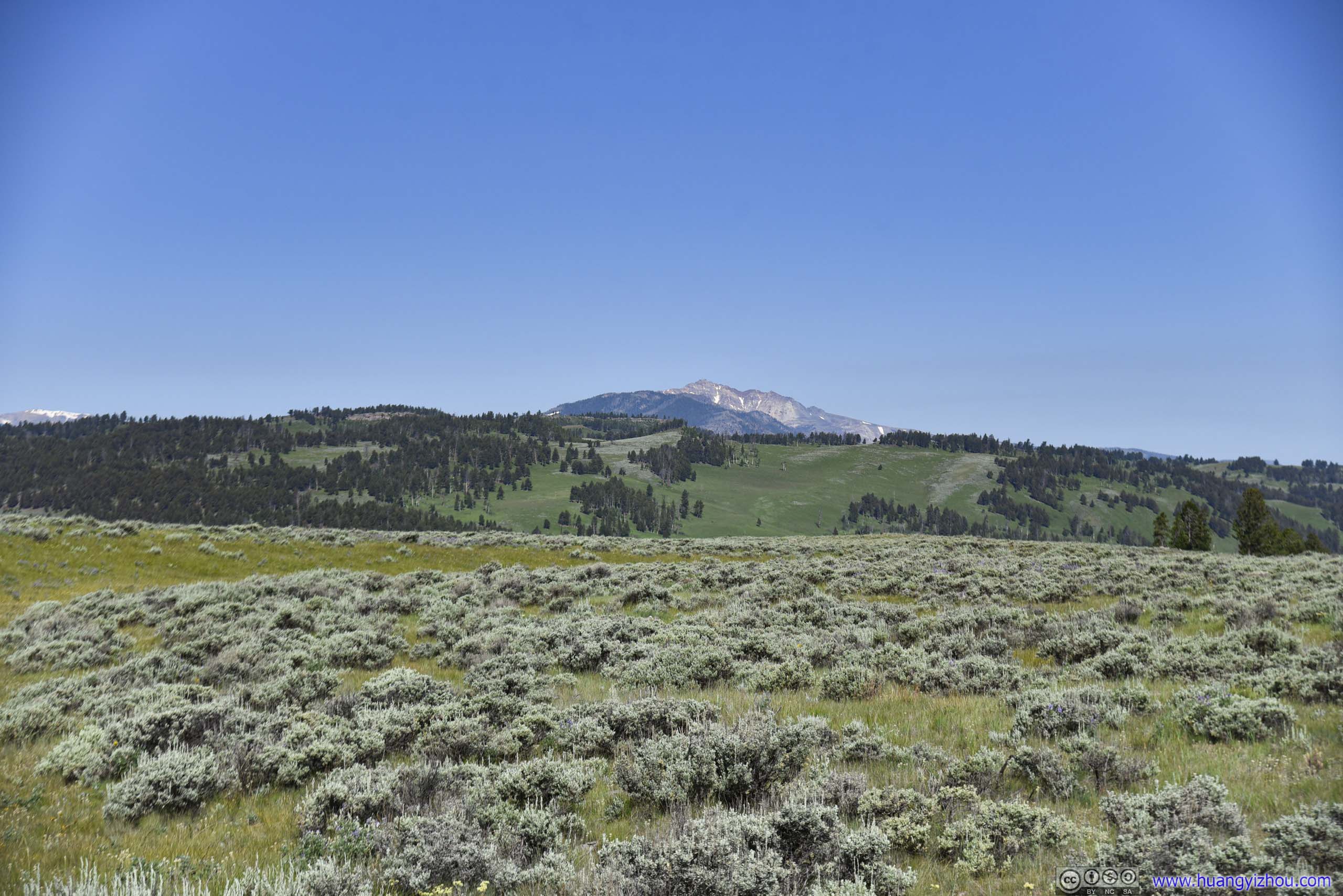
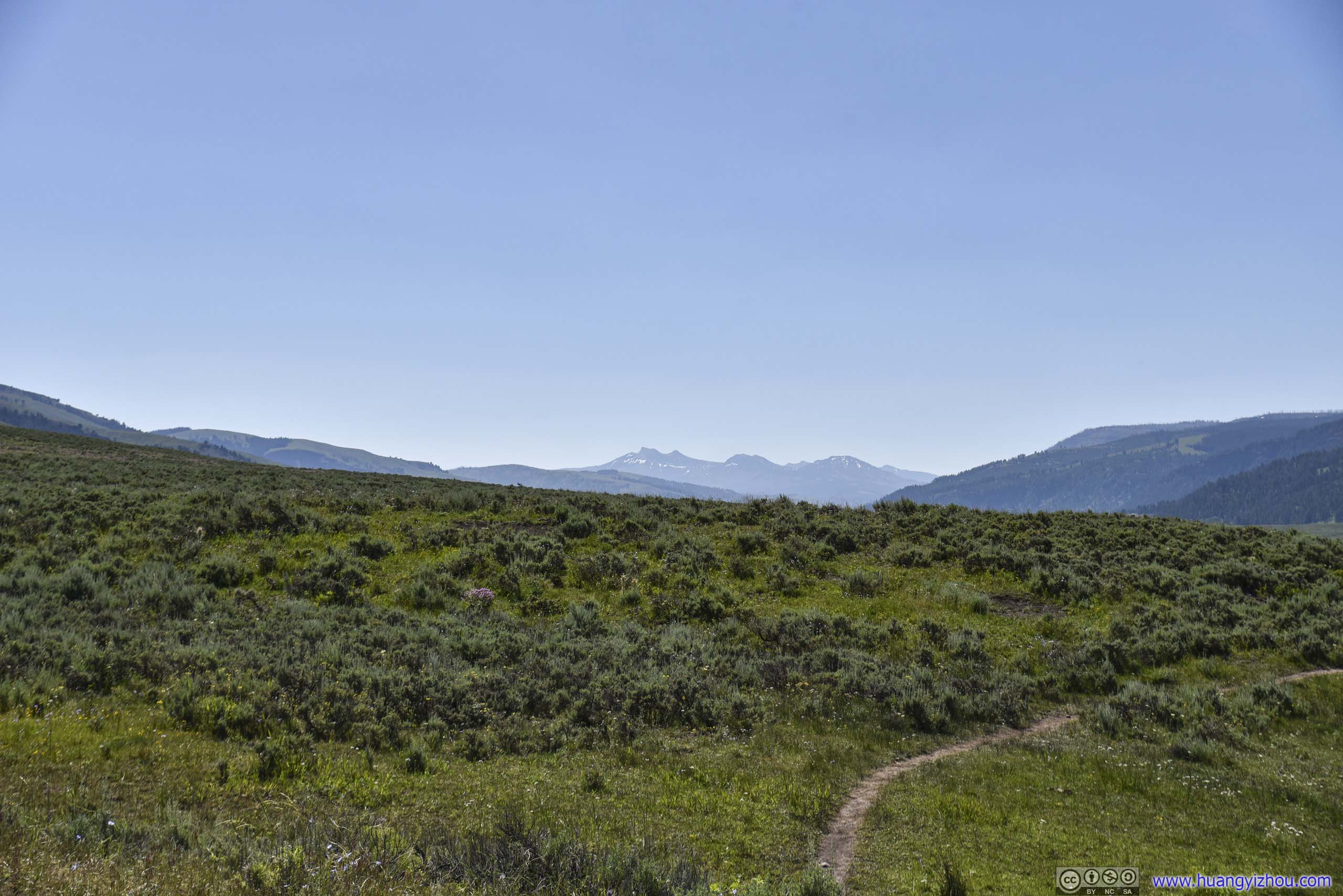
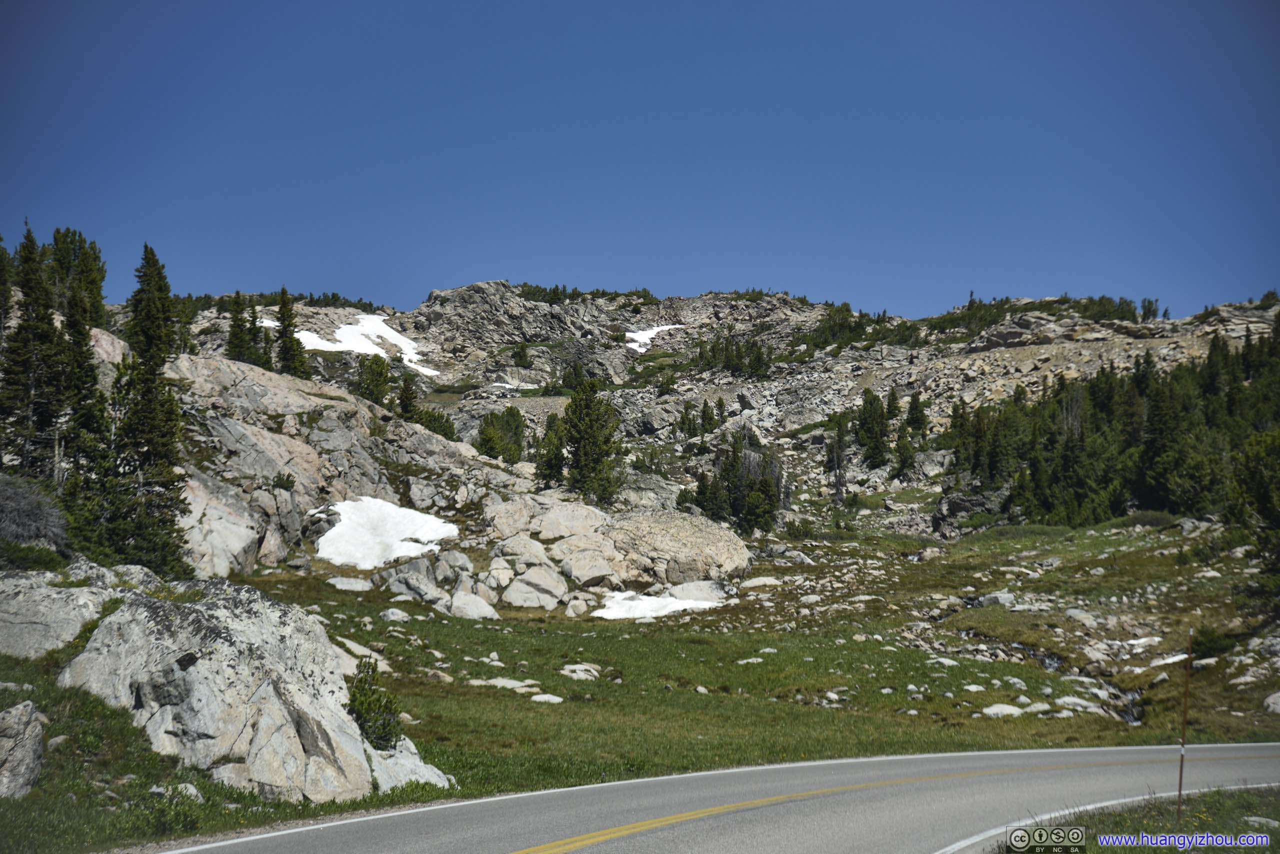
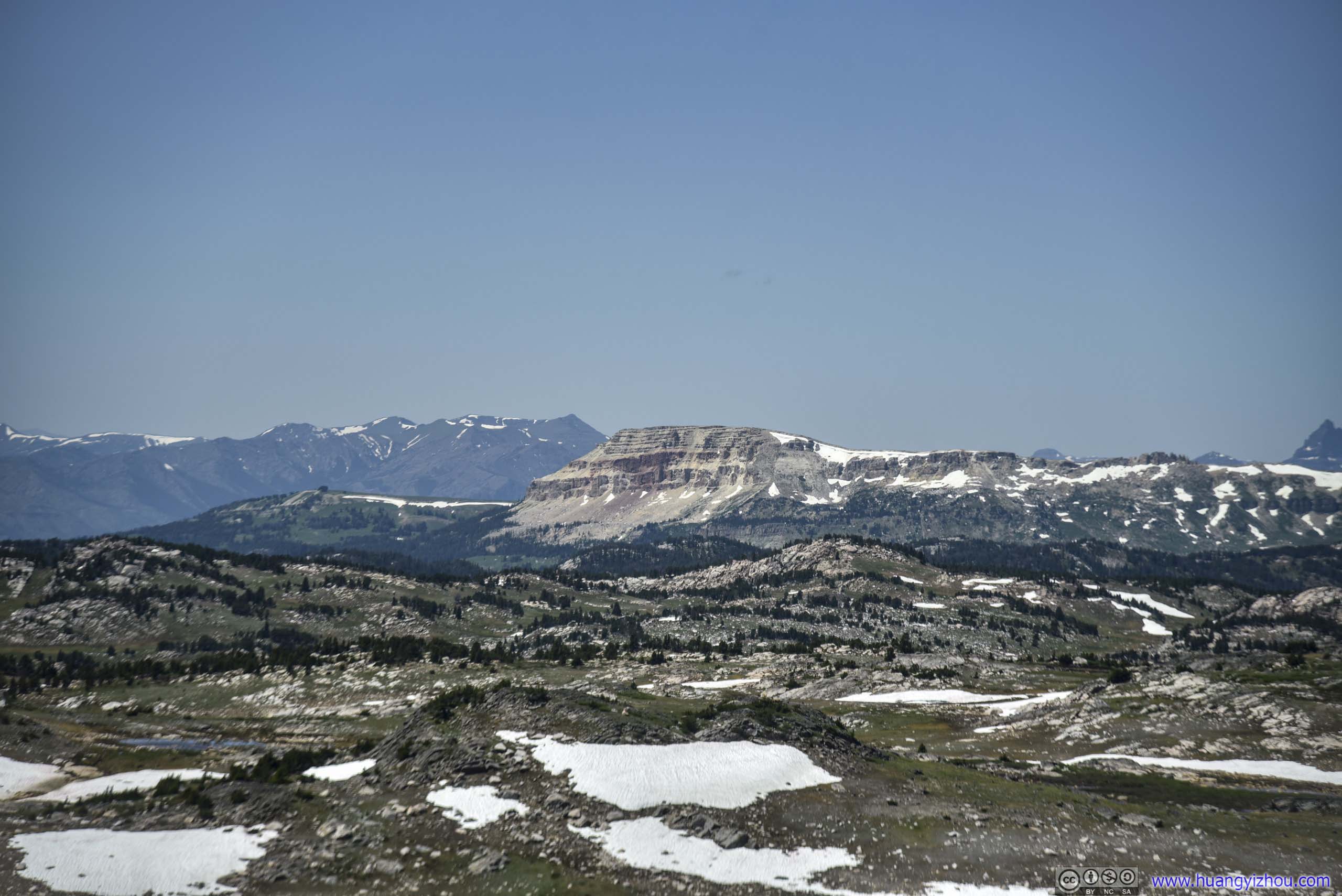
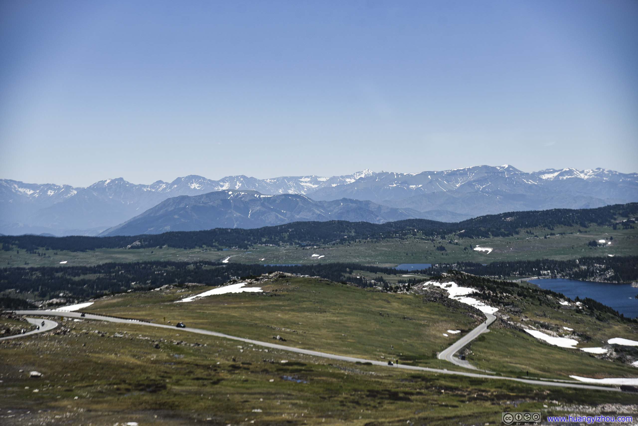
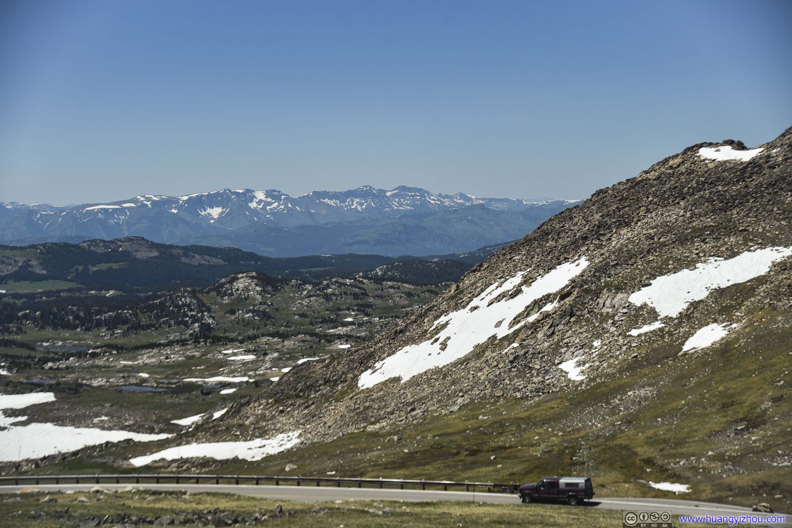
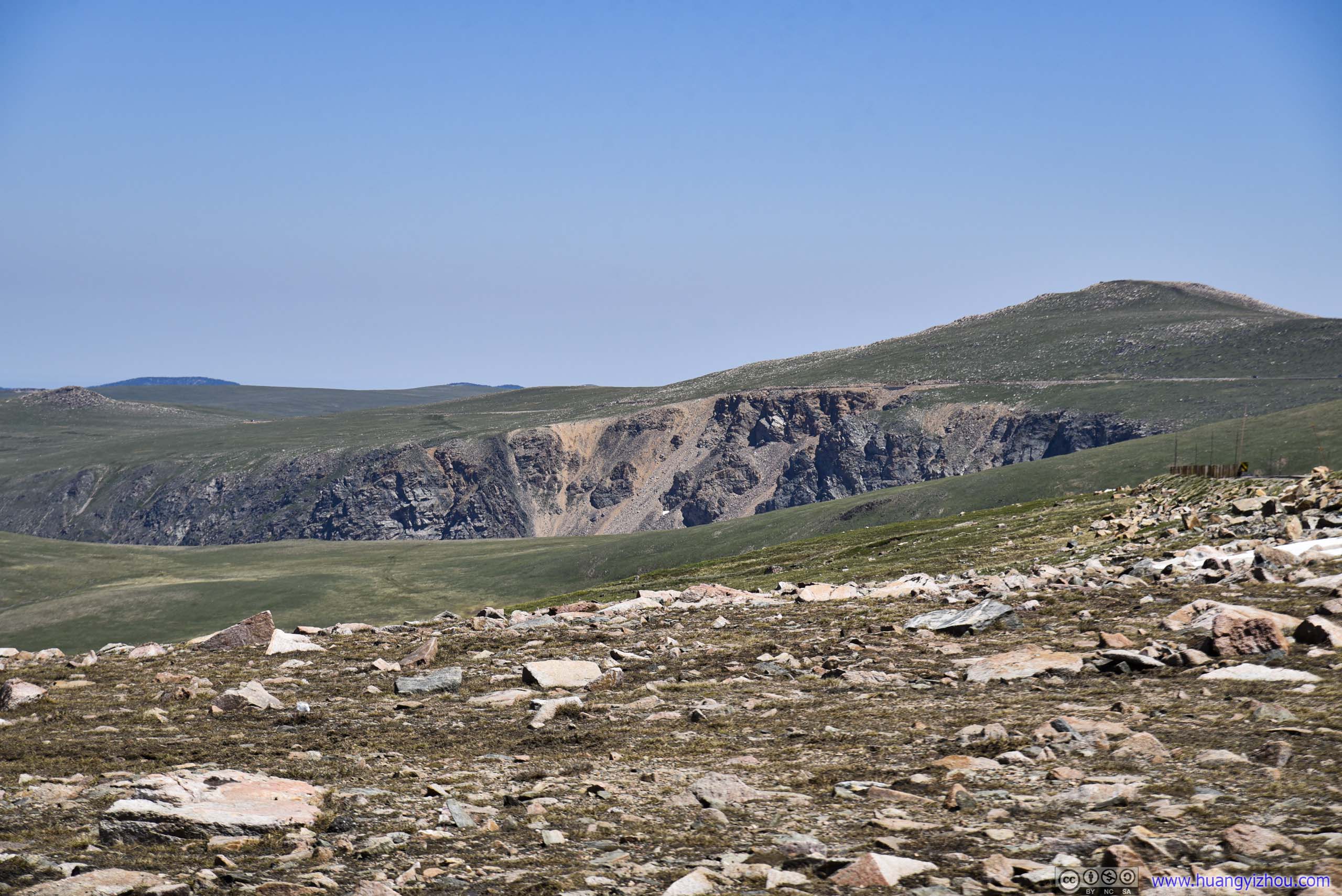
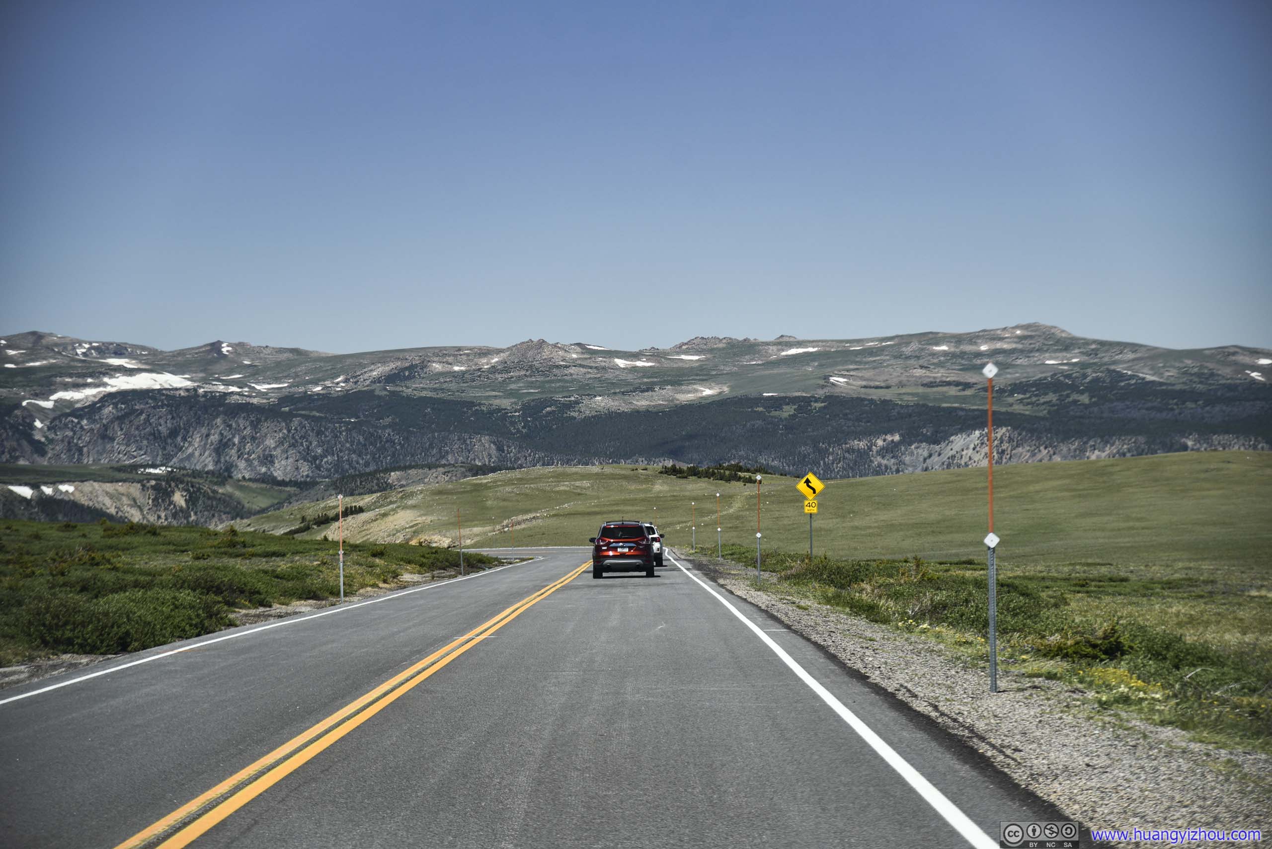
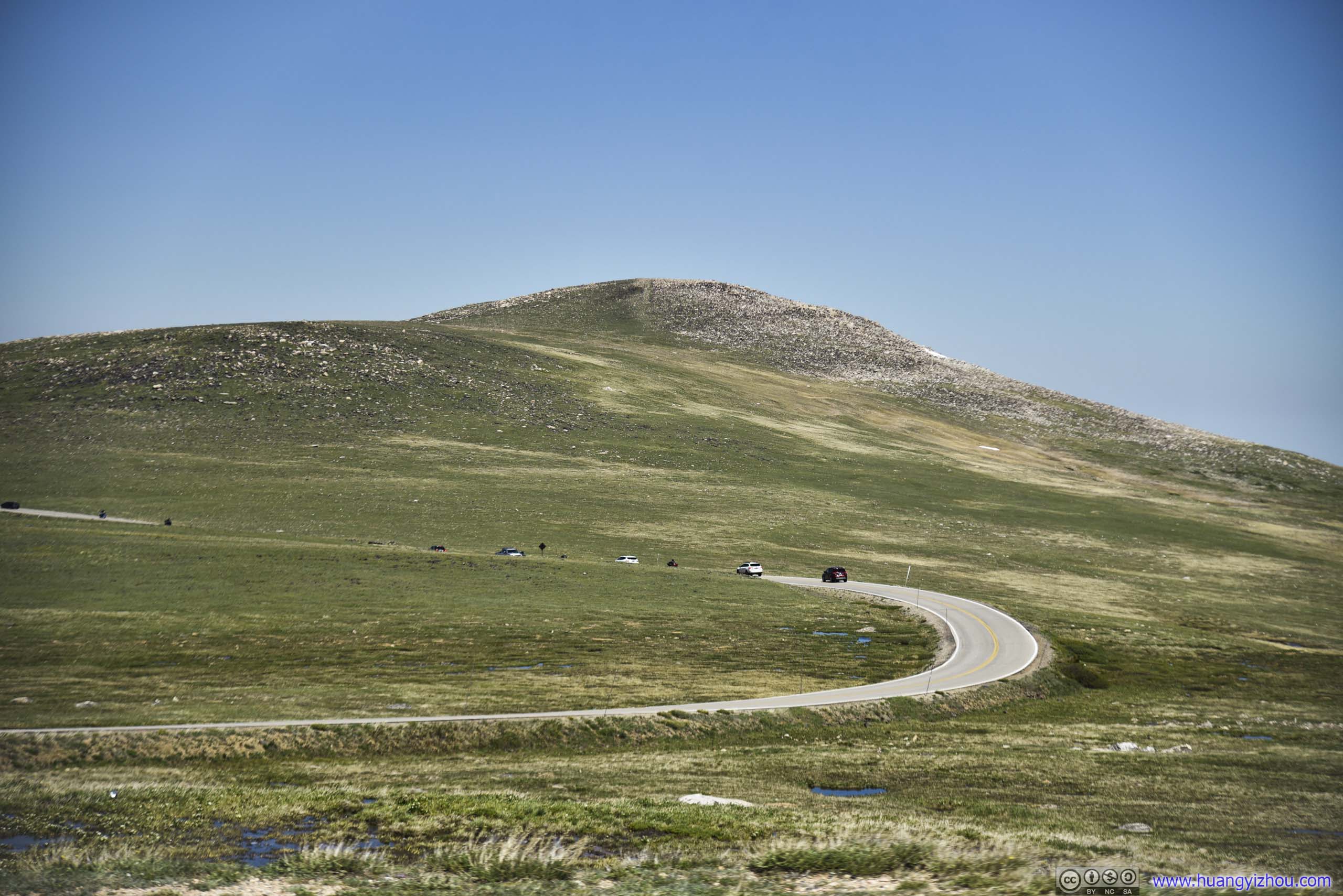
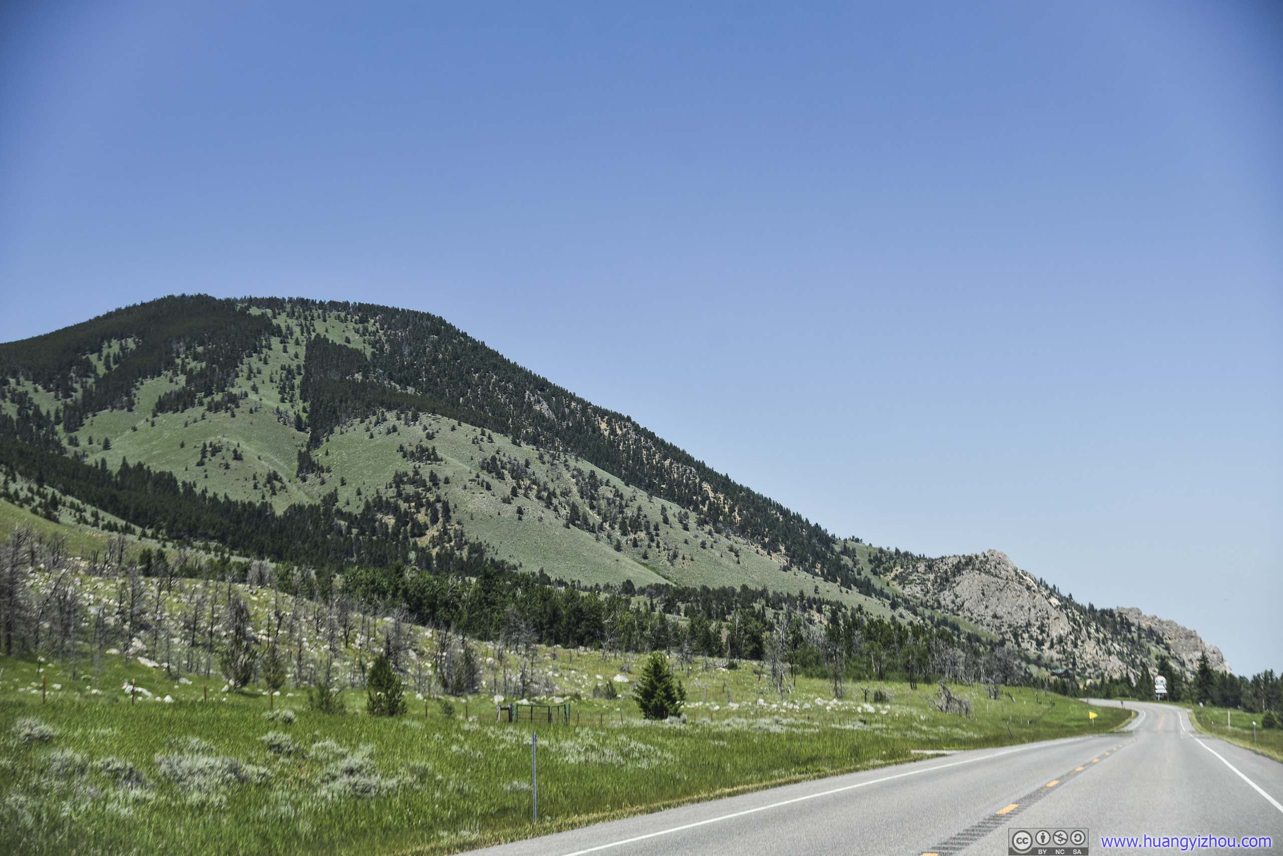
After that, we continued onto some plateau with lush meadows and patches of snow, among lakes and boulders.
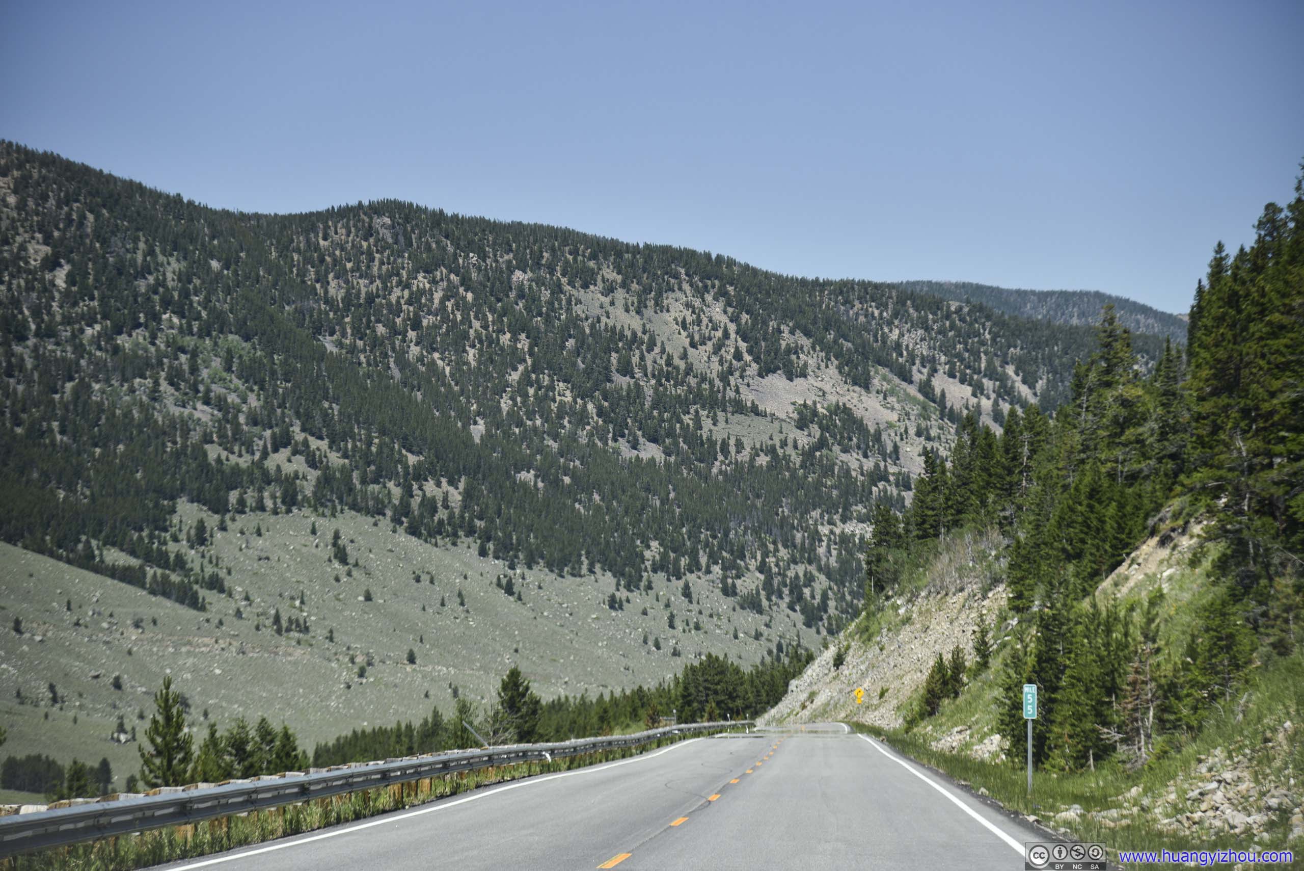
 Country Road
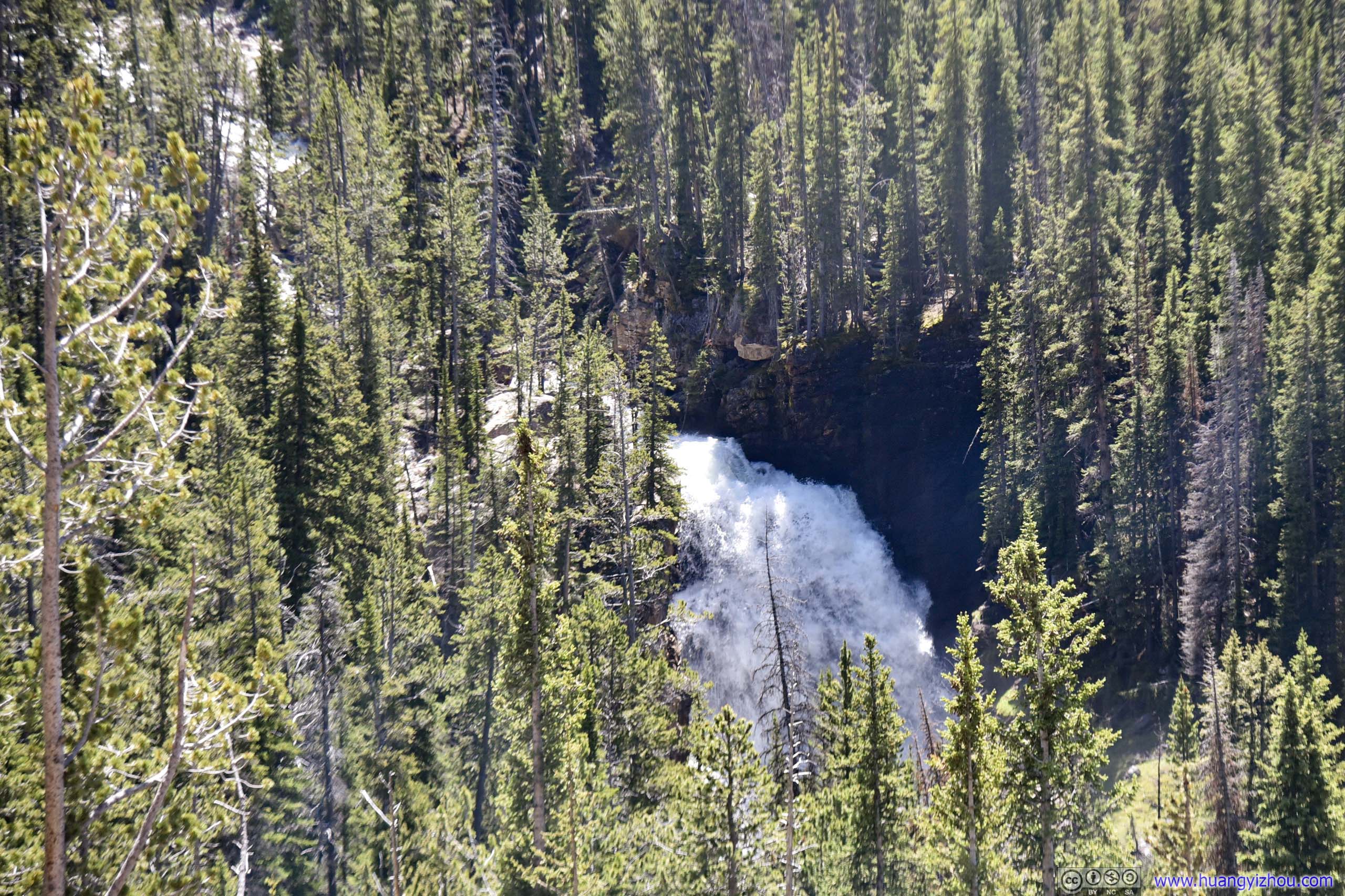
Beartooth Falls
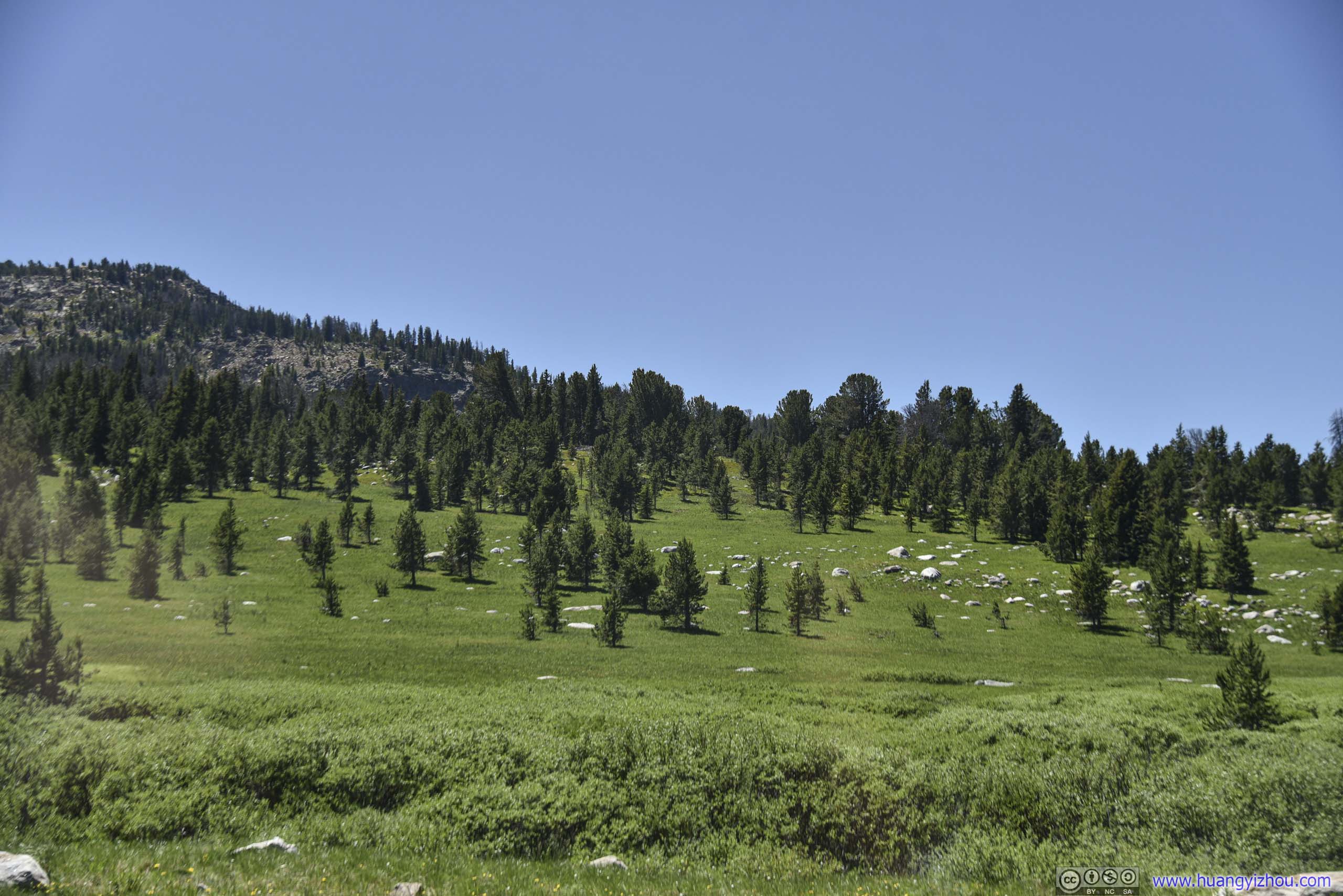
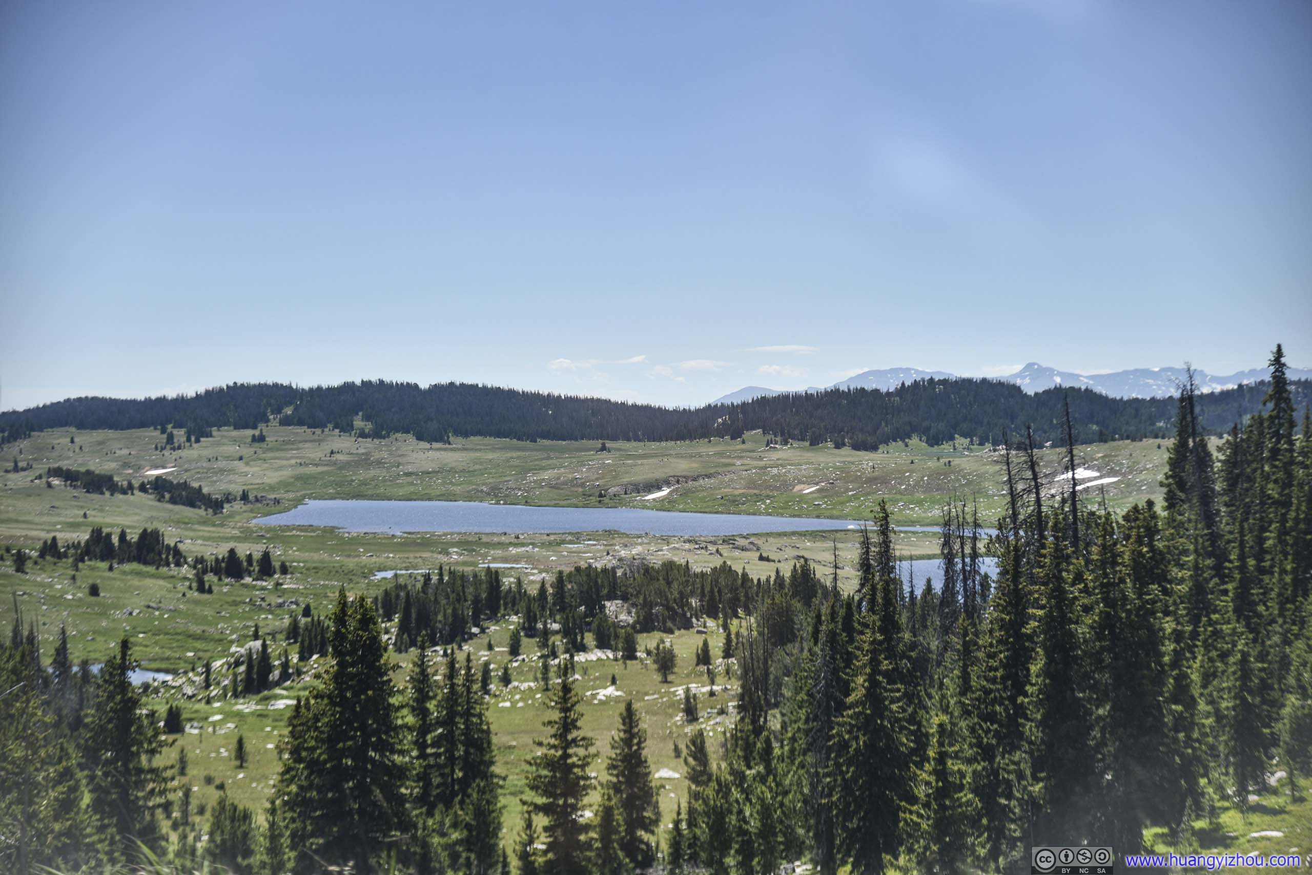 Field
Field
 Country Road
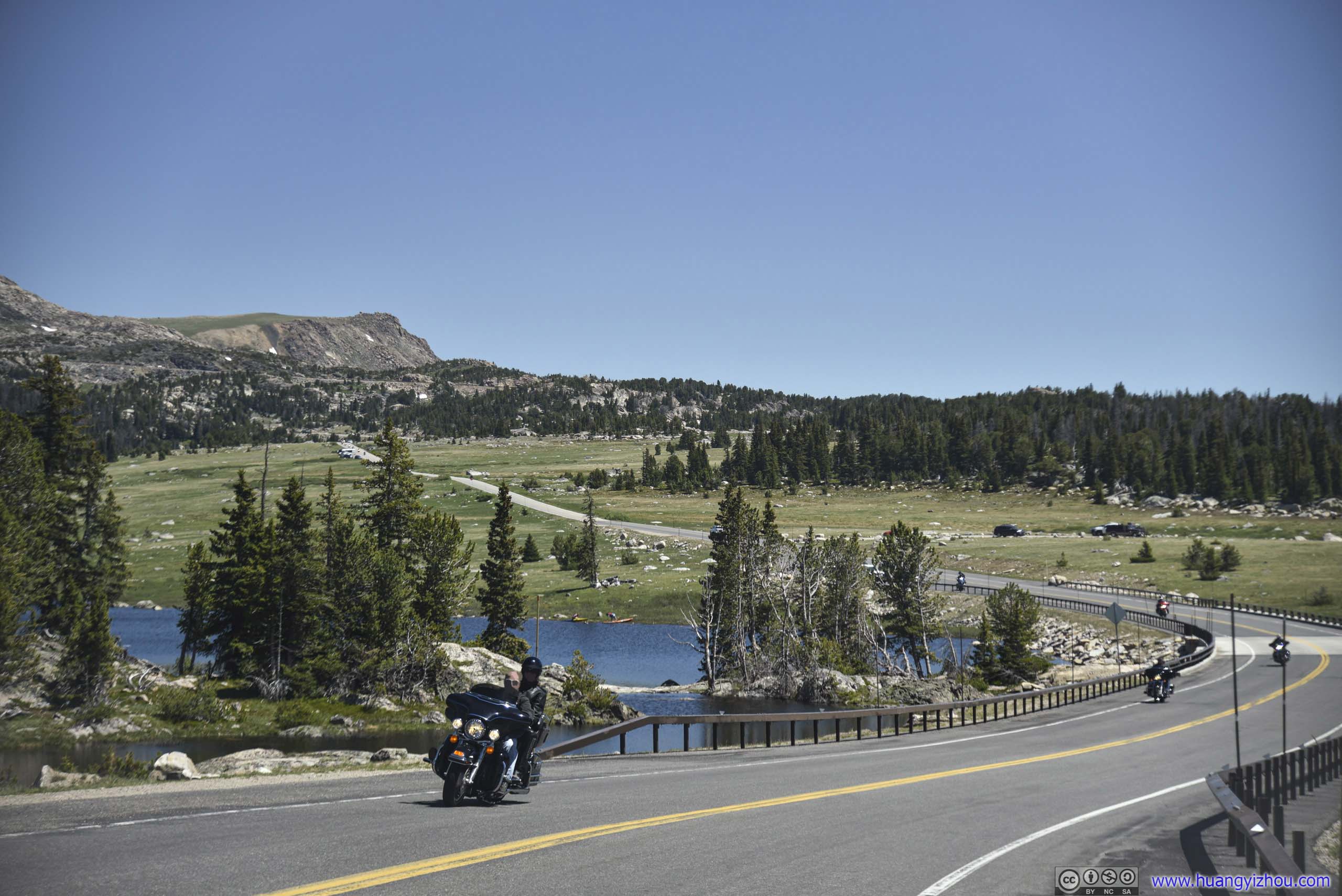
25th Annual Beartooth Motorcycle Rally happened to fall on this weekend, so once we exited Yellowstone National Park, we came across parades of motorbikes.
 Rocky Hill
 Lake and Distant Mountains
Distant Mountains
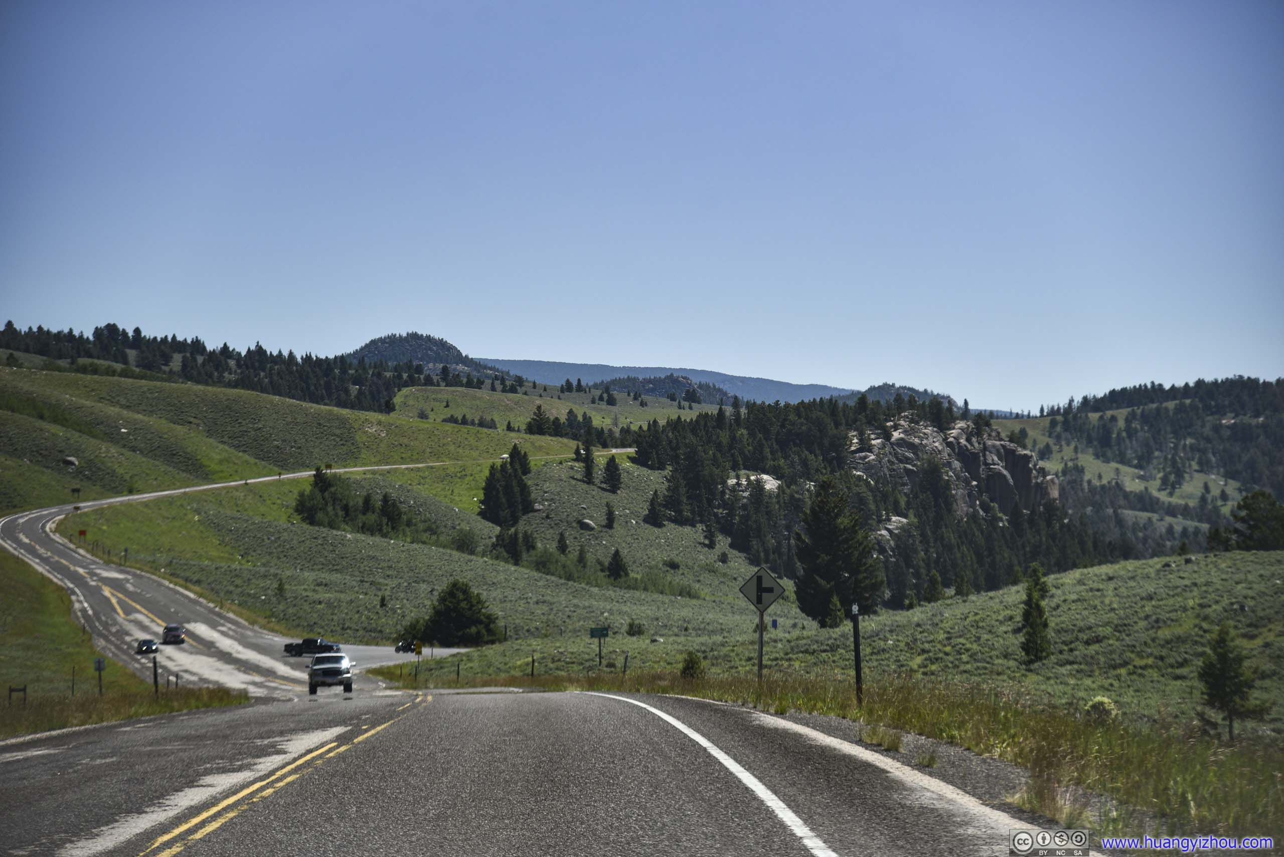
 Country Road
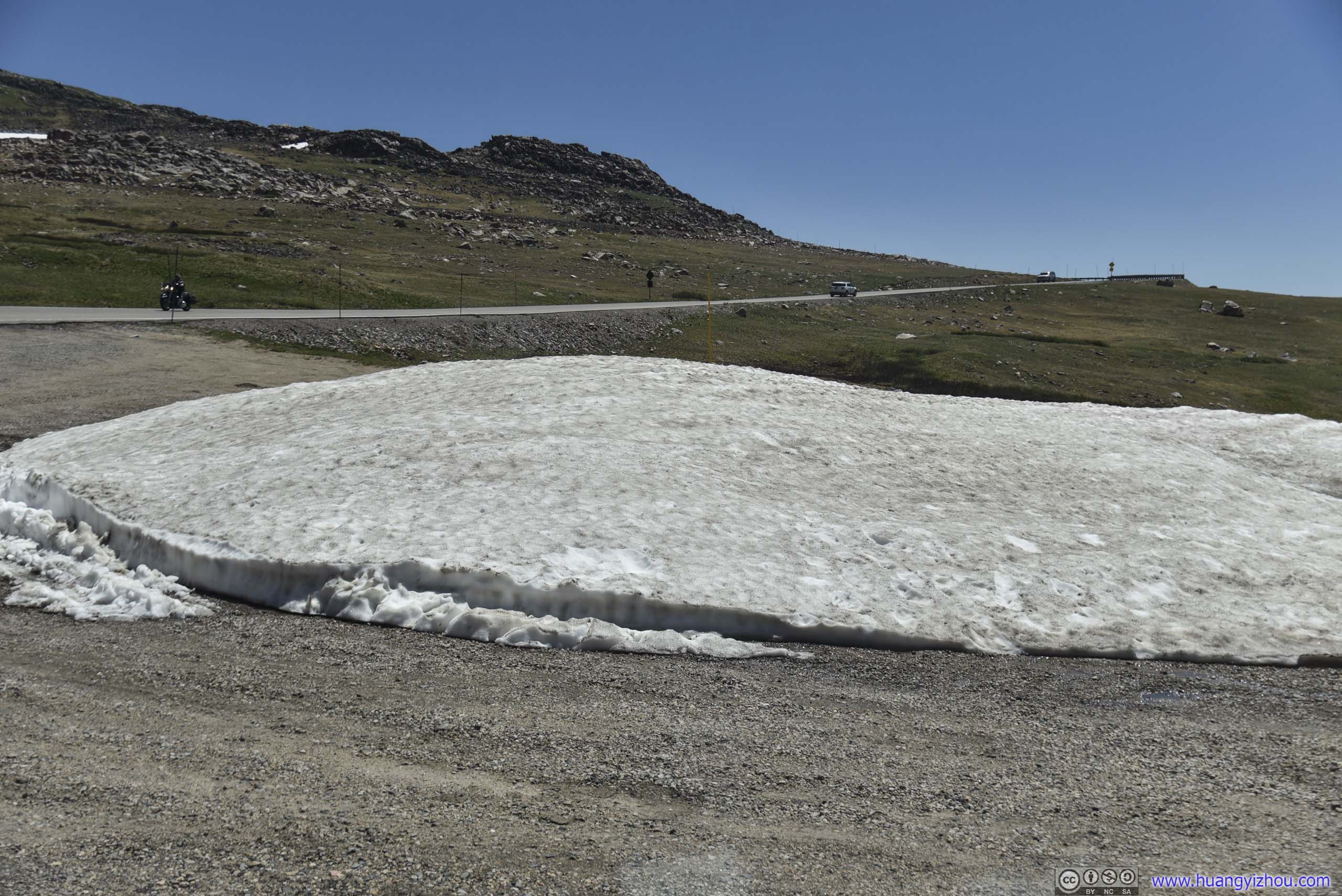
Snow Patch

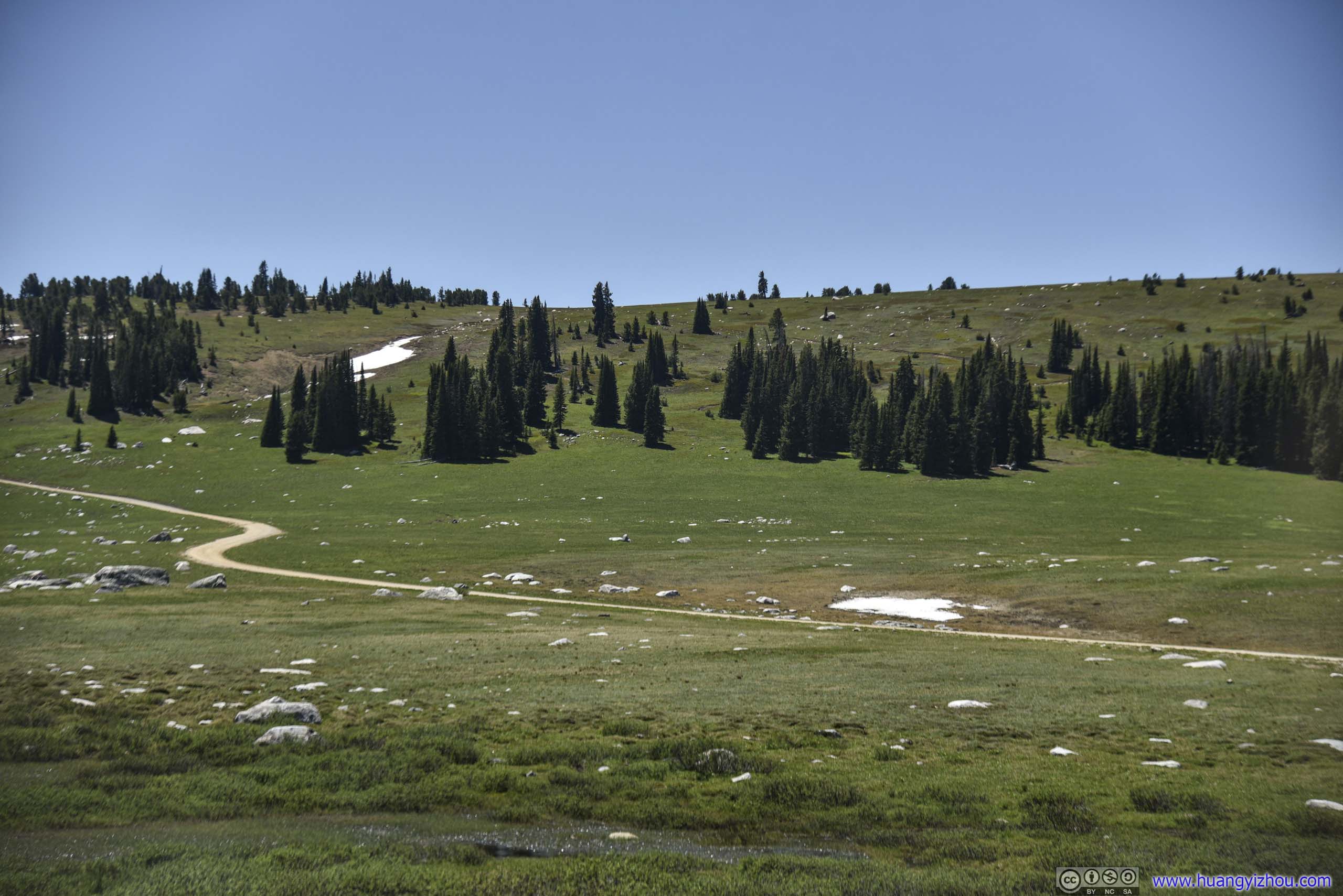
 Field and Distant Mountains
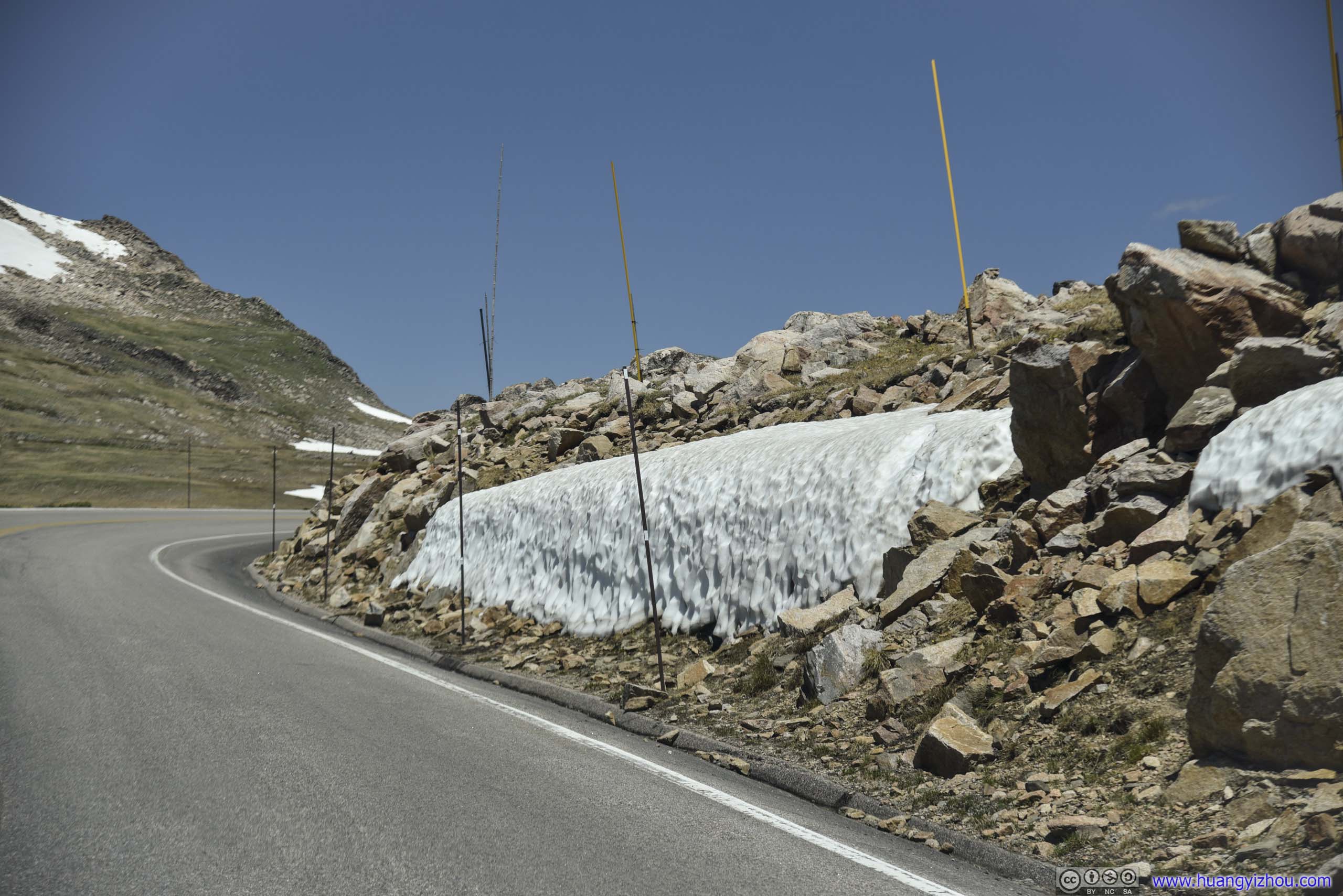
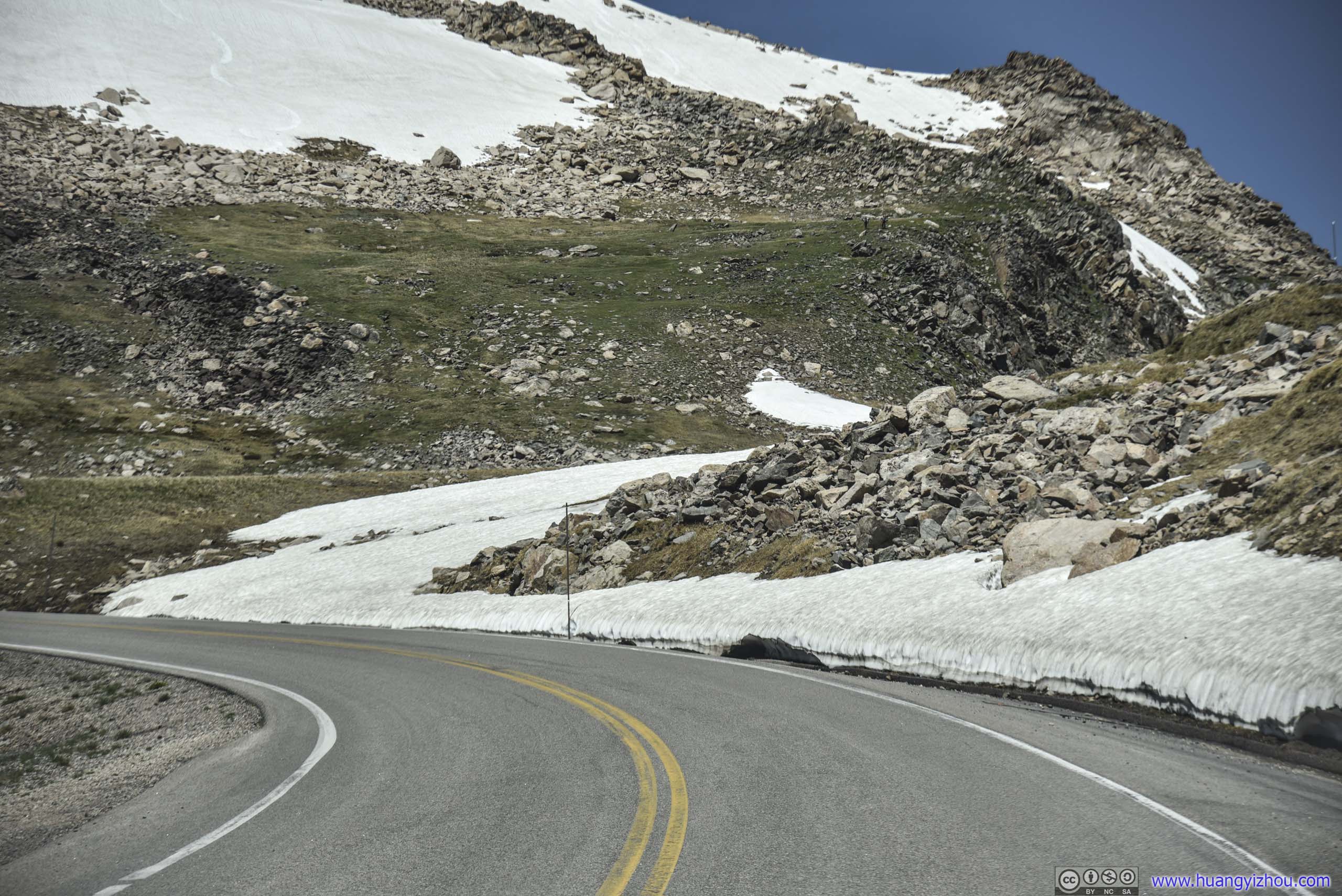
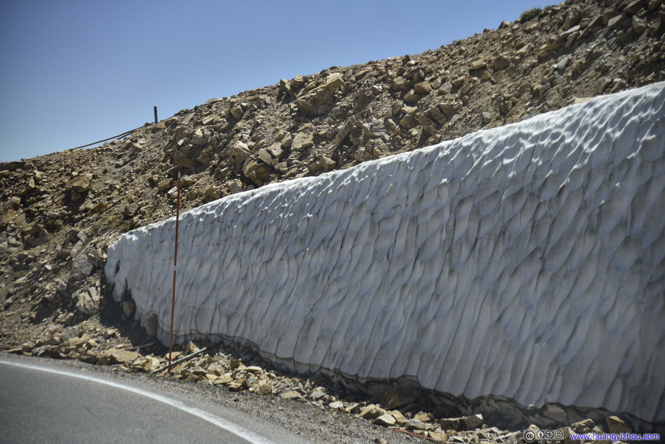 Snow Wall by Road
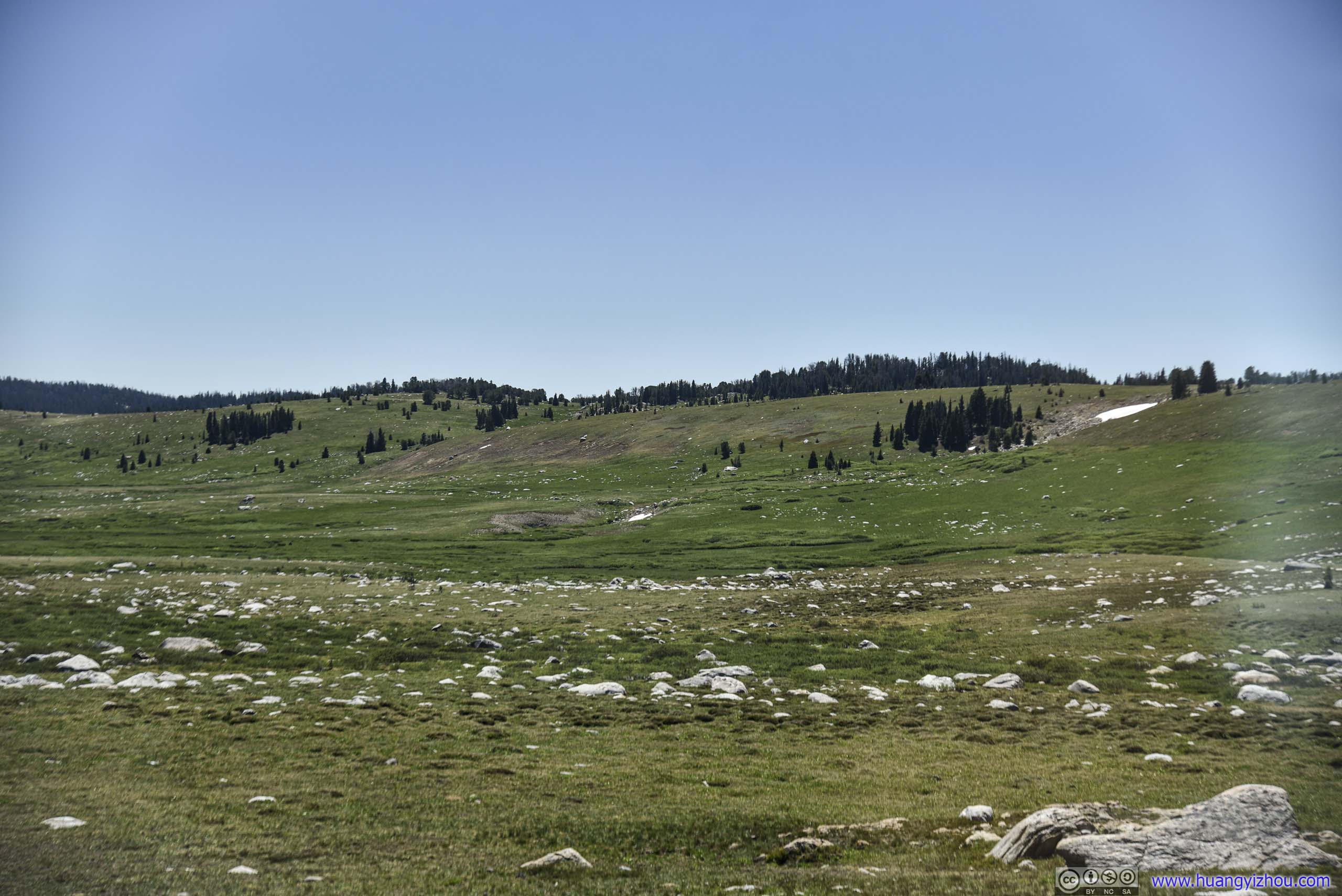
Field and Distant Mountains
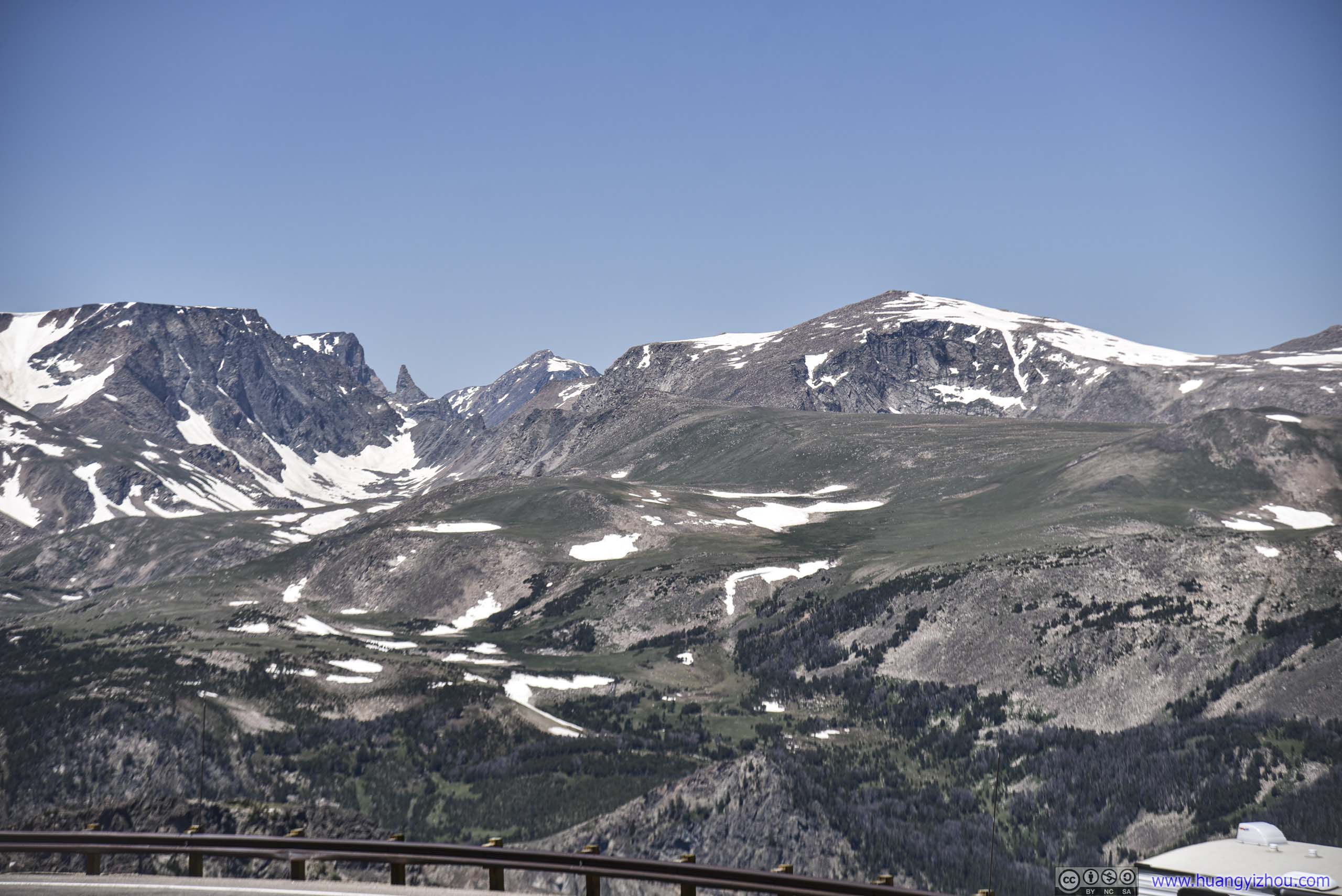
Field and Distant MountainsBeartooth Butte and Pilot Peak.
Hill with Snow Patches
Field and Distant MountainsLong Lake in the foreground behind rocks.
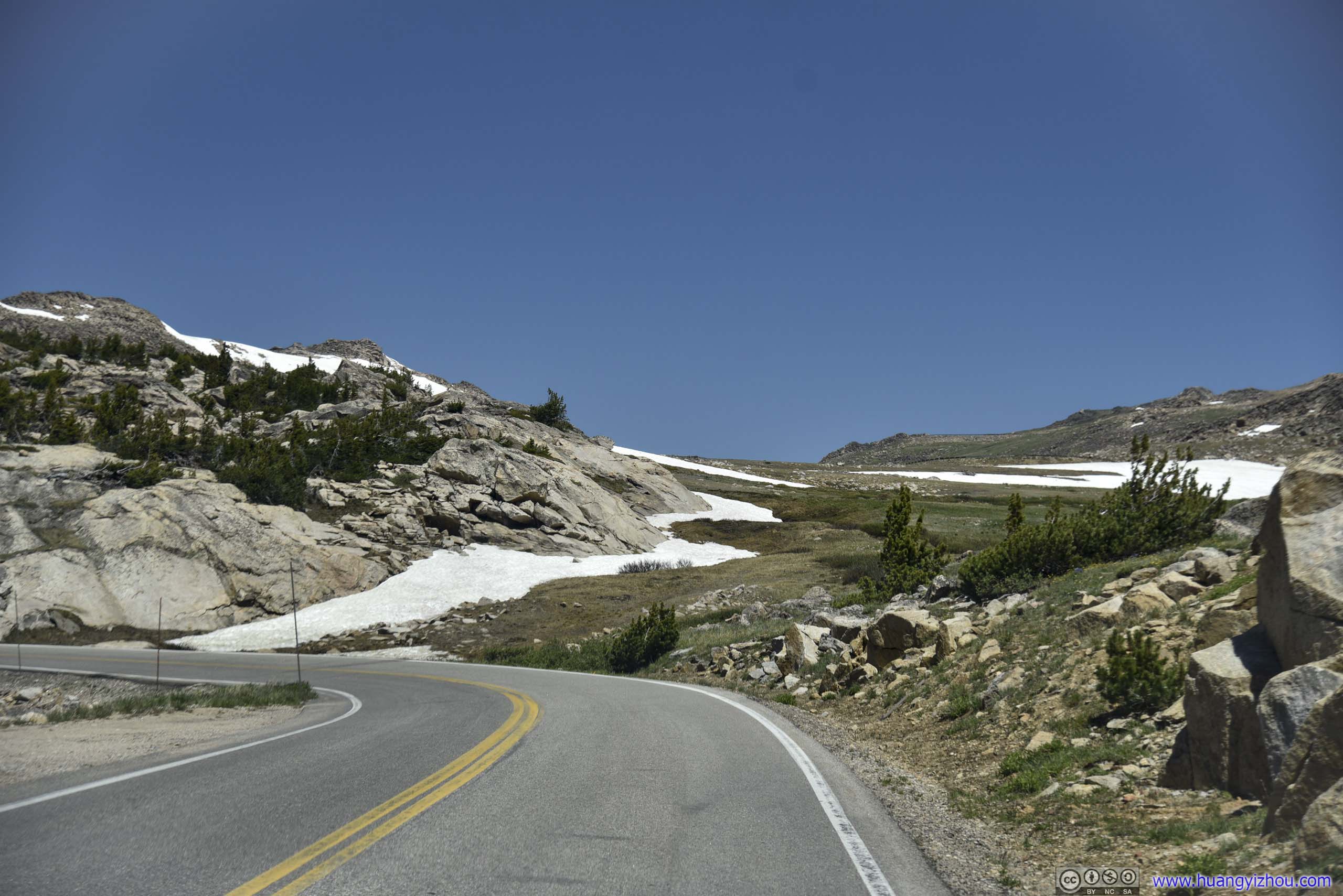
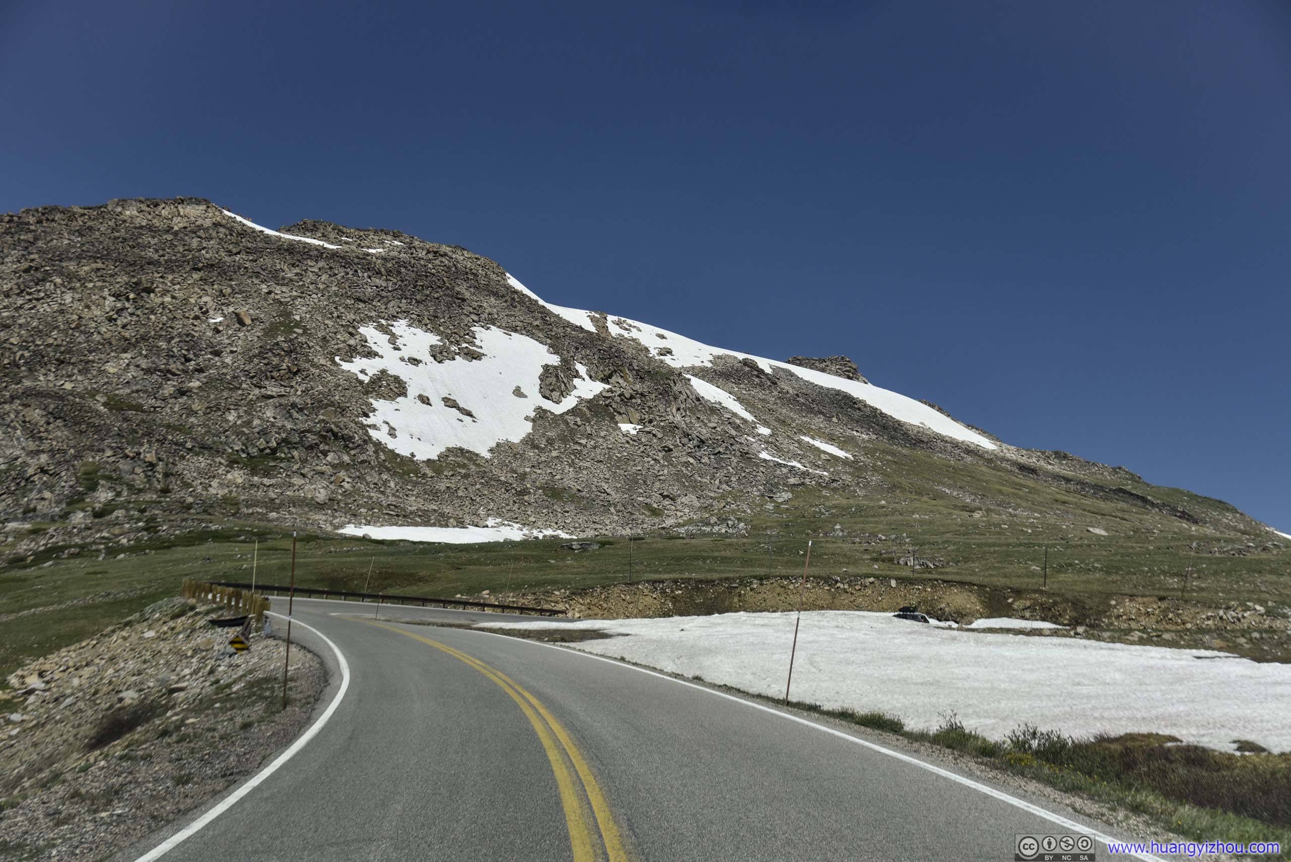
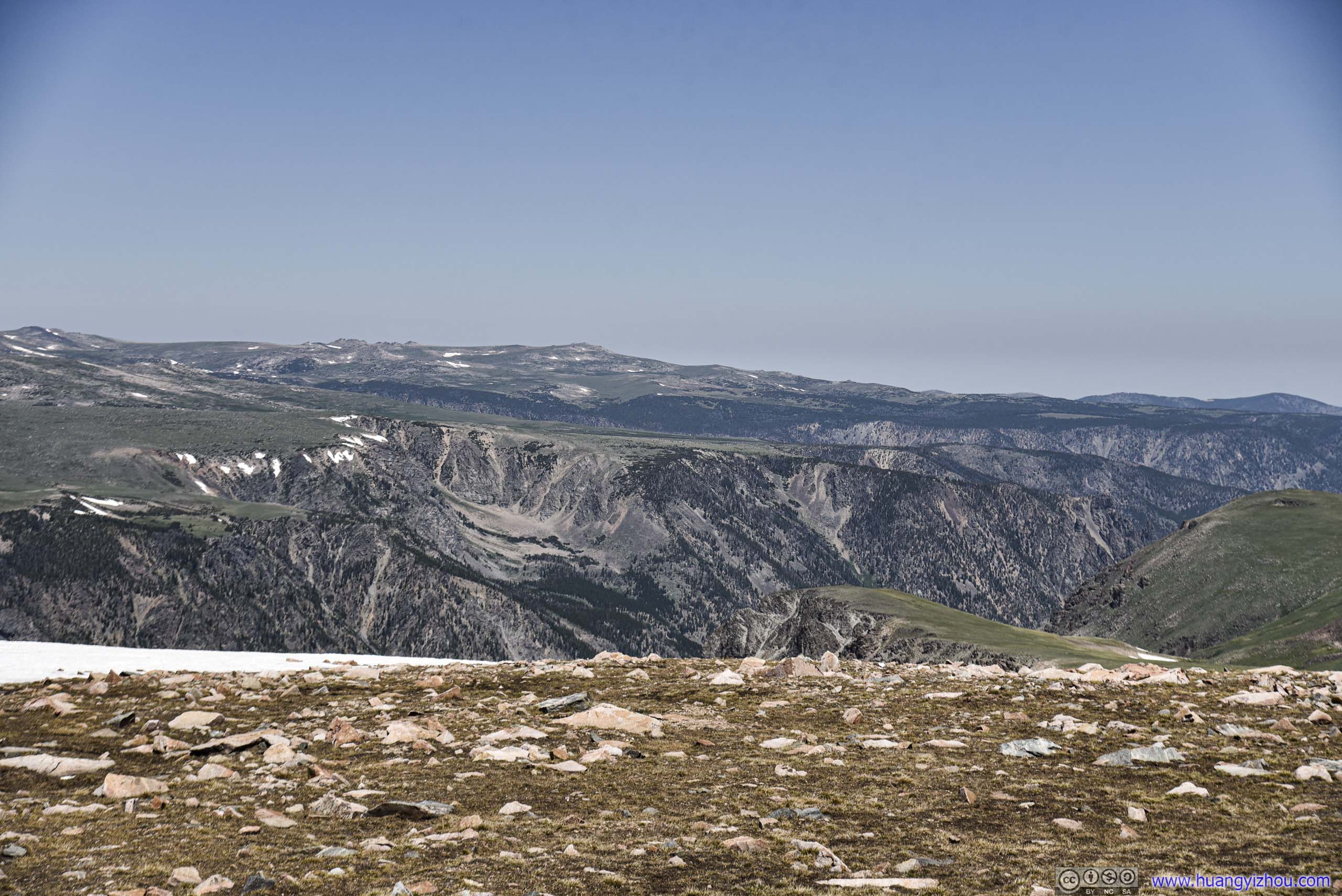
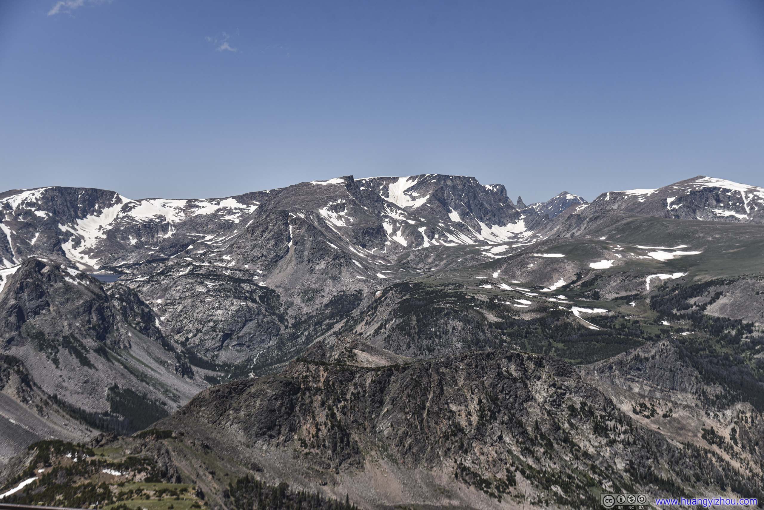
Beartooth Pass
At an elevation of 3337 meters, it’s the highest point of Beartooth Highway. We followed many motorbikes and made a stop here.
First in our sight was this Prairie Dog just next to the pullover parking area.
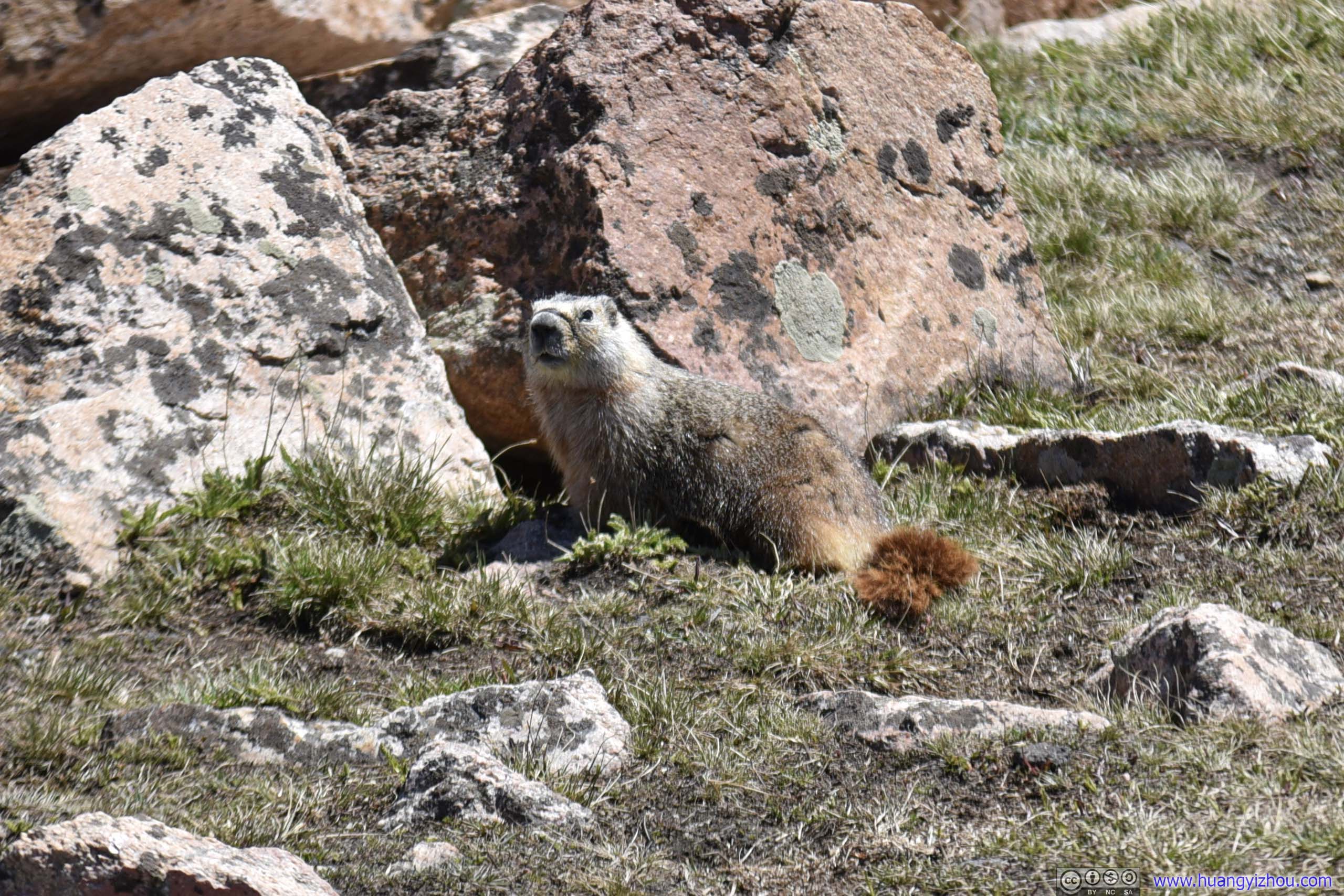
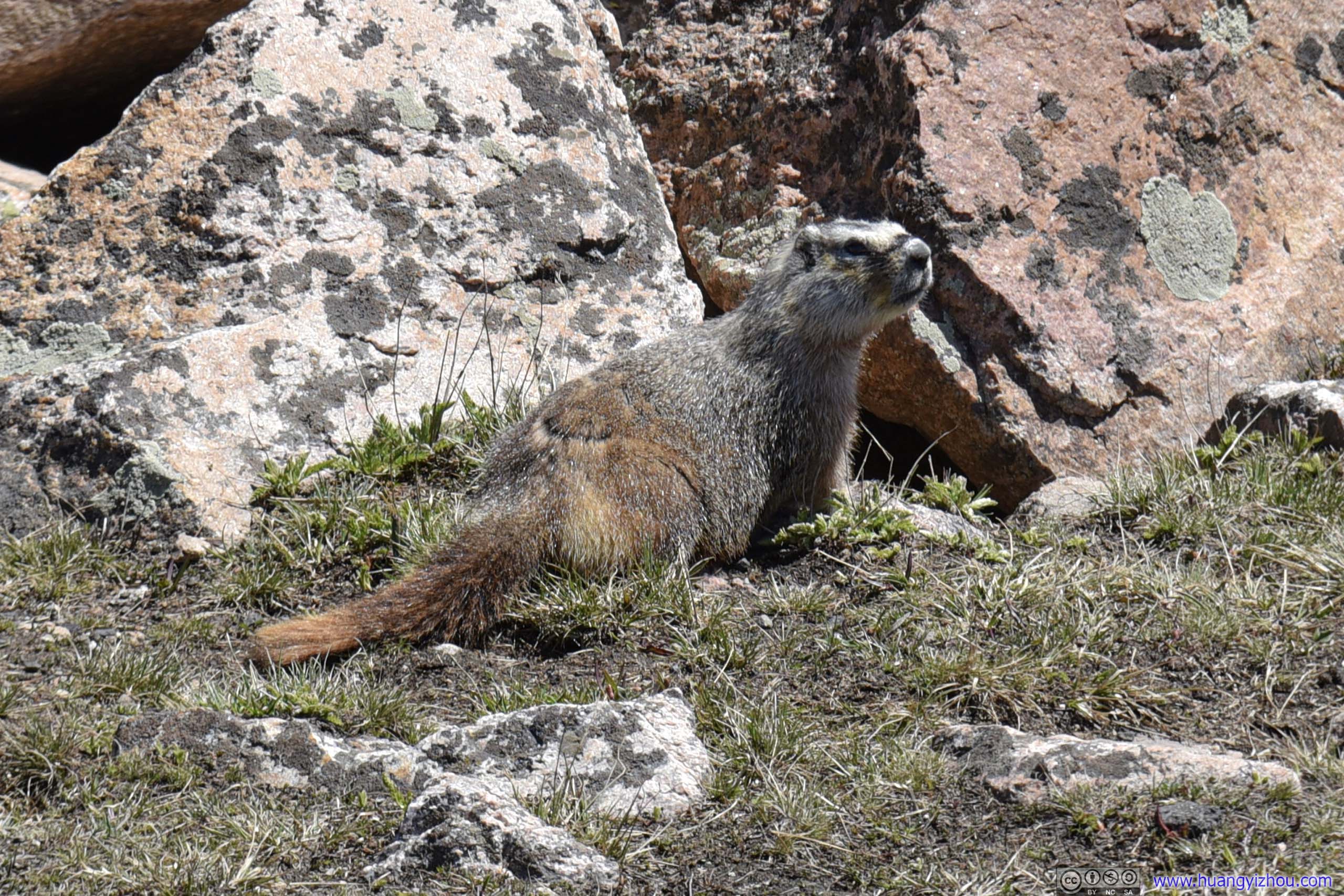 Prairie Dog
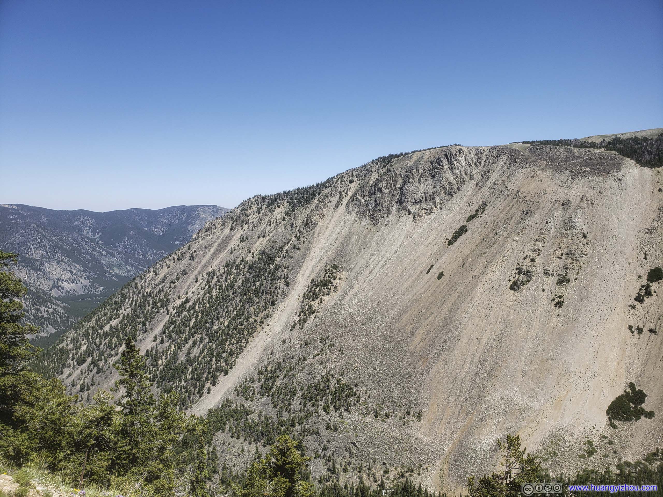
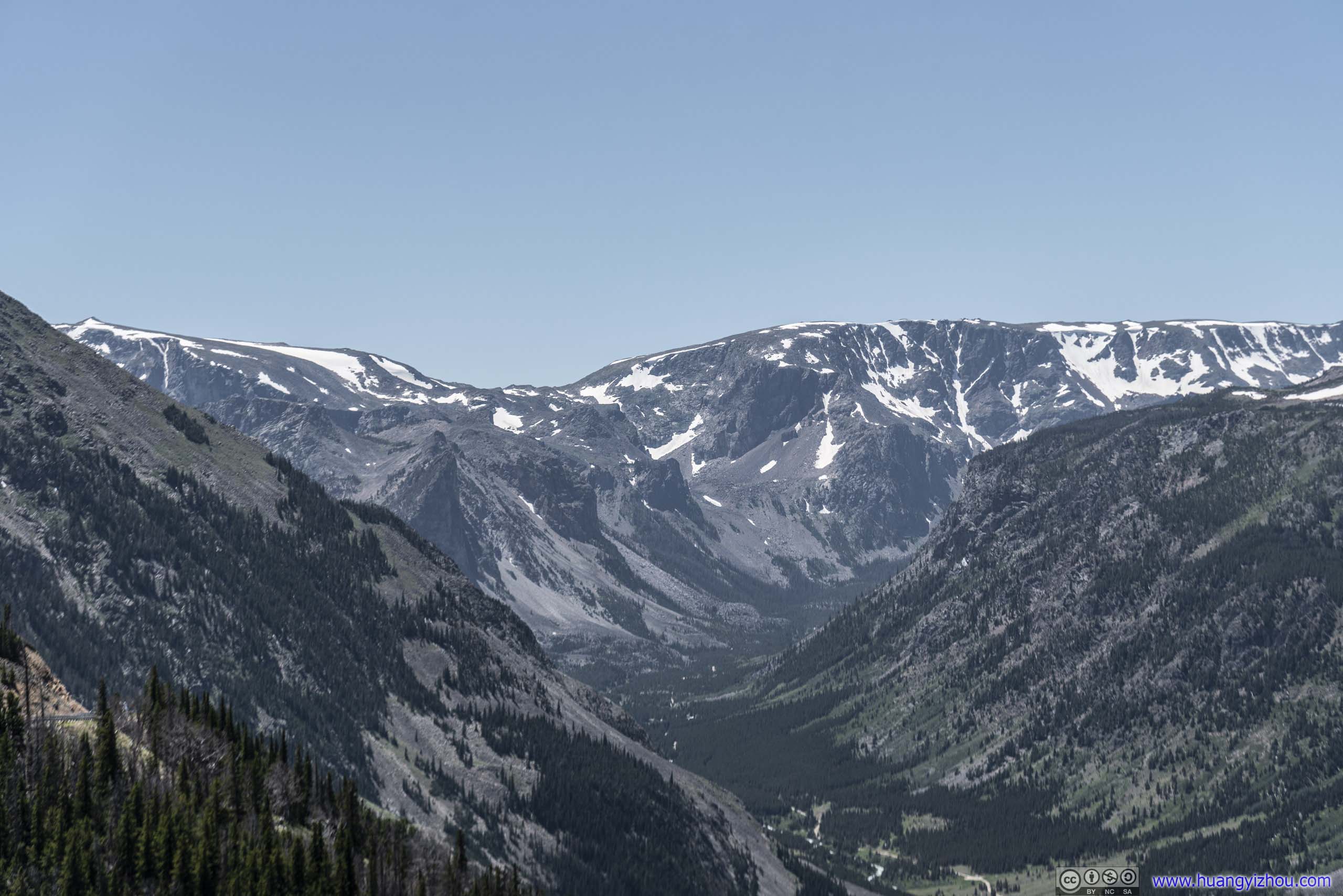
Then we enjoyed views of nearby mountains and canyons before setting off.
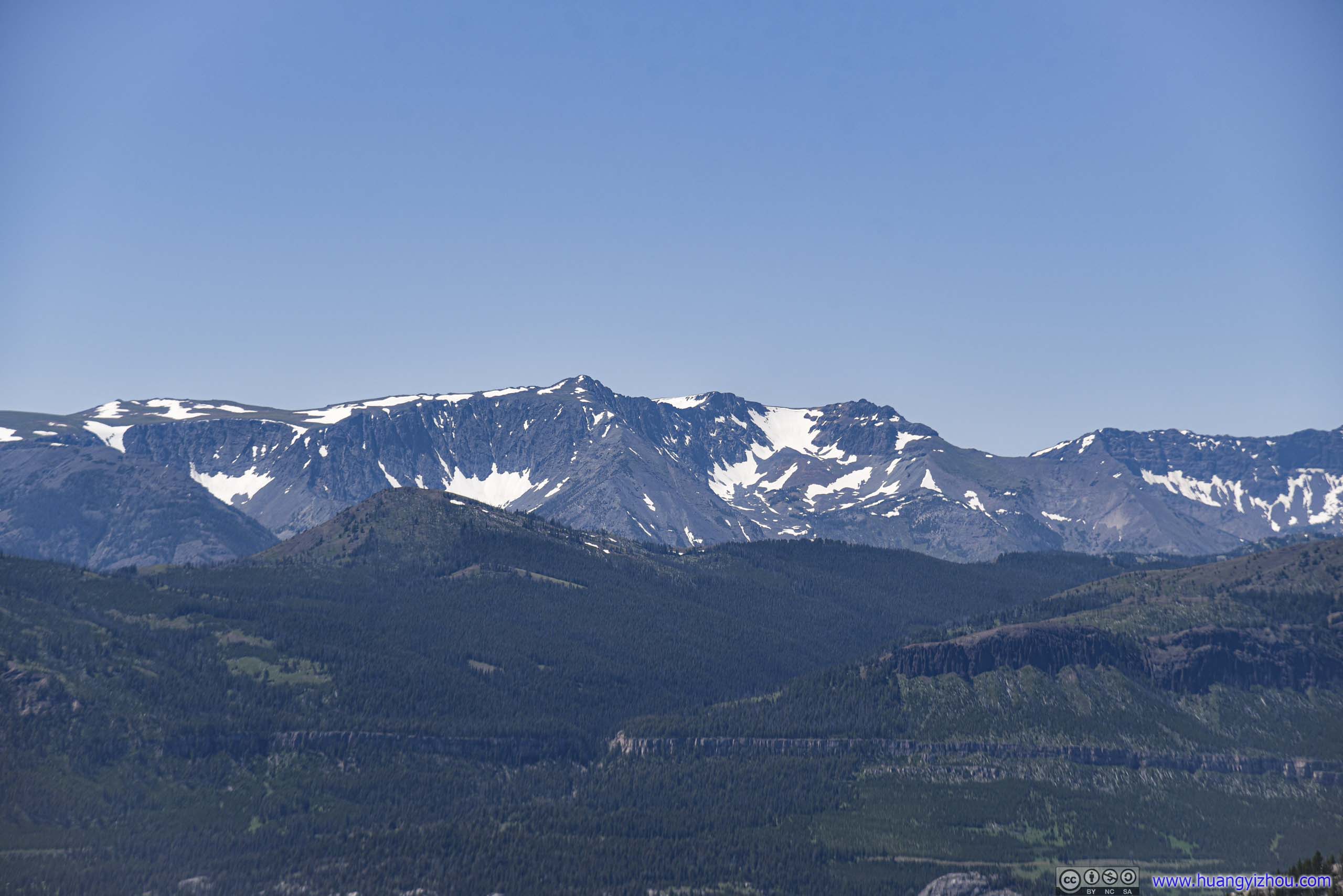
Mountains
Snow Patch and Distant Mountains
Mountains
MountainsA huge cliff ahead.
 Mountains
 Mountains
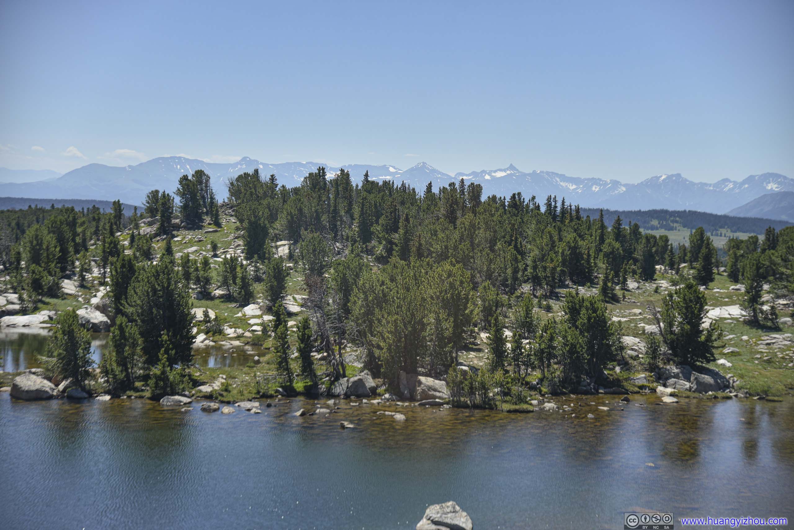
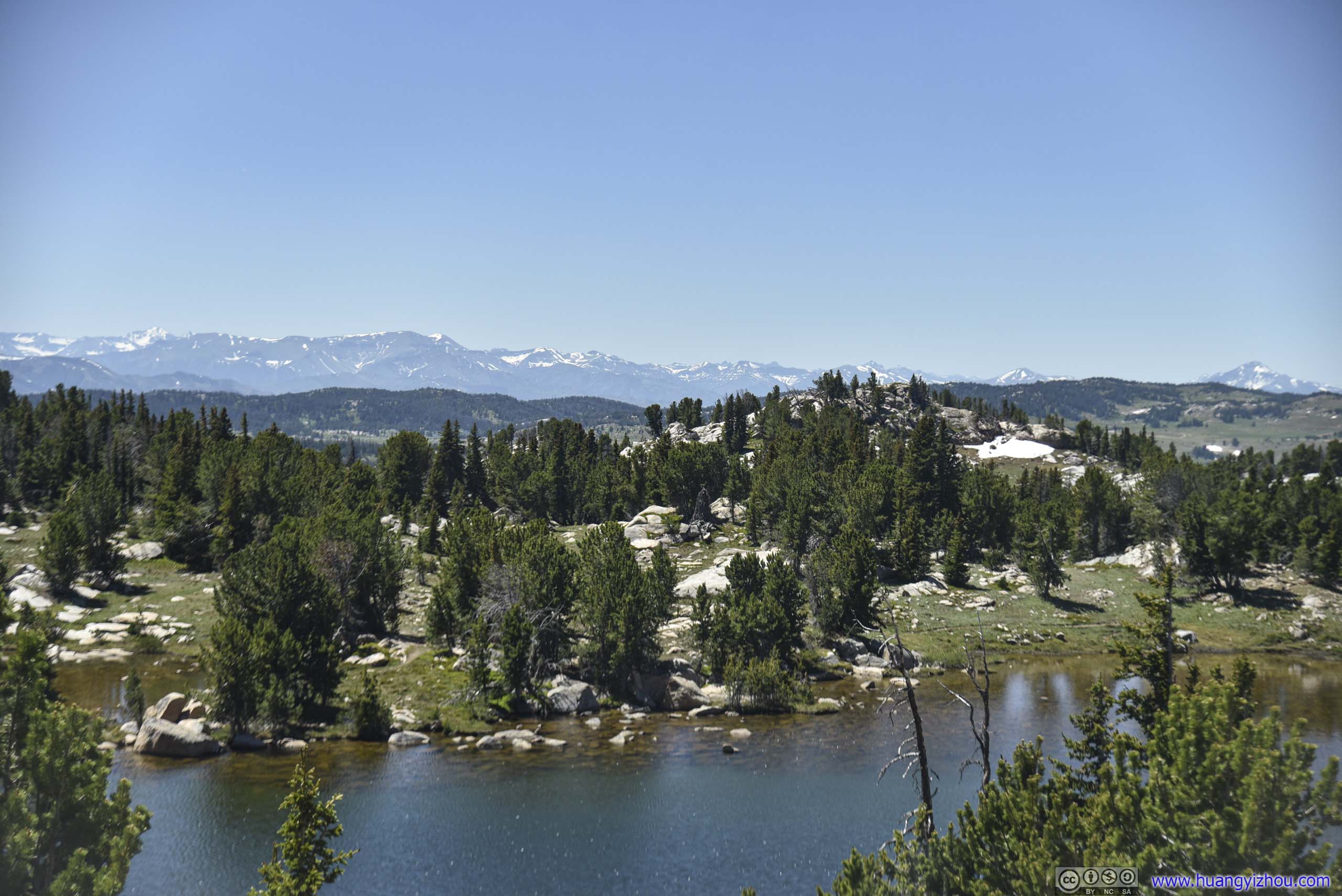
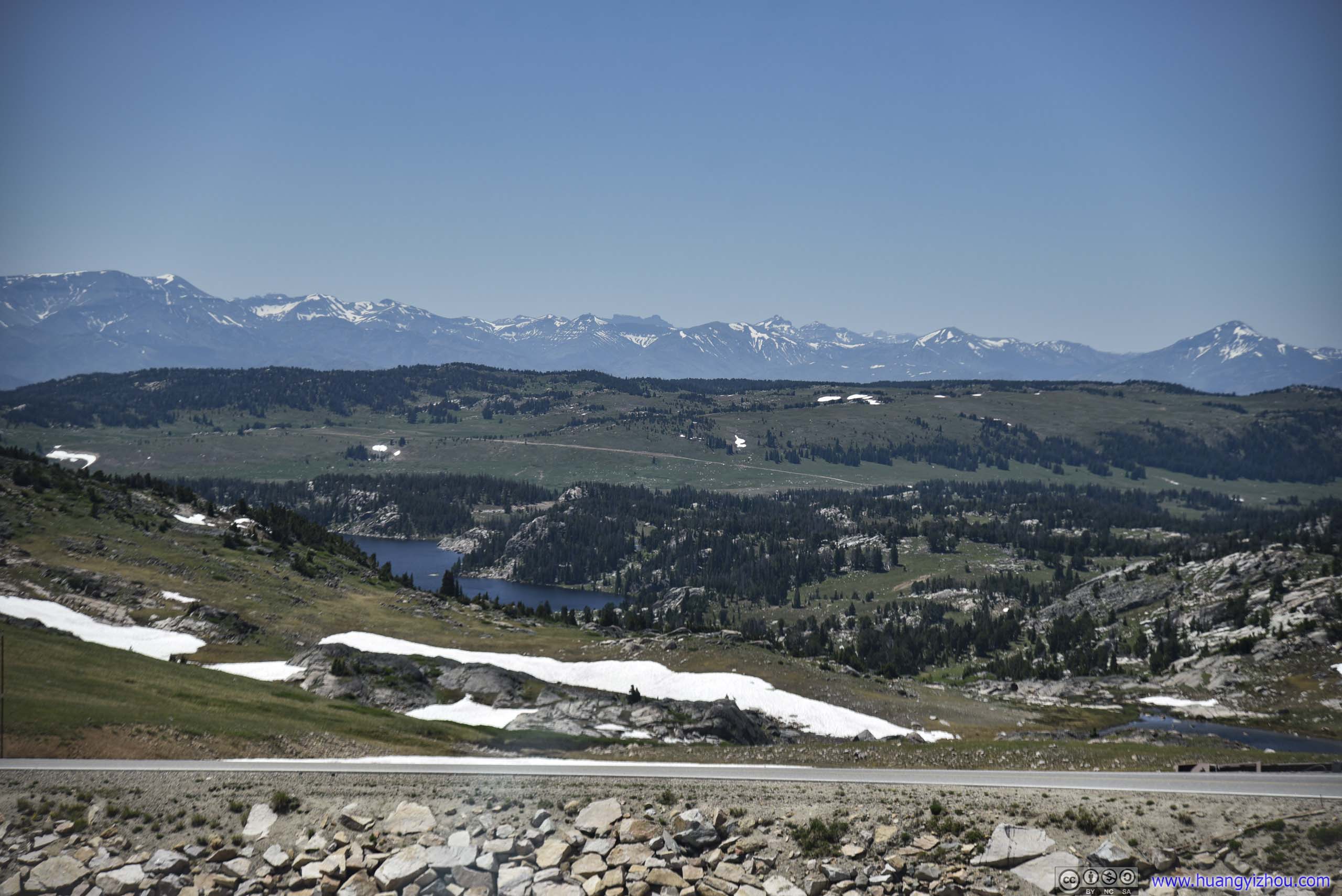
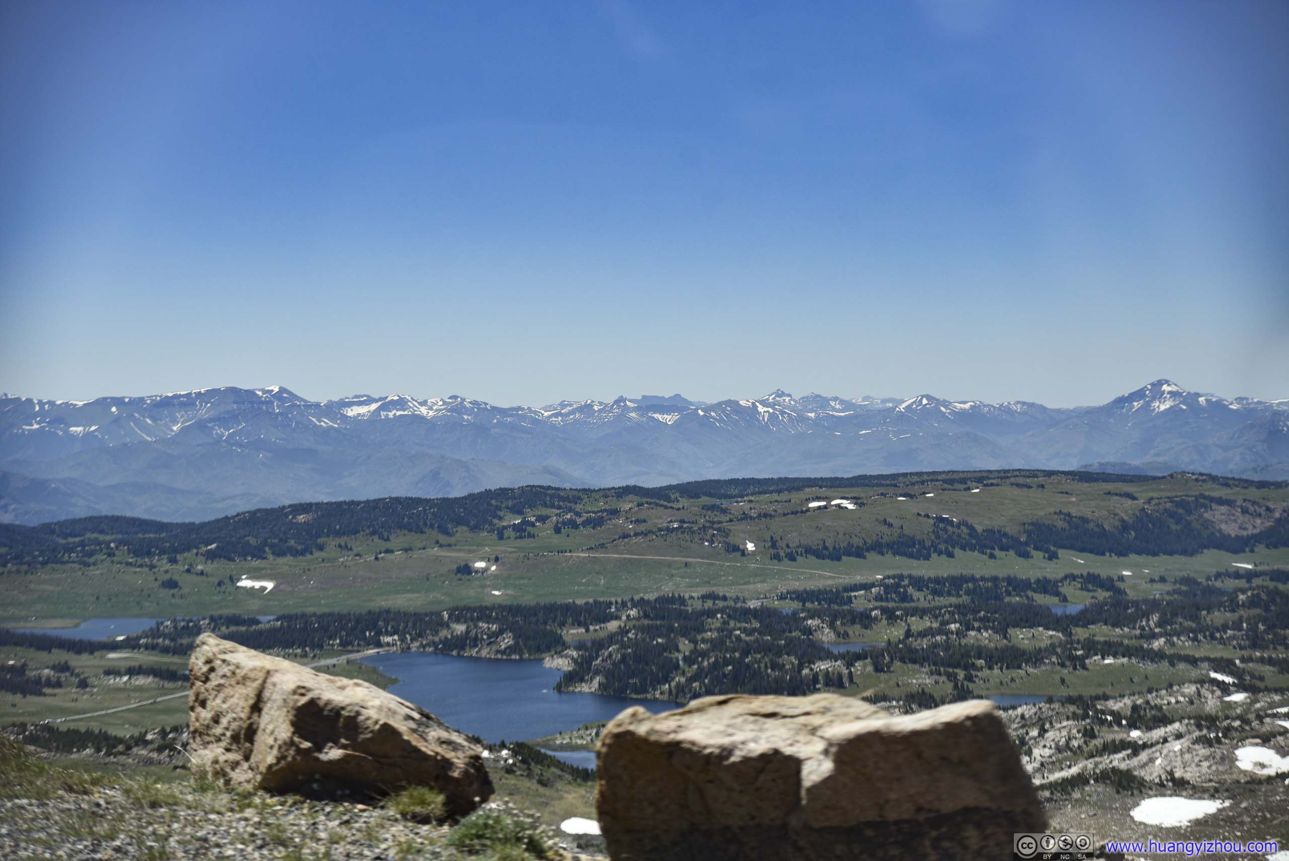
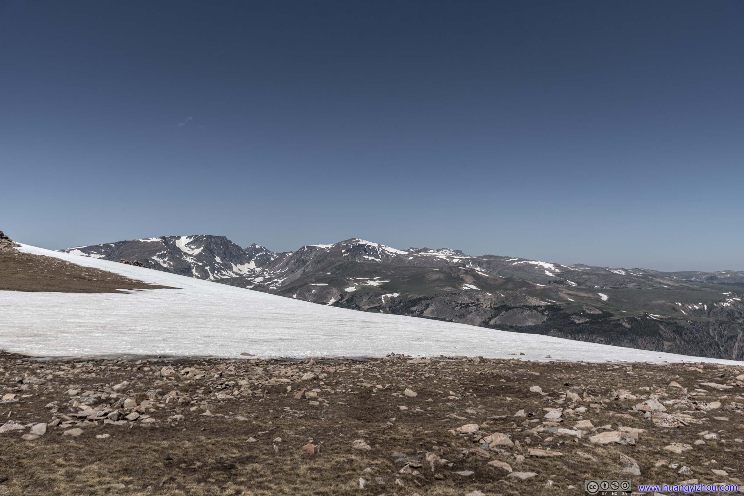
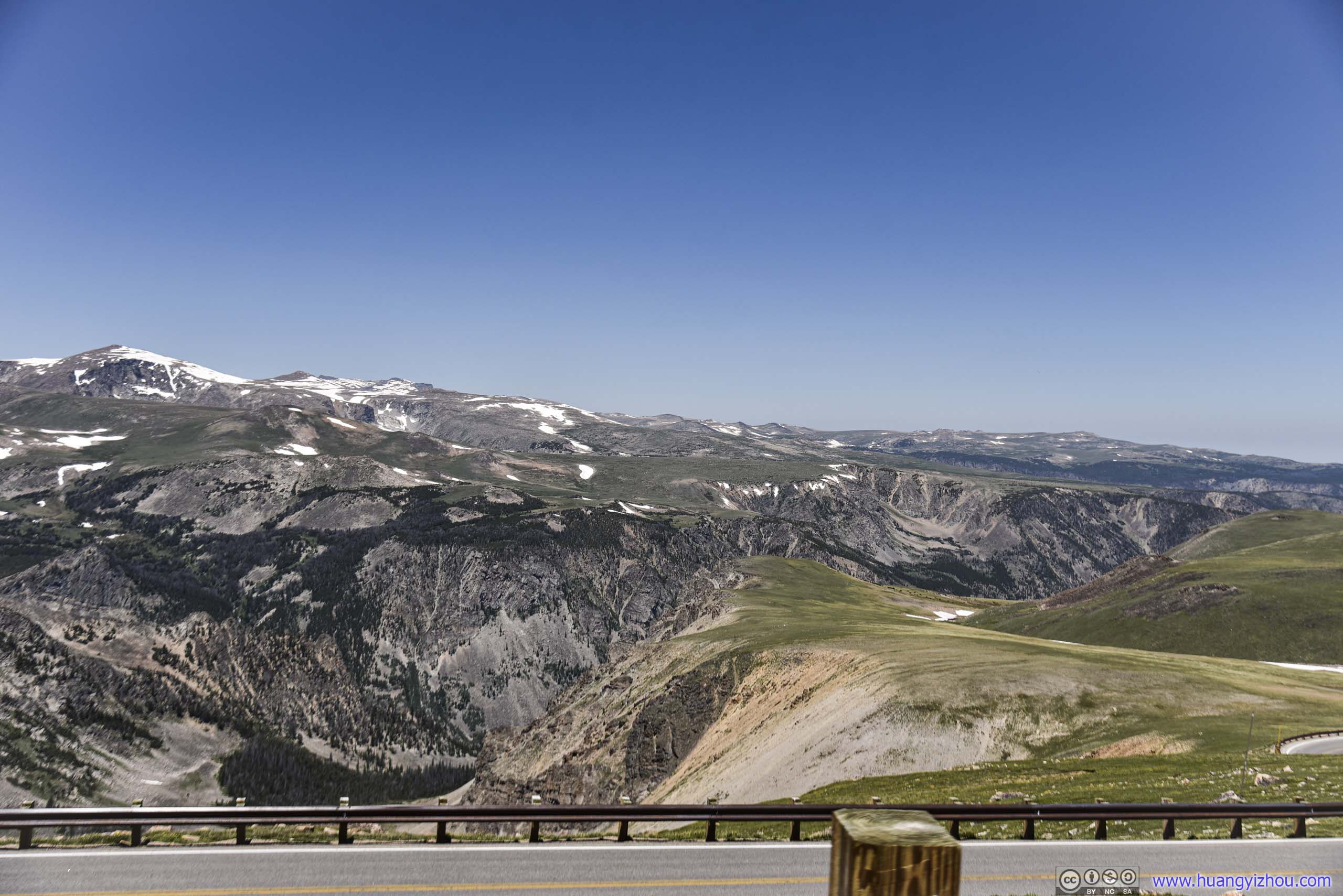
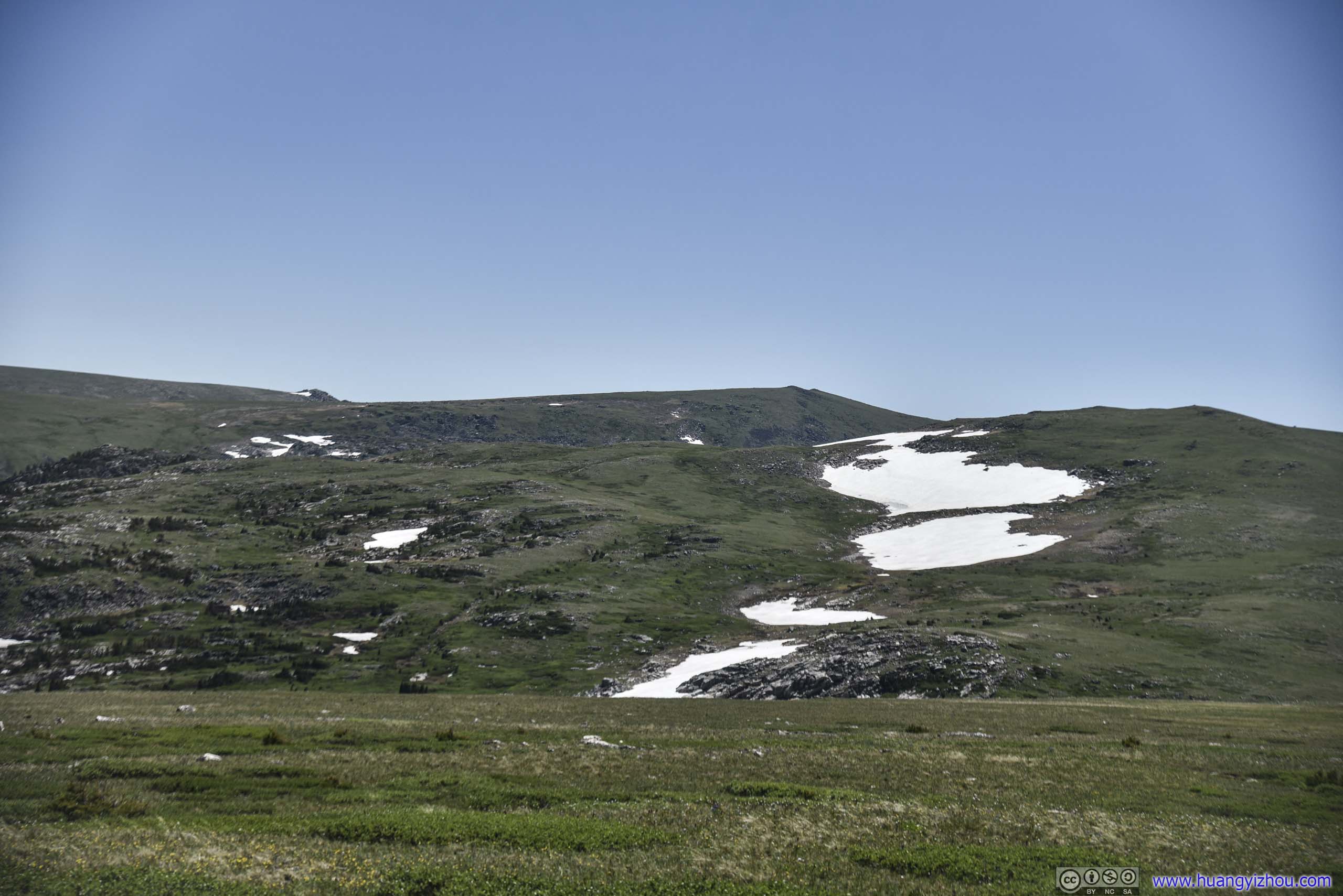
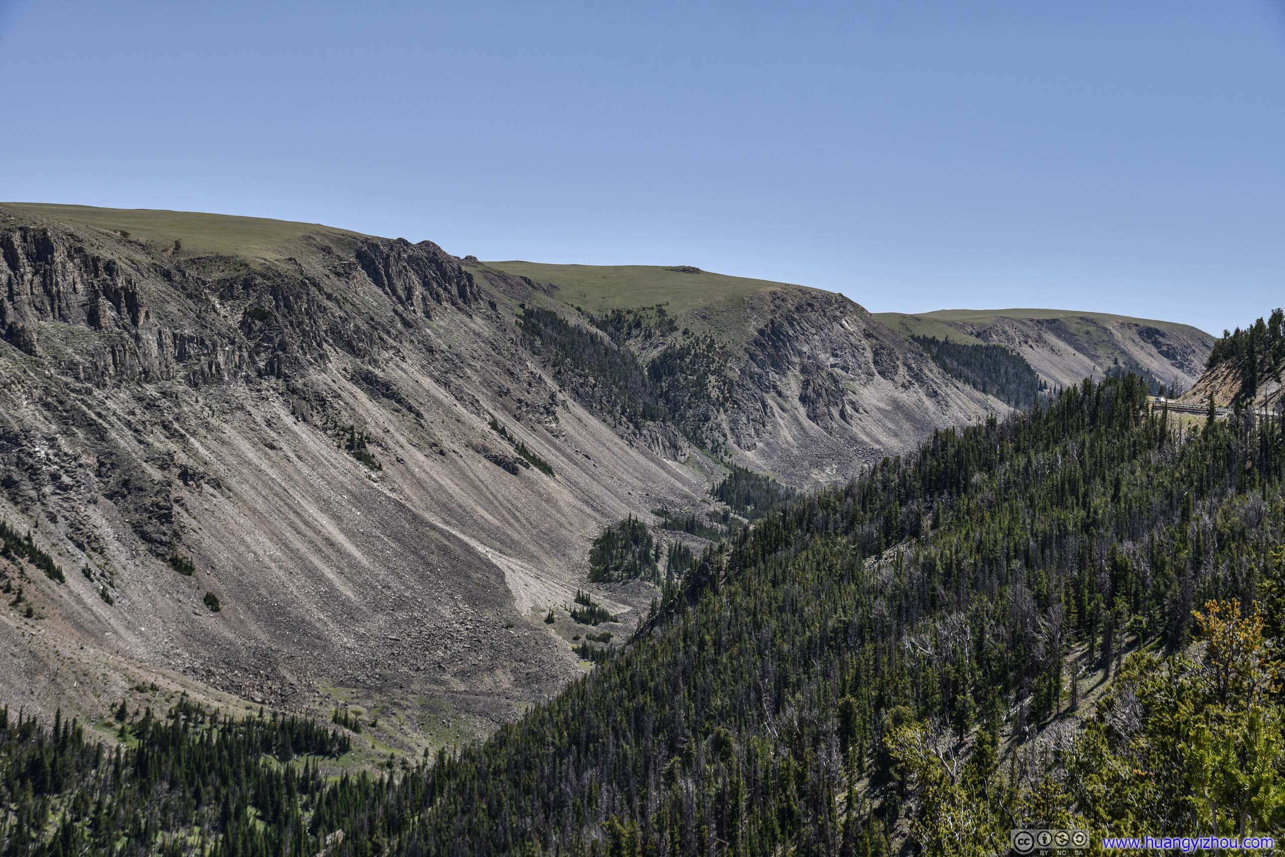
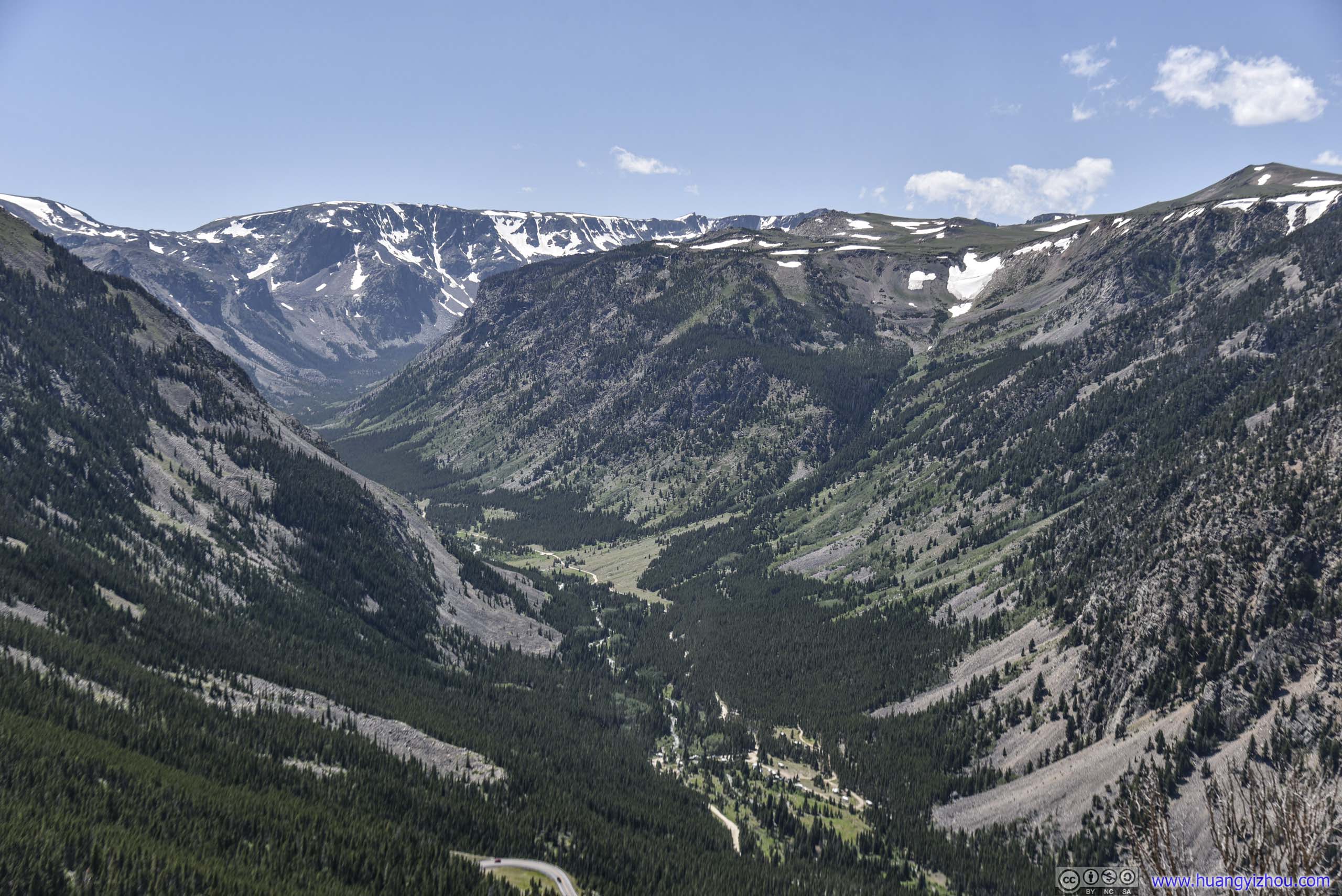
Gardner Lake Overlook
We made another brief stop at Gardner Lake, where in my opinion the views were better than Beartooth Pass. There was also a hiking trail here leading to Tibbs Butte, which I would definitely give a try should I have time. Unfortunately, winds were high and thus our stop here was short.
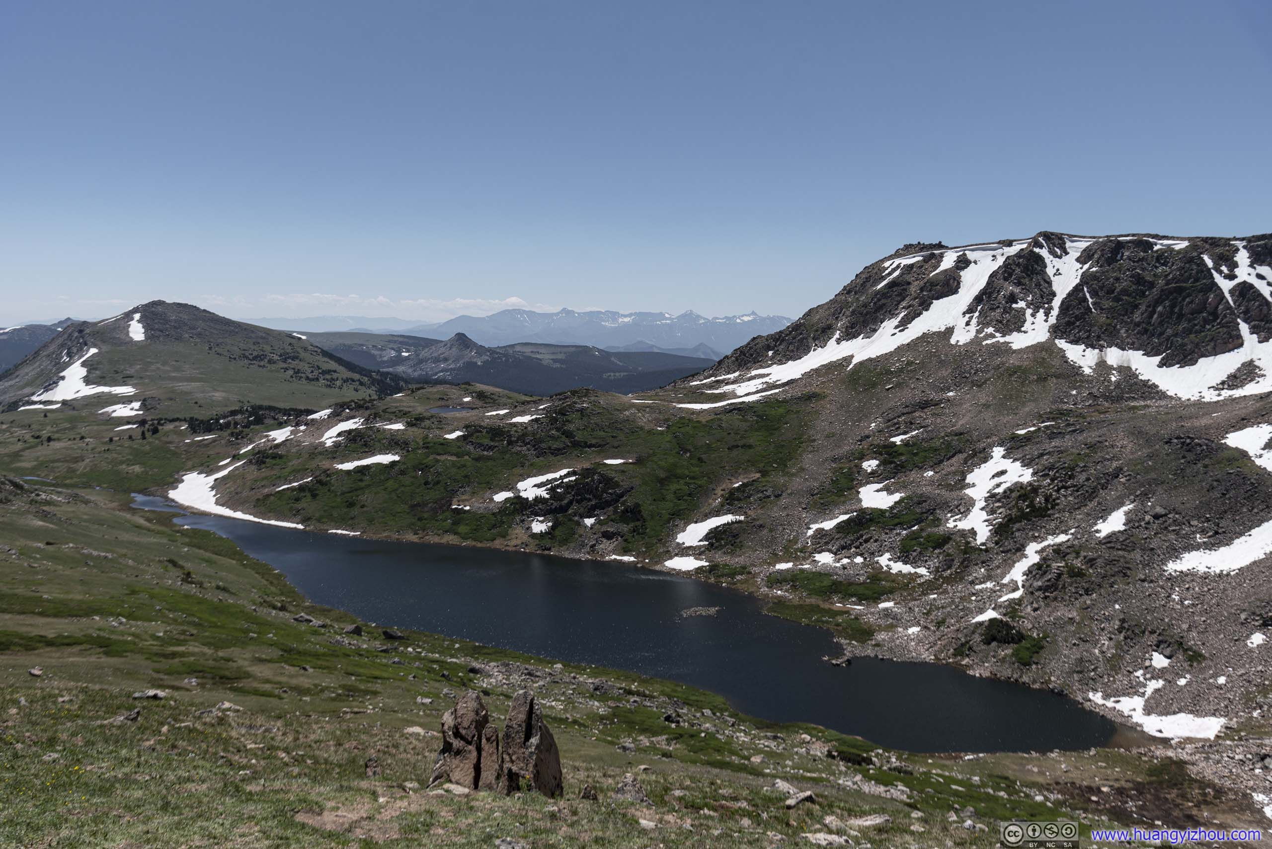
Gardner Lake
Tibbs Butte
Hill with Snow
Distant Mountains
View from Gardner Lake Overlook
Rocky Valley
 Country Road
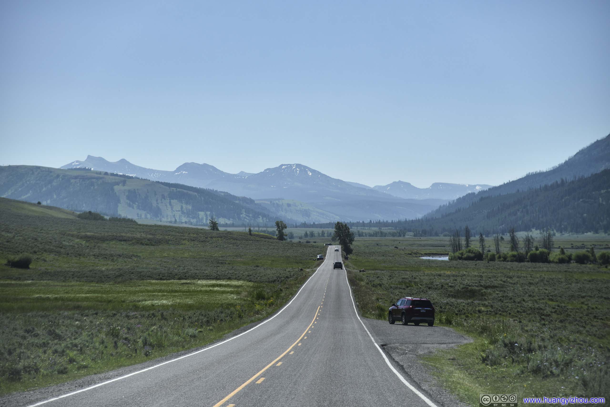
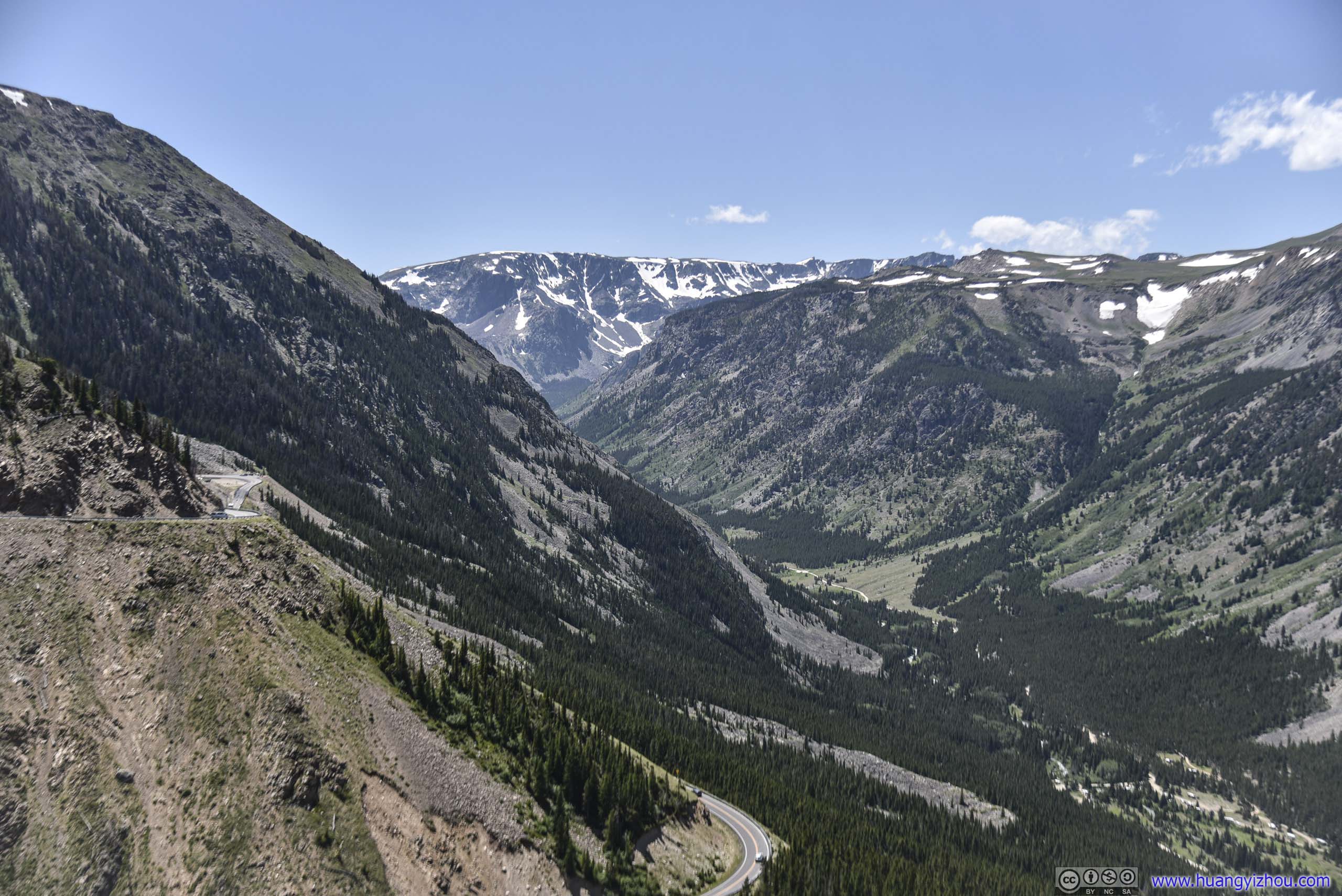
At about 1:30pm, we crossed for the last time into Montana. A few minutes later we were at Rock Creek Vista.
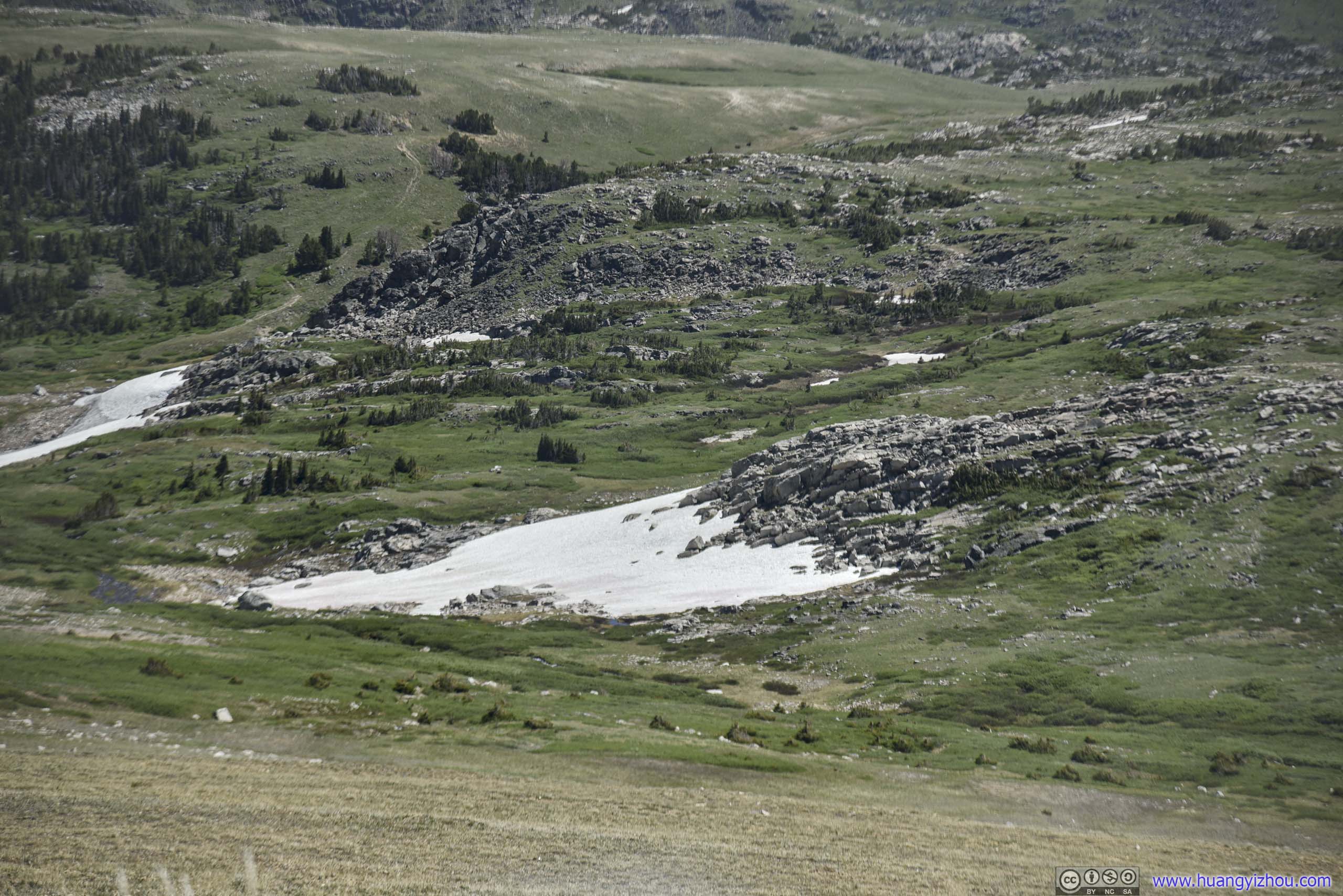
 Snow Patch
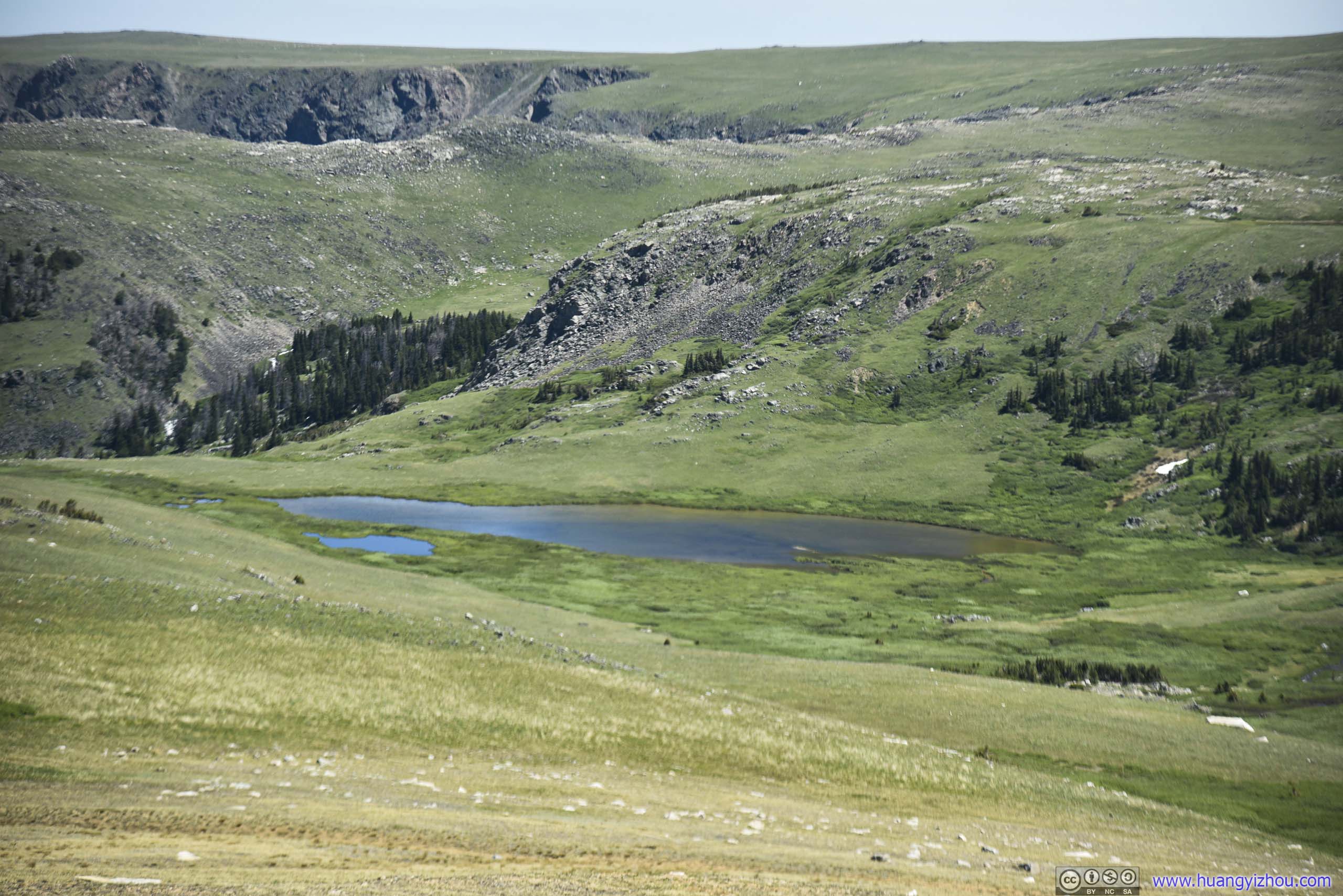
Lake
 Plateau
 Mountains
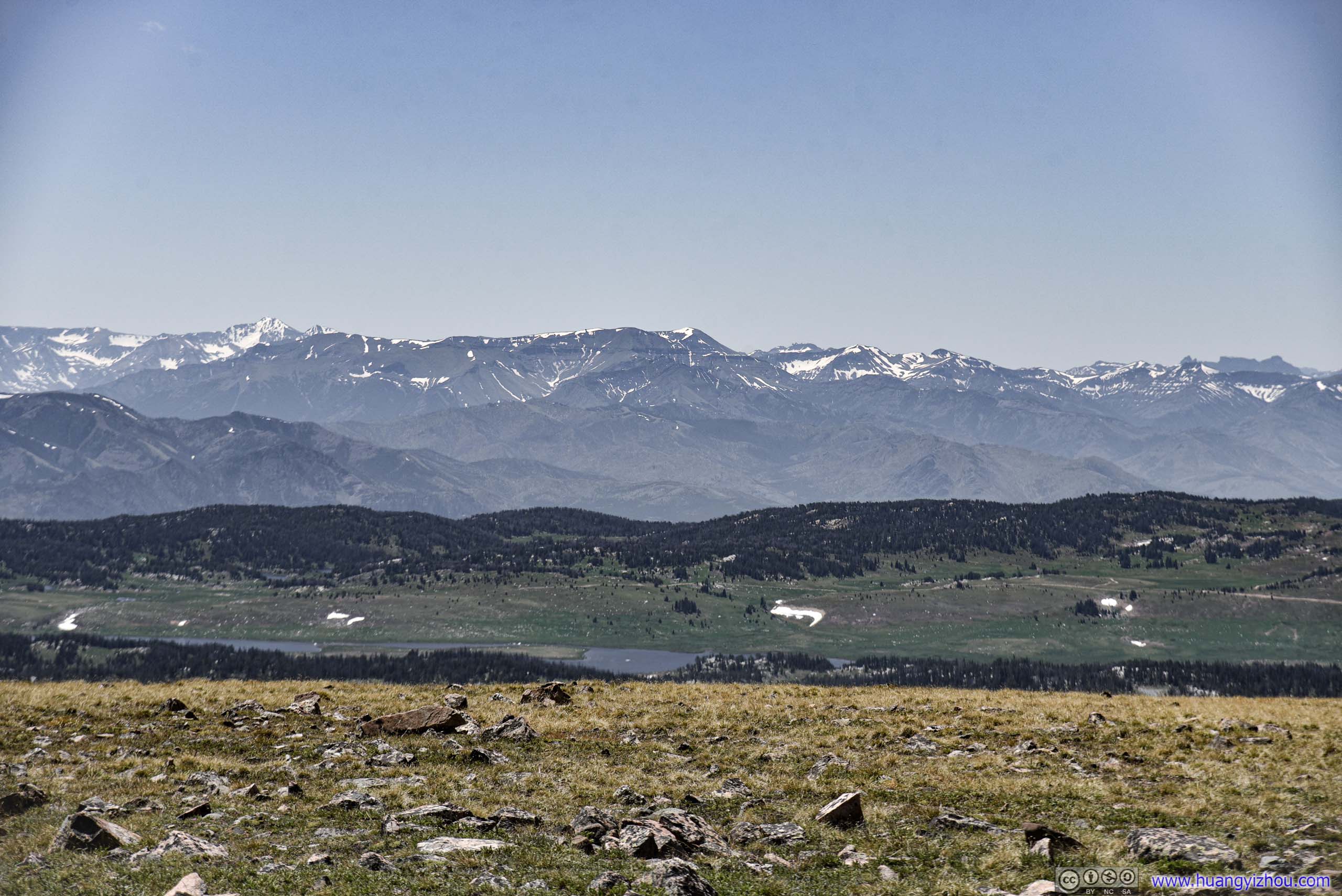
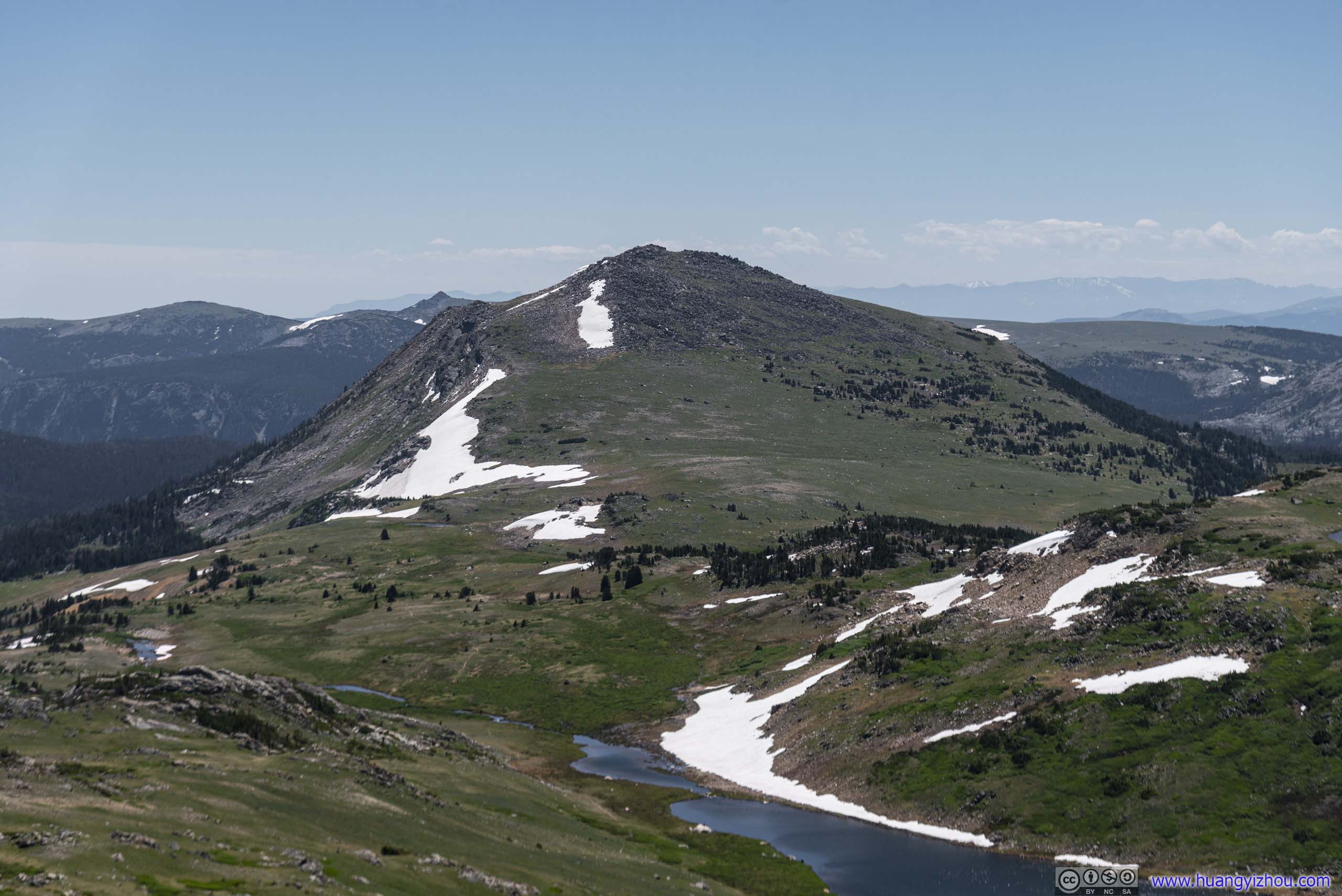
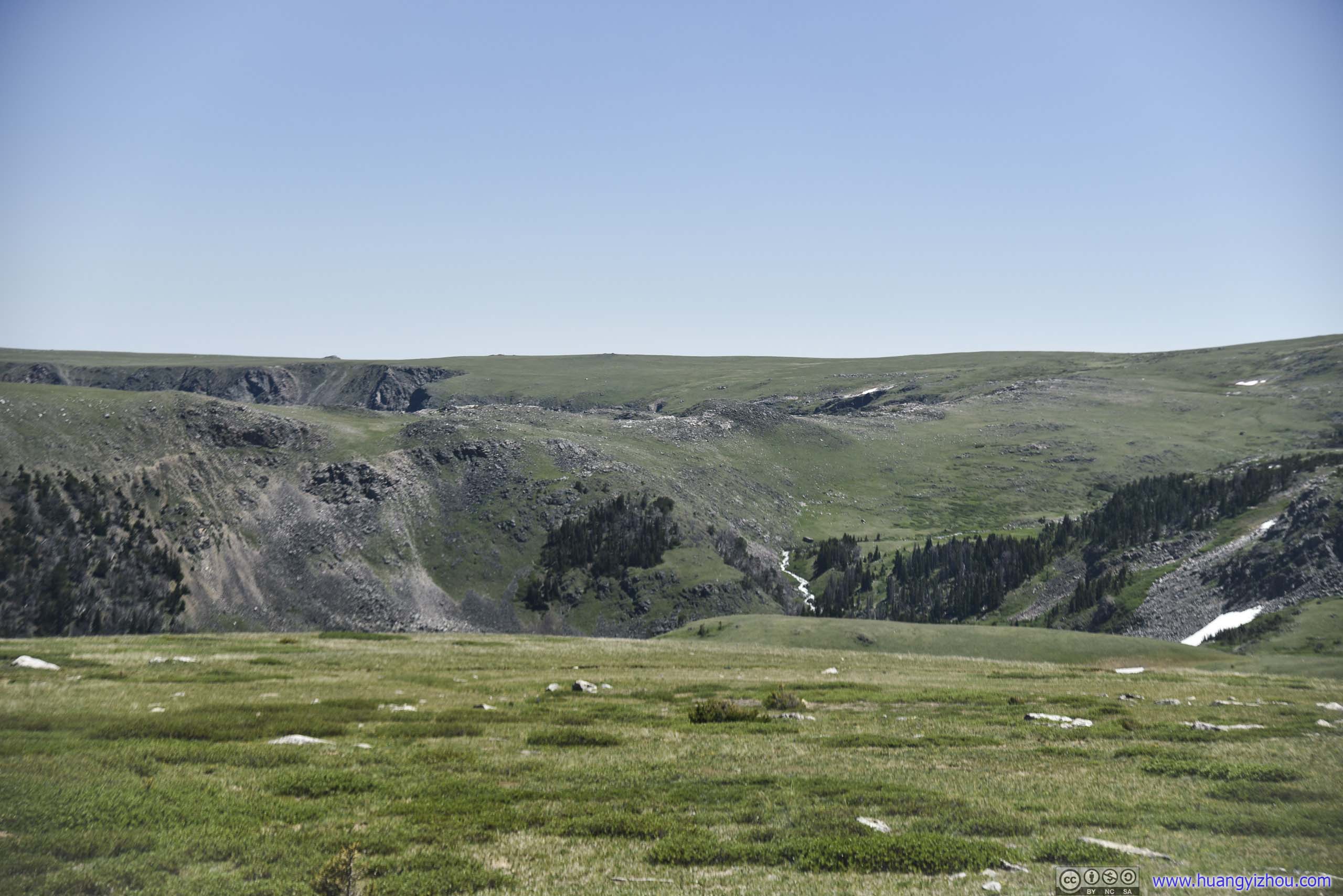
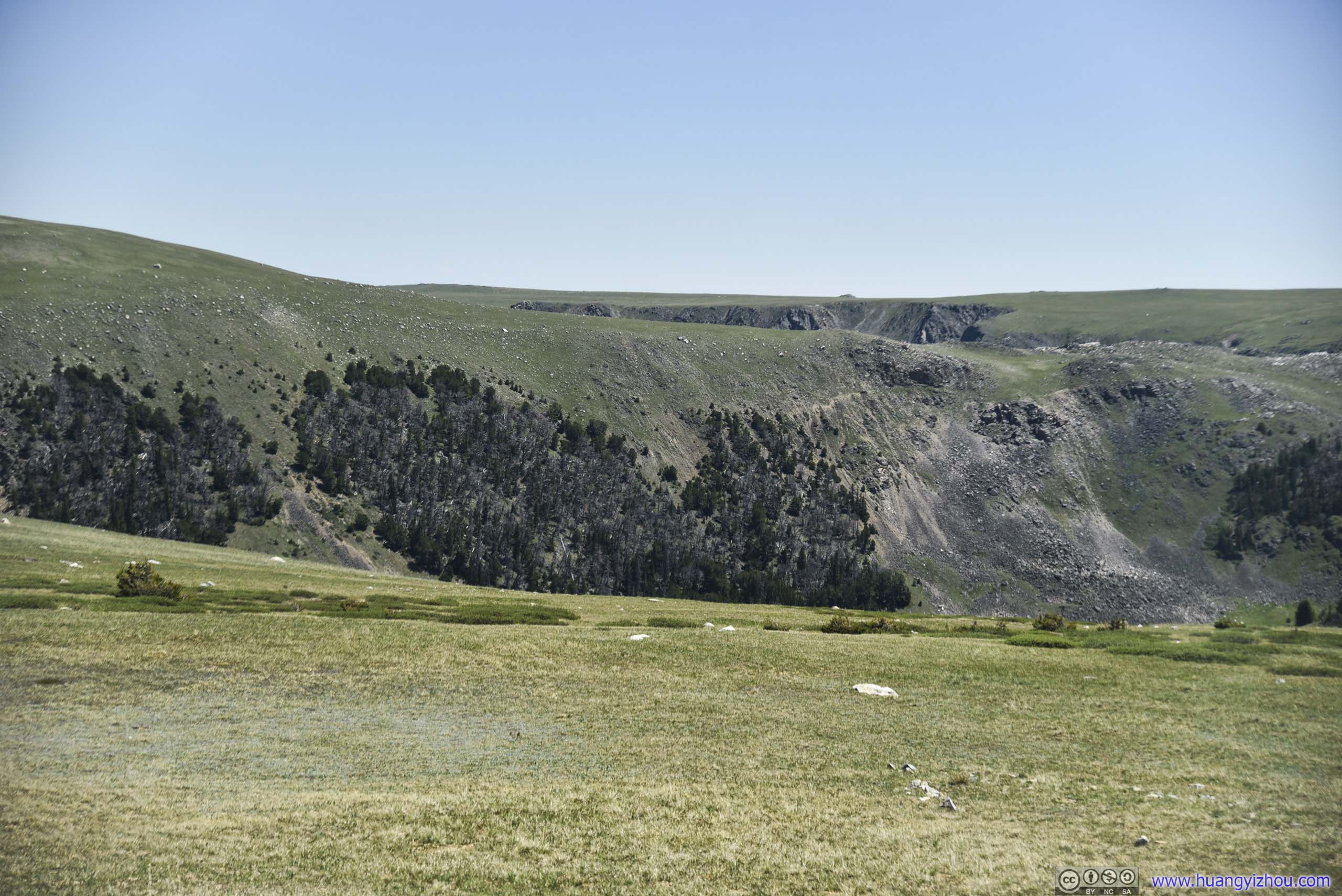
Rock Creek Vista
Apart from Yellowstone Overlook on its western end, Rock Creek Vista was probably the only other vista near the eastern end of Beartooth Highway. It featured a spacious parking lot that’s popular with cars and motorcycles, a few bathroom stalls, and an observation platform with (almost) 360-degree view.
 Cliff
Cliff
Wyoming Creek
Rocky Cliff
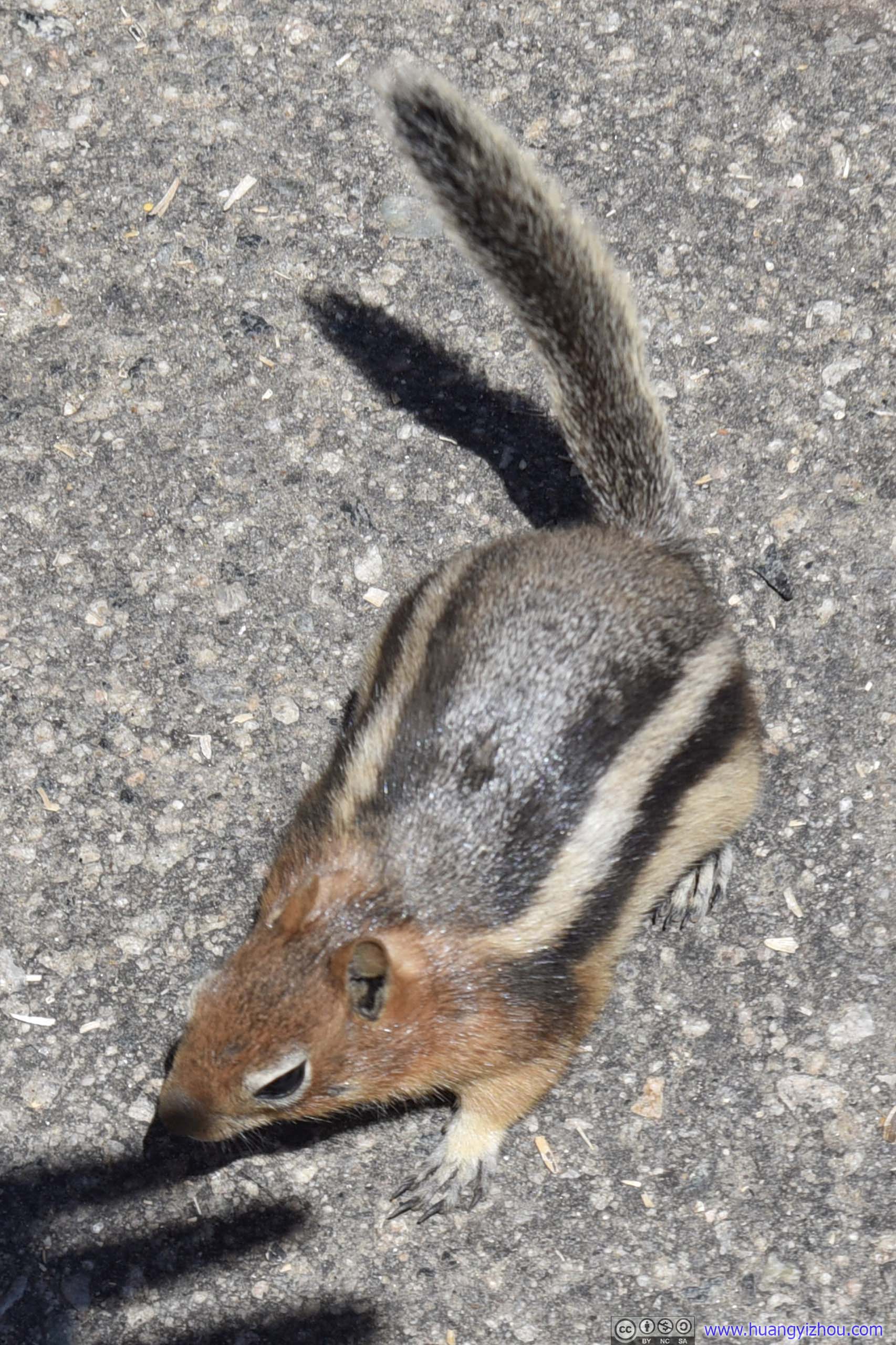
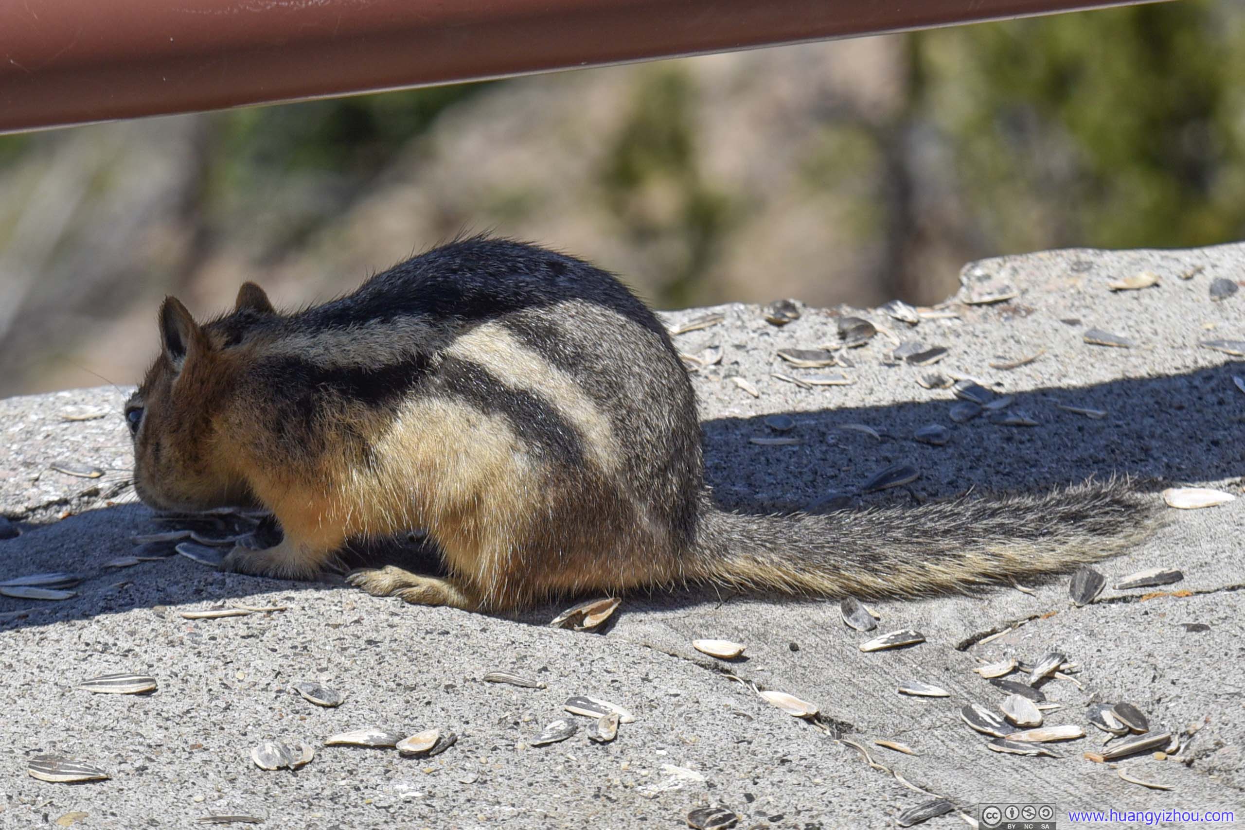
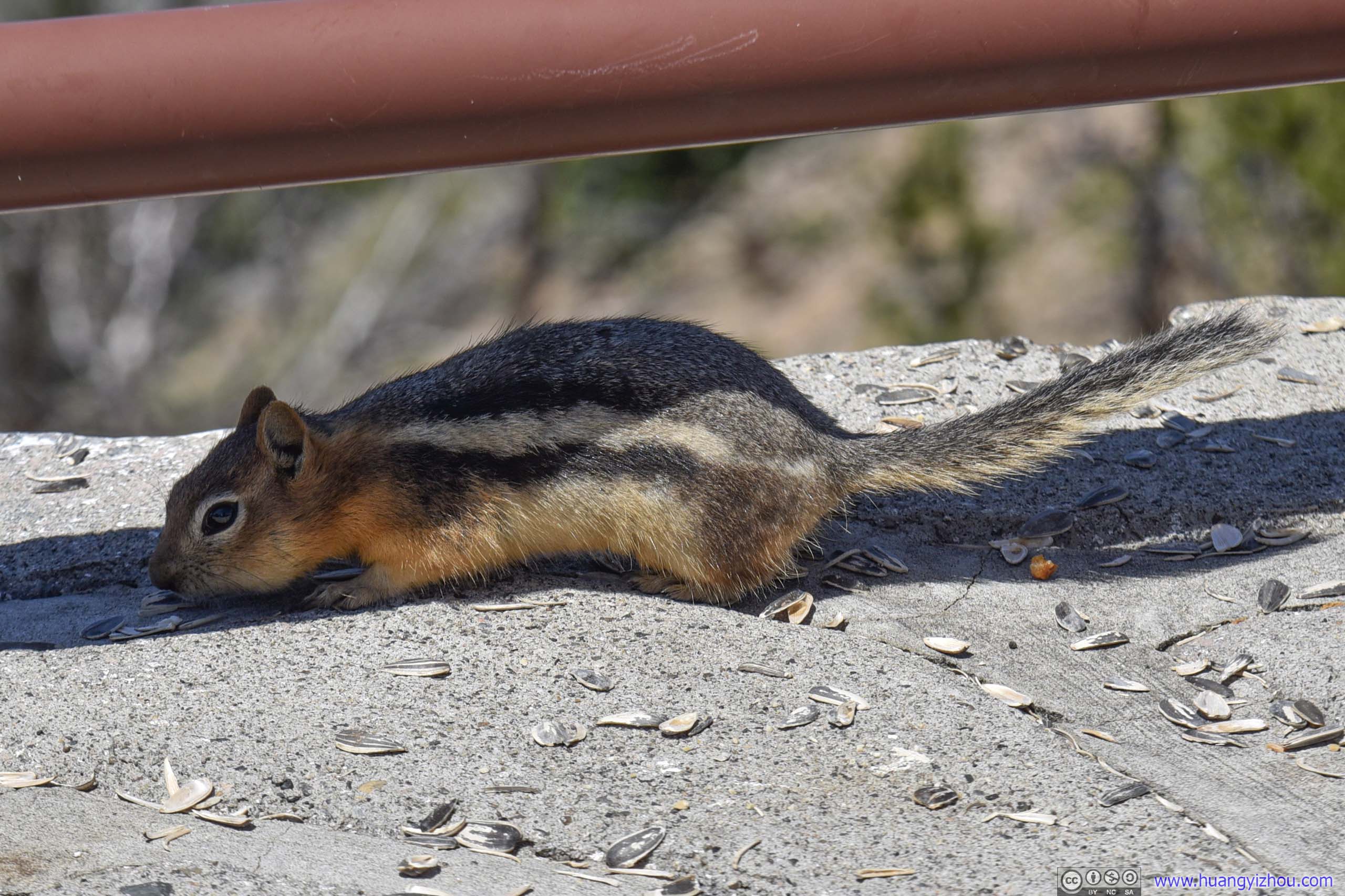
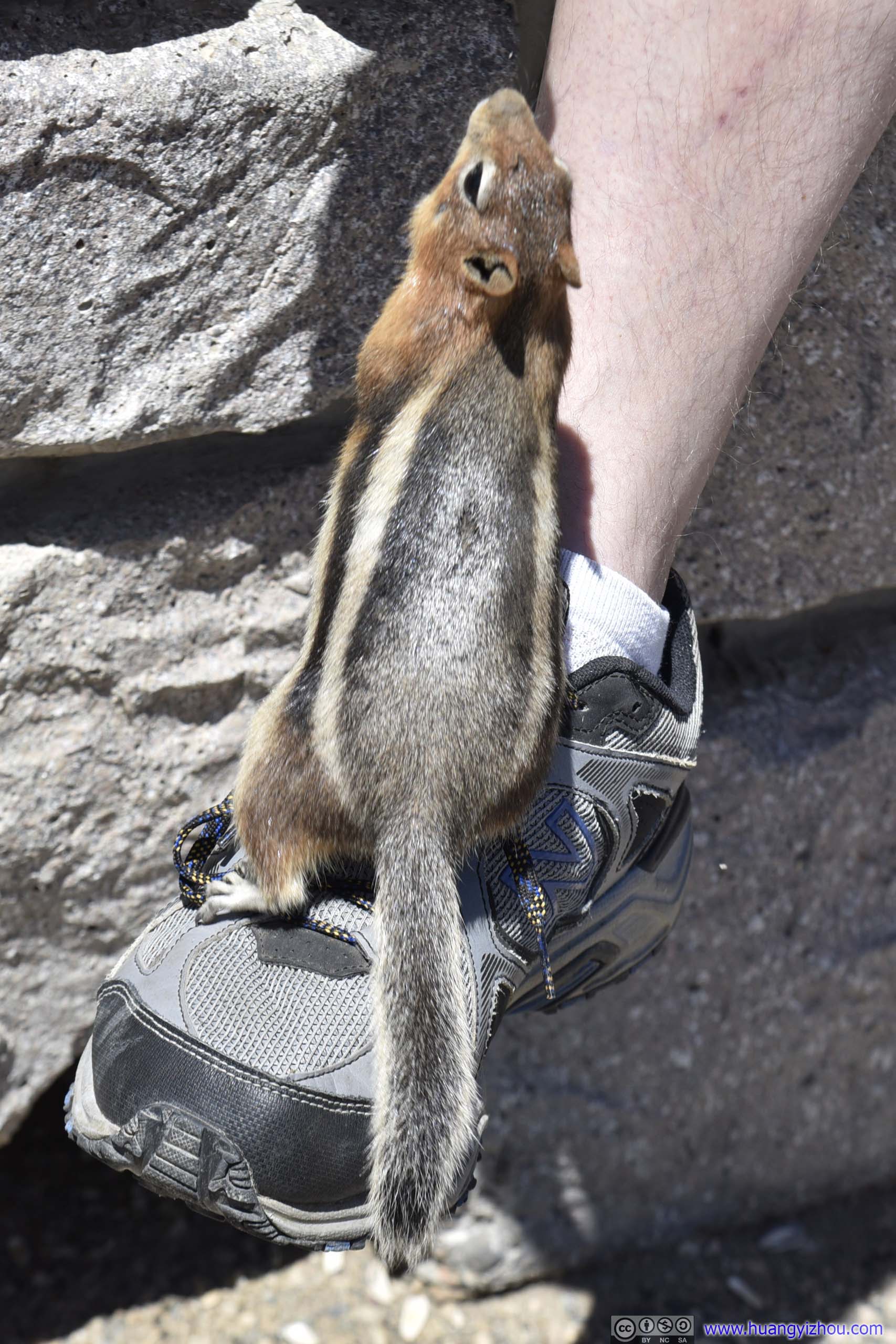
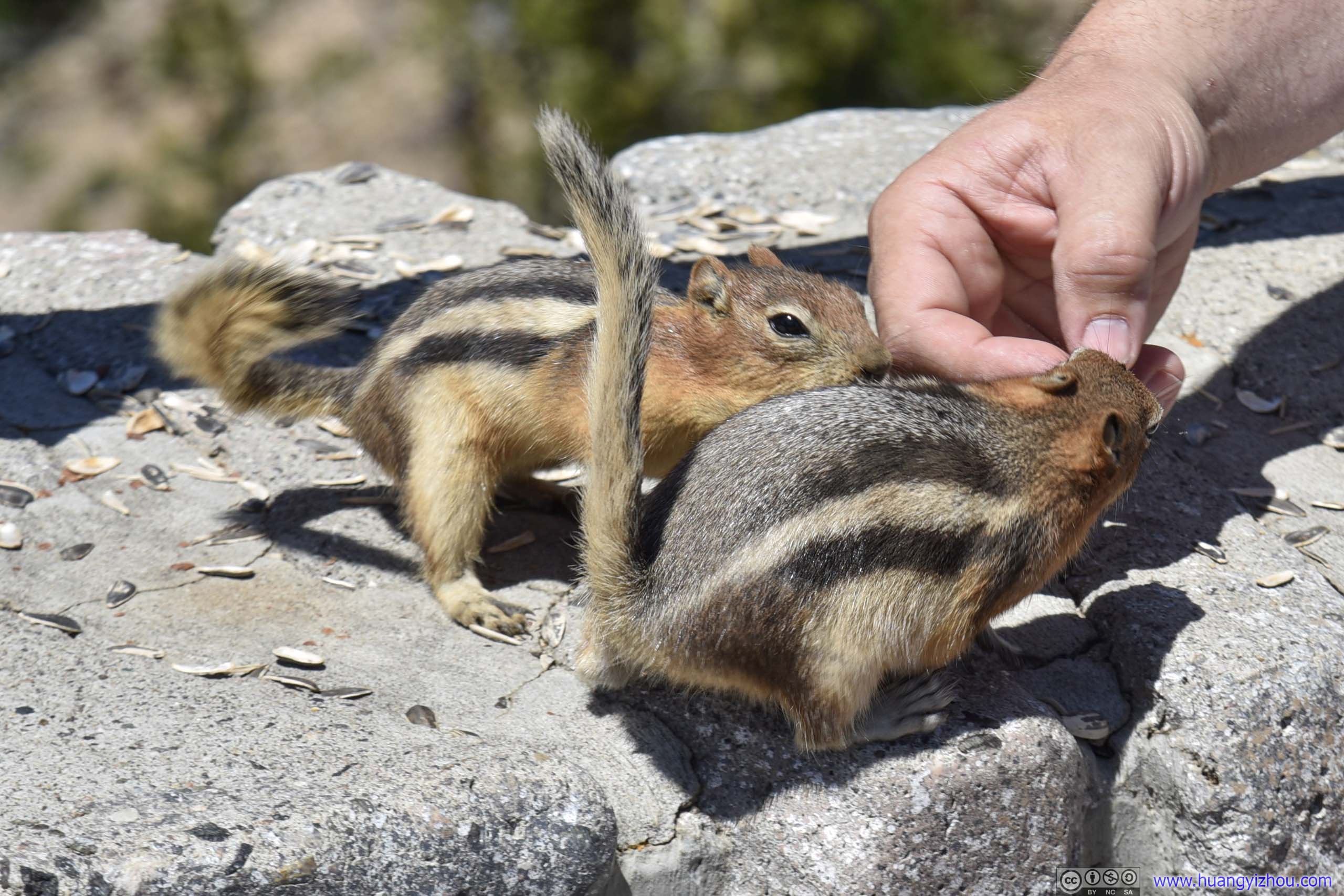
Besides, a few animals certainly enjoyed this summer home that’s abundant with food from animal-loving people.
Despite that feeding animals wasn’t technically allowed.
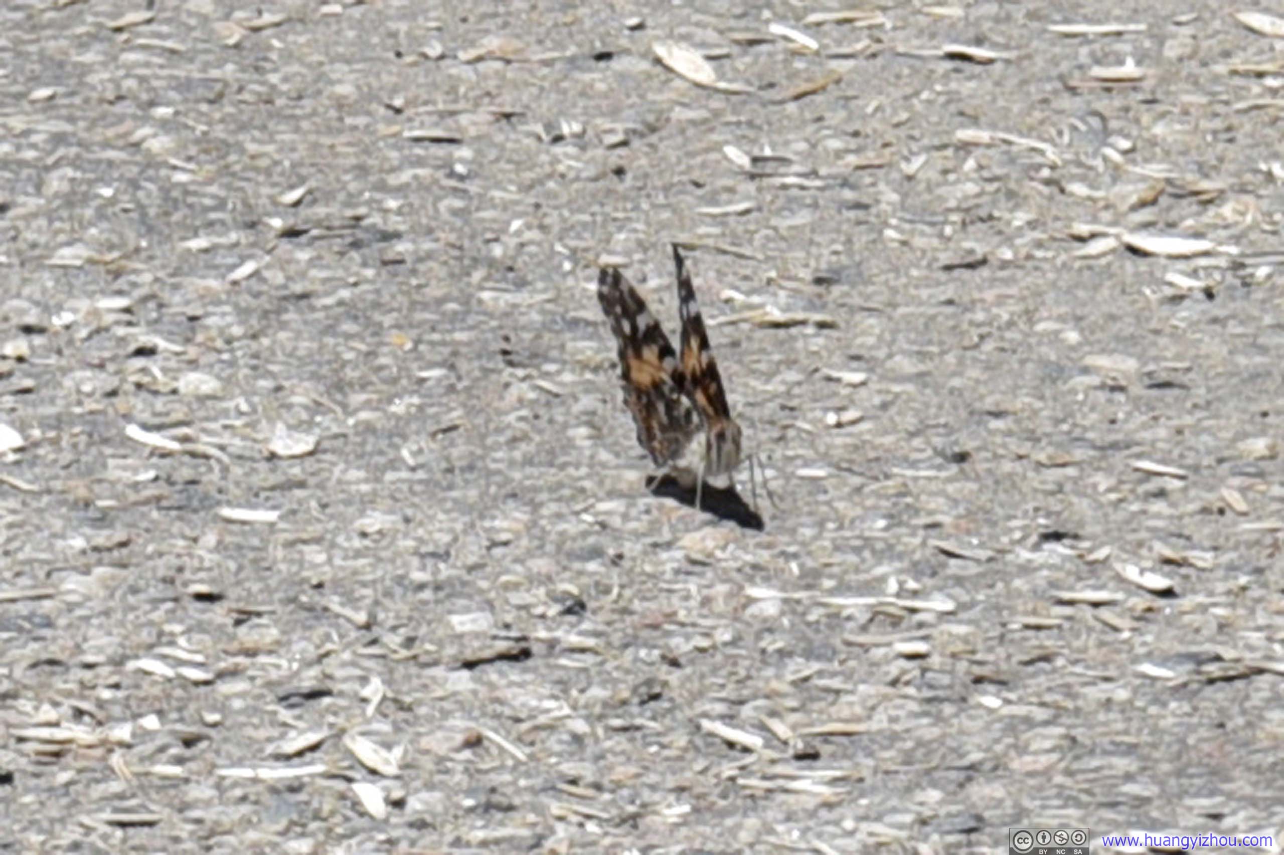
Butterfly
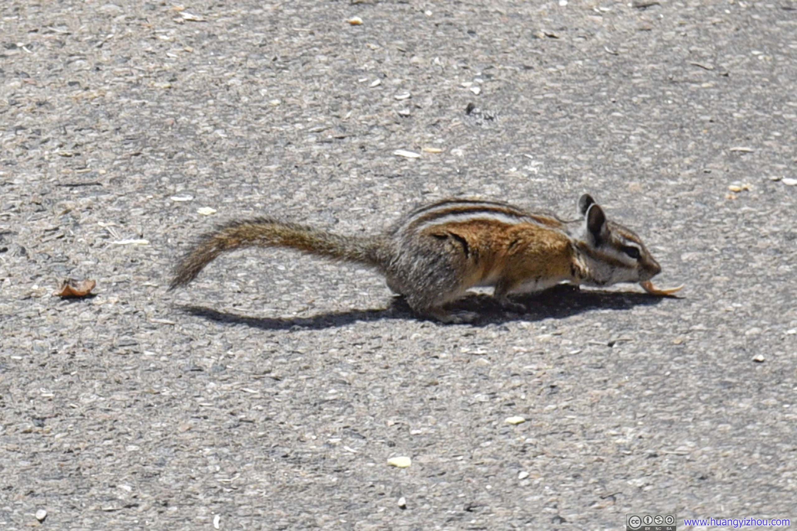
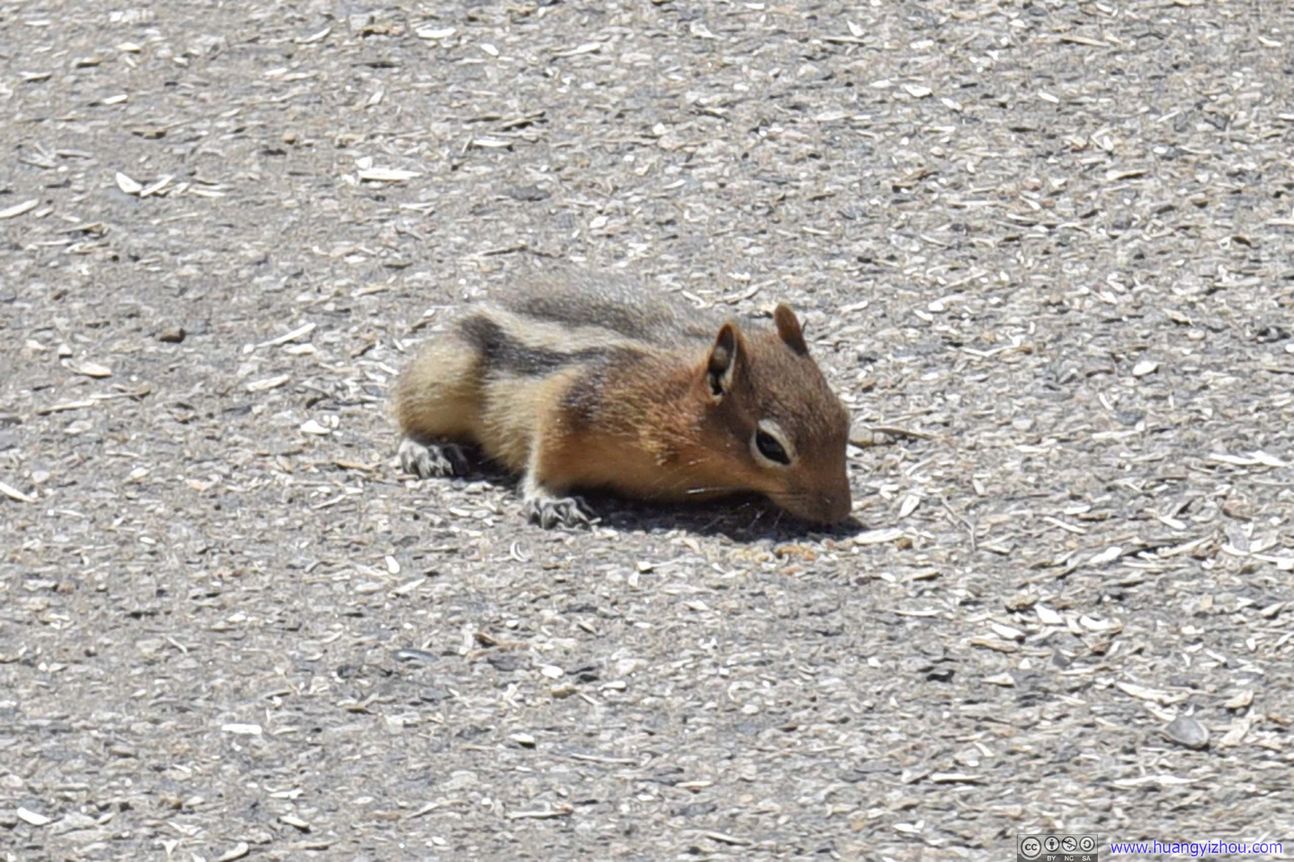 Squirrel
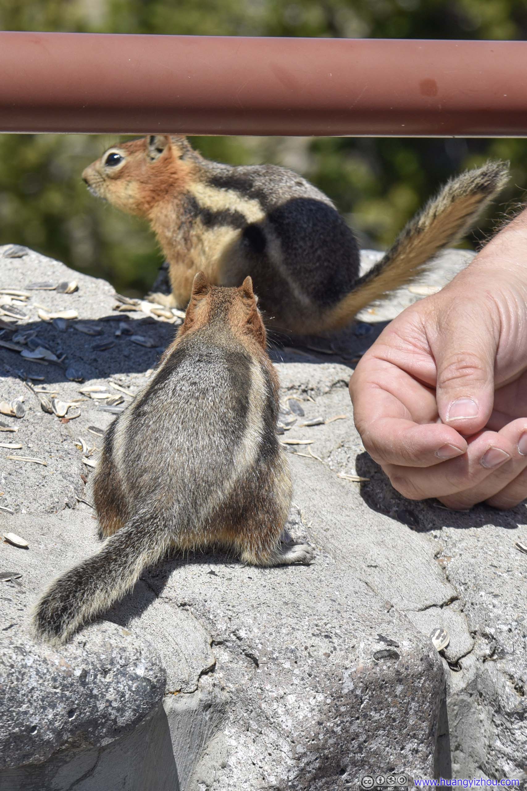
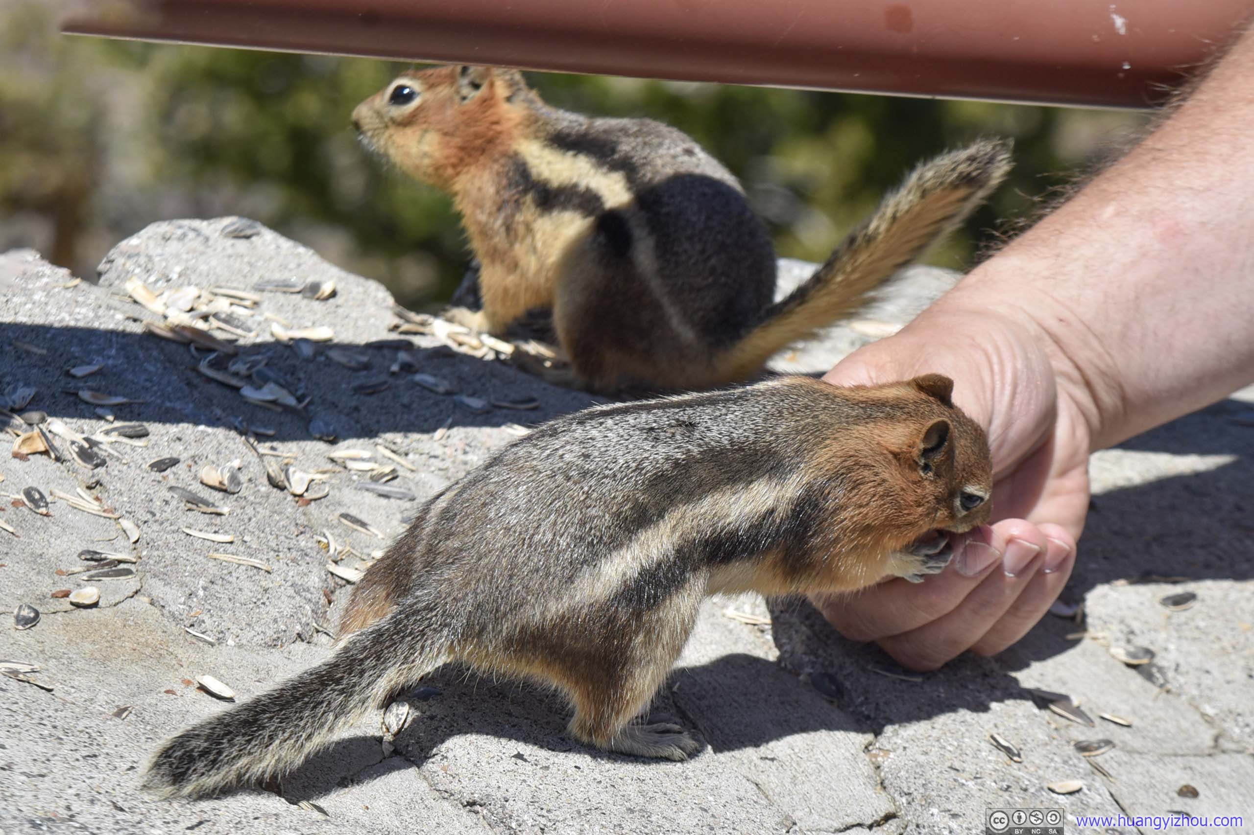
Not long after following these squirrels, I found they had their own set of cute gestures for panhandling.
 Squirrel
 Squirrel
And it’s quite effective.
 Squirrels
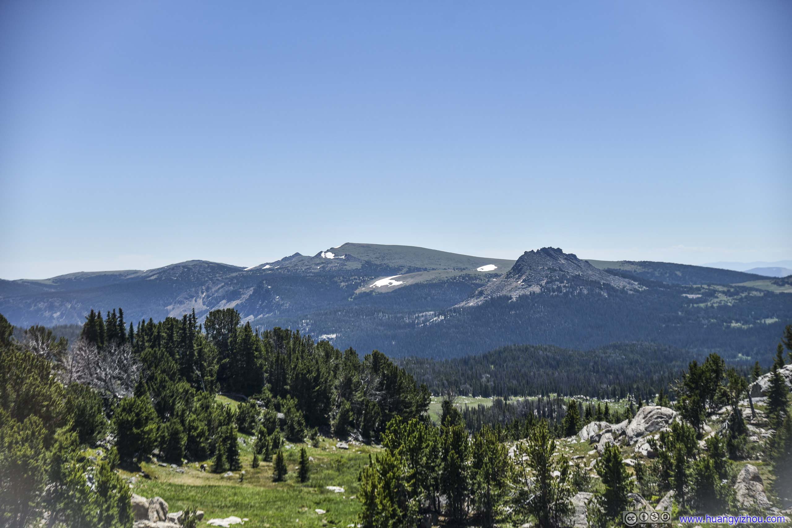
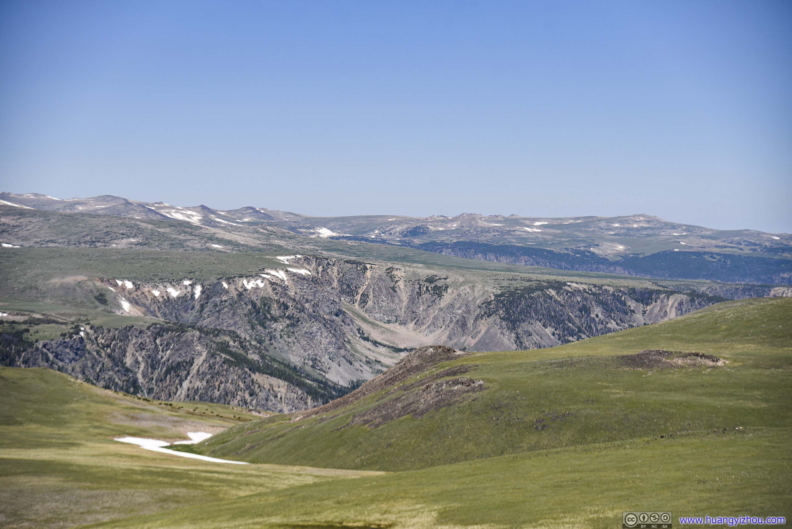
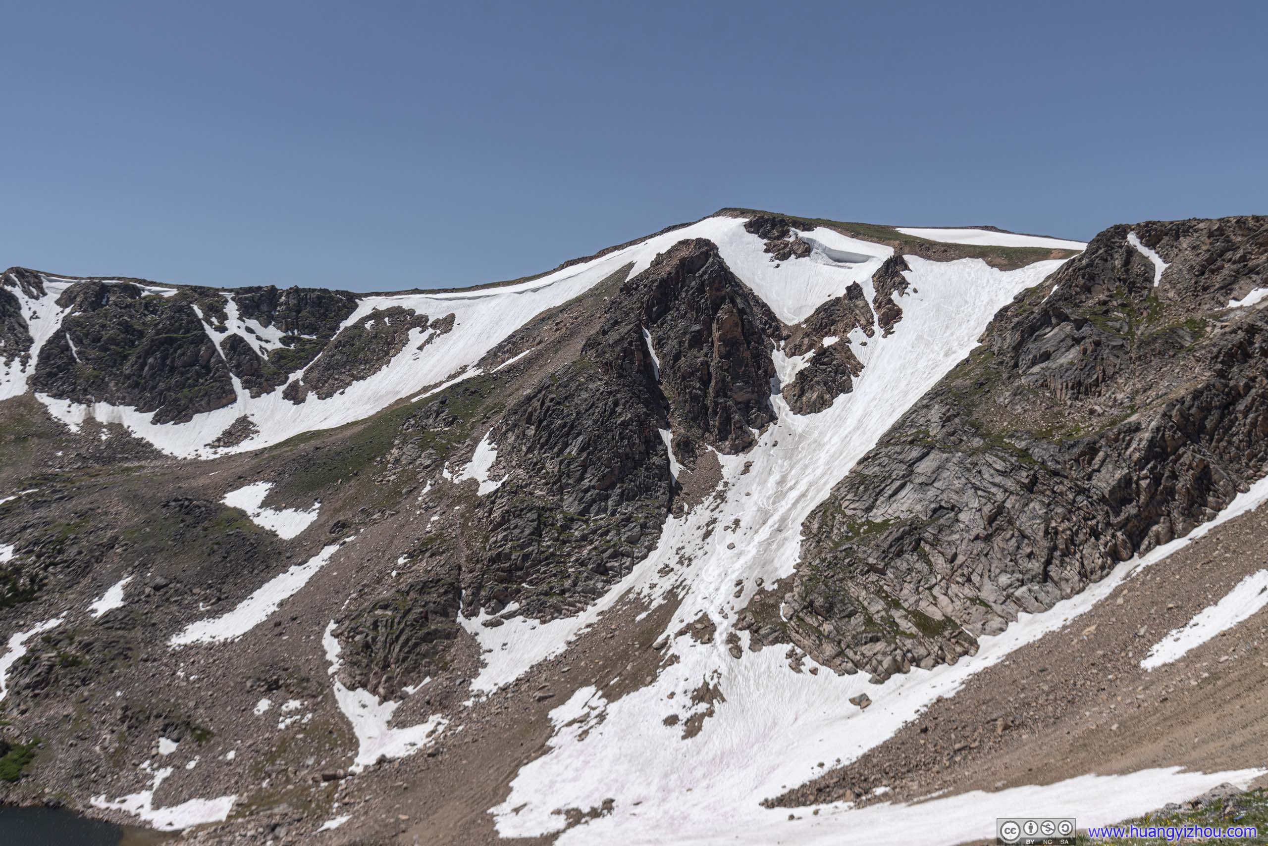
Apart from the not-so-wild animals, the neighboring mountainous landscape was also stunning beyond words.
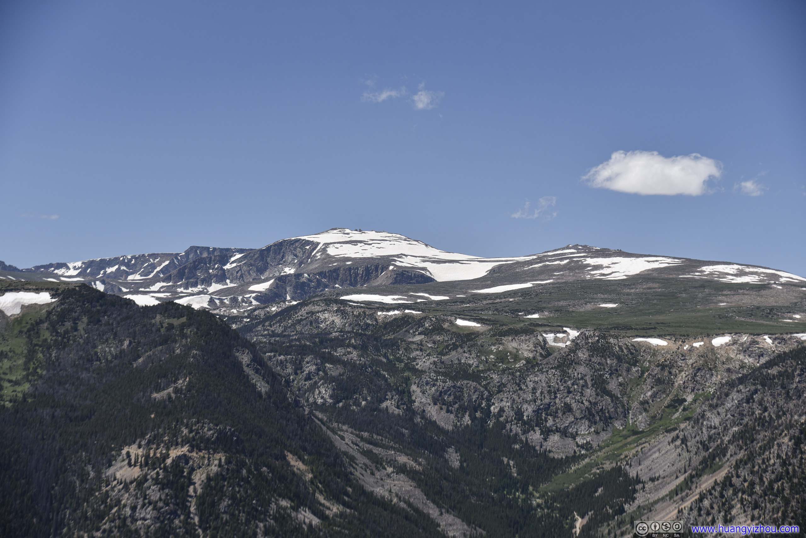
 Mountains
 Mountains
 Mountains
View from Rock Creek Vista
At about 2pm, we left Rock Creek Vista for Red Lodge, which was a town just on the footstep of Beartooth Highway. We planned to have lunch there.
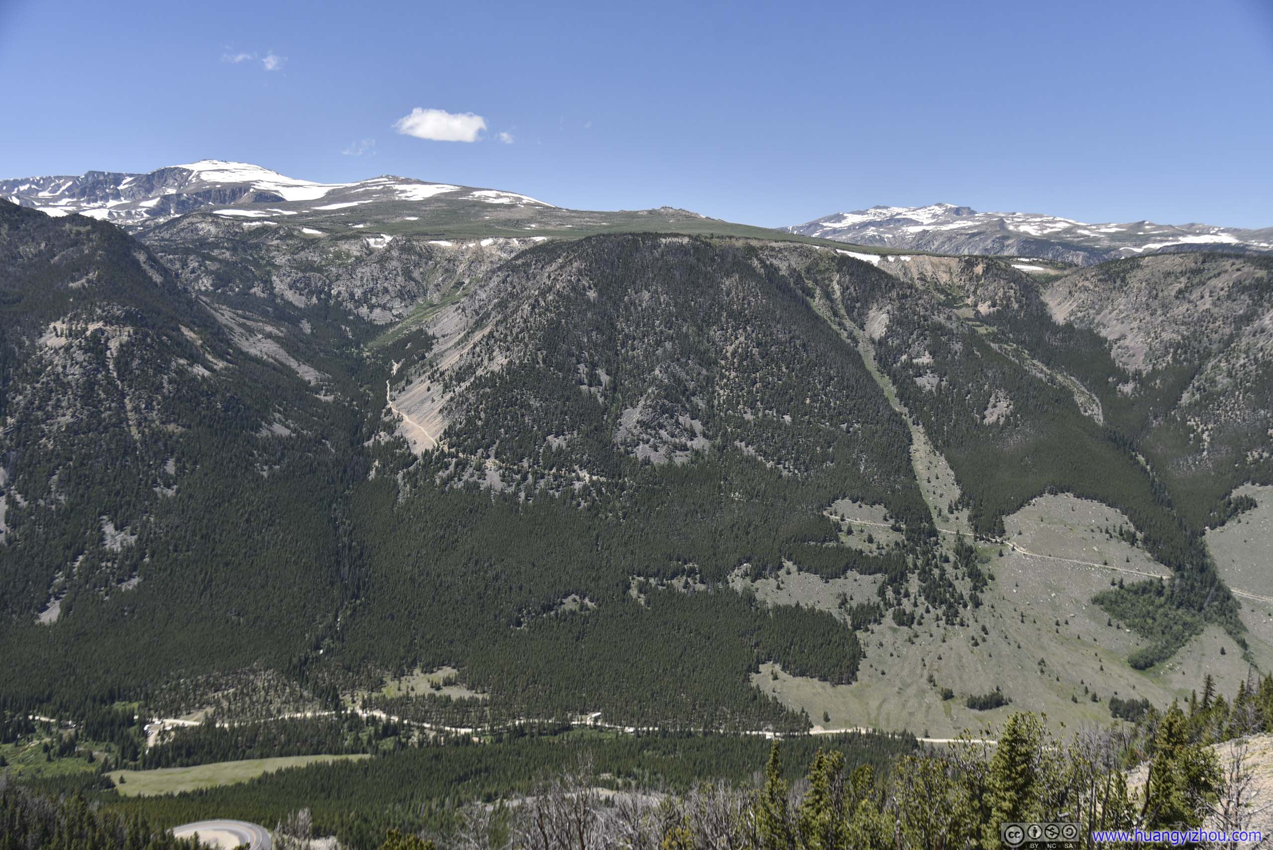
And in between was the final segment of Beartooth Highway, which never ceased to impress.
 Mountains
Road
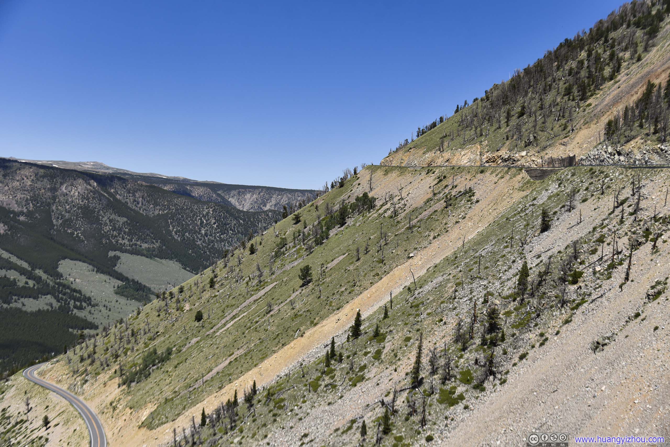
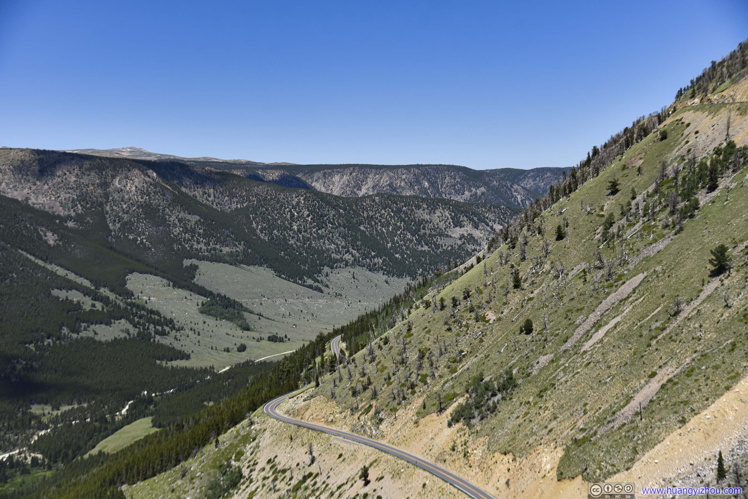 Hillside
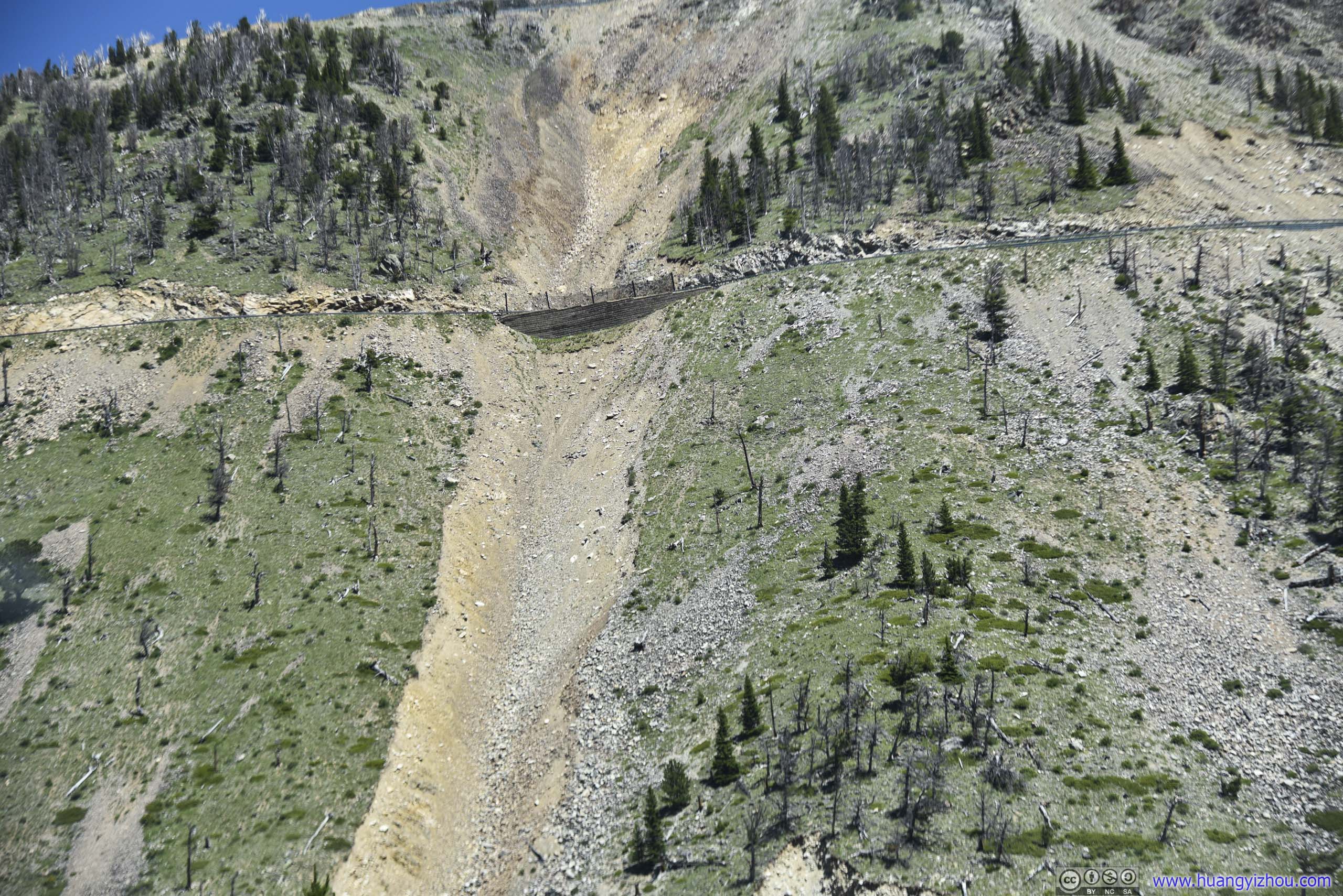
Site of Landslide
 Mountains
 Country Road
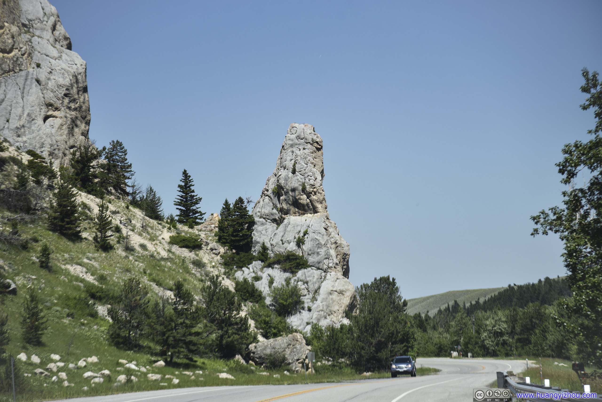
Point of Rocks
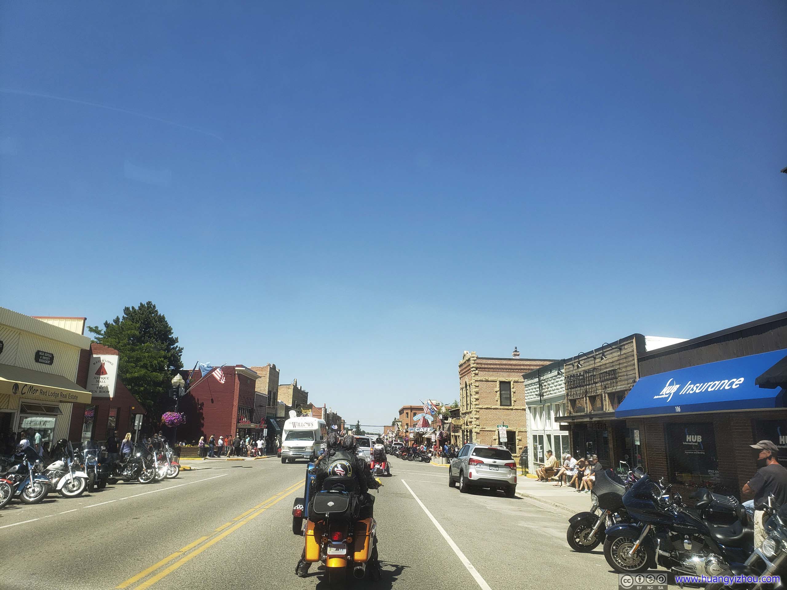
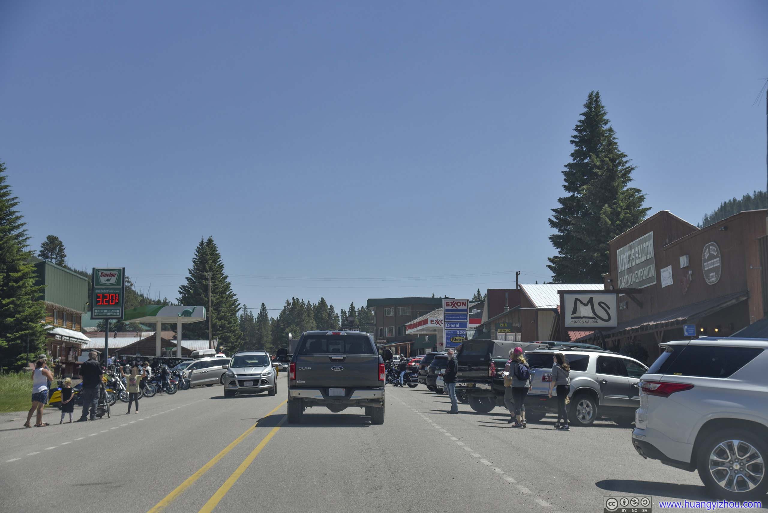
Town of Red Lodge
As for lunch, we visited a restaurant called “PREROGATIvE Kitchen”. Well, I didn’t recall much about their menu, but their excessive decorations, especially in the bathrooms, were certainly hard to forget.

 Decorations
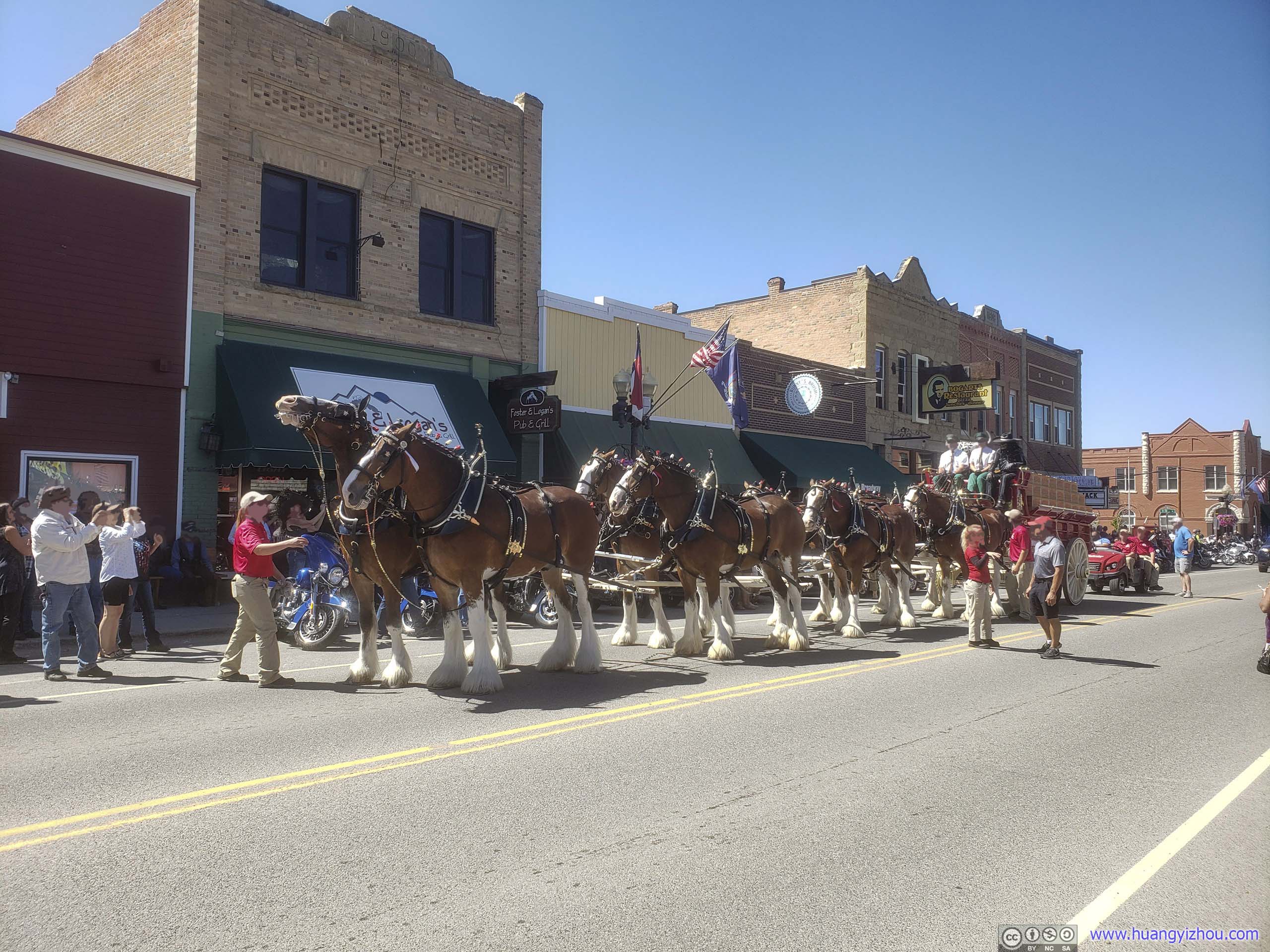
Parade in Red Lodge
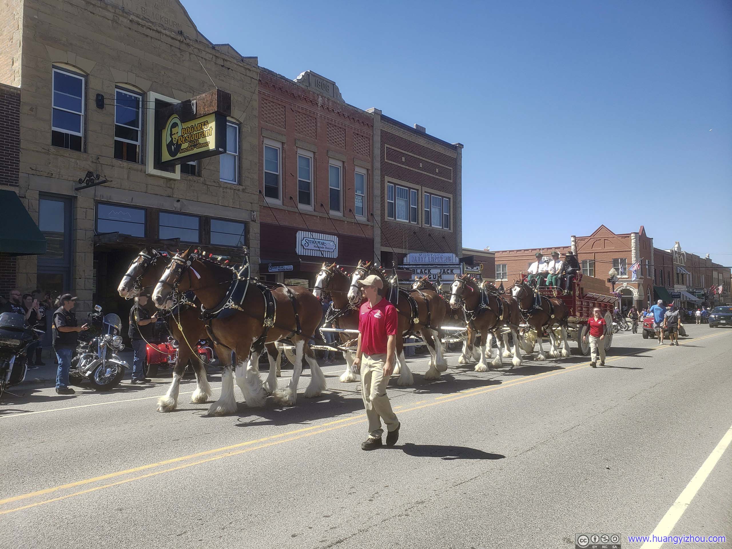
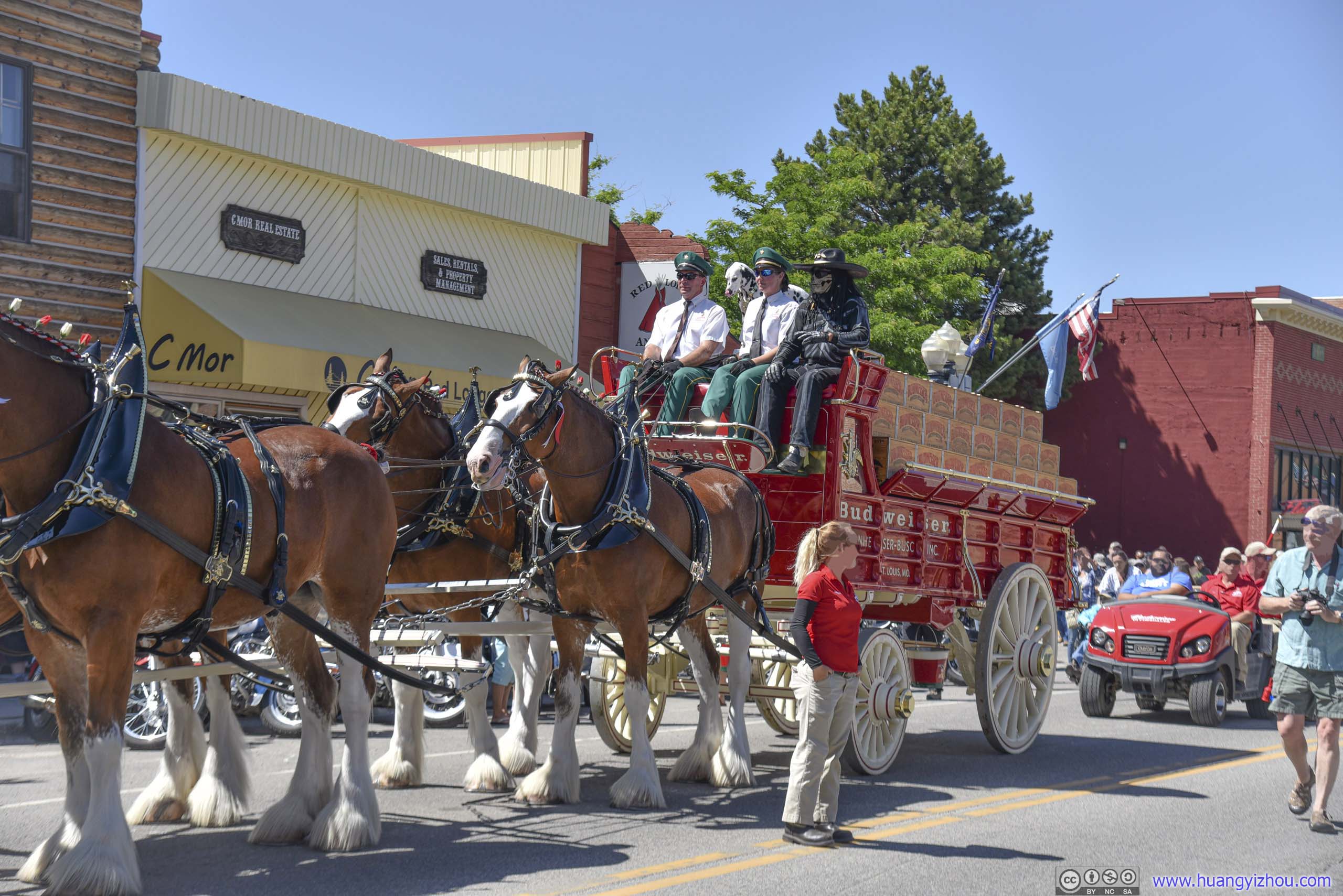
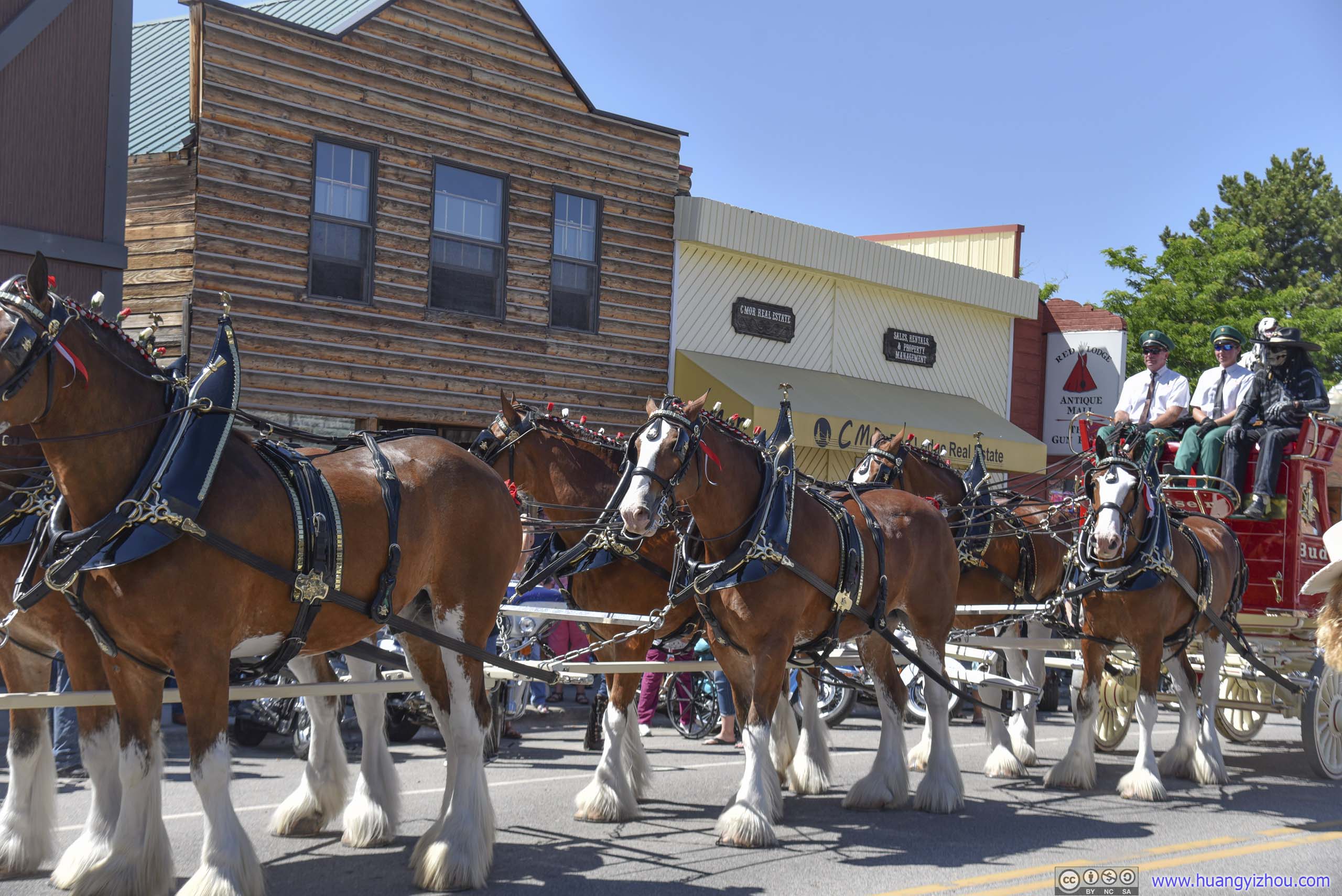
After lunch, we happened to bump into a parade of horse-drawn wagons, presented by Budweiser. I didn’t know whether this had to do with the annual motorcycle rally, but everyone around us seemed so festive as we decided that we should too.
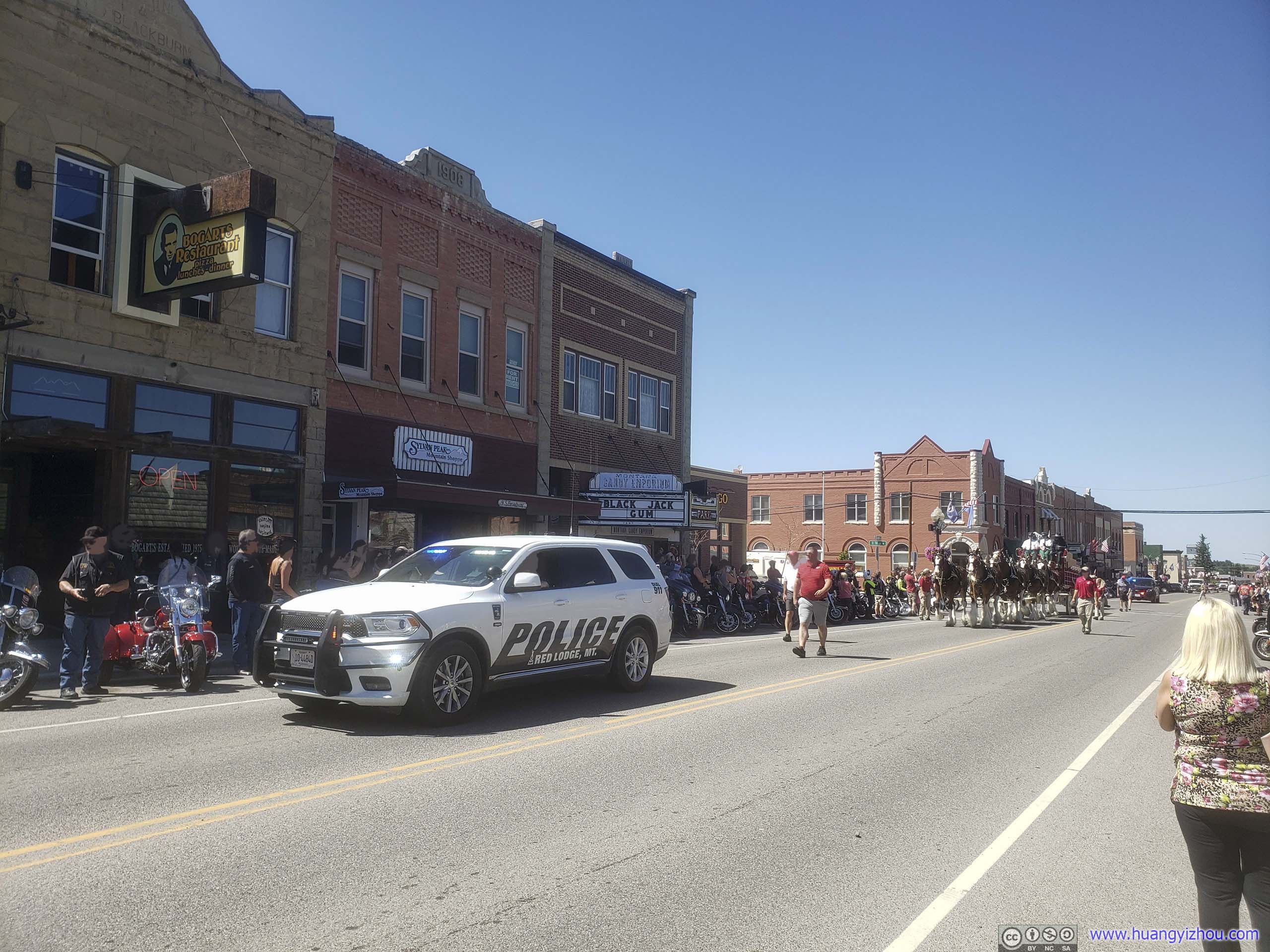
Police Car Leading Parade
 Parade
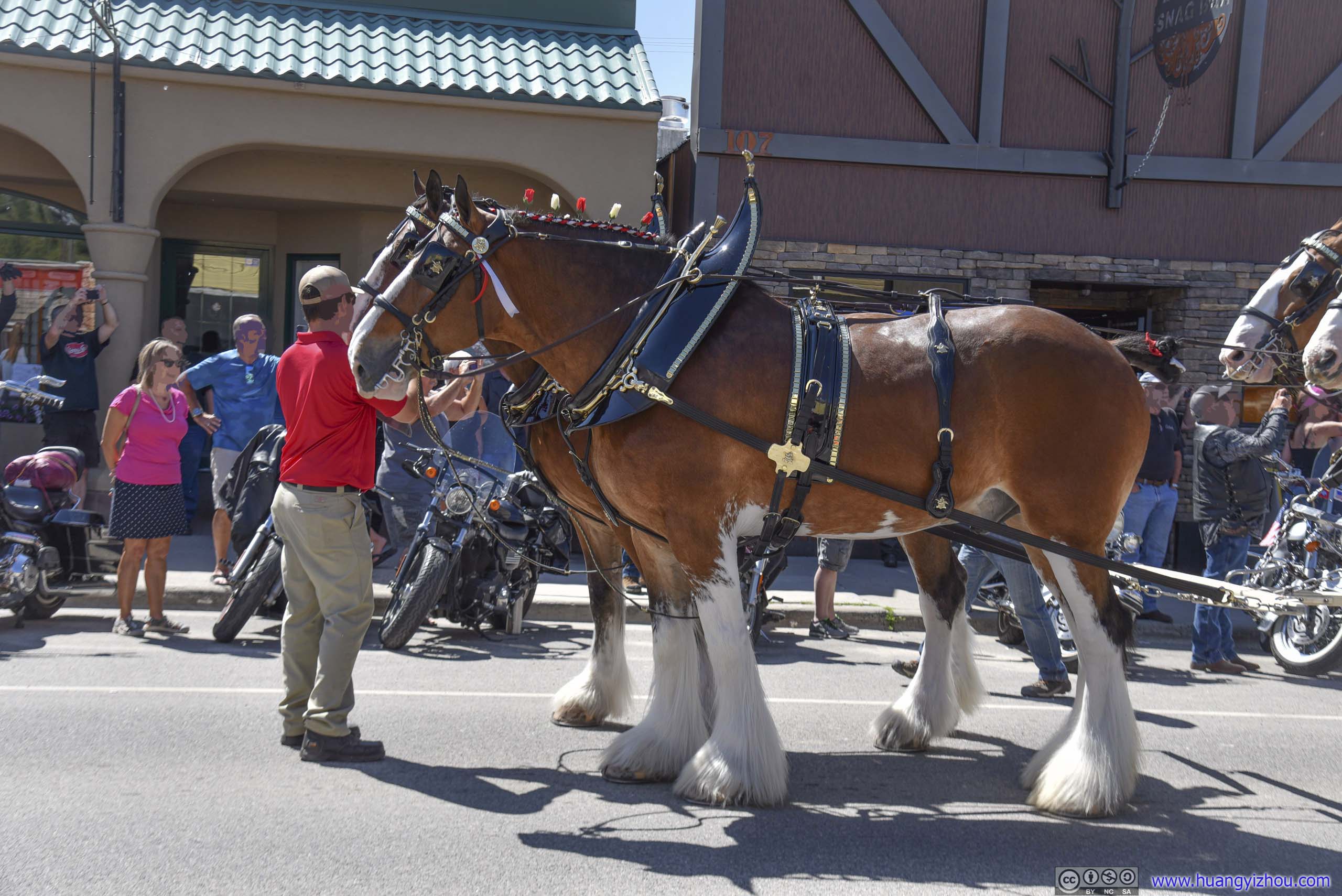
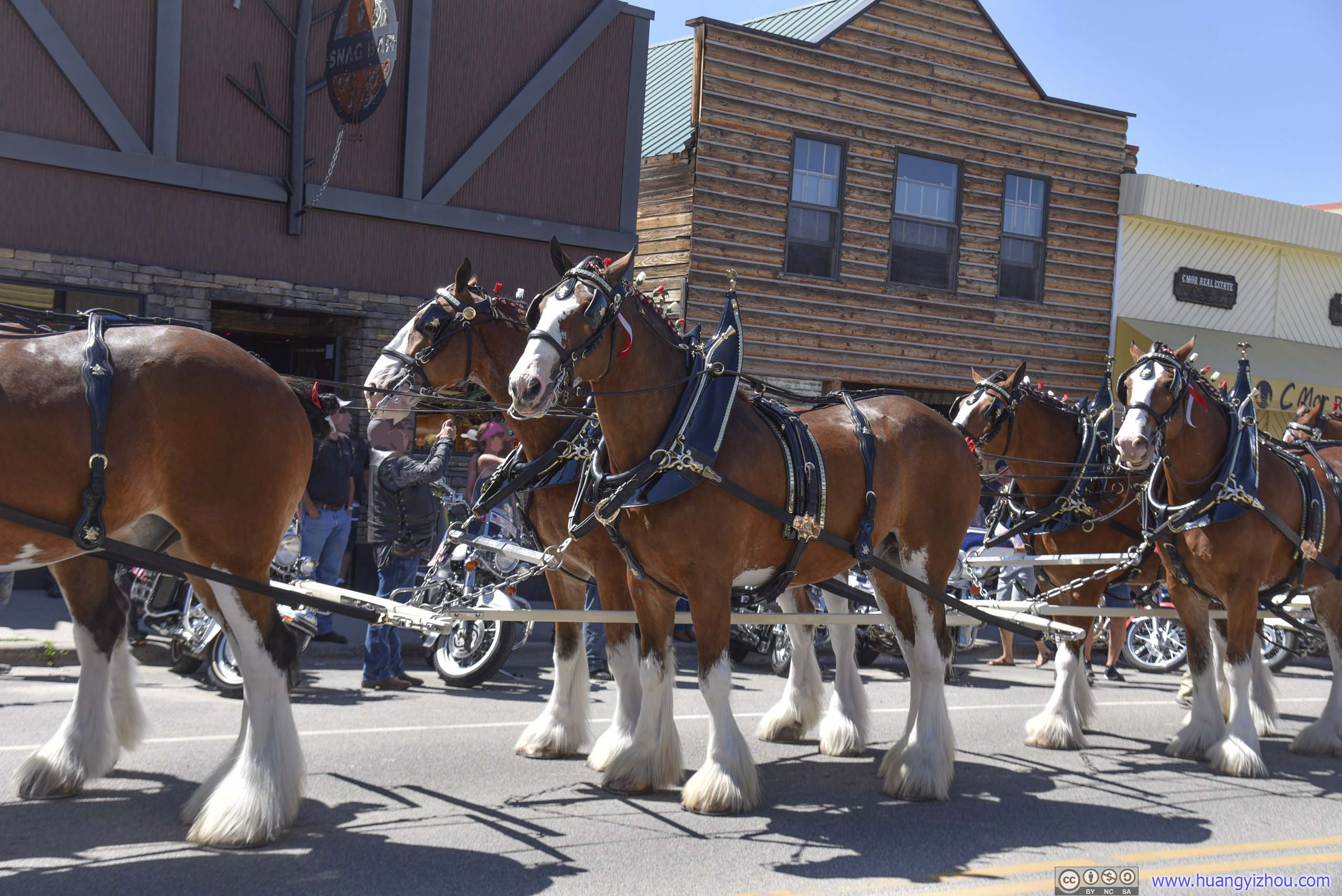 Parade Horses
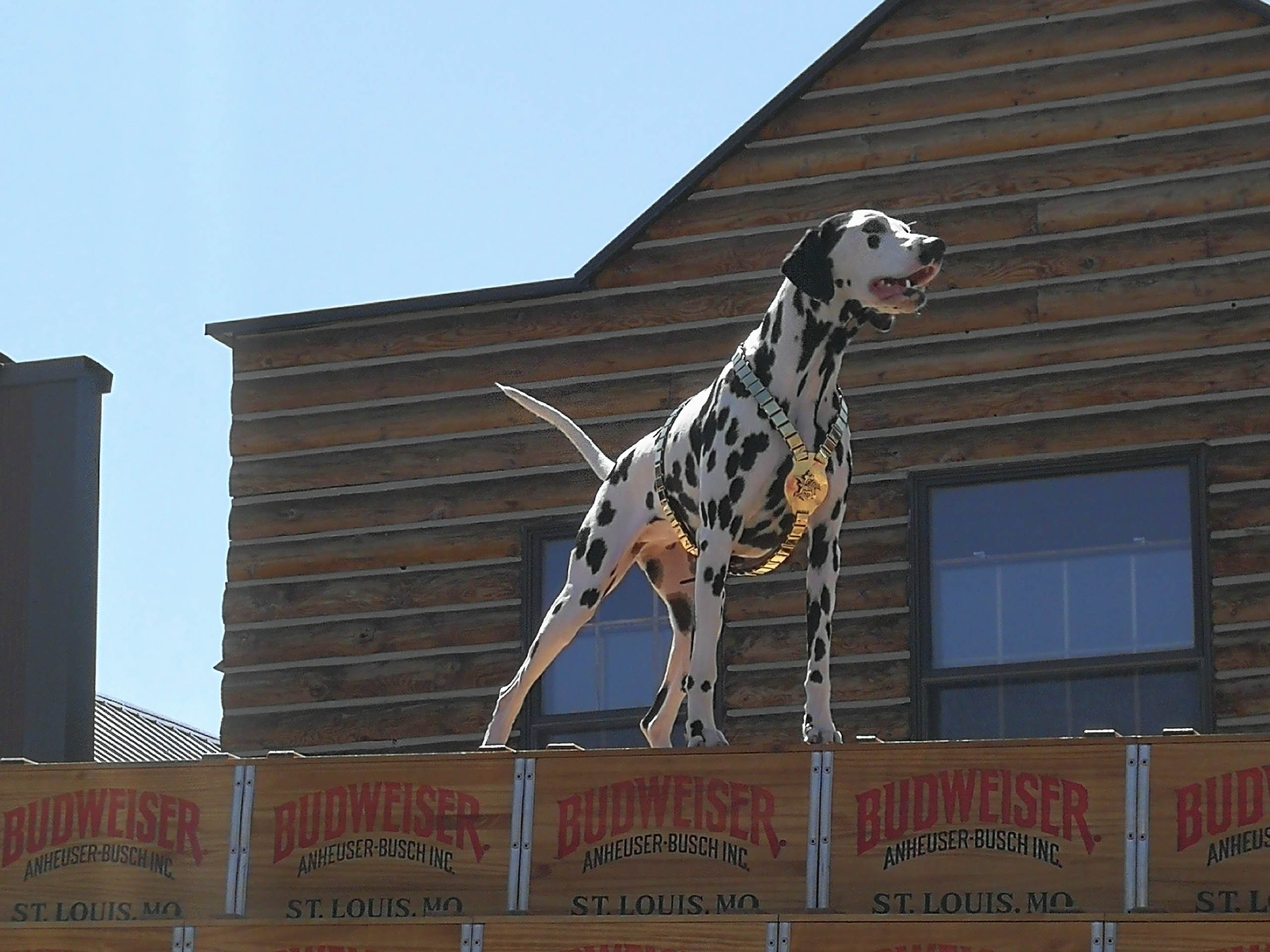
Dog on Parade CartThis photo was taken by my parents.
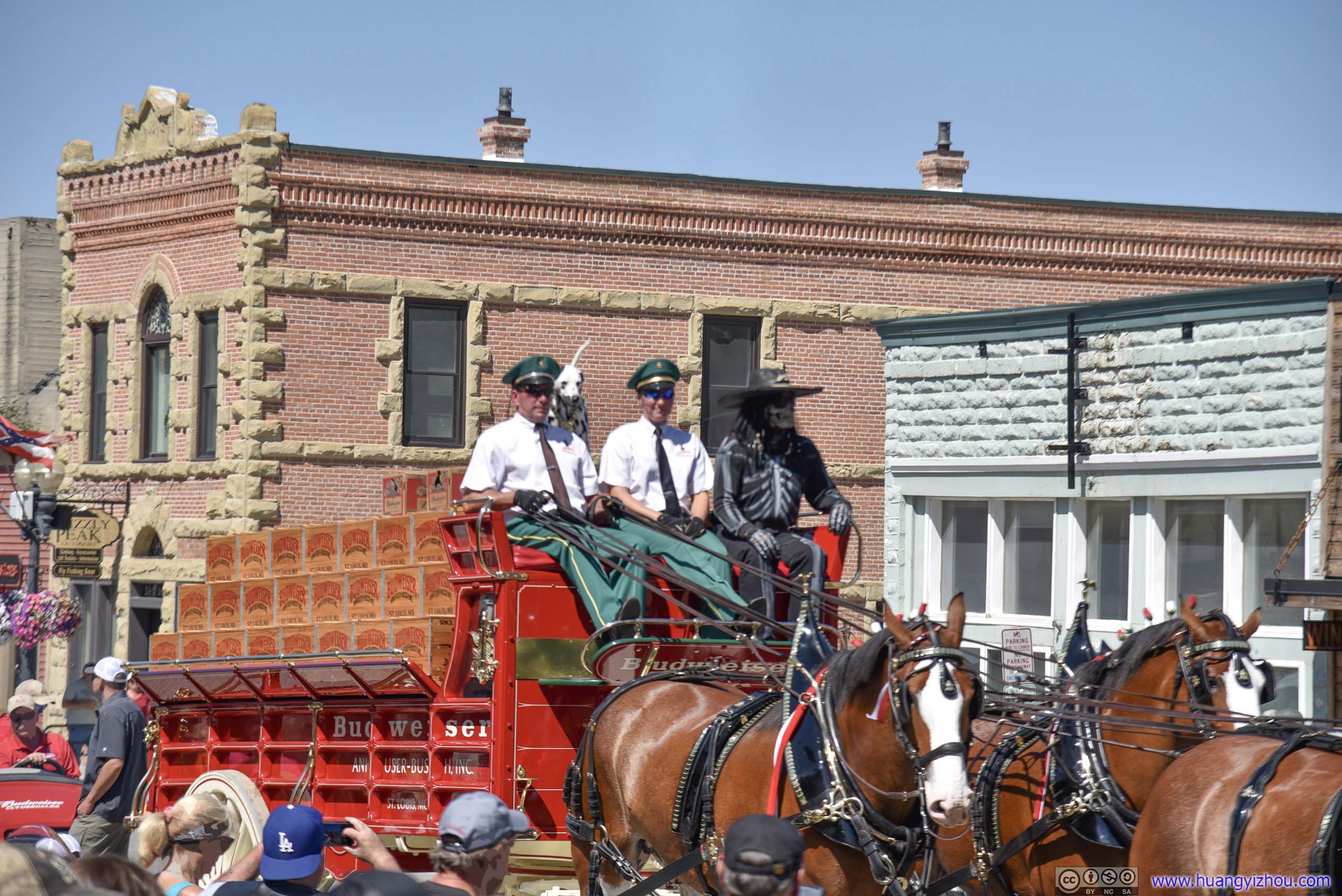
ParadeI didn’t know why a zombie was on this parade cart.
After that, I took over driving so there were no more photos. It was an uneventful five-hour drive Great Falls Montana, with a Walmart grocery stop to stock up supplies, where country roads with few cars passed along beautiful farmland and unfortunately rundown villages.
END
![]() Day 9 of 2019 Western US Tour, July 20, Beartooth Highway by Huang's Site is licensed under a Creative Commons Attribution-NonCommercial-ShareAlike 4.0 International License.
Day 9 of 2019 Western US Tour, July 20, Beartooth Highway by Huang's Site is licensed under a Creative Commons Attribution-NonCommercial-ShareAlike 4.0 International License.