
Updated on March 10, 2020
Day 12 of 2019 Western US Tour, July 23, Hiking to Iceberg Lake and Ptarmigan Tunnel
Our third day in the wonderful world of Glacier National Park. Today, I set off on my own to hike Iceberg Lake and Ptarmigan Tunnel.
Iceberg Lake
A note that, to visit both Iceberg Lake and Ptarmigan Tunnel in one day was a 24.75km hike that I tracked 7.5 hours. And since I was by myself I moved faster than most people on the trail. This should only be attempted by the physically fit, carrying ample water.
And since I was in no hurry to catch a timed-boat, I got up slightly later today and began my hike at 9:23am, at the back of Swiftcurrent Motor Inn.
Here’s GPS tracking of the day:
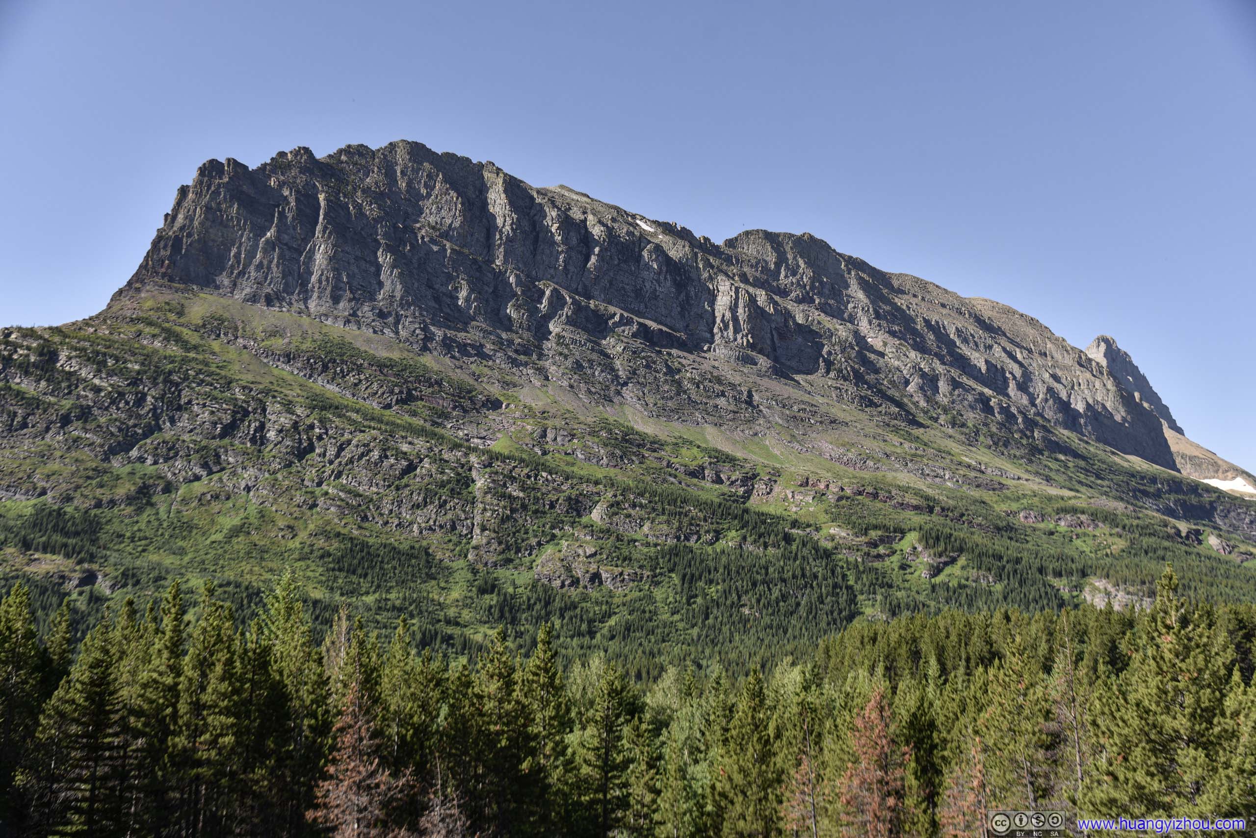
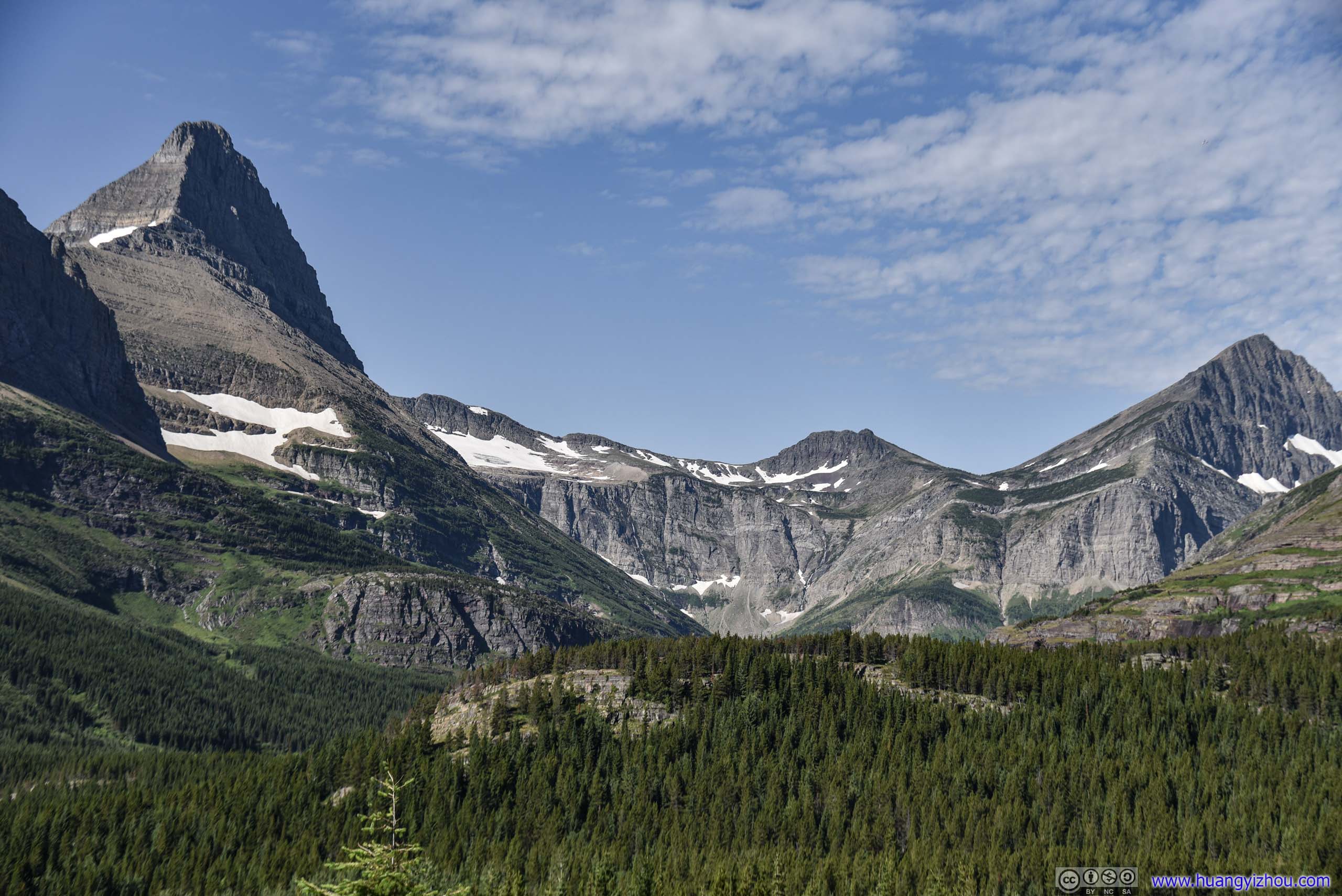
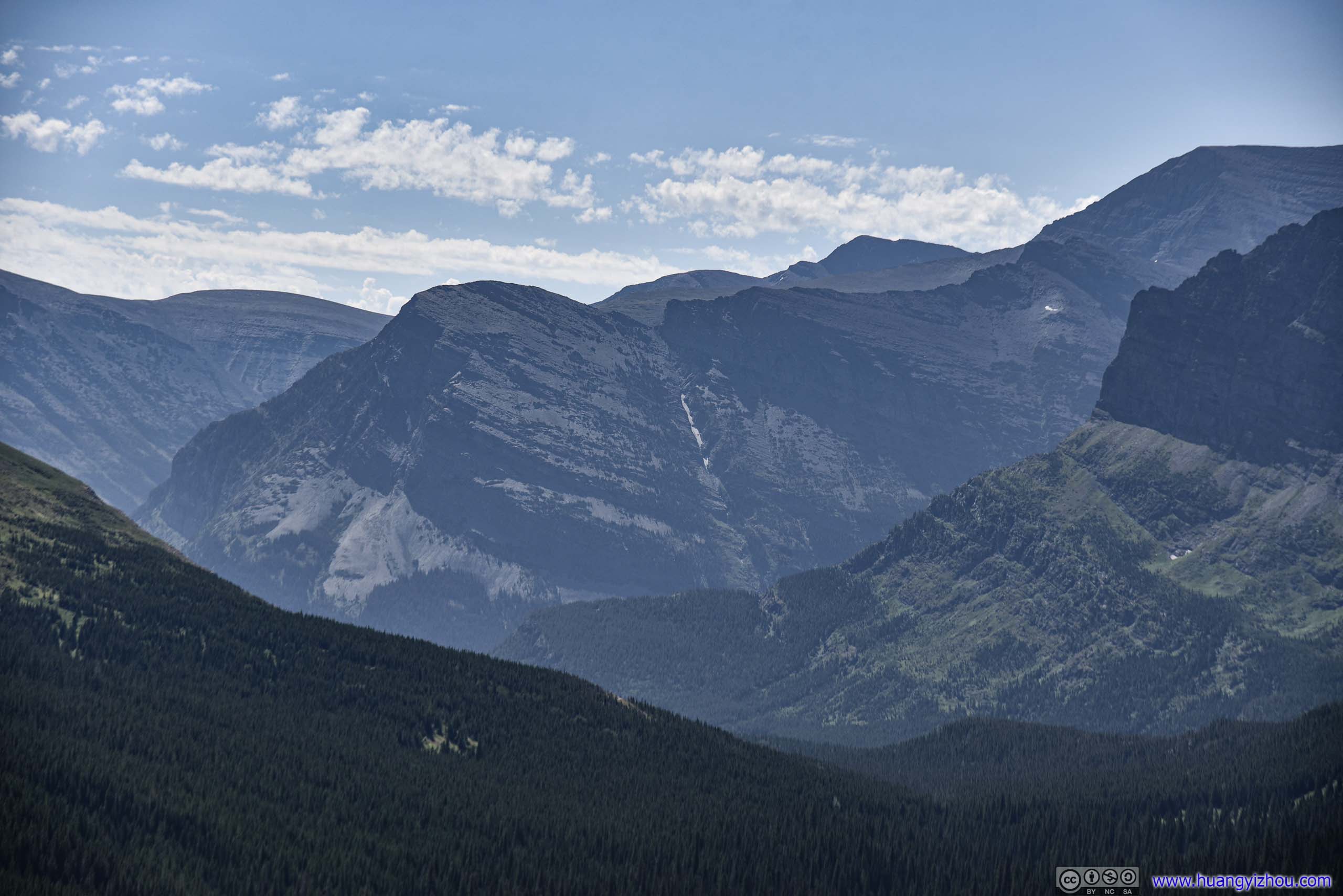
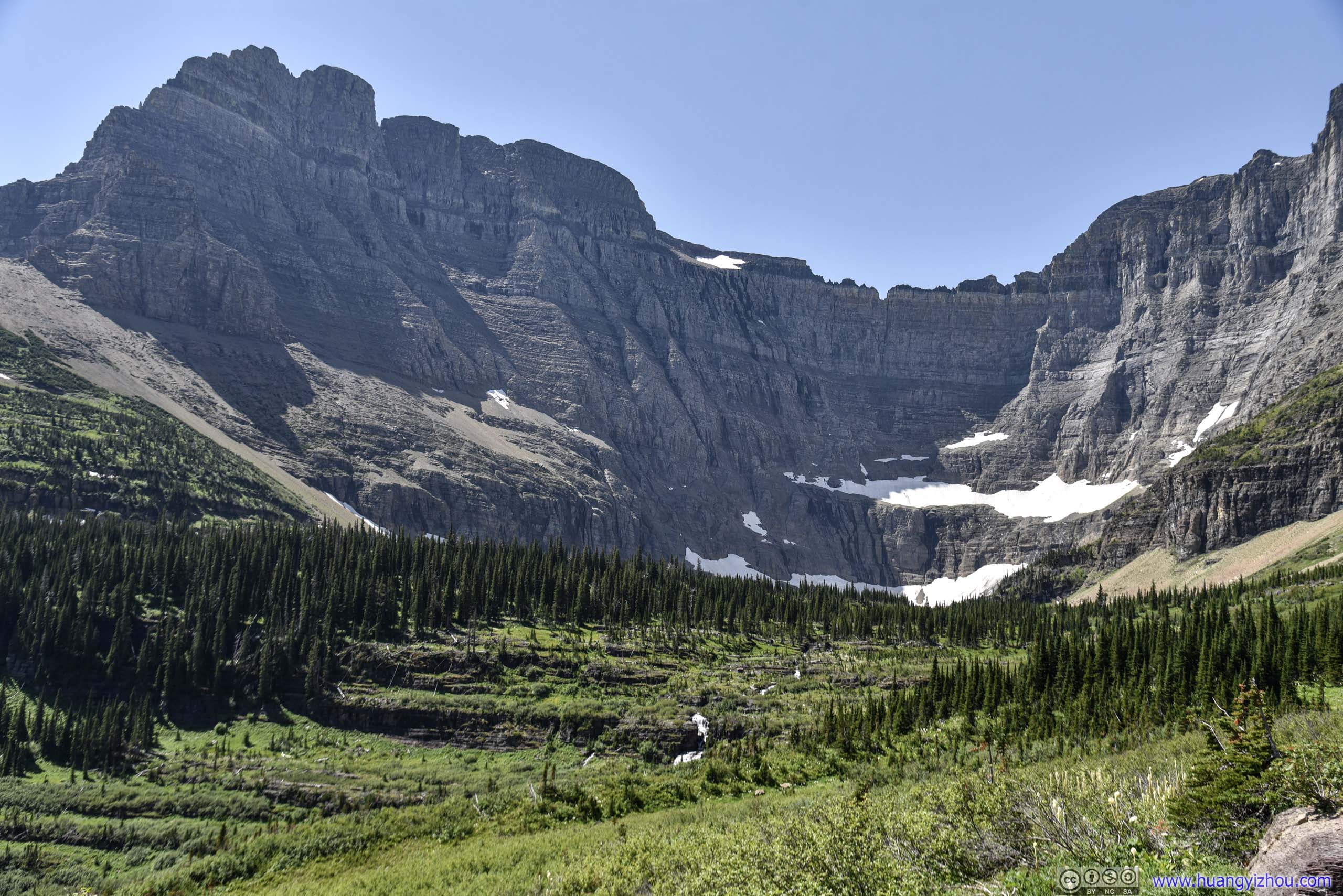
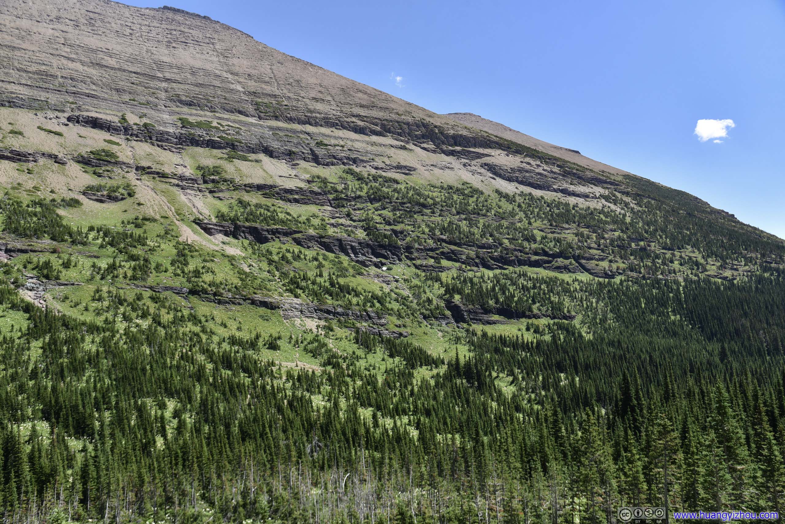
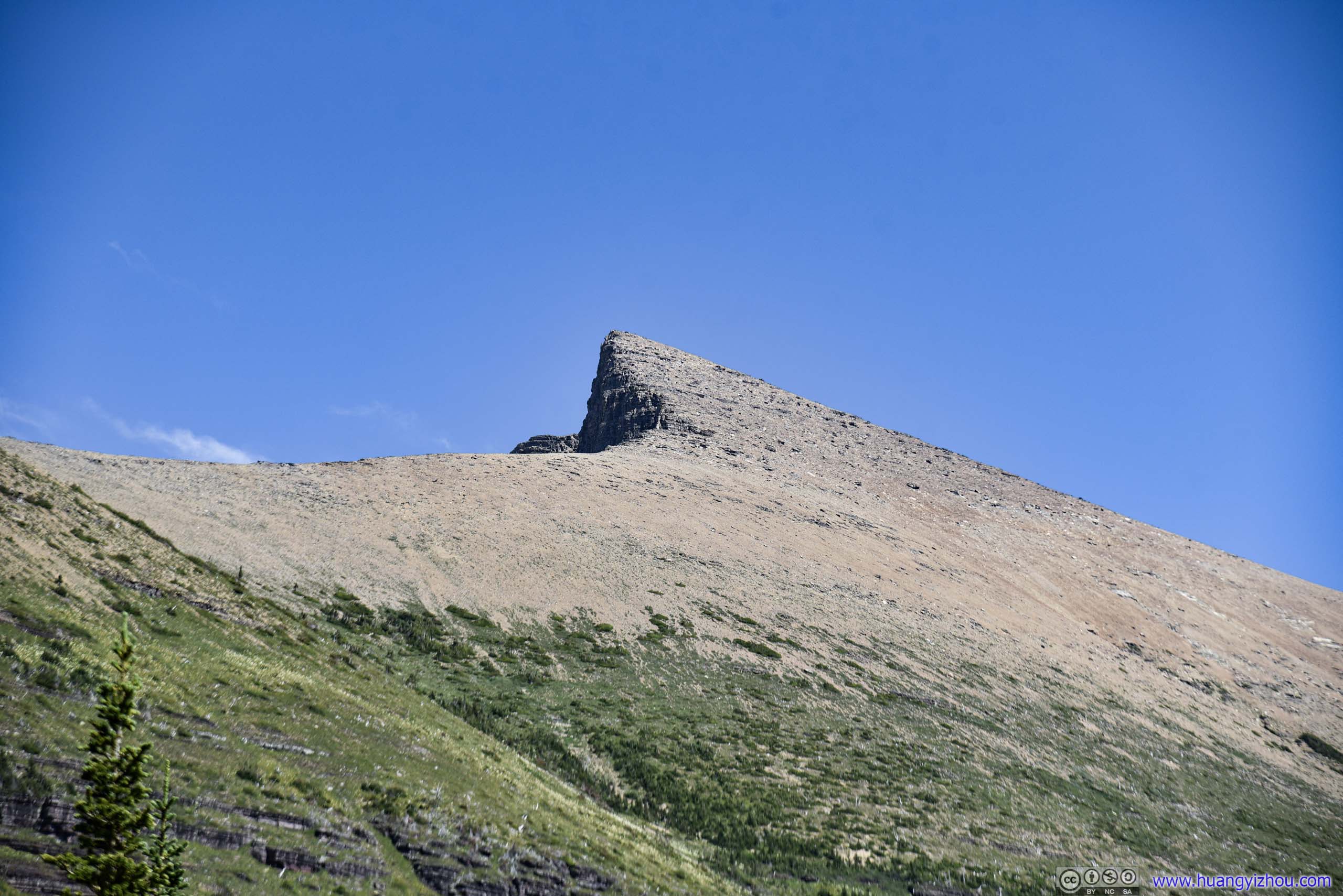
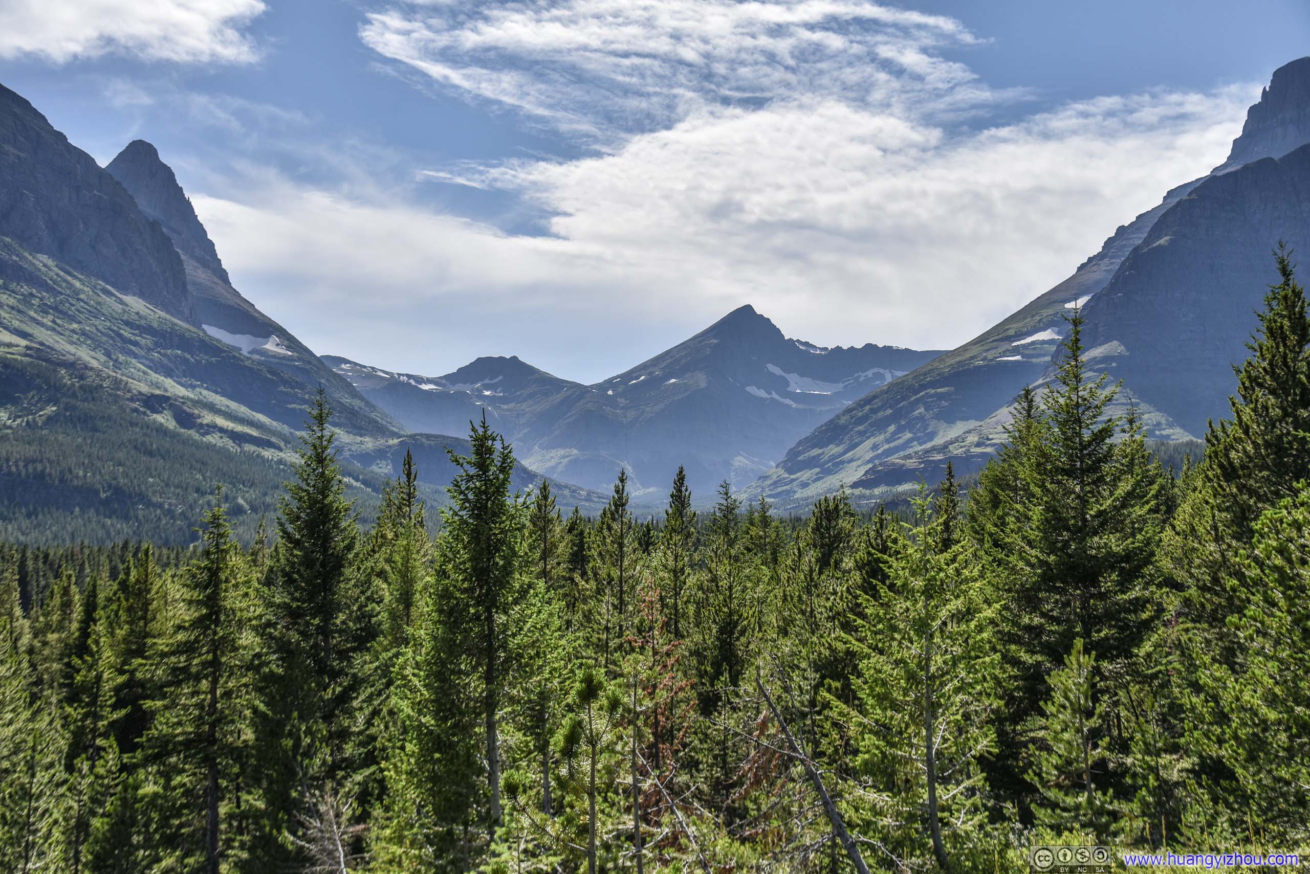
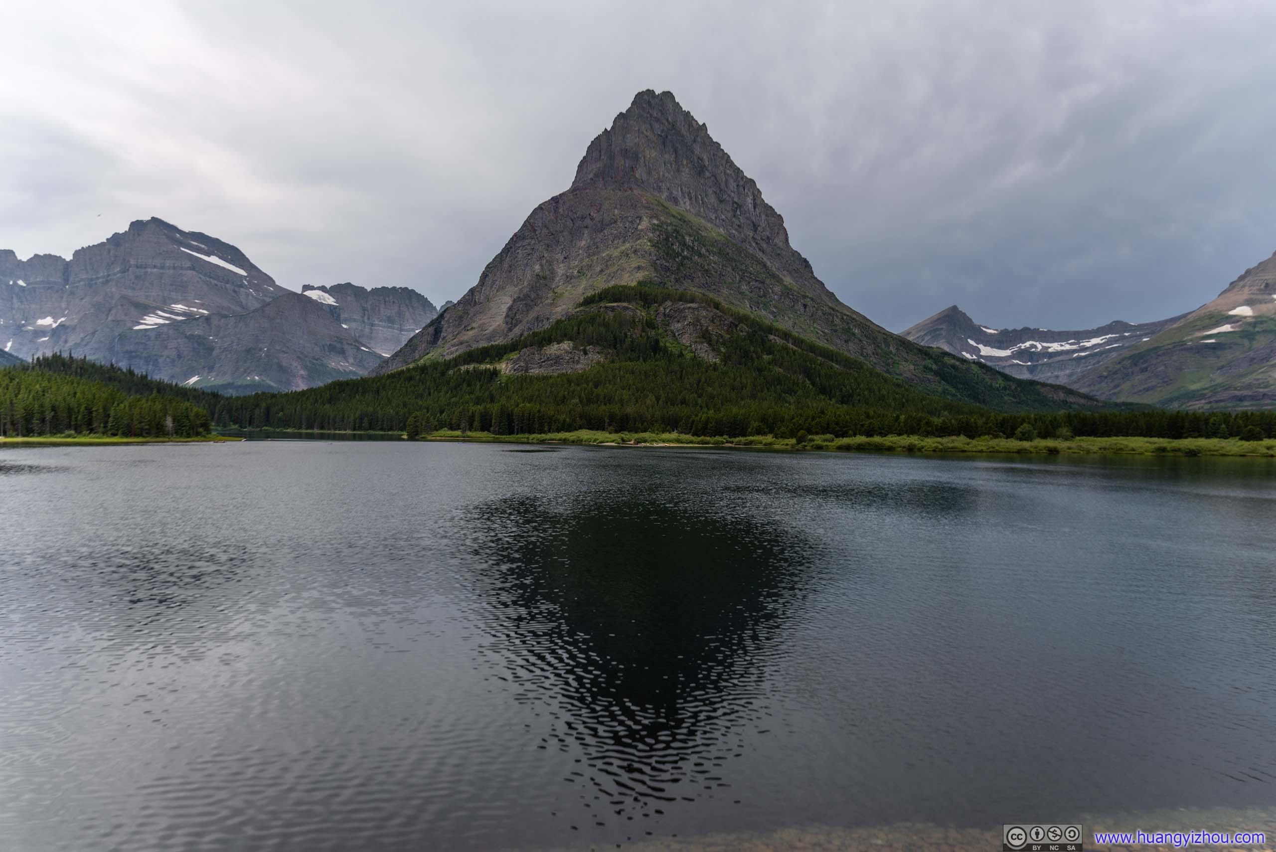
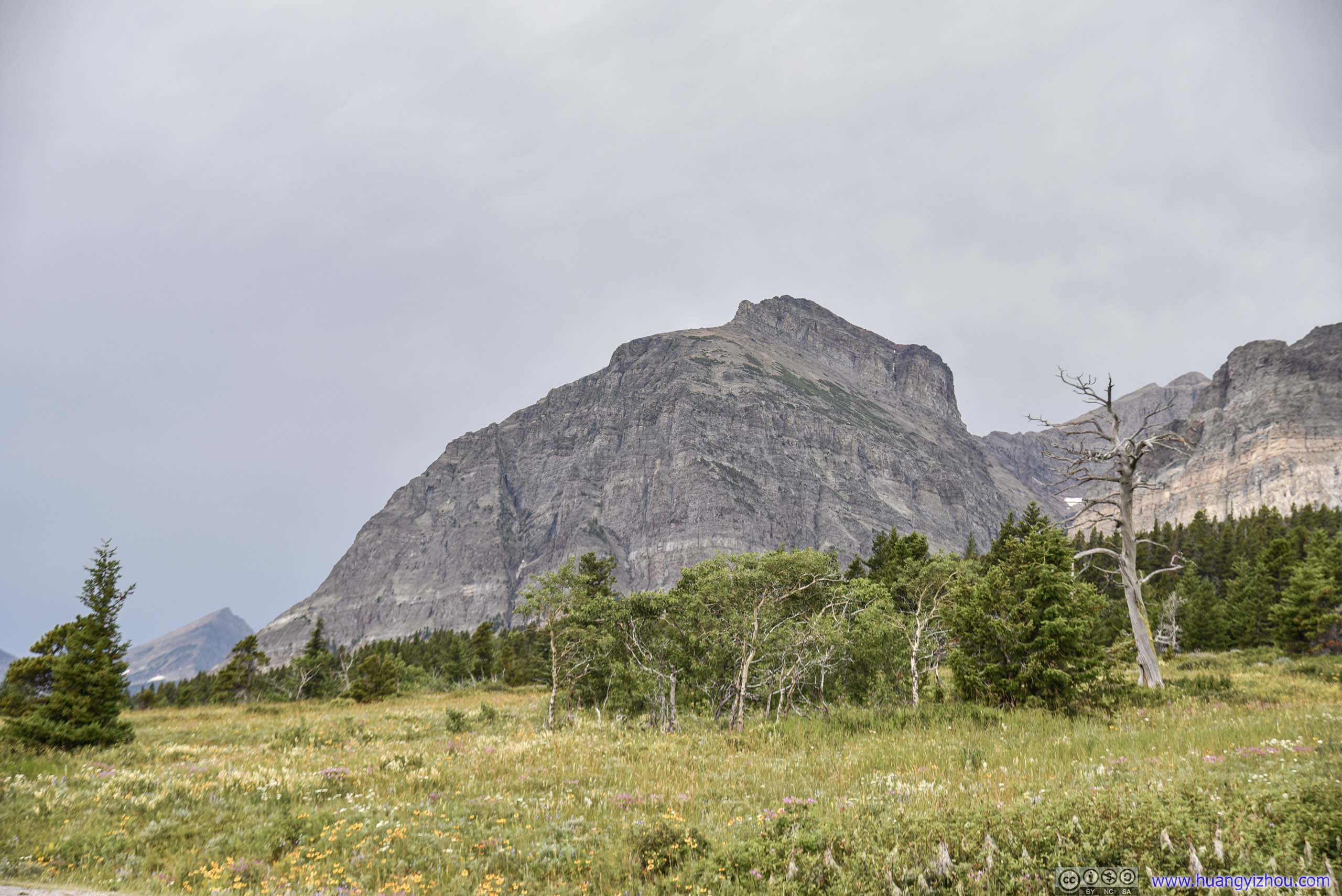
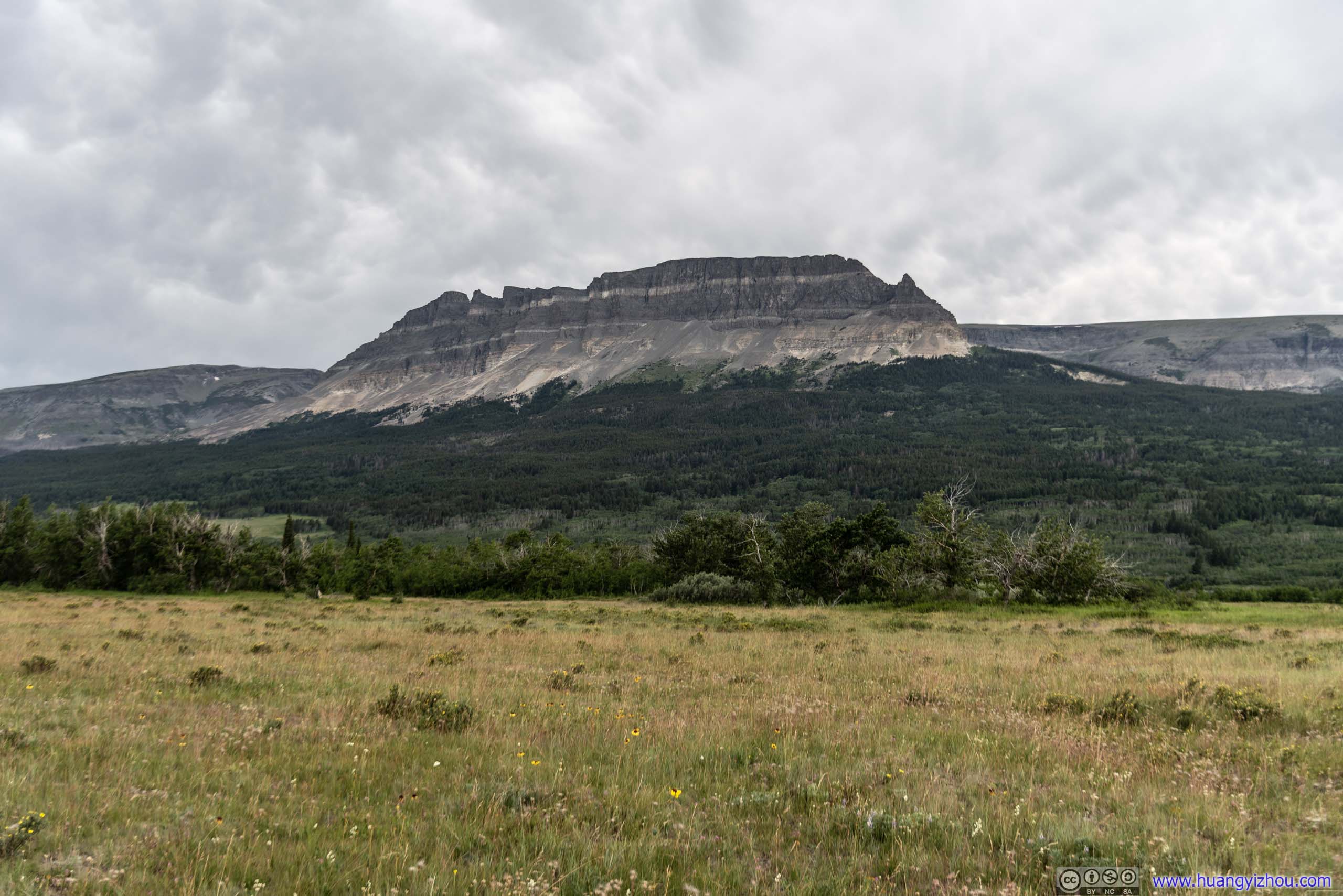
 Mt Grinnell
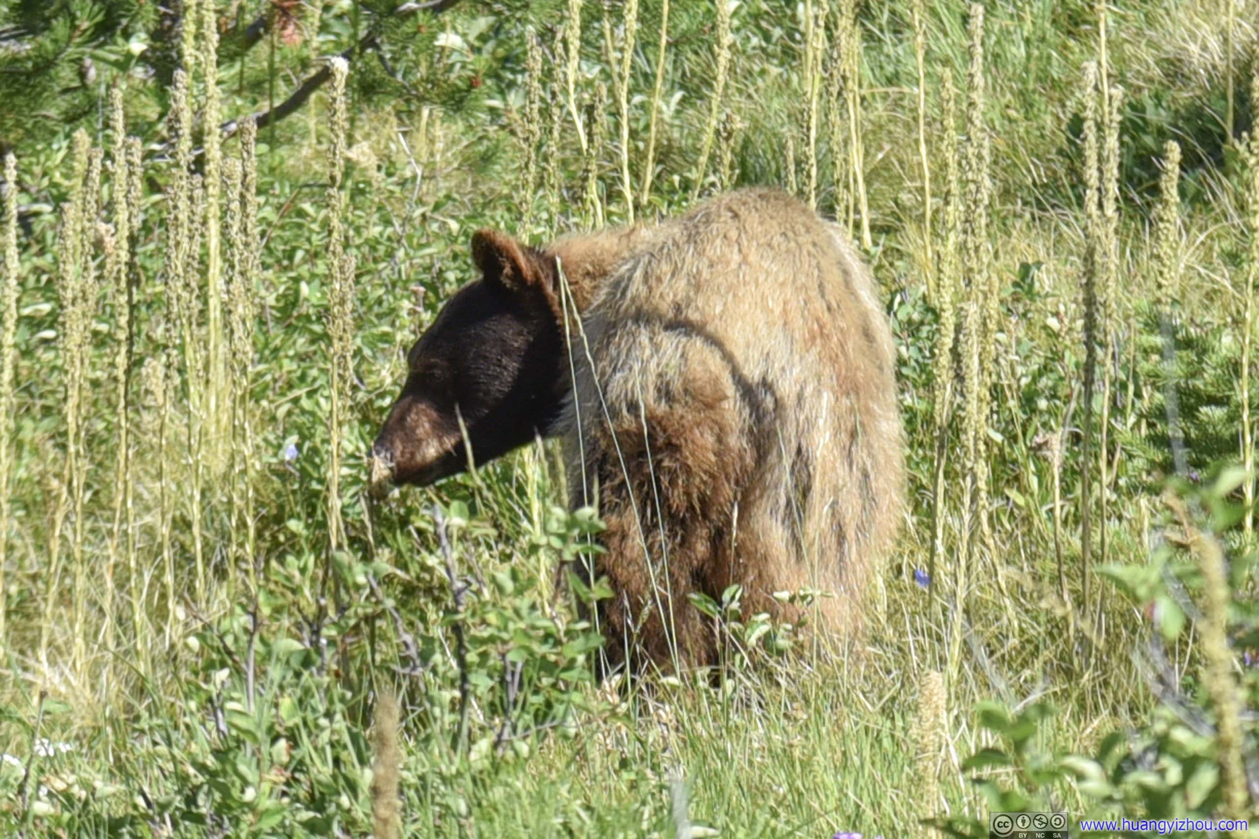
About 10 minutes later, the first surprise of the day.
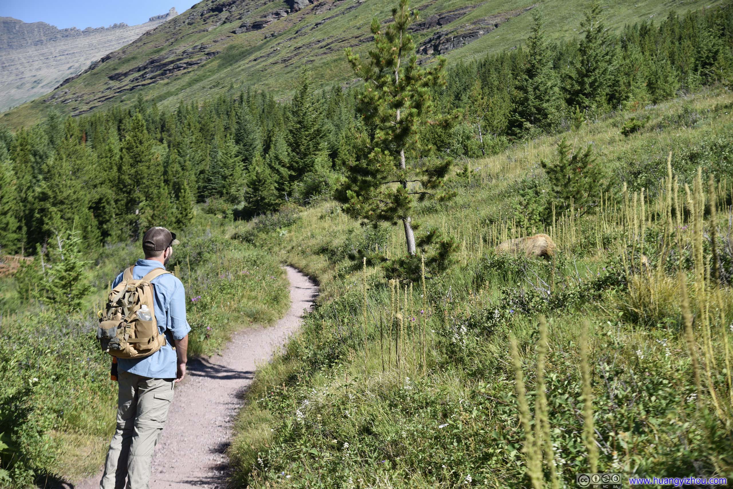
Bear by TrailLed by the gentleman in this photo, a group of people, me included, bravely marched past this bear.
The bear was less than 5 meters from the trail, far less than the minimum distance recommended by NPS, so I joined a group of people waiting for it to move on. But the gentleman in the previous photo certainly ran out of patience, and with more than a dozen people (bears rarely attacked large groups) waiting, he bravely led us past this furry creature.
And I took these photos as we walked past.
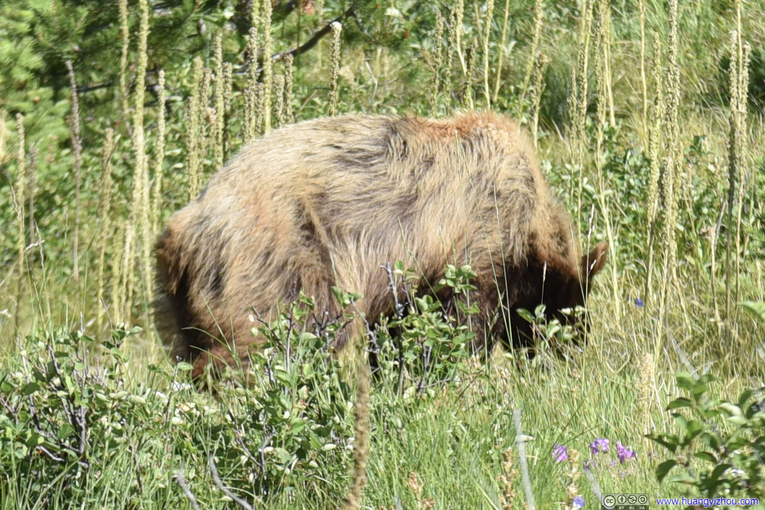

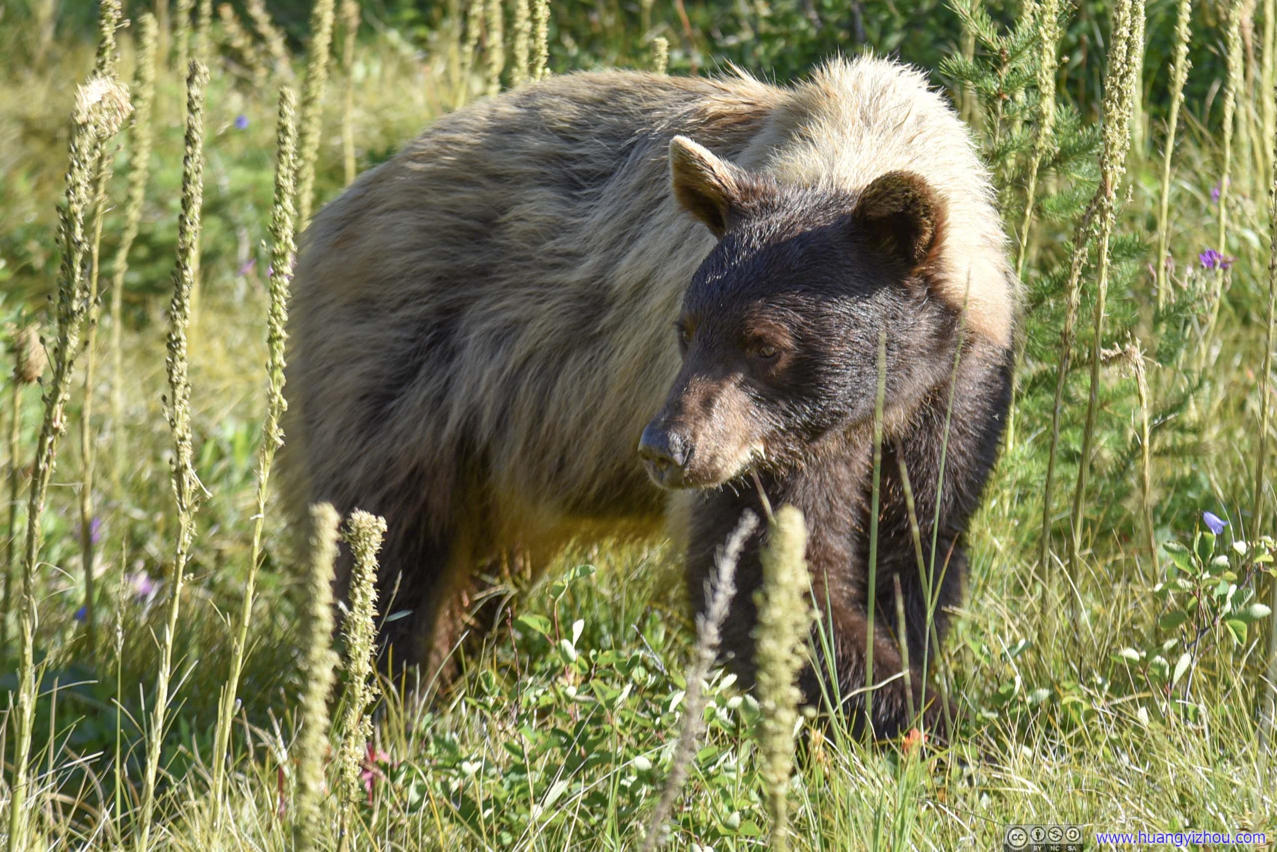
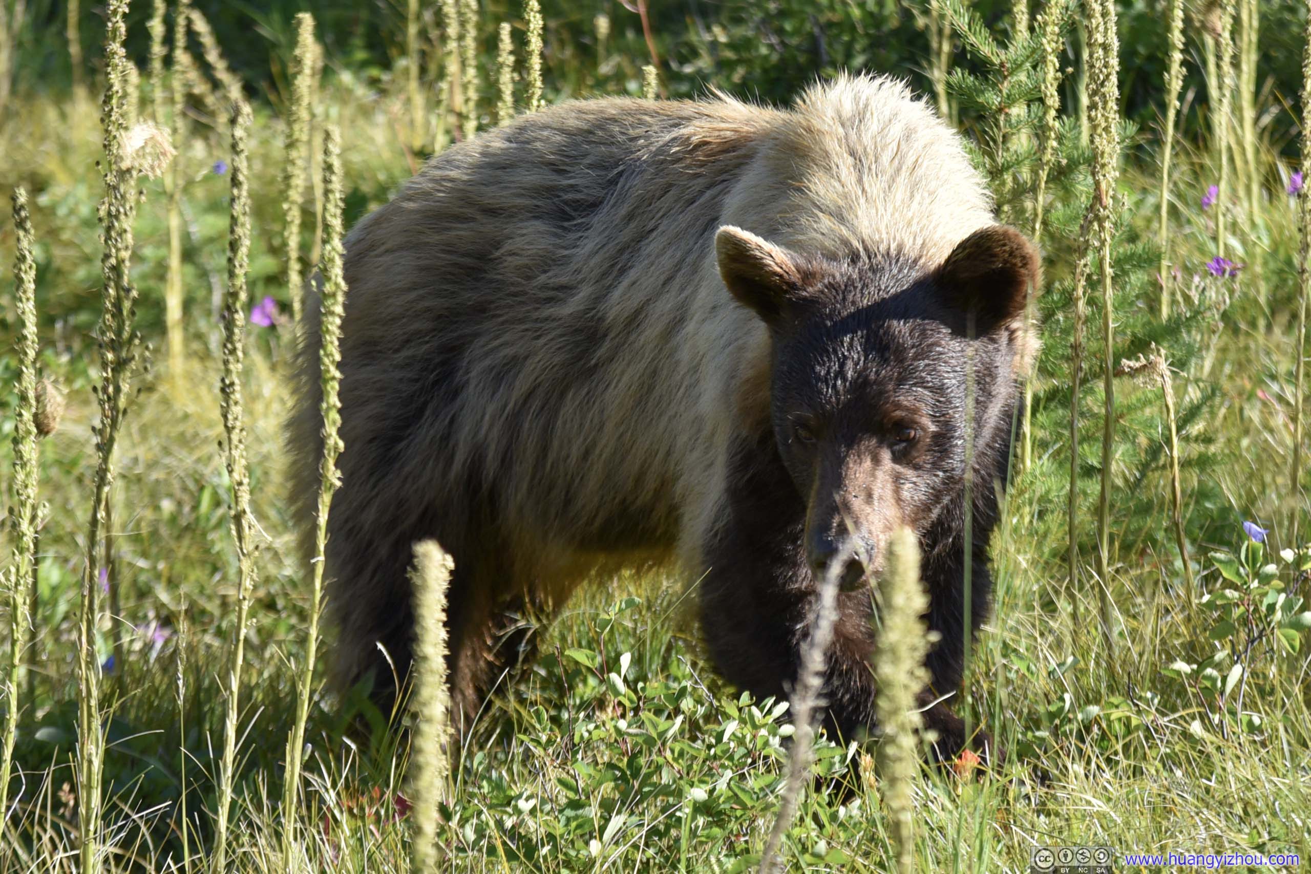
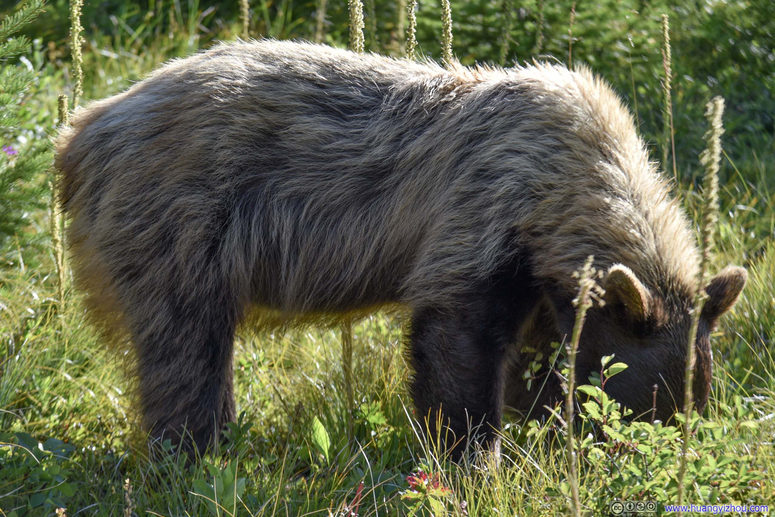 Bear by TrailHe certainly seemed more interested in his breakfast than the group passing him.
 Bear by Trail
As a side note, I didn’t recommend bear spray on Grinnell Glacier Trail, but for Iceberg Lake and Ptarmigan Tunnel, bear spray certainly seemed like a useful insurance.
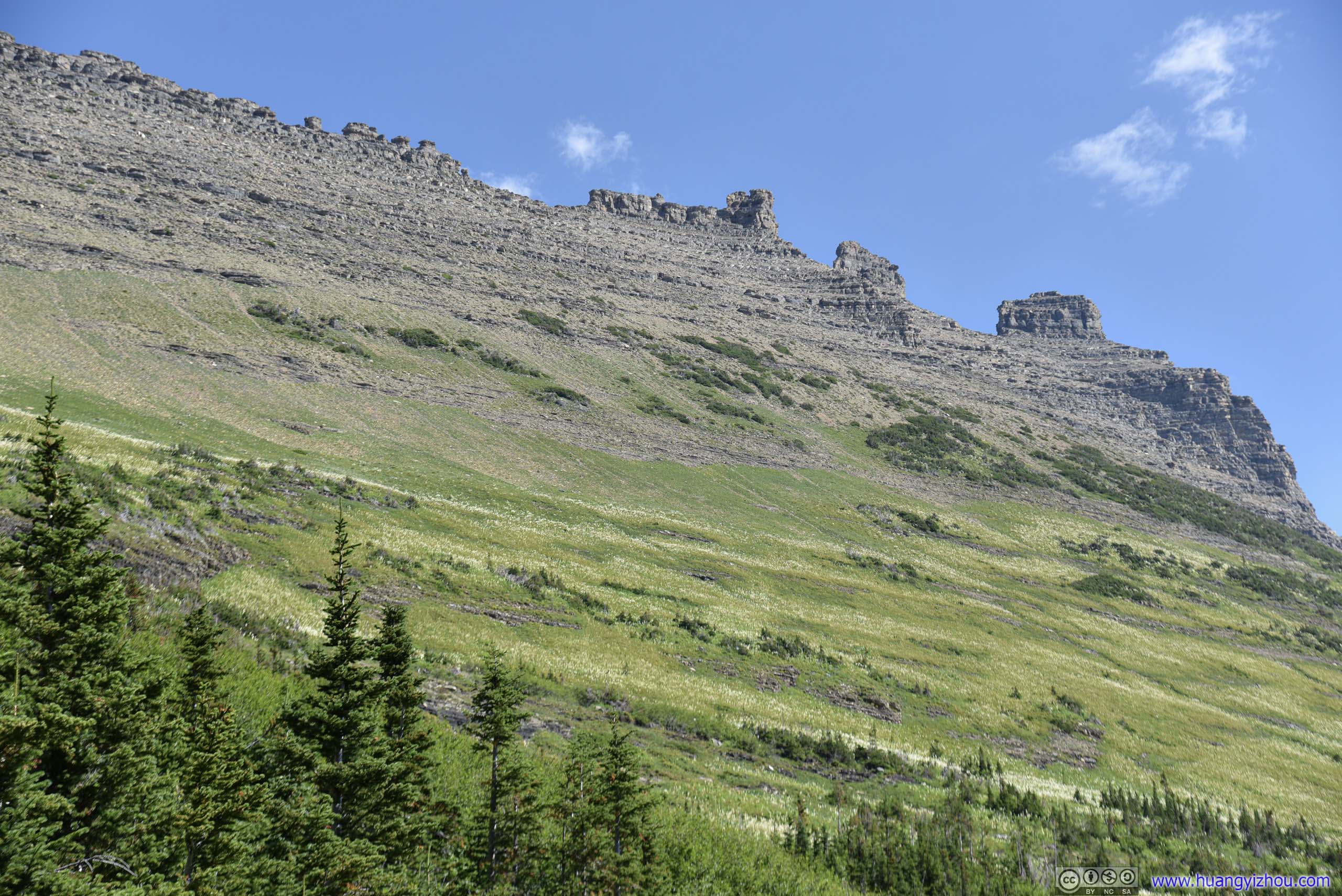
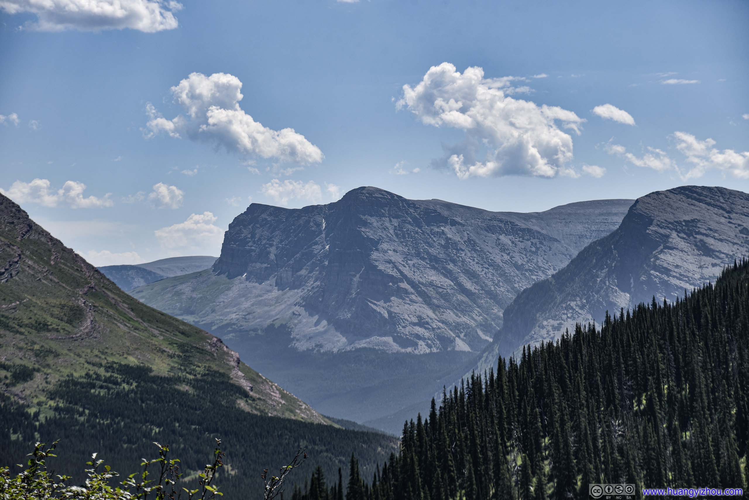
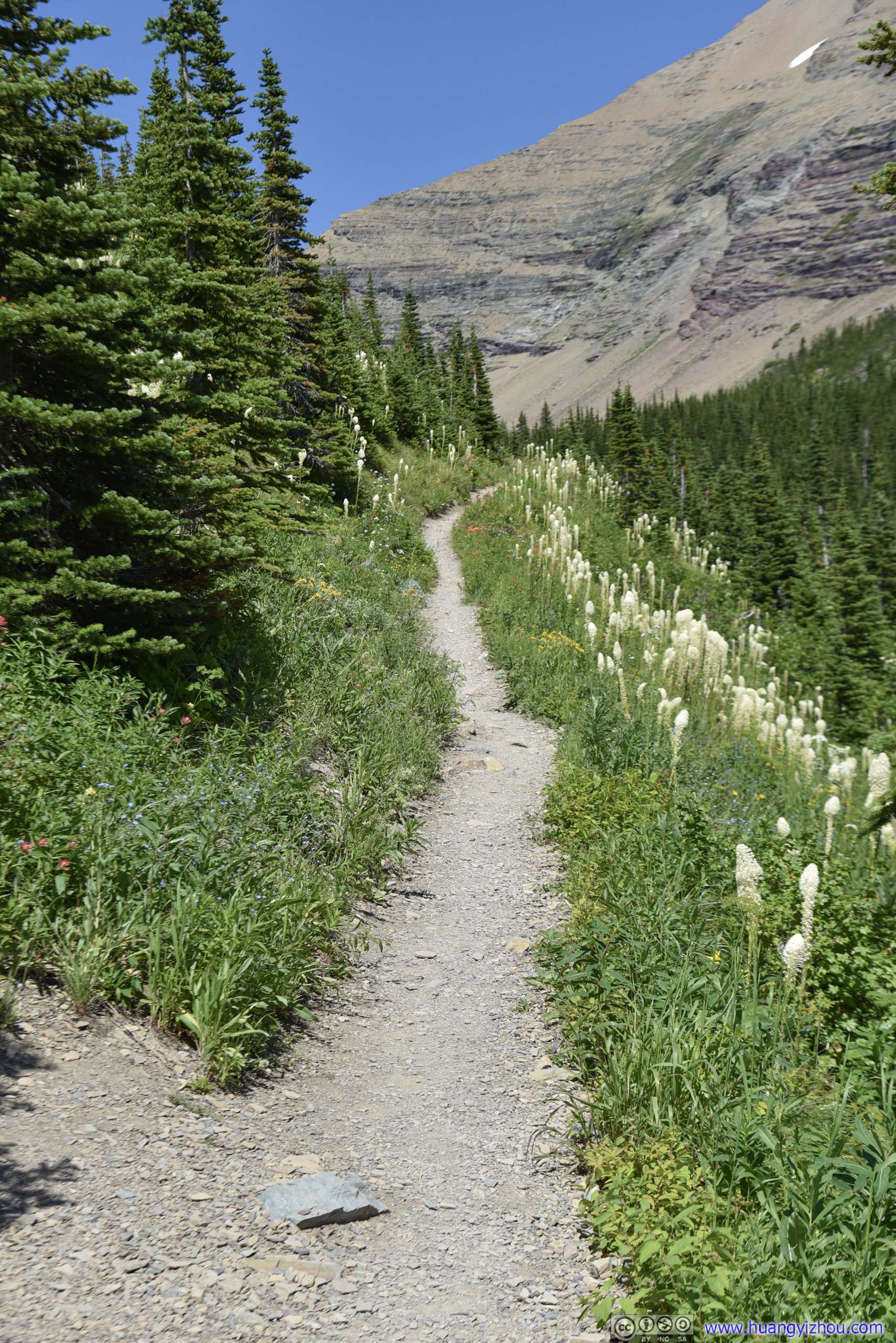
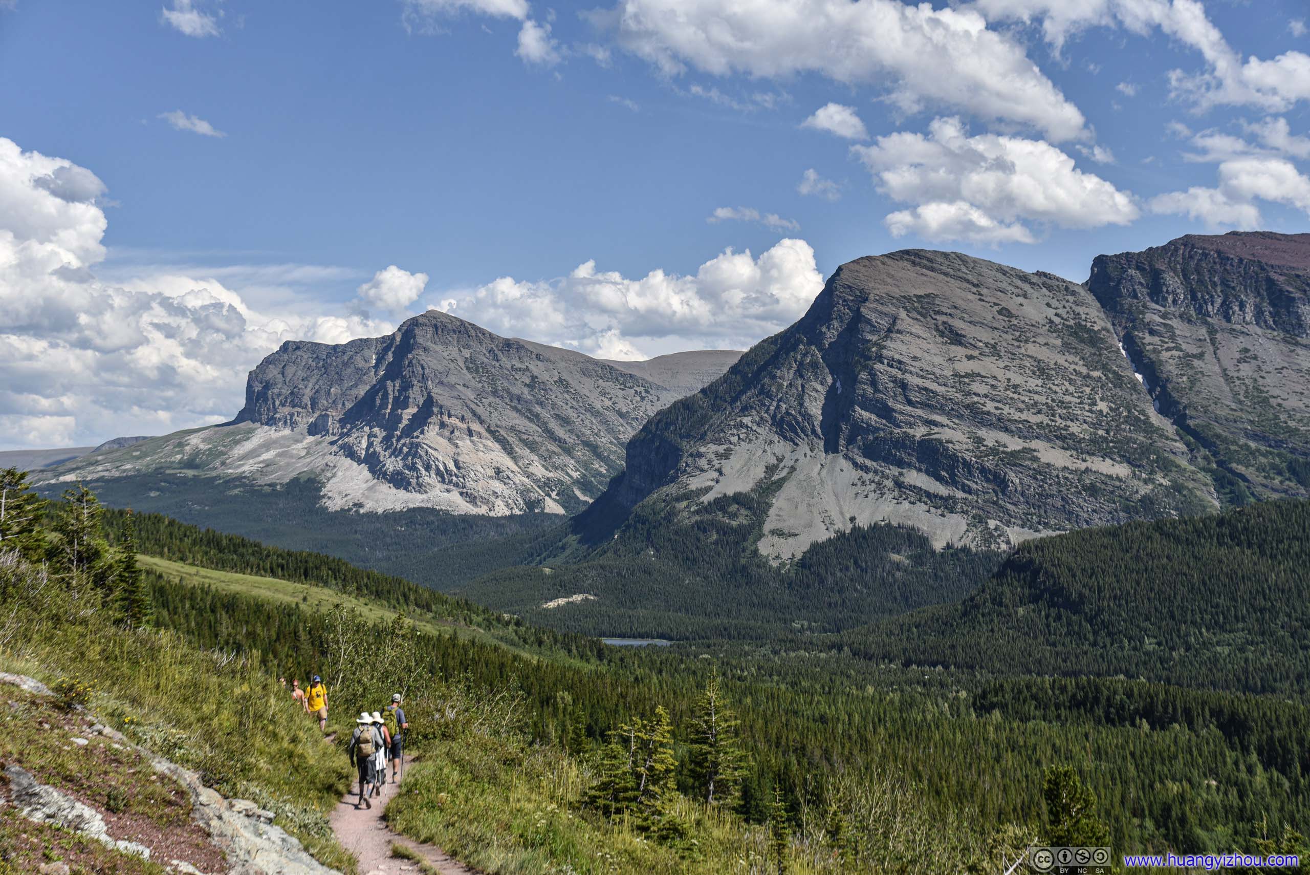
After that, the trail followed the side of Mt. Henkel, with wonderful views of nearby mountain peaks.
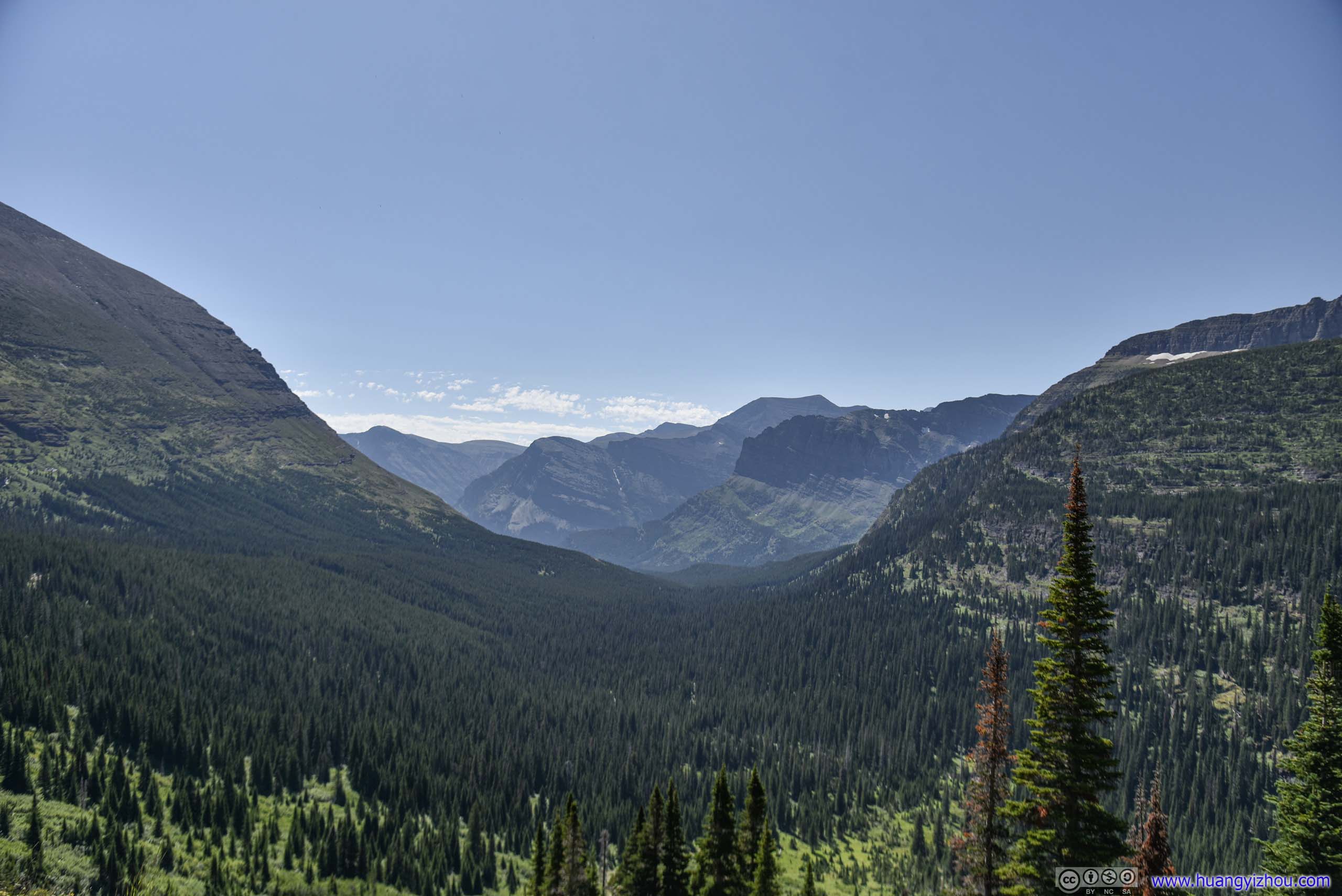
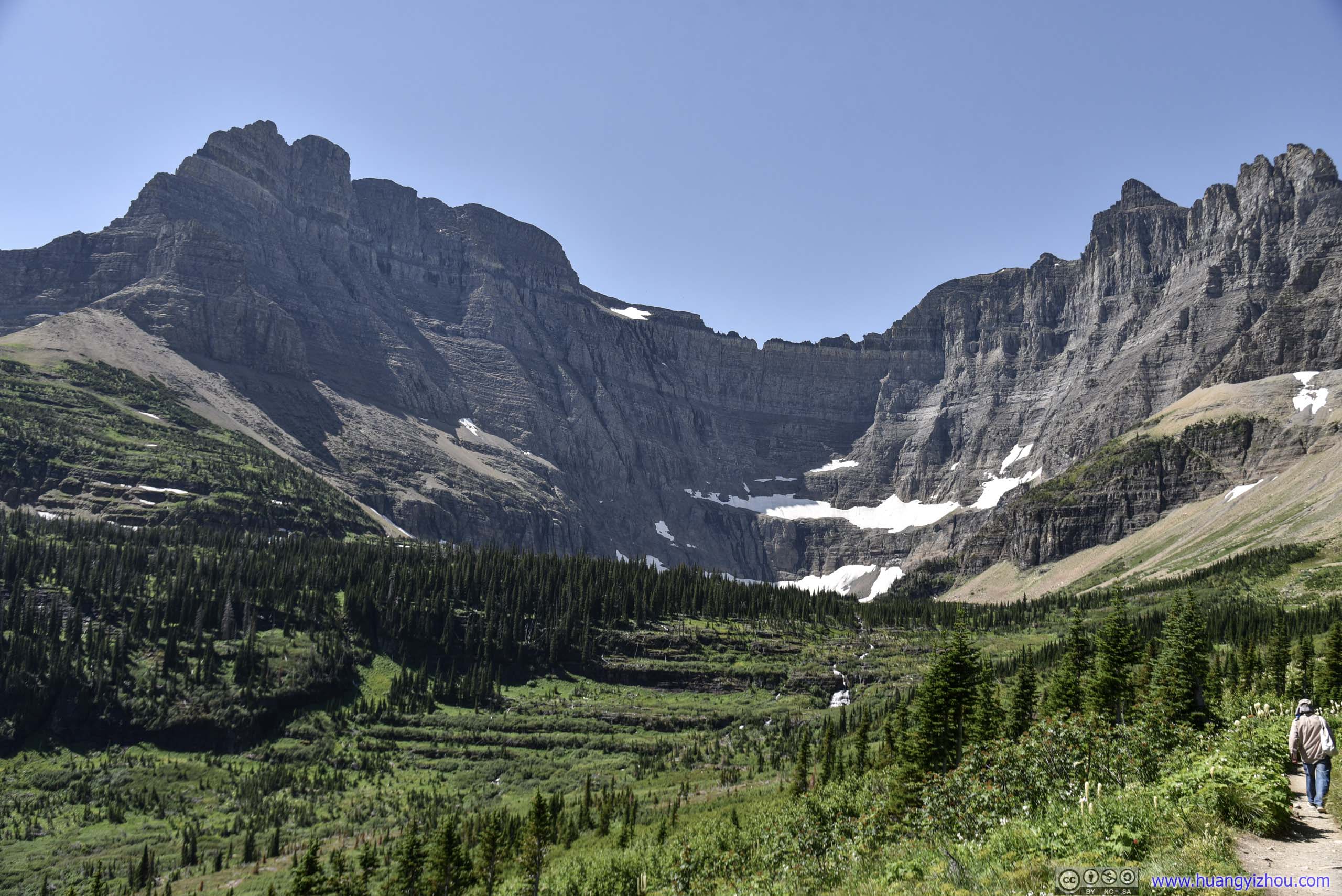
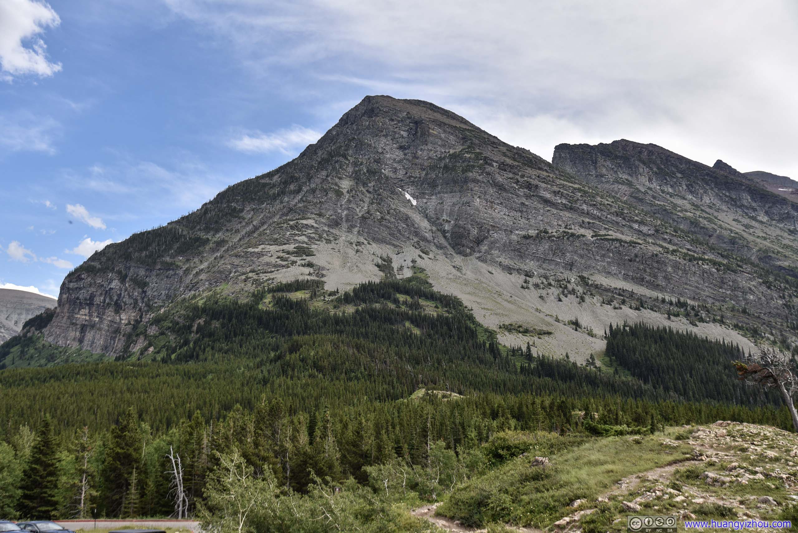
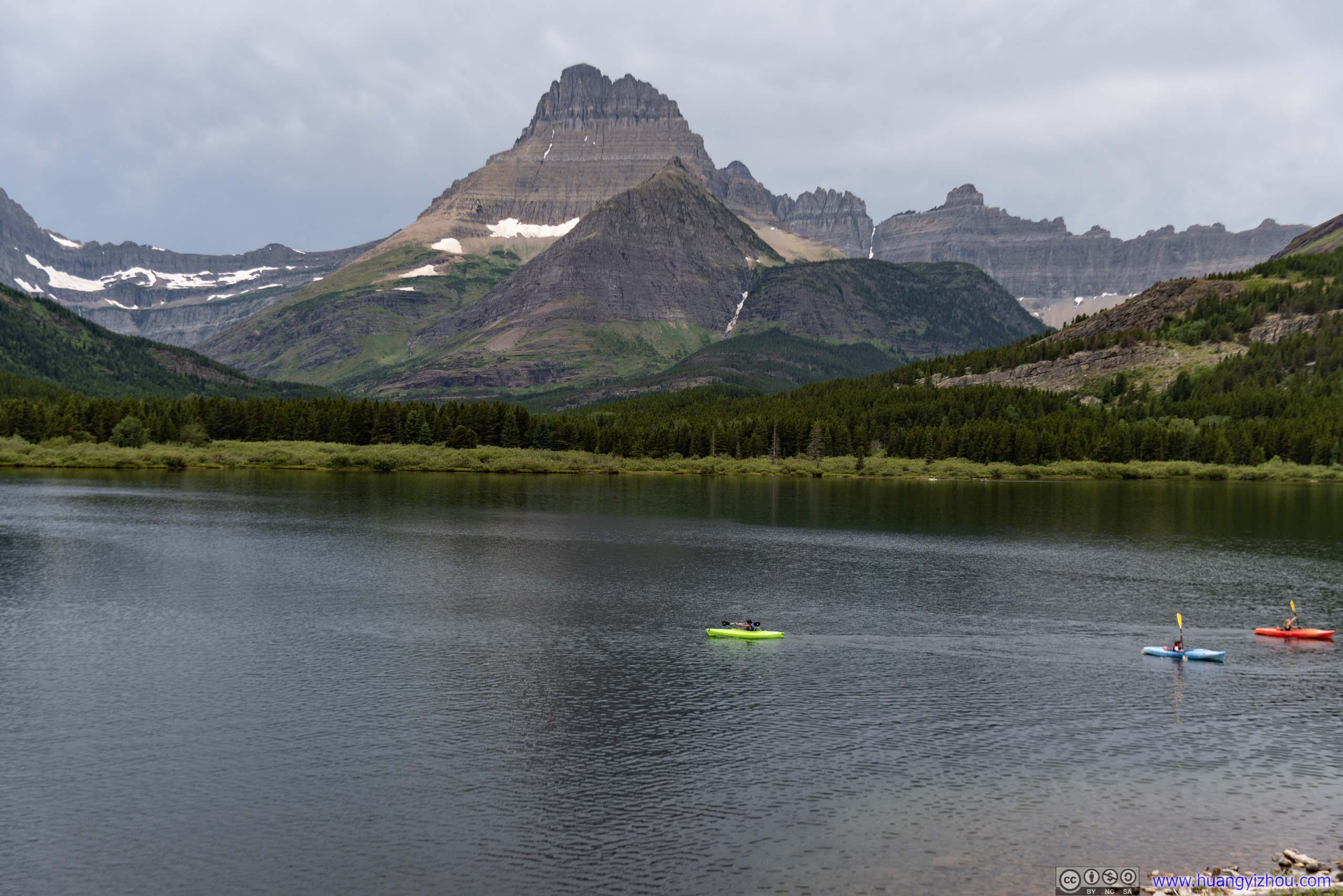
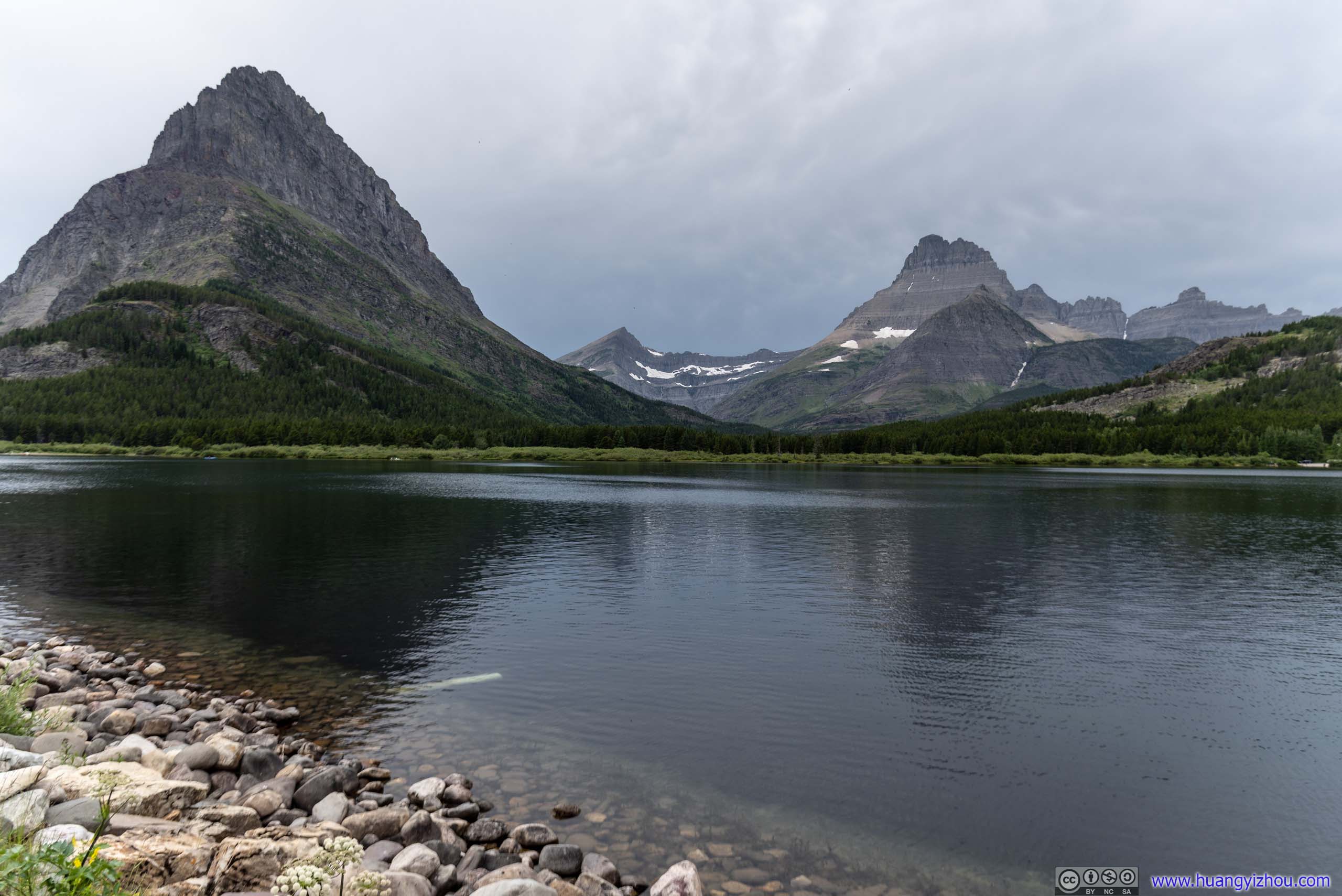
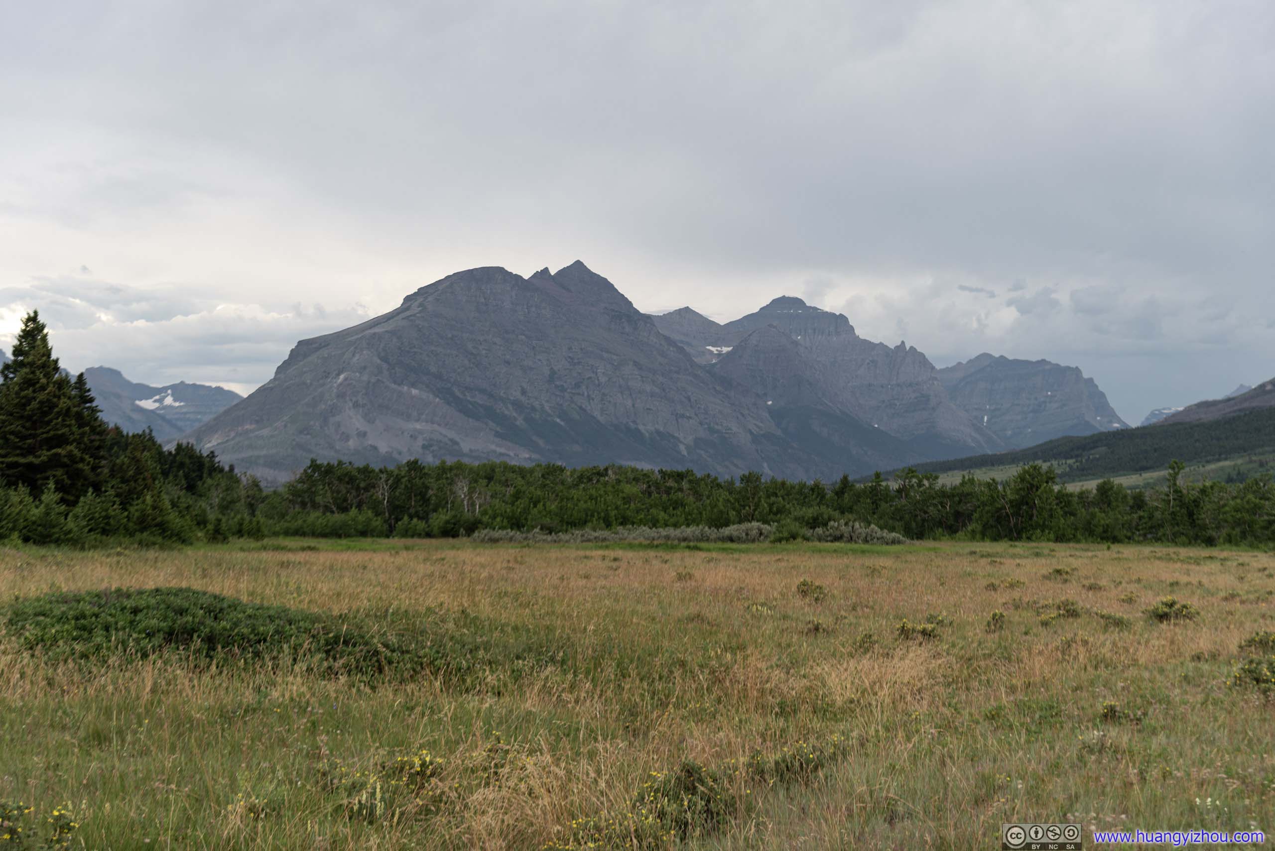
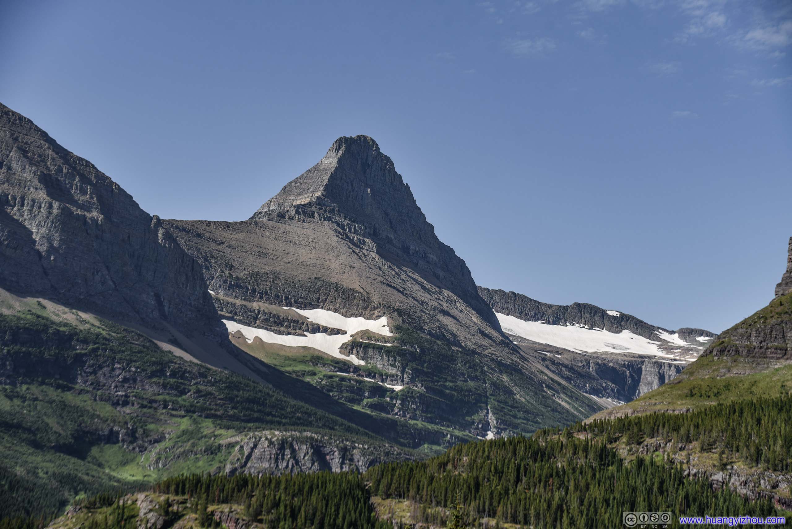 Swiftcurrent Mountain / Peak of Mt Grinnell
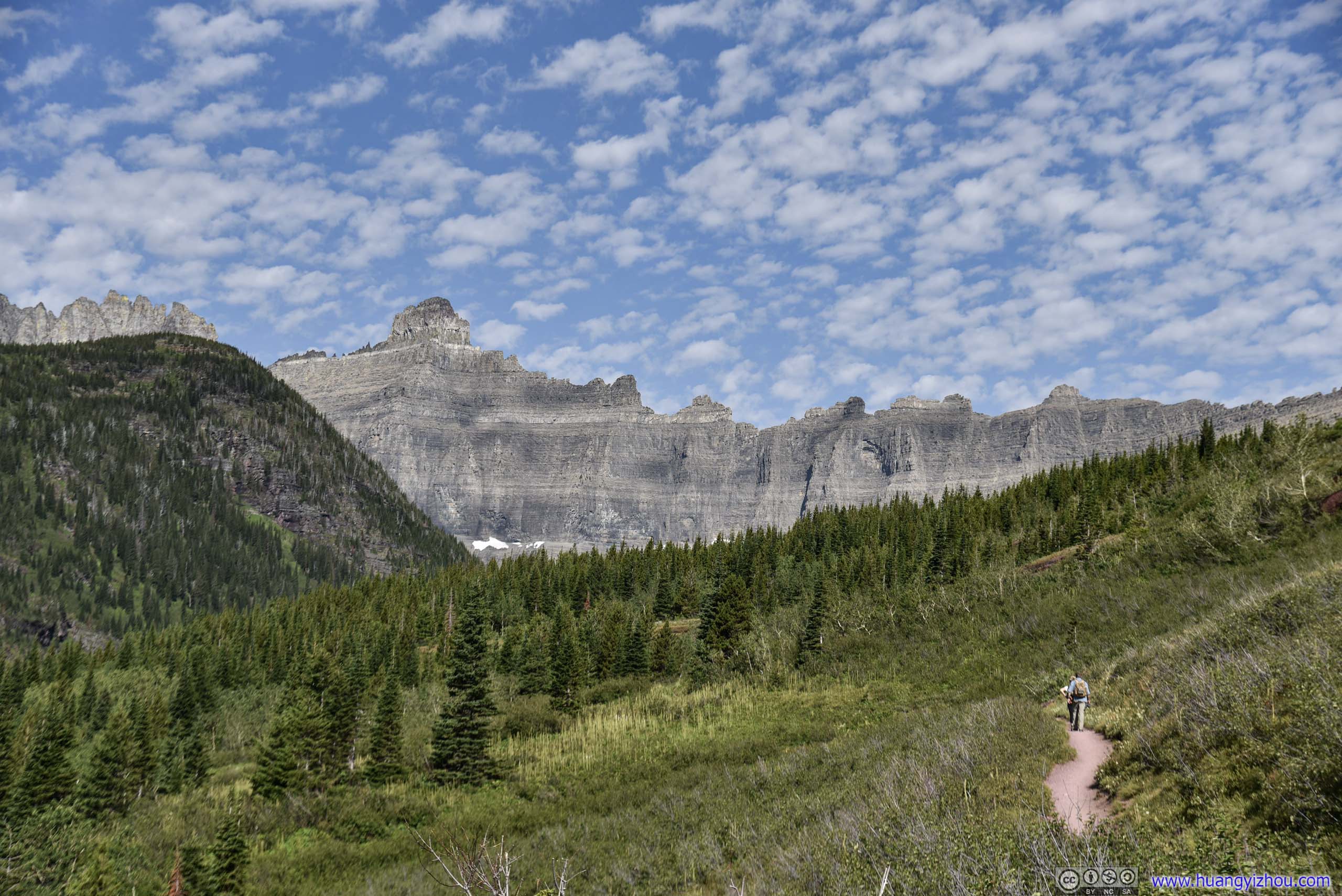
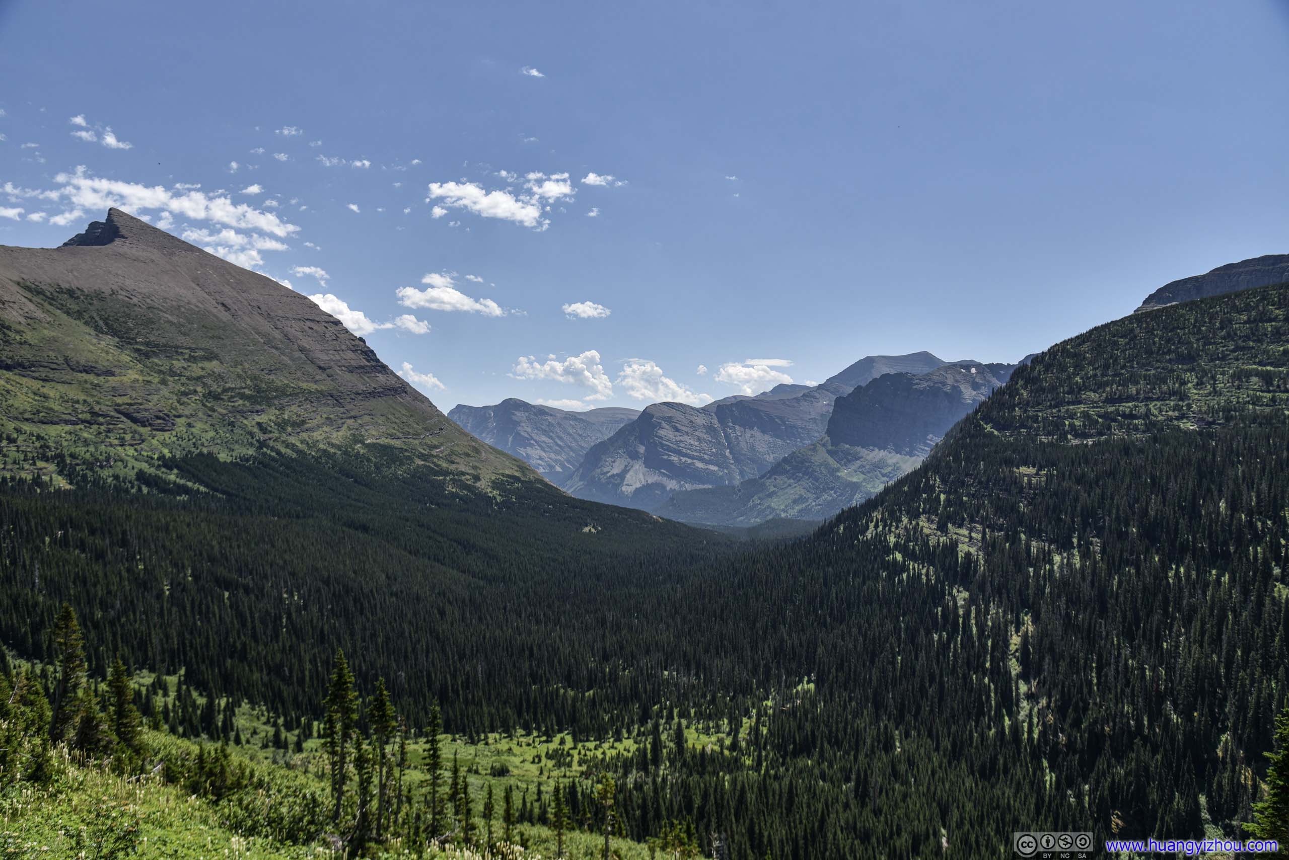
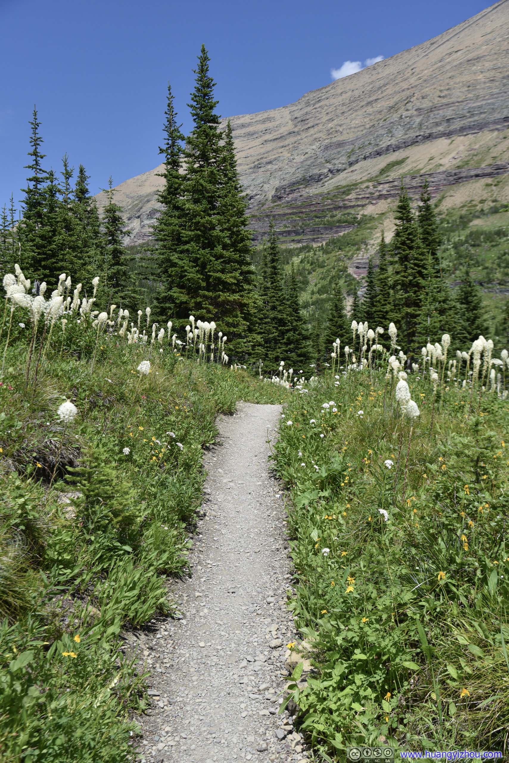
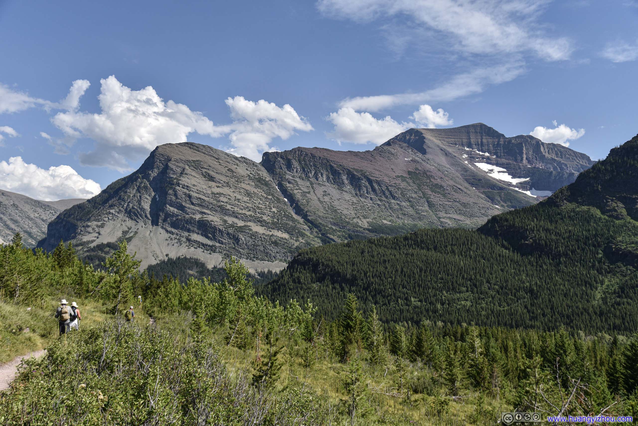
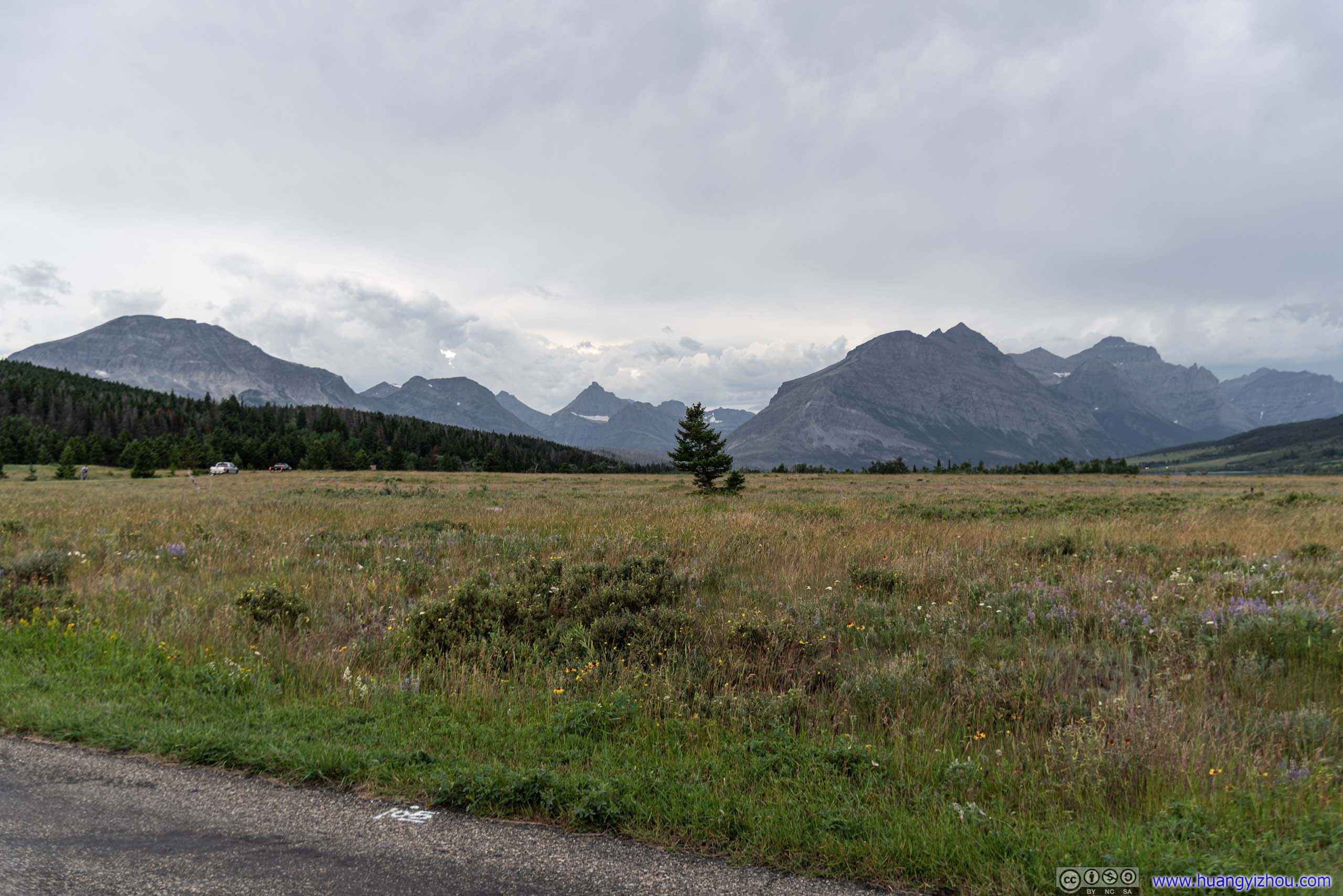
 Trail before Ptarmigan Wall
The day’s getting warmer, and I got rid of my trousers.
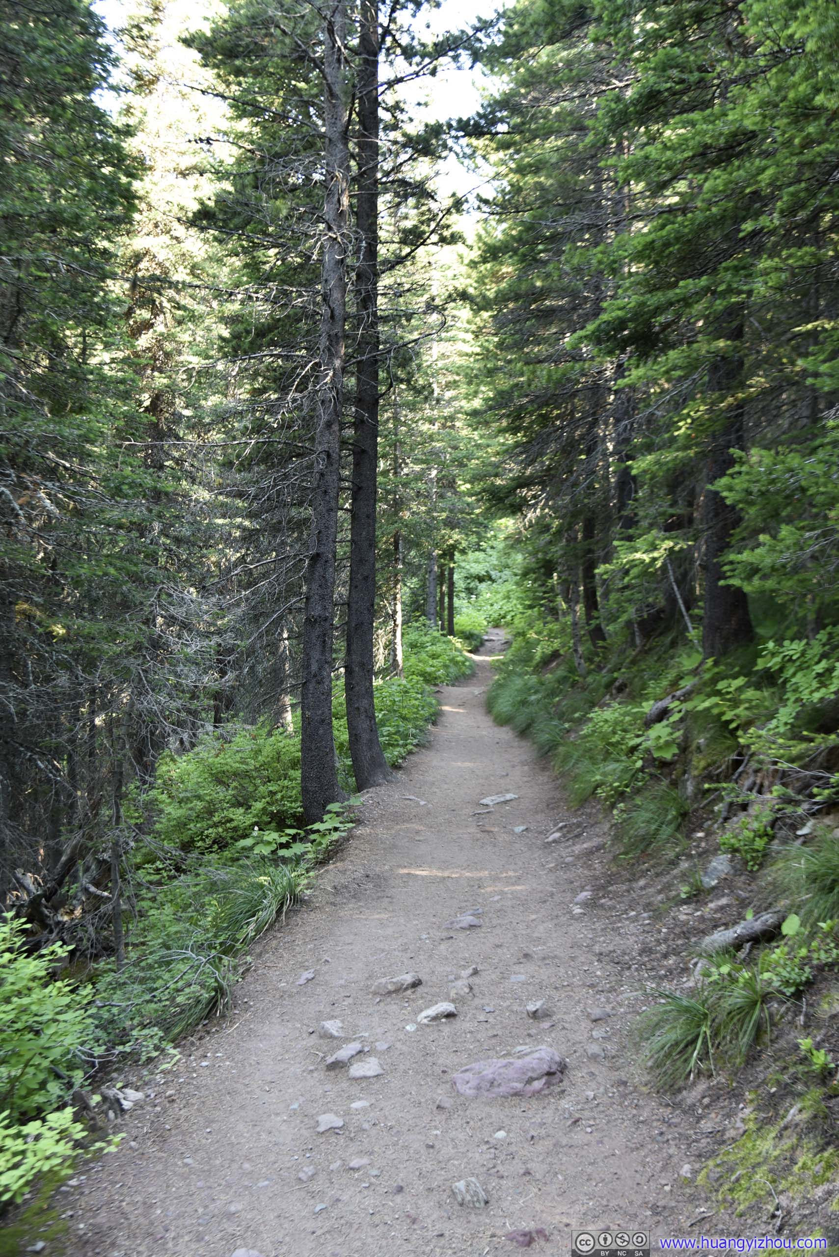
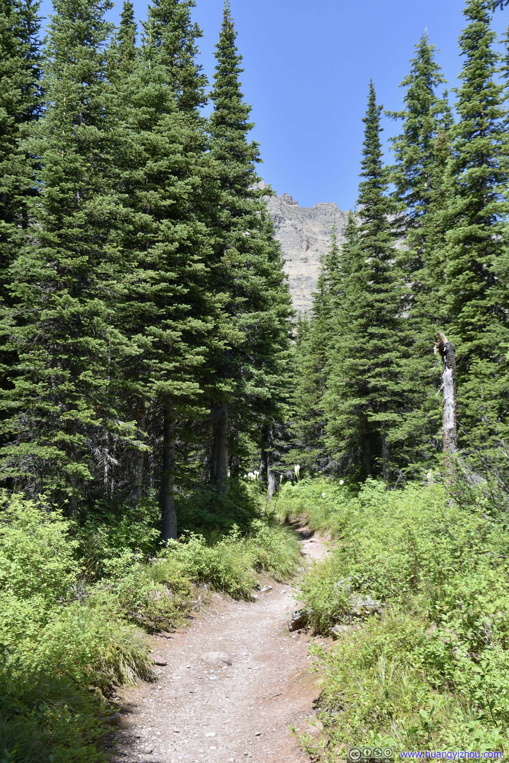
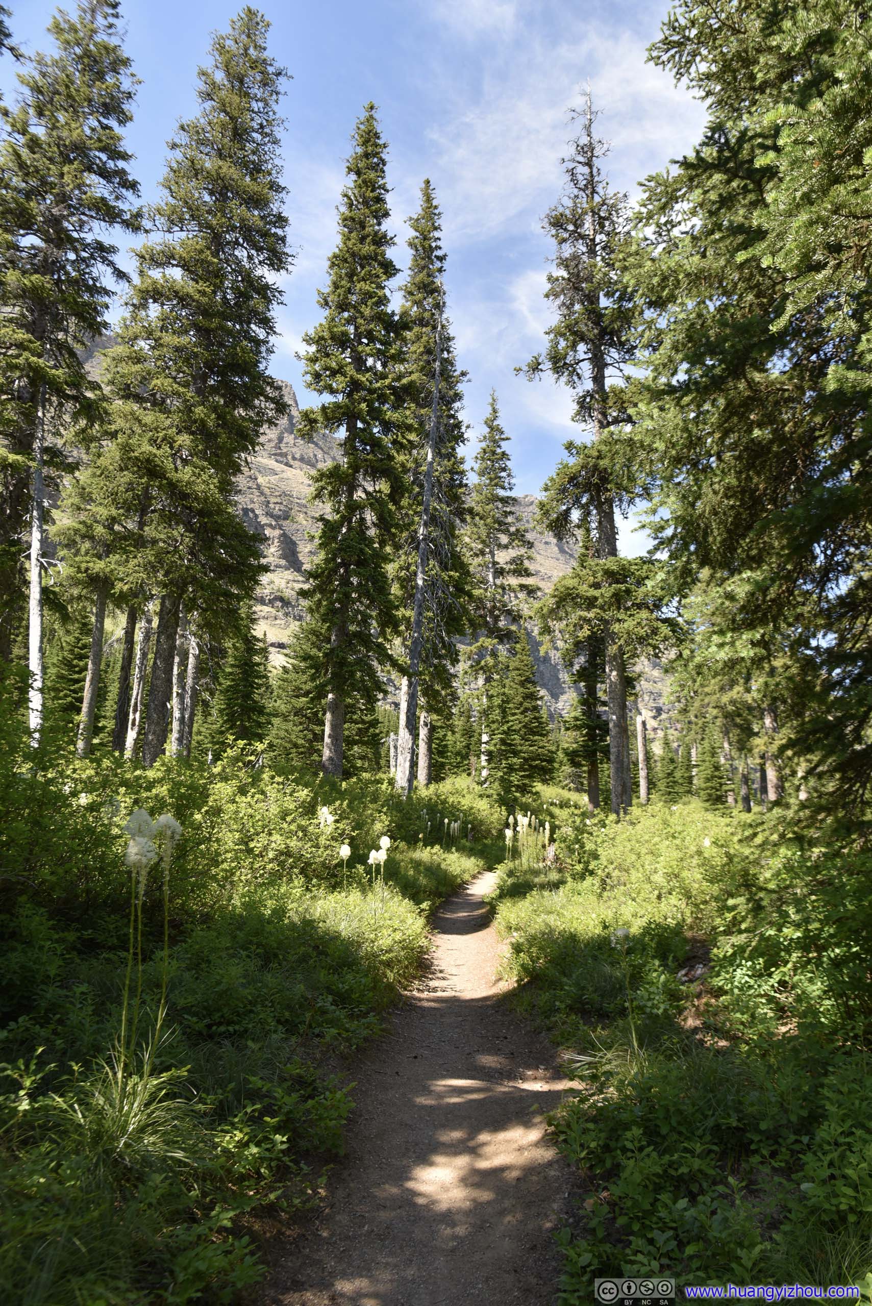
About 3km into the hike, the trail briefly entered some forest. If I remembered correctly there’s a pit toilet in the woods.
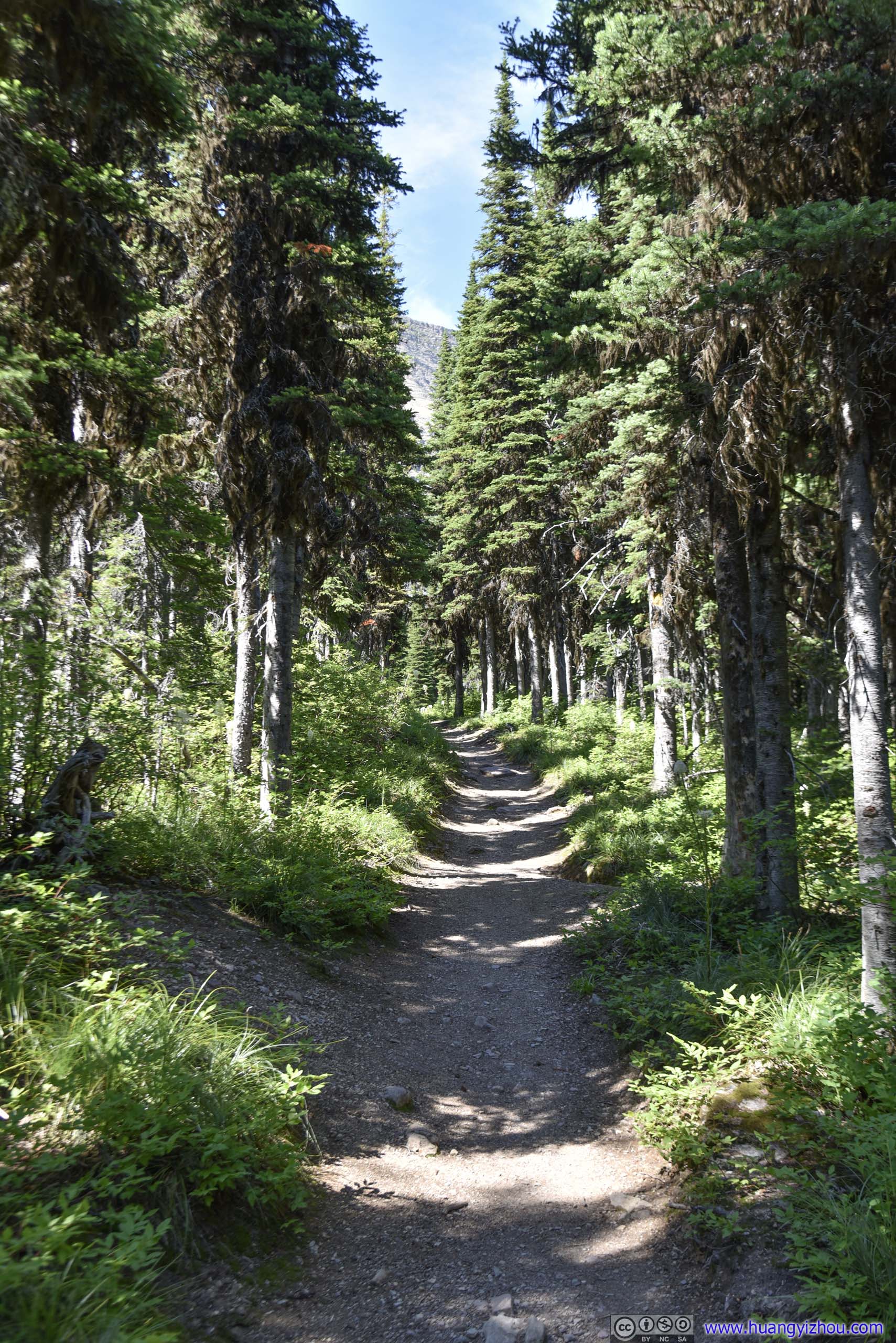
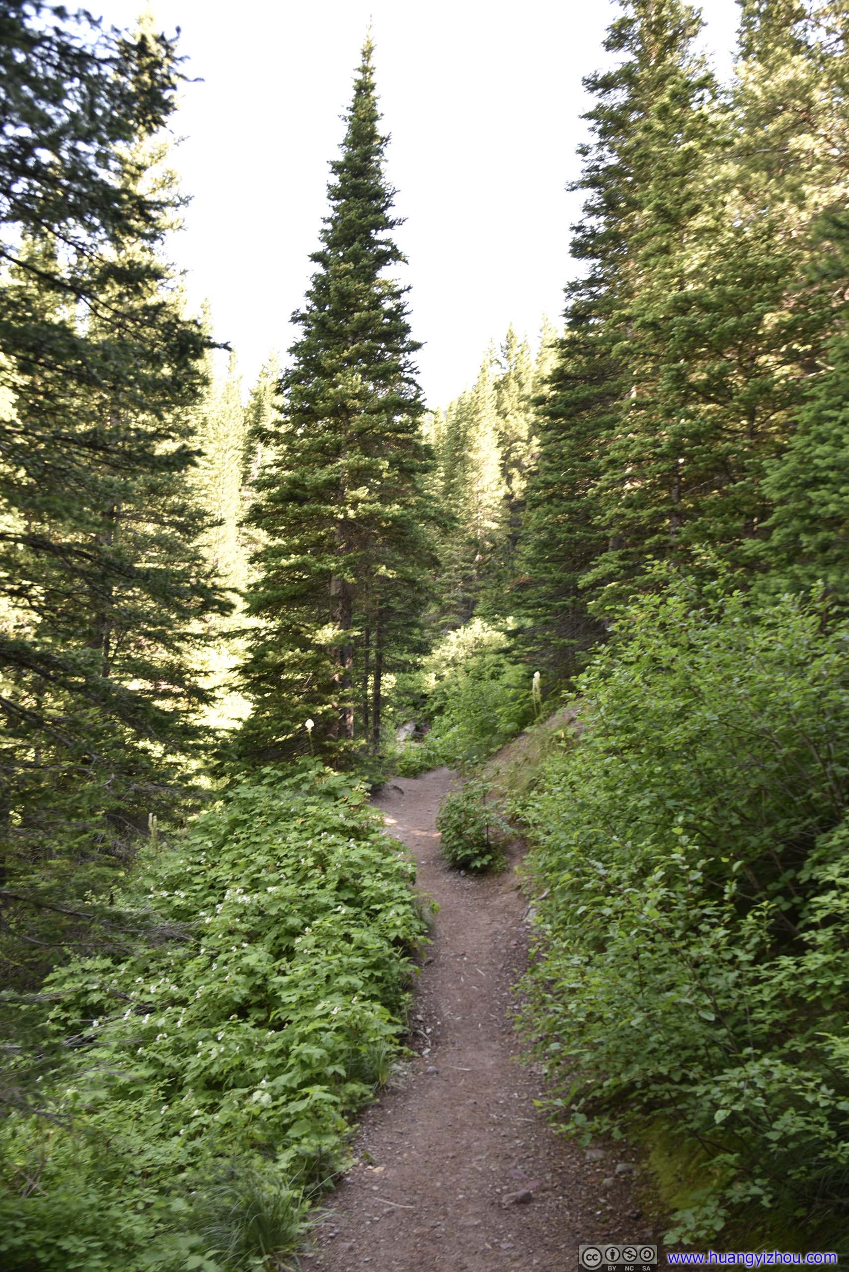 Trail
Trail
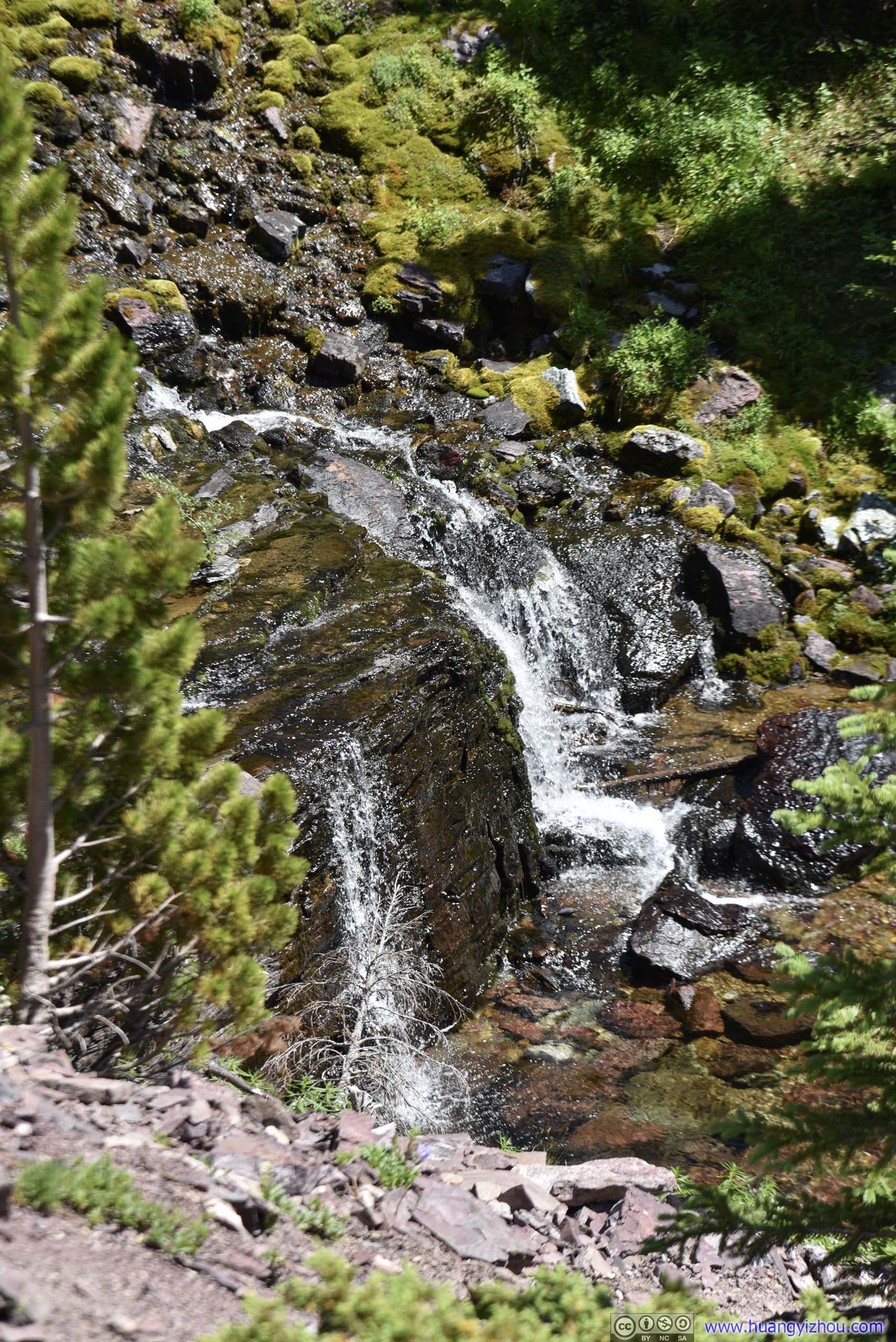
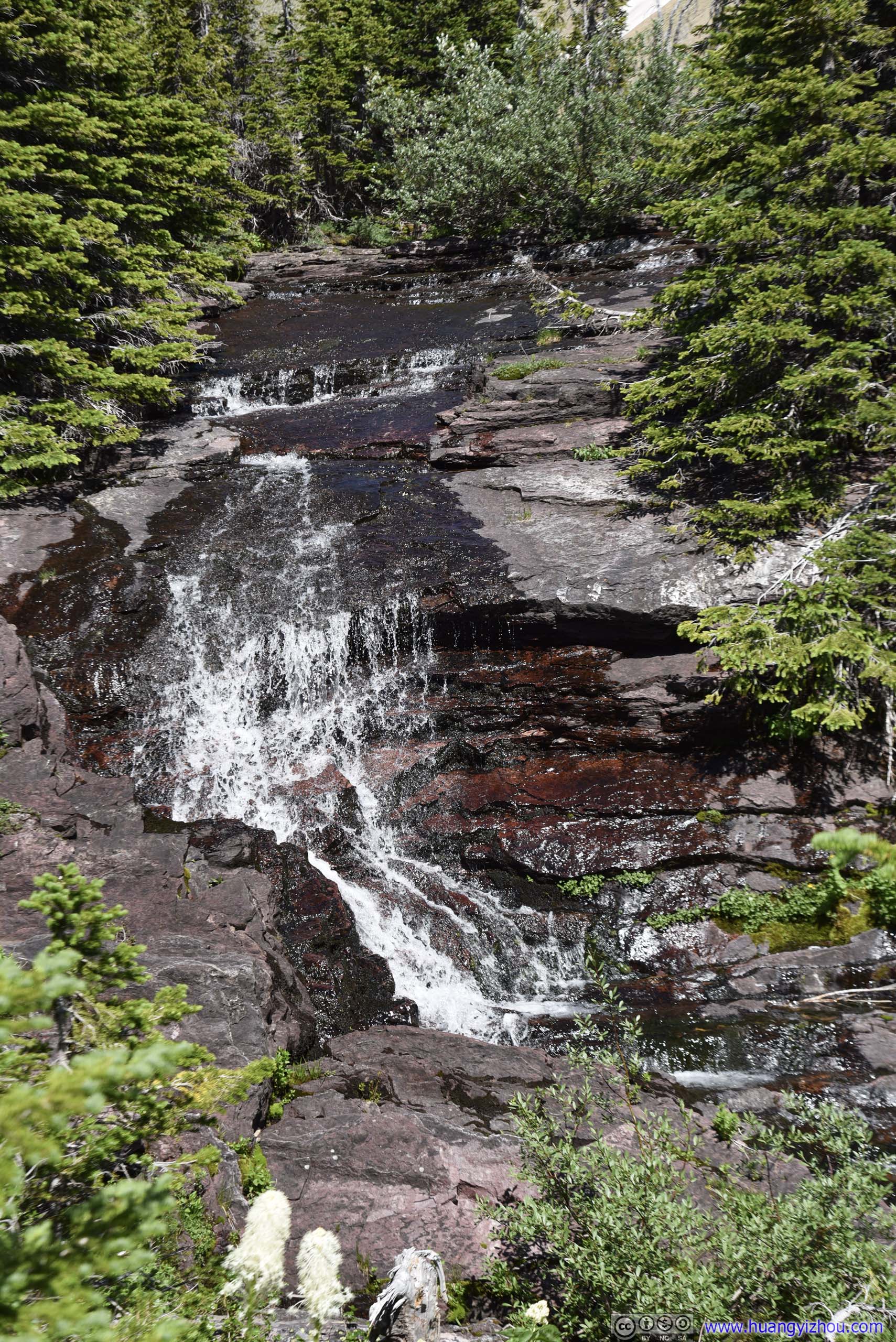
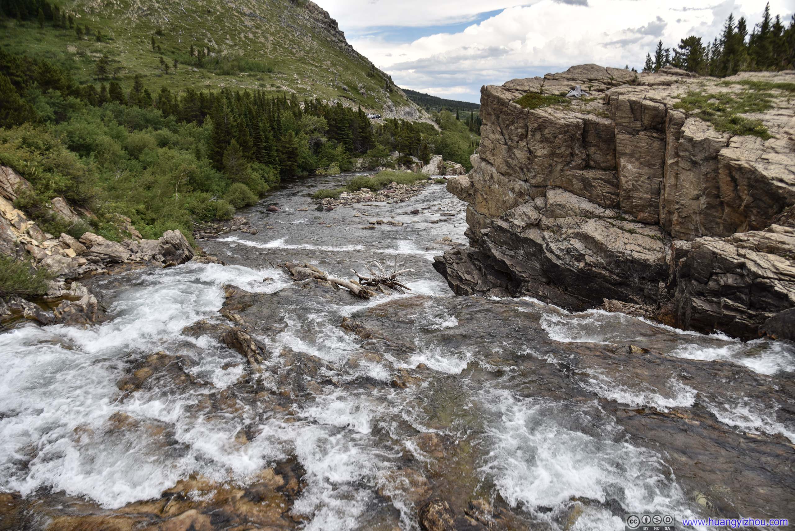
An hour and 4.2km from trailhead, it’s Ptarmigan Falls. (Named so because it was on Ptarmigan Creek, which originated from Ptarmigan Lake below Ptarmigan Tunnel.)
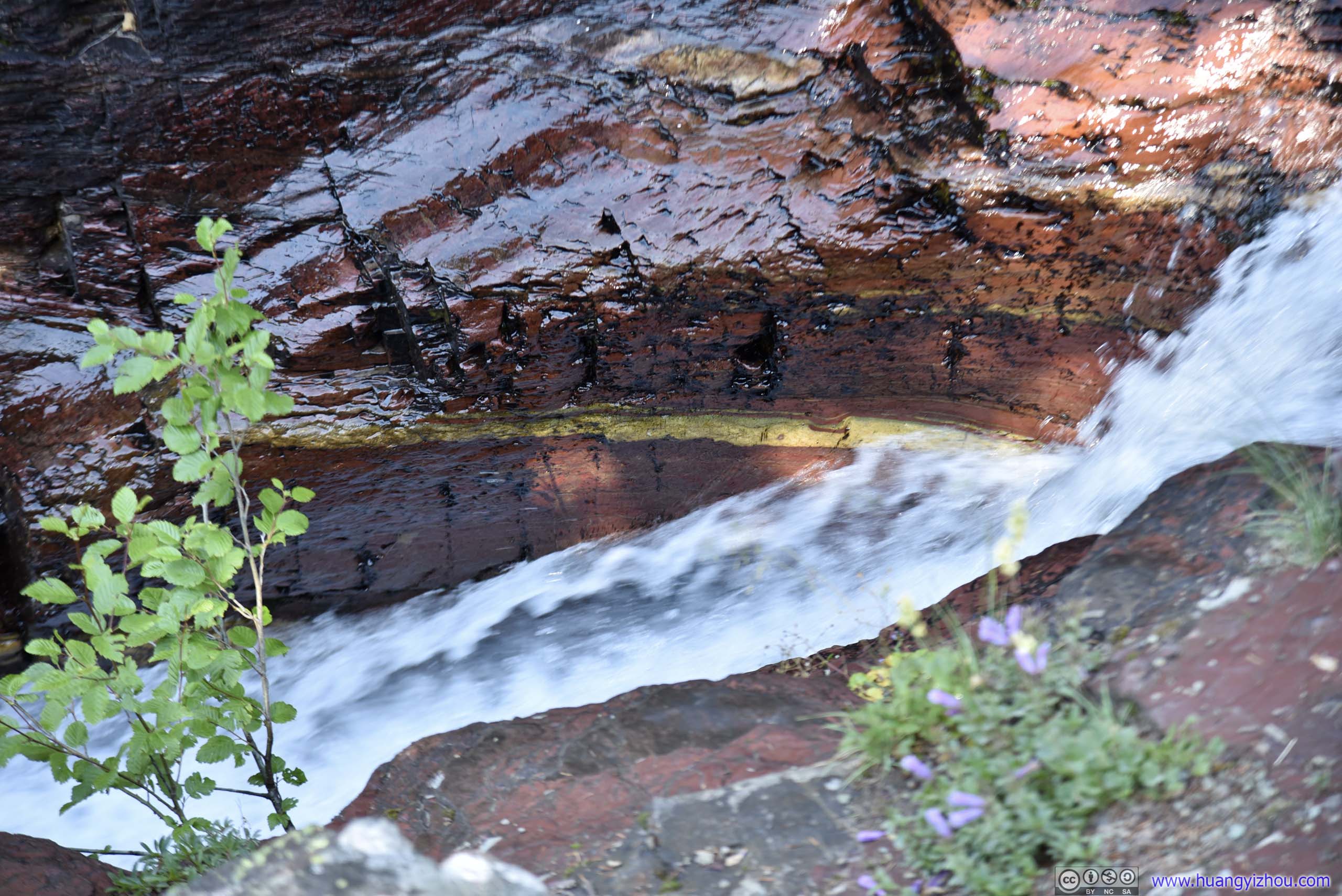
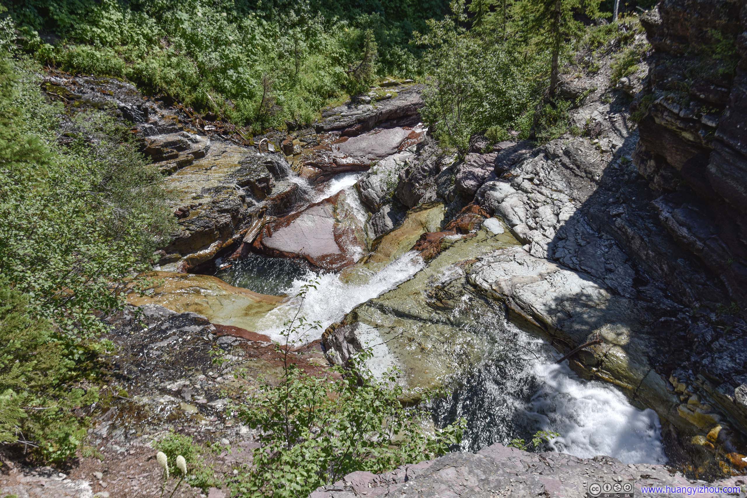 Ptarmigan Falls
 Ptarmigan Falls
Shade from high trees and natural rocks made the area around Ptarmigan Falls a perfect place to take some rests.
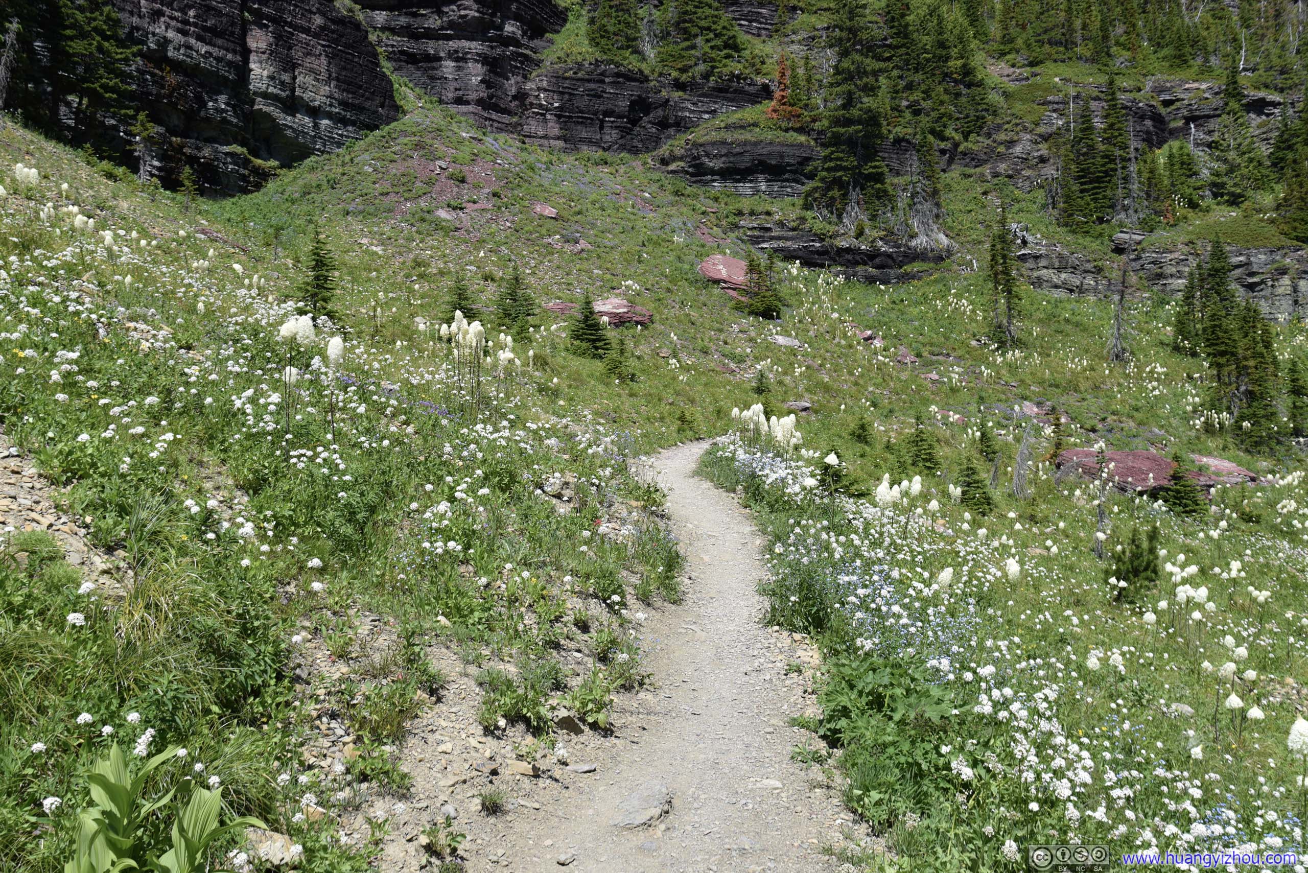
And not far from Ptarmigan Falls, the trails to Iceberg Lake and Ptarmigan Tunnel forked.
I took Iceberg Trail first.
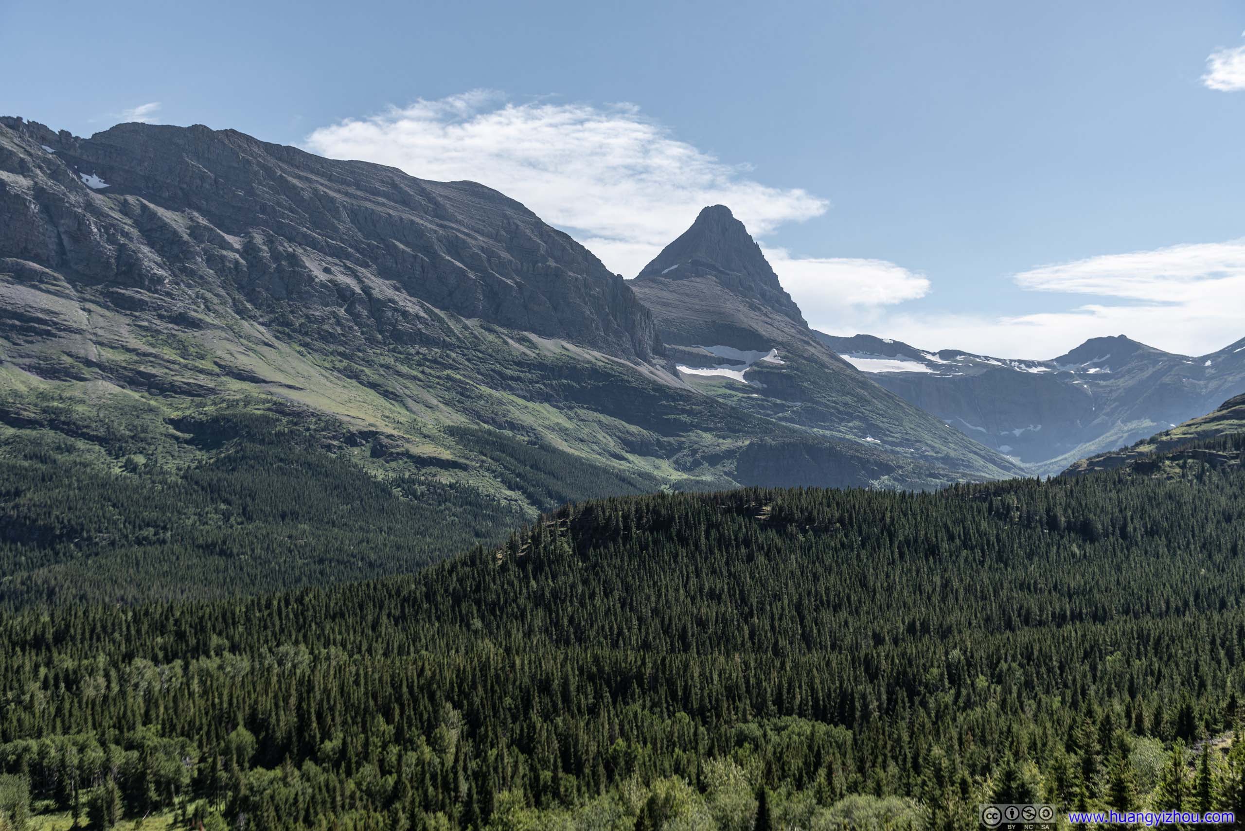
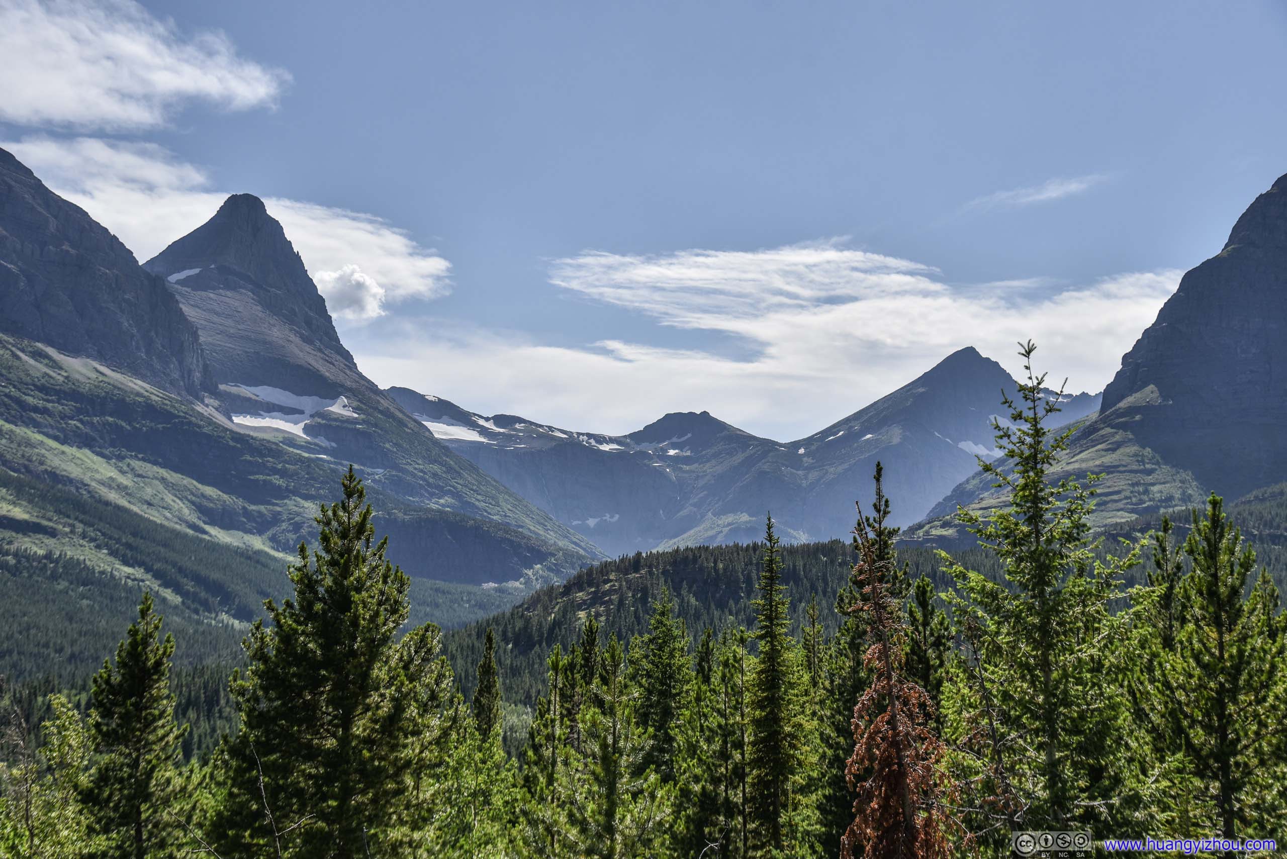
Iceberg Peak

Layers of MountainsFrom left to right: Allen Mountain, Mt Grinnell and Mt Wilbur.
Avalanche Chute on Allen Mountain
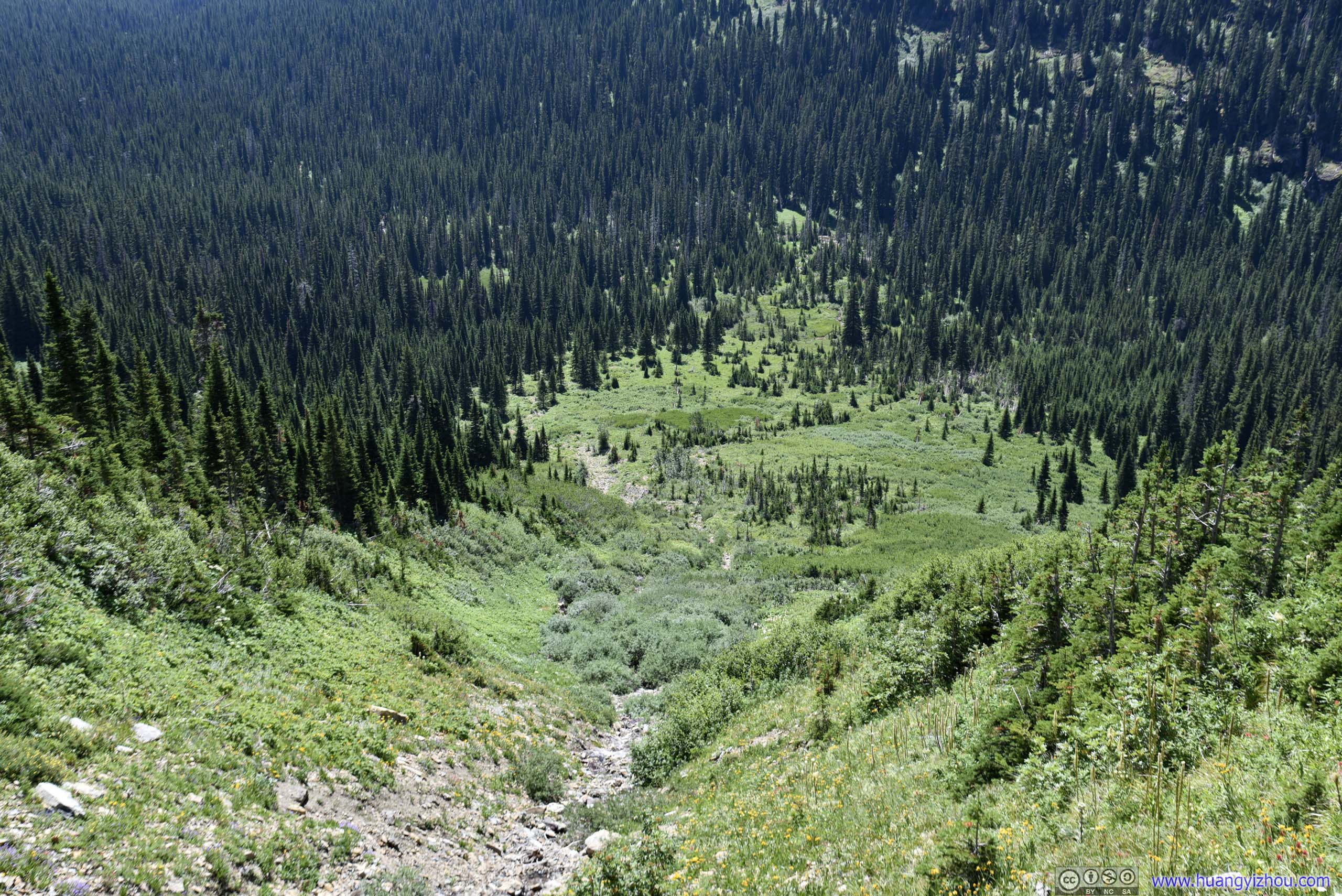
 Valley
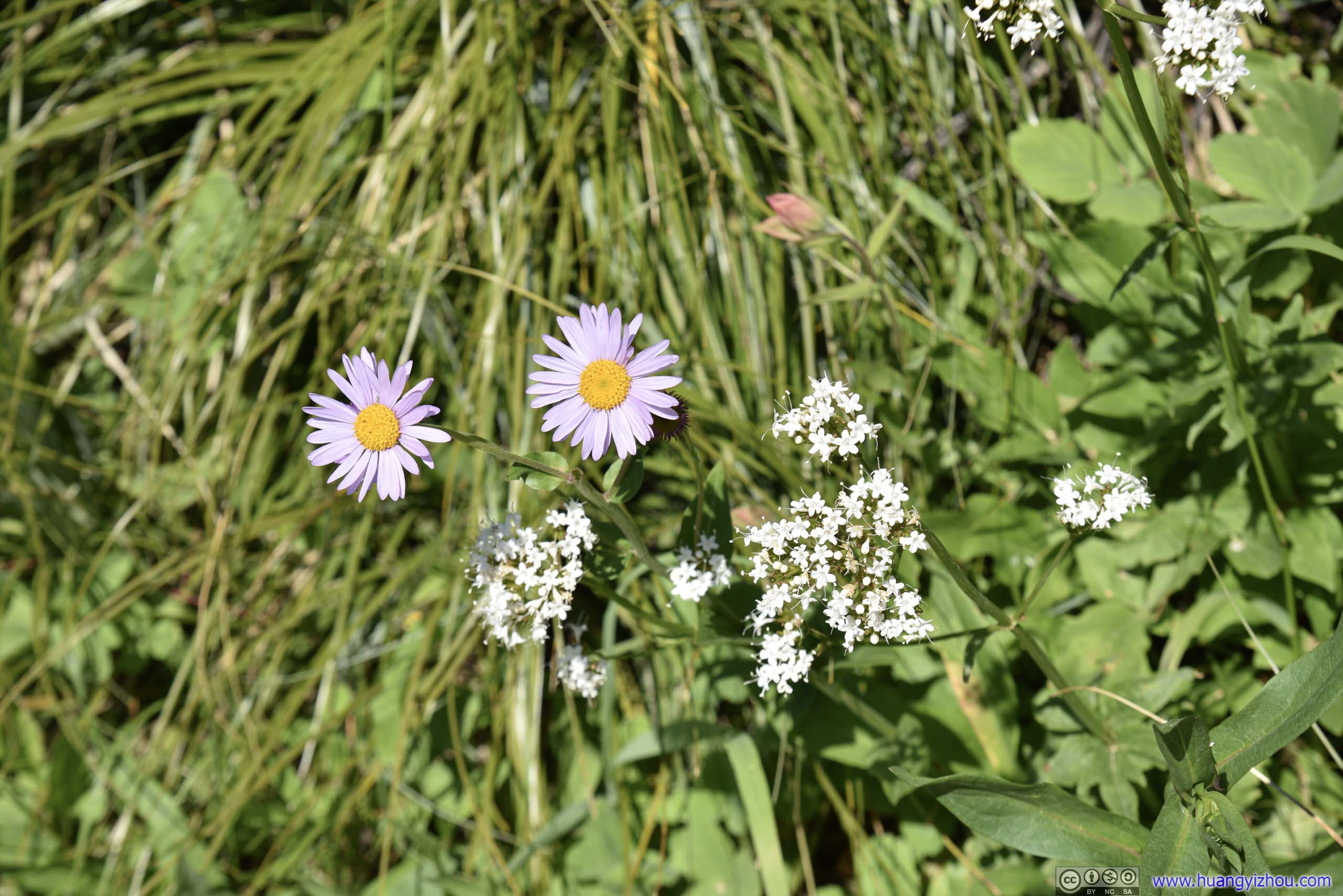
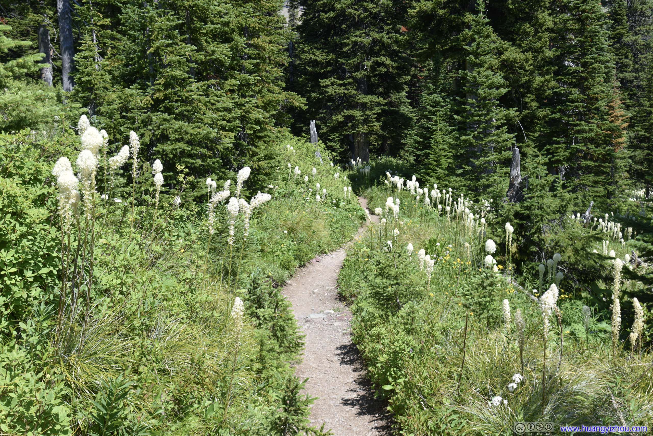
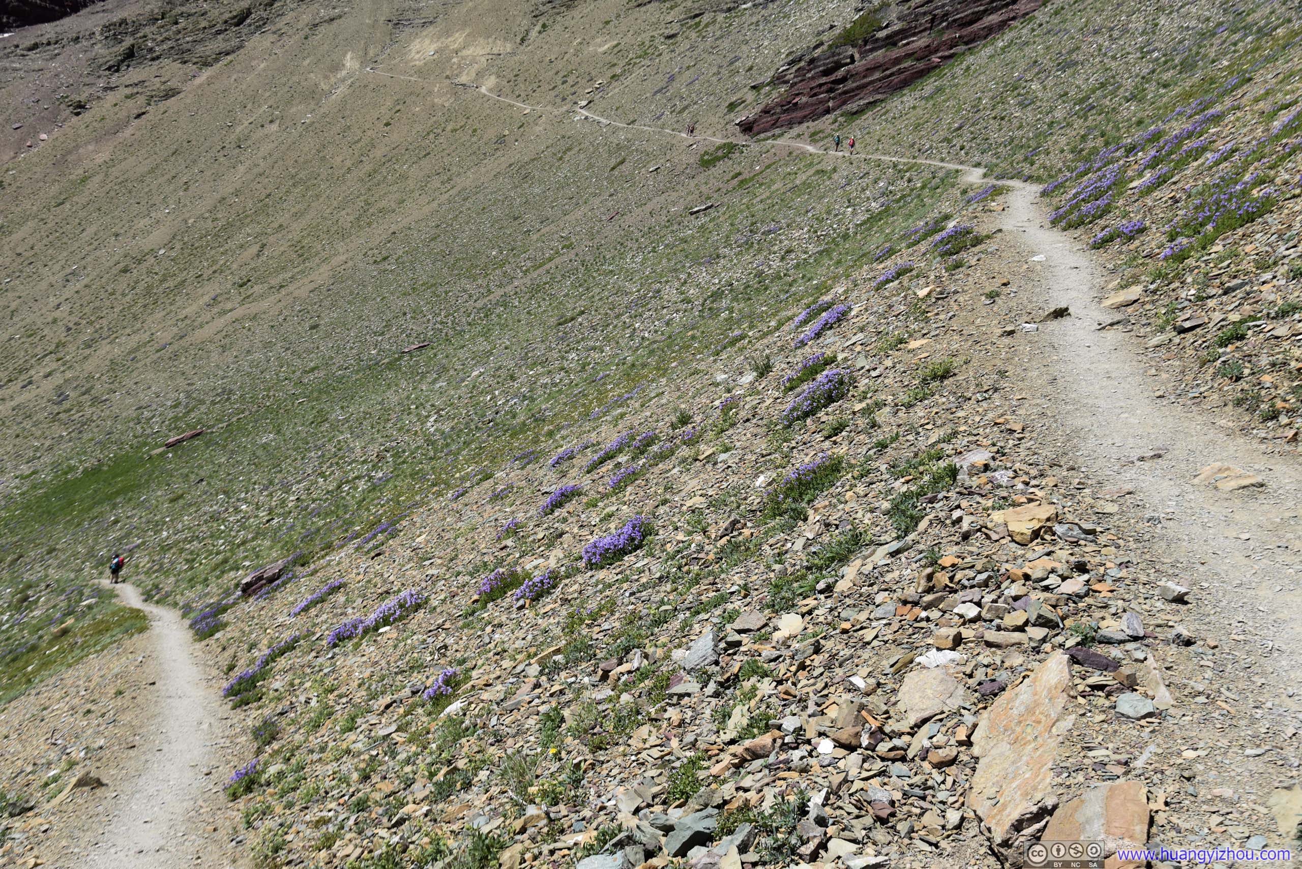
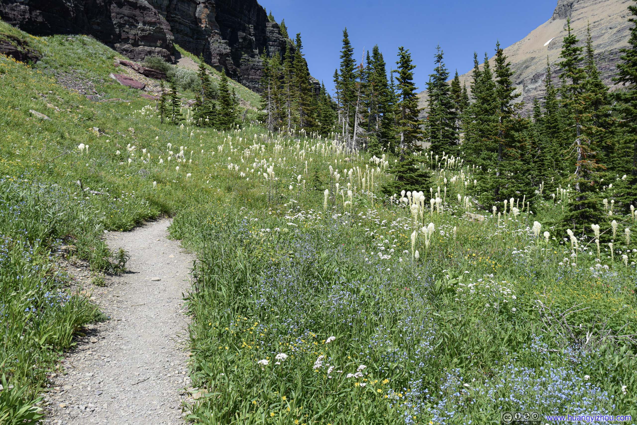
Trail among Flowers
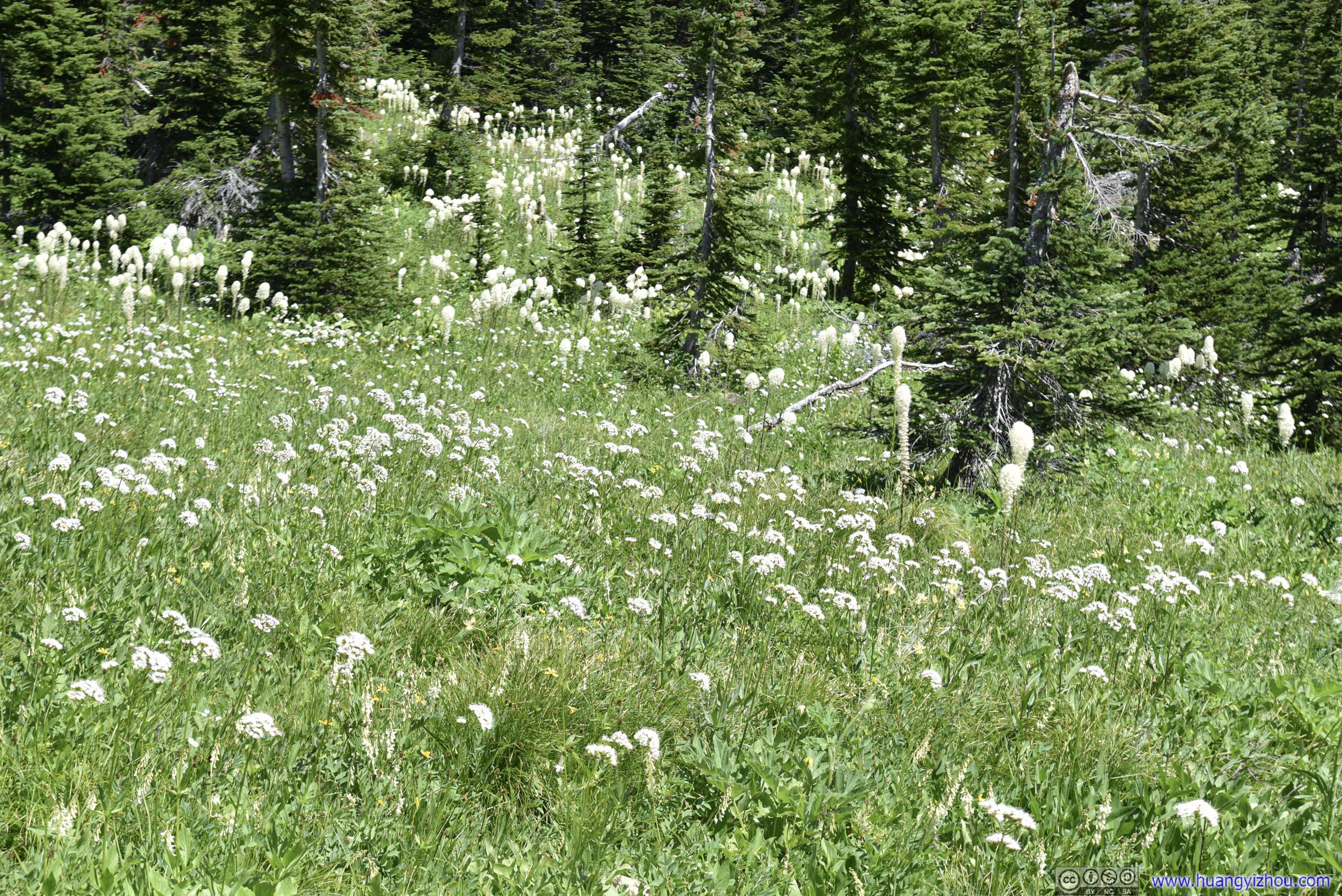
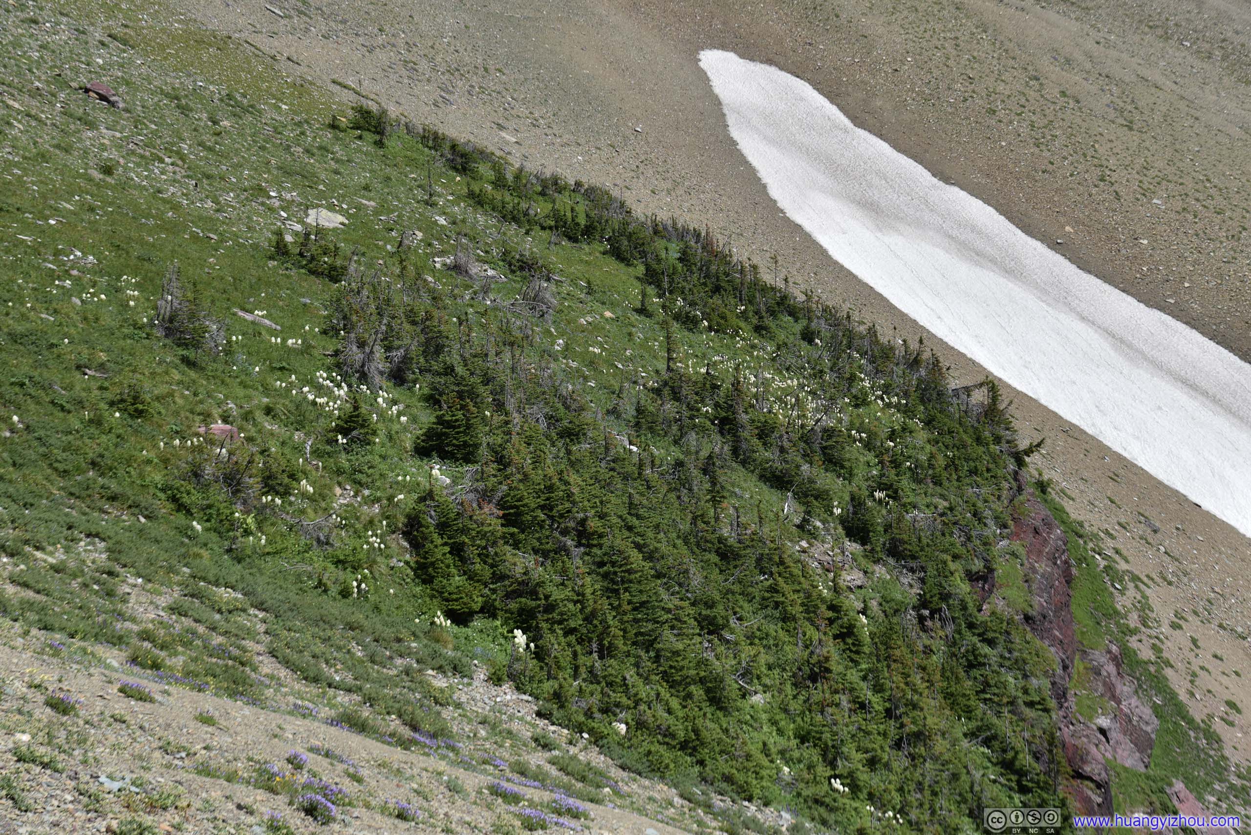
And just like yesterday on Grinnell Glacier Trail, blooming flowers and mesmerizing beargrass were a perpetual companion among these mountains.
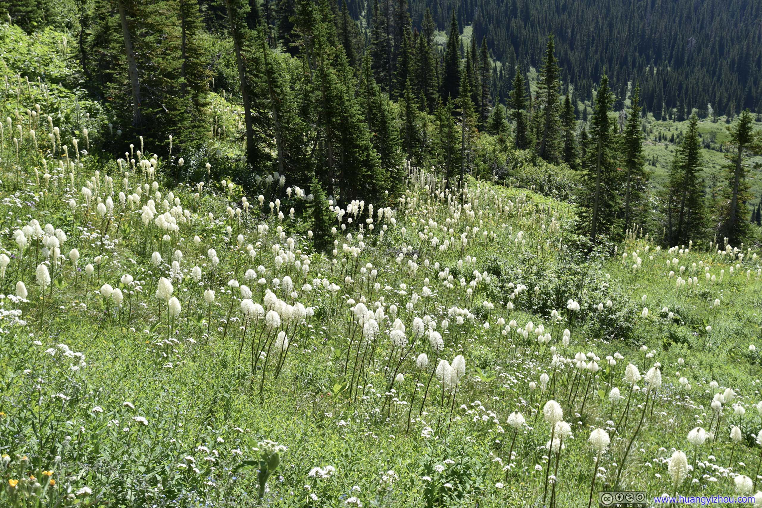
 Beargrass Field
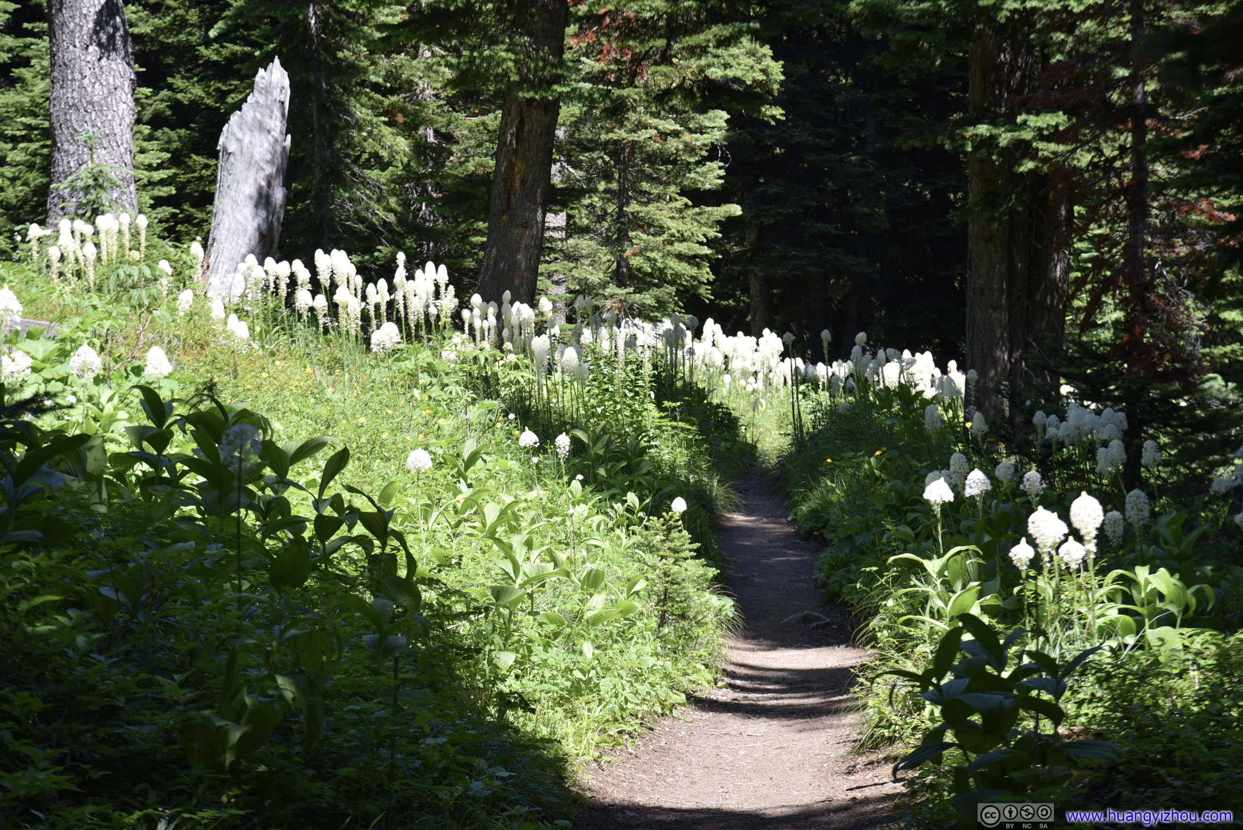
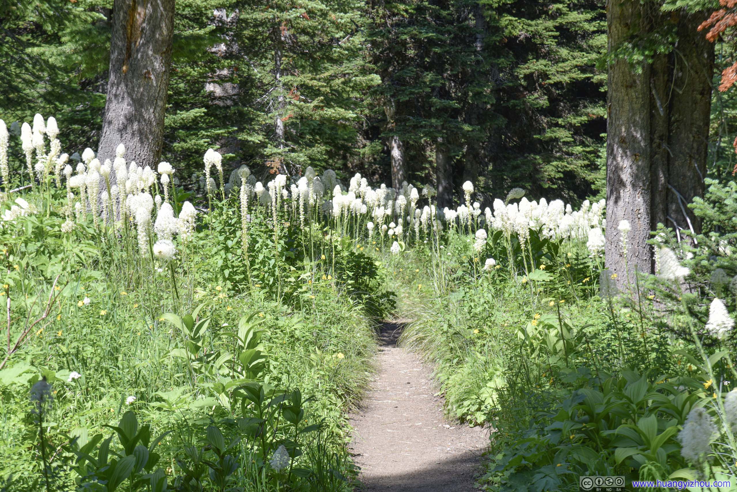
 Trail through Beargrass Field
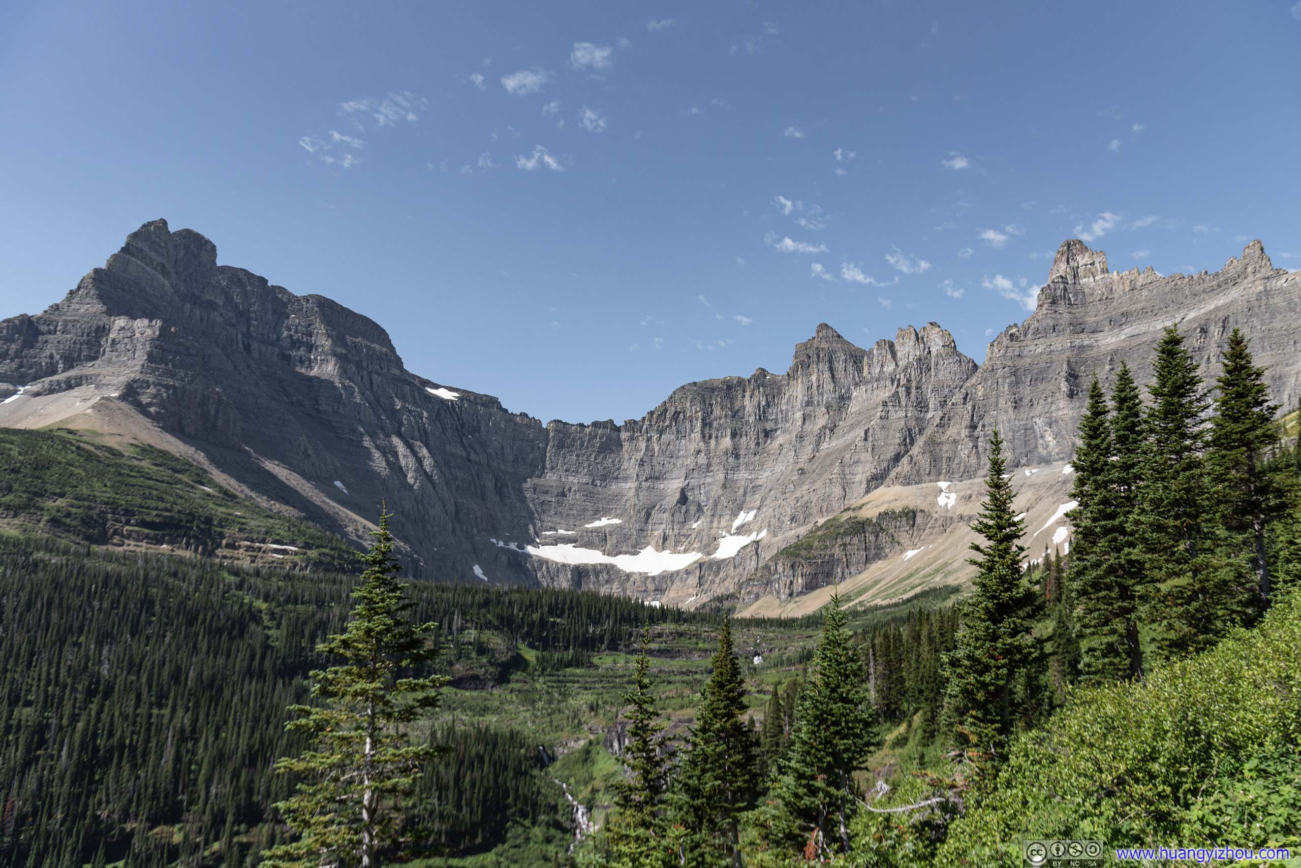
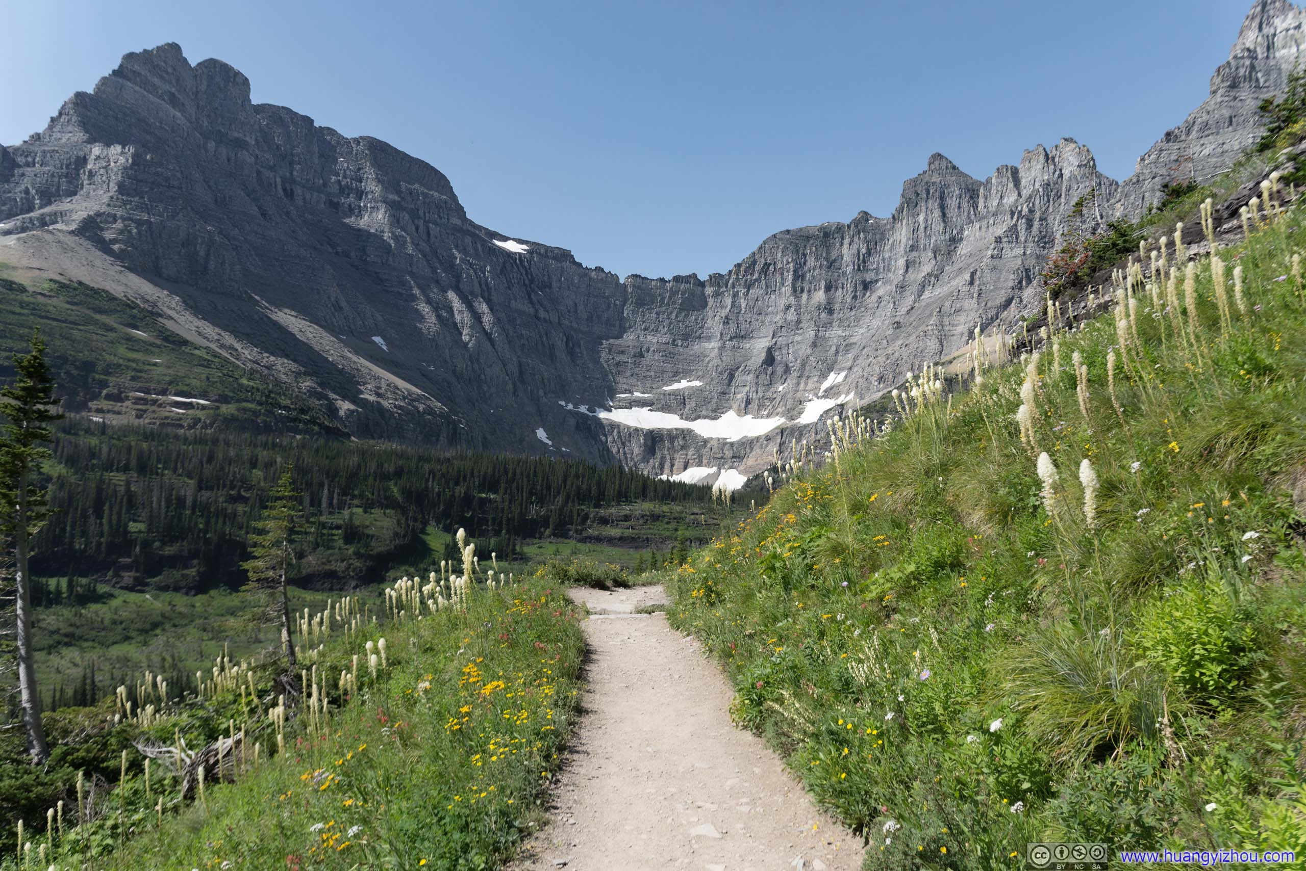
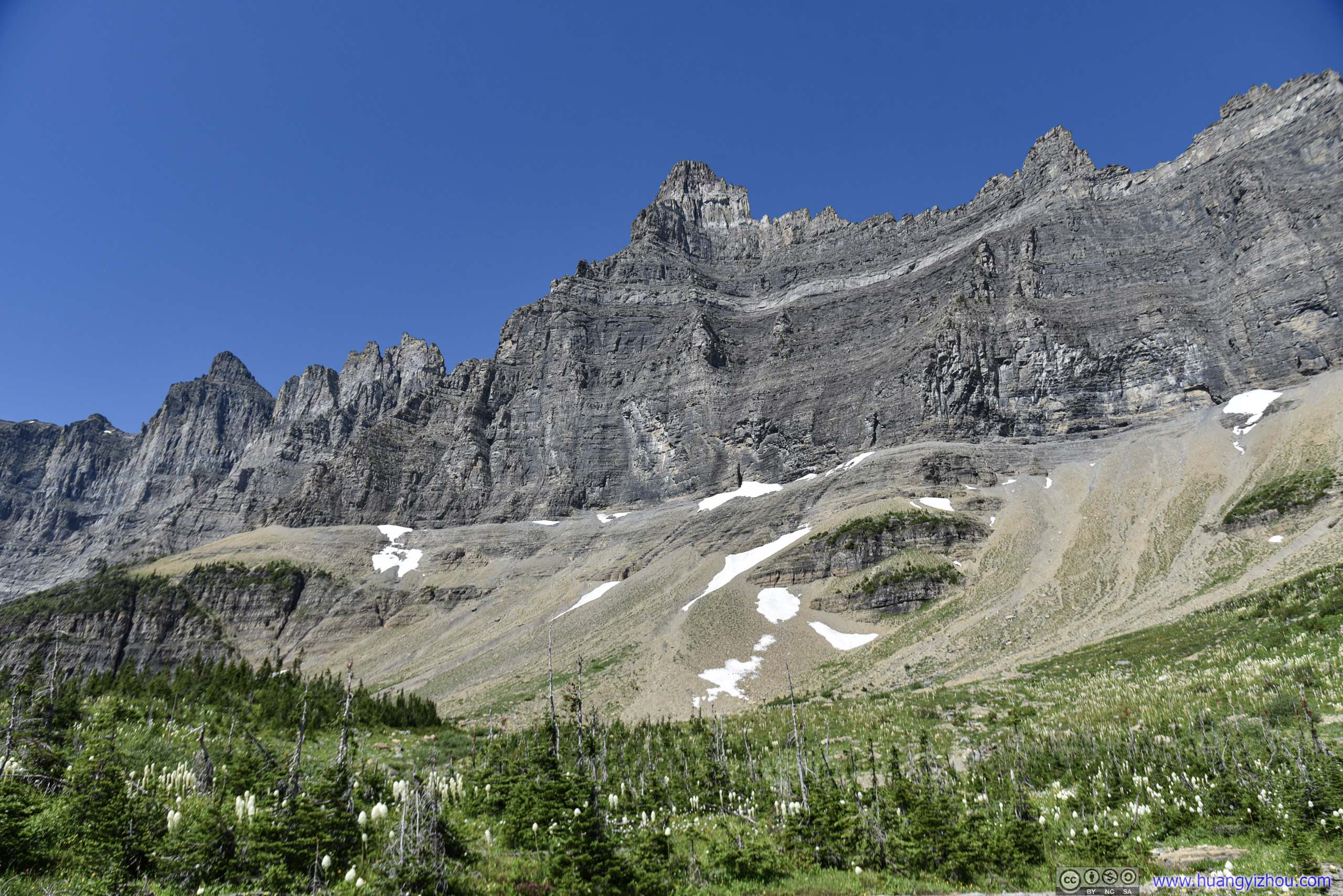
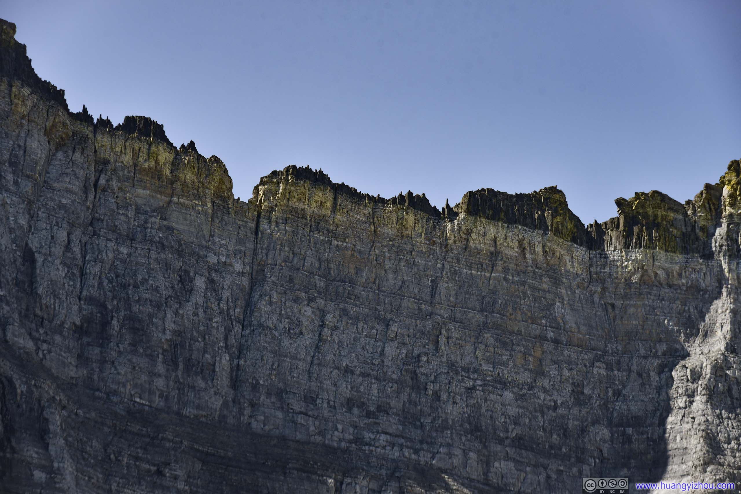
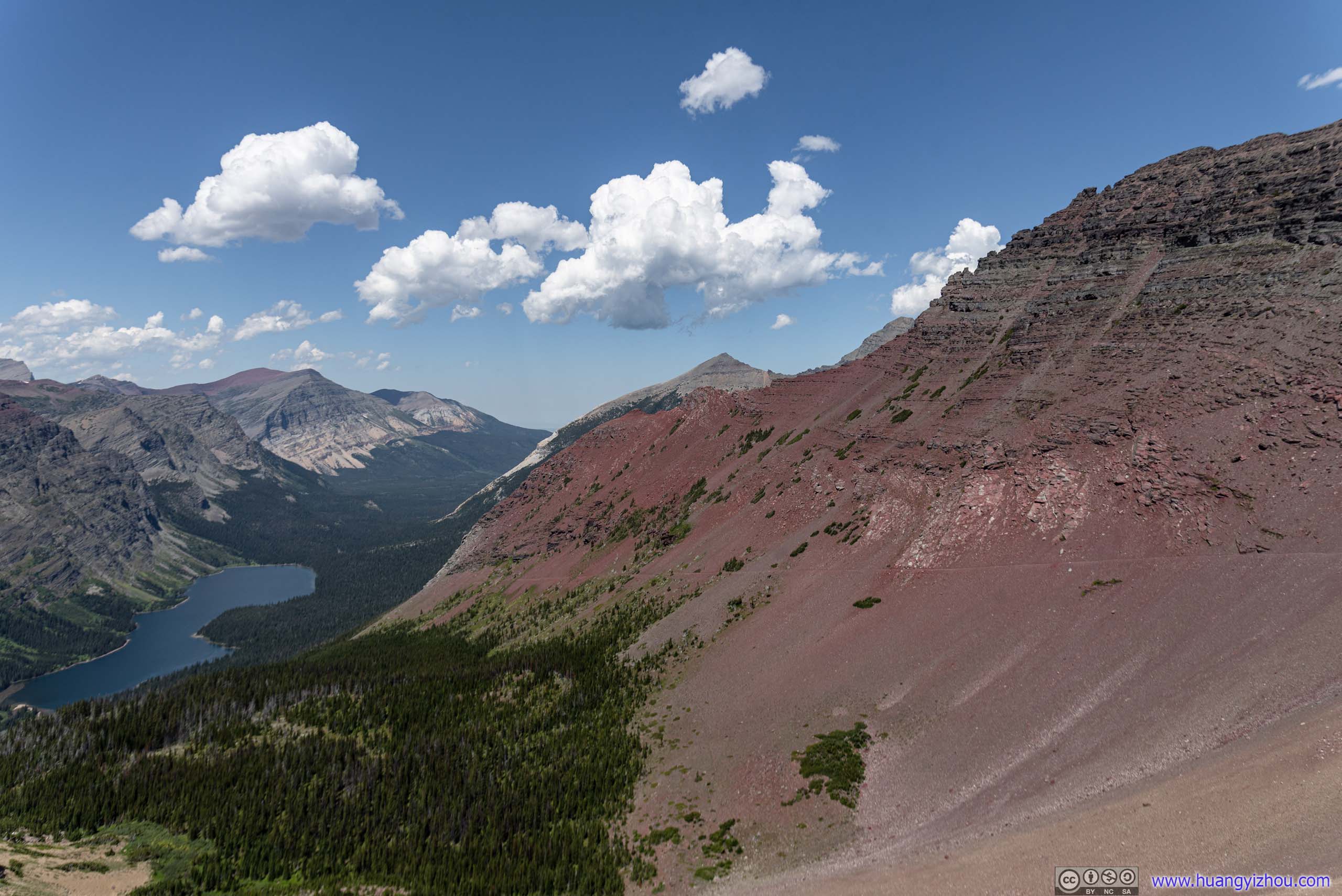
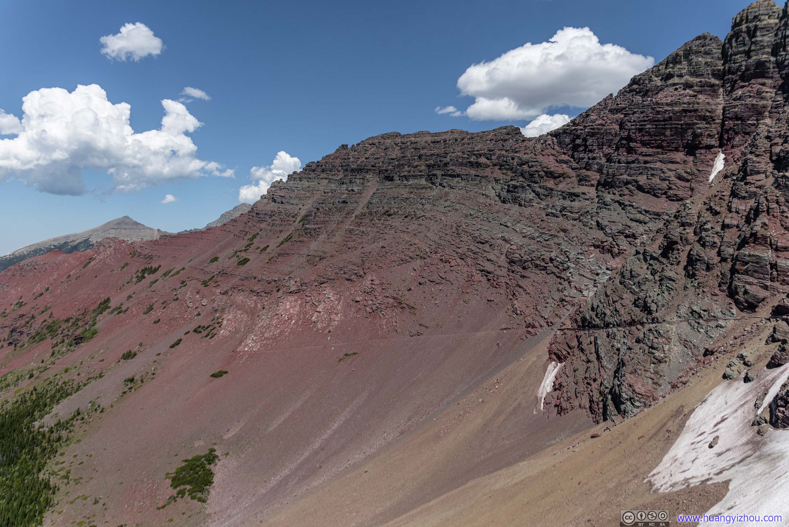
Ptarmigan Wall above Iceberg Lake
Hill of Beargrass
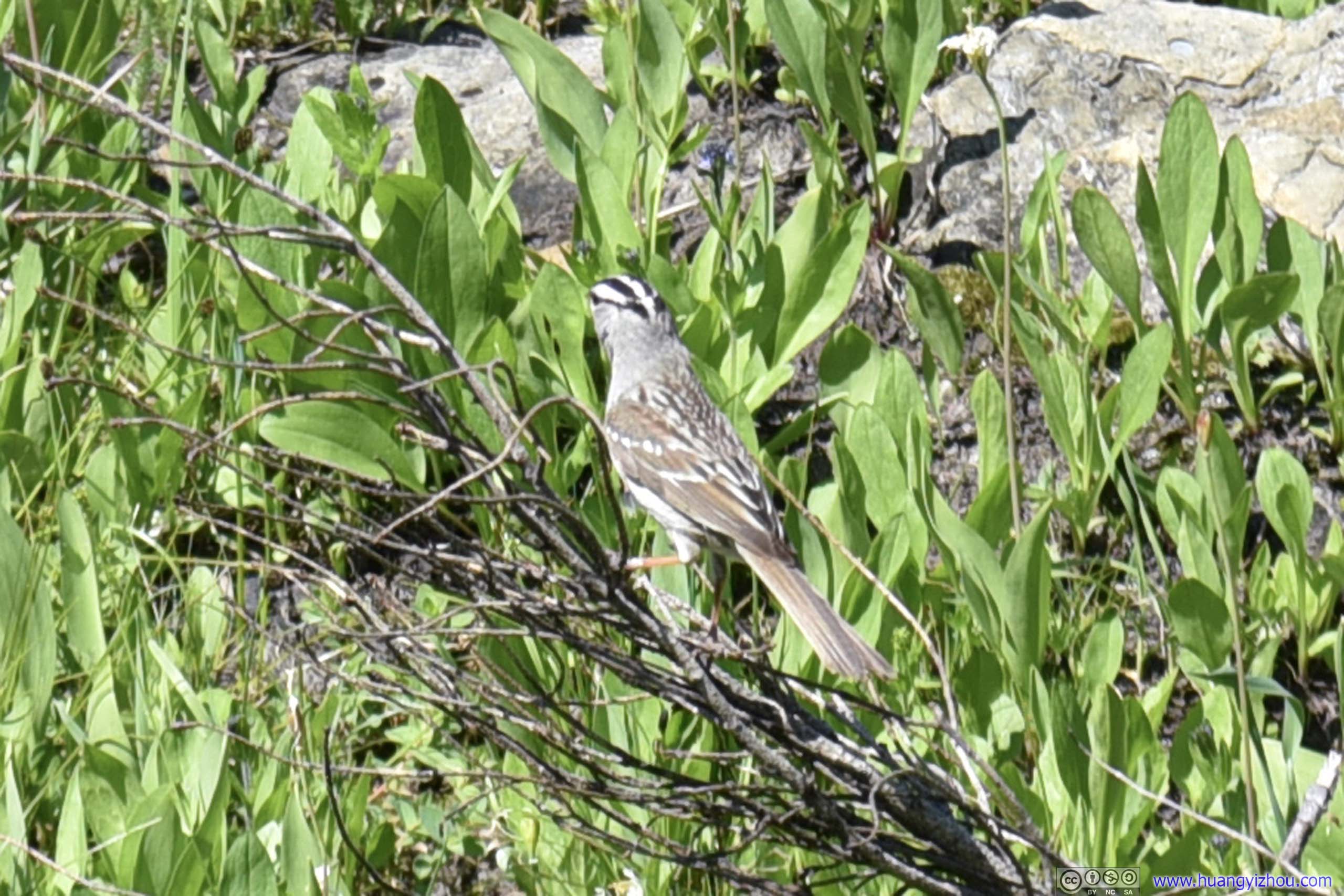
Bird
 Iceberg Peak
 Ptarmigan Wall above Fields of Plants
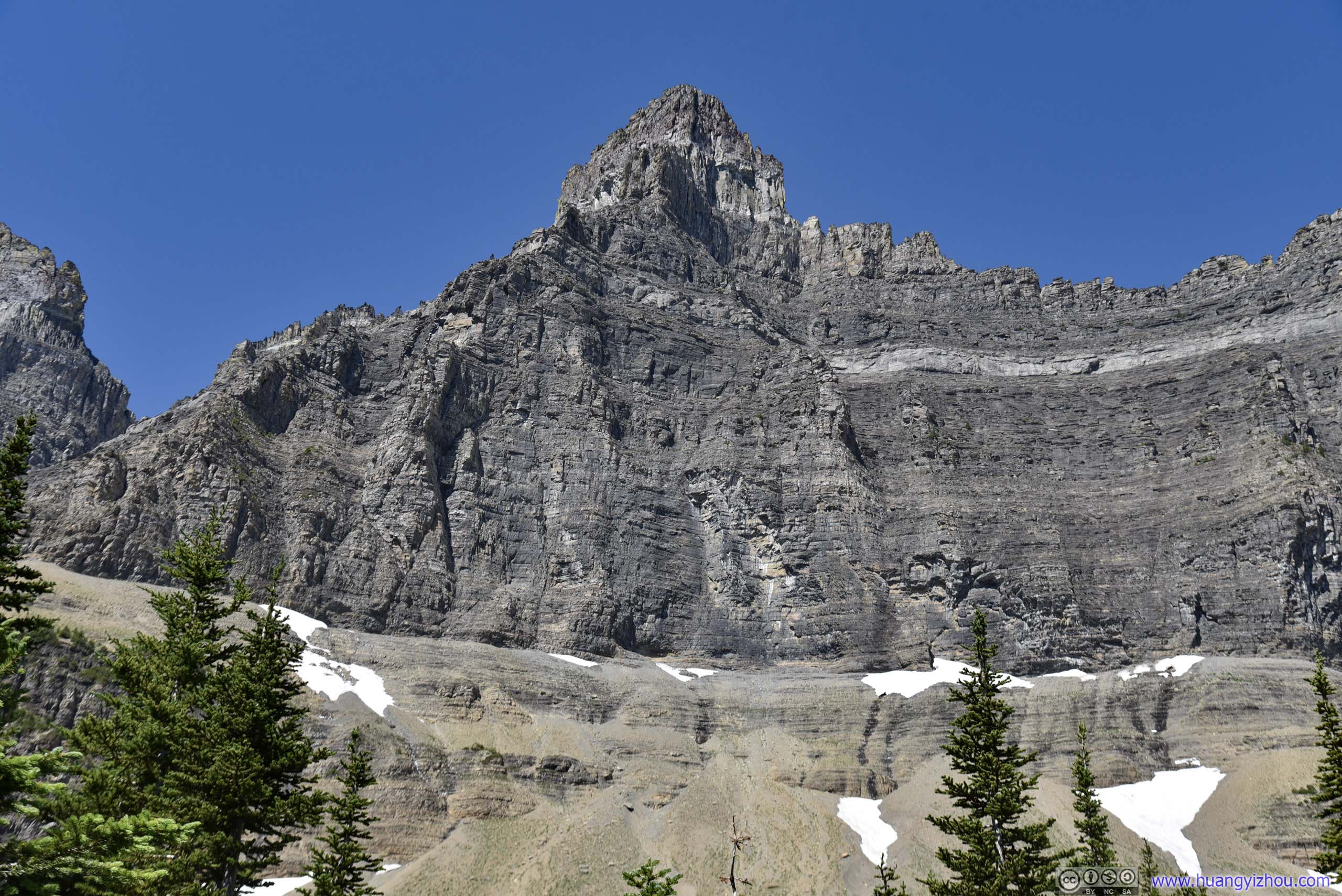
Ptarmigan Wall at Iceberg Peak

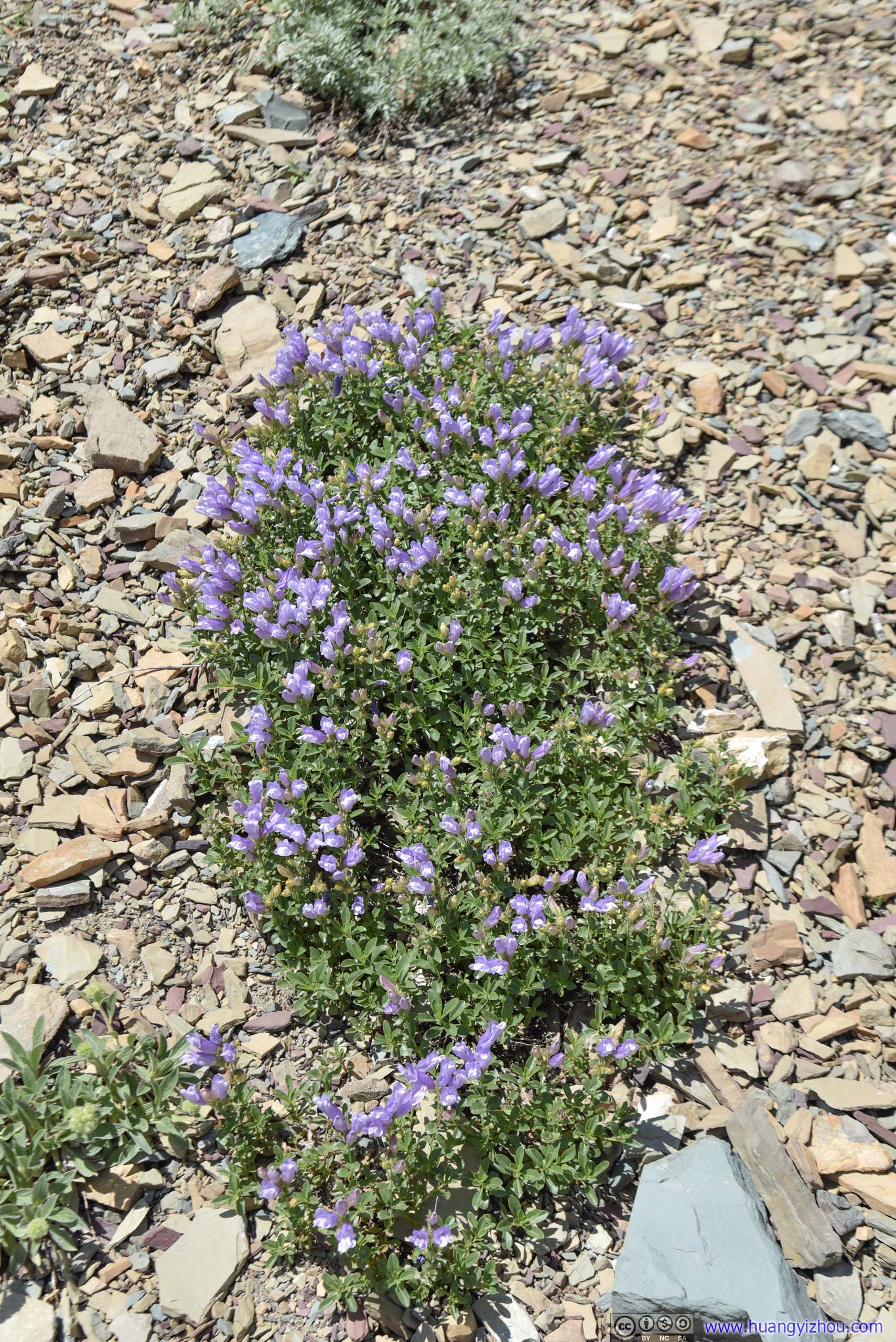
 Flowers
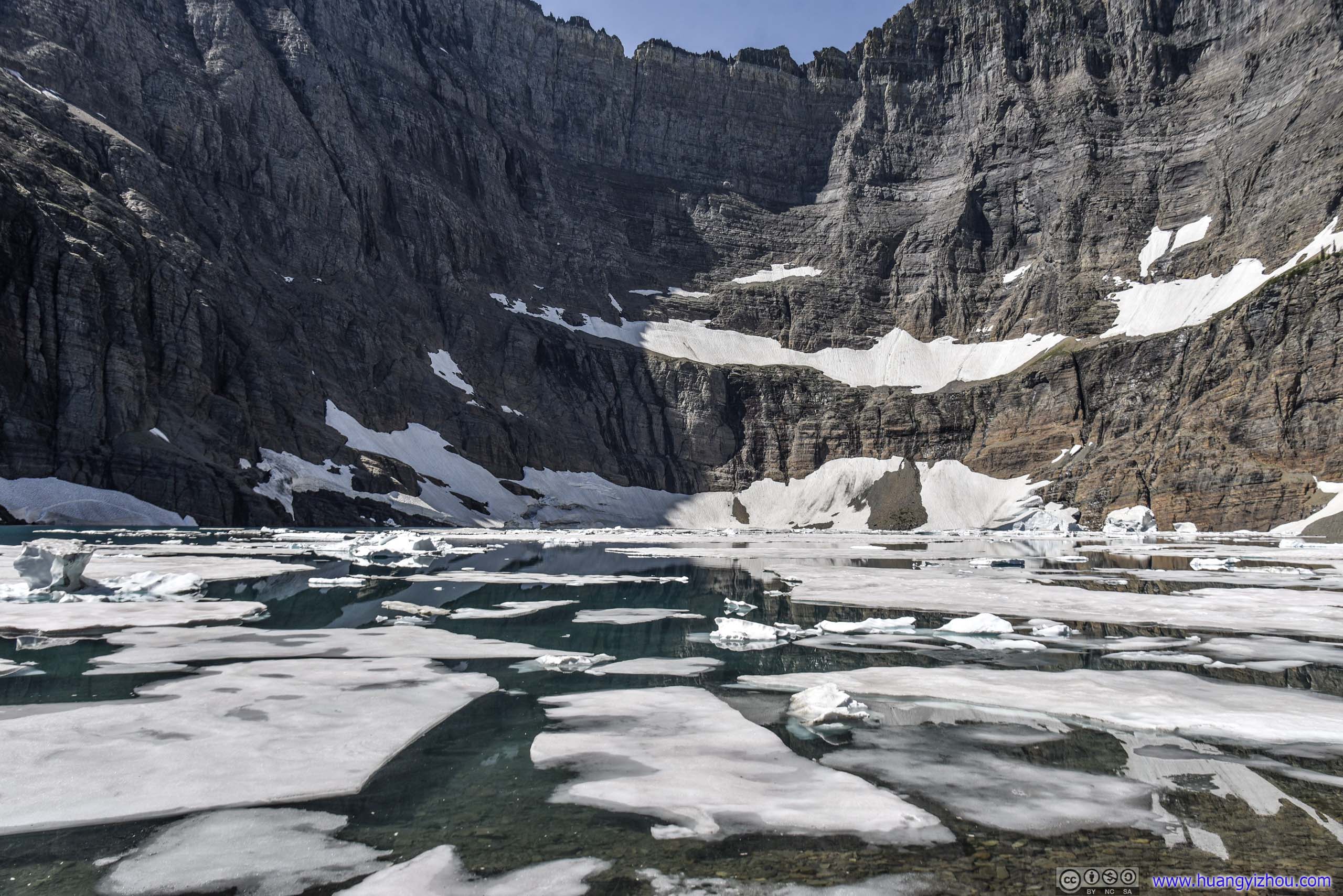
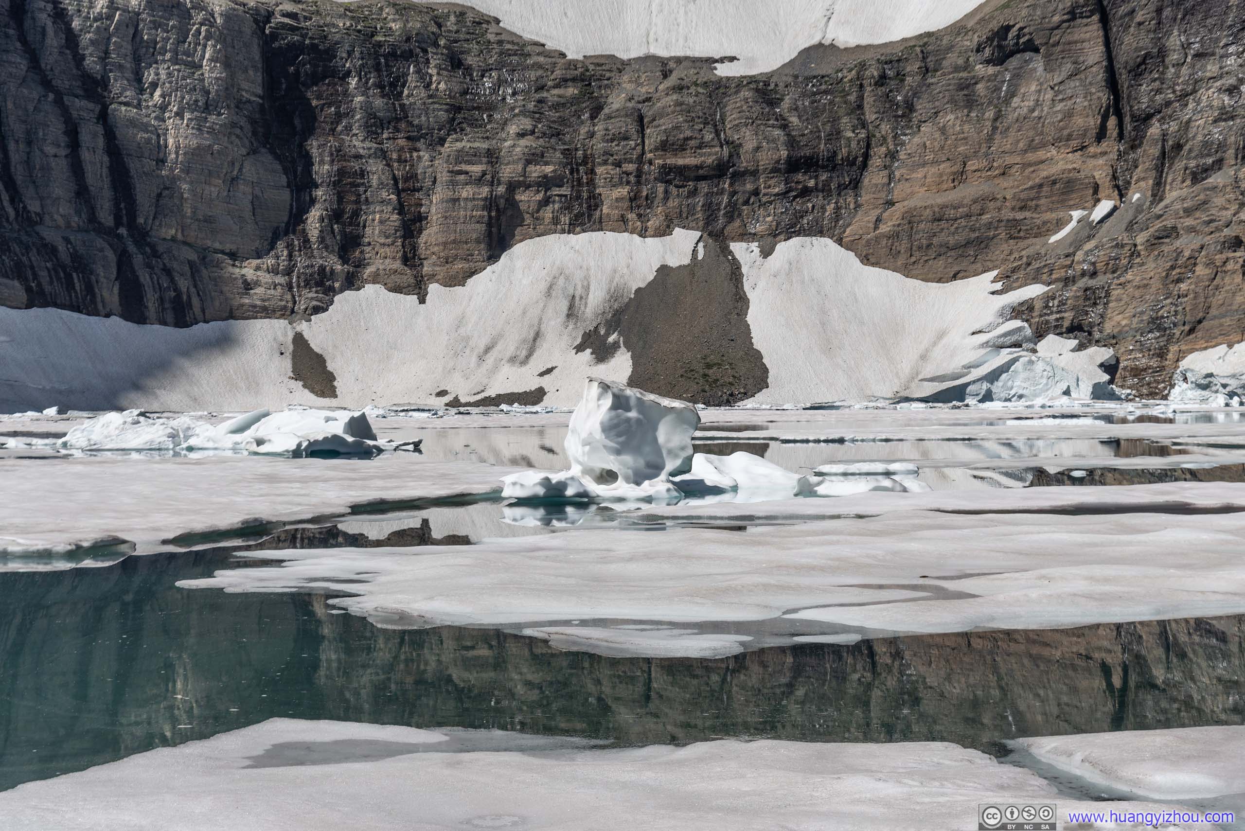
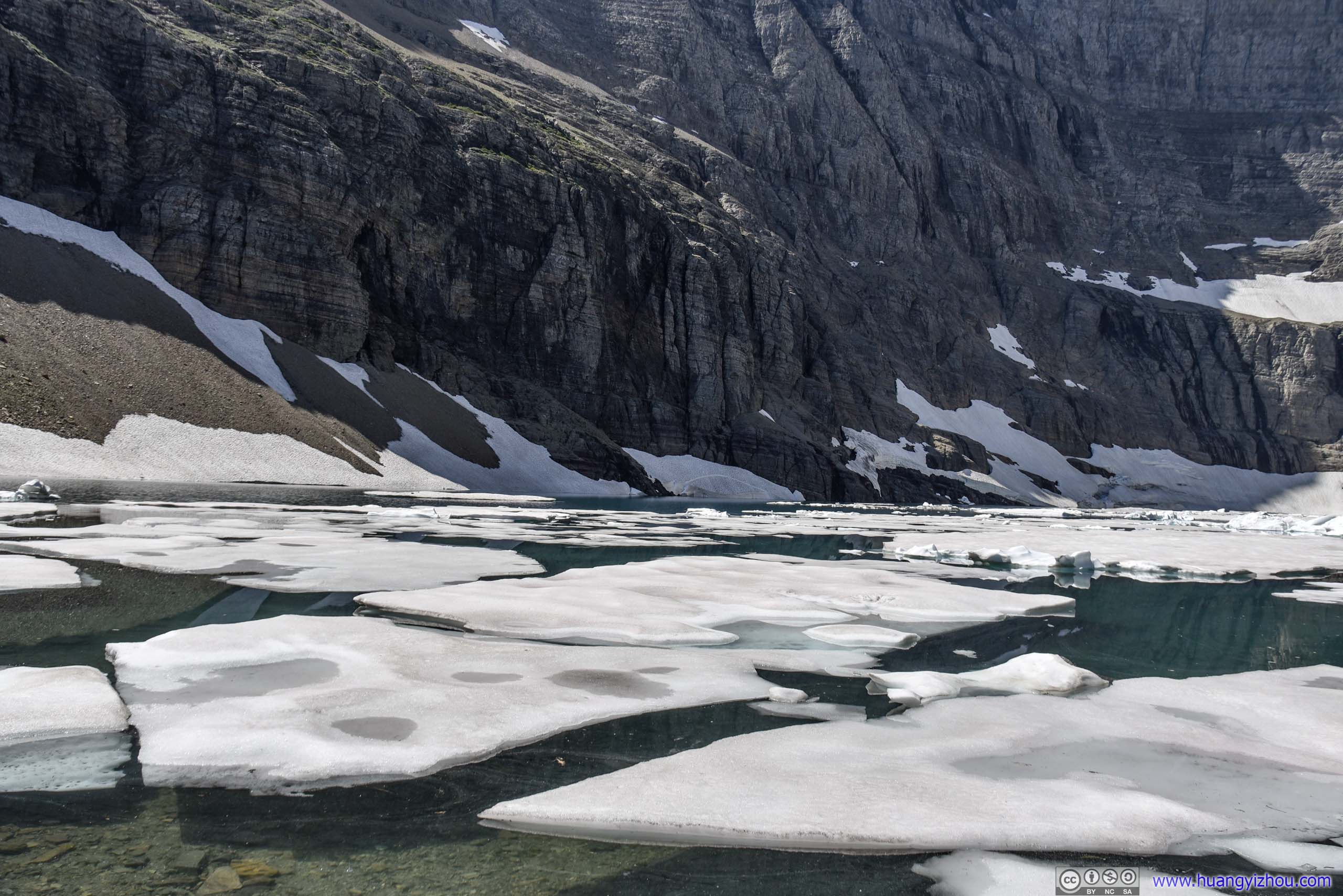
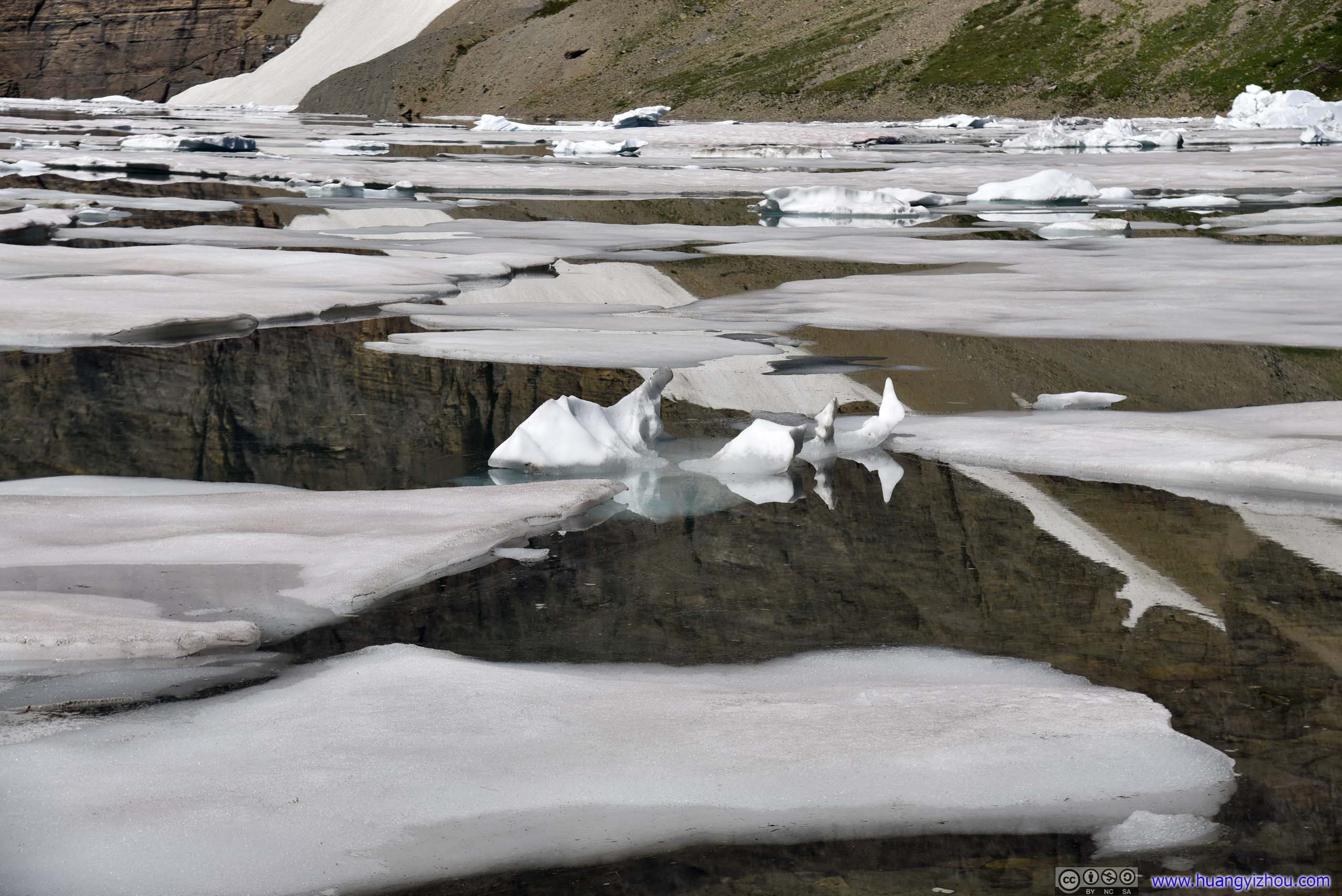
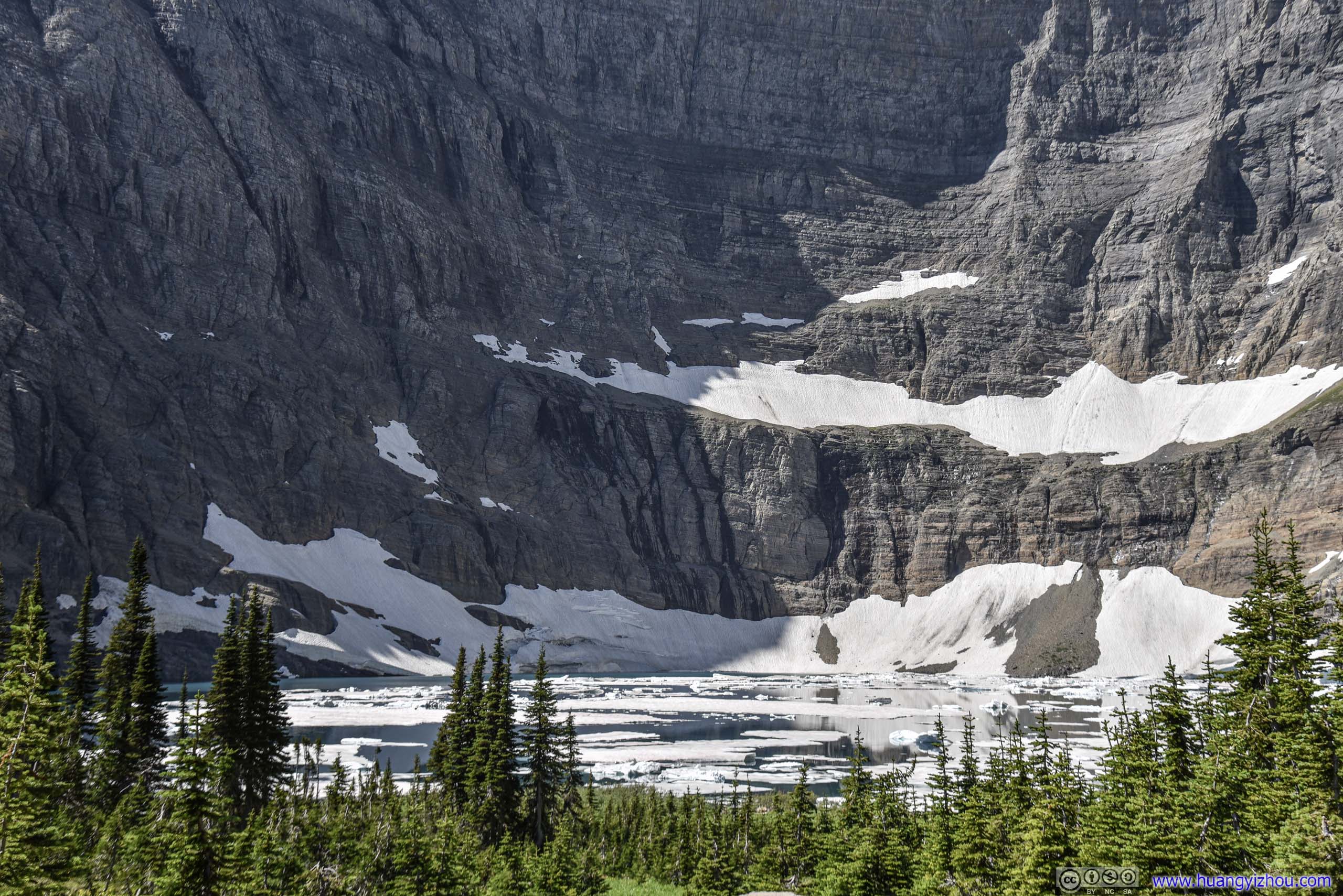
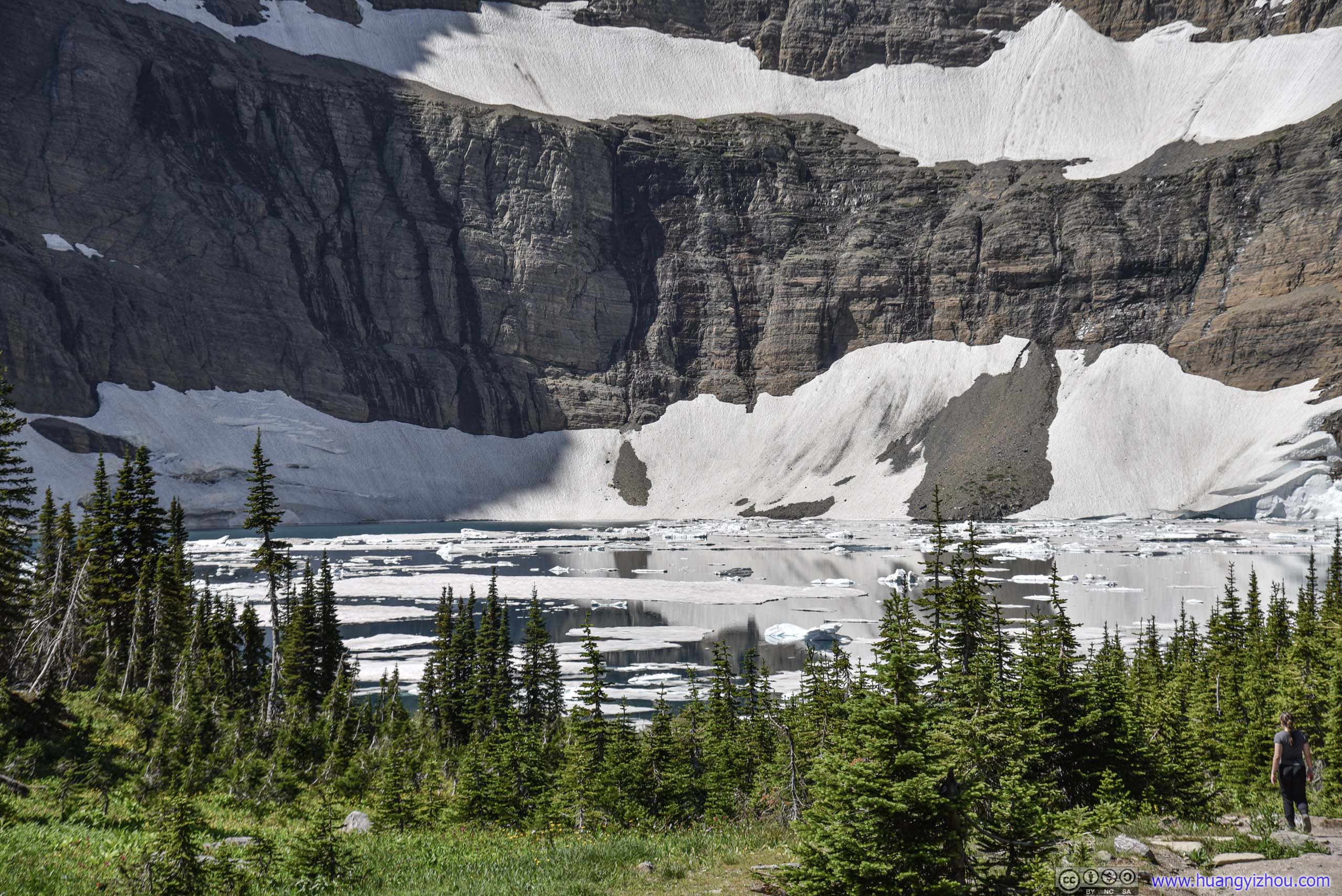
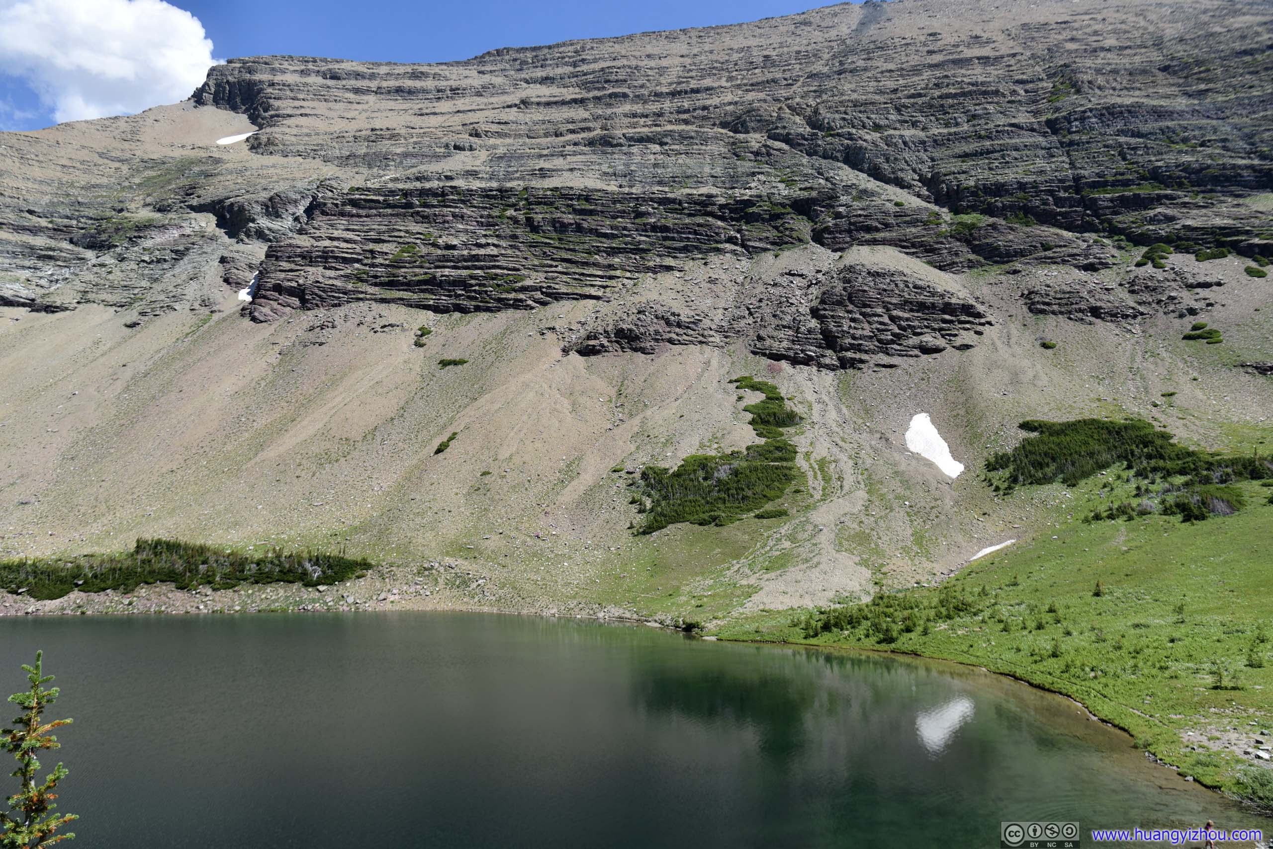
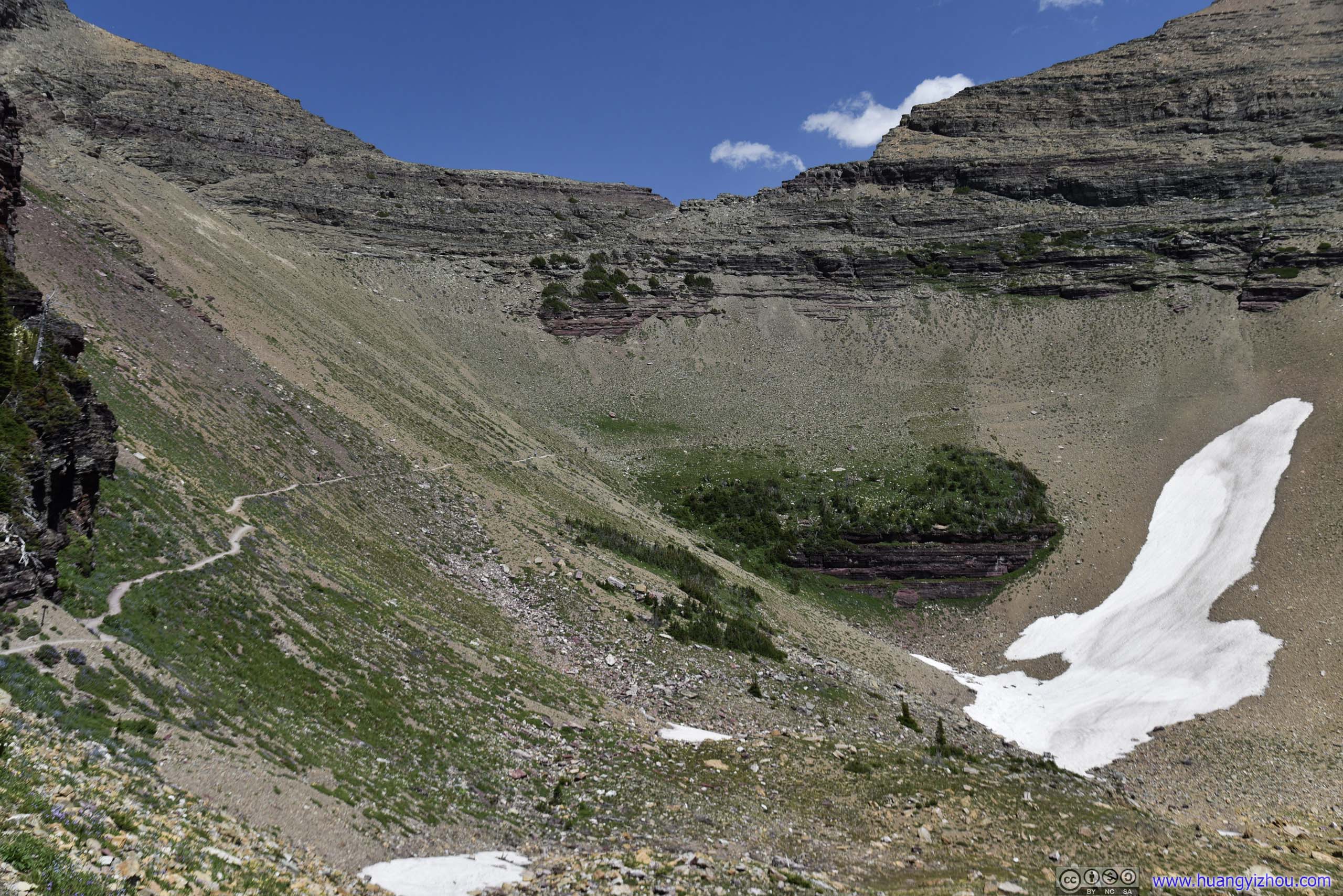
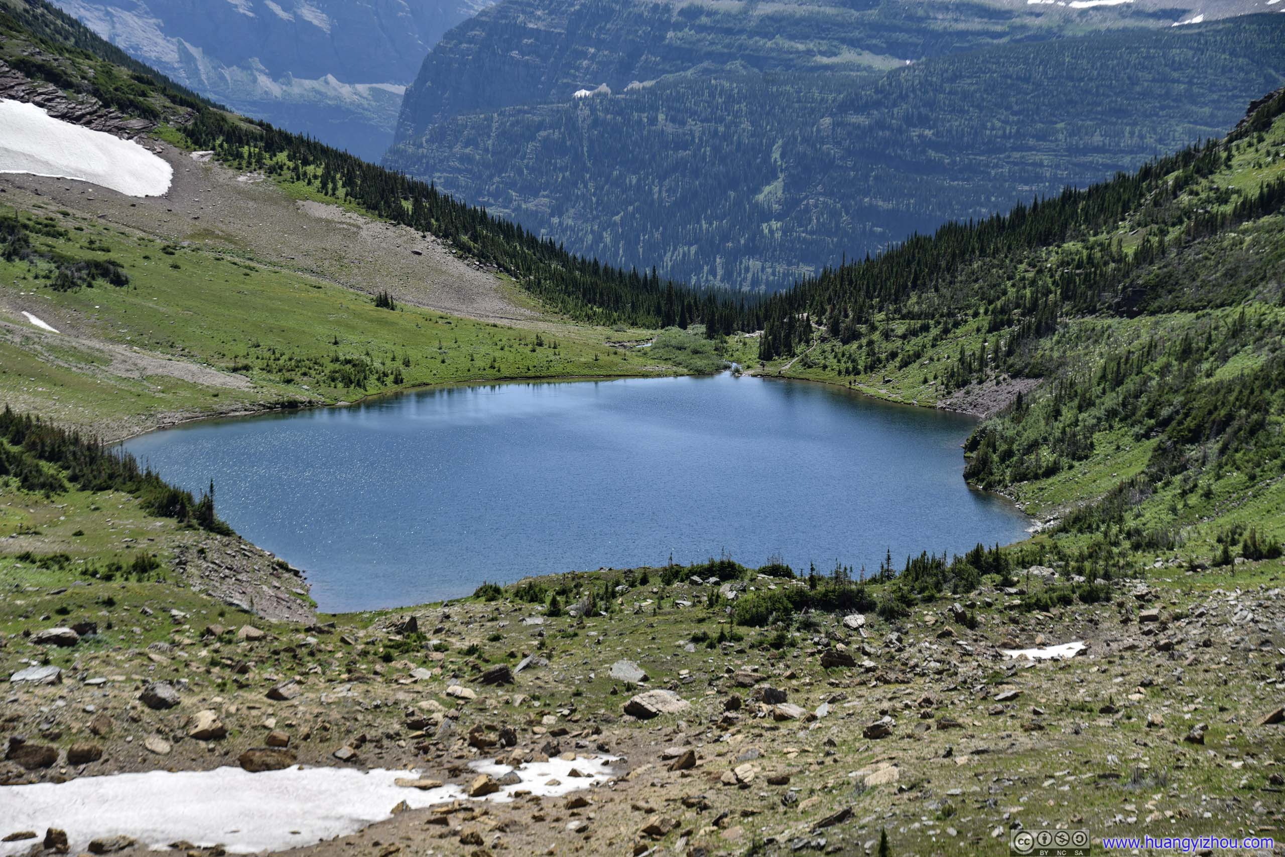
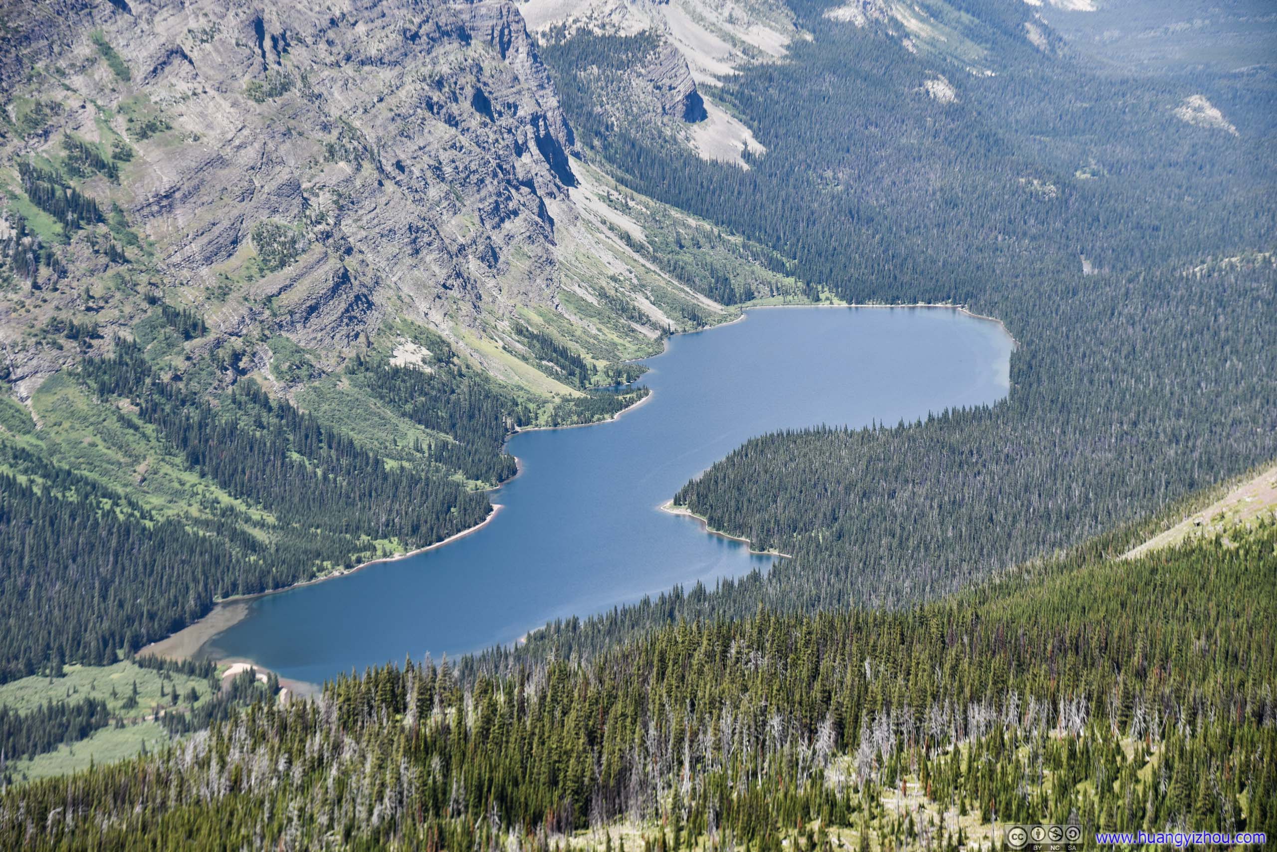
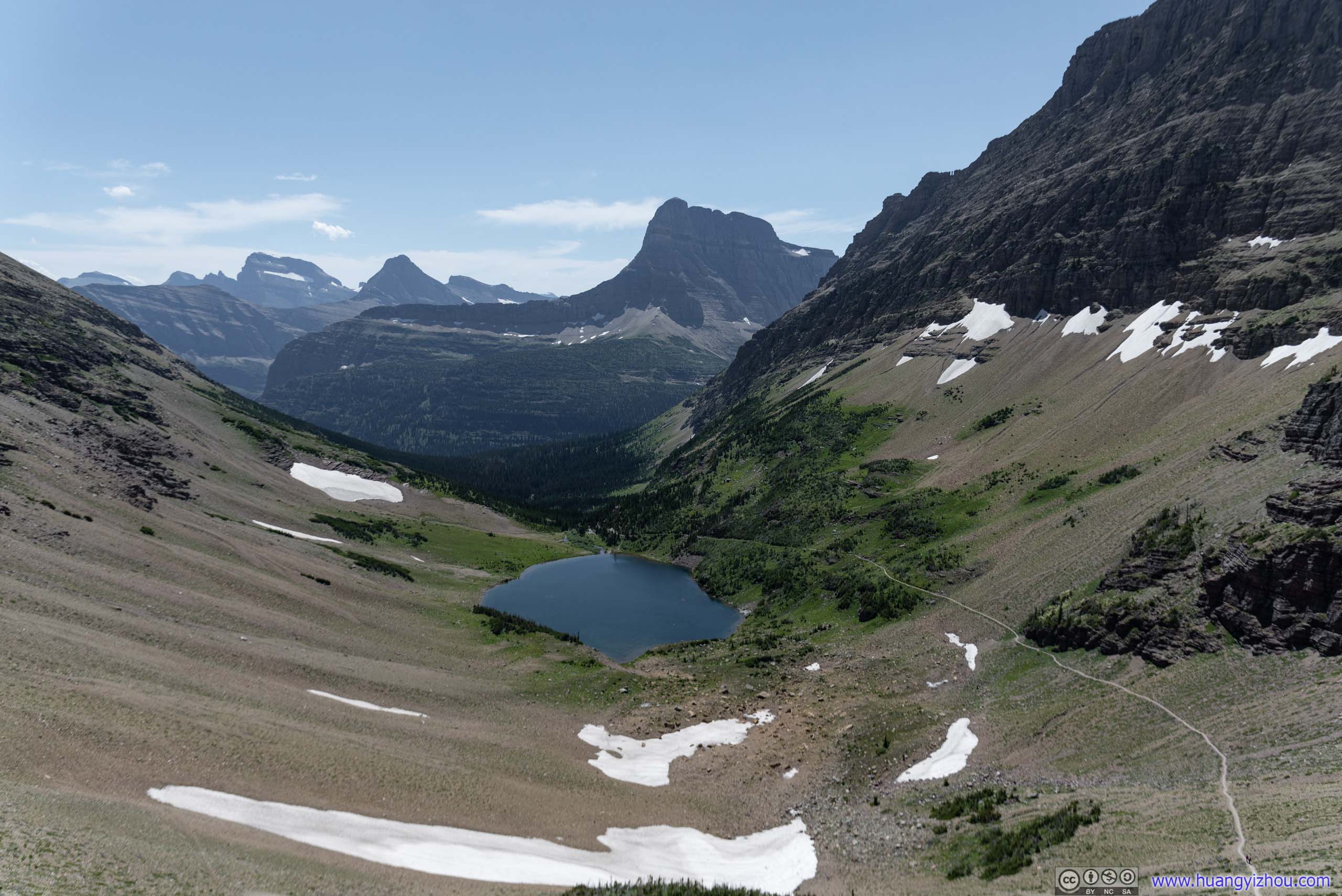
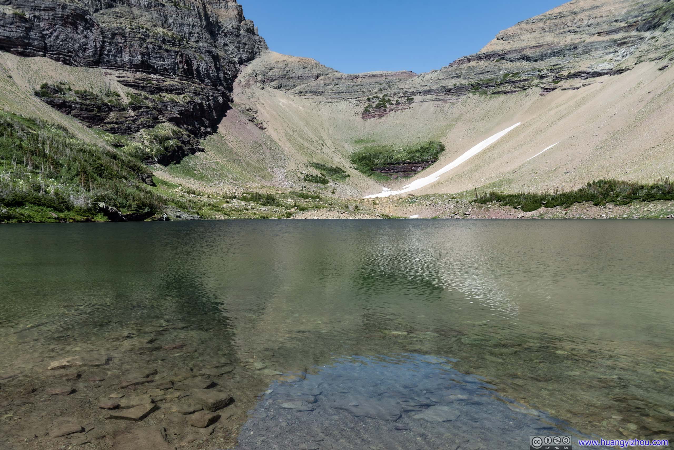
A little bit over 2 hours and 8km from trailhead, I was at the side of Iceberg Lake. I guess the snow patches on Ptarmigan Wall weren’t sizeable enough to be categorized as glaciers, and the lake visually seemed much smaller than Upper Grinnell Lake of the previous day.
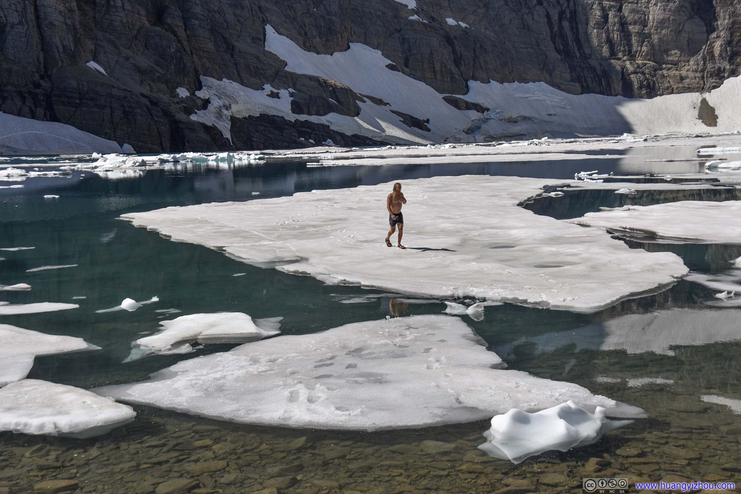
Man Standing on IcebergThere’s no way to get on this iceberg without getting wet. That’s why this brave soul took off his clothes.
It’s also quieter, visited by much fewer people. So I could find a spot on the shoreline just by myself, bathing in the refreshing breeze from the lake. The imposing Ptarmigan Wall blocked most of the sunlight, so the lake water was in a spellbinding dark emerald green color.
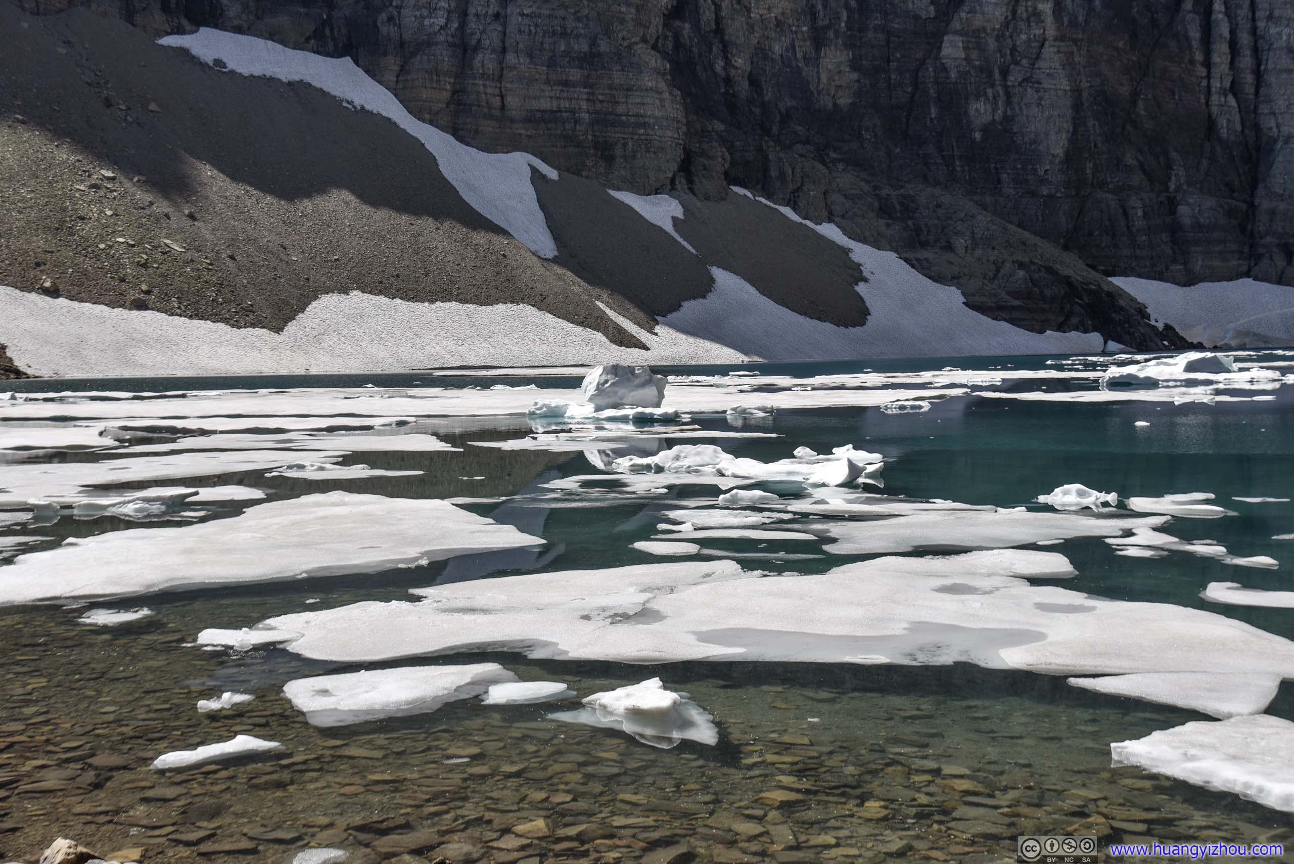
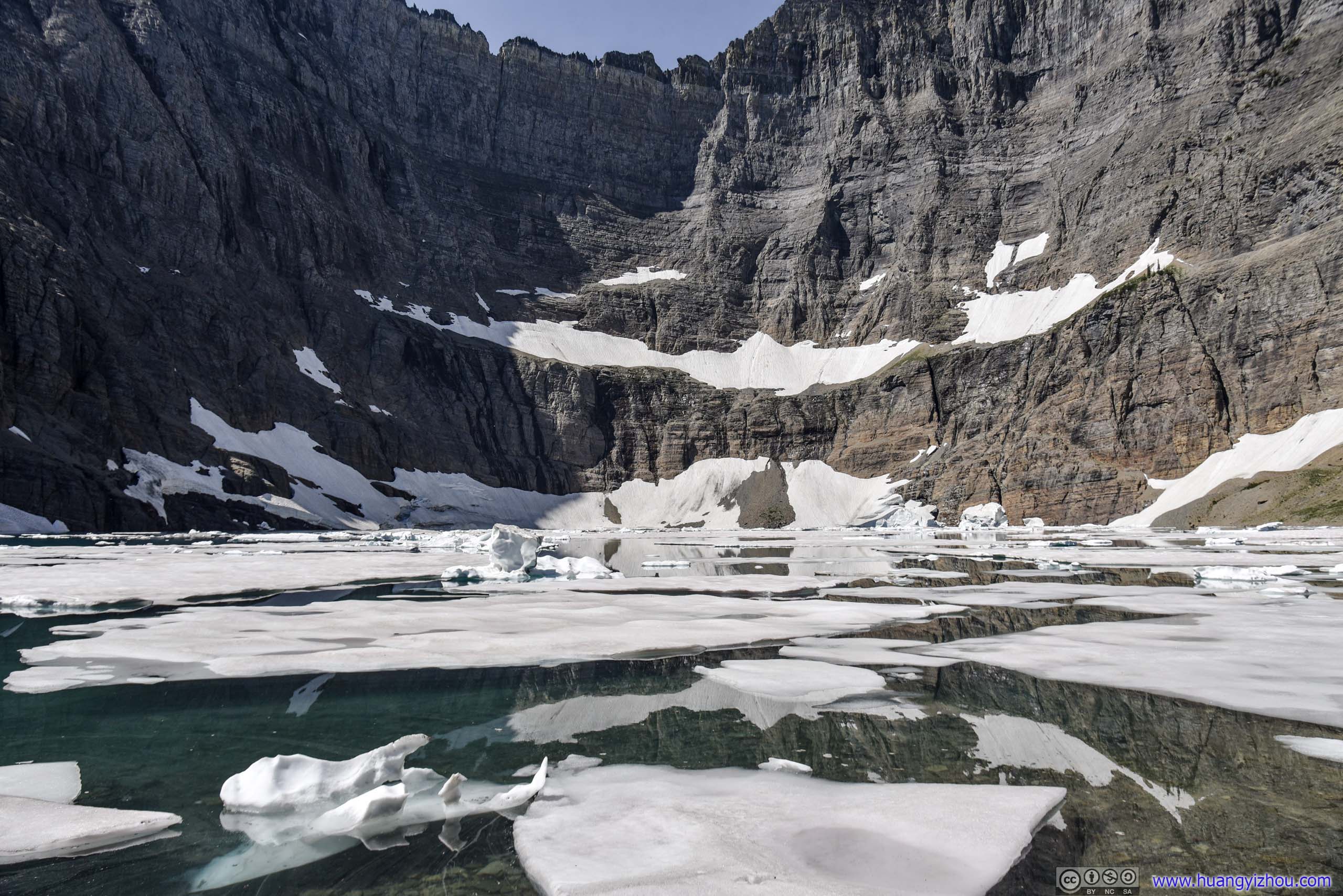
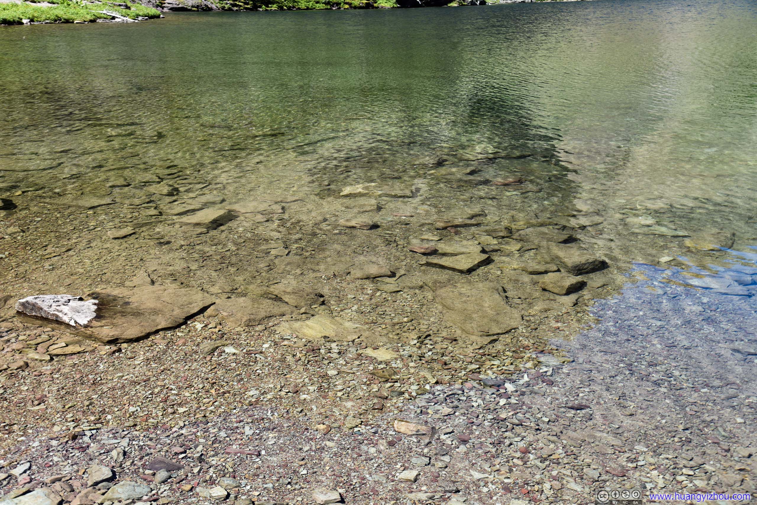
 Iceberg Lake
Speaking of enjoying some good solitude, I had a packed lunch on the shores of Iceberg Lake. Probably, fewer visitors meant fewer food and fiercer competition for the local squirrel population, thus I was harassed pretty badly by a panhandler of them.
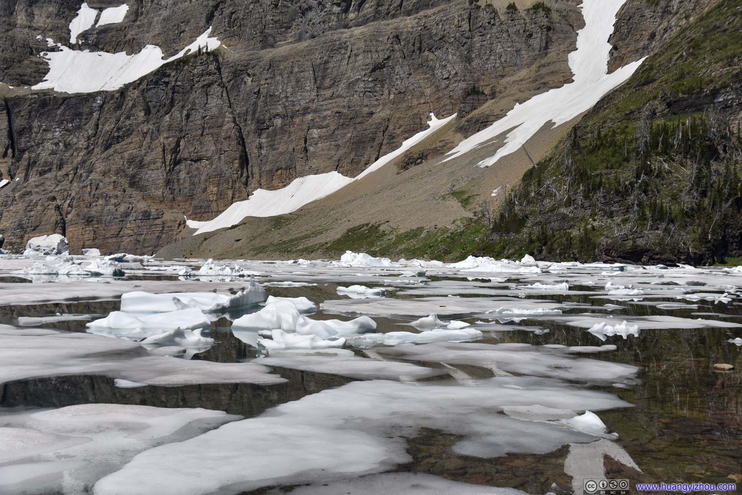
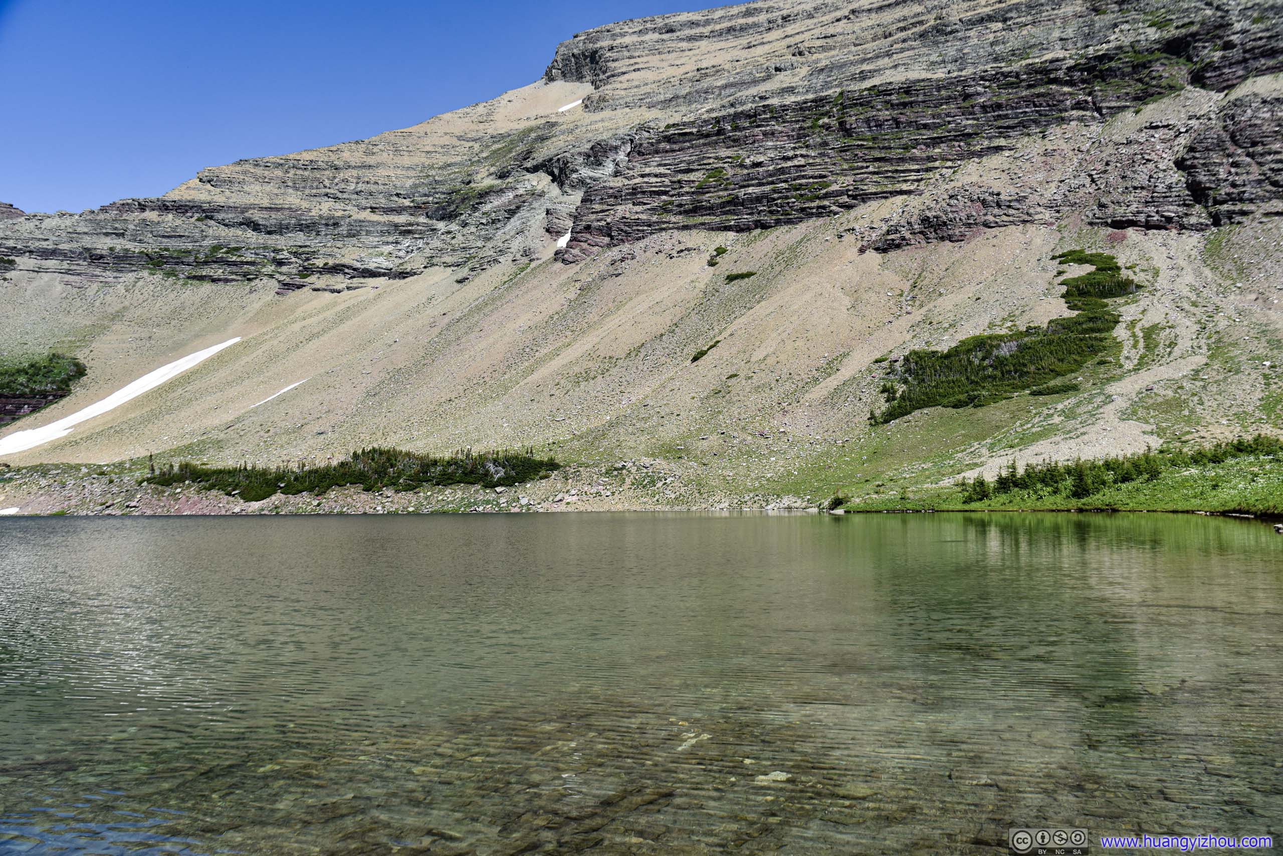
 Iceberg Lake below Ptarmigan Wall

Iceberg Notch
 Mt Wilbur / Layered Rocks of Ptarmigan Wall
Unbroken Iceberg
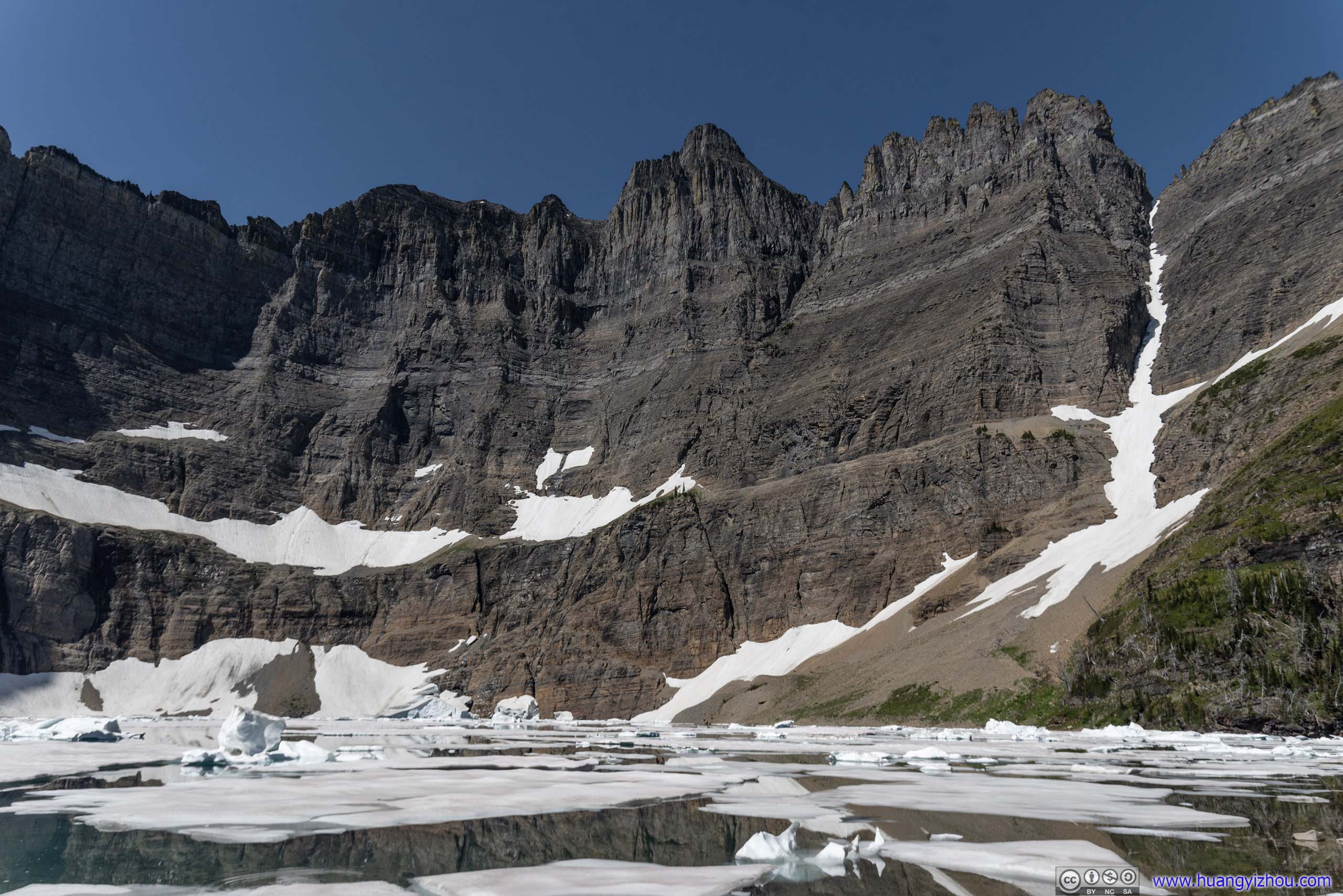
Iceberg Lake below Ptarmigan Wall
So after 30 minutes at Iceberg Lake, I headed back.
 Iceberg Lake
Wynn Mountain
 Ptarmigan Wall above Iceberg Lake
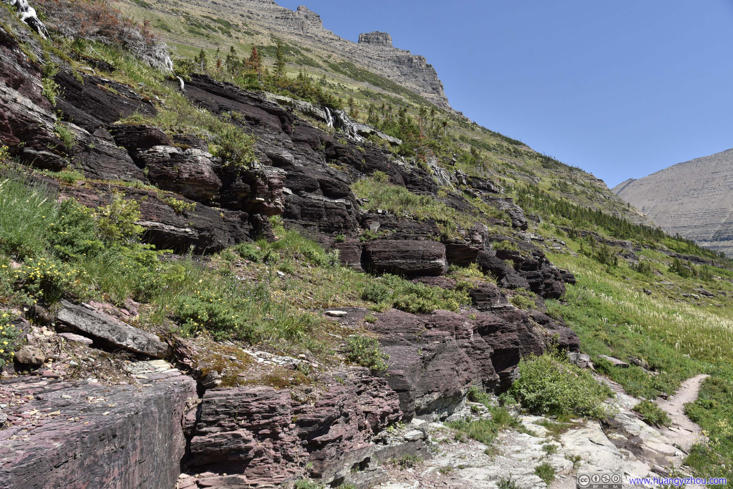
 Trail by Rocks
 Flowers
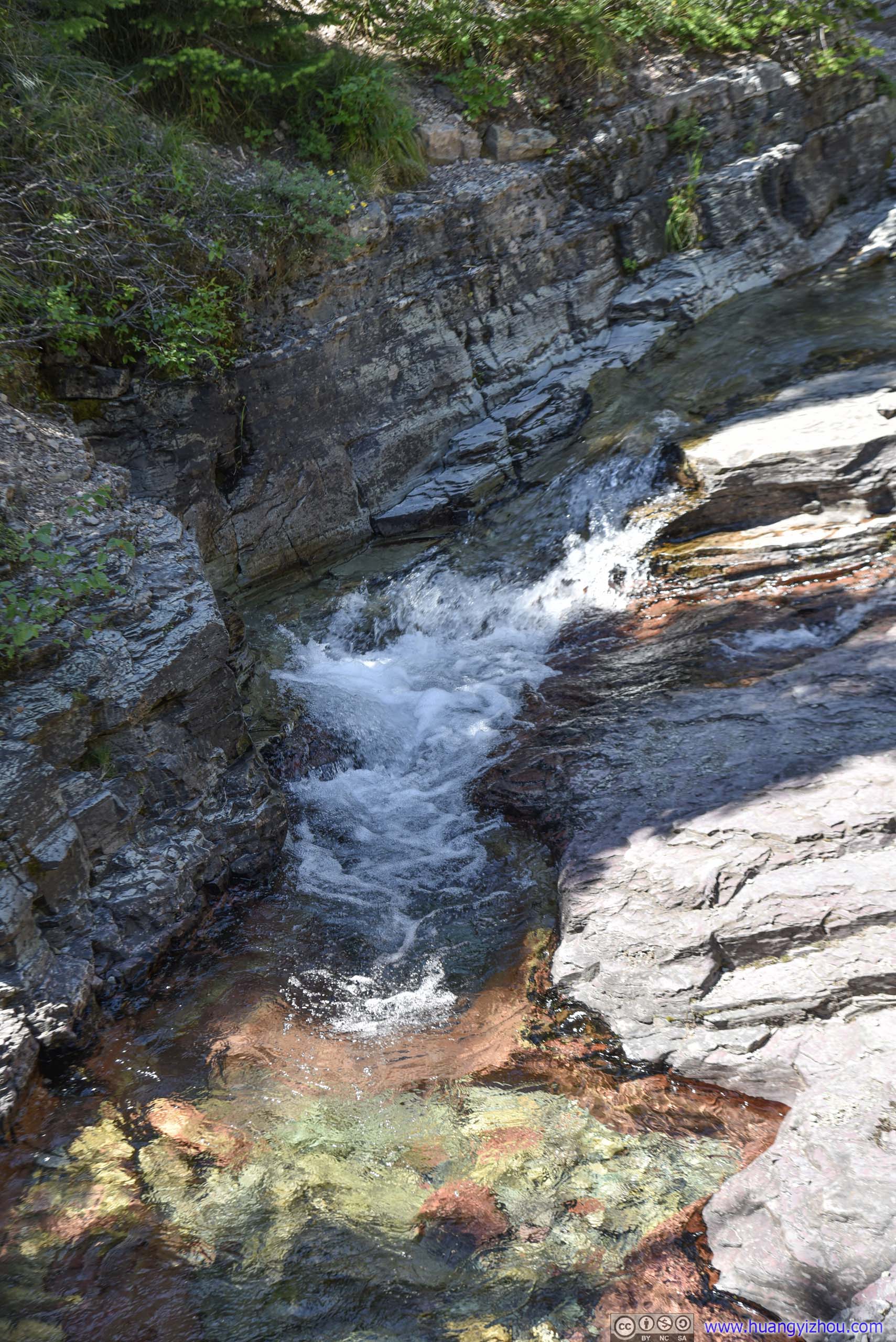
Creek
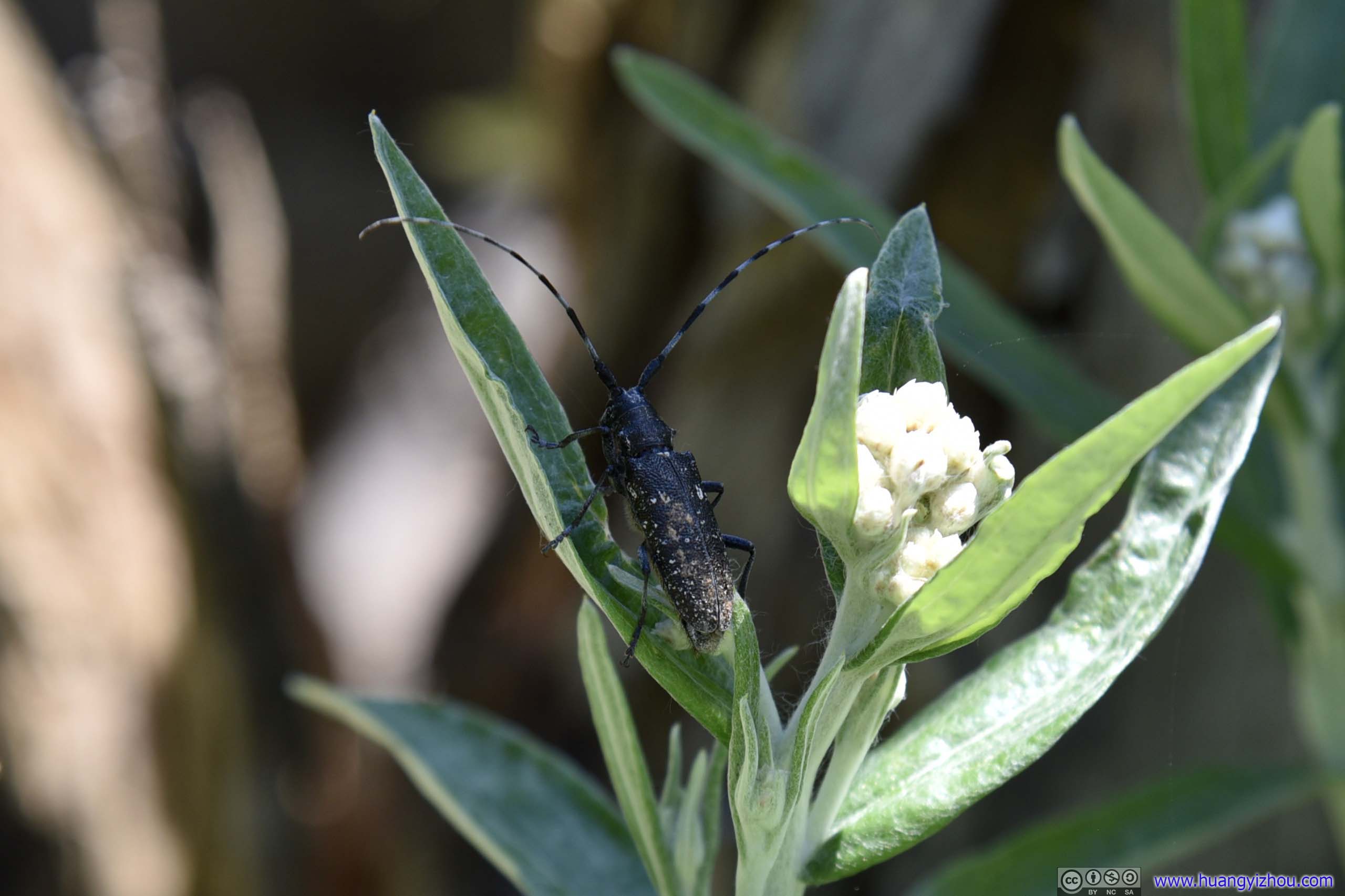
Beetle
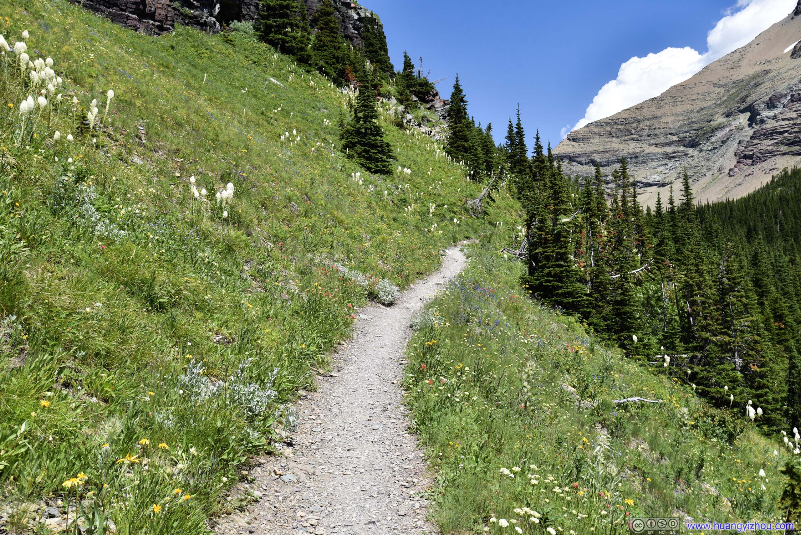
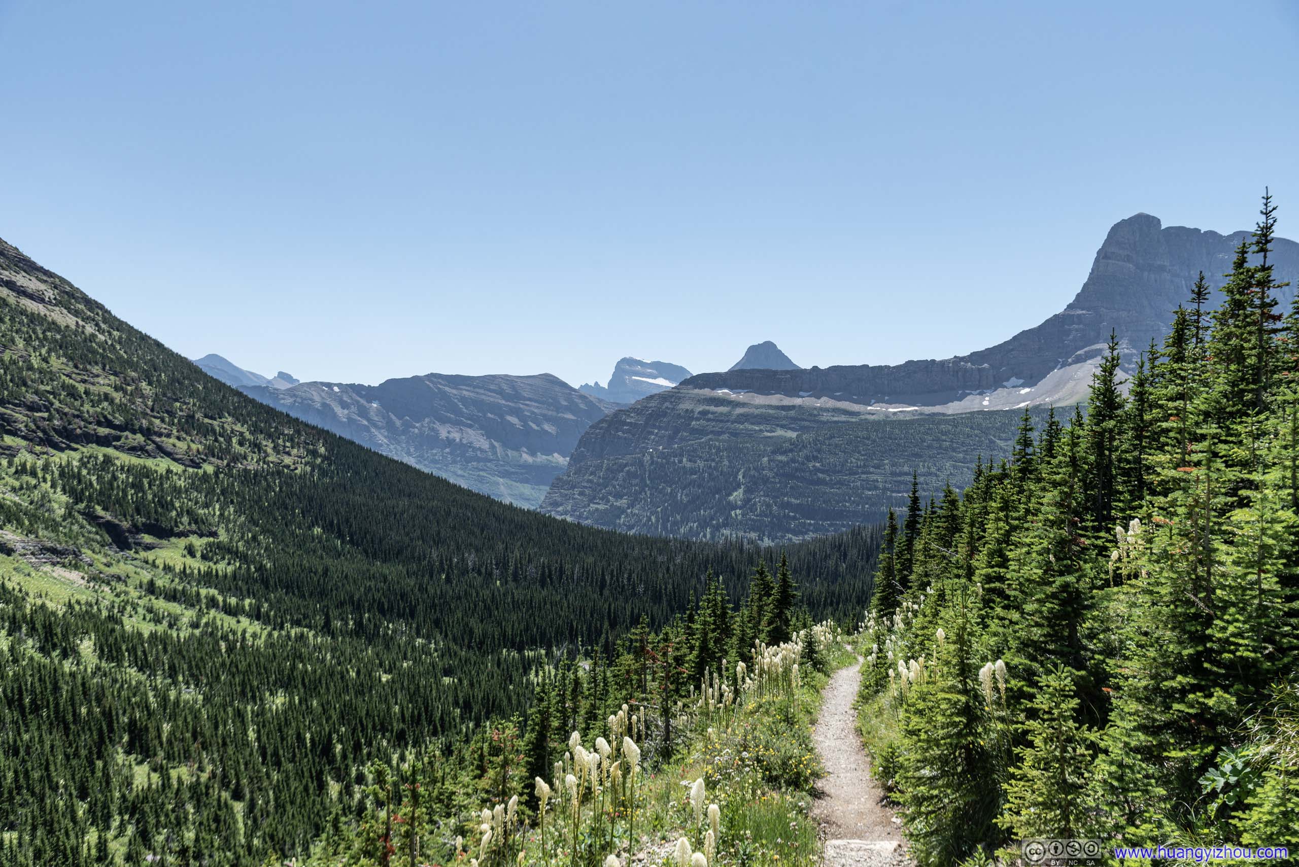
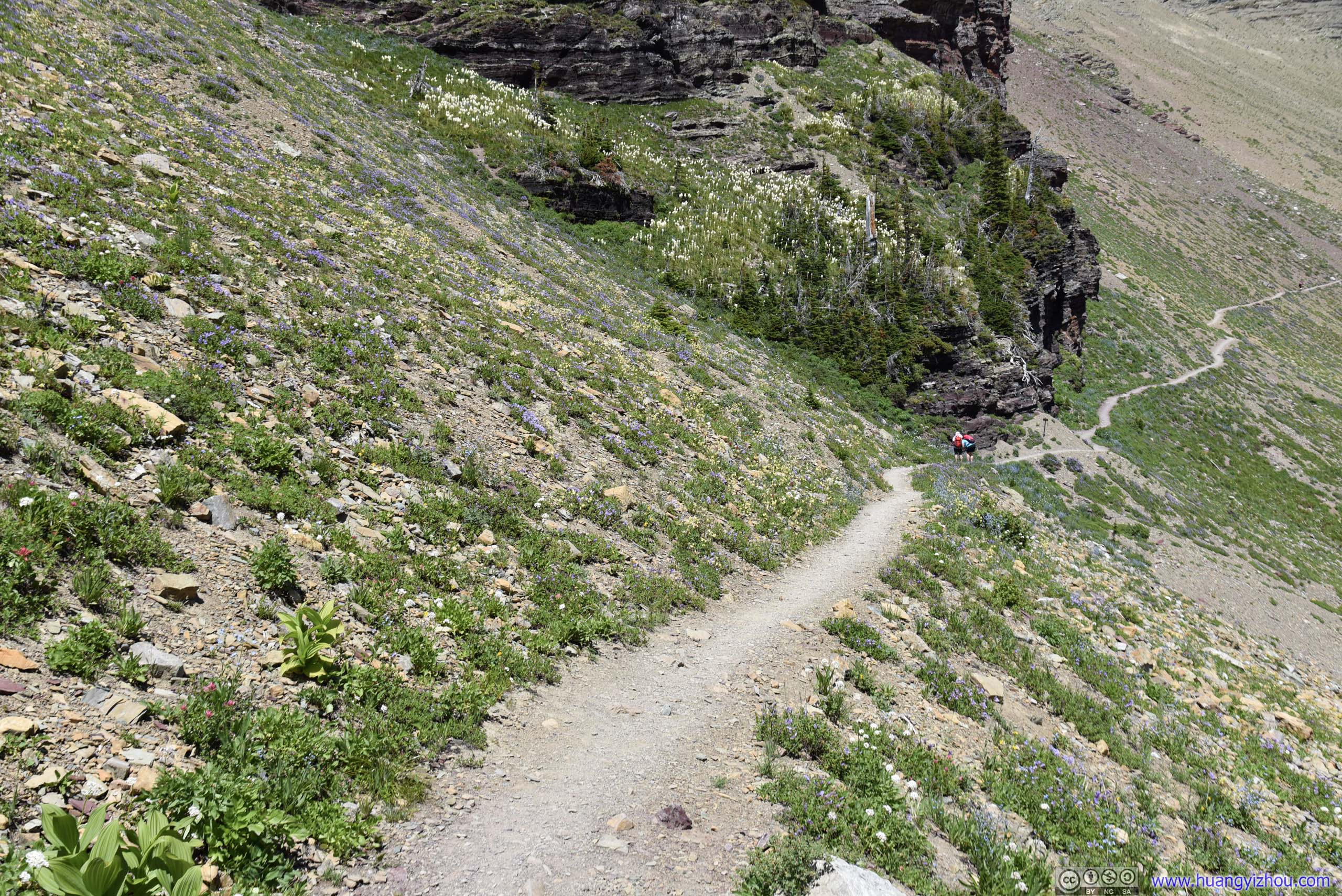
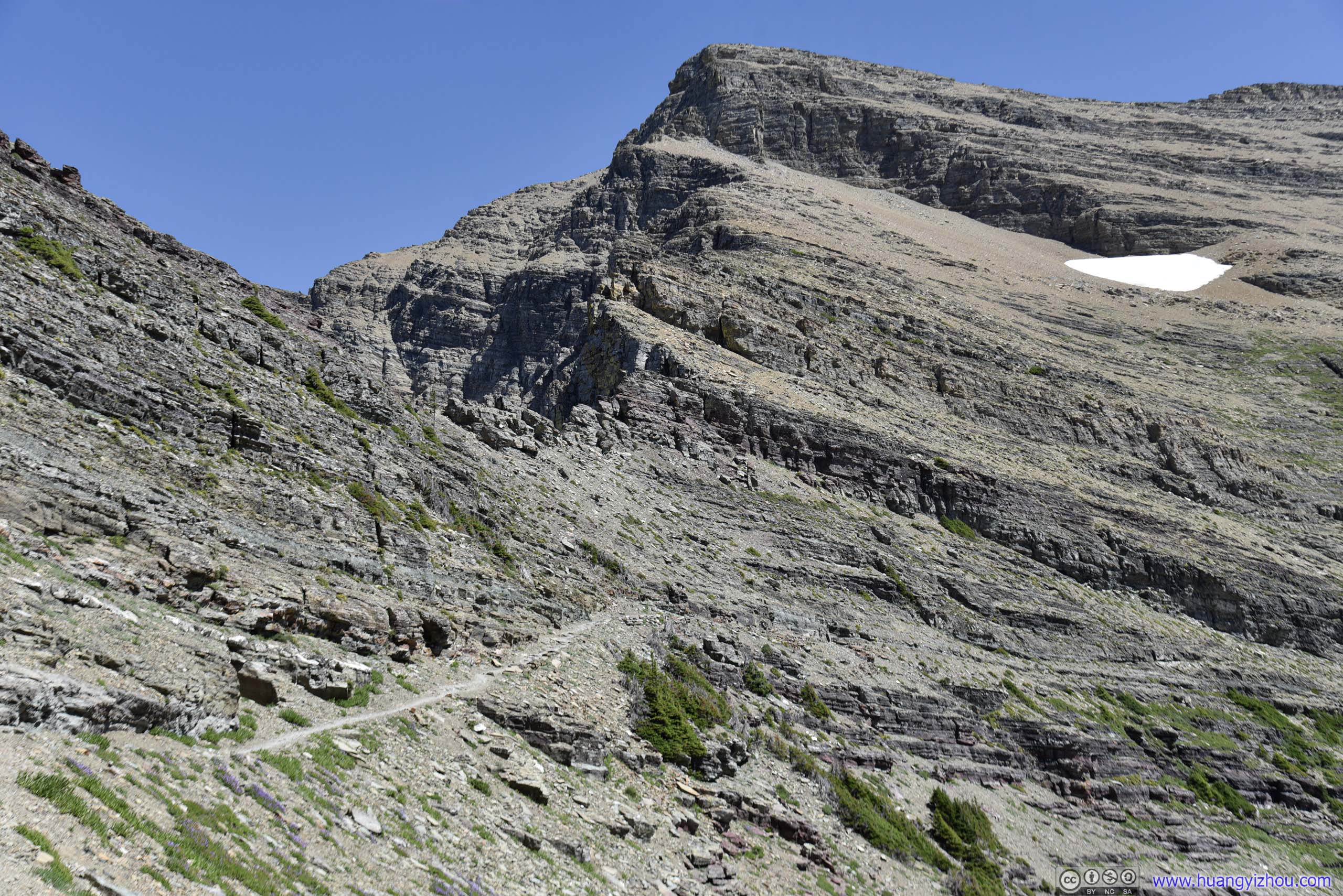
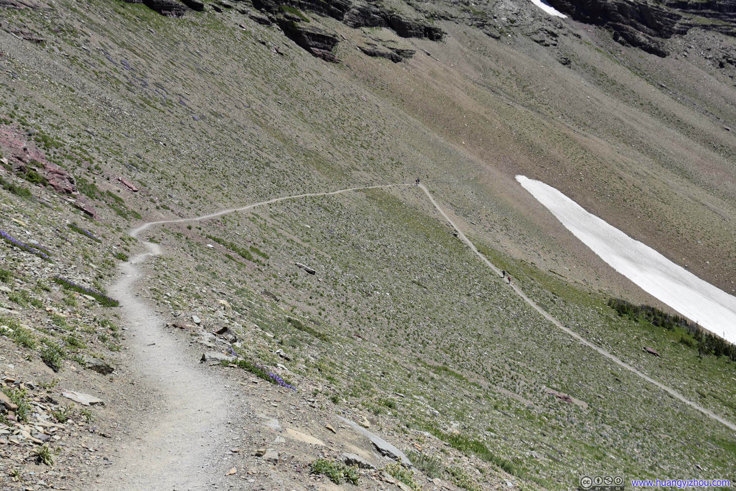
The trail to Iceberg Lake wasn’t very steep, but once I got past the fork and headed on Ptarmigan Trail, it’s hard not to notice that elevation gain was hastened.
On the maps, it may seem that Ptarmigan Trail and Iceberg Lake Trail ran parallel for quite some distance, and there could be a tempting shortcut. Fact was that Ptarmigan Trail was much higher in elevation than Iceberg Trail.
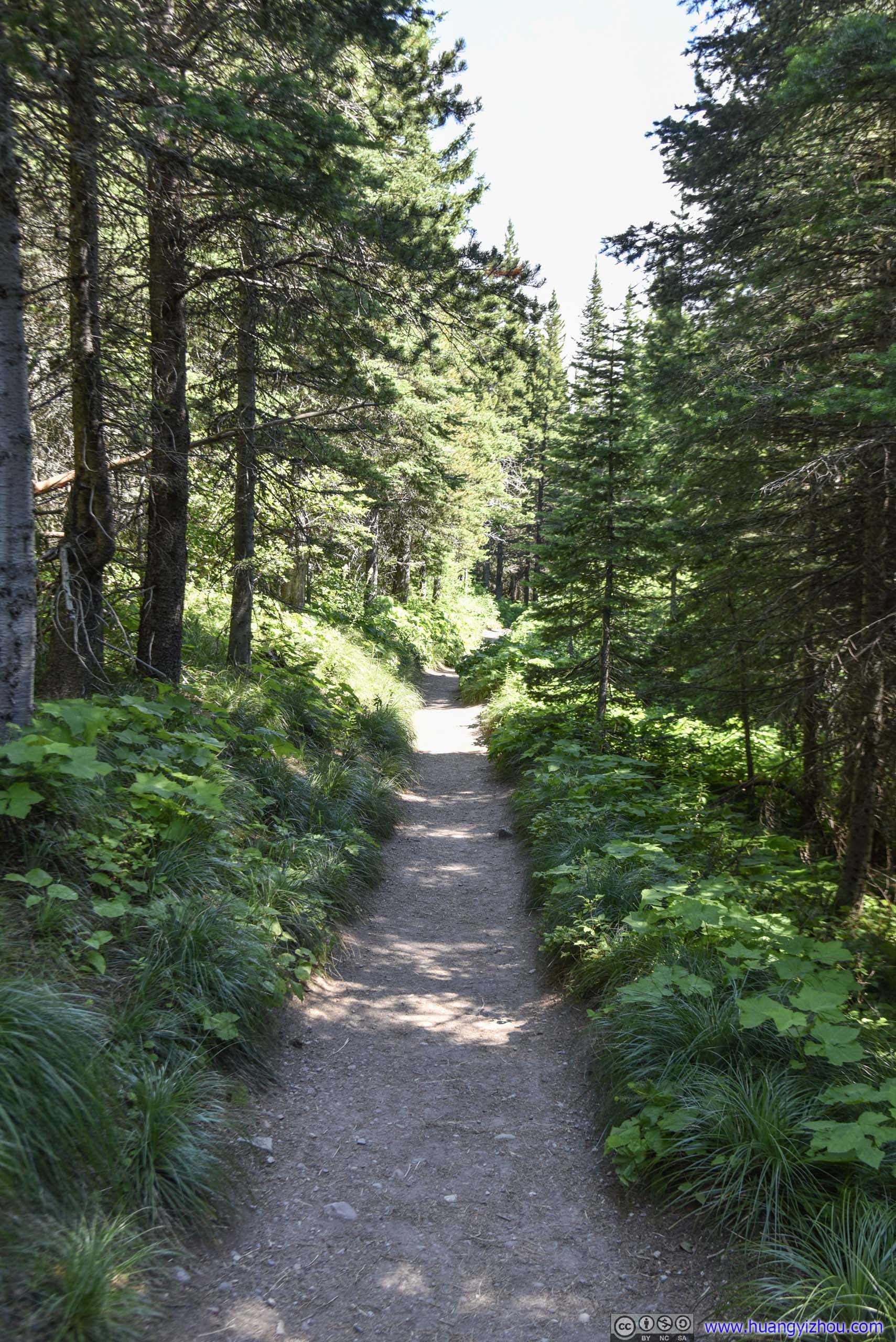
 Trail
Trail
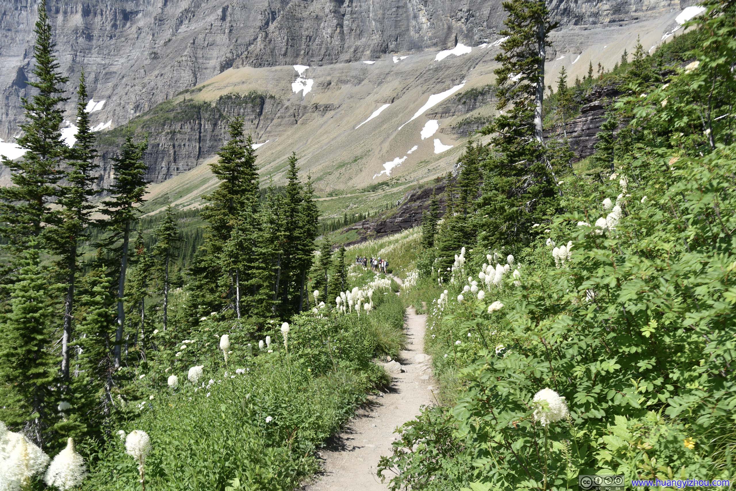
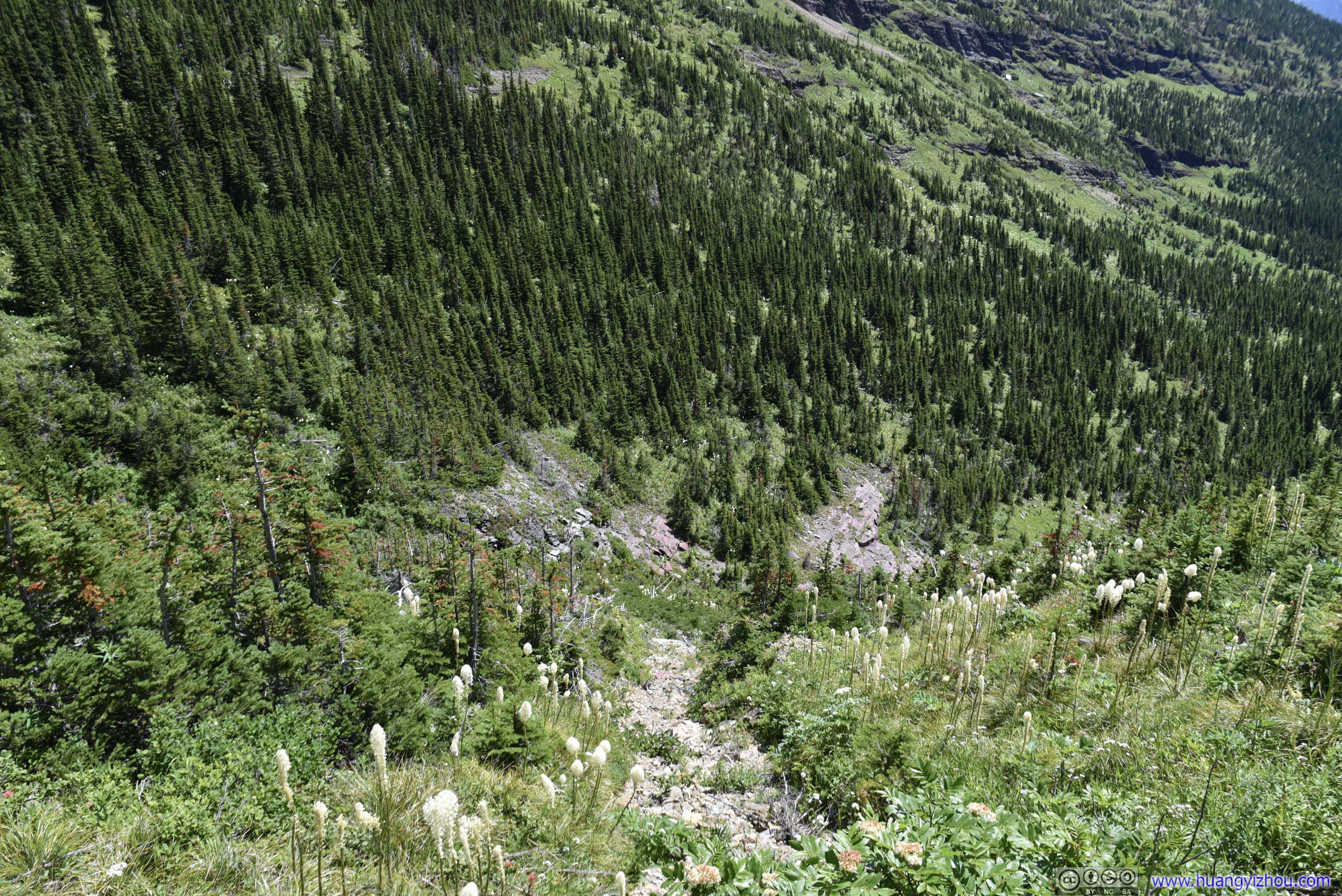
Ptarmigan Trail was much less visited than Iceberg Lake Trail, so to scare away the bears, I played music most of the time.
Yes, half of Ptarmigan Trail after the fork was among bushes and trees like this, making it the prefect hideout for bears.
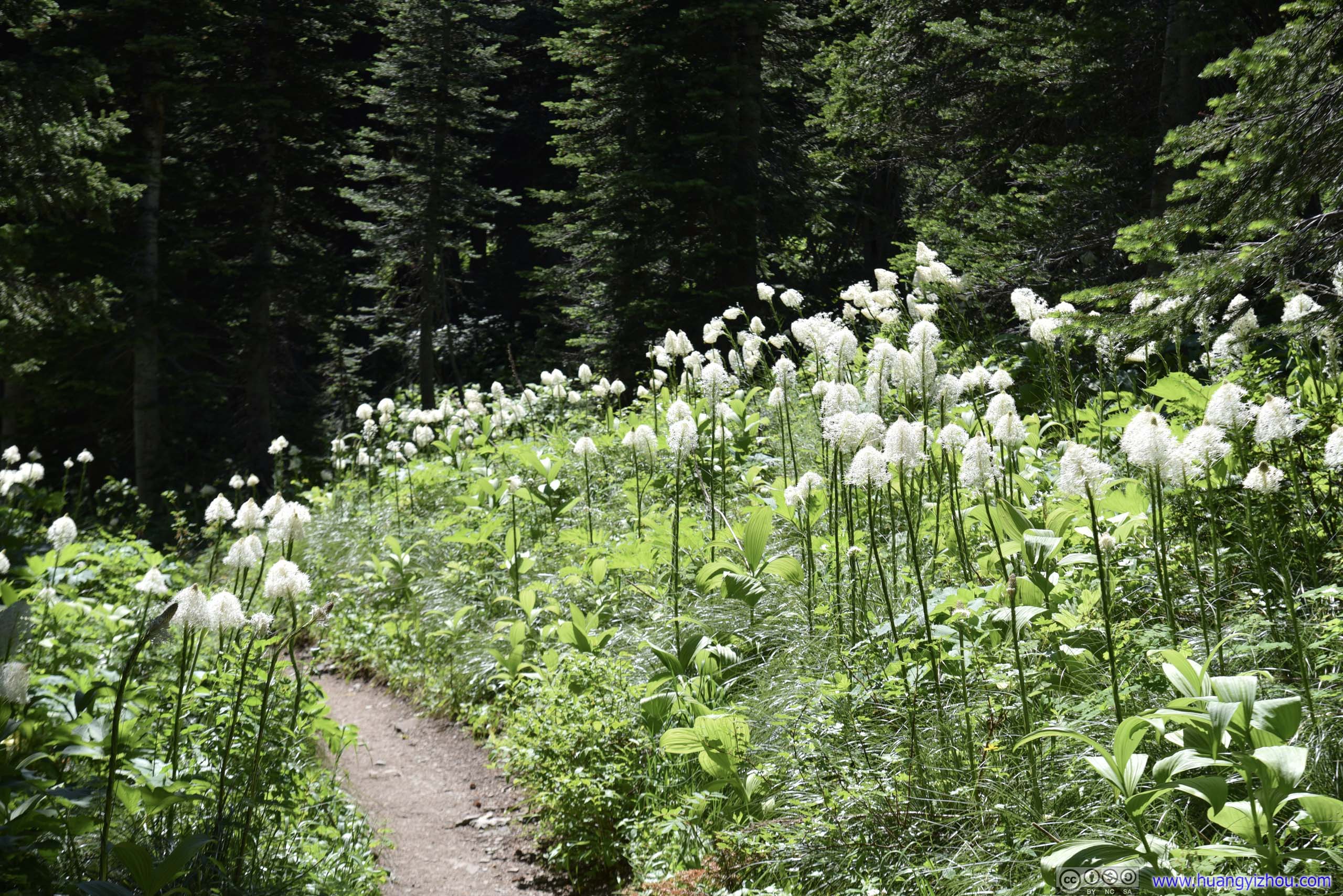
 Trail through Beargrass Field
 Flowers

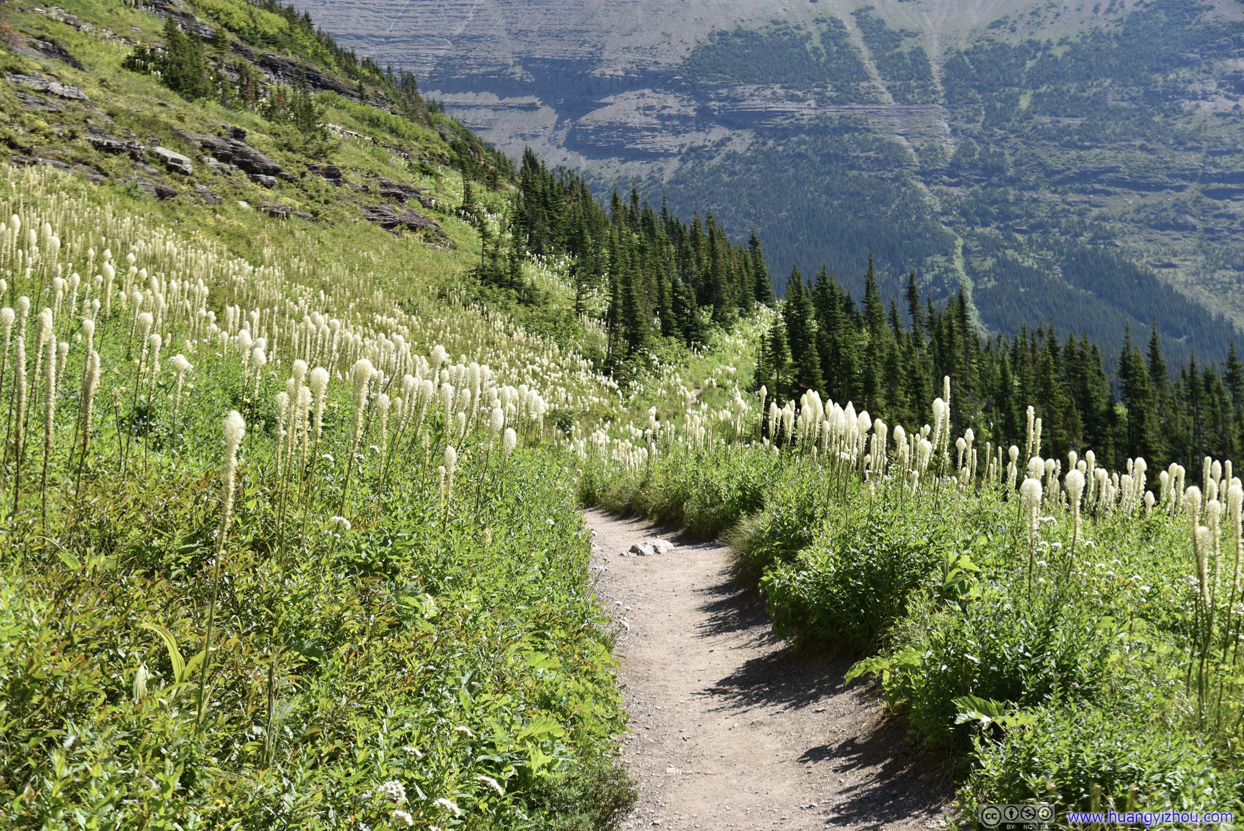
 Trail through Beargrass Field and Flowers
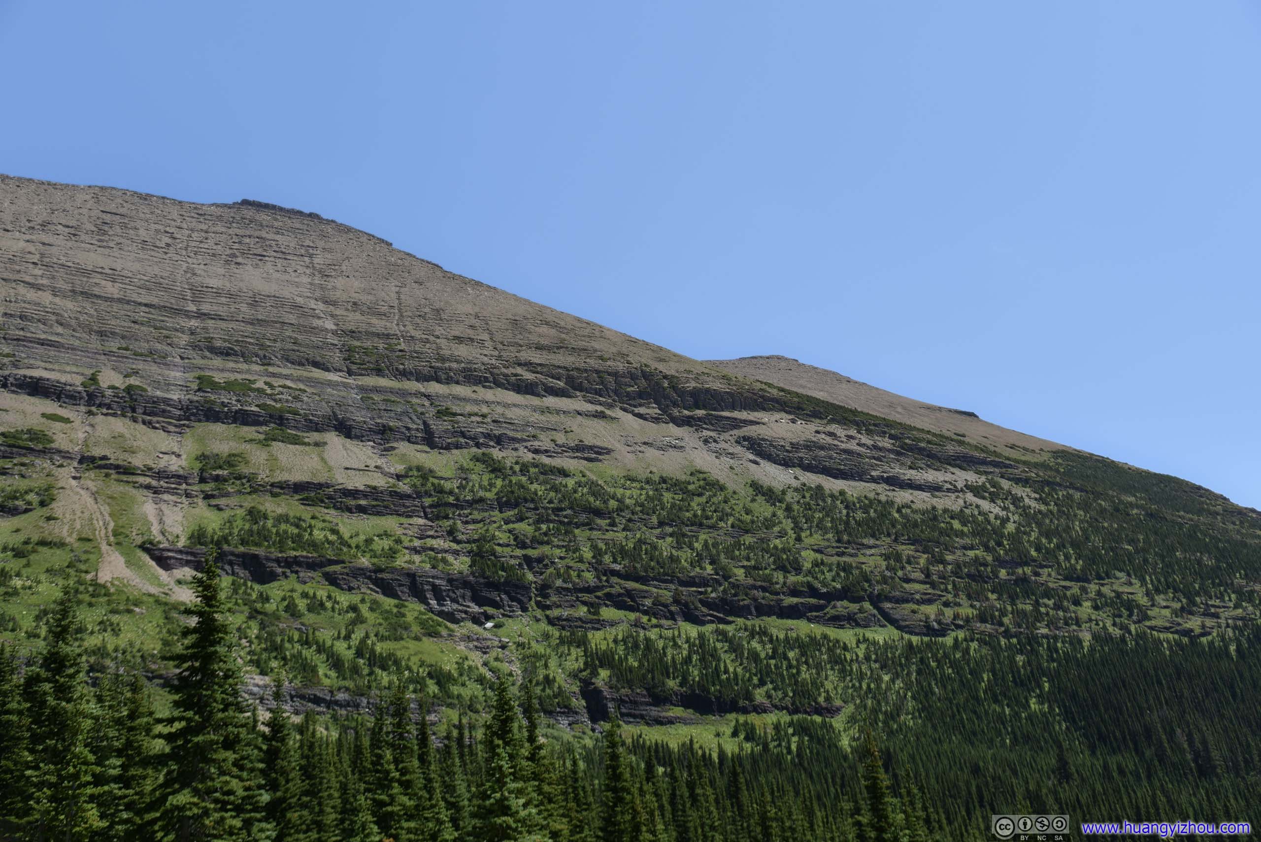
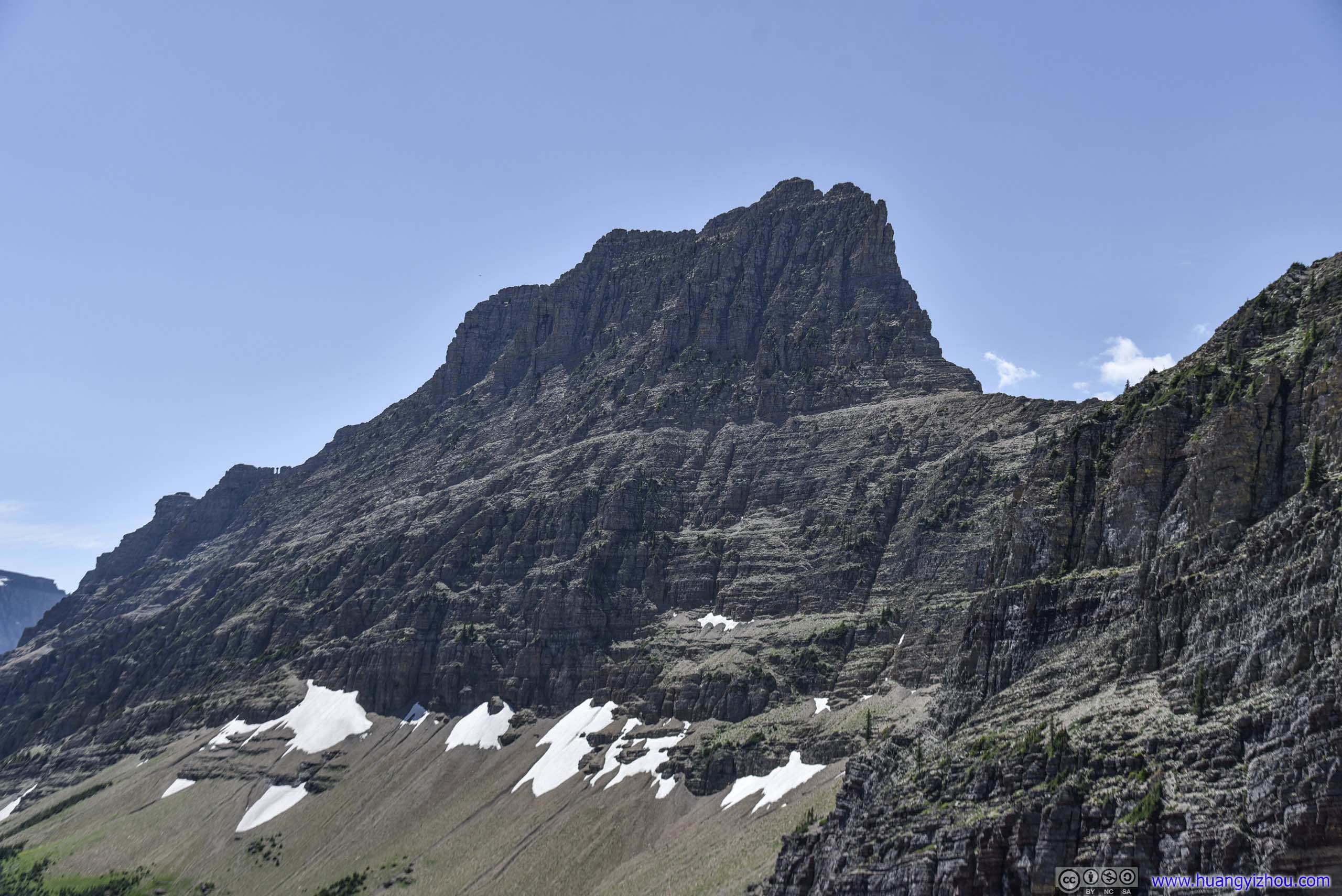
 Crowfeet Mountain
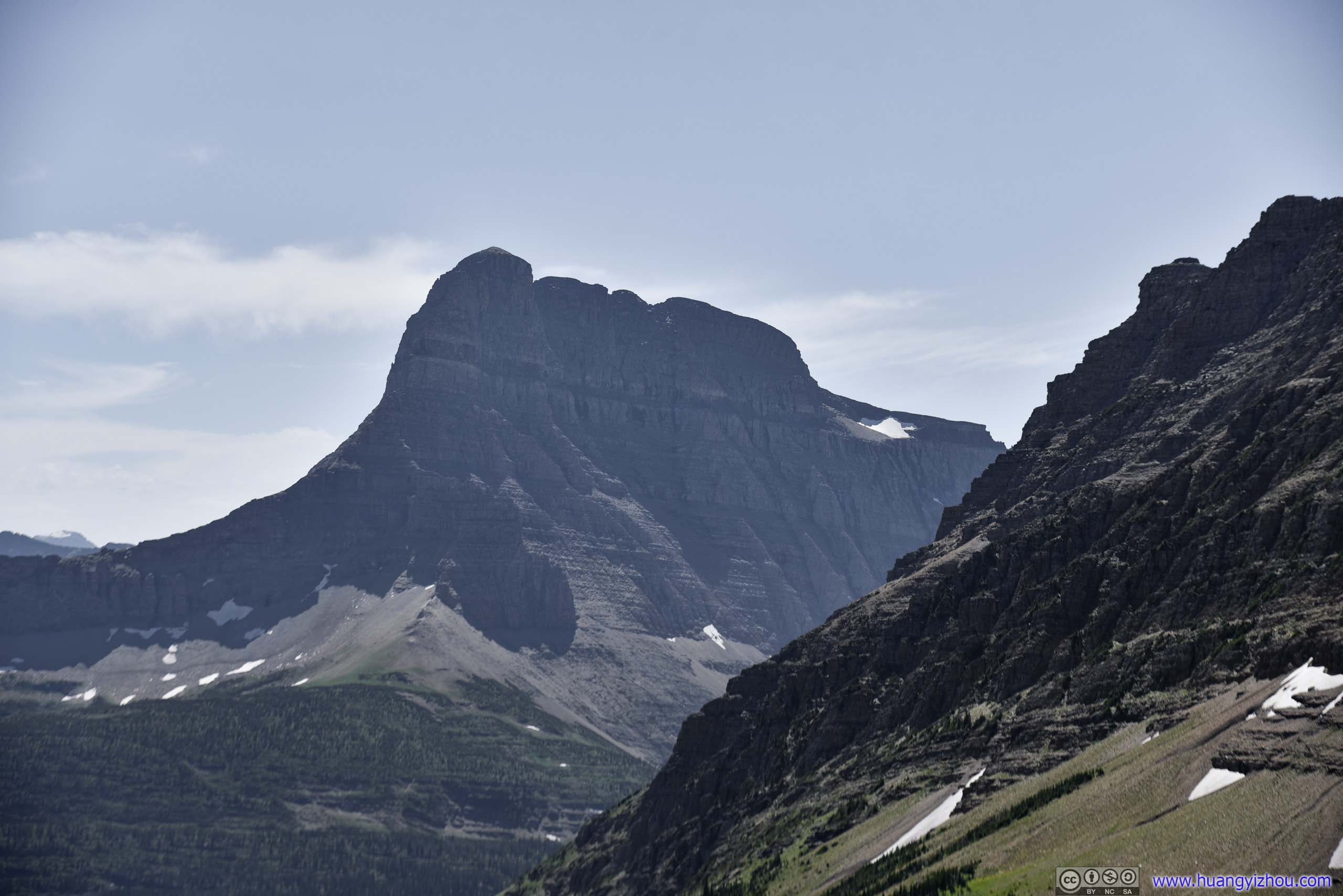
Trail from MountainsMt Wilbur in the foreground, Mount Grinnell in the back. Top of Mount Gould with snow patches is also visible.
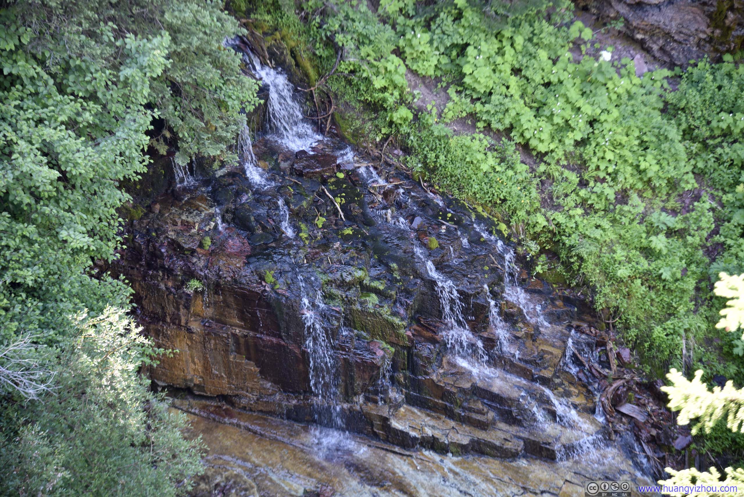
Foresty ValleyA small creek running in the center of this photo.
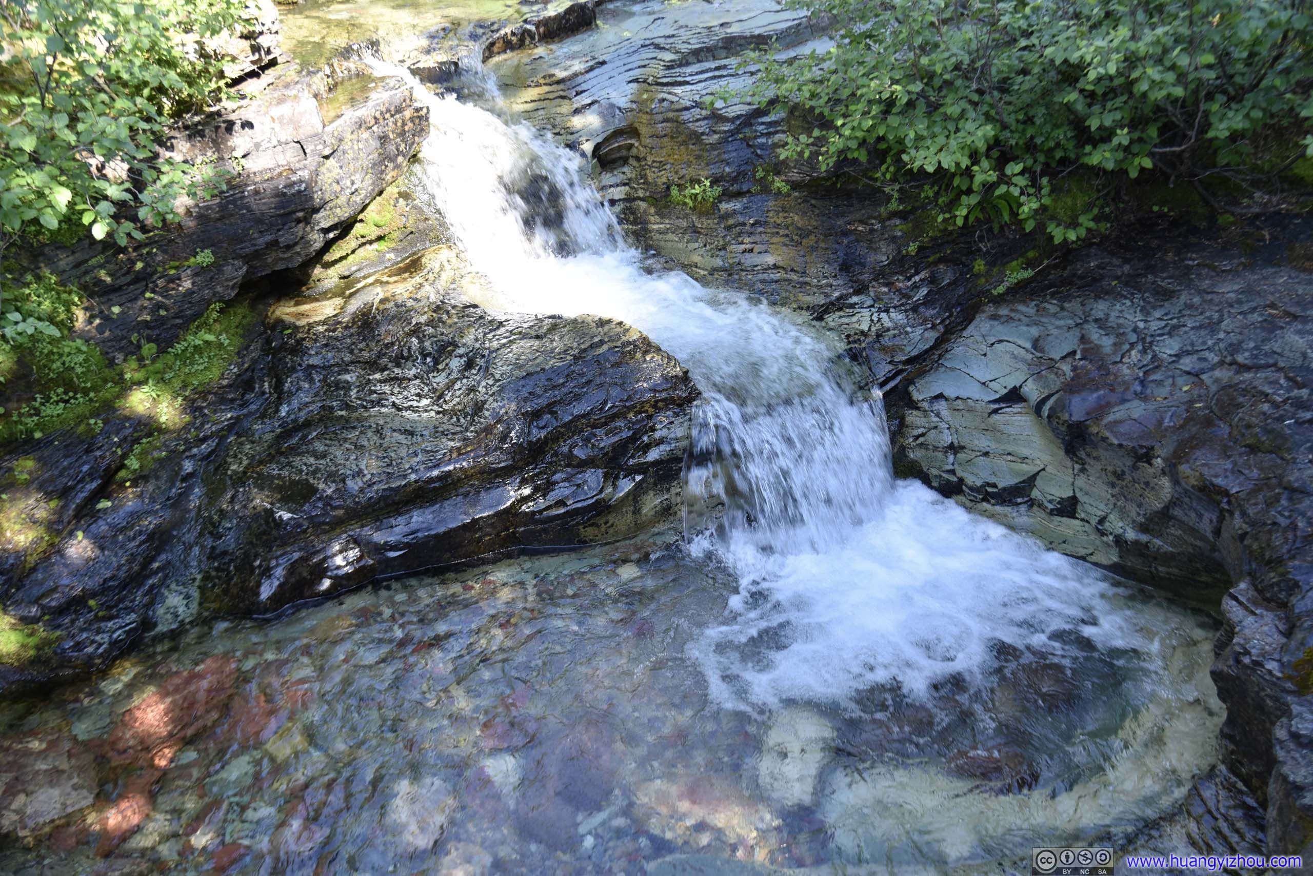
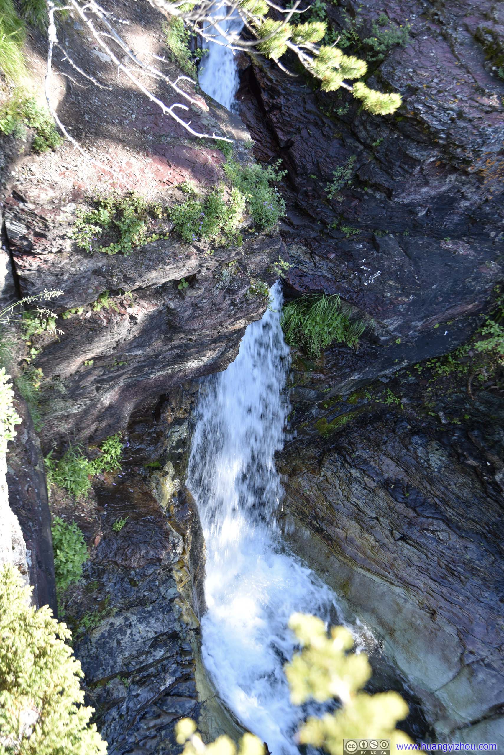
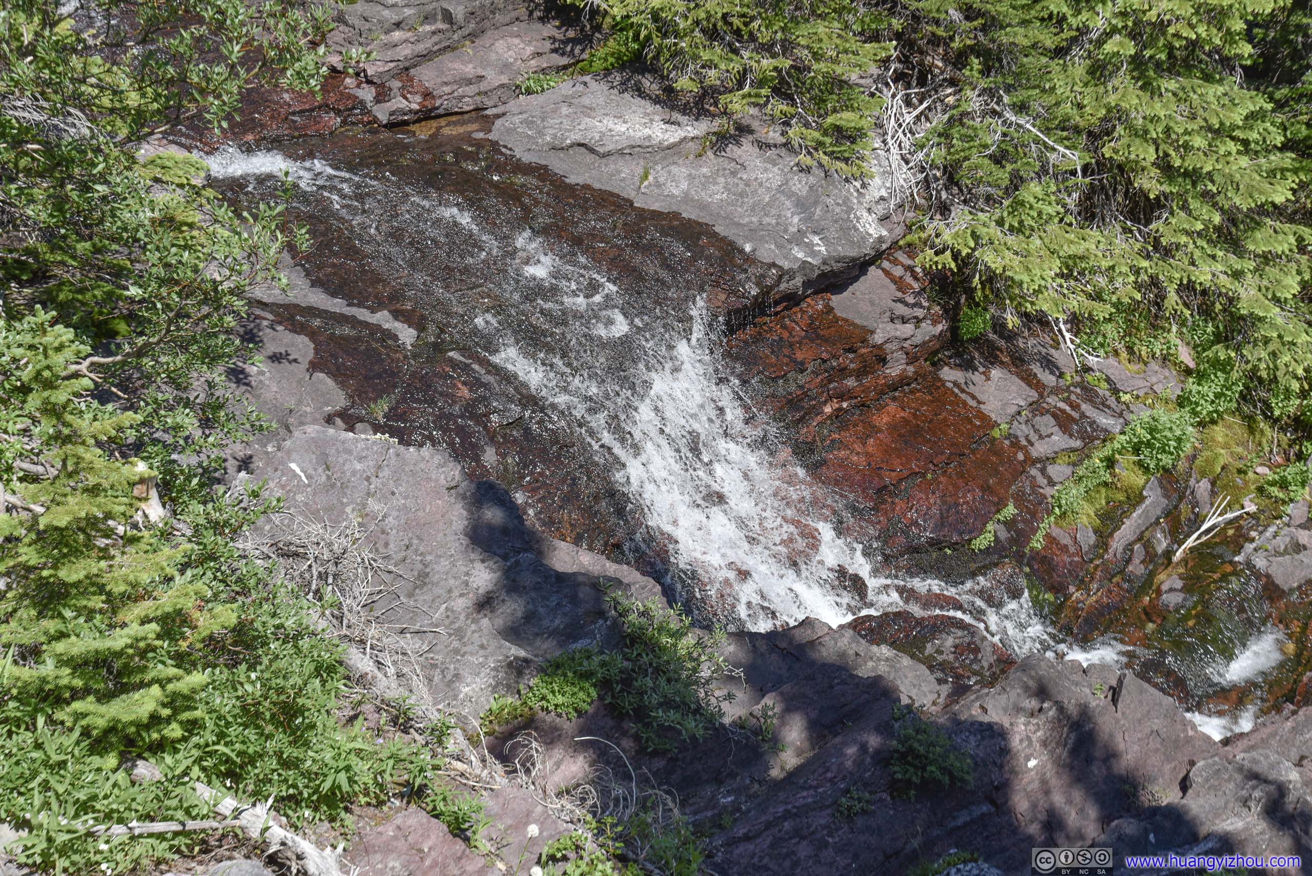 Waterfall on Ptarmigan Creek
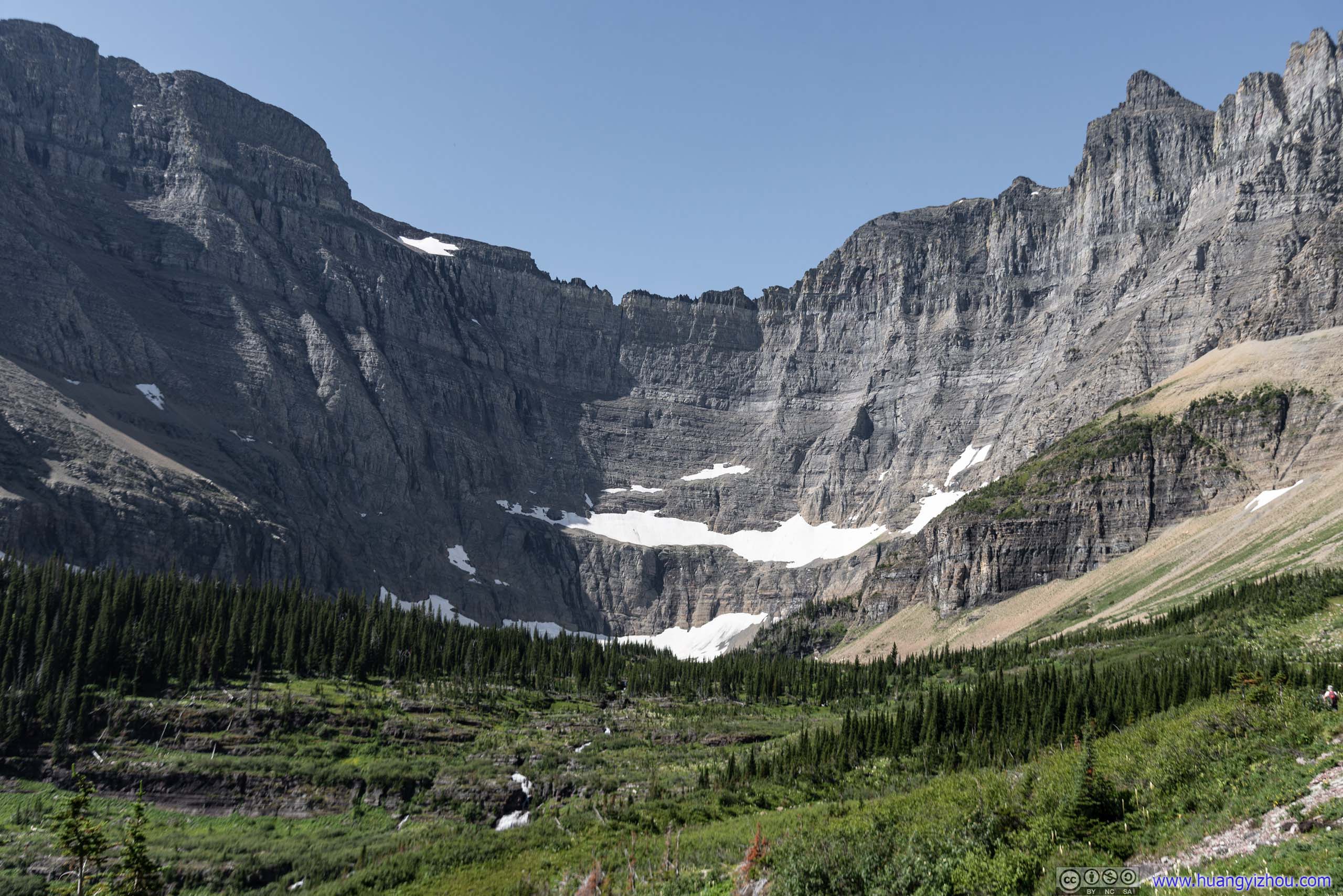
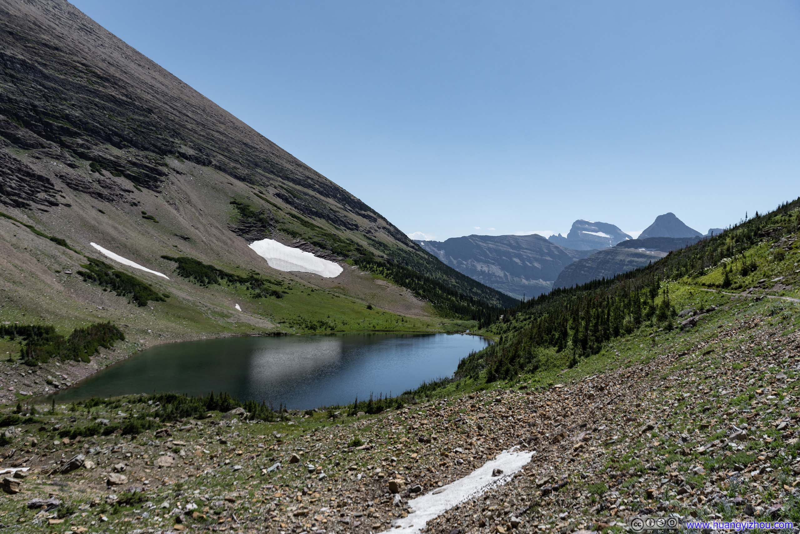
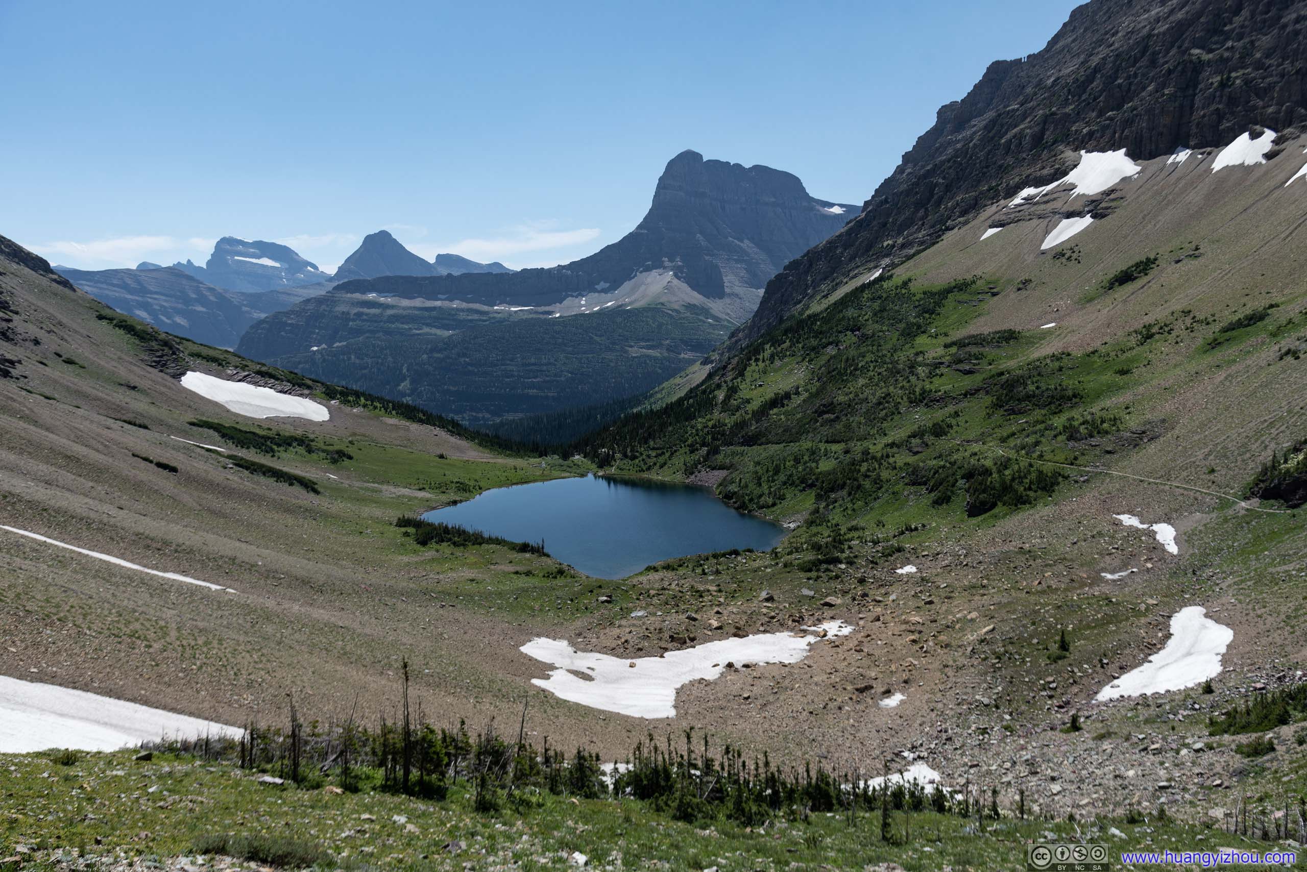
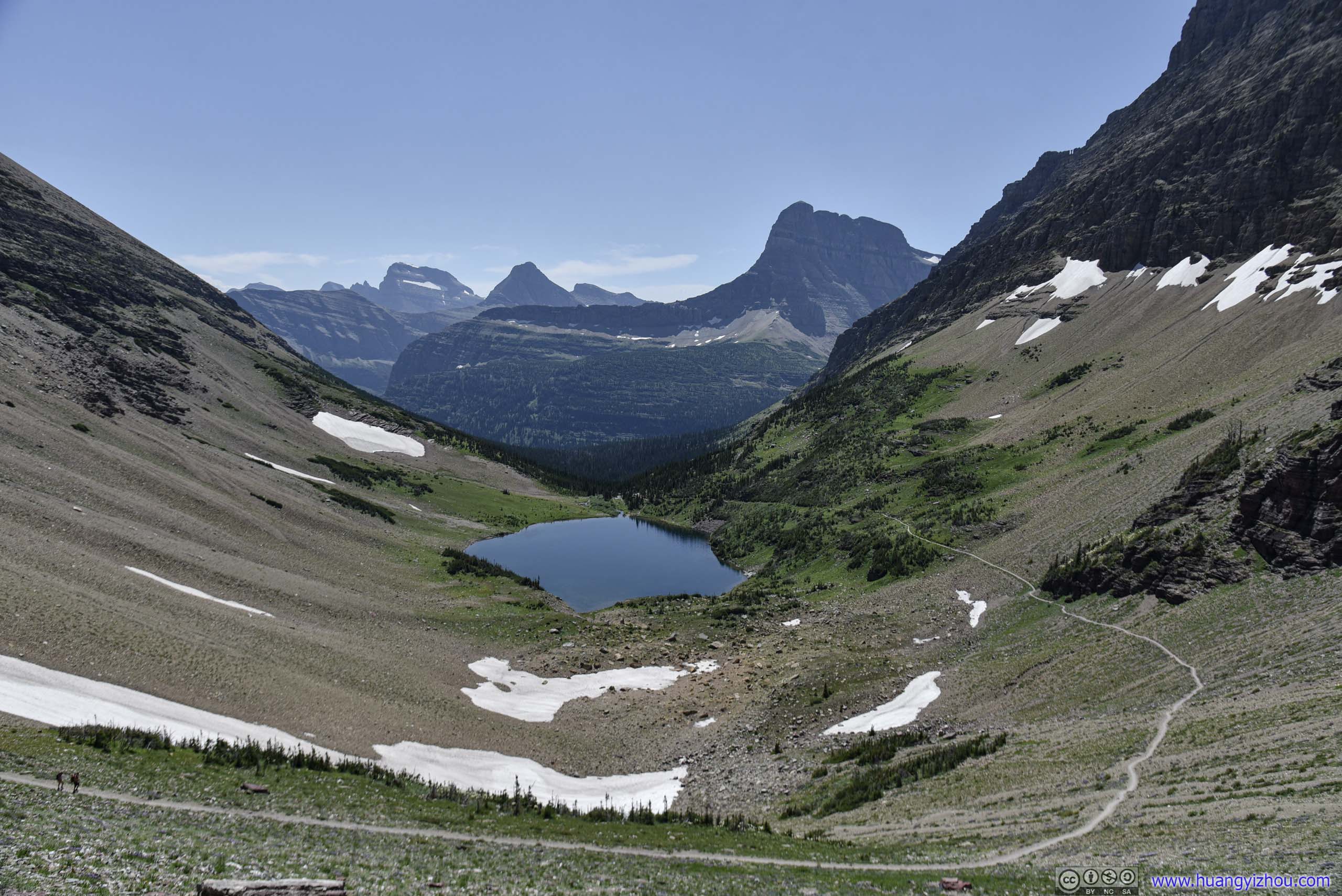
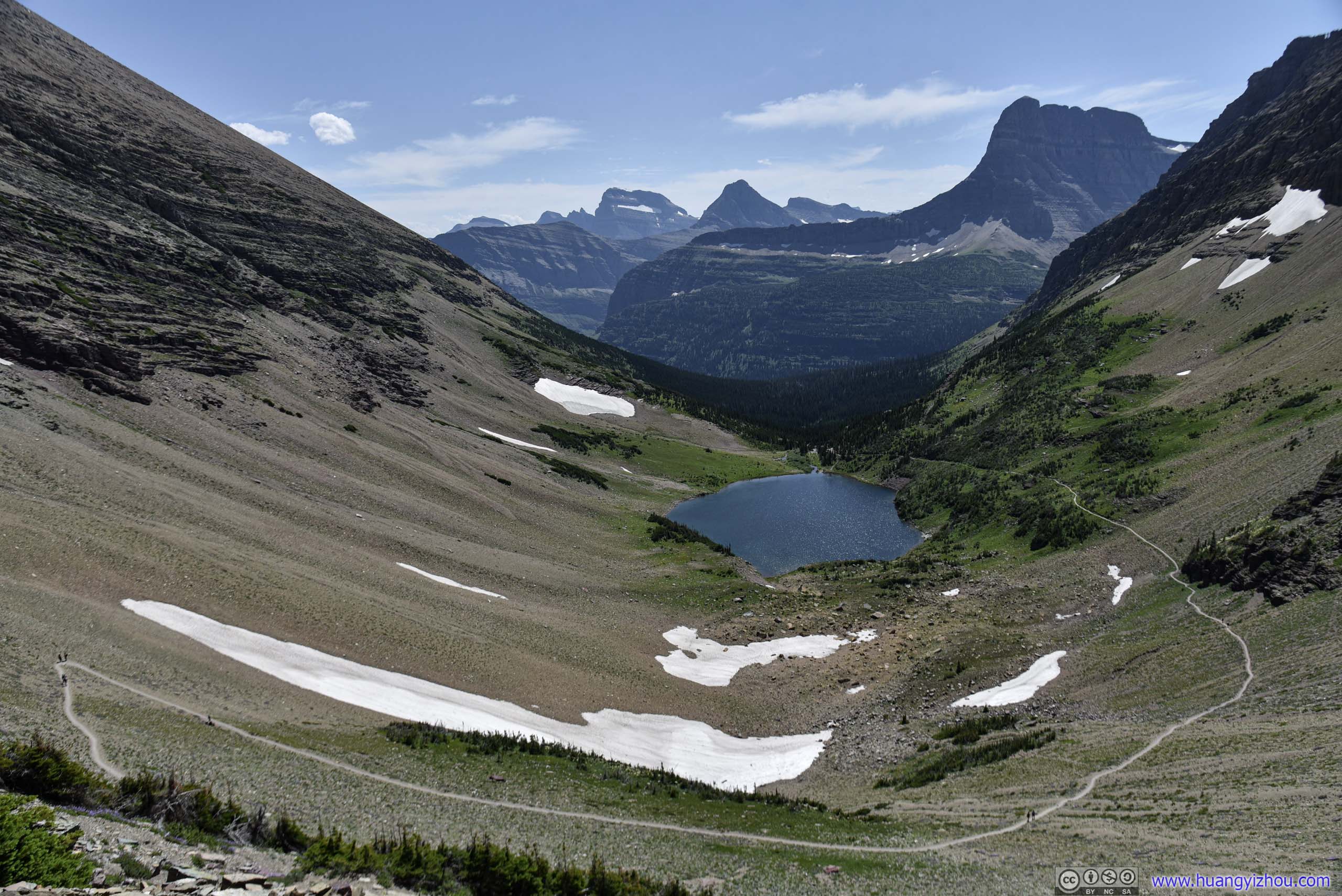
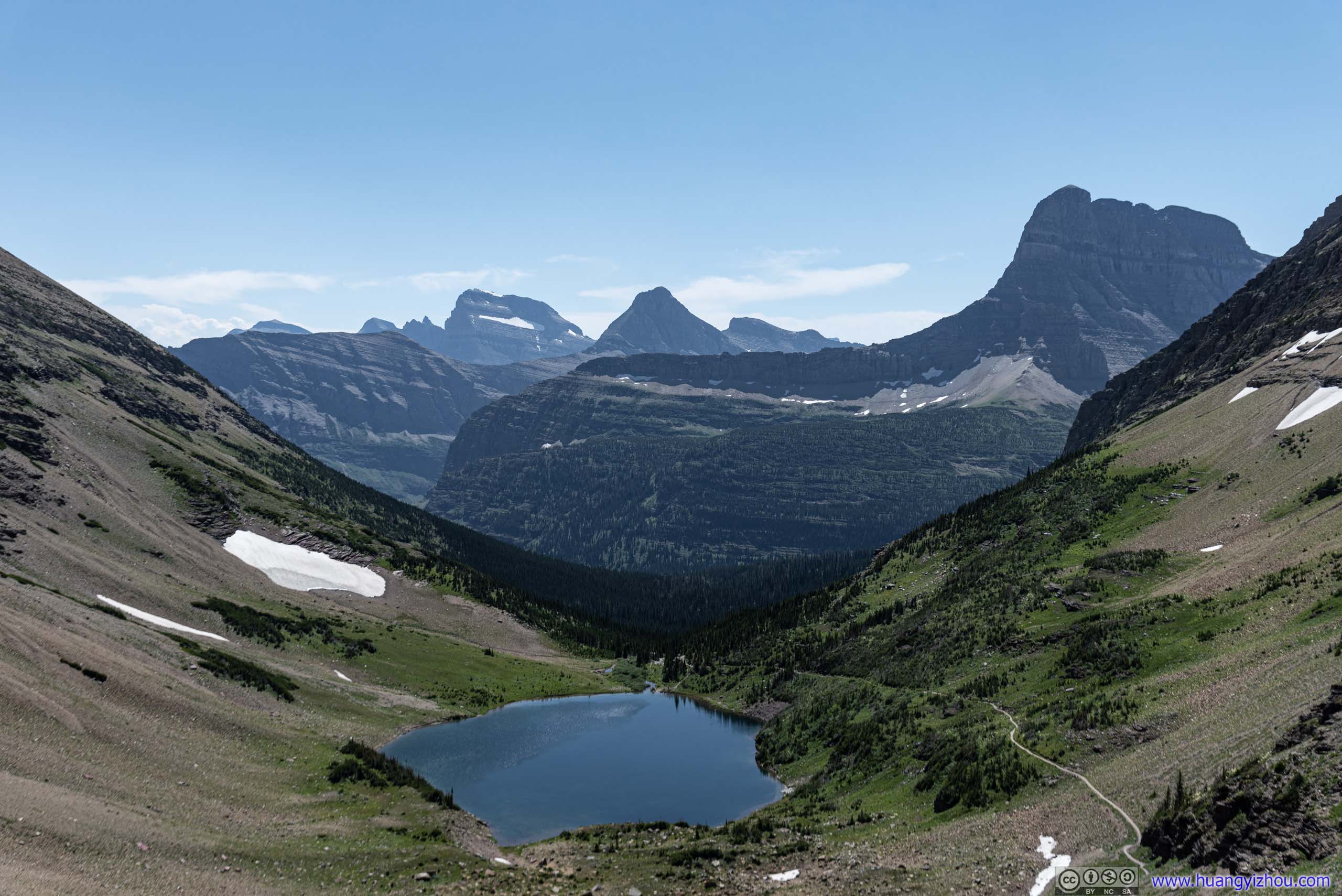
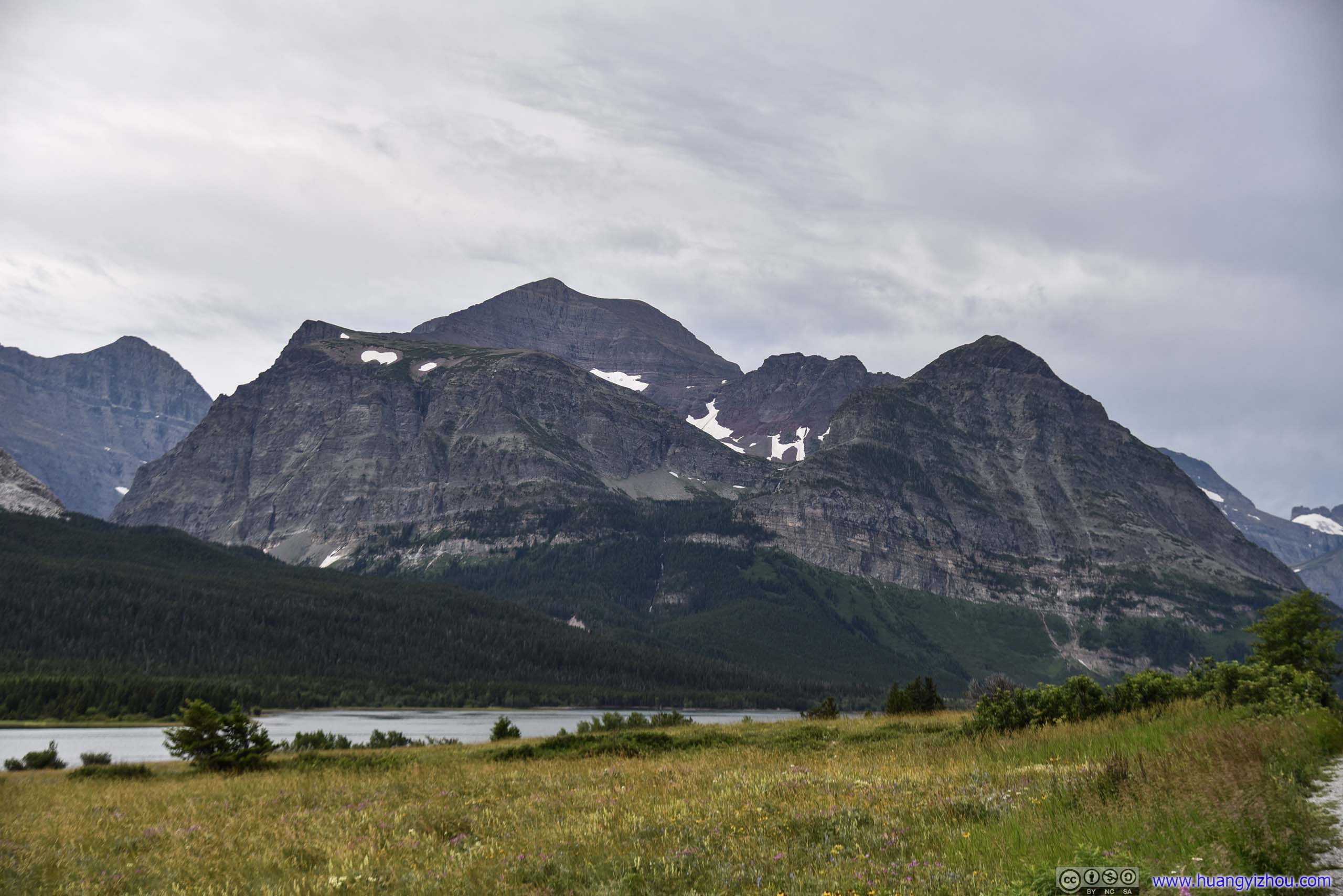
After the previous waterfall, it was Ptarmigan Lake, presumably created by molten snow water from nearby mountains. From Ptarmigan Lake to Tunnel the trail made a few switchbacks on a hillside, while gaining 200 meters in elevation. A last stretch to finish line.

 Ptarmigan Lake and Crowfeet Mountain

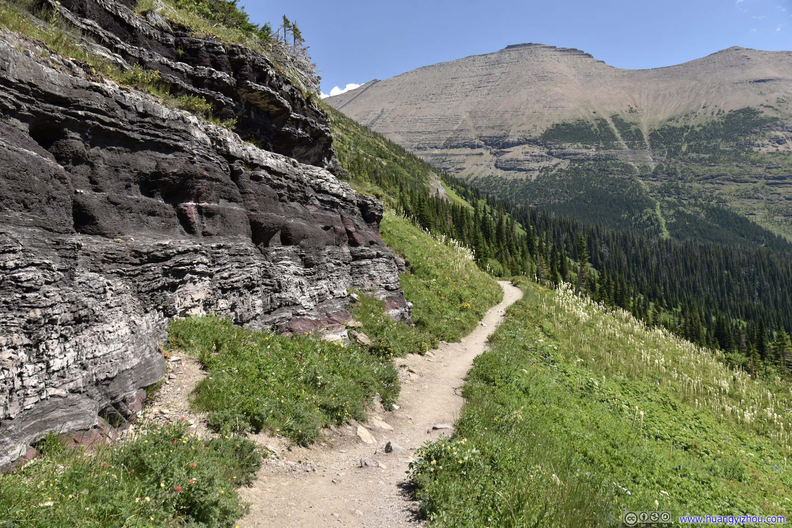
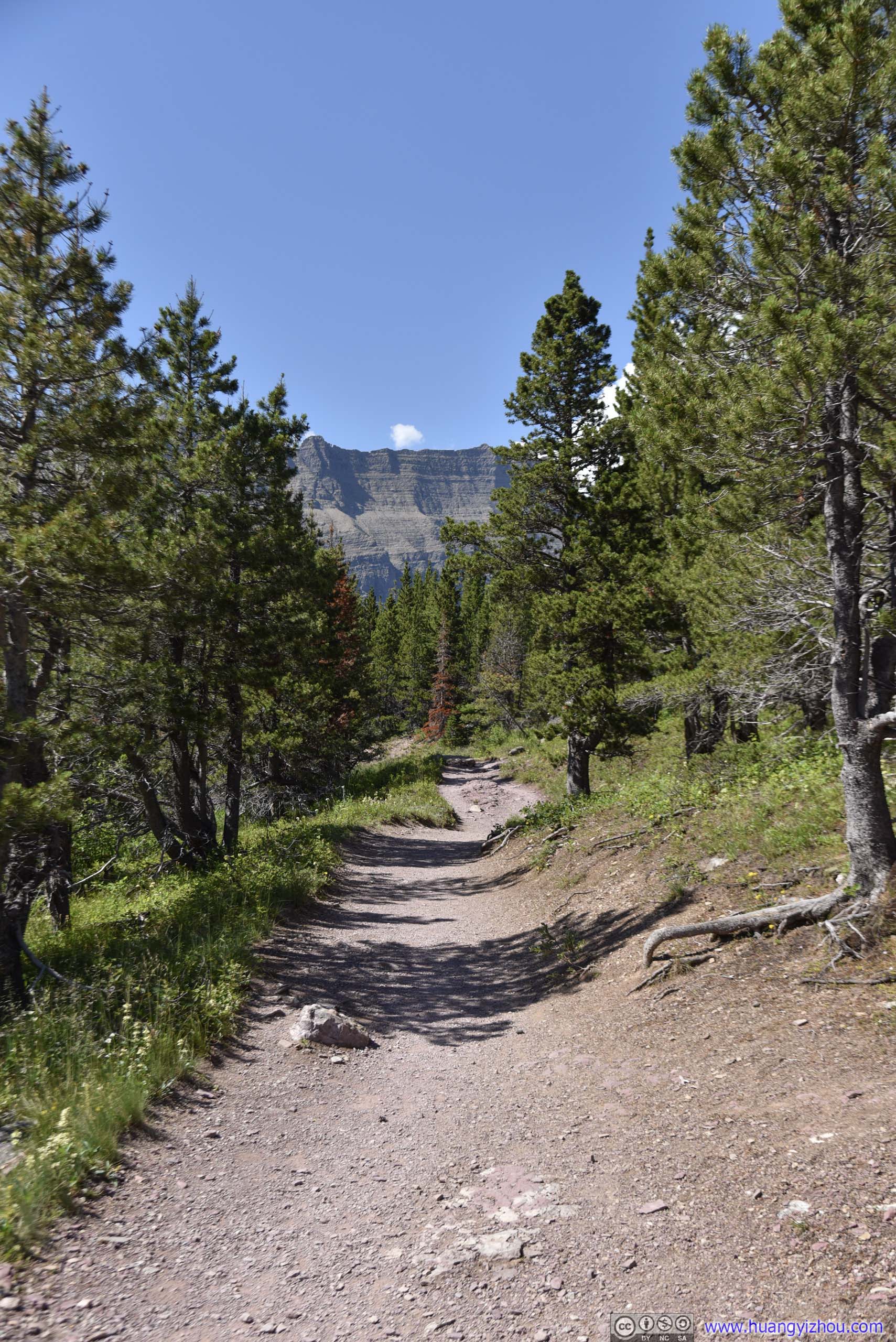
 Trail
Trail
Trail up Ptarmigan Wall

 Ptarmigan Lake and Layers of Mountains
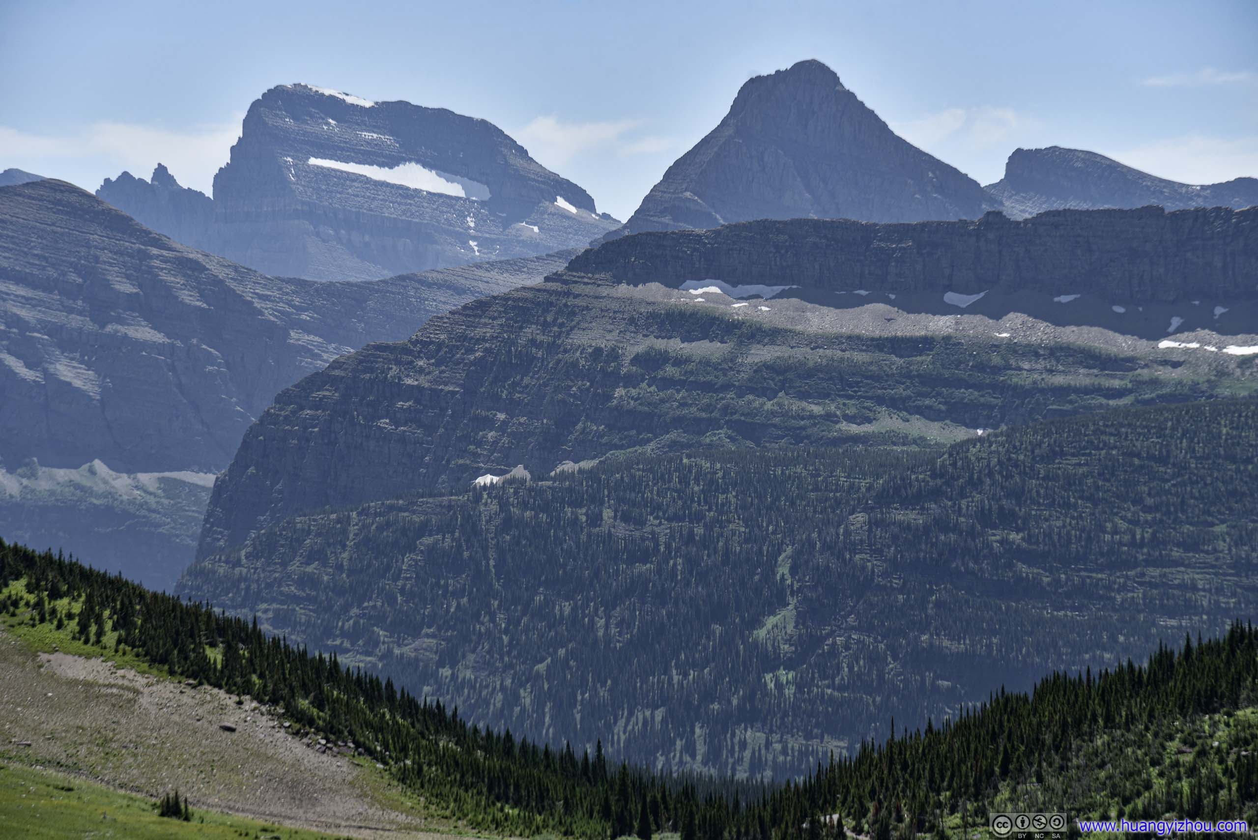
 Layers of MountainsMt Wilbur in front, Mount Grinnell in the middle, Mount Gould with snow patches in the back.
 Ptarmigan Lake
 Snow Patch and Rocks of Crowfeet Mountain
Ptarmigan Lake

 Clusters of Flowers at Switchback
Just like a few days back at Scenic Point Trail, water on this hillside was limited, meaning plants could only survive in clusters where there’s underground water flowing.
Patch of Flowers

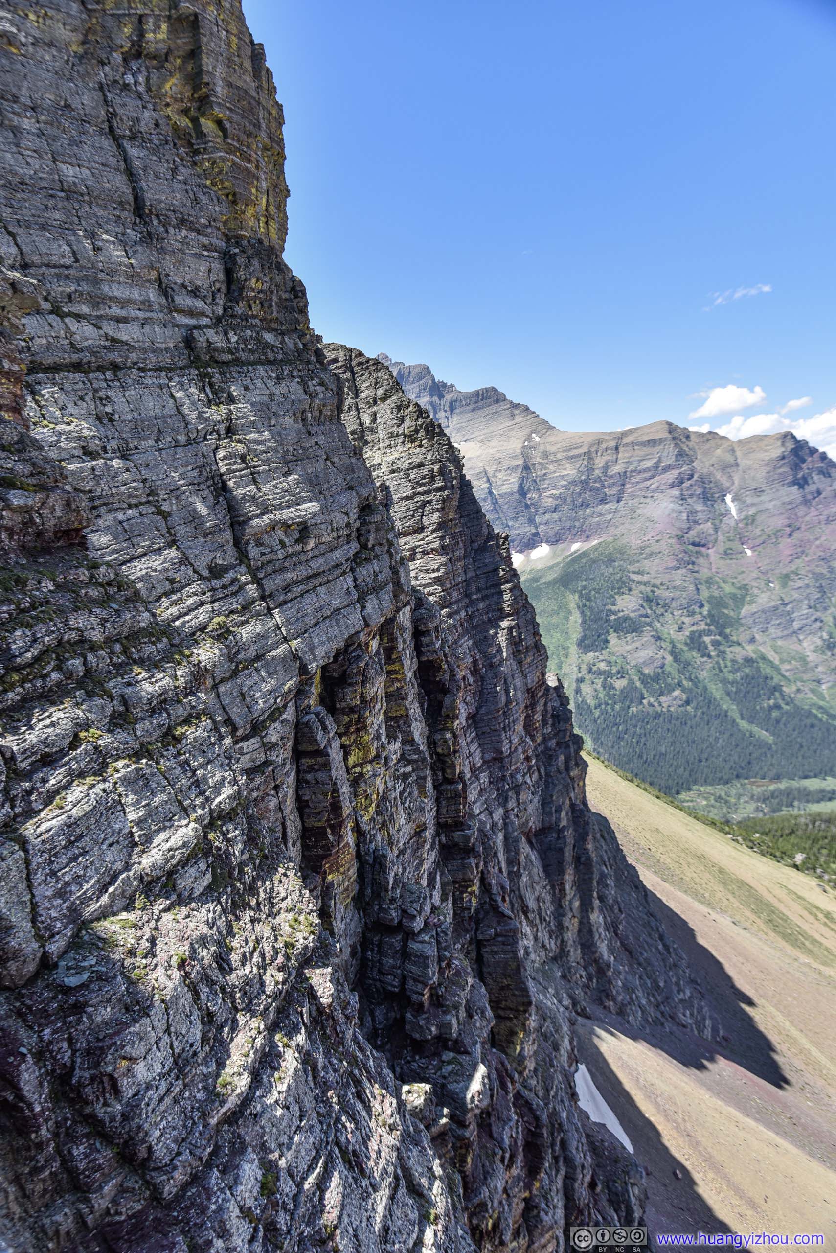
 Ptarmigan Wall
 Trail up Ptarmigan Tunnel around Ptarmigan Lake
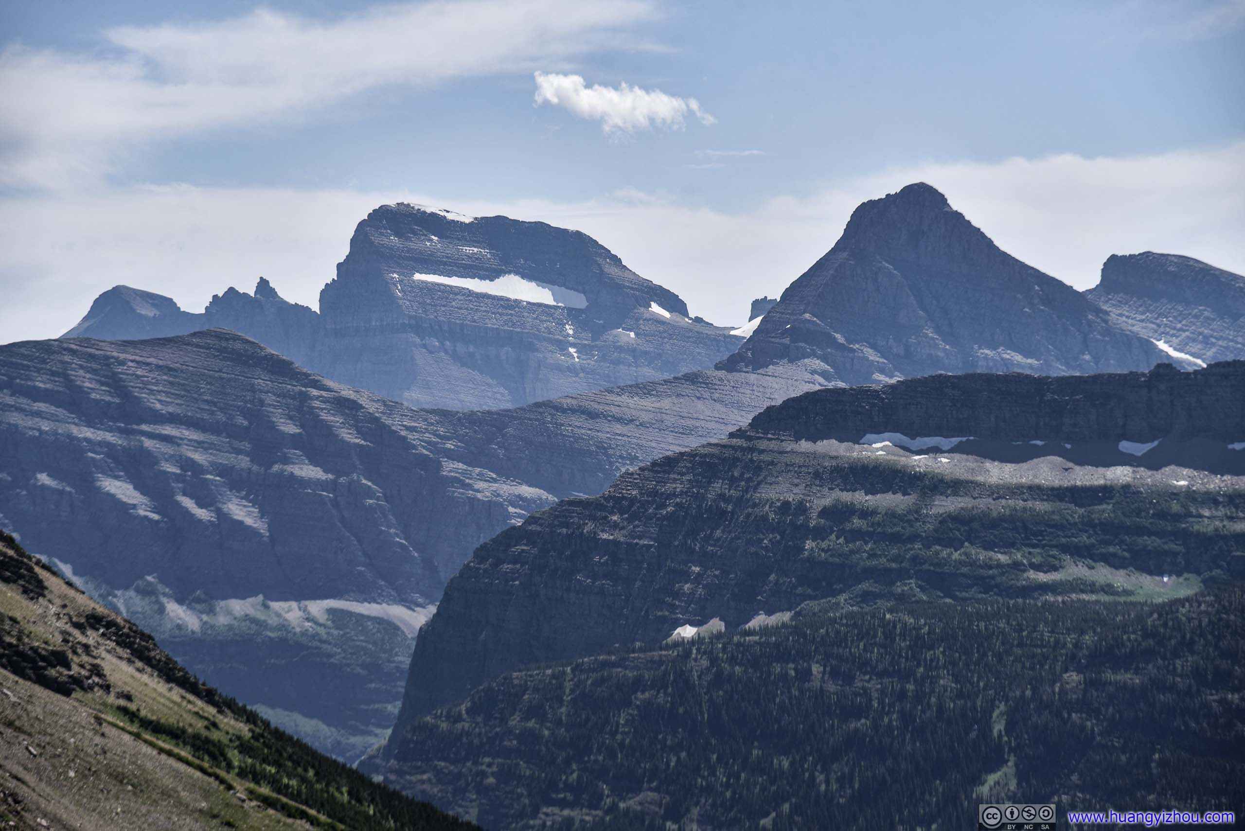
Ptarmigan Lake and Layers of MountainsMt Wilbur in front, Mount Grinnell in the middle, Mount Gould with snow patches in the back.
 Trail
Trail
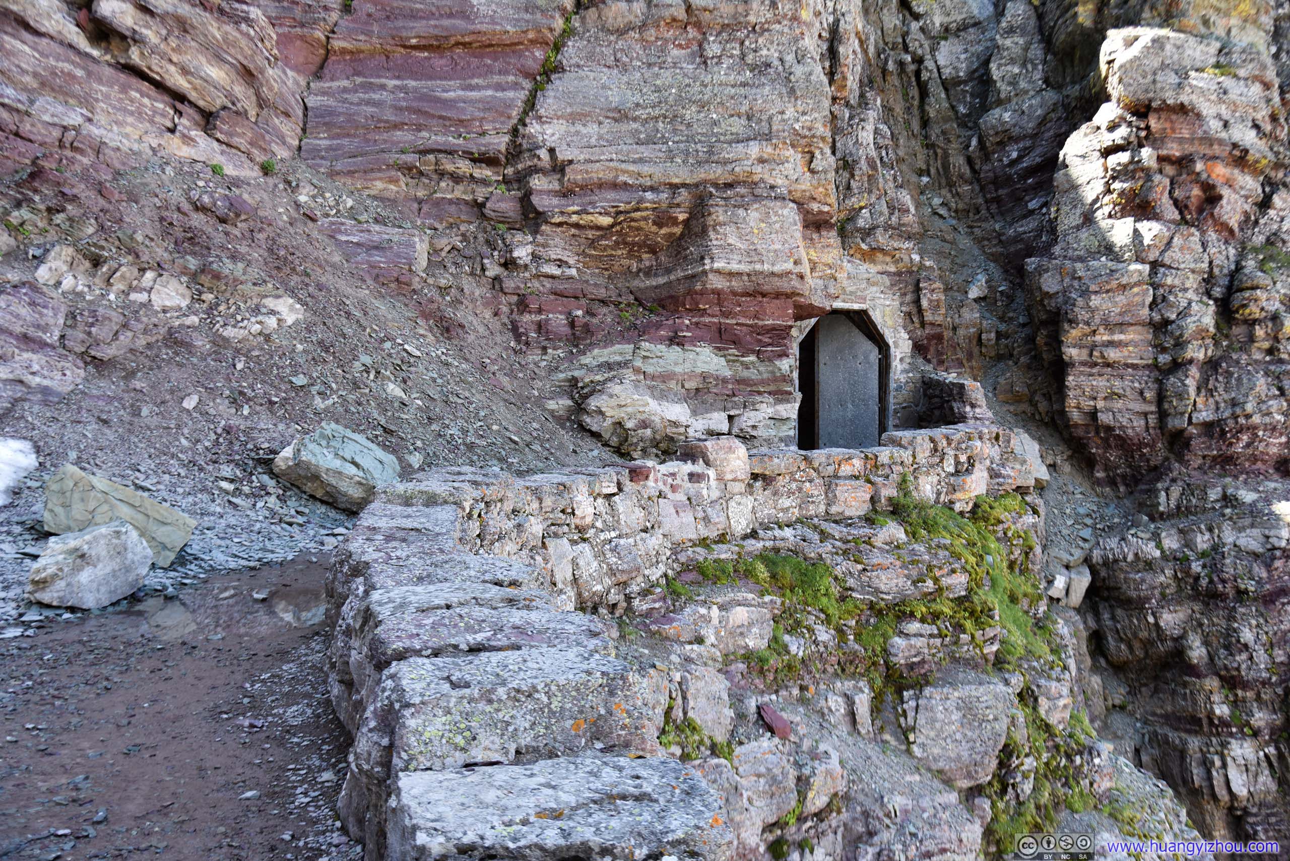
Finally, at about 2:20pm, I was at the gate of Ptarmigan Tunnel.

 Ptarmigan TunnelView from the South (left) and North (right) end.
The 76-meter Ptarmigan Tunnel was built in 1930 to avoid a strenuous climb over the hill, despite that even to this day, there doesn’t seem to be a lot of through-hikers passing the tunnel.
It’s a surreal experience passing the tunnel. To begin with, the temperatures in the tunnel was much lower than the outside world, giving people like me a first-hand sense of how snow-patches were lying next to hikers in full summer gear.
And it’s a totally different world on the other side of the tunnel, with the entire hillside of Seward Mountain colored in flaming red.
Elizabeth Lake and Surrounding Mountains
 Seward Mountain
Elizabeth Lake
Trail to North End of Ptarmigan Tunnel
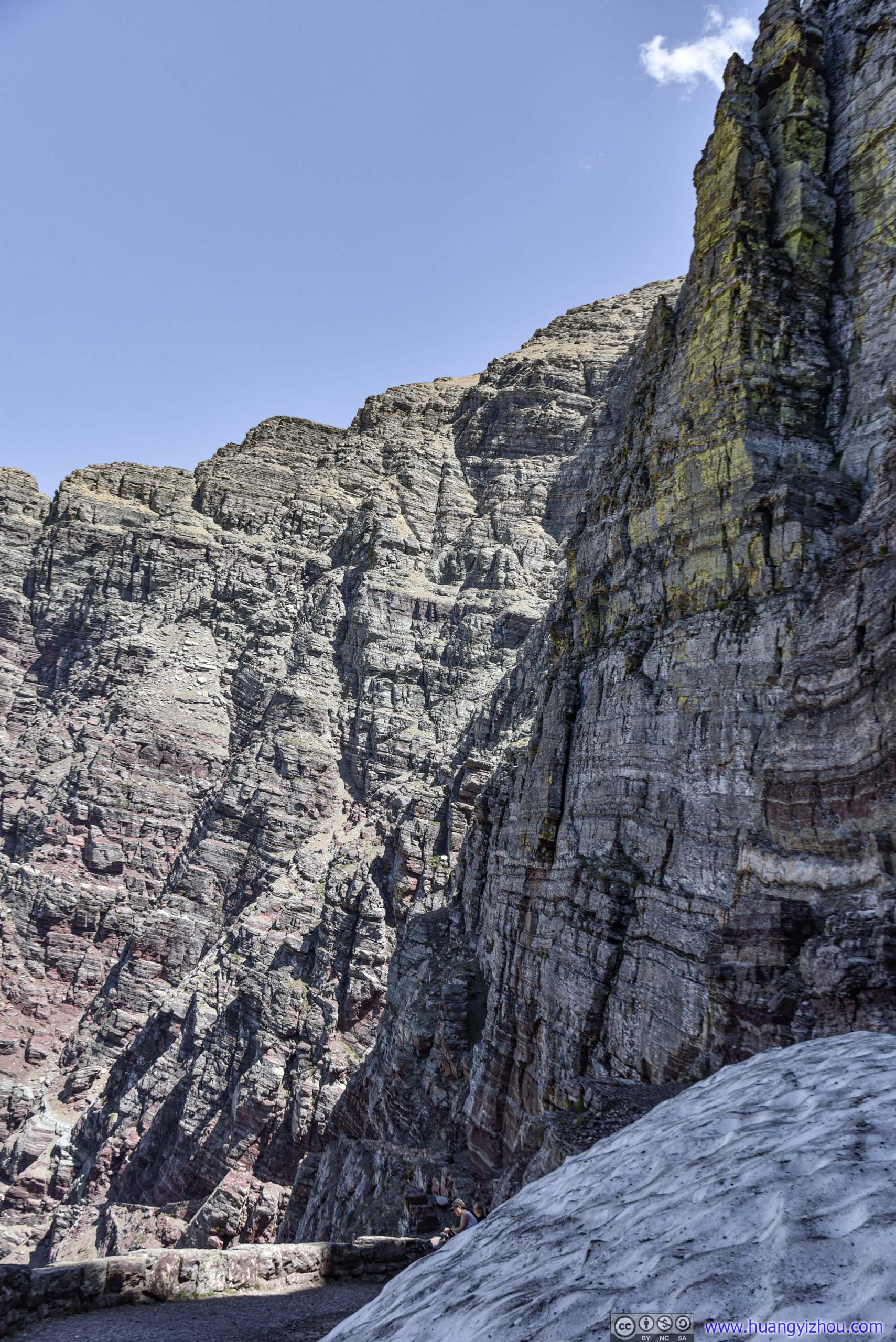 Rocky Surface of Ptarmigan Wall
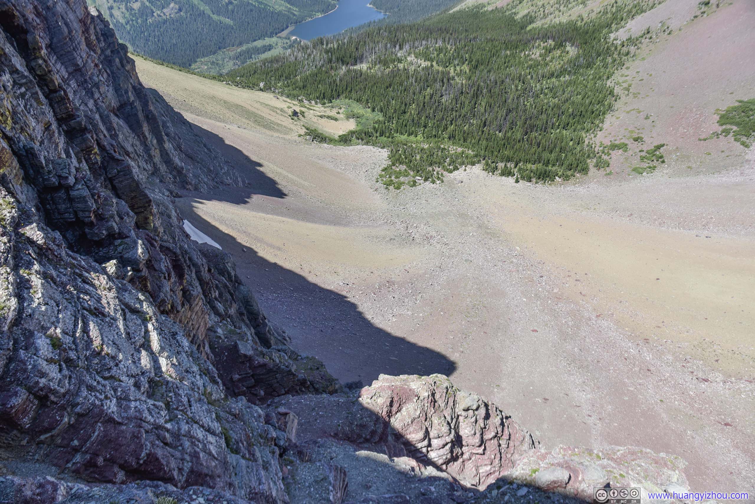
Hillside below Ptarmigan TunnelA steep barren descent with loose rocks. There’s not enough waterflow / sunshine here to support mere clusters of flowers.
Distant MountainsBear Mountain and Sentinel Mountain
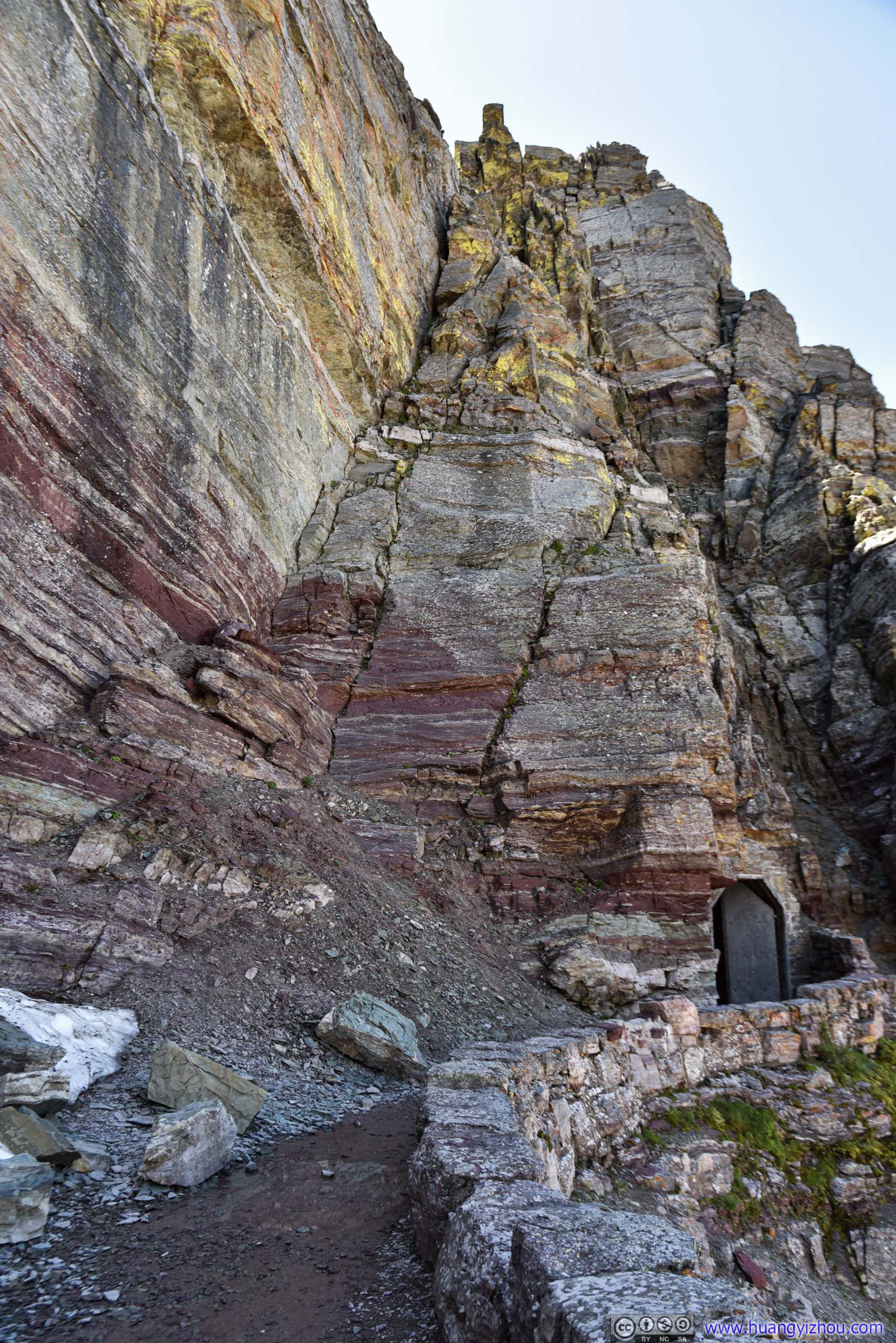
Layered Rocks of Ptarmigan WallThe rocks were certainly more colorful on this side of the tunnel.
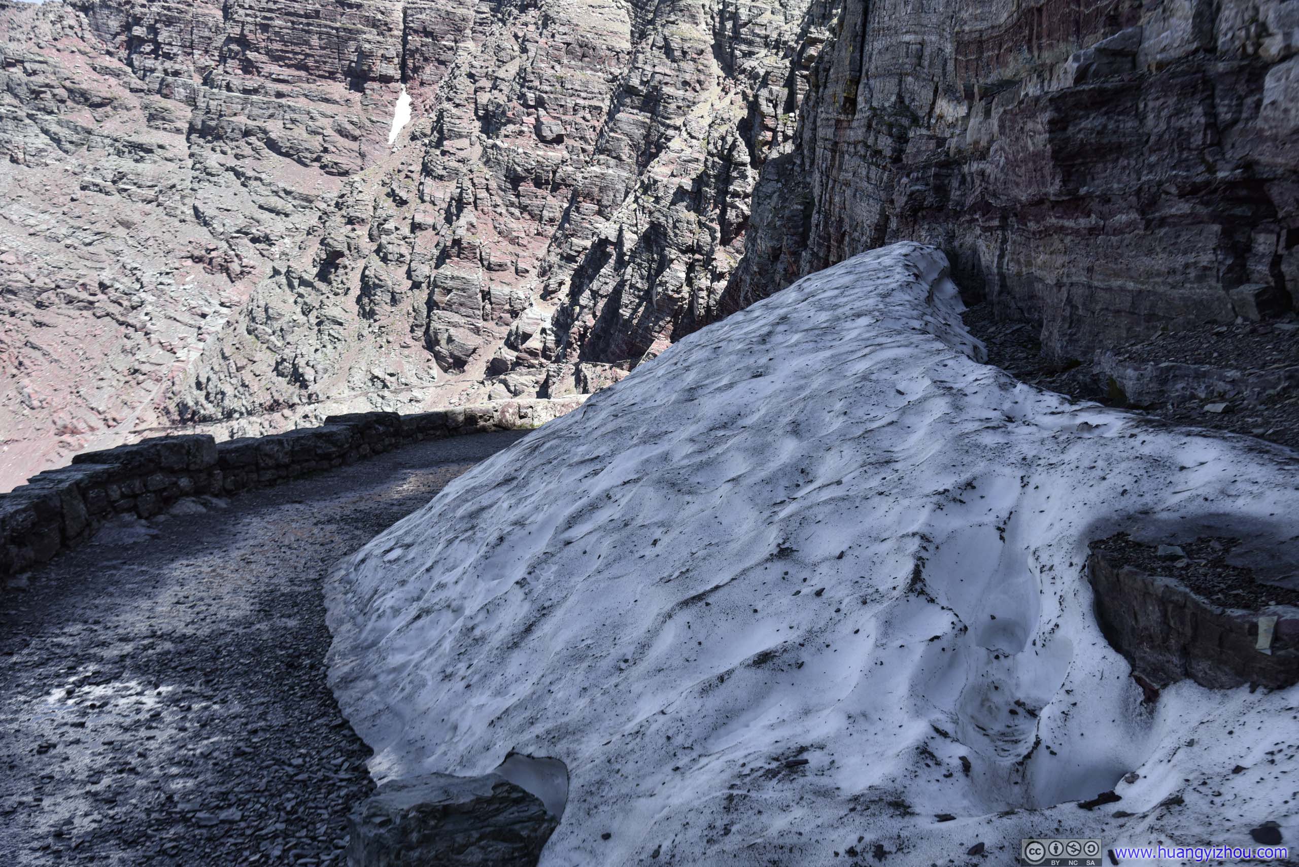
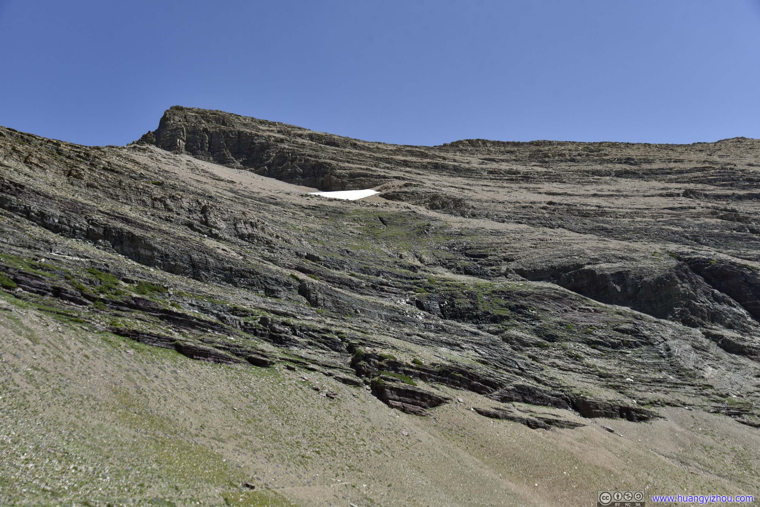
Snow PatchIt’s a lot colder on the North side of the wall in the shades. That’s why this huge patch of snow still survived at mid-summer.
After about 15 minutes in a different world at the other end of tunnel, I headed back.
 Ptarmigan Lake and Layers of MountainsMt Wilbur in front, Mount Grinnell in the middle, Mount Gould with snow patches in the back.
Mt Wilbur
Oasis
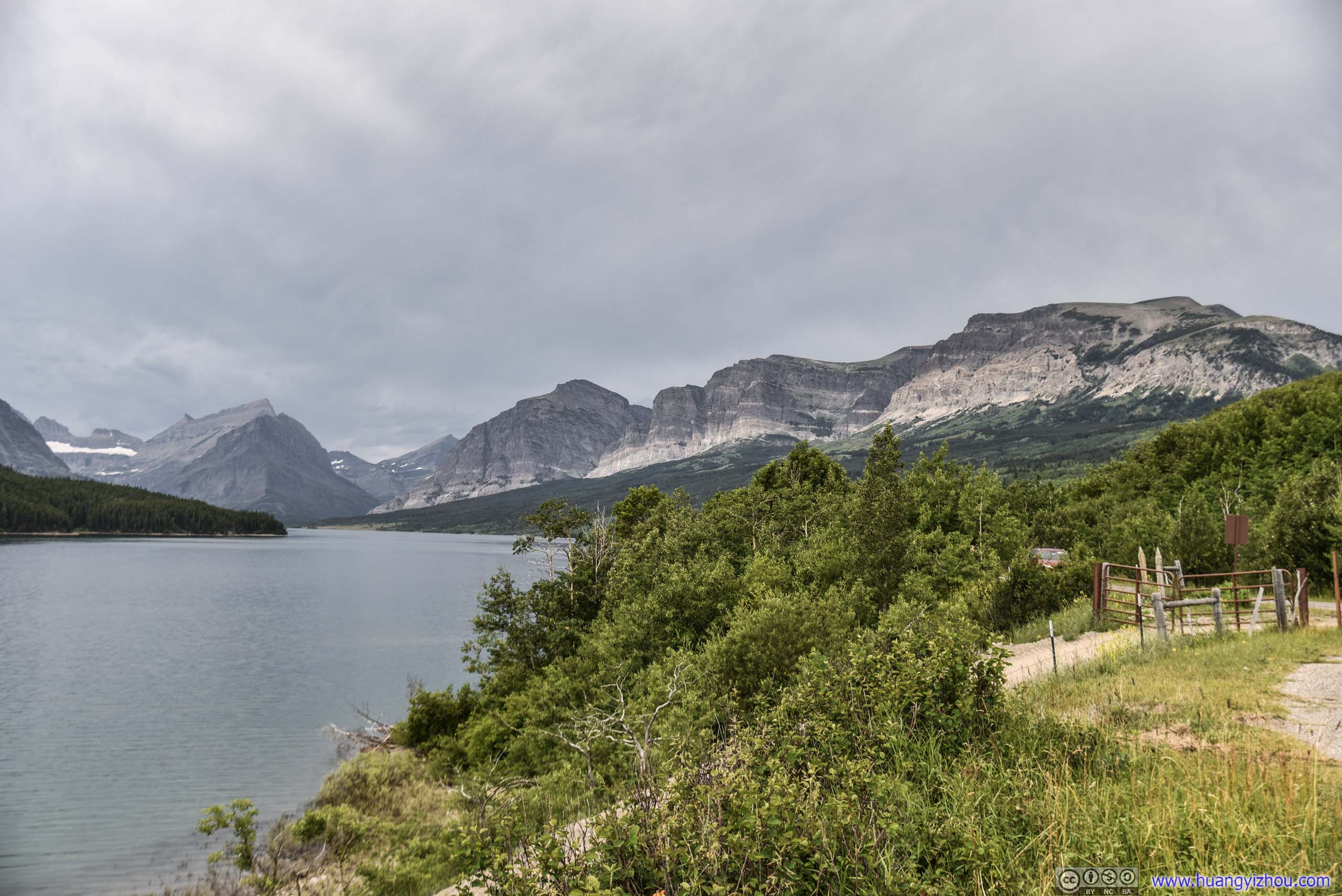
This time, I took a detour to the side of Ptarmigan Lake.
 Ptarmigan Lake
Then it’s the cheerful downhill stroll back to the parking lot.
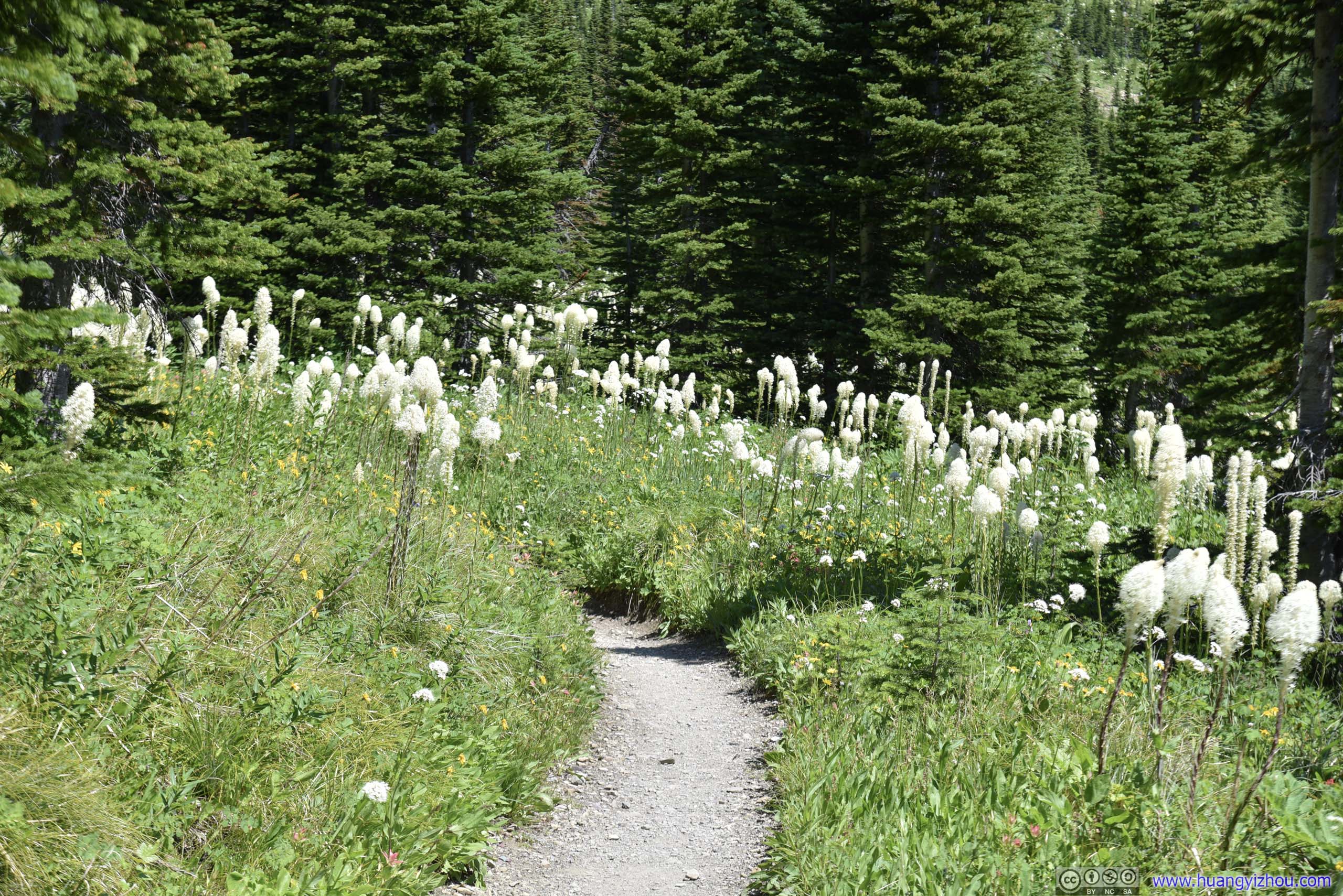
 Trail through Beargrass Field
 Trail
Trail
Peak of Mt Henkel

MothI didn’t know why they were congregating in this area. There must be something in the earth that were attracting them.

 Mt Henkel
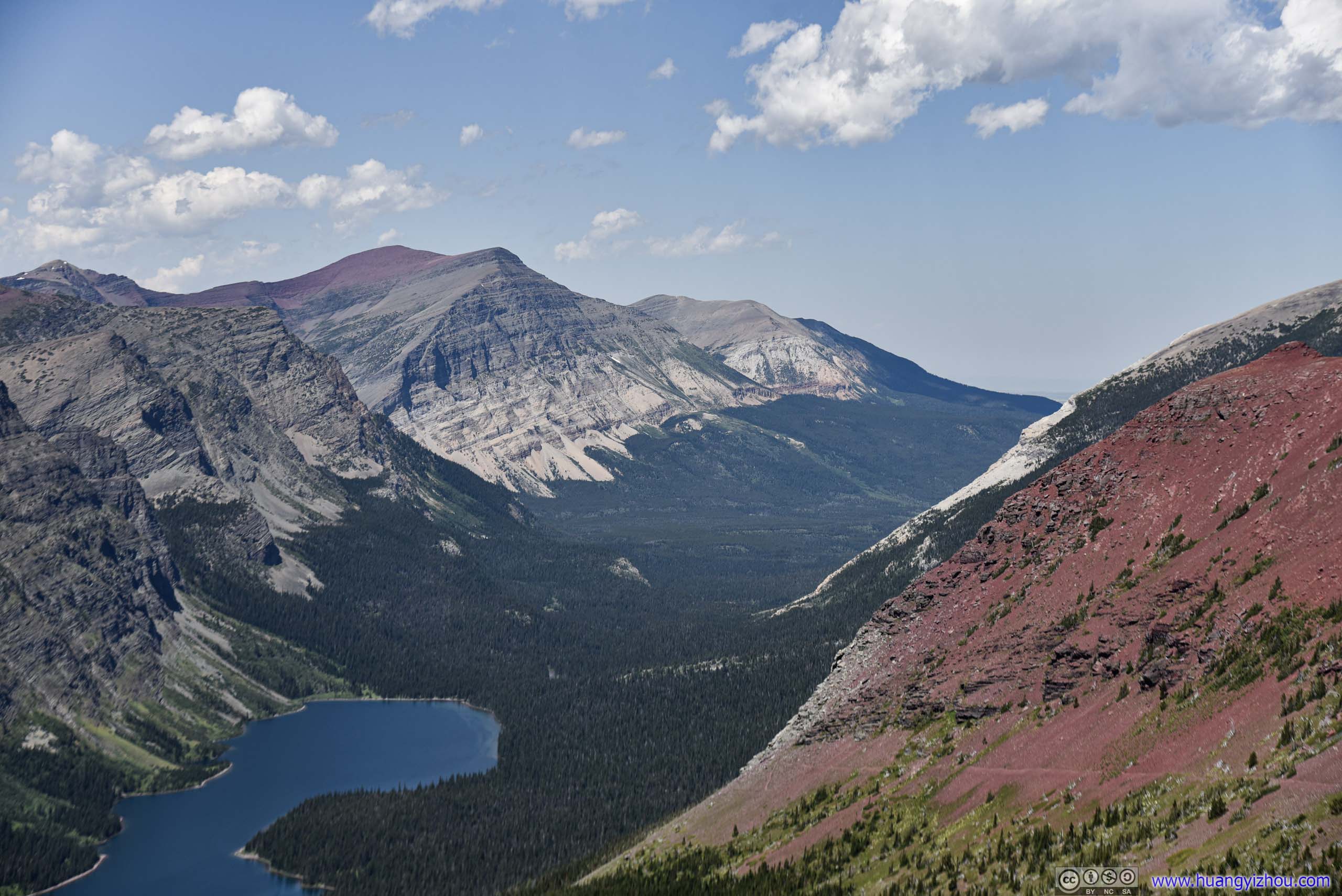
Allen Mountain before Wynn Mountain

Mt Grinnell and Swiftcurrent Mountain

Various Mountains South of Mt Henkel
Mount Grinnell above Forests
 Valley between Mt Grinnell and Mt WilburSwiftcurrent Mountain in the back.
Allen Mountain
At about 4:50pm, I was back at the parking lot where I started. After a quick replenish of water at the nearby Swiftcurrent Motor Inn and with still daylight left, I decided to pay another visit to Many Glacier Hotel.
Allen Mountain

Wynn Mountain

Mount Gould
Despite that we passed the hotel twice the previous day, we were in too much hurry to appreciate this “gem of the West” as described by the Great Northern Railway company when it’s promoting services to this park almost a century ago.
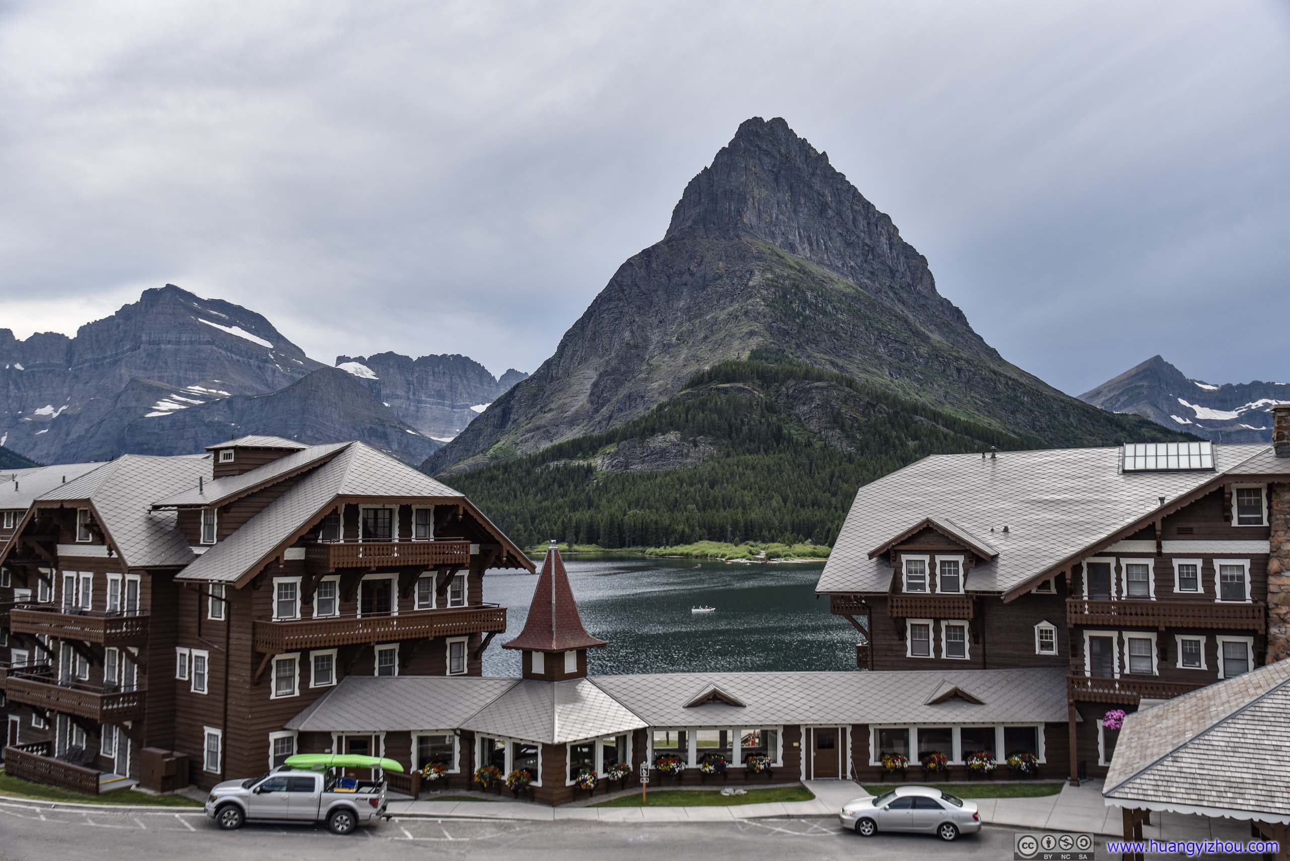
Many Glacier Hotel and Mt Grinnell
Flowers Decorating Many Glacier Hotel
Lanterns
Fireplace
And I also took a walk at its surroundings.
View from Many Glacier Hotel
Grinnell Point across Swiftcurrent Lake
Mount Wilbur across Swiftcurrent Lake
Mount Grinnell and Mount Wilbur across Swiftcurrent Lake
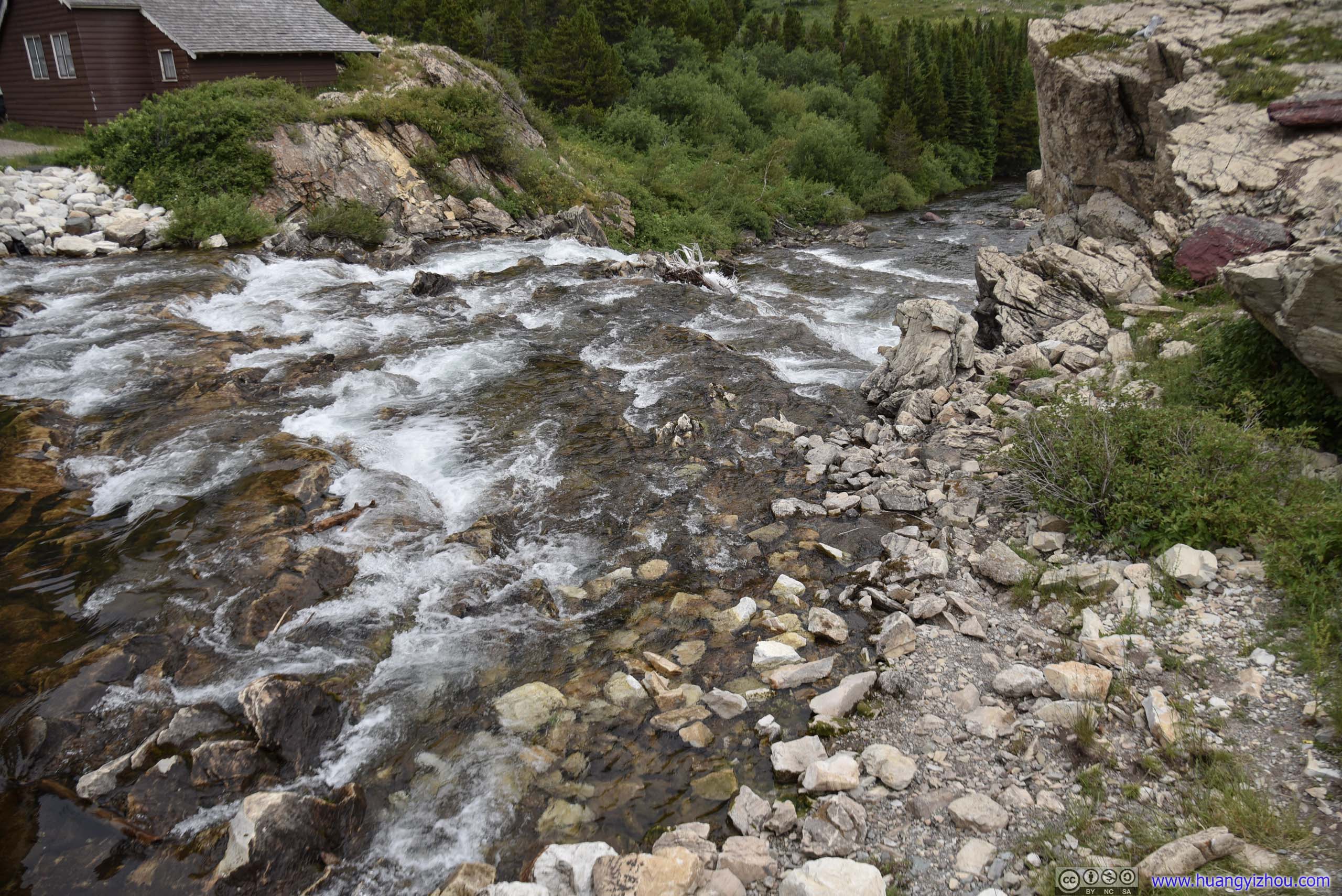 Swiftcurrent Falls
It’s rumored that when Many Glacier Hotel first opened in 1914, the main attractions in the park was horseback riding. And that certainly lived on till this day.
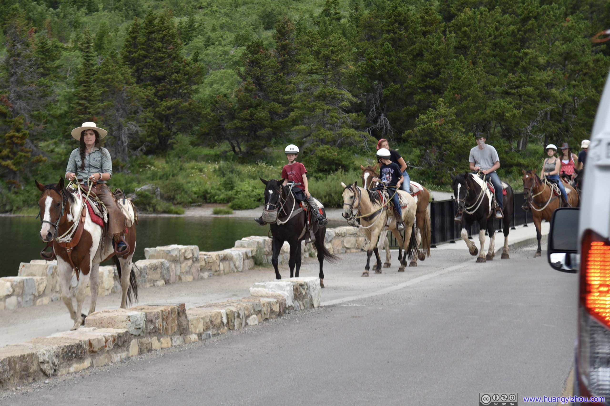
 Horseriders
Swiftcurrent Creek
Looking back at The Garden Wall
Since I was in no hurry at all, on my way back, I made a few more stops to capture landscapes in the soft light near dusk.


 HillPart of Apikuni Mountain.
 Wynn Mountain
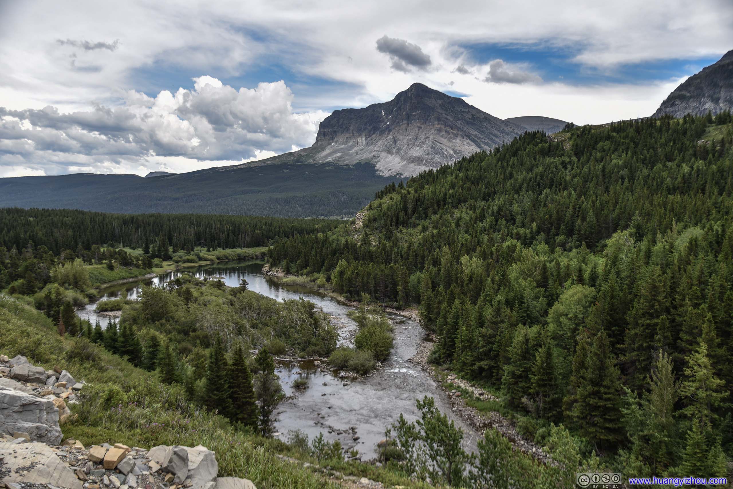
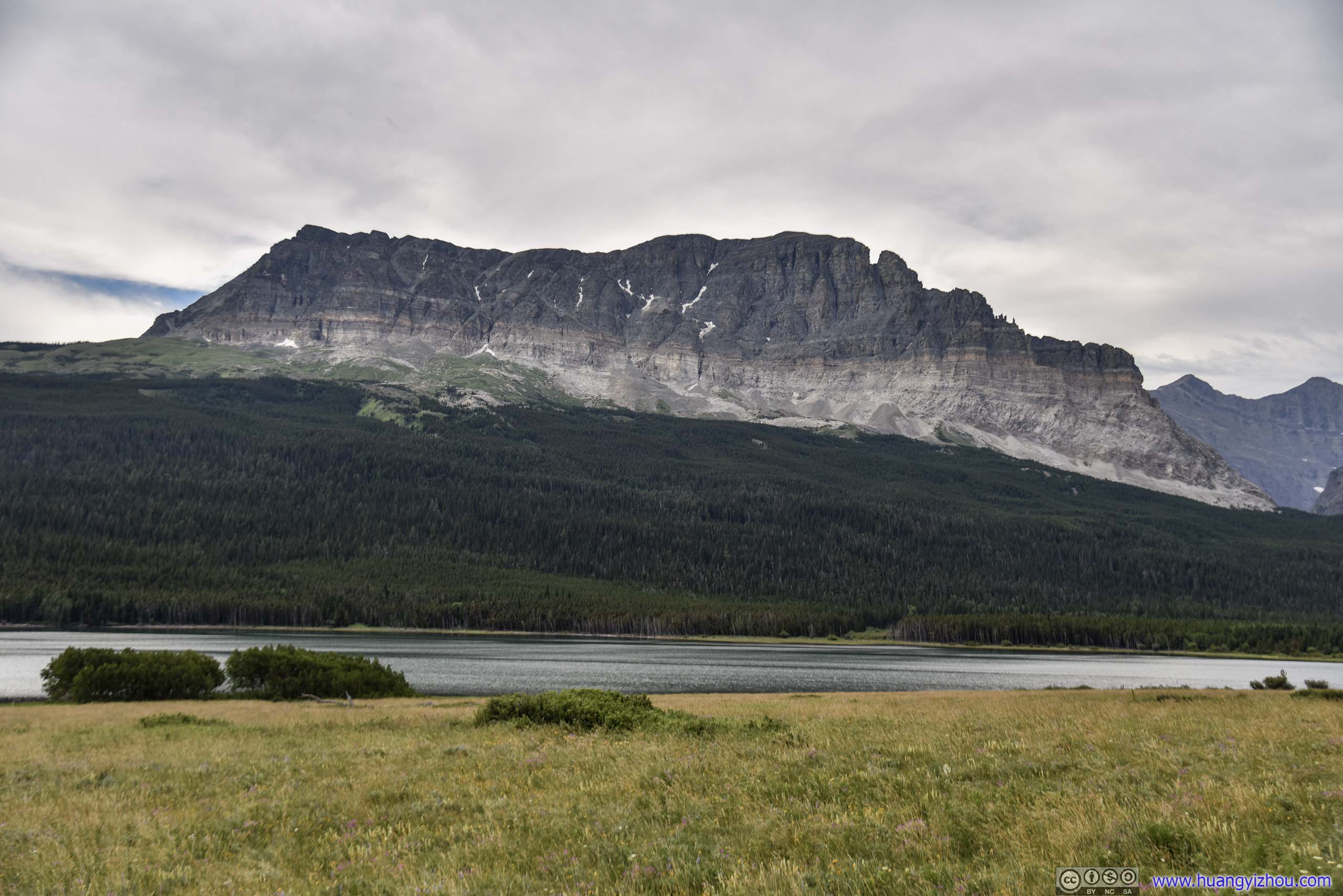
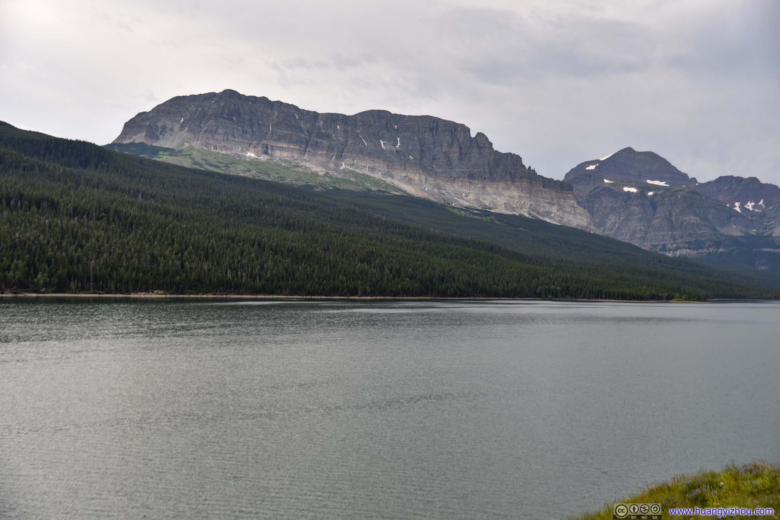
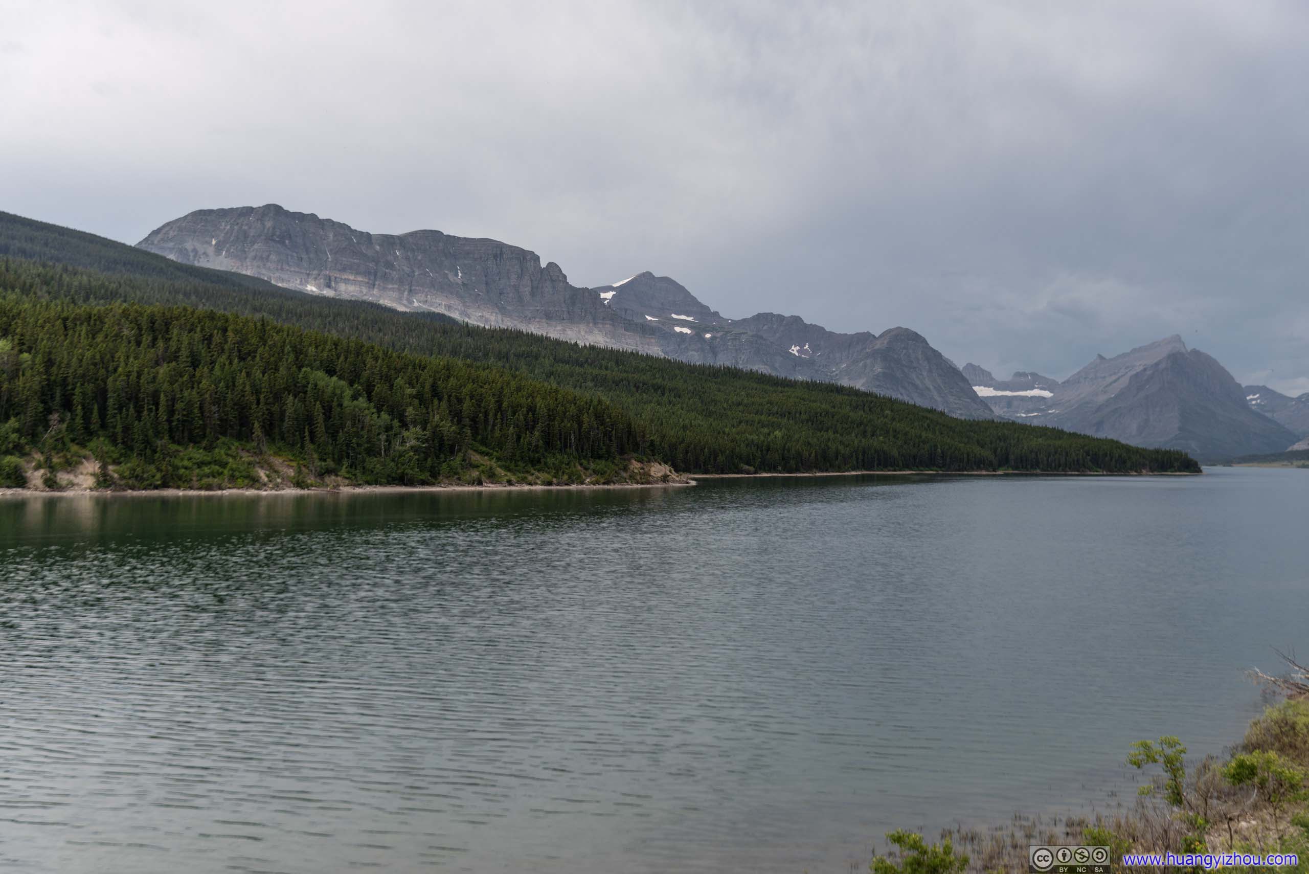
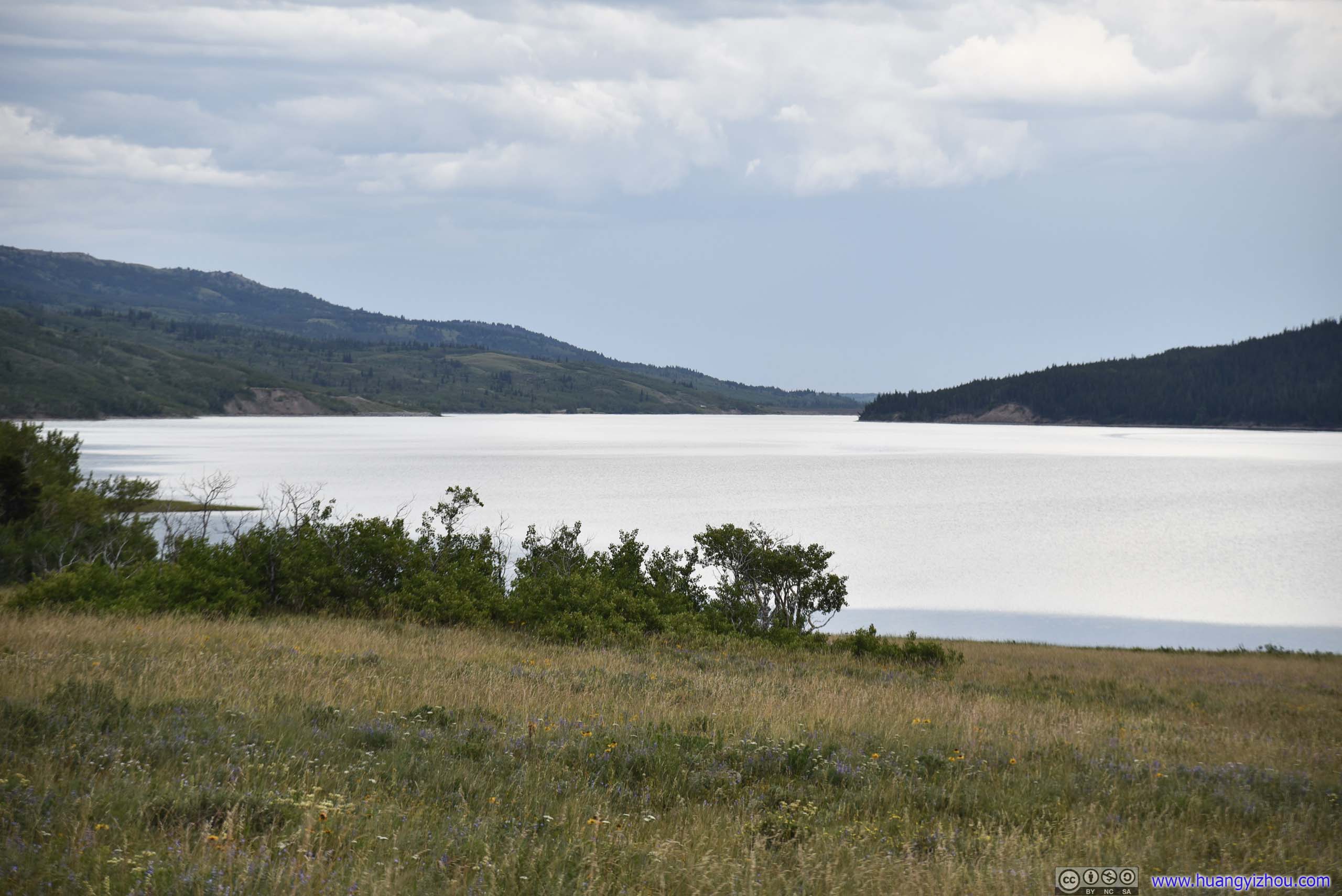 Lake Sherburne
Allen Mountain

 Mountains by Lake Sherburne
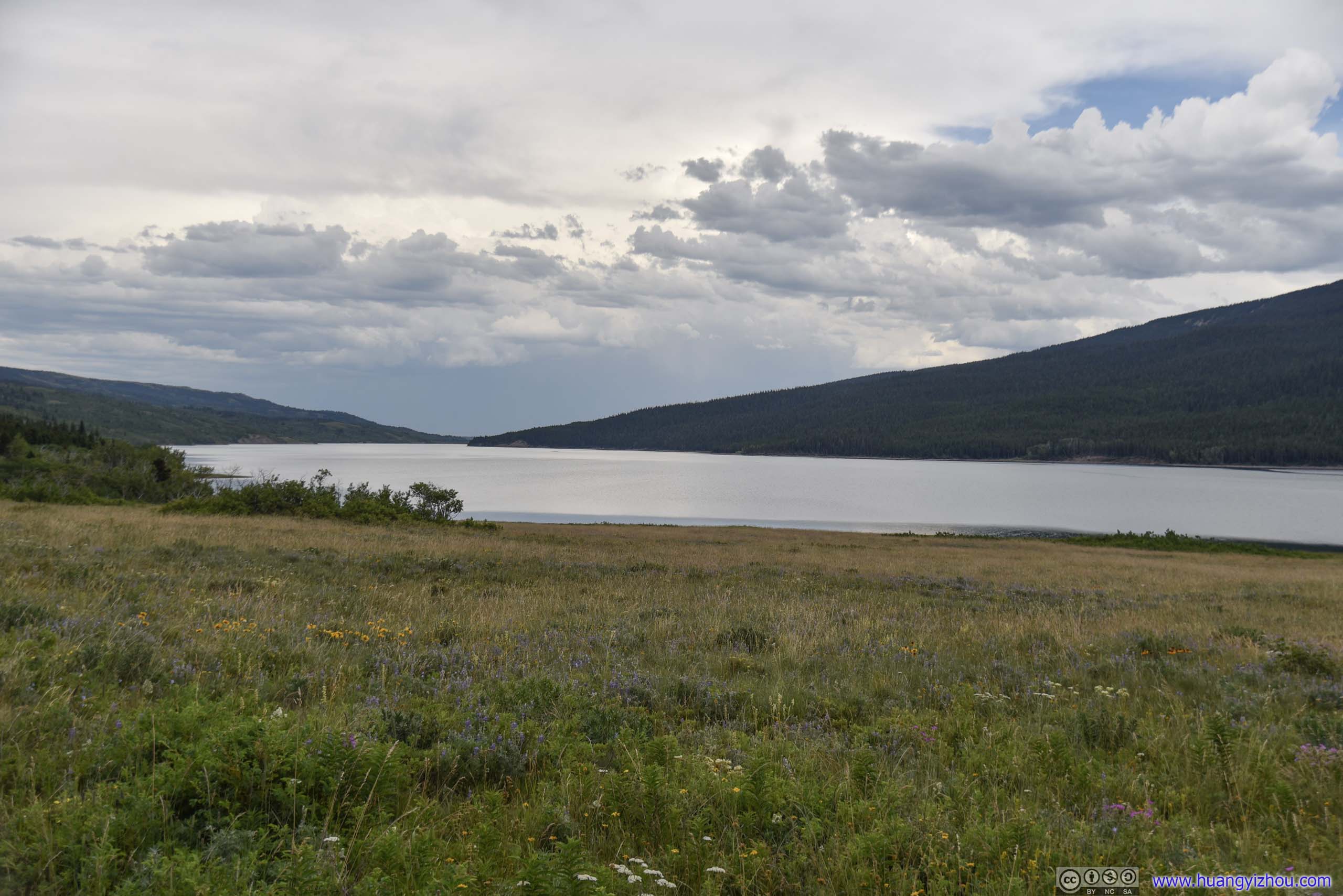
And that includes these mountains near St Mary, captured at Beaver Pond Trailhead.
East Flattop Mountain
Range of MountainsSouth of St Mary Lake.

View from Beaver Pond Trail Head
Distant Mountains
END
![]() Day 12 of 2019 Western US Tour, July 23, Hiking to Iceberg Lake and Ptarmigan Tunnel by Huang's Site is licensed under a Creative Commons Attribution-NonCommercial-ShareAlike 4.0 International License.
Day 12 of 2019 Western US Tour, July 23, Hiking to Iceberg Lake and Ptarmigan Tunnel by Huang's Site is licensed under a Creative Commons Attribution-NonCommercial-ShareAlike 4.0 International License.