
Updated on March 28, 2020
Day 15 of 2019 Western US Tour, July 26, Highline and Garden Wall Trail
Our sixth and last day in Glacier National Park.
My plan of the day was to hike Highline and Garden Wall Trail, probably the second most popular day hike route in Glacier National Park, behind Grinnell Glacier Trail. And there would be spectacular views of Grinnell Glacier at the top of Garden Wall, encore to what I explored four days ago.
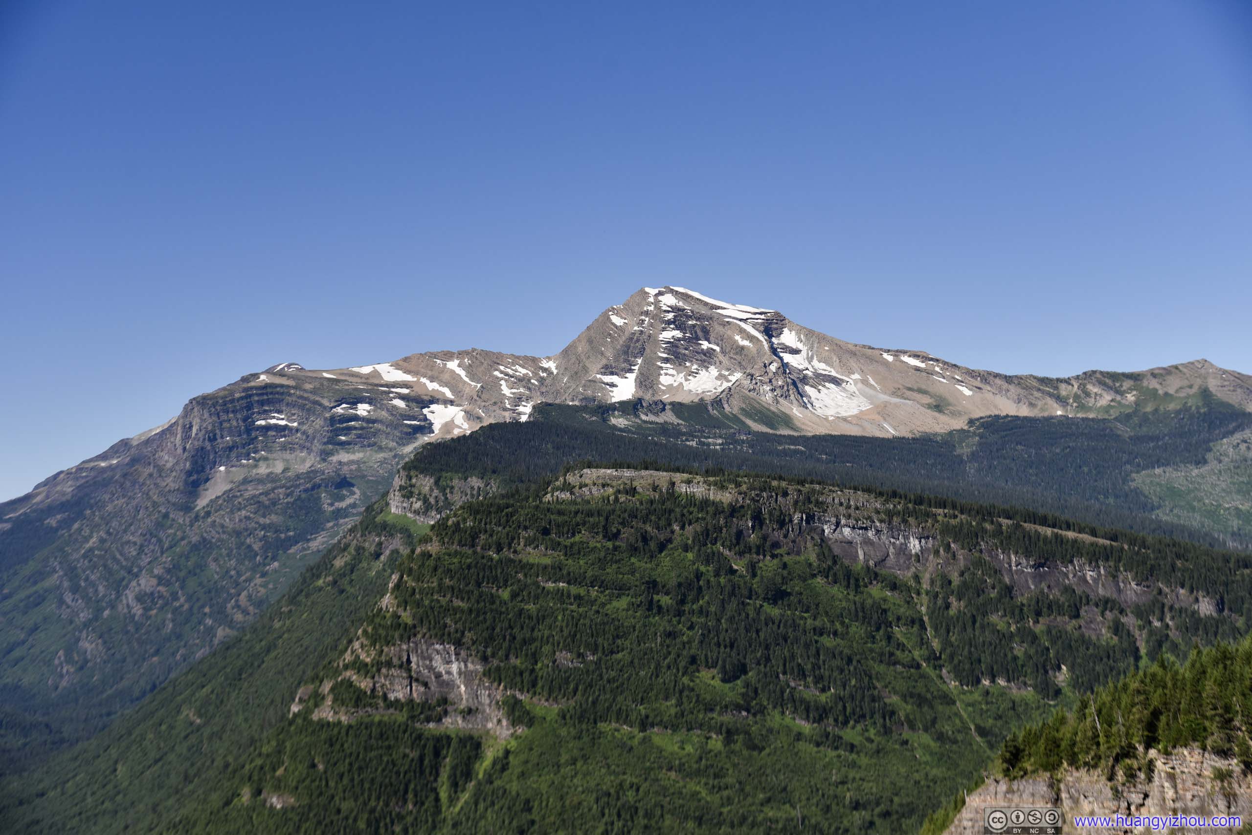
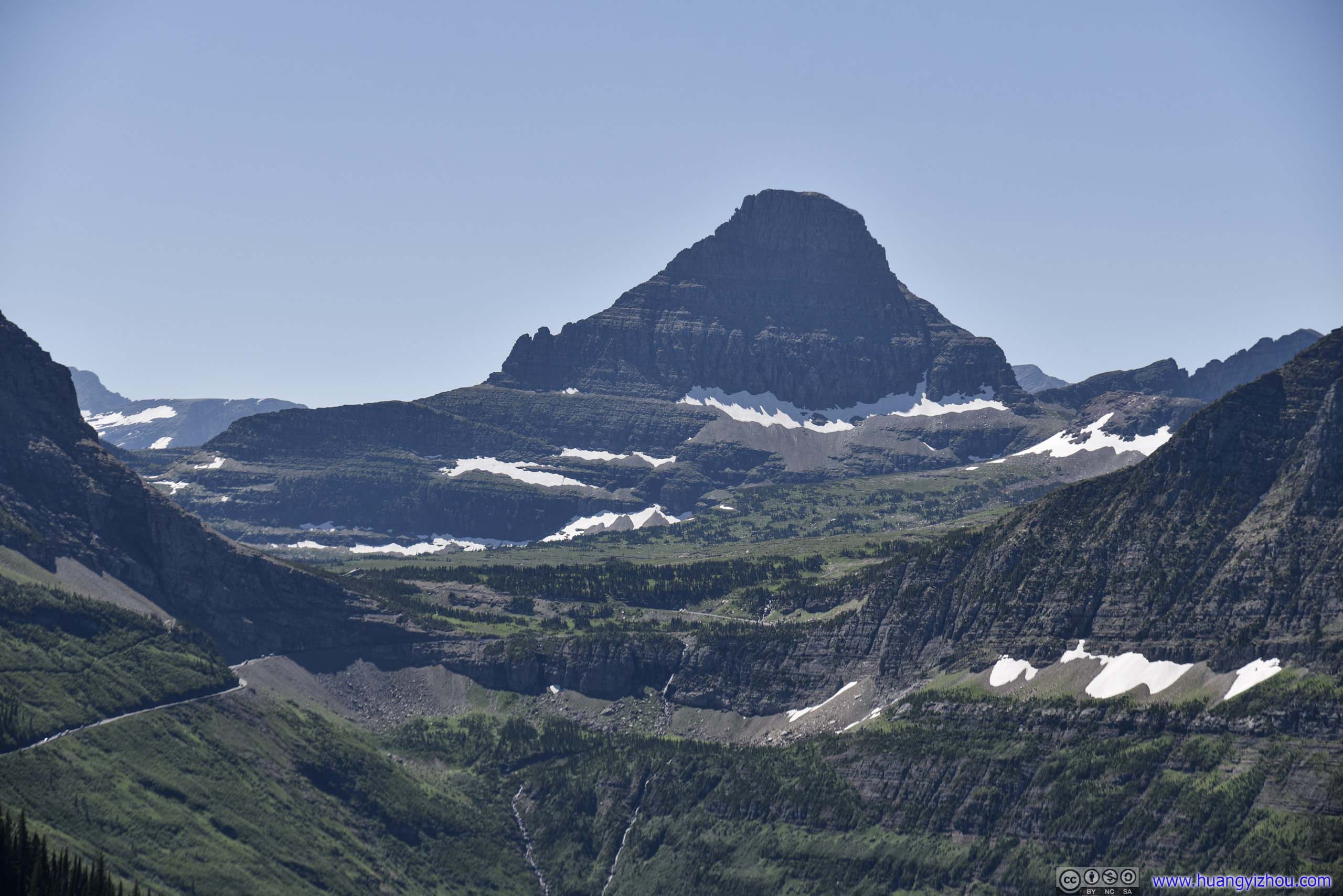
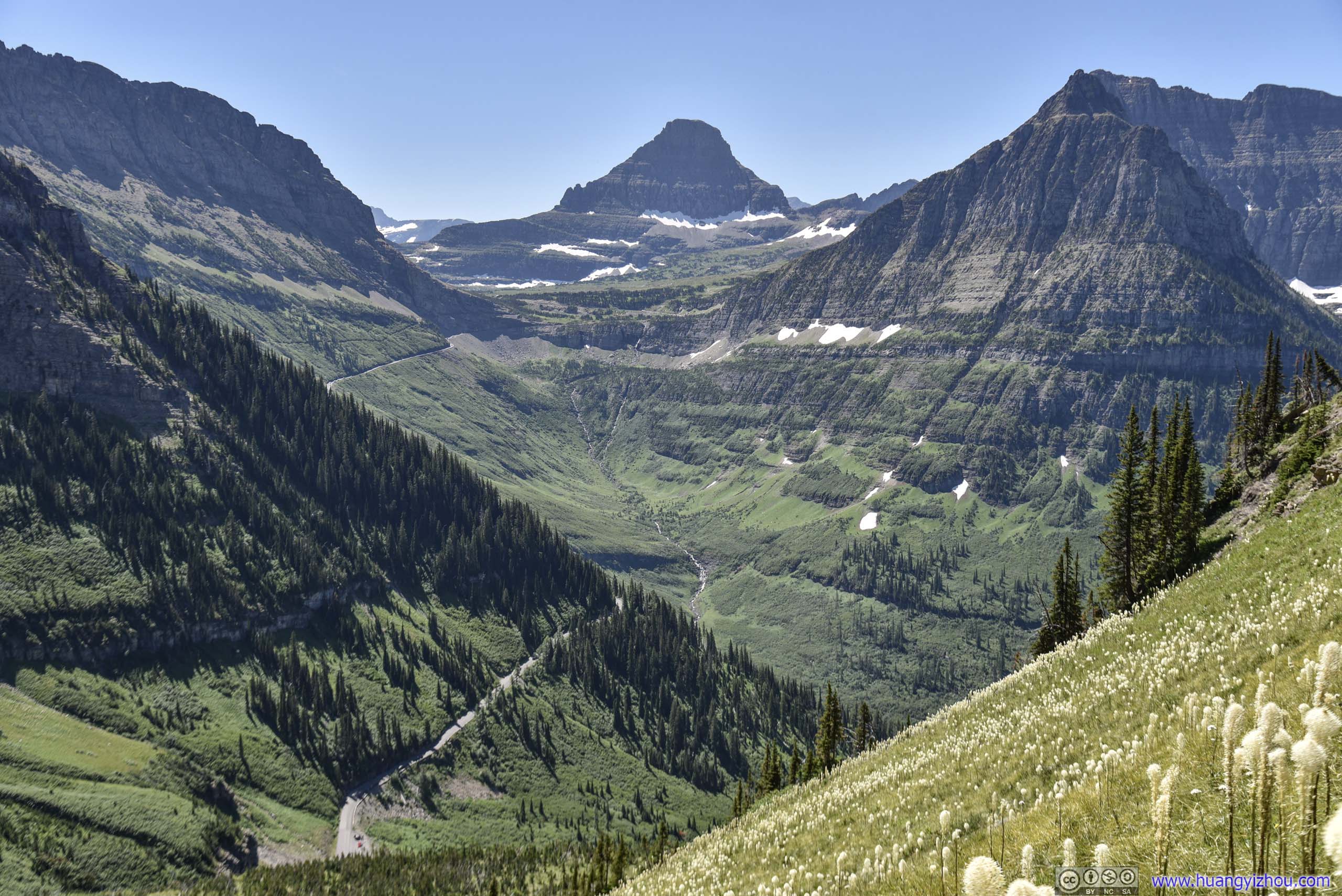
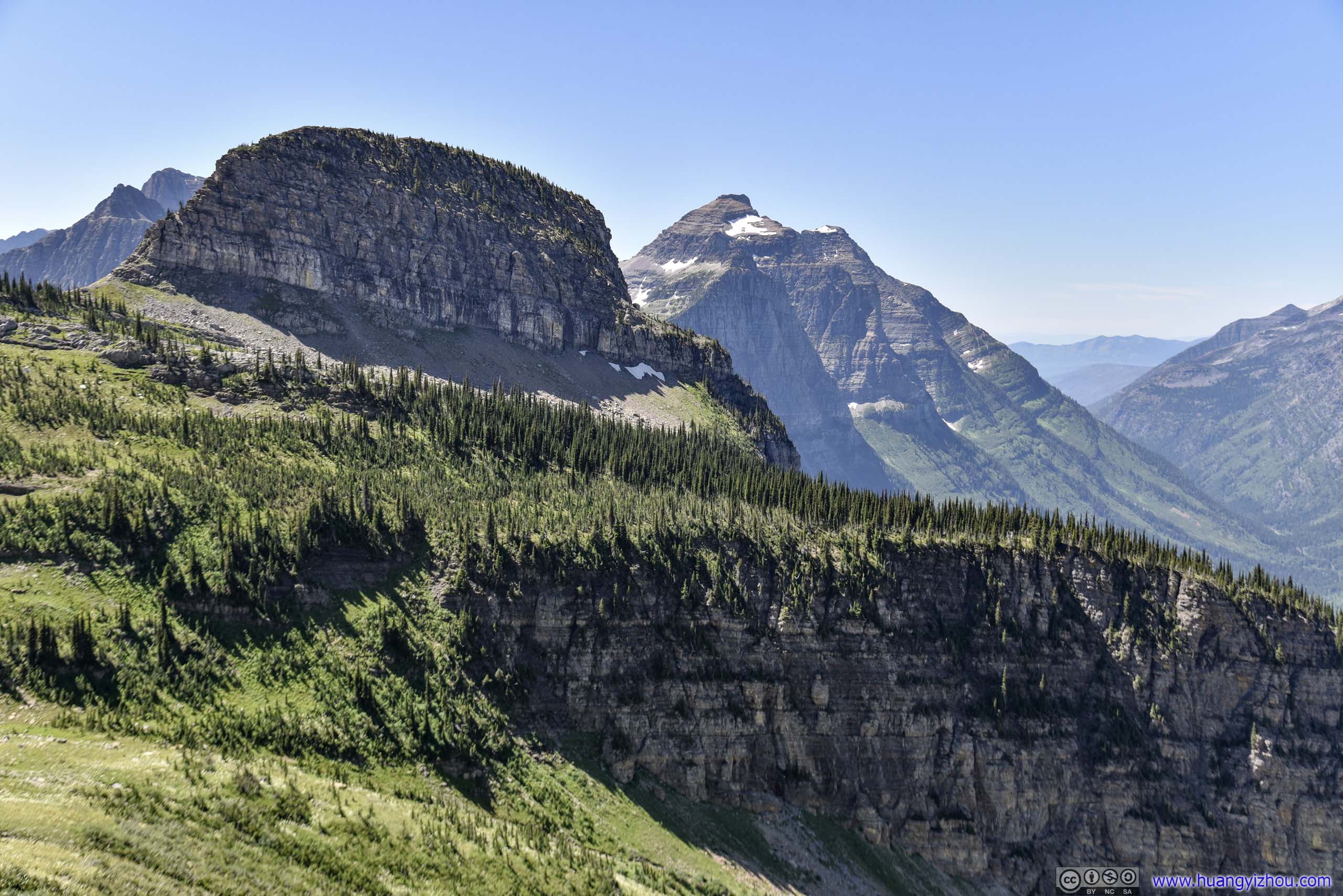
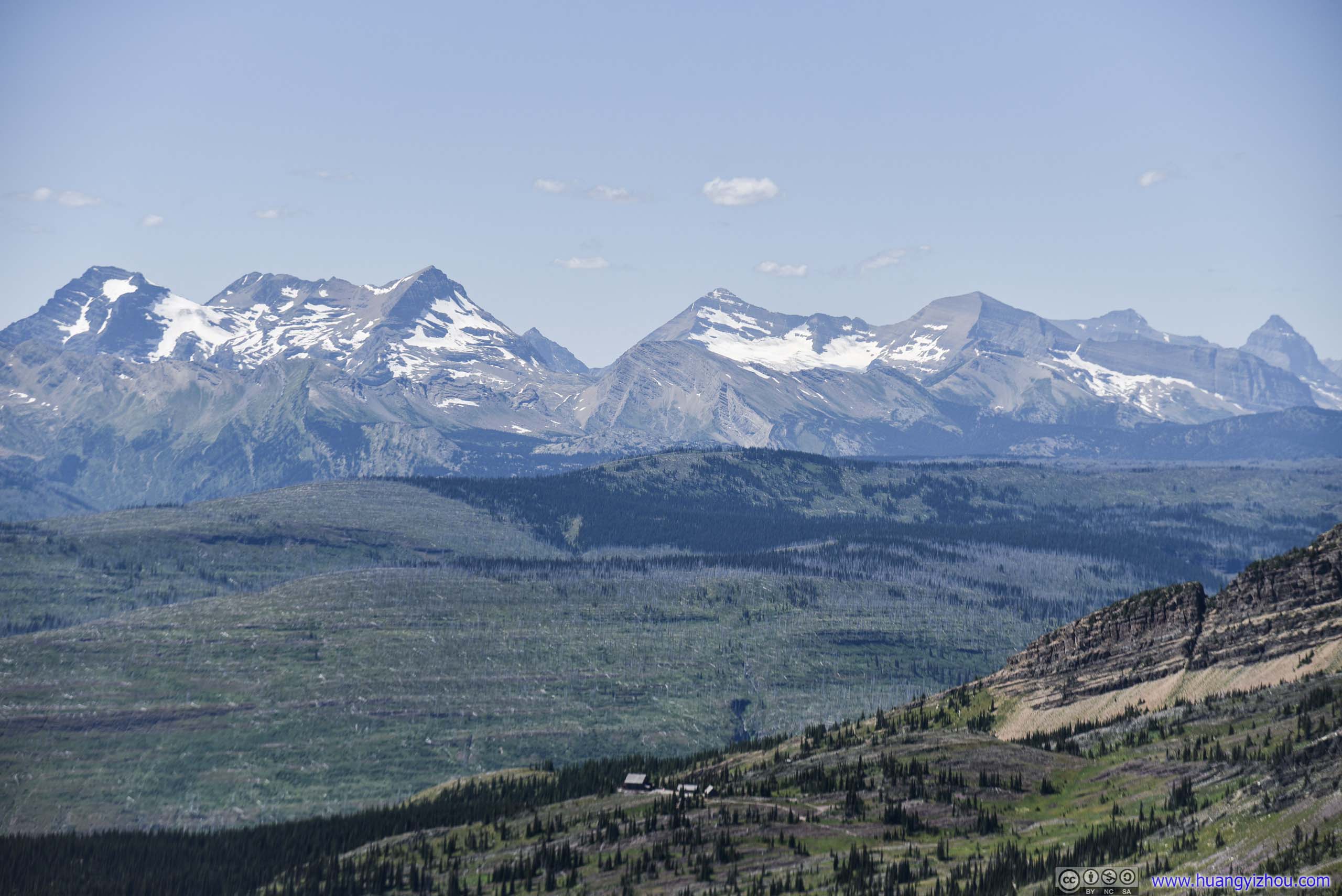
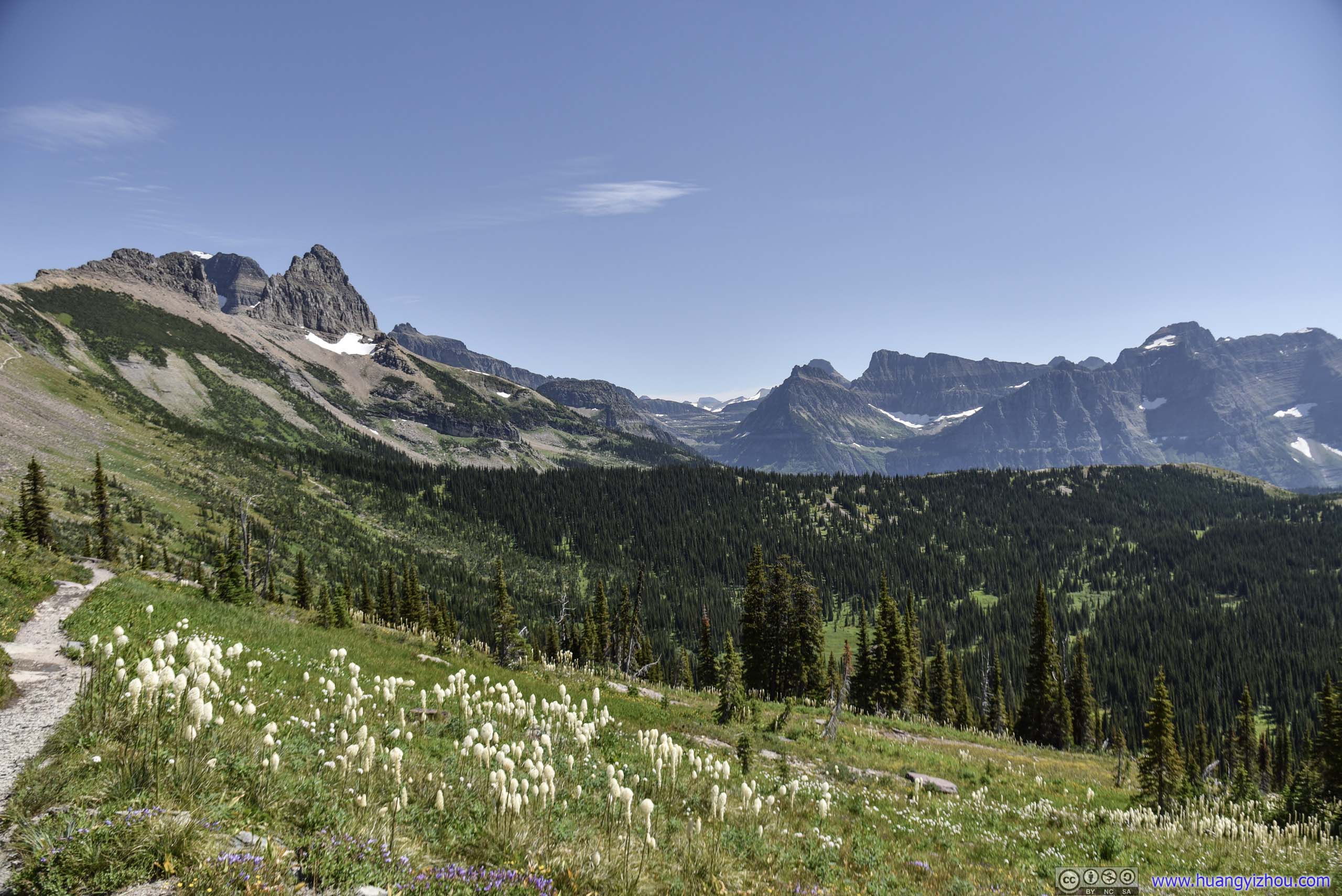
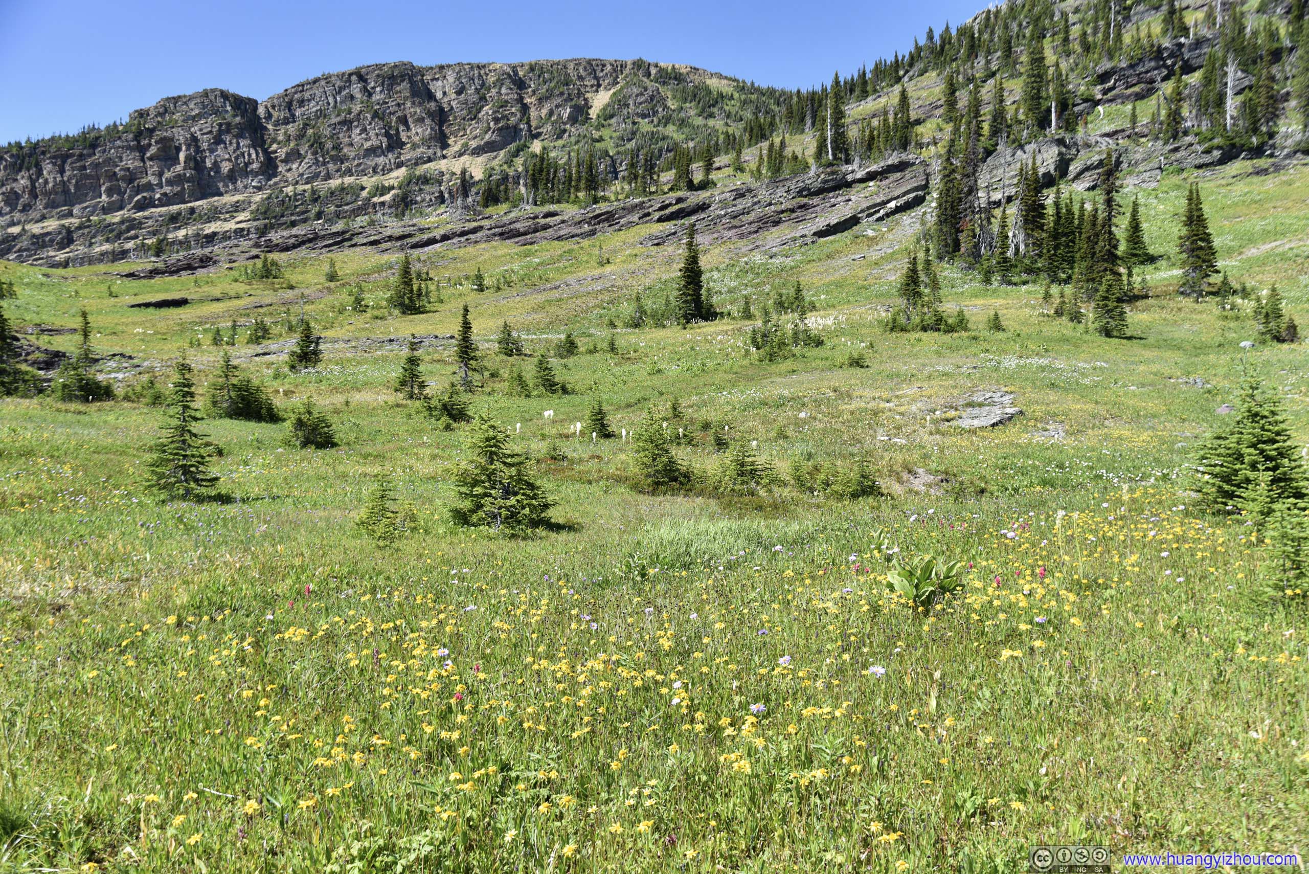
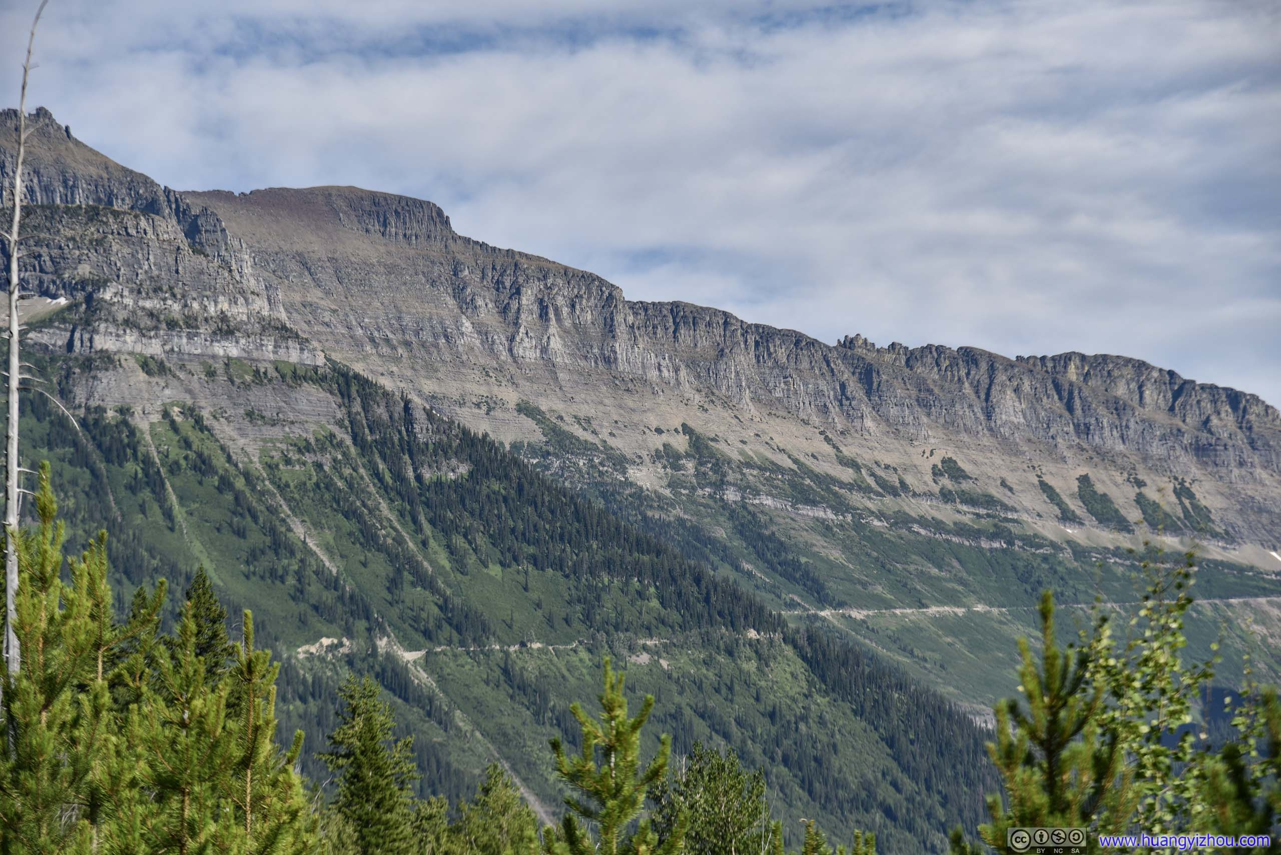
Overlooking Glaciers from Garden Wall
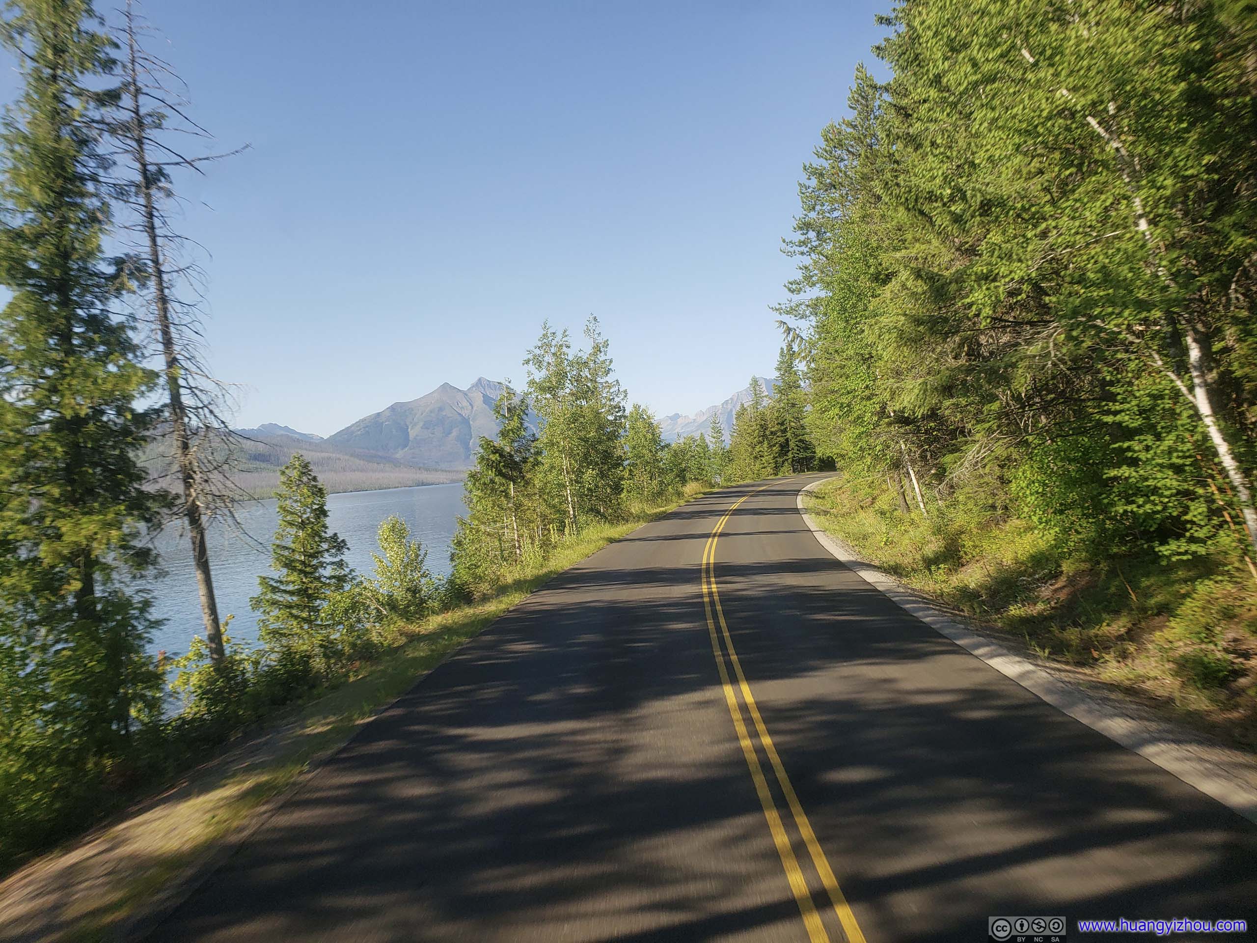
Having had a perfectly restful night in the comfort of hotel beds in Kalispell, we set off at 8:30 for Glacier National Park.
(Despite it doesn’t look too far on the map, it took us over two hours with a few stops on the way to reach Logan Pass.)
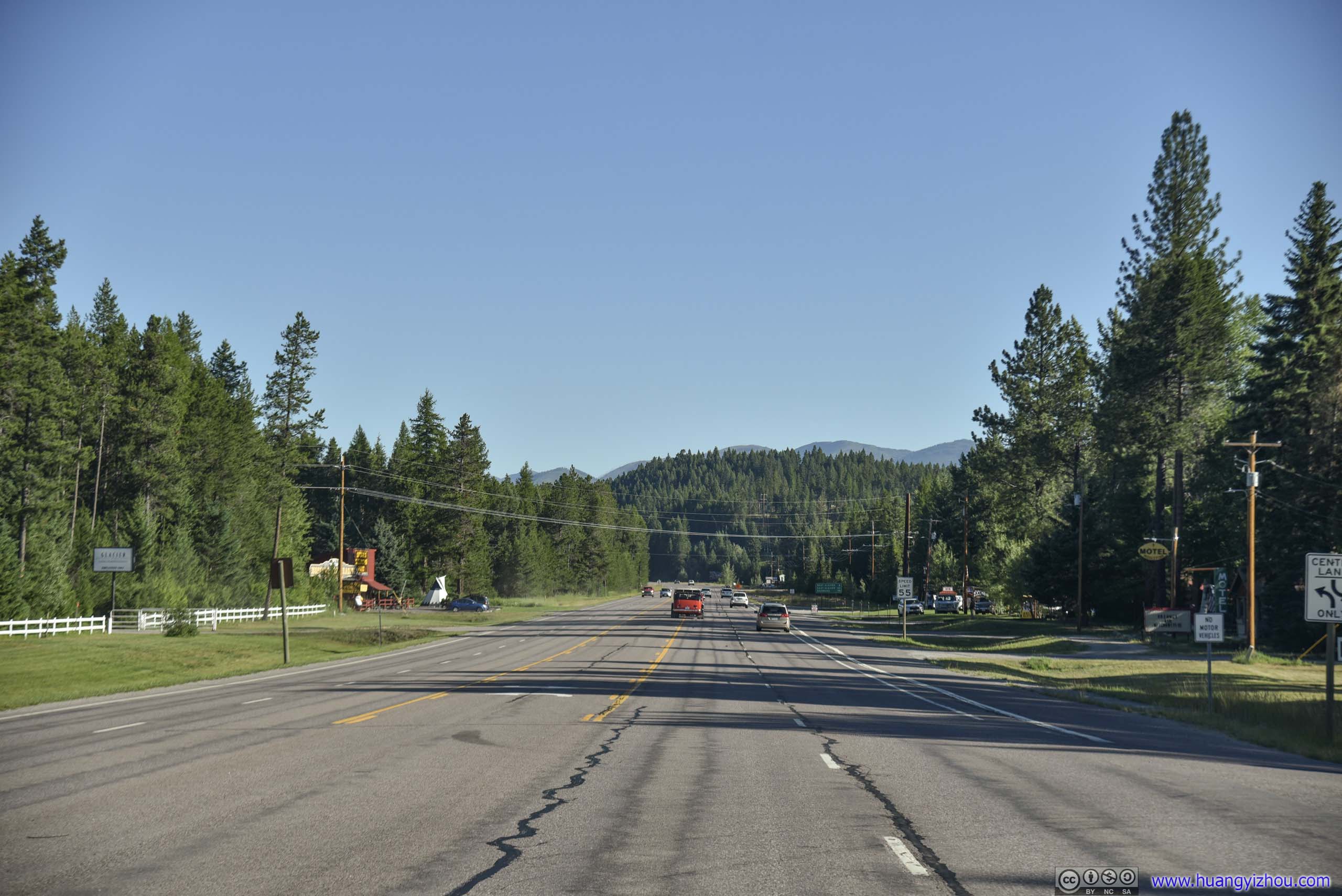
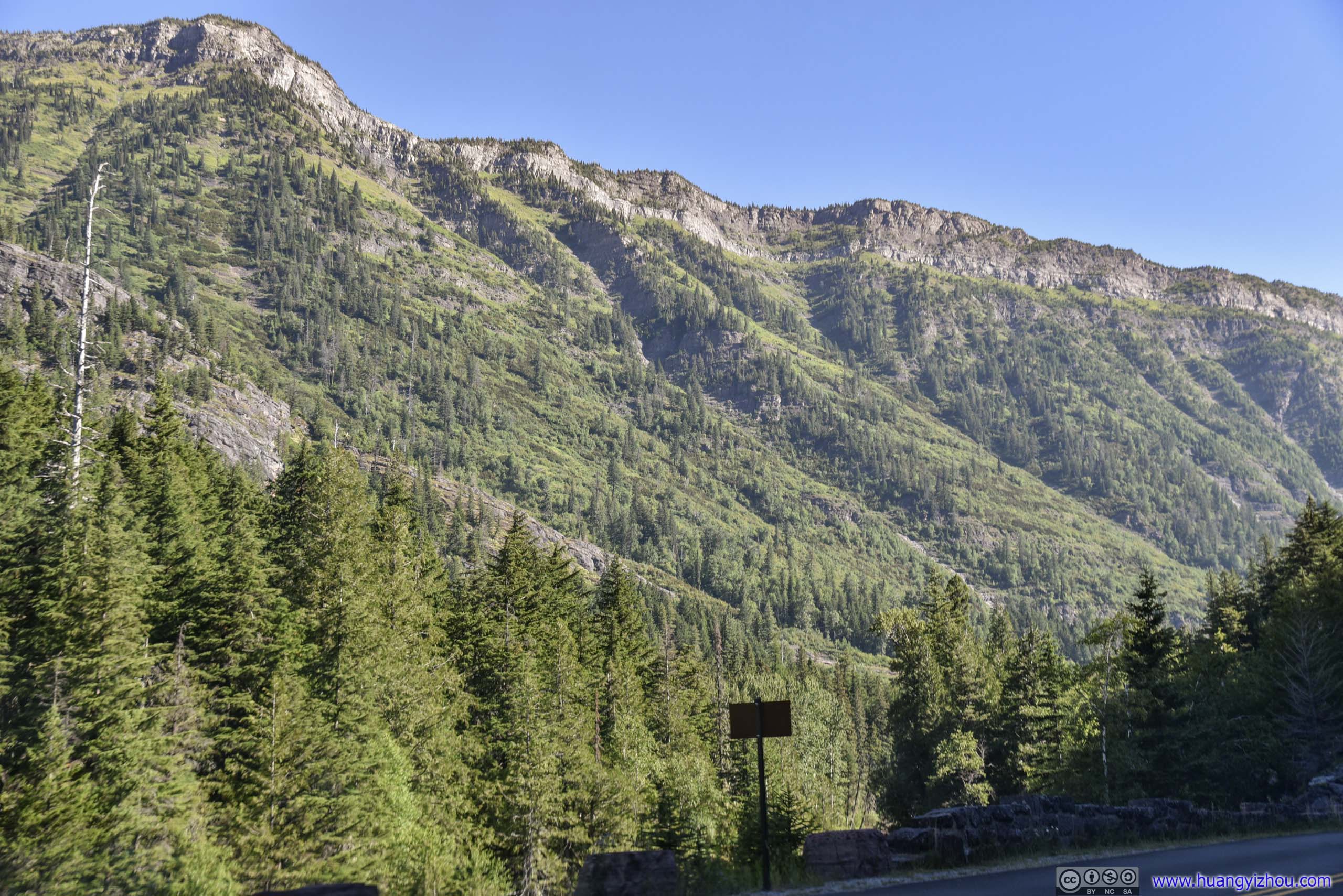
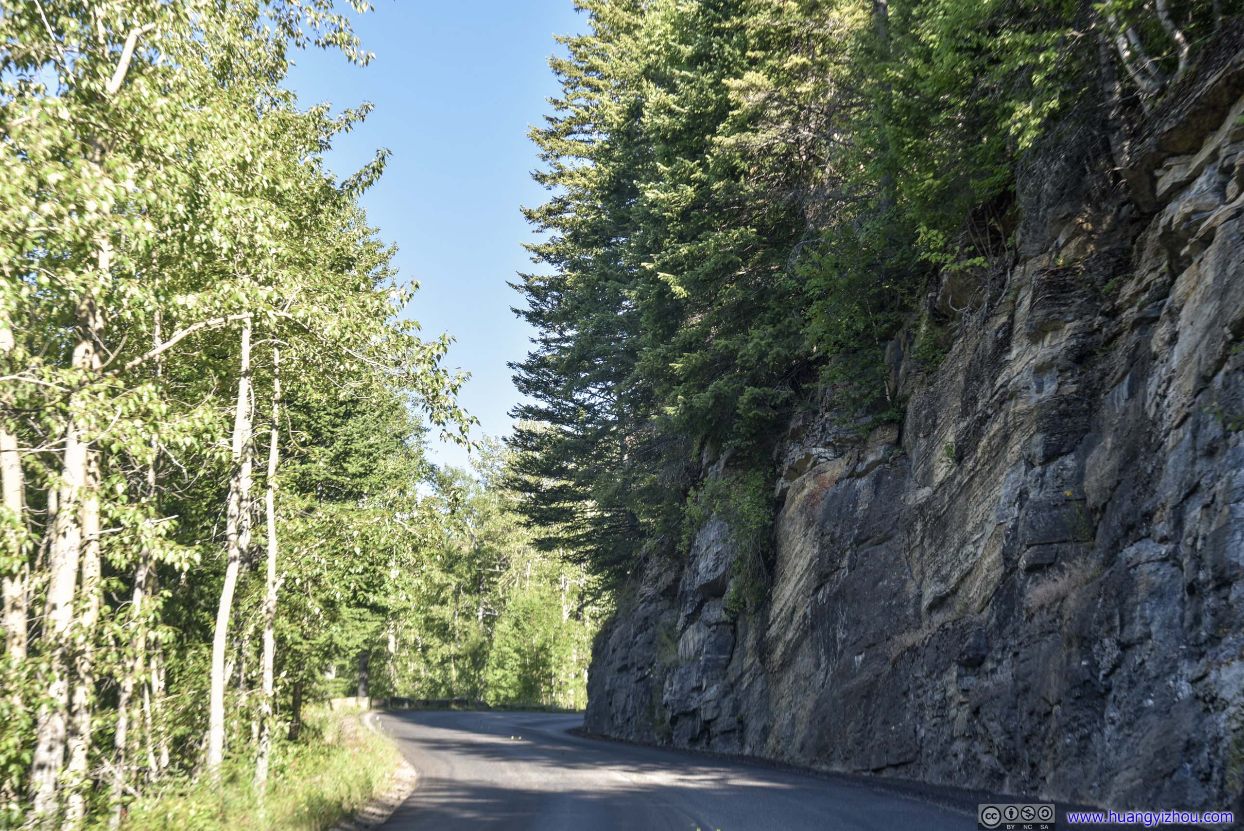
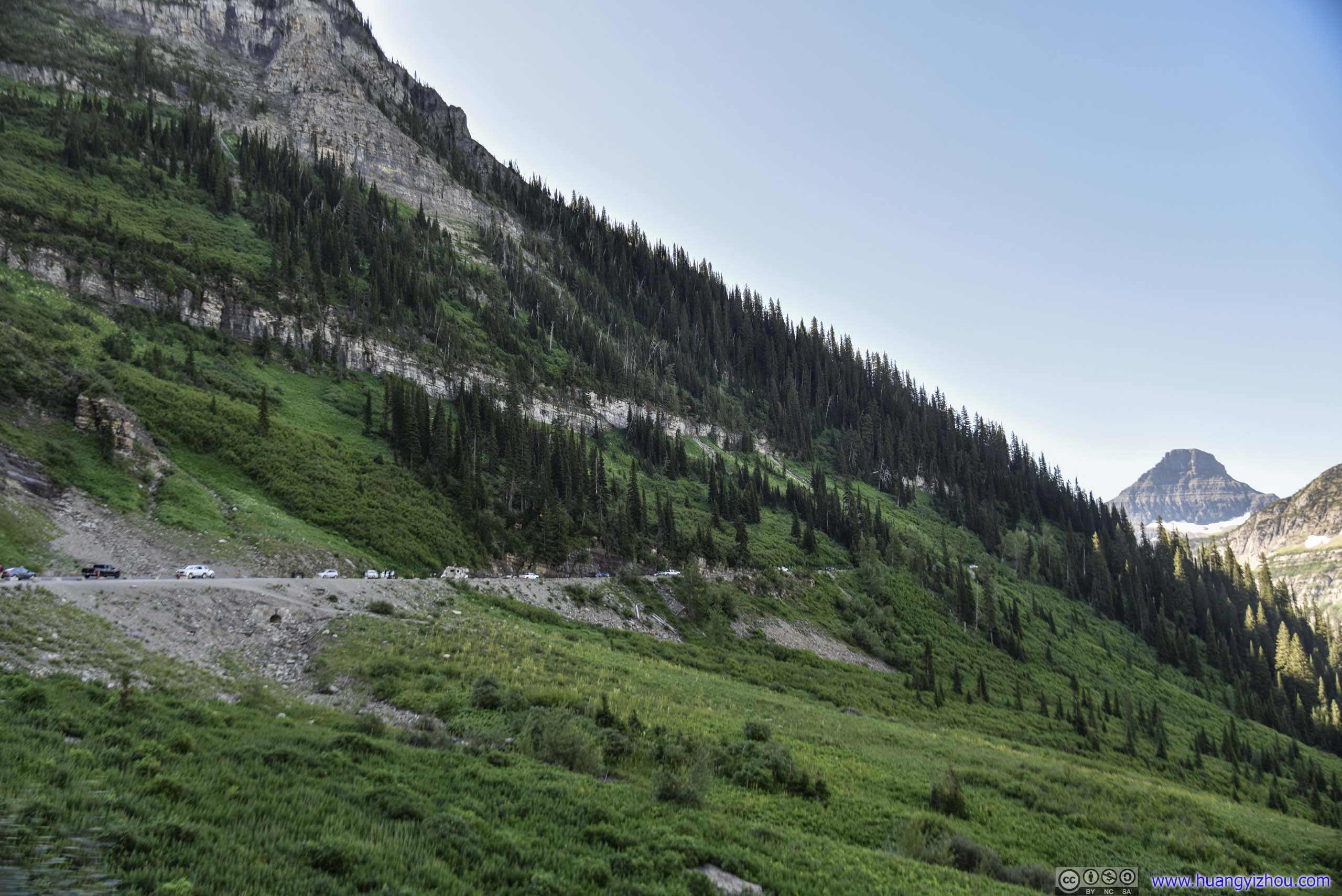
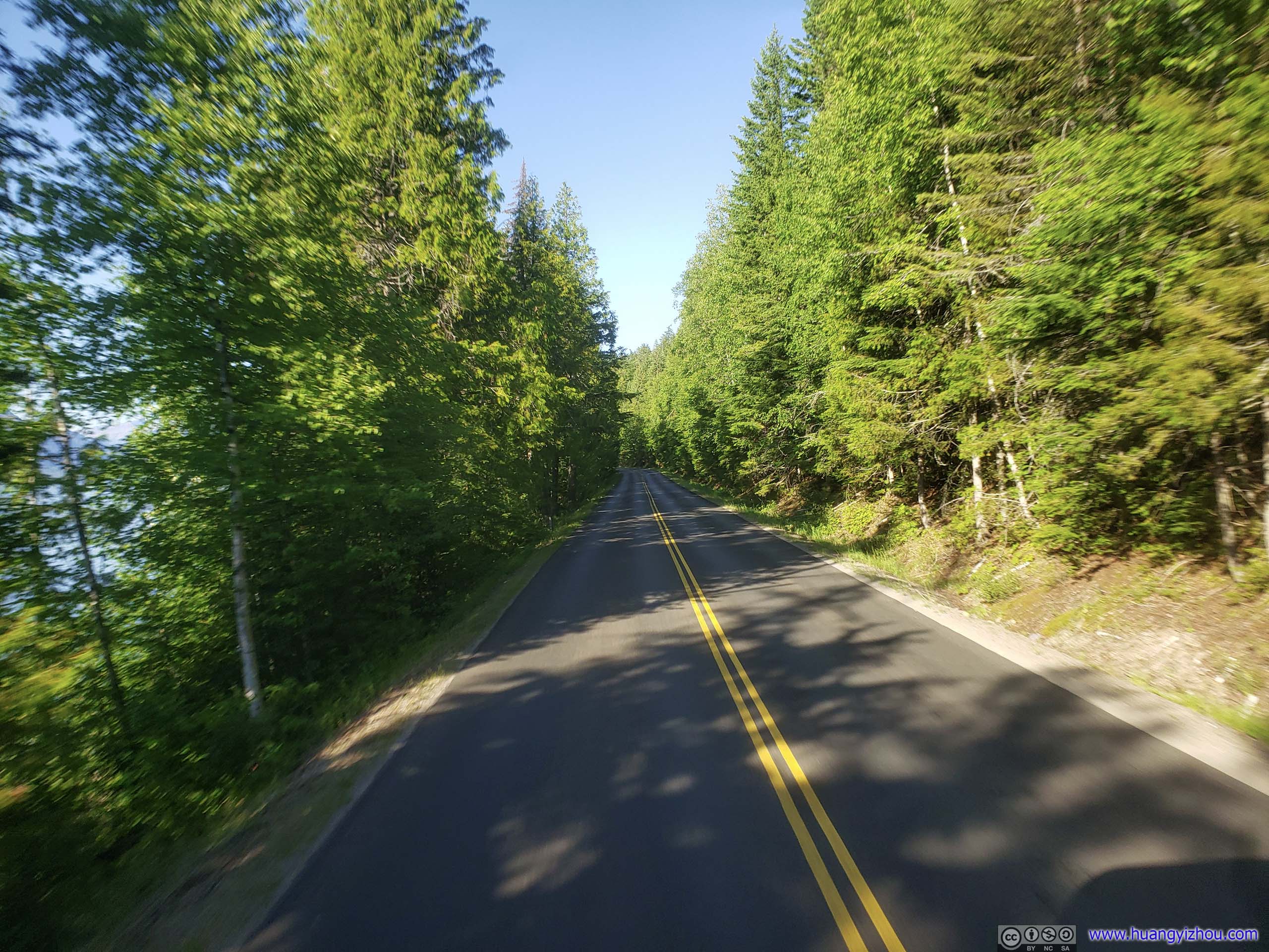
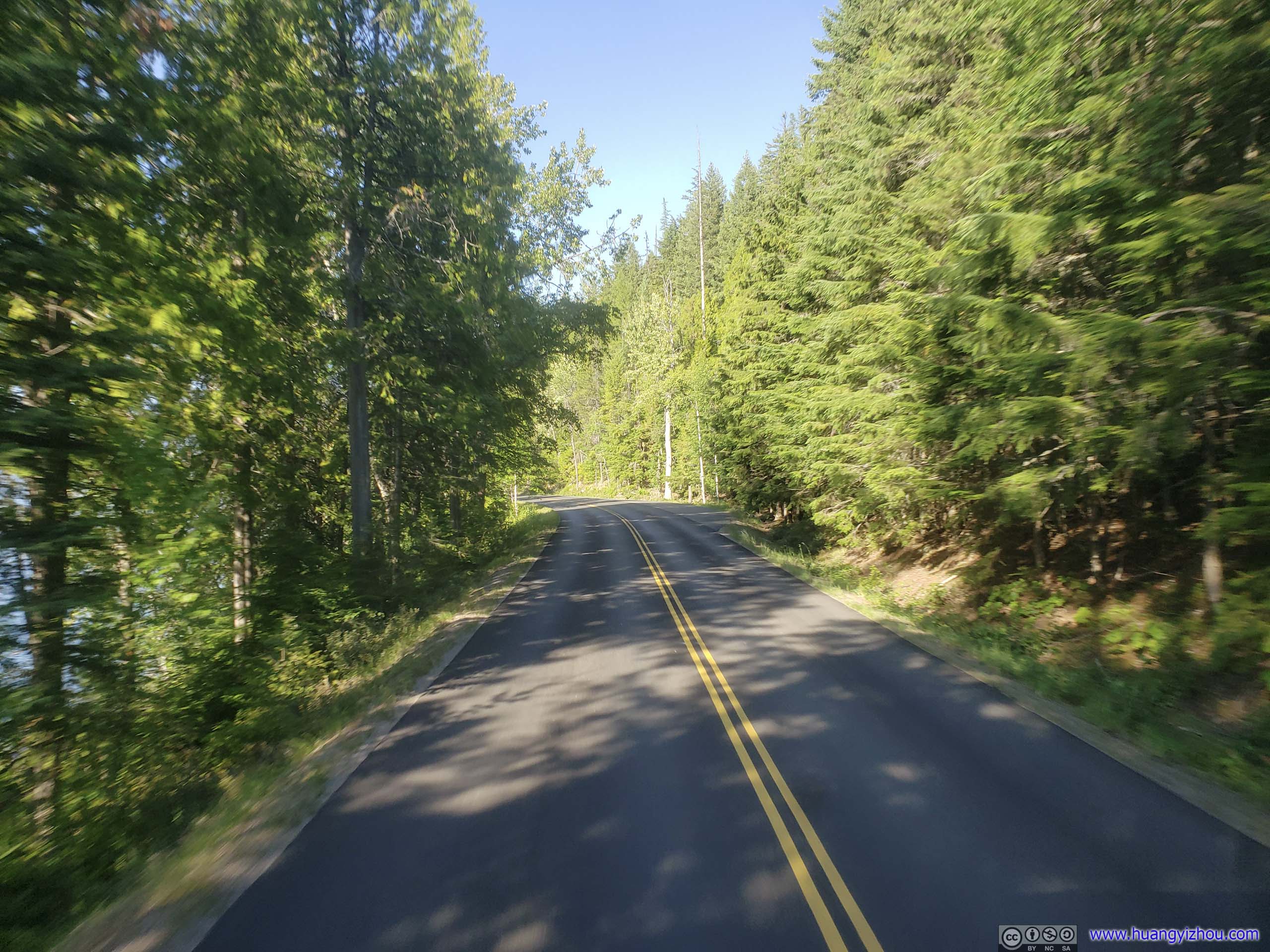
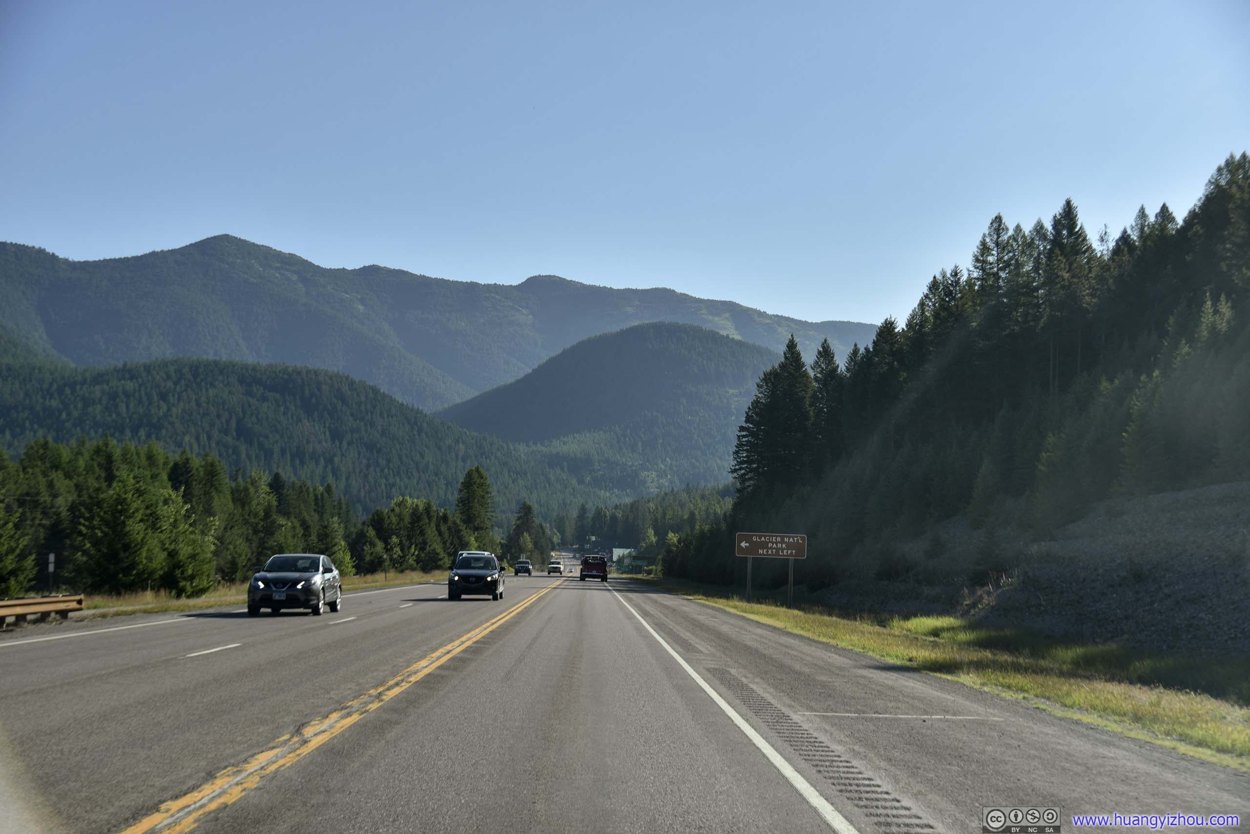 Country RoadIt only took 40 minutes in thoroughfares like this to reach the outskirts of Glacier National Park.
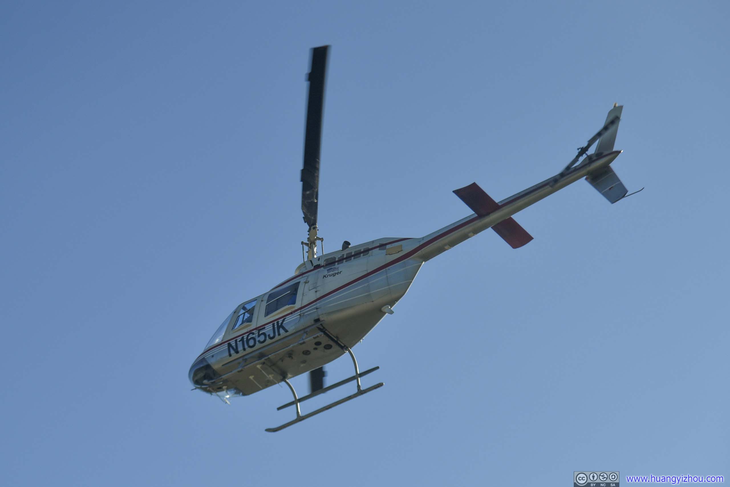
HelicopterWe happened to spot this helicopter taking off just by the road.
Unlike previous day-hikes in the park, Highline Trail is a one-way trail, and Garden Wall Trail is its spur. Like most people, I decided to take Highline Trail in the easy direction, starting at Logan Pass (2025m in elevation) and finishing at the Loop (1308m).
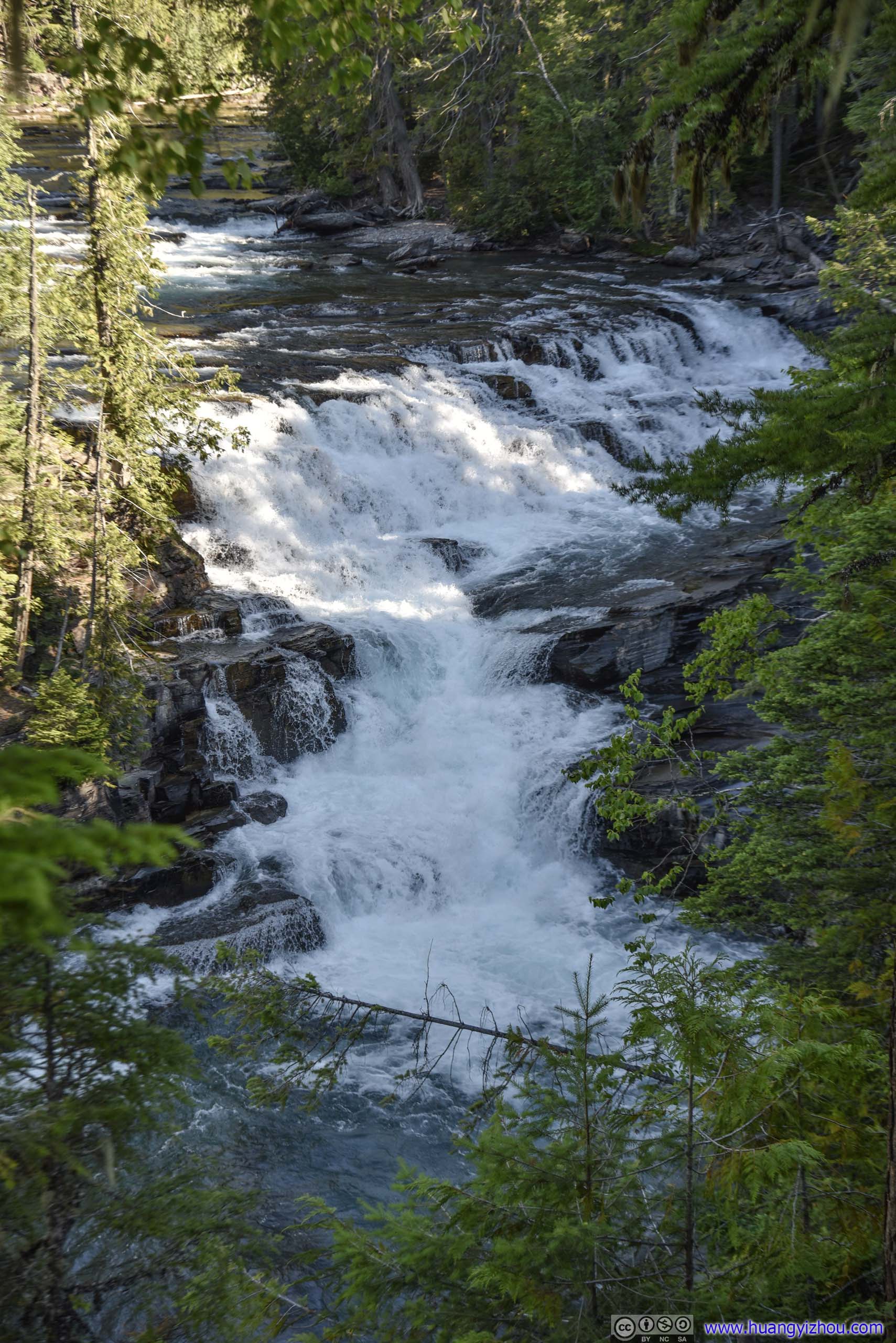
McDonald FallsWe made a brief stop here (mainly because we didn’t feel like stuck behind a line of snail-speed cars). But since the view’s rather obscured, we quickly moved on.
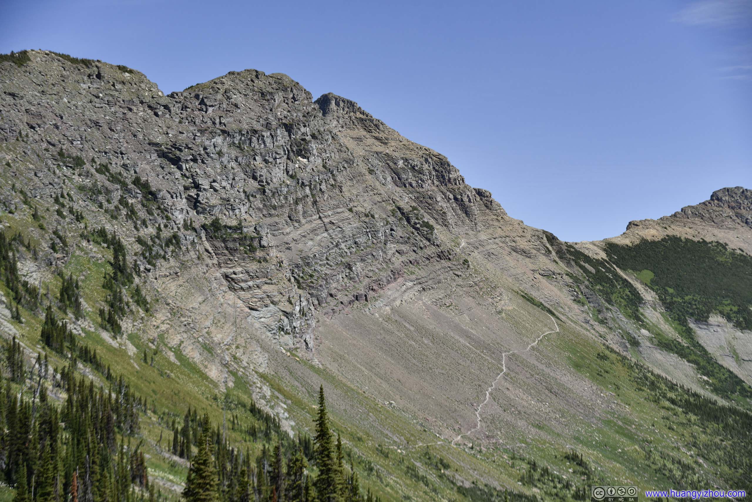
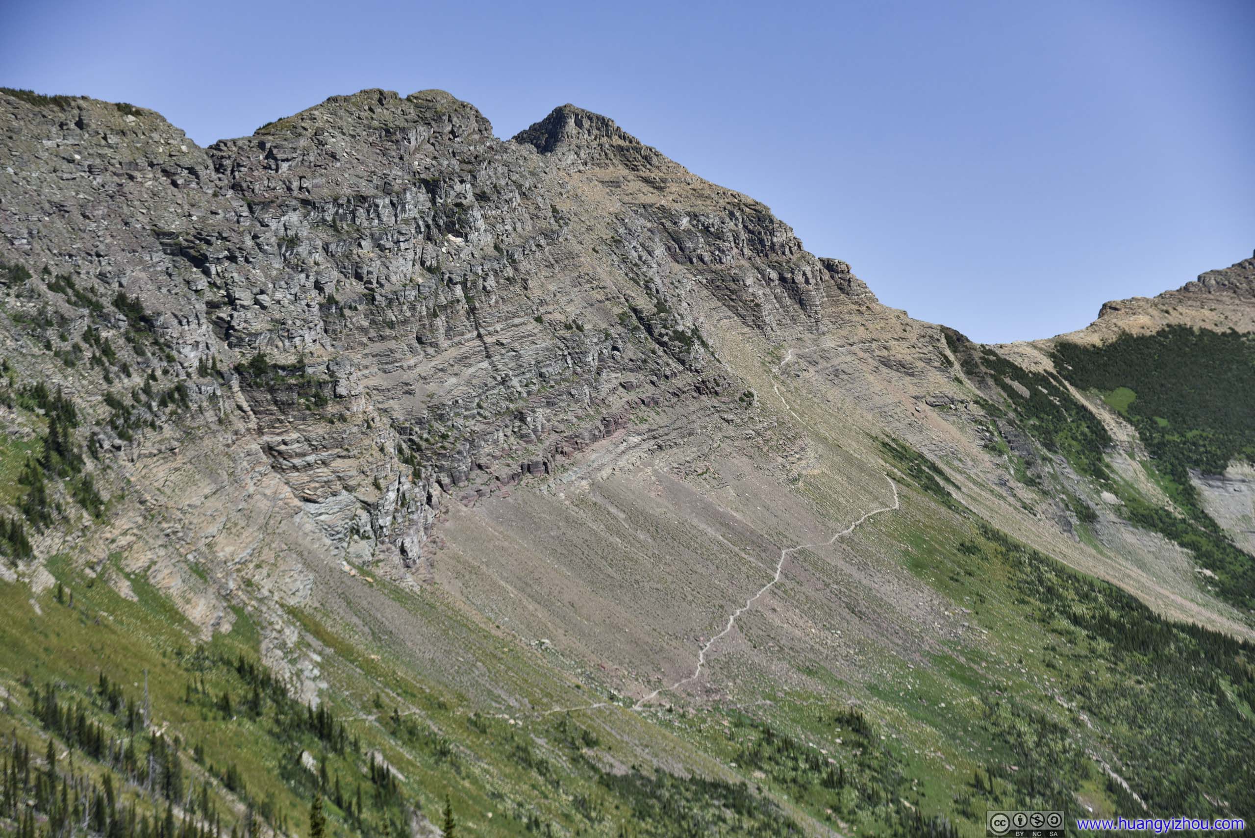
 Ridge from Heaven’s PeakThe same ridge viewed from below (left) and above (right).
 Going-to-the-Sun Road
Alder Creek
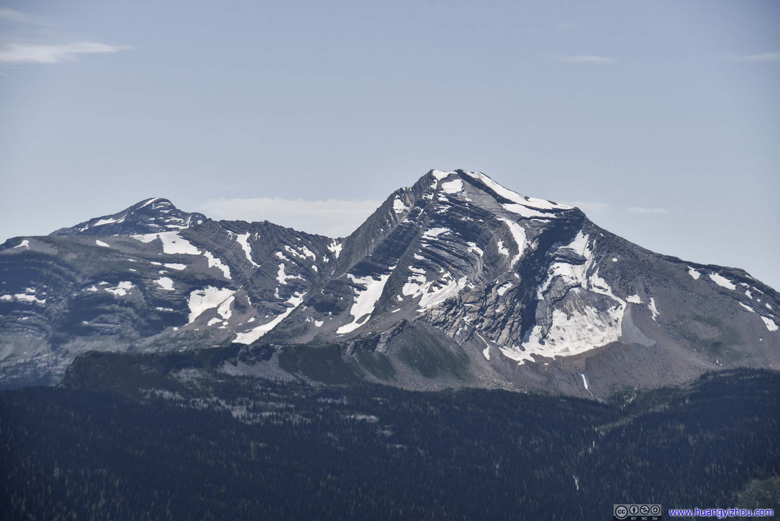
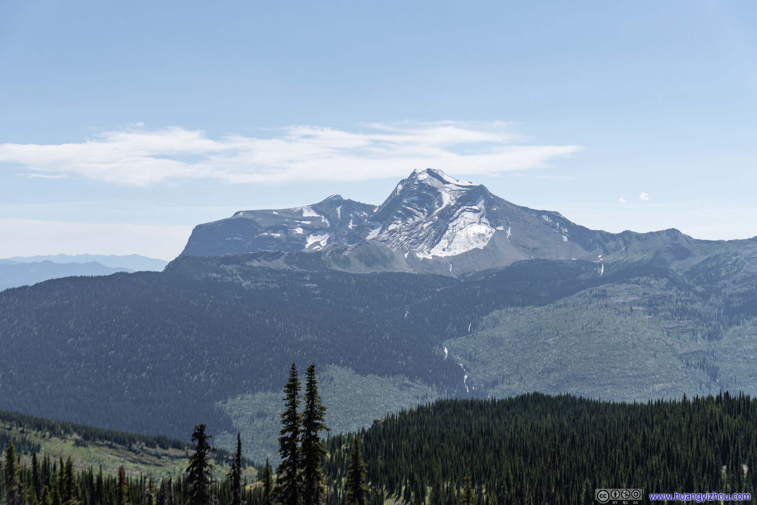
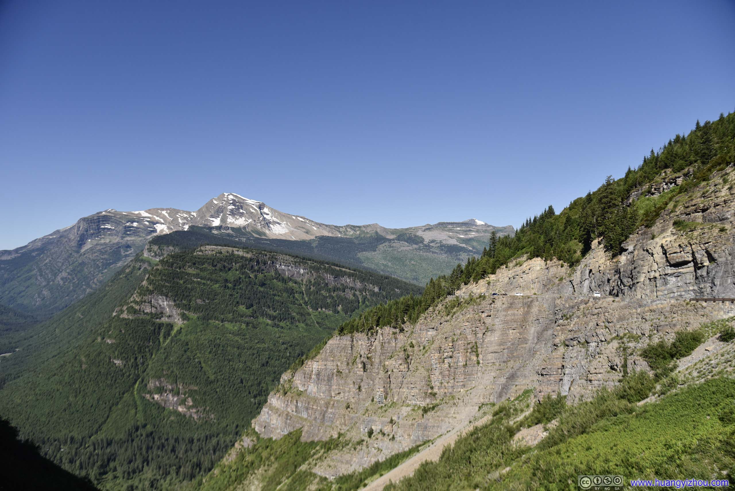 Heavens Peak
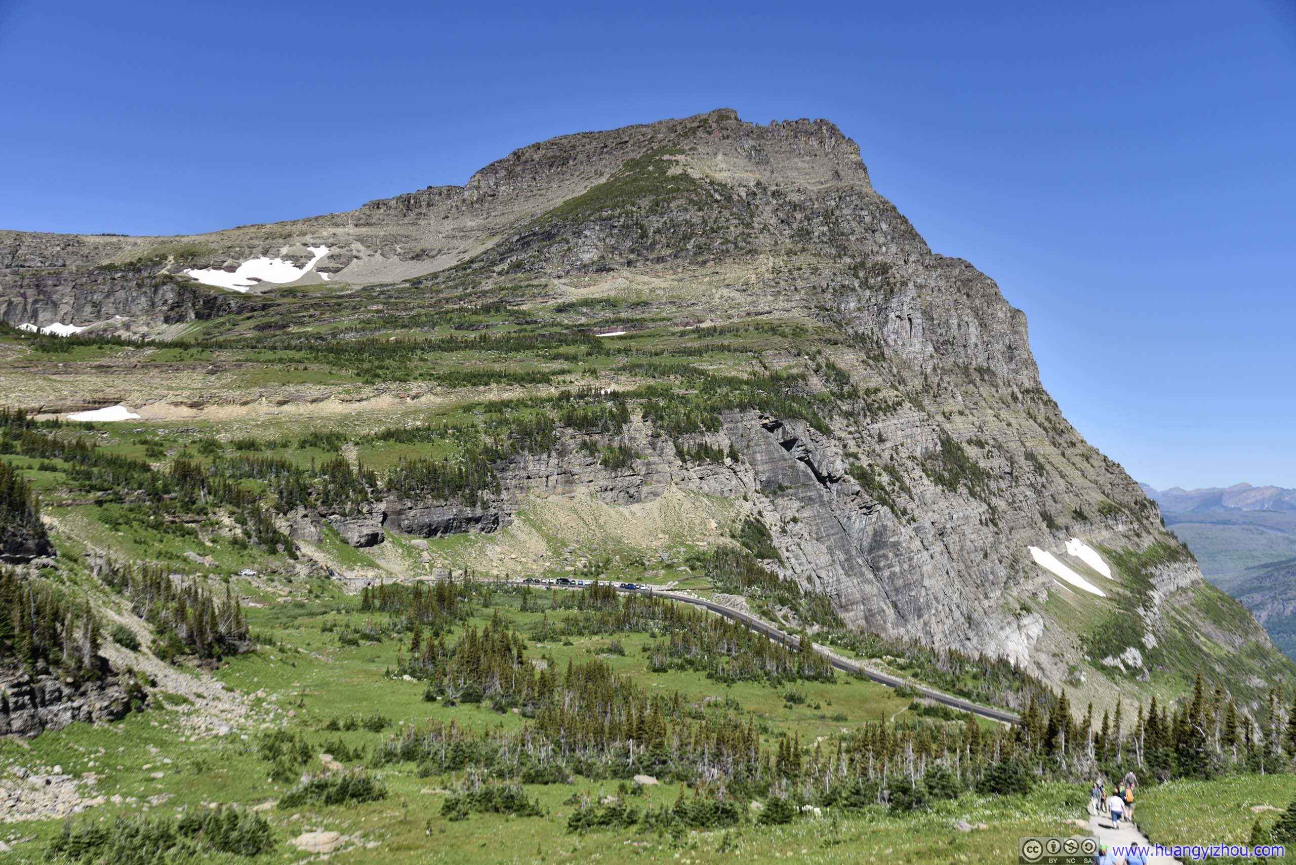
 Mount Oberlin
Pollock Mountain
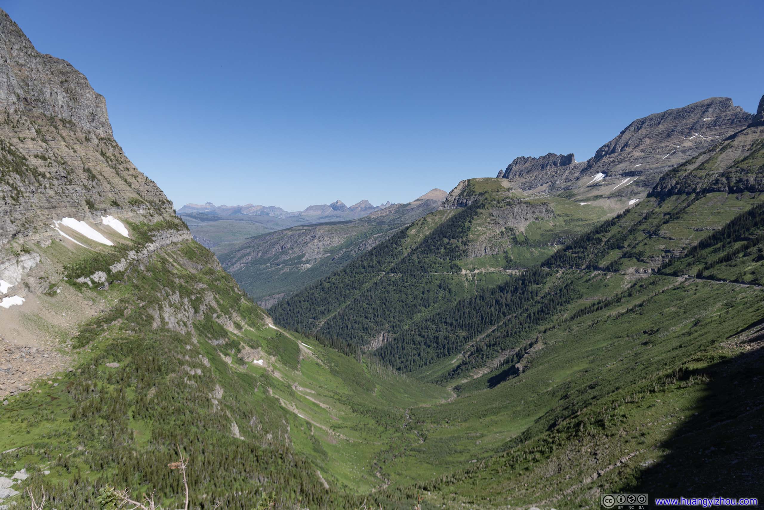
Valley
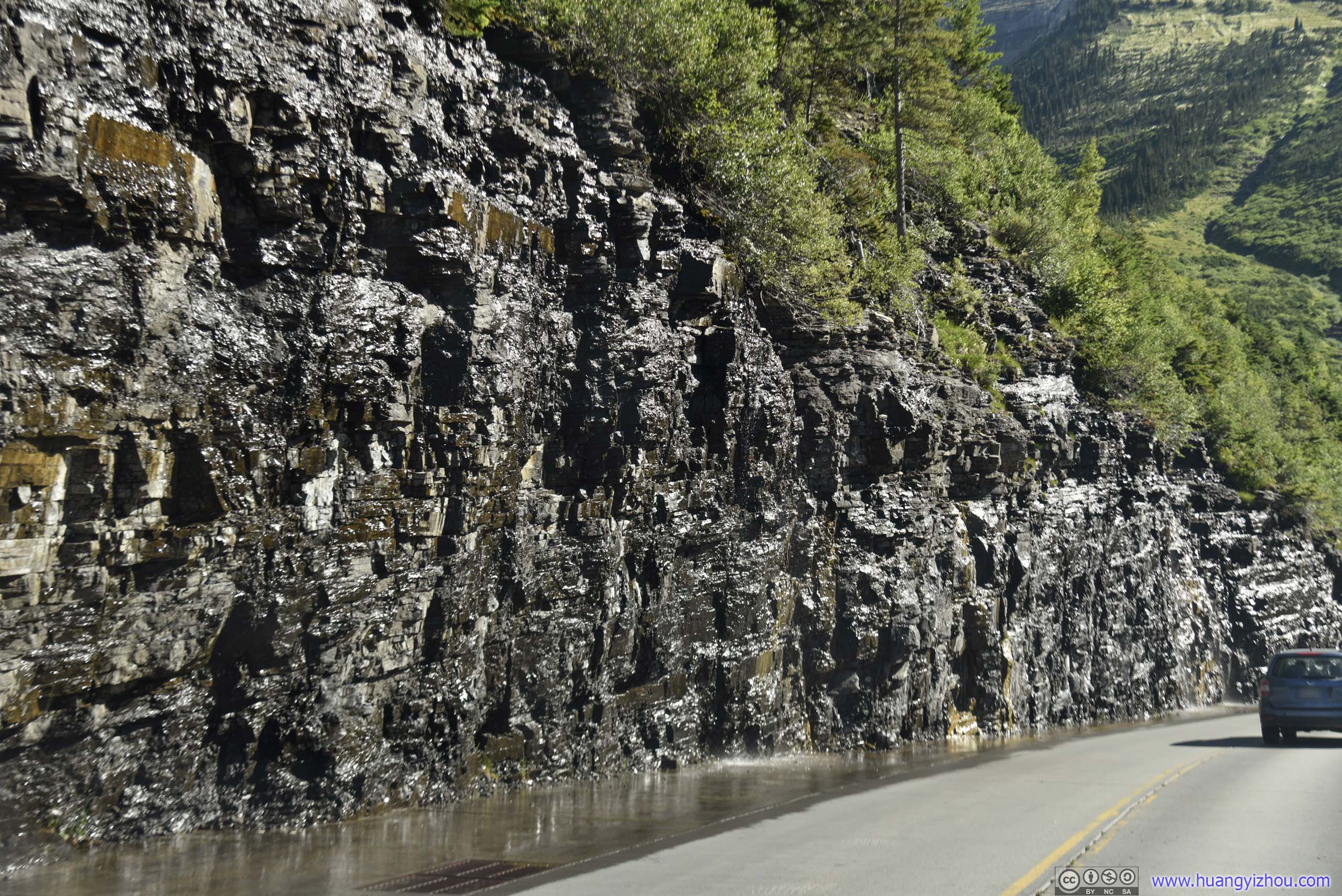
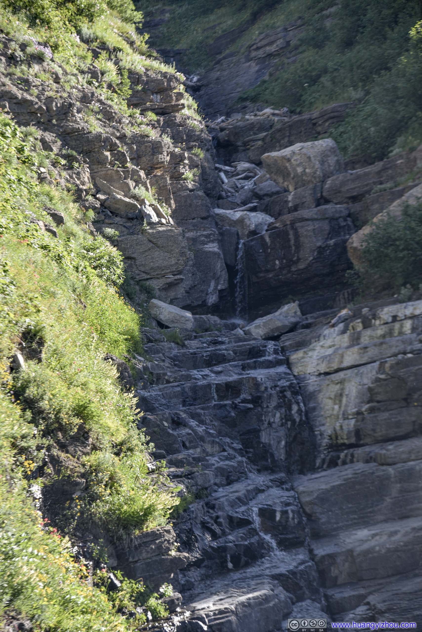
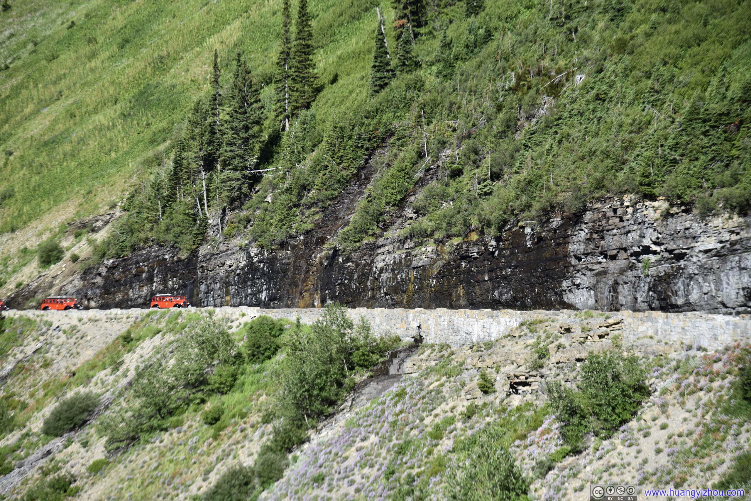 Weeping WallA section of waterfall falling onto Sun Road.
Hillside
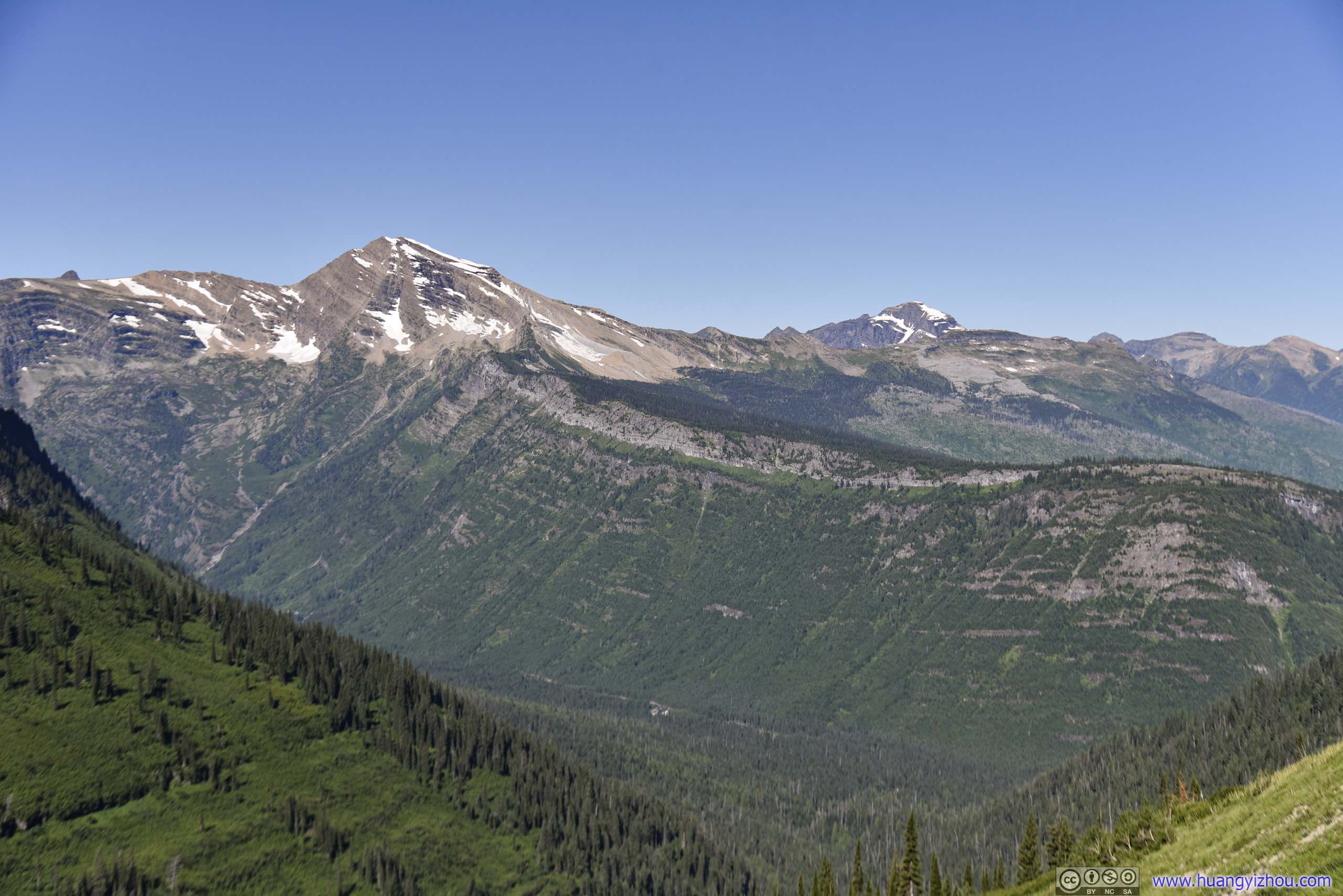
Mountains
McPartland Mountain
 Road Bridge
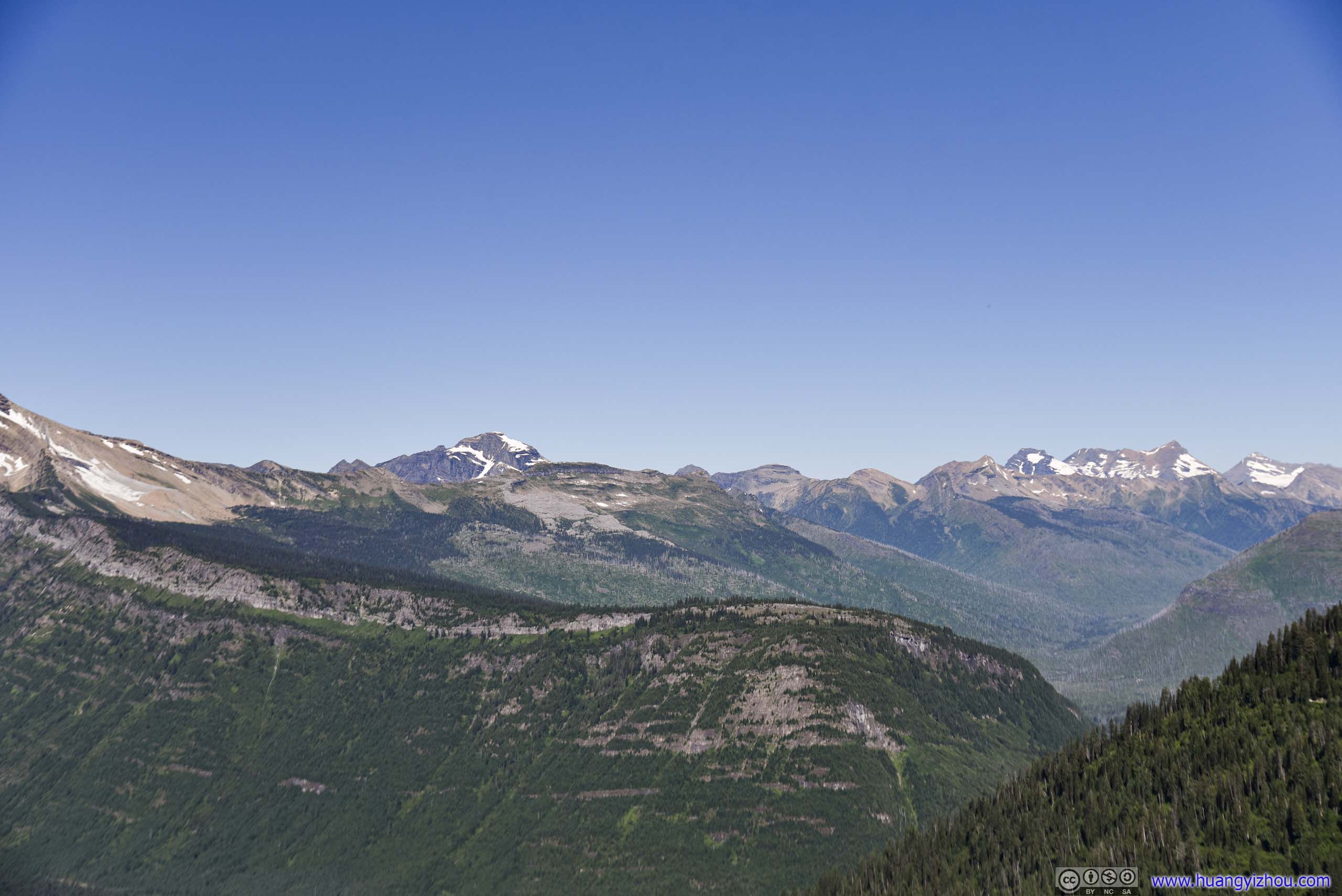 Distant Mountains
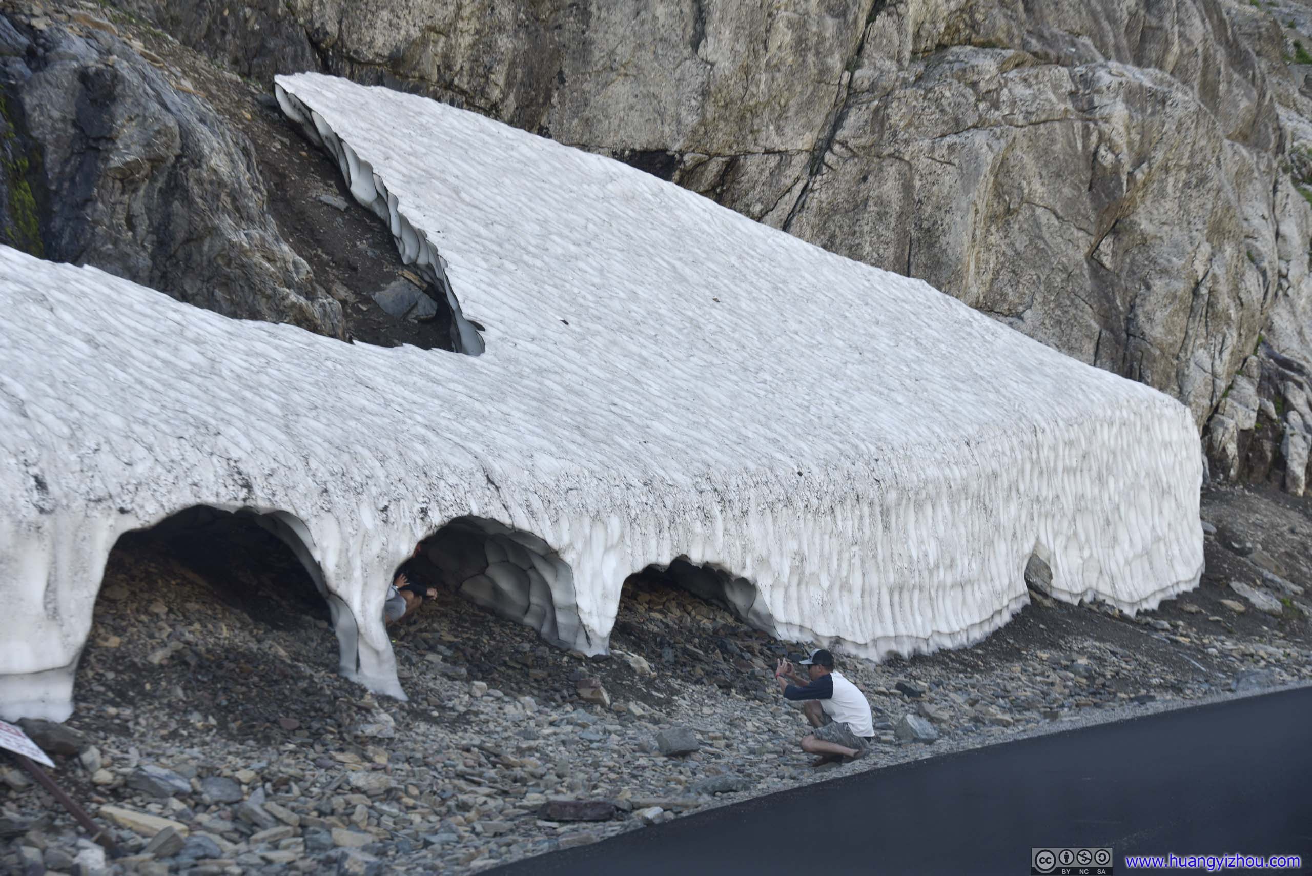
Snow Patches by RoadSeemed like a good idea for photograph.
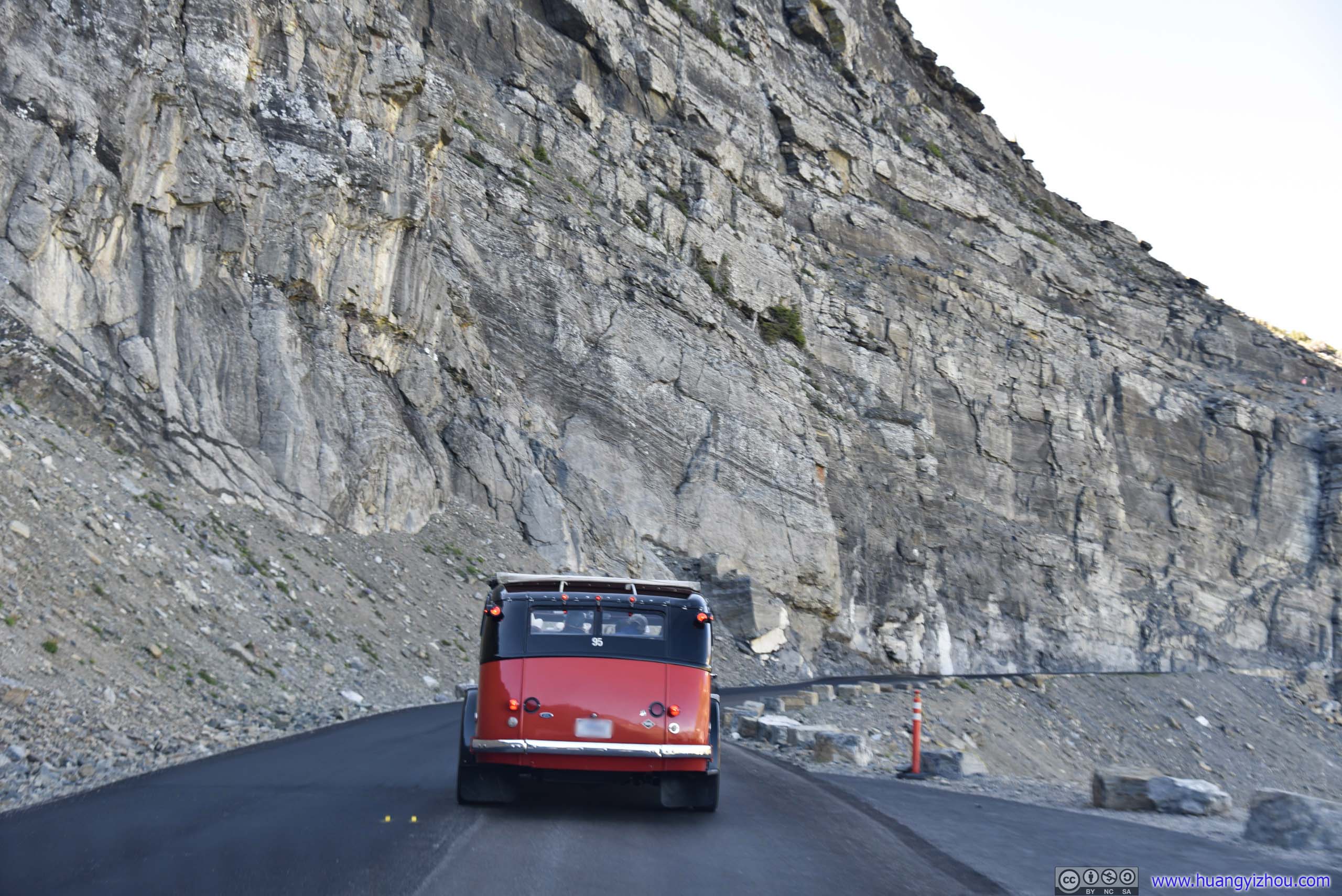
Tour BusThis bus was crawling uphill at a patience-testing speed of 12mph, which certainly wasn’t the most welcome on this road.
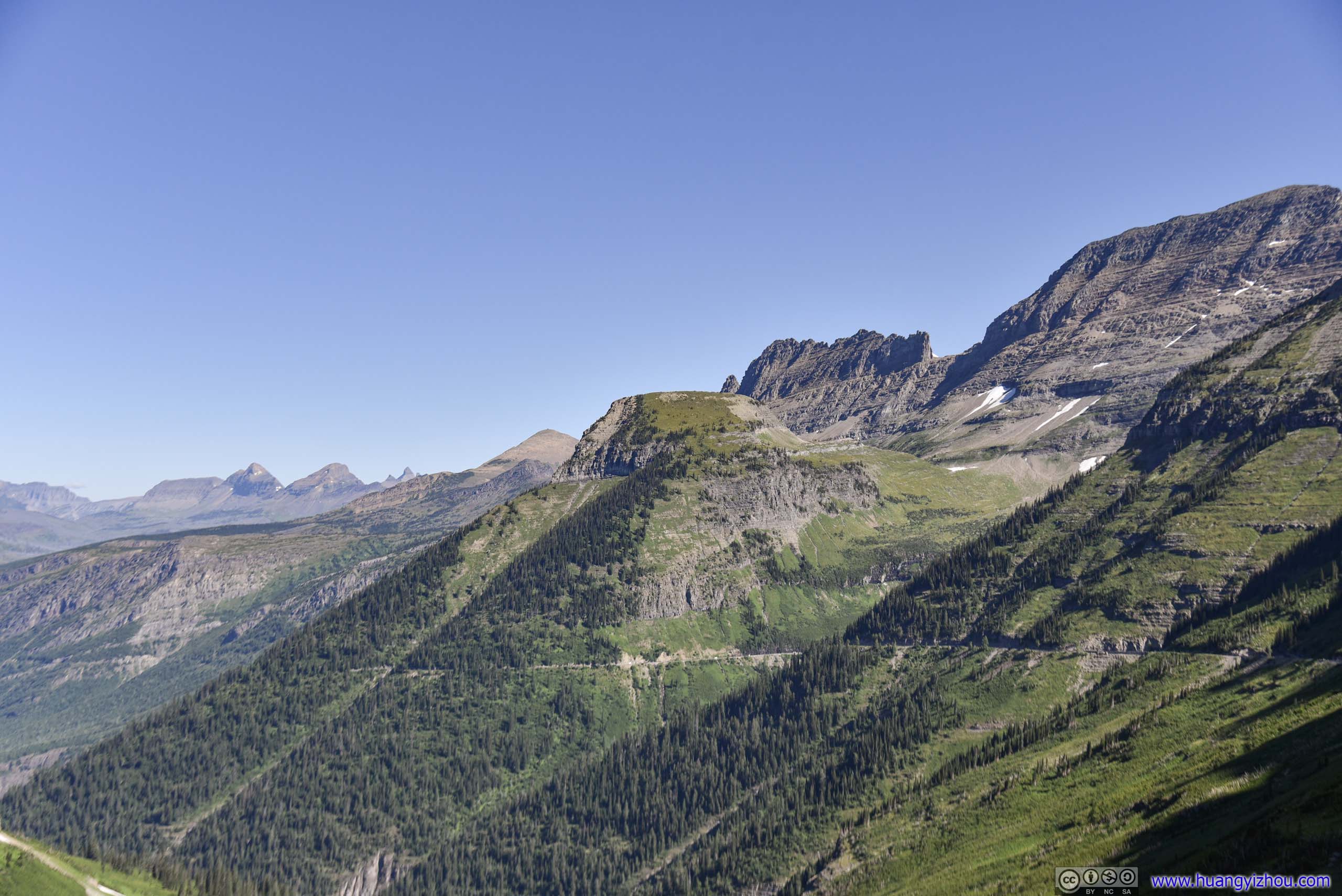
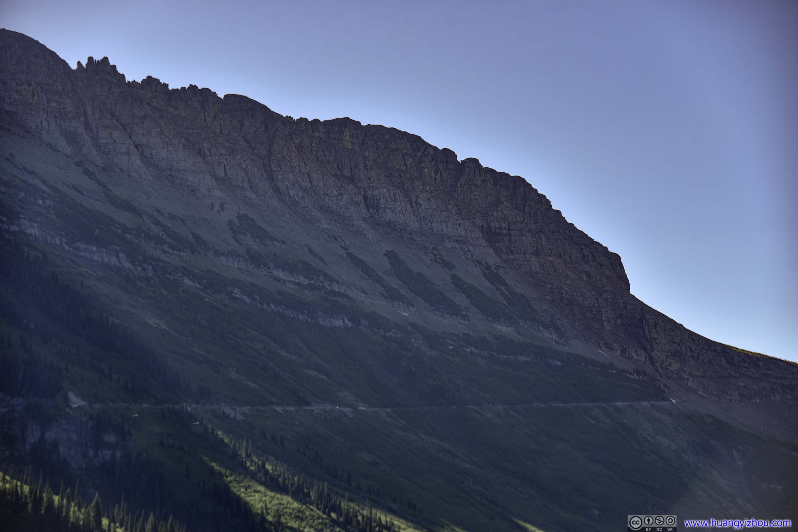
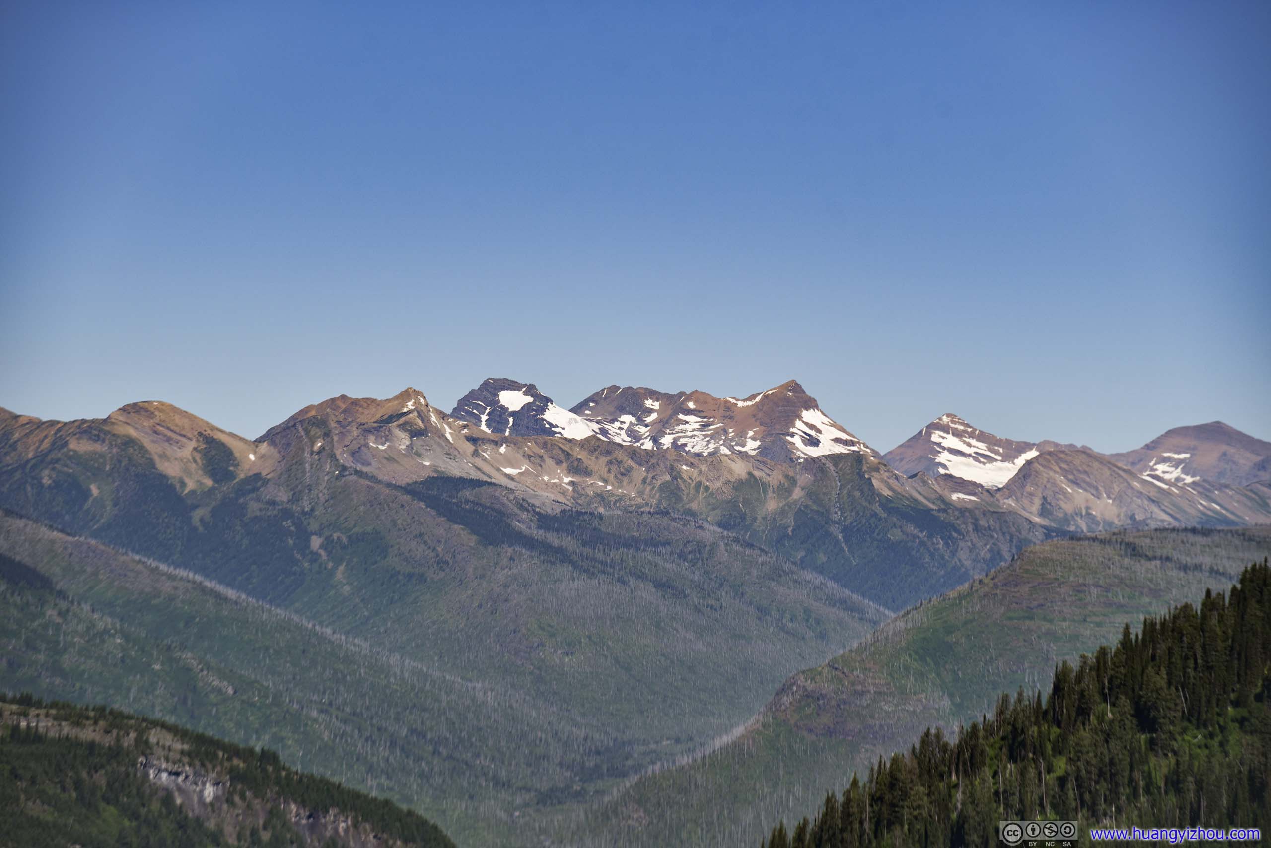
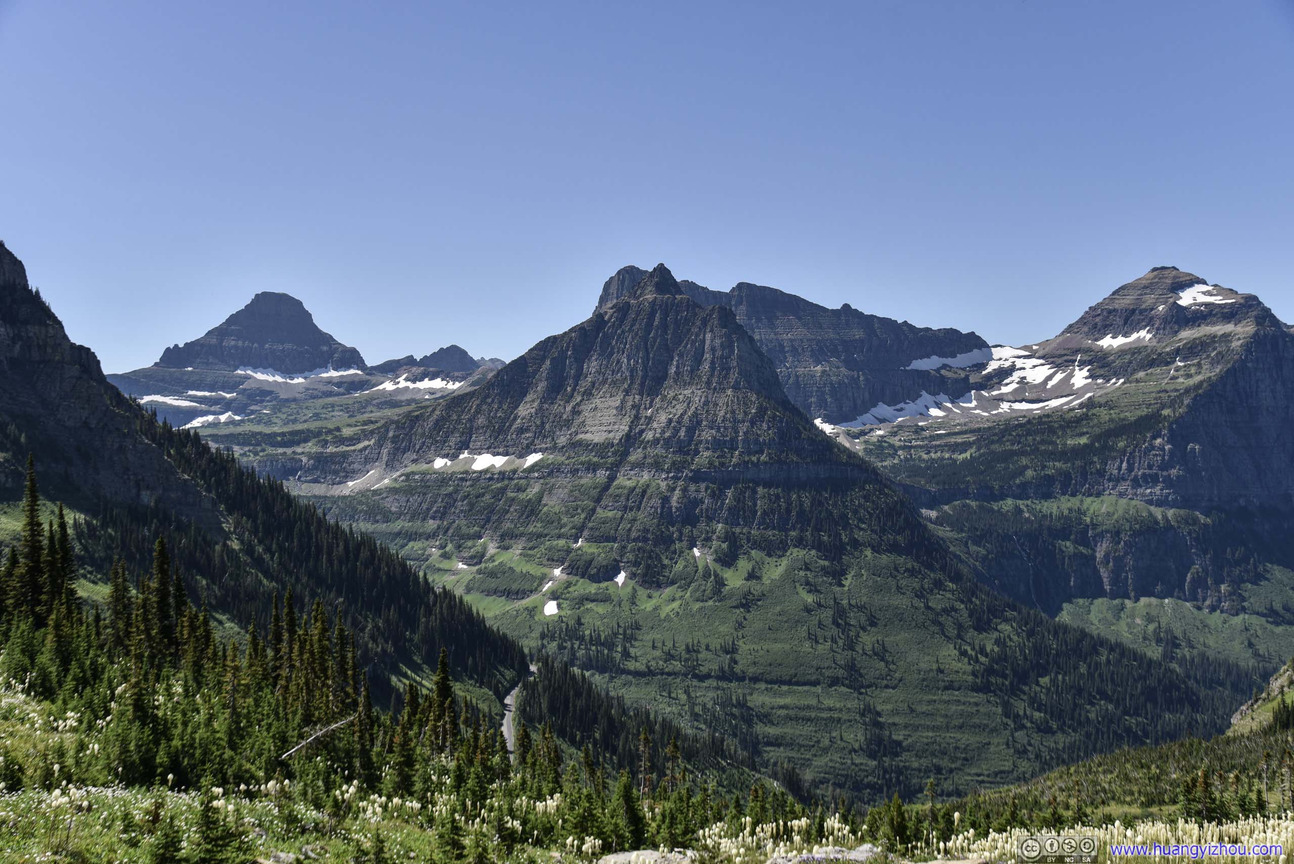
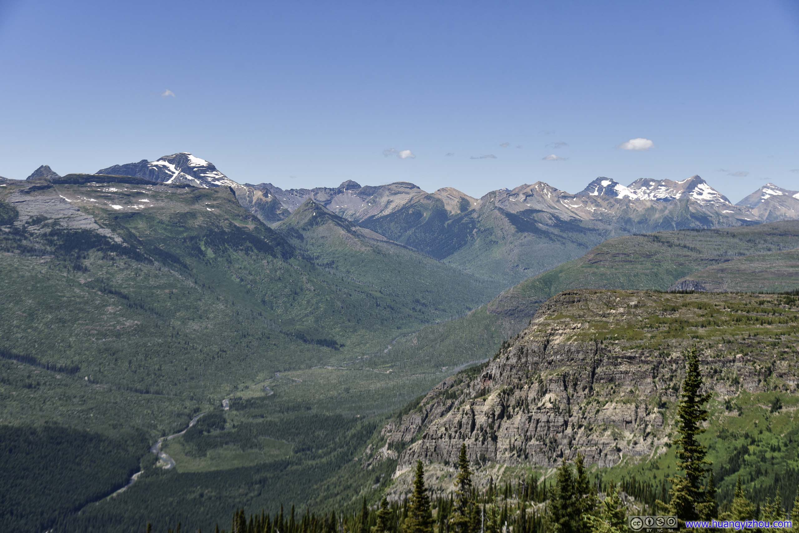
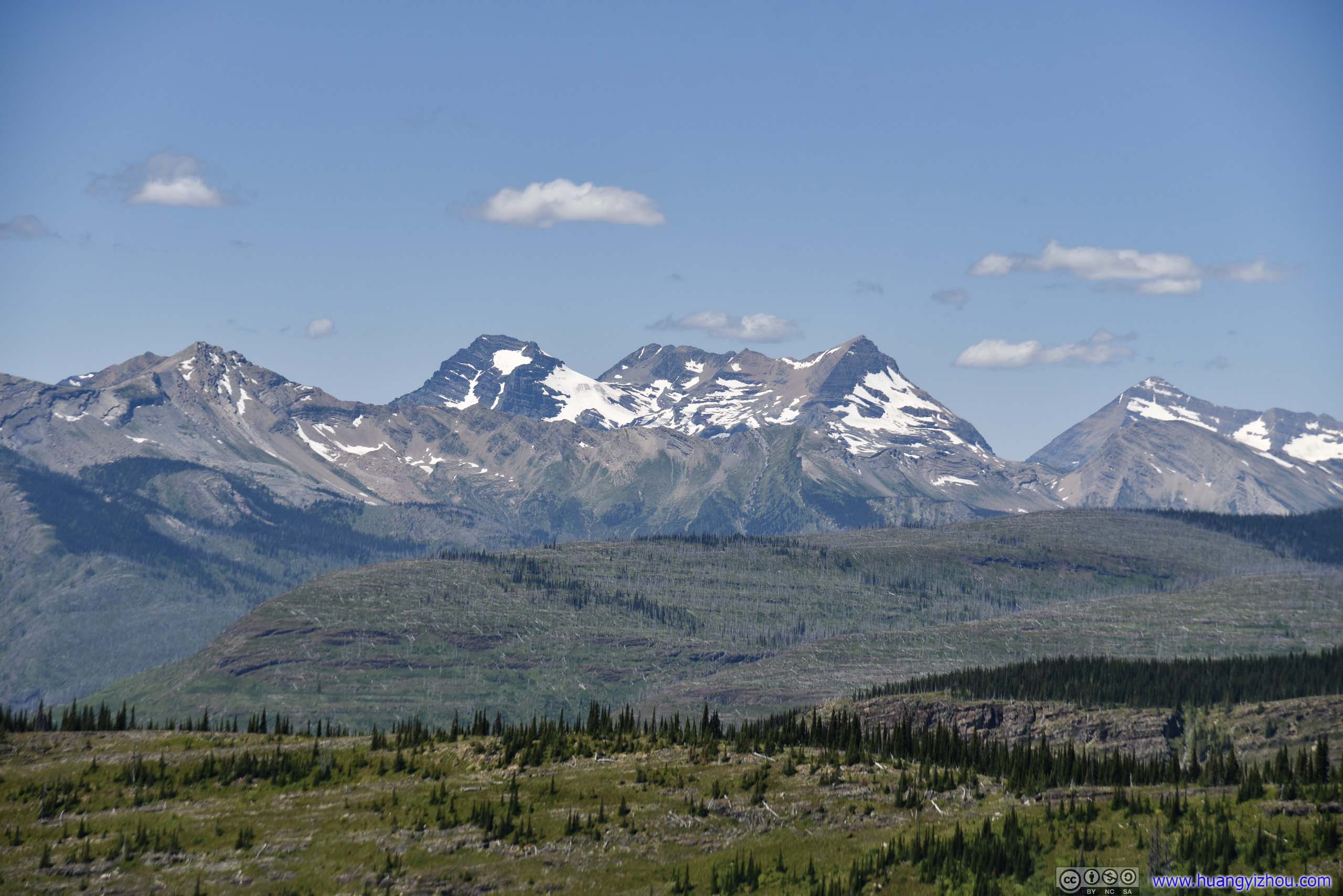
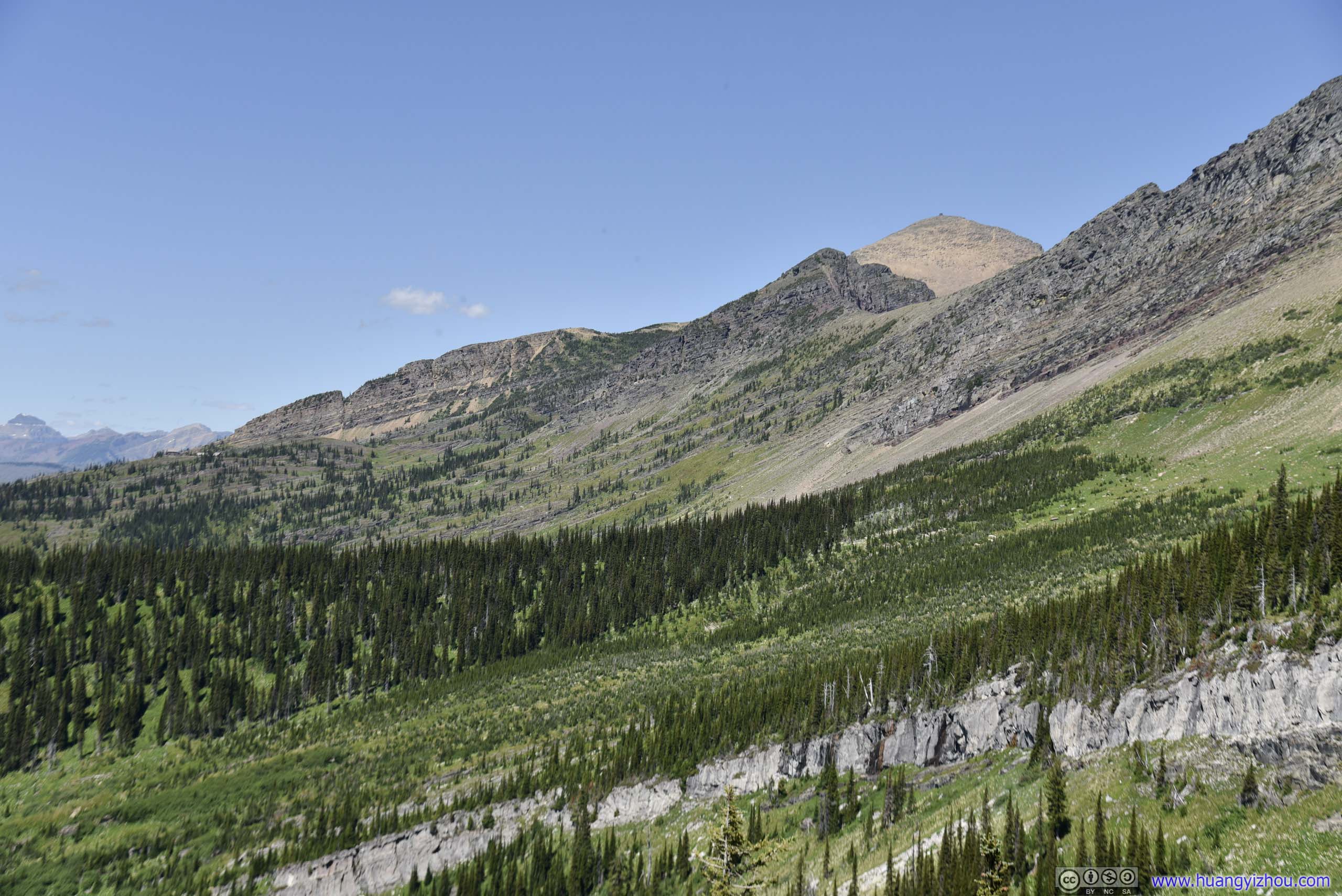
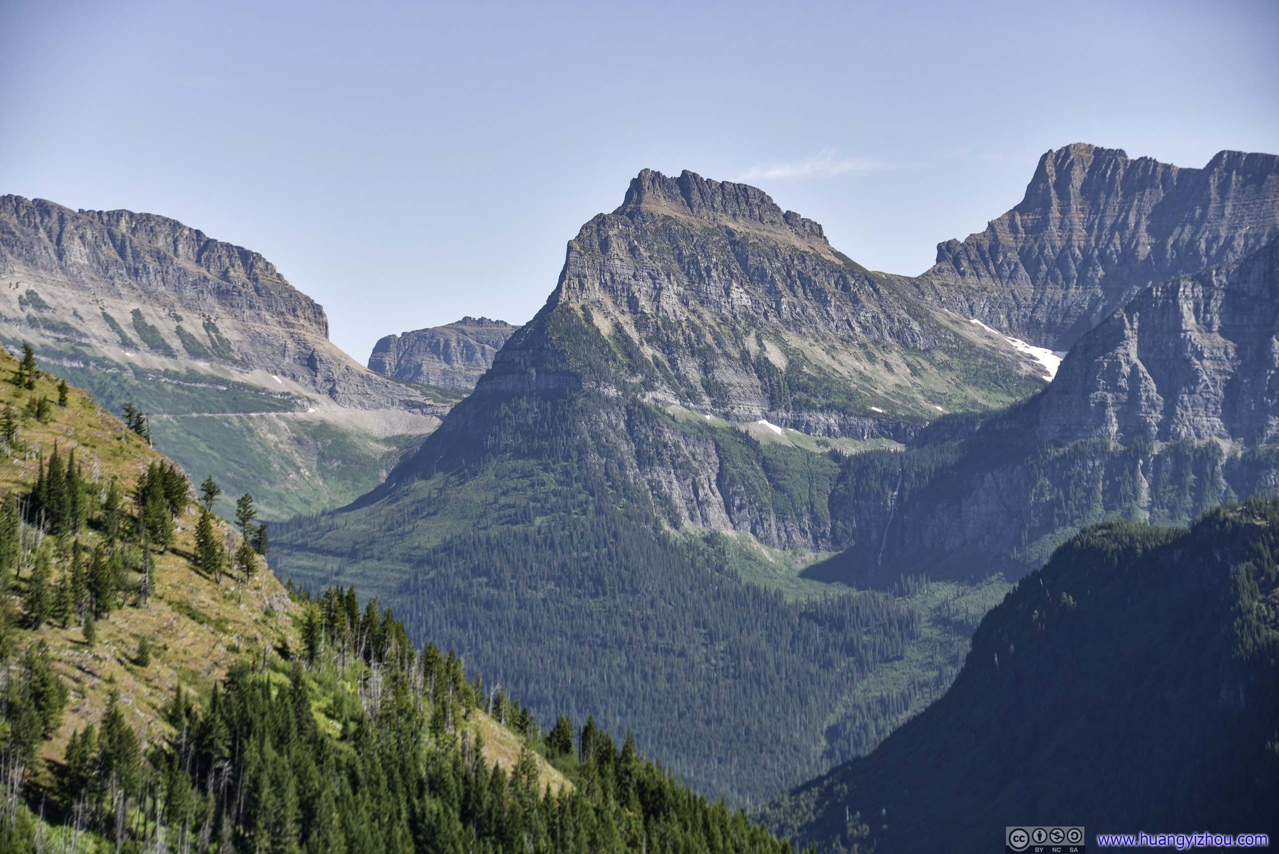
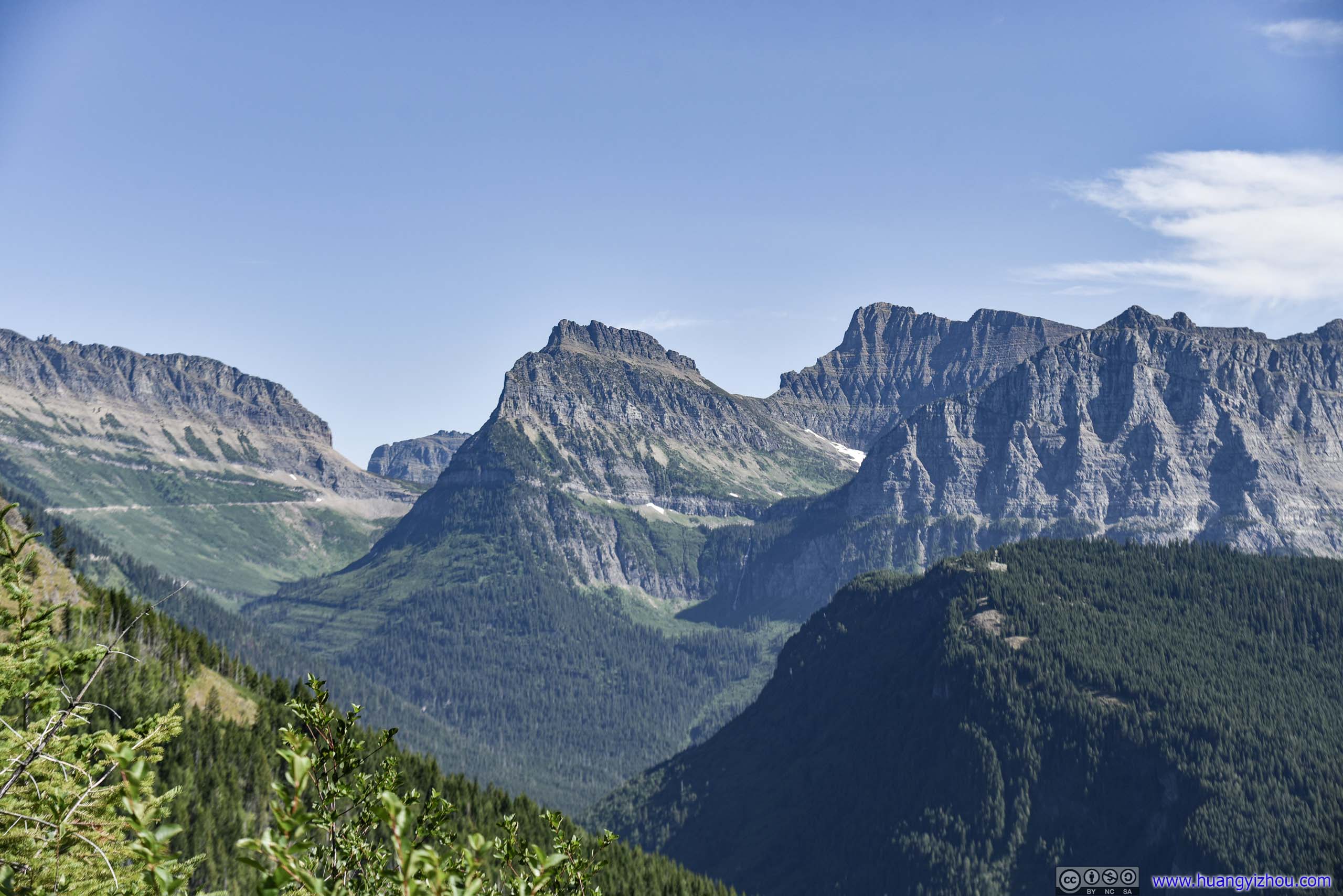
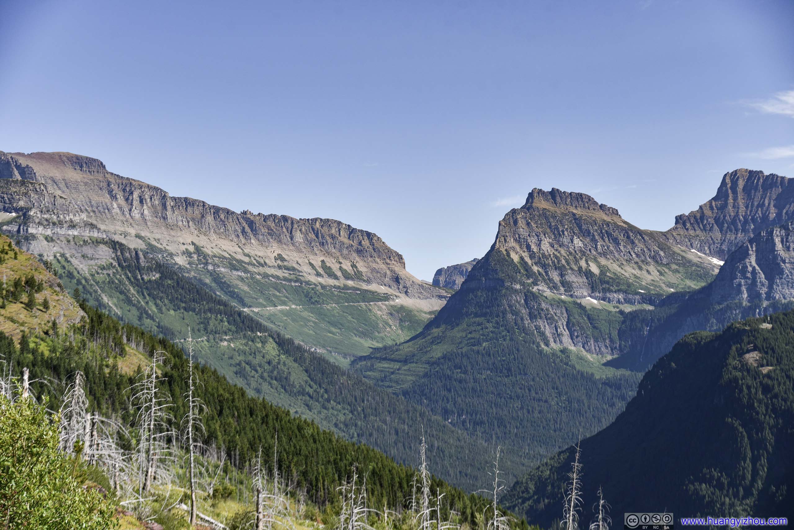
 Array of MountainsNorth of Logan Pass
So after stretching myself at Logan Pass, I headed onto Highline Trail at 10:40am.
And here’s GPS tracking:
Mount OberlinSun Road winding its way down.
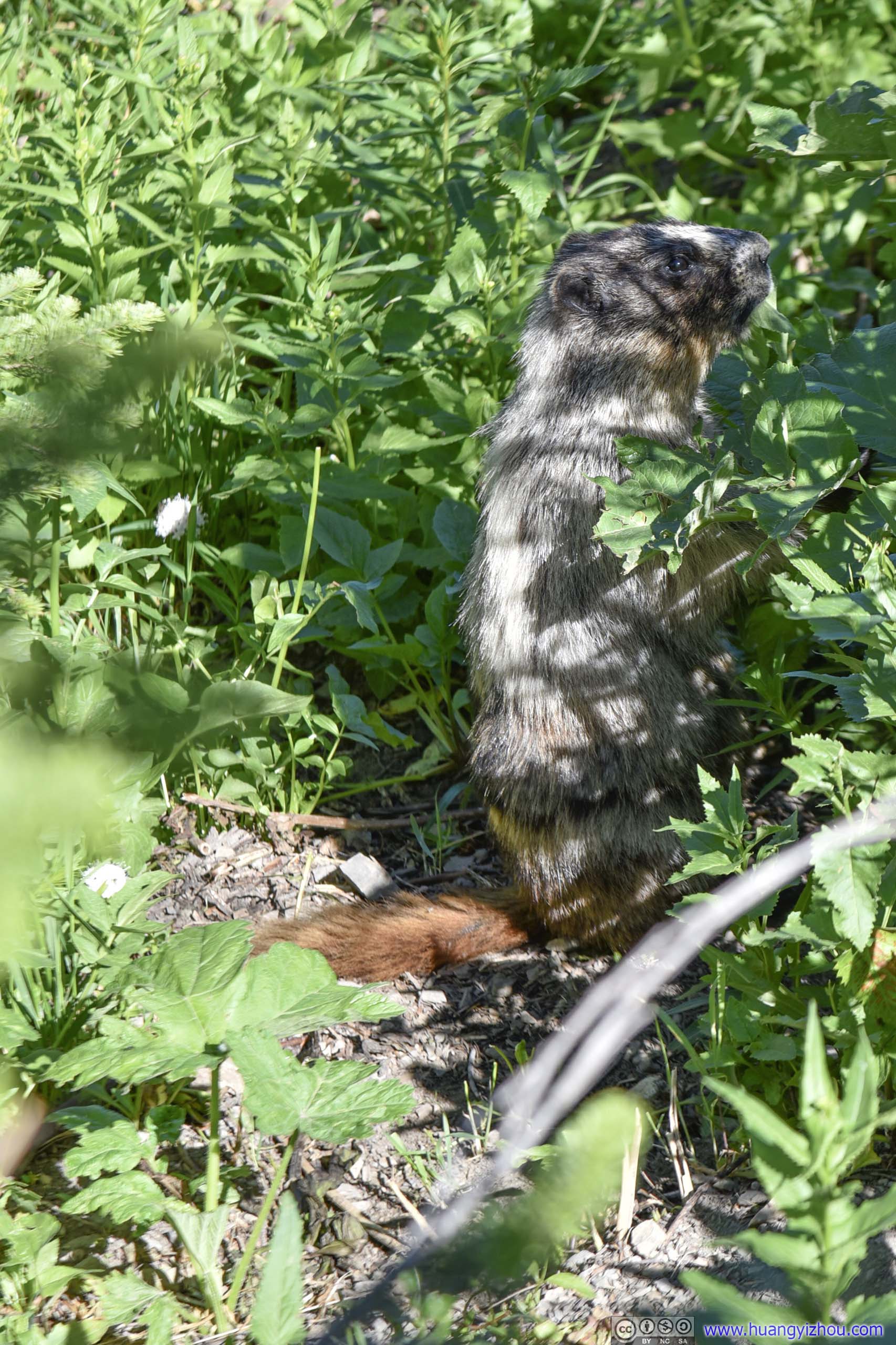
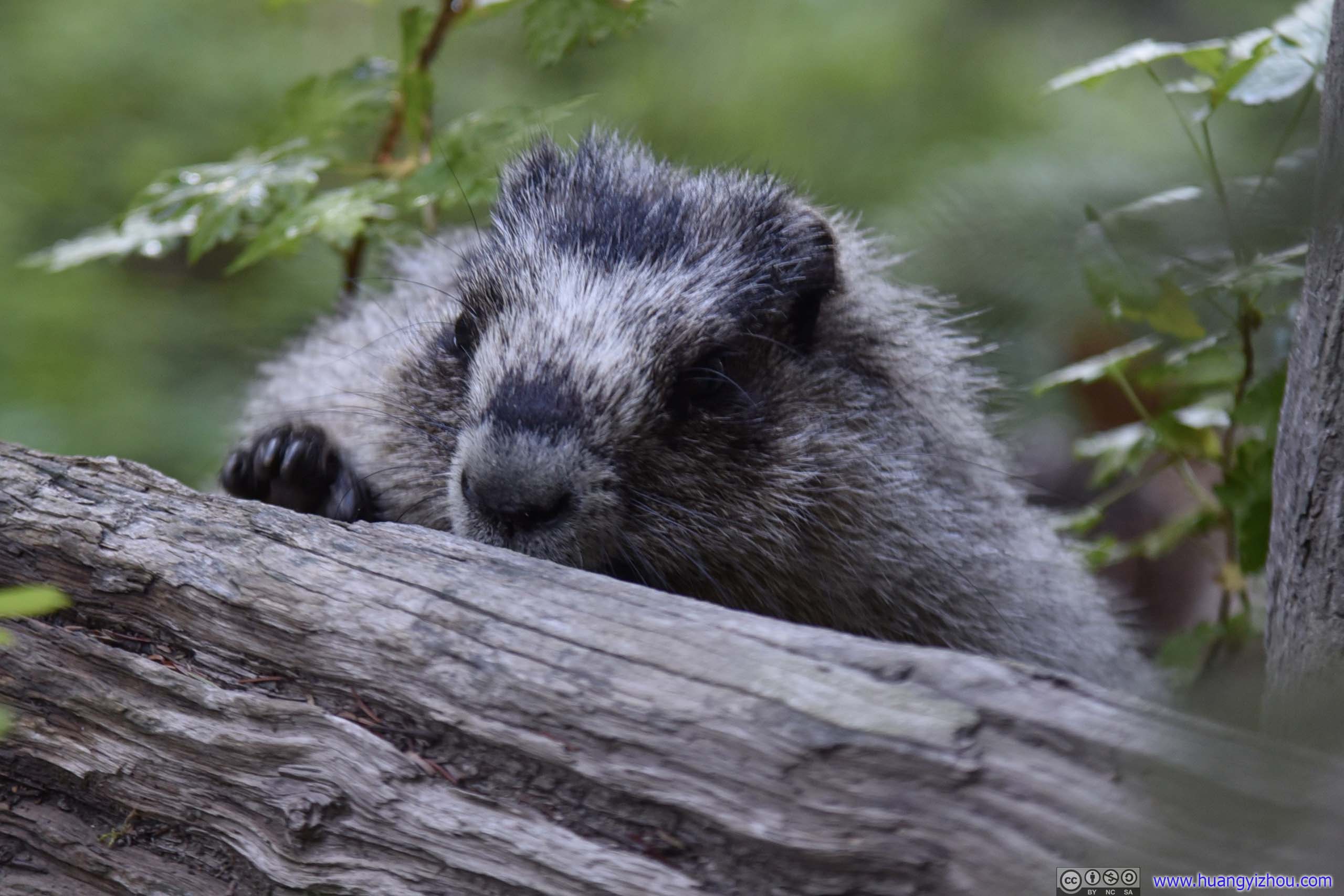
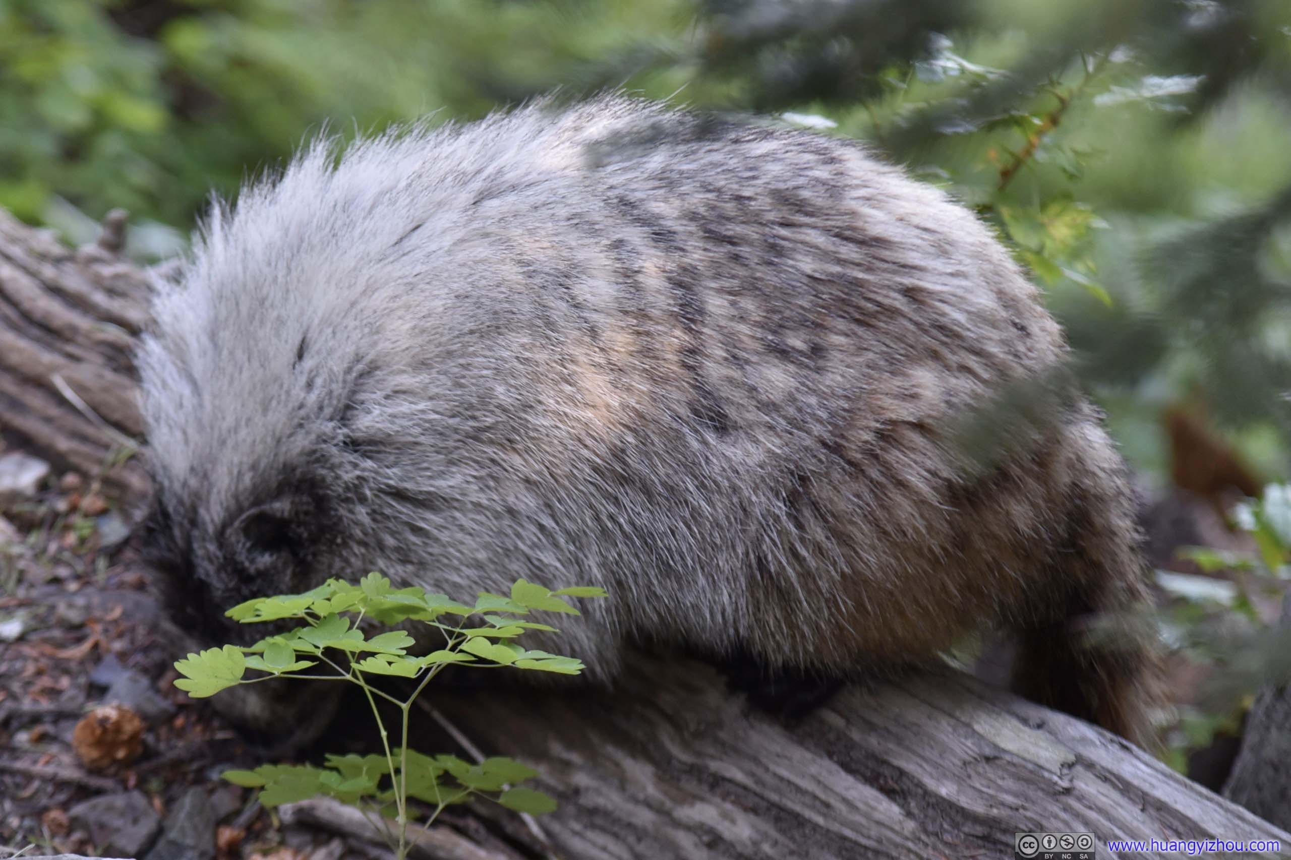
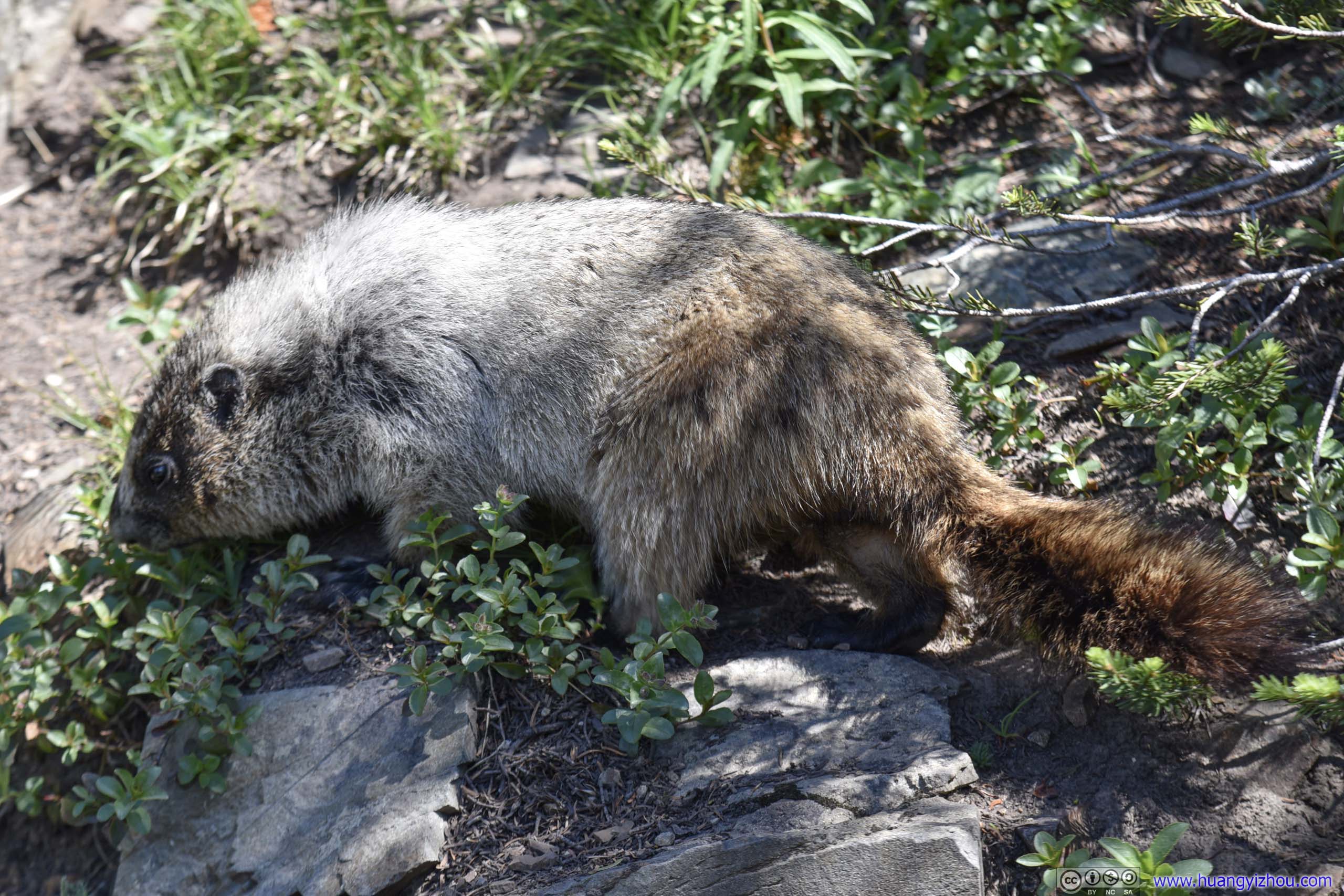
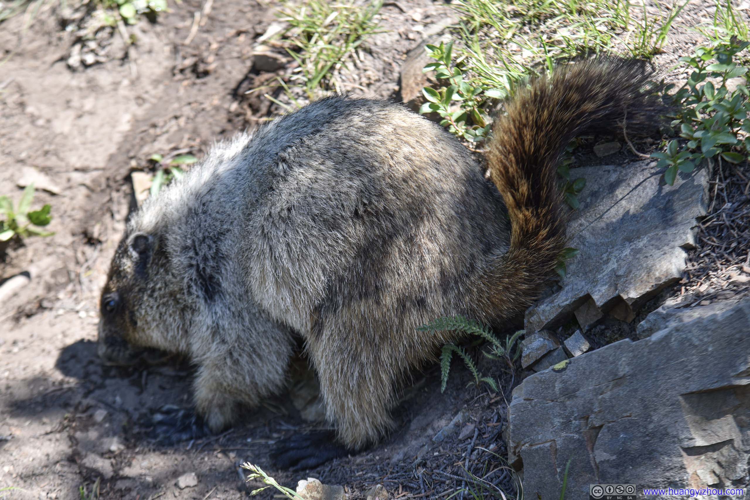
 MarmotOne of many that I were to encounter for the day.
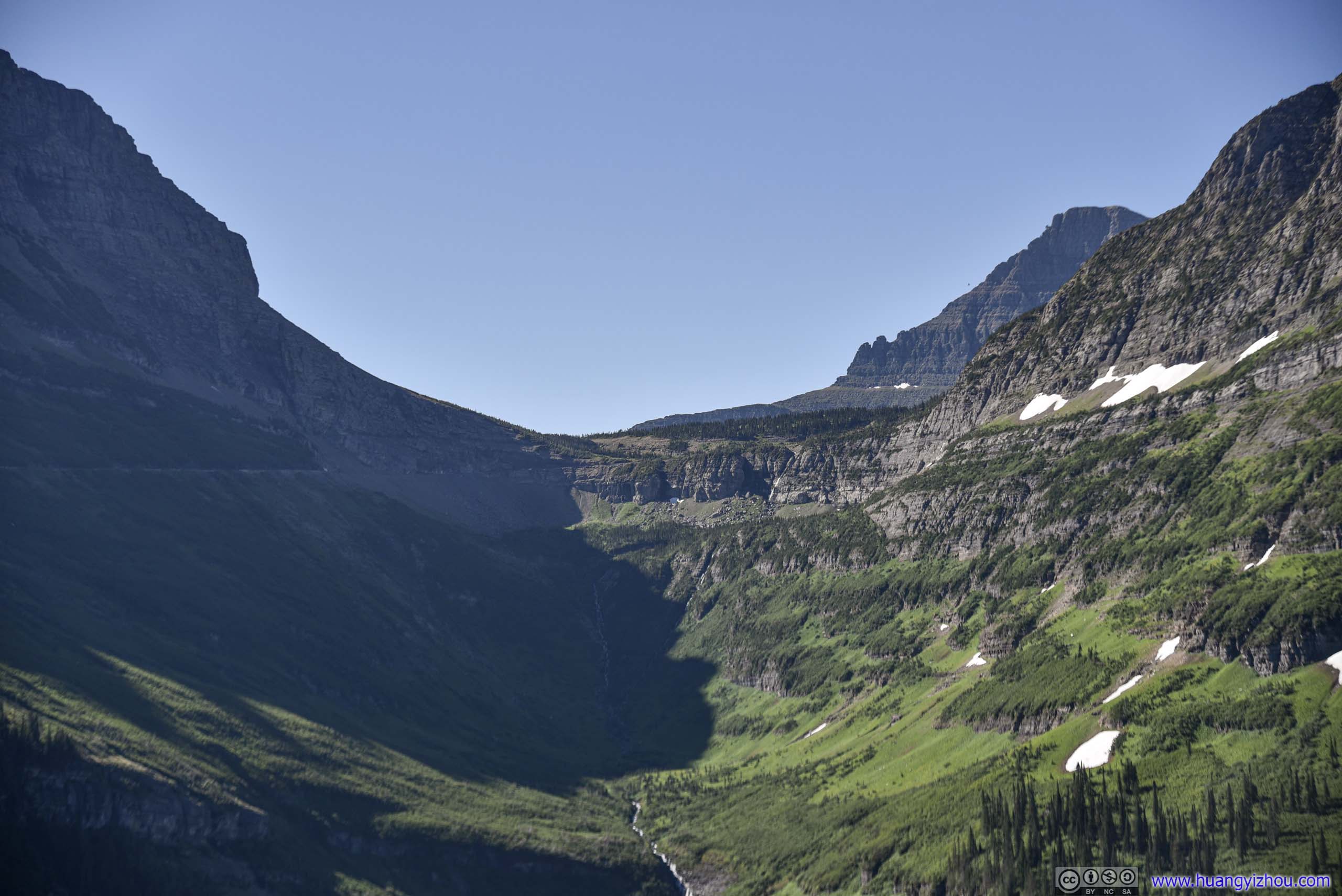
Valley
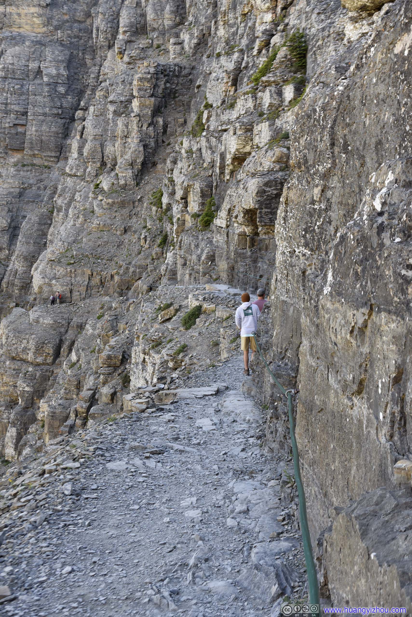
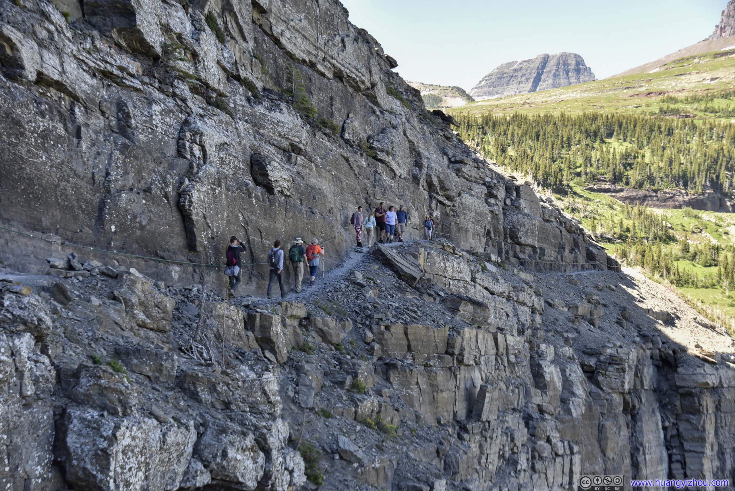
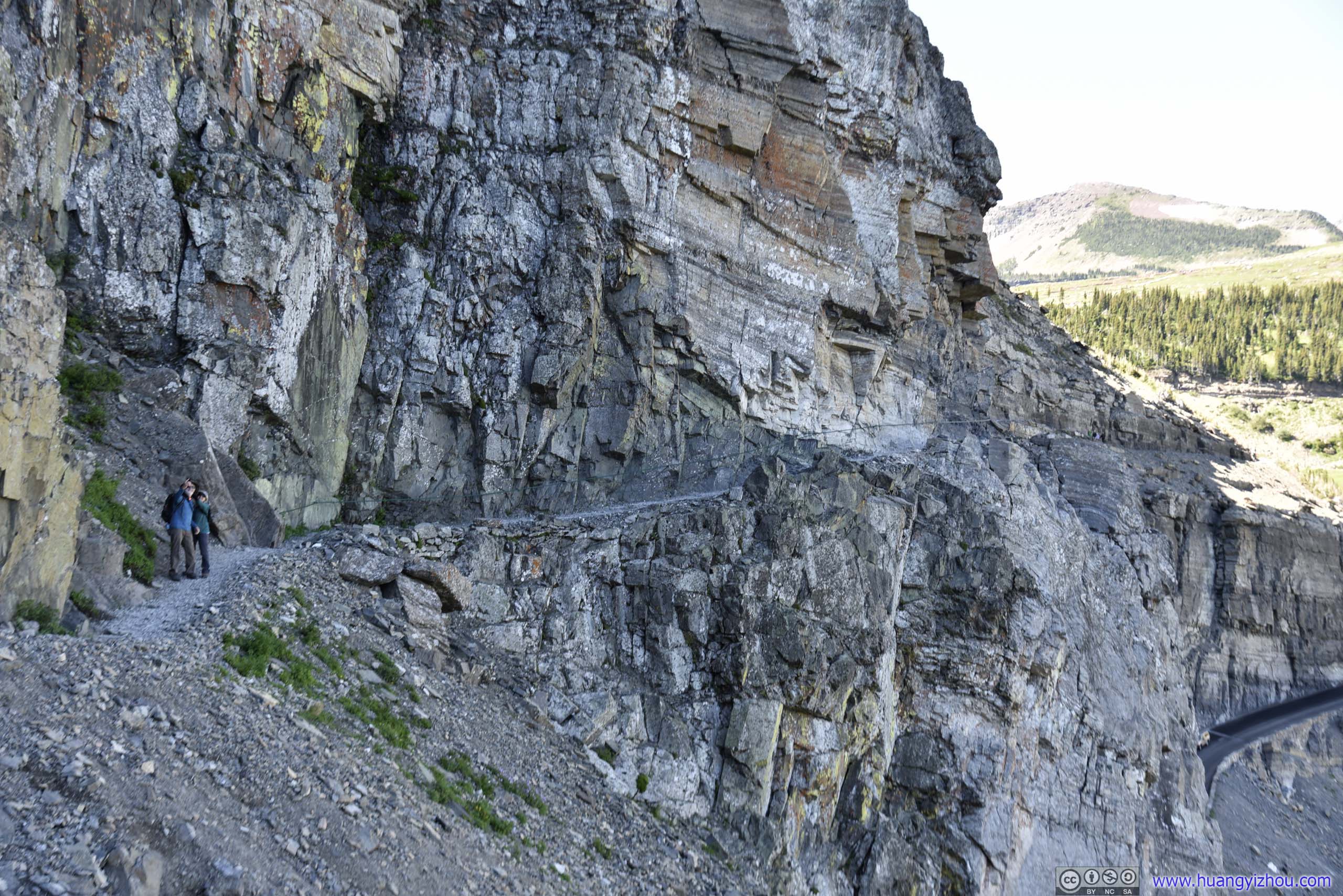
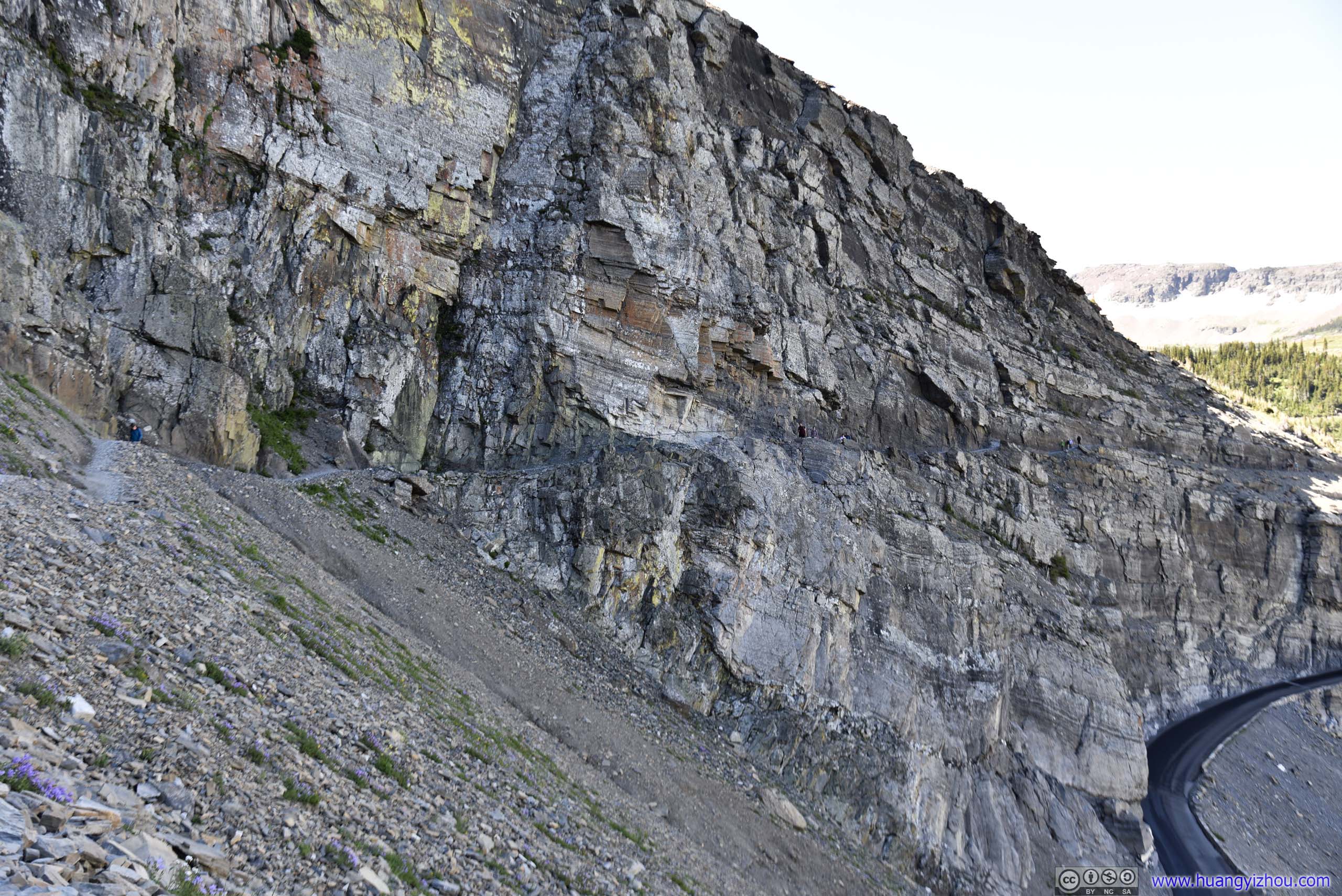
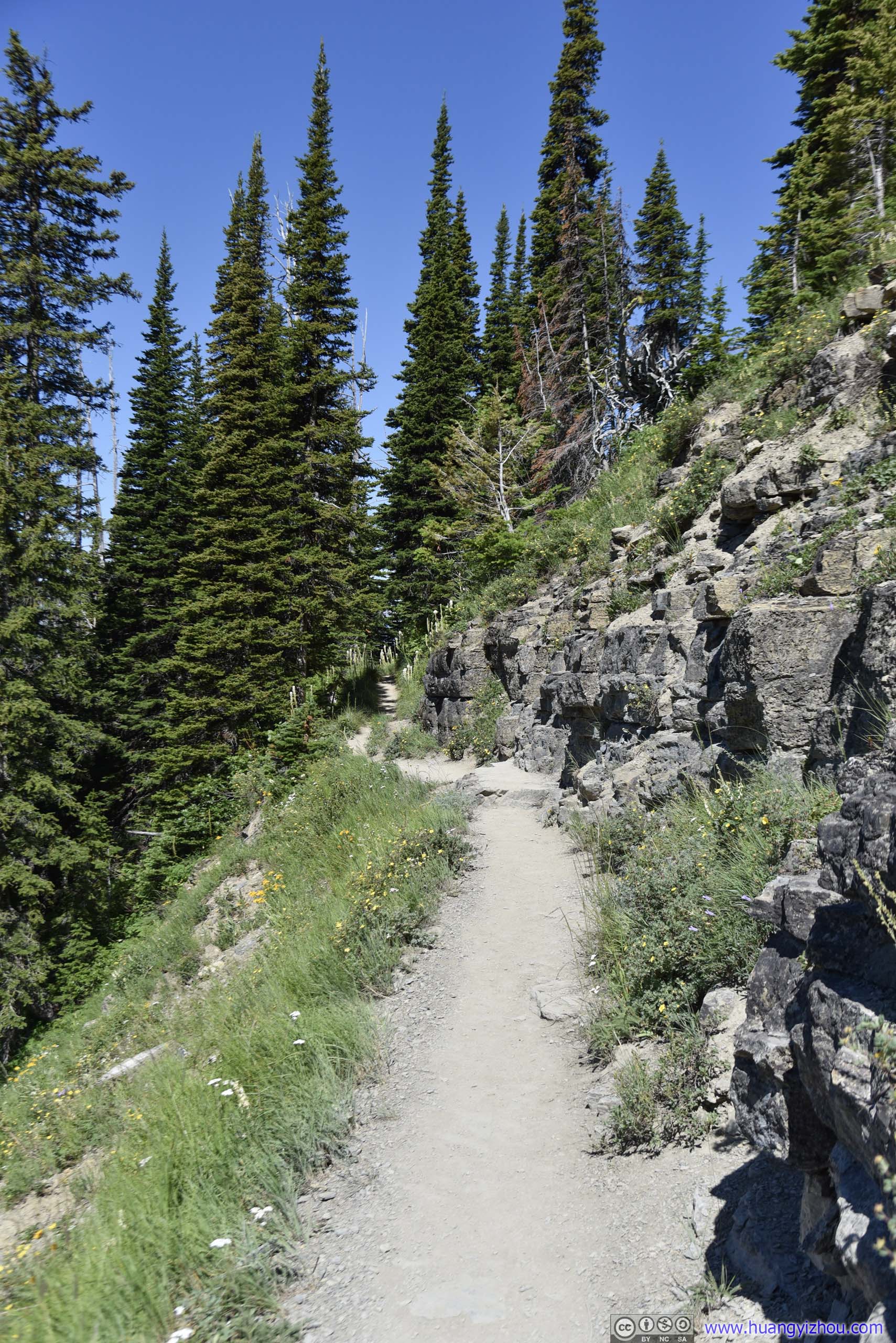
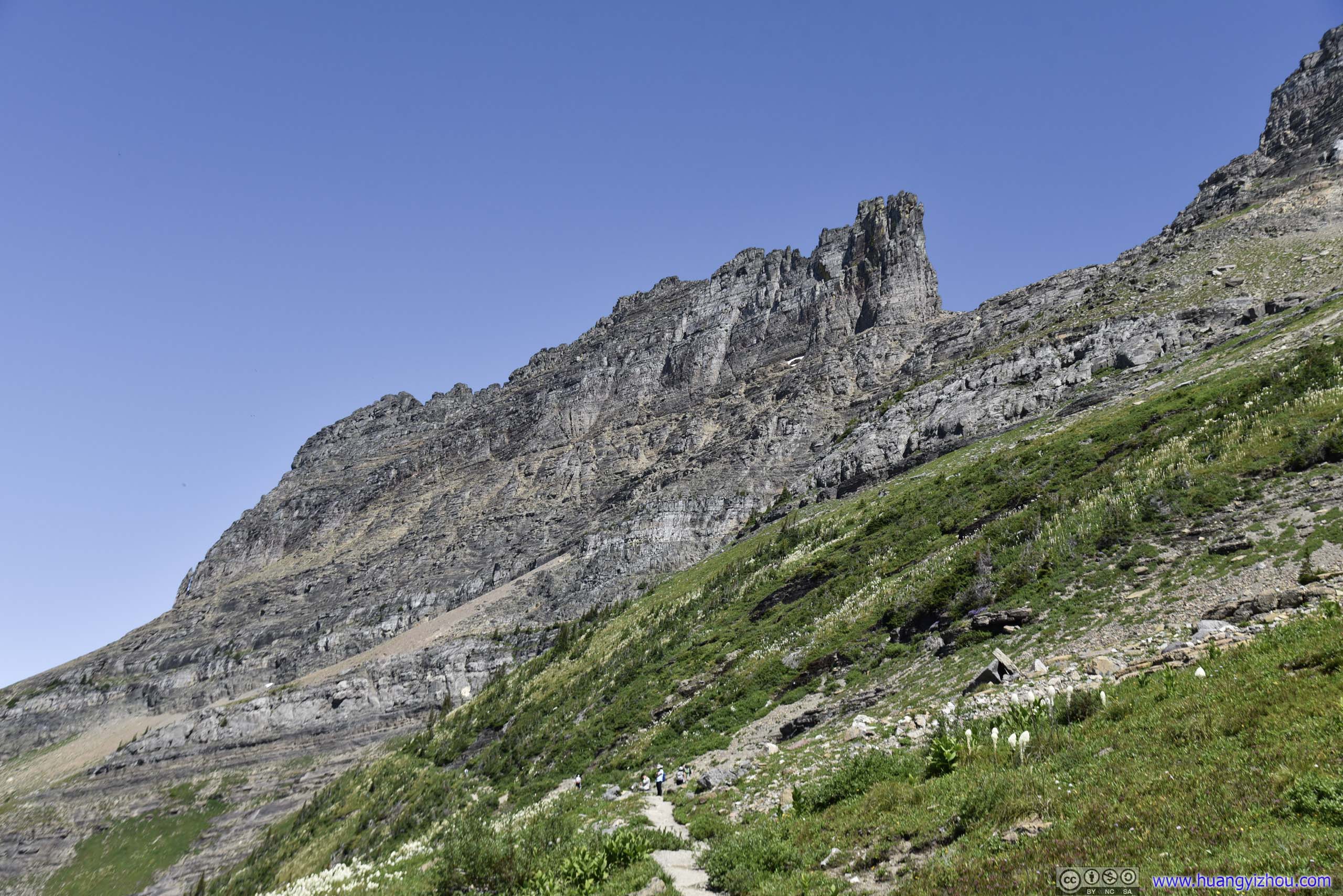
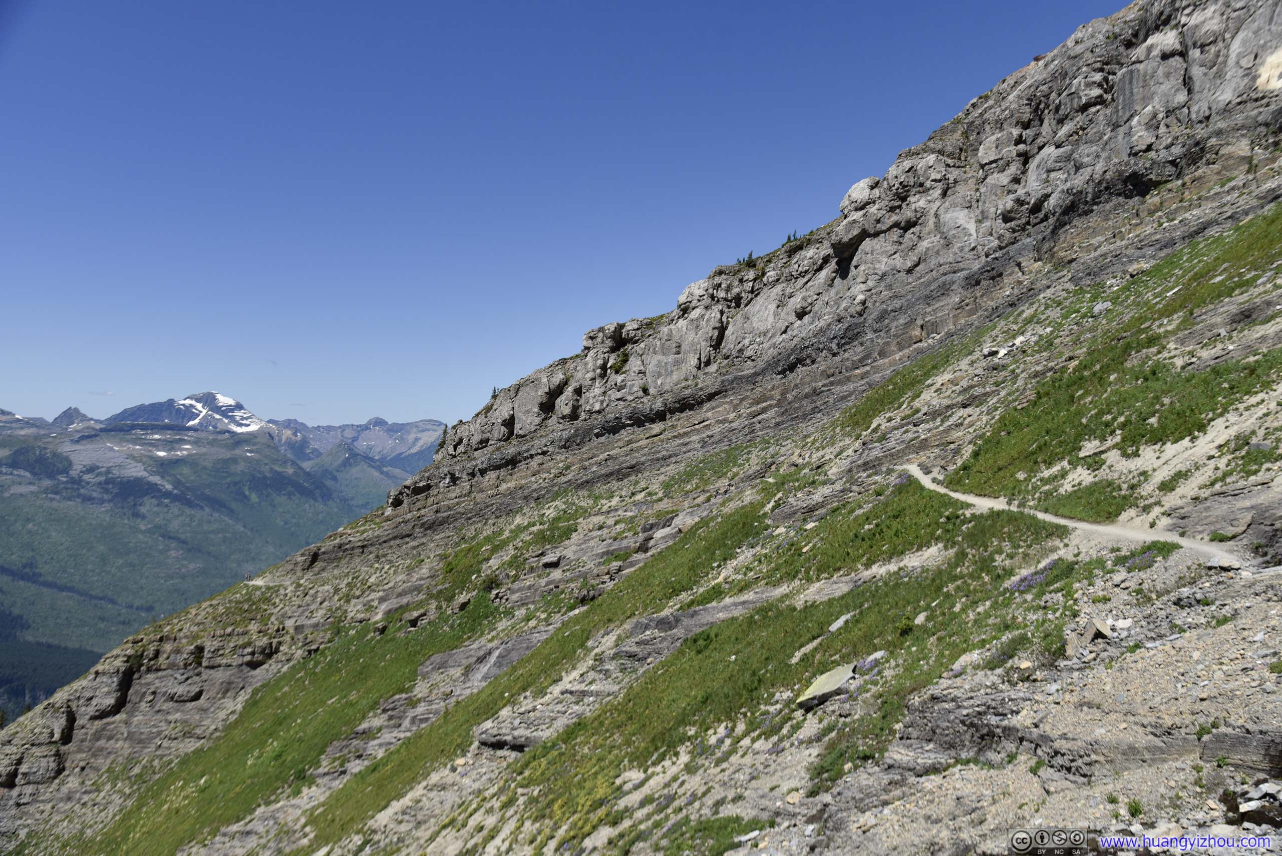
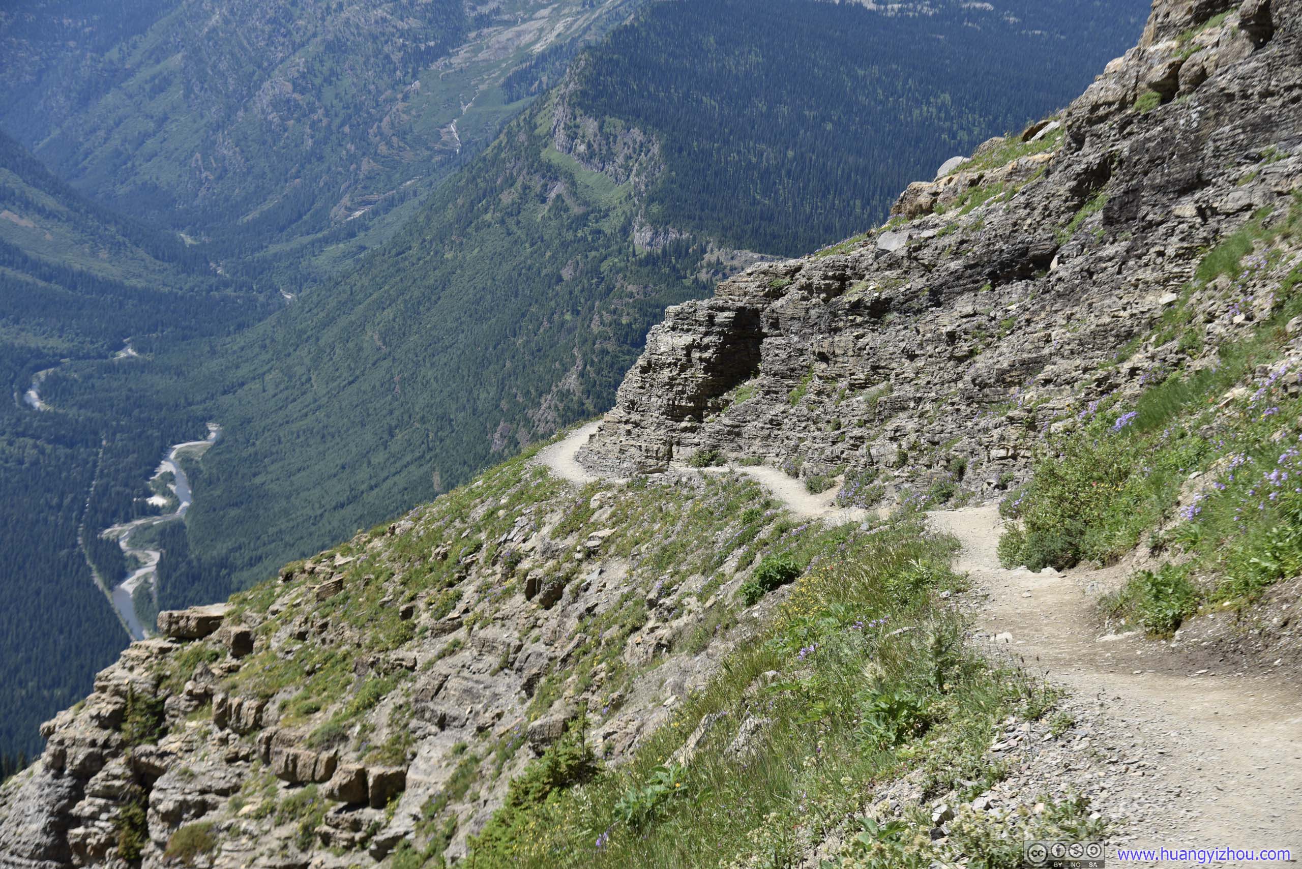
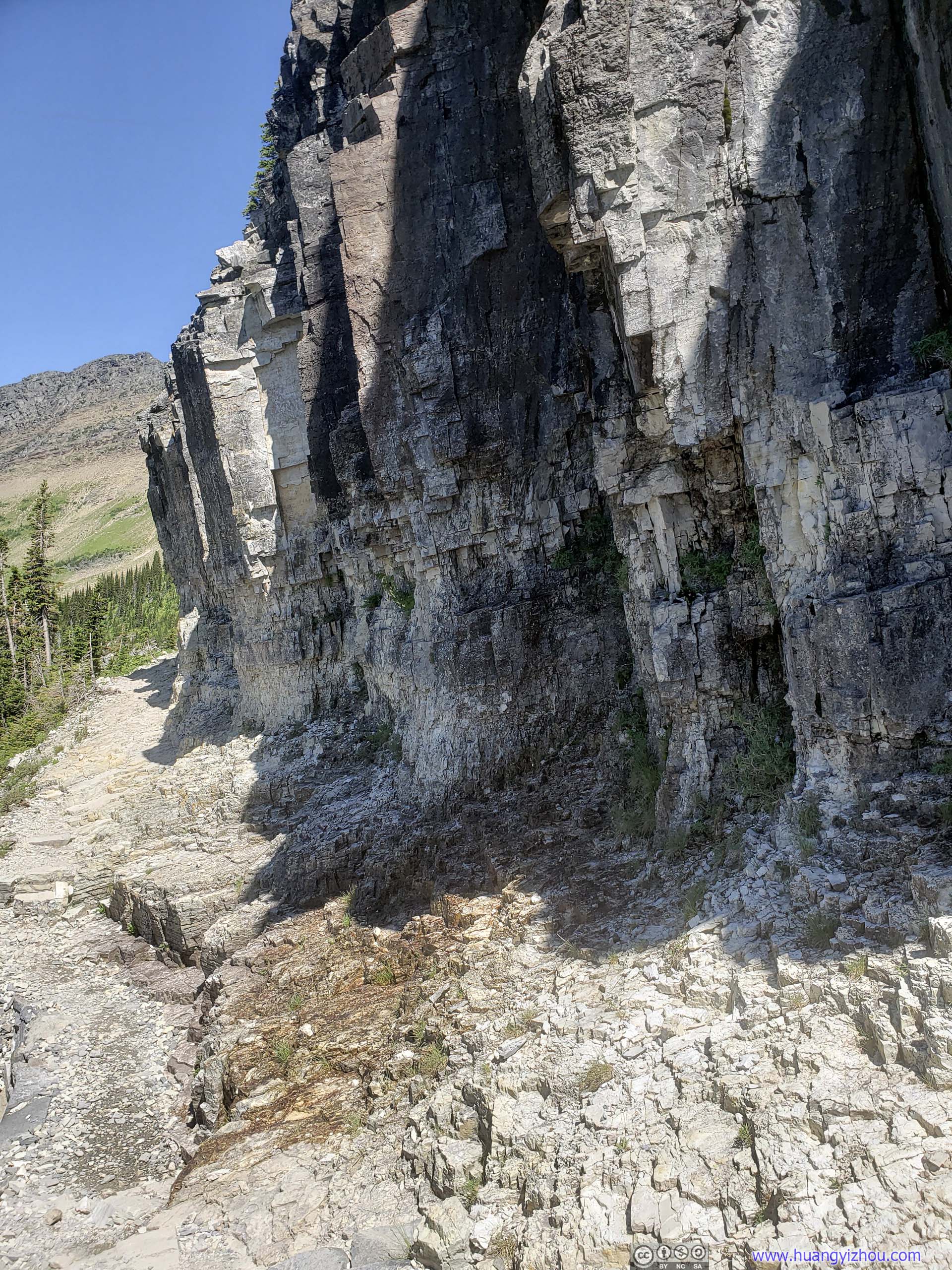
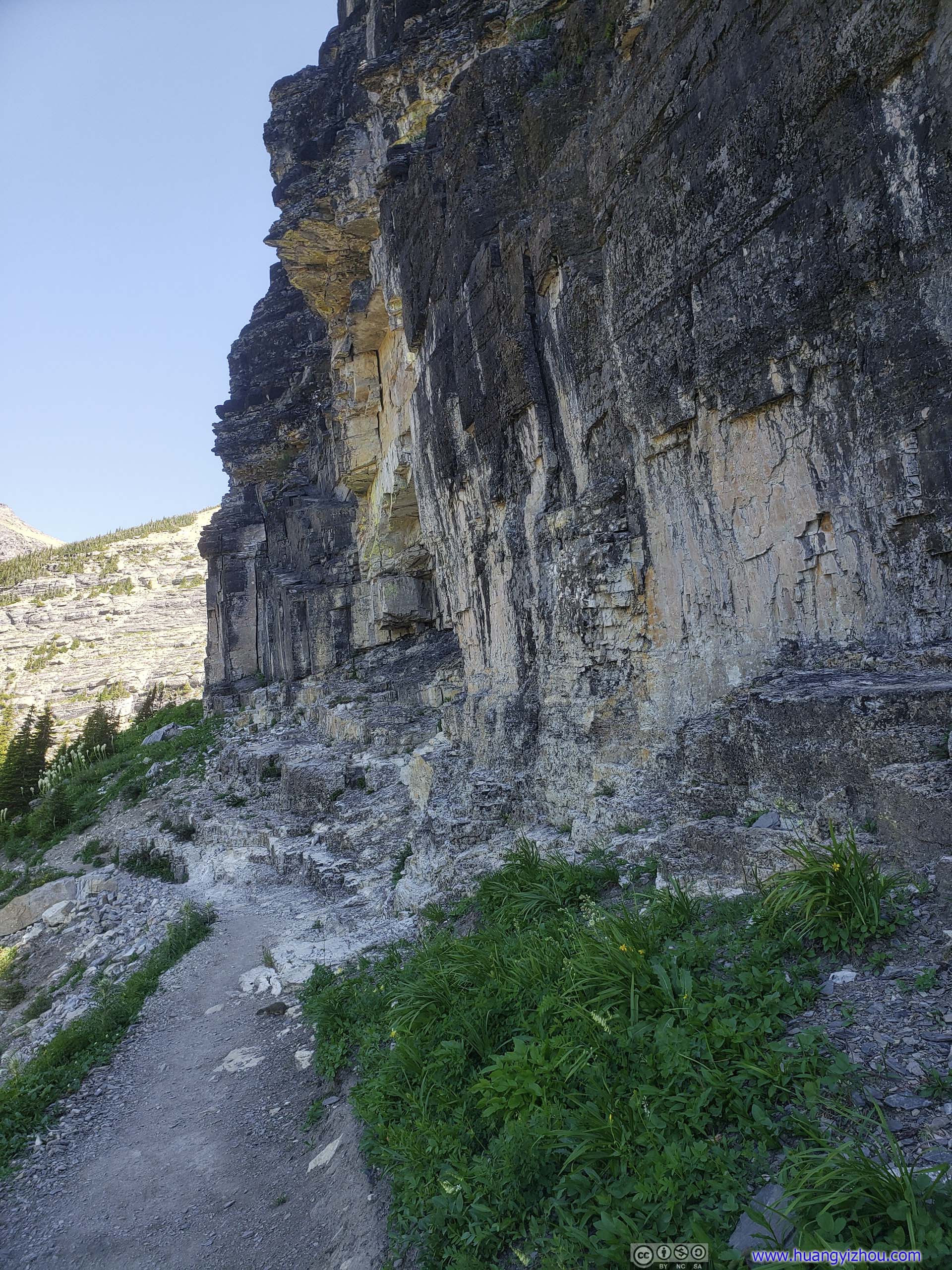
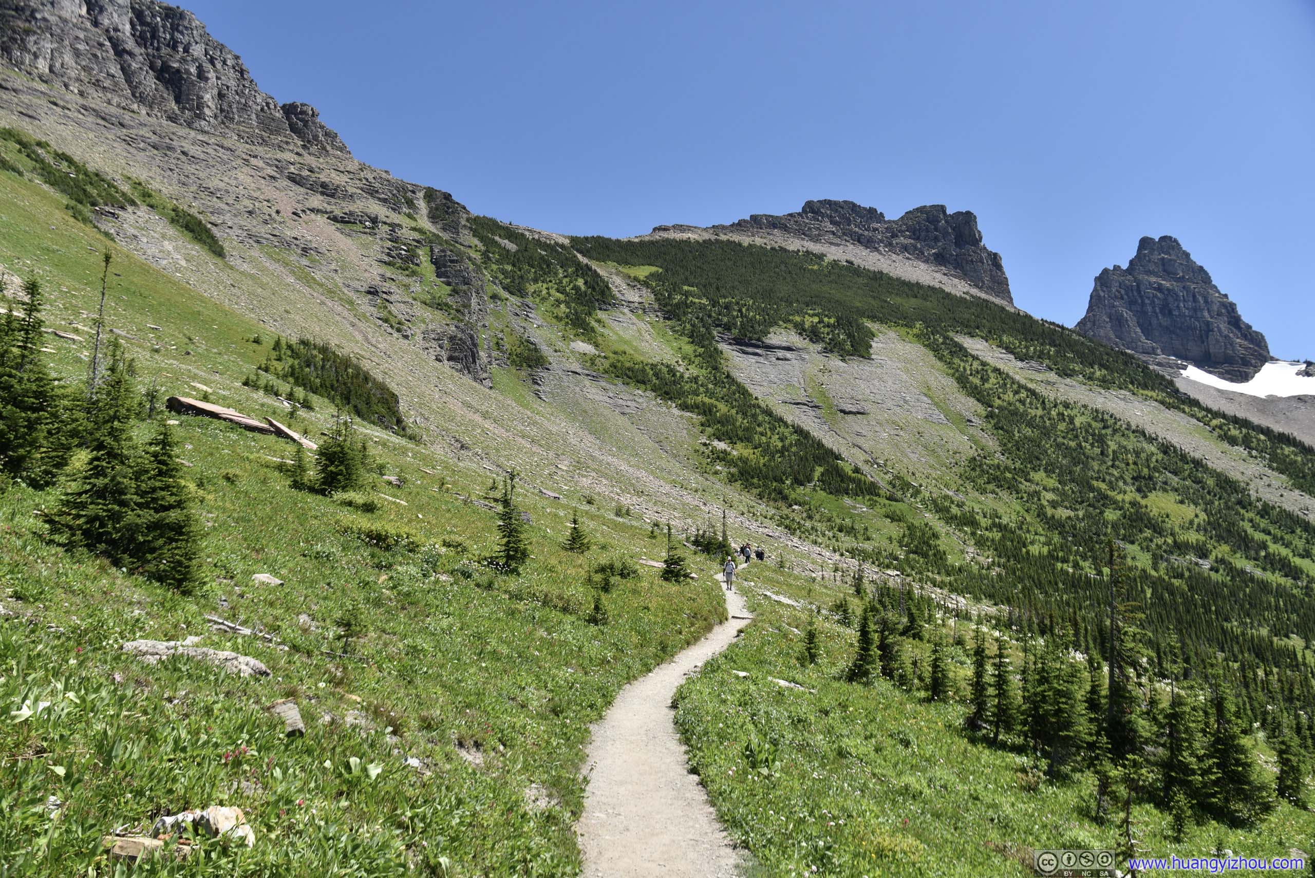
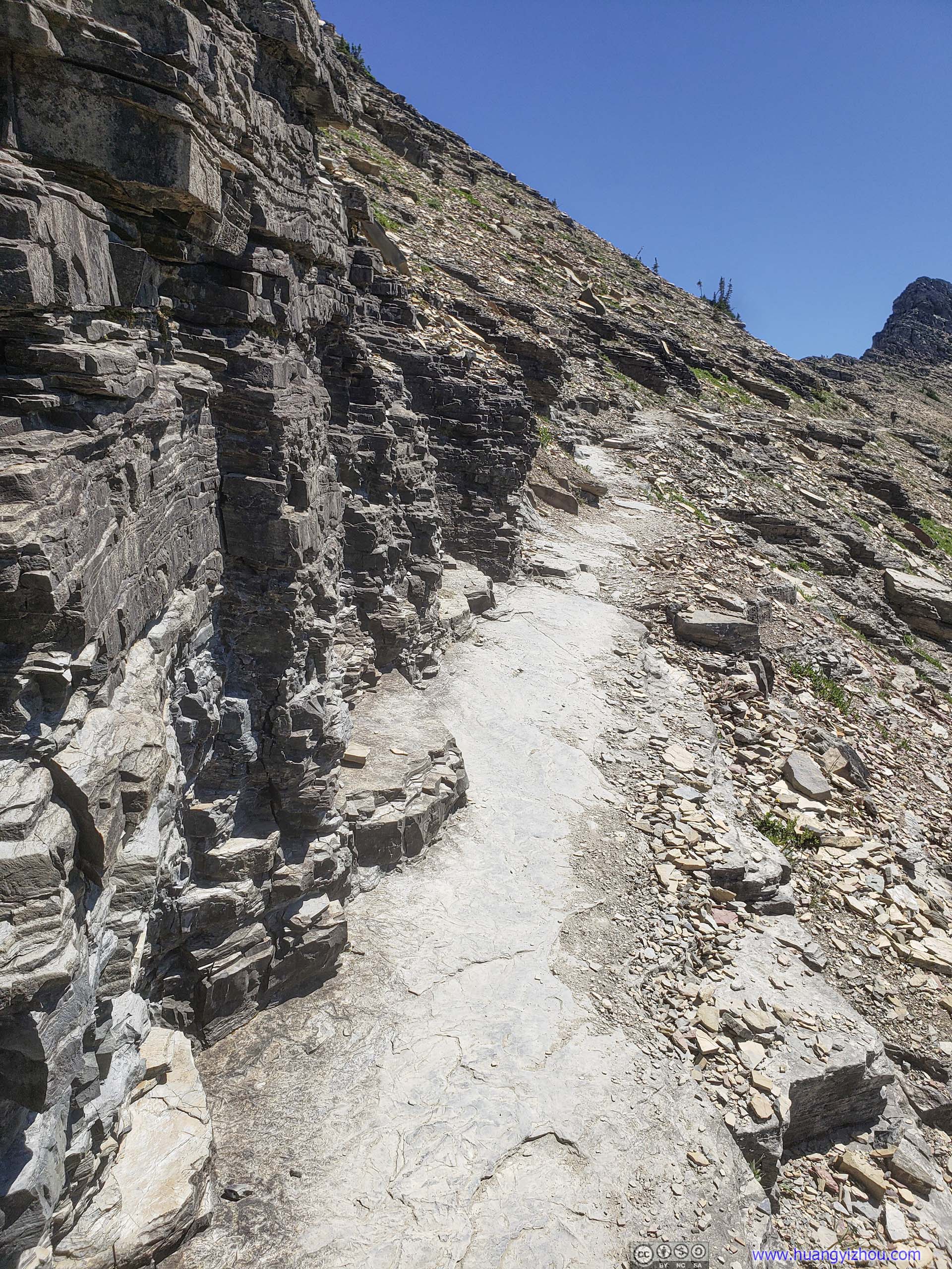
Immediately out of Logan Pass, Highline Trail took on a section right along rocky cliff.
But no worries for the faint hearted, in the scariest section (which wasn’t at all) there were handrails.
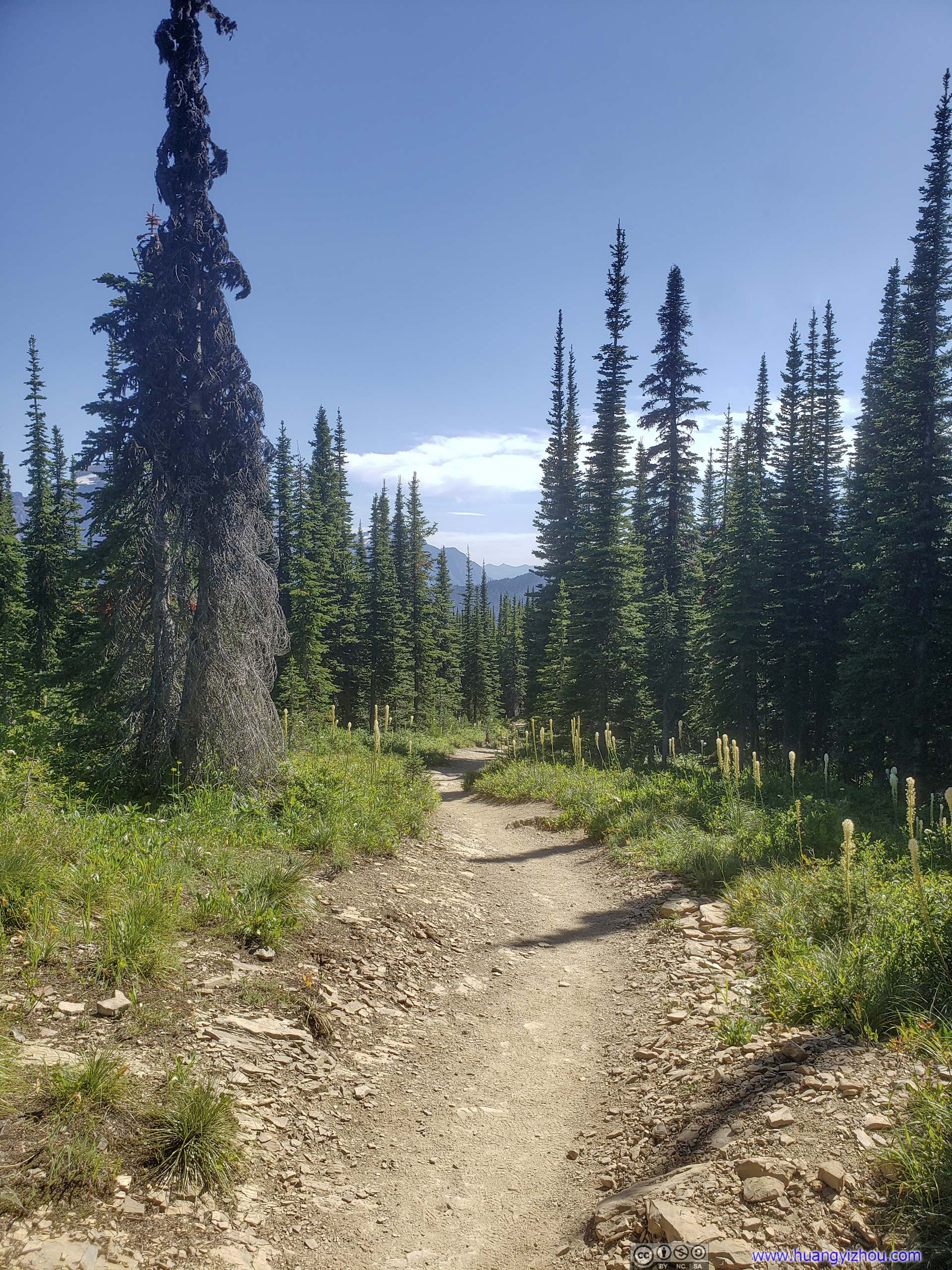
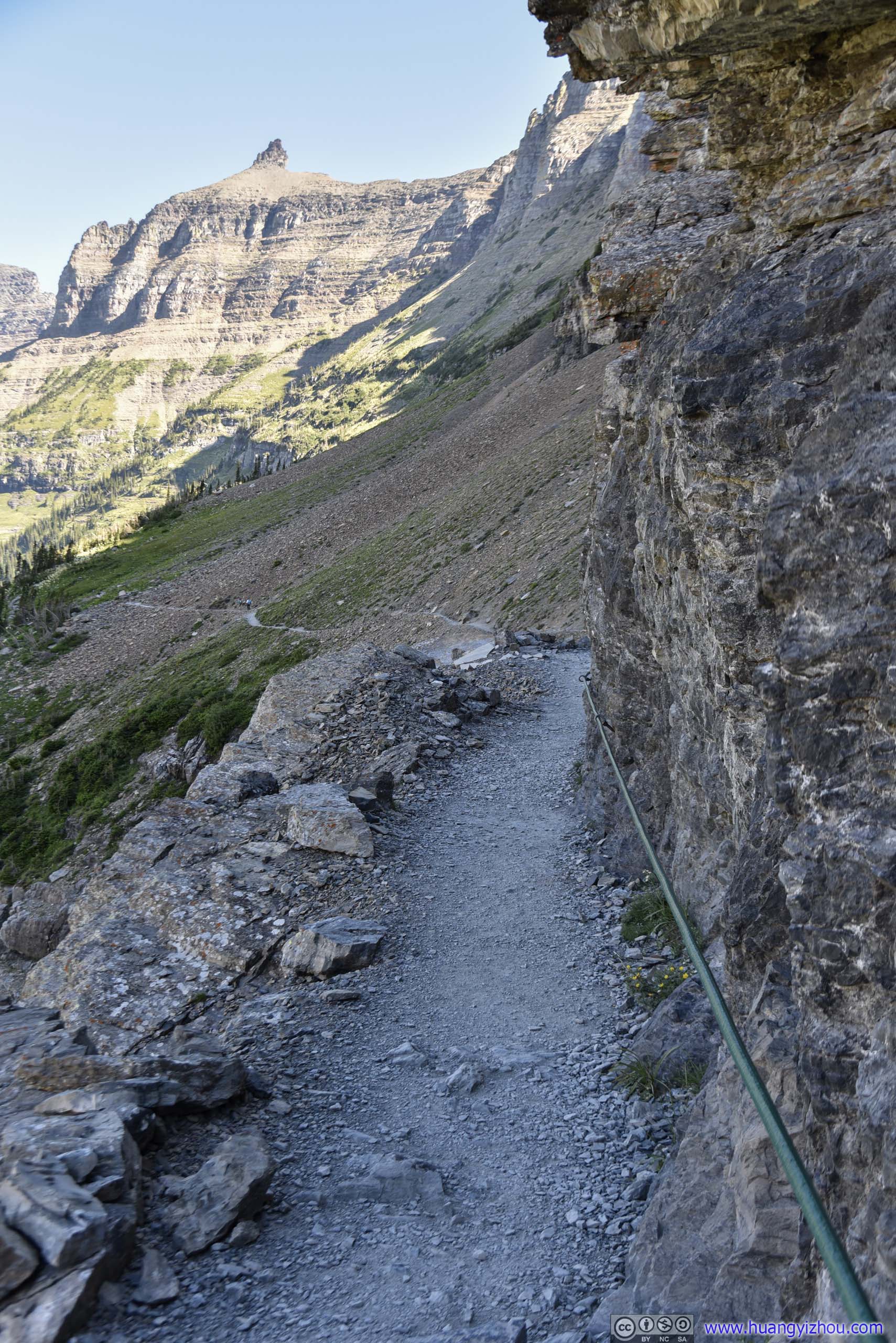 Trail
Trail
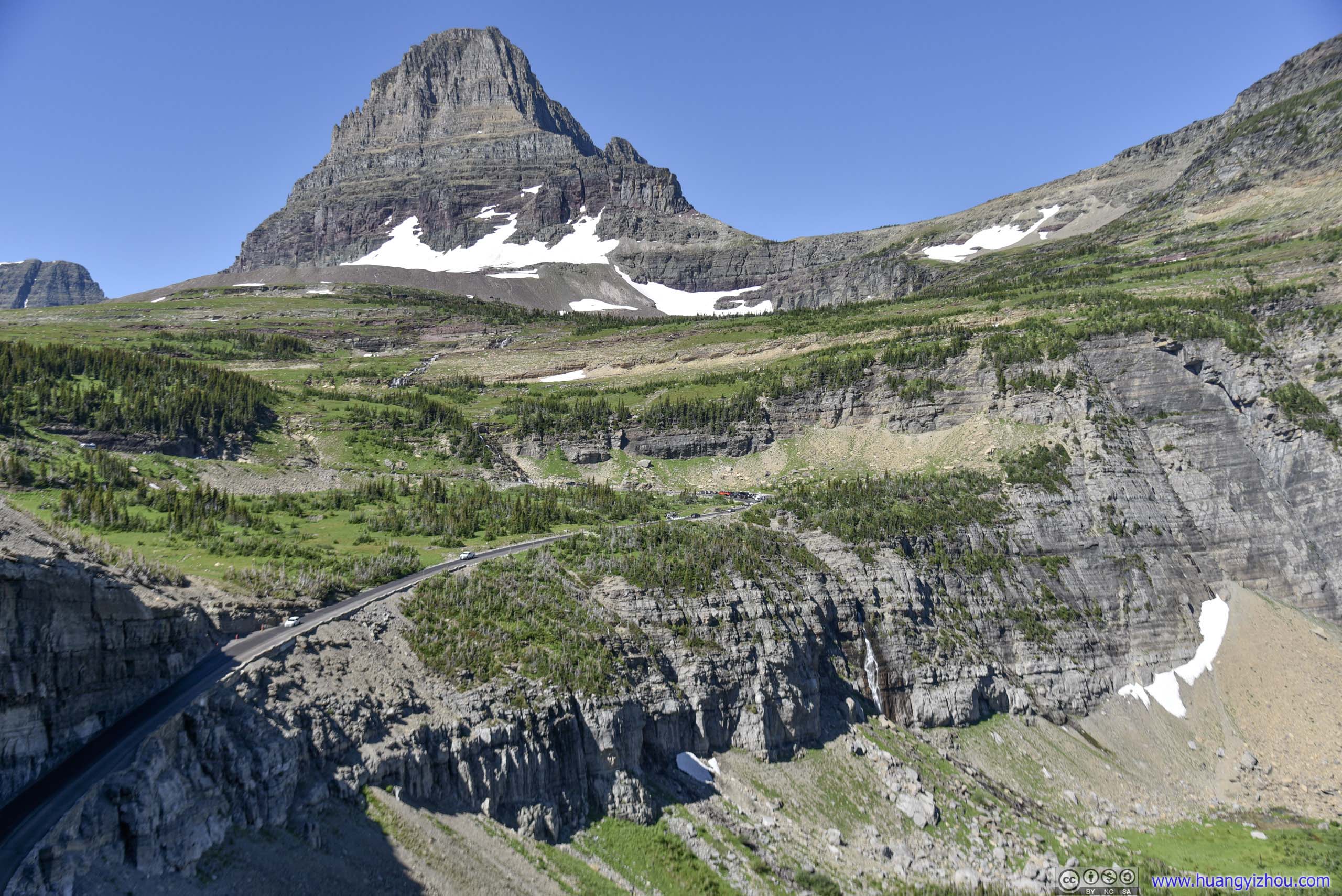
Sun Road before Clements Mountain
 Trail
Trail
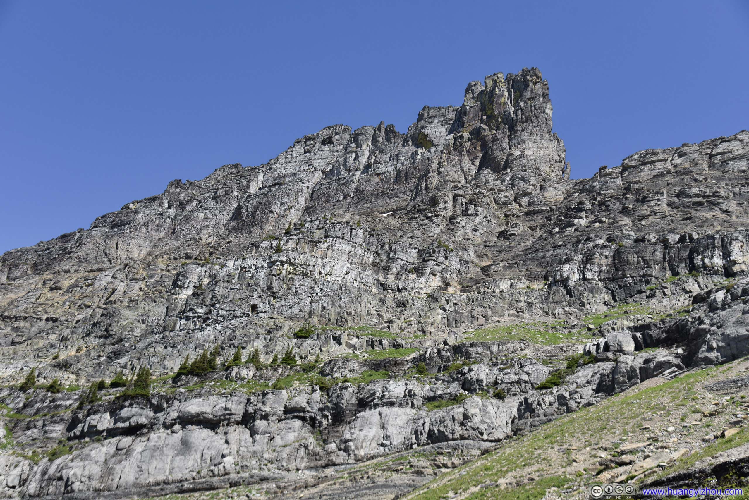
And frankly to me, that’s the only highlight before Garden Wall.
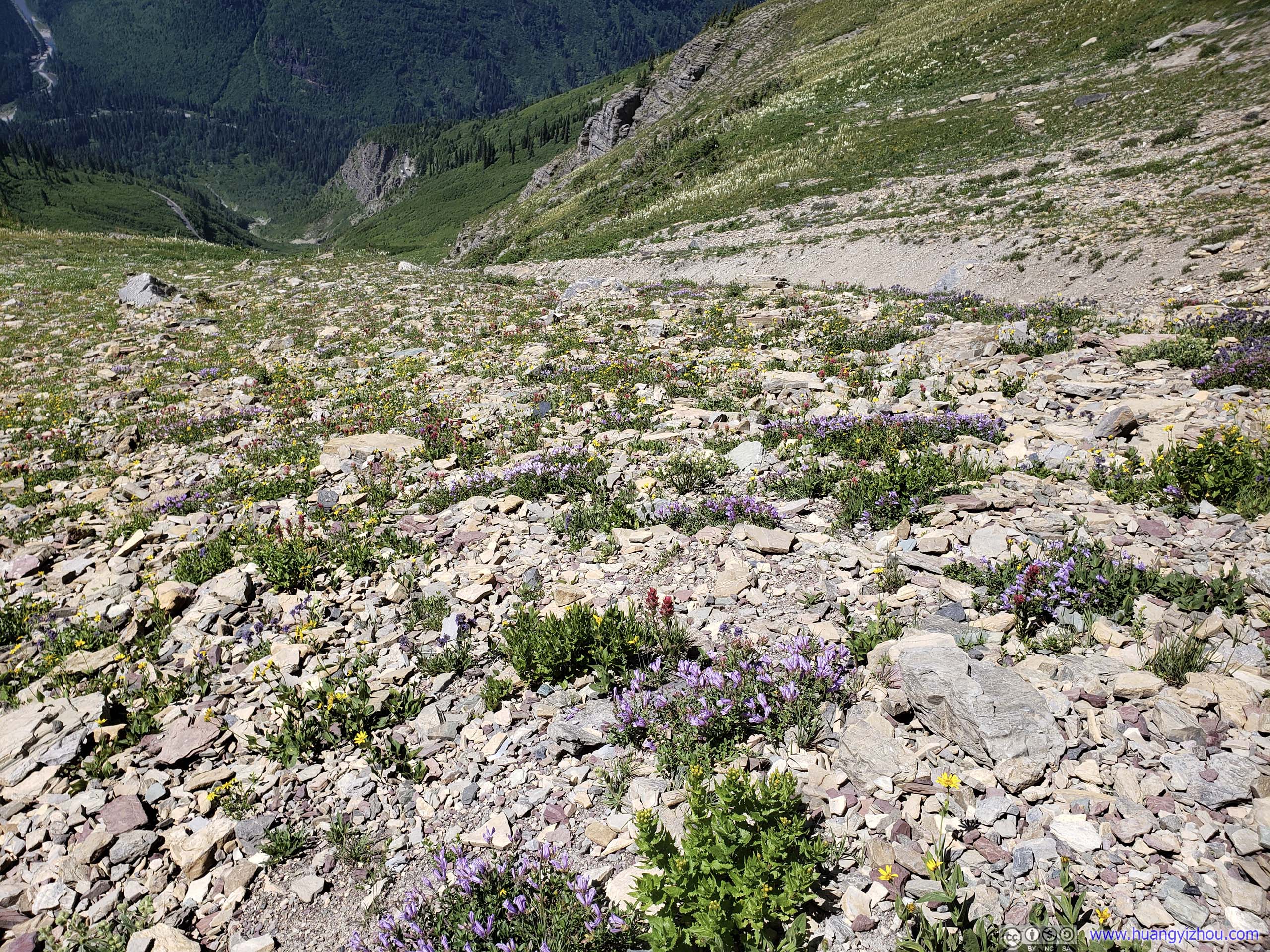
 Rocks
Rocks
 Mount Oberlin

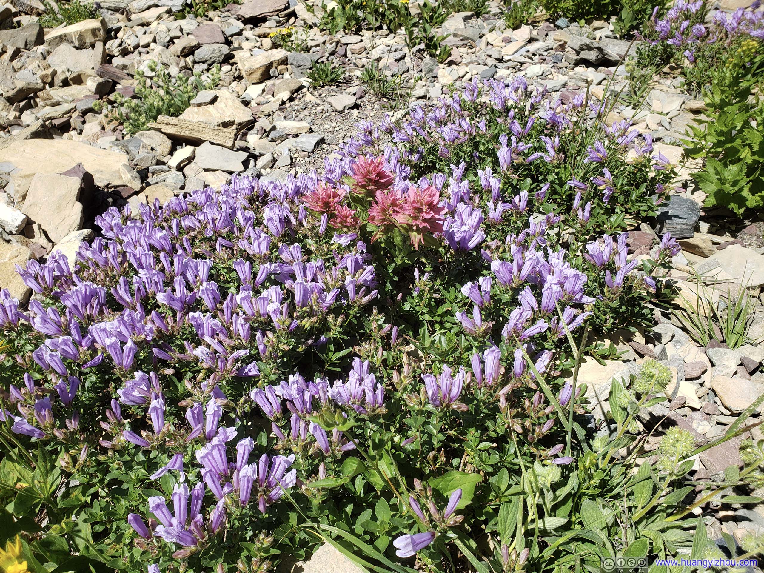
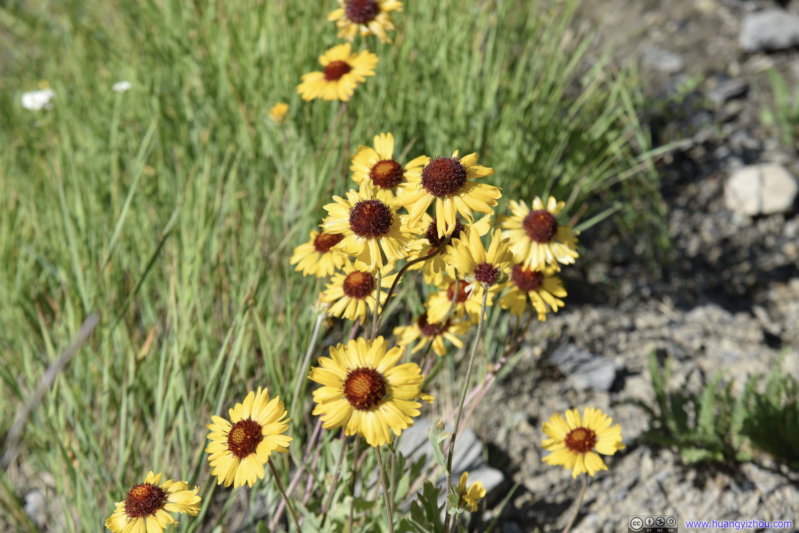 Flowers
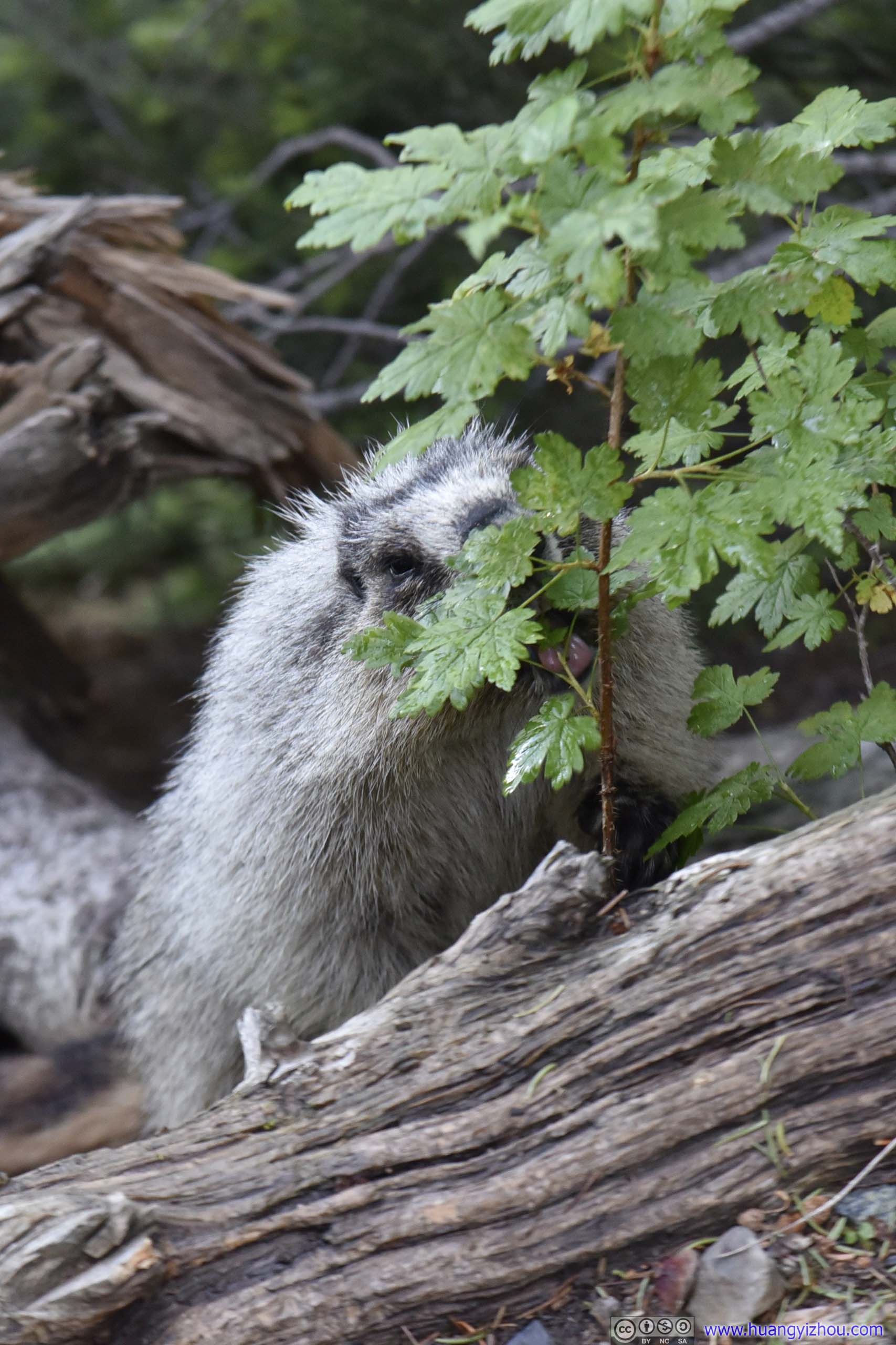
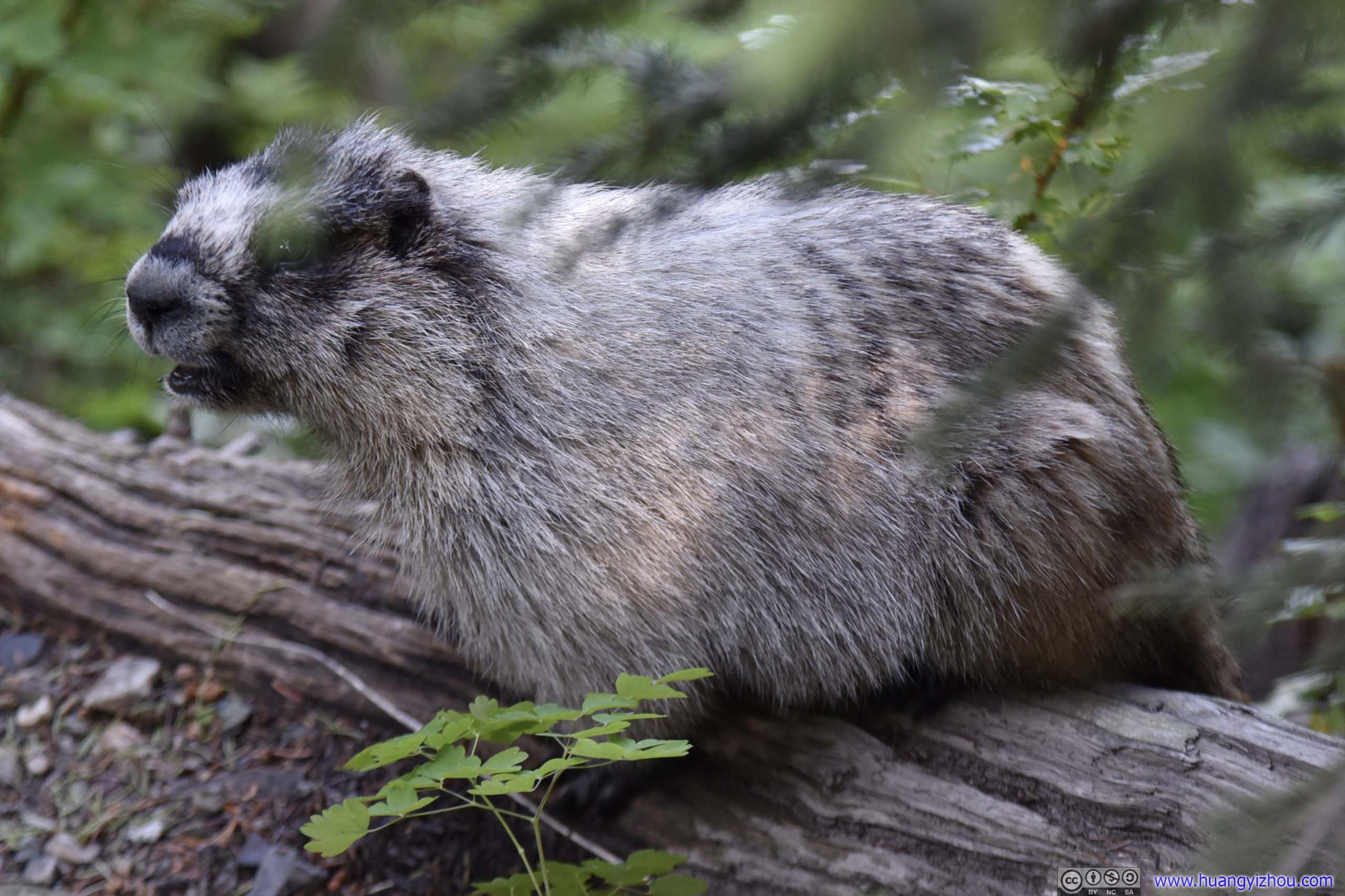
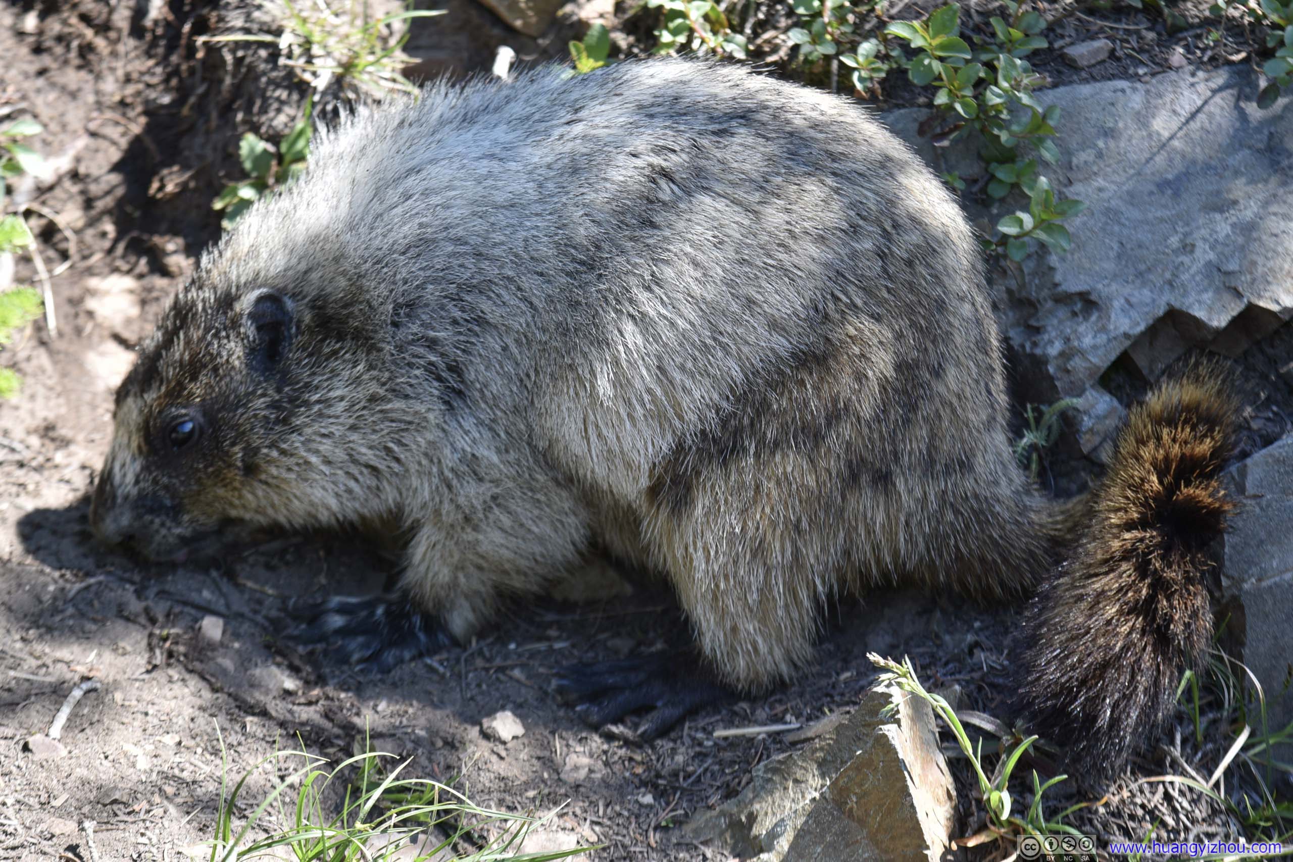
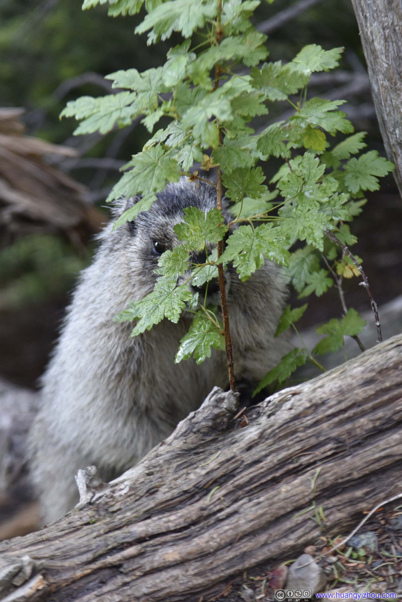 MarmotLooking for lunch and feeling shy.
This one’s probably too hungry, that he’s risking his life finding lunch just next to hiking trail.
 Coming Out
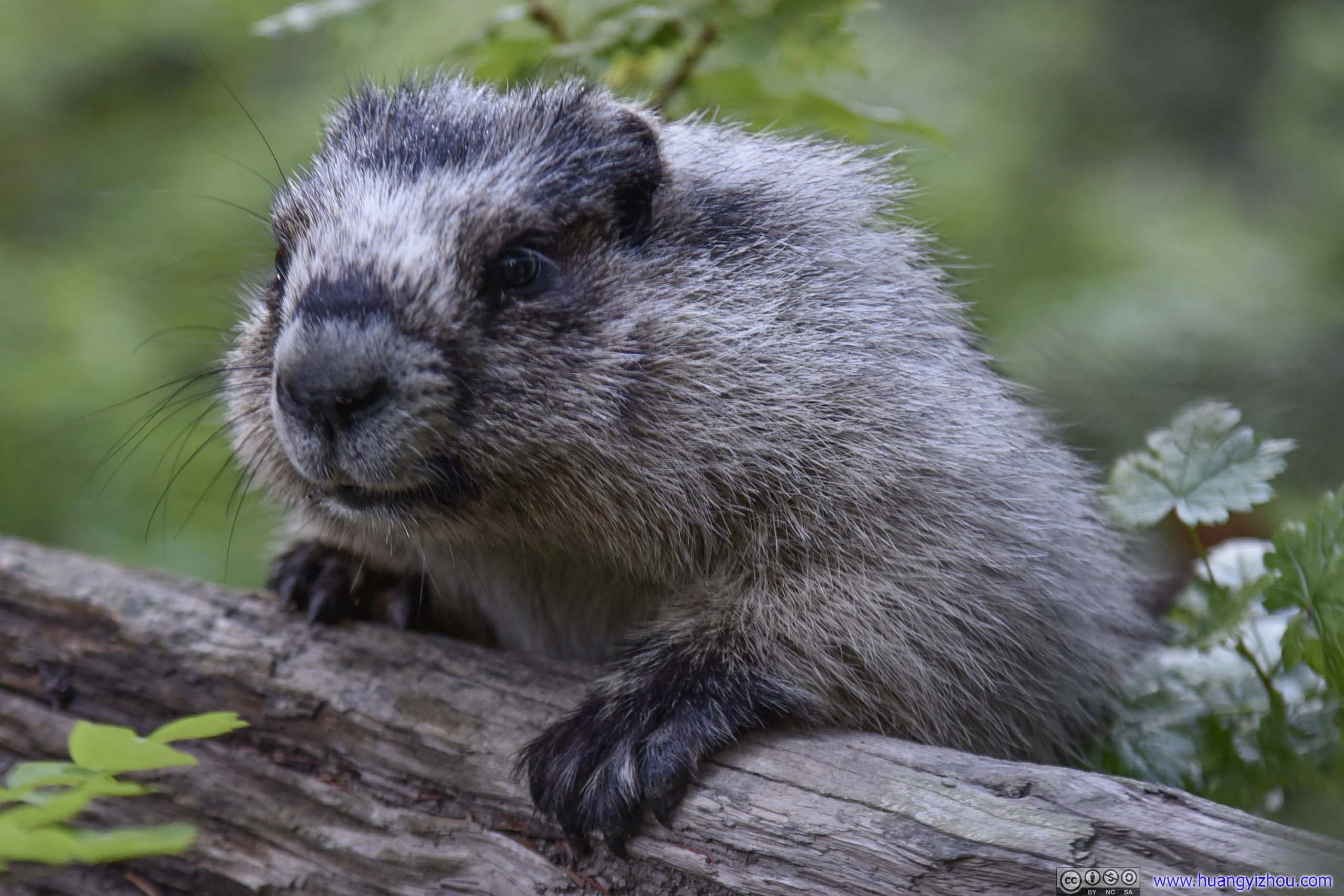
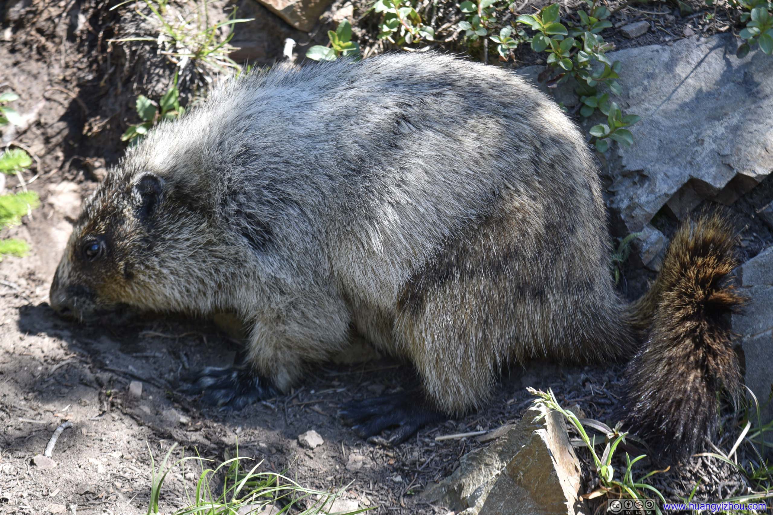
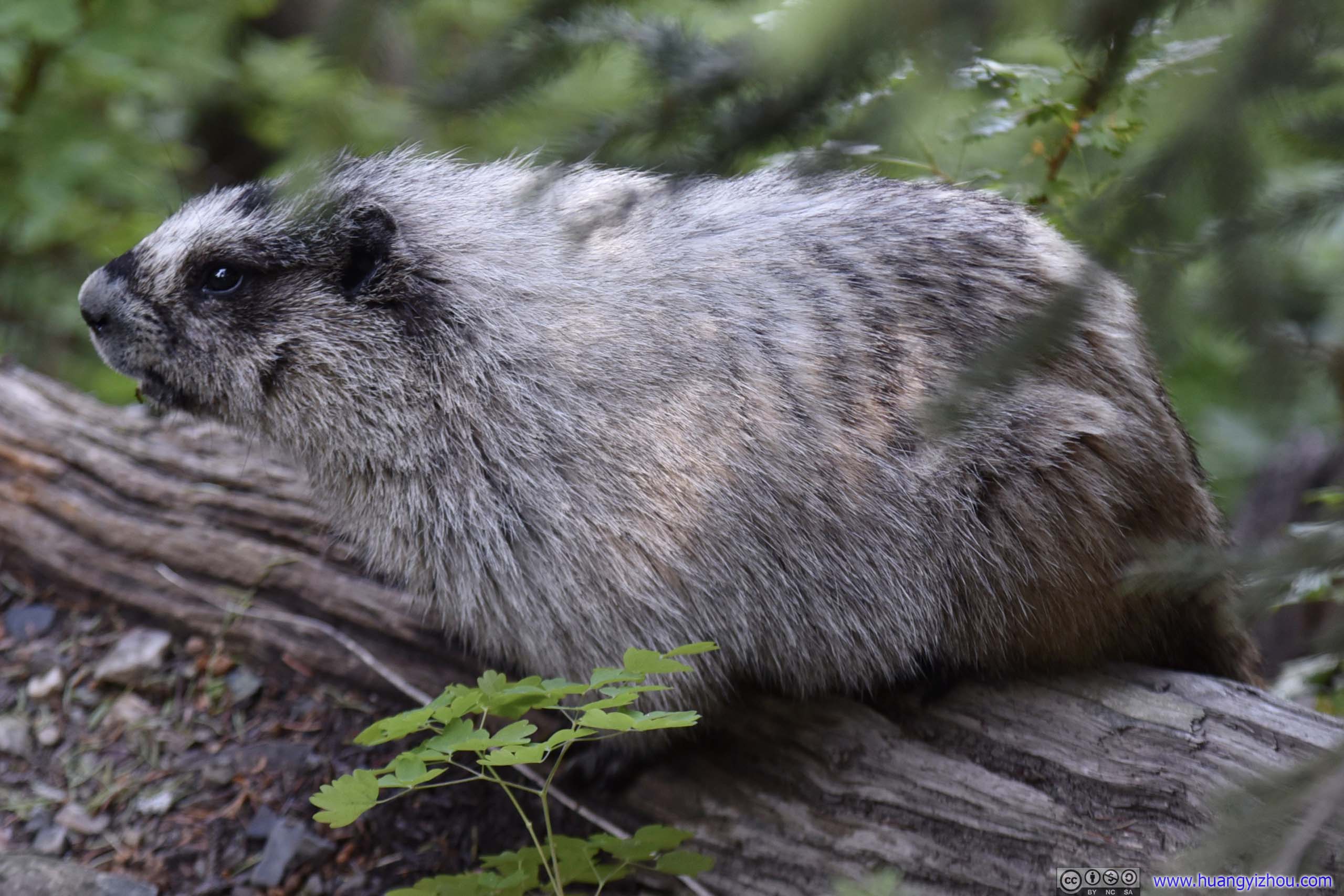 Marmot
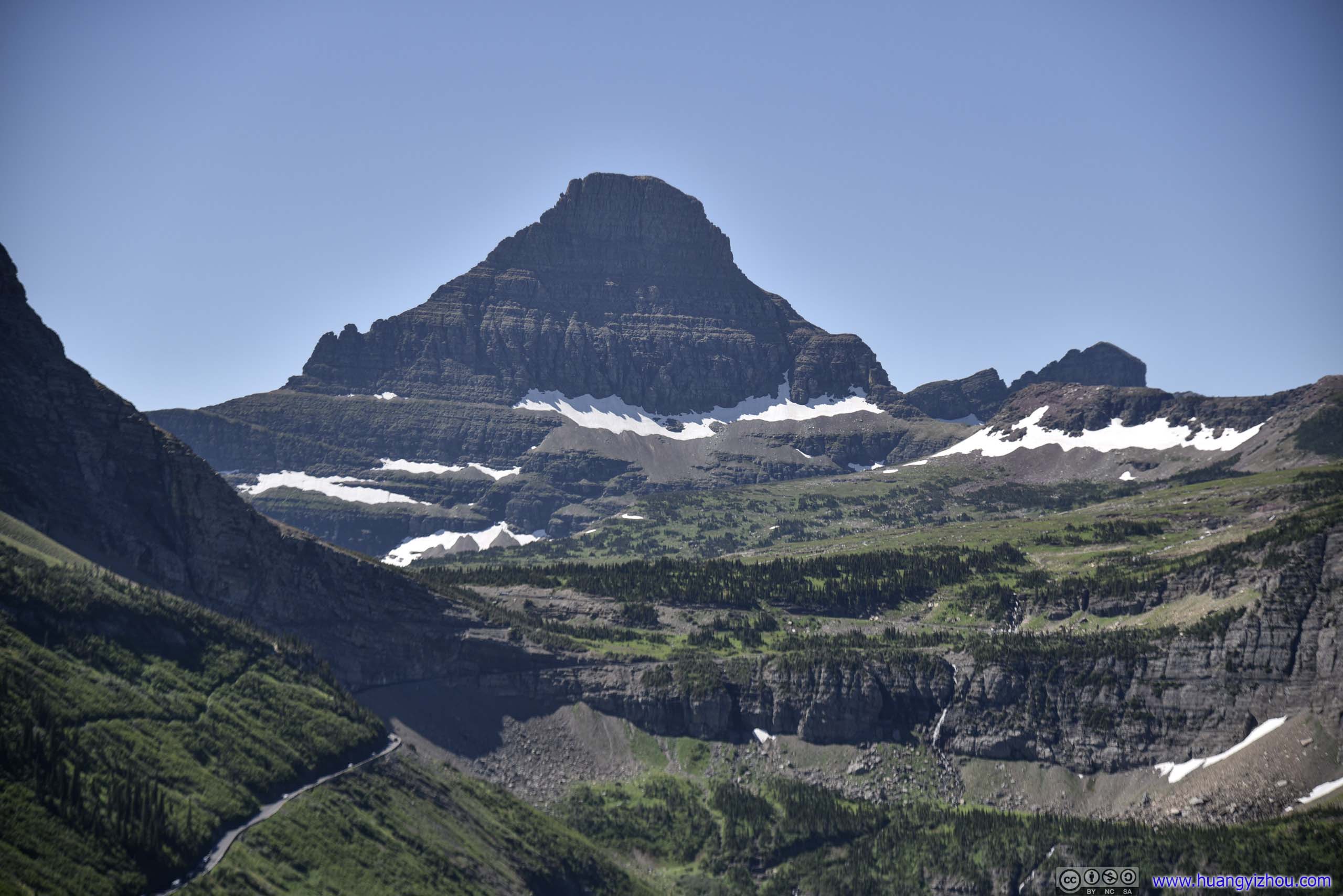
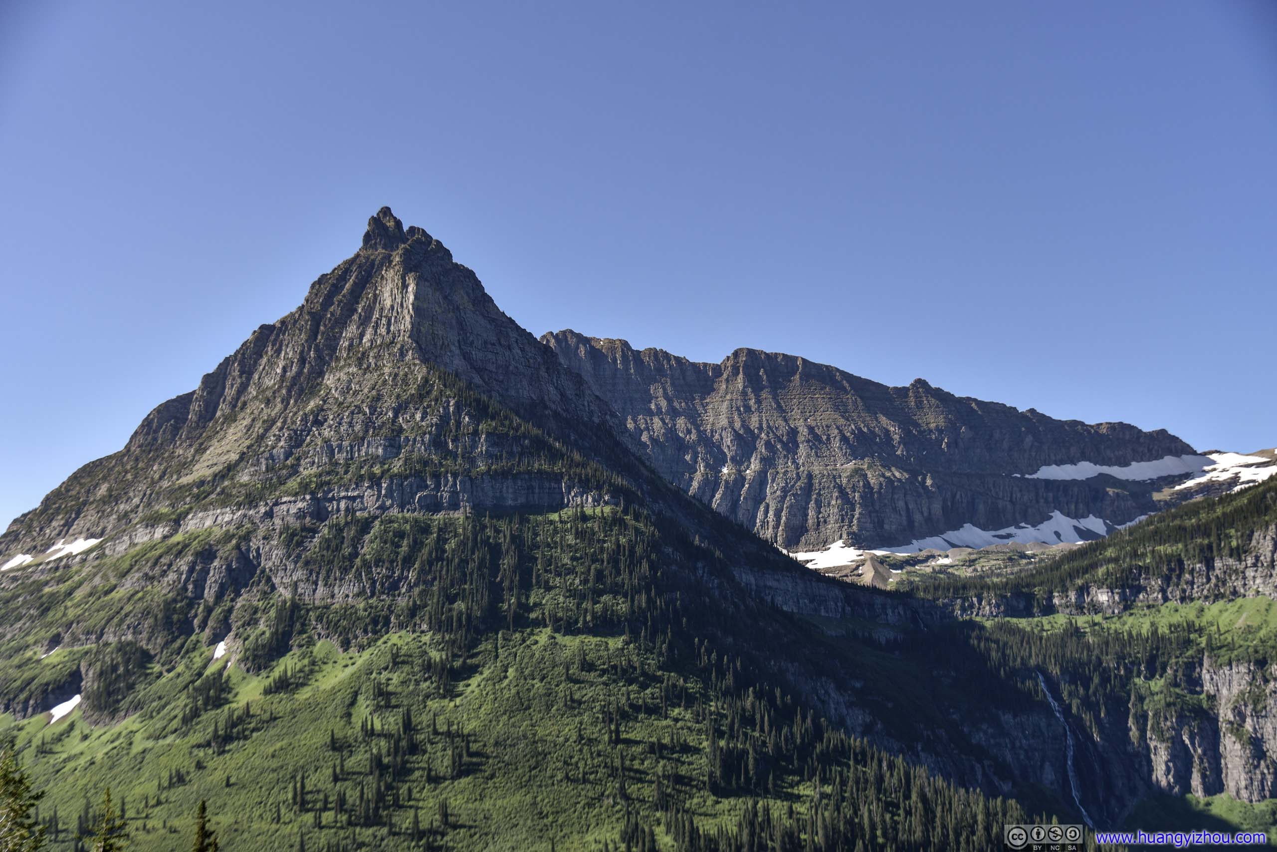
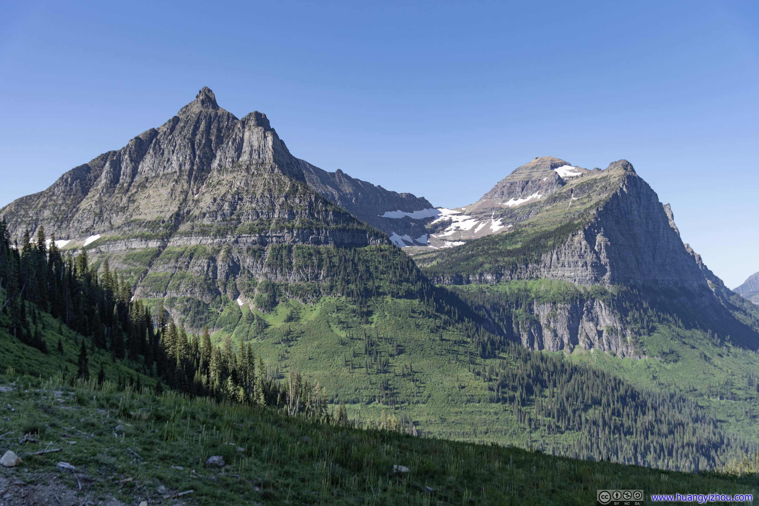
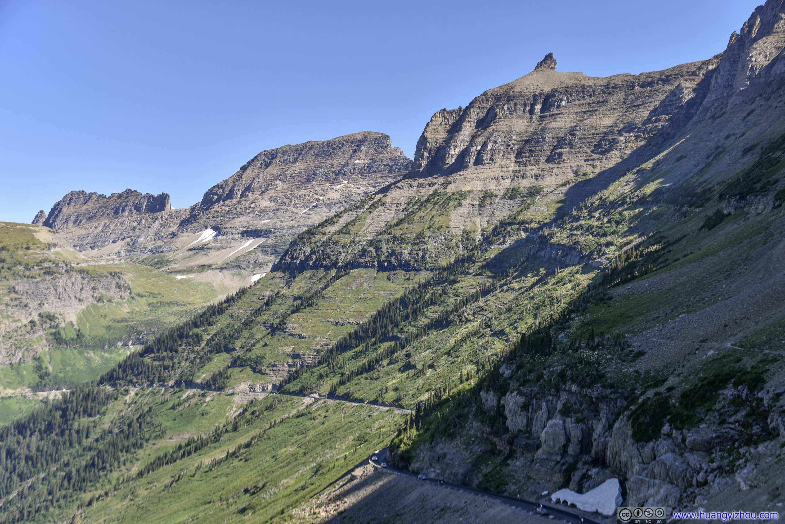
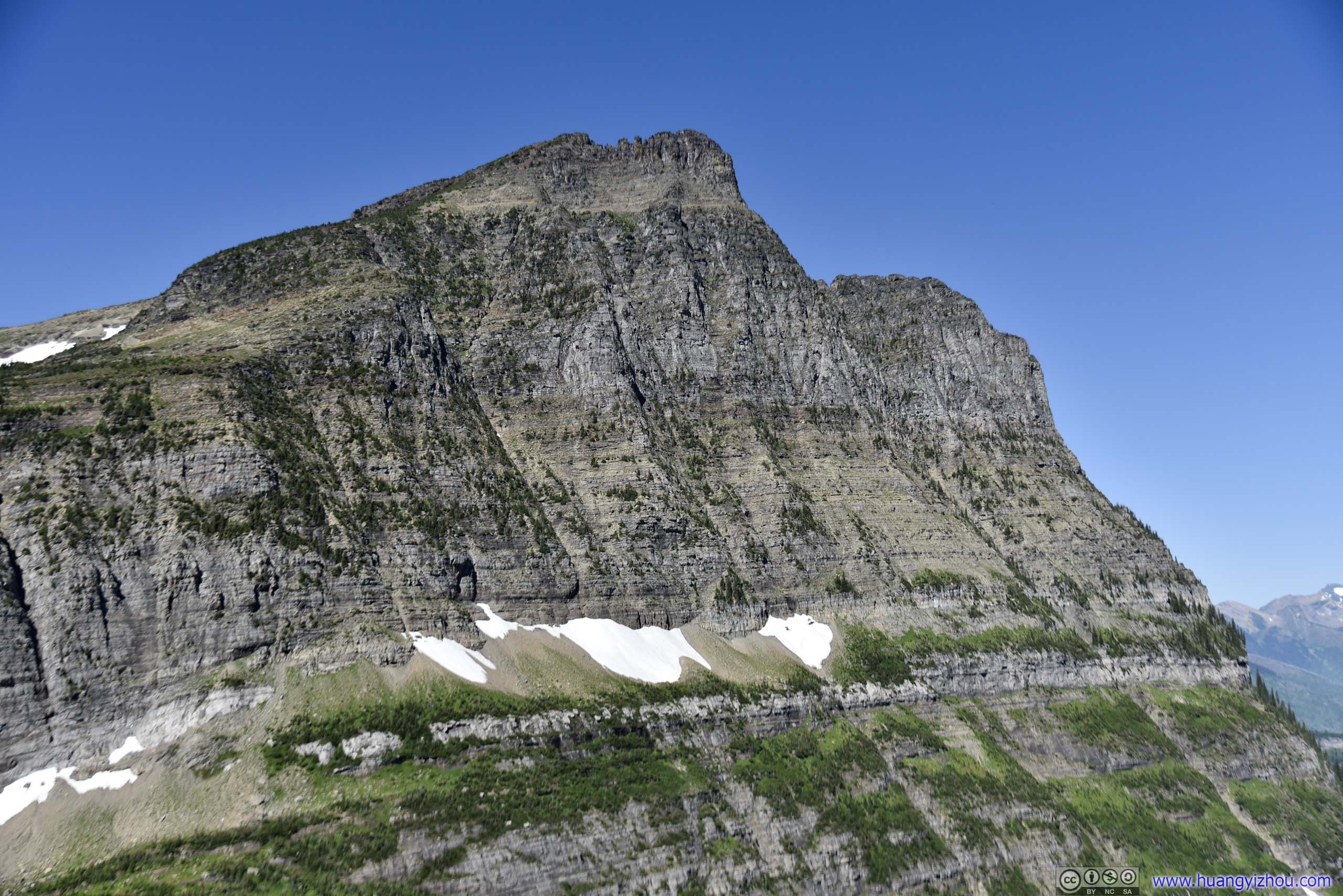
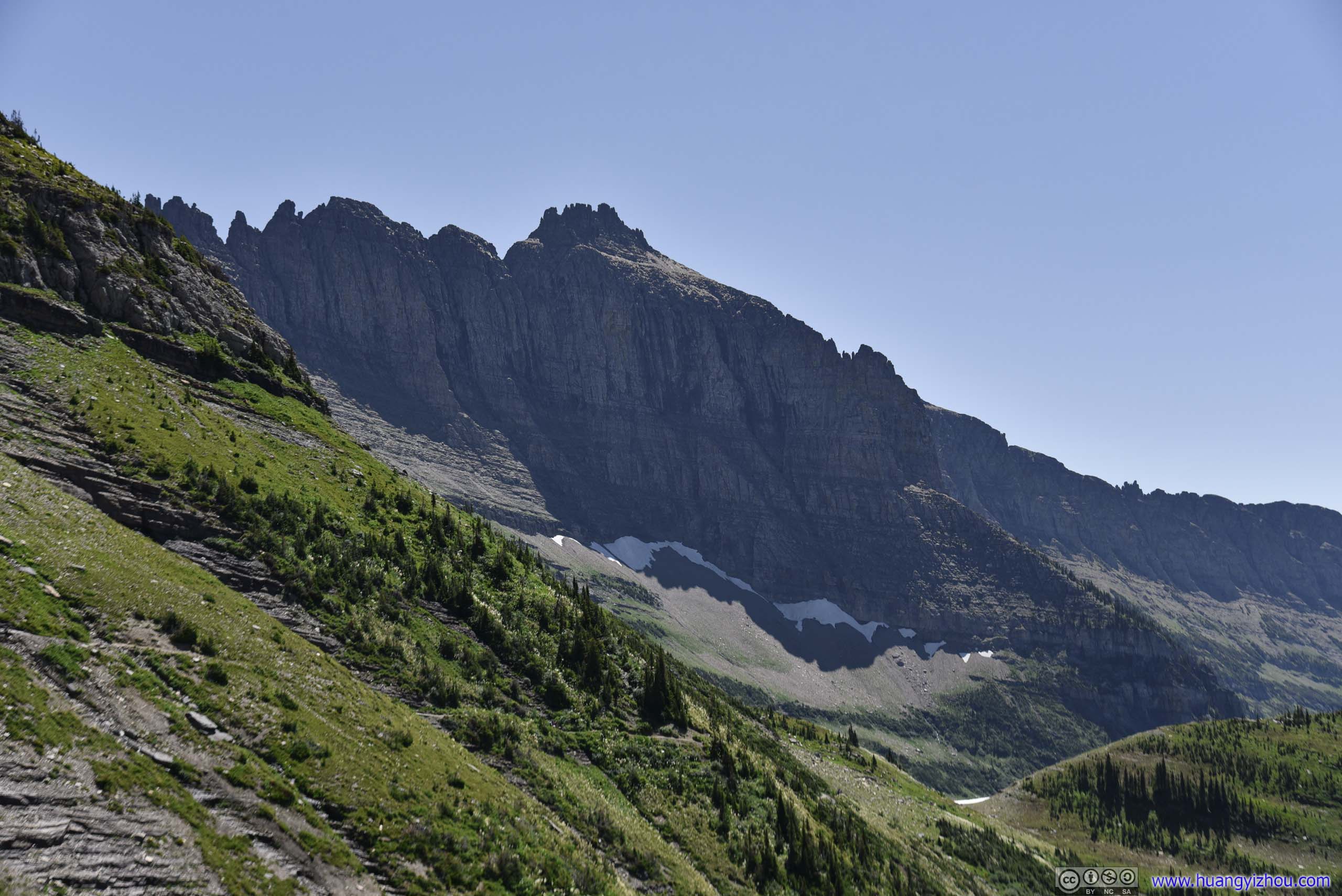
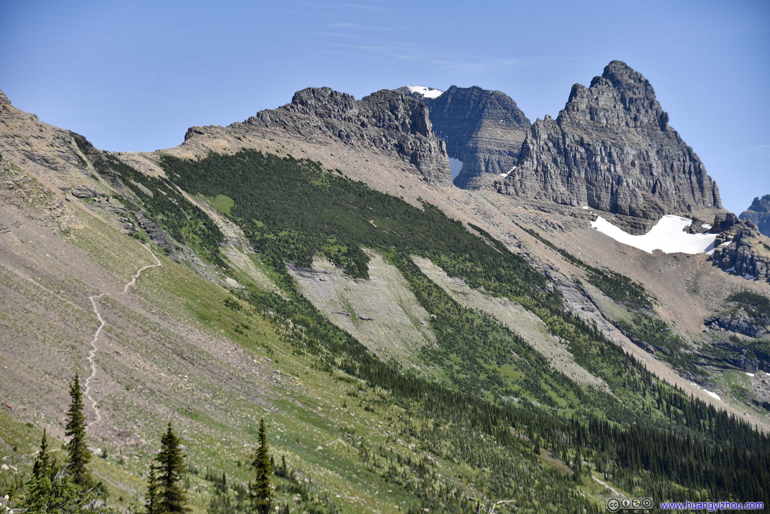
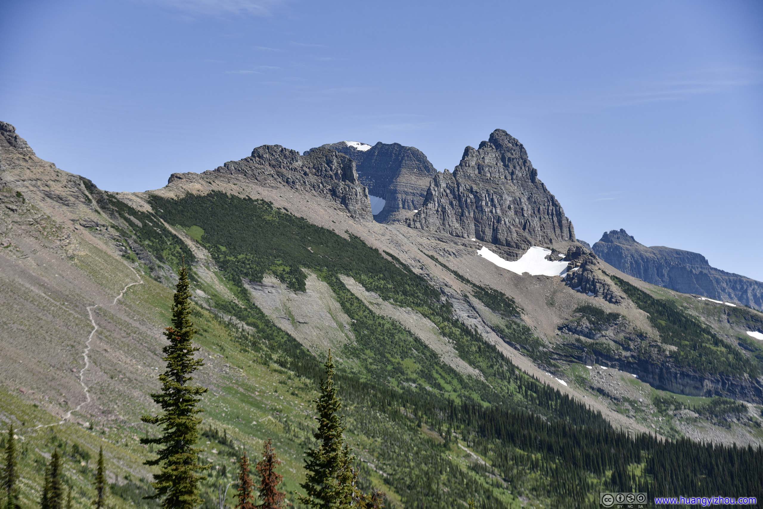
 Reynolds Mountain
 Trail
Trail

Valley to Reynolds Mountain
Cars Passing Weeping Wall
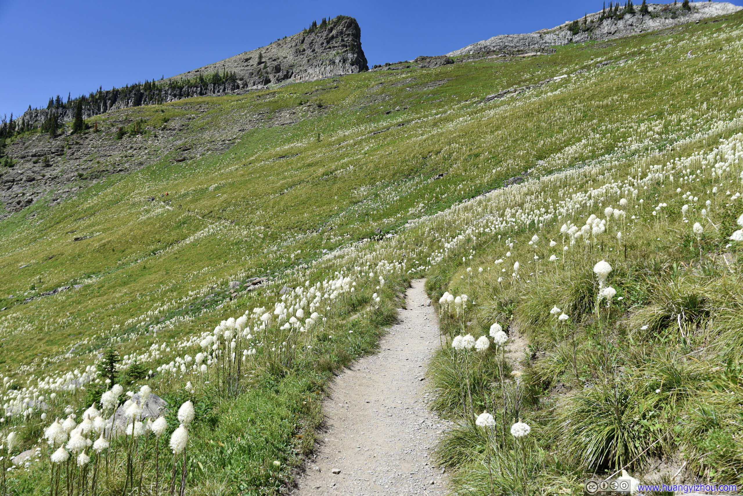
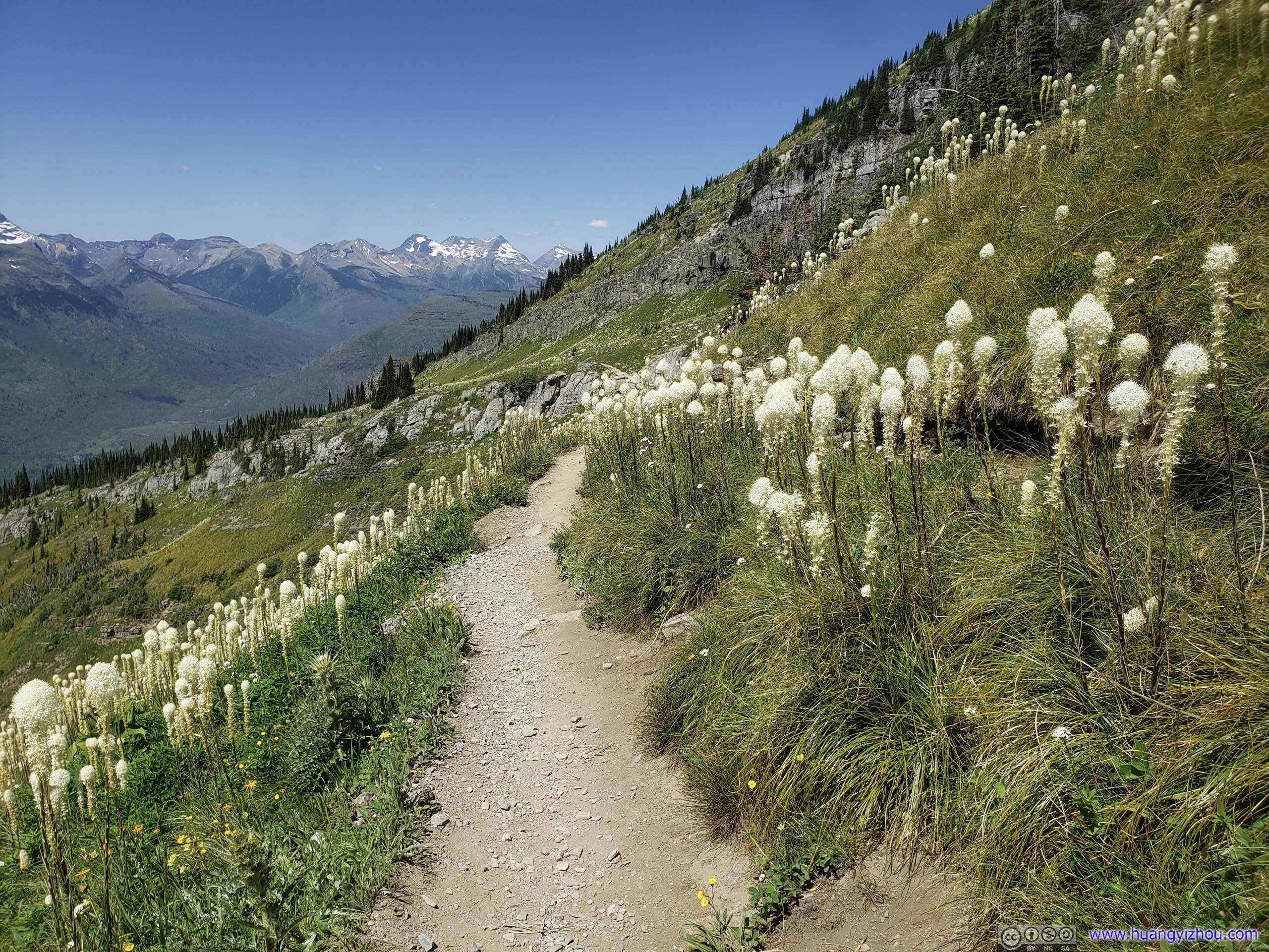
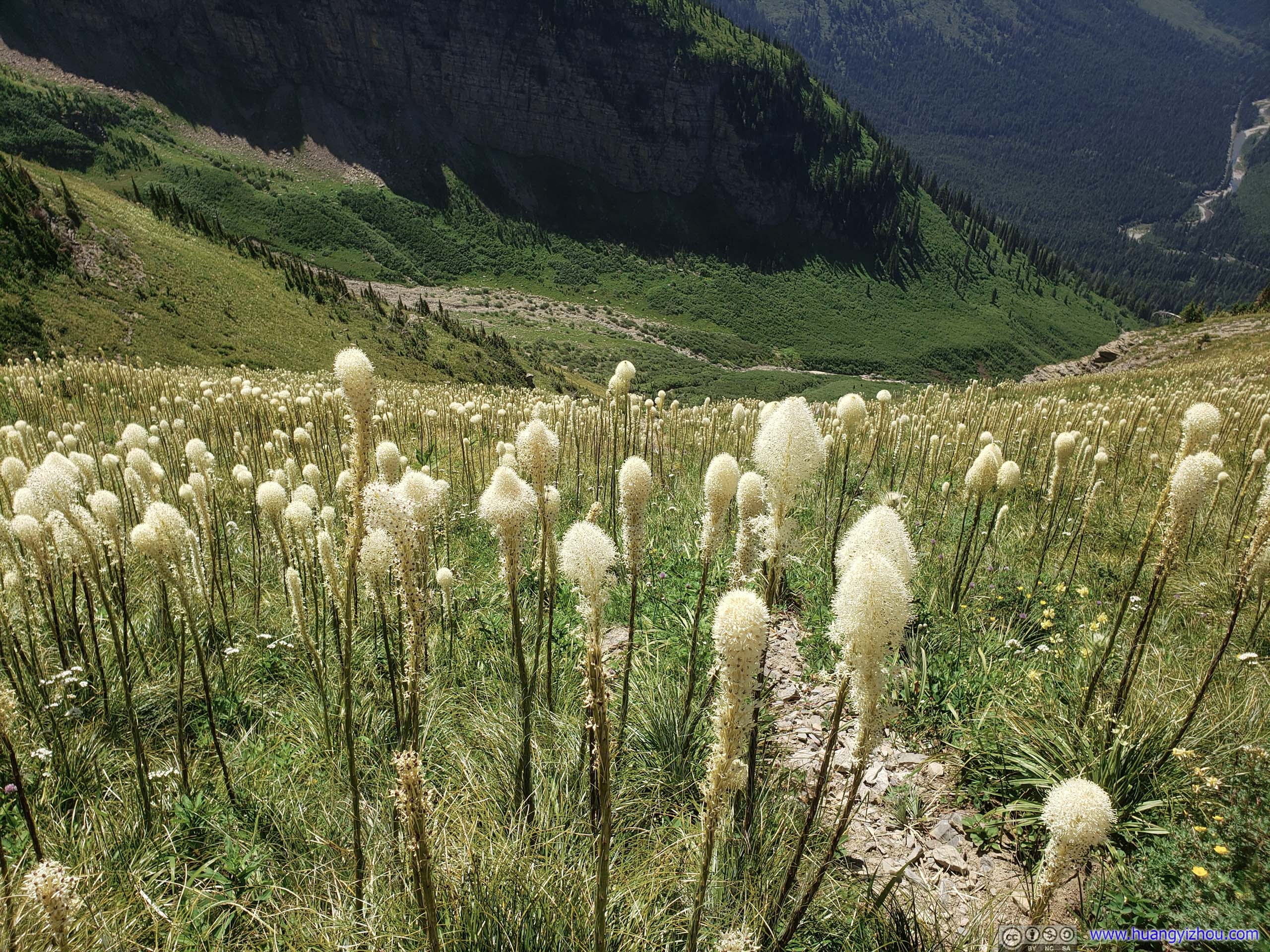
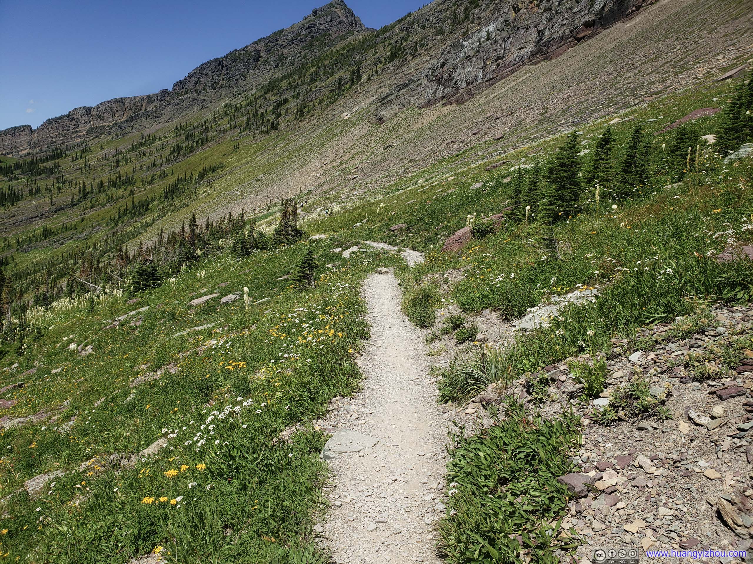
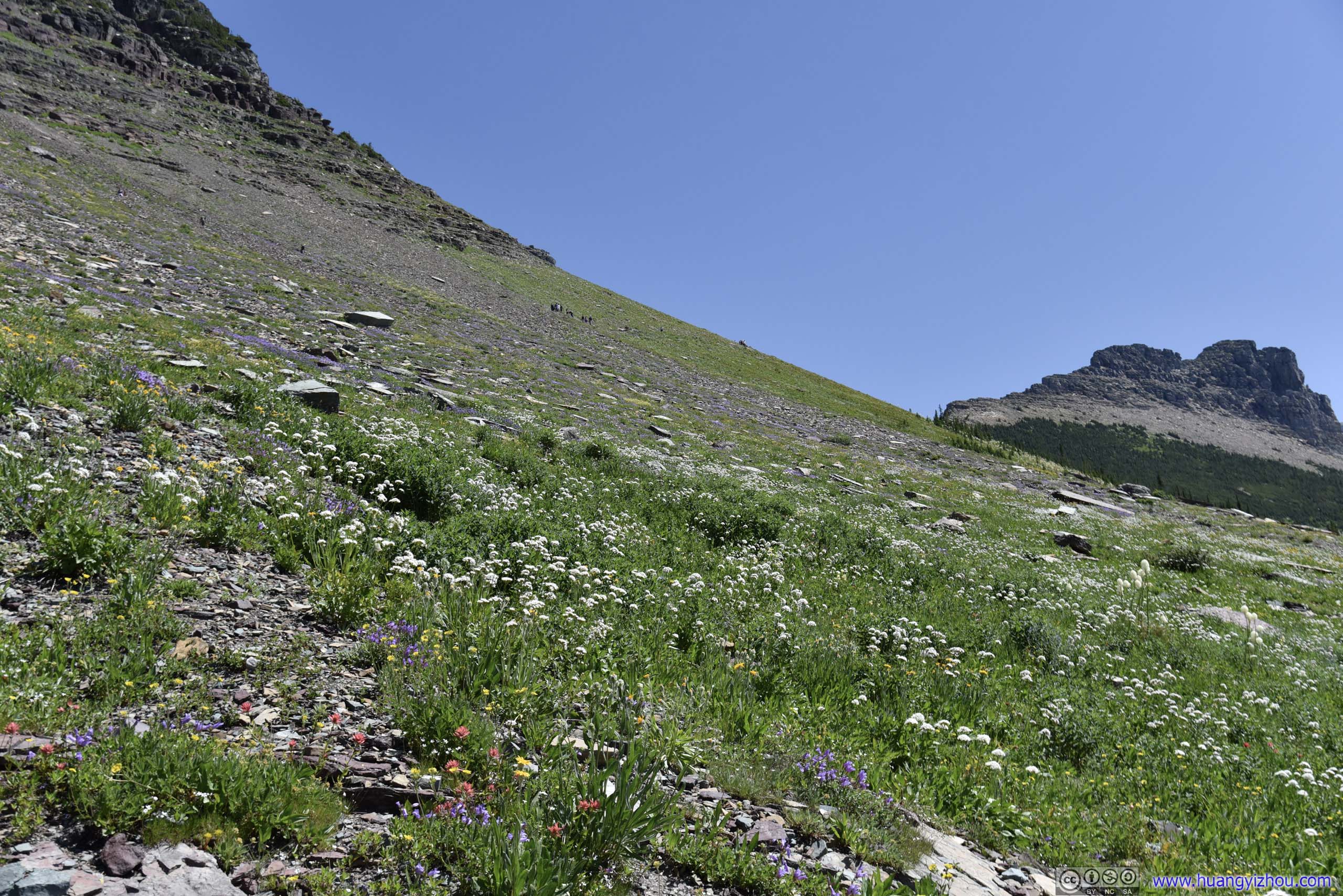
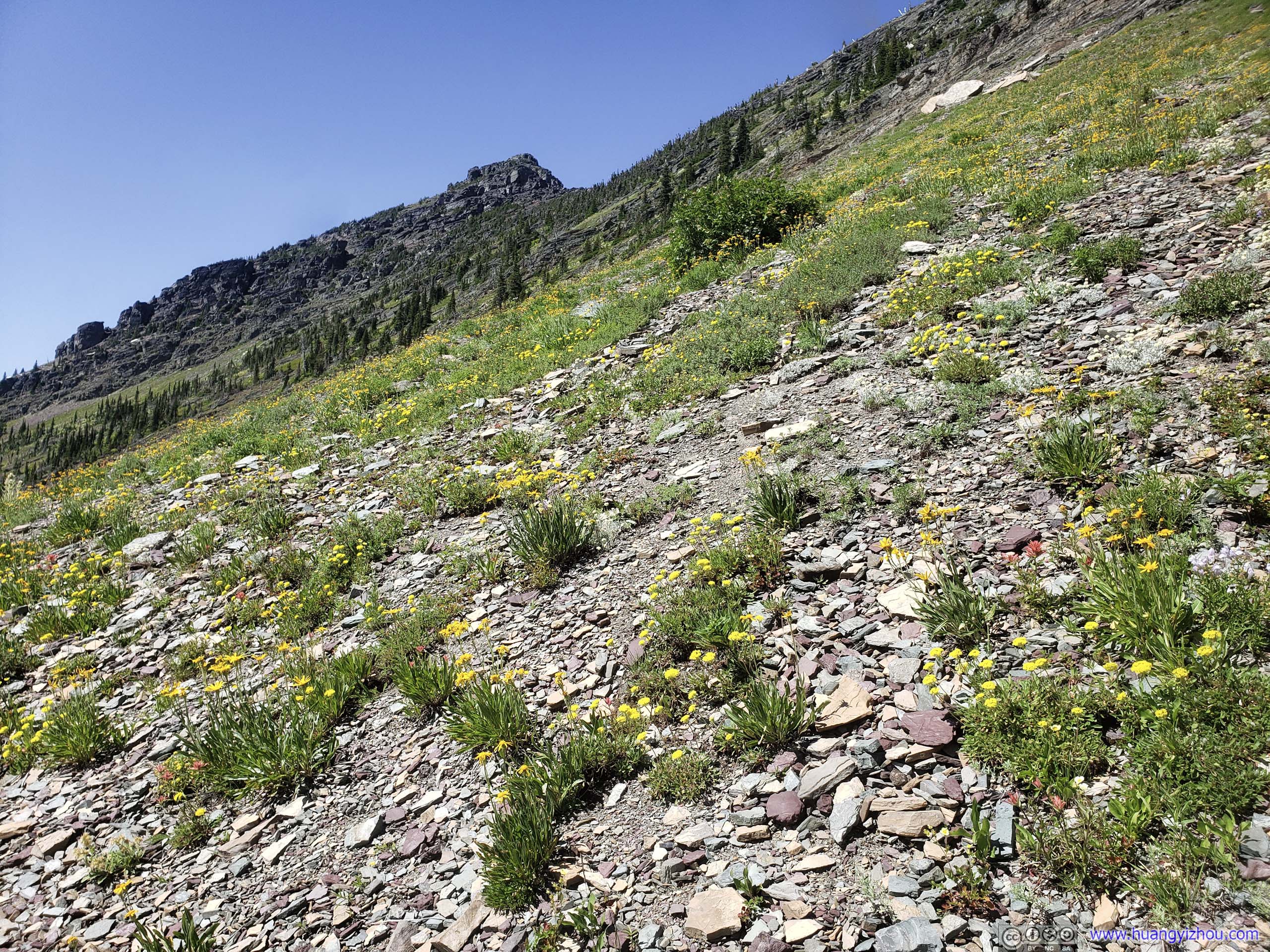
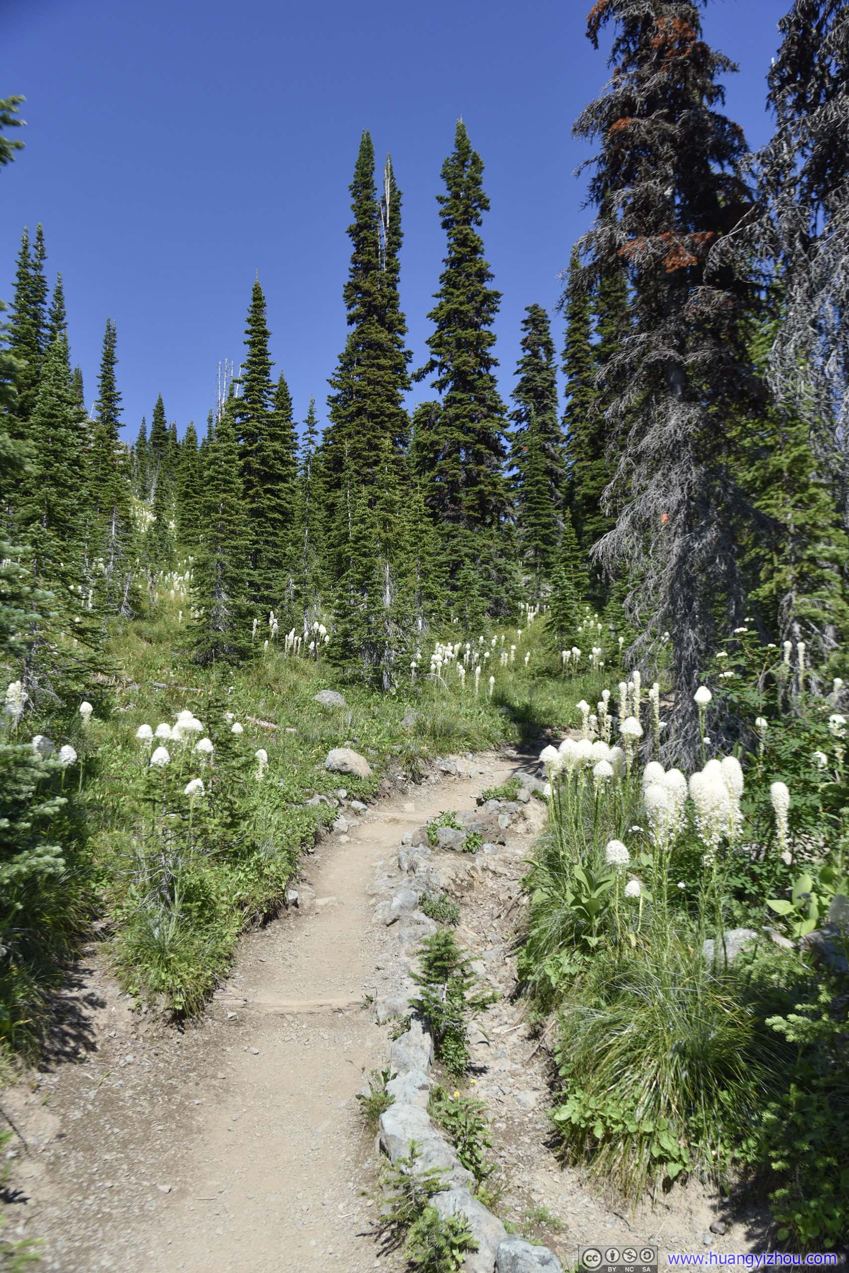
 Field of Beargrass and Flowers before Big Bend
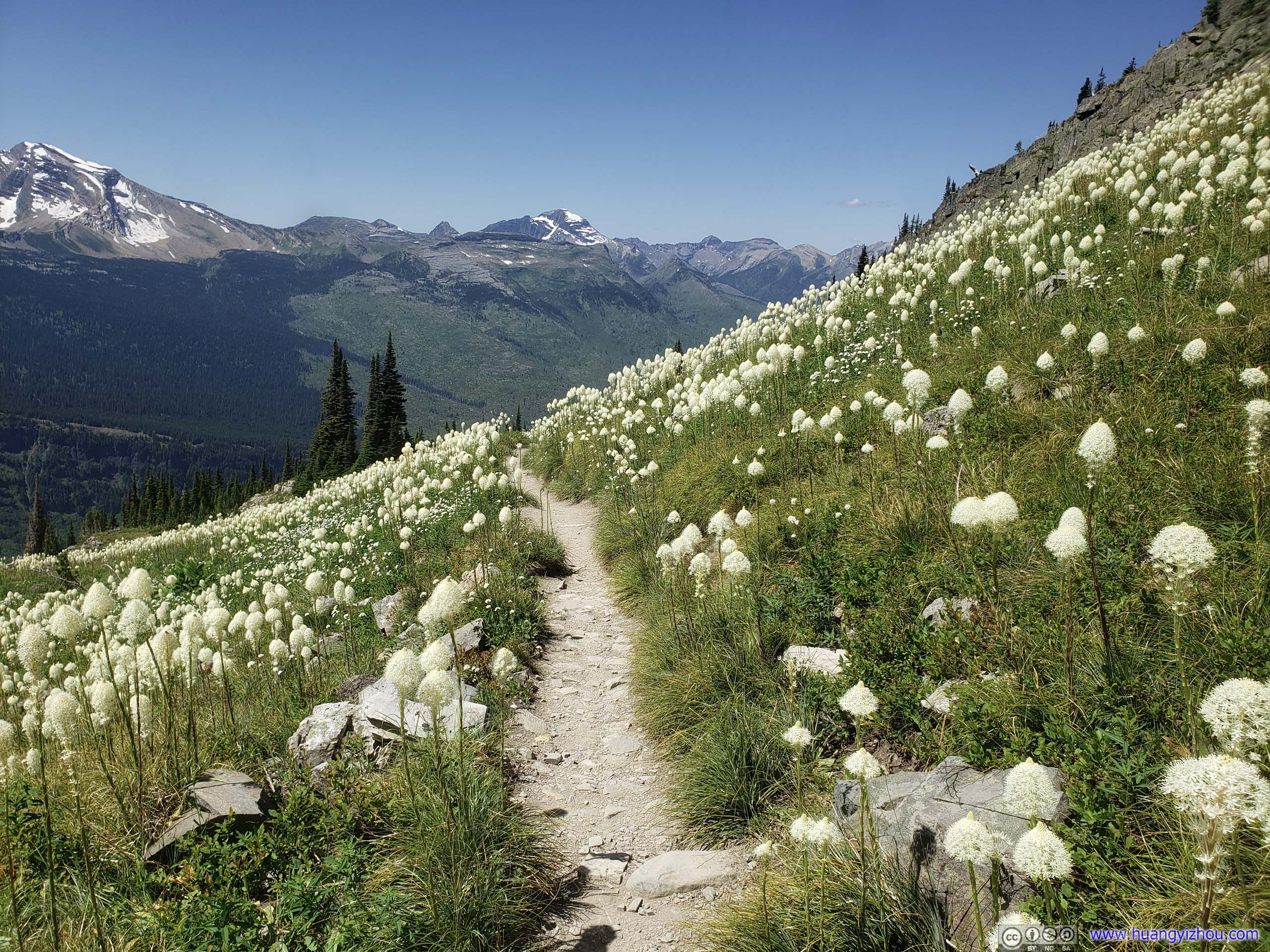
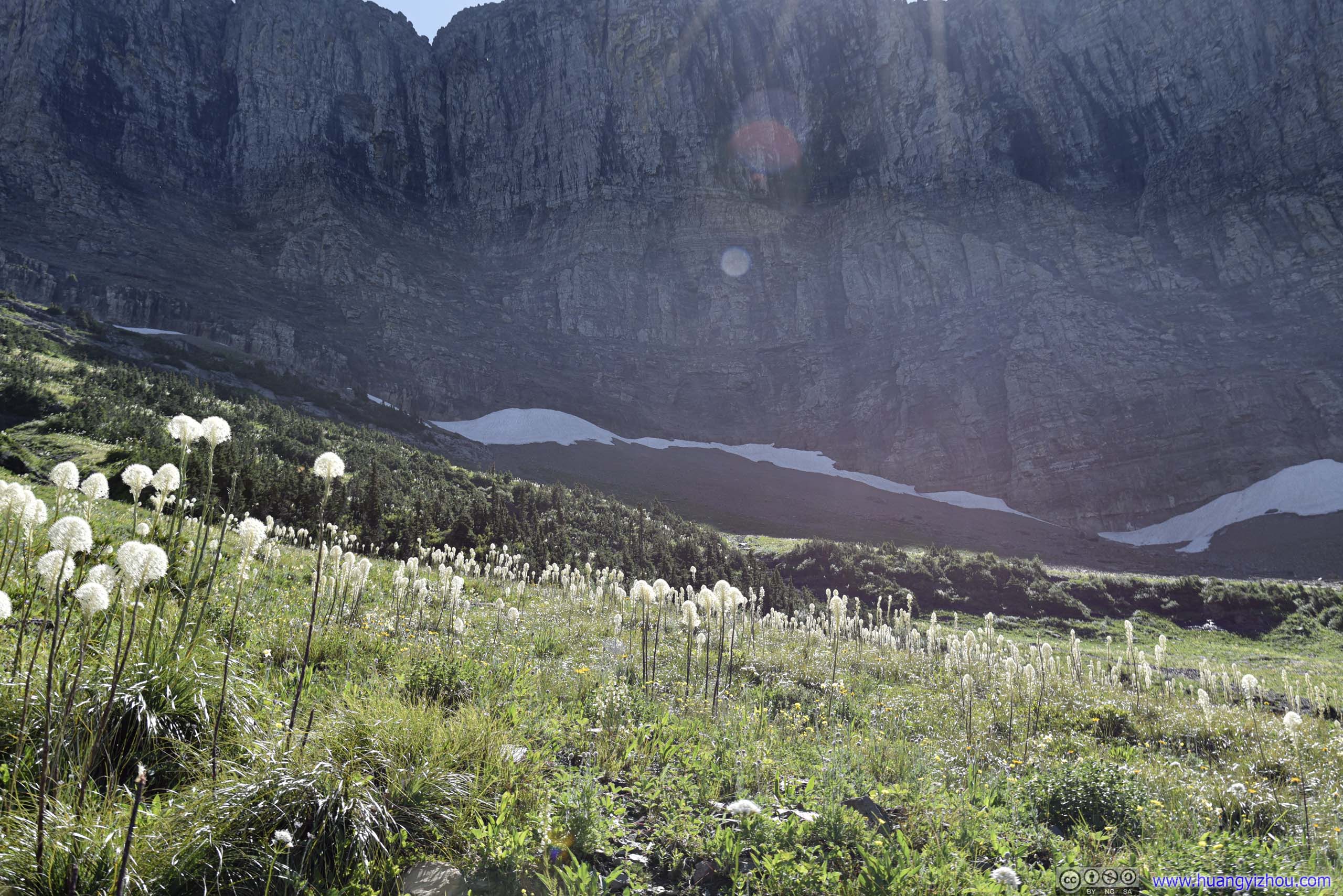 Beargrass Field before Mountains
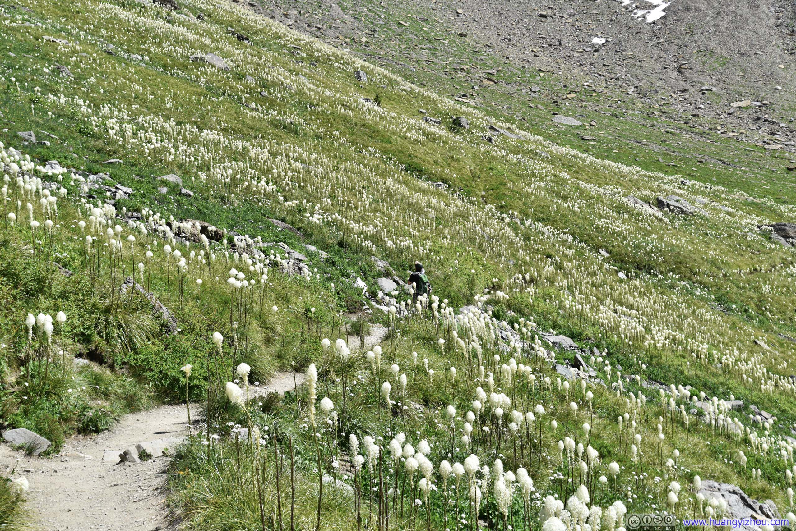
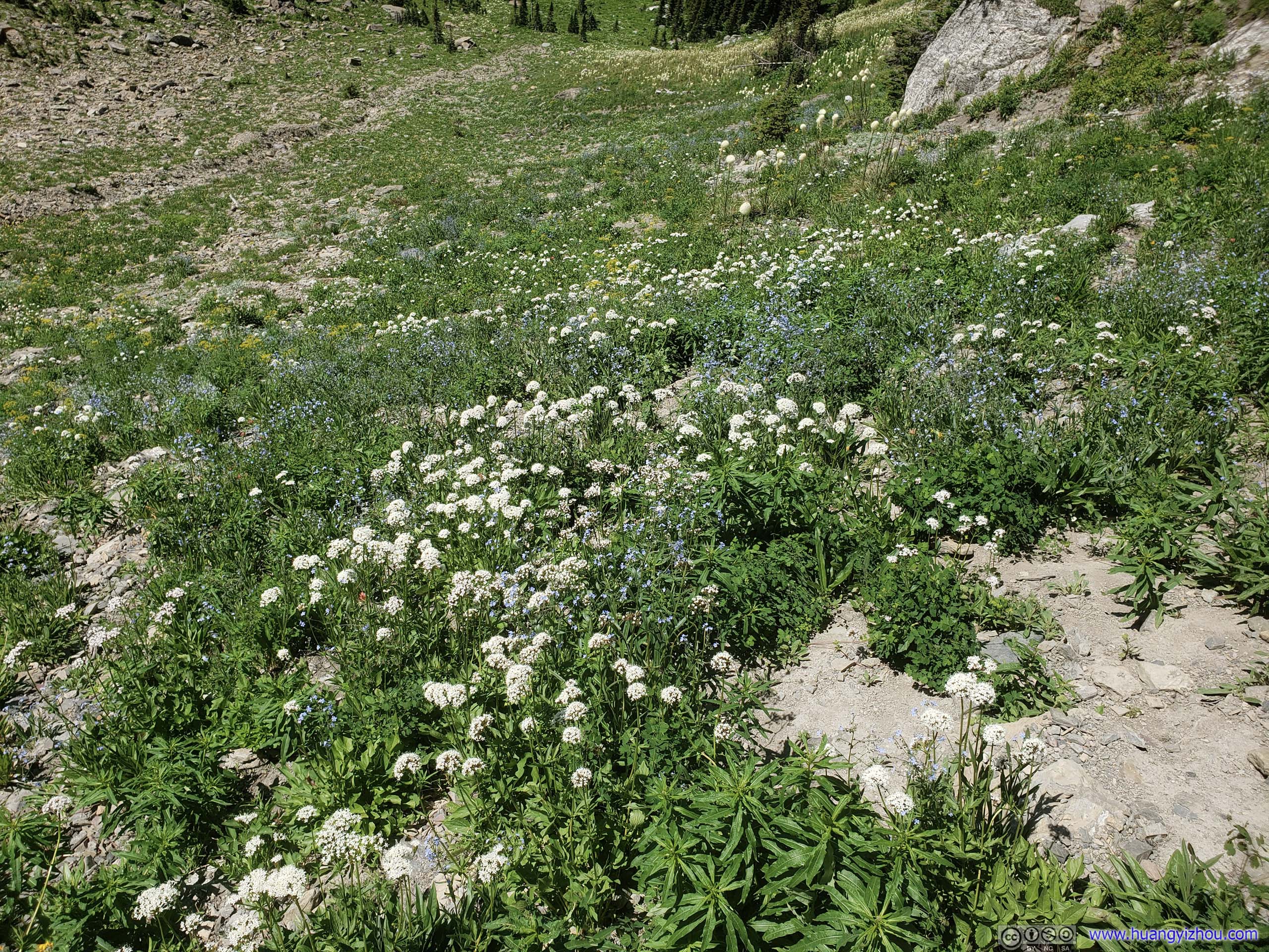
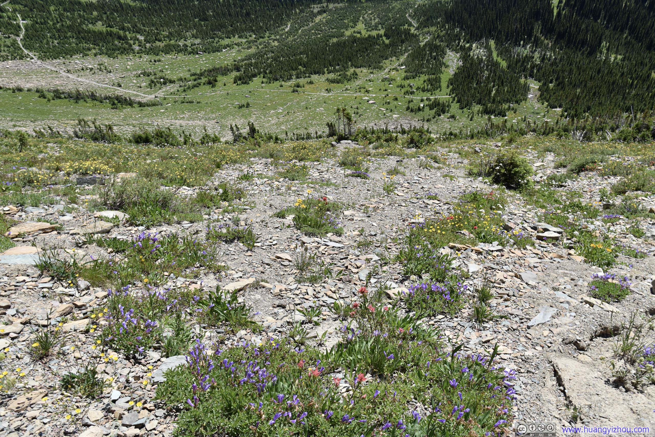
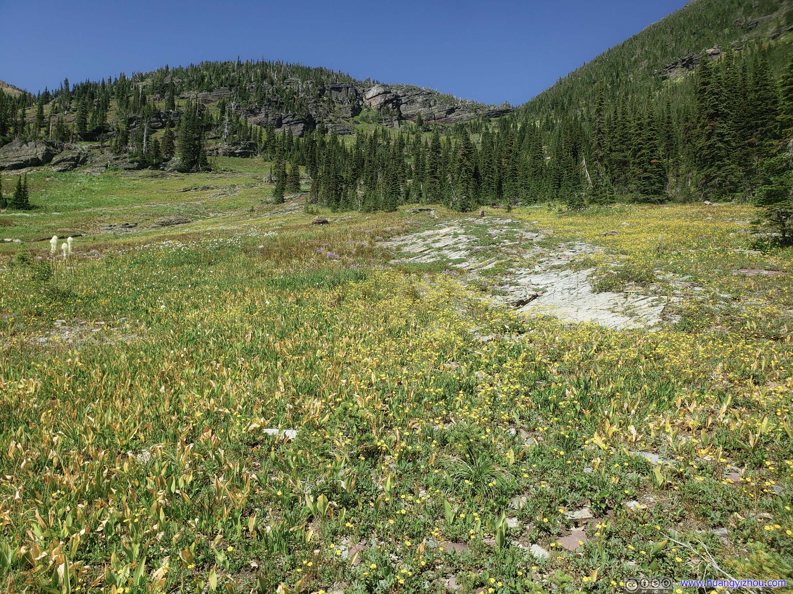
River of FlowersIt’s literally a river of flowers, as water flows through this concave terrain that’s vital to support life.

Dried Creek with Clusters of Flowers

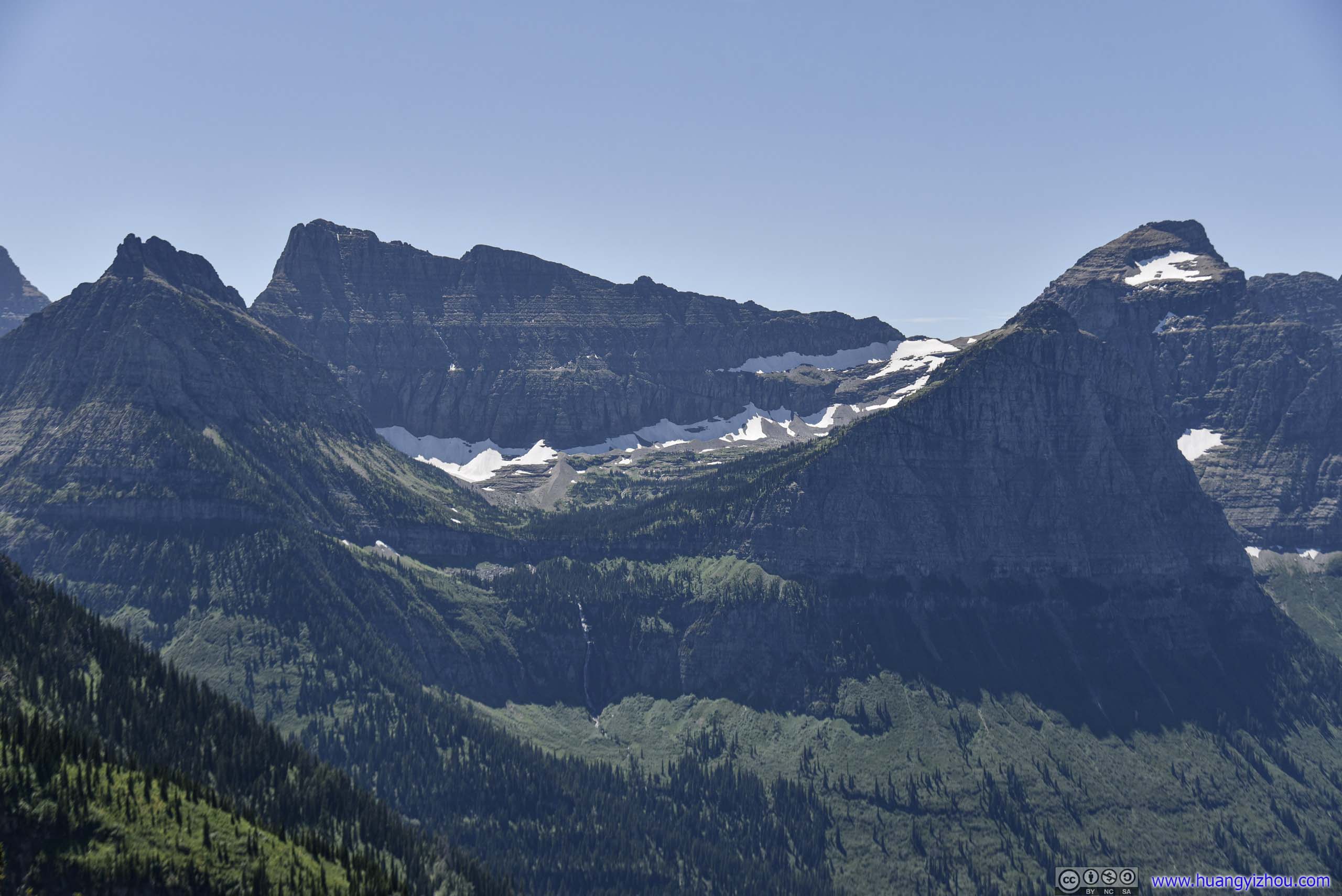
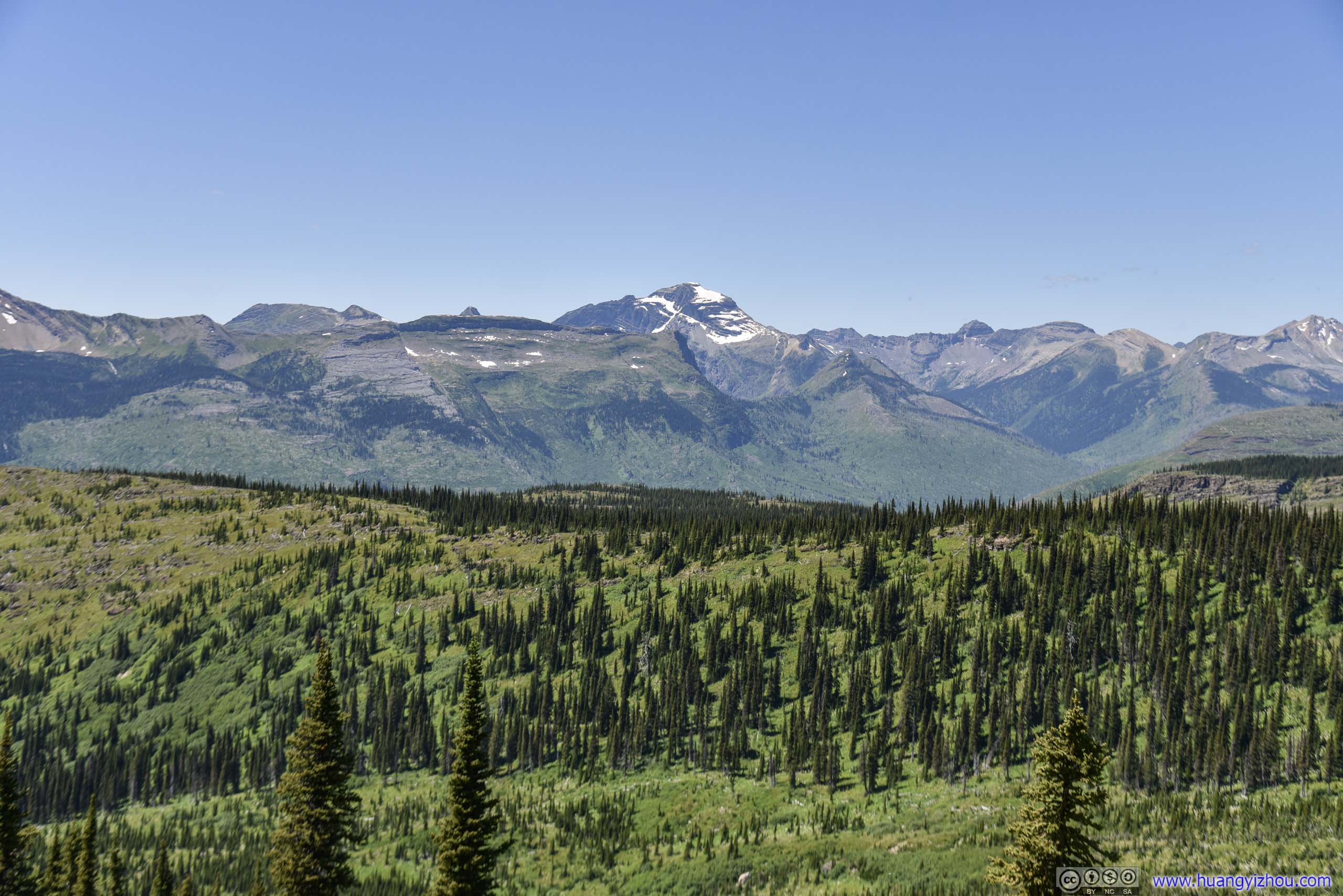
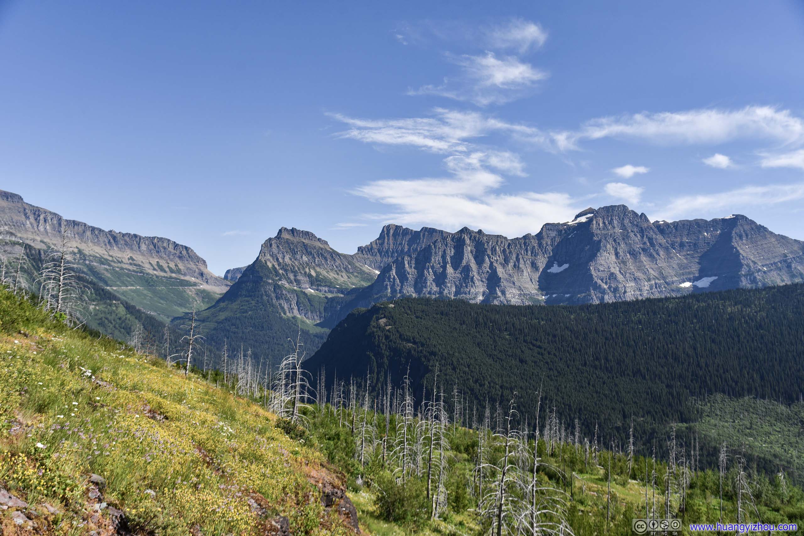
 Mountains
Then it’s Haystack Pass, the only portion of Highline Trail that’s gaining elevation (a total about 200 meters). Rolling fields of beargrass certainly made the journey less grueling.
Trail up Haystack Pass
 Trail through Beargrass Field
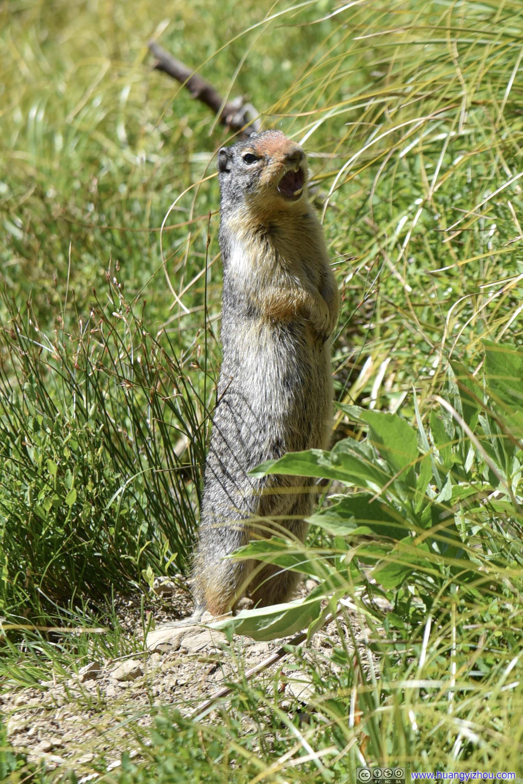
Squirrel Yawning
Valley
 Hillside
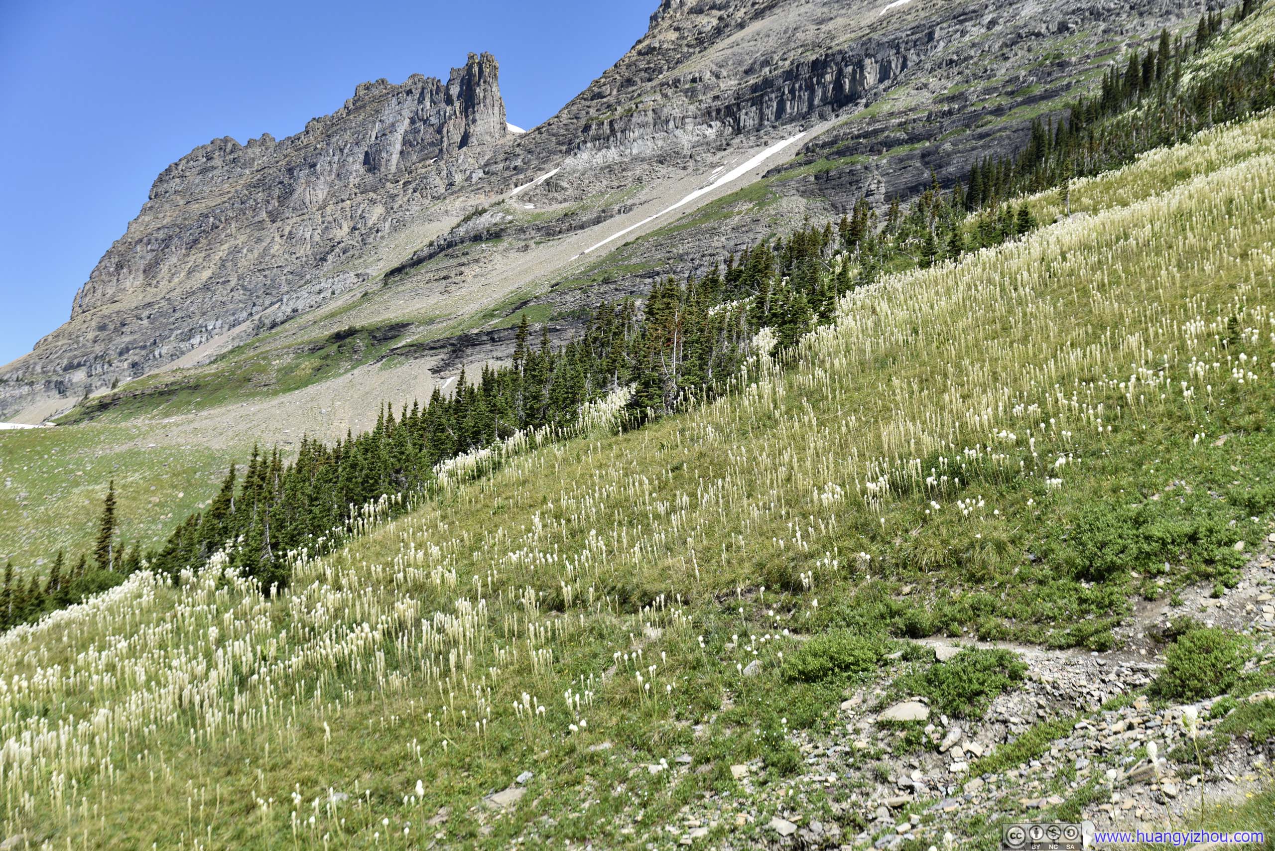
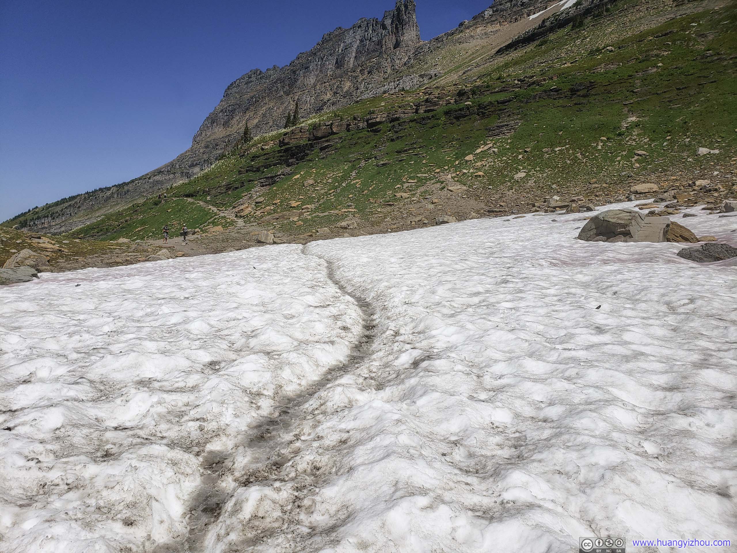
At Haystack Pass, a portion of the trail was through field of snow, which was easier than it might seem since snow was well-packed and not too slippery. Unfortunately the snow was quite contaminated with dirt. Otherwise, it could be a fairytale experience like the movie Frozen, minus the bitterness.
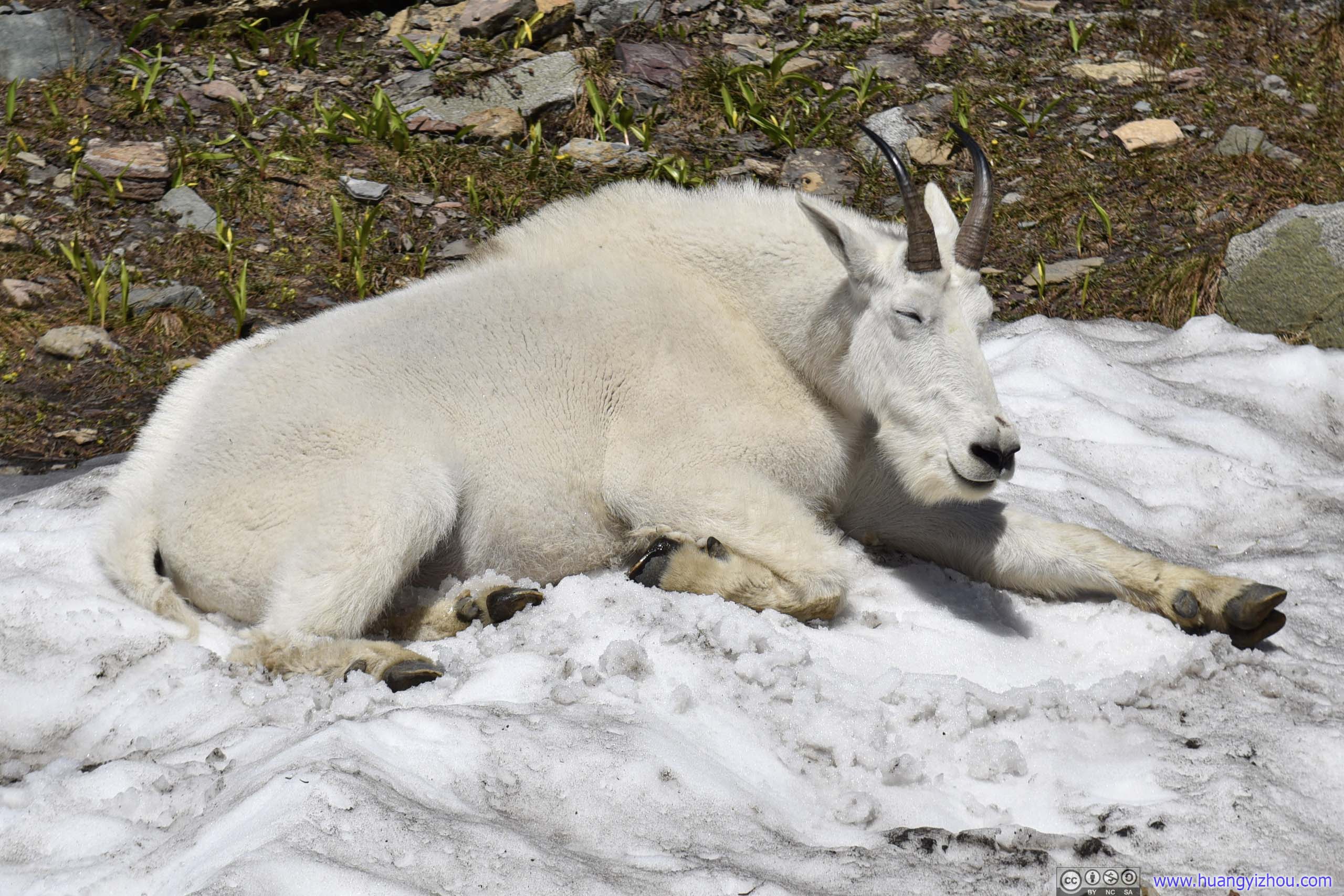
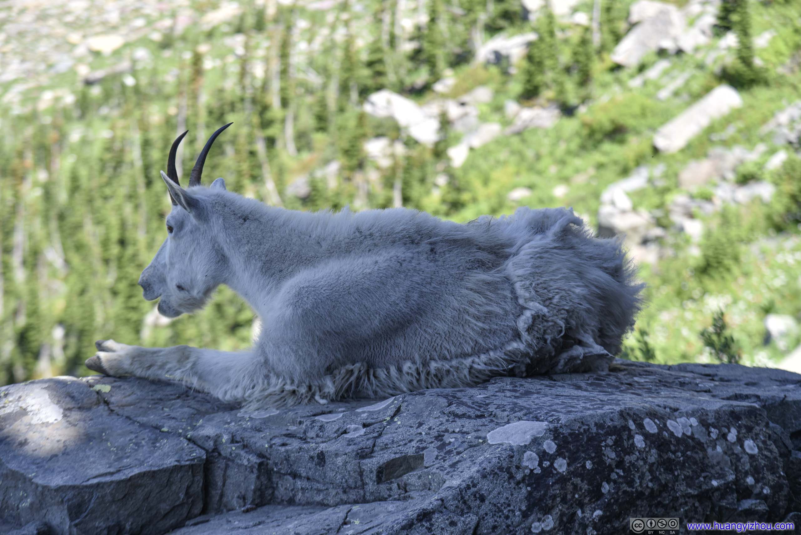
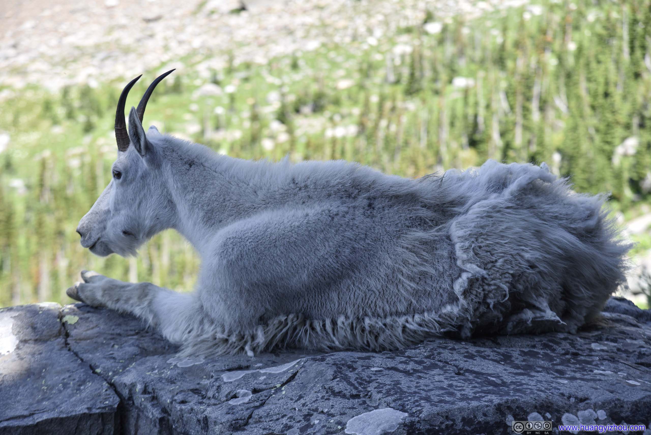
 GoatAnd this goat was certainly enjoying this refreshing snow, given how much fur he was wearing.

 Trail in Snow
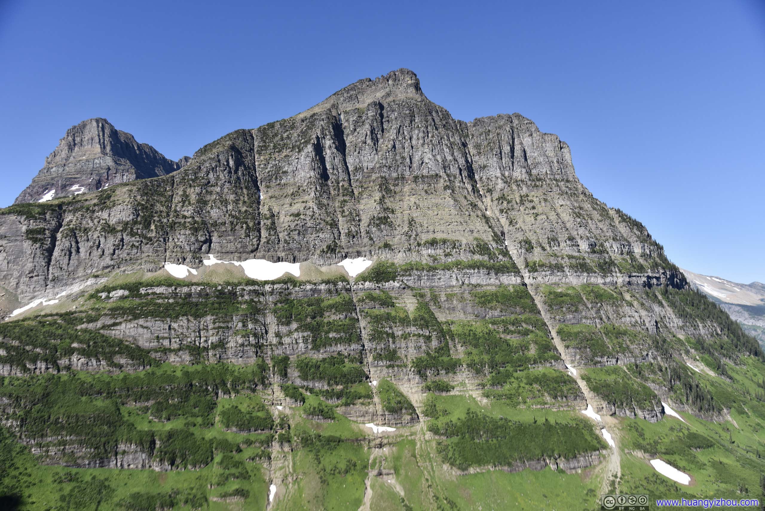
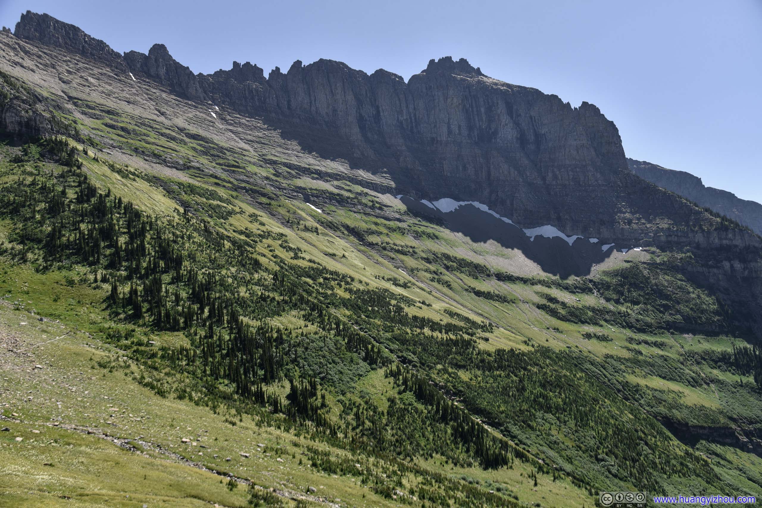
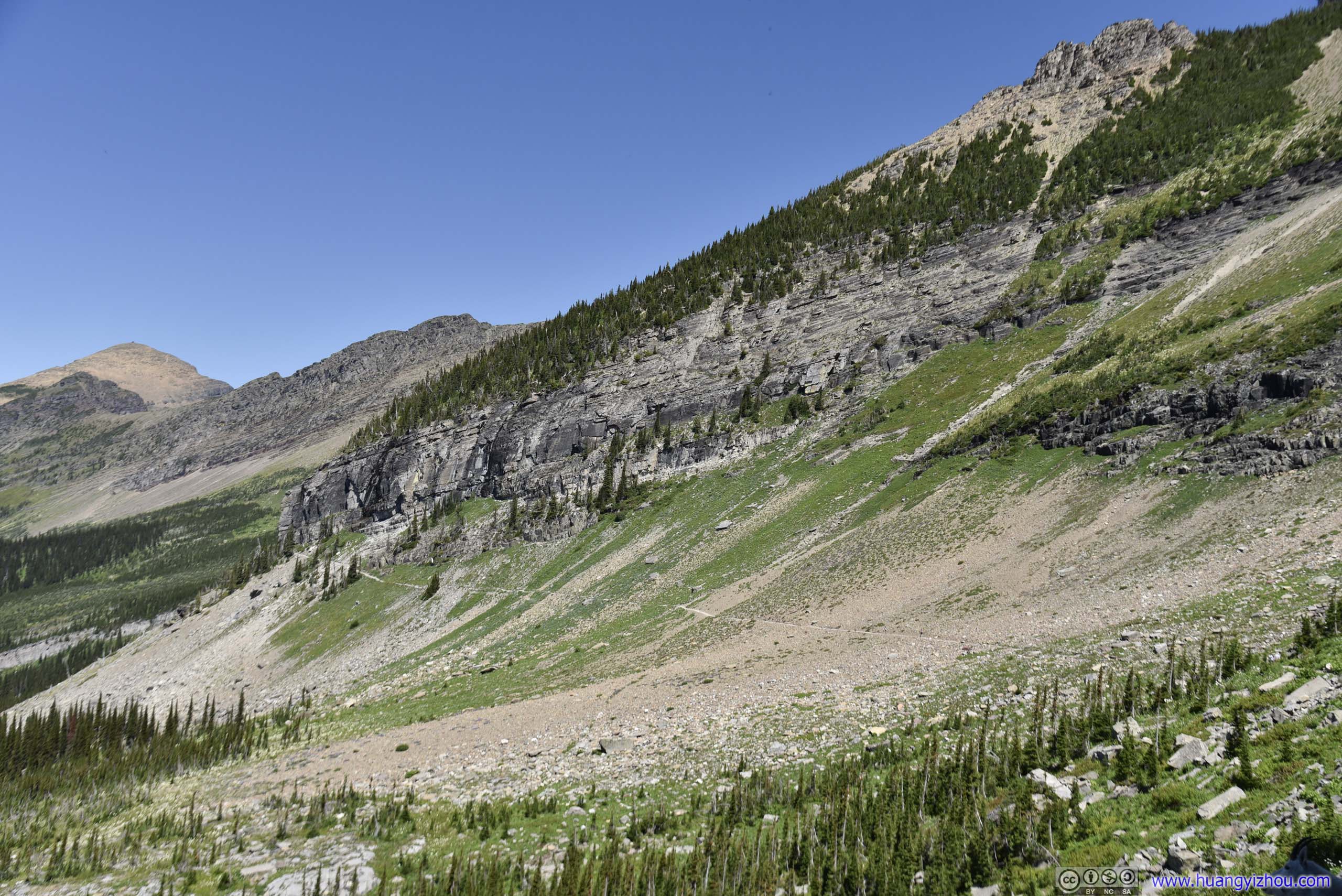
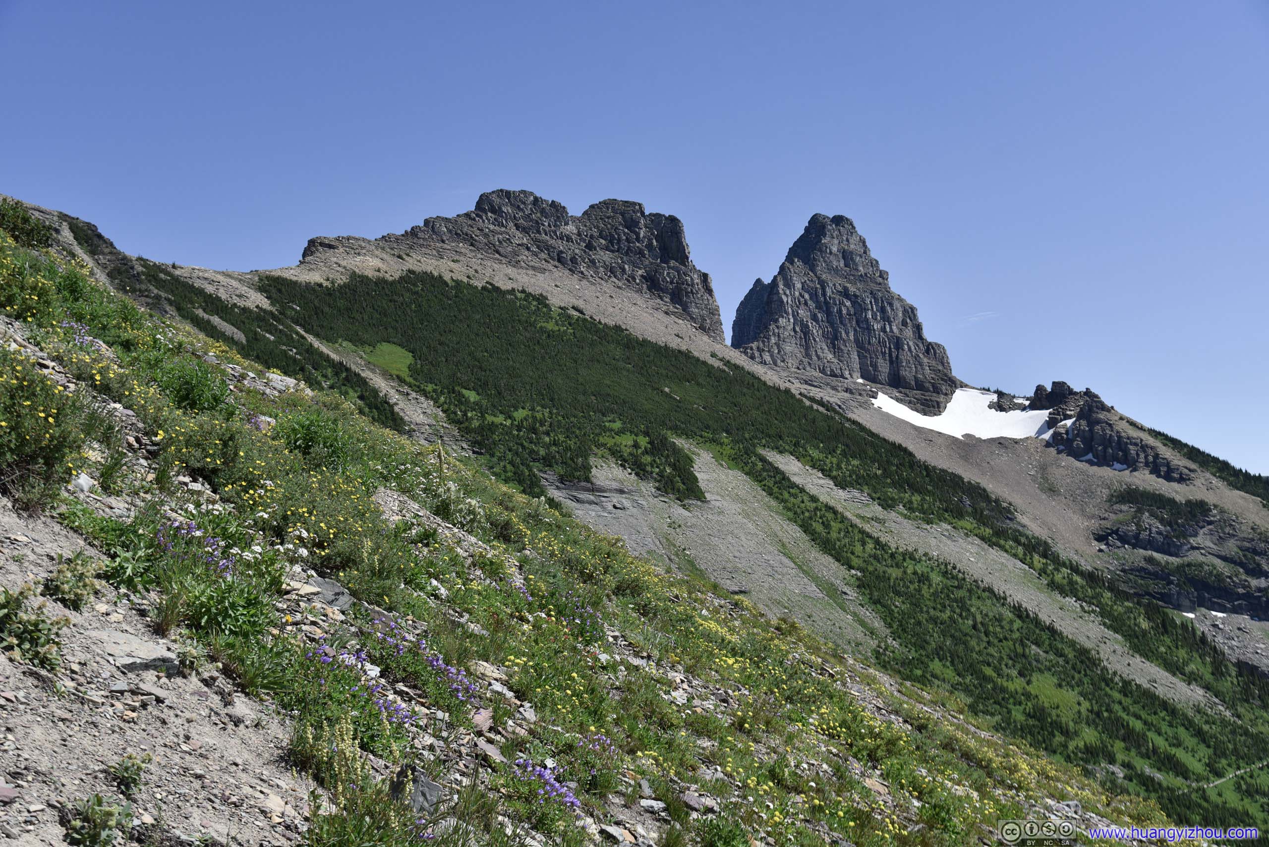
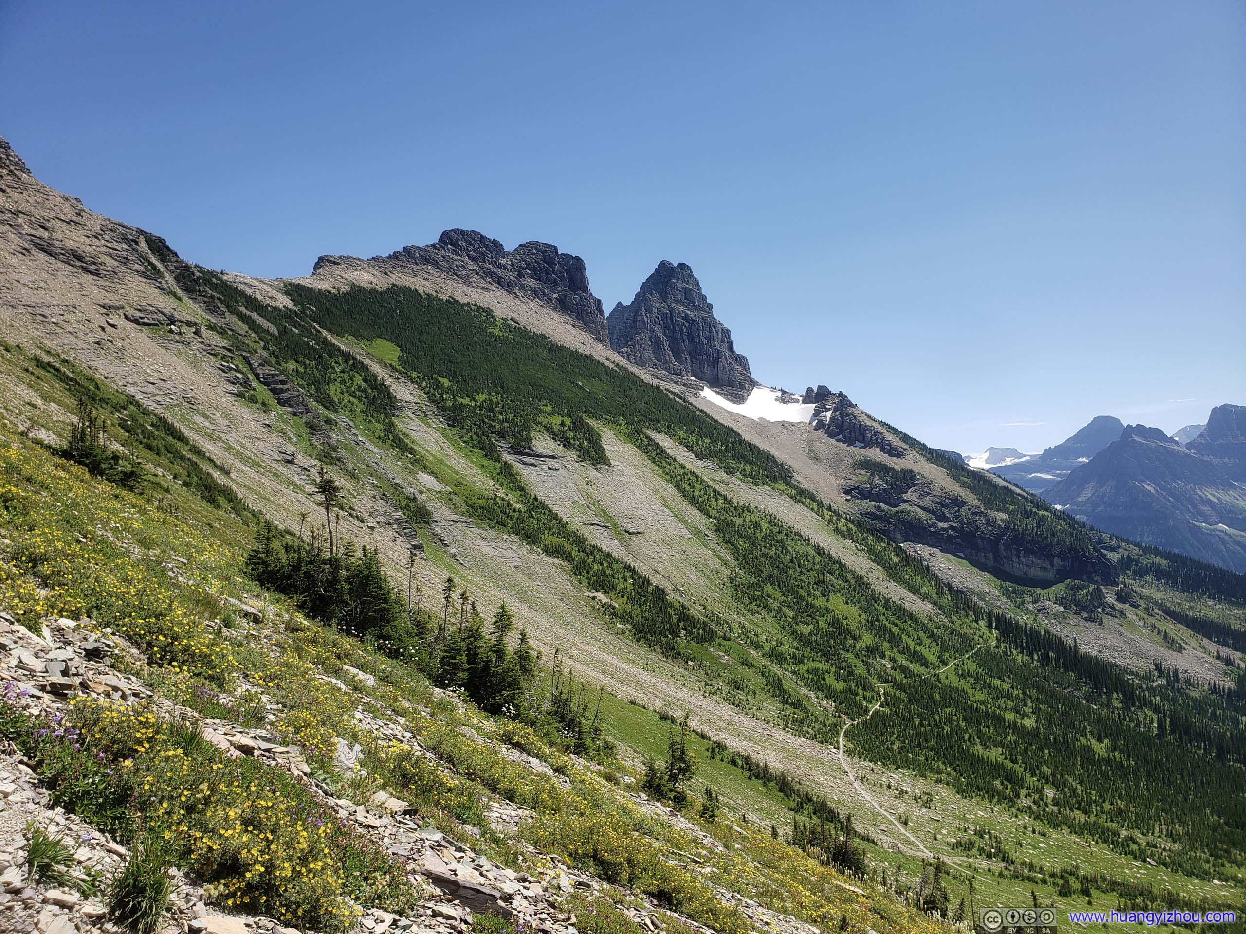
 Garden Wall
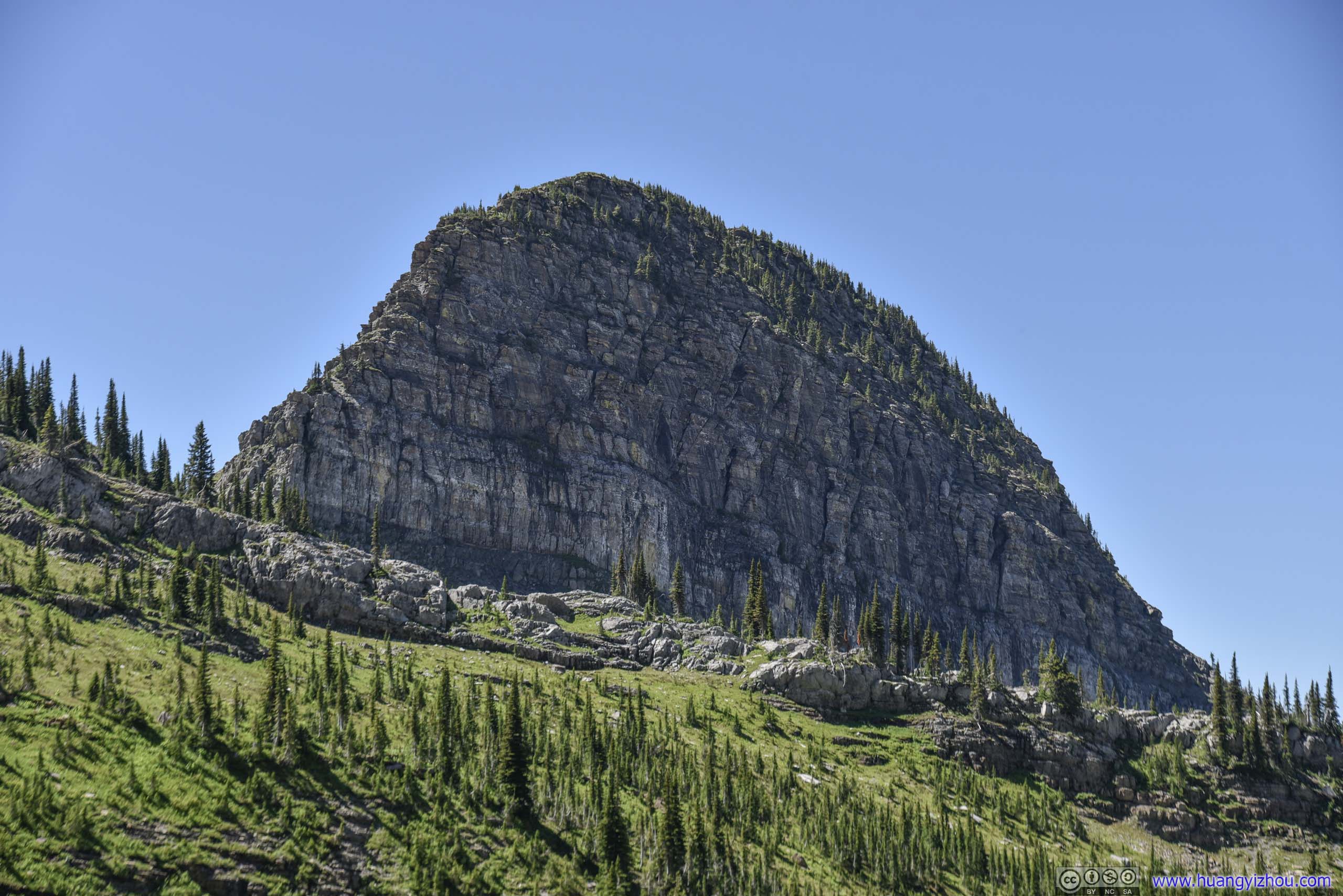
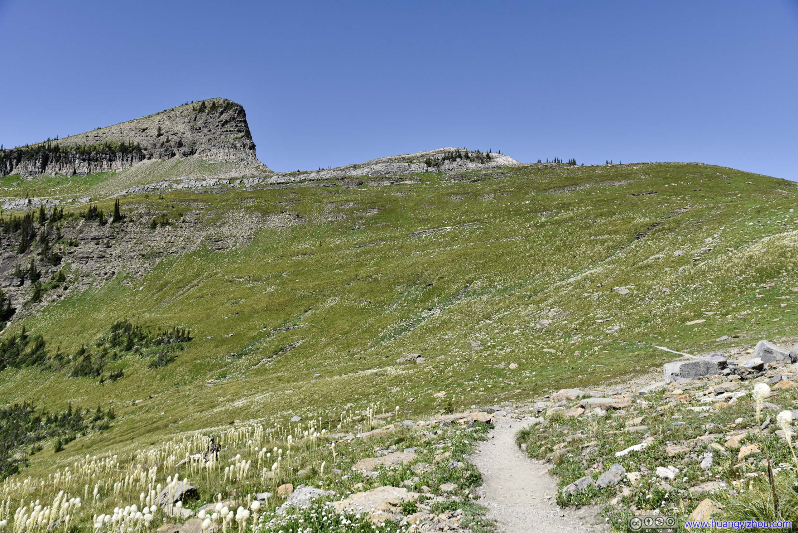
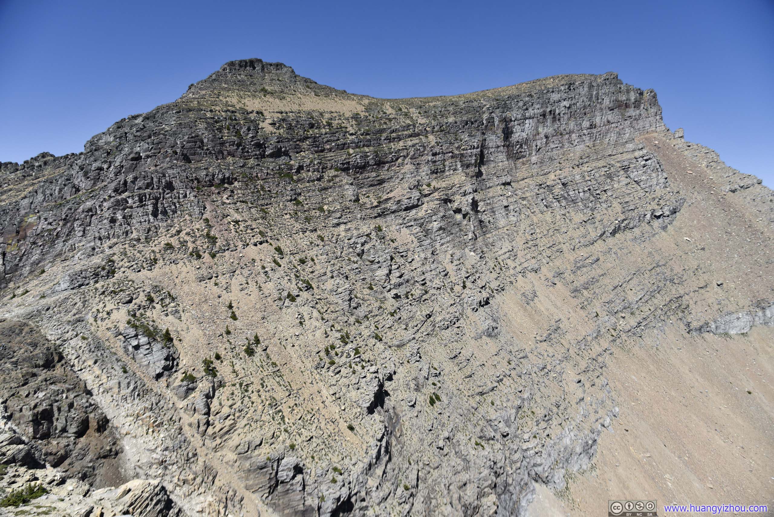
 Haystack Butte
Haystack Butte before Mt Cannon
There’s a short (1.1km one way, 140m elevation gain) trail to the top of Haystack Butte. It wasn’t on my original plan, so I skipped it (it didn’t seem that many people were taking that trail). If one’s physically fit and started from Logan Pass early enough, visiting Haystack Butte along the way isn’t a bad option.
 McDonald Creek between Mountains
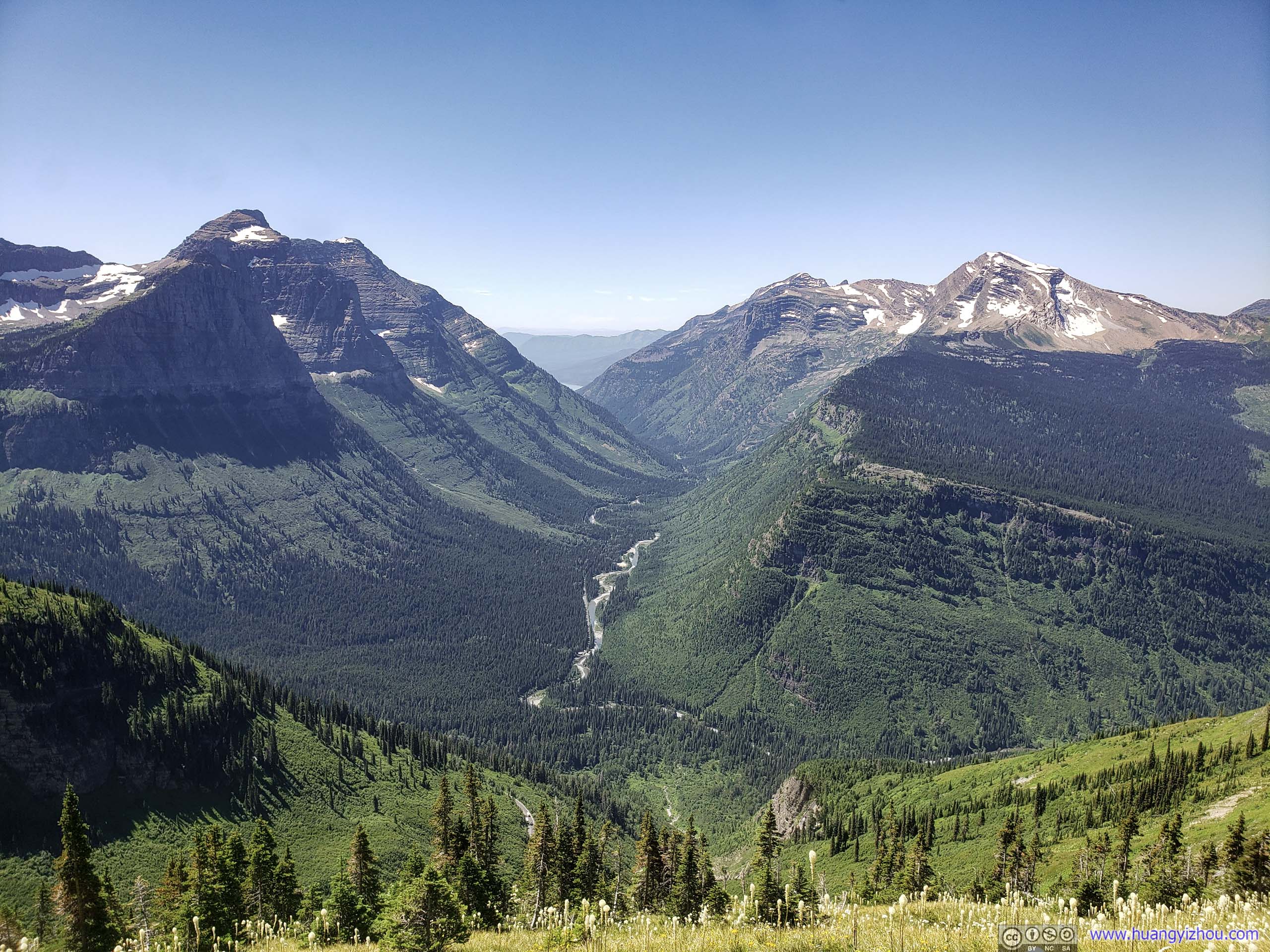
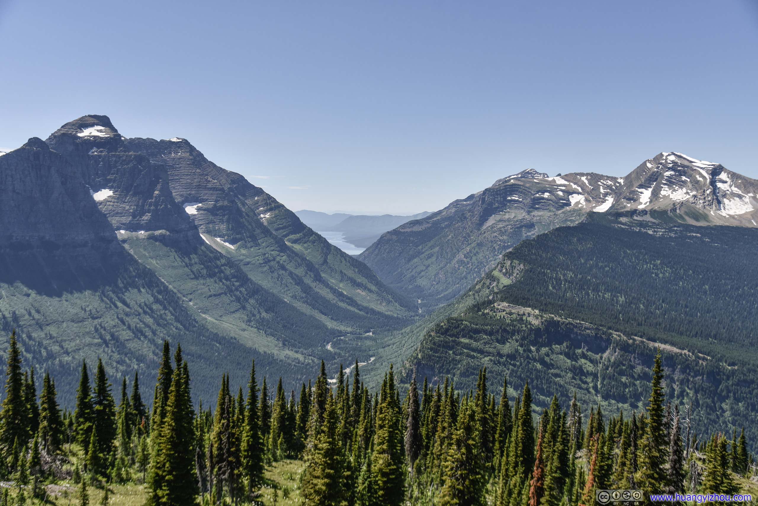
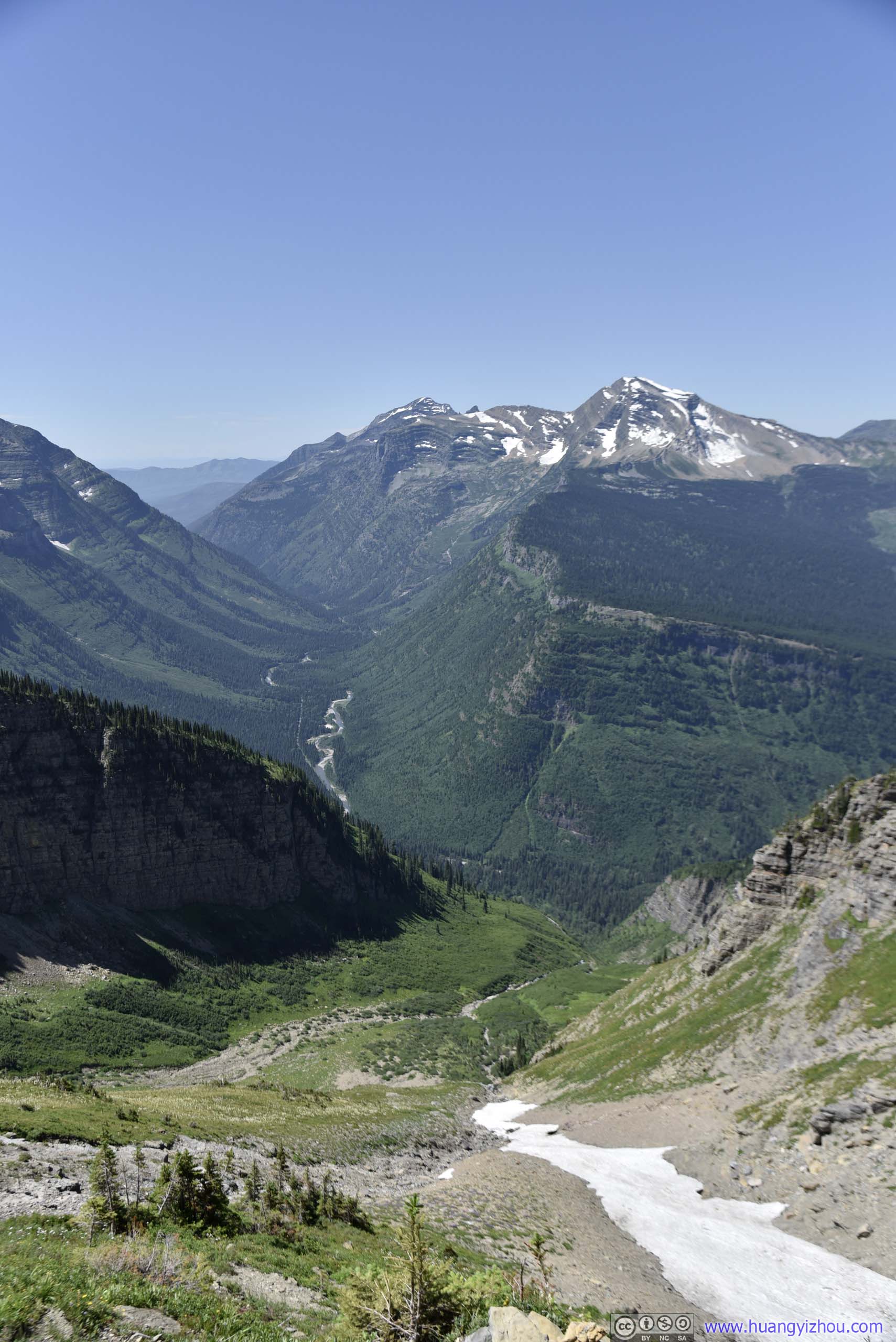
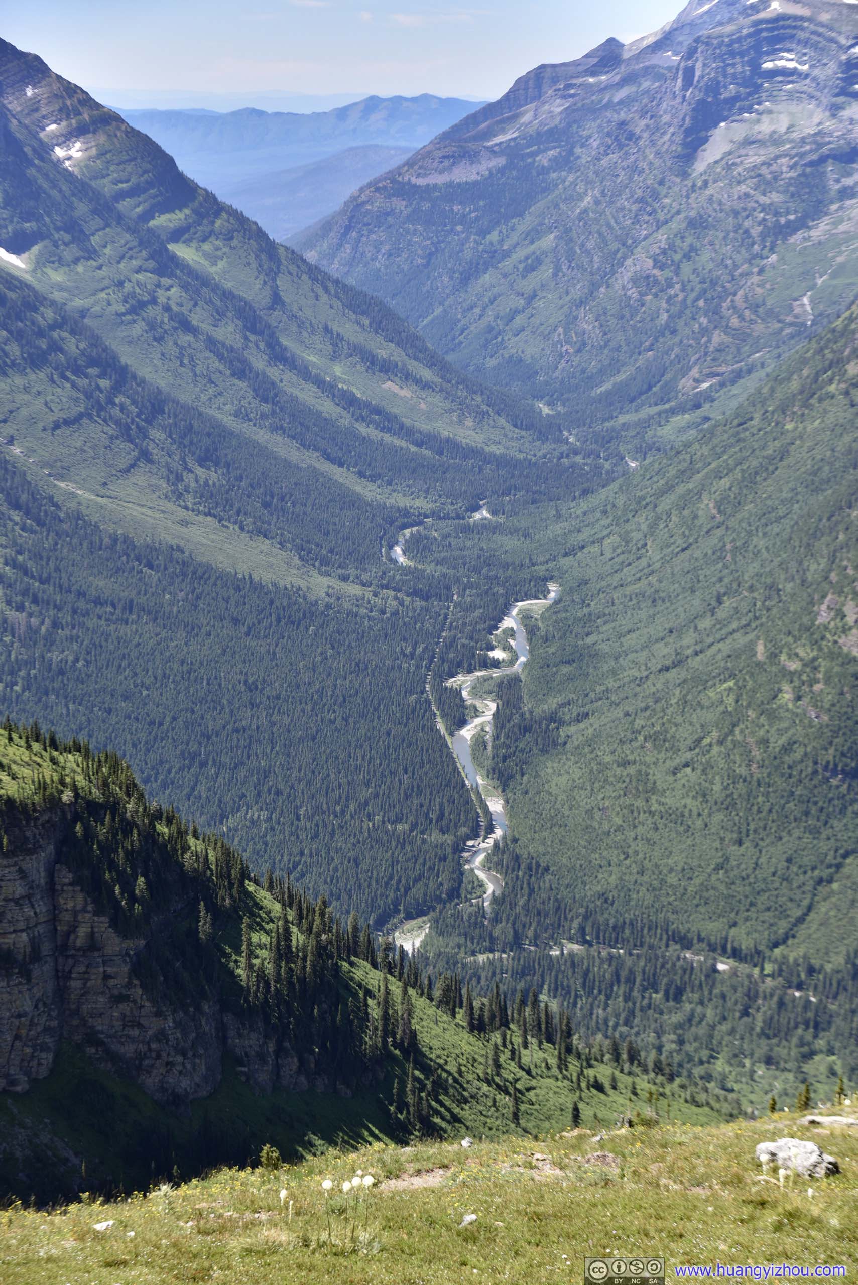
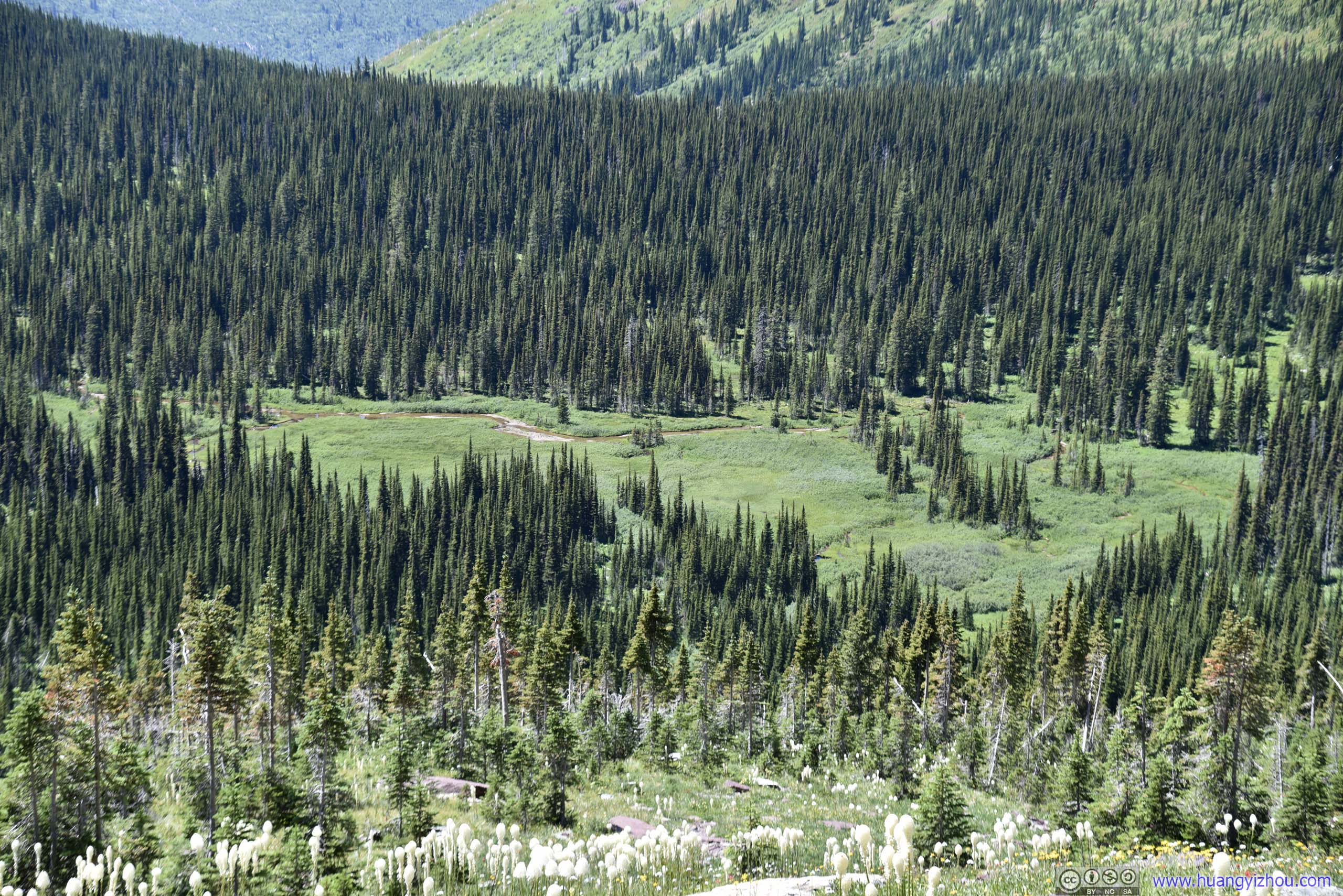
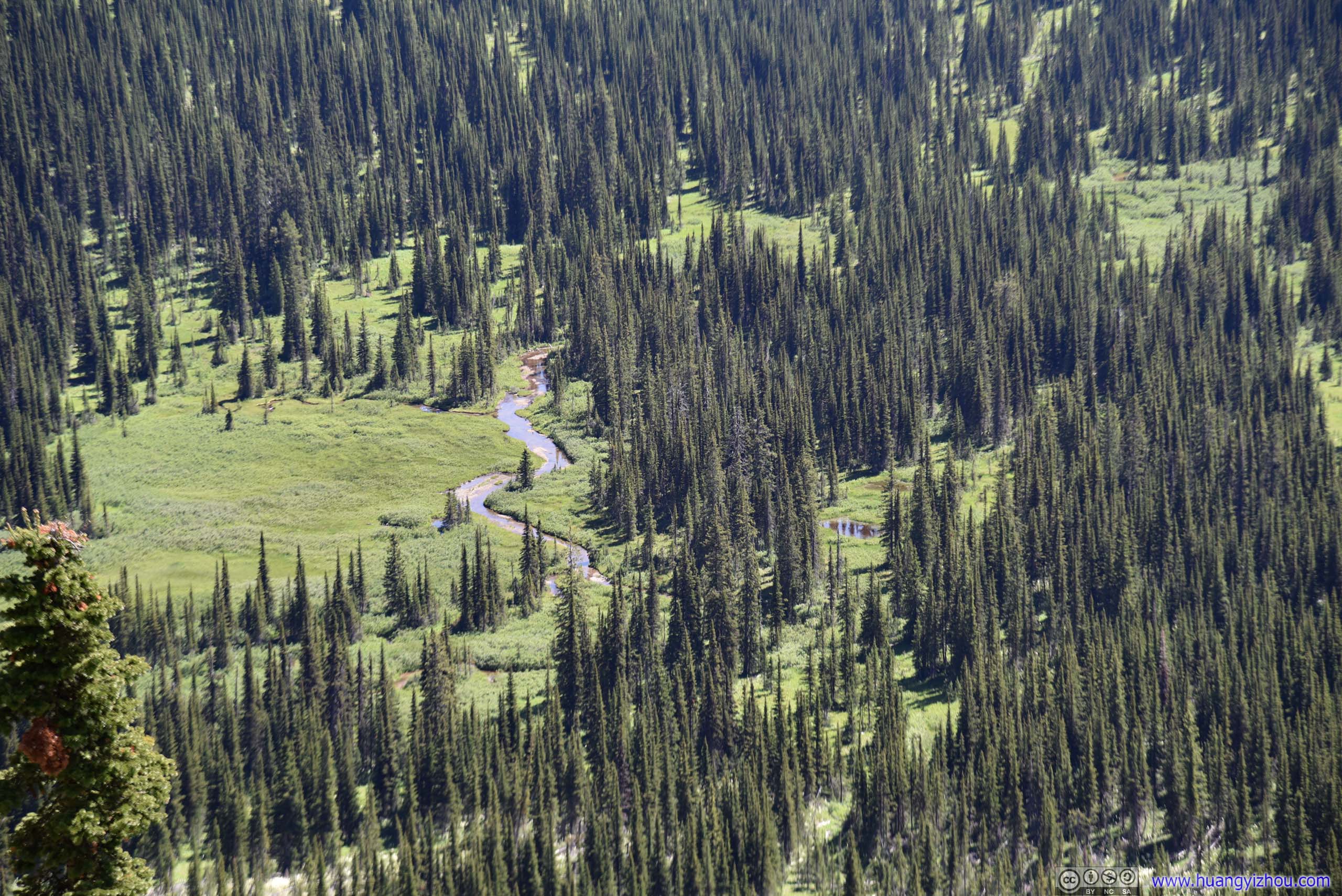
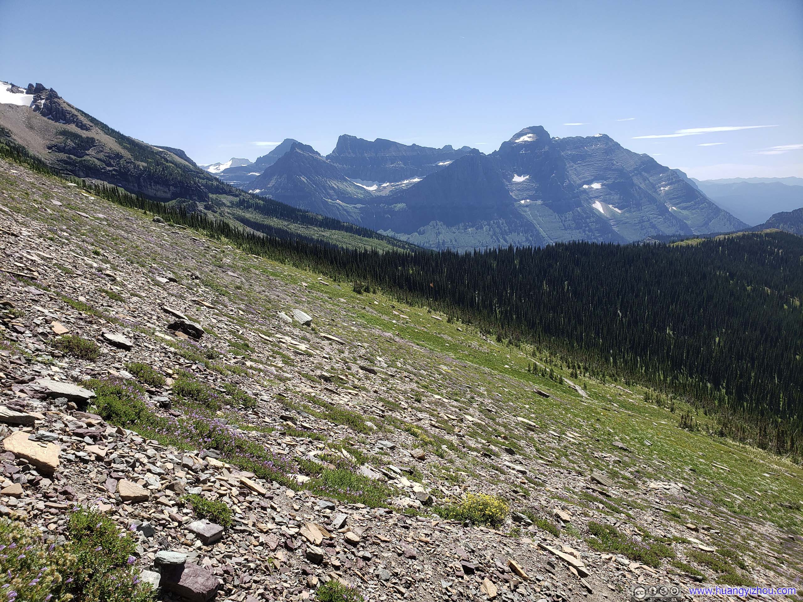
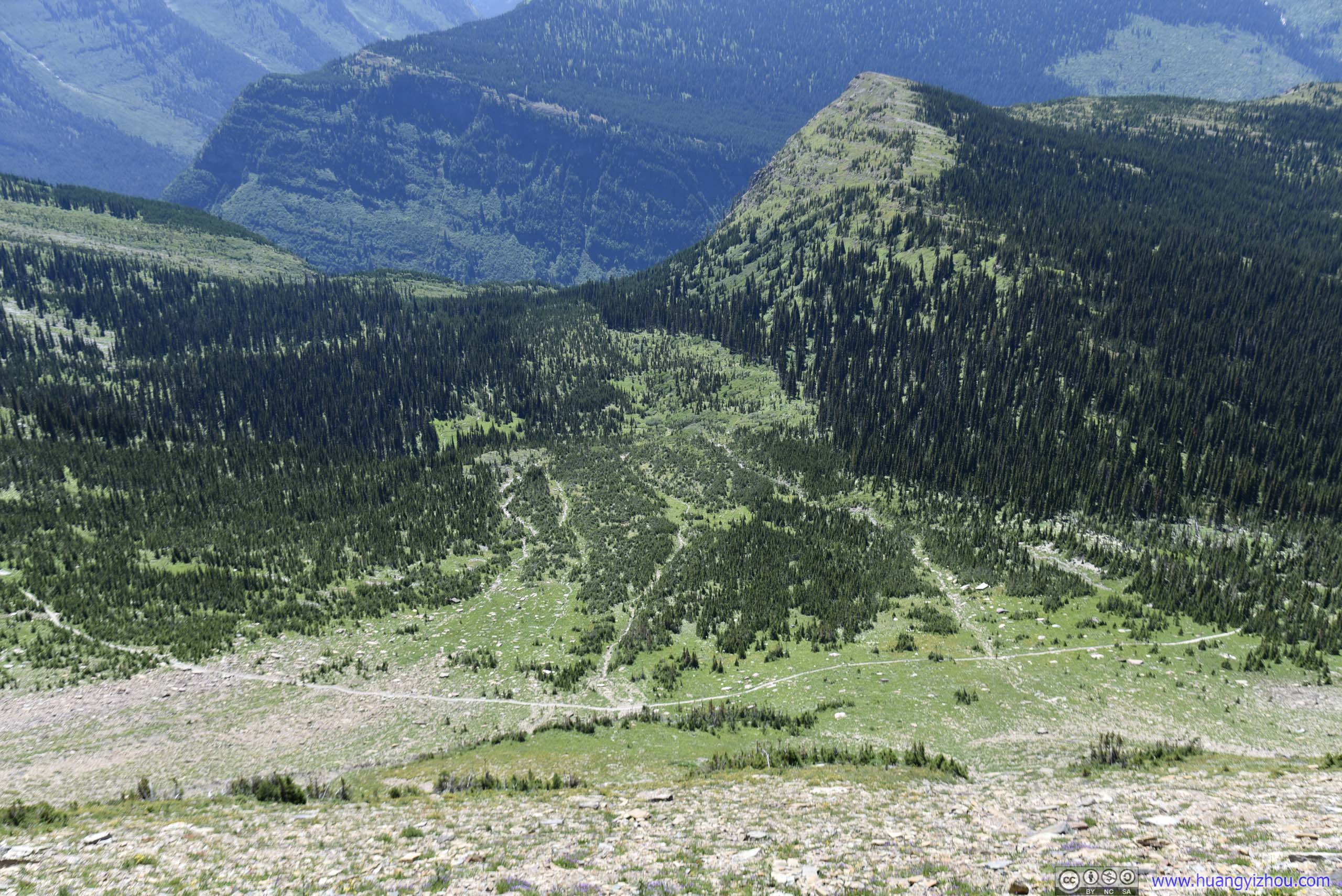
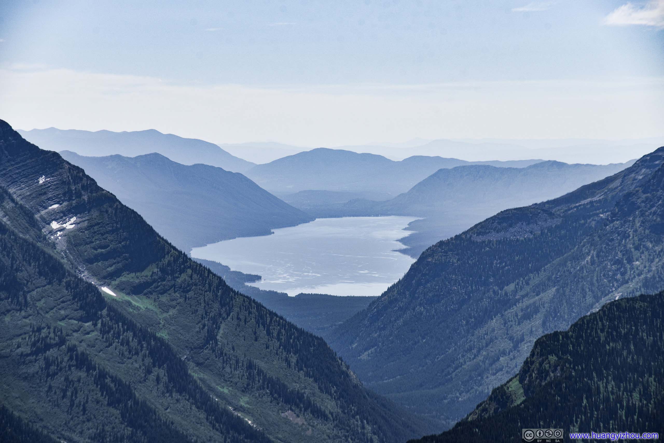
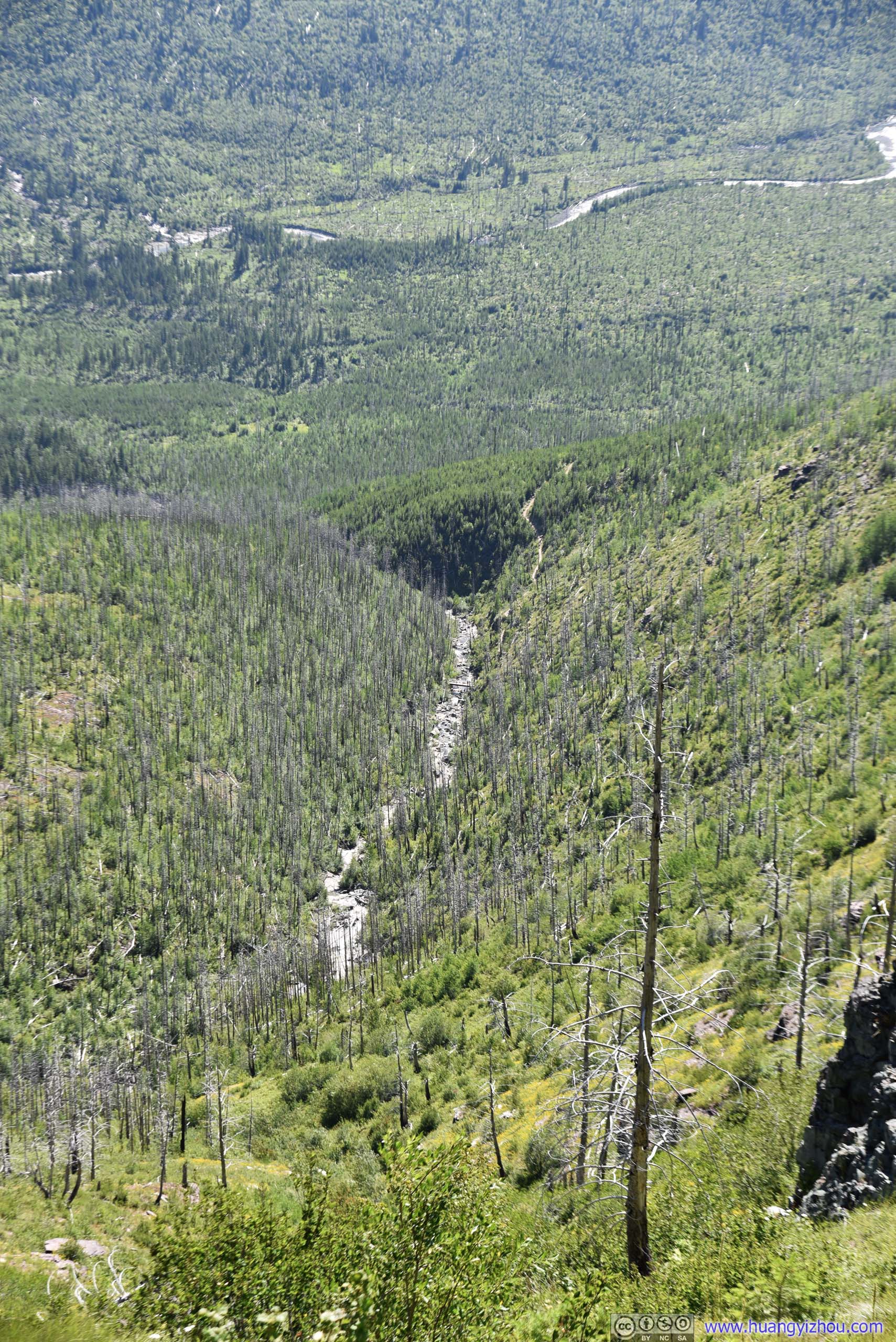
After crossing Haystack Pass, McDonald Creek and distant McDonald Lake gradually became visible. They were a constant sight throughout most of the hike.
 Trail on Mountainside
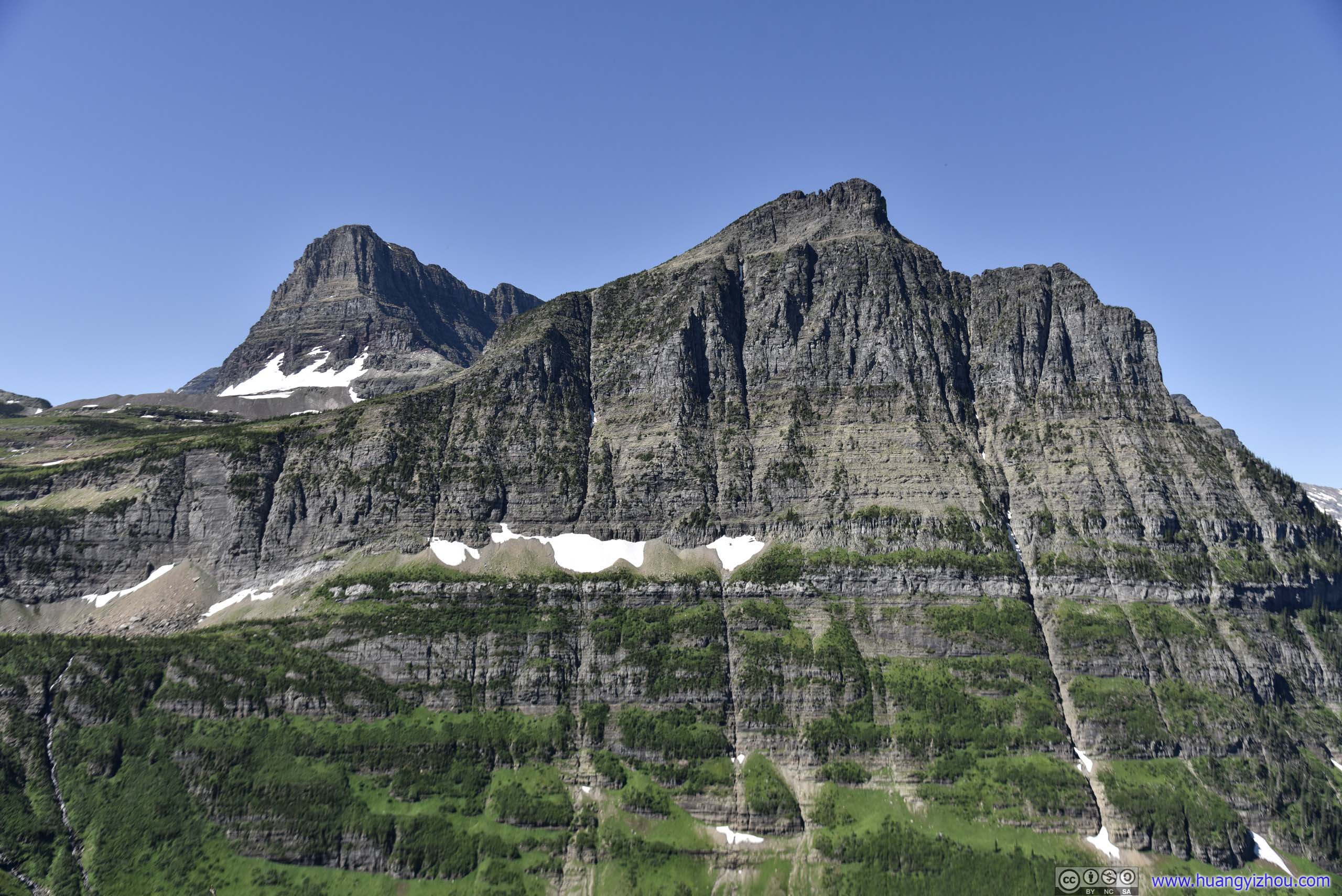
 MountainBishop’s Cap
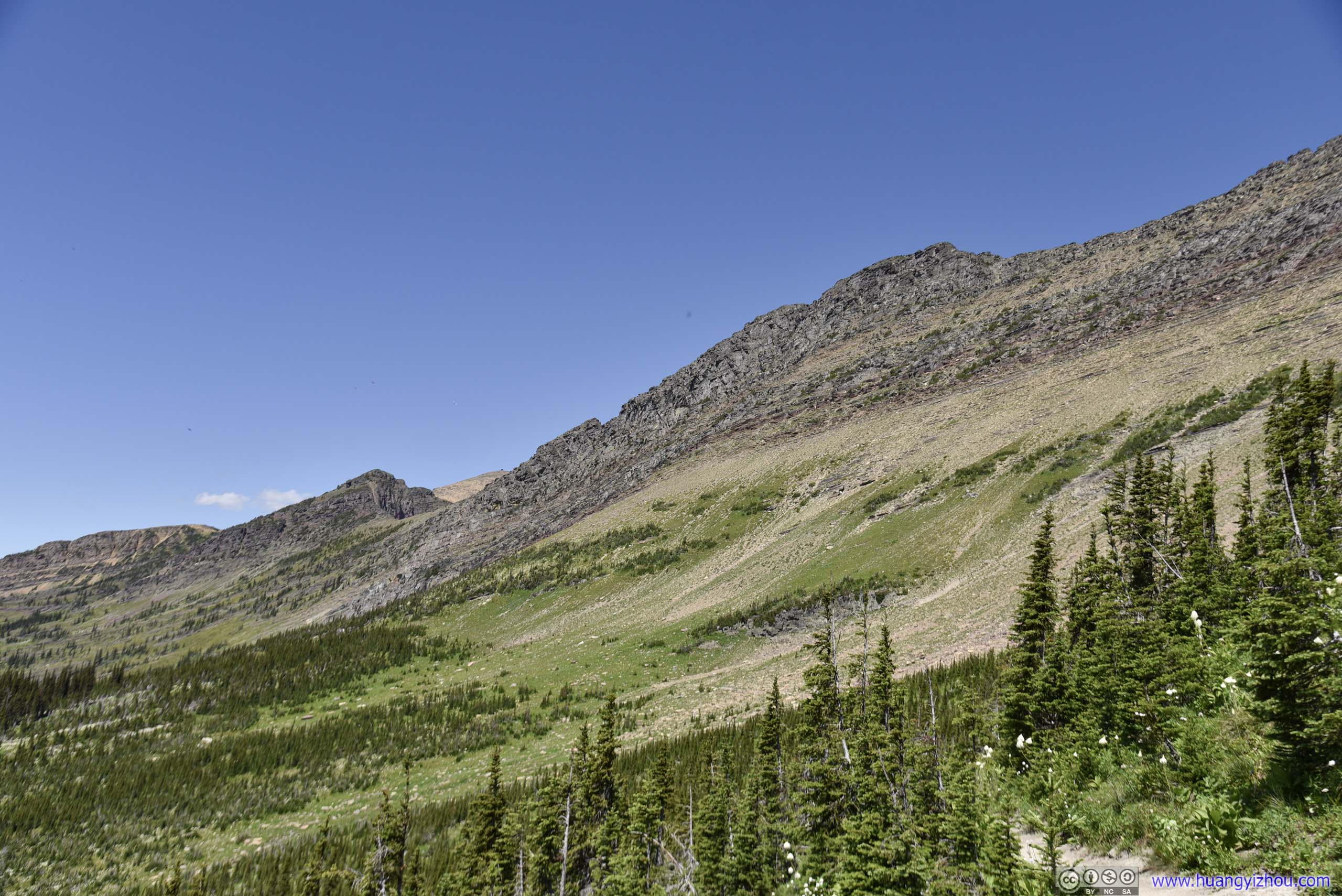
View of Mountains along Highline Trail
McDonald Creek between Mountains
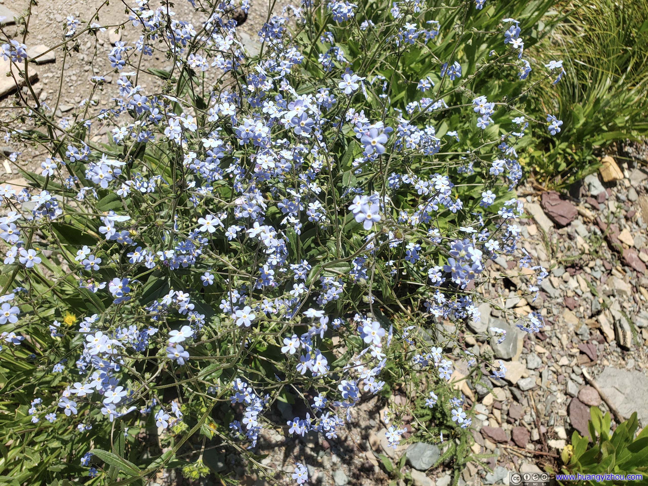
FlowersNot sure why they were tilted one way.
 Clusters of Flowers
 Trail through Beargrass Field
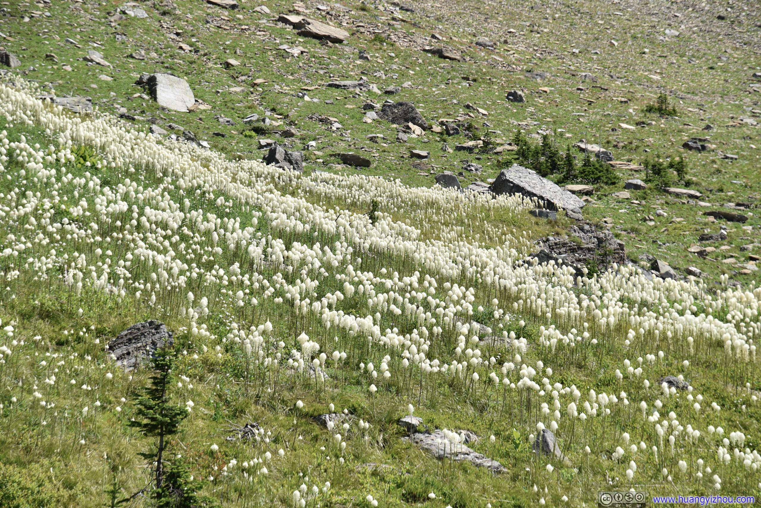 Beargrass Field
Distant Bird Woman Falls
 McDonald Creek in Valley and Distant Mountains
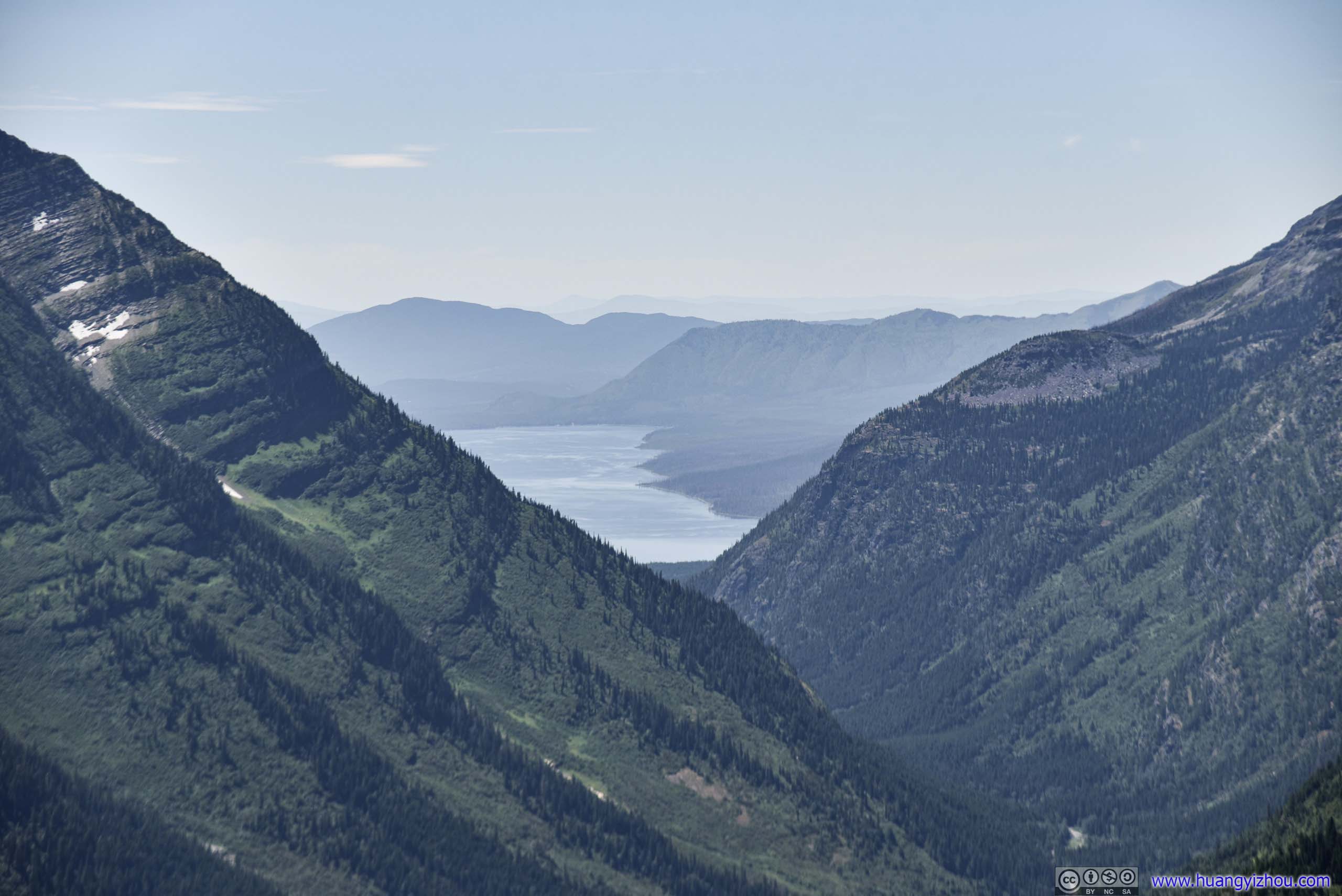
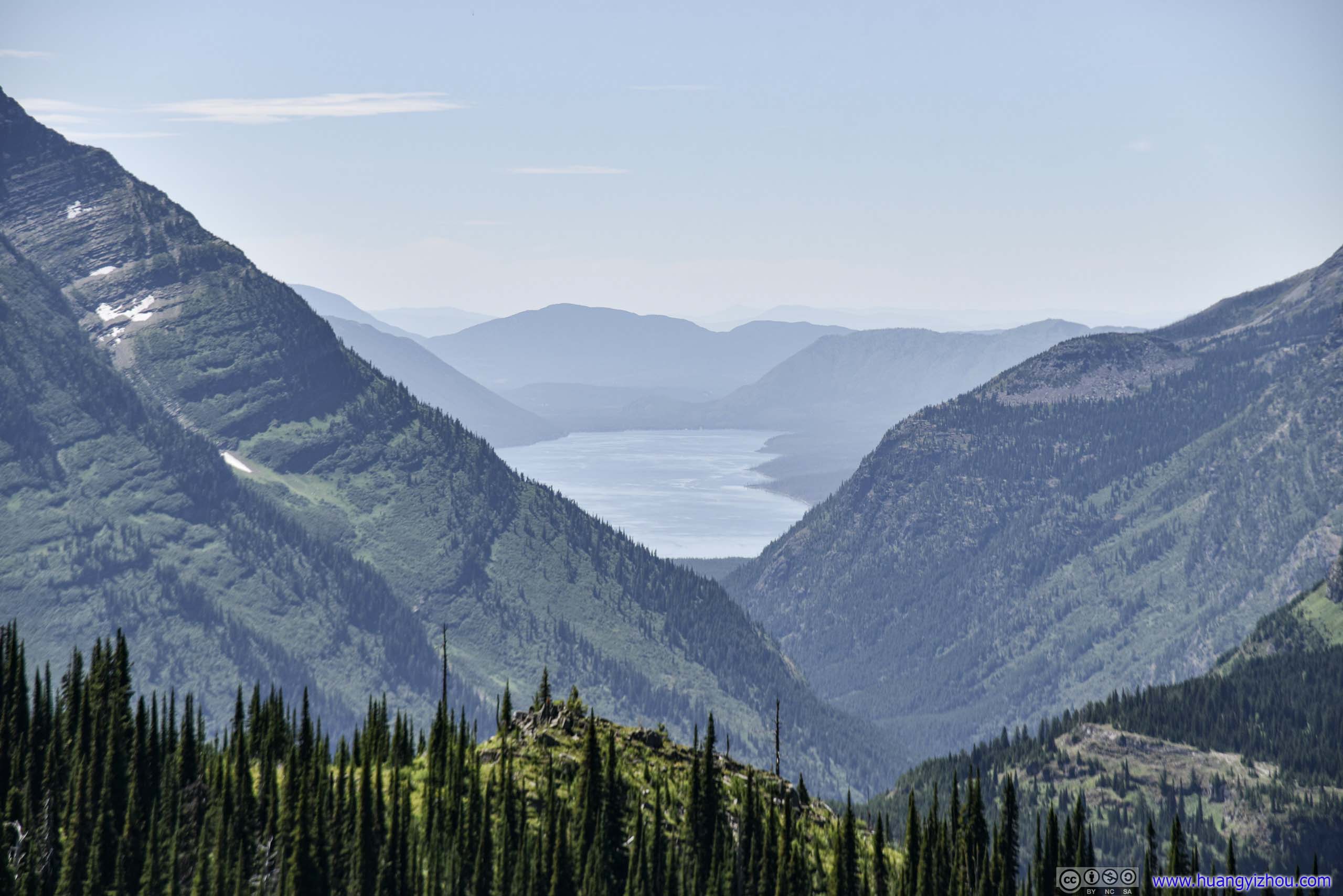 Distant McDonald LakeThese two photos were taken 500 meters apart. The view of distant McDonald Lake was much better for the one on the right.
 Hillside

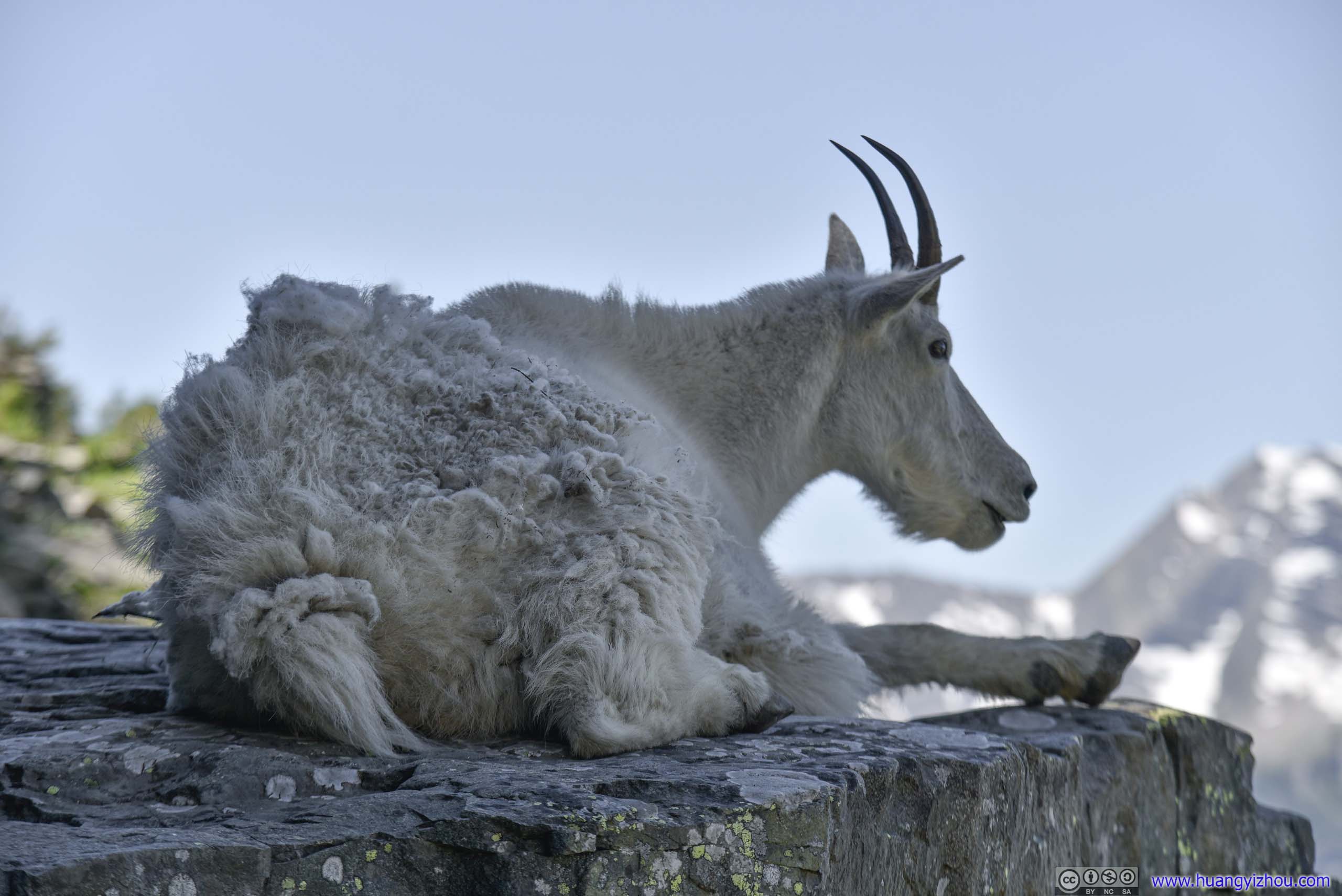
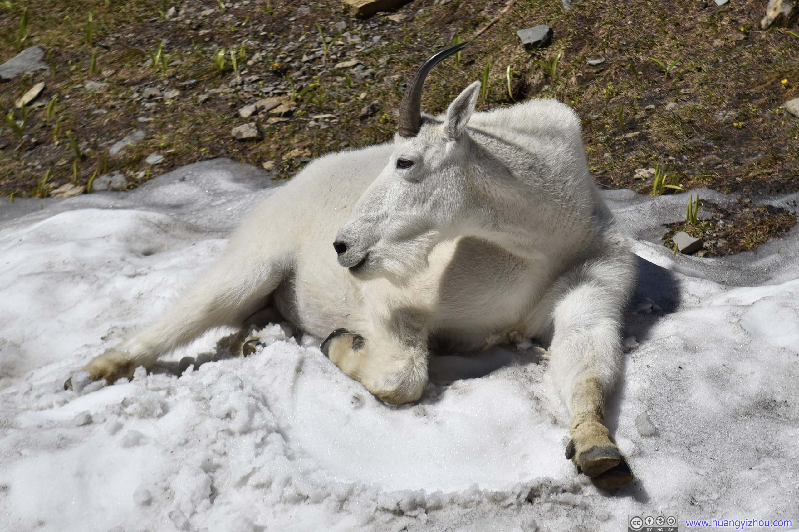
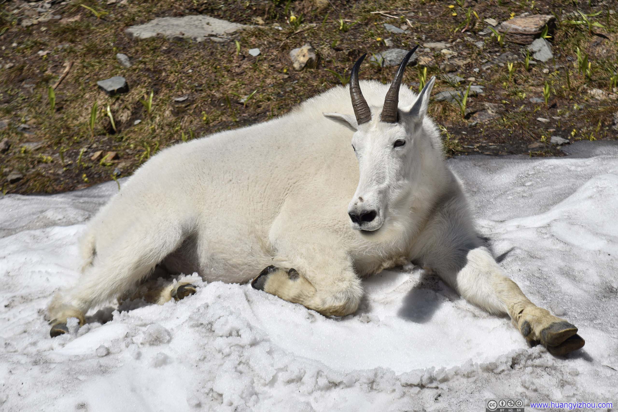
 GoatI guess this dude’s not-so-furry, thus he was content with staying in such shade, unlike the previous one sitting on some throne of snow.
Distant Mountains
Mountains and Distant McDonald Lake
 Rocks along Trail
 Hill
Hill
 Hill and Mountains
 Trail
Trail
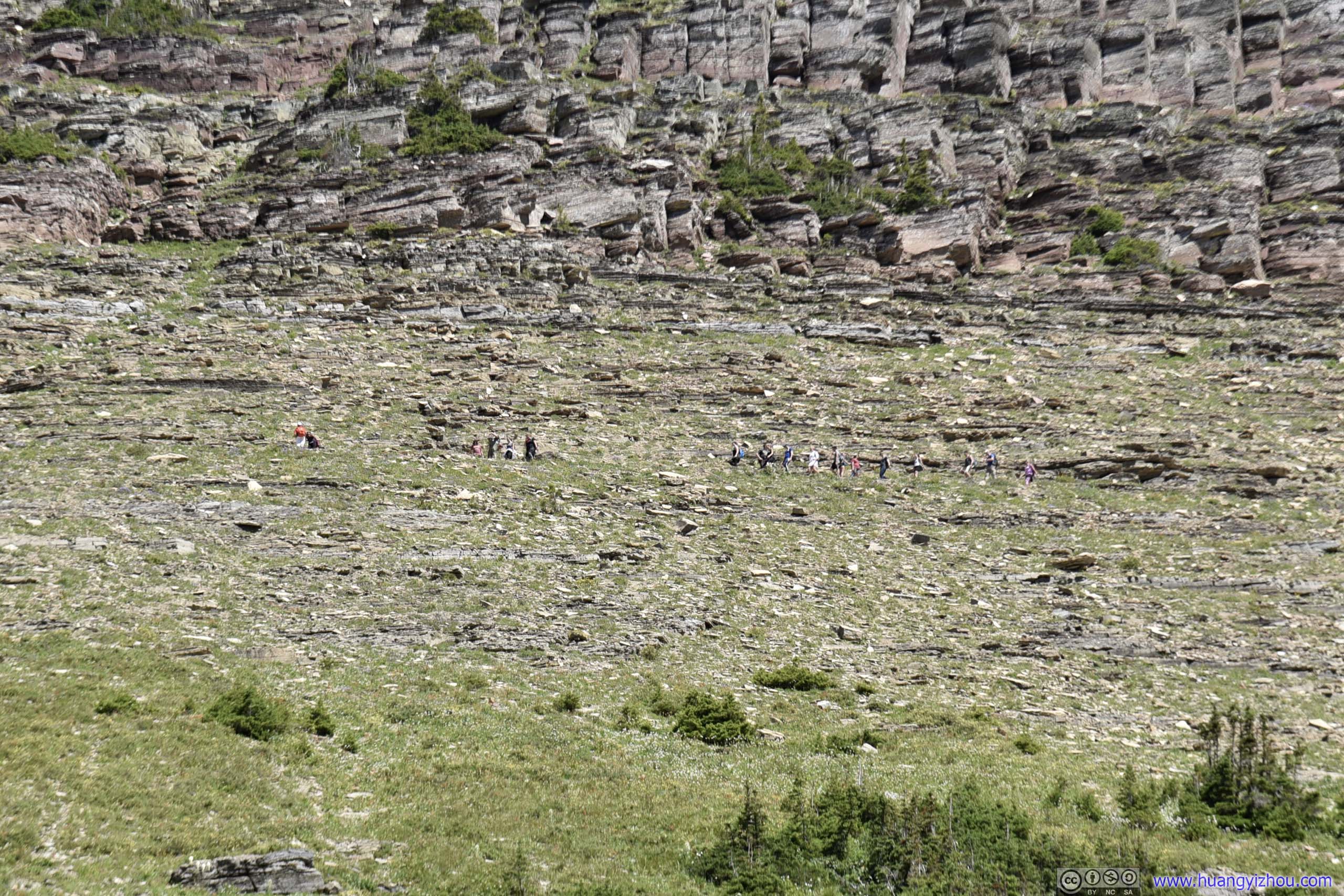
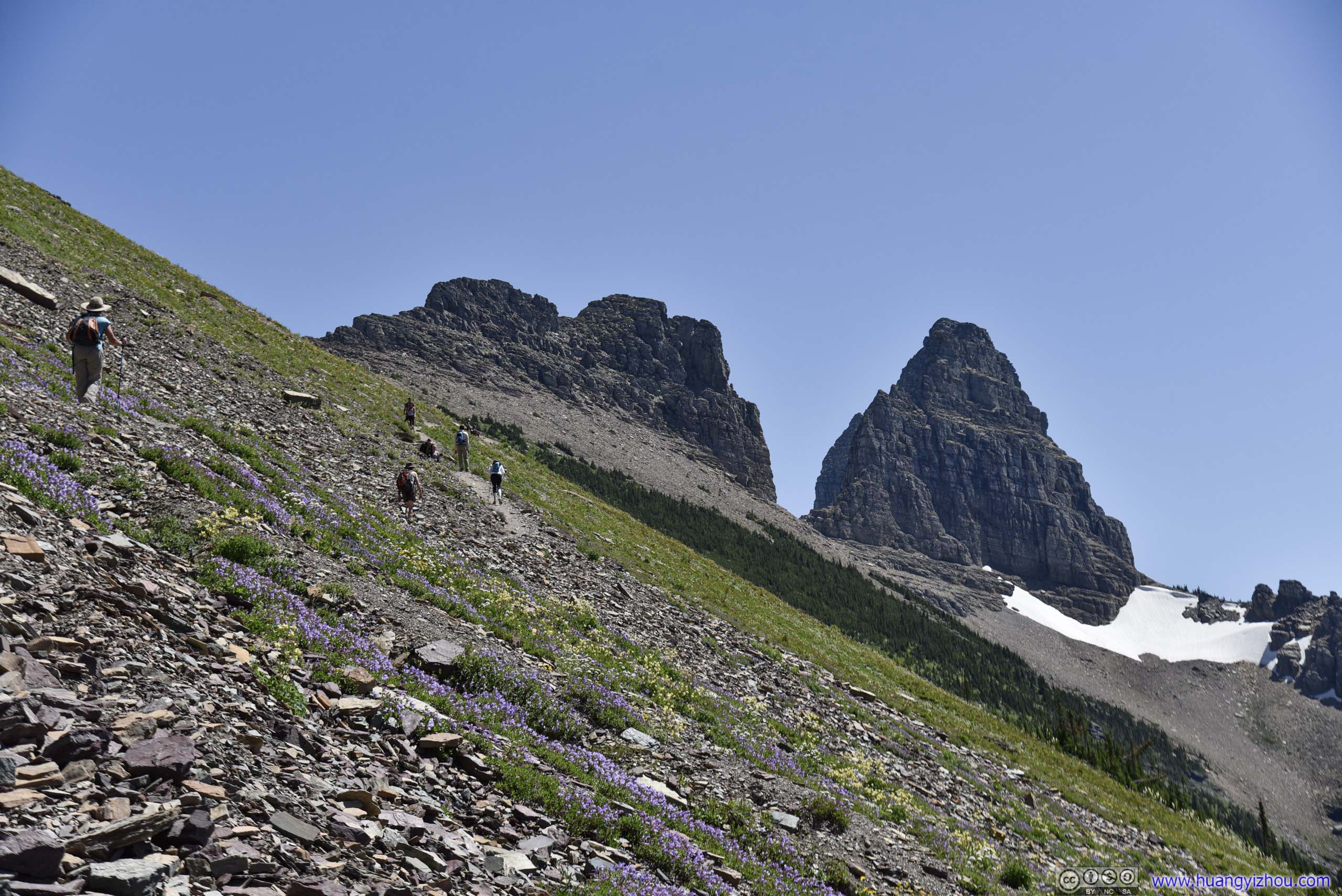
Hikers on Garden Wall Trail
 Creek in Forest
 Flowers

River of Flowers
 Trail through Flowers
 Flowers
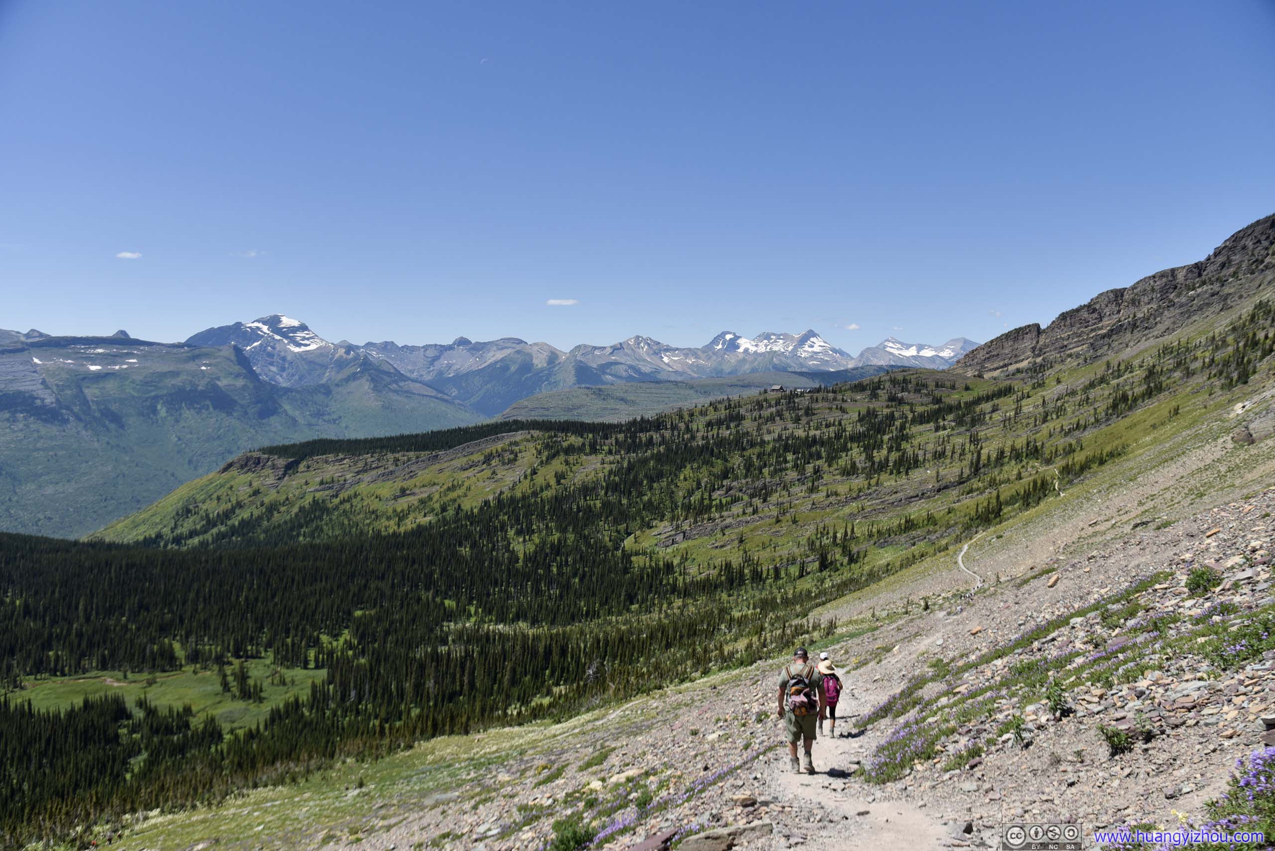
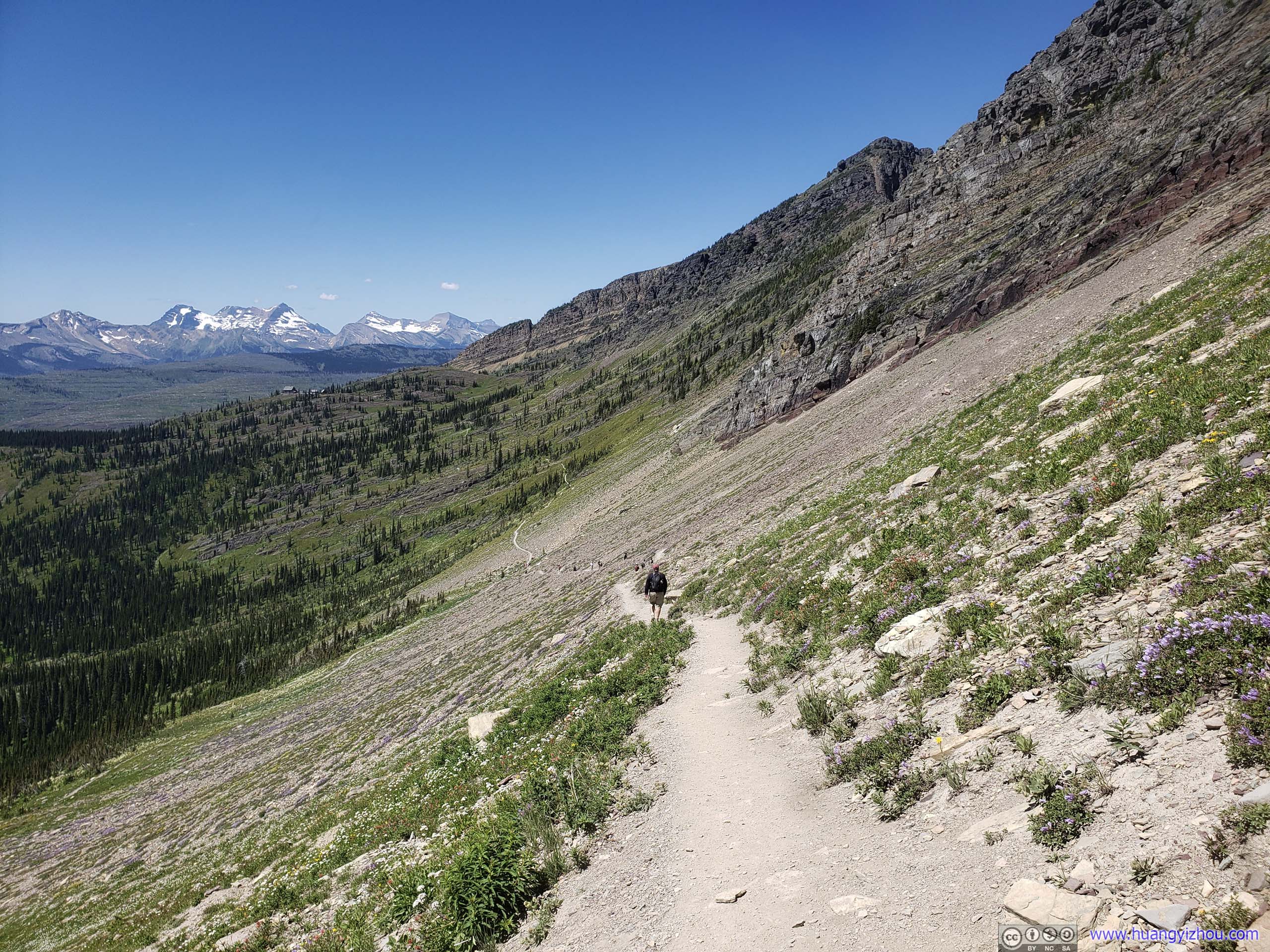
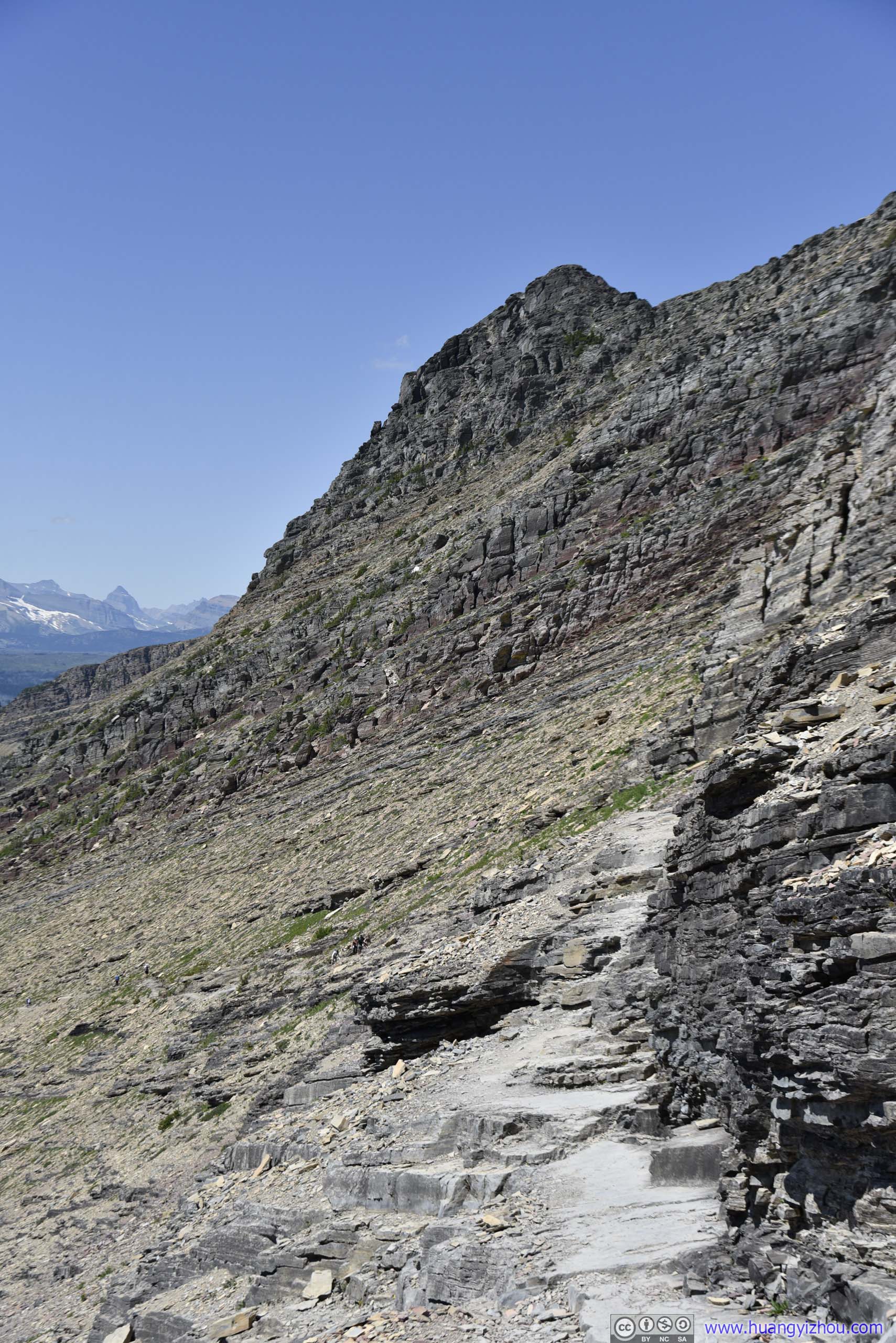
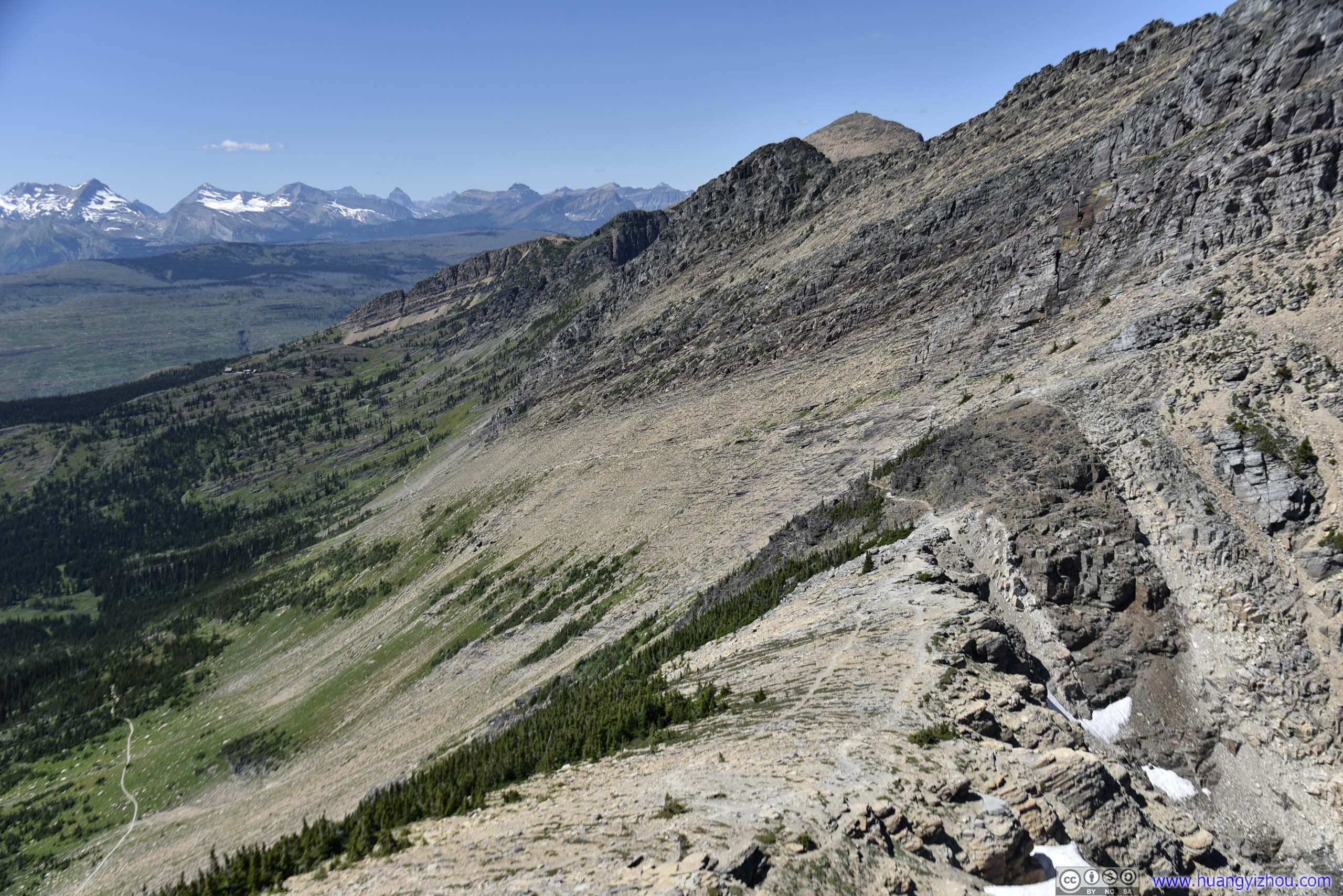
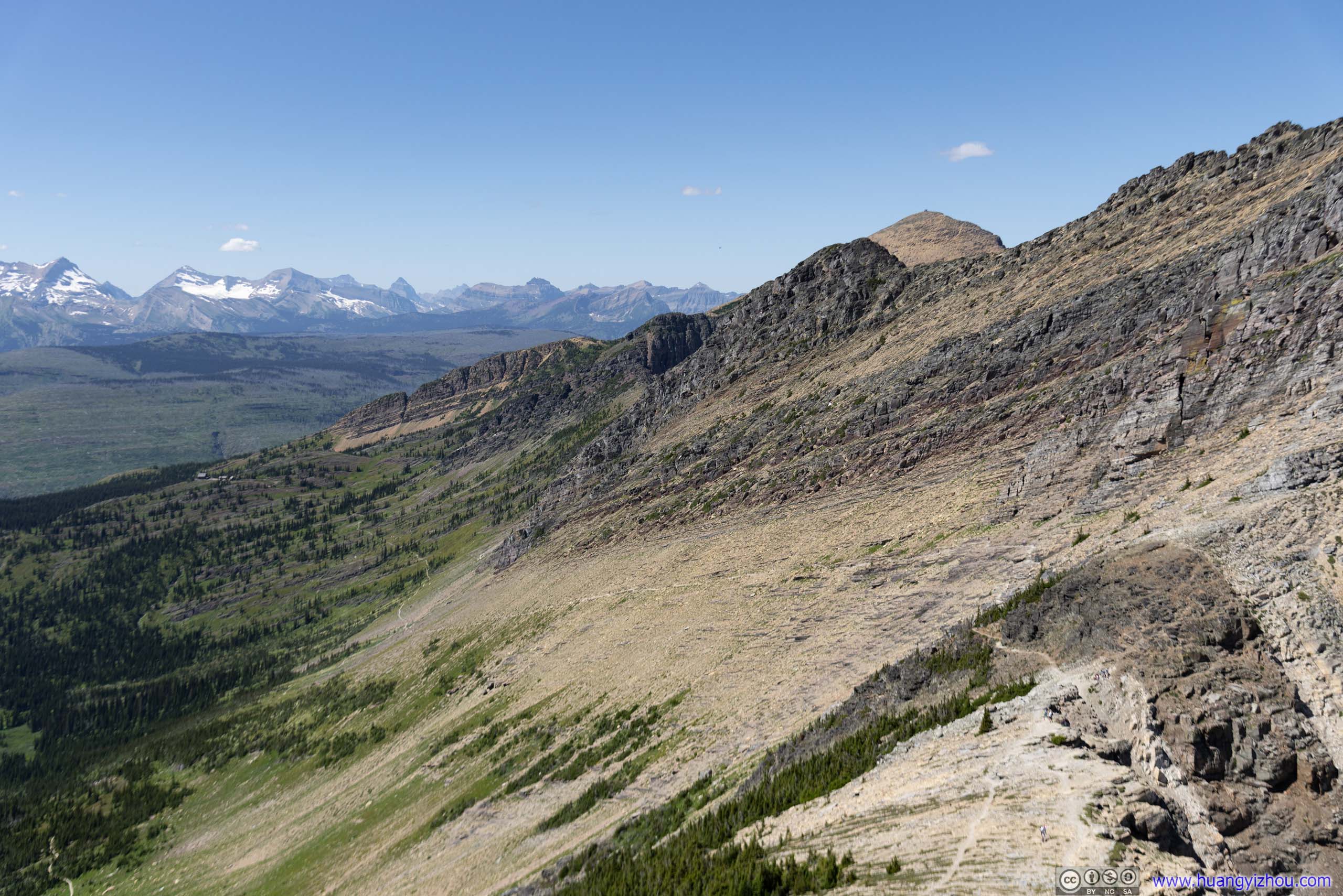
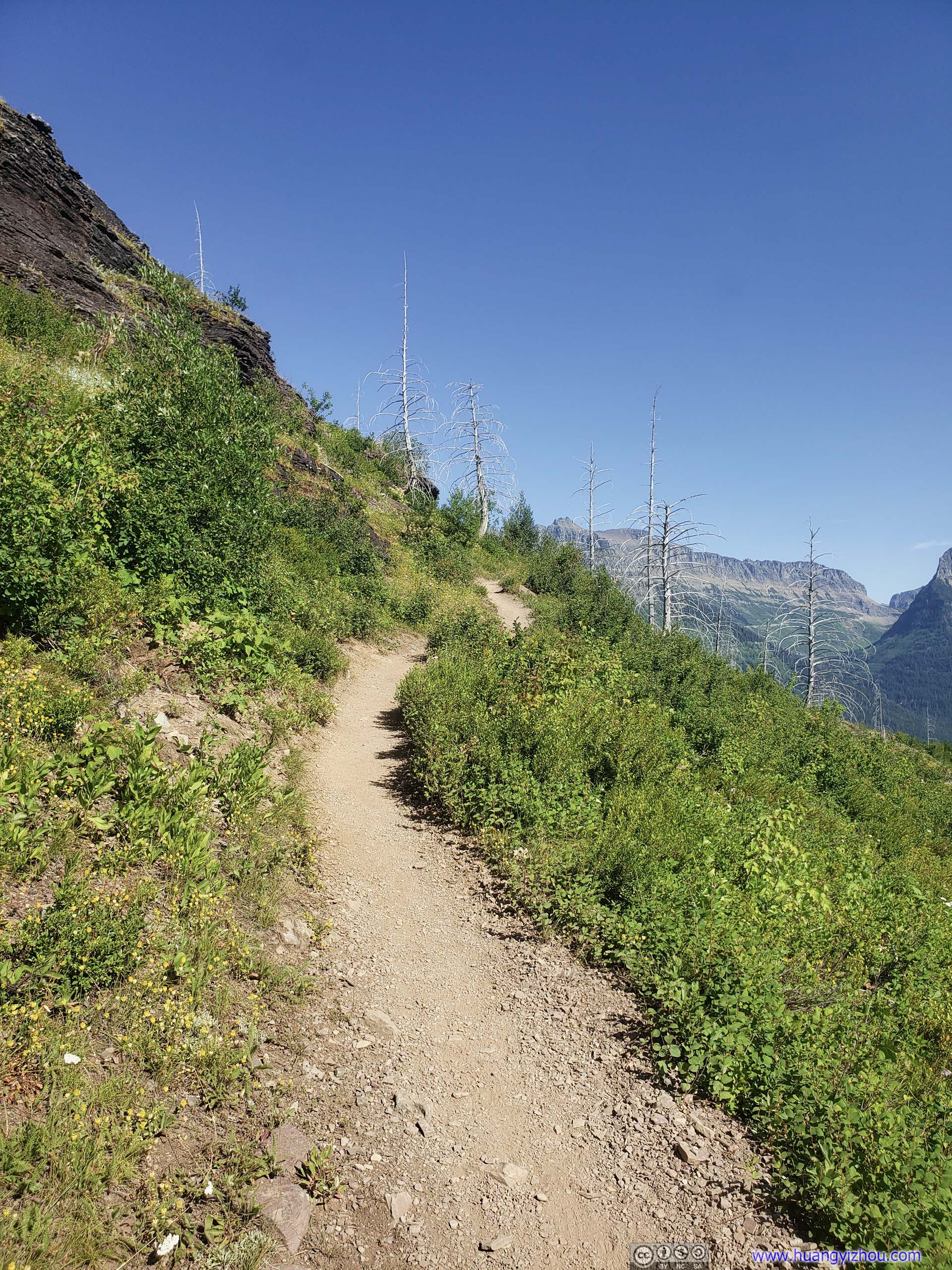
At 2pm, I made it to the junction of Garden Wall Trail and Highline Trail, the steep elevation gain of the latter was hard to ignore once you’re on it (300m in 1.3km).
 Distant Mountains from Garden Wall Trail
Loose dirt surface of the trail meant it should be trod with caution, especially heading downhill. I was most amazed that I didn’t slip.
Granite Park Chalet before Distant Mountains
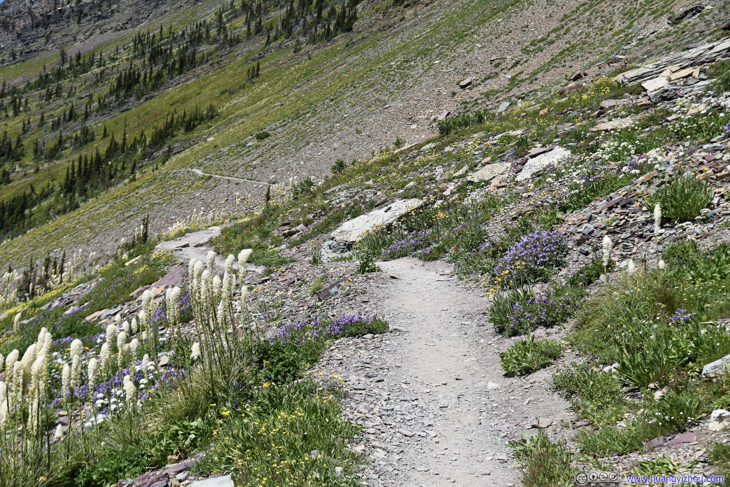
 Hill of Garden Wall with Flowers
 Overlooking Highline Trail
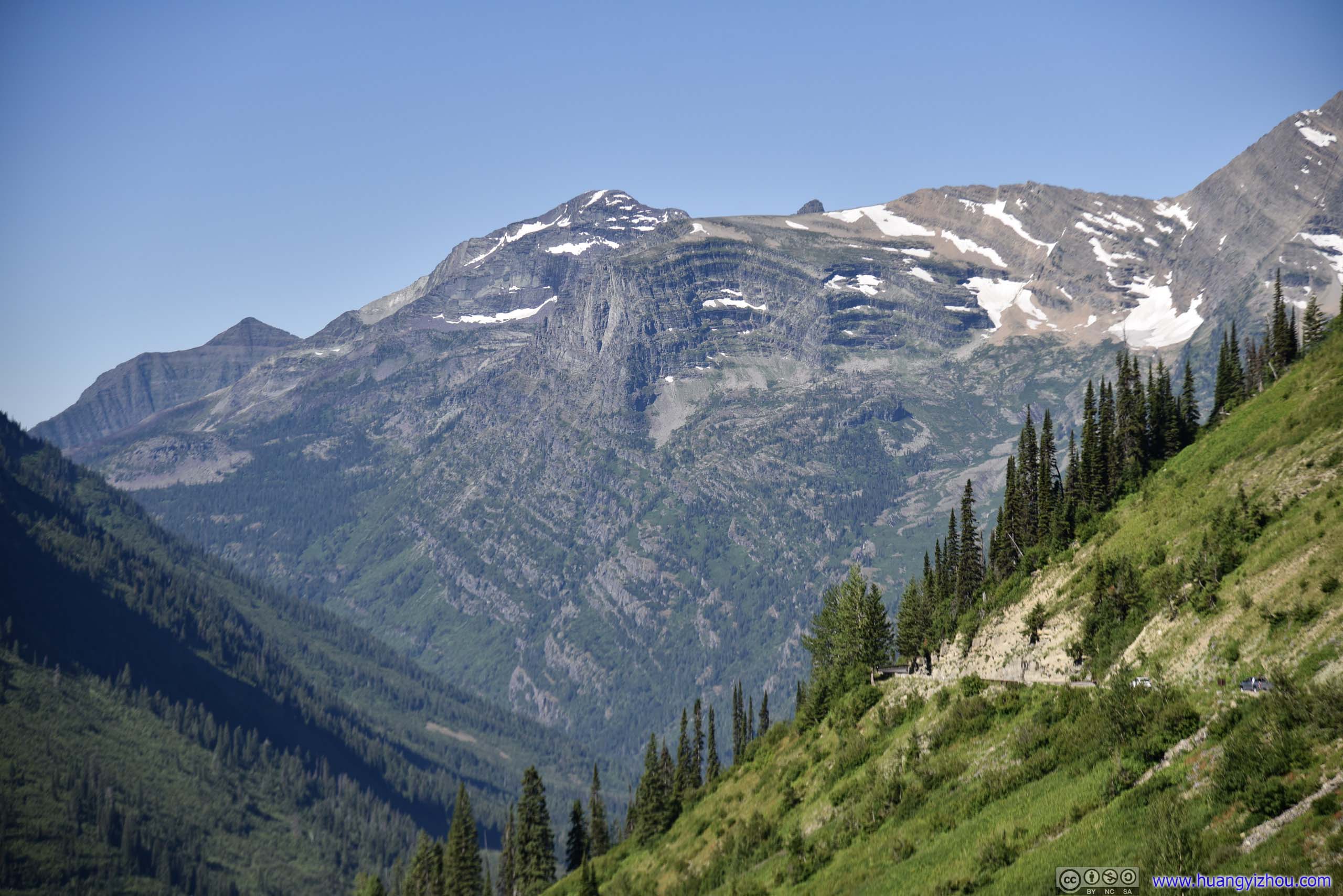
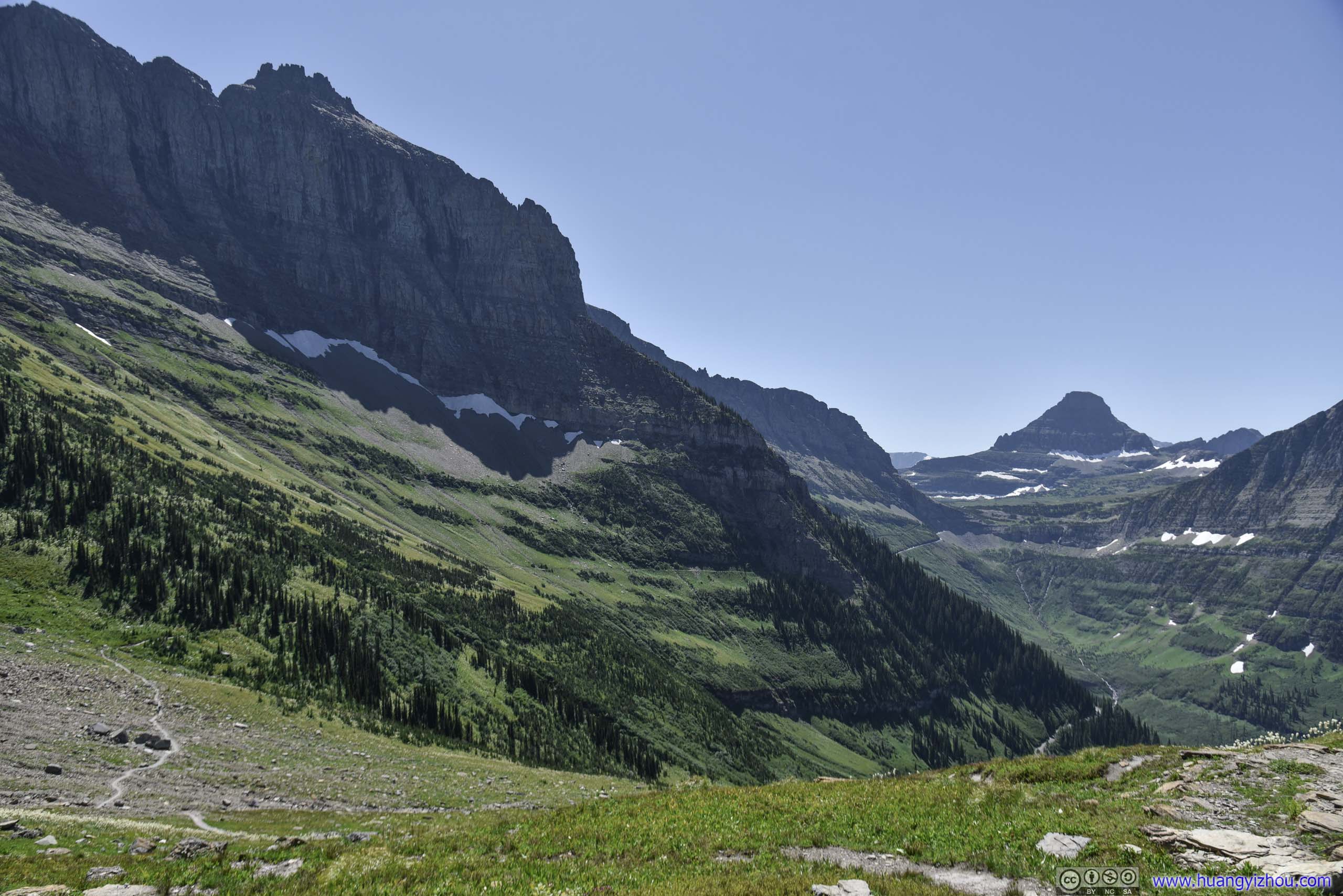
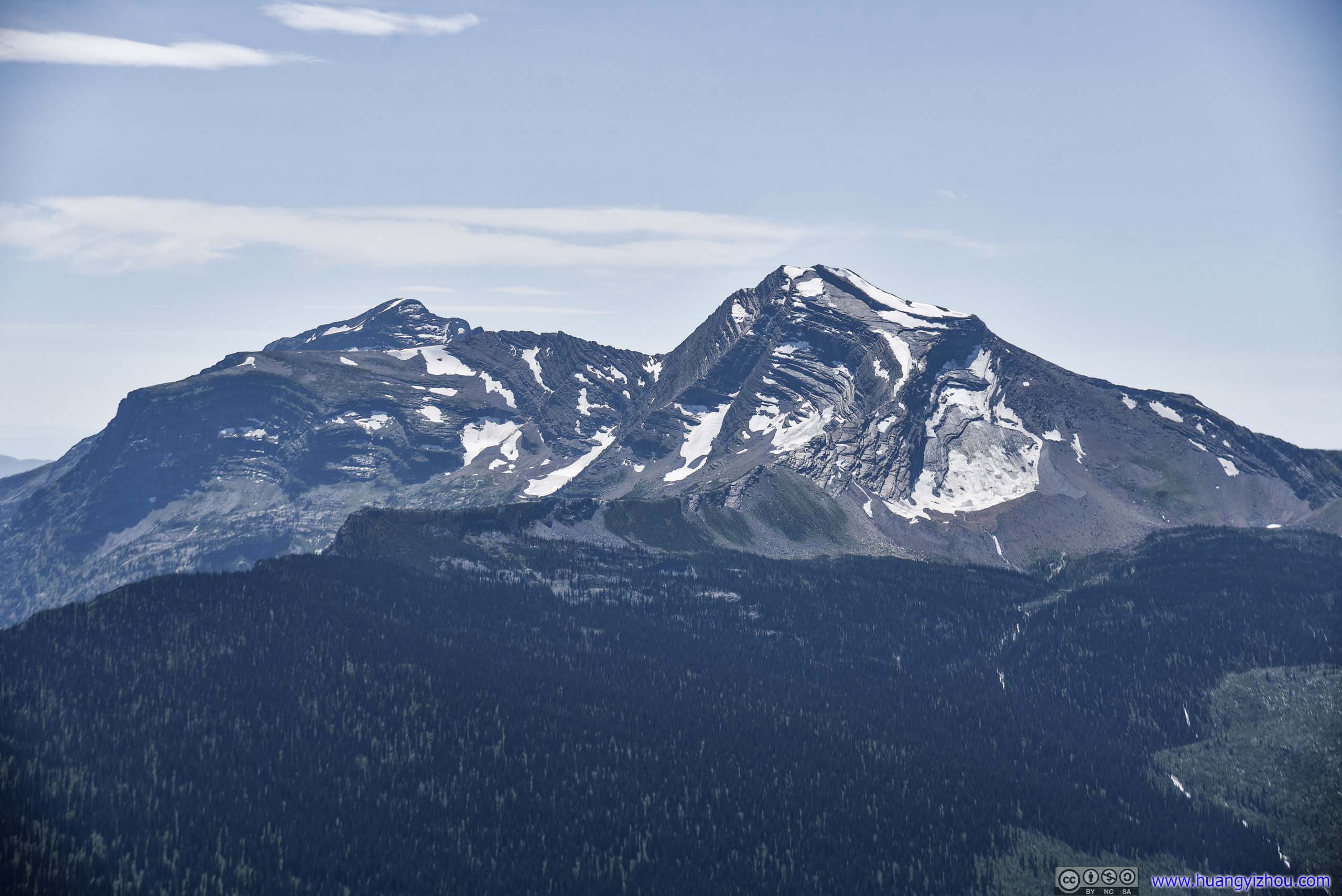 Heavens Peak
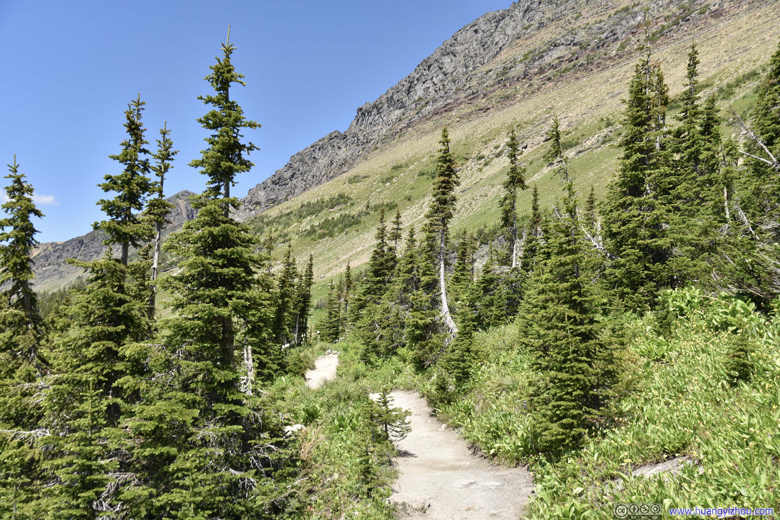
 Trail
Trail
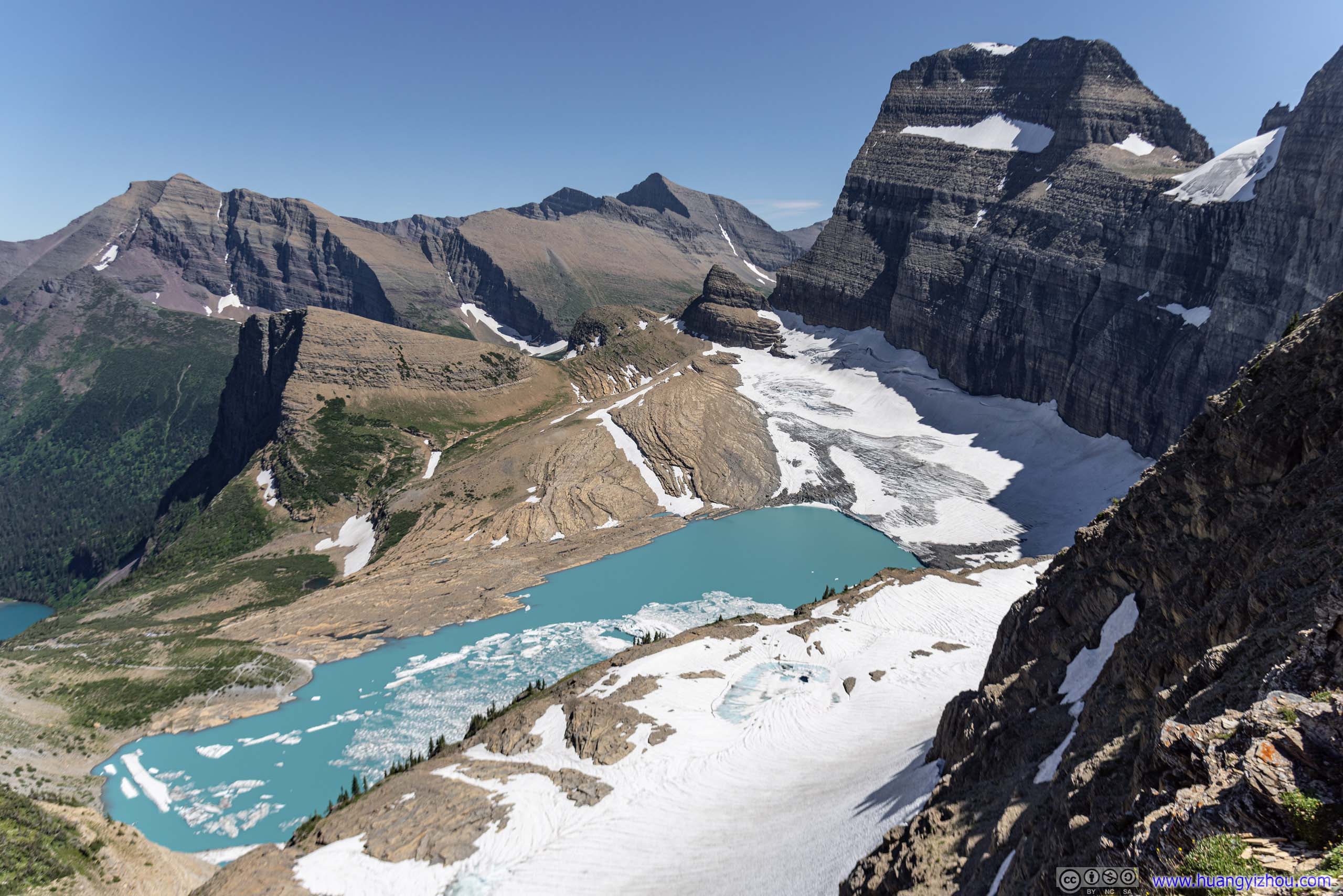
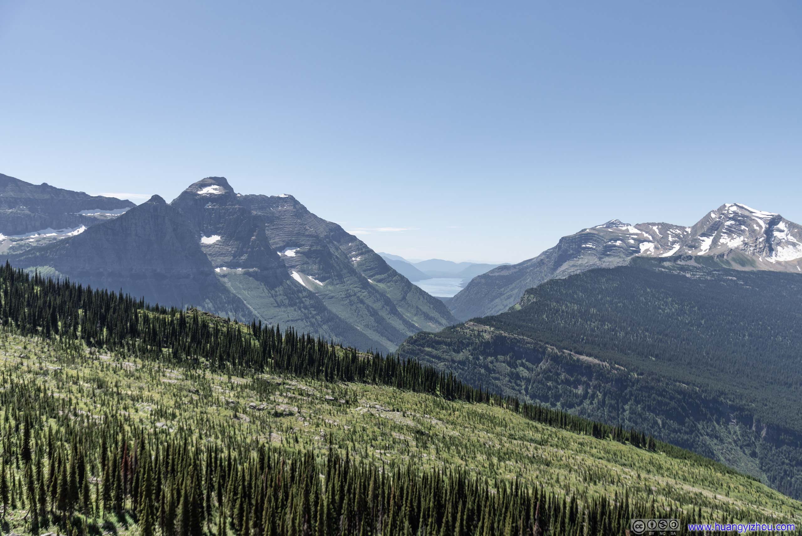
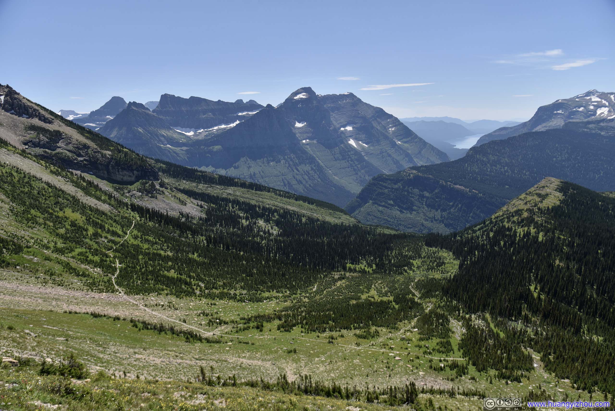
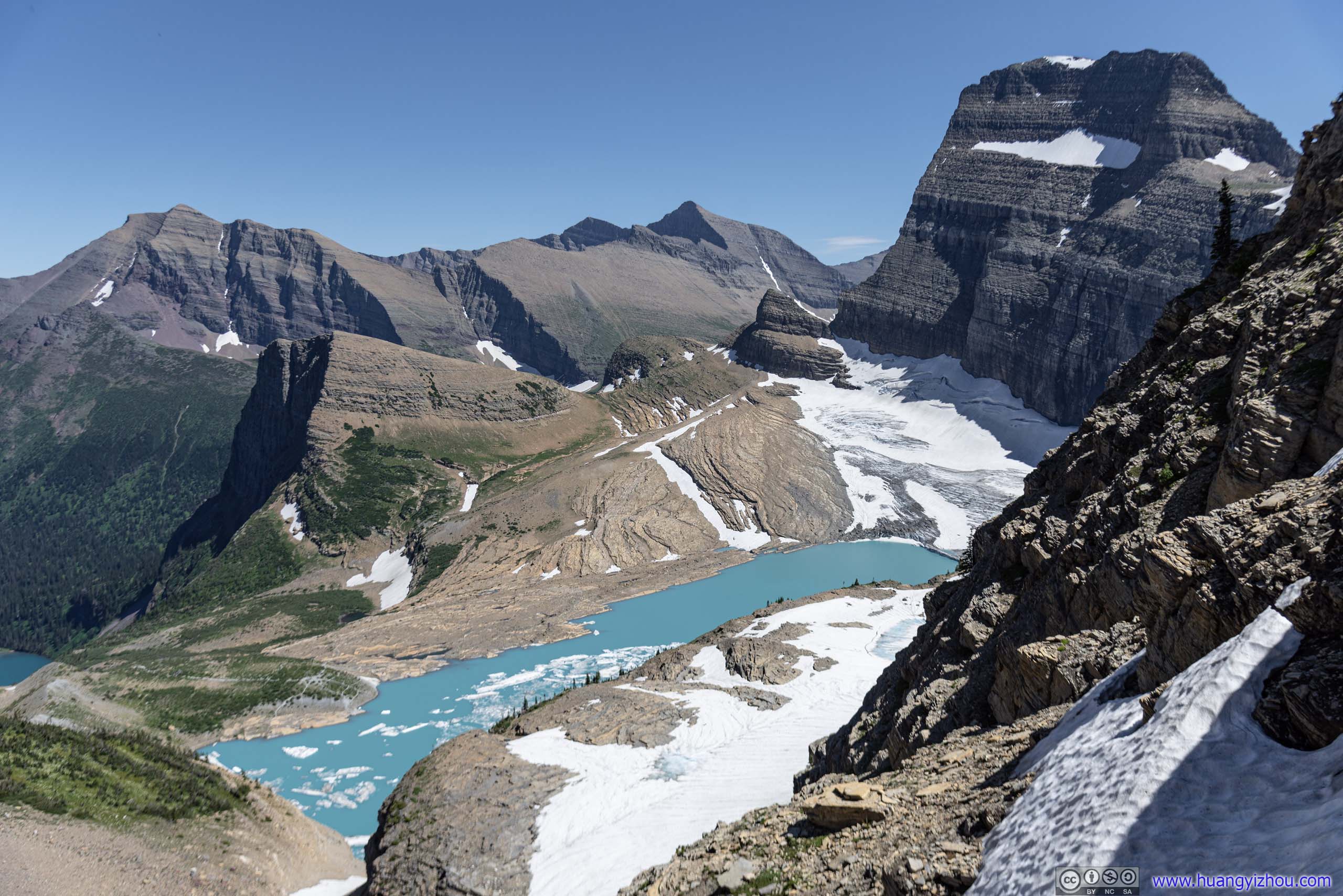
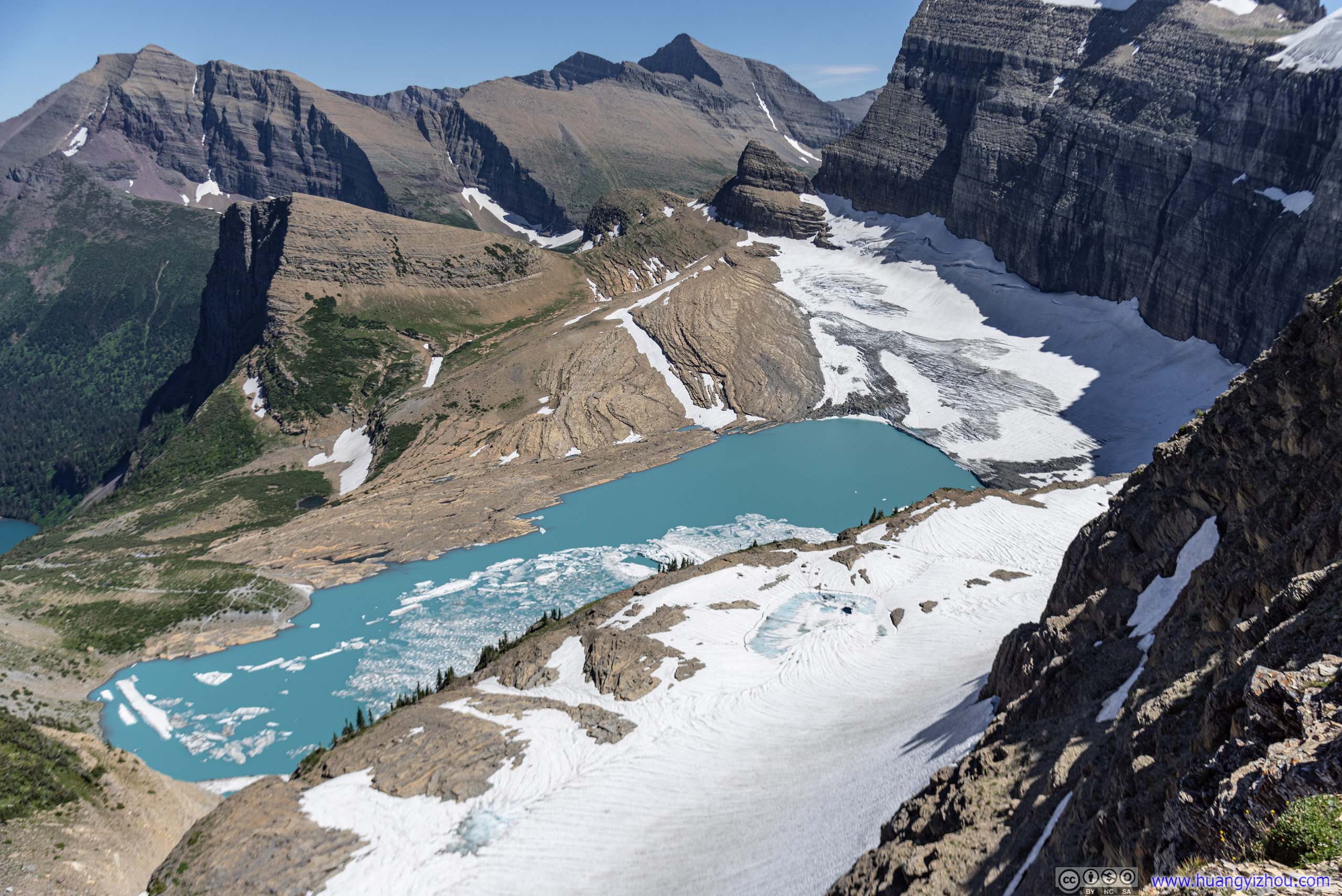
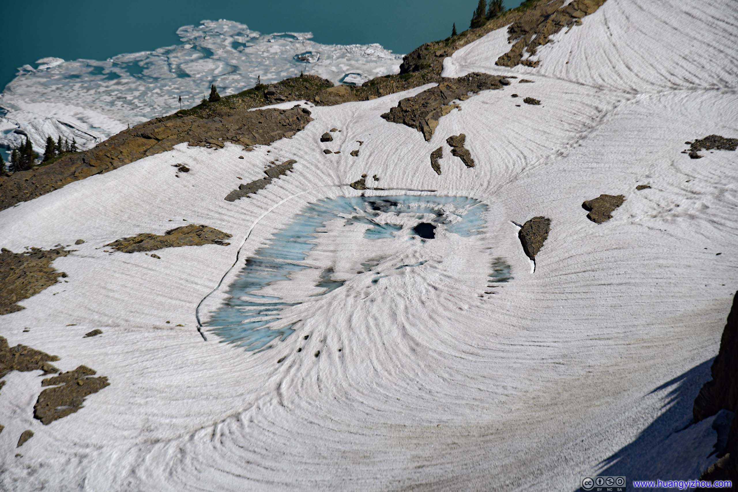
Half an hour later, I reached the top of Garden Wall, and joined a group of spectators overlooking the magnificent Grinnell Glacier.
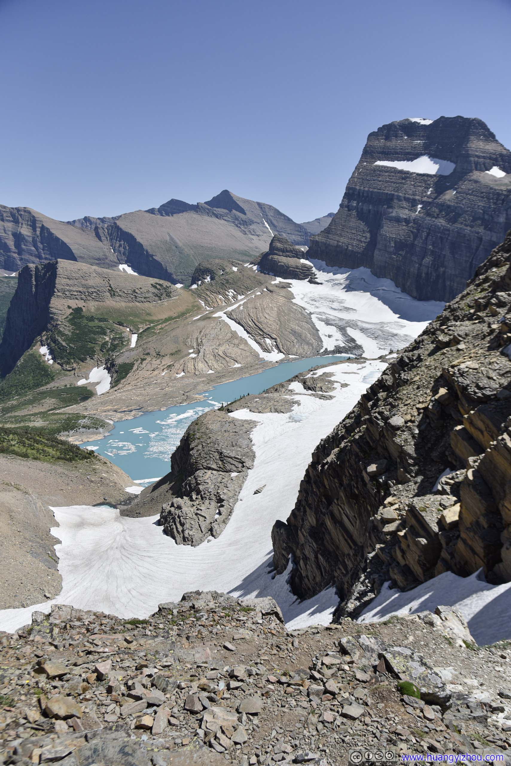
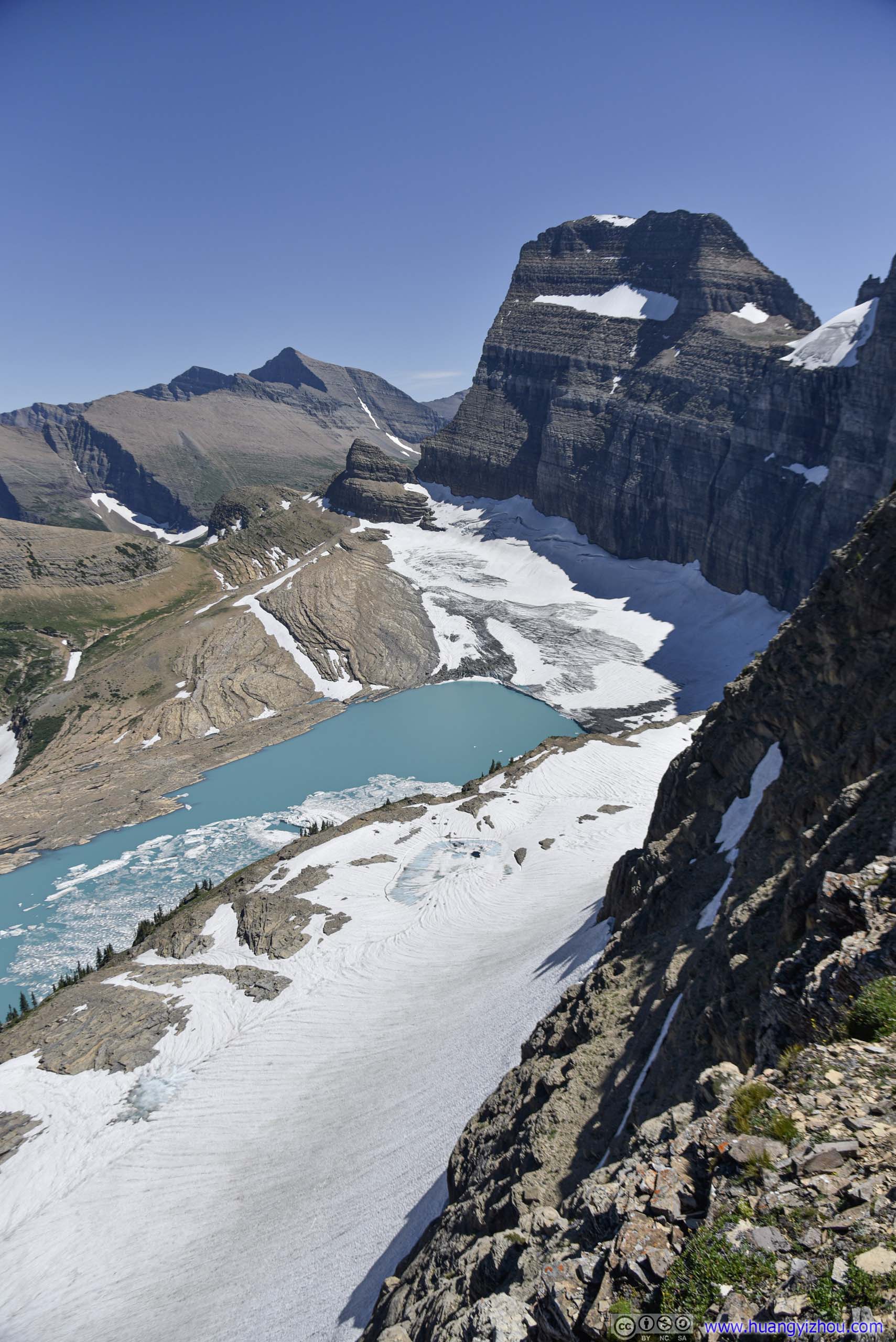 Overlooking Glaciers from Garden Wall
Grinnell Trail EndNow overlooking where I was exploring four days ago.
I picked a spot and finished my packed meal. This time, high winds took over squirrels that attempted to spoil my lunch, hard to say which one was more annoying than the other. But for the views of glaciers, one could hardly ask more.
Even more amazingly, Garden Wall was the only location in Glacier National Park (except St. Mary Campground, which was on its perimeter) that I got (Verizon) cellular coverage! That meant I could broadcast all this on Instagram!
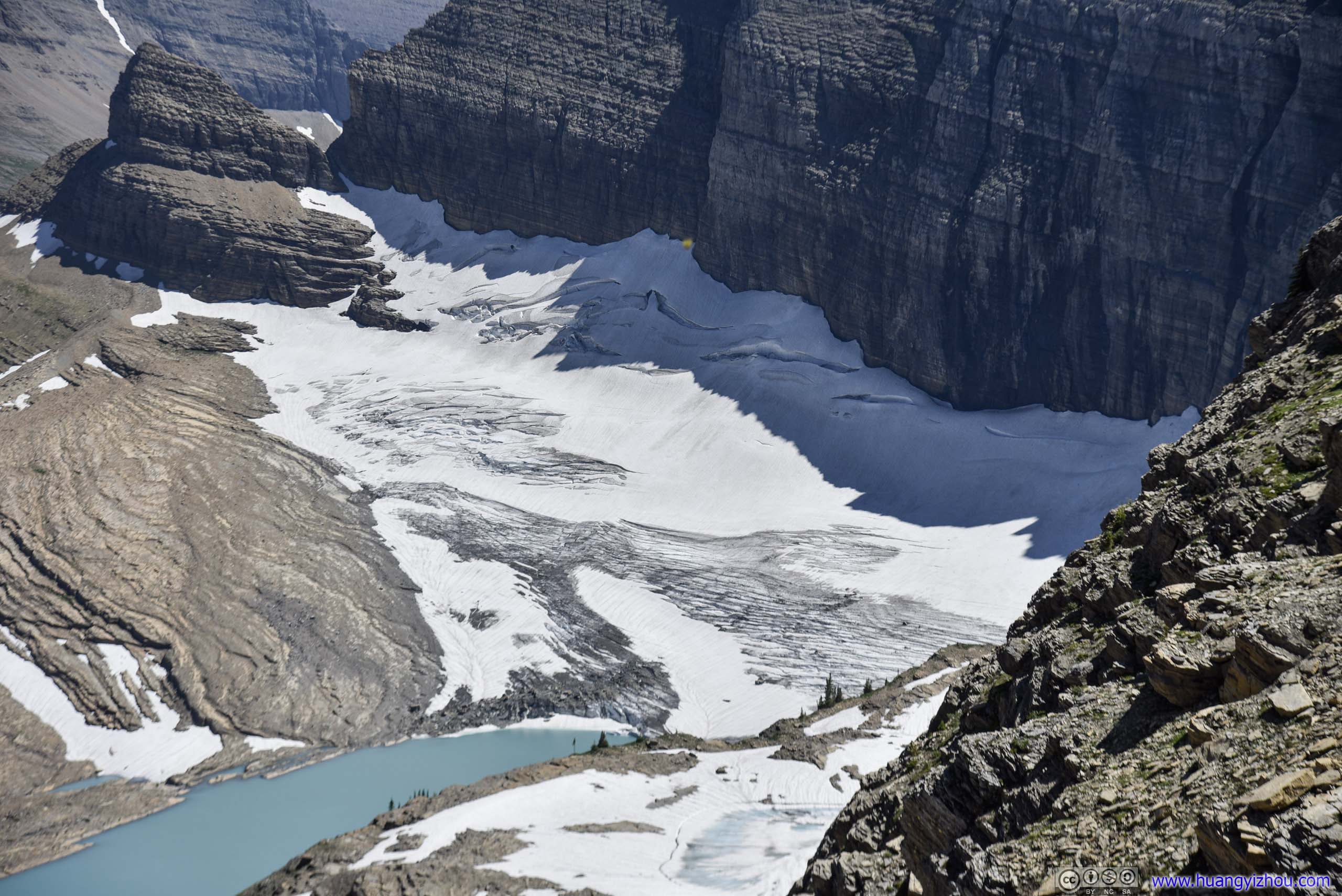
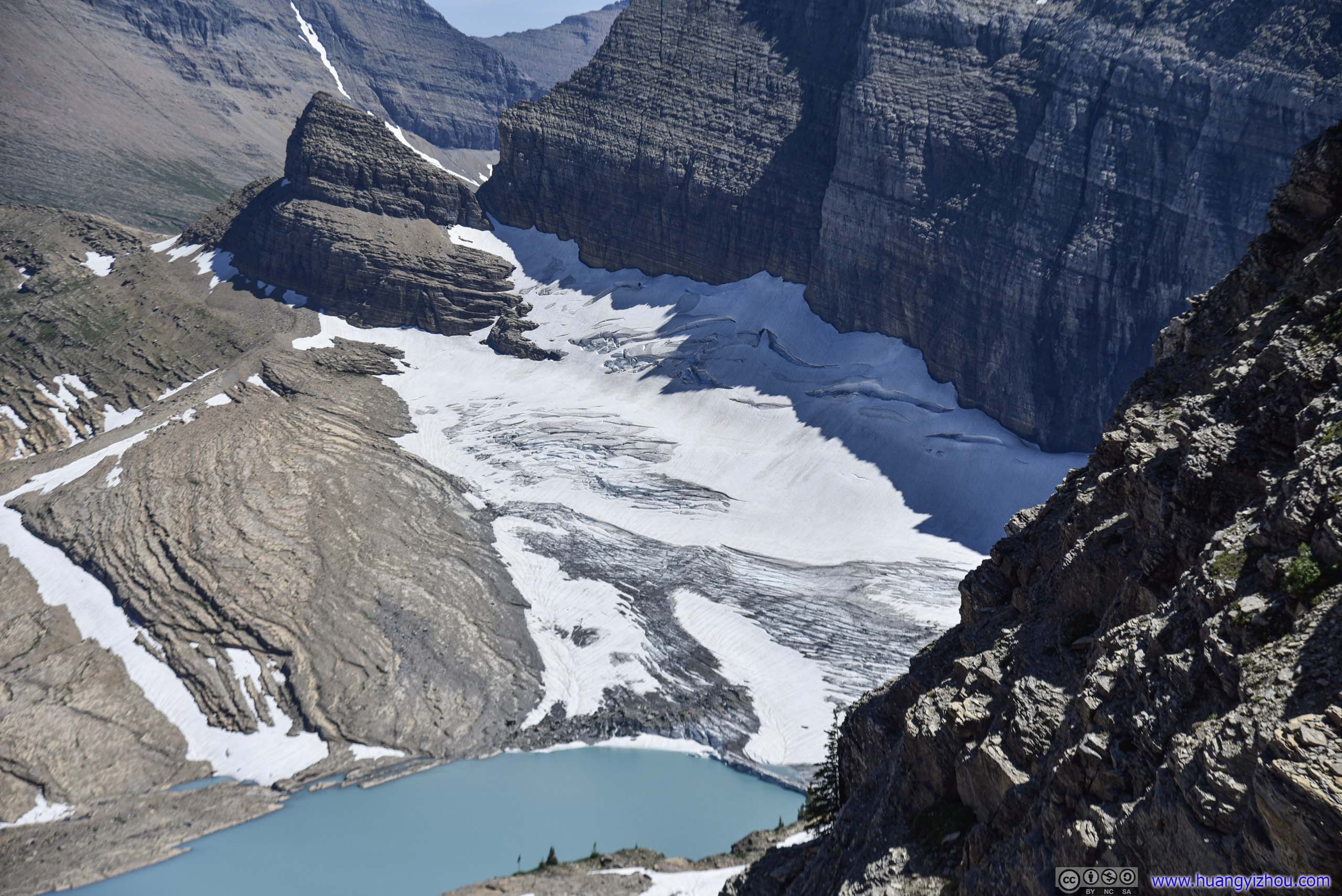 Grinnell Glacier
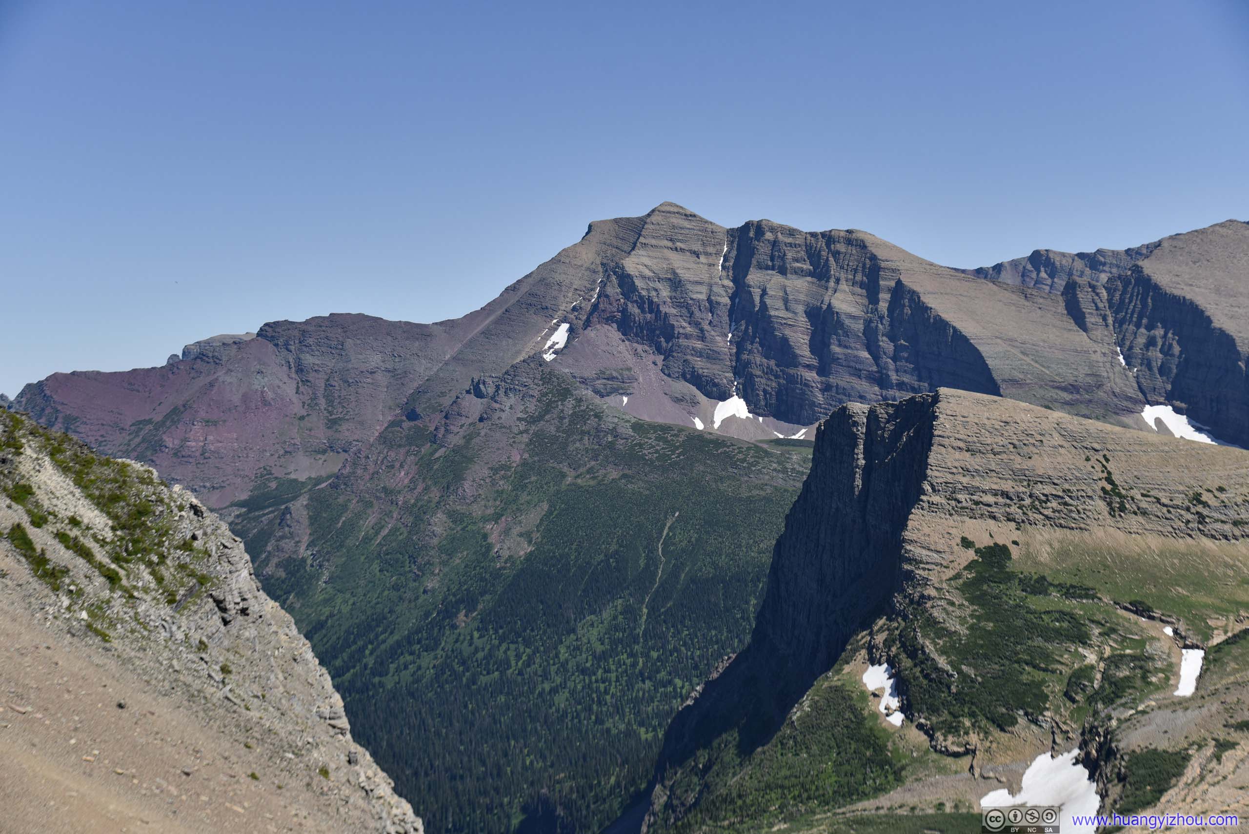
 Allen Mountain
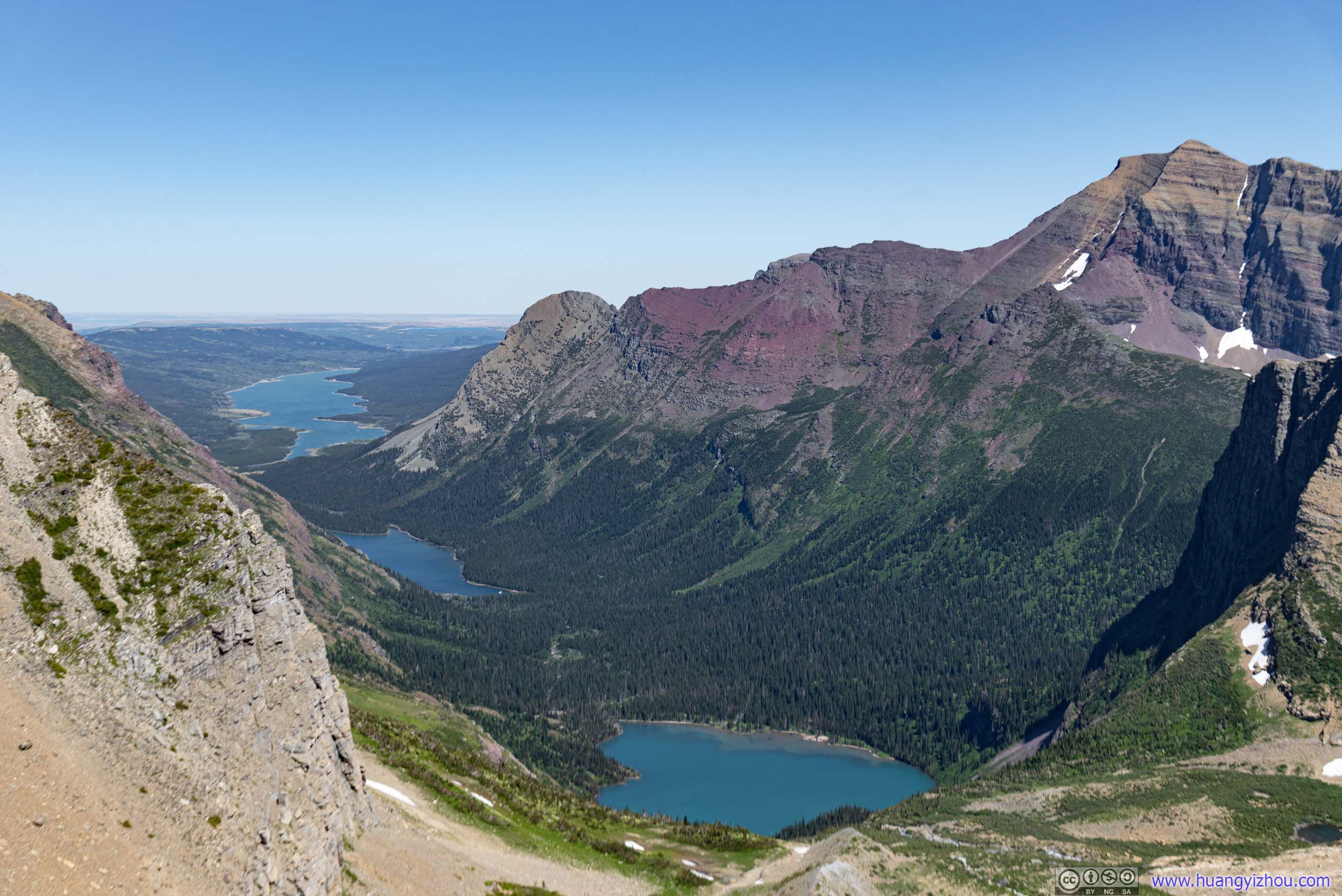
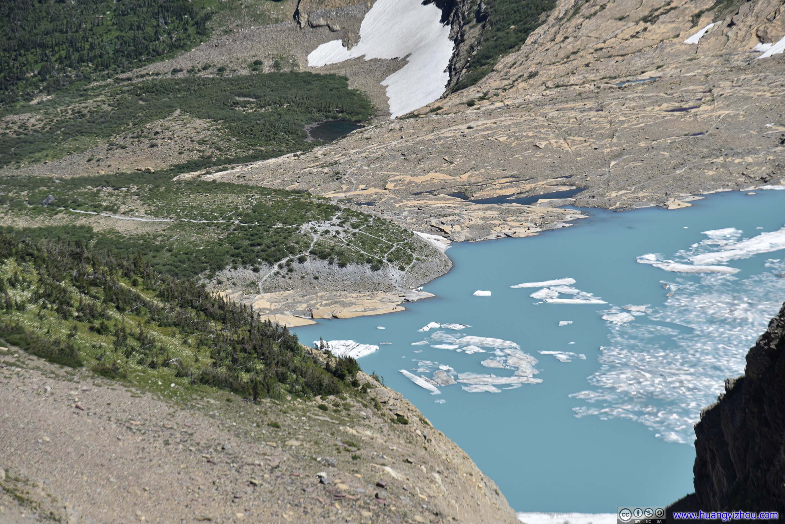
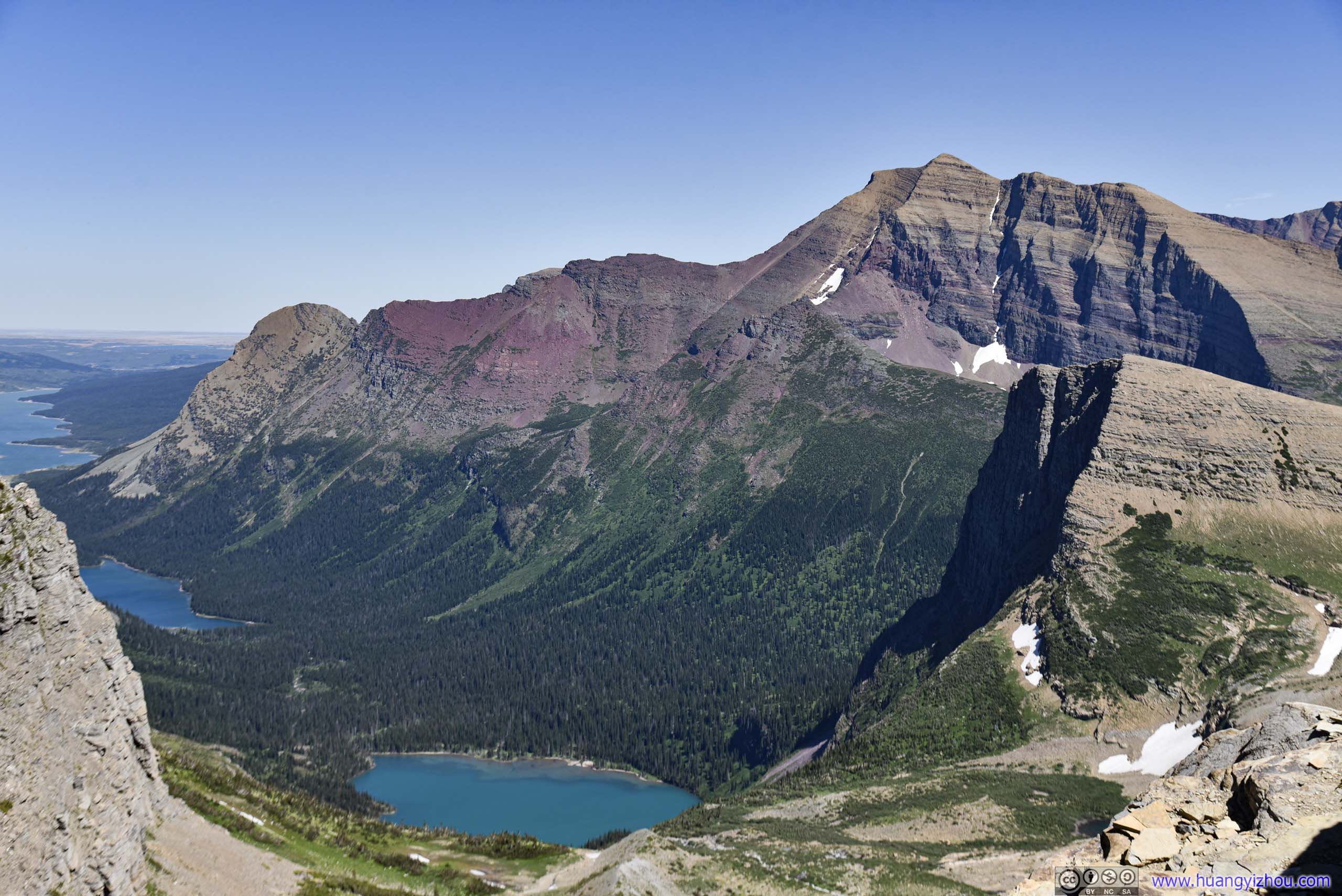
Three LakesUp to down: Lake Sherburne / Josephine / Grinnell
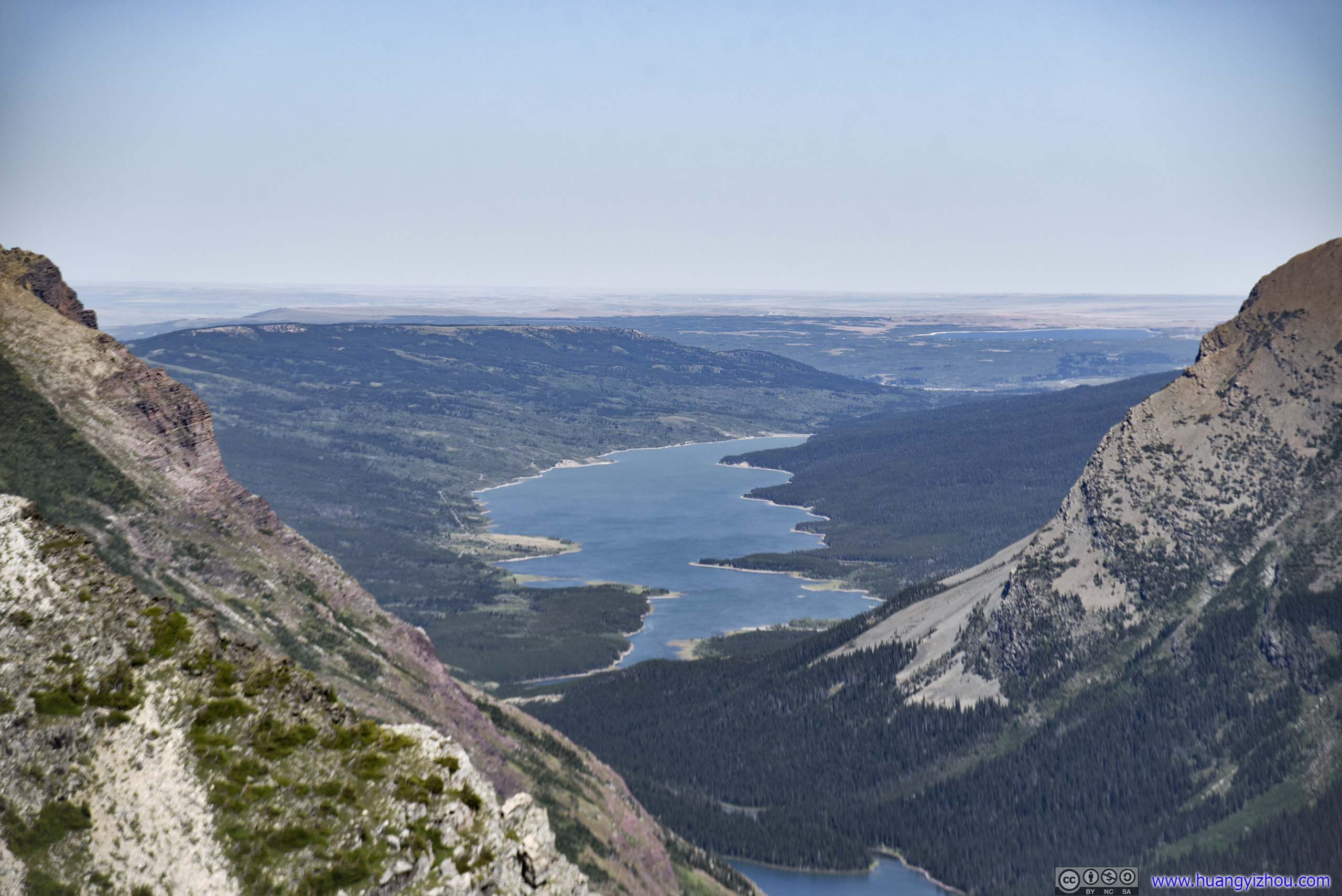
Lake Sherburne and Fields Beyond
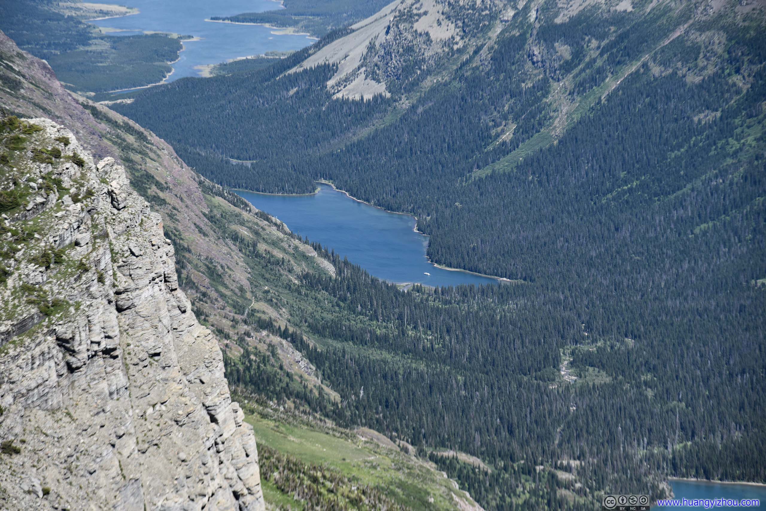
Lake JosephineA tour boat departing.
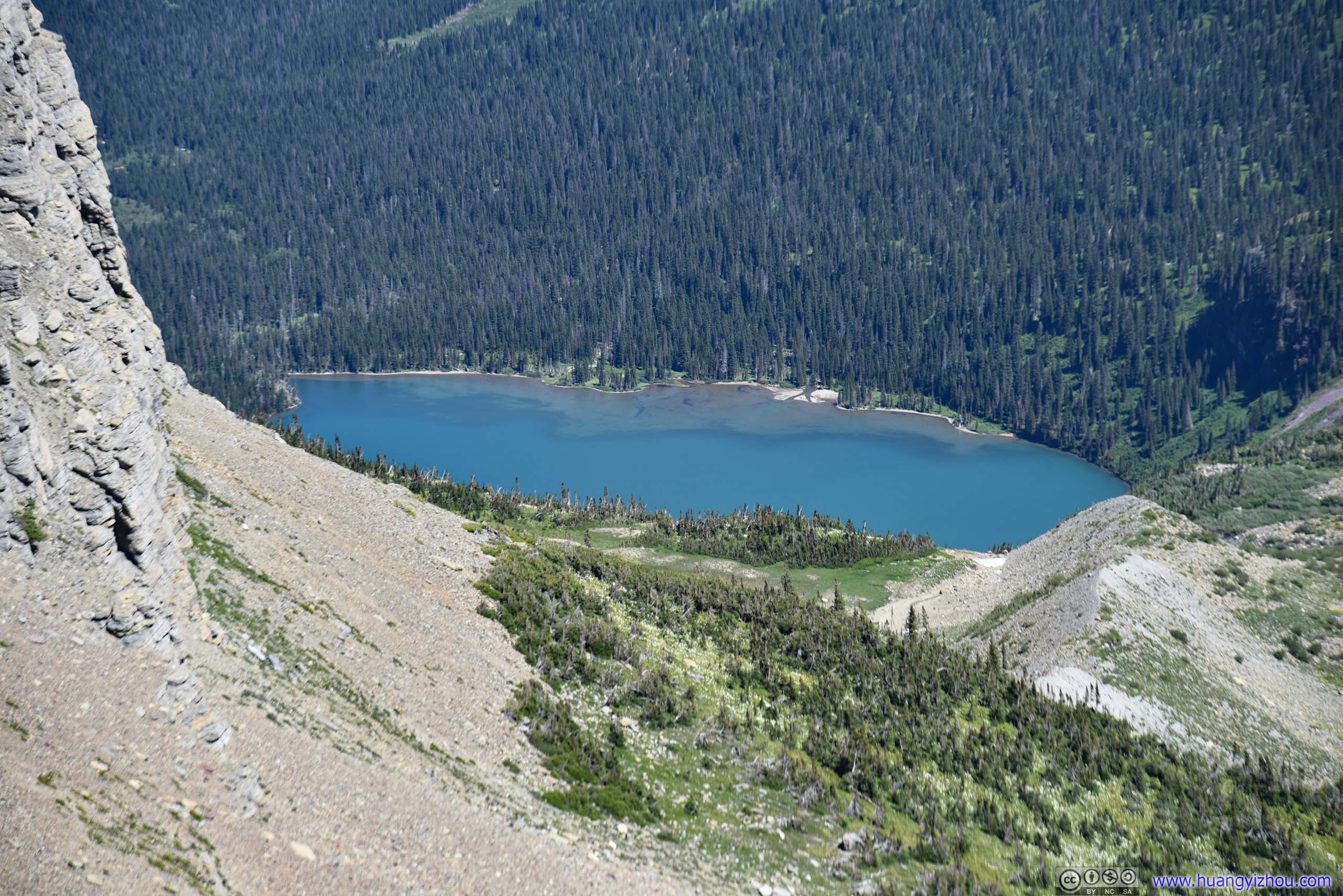
Grinnell Lake
 Overlooking Glaciers from Garden Wall
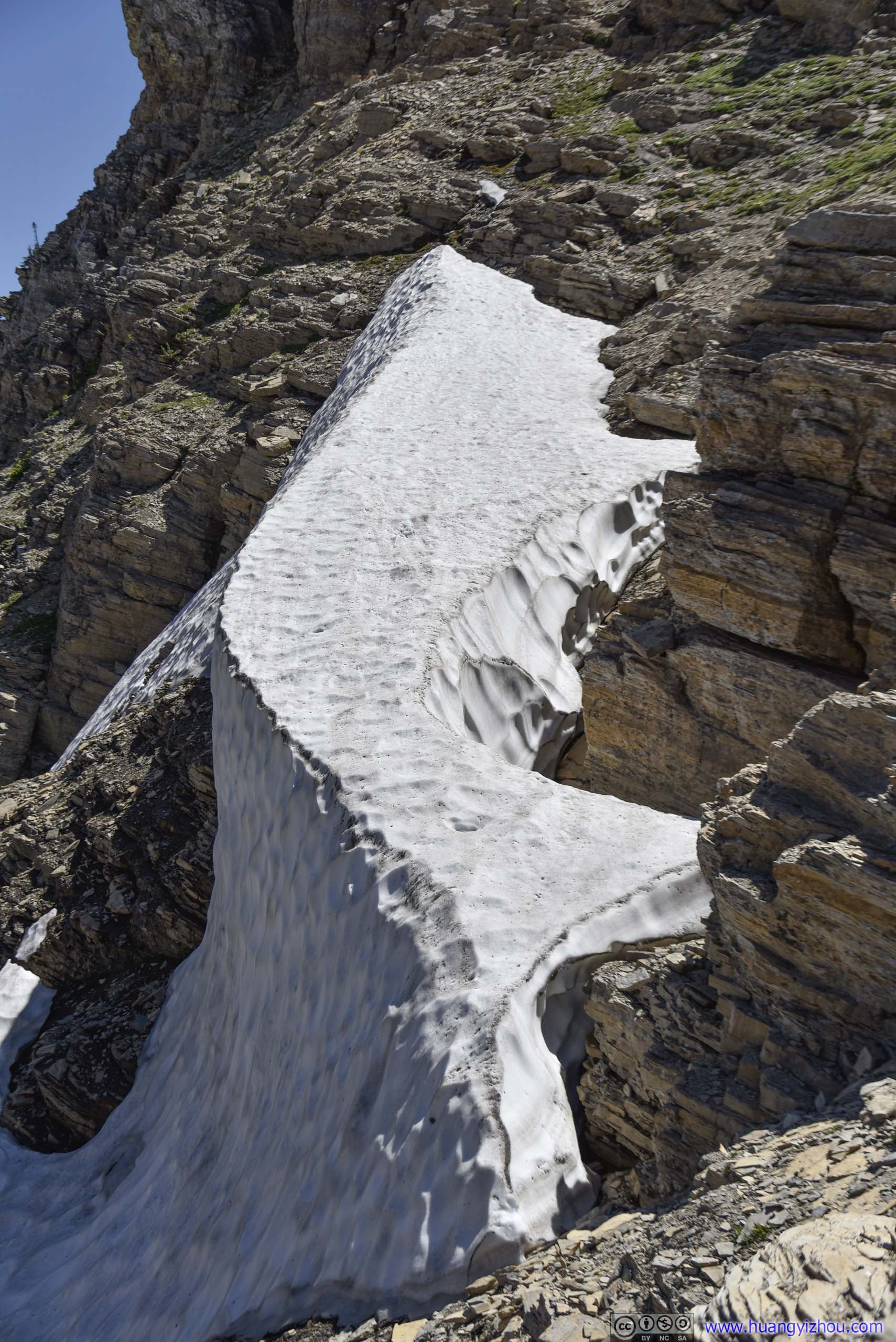
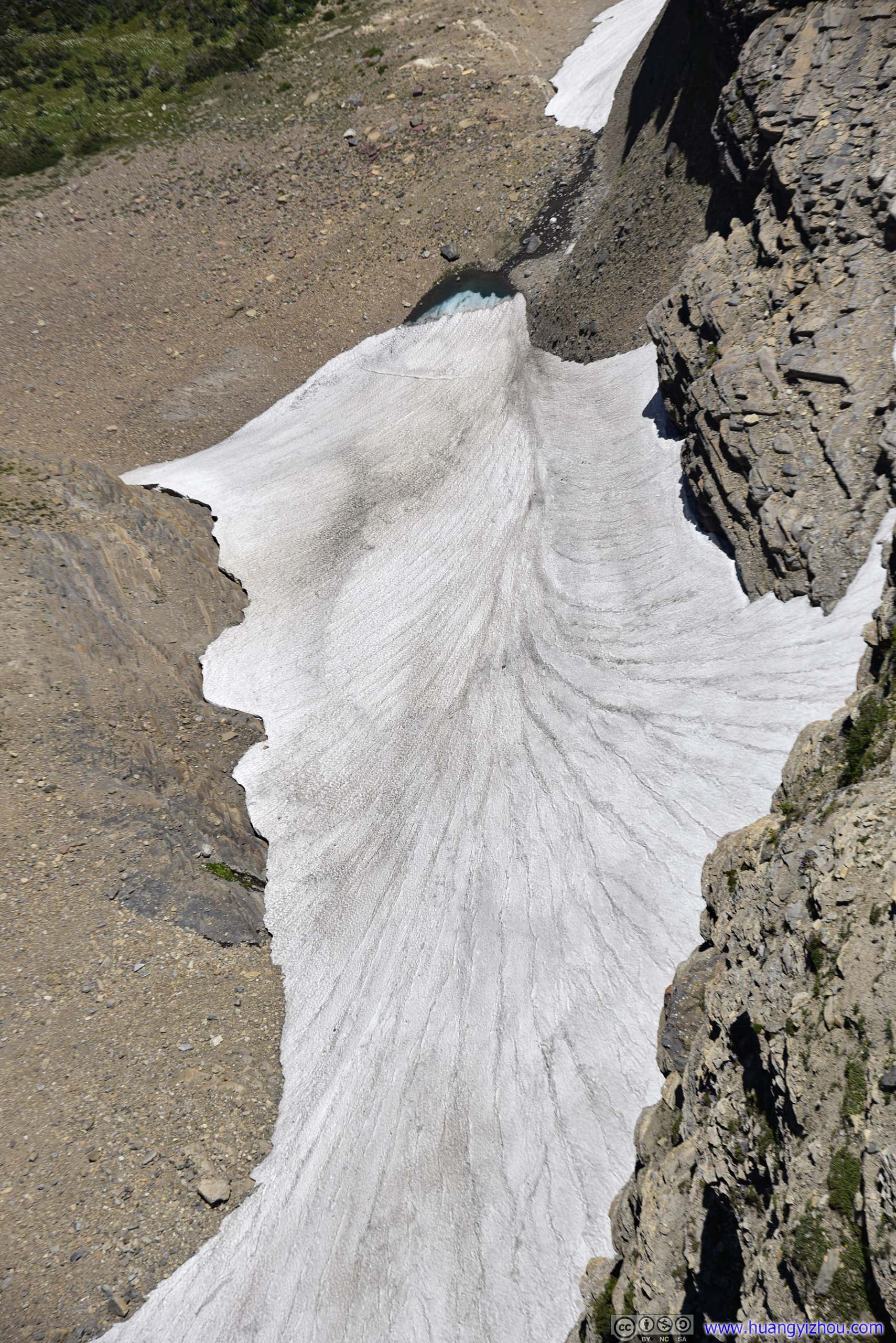 Snow Patch
Distant Mountains from Garden Wall
 Hillside
Salamander Glacier
Distant McDonald Lake
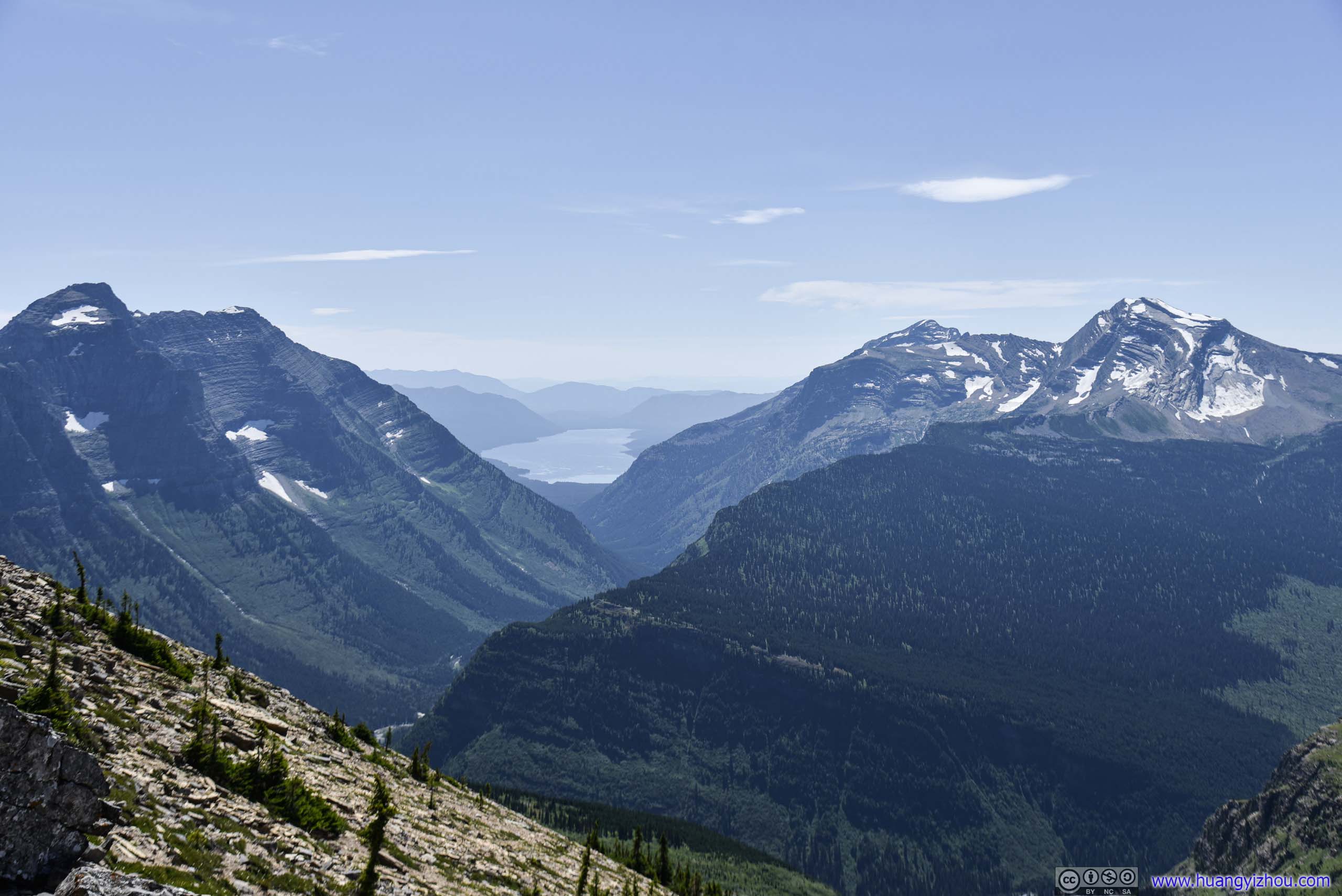
Mountains and Distant McDonald Lake
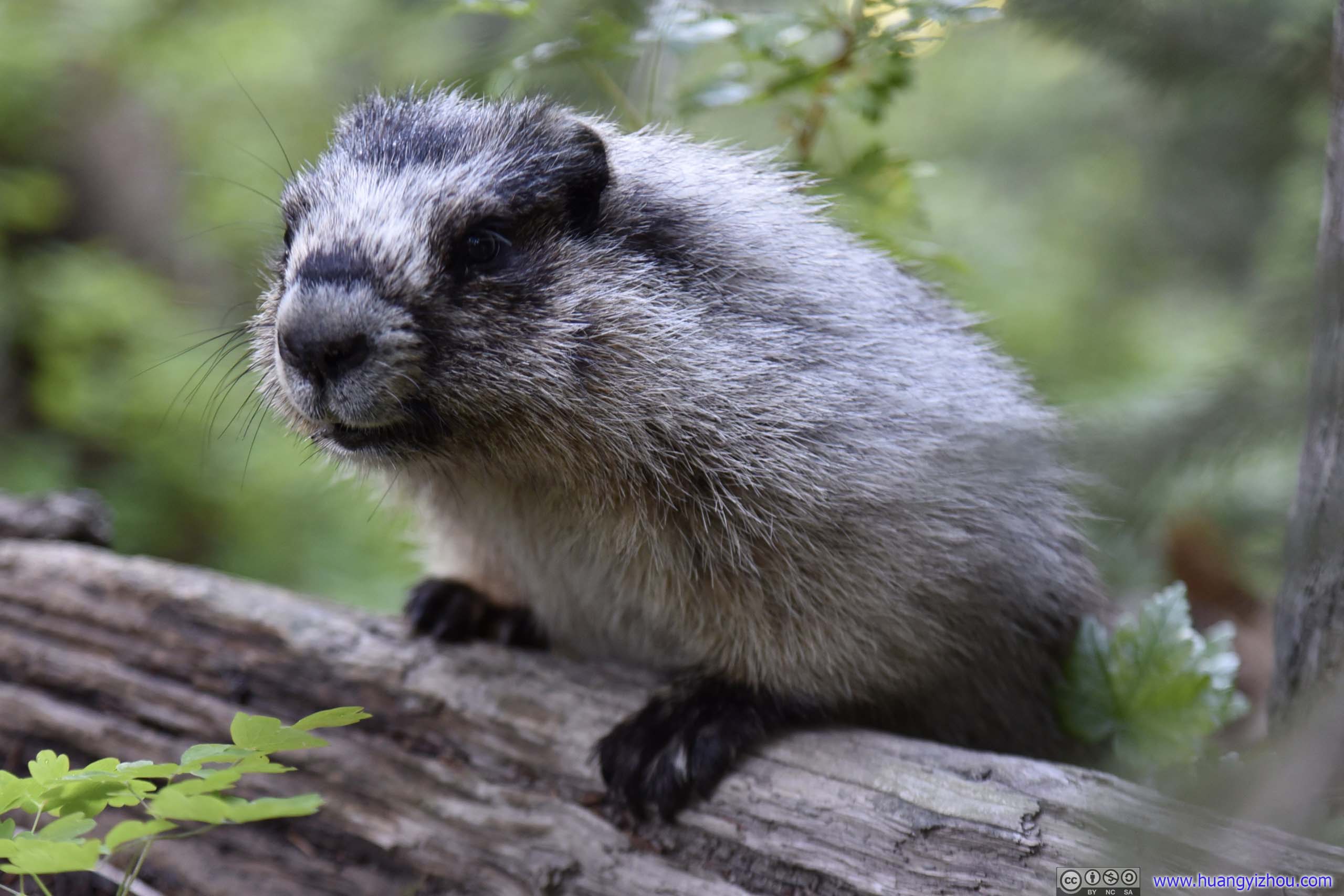
 Marmot
So after 40 minutes on top of Garden Wall, I headed back down.
 Clusters of Flowers
 Garden Wall
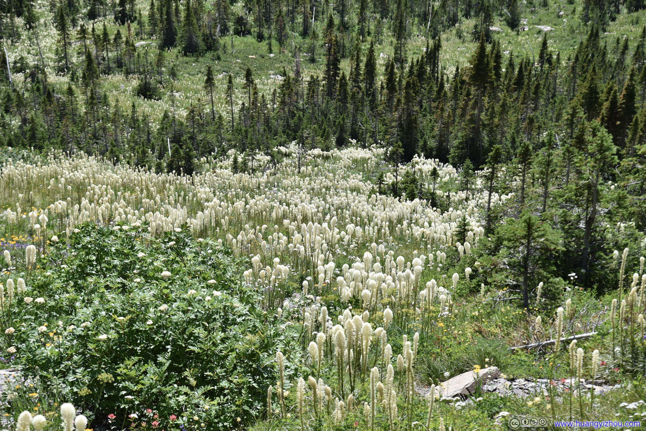
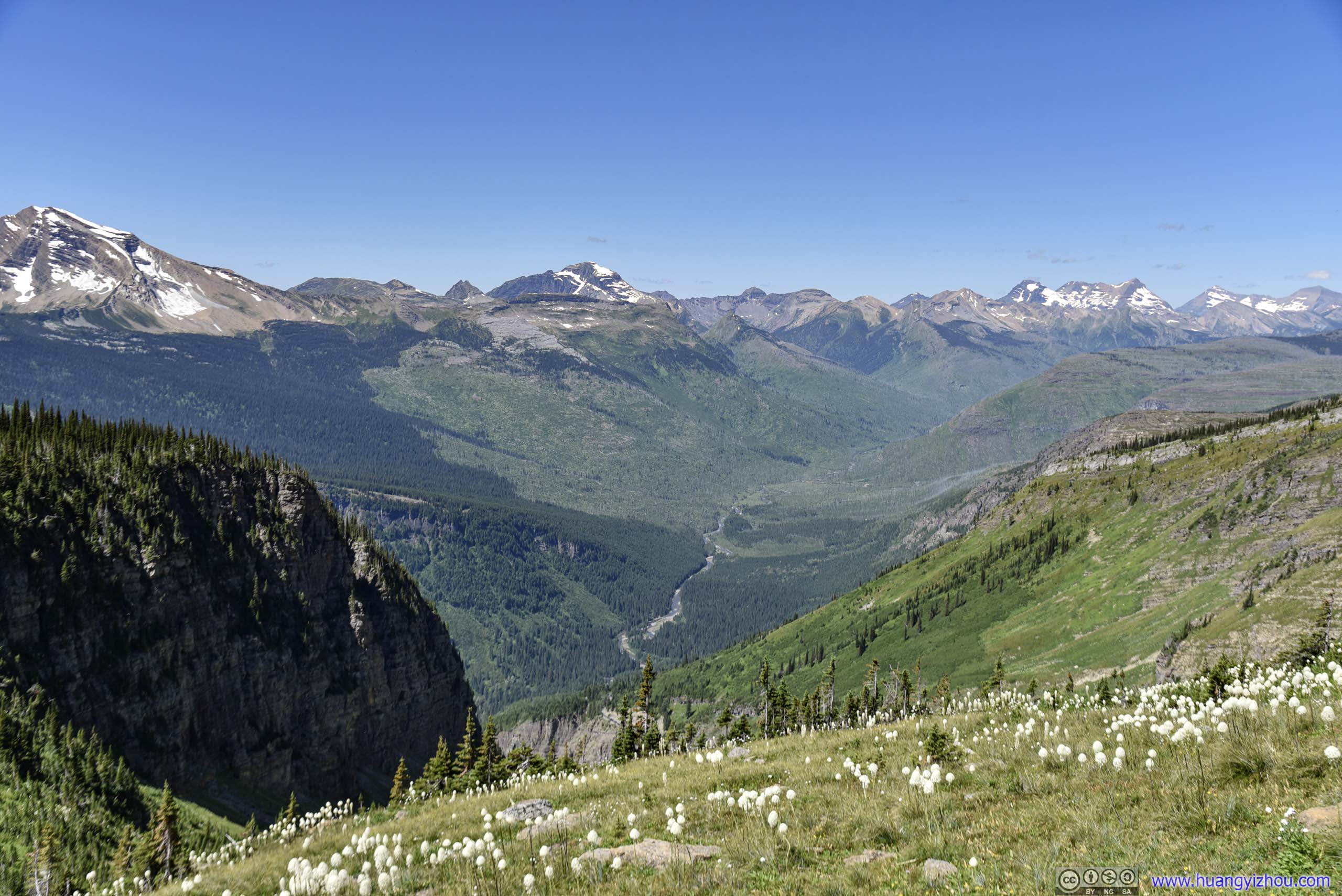
 Beargrass Field

 Garden Wall and Distant Mountains
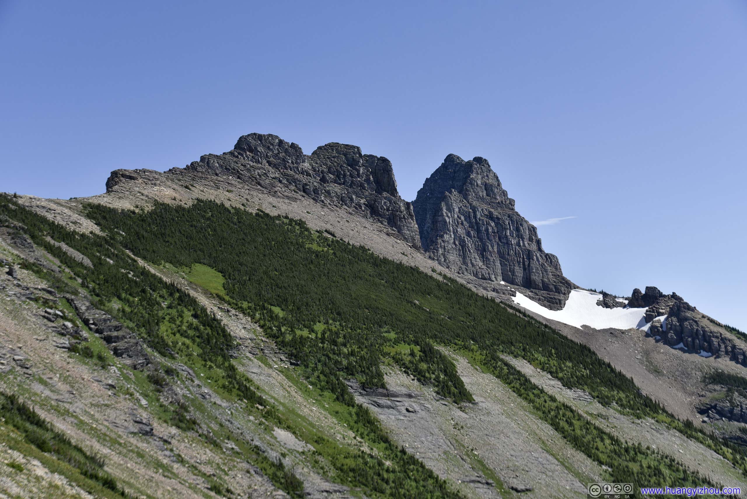
 Garden WallMount Gould peeking from behind the gap.
 Field of Flowers

Garden Wall
 Distant Garden Wall Trail
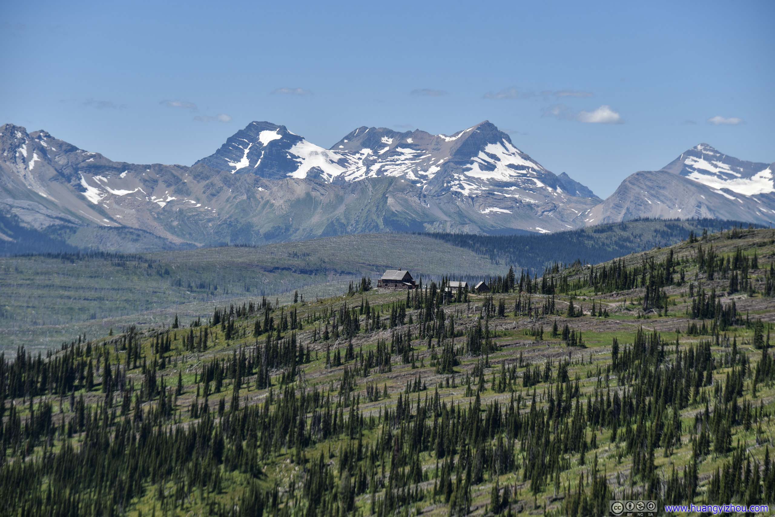
At 4pm, I reached Granite Park Chalet, which was some backcountry accommodation built between 1914 and 1915. It’s strategically located at the intersection of a few trails (Highline and Swiftcurrent Pass are the two most important).
Amazingly, despite its rustic appearance and remote location, it offered “optional linen and bedding service”…
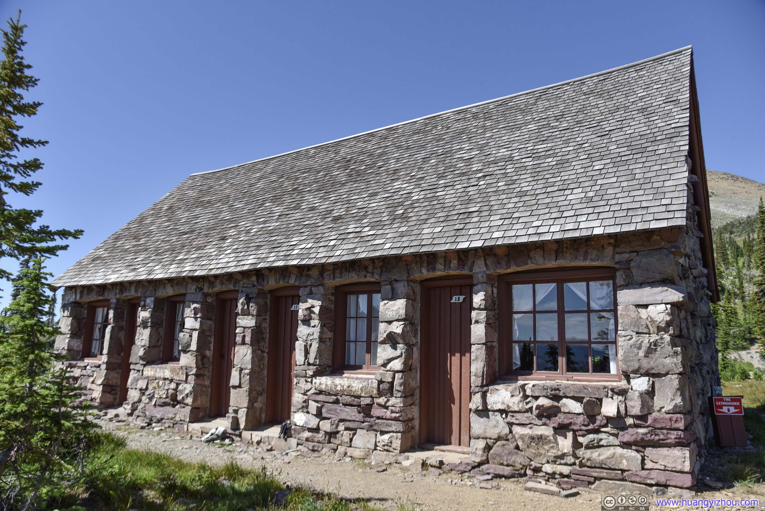
 Dormitory
 Granite Park Chalet

Garden Wall and Mountains
Mountains
View of Mountains from Granite Park Chalet
Heavens Peak
After soaking in some views at Granite Park Chalet, I continued to “the Loop”, which would be the end of my journey on foot.
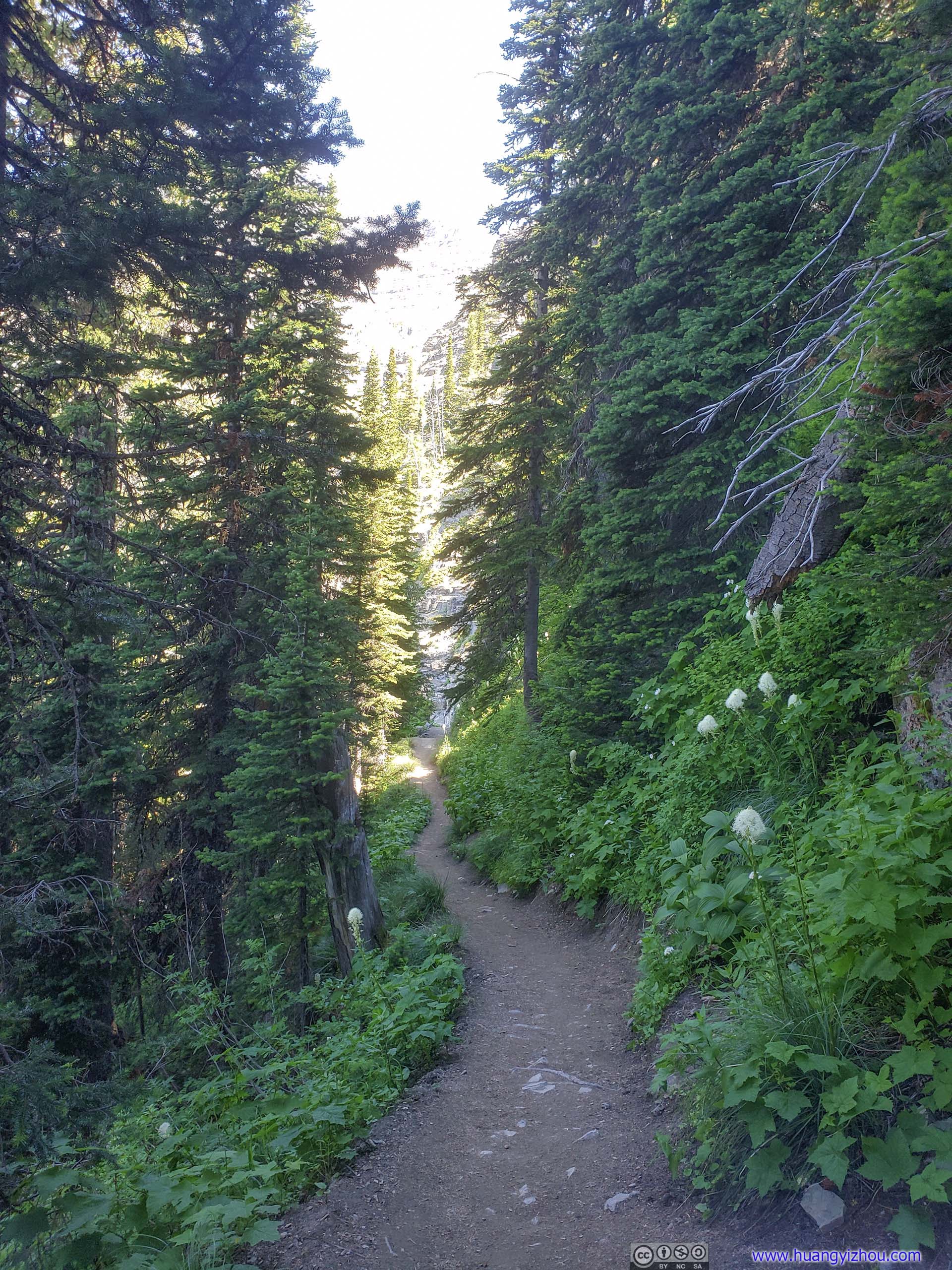
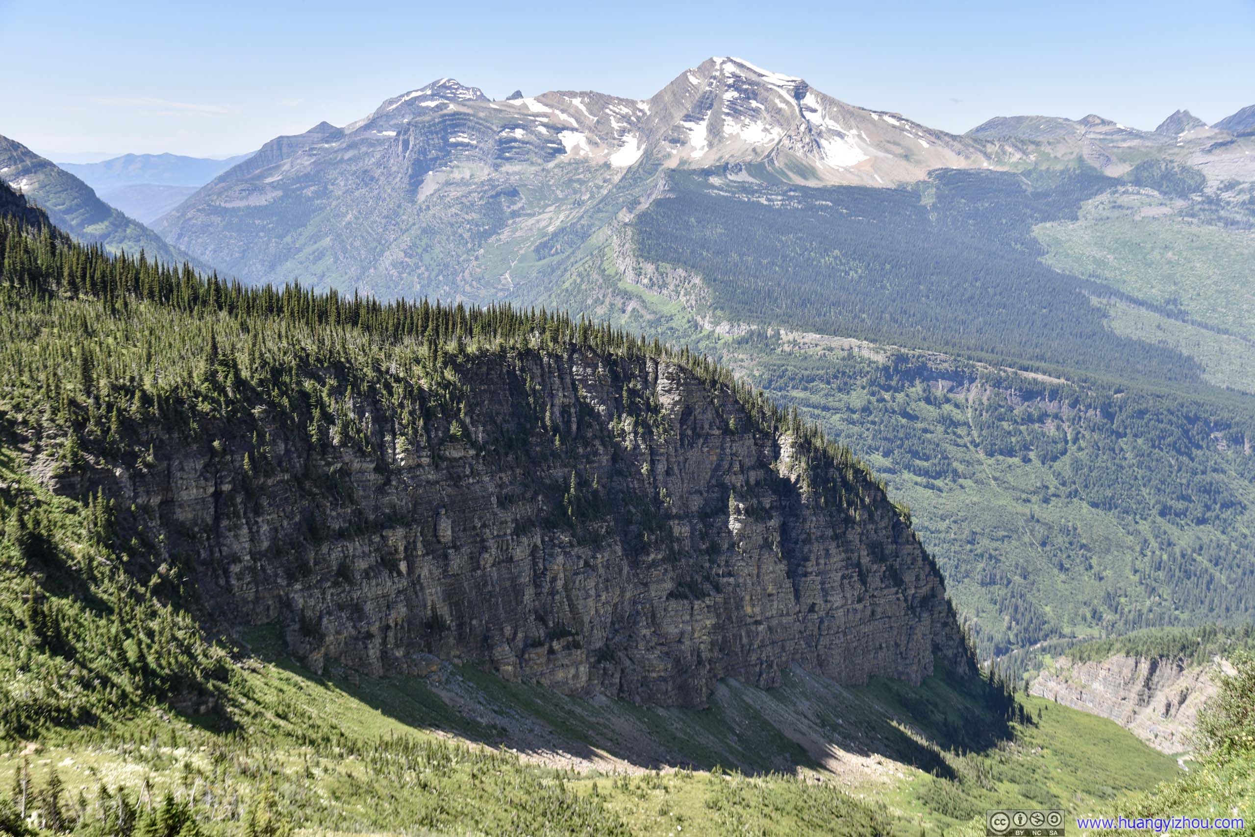
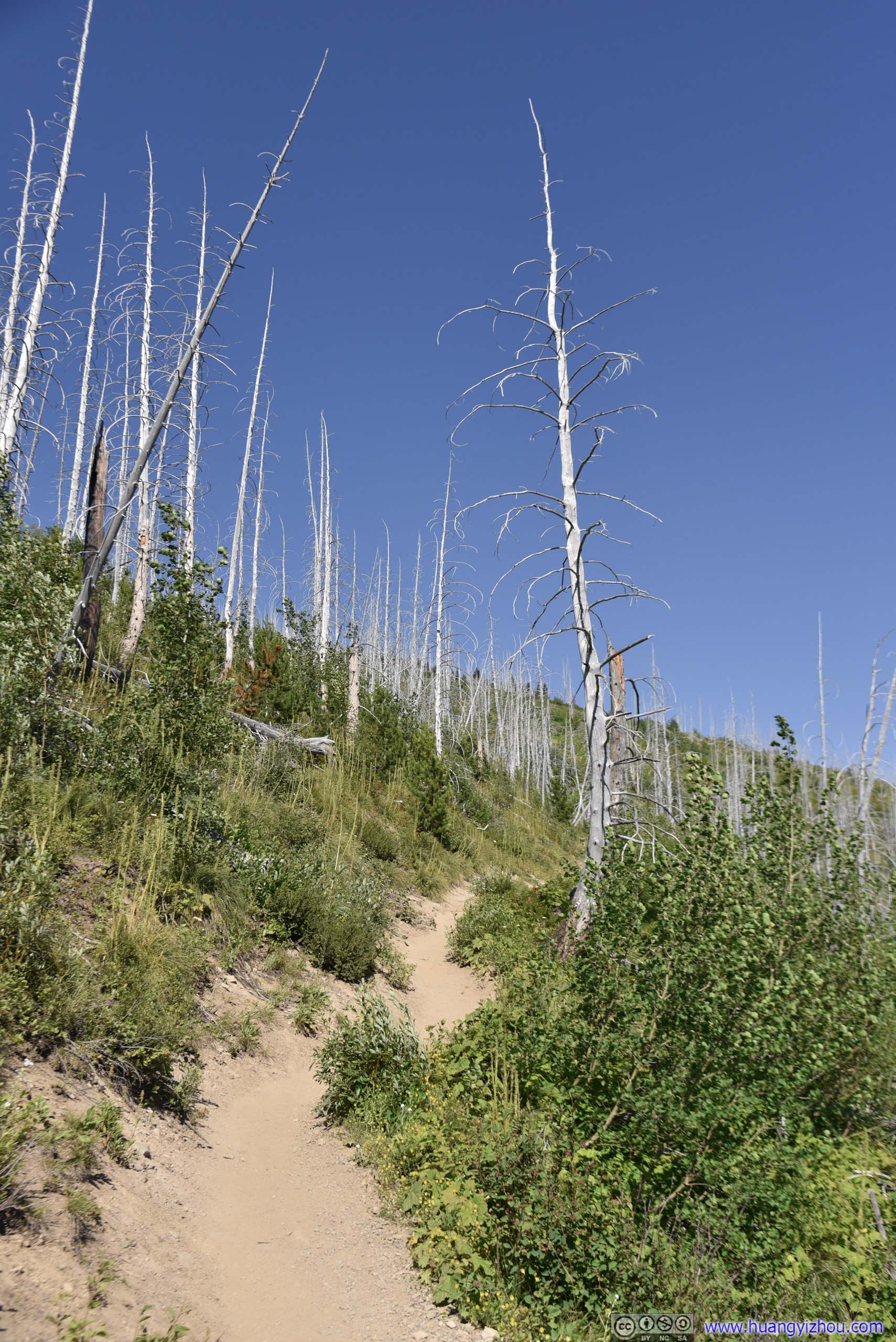
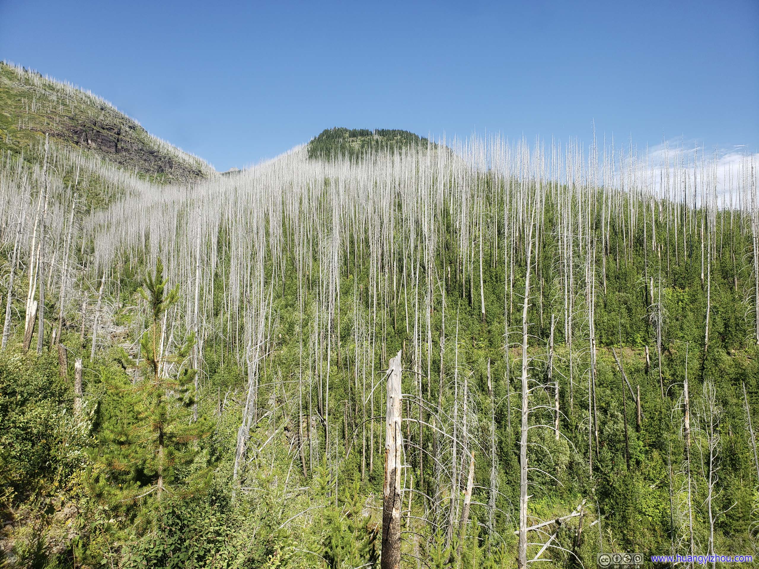
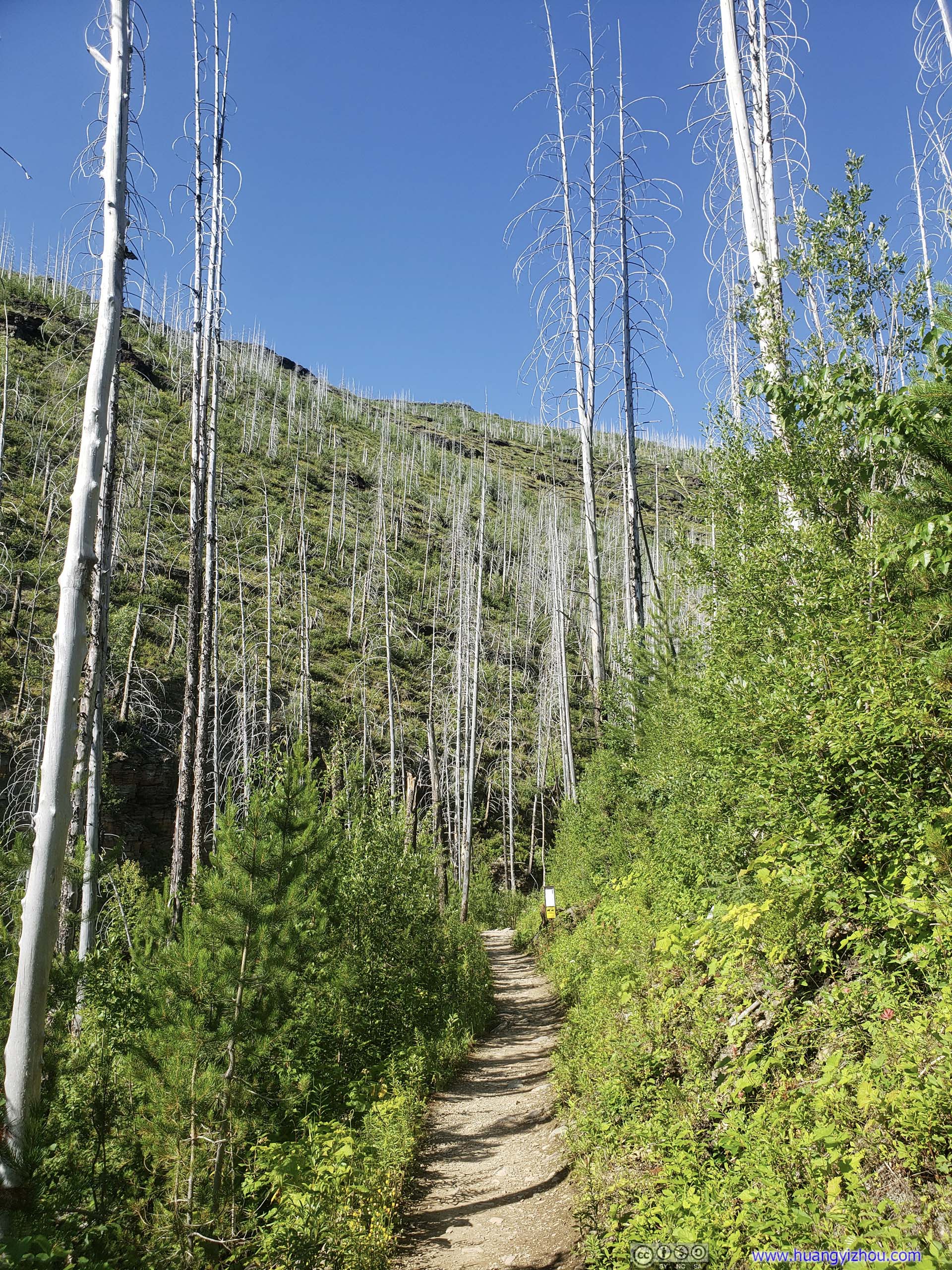
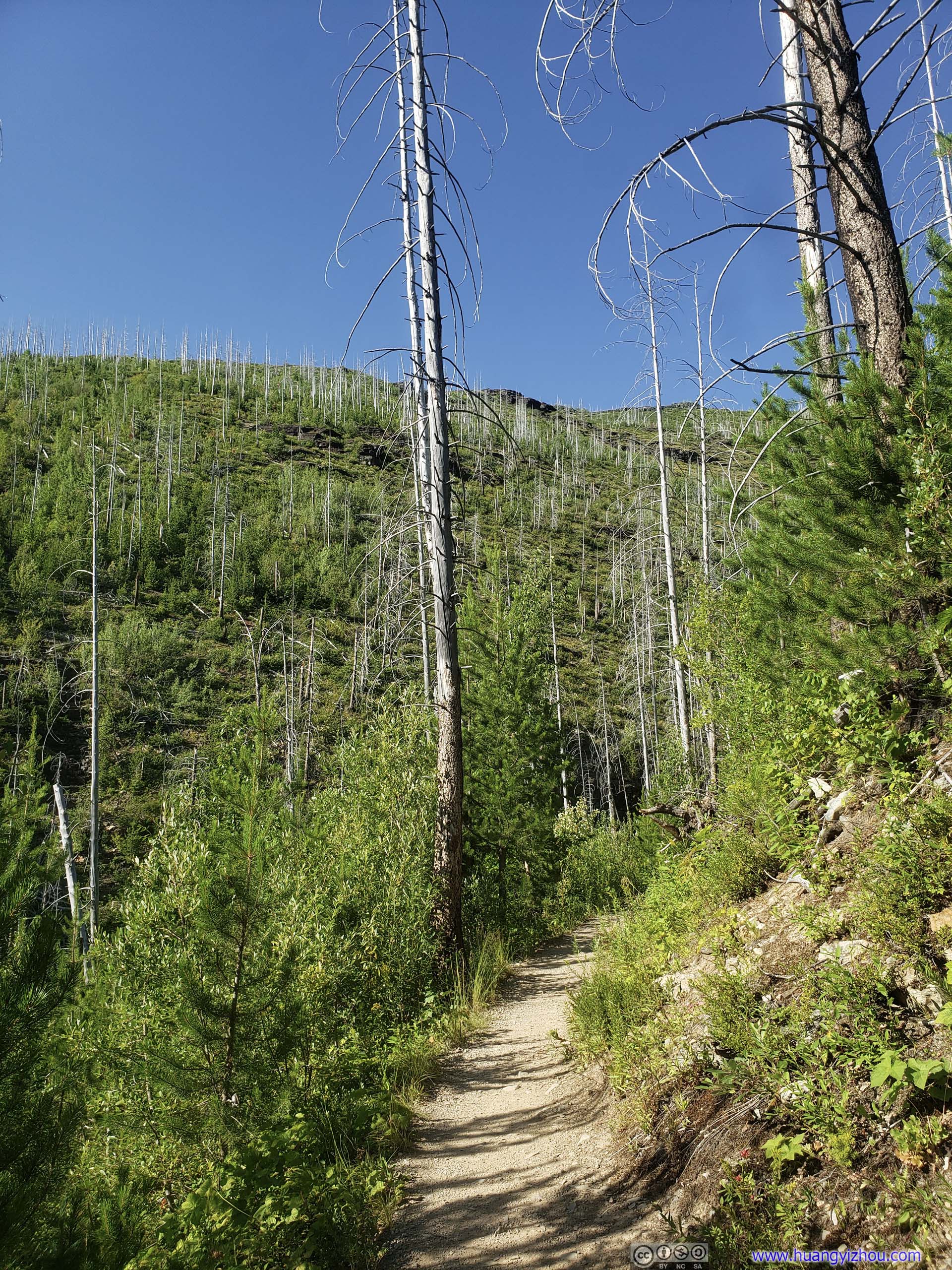
Unfortunately, Granite Park Chalet marked the end of attractions on Highline Trail (the trail was technically called “Granite Park Trail” from now on). It used to be that I was hiking on the side of a majestic mountain with views of many equally majestic mountains, but after Granite Park Chalet the trail was among trees, both dead ones and alive. No more stunning views.

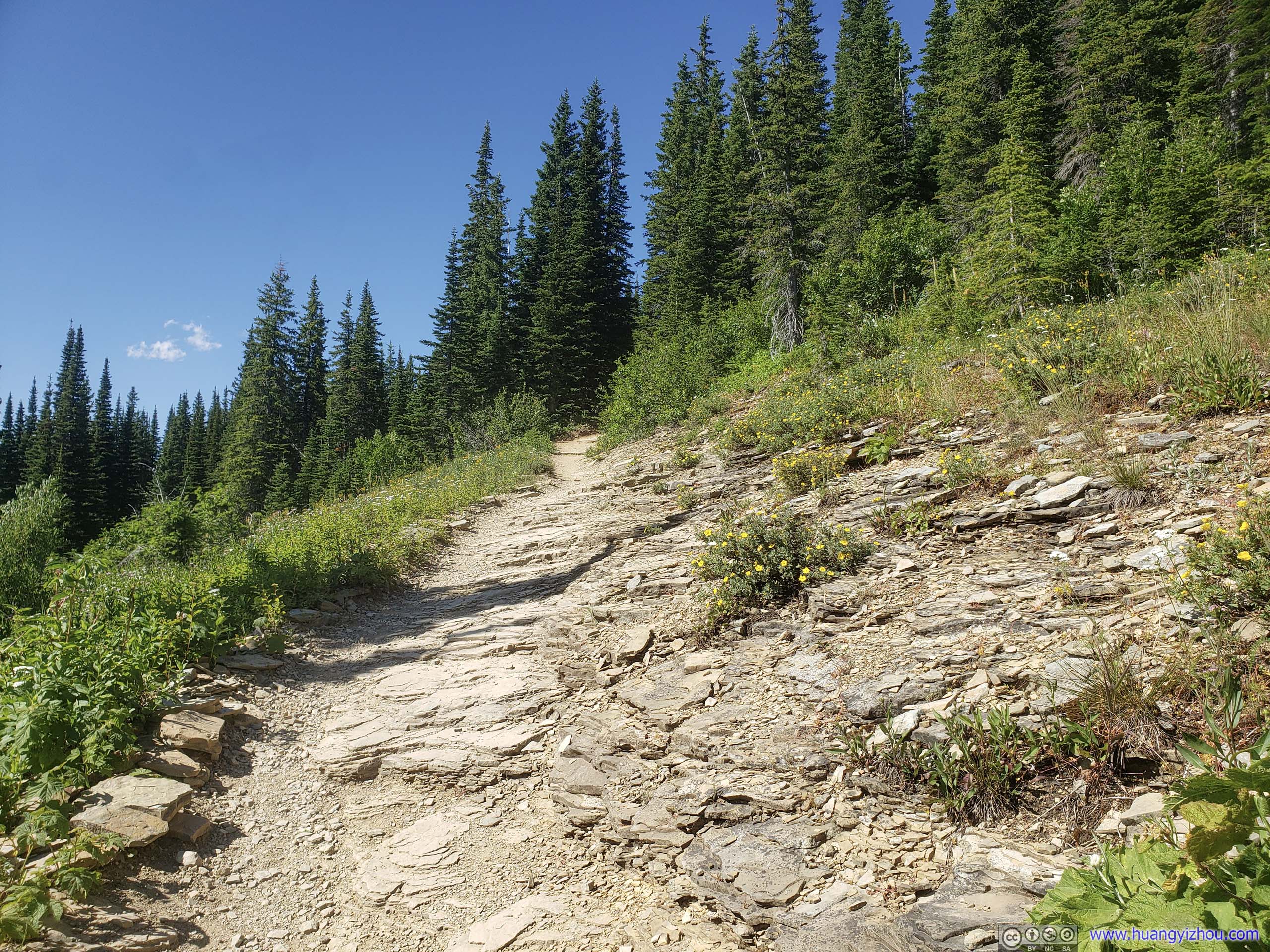 Trail
Trail
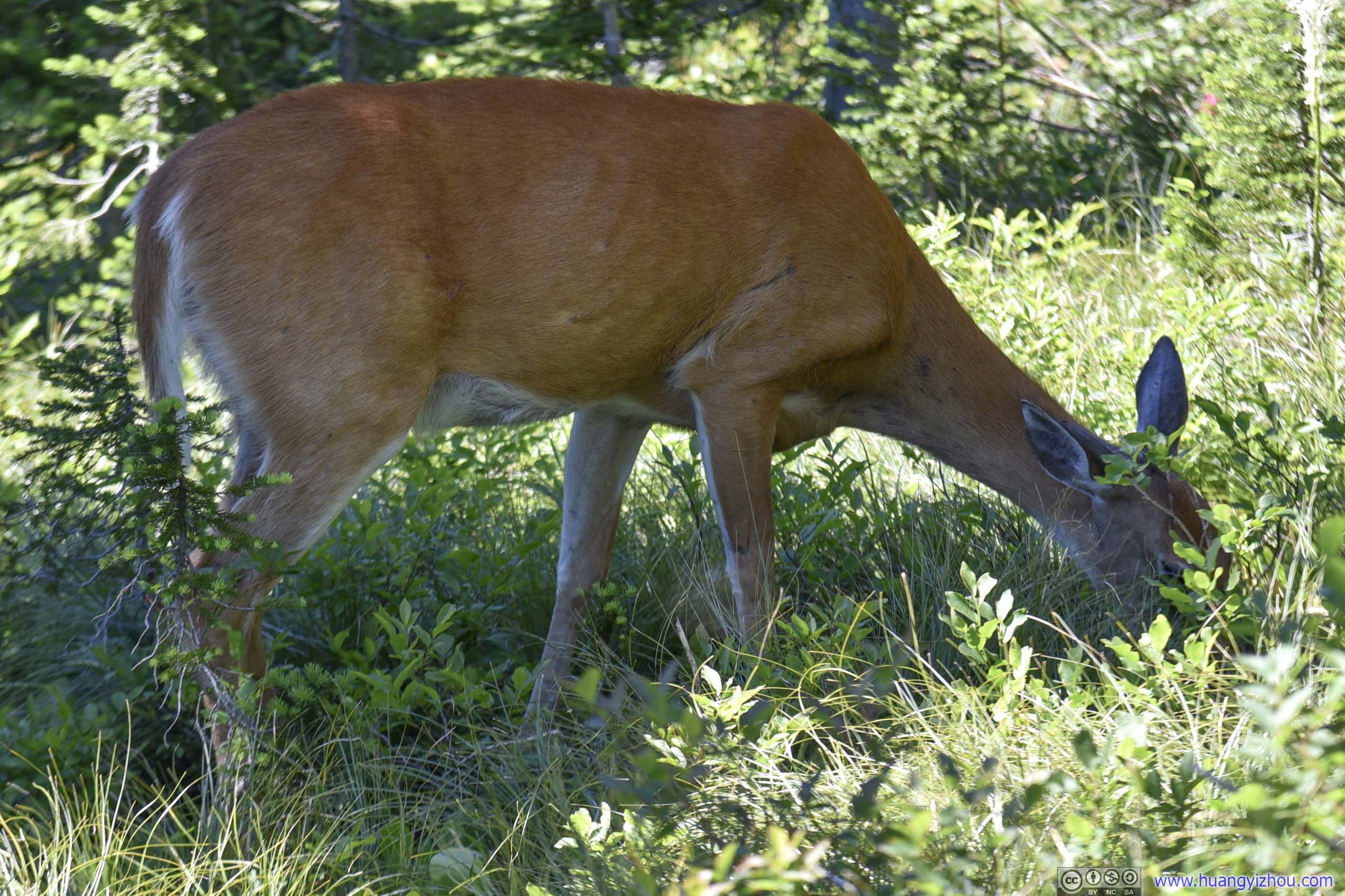

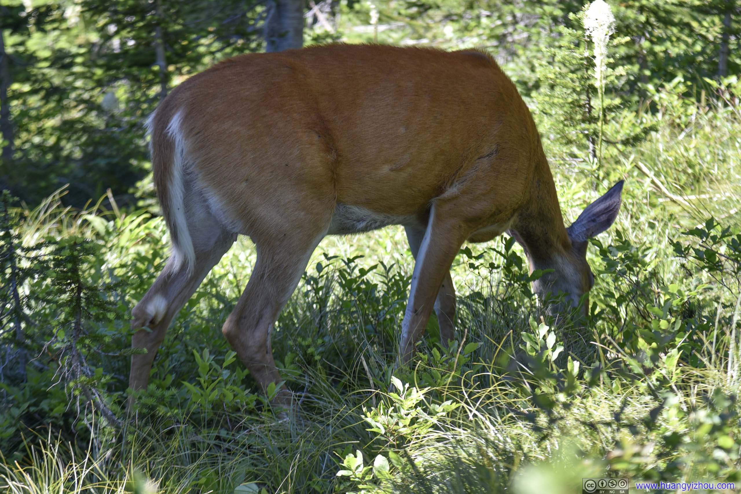 Deer Grazing
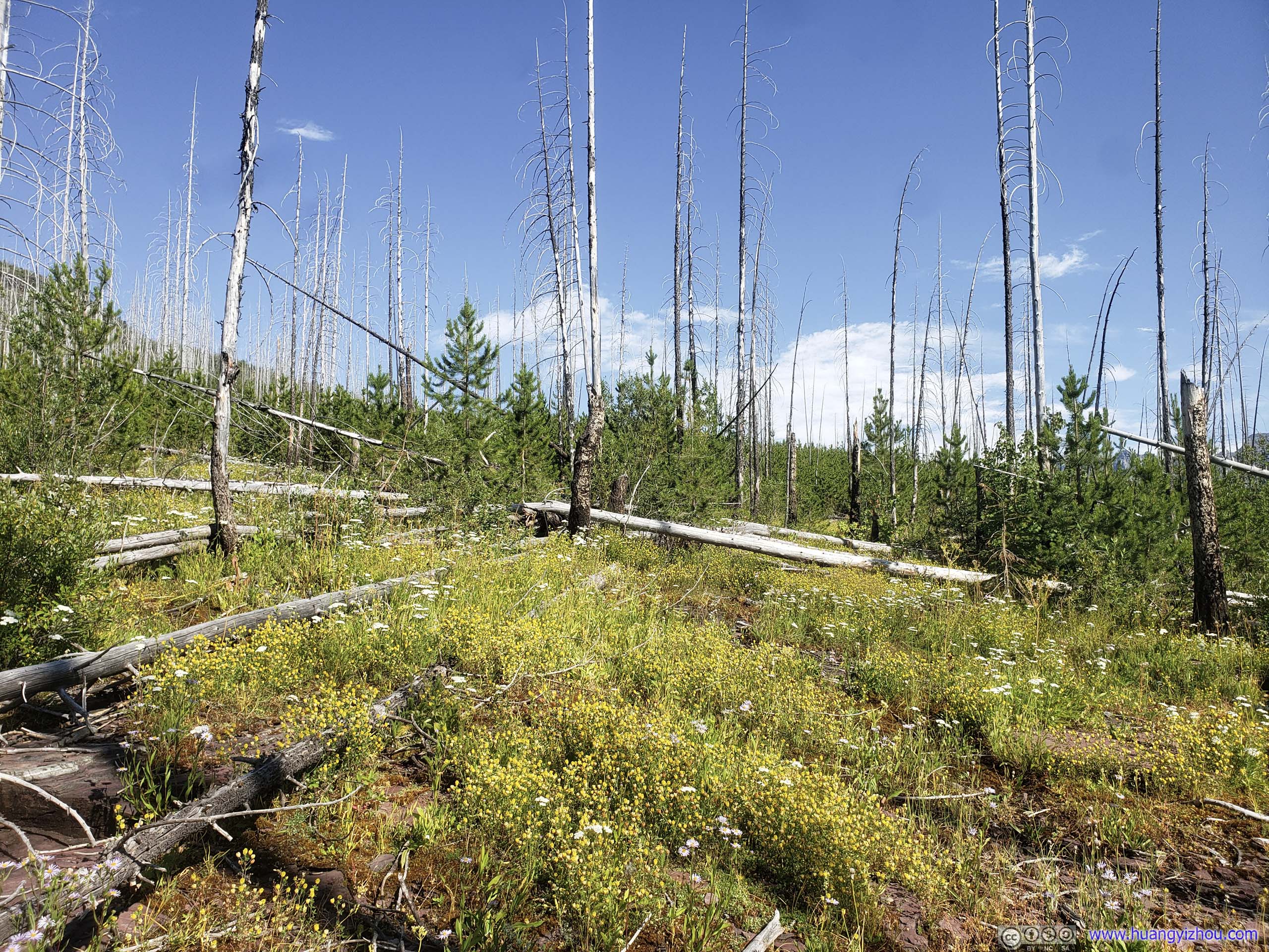
And to make matters worse, Granite Park Trail seemed to be frequented by animals, that left droppings all over the place. So despite the trail’s generous width (double track in most area), avoiding them could still be difficult at places.
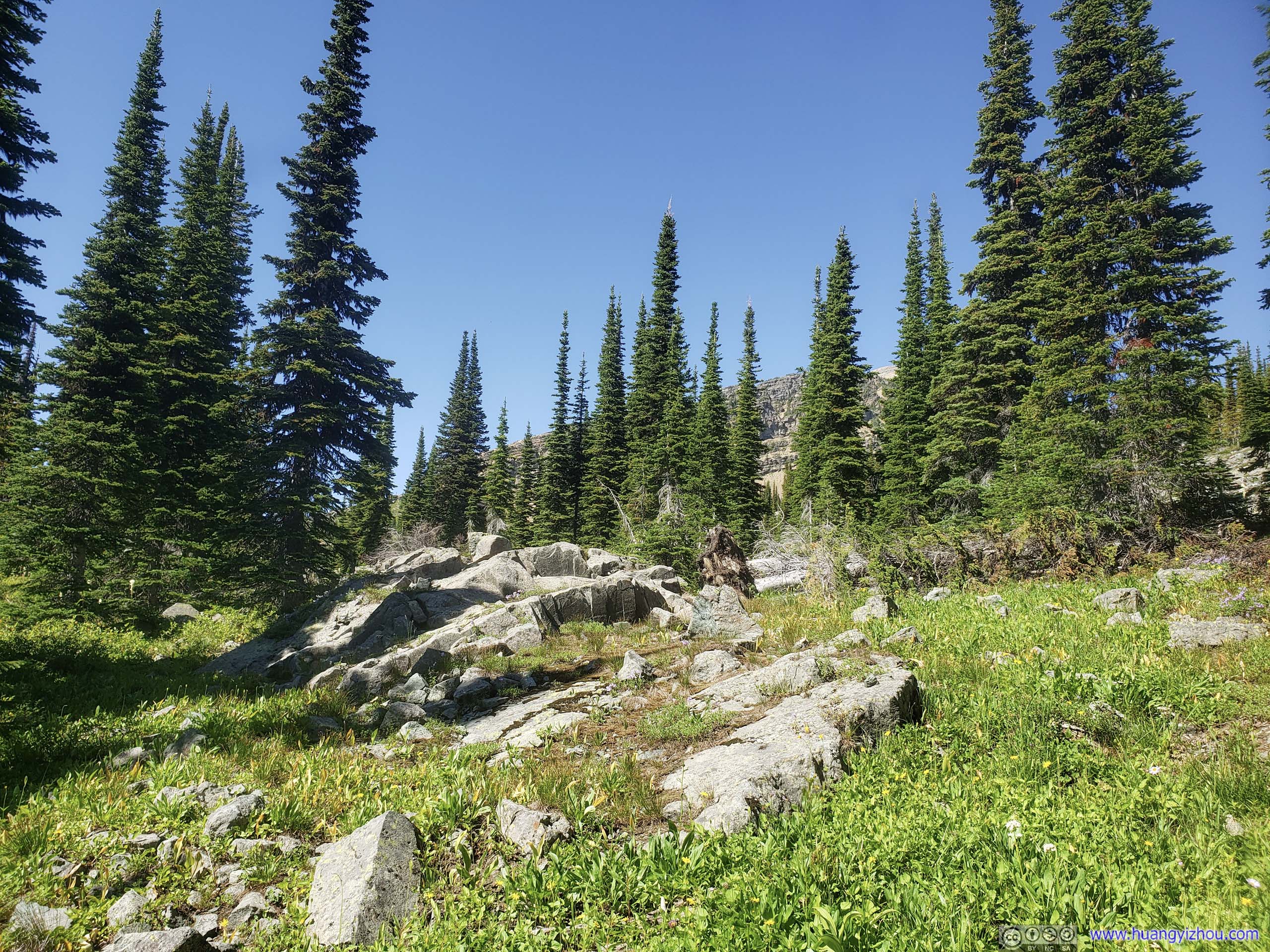
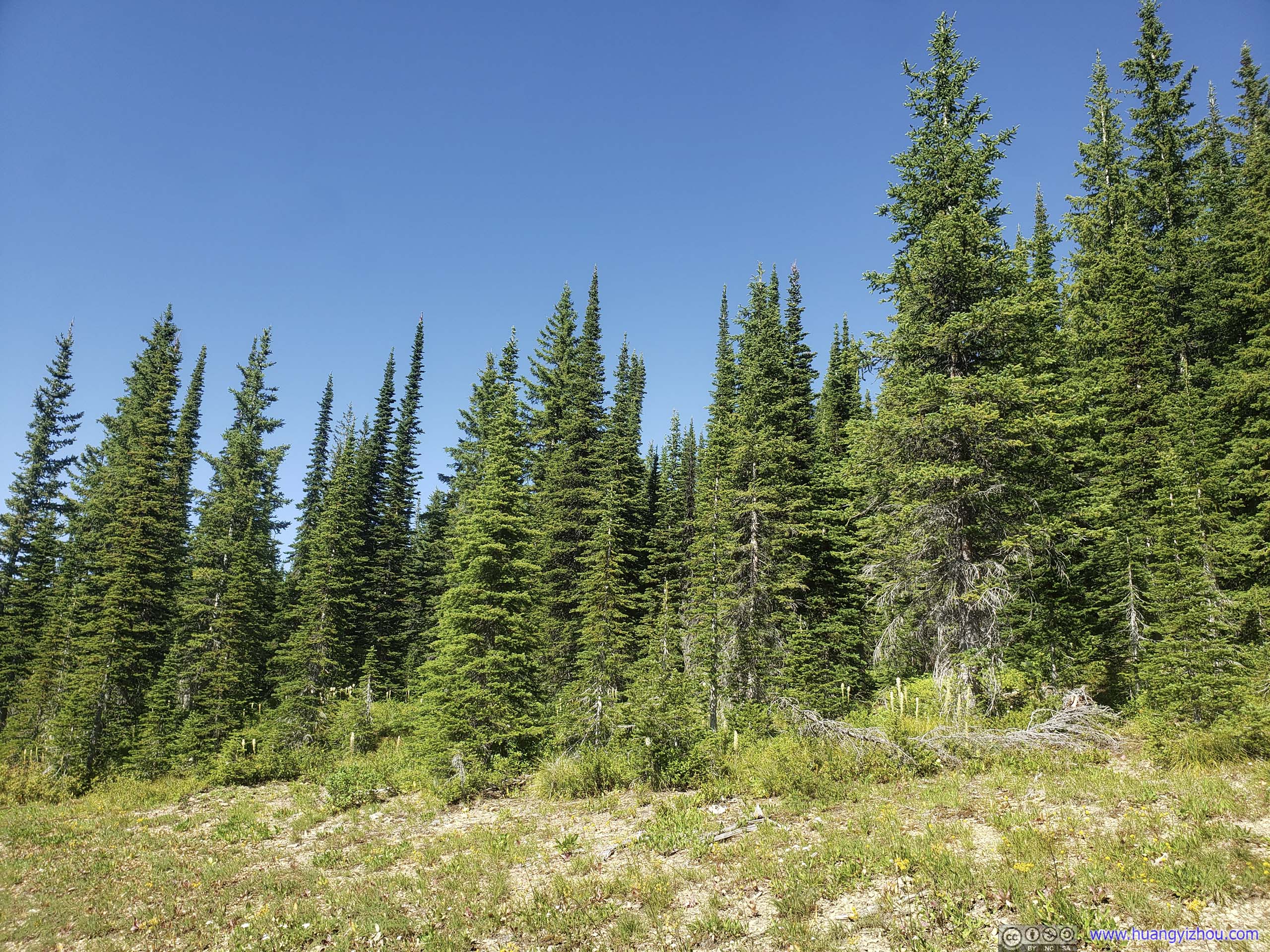 Forest
McDonald Creek
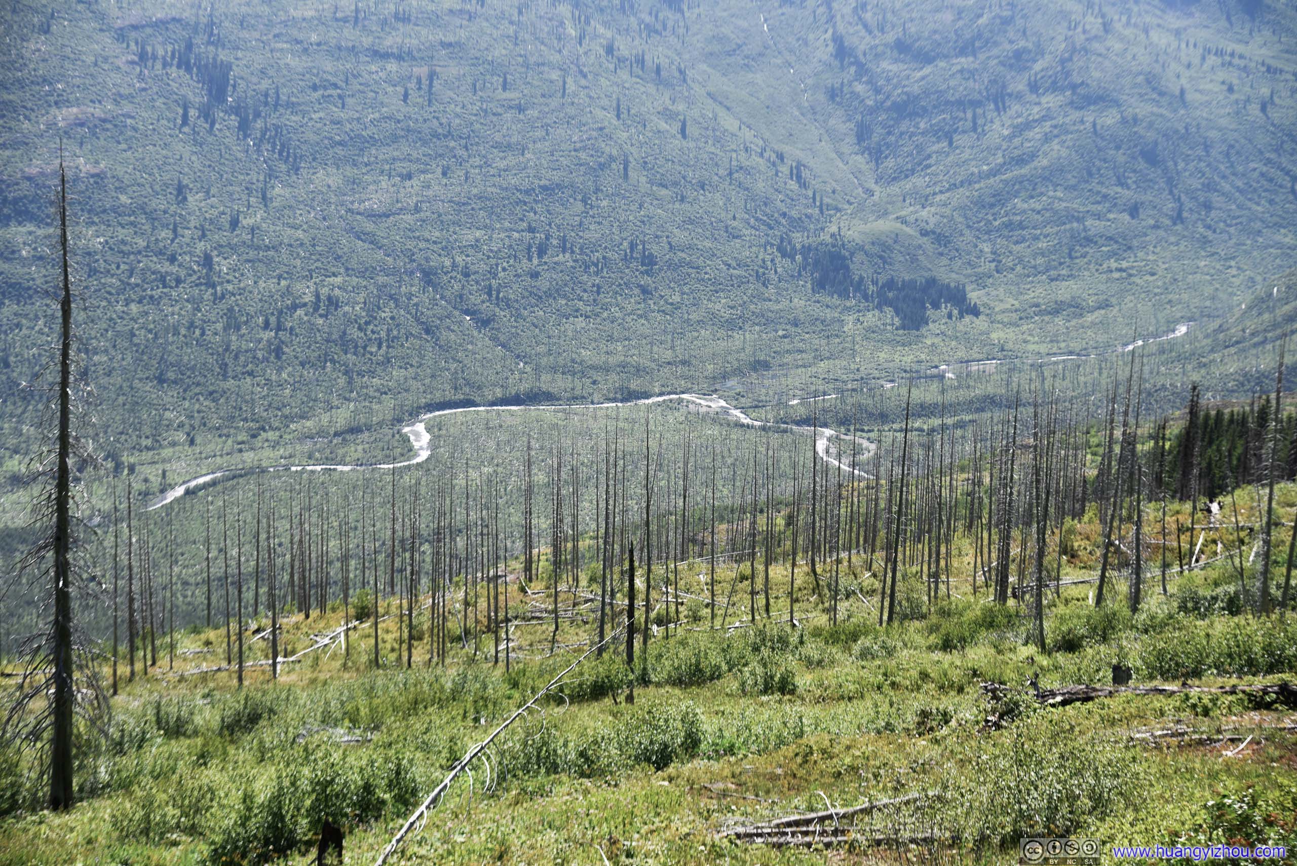
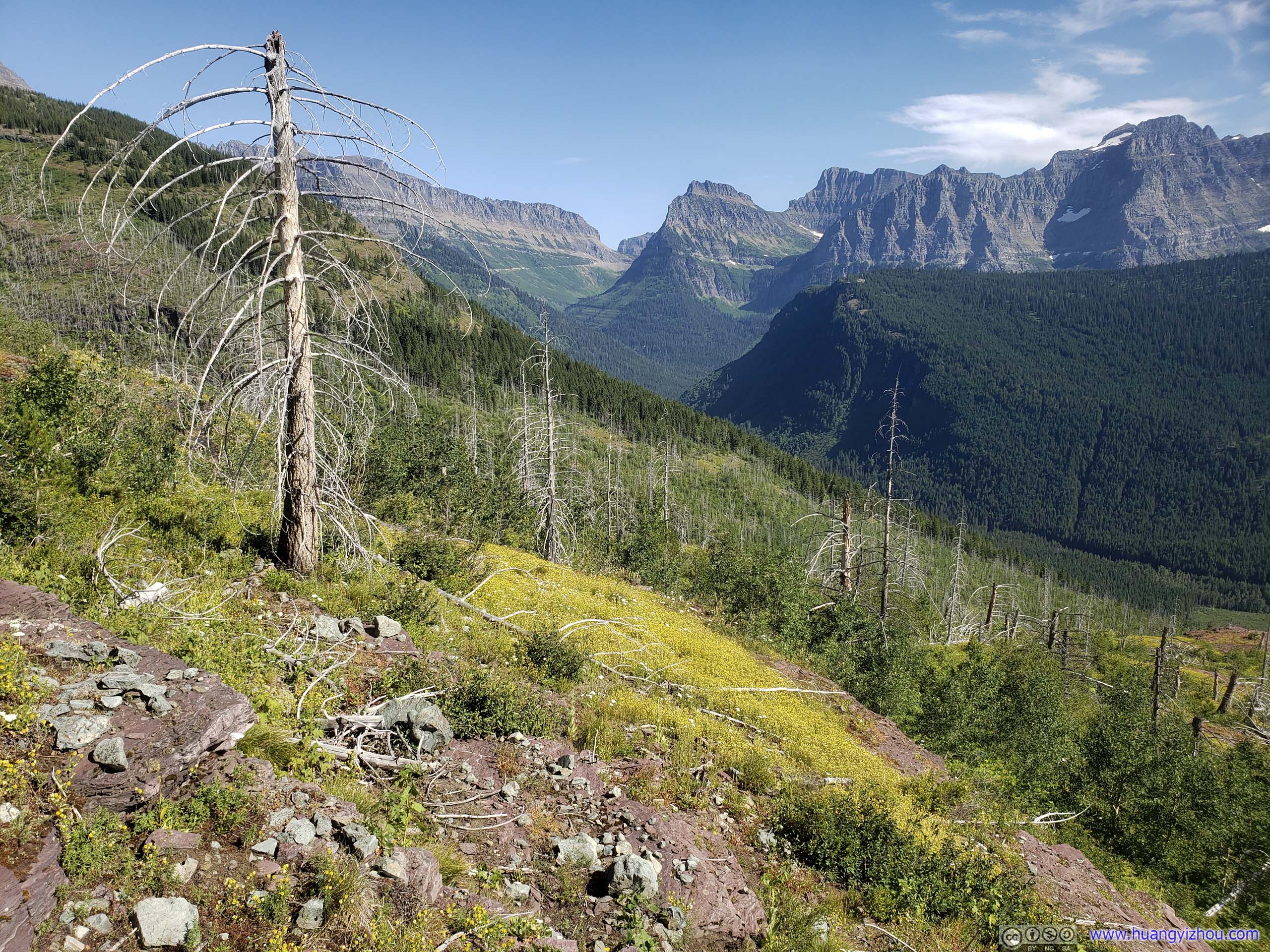
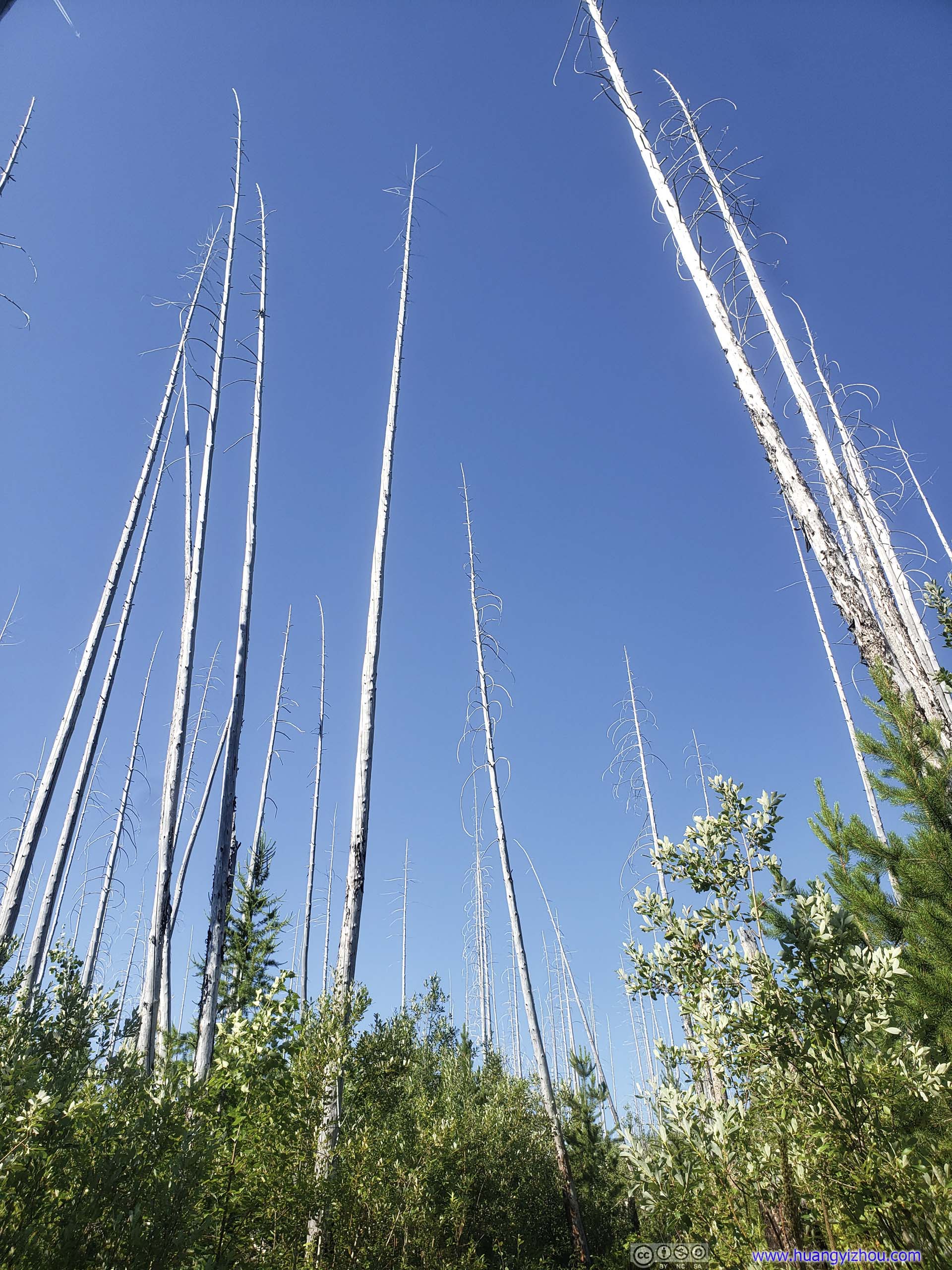
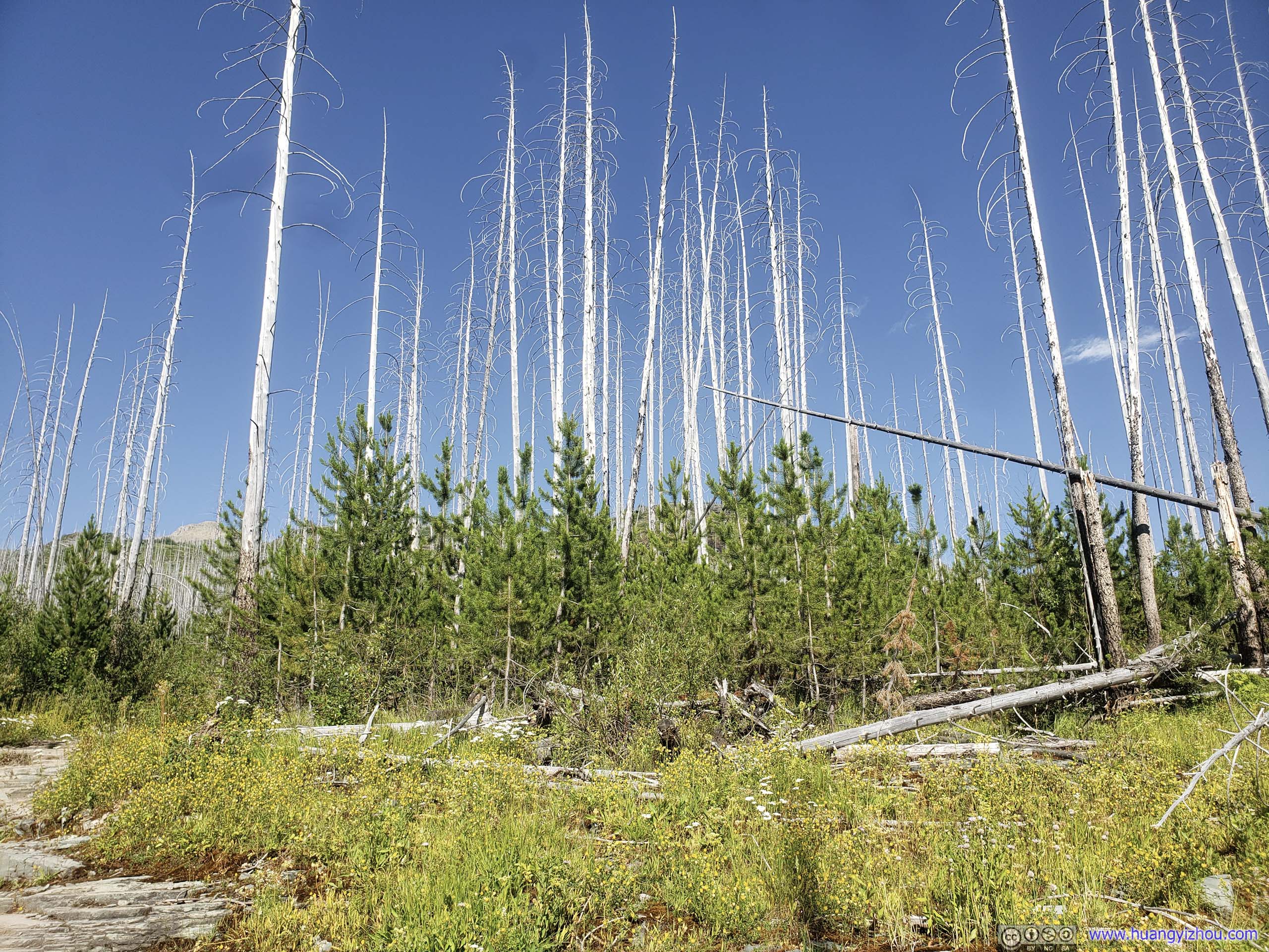
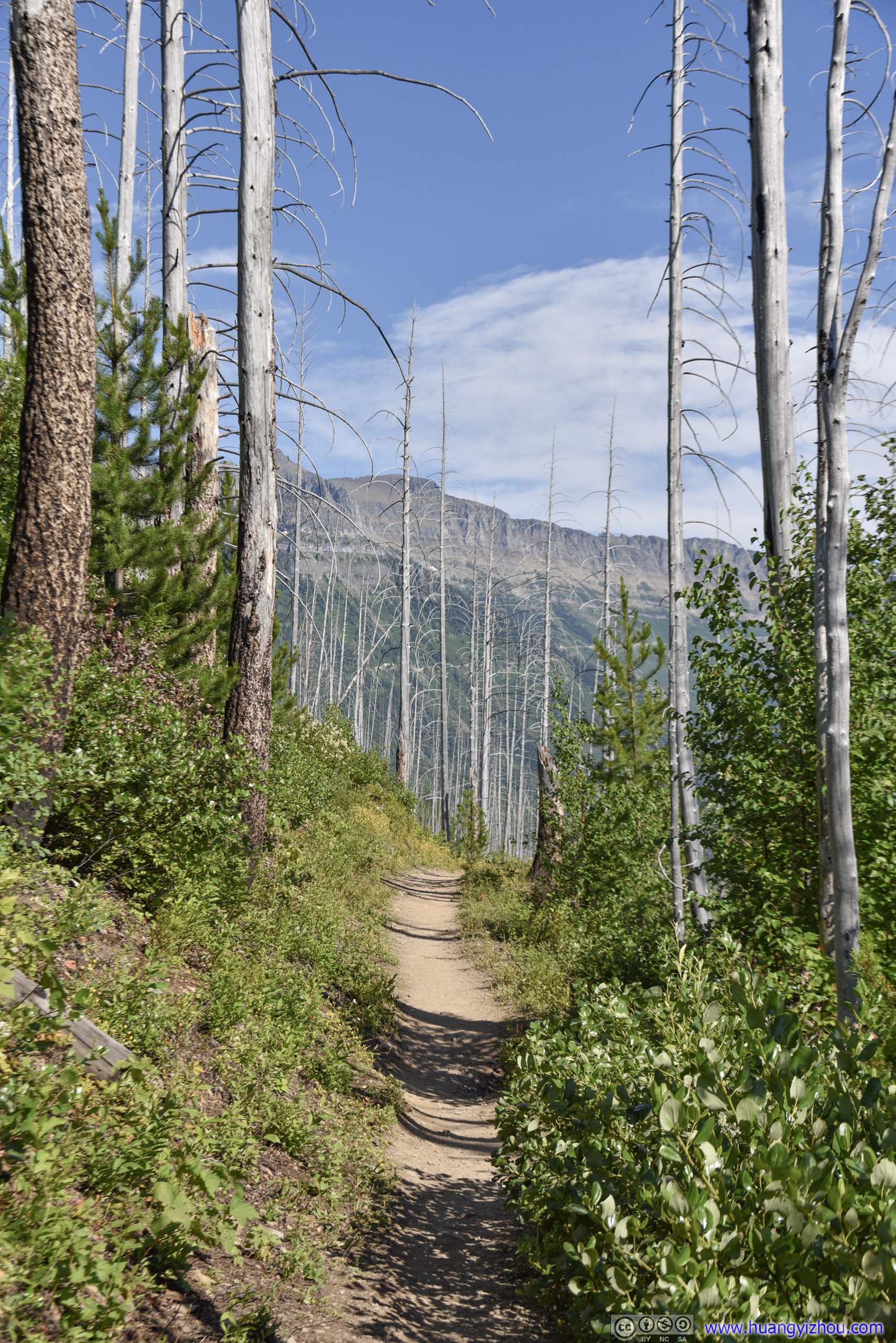
And once out of forest, I found myself surrounded by dead trees like this, which made a perfect setting of horror movies at night. (Glad that I still had daylight left.)
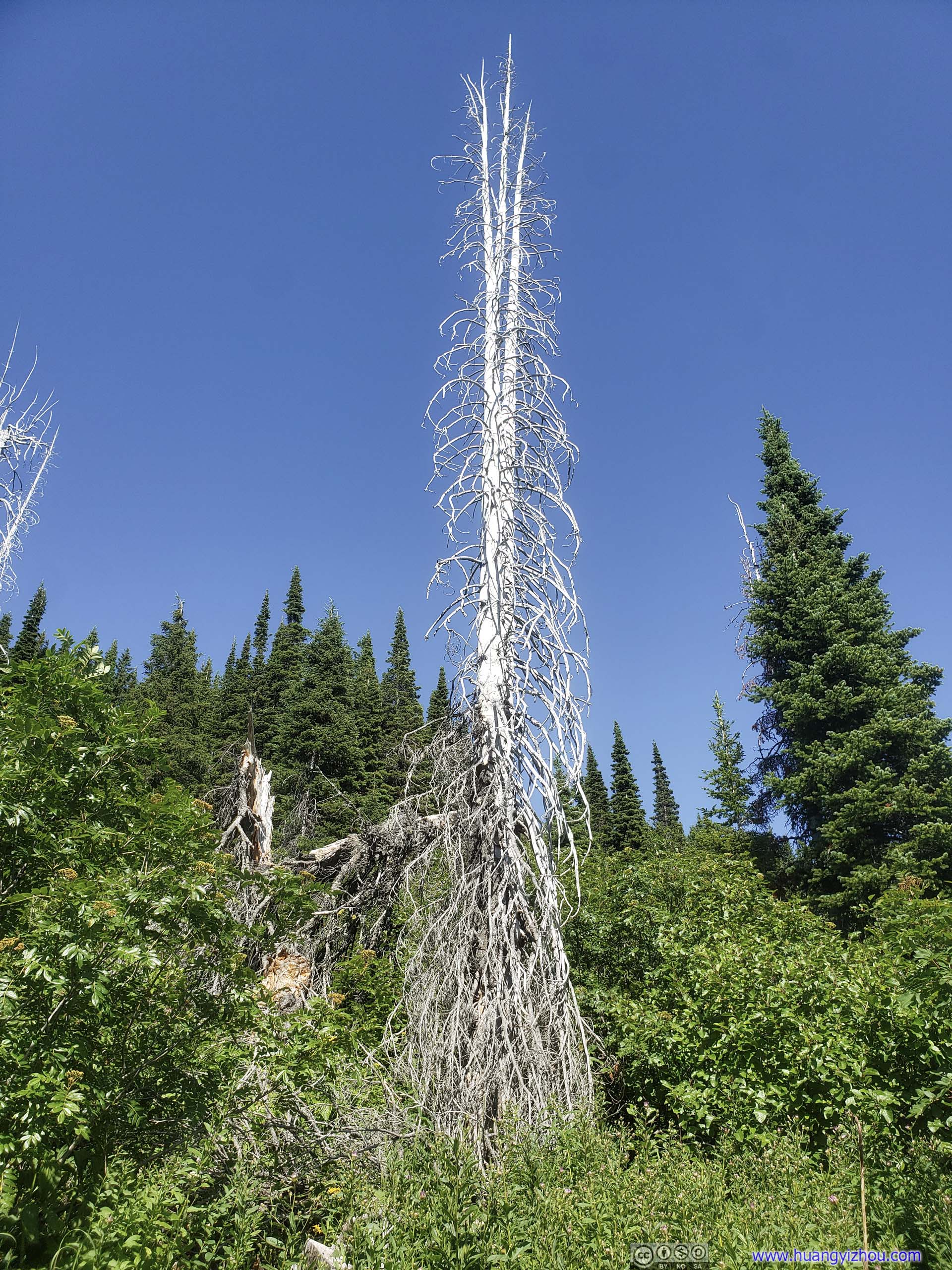
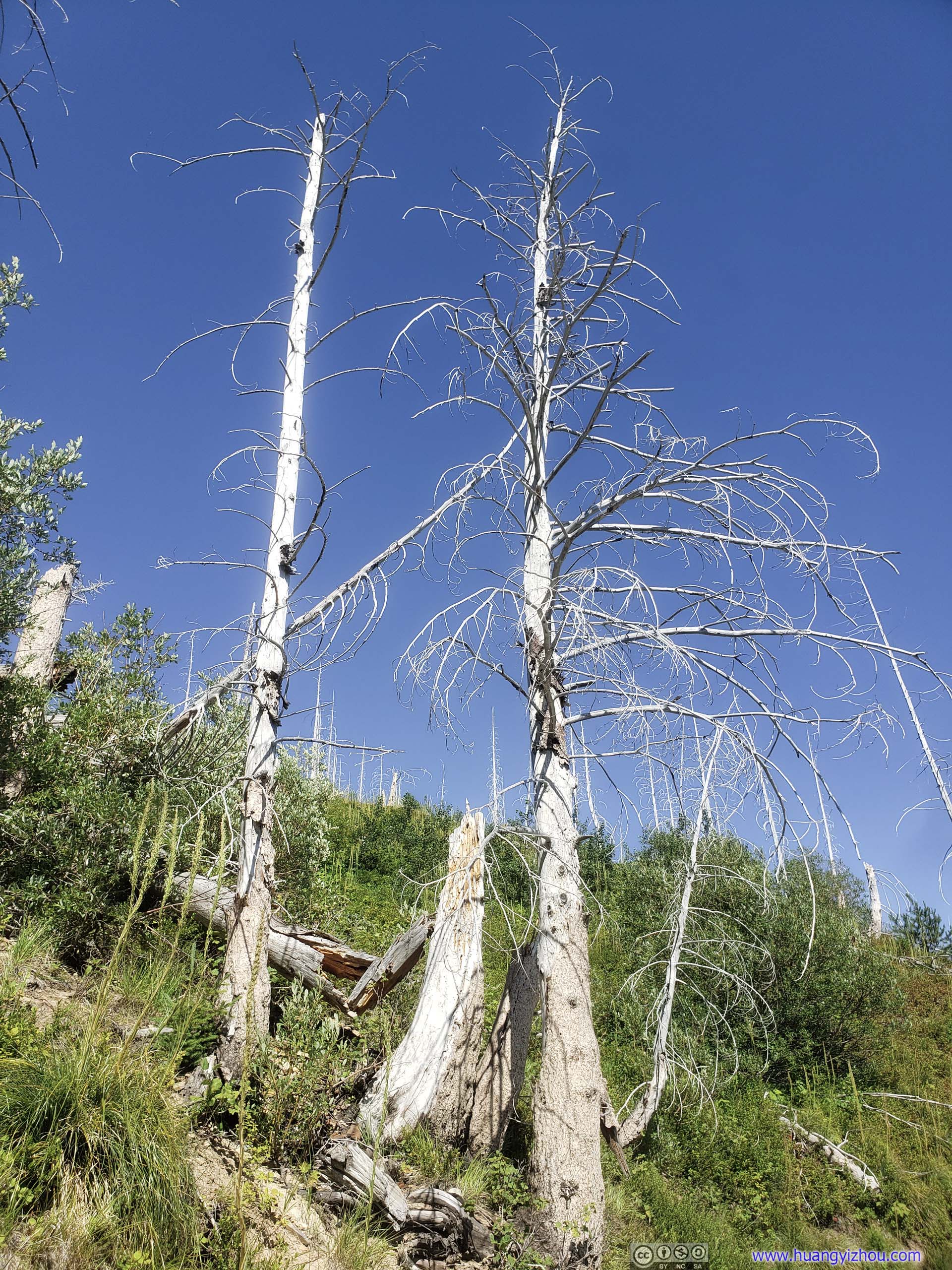 Dead Tree with Branches

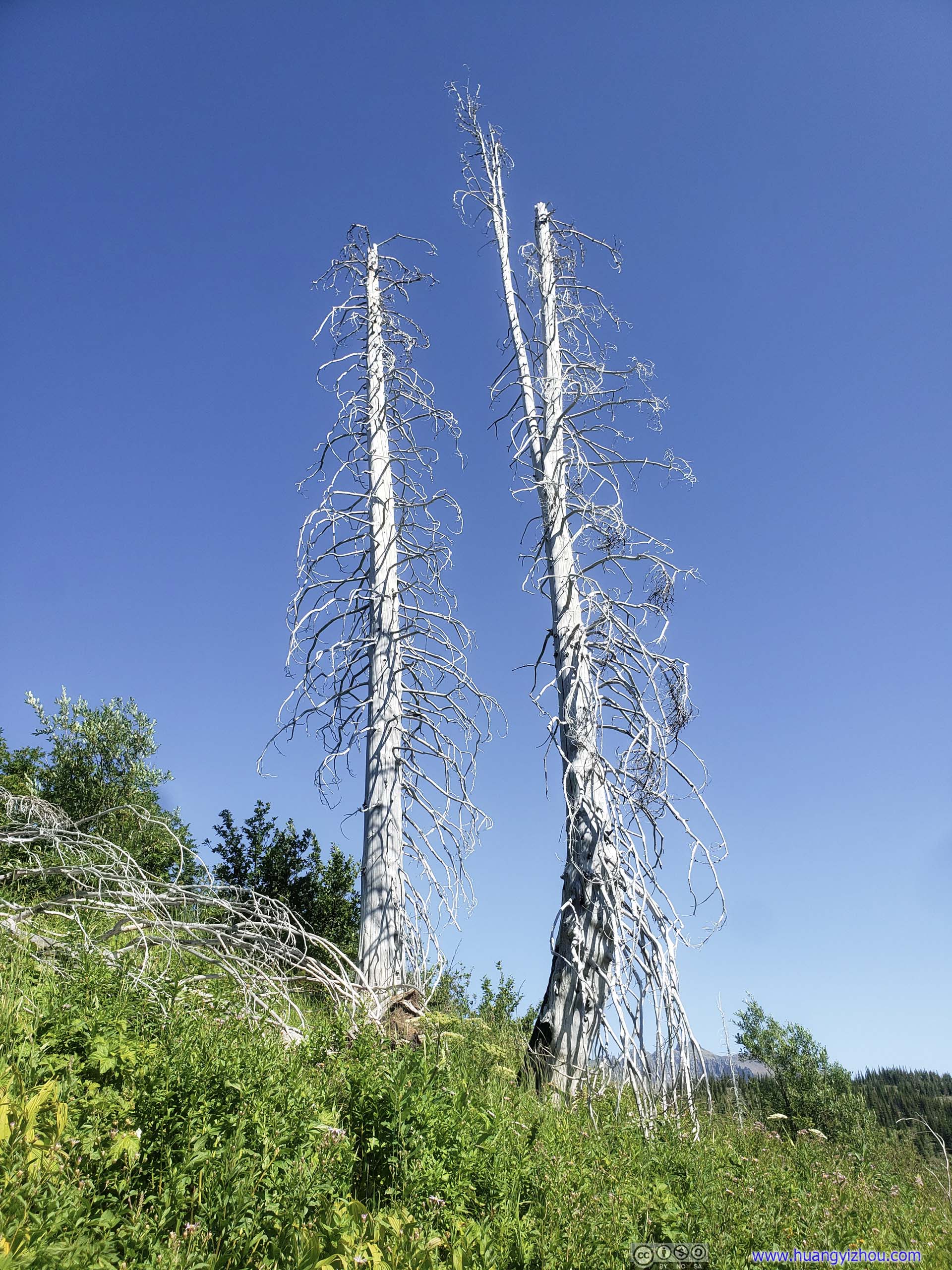
Pair of Dead Trees

Array of Dead Trees
CreekAnd a bridge crossing that creek. That’s close to the end of the trail, where I will be in an hour.
To describe my mentality in this part, it’s like a naughty student being confined in an uninteresting classroom, whose mind was occupied only with counting time left till the school day’s end. Yes, in a similar manner I was checking my cell phone GPS to see how much distance there’s ahead.
 Trail
Trail
Mount OberlinBird Woman Falls visible in the center.
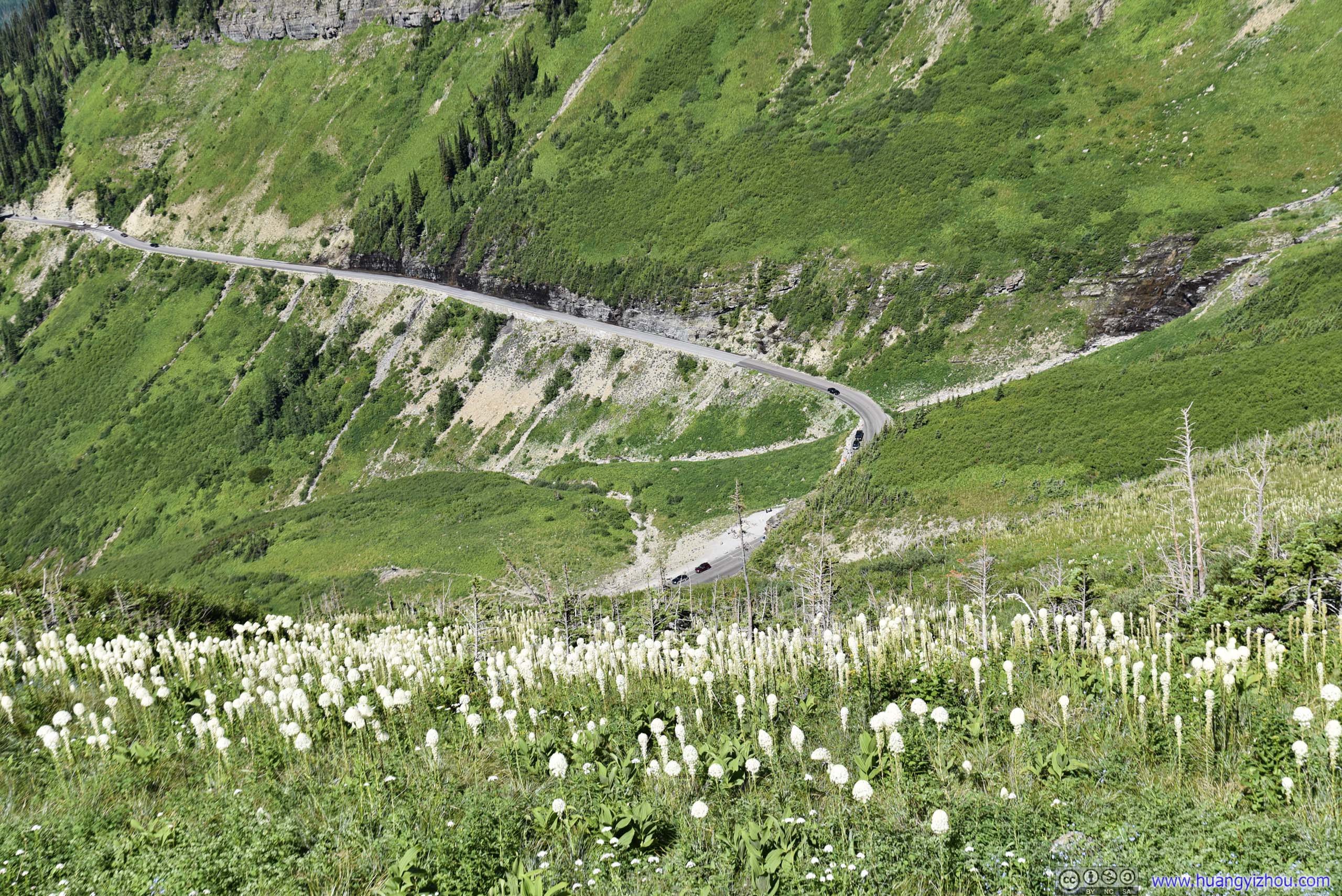
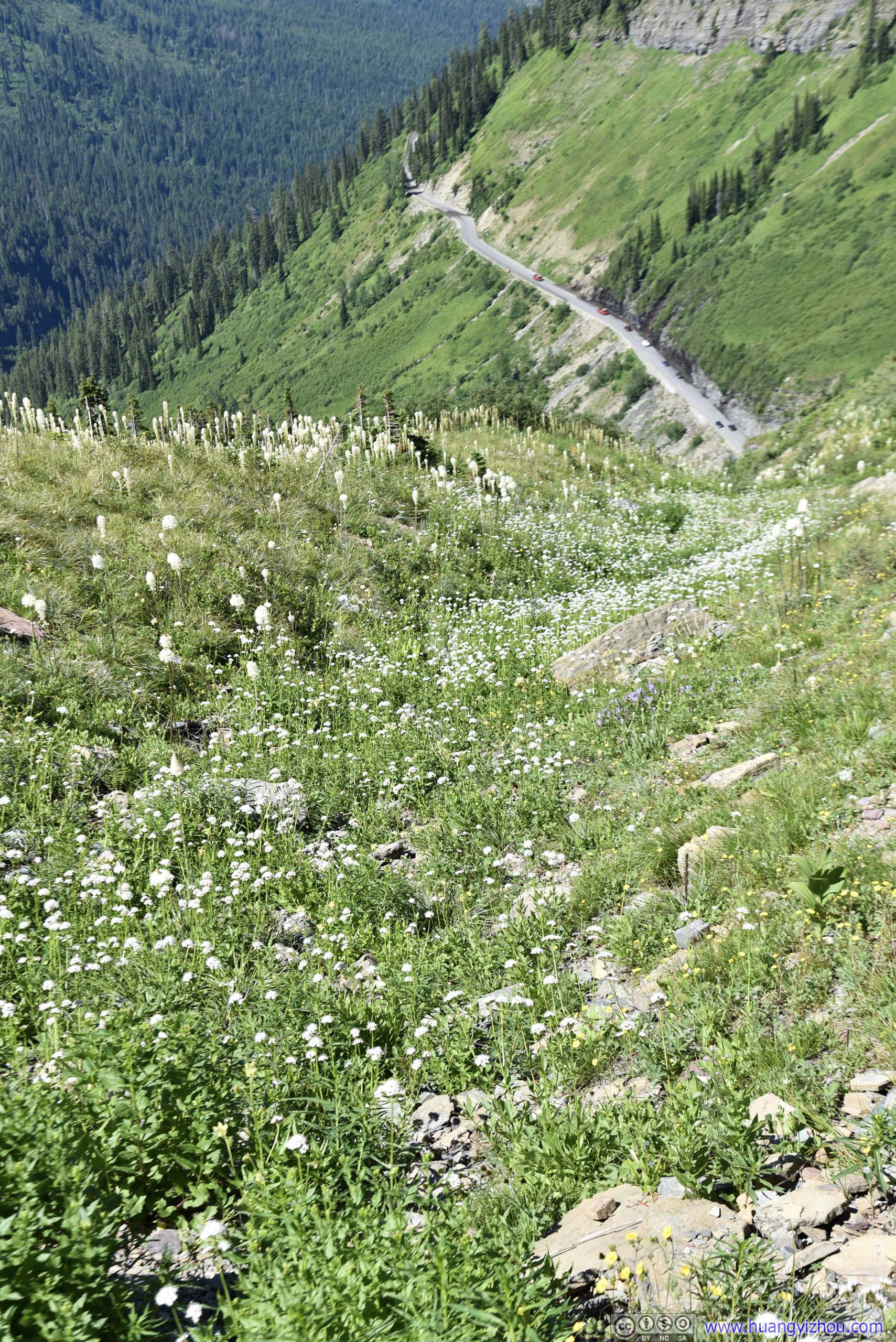
 MountainsGoing-to-the-Sun Road descending from Logan Pass.
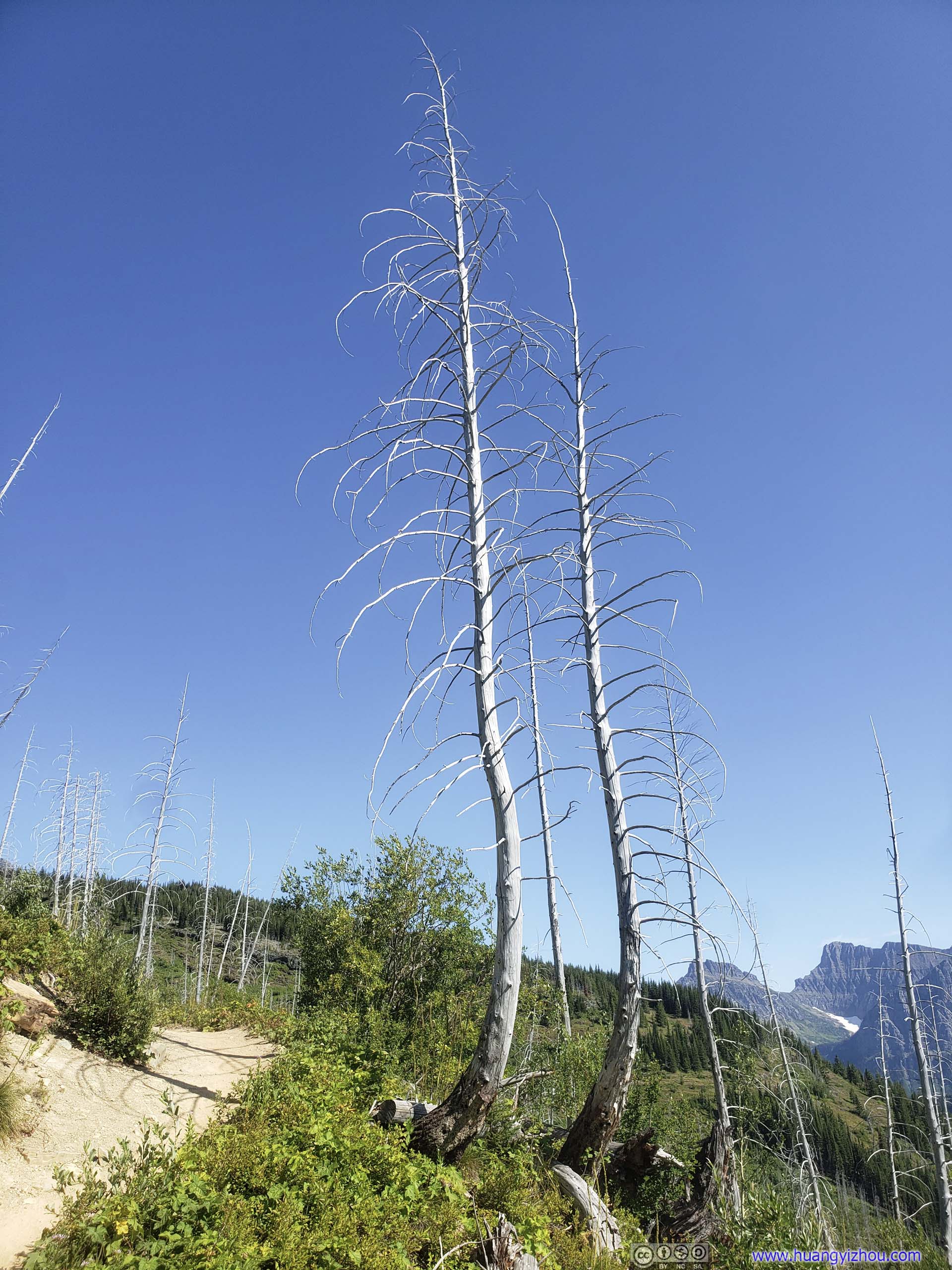
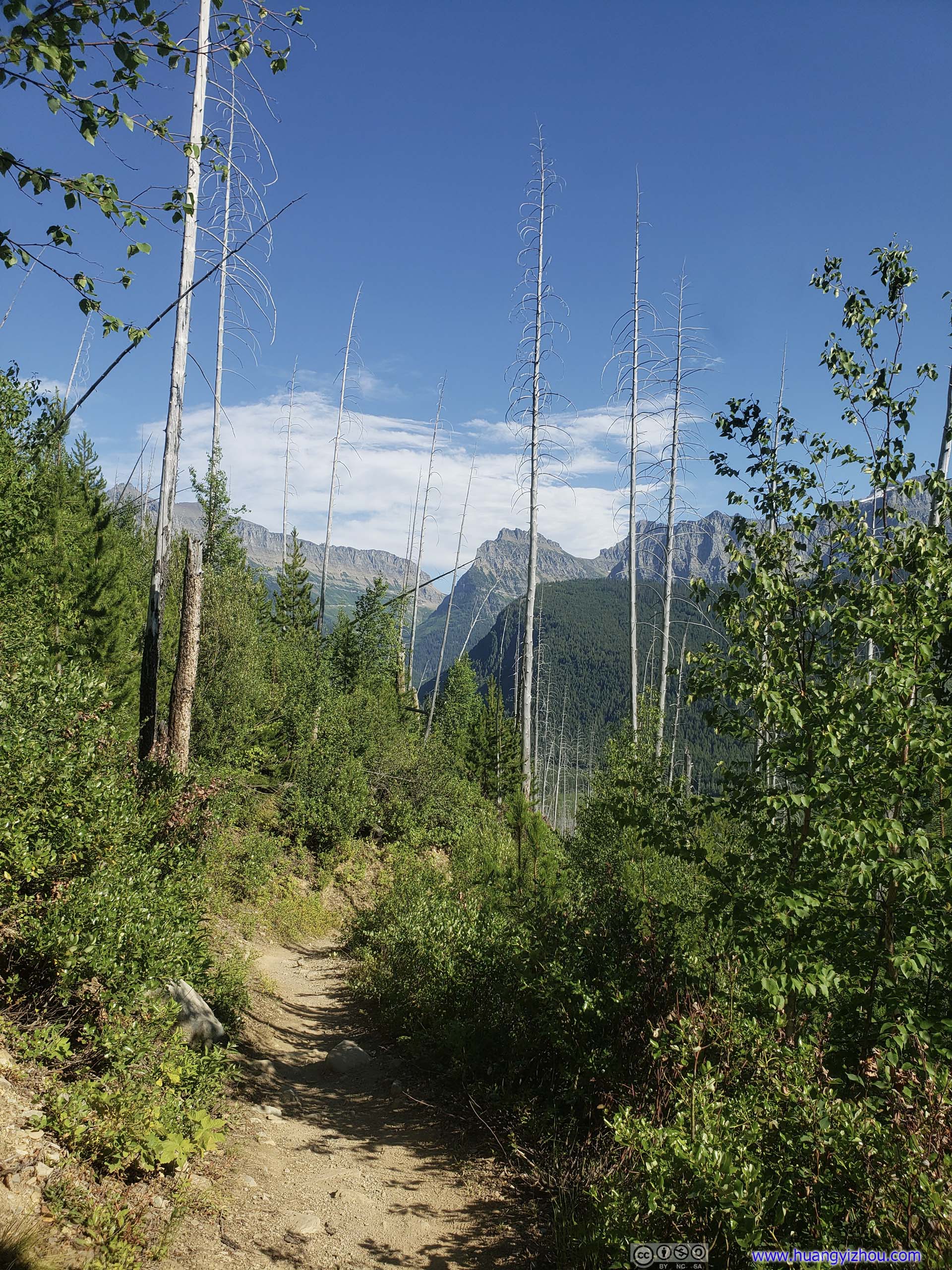
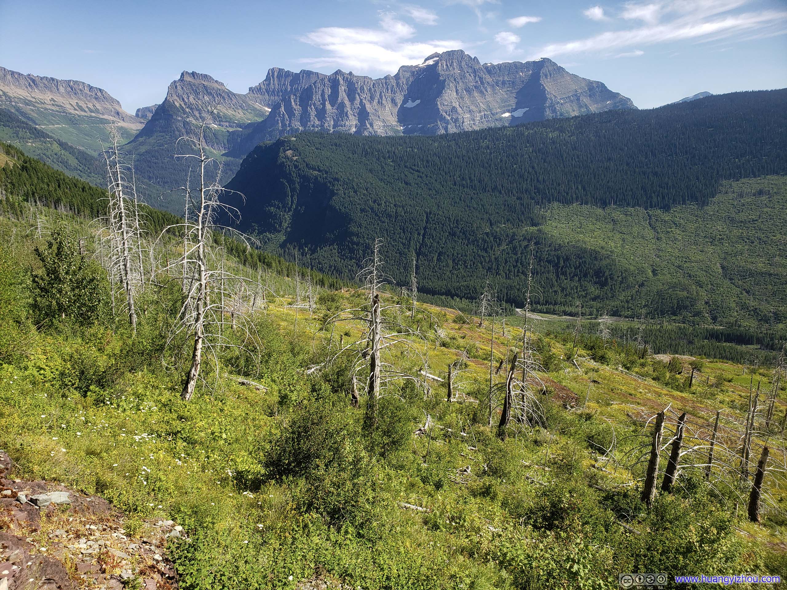 Scattered Dead Trees
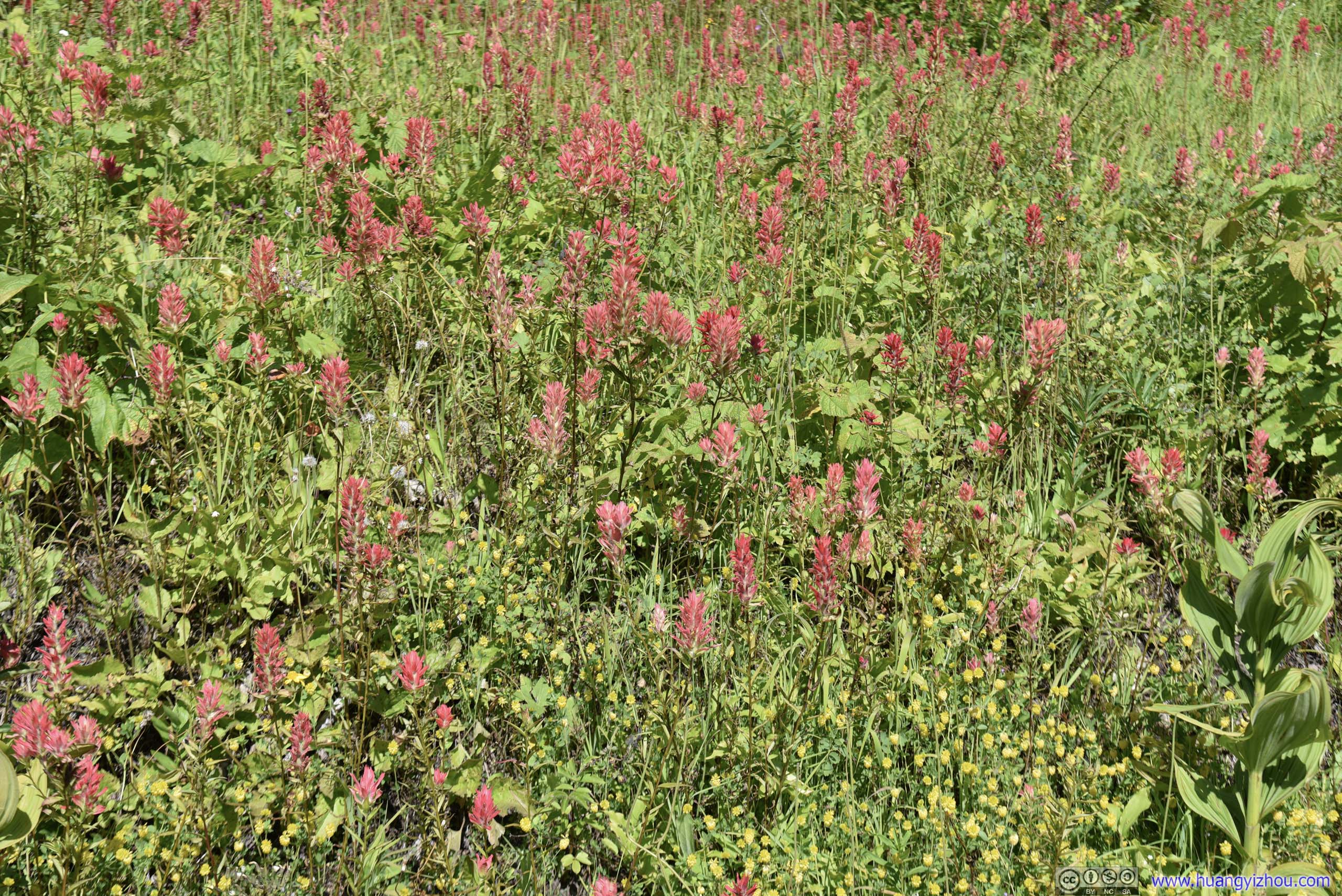
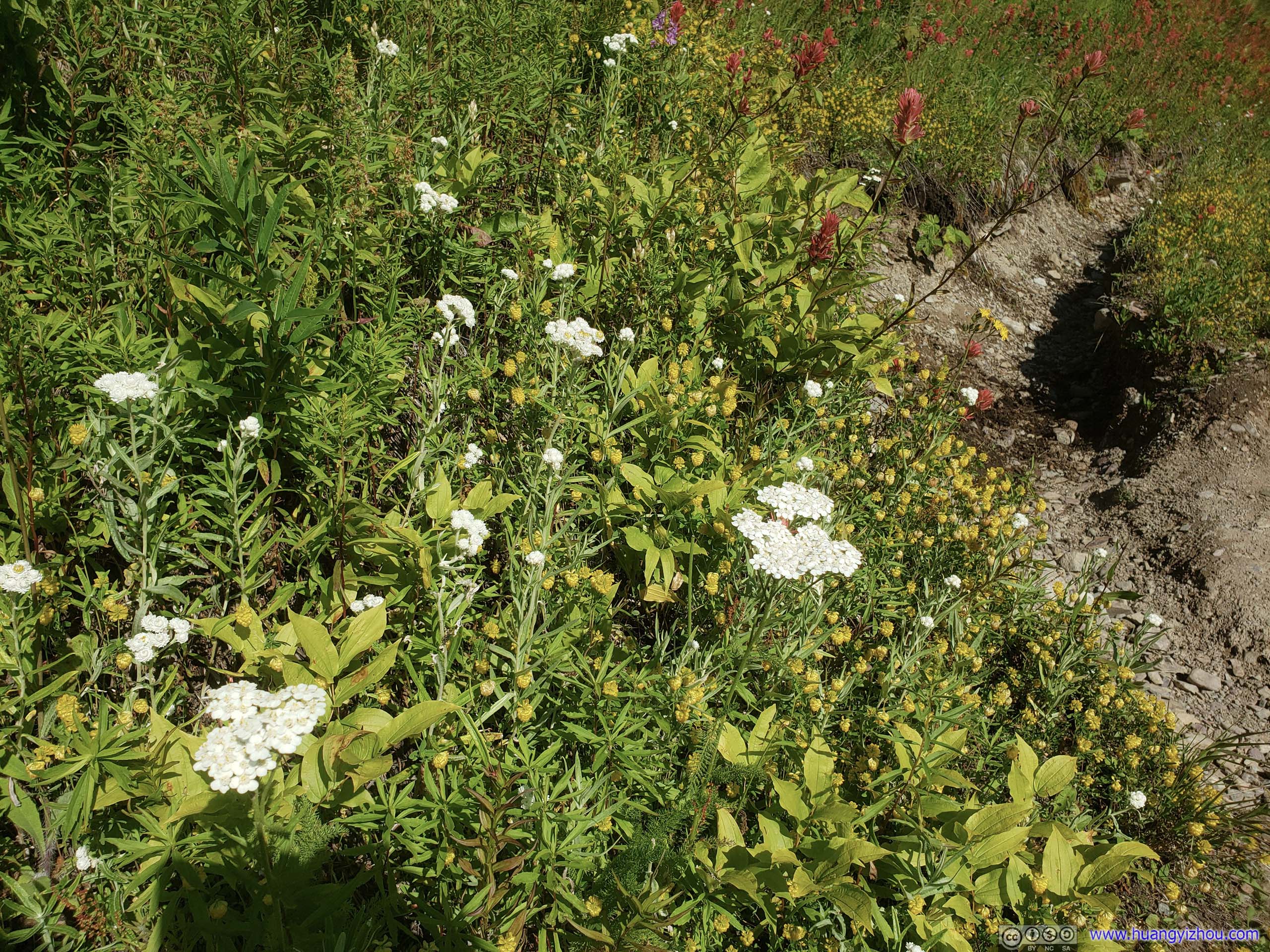 Flowers

 Dead Trees
Forest of Dead Trees
 Trail
Trail
Sun Road below Mountain Ranges
So just before 6pm, I arrived at the end of the trail at “The Loop”, which was also a shuttle stop of the park.
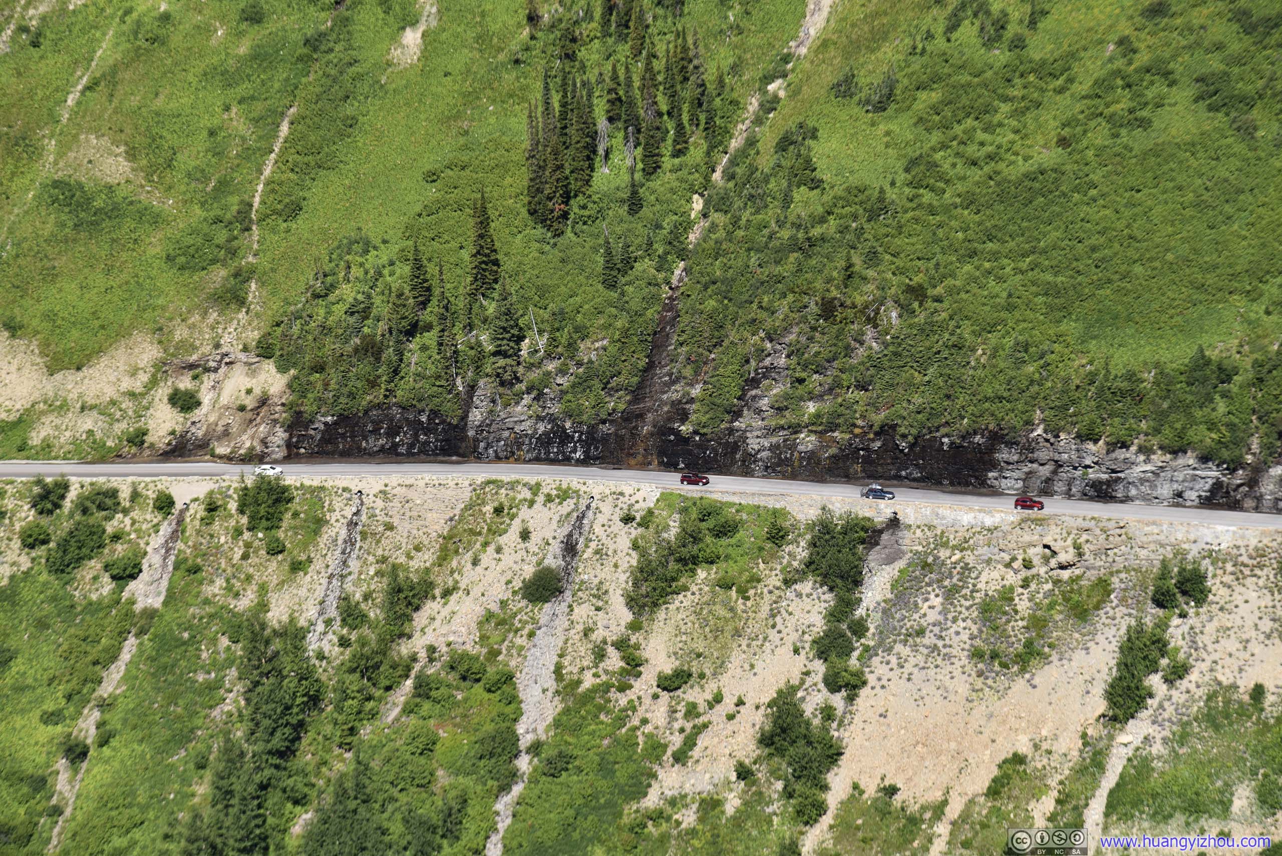
The section of Going-to-the-Sun Road between Logan Pass and Avalanche Lake was narrow and winding, so shuttle buses between these two stops were small minivans with limited seating. “The Loop” was the only stop in between, and buses departing Logan Pass would reserve at least two empty seats for hikers to board at “The Loop”.
And depending on how frequently the shuttle bus driver was communicating with dispatch over the radio about situations at all the shuttle stops, I guessed nobody would be stranded at any shuttle stops for long. Having had a not-so-pleasant experience waiting for boats at Lake Josephine four days ago, the amount of care into the park’s shuttle system was certainly beyond my imagination.
 Park Road
After a transfer at Avalanche Lake and 50 minutes later, I was at Apgar, where we were reunited and headed back to Kalispell.
Since bear spray couldn’t be brought onto an airplane (even as checked baggage), I handed that to the park rangers at the entrance. It seemed that they did take donations of bear sprays.
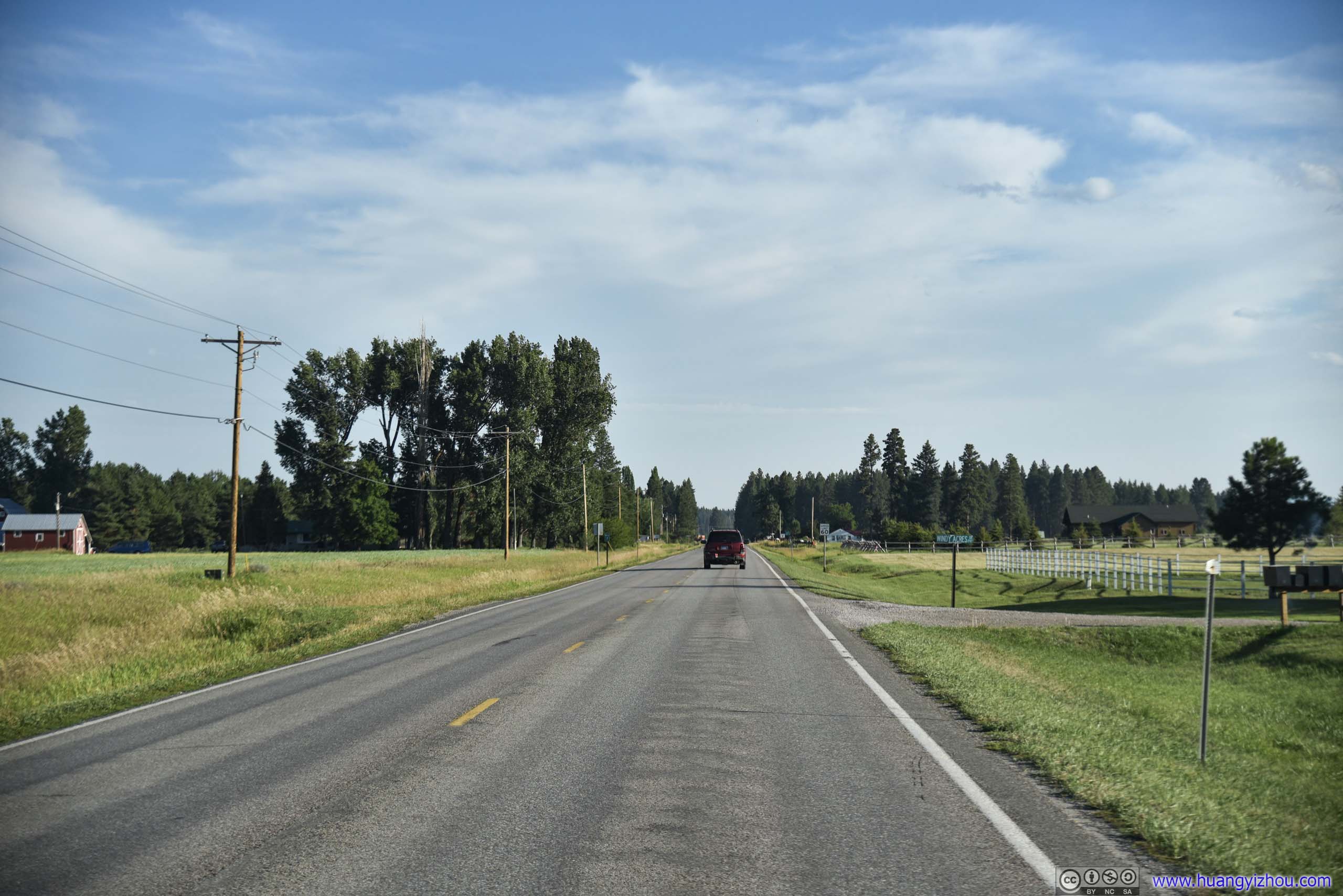
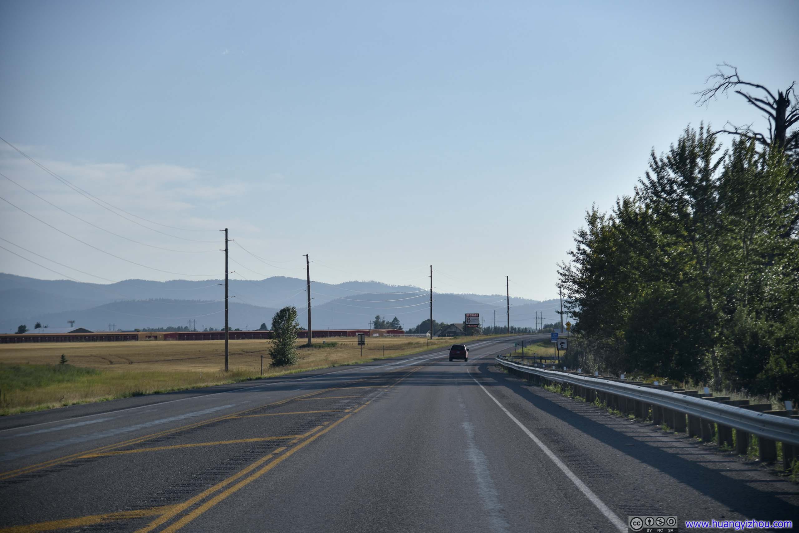 Country Road
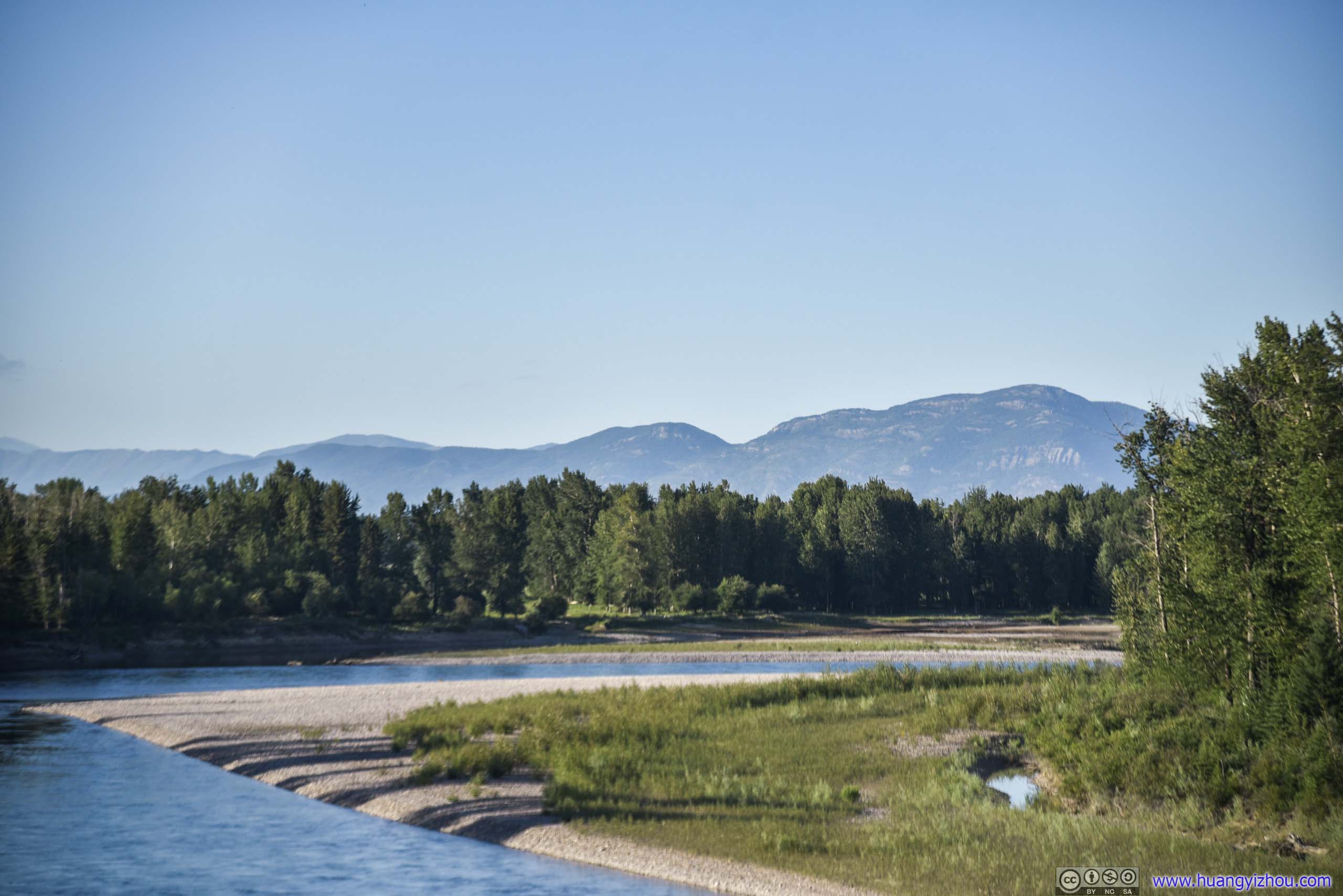
Flathead River
END
![]() Day 15 of 2019 Western US Tour, July 26, Highline and Garden Wall Trail by Huang's Site is licensed under a Creative Commons Attribution-NonCommercial-ShareAlike 4.0 International License.
Day 15 of 2019 Western US Tour, July 26, Highline and Garden Wall Trail by Huang's Site is licensed under a Creative Commons Attribution-NonCommercial-ShareAlike 4.0 International License.