
Updated on April 23, 2024
Day 8 of Autumn 2023 Trip to Mountain States, Colorado National Monument
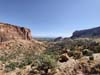
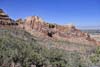
The eighth day of my autumn 2023 trip to the mountain states. I spent the day in Colorado National Monument, among its sheer-wall canyons and impressive butte formations.
Monument Canyon
As mentioned in the previous posts, I planned to visit Grand Junction back in 2020, which due to COVID didn’t happen. After spending a few days in western South Dakota, I felt there’s an opportunity to add Grand Junction (and western Colorado as a whole) onto this trip, so I gladly did.
Despite its name of “Colorado National Monument”, I felt the landscape in the park shared more familiarities with nearby Utah. (That’s why I originally planned to check it out alongside the national parks near Moab, Utah back in 2020.) In particular, it’s like a hybrid but miniature version of Canyonlands National Park and Monument Valley, featuring both canyons and buttes. Based on my experience visiting Canyonlands, “Colorado National Monument” was wetter with more vegetation. More importantly, it’s more accessible: It’s right next to a developed town, and 30 minutes to Grand Junction airport. In comparison, Canyonlands National Park was 30 minutes to the nearest town of Moab, and almost 2 hours to Grand Junction airport, the nearest major airport.
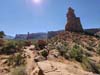
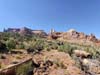
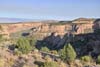
The park featured a road (Rimrock Dr) through its entirety from northwest to southeast. In addition, multiple trails accessed the park from the northeast. My plan for the day was to hike “Monument Canyon Loop” in the morning, which was the most popular trail in the park by AllTrails. In the afternoon, I planned to check out Rimrock Dr starting from the southeast, while catching twilight in the most scenic northwestern part of the park.
Monument Cayon Loop Trail
After a detour to Dinosaur National Monument, I made it to Fruita, CO late last night. After catching a good night’s sleep, I started the day relatively late. After breakfast, by the time I reached the trailhead and started my hike, it’s almost 11:30am.
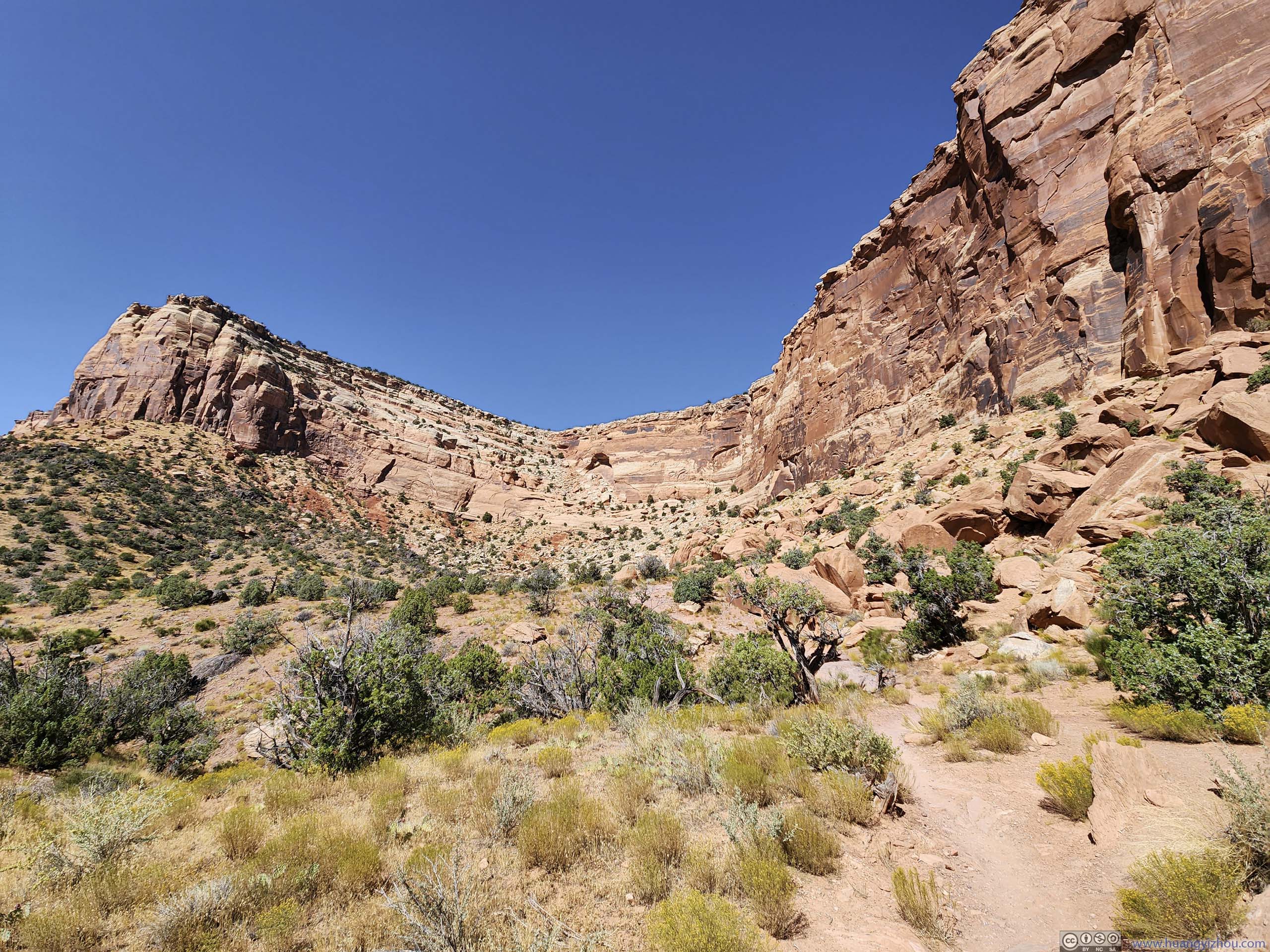
On AllTrails, the loop was 7.2km long with 230m of elevation gain. I decided to take the loop in the clockwise direction, trying to keep views in front of me and sunlight behind me. This meant there was a steep section of descent in Wedding Canyon, to me that’s fine.
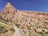
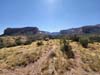
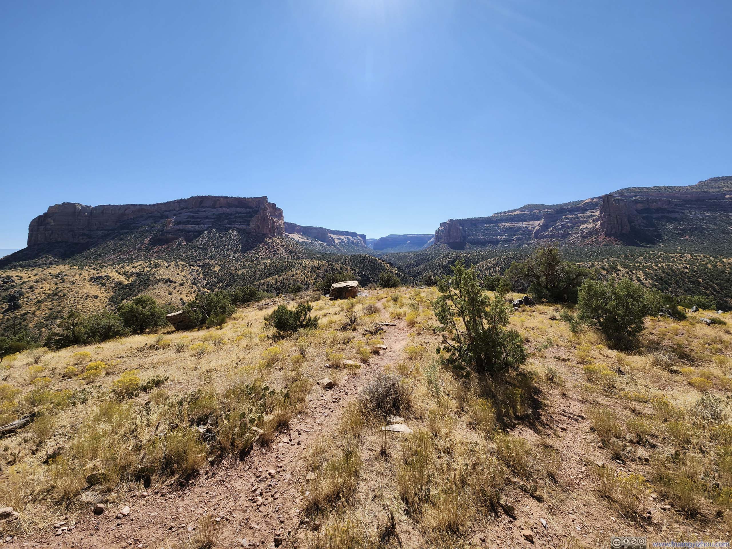
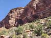
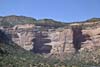
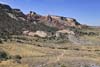
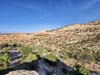
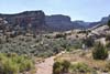
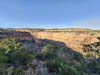
Following the clockwise direction, the first 1km of trail wasn’t very remarkable. Portions of it followed the fenced boundary of the monument, beyond which was people’s backyards.
 Trail
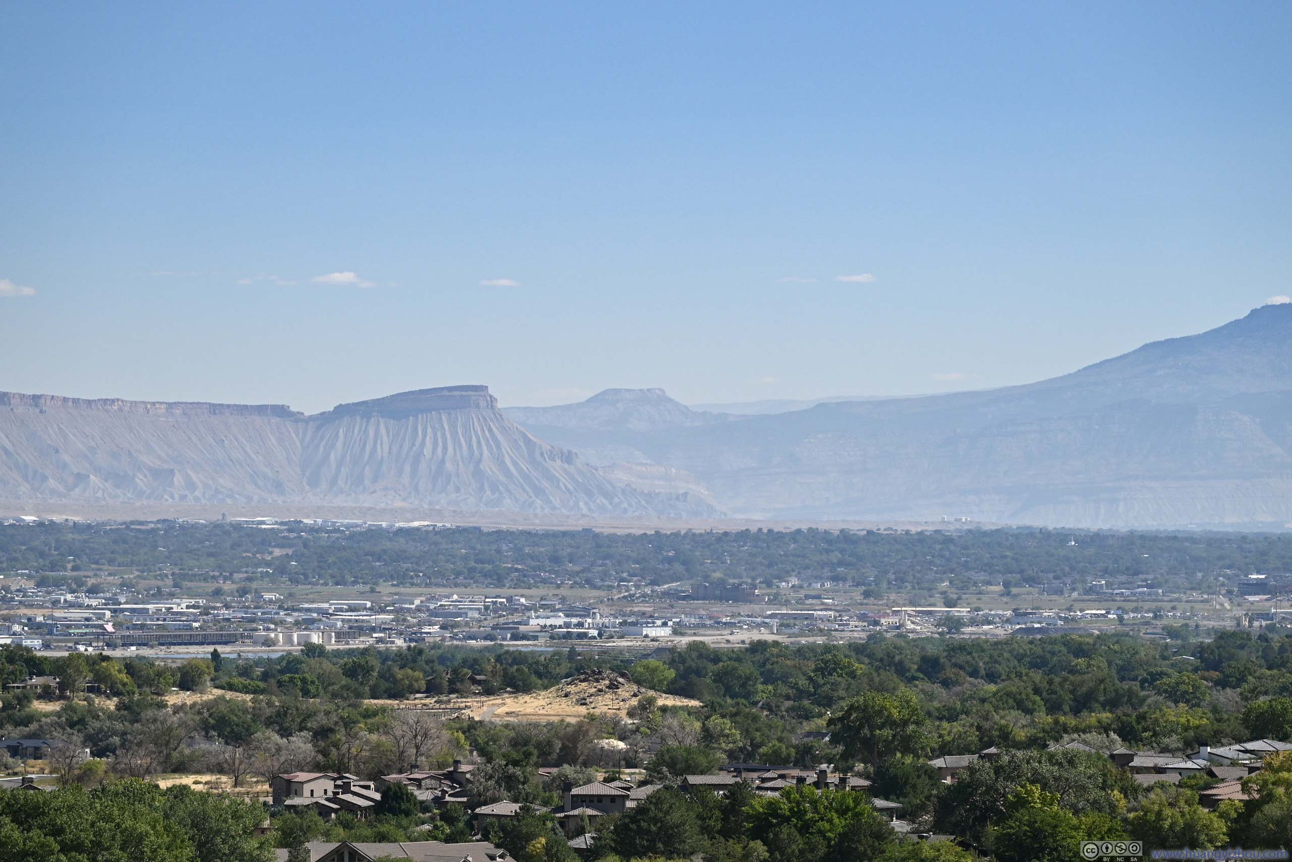
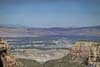
Trail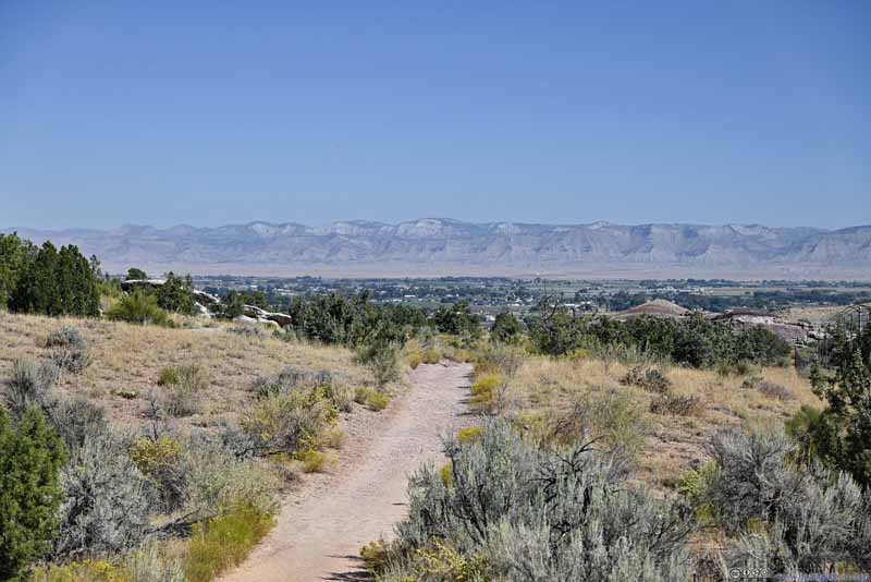 TrailAgainst the backdrop of mountains to the north of Grand Junction.
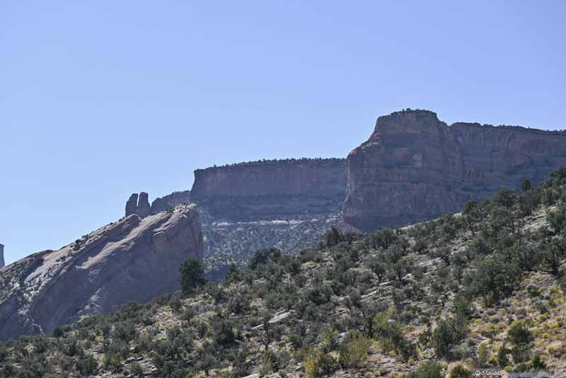 Mesa
Mesa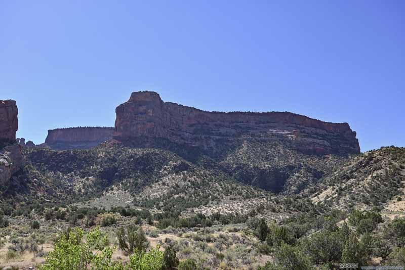 Mesa
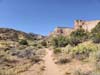
Mesa Trail into Canyon
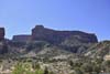
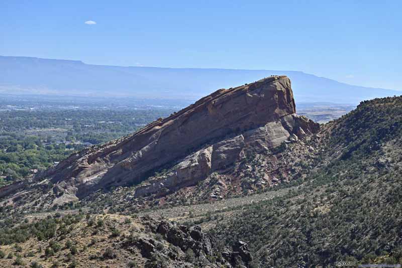 Distant Hill
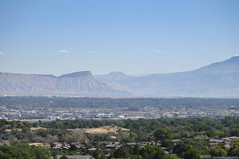 Distant Mount Garfield
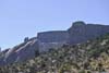
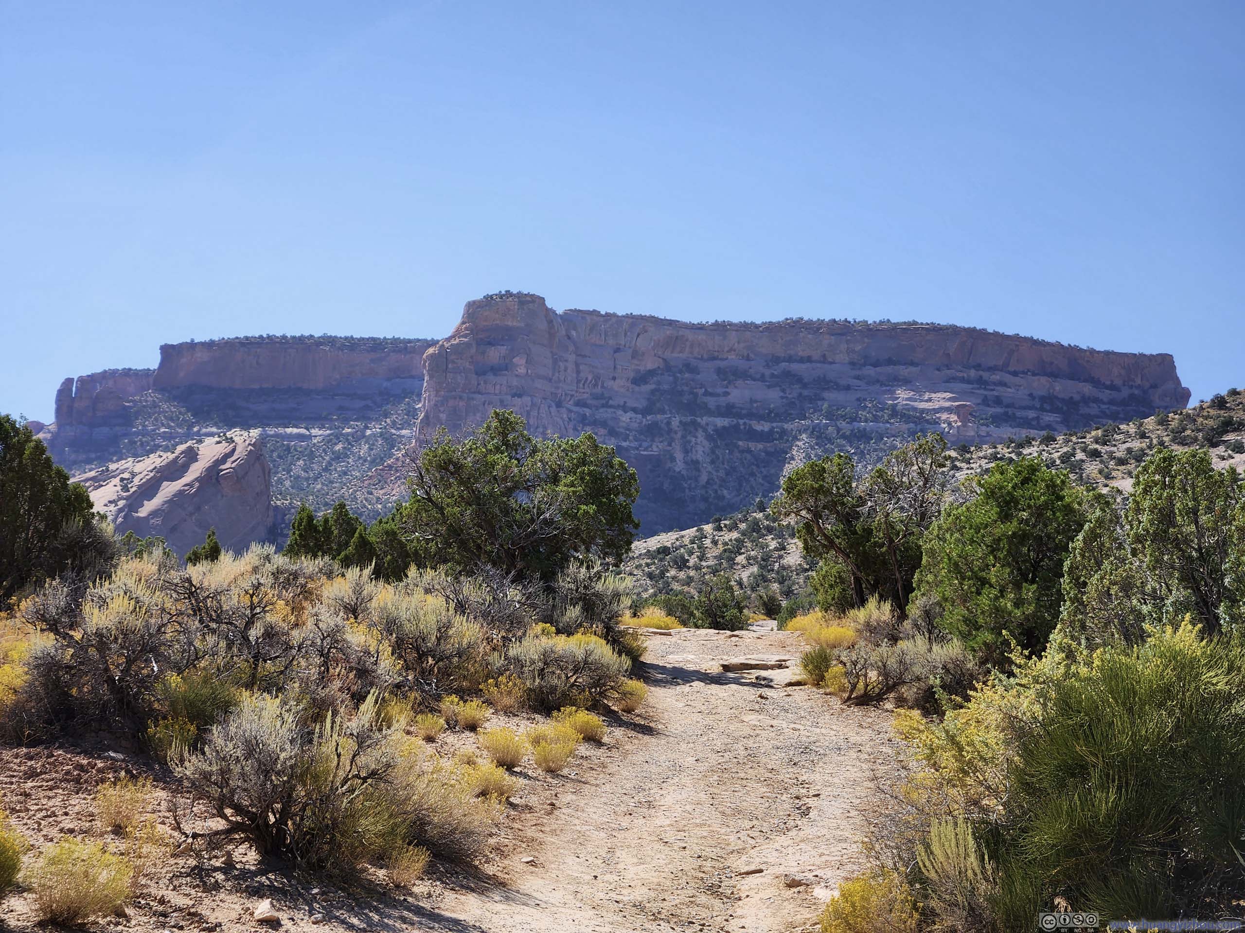
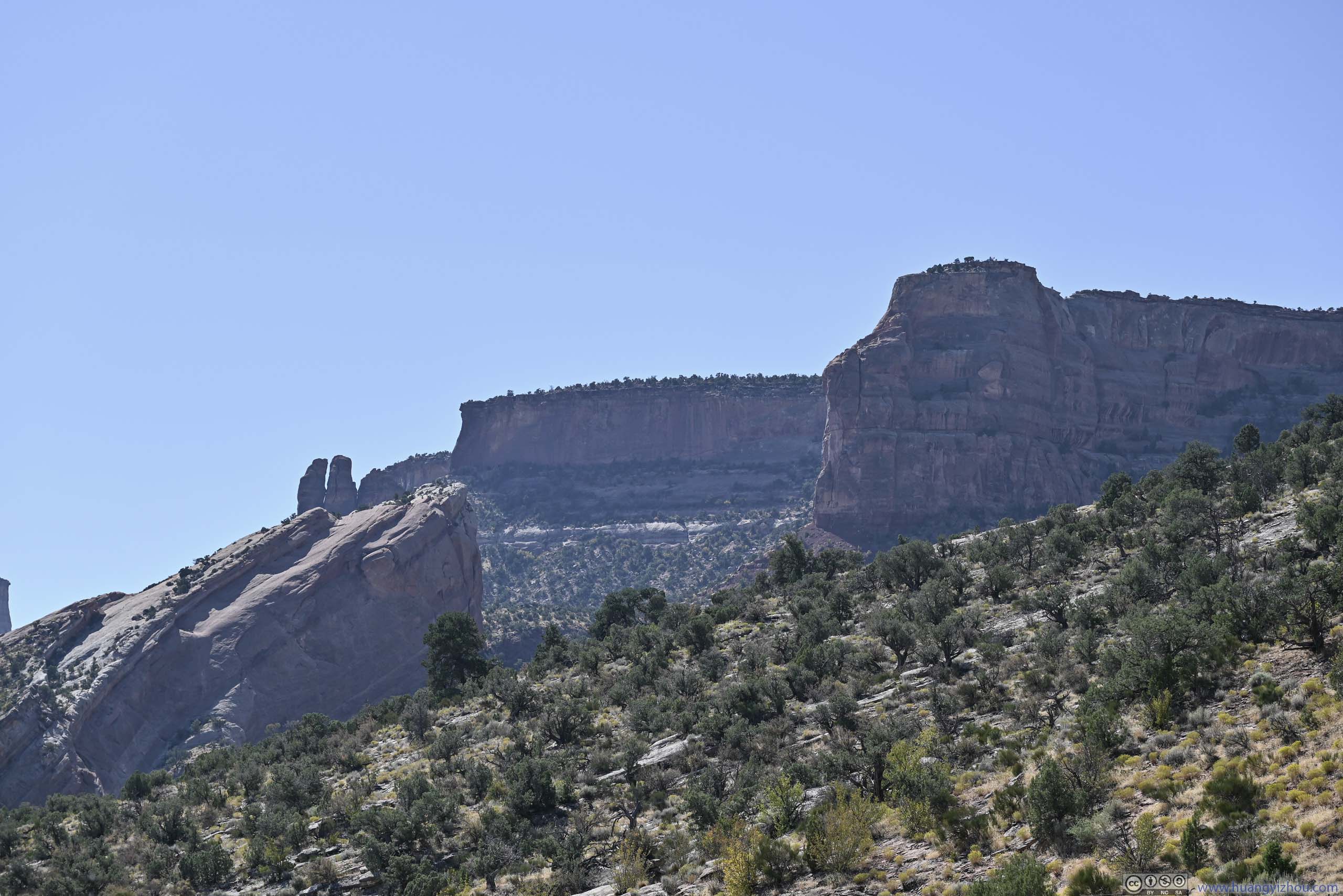
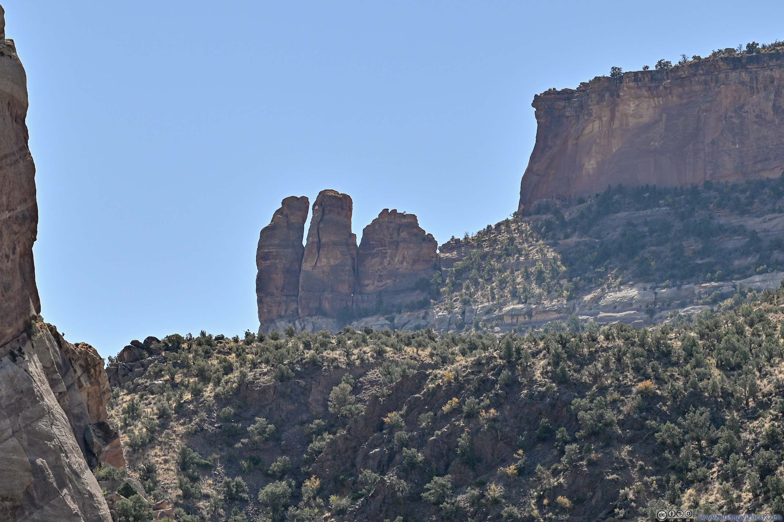
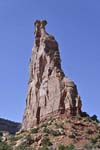
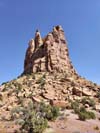
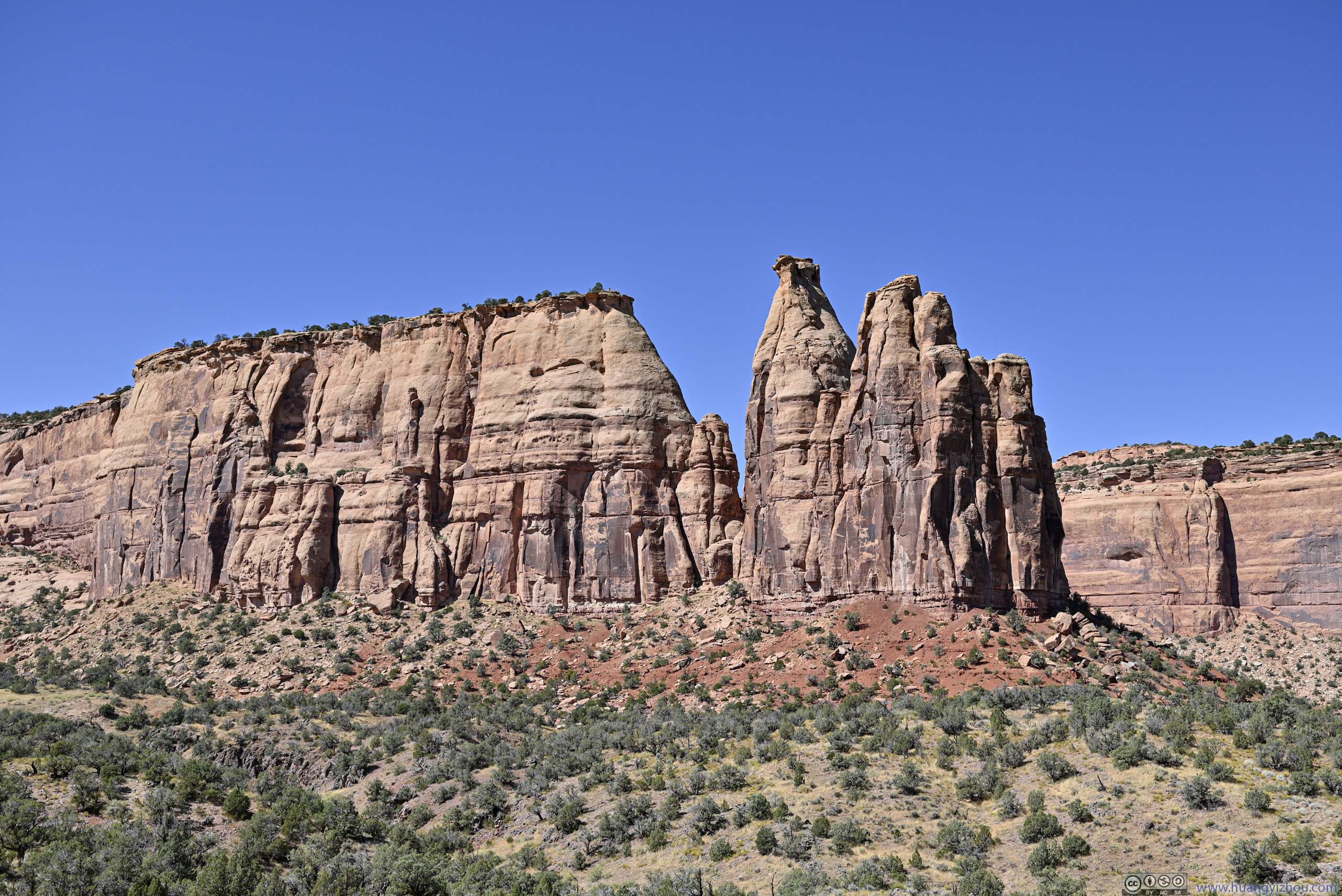
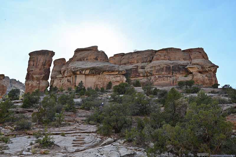
 ButteThis group was called “Irishman’s Temple” on maps.

Click here to display photos of the slideshow
Trail
TrailAgainst the backdrop of mountains to the north of Grand Junction.
Mesa

Mesa

Trail into Canyon

Distant Hill
Distant Mount Garfield
ButteThis group was called “Irishman’s Temple” on maps.
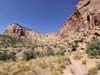
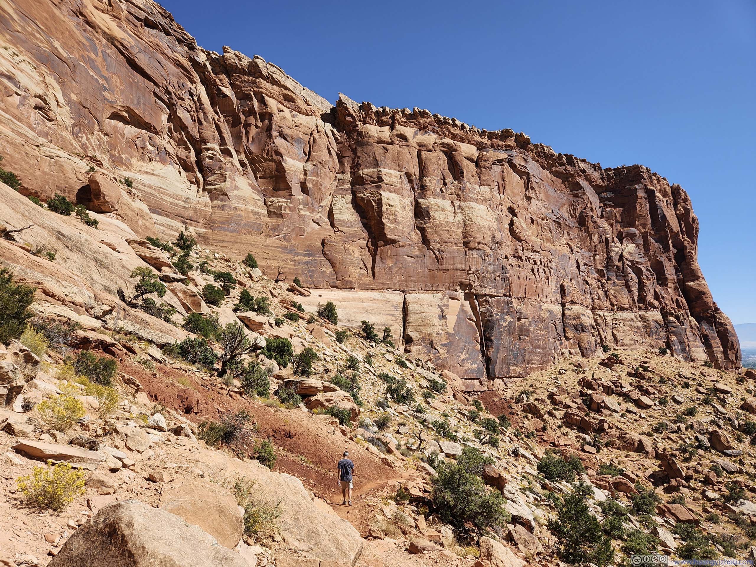
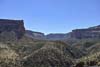
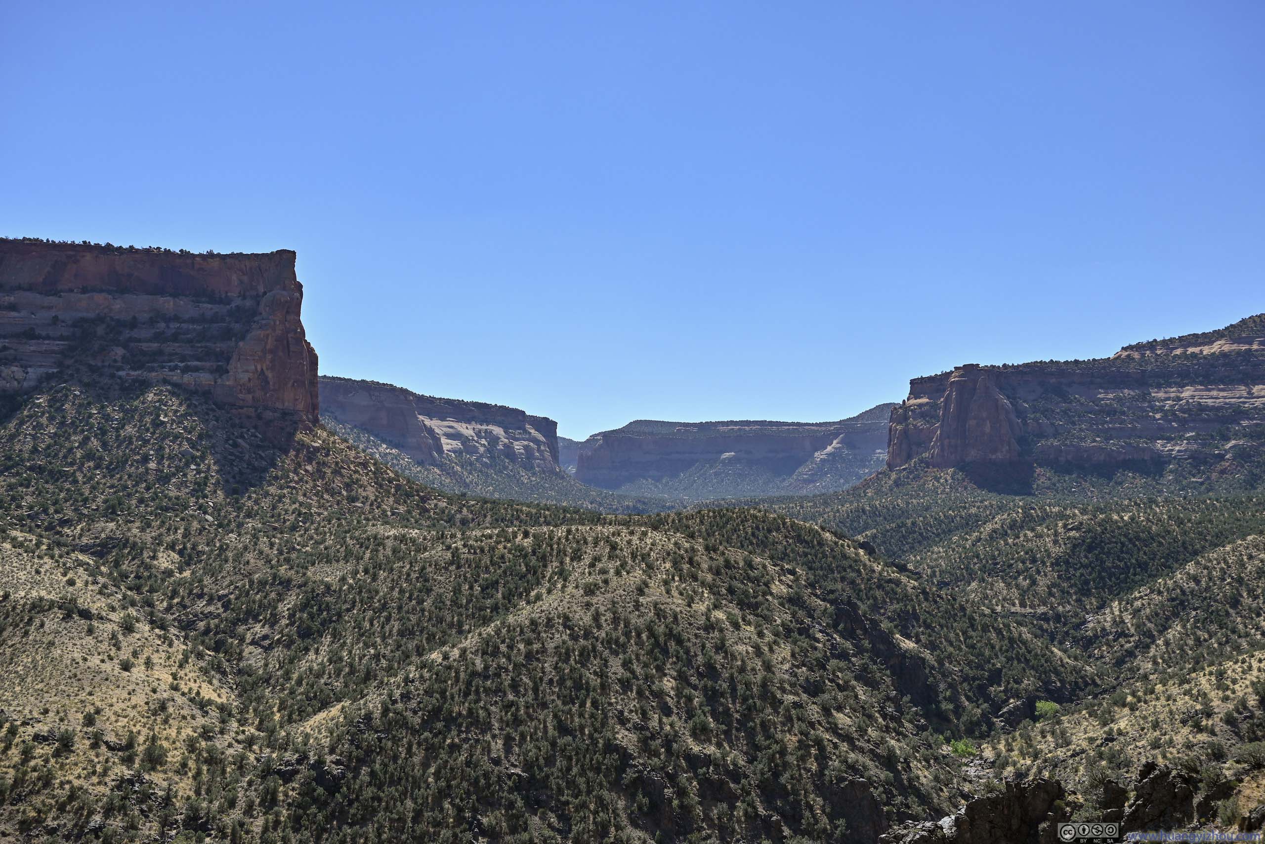
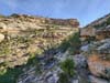
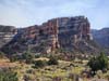
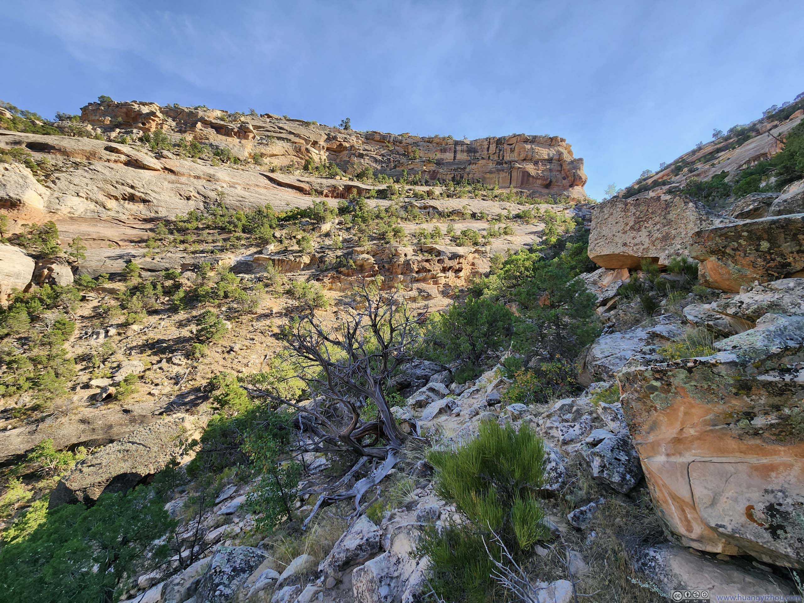
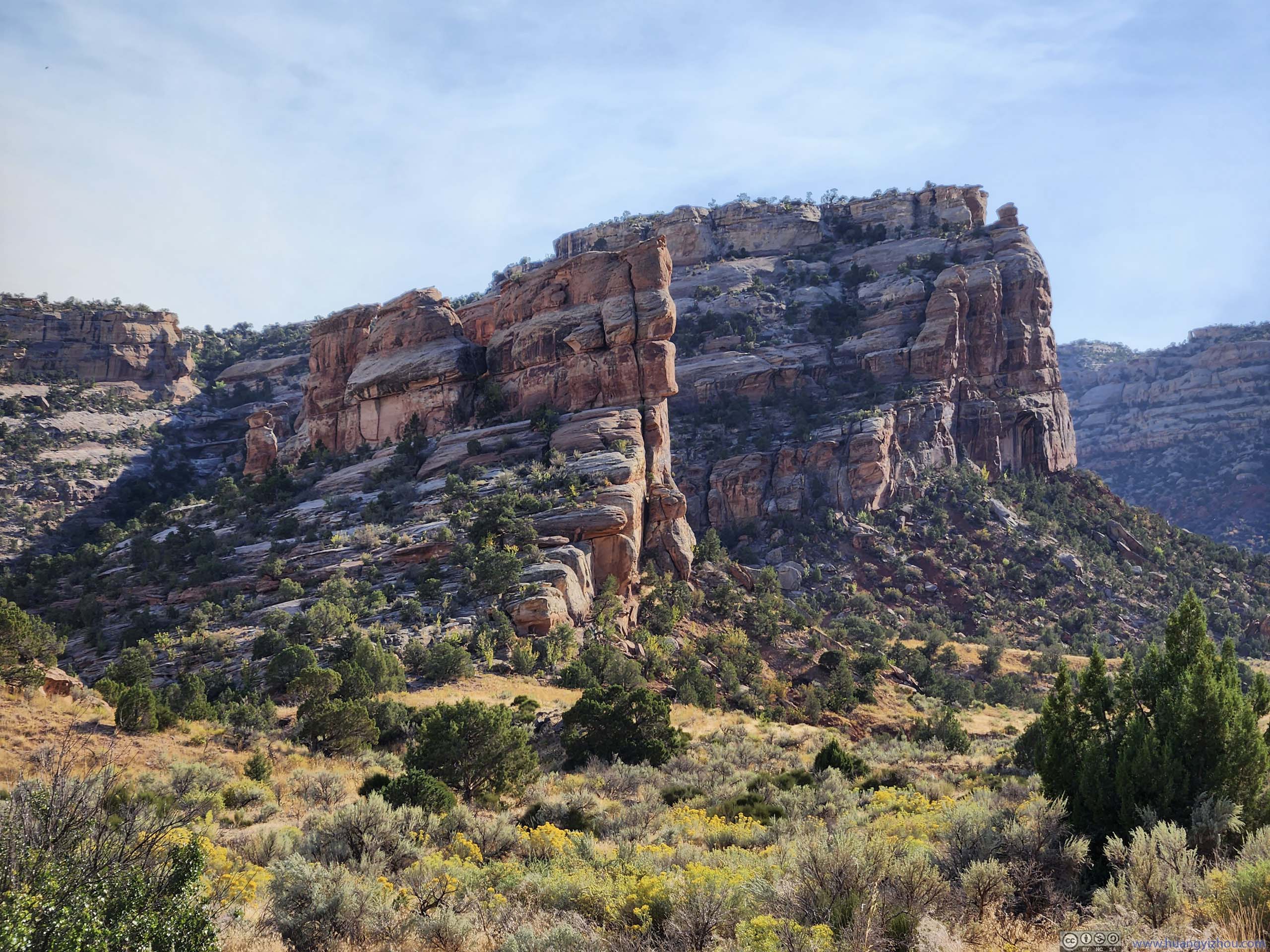
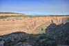
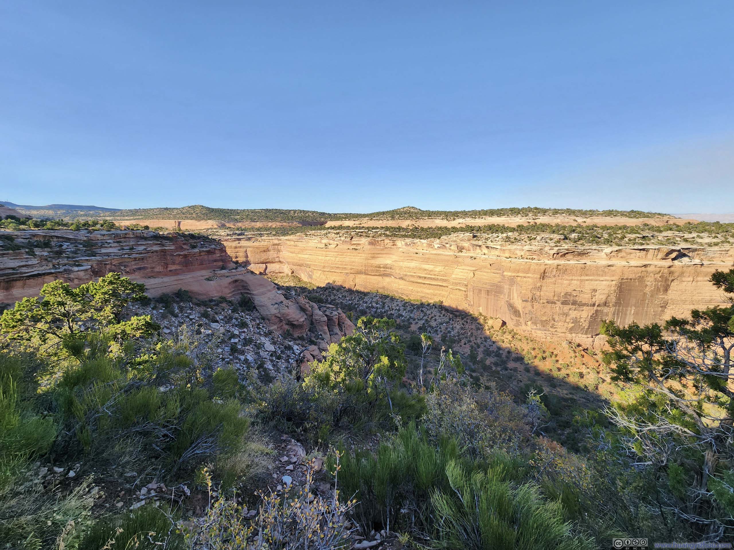
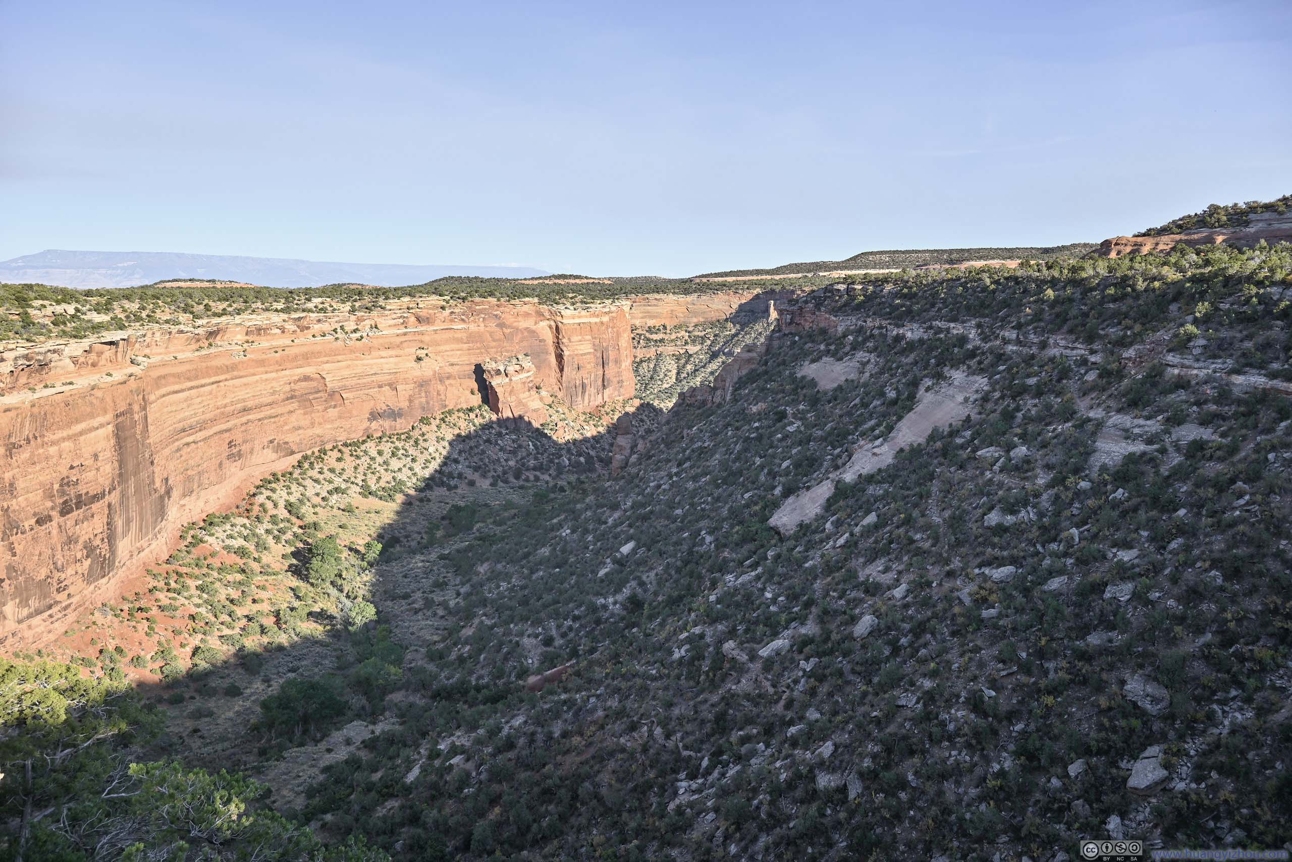
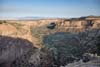
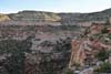
After the first 1km, the trail made a right turn and entered Monument Canyon, where the elevation gain started. But the physical efforts were constantly rewarded, with views of sheer canyon walls that were occasionally only steps away, and the city of Grand Junction in the back beyond Monument Canyon.
 Hill
Hill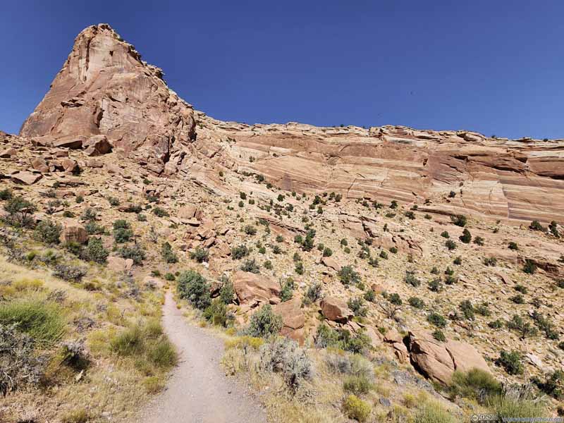 Hill
Hill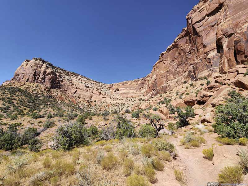 Trail along Cliff
 Trail along Cliff
 Valley View
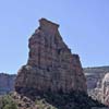
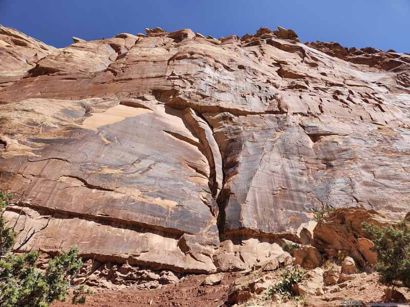 Cliff
Cliff Cliff with Alcove
 Trail along Cliffs


Click here to display photos of the slideshow

Hill

Hill
Trail along Cliff
Trail along Cliff
Valley View

Cliff
Cliff with Alcove
Trail along Cliffs
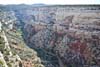
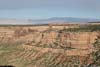
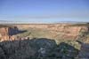
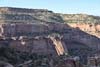
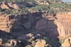
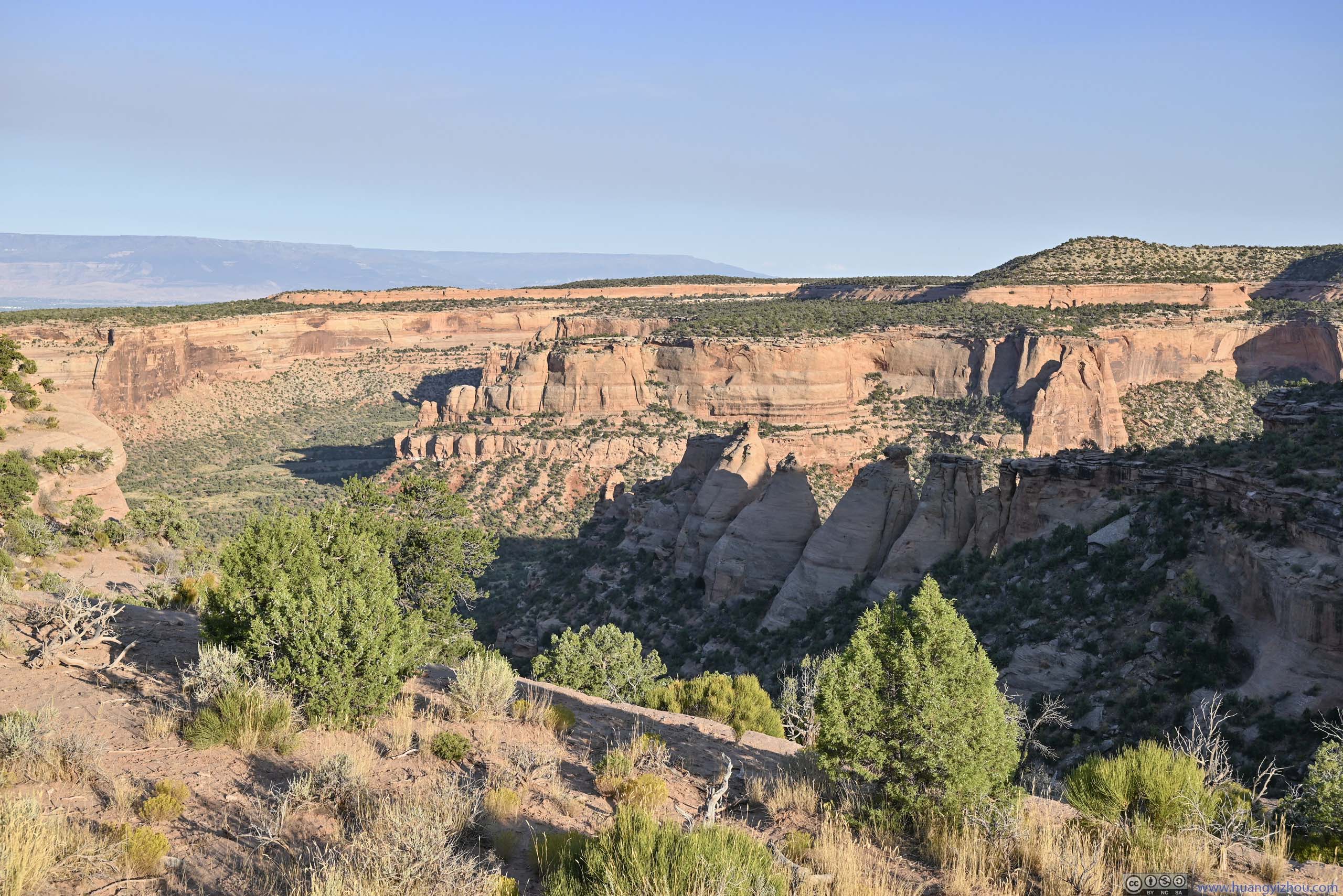
Monument Canyon
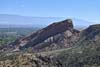
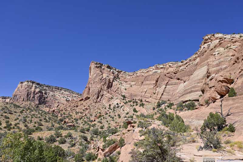
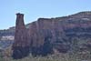
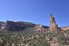
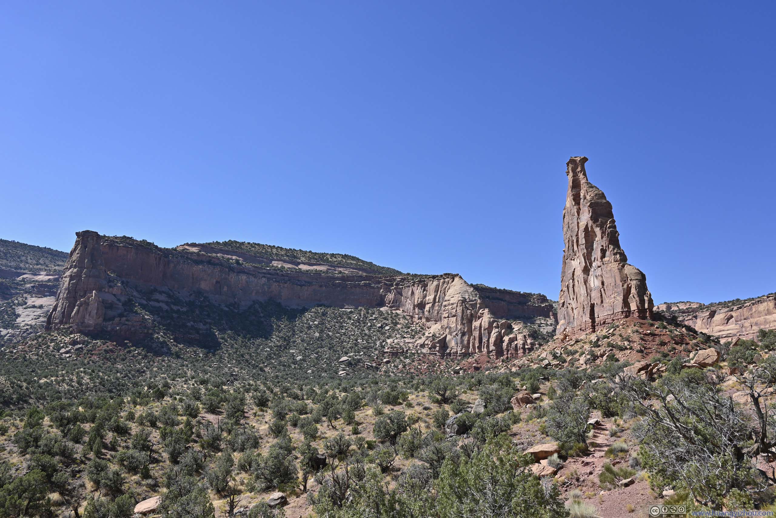
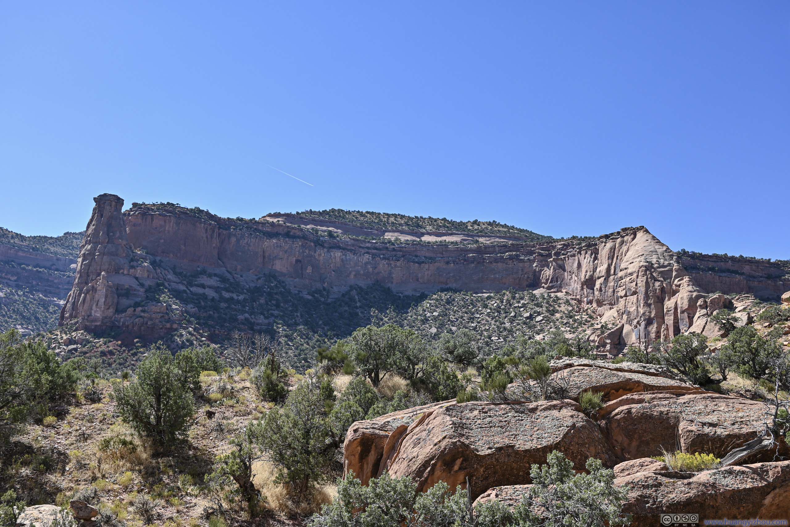
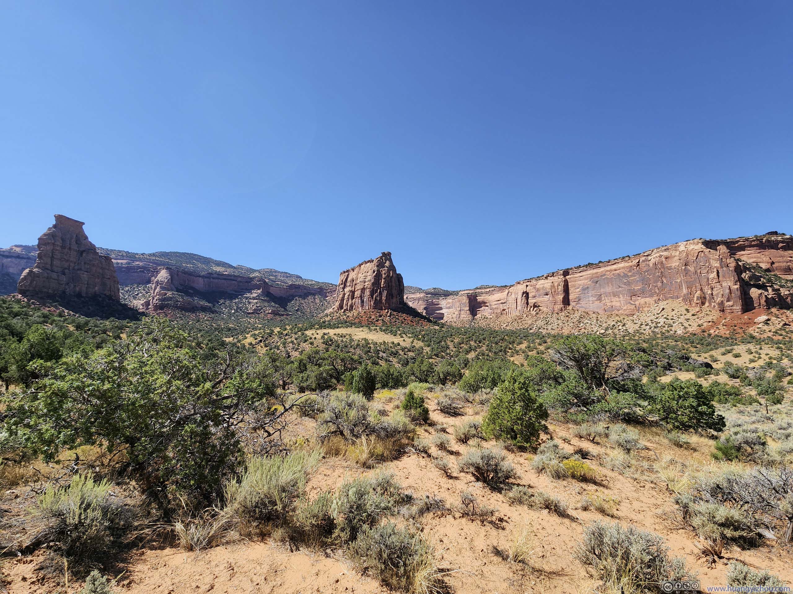
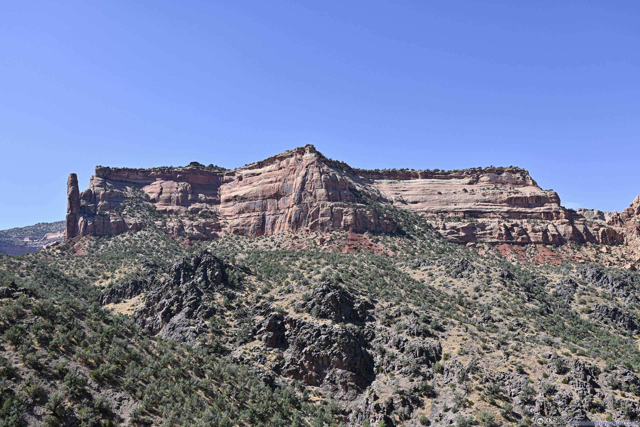
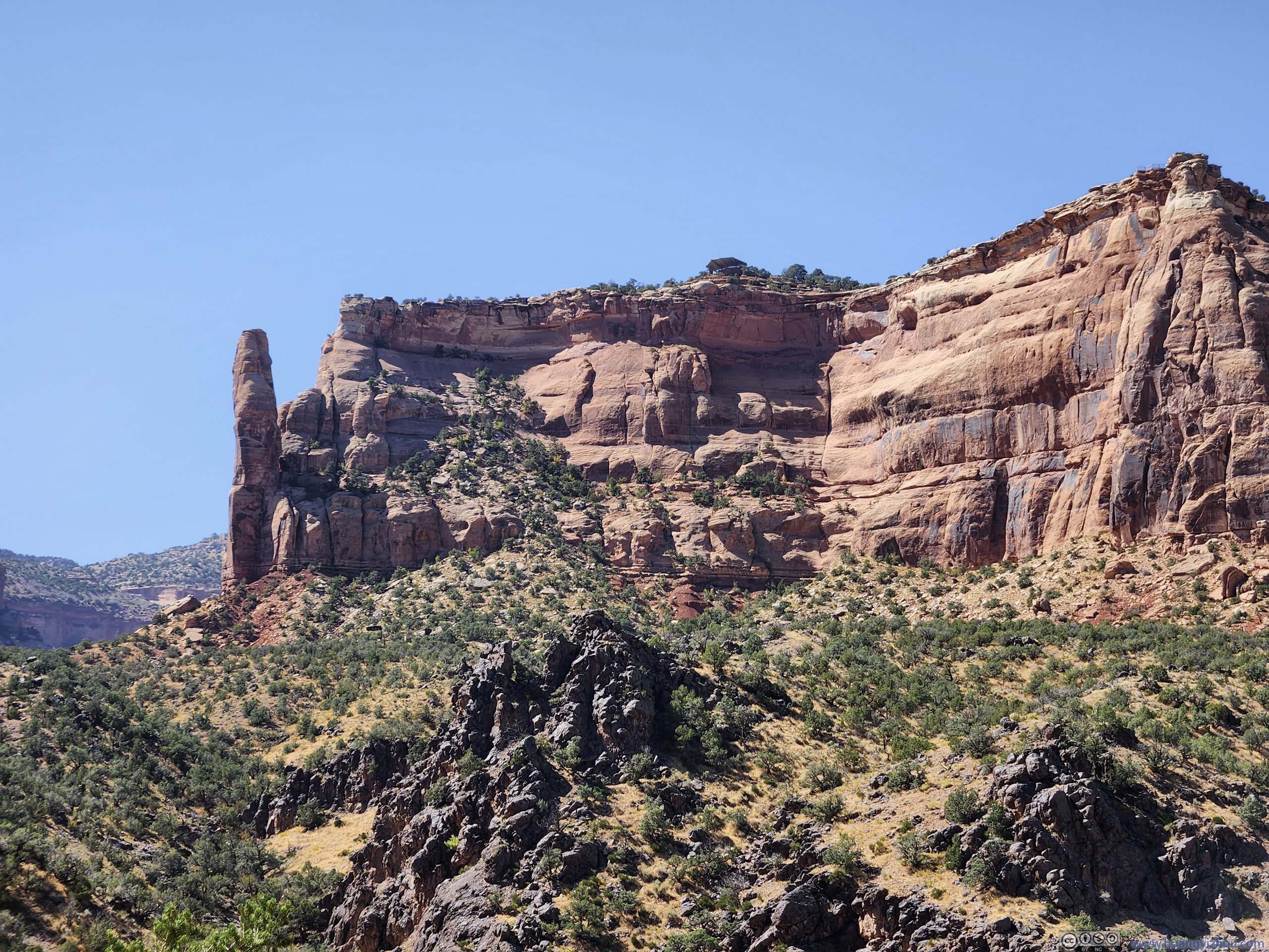
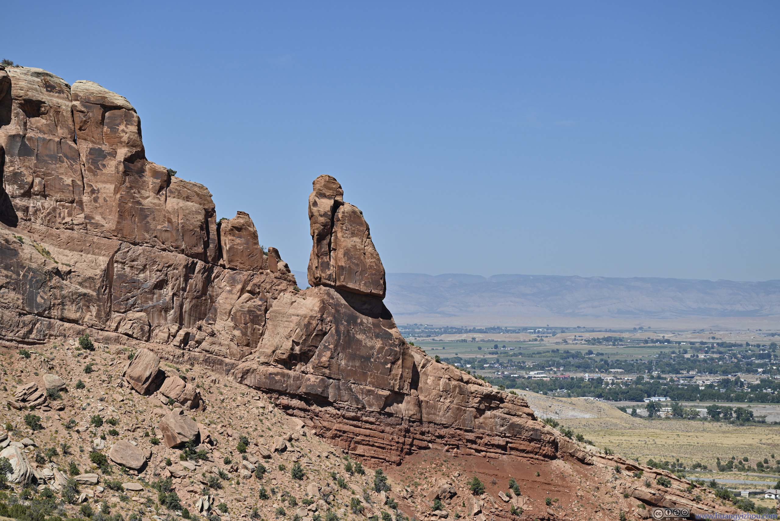
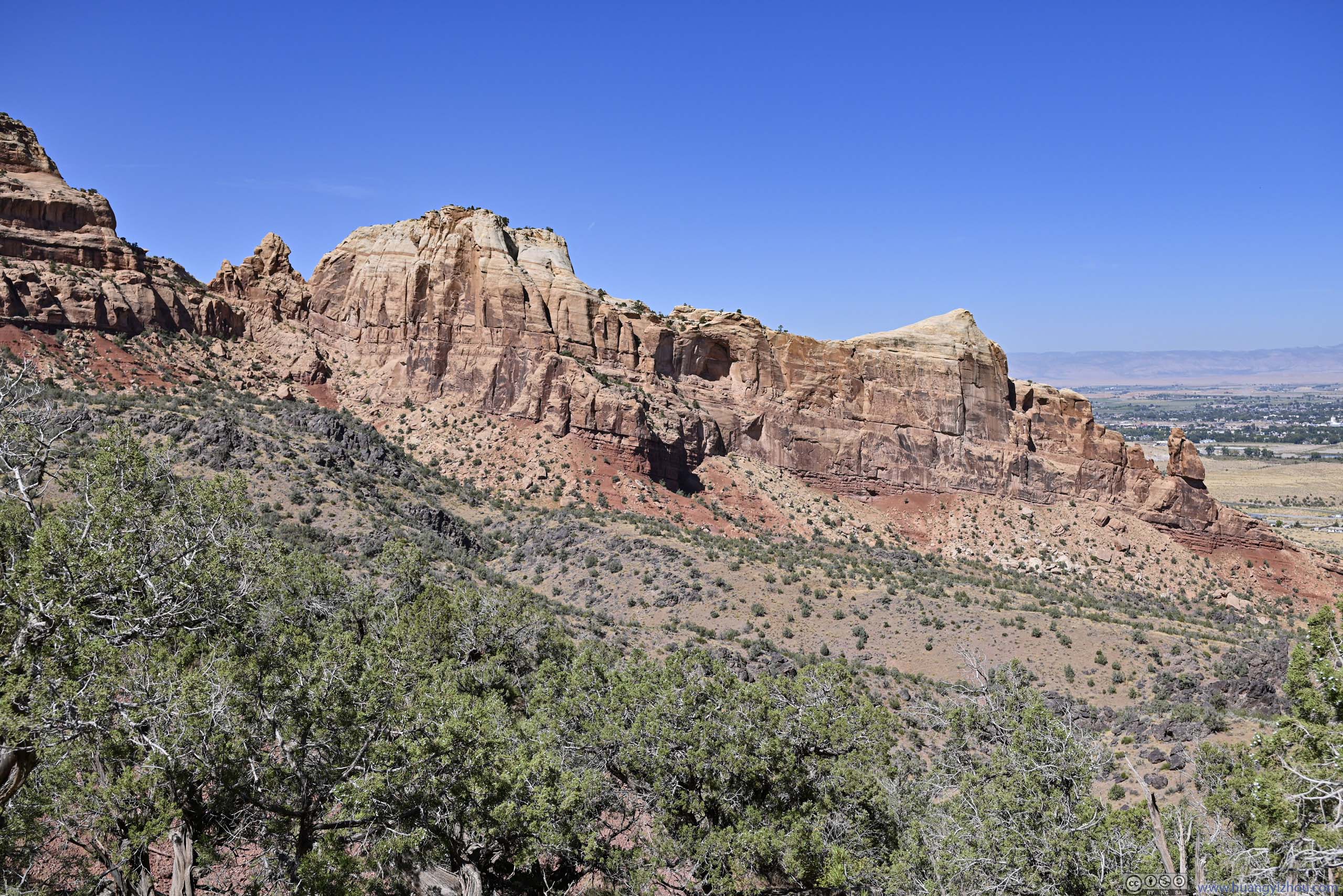
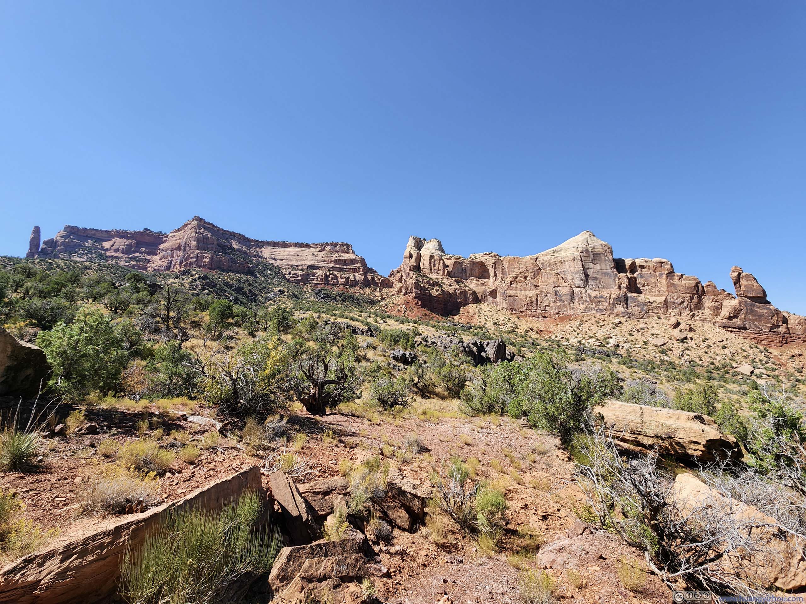
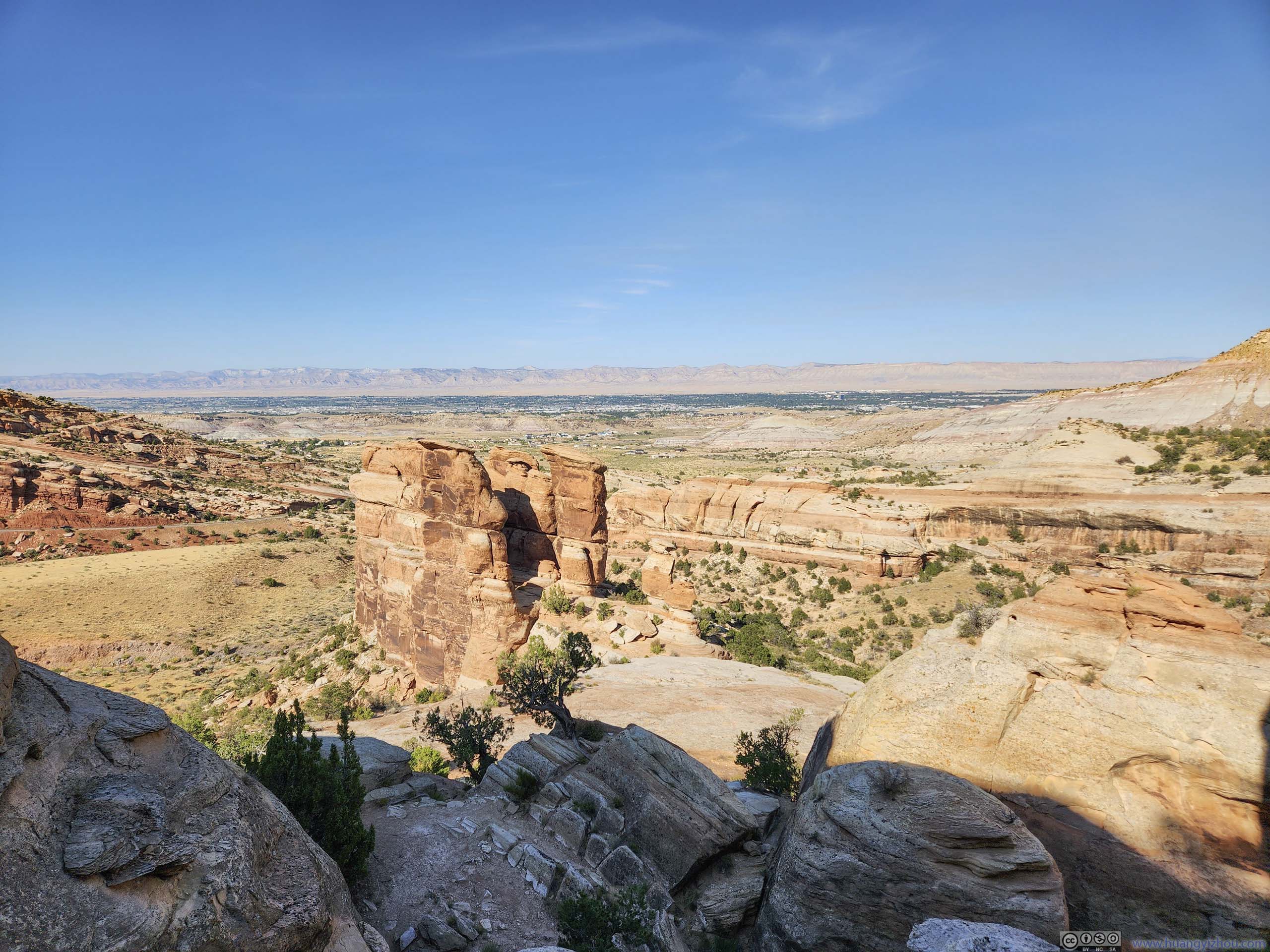
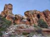
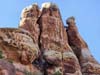
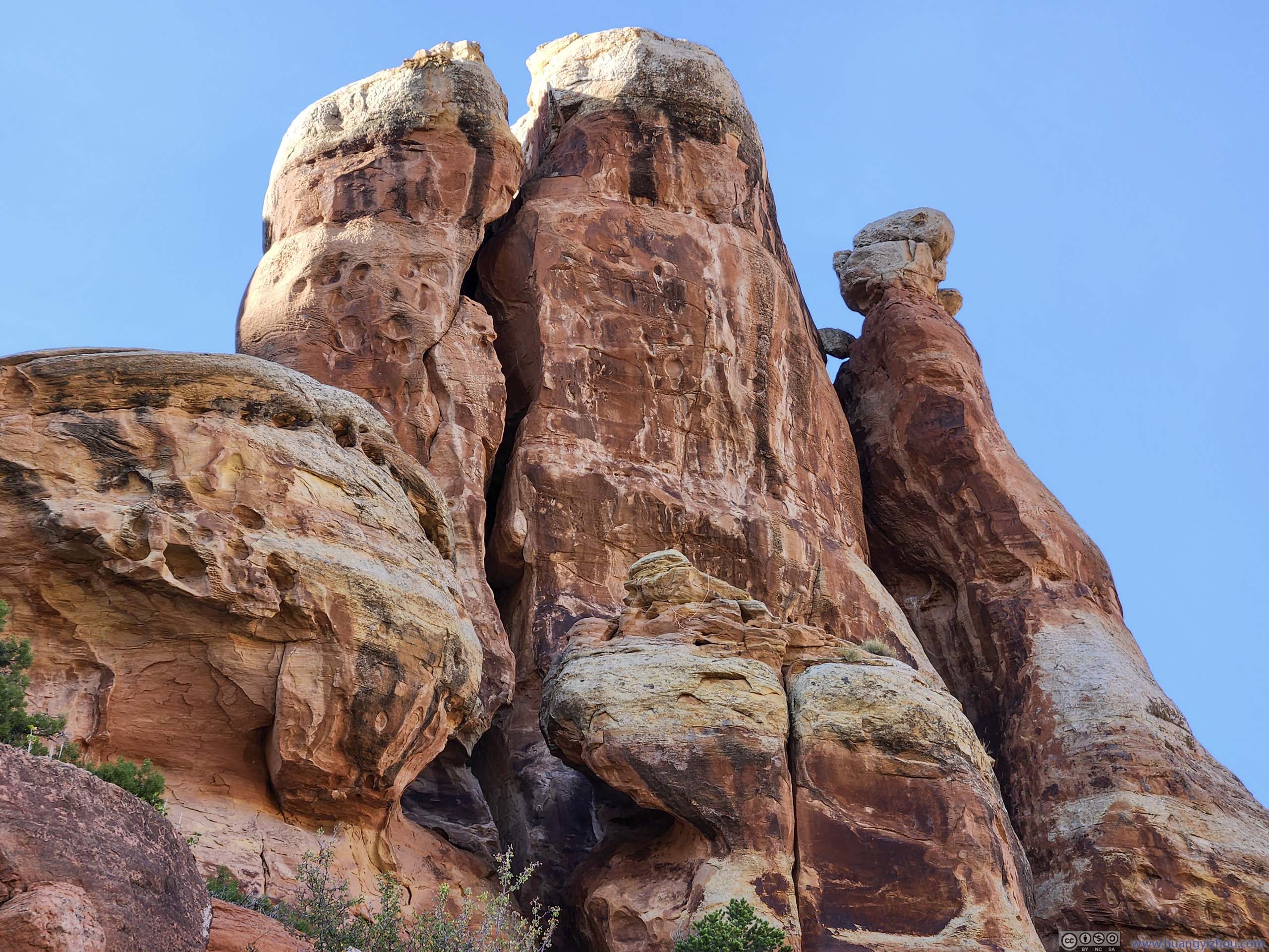
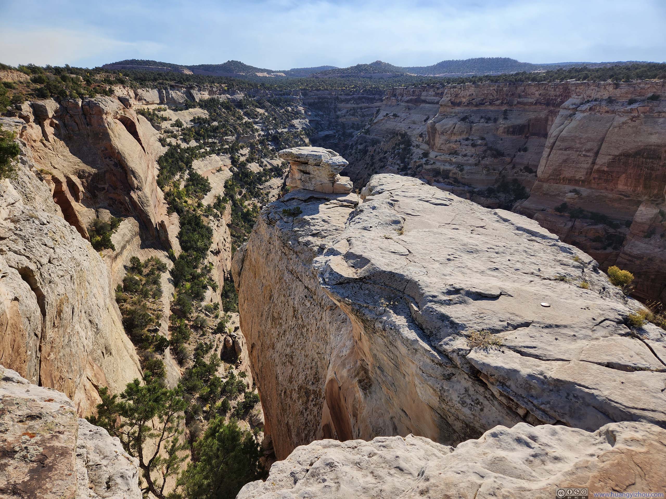
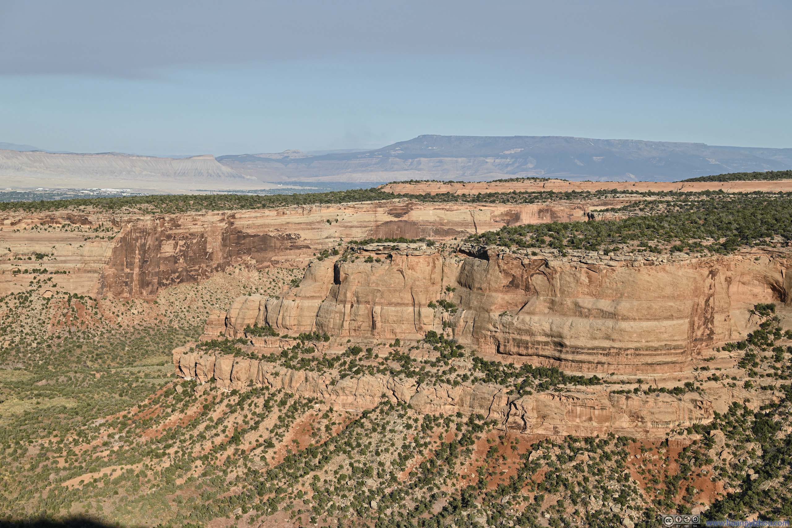
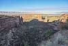
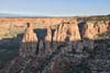
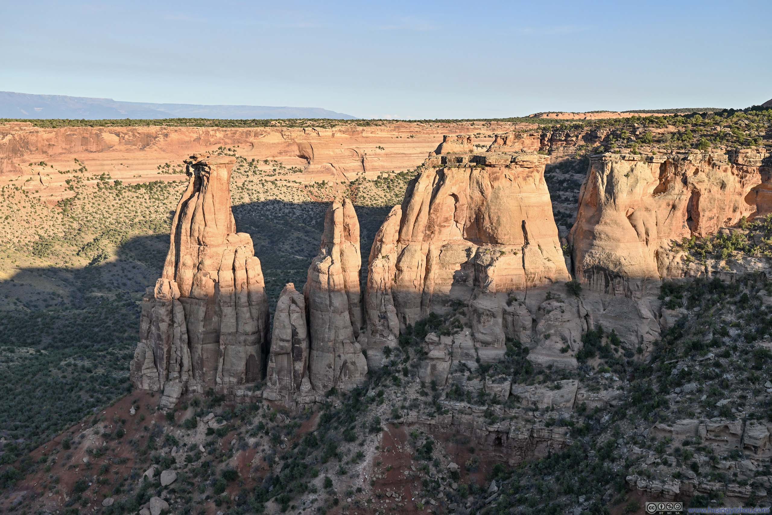
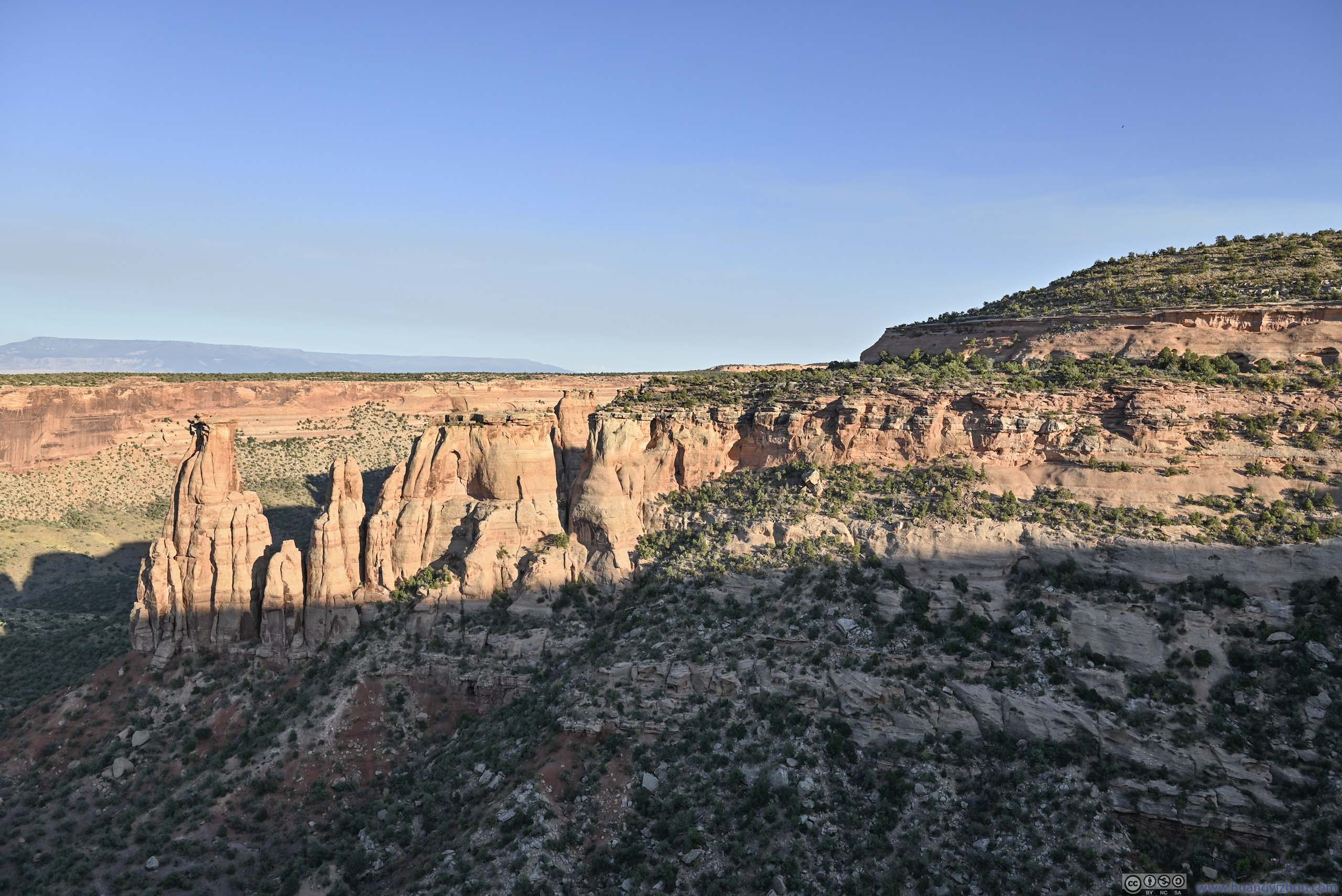
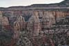
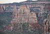
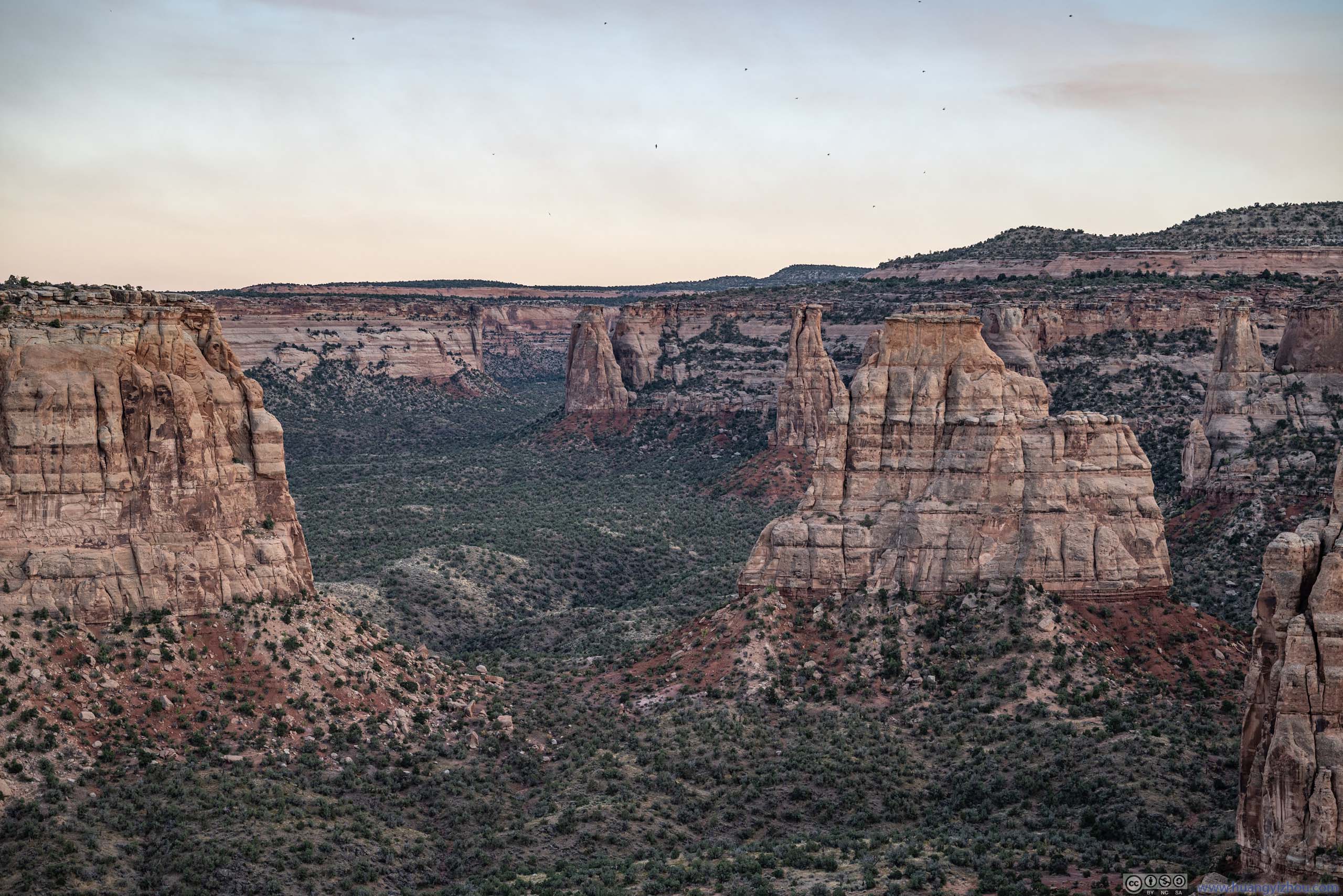
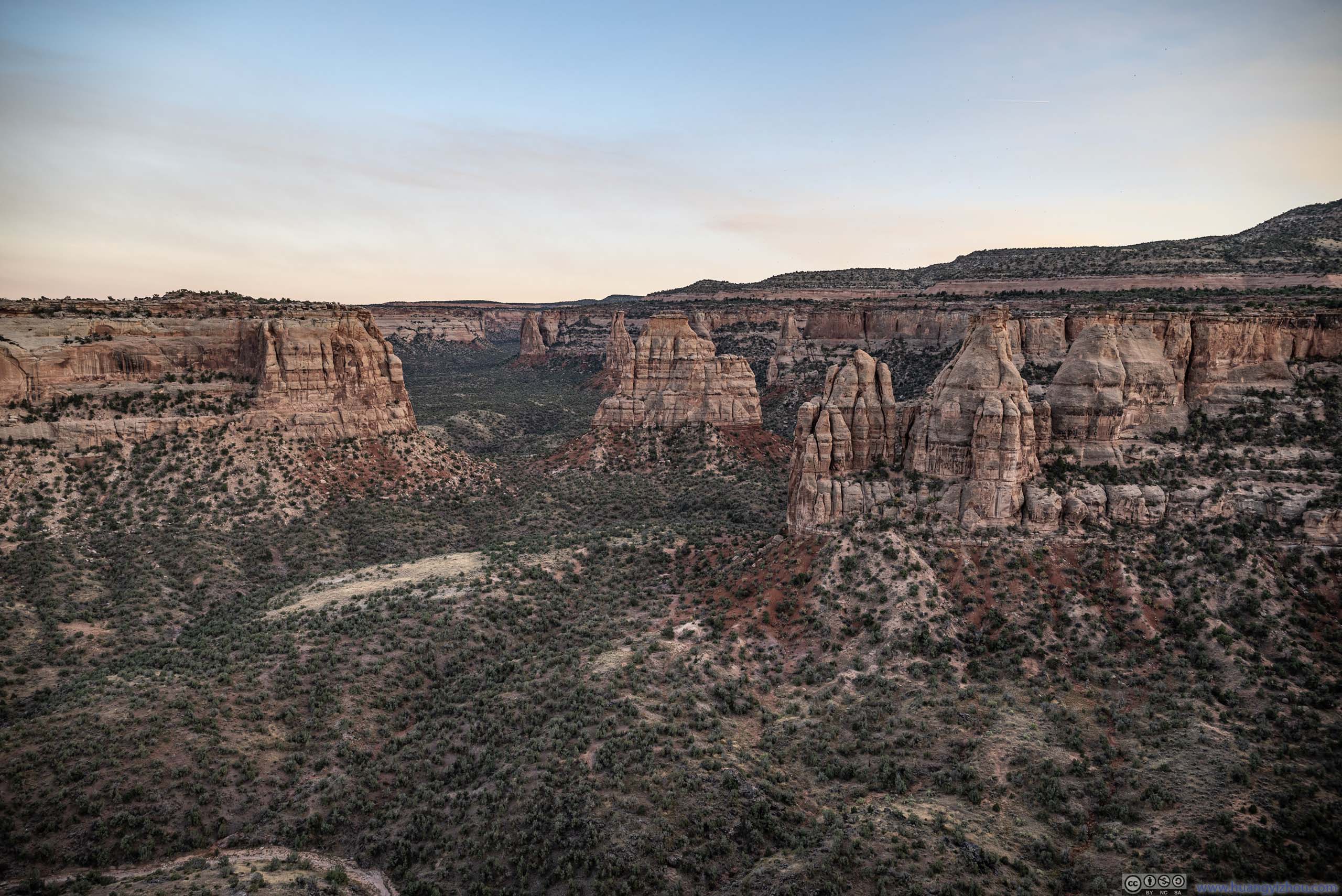
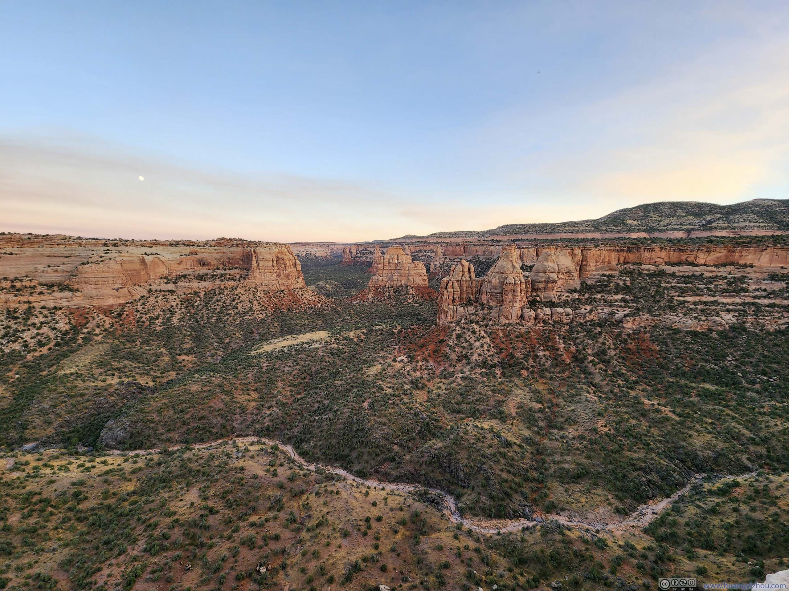
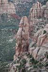
In my opinion, the most aesthetic part of the hike was near the halfway point. It’s where three canyons met at the highest elevation point of the trail, with Monument Canyon to the east and south, and Wedding Canyon to the north. Views of the canyons were unobstructed and all around. In particular, to the south, Monument Canyon was lined with arrays of mesas that extended like peninsulas into the canyon. At the tip of many such mesas were collections of buttes. It’s only appropriate for the end of Monument Canyon to feature a throne, where the many buttes were like palace guards lining the carpet leading to it. Some of the buttes were named, though I struggle to associate the names to their shapes.
 Monument Canyon
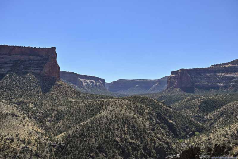 Monument Canyon
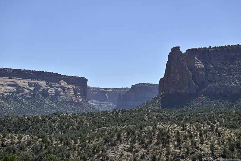 Monument Canyon
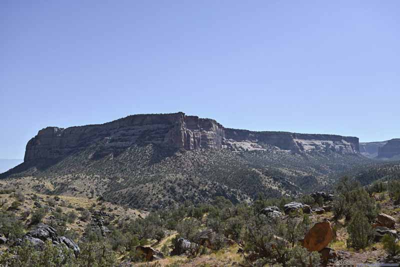 Mesa along Monument Canyon
 Western Rim of Monument Canyon
 ButtesAirport Tower, Dirty Old Man and Kissing Couple.
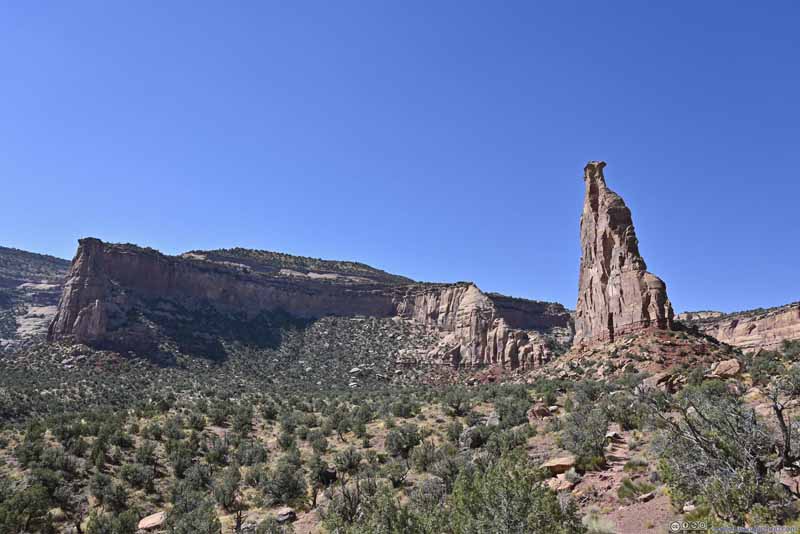 Independence Monument among Monument Canyon
 Western Rim of Monument Canyon
 Buttes along Monument Canyon

Click here to display photos of Monument Canyon.
Monument Canyon
Monument Canyon

Monument Canyon
Mesa along Monument Canyon
Western Rim of Monument Canyon

ButtesAirport Tower, Dirty Old Man and Kissing Couple.
Independence Monument among Monument Canyon
Western Rim of Monument Canyon
Buttes along Monument Canyon
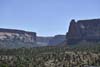
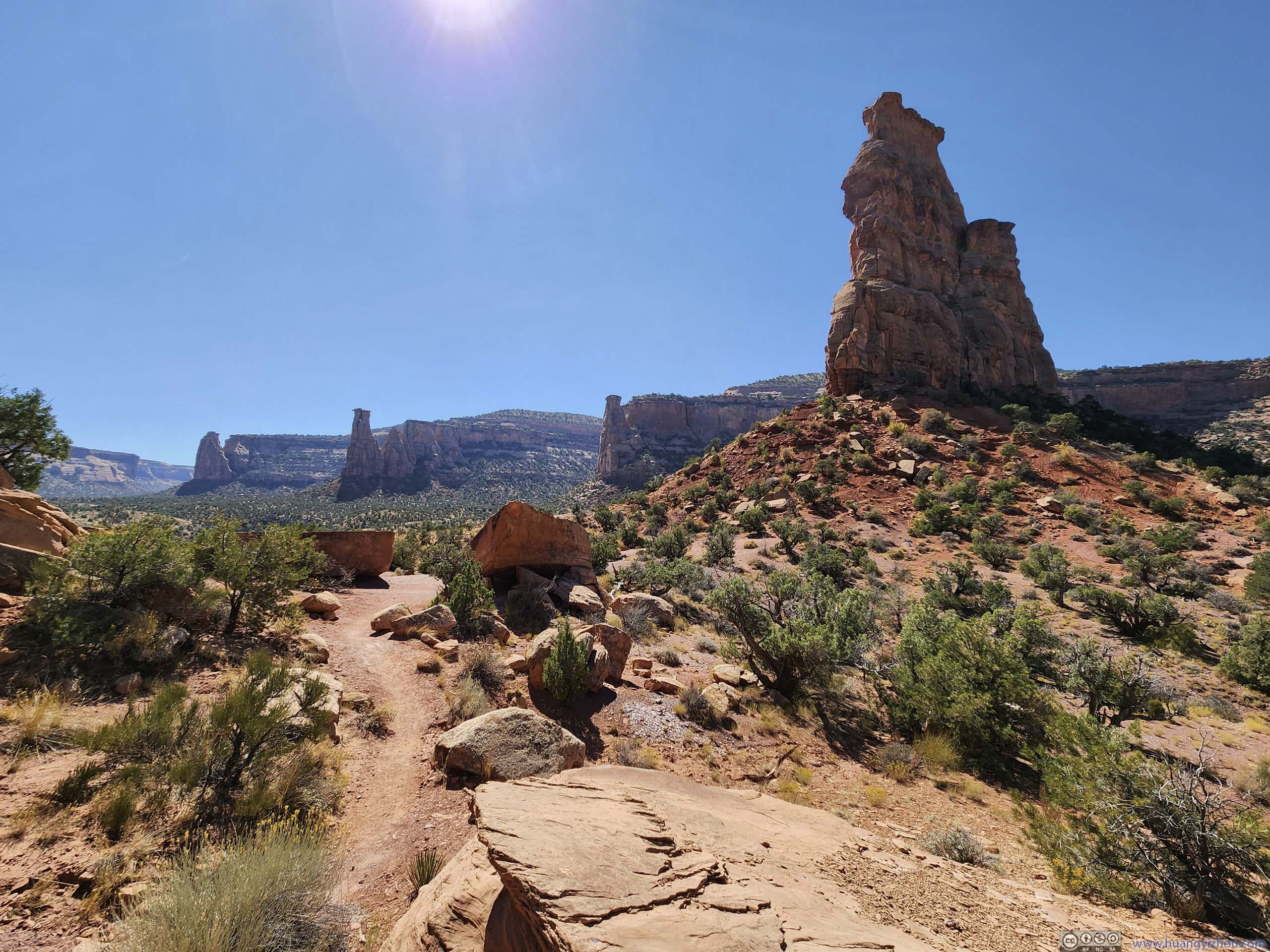
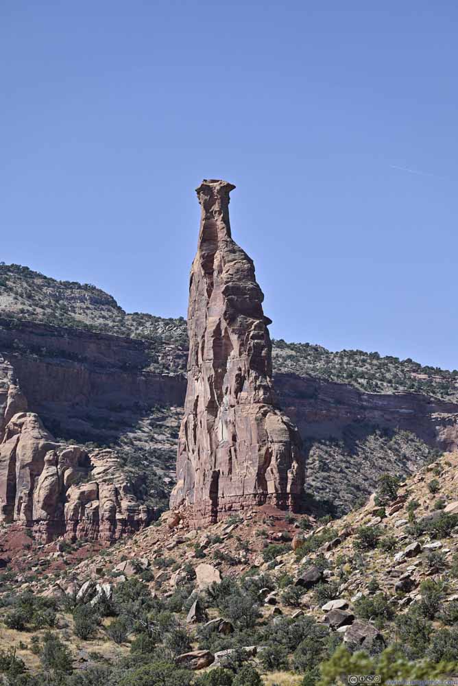
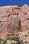
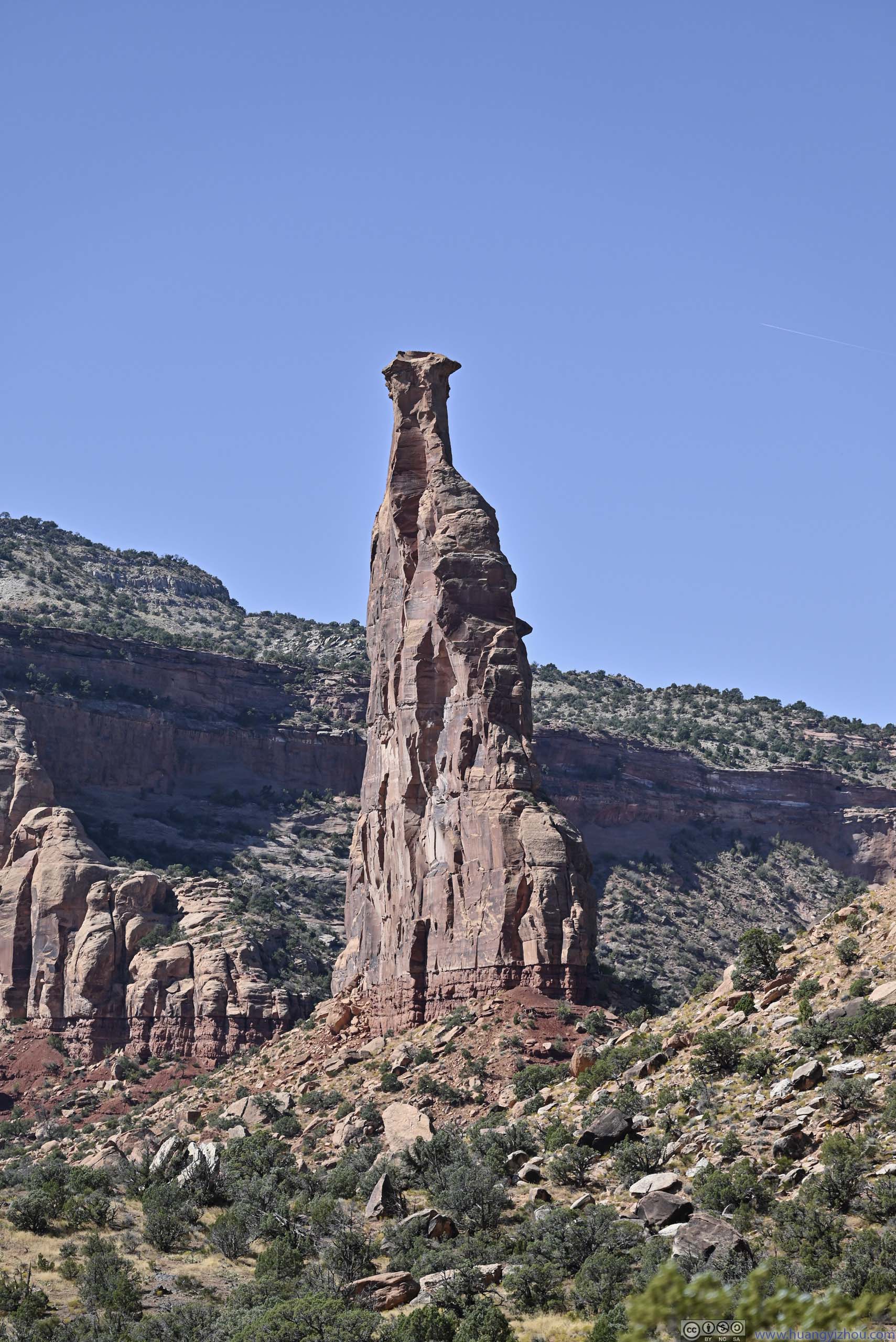
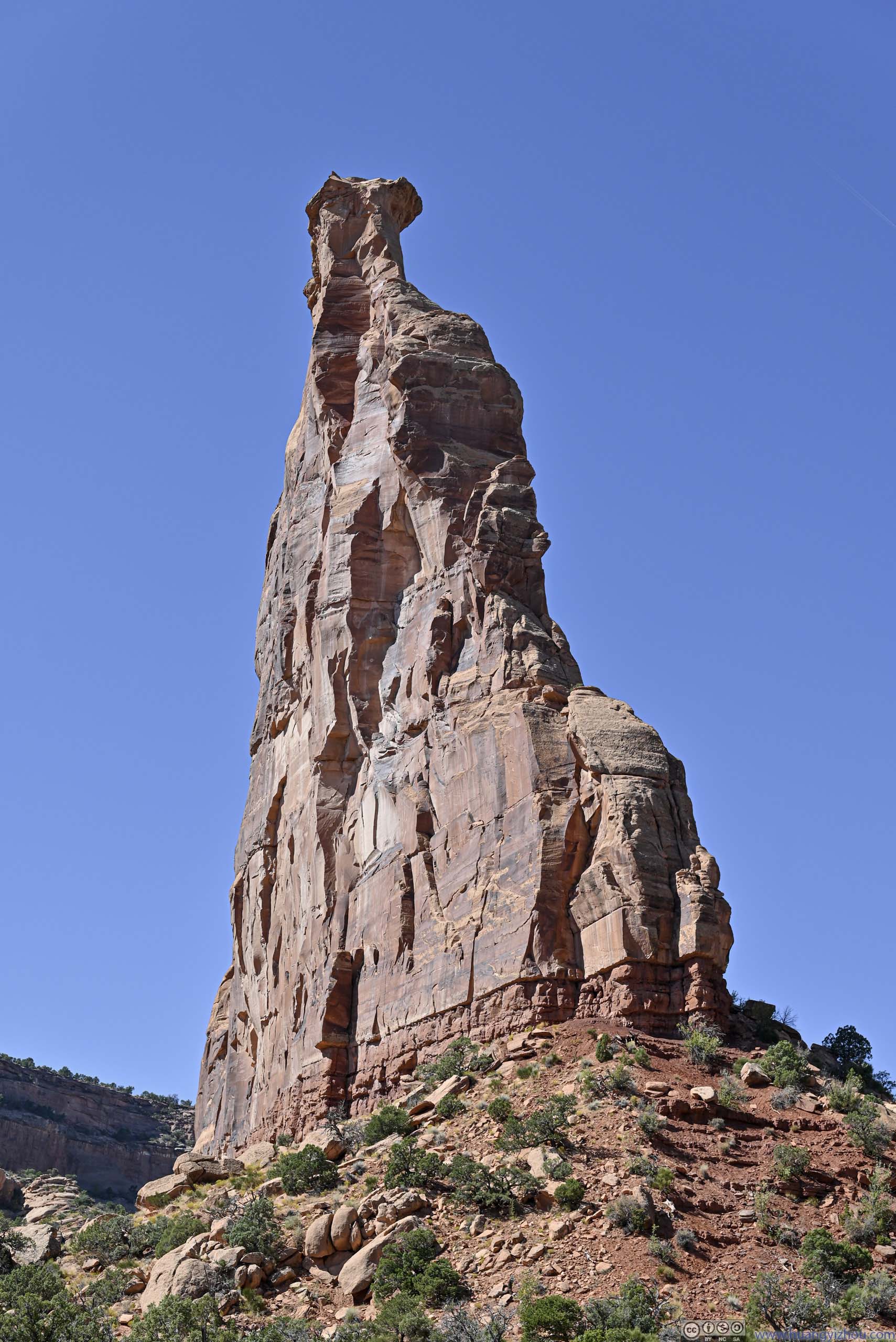
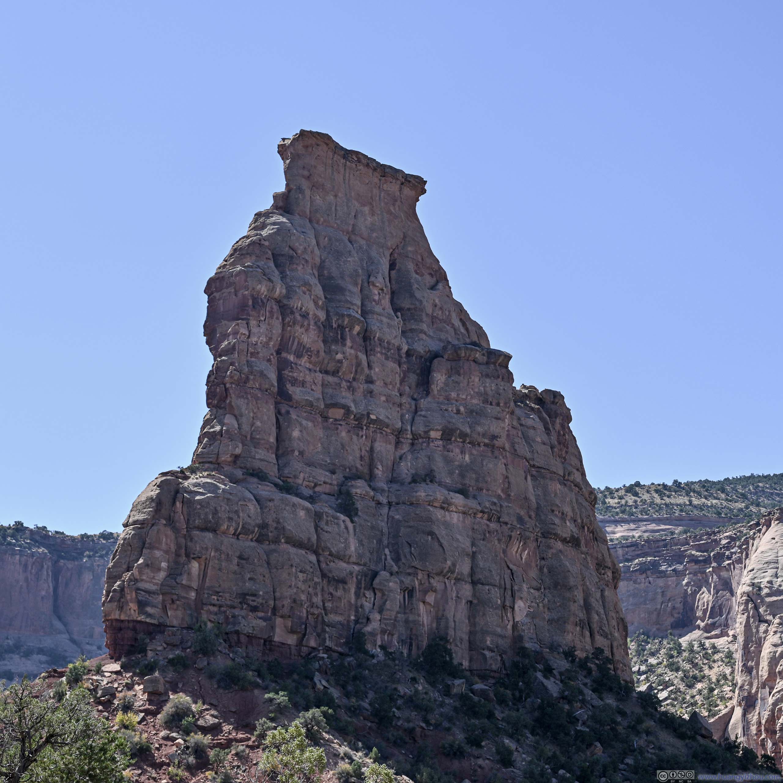
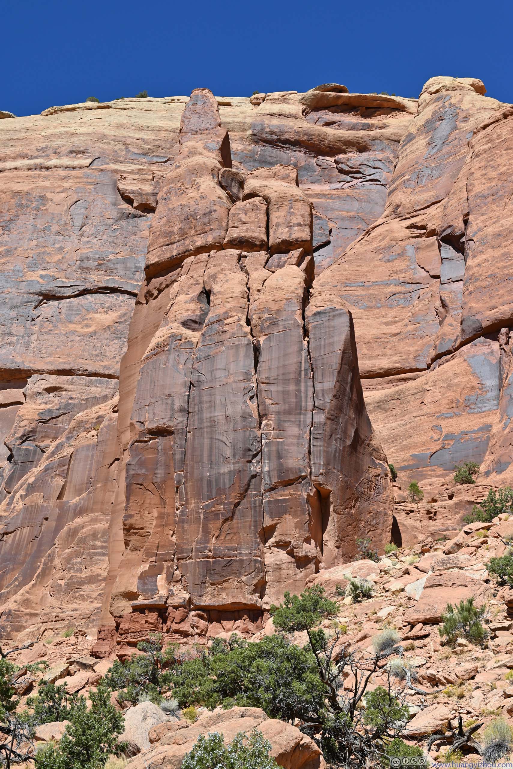
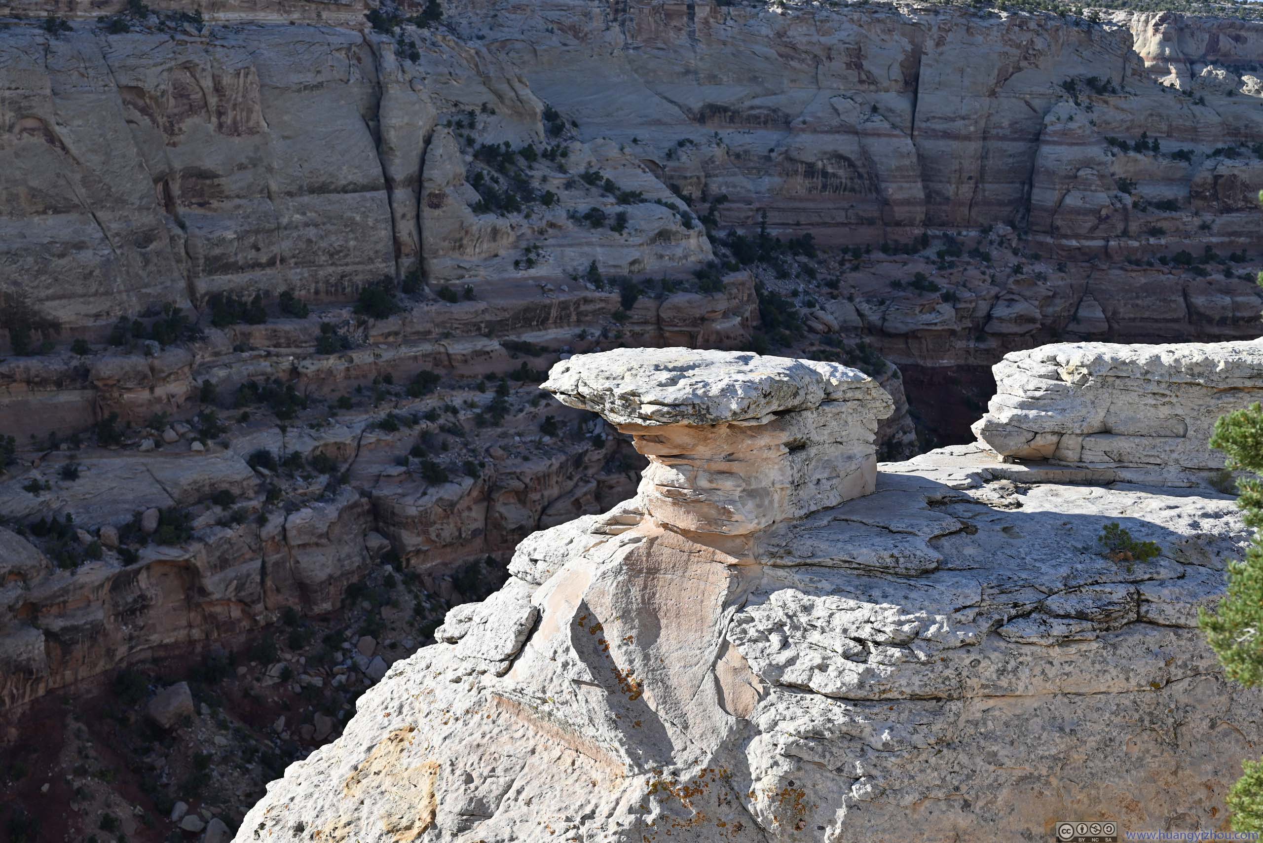
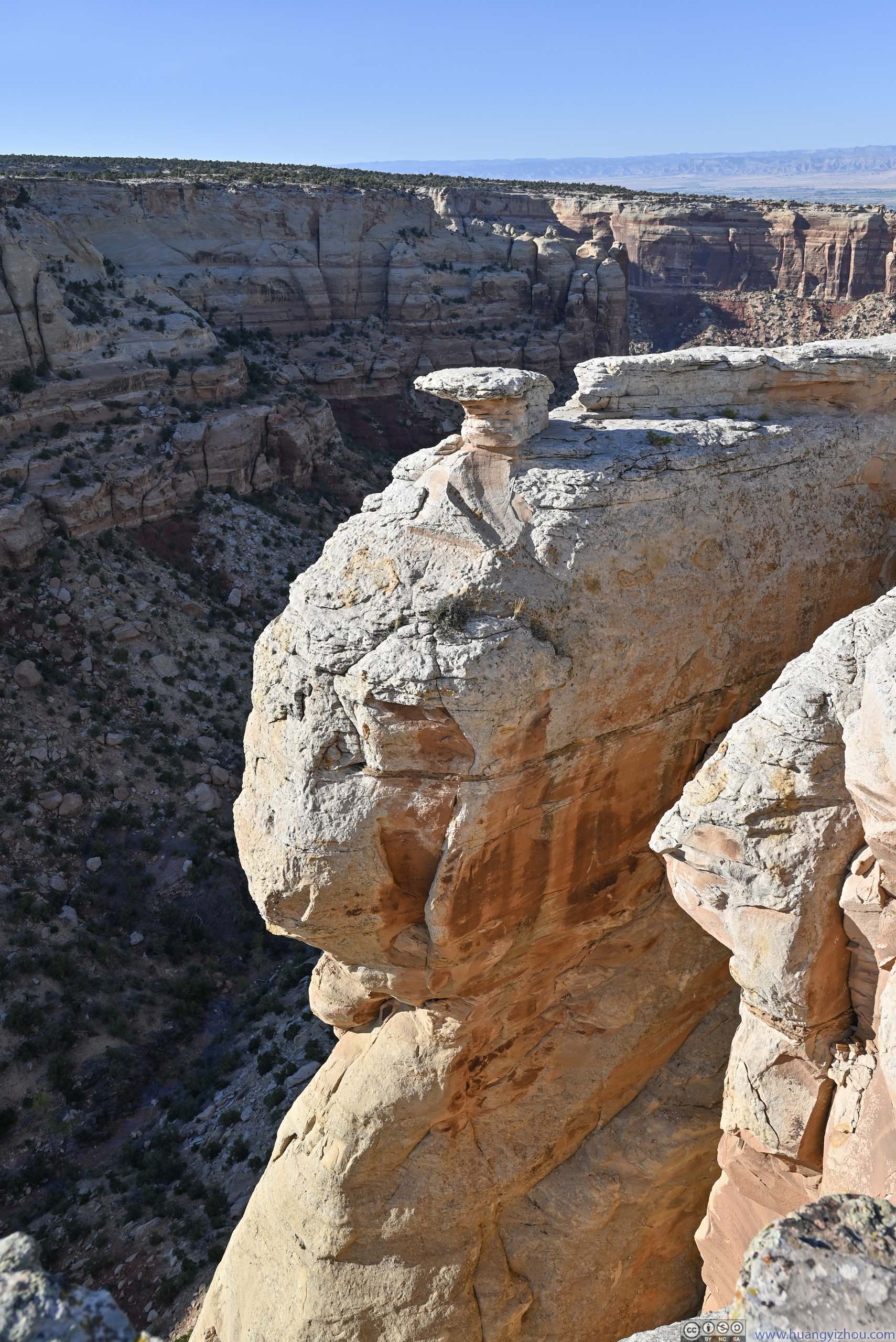
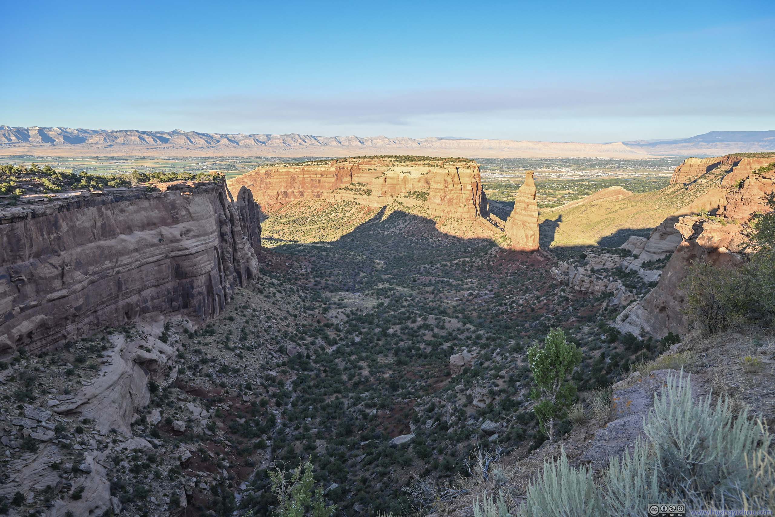
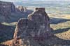
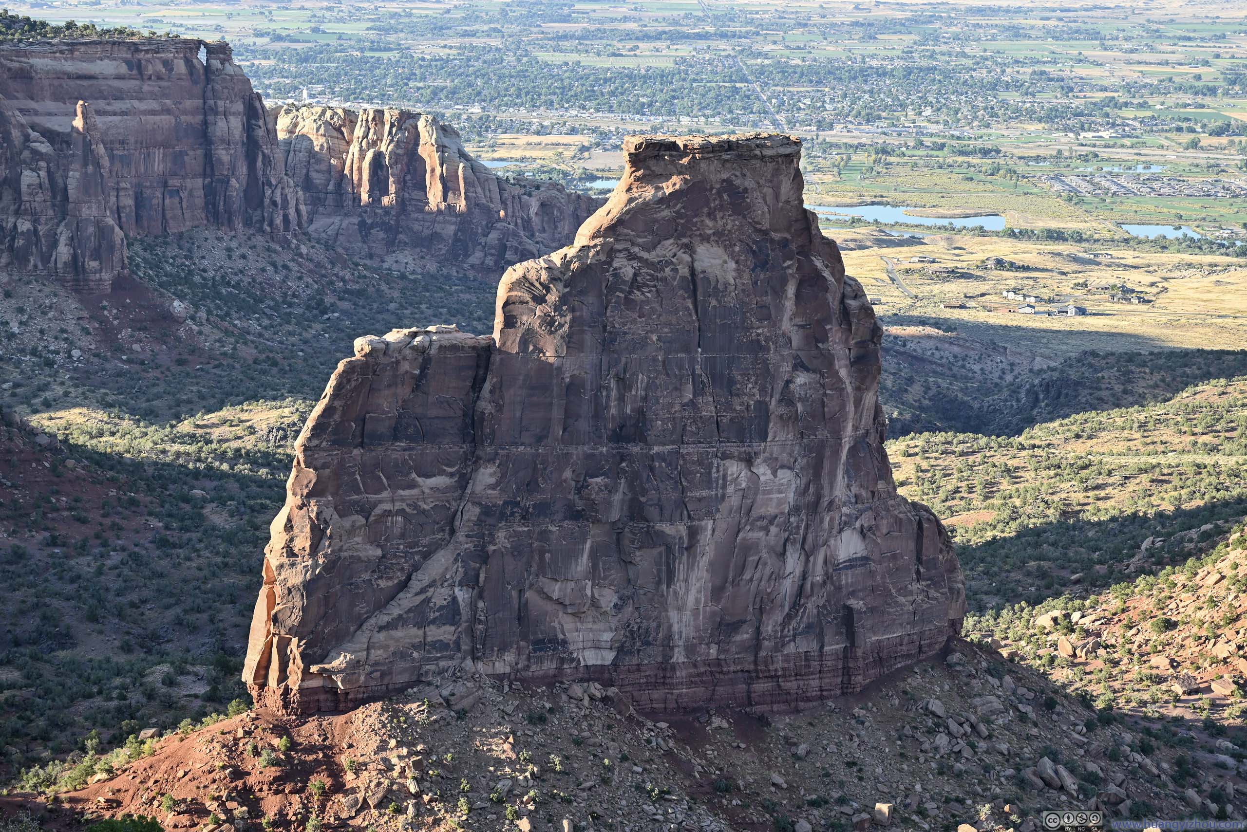
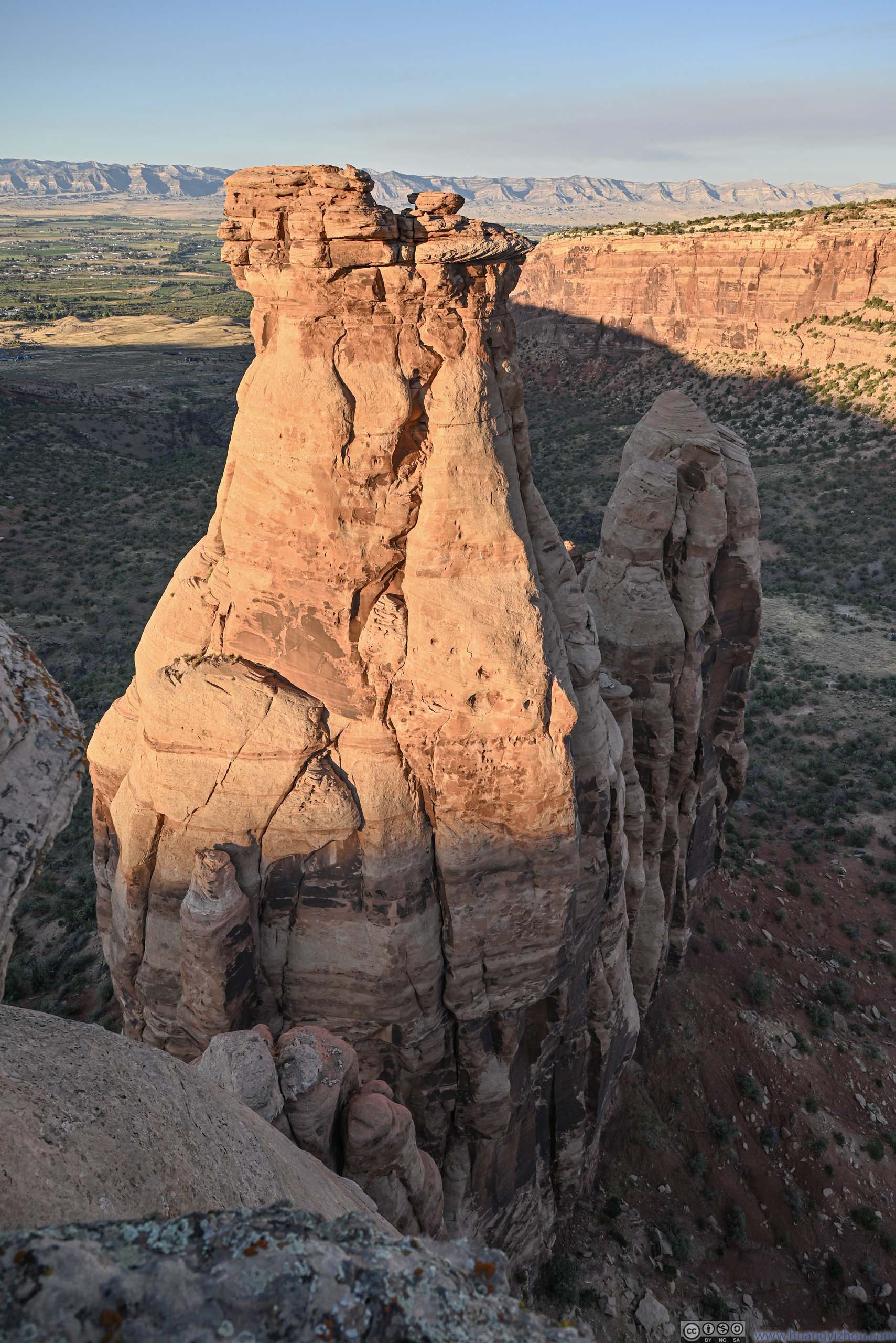
At the intersection of Monument Canyon and Wedding Canyon lay Independence Monument, which was a butte / sandstone pillar that, unlike others in the park, was detached from nearby mesas and sort of stood on its own. The butte got such a name because John Otto, the park’s advocate and first custodian, made it a routine to climb Independence Monument and raise an American Flag on July 4, America’s Independence Day. I approached the monument from the east, where its skinny contour (p1-2 below) made it an impressive sight that drew me along the gentle uphill trail. It turned out that Independence Monument was shaped more like a slab than a tower, when viewed from other angles (p3-4 below) it didn’t feel as extraordinary.
 Independence Monument
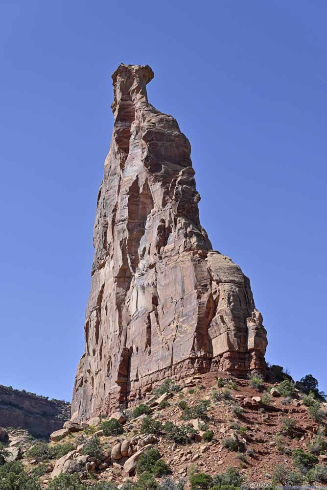 Independence Monument
 Independence MonumentLooked pretty fat and certainly not as impressive from this angle close up.
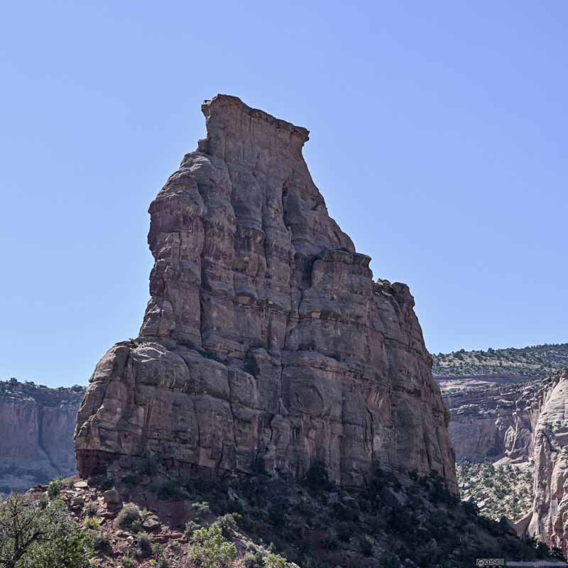 Independence MonumentLooking from the north, felt like a rock slab and not as impressive.
 Monolith Spire
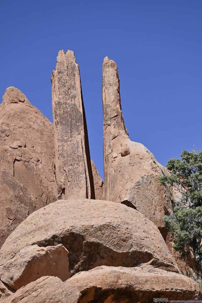 Rock SlabsOpposite of Independence Monument. Like the passage for some secret rituals.
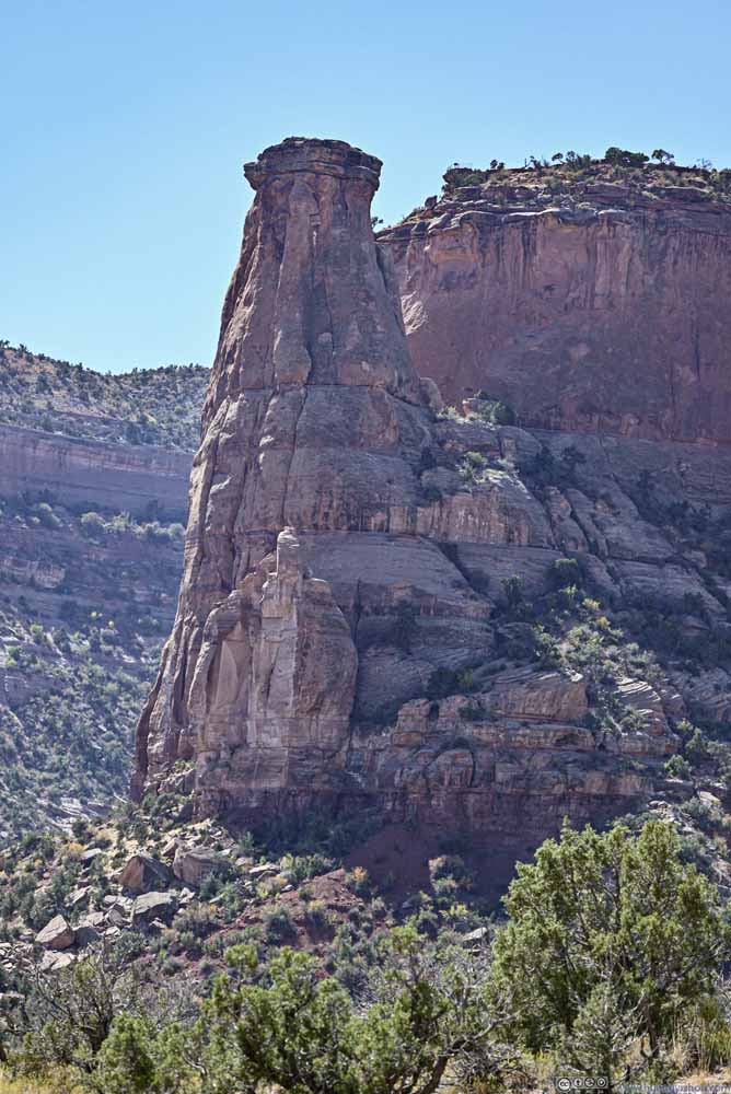 Grand View SpireAcross Monument Canyon.


Click here to display photos of the prominent buttes like Independence Monument.
Independence Monument
Independence Monument
Independence MonumentLooked pretty fat and certainly not as impressive from this angle close up.
Independence MonumentLooking from the north, felt like a rock slab and not as impressive.
Monolith Spire

Rock SlabsOpposite of Independence Monument. Like the passage for some secret rituals.

Grand View SpireAcross Monument Canyon.
Continuing on, I entered Wedding Canyon, which was named for the marriage ceremony of John Otto and Beatrice Farnham. Unfortunately, their marriage only lasted two months before Beatrice left John for good, due to differences in lifestyles.
 Wedding Canyon
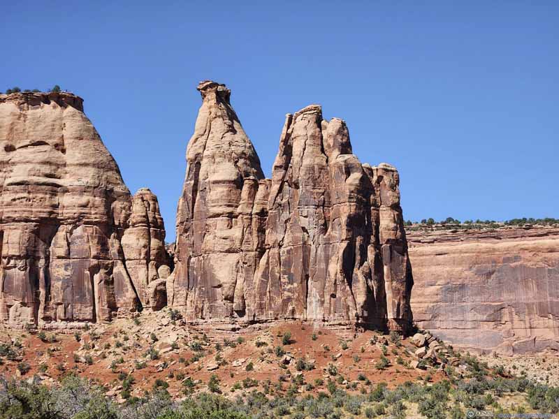 Pipe Organ
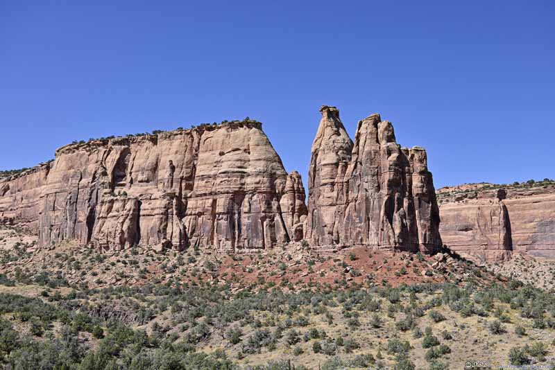 Pipe OrganSeparated from the peninsula to its left, which was accessed by a trail.
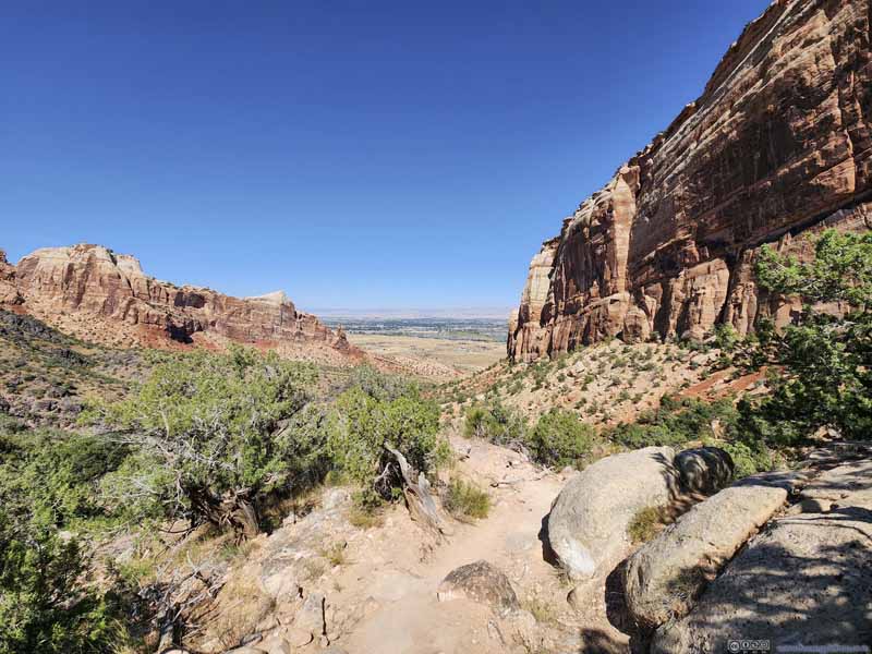 Trail in Wedding Canyon
 Cliff
Cliff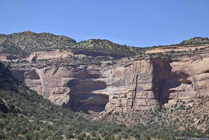 Distant CliffsMultiple alcoves seemed to stack vertically, like a storage drawer?
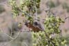
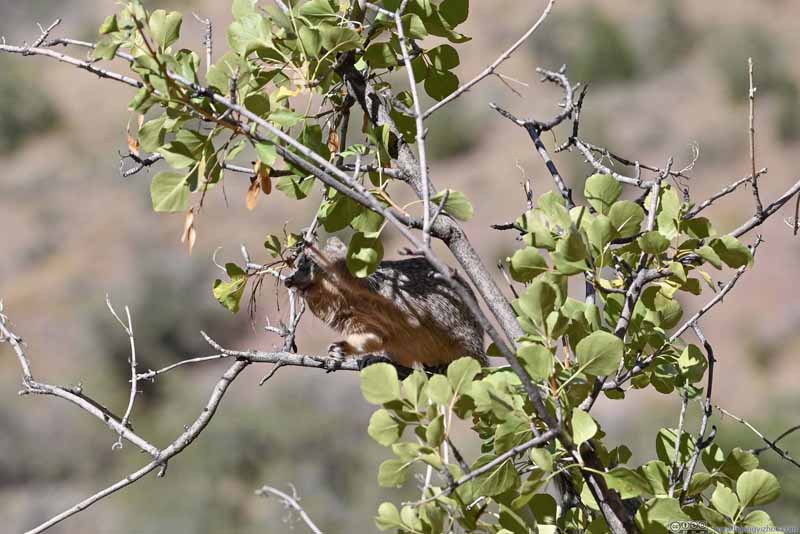 Squirrel Eating LeavesThe only animal sighting of the day.


Click here to display photos from Wedding Canyon.
Wedding Canyon

Pipe Organ
Pipe OrganSeparated from the peninsula to its left, which was accessed by a trail.

Trail in Wedding Canyon

Cliff

Distant CliffsMultiple alcoves seemed to stack vertically, like a storage drawer?

Squirrel Eating LeavesThe only animal sighting of the day.
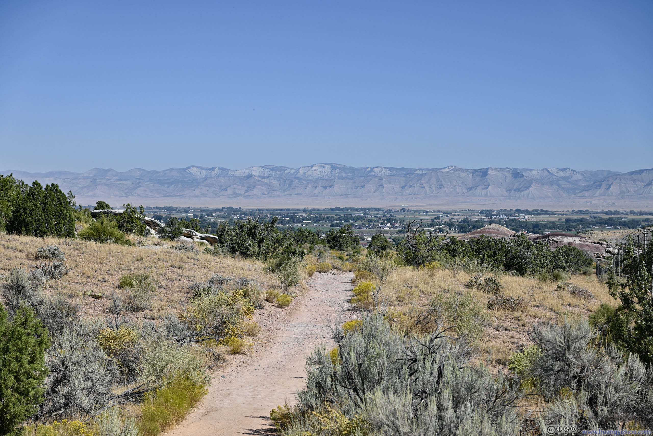
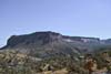
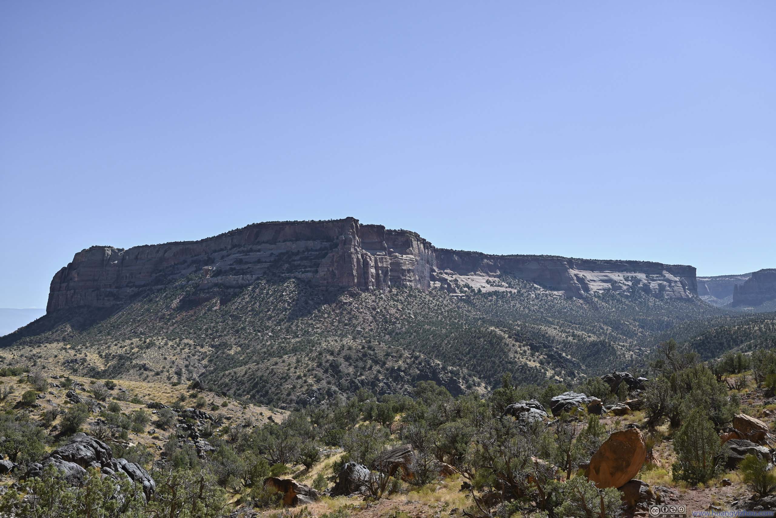
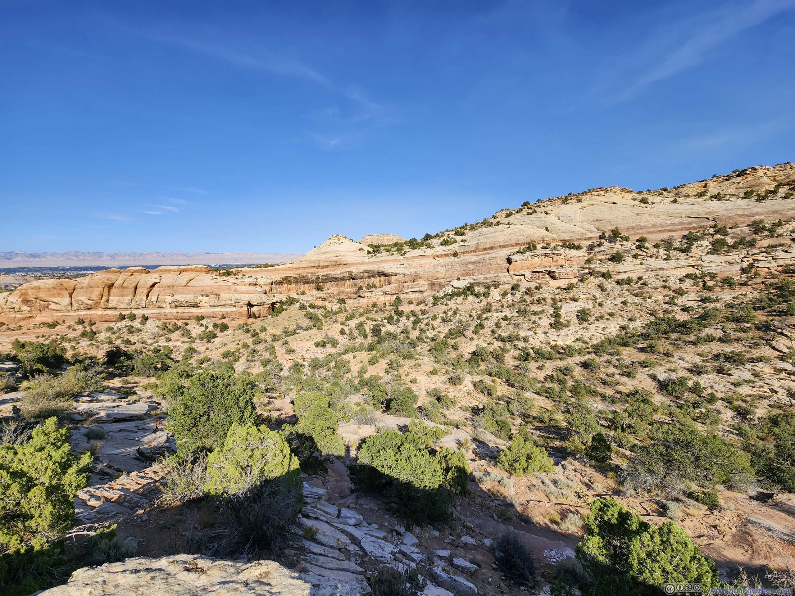
A few more mesas lined Wedding Canyon to the west. On top of those mesas were established trails and park visitor centers, that meant I would get very used to such views later in the day.
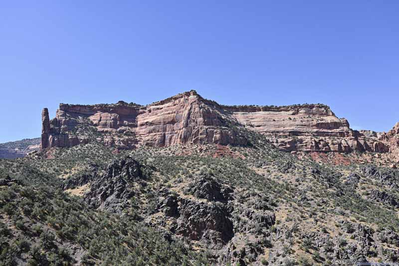 MesaOn top of which was visitor center and campground. Sentinel Spire on the left.
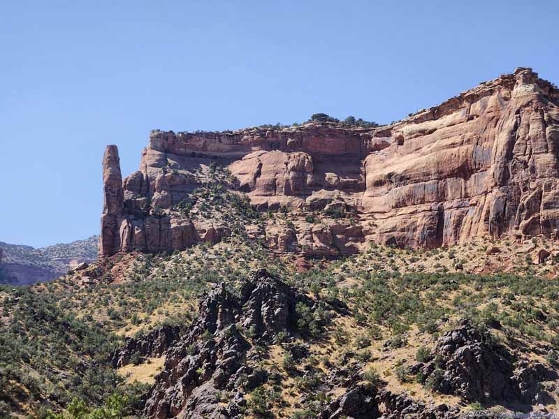 MesaOn top of which was visitor center and campground. Sentinel Spire on the left.
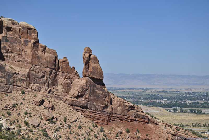 Butte
Butte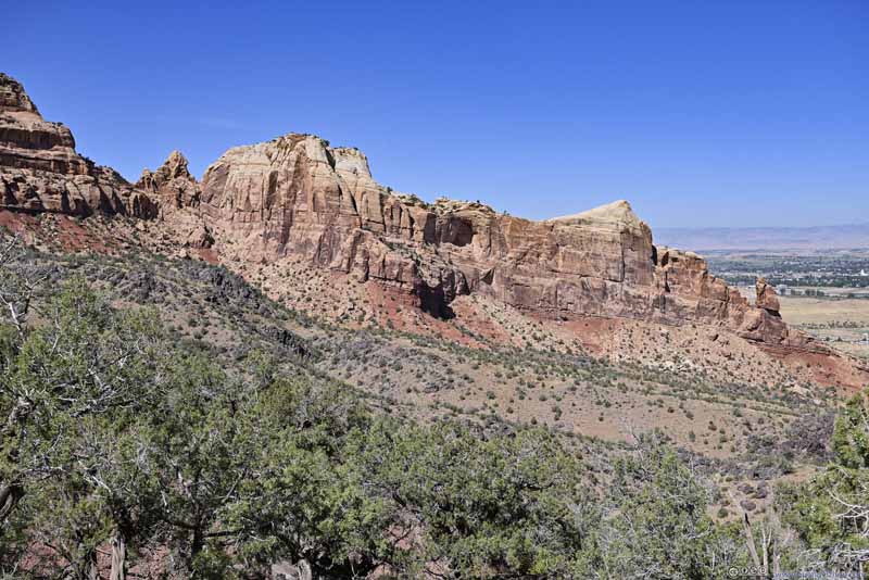 Hill
Hill Western Rim of Wedding Canyon
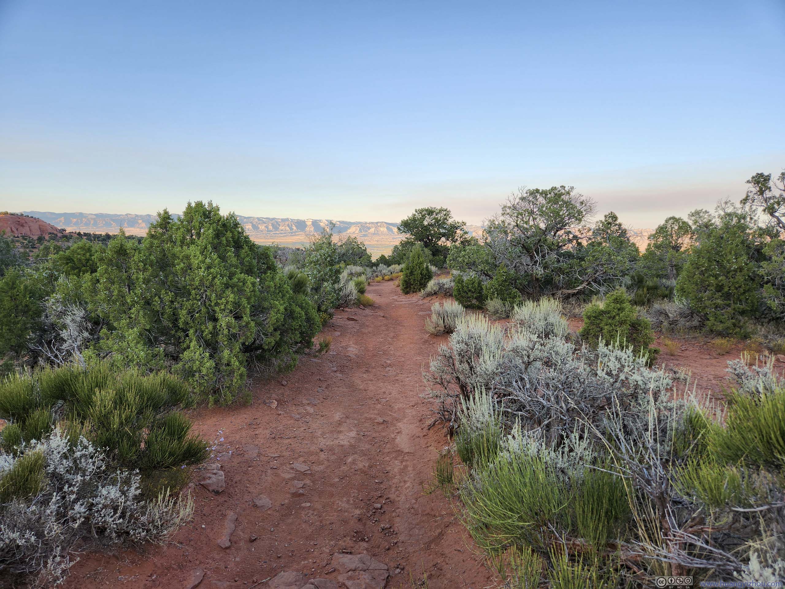
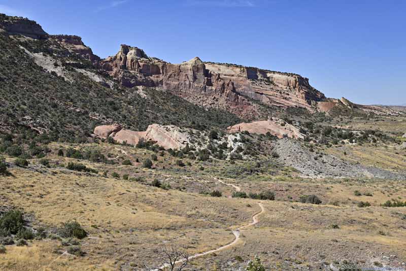 Trail through Fields

Click here to display photos of the slideshow
MesaOn top of which was visitor center and campground. Sentinel Spire on the left.
MesaOn top of which was visitor center and campground. Sentinel Spire on the left.
Butte
Hill
Western Rim of Wedding Canyon

Trail through Fields
In the end, I finished this hike in just over 2 hours.
A quick review of this trail. While I liked the variety of scenery it offered and enjoyed the immersive feeling of walking inside a canyon, it’s a hot day and I felt the loop was sort of long. Compared to my driving tour along the canyon rims later in the day, I felt this hike wasn’t as time-efficient in catching the views. Apart from the skinny angle of Independence Monument, some of the views from the trail were similar to what the overlooks along the canyon rim offered. As a result, if short on time, I felt it’s definitely fine to skip this trail.
After that, I headed to Grand Junction for lunch. After lunch, I headed to the park’s eastern entrance and took Devil’s Kitchen Trail.
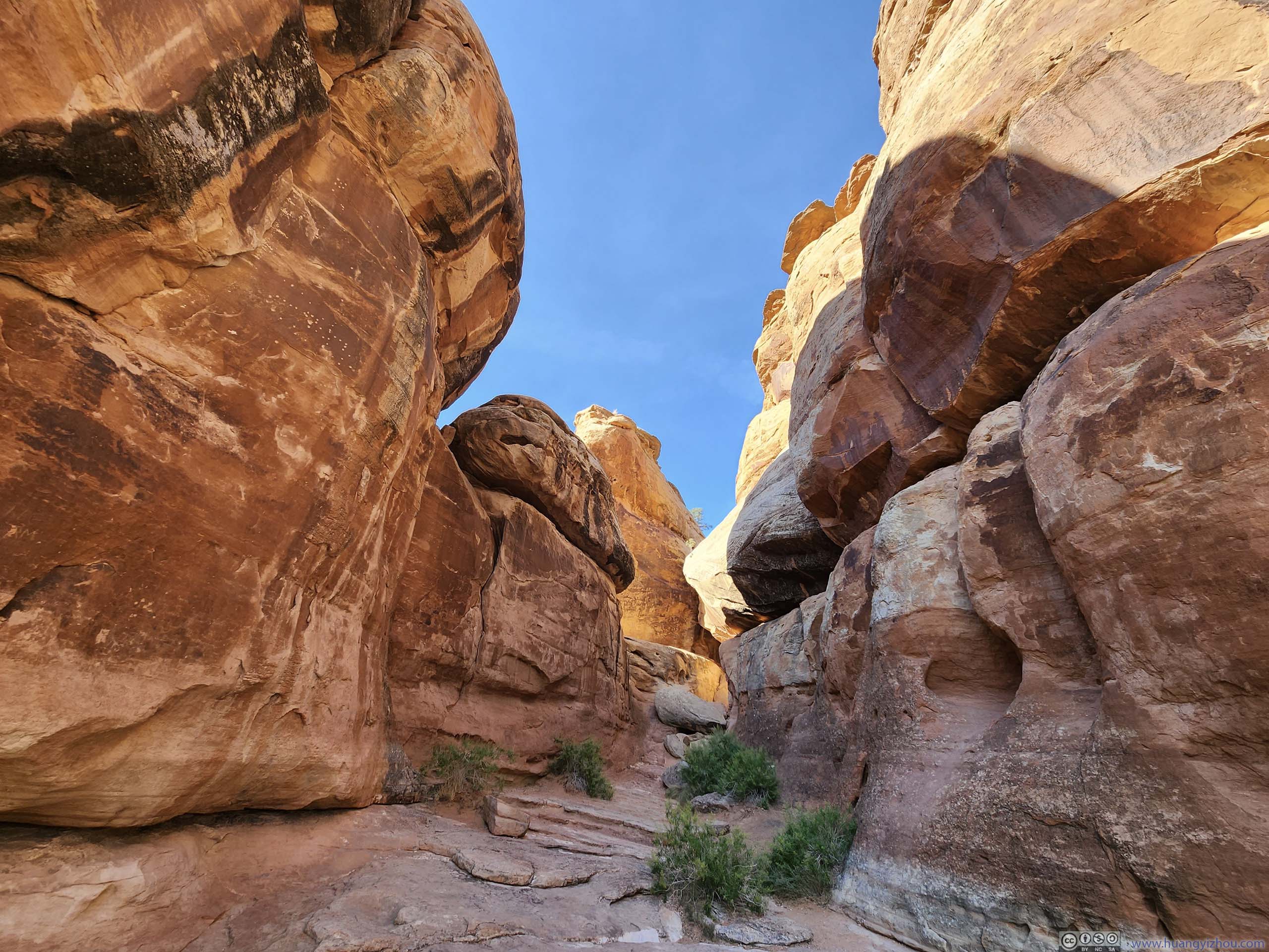
Devil’s Kitchen Trail
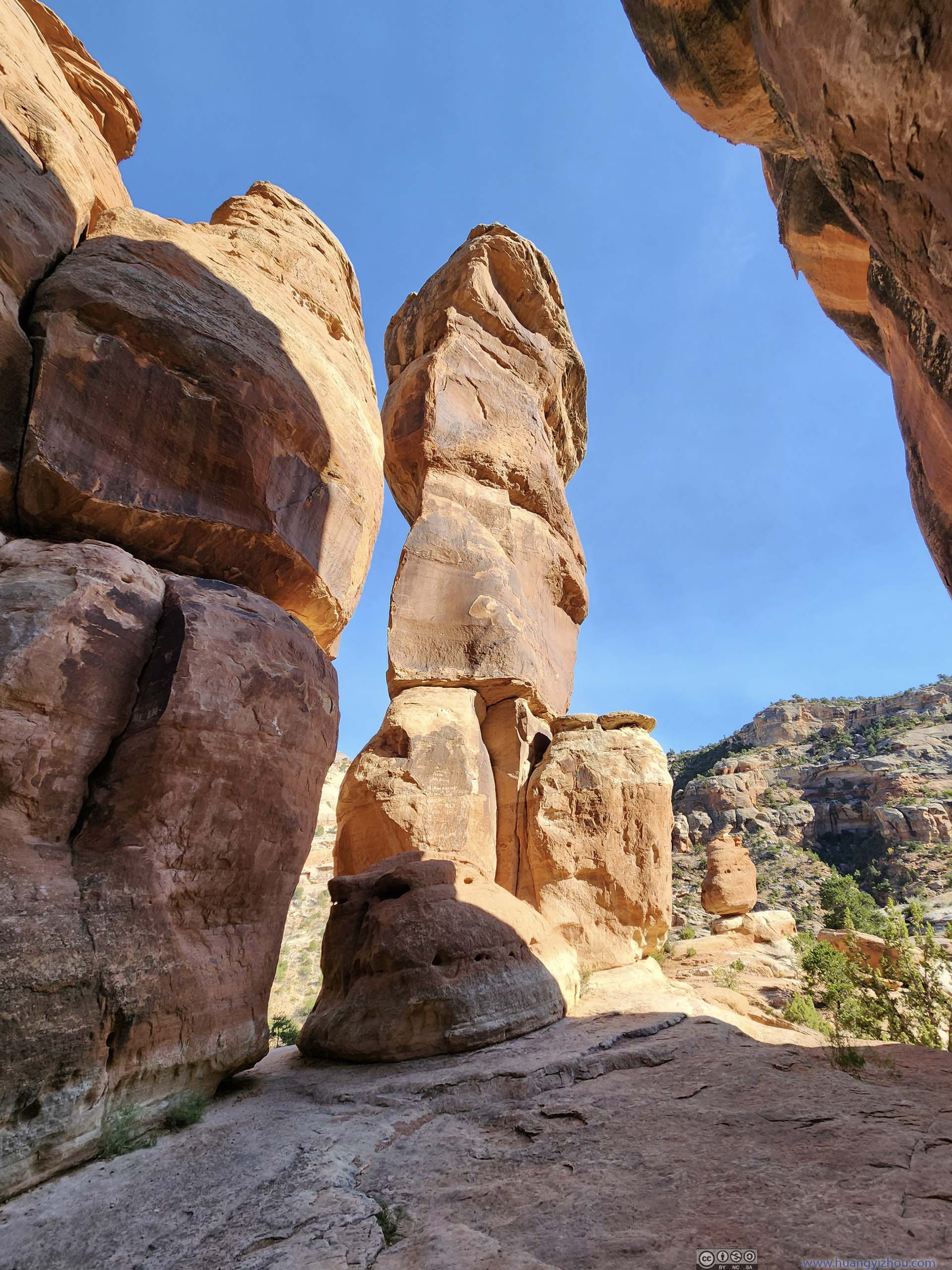
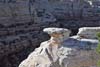
During my trip I wasn’t completely sure what/where was “Devil’s Kitchen”. I correctly guessed it’s a group of boulders as pictured in this NPS website. I think the only way those boulders associated with the word “kitchen” is that there are near-vertical walls on three sides and an opening on one side, so if one add some firewood inside and put a giant pot on top, it could be a very primitive cooking setup (I considered this setup too uncivilized to be called a “kitchen”).
As for the trail, it’s a 1.9km out-and-back. The AllTrails map had a spur beyond the official “Devil’s Kitchen”, which caused me some confusion.
 Devil’s KitchenAs seen from the trail.
 Devil’s Kitchen
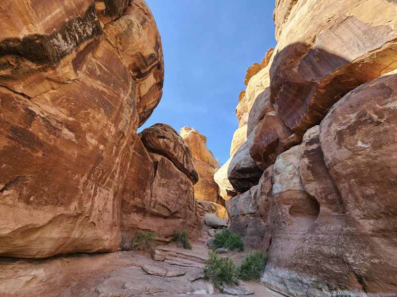 Boulders of Devil’s Kitchen
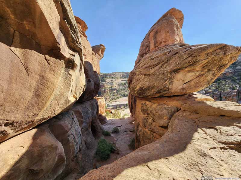 Boulders of Devil’s KitchenFrom the upper platform, in a more level sight.


Click here to display photos of “Devil’s Kitchen”.
Devil’s KitchenAs seen from the trail.
Devil’s Kitchen
Boulders of Devil’s Kitchen
Boulders of Devil’s KitchenFrom the upper platform, in a more level sight.
 Boulders of Devil’s Kitchen
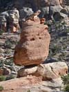
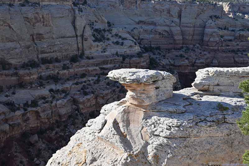
 Balanced Rock
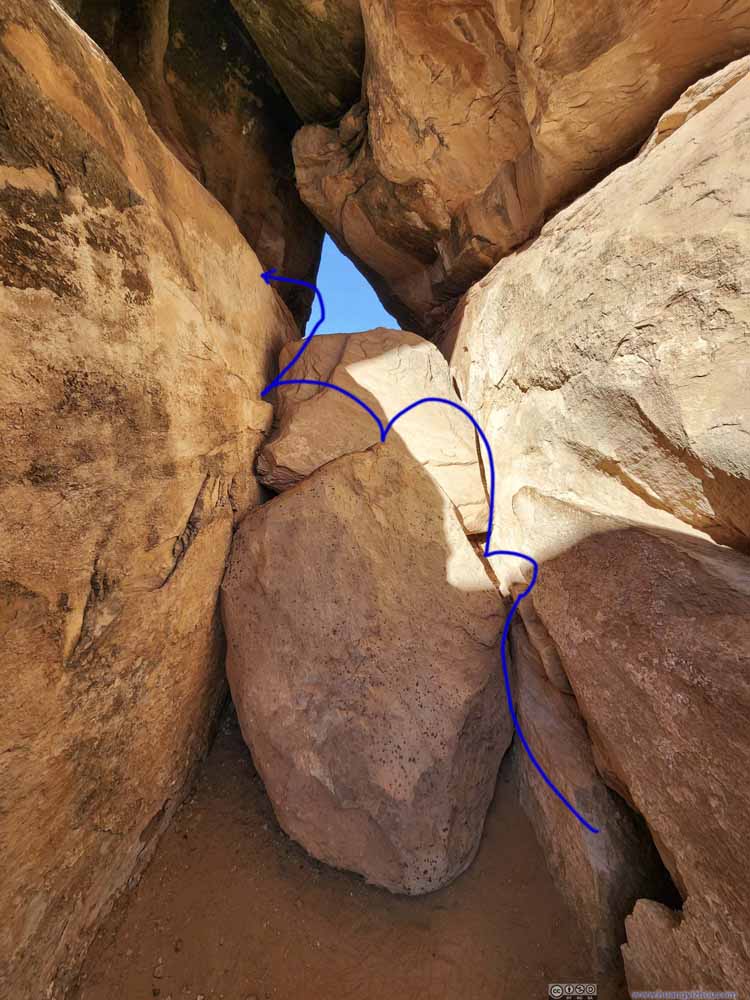 Scrambling PathsSome entry YDS class 3 scrambling to reach an upper platform in Devil’s Kitchen.
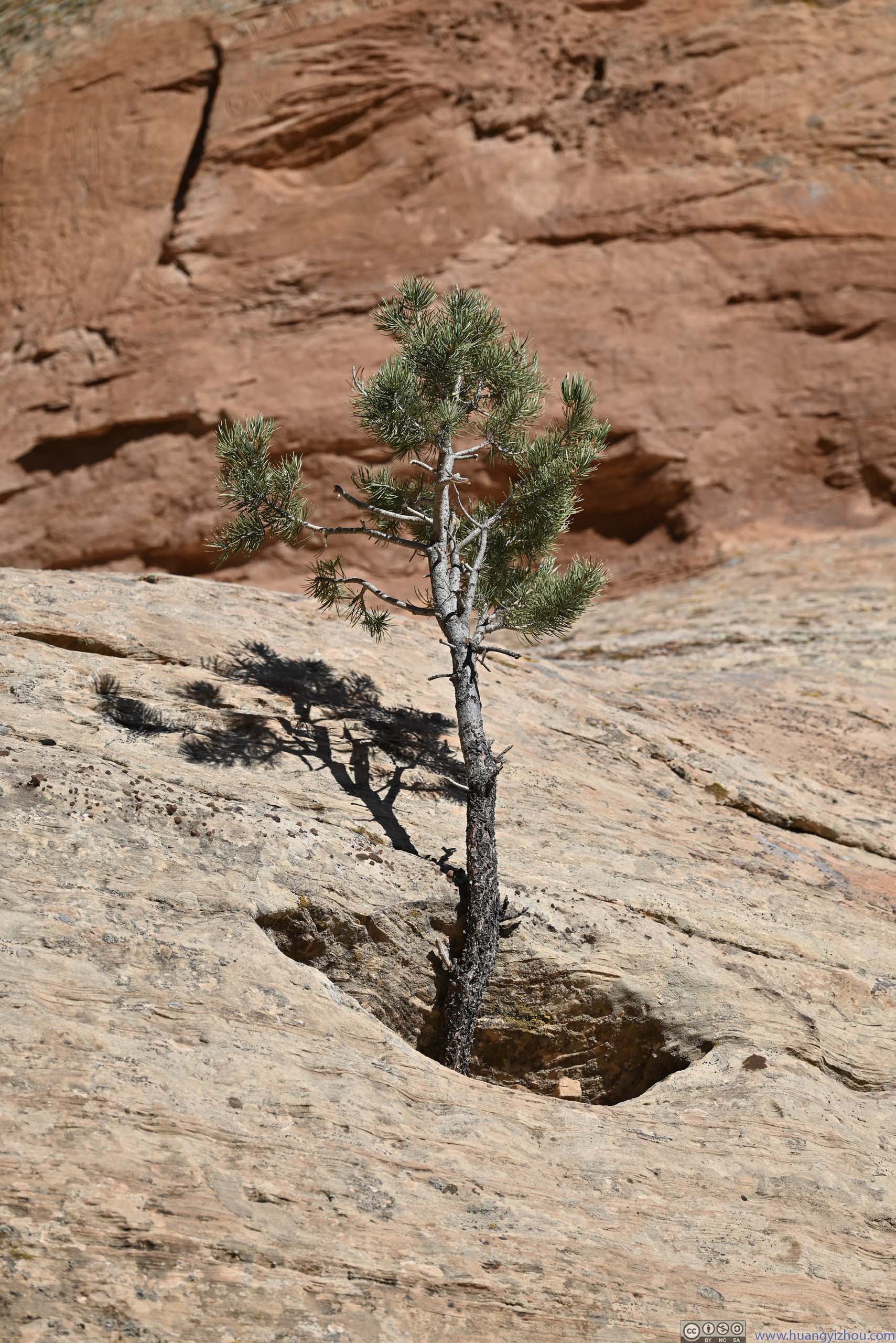
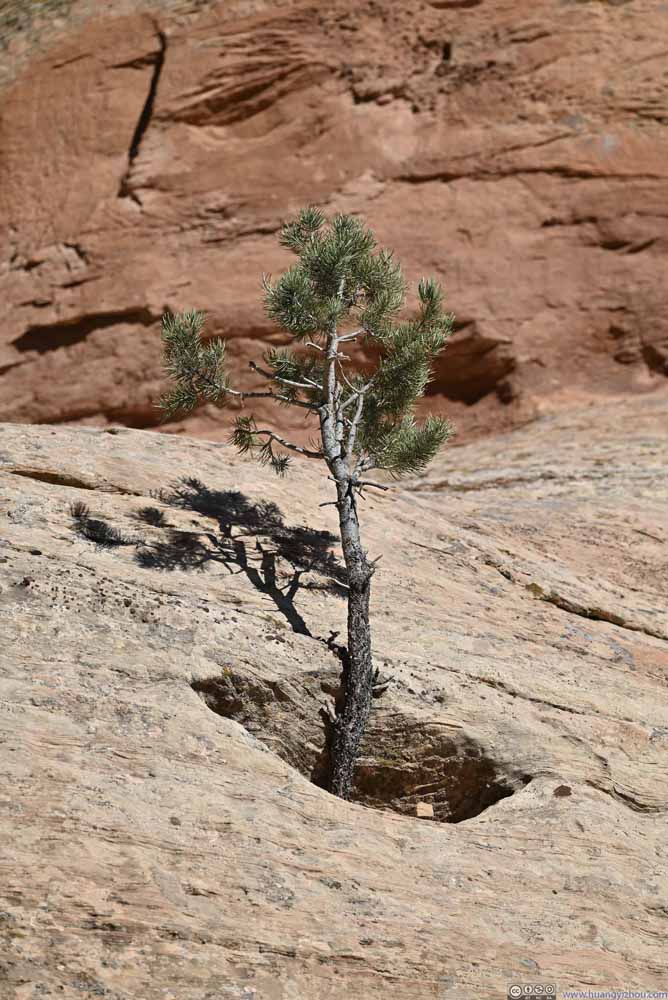 TreeOne that grew out of a concave that seemed particularly dug up for it.
 Slanted Gap between BouldersAs if the boulders were cut in half.


Click here to display photos of the slideshow
Boulders of Devil’s Kitchen
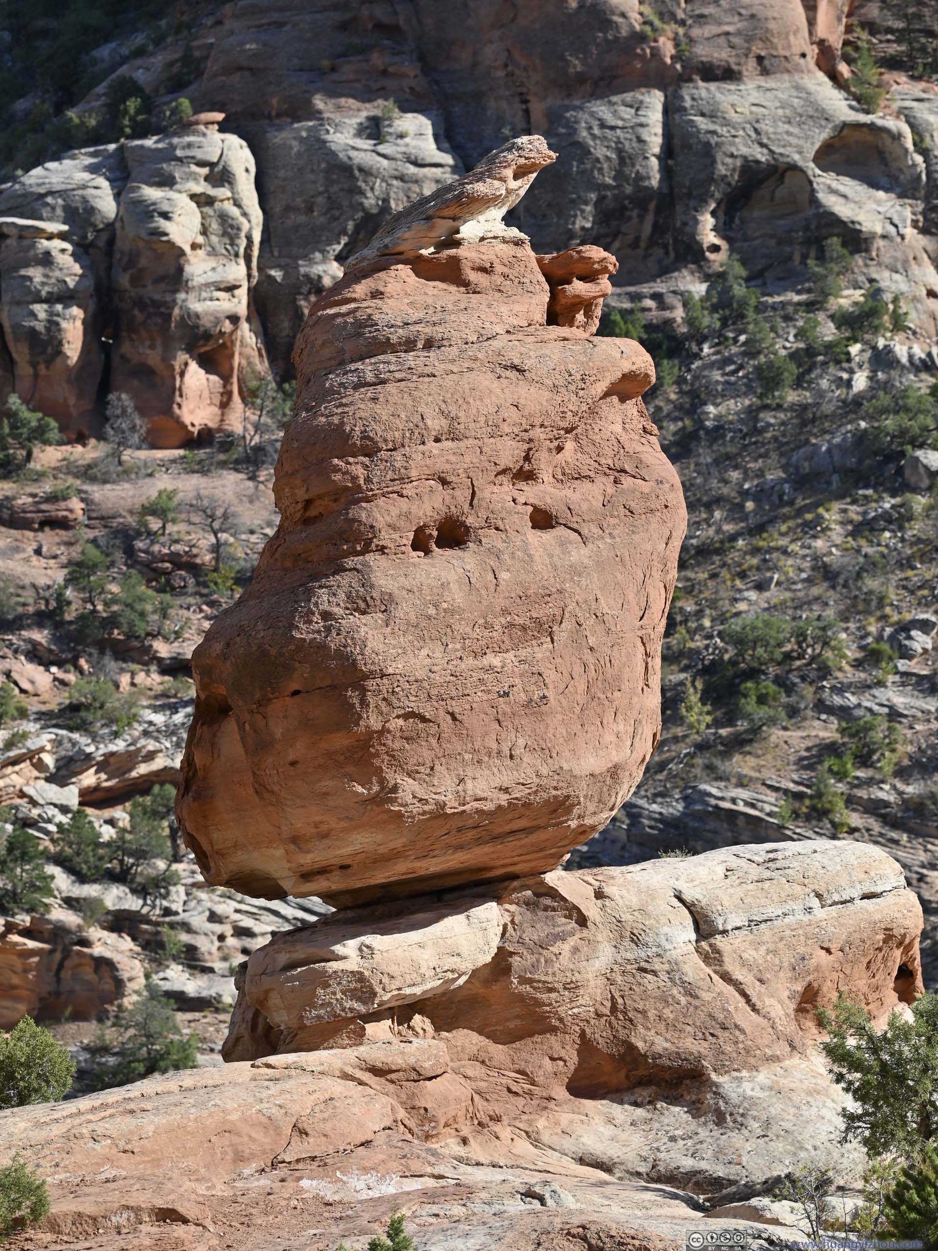
Balanced Rock
Scrambling PathsSome entry YDS class 3 scrambling to reach an upper platform in Devil’s Kitchen.
TreeOne that grew out of a concave that seemed particularly dug up for it.
Slanted Gap between BouldersAs if the boulders were cut in half.
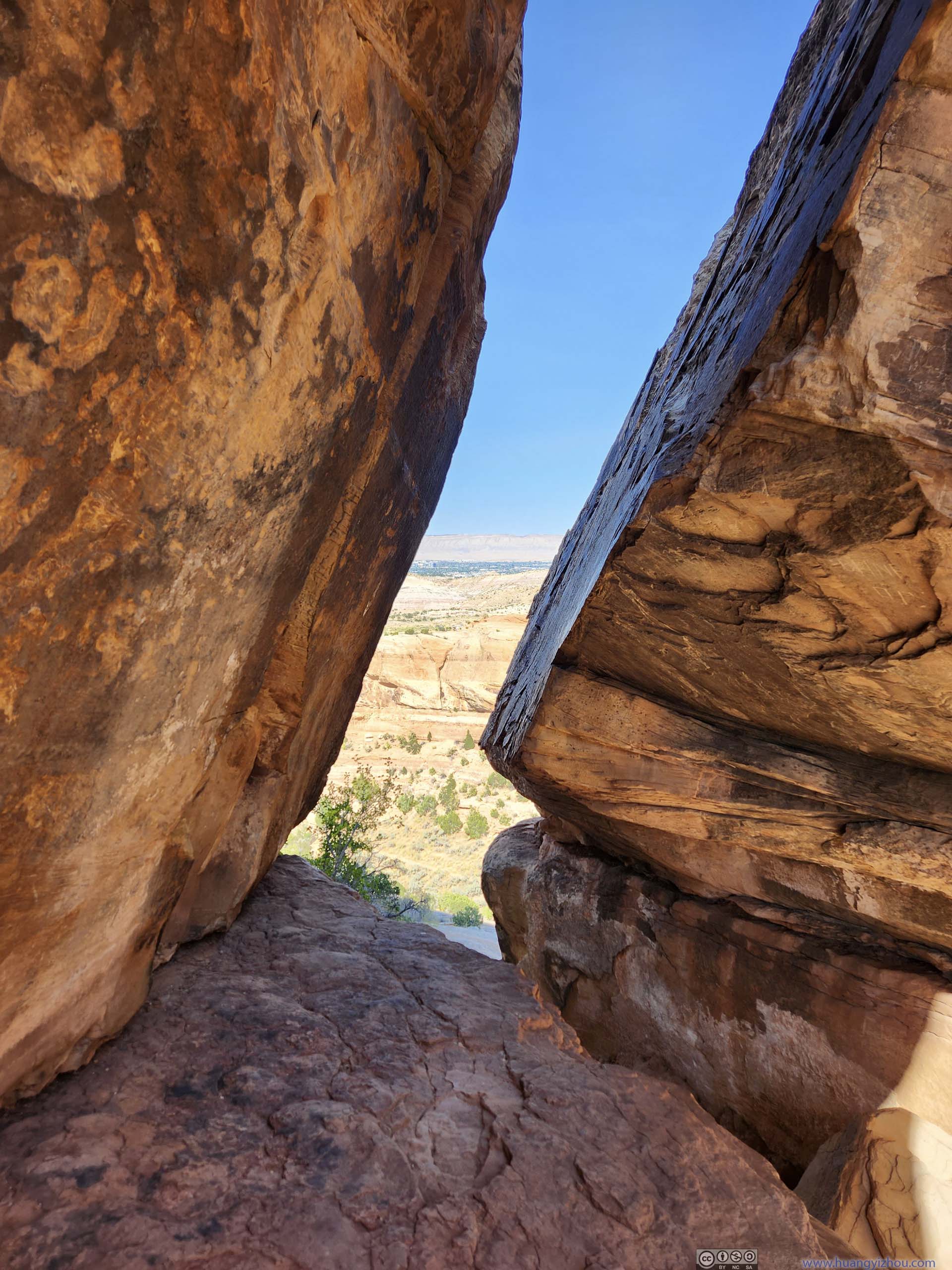
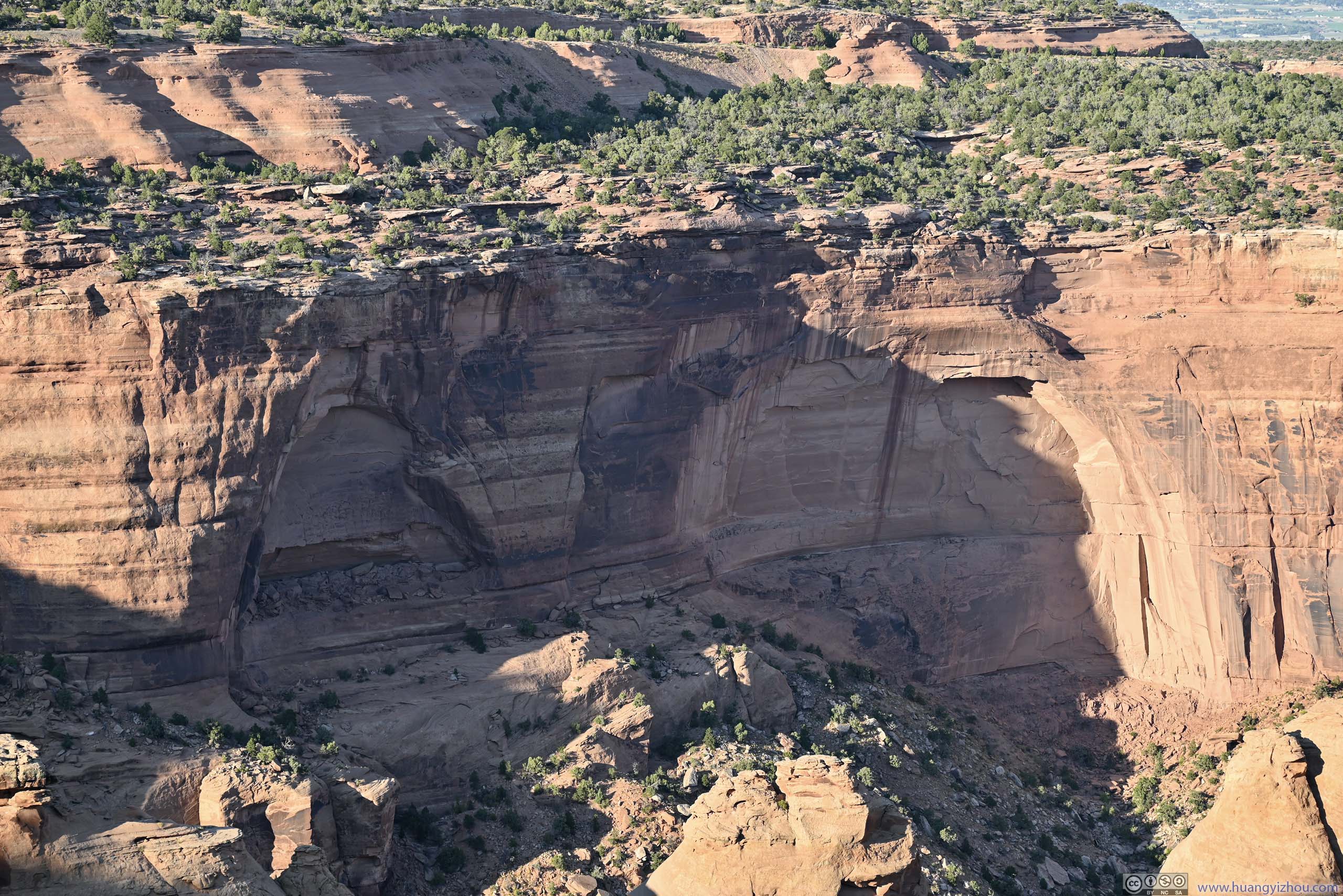
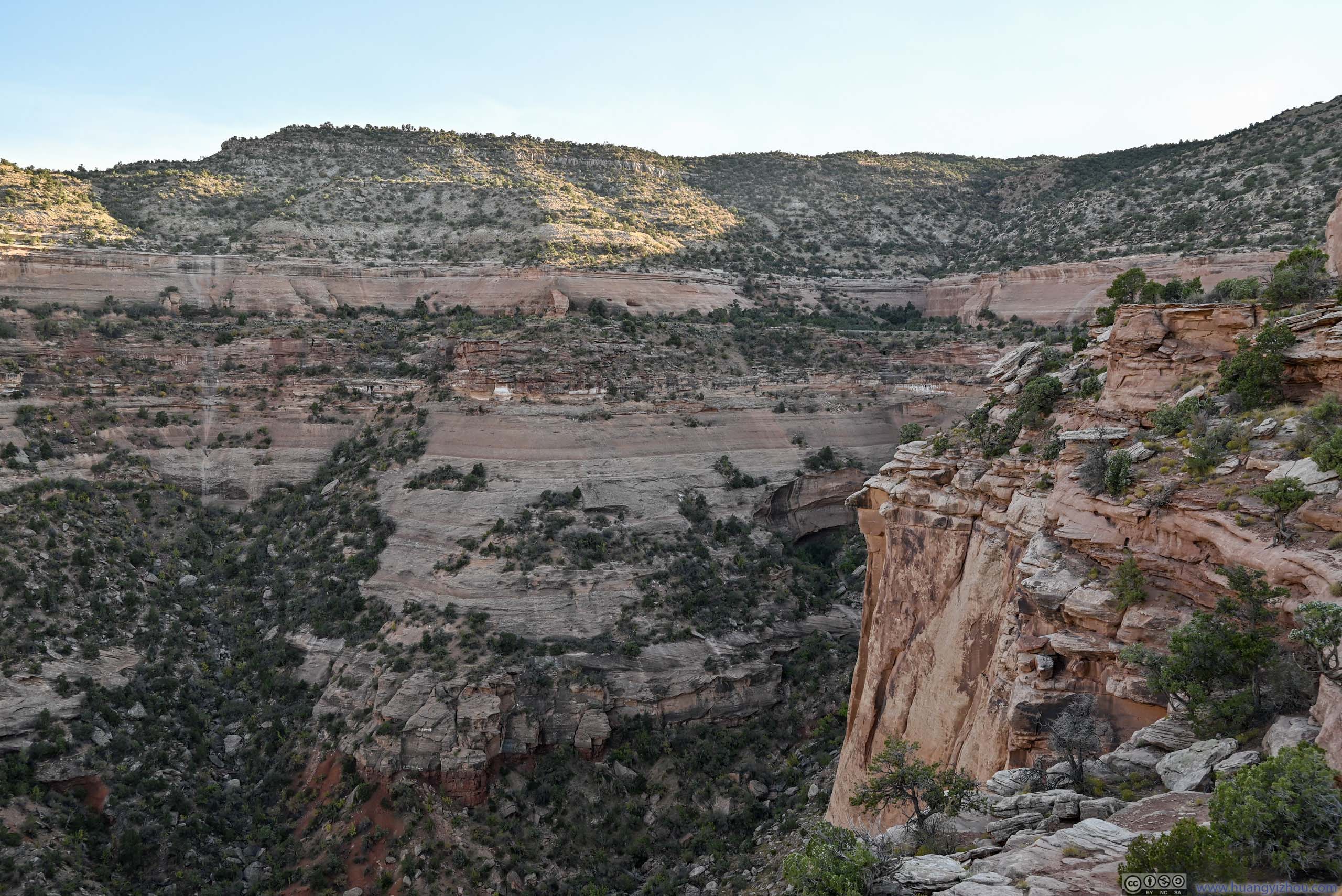
Once “inside” Devil’s Kitchen, the giant walls were both an awesome sight and a test ground for sound reflections. Towards its end, it took a few steps of scrambling (p3 above) to reach an upper platform, with views of plateau and mesas to the west (slideshow below). Similar views were also available from outside “Devil’s Kitchen”.
 Mesa up Hill
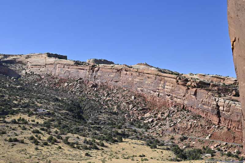 Rock Wall
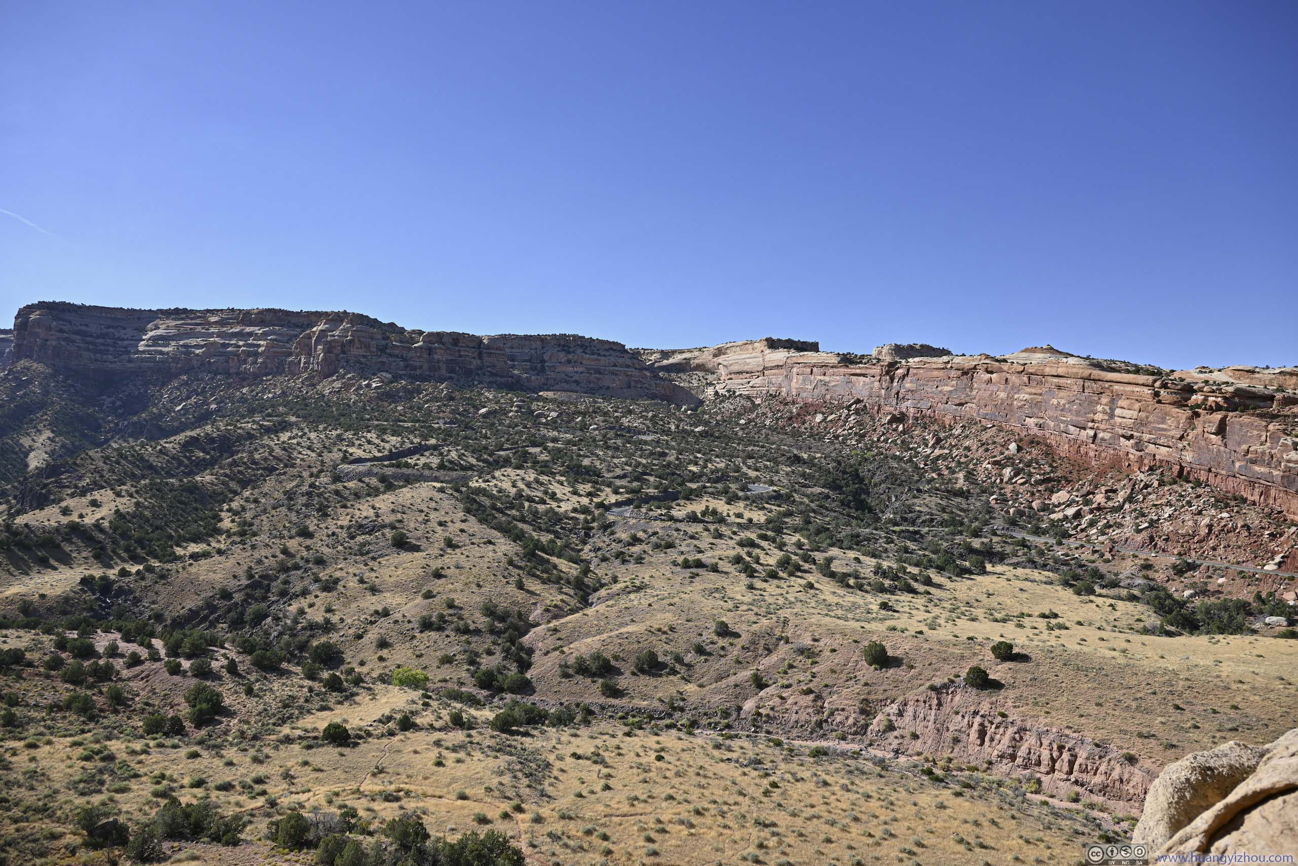
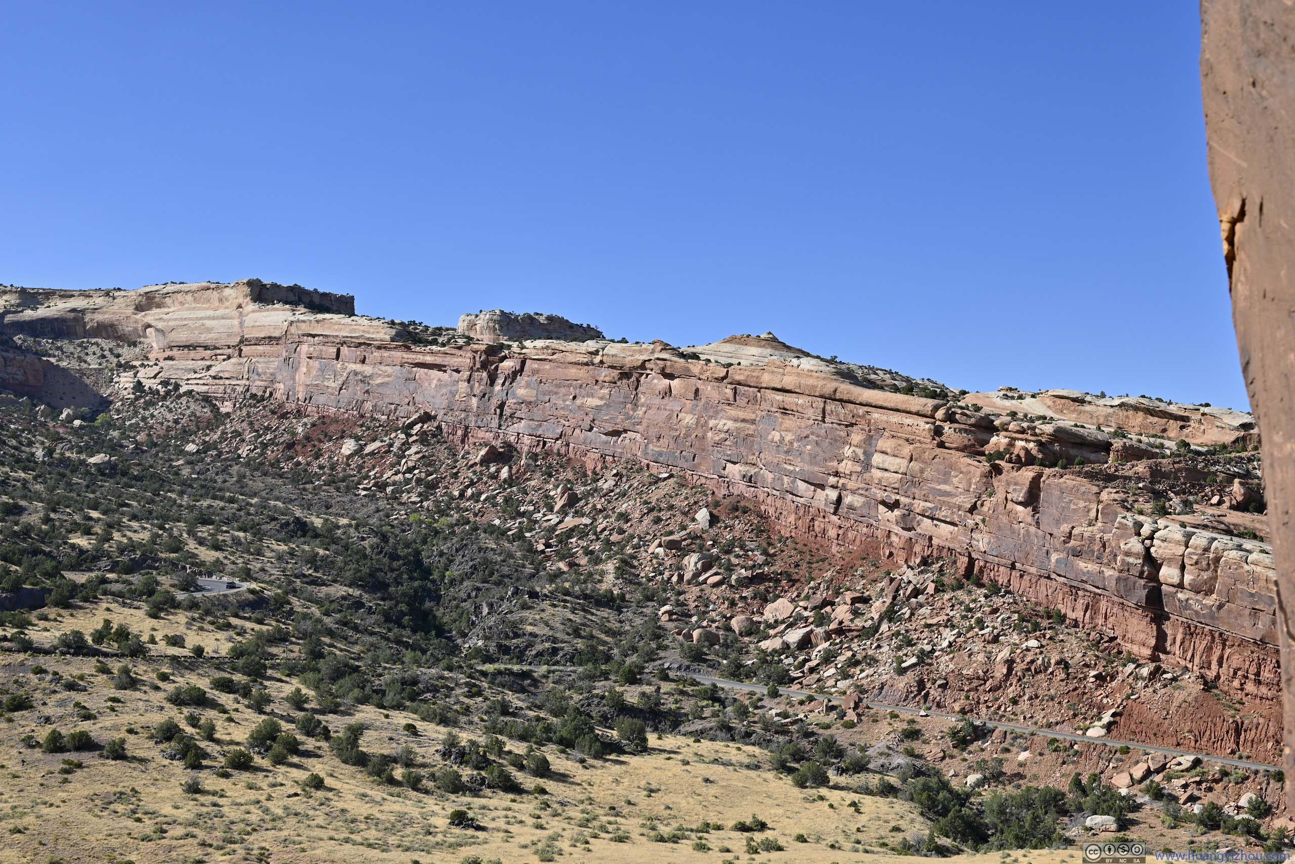
A rather long wall. Behind this wall Serpent’s Trail climbed up the hill. The road passed through this wall in a tunnel.
Rock Wall
A rather long wall. Behind this wall Serpent’s Trail climbed up the hill. The road passed through this wall in a tunnel.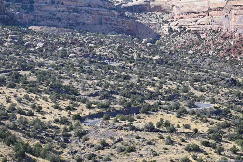 RoadWinding up the hillside.
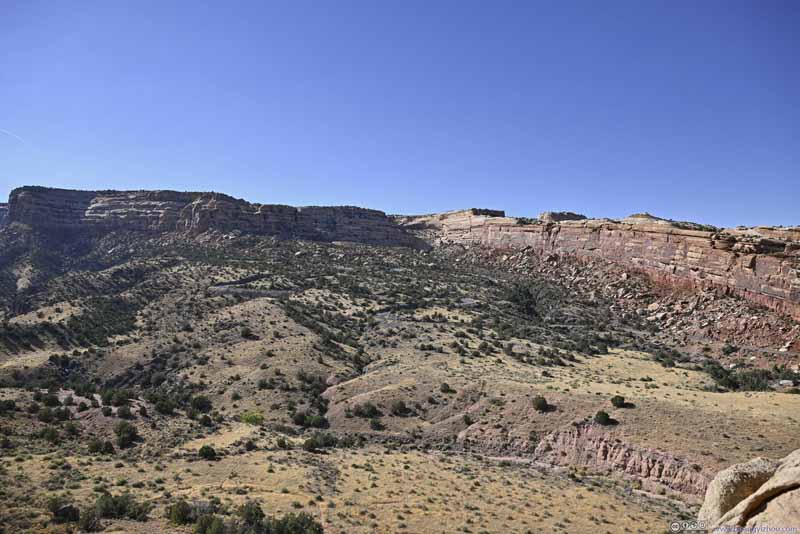
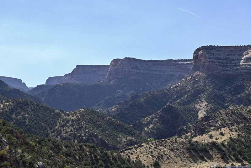 Distant Mesas

Click here to display photos from Devil’s Kitchen.
Mesa up Hill
Rock Wall
RoadWinding up the hillside.

Distant Mesas
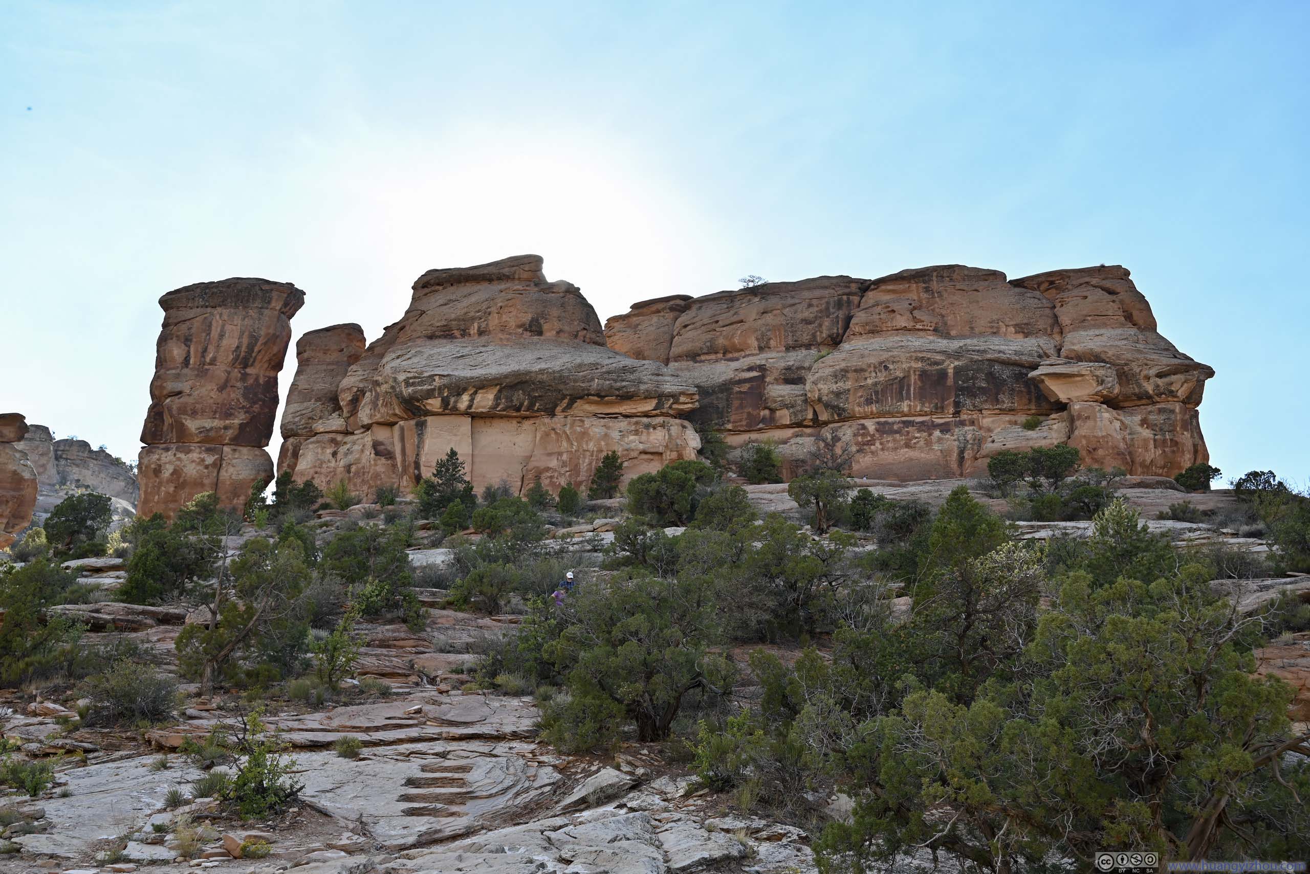
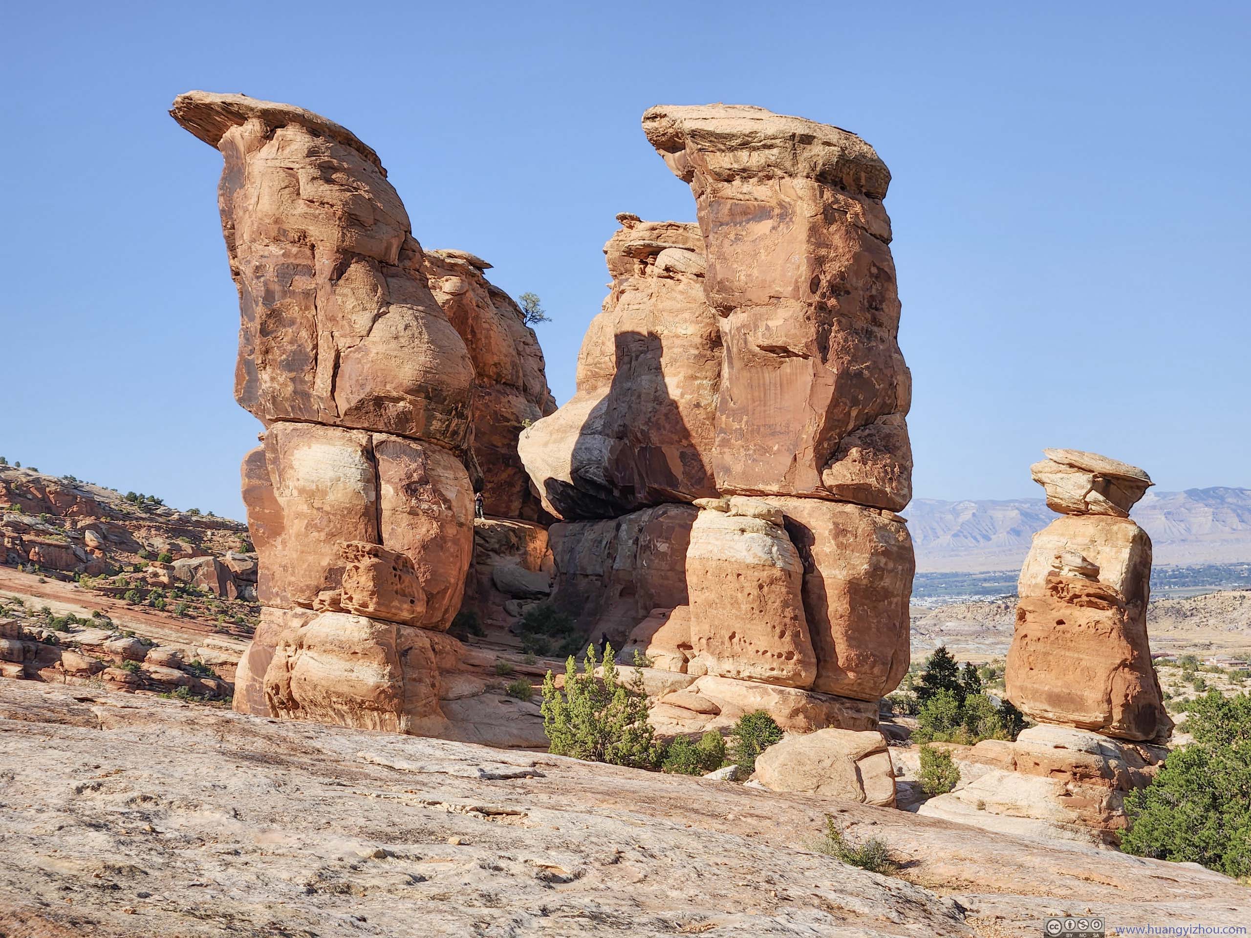
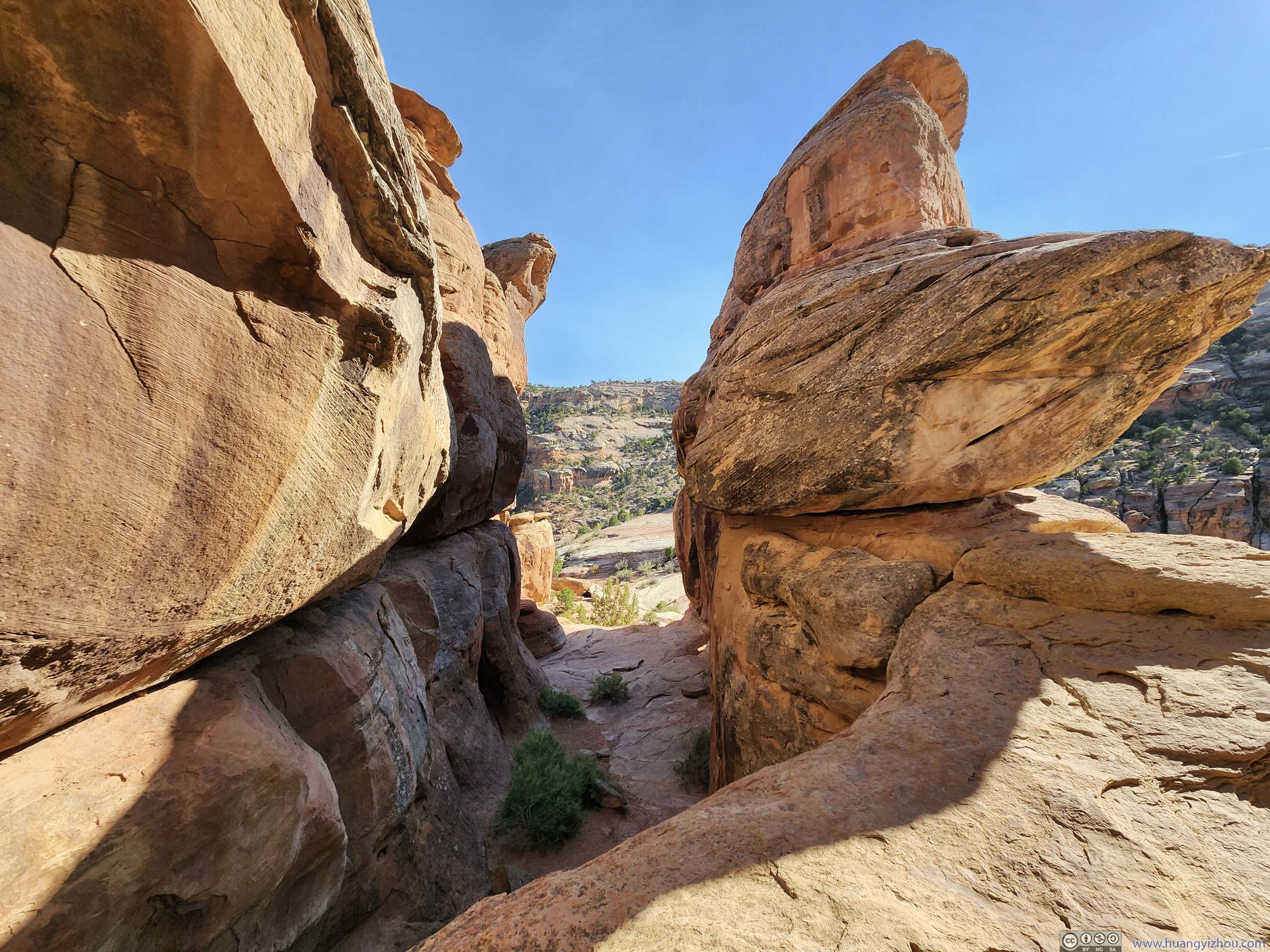
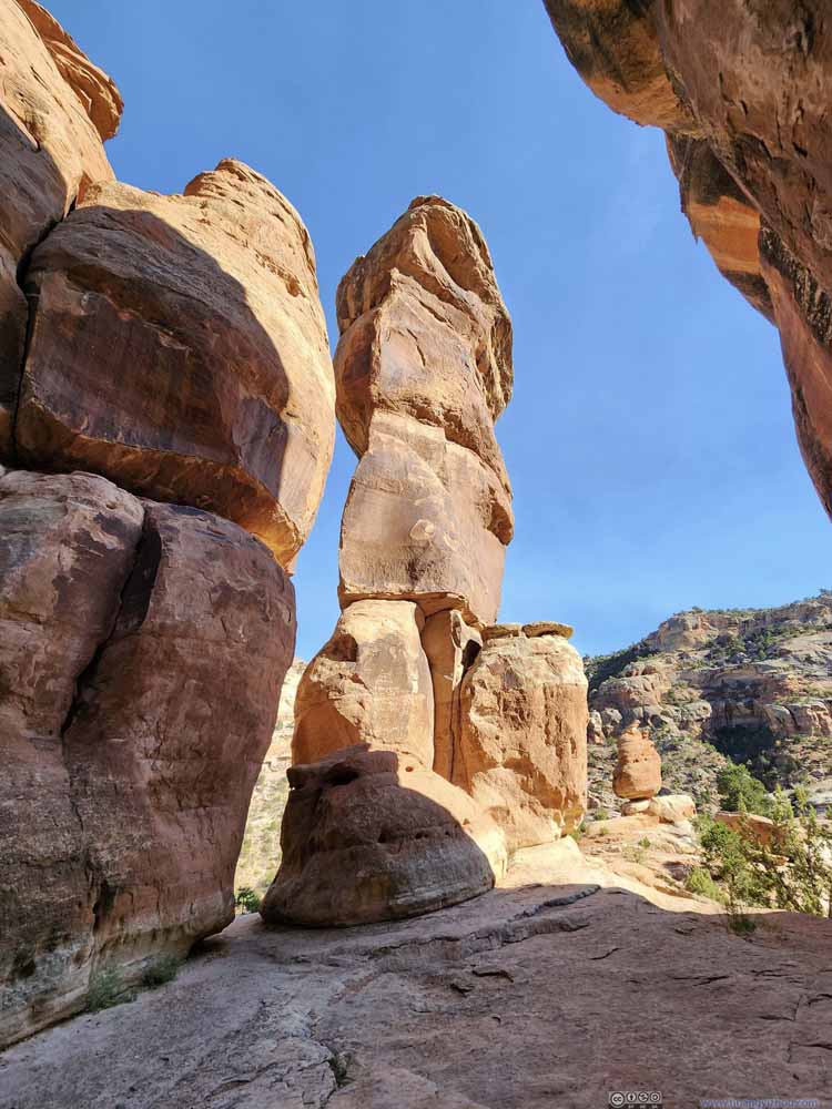
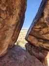
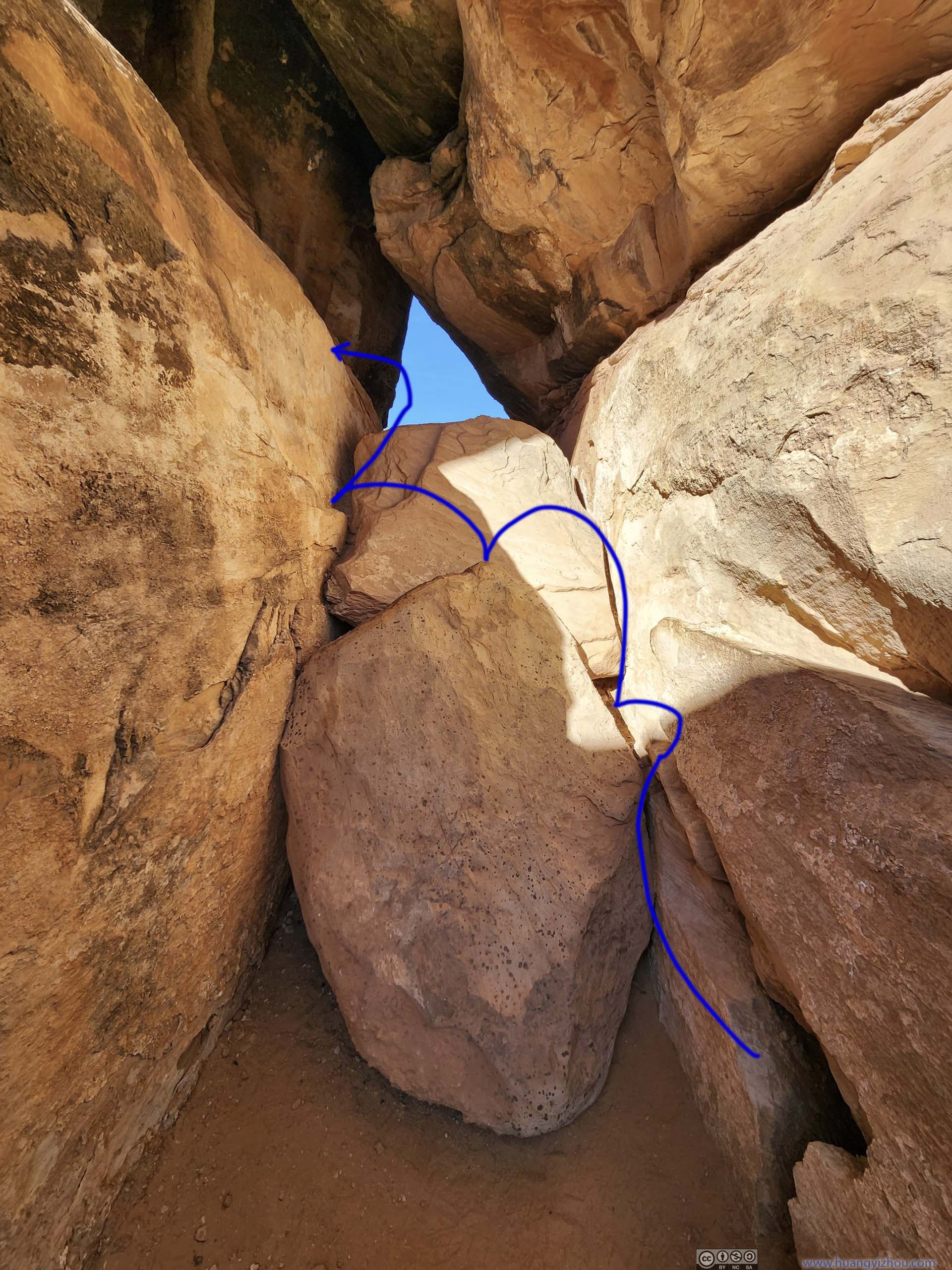
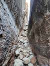
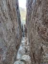
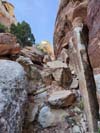
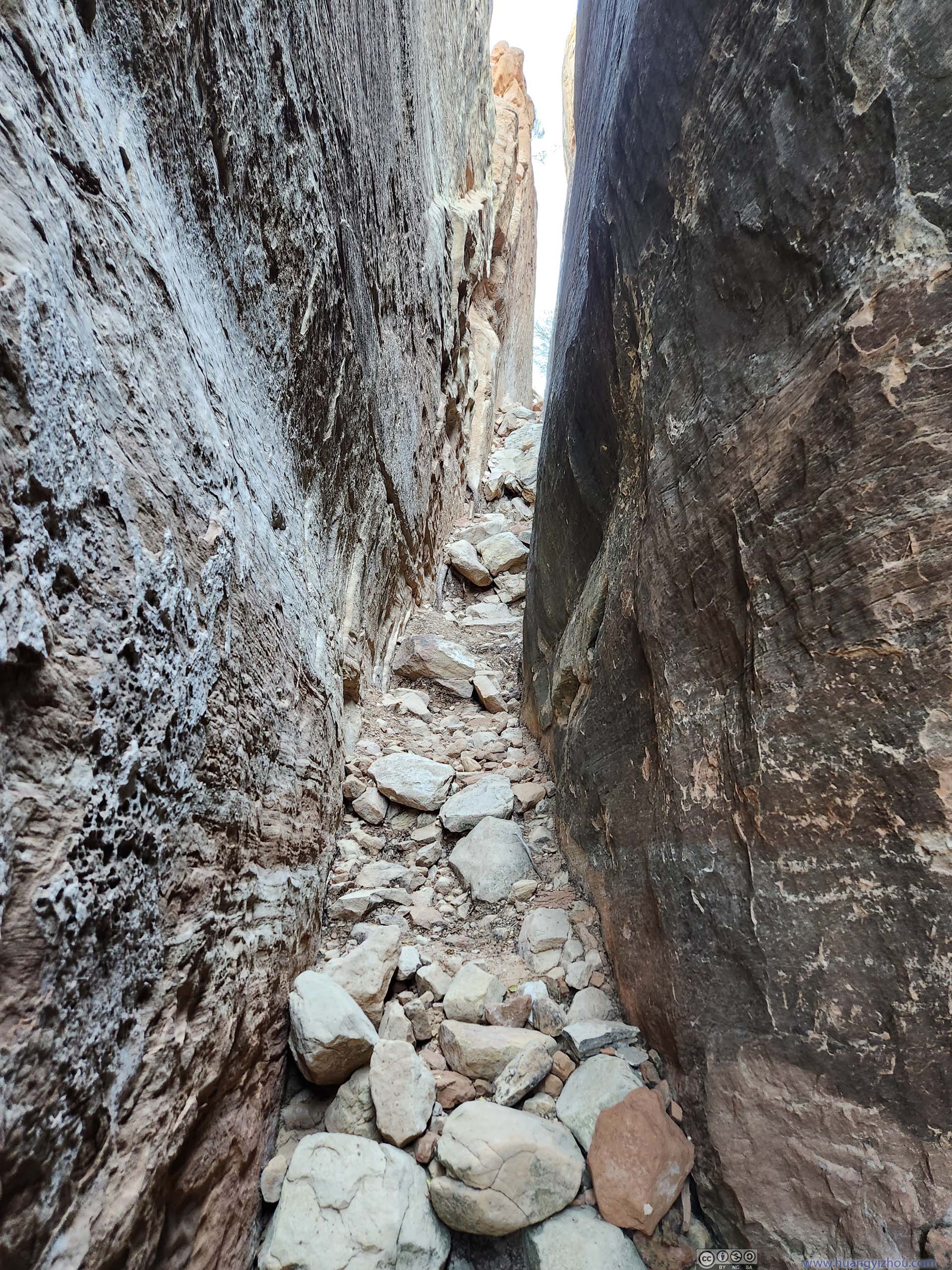
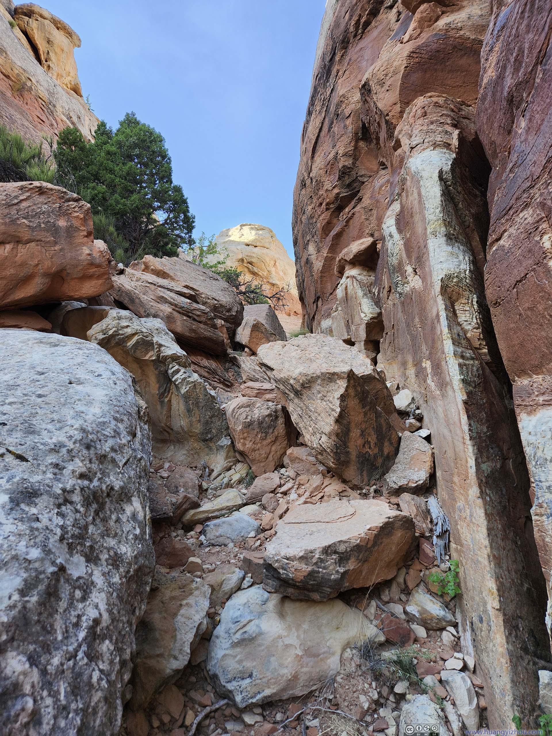
Since I wasn’t 100% sure where “Devil’s Kitchen” was during my visit, and the AllTrails map led further south than where I was, I did more exploration further south. Vegetation was sparse enough in the region that I could make my own trail on the rocks/boulders. After some scouting, I found a narrow passage in between two rock walls that looked interesting (p1-2 below). I decided to name it “Devil’s Back Alley”, which was no doubt a more devious and attractive name than “Devil’s Kitchen”.
 Passage
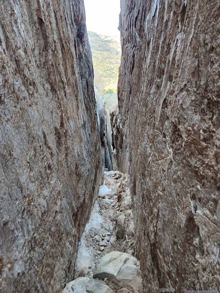 Passage
 Path between Boulders
 Overlooking Devil’s Kitchen
Click here to display photos of the slideshow
Passage

Passage
Path between Boulders

 Overlooking Devil’s Kitchen
Emerging from the narrow passage I found an established trail to the south of “Devil’s Kitchen”, together with two other hikers that, like me, weren’t sure where “Devil’s Kitchen” was. I decided I had had enough playing hide-and-seek with devil for the day, so I headed back towards the trailhead.
 ValleyLooking towards the south. I didn’t find any obvious trails beyond this point, so I turned back.
 ValleyTo the east of Devil’s Kitchen.
 Rock Formations
 Rock FormationsA small rock stuck between two bigger spires.
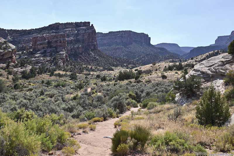 CanyonNamed “No Thoroughfare Canyon” for being long
 and probably not very scenic.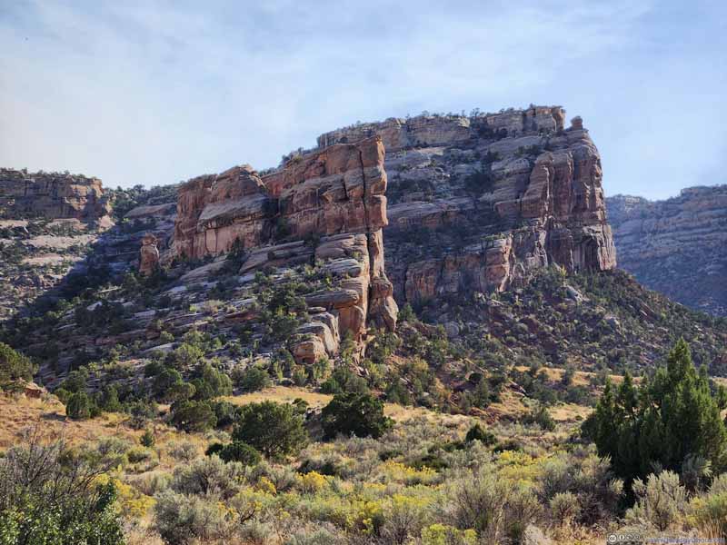 Devil’s Kitchen before Rocky HillsFrom a distance.
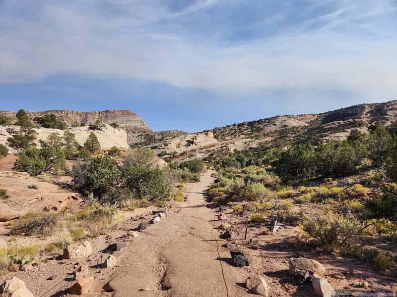 Trail
Trail

Click here to display photos of the slideshow
ValleyLooking towards the south. I didn’t find any obvious trails beyond this point, so I turned back.
ValleyTo the east of Devil’s Kitchen.

Rock Formations
Rock FormationsA small rock stuck between two bigger spires.

CanyonNamed “No Thoroughfare Canyon” for being long and probably not very scenic.
Devil’s Kitchen before Rocky HillsFrom a distance.

Trail
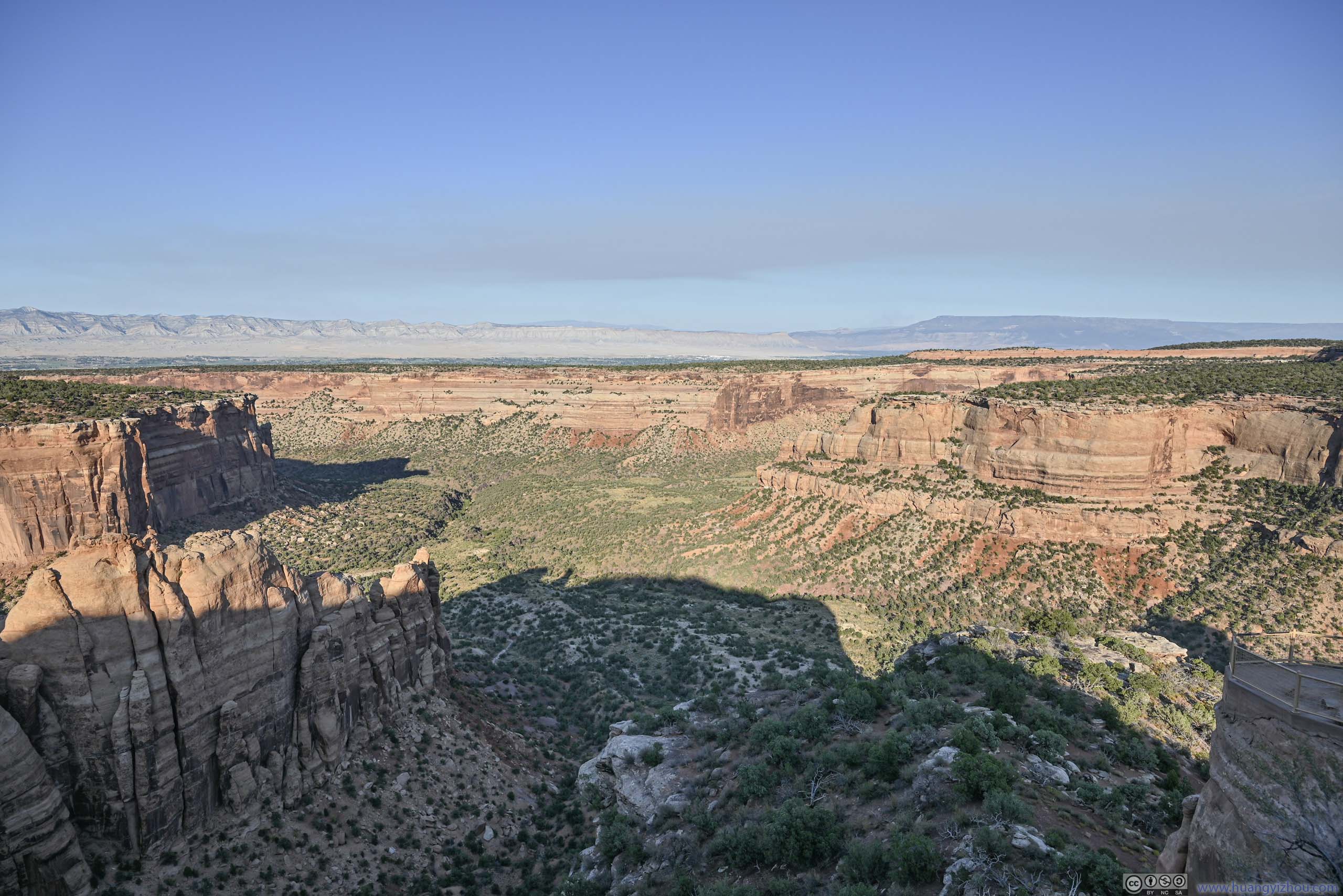
Cold Shivers Point
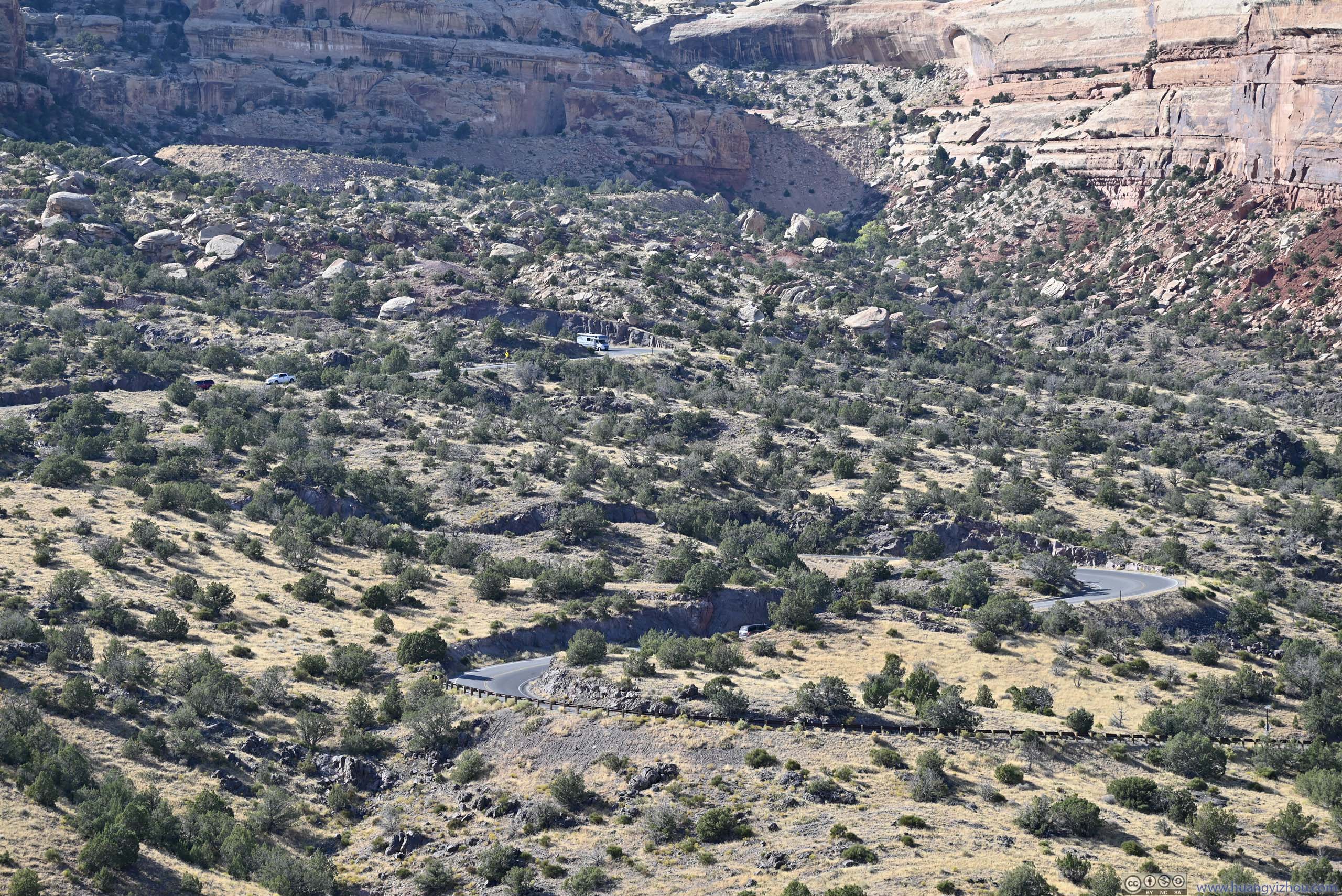
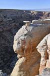
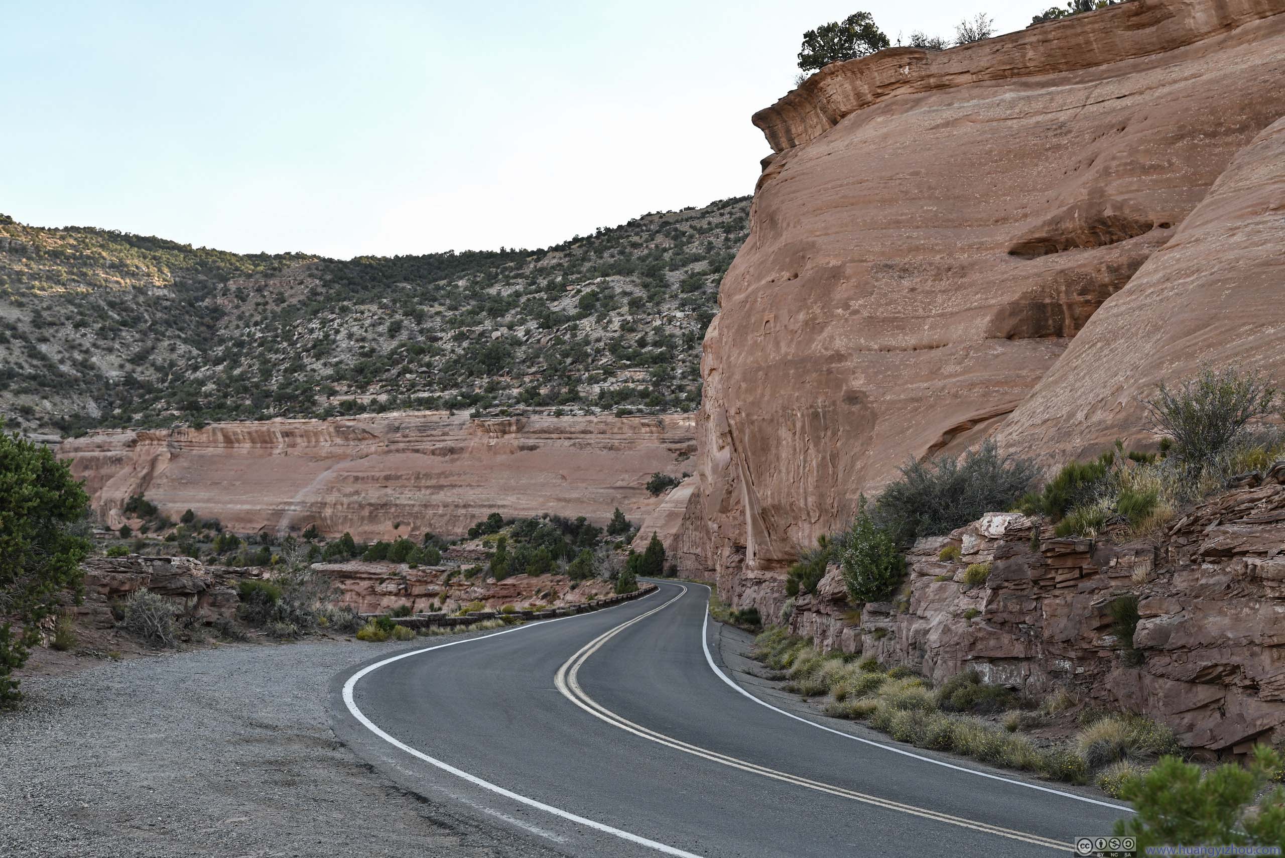
After Devil’s Kitchen, I started driving along Rimrock Drive to the northwest. This was the first overlook along the road, with views overlooking a canyon. The actual “Cold Shivers Point” (p1-3 below) stood on top of a vertical cliff, with moderate exposure.
 Cold Shivers Point
 Cold Shivers Point
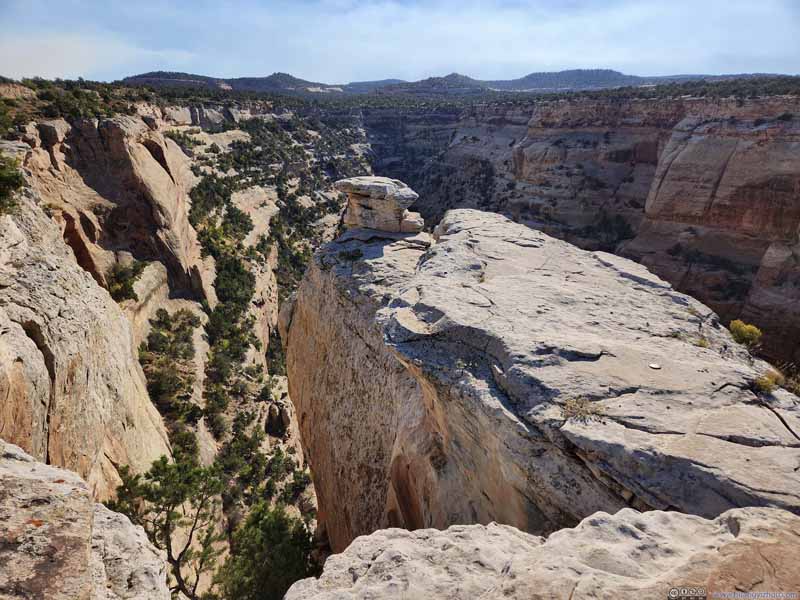 Cold Shivers PointFrom this angle Cold Shivers Point looked very accessible.
 Canyon
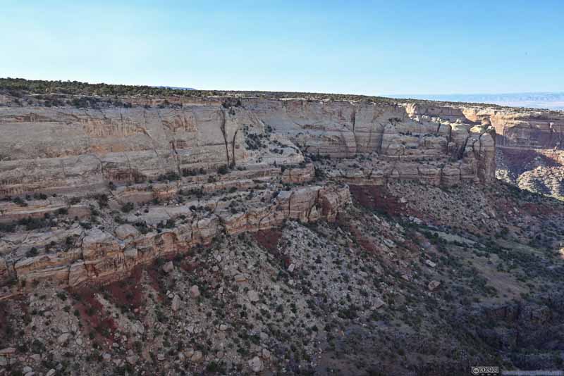 Canyon Walls
Click here to display photos from Cold Shivers Point.
Cold Shivers Point
Cold Shivers Point
Cold Shivers PointFrom this angle Cold Shivers Point looked very accessible.
Canyon
Canyon Walls
More Overlooks
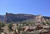
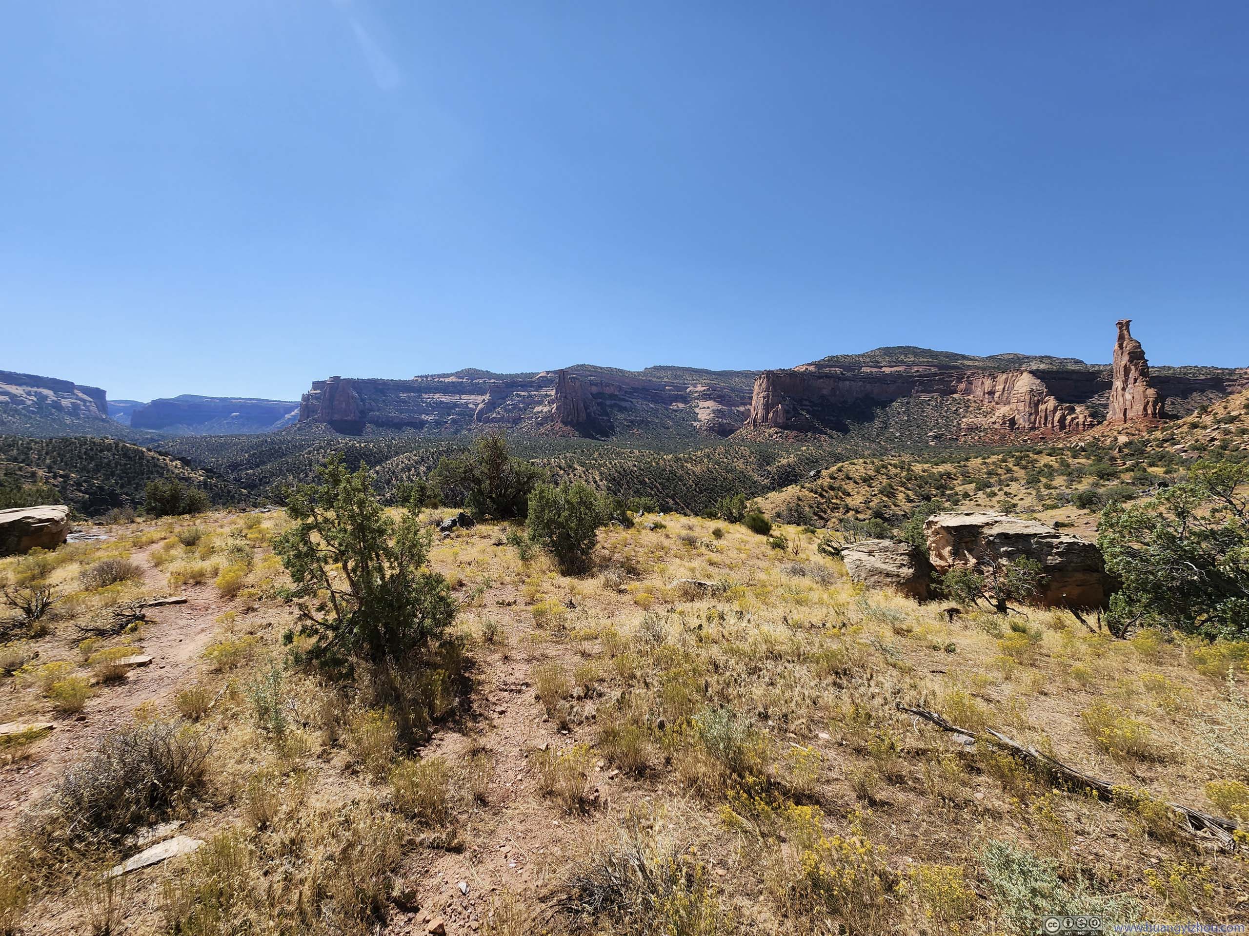
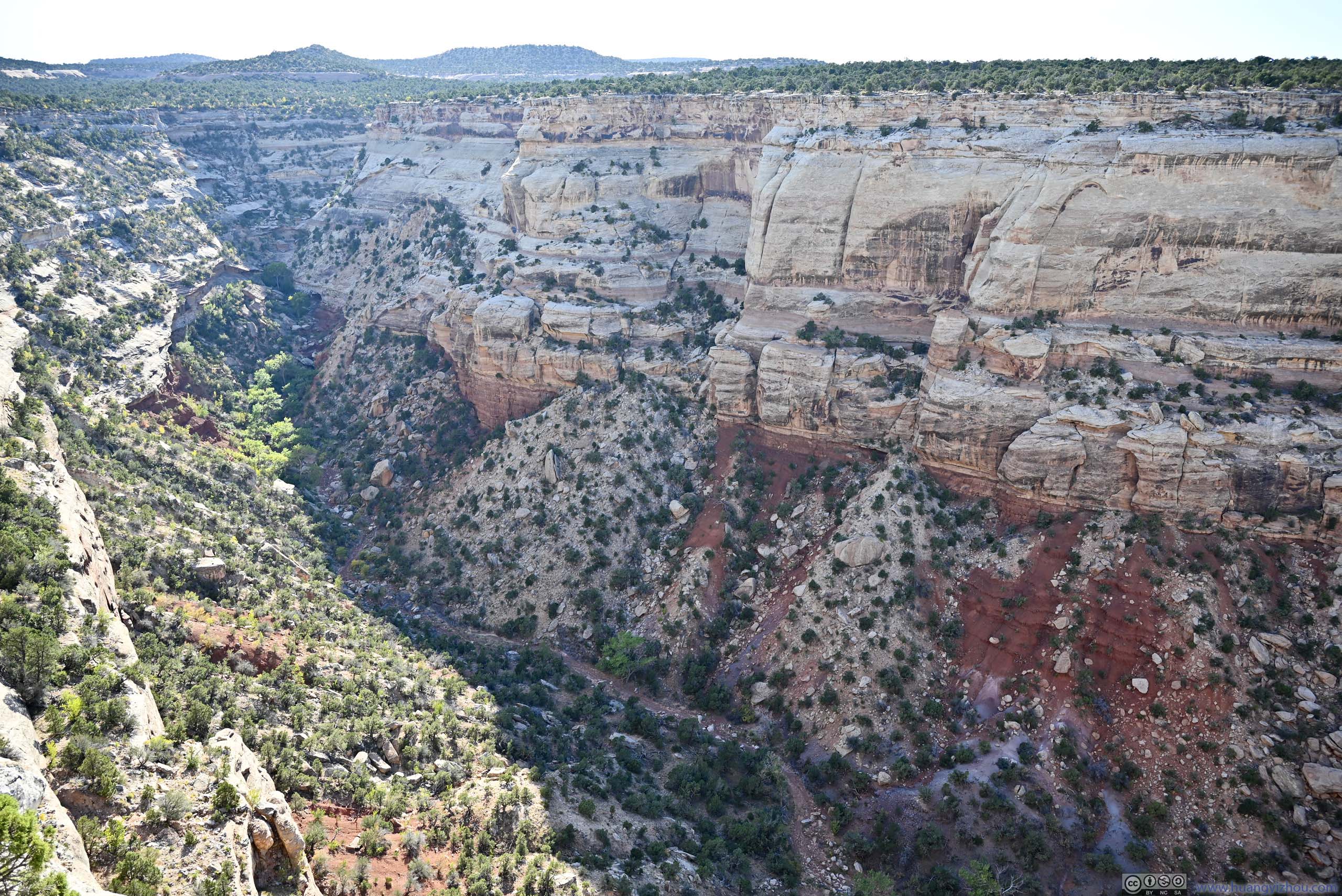
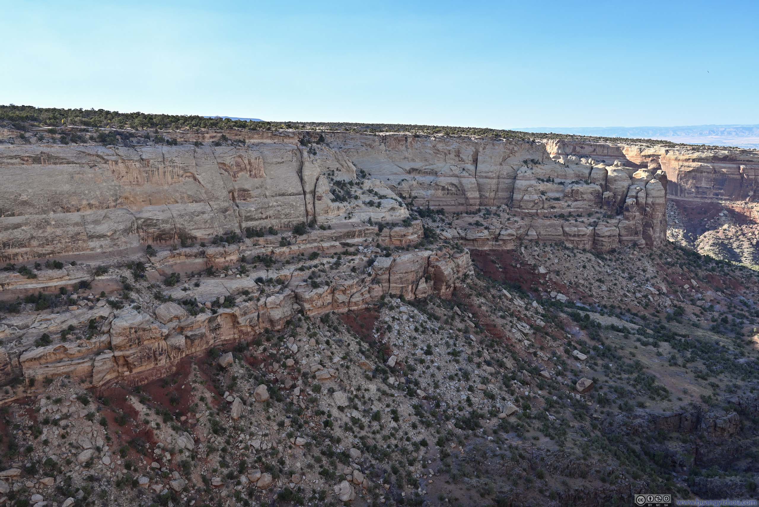
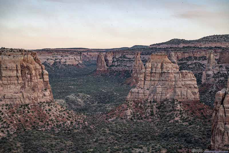
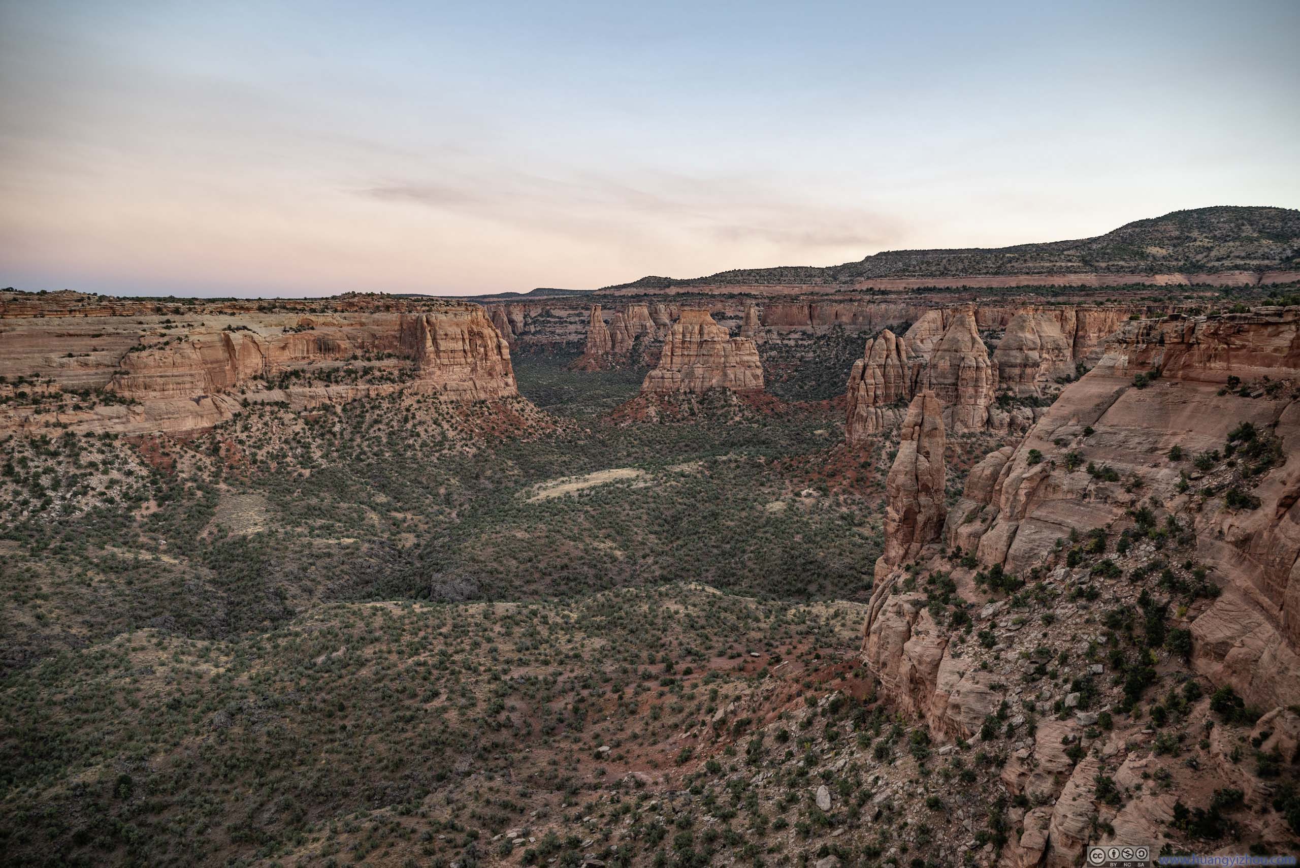
Then there were more overlooks along the way. It felt to me that the canyons in the southern part of the park were more narrow and less eroded, and thus featured few buttes. The ones later in the northern part were wider and more open, likely due to more erosion, and featured more buttes which were certainly the highlight of the park.
 Red Canyon
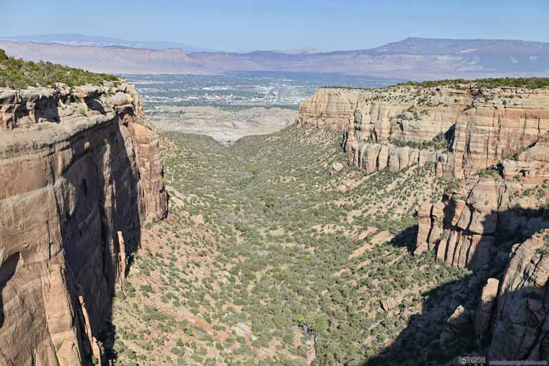 Red Canyon
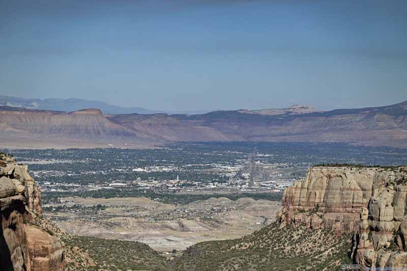 City of Grand Junction beyond Red Canyon
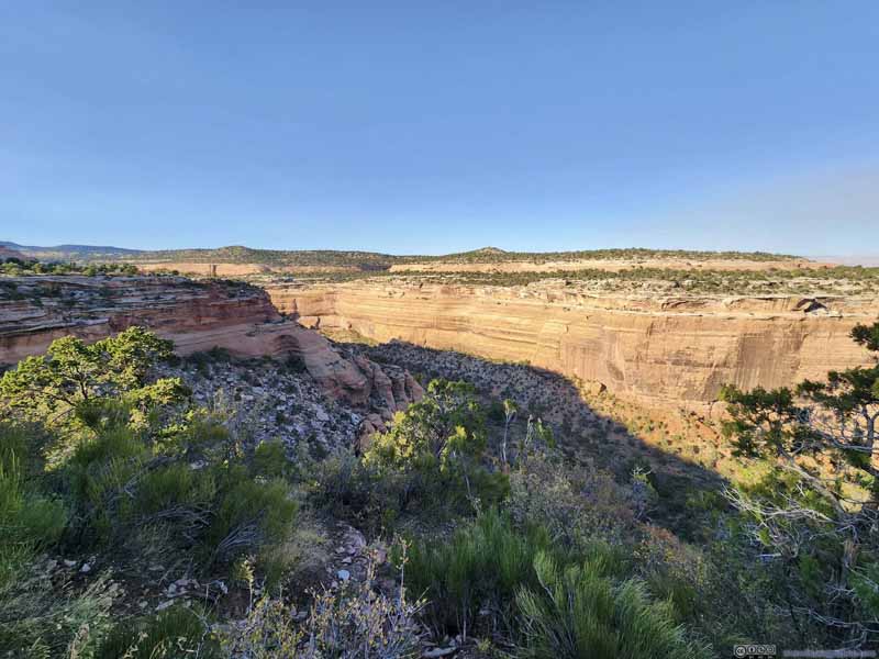 Ute Canyon
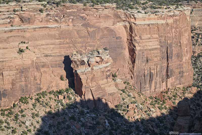 Fallen Rock in Ute Canyon
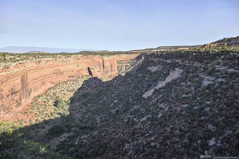 Ute Canyon
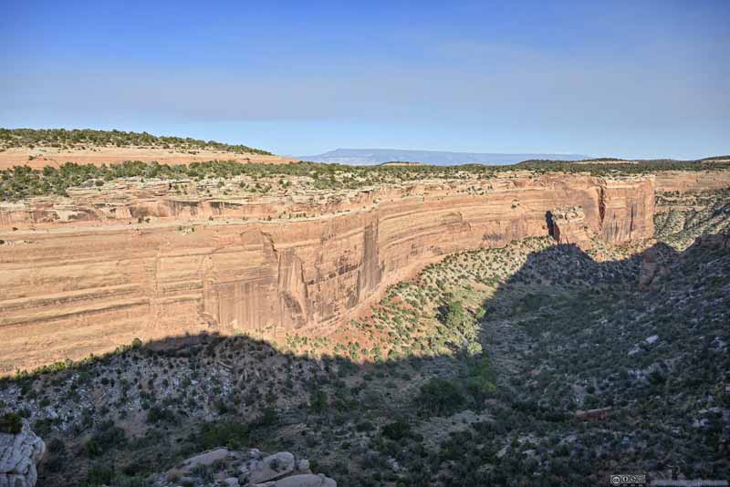 Northern Wall of Ute Canyon


Click here to display photos of the slideshow

Red Canyon

Red Canyon

City of Grand Junction beyond Red Canyon
Ute Canyon

Fallen Rock in Ute Canyon
Ute Canyon

Northern Wall of Ute Canyon
 CanyonsFrom Highland View.
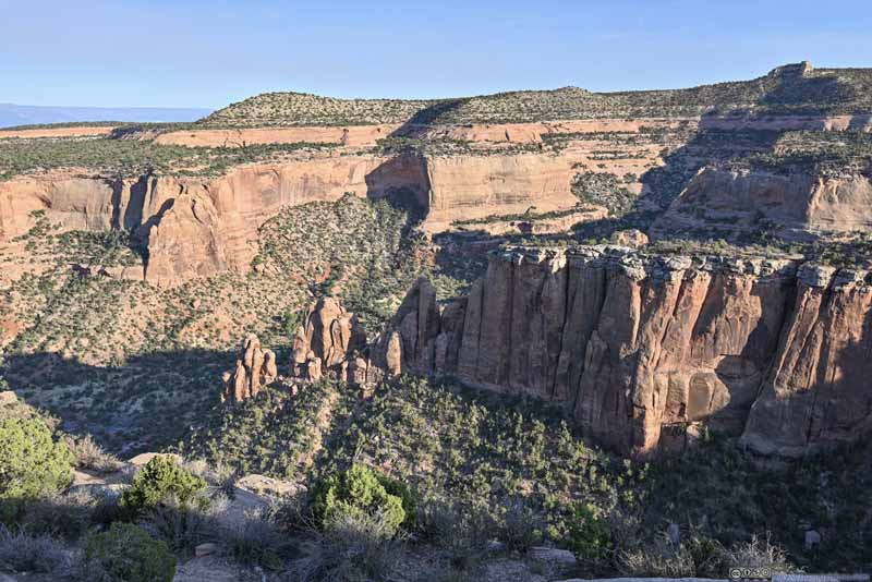 Buttes
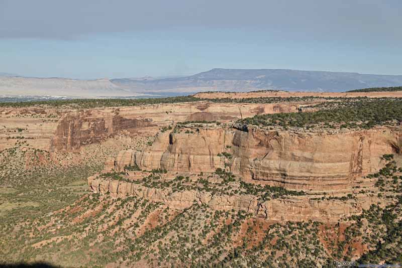 Canyon Wall
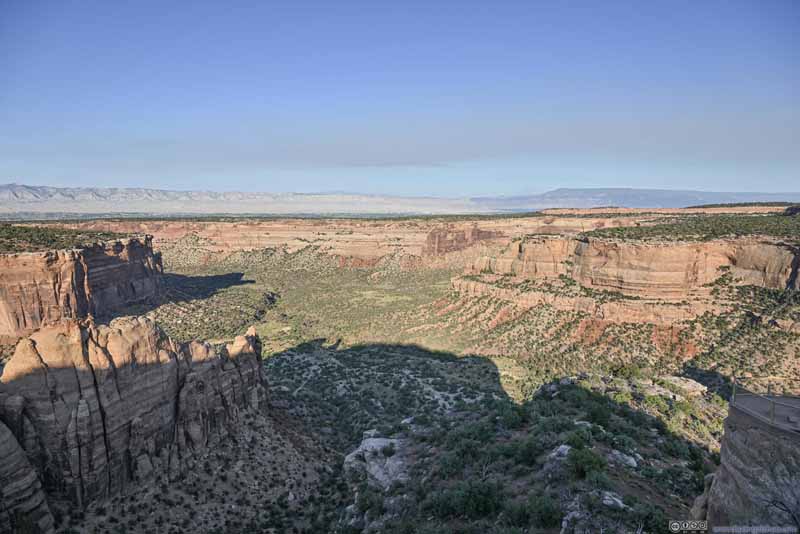 Monument Canyon from Artists Point
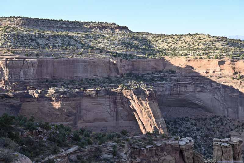 Canyon Wall
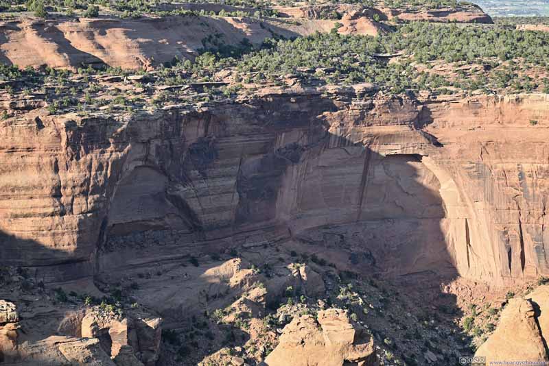 Canyon WallTwo arches forming.
Click here to display photos of the slideshow

CanyonsFrom Highland View.

Buttes
Canyon Wall
Monument Canyon from Artists Point

Canyon Wall
Canyon WallTwo arches forming.
 CanyonFrom Monument Canyon Upper Trailhead.
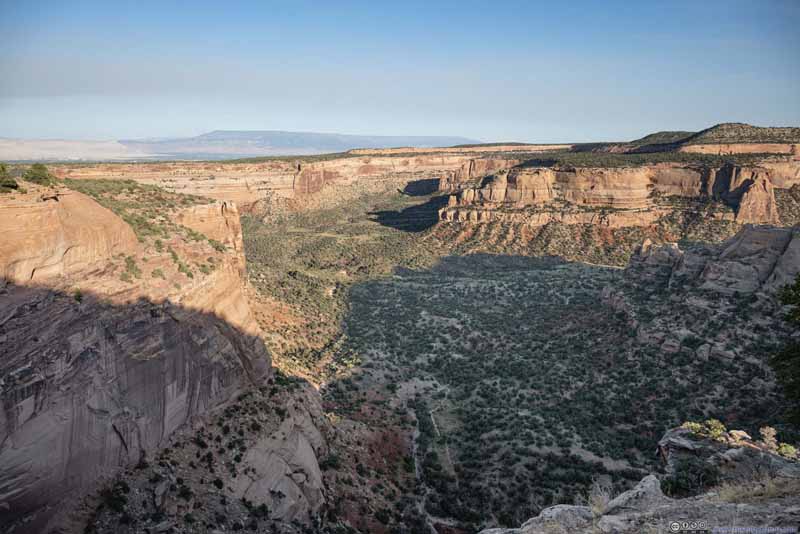 Canyon
 CanyonFrom Independence Monument View.
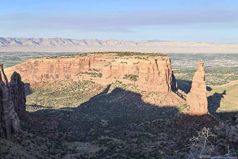 Independence Monument and MesaFrom Independence Monument View.
Click here to display photos of the slideshow
CanyonFrom Monument Canyon Upper Trailhead.

Canyon
CanyonFrom Independence Monument View.

Independence Monument and MesaFrom Independence Monument View.
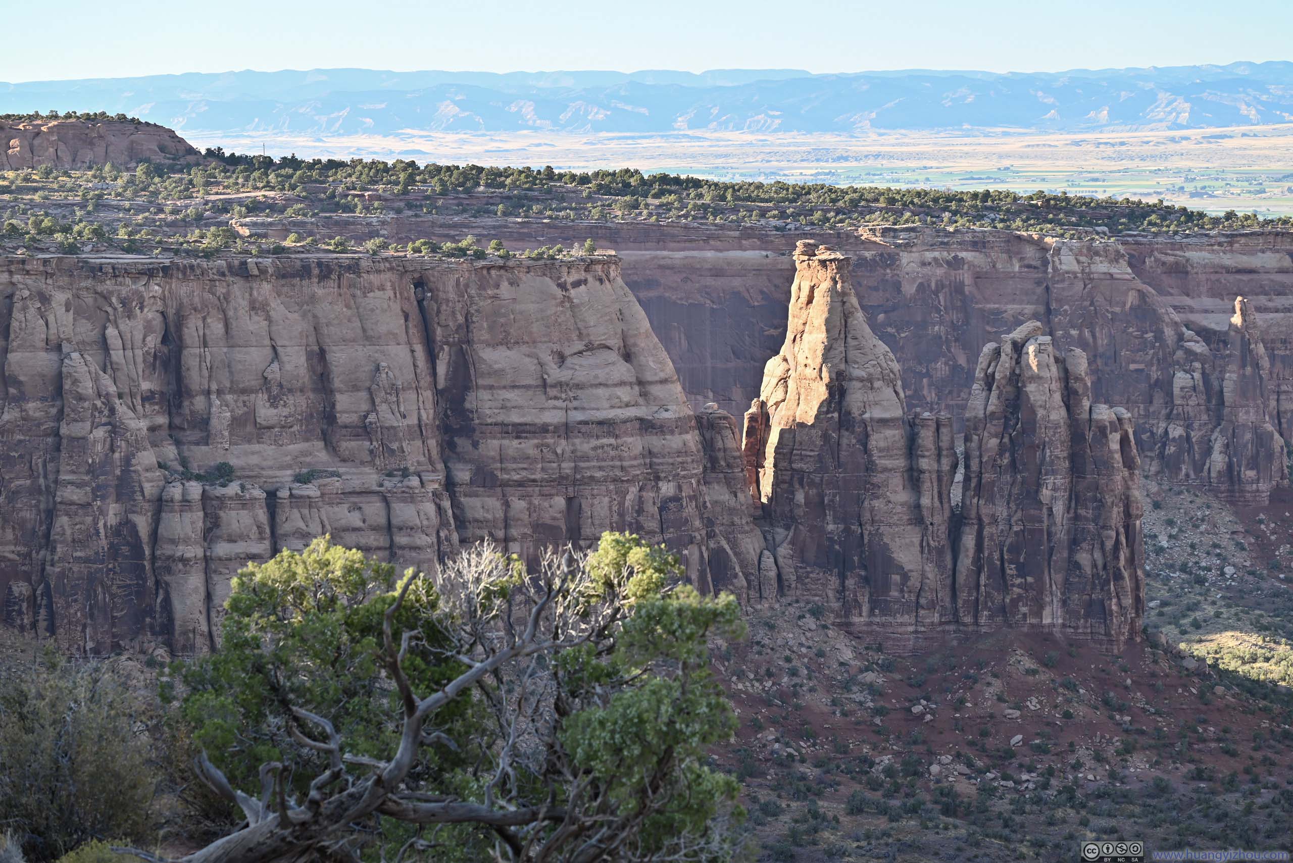
Grand View
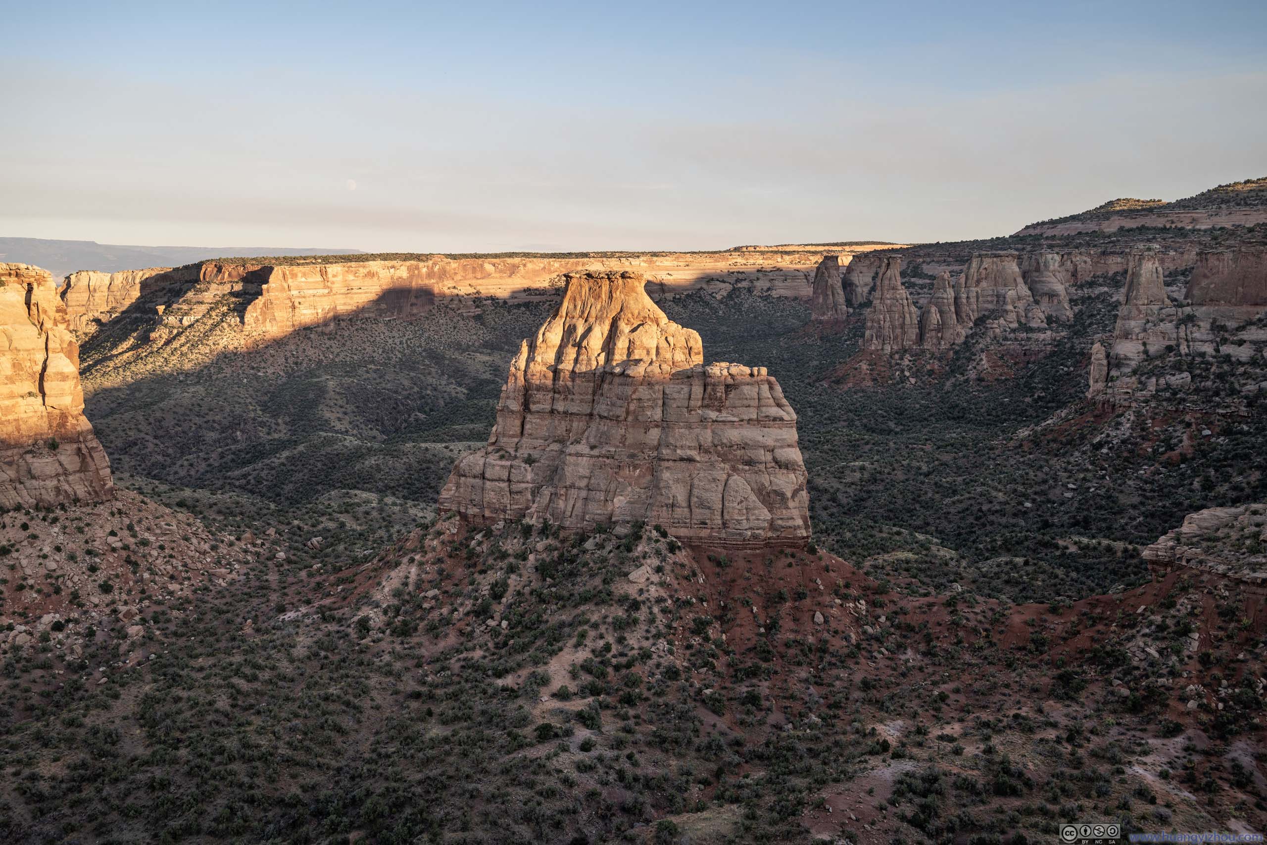
Towards the north of the park there was a high density of overlooks. Among them was “Grand View”, where a butte (Grand View Spire) was just steps away from the parking area.
 Buttes
 Canyon
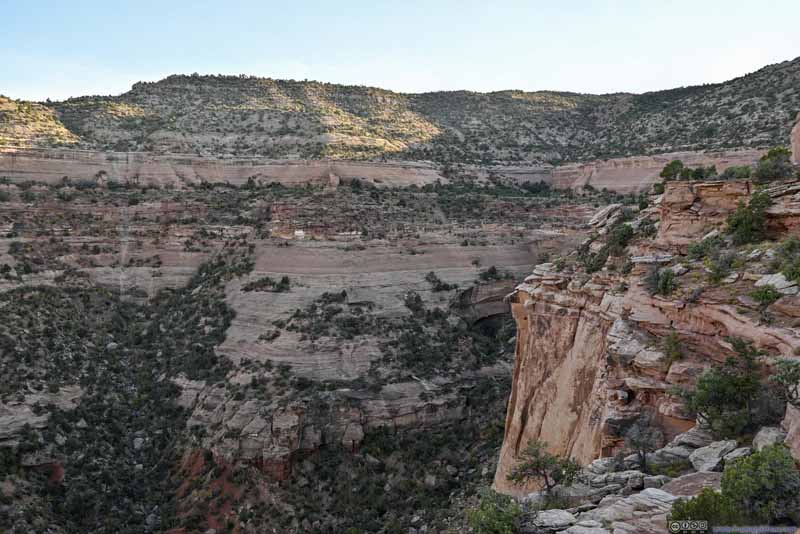 CanyonThe road wrapped around the canyon in the background.
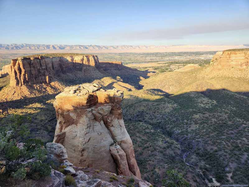 Grand View Spire before Monument Valley
 Independence Monument
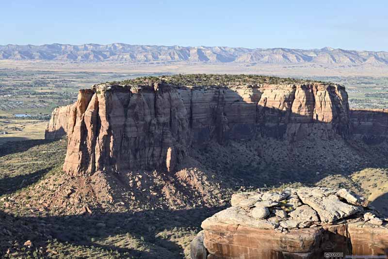 Mesa
Mesa Pipe Organ
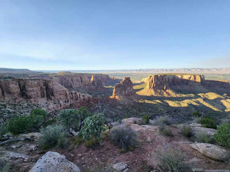 Monument Canyon
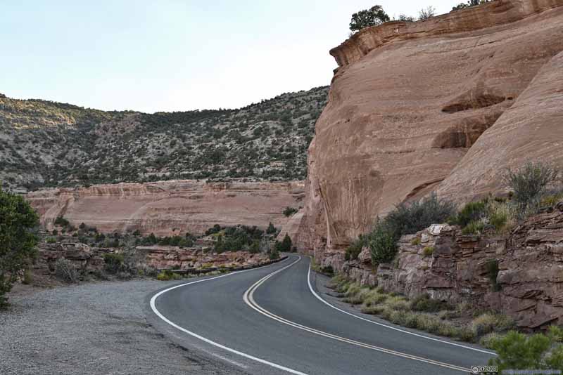 Road
Site of “Half Tunnel” where during the construction of the road, where fallen work after explosion killed 9 works.
Road
Site of “Half Tunnel” where during the construction of the road, where fallen work after explosion killed 9 works.


Click here to display photos from “Grand View”.
Buttes
Canyon
CanyonThe road wrapped around the canyon in the background.

Grand View Spire before Monument Valley
Independence Monument

Mesa
Pipe Organ
Monument Canyon
Road
Monument Canyon from Grand View
Otto’s Trail
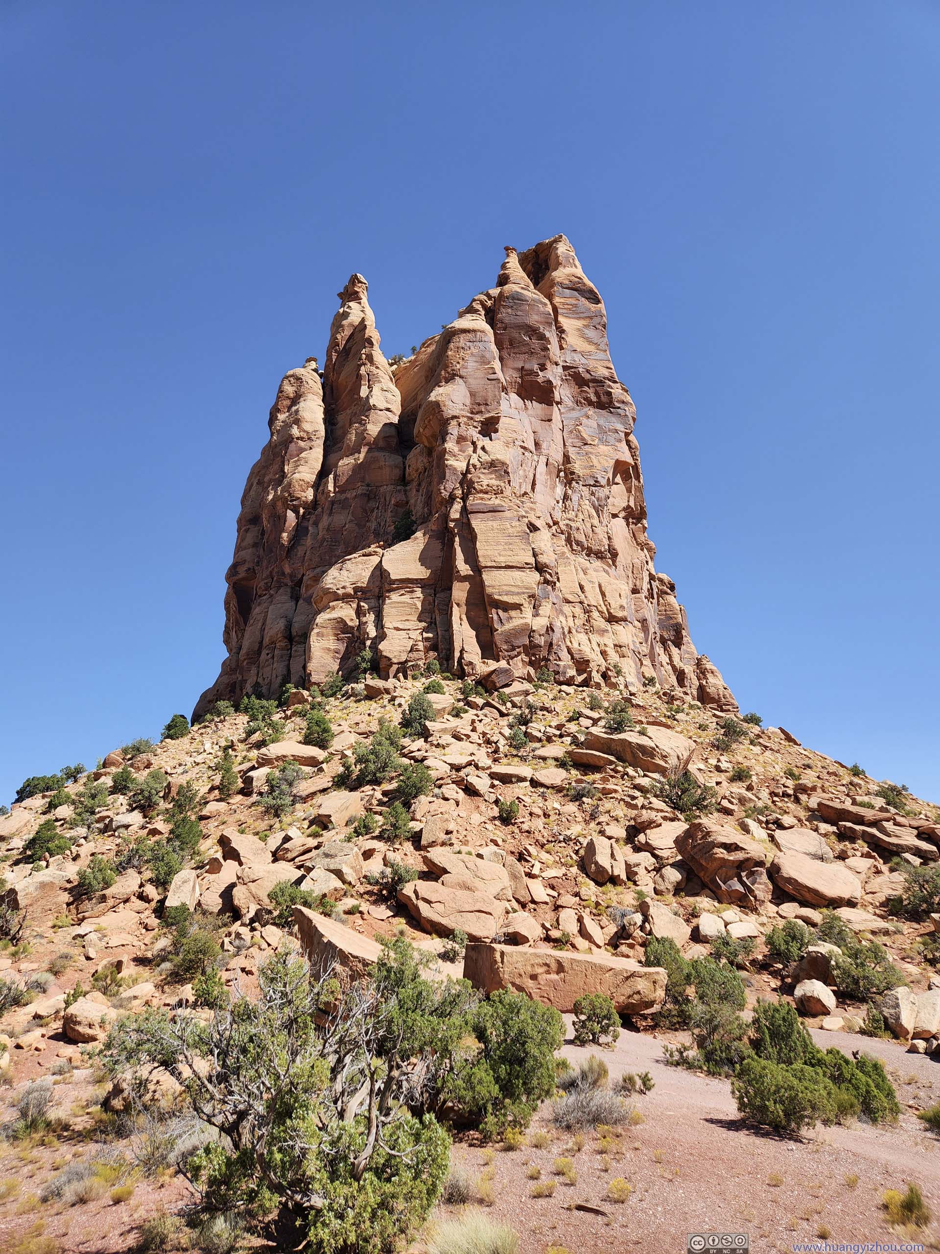
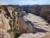
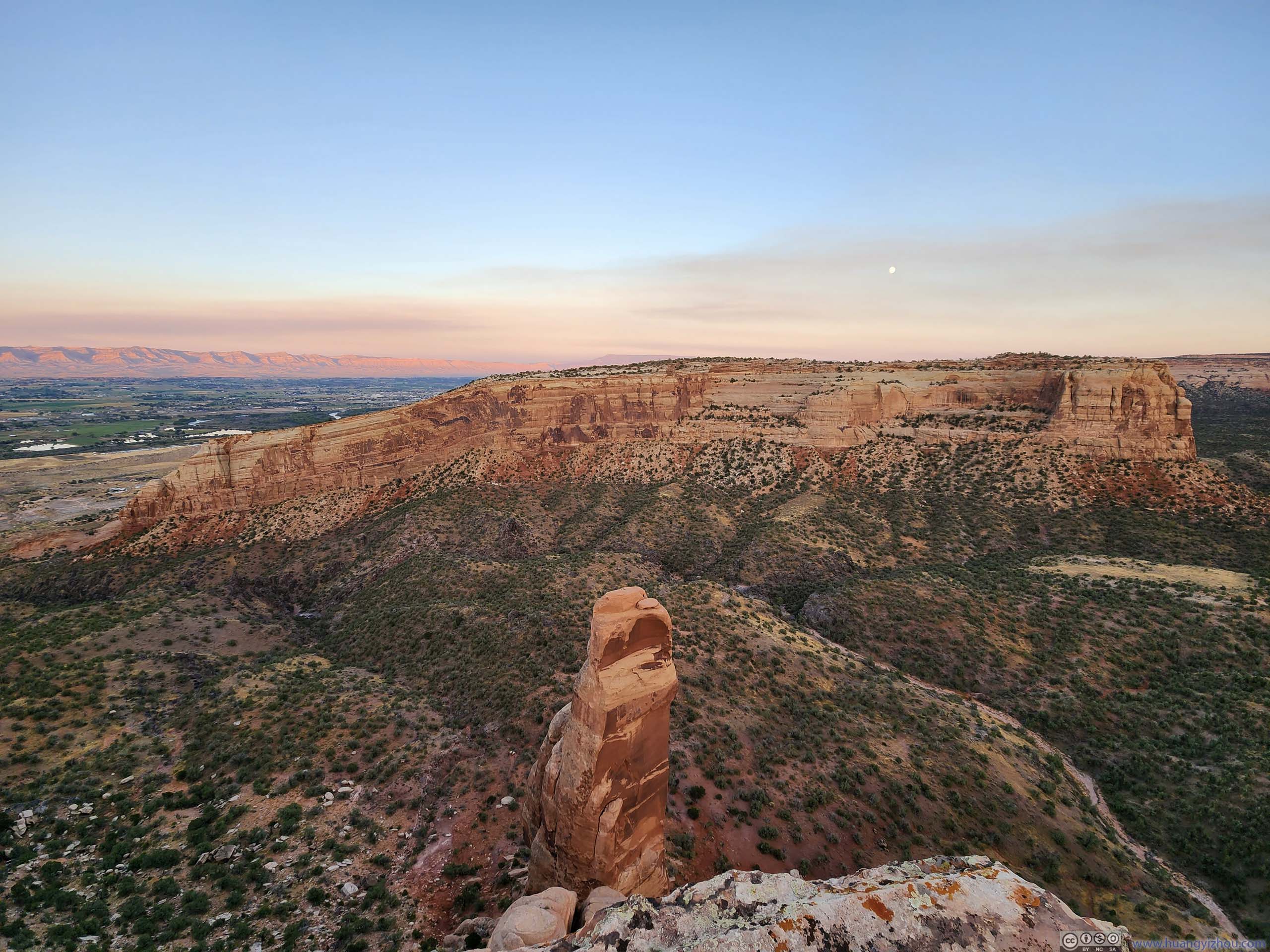
Then I checked out Otto’s Trail, named for the park’s advocate and first custodian. This was a 1.1km out-and-back with minimal elevation change, following one of the “peninsulas” into Monument Canyon. Just like previously at “Grand View”, beyond the end of the trail there were some buttes, the ones here were named “Pipe Organ”.
From the canyon rim, the end of Otto’s Trail was as close as one can get to Independence Monument. An NPS information board marked the route following which John Otto climbed this butte every Independence Day.

 Pipe Organ
 Independence Monument in Monument Canyon
 Buttes along Monument Canyon
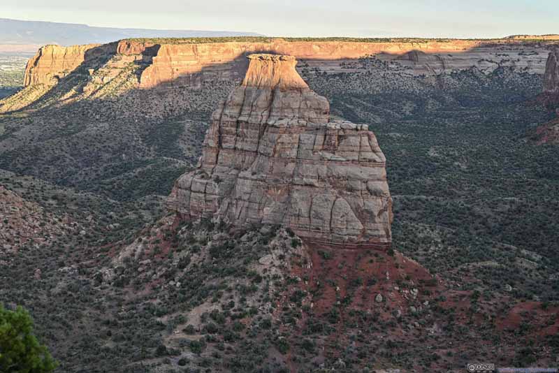 Independence Monument
 TrailTowards the backdrop of various mountains to the north of Grand Junction.


Click here to display photos of the slideshow
 Pipe Organ
Independence Monument in Monument Canyon

Buttes along Monument Canyon

Independence Monument
TrailTowards the backdrop of various mountains to the north of Grand Junction.
Book Cliffs View Surroundings
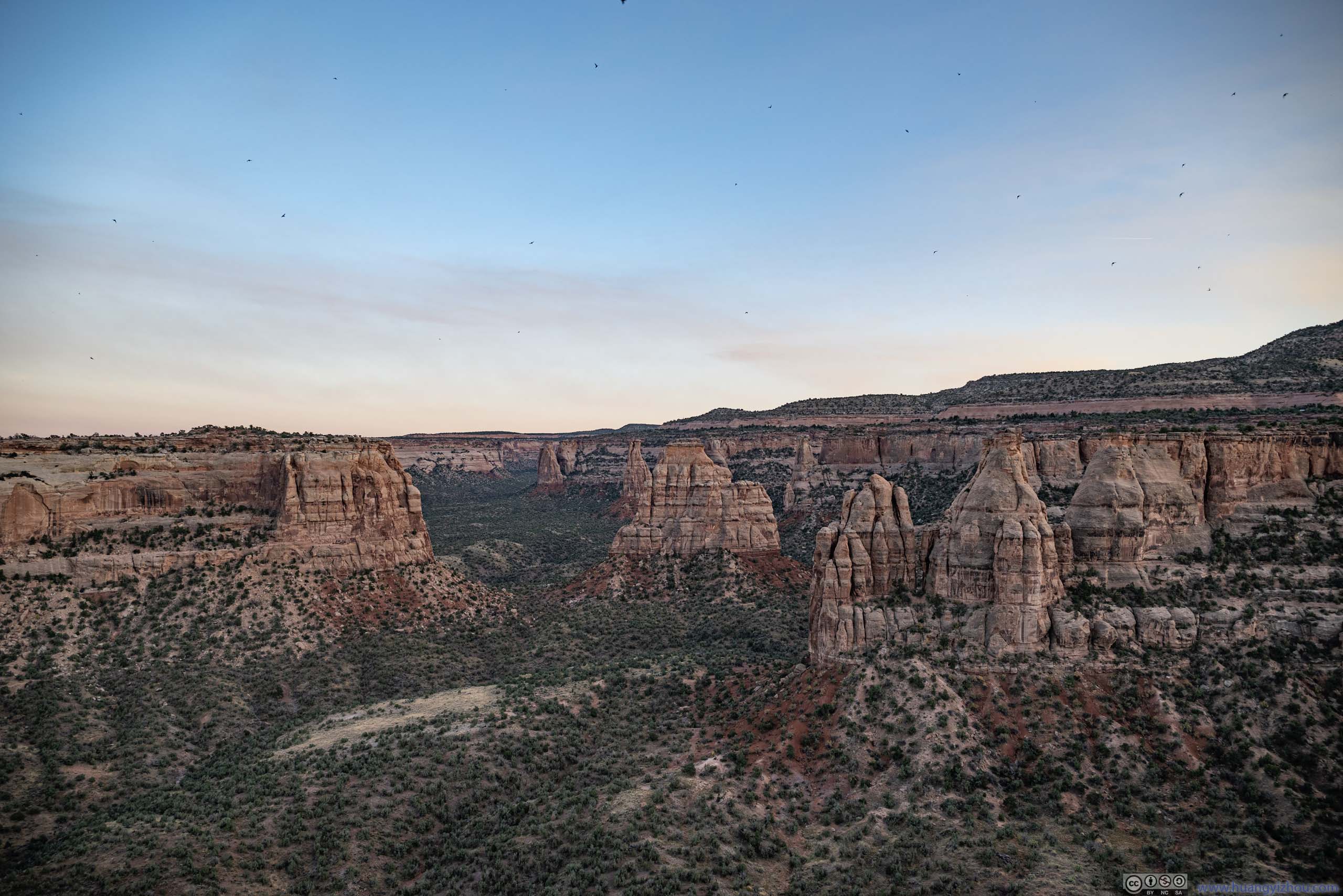
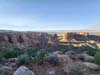
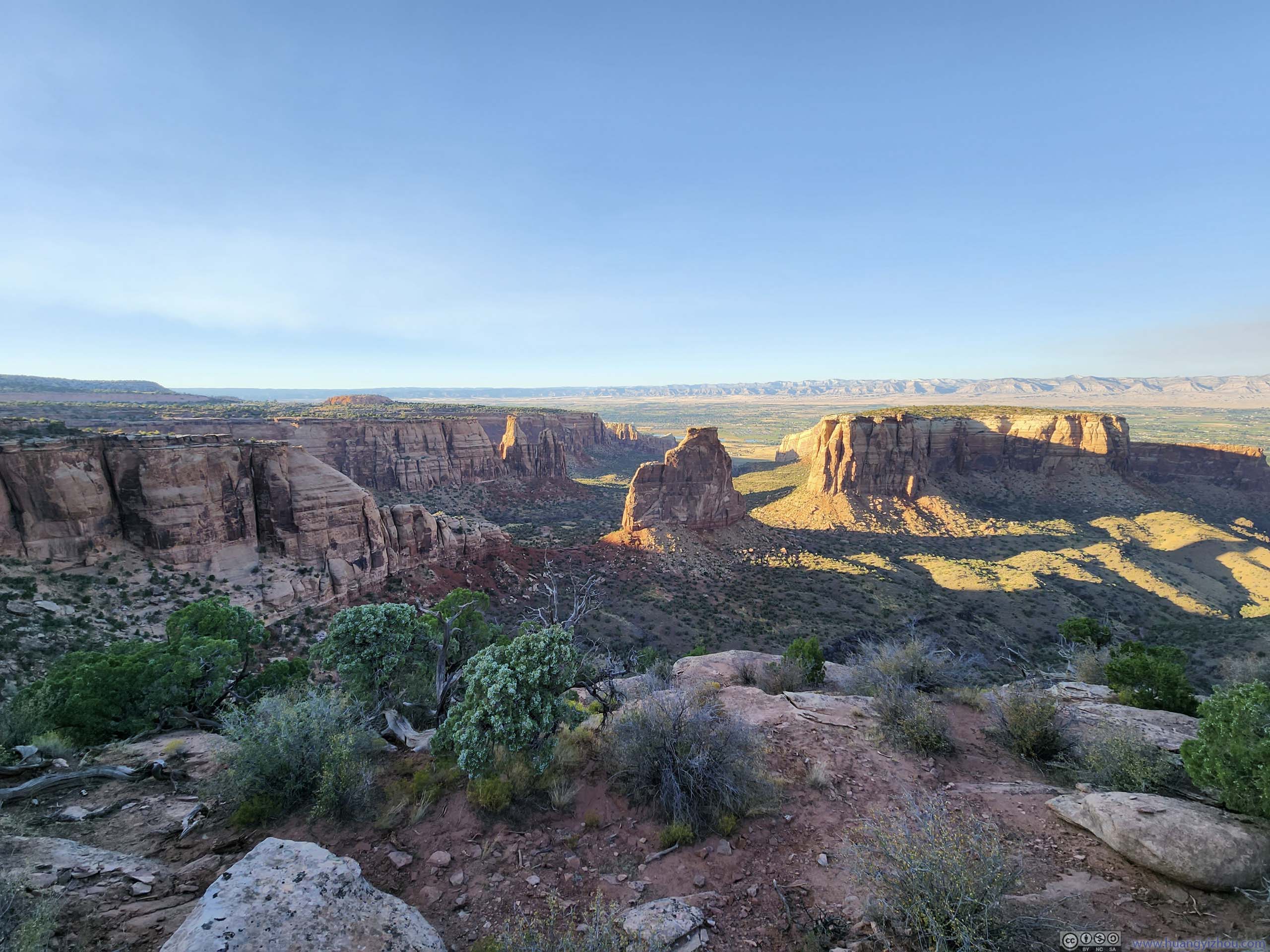
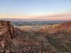
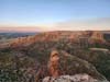
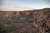
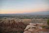
I reached Book Cliffs View minutes before sunset, when most of the canyons and buttes had retreated into shadows in their soft and approachable colors. Walking a short distance towards the south, I got arguably the best view of the day, on top of a cliff near the mouth of Monument Canyon. From there a series of buttes scattered around in Monument Canyon, as if casually posing for a group photo, under the vibrant colors of twilight. It showcased the best and most wonderous landscapes of the park in a single shot, of its sheer canyon walls, ubiquitous mesas, and rugged buttes. No wonder the park’s visitor center and campgrounds were nearby.
 Monument Canyon
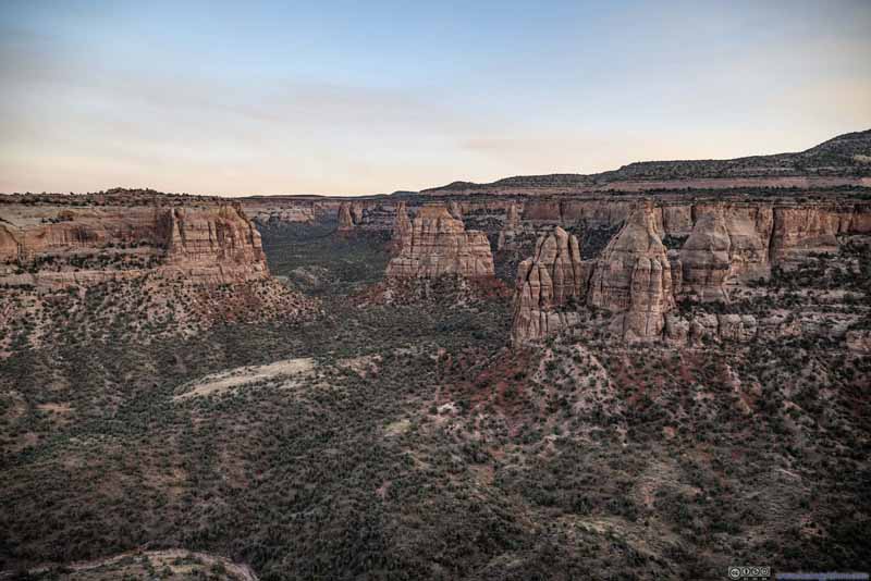 Monument Canyon
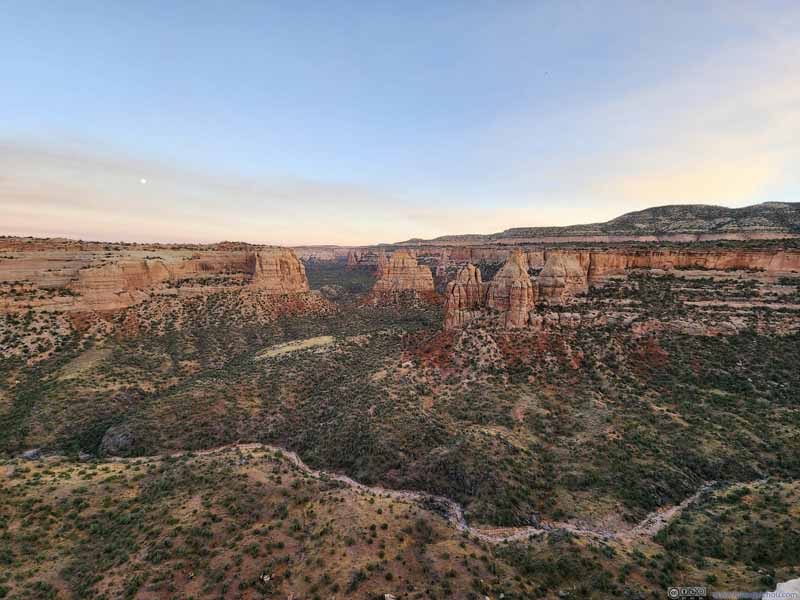 Monument Canyon
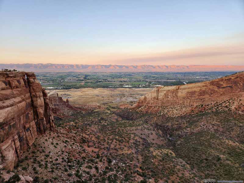 Wedding Canyon
 Mesa and Sentinel SpireThe trail I hiked this morning wrapped around the mesa in the background.
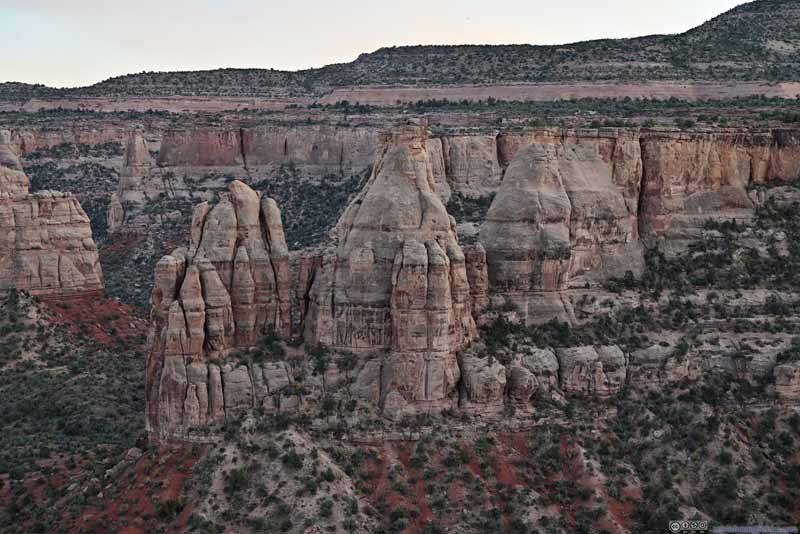 Pipe Organ
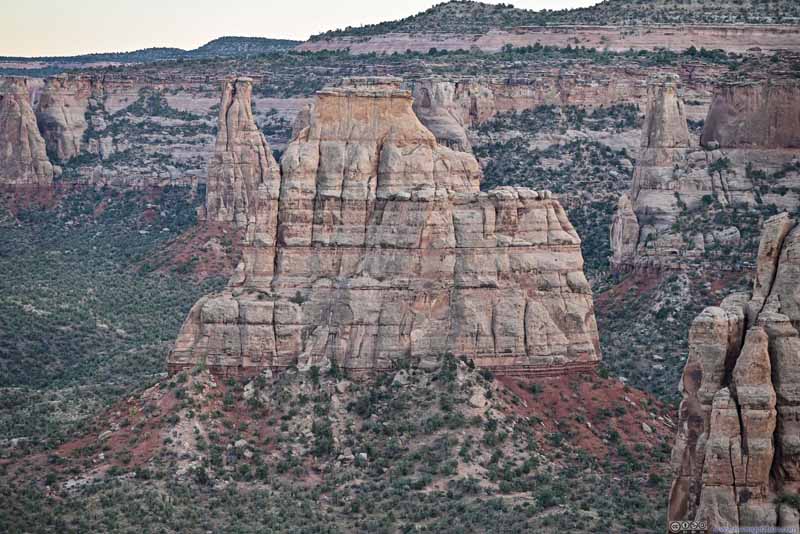 Independence Monument
Click here to display photos of Monument Canyon.
Monument Canyon
Monument Canyon
Monument Canyon

Wedding Canyon
Mesa and Sentinel SpireThe trail I hiked this morning wrapped around the mesa in the background.
Pipe Organ
Independence Monument
Monument Canyon
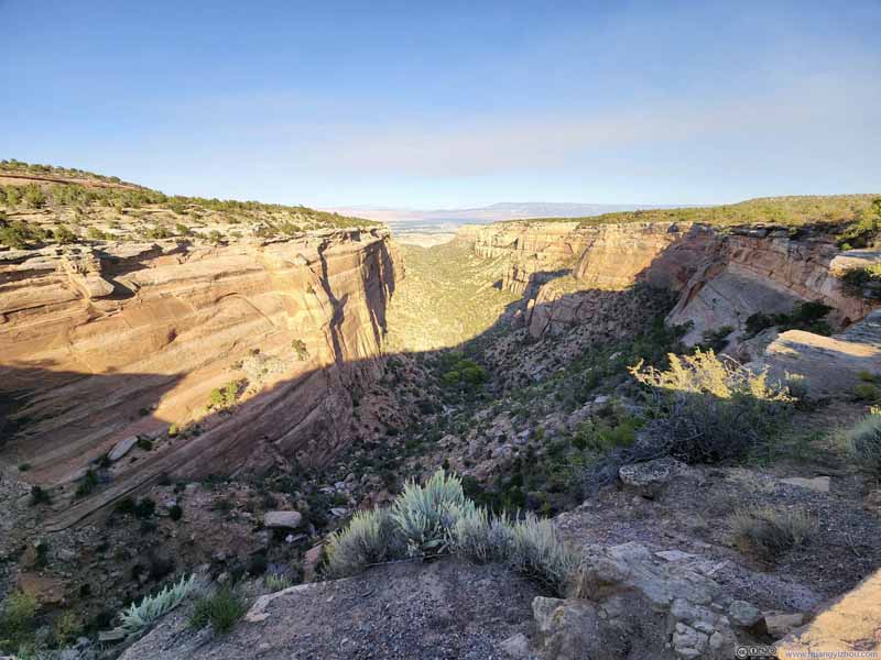
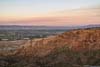
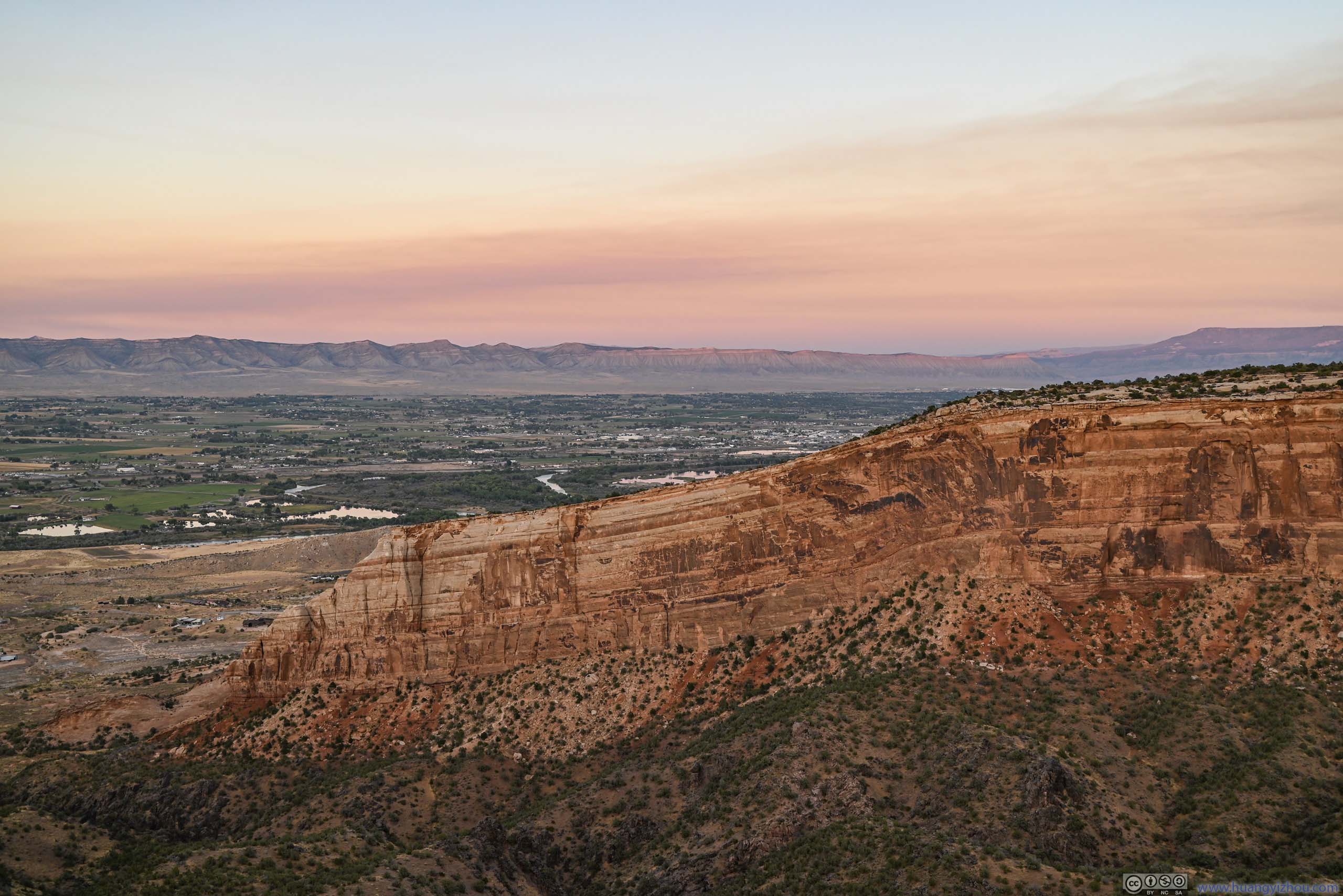
To the north of Book Cliffs View, the opening of Wedding Canyon brought into view the town of Fruita, and a distant line of mountains shaped like books on a shelf (hence the name of the overlook). The meandering Colorado River made its shiny presence reflecting the still-glowing skies, among farmland and suburbs that were slipping into darkness.
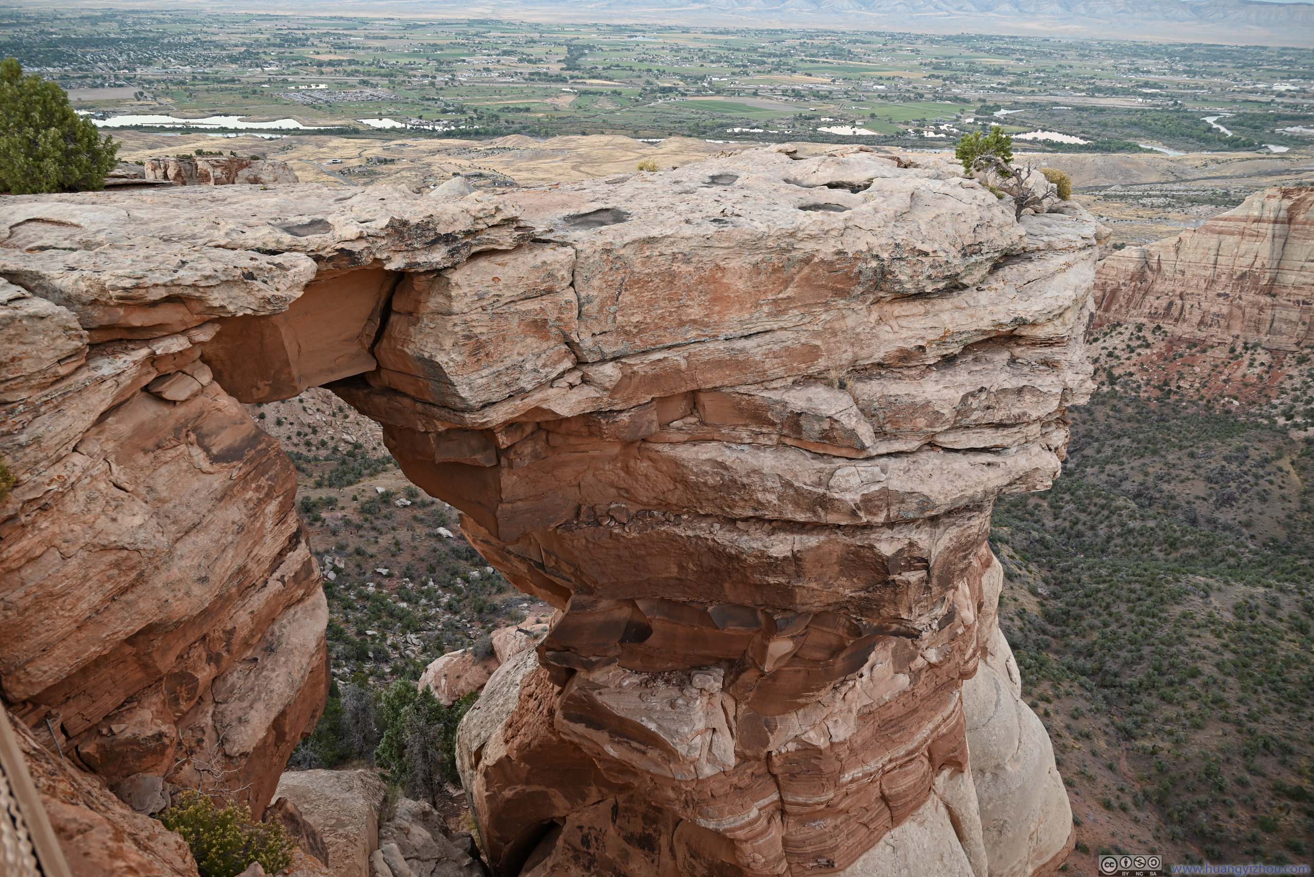
Oh, there’s also an interestingly shaped Window Rock (p1 below). Honestly, I thought “bridge rock” was a more appropriate (but less aesthetic) name as a butte seemed connected to a nearby mesa by a rock bridge. Unlike Cold Shivers, due to the popularity here, NPS fenced the rock off.
 Window Rock
 Sentinel SpireFelt like two prayer hands to me.
 Monument Canyon
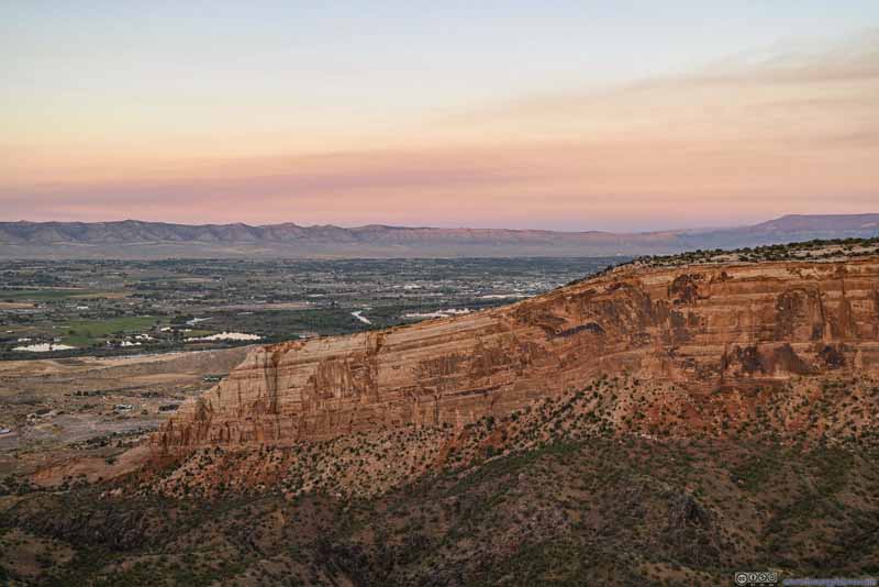 Colorado River beyond Mesa in Twilight
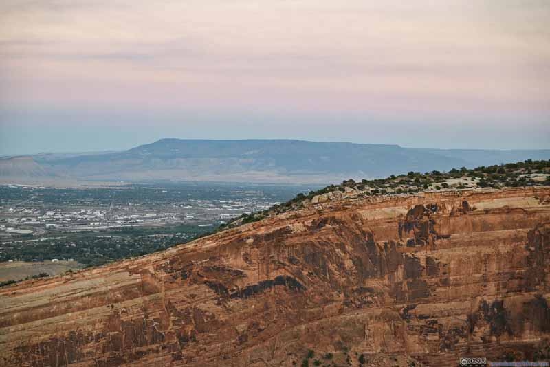 Distant Grand Mesa
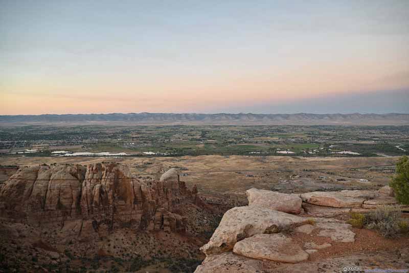 Town of Fruita before Mountains

Click here to display photos of the slideshow
Window Rock

Sentinel SpireFelt like two prayer hands to me.
Monument Canyon
Colorado River beyond Mesa in Twilight

Distant Grand Mesa

Town of Fruita before Mountains
After that, I headed out of Colorado National Monument, and concluded the day.
A quick note about Grand Junction: Throughout my entire trip, including Black Hills of South Dakota, Snowy Range mountains of Wyoming, and later San Juan mountains of Colorado, this was likely the hottest I ever felt. It’s the end of September and I really didn’t expect (nor prepare for) a sweaty hike underneath the sun, but that’s how I felt throughout the day.
As for Colorado National Monument, it made for a perfect day trip (just like Badlands National Park a few days earlier). I thought its most scenic part was near the visitor center / Book Cliffs View, other parts of it just didn’t feel that spectacular on their own.
END
![]() Day 8 of Autumn 2023 Trip to Mountain States, Colorado National Monument by Huang's Site is licensed under a Creative Commons Attribution-NonCommercial-ShareAlike 4.0 International License.
Day 8 of Autumn 2023 Trip to Mountain States, Colorado National Monument by Huang's Site is licensed under a Creative Commons Attribution-NonCommercial-ShareAlike 4.0 International License.