
Updated on June 13, 2025
Day 3 of 2024 Thanksgiving Trip to Las Vegas, Death Valley
The third day of my 2024 Thanksgiving trip to Las Vegas. I spent this entire day in Death Valley National Park, checking out two canyons (Sidewinder and Golden) together with Badwater Basin.
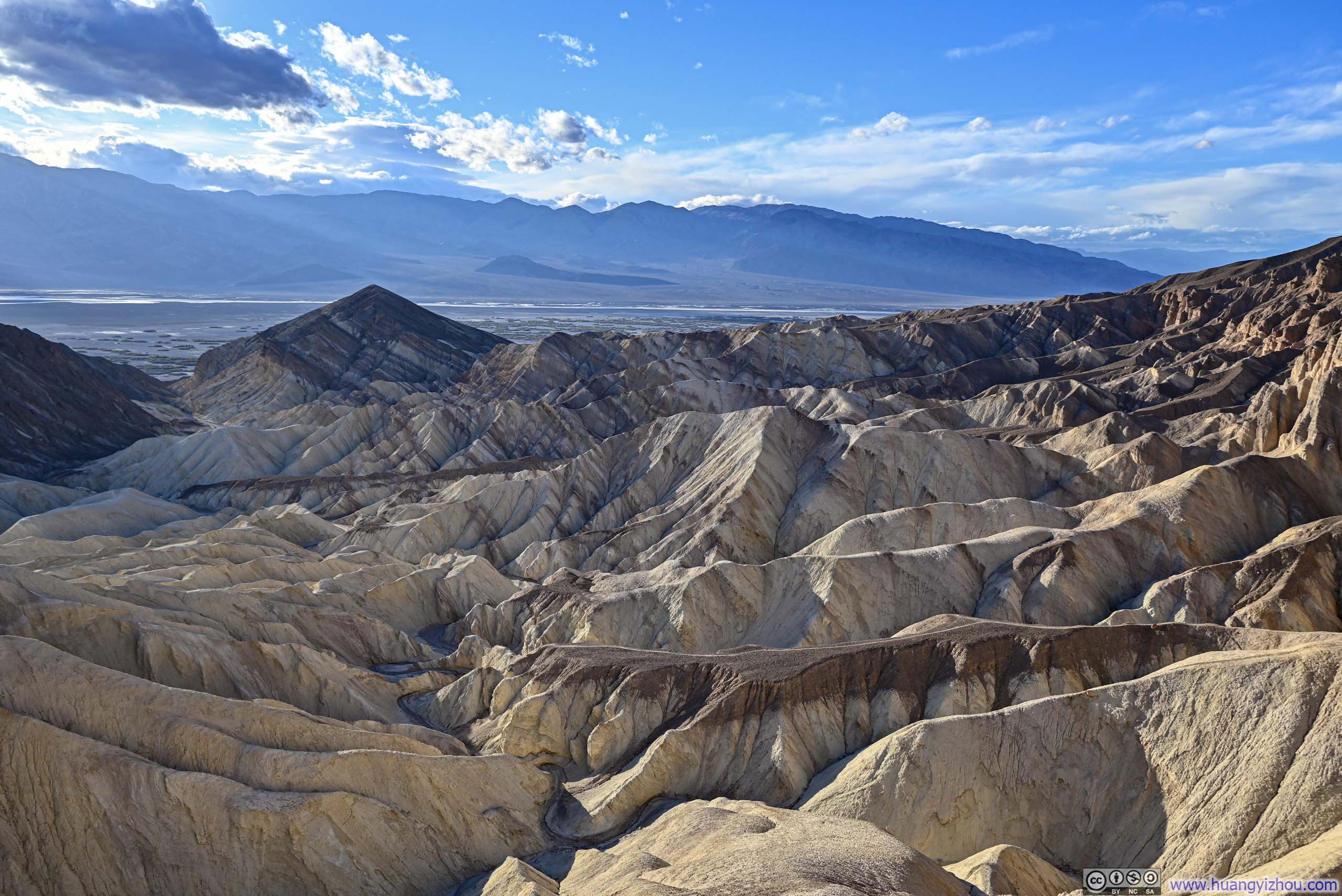
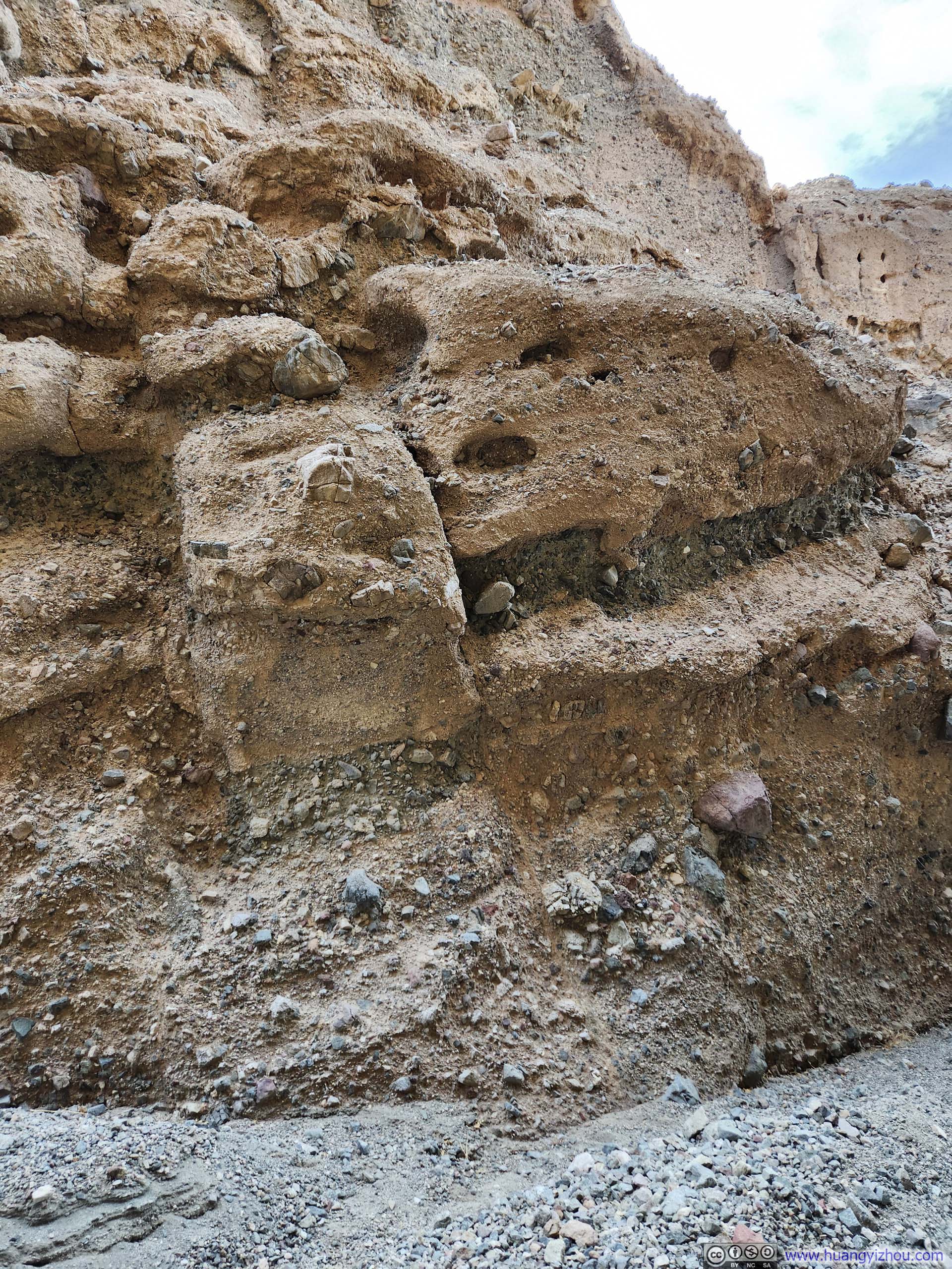
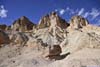
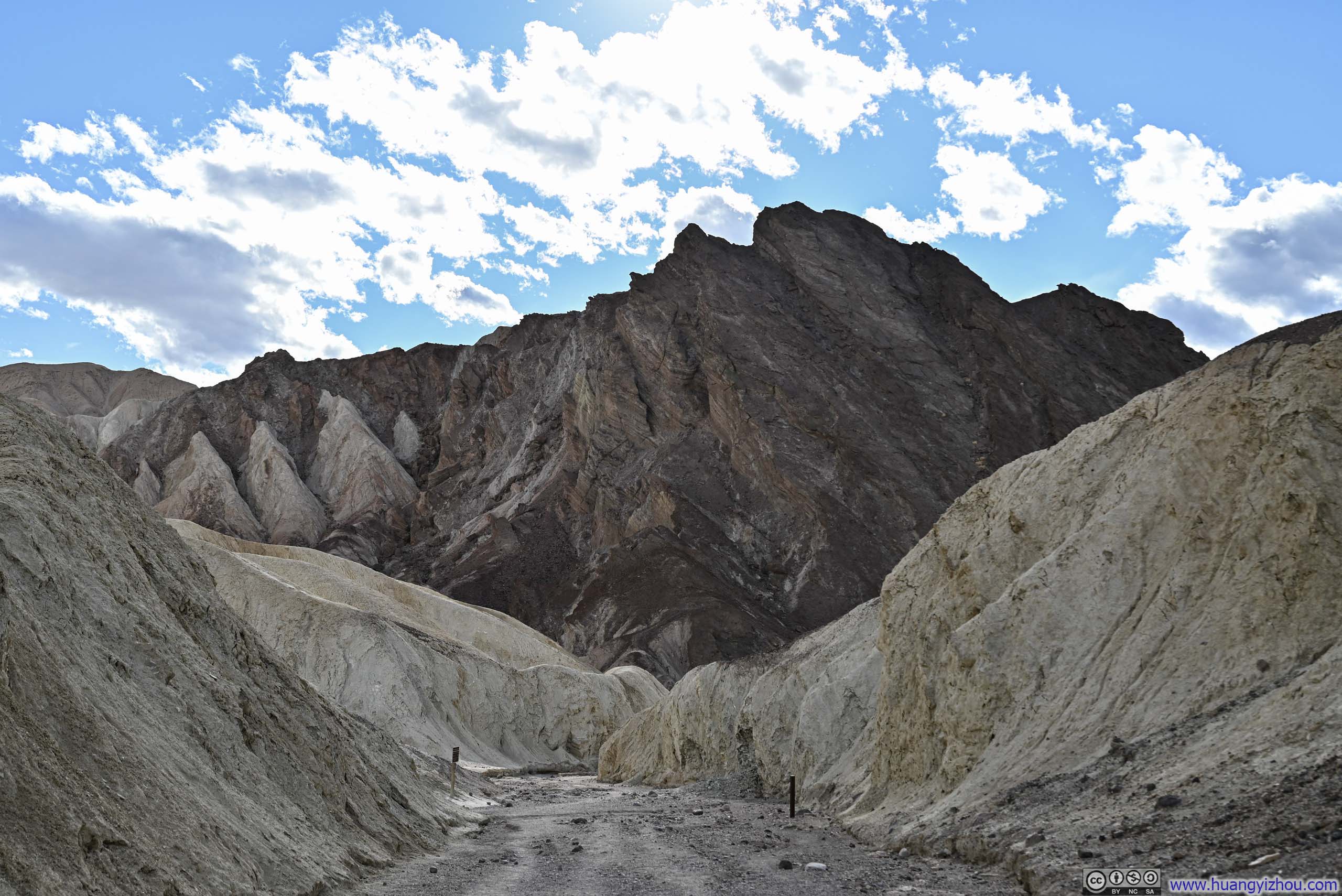
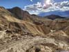
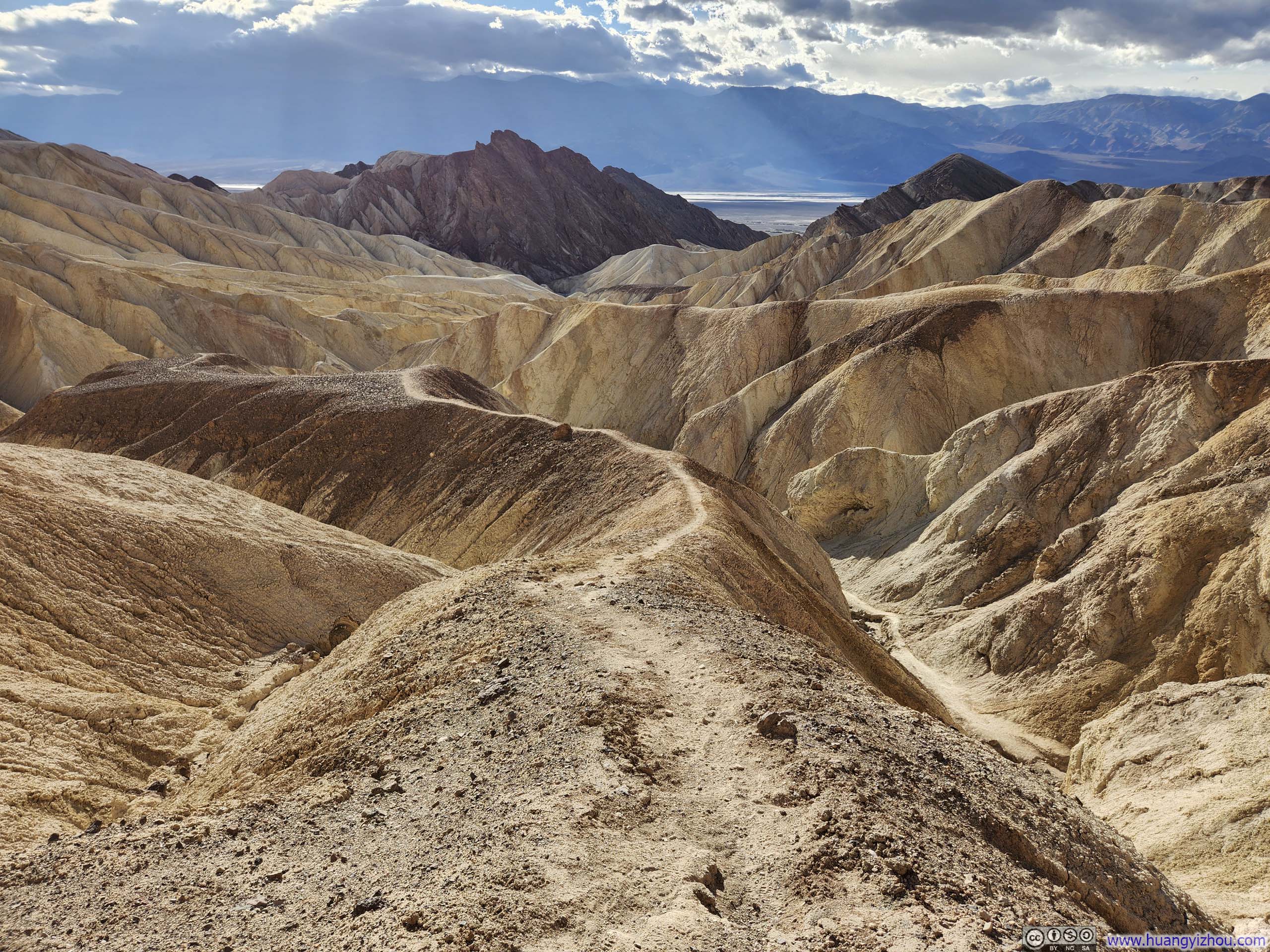
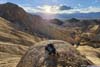
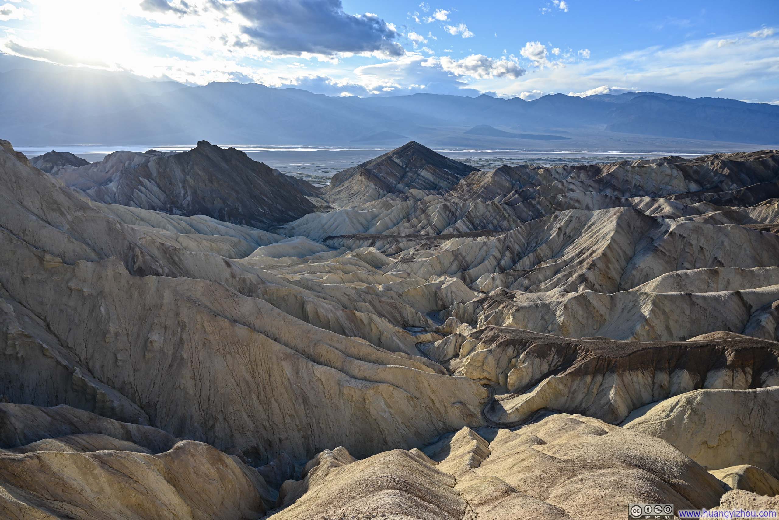
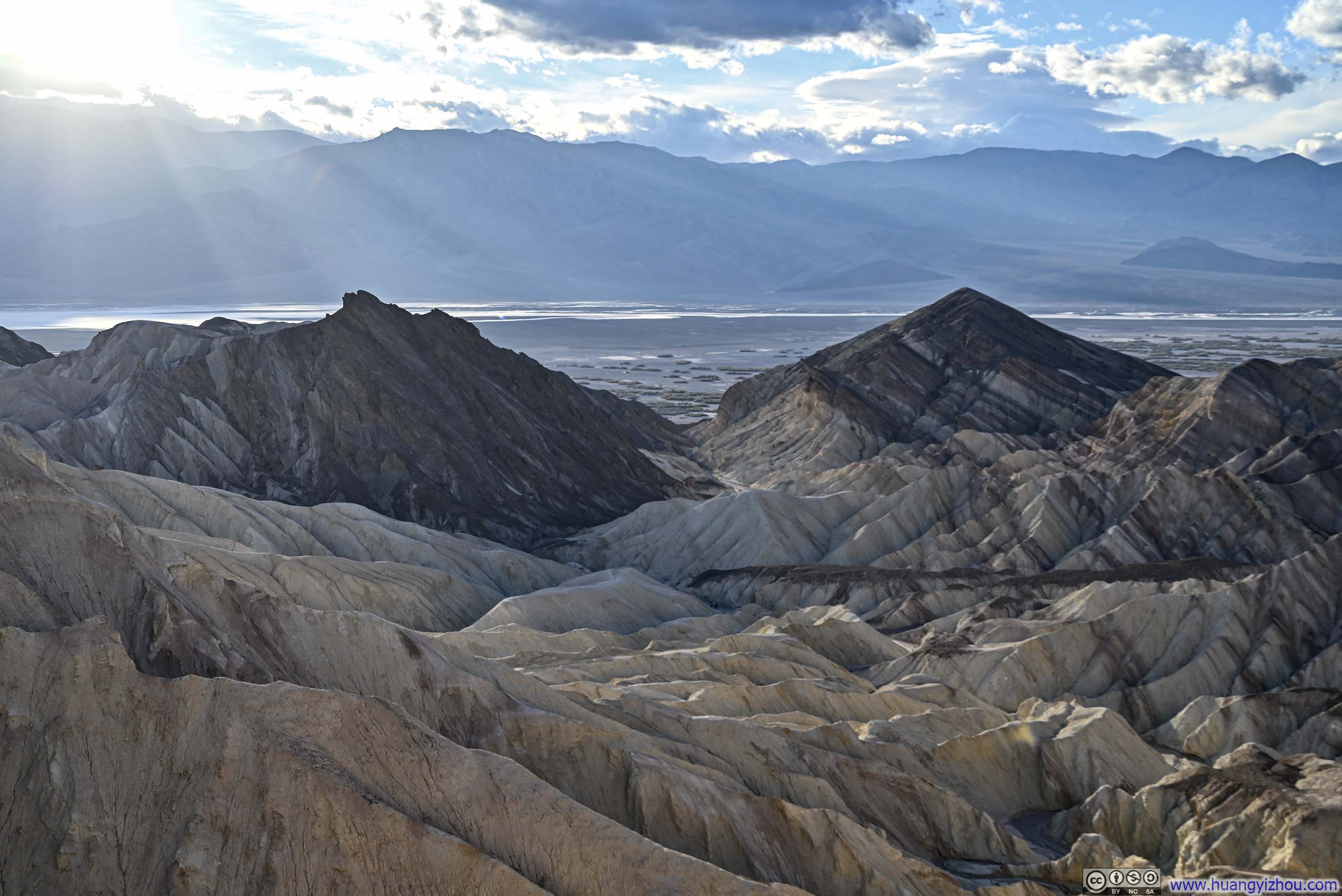
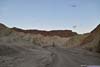
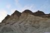
Badlands around Golden Canyon
I had the entire day to myself in Death Valley today, so I decided to let my more adventurous and spontaneous side take the lead. My plan was to explore two canyons (Sidewinder and Golden) with minimal preparation, which was a pretty unconventional approach compared to my usual outdoor adventures.
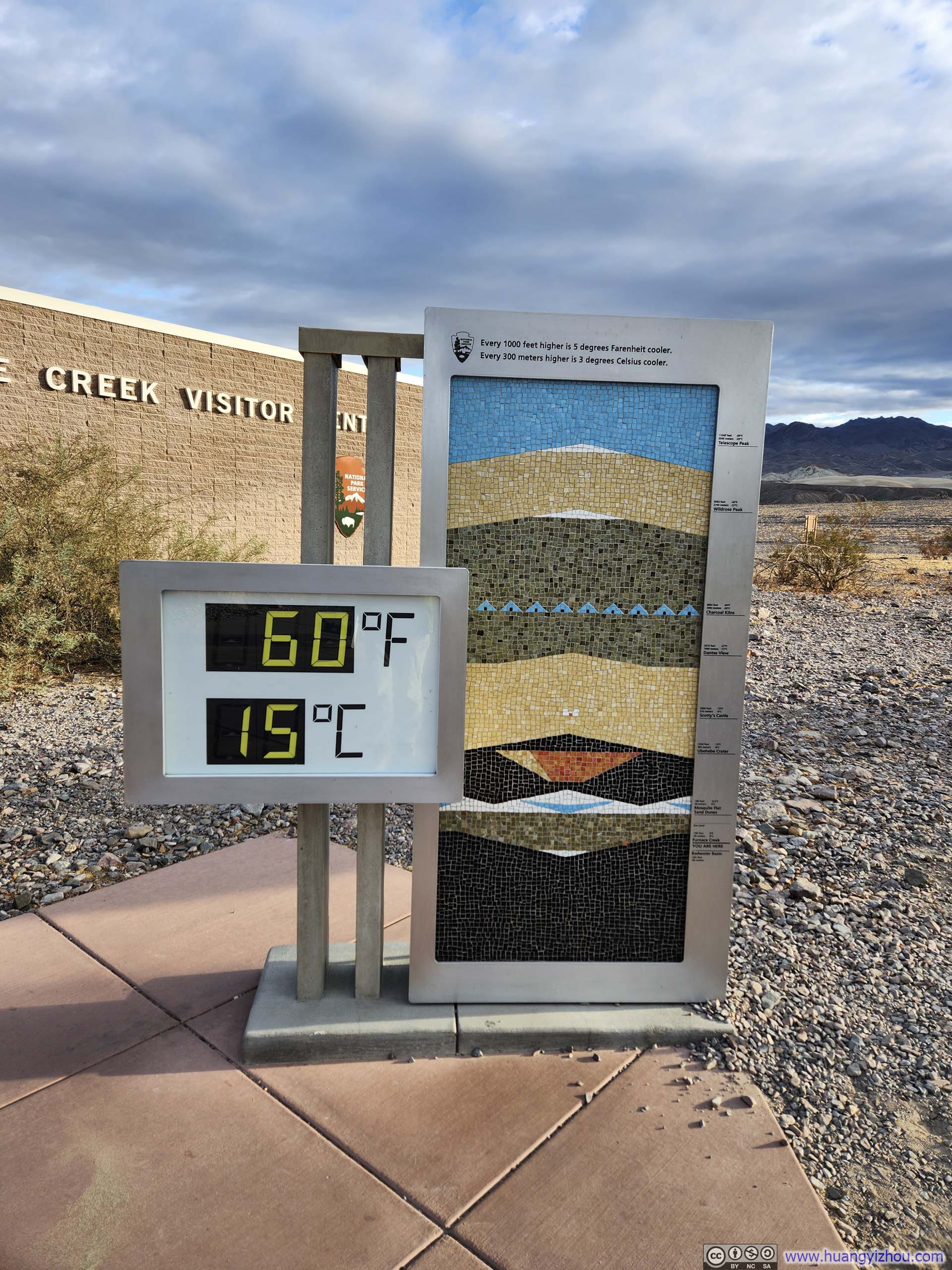
Temperature Display at Death Valley Visitor Center
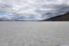
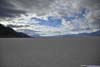
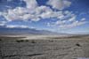
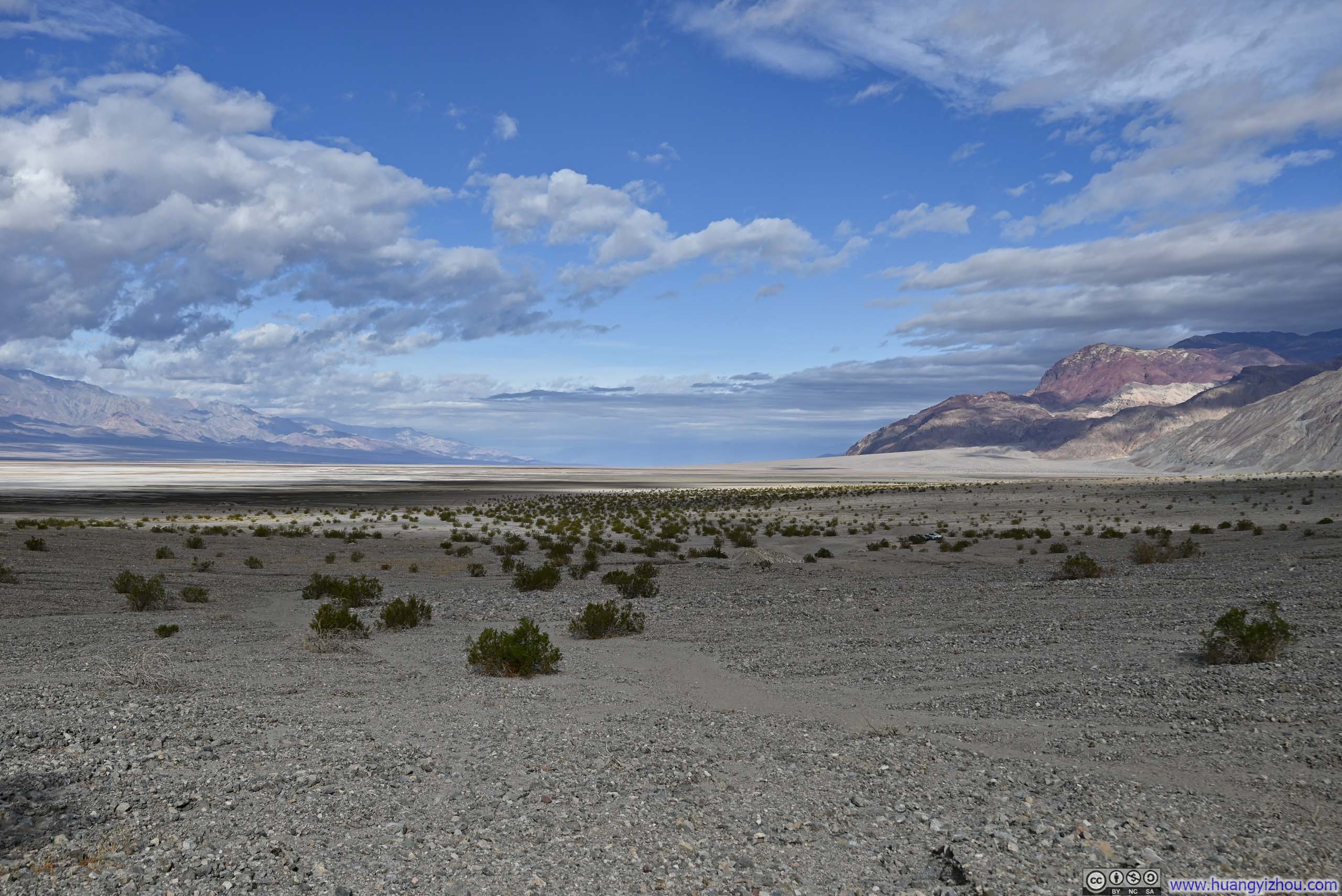
Badwater Basin
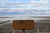
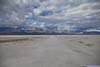
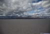
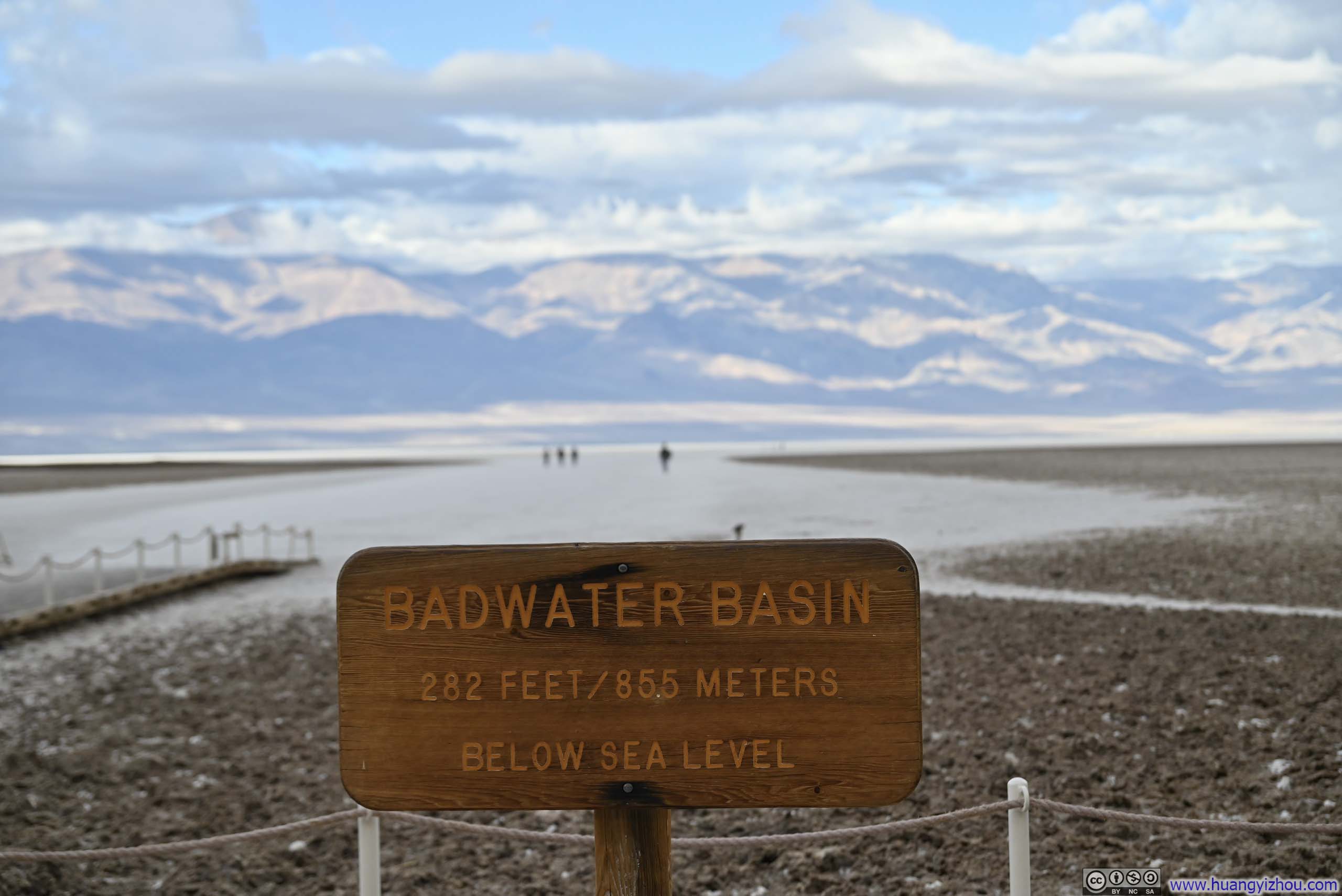
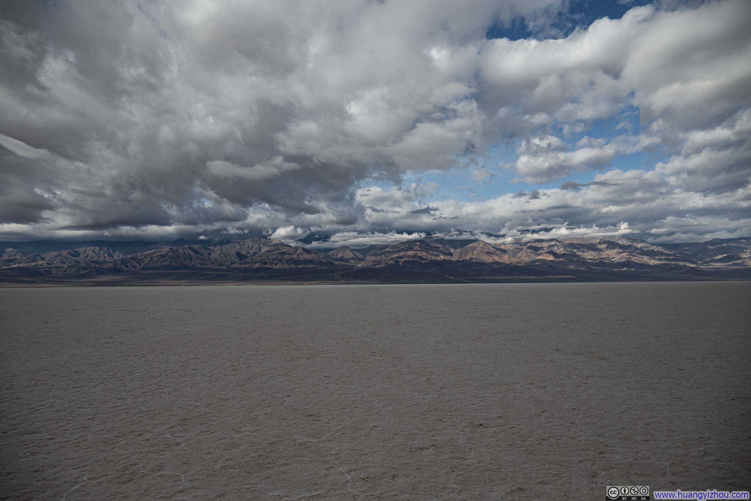
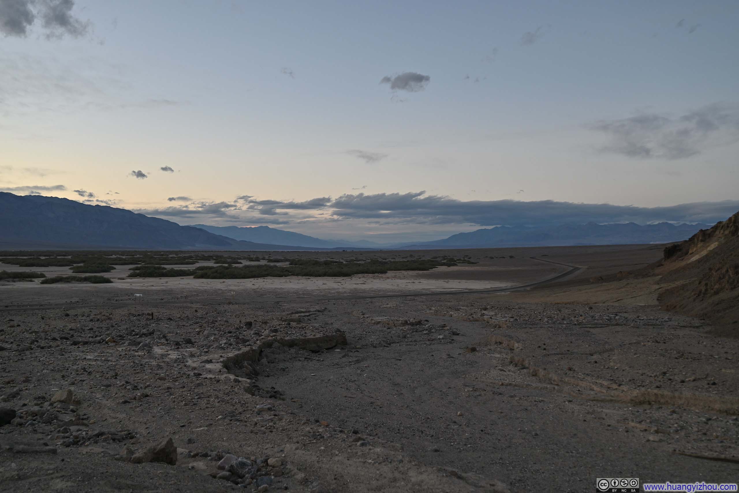
On my way to Sidewinder Canyon, I made a stop at Badwater Basin. At 86m (282ft) below sea level, this was the lowest elevation point in North America.
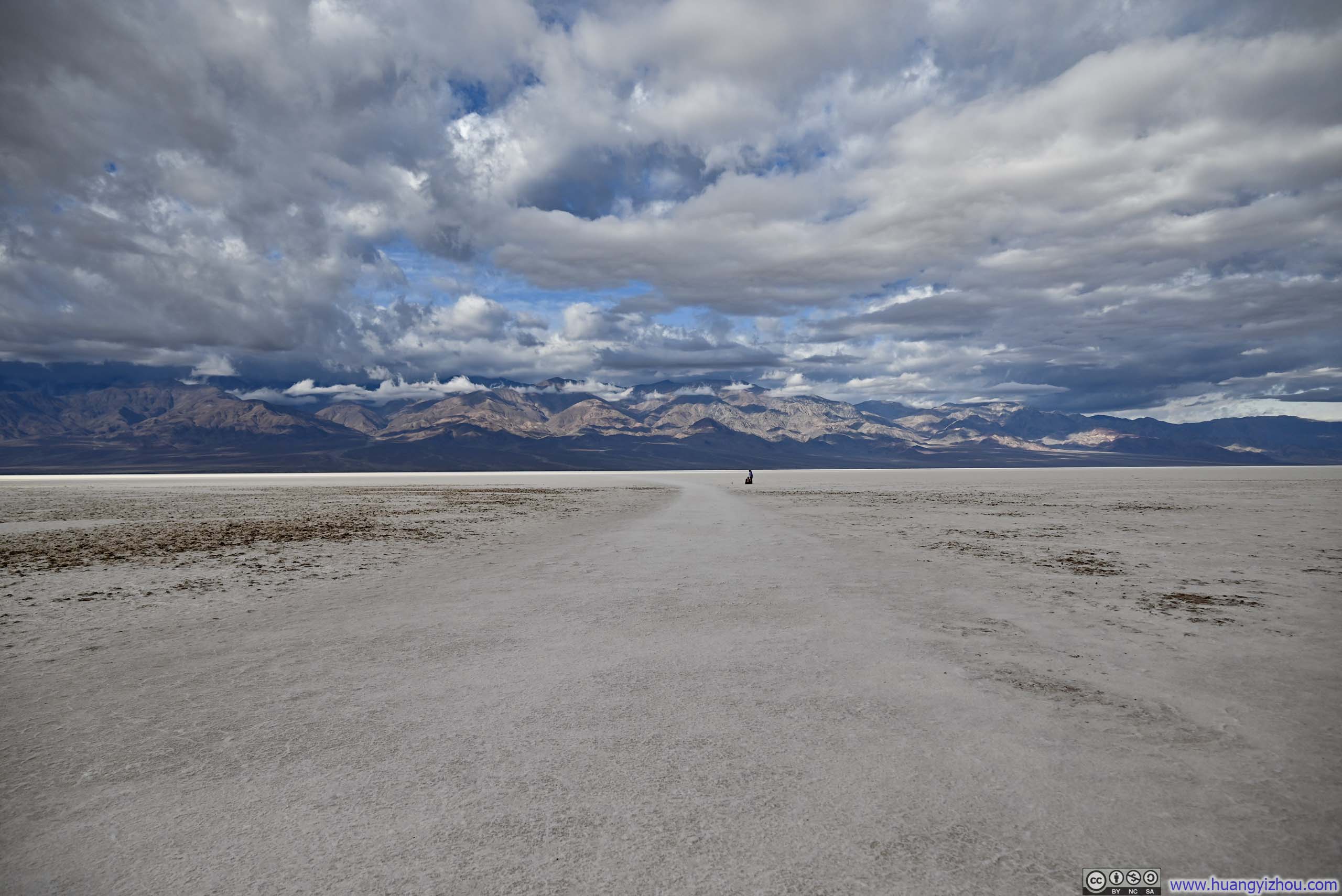
From its parking lot, a wide but faint trail stretched out into the salt flats. Eventually, the trail faded into the vast expanse, leaving visitors free to explore as far or as close as they wished.
What struck me most about Badwater Basin was the overwhelming emptiness. The horizon stretched endlessly, with nothing to break the view. The occasional sound of passing wind or distant cars only heightened the profound sense of solitude.
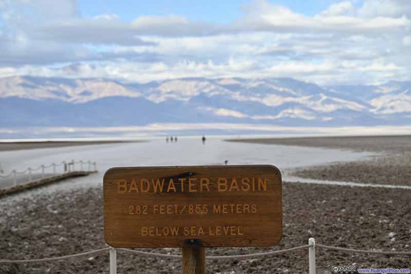 Sign of Badwater BasinThe lowest elevation point of the US.
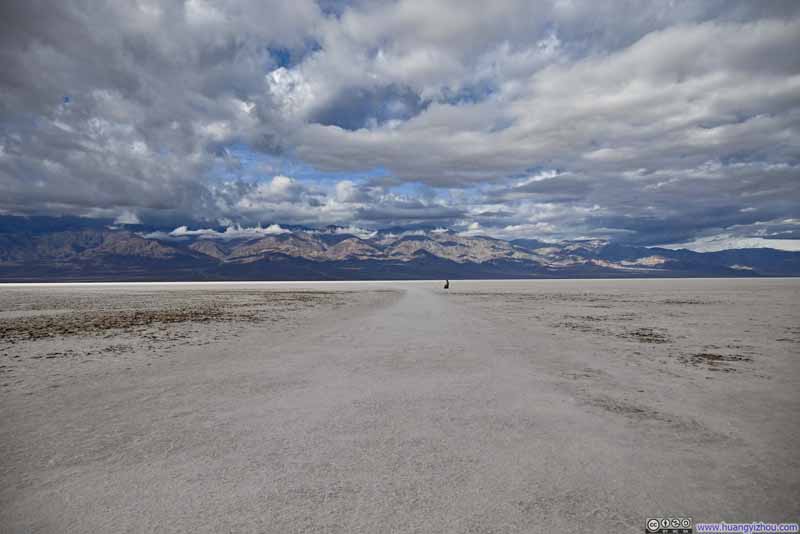 Badwater Basin
 Badwater Basin
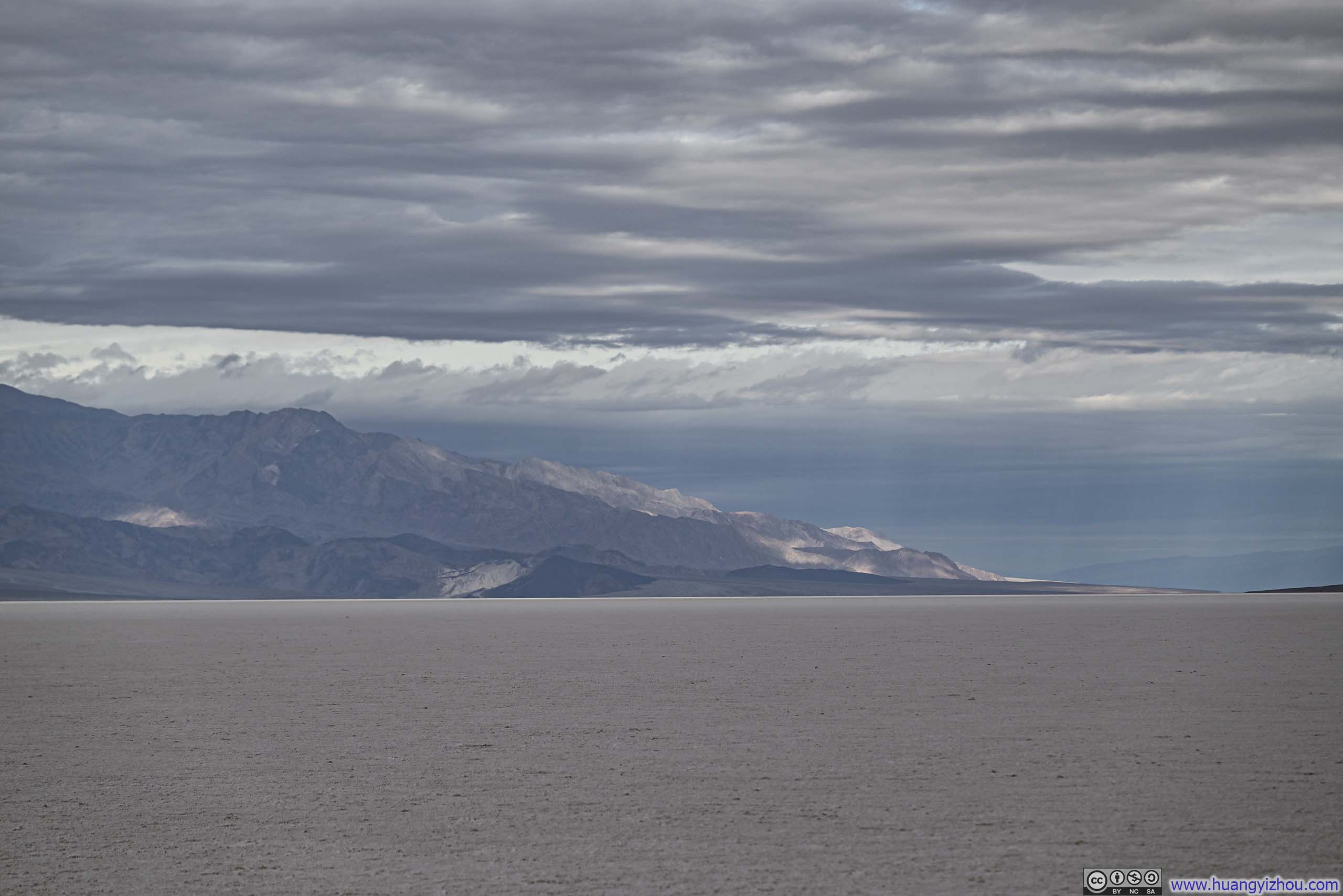
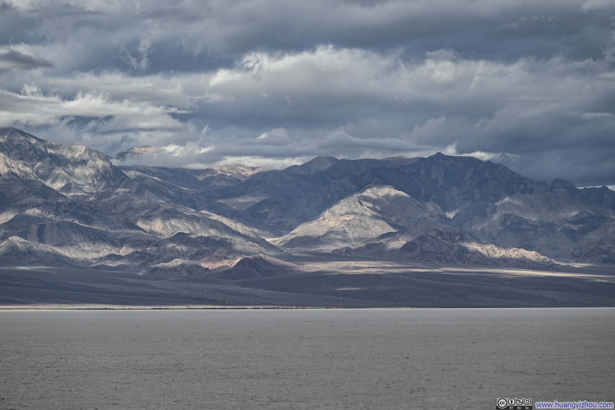
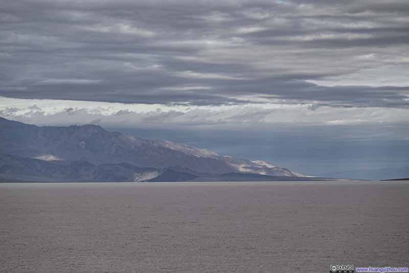 Mountains Surrounding Badwater Basin
 Mountains Surrounding Badwater Basin
 Badwater Basin
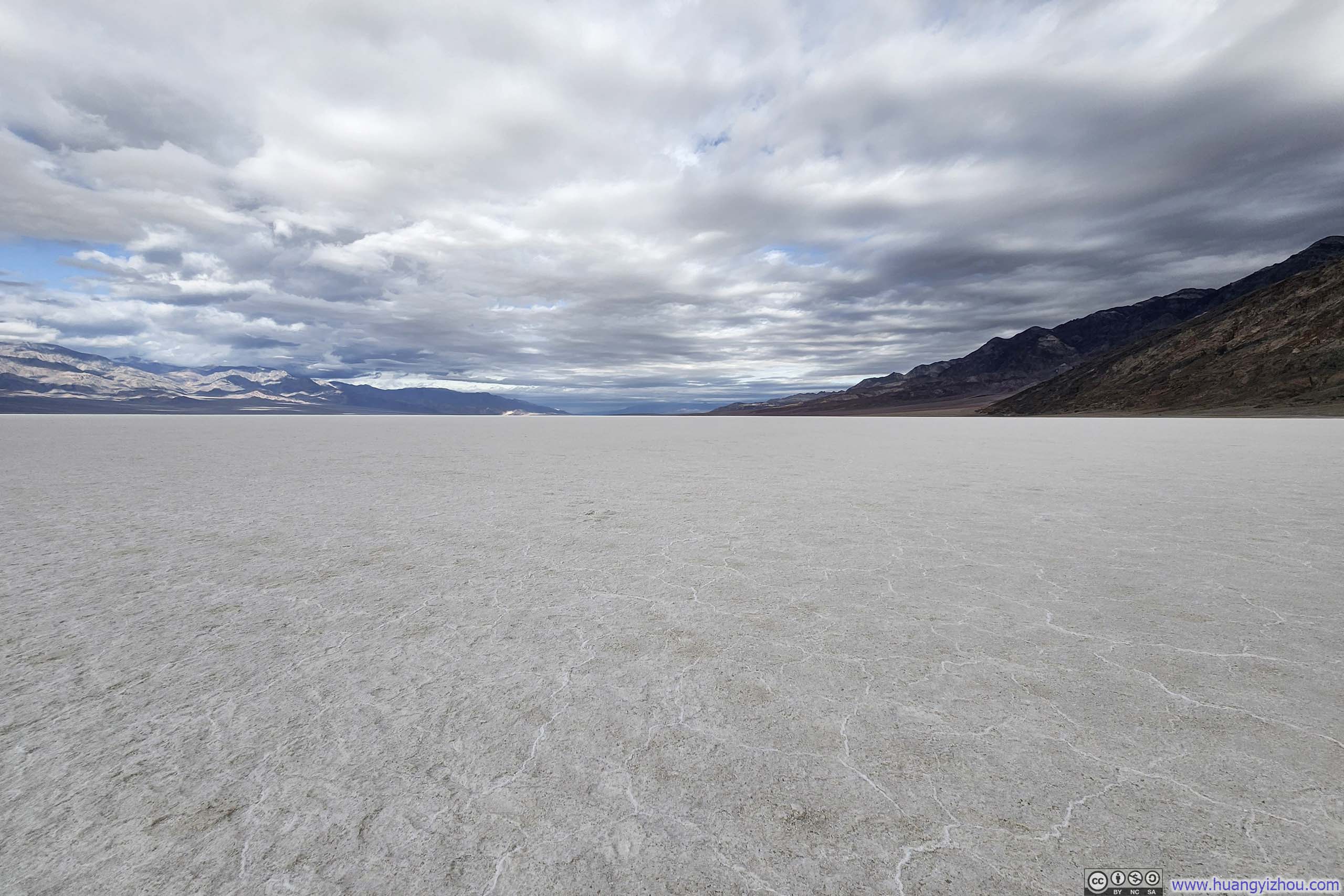
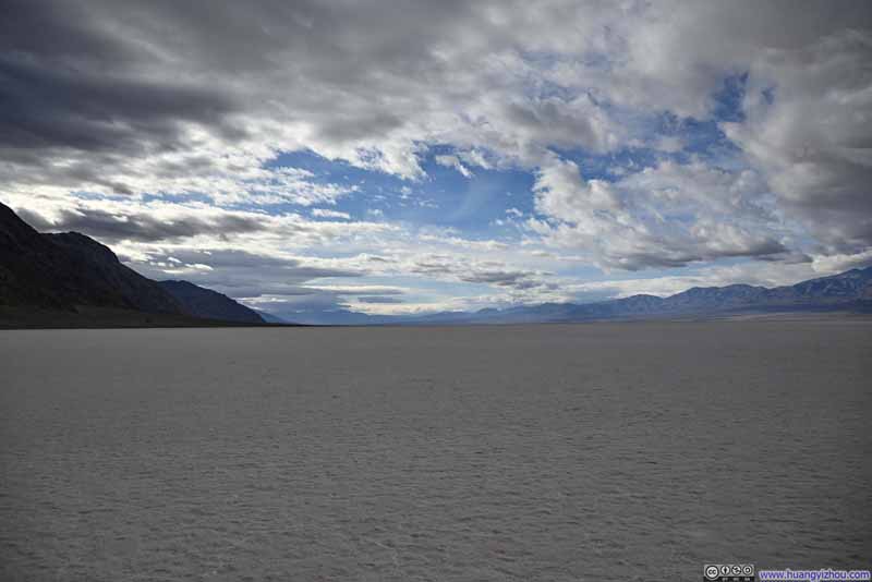 Badwater Basin Salt Flats
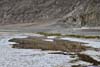
 PondQuite appropriate for the name “Badwater” as there was still “water” around.
Click here to display photos of the slideshow
Sign of Badwater BasinThe lowest elevation point of the US.
 Badwater Basin
 Mountains Surrounding Badwater Basin
Badwater Basin

Badwater Basin Salt Flats
PondQuite appropriate for the name “Badwater” as there was still “water” around.
Badwater Basin
And here’s a video:
18 seconds, 2160p60fps, 10Mbps/29MB for H265, 11Mbps/30MB for H264.
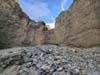
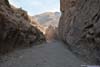
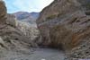
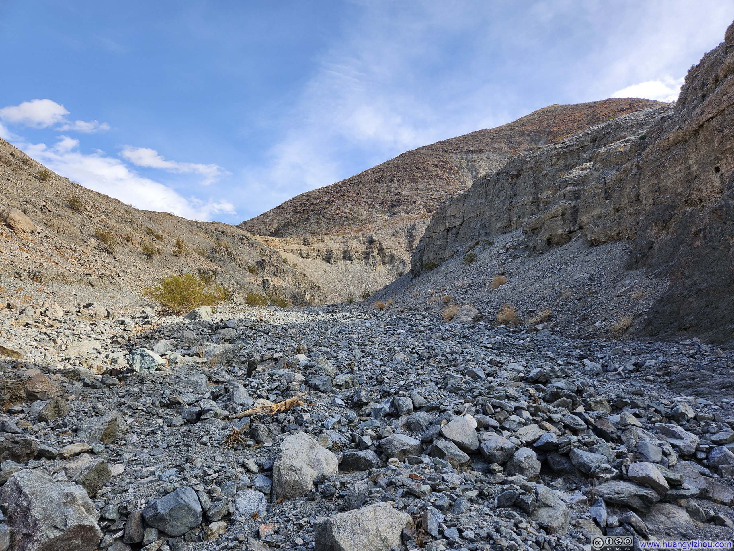
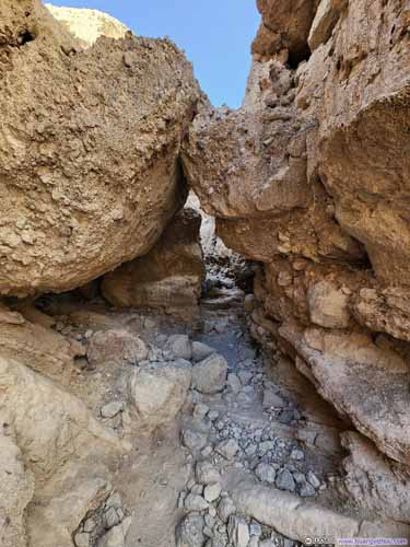
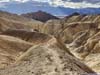
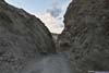
Sidewinder Canyon
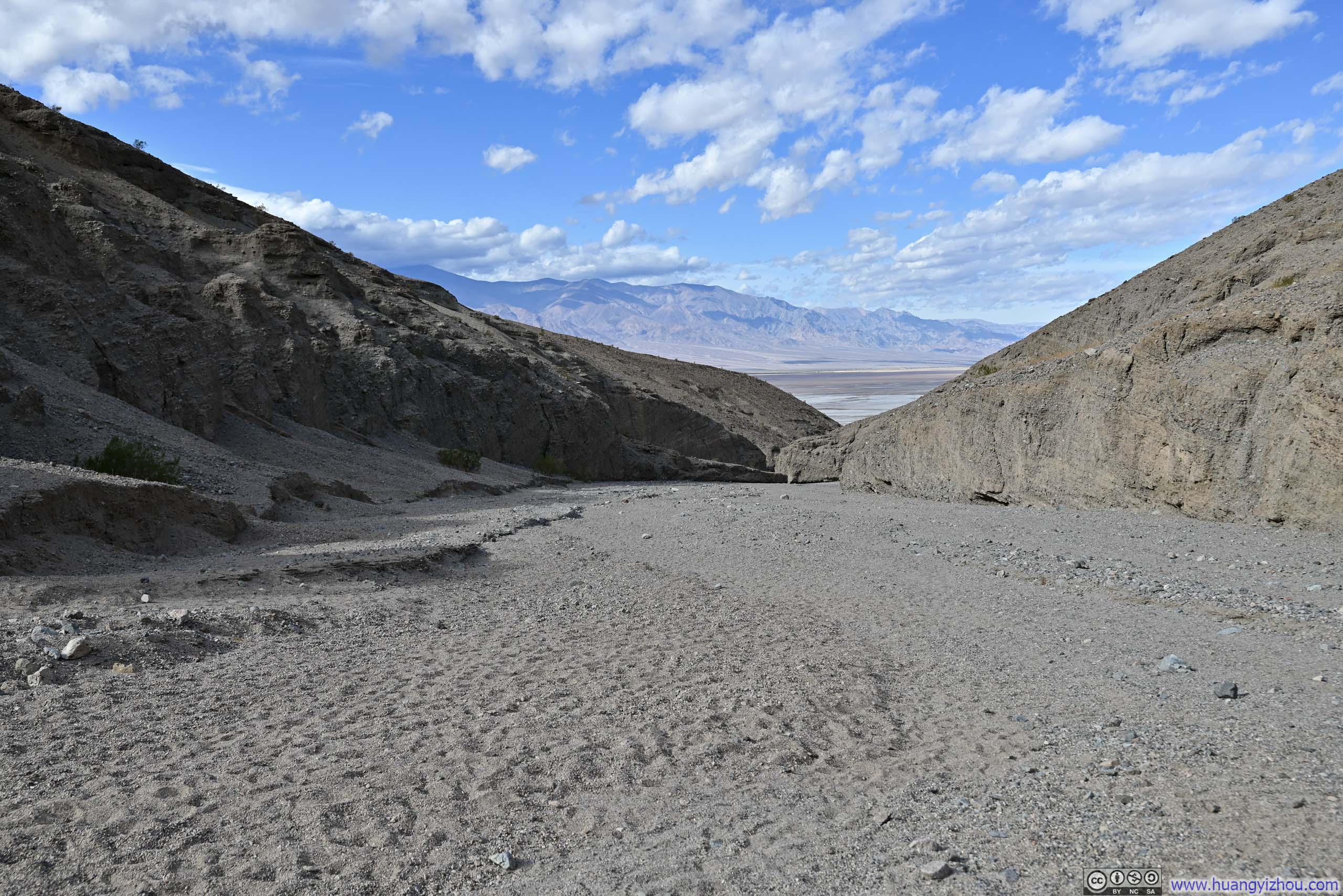
As its name suggested, these were a series (side) of winding (wind) canyons. Its parking lot was connected to the main road via a 350m (0.2mi) gravel road.
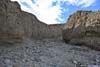
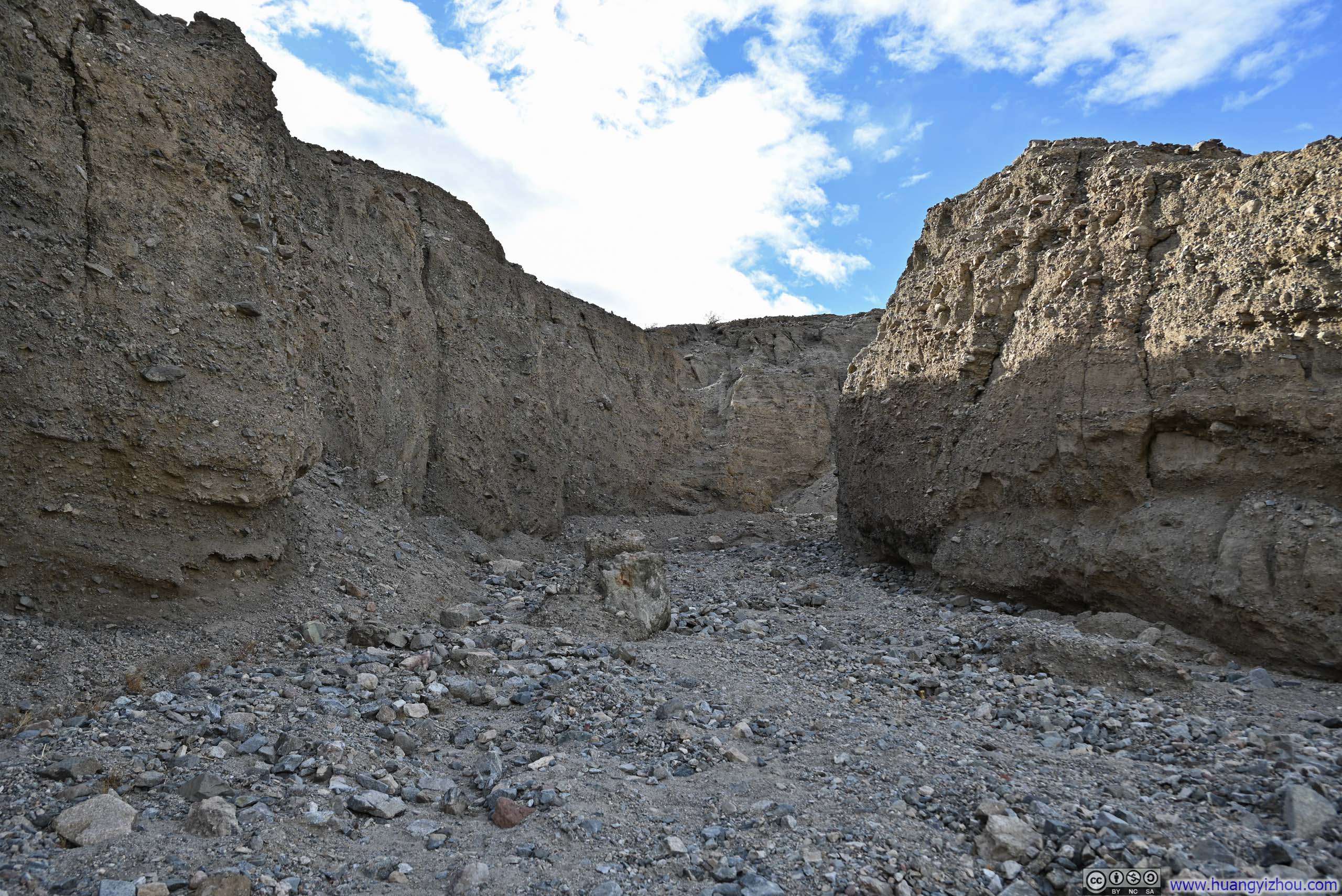
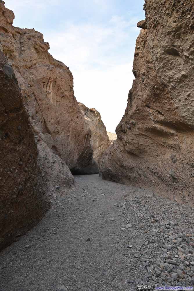
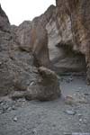
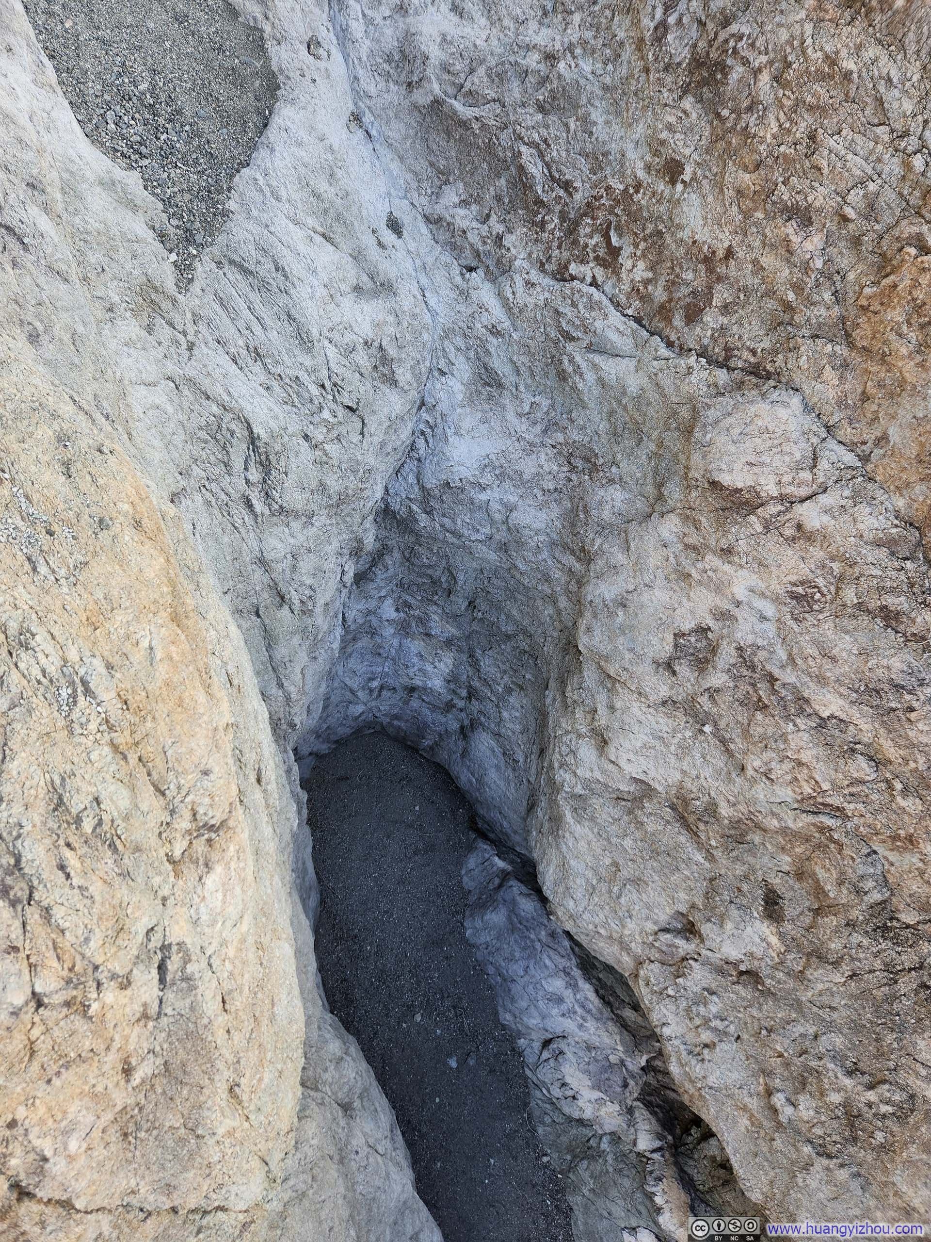
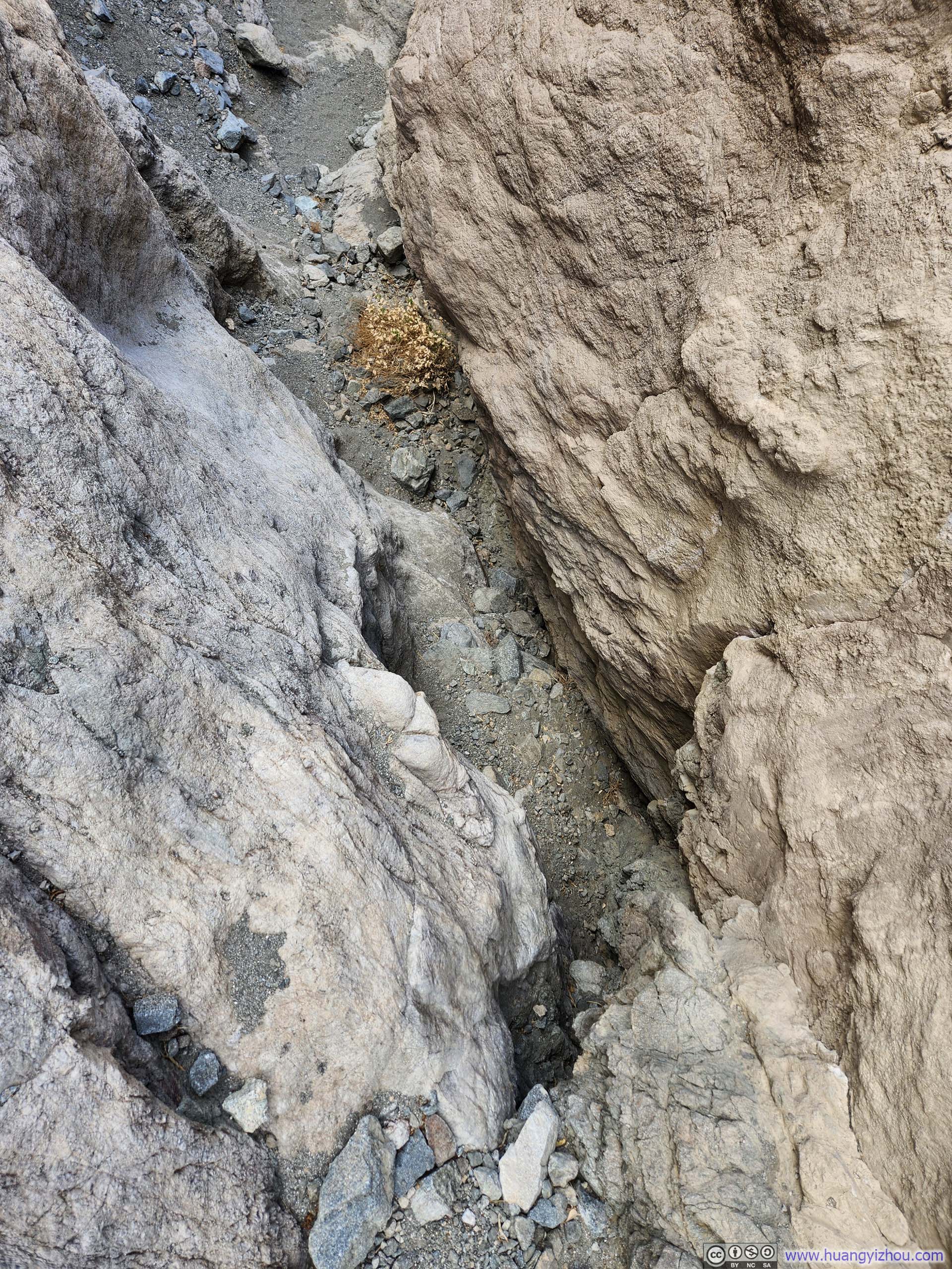
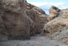
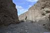
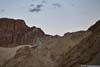
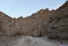
Wrong Entrances of Sidewinder Canyon
 Canyon
 End of “Trail”At this time I realized I entered the wrong canyon.
 Canyon
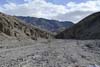
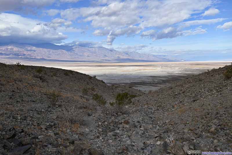 Trail against Death Valley Backdrop
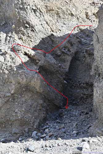
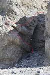
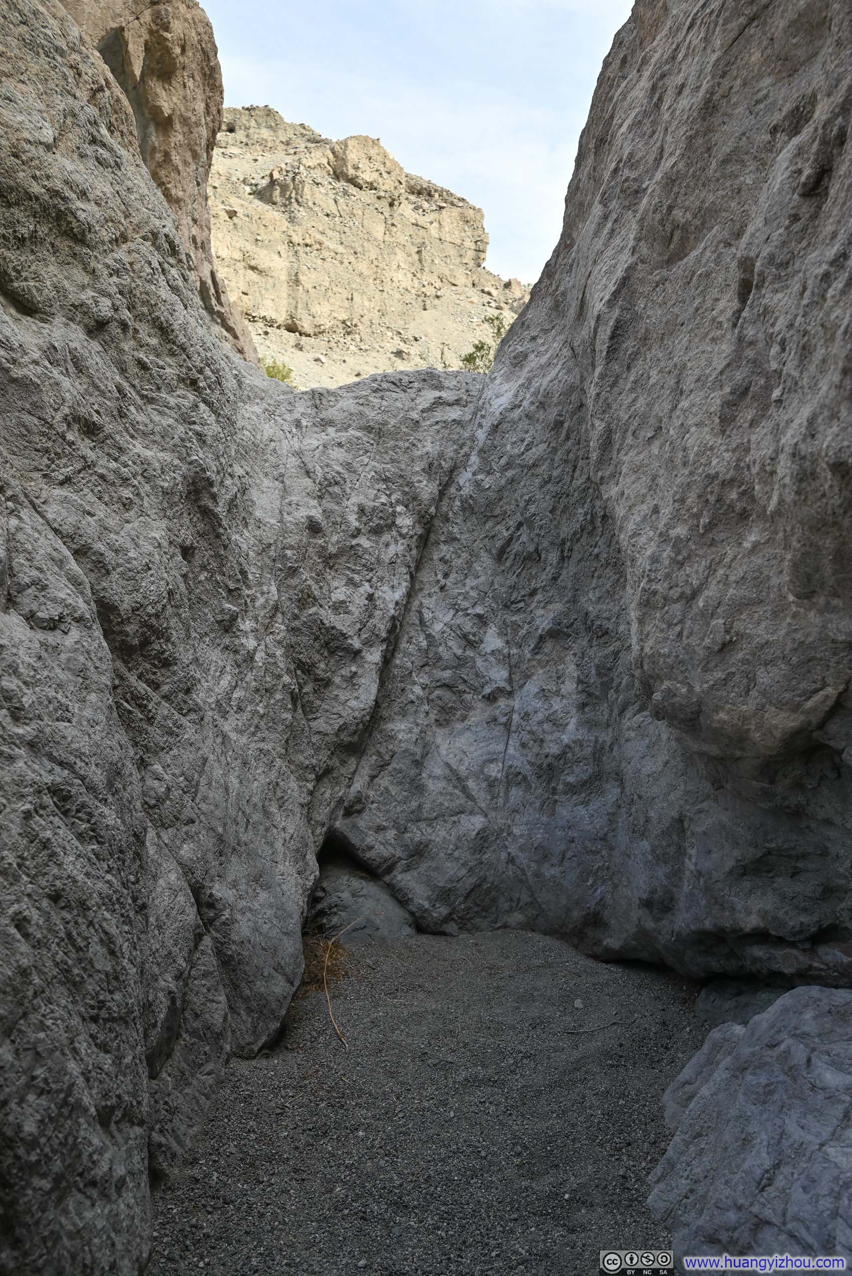
 Descent through Large Chute
Click here to display photos of the slideshow

Canyon

End of “Trail”At this time I realized I entered the wrong canyon.
Canyon

Trail against Death Valley Backdrop
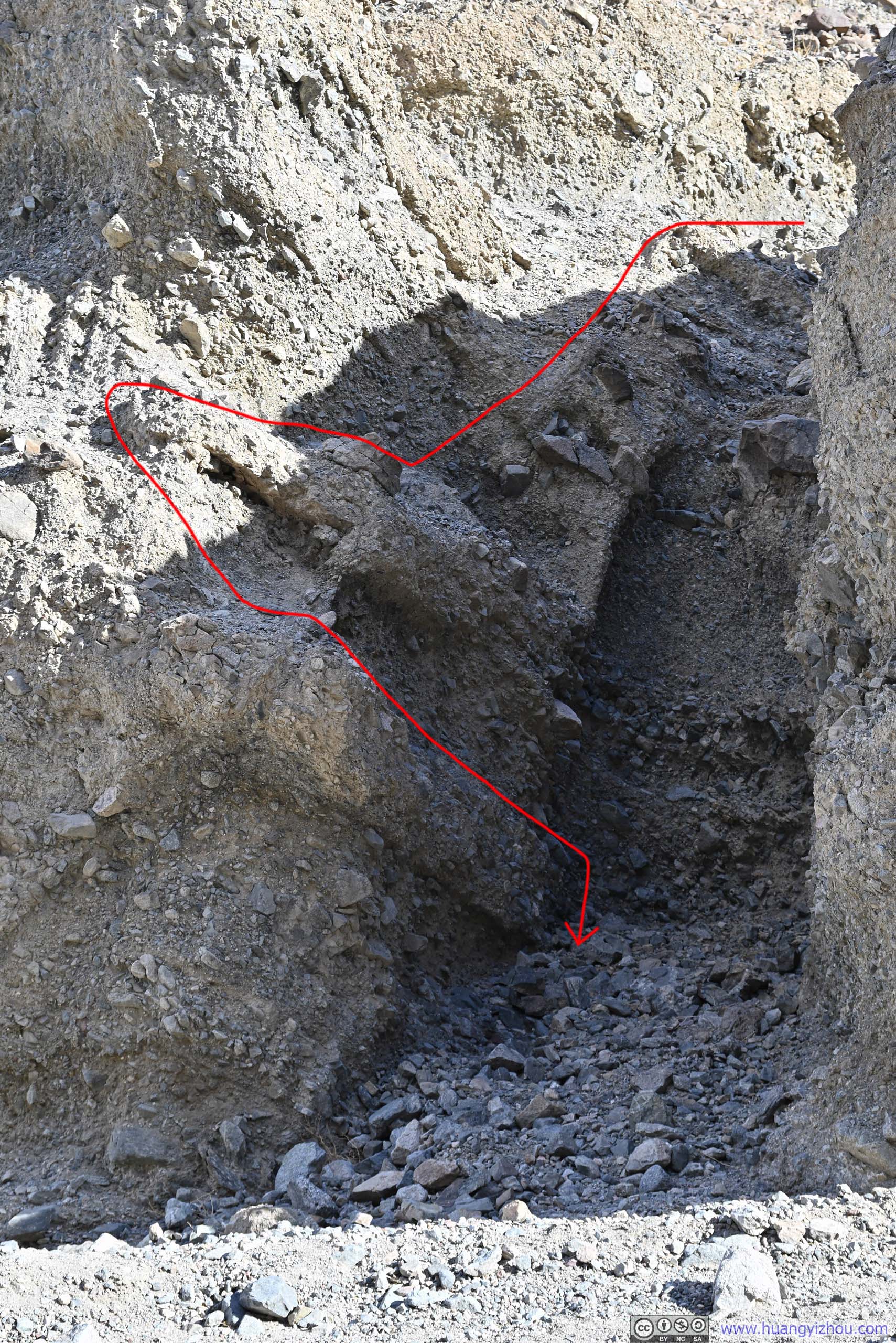
 Descent through Large Chute
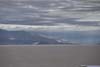
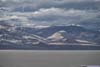
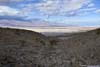
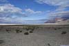
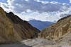
This episode at the mouth of Sidewinder Canyon meant I caught more glimpses of Death Valley along the way.
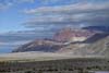
 Death Valley
 Mountains around Death ValleyThe striking color of red.
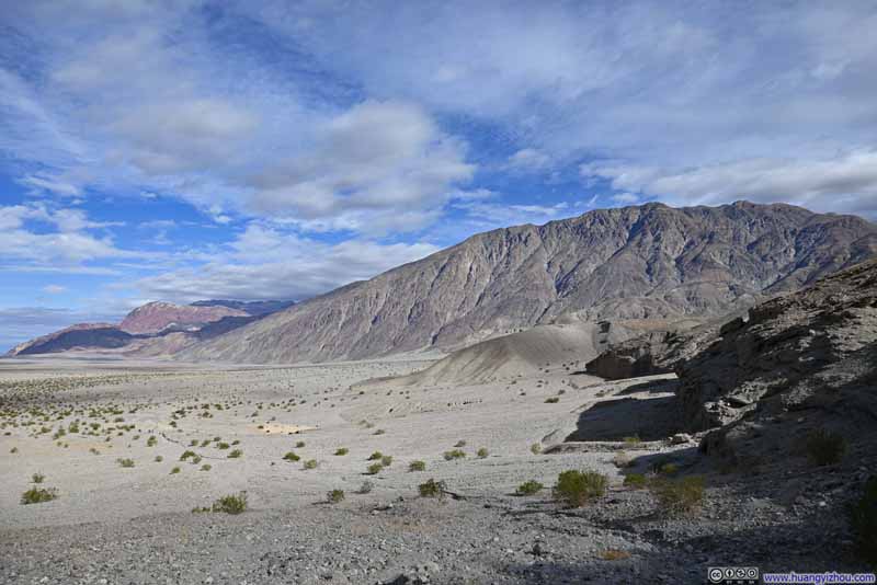 Mountains around Death Valley
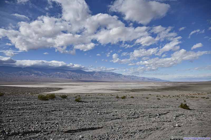 Death Valley

Click here to display photos of the slideshow
Death Valley
Mountains around Death ValleyThe striking color of red.

Mountains around Death Valley

Death Valley
Death Valley from the Mouth of Sidewinder Canyon
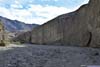
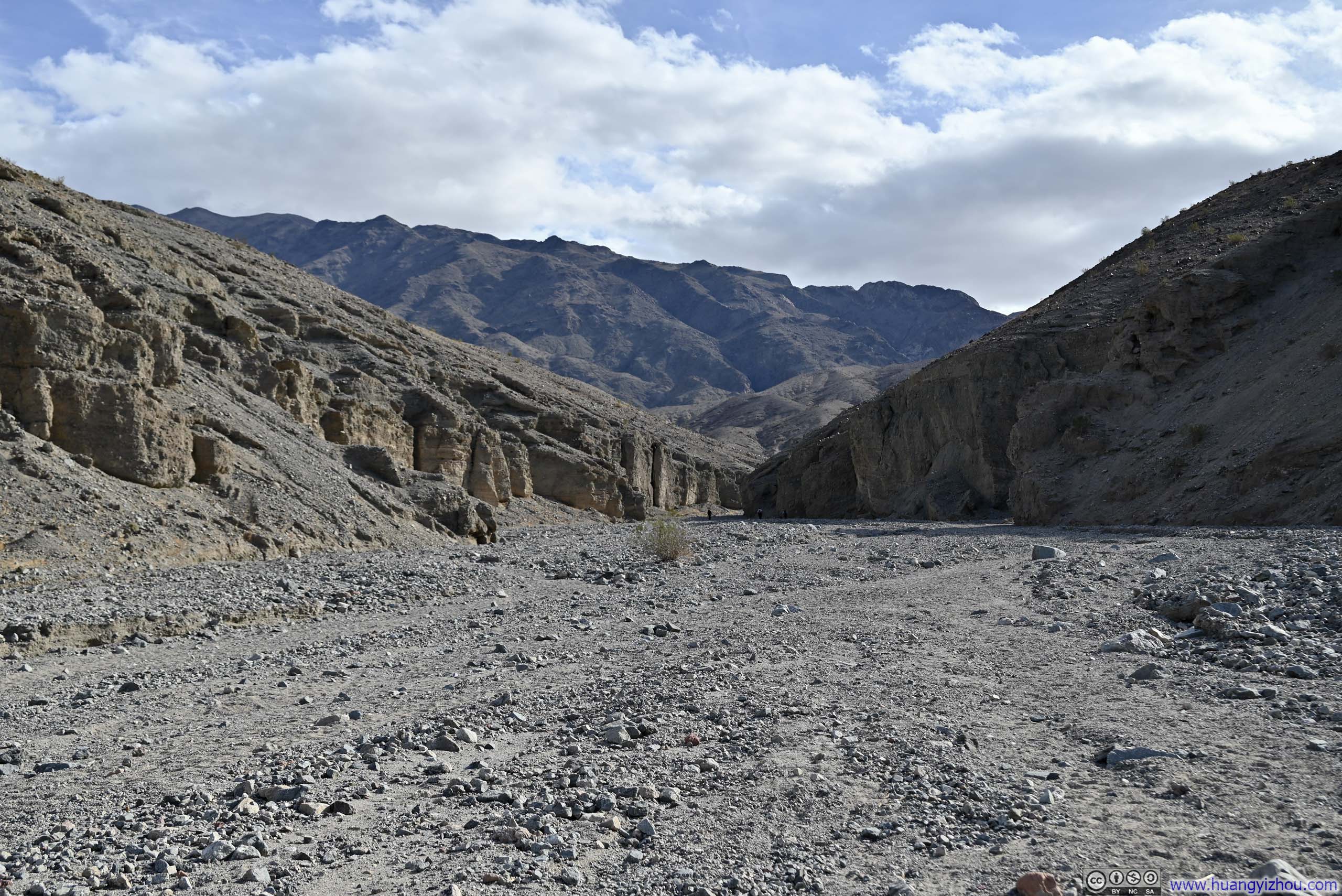
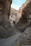
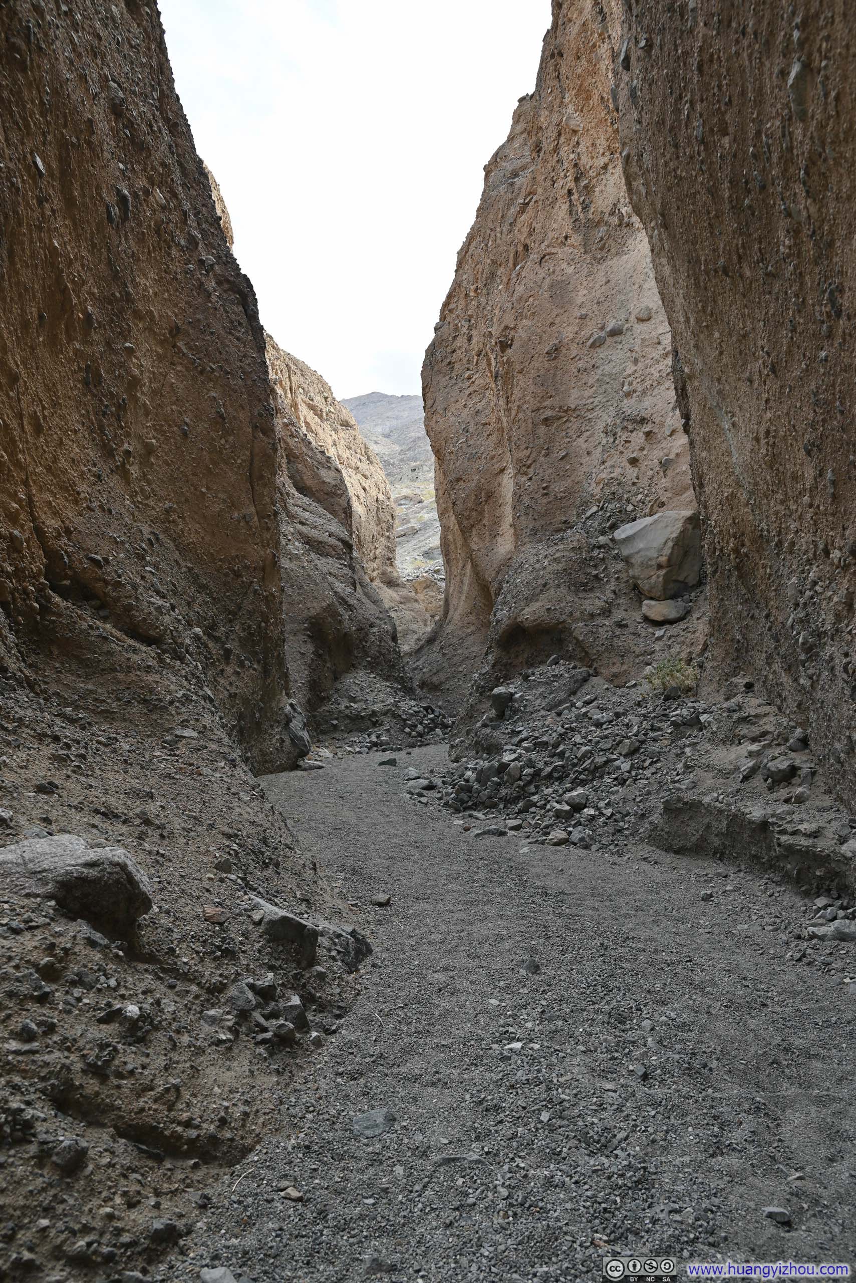
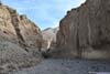
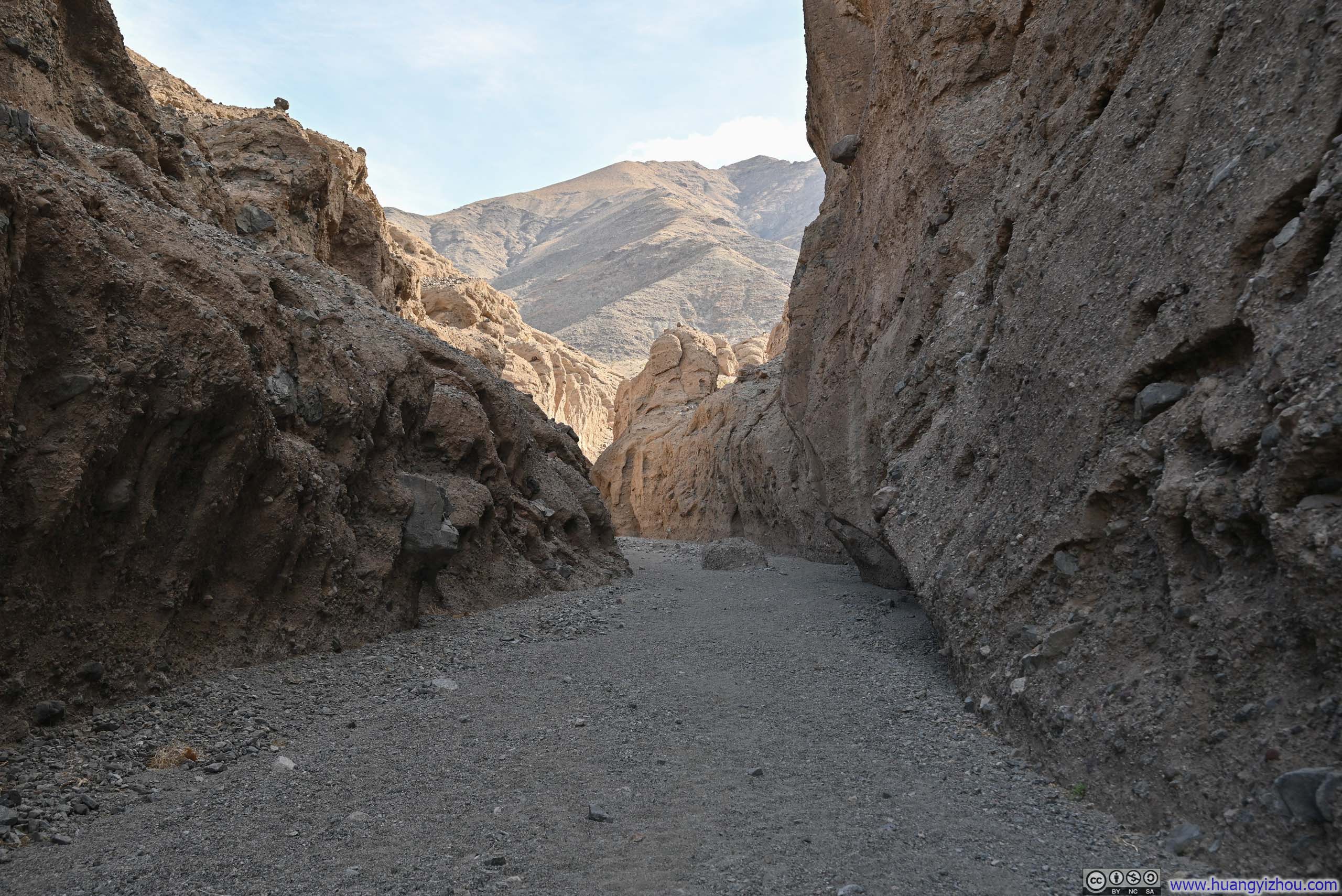
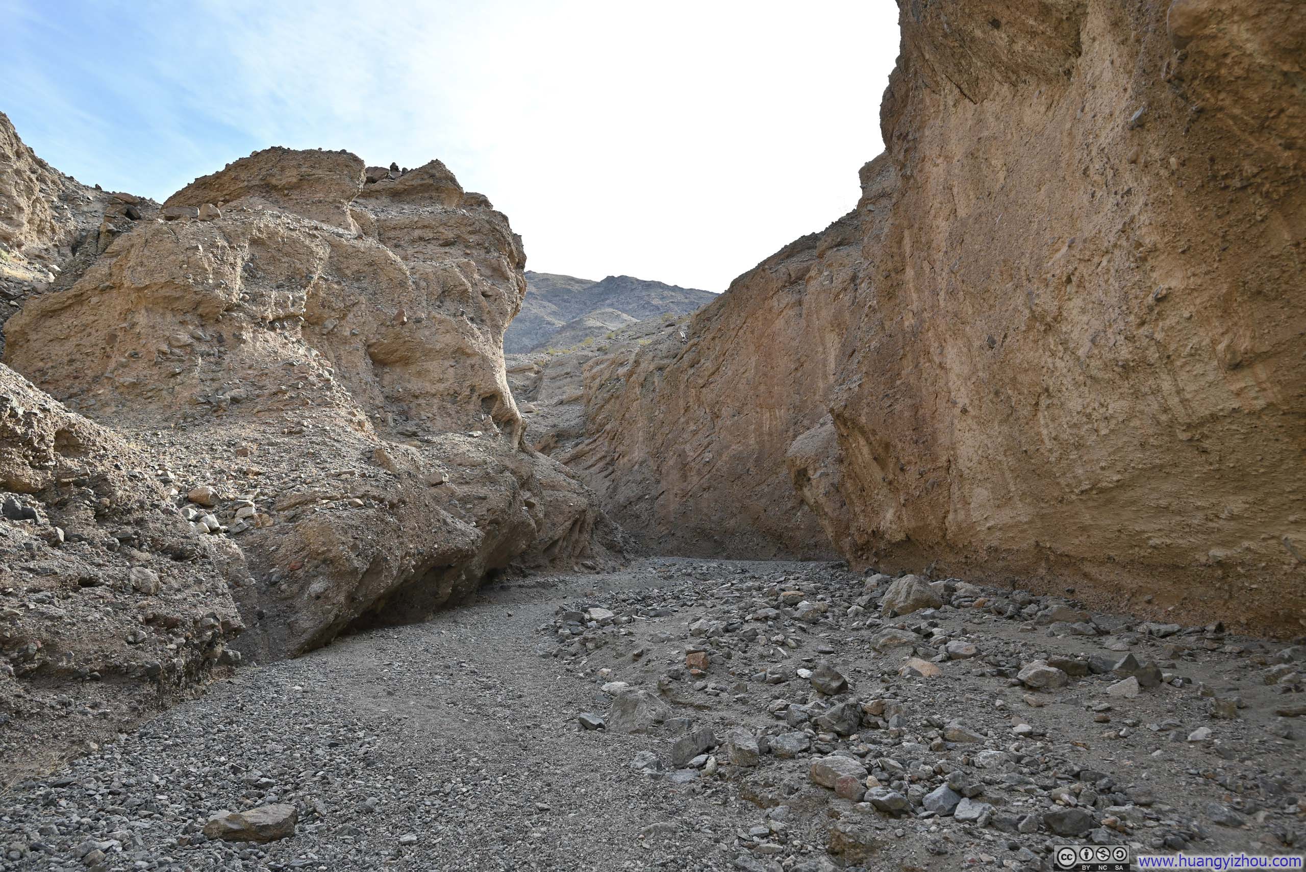
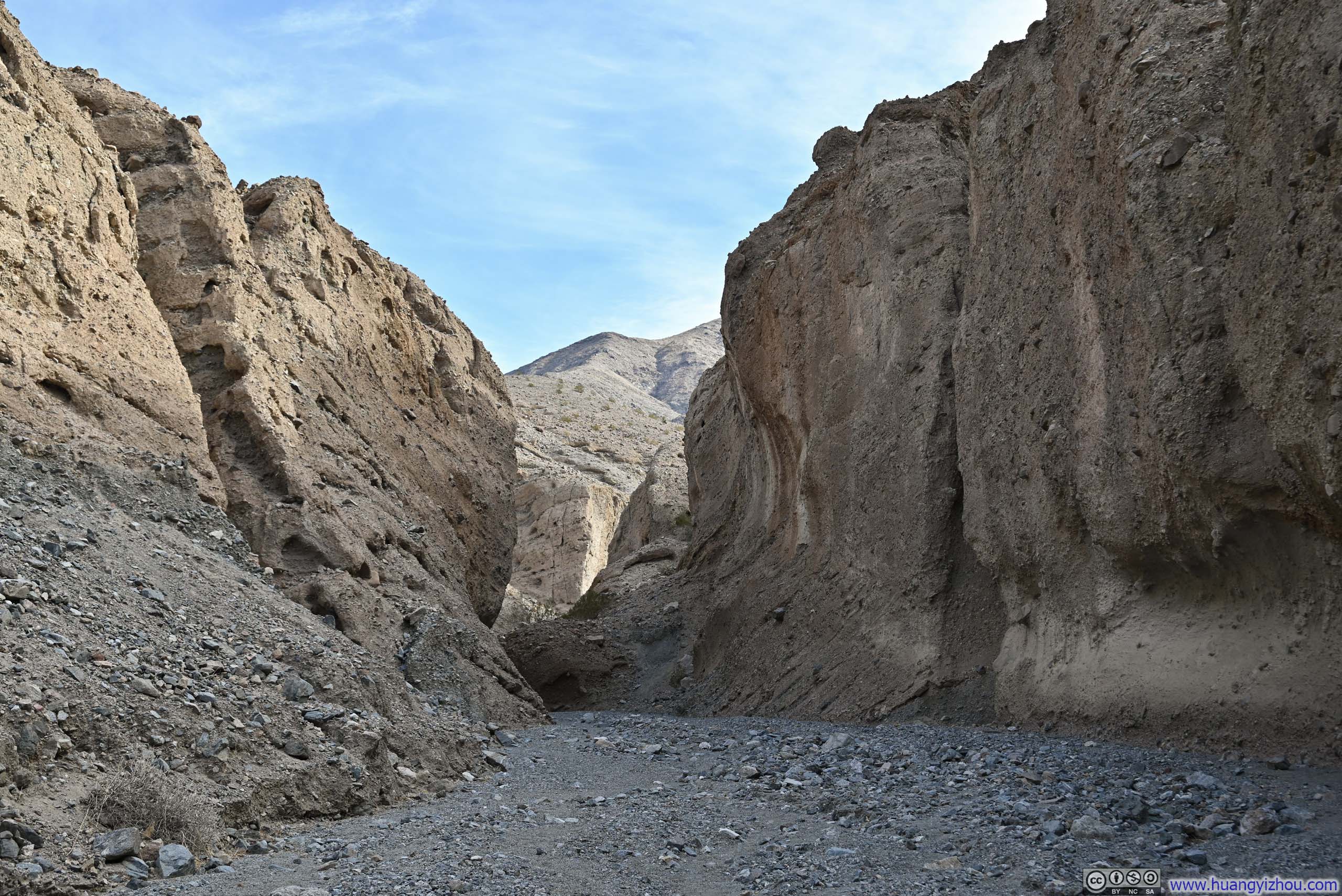
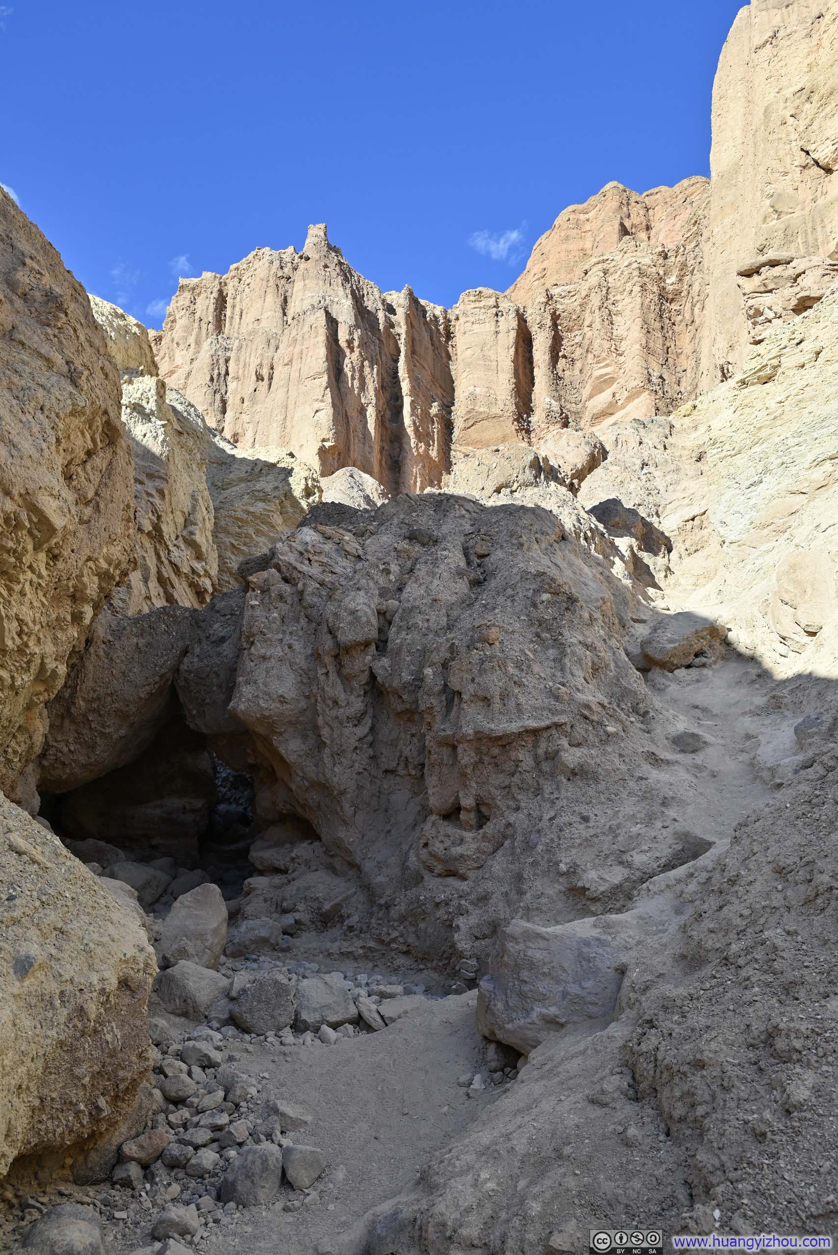
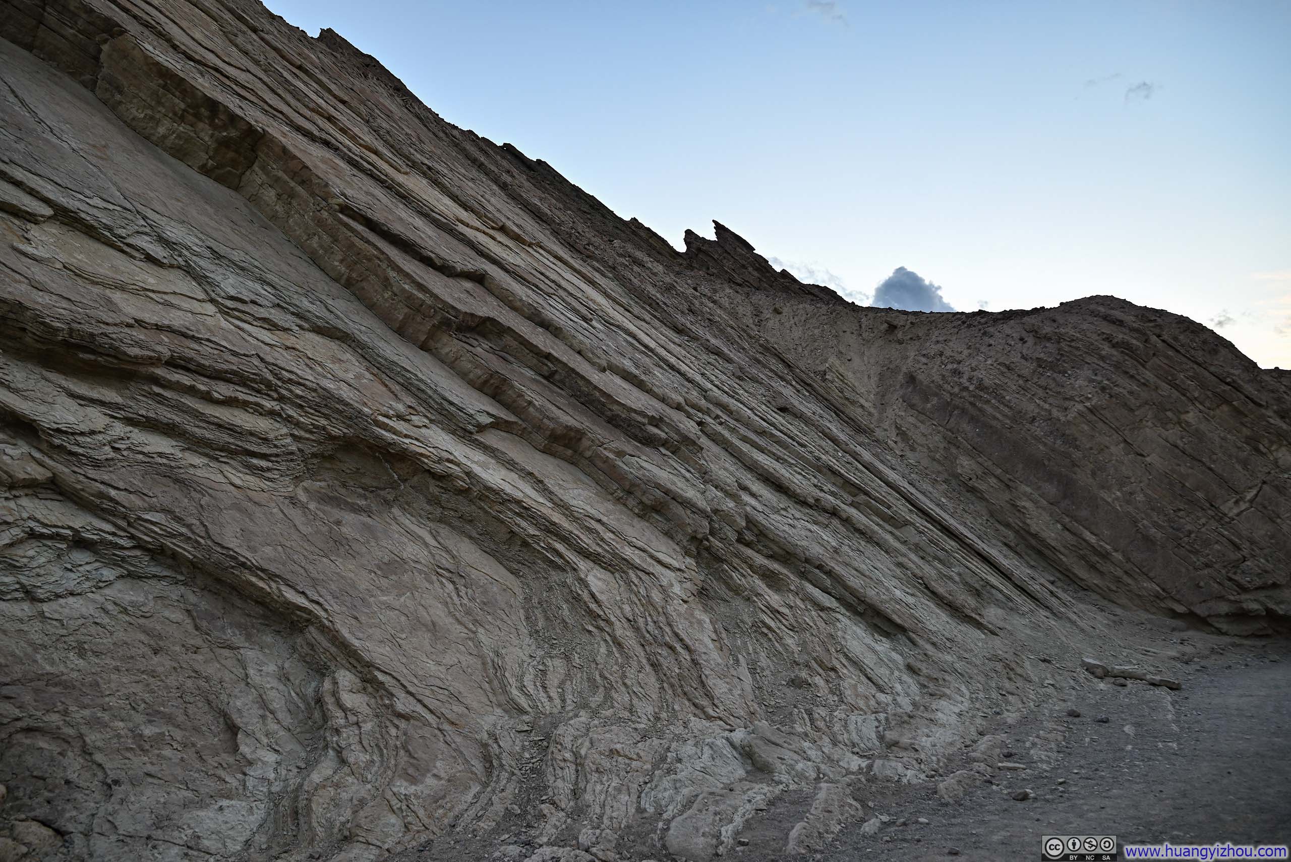
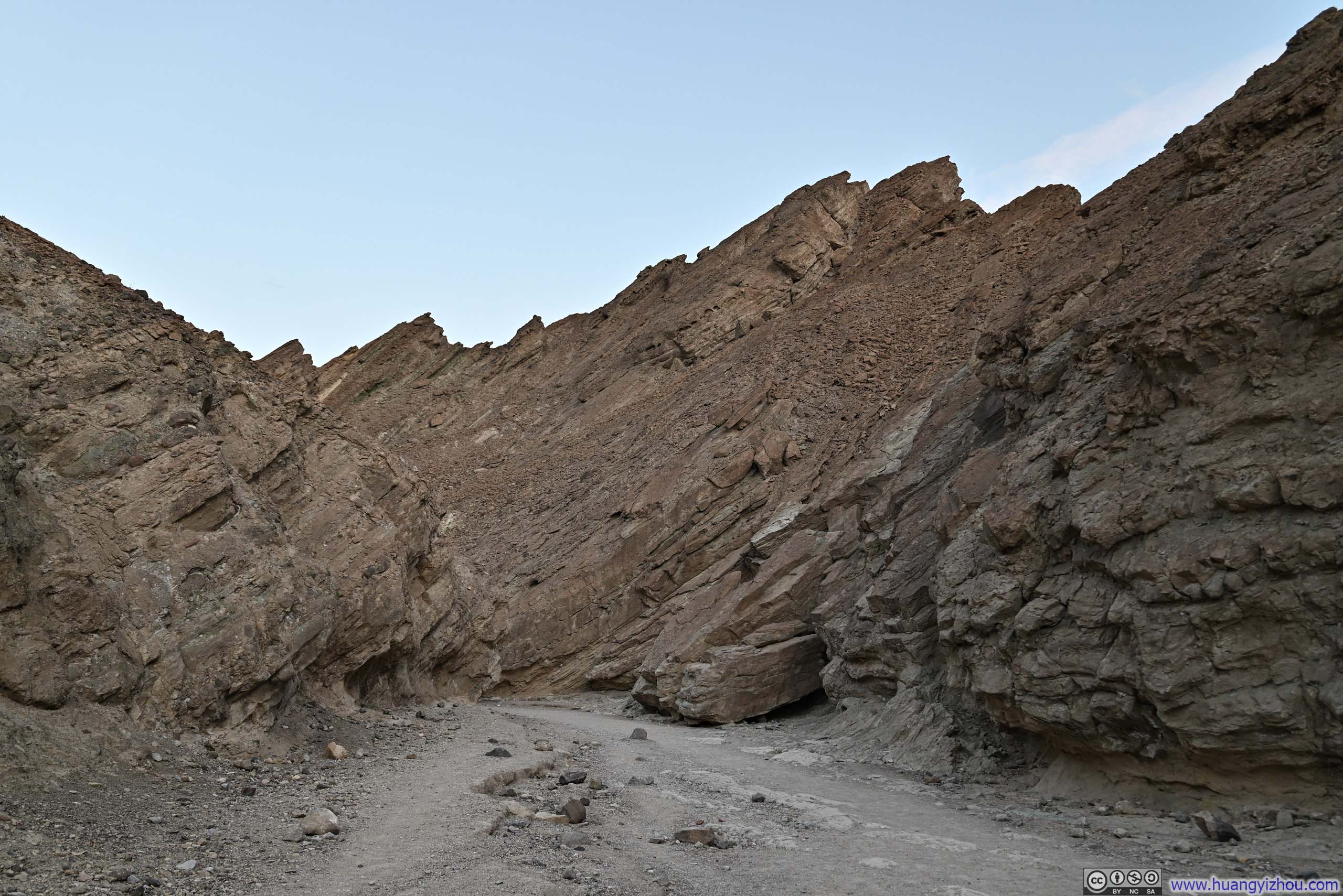
Once in the proper Sidewinder Canyon, I found it’s like an avenue compared to the back alleys I entered earlier.
 Sidewinder Canyon
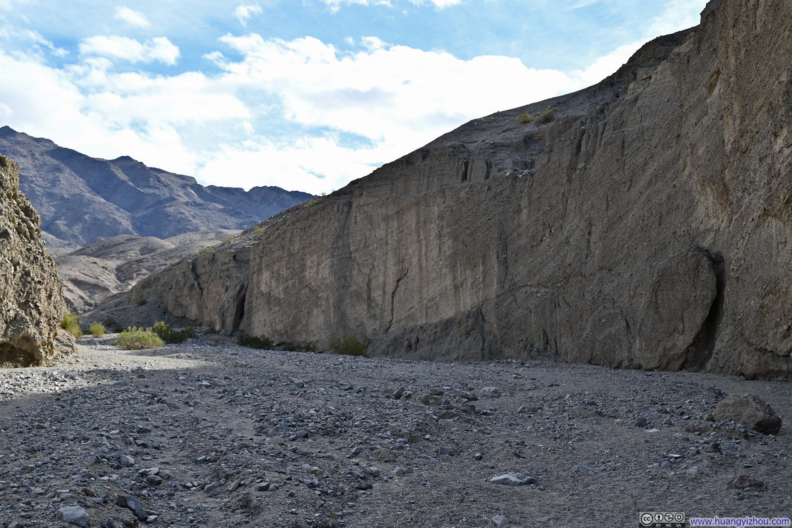
 Walls of Sidewinder Canyon
 Sidewinder Canyon
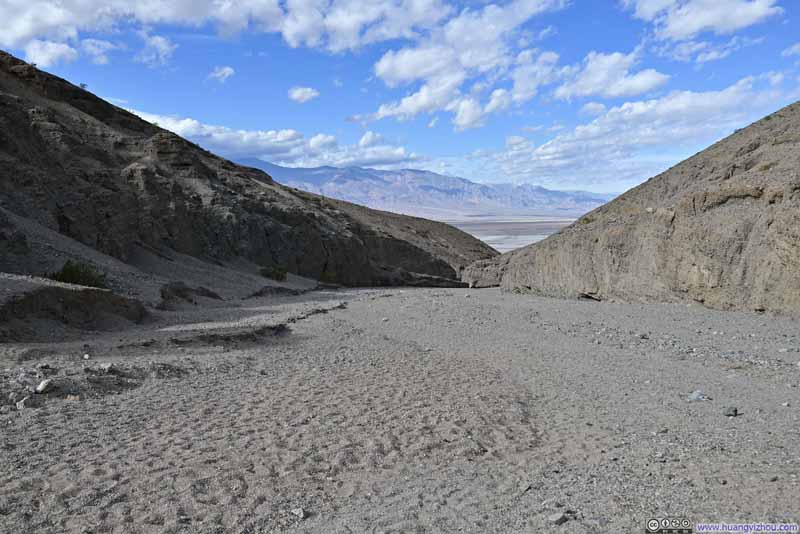 Sidewinder Canyon
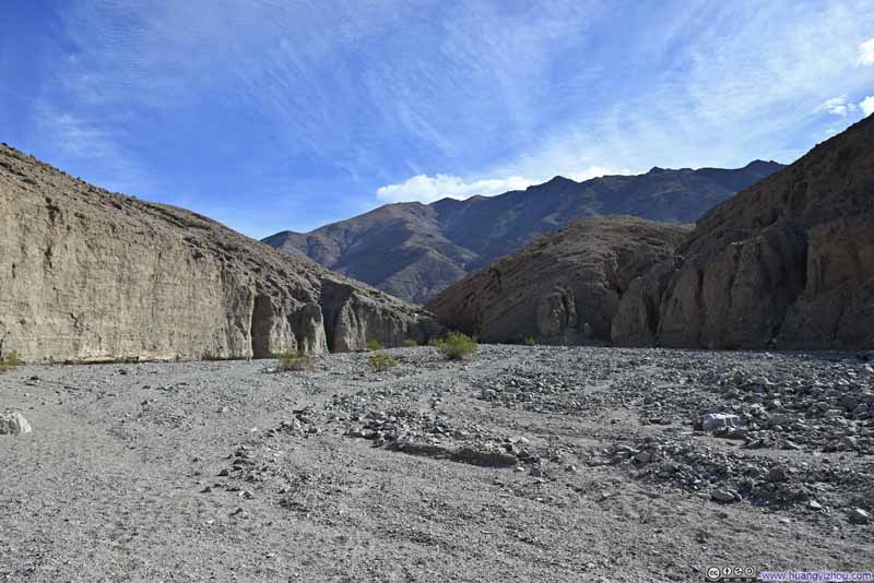 Sidewinder Canyon
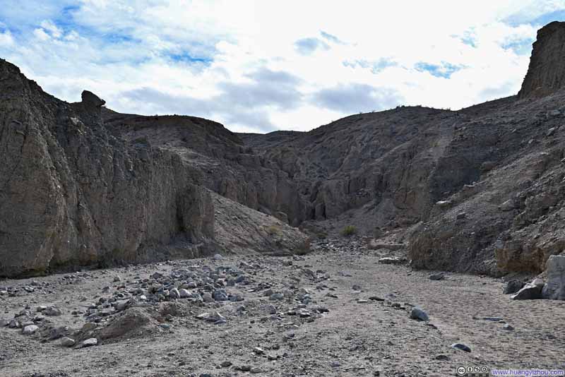 Sidewinder Canyon
Click here to display photos of the slideshow
Sidewinder Canyon
Walls of Sidewinder Canyon
Sidewinder Canyon
Sidewinder Canyon

Sidewinder Canyon

Sidewinder Canyon
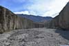
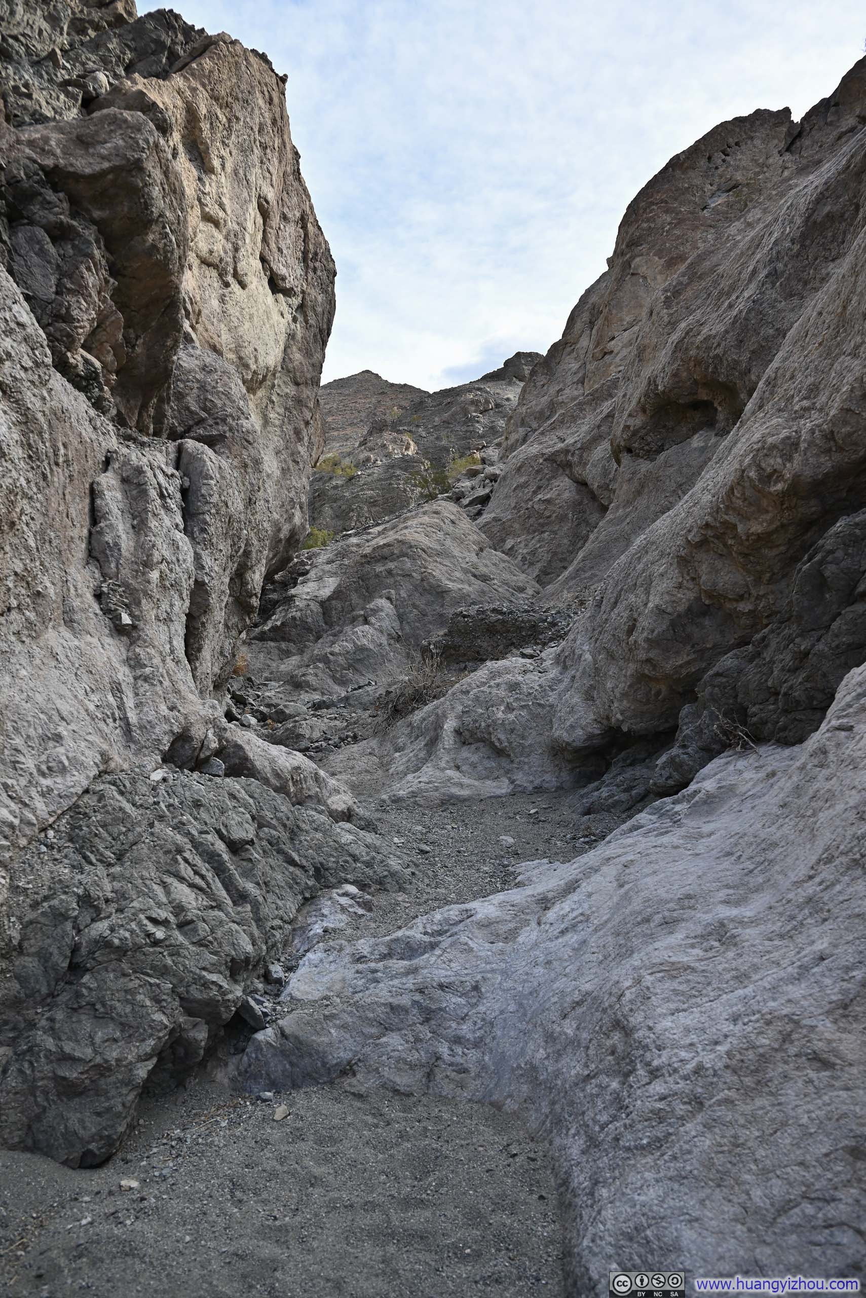
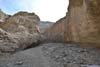
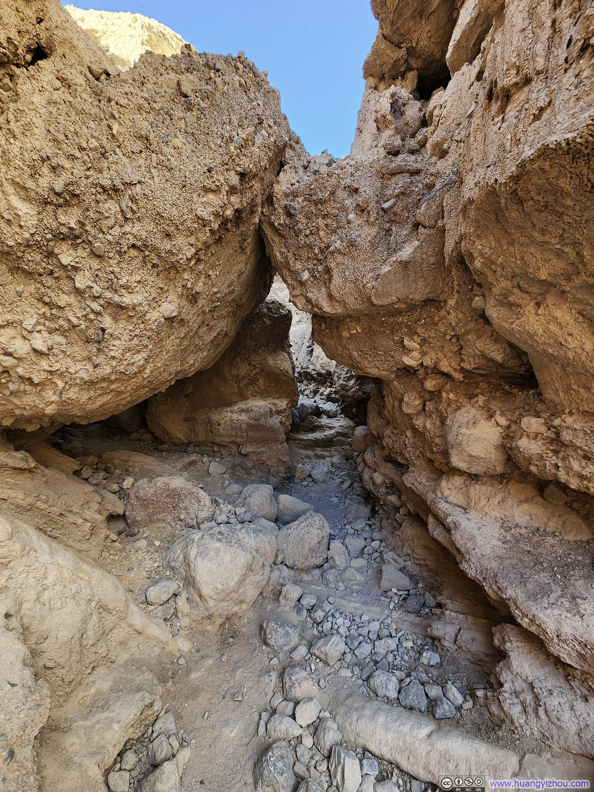
It should be mentioned that Sidewinder Canyon featured many canyons that branched off from the main canyon, many would argue that these ones on the side made better adventures than the main one. However, I decided to stick to the main canyon for several reasons: it’s the most popular (it’s the only one on AllTrails), the side canyons featured more technical climbing, the main one was the most straightforward and hardest to get lost – which was important to me after already getting lost once.
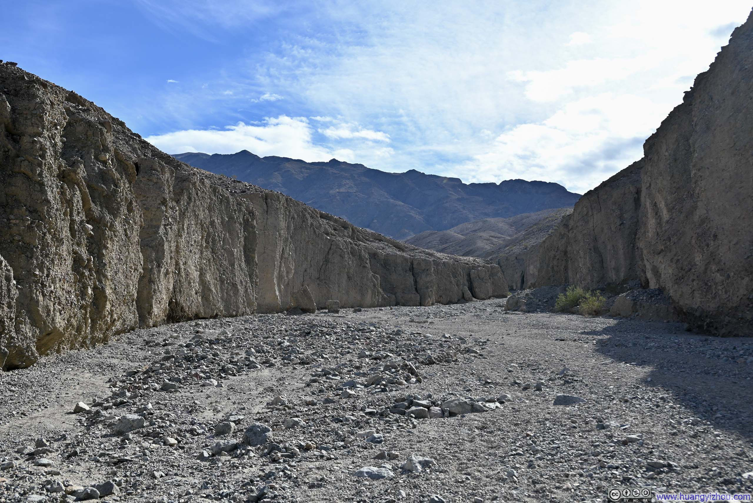
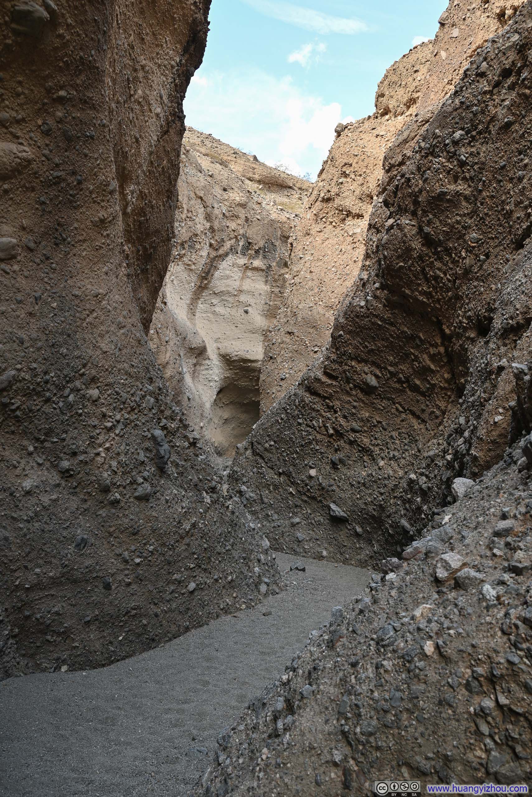
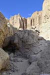
The canyon soon narrowed dramatically, with winding curves shaping the trail and the smooth contours of the rock walls. I bet this was the classic slot canyon experience. I wasn’t used to slot canyons so it’s rather exciting.
 Sidewinder Canyon
 Wall of Sidewinder CanyonA bit like a climbing gym, with rocks sticking out.
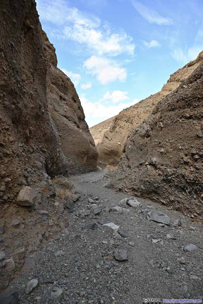 Sidewinder Canyon
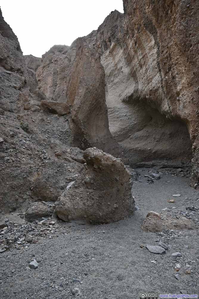 Sidewinder Canyon
 Sidewinder Canyon
 Sidewinder Canyon
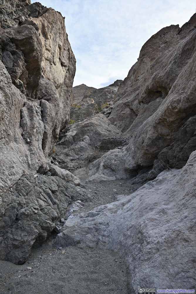 Sidewinder Canyon
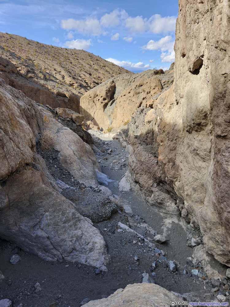 Sidewinder Canyon


Click here to display photos of the slideshow

Sidewinder Canyon
Wall of Sidewinder CanyonA bit like a climbing gym, with rocks sticking out.

Sidewinder Canyon

Sidewinder Canyon
Sidewinder Canyon
Sidewinder Canyon
Sidewinder Canyon

Sidewinder Canyon
In the main canyon, there was only one climbing move (slideshow below), which I would rate as YDS 3. The main difficulty was finding footholds as the rocks were slick.
 Technical Climb in Sidewinder Canyon
 Overlooking Technical ClimbIt’s not high, but there weren’t many footholds around.
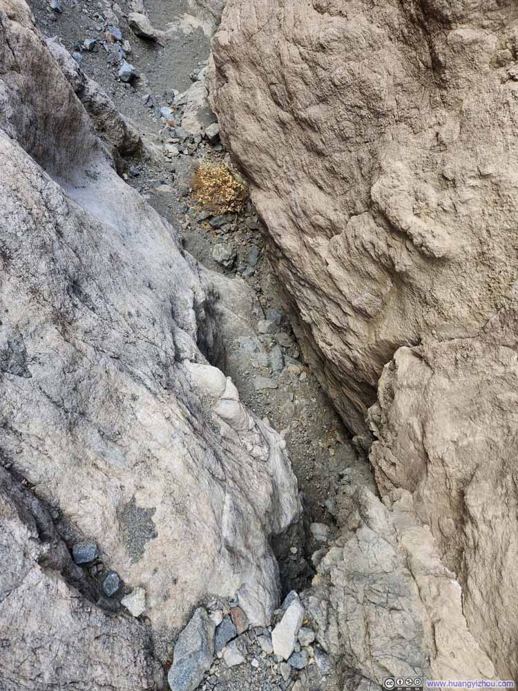 Alternative Route
The rocks here had more texture, but the climb was higher. I didn’t know whether this was easier or harder.
Alternative Route
The rocks here had more texture, but the climb was higher. I didn’t know whether this was easier or harder.


Click here to display photos of the slideshow
Technical Climb in Sidewinder Canyon
Overlooking Technical ClimbIt’s not high, but there weren’t many footholds around.
Alternative Route
 Sidewinder Canyon
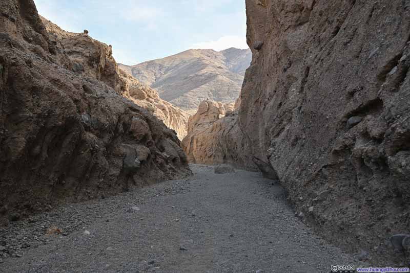 Sidewinder Canyon
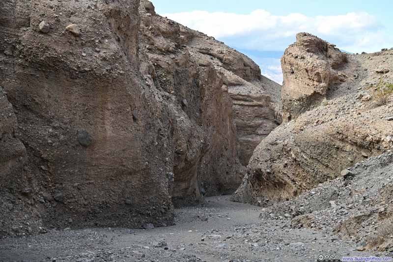 Sidewinder Canyon
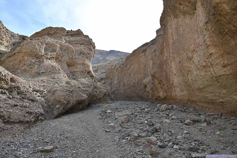 Sidewinder Canyon
 Sidewinder Canyon
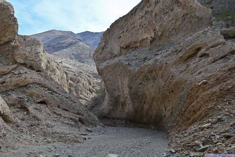 Sidewinder Canyon
 Sidewinder Canyon
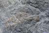
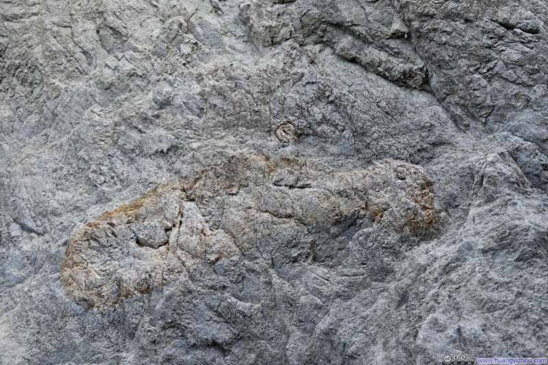 Pattern on RockDidn’t know what created this.
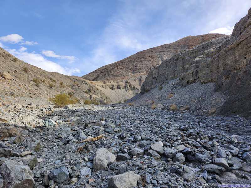 Sidewinder Canyon
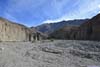
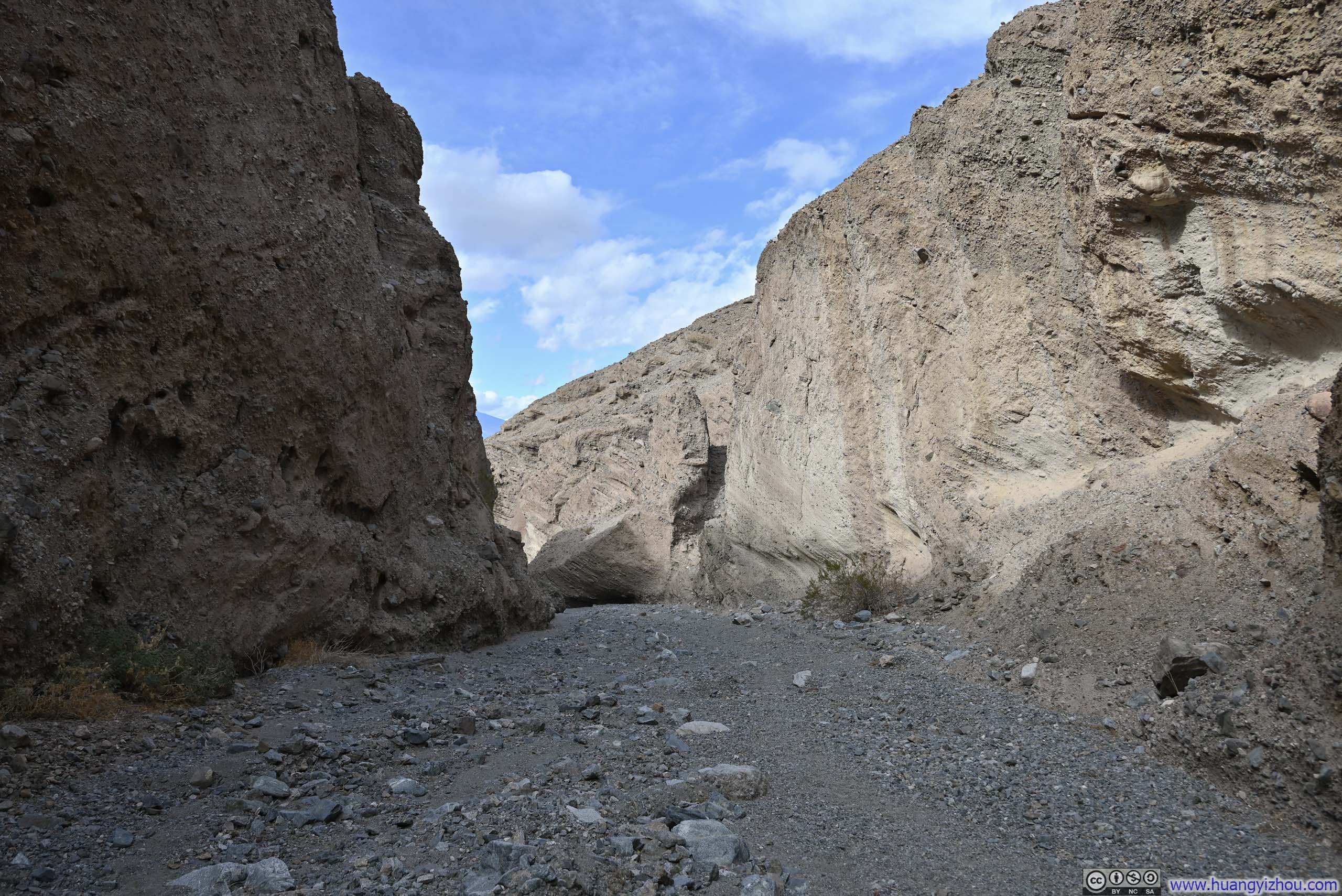
The canyon opened up before the end of the trail. As a result, I turned back approximately 400m from the trail’s end.
Sidewinder Canyon
The canyon opened up before the end of the trail. As a result, I turned back approximately 400m from the trail’s end.

Click here to display photos of the slideshow

Sidewinder Canyon
Sidewinder Canyon

Sidewinder Canyon
Sidewinder Canyon
Sidewinder Canyon

Sidewinder Canyon
Sidewinder Canyon
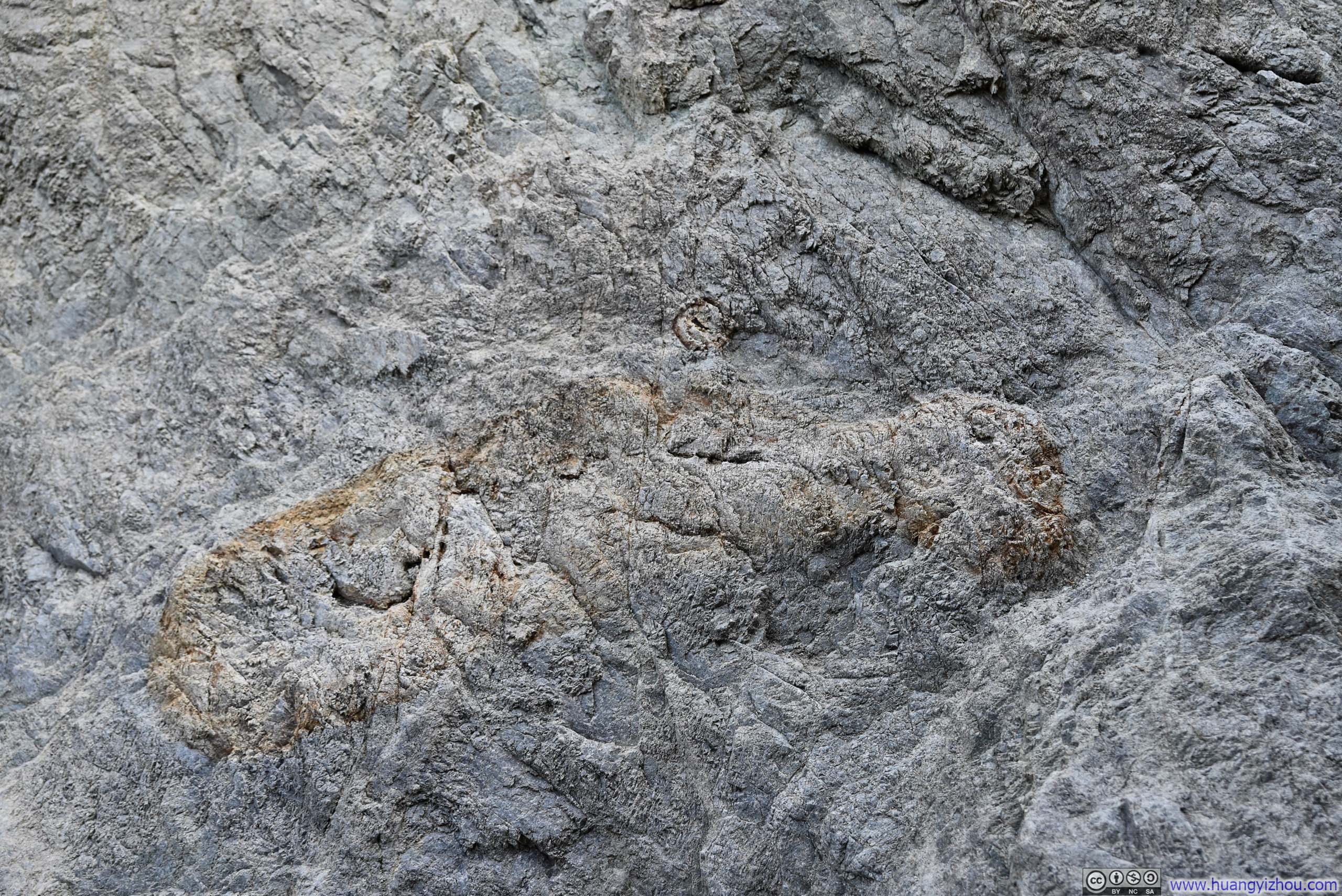
Pattern on RockDidn’t know what created this.
Sidewinder Canyon
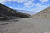
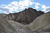
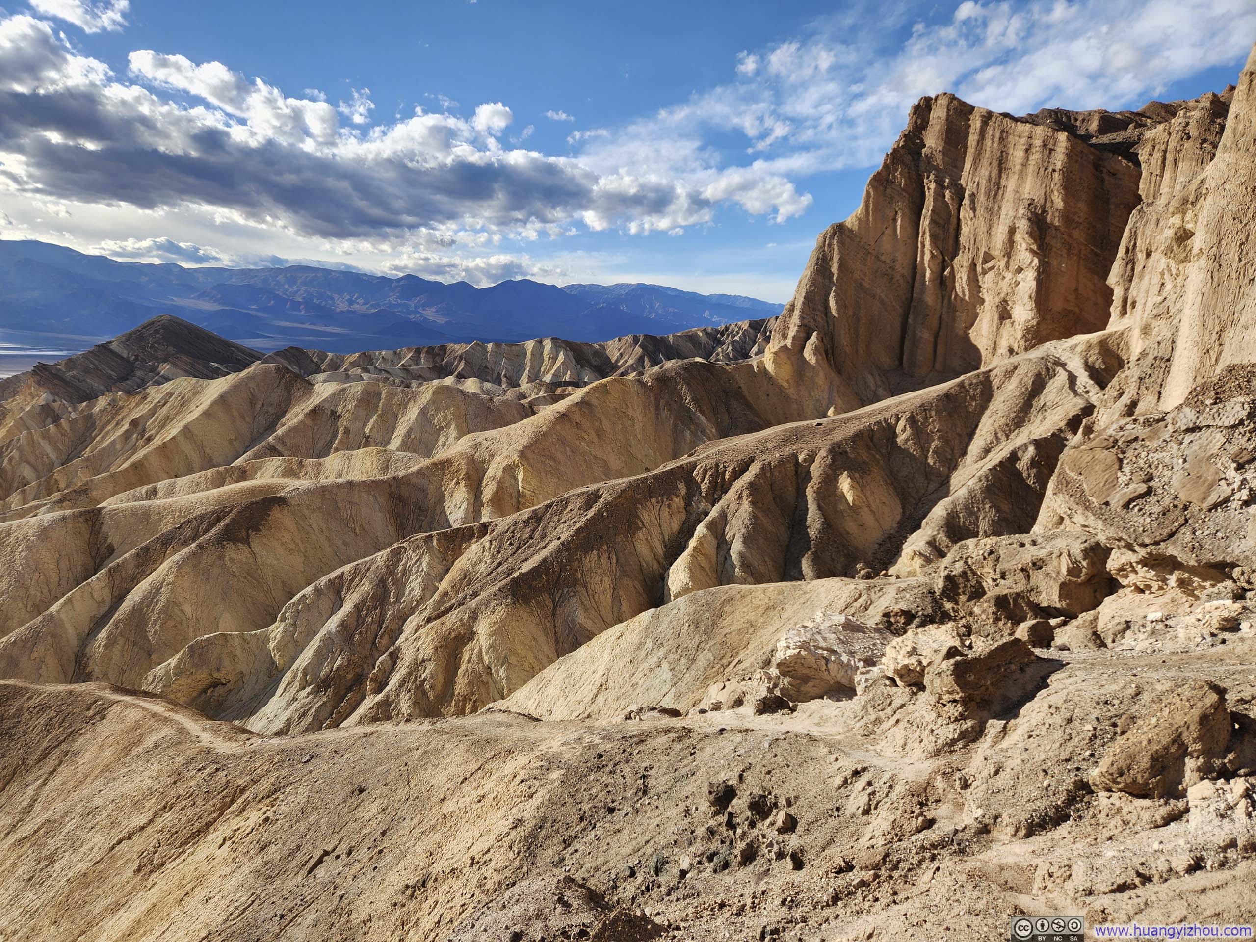
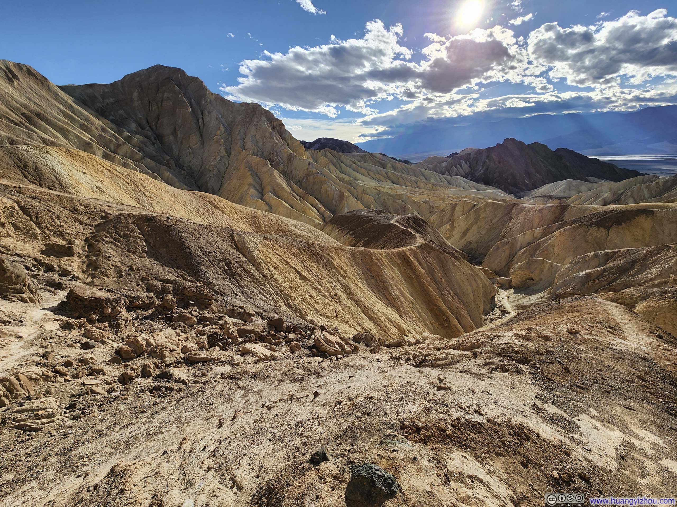
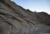
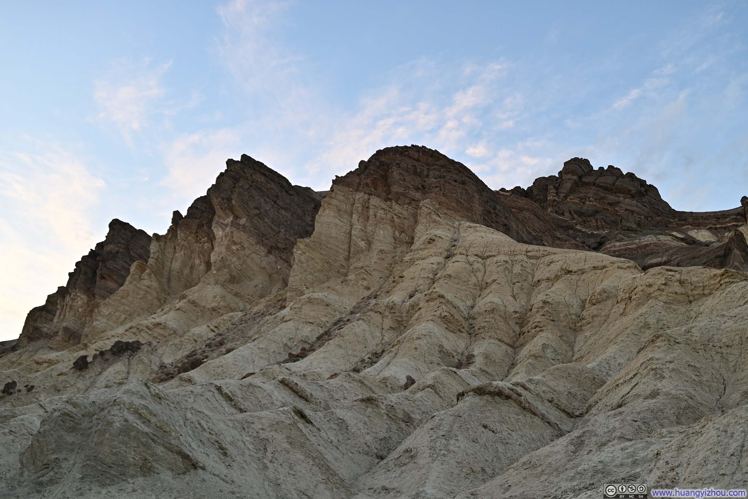
In the end, I found the sedimentary rocks of Sidewinder Canyon to be rougher and less refined compared to the other canyons I visited during this trip to Death Valley. The walls were covered with smaller rocks jutting out like goosebumps, giving the impression that they could fall at any moment.
I turned back once the winding canyon opened up, which was a short distance from the trail’s end on the maps.
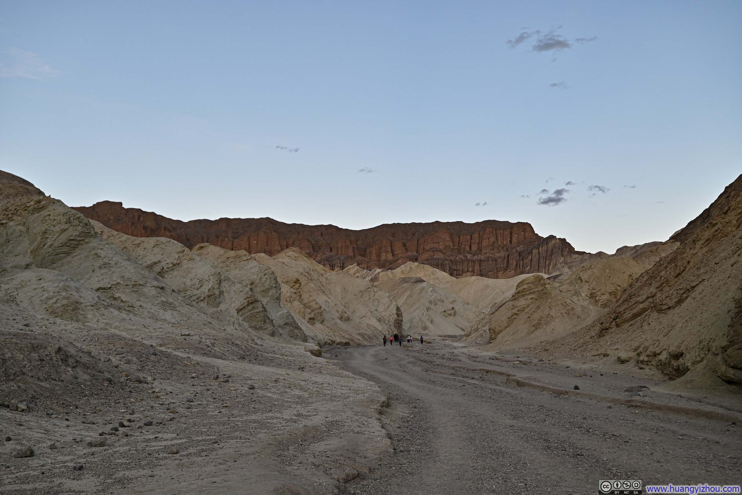
By the time I returned to the parking lot of Sidewinder Canyon, it’s 1pm. I figured I had enough time left in the day to explore something else, so I decided to head to Golden Canyon.
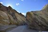
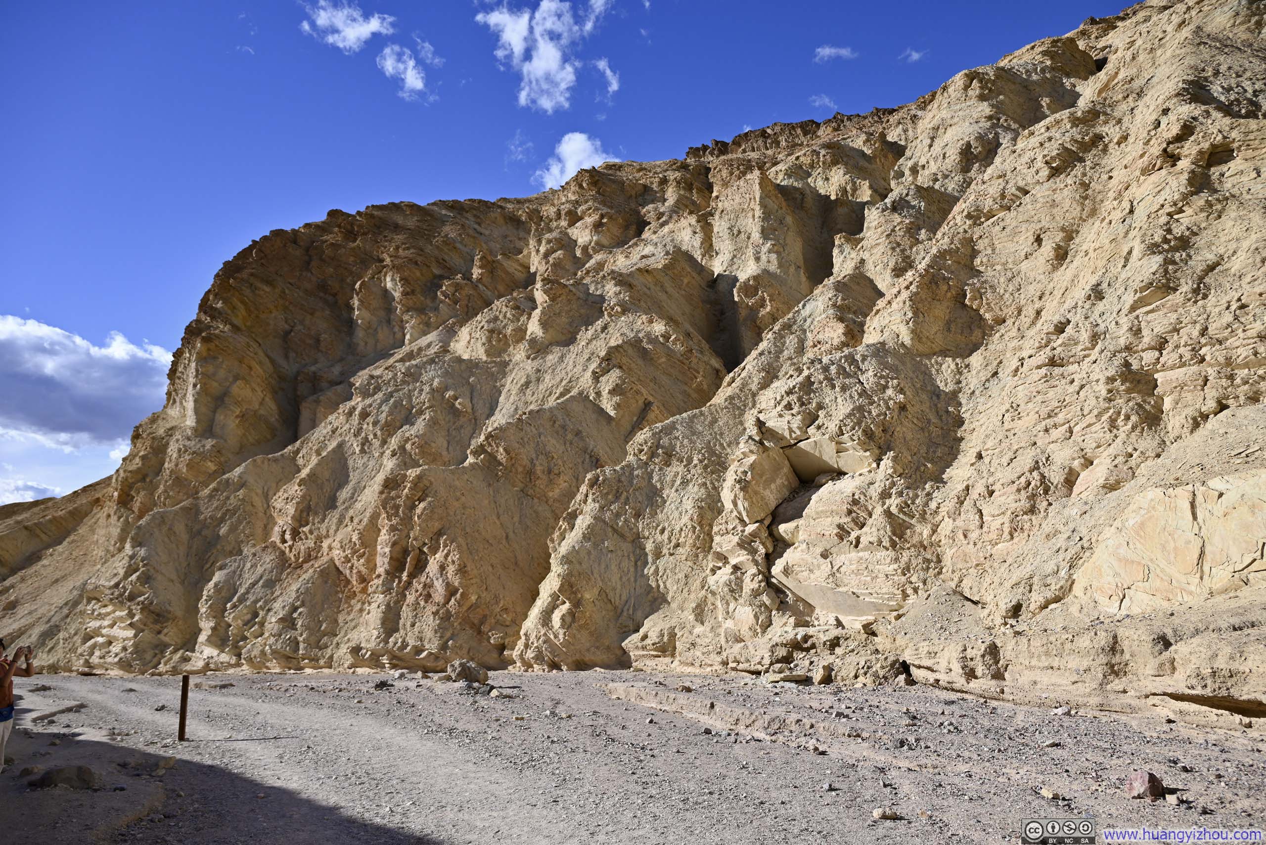
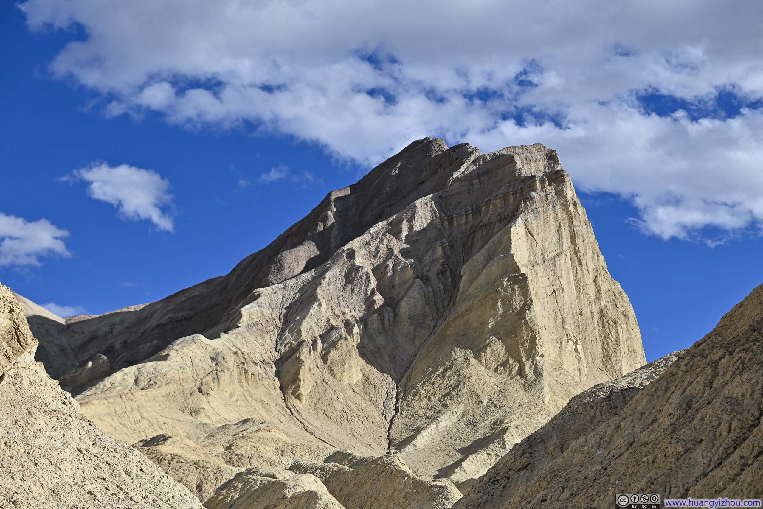
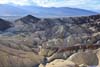
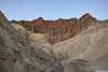
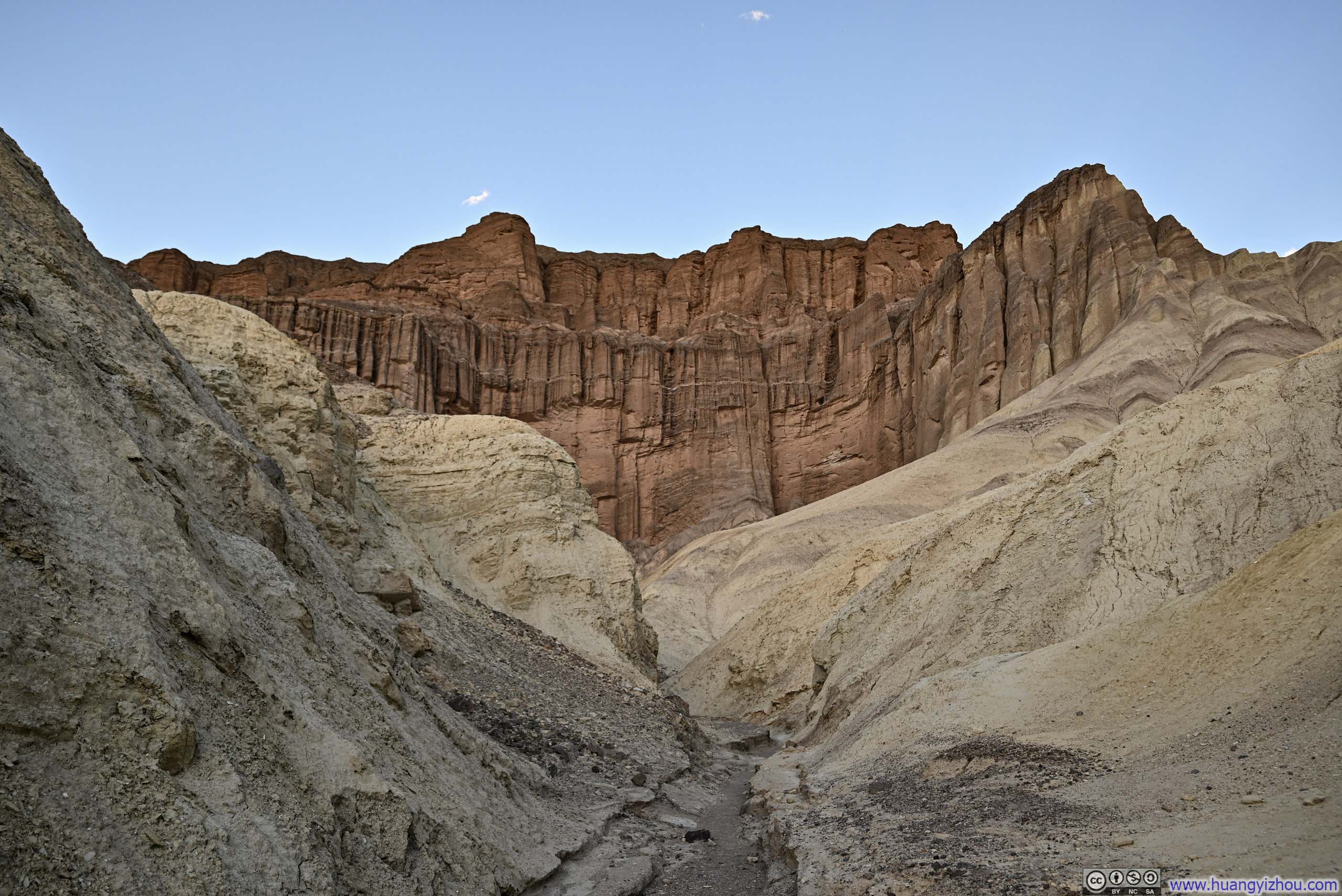
Golden Canyon
Golden Canyon is nestled among the striking badlands visible from Zabriskie Point, which I had visited the day before. The area boasts a vividly colored landscape, with dipping beds of rock layers creating a stunning display of hues. Over time, erosion has sculpted intricate canyons and badlands. While Zabriskie Point offers a stunning overview of the terrain, several hiking trails weave through the landscape, providing a more immersive experience.
Among these trails, the Golden Canyon Trail and Gower Gulch Trail formed a perfect loop. This loop could also be attempted from Zabriskie Point by incorporating the shorter Badlands Loop. Red Cathedral was a short spur from Golden Canyon Trail. Originally, my plan was to check out Golden Canyon and Gower Gulch loop. But I ended up spending so much time exploring the Red Cathedral area off-trail that I had to skip the longer Gower Gulch Trail and return via Golden Canyon too.
Interestingly, I felt the area’s vibrant blend of colors looked best on Google Earth’s satellite view, in my opinion better than the views from within the canyon itself. I bet the area would make great air balloon tours.
The parking lot for Golden Canyon was very limited in size (20-40 cars, depending on whether one counted the overflow parking on road shoulders). I arrived sort of late in the day (at 1:30pm) and pulled in one of the few remaining spots.
 Golden Canyon
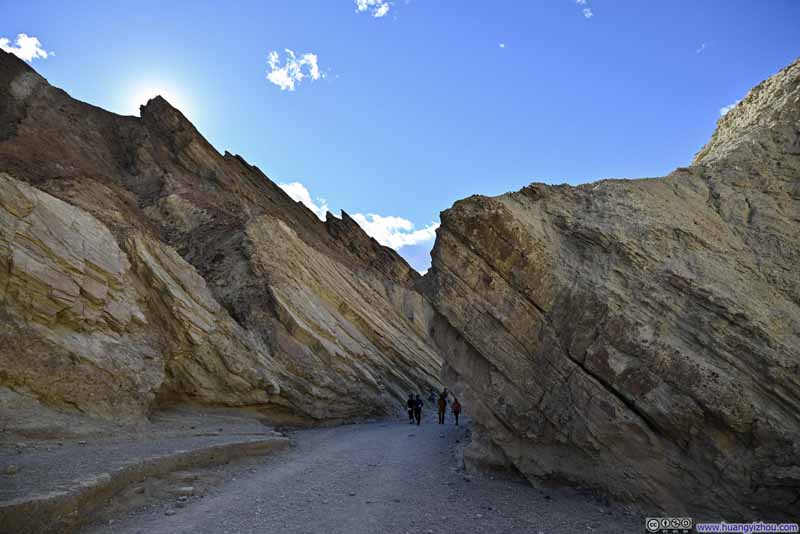 Golden Canyon
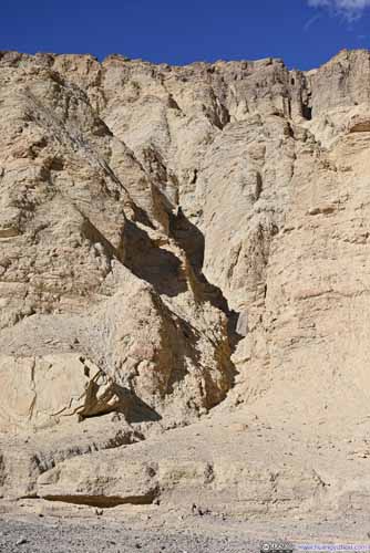
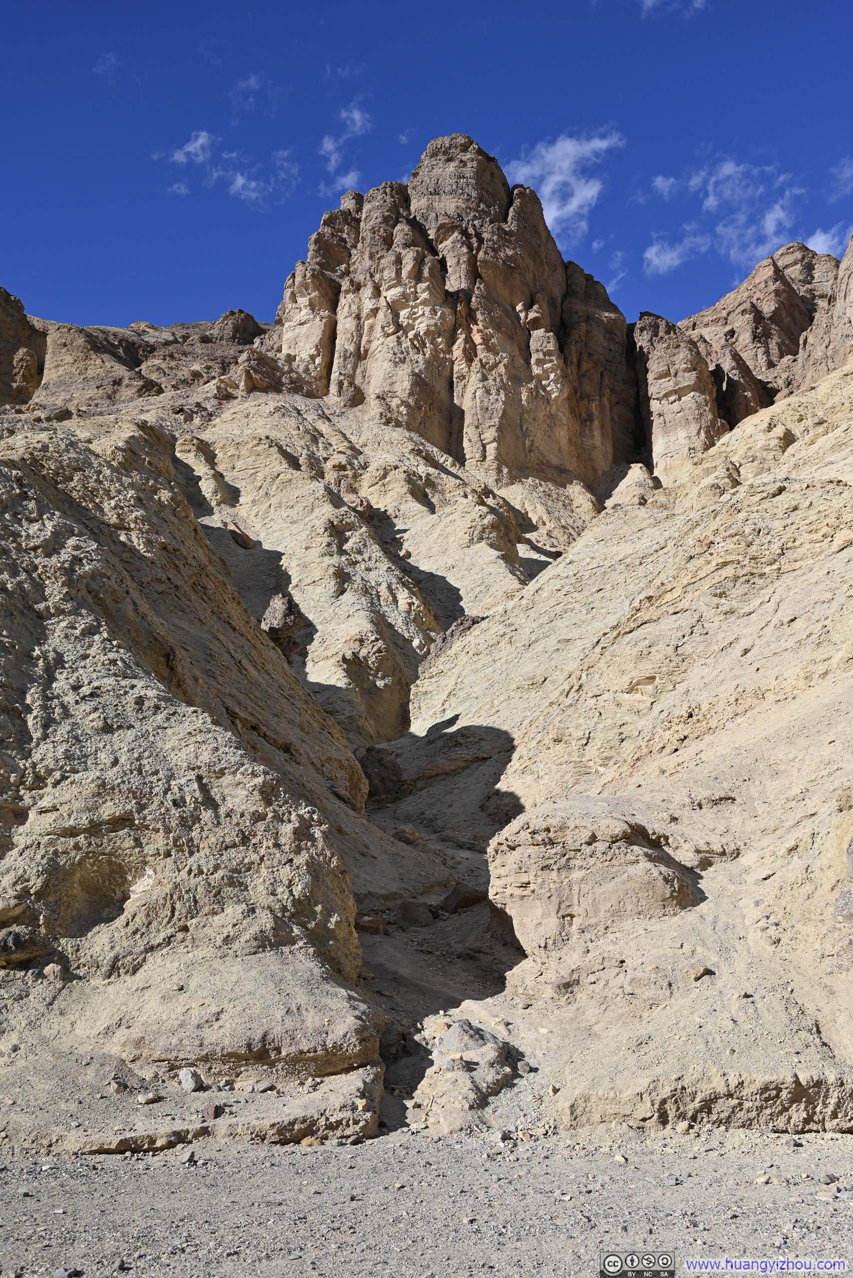
 Small Gullies
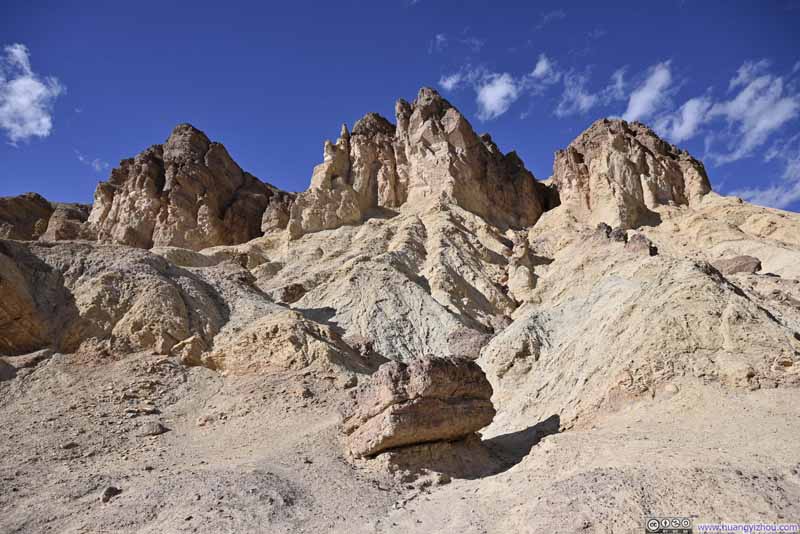 Hill
Three outstanding pillars. Where I was born trios like this would be named “Three Sisters”, but since the pillars were wide and masculine, I would call them “Three Brothers”.
Hill
Three outstanding pillars. Where I was born trios like this would be named “Three Sisters”, but since the pillars were wide and masculine, I would call them “Three Brothers”.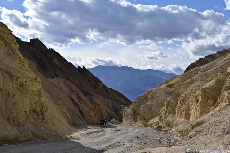 Golden Canyon
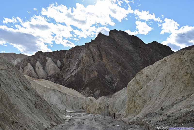 Hill
Hill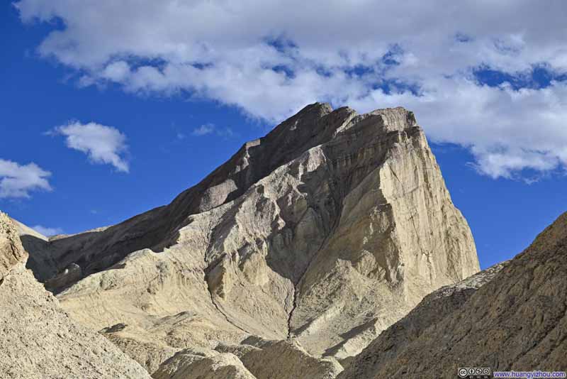 Manly Beacon
 Trail to Red Cathedral

Click here to display photos of the slideshow
 Golden Canyon

 Small Gullies
Hill
Golden Canyon
Hill
Manly Beacon
 Trail to Red Cathedral
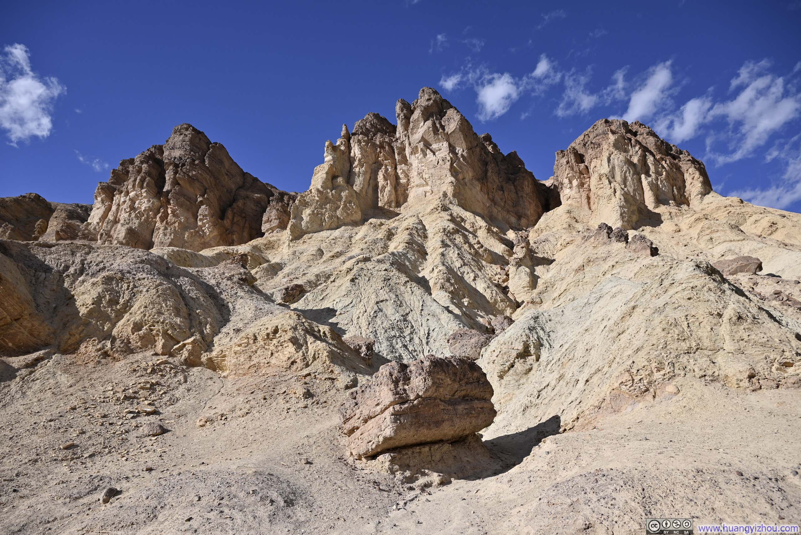
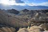
In short, compared to Sidewinder Canyon earlier today, Golden Canyon lacked the sinuous curves and tight turns, but it made up with a diverse range of colors along the way.
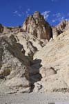
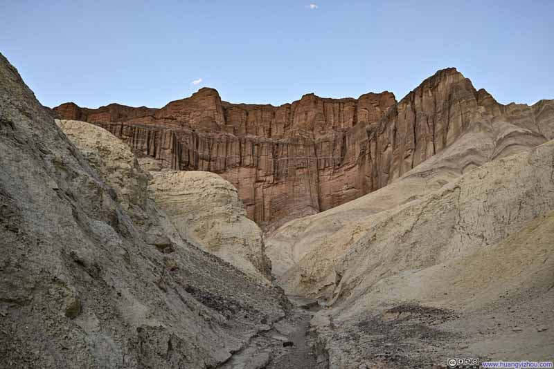
Towards the end of Golden Canyon, I went on the spur towards Red Cathedral. Red Cathedral was a series of reddish-colored rocks that resembled the towering pipes of a cathedral organ. As the trail neared Red Cathedral, it gradually faded into the surrounding badlands, so one could choose to follow the faint traces on the badland ridges or in the valleys.
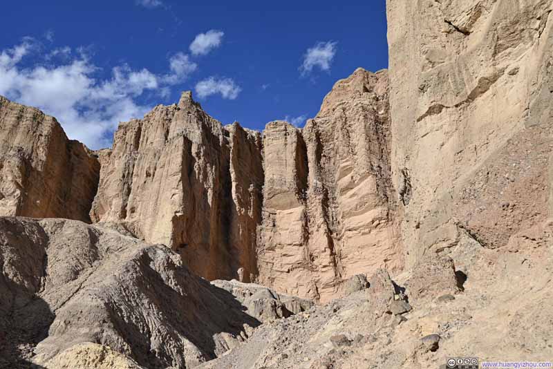 Red Cathedral
 Badlands around Red Cathedral
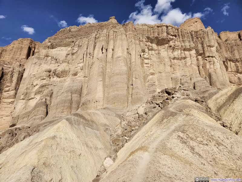 Red Cathedral
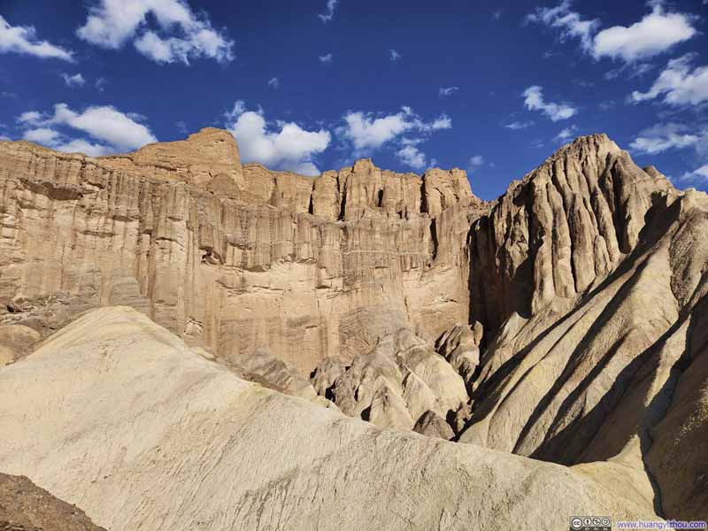 Red Cathedral
 Trail on Ridges
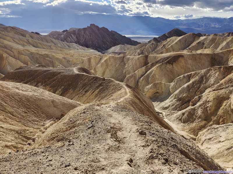 Trail on Ridges
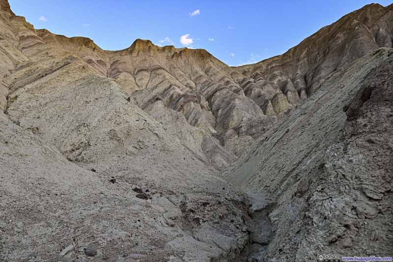 Badlands


Click here to display photos of the slideshow

Red Cathedral
Badlands around Red Cathedral

 Red Cathedral
 Trail on Ridges

Badlands
A small disappointment was that, reflecting the afternoon sun, the rocks of Red Cathedral appeared more orange than red, which was not that different from the surrounding badlands. They sure looked more striking in the twilight hours as I made my way back through Golden Canyon.
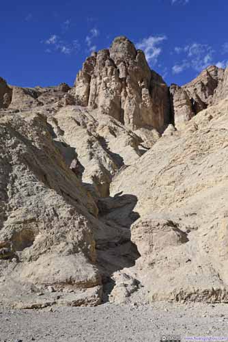
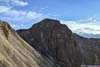
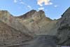
Nearby, Manly Beacon stood as a towering spire, rising dramatically above the surrounding badlands. Since I had decided to make my day more adventurous and unscripted, I thought, on a whim, that climbing Manly Beacon might be a good idea.
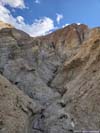
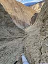
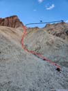
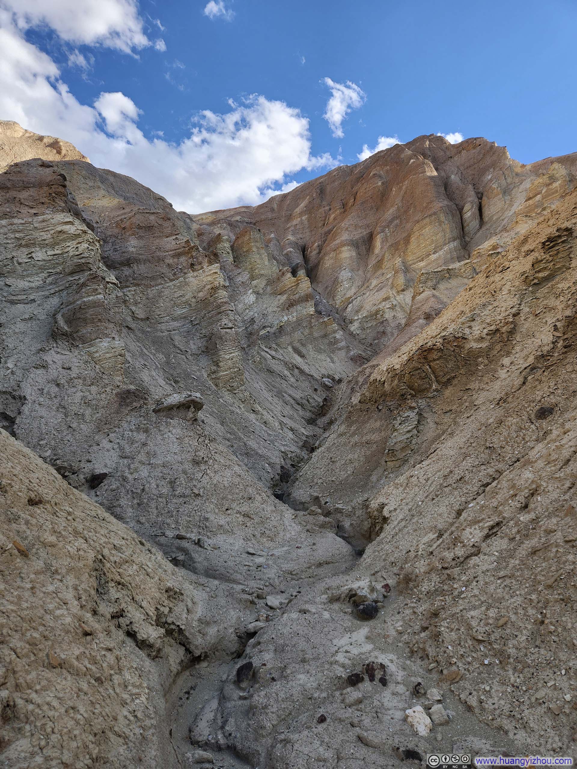
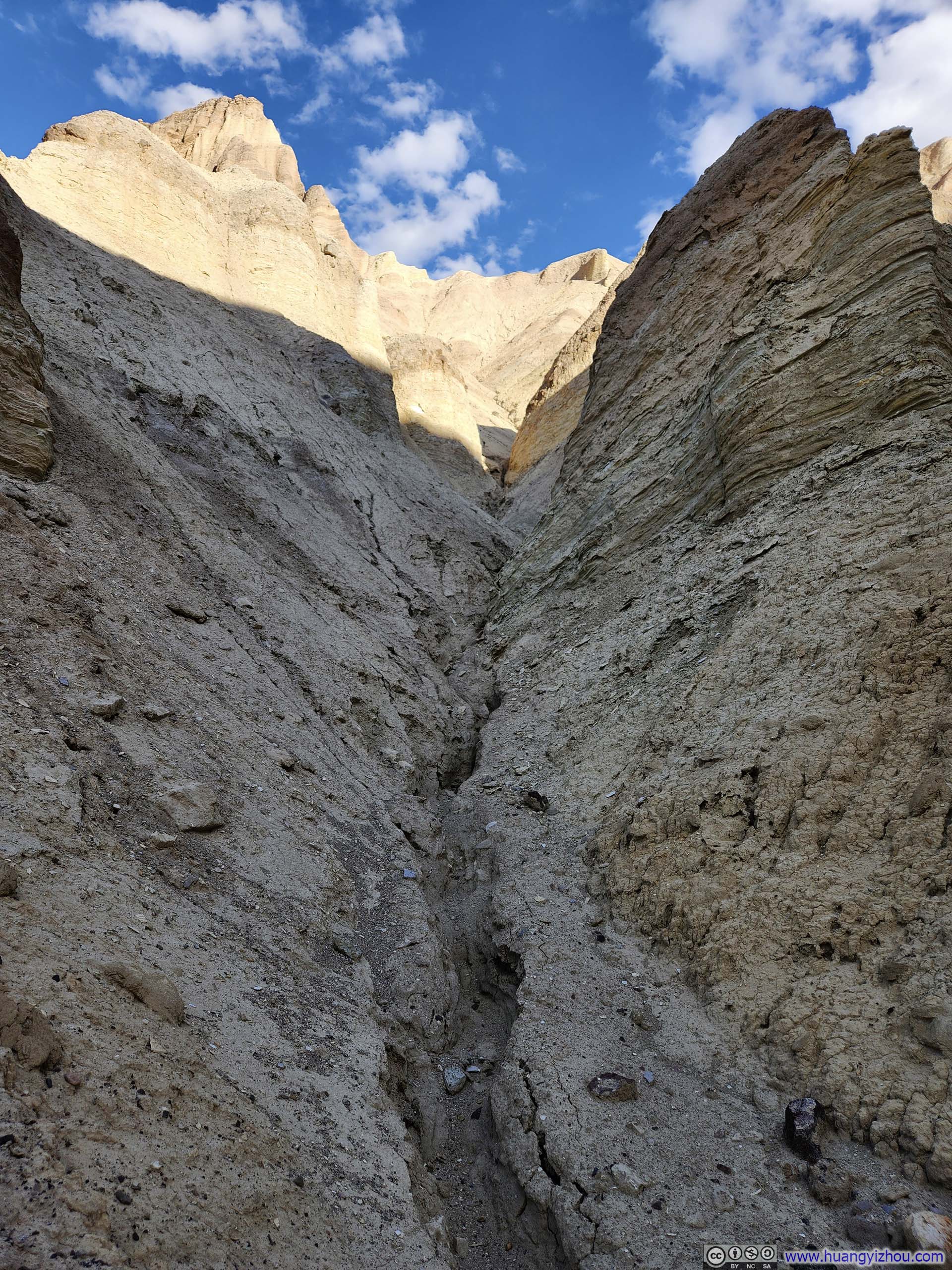
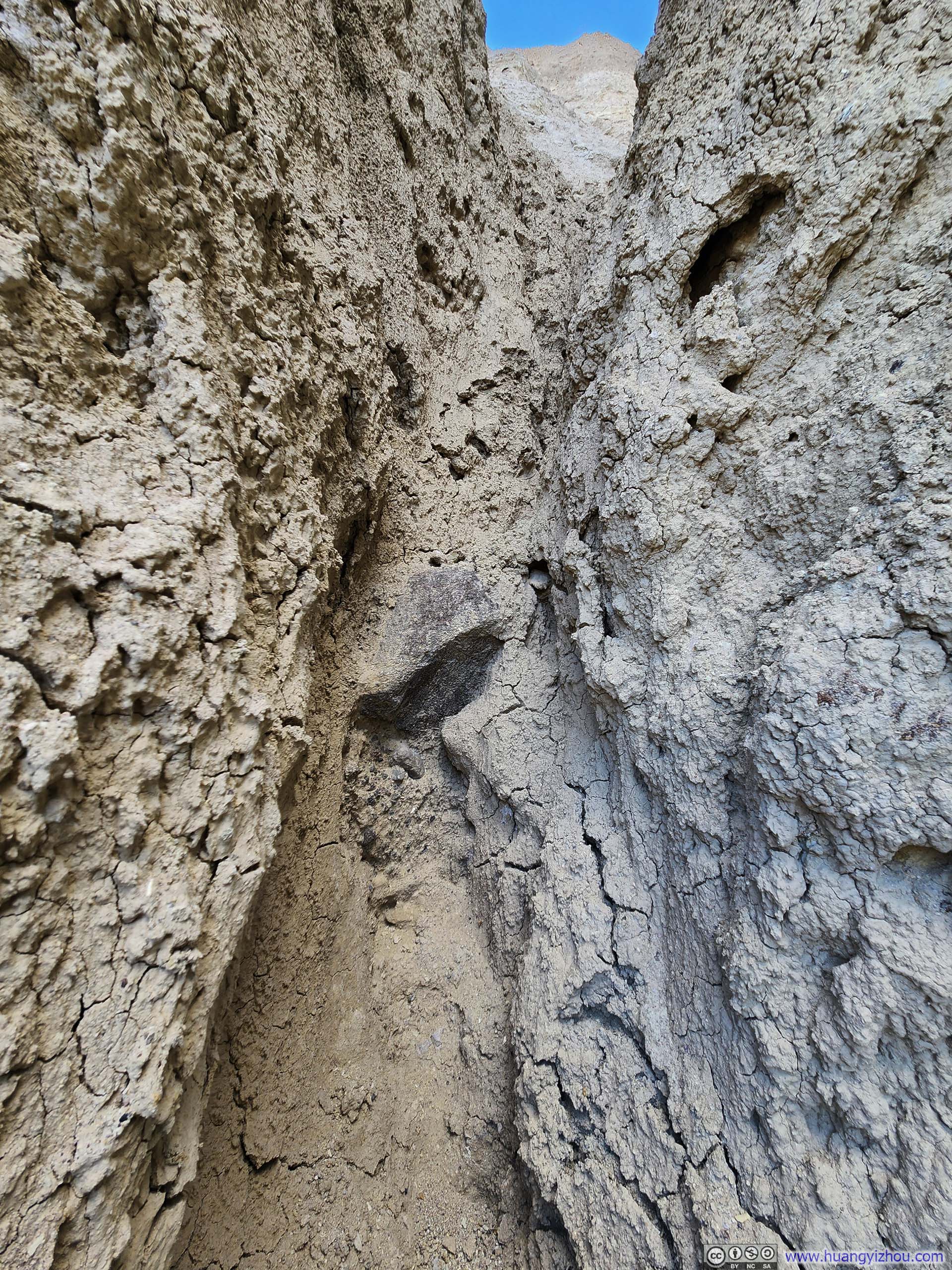
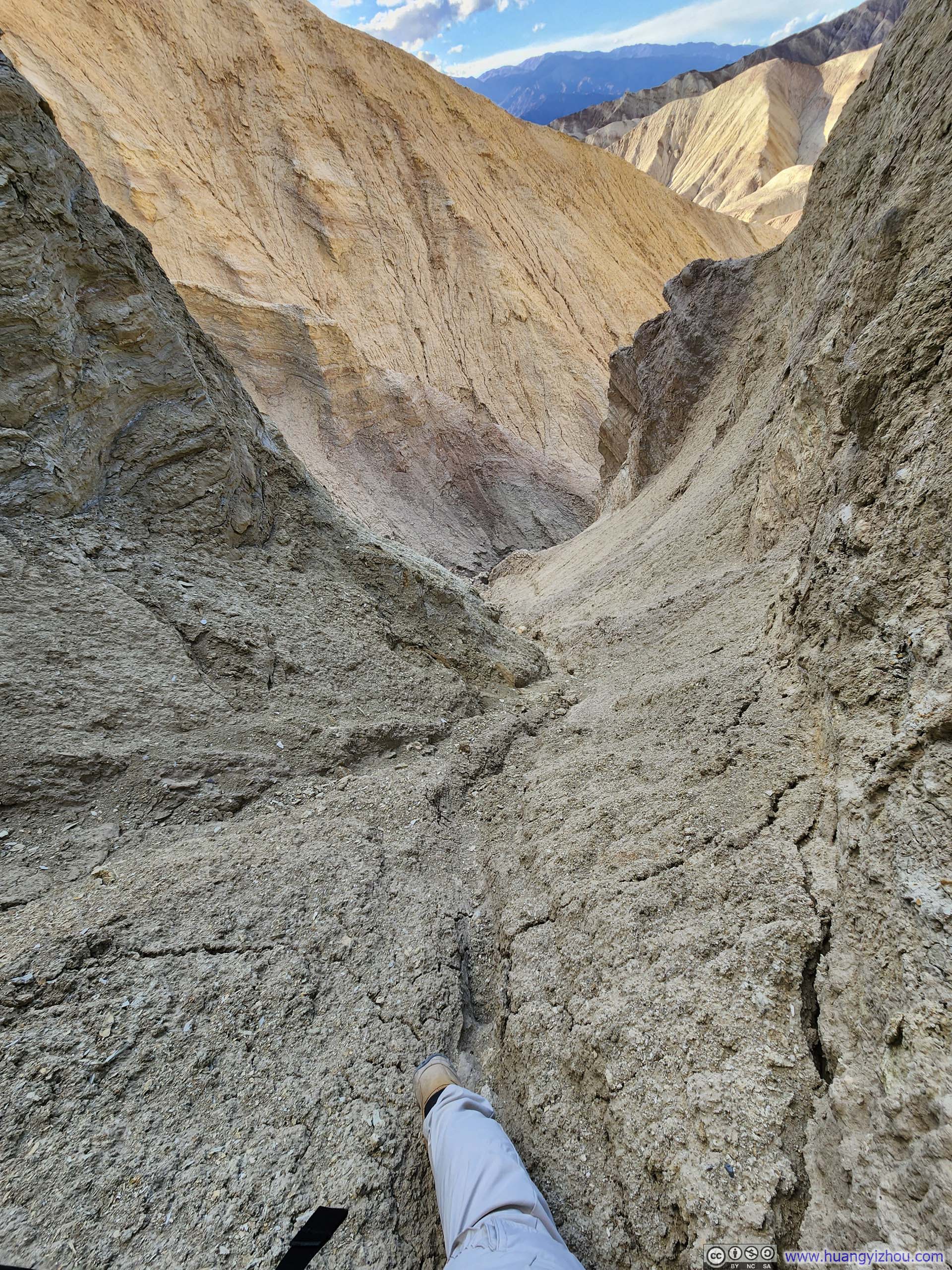
There wasn’t an obvious path leading from the badlands floor to the top of Manly Beacon, so I figured my best option was to follow one of the many gullies in the area and aim for the ridge between Red Cathedral and Manly Beacon. After scouting around for a bit, I chose one gully (p3 below) to attempt first. Unfortunately, it became extremely steep and narrow at one point (see p4-5 below), forcing me to turn back.
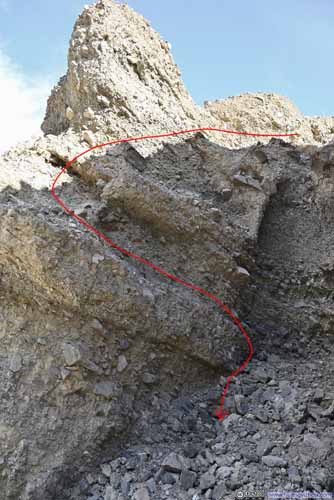
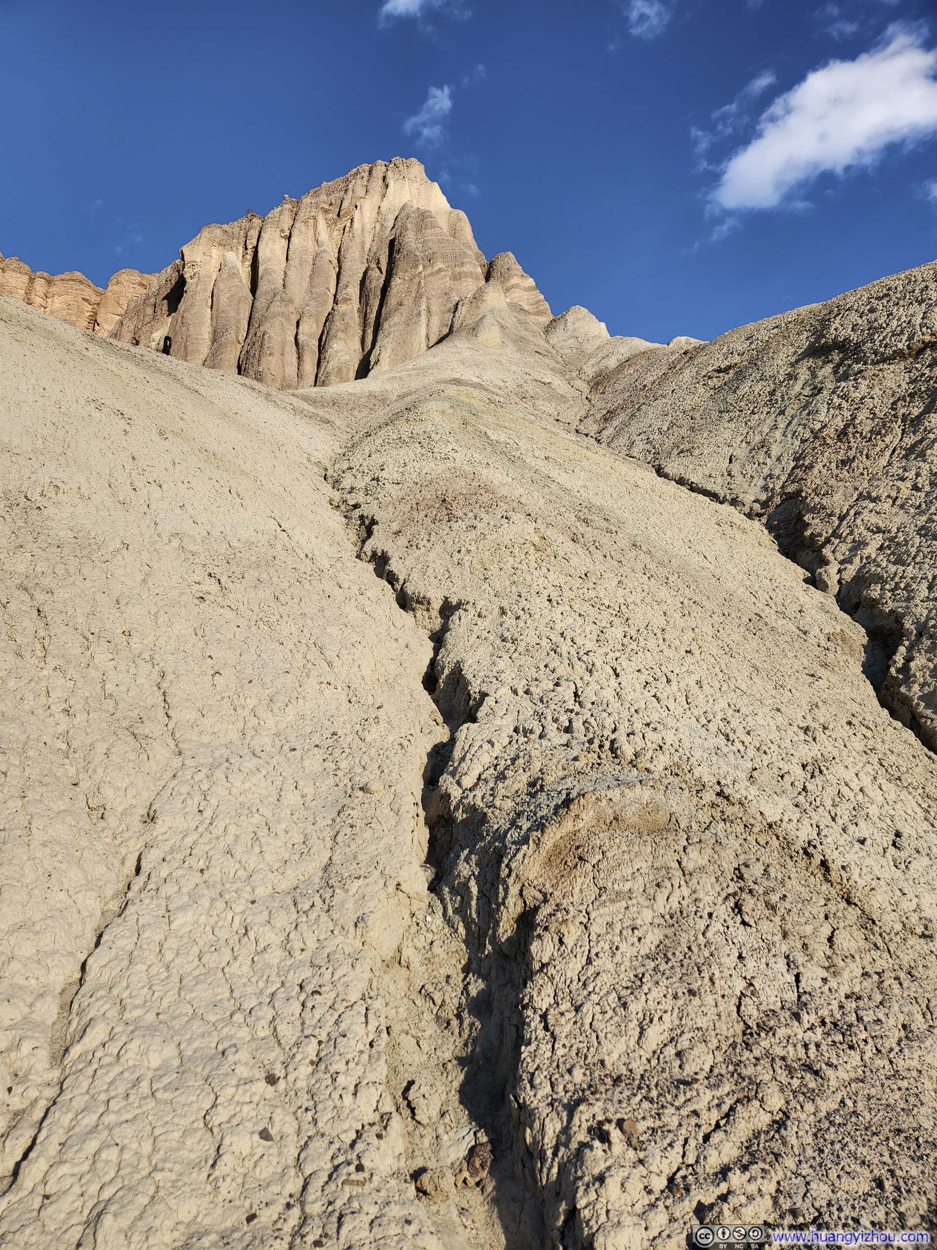
After that, I picked a different path that was less direct but more open (p6 below). This path led me to a small platform/butte, but from there, I couldn’t find any way to connect to the ridge that would take me to Manly Beacon.
Just for reference, the default route to climb Manly Beacon was from the side of Zabriskie Point, not Golden Canyon.
 GulliesManly Beacon was the high point in the background, didn’t look that hard from this angle.
 GullyOne that I didn’t attempt.
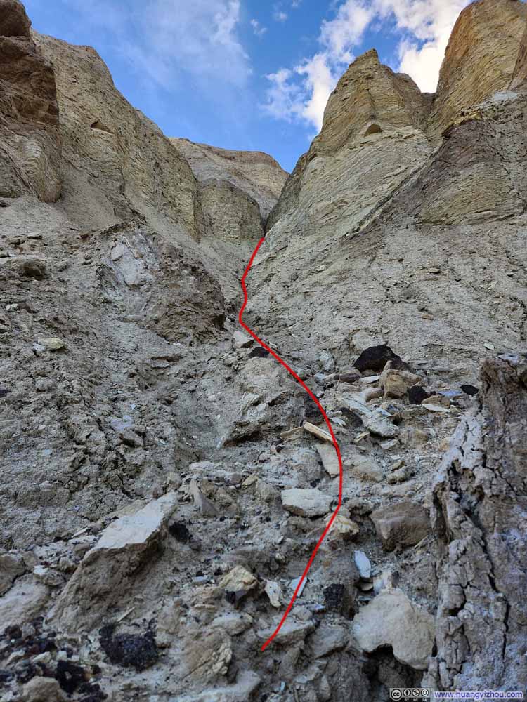 GullyOne that I attempted.
 GullyThis was the place where I decided to bail.
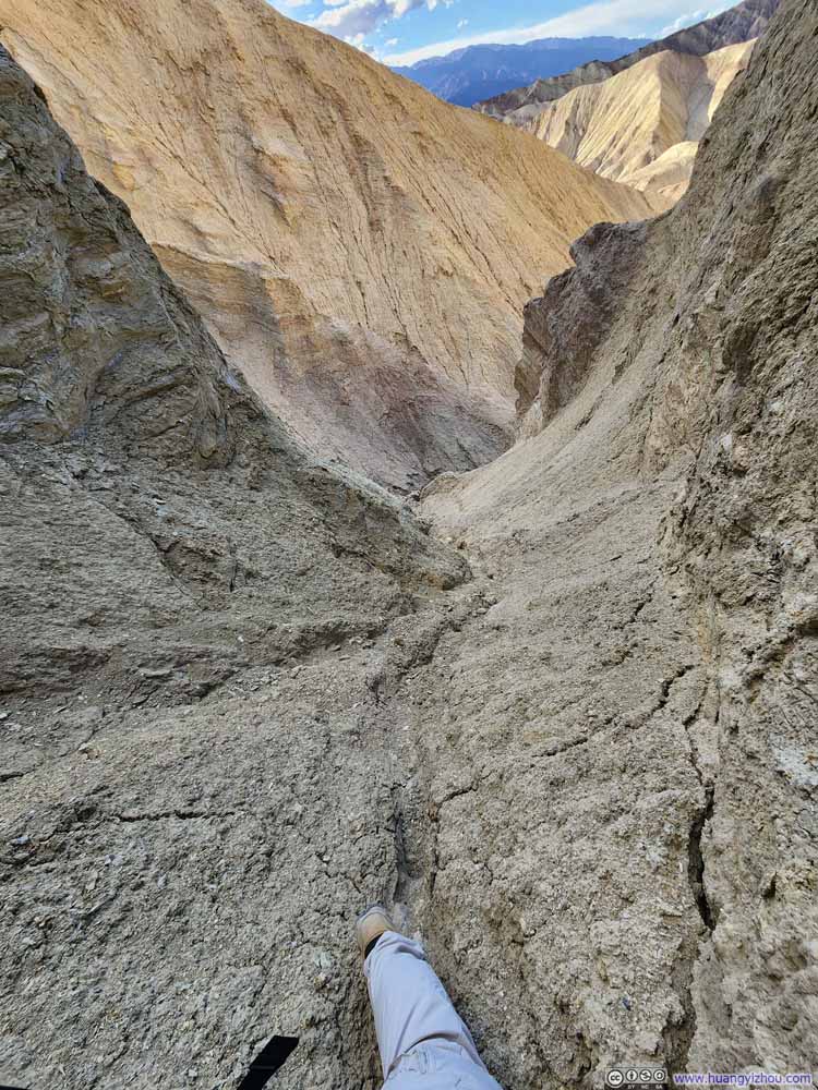 GullyLooking back towards the direction when I came from.
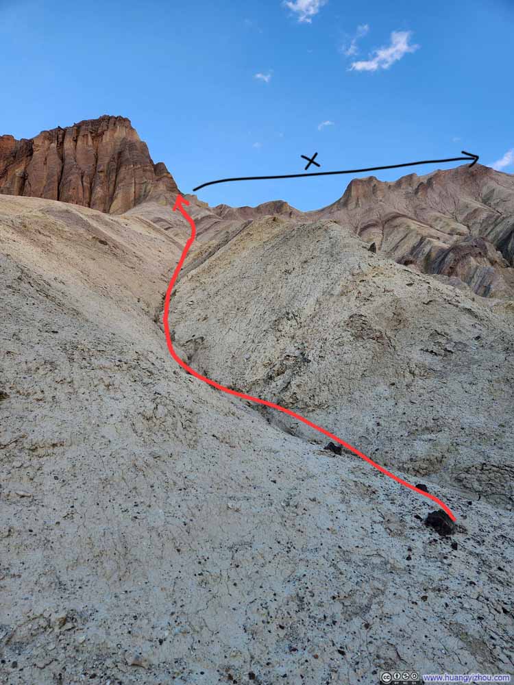 Path of Second Attempt
 Small DitchFollowing which I made my climb.


Click here to display photos of the slideshow
Gullies
GullyOne that I didn’t attempt.

GullyOne that I attempted.
GullyThis was the place where I decided to bail.
GullyLooking back towards the direction when I came from.

Path of Second Attempt
Small DitchFollowing which I made my climb.
As for the climbing experience, the paths weren’t steep compared to the other terrains that I had encountered, but the rock qualities were very poor. The rocks were fragile, easily crumbling or breaking away, which meant handholds had to be chosen with extreme care. In a way, it felt more like climbing over mud and dirt than solid rock.
Nonetheless, this platform/butte offered great views of the badlands below, which I felt were better compared to the views yesterday from Zabriskie Point. It’s probably because the afternoon sun breathed senses of life into the “golden” color of canyons, or maybe it was the fact that I could see the trails I had hiked earlier, making the landscape feel more personal and relatable.
 Small Butte
I didn’t see any obvious path from here to Manly Beacon, the prominent peak in the left, so I stopped here.
Small Butte
I didn’t see any obvious path from here to Manly Beacon, the prominent peak in the left, so I stopped here.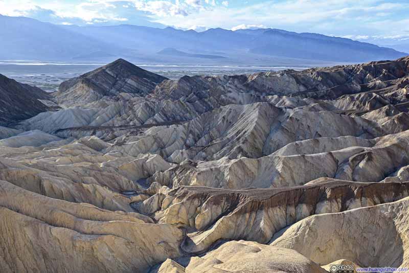 Badlands around Golden Canyon
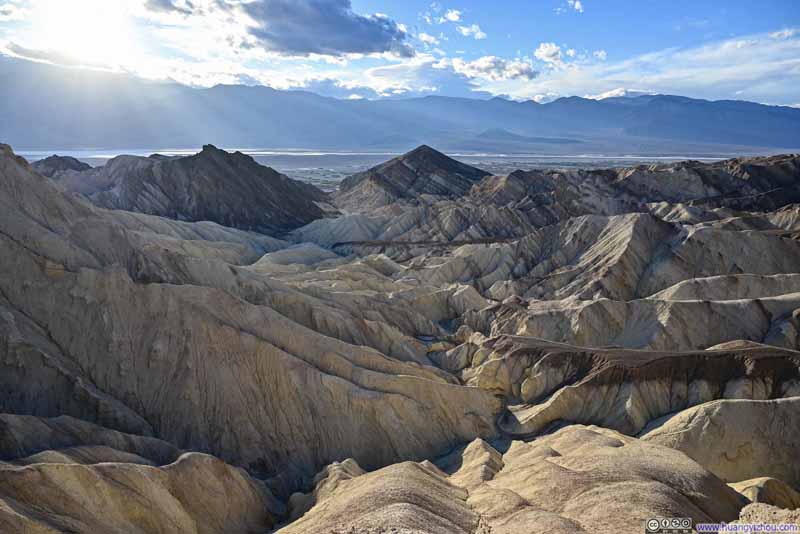 Badlands around Golden Canyon
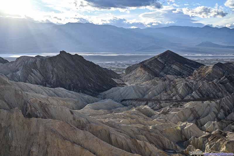 Badlands around Golden Canyon
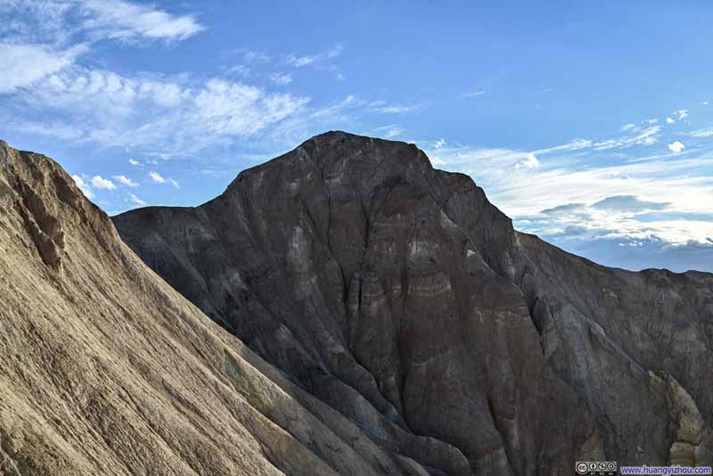 Manly BeaconDidn’t look that impressive from this angle.

Click here to display photos of the slideshow

Small Butte

 Badlands around Golden Canyon

Manly BeaconDidn’t look that impressive from this angle.
12 seconds, 2160p60fps, 10Mbps/18MB for H265, 11Mbps/20MB for H264.
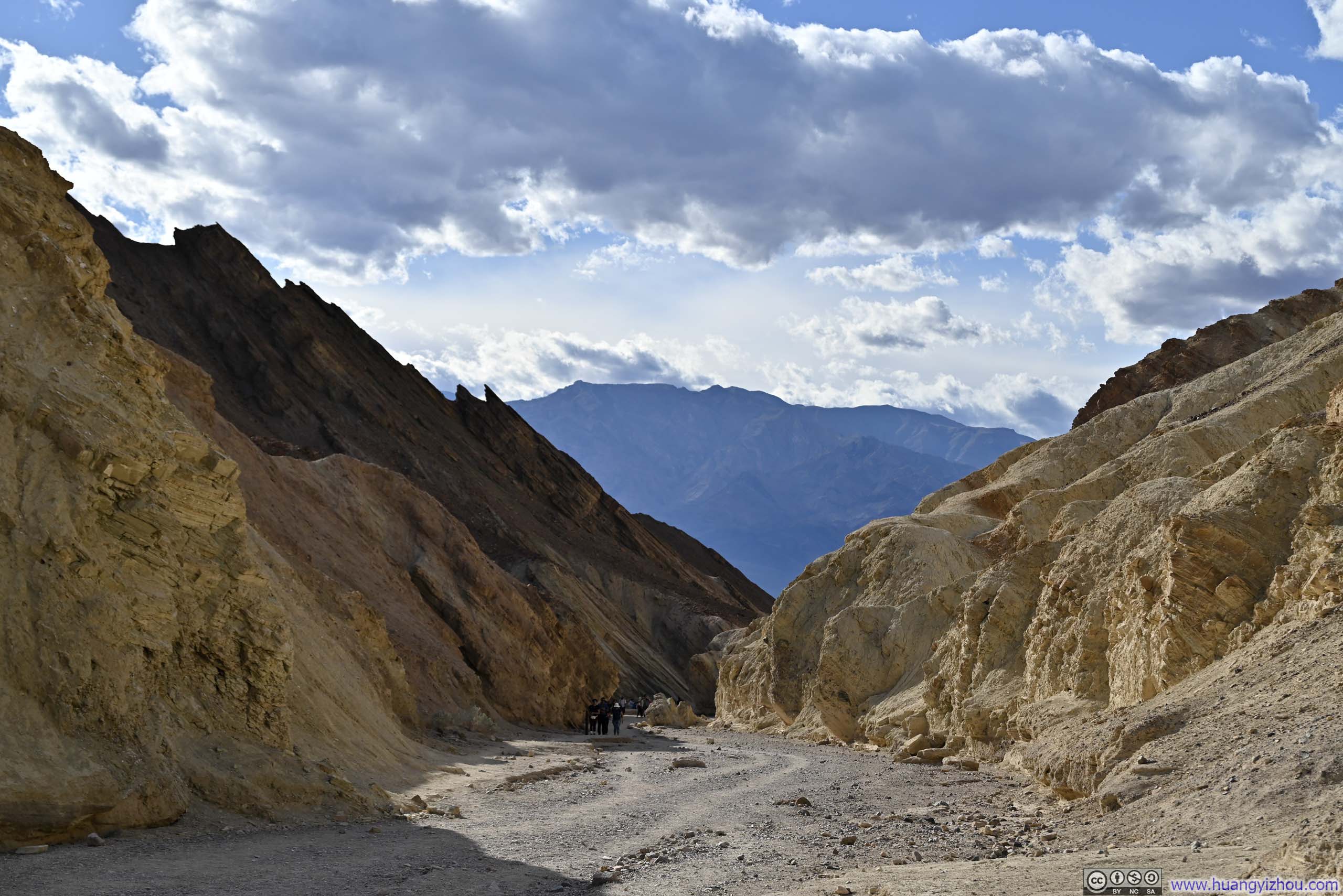
After making my way down to the canyon floor, it was 4:10pm, less than 30 minutes from sunset. This excursion had taken up the time I had prepared for the longer Gower Gulch Trail, so I had to follow Golden Canyon Trail back to the parking lot. By now, the entire canyon was in the shade. Without the harsh contrasts of sunlight, the textures of the canyon walls became much more appreciable.
 Red Cathedral beyond Badlands
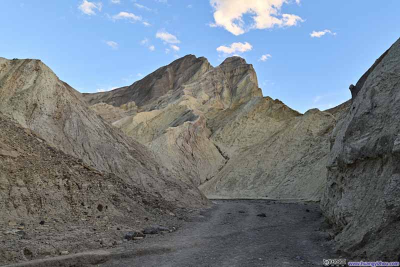 Manly Beacon from Trail
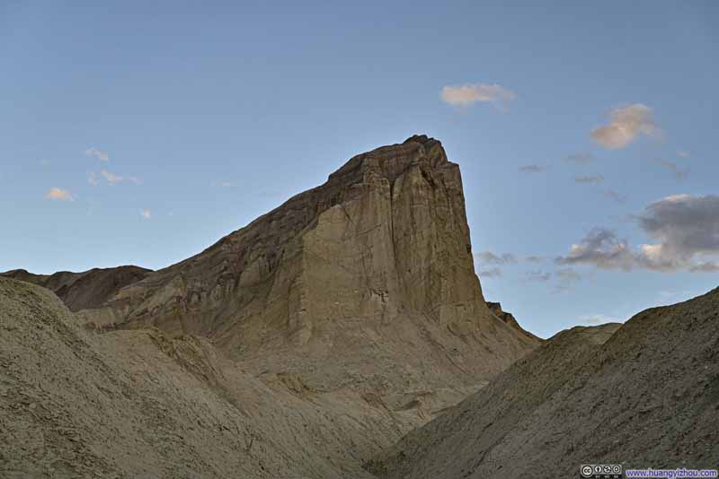 Manly Beacon
 Golden Canyon
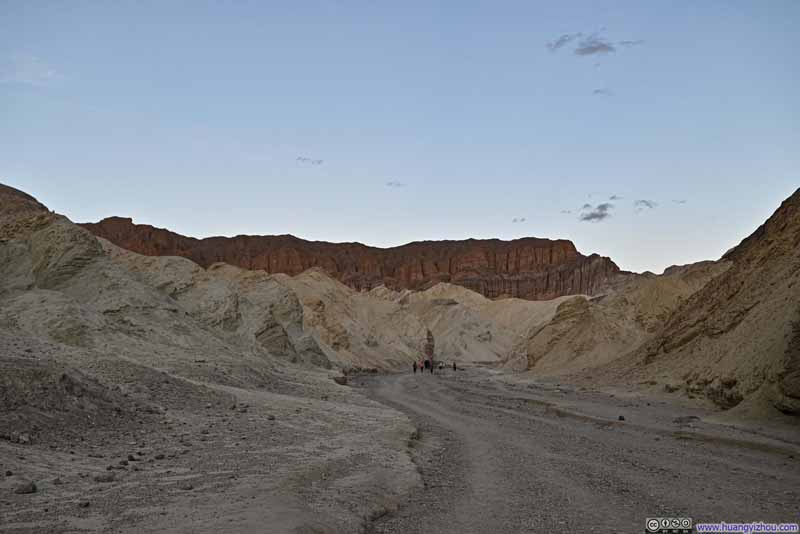 Red Cathedral from Golden Canyon
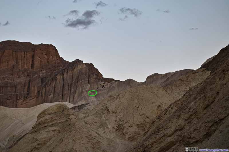 Looking Back at Red Cathedral
(I think) the green circle marked where I reached. There’s no obvious path from that spot (dashed black line) to the ridge leading to Manly Beacon.
Looking Back at Red Cathedral
(I think) the green circle marked where I reached. There’s no obvious path from that spot (dashed black line) to the ridge leading to Manly Beacon. Hill
Hill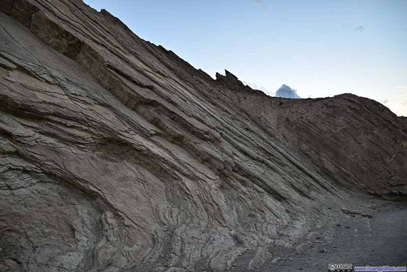 Texture of Rocks along Golden Canyon
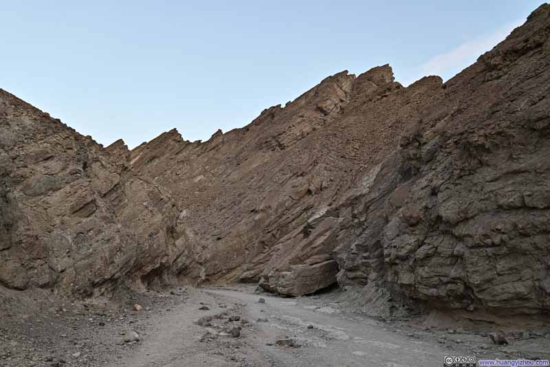 Golden Canyon

Click here to display photos of the slideshow
Red Cathedral beyond Badlands

Manly Beacon from Trail

Manly Beacon

Golden Canyon
Red Cathedral from Golden Canyon

Looking Back at Red Cathedral
Hill
Texture of Rocks along Golden Canyon
Golden Canyon
 Death Valley near Sunset
END
![]() Day 3 of 2024 Thanksgiving Trip to Las Vegas, Death Valley by Huang's Site is licensed under a Creative Commons Attribution-NonCommercial-ShareAlike 4.0 International License.
Day 3 of 2024 Thanksgiving Trip to Las Vegas, Death Valley by Huang's Site is licensed under a Creative Commons Attribution-NonCommercial-ShareAlike 4.0 International License.