
Updated on June 15, 2025
Day 4 of 2024 Thanksgiving Trip to Las Vegas, Death Valley
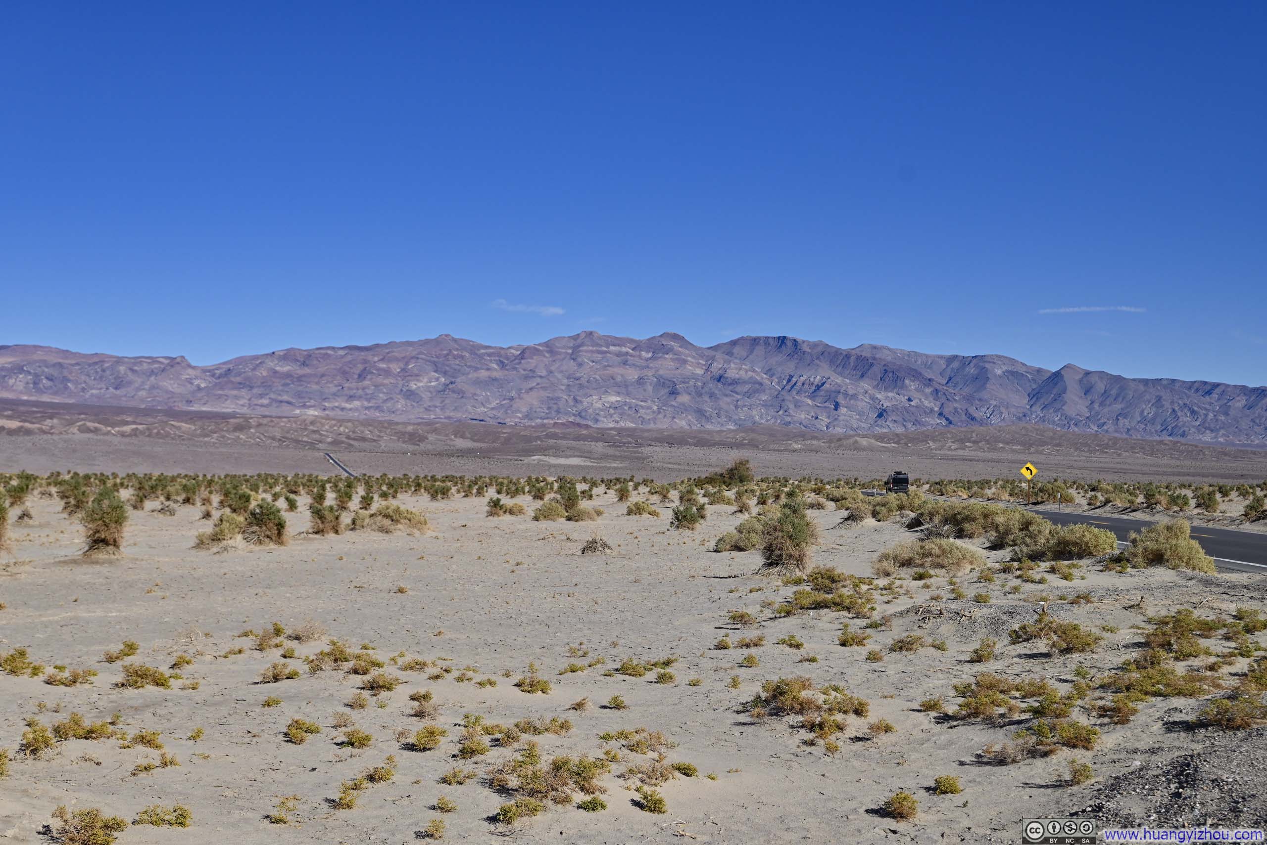
The fourth day of my 2024 Thanksgiving trip to Las Vegas. Today I would wrap up my visit to Death Valley, checking out Mosaic Canyon in the morning and Artist Drive in the afternoon, before catching the sunset and starry skies from Dante’s View.
Overlooking Death Valley
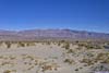
During my two-night stay in Death Valley, I camped at Furnace Creek Campground. I had heard stories about dust storms ruining the camping experience in the area, so I chose this campground because, of the three nearby options, it was the most wooded and seemed to offer the best protection. My first night passed in delightful tranquility, but the second night was a different story. Strong winds blew against my tent all night long. While my tent admirably withstood the conditions, packing it up this morning was the real challenge amid the inclement conditions of a dust storm. (Well, “dust storm” was certainly an exaggeration, but the combination of wind and dust was genuinely annoying.) The swirling dust rendered it quite impossible to maintain the cleanliness and orderliness of my tent, standards I considered essential to civilized outdoor living.
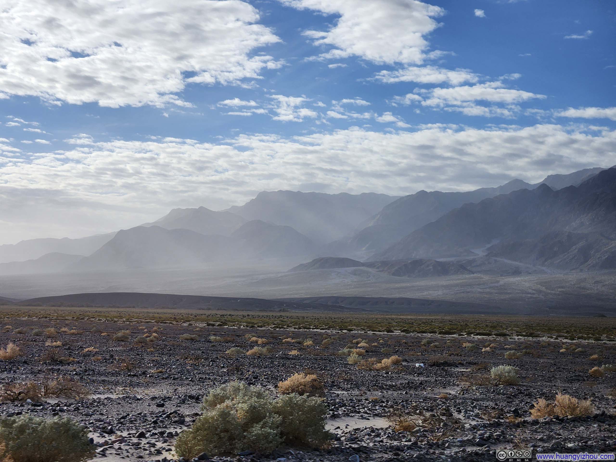
Misty Mountains
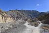
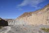
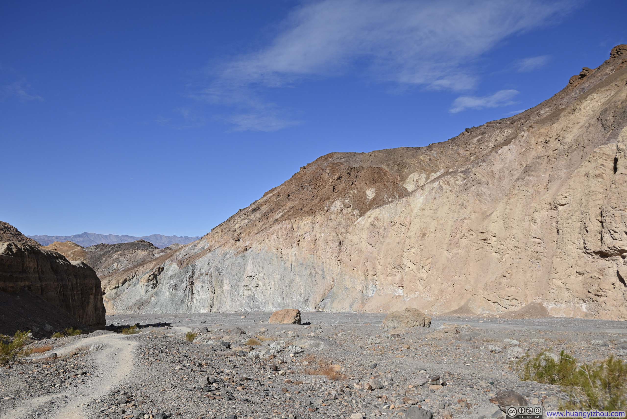
Mosaic Canyon
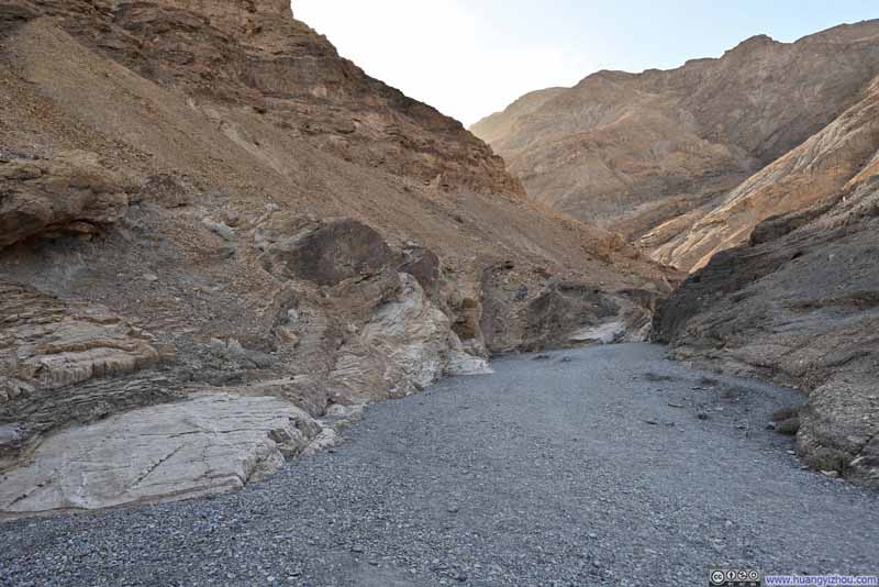
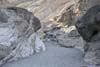
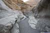
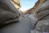
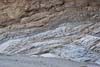
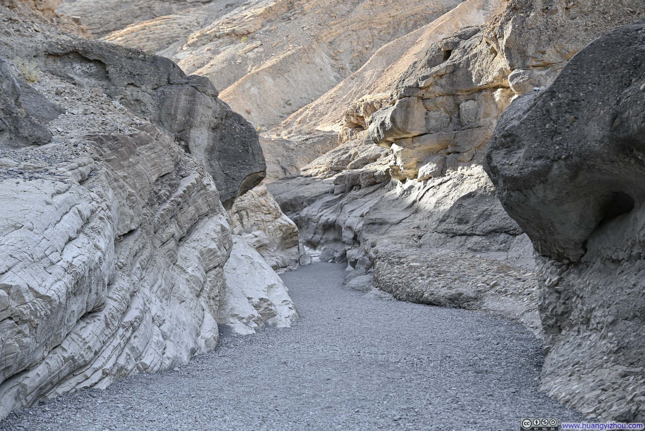
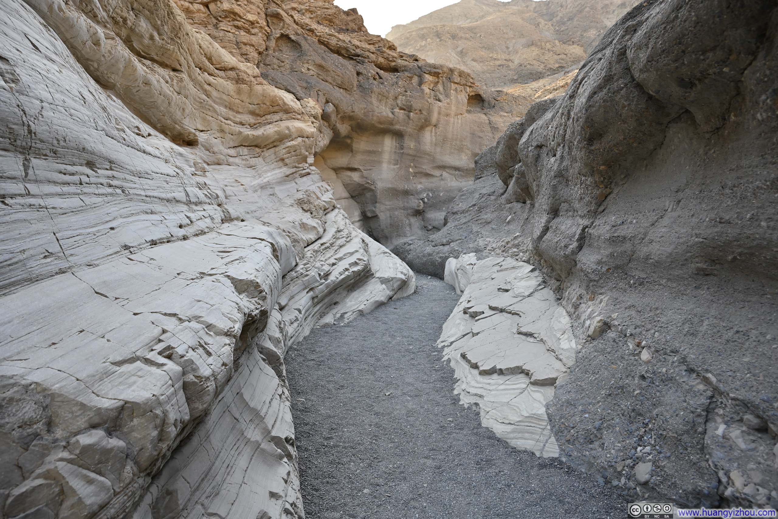
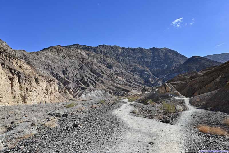
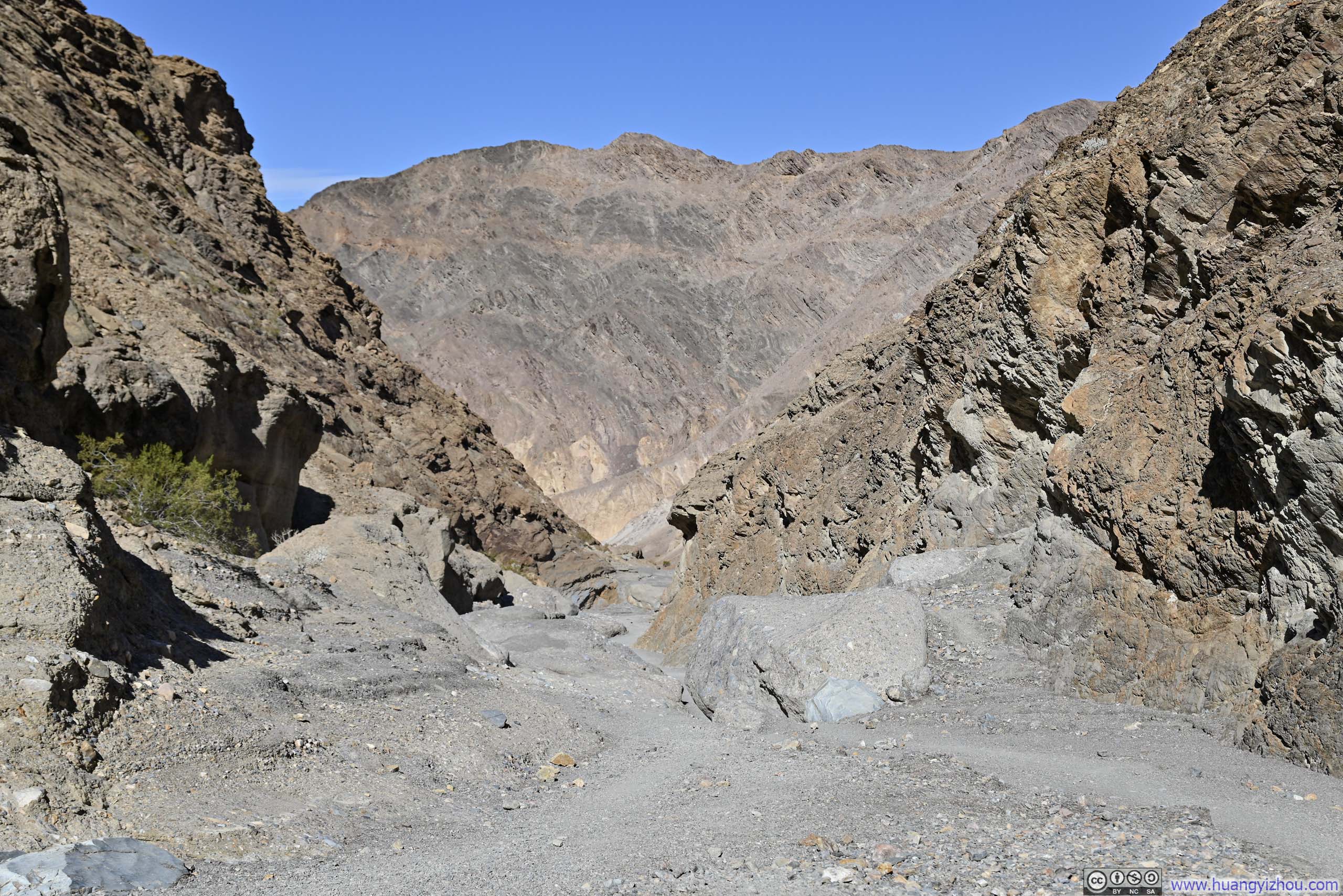
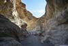
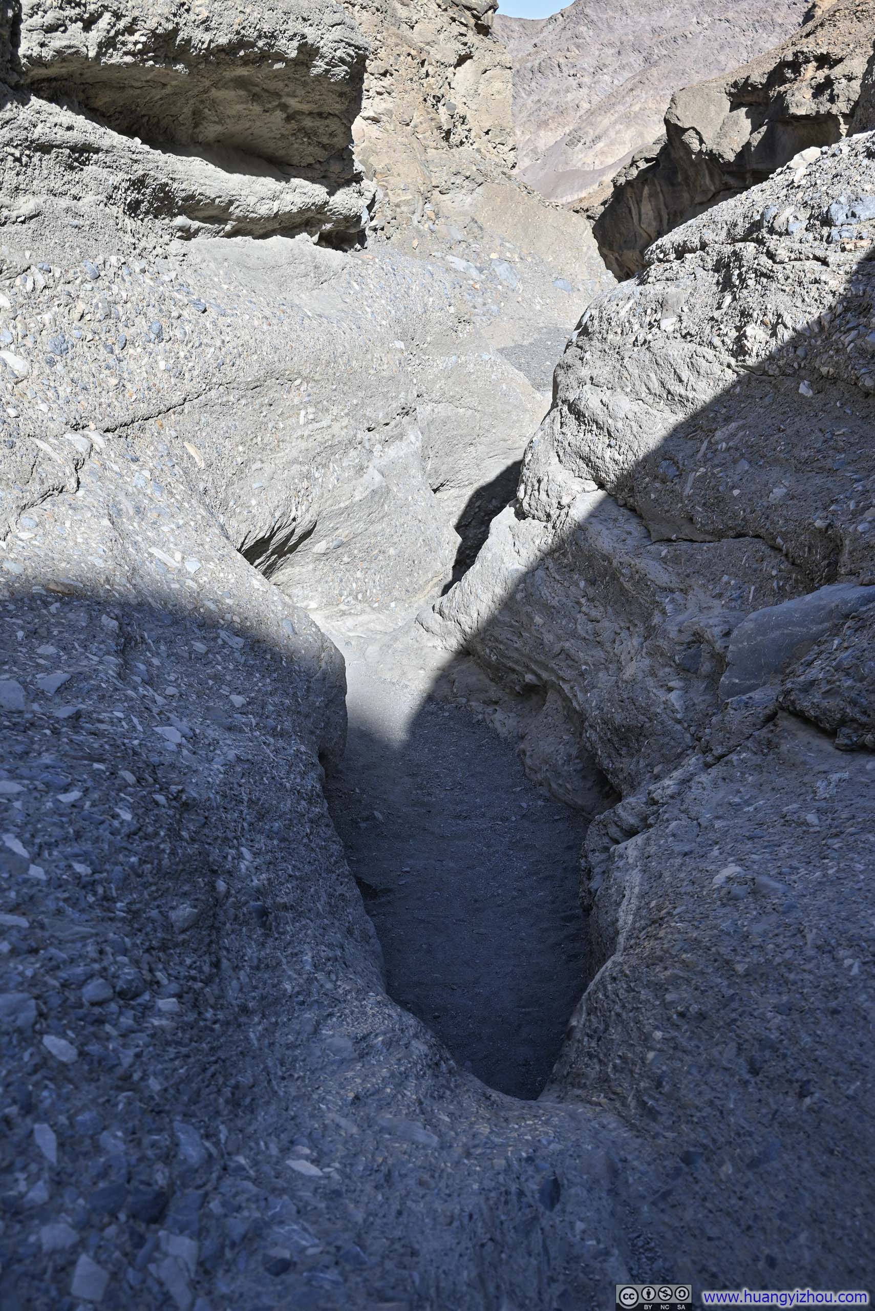
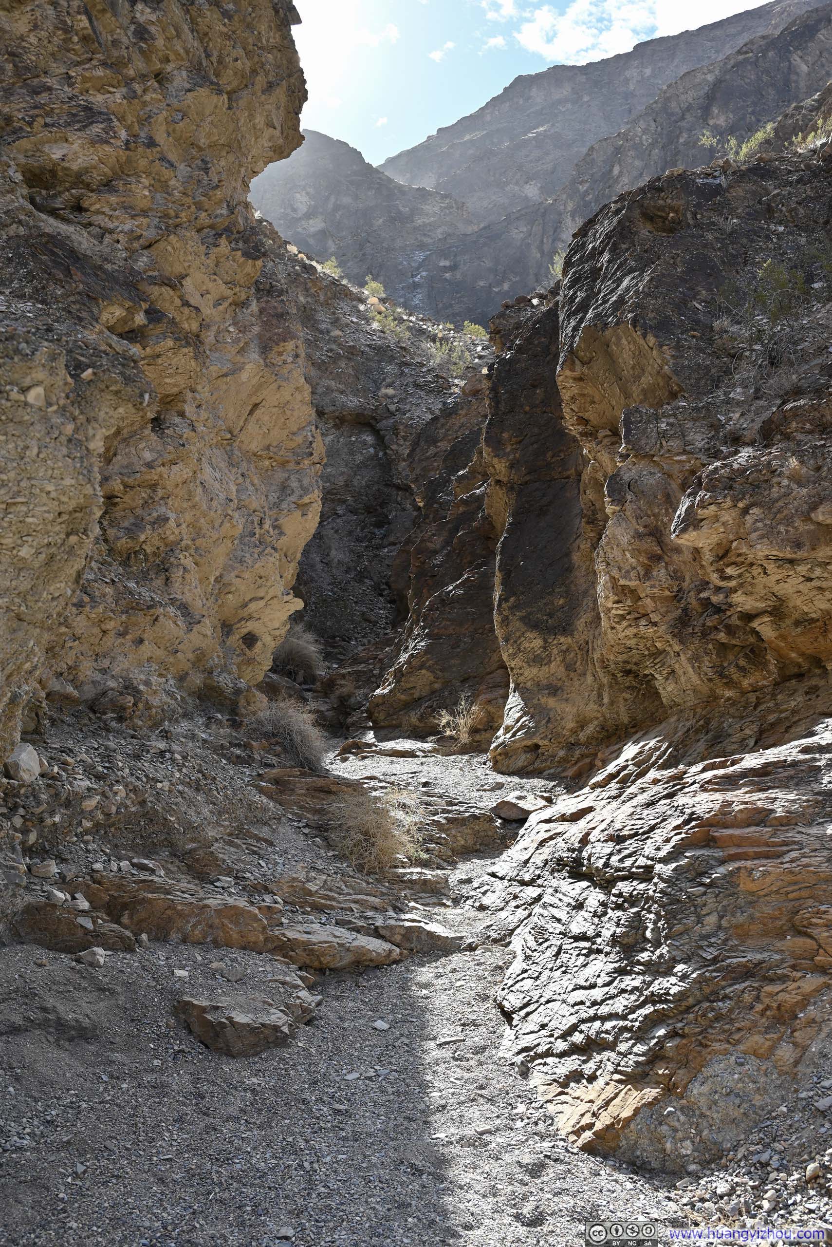
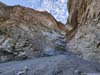
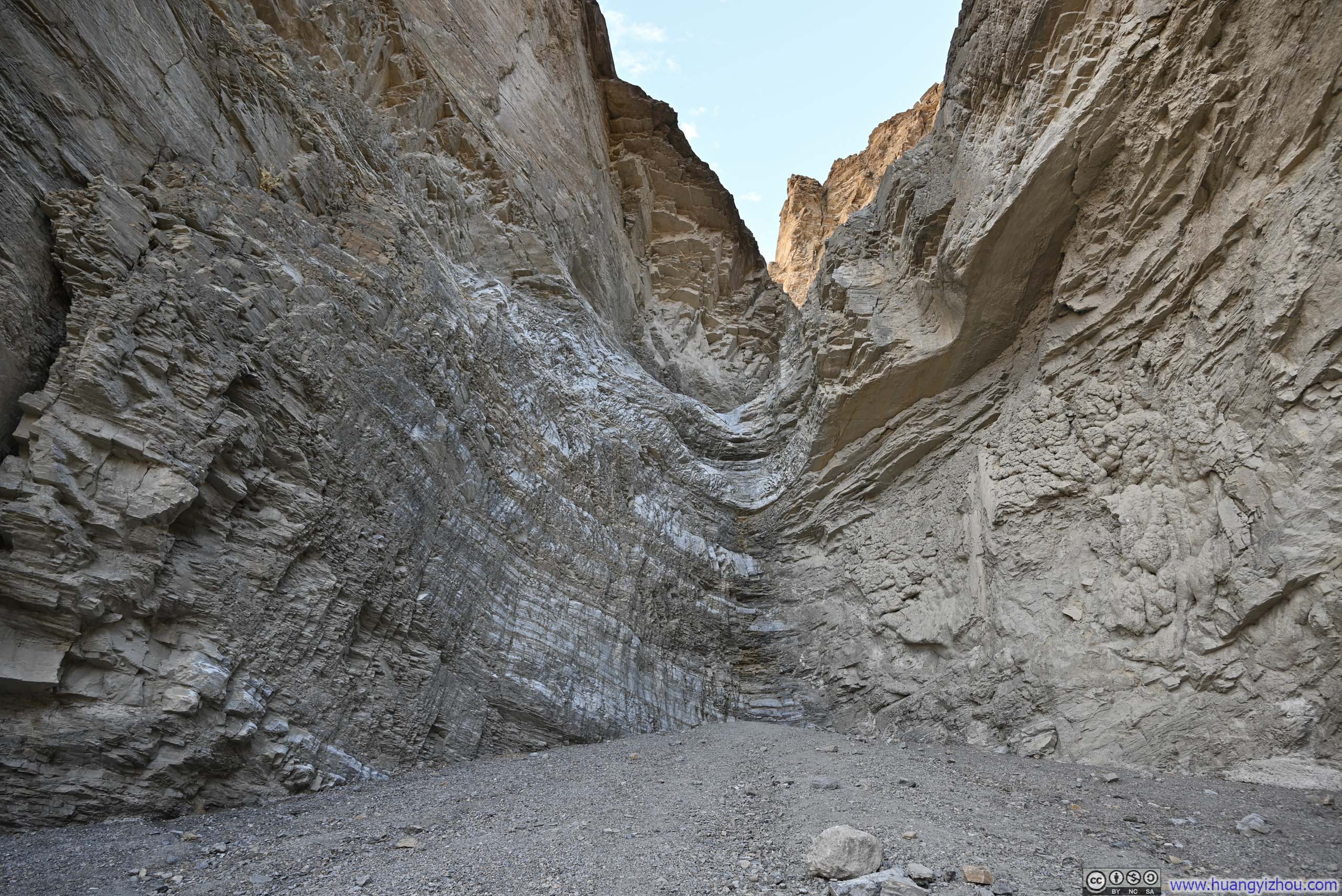
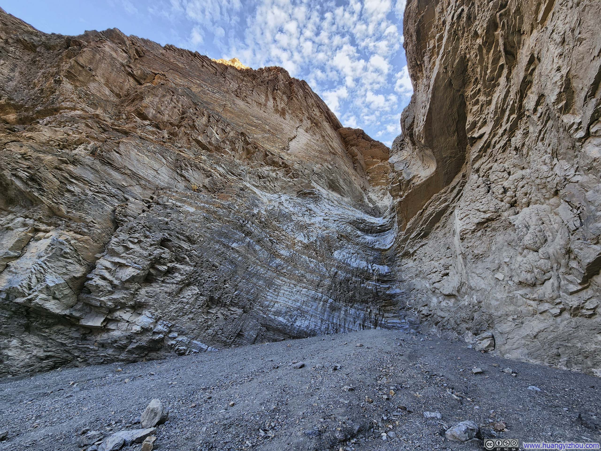
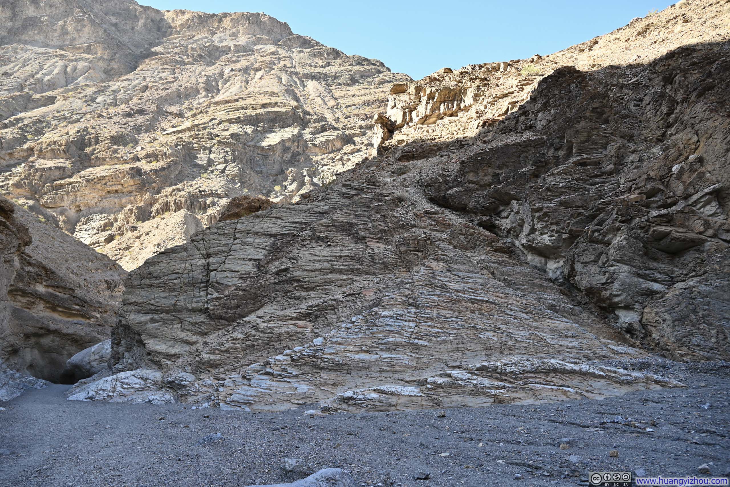
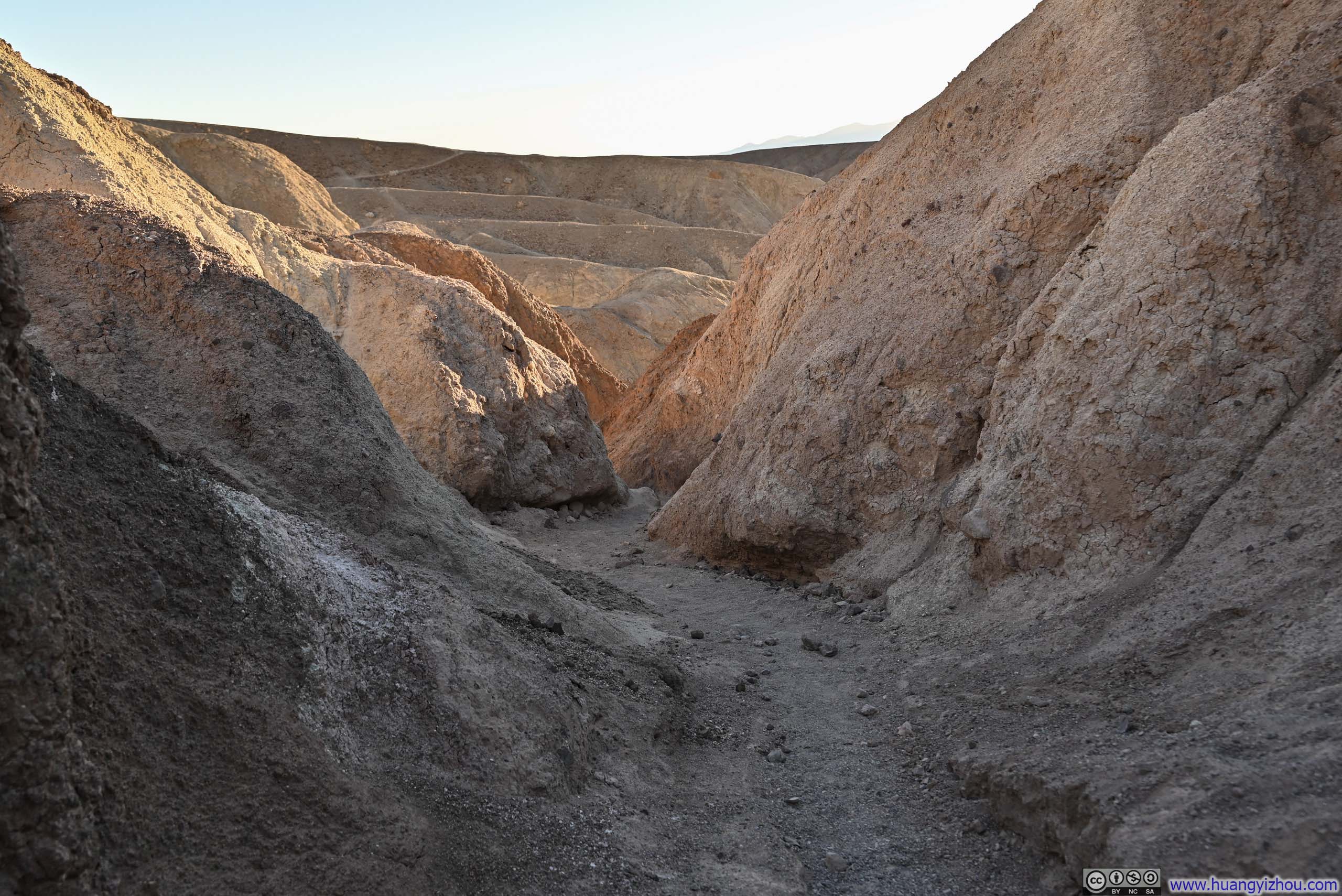
The first stop of my day was Mosaic Canyon, known for its smooth, polished marble walls and the mosaic-like breccia formations. To me, it felt like Mosaic Canyon featured a little bit of everything: narrow passages, wide-open spaces, and rock formations exhibiting both silken smoothness and rugged textures in a captivating array of hues, unlike the rather monochromatic experiences I had in the other canyons the previous day. The trail was 5.6km long with 300m of elevation gain, comparable in length and exertion to my canyon hikes the previous day.
Here’s GPS tracking:
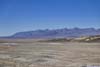
 Mouth of Mosaic Canyon
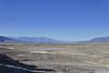
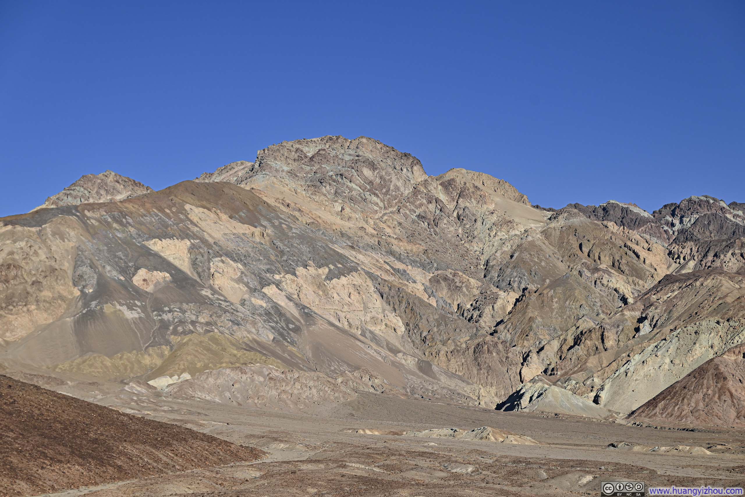
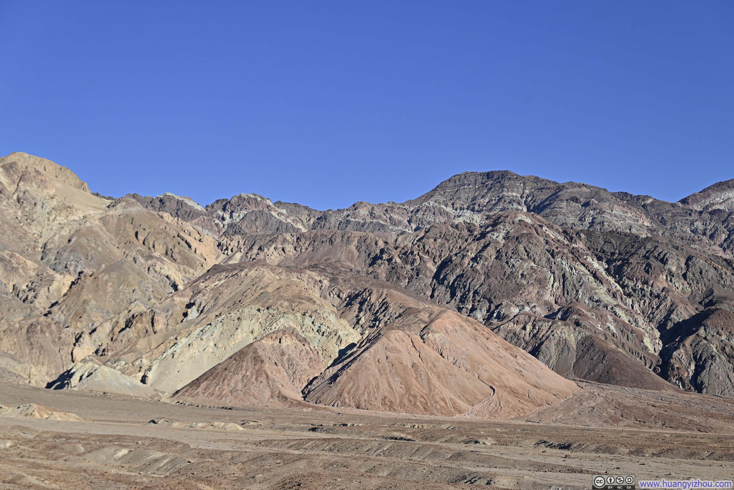
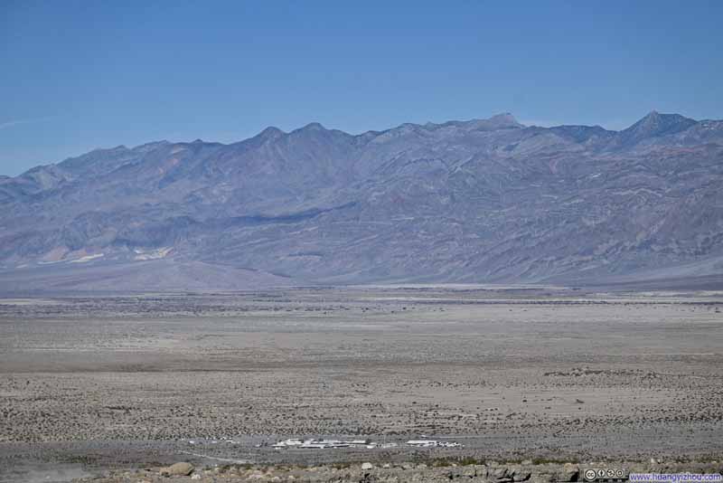 Grapevine Mountains across Death Valley from Stovepipe WallsThe higher elevation of Mosaic Canyon’s trailhead offered this vantage view.
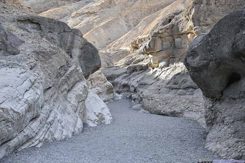 Mosaic Canyon
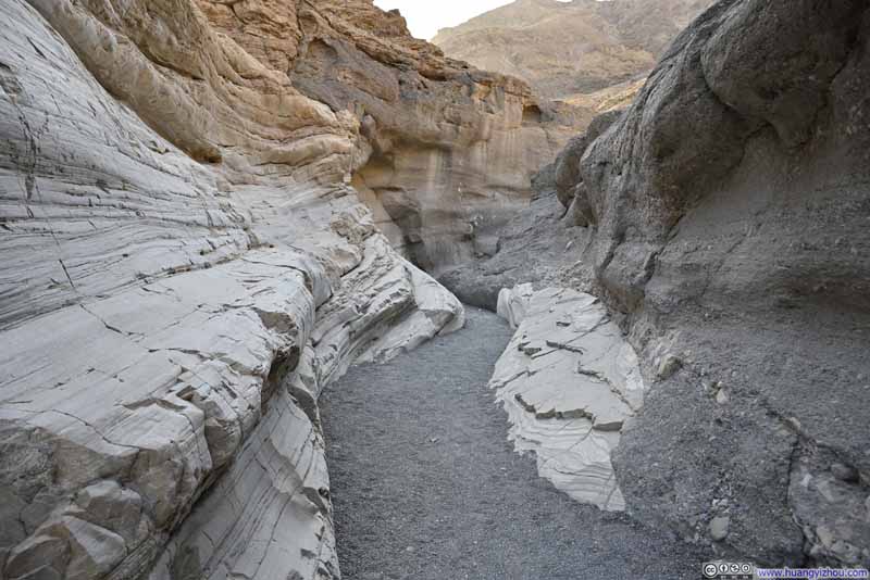 Mosaic Canyon
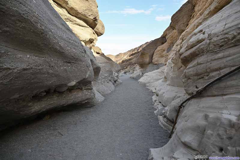 Mosaic Canyon
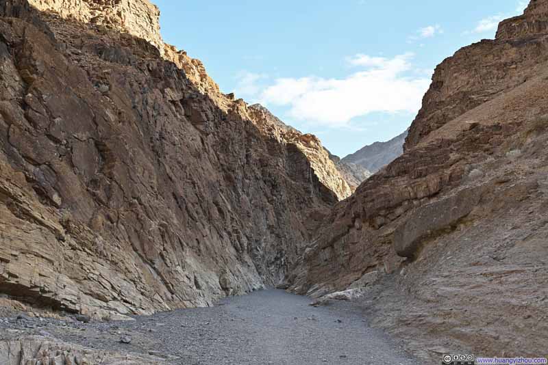 Mosaic Canyon
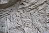
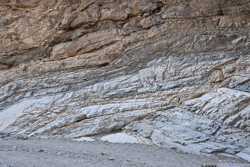 Laminated Rocks

Click here to display photos of the Mosaic Canyon.

Mouth of Mosaic Canyon
Grapevine Mountains across Death Valley from Stovepipe WallsThe higher elevation of Mosaic Canyon’s trailhead offered this vantage view.
 Mosaic Canyon
Mosaic Canyon
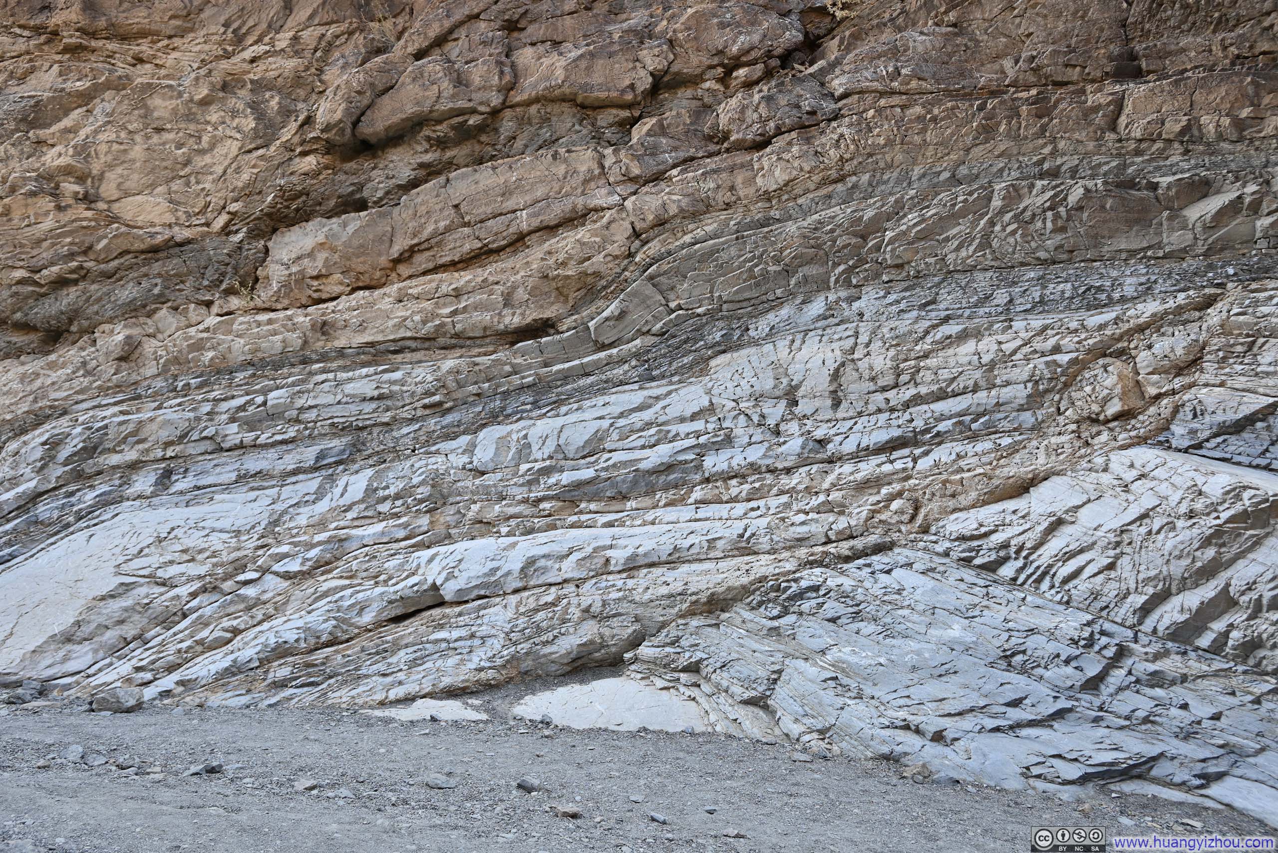
Laminated Rocks
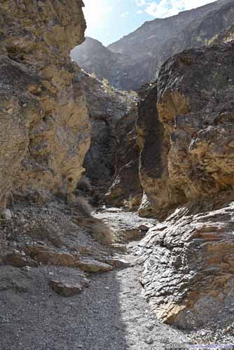
Personally, I was most fond of the winding polished marble walls, featured heavily towards the beginning of the hike. Their mesmerizingly sinuous curves were reminiscent of the undulating patterns of a river. In comparison, the breccia formations felt a bit underwhelming to me, like some crudely maintained construction site.
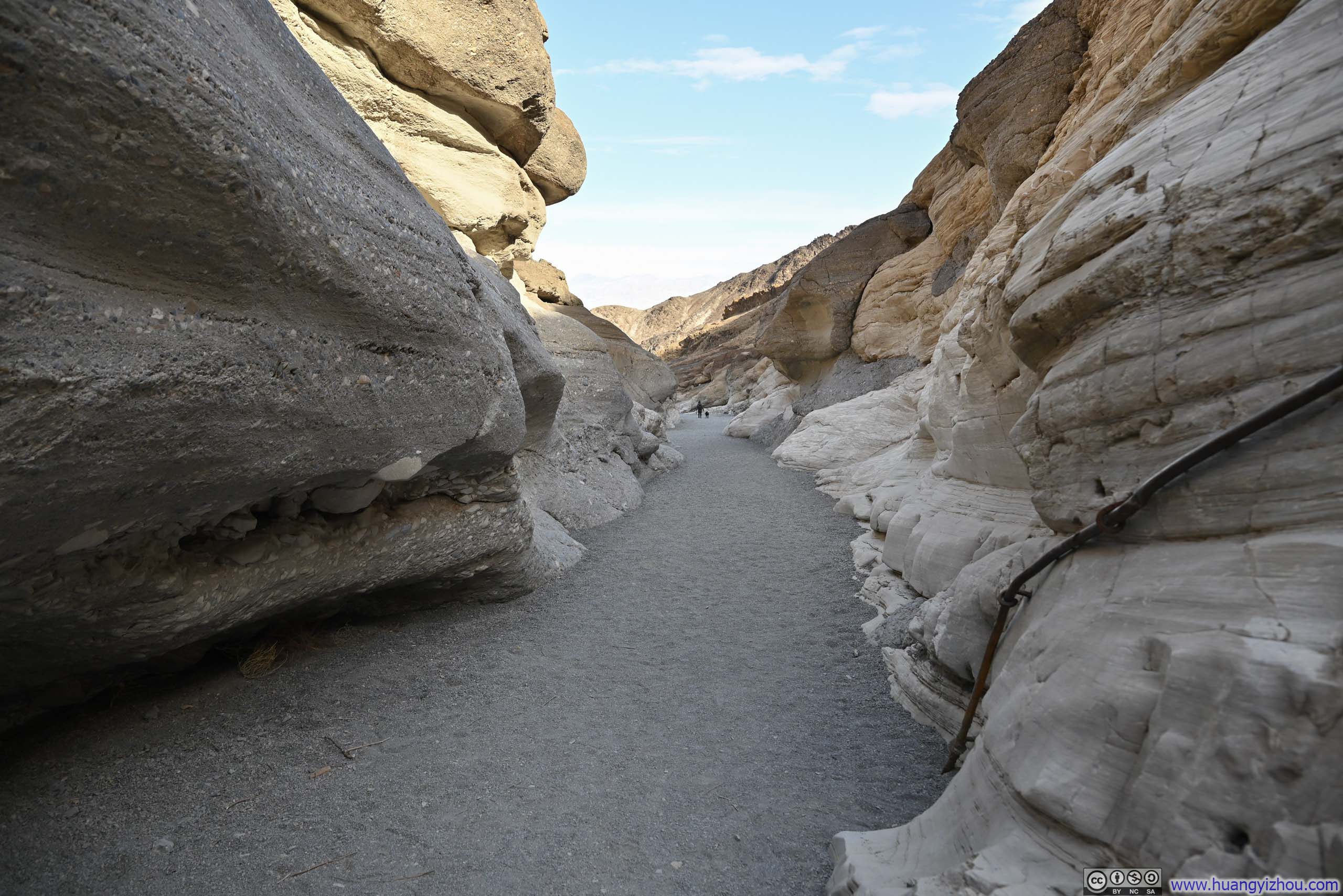
About a quarter of the way into the hike, Mosaic Canyon widened dramatically, offering a refreshing contrast to the narrow, confined passages that preceded and followed it.
 Mosaic Canyon
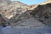
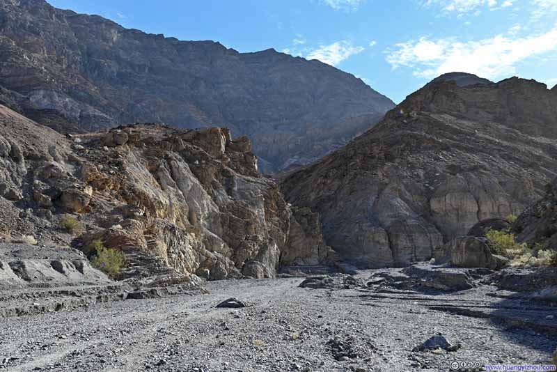 Hill along Mosaic Canyon
 Mosaic Canyon
 Hill along Mosaic Canyon
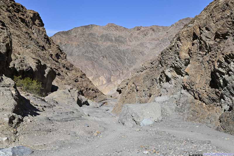 Mosaic Canyon


Click here to display photos of the wide portions of Mosaic Canyon.

Mosaic Canyon

Hill along Mosaic Canyon
Mosaic Canyon
Hill along Mosaic Canyon
Mosaic Canyon
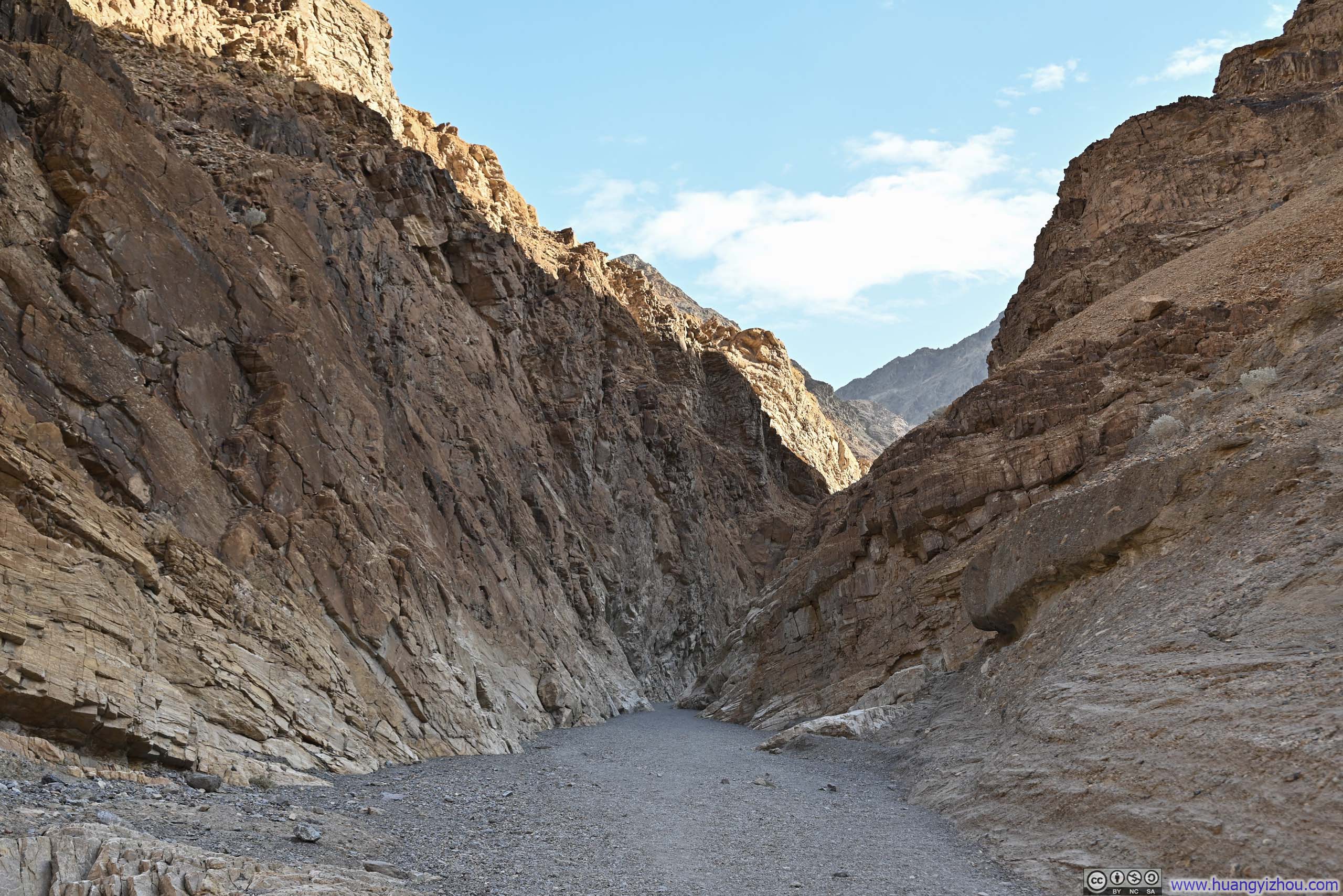
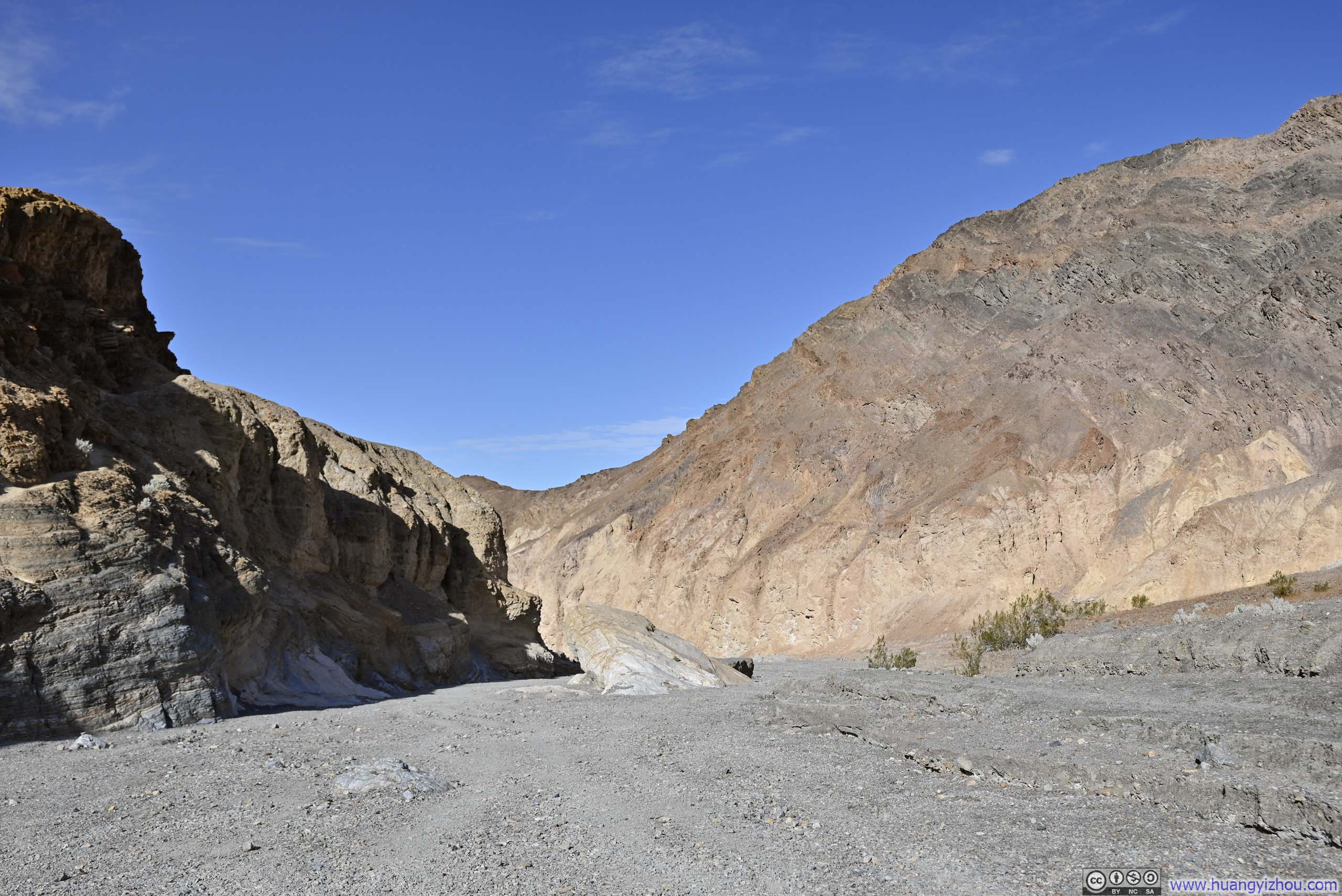
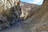
About halfway into the hike, Mosaic Canyon narrowed back down. Then it was a typical canyon experience till its very end.
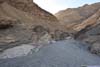
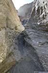
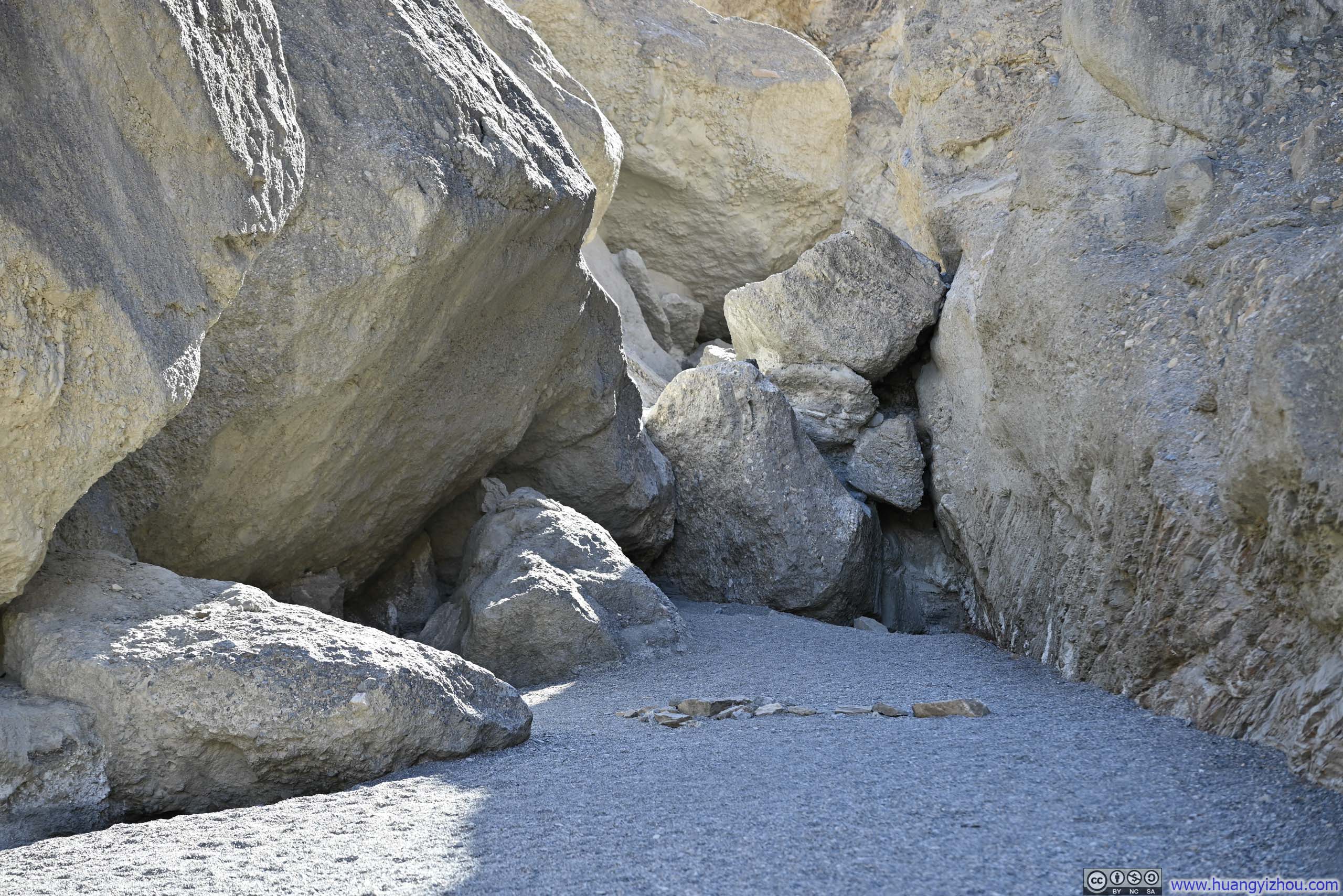
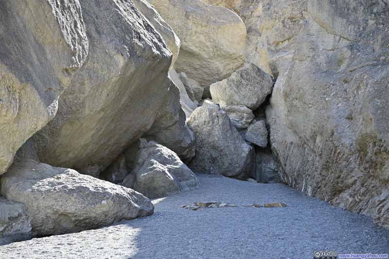 Blockage
Rocks in the ground clearly formed an arrow shaping, guiding visitors to a path around this blockage. This was the only time in Mosaic Canyon where minimal scrambling was needed.
Blockage
Rocks in the ground clearly formed an arrow shaping, guiding visitors to a path around this blockage. This was the only time in Mosaic Canyon where minimal scrambling was needed.
 Mosaic Canyon
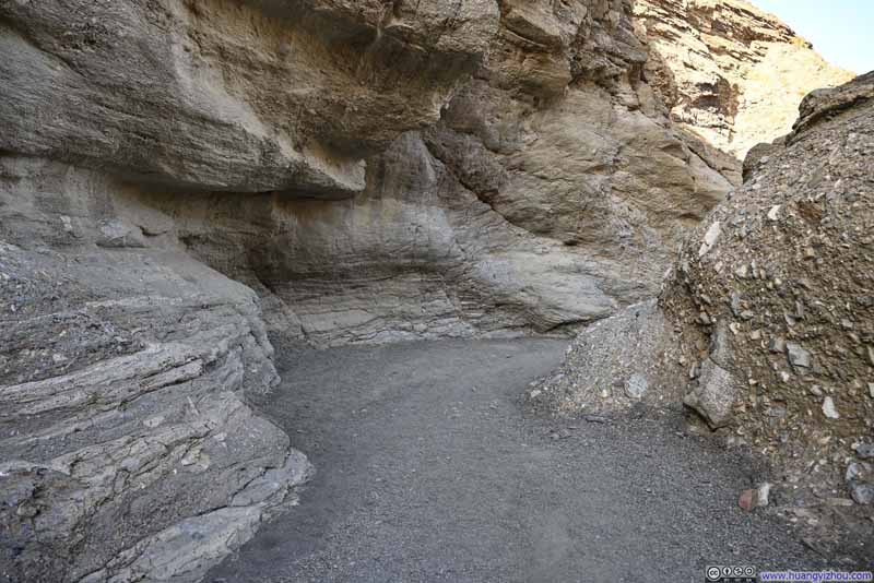 Mosaic Canyon
 Mosaic Canyon
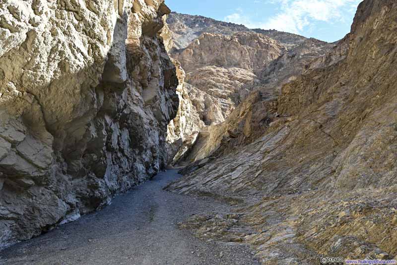 Mosaic CanyonA dead end going forward, the trail was to the right.
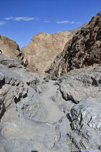
 Side Canyon (right) in Mosaic Canyon

Click here to display photos of the slideshow
Blockage

 Mosaic Canyon

 Mosaic Canyon

Mosaic CanyonA dead end going forward, the trail was to the right.

 Side Canyon (right) in Mosaic Canyon
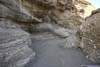
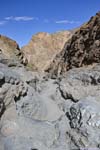
The trail in Mosaic Canyon ended at the foot of a dryfall.
 End of Mosaic Canyon
 End of Mosaic Canyon
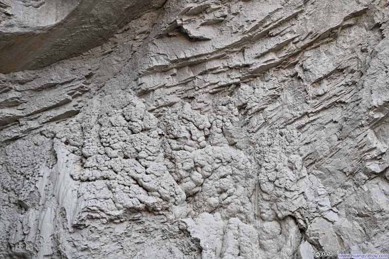 Botryoidal and Laminated Rocks
 Laminated Rocks

Click here to display photos from the end of Mosaic Canyon.
 End of Mosaic Canyon
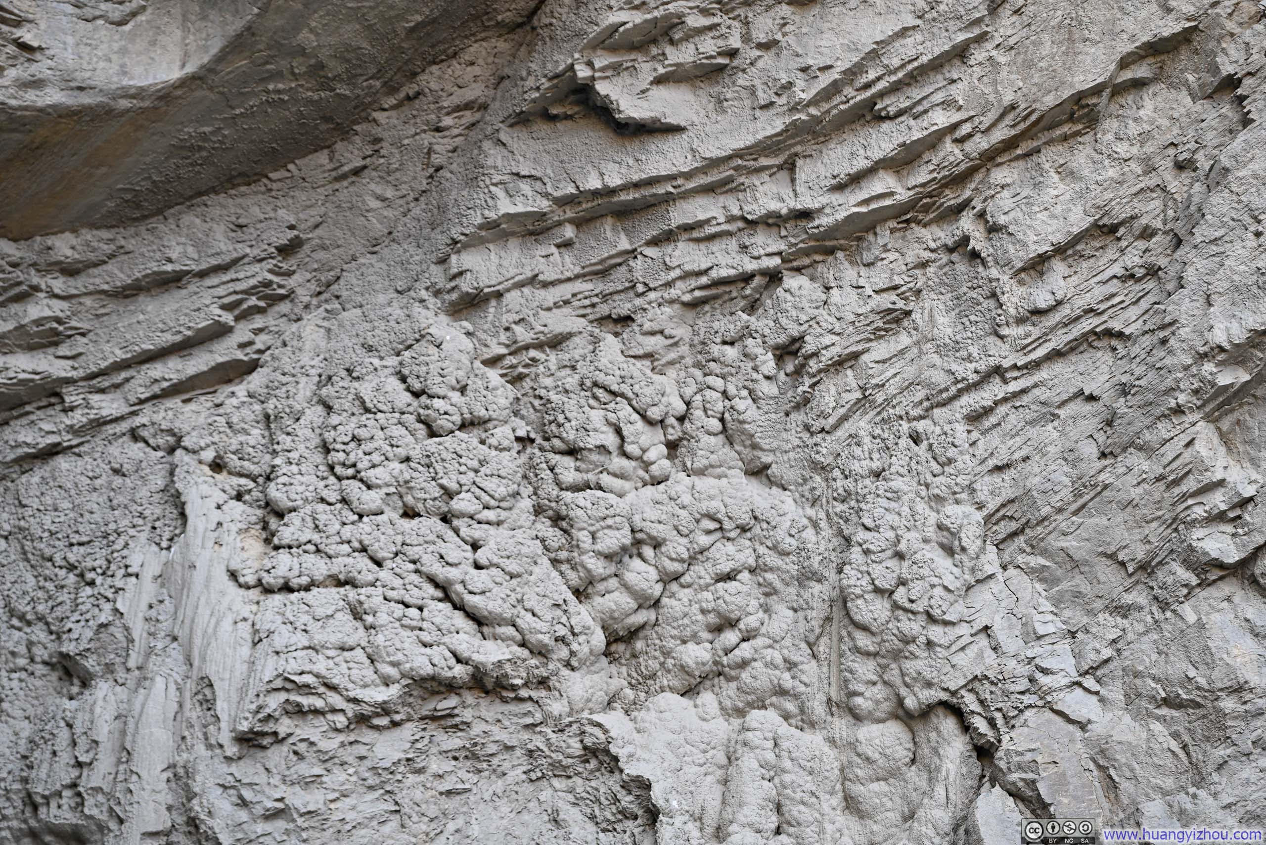
Botryoidal and Laminated Rocks
Laminated Rocks
After returning from the hike of Mosaic Canyon, I drove to the nearby Stovepipe Wells, where I topped up my fuel tank and had lunch. (I was in no hurry to finish the lunch as I was also using the restaurant’s outlet to charge up my phone, a small inconvenience from spending the night in a tent.)
 Toll Road RestaurantA lot emptier than I expected.
 Pizza as LunchI didn’t have much breakfast so I ordered a huge one, part of which also became my dinner.


Click here to display photos of the slideshow

Toll Road RestaurantA lot emptier than I expected.

Pizza as LunchI didn’t have much breakfast so I ordered a huge one, part of which also became my dinner.
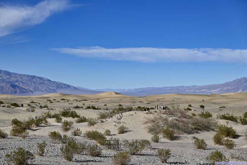
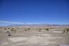
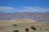
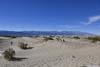
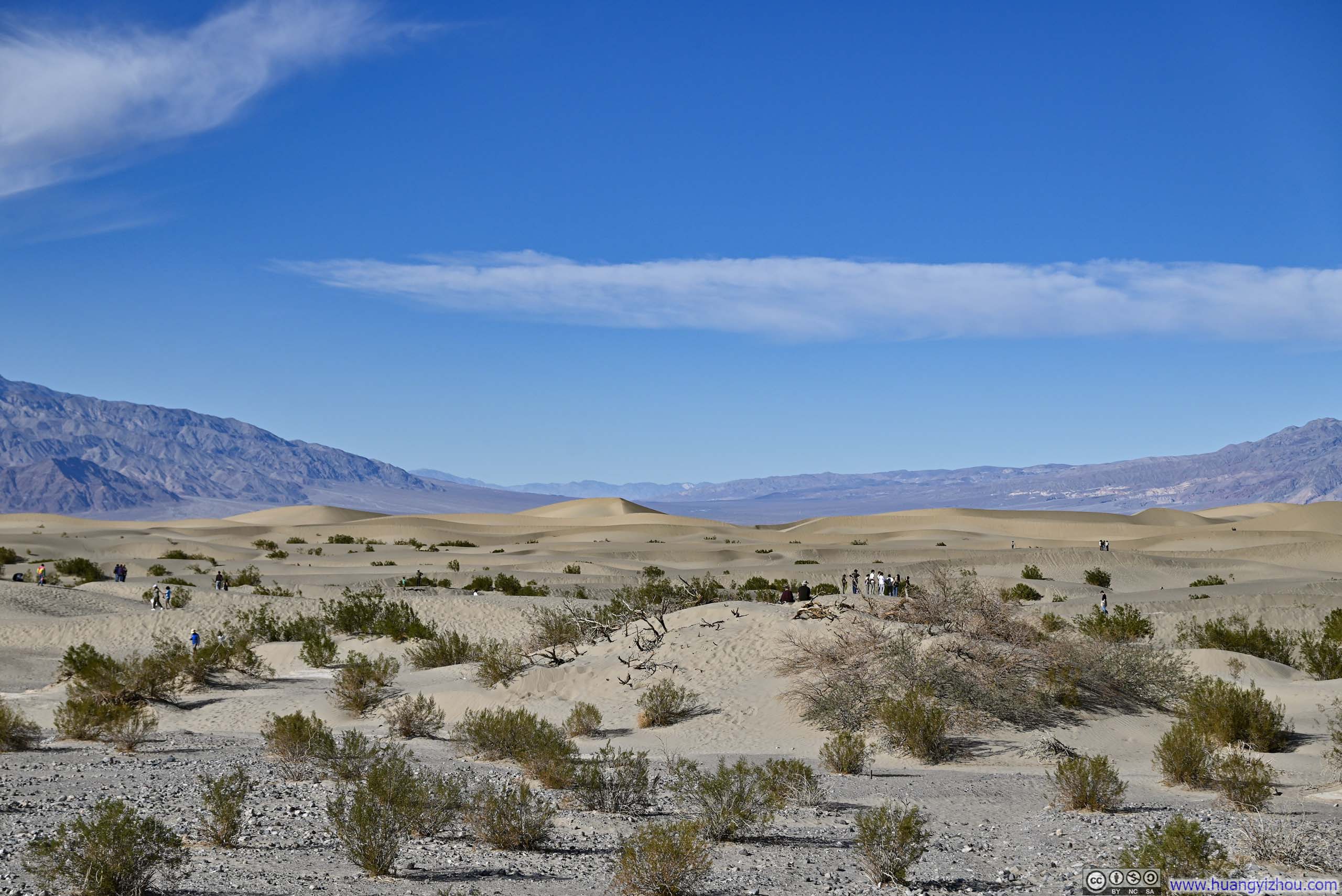
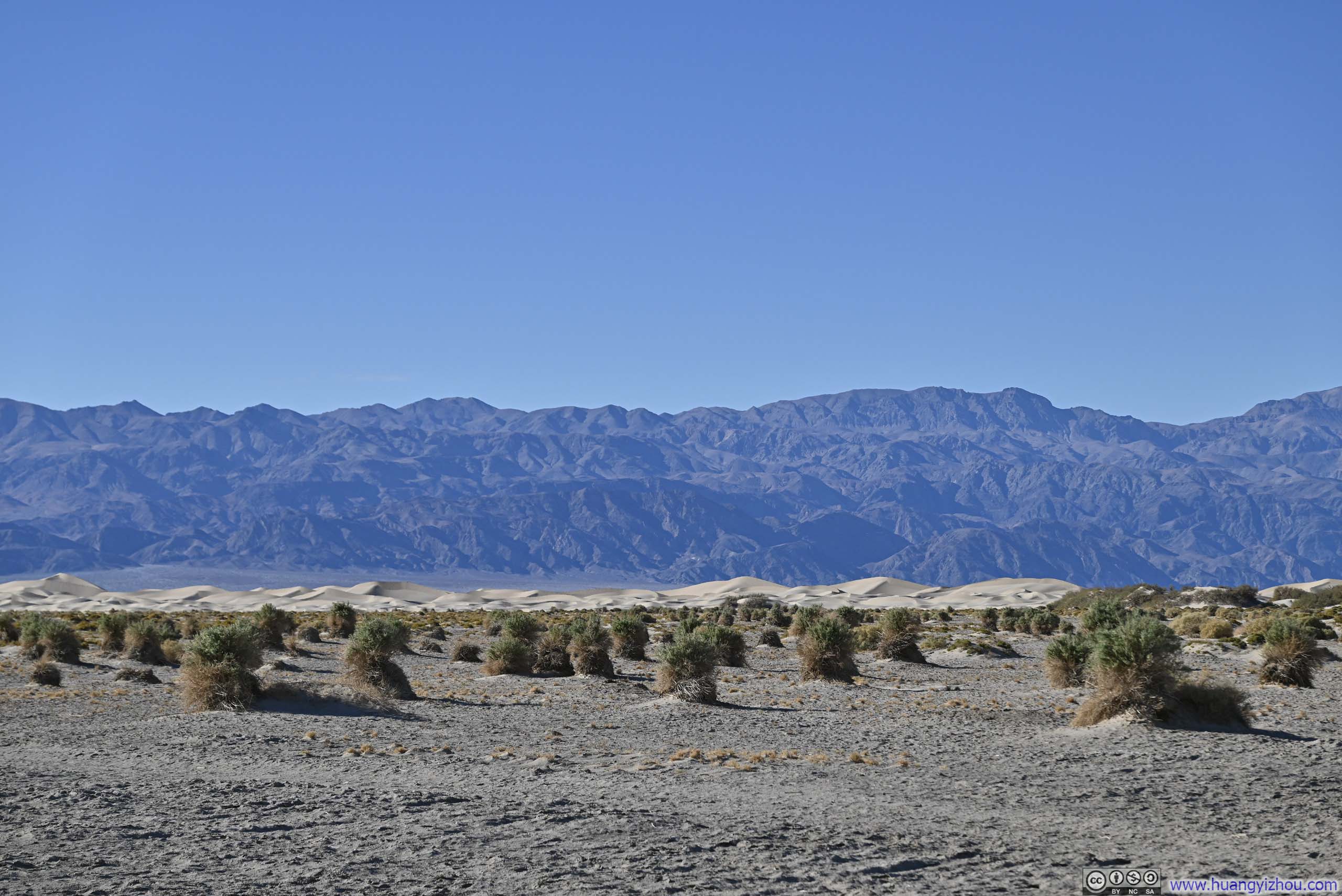
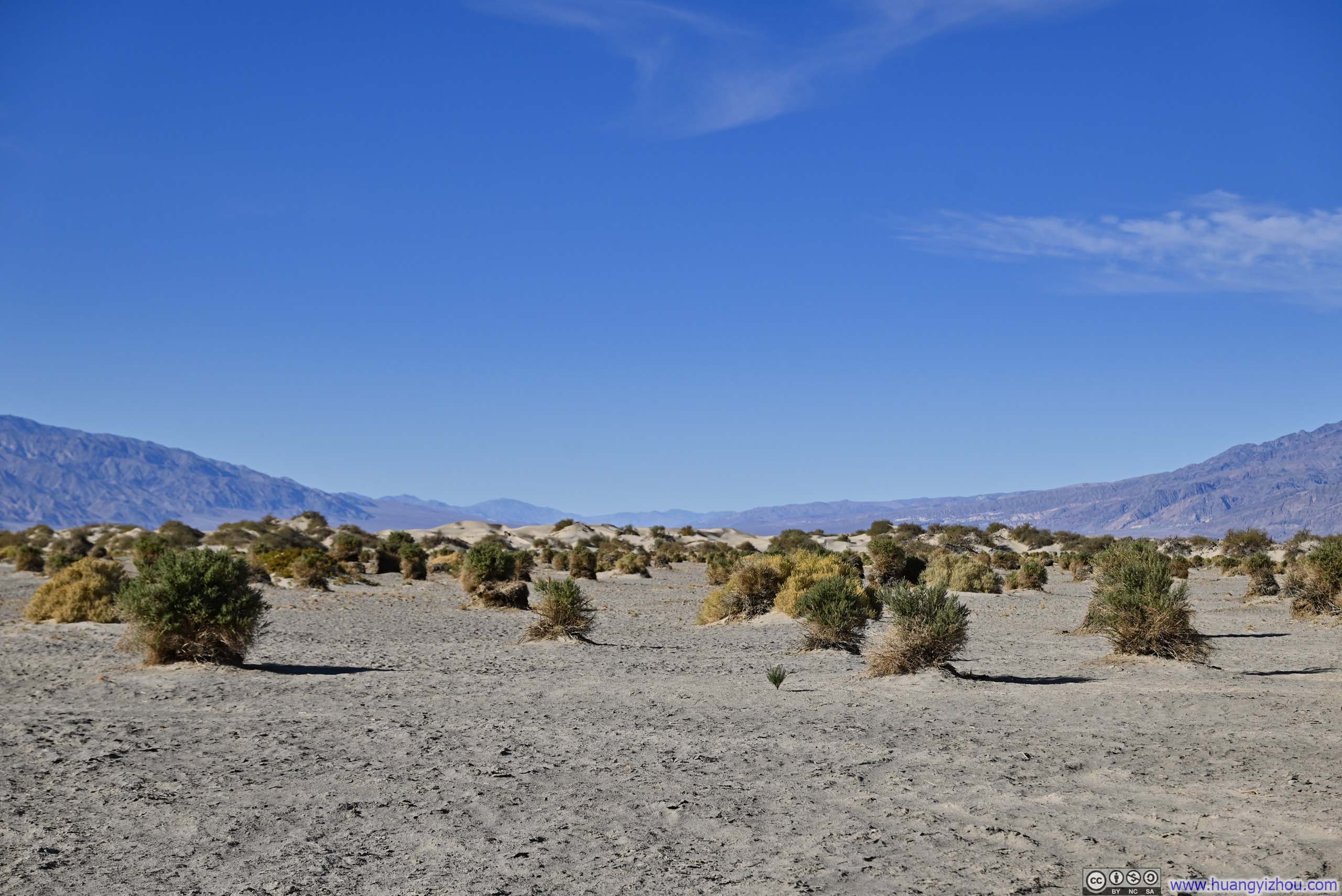
Mesquite Flat Sand Dunes
On my way back from Mosaic Canyon, I made a stop at Mesquite Flat Sand Dunes. The sand dunes extended for a long distance, with the most impressive dunes located at the far end. I didn’t want sand to get into my shoes so I stayed close to the parking lot.
 Sand Dunes
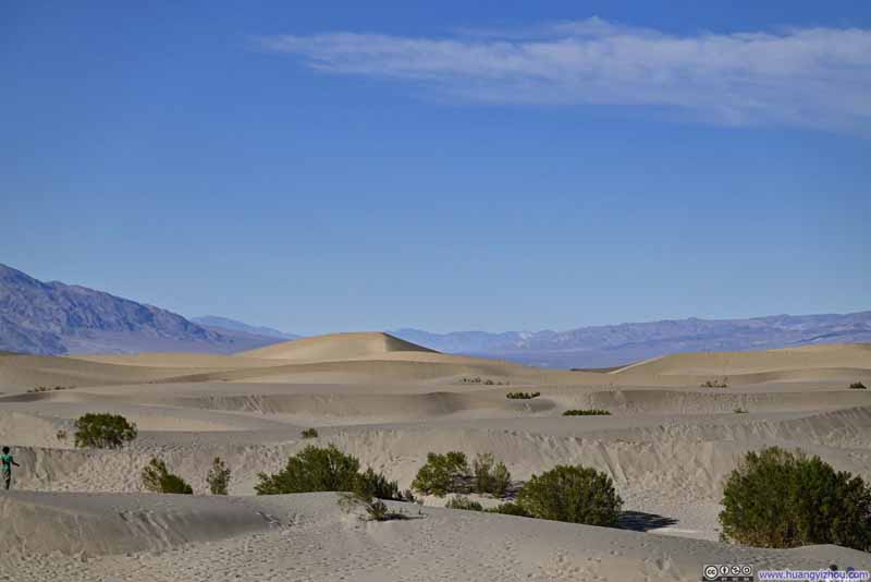 Sand Dunes
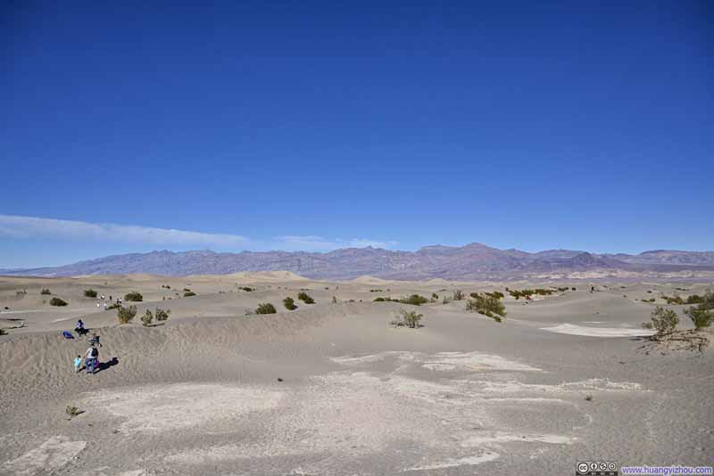 Sand Dunes before Grapevine Mountains
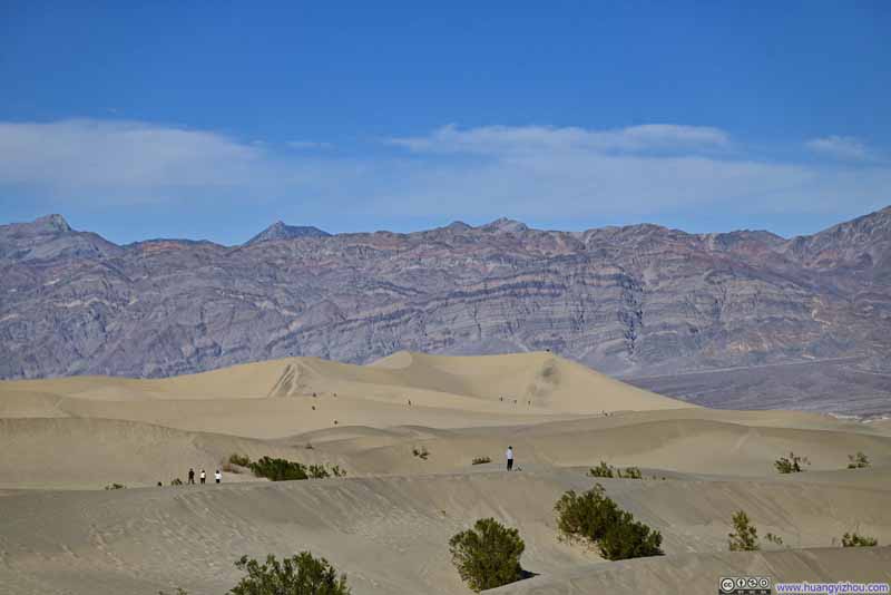 Sand Dunes before Grapevine Mountains
 Sand Dunes before Cottonwood Mountains
Click here to display photos of Mesquite Flat Sand Dunes.
 Sand Dunes
 Sand Dunes before Grapevine Mountains
Sand Dunes before Cottonwood Mountains
Mesquite Flat Sand Dunes
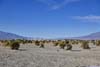
Frankly, I didn’t find the sand dunes near the parking lot that impressive. In comparison, I stopped at the nearby “Devil’s Cornfield” and found the field of arrowweed (which didn’t look at corn at all) much more interesting.
 Field of Arrowweed before Grapevine Mountains
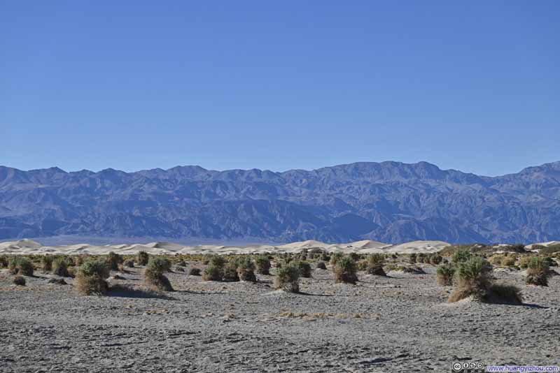 Field of ArrowweedMesquite Flat Sand Dunes visible in the background.
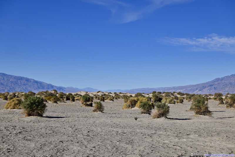 Field of Arrowweed
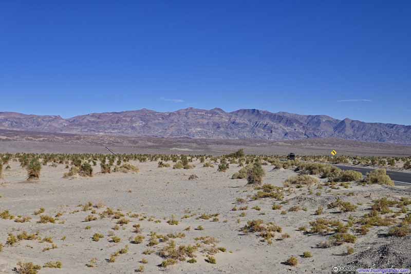 Field of Arrowweed before Chloride Cliff

Click here to display photos of Devil’s Cornfield.

Field of Arrowweed before Grapevine Mountains
Field of ArrowweedMesquite Flat Sand Dunes visible in the background.
Field of Arrowweed
Field of Arrowweed before Chloride Cliff
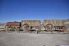
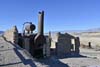
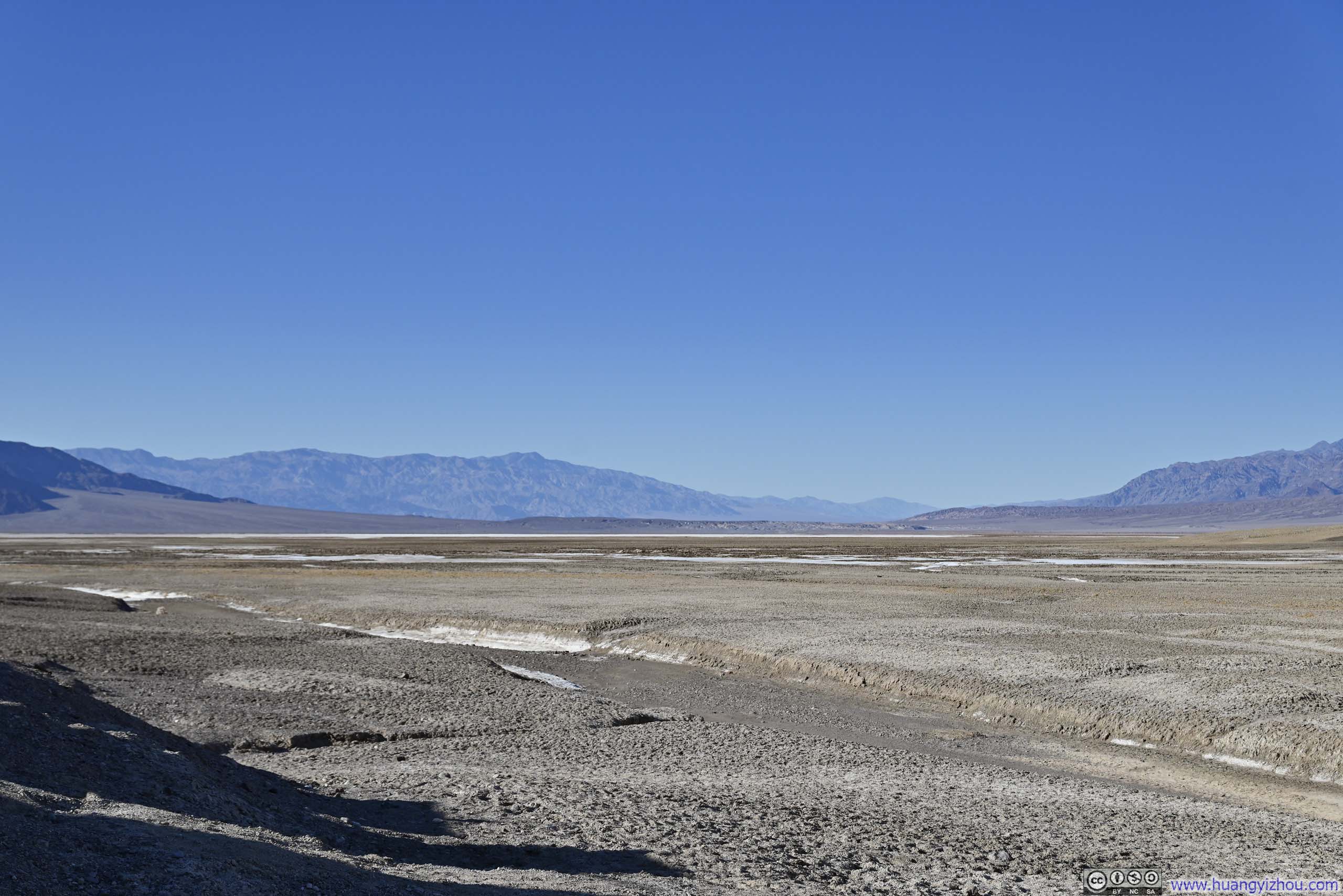
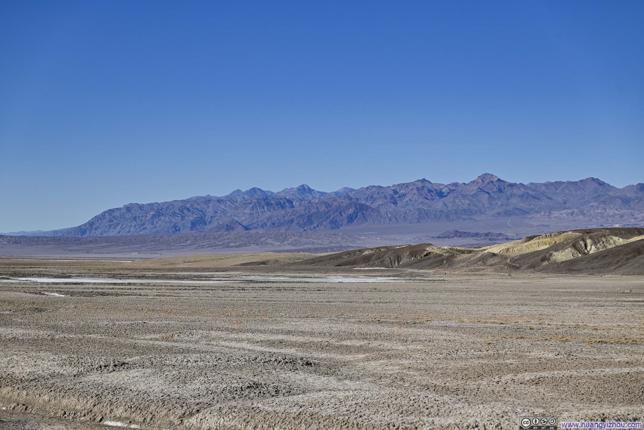
Harmony Borax Works
On my way back to Furnace Creek, I made an impromptu stop at Harmony Borax Works, a decision partly inspired by the desire to avoid being stuck behind a slow driver. This was a short-lived borax mining site, famous for using mule caravan to transport borax to the nearest railroad station. Despite that, the remoteness of Death Valley meant the mining operation wasn’t profitable, leading to its abandonment. Nowadays, a short interpretive trail leads around the site.
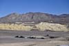
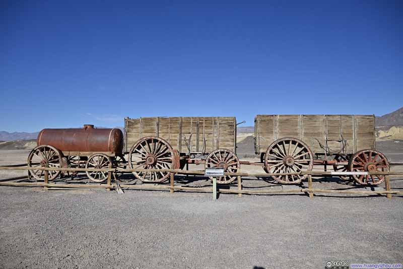 Display of Mule Wagons
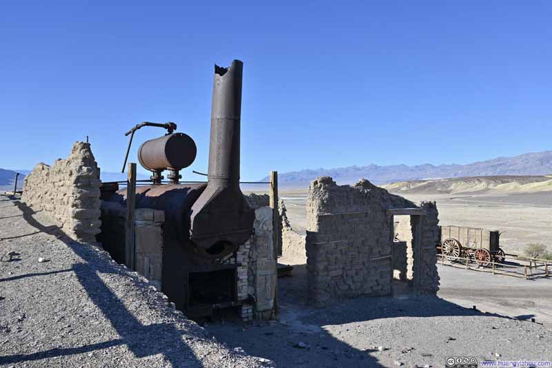 Remains of Borax Refinement Facilities
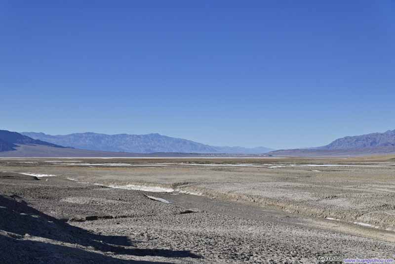 Death Valley
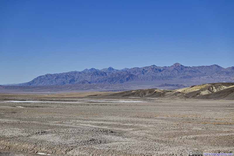 Grapevine Mountains
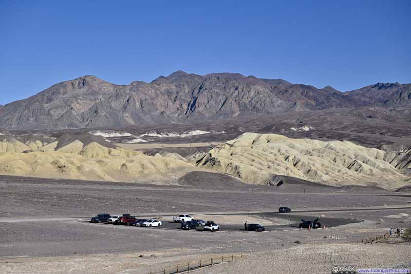 Funeral Mountains
Click here to display photos from Harmony Borax Works.

Display of Mule Wagons
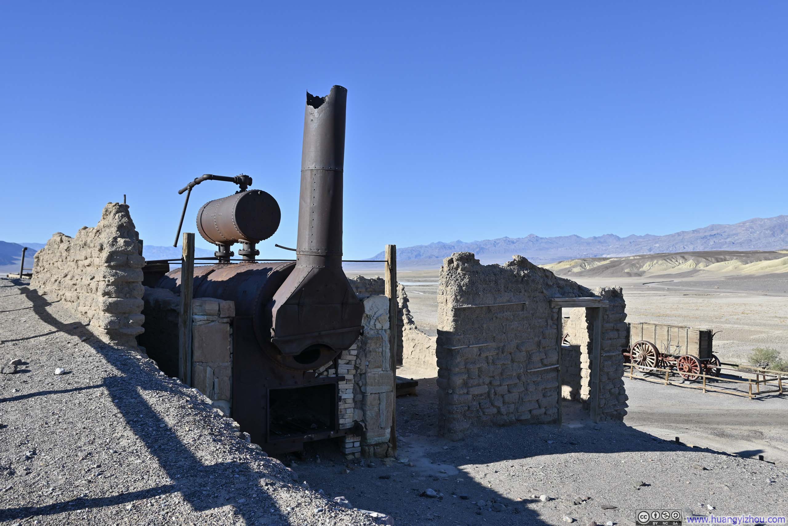
Remains of Borax Refinement Facilities
Death Valley
Grapevine Mountains

Funeral Mountains
Devil’s Golf Course
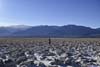
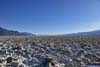
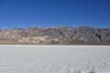
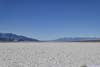
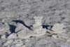
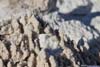
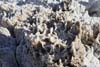
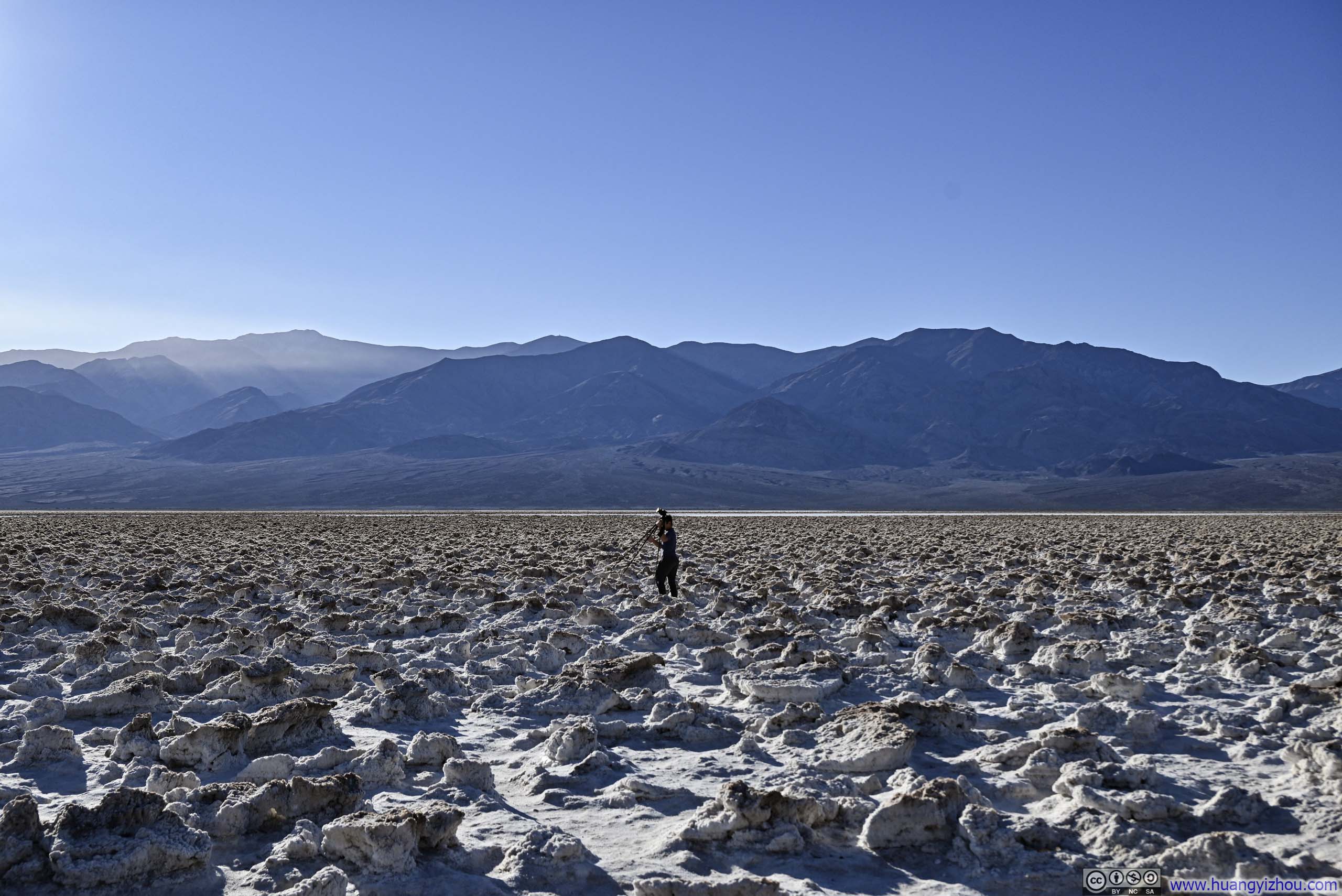
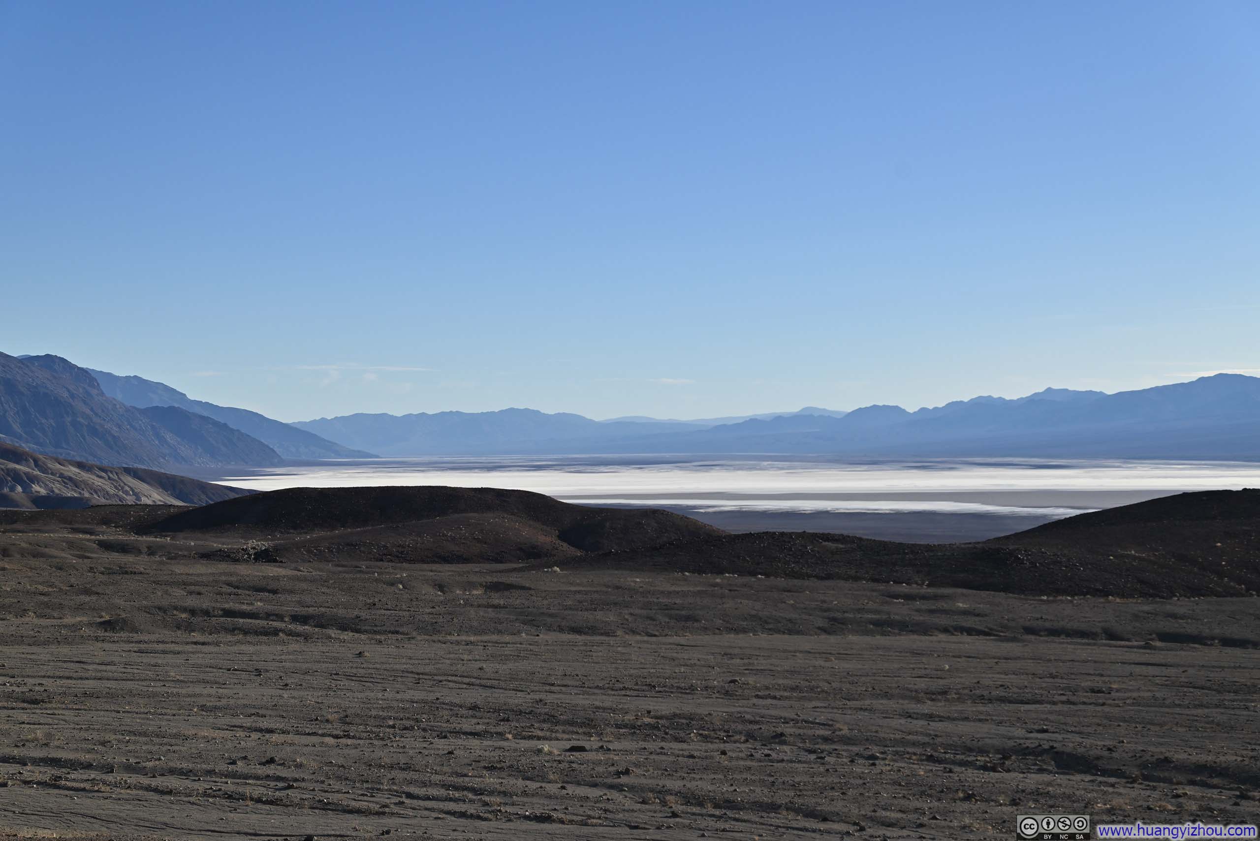
Next, I checked out Devil’s Golf Course, a remarkable salt flat characterized by its jagged crystalline formations. Its parking lot was connected to the main road via a 2km (1.2mi) unpaved road, which was a bit bumpy but manageable. The parking area sat at the fascinating juncture where smooth salt plains (p3-4 below) meet their rugged counterpart (p1-2 below), the latter sculpted over time by the patient artistry of rain and wind into sharp, intricate crystal formations.
Frankly, I didn’t think even devils could play golf here.
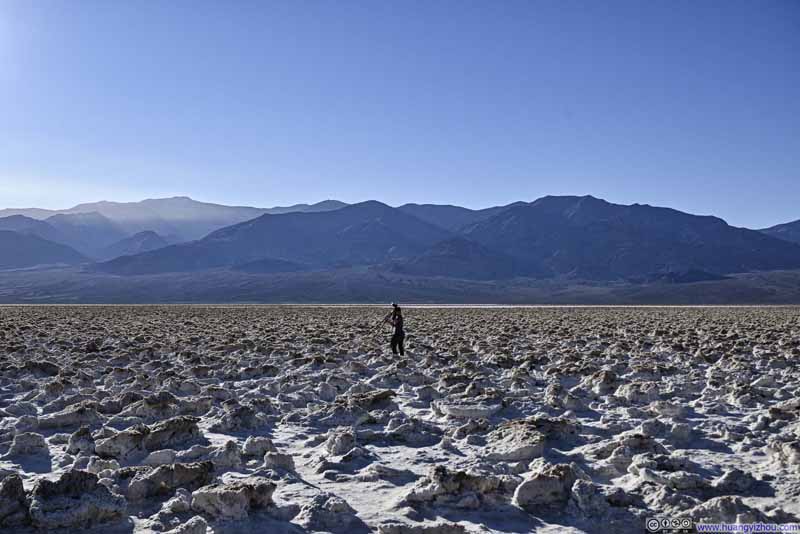 Devil’s Golf Course
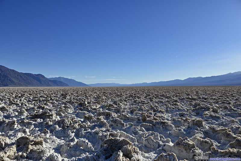 Devil’s Golf Course
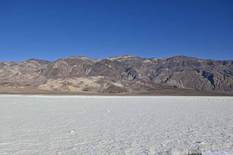 Black Mountains
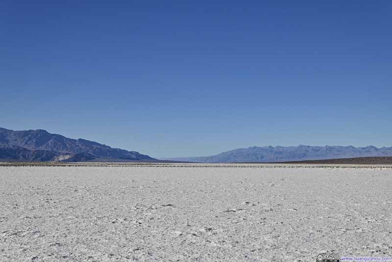 Death Valley
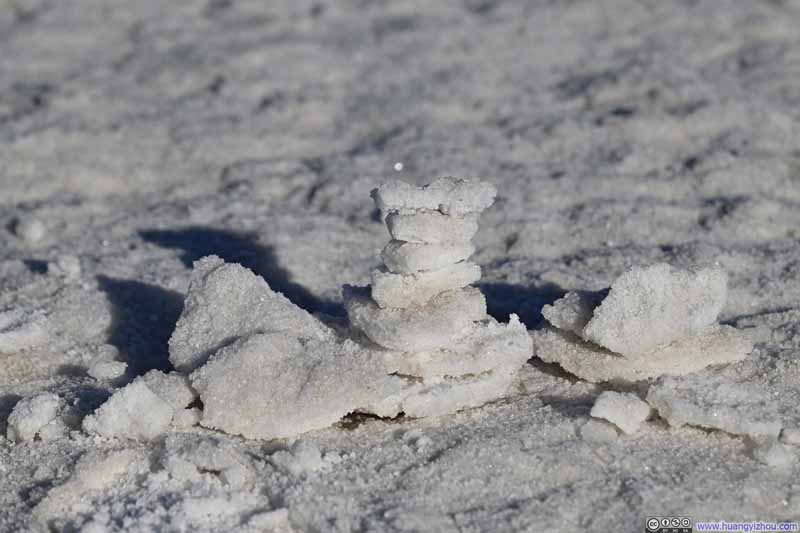 Salt Cairns
 Salt Crystal Arch
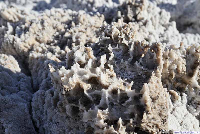 Salt CrystalLike some underwater creature.
Click here to display photos from Devil’s Golf Course.
 Devil’s Golf Course
Black Mountains

Death Valley
Salt Cairns
Salt Crystal Arch

Salt CrystalLike some underwater creature.
View around Devil’s Golf Course
Artist Drive
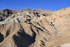
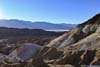
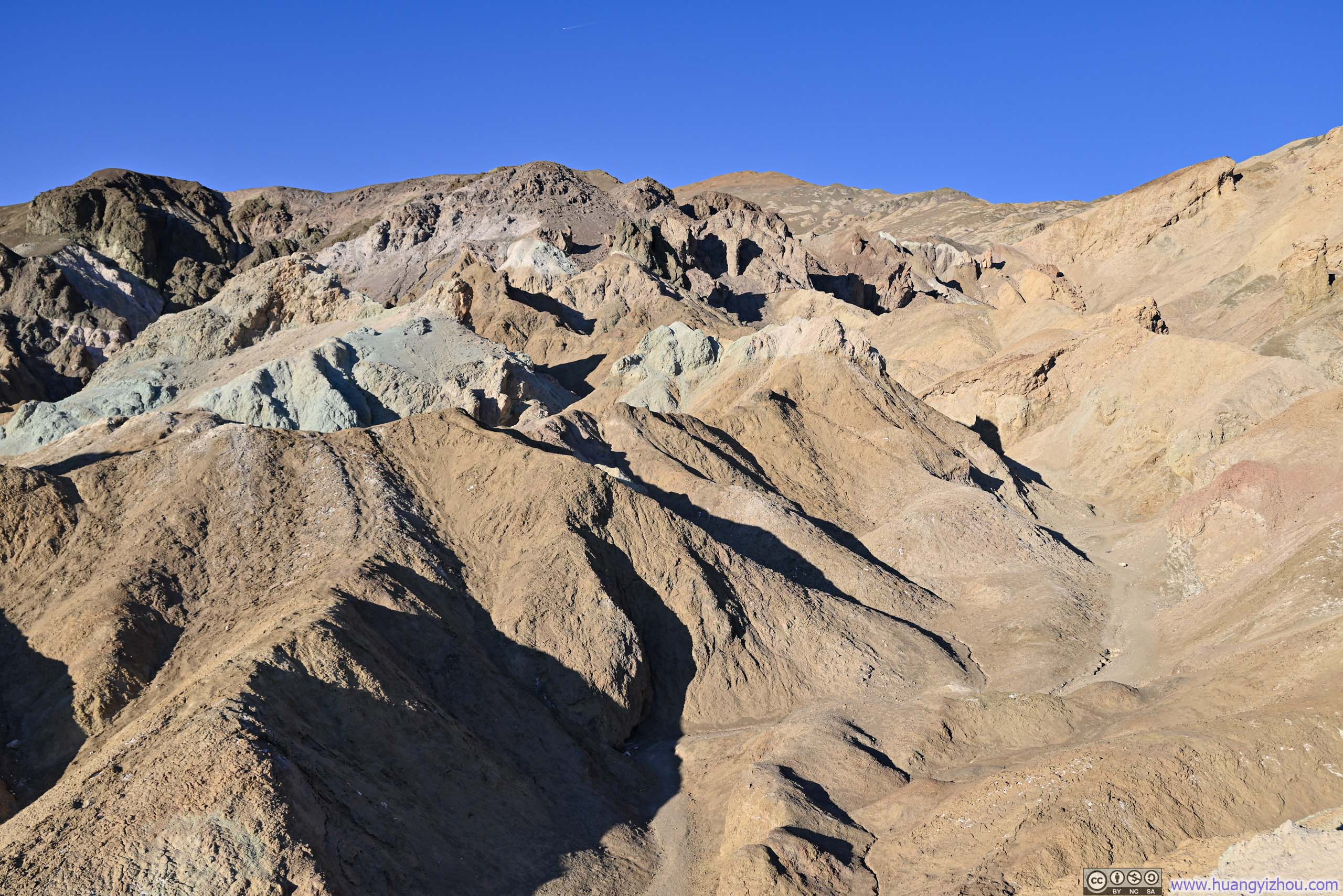
On my way to Dante’s View, I checked out Artist Drive, a scenic one-way loop road that wound through the colorful hills of the Black Mountains. Shortly after entering the one-way loop, I stopped at a viewpoint (Artist Dr Hill) with views overlooking the valley below and the surrounding Black Mountains, a palette of vibrant hues that belied their somber name.
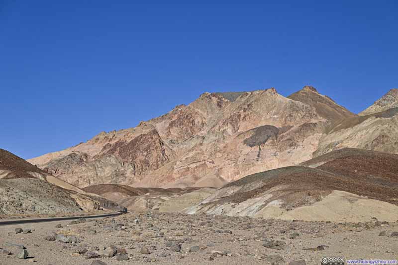 Hills
Hills Hills
Hills Hills
Hills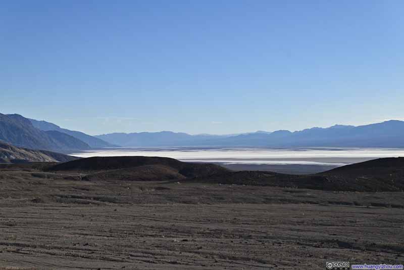 Salt Flats of Death Valley


Click here to display photos from Artist Dr Hill.

 Hills
Hills
Salt Flats of Death Valley
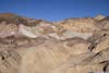
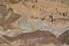
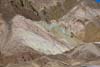
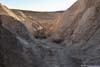
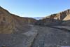
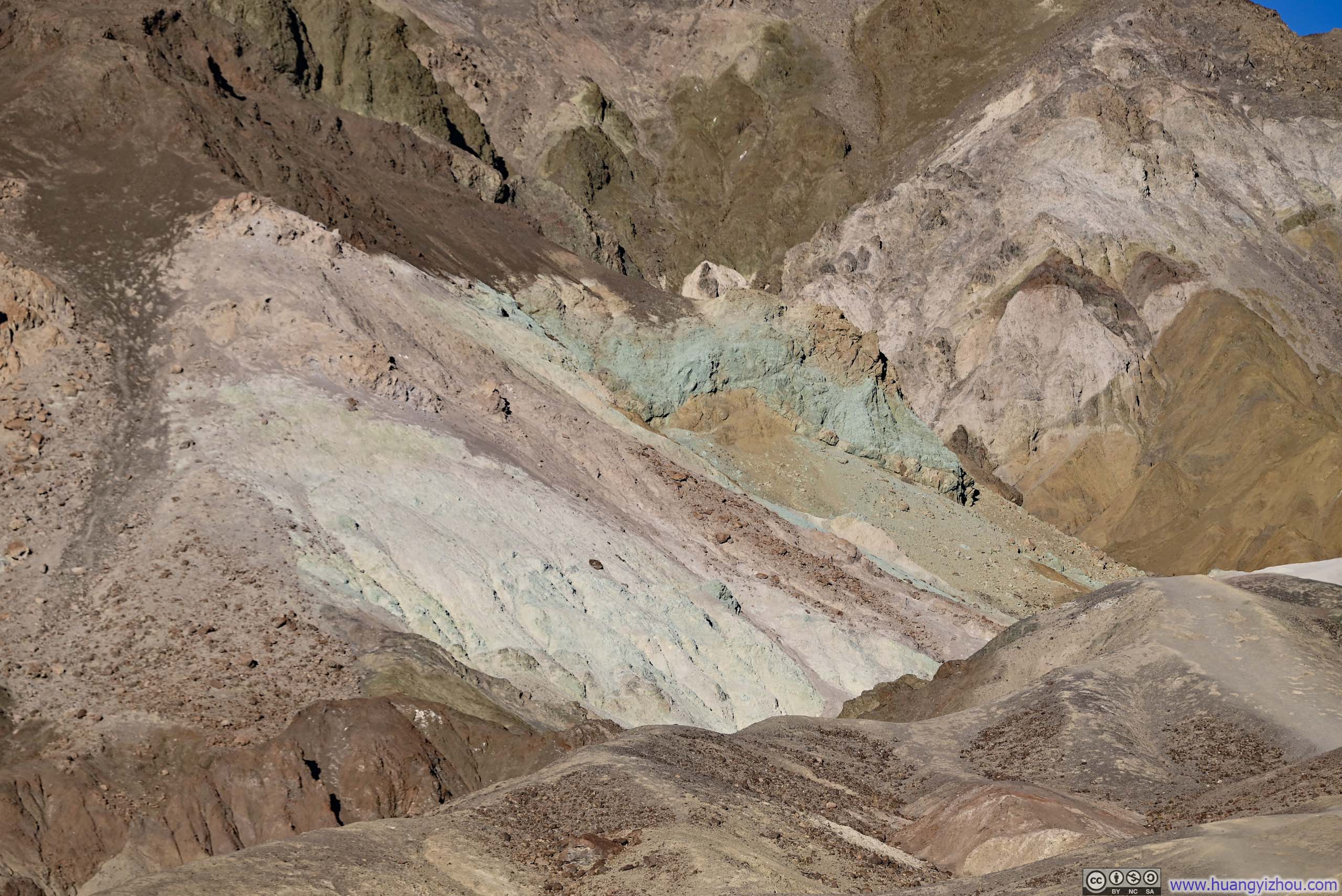
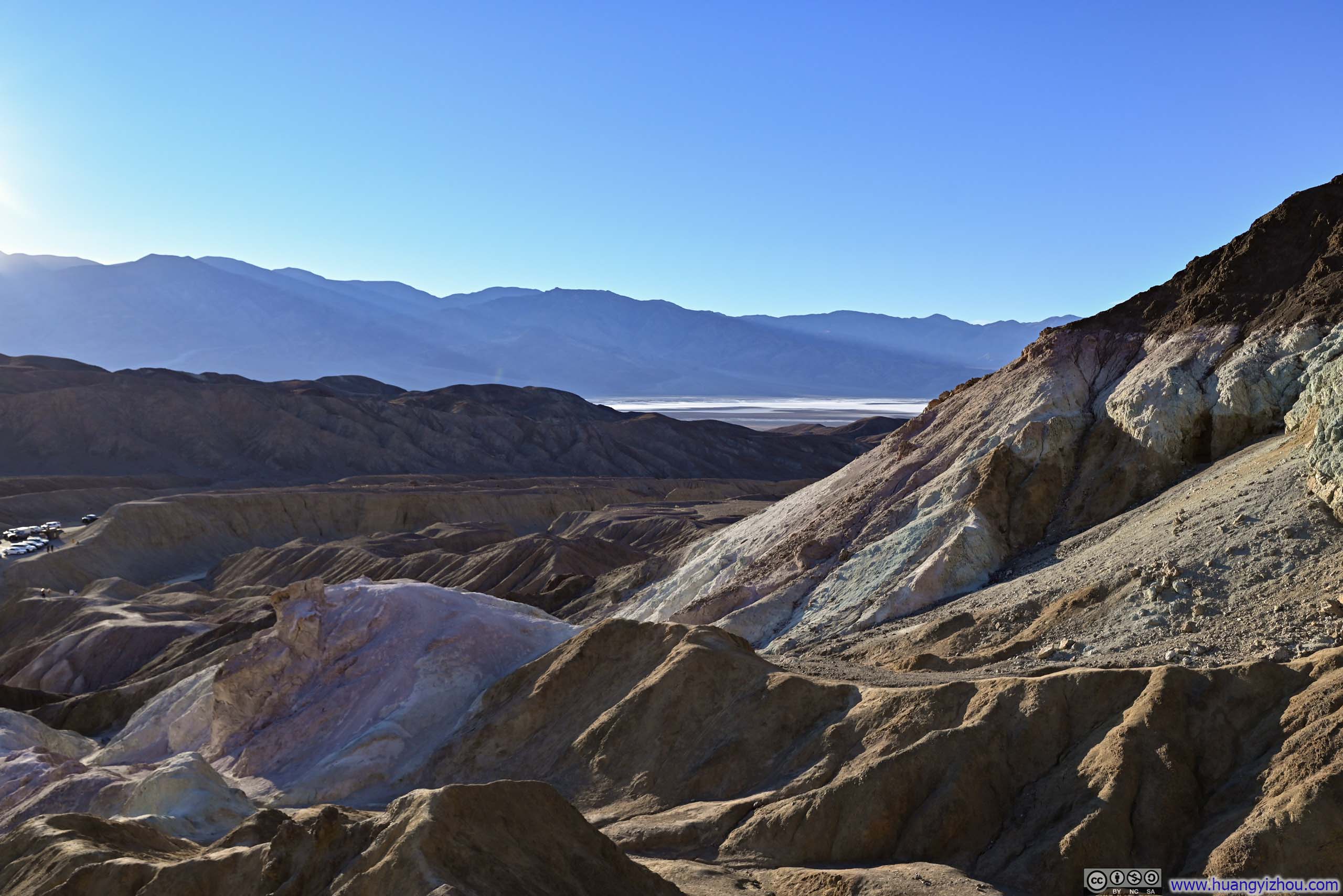
Then it’s “Artist Palette”, featuring colorful hills from rich volcanic deposits. My experience here echoed yesterday’s visit to the Red Cathedral area, both featured networks of unofficial trails inviting exploration. Once again, I ventured along some of these paths and made unsuccessful attempts to scale several prominent rock formations. While I certainly appreciated the variety of colors visible on a small section of the hills, the afternoon sunlight, much like yesterday, bathed the majority of the landscape in an overwhelming orange glow. I guessed Artist Palette only revealed its true glory during the gentle light of twilight.
 Artists Palette
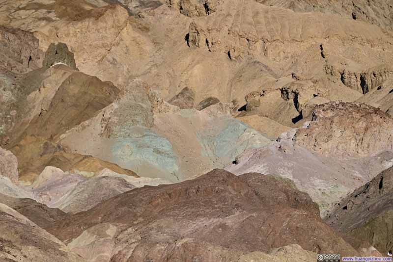 Colorful Hills at Artists Palette
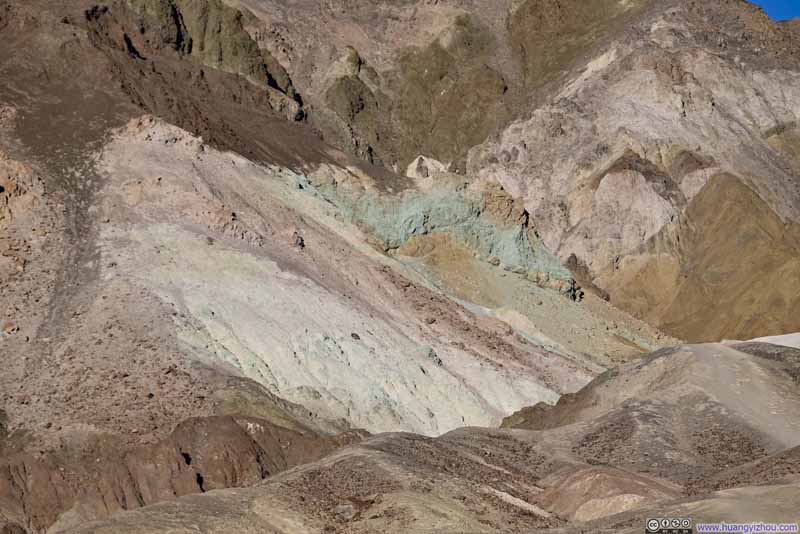 Colorful Hills at Artists Palette
 Hills around Artists Palette
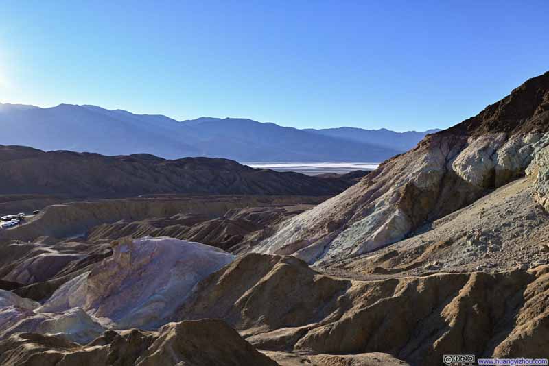 Hills around Artists Palette
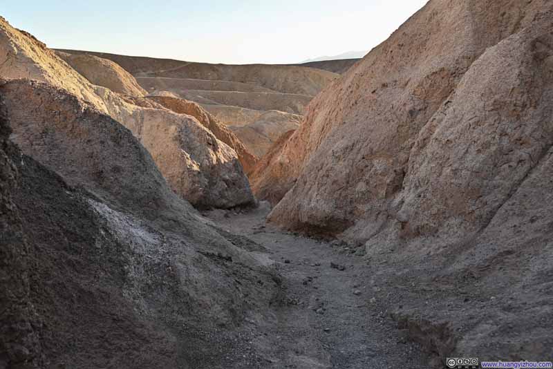 Canyon
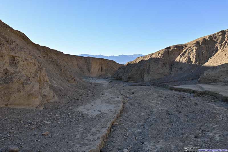 Canyon
Click here to display photos of the slideshow

Artists Palette

 Colorful Hills at Artists Palette
 Hills around Artists Palette
 Canyon
At the Artist Palette area, I spent a bit longer than I anticipated in trying to climb some rock formation, so I only left at 3:45pm. After that, I made a frantic drive towards Dante’s View, hoping to catch the sunset in 45 minutes.
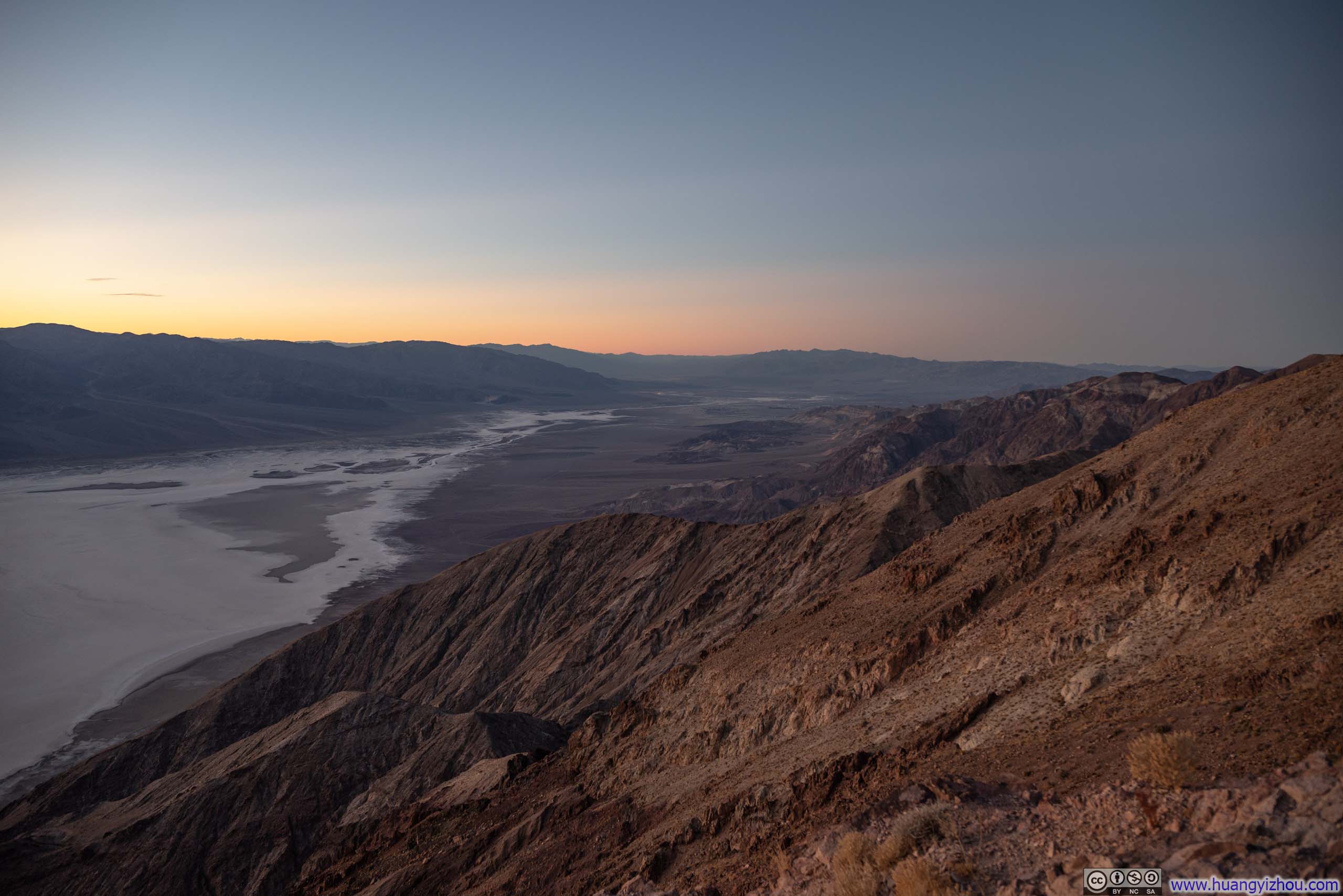
Dante’s View
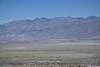
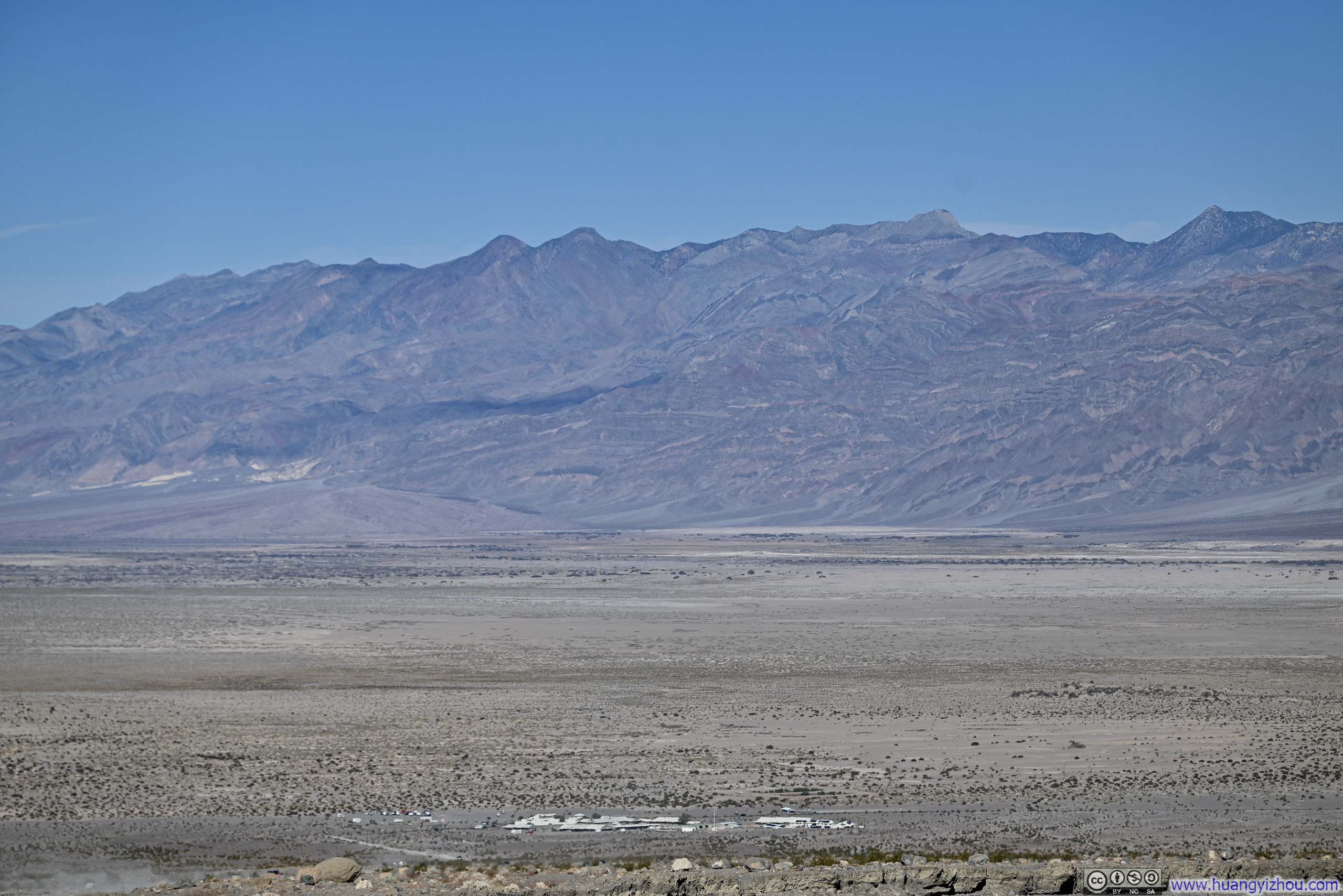
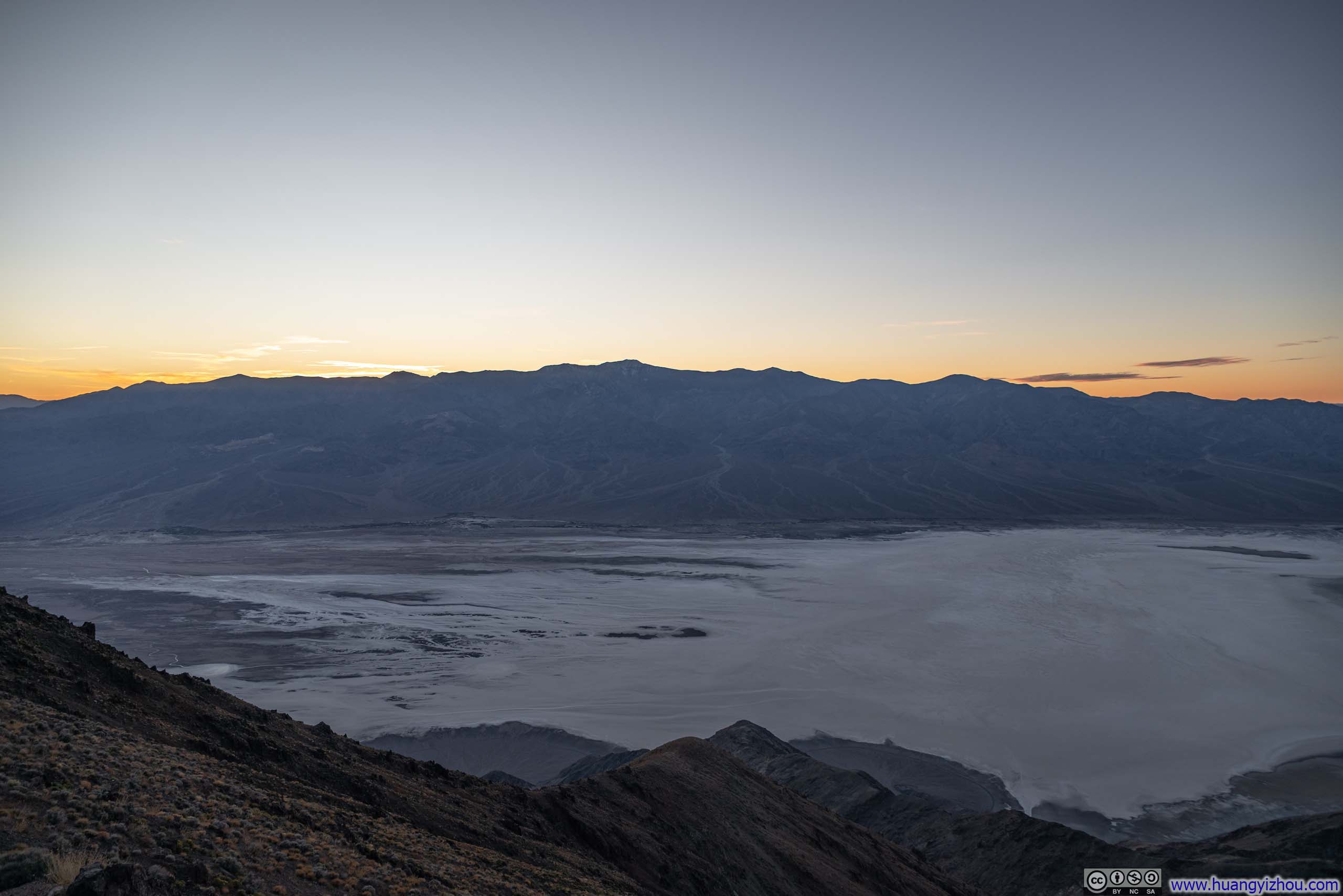
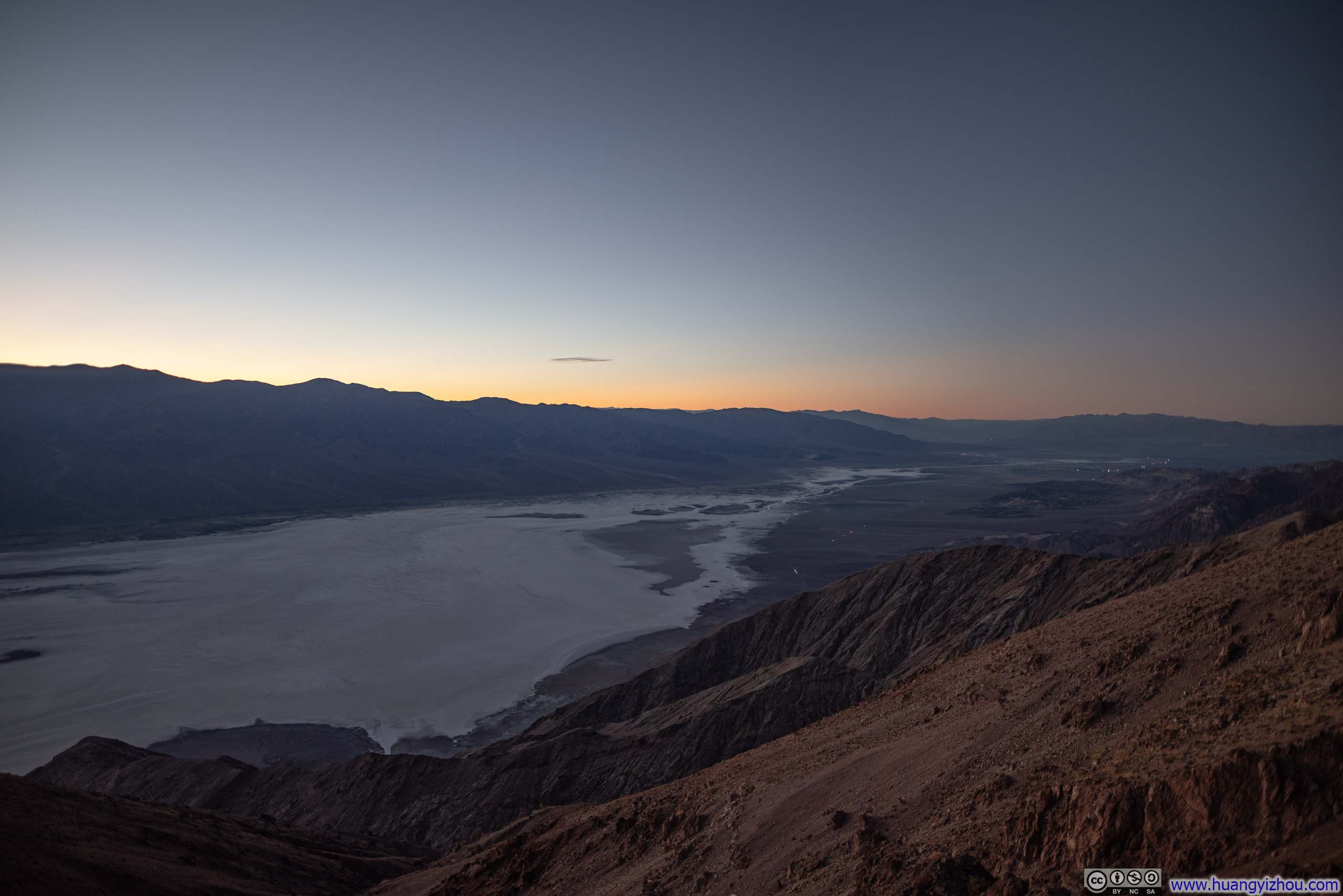
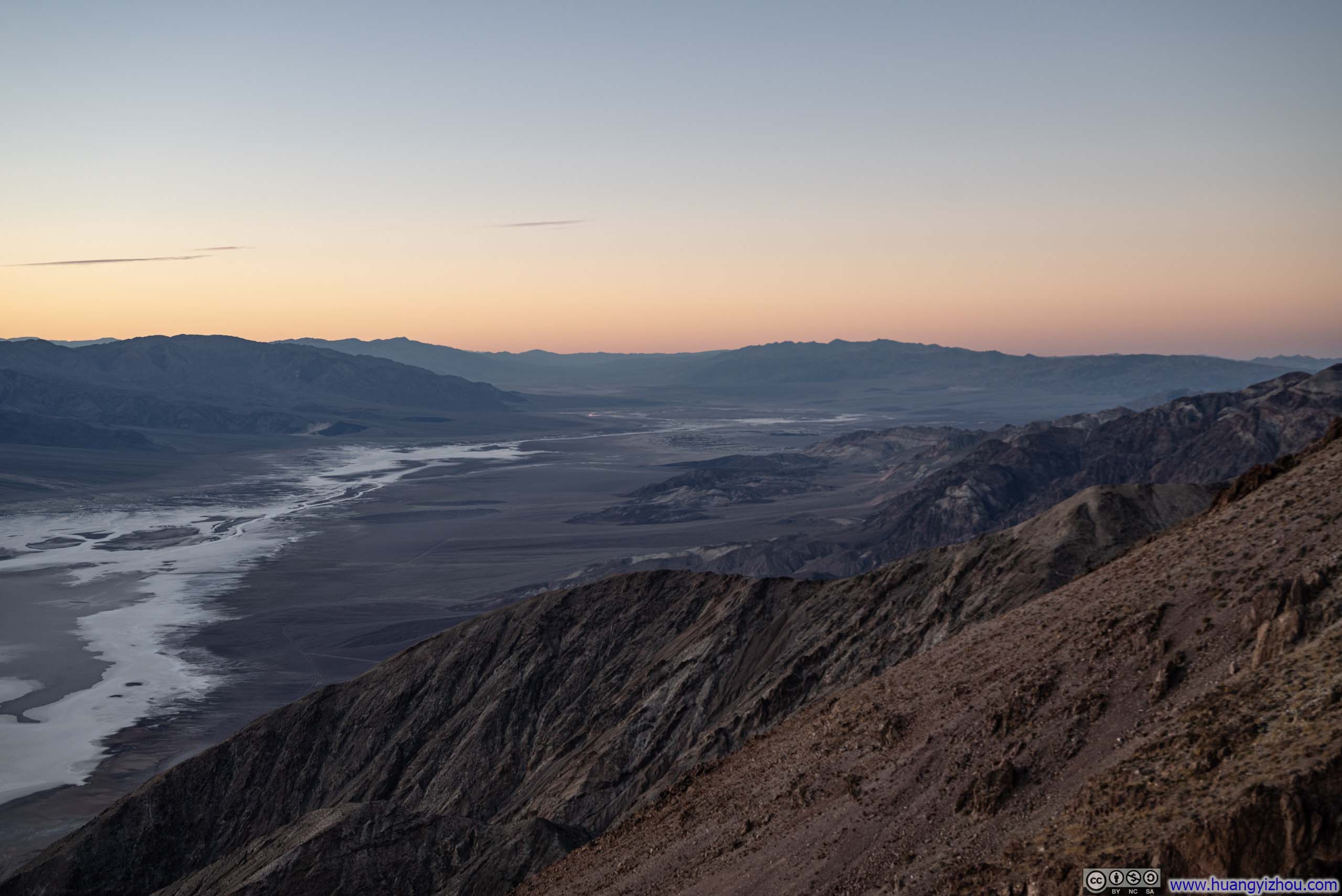
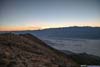
Arguably the best vista point in Death Valley National Park, Dante’s View towers about 1700m (5600ft) above the vastness of Death Valley floor. From this lofty perch, visitors are treated to an almost aerial perspective of the park, with unobstructed views directly overlooking Badwater Basin, the lowest point in North America. It’s located a bit out of the way from the other attractions of the park, so I decided to visit it on my way back to Las Vegas.
Unfortunately, my procrastination at Artist Palette some slow traffic along the way meant I arrived at Dante’s View 2 minutes after sunset. The views were nonetheless still remained stunning.
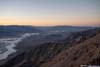
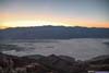
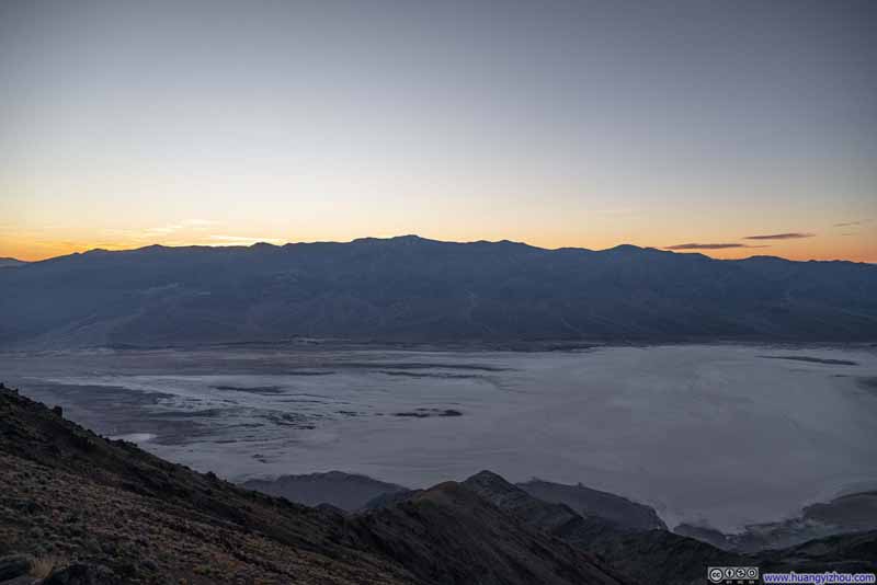 Overlooking Badwater Basin
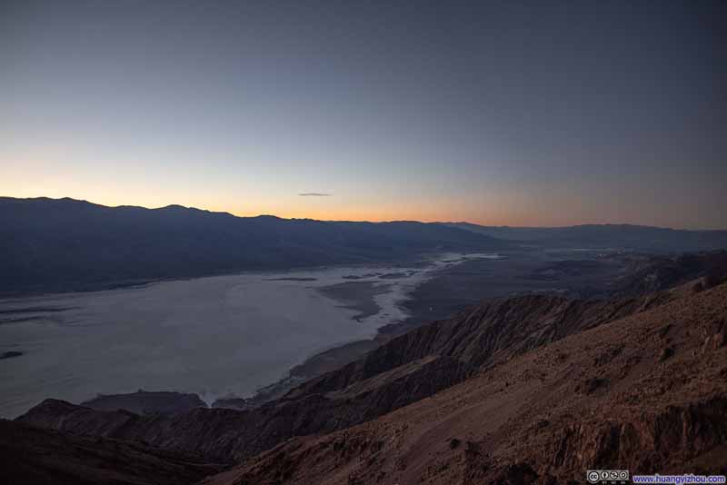 Overlooking Badwater Basin
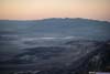
 Overlooking Death Valley
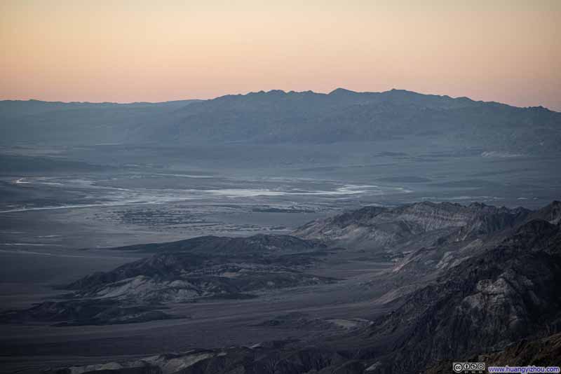 Grapevine Mountains beyond Death ValleyVillage of Furnace Creek visible in the center.
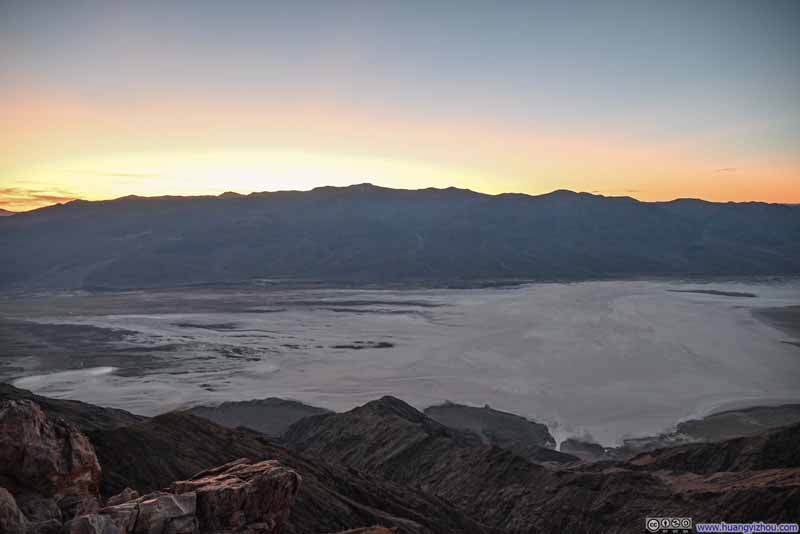 Overlooking Badwater Basin

Click here to display photos from Dante’s View.
 Overlooking Badwater Basin
Overlooking Death Valley

Grapevine Mountains beyond Death ValleyVillage of Furnace Creek visible in the center.
Overlooking Badwater Basin
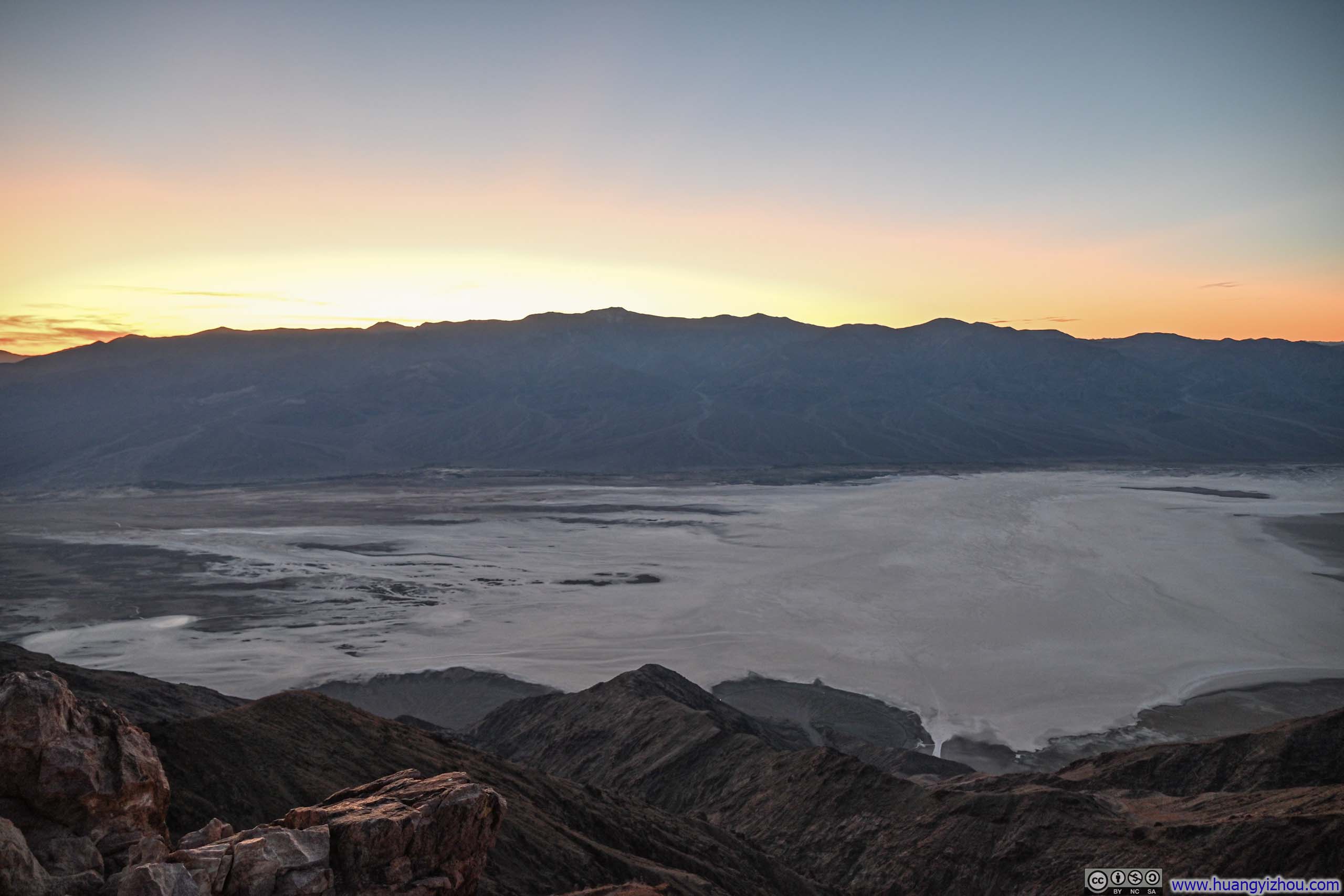
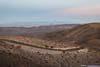
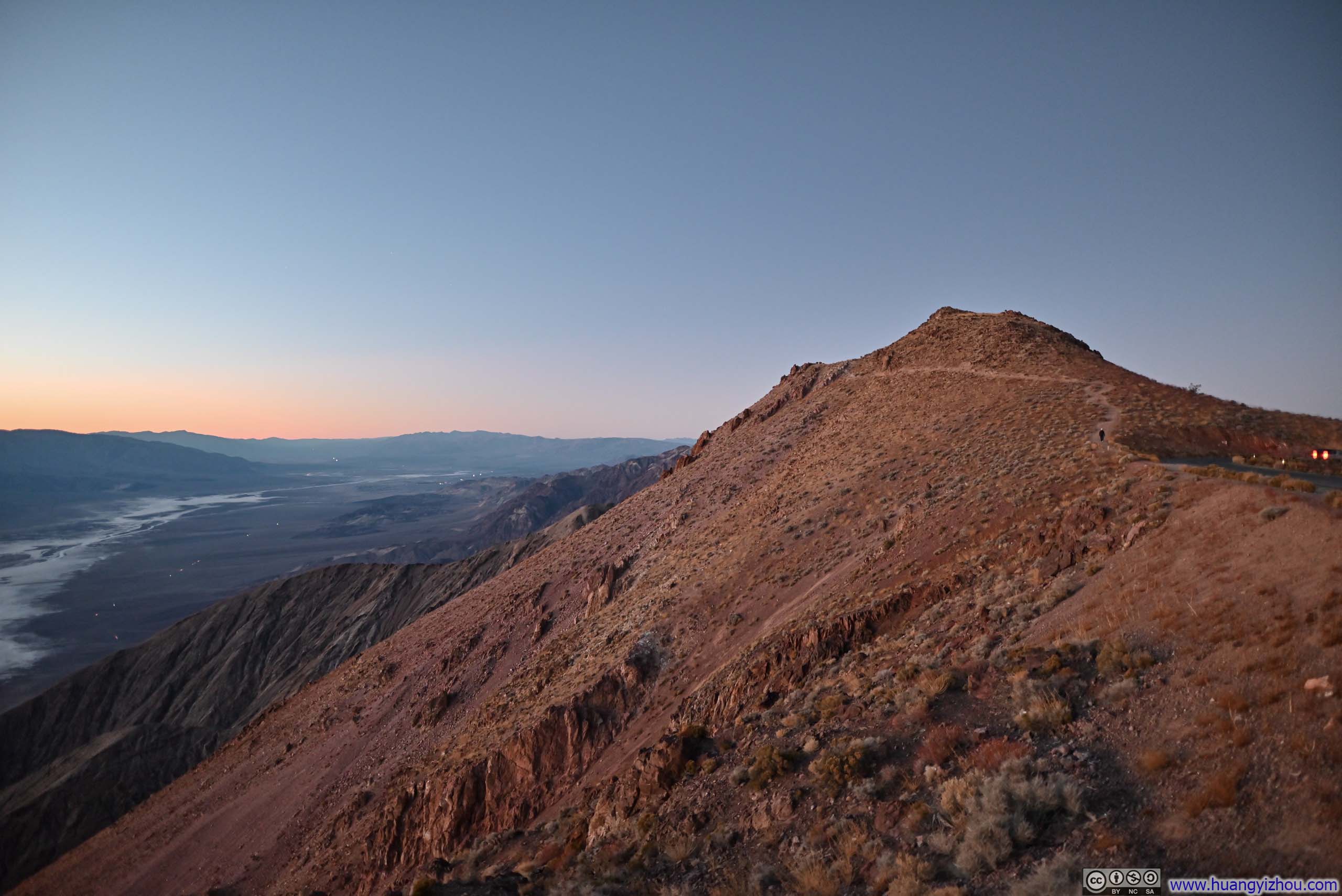
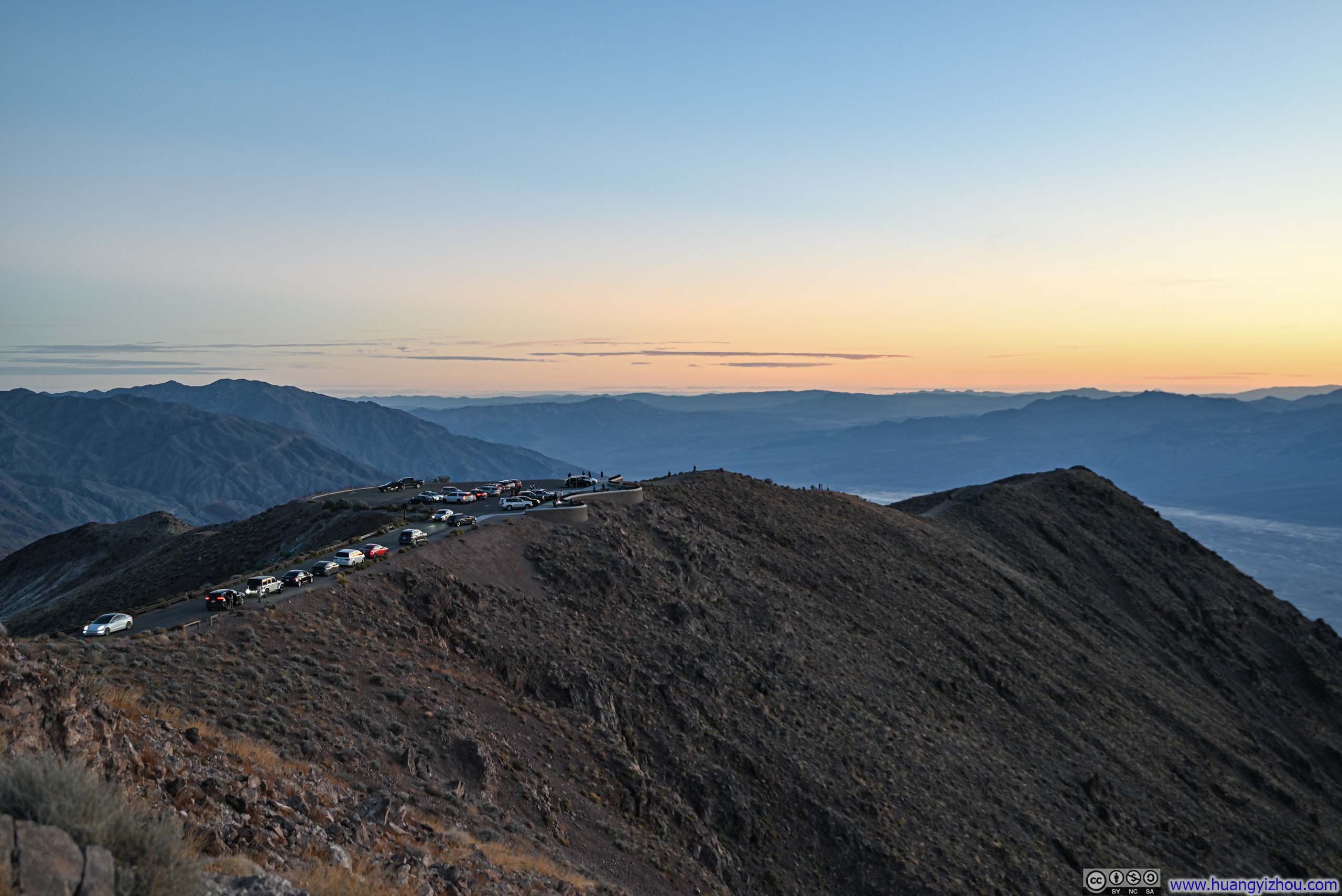
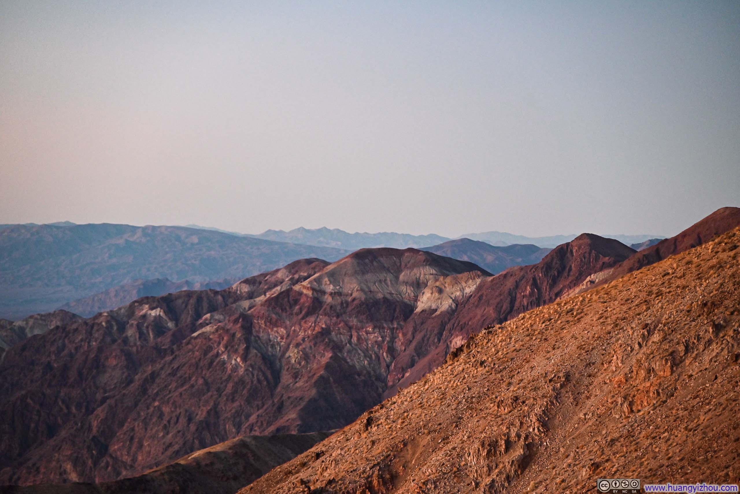
From the parking lot of Dante’s View, a trail led north following the ridge of Black Mountains, all the way to Mount Perry. I followed the trail for a short distance for a better view to the north, towards the direction of Furnace Creek.
 Hill next to Dante’s View
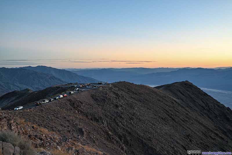 Dante’s View
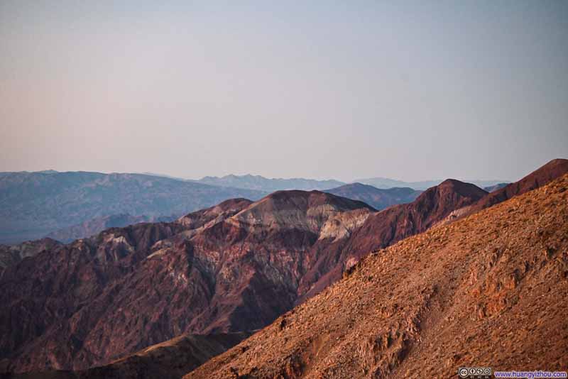 HillOne topped with white stripes.
 The Last of Sunset Glow
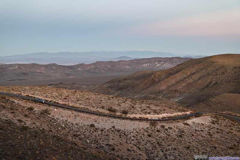 Road up Dante’s ViewWith Charleston Peak in the background.

Click here to display photos from Dante’s View.
Hill next to Dante’s View
Dante’s View
HillOne topped with white stripes.

The Last of Sunset Glow
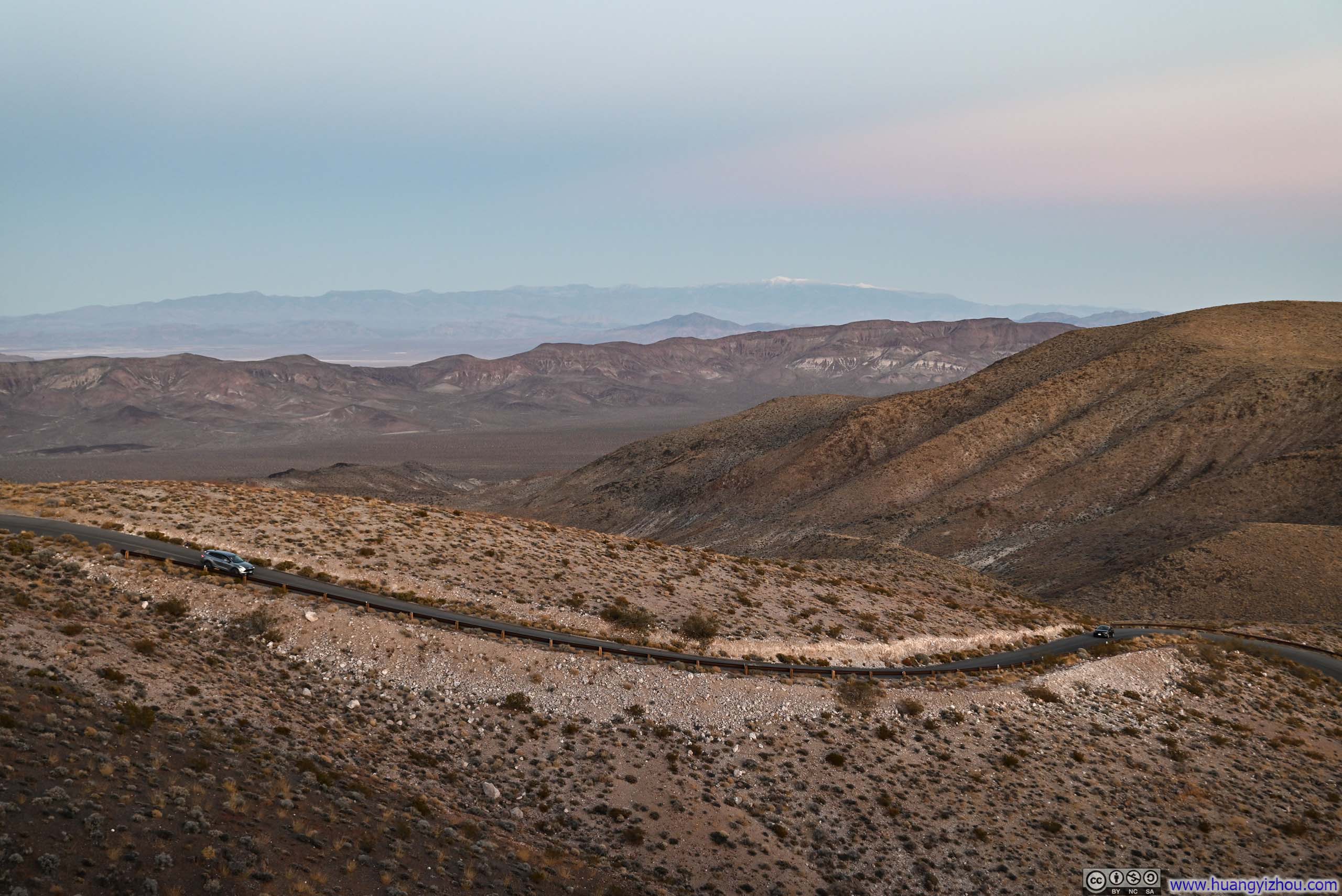
Road up Dante’s ViewWith Charleston Peak in the background.
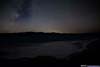
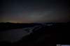
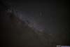
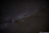
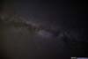
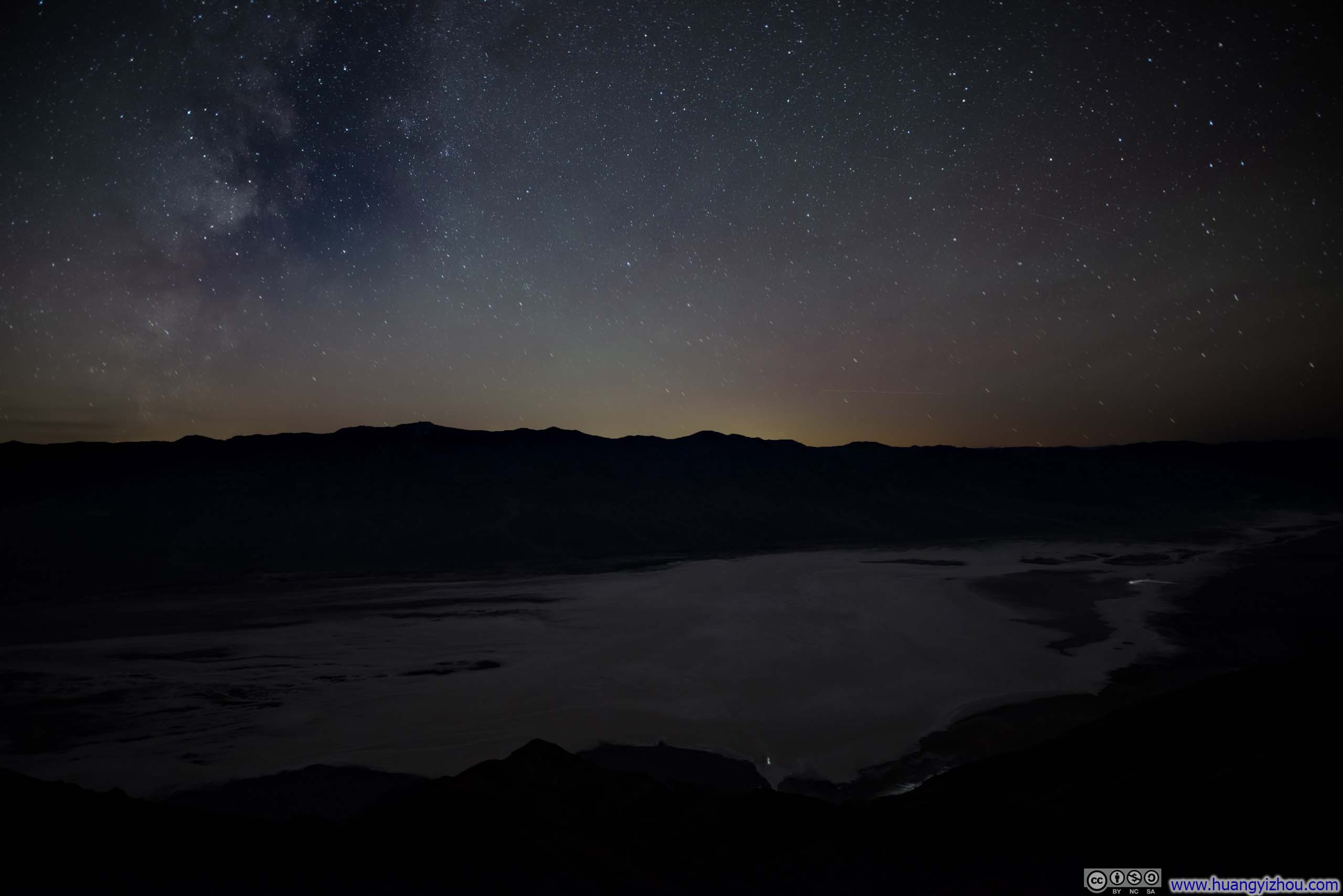
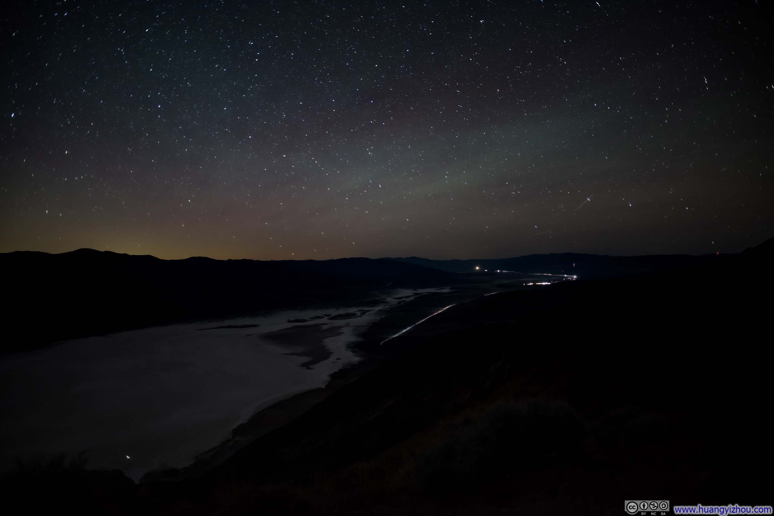
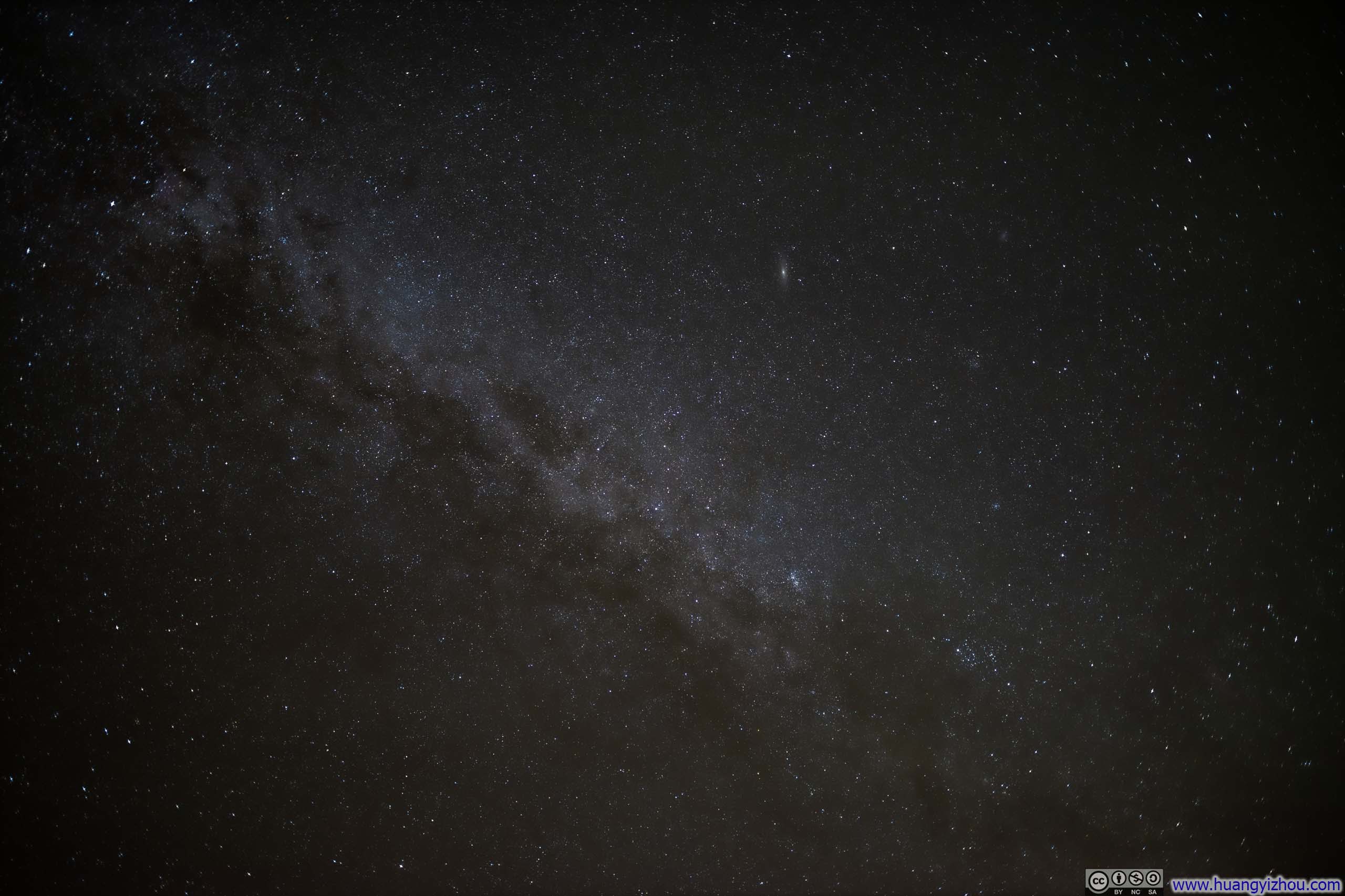
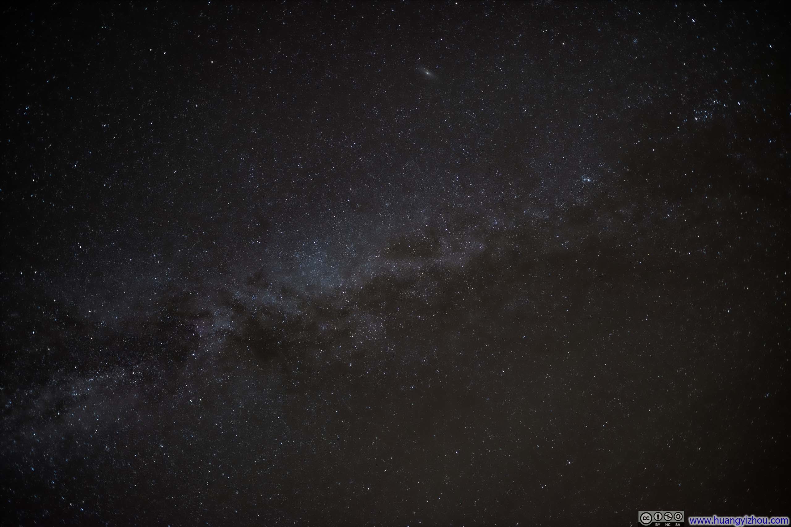
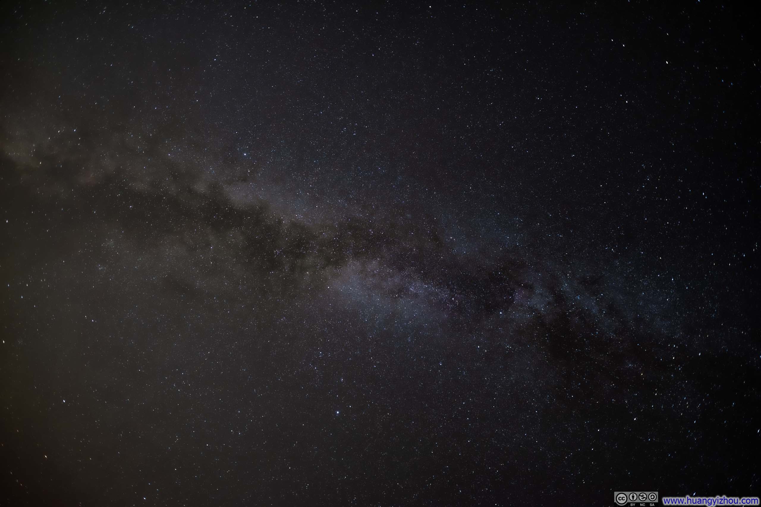
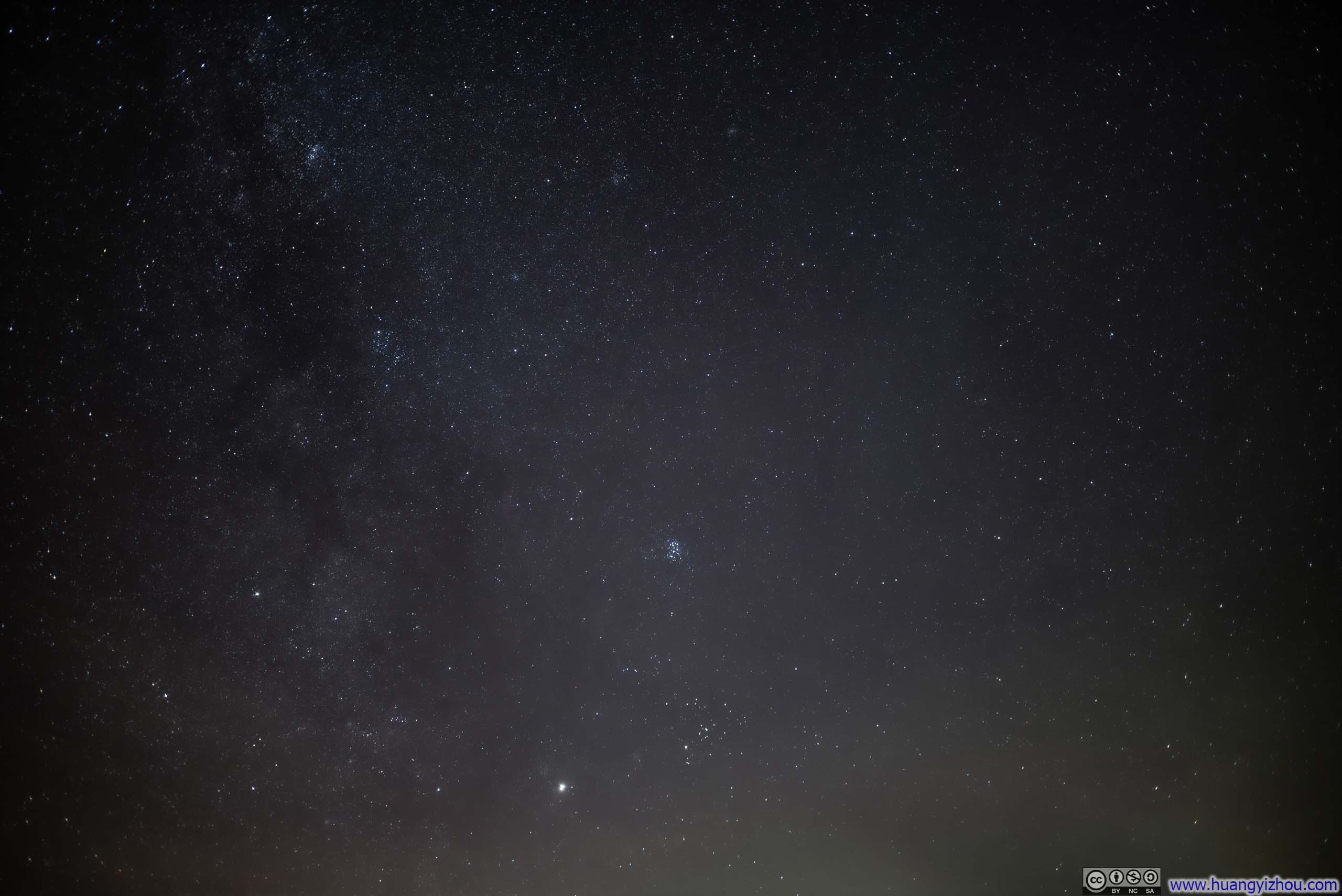
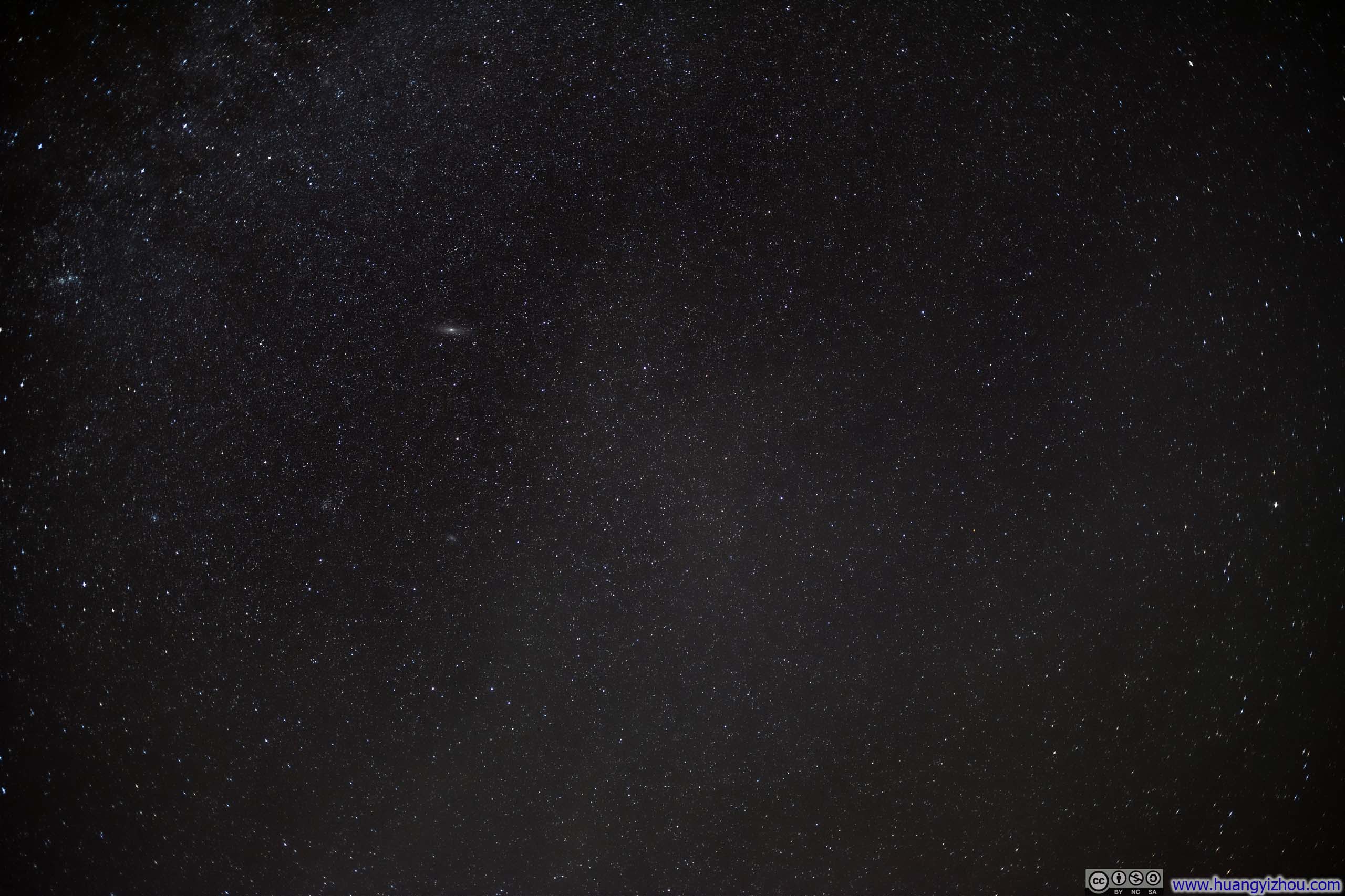
With little light pollution in Death Valley, I stayed at Dante’s View for the night to fall and the stars to shine, figuring this was a prime spot for stargazing. However, the considerable elevation and persistent wind (think of last’s night “sand storm” outside my tent) rendered the night air bitingly cold. I managed to take a few sets of photos before my hands succumbed to the chill.
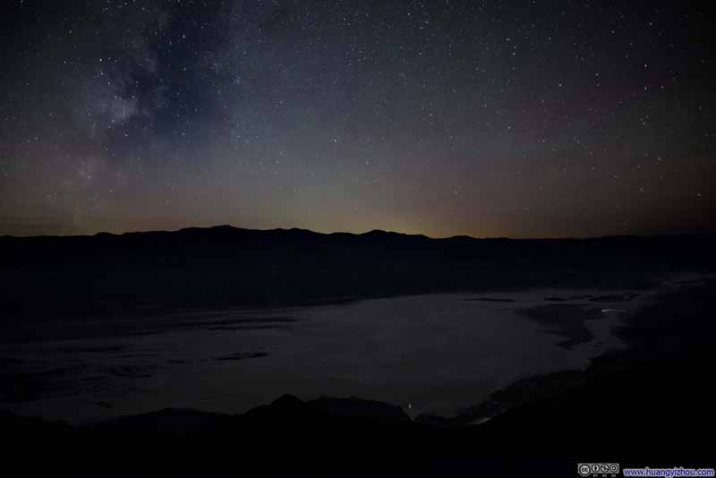 Night Skies over Death Valley
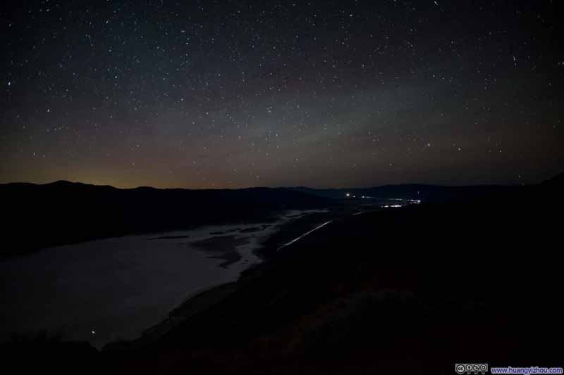 Night Skies over Death Valley
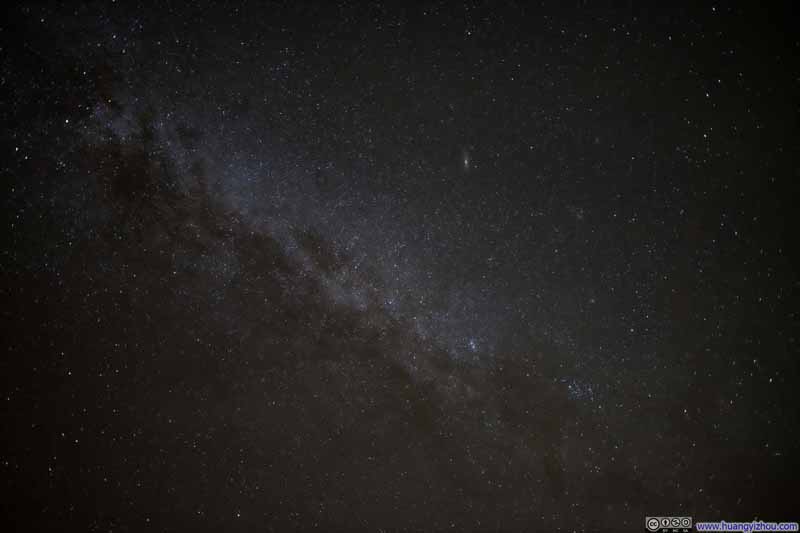 Milky Way
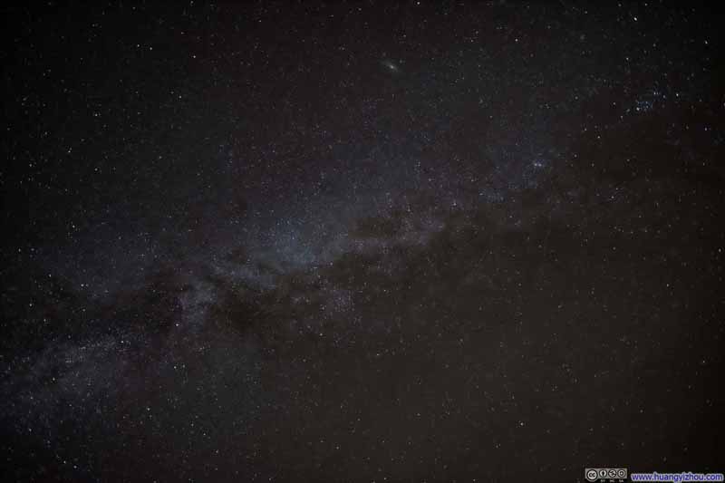 Milky Way
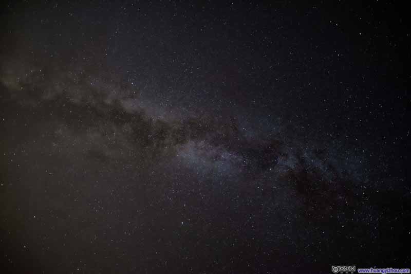 Milky Way
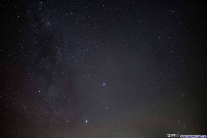 Night Sky
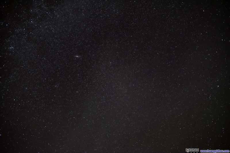 Night Sky


Click here to display photos of night sky from Dante’s View.
Night Skies over Death Valley
Night Skies over Death Valley
Milky Way
Milky Way
Milky Way
Night Sky
Night Sky
After that, I made the 2-hour drive back to Las Vegas. (This was another case where the sudden enhancement in road quality served as a subtle yet unmistakable indication that I had crossed from California into Nevada.)
END
![]() Day 4 of 2024 Thanksgiving Trip to Las Vegas, Death Valley by Huang's Site is licensed under a Creative Commons Attribution-NonCommercial-ShareAlike 4.0 International License.
Day 4 of 2024 Thanksgiving Trip to Las Vegas, Death Valley by Huang's Site is licensed under a Creative Commons Attribution-NonCommercial-ShareAlike 4.0 International License.