
Updated on July 19, 2025
Hiking Mt Major
A brief post about my hike to Mt Major in May 2025.
Lake Winnipesaukee
For my trip to Mt Monadnock last year, we had initially set our sights on Mt Major, only to switch to Monadnock given its more favorable weather. This time, my friends and I found a weekend when we were all free, and decided to finally try out Mt Major.
Just like Monadnock, there was a network of trails around Mt Major, but overall they were mostly a notch easier than their Monadnock counterparts, involving less elevation gain, which would be perfect for my buddies that, in their words, “not been the most in-shape recently”.
So on the morning of May 18, we reached the parking lot for Mt Major at 10:35am, and pulled into the last “compact” spot. The journey there was especially memorable for the tranquil drive stretching between Hooksett and Alton, where New Hampshire’s verdant countryside unfurled before us like a pastoral canvas, offering a serene prelude to our mountain excursion.
Here’s GPS tracking of the hike:
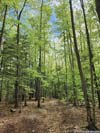
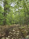
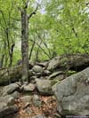
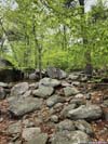
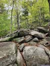
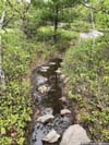
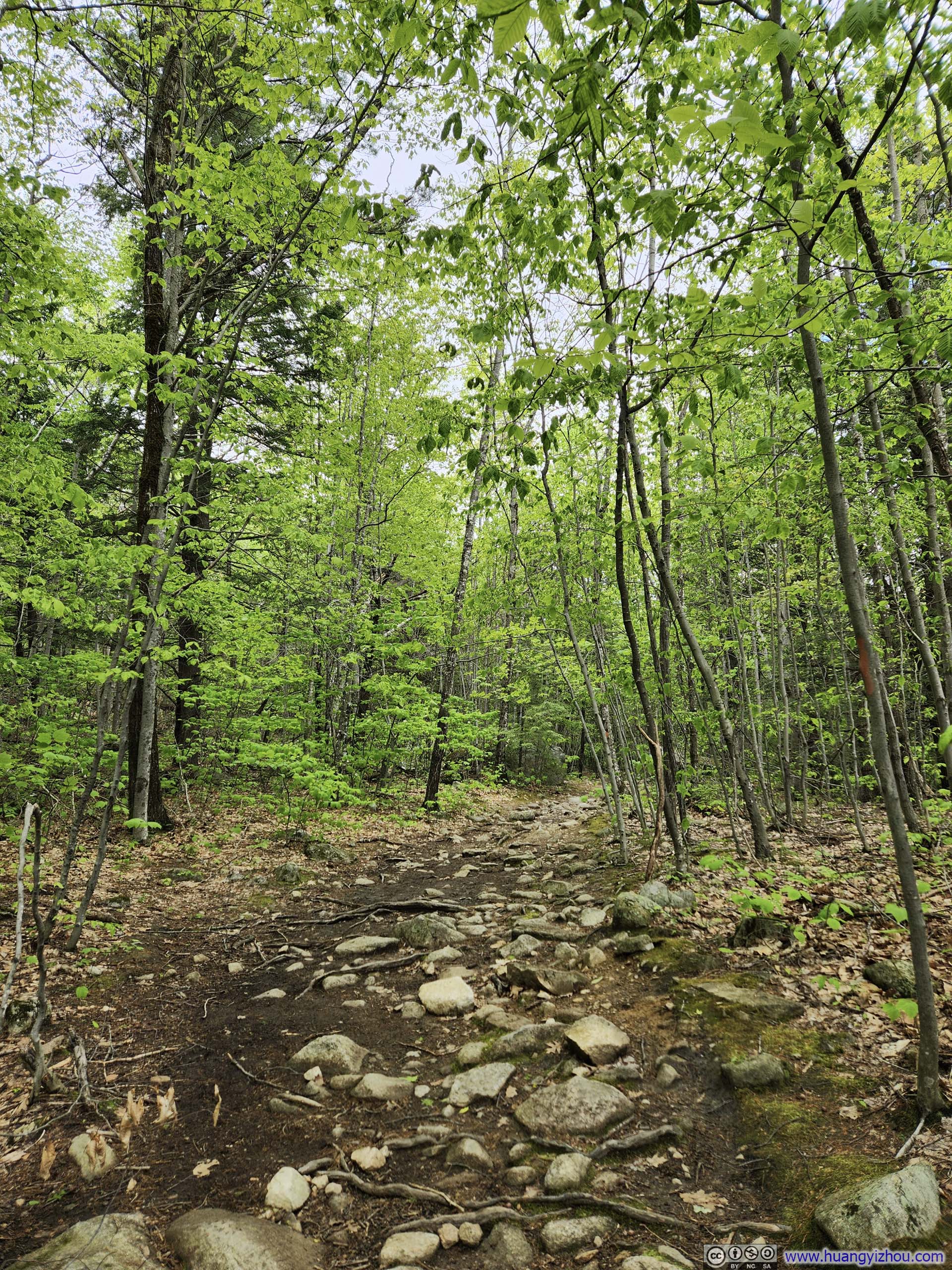
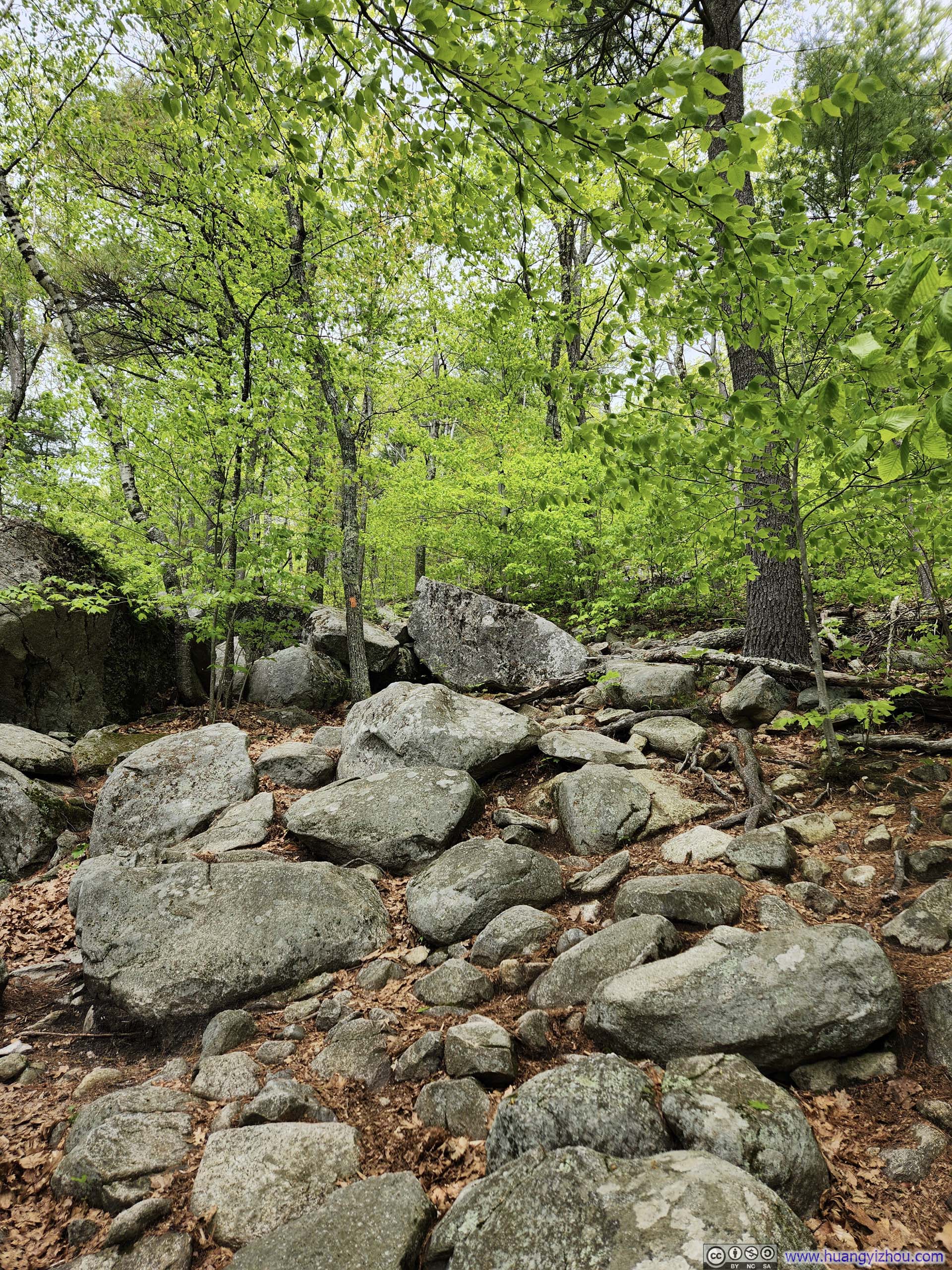
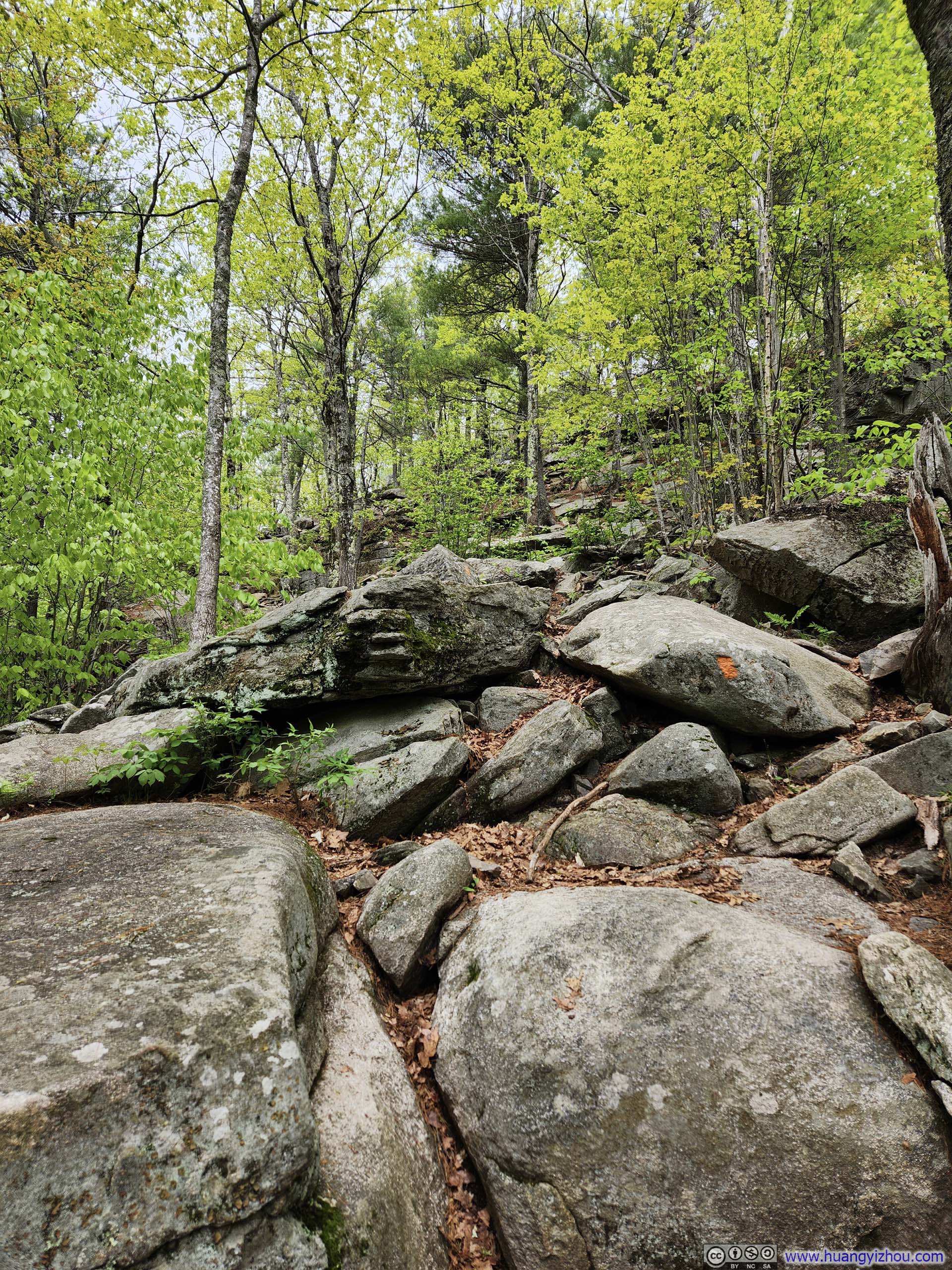
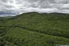
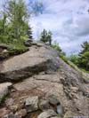
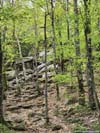
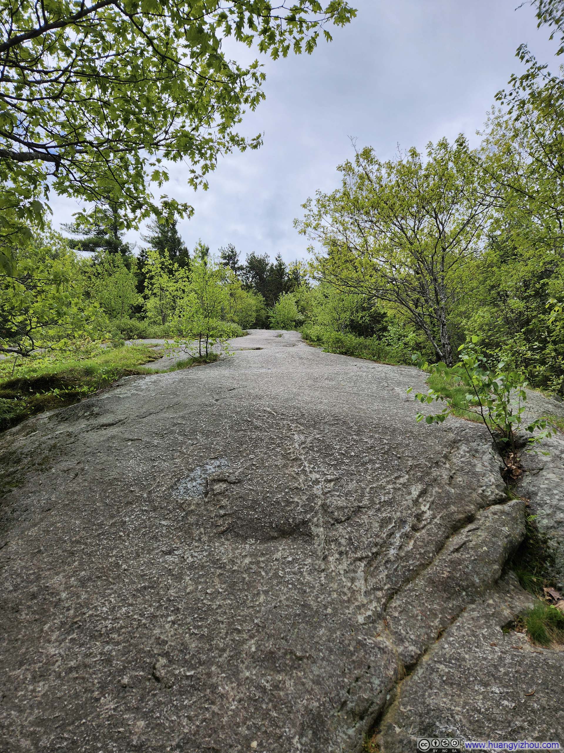
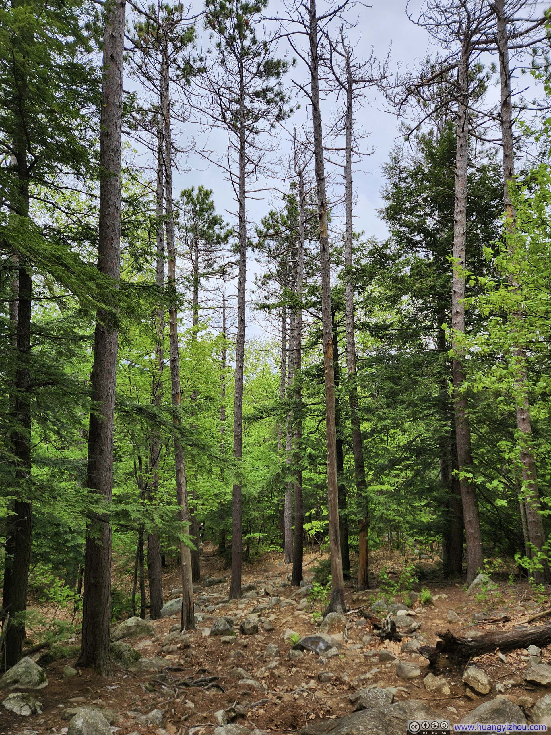
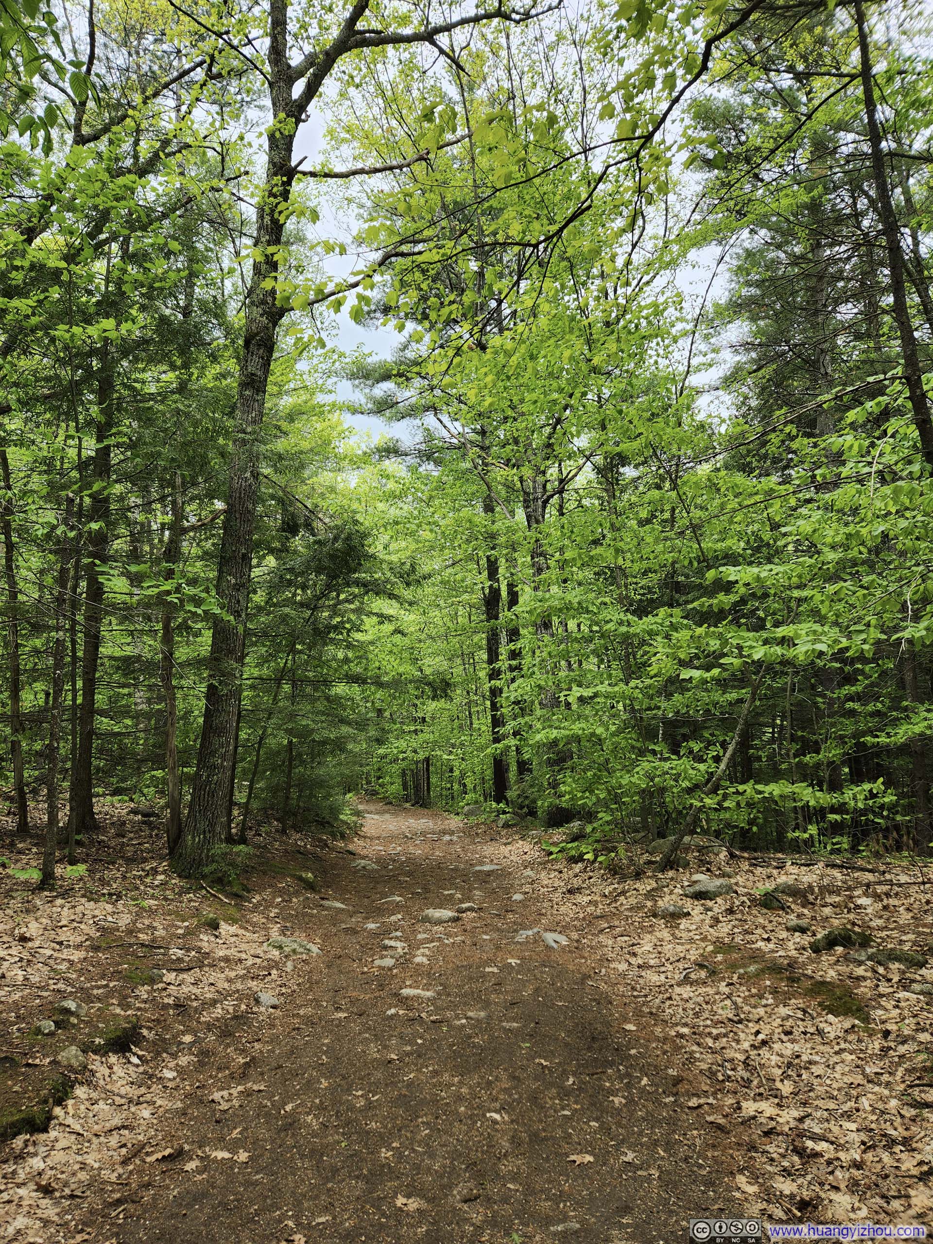
We choose to head up Mt Major along the Boulder Loop Trail (orange blazed). The trail started out as a casual walk in the woods, before gradually transforming into rocky terrain (p3-5 below), as its name suggested. The “boulder” section wasn’t technical, I would rate that as somewhere around YDS class 1.5. There were a few muddy spots (p6), but the condition was overall favorable.
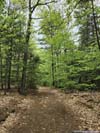
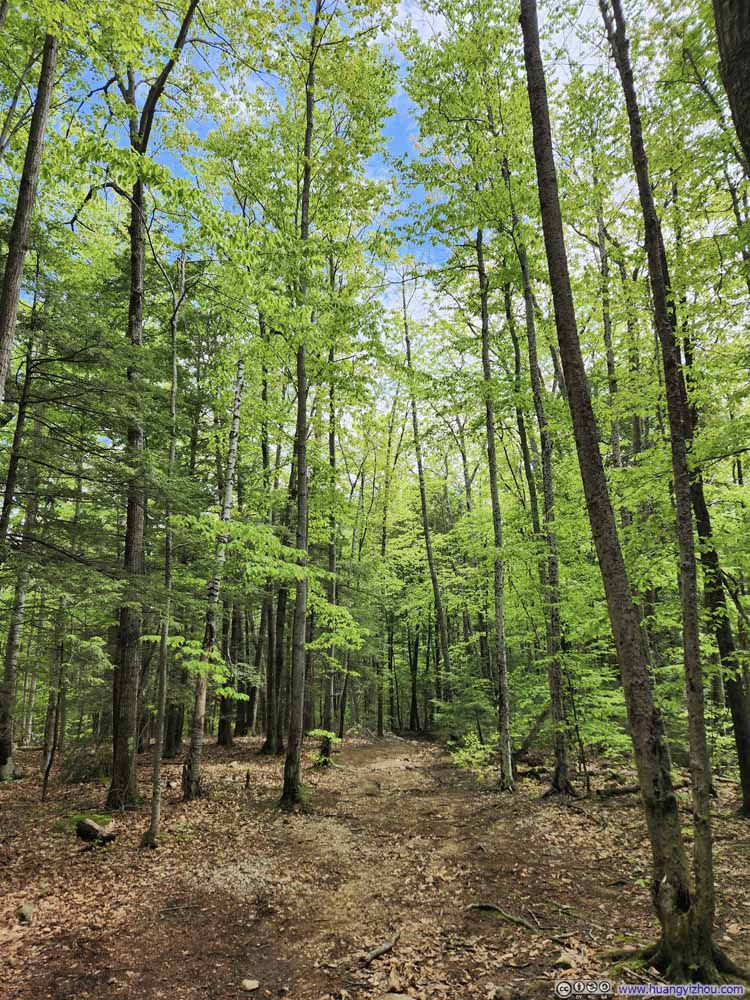 Trail
Trail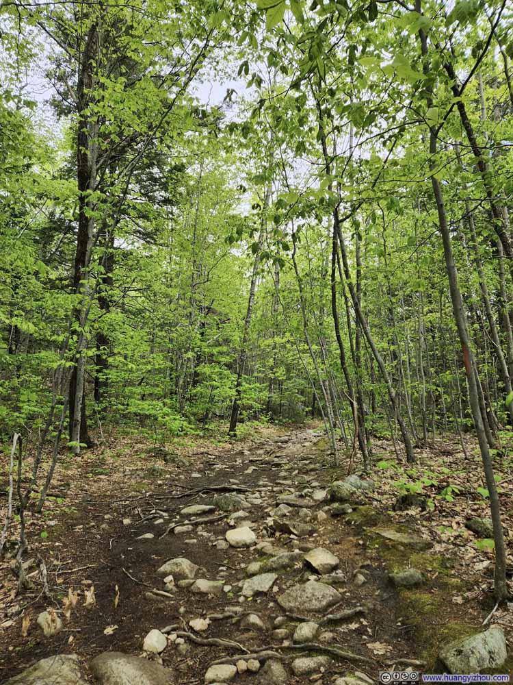 Trail
Trail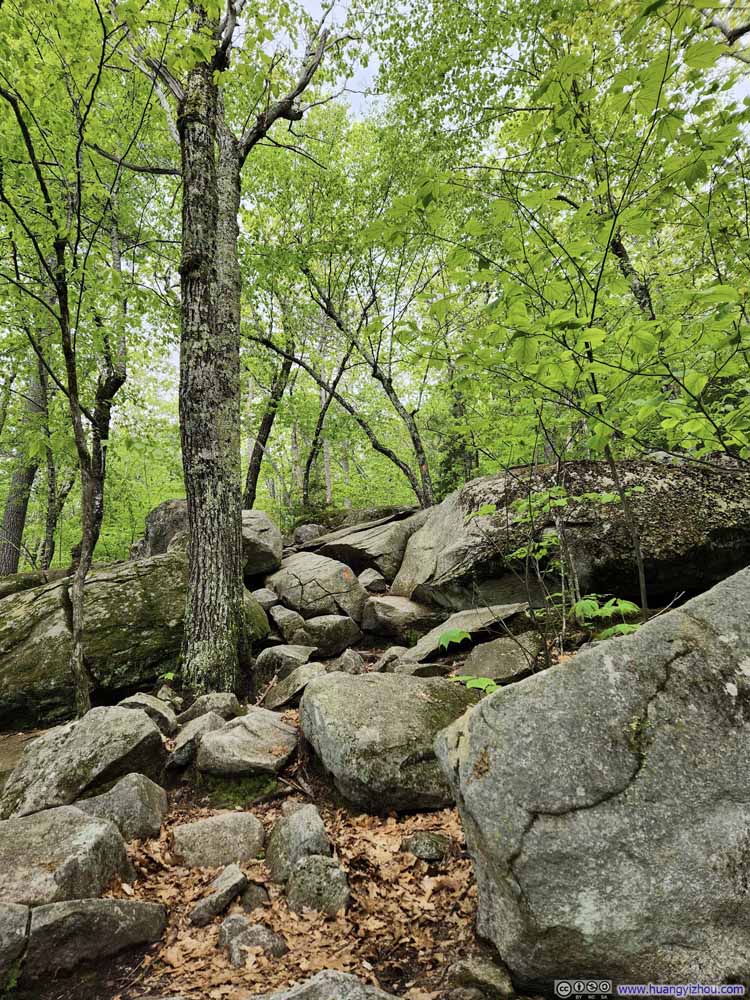 Rocky Trail
 Rocky Trail
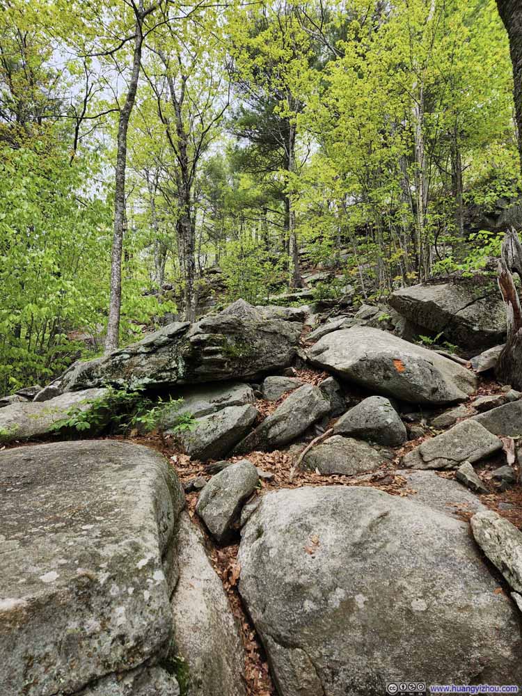 Rocky Trail
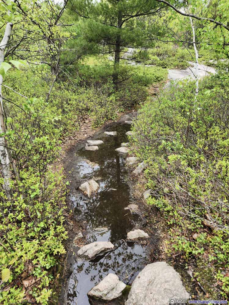 Wet TrailMany thanks to the exposed rocks.
Click here to display photos of the trail.

Trail
Trail

Rocky Trail
Rocky Trail
Rocky Trail

Wet TrailMany thanks to the exposed rocks.
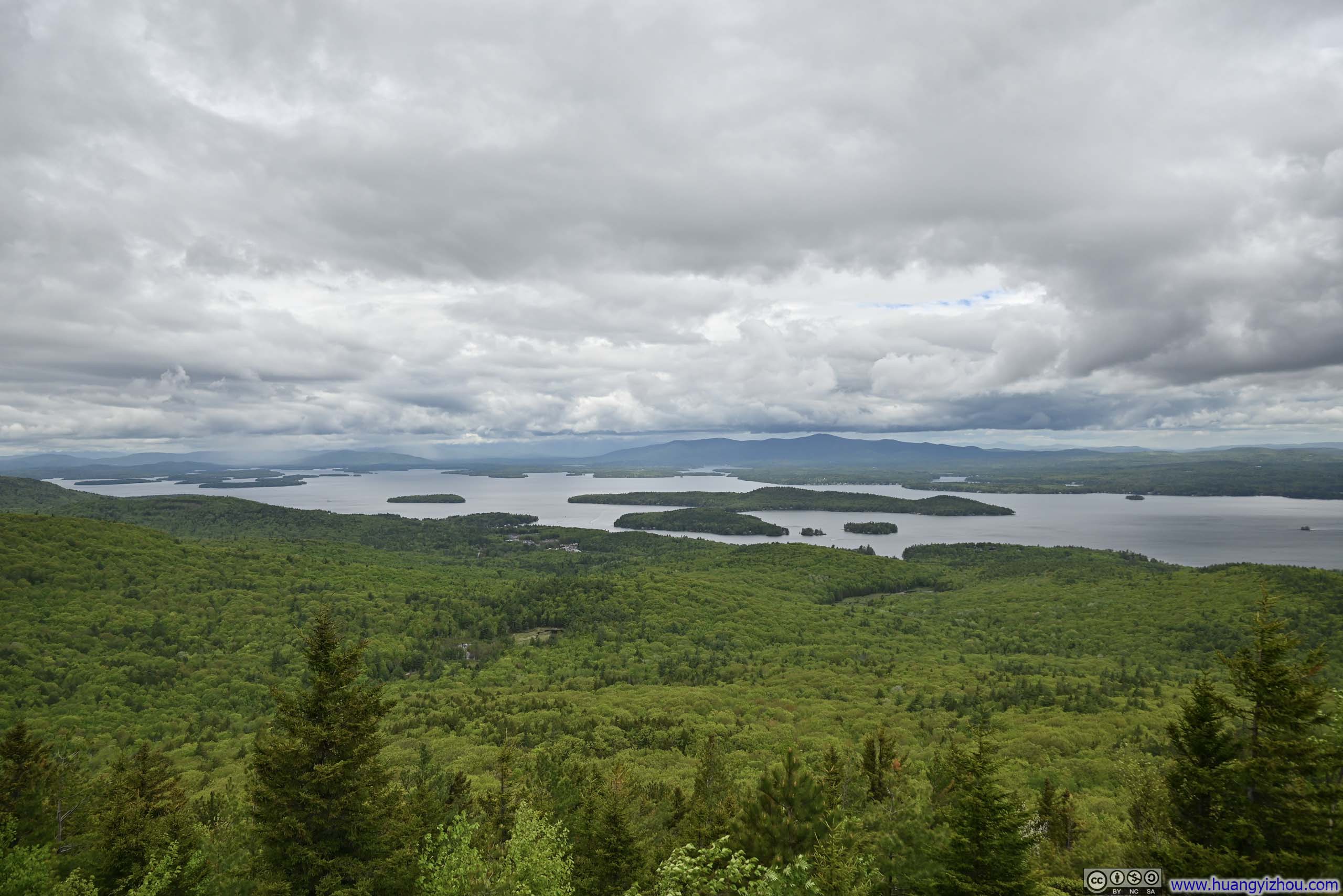
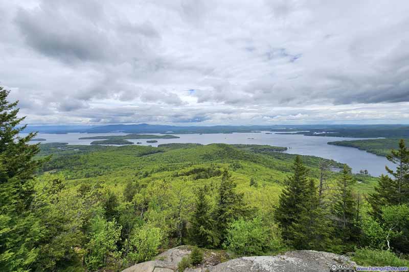
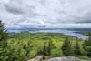
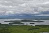
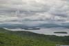
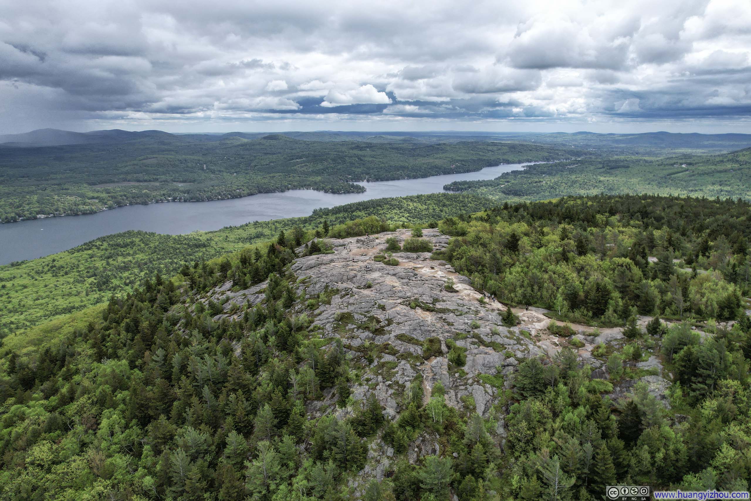
On our way up, we encountered a few scattered raindrops (chances of rain were in the forecast), but luckily they ceased once we reached the top of Mount Major, where a magnificent panorama of Lake Winnipesaukee unfurled in front of us. The shape of Lake Winnipesaukee offered a vista of more than 180-degree of it from Mt Major, a view so broad to confine in one frame: it’s almost as if the lake was encompassing the mountain. The few islands dotting its surface resembled delicate ornaments on a ribbon of water, donned by the majestic backdrop of misty White Mountains.
 Lake Winnipesaukee
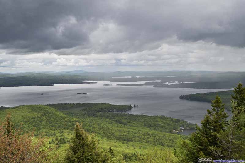 Lake Winnipesaukee
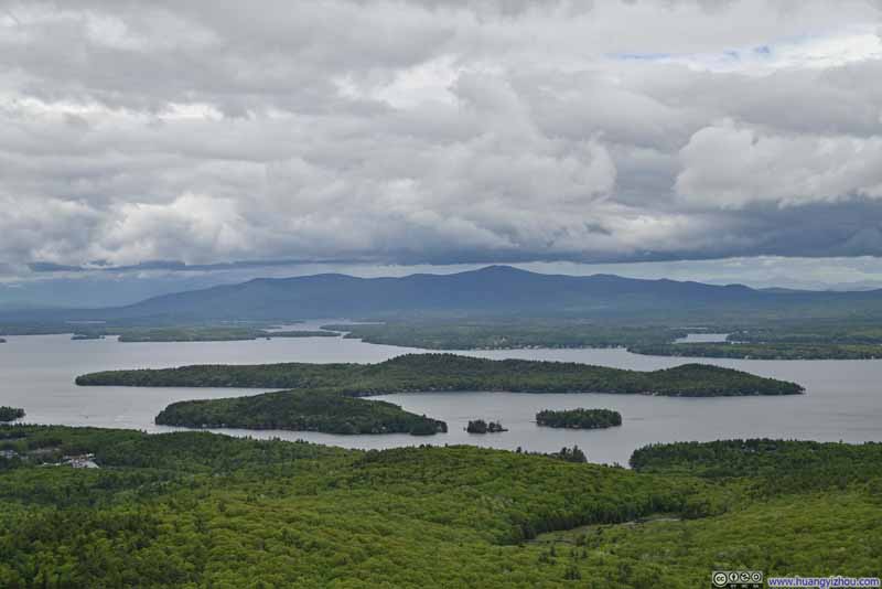 Mount Shaw across Lake Winnipesaukee
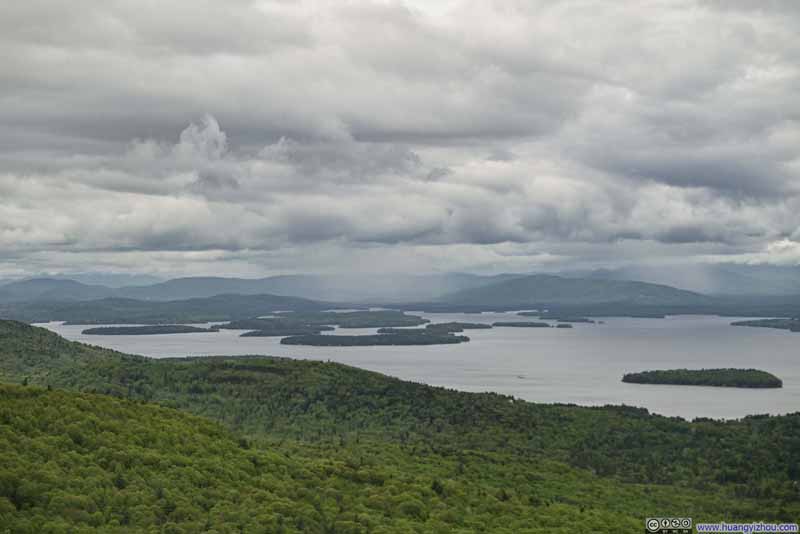 Misty White Mountains beyond Lake Winnipesaukee
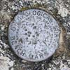
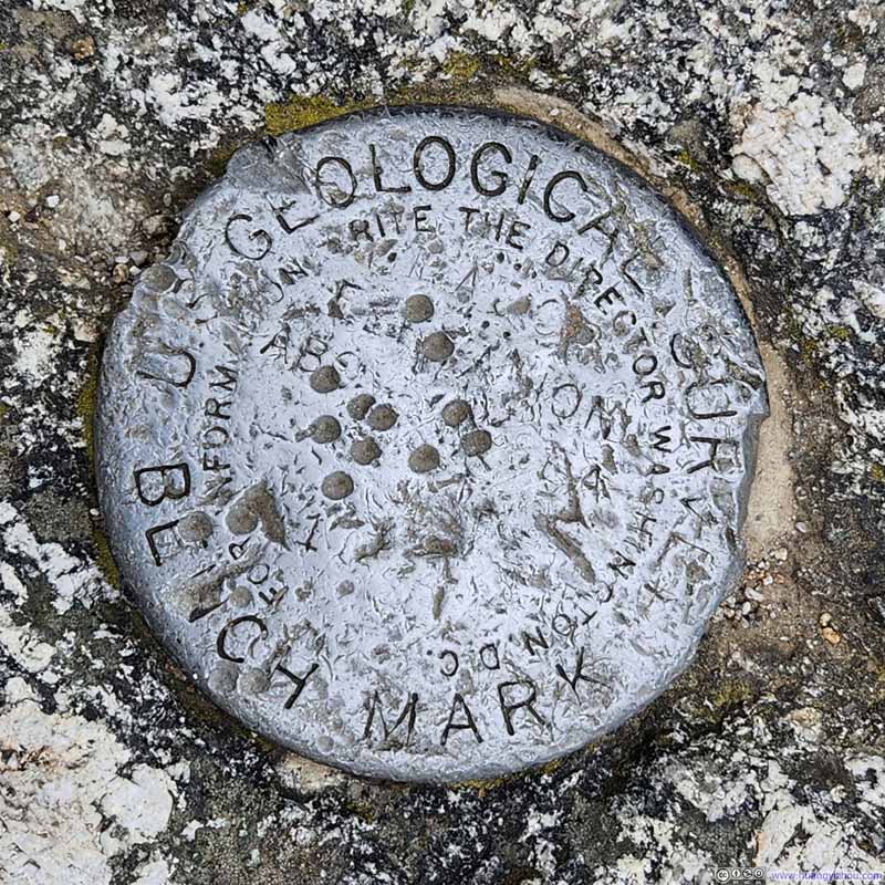 Summit Marker

Click here to display photos from the top of Mt Major.
Lake Winnipesaukee

Lake Winnipesaukee
Mount Shaw across Lake Winnipesaukee

Misty White Mountains beyond Lake Winnipesaukee
Summit Marker
Lake Winnipesaukee
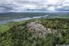
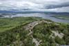
From Mt Major, I launched my drone for an aerial tour of both Mt Major and Lake Winnipesaukee that complemented the views. Here’s a video:
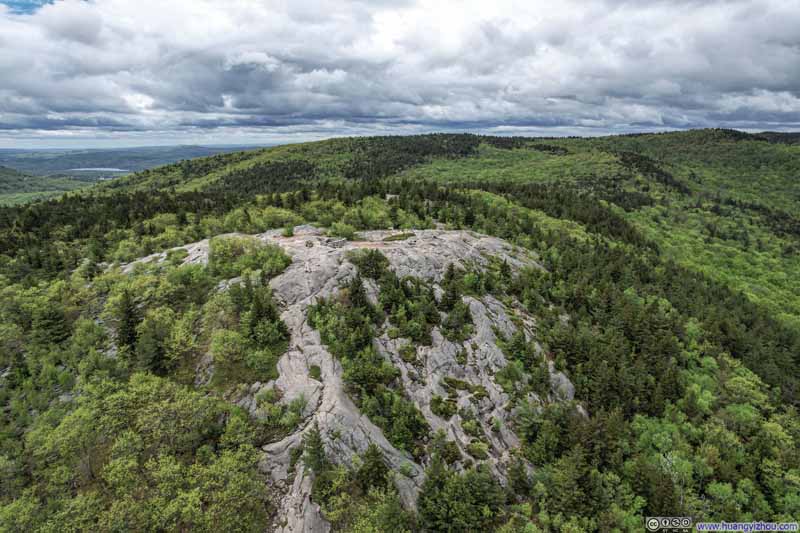 Overlooking Mt Major
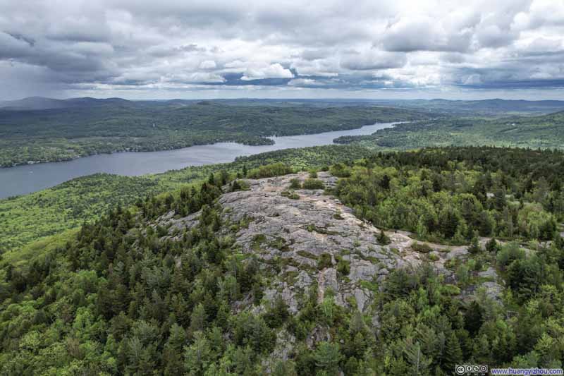 Overlooking Mt Major
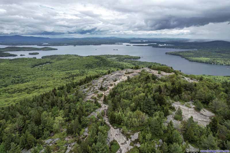 Overlooking Mt Major
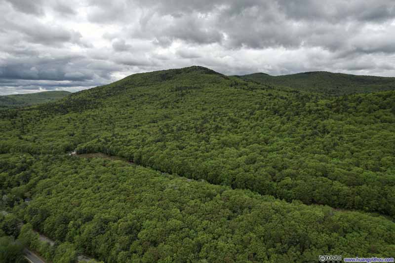 Mt Major from Road

Click here to display photos of Mt Major.

Overlooking Mt Major
Overlooking Mt Major
Overlooking Mt Major
Mt Major from Road
Overlooking Lake Winnipesaukee
It was a windy day, as my drone flew against the headwind back from Lake Winnipesaukee. For a moment, it gave me warnings that it may not make it back due to the headwind (despite that was in my consideration and I left it ample reserve battery). It turned out to be a false alarm, and it returned with some juice to spare.
After that, we decided to start our descent, for which we had two options, the more direct Mt Major Trail (blue) to the north, and the slightly longer Brook Trail (yellow) to the west. At that moment, my friend was feeling tired and hence looking for the fastest way off the mountain, which to him meant the direct Mt Major Trail, despite it would be steeper and rockier.
It turned out that the top of Mt Major Trail came with an encore of the views of Lake Winnipesaukee. However, the pleasing views soon gave way to a section of trail made of wet rocks, requiring meticulous navigation.
There I was overwhelmed by a swarm of bugs. It being the month of May, I anticipated their presence, for which I armed myself with a “shower” of DEET before leaving the parking area. My aromatic armament had kept the them mostly somewhat at bay, but was eventually outmatched by their sheer multitude here, relegating me to frantically waving my arms all over my head to disperse them, knowing full well that any pause would invite their immediate return. This aerial defense, however necessary, diverted my attention from the crucial task of finding secure footing on the slippery terrain.
Fortunately, I noticed a different path to the right/east, which turned out to be the “Ledge Detour” as marked on maps. It’s as steep, but provided better traction while I was busy fending off an insect invasion.
After leaving the insect-infested area, I found myself—being something of an AI enthusiast—formulating what I call the “soft-max bug attractiveness theorem.” This theory proposes that each person possesses a certain “attractiveness” to insects, where the distribution of bugs follows a soft-max function of everyone’s relative appeal within a certain proximity. I developed this hypothesis upon noticing that with my jacket off, my companions, who applied less DEET repellent than I, were more attractive to the bugs, but with my jacket on obscuring the repellent, I became their target.
Upon sharing this observation with my colleagues in AI research, they contributed several nuanced refinements. They suggested that individual insects should be assigned “temperature” parameters to differentiate between the single-minded pursuers and their more casually wandering counterparts. The theory soon evolved into a more sophisticated model where both humans and insects would possess vector embeddings, elegantly accounting for the asymmetrical nature of this peculiar form of “attention.”
 Steep Trail
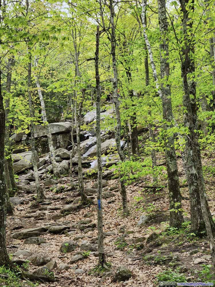 Trail on Rocks
Looking up on the blue-blazed Mt Major Trail. The trail on rocks was in the background, where the rocks were very wet. An easier alternative was towards the left, just outside the frame.
Trail on Rocks
Looking up on the blue-blazed Mt Major Trail. The trail on rocks was in the background, where the rocks were very wet. An easier alternative was towards the left, just outside the frame.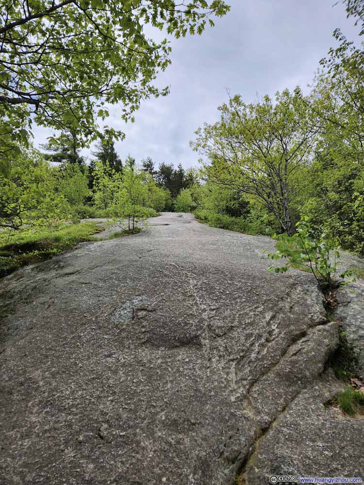 Trail on Rock Surface
 Trail
Trail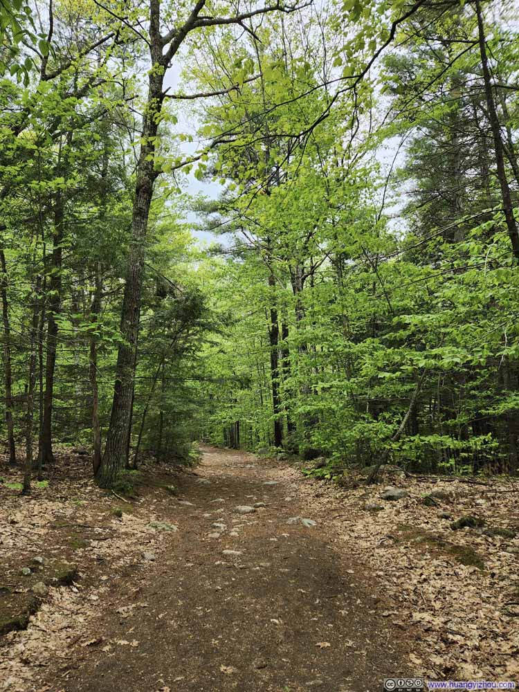 Trail
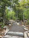
Trail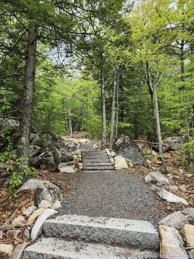 Improved TrailI was very surprised to find stairs along a trail in the US.

Click here to display photos of the slideshow

Steep Trail

Trail on Rocks
Trail on Rock Surface
Trail
Trail

Improved TrailI was very surprised to find stairs along a trail in the US.
Apart from the bugs, the descent wasn’t remarkable. We got back to the parking lot at 1:20pm, by which time it was a lot emptier. After that, we drove back home and concluded the day.
END
![]() Hiking Mt Major by Huang's Site is licensed under a Creative Commons Attribution-NonCommercial-ShareAlike 4.0 International License.
Hiking Mt Major by Huang's Site is licensed under a Creative Commons Attribution-NonCommercial-ShareAlike 4.0 International License.