
Updated on August 1, 2025
Hiking Arethusa Falls and Frankenstein Cliff Loop
The first Sunday of June 2025, I headed to New Hampshire and hiked the loop trail of Arethusa Falls and Frankenstein Cliff.
Arethusa Falls
Shortly after moving to Boston about a year ago, I missed a remarkable display of aurora borealis visible just outside the city, a casualty of exhaustion and the chaos of unpacking. When news broke recently of another solar storm of similar magnitude approaching over the weekend, I resolved not to let the opportunity slip away twice. Refreshed and prepared this time, I naturally gravitated northward into New Hampshire, for its darker skies and its proximity to this celestial show of the north.
The weather forecast proved particularly enticing, with clouds dominating the day and dissipating around sunset. Not wanting to risk a fruitless journey should the aurora fail to materialize, I decided to include a hike into my day’s itinerary, for which I chose the Arethusa Falls and Frankenstein Cliff Loop in Crawford Notch State Park, a trail that offered several hours of moderate exercise but short of the intensity of my usual hikes, preserving my energy for potential nighttime aurora-watching.
Since the sun didn’t set until past 8pm in New Hampshire (and astronomical twilight well after that), I planned a late start of the day and didn’t leave home until 11am. With a lunch and some errands along the way, I reached the trailhead of Frankenstein Cliff at 2:40pm and started my hike shortly after.
Here’s GPS tracking:
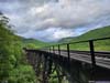
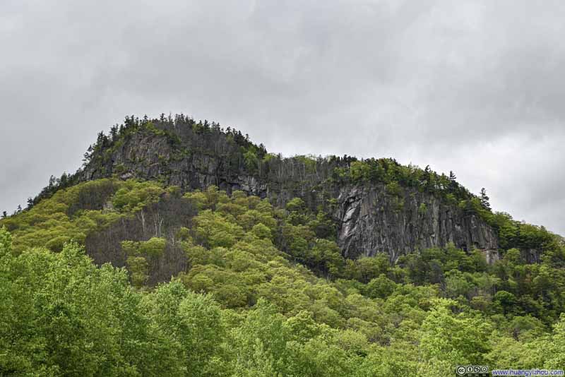 Frankenstein Cliff from Trailhead Parking
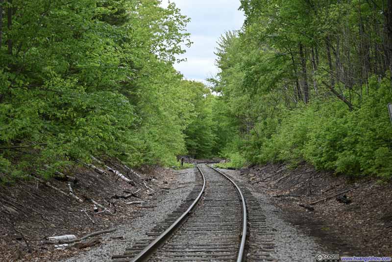 Railway
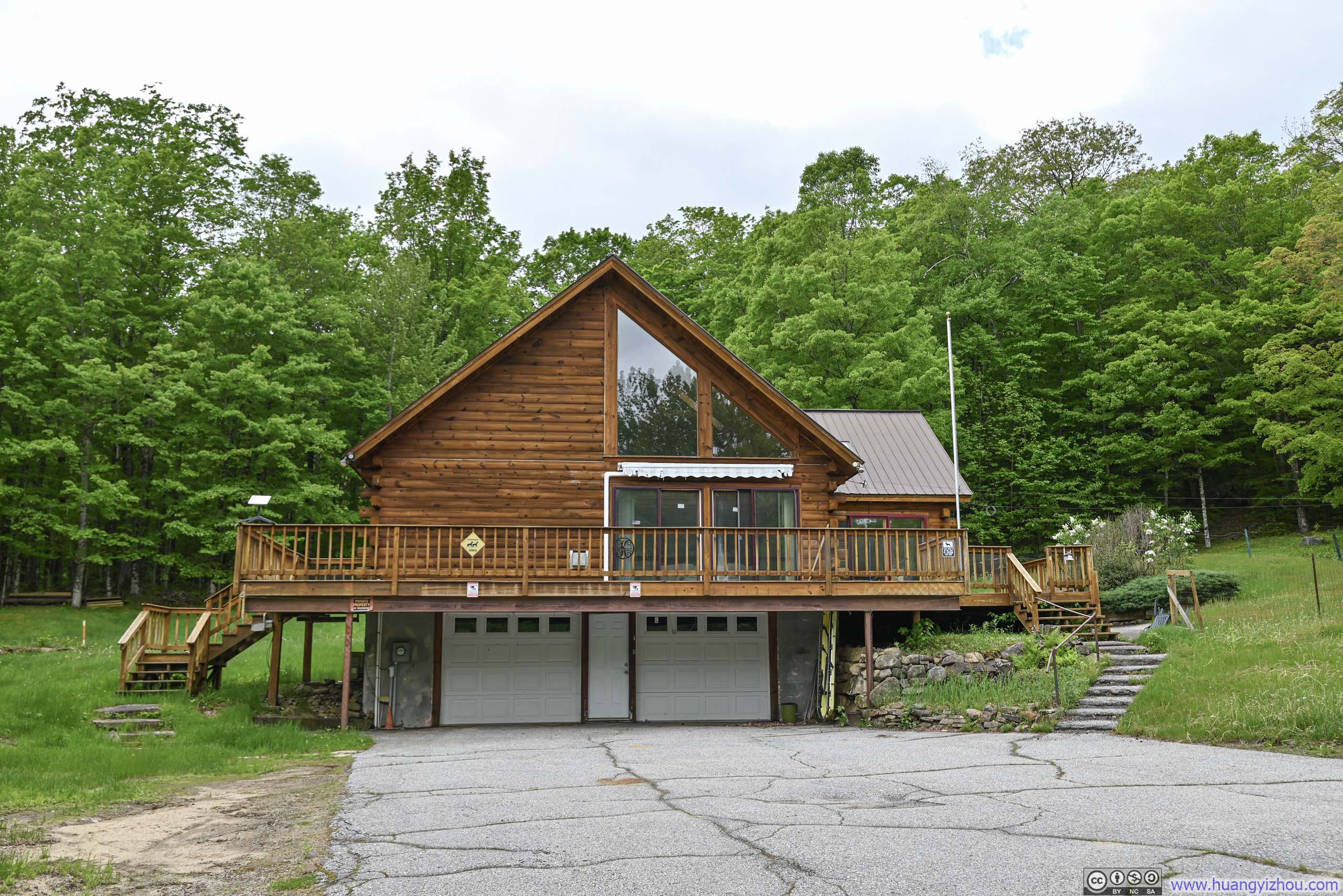
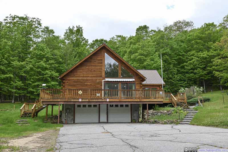 HouseNext to the railway. I didn’t know what it’s for.
Click here to display photos of the slideshow
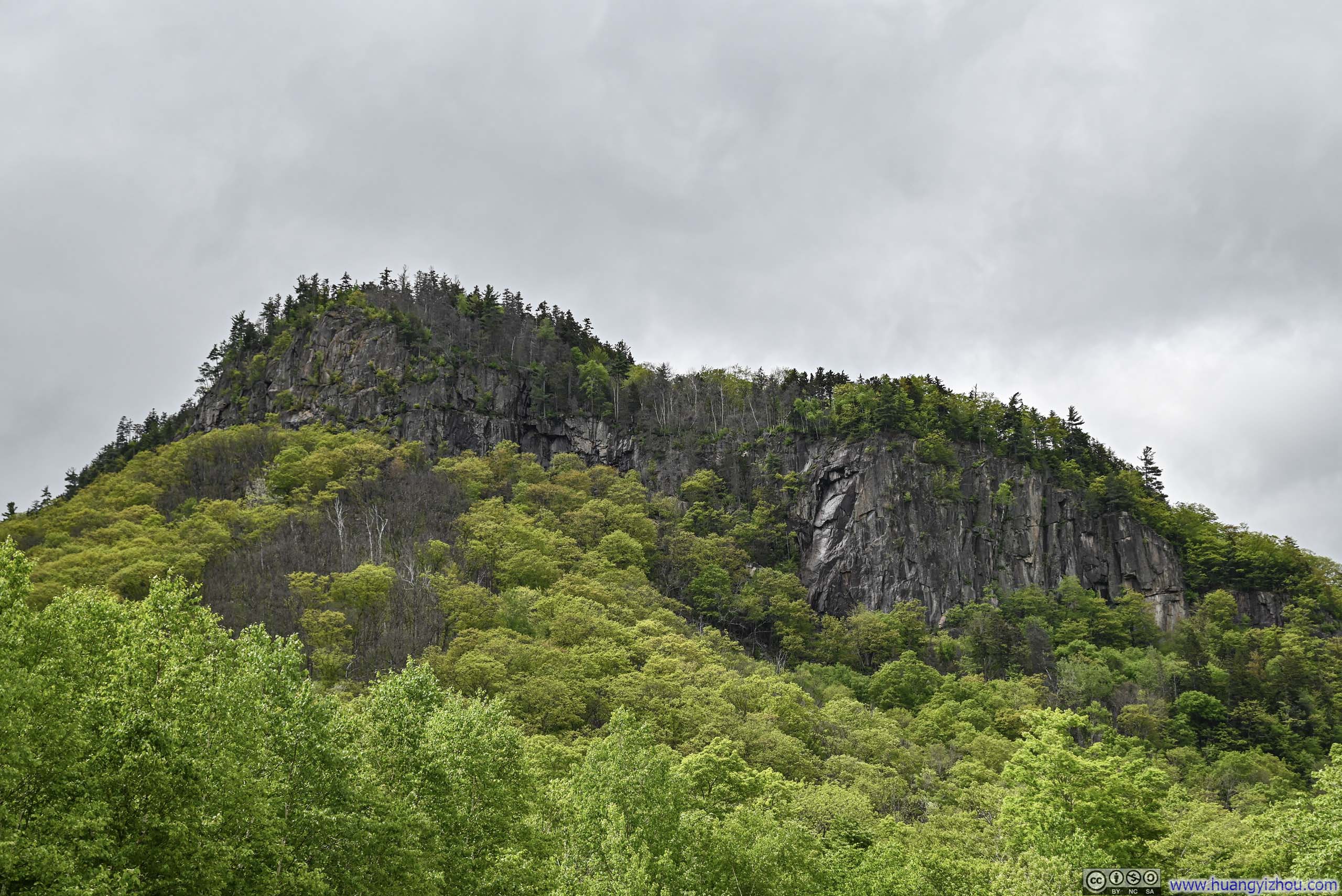
Frankenstein Cliff from Trailhead Parking

Railway
HouseNext to the railway. I didn’t know what it’s for.
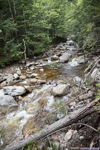
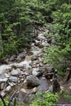
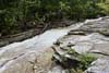
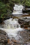
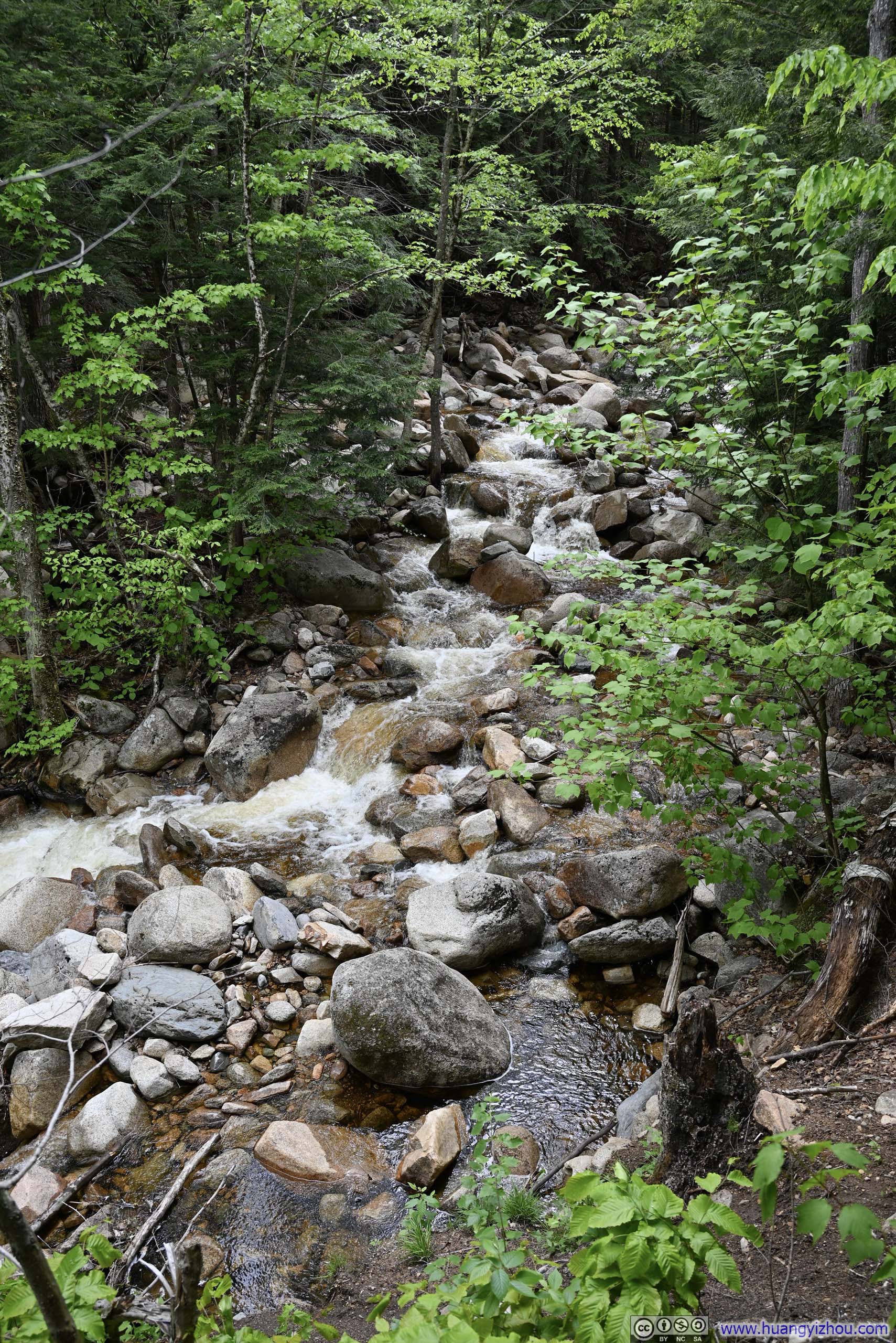
I chose to tackle the trail in the clockwise direction, first following Bemis Creek to Arethusa Falls before ascending the mountain to Frankenstein Cliff. Along the initial stretch, where the path ran parallel to Bemis Creek, I encountered a series of cascades, rushing torrents, and tranquil ponds—each just a few steps from the trail, inviting quiet moments of reflection amid the sound of flowing water.

 Bemis Brook
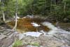
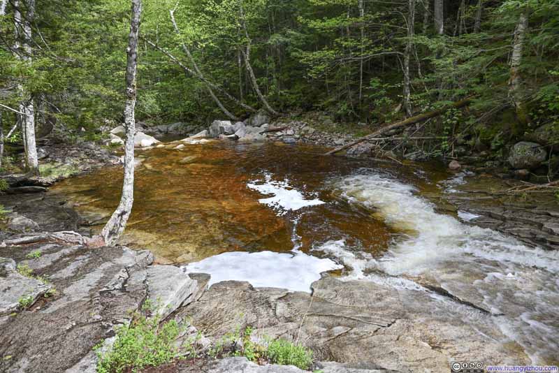 Fawn Pool
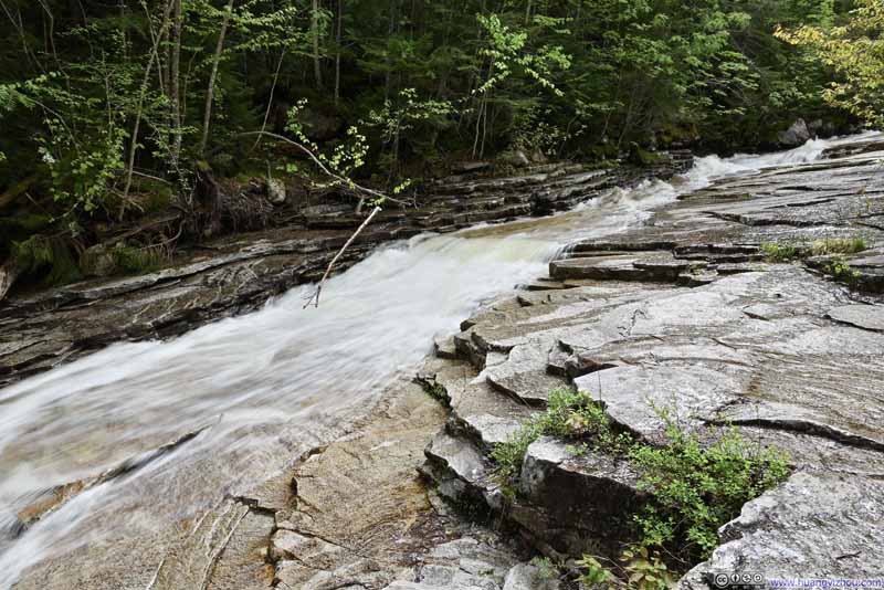 Rapids along Bemis Brook
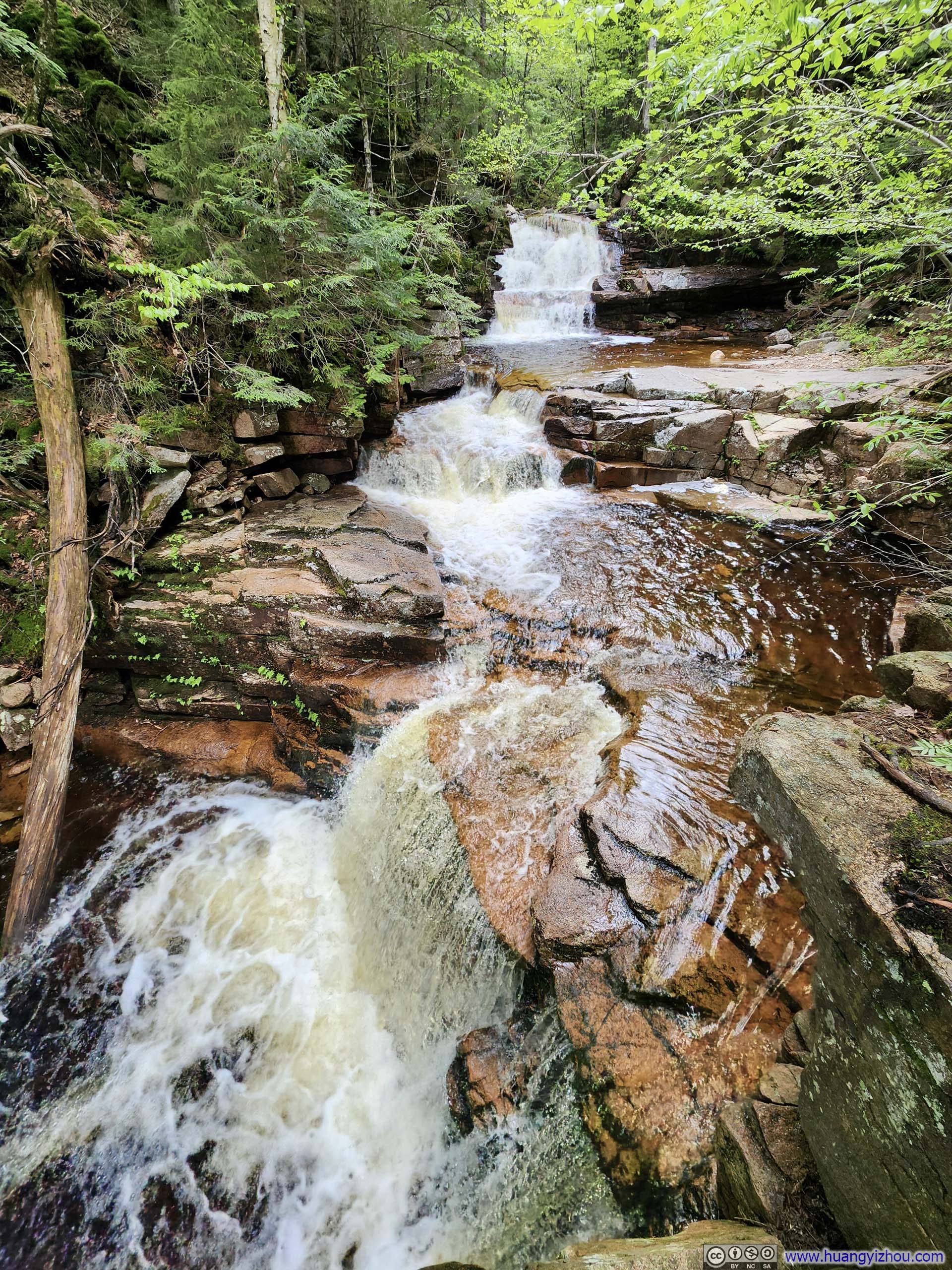
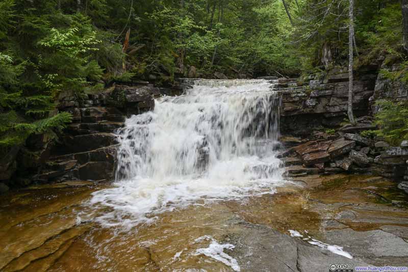 Coliseum Falls
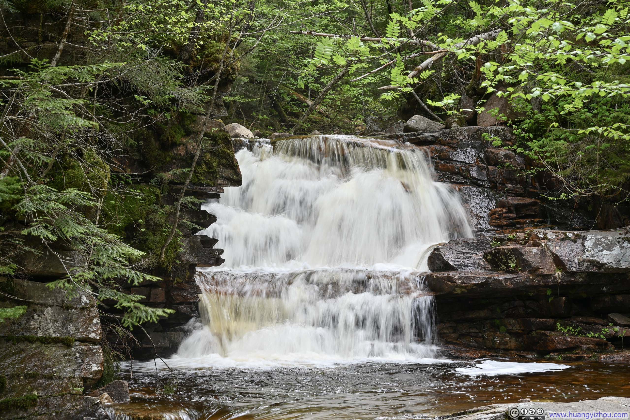
 Bemis Falls
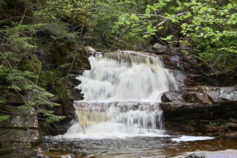 Bemis Falls
Click here to display photos of the slideshow
 Bemis Brook
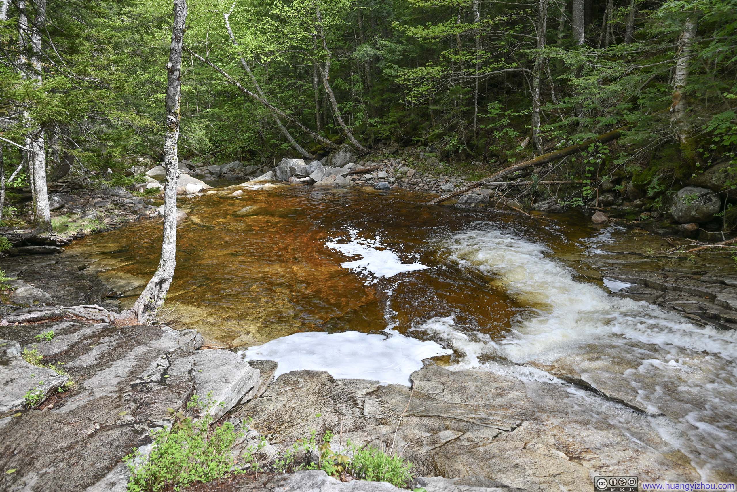
Fawn Pool

Rapids along Bemis Brook

Coliseum Falls

 Bemis Falls
Bemis Falls
After Bemis Falls, the trail made a steep ascent away from Bemis Creek (p2-3 below), before continuing making its way towards Arethusa Falls.
 Trail
Trail Steep Trail
 Steep Trail
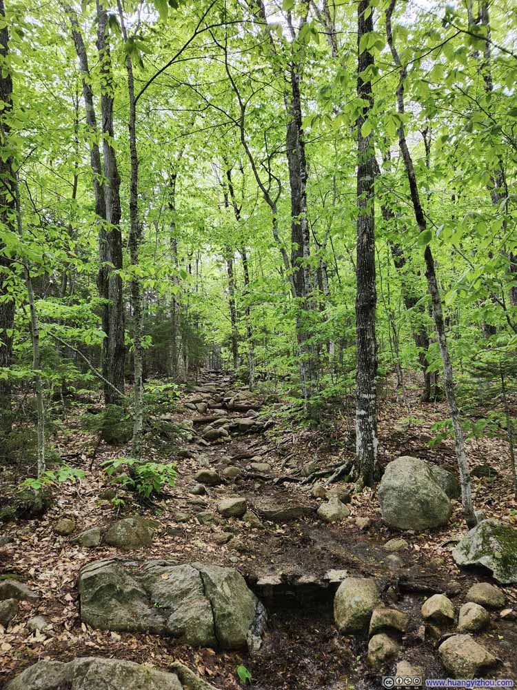 Trail
Trail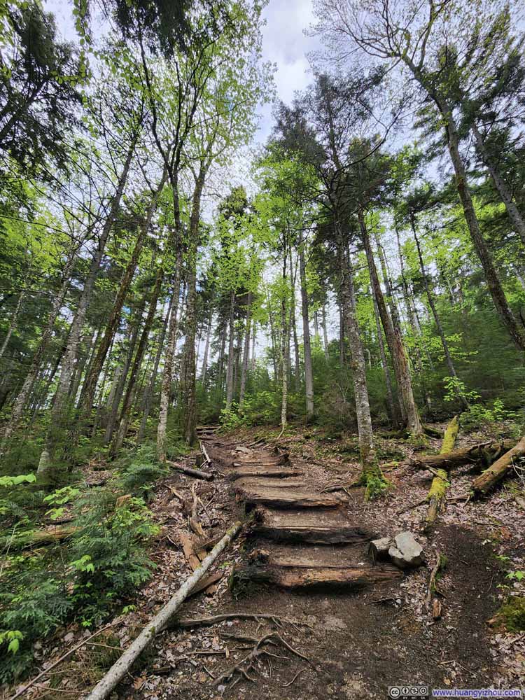 Trail
Trail


Click here to display photos of the trail.
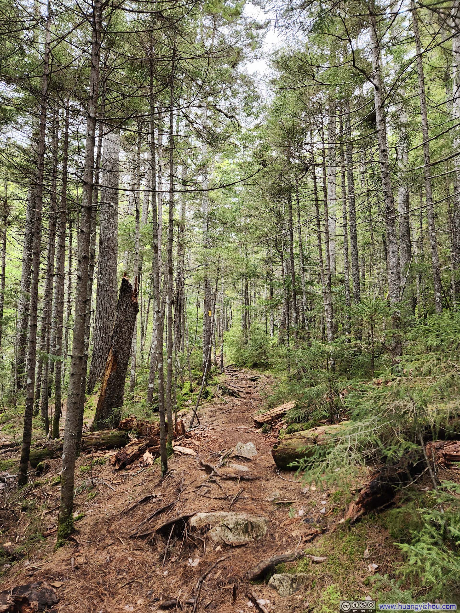
Trail
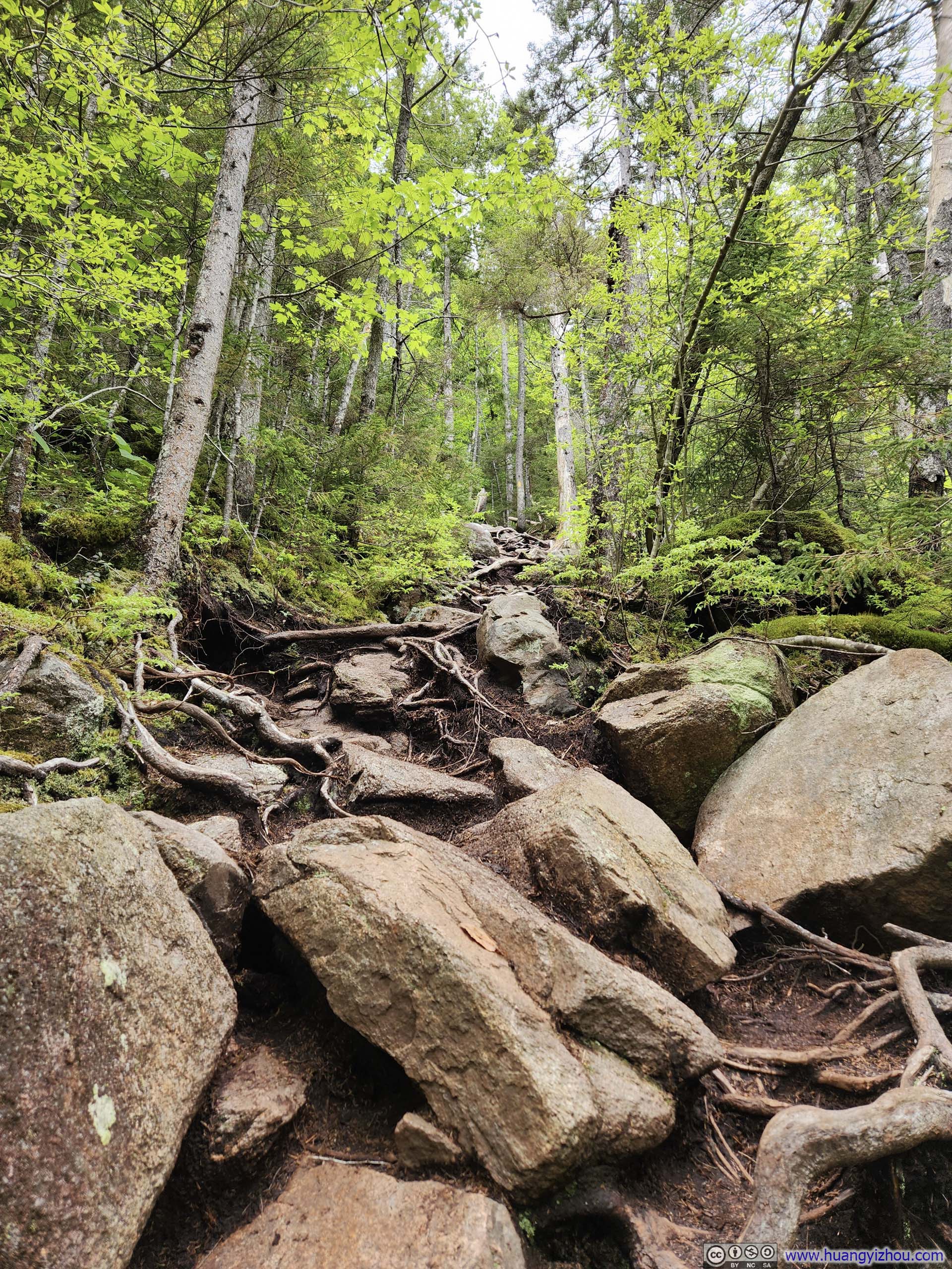
Steep Trail
Steep Trail

Trail

Trail
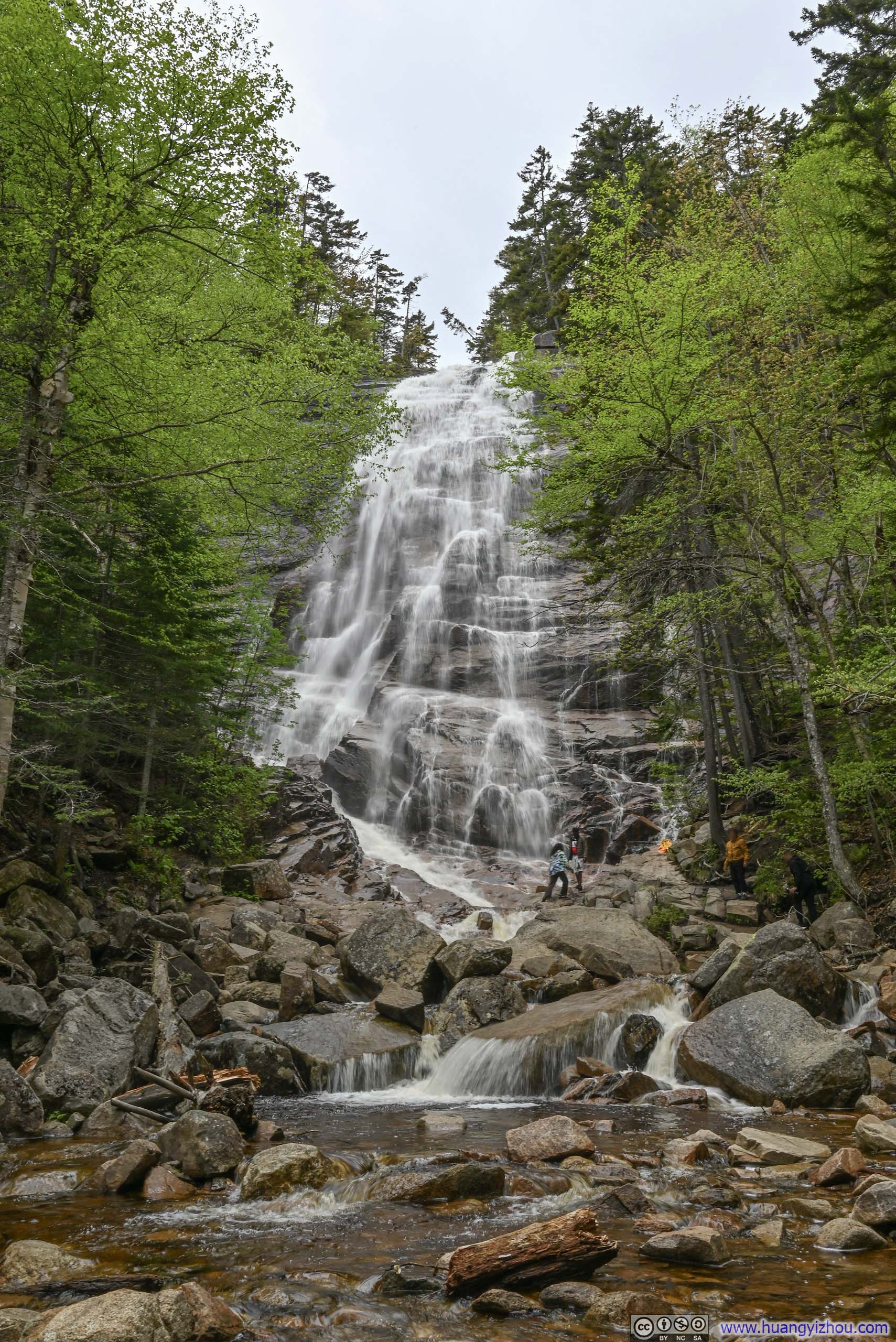
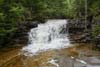
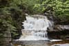
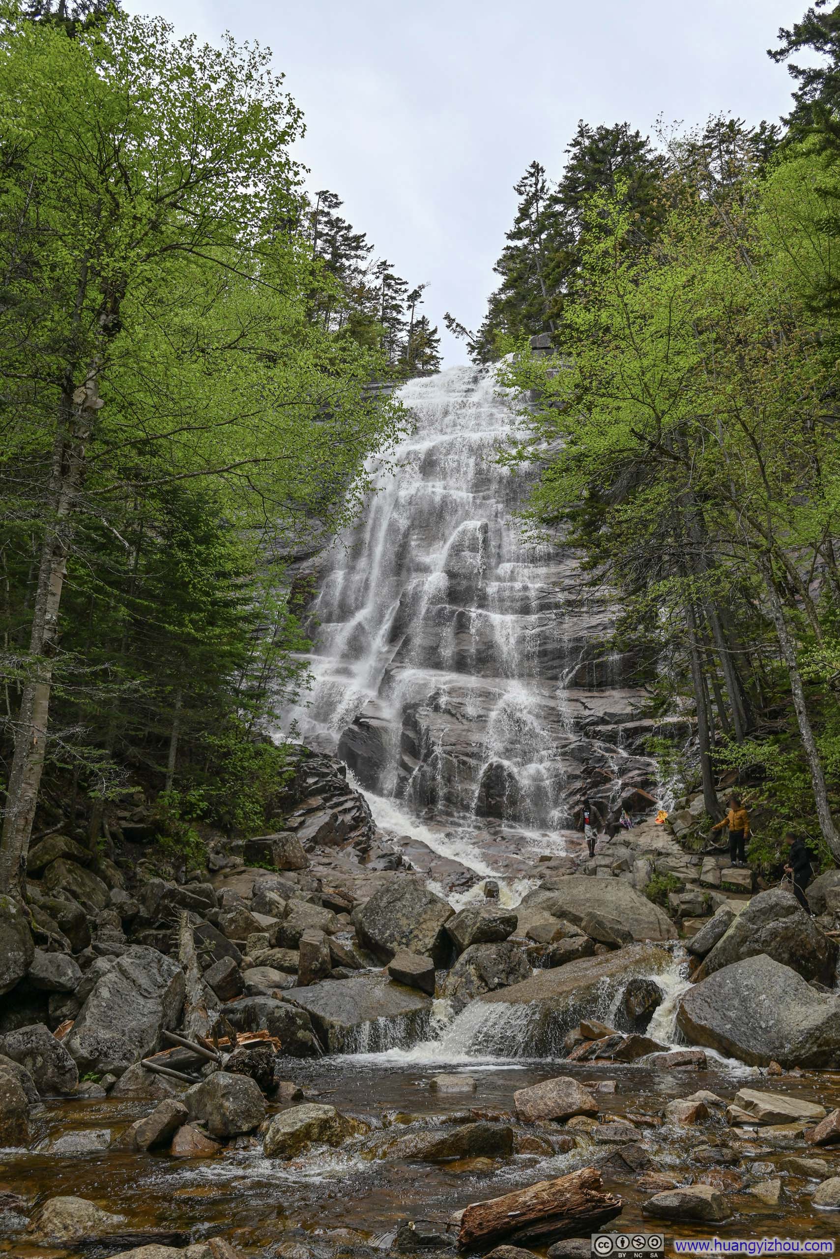
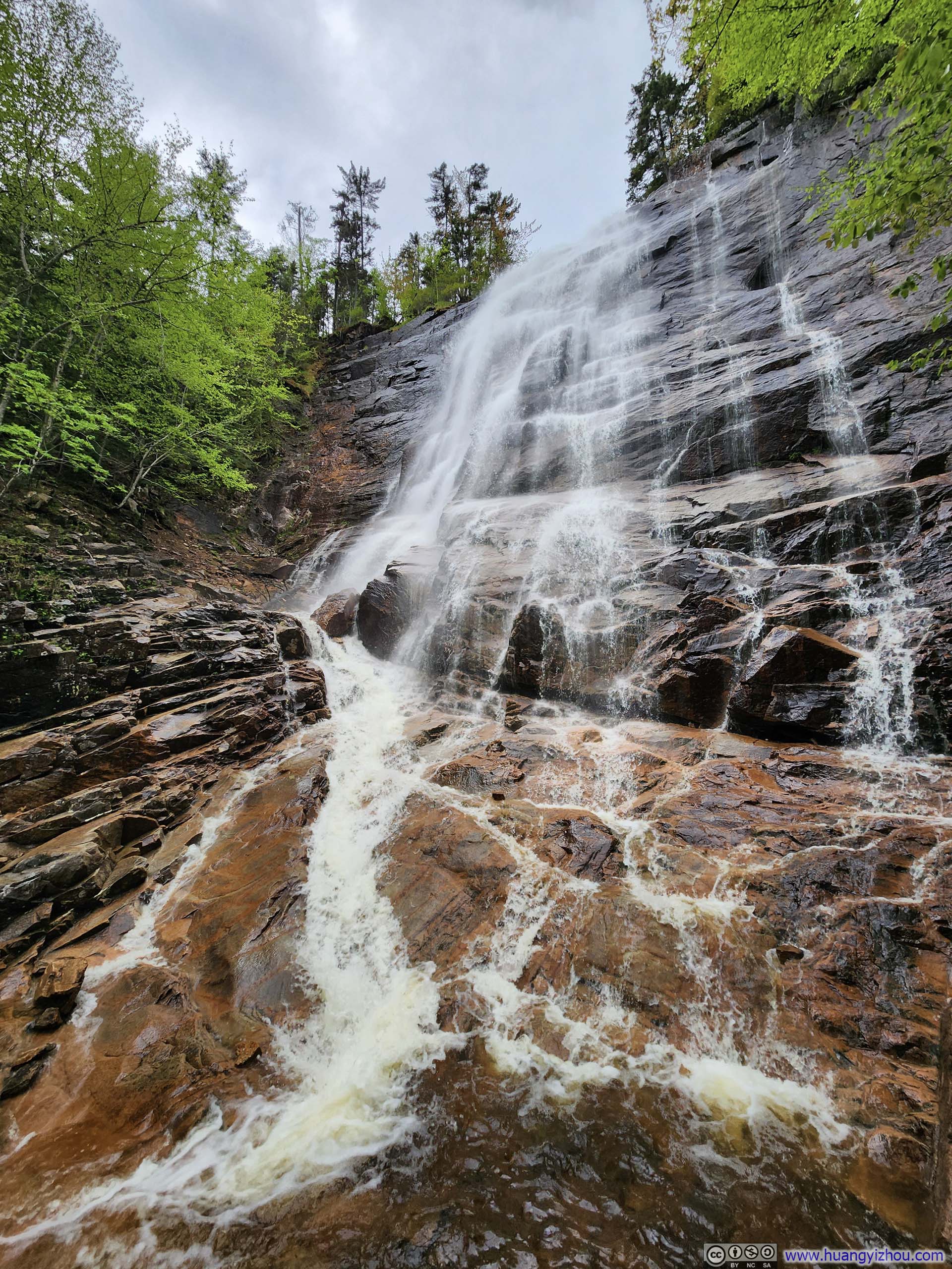
The actual Arethusa Falls was located a short spur away from the loop. Towards the end of the trail there were a few steps of rock hopping to reach its base (p2-3 below), but I felt the waterfall was best observed from a modest distance away (p1 below). It being late spring and rainfall a few days prior meant a high flow rate of the waterfall, making for some stunning scenes.
P.S. Arethusa Falls was the highest single-drop waterfall in New Hampshire.
 Arethusa Falls
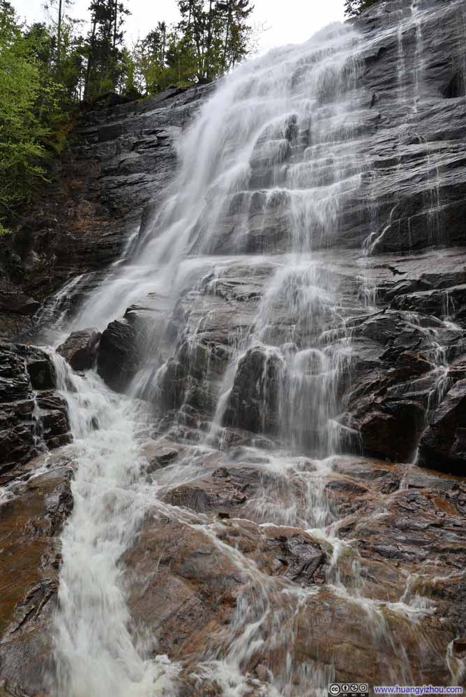 Arethusa Falls Up Close
 Arethusa Falls Up Close

Click here to display photos of the slideshow
Arethusa Falls

Arethusa Falls Up Close
Arethusa Falls Up Close
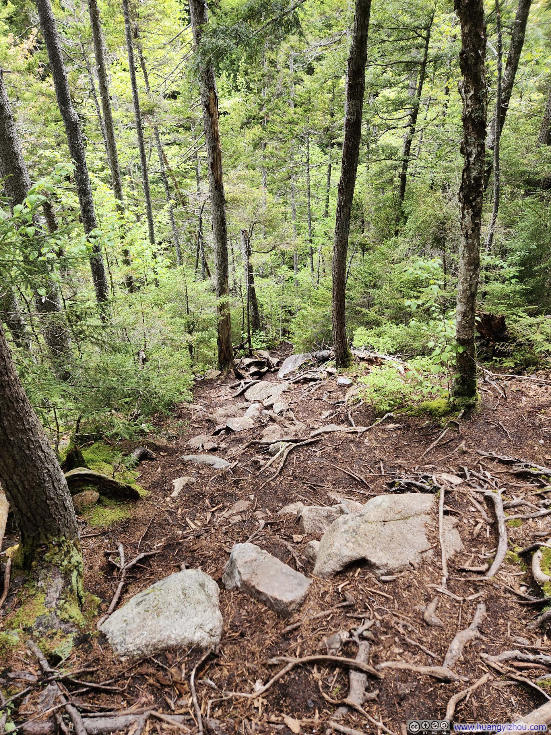
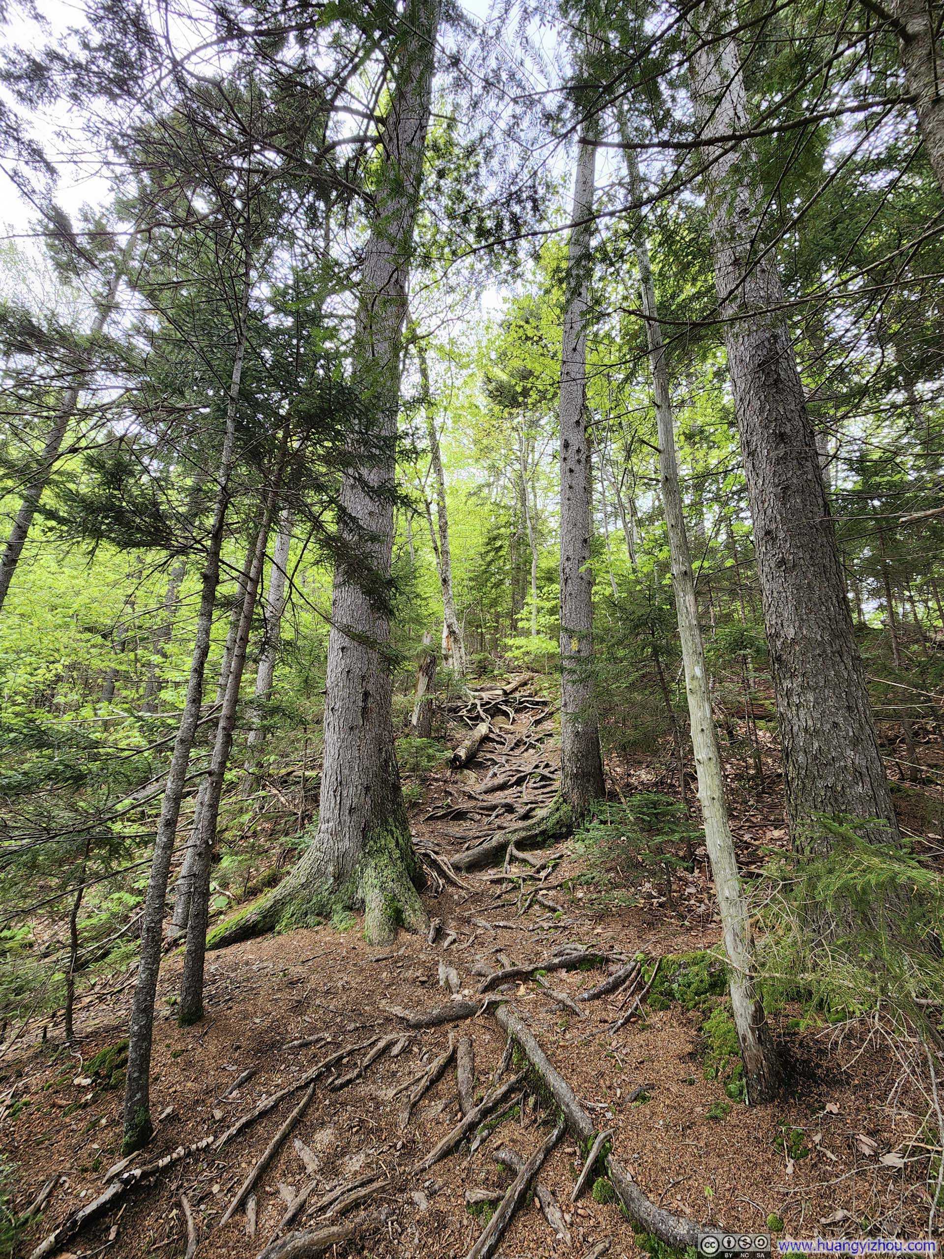
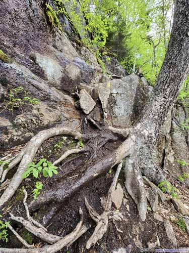
After that, it was a somewhat unremarkable walk through White Mountain’s characteristic dense forest, to Frankenstein Cliff. Before reaching Frankenstein Cliff, the forests gradually thinned along the trail, offering glimpses of views that awaited at Frankenstein Cliff.
 Trail
Trail Steep Trail
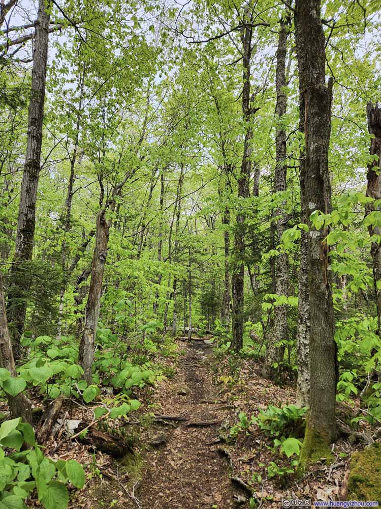 Trail
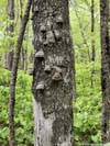
Trail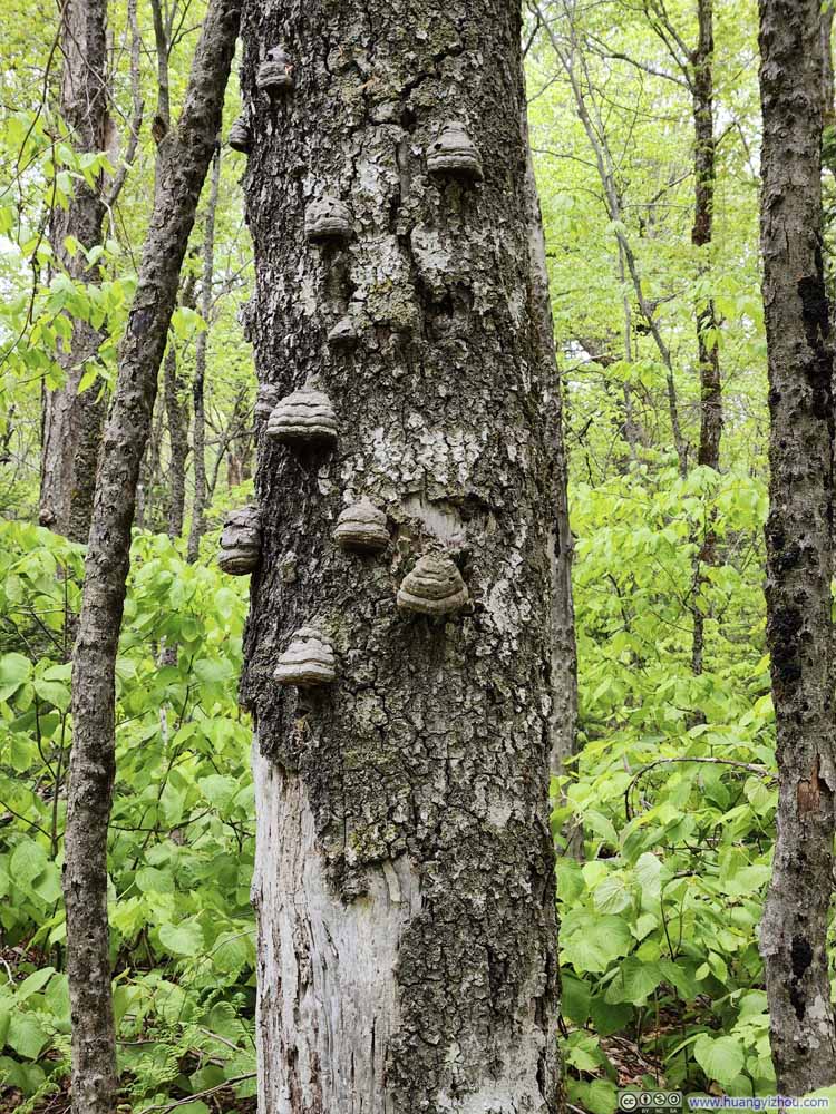 Bumps on TreeI didn’t know what caused them.
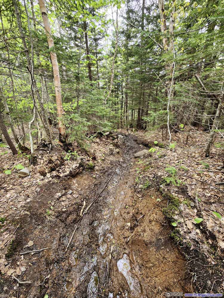 Muddy Trail
 Trail
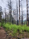
Trail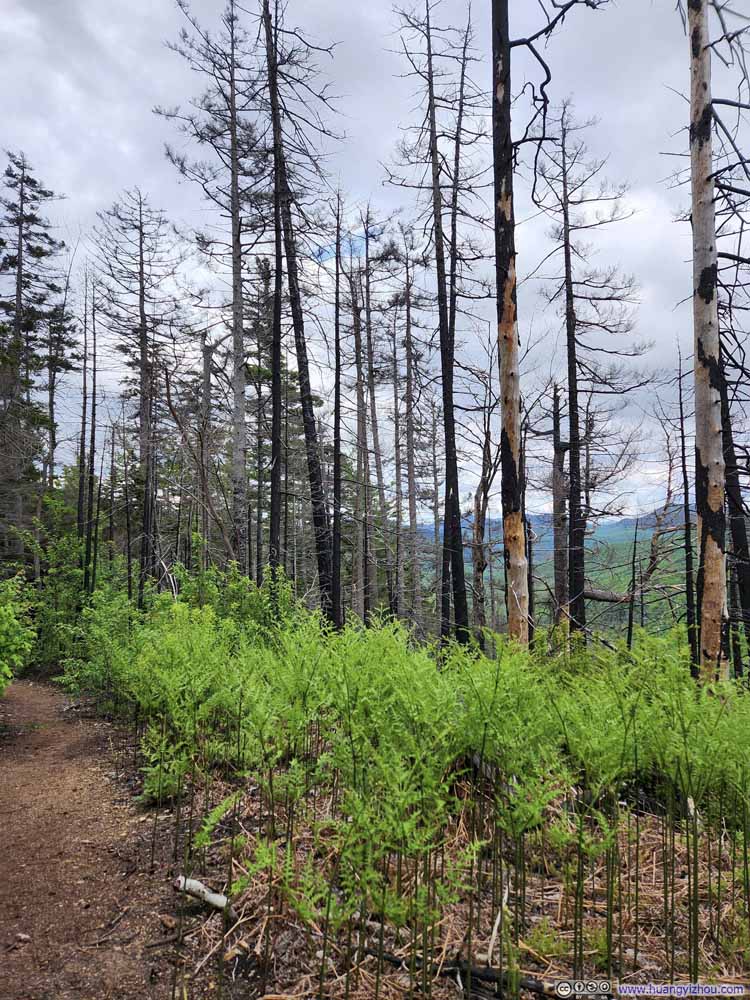 Trail through Brunt ForestWith new trees sprouting.


Click here to display photos from Frankenstein Cliff.
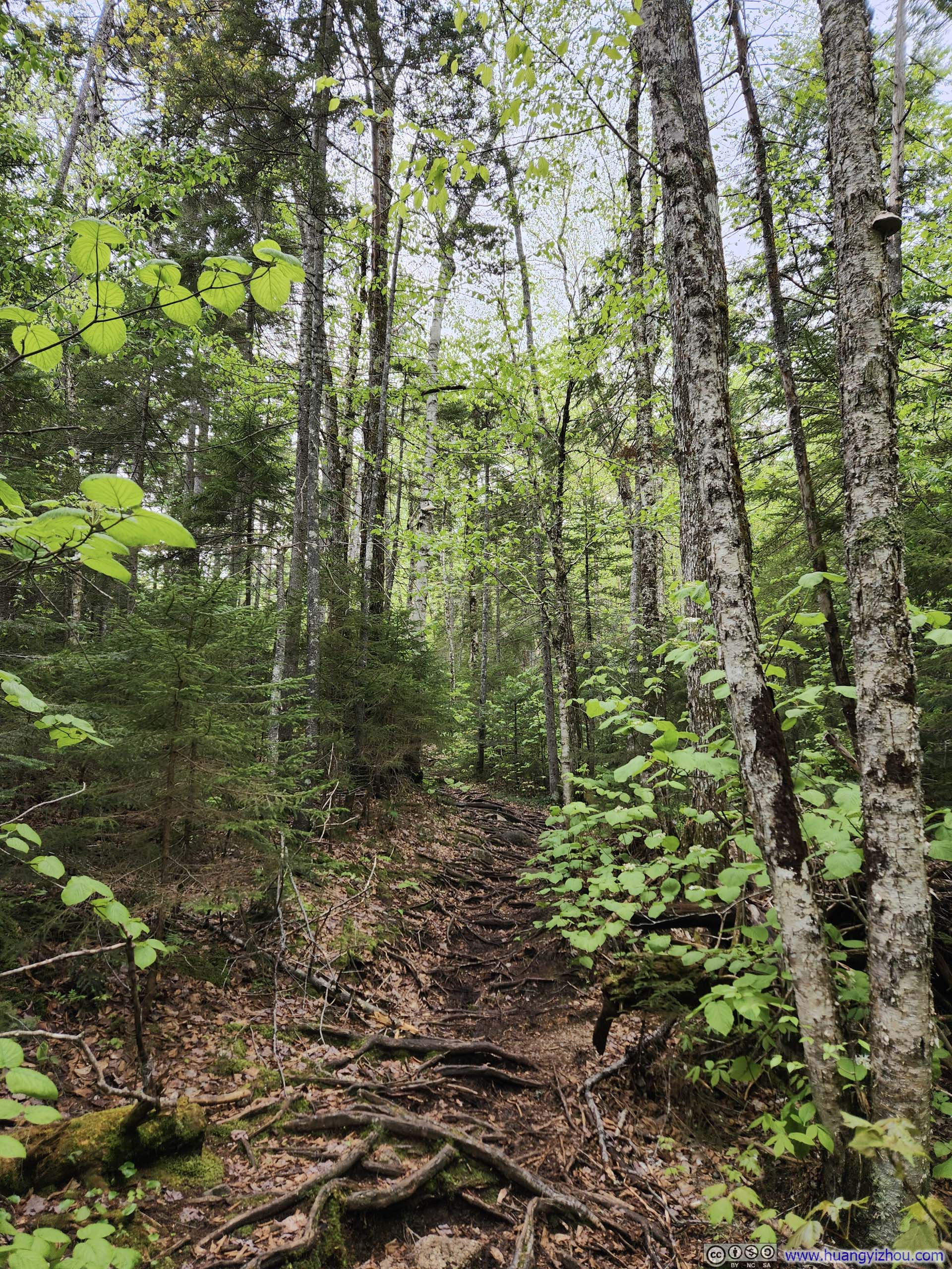
Trail

Steep Trail

Trail
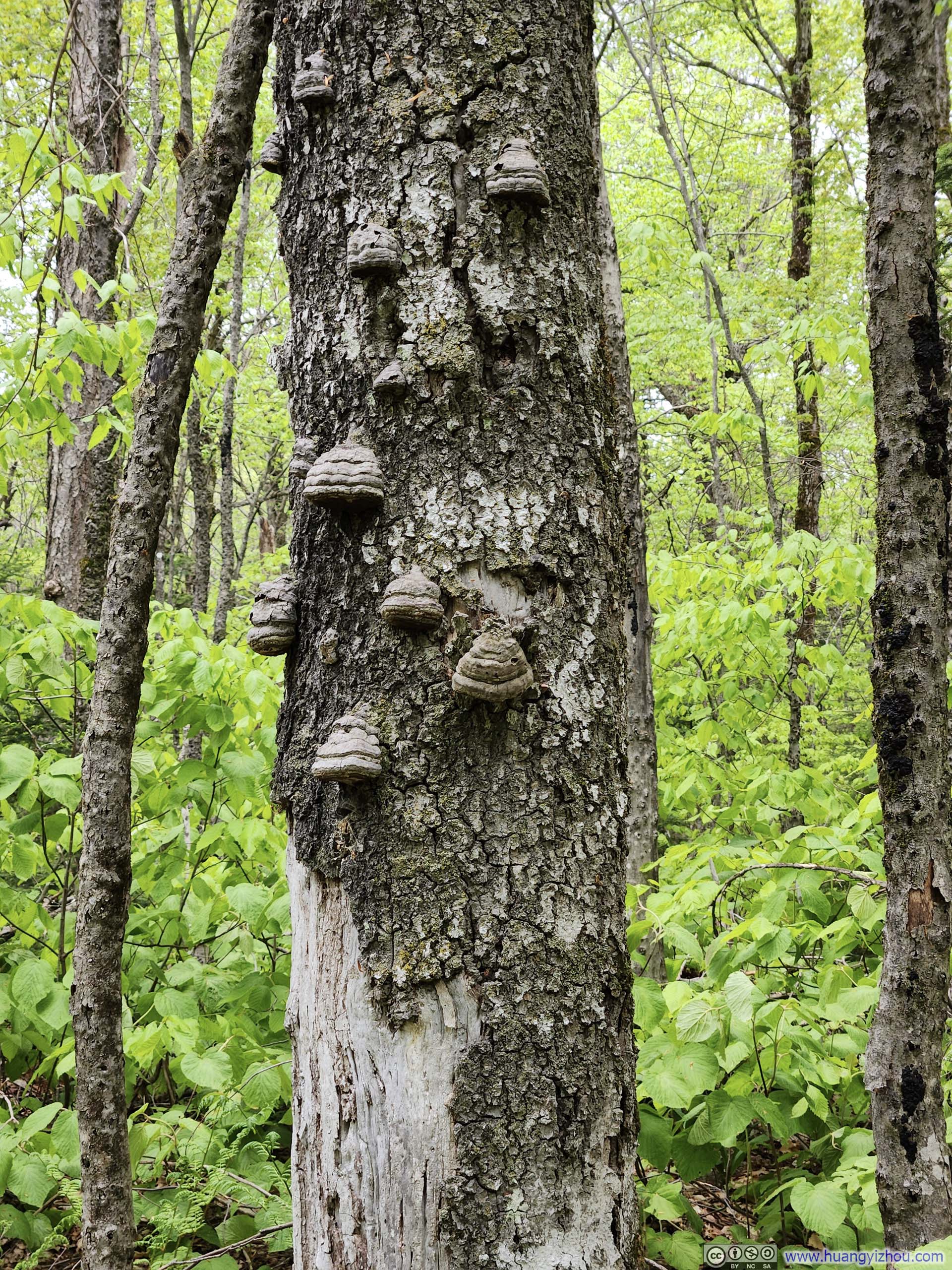
Bumps on TreeI didn’t know what caused them.

Muddy Trail
Trail

Trail through Brunt ForestWith new trees sprouting.
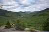
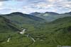
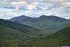
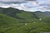
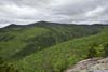
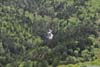
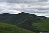
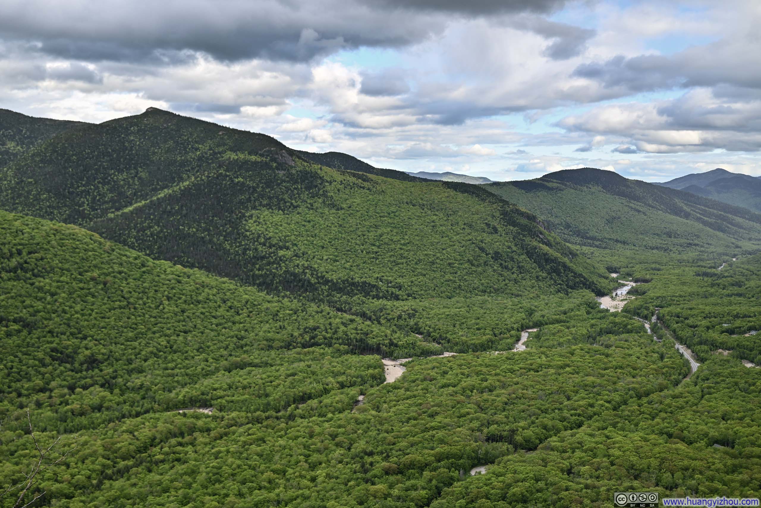
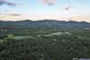
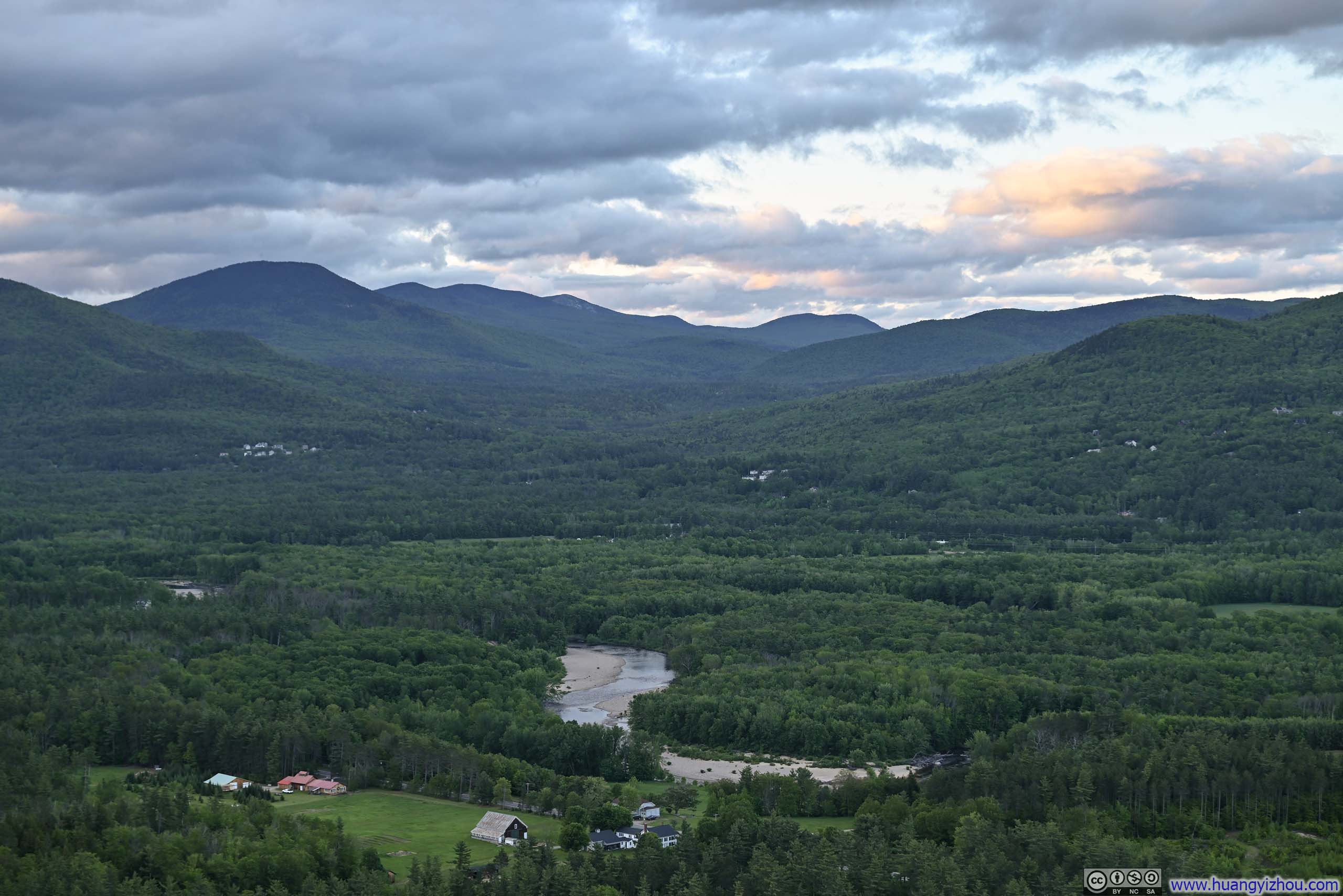
Finally, there was Frankenstein Cliff, a dramatic formation perched directly above the trailhead parking lot, commanding a view of the sinuous Saco River as it threaded its way through the mountain corridor below. The gentle murmur of the river, occasionally punctuated by passing vehicles, resonated throughout the valley, mingling with sporadic birdsong and somehow amplifying the vast emptiness of the landscape. Away from the valley and nestled deep within the mountains, I could discern, among the variegated greens of the forest canopy and much to my delight, the top of Arethusa Falls, offering what felt like an encore to its thundering roar I experienced earlier.
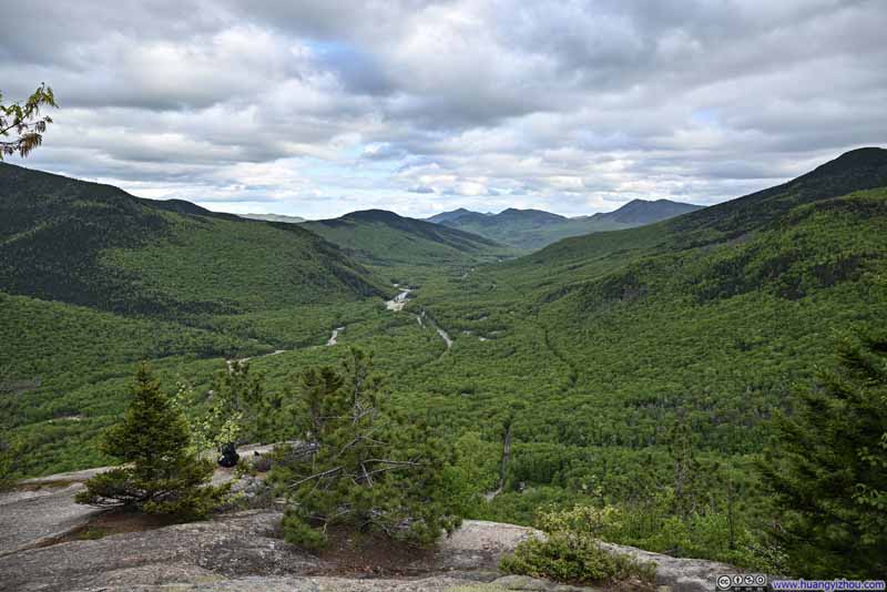 View from Frankenstein Cliff
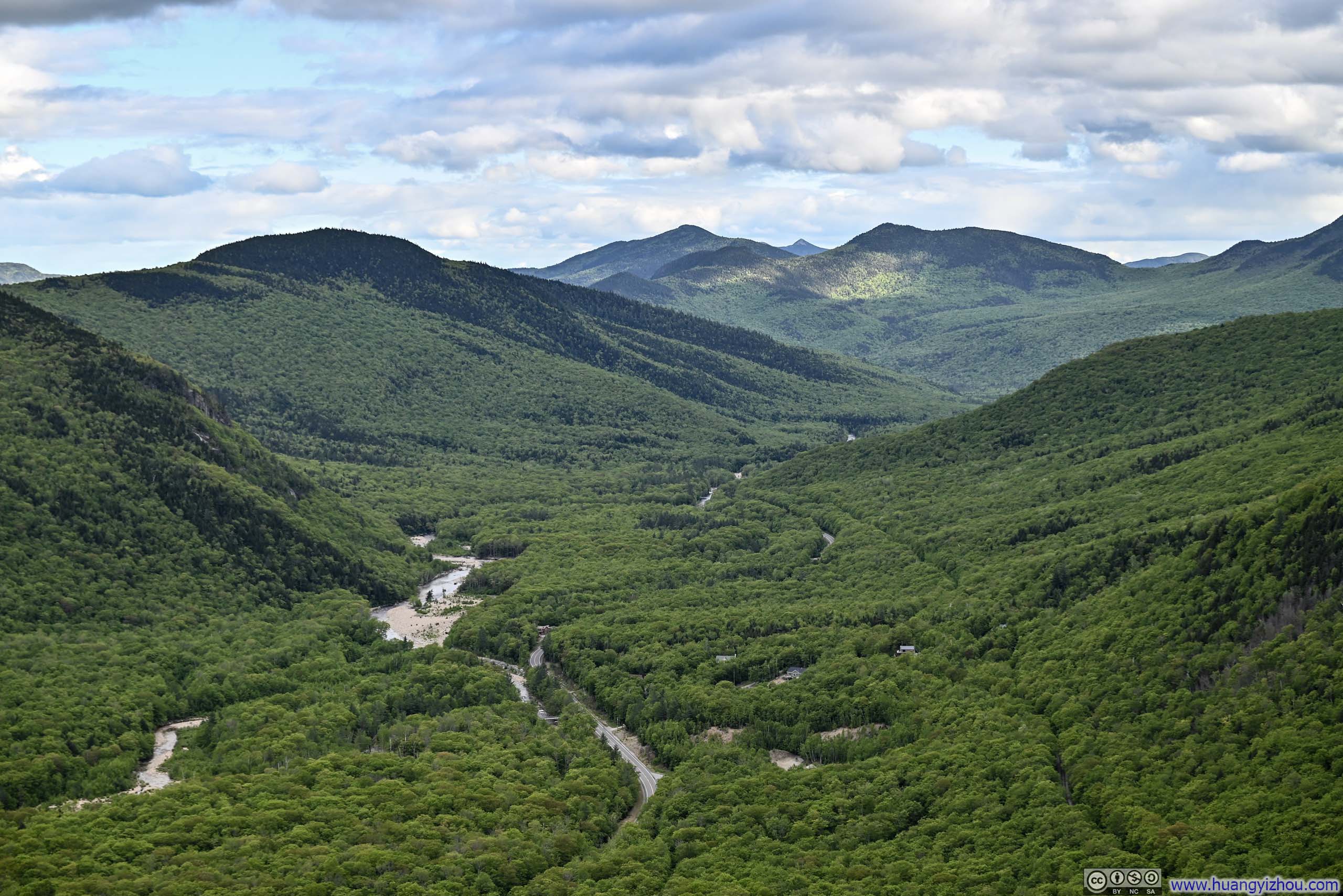
 Mountains along Saco River
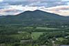
 Distant MountainsThe rock faces of Mount Chocorua in the background center.
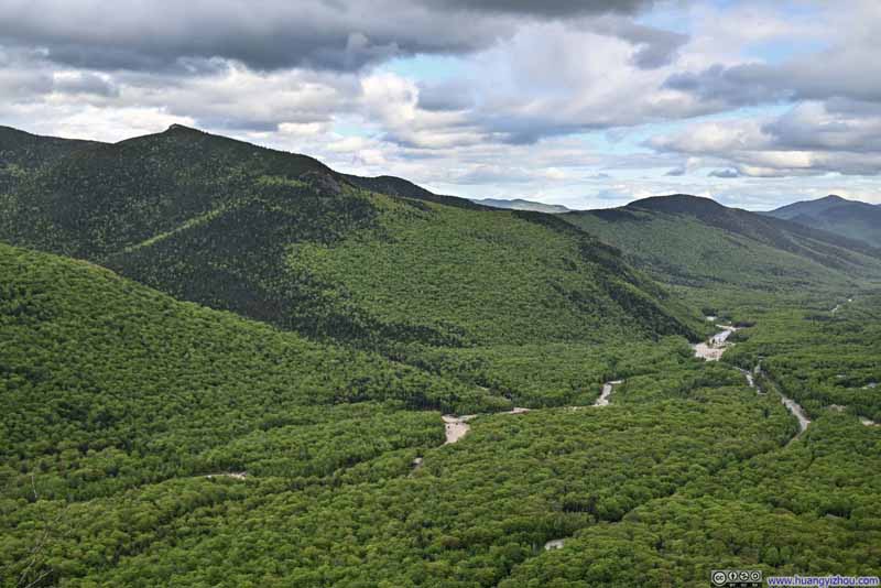 Mountains along Saco River
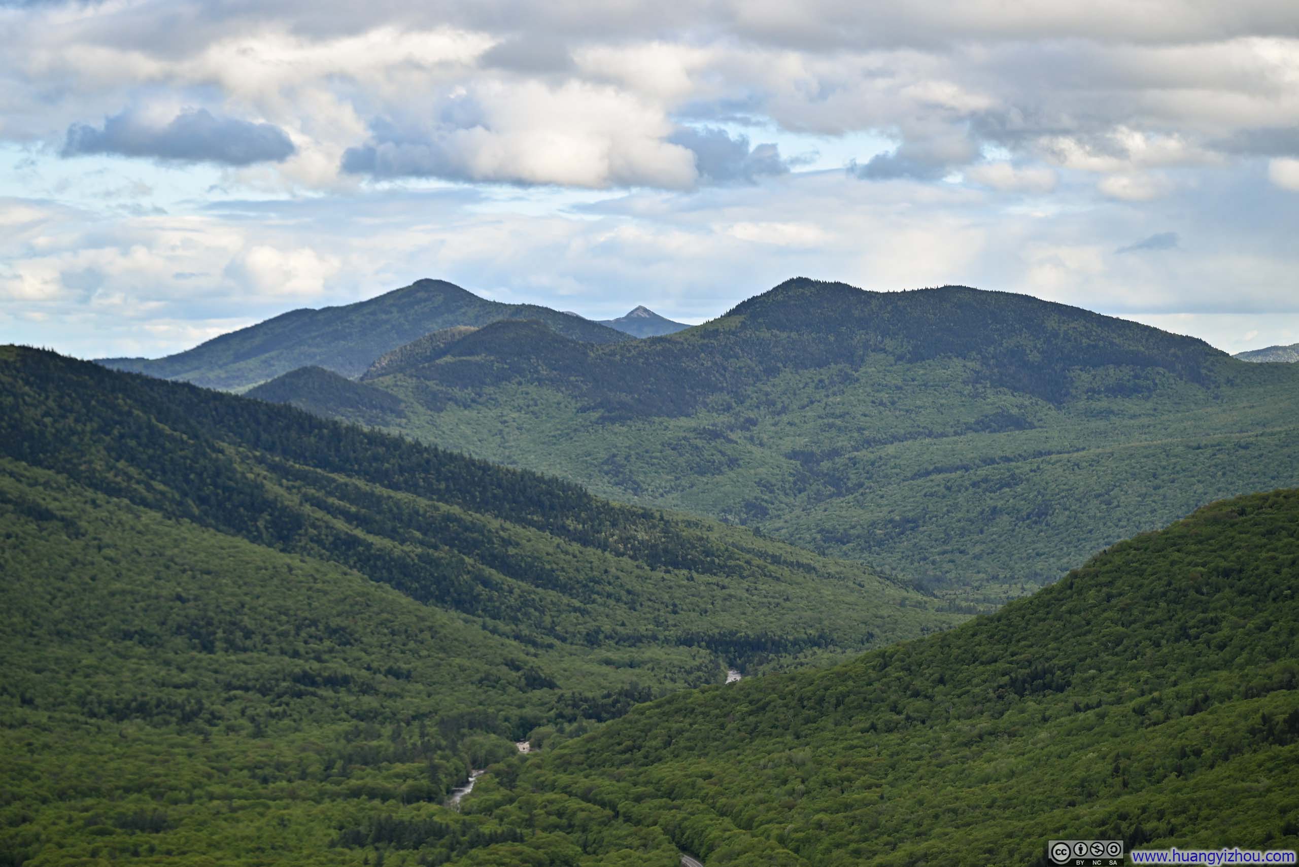
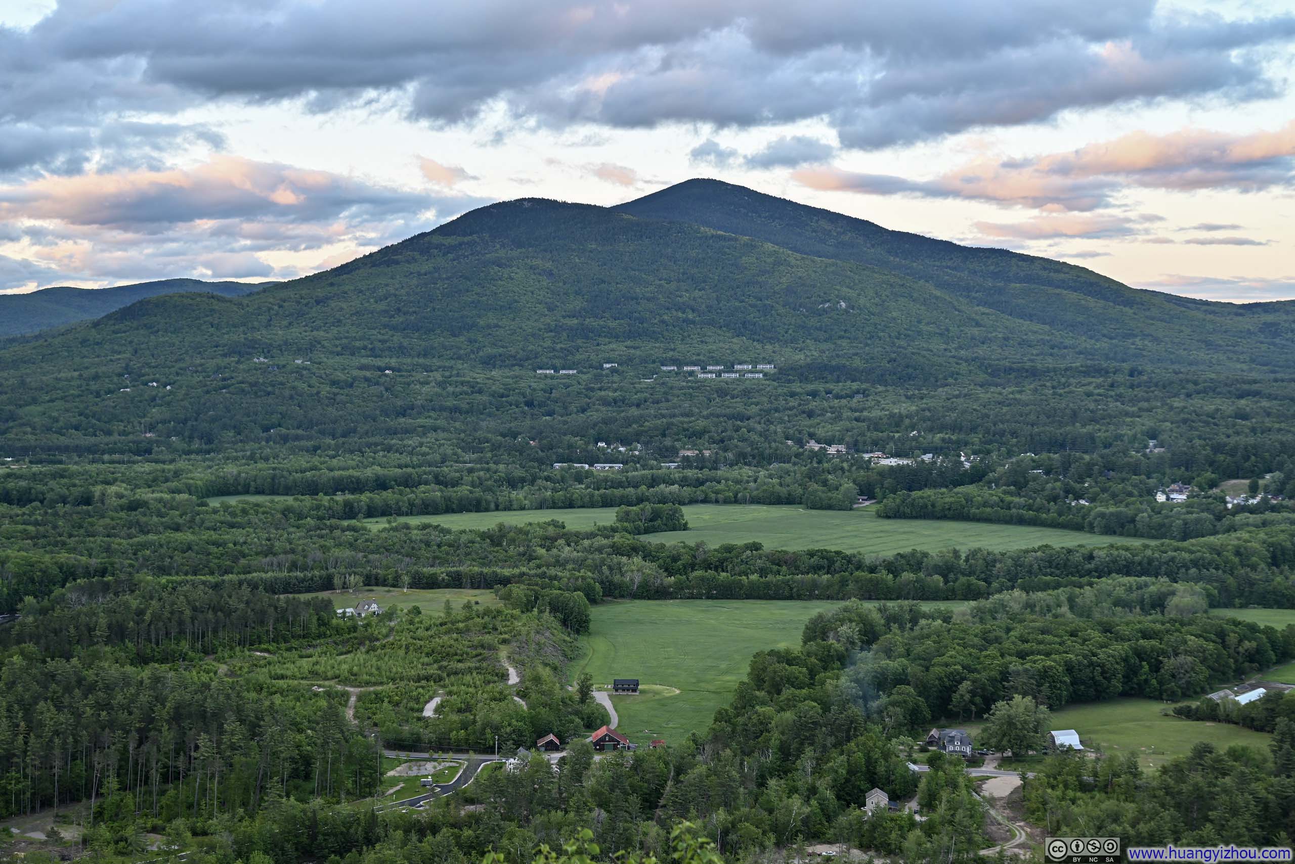
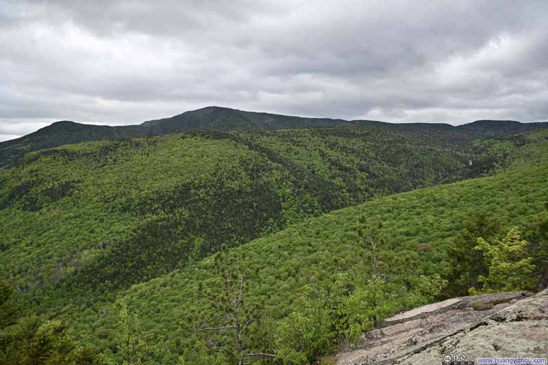 Mount Bemis
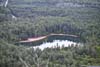
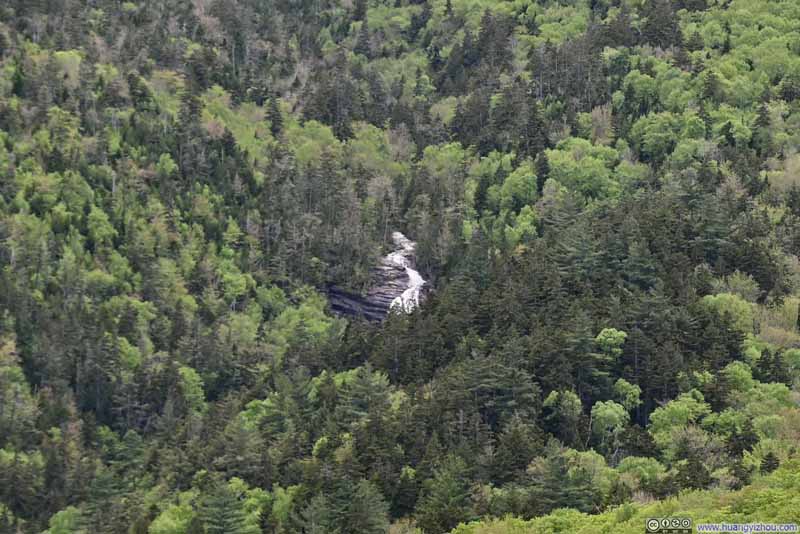 Distant Arethusa Falls
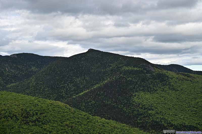 Mount Crawford
Click here to display photos from Frankenstein Cliff.

View from Frankenstein Cliff
Mountains along Saco River
Distant MountainsThe rock faces of Mount Chocorua in the background center.
Mountains along Saco River
Mount Bemis

Distant Arethusa Falls
Mount Crawford
At that moment, I felt Frankenstein Cliff was the perfect setting for “Canticle” part of “Scarborough Fair”,
On the side of a hill, in the deep forest green
Tracing of sparrow on snow-crested ground
Blankets and bedclothes, the child of the mountain
Sleeps unaware of the clarion call
Save for the “snow-crested” imagery, the scene before me embodied the lyrics with remarkable and somewhat unnerving fidelity.
View from Frankenstein Cliff
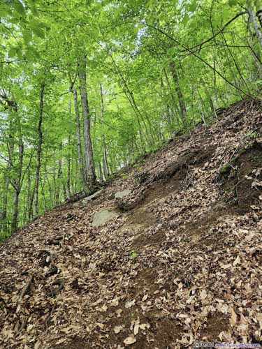
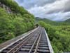
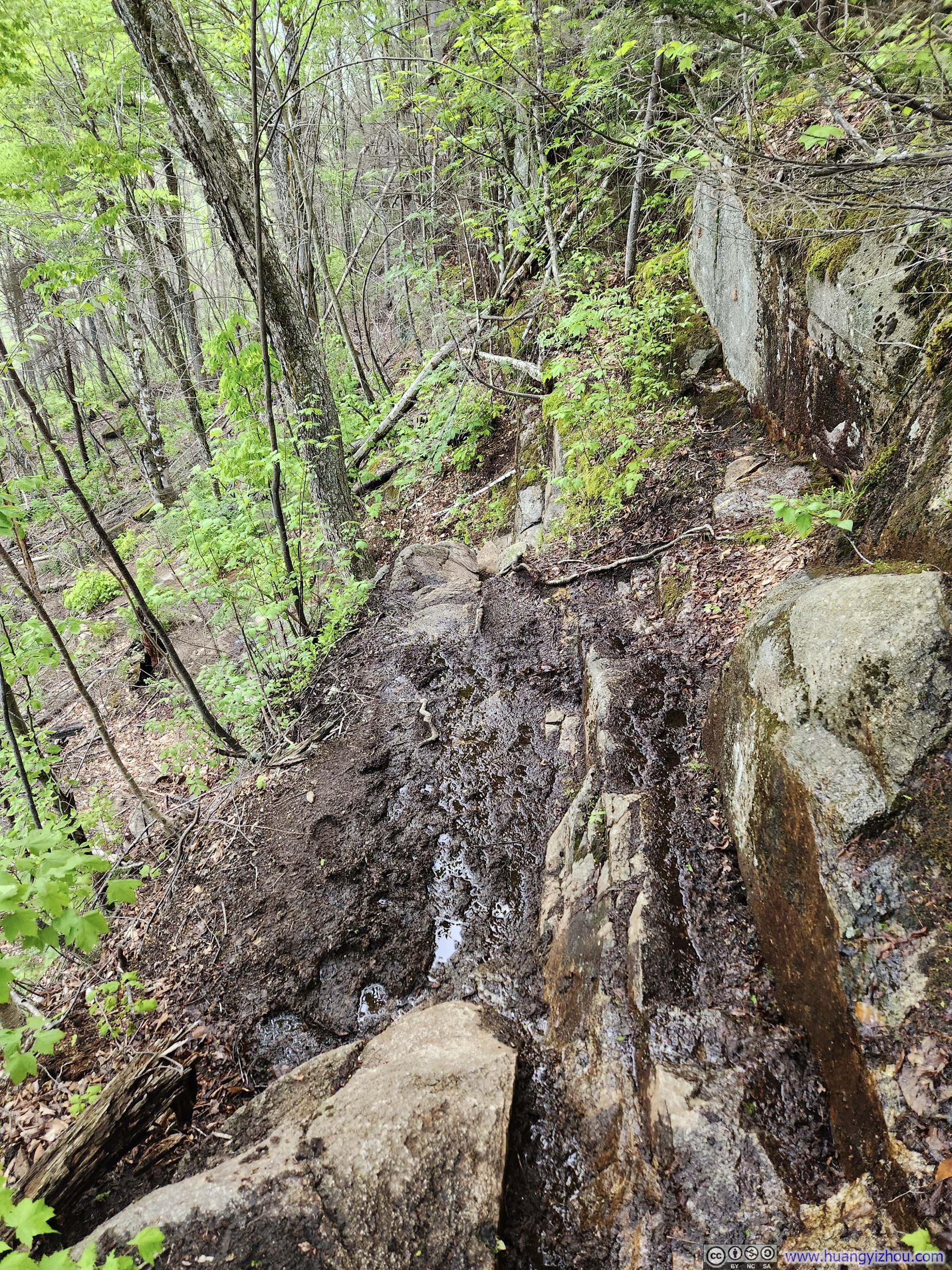
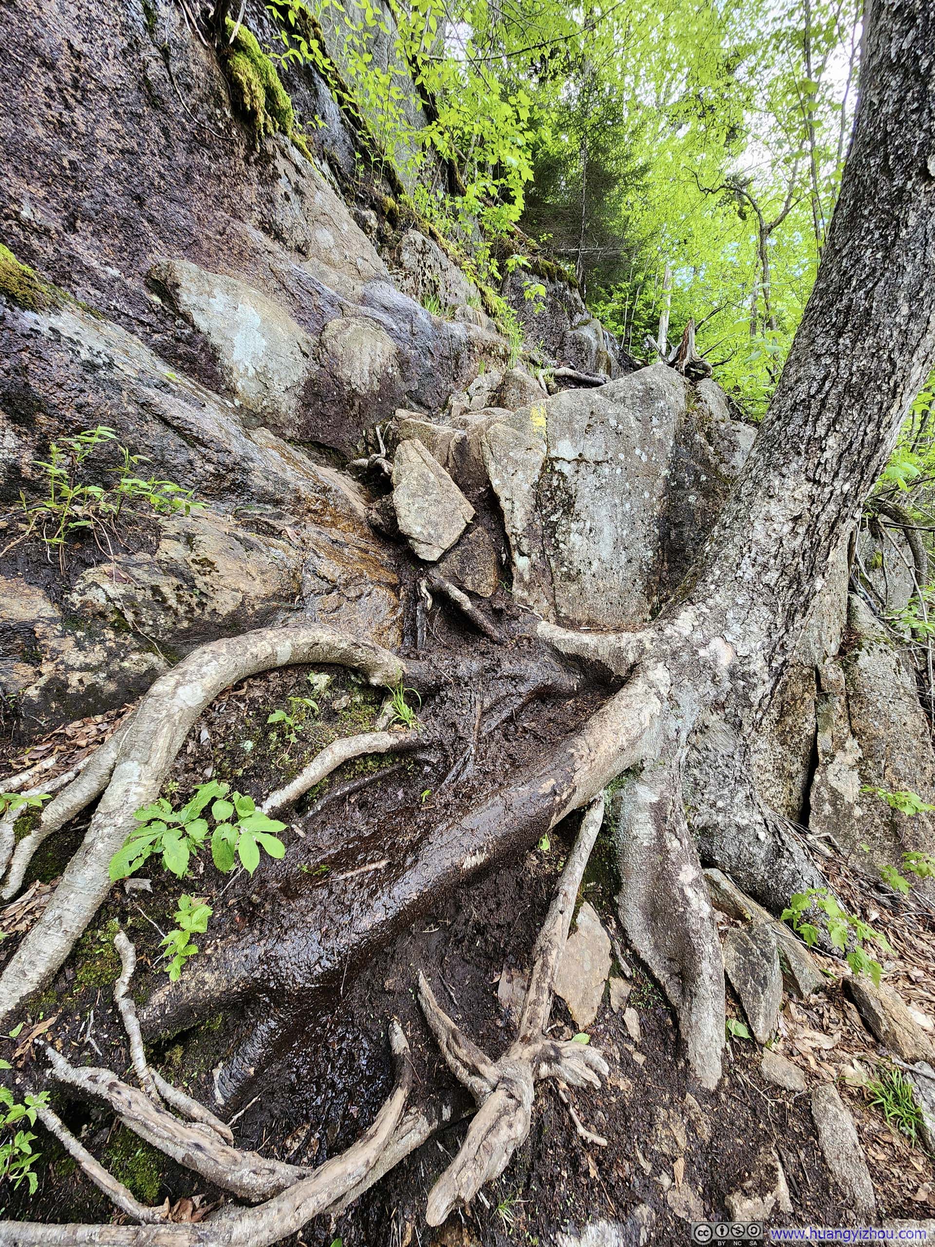
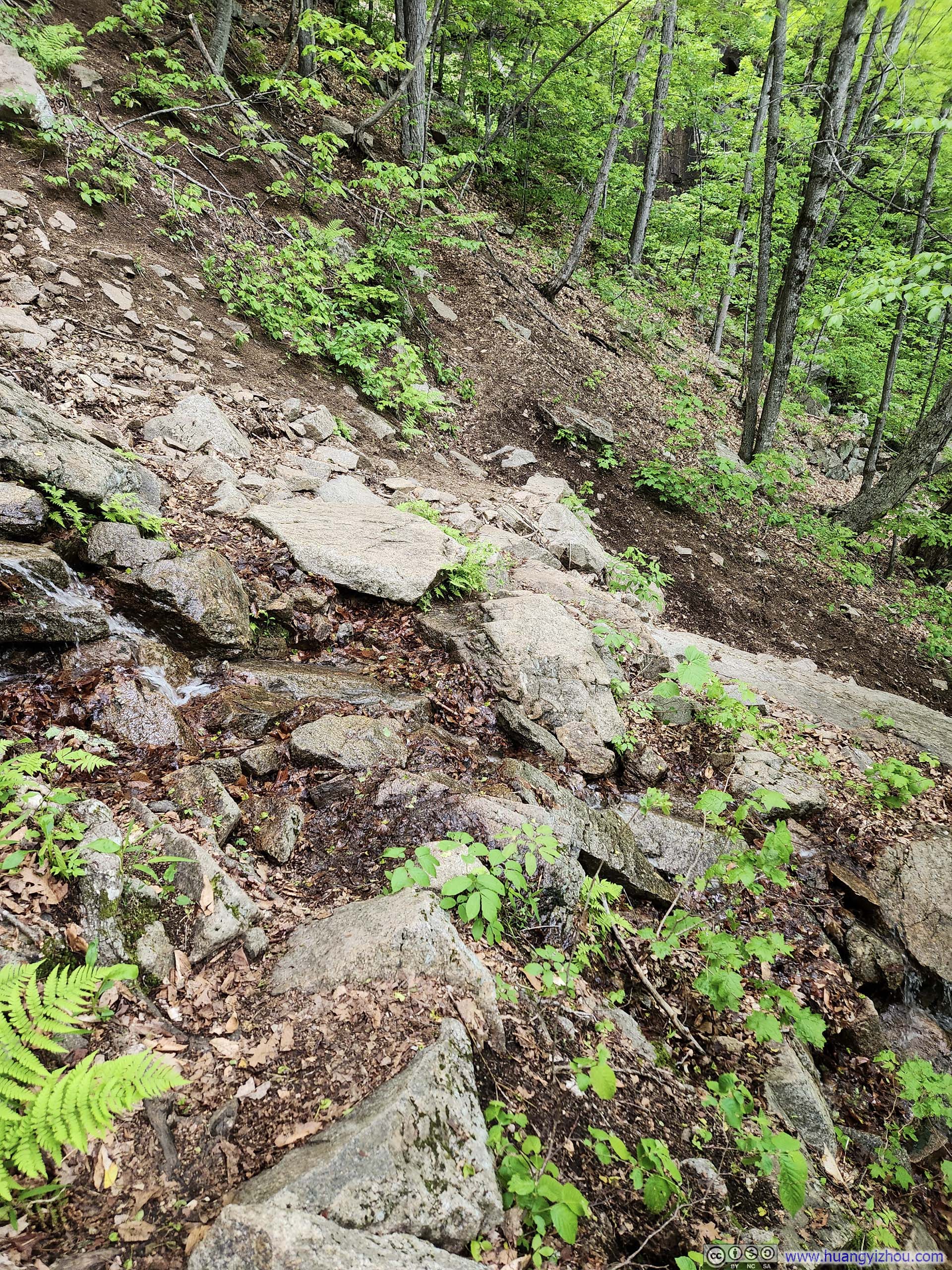
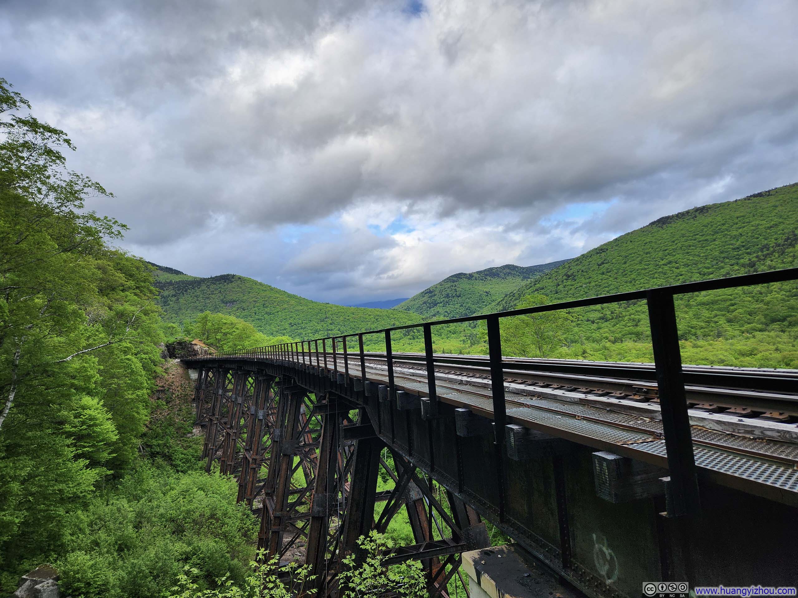
After leaving Frankenstein Cliff, the trail made its descent back to the parking lot. Along the way there were a few steep sections, before the trail crossed underneath a railway bridge, which made for some pretty photos.
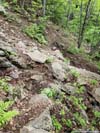
 Steep and Muddy Trail
Since I didn’t want to get myself dirty, it took me quite some time to navigate through this section.
Steep and Muddy Trail
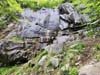
Since I didn’t want to get myself dirty, it took me quite some time to navigate through this section.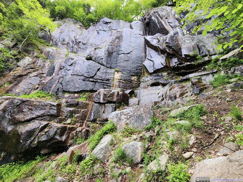 Cliffs with Dripping WaterUnderneath which the trail passed through.
 Steep Trail
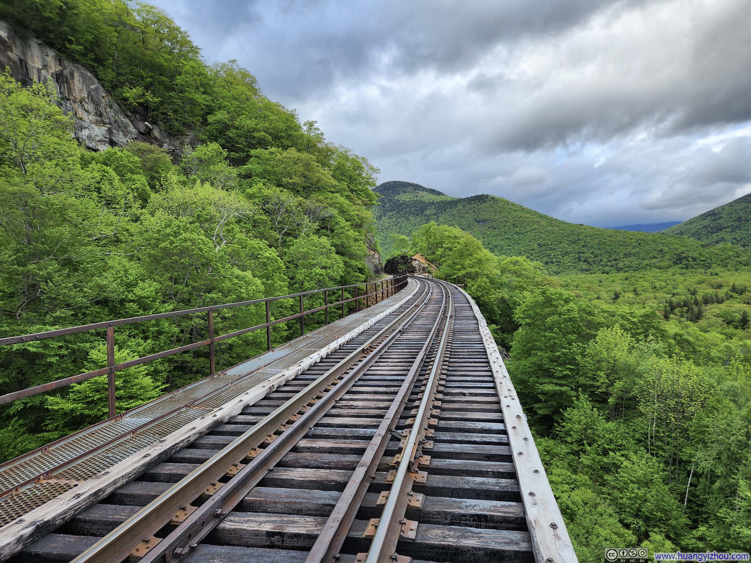
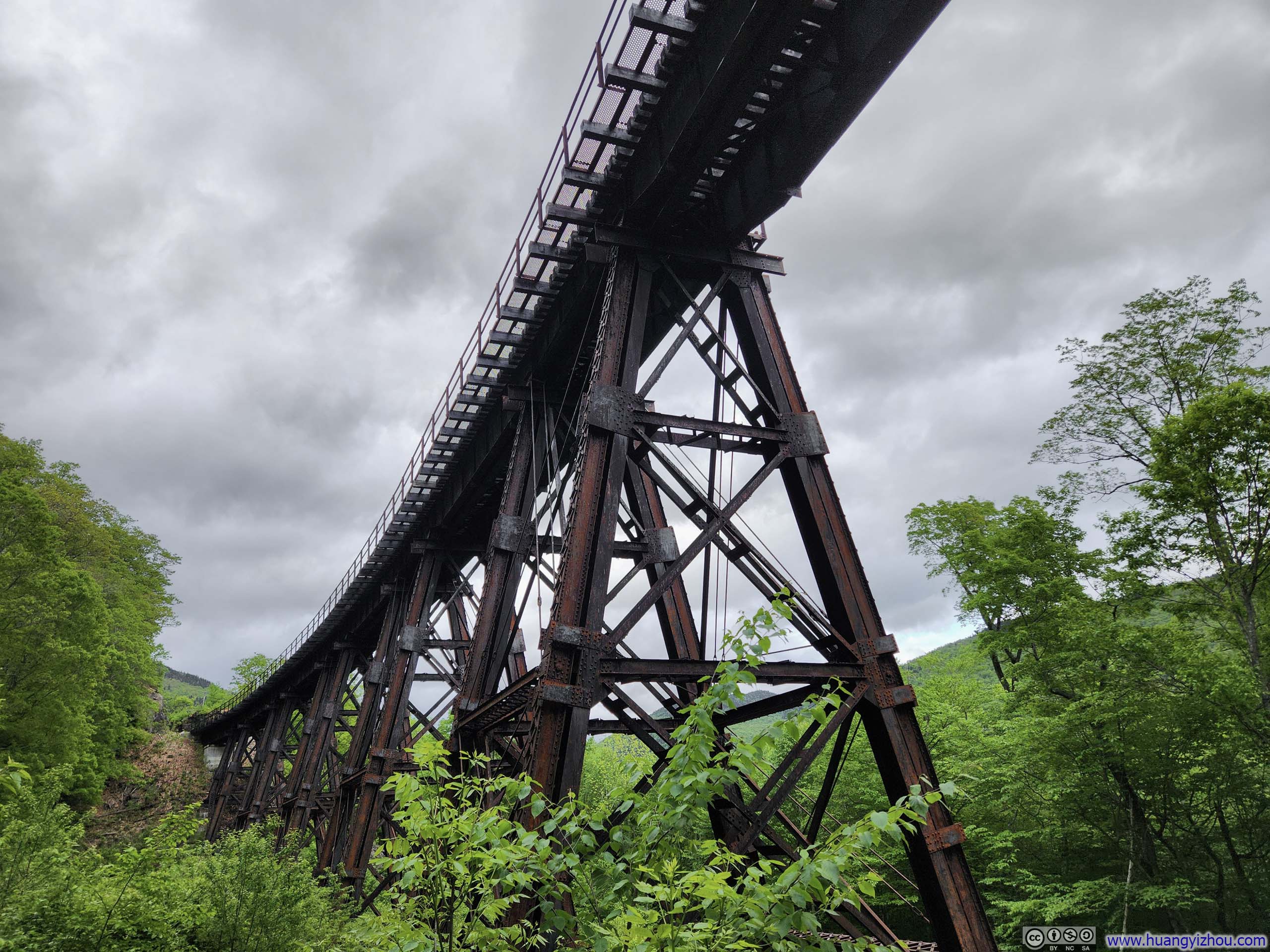
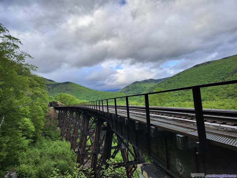 Railroad Bridge
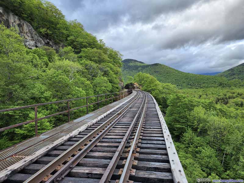 Railroad
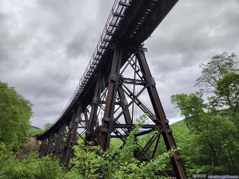 Railroad Bridge


Click here to display photos of the slideshow
 Steep and Muddy Trail

Cliffs with Dripping WaterUnderneath which the trail passed through.
 Steep Trail
Railroad Bridge
Railroad
Railroad Bridge
View from Railway Bridge
After the railway bridge, the trail continued in the woods back to the parking lot, running parallel to the railway tracks. The trail undulated with some ups and downs, much to my disappointment since the level railway track, which would make an easier trip, was just visible just a short distance away.
In the end, I got back to the parking lot after 4.5 hours on the trail, including all rests (there were a lot of them since I was in no hurry at all).
That was just past 7pm, still some time till sunset. As a result, I decided to check out Cathedral Ledge on my way back to Conway.
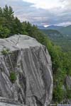
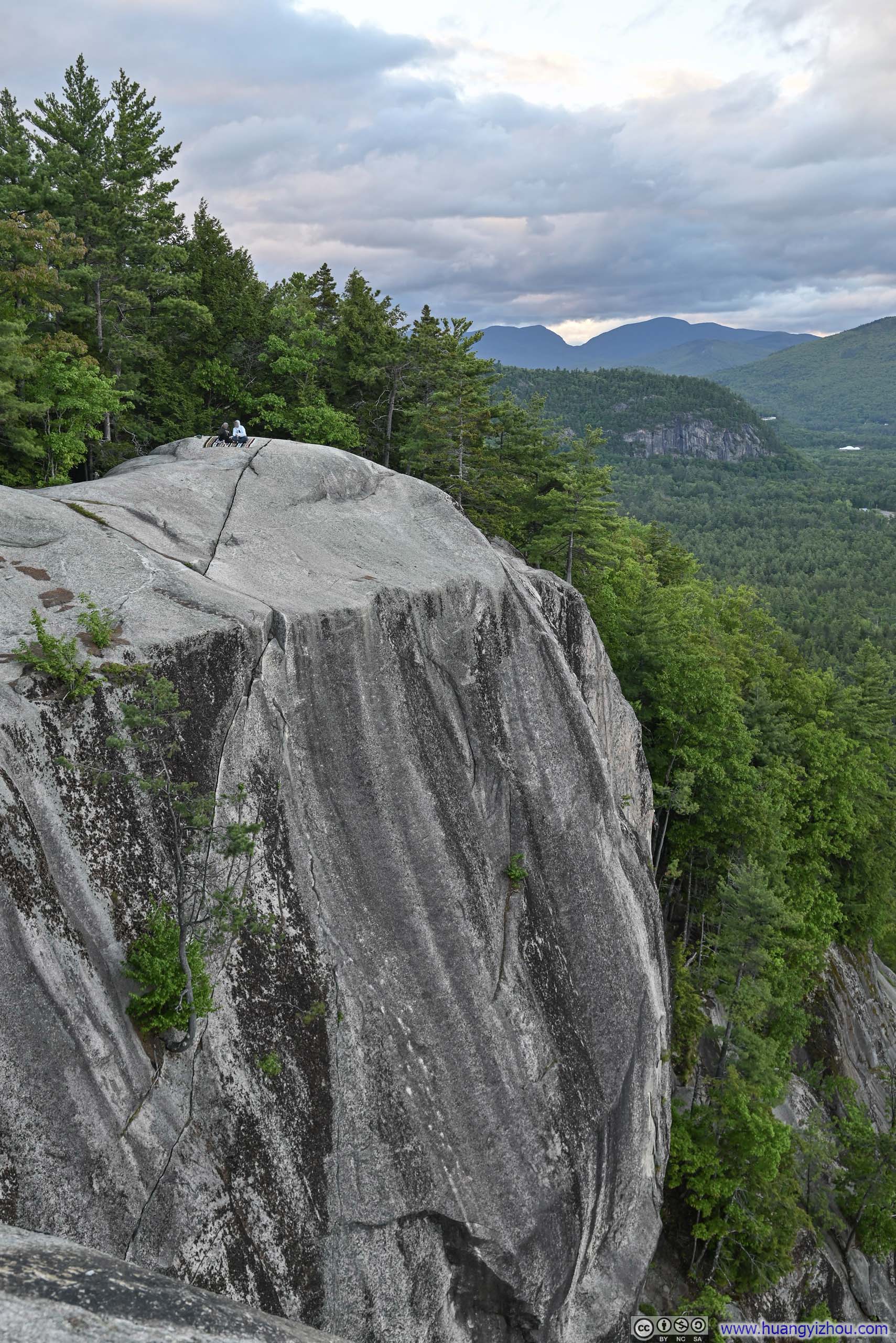
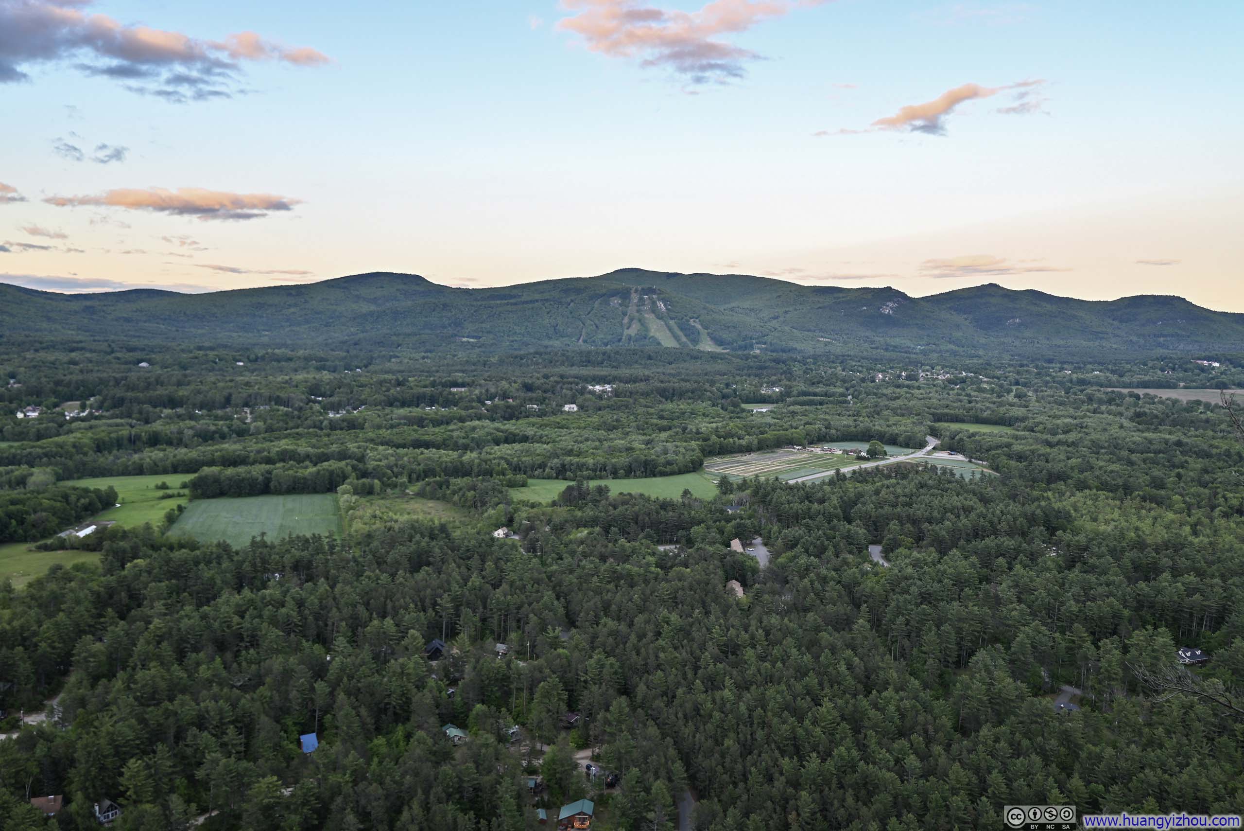
Just like Frankenstein Cliff, Cathedral Ledge rose as a sheer wall above the surrounding landscape. However, Cathedral Ledge was taller and steeper, and its proximity to civilization—with all its amenities—made it far more accessible. A road connected its based and its top, providing easy access to climbers and visitors alike. Since it was getting late, I drove up Cathedral Ledge, instead of hiking my way up from its base. The road was very steep, when going down, I used the first gear of my car for engine brake for the first time. The parking lot on top of Cathedral Ledge was small with a one-hour limit, but was wide open when I arrived. Owing to its popularity, the edge of Cathedral Ledge was set back behind a fence for safety concerns.
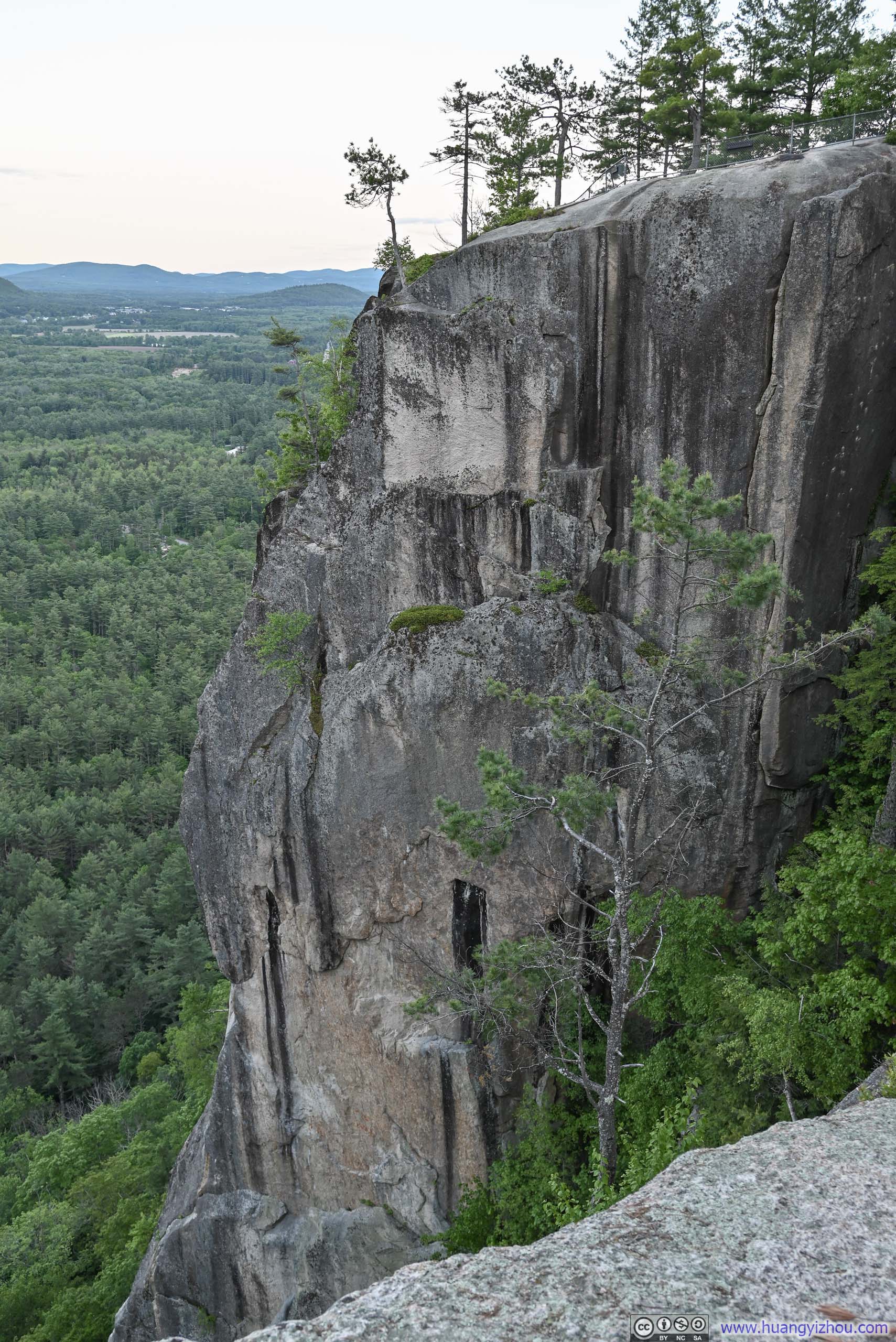
 Cliff of Cathedral Ledge
 Mountains Across From Cathedral Ledge
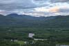
 Mountains to the NorthSaco River flowing through the foreground.
 Mountains Across From Cathedral LedgeBartlett Mountain and Kearsarge North
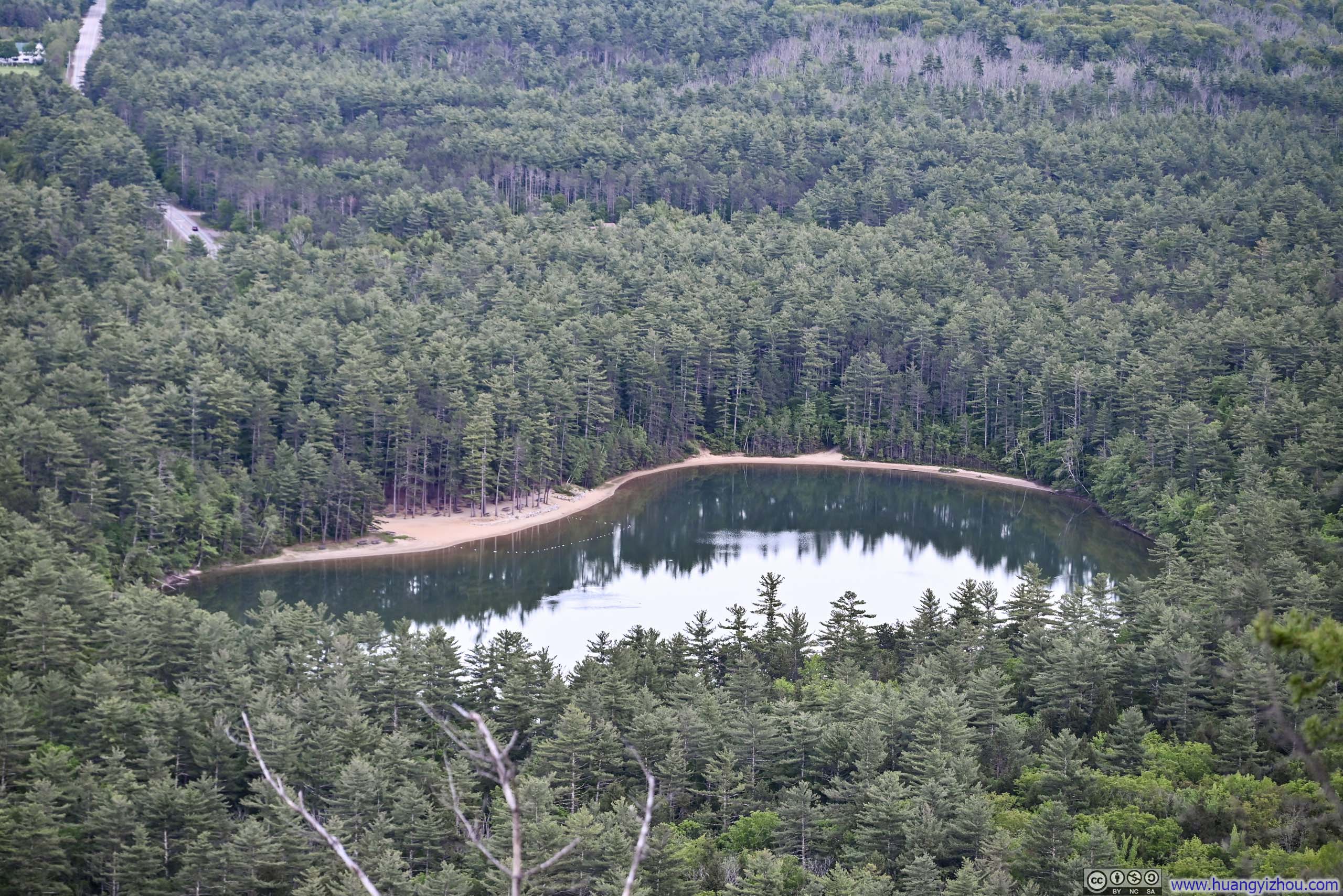
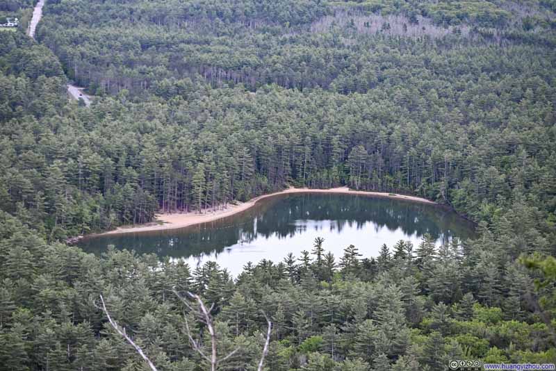 Overlooking Echo Lake
Click here to display photos of the slideshow
 Cliff of Cathedral Ledge
Mountains Across From Cathedral Ledge
Mountains to the NorthSaco River flowing through the foreground.
Mountains Across From Cathedral LedgeBartlett Mountain and Kearsarge North
Overlooking Echo Lake
View from Cathedral Ledge
I left Cathedral Ledge just past 8pm. So after dinner, there was still time left for darkness to fully descend to create the ideal aurora viewing conditions. I filled those moments with a few movie clips, on the shore of Chocorua Lake with fellow sky-watchers. Despite our collective vigilance, the aurora never materialized.
Aurora Forecast (left) vs Reality (right)
END
![]() Hiking Arethusa Falls and Frankenstein Cliff Loop by Huang's Site is licensed under a Creative Commons Attribution-NonCommercial-ShareAlike 4.0 International License.
Hiking Arethusa Falls and Frankenstein Cliff Loop by Huang's Site is licensed under a Creative Commons Attribution-NonCommercial-ShareAlike 4.0 International License.