
Updated on December 16, 2025
Day 7 of 2025 Independence Day Trip to Alaska, Mount Baldy and Blacktail Ptarmigan Rocks
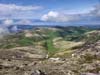
The seventh and final day of my 2025 Independence Day trip to Alaska. After checking out of the Airbnb in Palmer, I decided to take a relatively short hike to Mt Baldy and Blacktail Ptarmigan Rocks before my flights back home this evening.
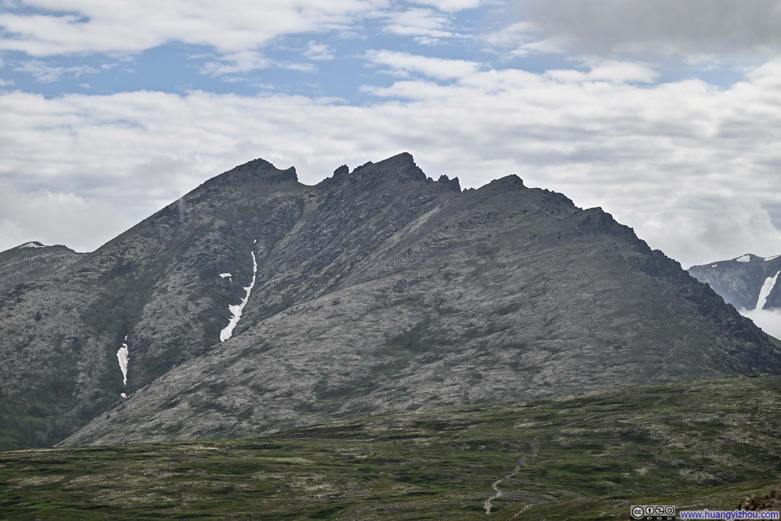
Blacktail Ptarmigan Rocks
This was the last day of this week-long trip to Alaska,, with a 10:30pm flight awaiting to carry me back to the lower 48. As I would be driving from Palmer to Anchorage, I set my sights on Mt. Baldy, a rather popular peak that was located conveniently along my route. Since (the first summit of) Mt Baldy was only 1.6km (1mi) from the parking lot, I decided to extend my hike to Blacktail Ptarmigan Rocks. According to AllTrails, this would make it a 10.9km out-and-back with 845m of elevation gain (6.8mi, 2770ft), a moderate workout leaving me plenty of time to catch my overnight flight.
On the morning of July 5, I arrived at Mt Baldy’s trailhead, located at the end of Golden Eagle Dr, around 11:10am. This was a popular trailhead with lots of cars parked, but I had no difficulty finding a spot. The winding mountain roads leading to this point had already brought me to approximately 550 meters of elevation (1800 feet). Given that the peaks within Chugach State Park were mostly similar in heights, hence the hikes’ efforts were highly correlated with starting elevation, making a higher departure point invariably appreciated.
After some warmup, I started my hike at 11:25am. Here’s GPS tracking:
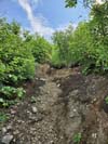
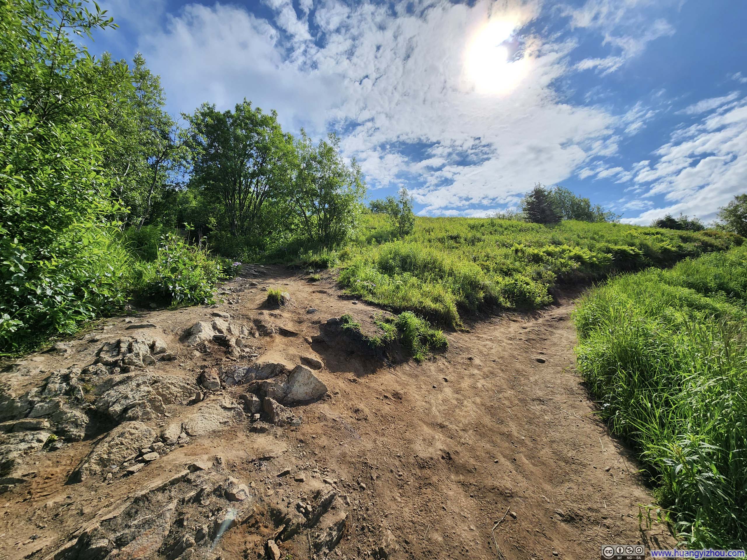
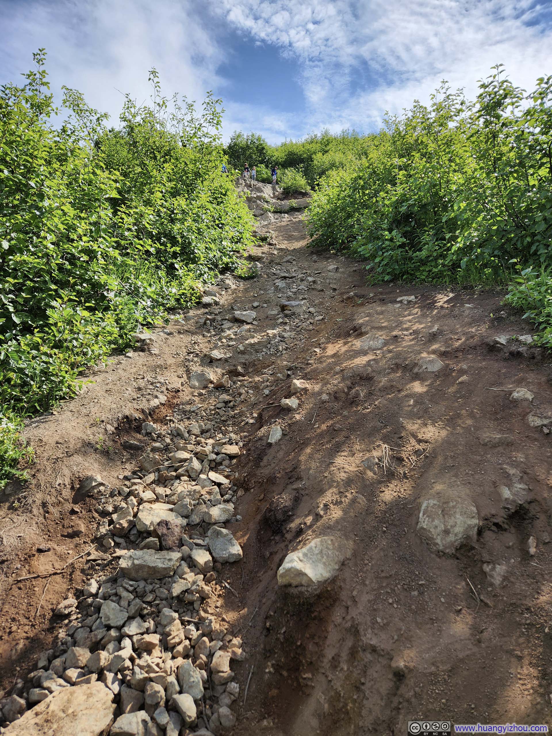
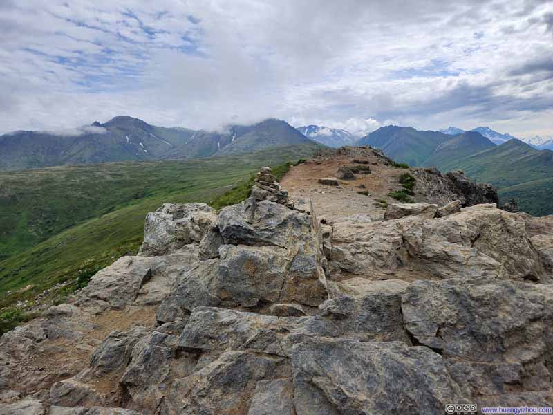
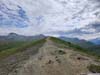
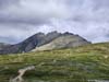
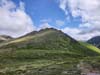
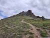
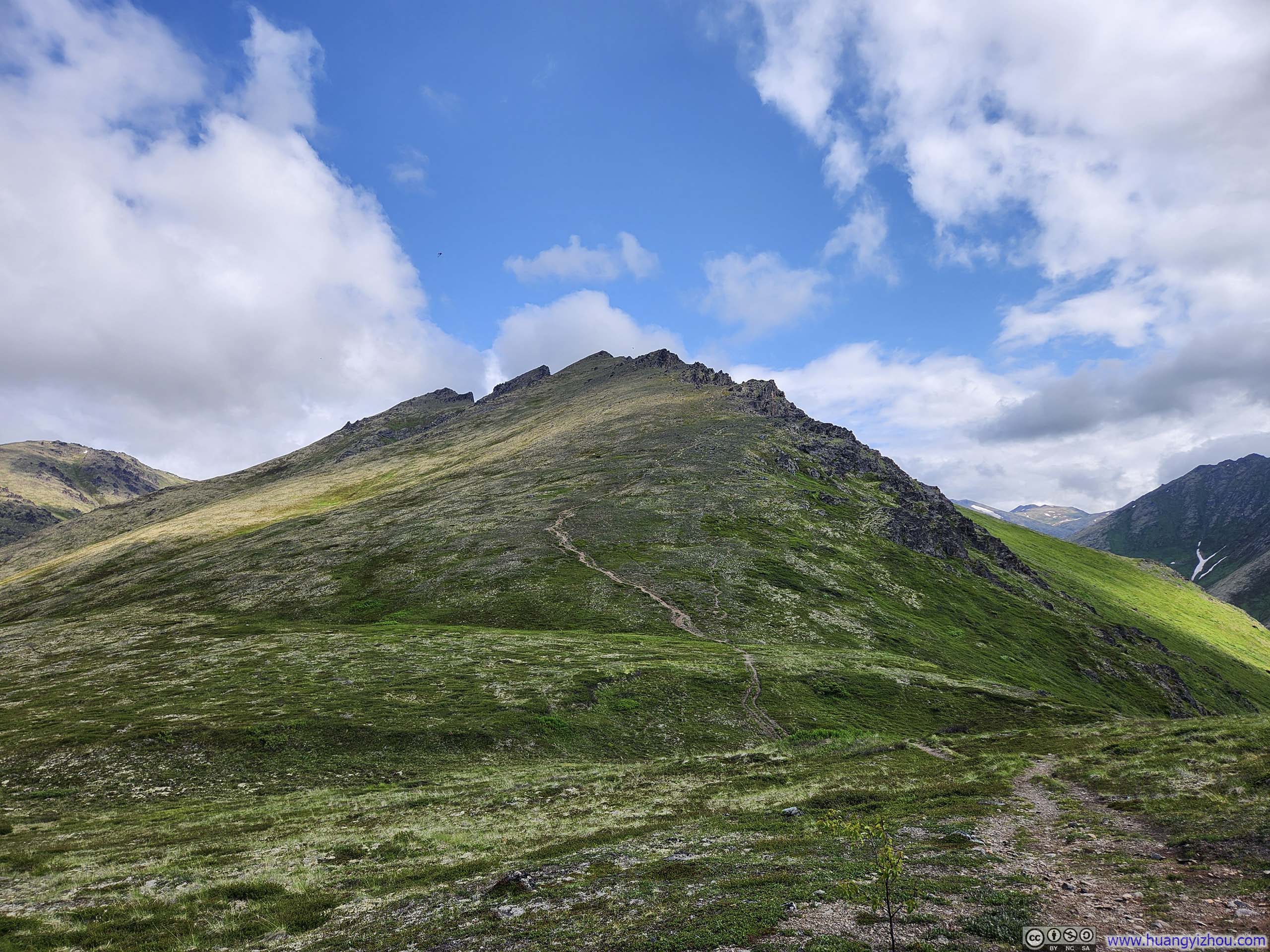
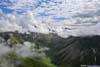
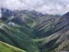
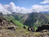
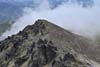
Immediately after leaving the parking lot, the trail made a very steep climb towards the first summit of Mt Baldy. Here, the path diverged into multiple branches: a central route offering the steepest and most direct approach, flanked by various alternatives that employed switchbacks to moderate the gradient. Feeling quite confident in my capabilities, I followed the steepest and most direct route.
 Steep Trail to Mt Baldy
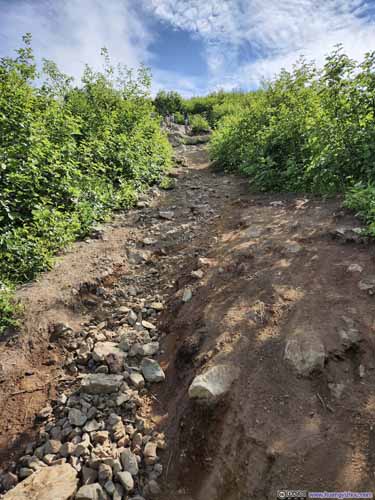 Steep Trail to Mt Baldy
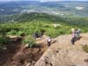
 Overlooking Steep Trail

Click here to display photos of the slideshow
Steep Trail to Mt Baldy
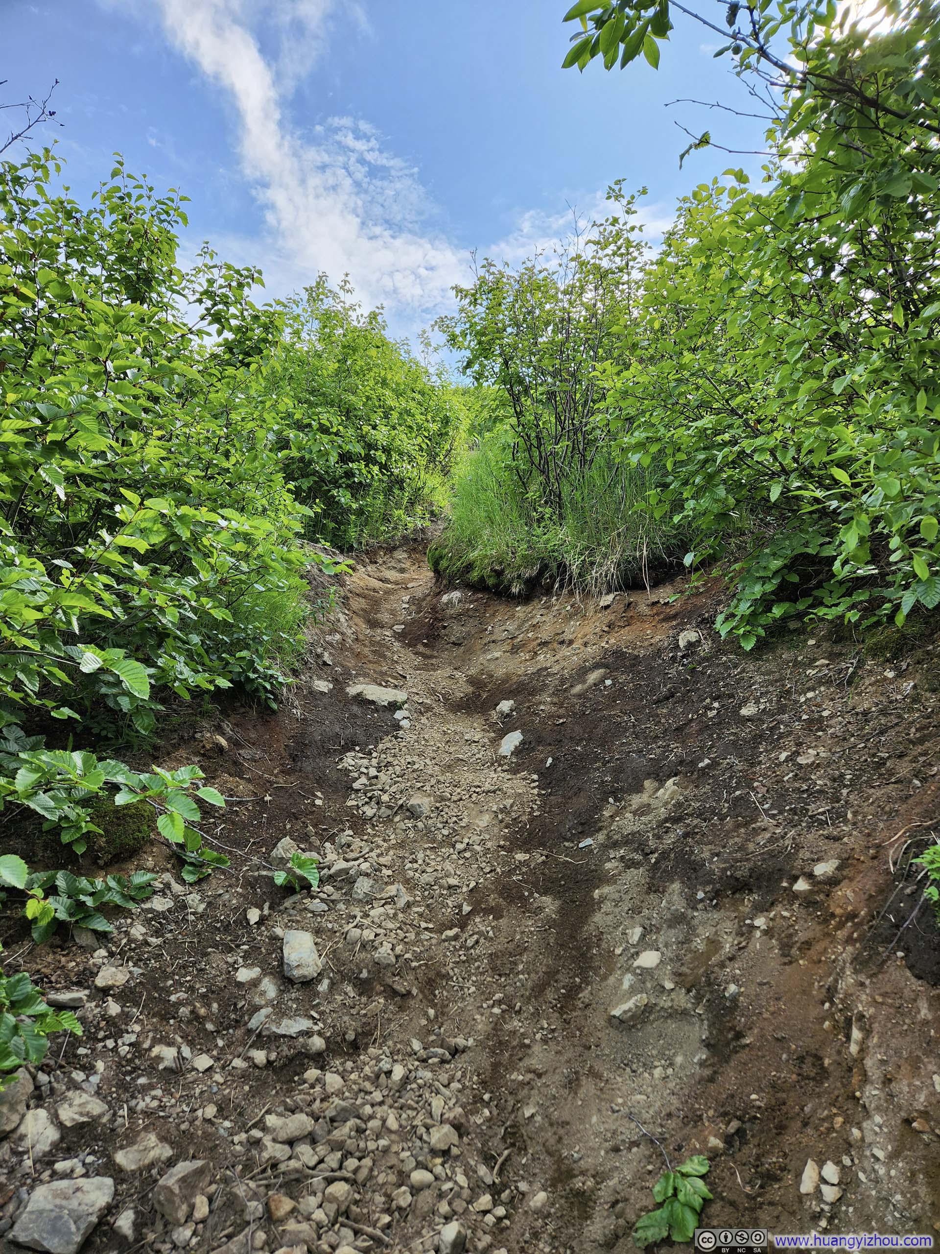
 Steep Trail to Mt Baldy
Overlooking Steep Trail
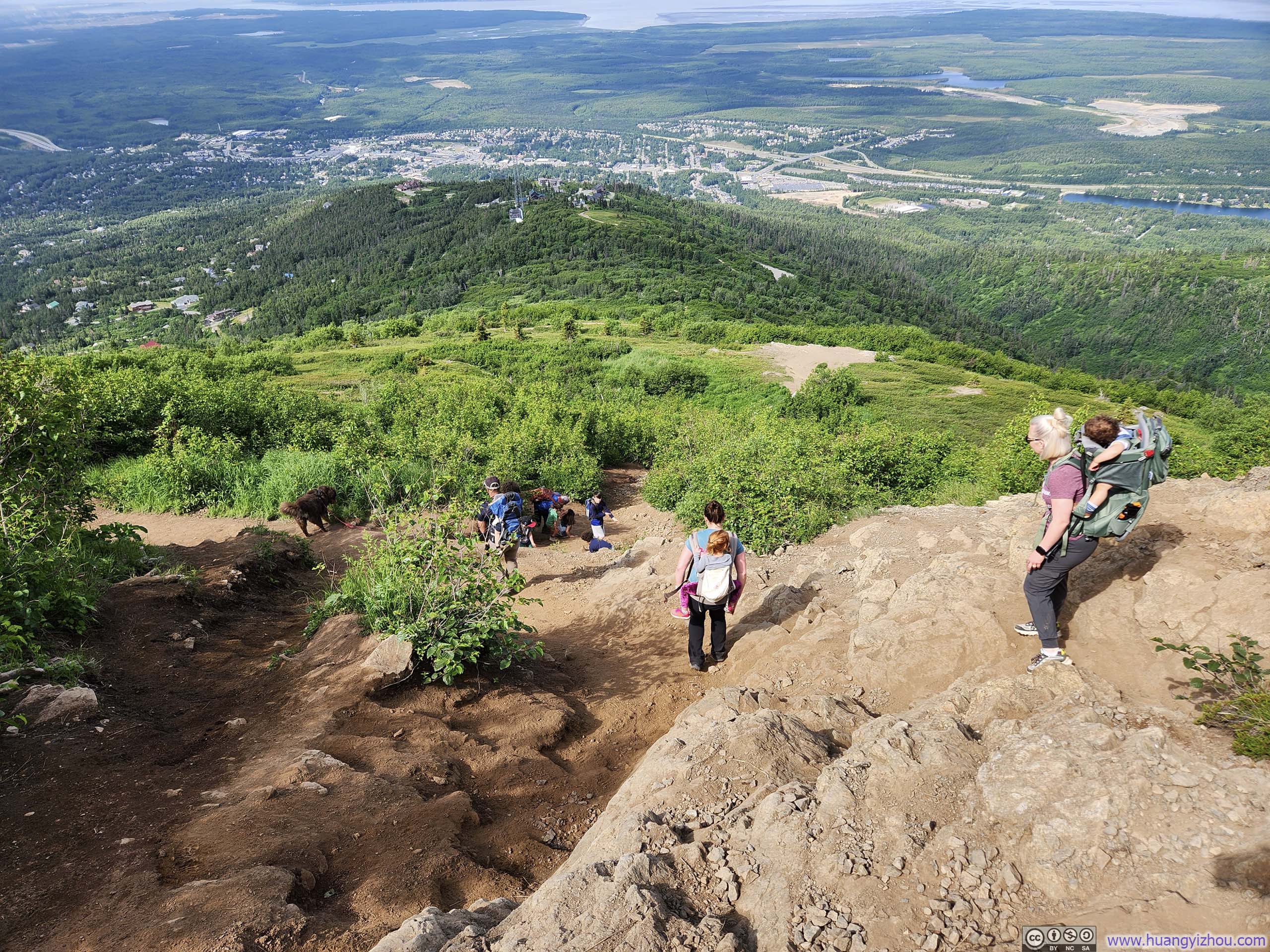
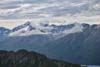
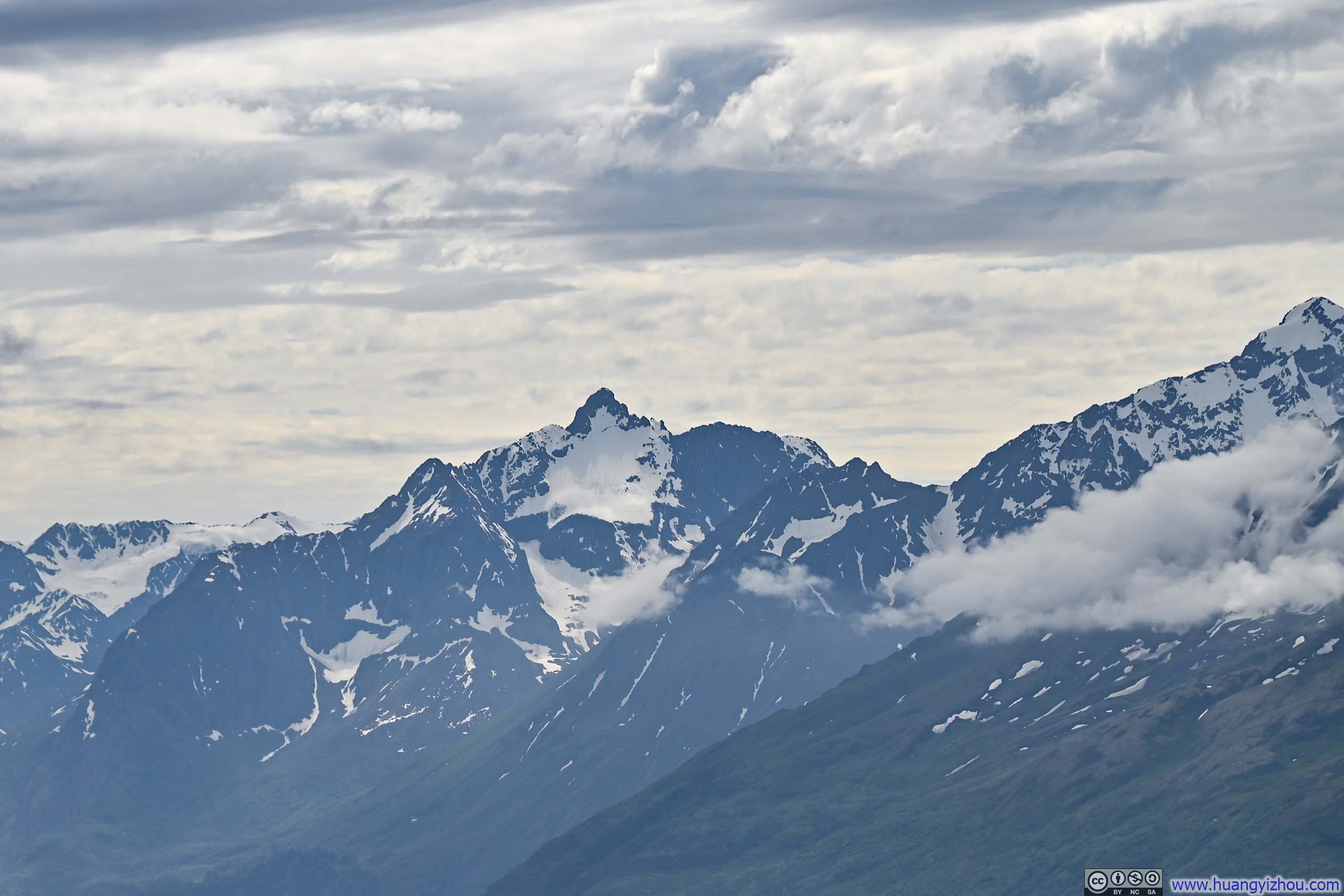
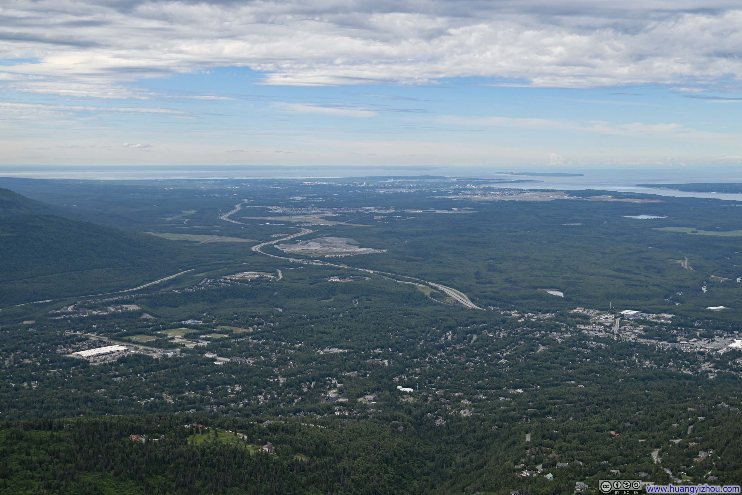
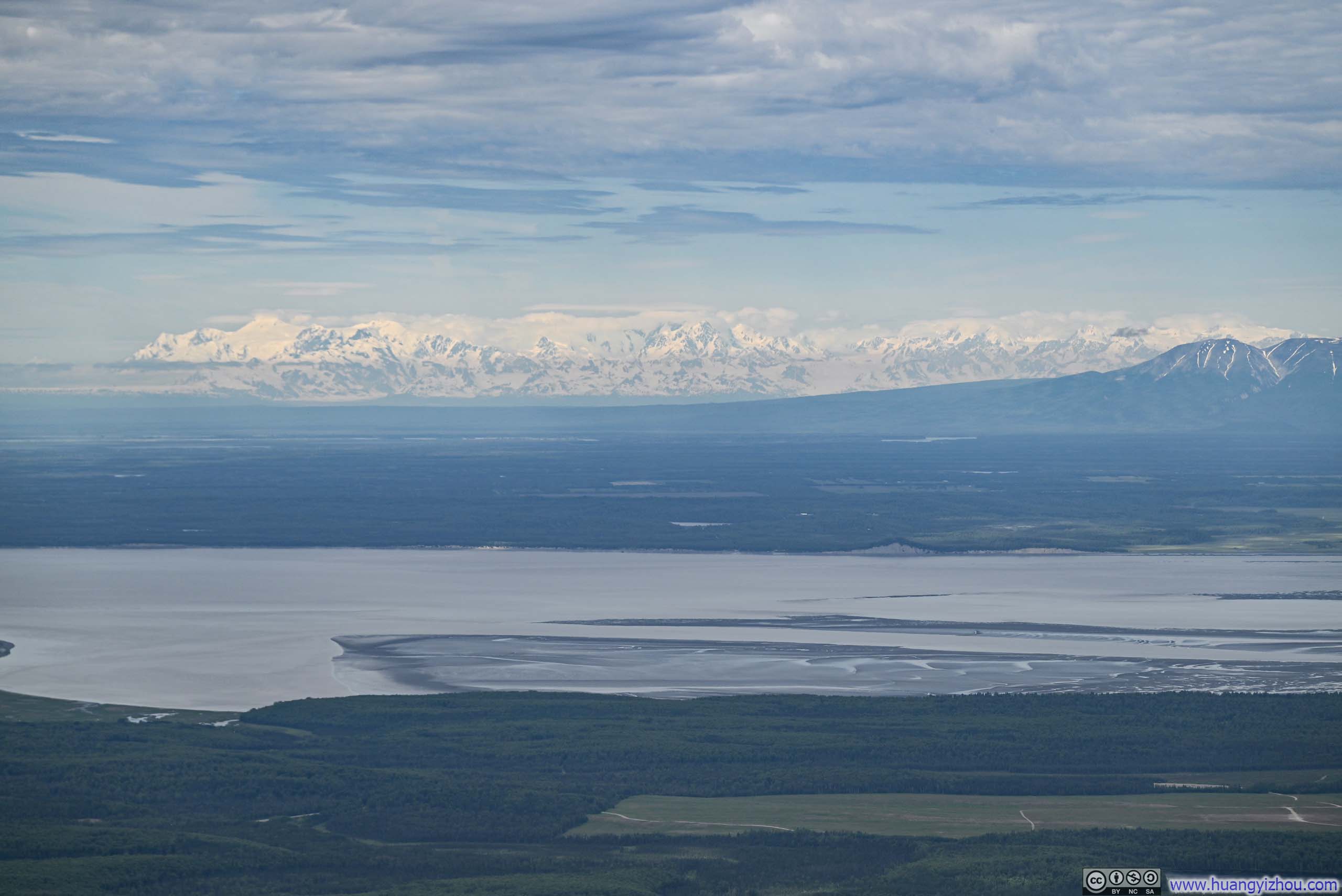
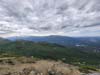
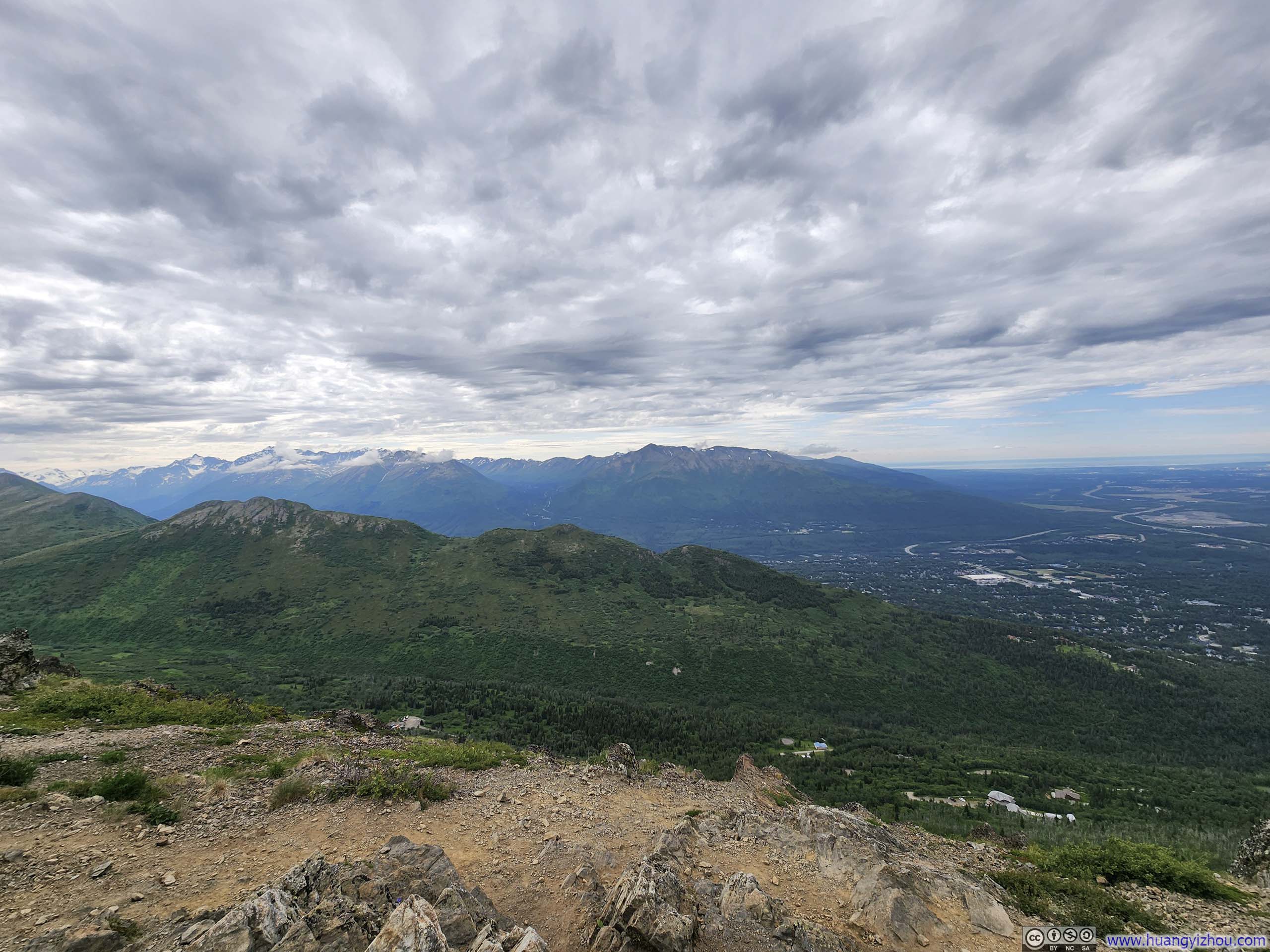
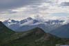
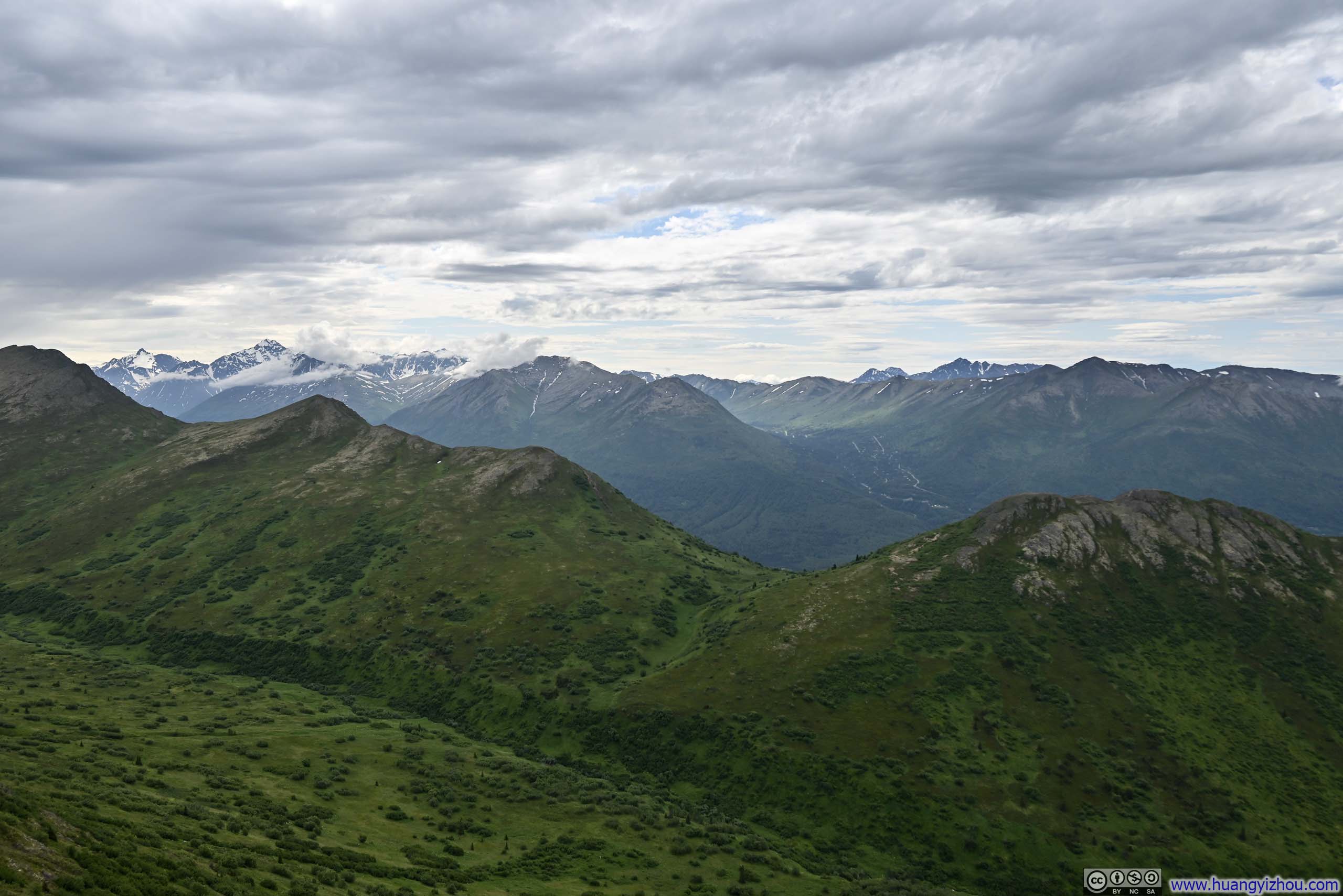
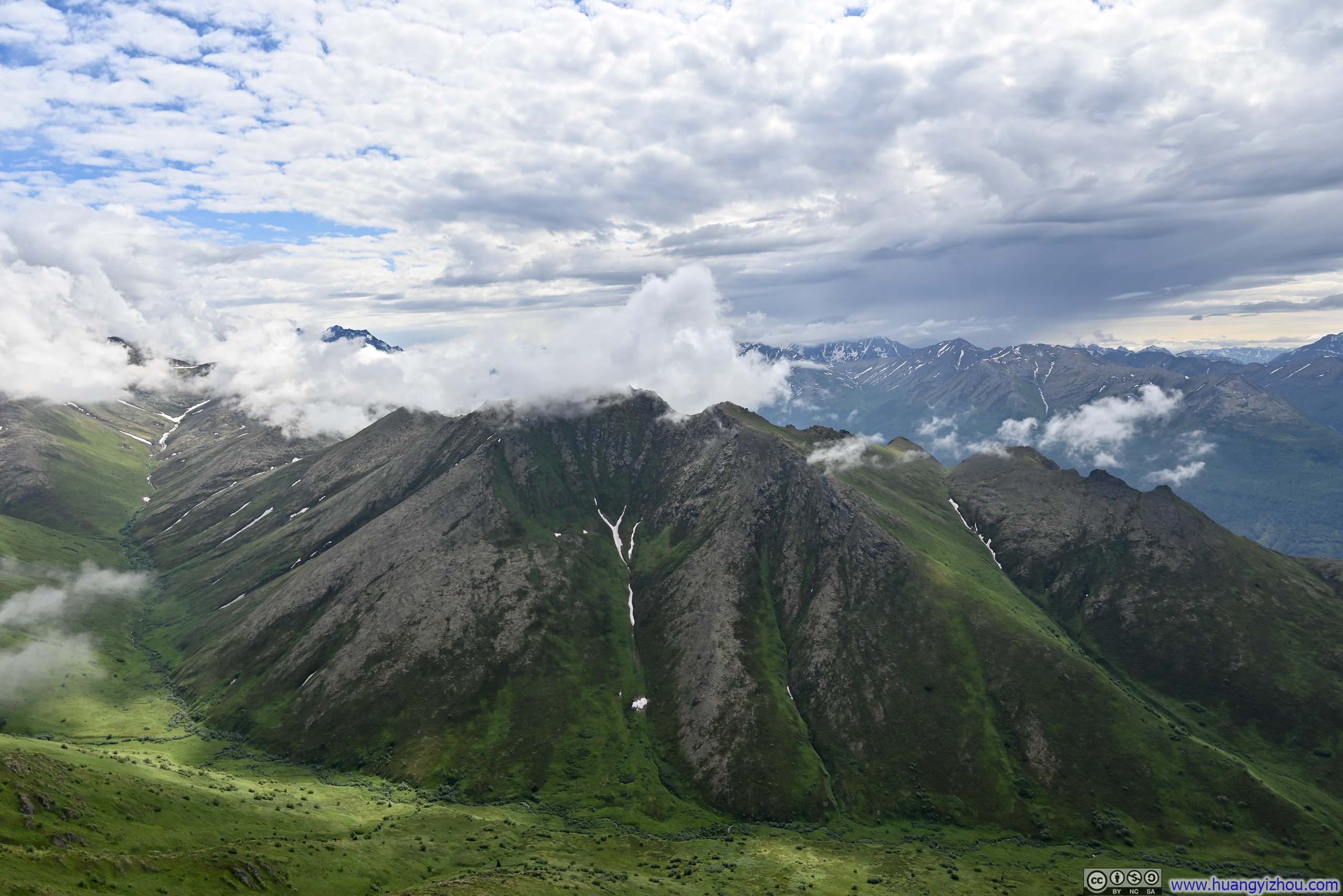
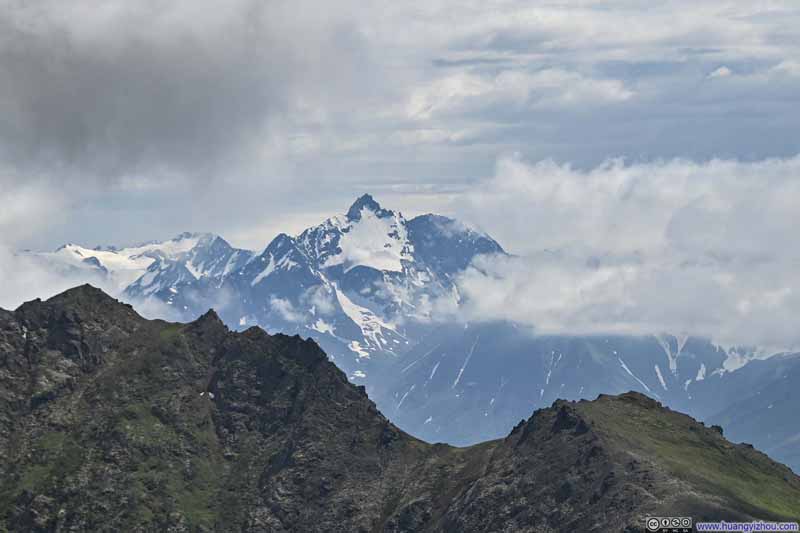
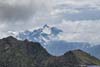
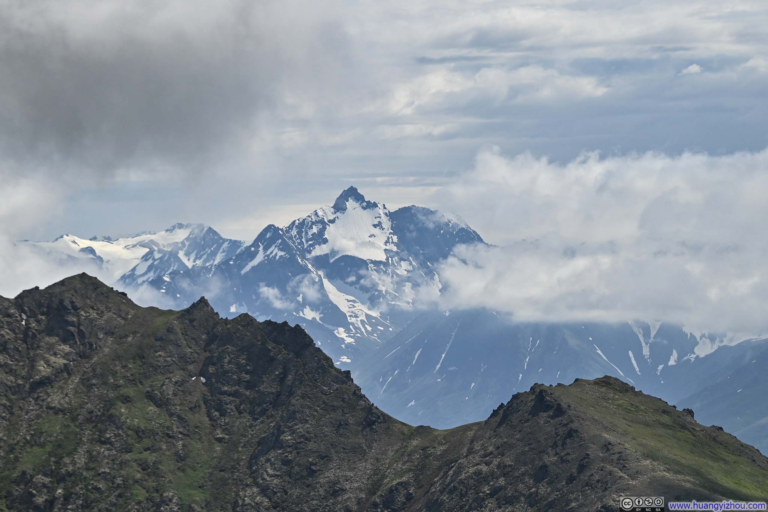
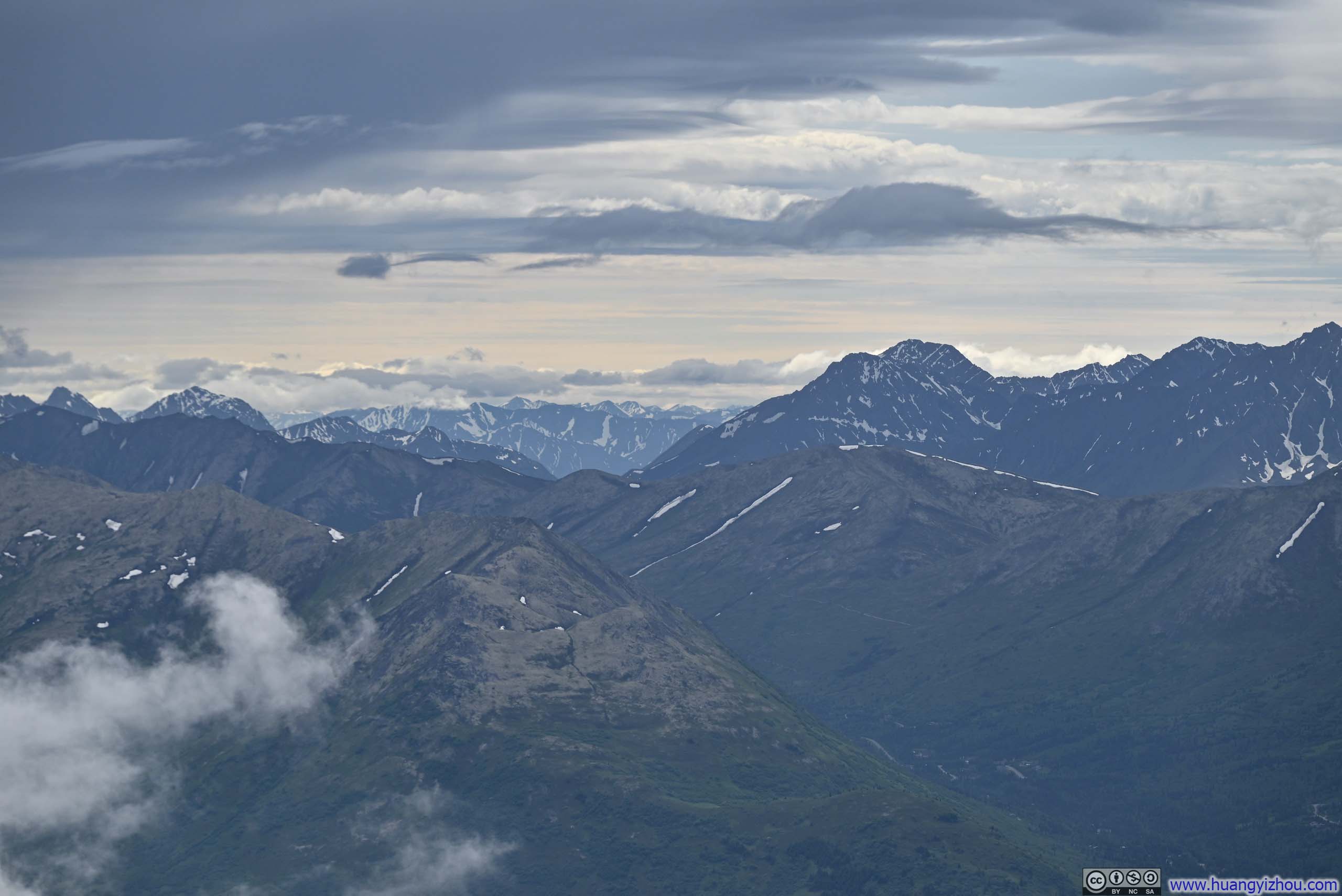
After a 40-minute workout, I made it to the (first) summit of Mt Baldy at 12:05pm. Along the way, there were occasional sights of Anchorage’s coastal plains stretching behind me,, but it was at the summit that I was truly rewarded with the first glimpses of the mountains nestled deep in Chugach State Park. Unfortunately, just like forecasted, those enchanting snow caps intermittently disappeared behind drifting veils of cloud.
 Mountains to the SouthWith Blueberry Hill in the foreground.
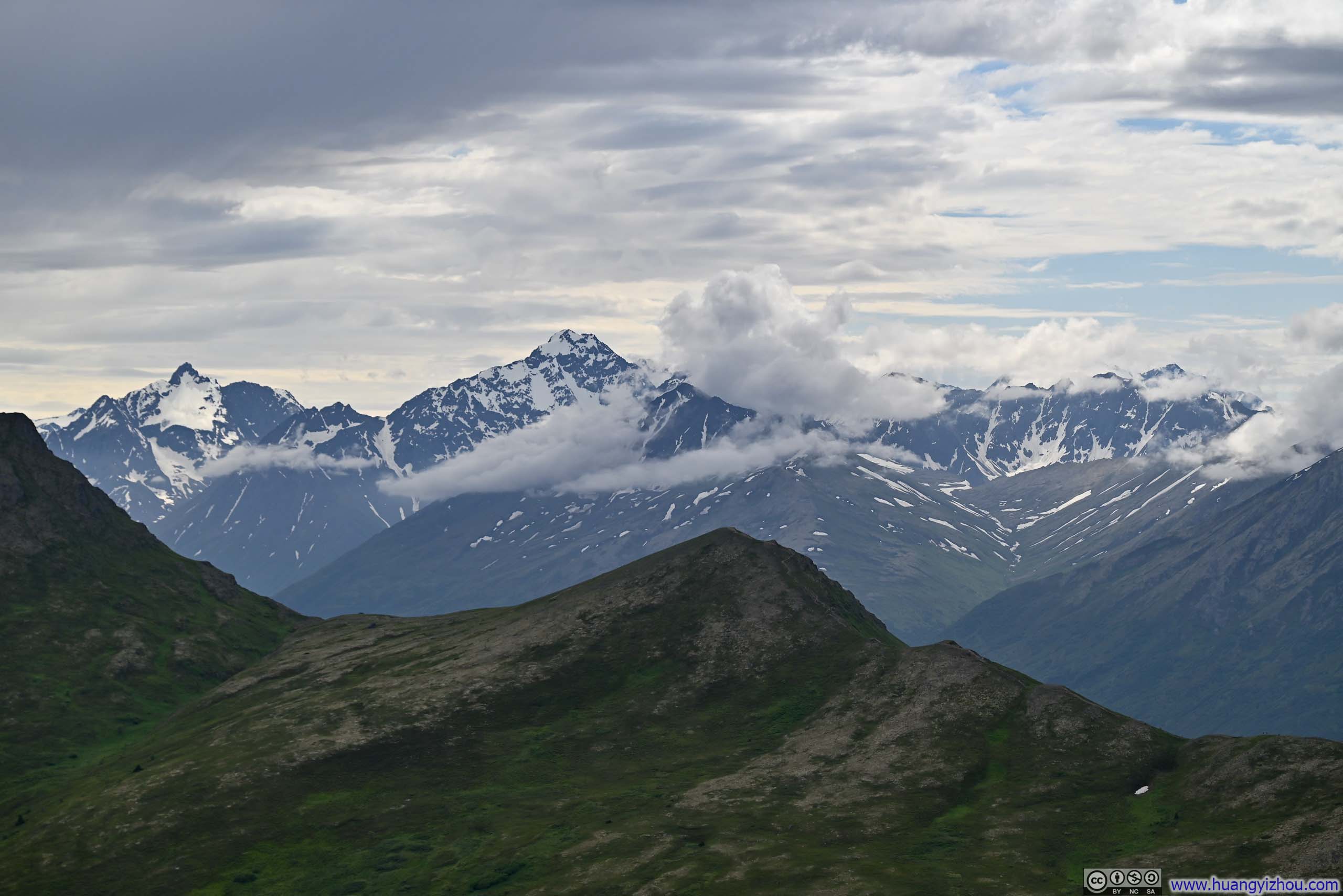
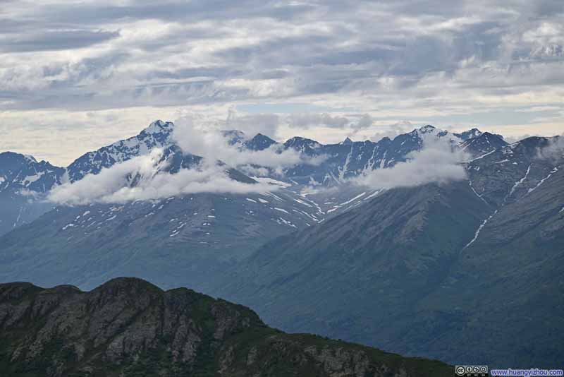 Mountains to the SouthEagle Peak in the left, barely clear of clouds.
 Distant Polar Bear Peak
 Distant Anchorage
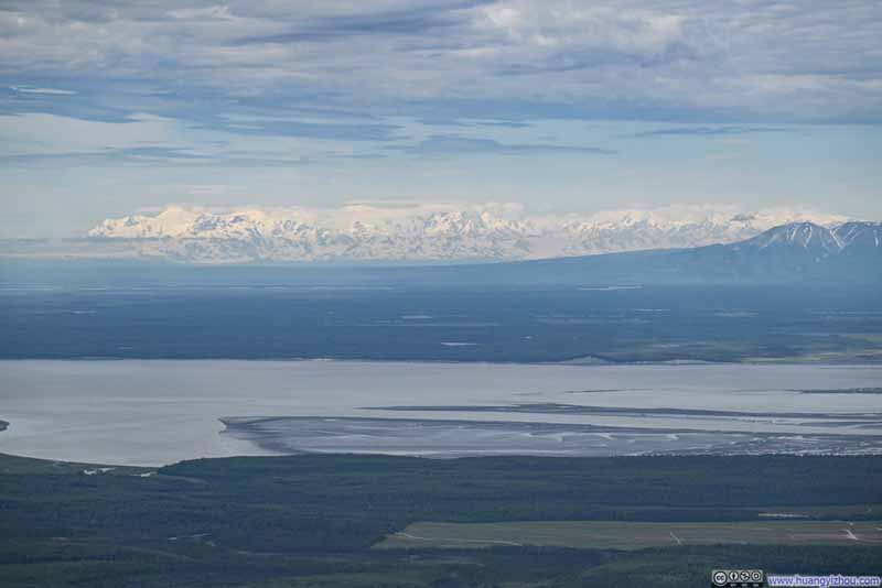 Distant Tordrillo Mountains
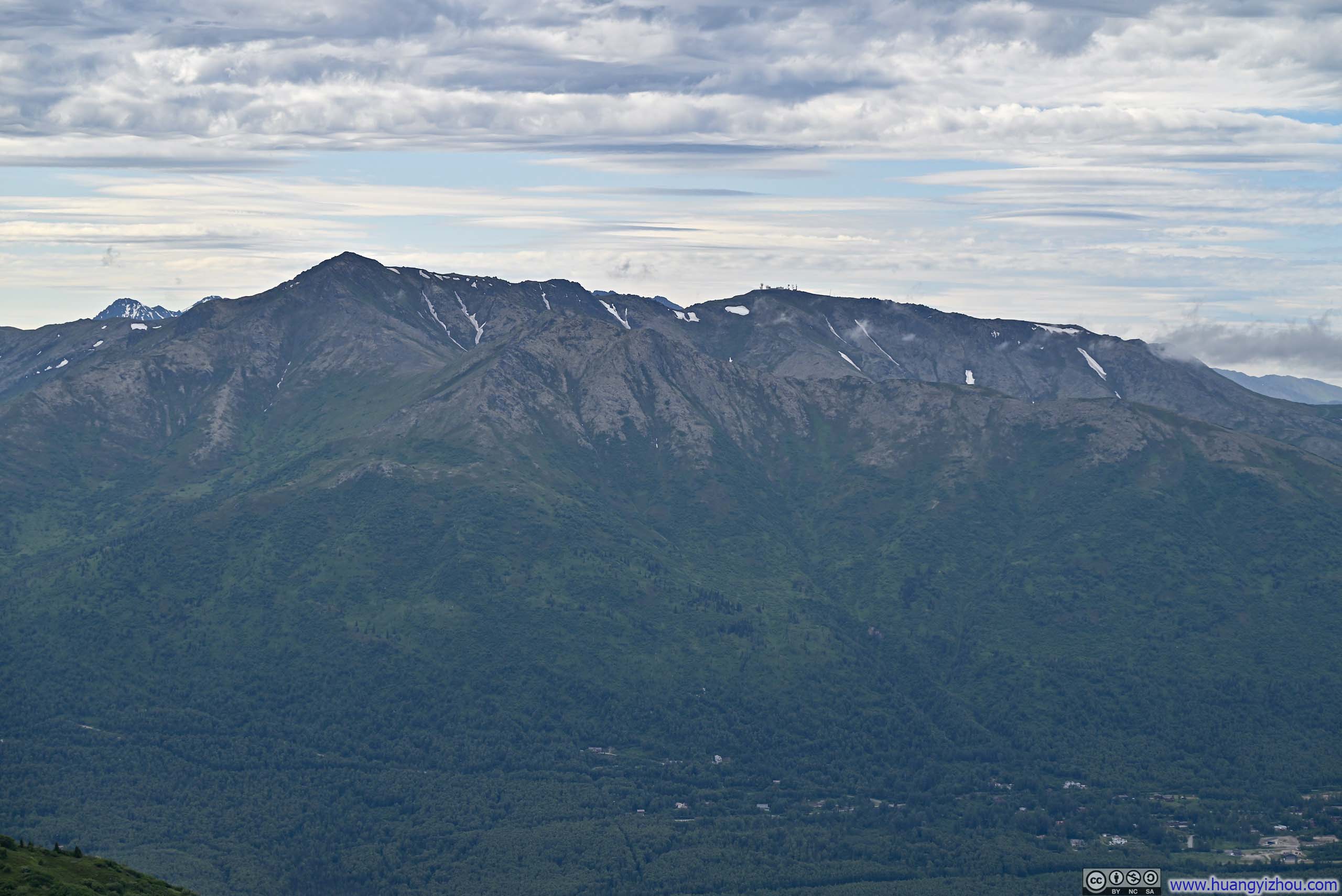
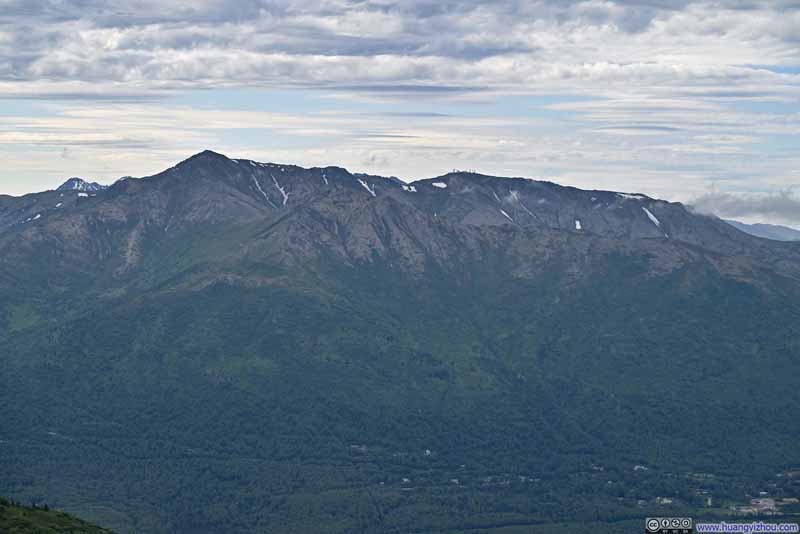 Mt Gordon LyonAmong a series of mountains to the west.

Click here to display photos from the first summit of Mt Baldy.

Mountains to the SouthWith Blueberry Hill in the foreground.

Mountains to the SouthEagle Peak in the left, barely clear of clouds.
Distant Polar Bear Peak
Distant Anchorage
Distant Tordrillo Mountains
Mt Gordon LyonAmong a series of mountains to the west.
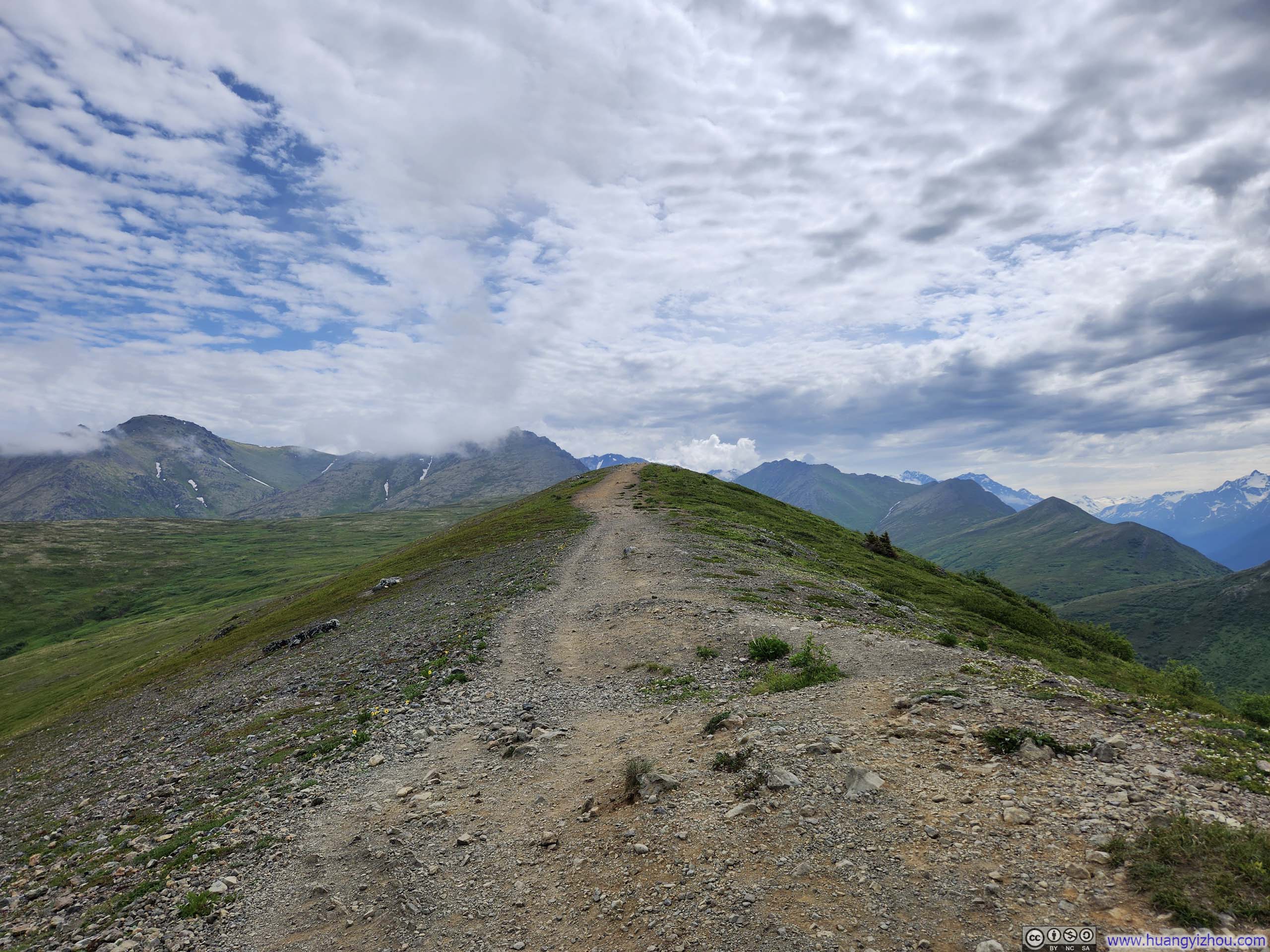
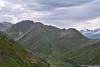
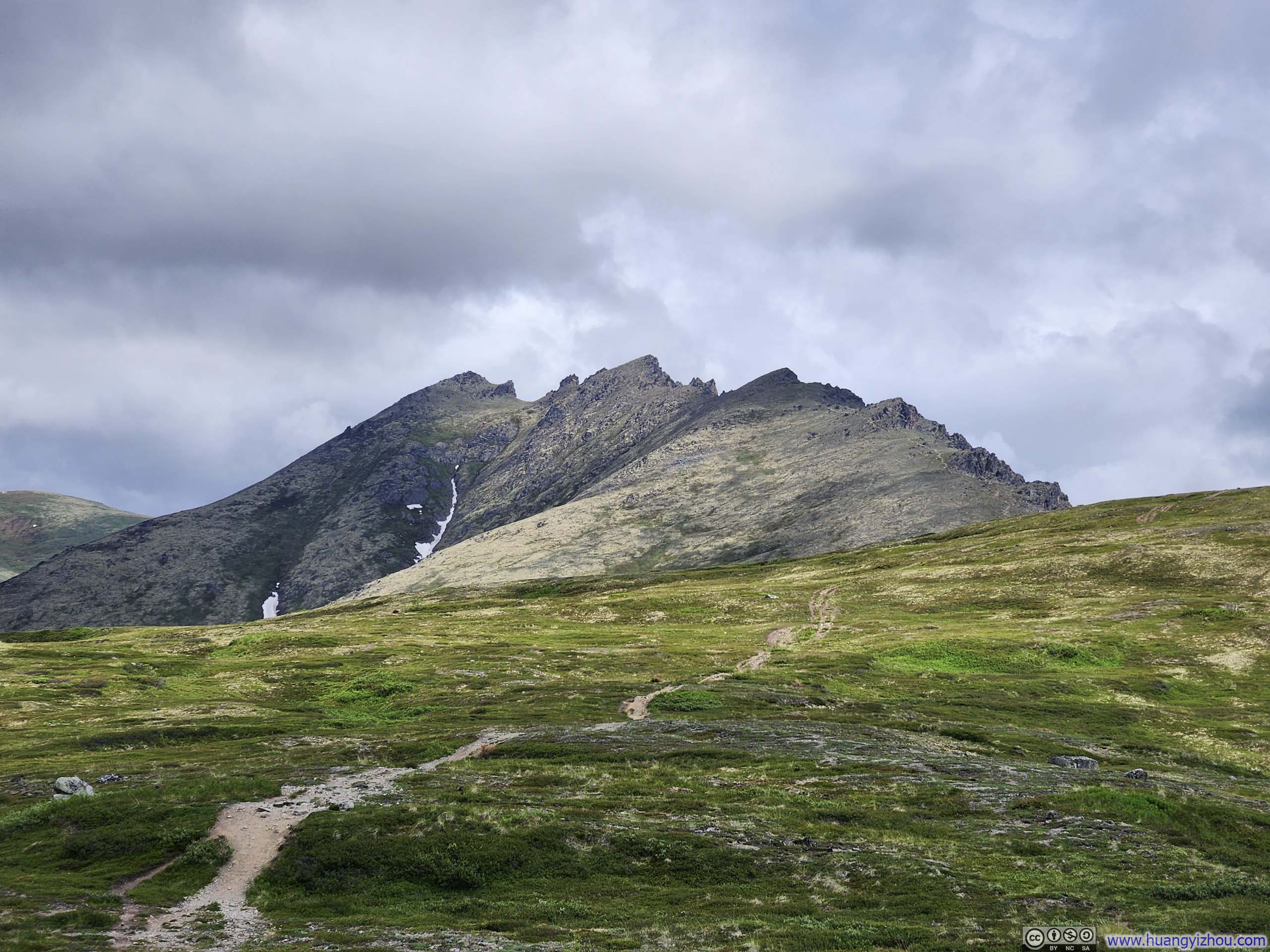
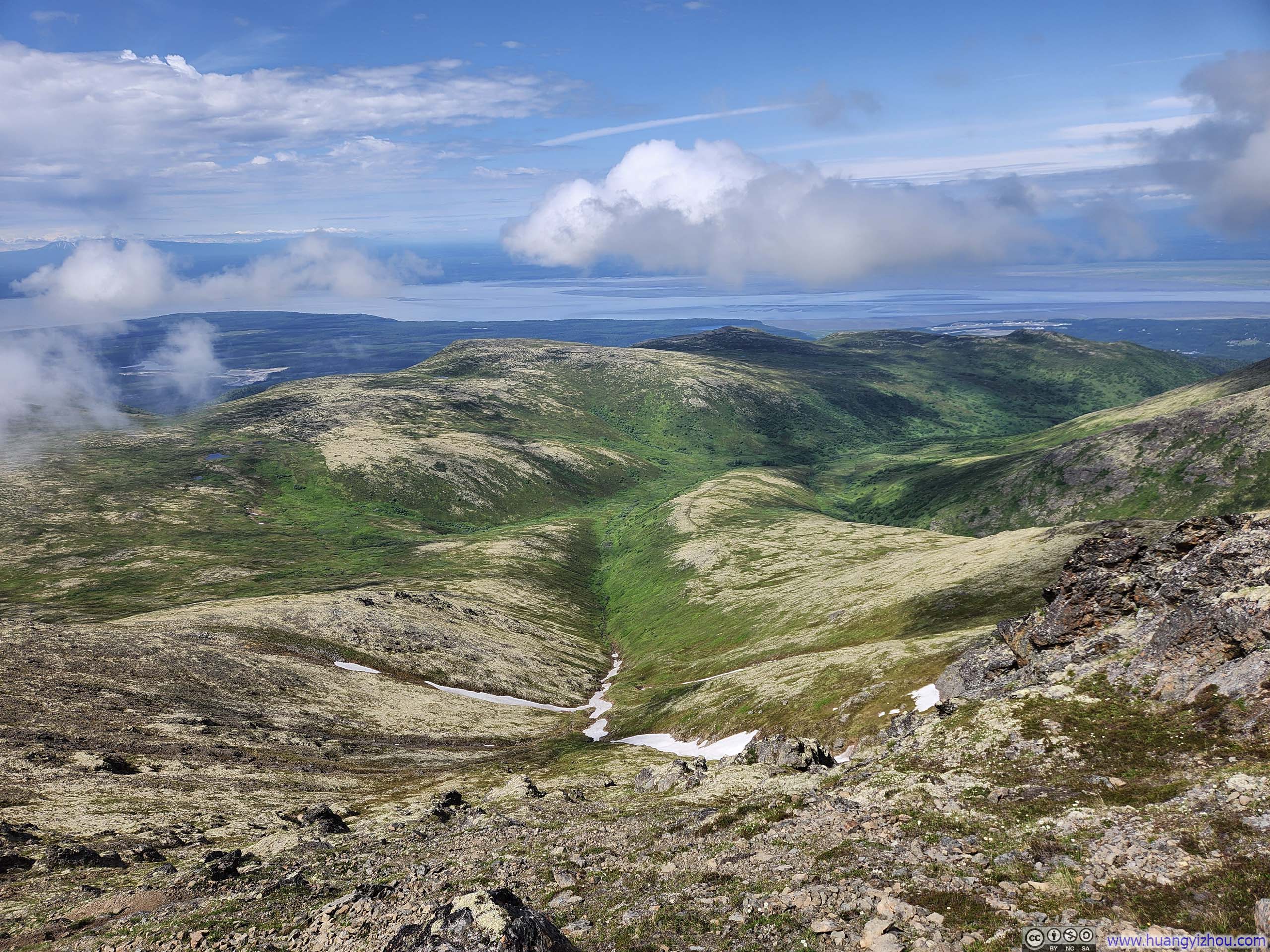
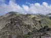
After a short 10-minute break, I continued onwards. In contrast to the relentless climb before Mt Baldy, the trail now gracefully followed a gentle, undulating ridgeline, carving its way among lush fields of grass as it made its way towards Blacktail Ptarmigan Rocks.
 Summit of Mt Baldy
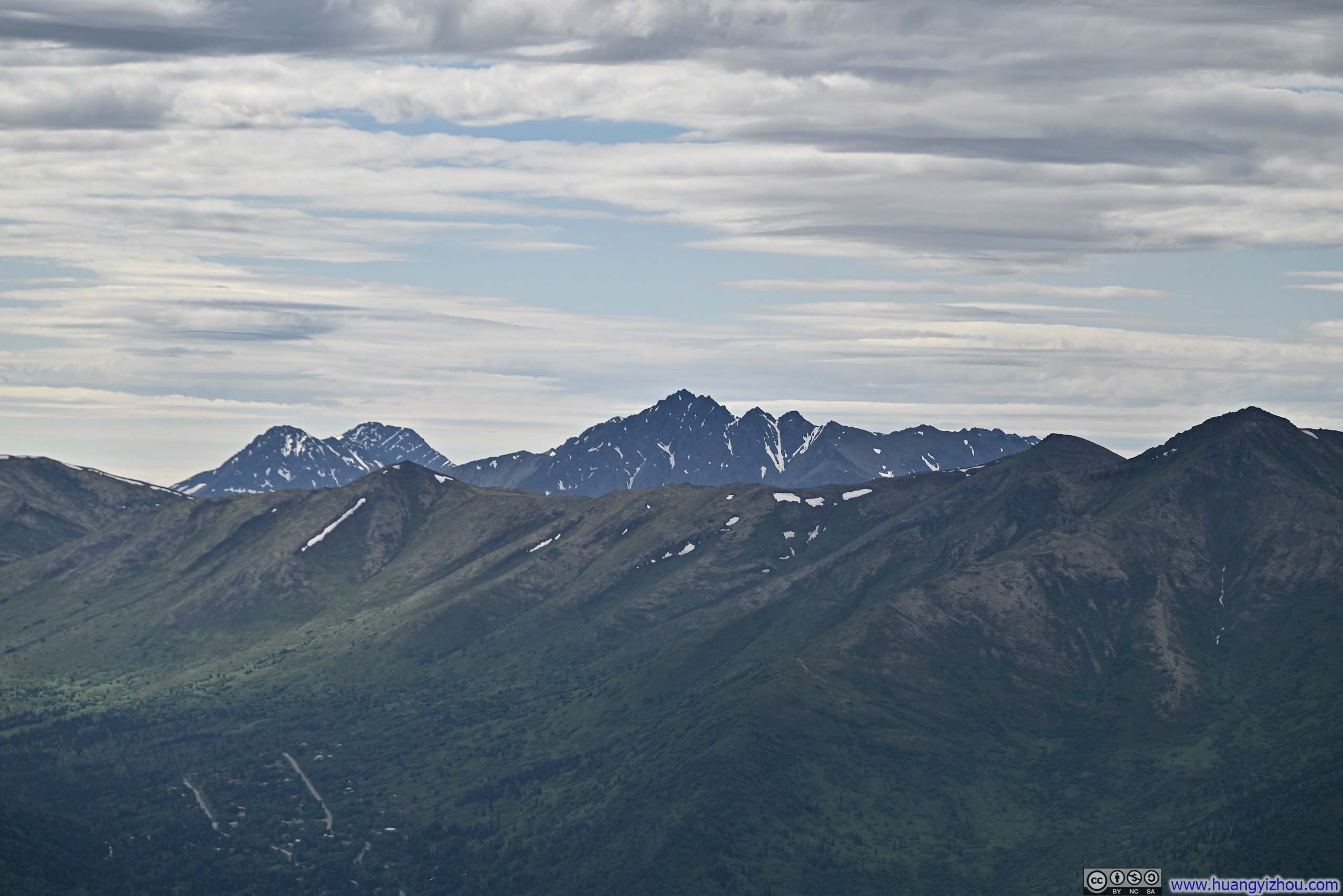
 Mountain RangesBlueberry Hill in front, higher ones across Eagle River in the back.
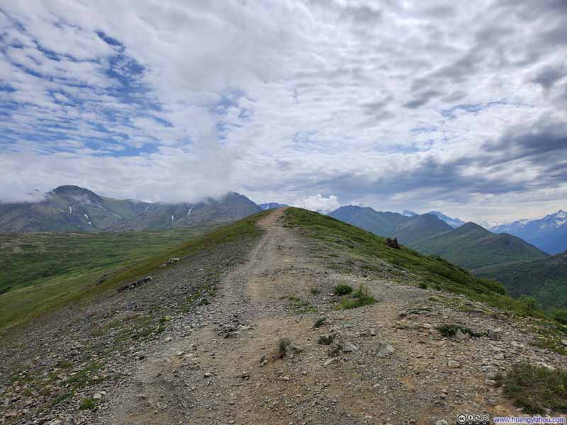 Trail
Trail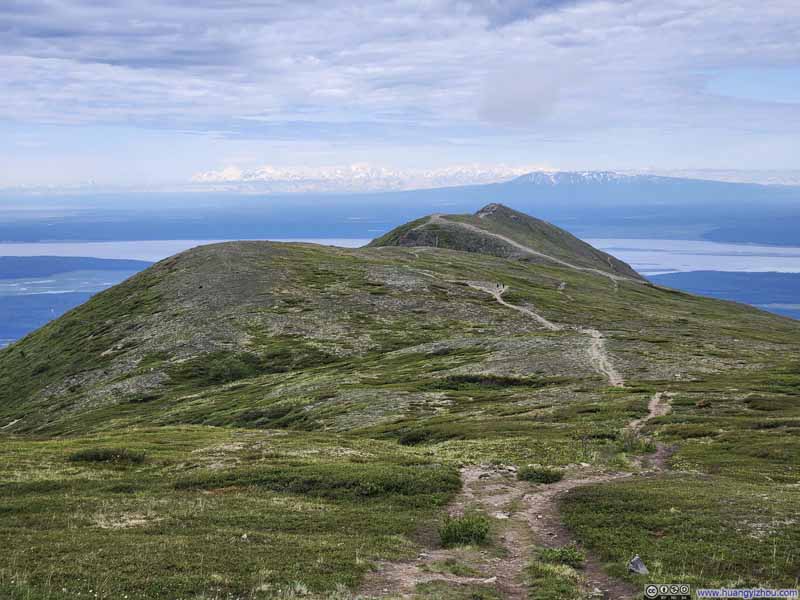 Trail from Mt Baldy Summit
Click here to display photos of the slideshow
Summit of Mt Baldy
Mountain RangesBlueberry Hill in front, higher ones across Eagle River in the back.
Trail
Trail from Mt Baldy Summit
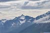
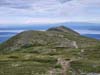
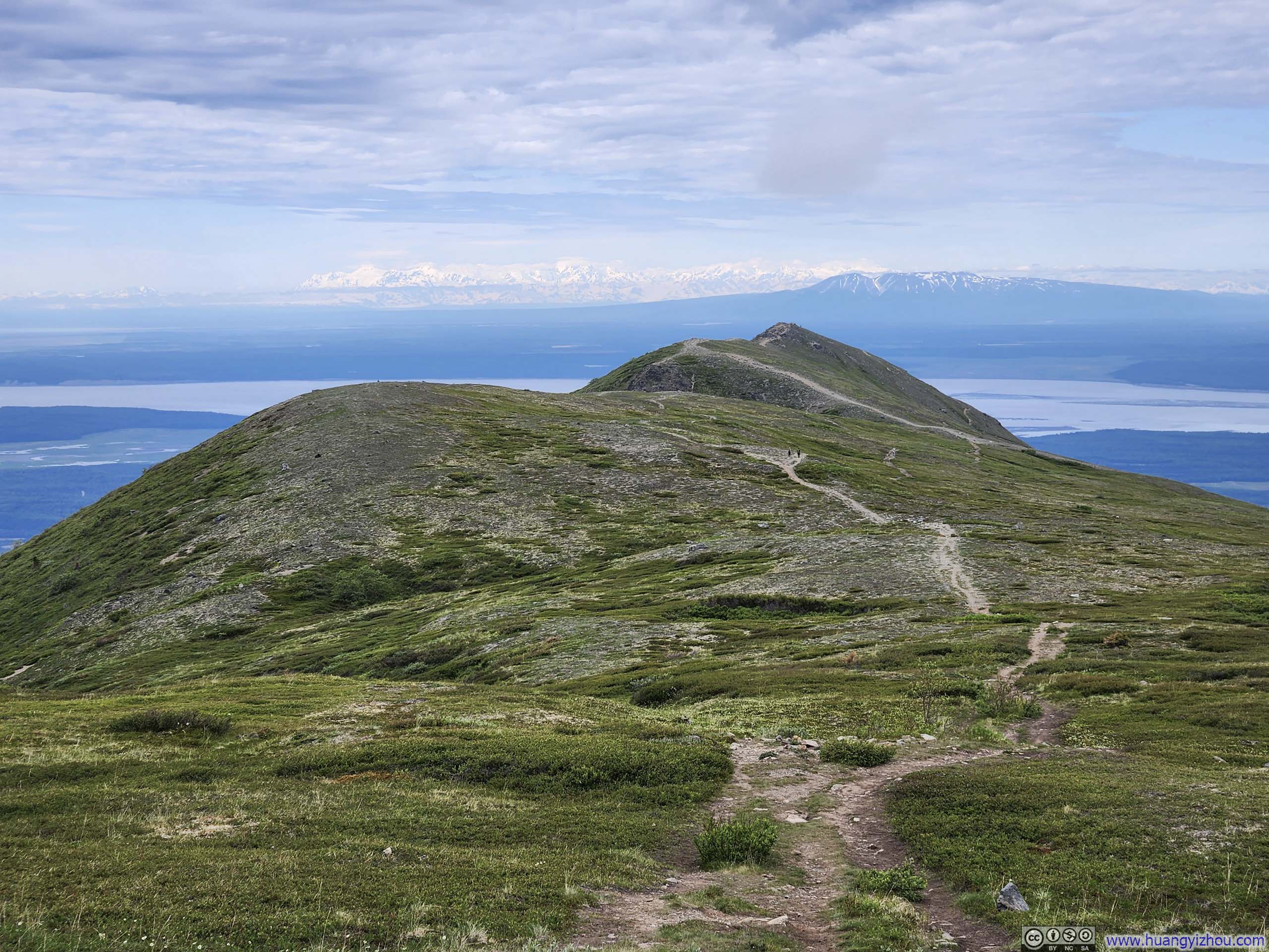
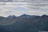
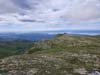
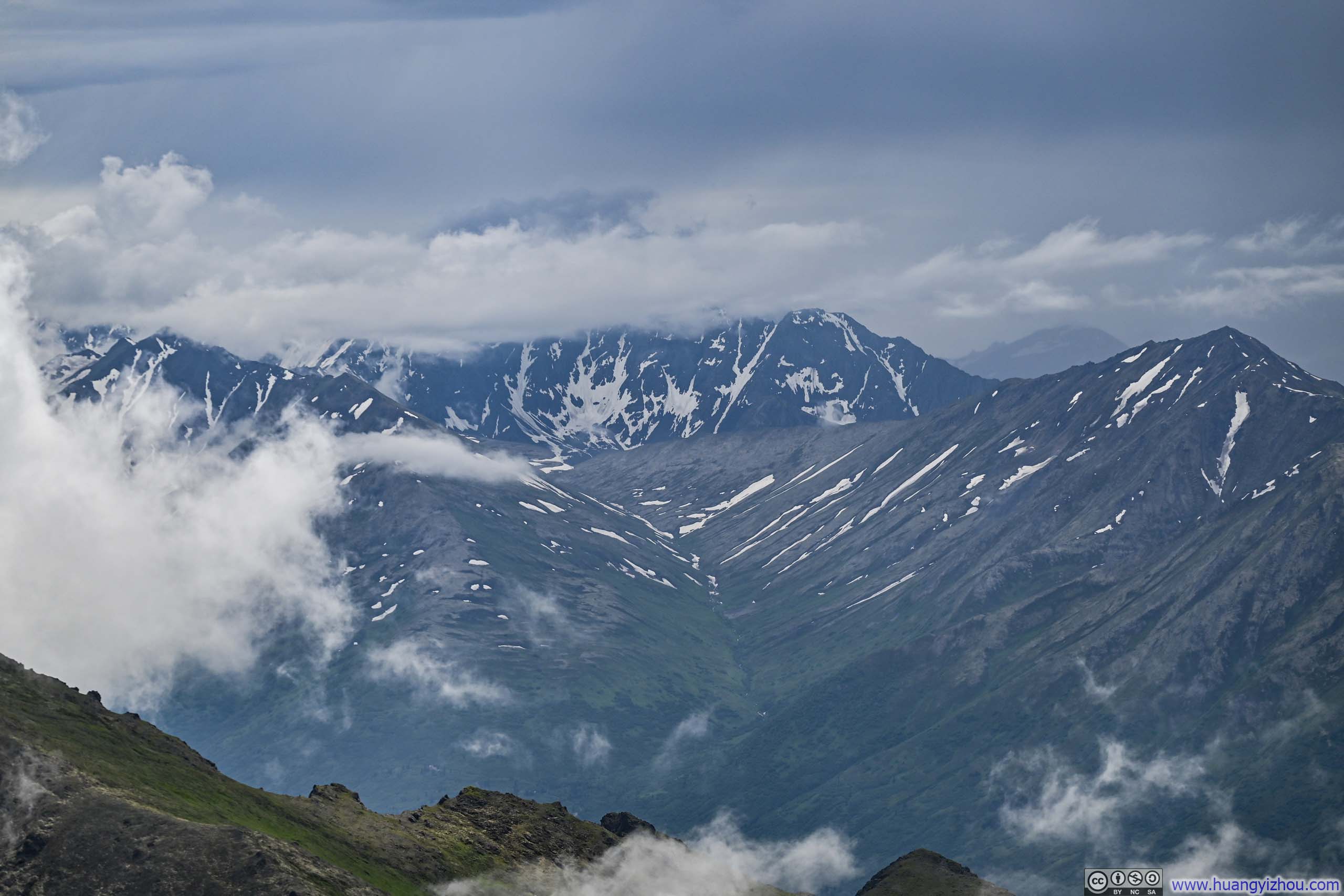
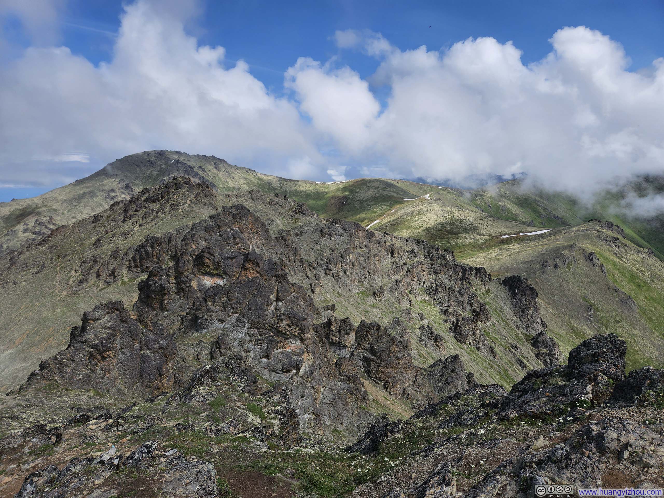
The comfortable stroll along the gentle ridgeline continued for about half an hour, before the trail reached what Google Maps marked as “Mt. Baldy Peak”. Despite its name, this so-called “peak” proved to be little more than an inconspicuous vista point along the route, lacking any discernible prominence. If such a modest elevation warranted the title of “peak”, then Mt Baldy probably had half a dozen such peaks, with this being the last, and the one I departed from half an hour ago being the first, and several others scattered along the way but removed from the main trail. Anyway, I paused there for a few minutes and snapped a few photos before continuing towards Blacktail Ptarmigan Rocks.
 Mountain Ranges
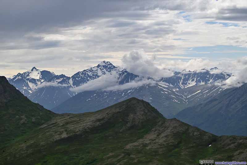 Snowy MountainsPolar Bear Peak in the left, Eagle Peak in the center.
 Temptation Peak beyond Mount Gordon Lyon
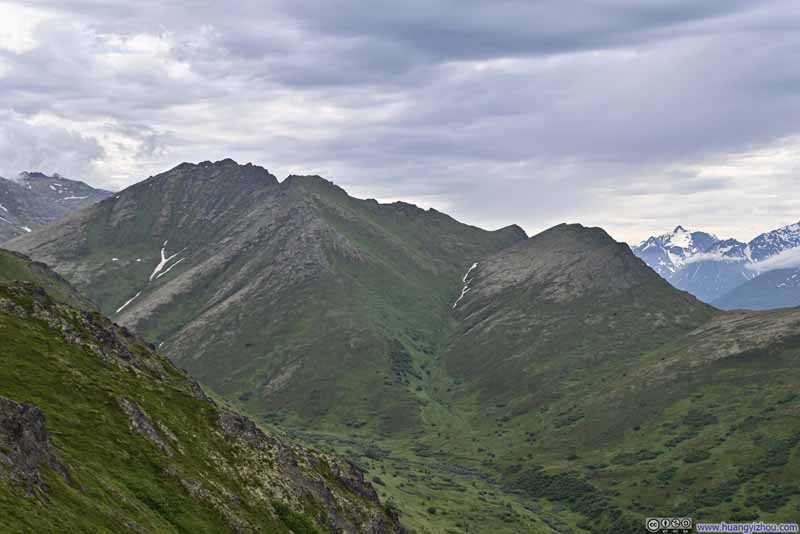 Mount Magnificent and Tucker Point
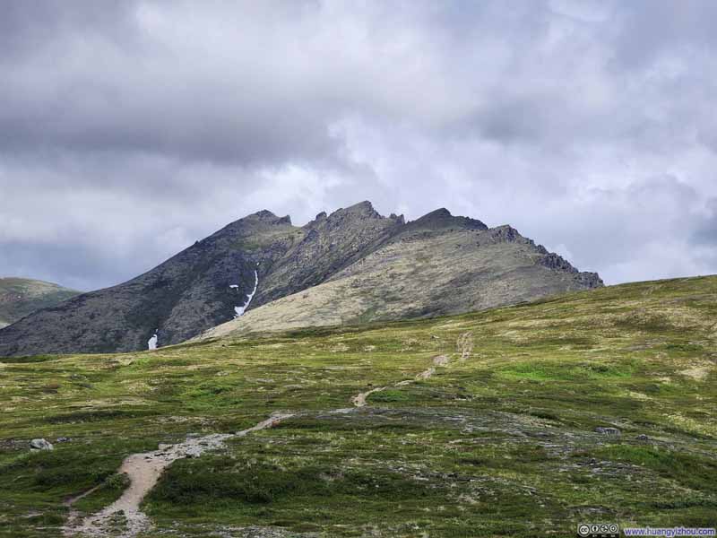
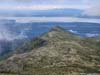
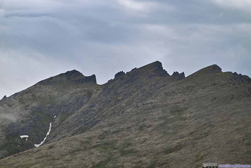 Blacktail Ptarmigan Rocks
Click here to display photos of the slideshow
Mountain Ranges
Snowy MountainsPolar Bear Peak in the left, Eagle Peak in the center.
Temptation Peak beyond Mount Gordon Lyon

Mount Magnificent and Tucker Point

Blacktail Ptarmigan Rocks
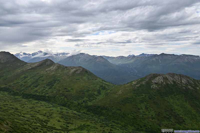
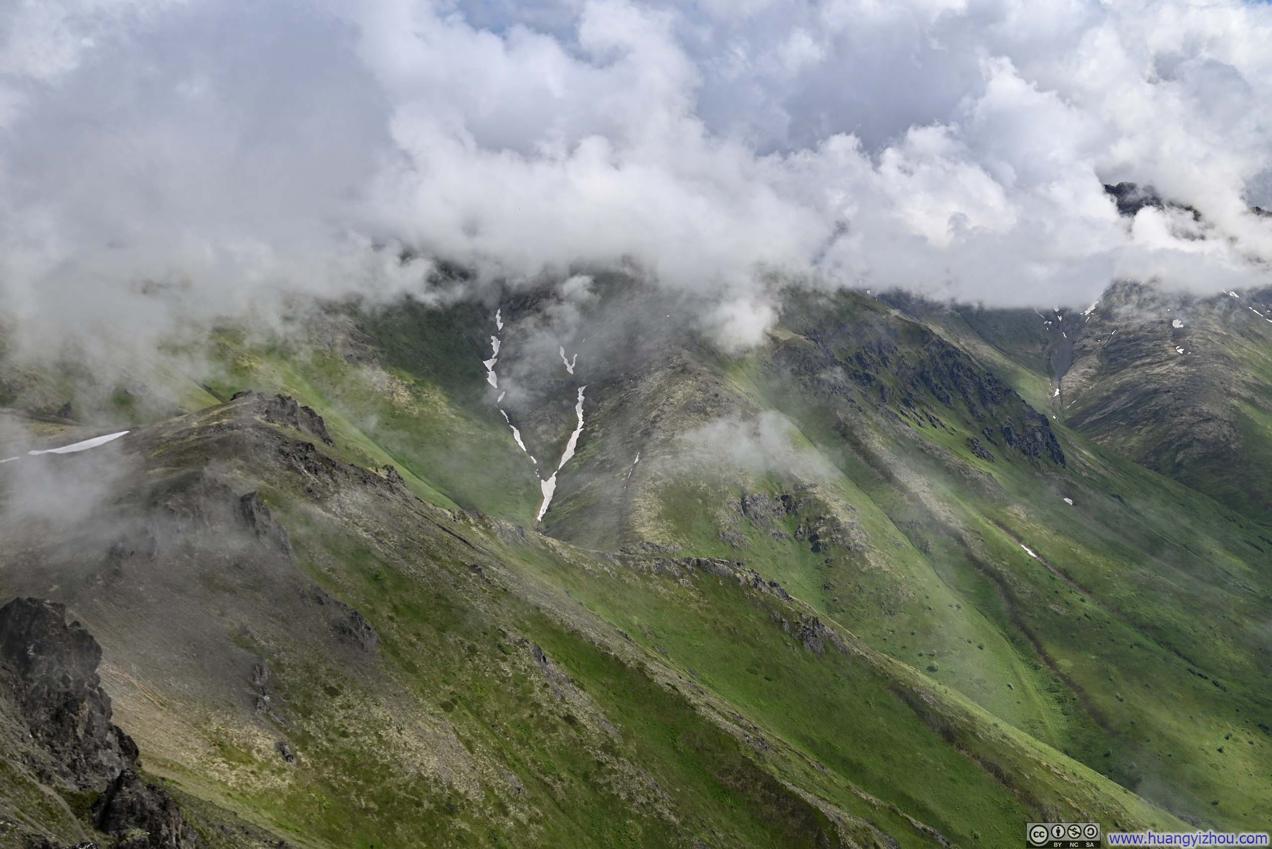
Leaving Mt Baldy’s last peak, the trail grew noticeably steeper towards Blacktail Ptarmigan Rocks. It was a mostly cloudy day, and I felt the occasional raindrop brush against my skin. Fortunately, the drizzle proved brief, and I made it to the top of Blacktail Ptarmigan Rocks at around 1:40pm.
 Trail to Blacktail Ptarmigan Rocks
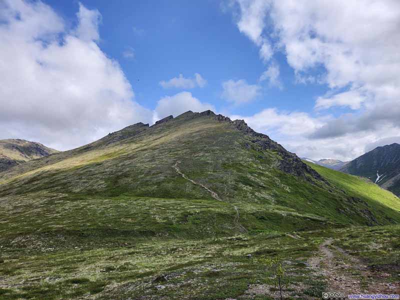 Trail to Blacktail Ptarmigan Rocks
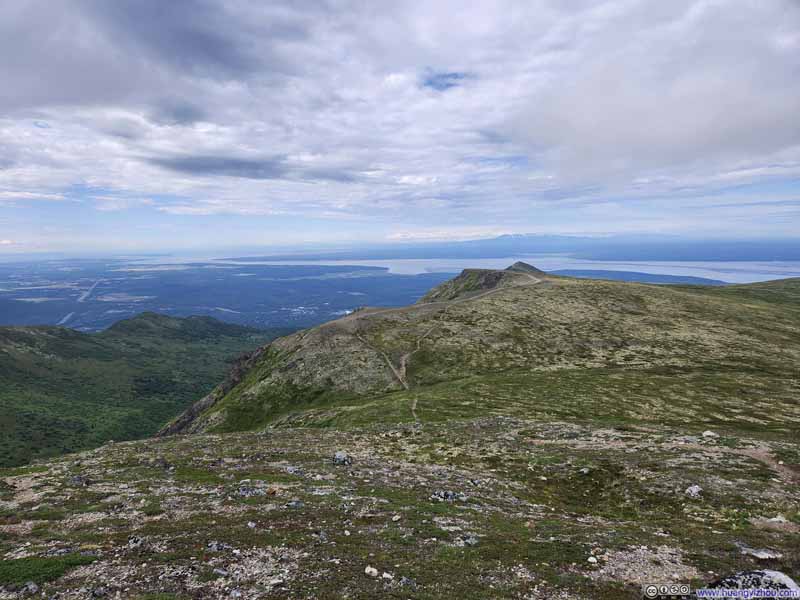 Trail from Mt Baldy Summit
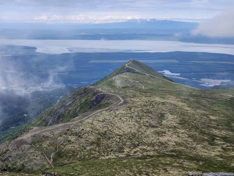 Trail from Mt Baldy Summit
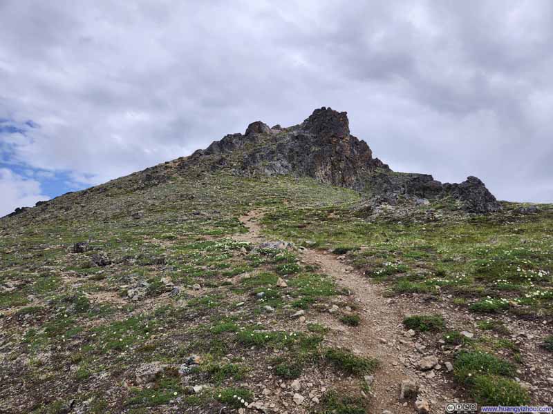 Trail to Blacktail Ptarmigan Rocks
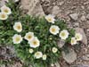
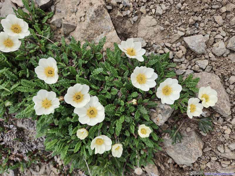 Flowers along Trail
Click here to display photos of the slideshow
Trail to Blacktail Ptarmigan Rocks
Trail to Blacktail Ptarmigan Rocks

Trail from Mt Baldy Summit

Trail from Mt Baldy Summit

Trail to Blacktail Ptarmigan Rocks

Flowers along Trail
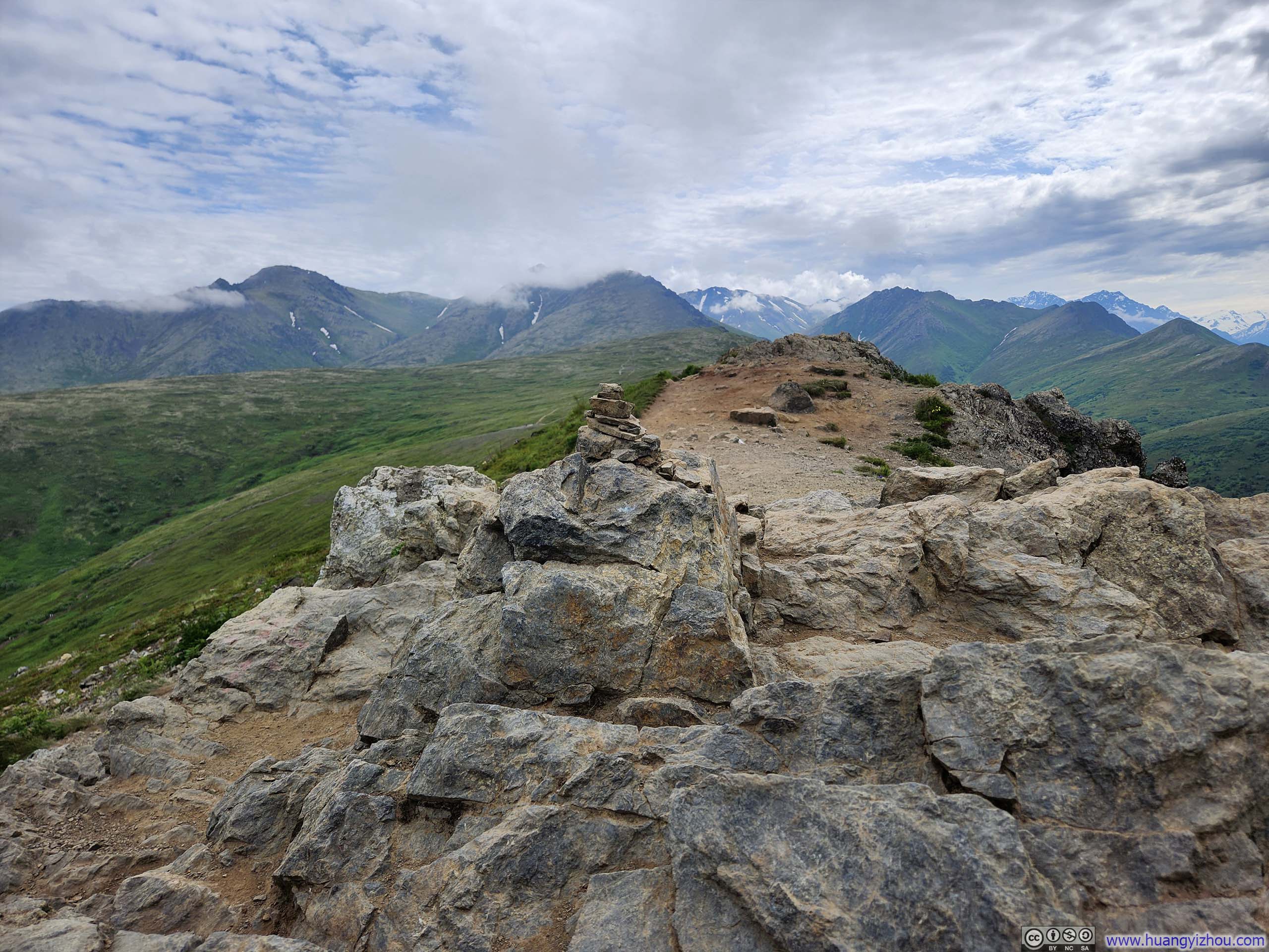
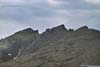
Speaking of the “top” of Blacktail Ptarmigan Rocks, I had some struggles locating the true high point-hardly surprising, since the “rocks” were in plural form. It’s a bit like Mt Baldy, featuring a series of “mini peaks”, fanning out like the feathers of the ptarmigan after which they were named. I felt the views from them were mostly similar, so I settled upon what seemed as a suitable vantage point, only to discover later that I had stopped some 200 meters (600 feet) shy of the actual summit marked on the maps.
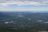
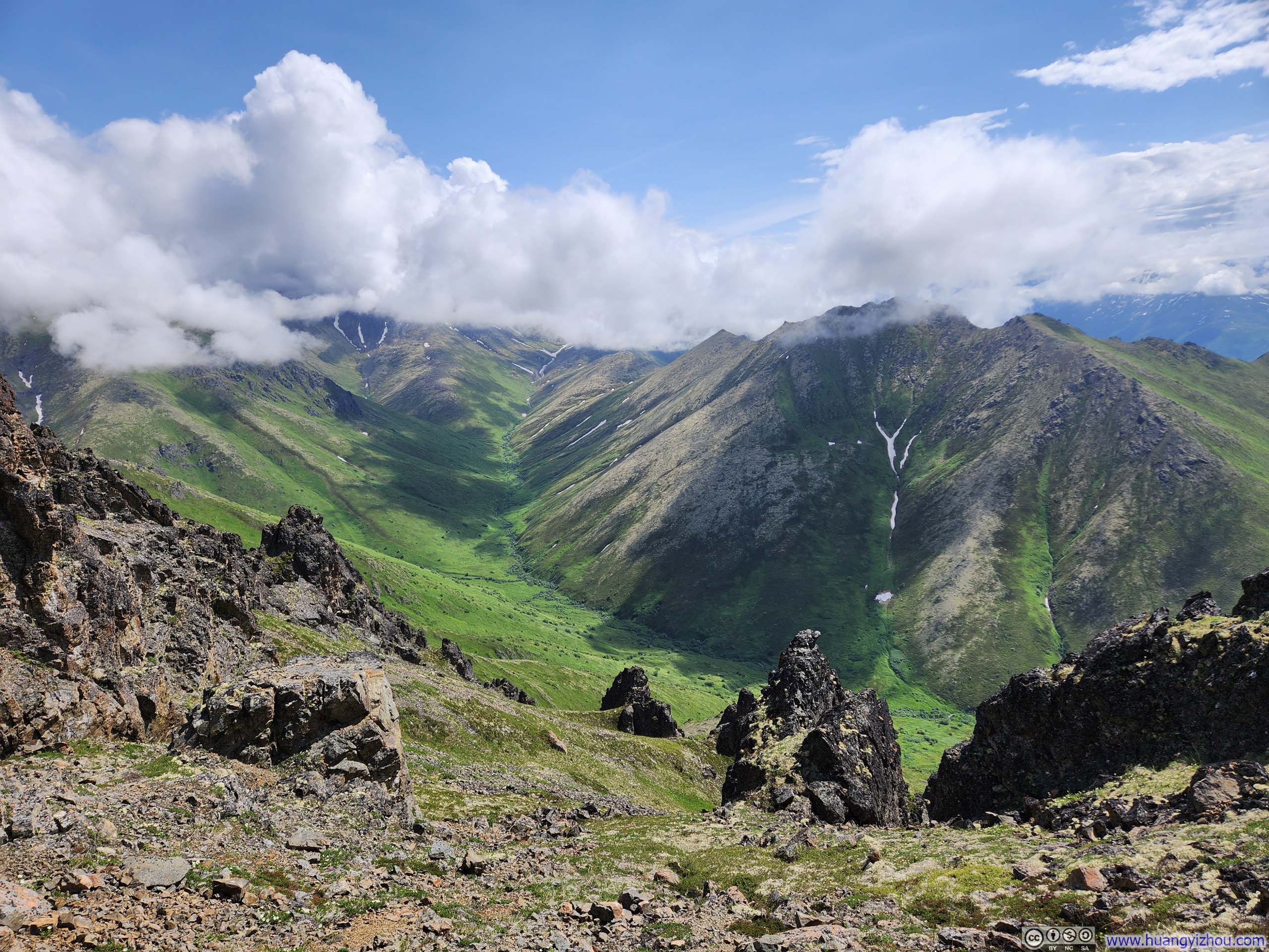
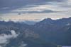
By the time I reached Blacktail Ptarmigan Rocks, the drizzle had stopped, but the mountains deeper into Chugach State Park remained covered in thick, passing clouds. So the most prominent views from there were that of Meadow Creek Valley stretching away to the south. Yet even there, the surrounding peaks remained largely shrouded in mist, their summits appearing only in fleeting glimpses as the clouds shifted and rolled through the mountain corridors.
 Meadow Creek Valley
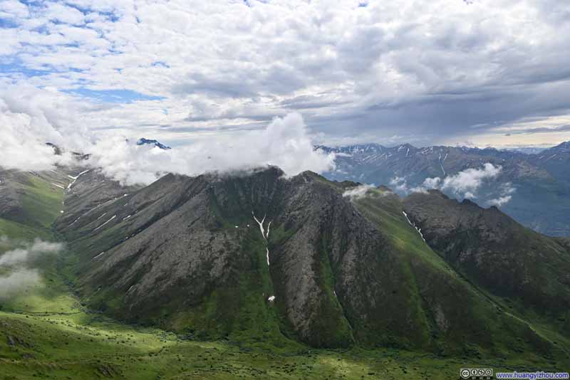 Mt Magnificent
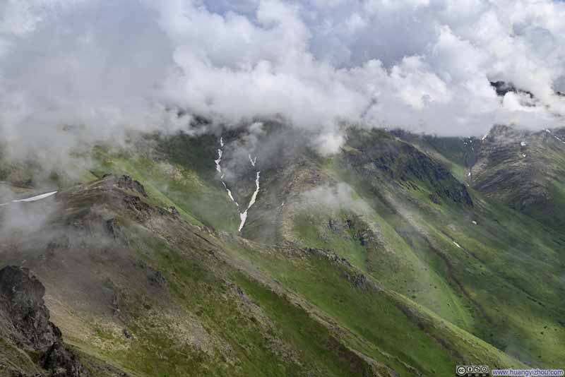 Vista Peak behind Clouds
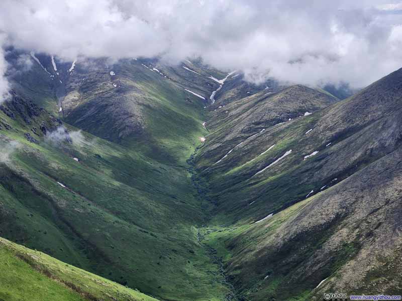 Meadow Creek Valley
 Meadow Creek Valley
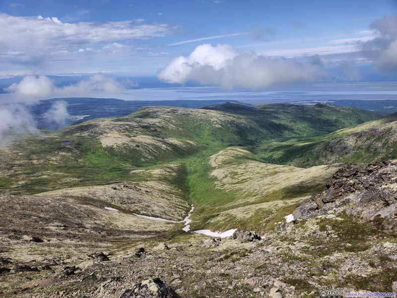 Ptarmigan Valley


Click here to display photos from Blacktail Ptarmigan Rocks.

Meadow Creek Valley
Mt Magnificent
Vista Peak behind Clouds

Meadow Creek Valley
Meadow Creek Valley
Ptarmigan Valley
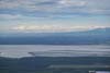
Unfortunately, while the vistas from Blacktail Ptarmigan Rocks proved less spectacular than those I had witnessed on previous days, swarms of insects engaged in hilltopping behavior further diminished my appreciation of the scenery. Though I had endured annoying encounters with hilltopping insects before, discovering a spider perched upon my shoulder elevated the experience to an entirely new level of horror discomfort. As a result, I immediately retreated to lower grounds where I could finish my snacks in peace. Fortunately, several saddles situated between the “Rocks” afforded similarly rewarding views without the unwelcomed entomological accompaniment.
 Distant Polar Bear Peak
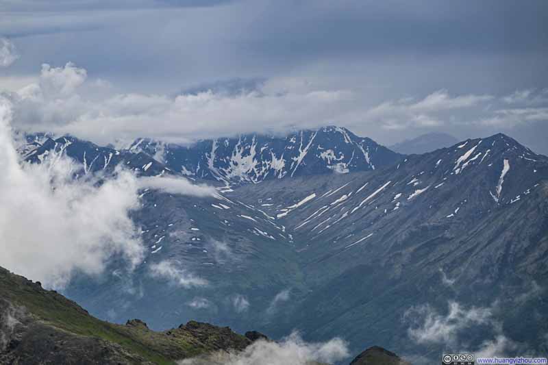 Cantata Peak behind Clouds
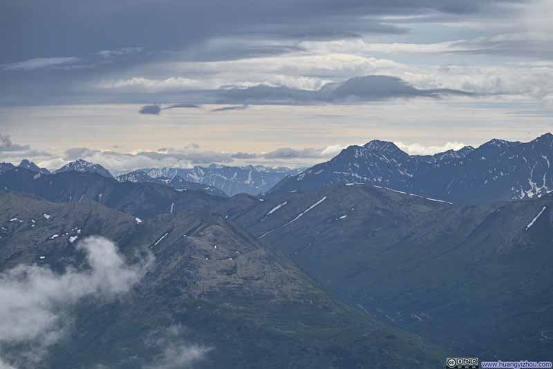 Distant Mountains to the SouthThe ones beyond Turnagain Arm.
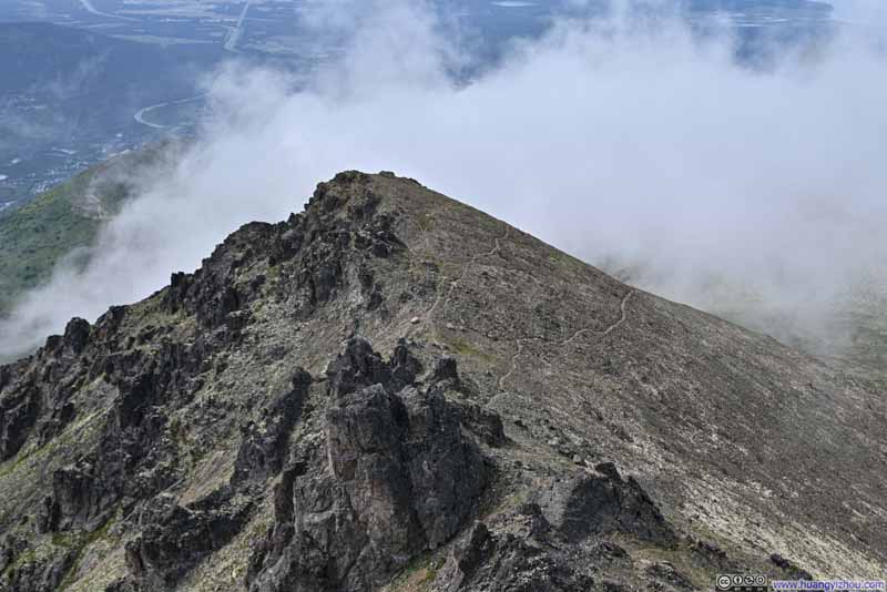 Looking Back at Trails to Blacktail Ptarmigan Rocks
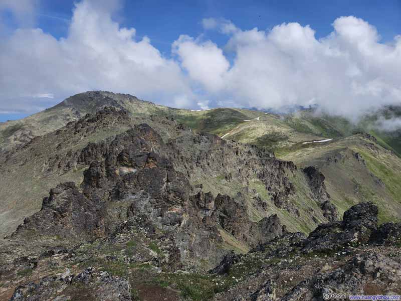 Hills to the East

Click here to display photos from Blacktail Ptarmigan Rocks.
Distant Polar Bear Peak
Cantata Peak behind Clouds
Distant Mountains to the SouthThe ones beyond Turnagain Arm.

Looking Back at Trails to Blacktail Ptarmigan Rocks
Hills to the East
Here’s a video I took from Blacktail Ptarmigan Rocks.
14 seconds, 2160p60fps, 20Mbps/35MB for H265 and H264.
Finally, I left Blacktail Ptarmigan Rocks at around 2:20pm. Looking back at Blacktail Ptarmigan Rocks during my descent, I observed the clouds beginning to thin—a rather ironic development that underscored how my time at the peak had unfortunately coincided with the day’s least favorable weather.
Heading back down, I followed a different trail, taking the northern “loop” variant and bypassing the first summit of Mt Baldy. Gradient was more gentle along this trail, at the expense of the mountainous views I had savored during my ascent.
In the end, I was back with my car at 4:10pm, concluding the hike in 4 hours and 45 minutes, including all stops and rests.
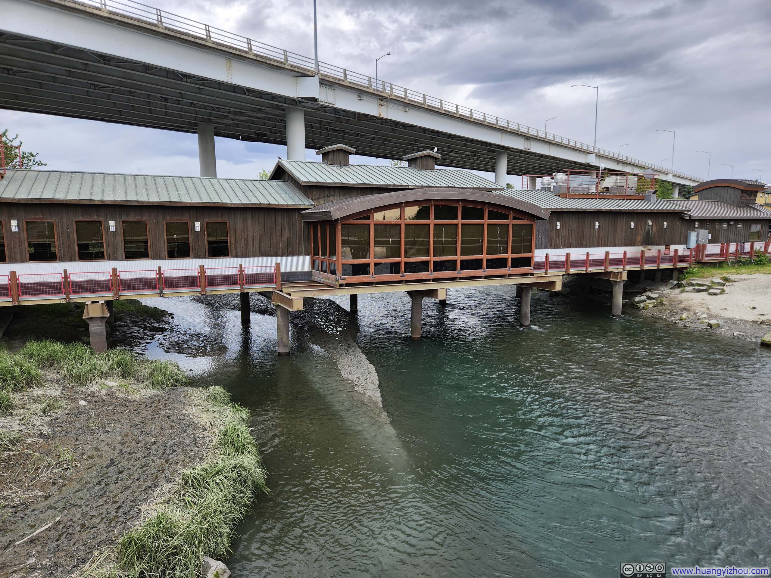
Ship Creek Bridge
END
![]() Day 7 of 2025 Independence Day Trip to Alaska, Mount Baldy and Blacktail Ptarmigan Rocks by Huang's Site is licensed under a Creative Commons Attribution-NonCommercial-ShareAlike 4.0 International License.
Day 7 of 2025 Independence Day Trip to Alaska, Mount Baldy and Blacktail Ptarmigan Rocks by Huang's Site is licensed under a Creative Commons Attribution-NonCommercial-ShareAlike 4.0 International License.