
Updated on April 23, 2022
Hiking Mary’s Rock in Shenandoah
A warm day in the month of May as summer colors finally returned to the mountains. I headed out to Shenandoah National Park for some hiking.
Mary’s Rock
This time I picked Mary’s Rock Trail, whose trailhead was conveniently located near Thornton Gap Service Station.
From satellite image, it seemed that the trail and service station were also accessible from a parking lot on Lee Highway / US 211 that didn’t require entrance fees.
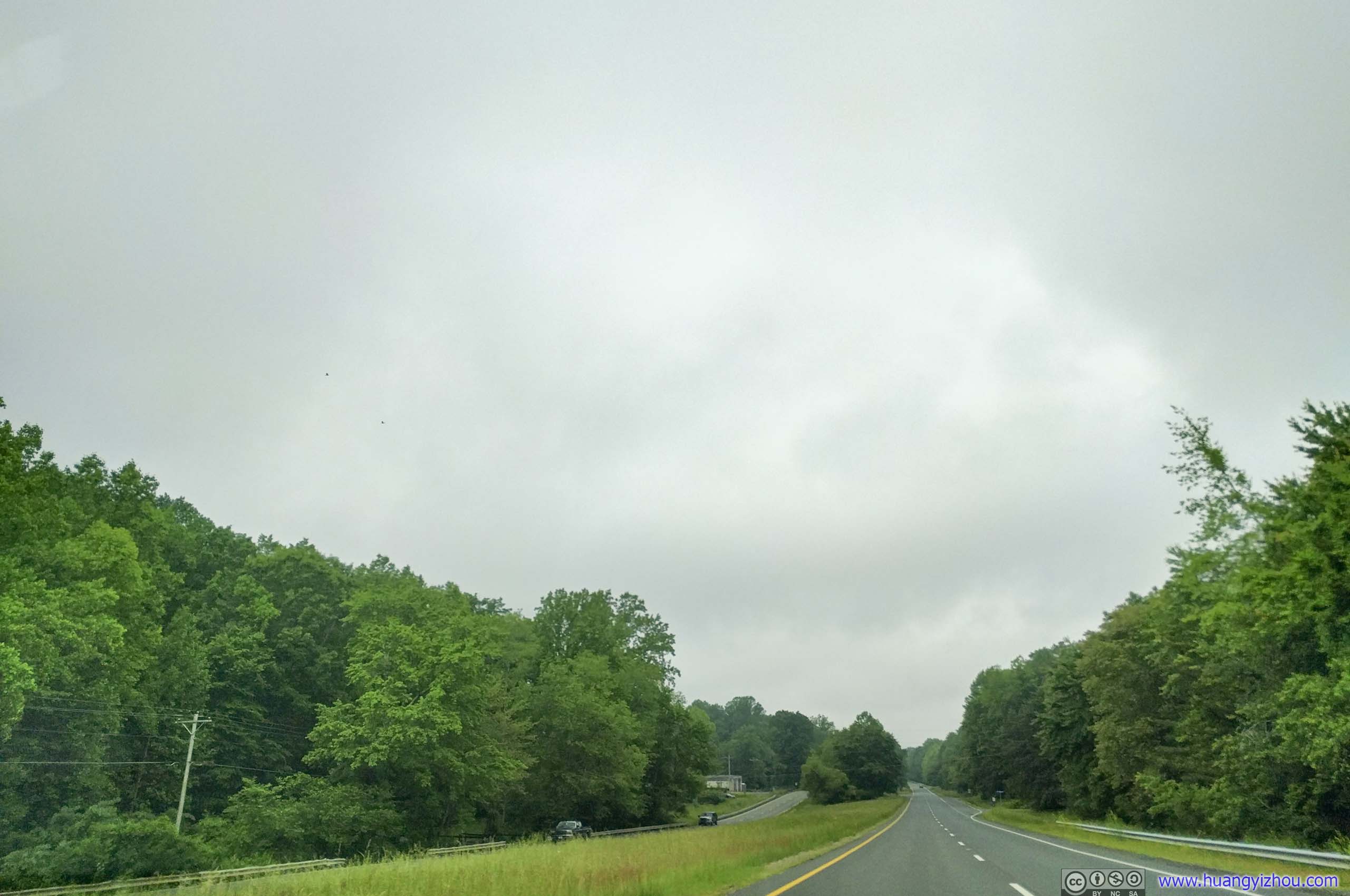

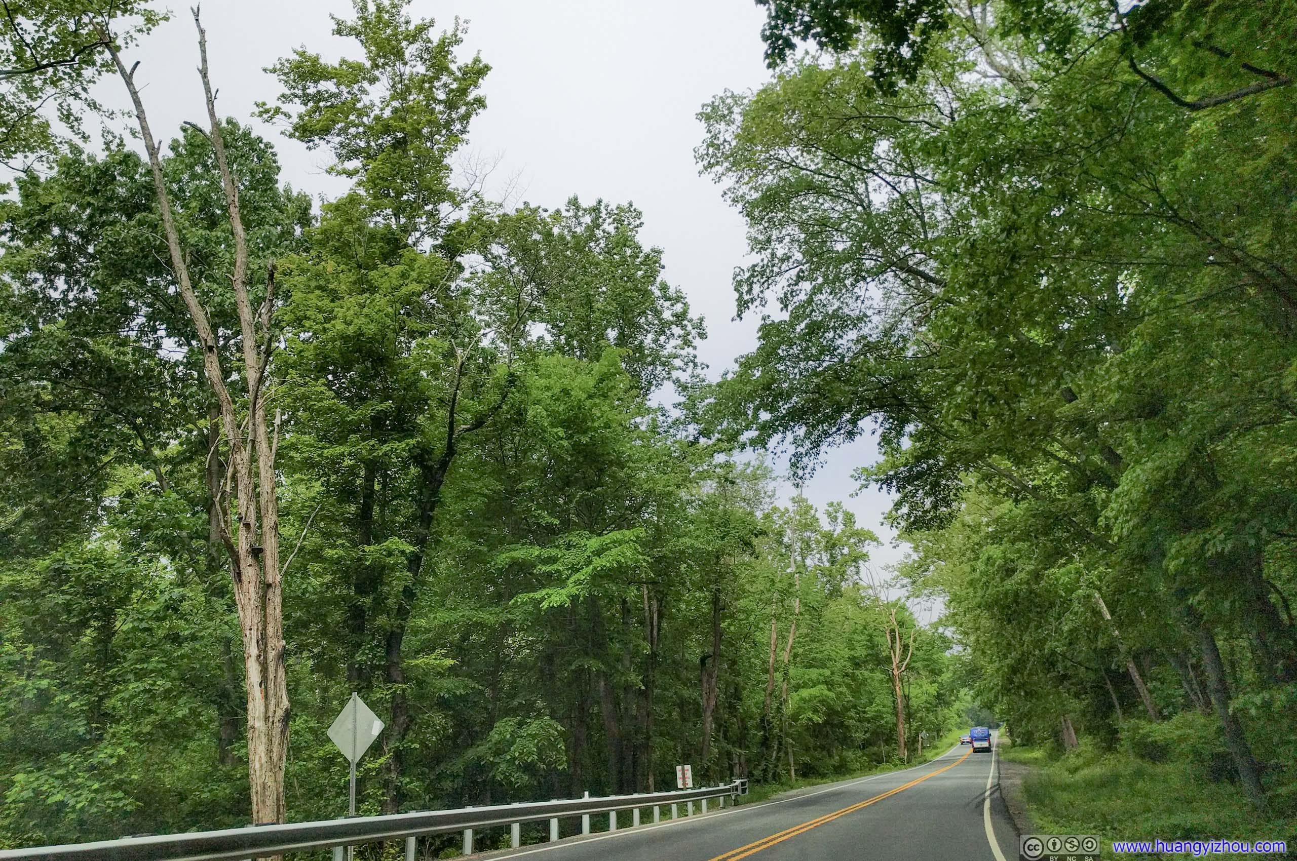
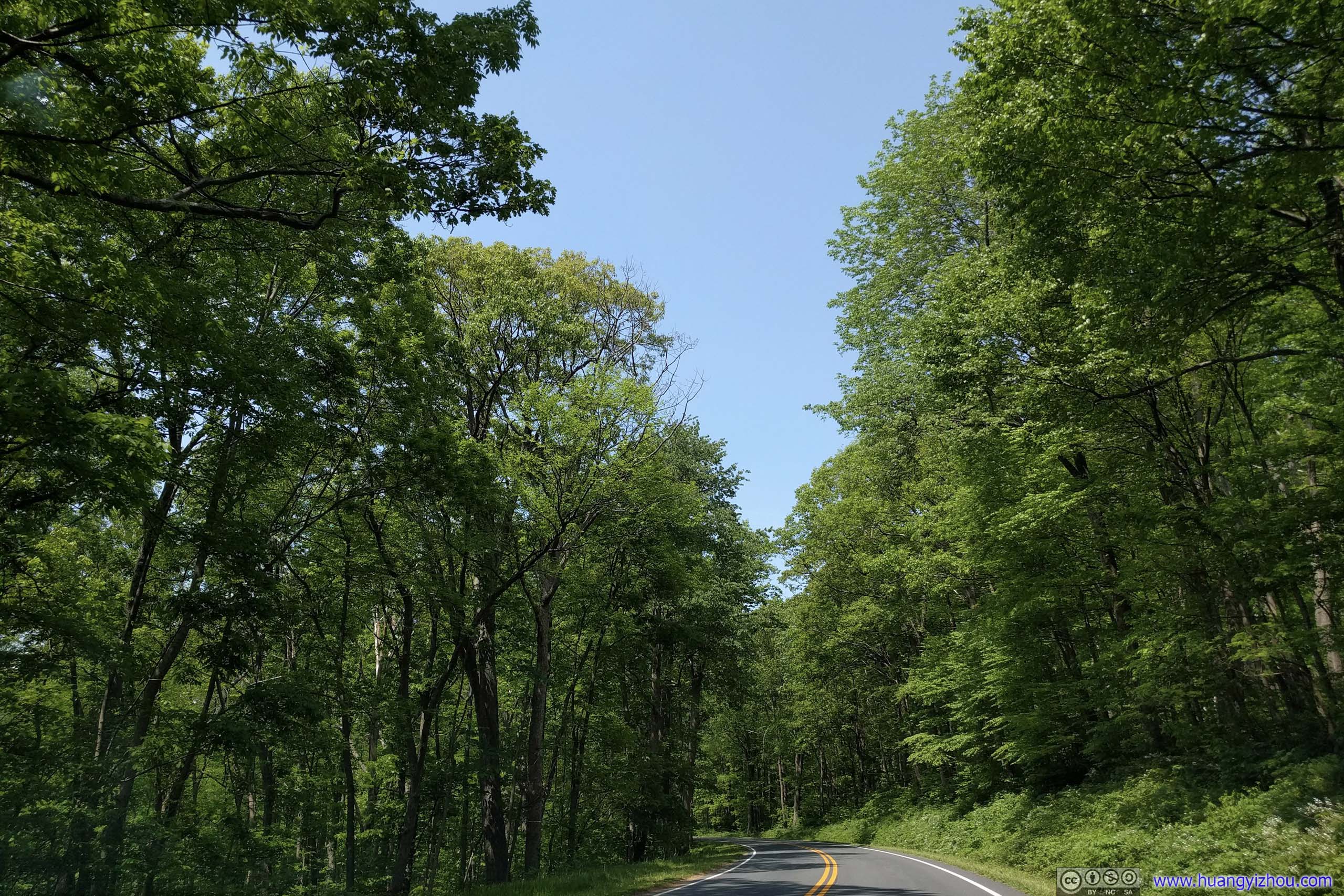
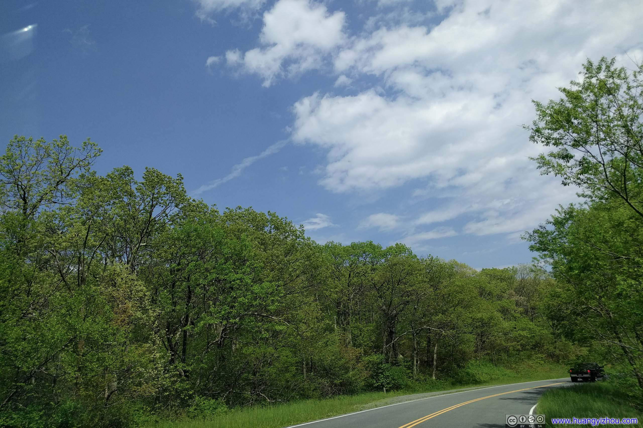
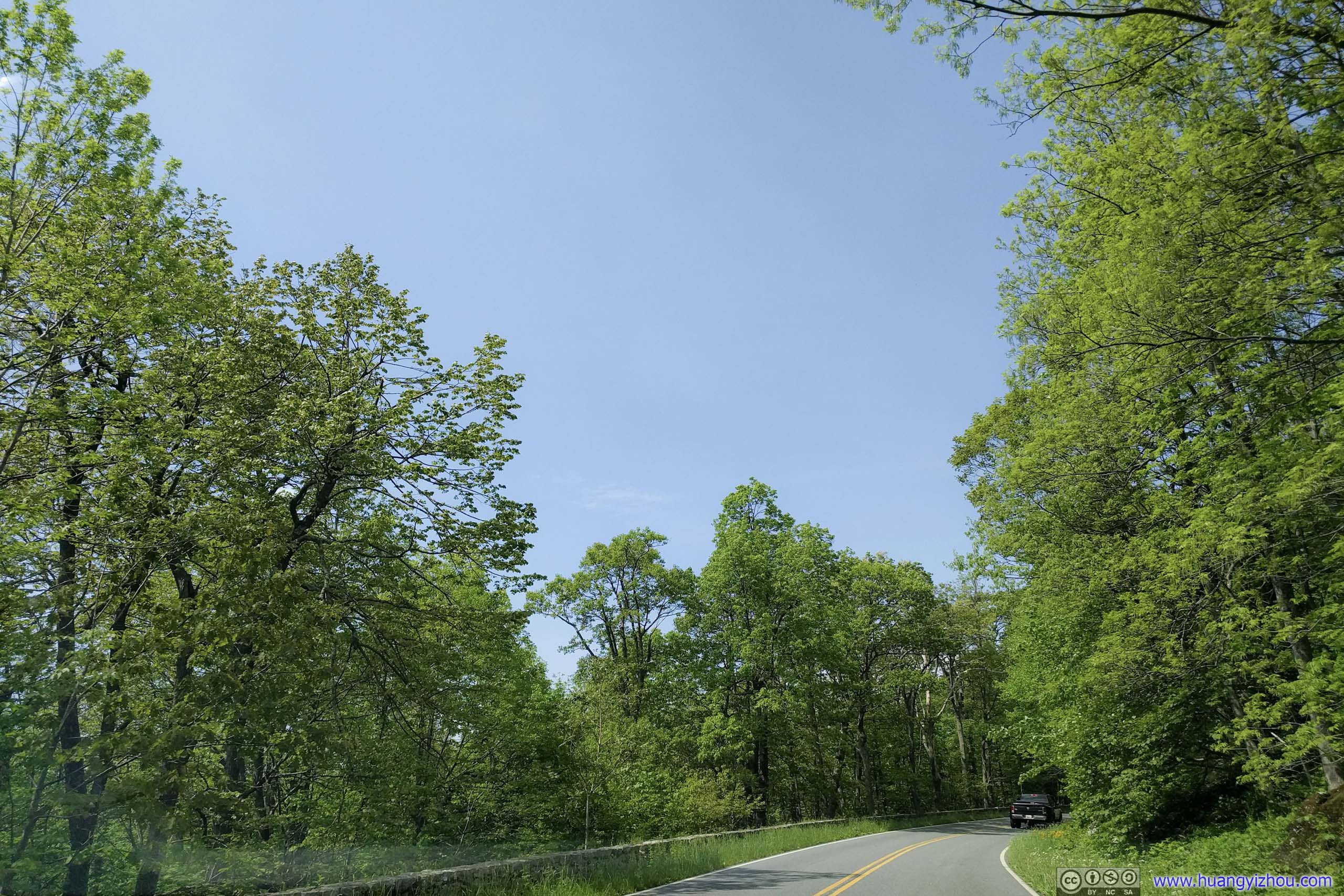
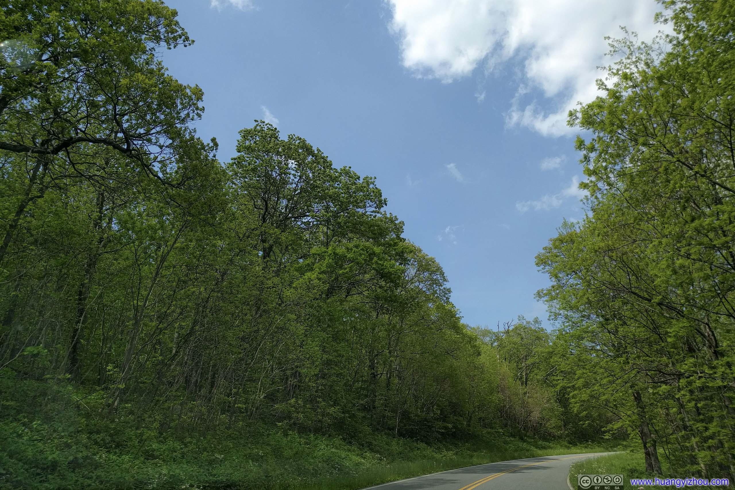
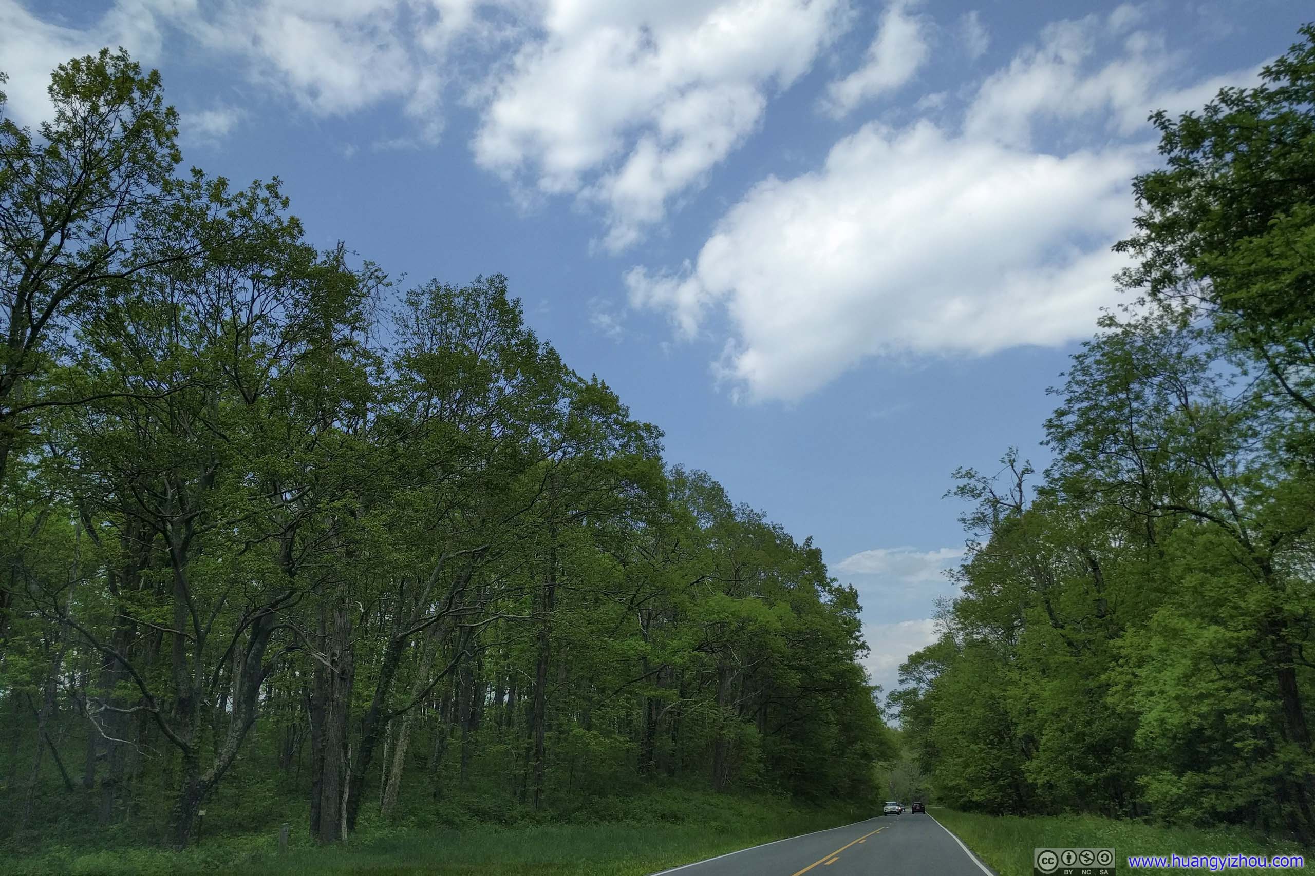
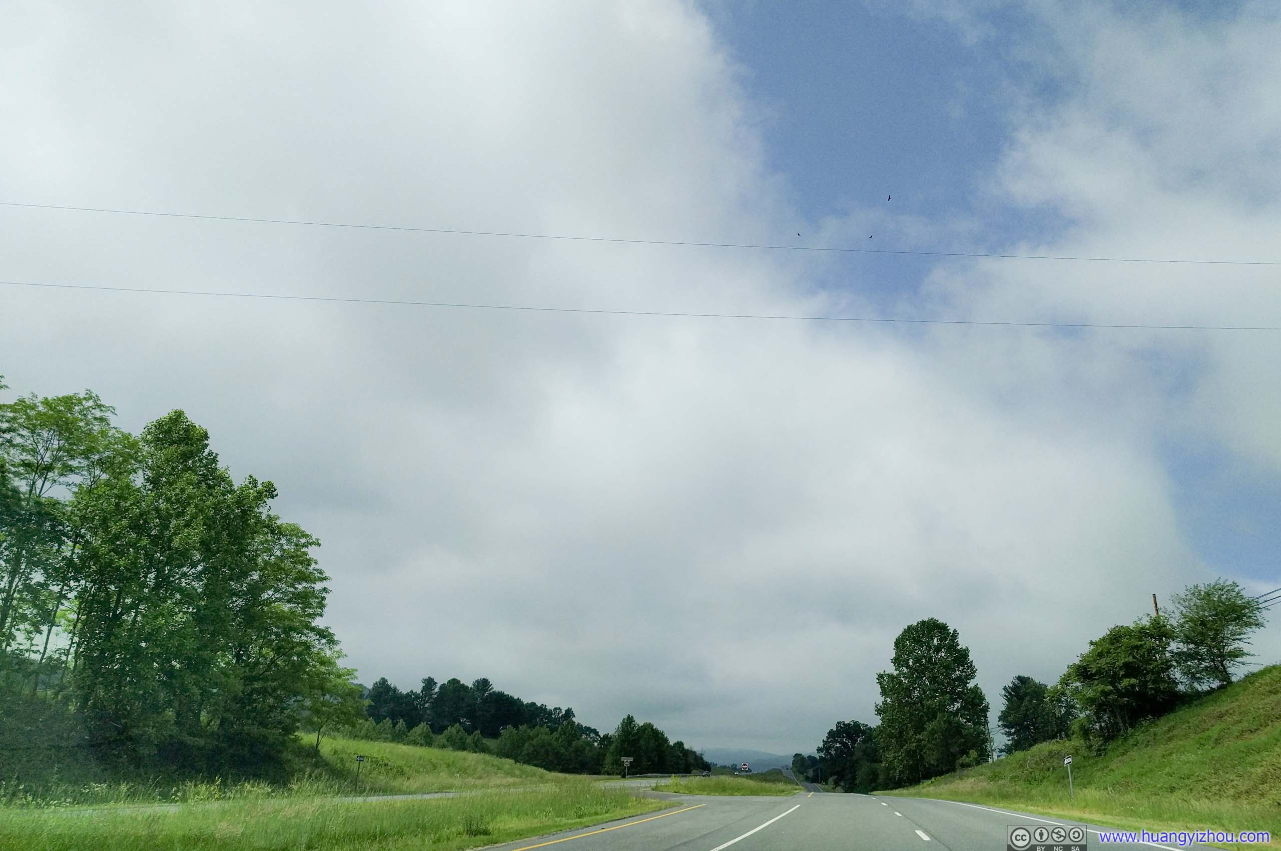 Lee Highway / US211
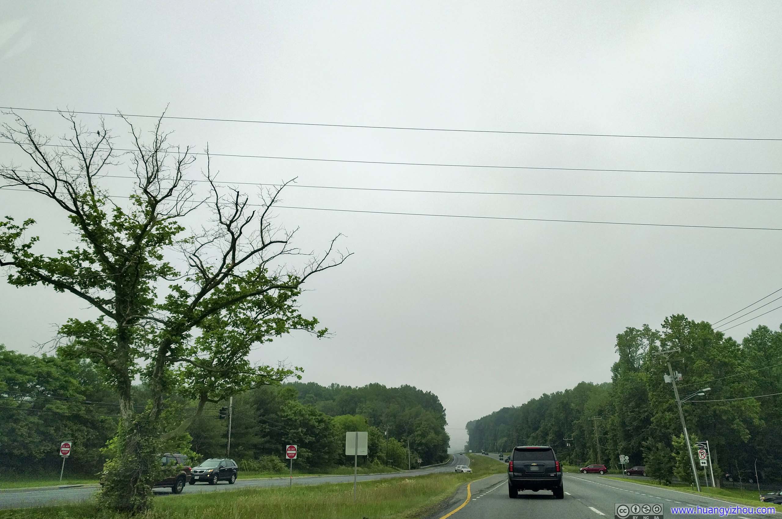
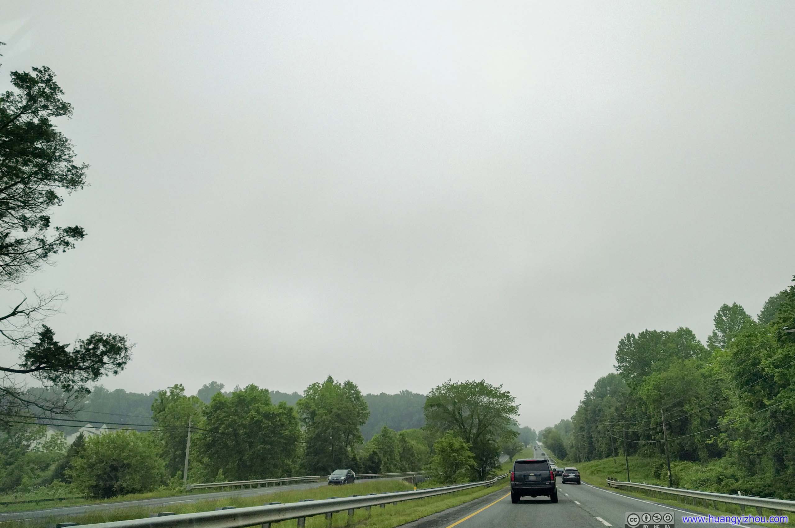
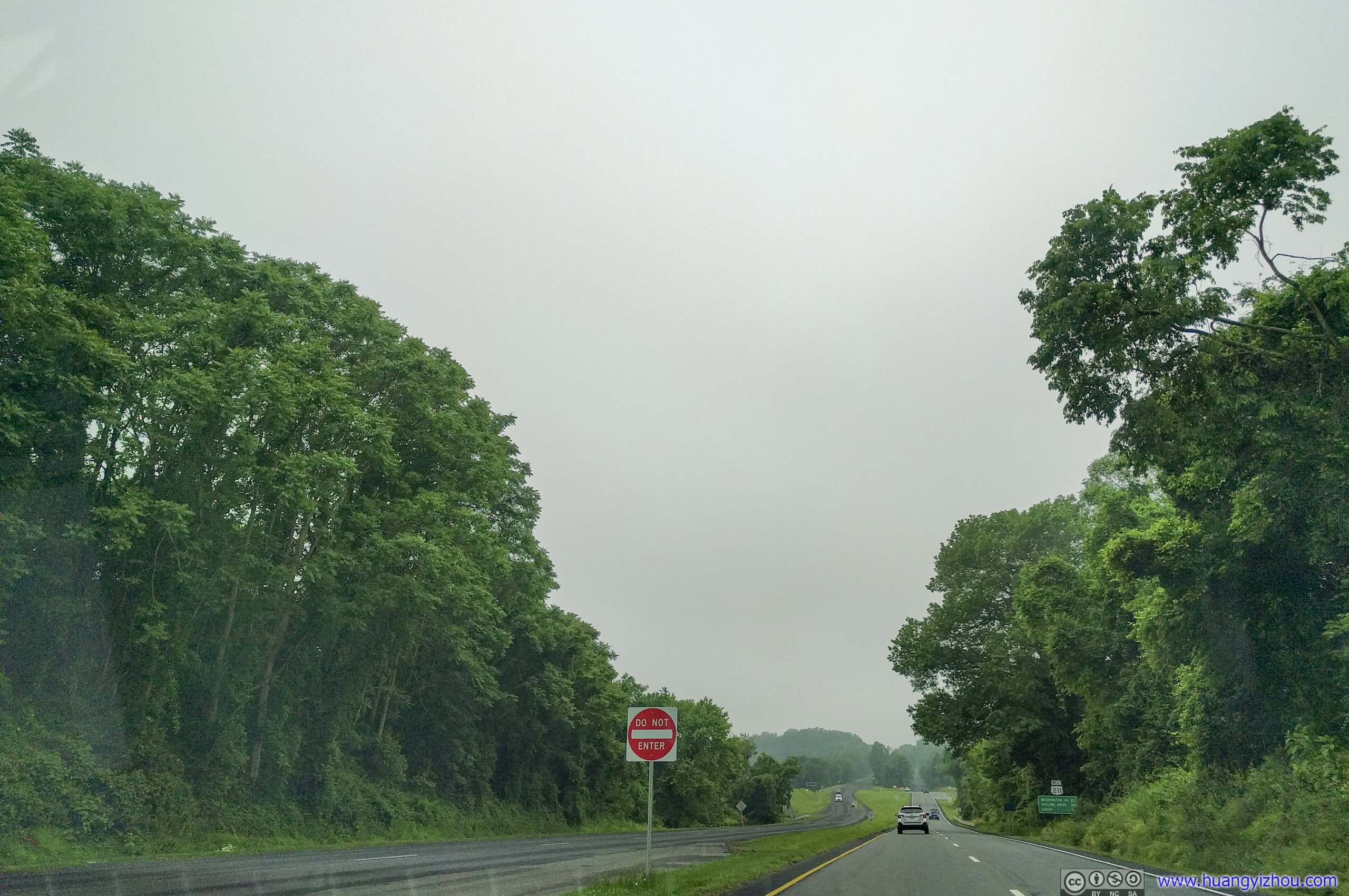
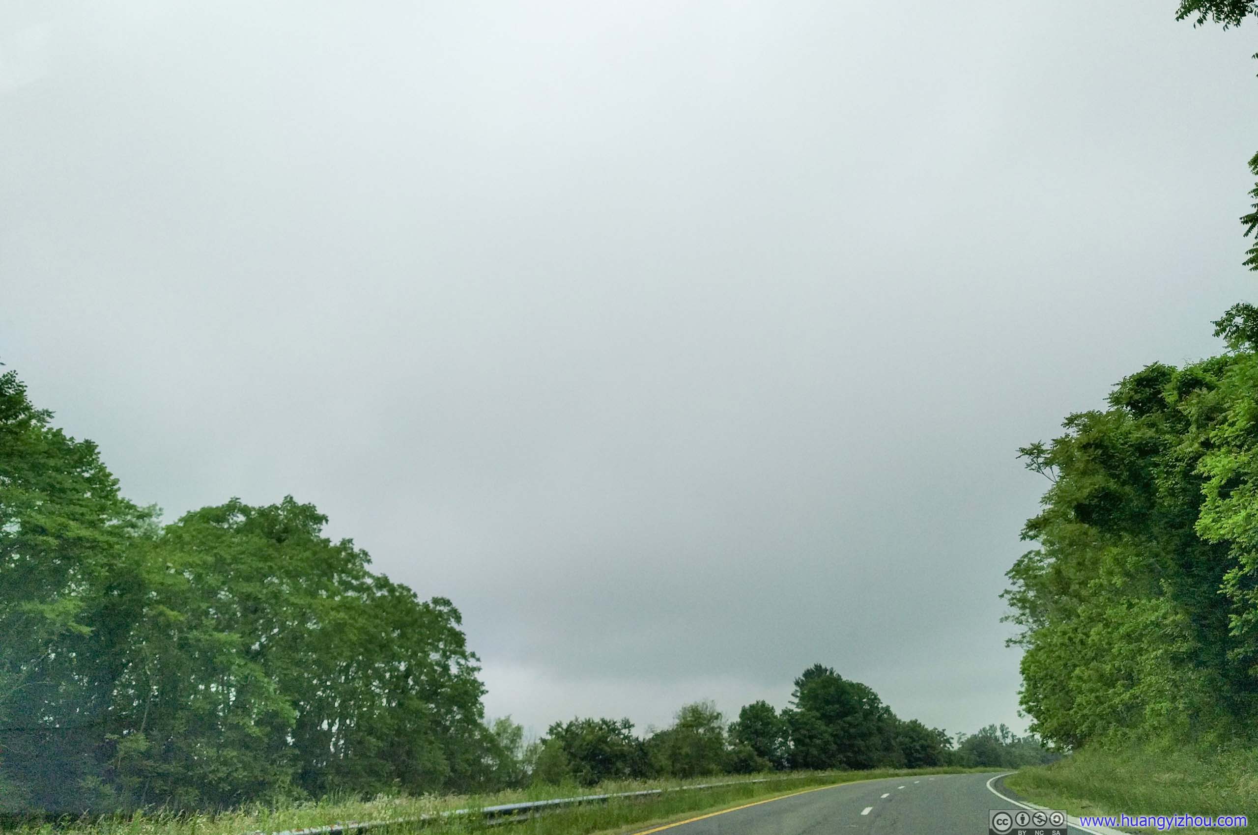
The standard route from Washington DC to Thornton Gap Entrance of the park was I66 and US211. Once out of Interstate, US211 rolled its way through a few villages with minimal traffic lights. Traffic was light on a Sunday morning, especially true after passing Warrenton. All the right ingredients for a perfect road trip.
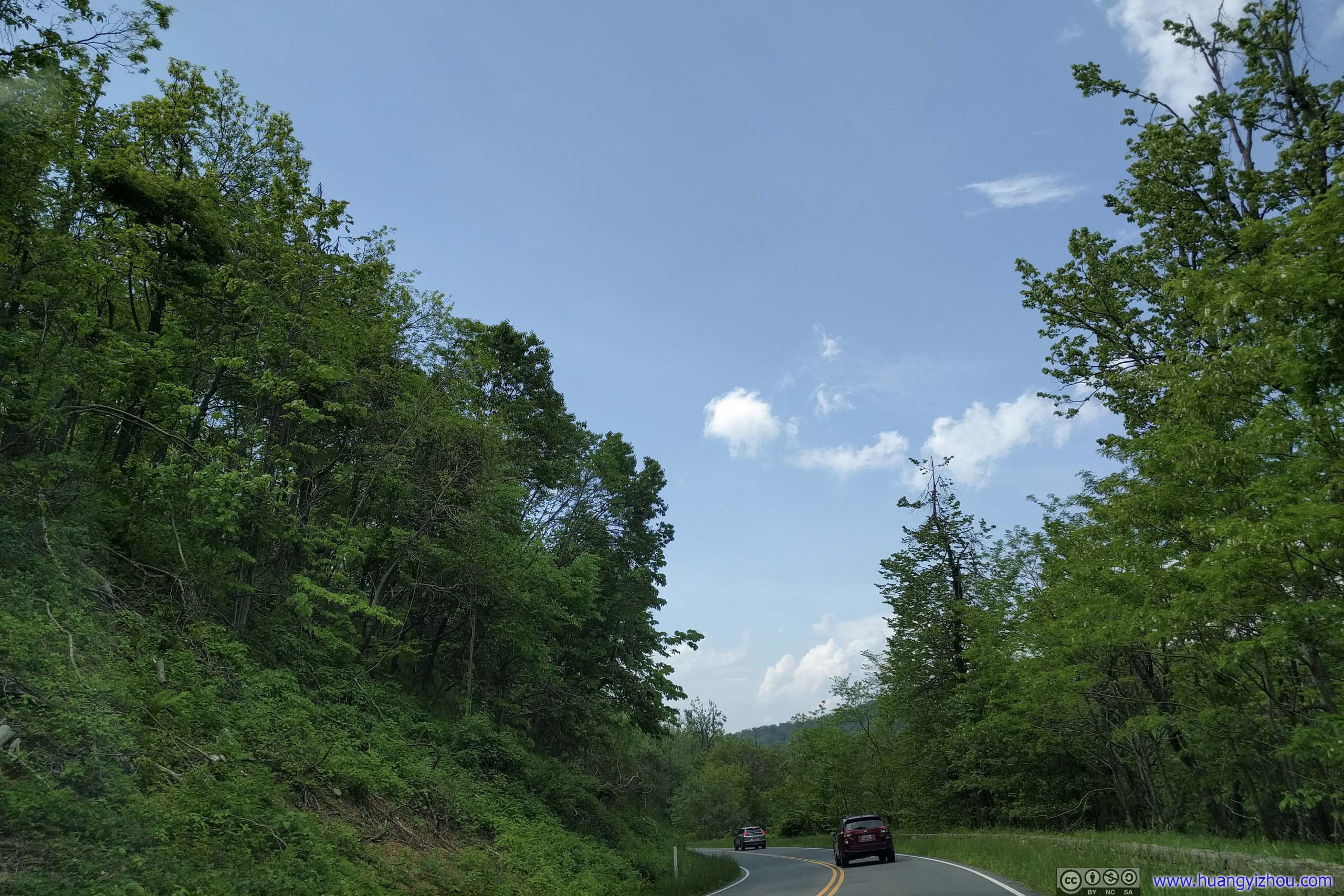
After passing Sperryville, Lee Highway / US211 narrowed down to two lanes and wound its way up Appalachian Mountains.
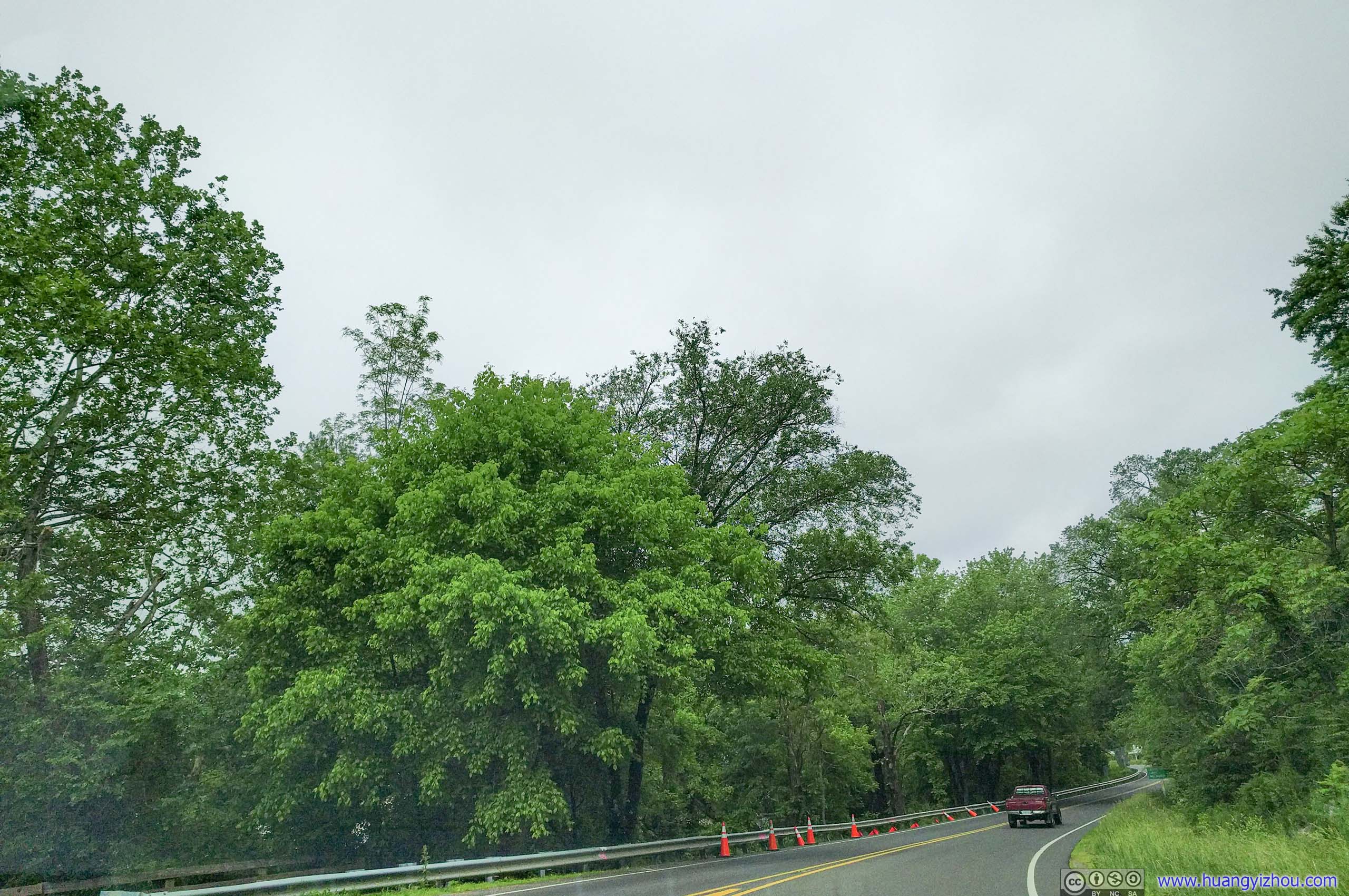
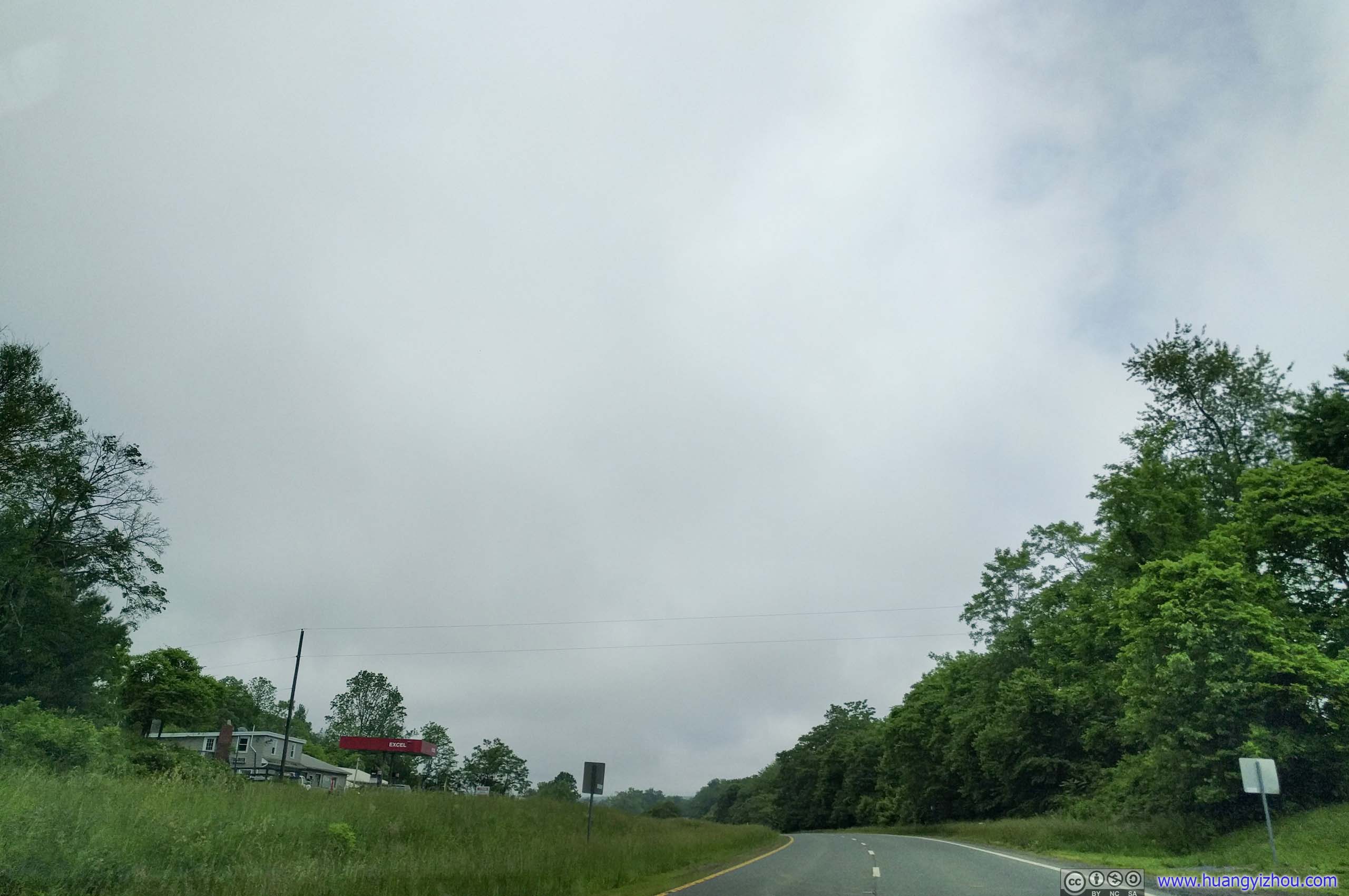
 Lee Highway at Sperryville

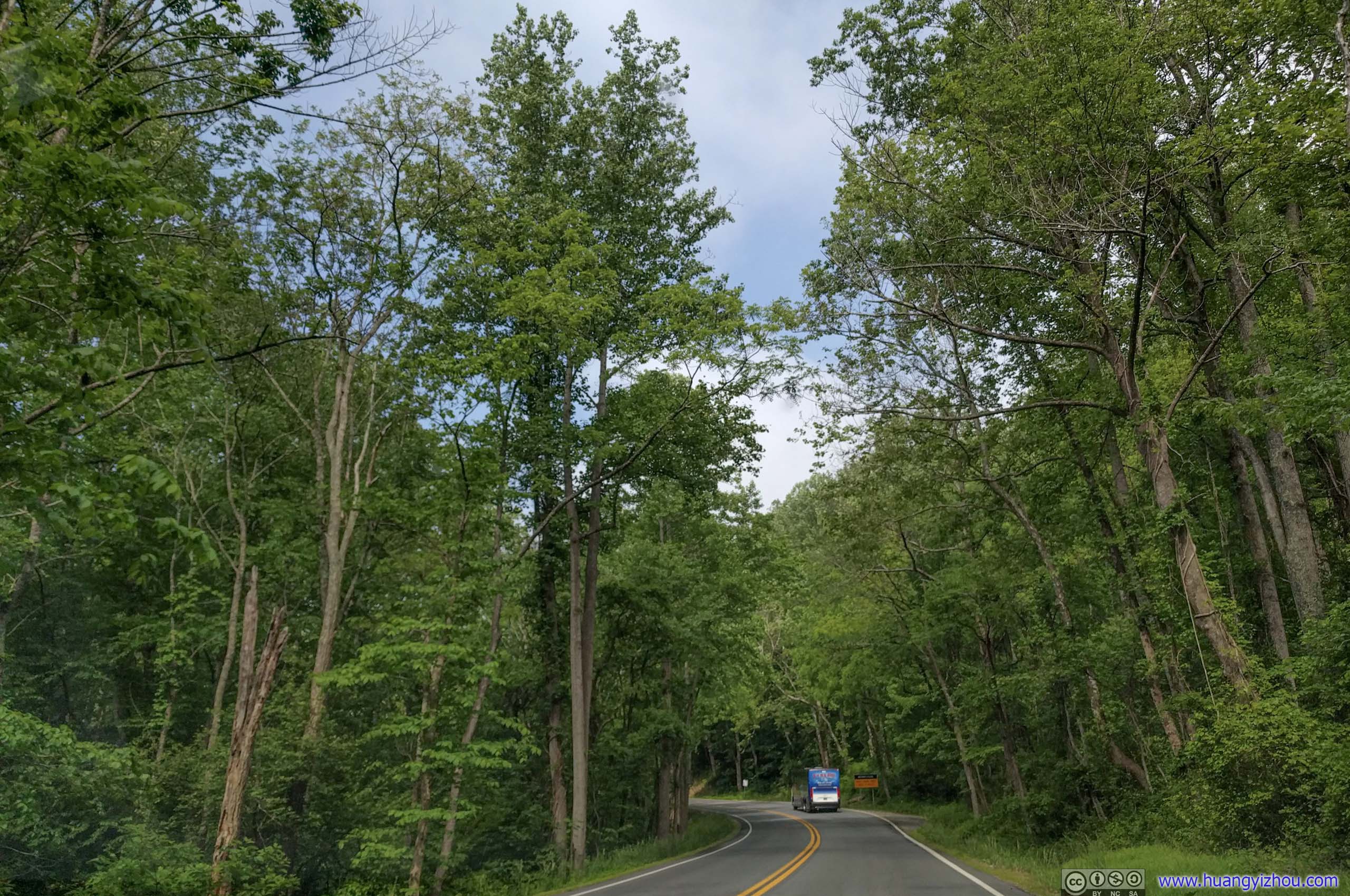


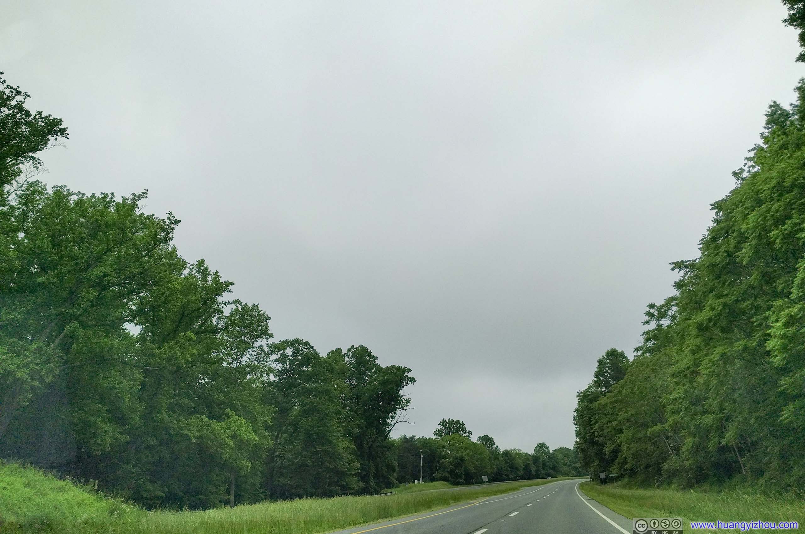
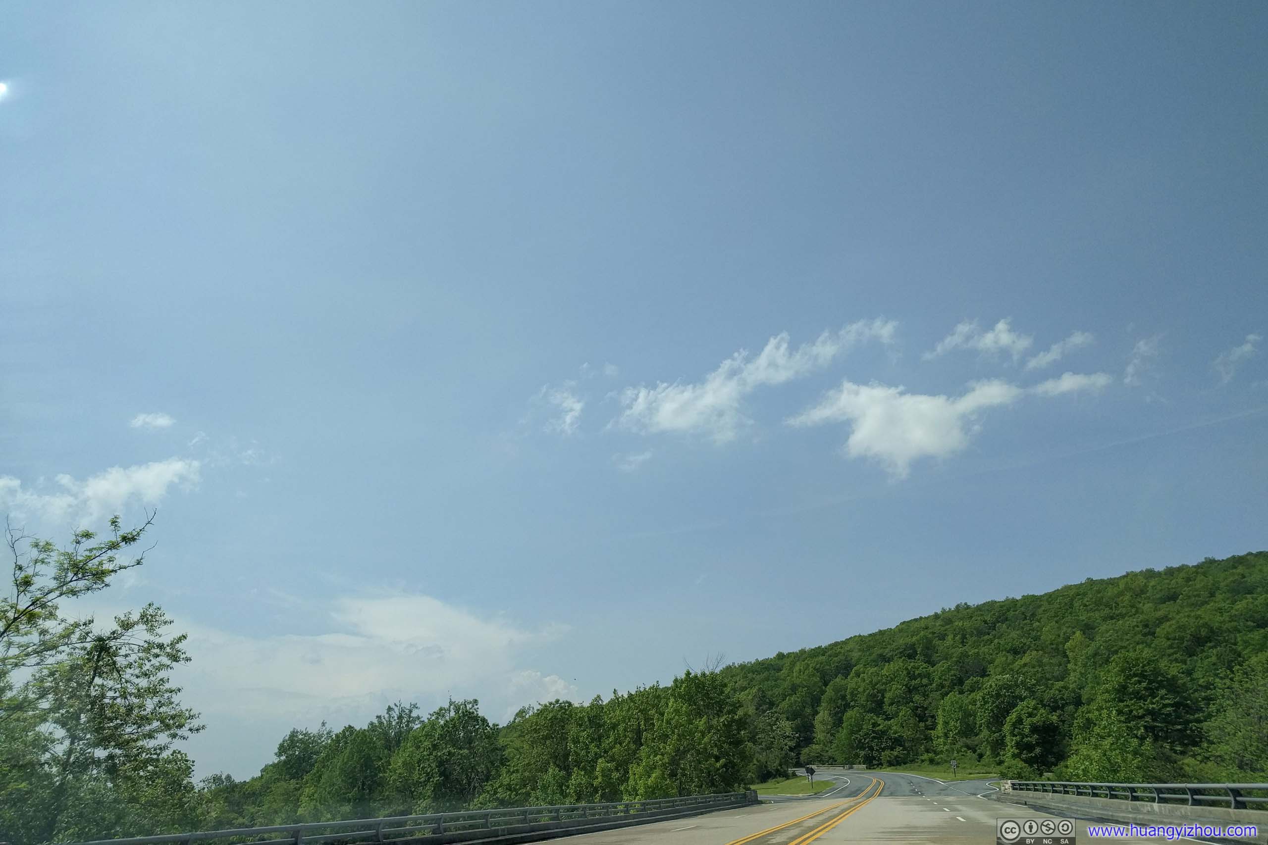
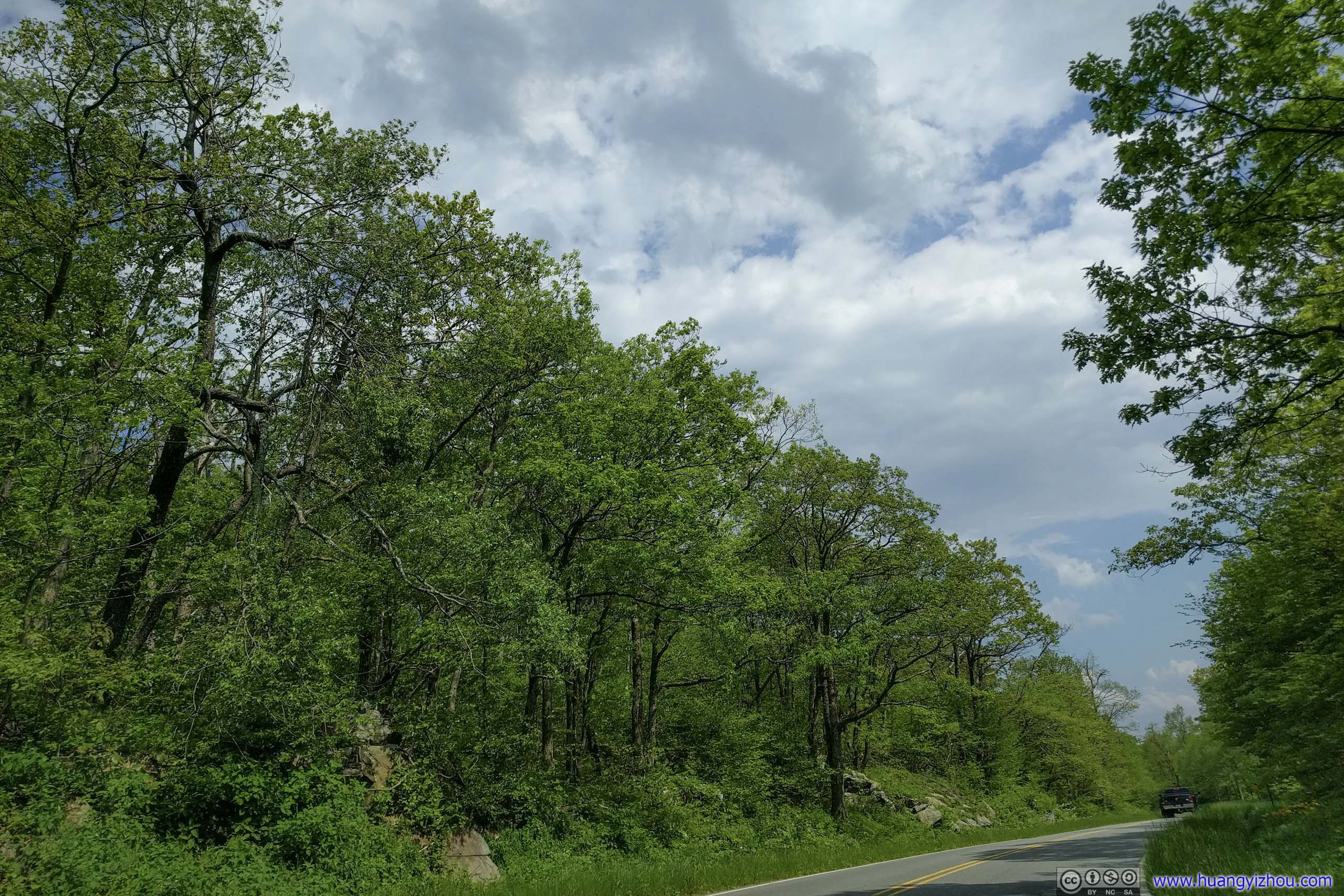
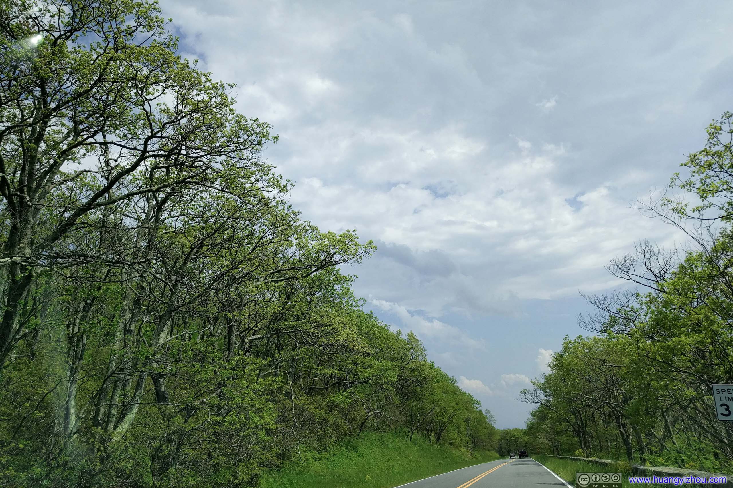
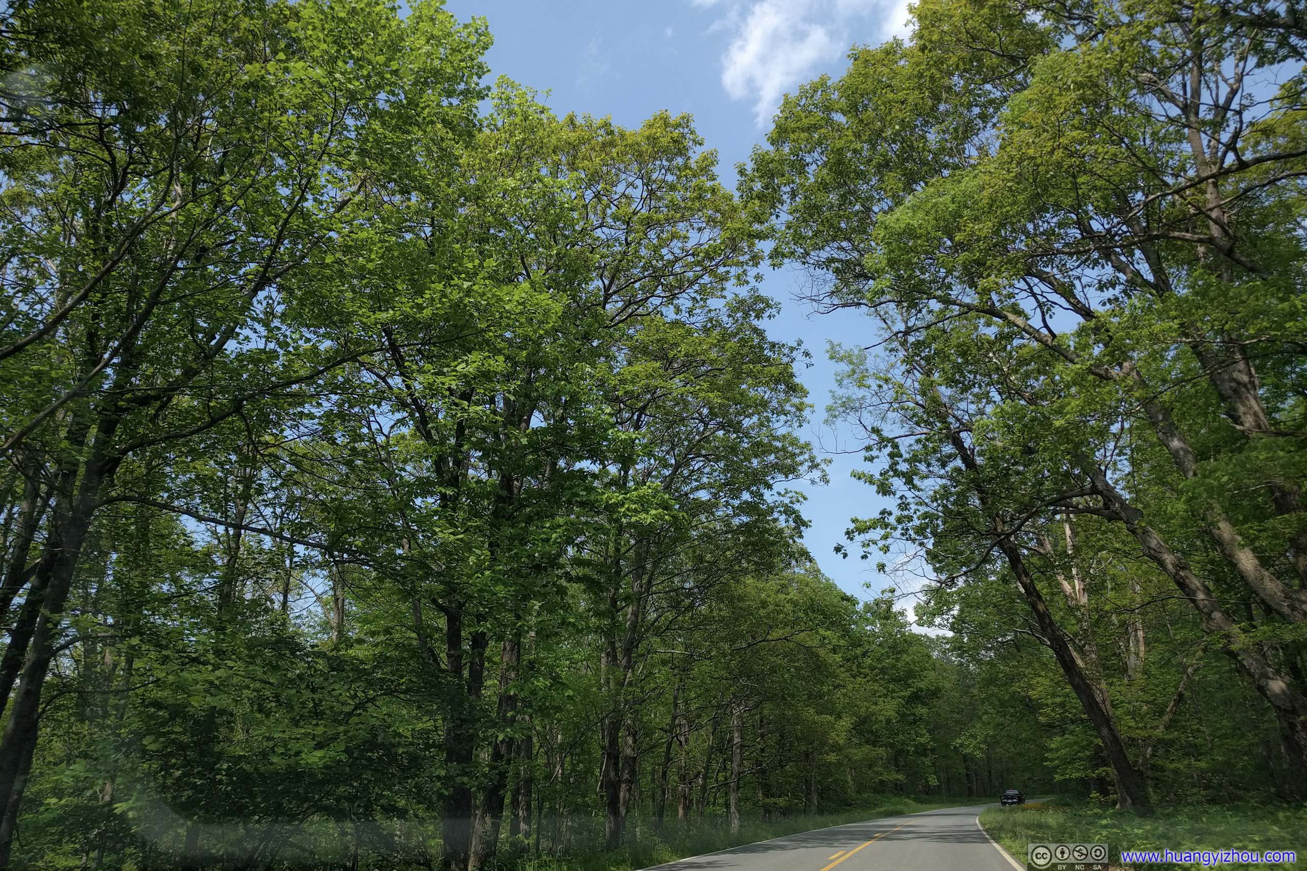
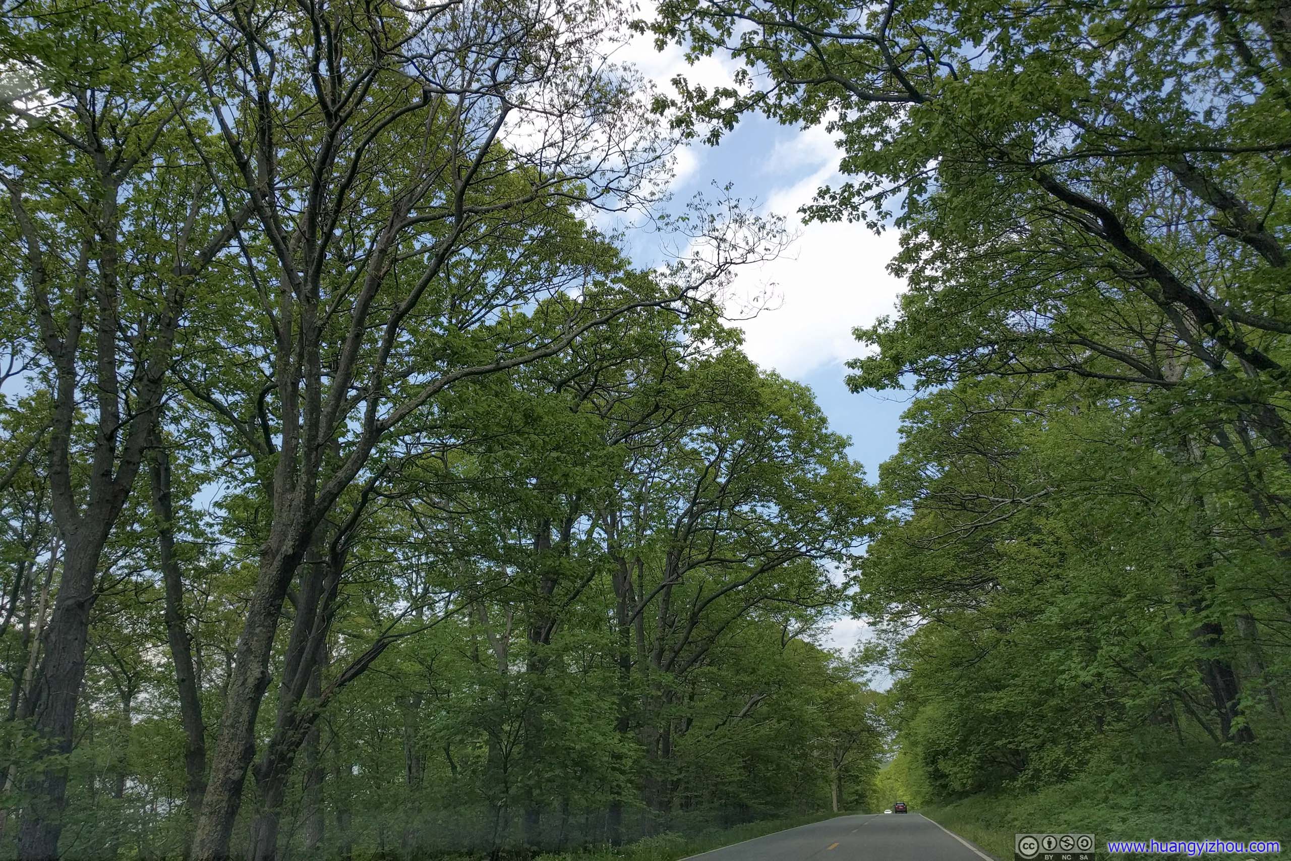
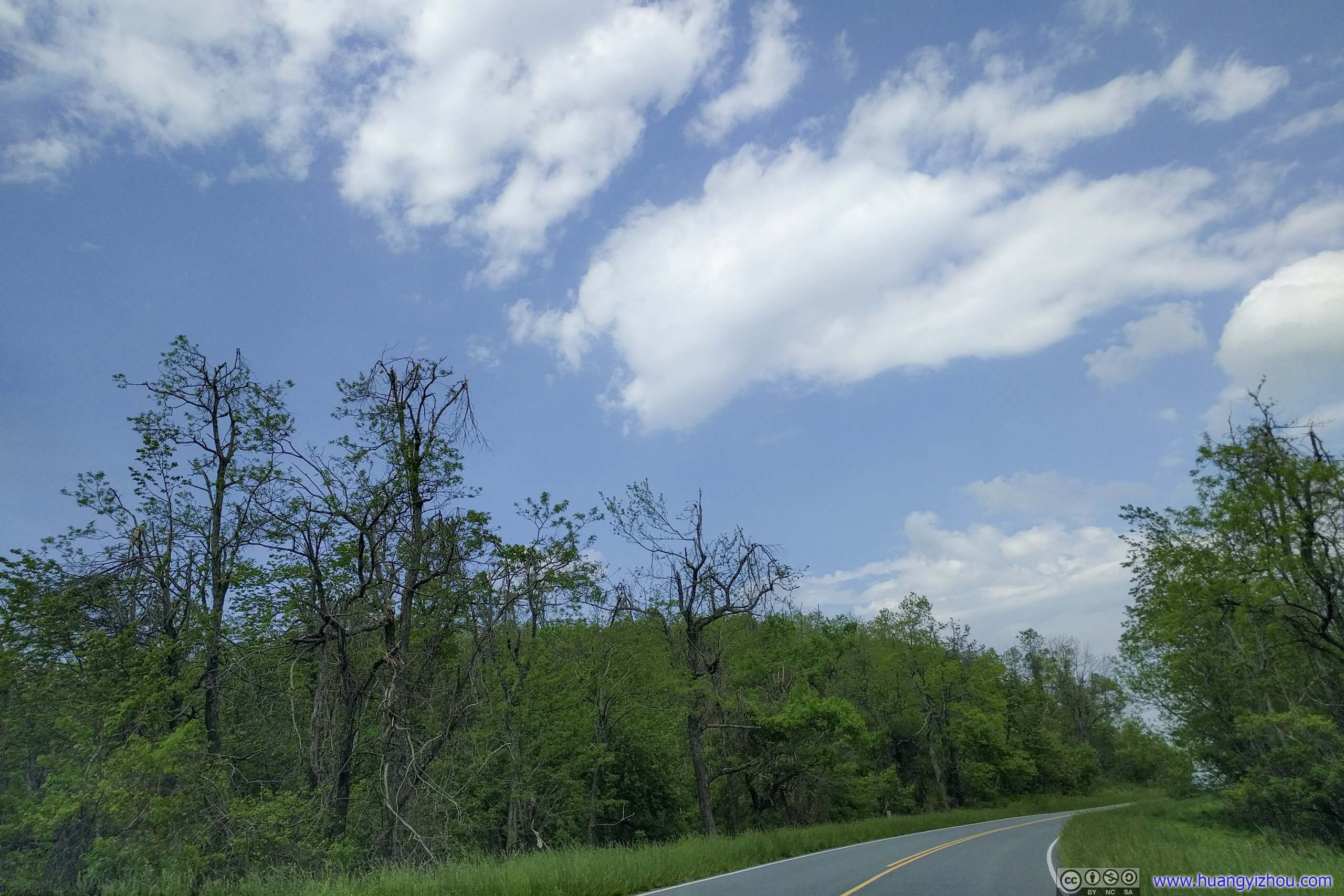
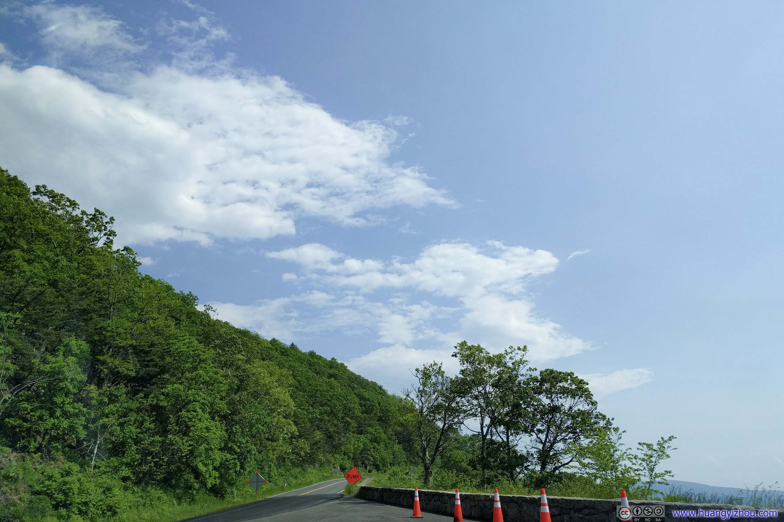
 Lee Highway Climbing Up to Thornton Gap
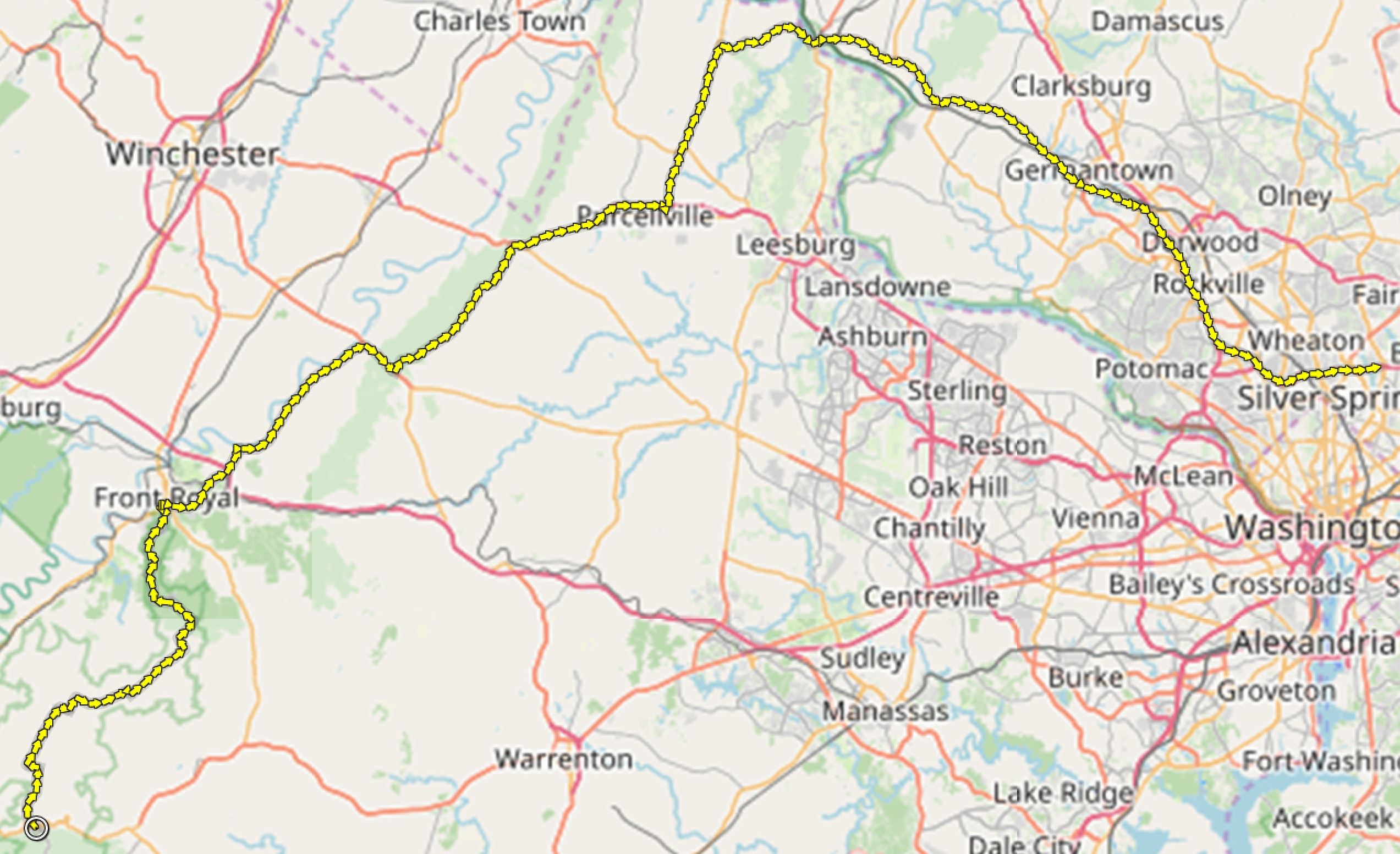
After that, I started my hike. Here’s GPS tracking:
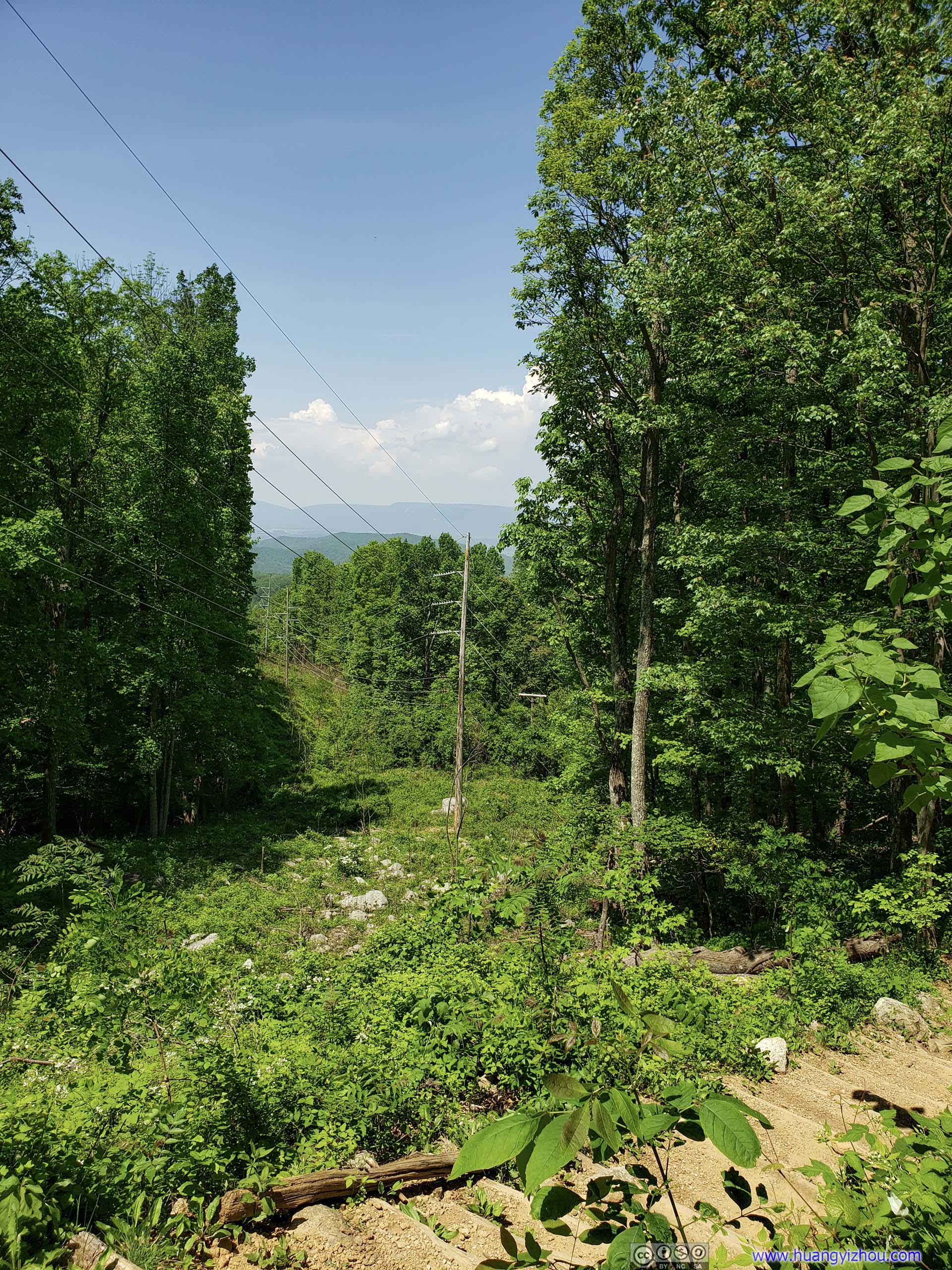
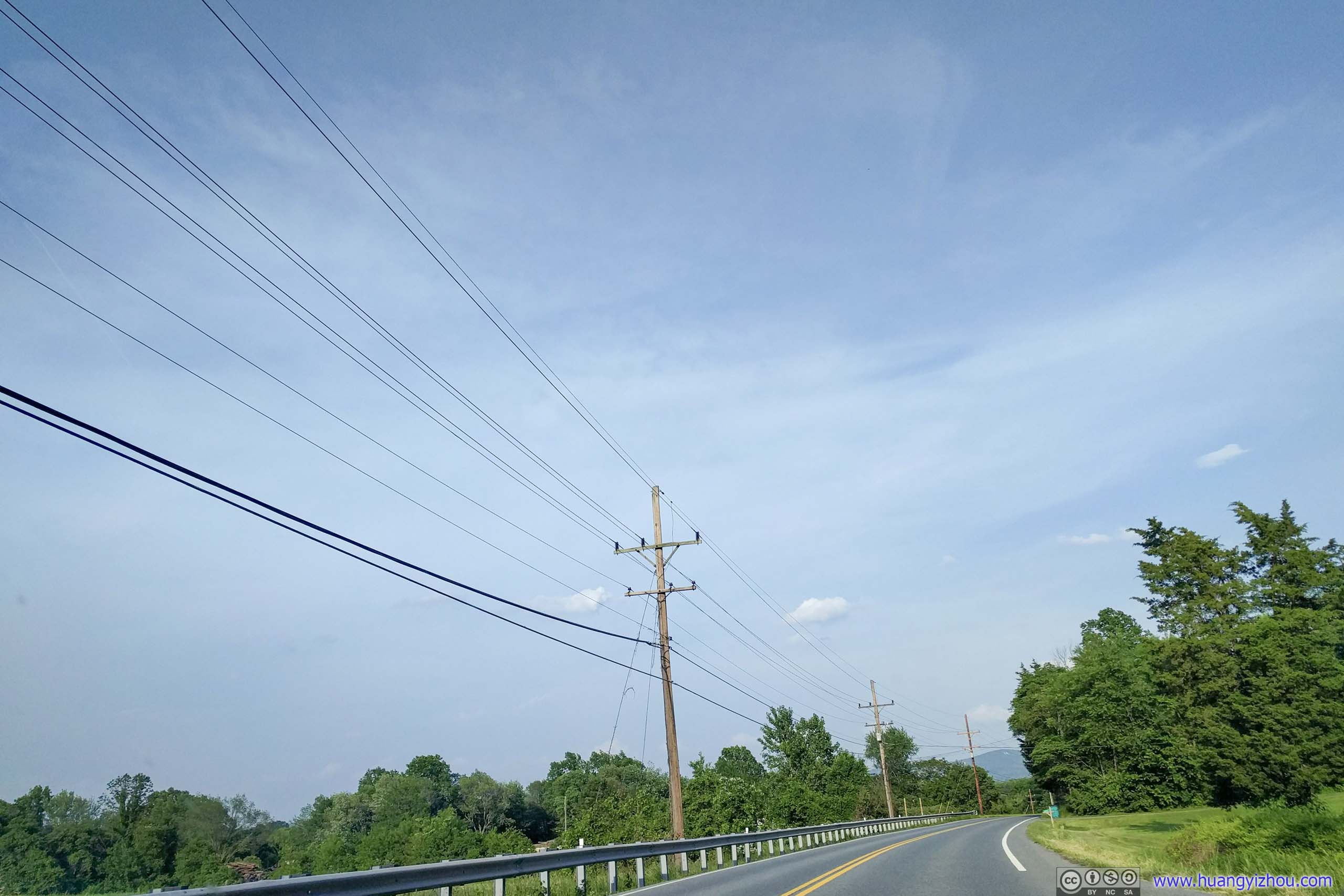
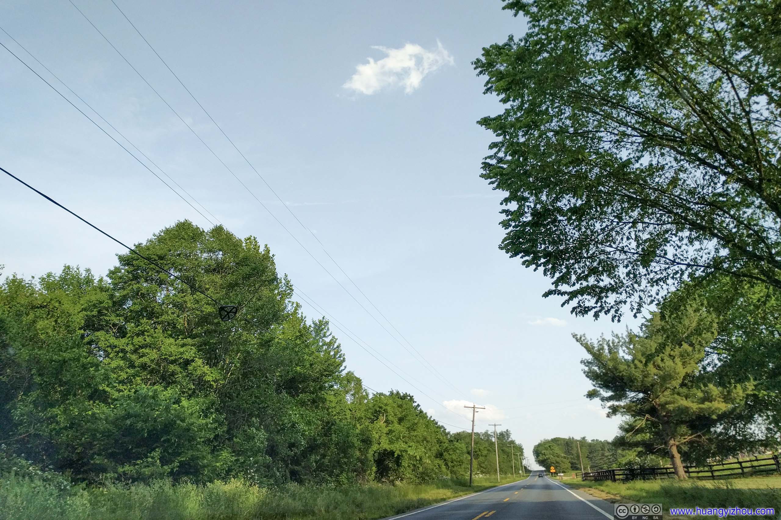
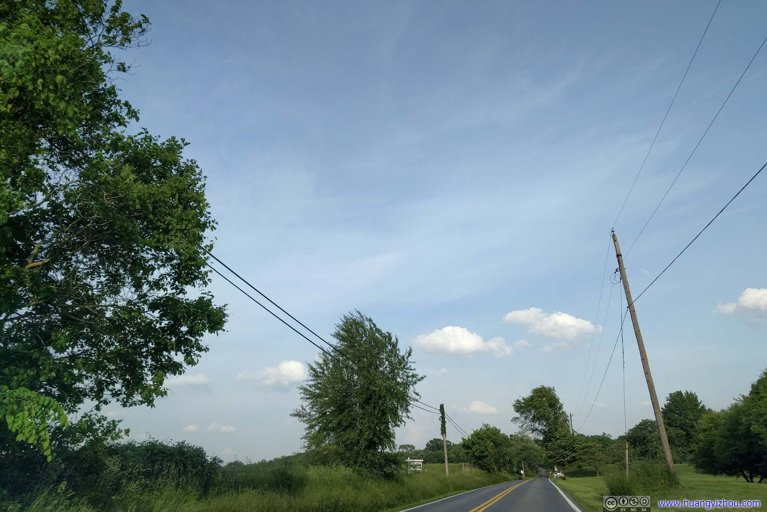
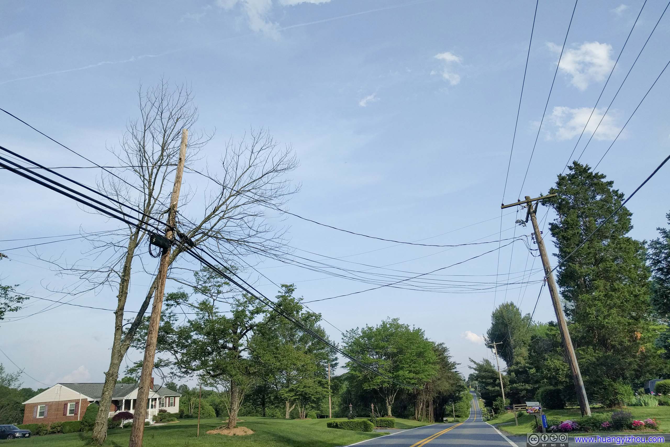
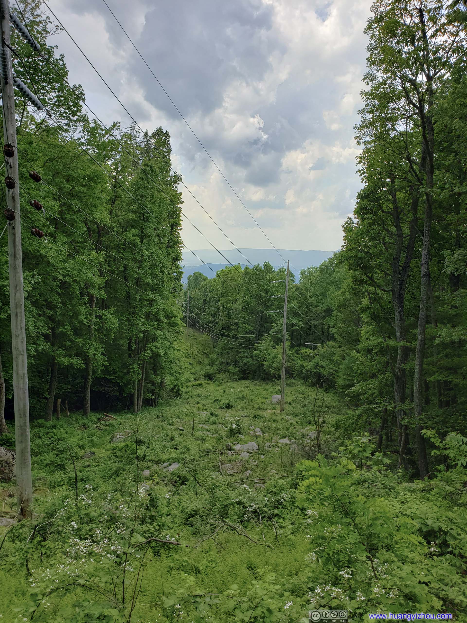 Power Lines
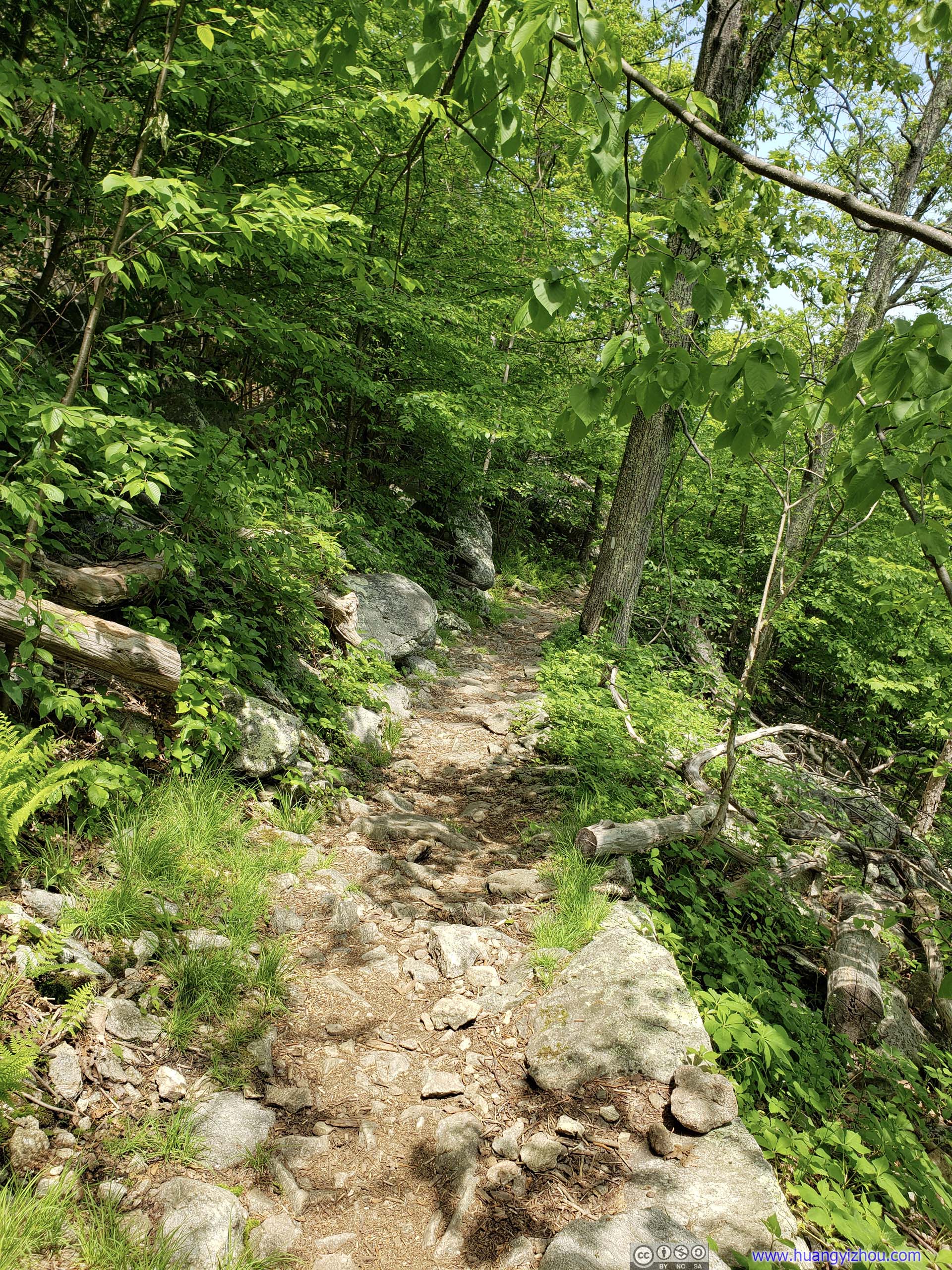
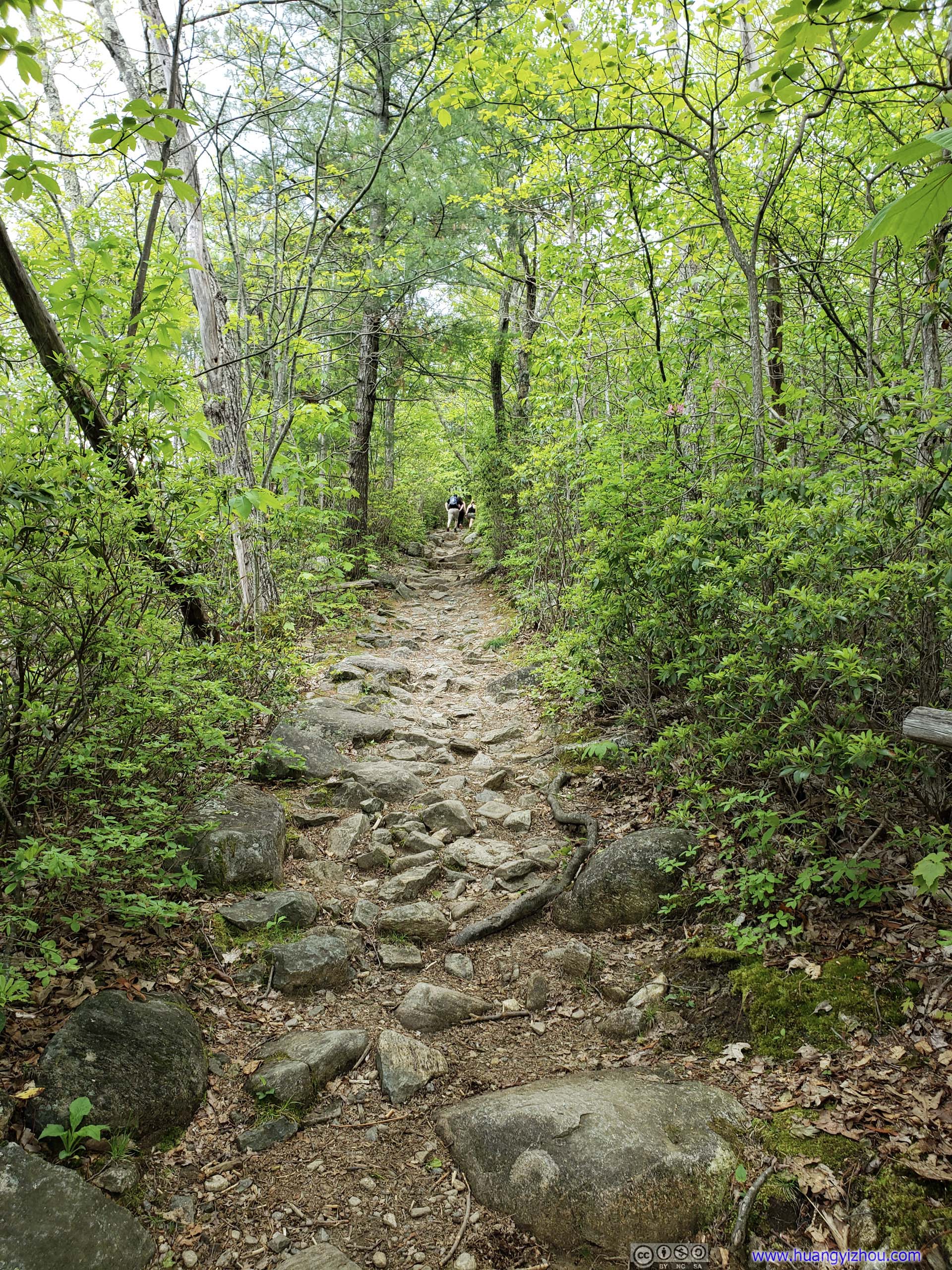
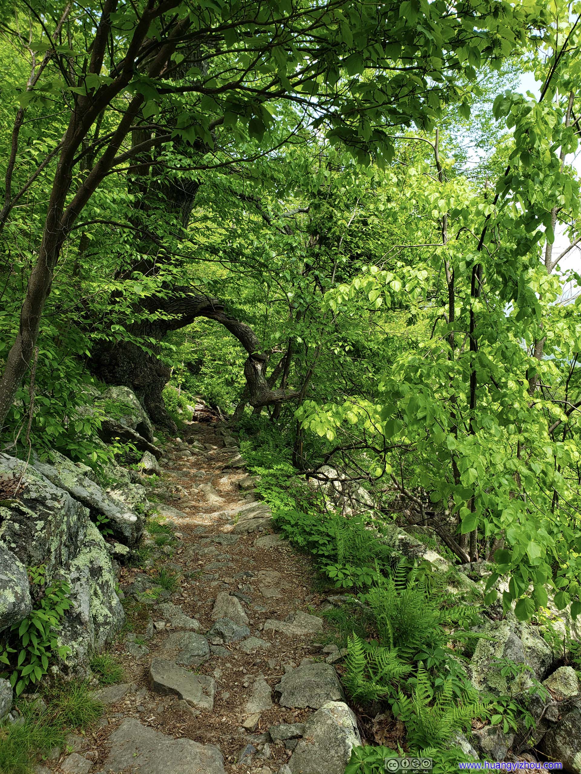
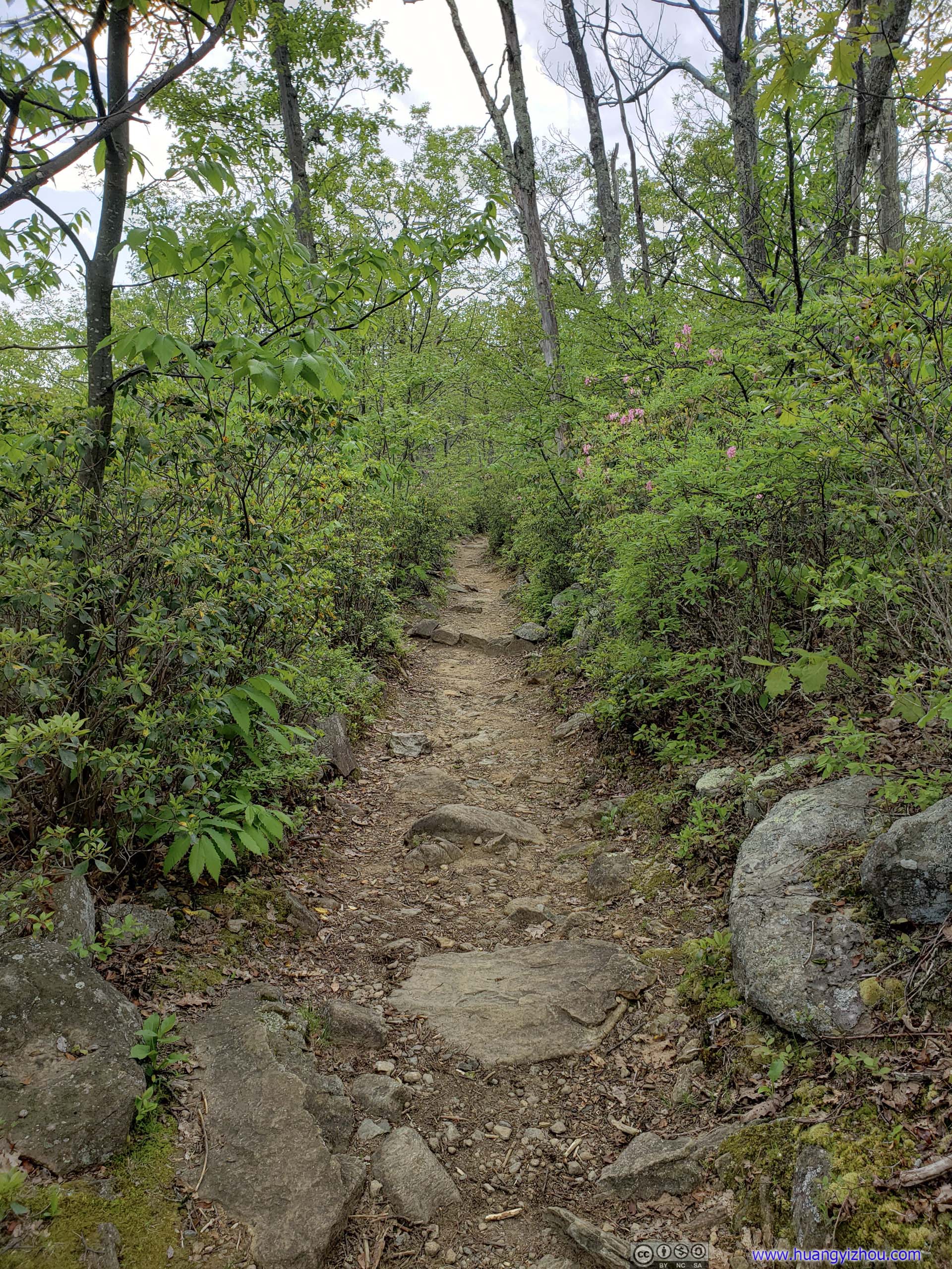
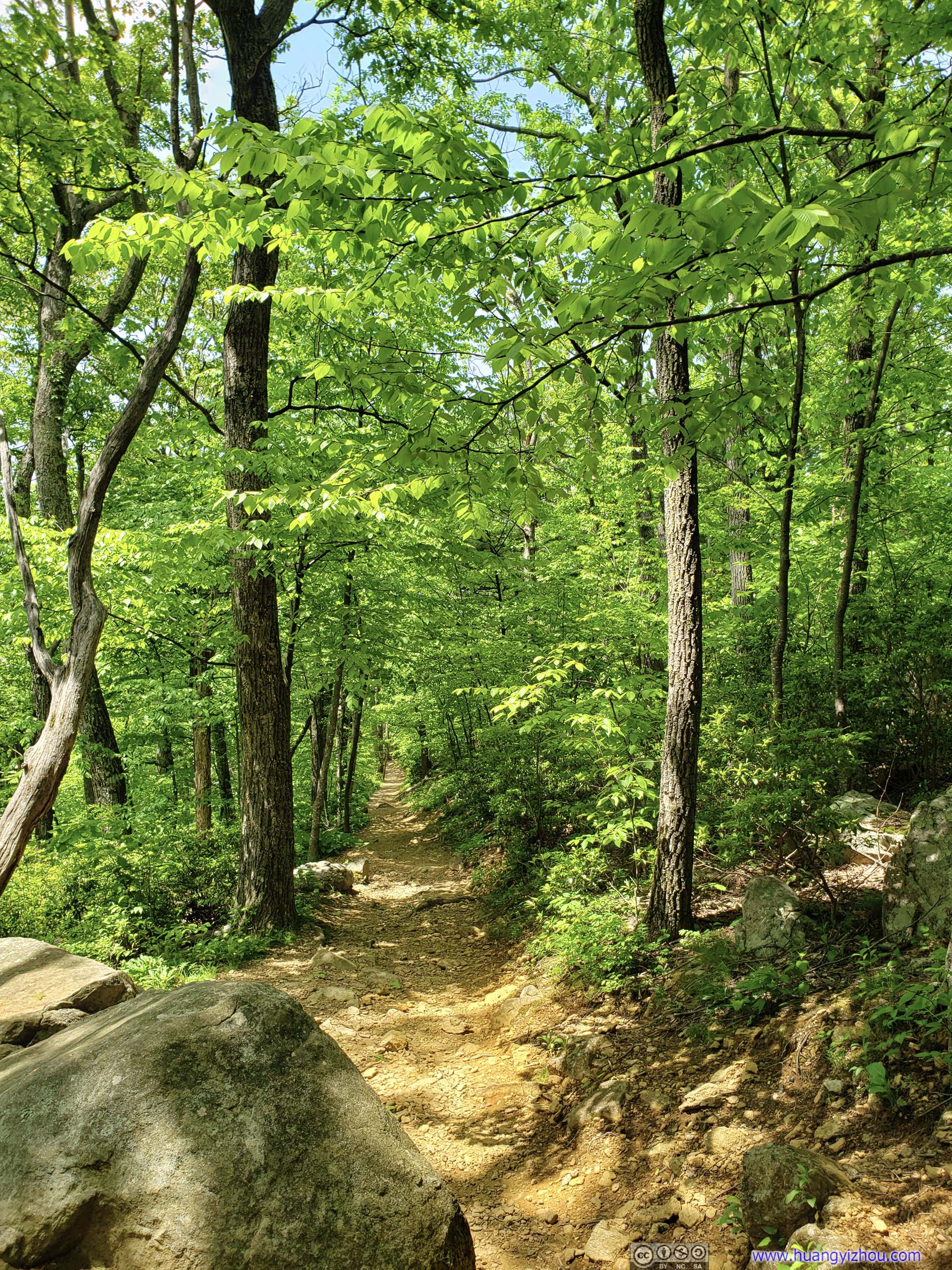
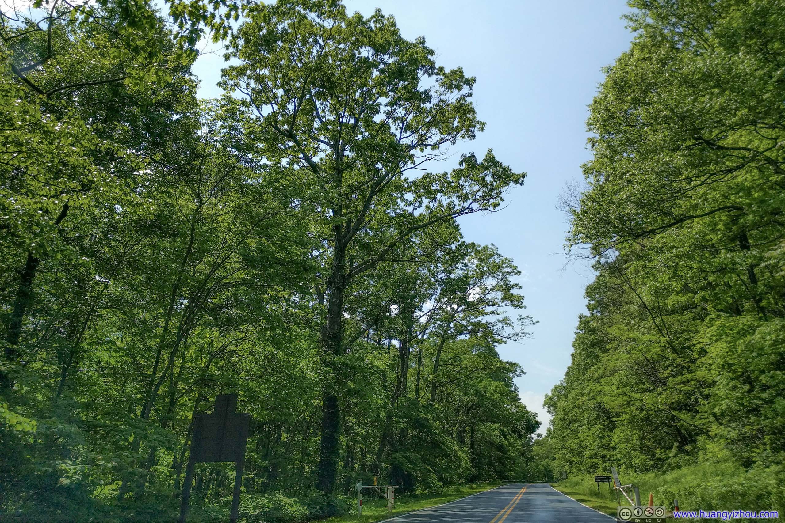
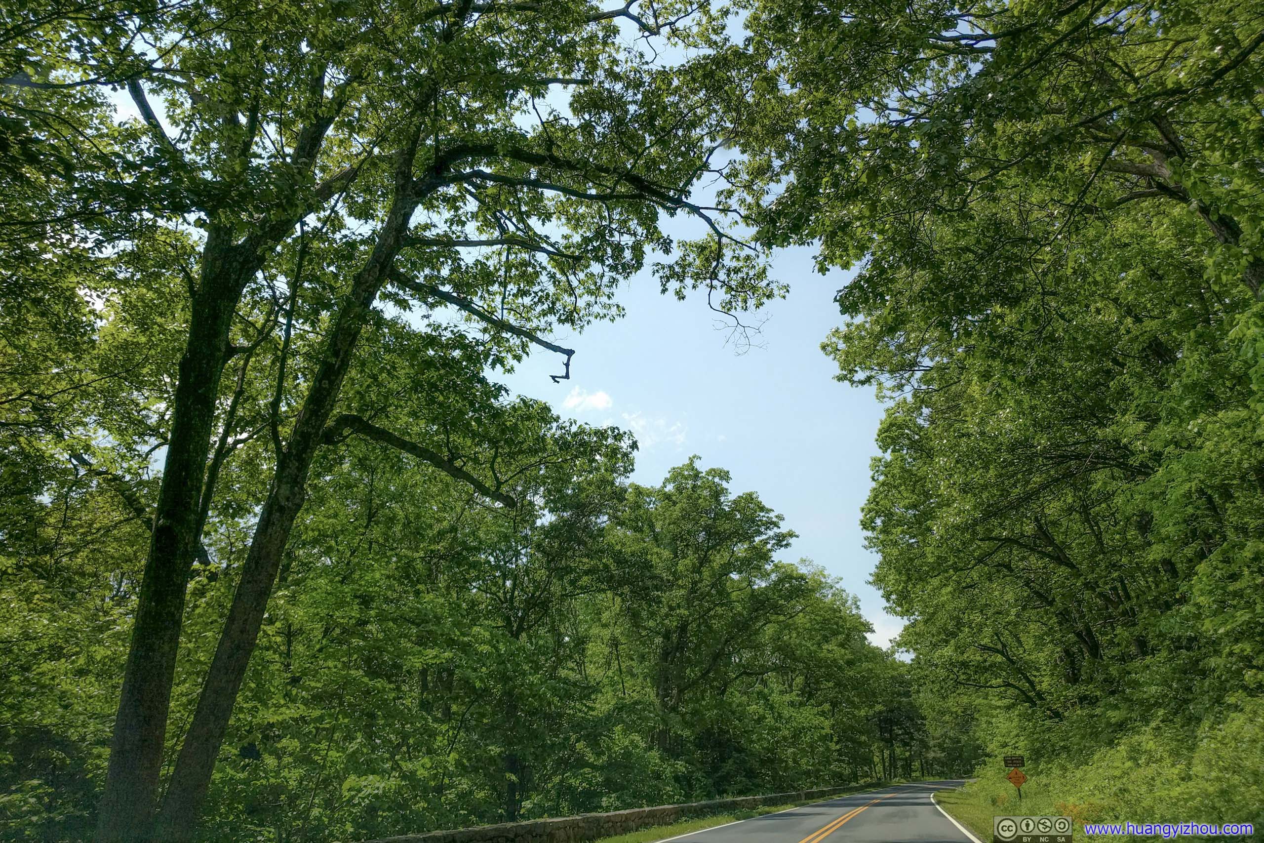
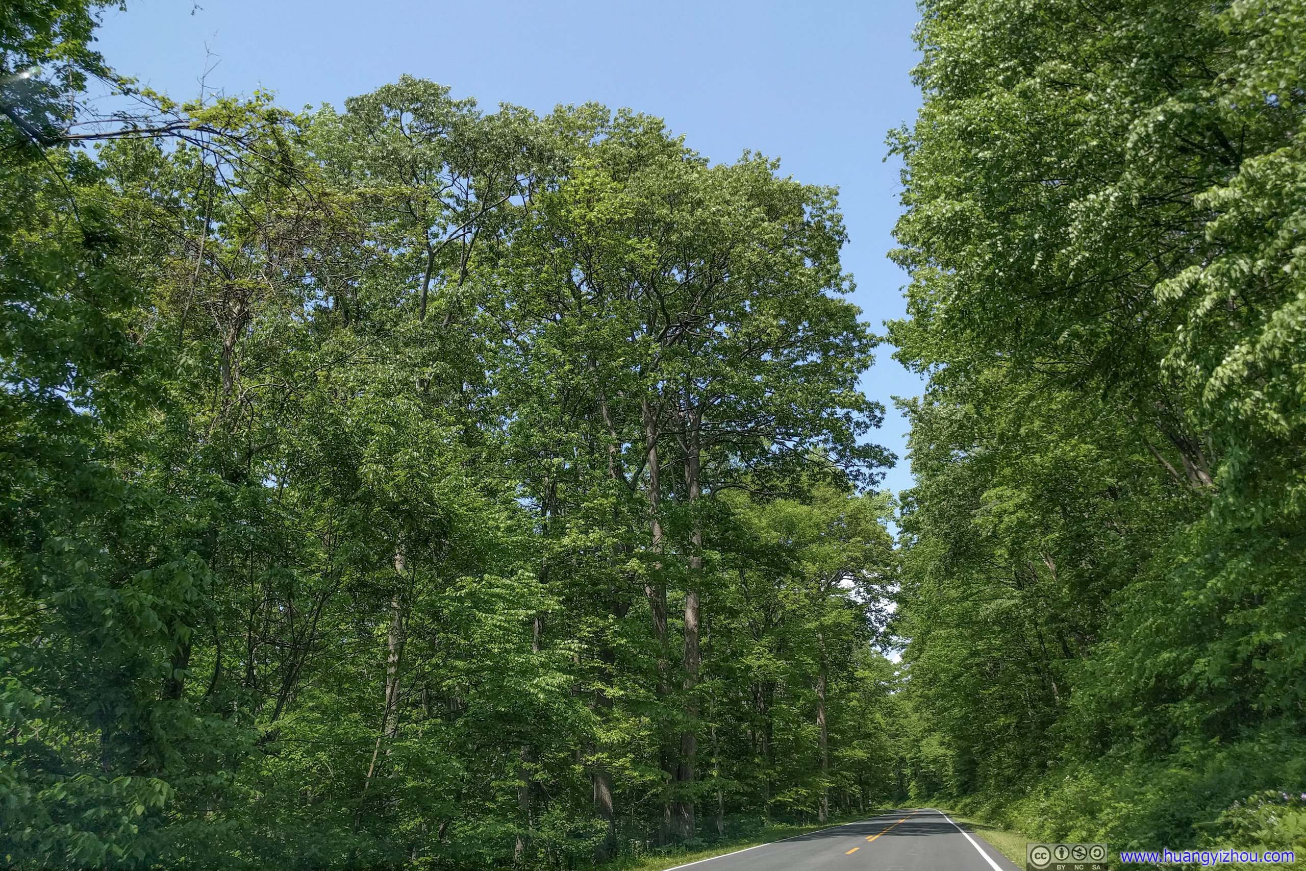
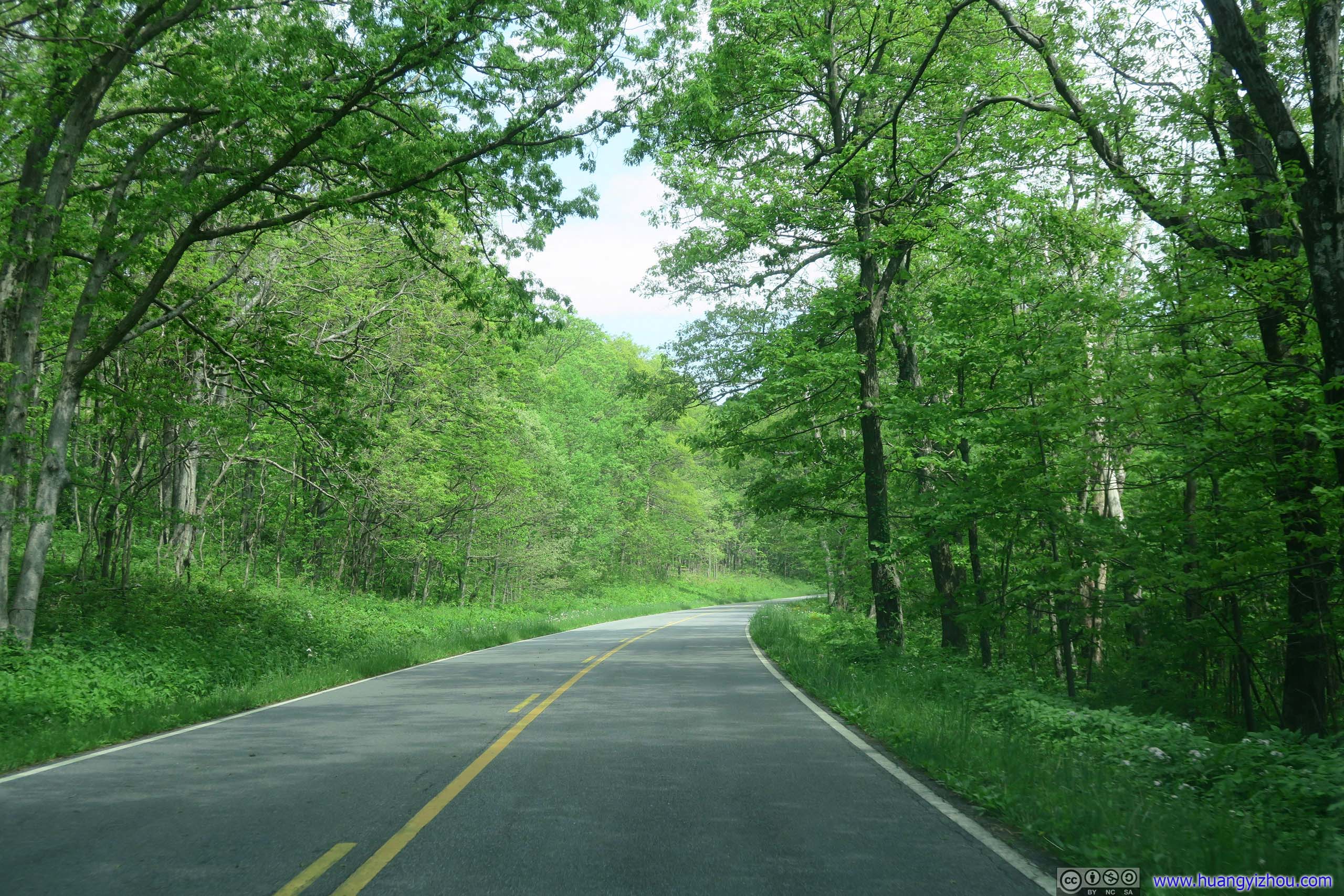
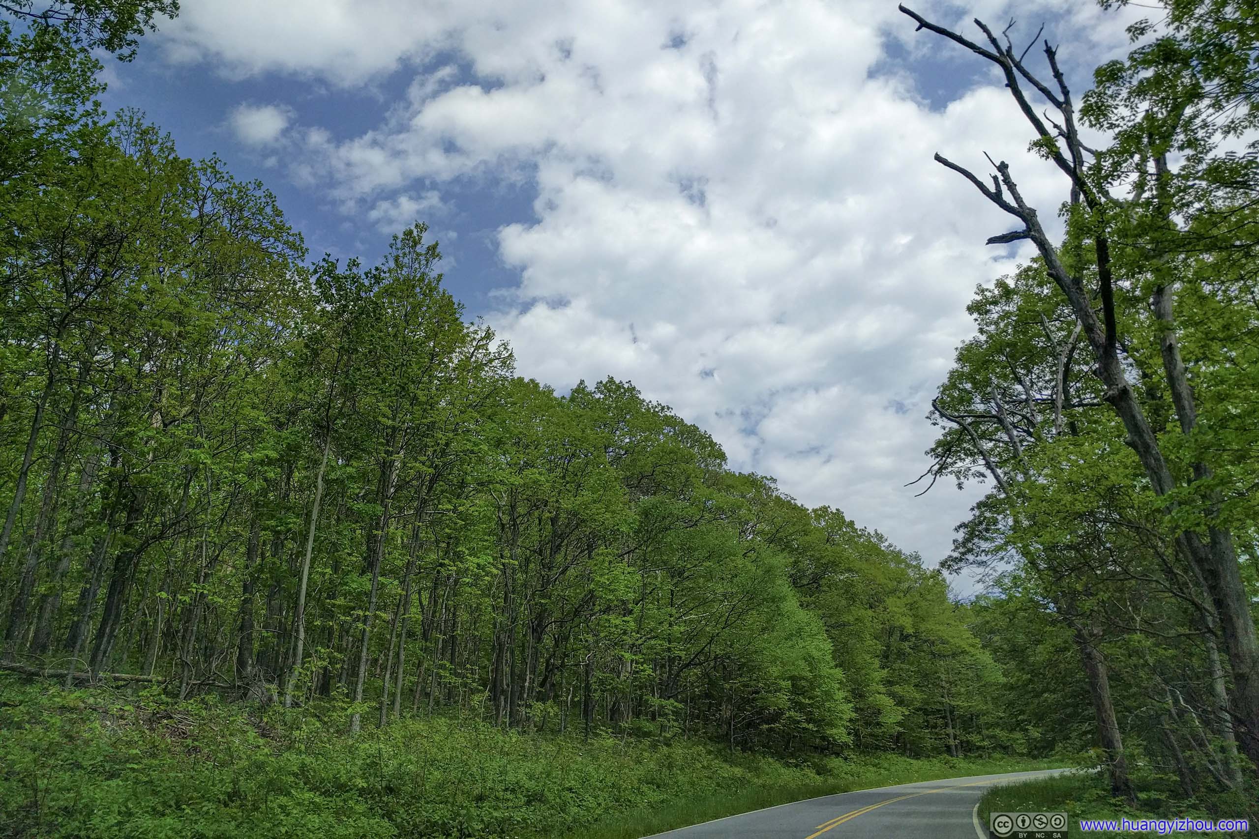
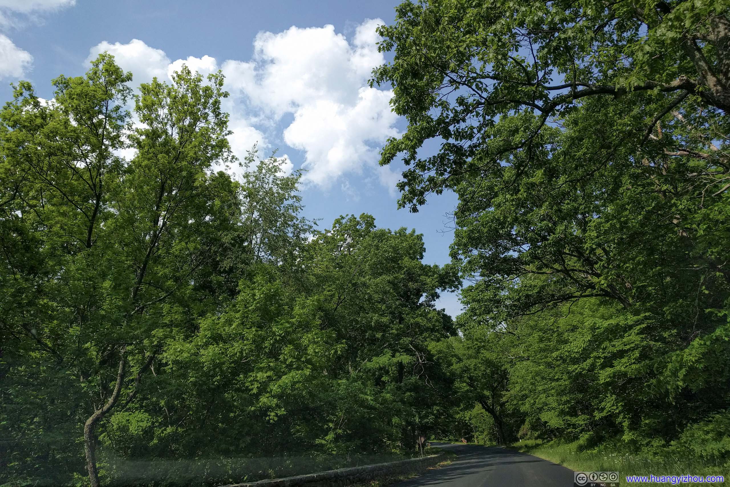
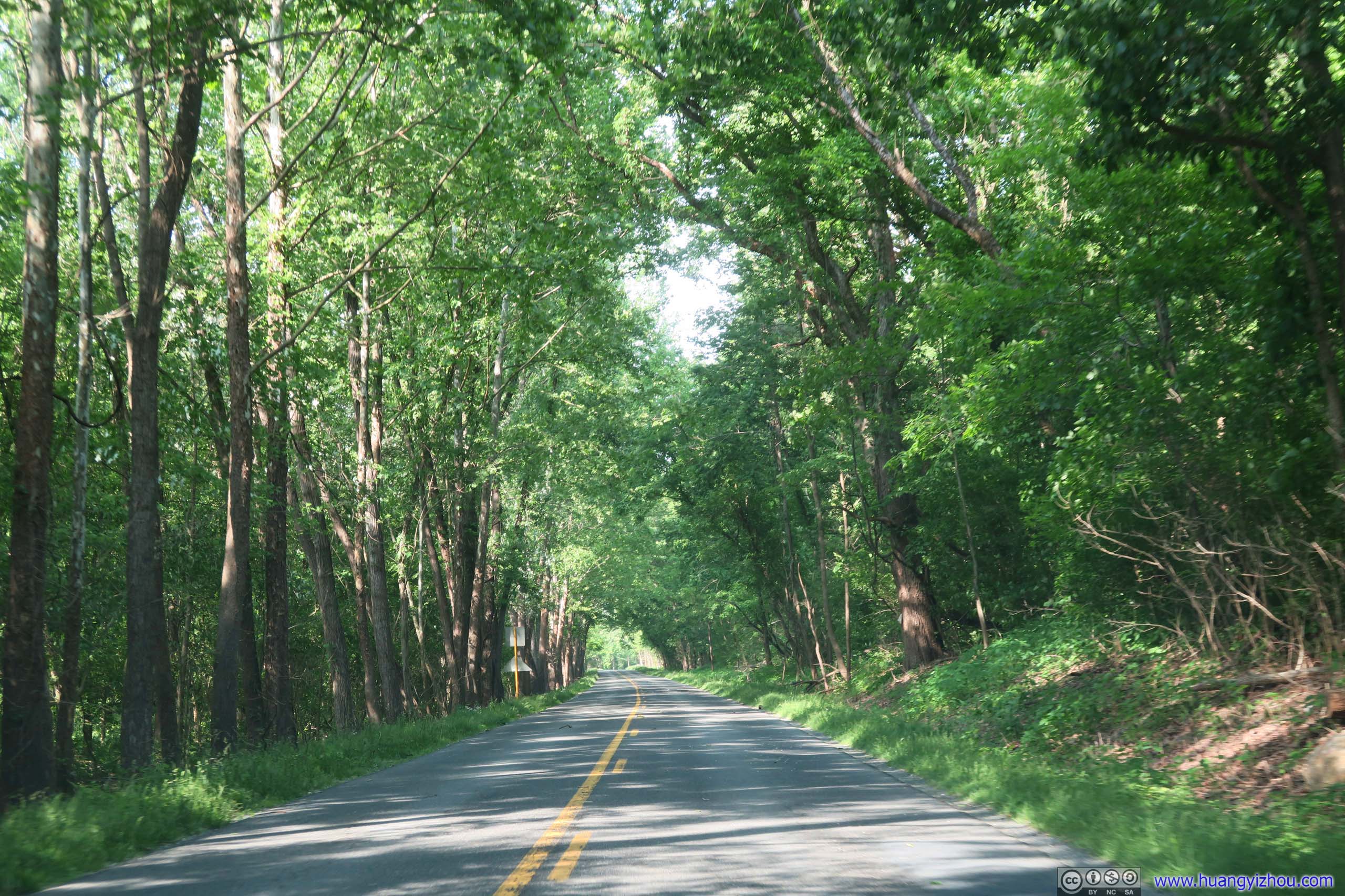
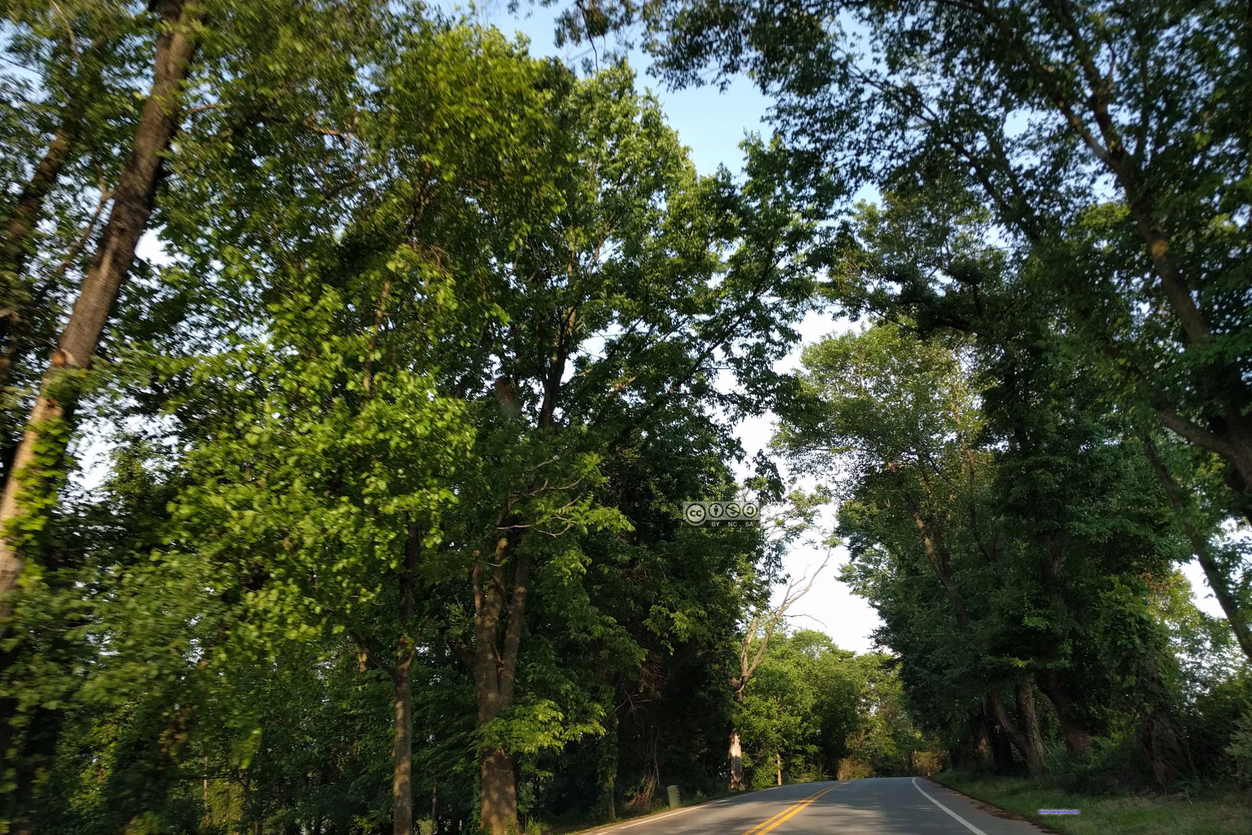
For the most part, Mary’s Rock Trail followed Appalachian Trail under shades of forest, which came handy for a hot early summer day like this.
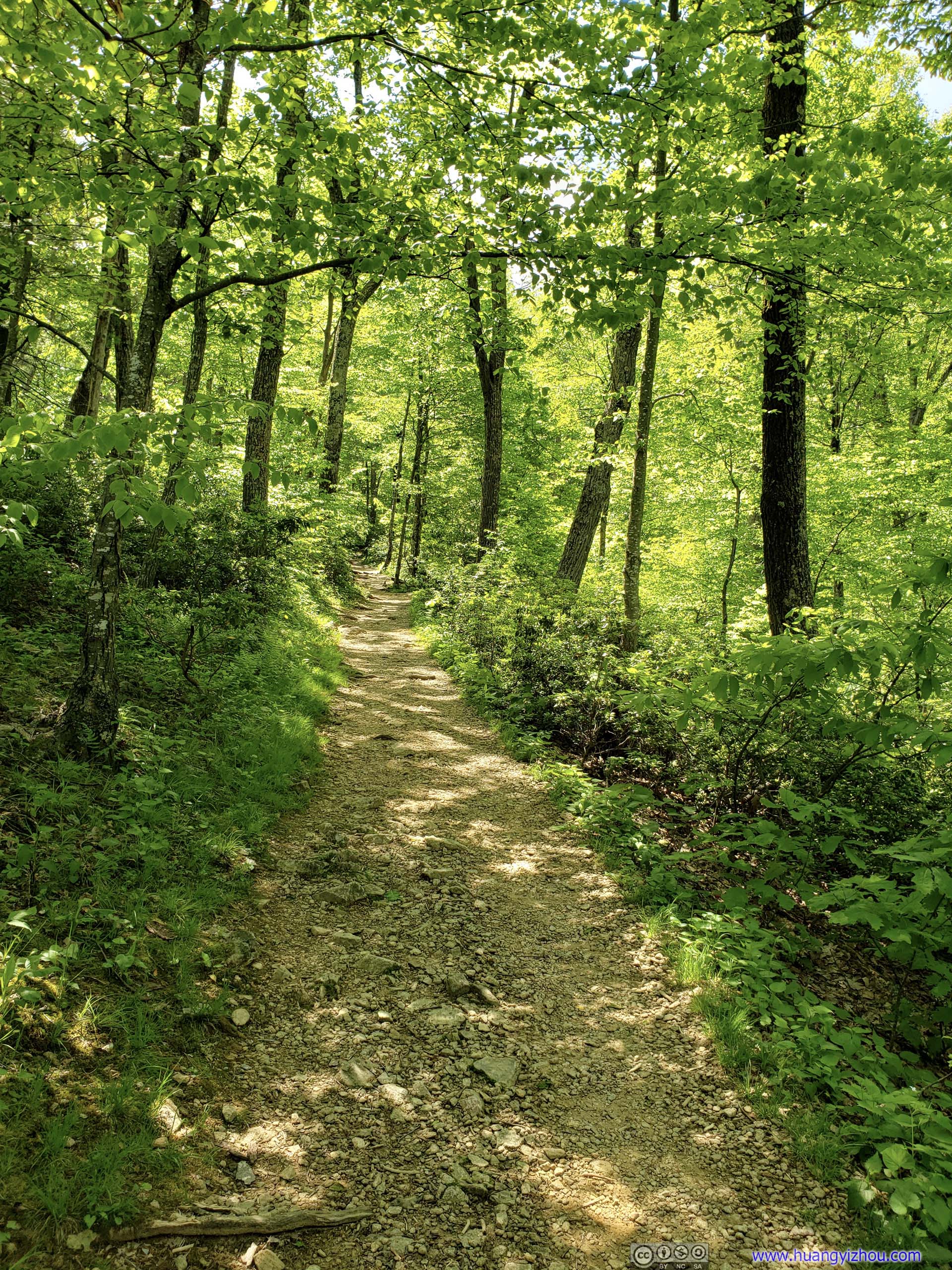
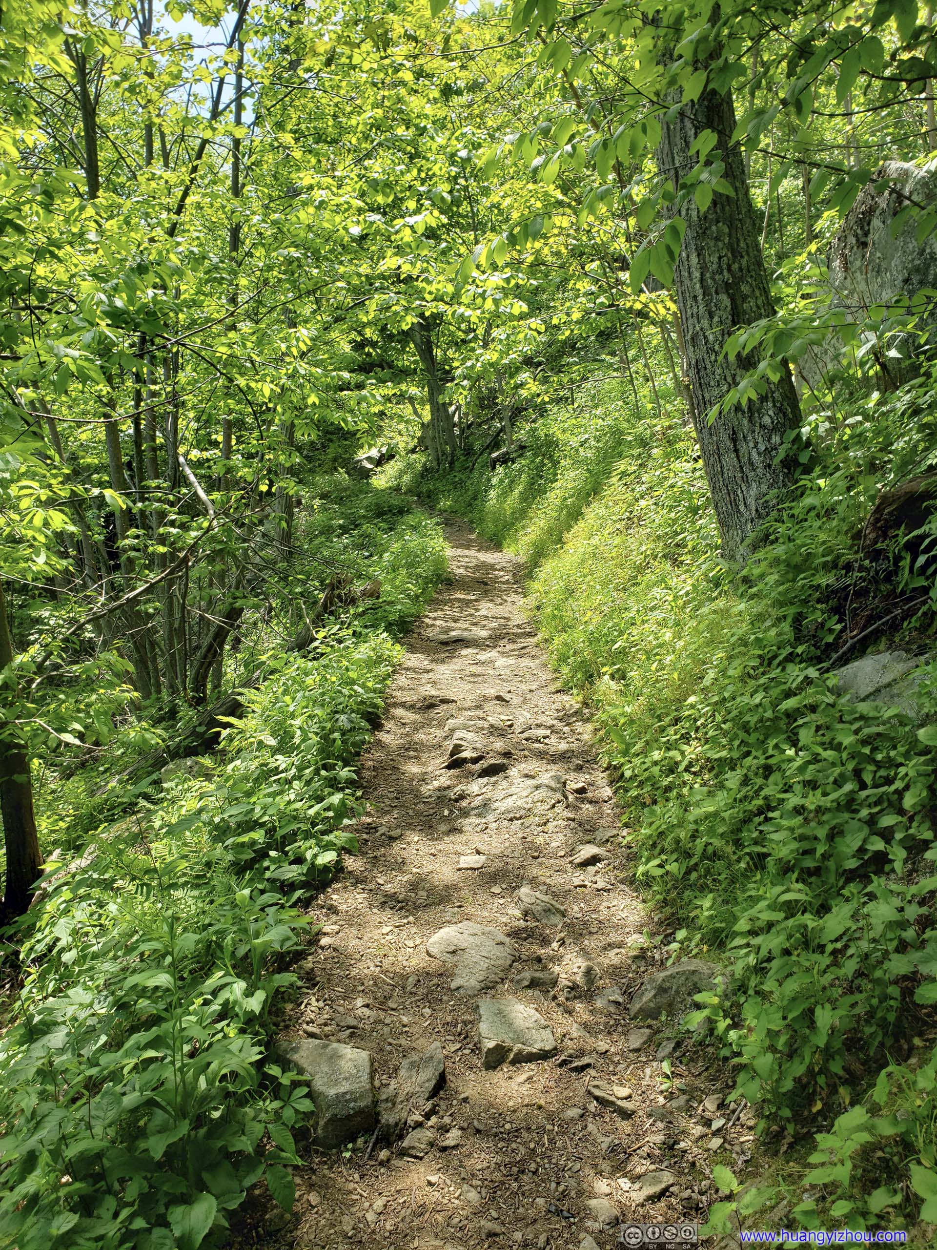 Trail
Trail
About halfway through the journey, I came across a bear by the trail. It was a thrilling moment as we came to only 1 meter apart, before we both realized and were frightened by each other’s presence and backed off.

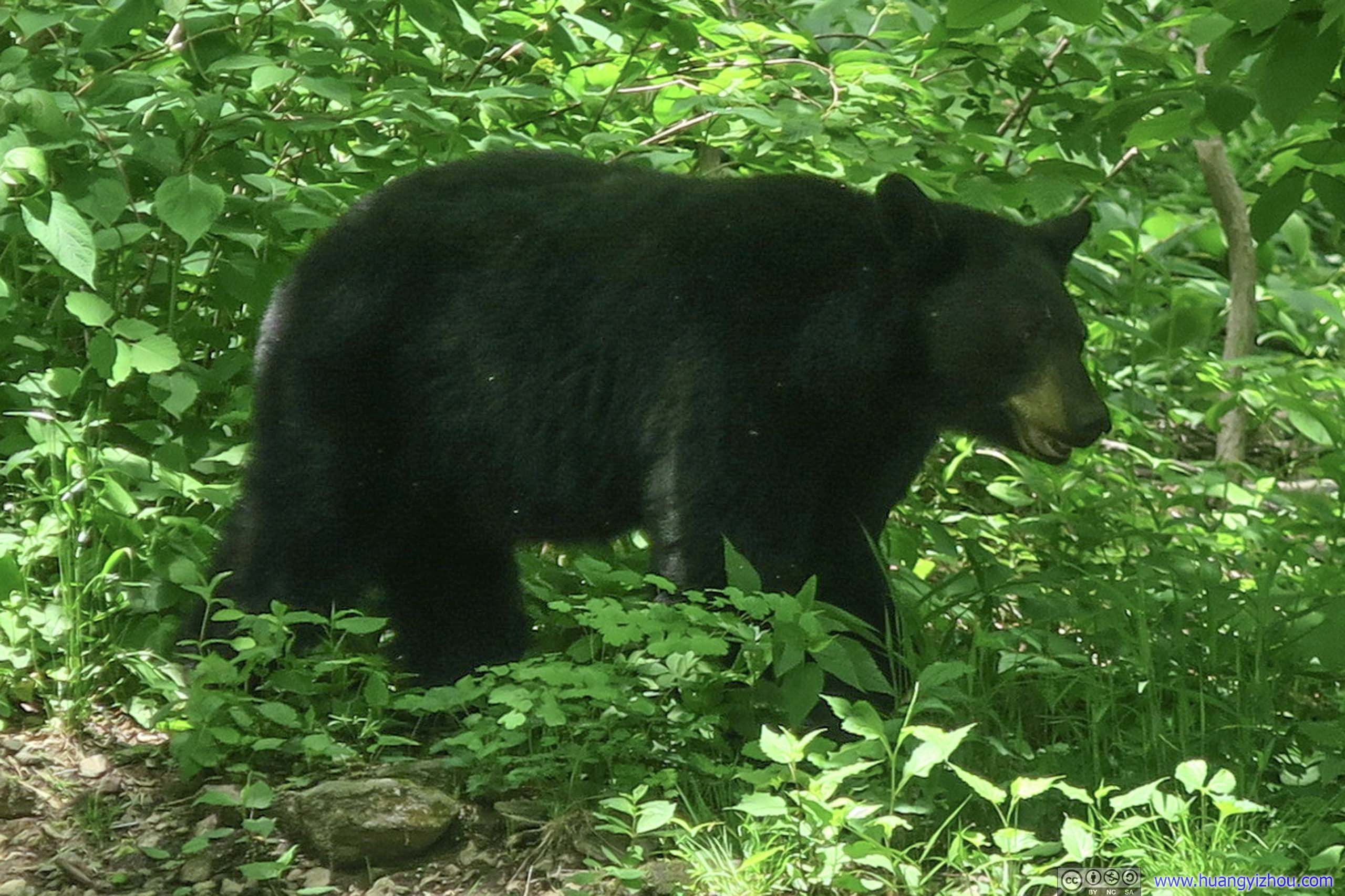
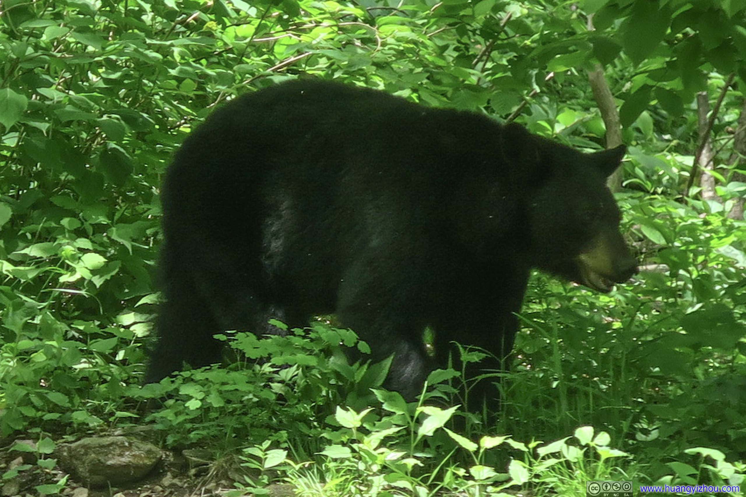
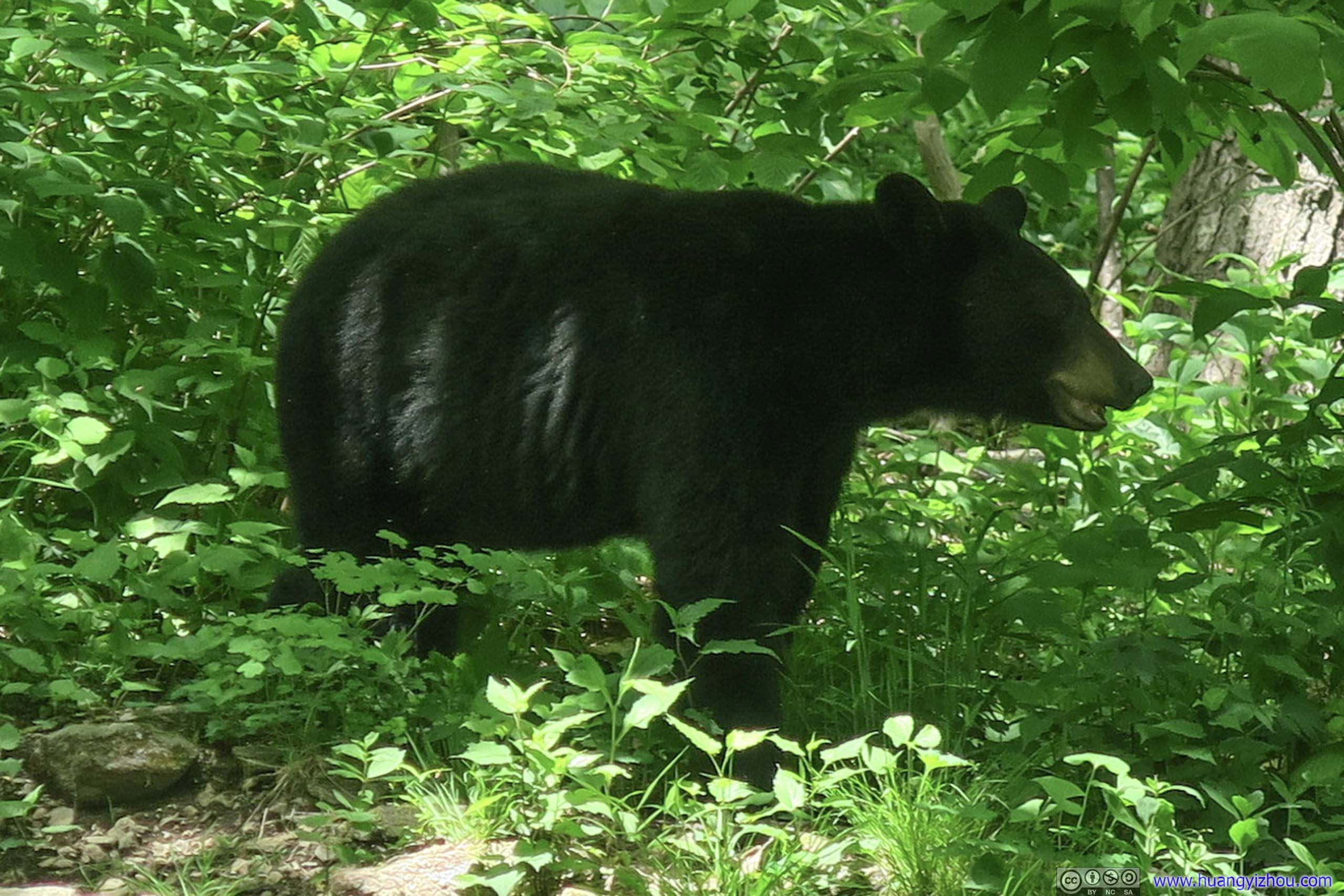 Bear
Bear
Later, some seasoned hikers joined me in waiting for the bear to pass (and of course, taking photos). They claimed to have often saw bears at this particular location, probably for the presence of a creek behind the bushes. For information, the location was at the first switchback right West of tunnel. About ten minutes later, the bear was probably bored with looking at people and disappeared into the bushes, and my journey resumed.
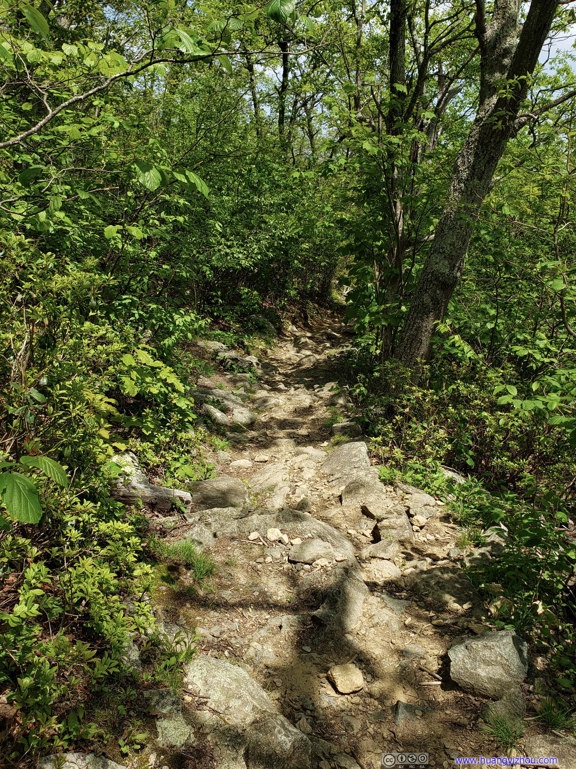
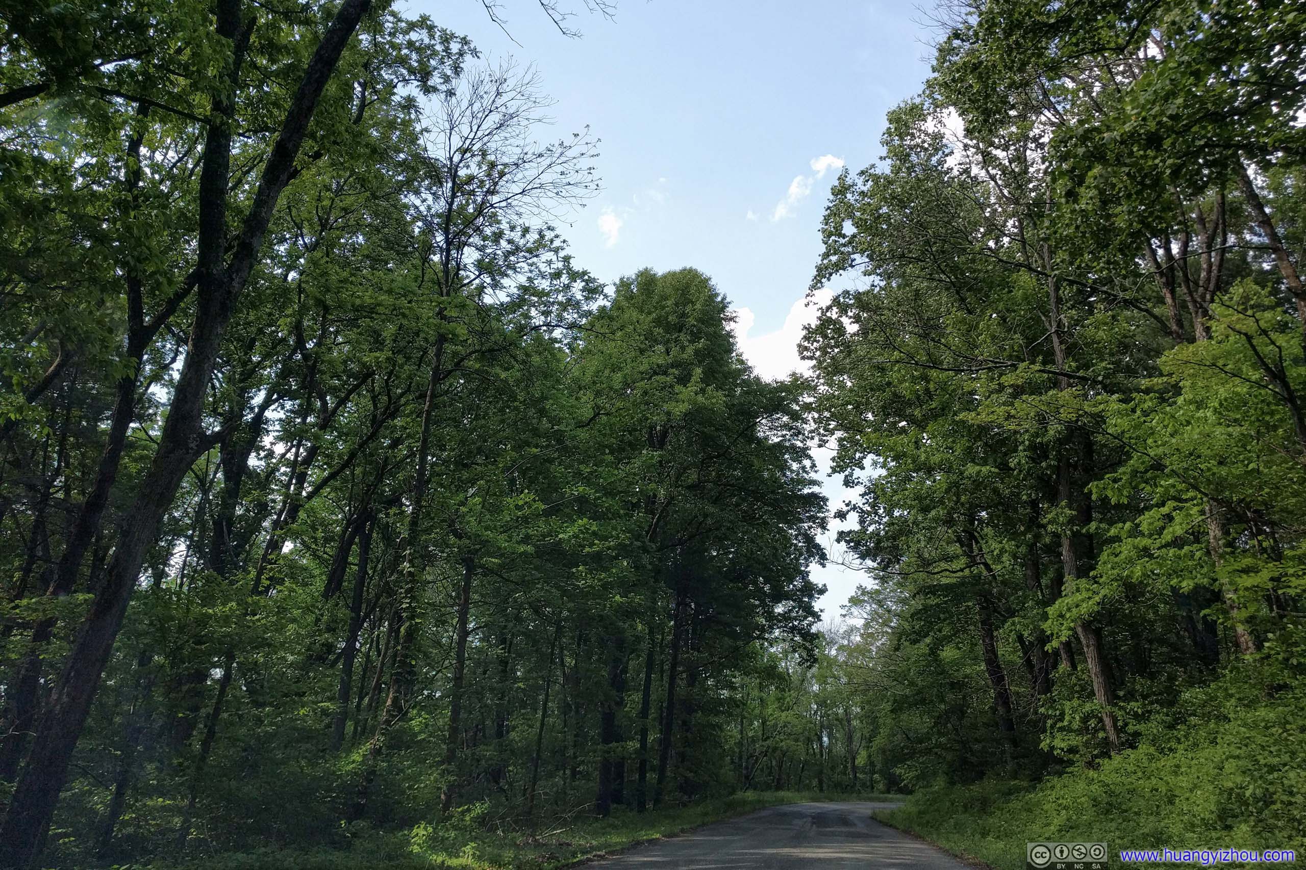
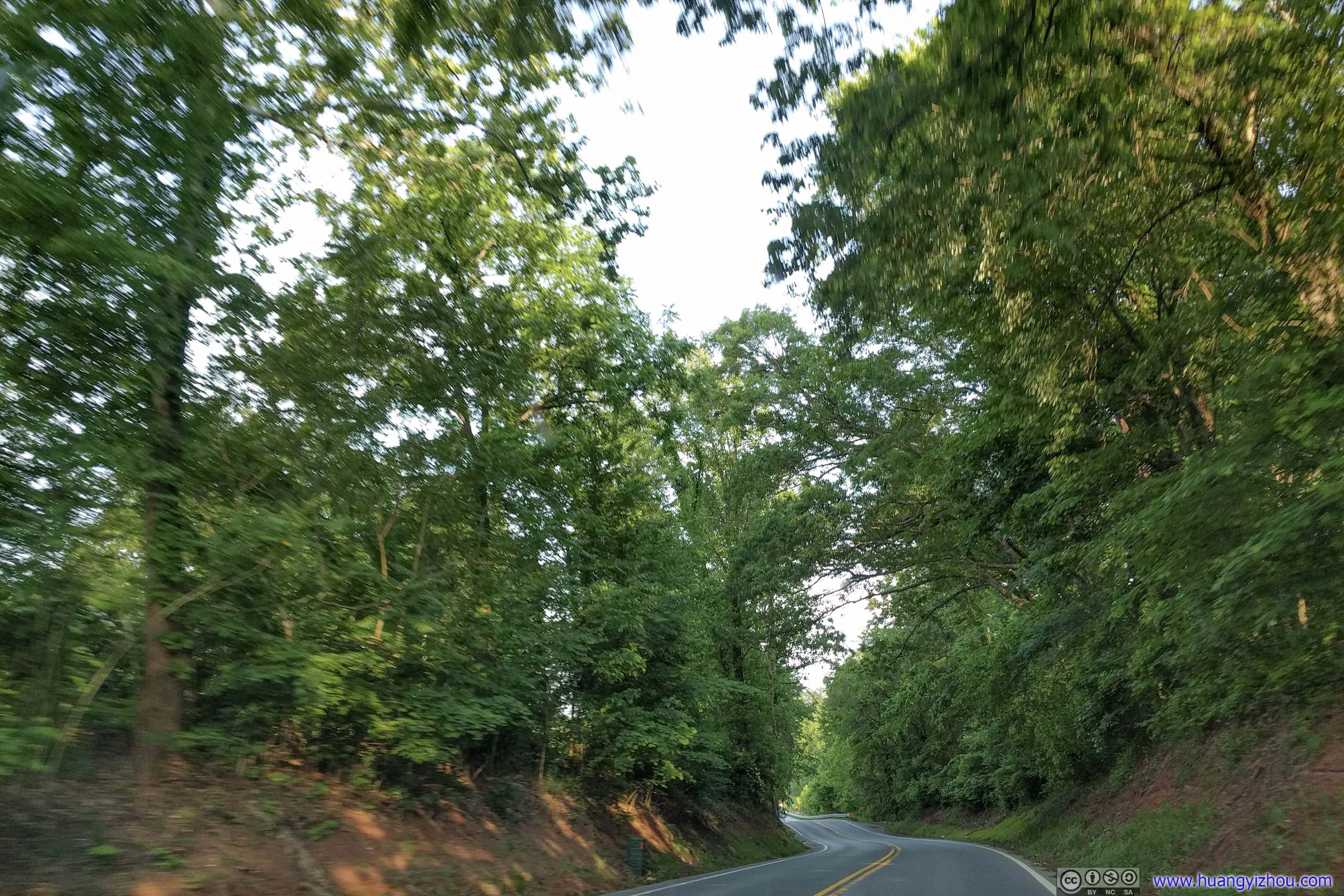
 Trail
Trail
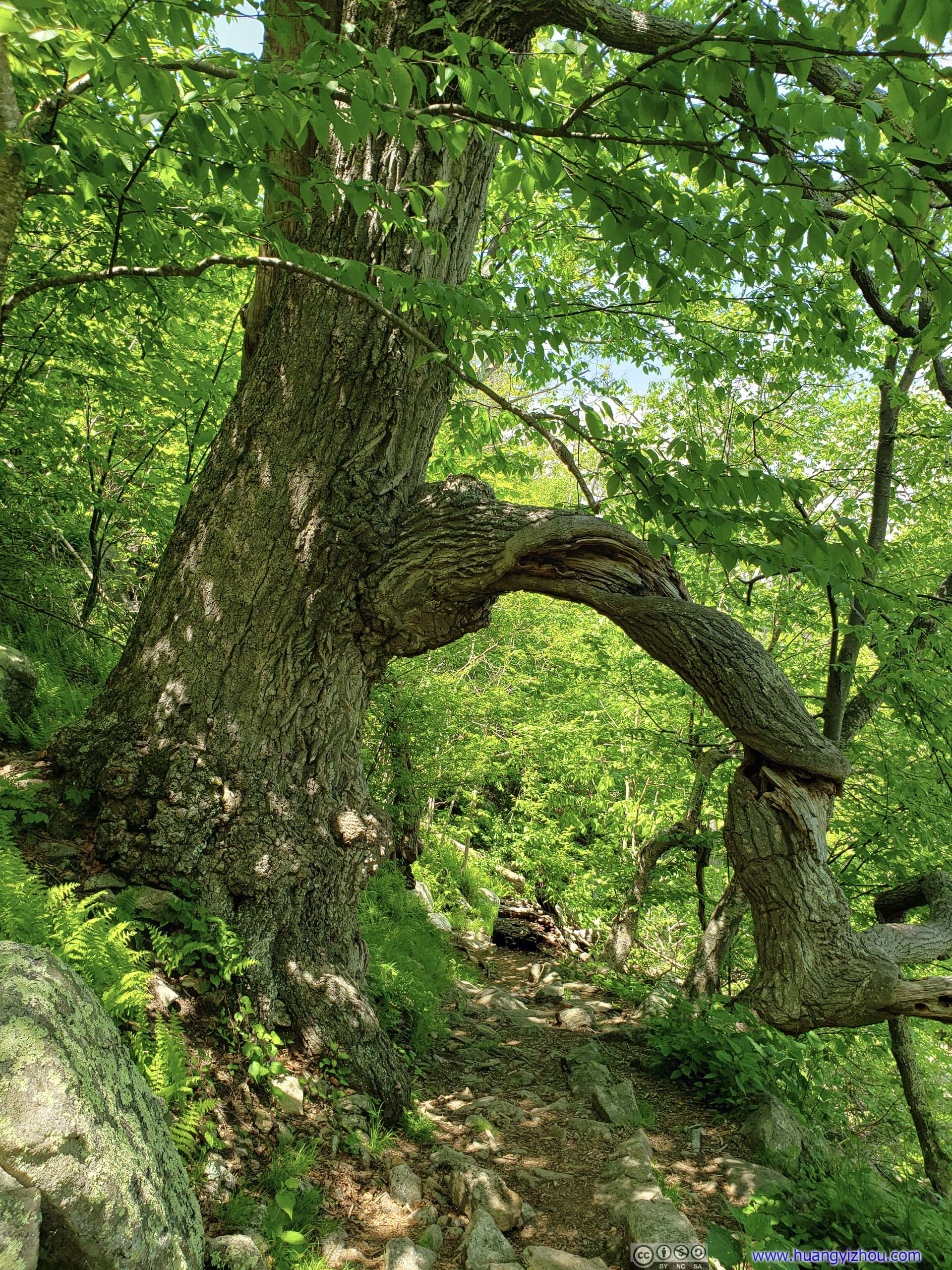 Trail through Twisted Tree
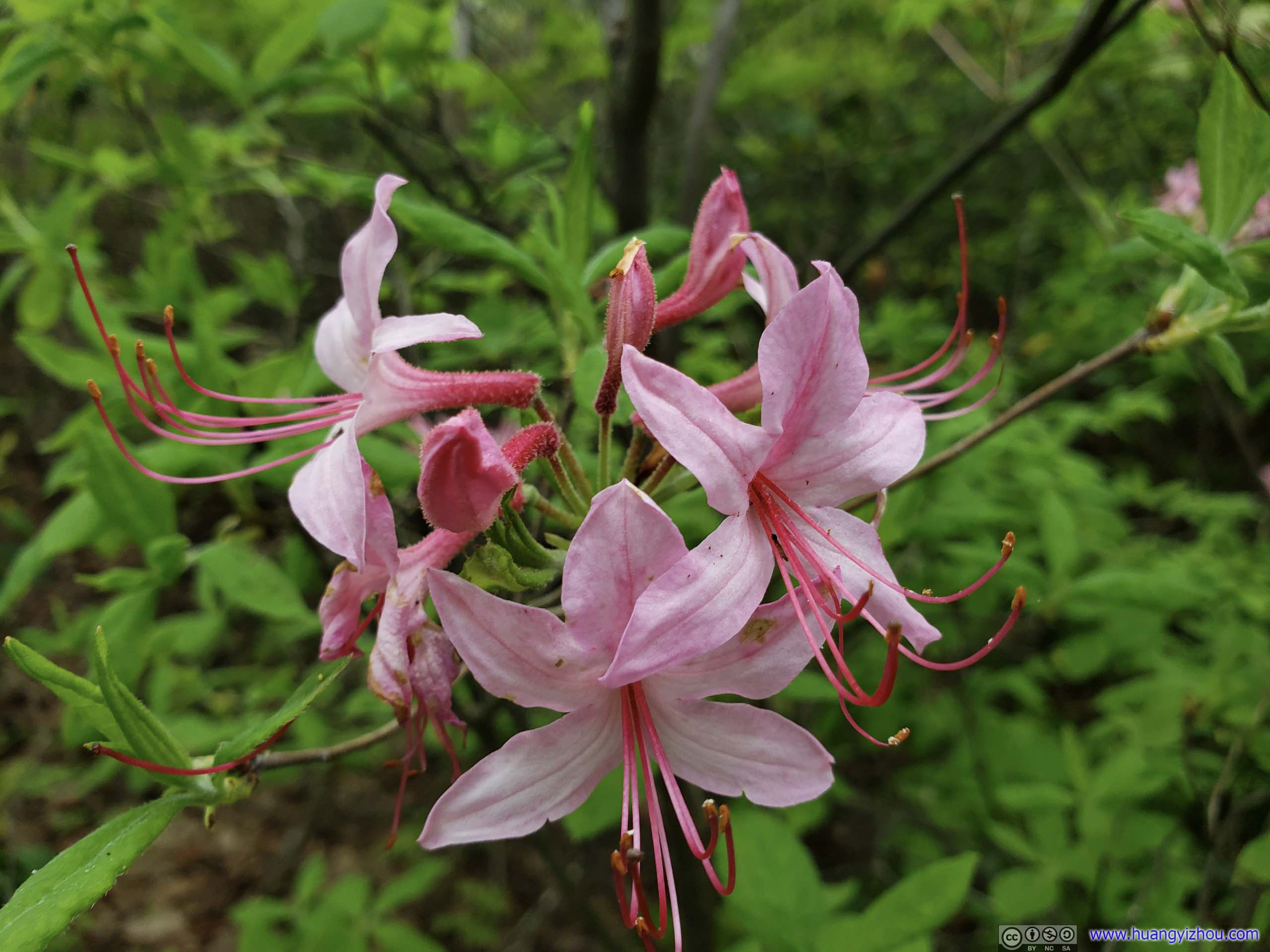
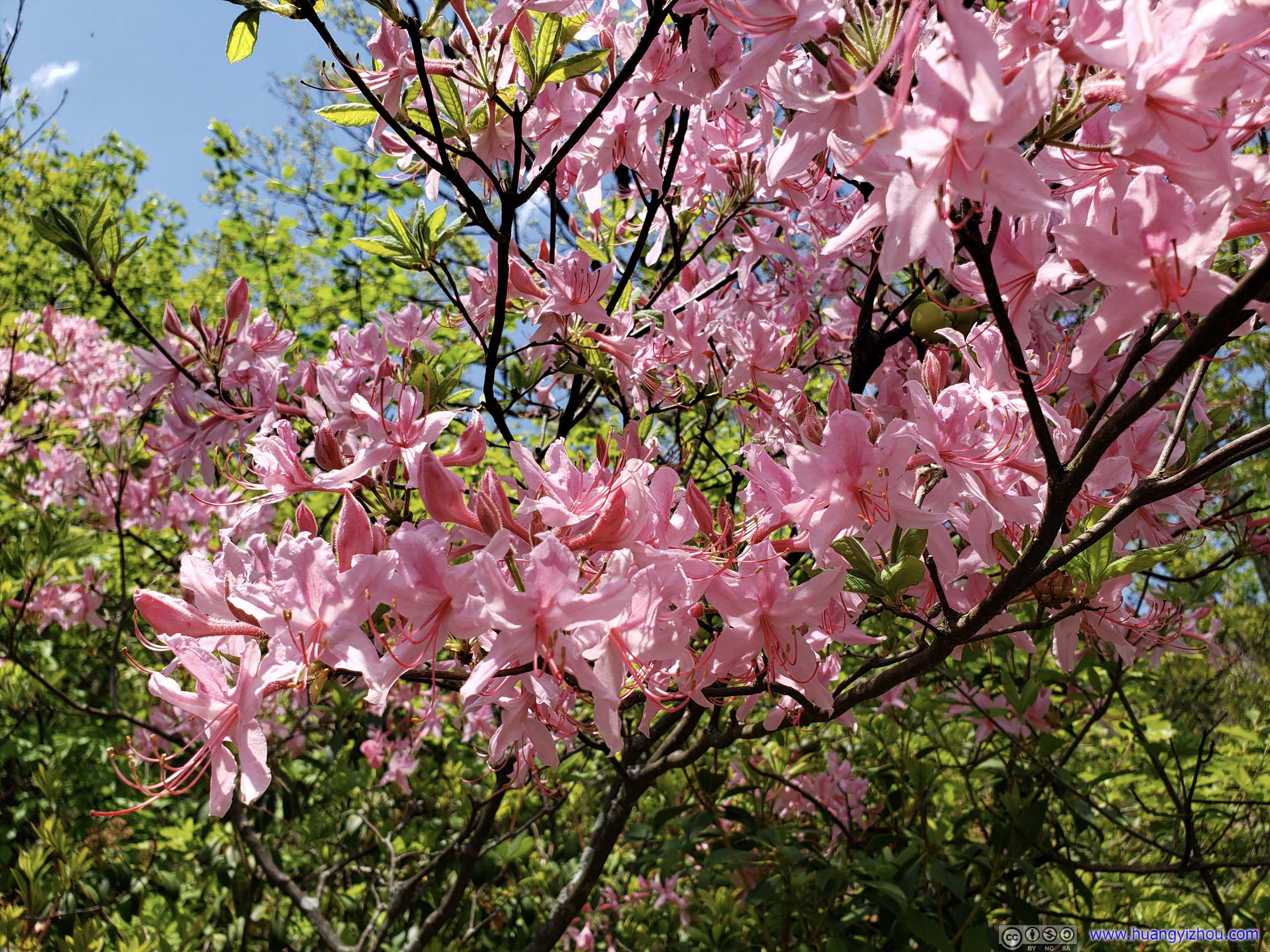 Flowers
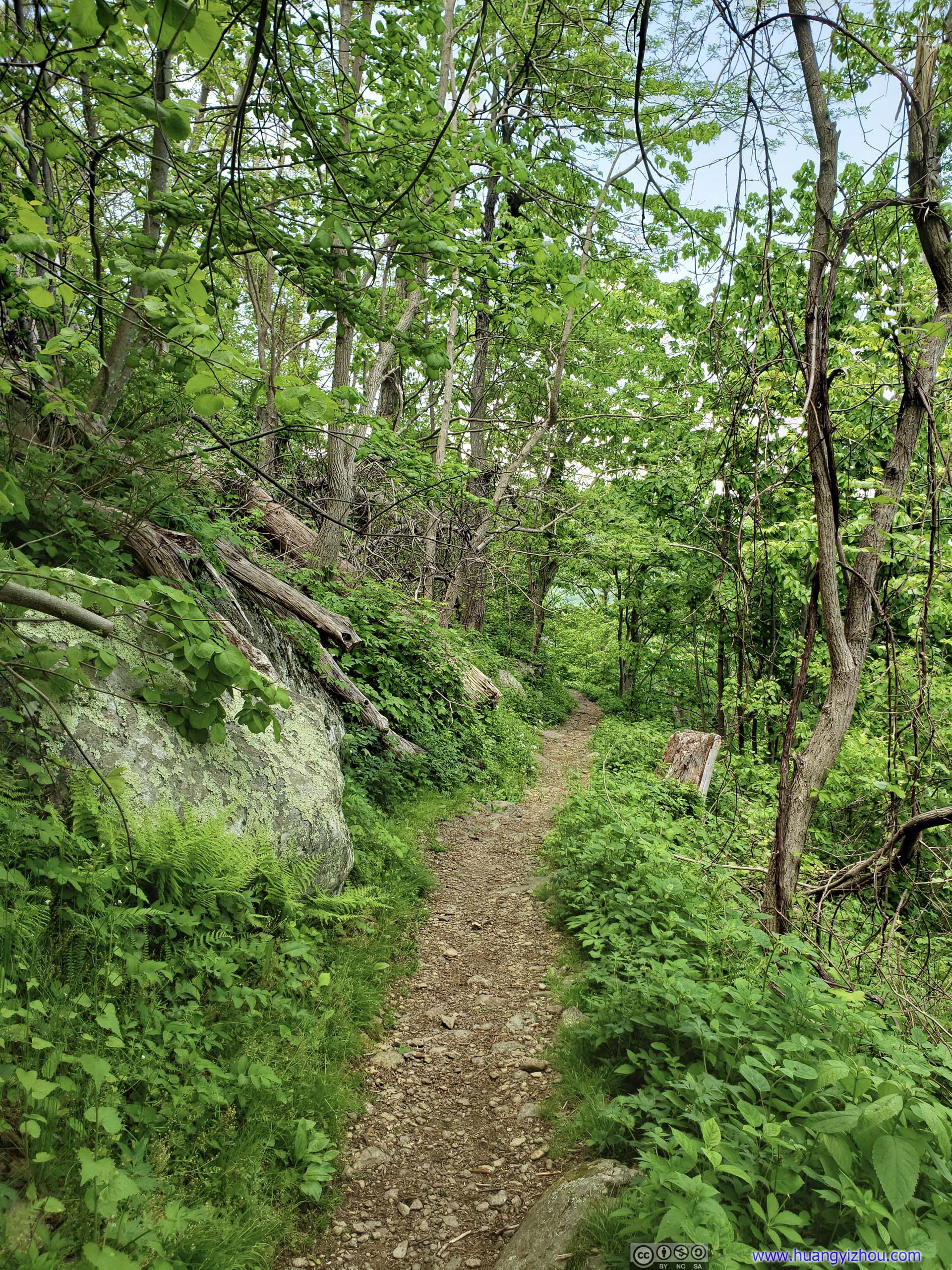
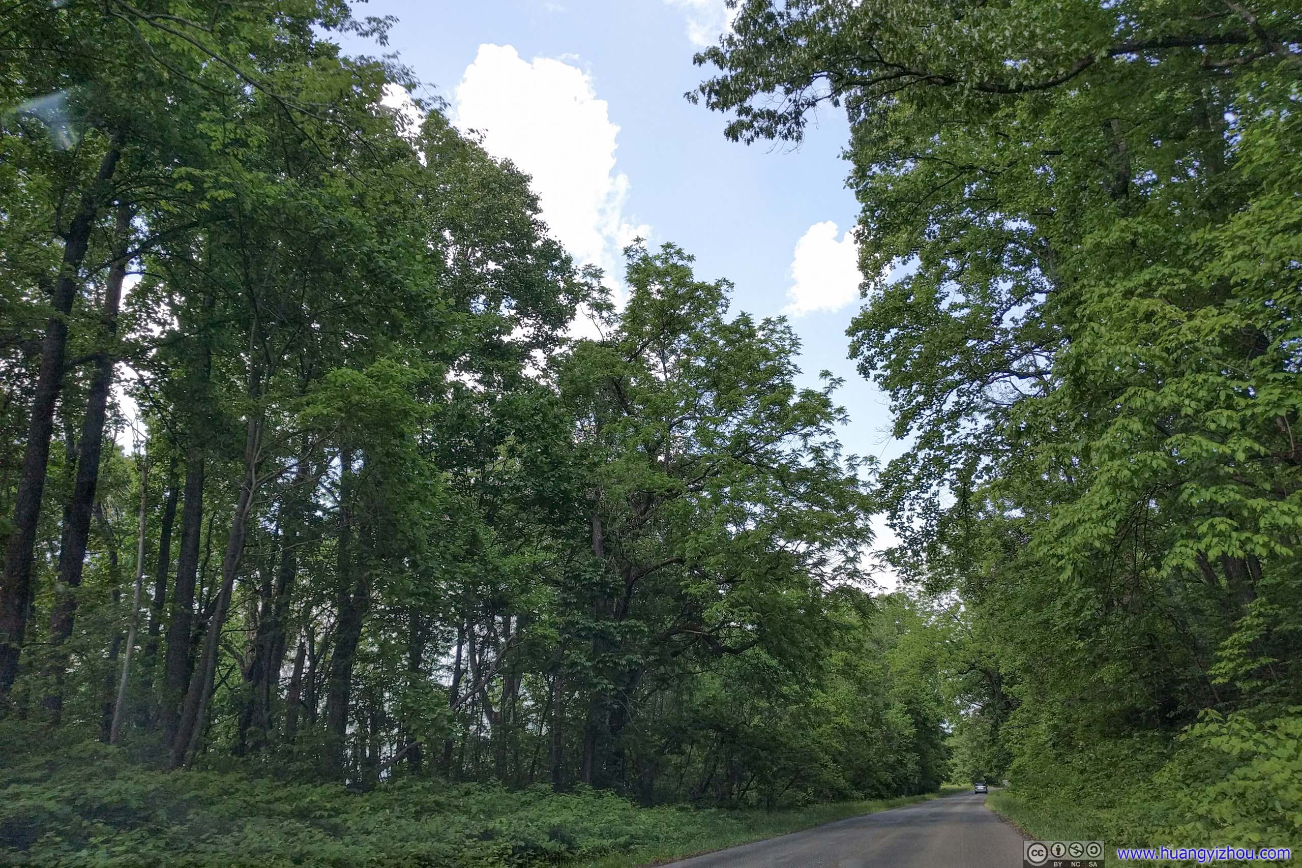
 Trail
Trail
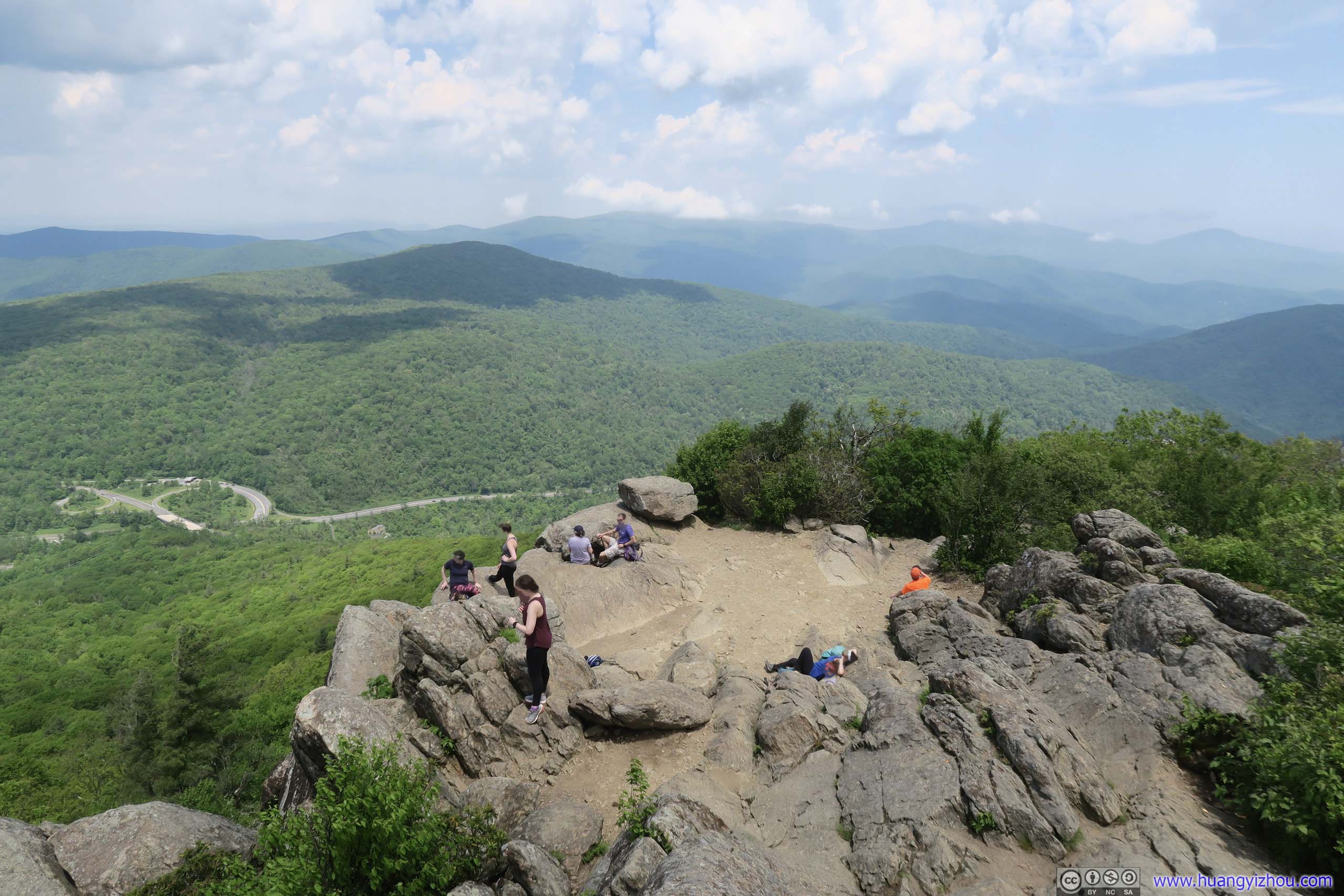
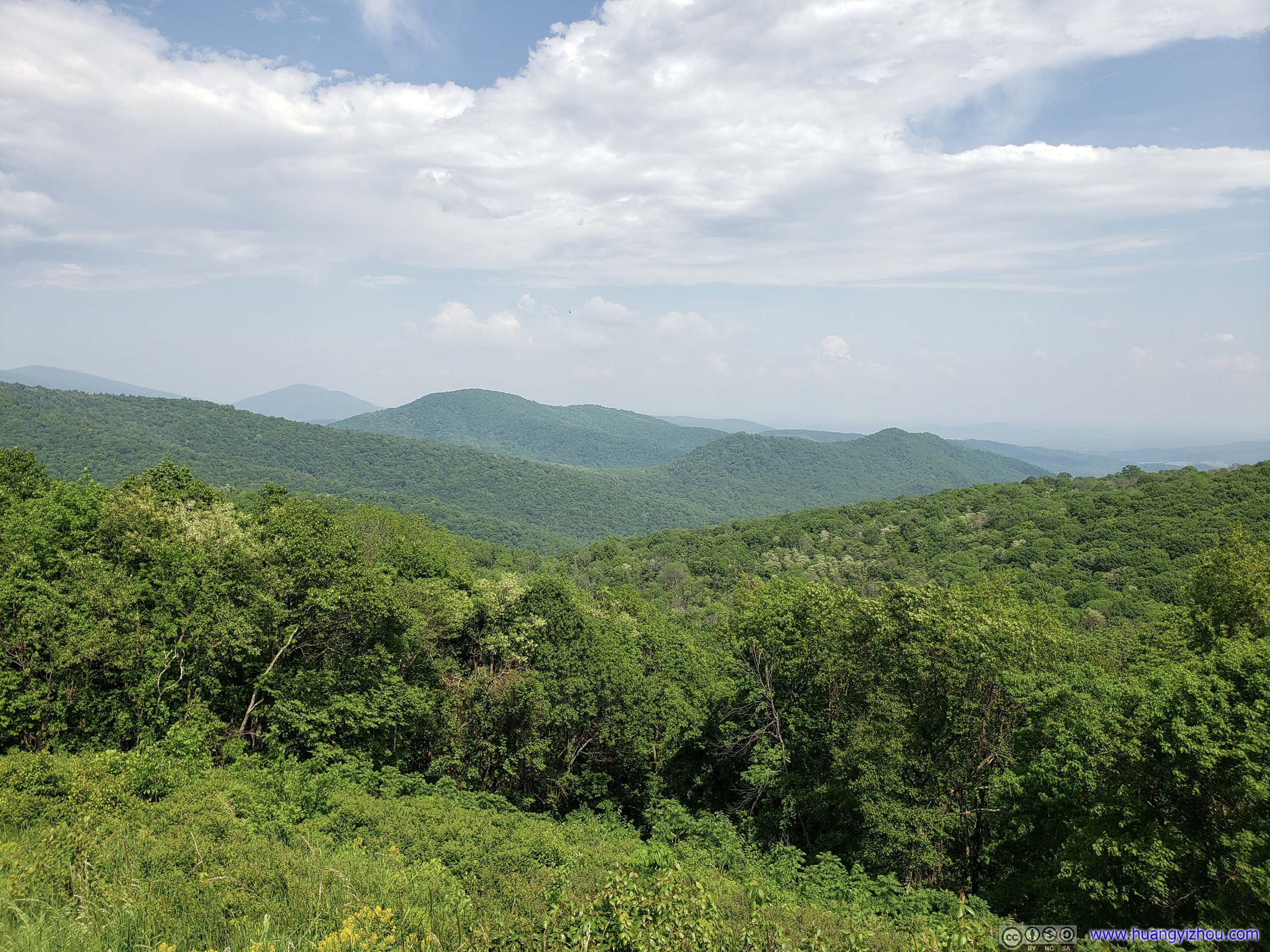
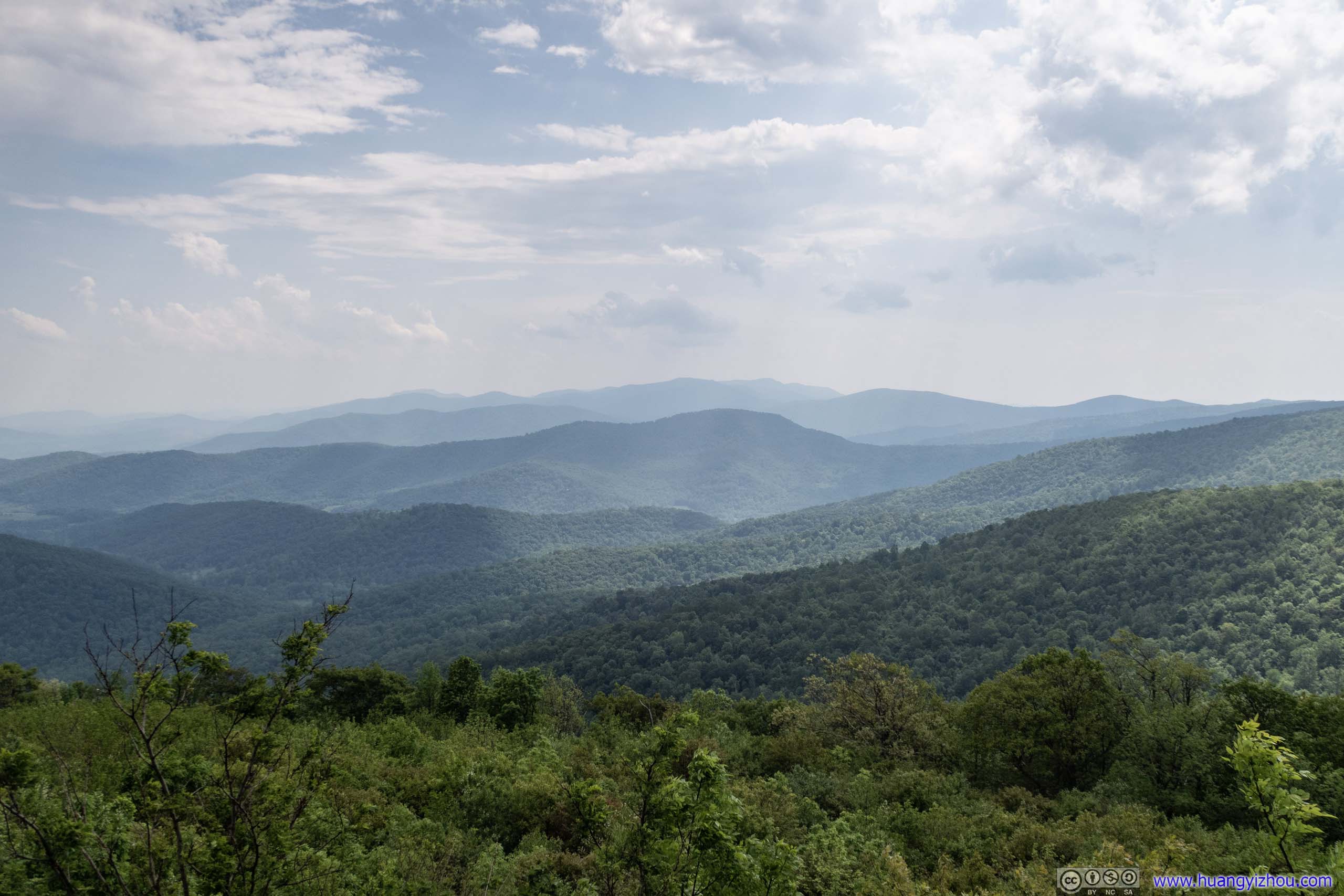
After an hour from trailhead, I was at Mary’s Rock, where views were wide open and spectacular. Only that the company of many insects weren’t the most welcomed.
Field and Mountains to the West
View from Mary’s Rock
Overlooking Thornton Gap
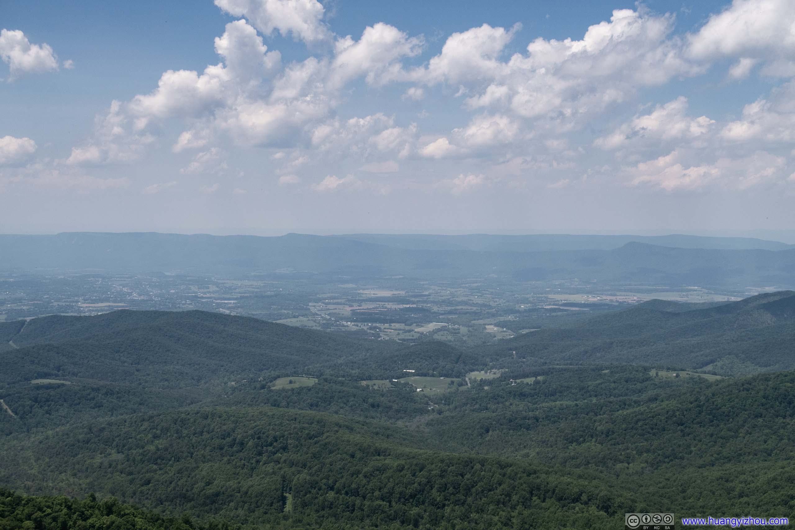
Field and Mountains to the West
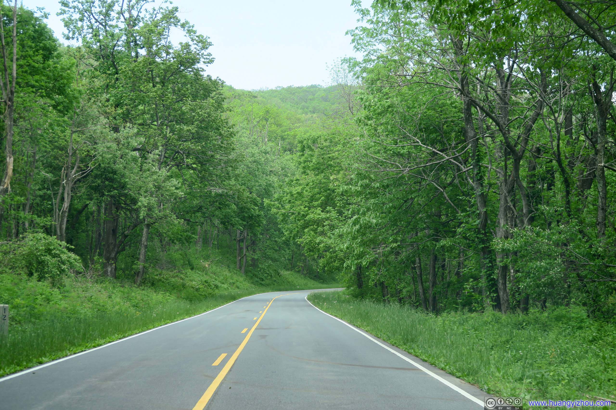
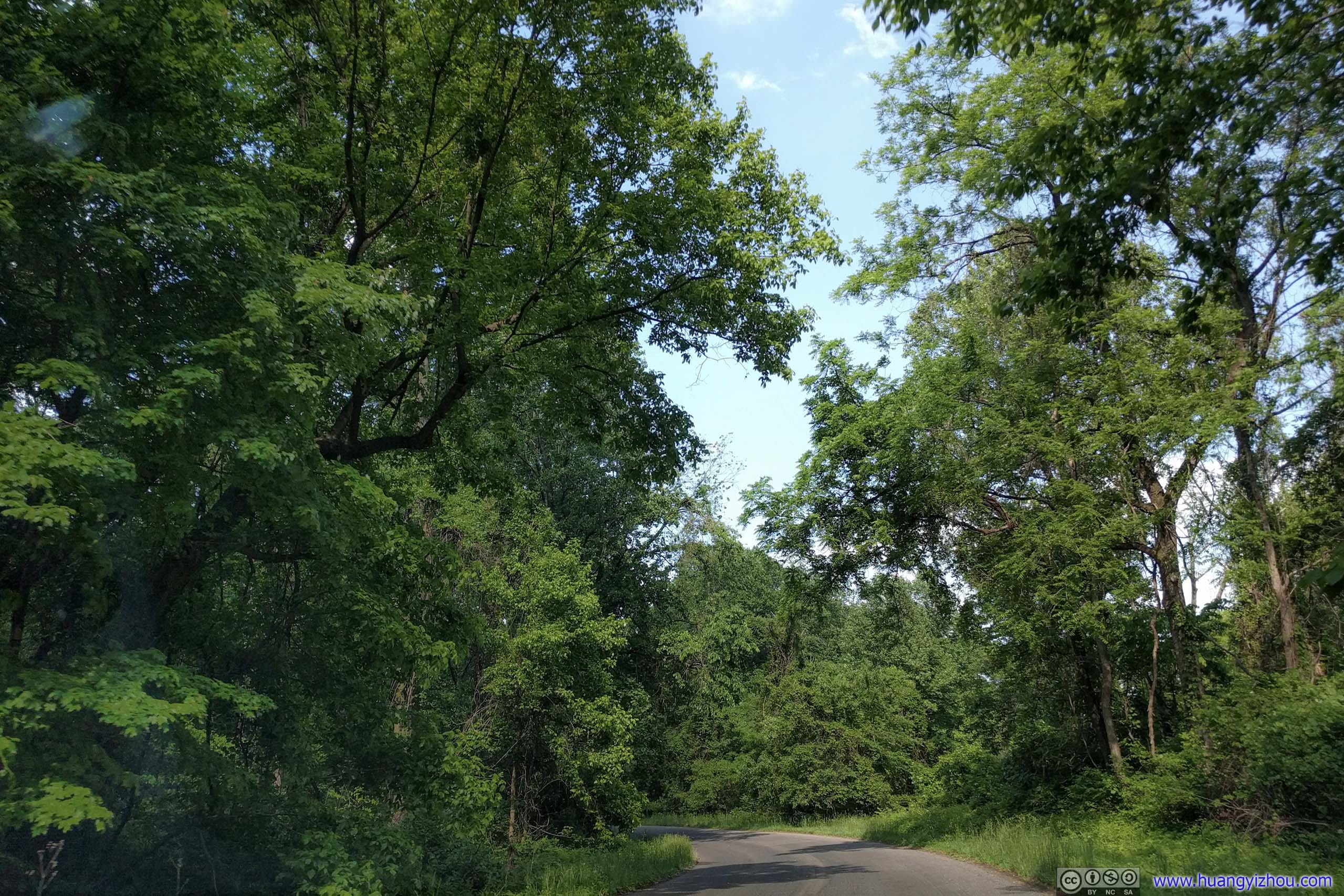
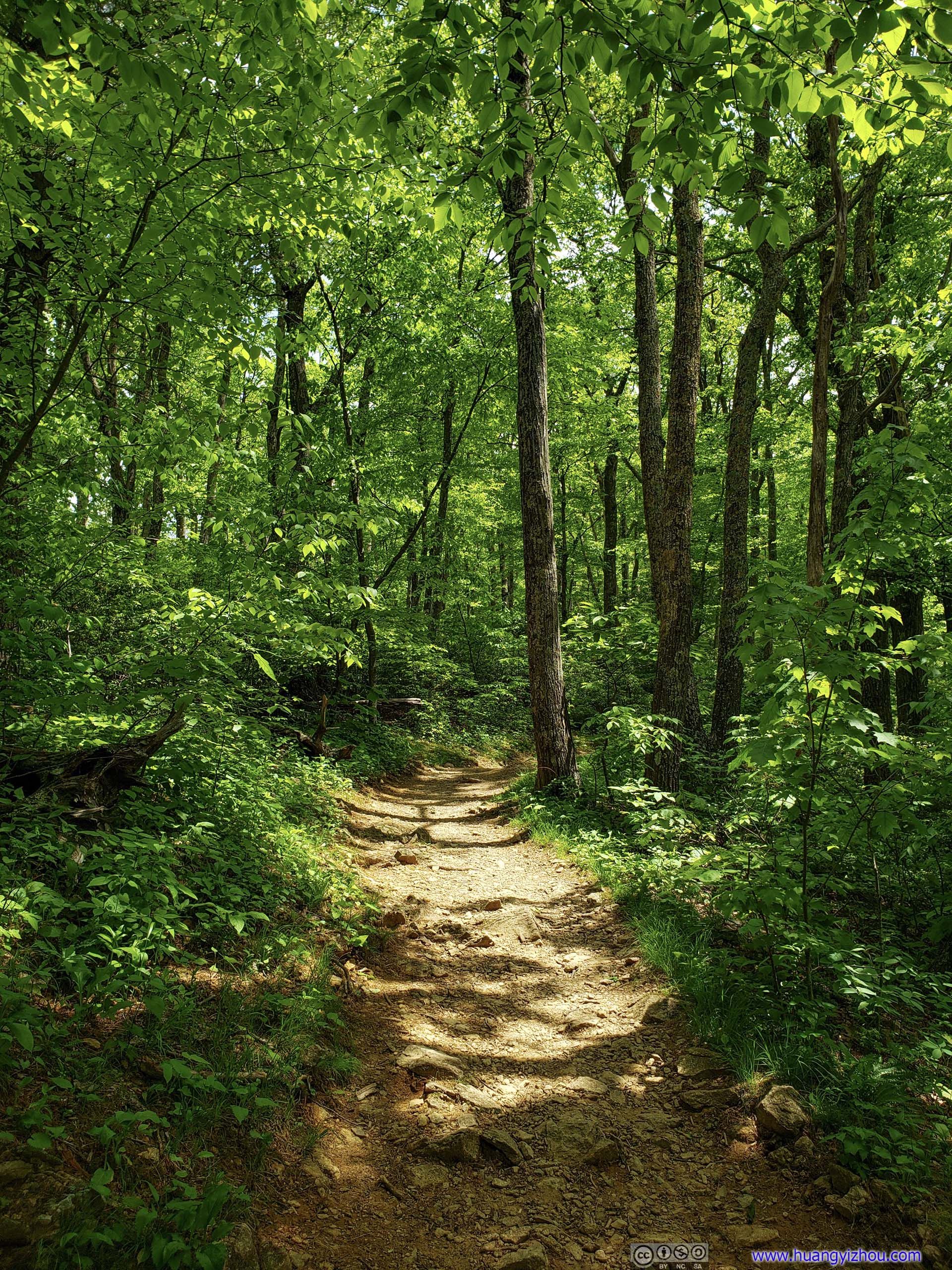 Trail
Trail
It was still early in the day when I got back to the trailhead. However, I had some issue to address so I decided to head home early. Stil in the mood of the day, I took a detour through Skyline Drive, the park’s main road, and some of Virginia’s country roads to a supermarket in Gaithersburg before heading home.
By the way, it seemed that only the western part of Thornton Gap service station parking lot (closer to trailhead) had cellular coverage. I was very puzzled by this.
Here’s the route that I took:
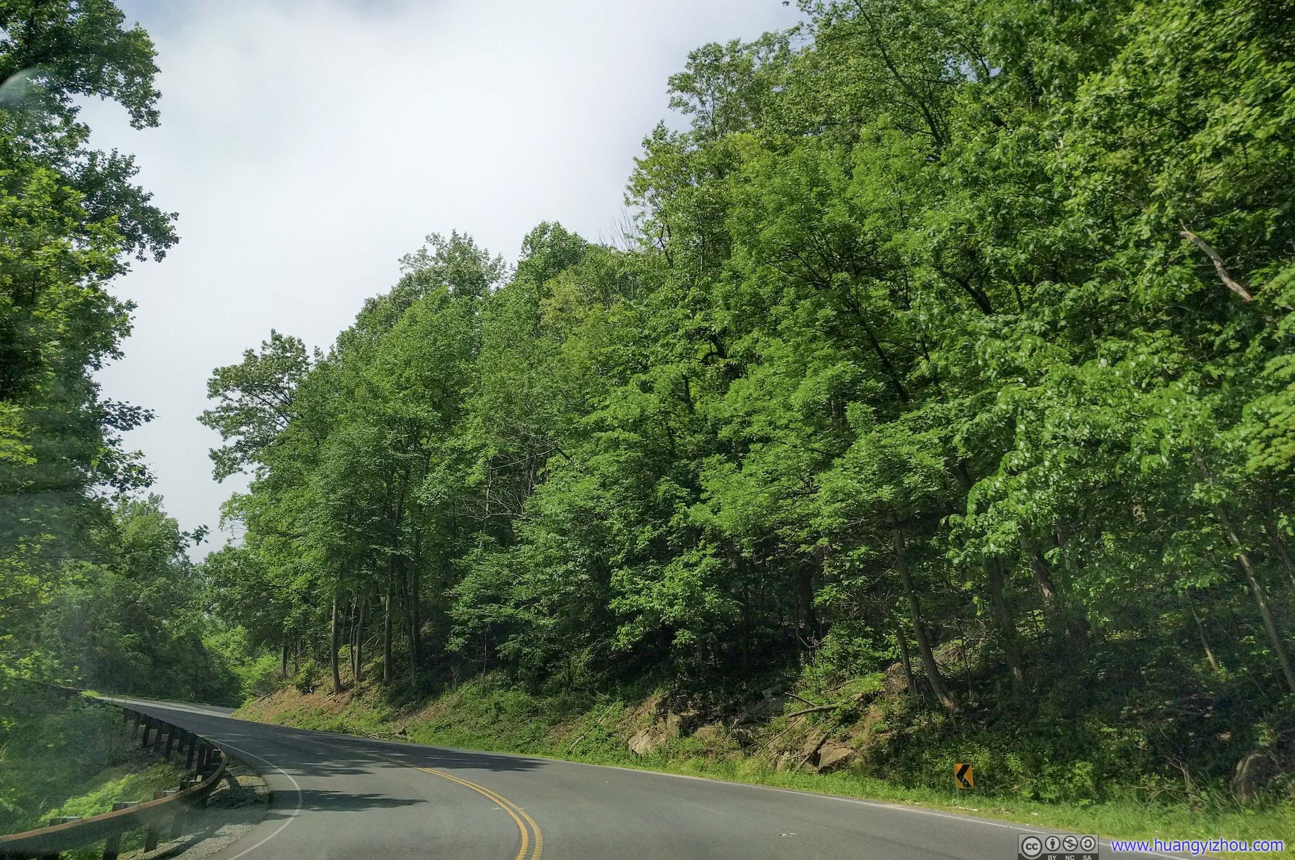
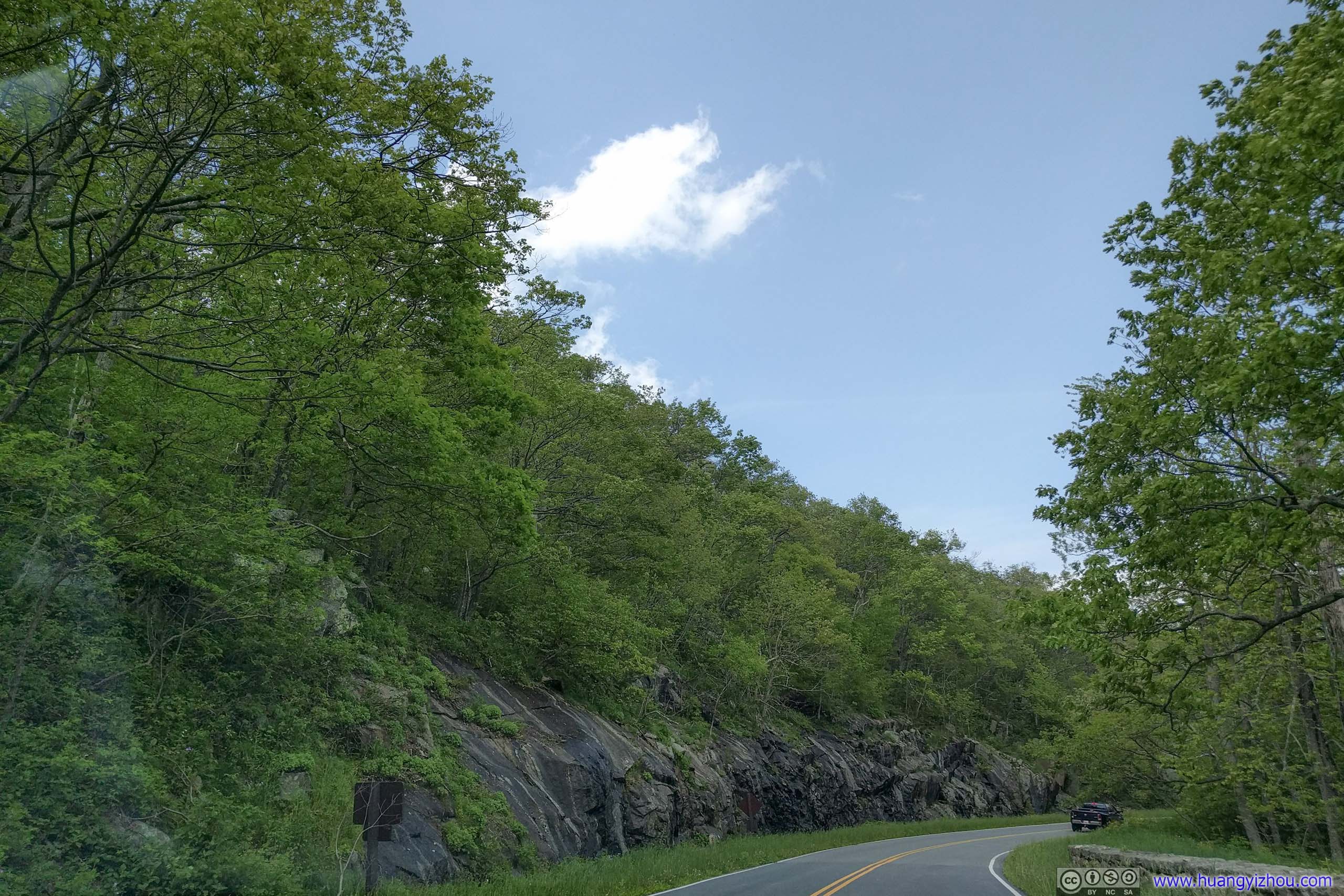
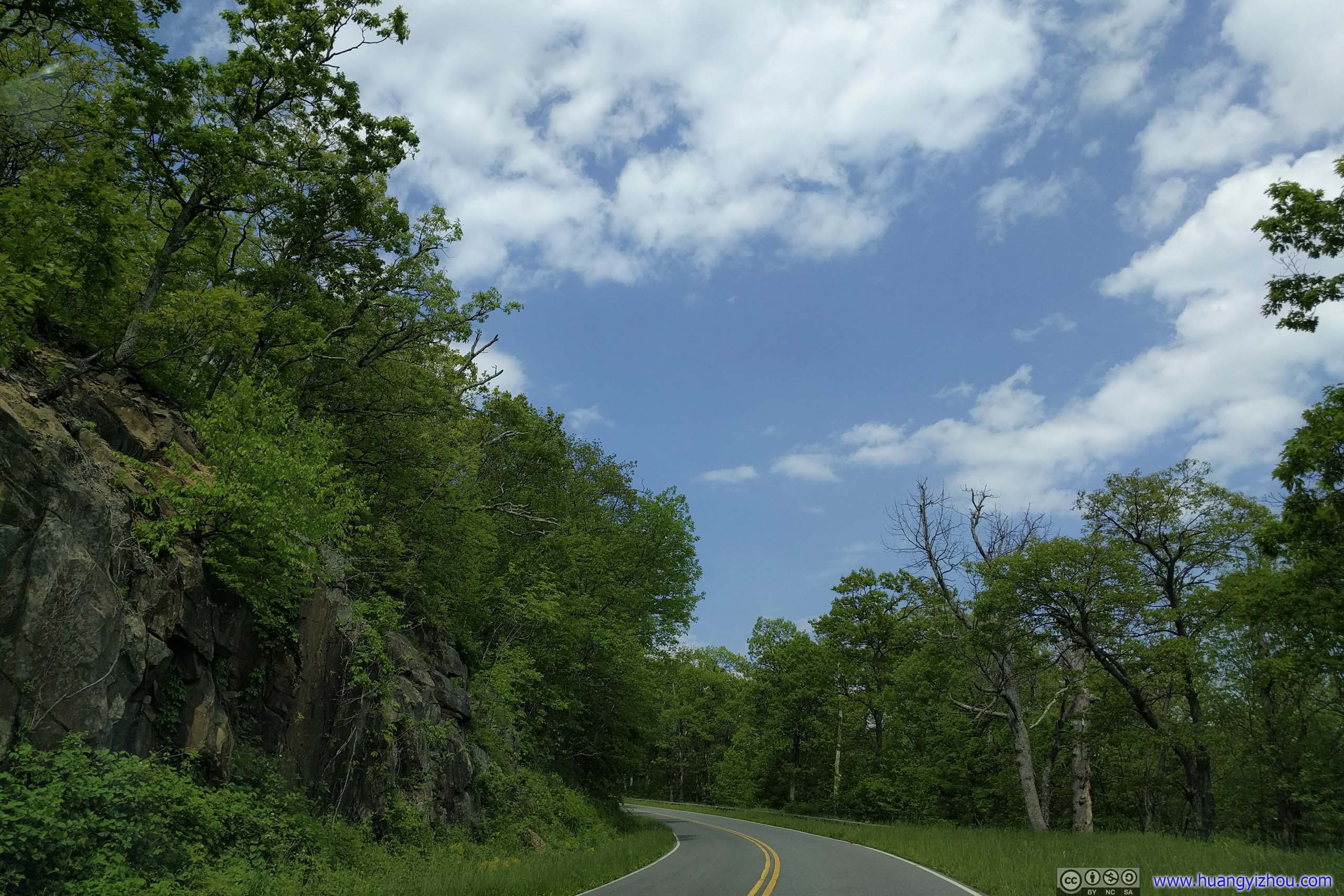
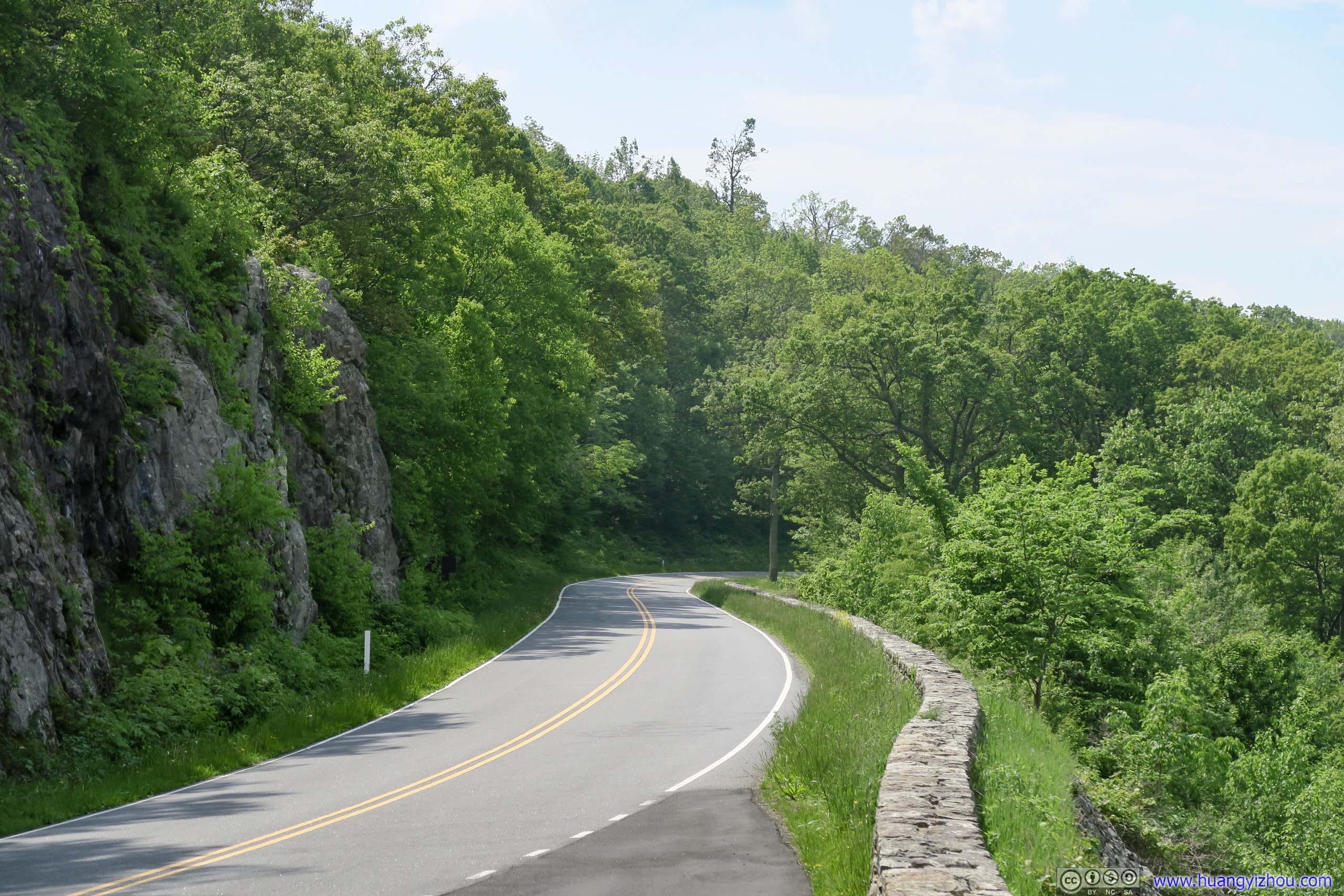
Skyline Drive at Thornton Gap

 Skyline Drive
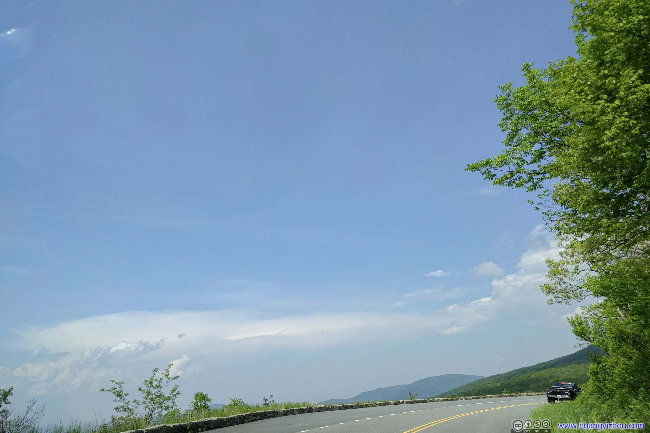
While driving up Skyline Drive, I stopped at a few roadside overlooks to appreciate the scenery and mountainous landscape that I was in.
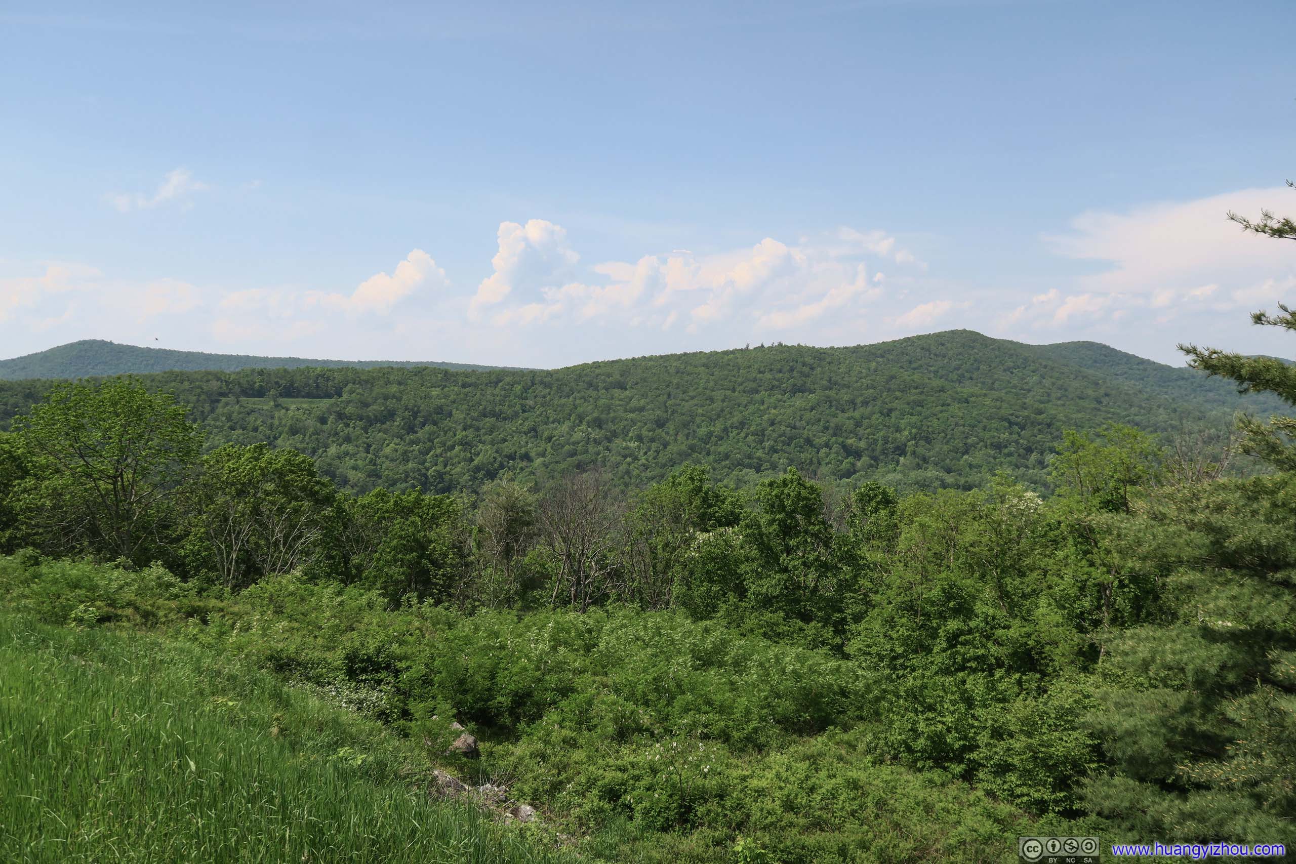
 View of Mountains from Thornton Hollow Overlook
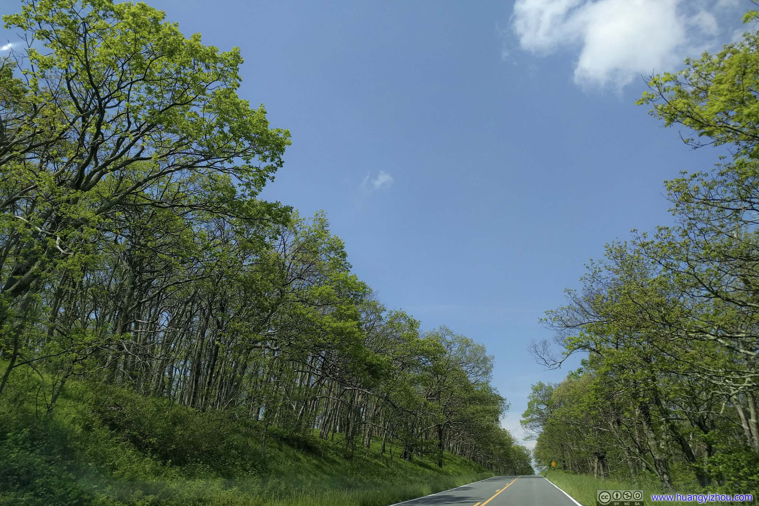
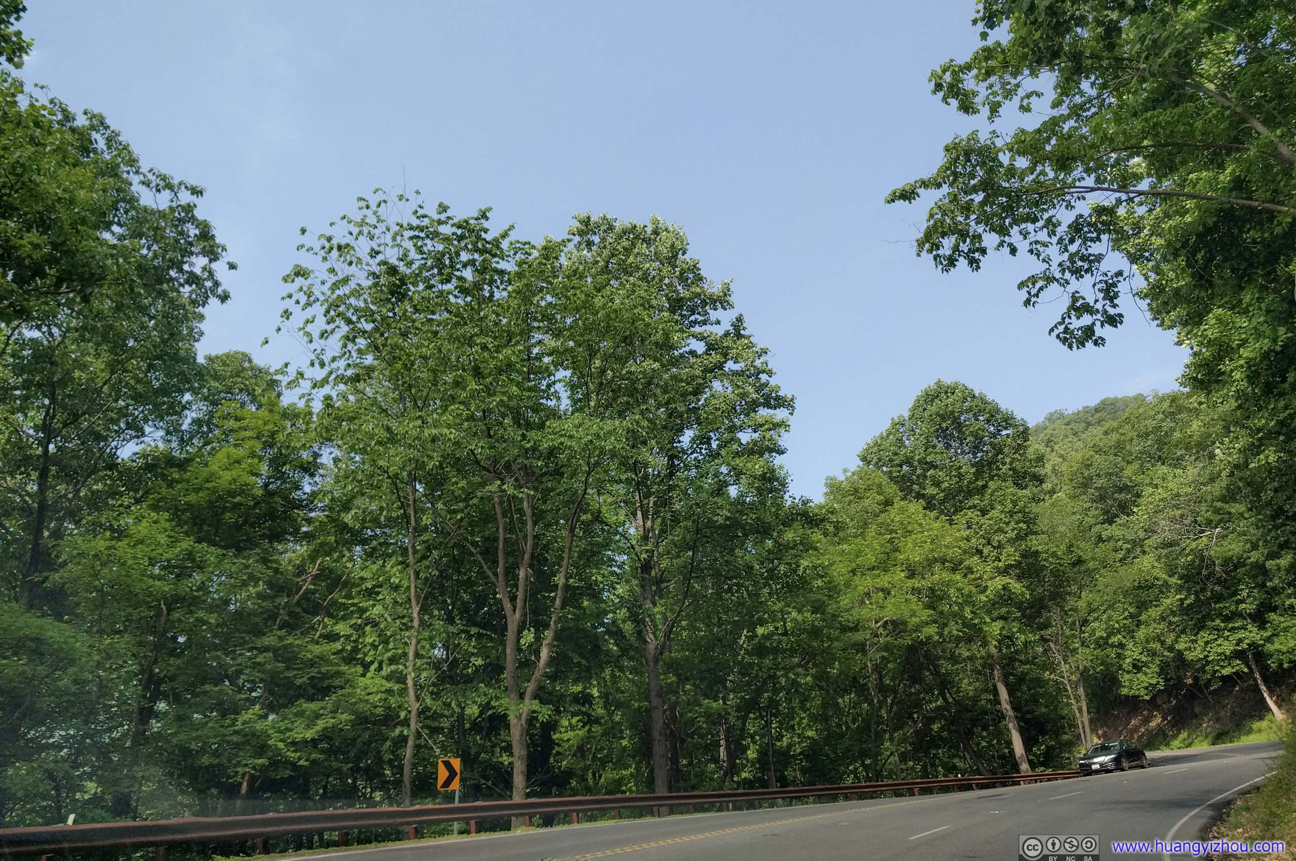
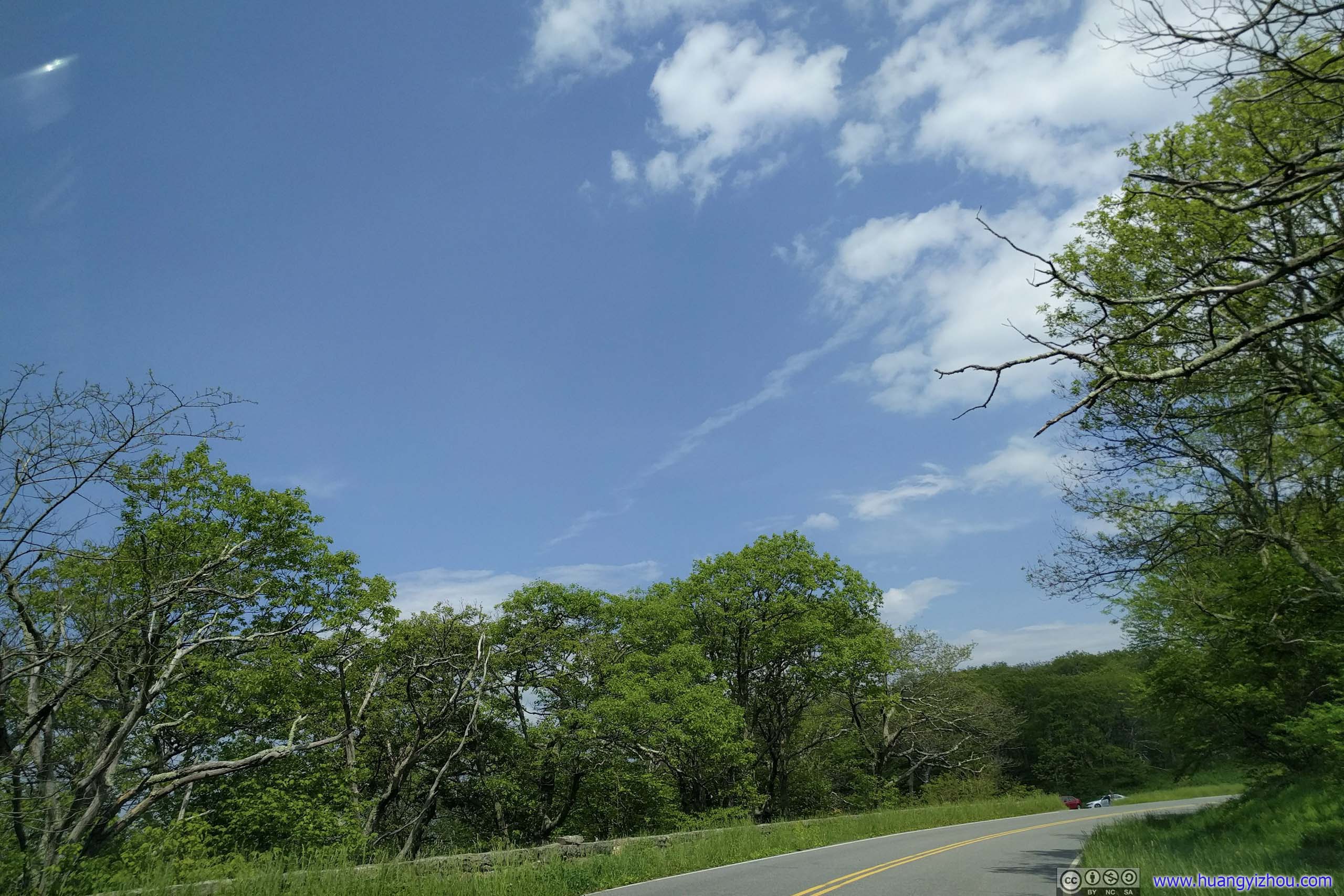
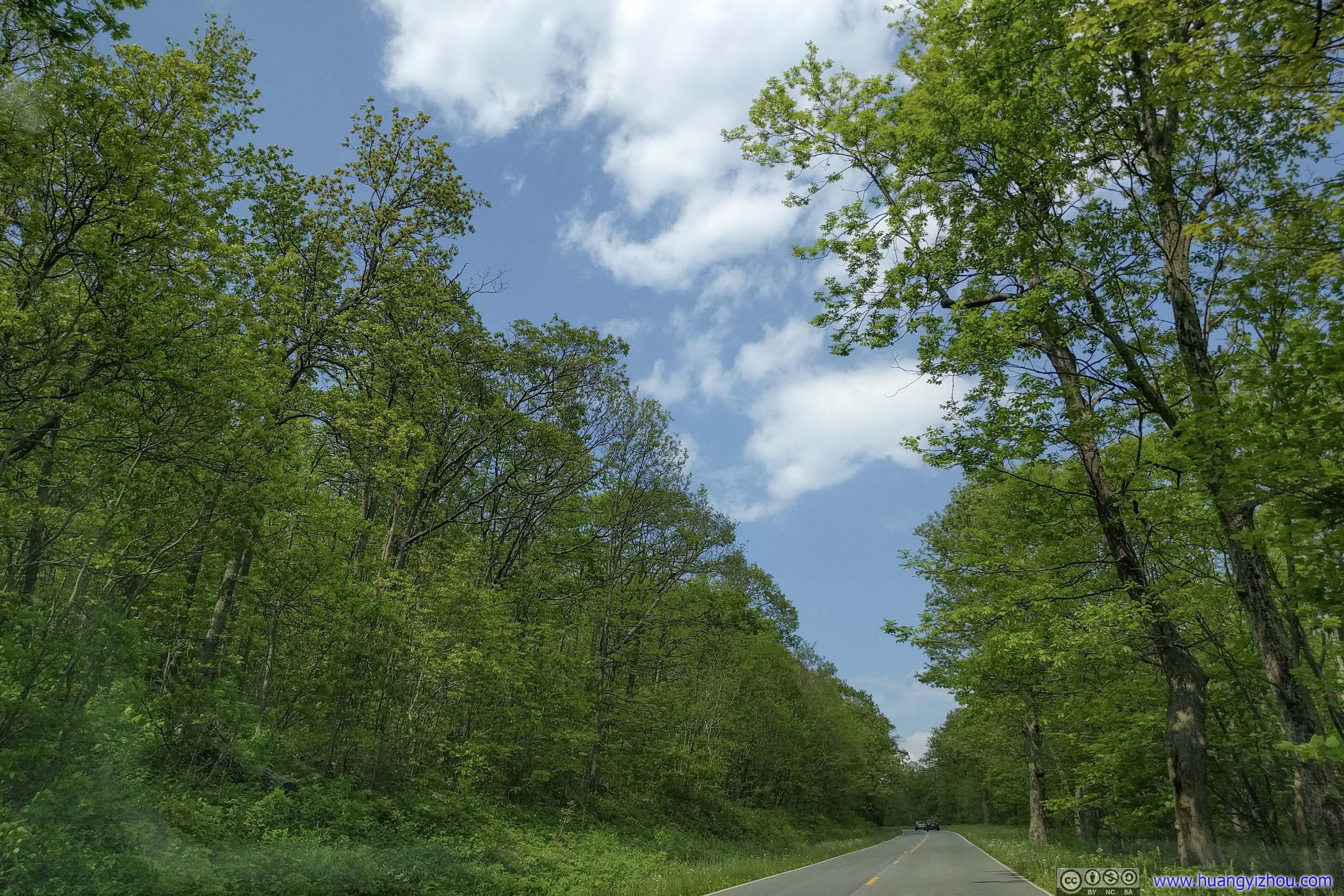
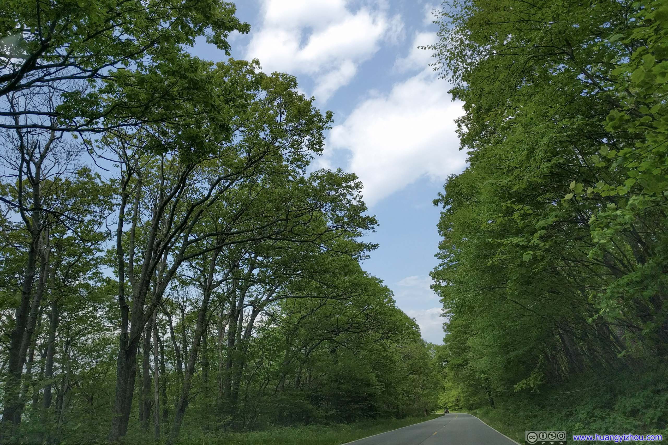
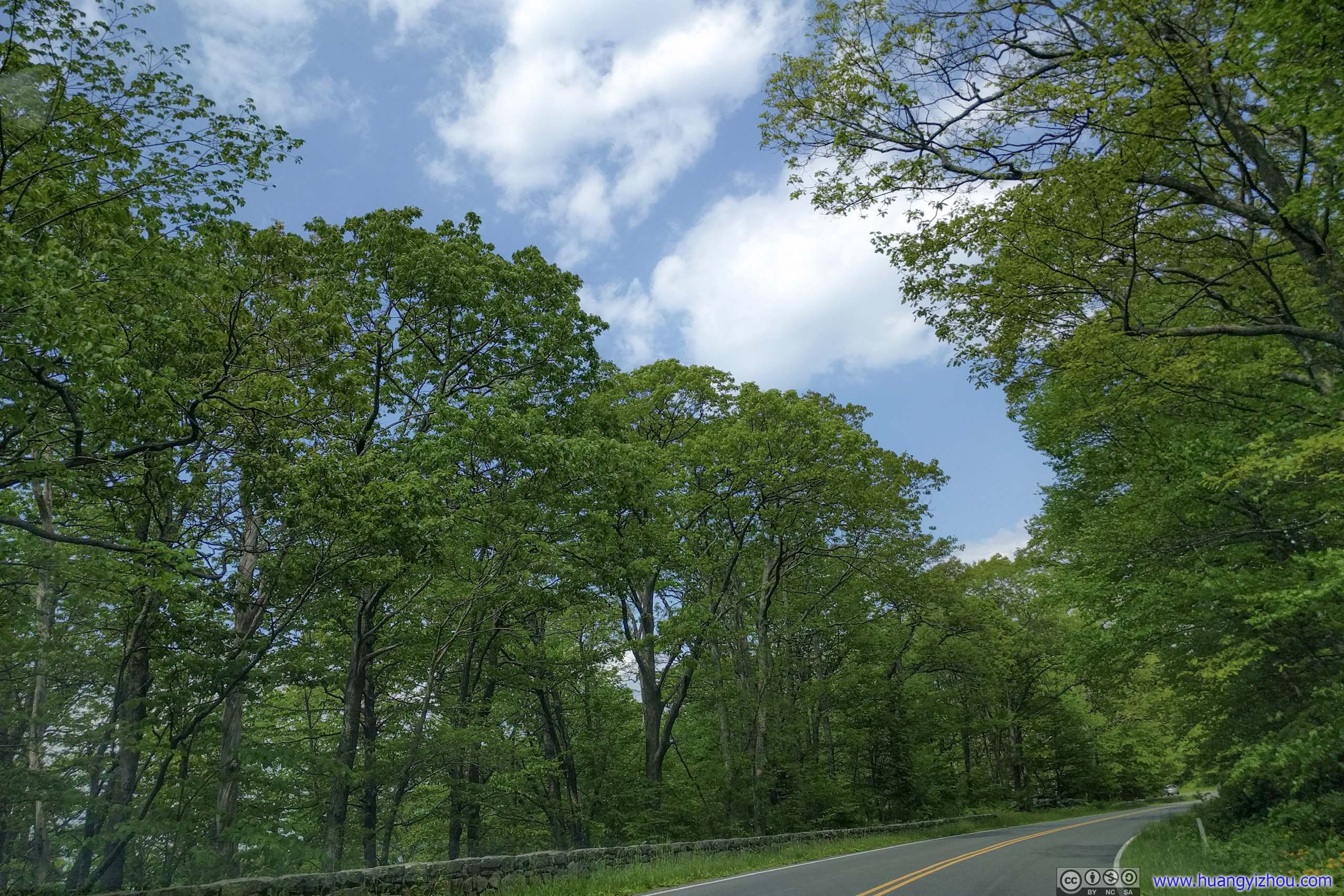
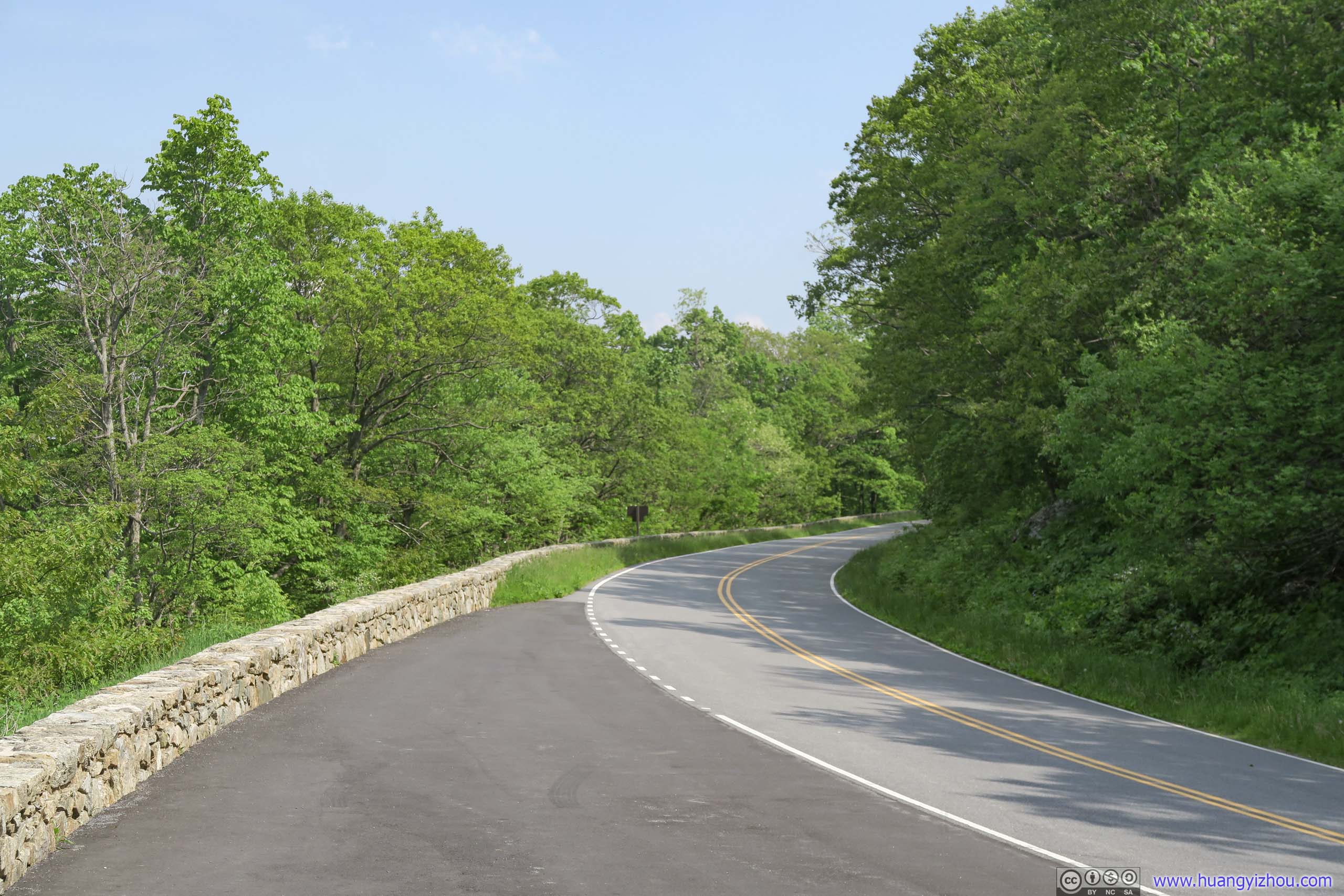
 Skyline Drive
 Passing Overlook

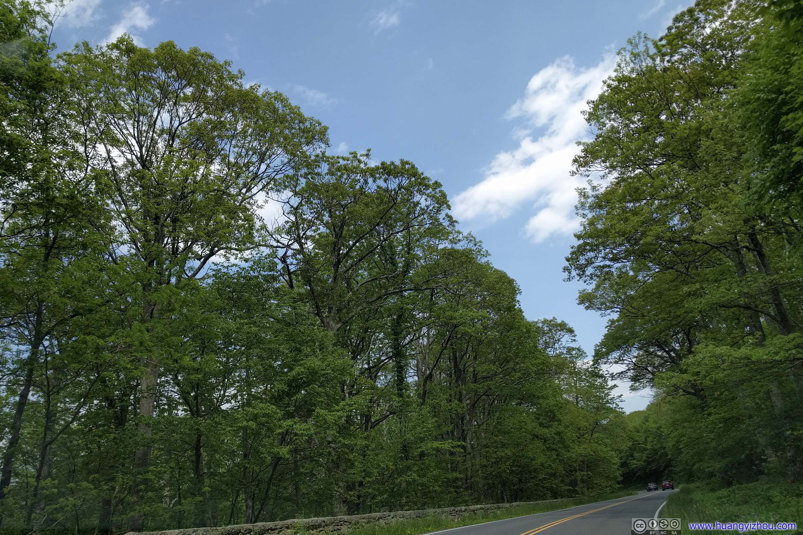
 Skyline Drive
 View from Range View Overlook
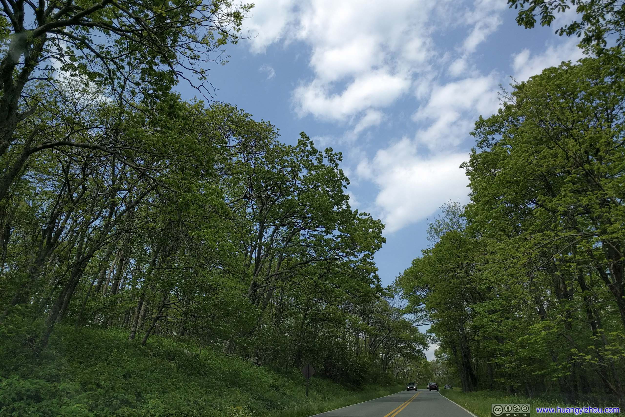
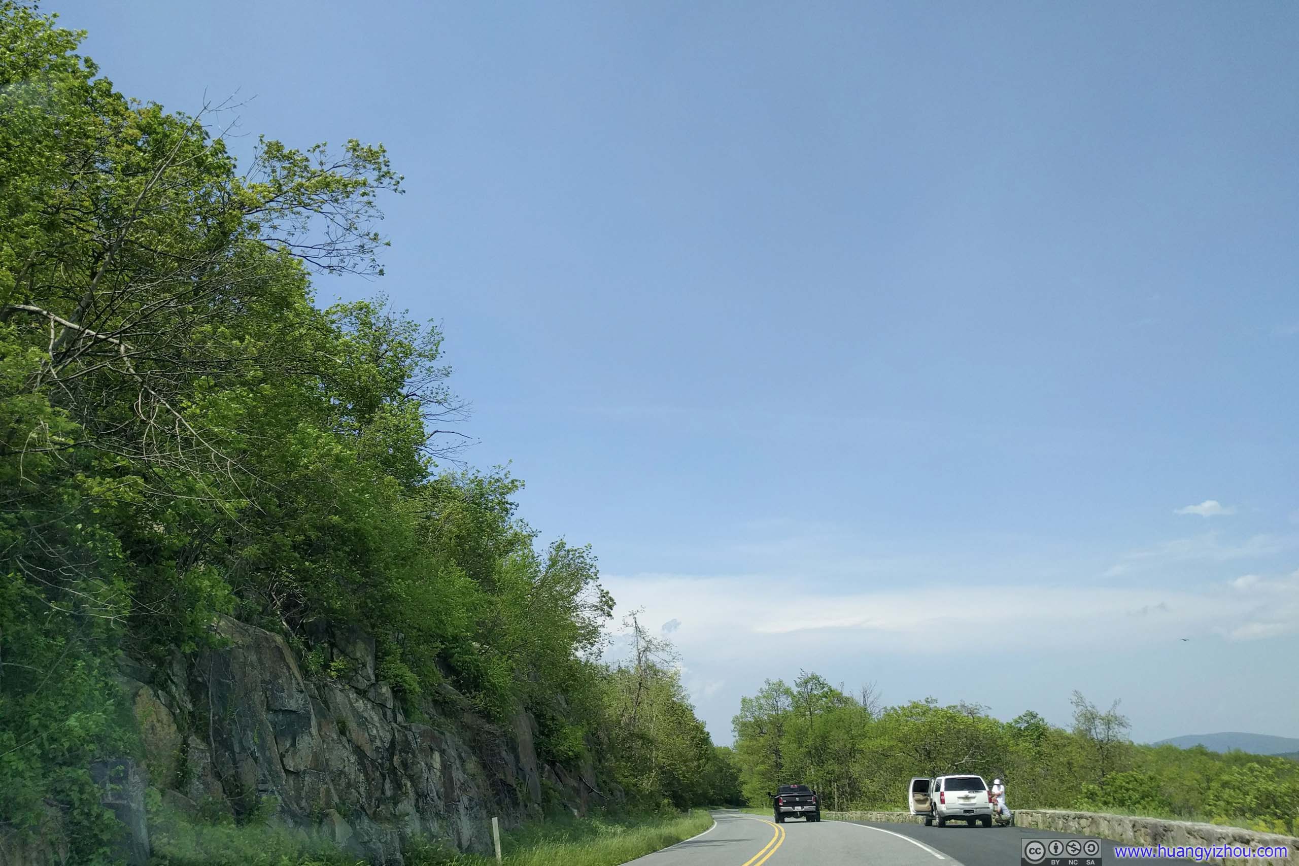
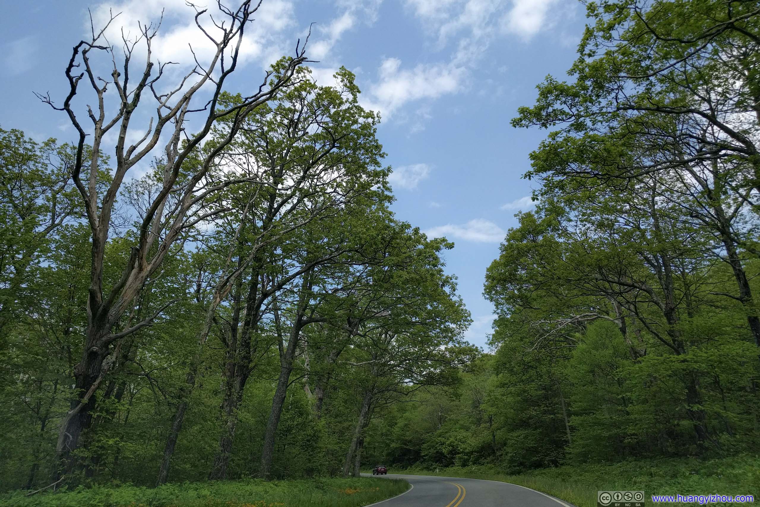 Skyline Drive

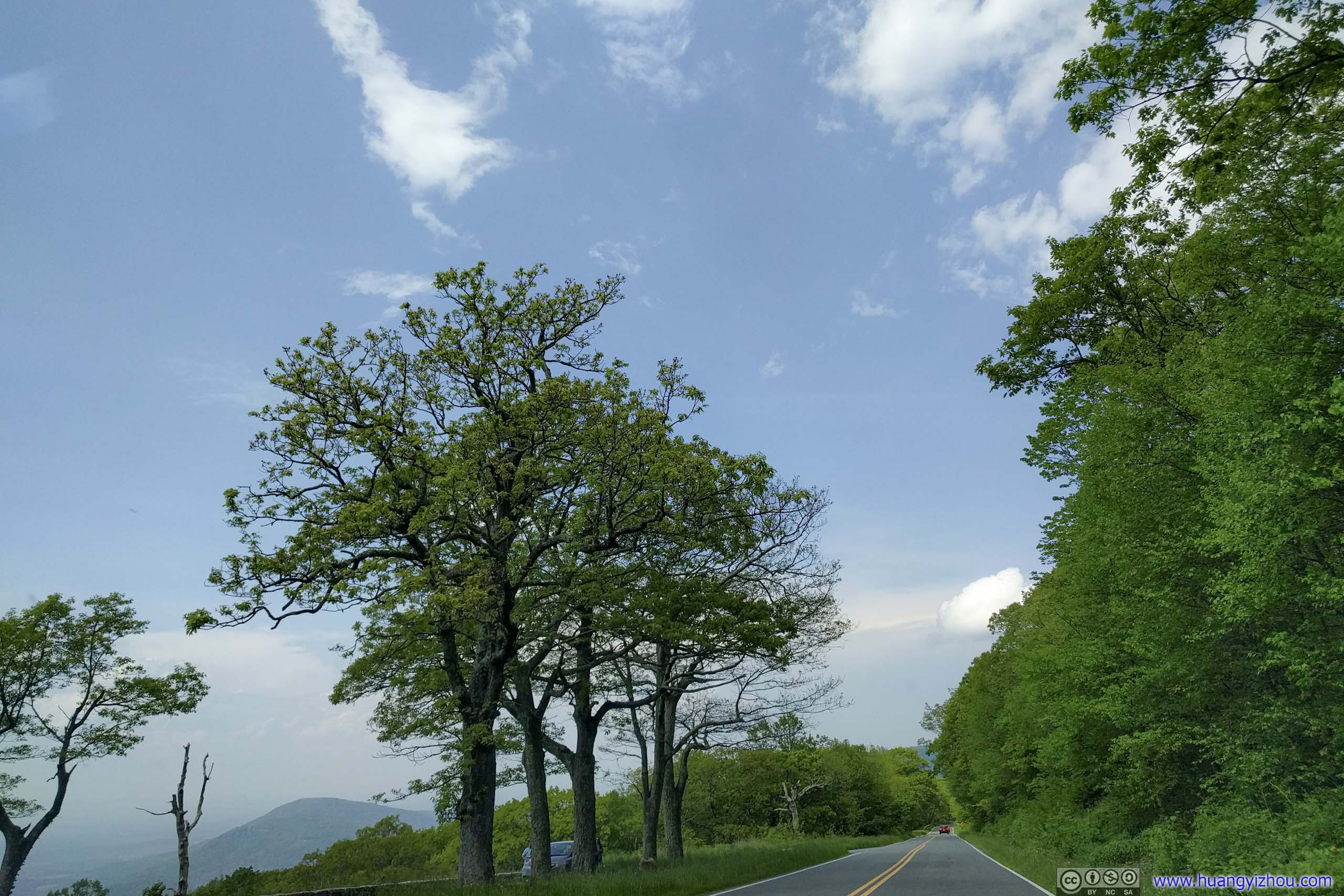
 Skyline Drive
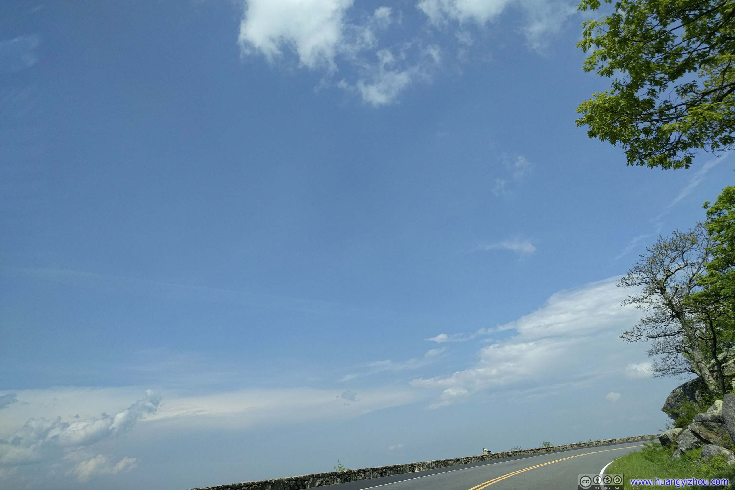
Then there’s a nameless roadside overlook.
 Skyline Drive
Outstanding
Followed by Signal Knob Overlook, indeed, this was one of the few places in the park with cellular coverage.
Mountains and Villages
View from Signal Knob Overlook

 Skyline Drive

 Skyline Drive
After that and once out of Front Royal, I decided to take an unusual route to cross Potomac River, by Point of Rocks Bridge.
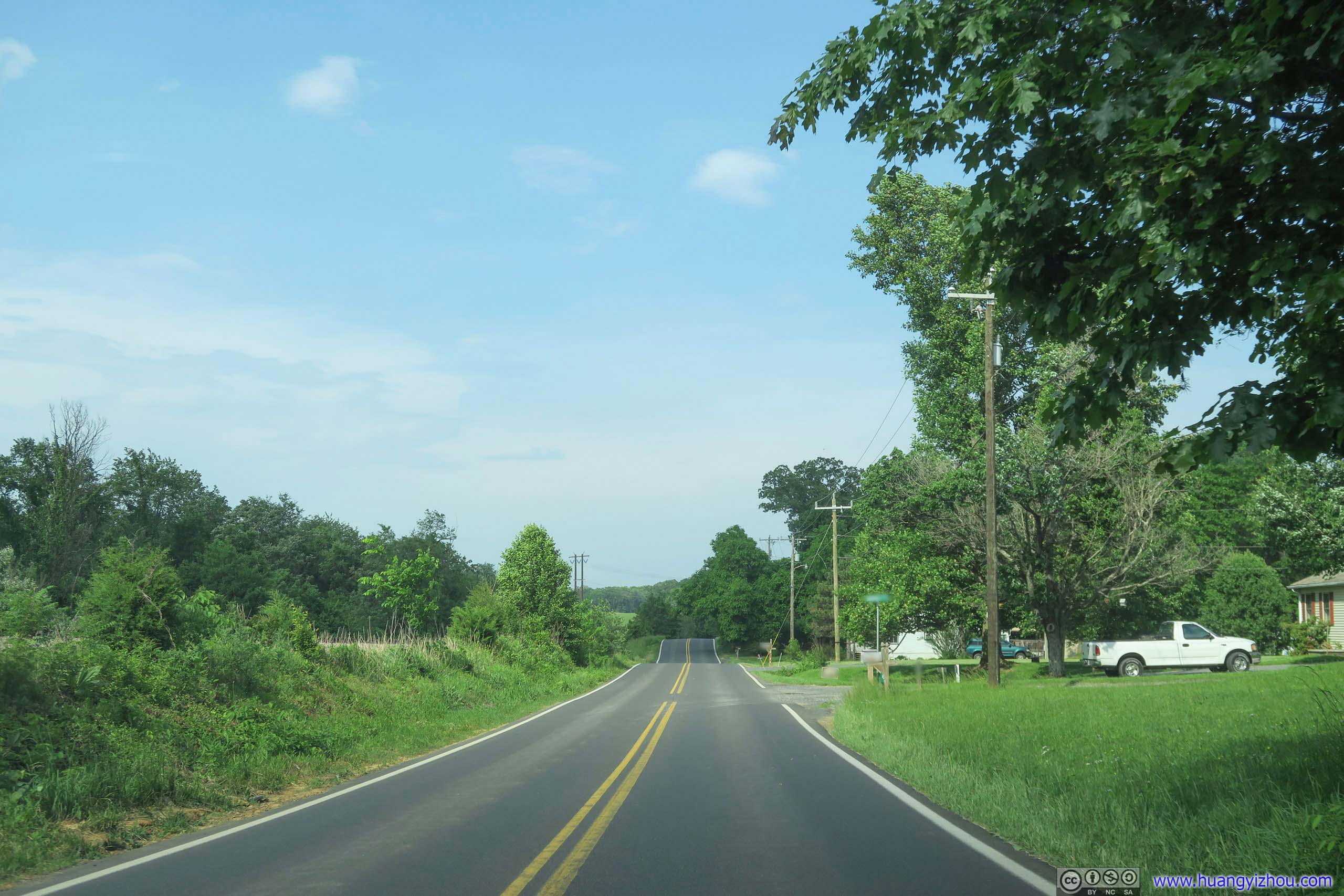
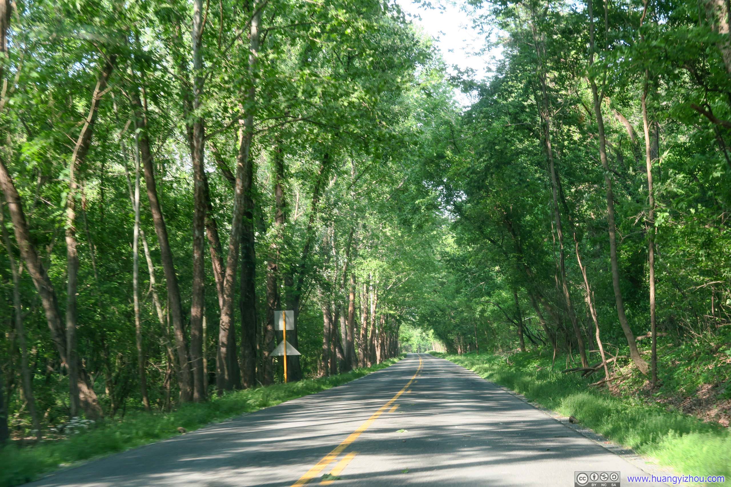
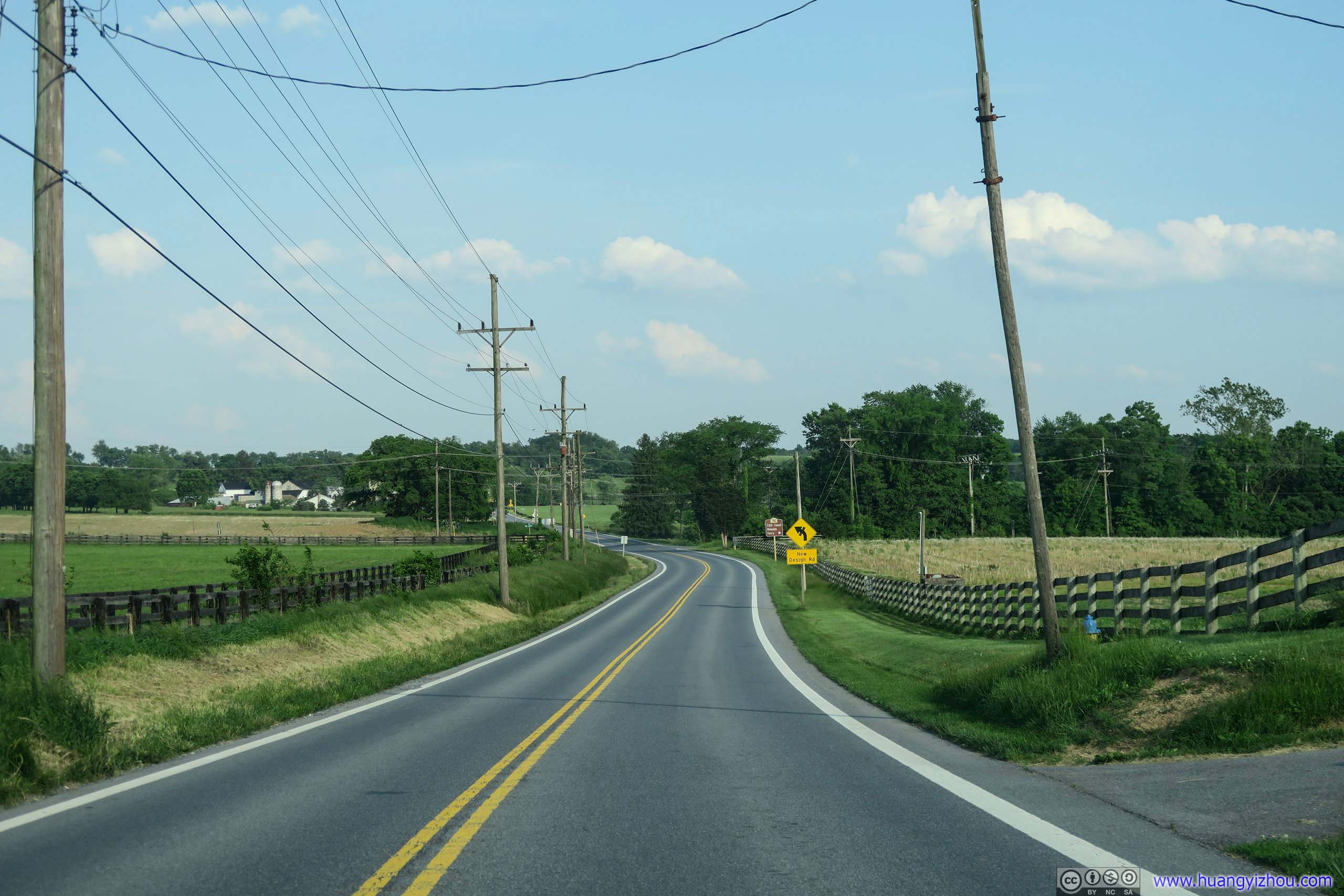
 Country RoadVirginia route 624/603/638/601, with lovely countryside tranquility through forests.

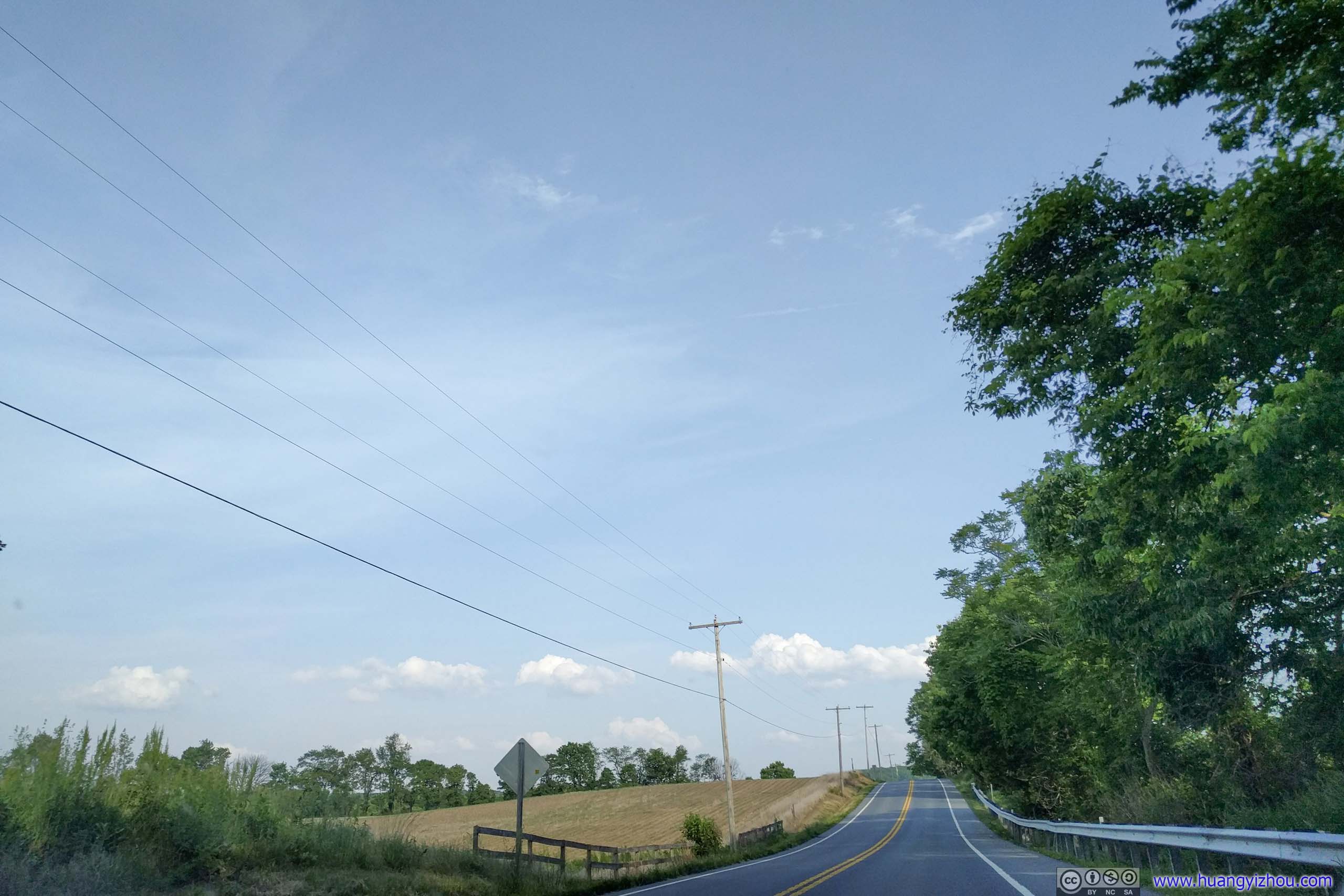
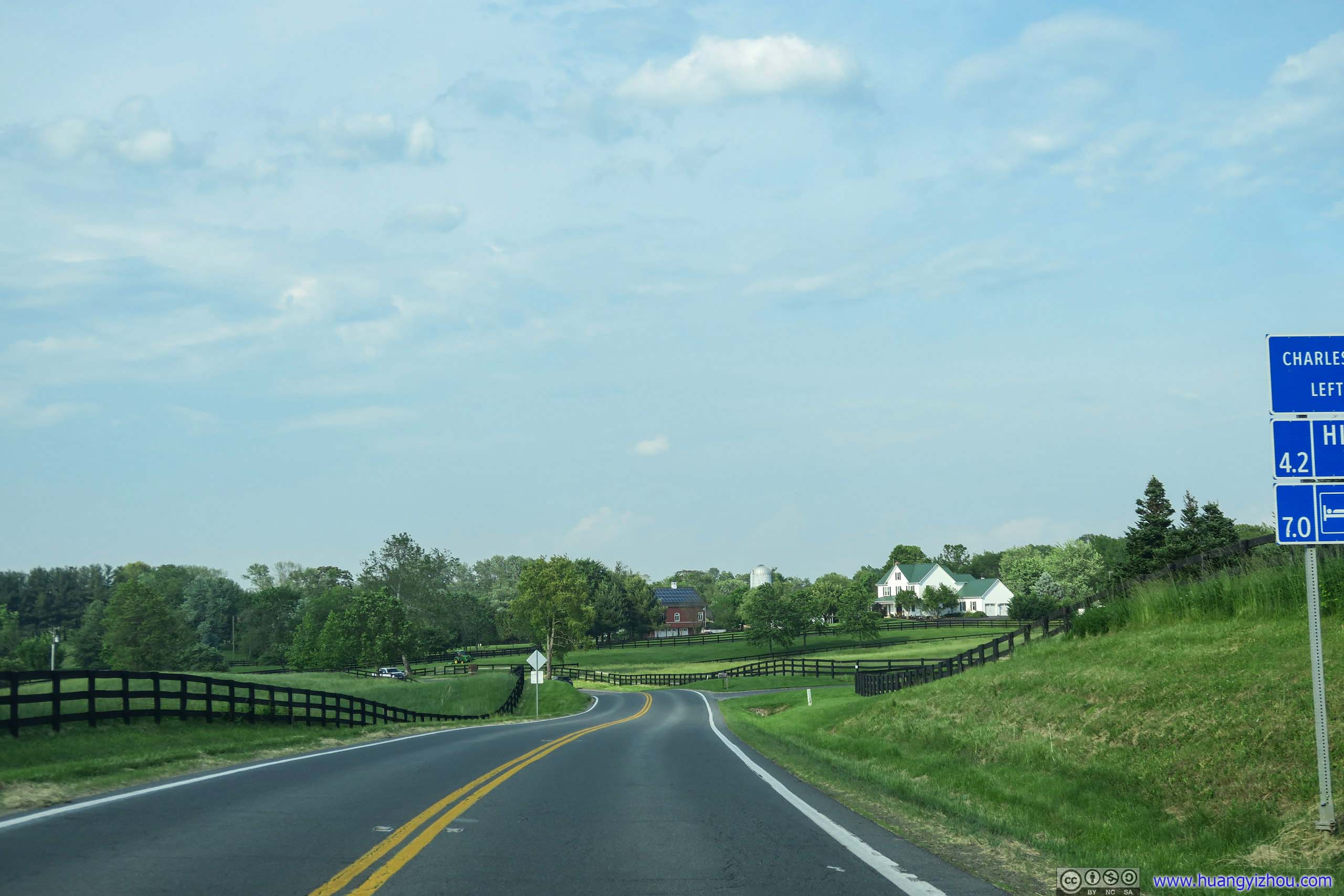 Country RoadVirginia route 287, closer to civilization and lined with farmland.

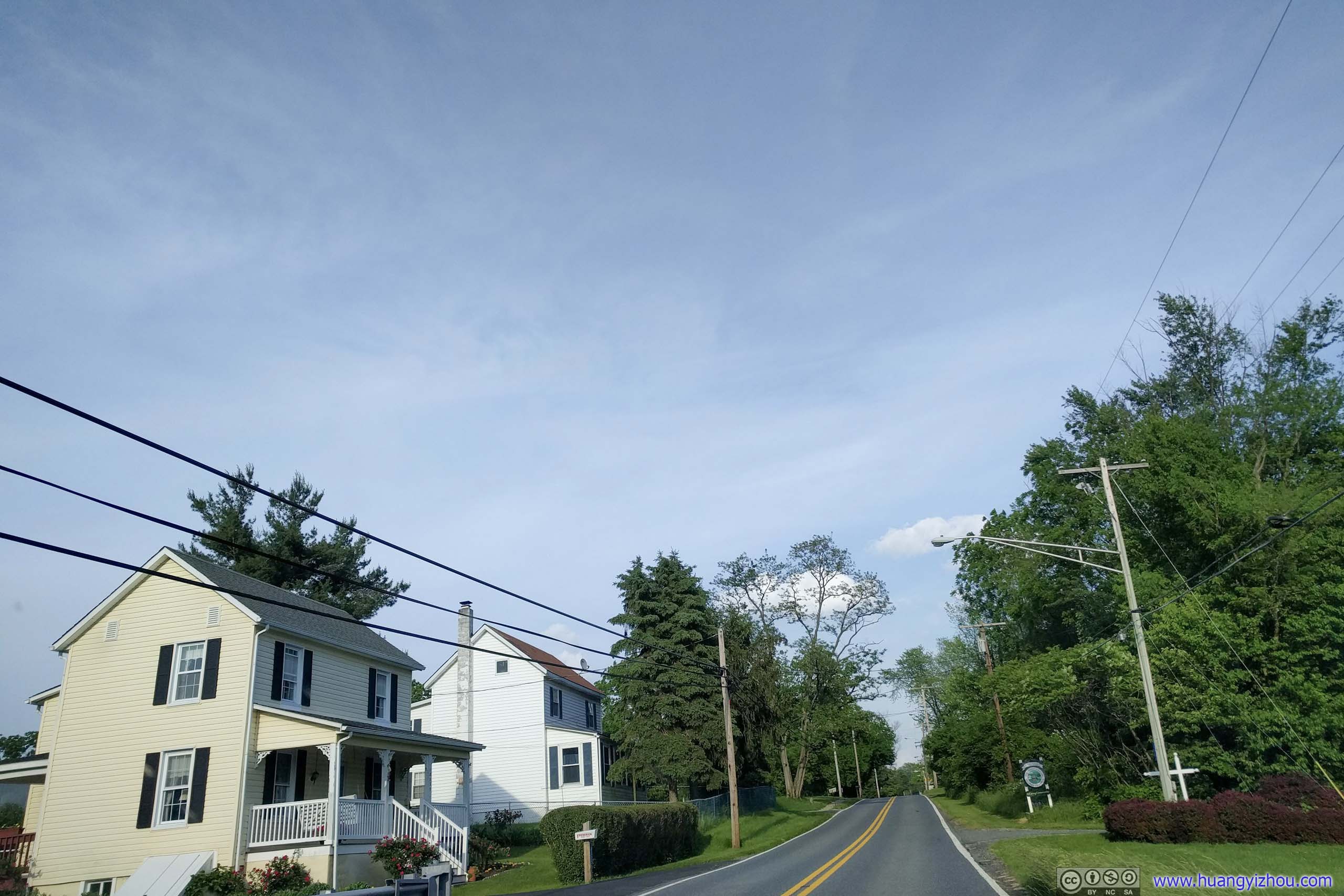
 Country RoadApproaching town of Lovettsville.
And result was that, I was quite enjoying this tour of countryside on wheels.
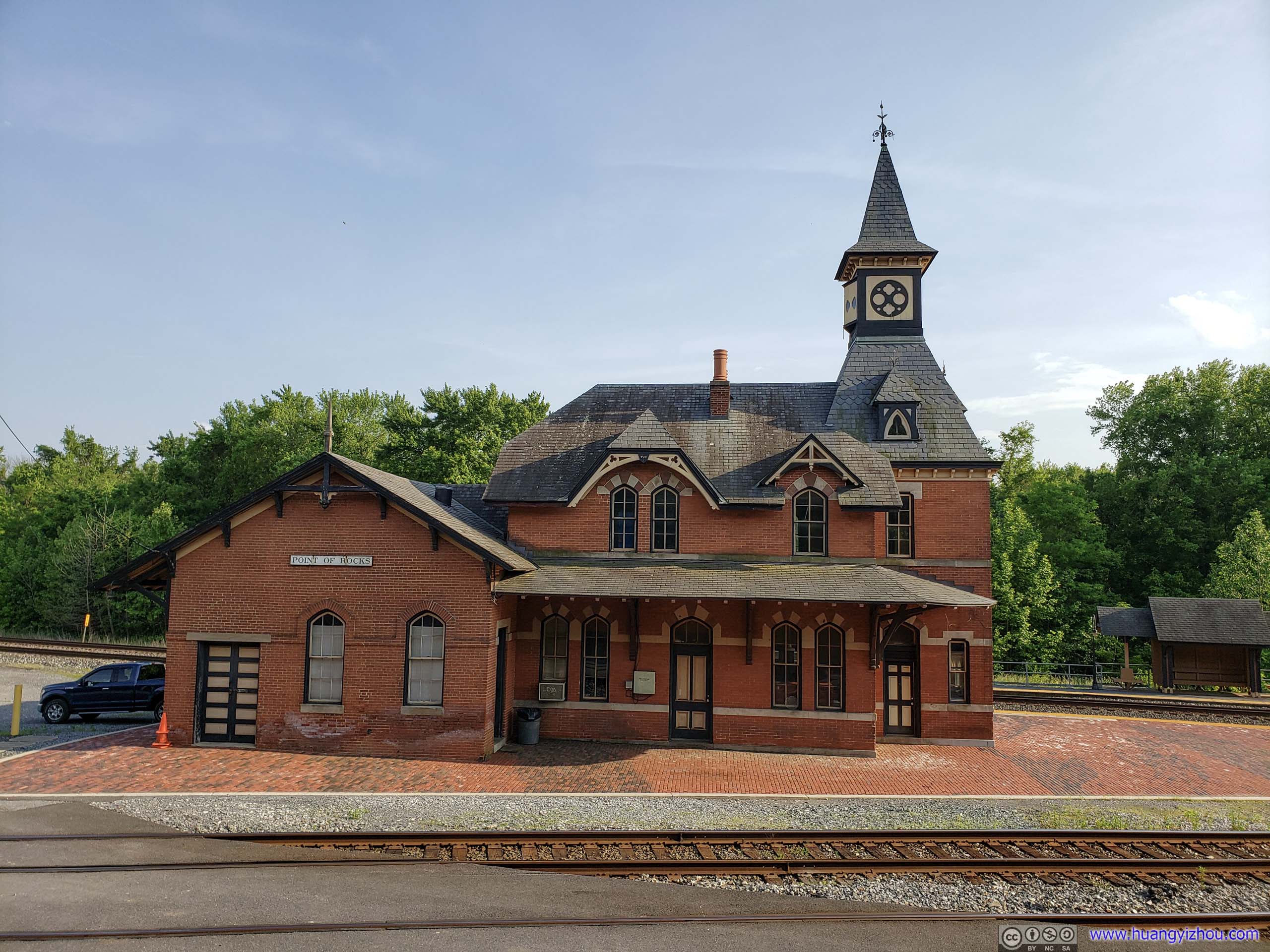
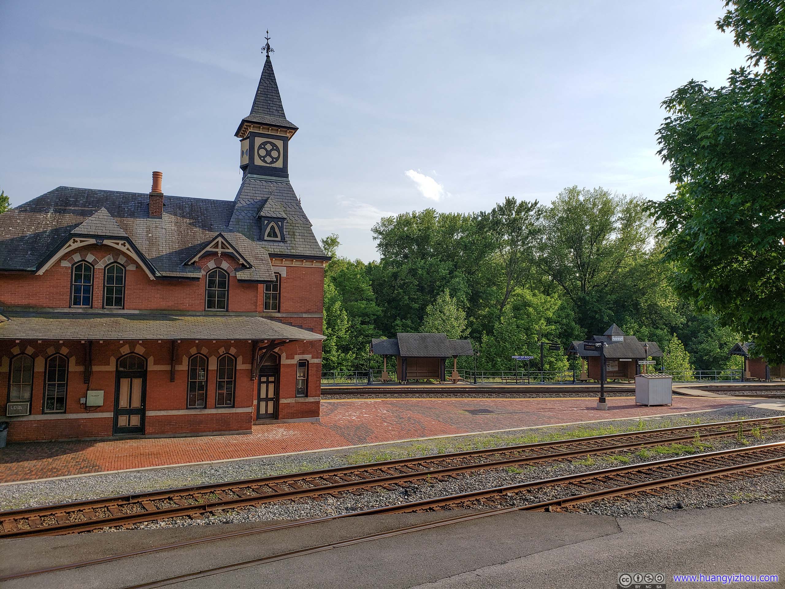 Point of Rocks Railway Station BuildingWhere I took a brief rest and set my GPS course. Not much going around on a Sunday for this commuter train station.
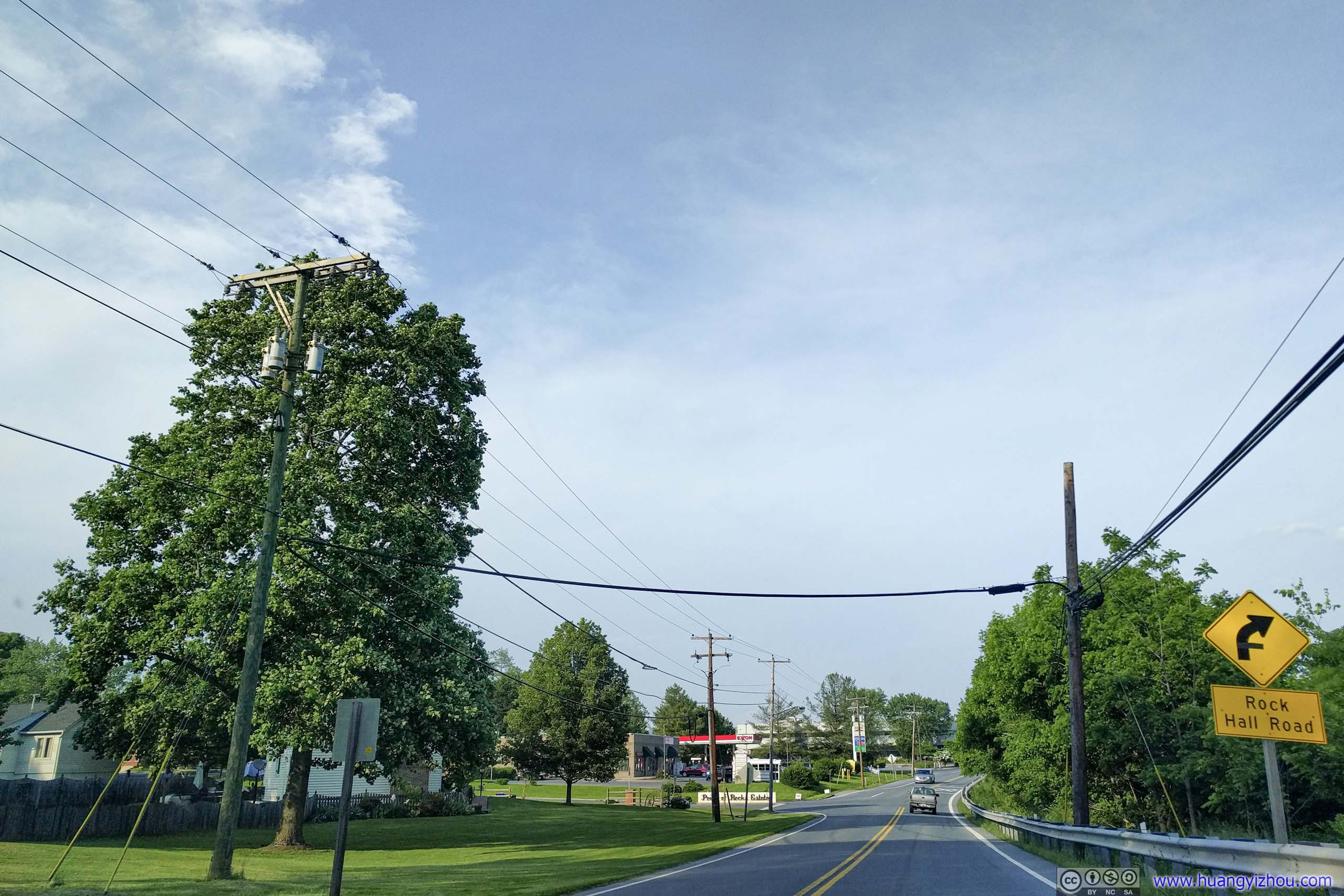
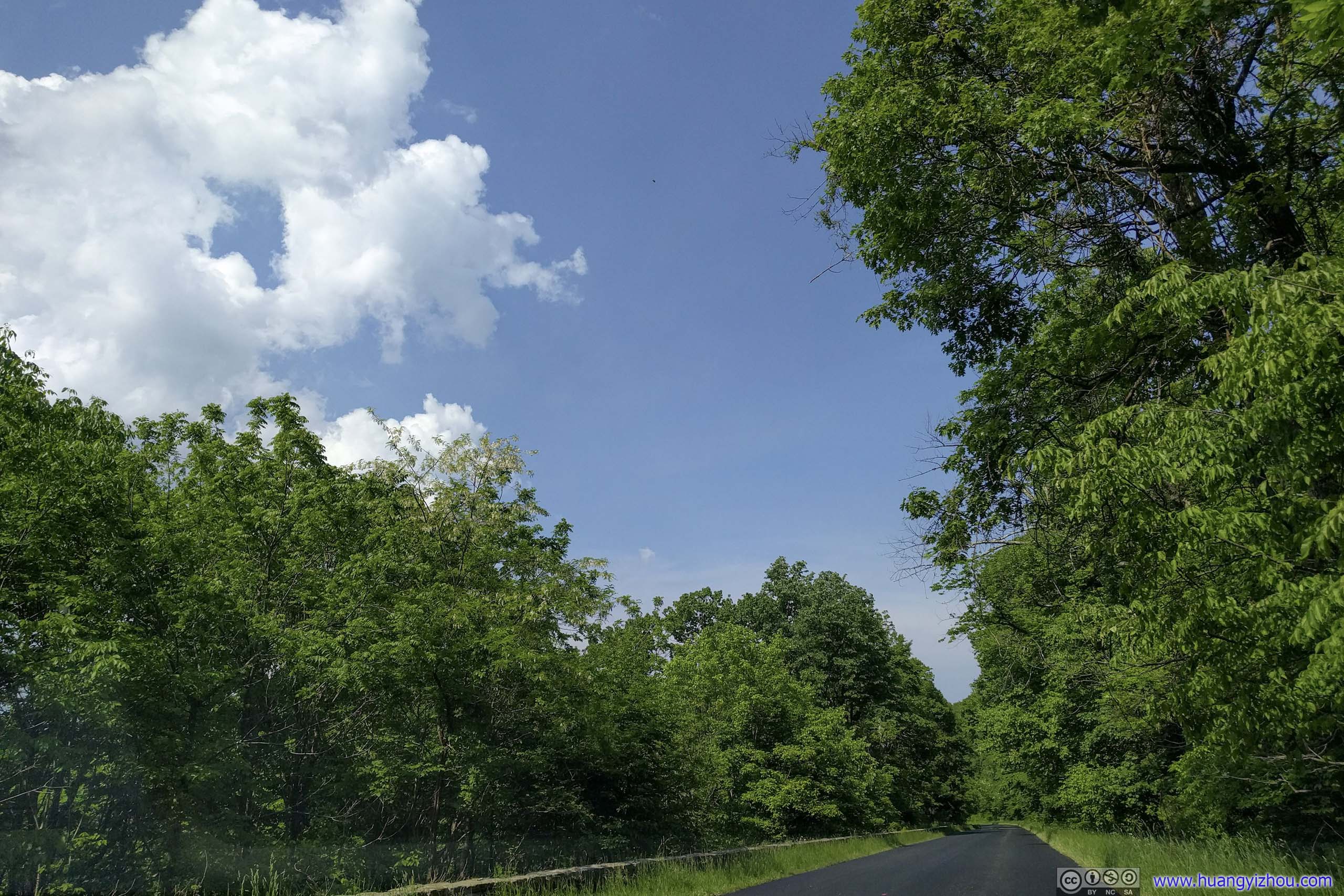
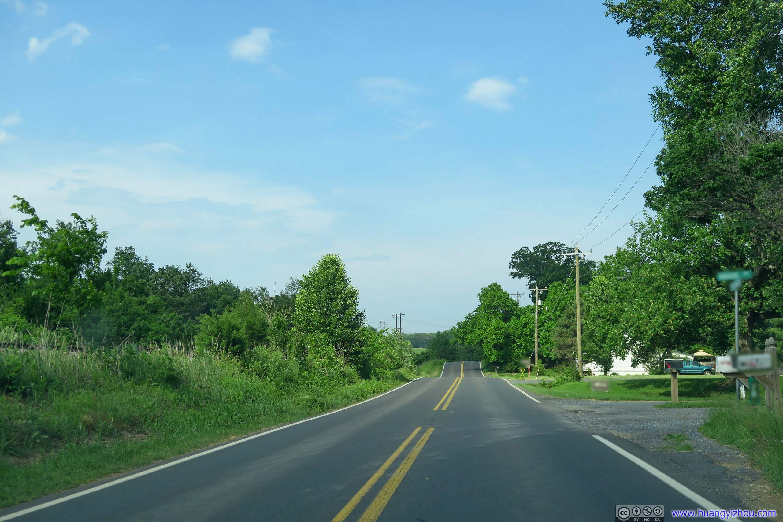
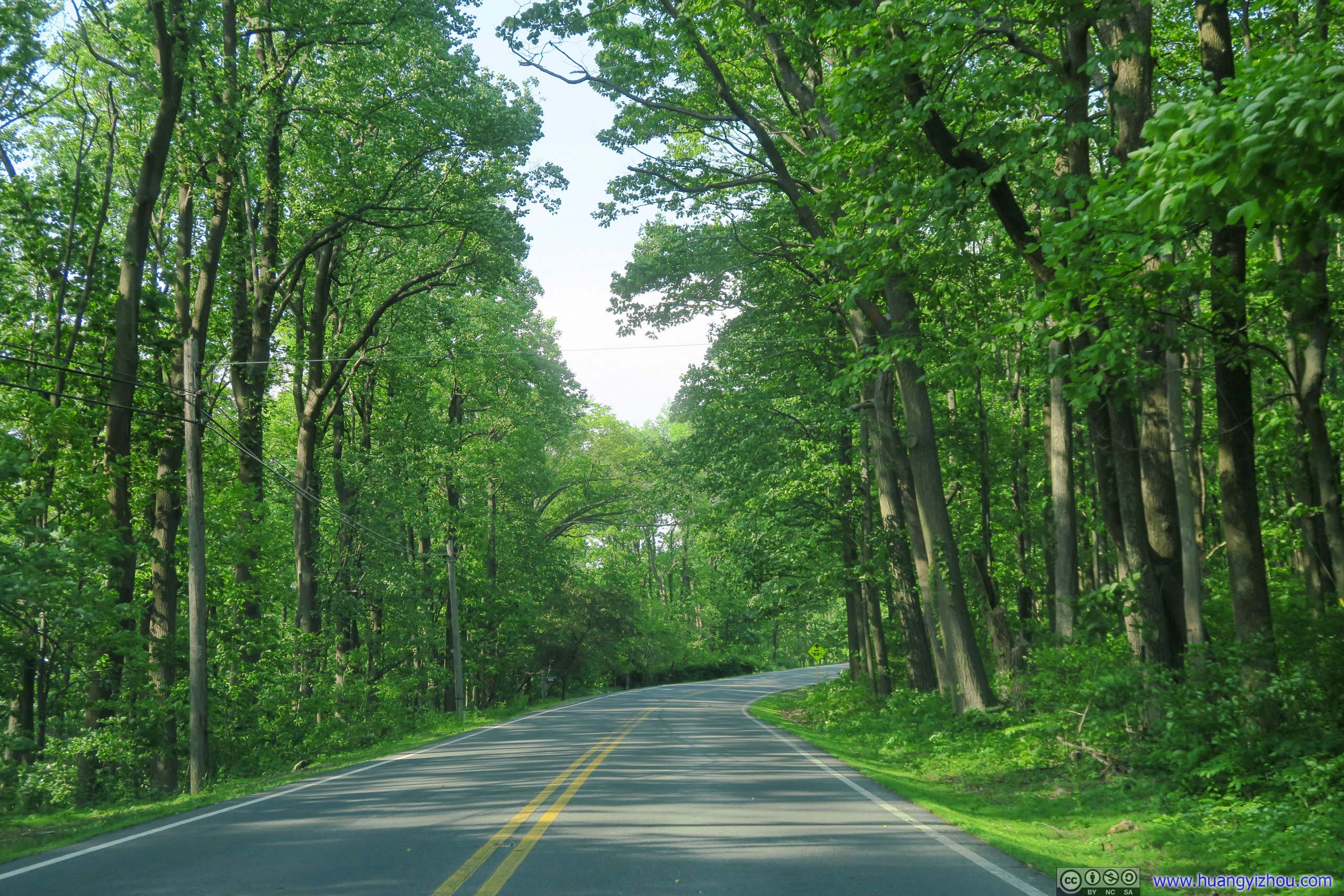
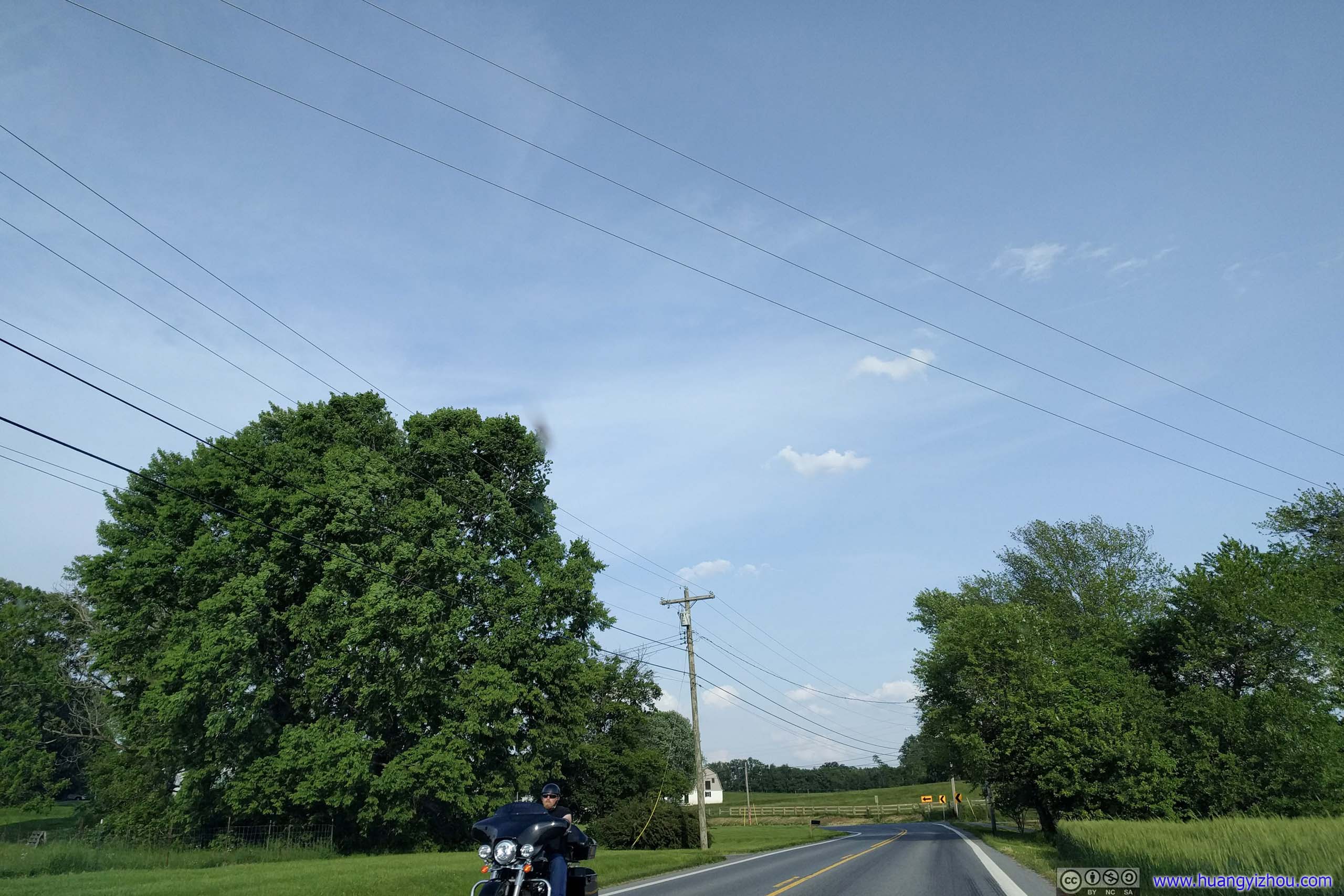
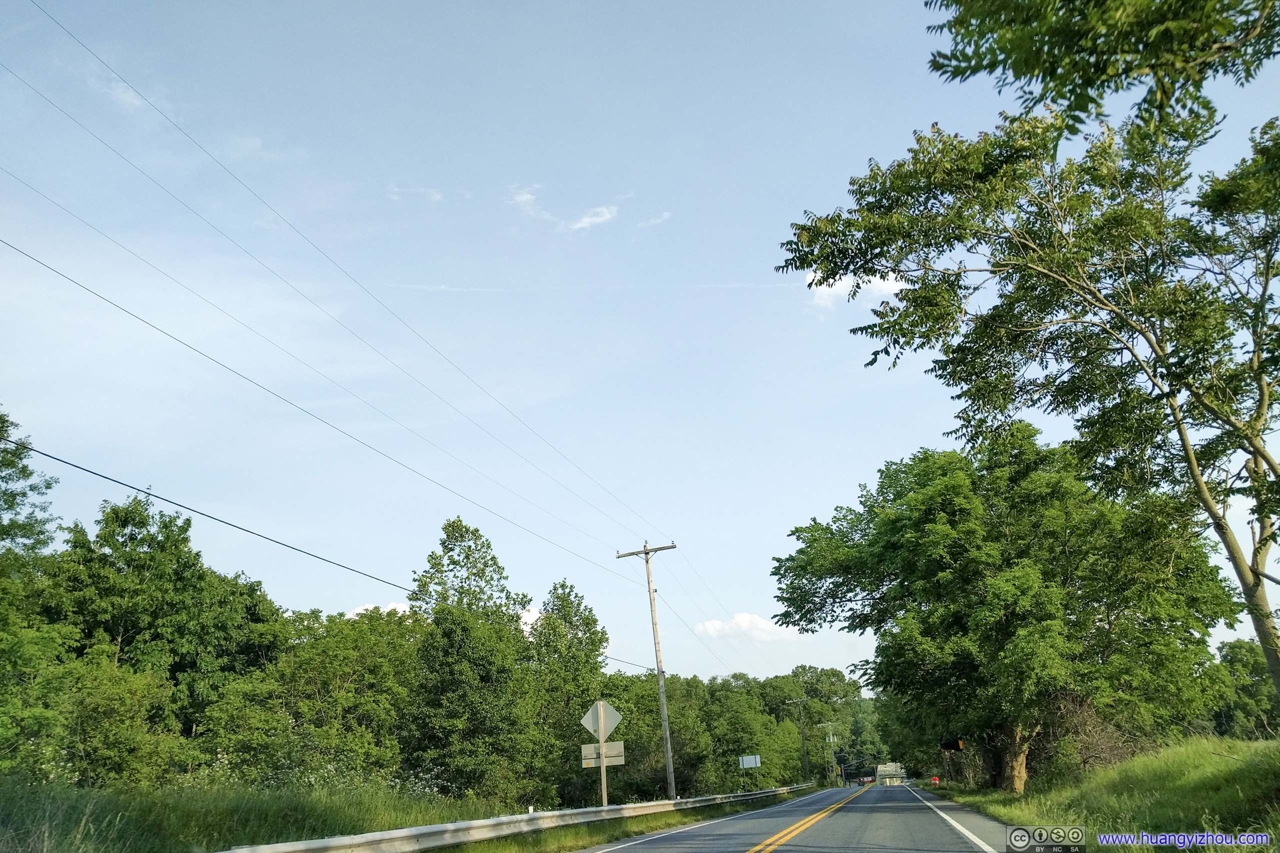
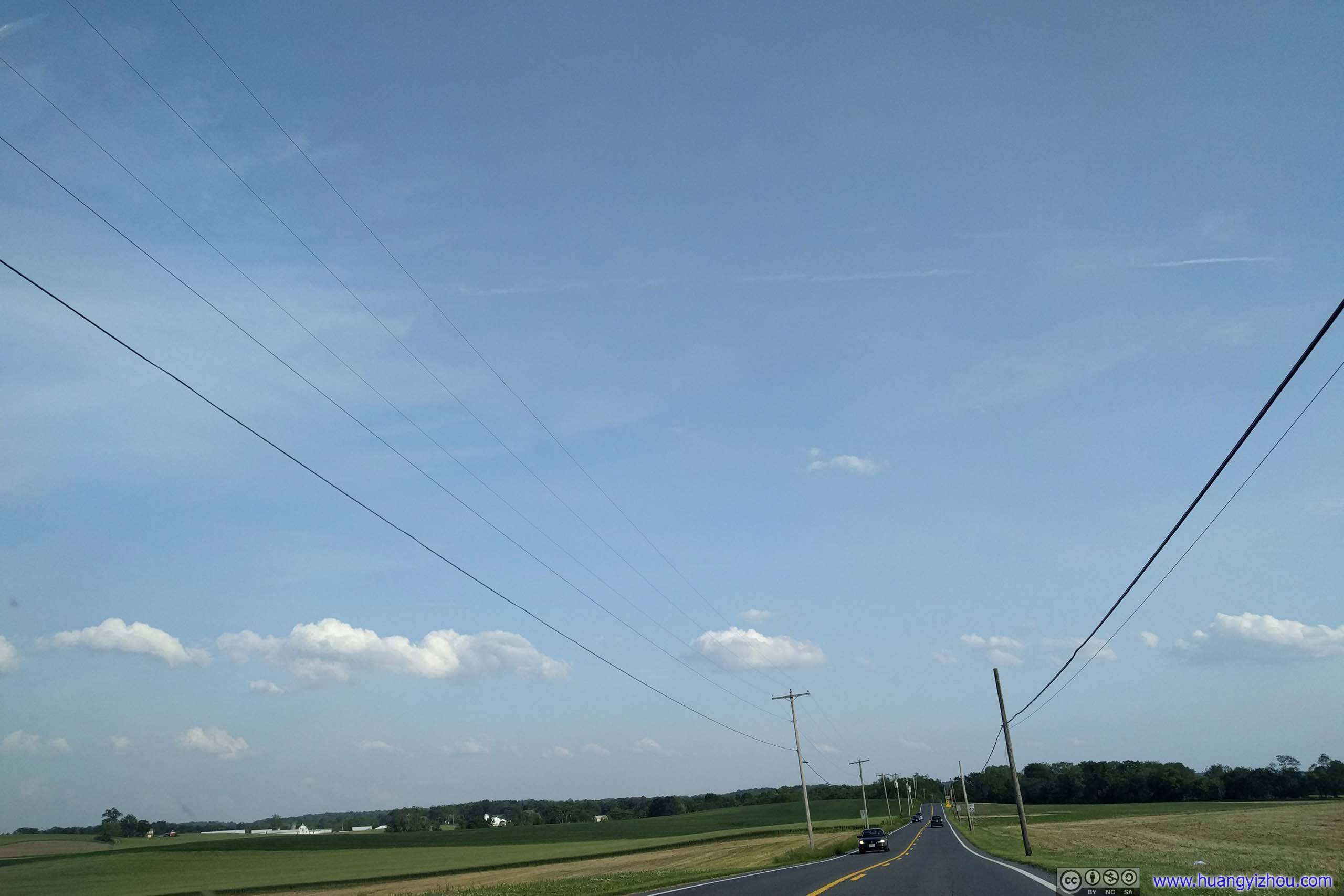
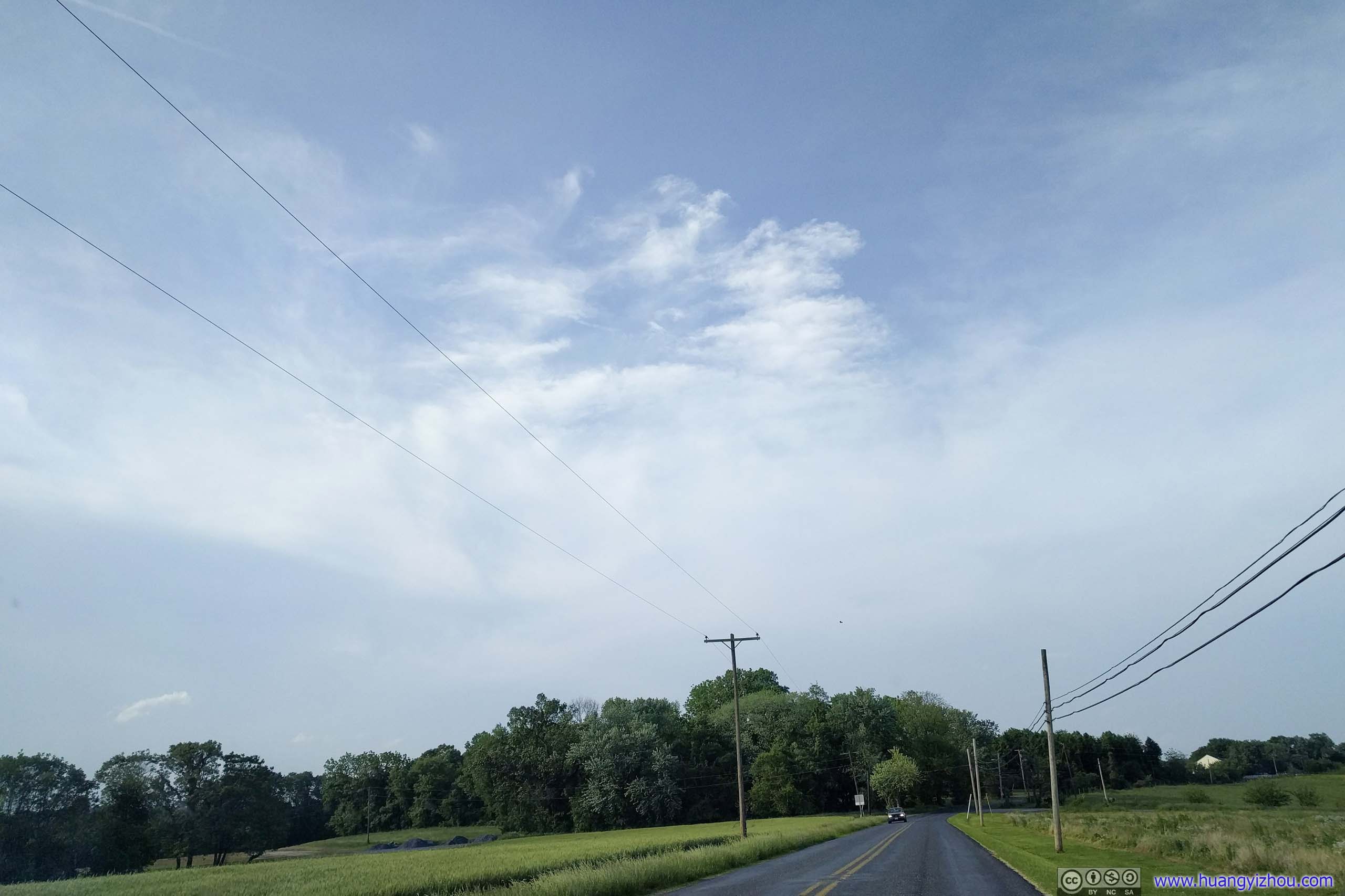
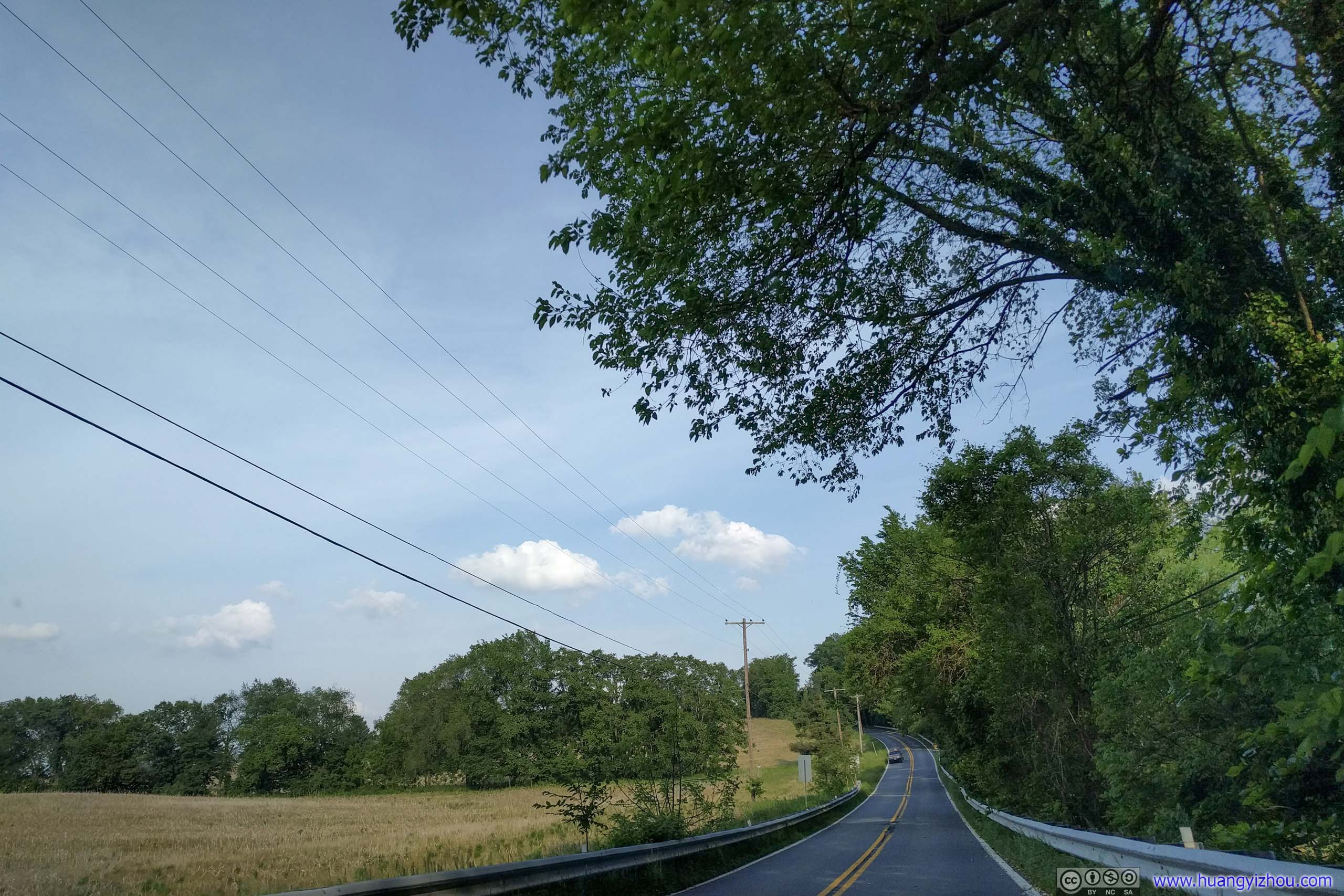
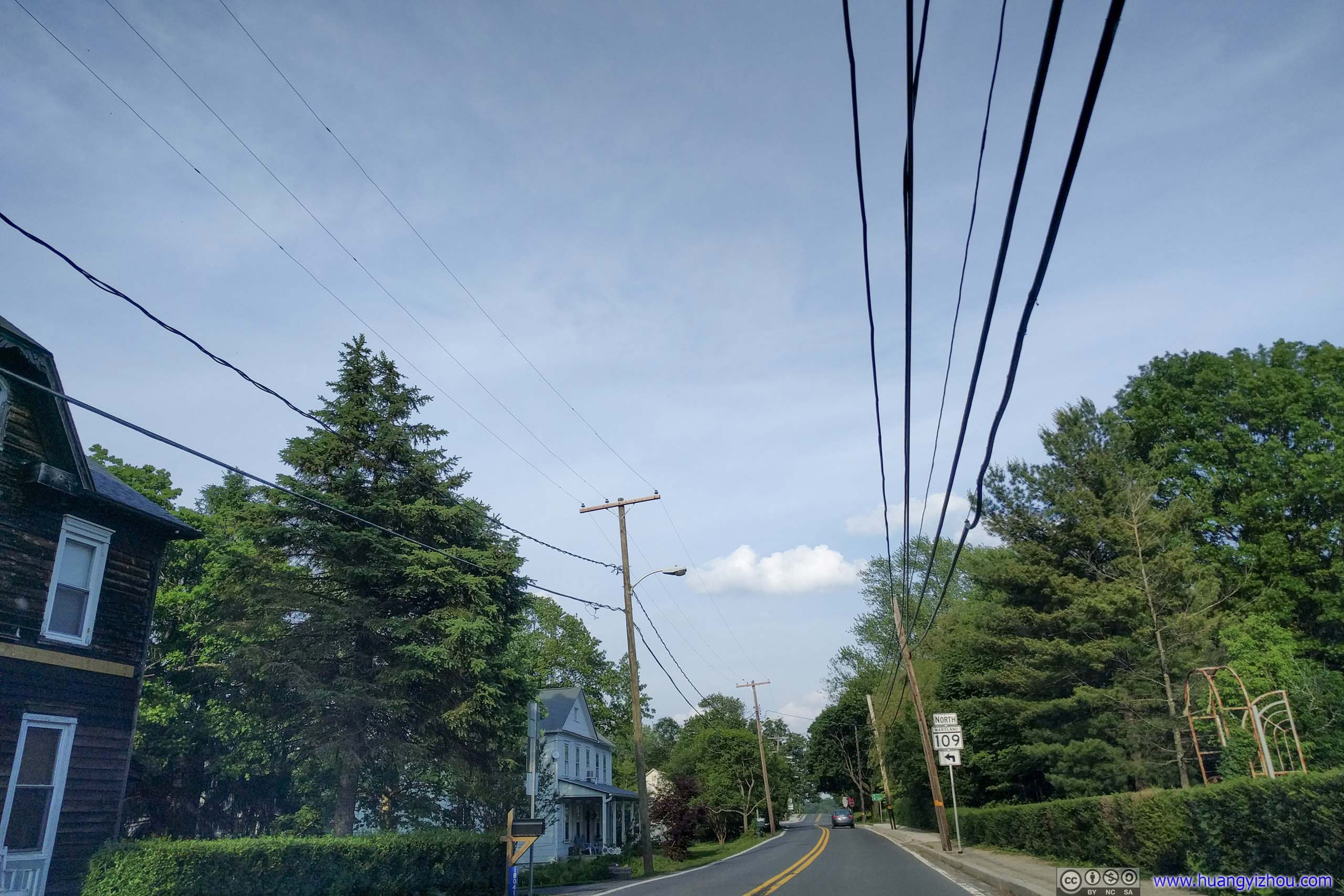
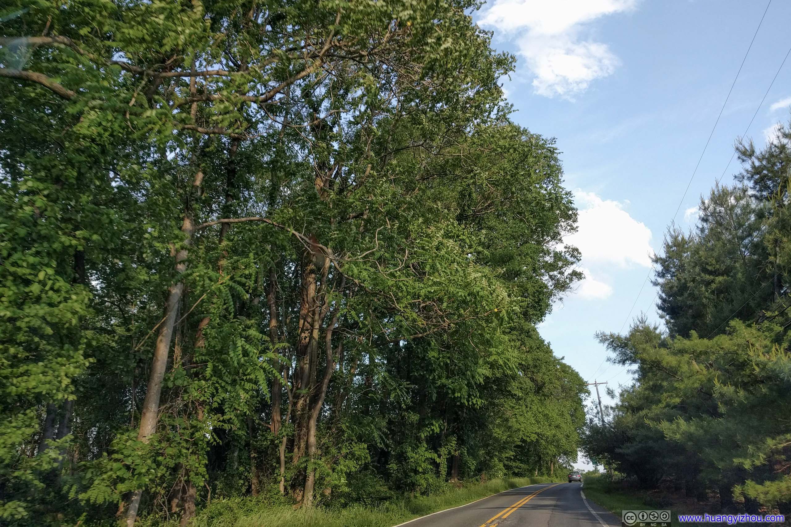
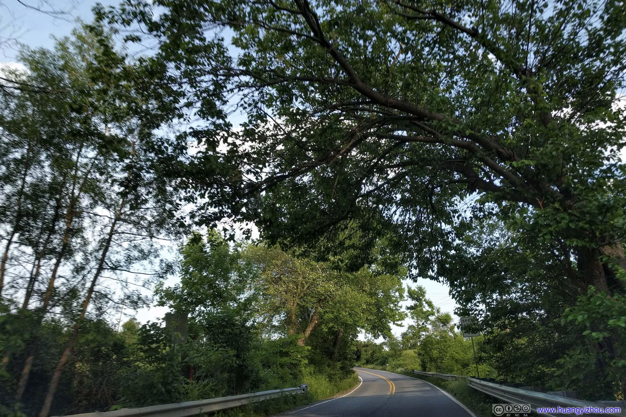
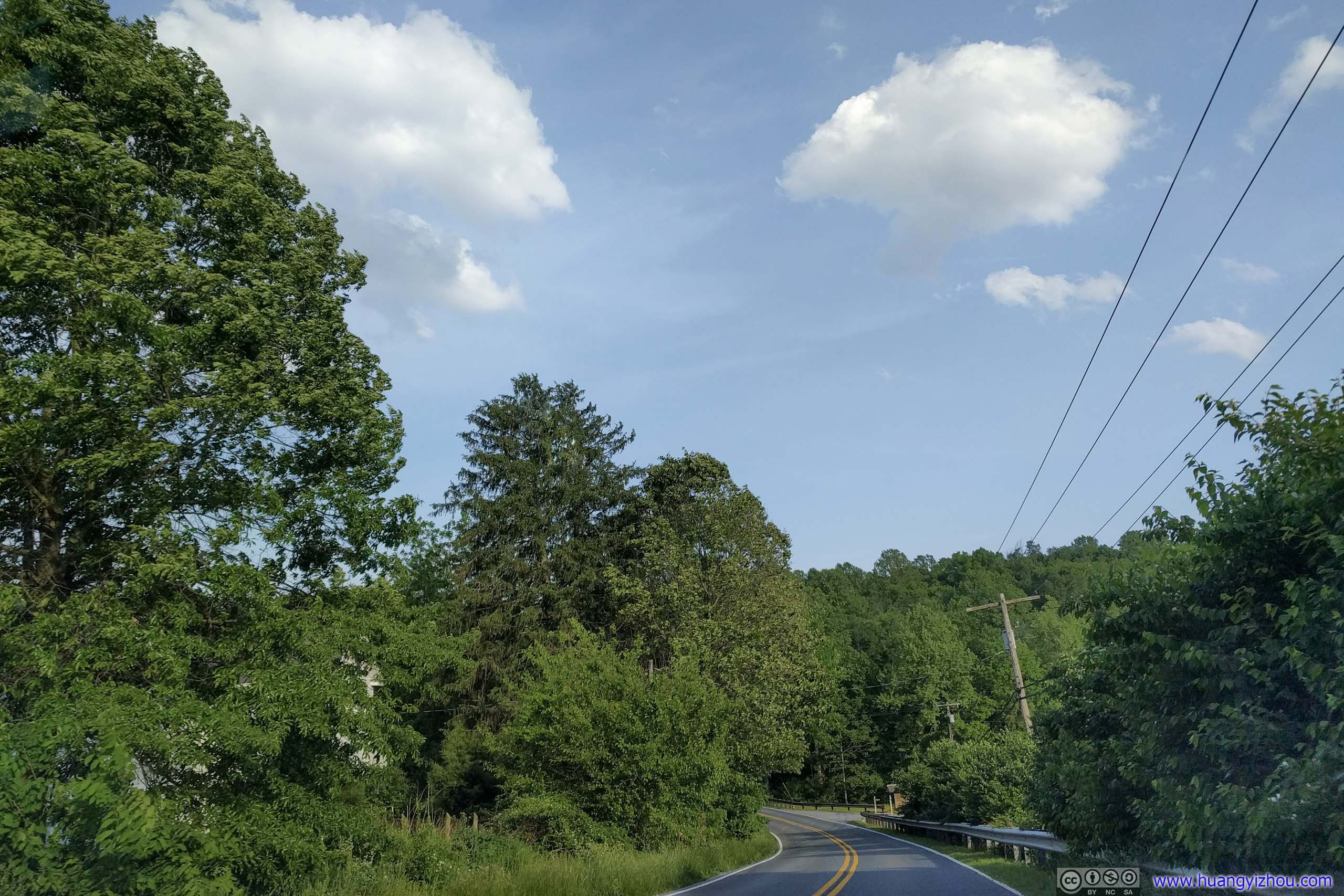
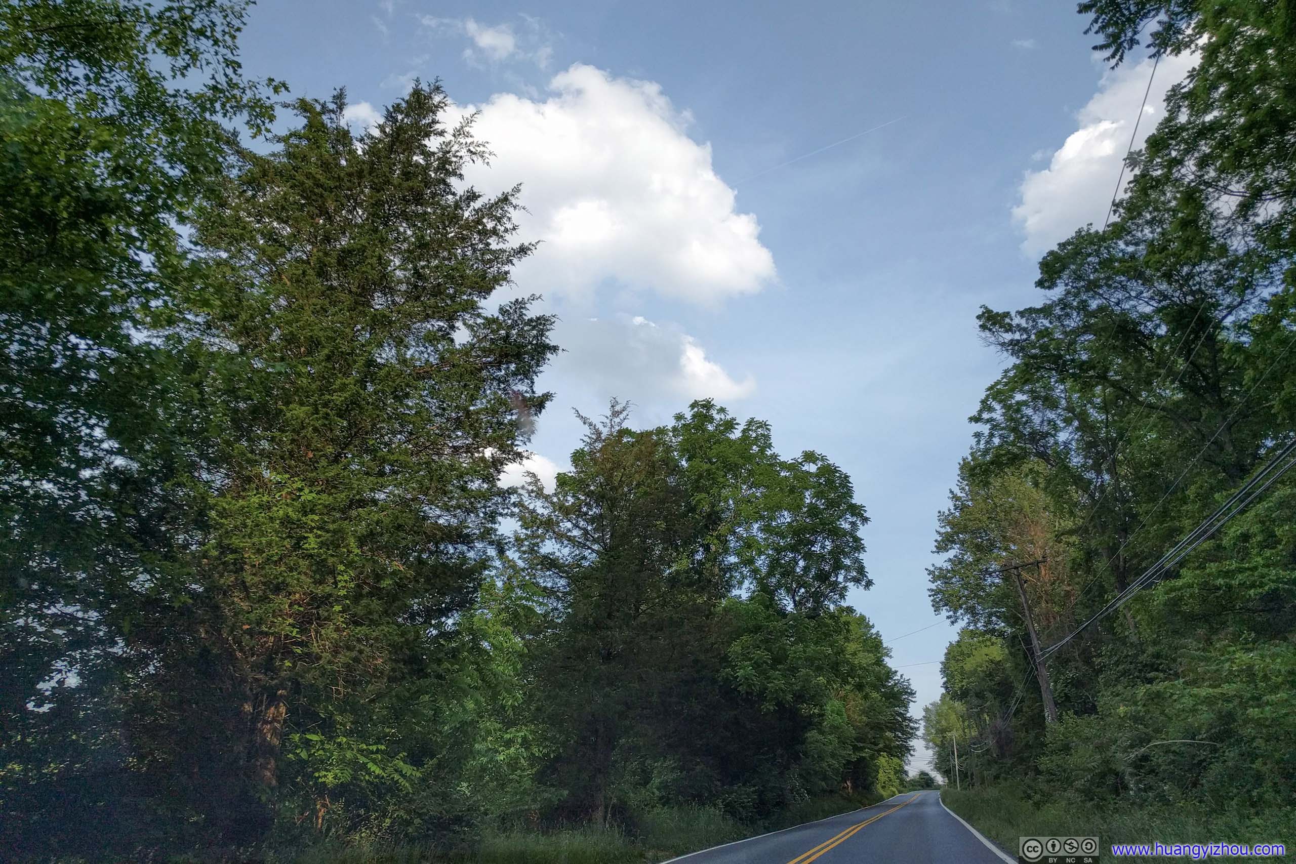
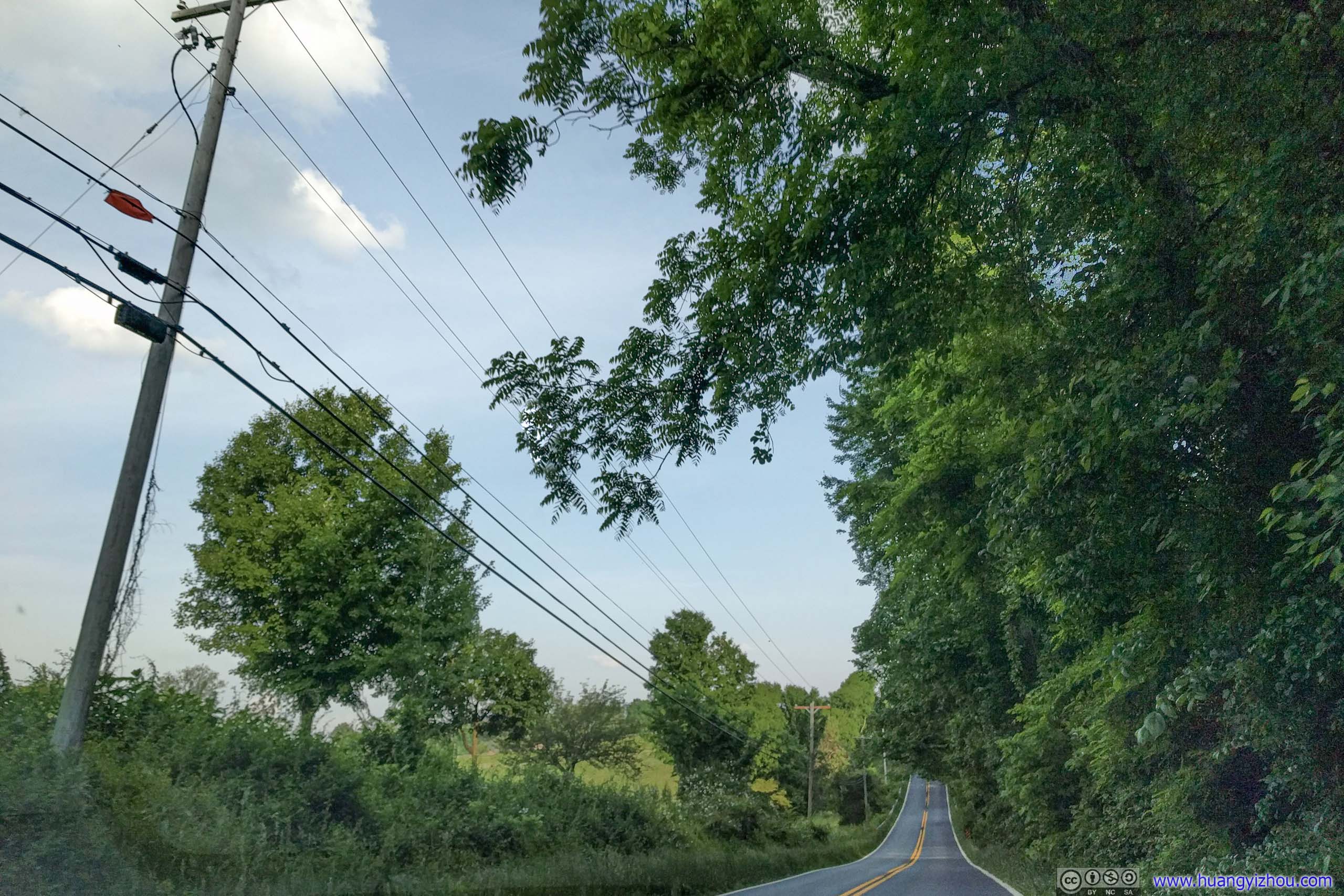
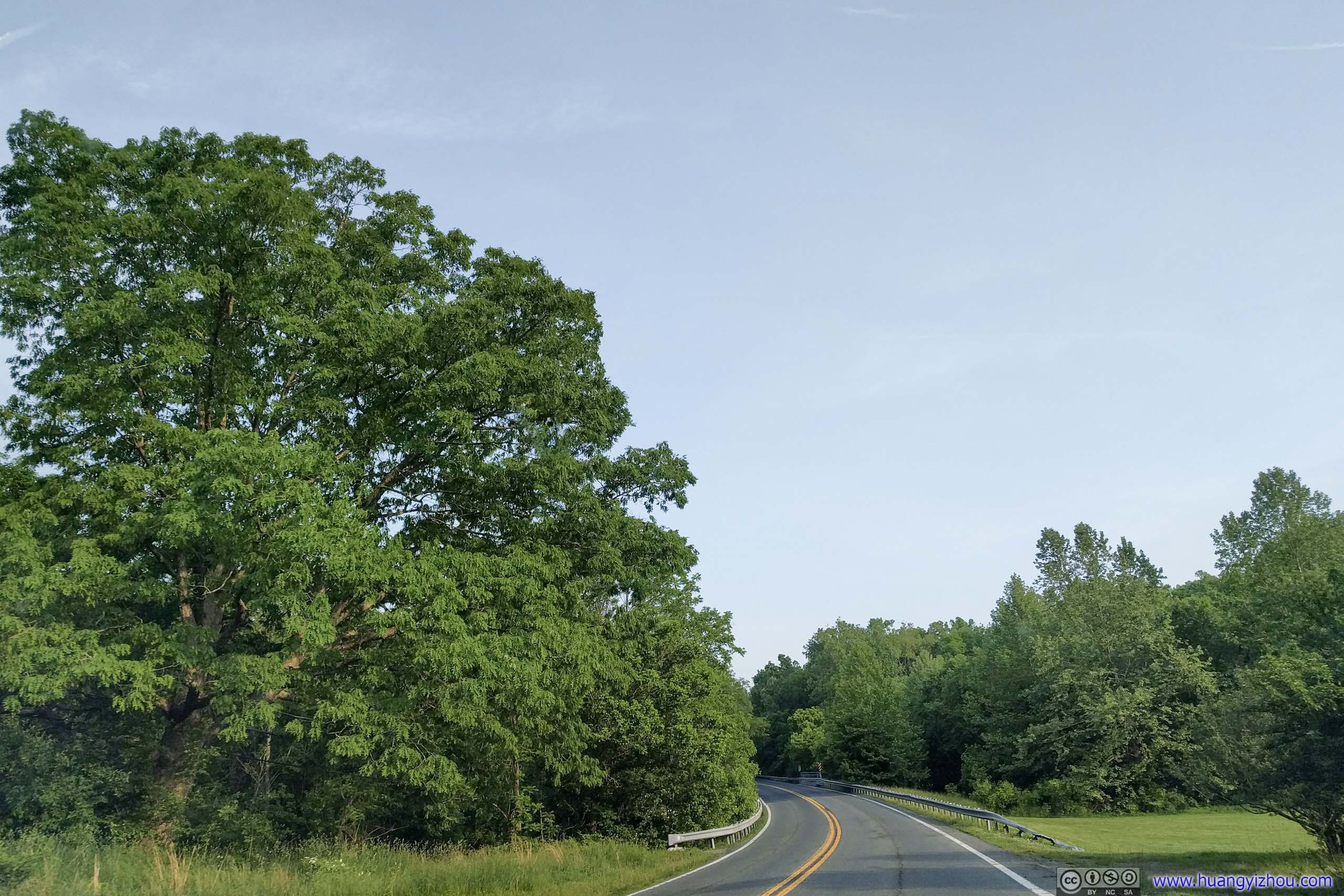
 Country Road

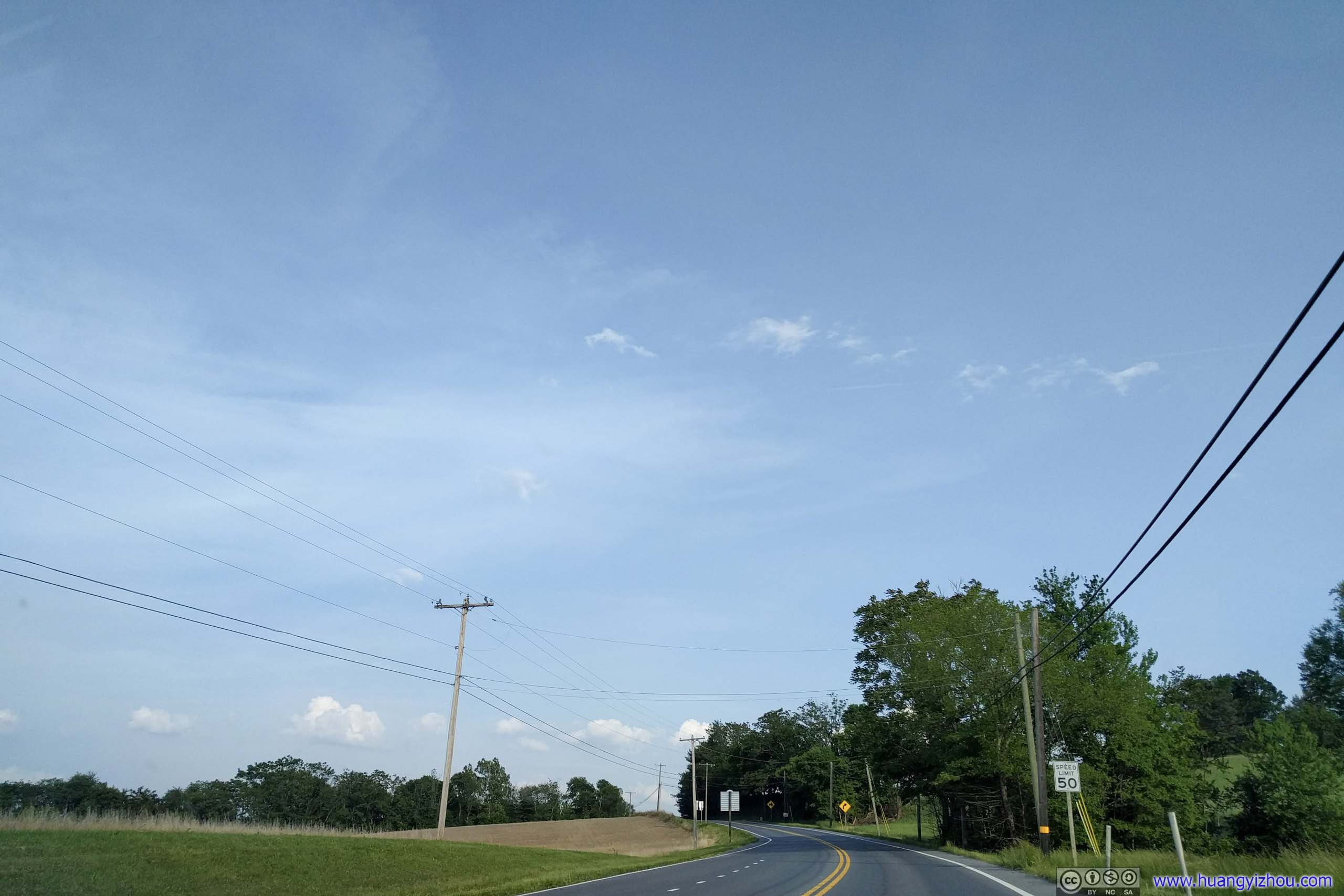
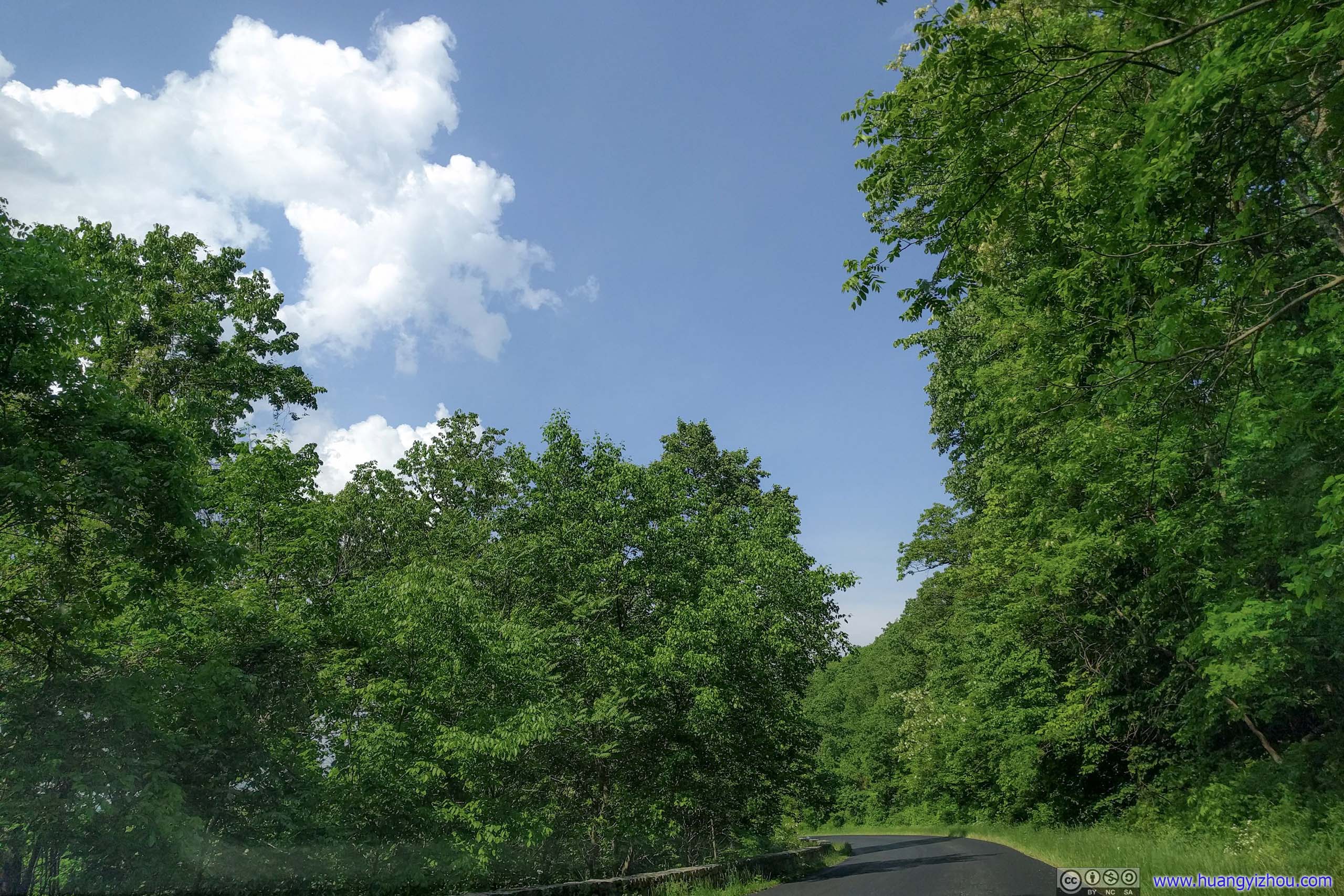
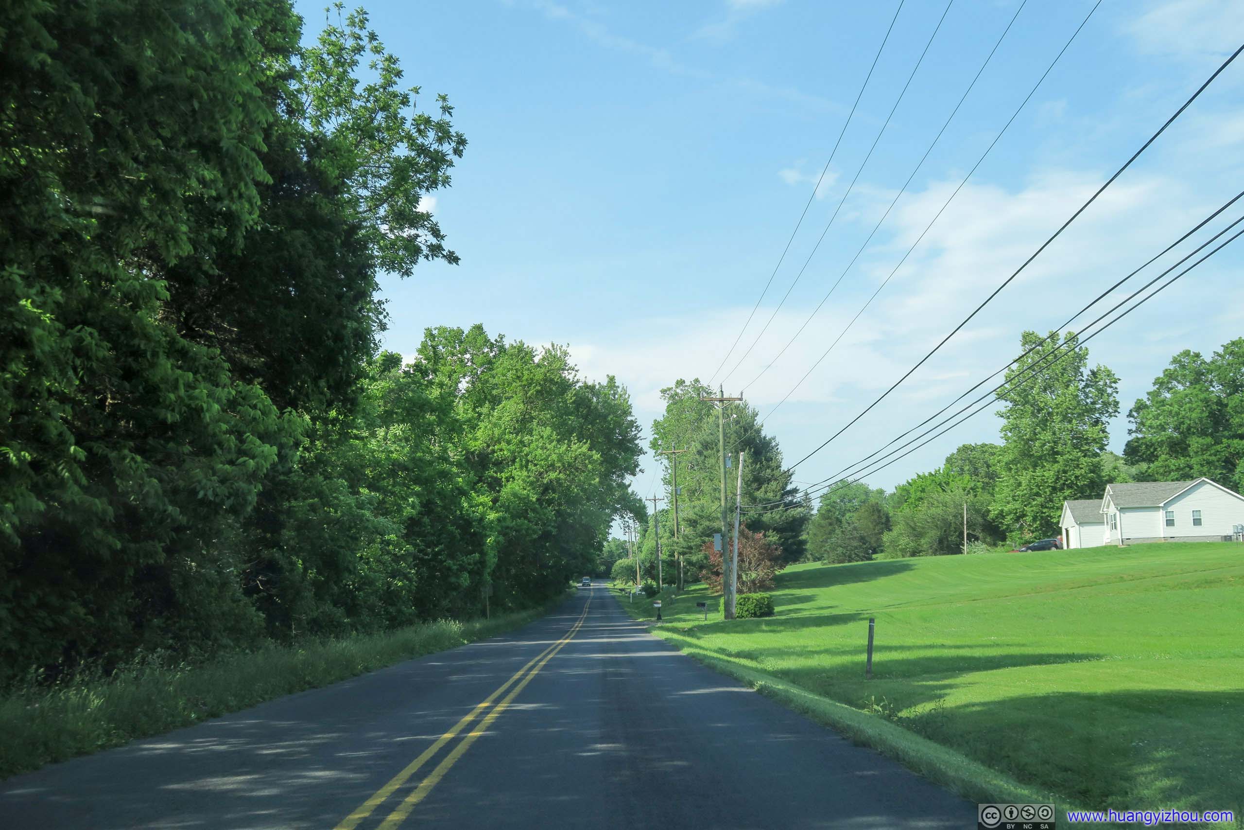
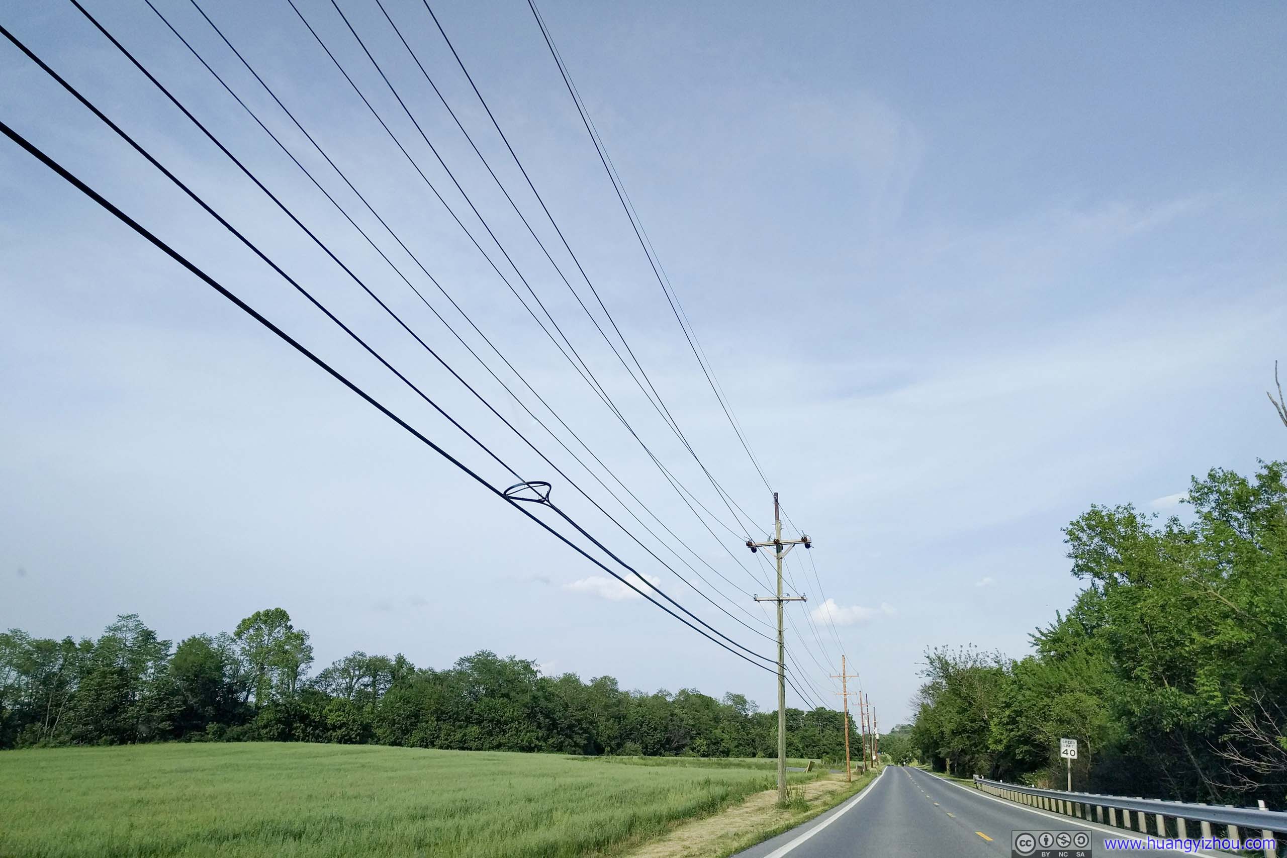
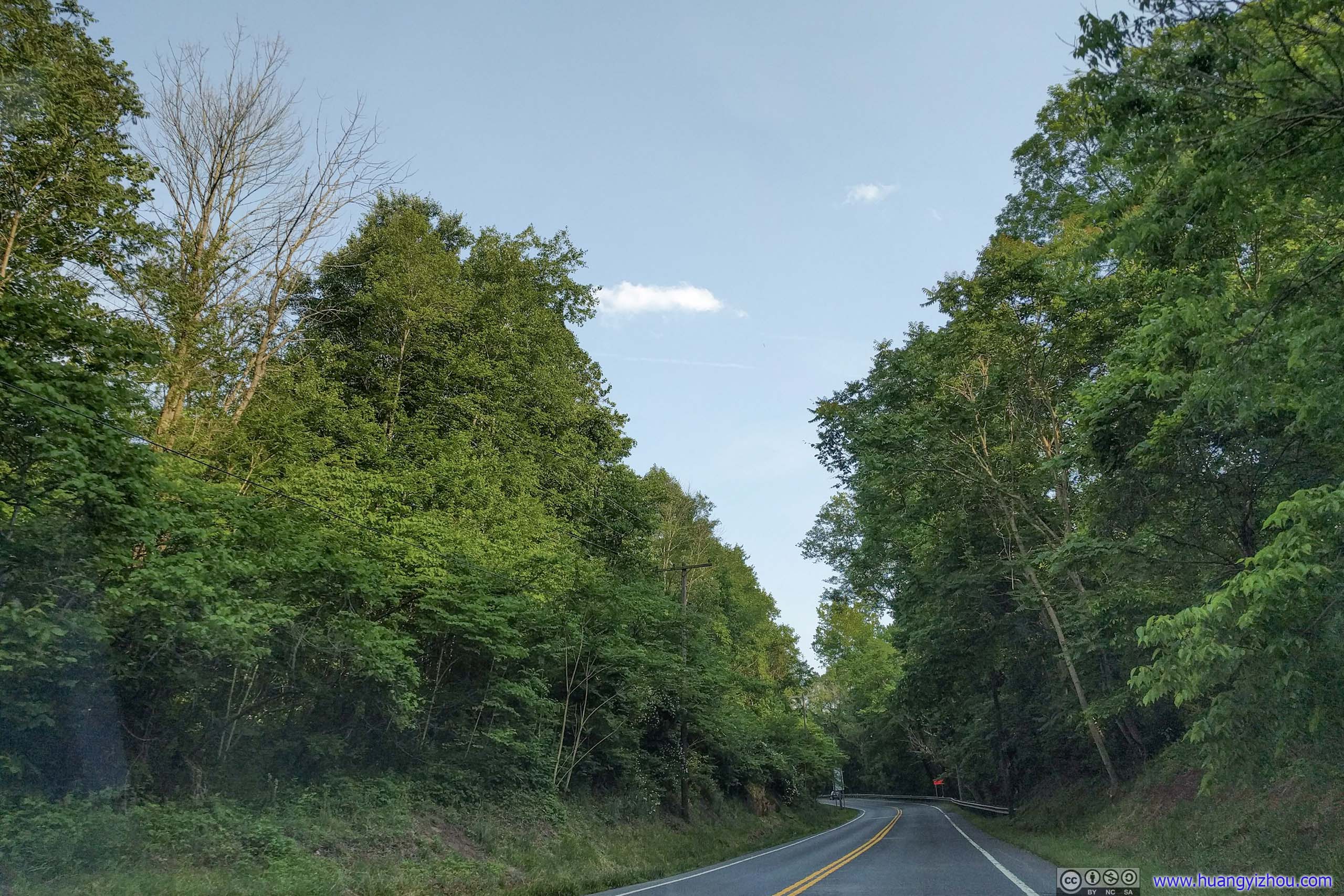
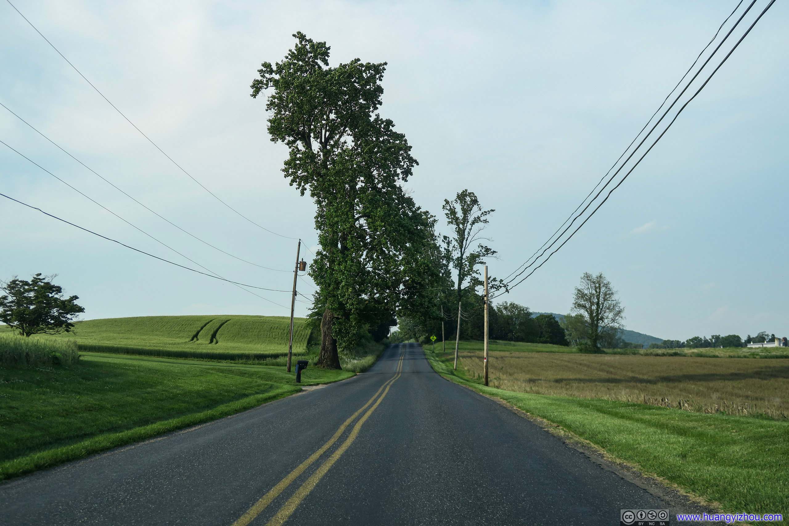
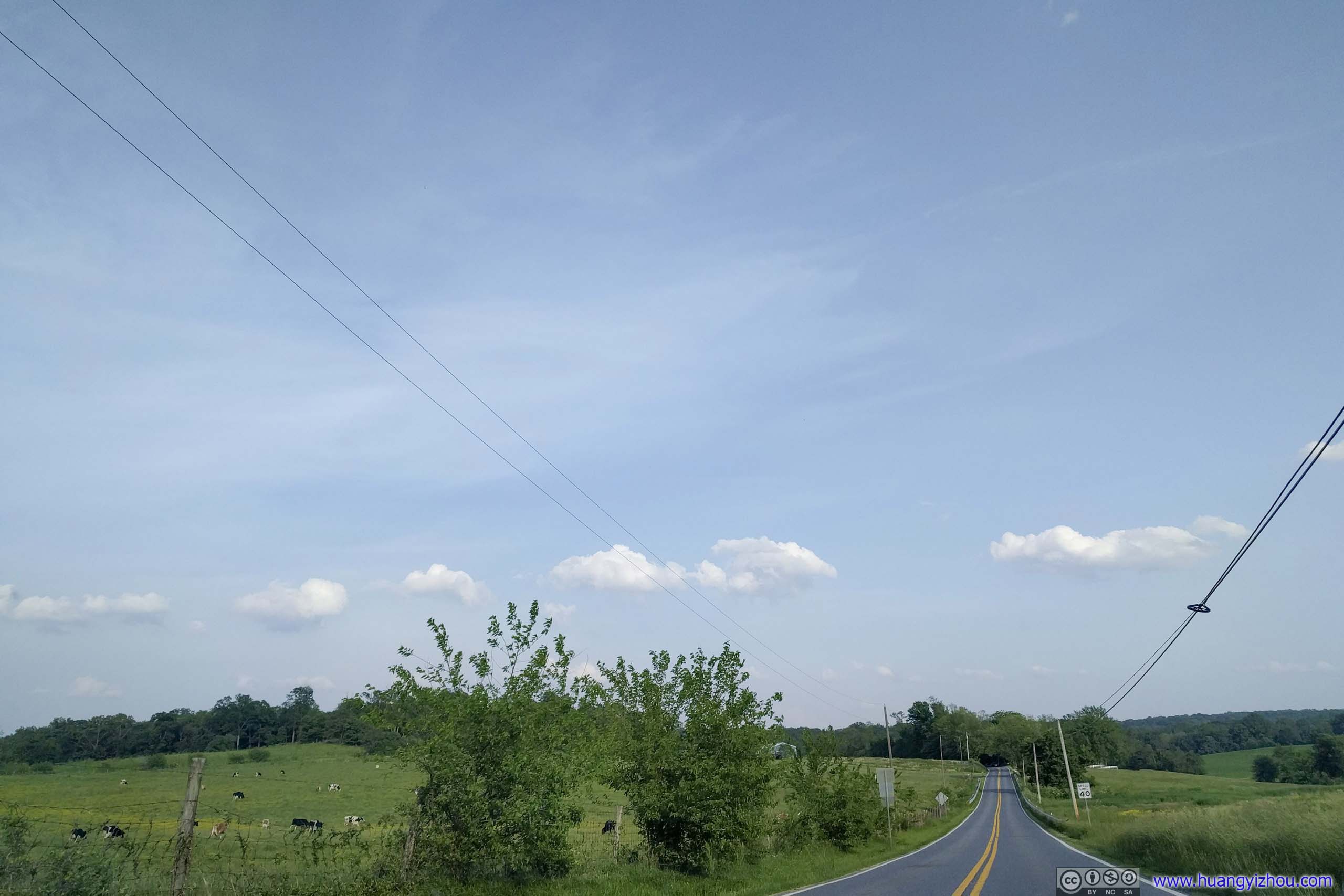
 Country Road
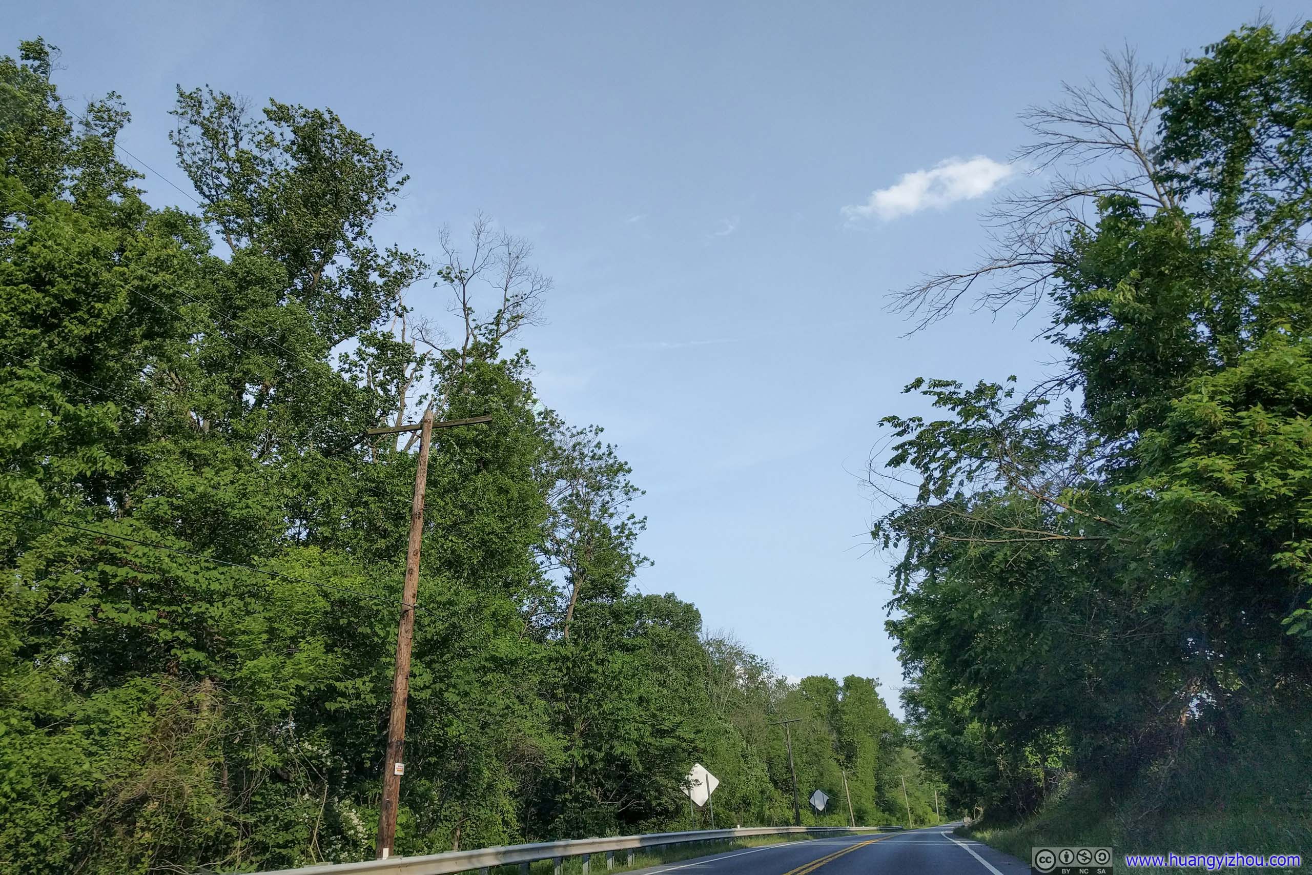
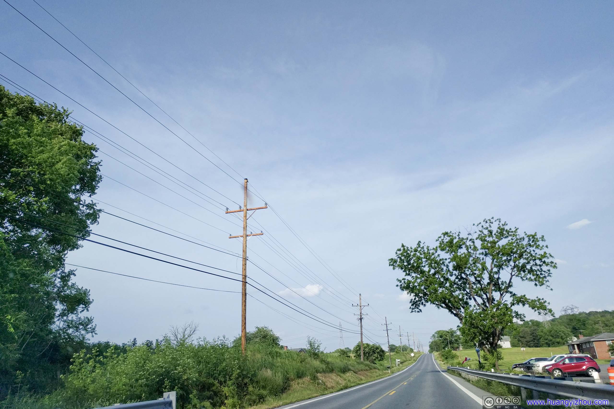
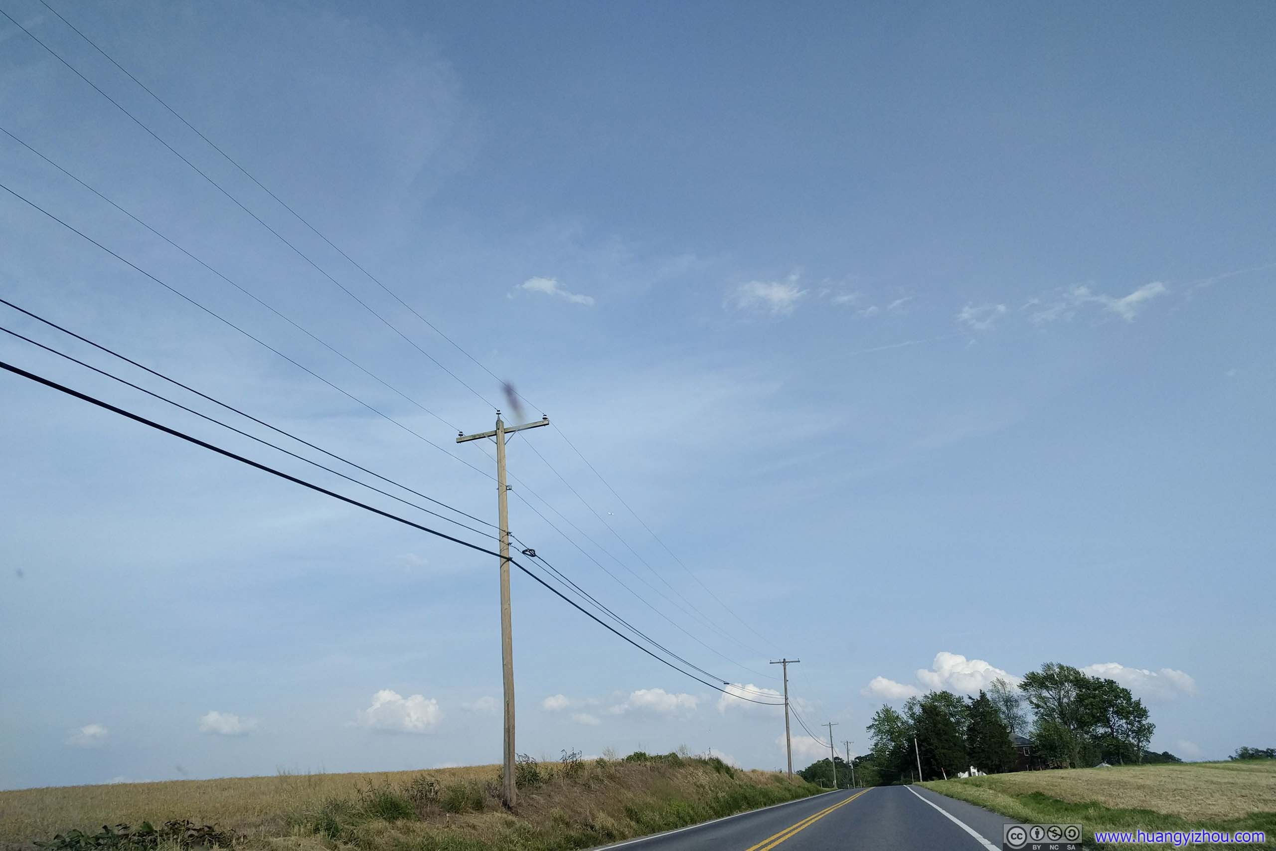
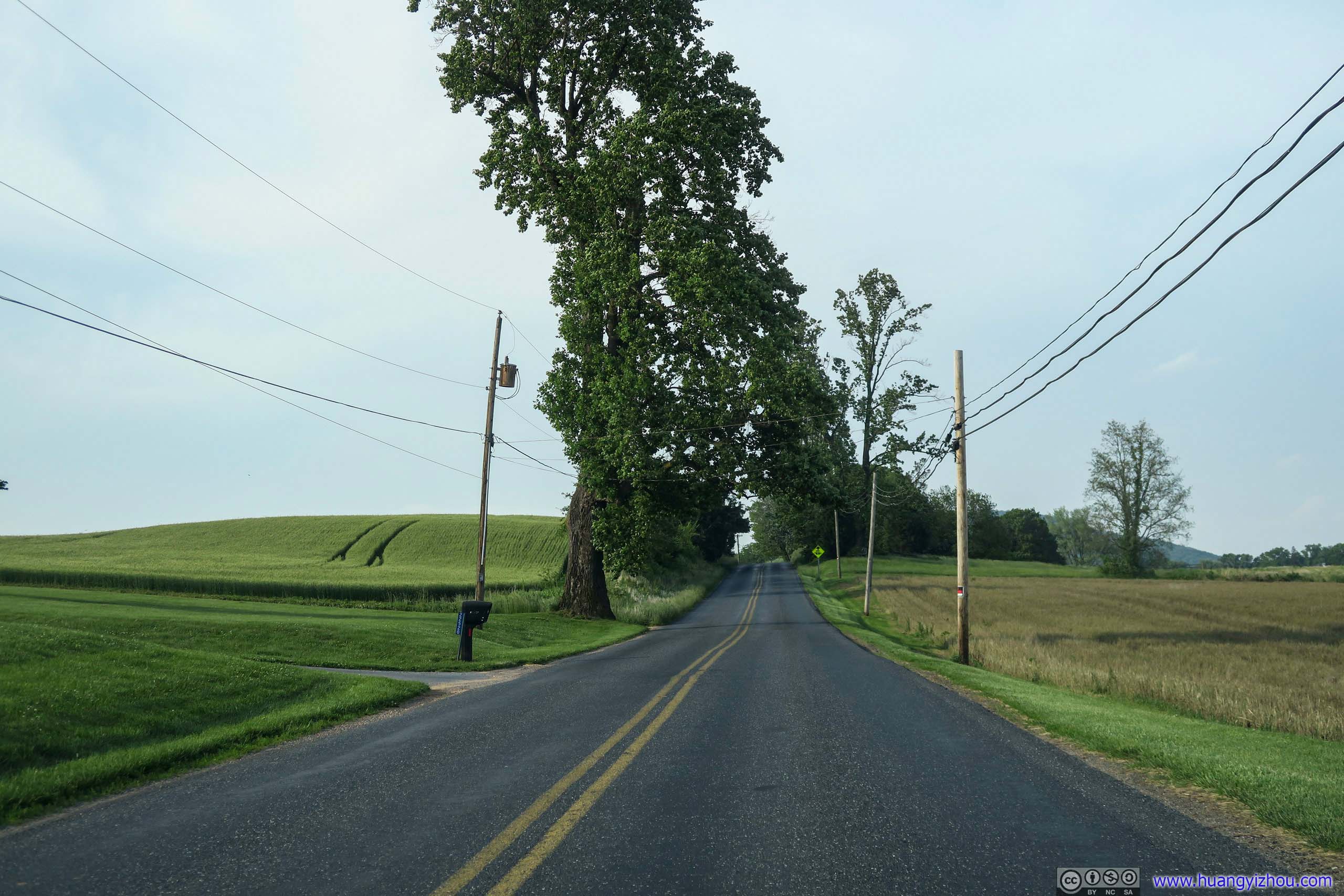
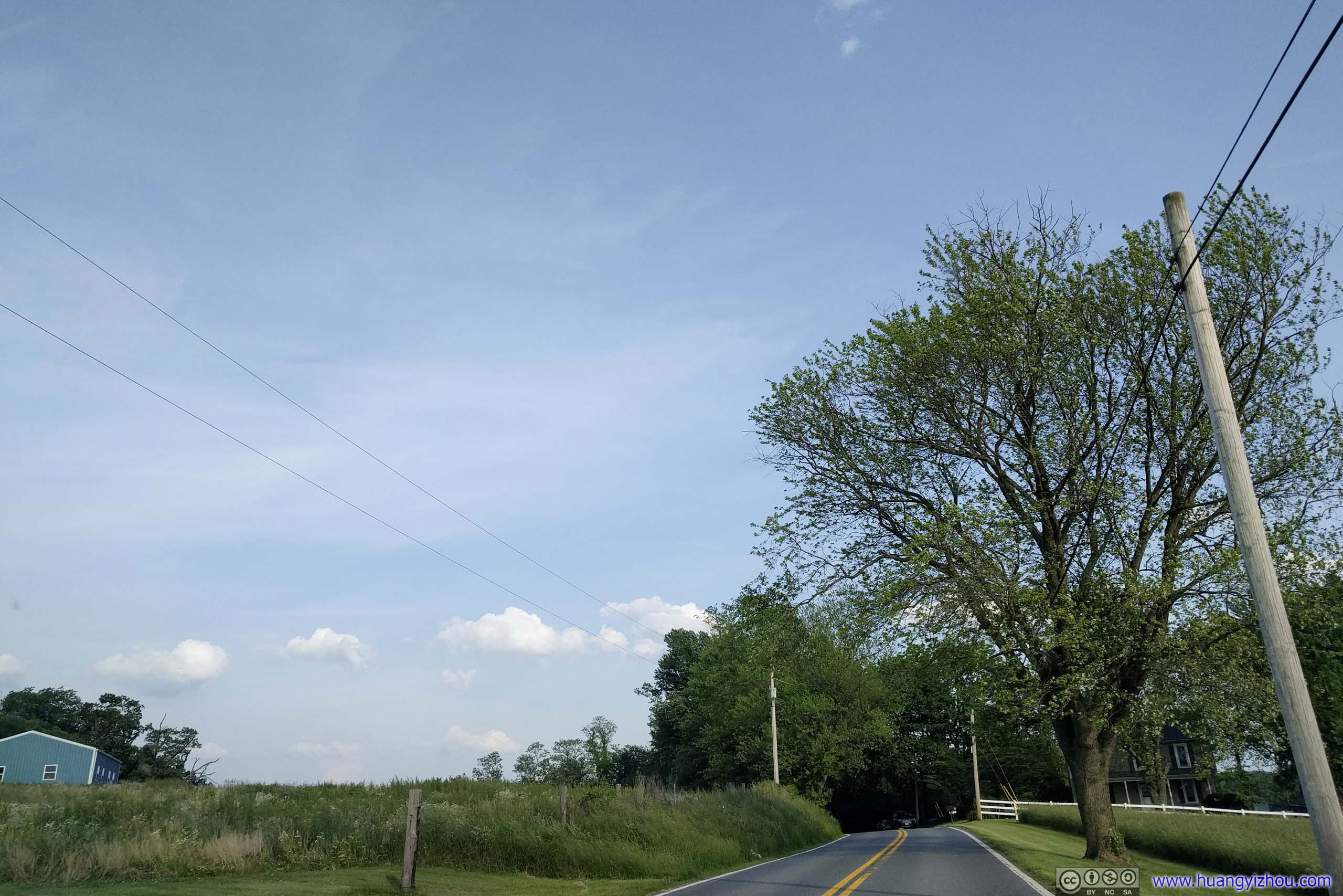
 Country Road

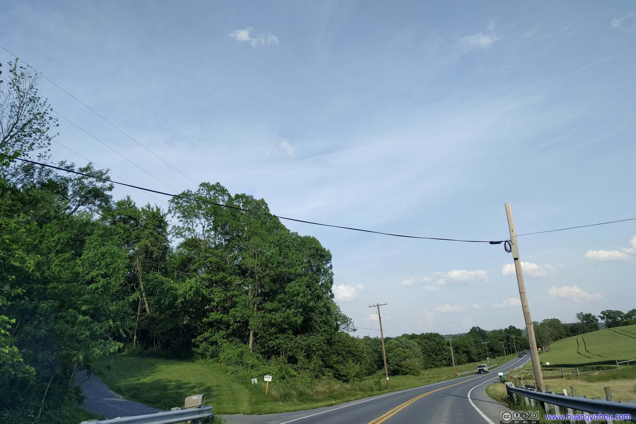
 Country Road
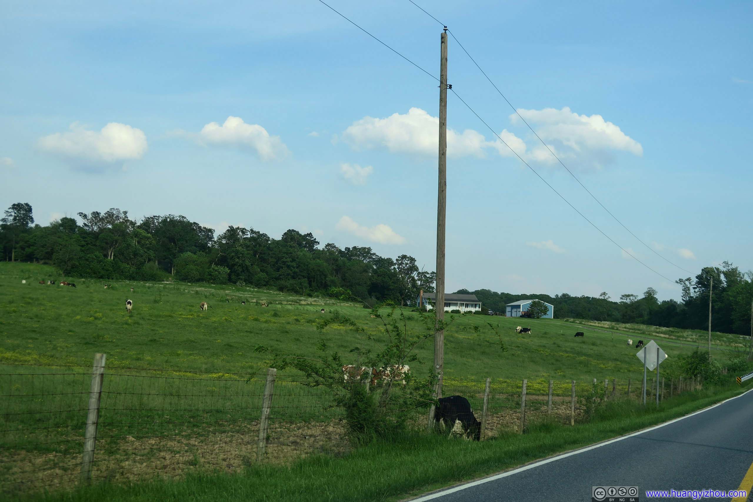
 Ranch
Ranch

 Country Road
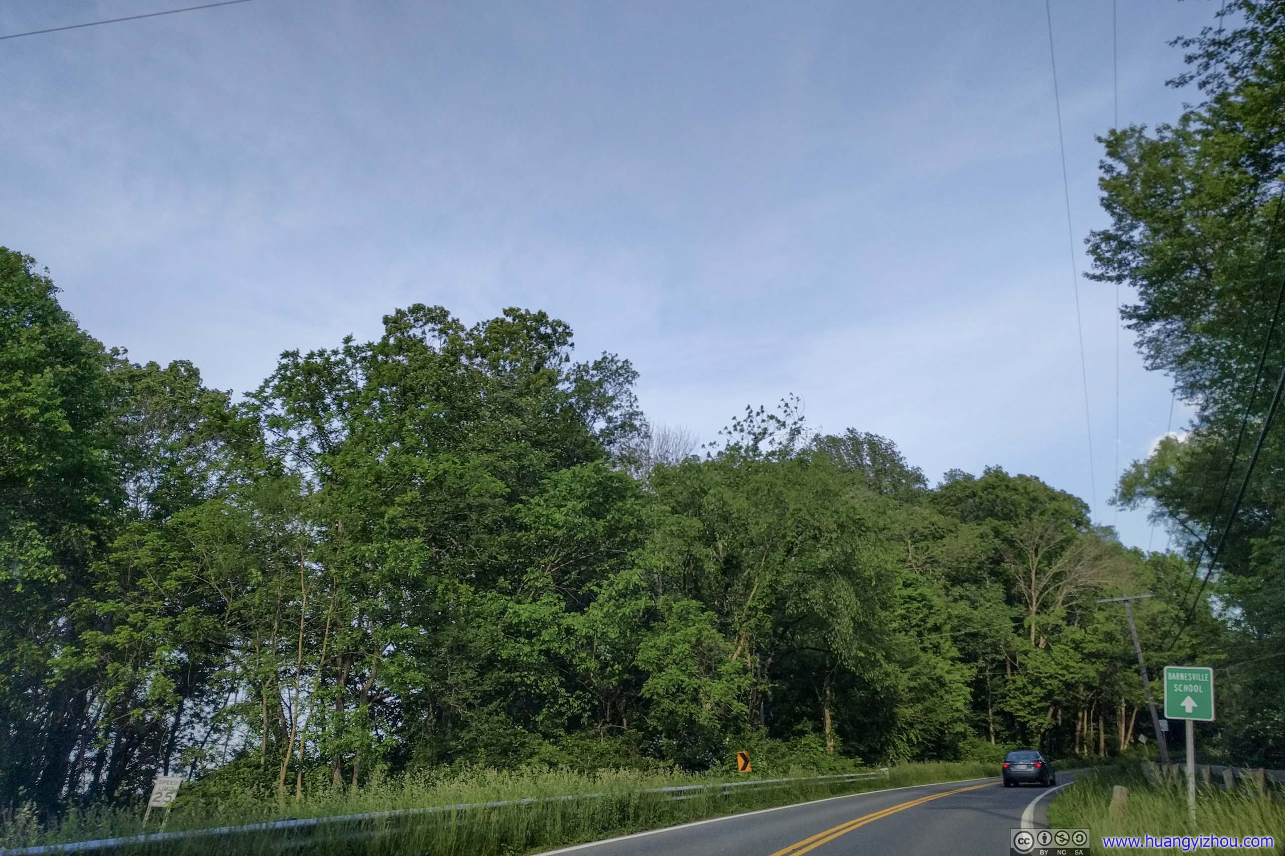
 Country RoadCrossing the town of Barnesville.
 Country Road
END
![]() Hiking Mary’s Rock in Shenandoah by Huang's Site is licensed under a Creative Commons Attribution-NonCommercial-ShareAlike 4.0 International License.
Hiking Mary’s Rock in Shenandoah by Huang's Site is licensed under a Creative Commons Attribution-NonCommercial-ShareAlike 4.0 International License.