
Updated on December 18, 2019
Day 4 of 2019 Western US Tour, July 15, to Jackson
After a rather fulfilling day in Salt Lake City, it’s Monday July 15 2019 as we set off from Salt Lake City to Jackson, Wyoming, a small town on the outskirts of Grand Teton National Park.

Grand Teton
Journey to Jackson
So at 8:30 in the morning, we checked out of hotel and started this road trip to Jackson WY. The default Google route was I15-US30-US34-US89. However, since we were not in too much of a hurry, we took a detour(it’s actually 12 miles shorter) different route which was I15-(Brigham City)-US89. By adding 20 minutes to travel time, we stayed on the scenic US Route 89 for the majority of the trip, which to me was a more rewarding way to spend the day instead of rushing from A to B.
Ane here’s our route on the map:
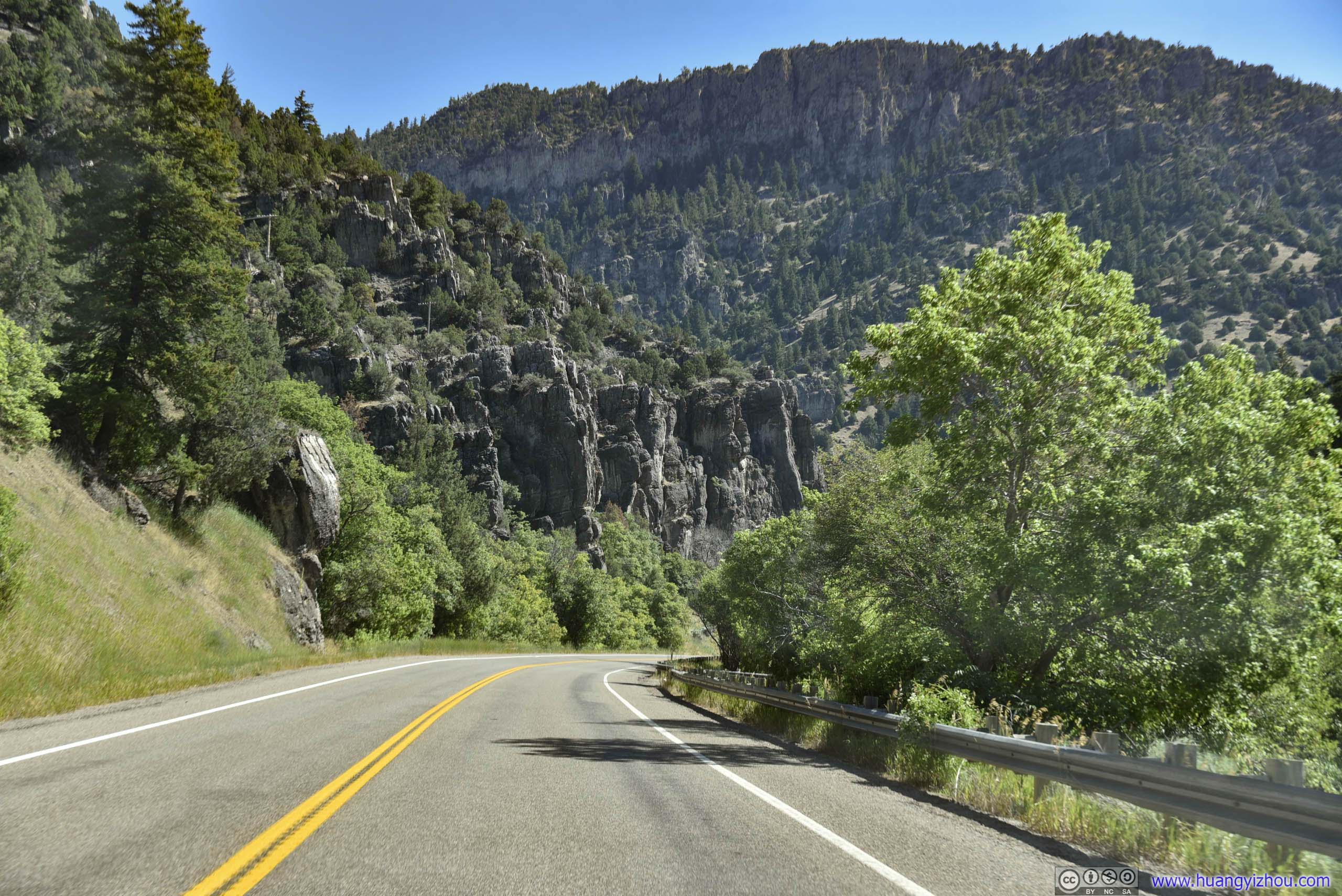
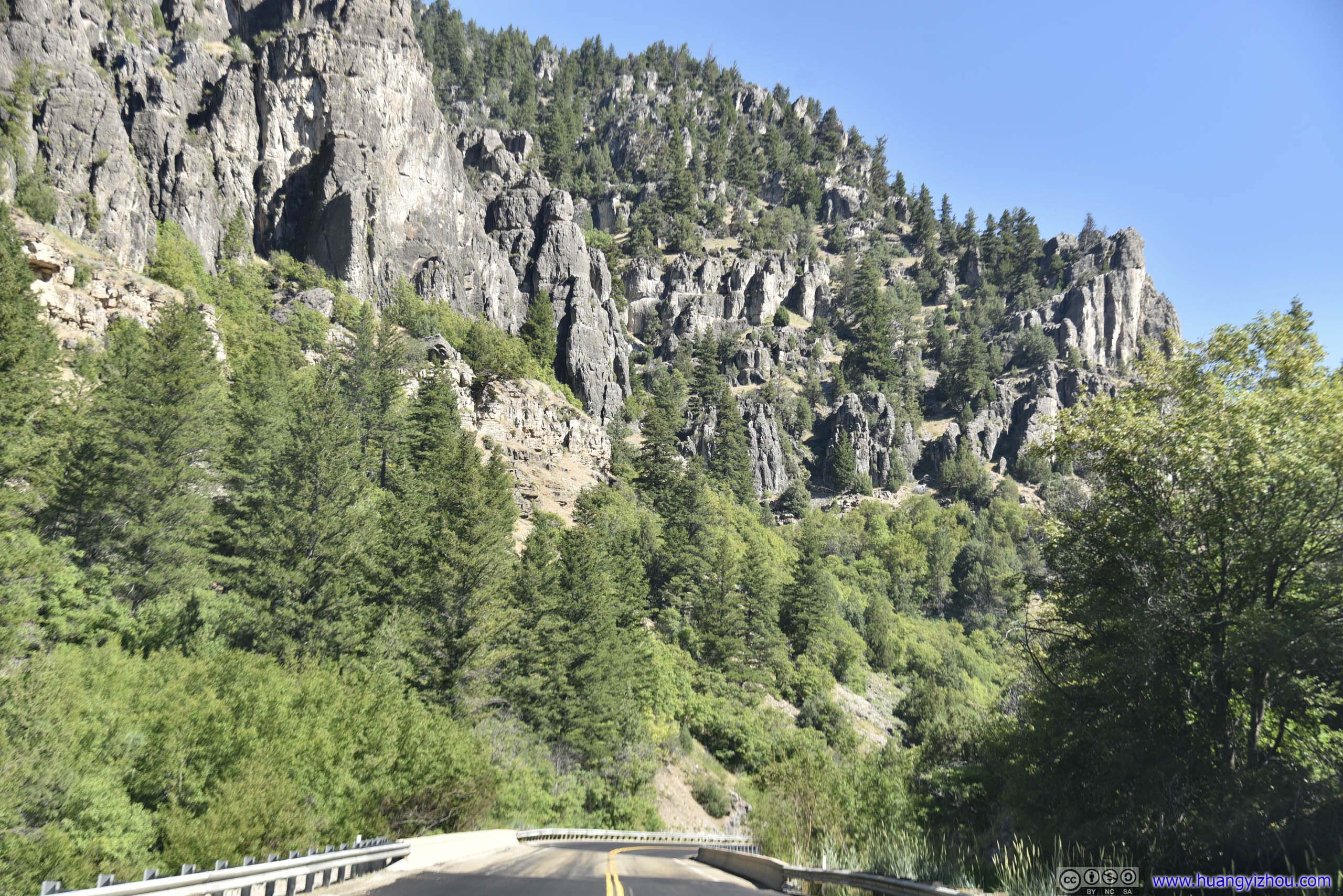
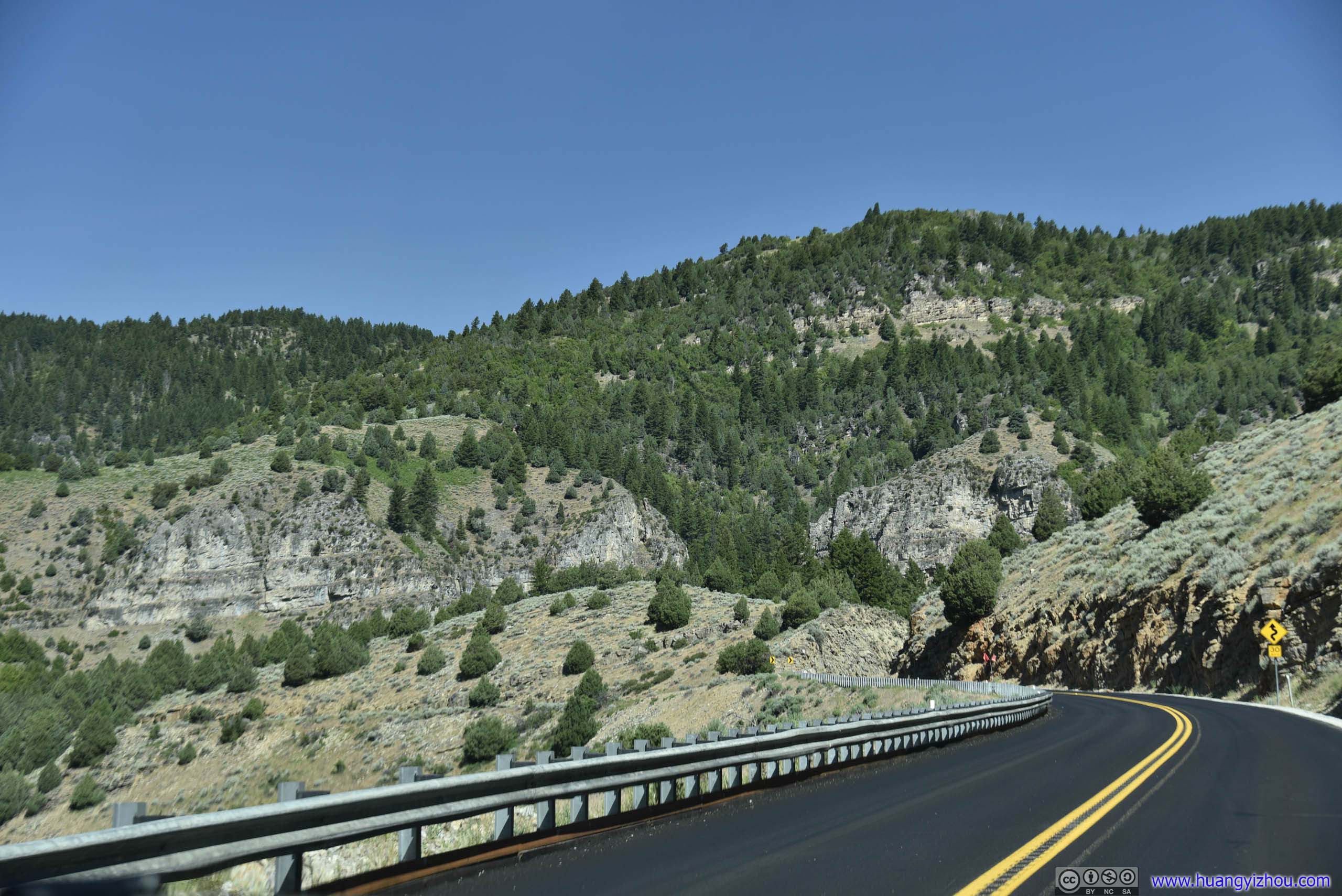
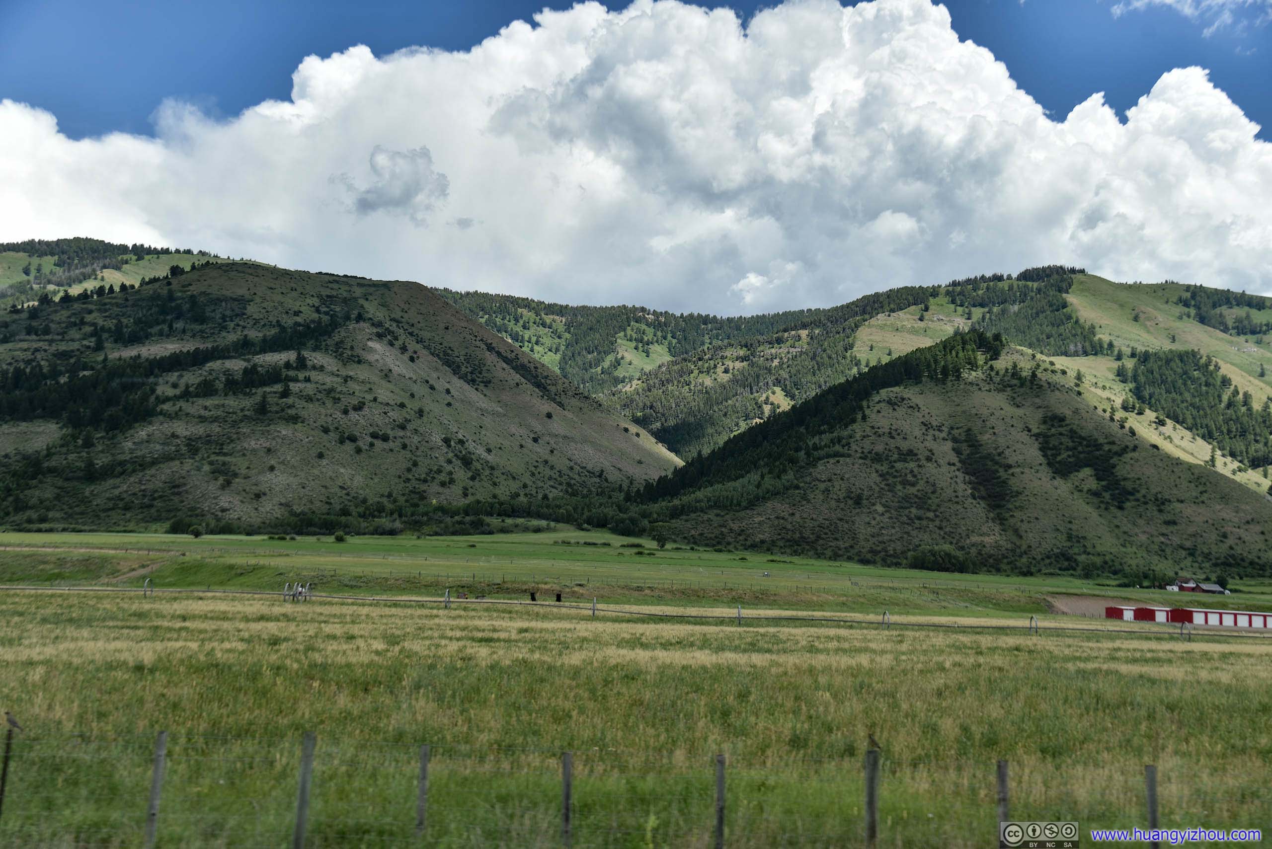
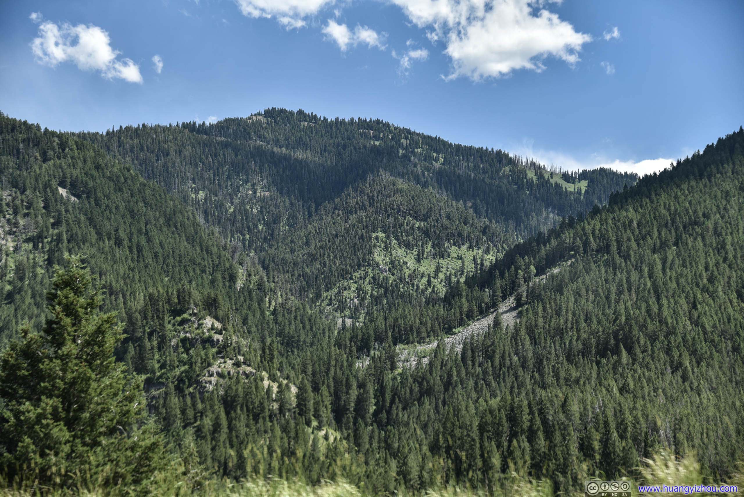
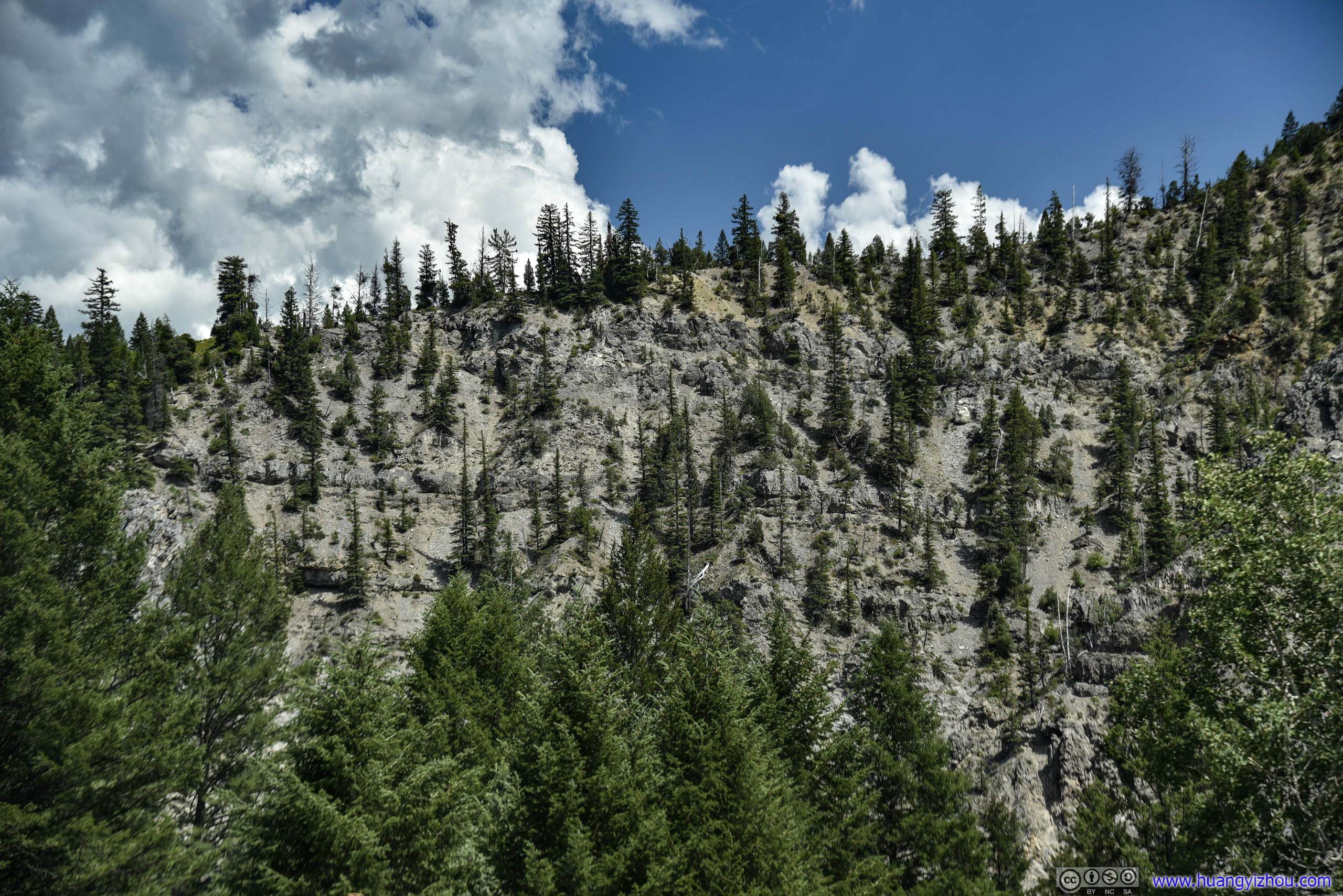
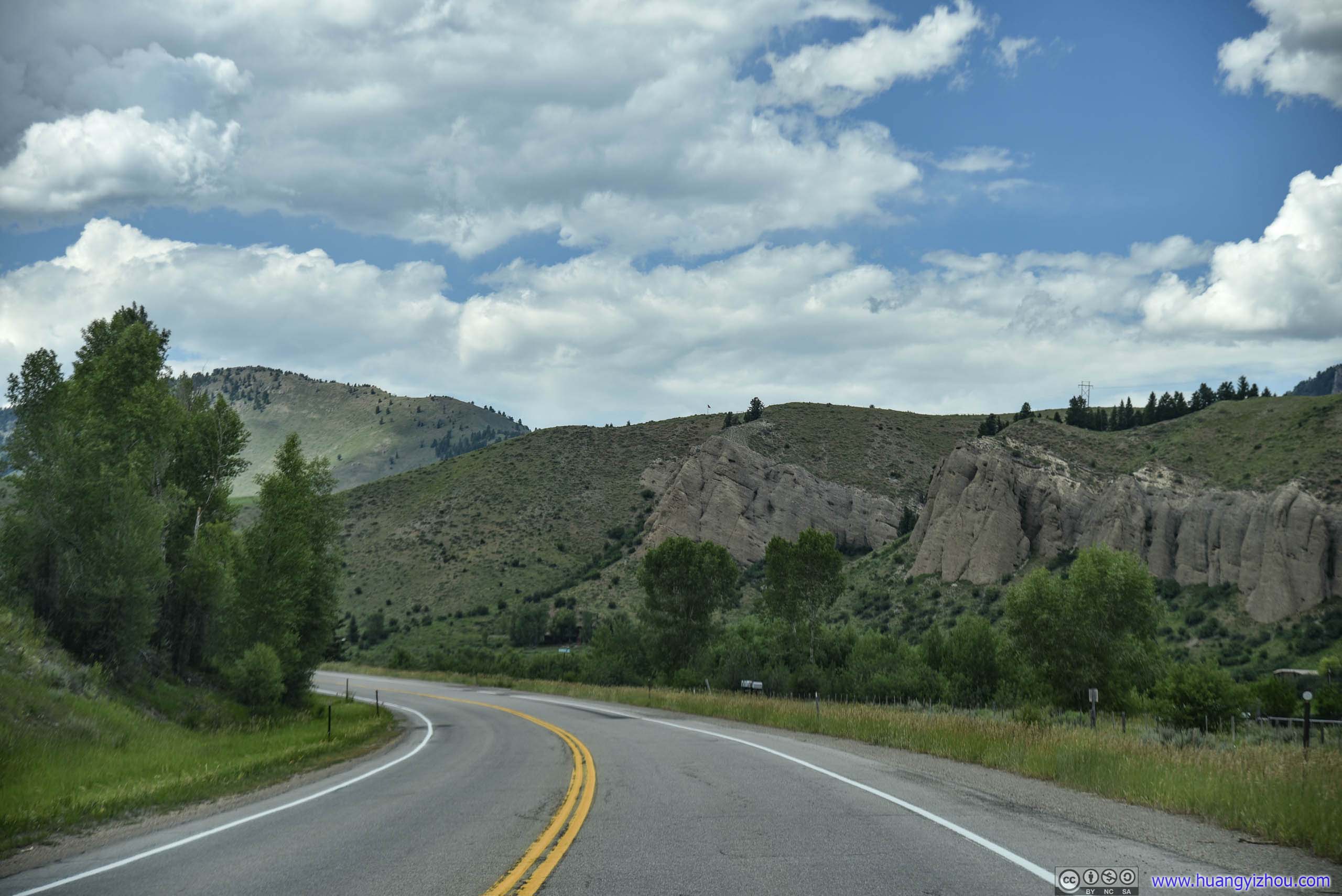
While the scenic part of US89 started outside Brigham City as it climbed through some mountain ranges, I was driving until Logan before taken over. After that, US89 was running along Logan River in a valley (Logan Canyon).
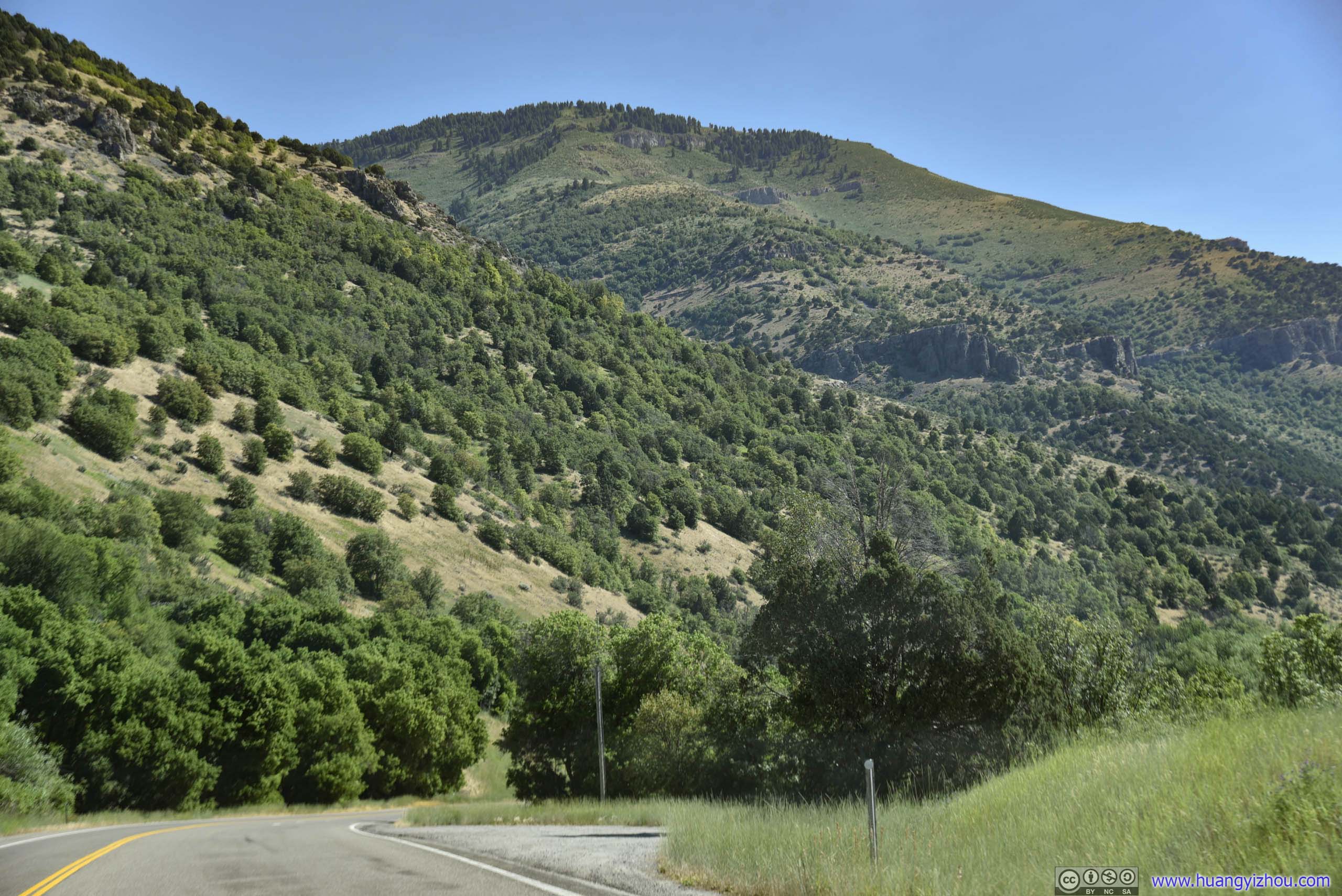
 Highway 89
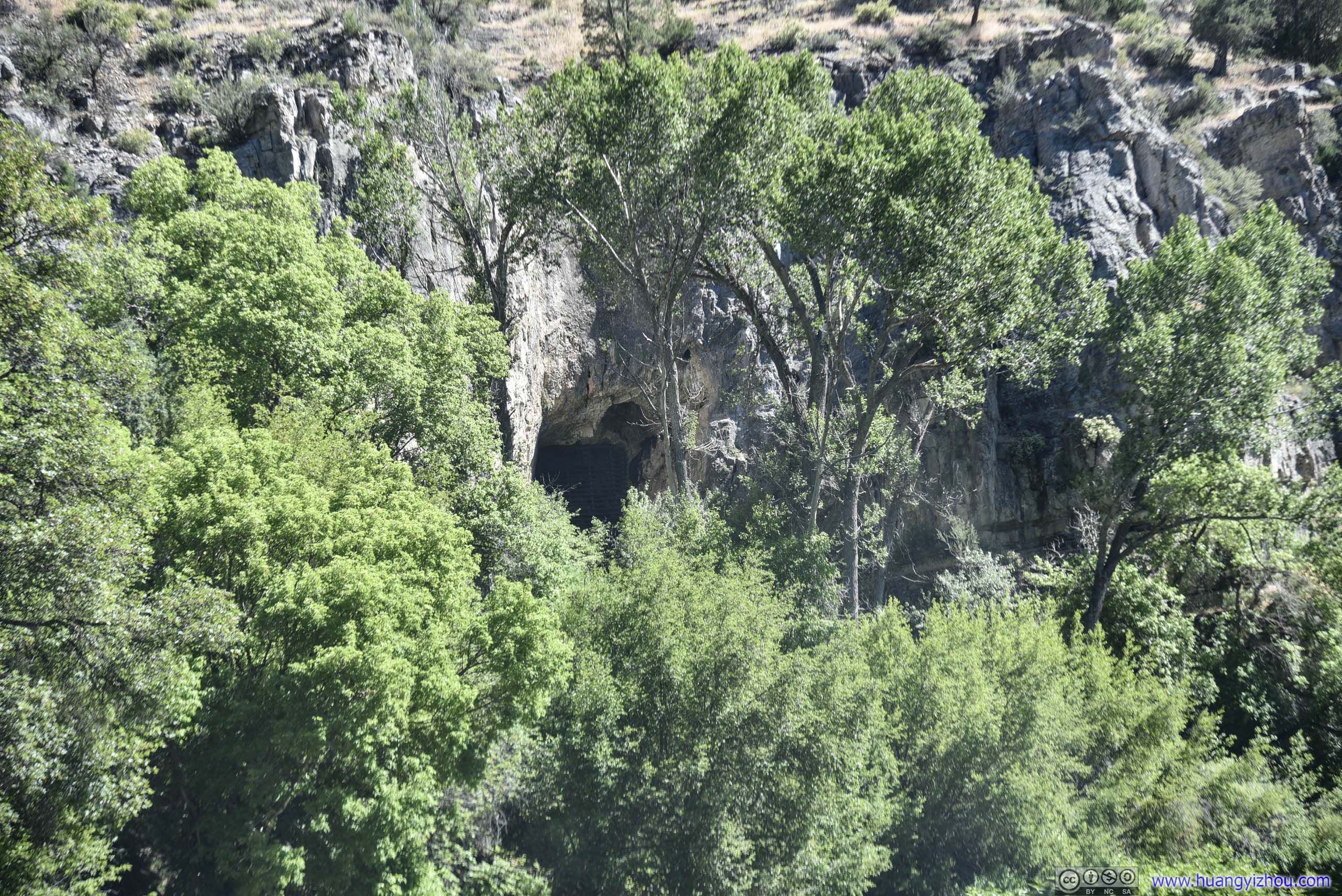
Logan CaveThe cave’s closed with iron bars to protect an endangered bat species known as the Townsend’s Big Eared Bat.

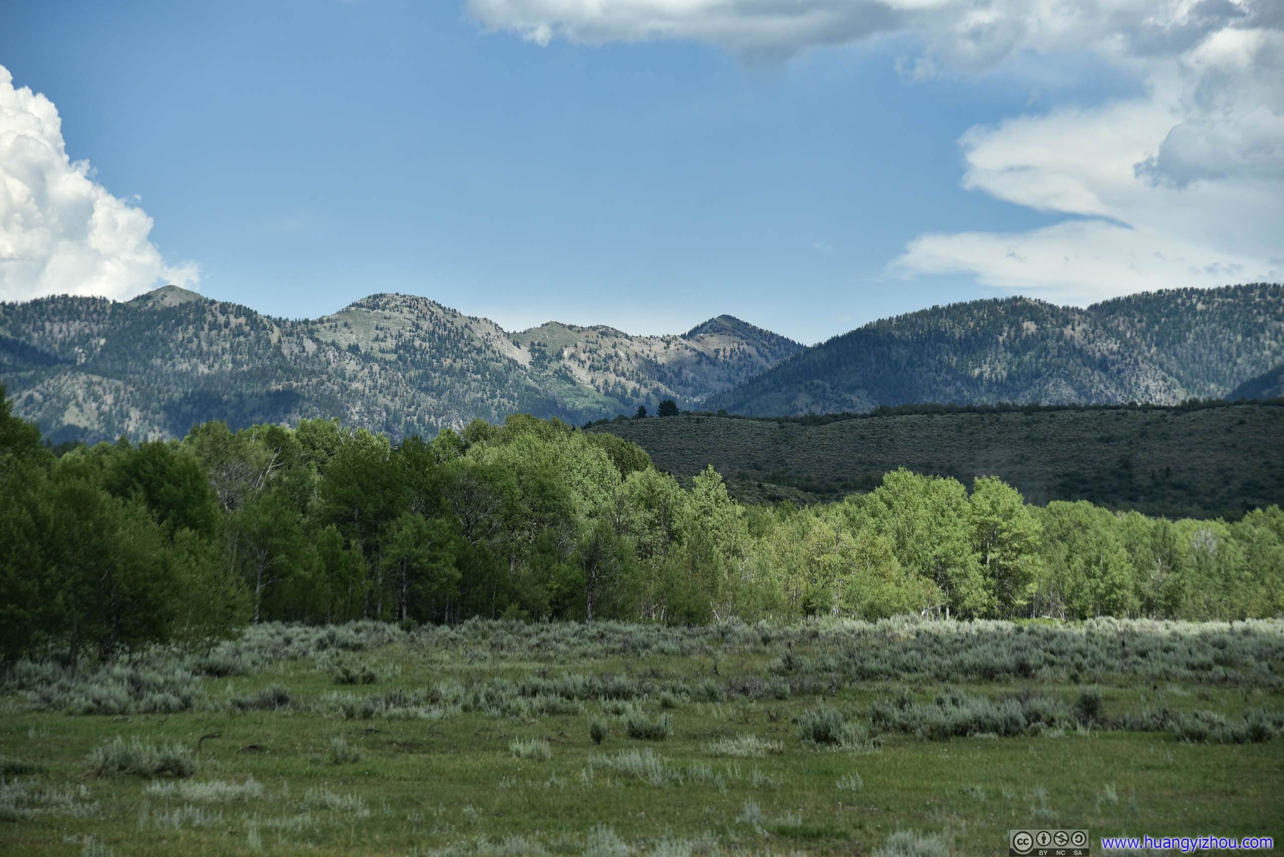
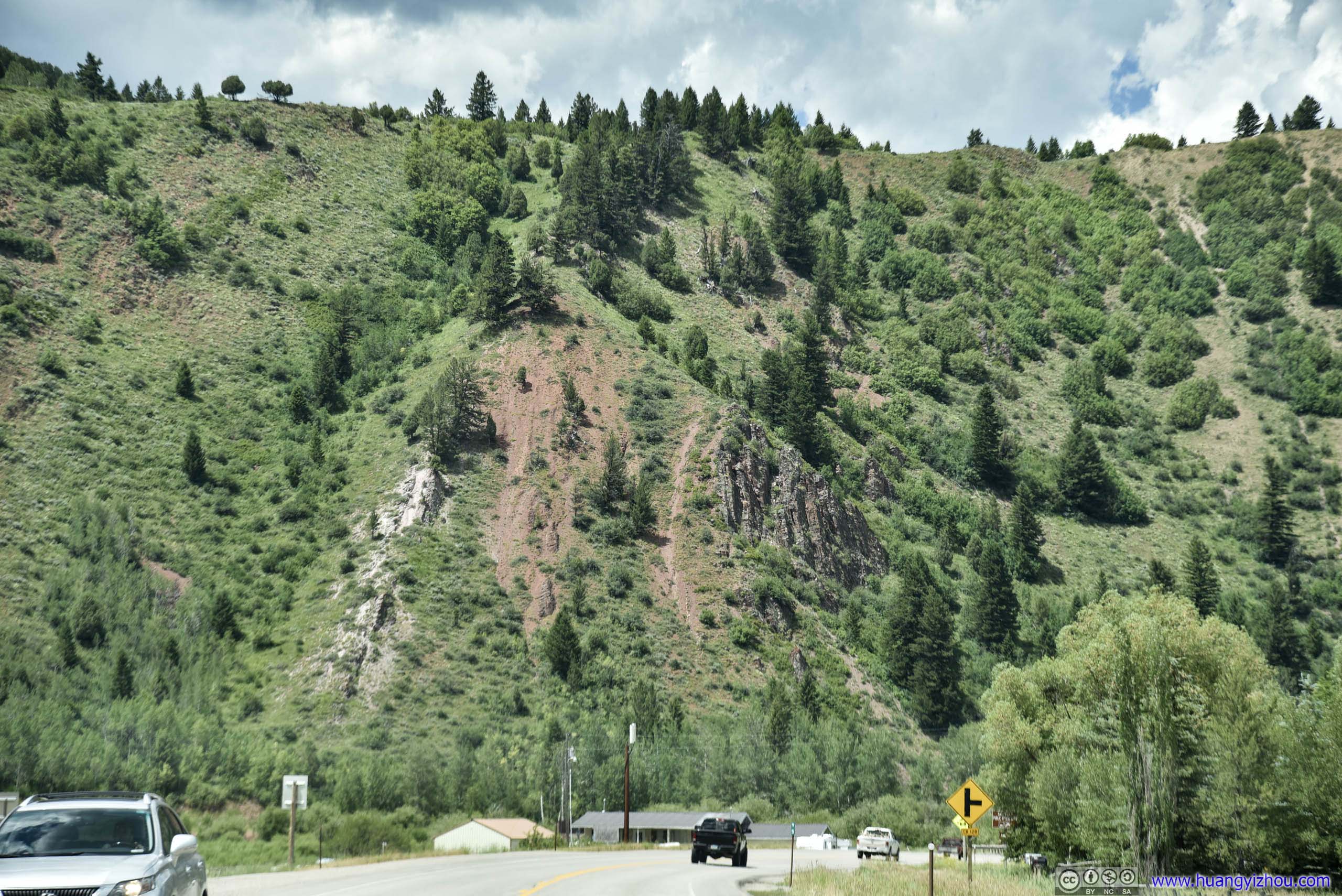
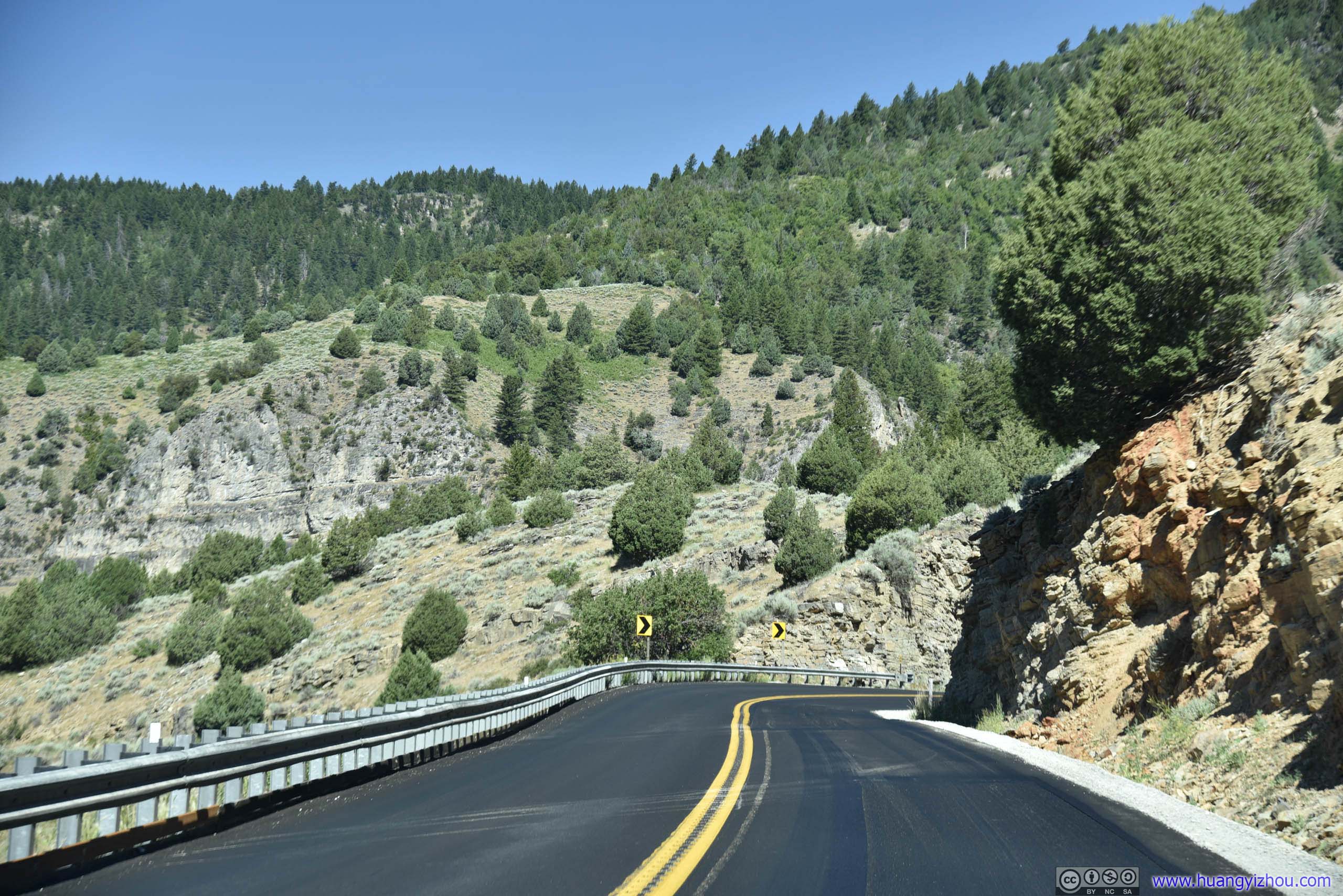 Highway 89
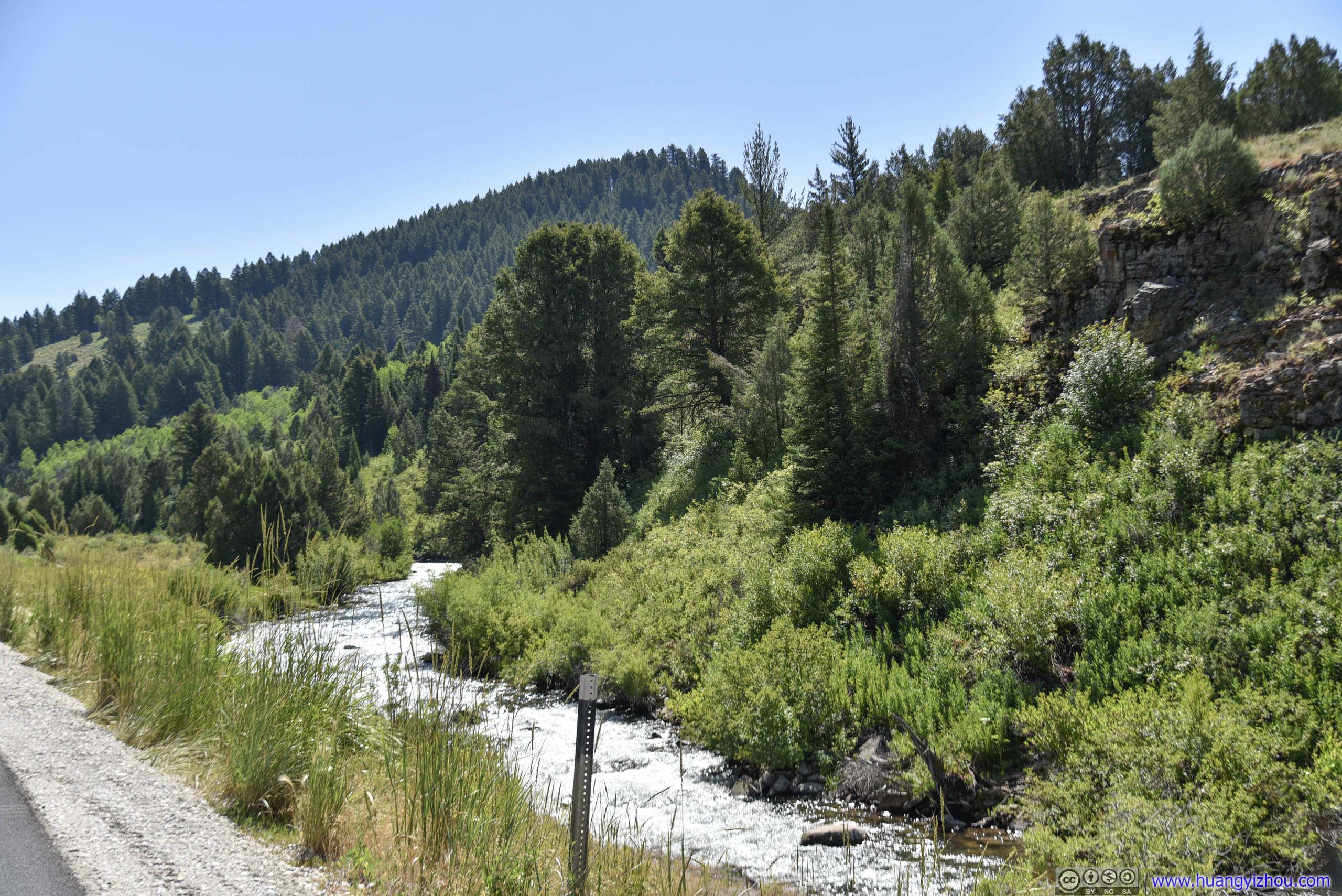
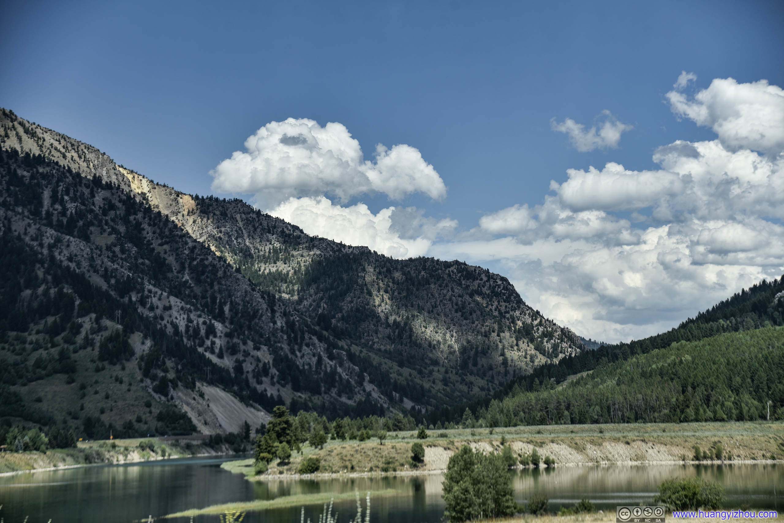
Logan River
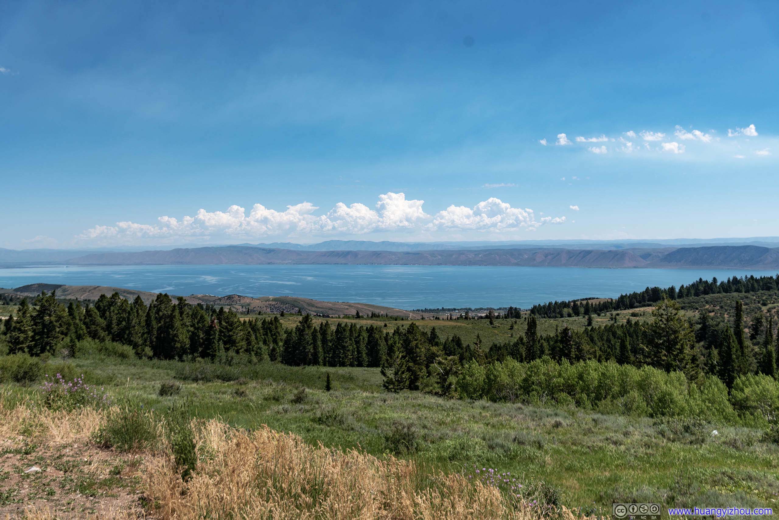
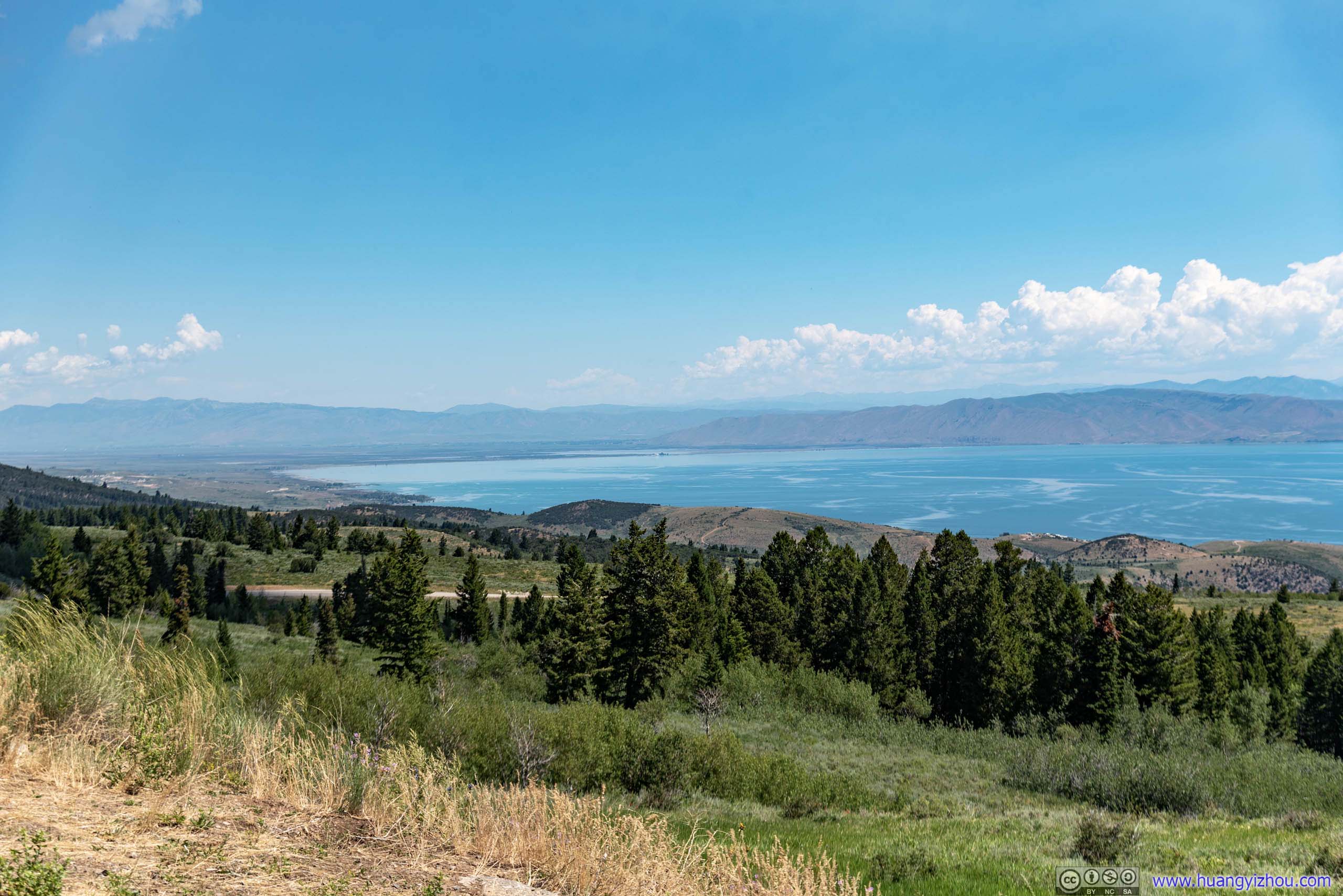
Bear Lake Overlook
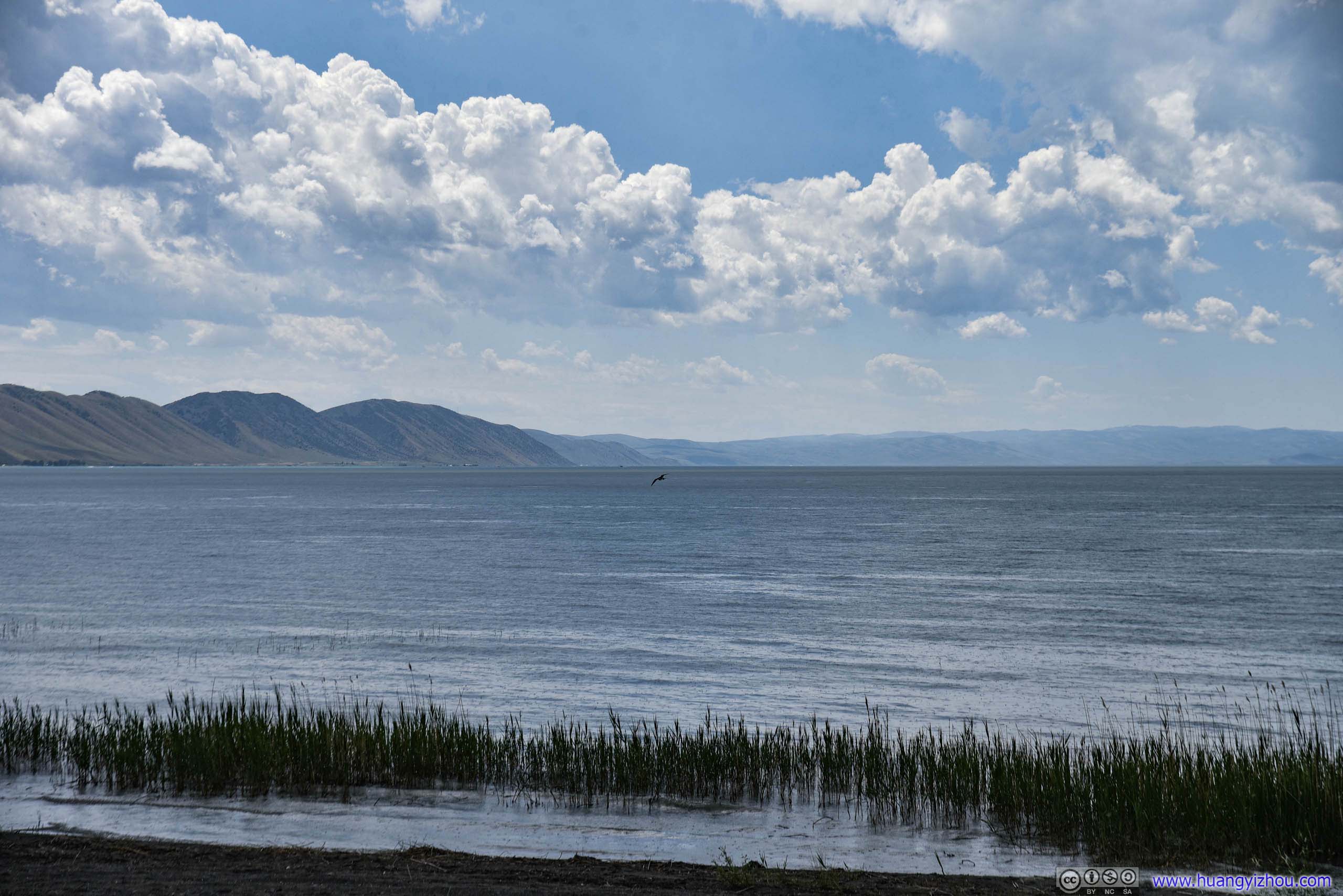
Just as we were approaching Bear Lake, we found a rest area / overlook by the road, with gorgeous views of bear lake. If not for the other sceneries along the road, such spectacular views alone would certainly make this detour worthwhile.

 Wild Flowers
 Overlooking Bear Lake
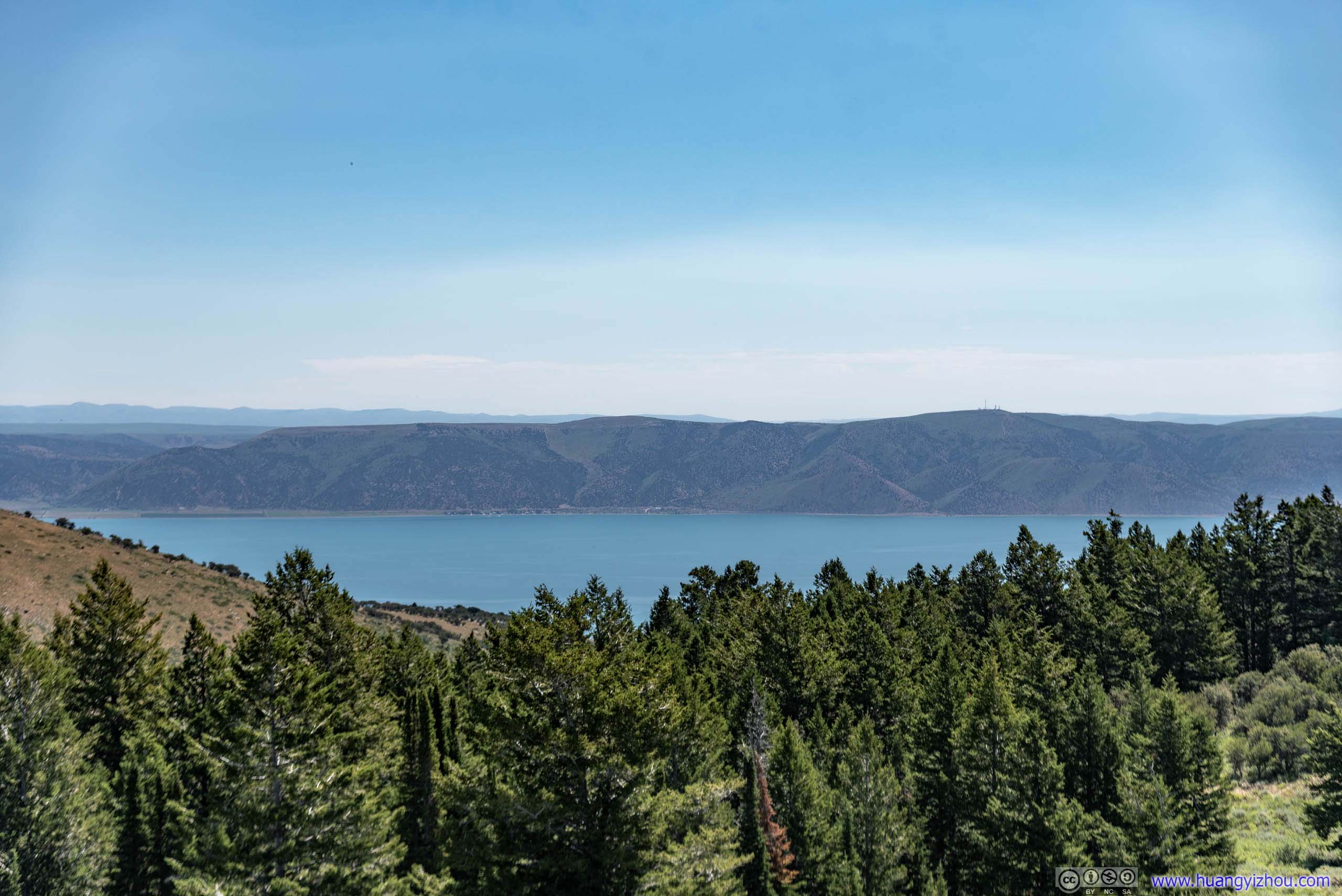
The best part of it? As we made our descent down to Bear Lake along US89, there were houses along the road with similarly magnificent views. They certainly drew quite some envious eyes from travelers like us.
 Mountain Ranges

 Overlooking Bear Lake
After that, we headed North along US89 into Idaho. We made an attempt to drive to the shores of Dear Lake, only to arrive at a dead end among farmlands.
 Trail to Lake
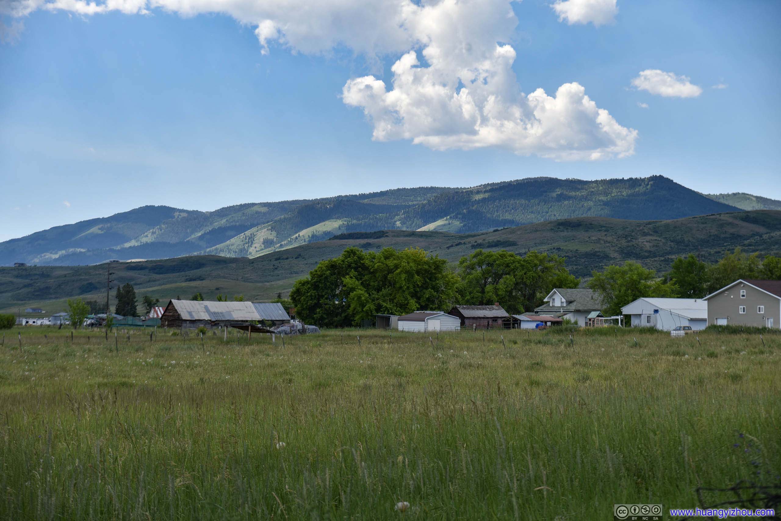 Farmland

Mountain Ranges beyond Bear Lake
After that, we found a tiny (paved) trail leading across the lake to North Beach State Park of Idaho. And by its name, it offered all the beach activities with calm waters. It’s not hard to infer the park’s popularity from its near-full parking lot. The park charged an admission fee, and by the time we arrived, it was starting to drizzle. So I took a few photos and went on the way.
North Beach State Park

 Bear Lake
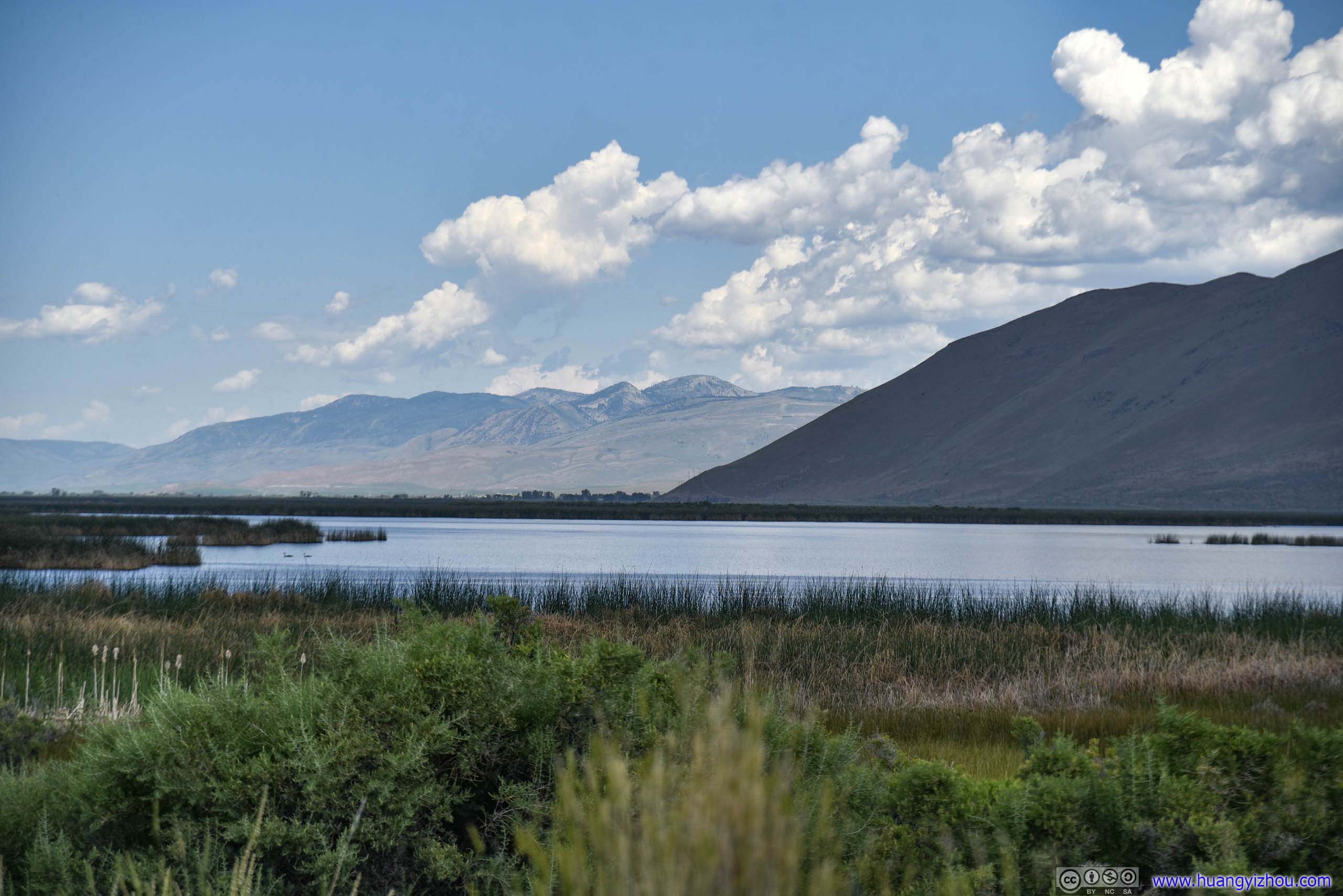
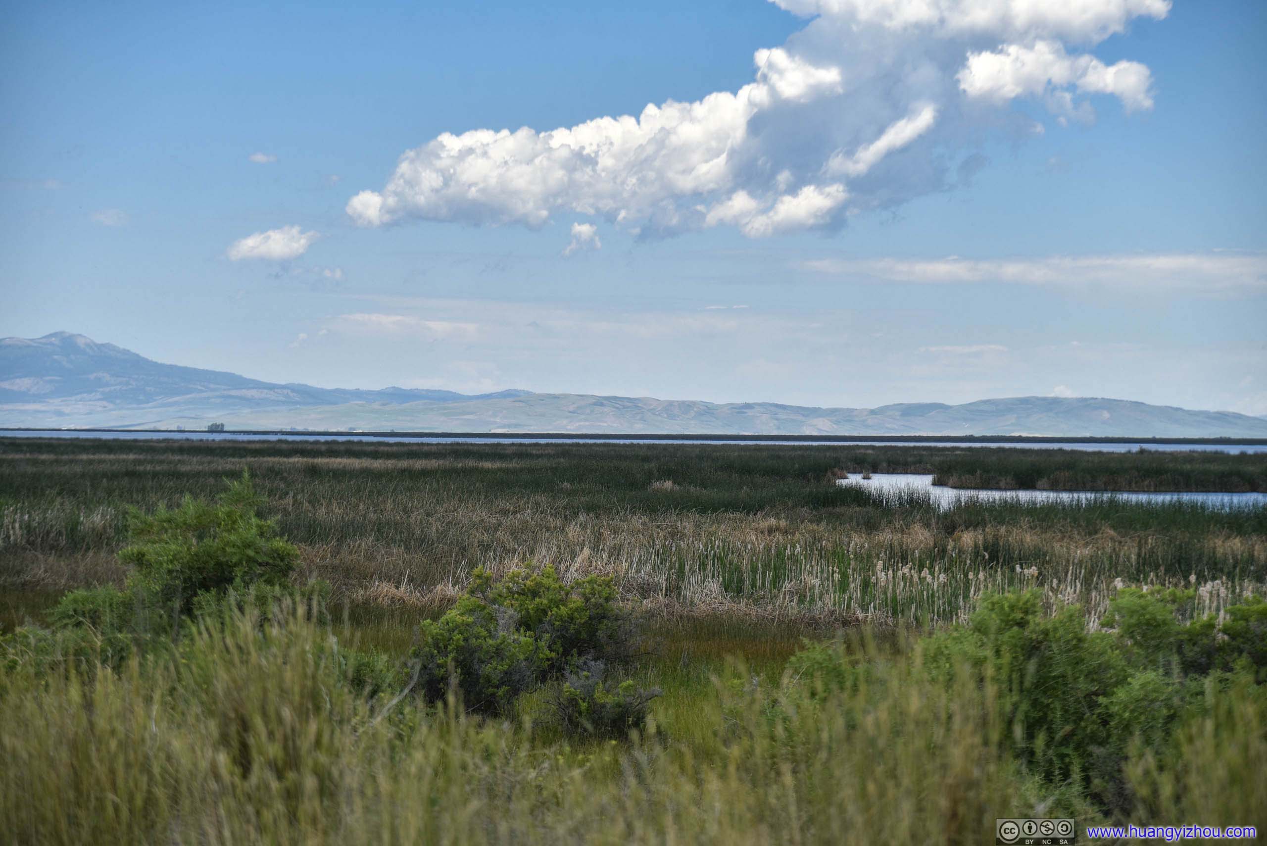 Mud Lake
After that, I took over driving. Unexpectedly, driving on the Eastern side of mud lake, there was a 4km section of Merkley Lake Road that’s unpaved, after which our rental car was literally covered in mud, not a very good sight against all the breathtaking sceneries around us.
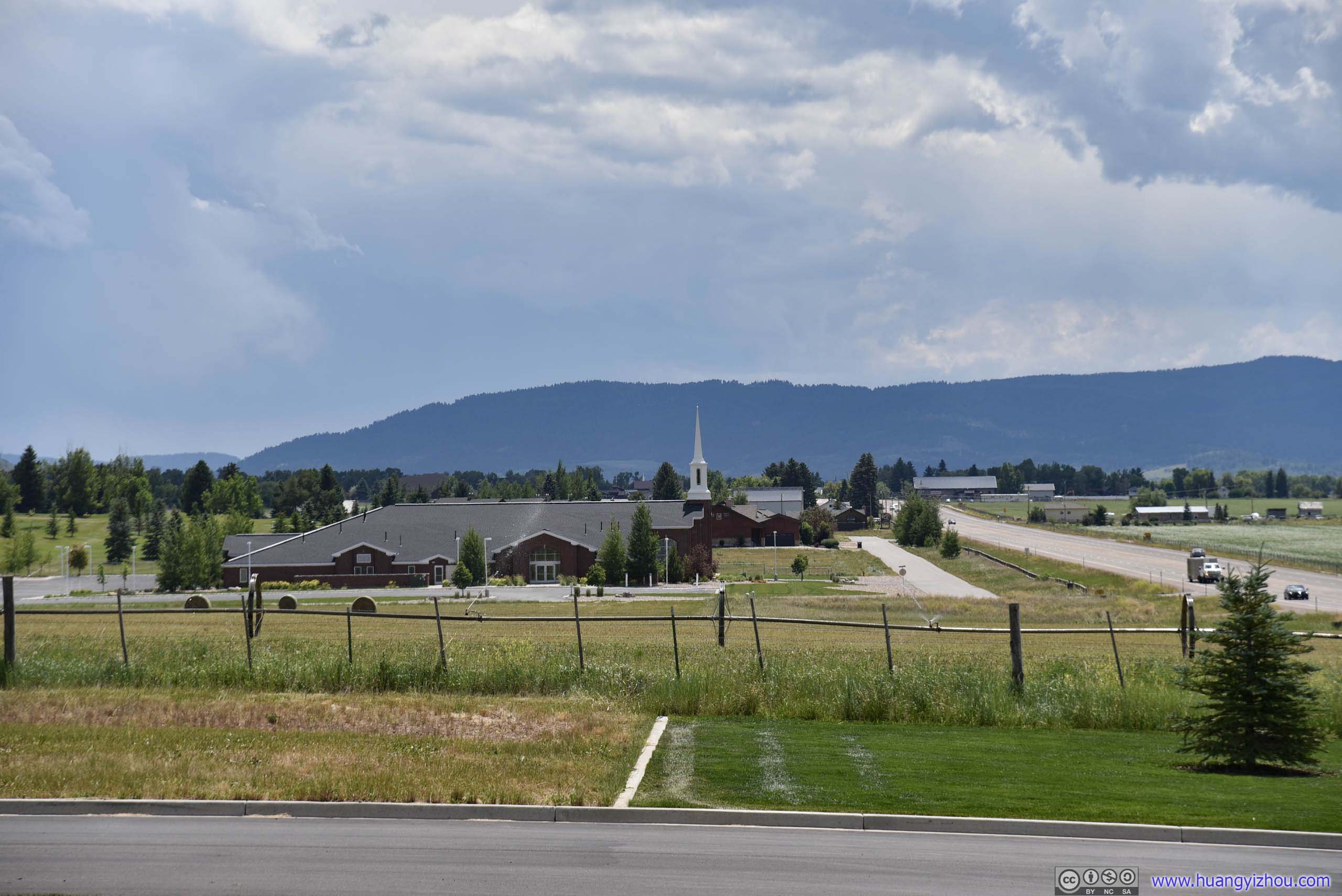
And about 70 minutes later, we reached Afton, Wyoming where we switched drivers again, while making a brief stop in Mormon Church’s Star Valley Temple.
Star Valley Wyoming Temple
Church Of Jesus Christ Of Latter-Day Saints
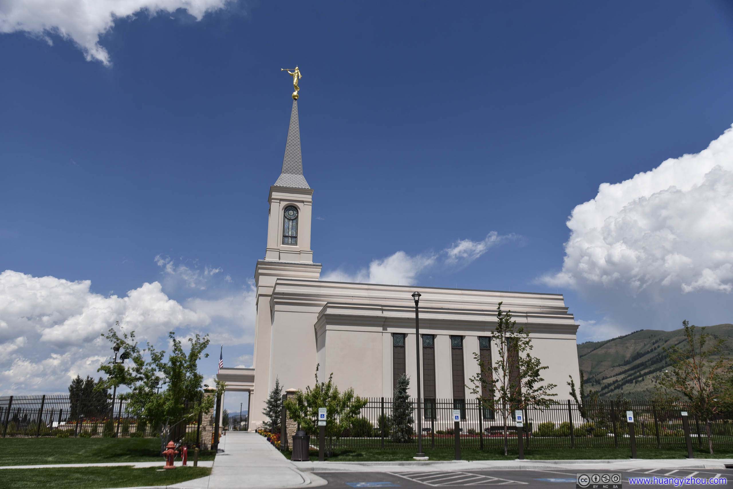
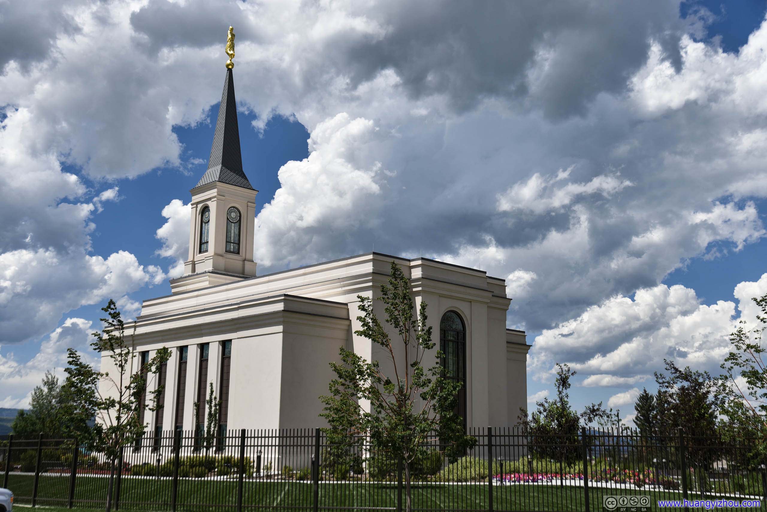 Star Valley Wyoming Temple

Flowers
It’s Monday and there weren’t many activities going around in the church. We did run into a nice lady that’s tending the flowers, who offered us her best hospitality and wishes before we were on our way again.

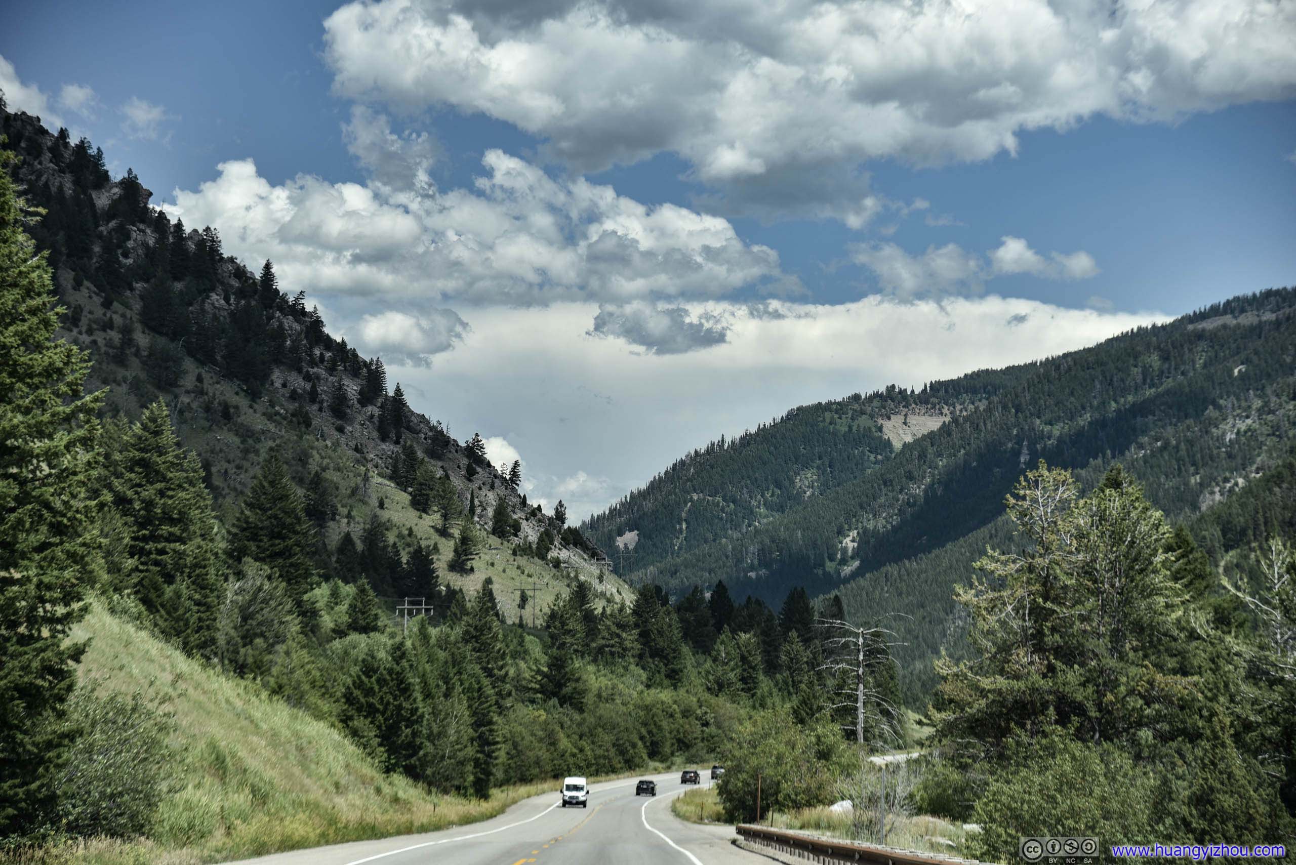
Hale Canyon
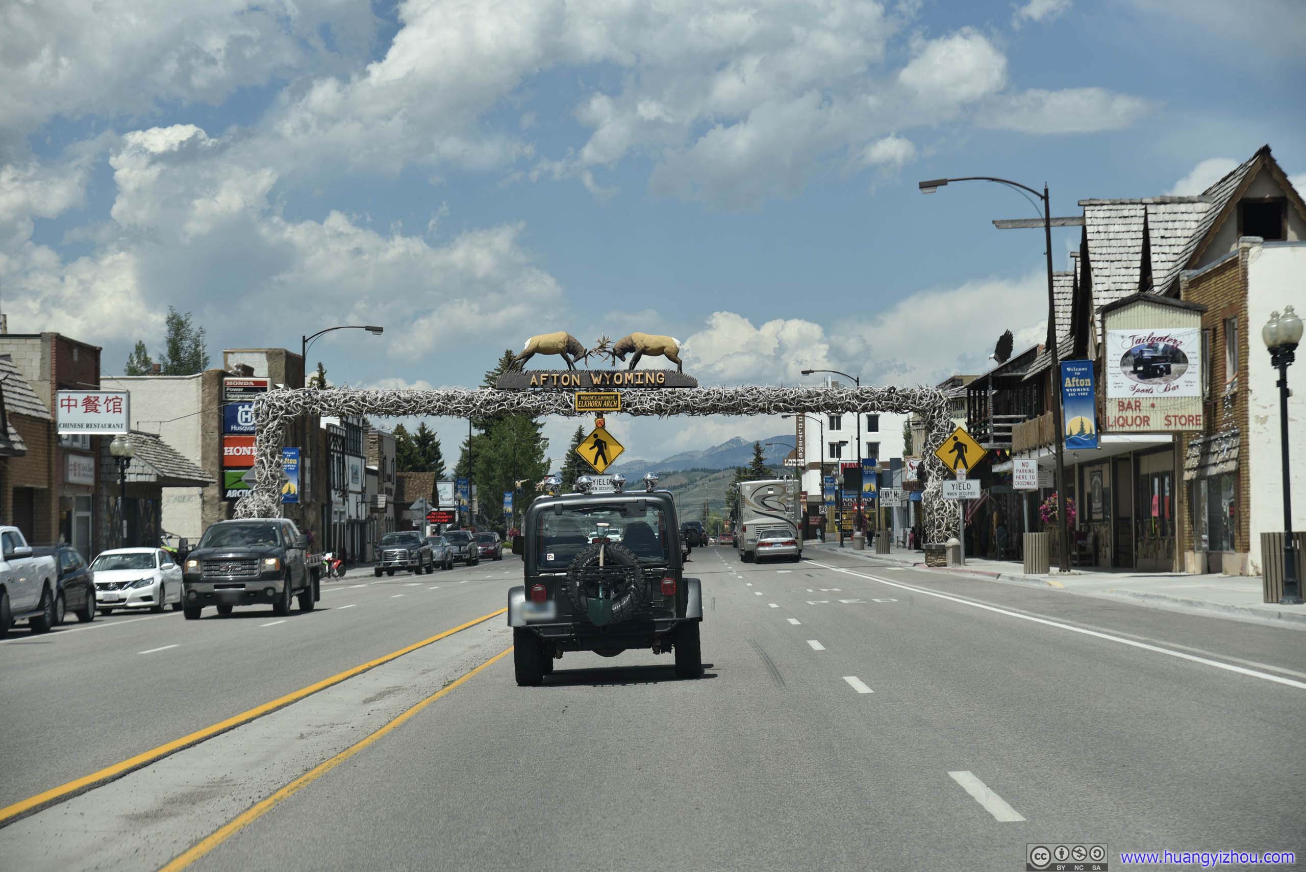
Downtown AftonWorld’s Largest Elkhorn Arch
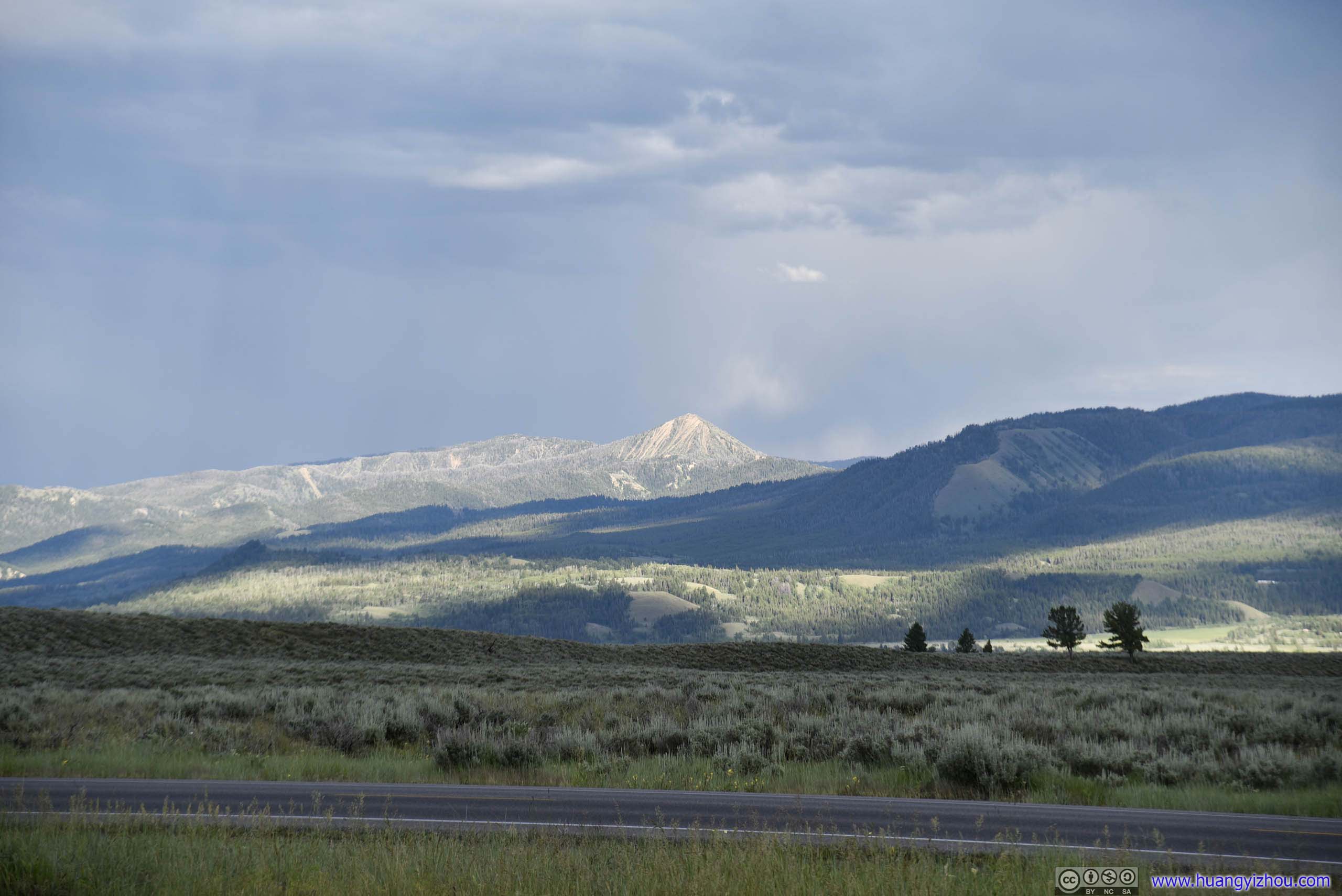
 Mountains

 Farmland
Cliff
 Farmland before Mountains
 Mountains
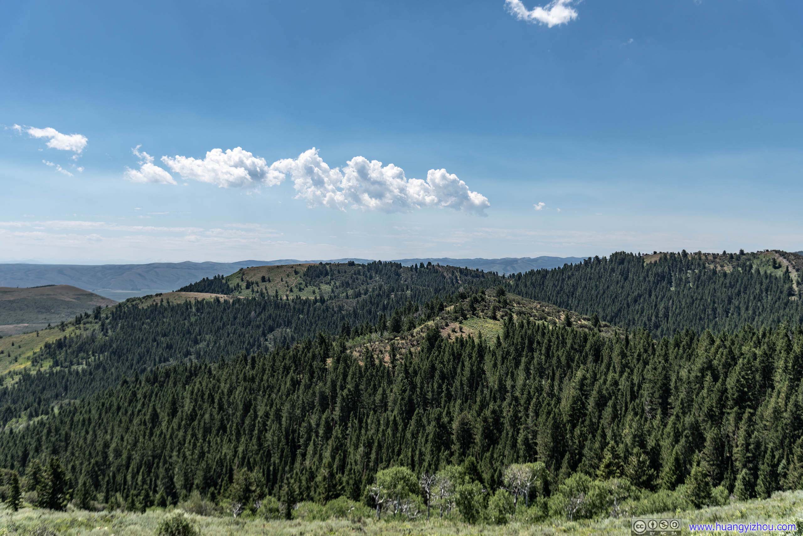
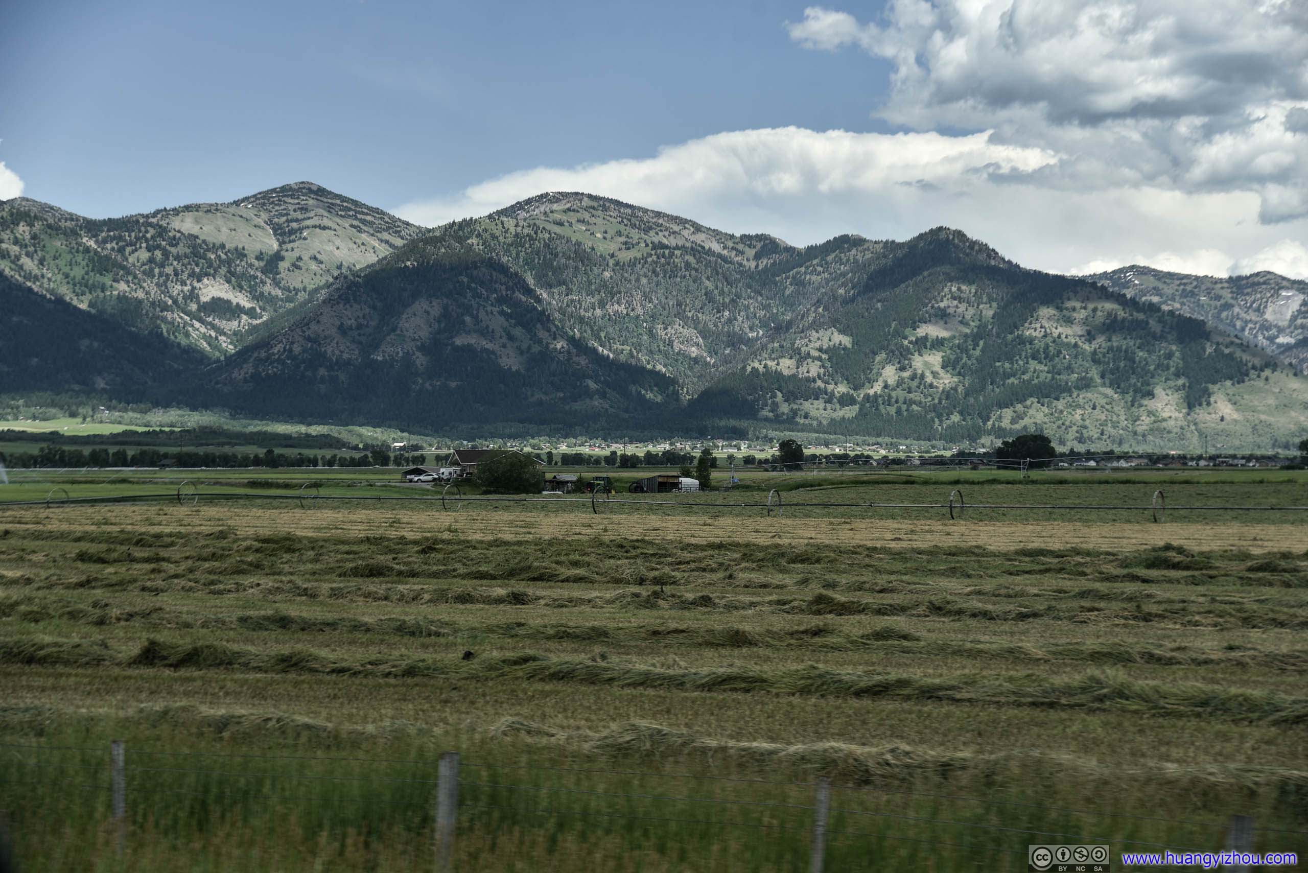
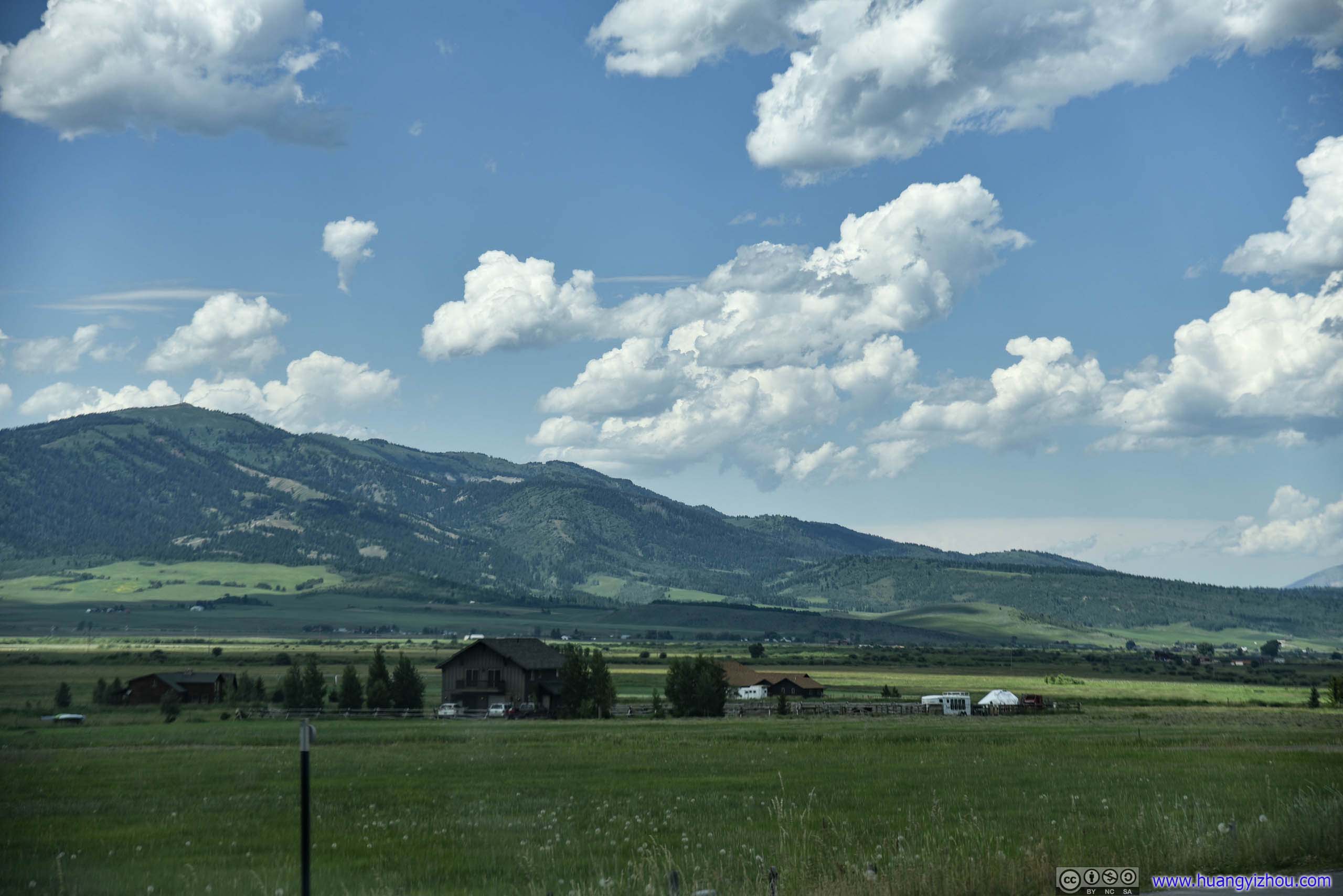
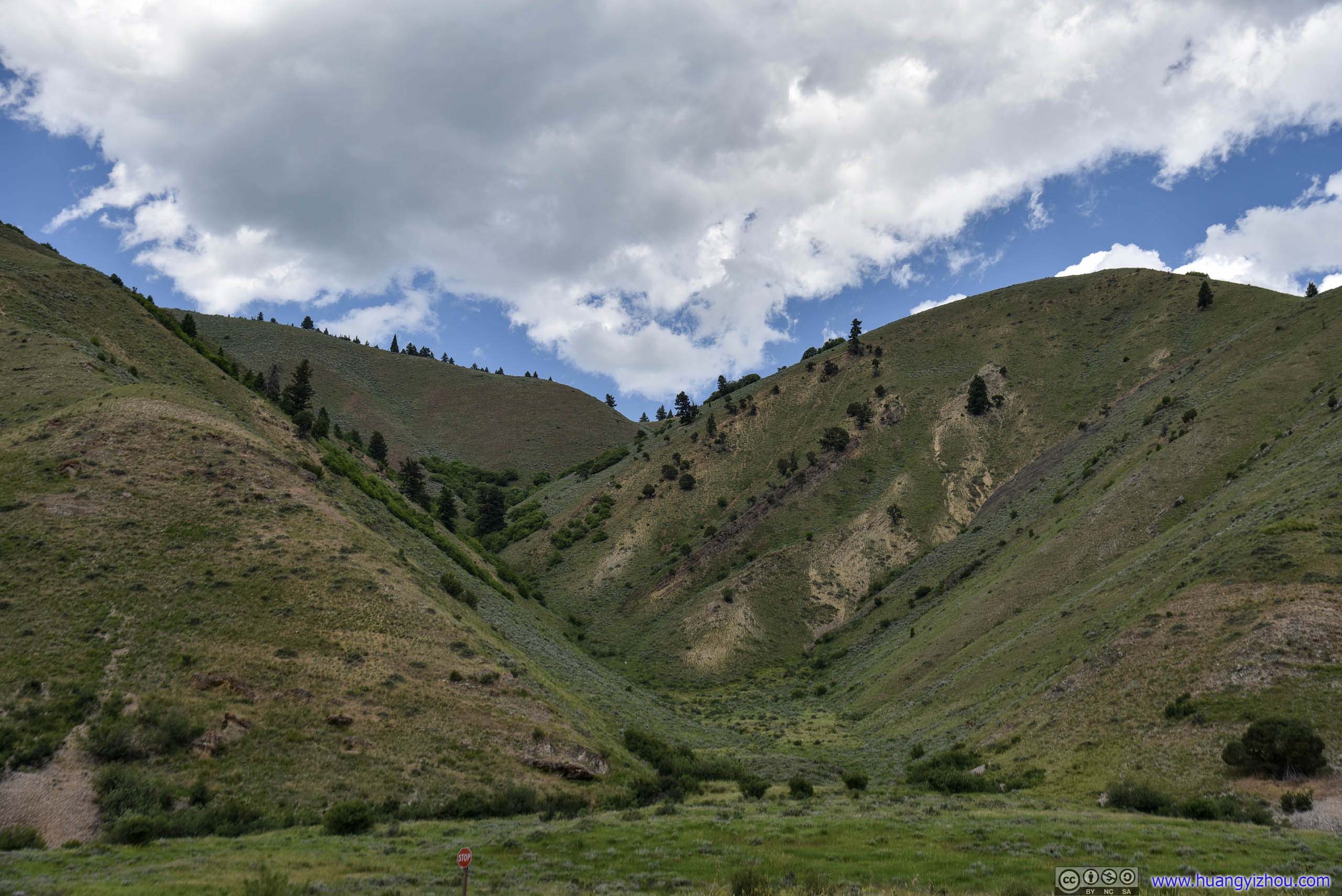
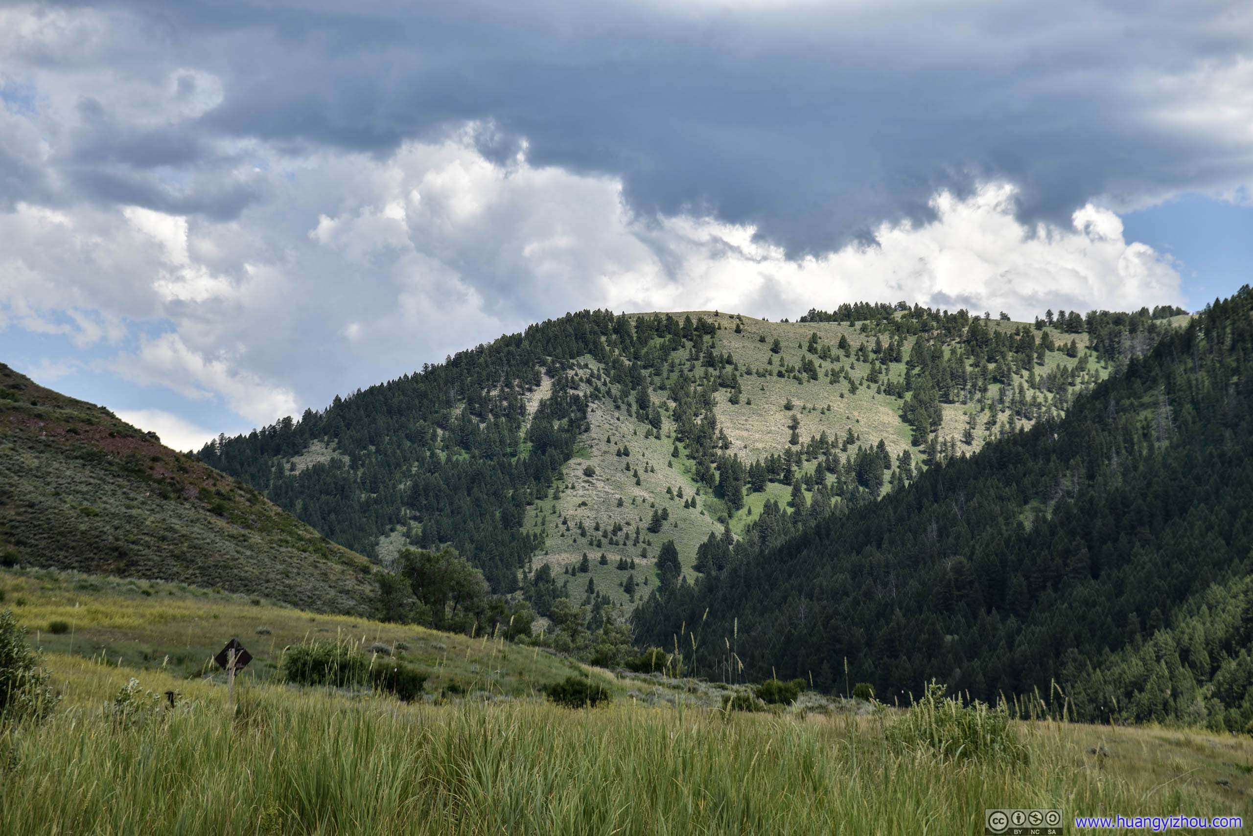
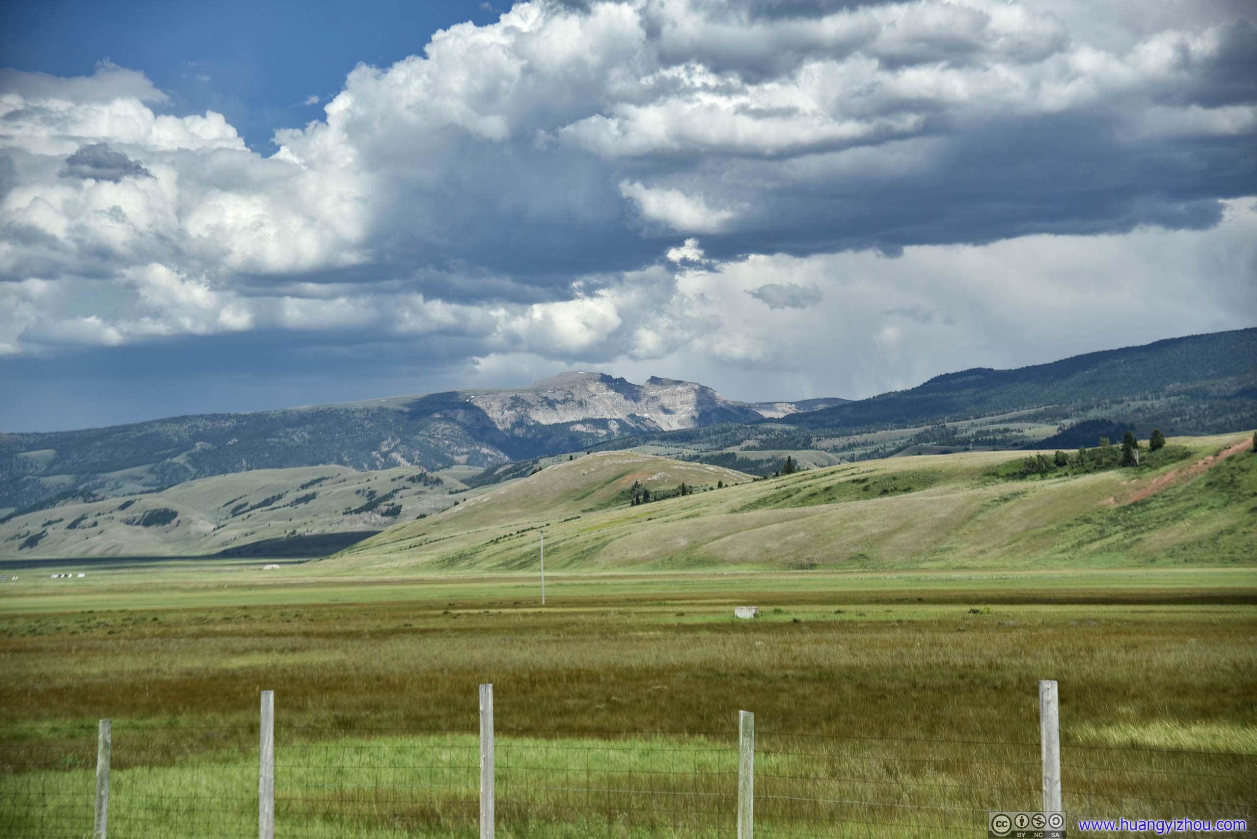
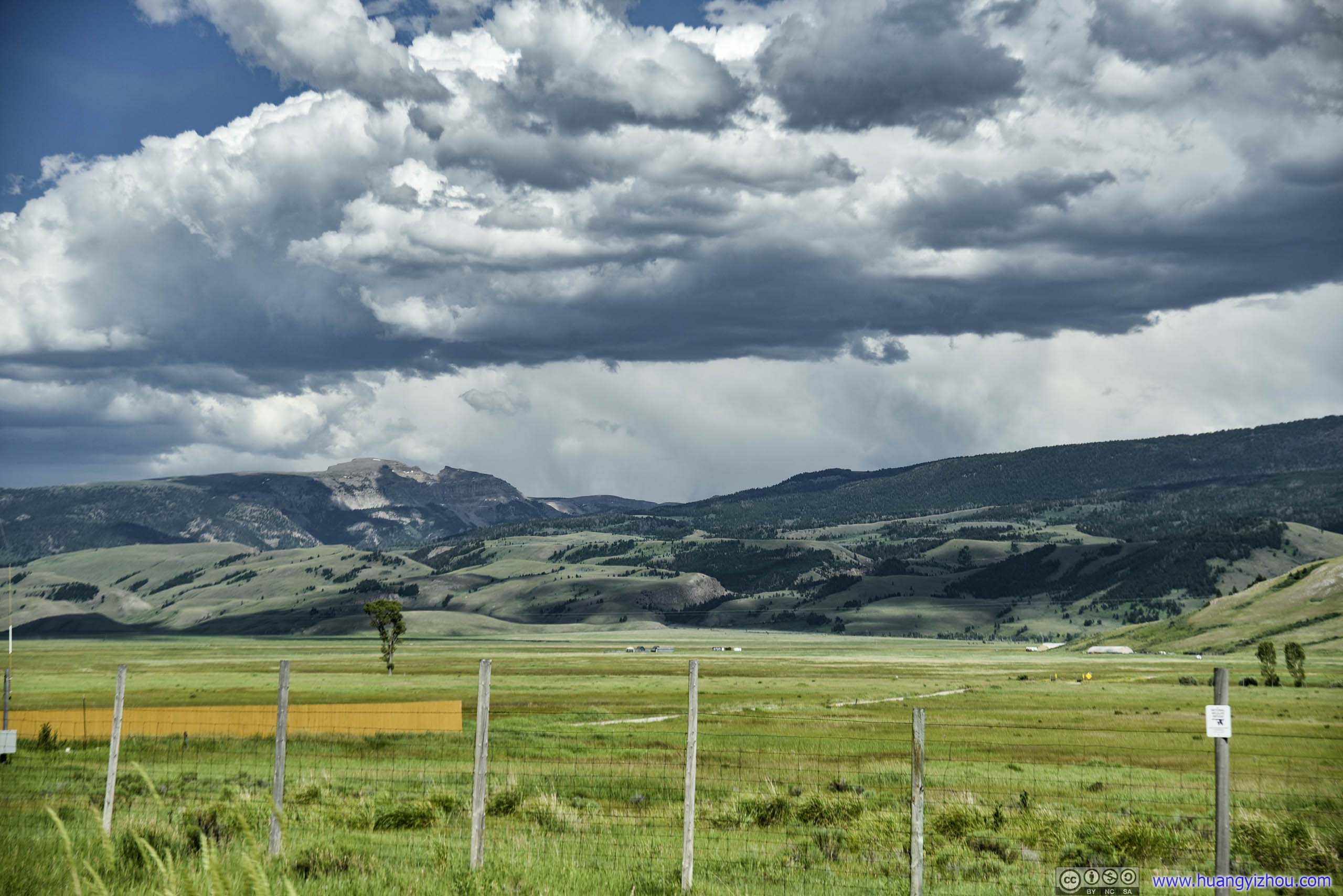
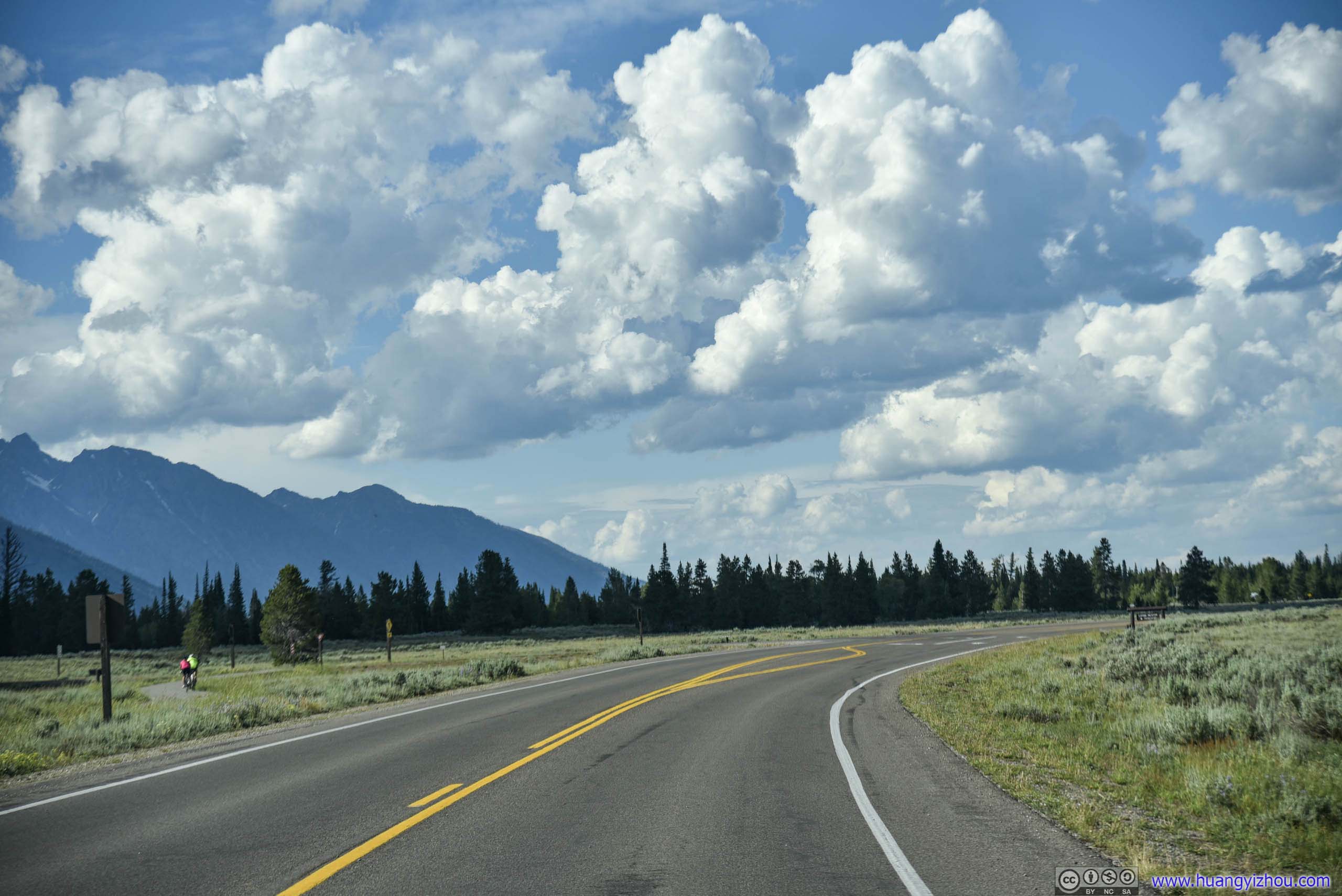
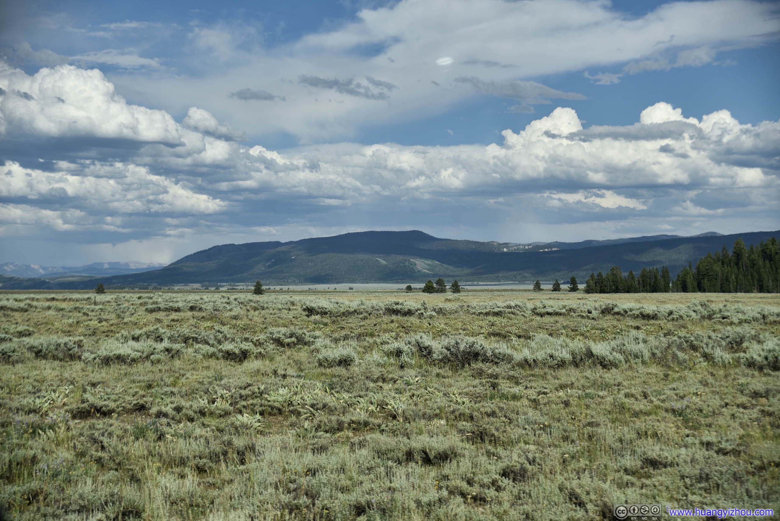
After that, US89 left Star Valley and followed along Snake River, and landscape changed from stretches of farmland into rolling hills.
By the way, this segment of Snake River seemed to be open to tubing, with companies operating vintage school buses shuttling people and equipment up and down the river. With mild water flow and great weather, it’s the perfect outdoor leisure activity for the season, if we had more time.
 Country Road
 Snake River
ForestBradley Mountain
Rocky Terrain
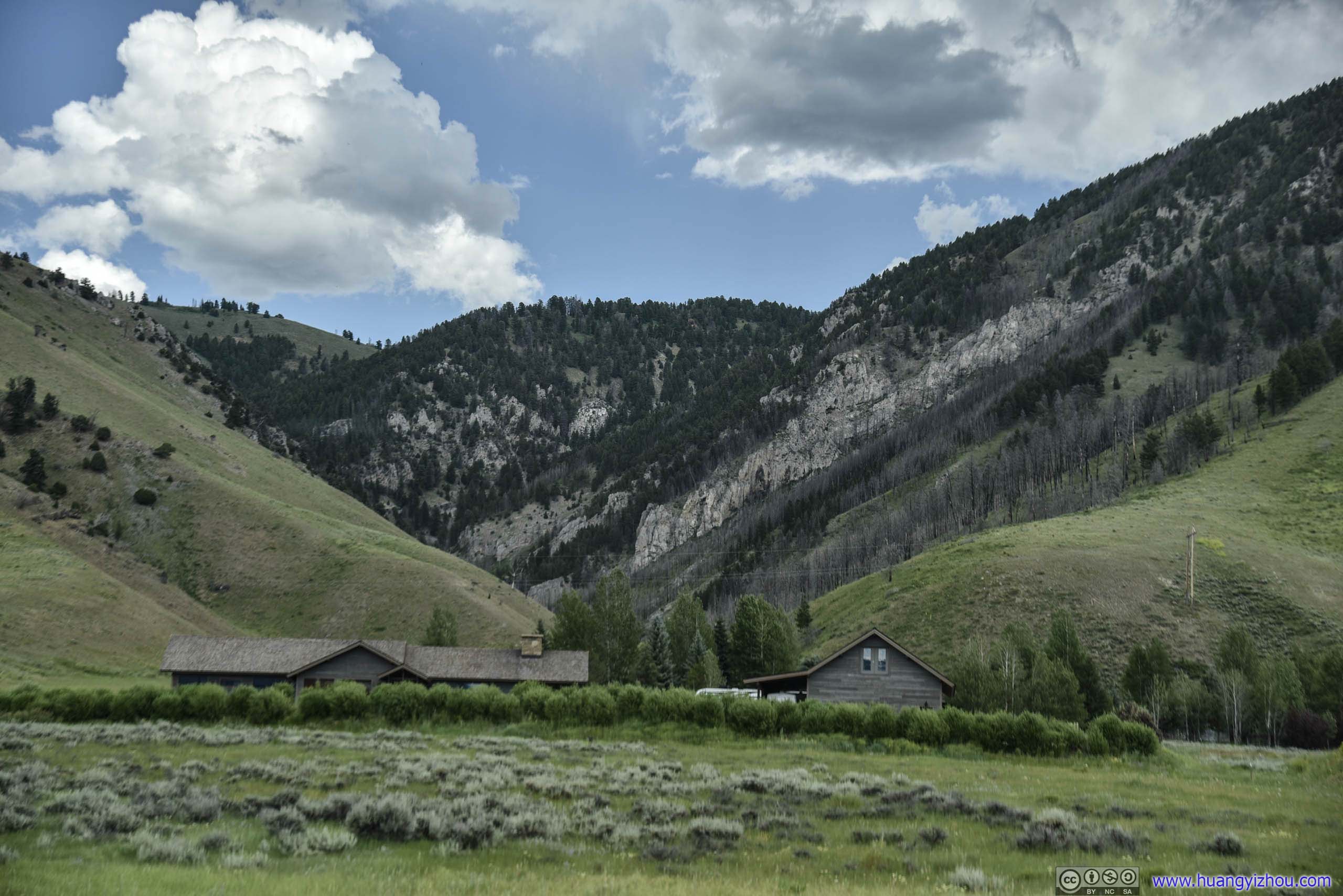
About an hour after we left Afton, we stopped at a boat launch site in Hoback, Wyoming (at least that’s what Google Maps says) for rest, along with some photos of the Snake River.
Hoback Boat Launch
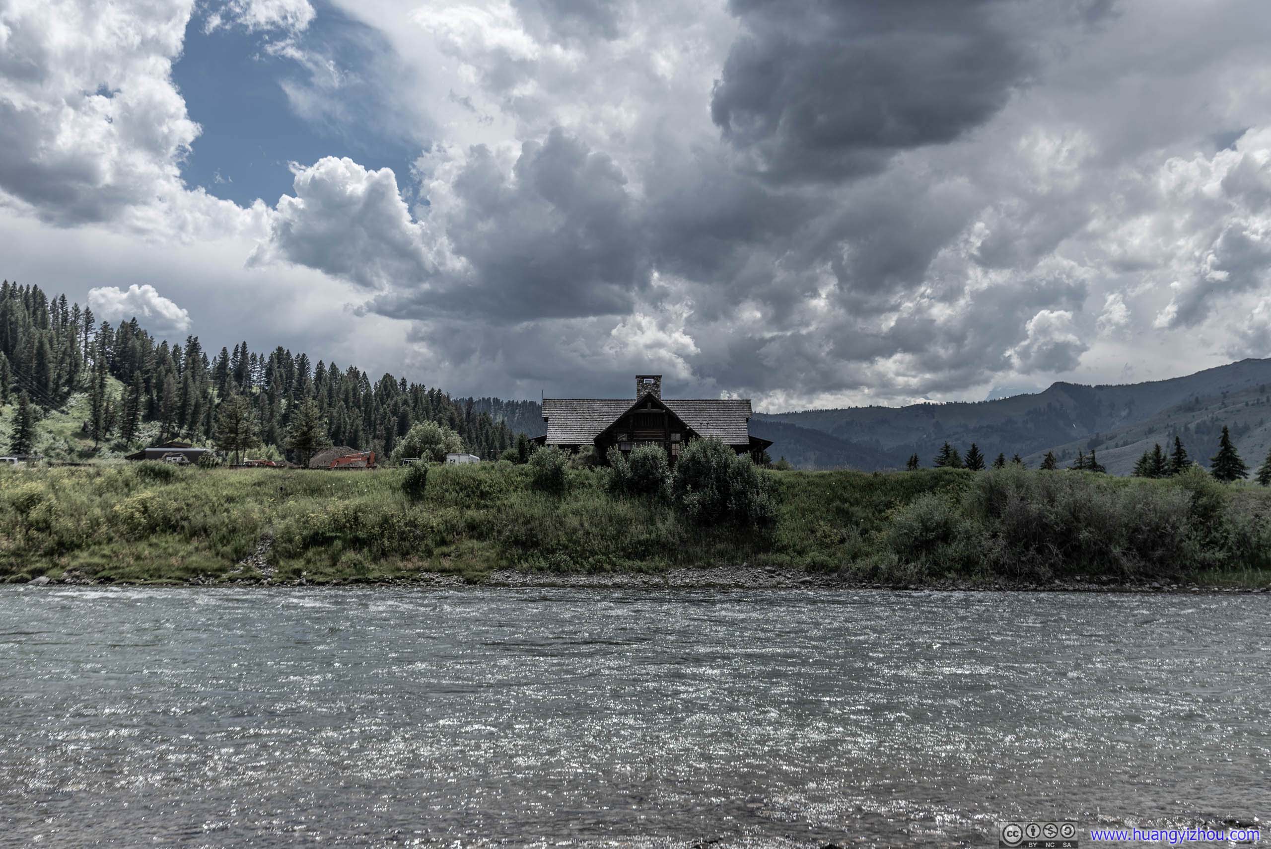
 Cabin along Snake River
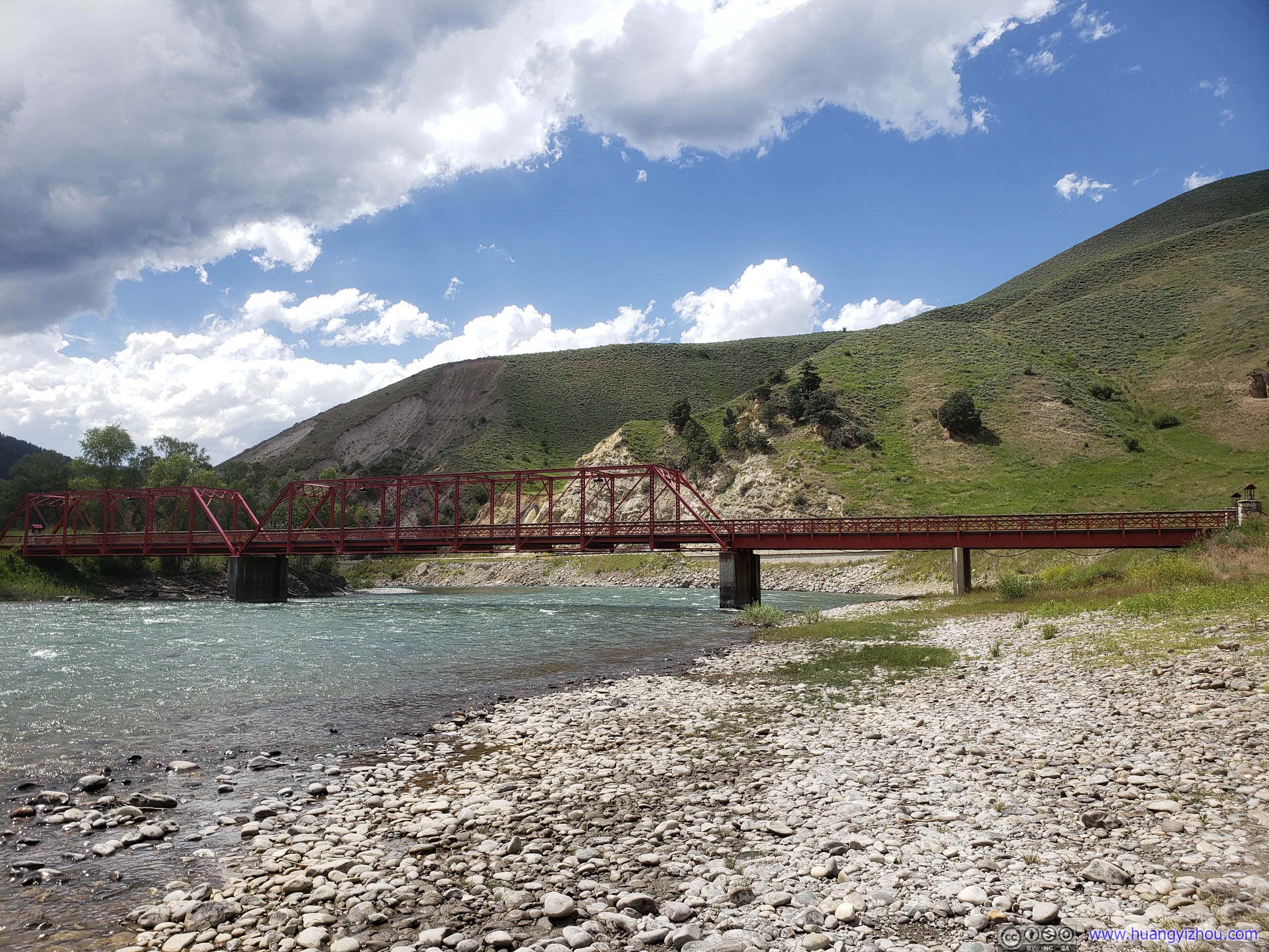
Bridge over Snake RiverW Johnny Counts Rd
 Mountains by Snake River
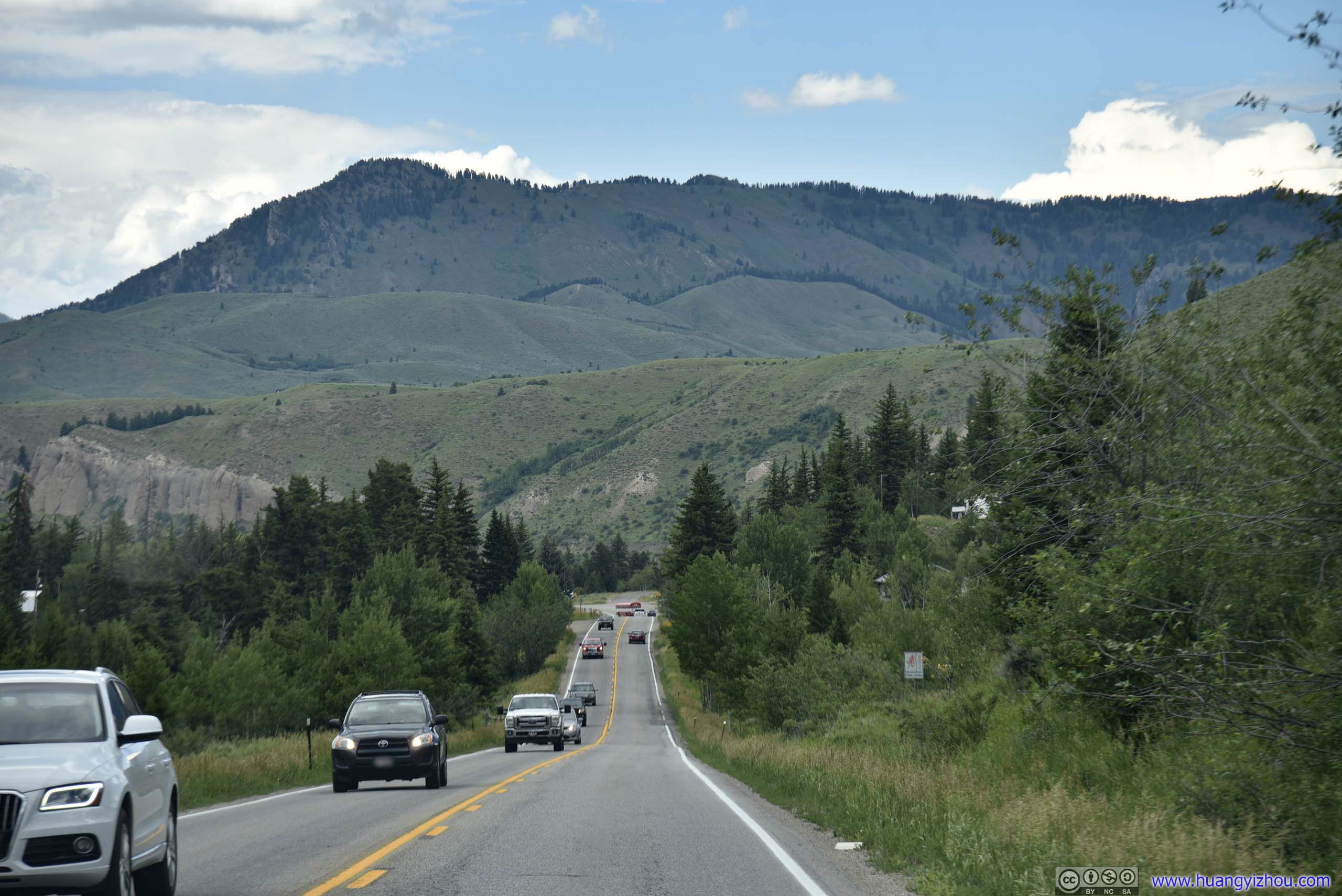
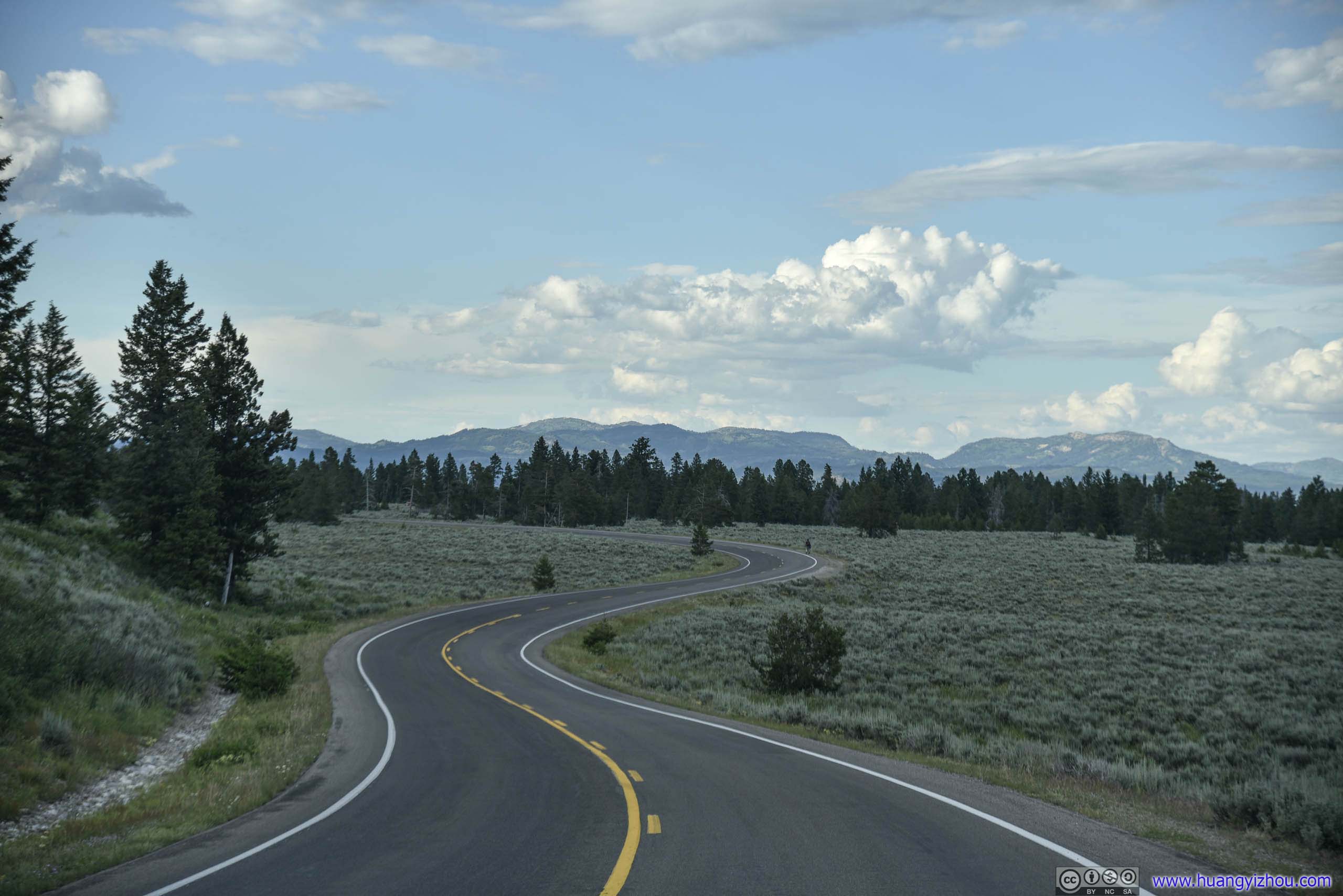
After that, it was a short 25-minute drive to our hotel in downtown Jackson, WY.
 Country Road

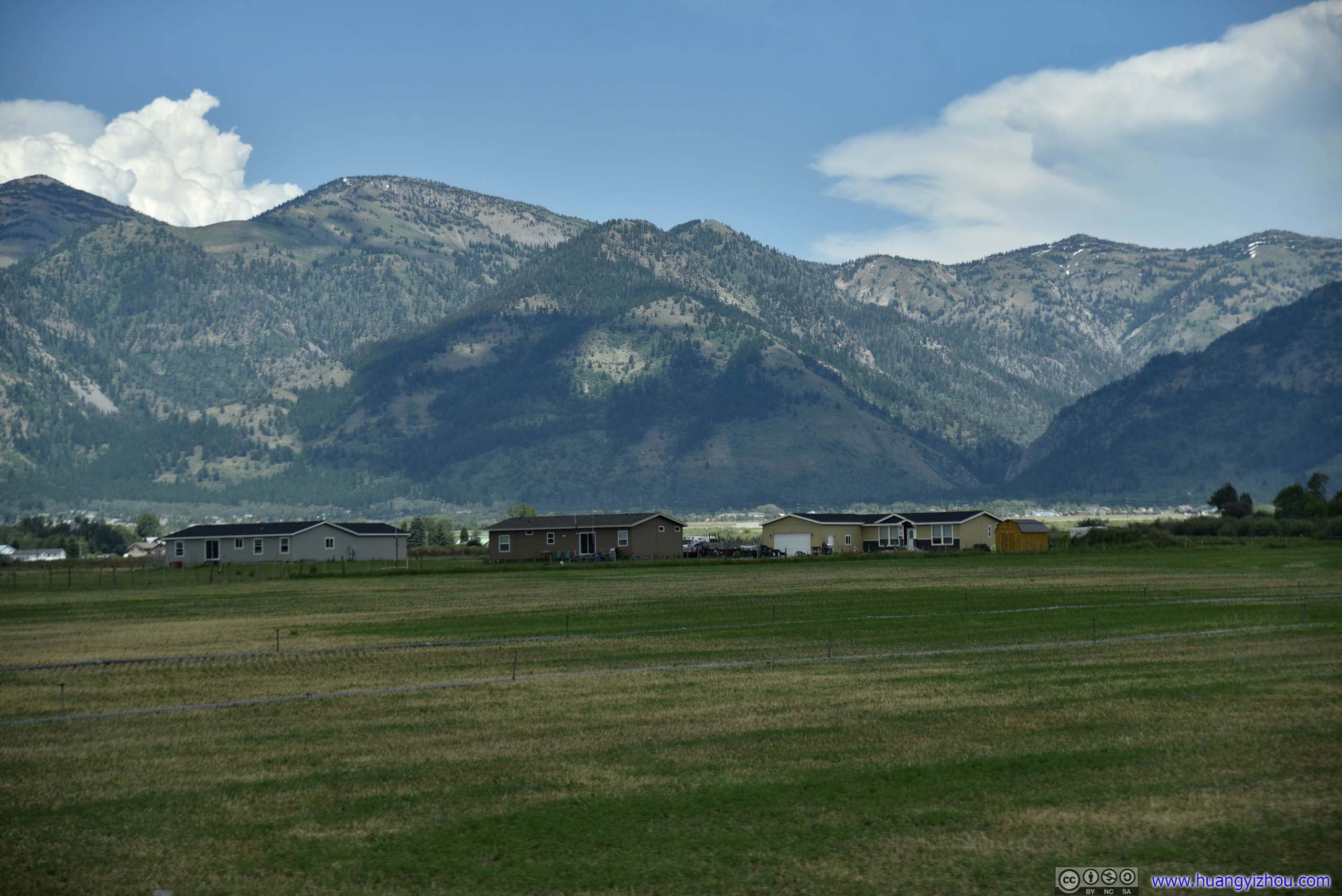
 Mountains and Cabins
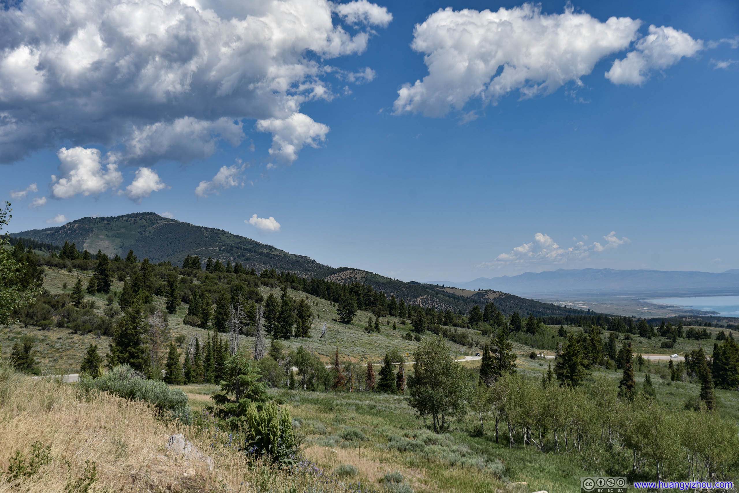
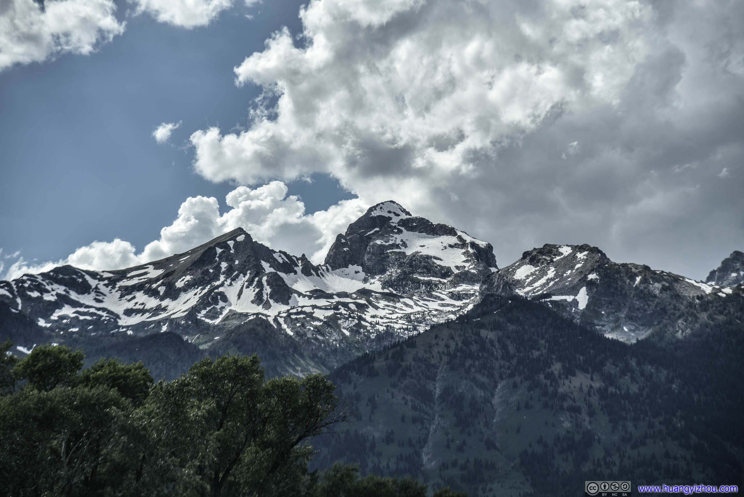
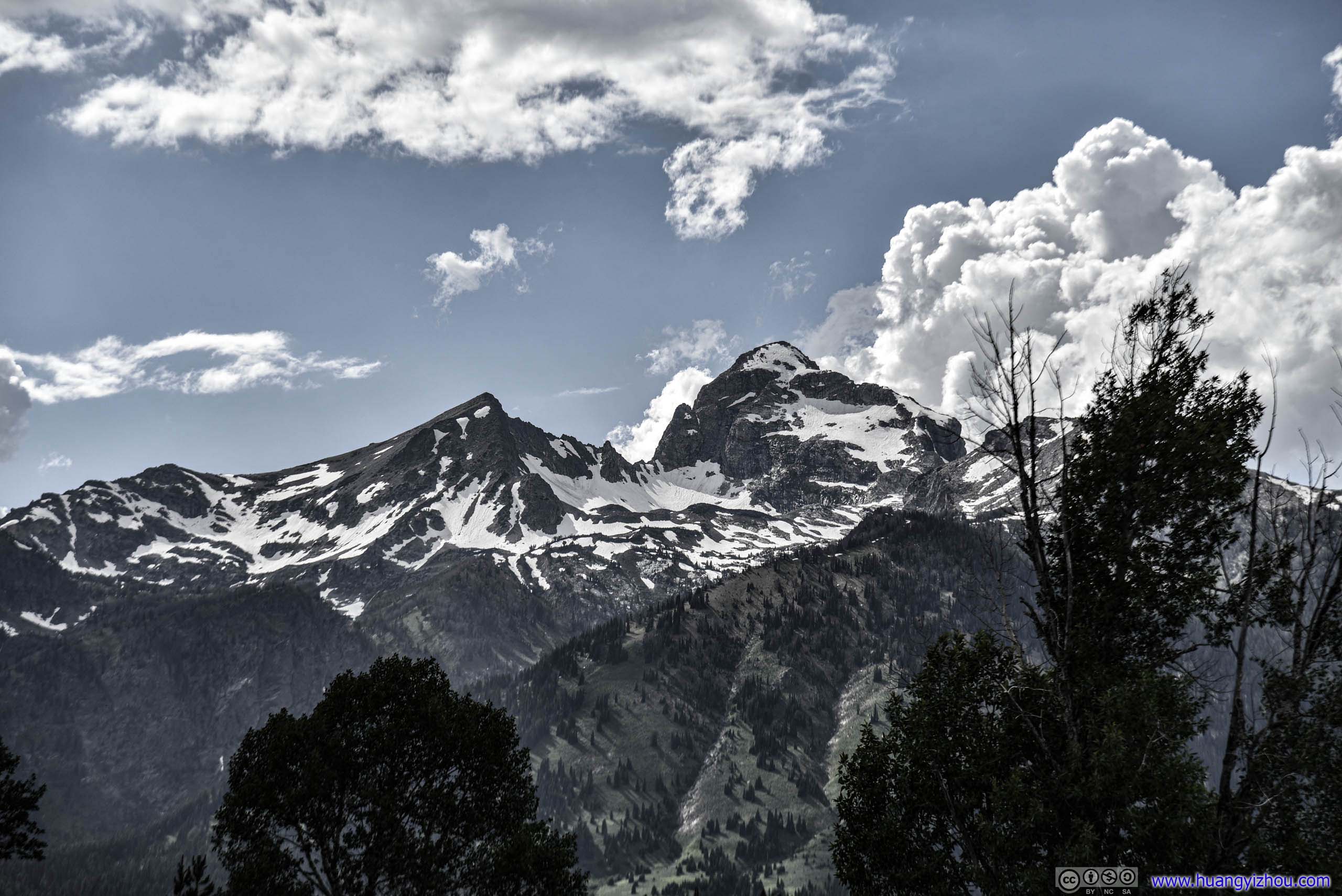
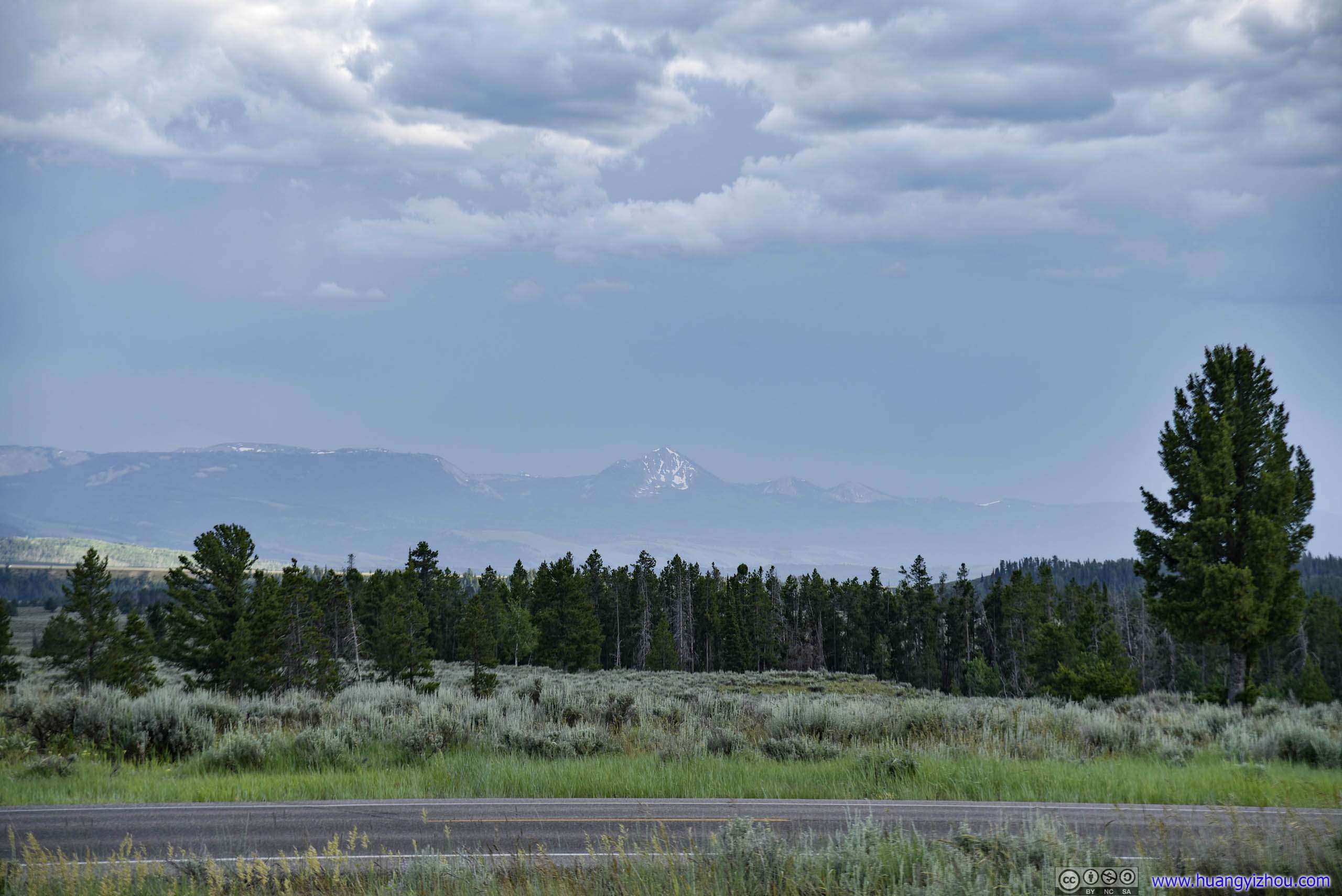
And for the first time since we left Salt Lake City this morning, sights of distant mountains were crowned with snow.
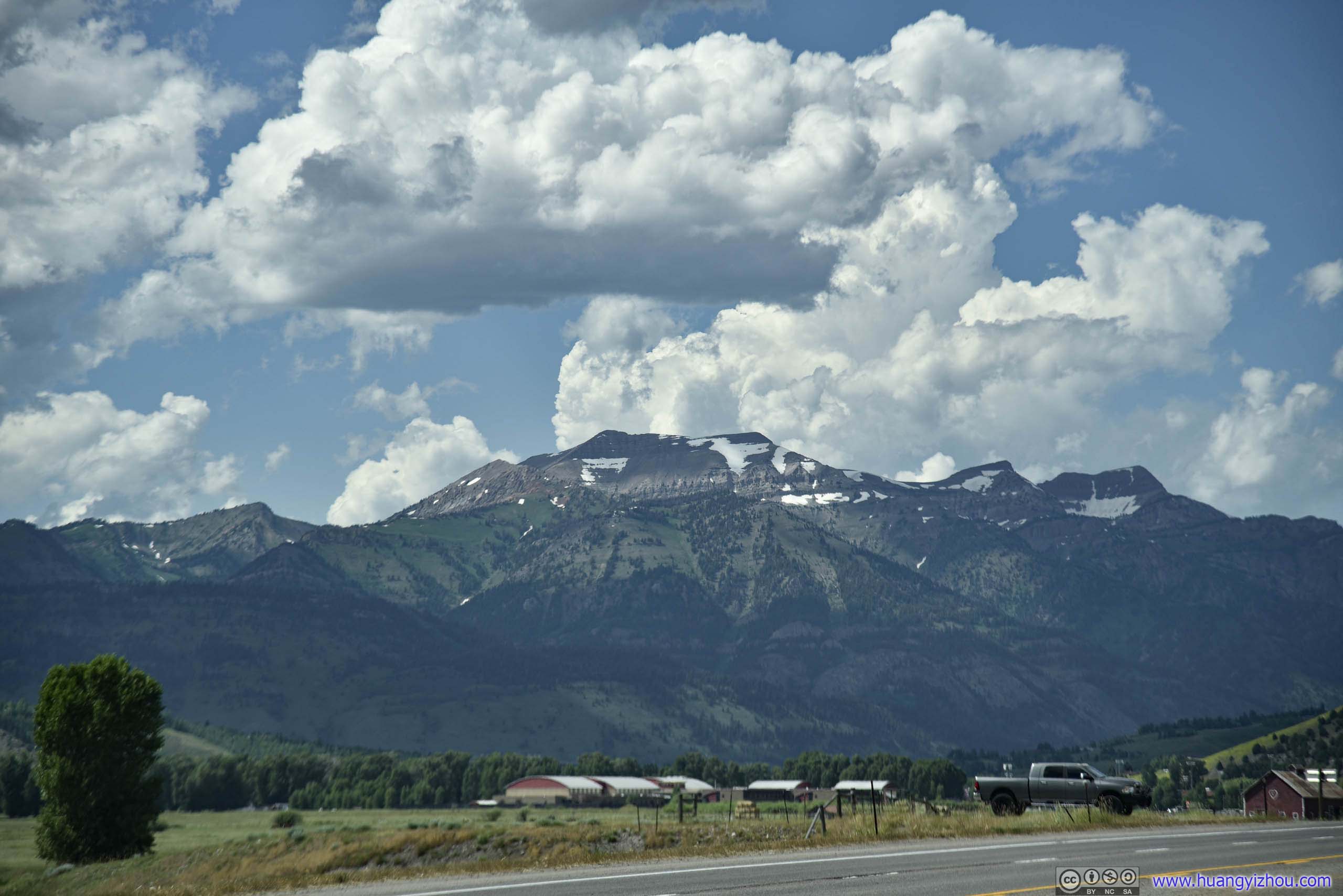
View of Distant Snow-Crested MountainsShould be Rendezvous Peak.
Hotel in Jackson WY
With summer being the peak tourism season for Jackson Wyoming, starting price of hotel rooms was a staggering 200 dollars per night before taxes (that’s basically Manhattan level). Fortunately Marriott has a cat5 property (Springhill Suites) in town, and there goes my credit card certificate.
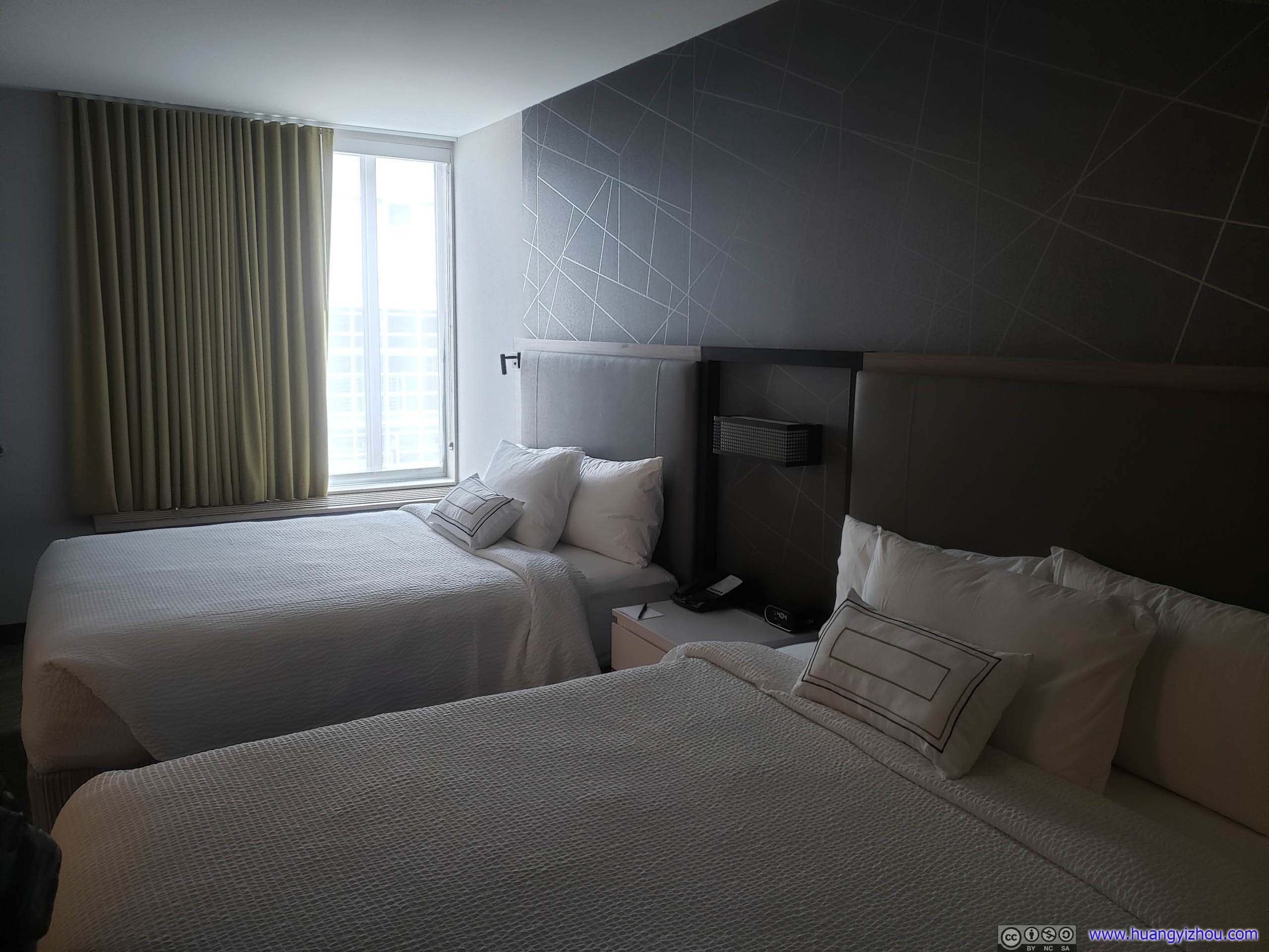
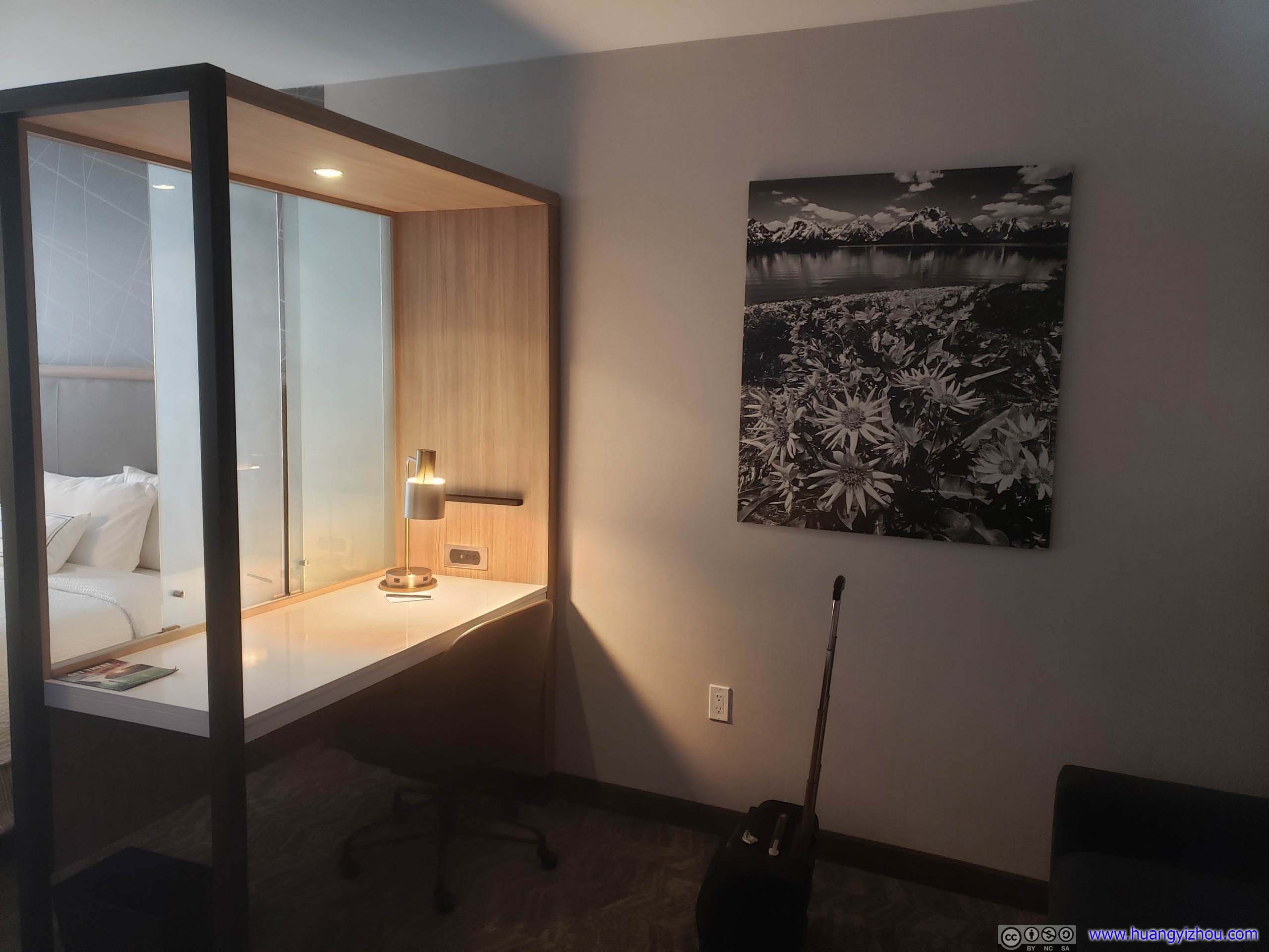 Hotel RoomTwo queens and sofa bed, this room in theory could house six adults.
By the way, Springhill Suites attempted to charge a 15-dollar parking fee per night, but just across the street from its entrance was a giant municipal parking garage that’s amazingly free. And in comparison, throughout our stay I never knew where the hotel’s tiny obscure garage entrance was located.
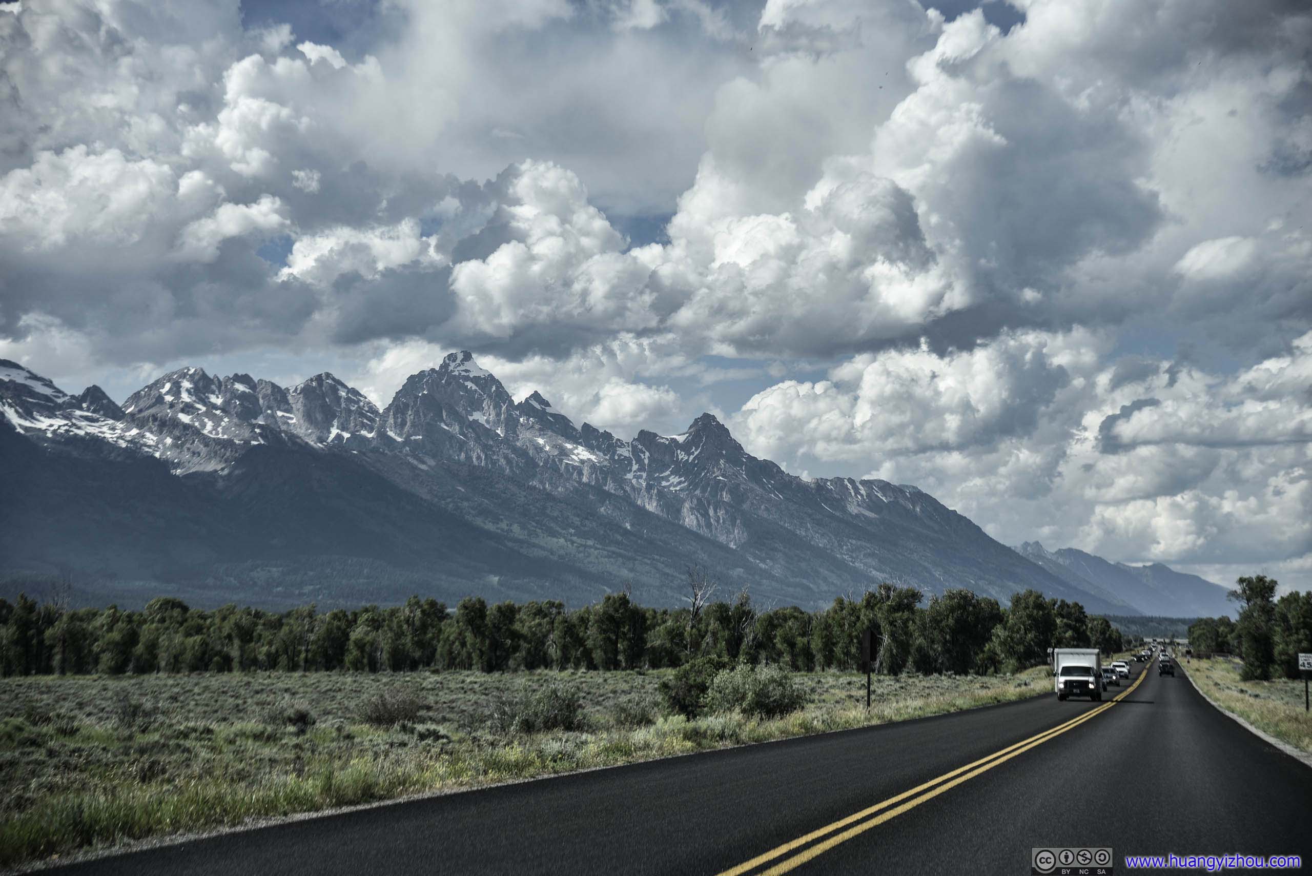
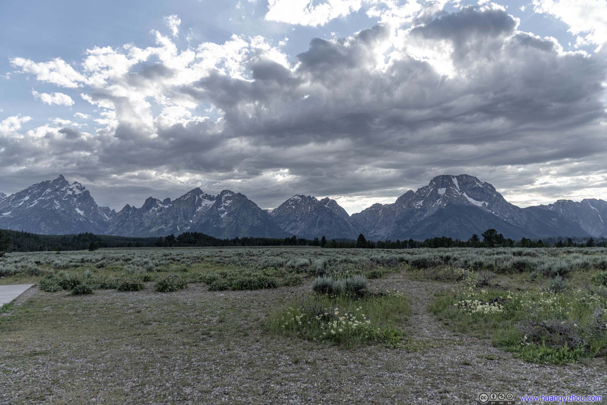
And after we had put down our luggage, it was 4:30pm. With sunset more than 4 hours away, we decided to visit the Western part (Teton Park Road) of Grand Teton National Park for the remainder of the day.
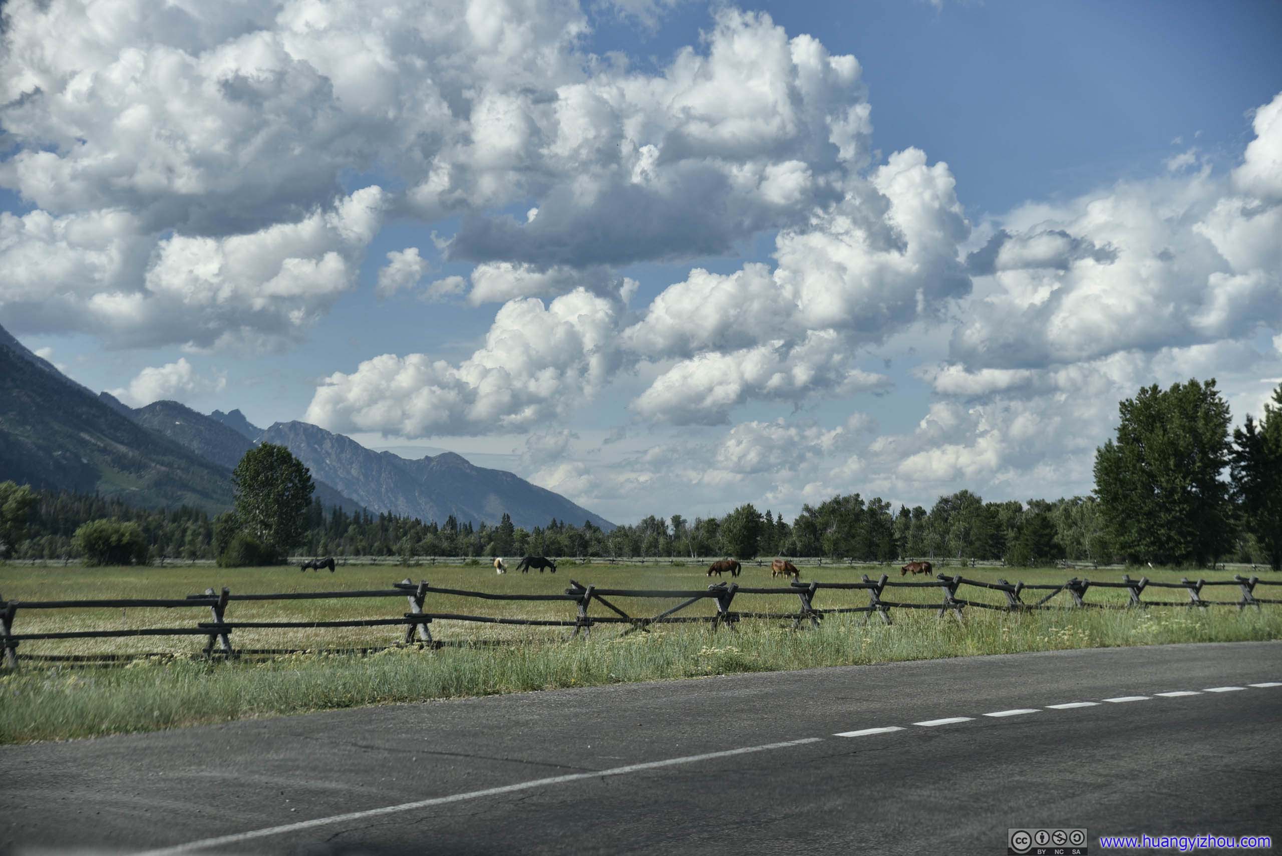
 Grassland and Distant Mountains
As usual, the drive into Grand Teton National Park was through some beautiful countryside (which was also an elk refuge, I didn’t catch any sights of elks though).
View of Grand Teton
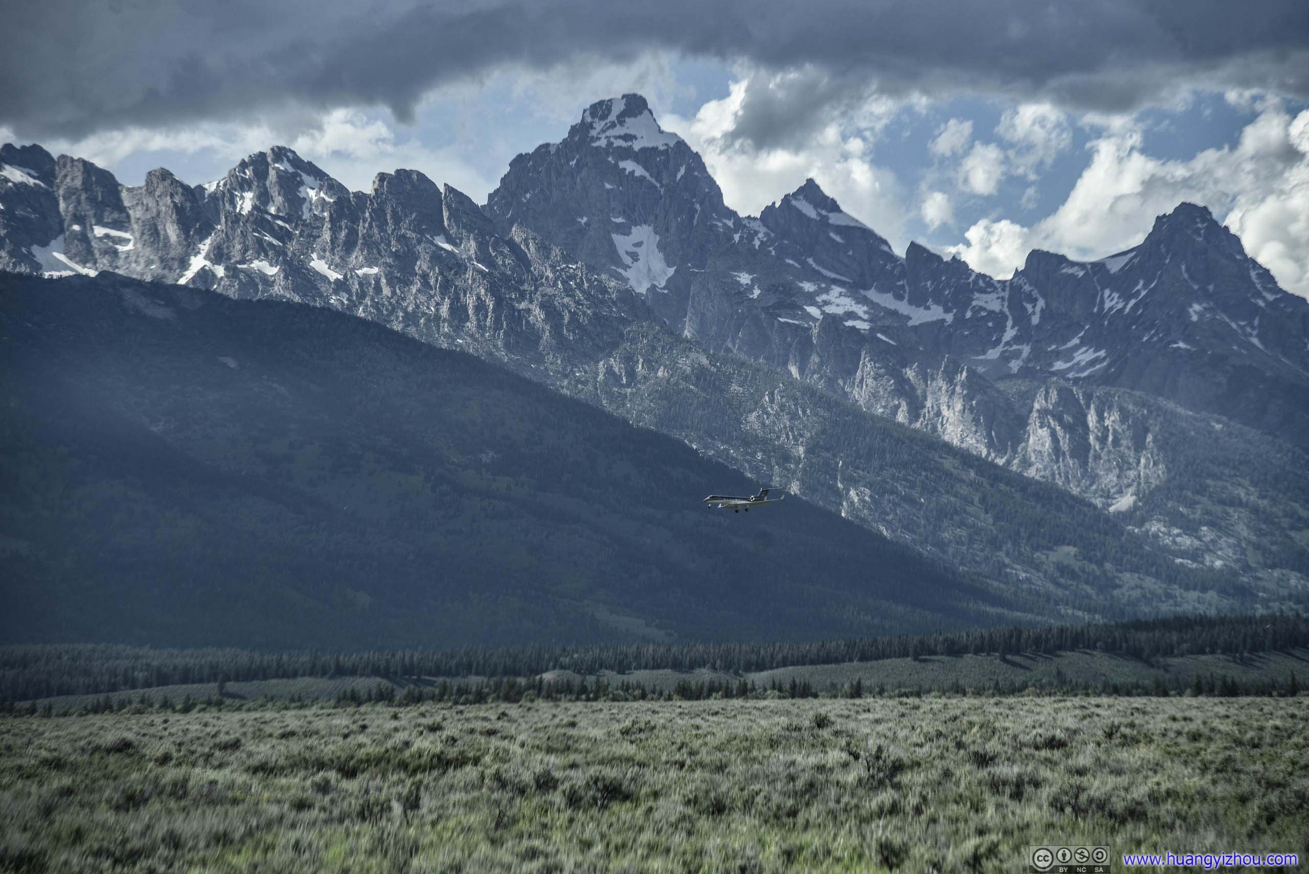
Plane Landing into Jackson Hole Airport before Grand Teton Peak
And there’s Jackson Hole Airport, the only commercial airport located in a US National Park. A convenient but costly way to visit Grand Teton and Yellowstone. For those on the plane, it must be a spectacular sight watching the snowy mountains during descent.
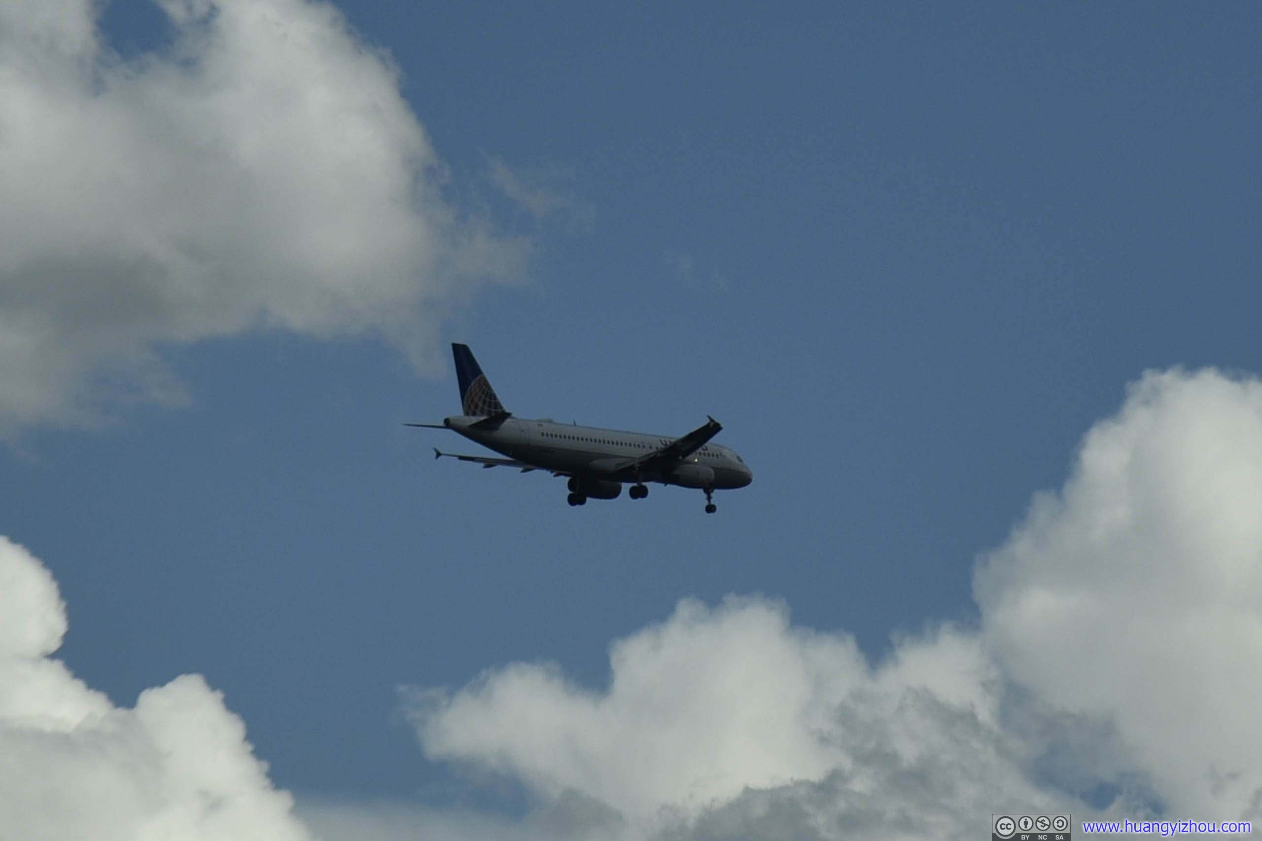
United A320 Landing
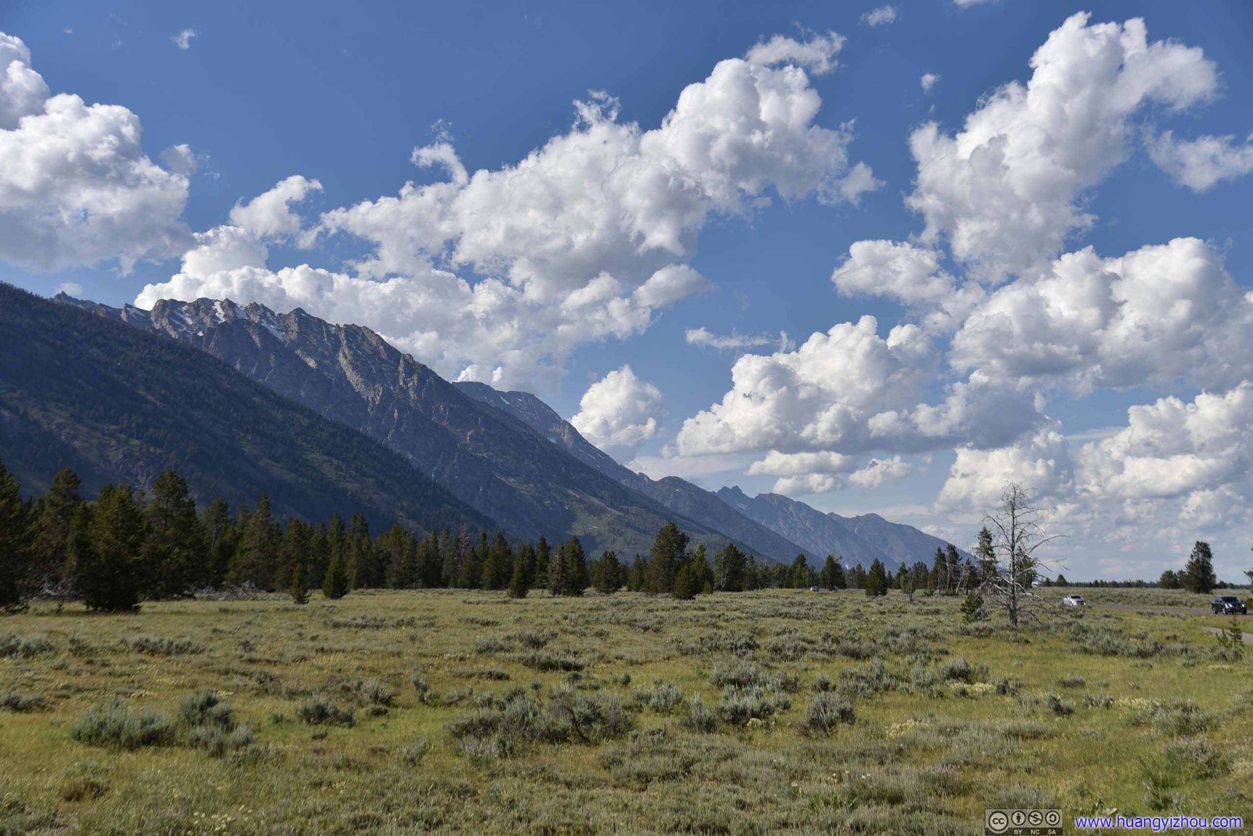
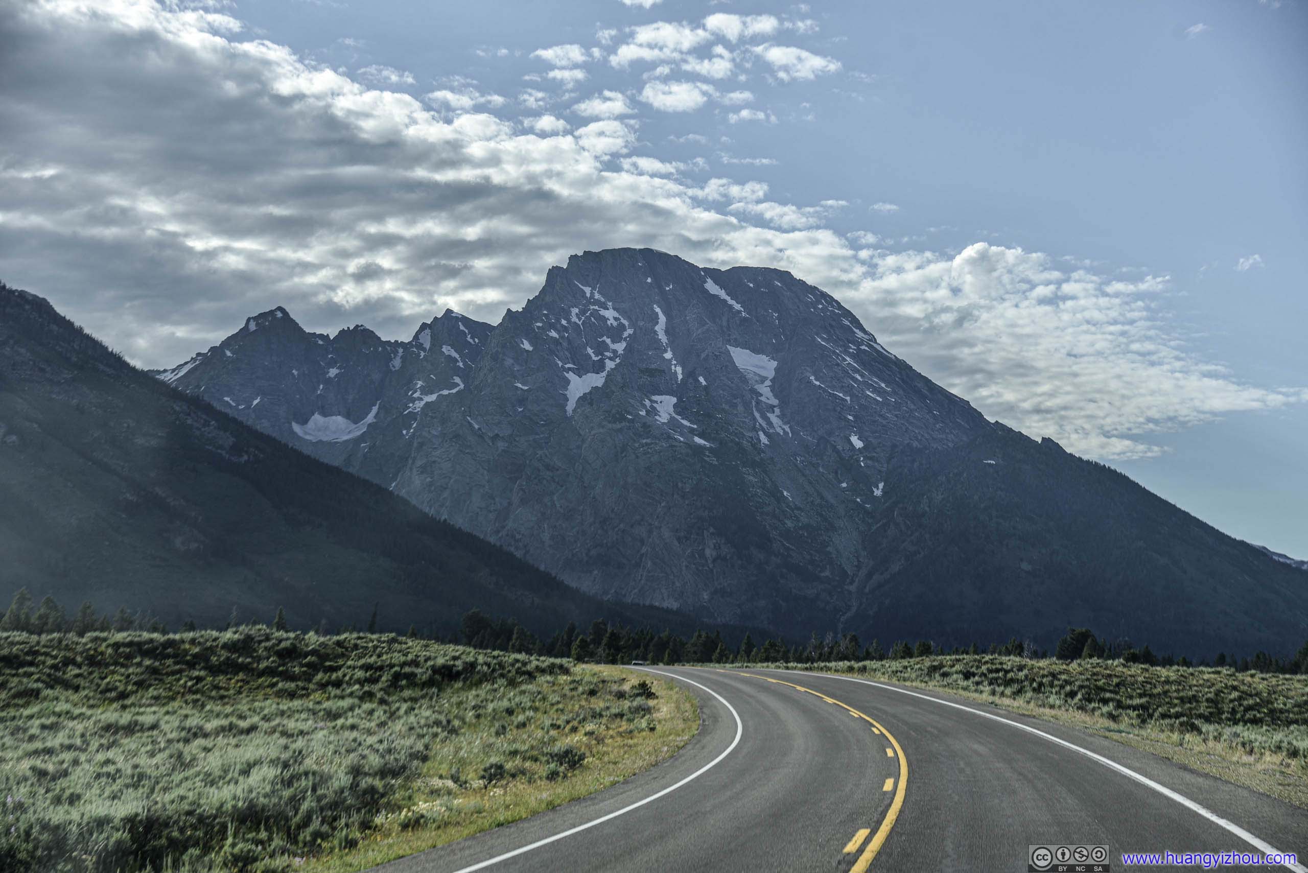
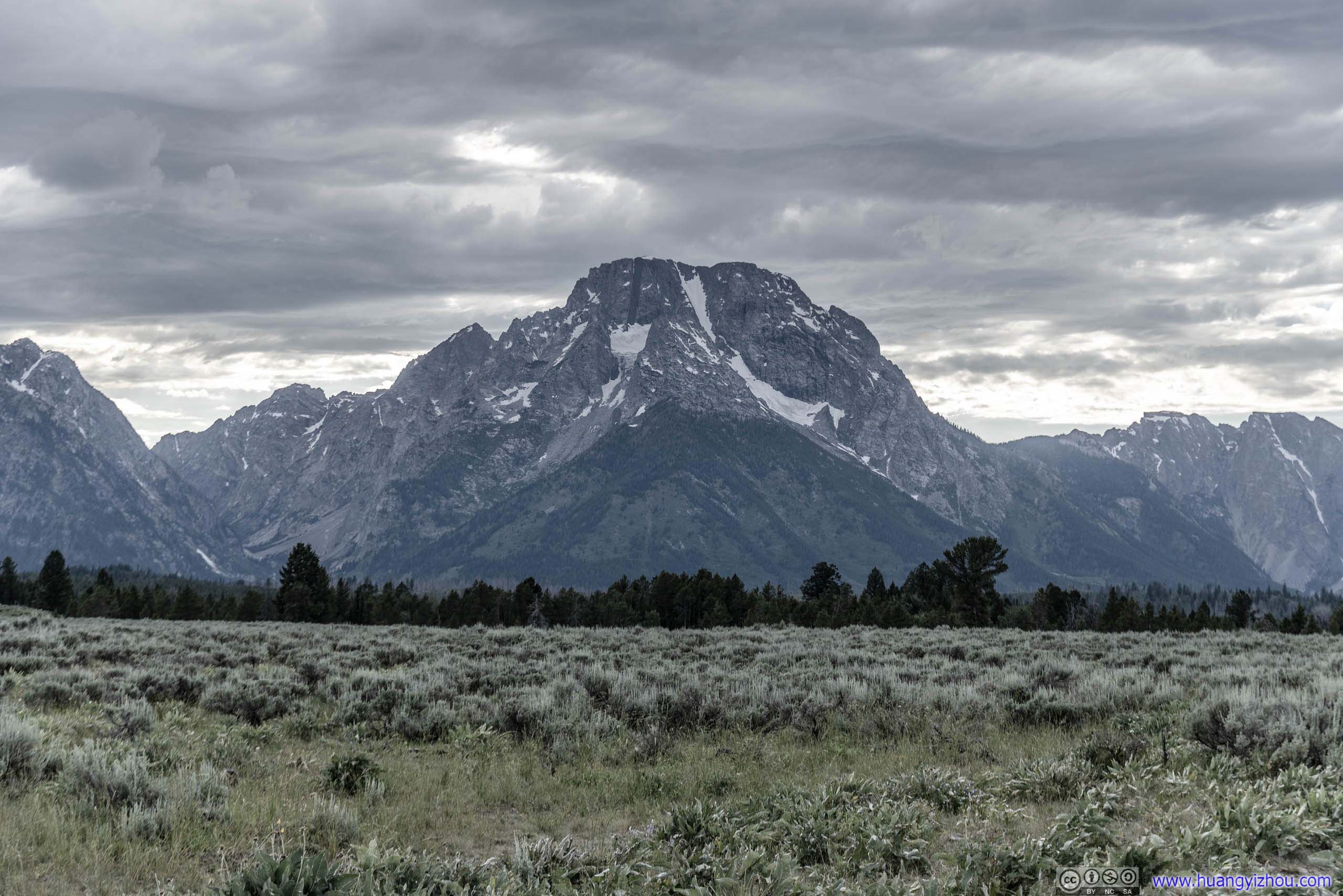
Grand Teton National Park
 Buck Mountain
After a 20-minute drive, we entered Grand Teton National Park via Moose entrance. Just next to it was Chapel of the Transfiguration, which served as a place of worship for ranchers a century ago and saving them the arduous trip to Jackson every week.
Chapel of the Transfiguration
Click for detail about Chapel
A Spiritual Heart in the Park
This rustic Episcopal chapel, constructed in 1925, held the first services on July 26 of that year. Prior to its construction, worshippers traveled 12 miles over rough roads to the town of Jackson. Today, that is just a short car ride away, but in the 1920’s roads were rough and automobiles rare. Once fully constructed, the Chapel of the Transfiguration served to provide spiritual refreshment to dude ranchers and tourists that flocked to the Chapel every Sunday to worship and gather as a community. Today, the Chapel continues to draw people, and services are held every Sunday during the summer.
The name “Transfiguration” is taken from the event in our Lord’s earthly life in which, during a time of prayer and meditation in the mountains, Jesus appeared to His disciples “transformed”. They saw Him no longer as a simple man, but in an intense light they perceived a glory beyond His ordinary appearance.
The name is apt because, in the presence of this magnificence and grandeur; some small hint of that eternal majesty is conveyed to us who pause and, in quiet, worship. Like the disciples on the mount 2,000 years ago, we would like to stay here. We cannot – we must return to our lives – but, like those disciples, please take away with you the vision of the power and beat of God’s presence in the world.
“And Jesus took Peter, James, John and He led them up a high mountain…and He was transfigured before them, and His garments became radiant and exceedingly white.” — St. MARK 9: 2&3
Source: information board near the chapel
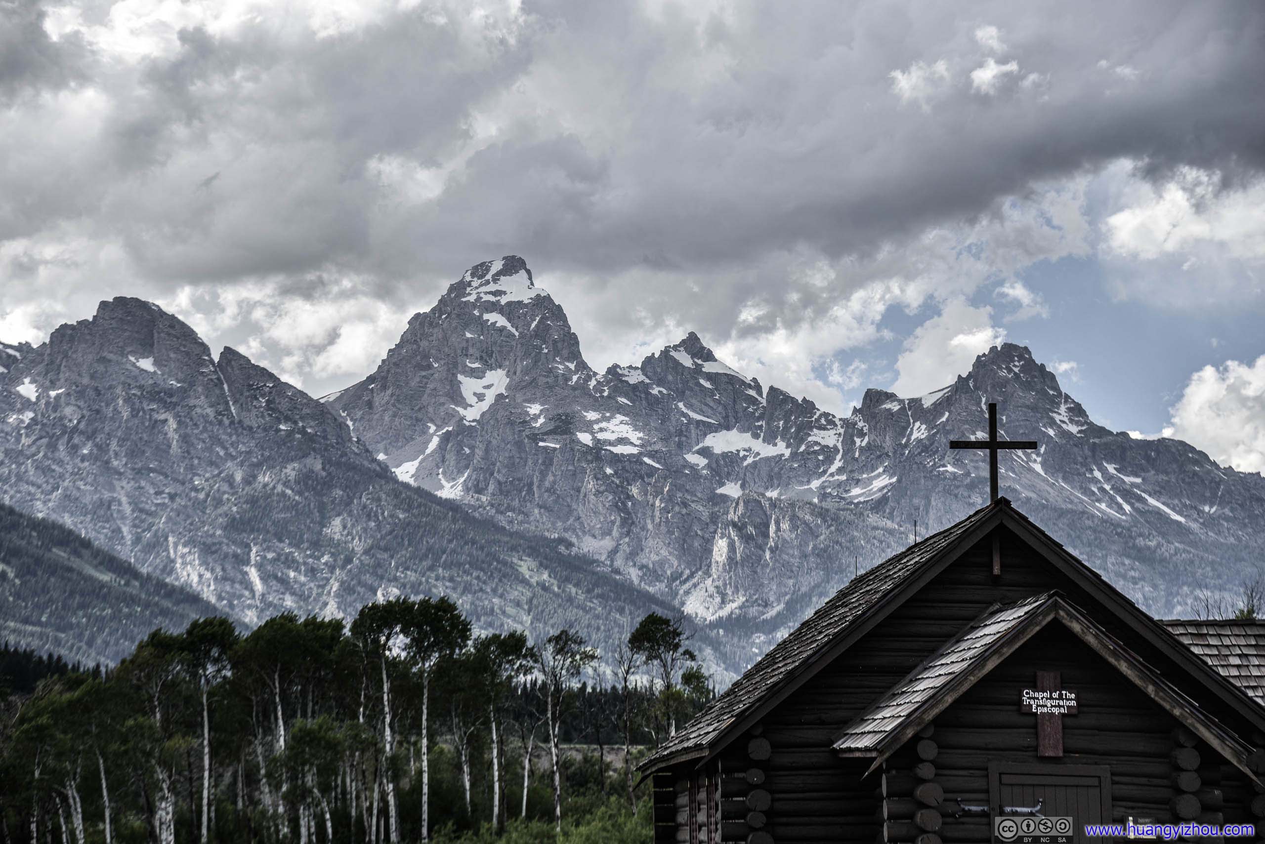
Chapel Cross before Grand Teton Peak
Inside, worshippers would sit on wooden pews enjoying views of the imposing Grand Teton Peak beyond the altar window, being secluded from the world but God’s finest creations.

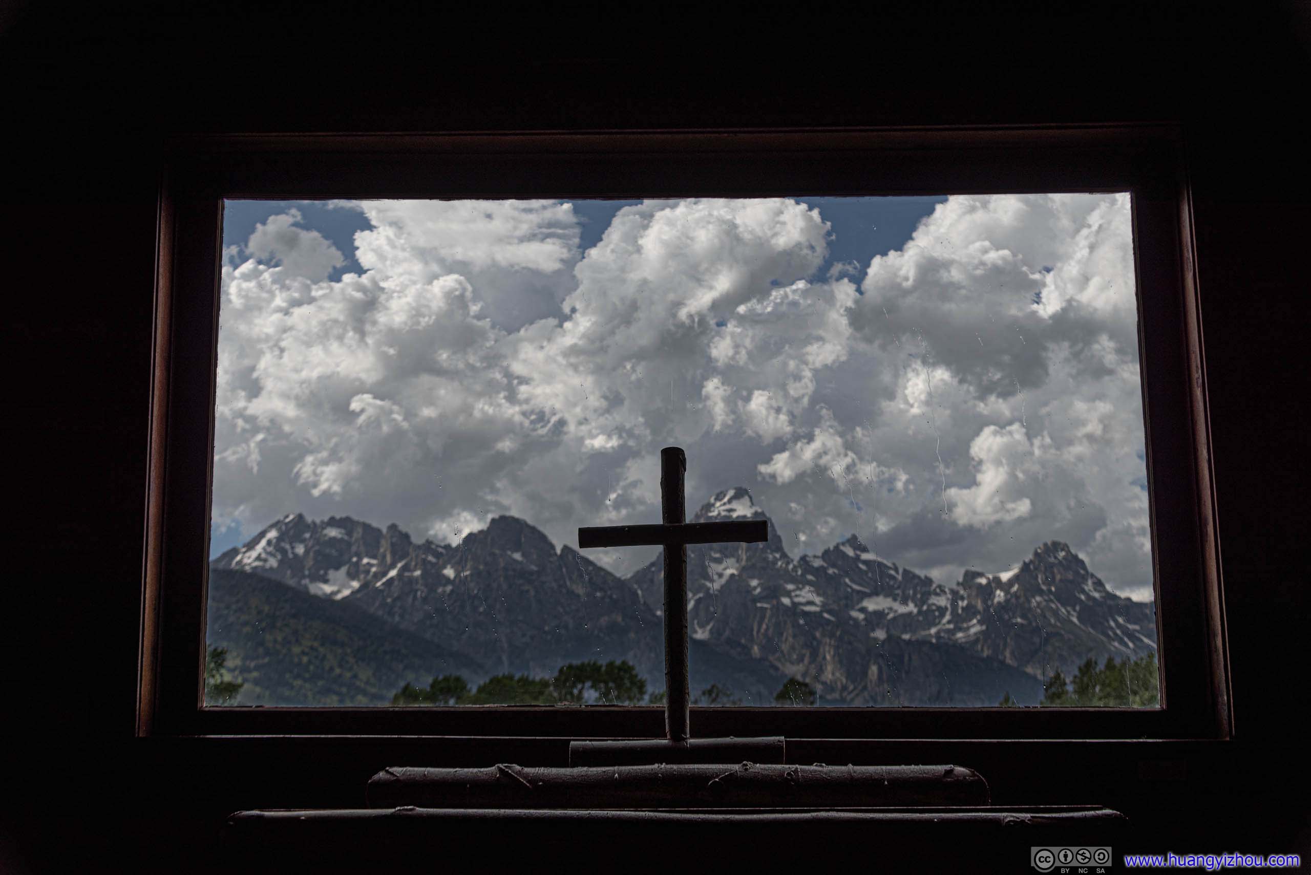 View of Grand Teton from Chapel Window
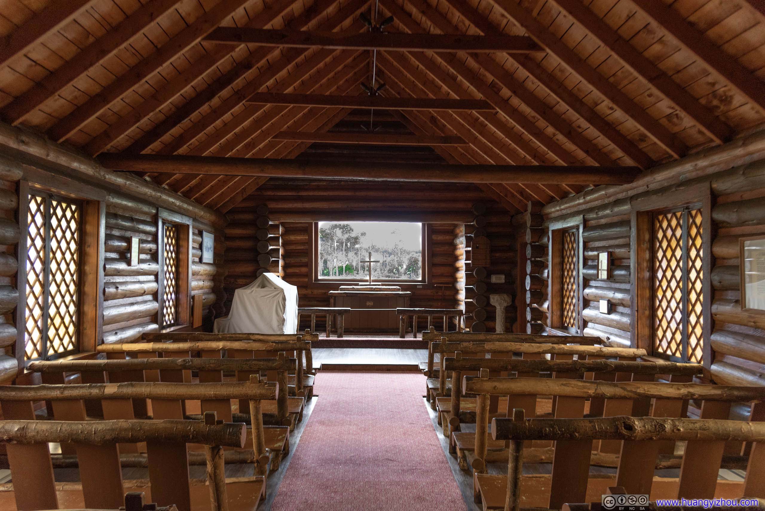
Chapel Interior
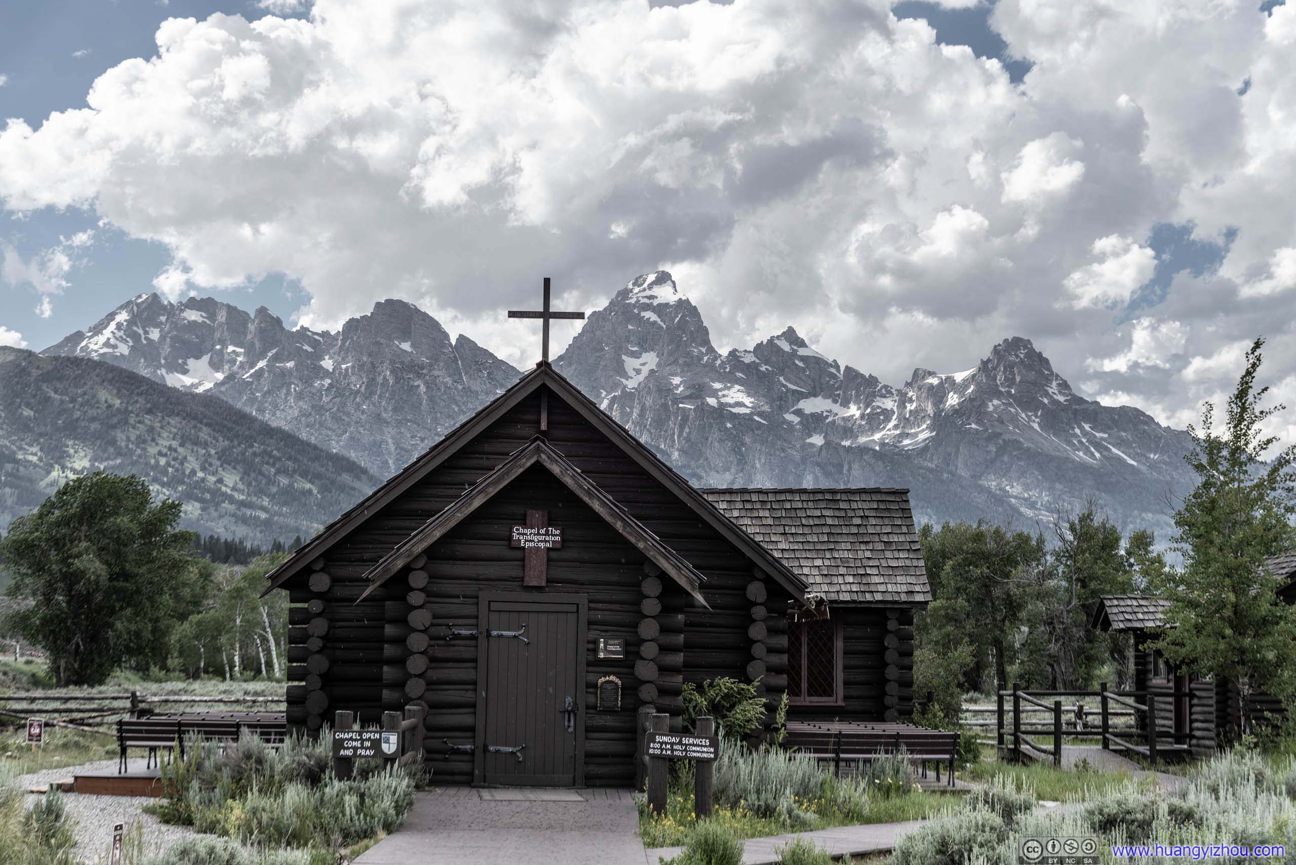
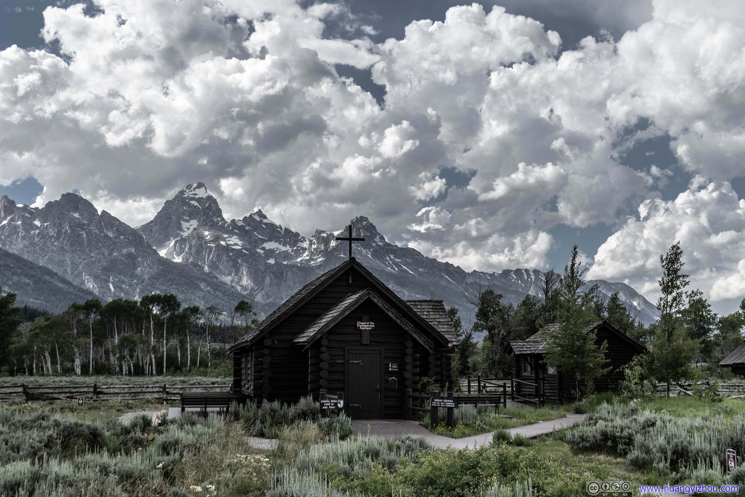 Chapel of the Transfiguration before Grand Teton Peak
After that, we headed for our next stop which was Teton Glacier Turnout.
Ranch
Teton Glacier Turnout
Click for detail about Teton Glacier
The Teton Glacier lies sheltered on the northeast flank of the Grand Teton. More than any other erosional force, powerful glaciers sculpted the Teton Range peaks and carved the U-shaped canyons.
Beginning two million years ago, at least two periods of glaciation swept across this landscape. The ice retreated around 14000 years ago, unveiling an ornate tapestry of cirques, aretes and horns. Today’s glaciers are remnants of a cool period called ‘the Little Ice Age’ lasting from 1400 to 1850AD.
Glaciers in the Teton Range and across much of the world are retreating in response to changing climate. Since 1967, the Teton Glacier has lost 15 percent of its surface area. Meltwater helps support rich communities along valley streams, but today’s glaciers are producing up to ten percent less run-off. If current trends continue, the glaciers of the Teton Range will disappear. Their passing will be one of the many transformations this landscape will experience in the face of climate change.
Source: information board
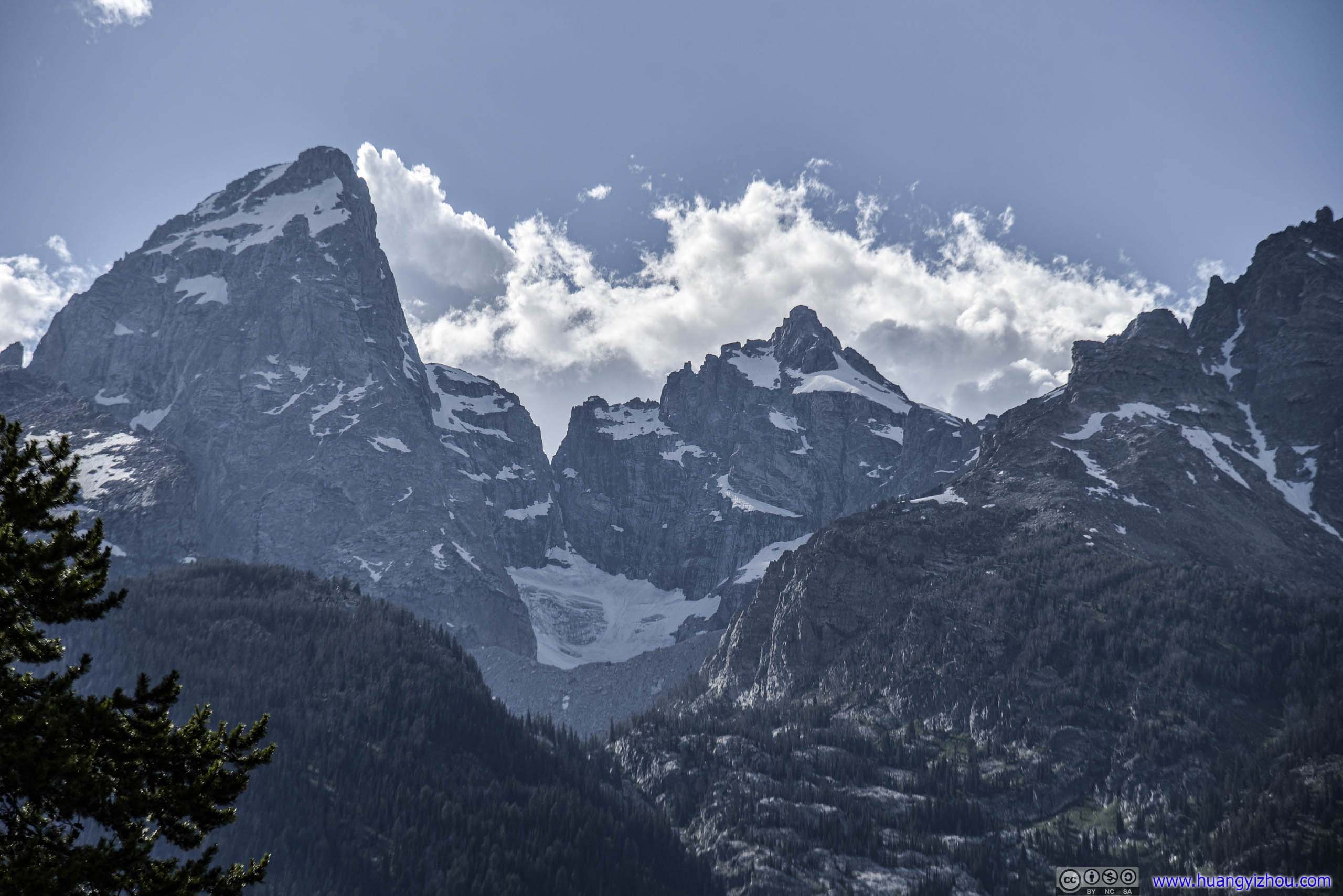
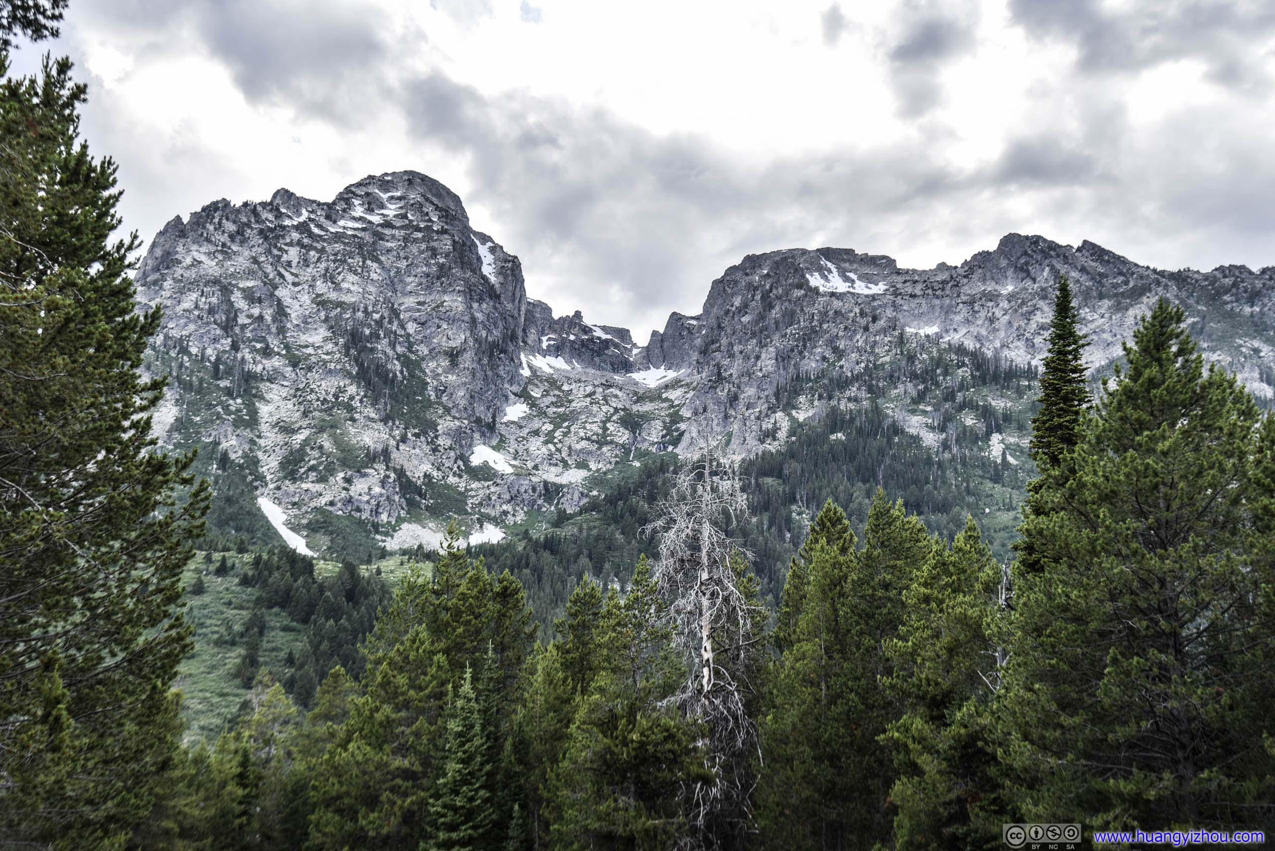
Teton Glacier
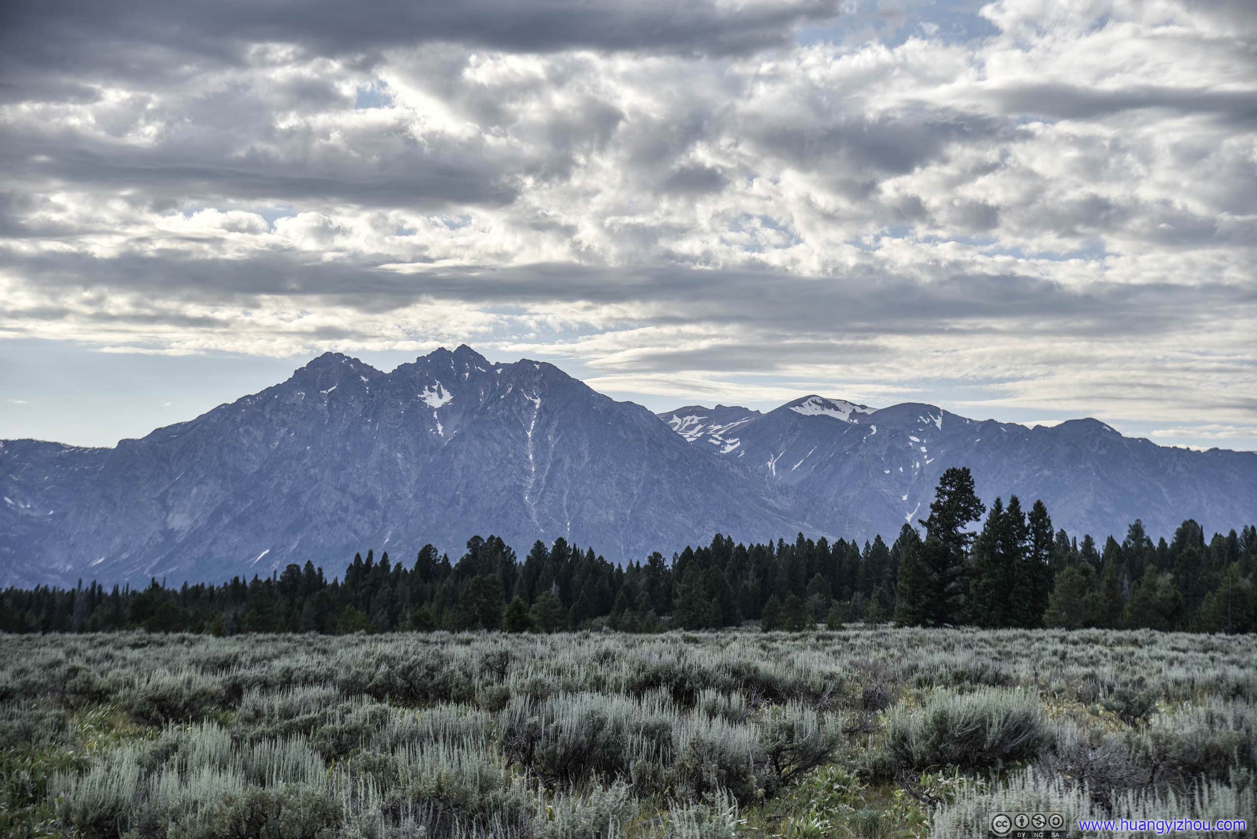
Ranges of Mountains
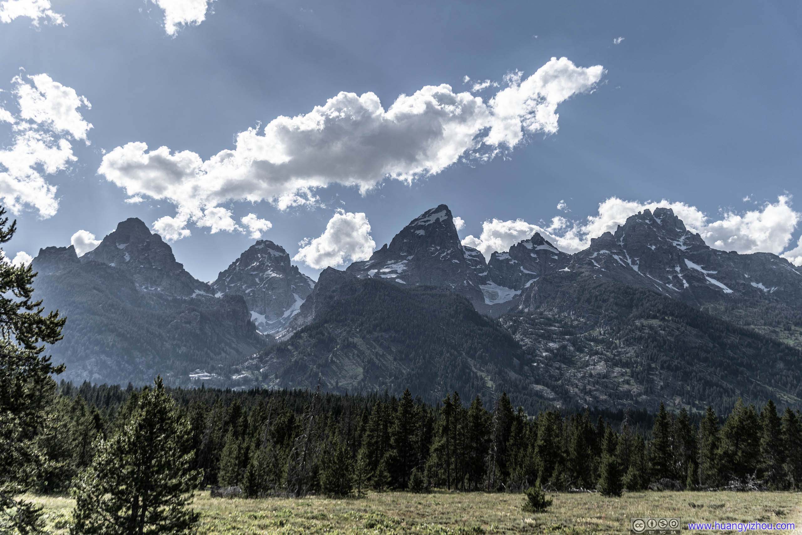
Grand Teton
After that, we were heading towards Jenny Lake (Visitor Center).
 Park Road
 Grassland
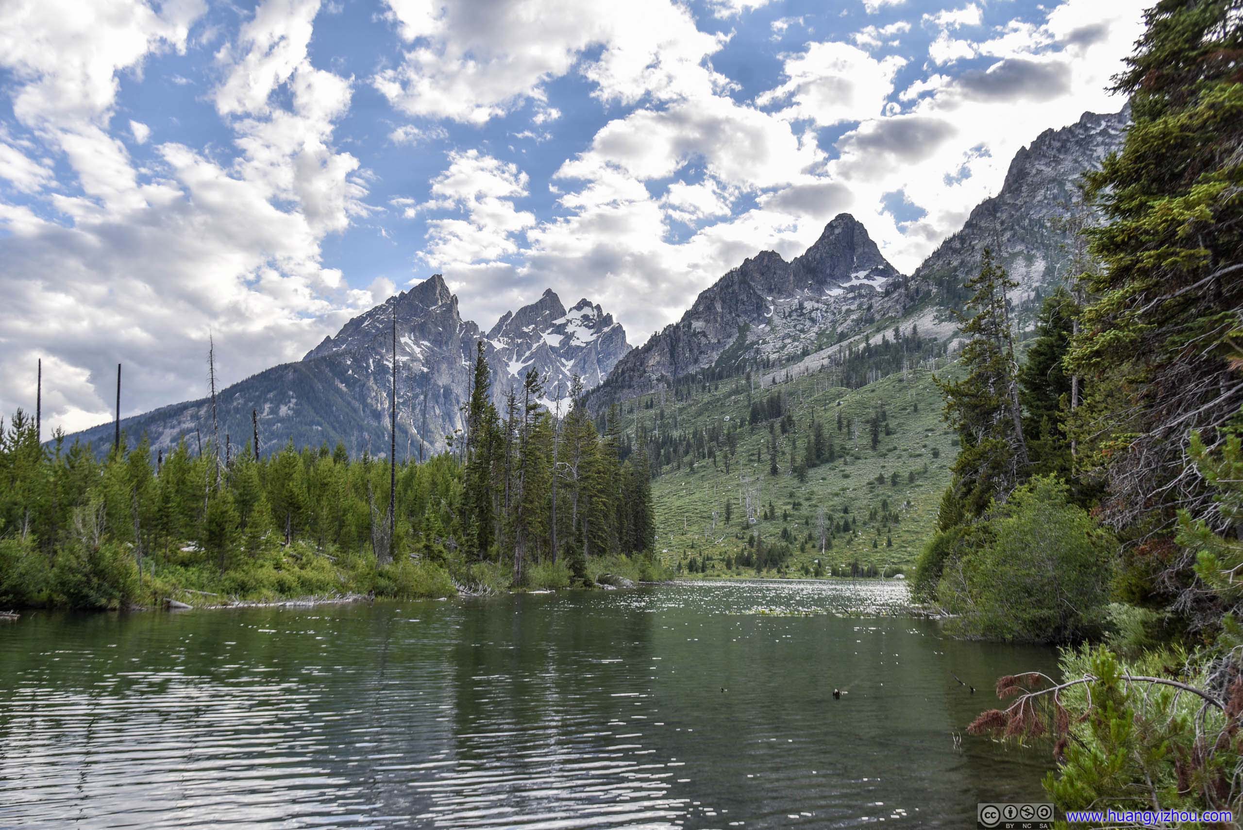
Jenny Lake
By the size of parking lot, Jenny Lake was the most famous tourist attraction of the park, with tour boats in the lake and hiking trails both around the lake and deep into the snowy wilderness of mountain ranges.
Pine Trees
Cottonwood Creek
We didn’t plan to stay long here, so we took a short stroll by the lake admiring impressive summits on the opposite side.

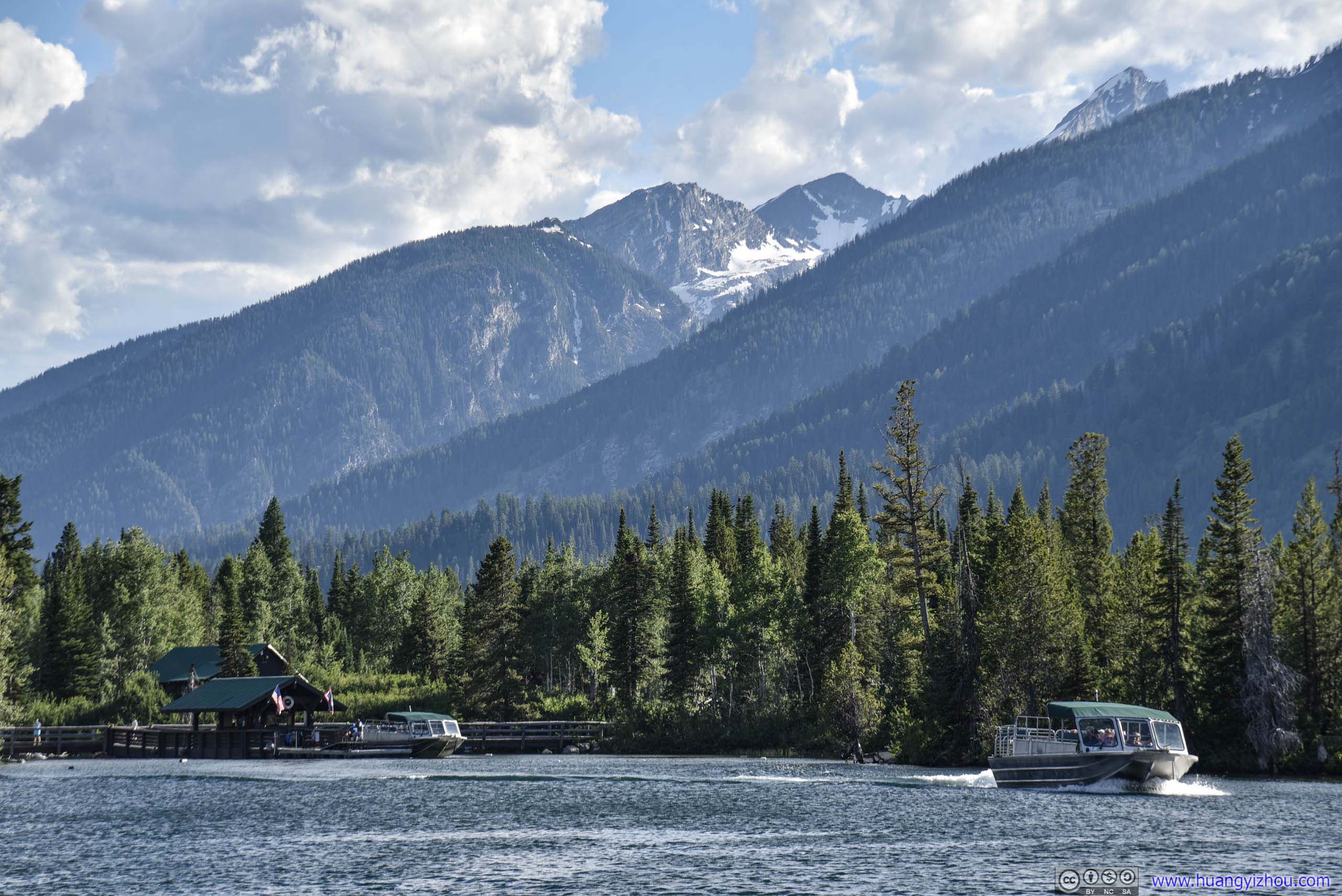 Tour Boat on Jenny Lake before Forest Hills
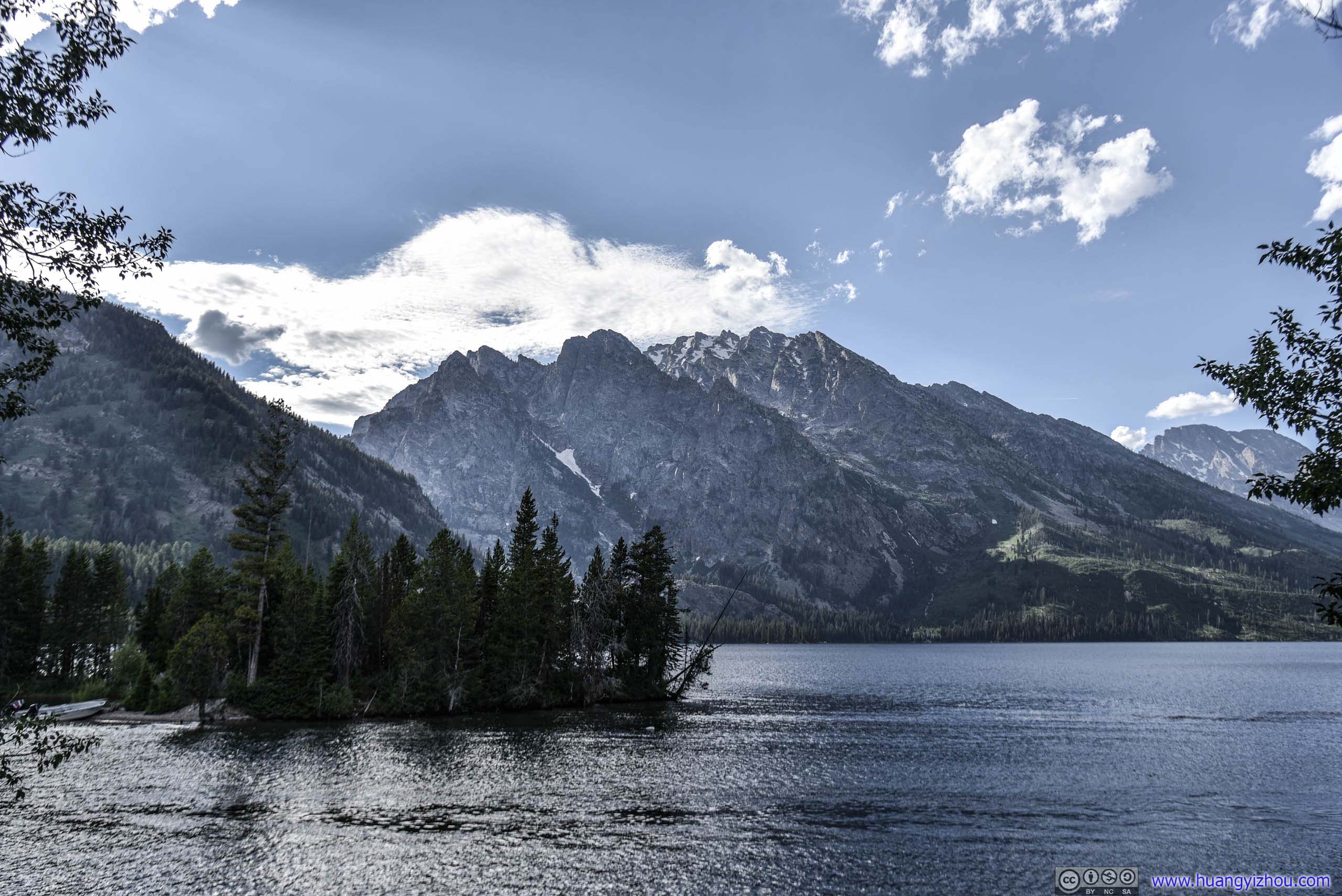
 Mt St John across Jenny Lake
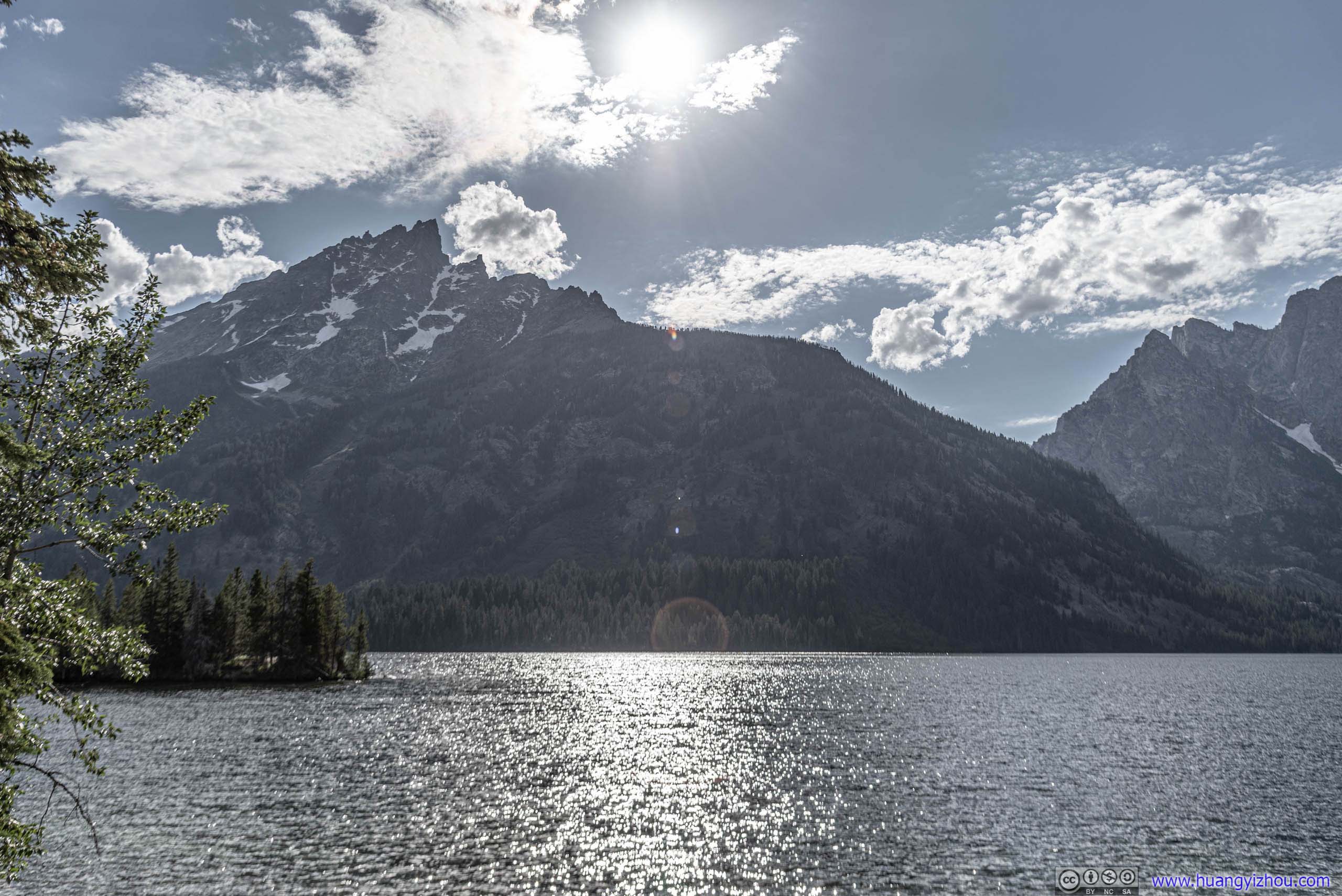
Grand Teton across Jenny Lake

Mt St John across Jenny Lake
Shores of Jenny LakeDidn’t know trees can survive so close to the lake shore before. Also, the lake seemed to be a popular swimming spot.
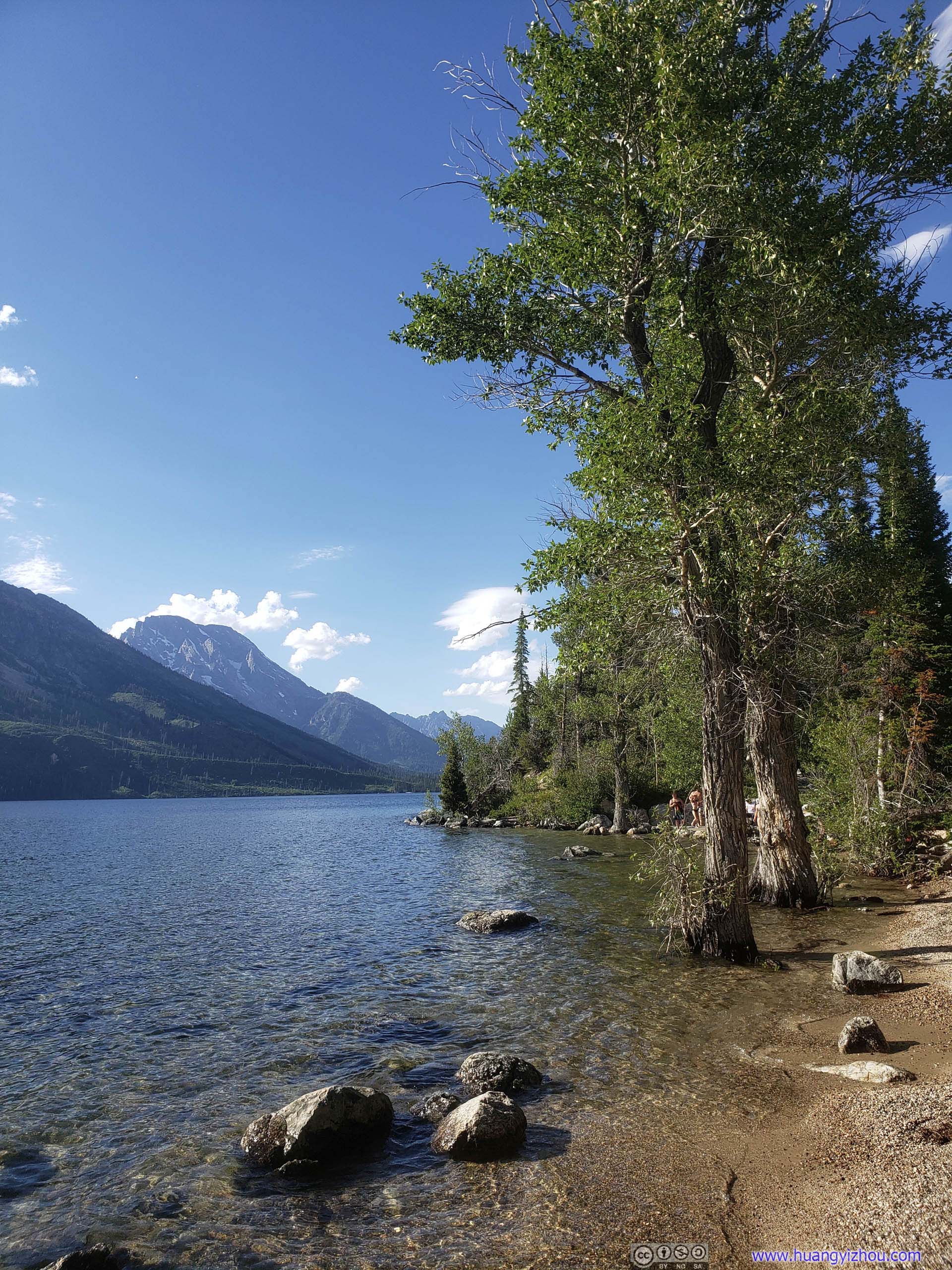
Then we headed for our next stop which was String Lake.
 Mt St John

View of Grand Teton
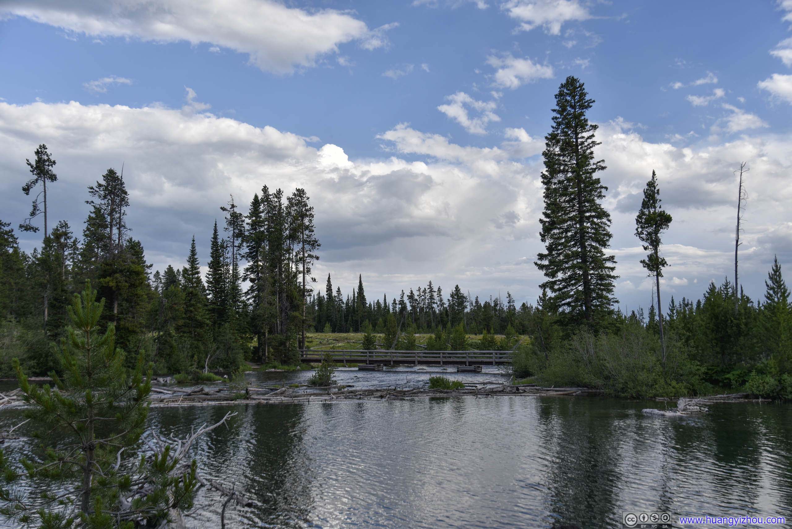
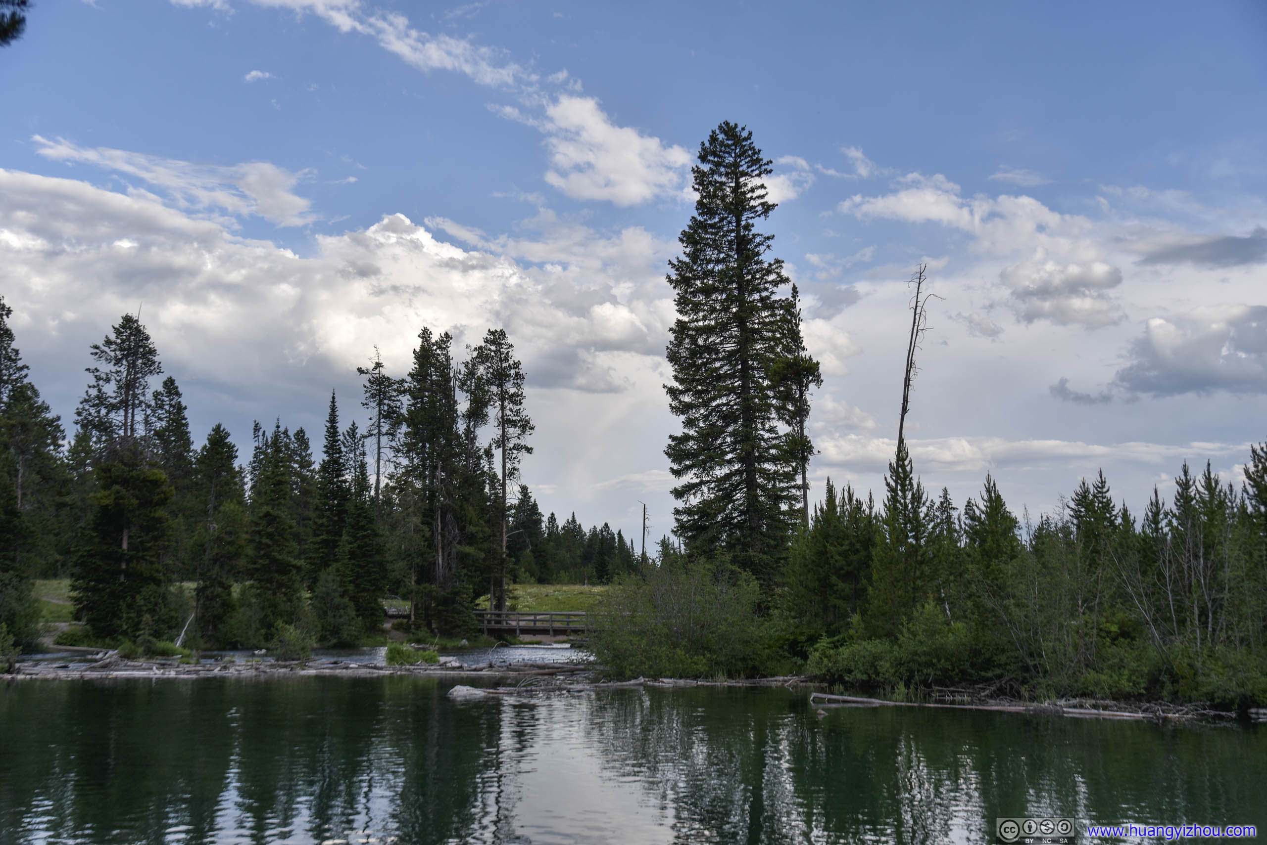
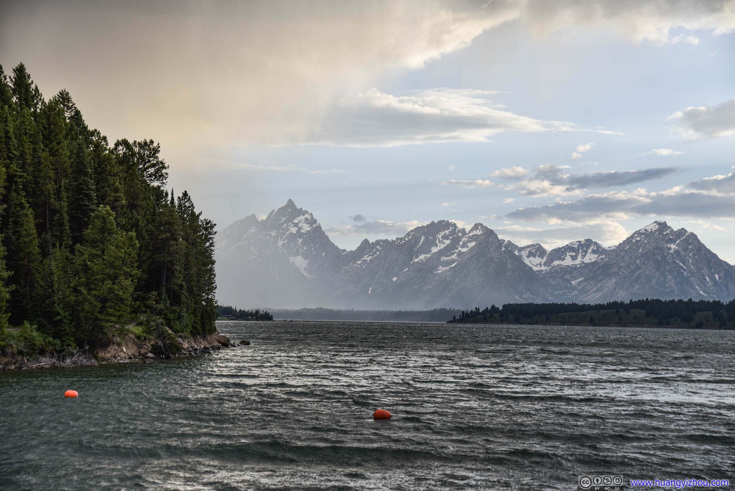
String Lake
It’s a much smaller lake bringing us closer views of the magnificent mountain ranges of Grand Teton. Located off Teton Park Road, it also had much fewer visitors than Jenny Lake. We too took a short walk along its shores before continuing.
 Creek
Creek
Since I was taking photos against sunshine, this proximity to mountains really helped.
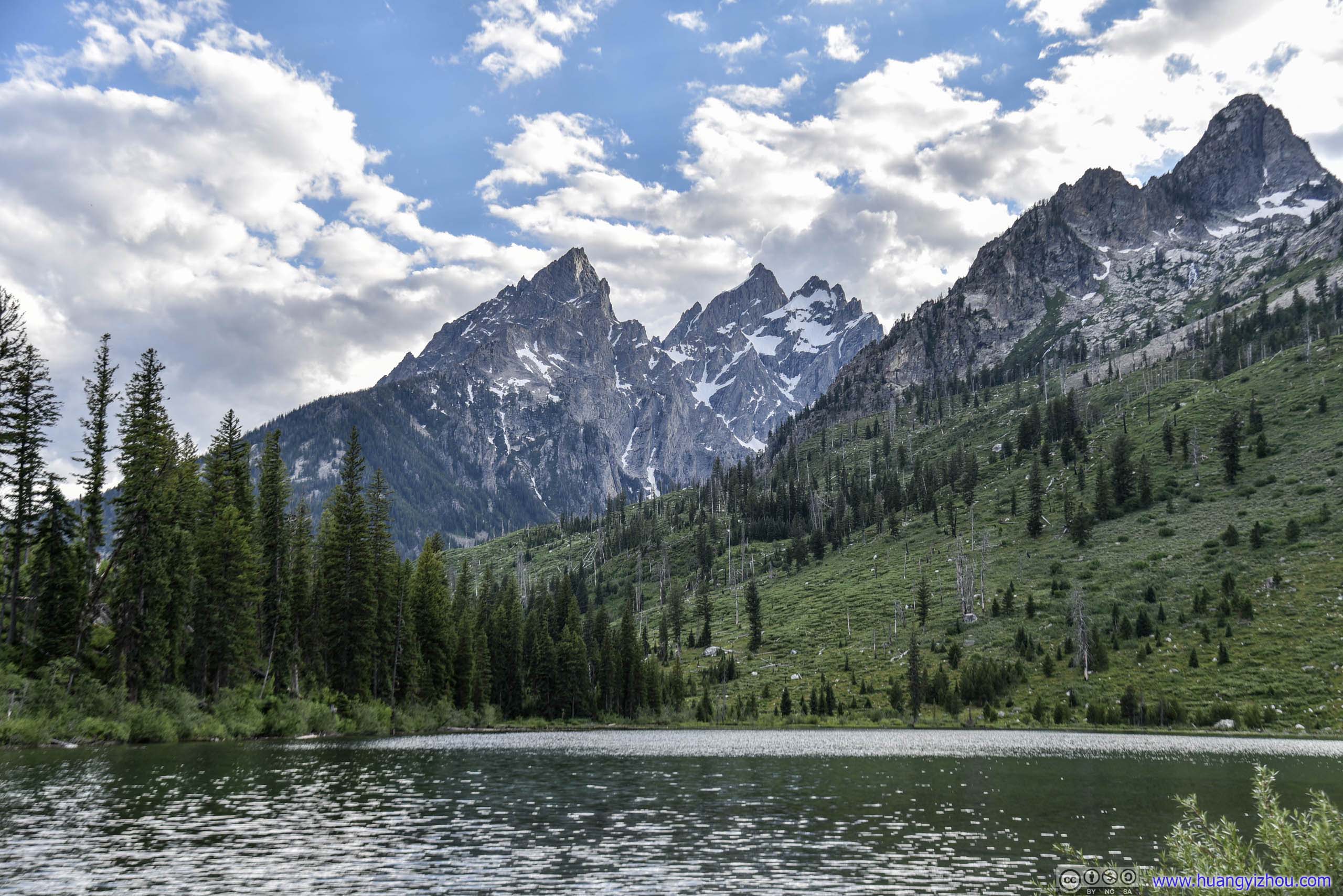
 View of Grand Teton behind String Lake
 Park Road
Mount Moran Turnout
If one’s confined to stay on the main park road, this is the best turnout to watch the rolling mountain ranges and snowpacks of Grand Teton National Park.
The bad side? Mosquitos certainly knew this too.
Mountain RangesGrand Teton, Mt St John and Mt Moran.
 Distant SummitMost likely Jackson Peak on the right photo.
Mt Moran
Eagle Rest Peak

View from Mt Moran Turnout
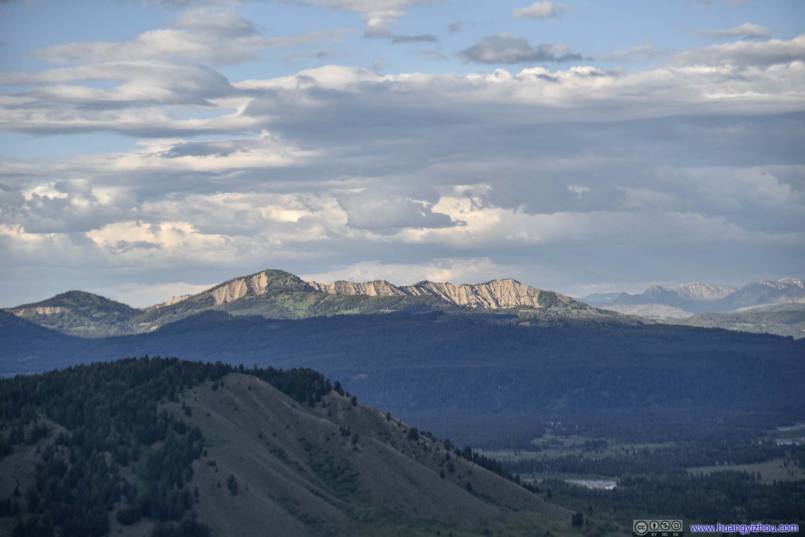
After that, we drove up Signal Mountain, a hill straight out of Jackson Hole valley with panoramic views of the park. The 7.7km narrow winding road uphill might be going through some boring forest (compared with rest of the park), but majestic views up top would be more than rewarding. (except somehow it’s also mosquito infested.)
Signal Mountain
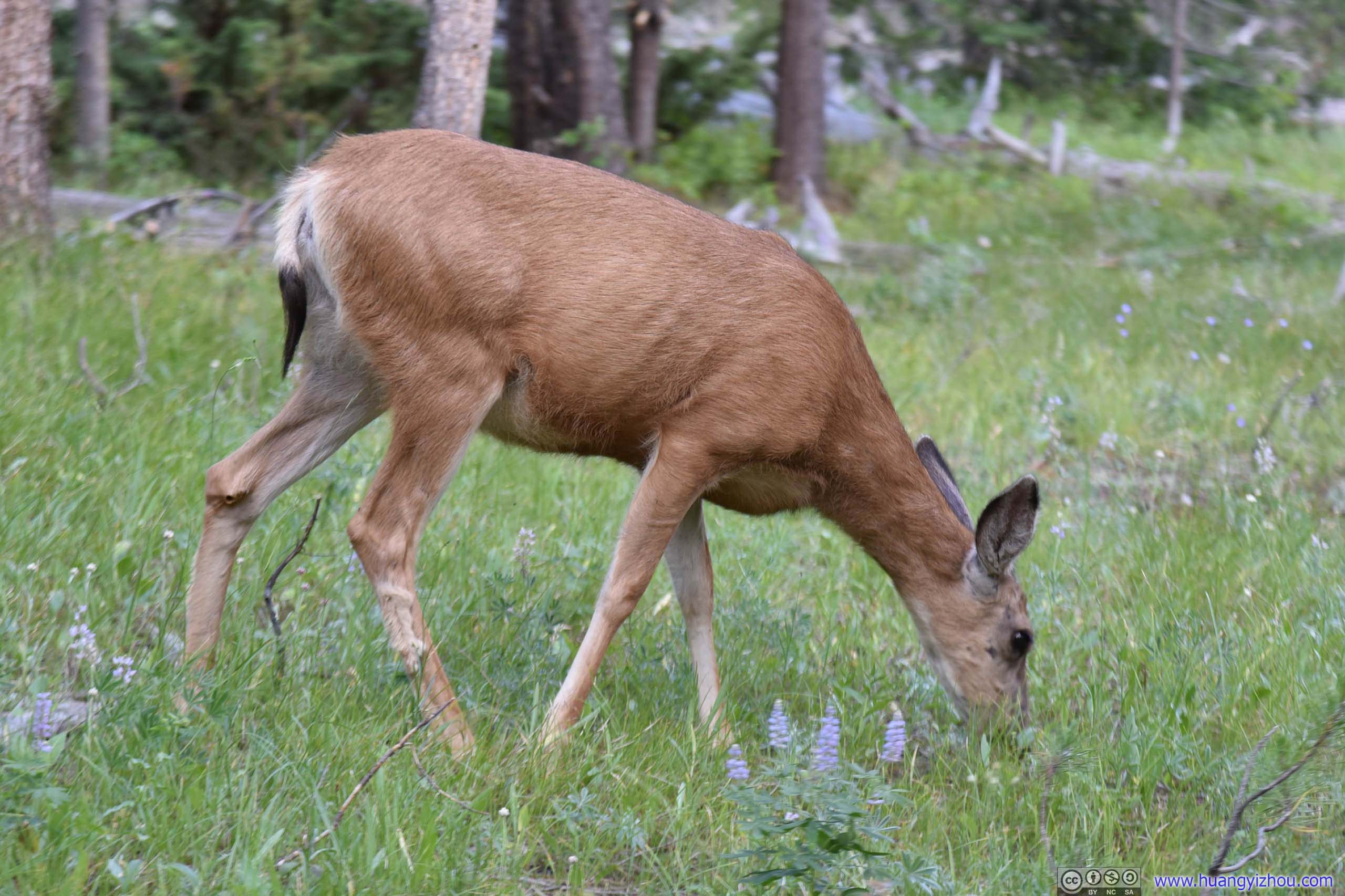
DeerWe caught sight of this creature on our way up, which was the only source of excitement during the 15-minute climb.
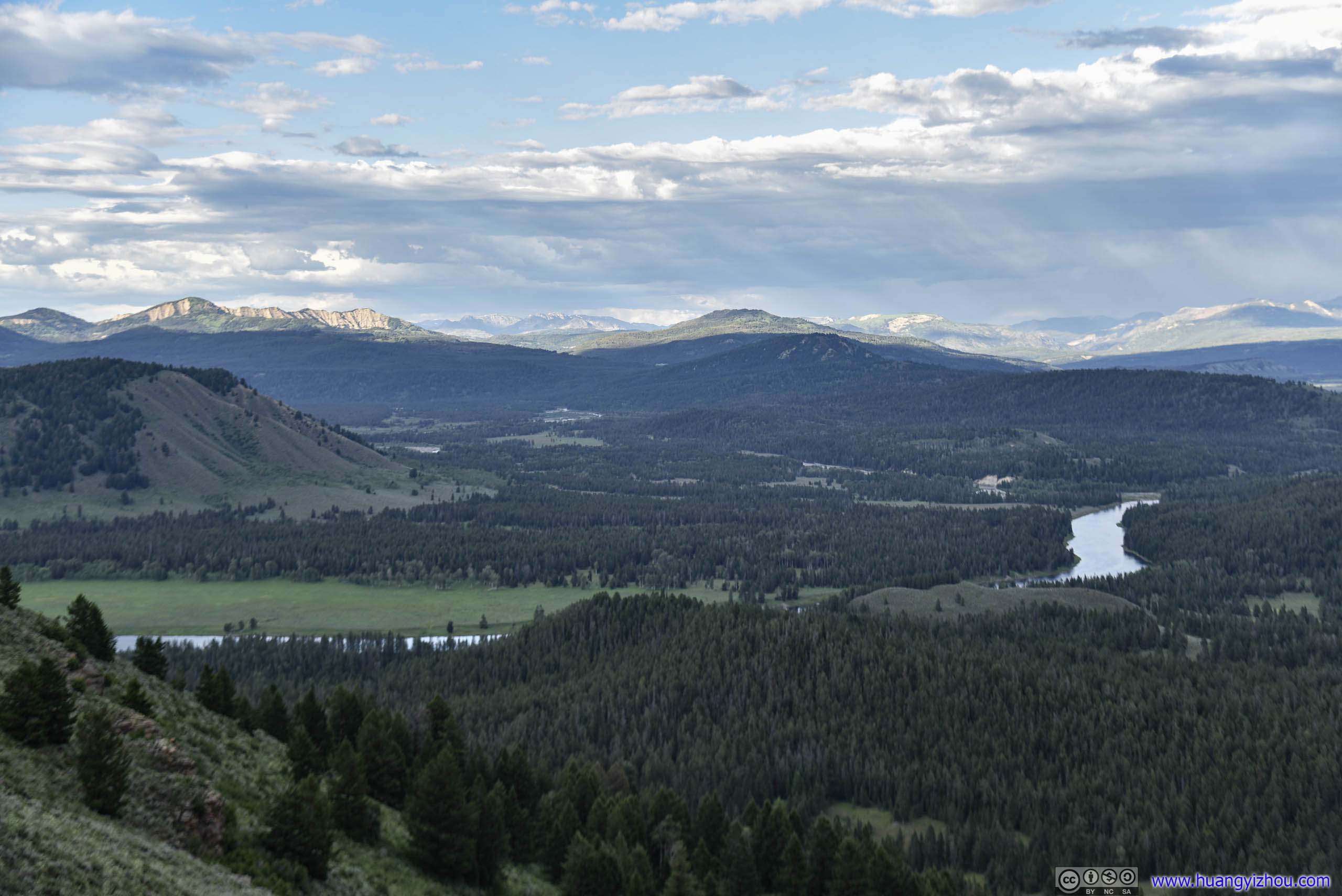
 Snake River and Jackson Hole valley
Distant Gravel Mountain
 Blacktail Butte among Jackson Hole valley
 Jackson Hole valley
View from Signal Mountain

Blacktail Butte among Jackson Hole valley
Mount Leidy
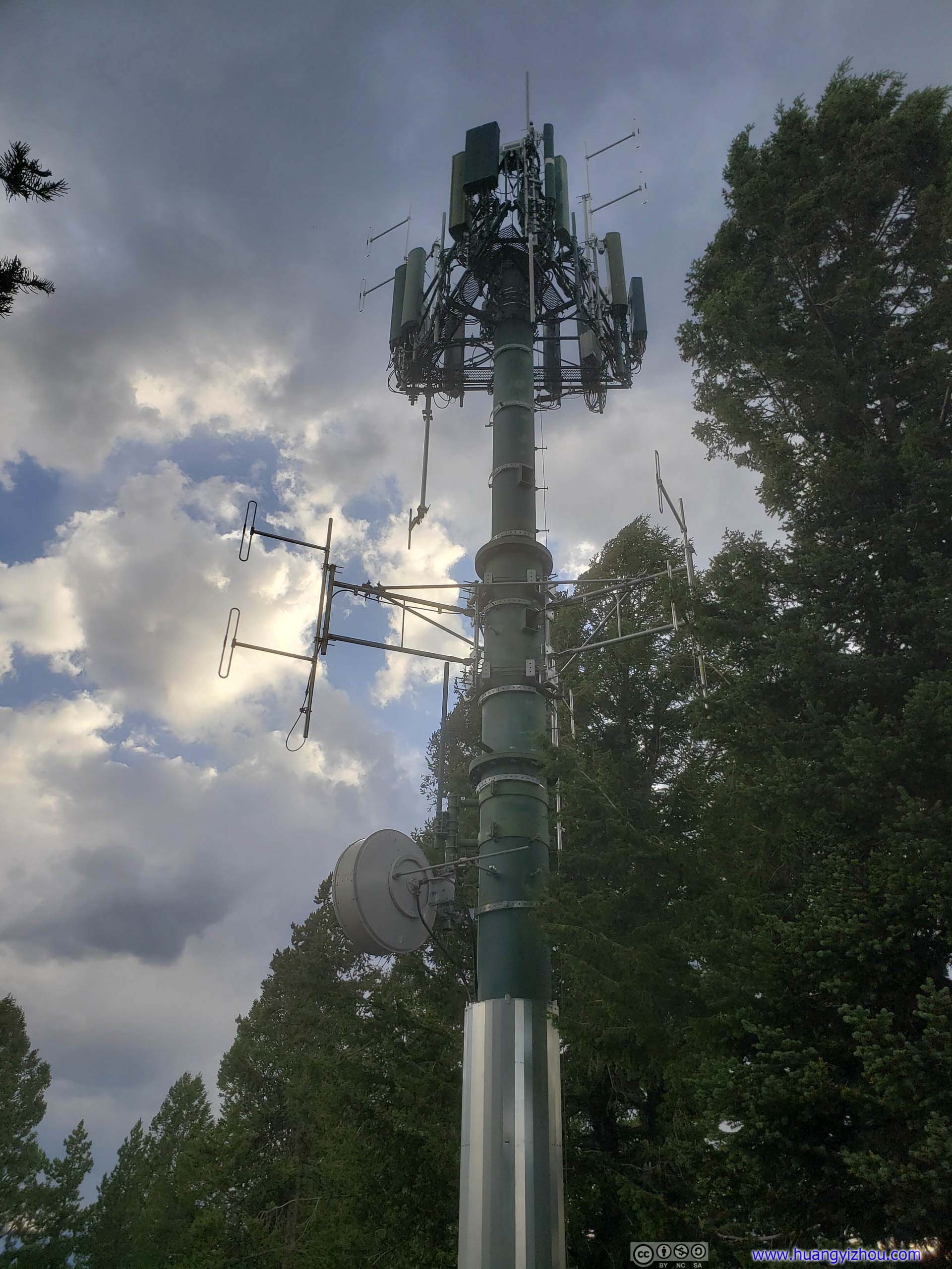
Signal TowerOk, now I know why this place is called “Signal Mountain”.
Our last stop of the day was Jackson Lake Dam, another great place to view the many peaks across river.
Jackson Lake Dam
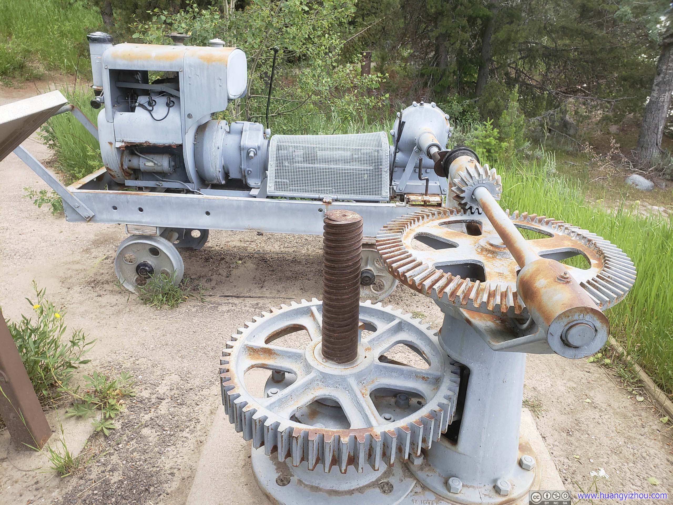
Controller of Jackson Lake DamEngine cart and gears in use from 1911 to 1986 on display here to raise/lower the 2.5ton gates.
Mt Moran
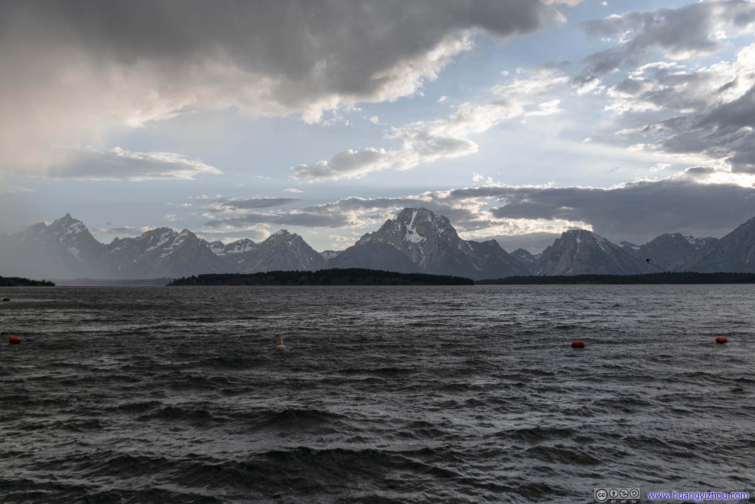
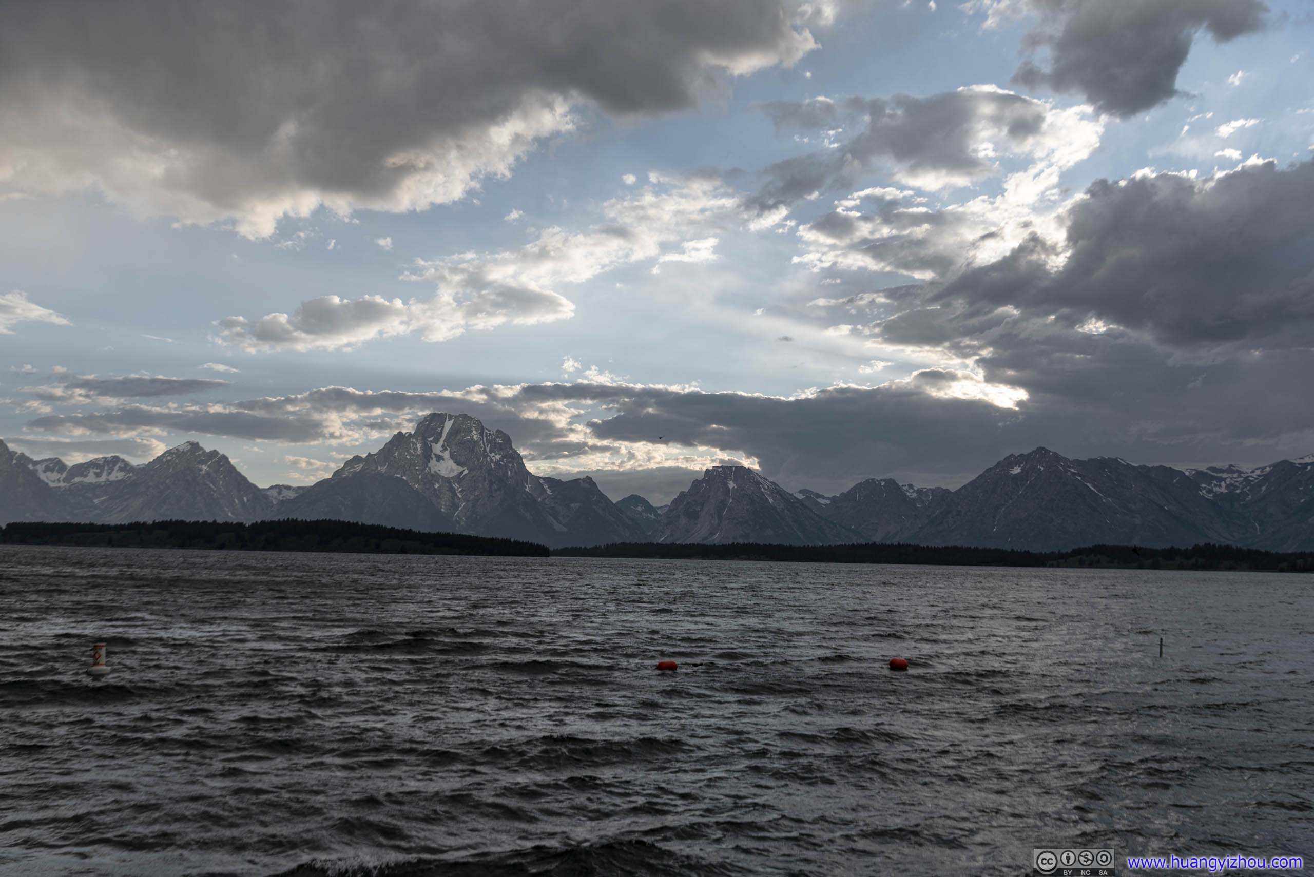 Mountain Ranges
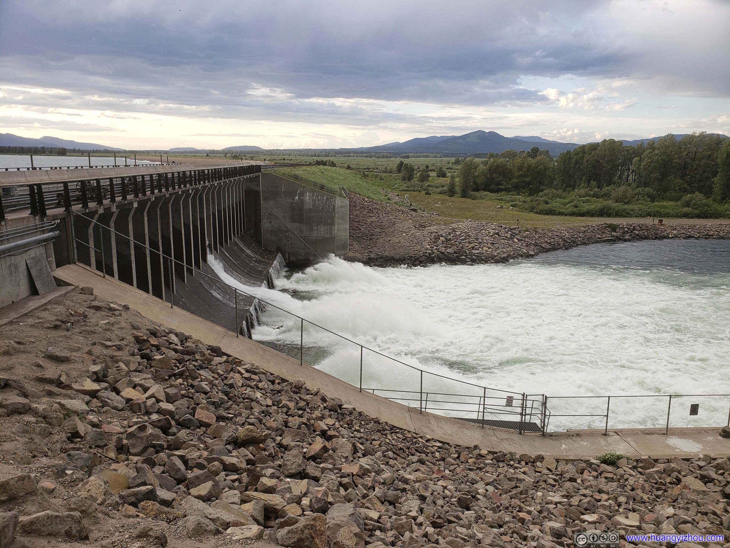
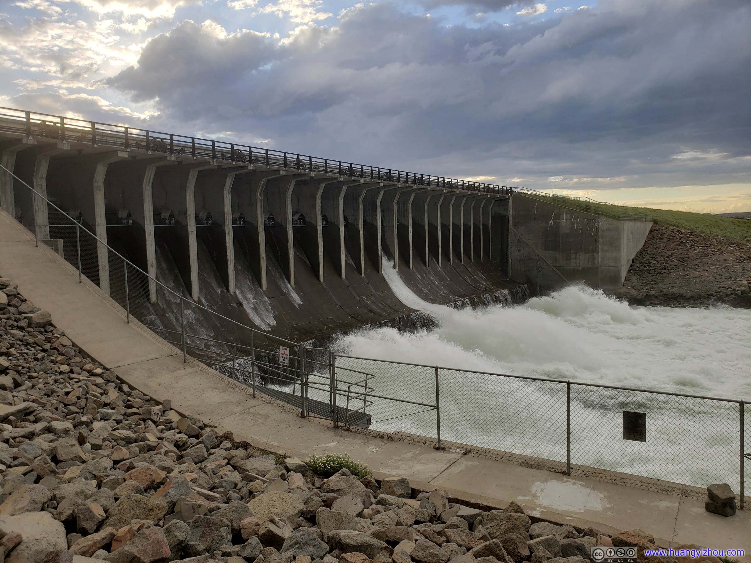 Jackson Lake Dam
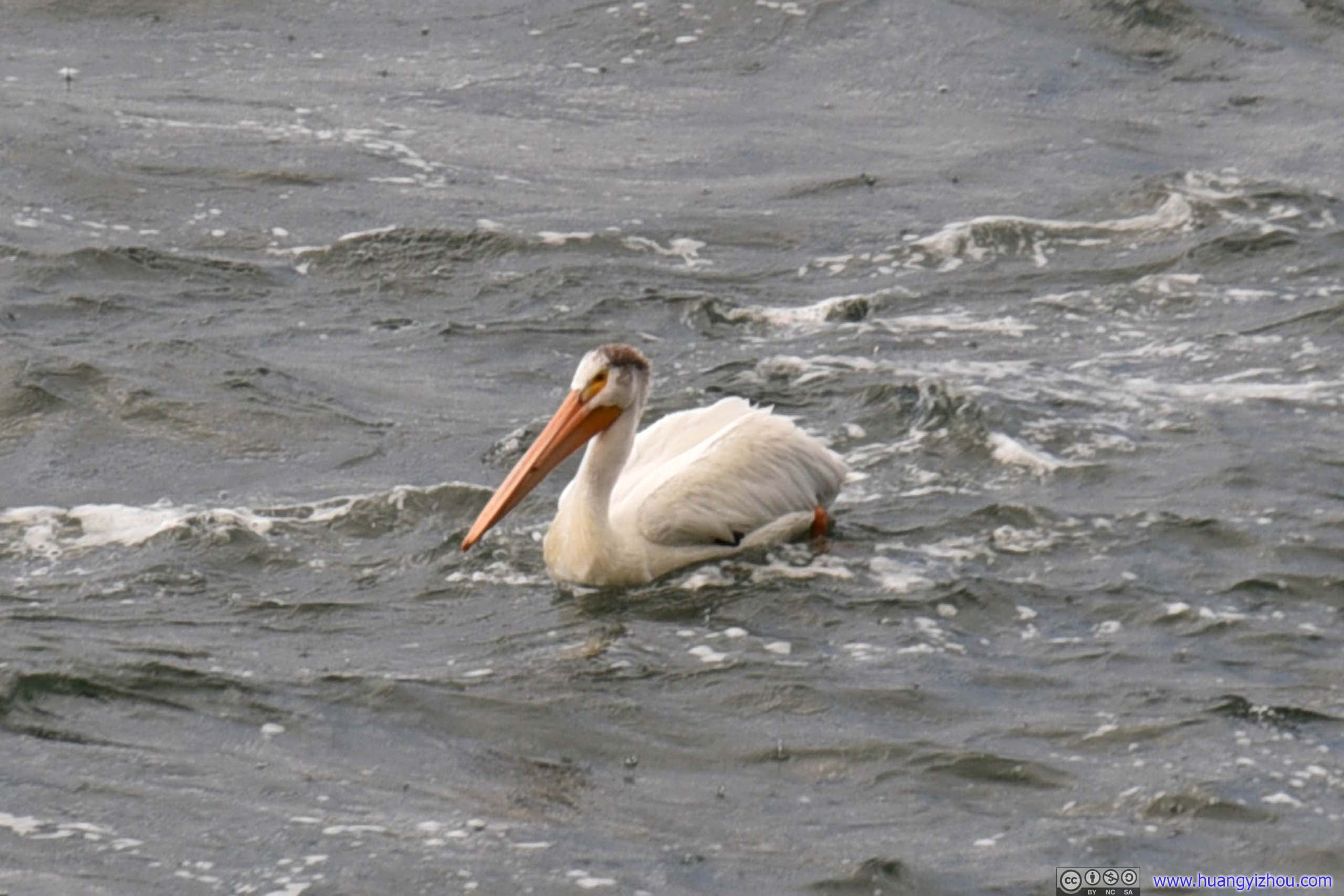
GooseLife seemed pretty enjoyable for this little creature not far from the rolling waters of Jackson Lake Dam.
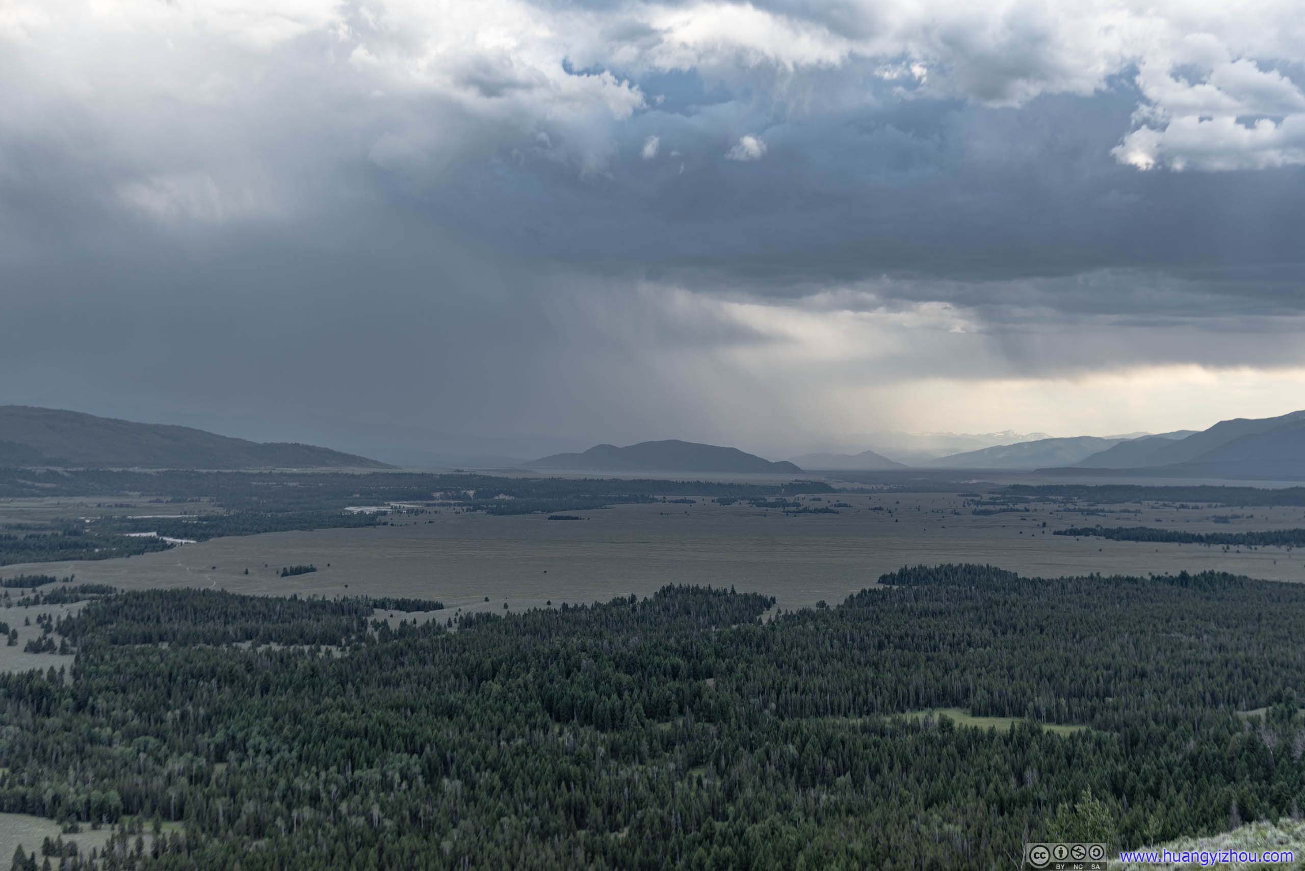
From the waves on Jackson Lake it’s not hard to tell how strongly the winds were blowing. To make matters worse, it started to rain. So we hopped back onto the car and drove back to hotel.
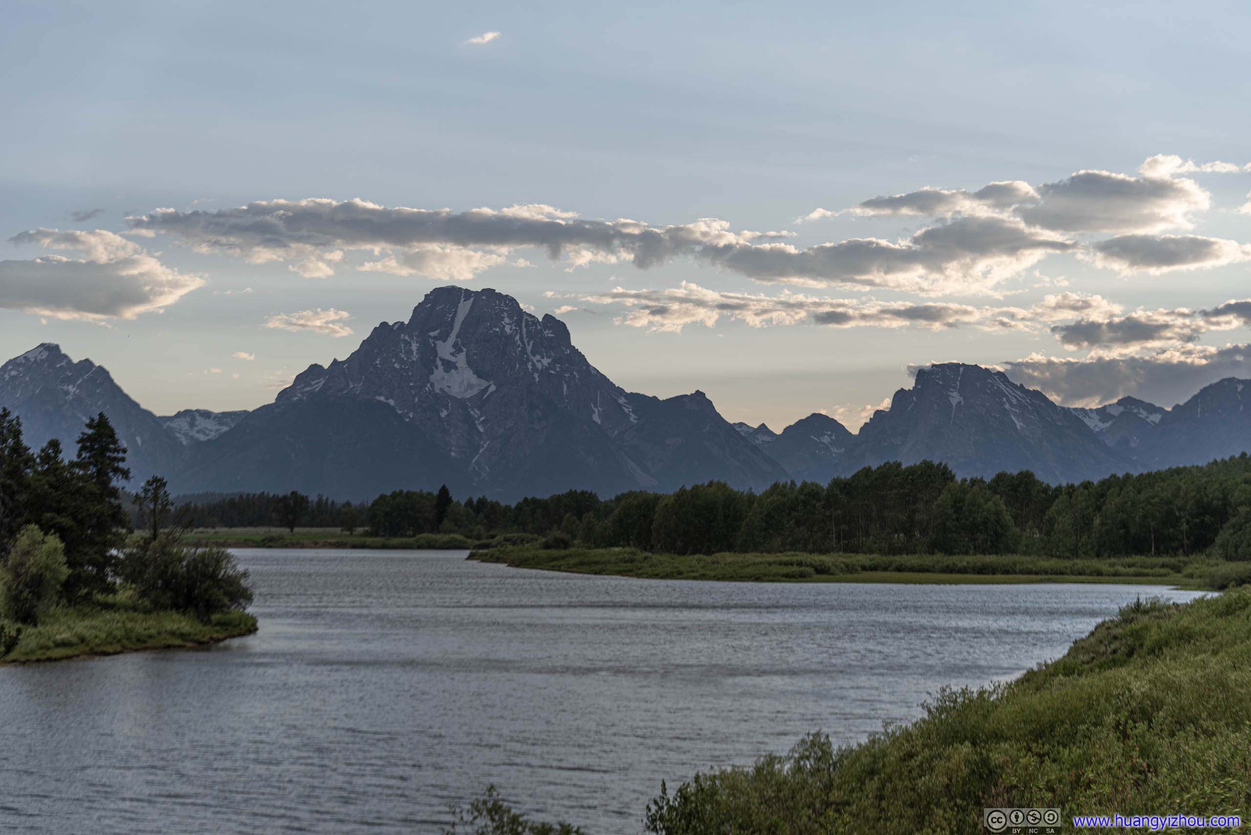
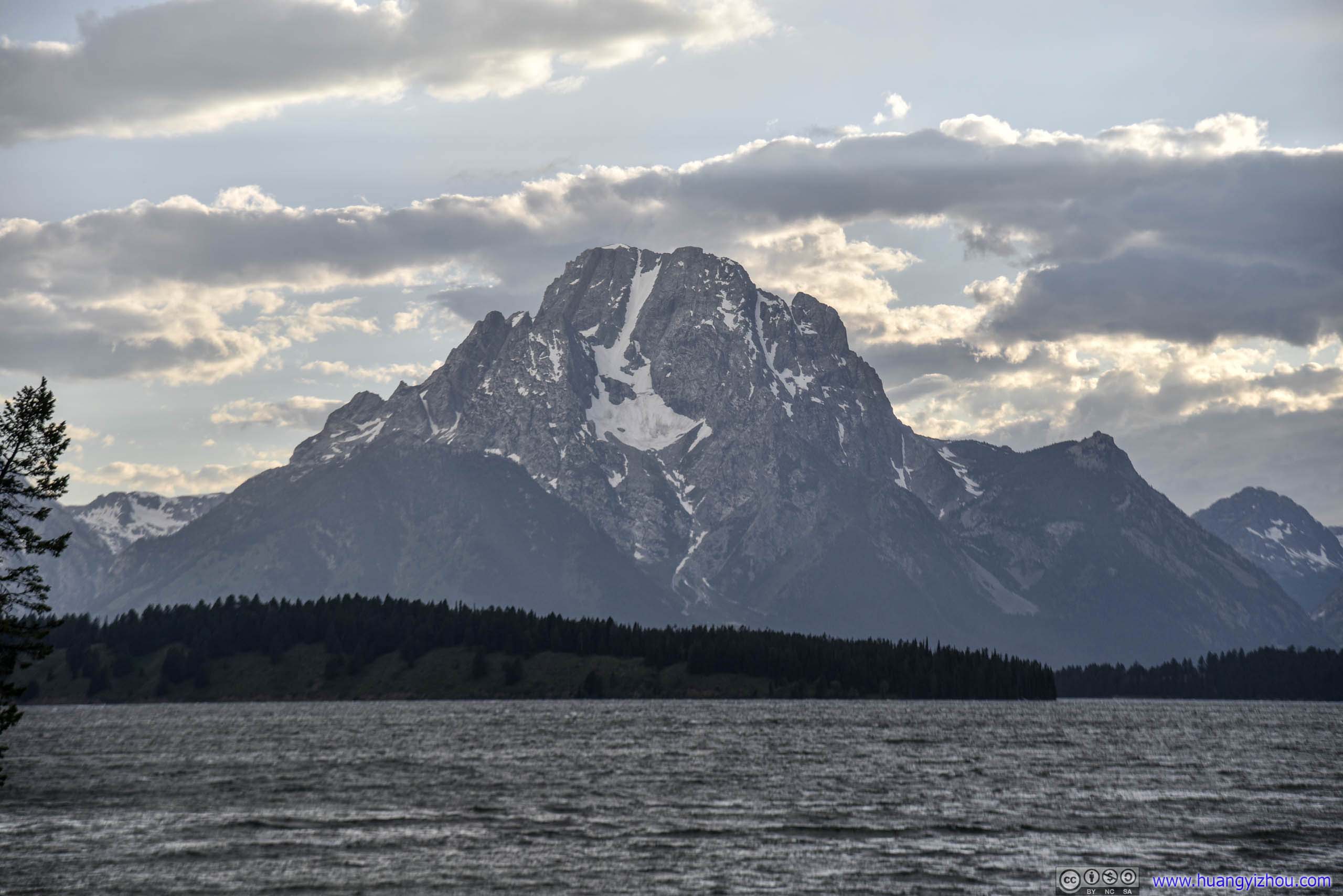
Mt Moran from Oxford Bend
And called it a day after this not-so-spectacular photo at Oxford Bend.
END
![]() Day 4 of 2019 Western US Tour, July 15, to Jackson by Huang's Site is licensed under a Creative Commons Attribution-NonCommercial-ShareAlike 4.0 International License.
Day 4 of 2019 Western US Tour, July 15, to Jackson by Huang's Site is licensed under a Creative Commons Attribution-NonCommercial-ShareAlike 4.0 International License.