
Updated on June 29, 2020
Hiking in Delaware Water Gap
It’s a beautiful October weekend as I explored Delaware Water Gap, a destination that’s on almost every top-X hiking list of Northeastern US. And it’s the best time of the year when rolling hills put on their most vivid autumn colors, a most spectacular feast before brutal lifeless winter took over.
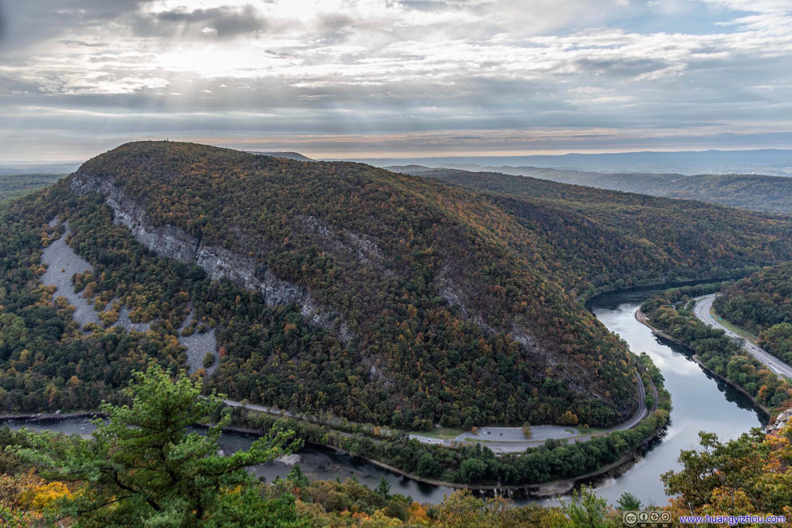
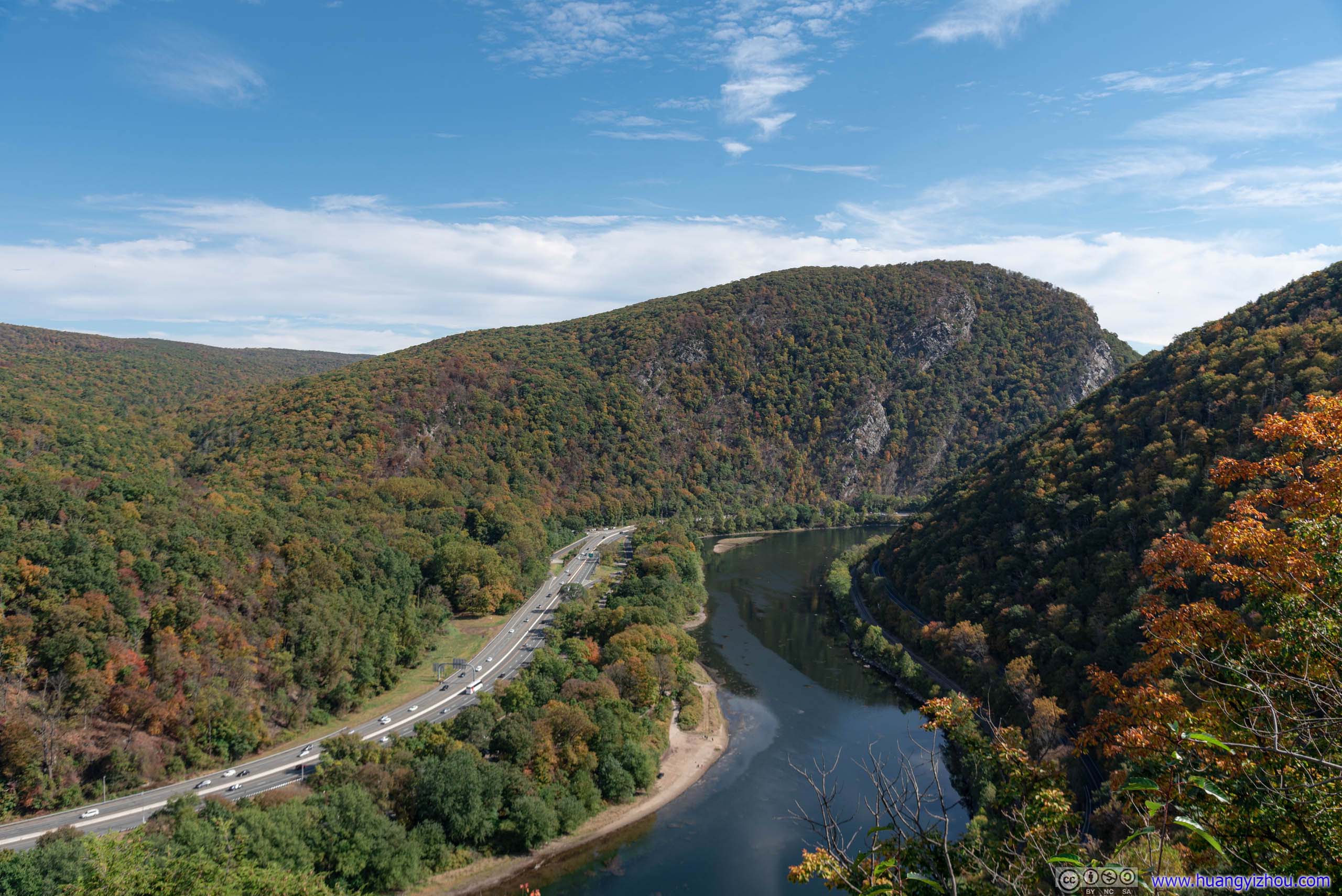
Mount Minsi by Delaware River
It seemed like a crude joke that the border of Pennsylvania and New Jersey was marked a river named after another state, Delaware, that’s in this case, 100 miles away by car. And because Delaware River sort of carved it way through a continuous mountain ridge, there are two hiking trails in the Delaware Water Gap area, Mount Minsi in Pennsylvania and Mount Tammany in New Jersey. Spoiler alert, the latter had much larger parking lots and arguably much better views.
Mount Minsi
I stayed with some friends in New Jersey for the previous night, so I could sleep comfortably late on the hiking day and, after a two-hour drive through New Jersey’s beautiful countryside, I was at trailhead of Mt. Minsi at 11am.
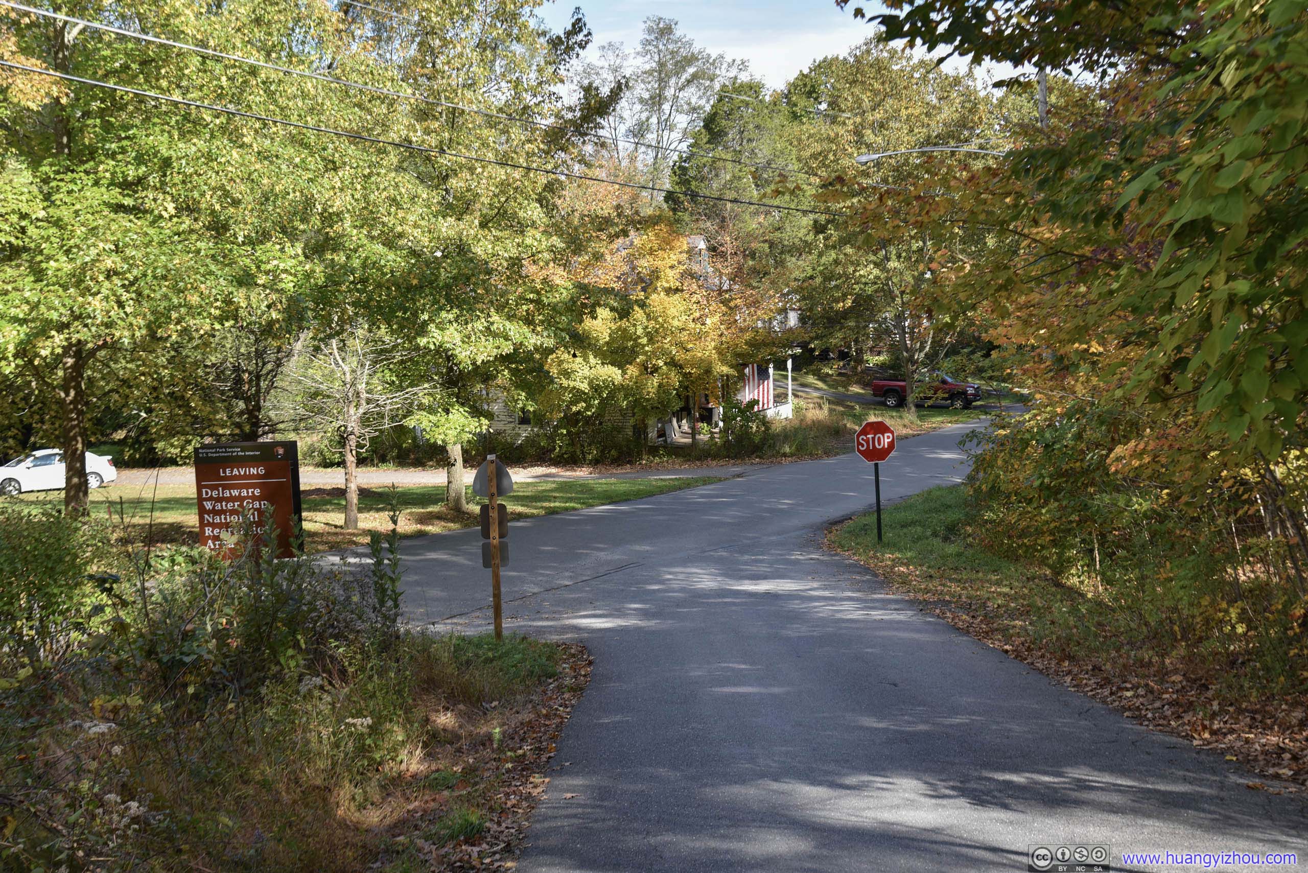
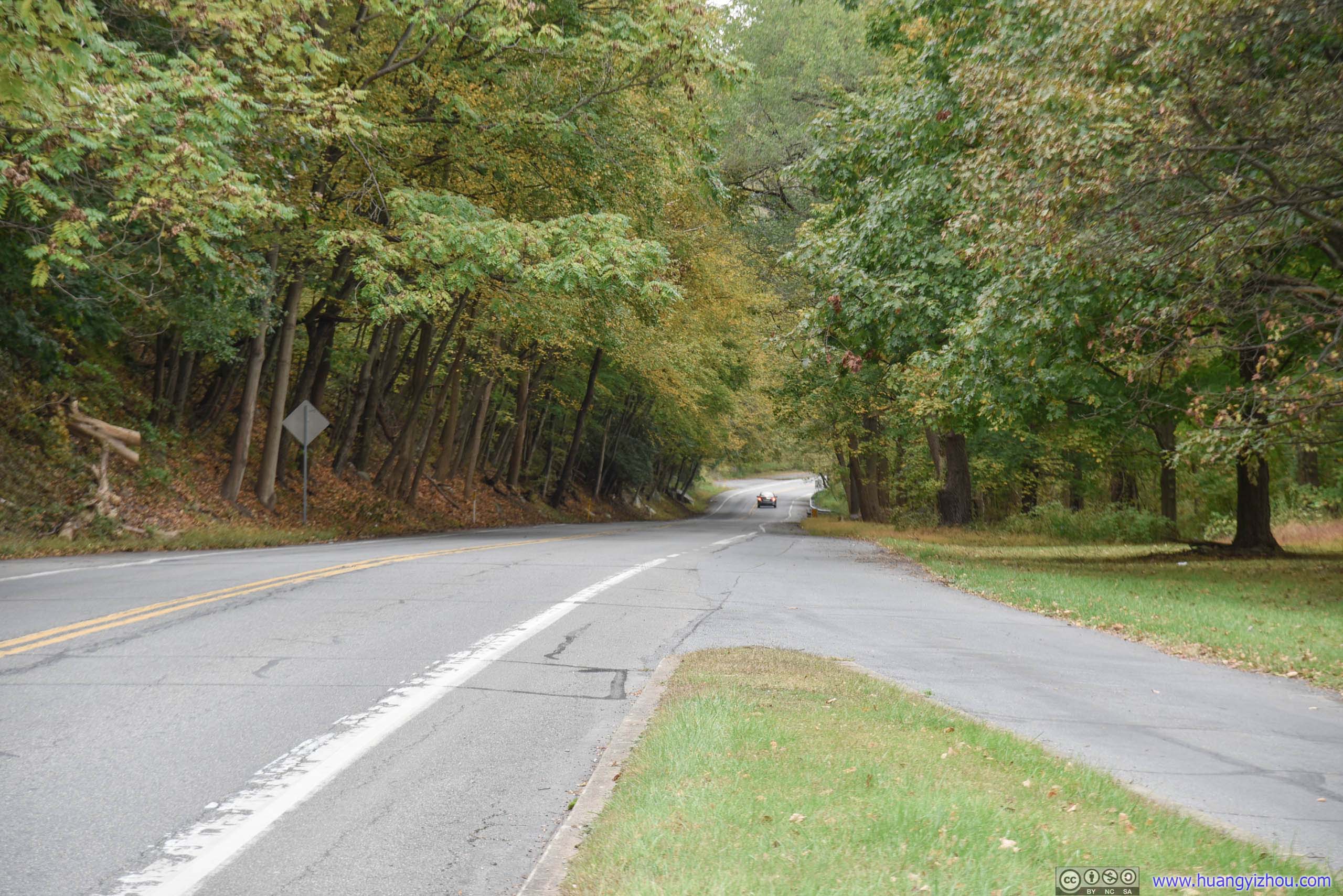
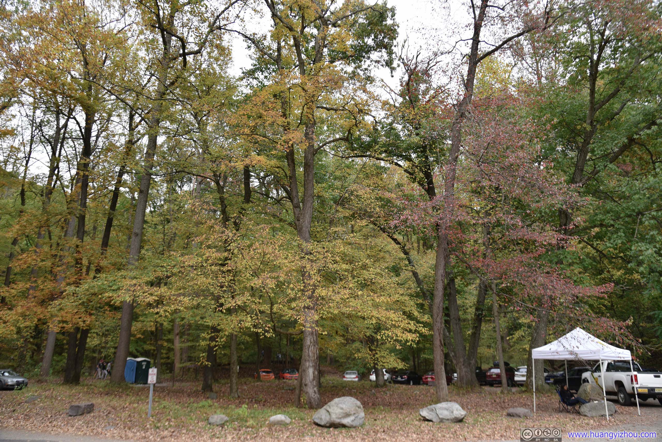
Entrance Road
Parking was very limited on such a beautiful autumn weekend at what Google Maps called “Mt. Minsi – Appalachian Trail Parking”, as the narrow entrance road in the photo above would be filled with parked vehicles by the time I returned. Later, I found that what Google Maps called “Resort Point Overlook” could also serve as overflow parking, and with a supposedly existent footpath on maps, it wouldn’t add any hiking distance at all.

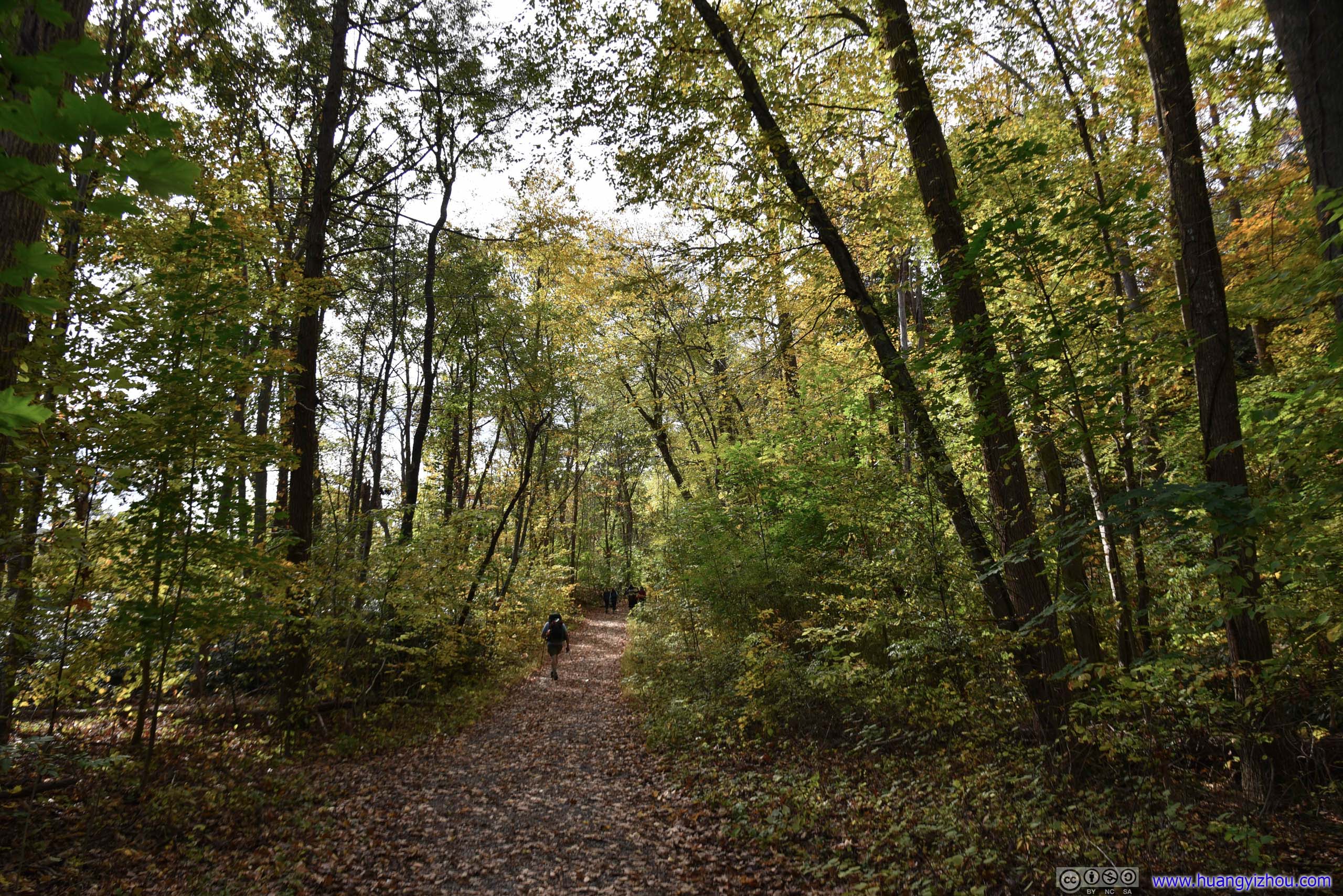
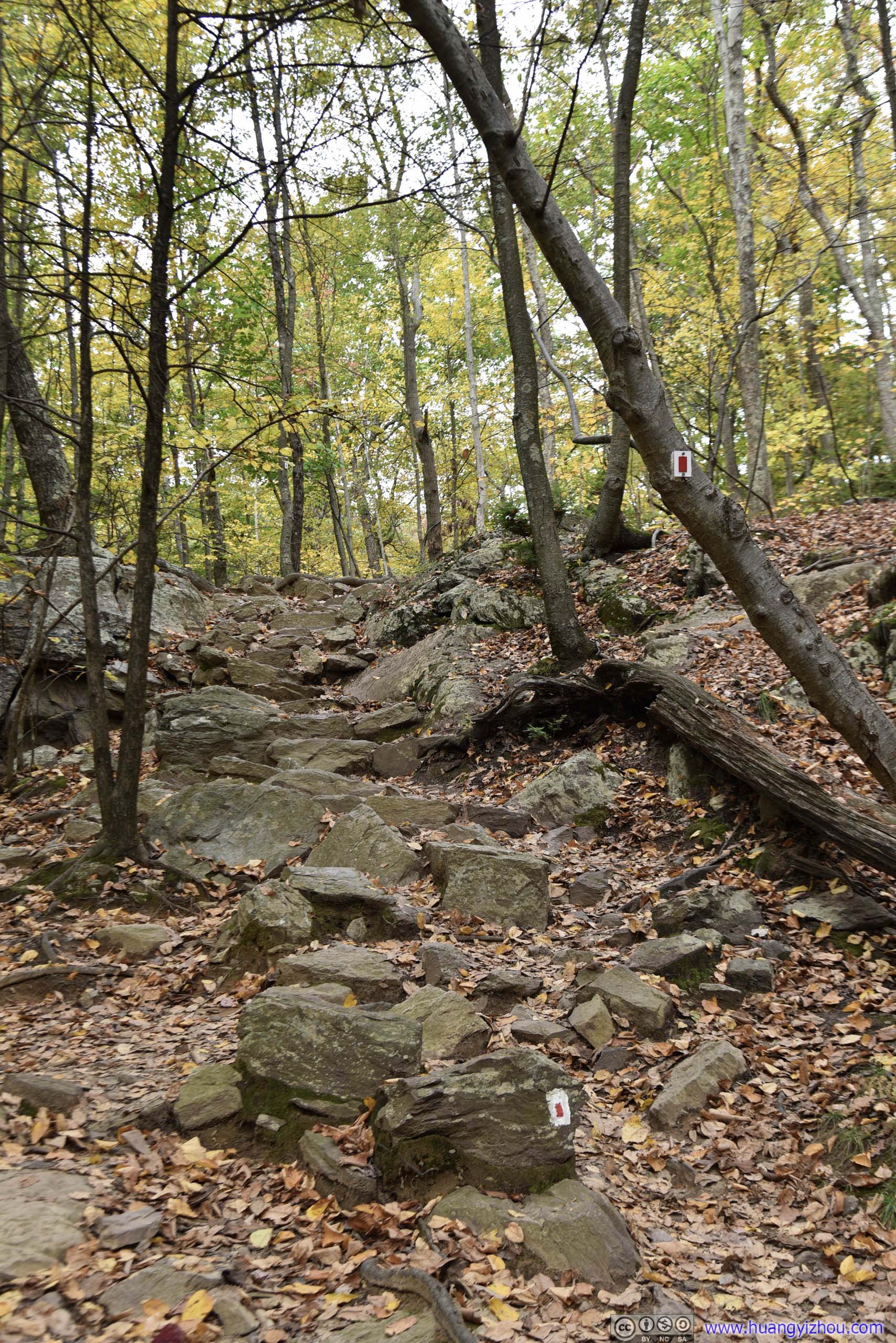
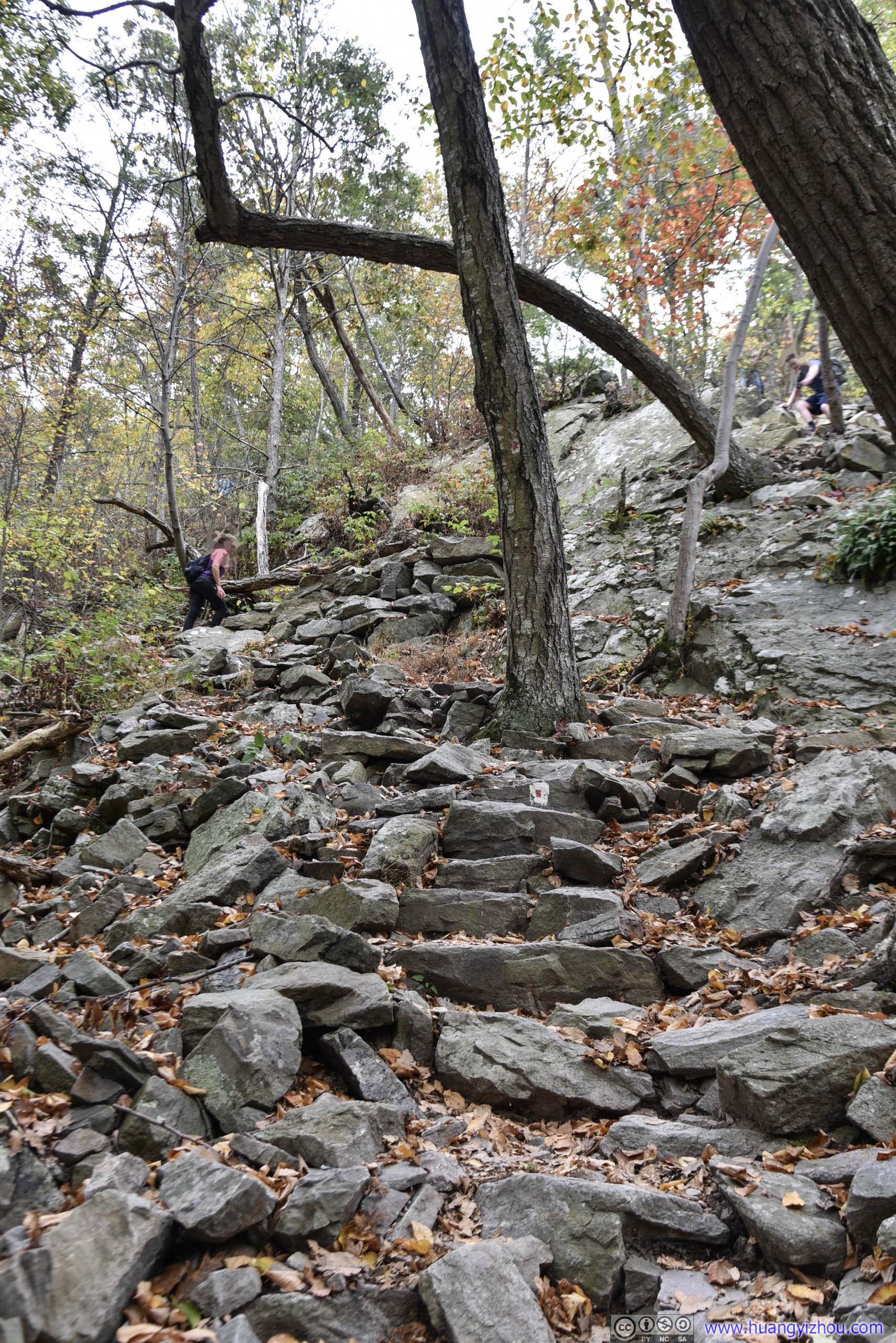
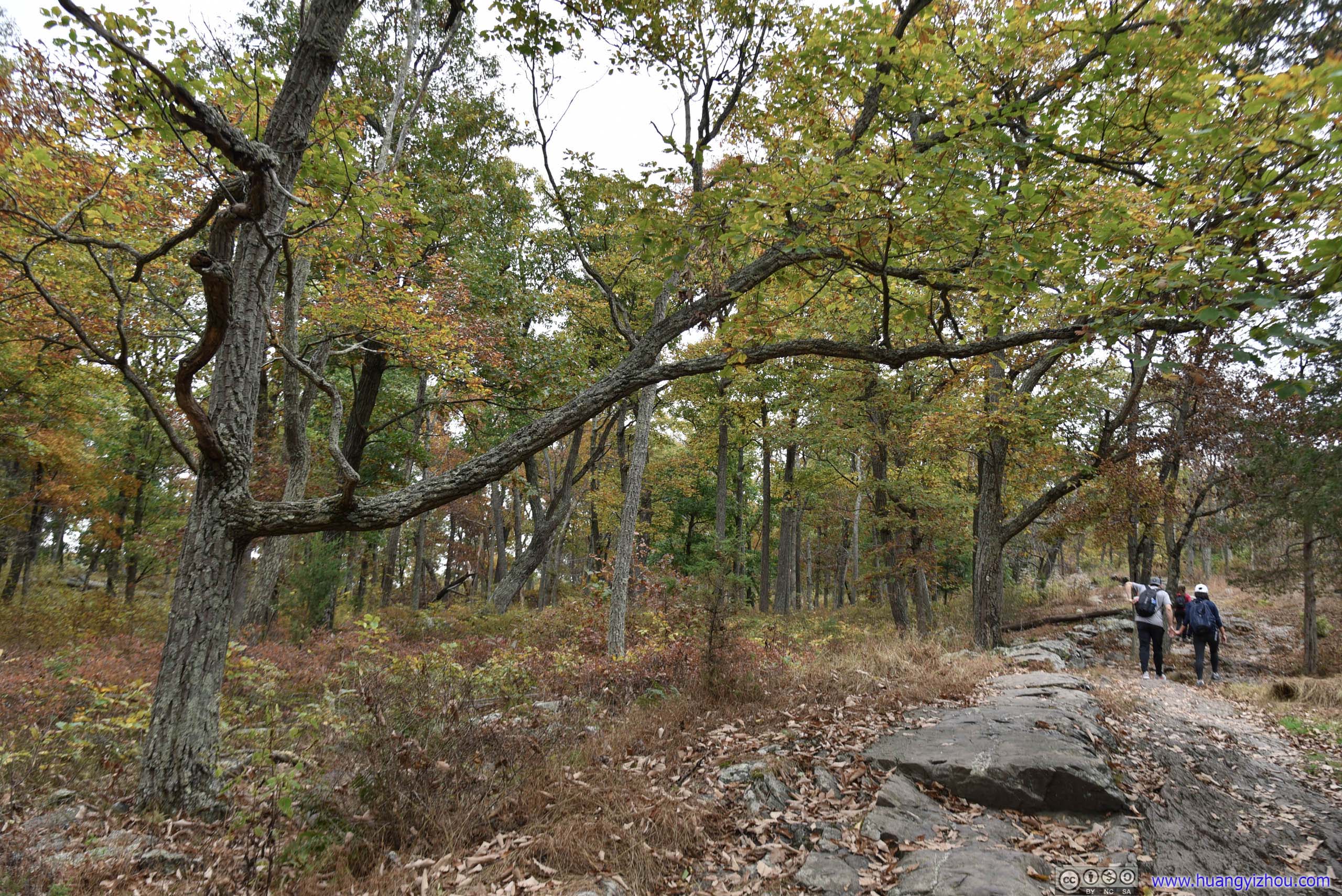
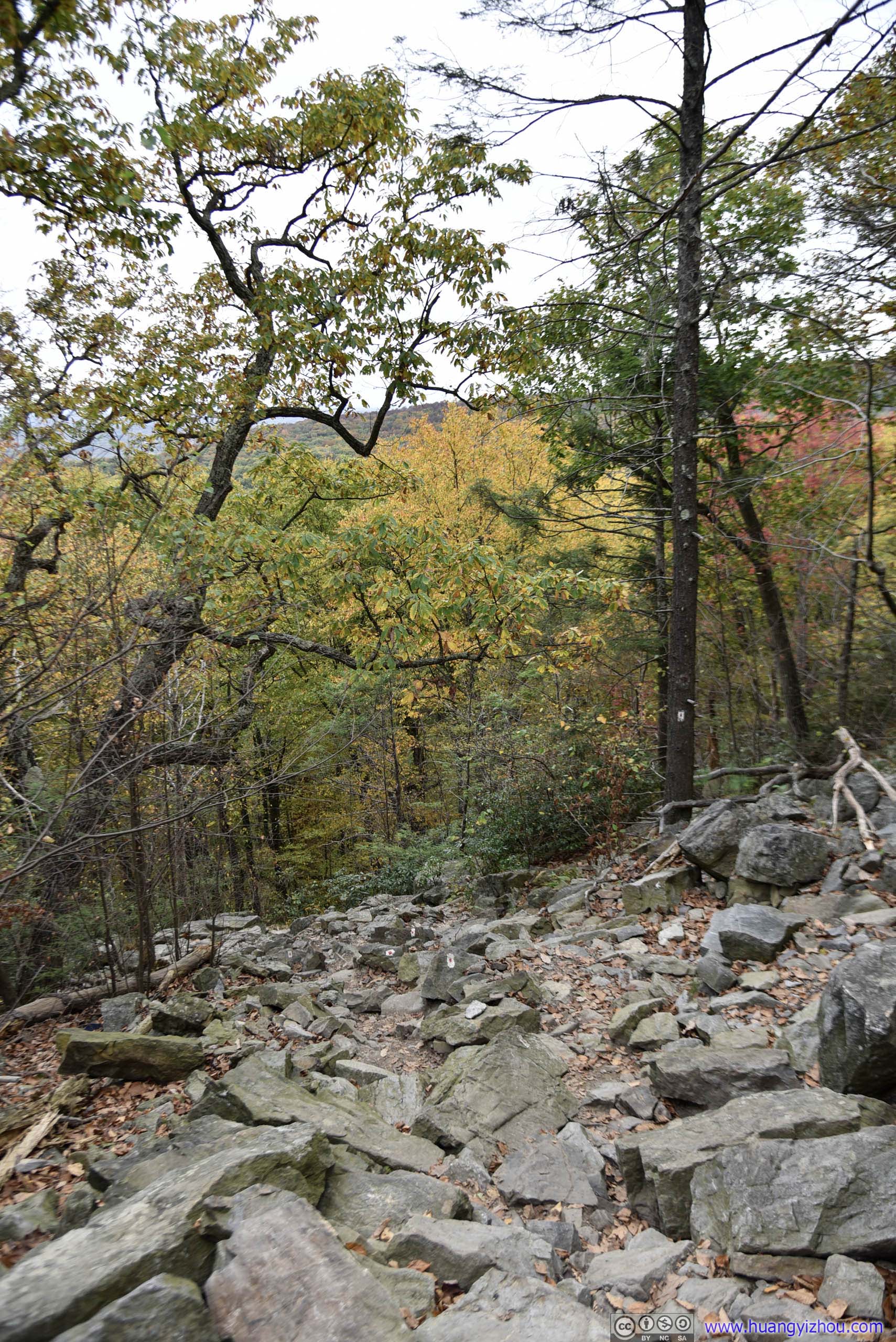
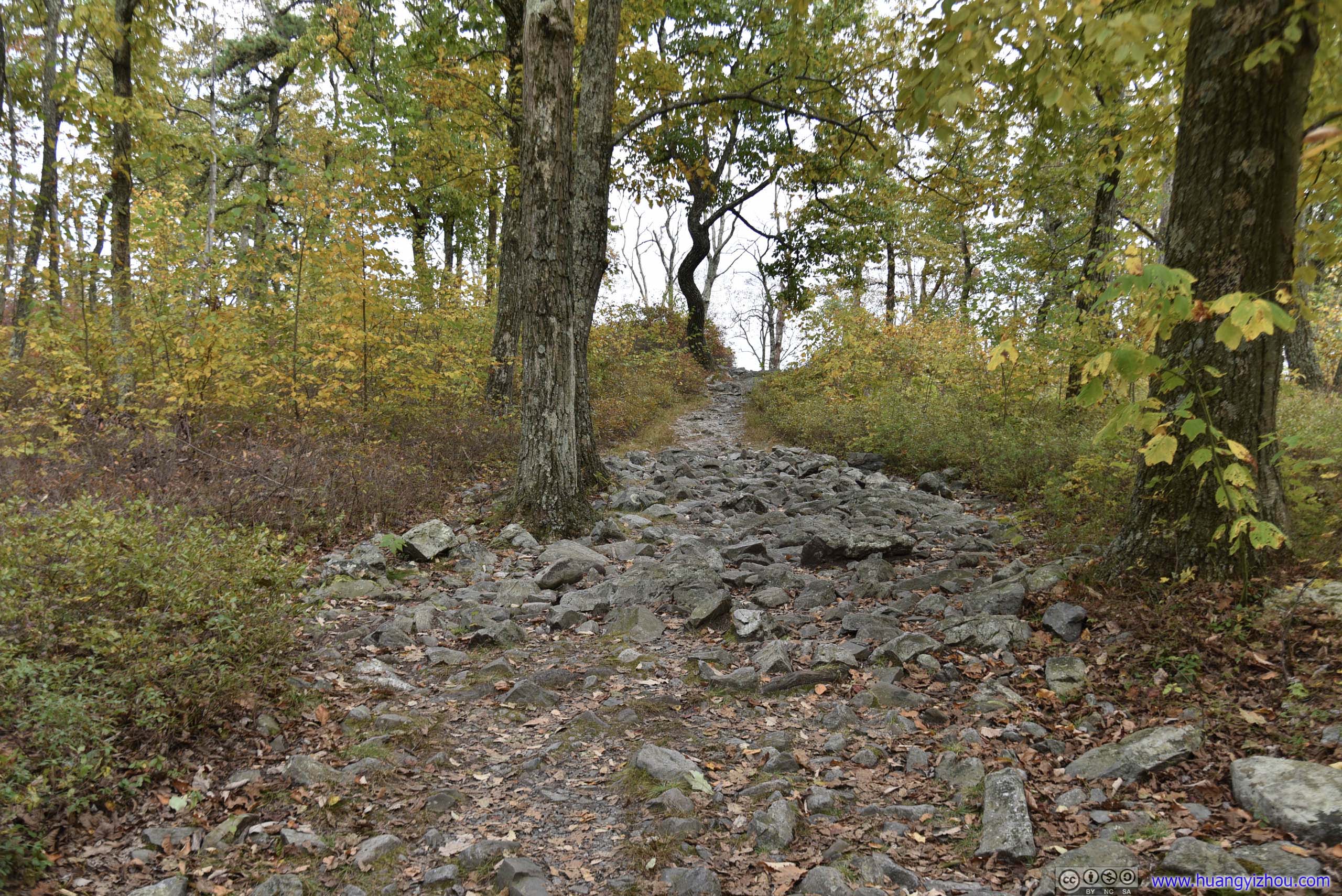
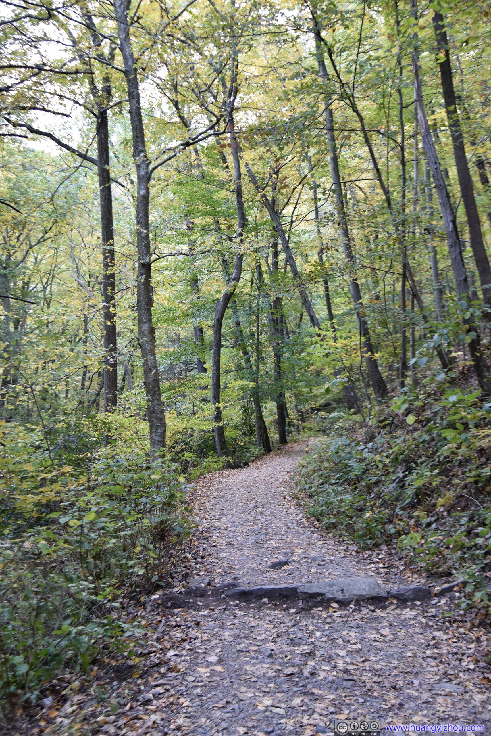
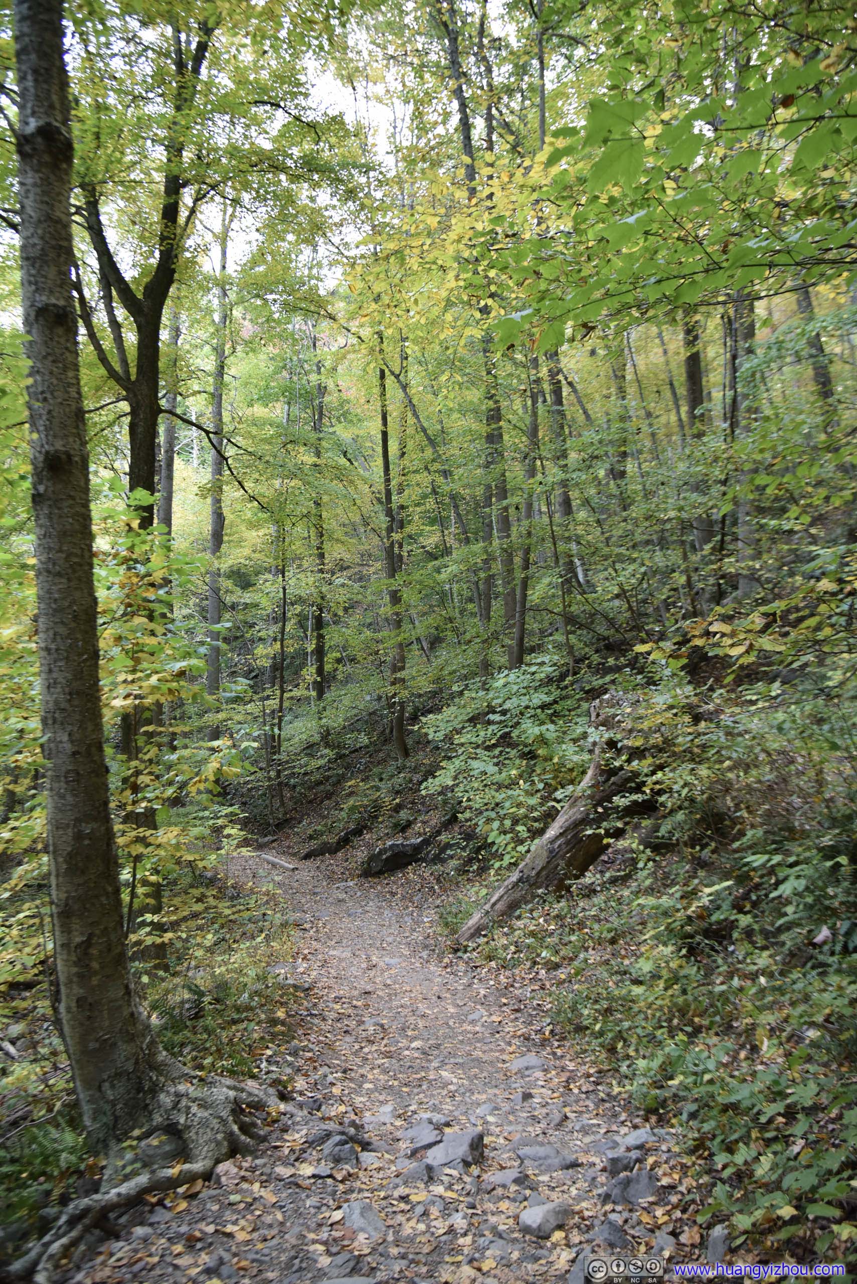
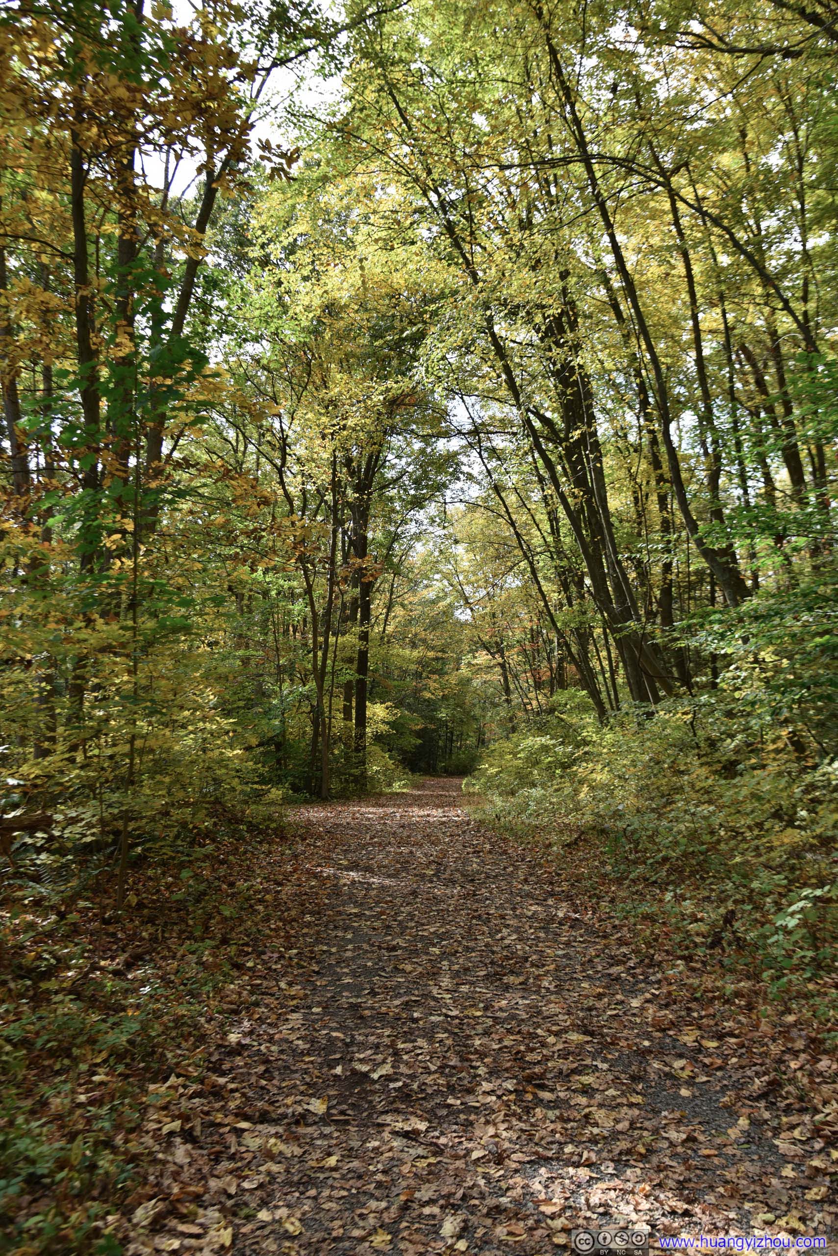 Trail
Trail
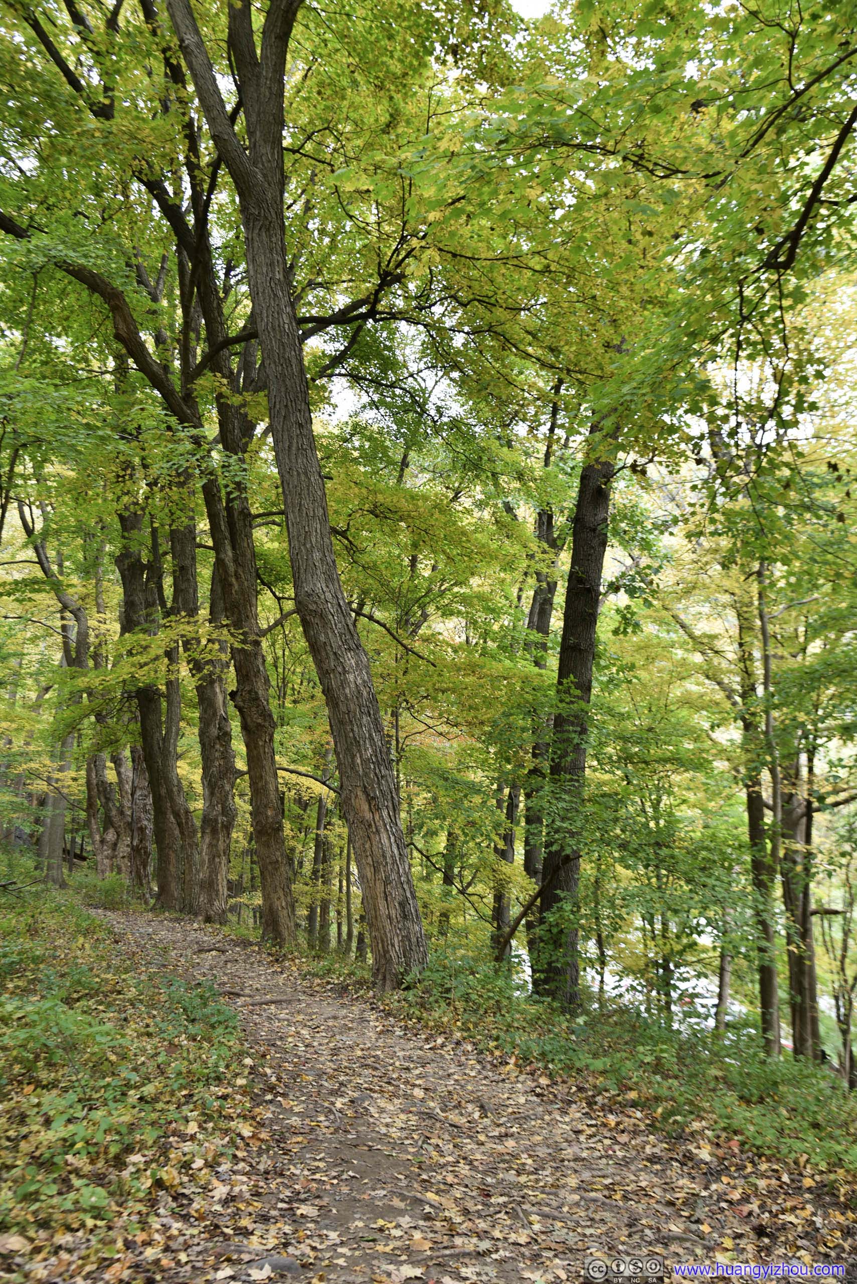
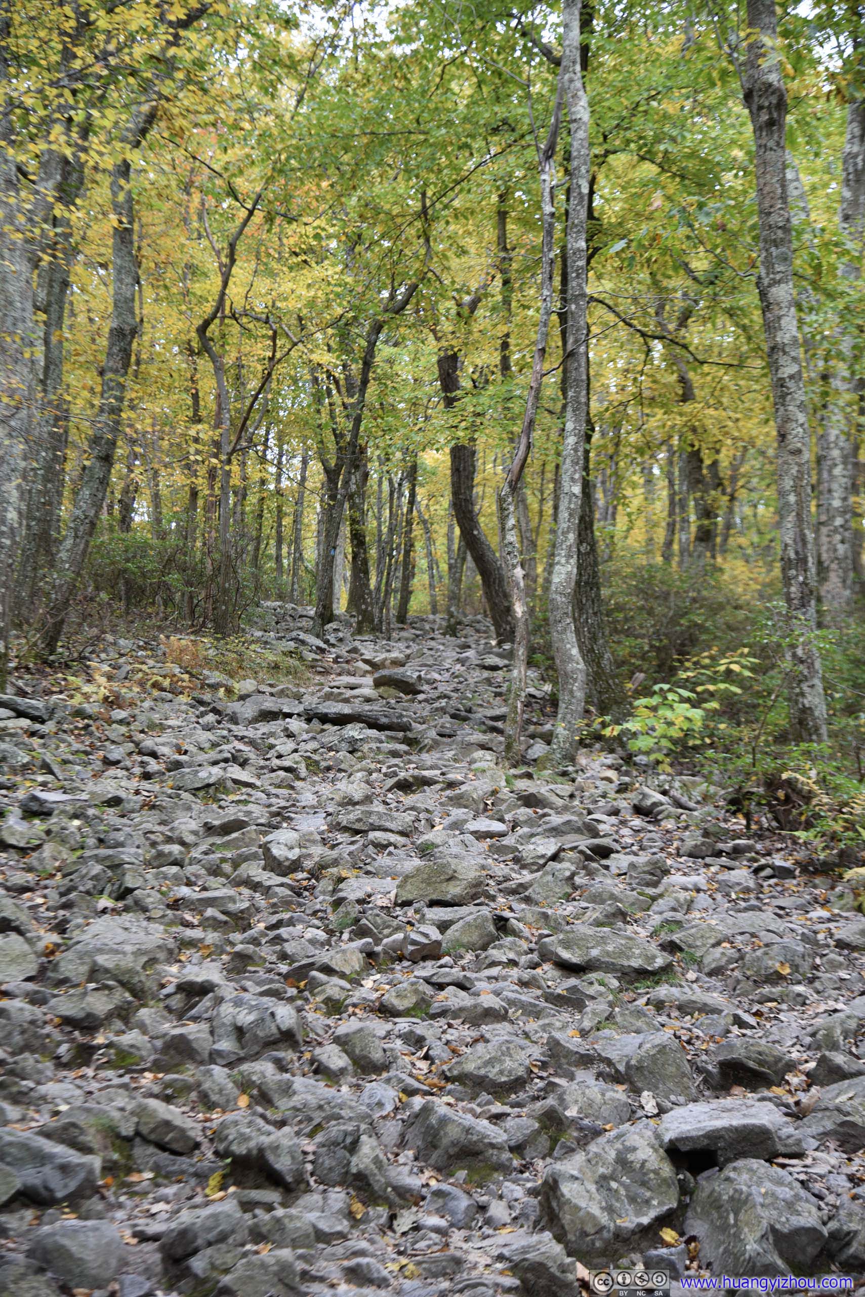
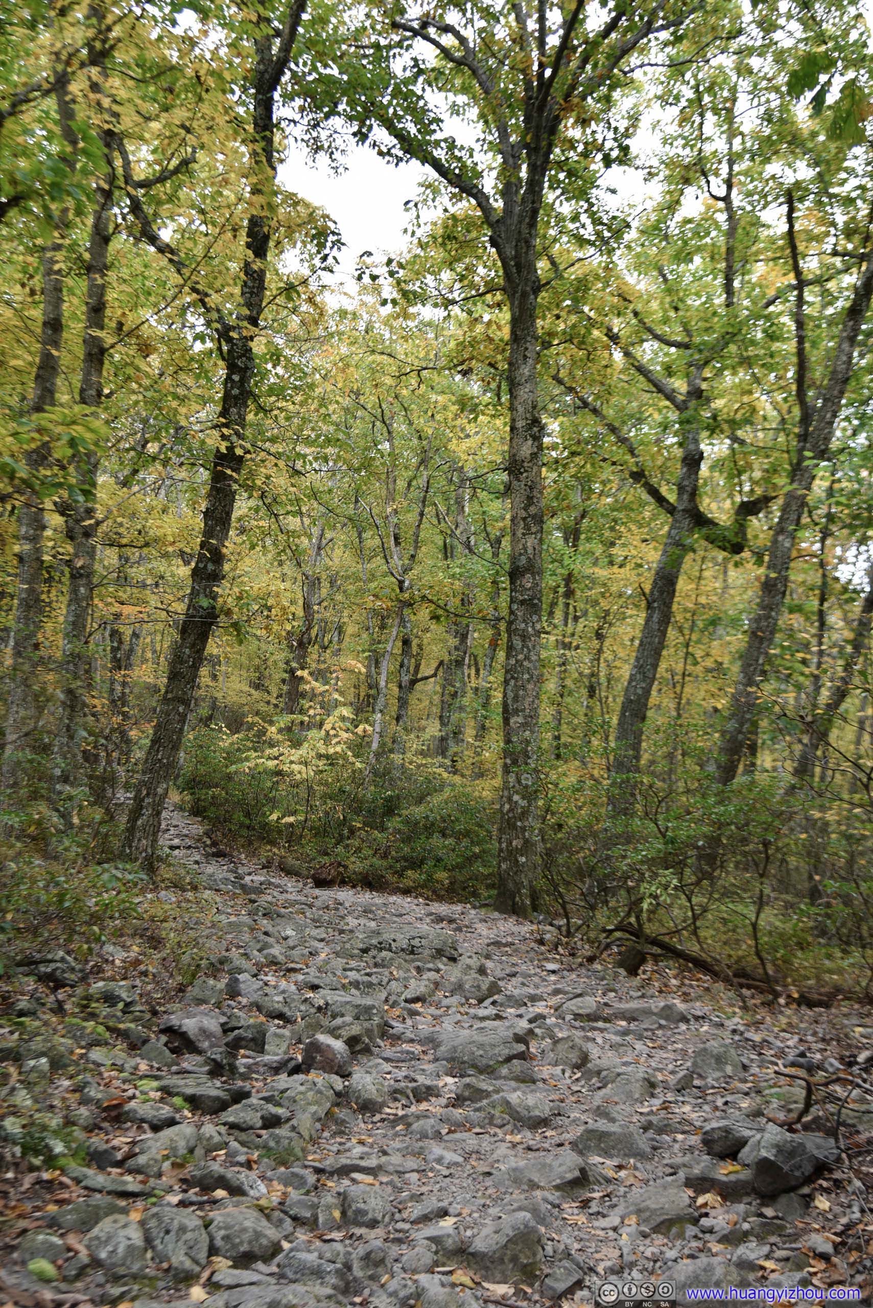
The 8-kilometer Mount Minsi trail consists of two parts, the more accessible “Lake Road” to the West and the rocky Appalachian trail to the East. Because “Lake Road” was technically a “road”, it was wide and mostly level. One could in theory push a stroller close to the lookout point of Mount Minsi (but not actually there, I saw one that day). I chose to hike the rocky trail up and take the “Lake Road” down.
And here’s GPS tracking.
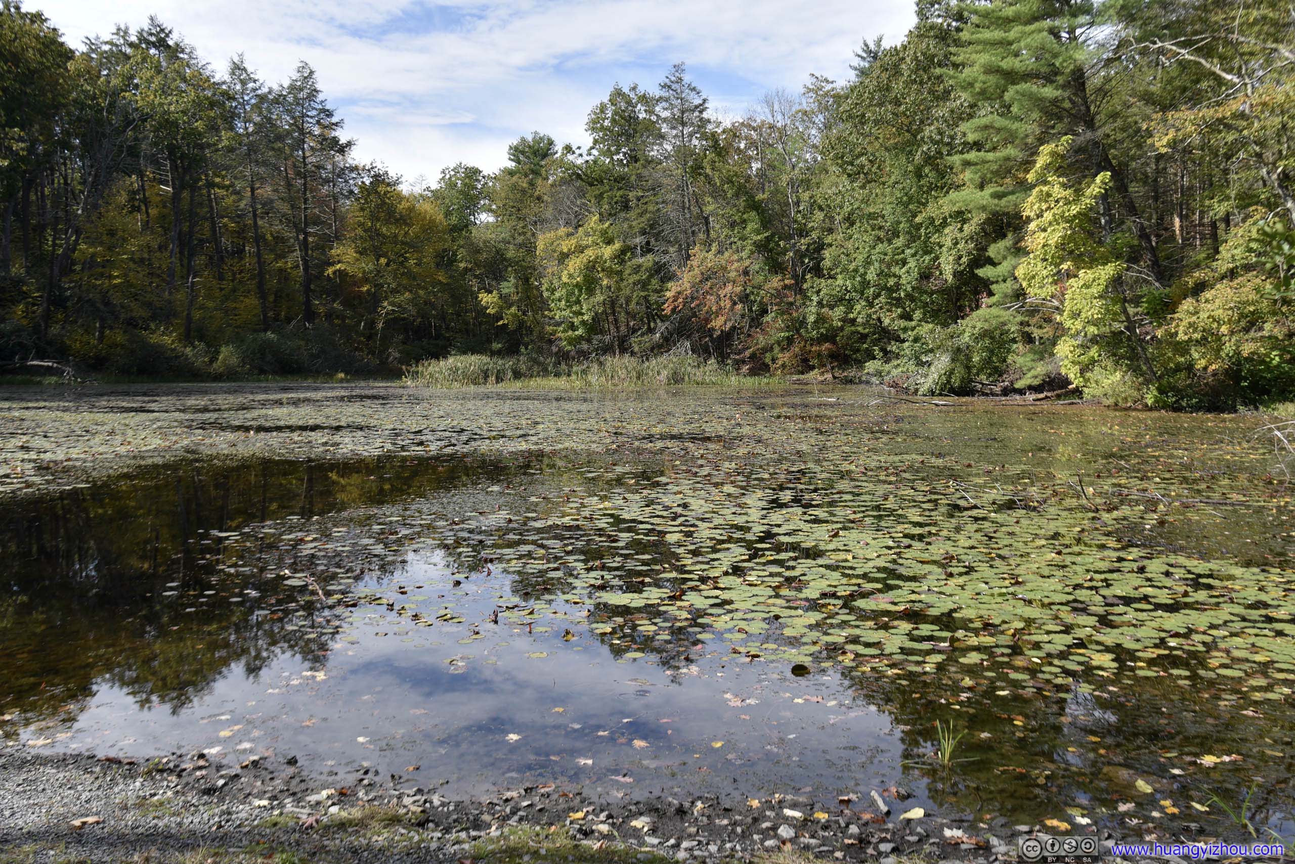
 Lenape LakeA lake that’s close to the trailhead.
 Trail
Trail

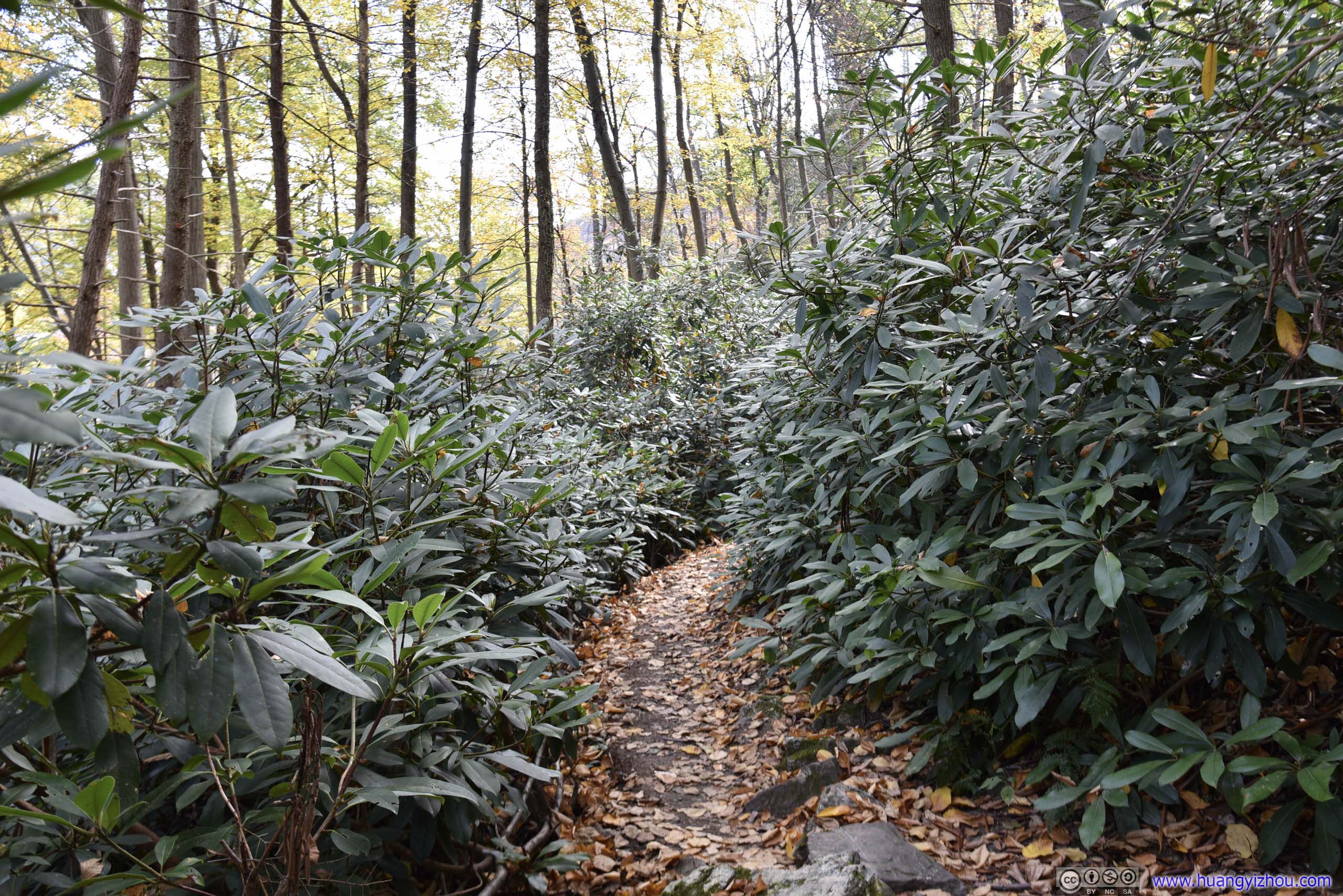
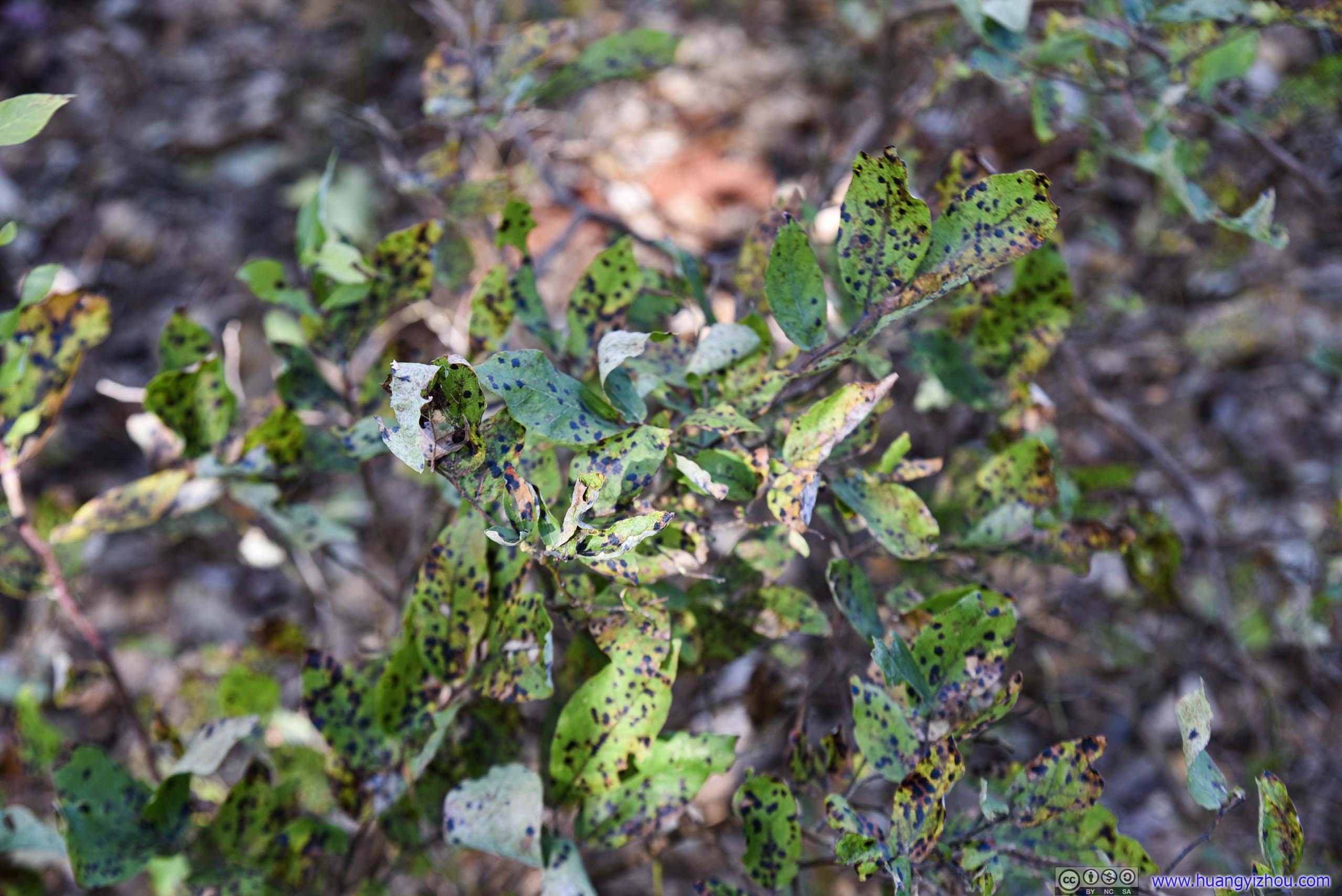
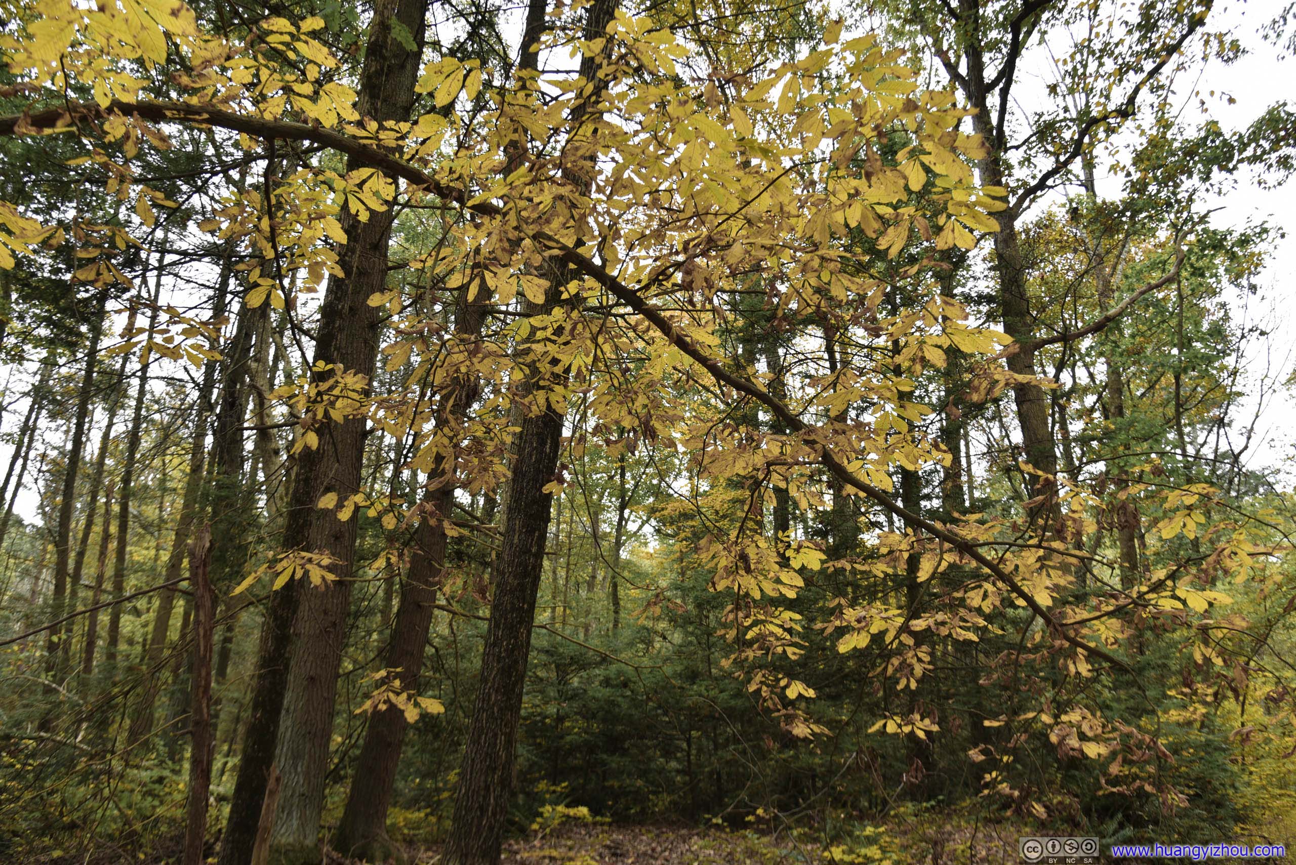
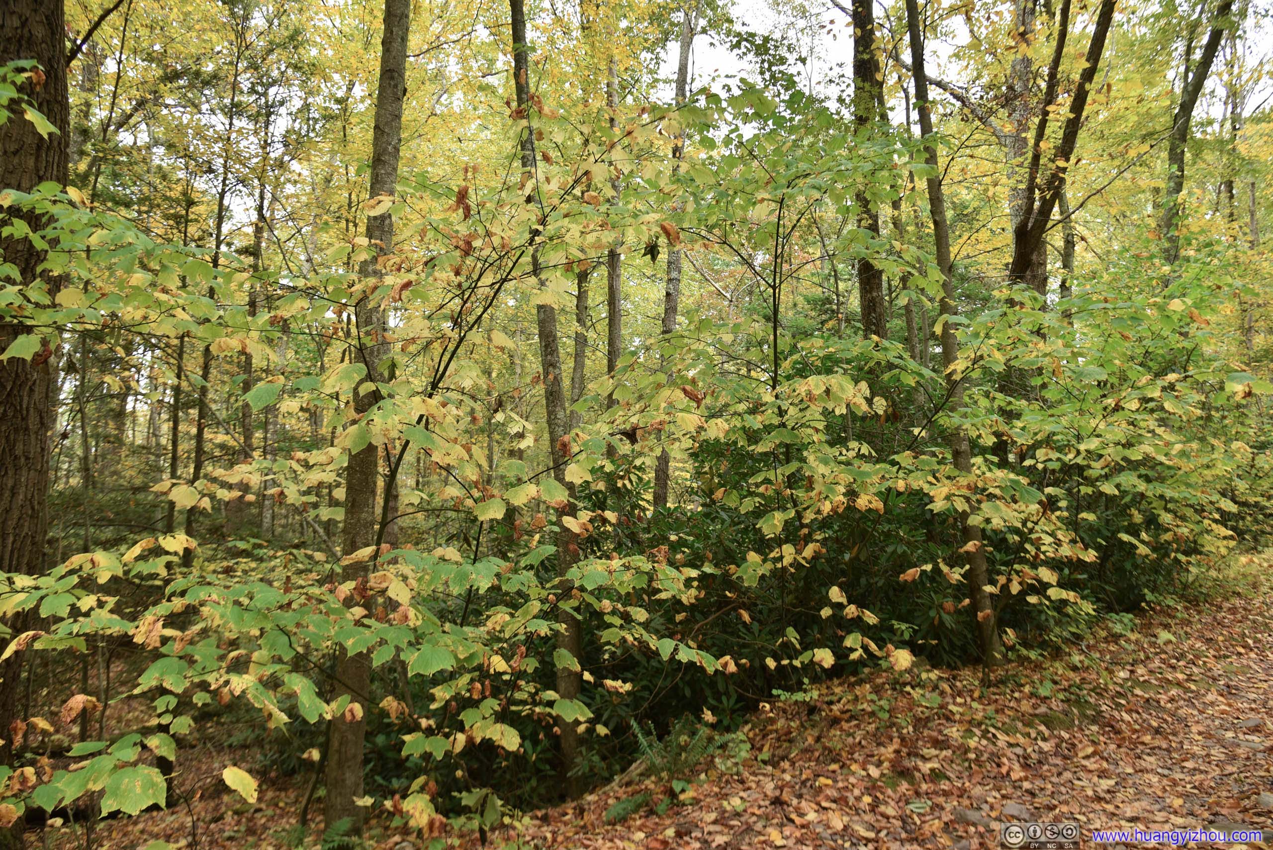
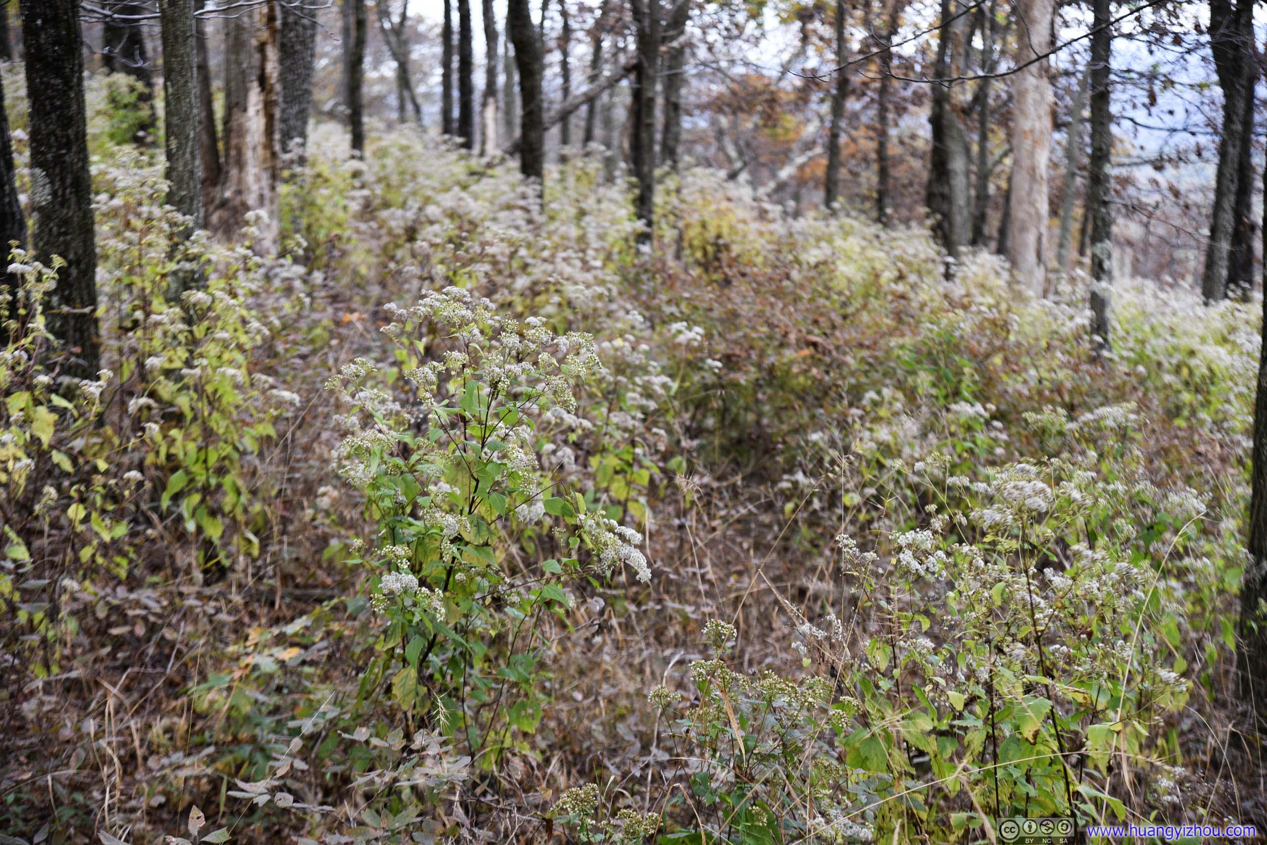
Plants

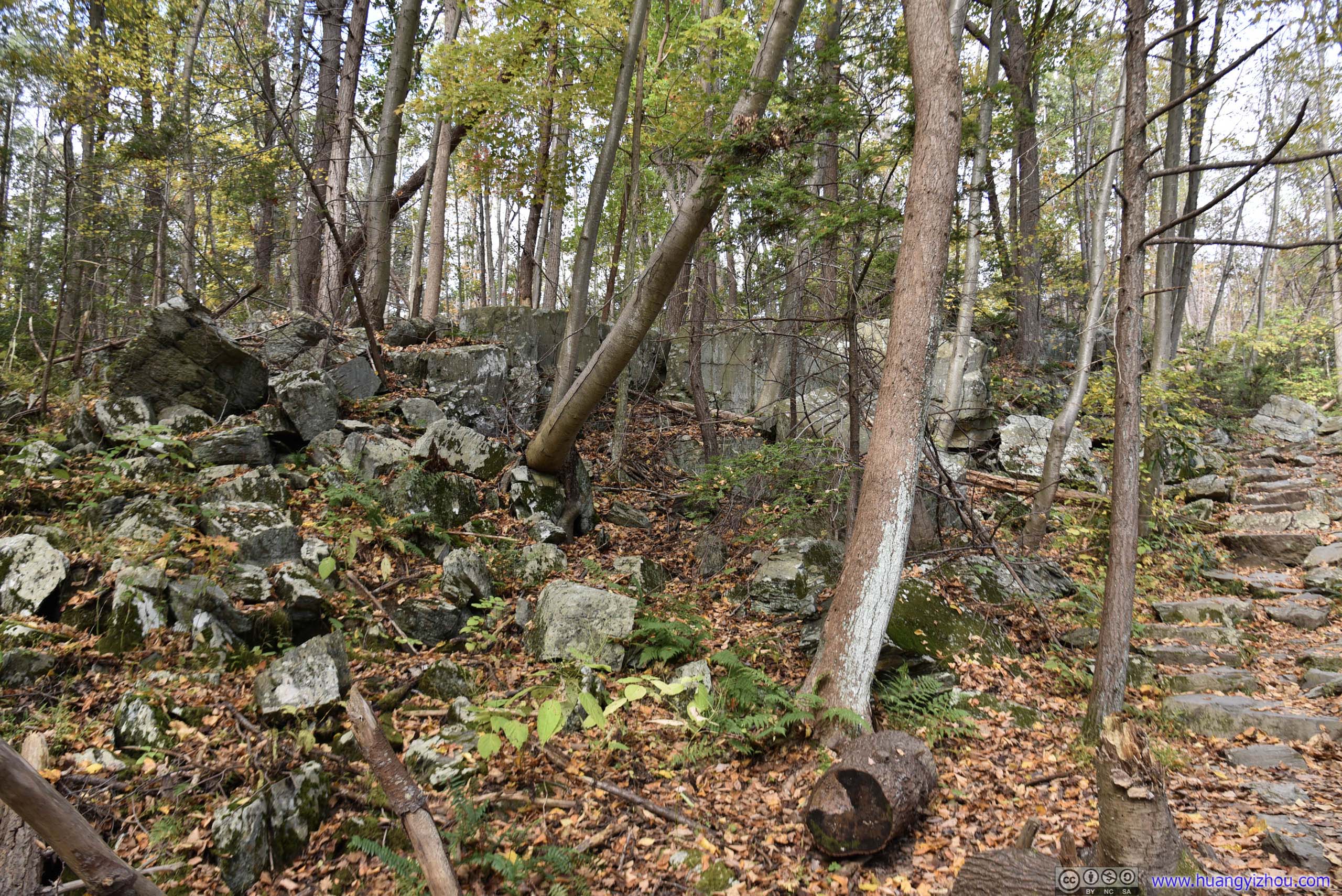
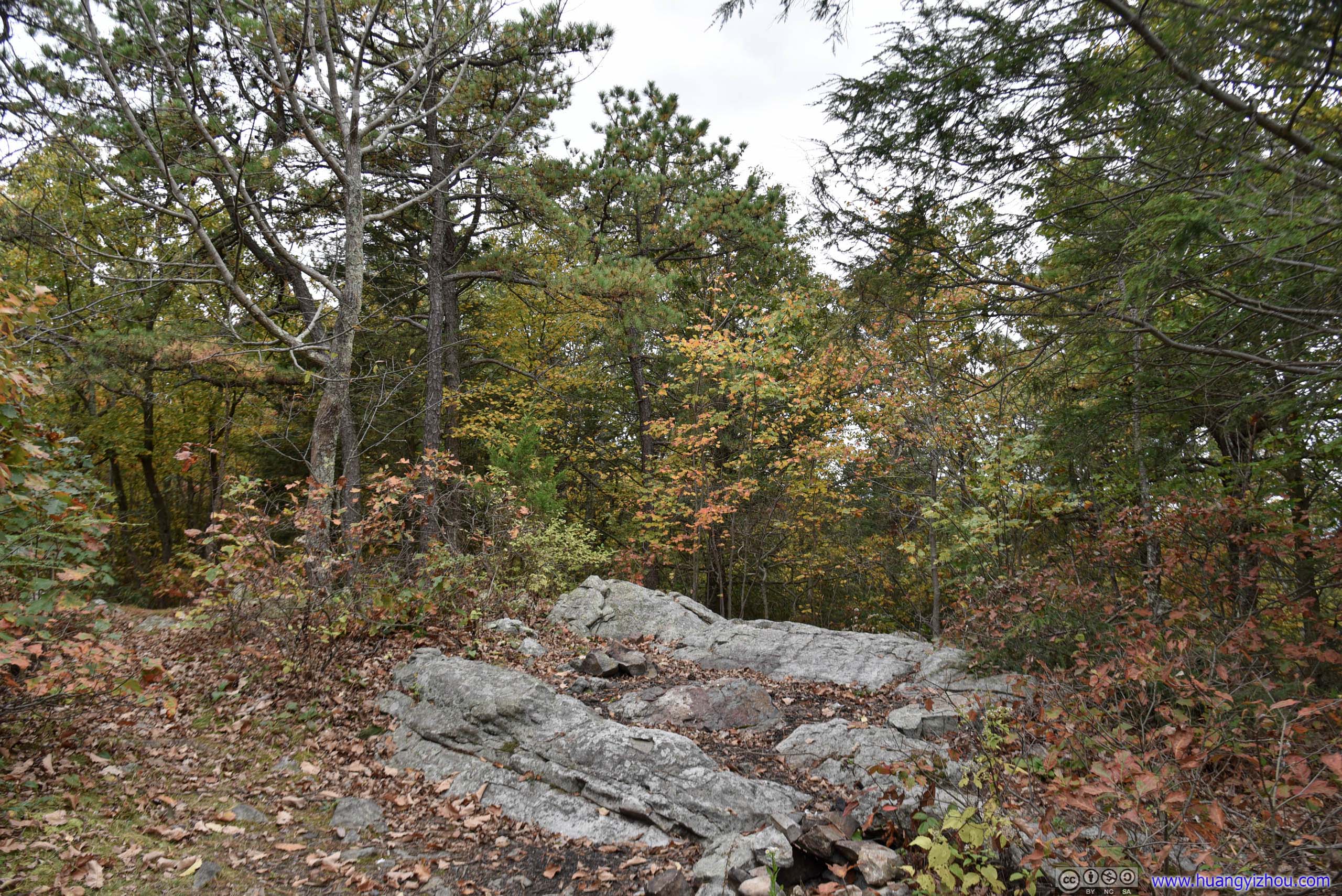
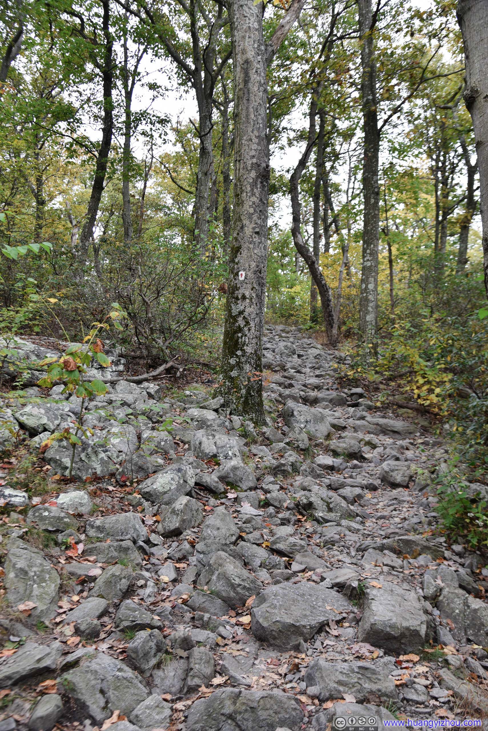
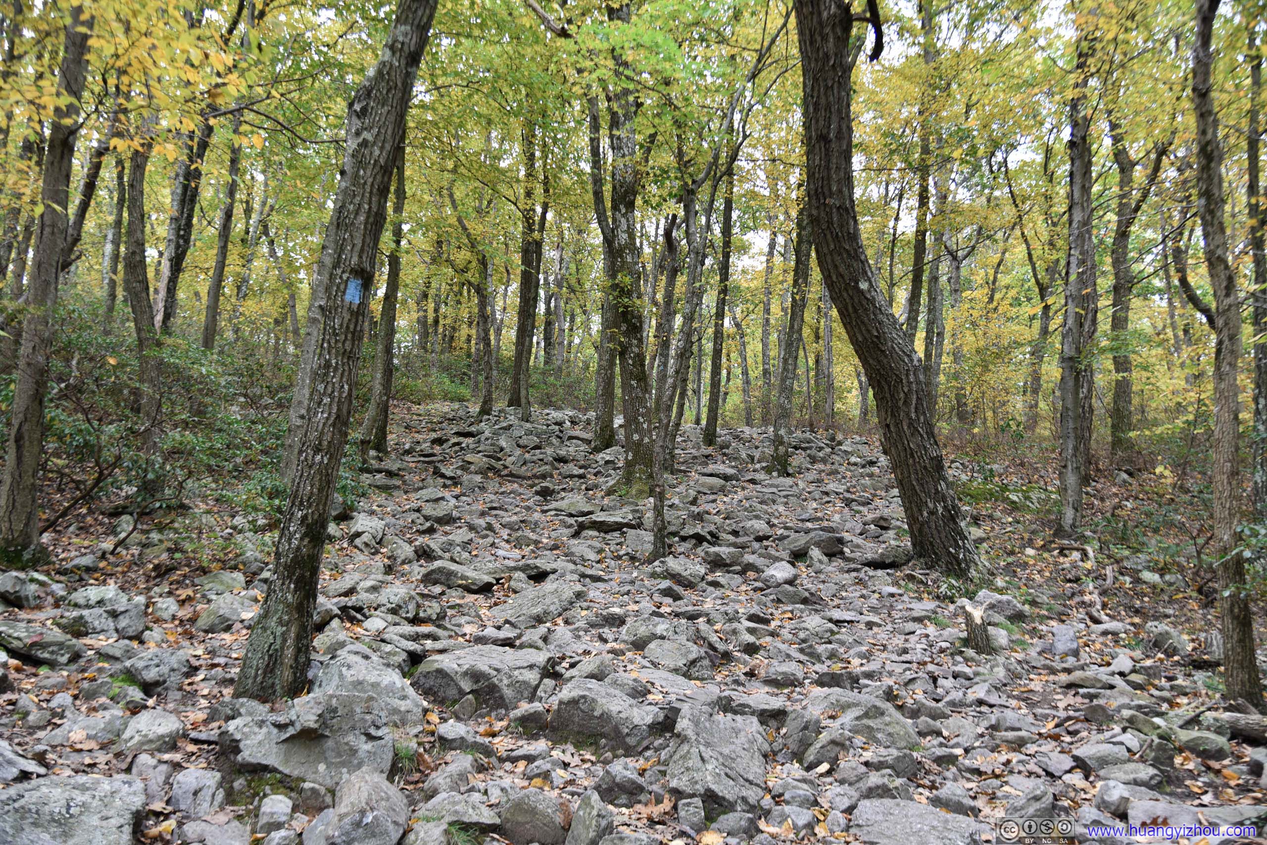
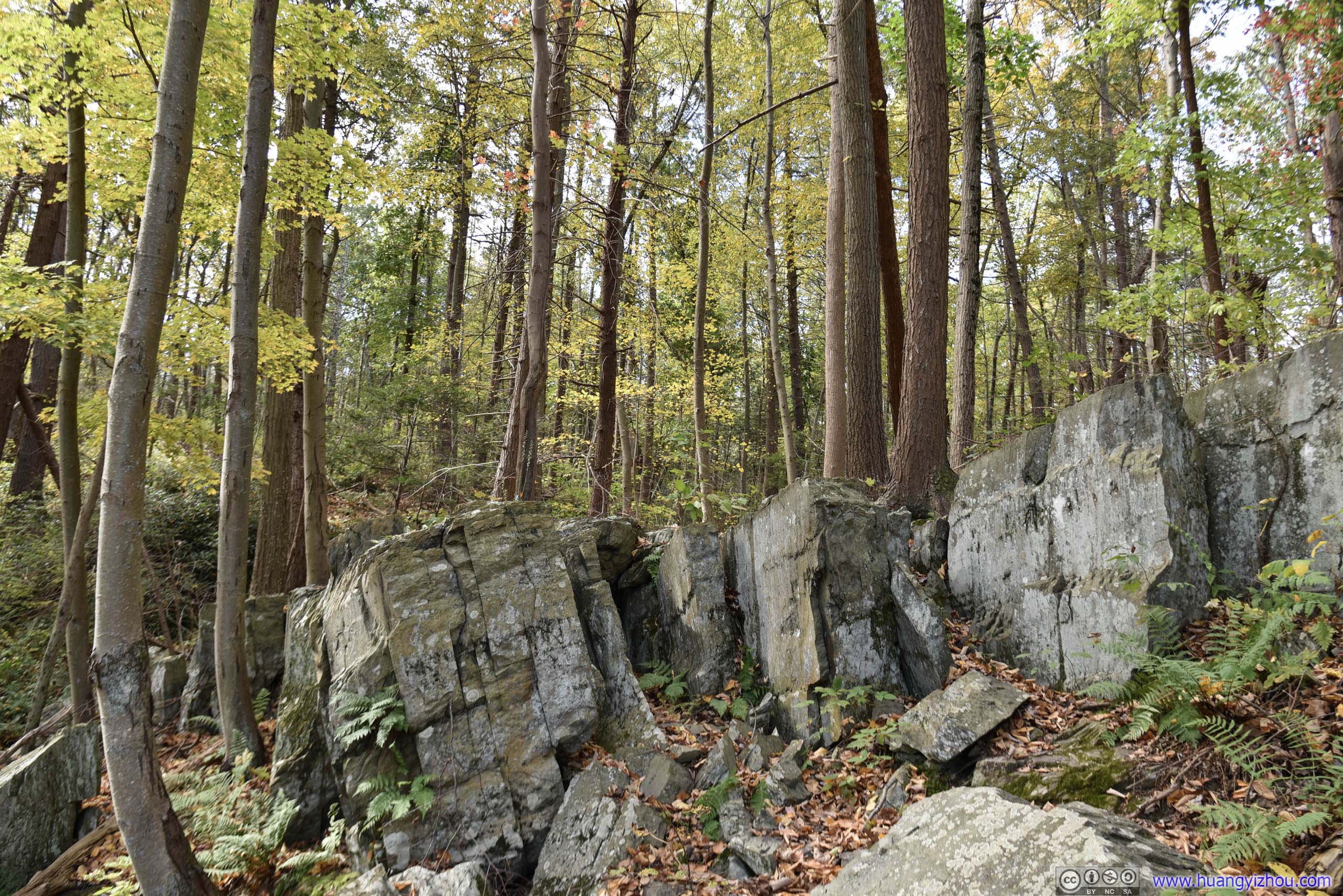 Boulders
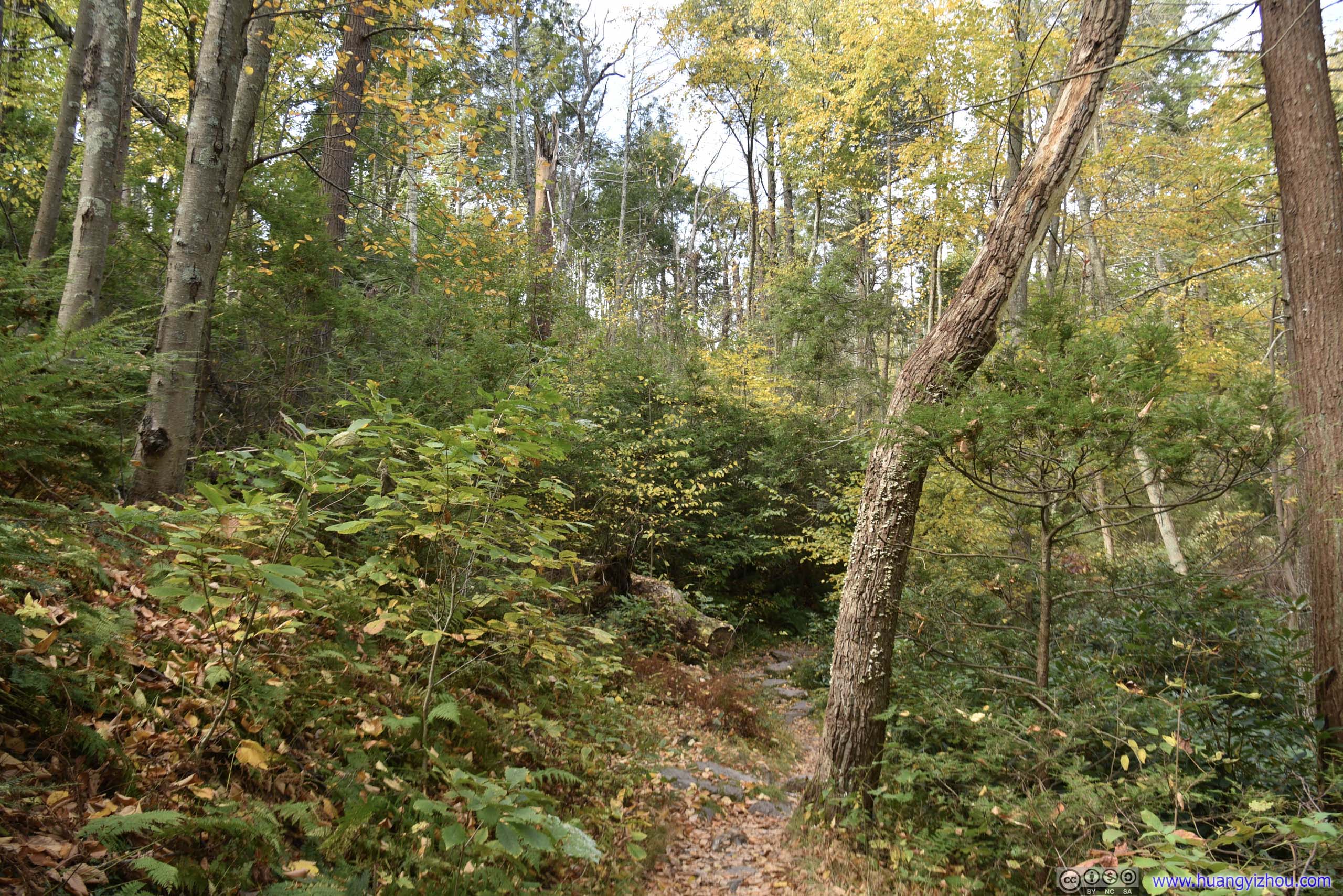
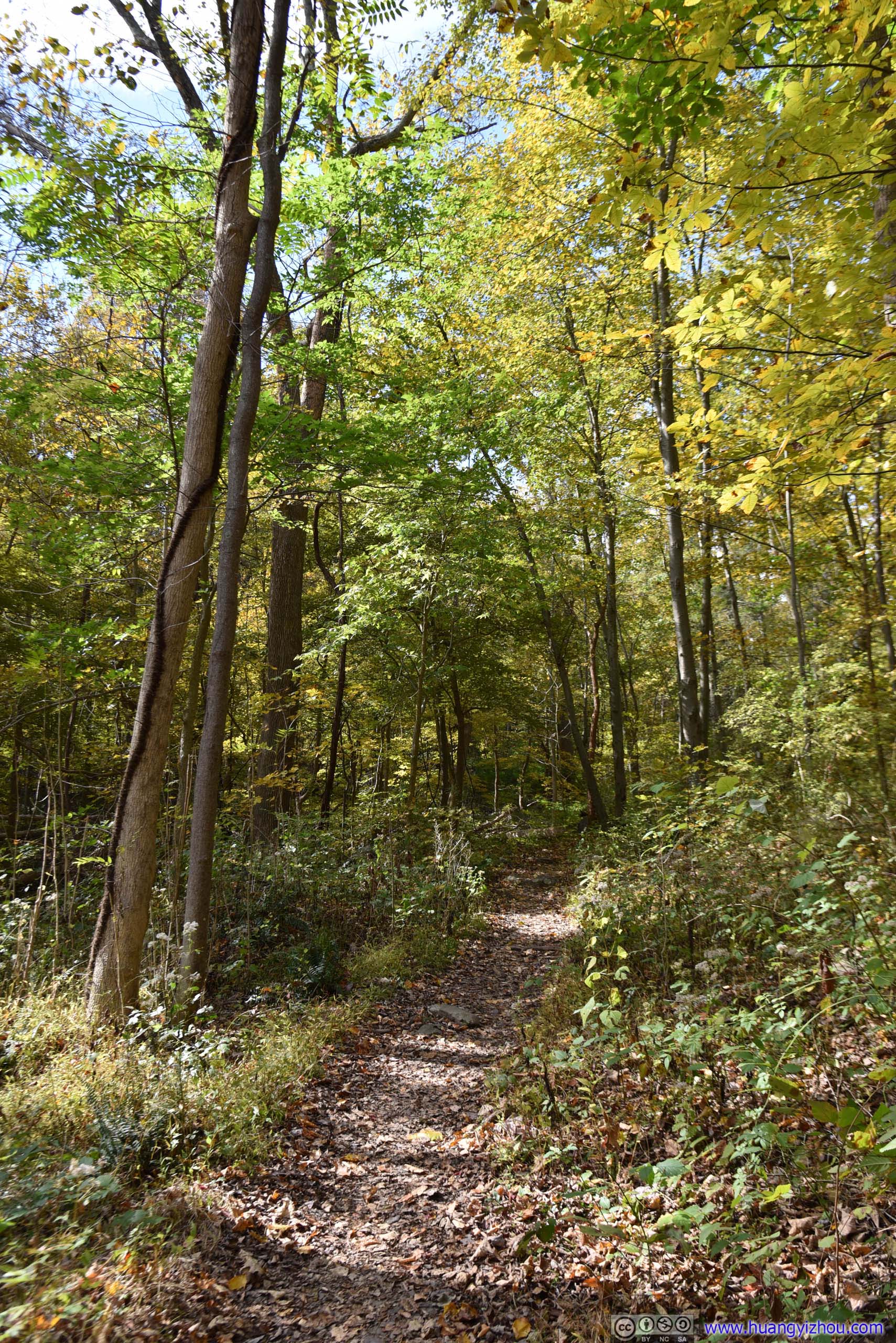
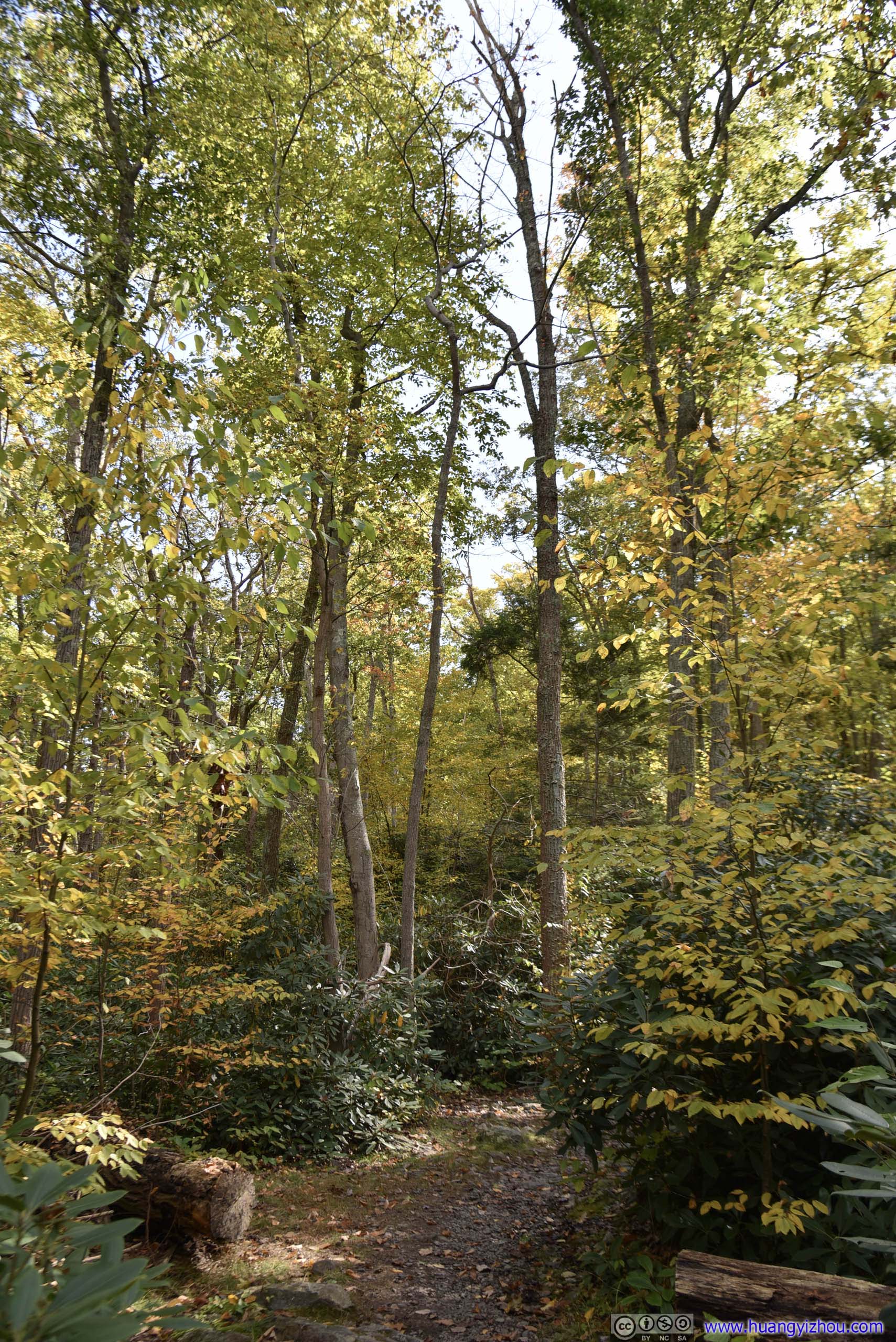
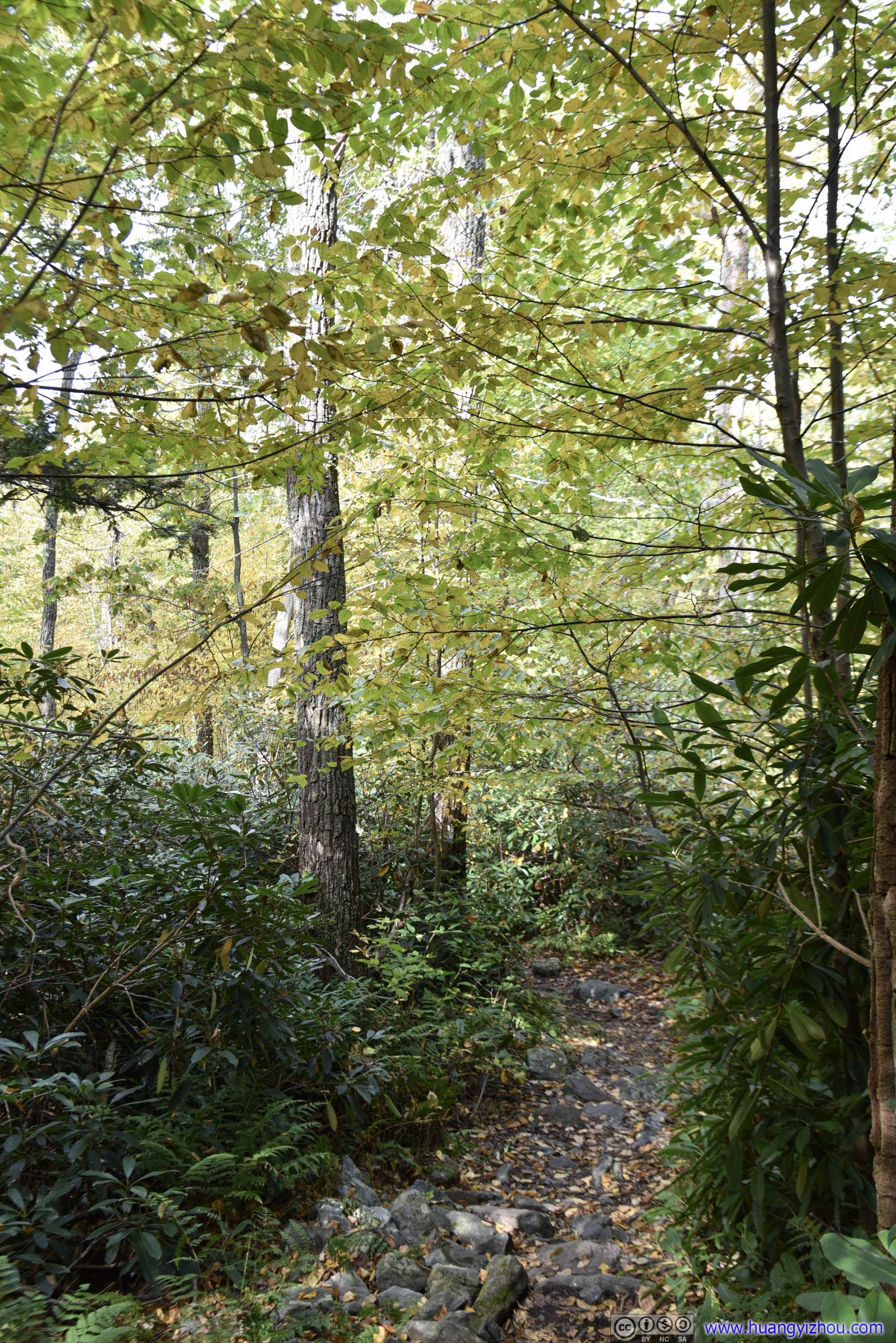
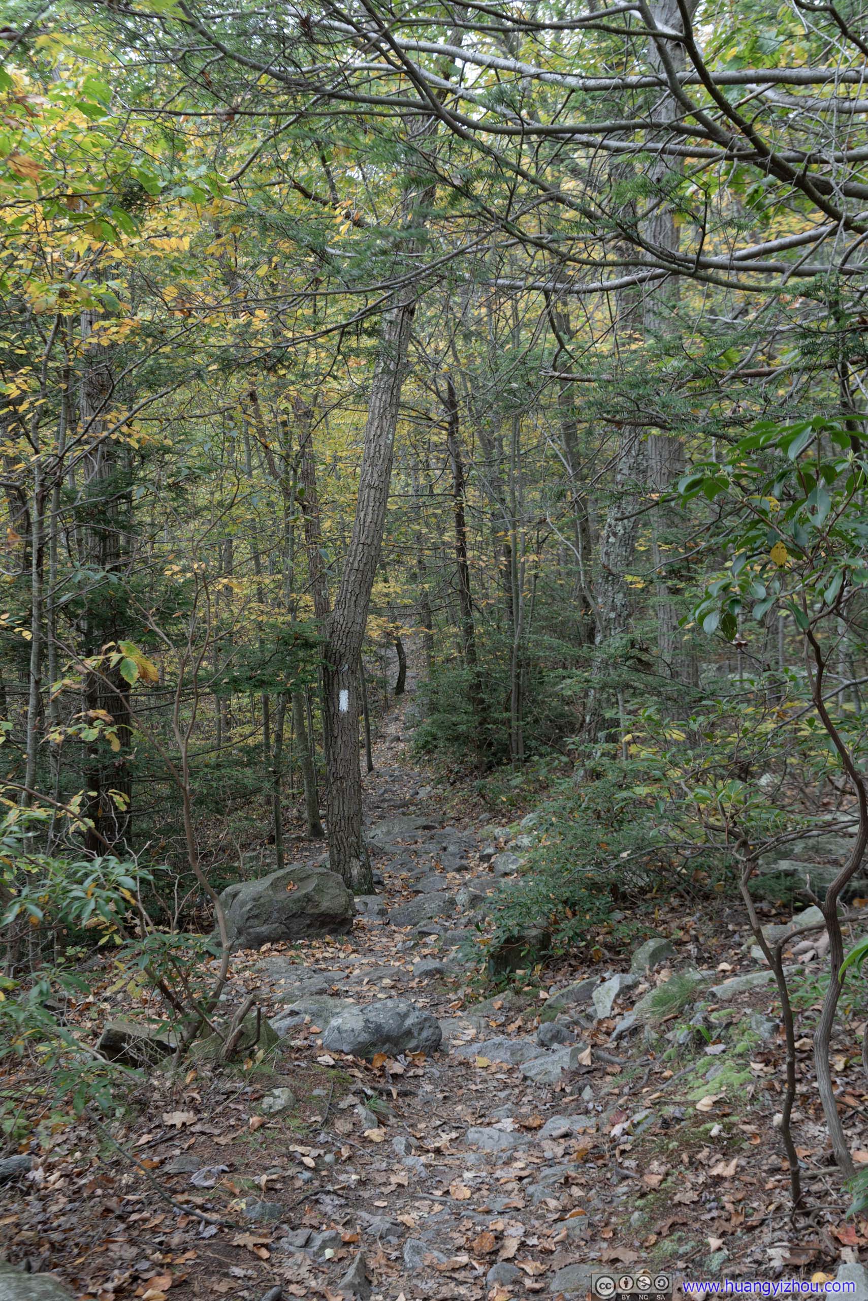
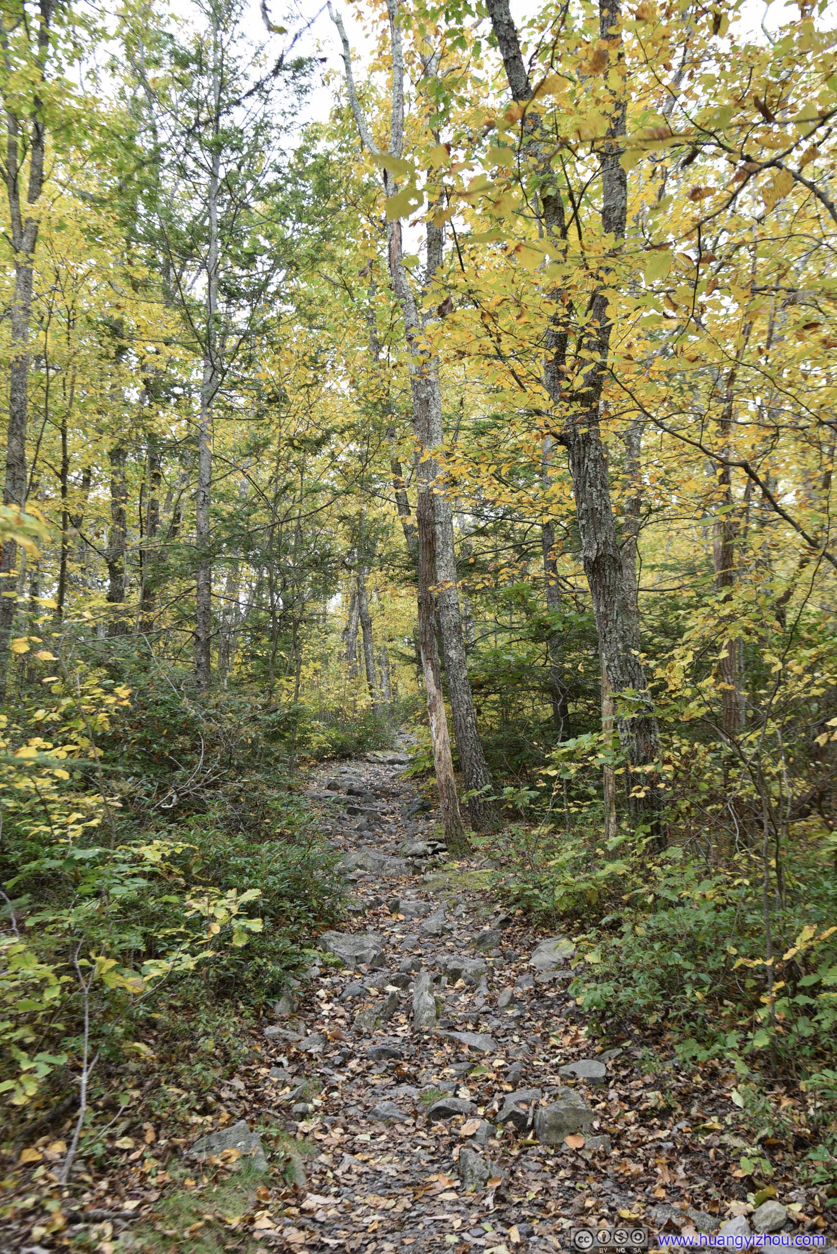
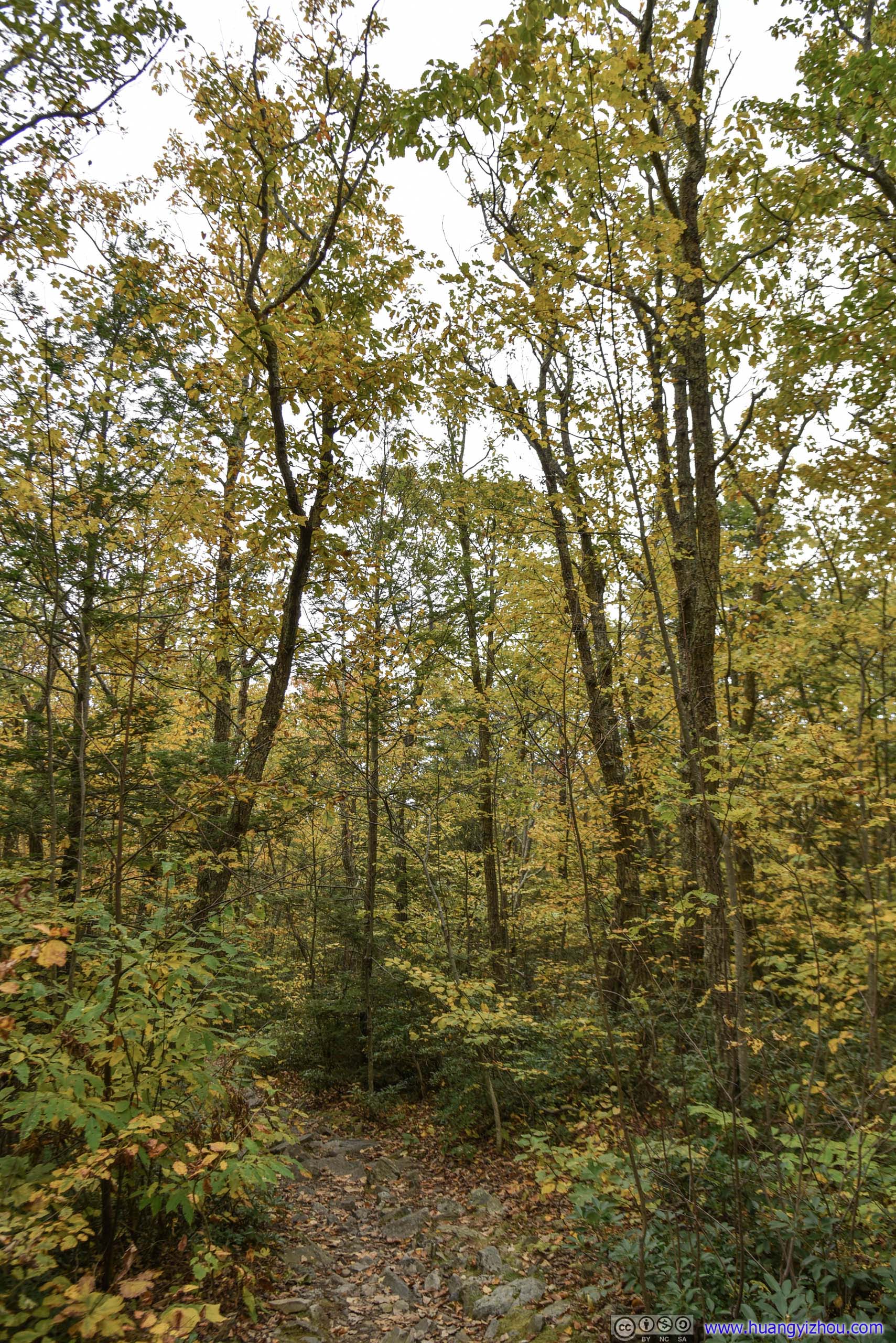
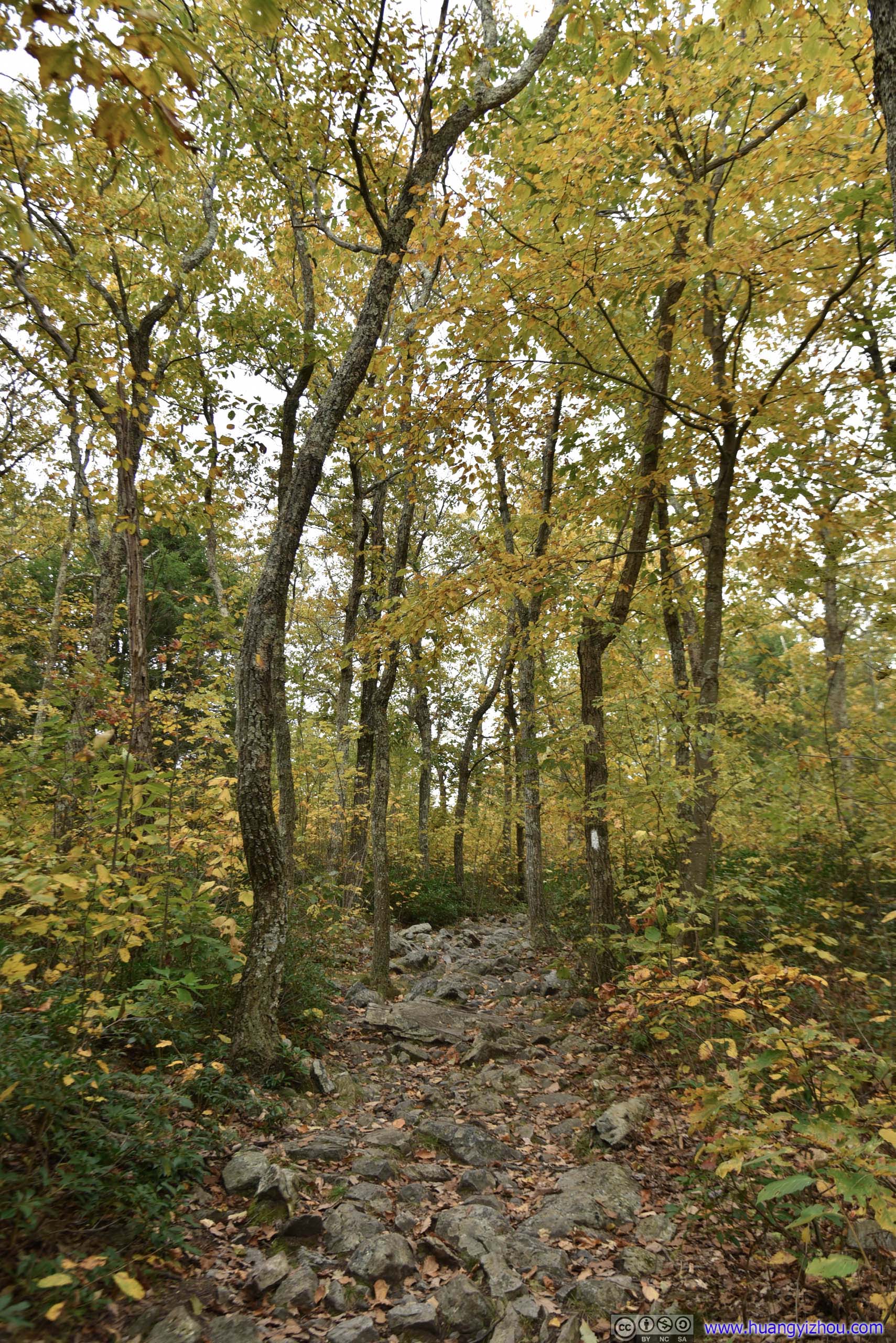
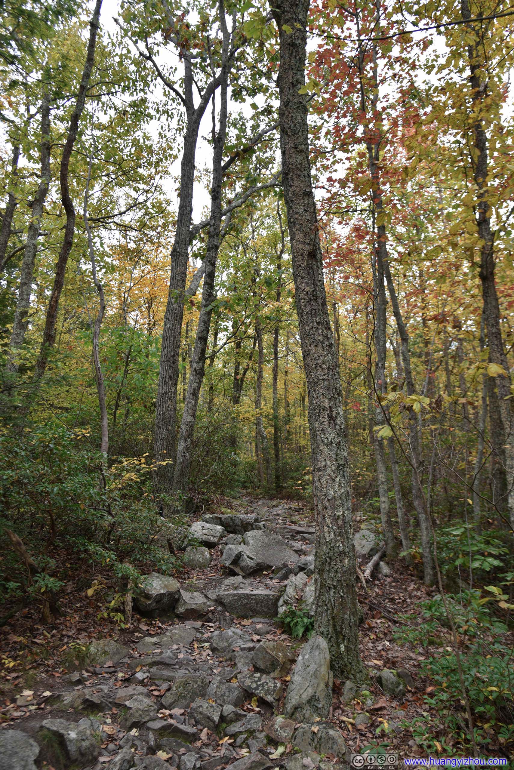
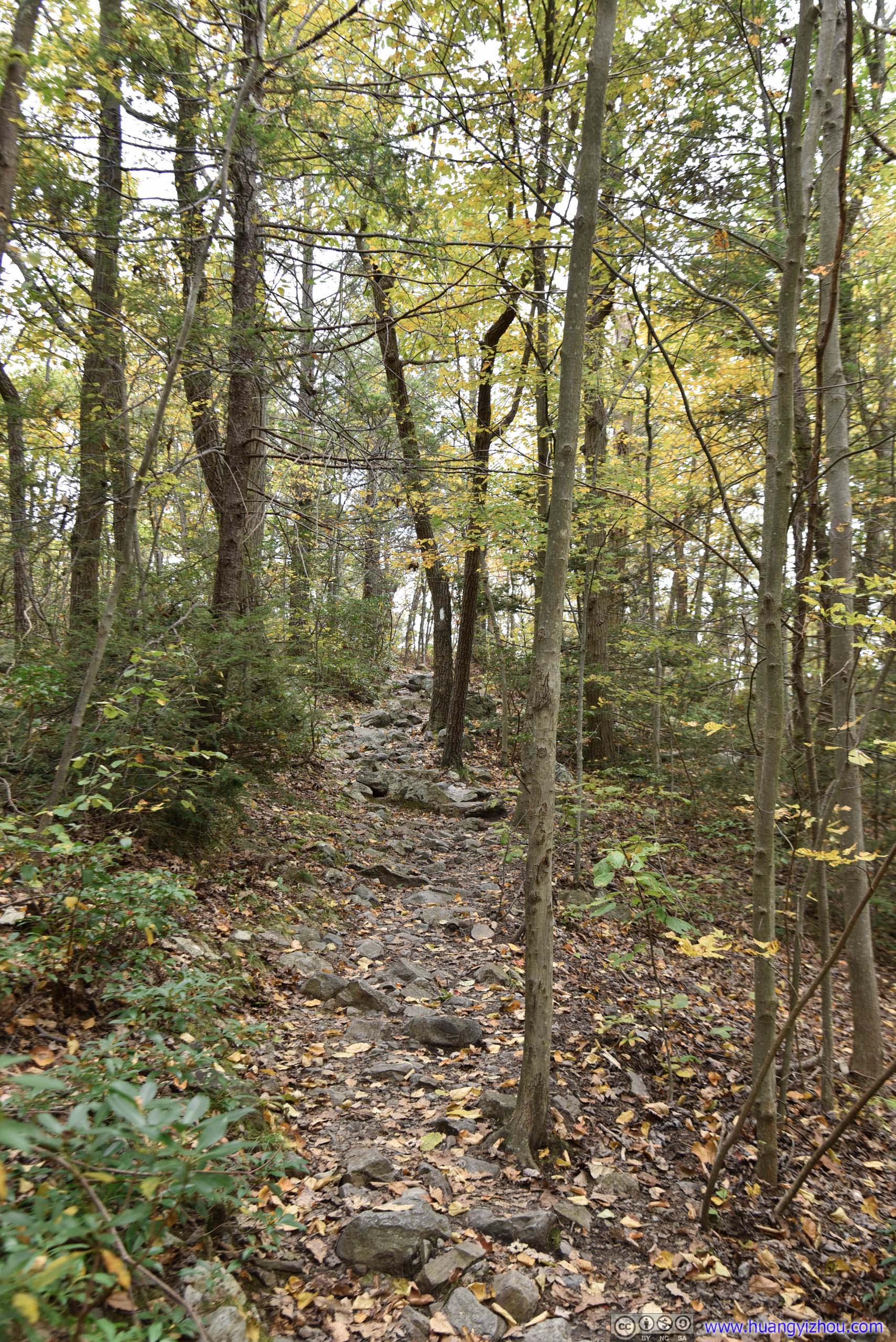
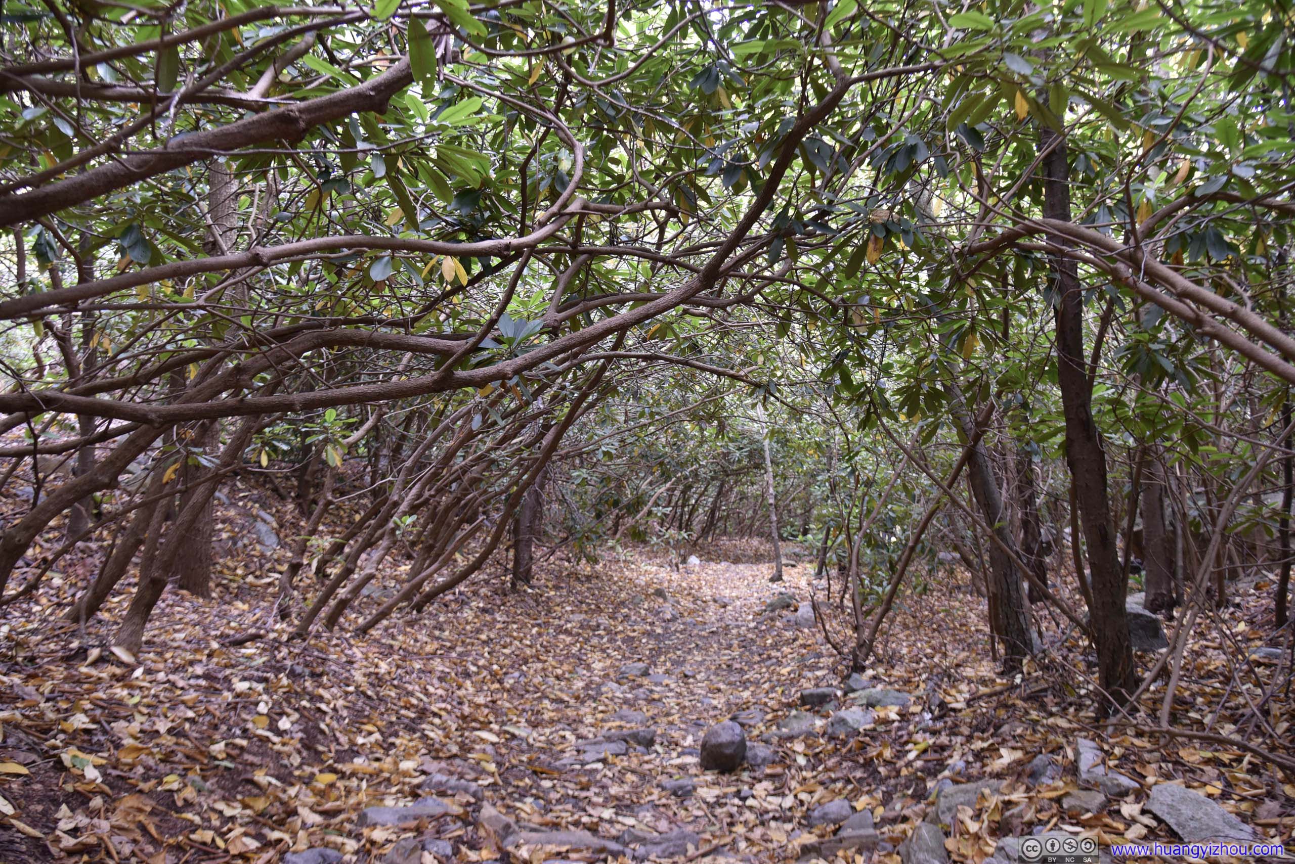
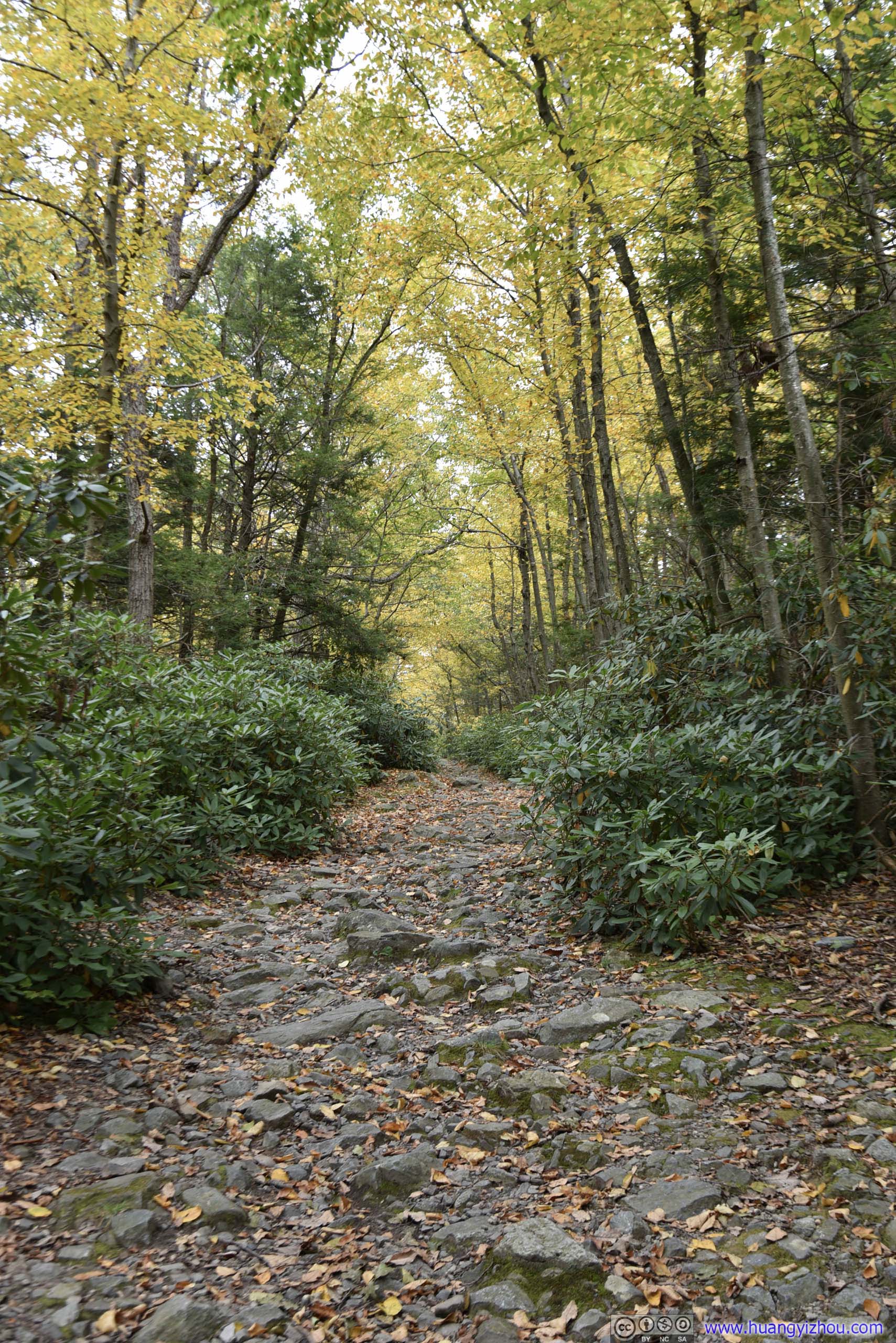
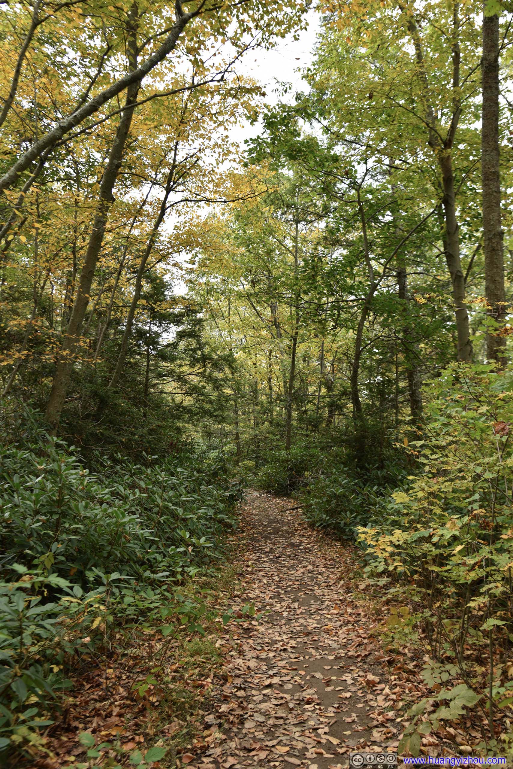
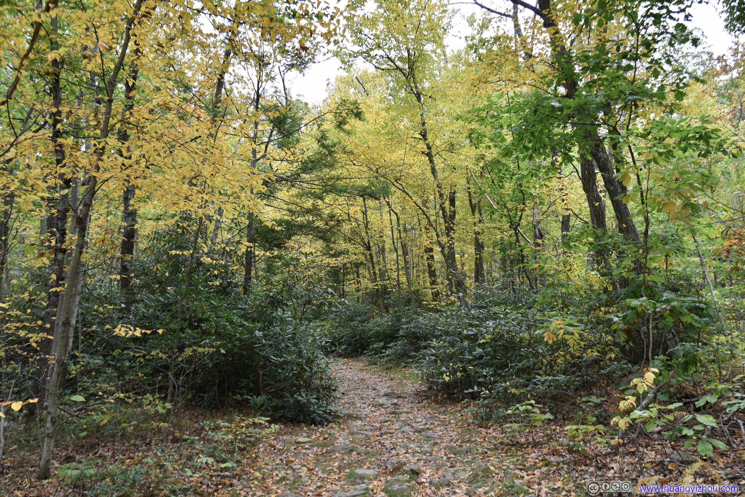
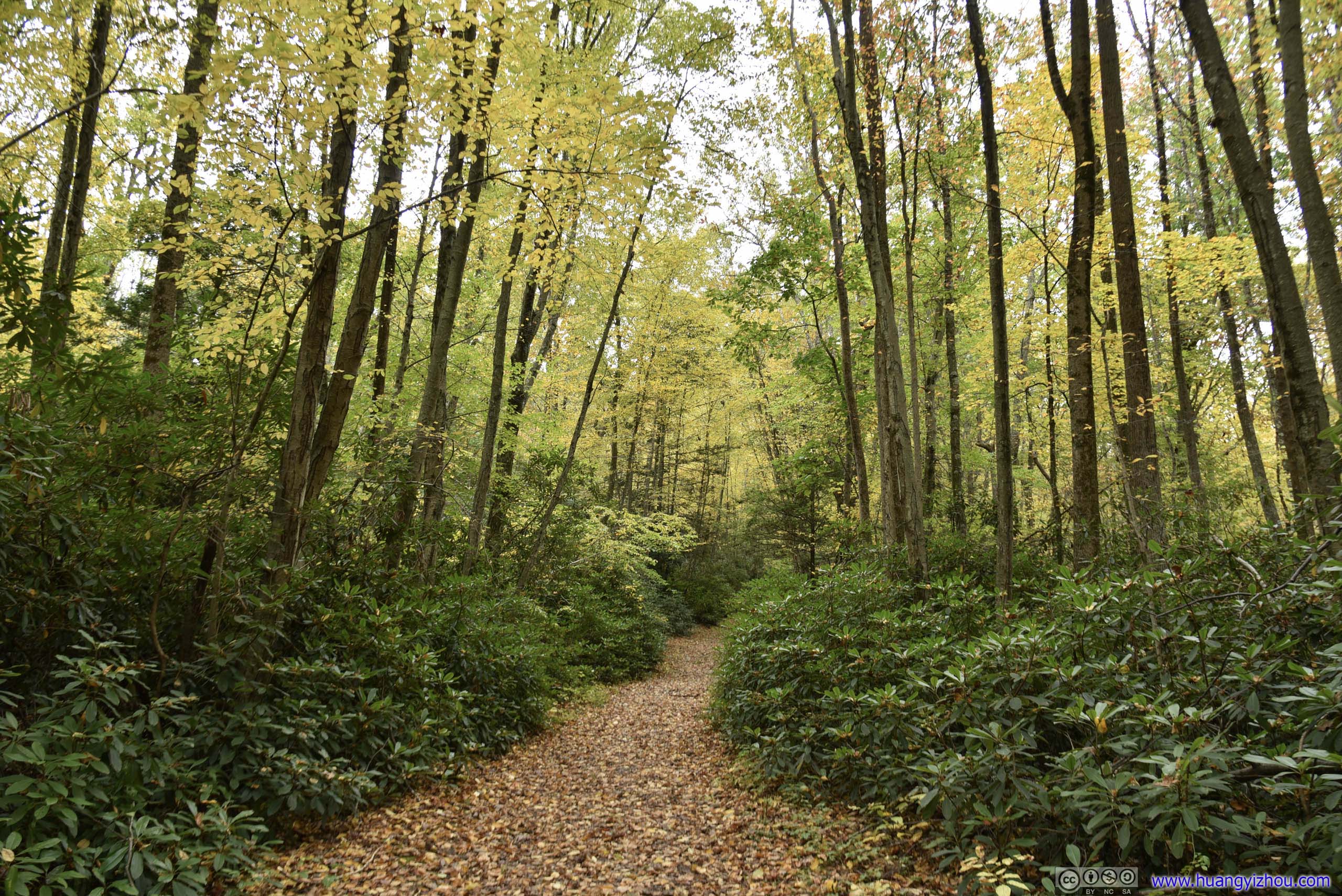
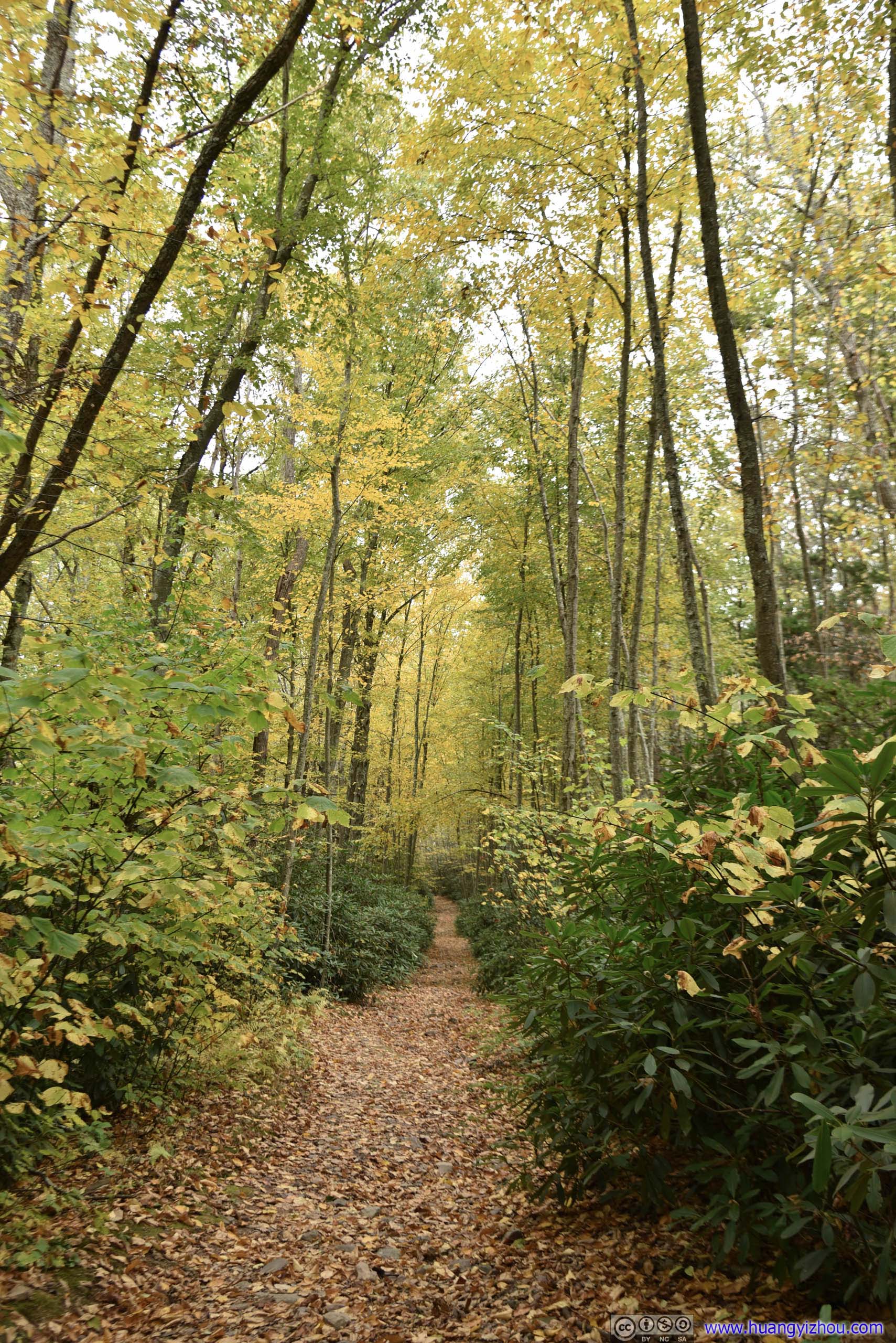
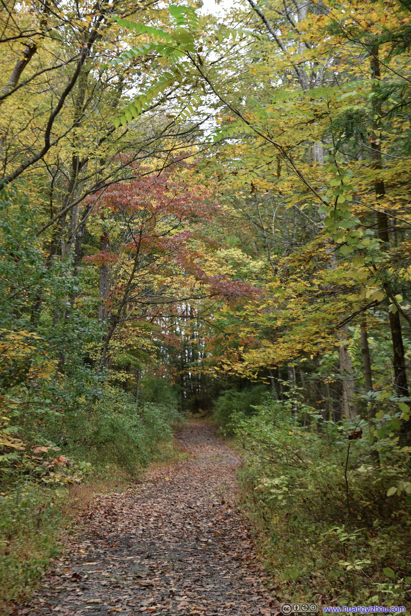
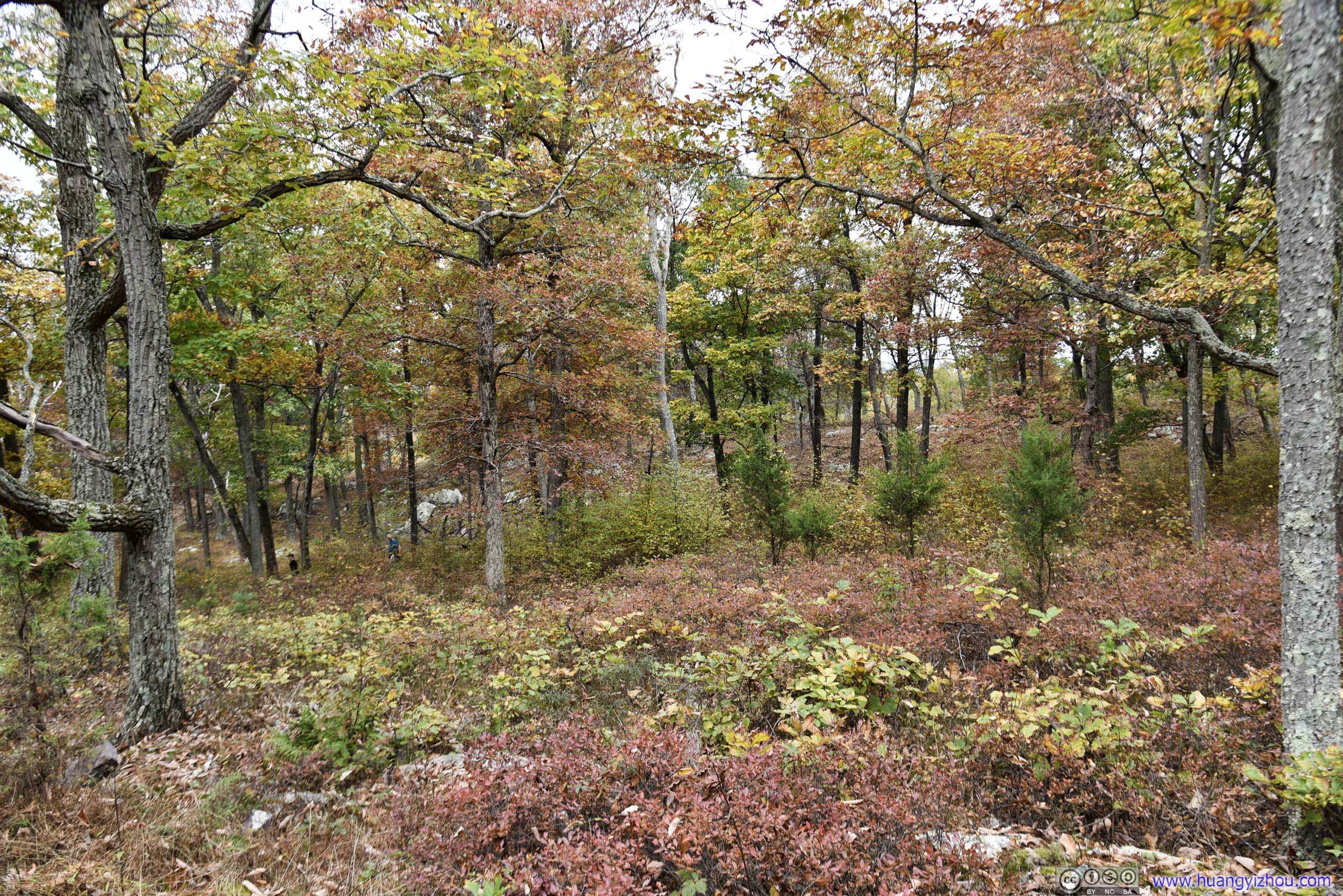
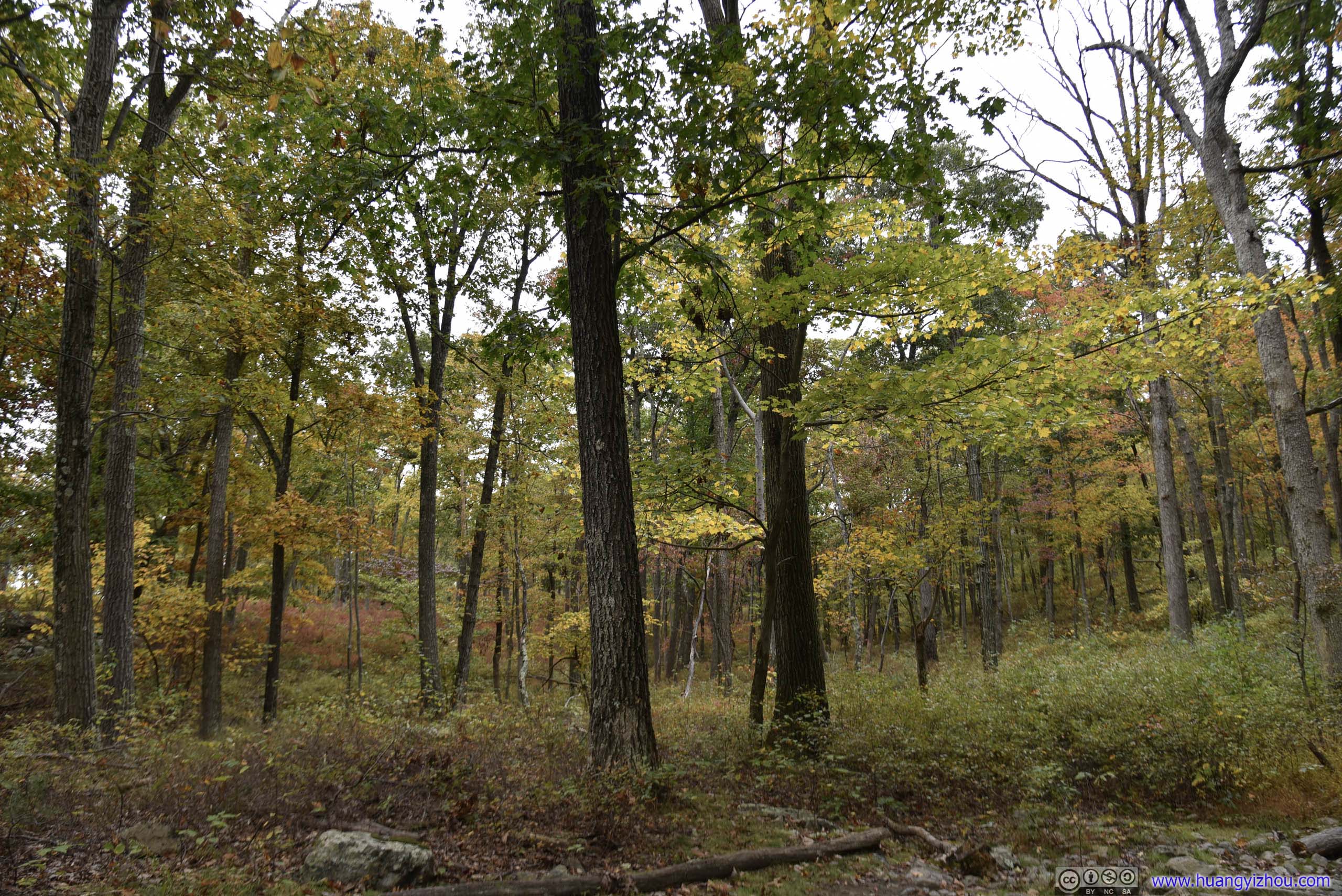
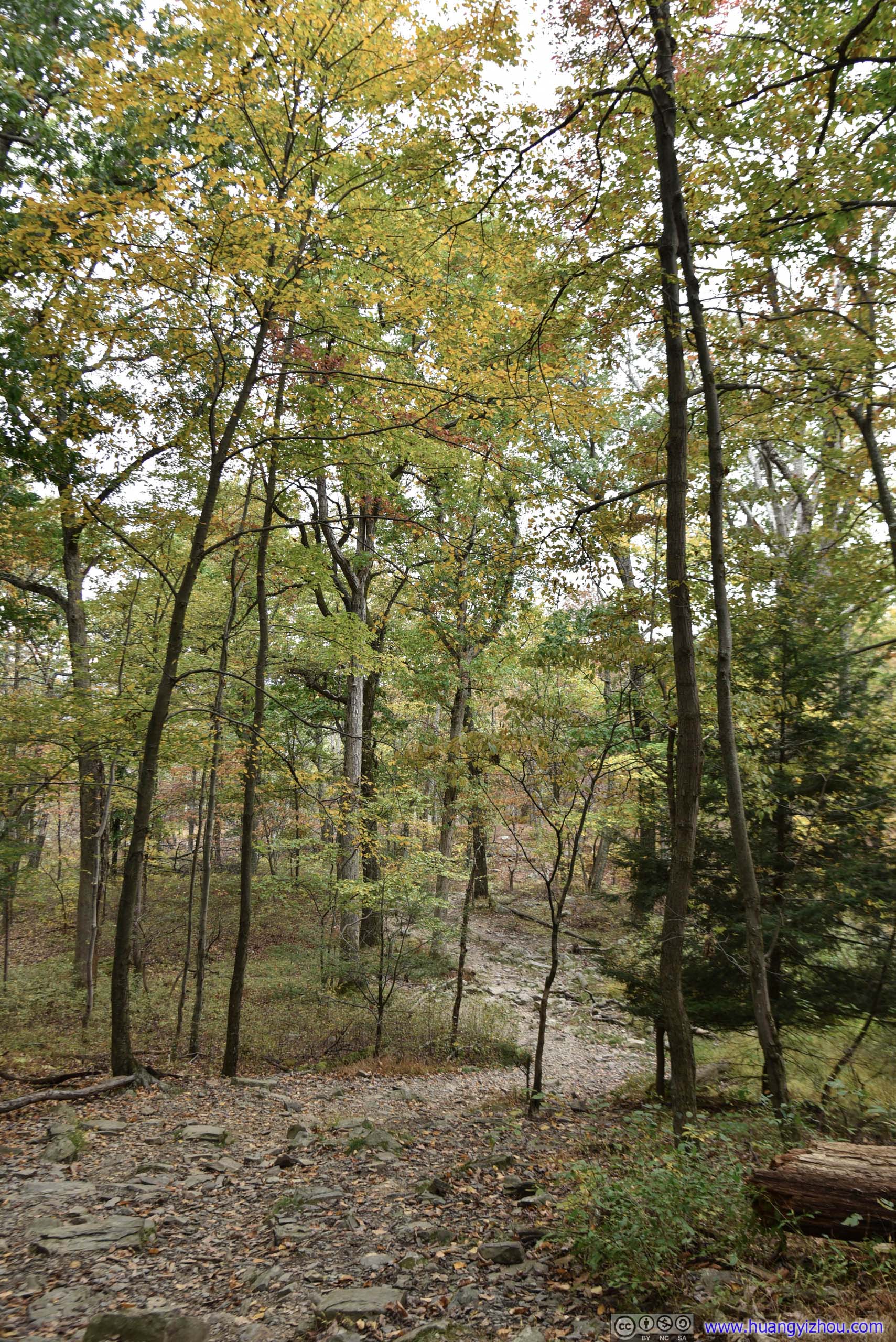
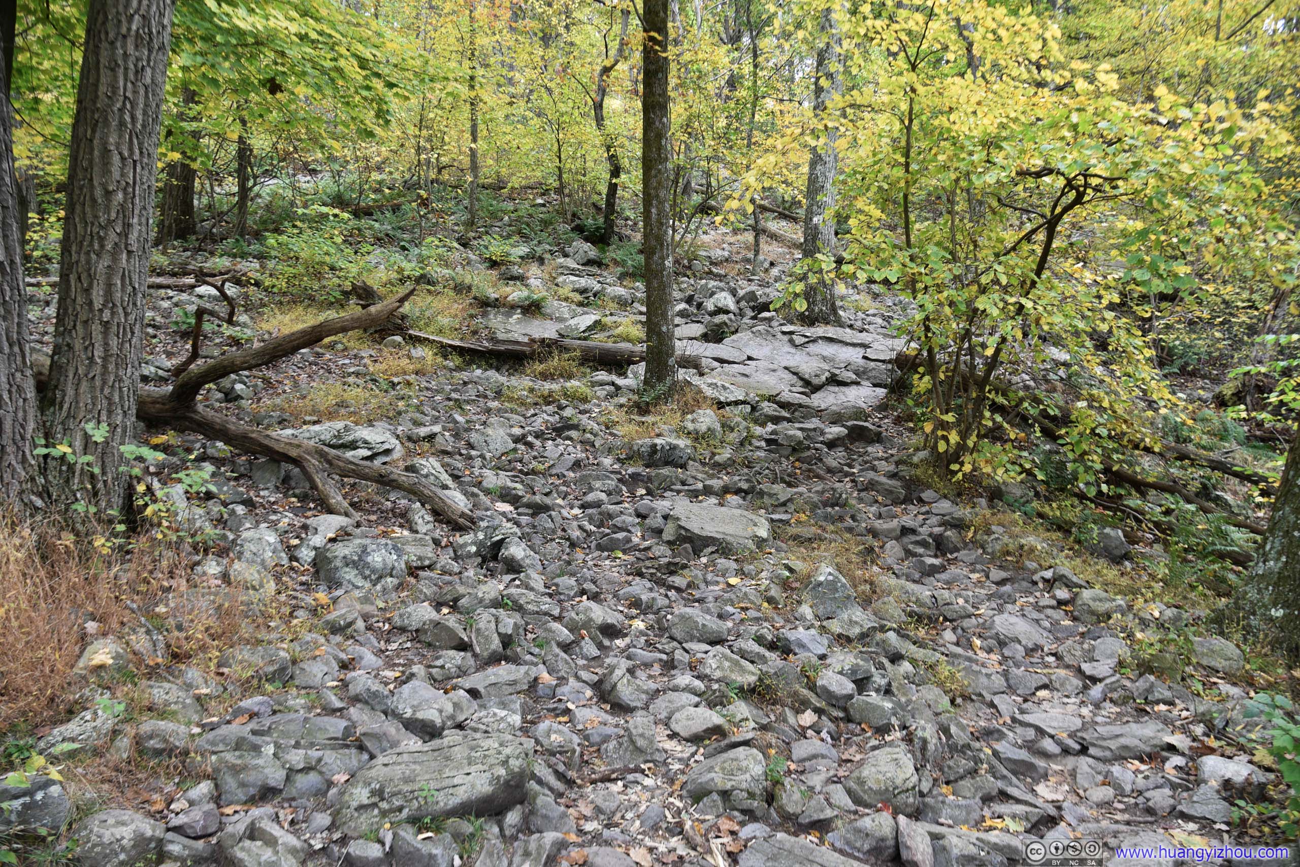
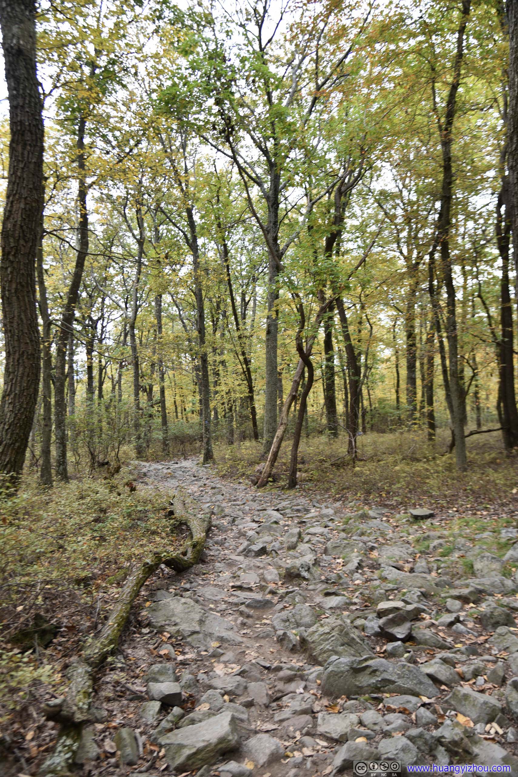
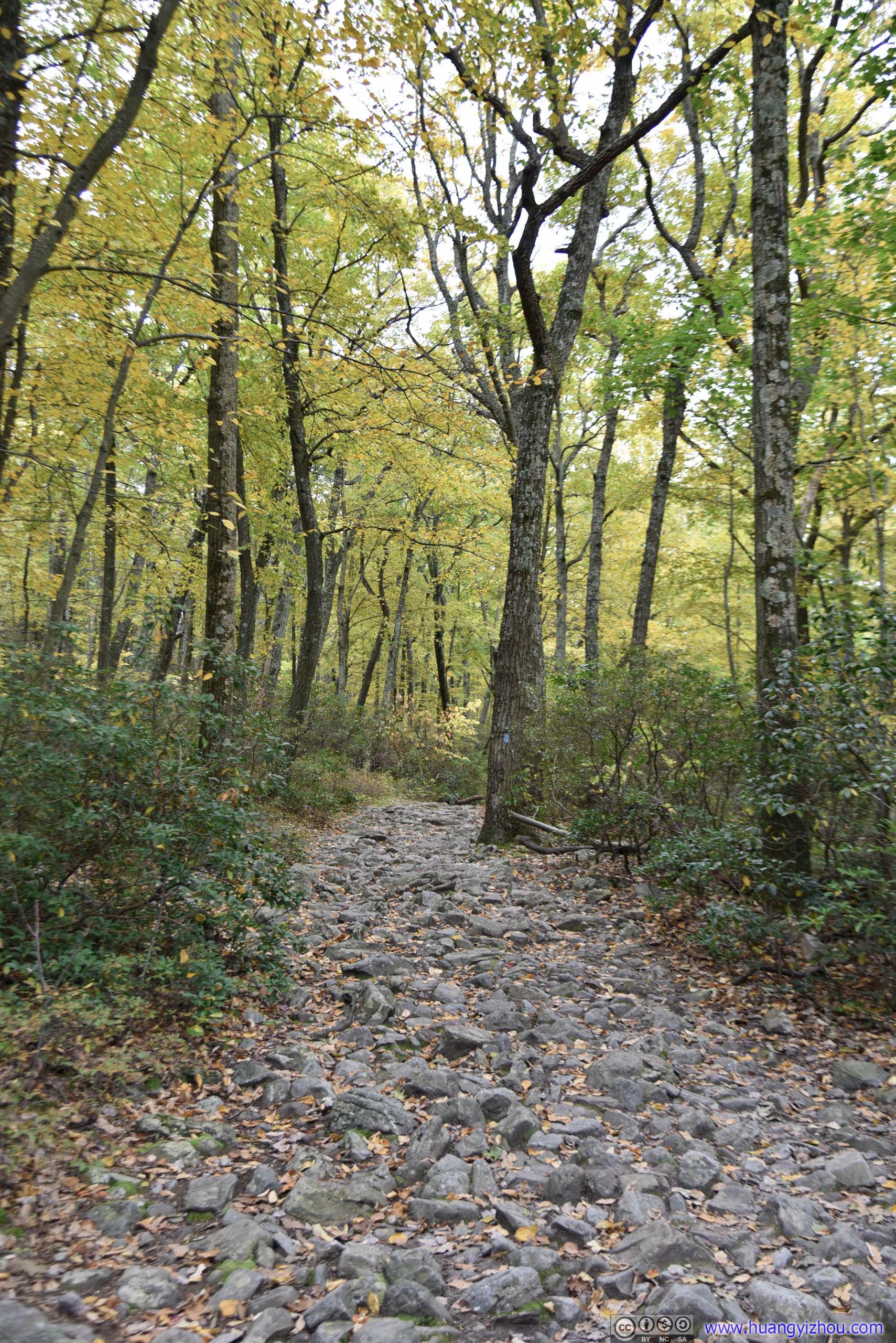
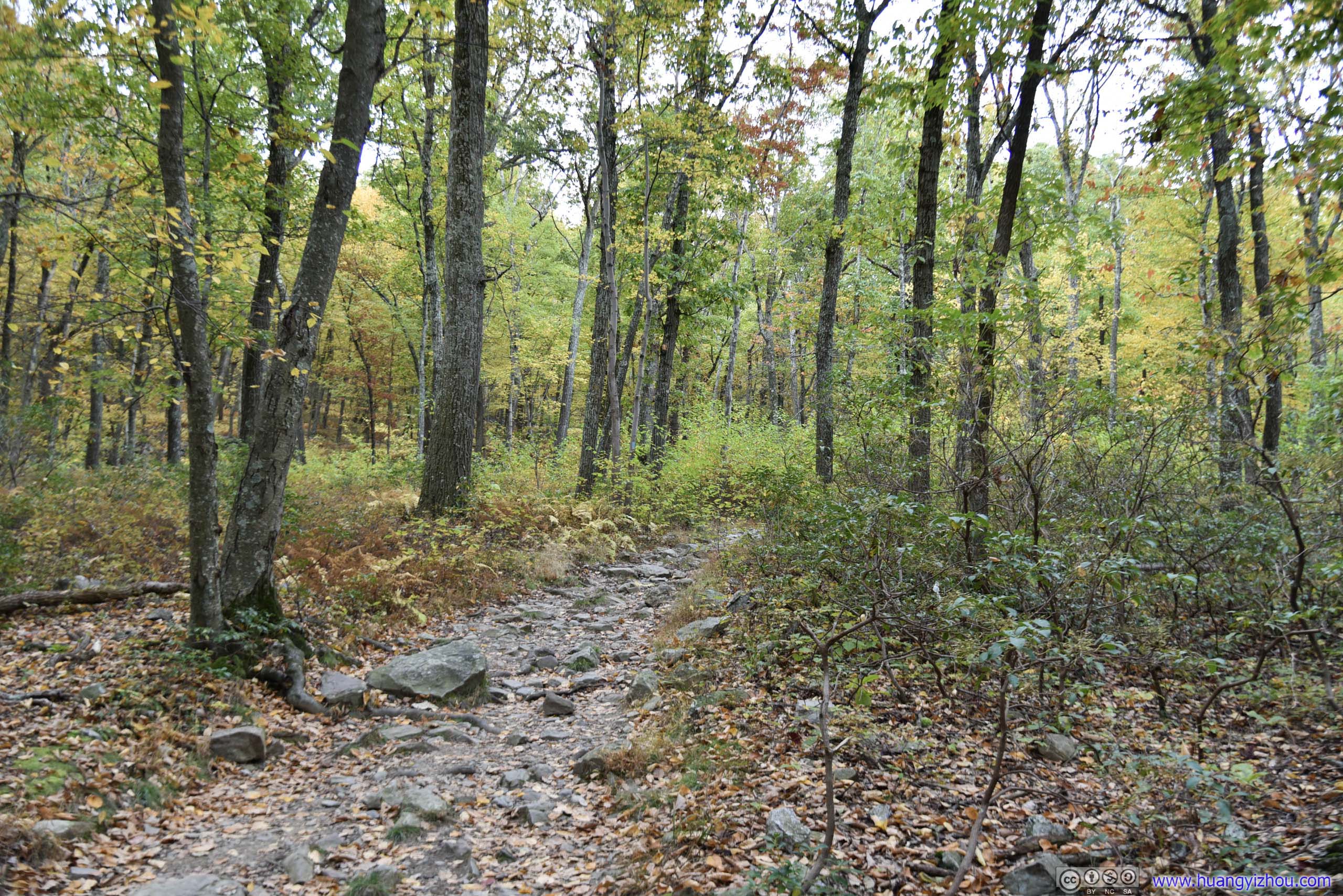
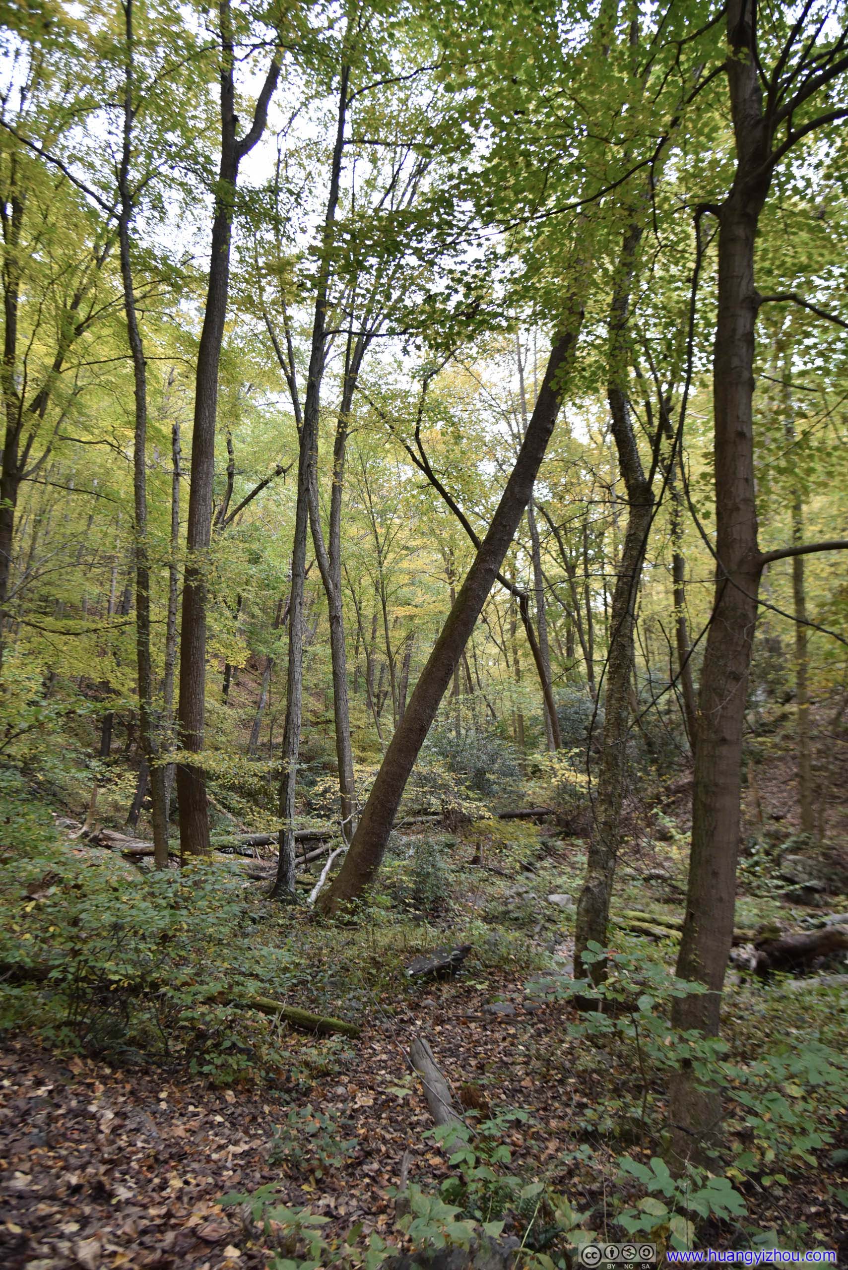
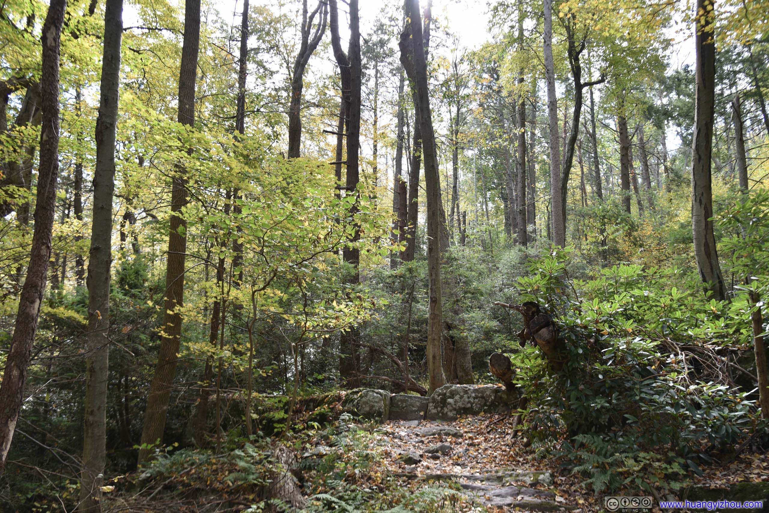 Trail in Forest
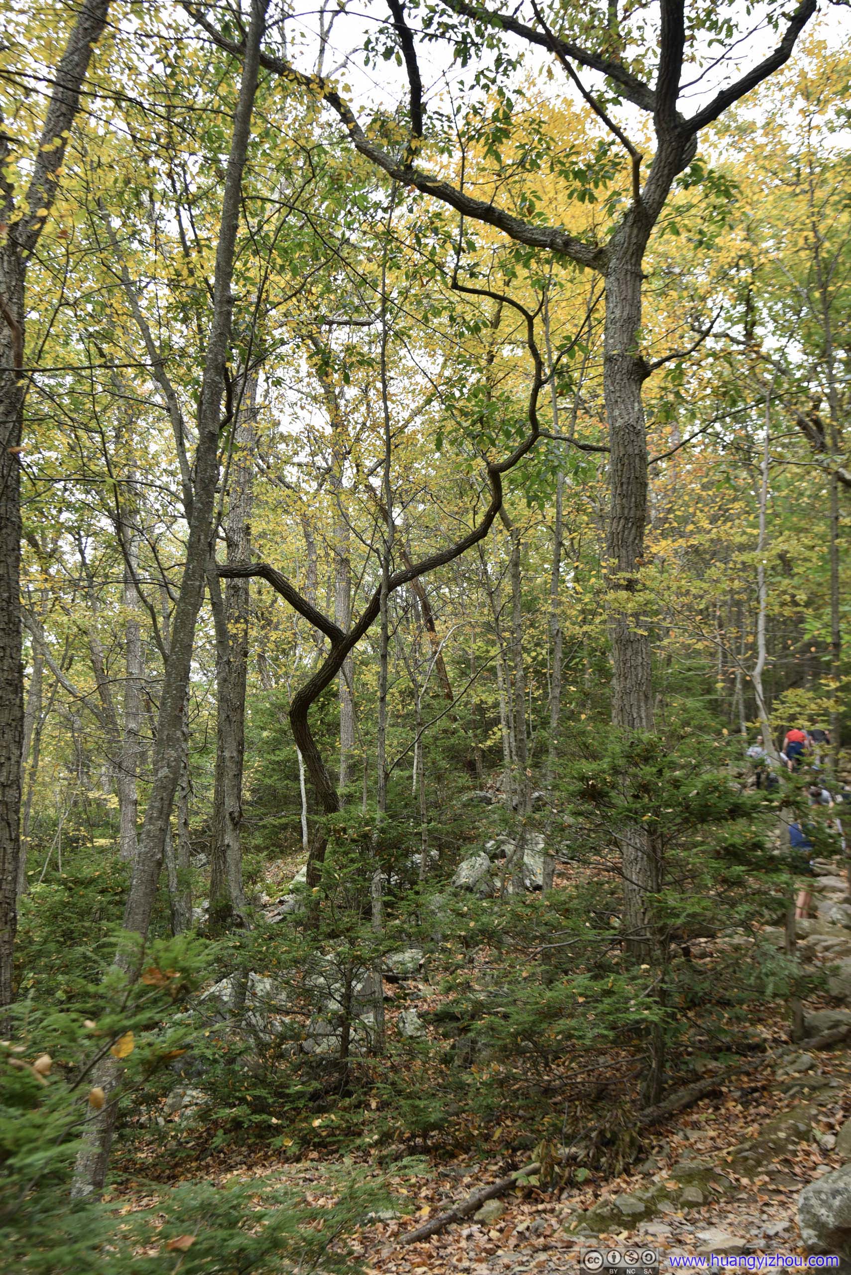
Tree
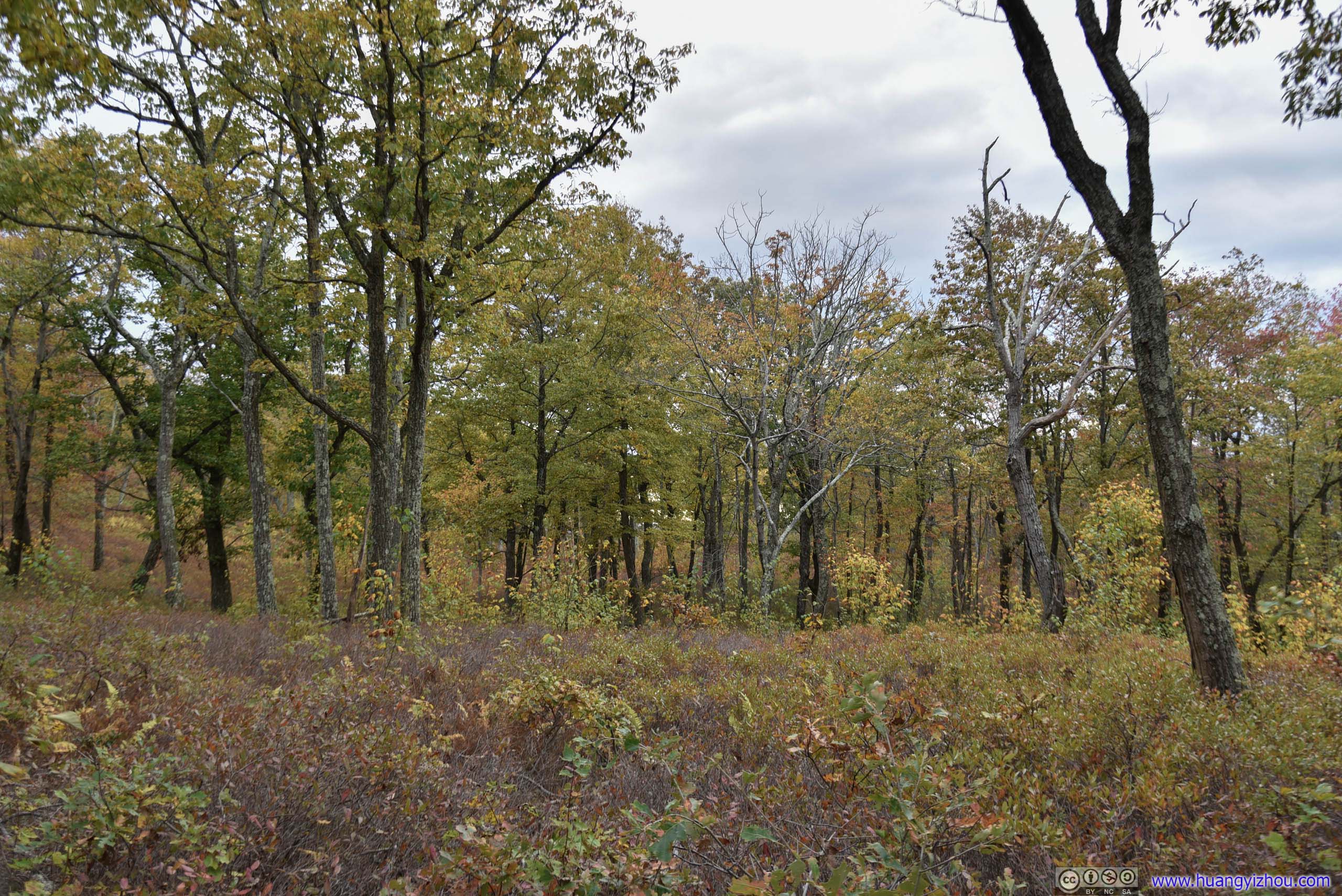
 TrailSceneries along the first part of trail iterated between trees (left) and shrub (right).
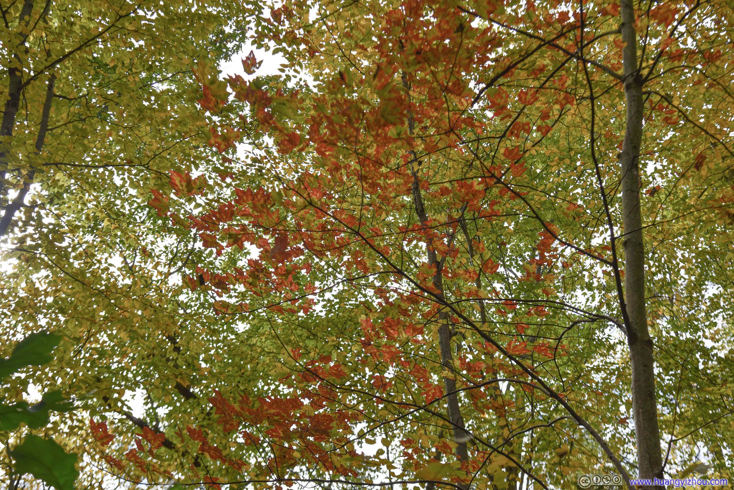
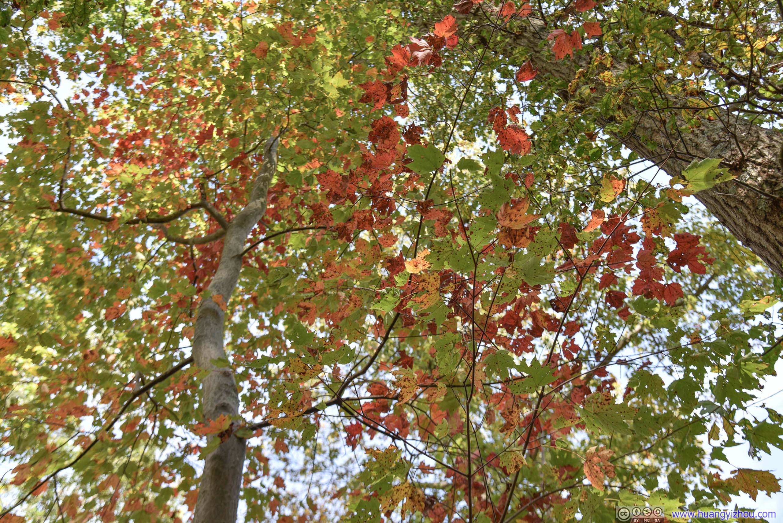
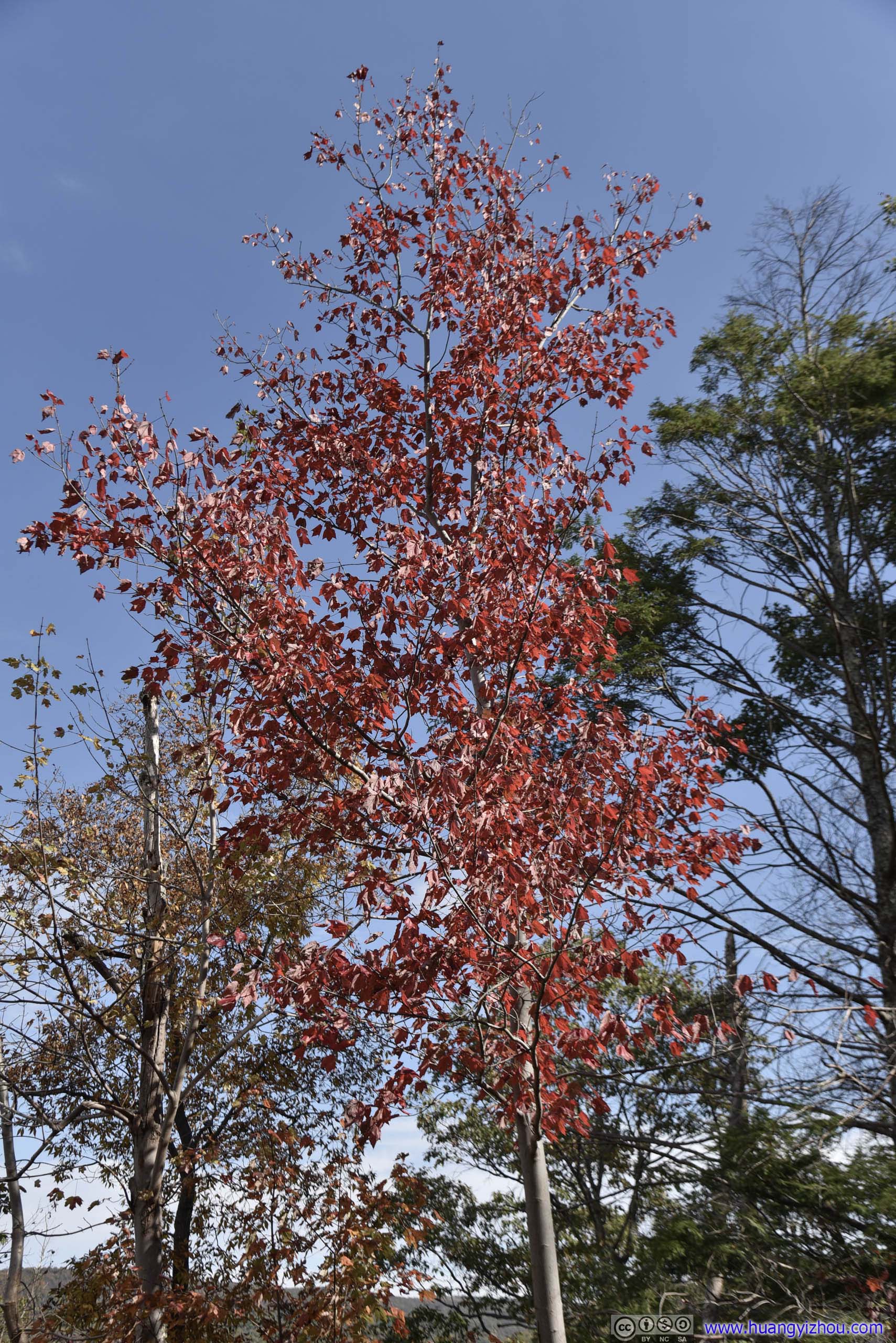
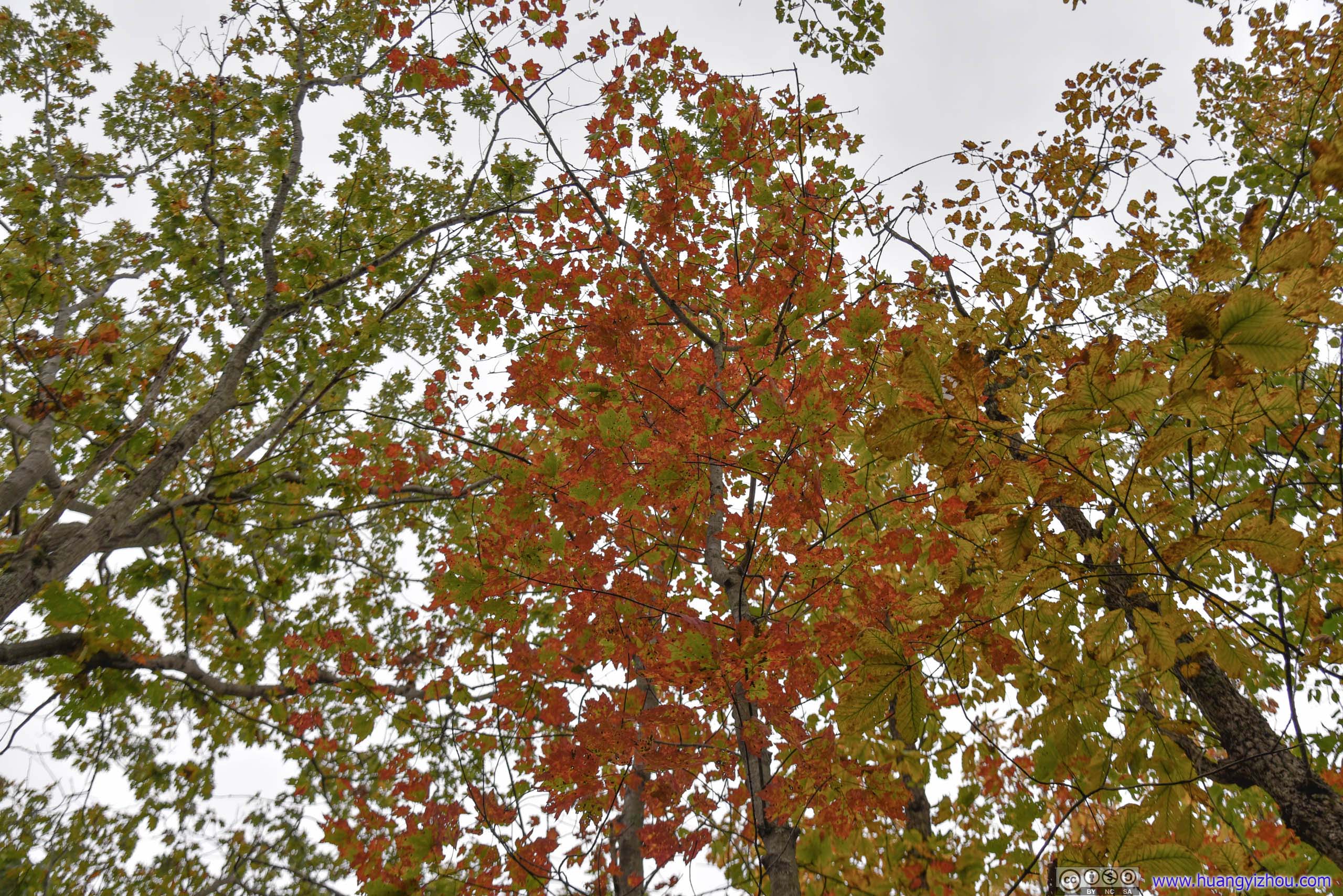
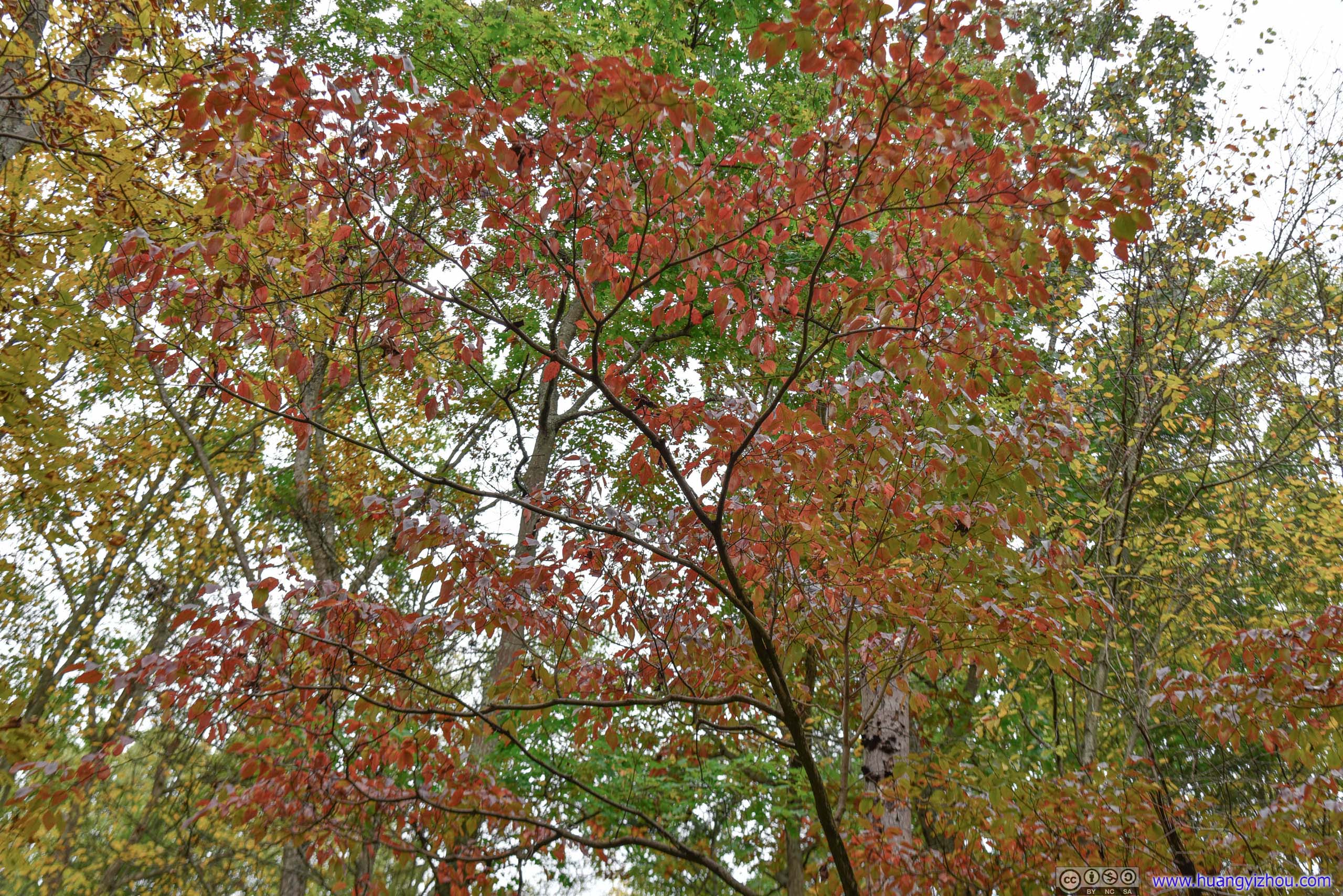
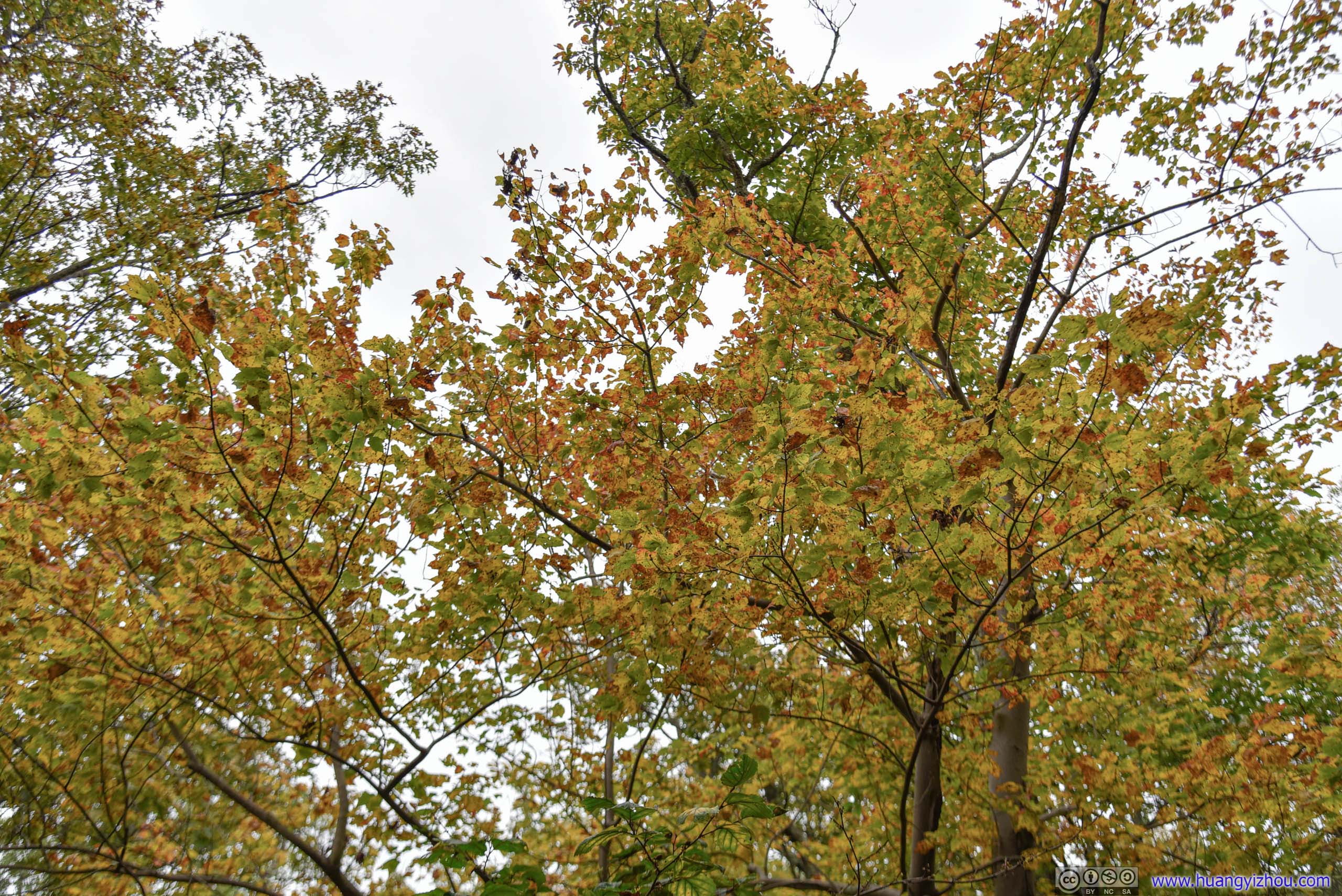
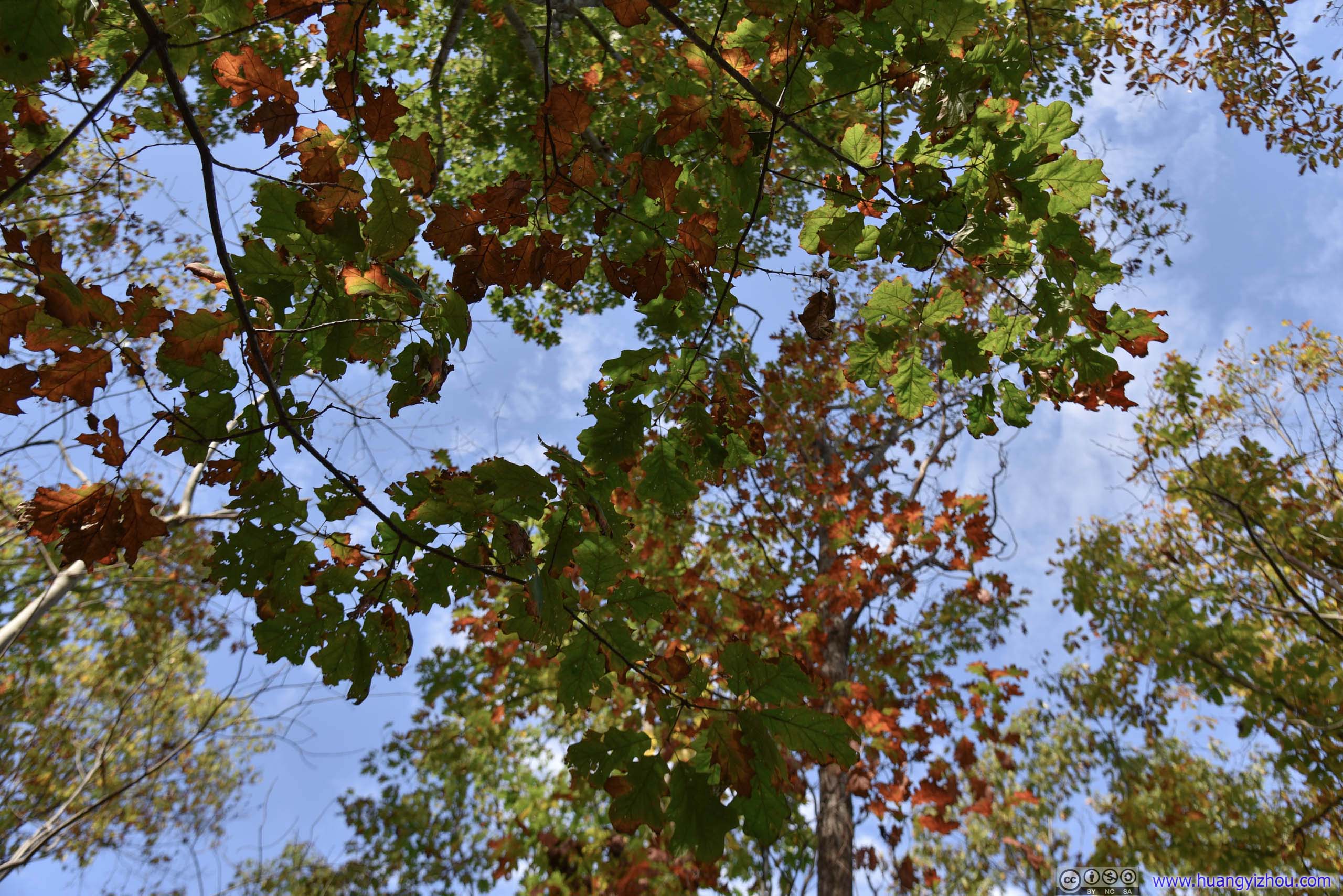 Leaves in Autumn Color
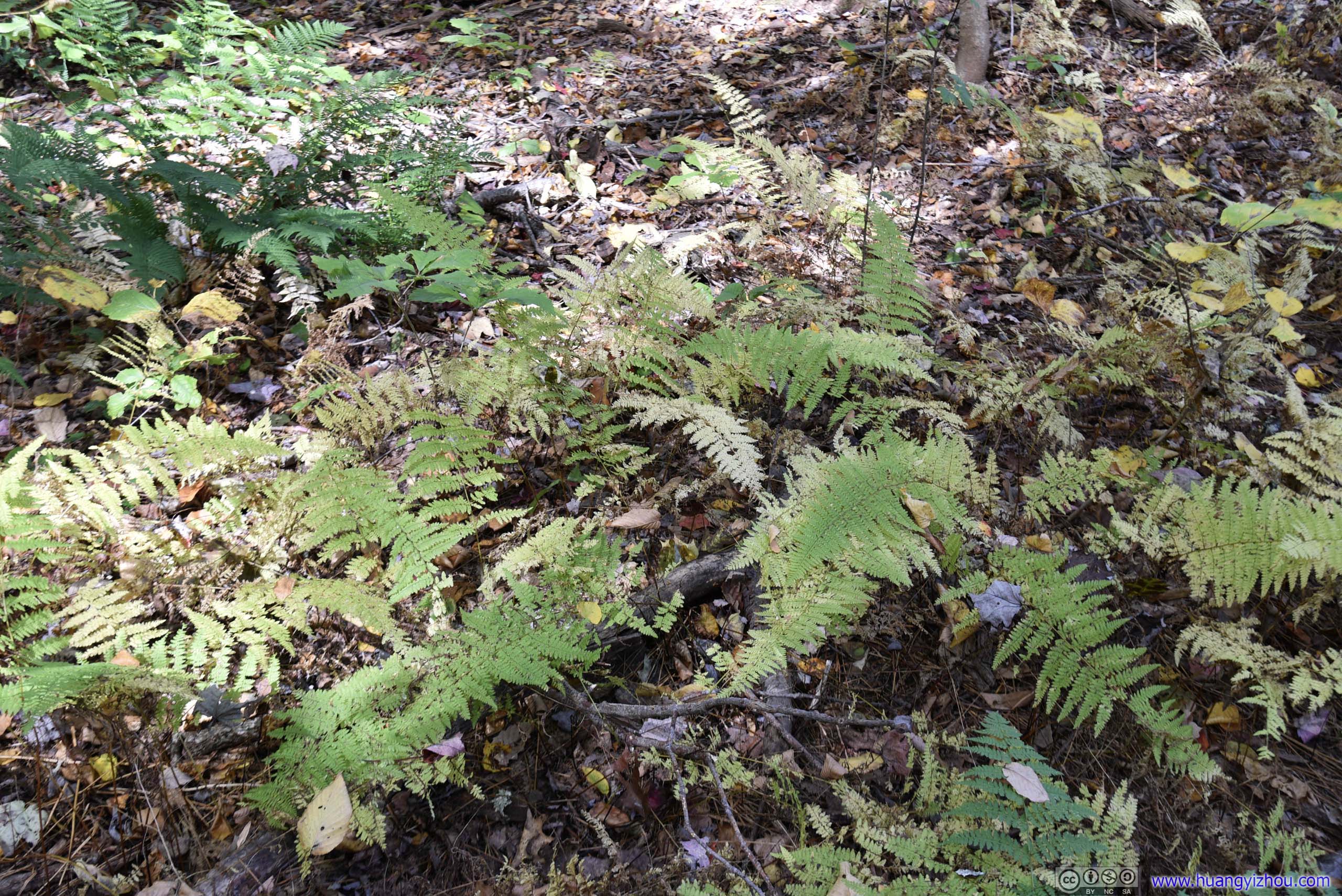
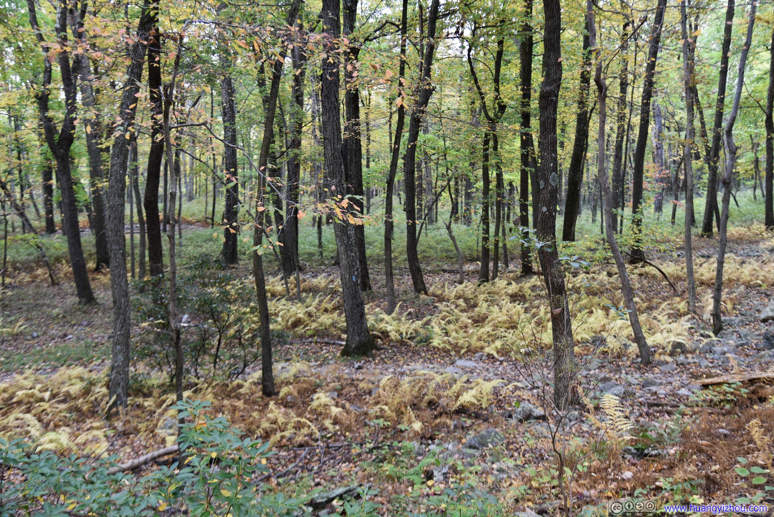
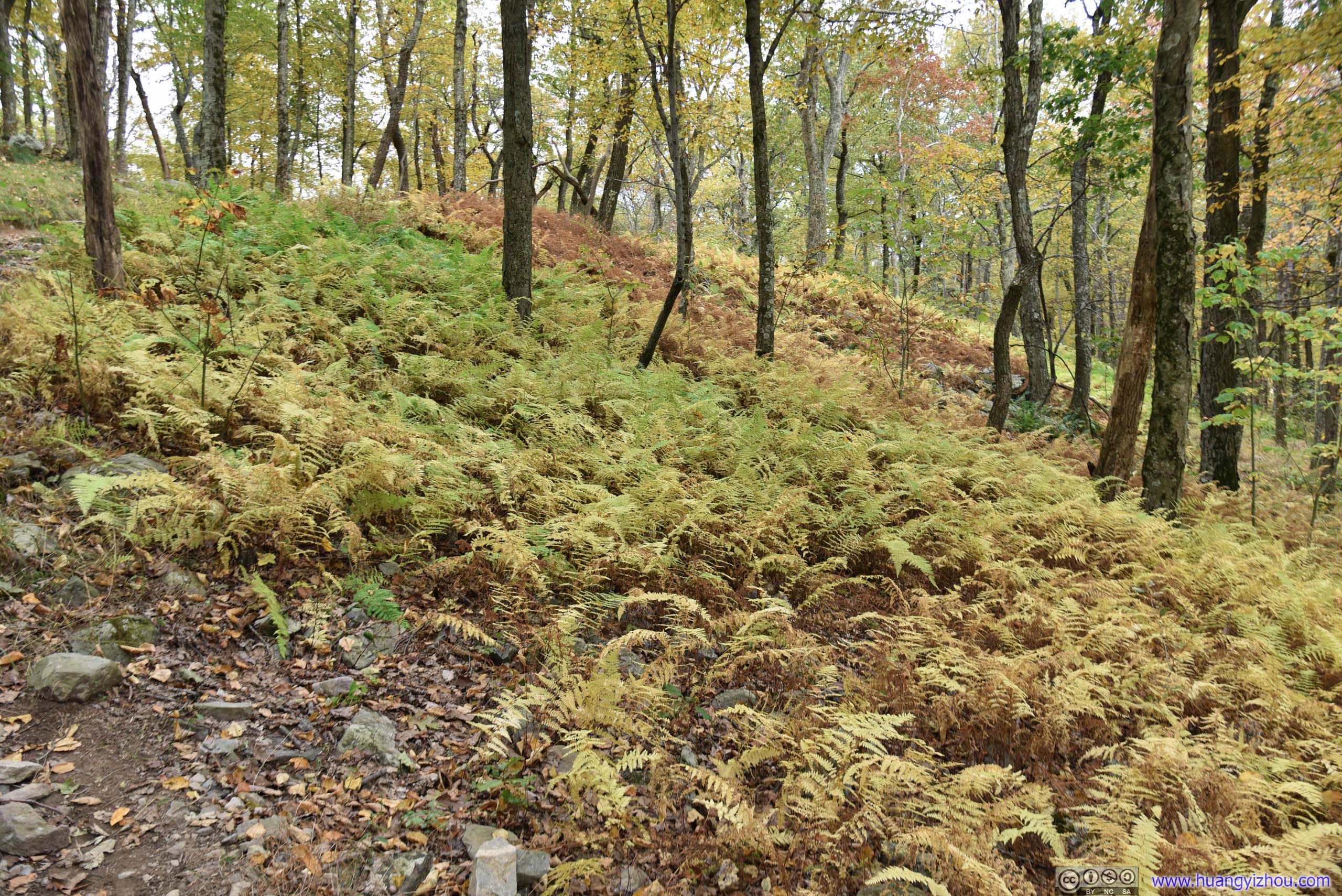
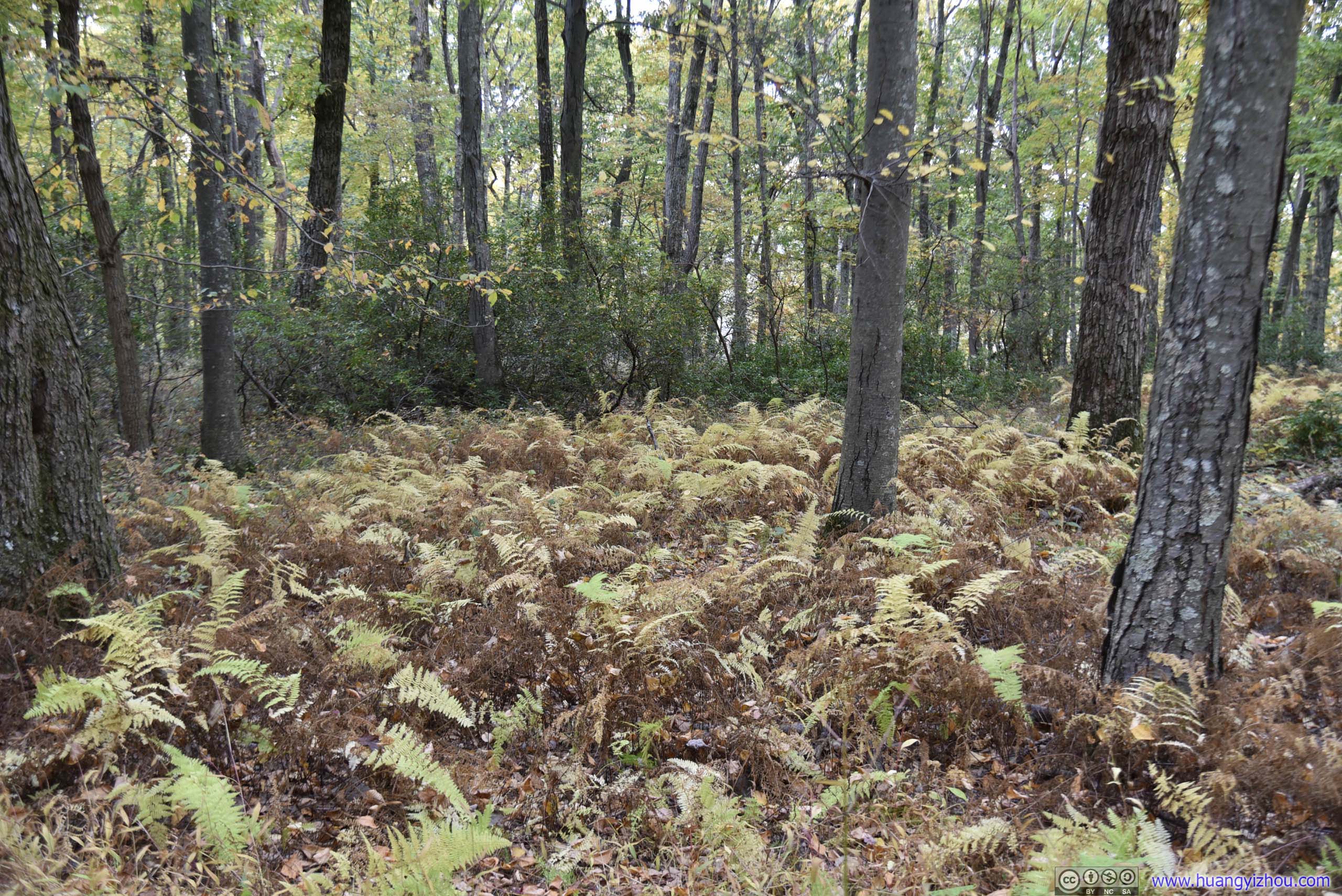
 Fern
Fern
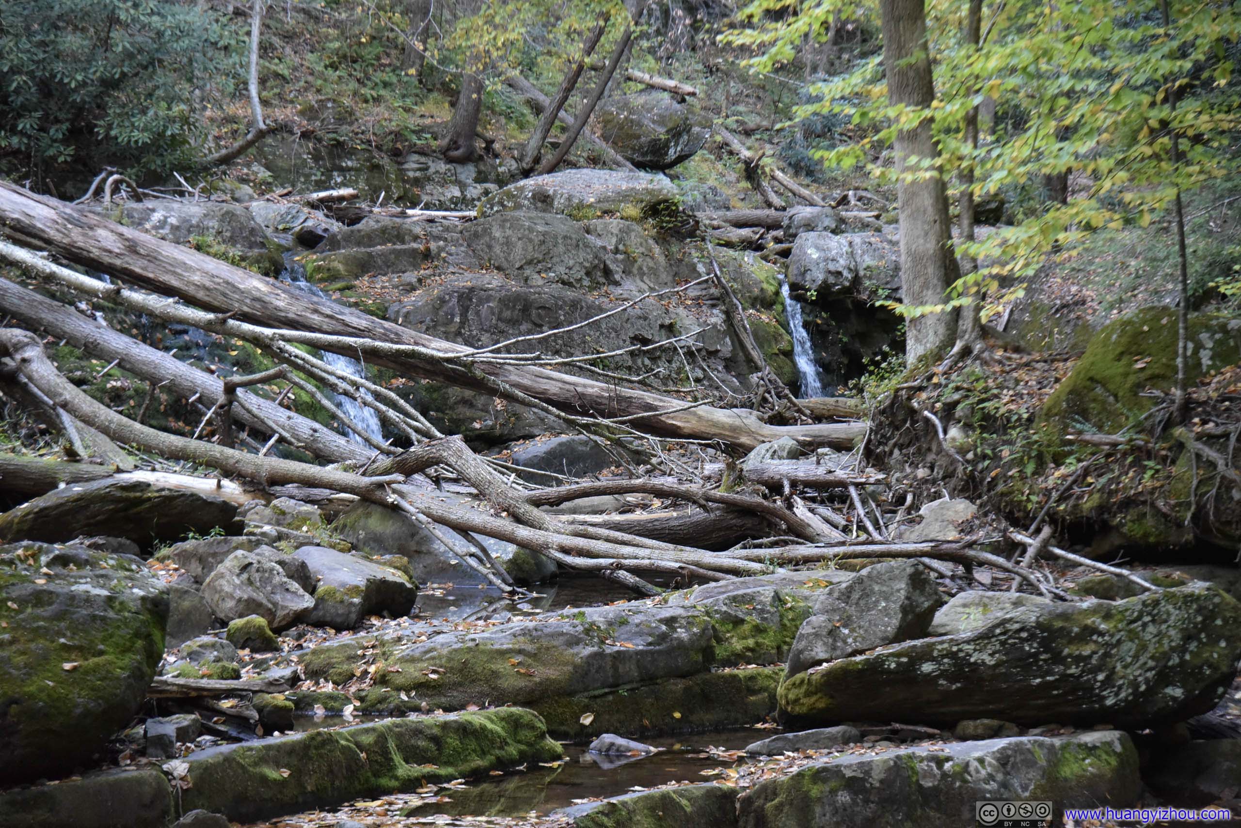
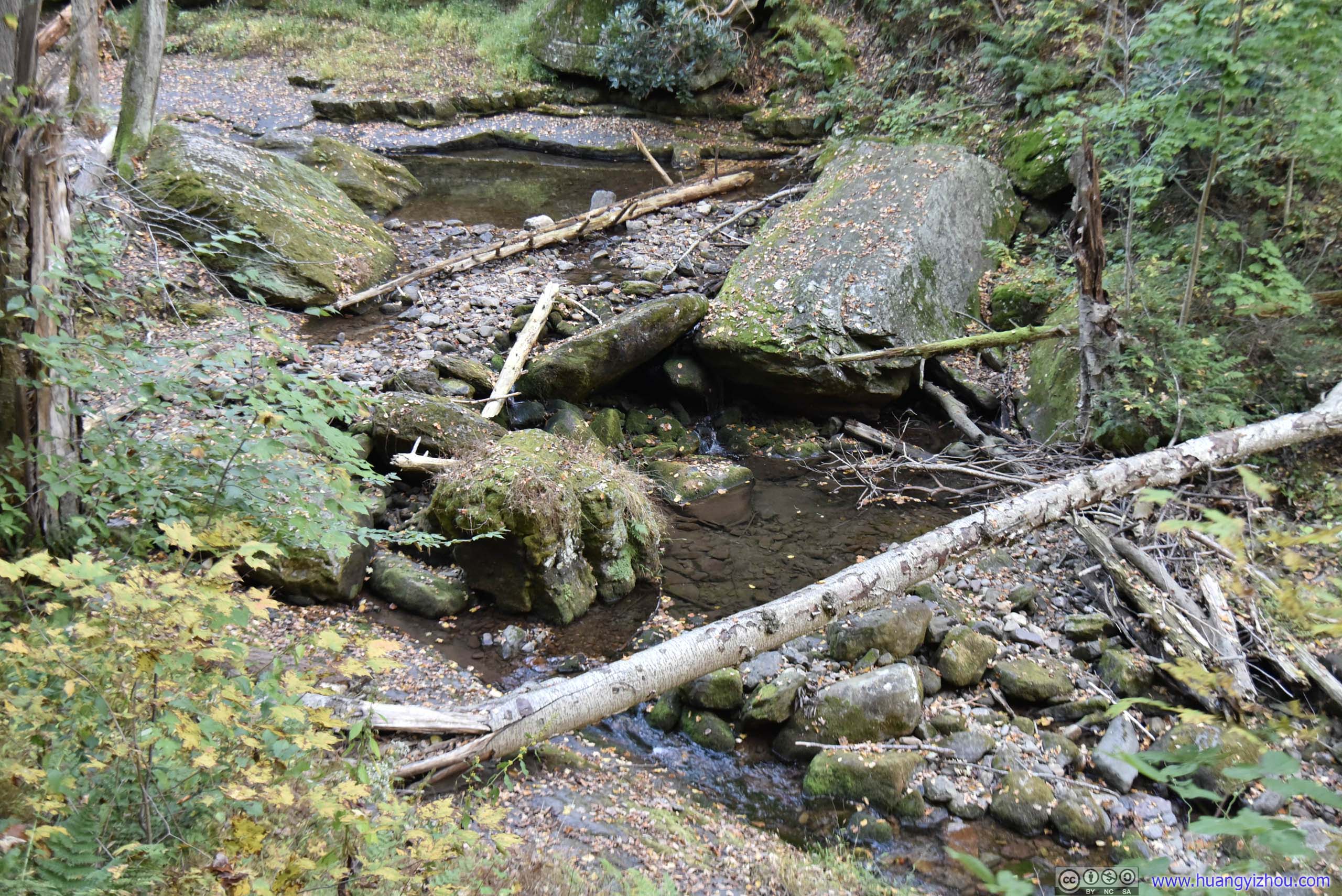
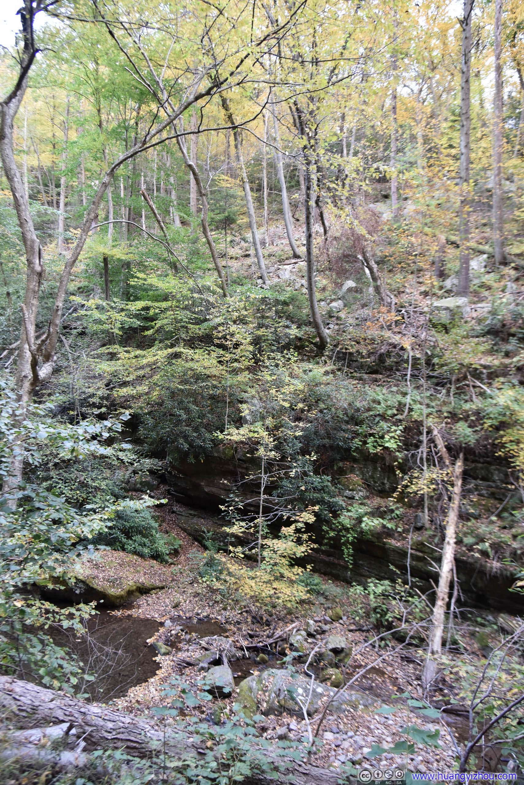
Eureka CreekNot much water flowing around for the season.
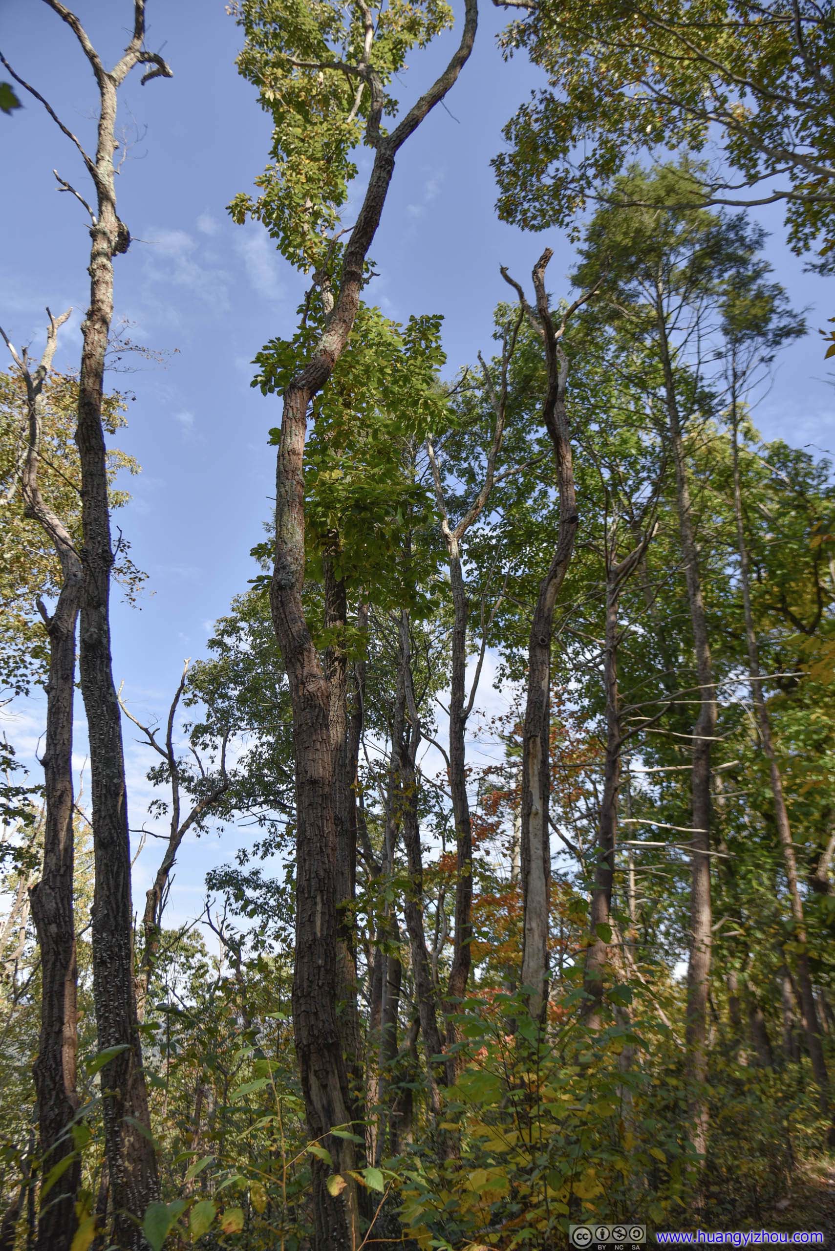
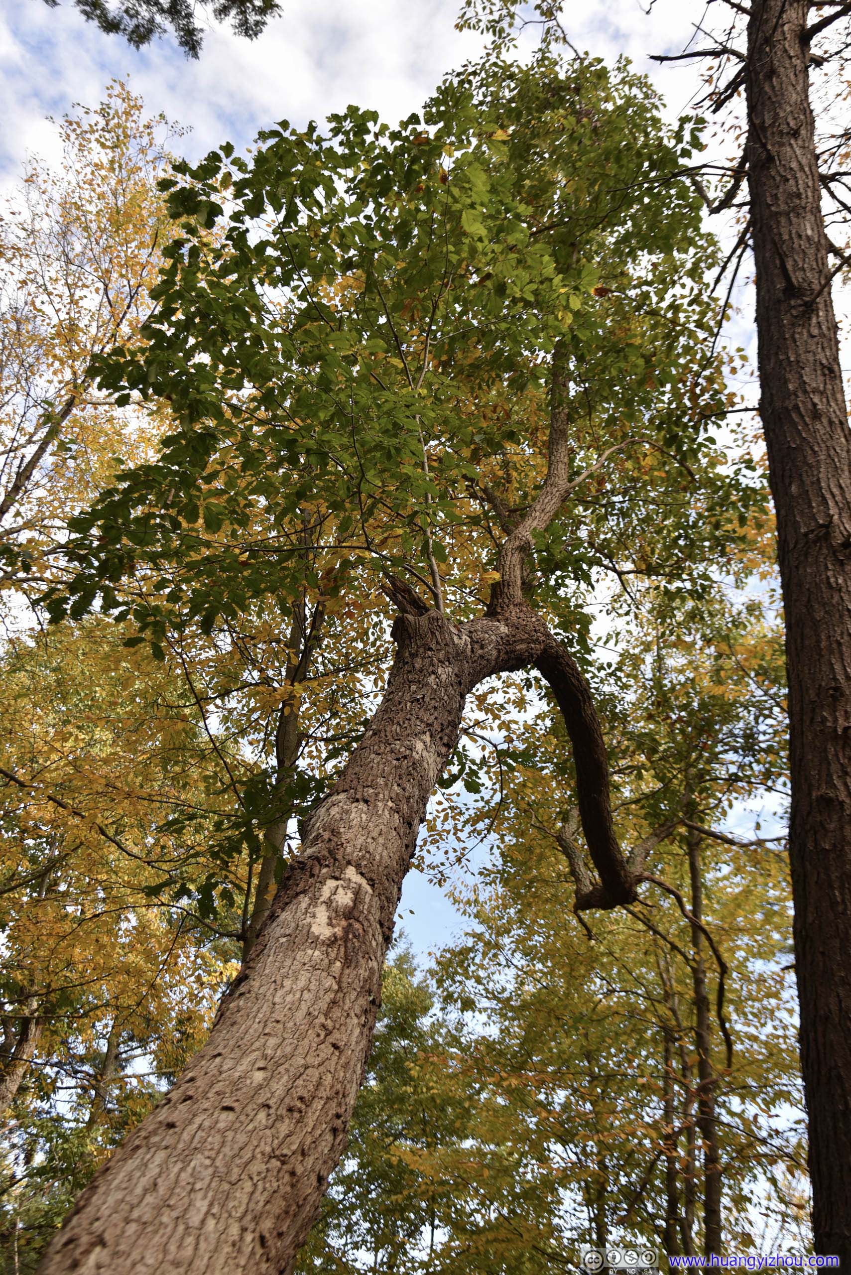
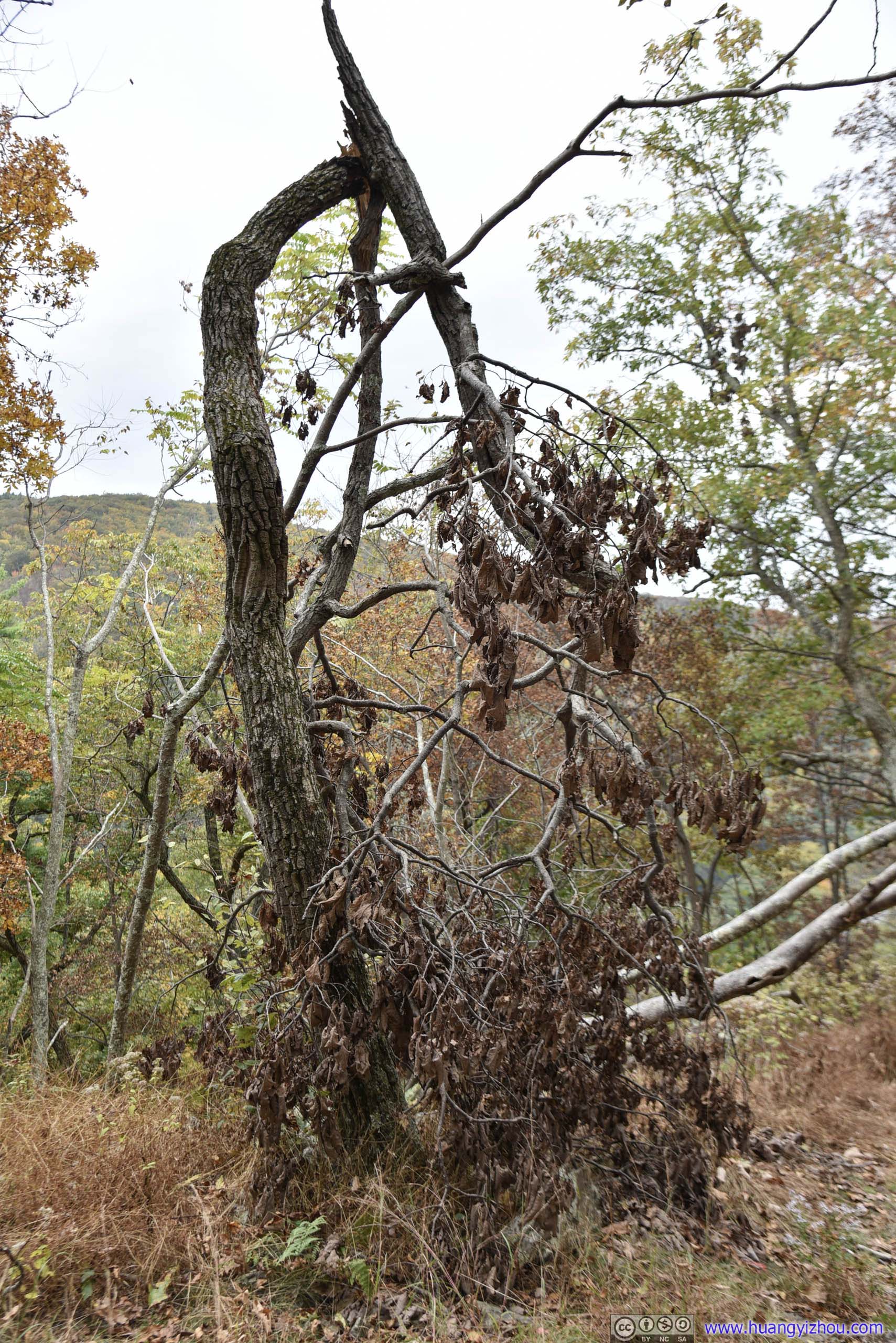
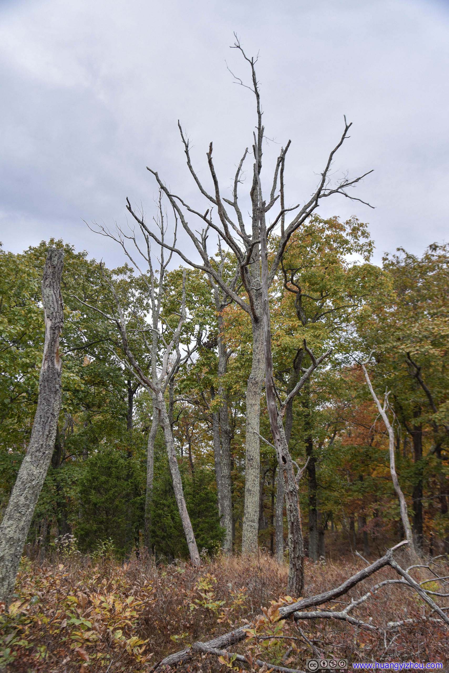
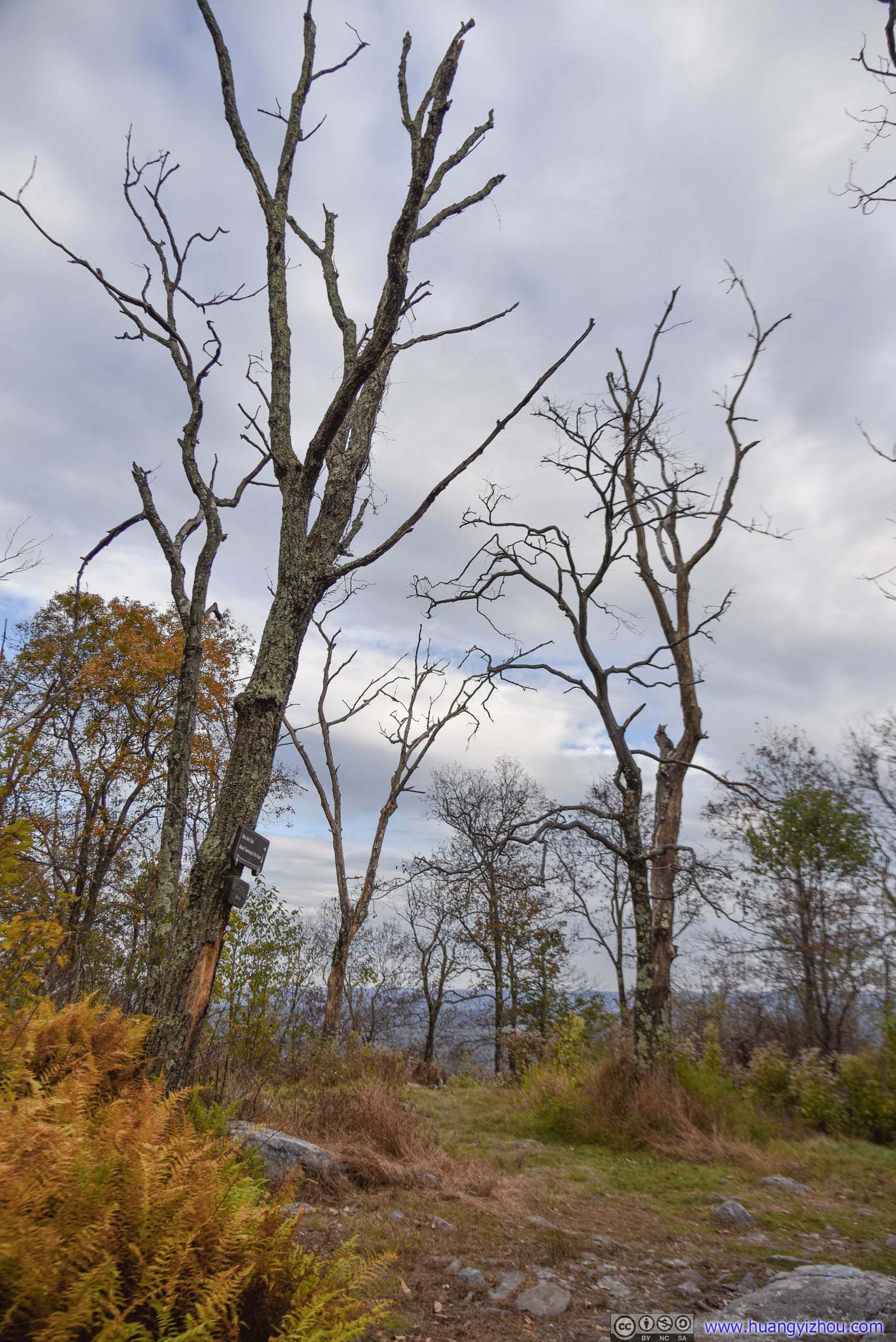
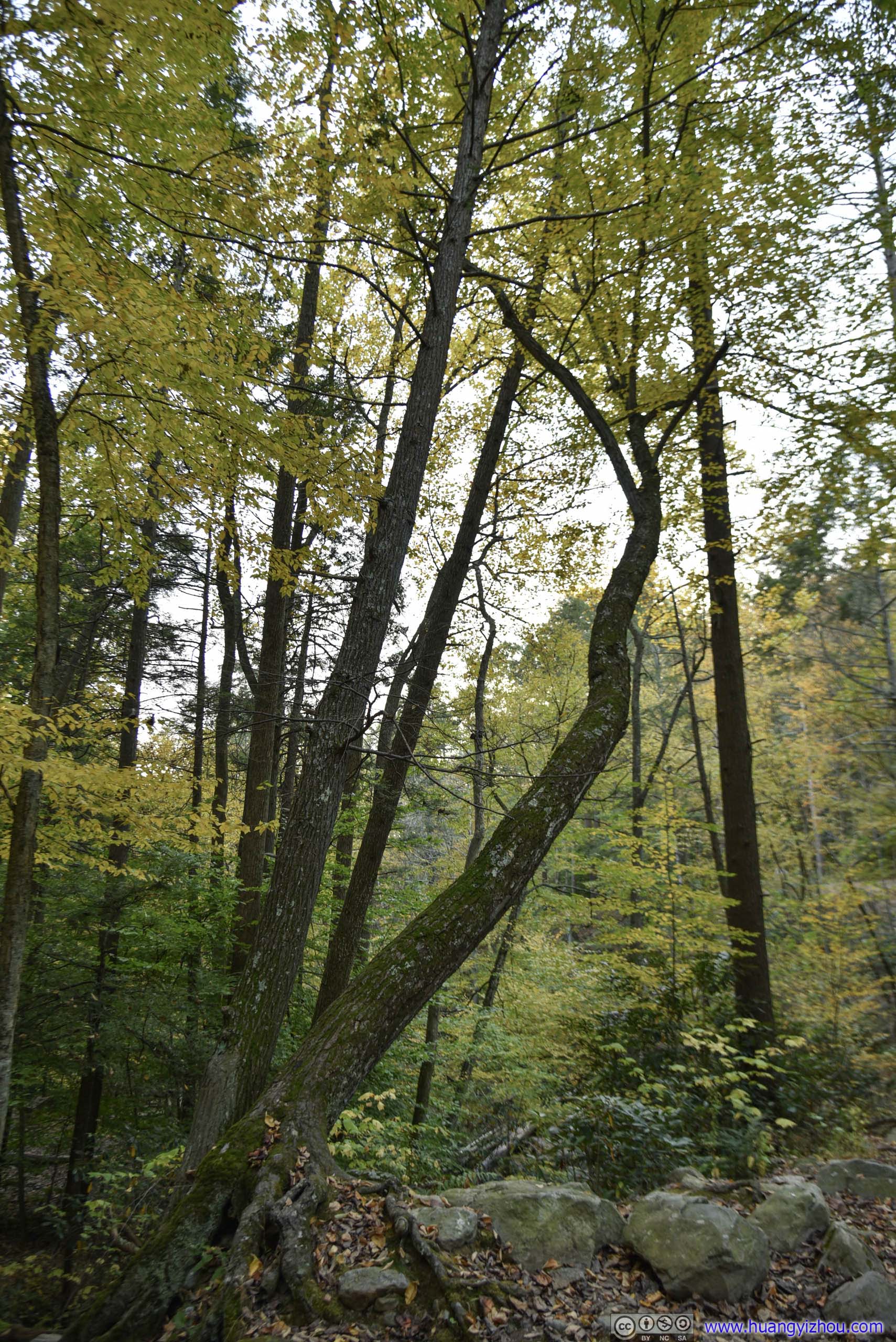
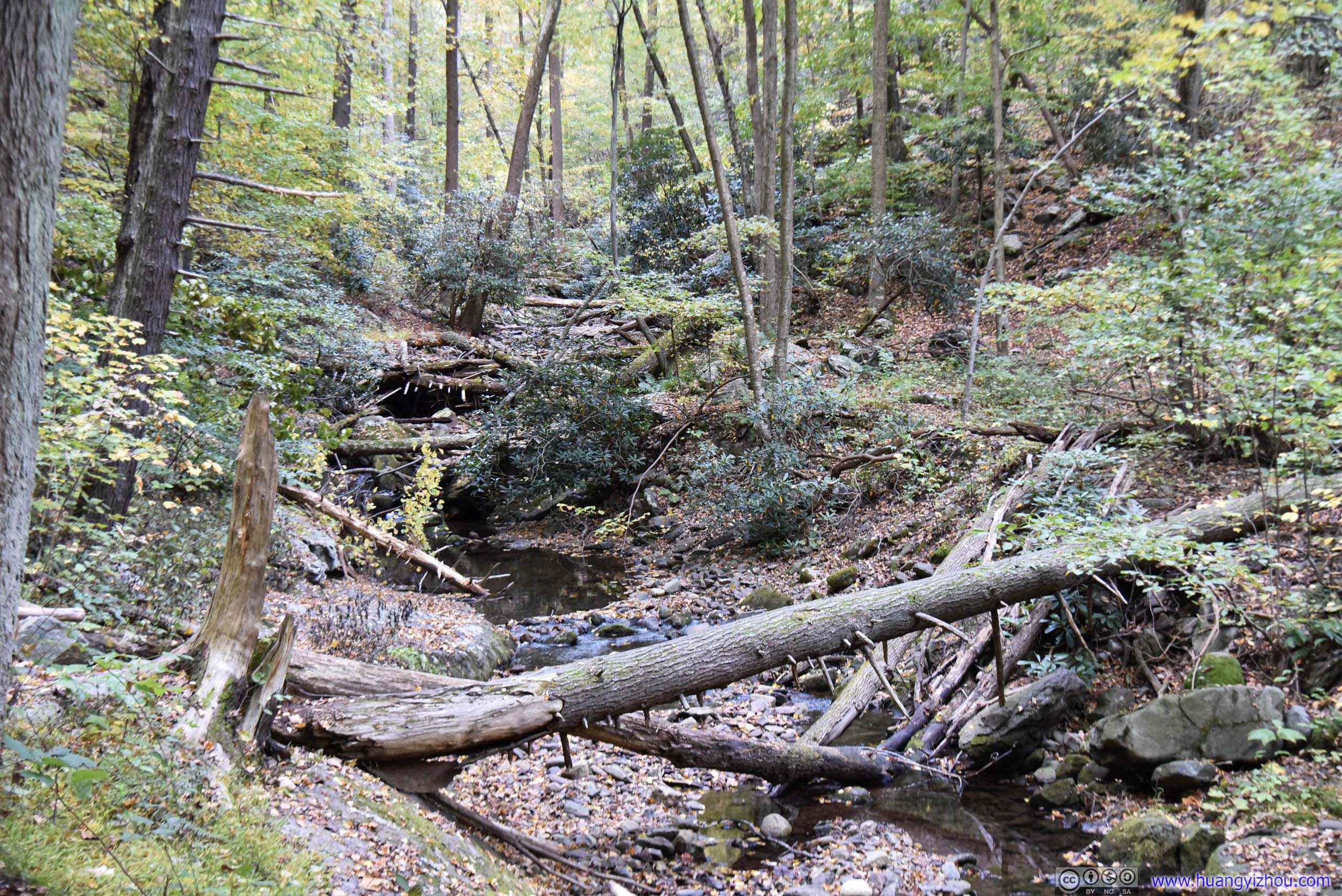
Twisted Trees
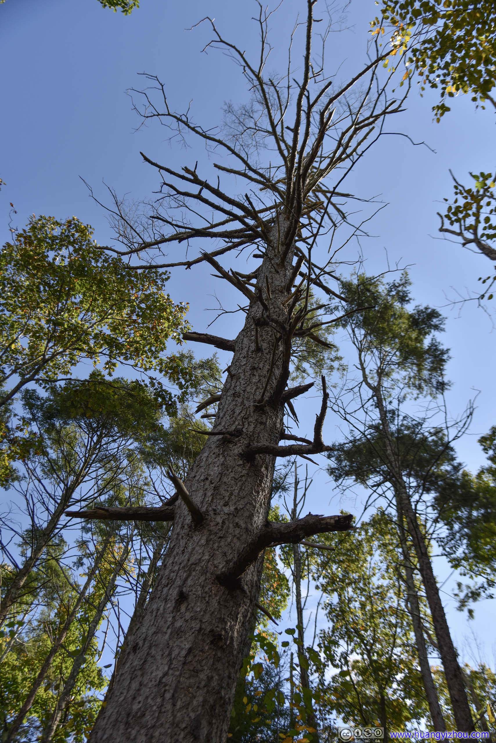
 Dying Trees in Forest
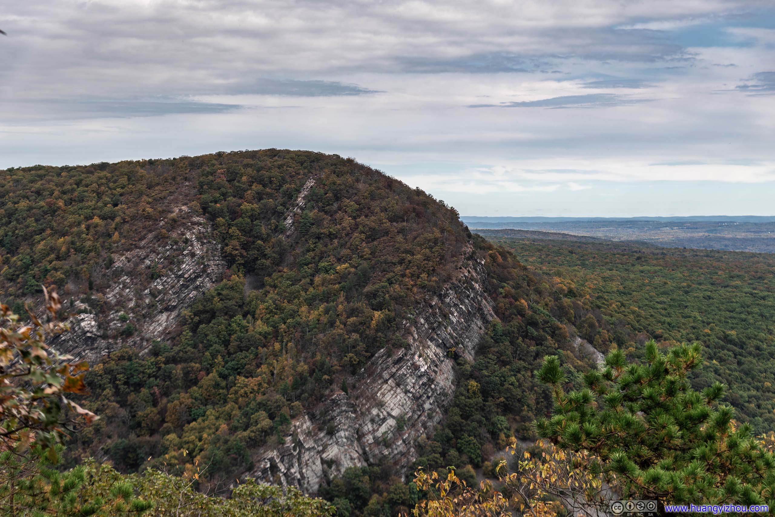
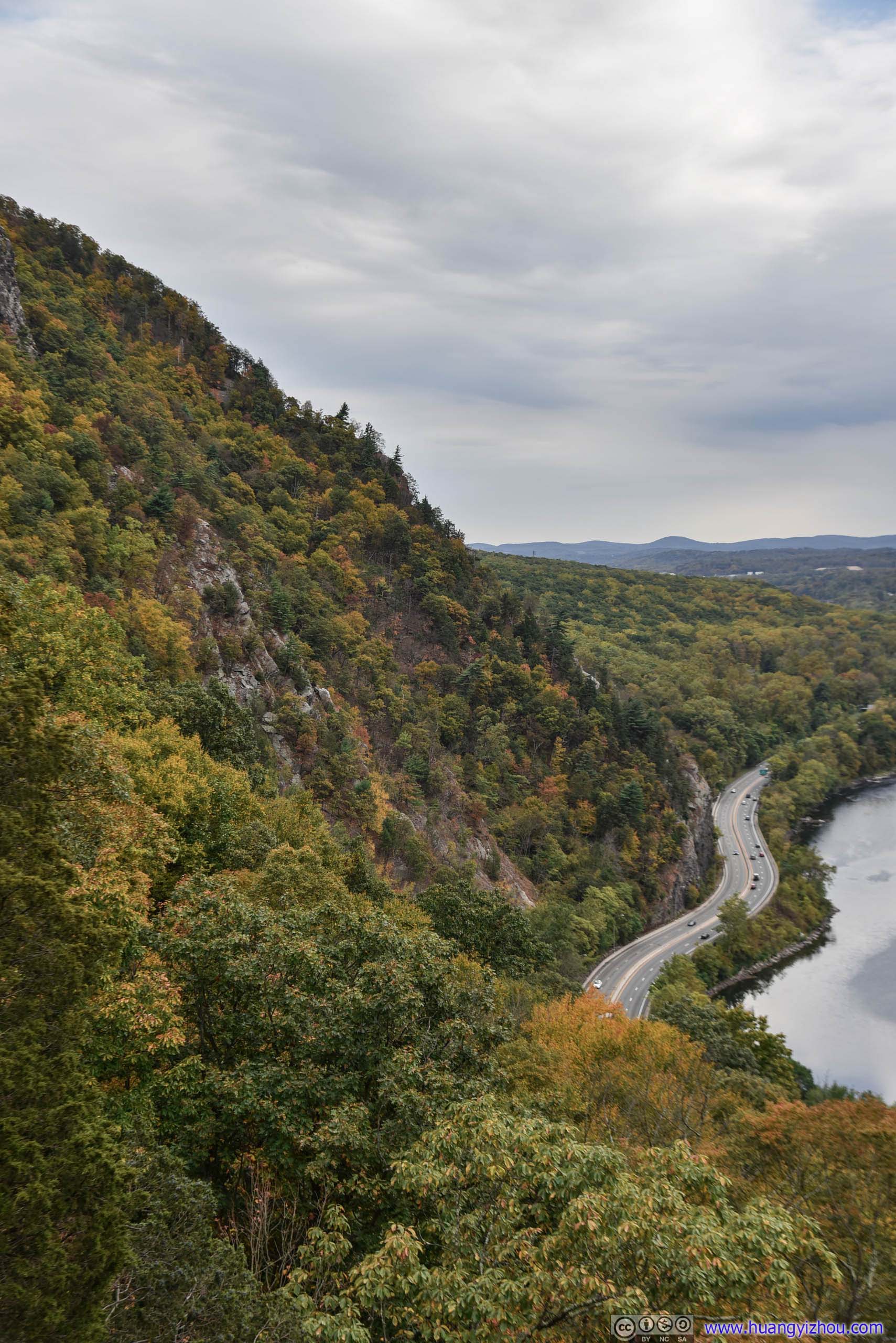
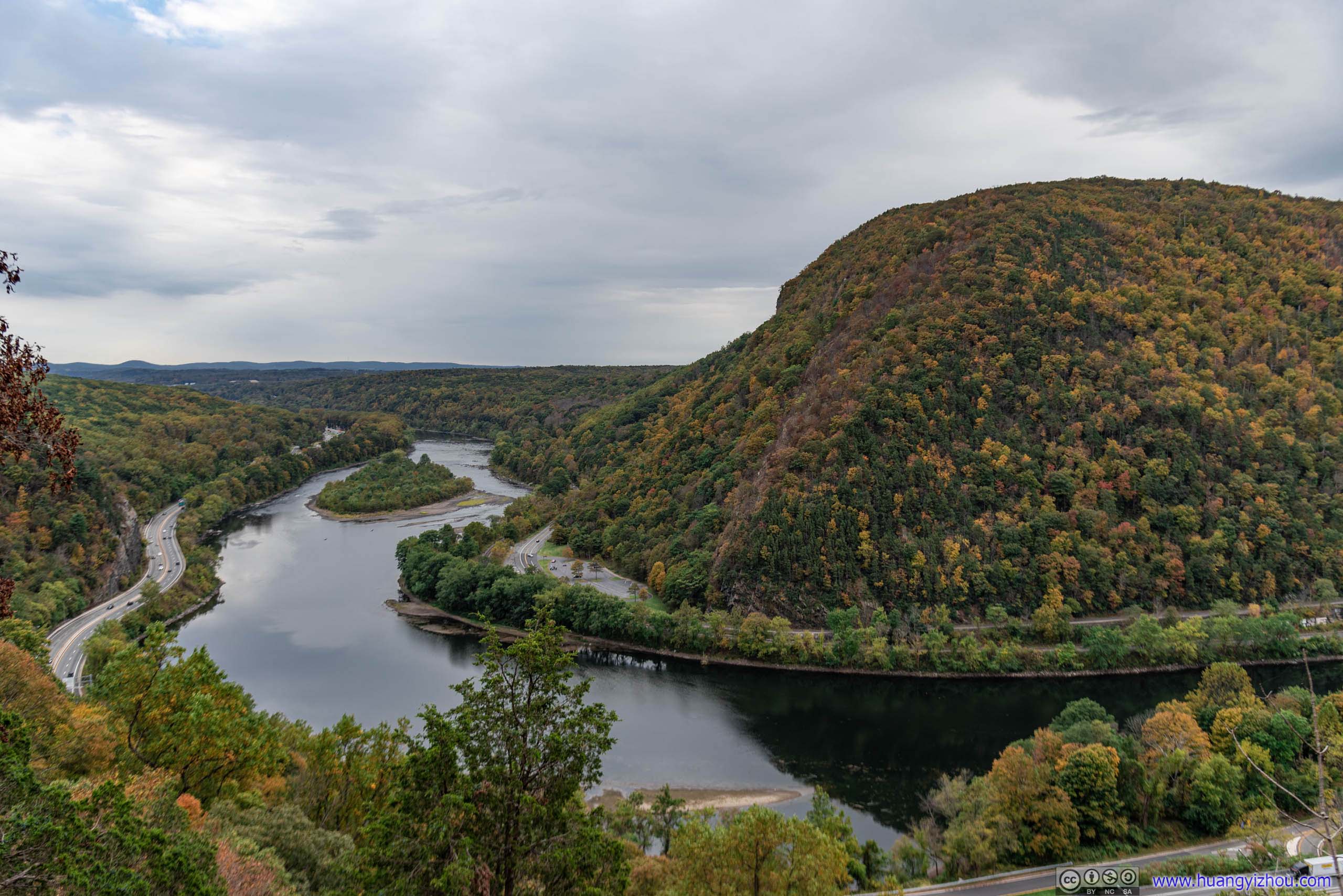
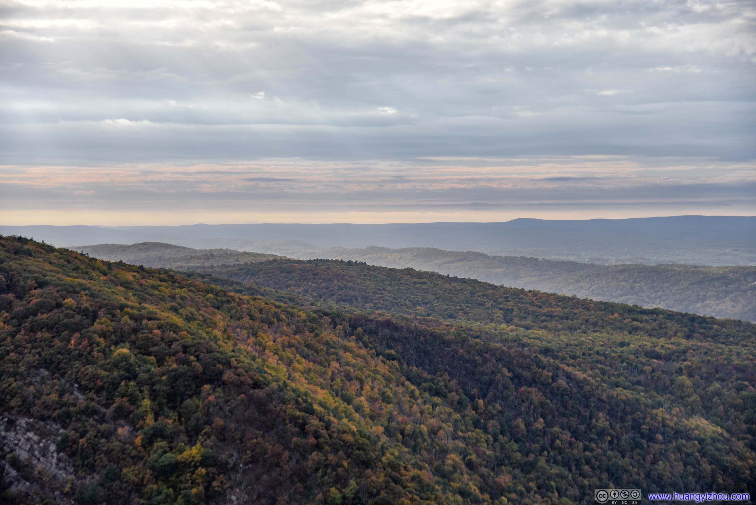
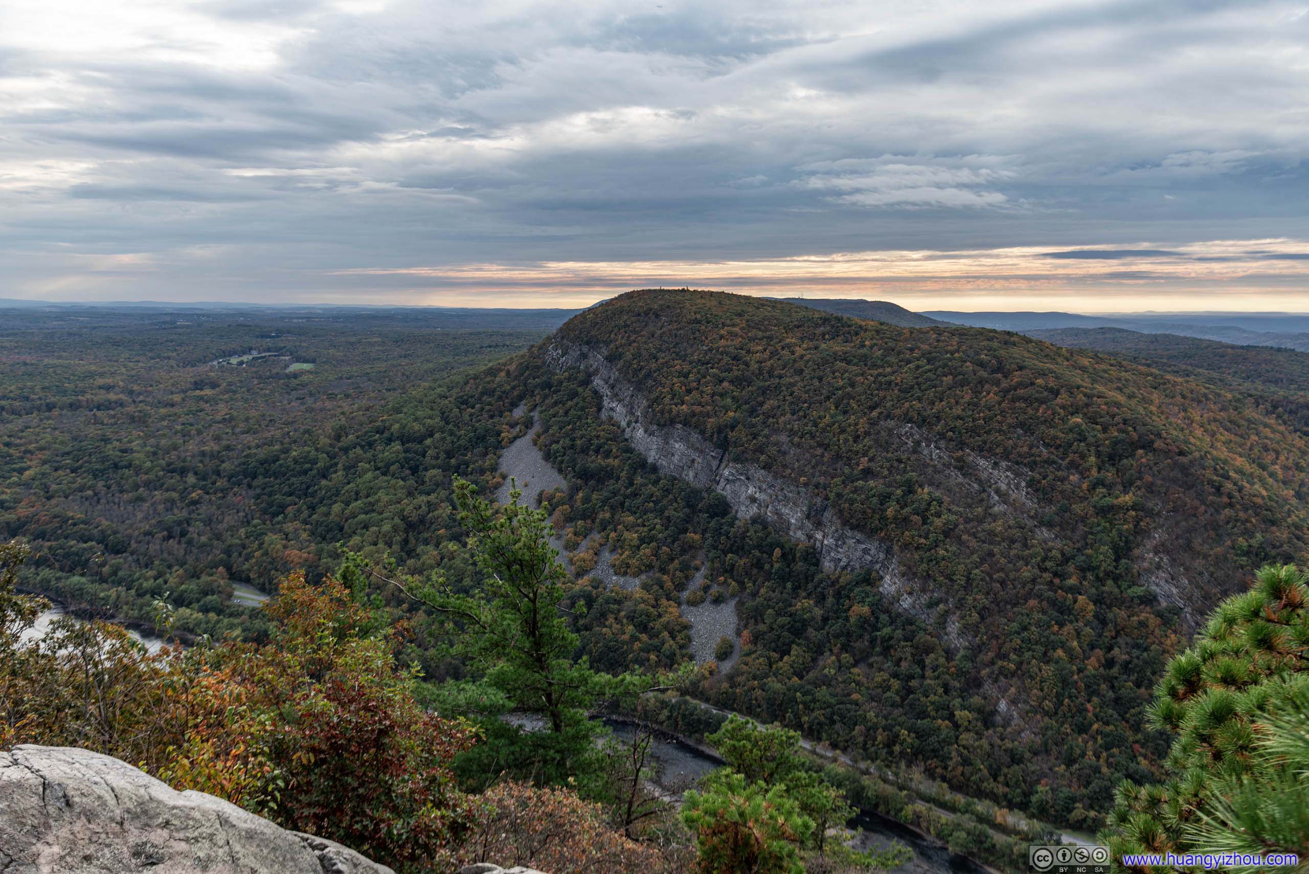
About 45 minutes and 2 kilometers into my adventure, I encountered the first (and best, in my opinion) vista along Mount Minsi Trail, which was called “Lookout Rock”.
Well, a more accurate statement was that “Lookout Rock” was on a spur rather than the main Mount Minsi Trail, but it’s nonetheless hard to miss.
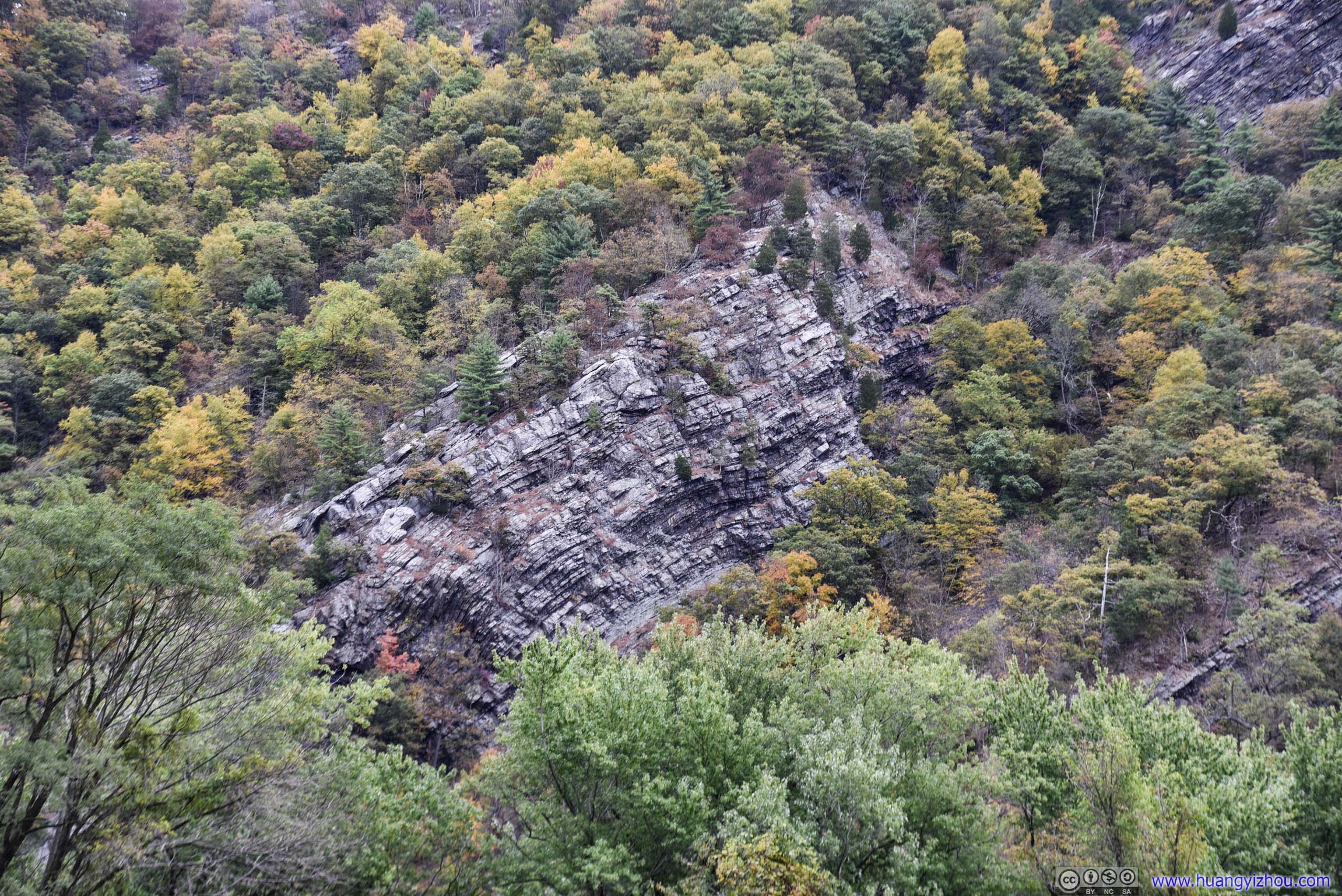
 Mount Tammany across River
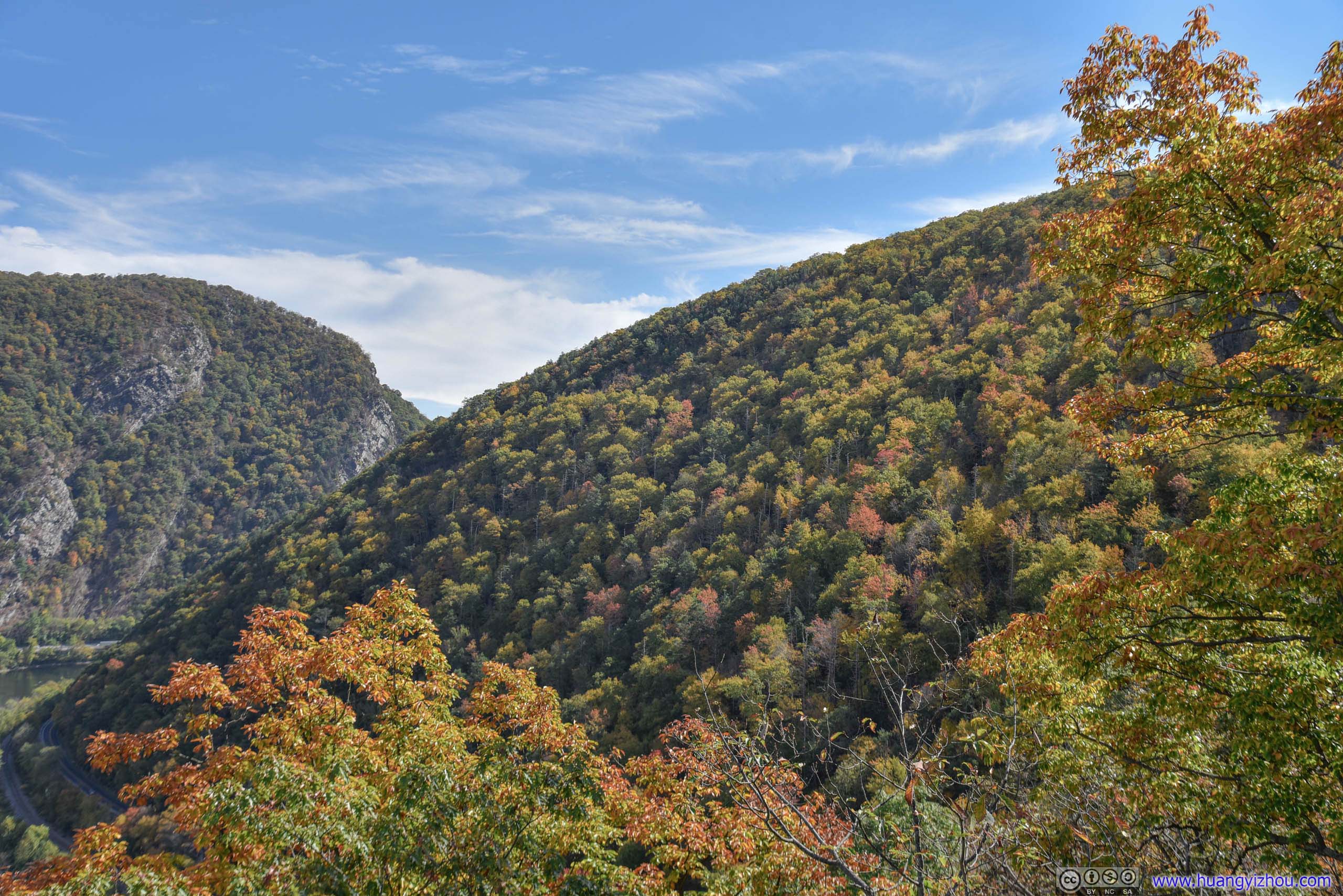
Hill in Autumn Colors
Hill across River
 Leaves in Autumn Color
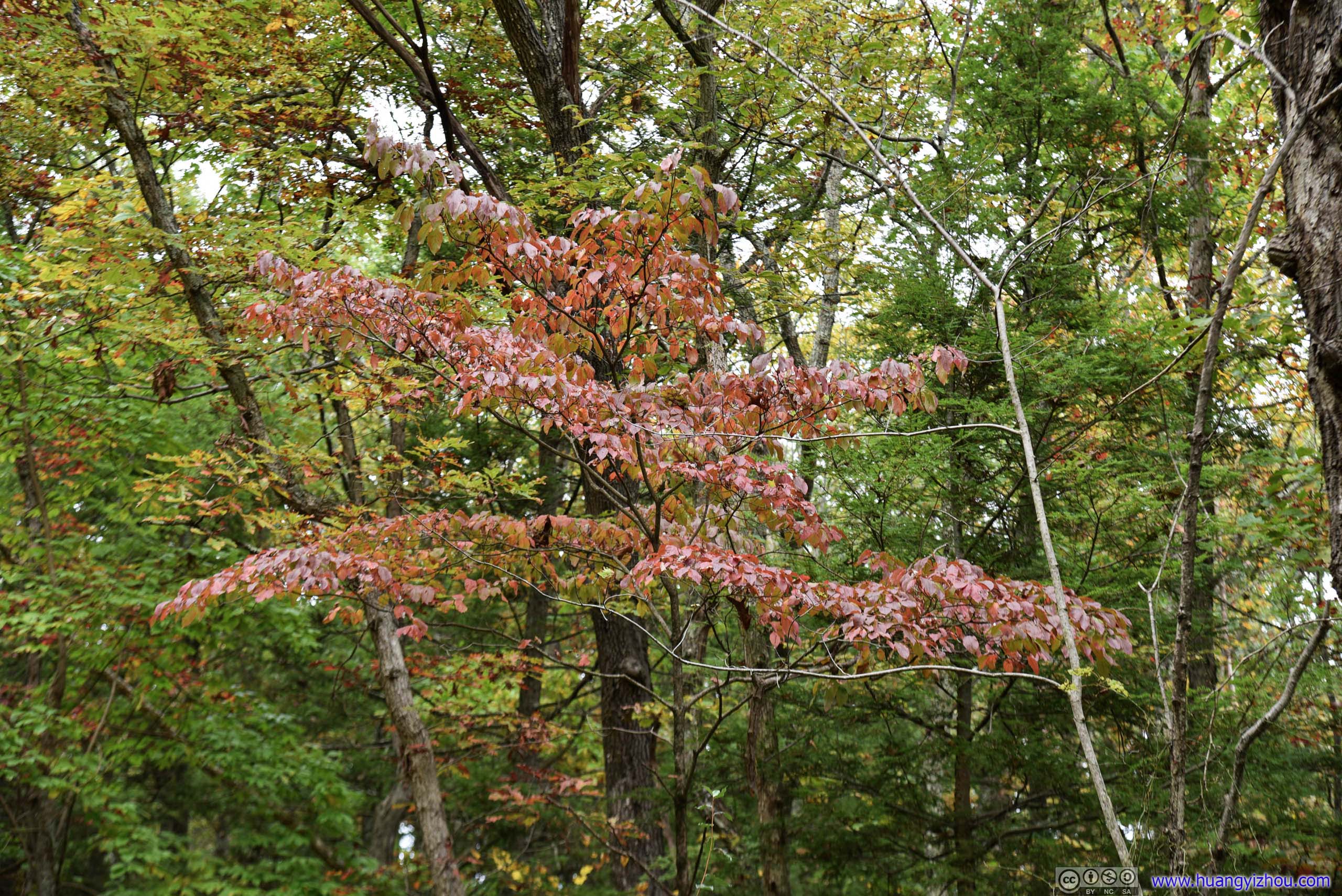
Leaves with StainWithering signs.

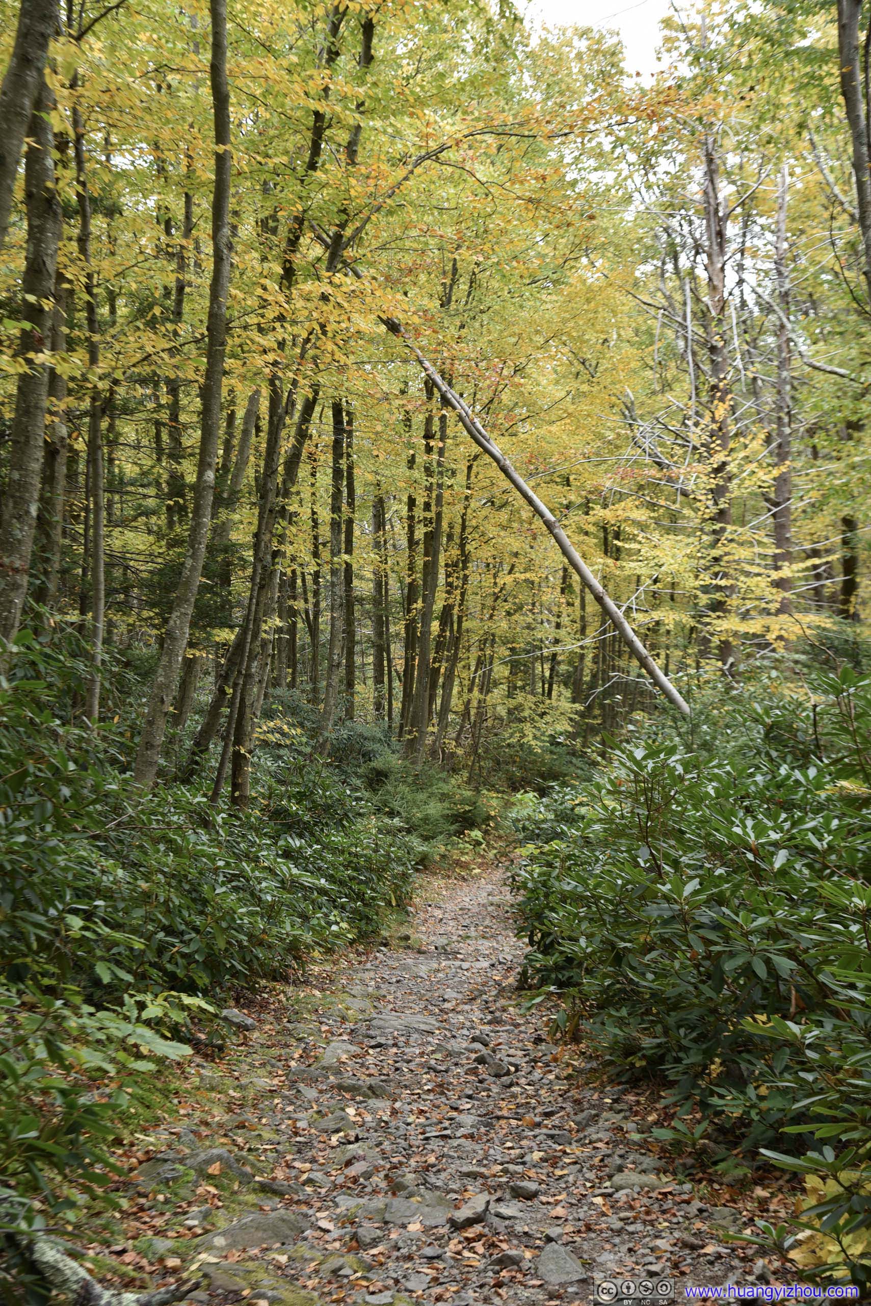
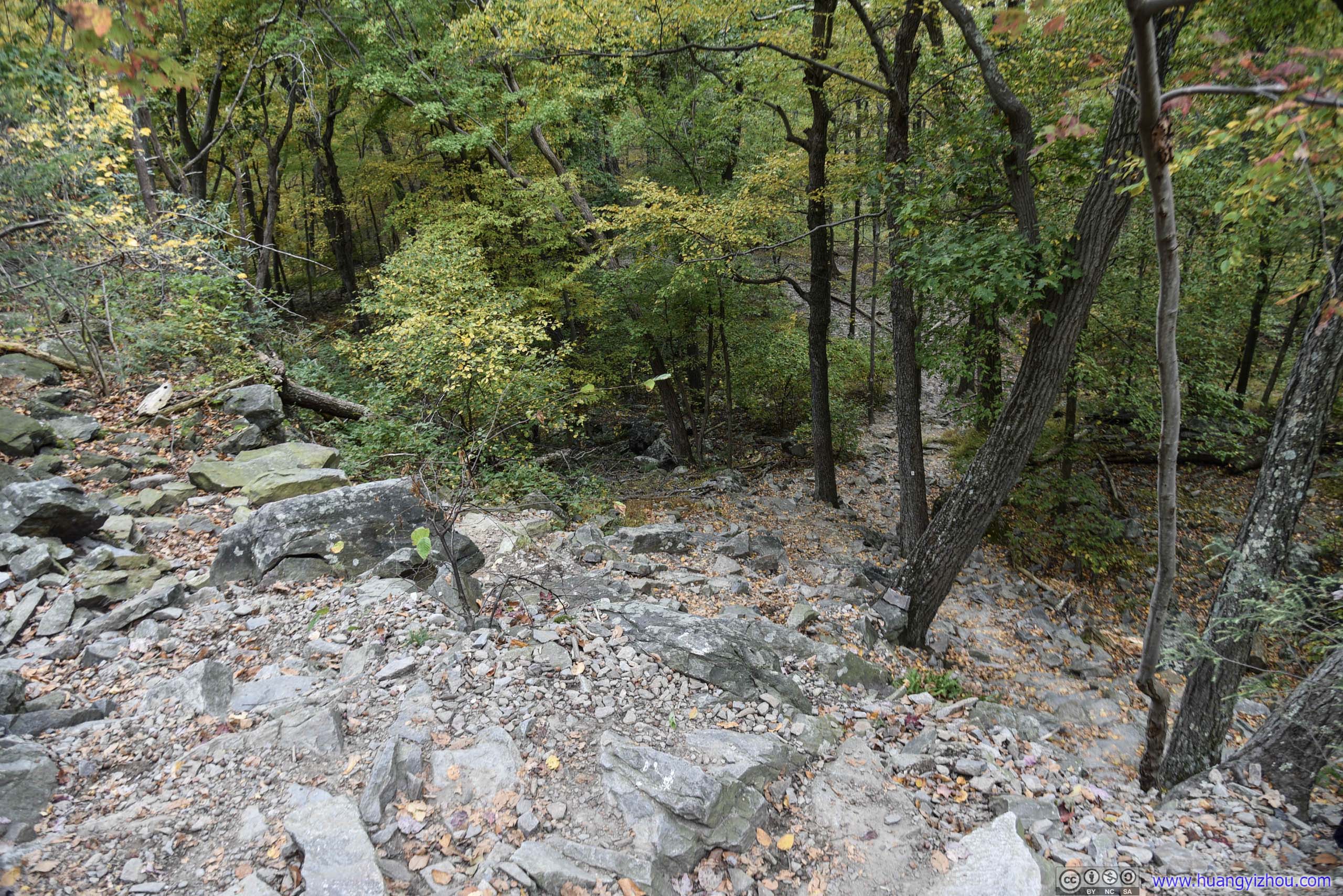
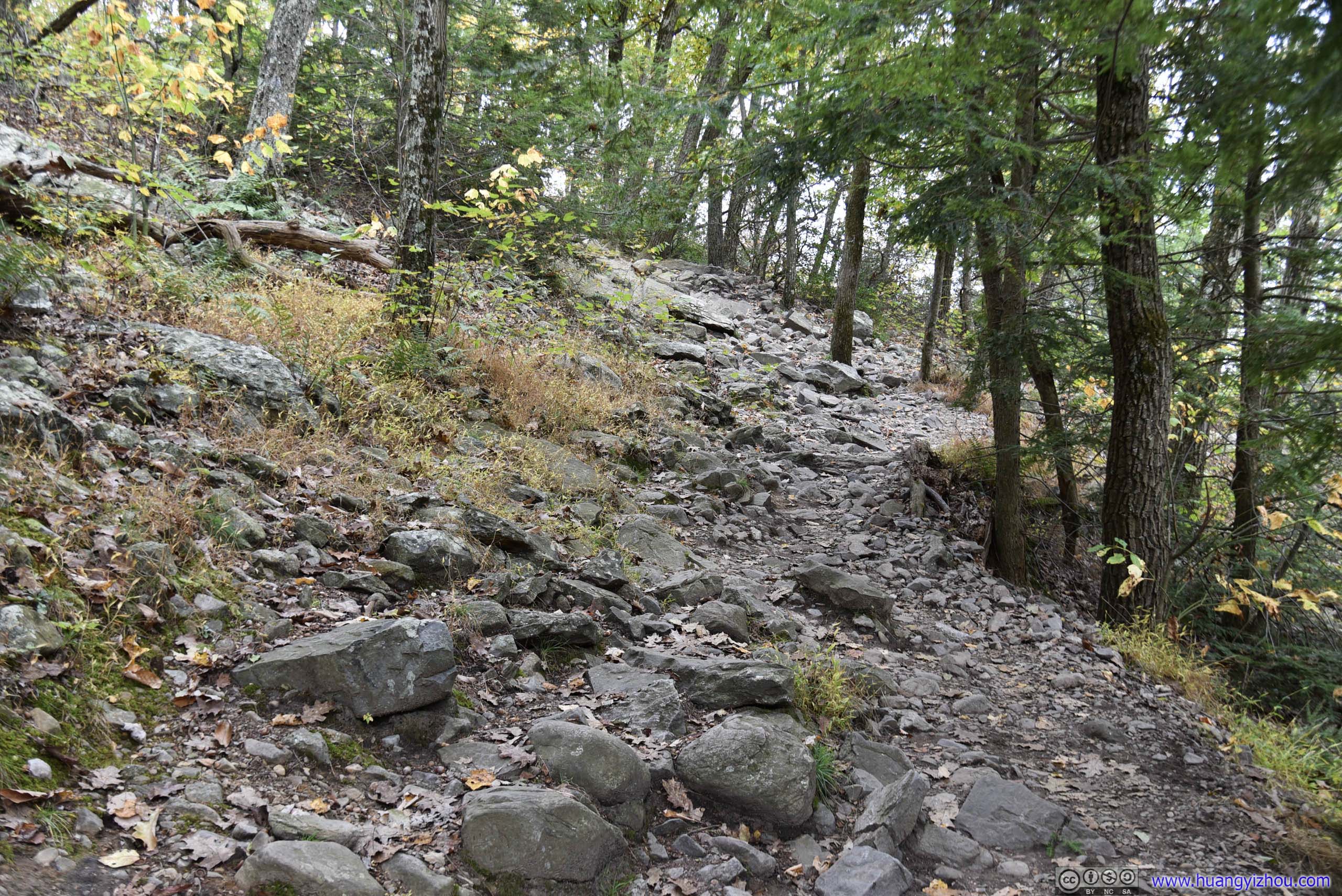
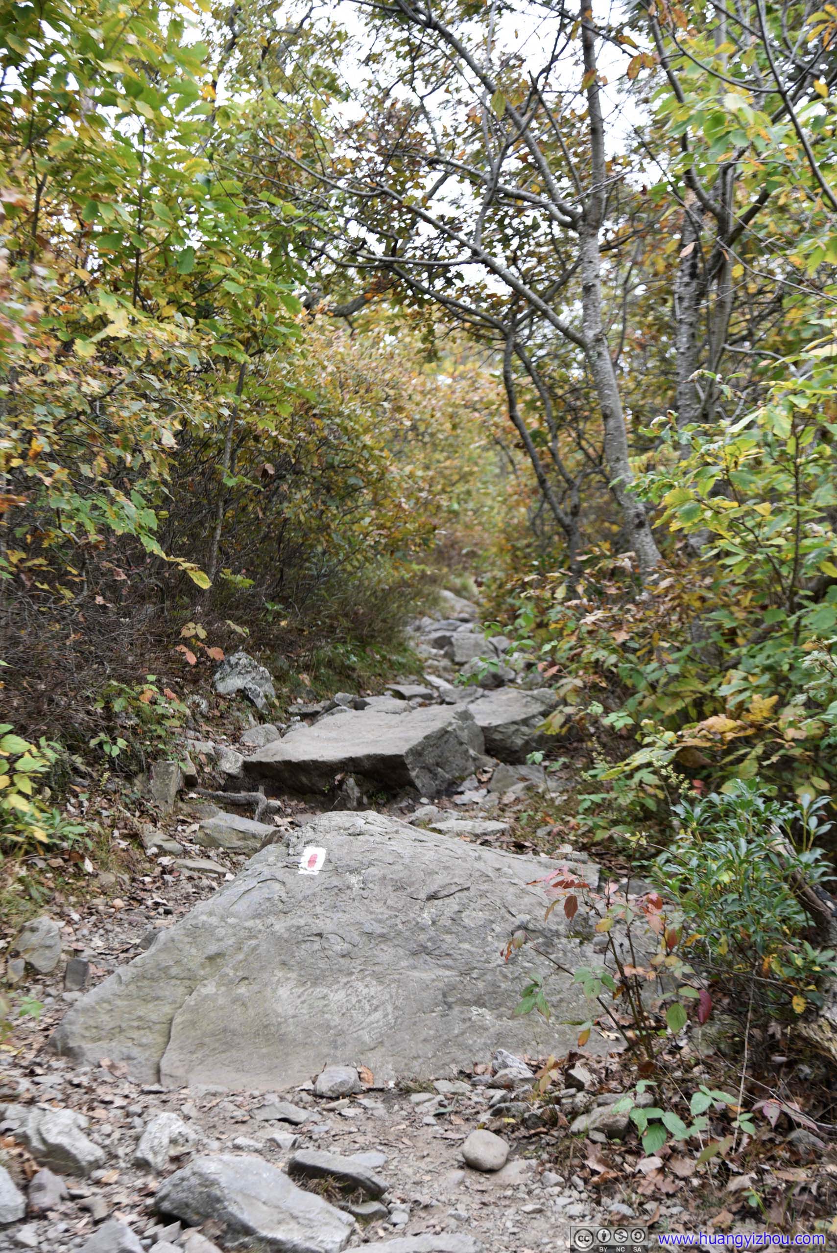
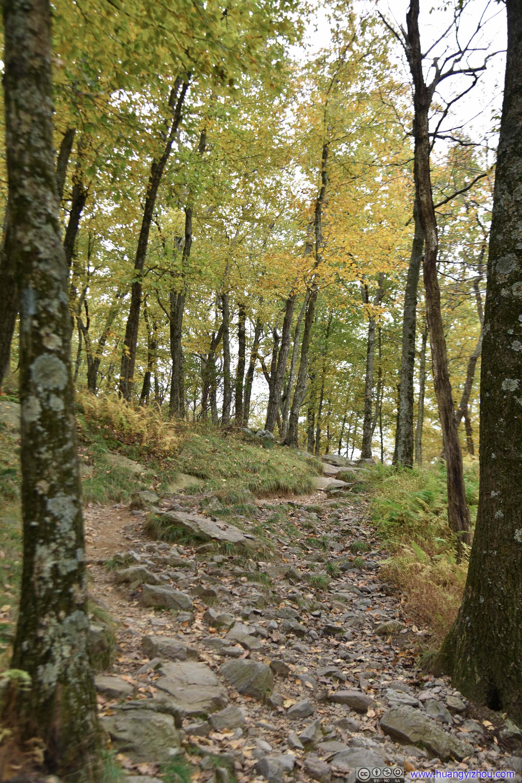
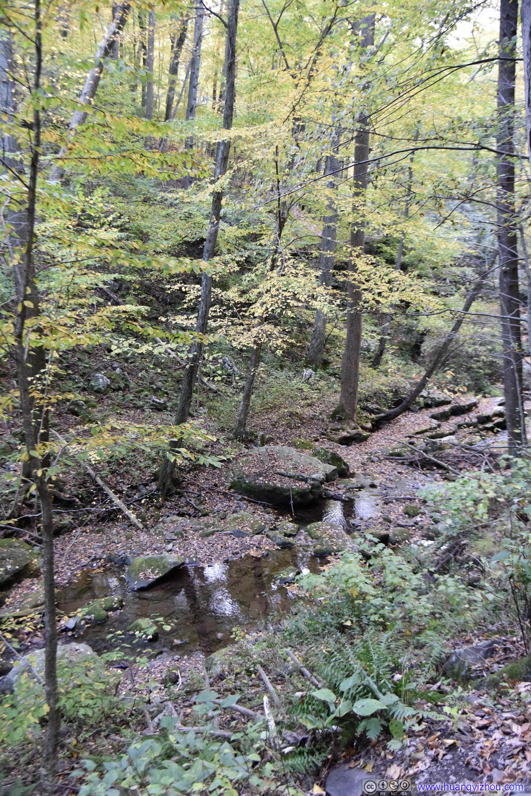
 Trail
Trail

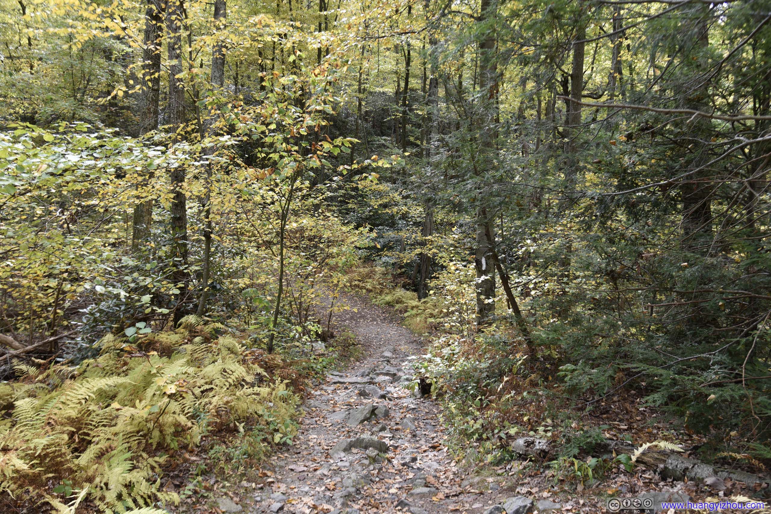
 Trail
Trail
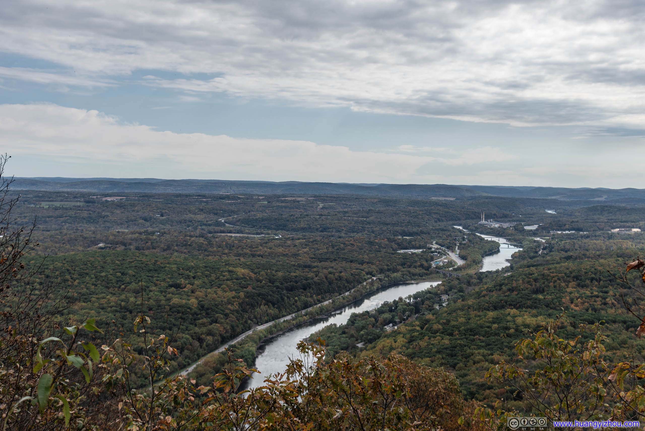
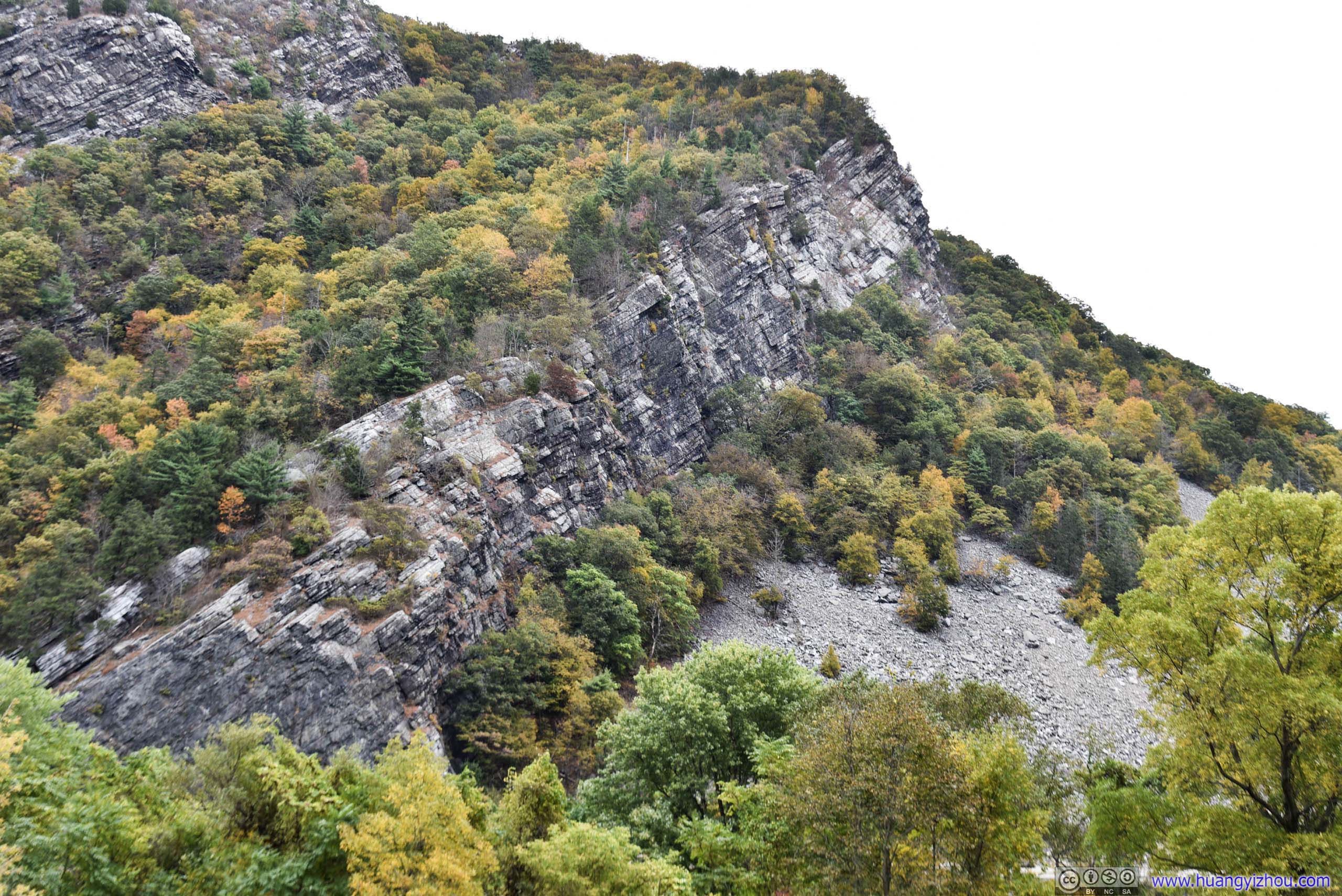
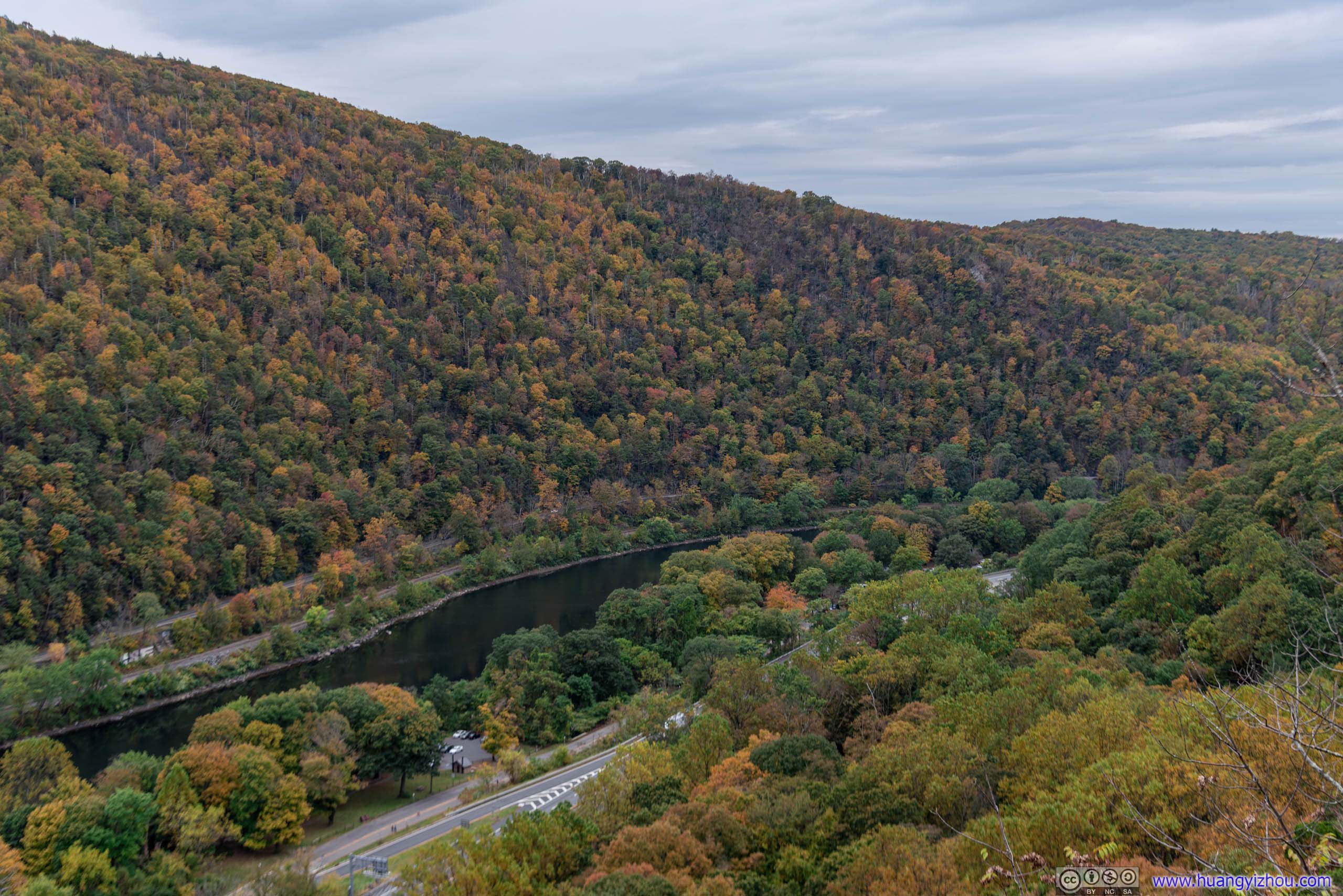
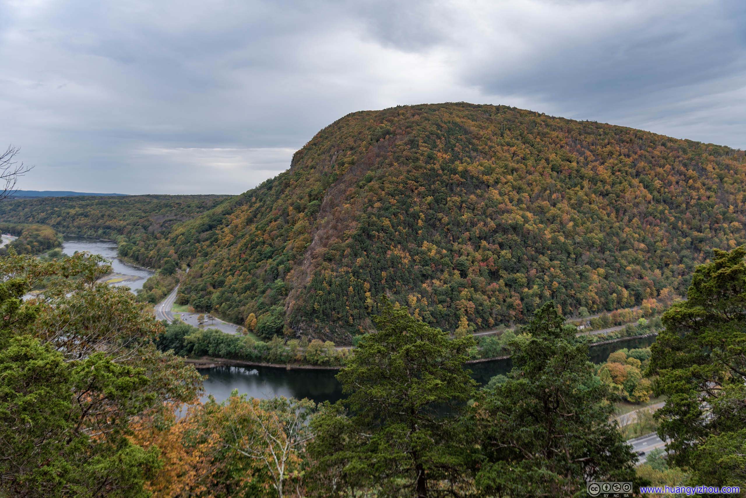
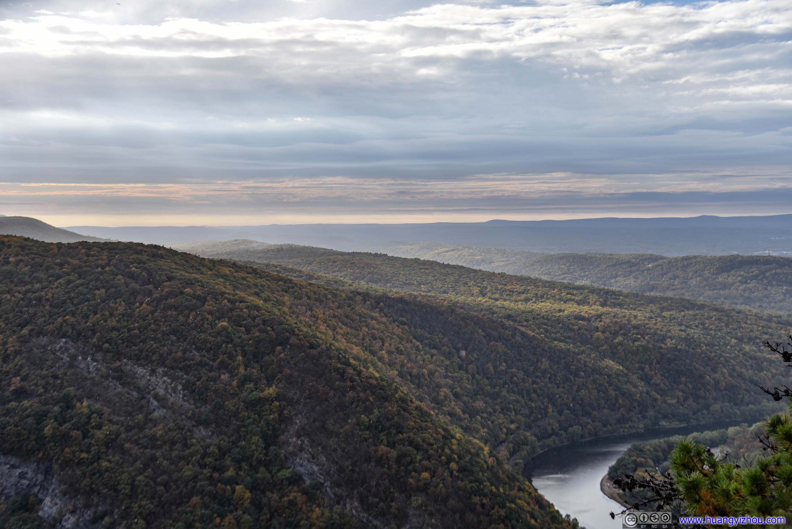
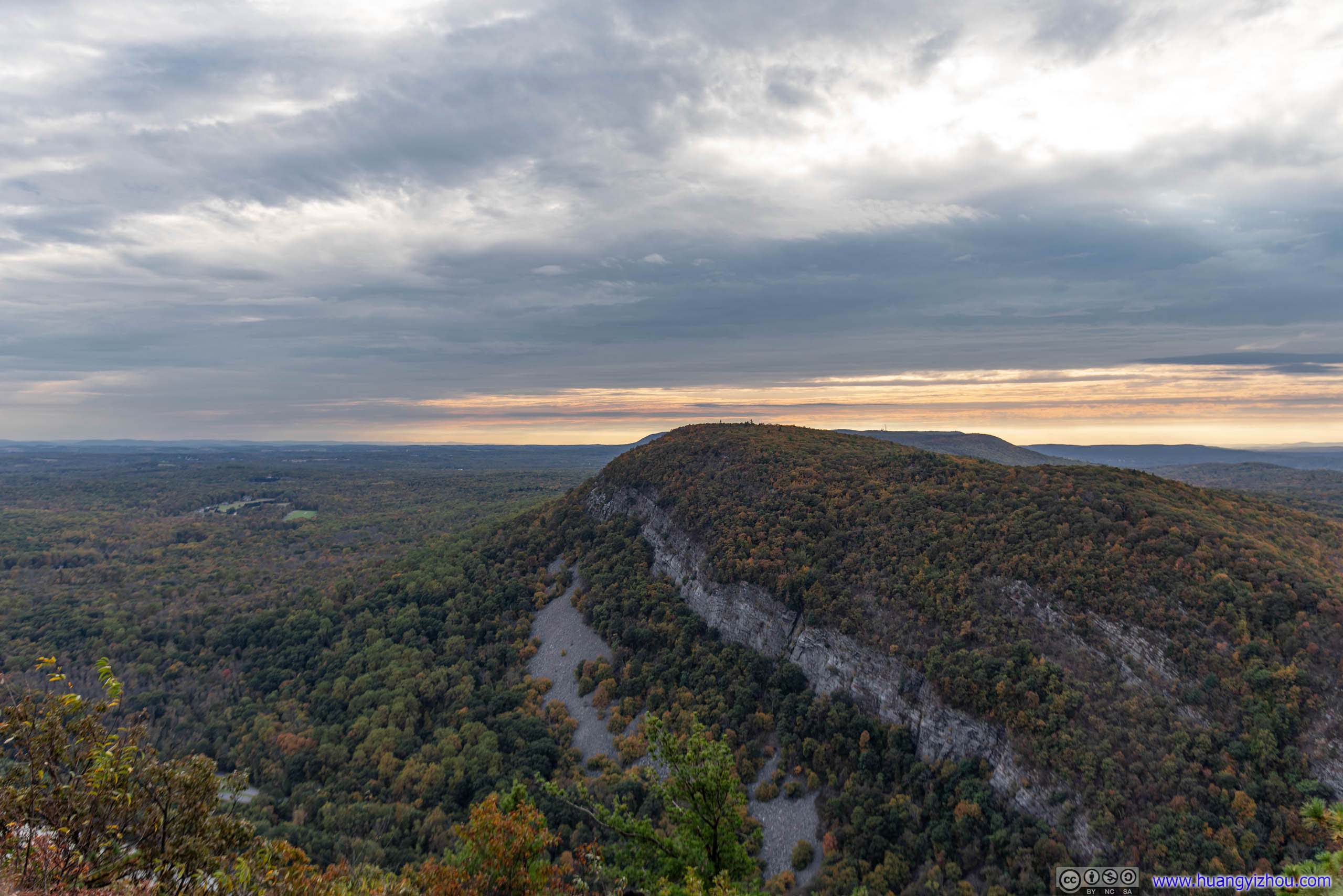
A little bit over an hour into my excursion, I arrived at “Minsi Lookout” with views of Mount Tammany across Delaware River. This lookout should have better views than “Lookout Rock”, but unfortunately views here were much obscured by trees.
Mount Tammany
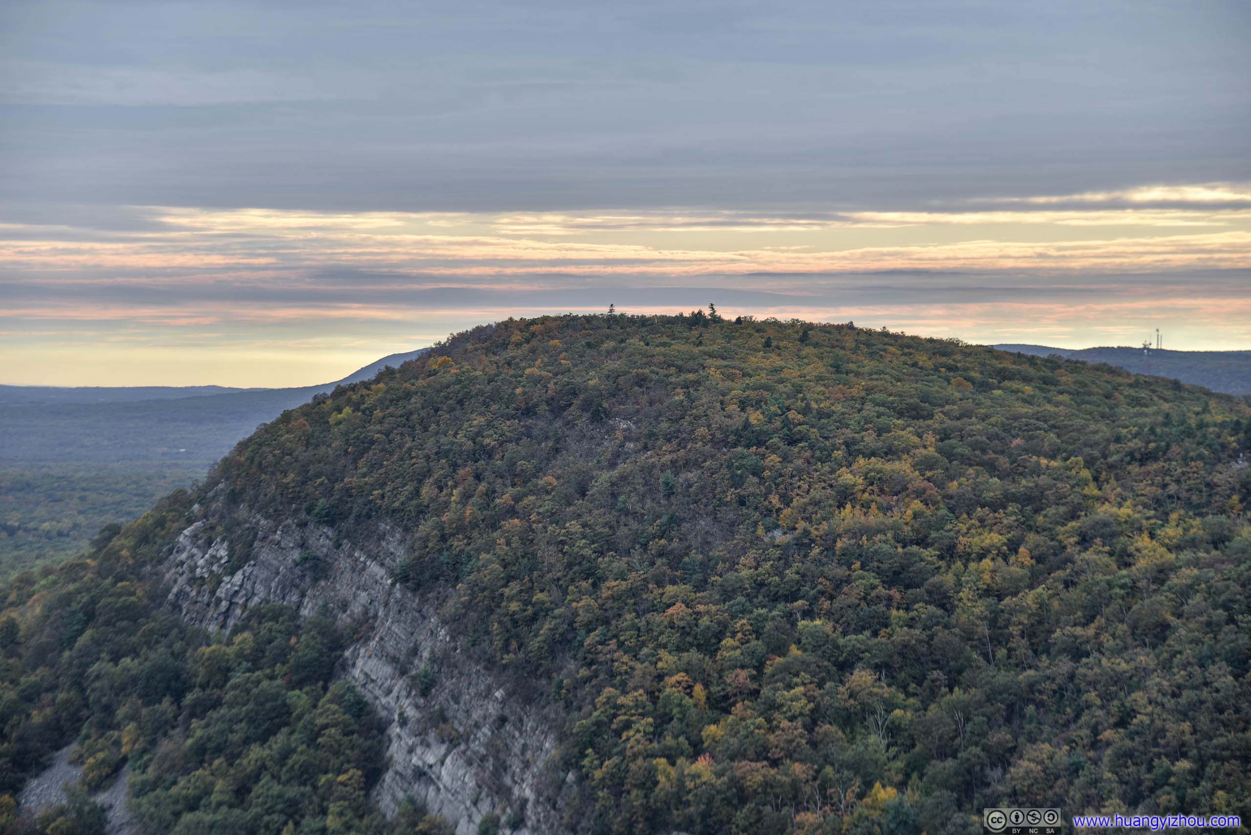
While “Minsi Lookout” with its many rocks was the perfect resting ground for many families, I went a farther 500 meters to the peak of Mount Minsi with another vista, as indicated by AllTrails.
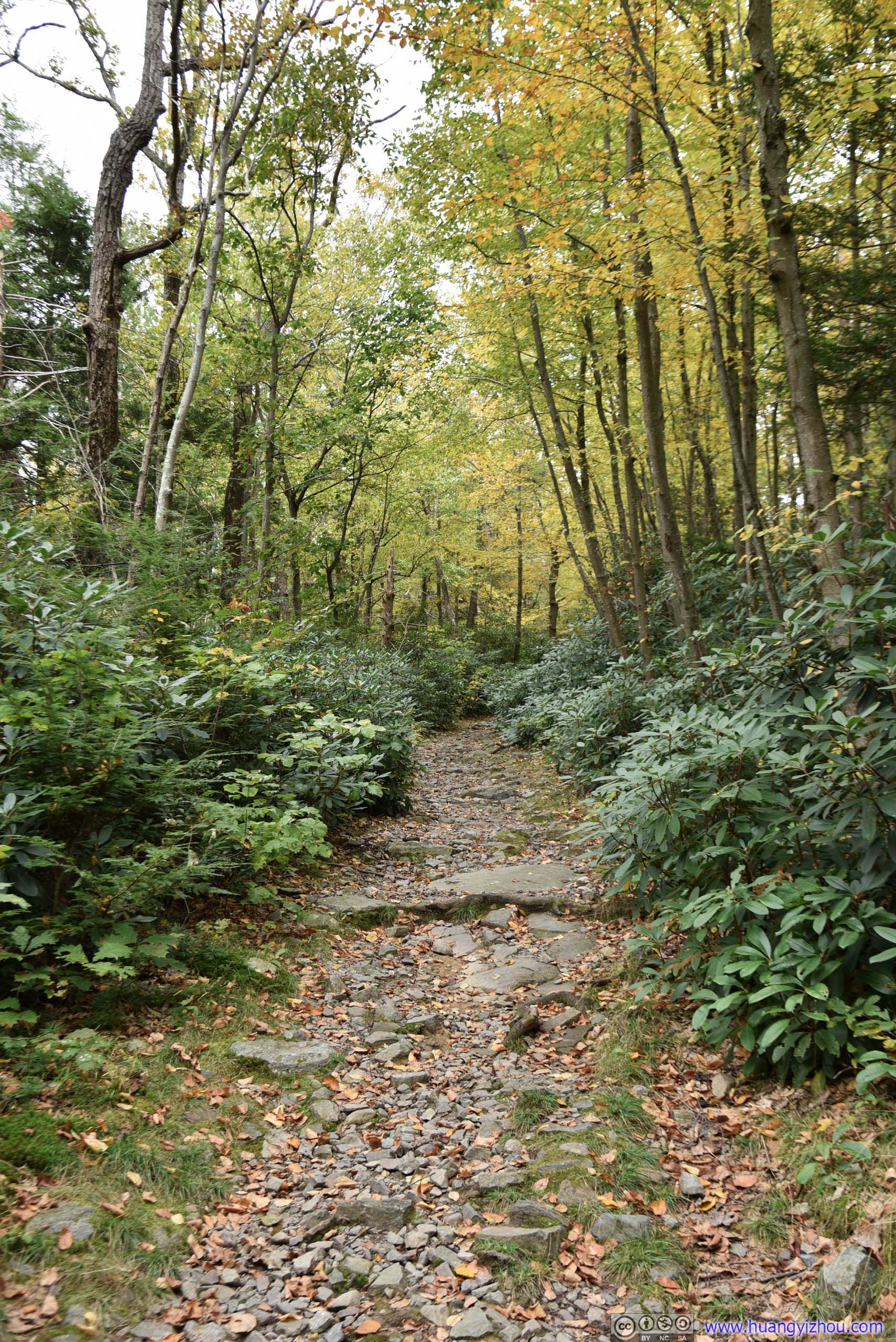
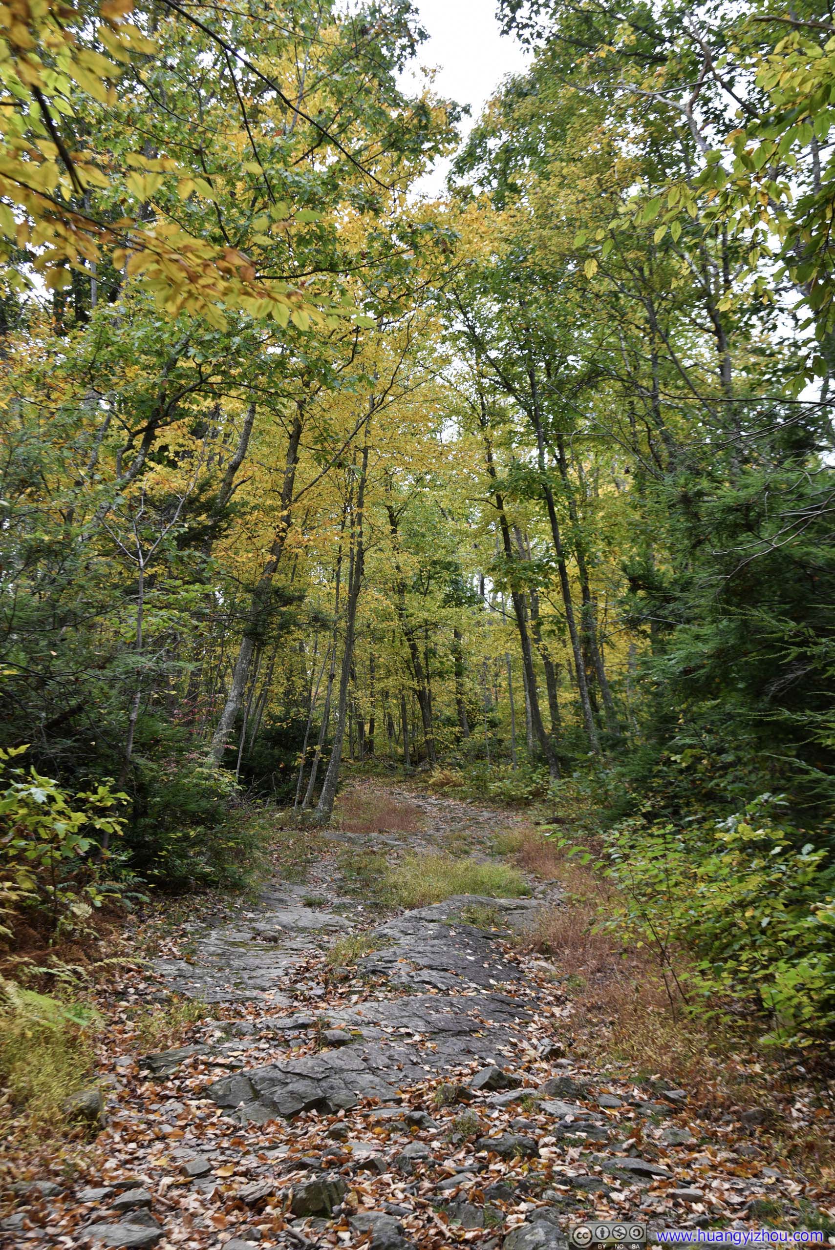
 Trail
Trail
 Leaves in Autumn Color
TrailThe last 50 meters before the vista was on wide thoroughfare like this, which amazingly was part of Appalachian.
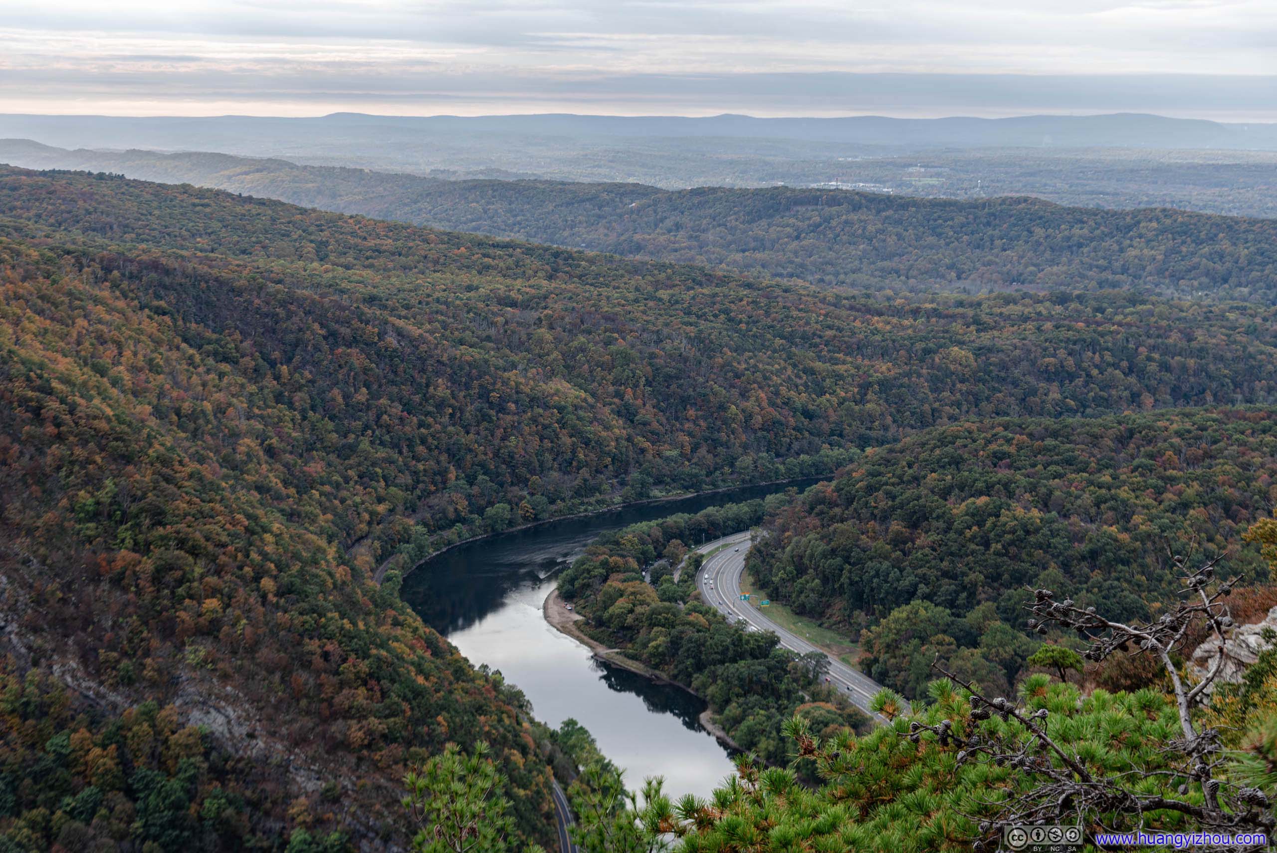
Unfortunately, the final vista was facing South, away from the magnificent rocks of Mount Tammany. So although views of distant fields were nice, they weren’t as exciting as those from previous vistas.
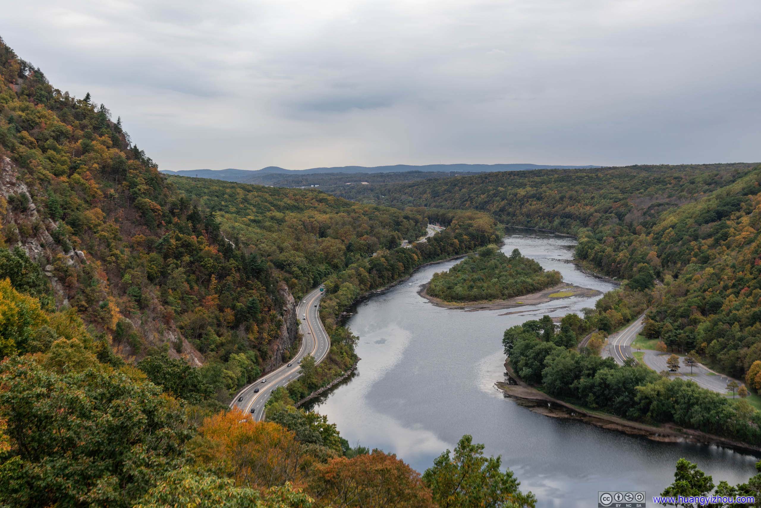
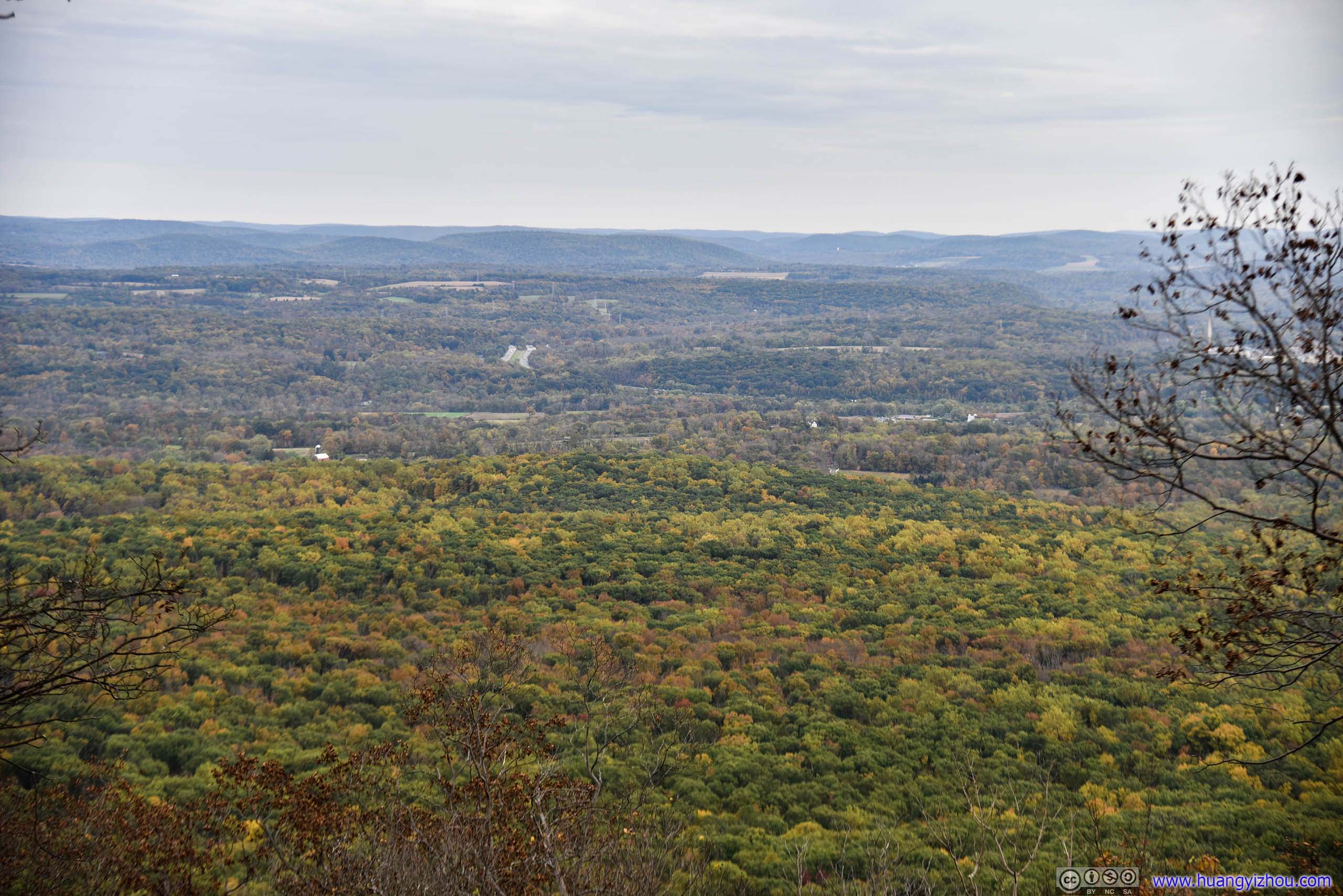
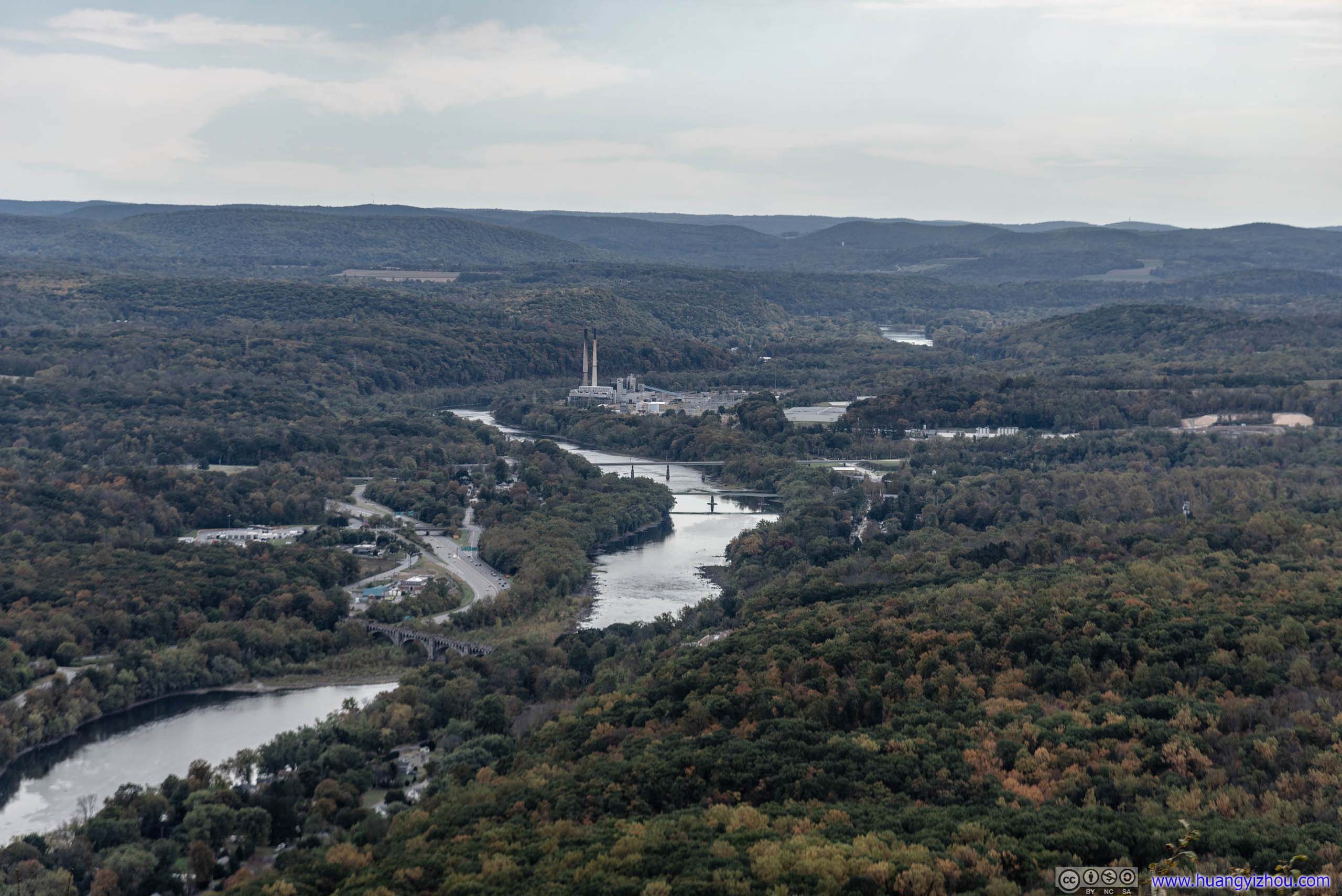 Delaware River and Distant Mountain Ranges
So I had a quick lunch watching the winding Delaware River, before heading back to parking lot.

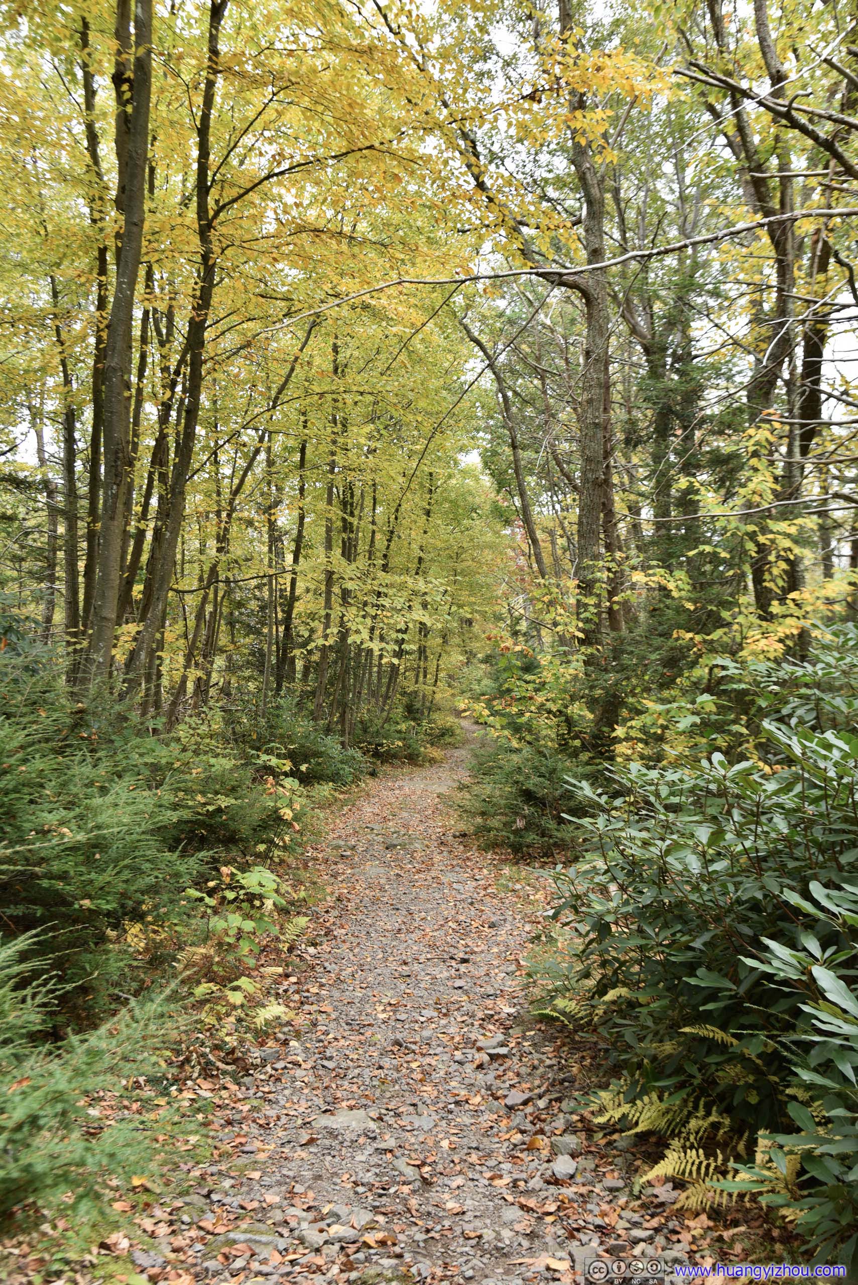
 Trail
Trail
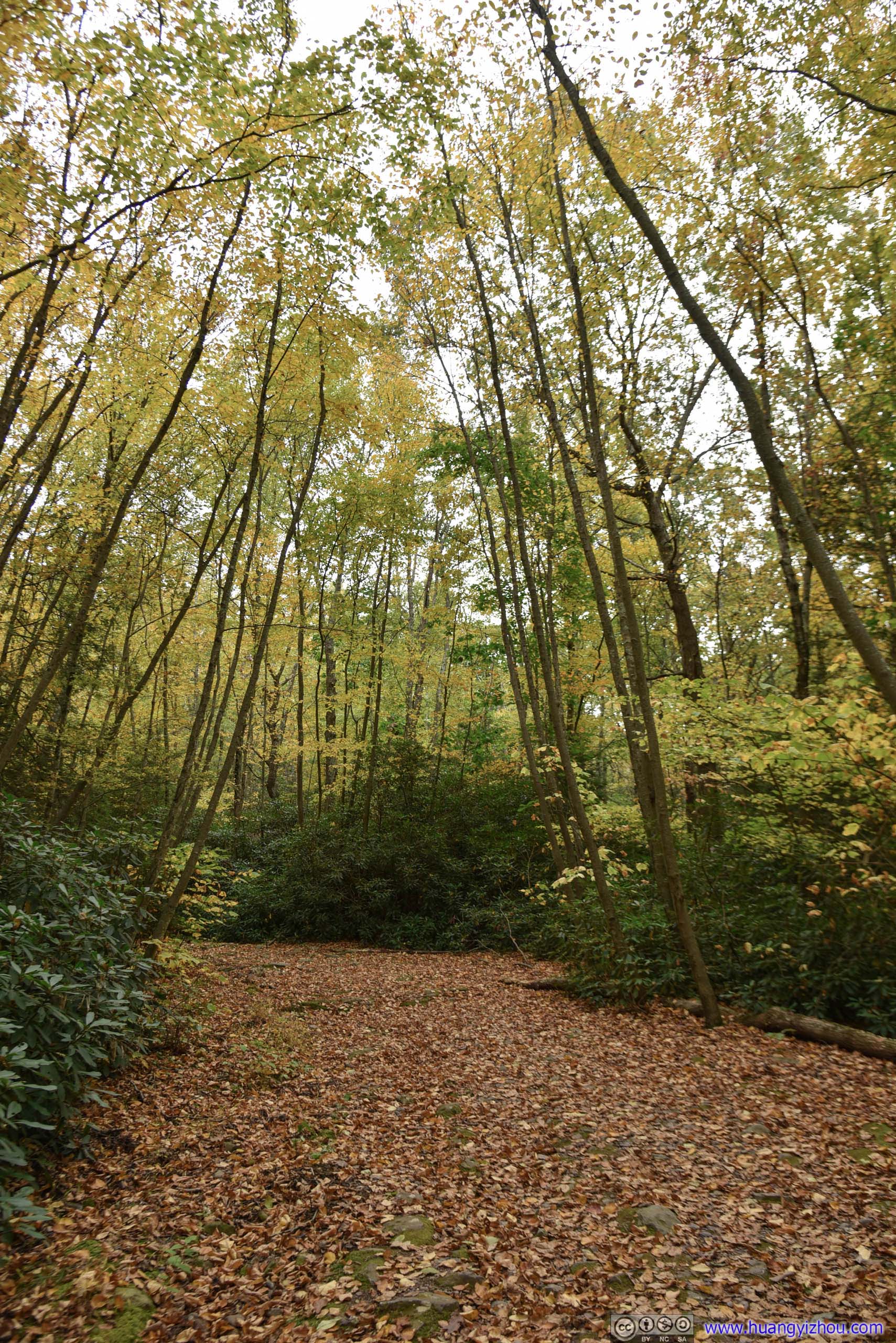
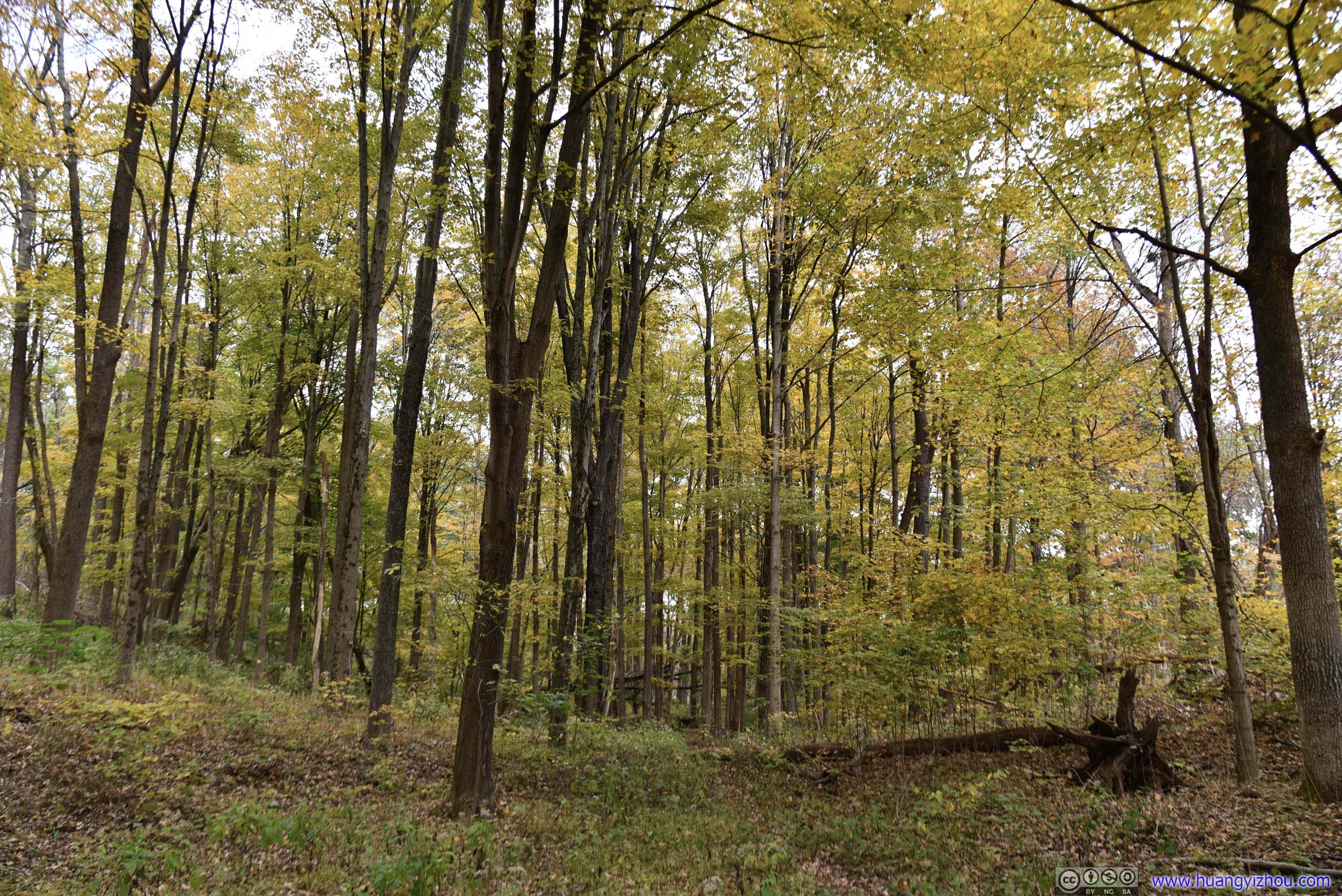
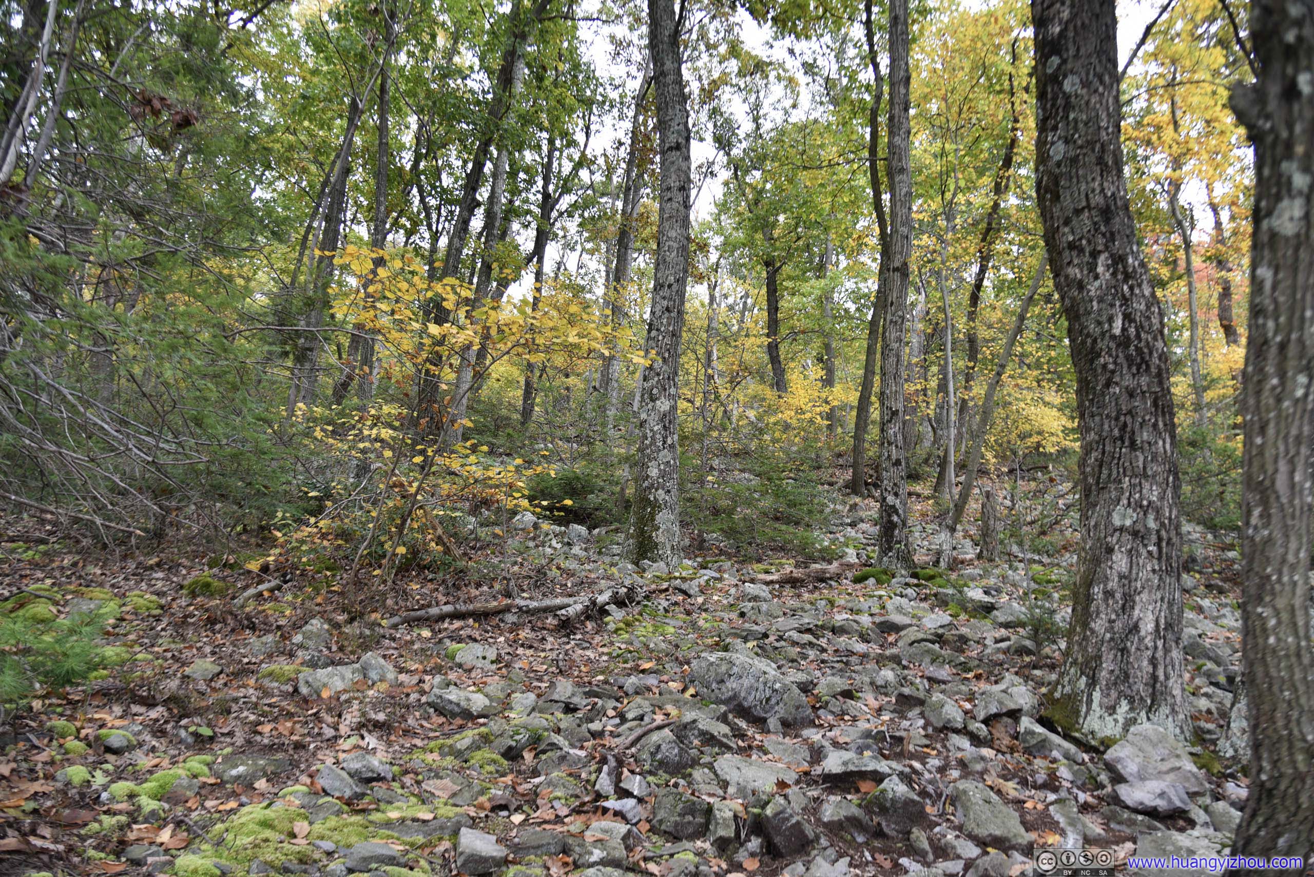
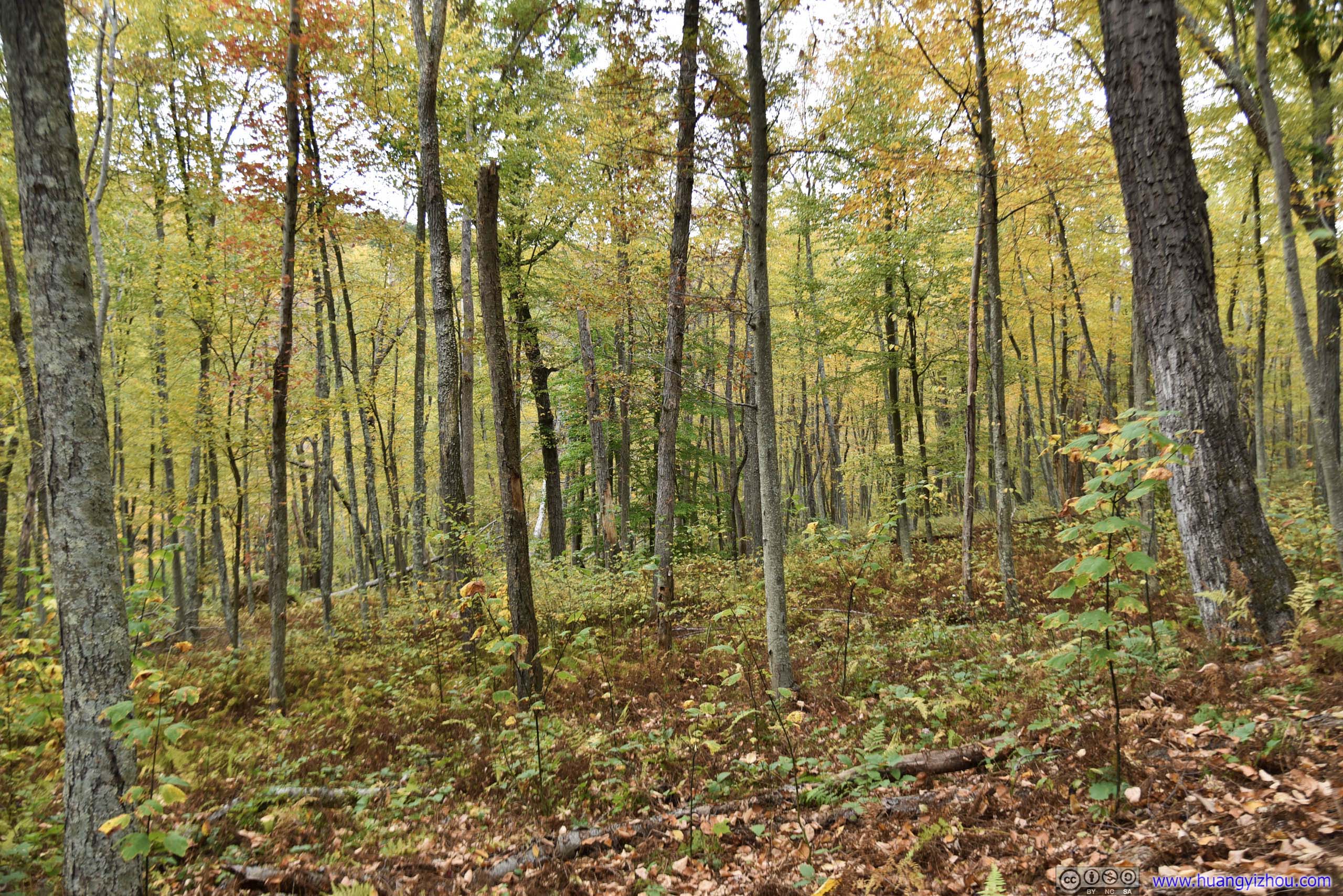
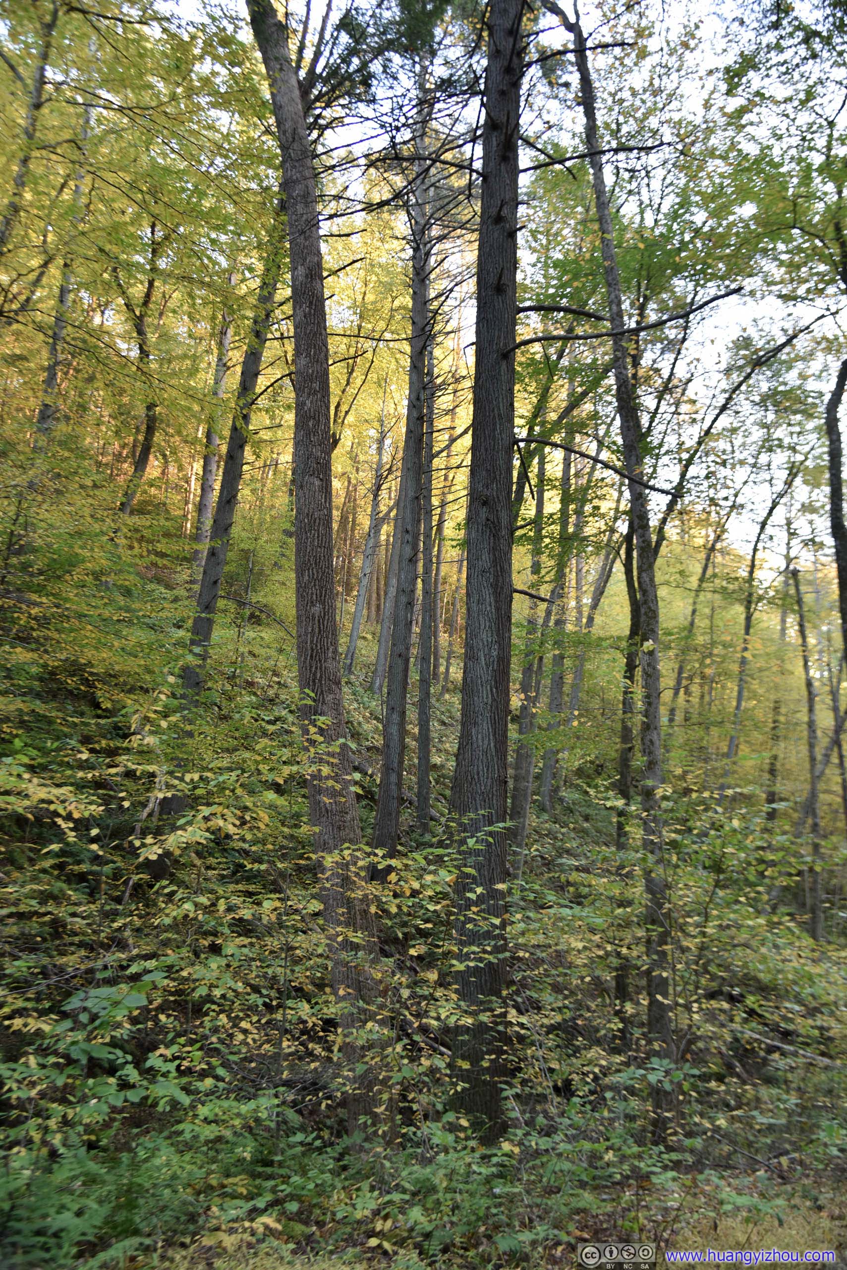
Forest
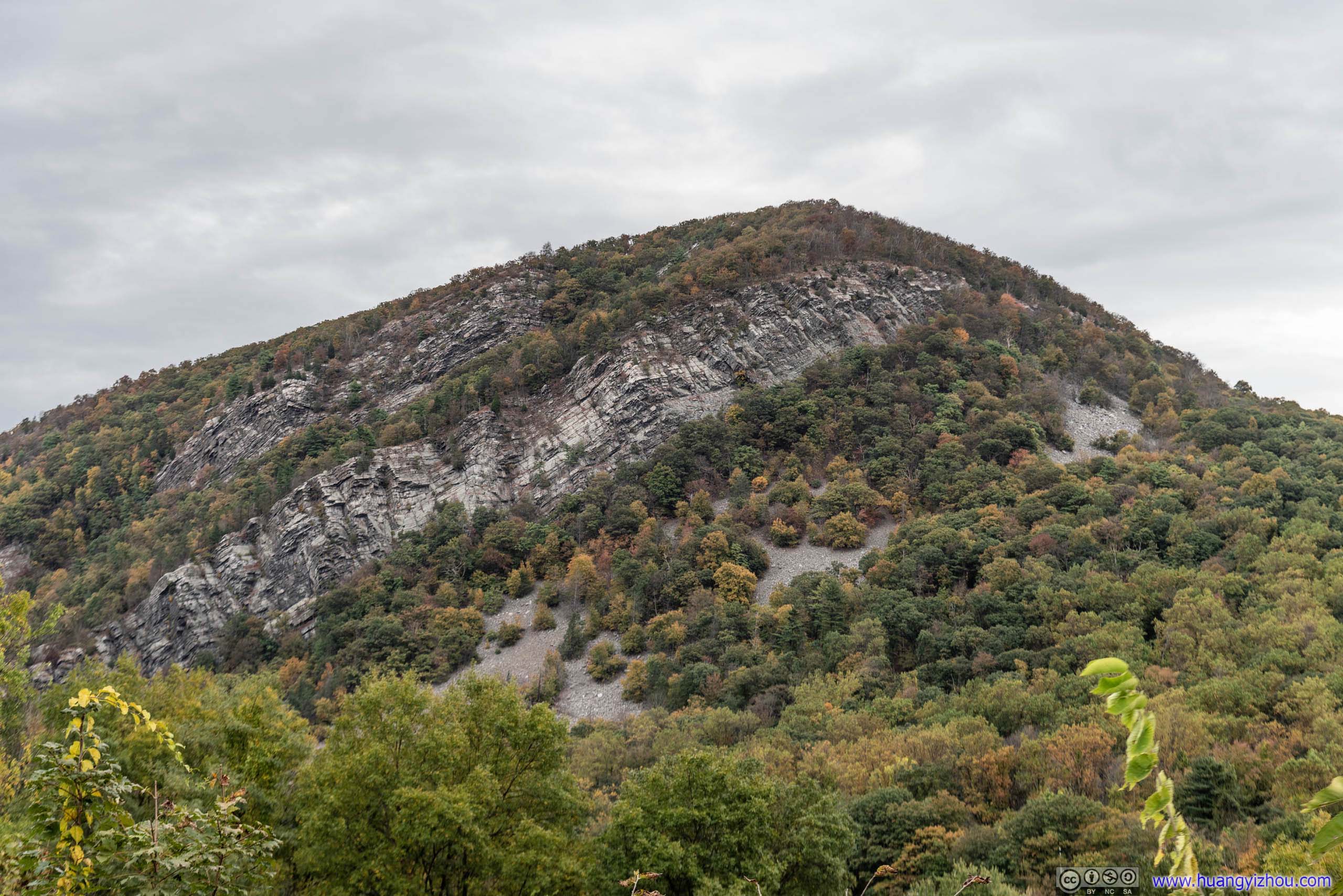
Mount Tammany
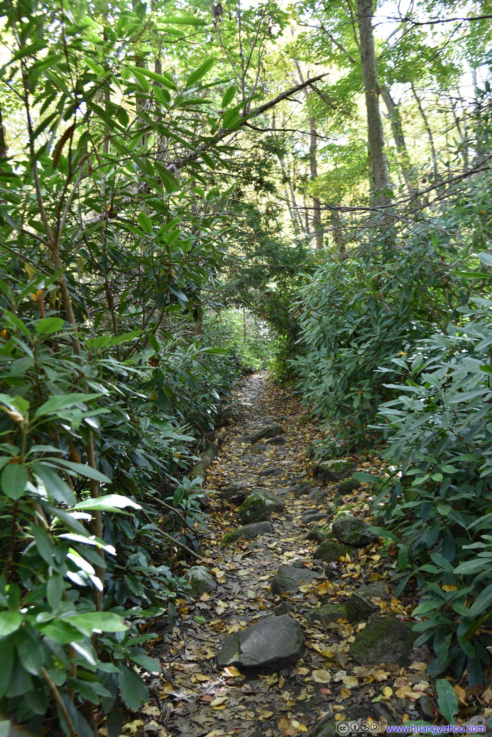
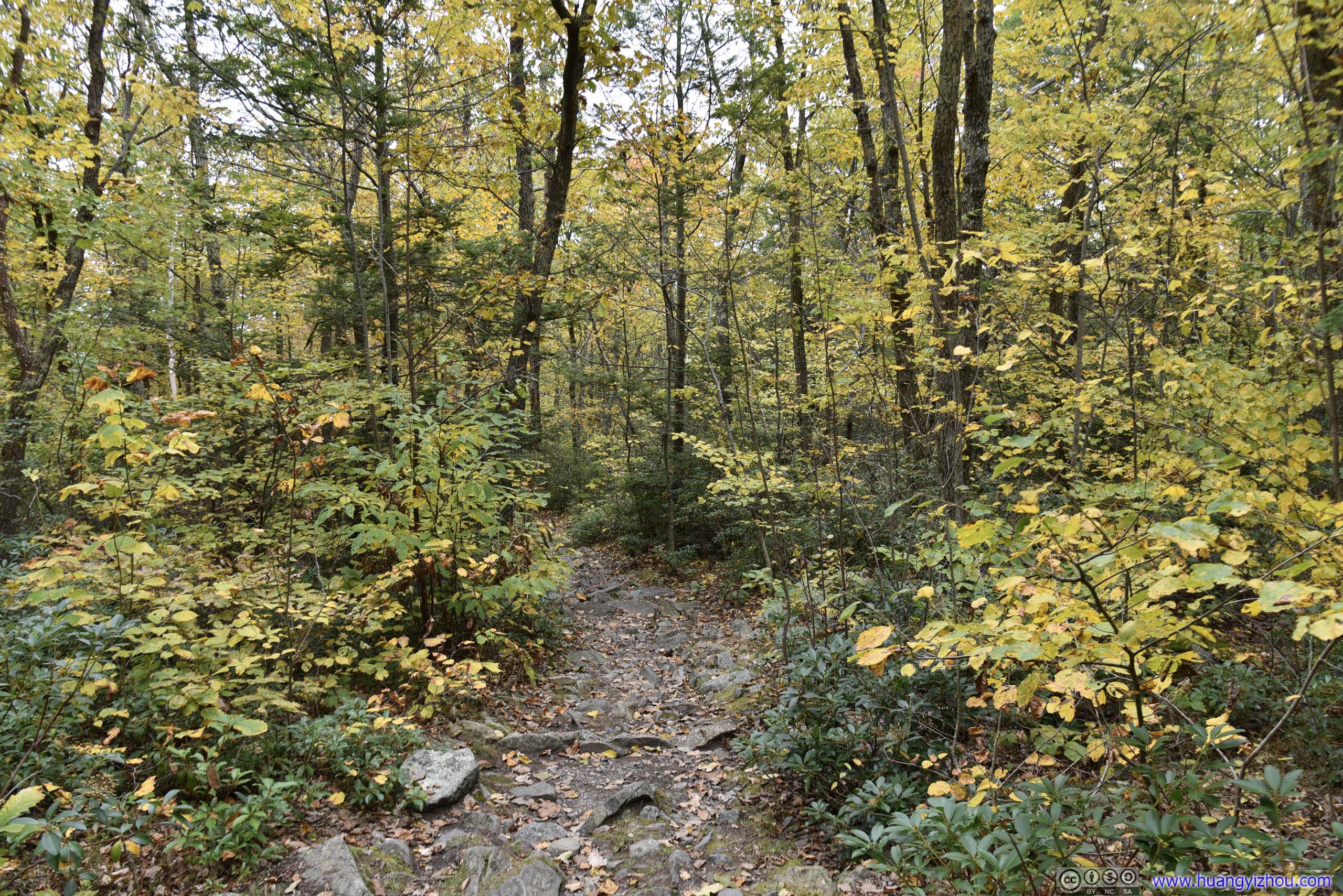
TrailThe final part of trail leading up to Minsi Lookout was under canopies of shrubs like these.
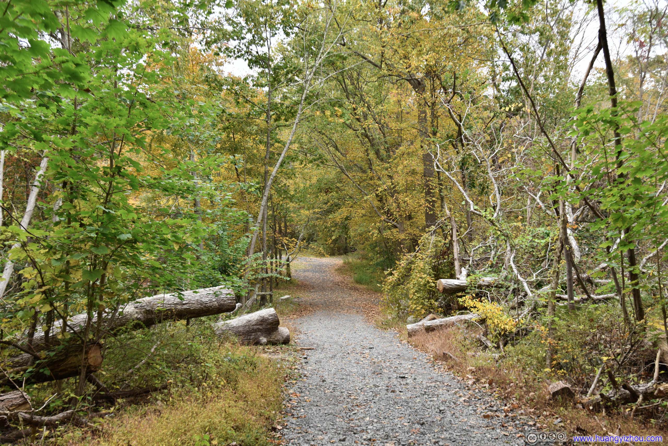
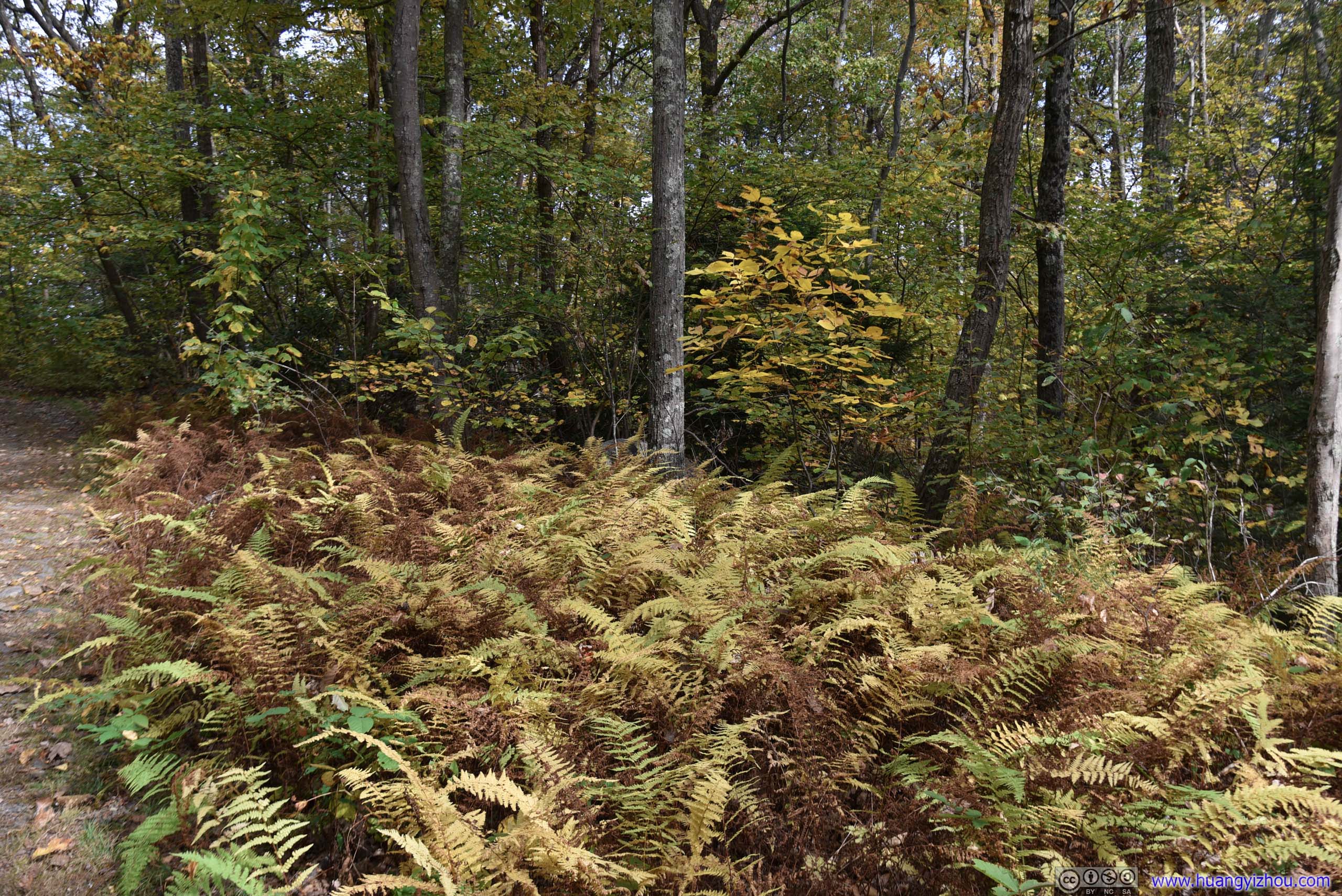
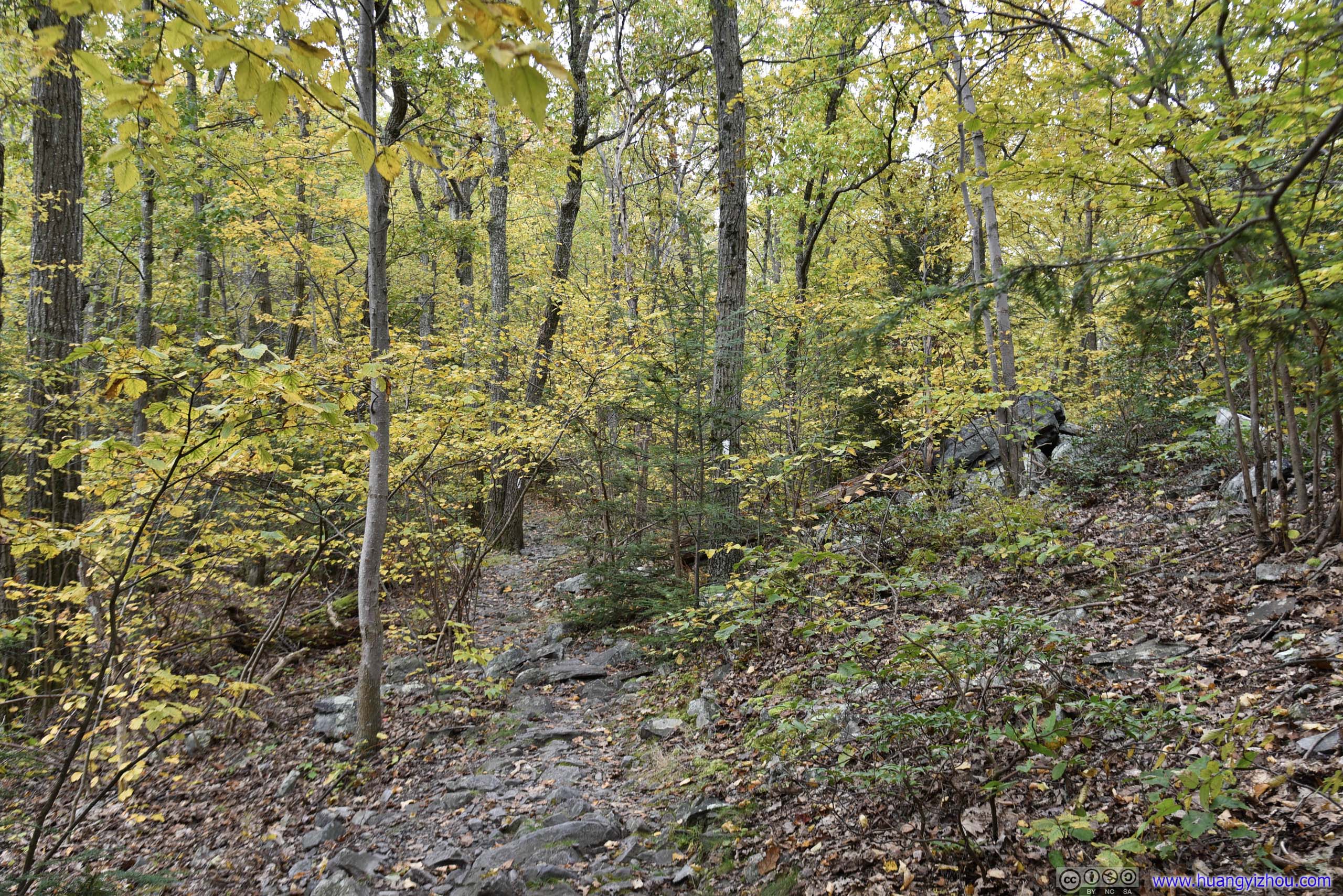
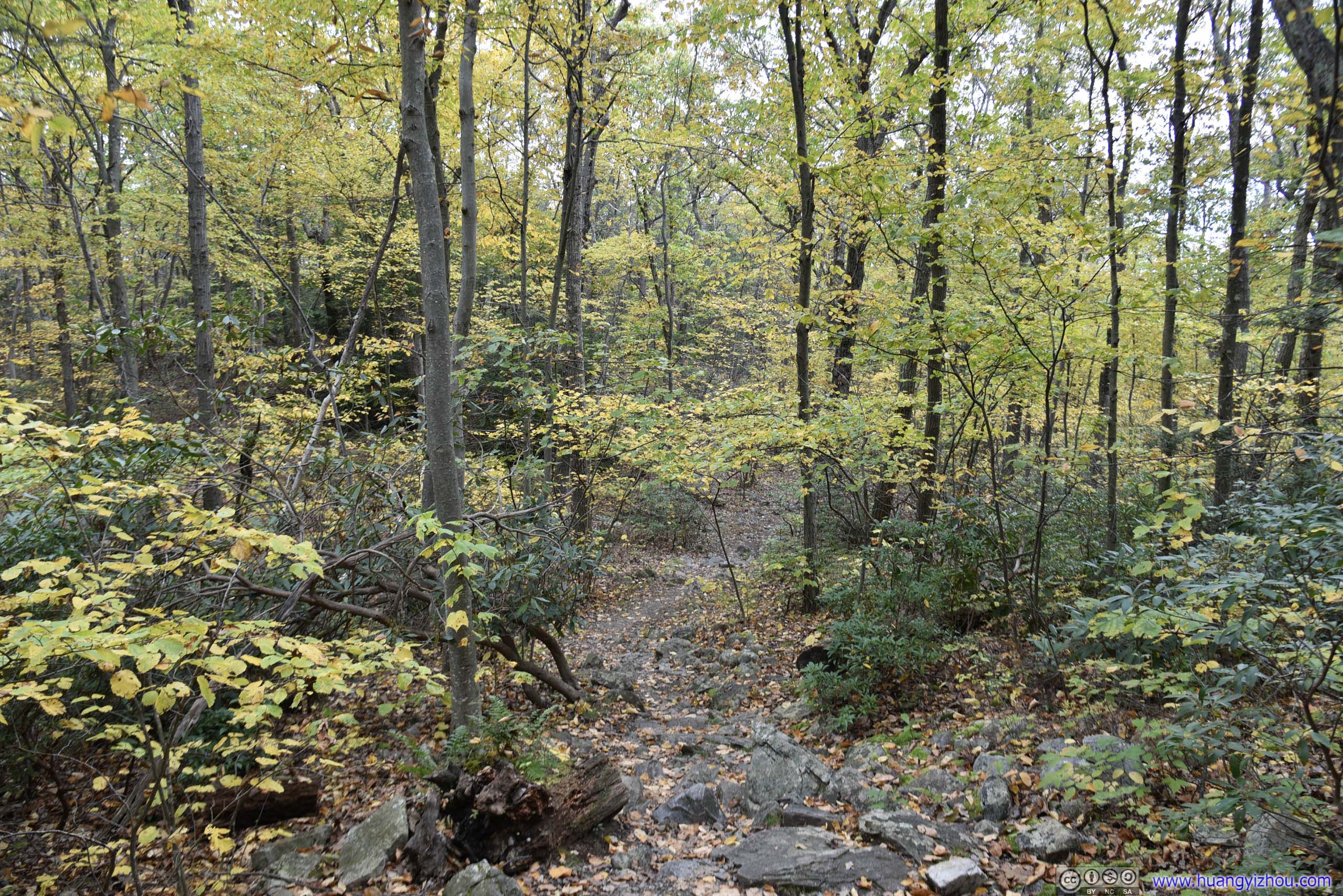
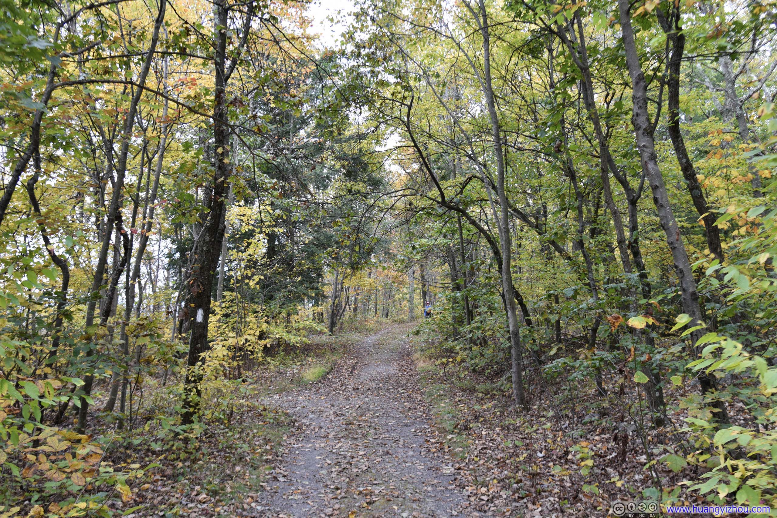
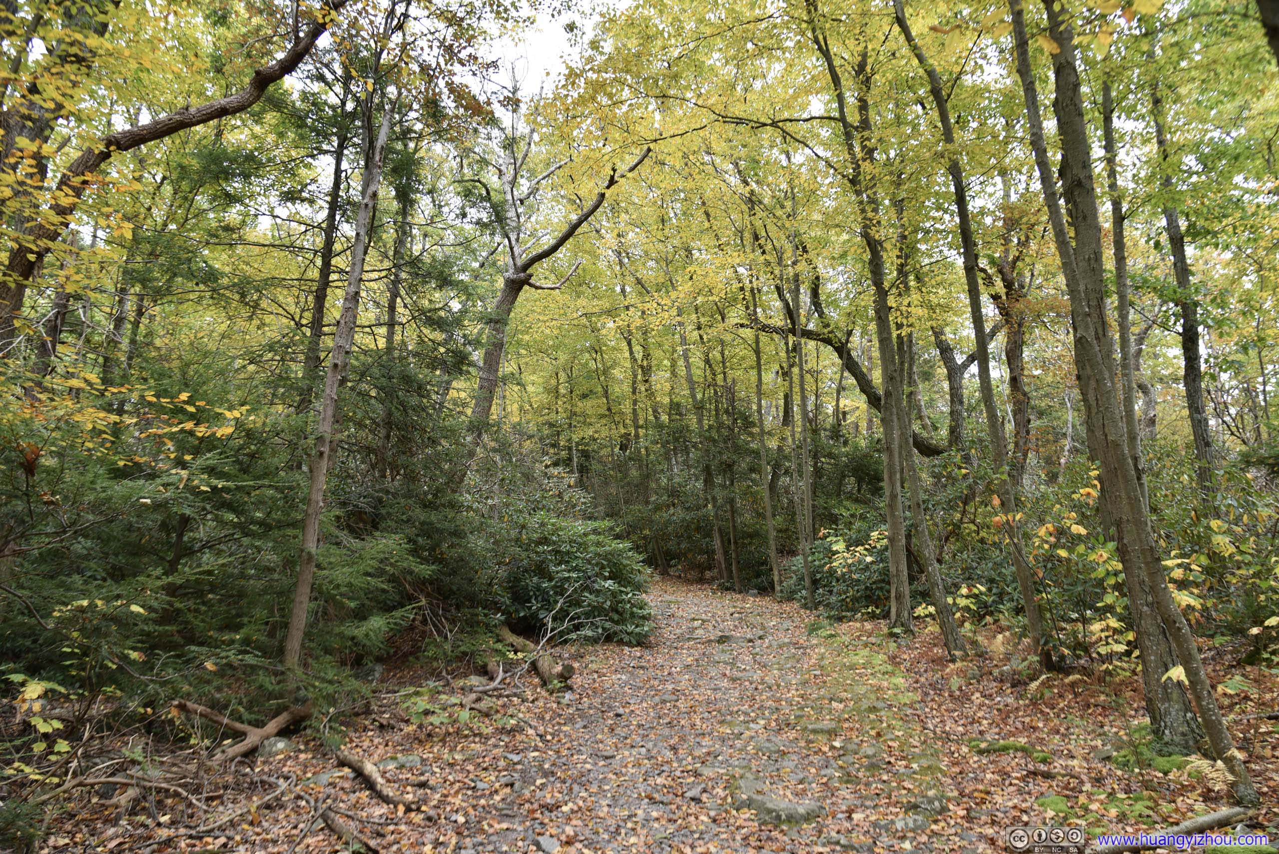
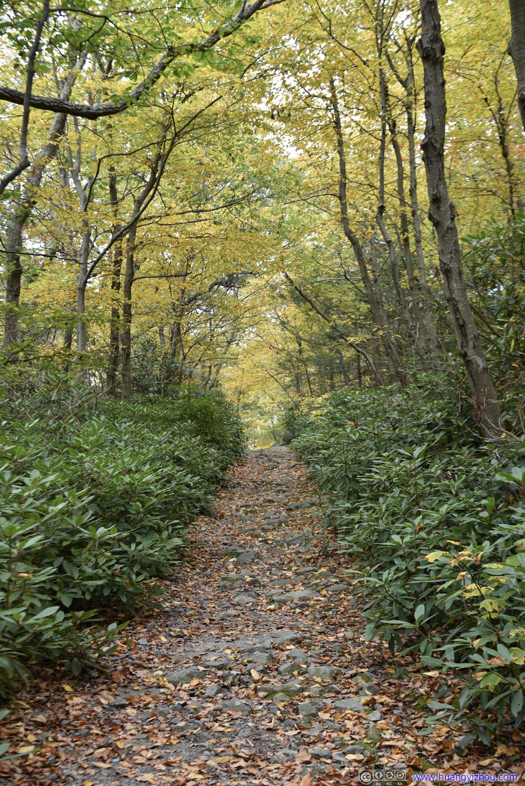
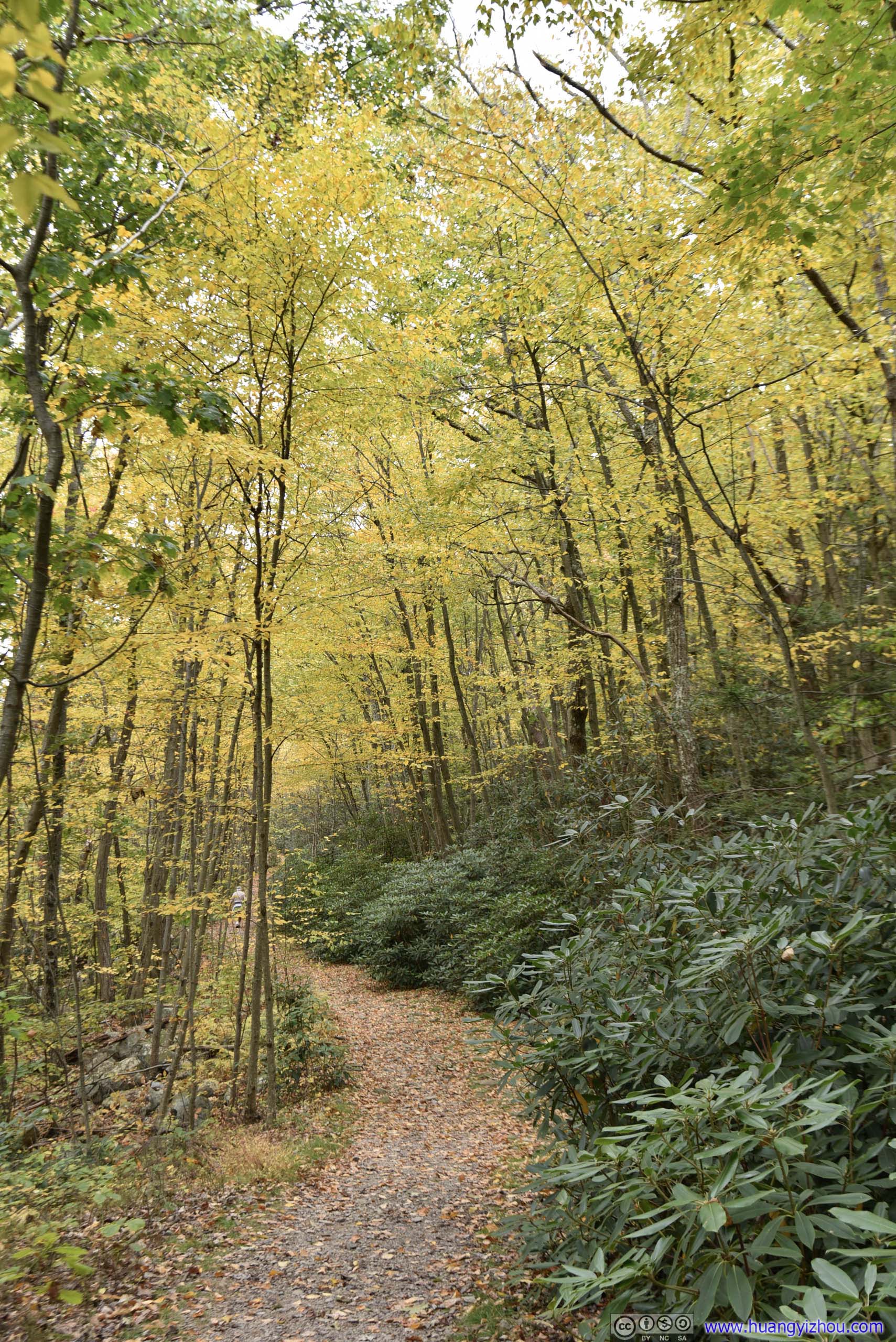
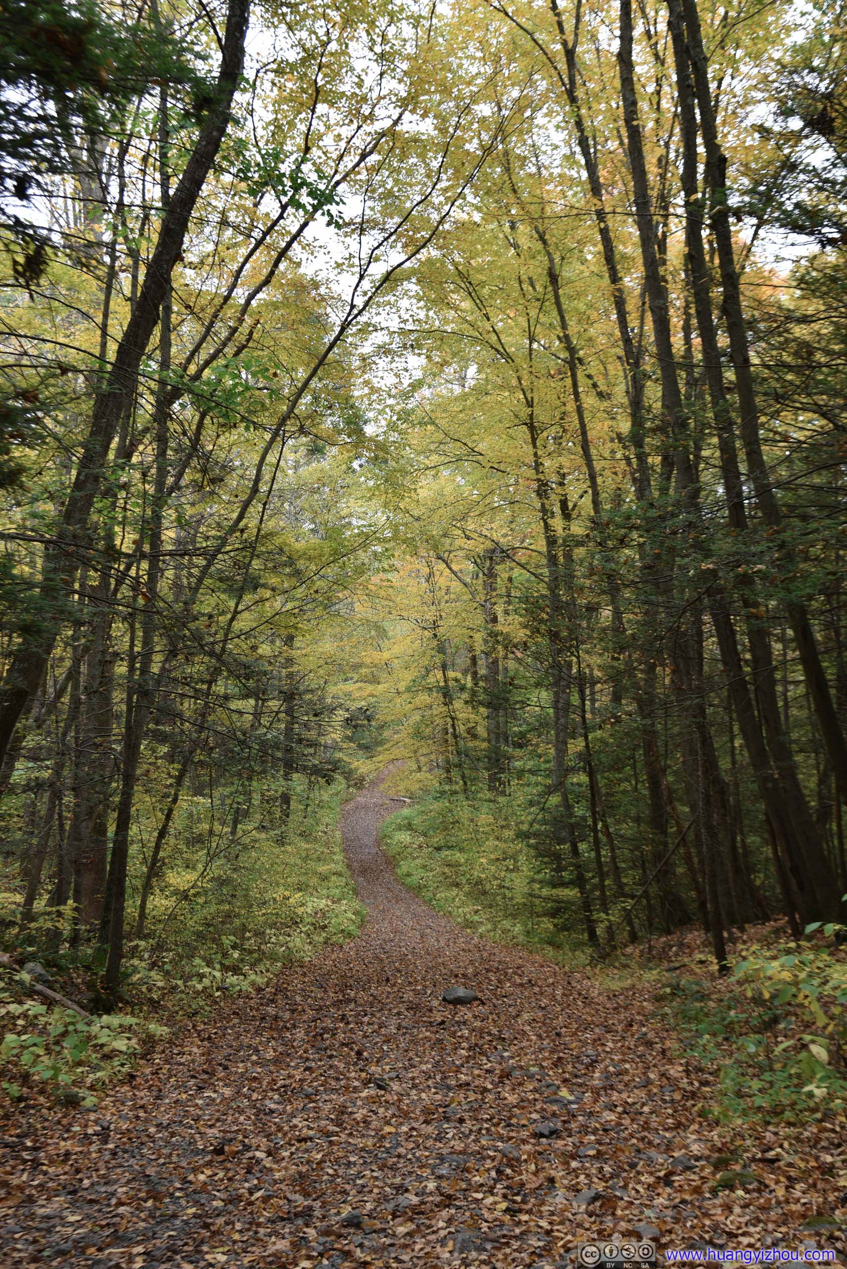
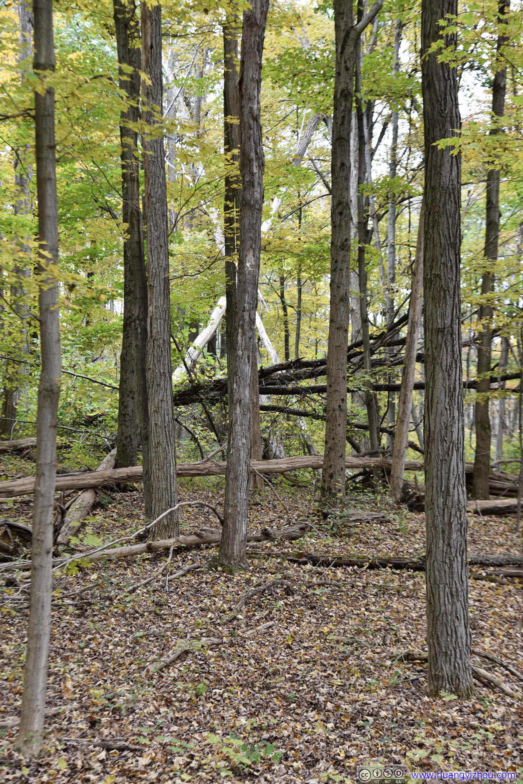
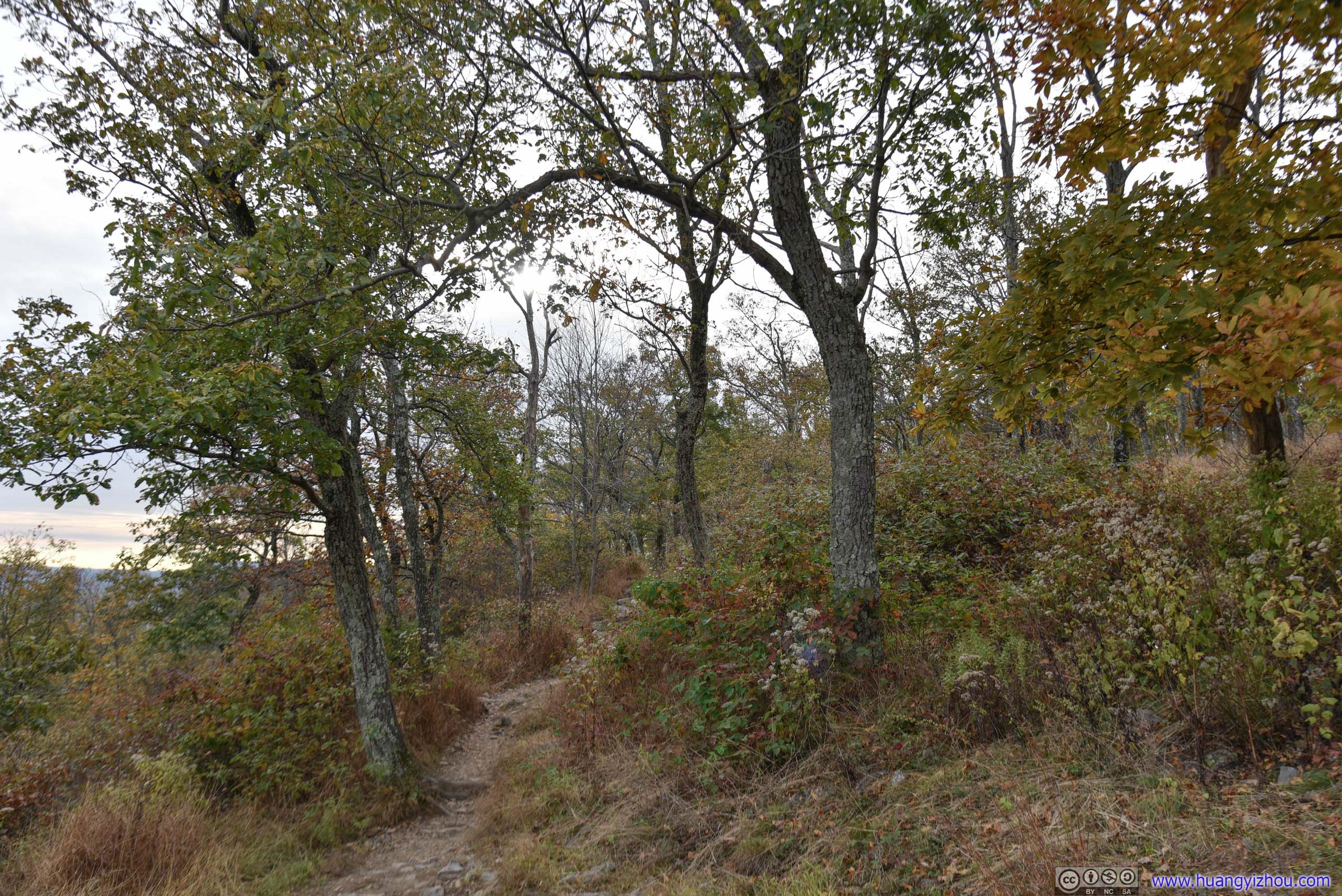
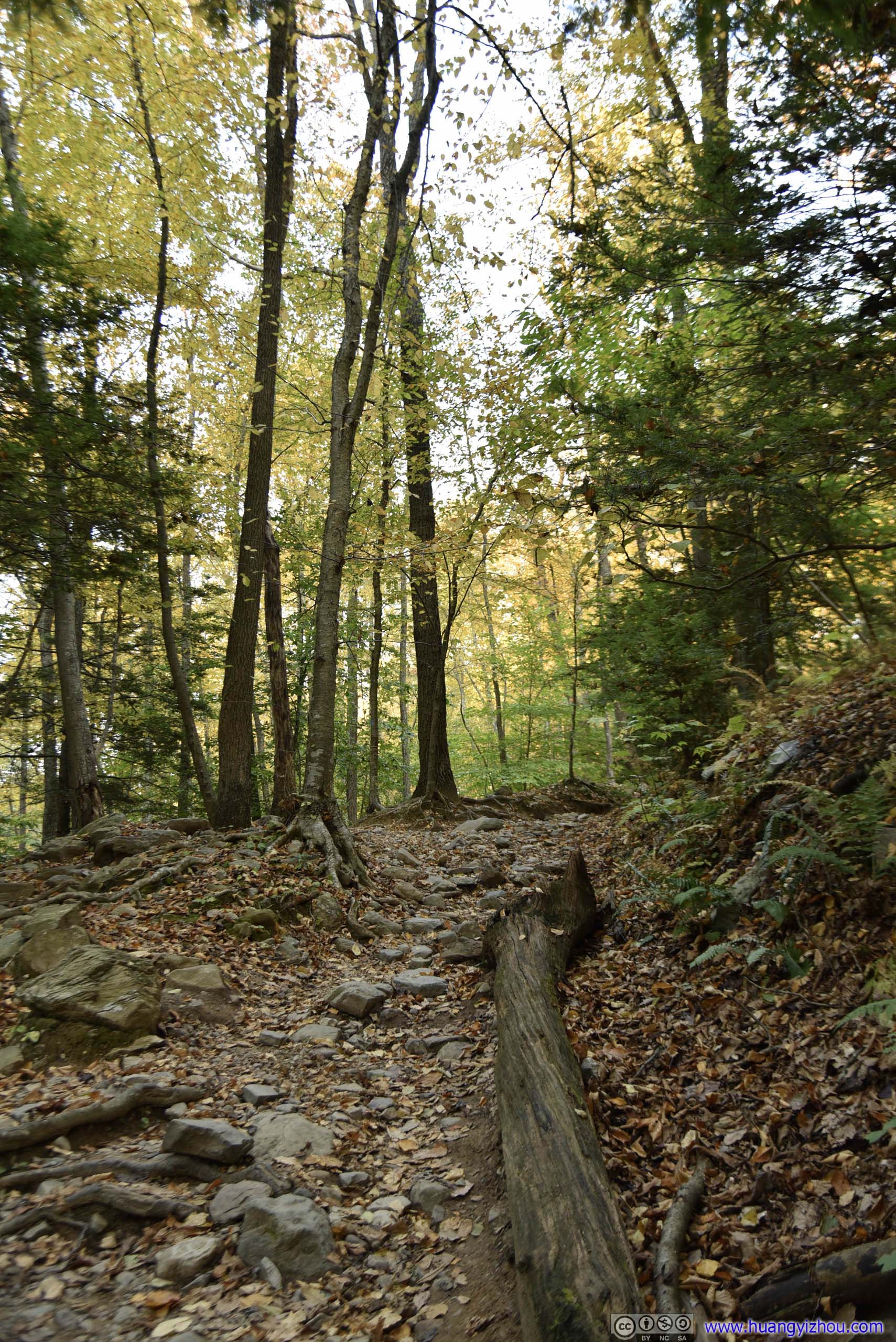
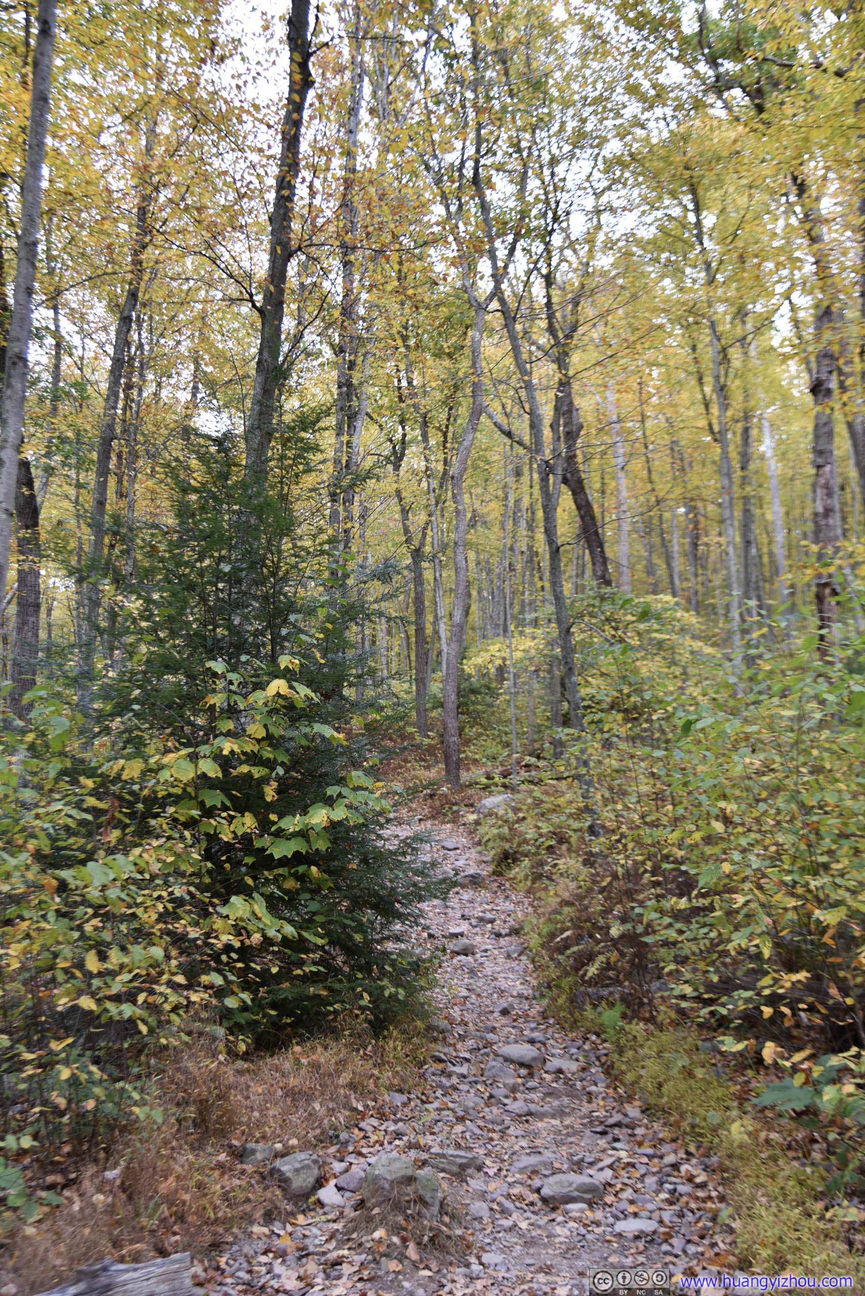
As mentioned before, for downhill I chose “Lake Road”, with its beautiful combination of lush scrubs and golden trees. However, it’s sort of both mesmerizing and mundane, given it’s 3 kilometers long and had no viewpoints whatsoever. For the good part, unlike the Appalachian trail that I took for the uphill part, it was mostly level and not as rocky. I guessed this path started out as a fire road, but eventually scrubs along it grew too much that it was no longer accessible by vehicles.
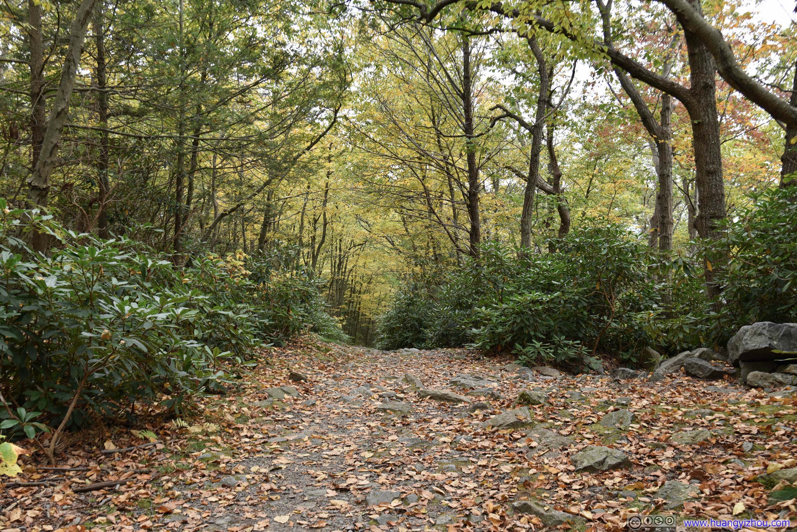
 Lake Road
 Lake Road
 Lake Road

 Lake Road
Plants


 Lake Road
 Leaves in Autumn Color
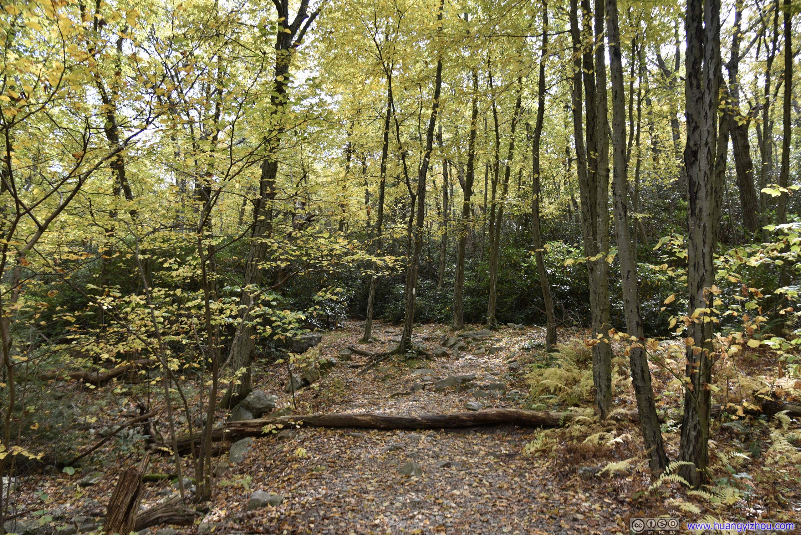
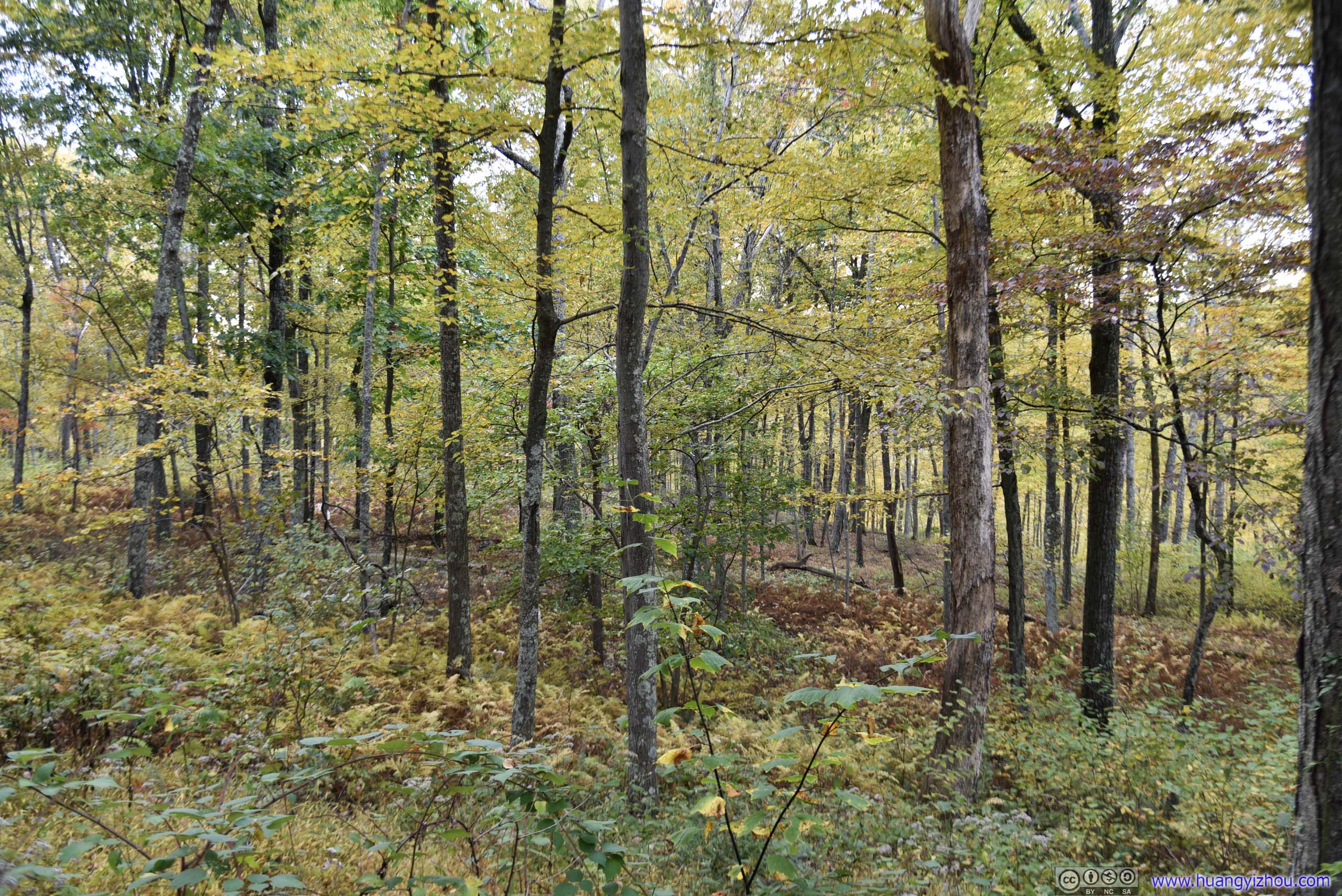
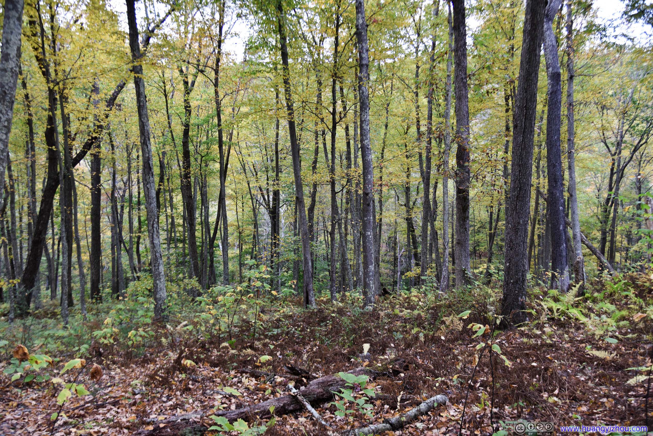
 Forest
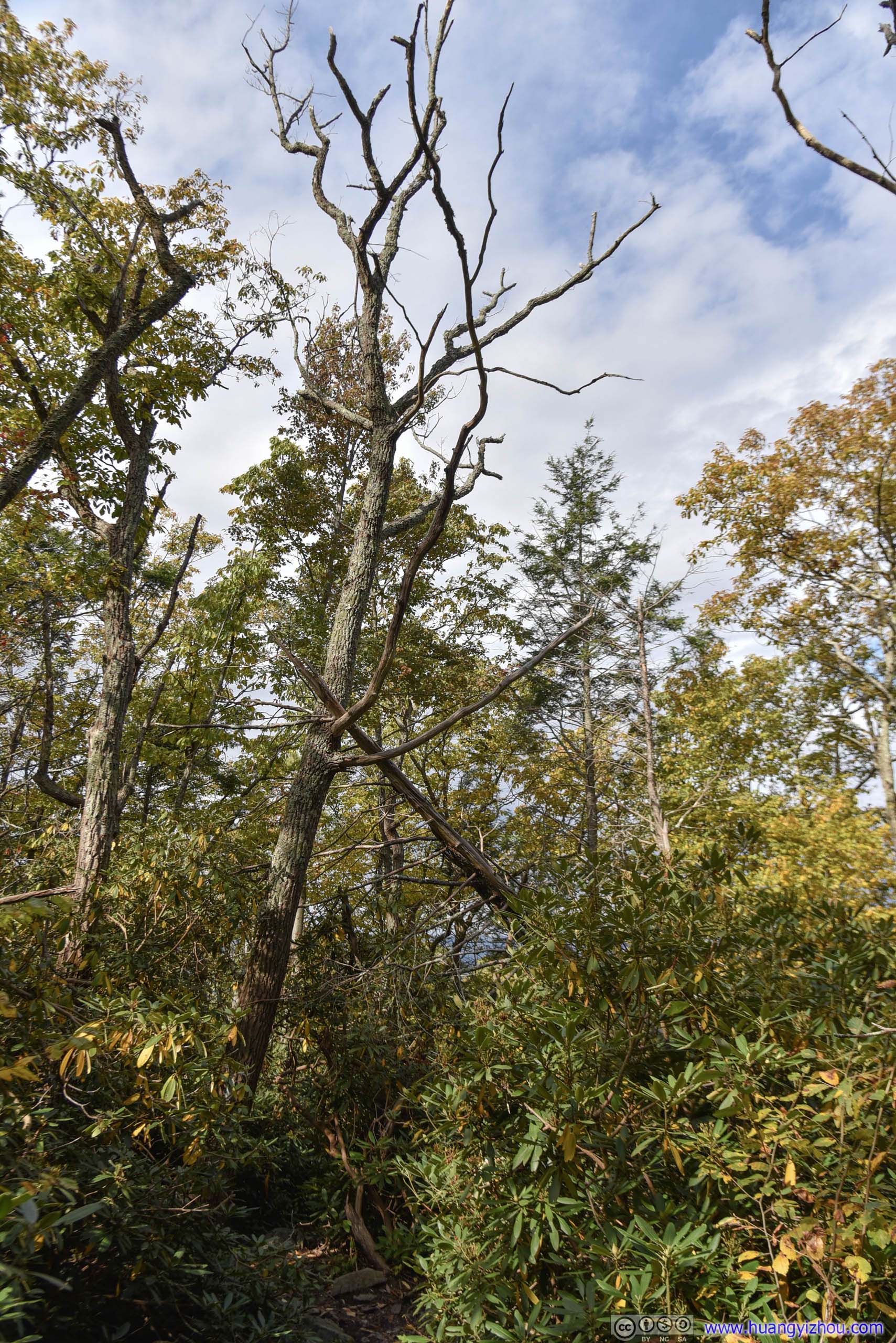
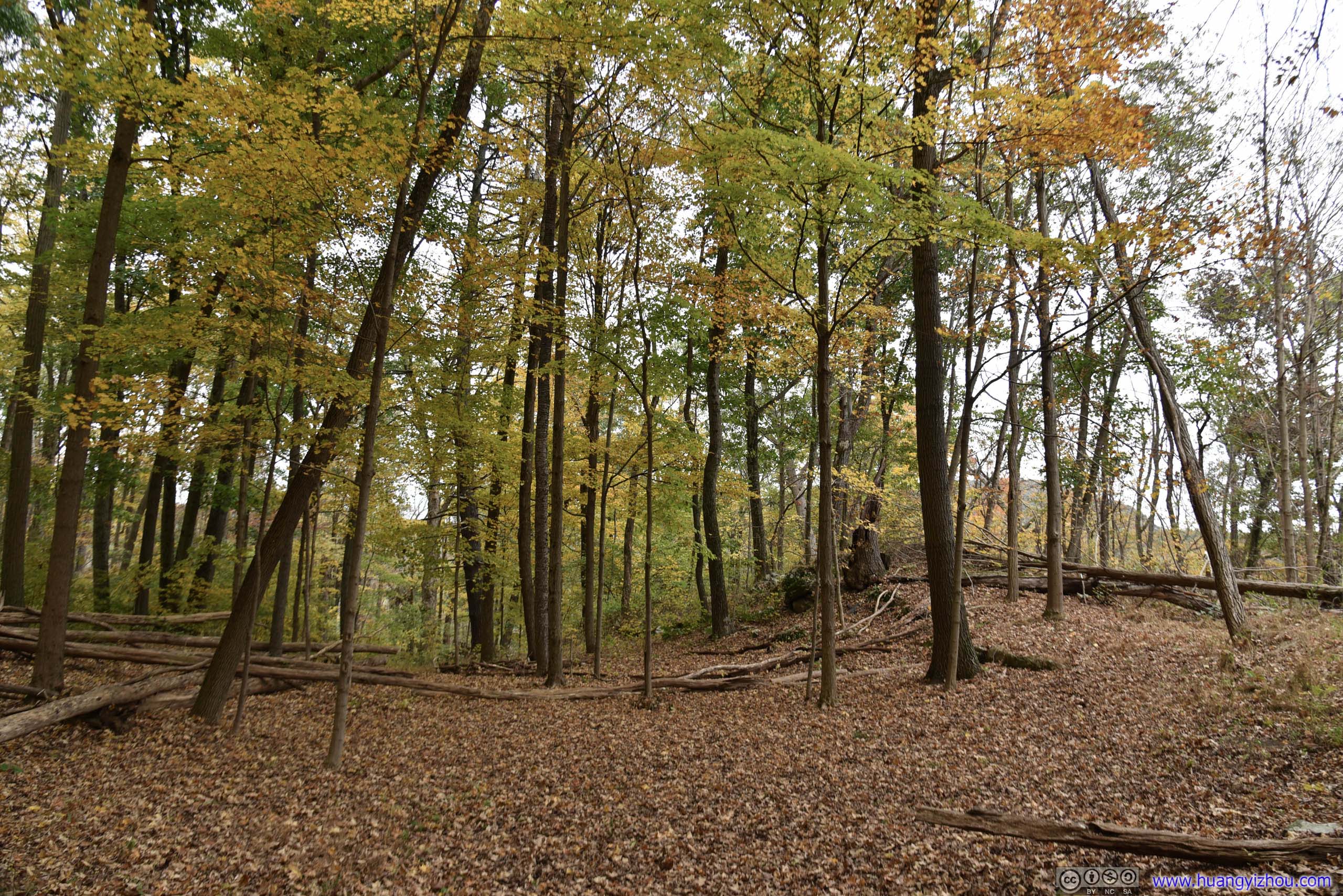
Towards the end of the hike I saw a spur on map leading to “Antoine Dutot Homestead”, which was some ancient (by American standards) ruins. However, after going back and forth off trail for some time I didn’t find that path in real world. So after capturing the following picture of some fallen trees in a shape resembleing teepee backbones, which was hopefully close enough to a “homestead”, I left in satisfaction.
Fallen Trees
Roadside Overlooks
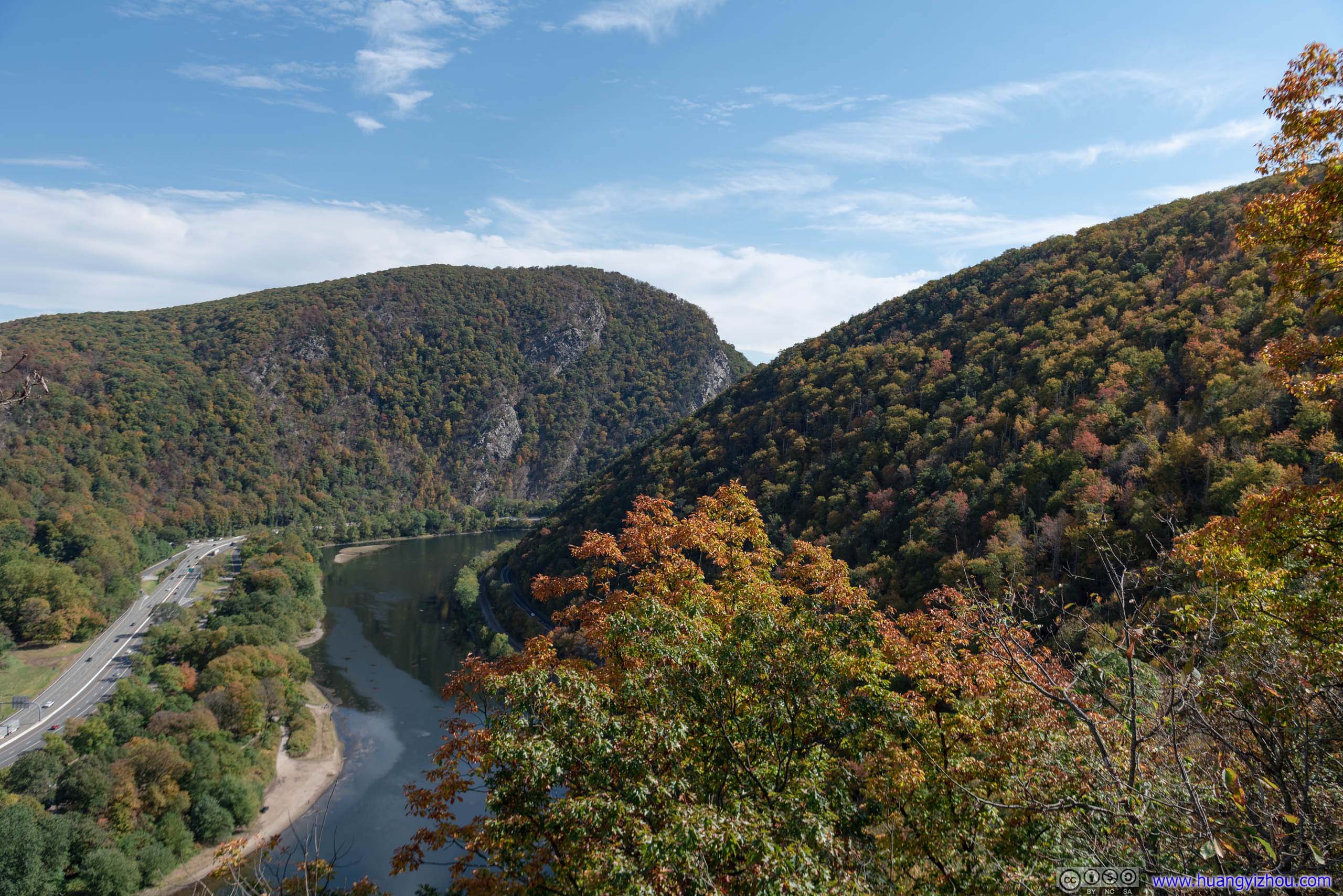
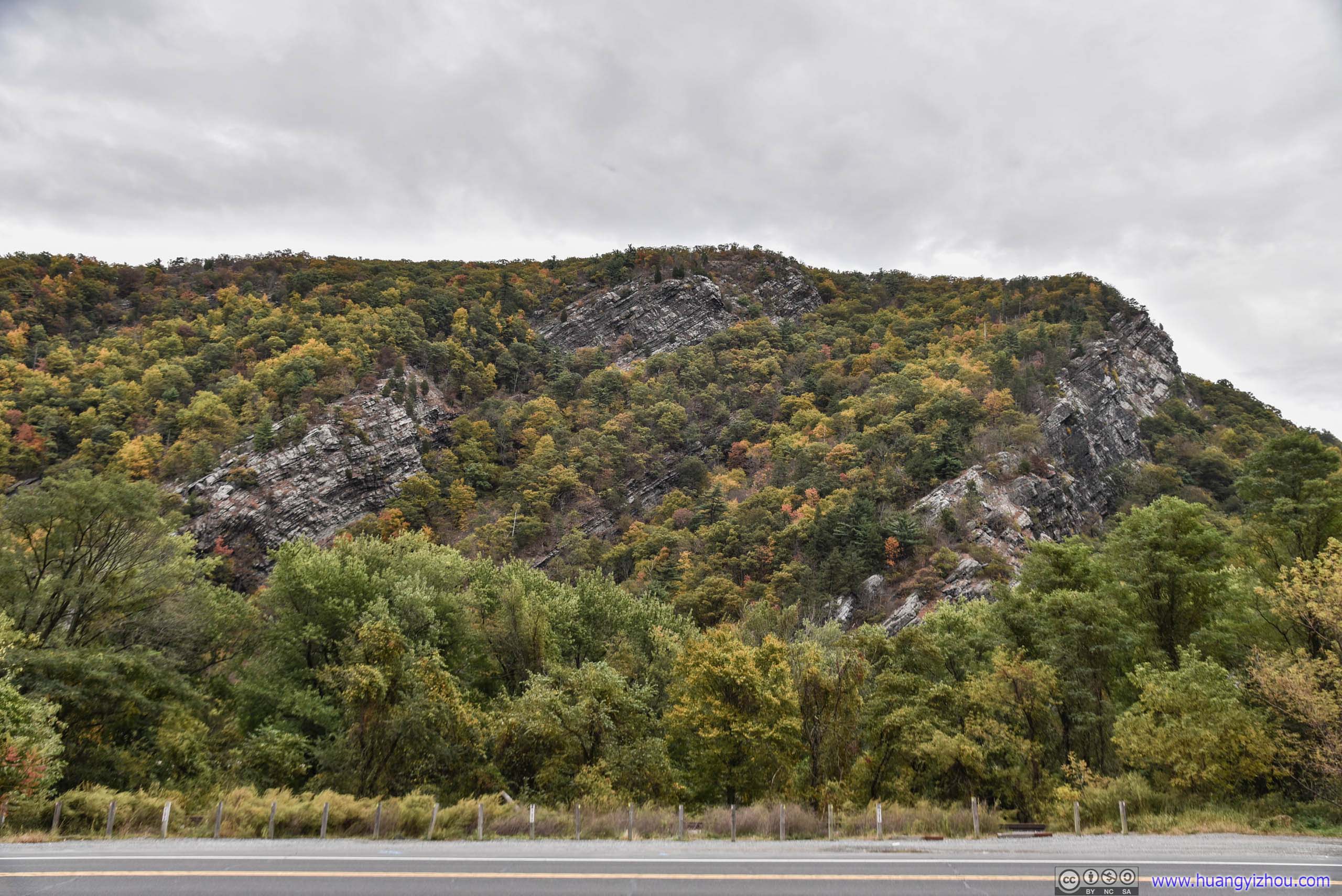
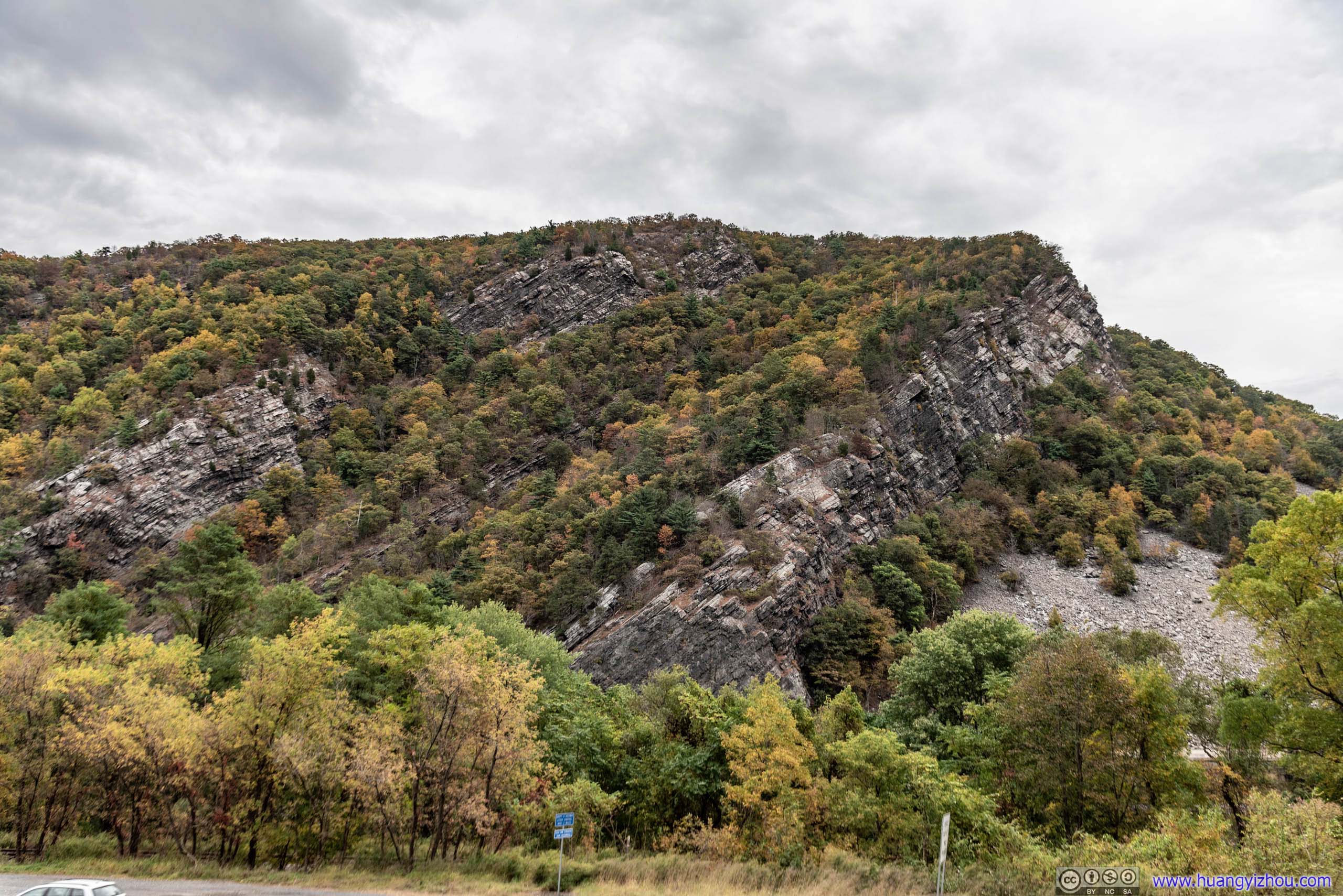
On the Pennsylvania side of Delaware River there was a scenic drive with many roadside overlooks of Mount Tammany across river. (It’s interstate 80 on the New Jersey side, building overlooks along which would not be as feasible.) Since I still have plenty time left behind sunset, I decided to pay them a visit.
Point of Gap Overlook
Arguably the one with the best views. They even built a viewing platform slightly above roadway for photo lovers.
 Mount Tammany

 Rocks
Rocks
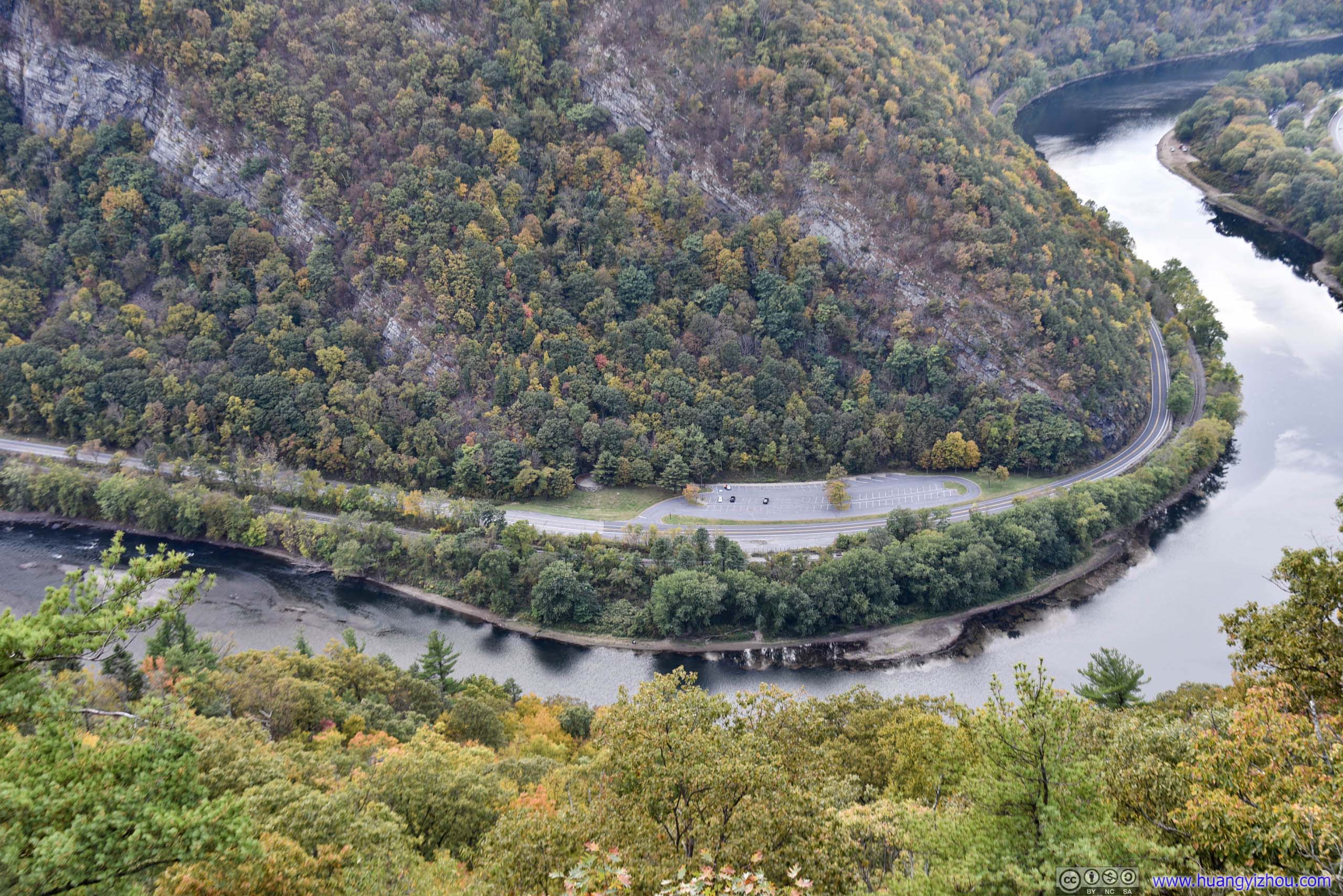
Arrow Island Overlook
Named after a nearby island in Delaware River. Ironically it was quite overgrown here and there weren’t any views of the island.
Mount Tammany

 Road
Road
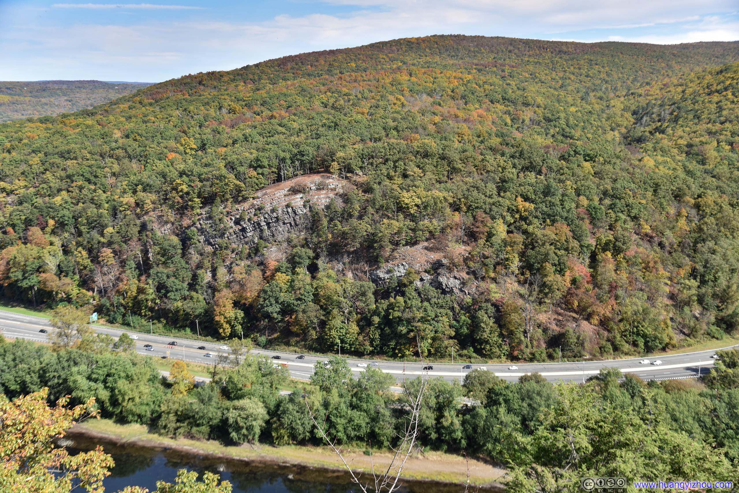
Resort Point Overlook
This would be the perfect overflow parking for Mount Minsi trail, with views of, en, Delaware Water Gap Toll Bridge…

Hill by Delaware River
After that, I took some rest at the nearby Pennsylvania Welcome Center by having another lunch, before crossing into New Jersey for Mount Tammany.
Mount Tammany
On the New Jersey side where views are better and parking lots are plentiful. The bad thing was that, Mount Tammany Trail was very rocky for the most part, and since I was only wearing sneakers and had already done Mount Minsi trails before, my feet weren’t as comfortable.
Trees at Parking Lot
Here’s GPS tracking.
 Trail
Trail
Rocks
 Rocky Path

 Twisted Tree
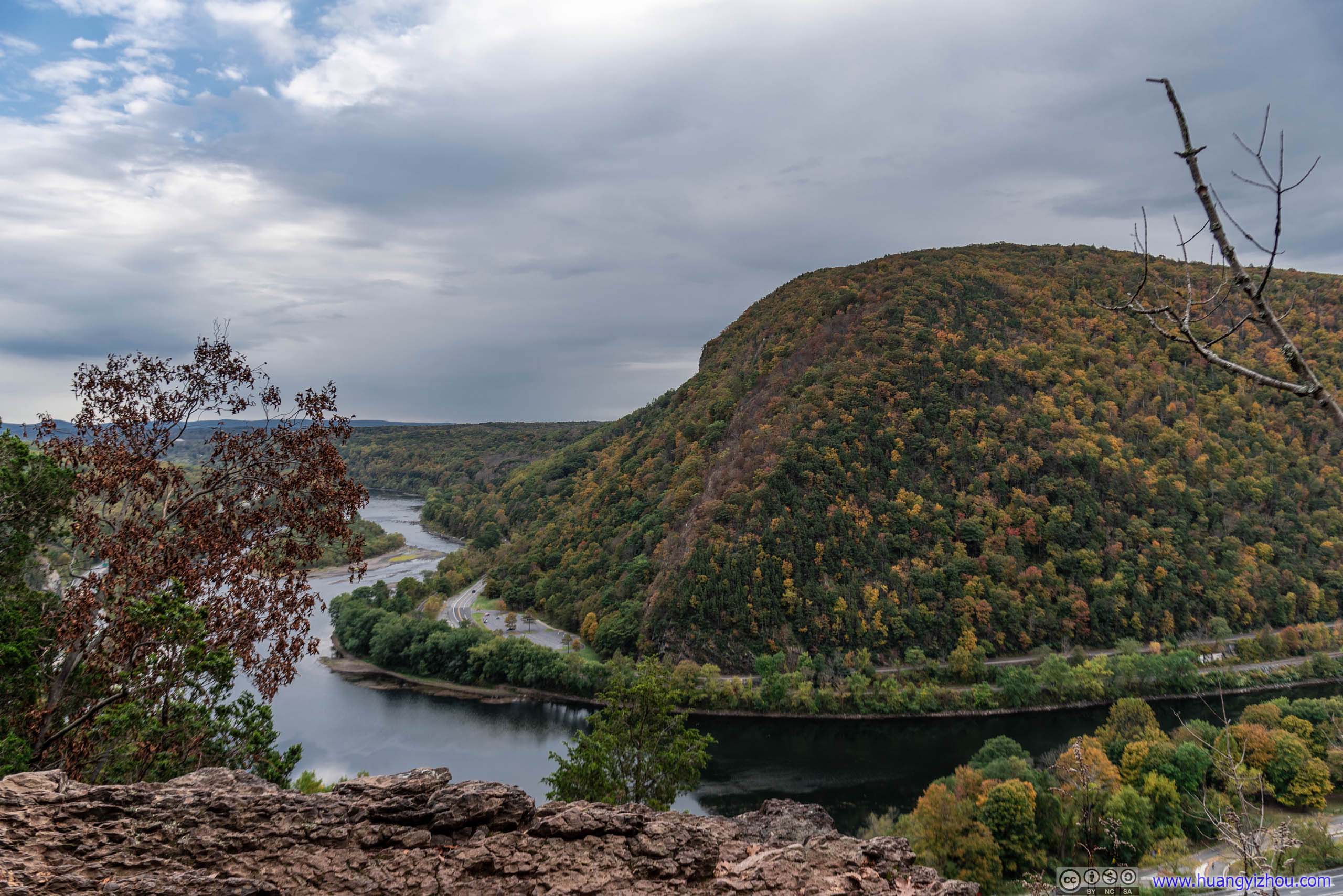
If taken counter-clockwise, the first viewpoint was only 15 minutes from the start, with fantastic views of Delaware River and Arrow Island.
Delaware River and Arrow Island
Hill of Mount Tammany
Delaware River

Arrow Island

Bird Flying
And I happened to capture this bird (hopefully it’s an eagle) flying by. With some rocks in the foreground, it just took some haystack underneath and a world of fantasy before taking a leap of faith like in Assassin’s Creed.
 Mount Minsi by Delaware River
After that, it’s more than half an hour of ascent through rocky terrain to the summit of Mount Tammany. From here on the trail was much less crowded as most families seemed to be heading back after the first overlook.
Fallen Tree
Tree by Trail
 Forest
 Barren TreeThe lifeless branches in the foreground looked pretty solemn.

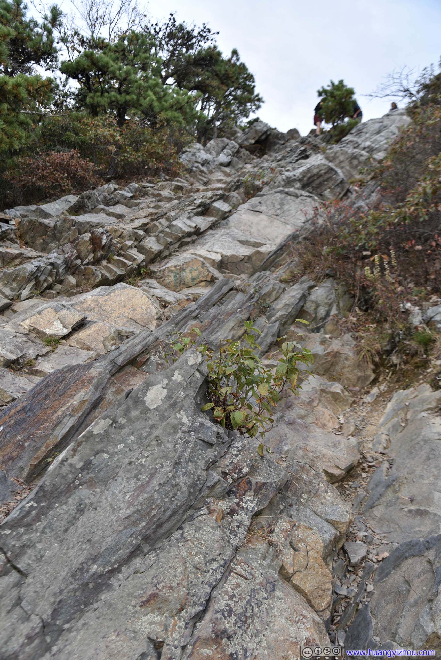
 Rocky Path
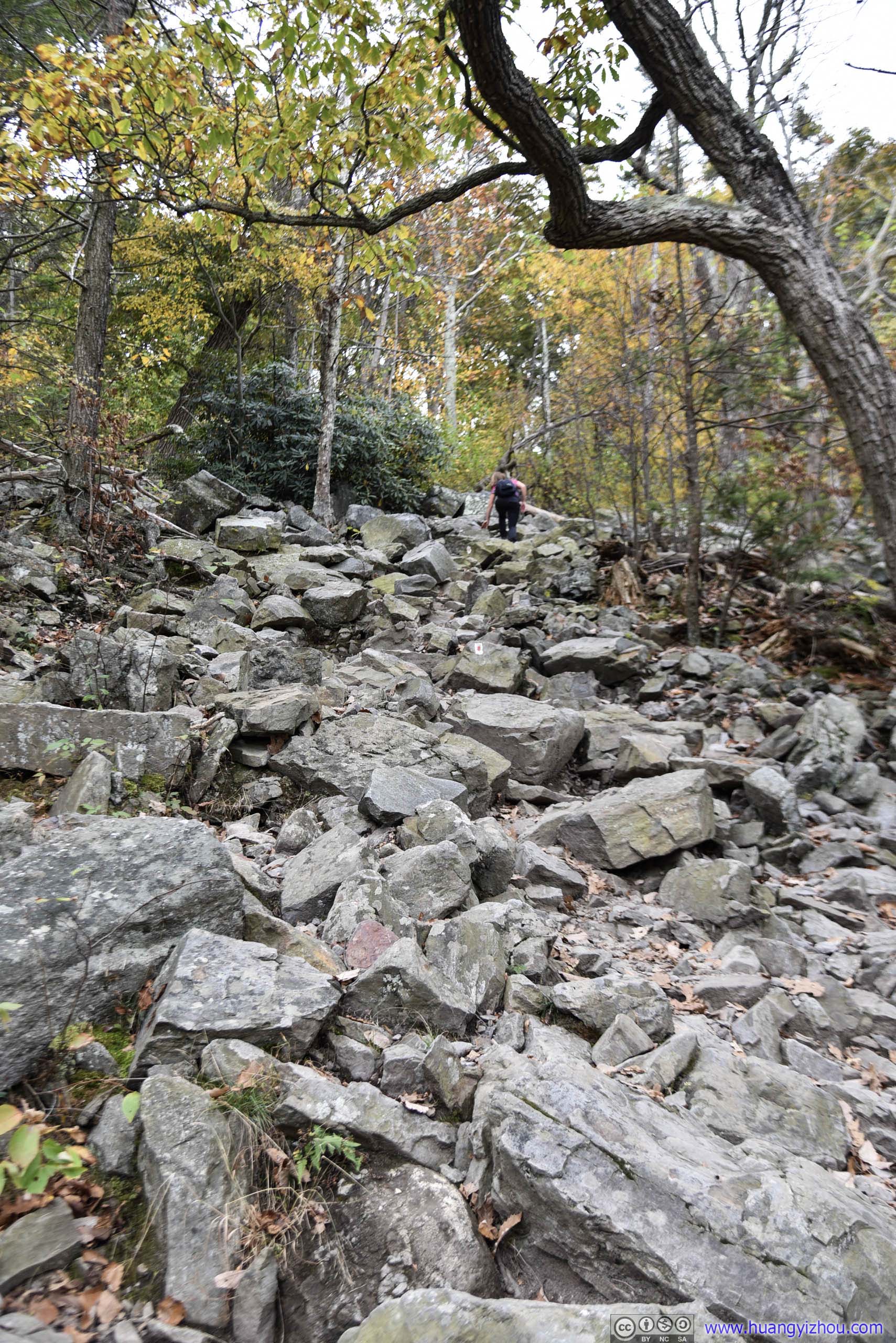
 Rocky Path


 Leaves in Autumn Color
 Rocky Path
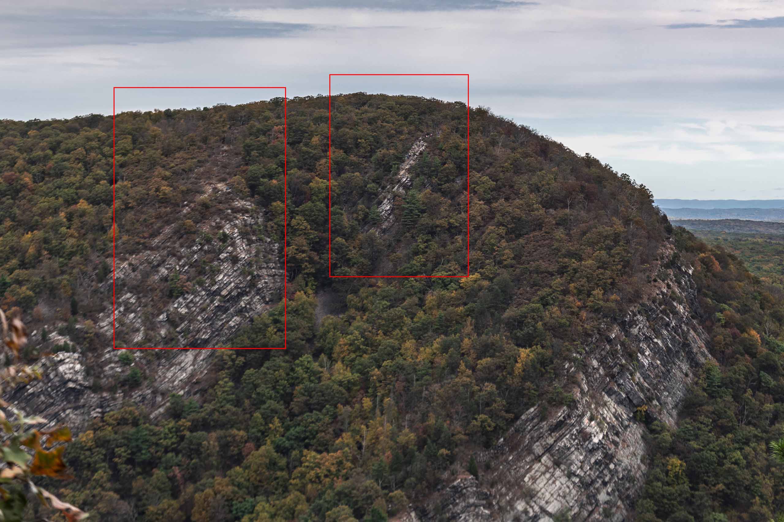
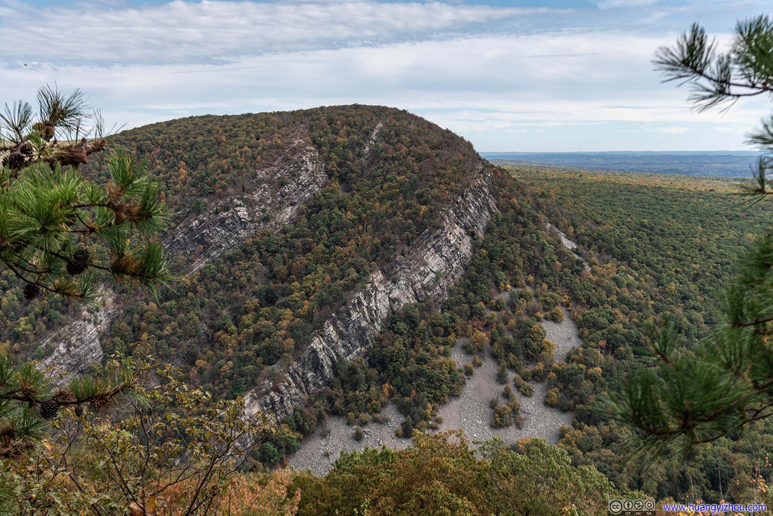
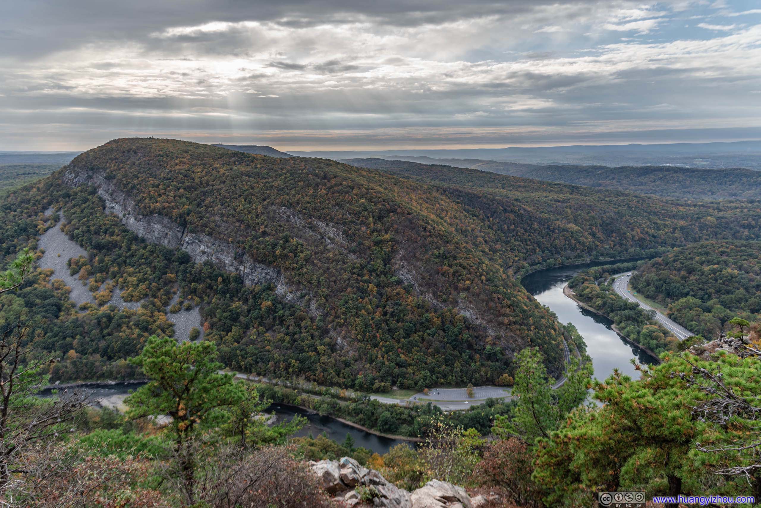
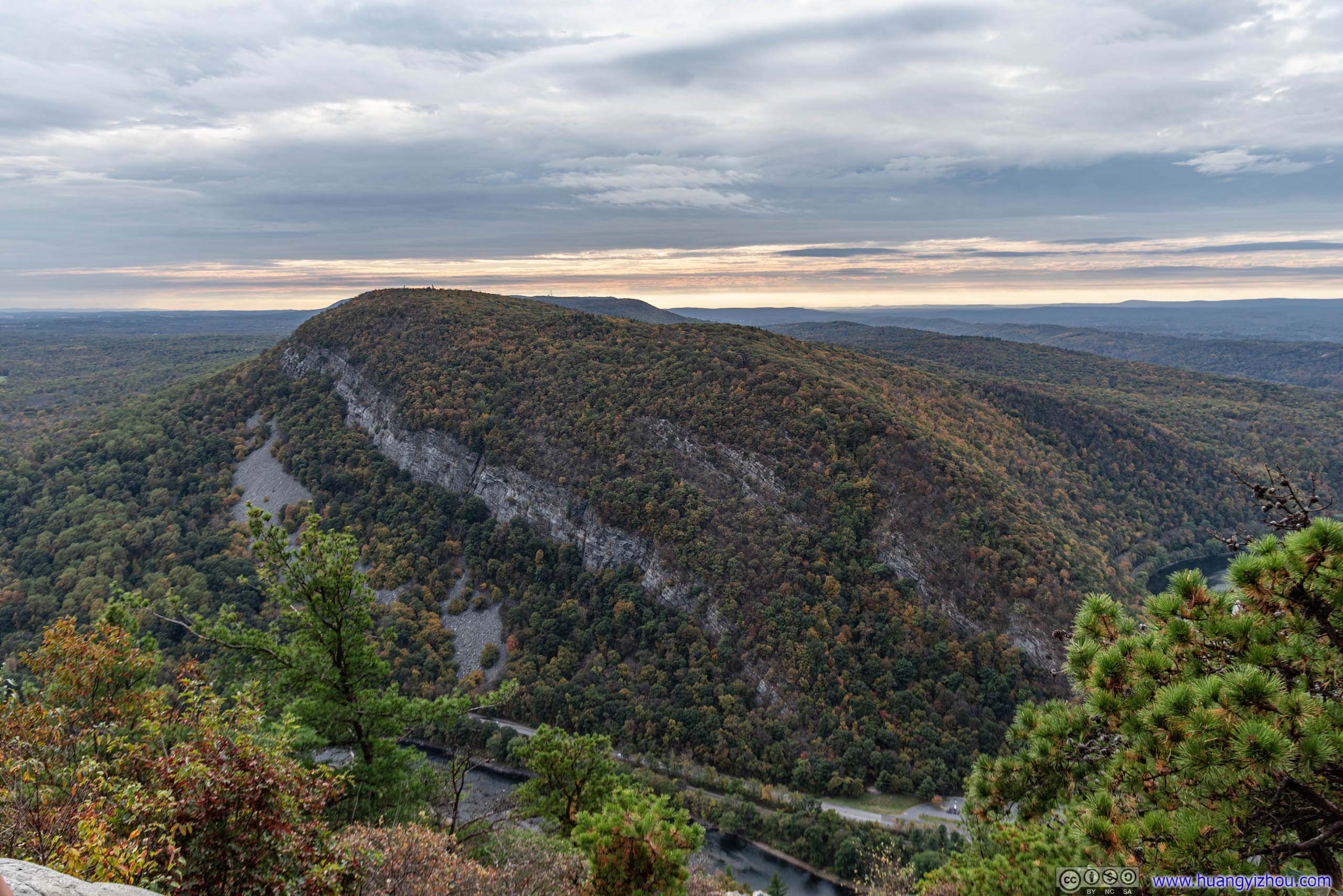
Location of OverlooksThere were two overlooks (red rectangles) near the top of Mount Tammany, both along some (almost) vertical cliff faces. The first one (left) was larger in size and depth, and the second one (right) was rockier. Since only the second one was on the map, that’s where most people were going, including me.
Village of Delaware Water Gap among Forest
Mansion among Forest
Rocky DescentTo get the perfect shot.
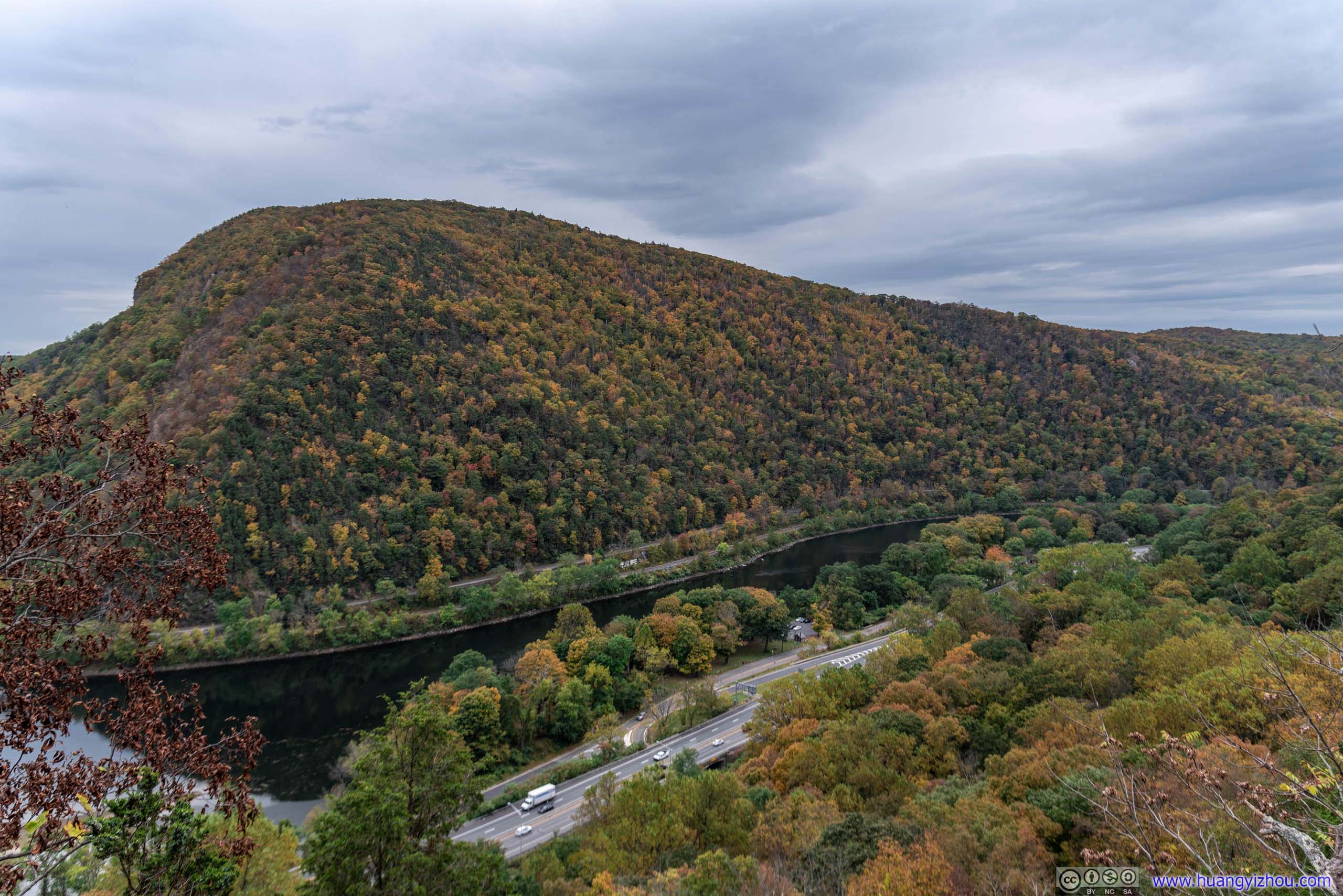
 Mount Minsi by Delaware River

View from Mount Tammany
Point of Gap Overlook Parking Lot
 Distant Mountain Ranges
 Delaware River
 Mount Minsi
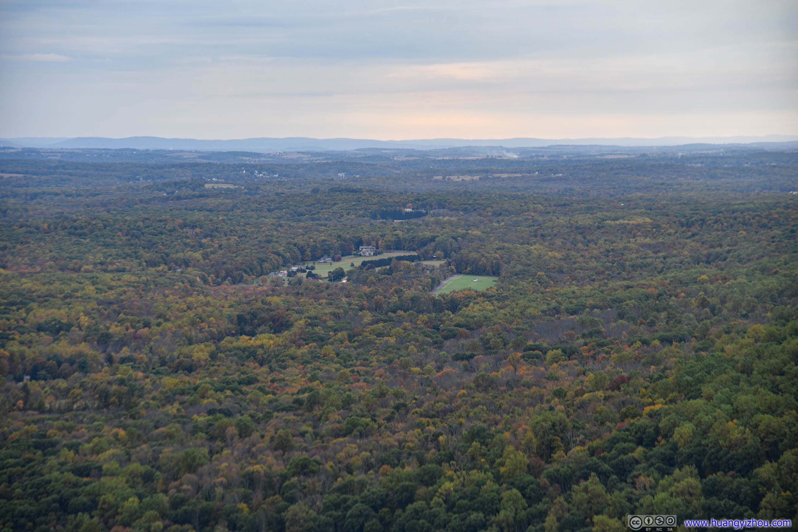
Summit of Mount Minsi
Some drizzle interrupted my photo shooting on top of Mount Tammany, so I stayed about 30 minutes on top of Mount Tammany before heading downhill along Blue Dot Trail.
But on the good side, passing rain brought transient beauty, with the contrast between clouds and distant glows really made good pictures.

 Trail
Trail
TrailPlants were rather colorful here.
Flowers
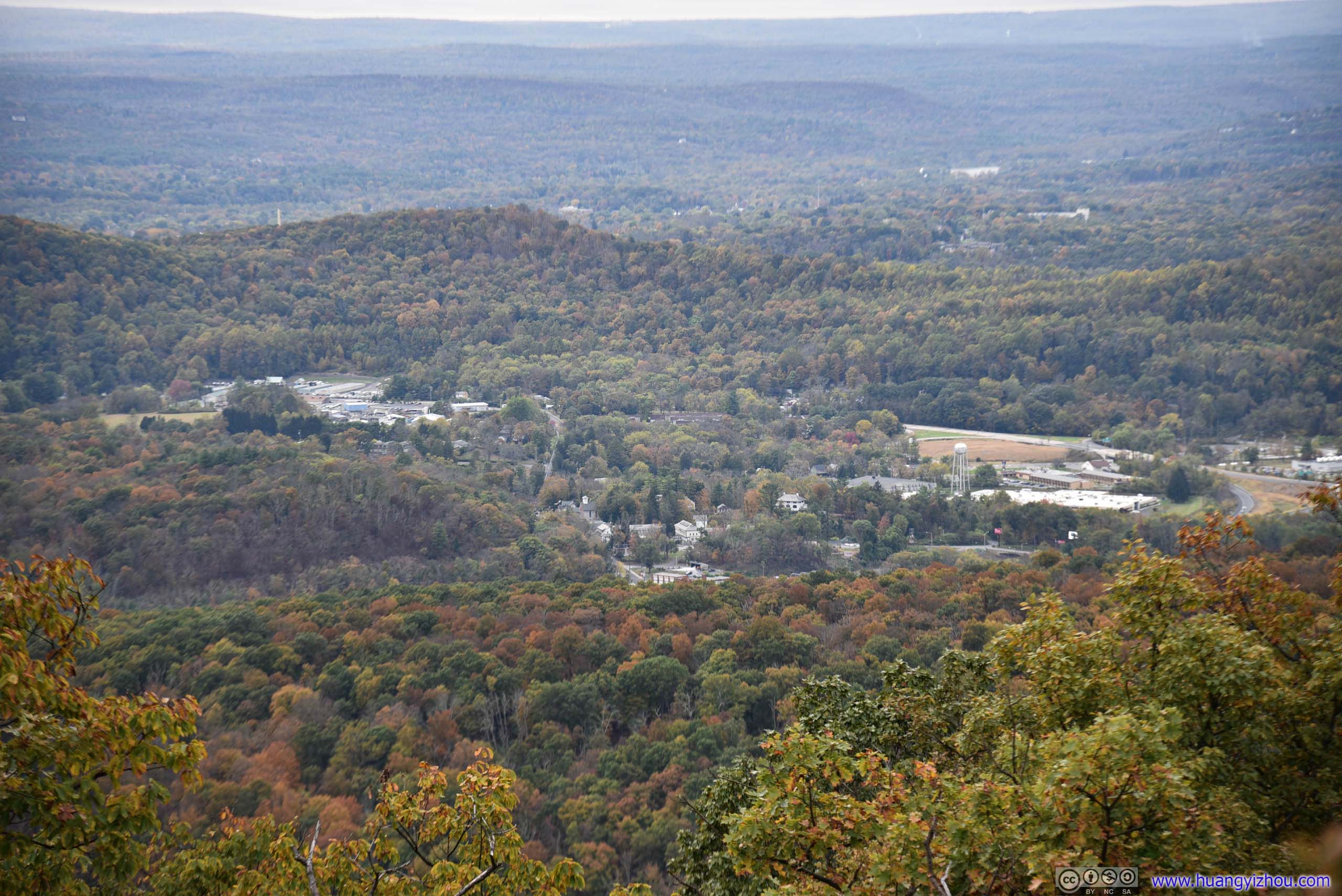
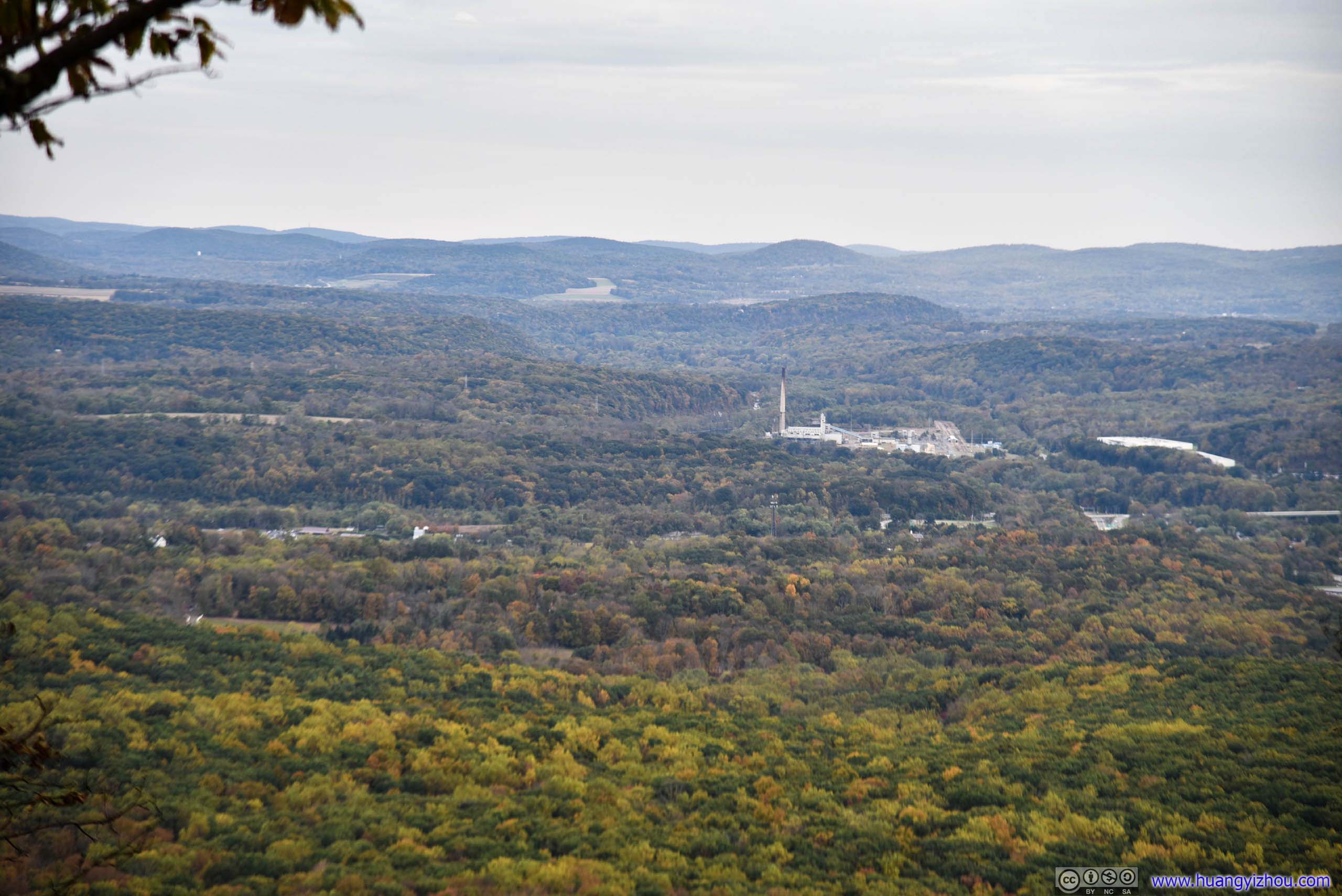 Distant Fields(right) DSM Nutritional Products factory in the center. This is at the intersection of Mount Tammany fire road and blue dot trail.
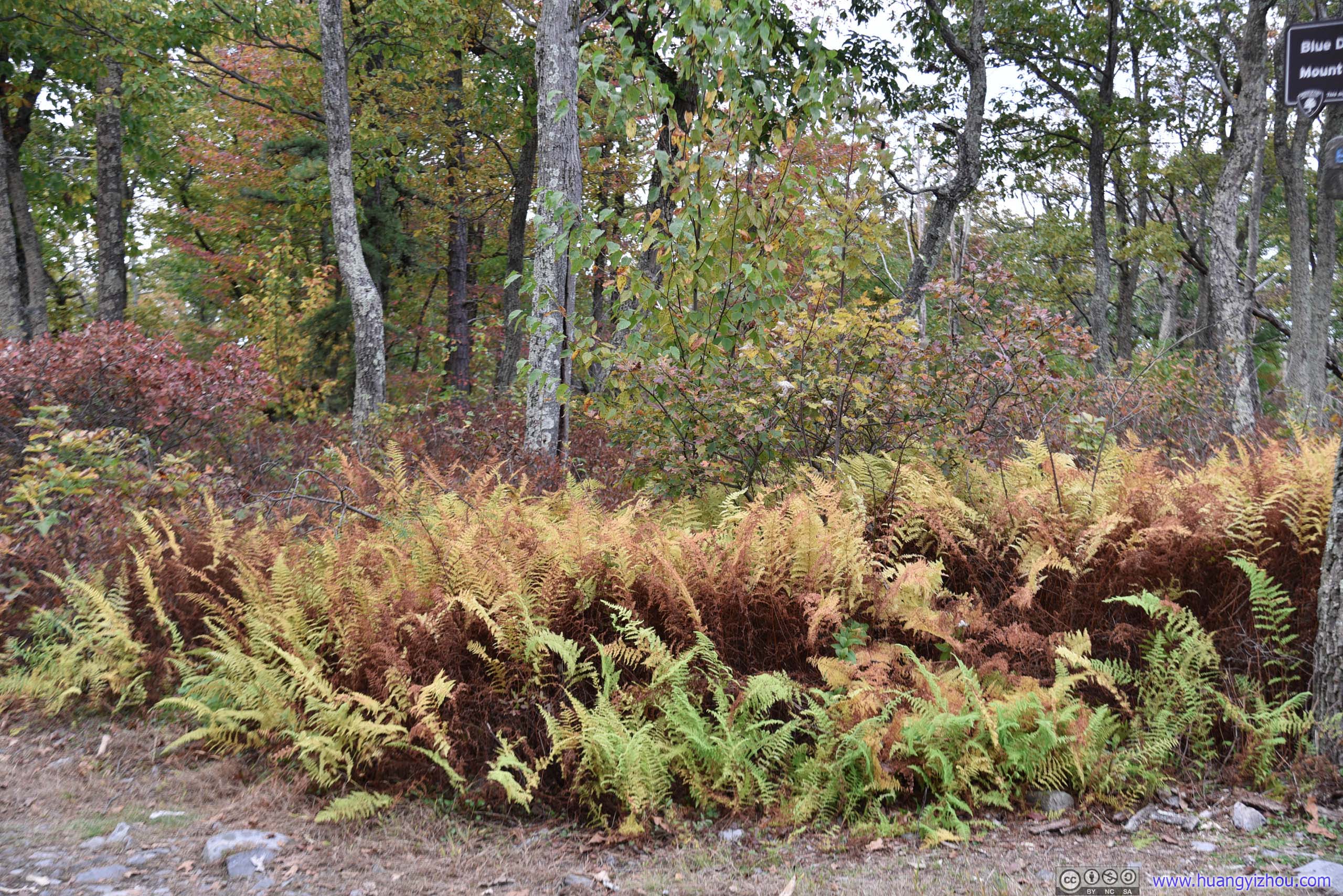
Fern
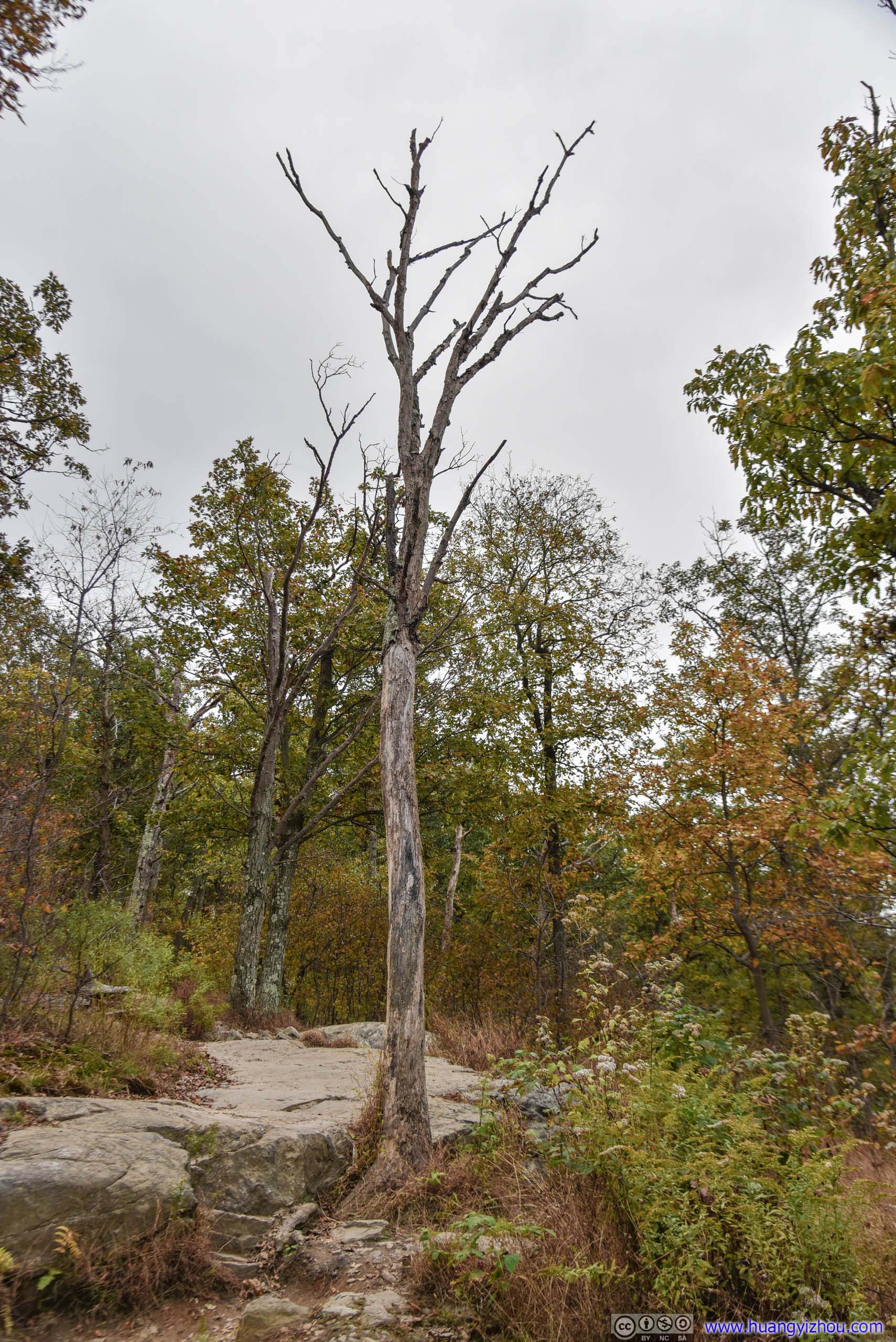
Barren Trees
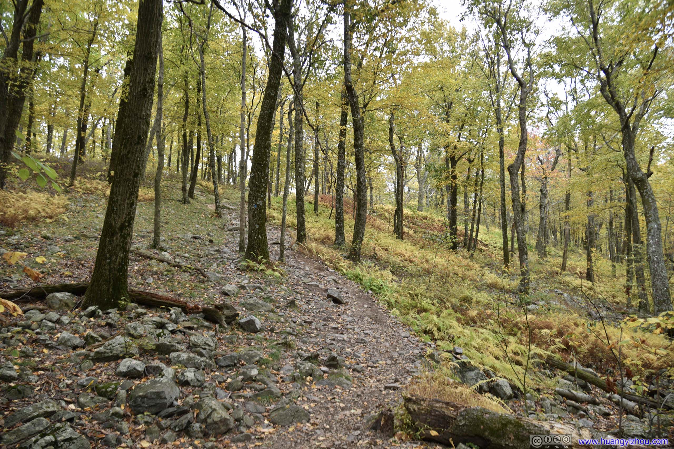
After a day five hours of hiking and getting somehow accustomed to the flat and even “Lake Road” of Mount Minsi, the rocky downhill path of Blue Dot Trail turned out to be more of a challenge than I expected. A silver lining was that sceneries this time were much better, at least they were evolving.
 Rocky Path
 Forest
 Fern
Fern
 Rocky Path
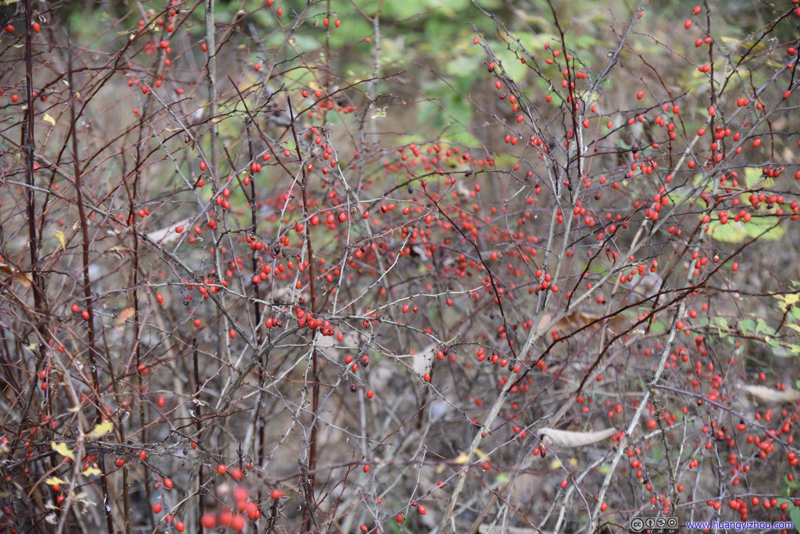
BerriesAs reminded by a fellow hiker, luckily there were no bears around.

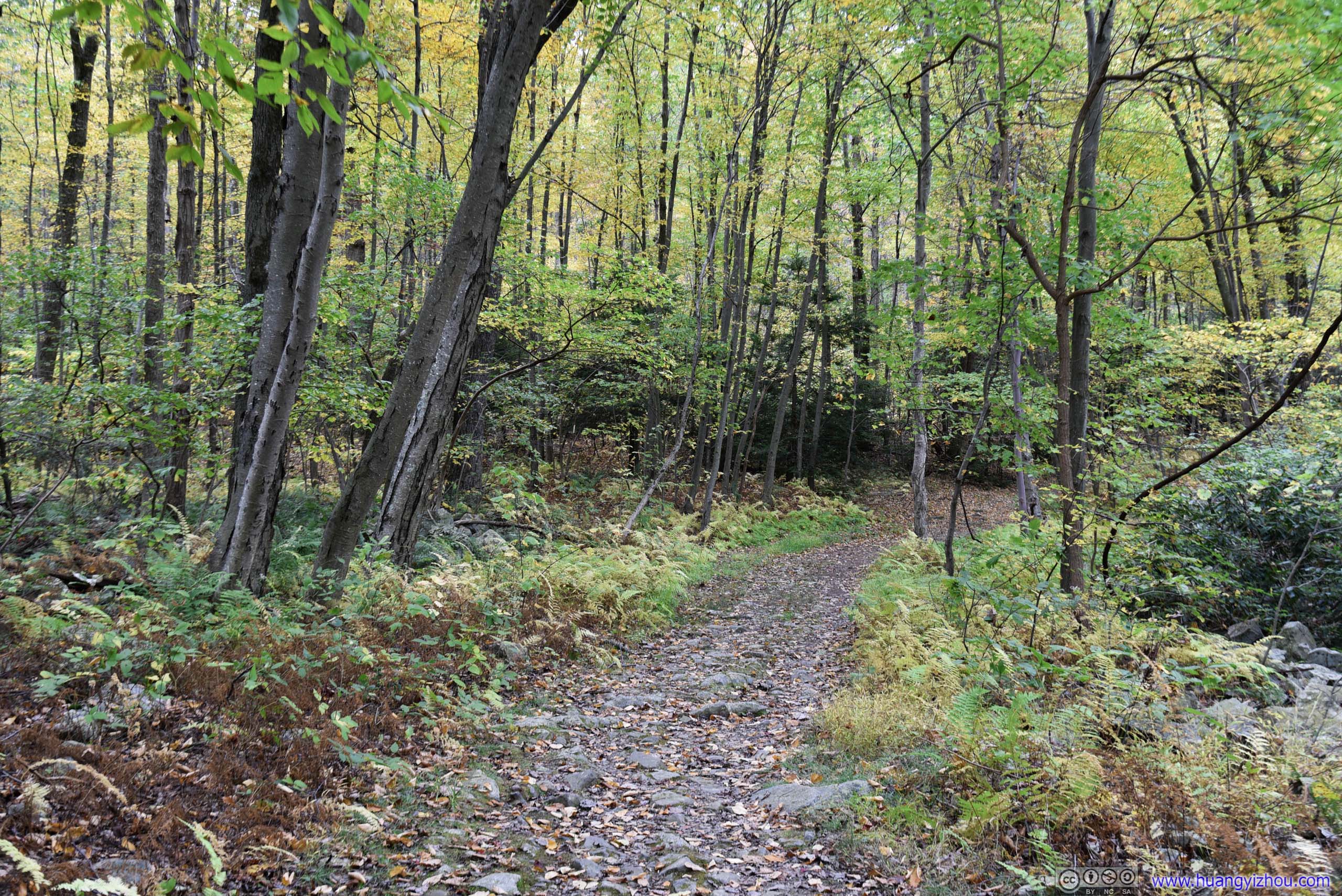
 Trail
Trail
 Forest

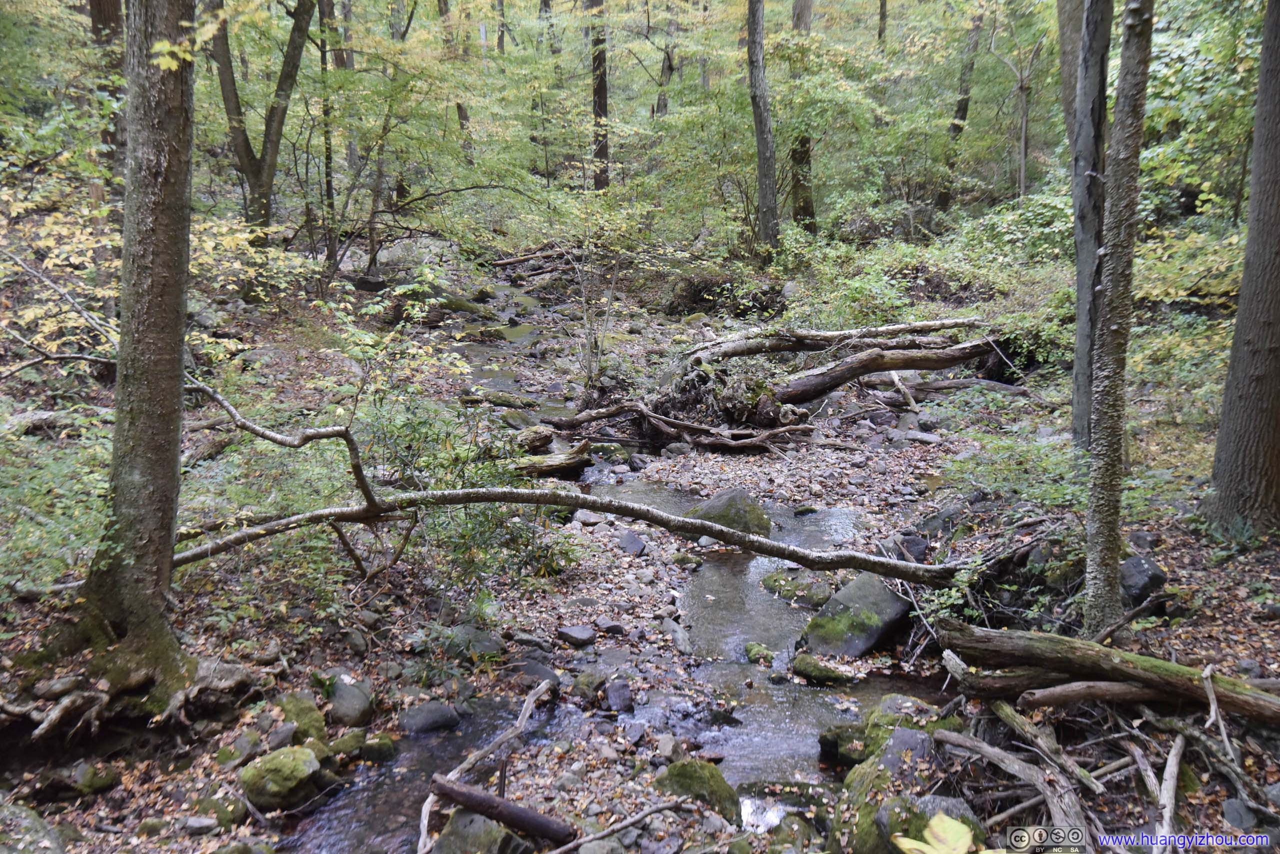
Forking TrailsWhere blue dot trail meets Dunfield Creek.
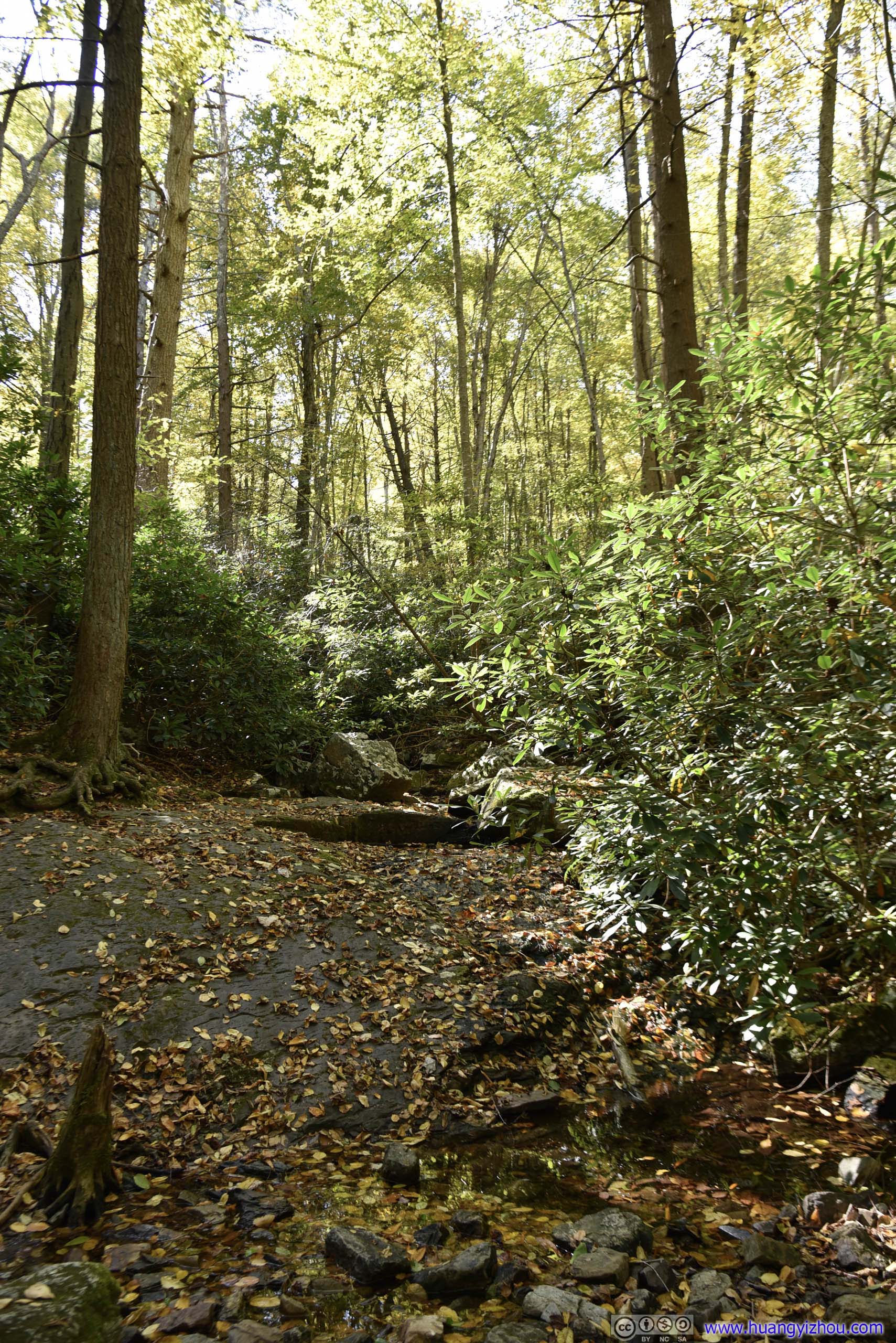
Then the last kilometer to the parking lot was along Dunfield Creek. As usual there weren’t much water flowing around in this season, but the suffering of treading through rocks had finally ended.
Leaning Trees
Waterfall on Dunfield Creek
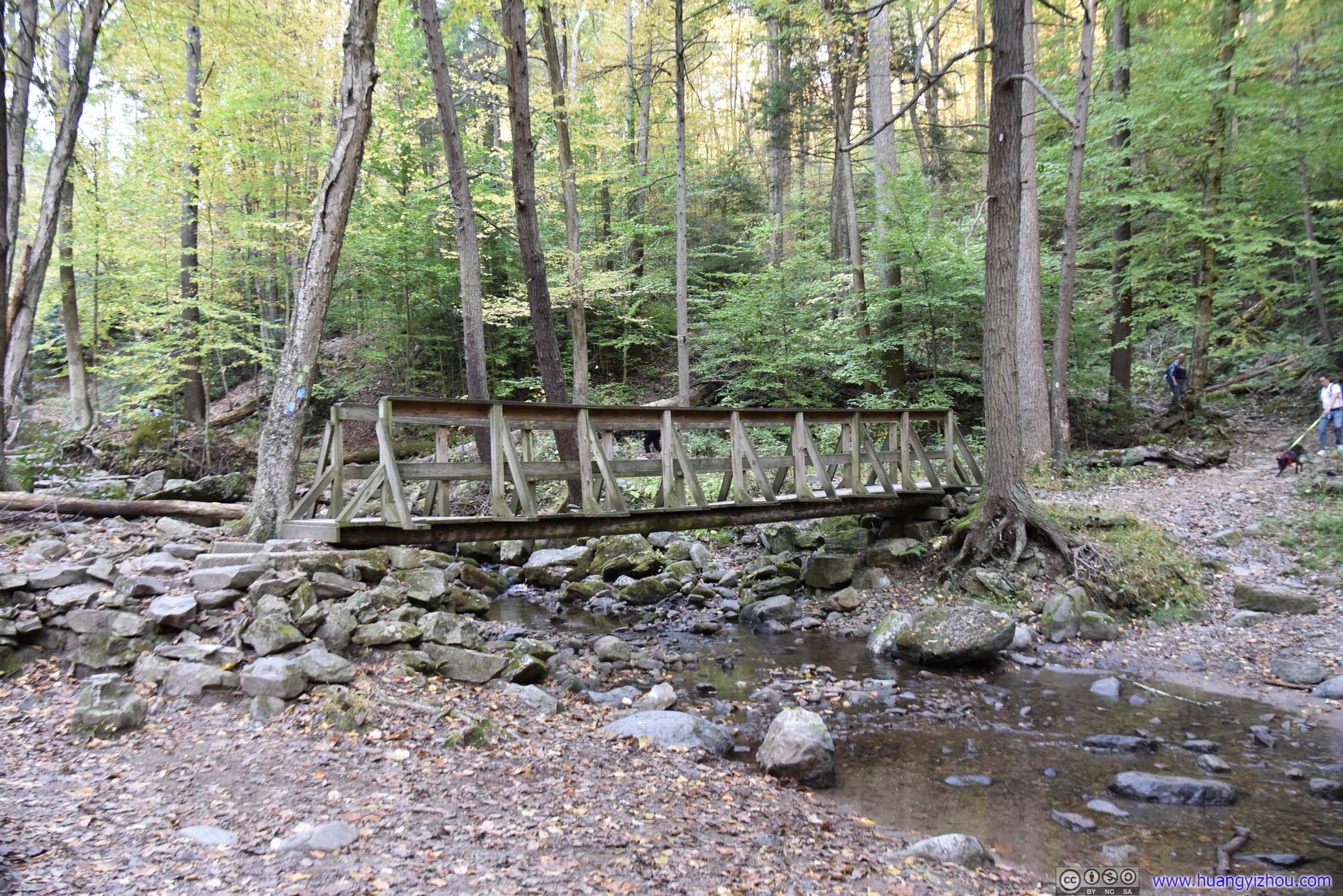
Footbridge
 Trees
Trees
 Dunfield Creek

Leaves in Autumn Color

Autumn Leaves on Dunfield Creek
 Valley of Dunfield Creek
 Trail
Trail
Dunfield Creek

 Trail
Trail
 Dunfield Creek
Riverside
Before I left, I stopped by the visitor center on New Jersey side of Delaware River. Since there was a river access / boat launch site nearby, I snapped a few photos of these hills in vivid colors for the last time.

Mount Tammany from Delaware River

Forestry Hill
View of Mount Minsi from Delaware River
Rock Face of Mount Tammany

Forestry Hill
Conclusion
Before I went, I saw comments online that said hiking both Mount Minsi and Mount Tammany in one day would be challenging. Well, it’s not. I arrived at Delaware Water Gap at 11am so that’s not particular early. And even with the (too) many photos that I took along the way, I managed to finish both trails in three hours each, and reached Mount Tammany parking lot before sunset (6:20pm-ish).
Apart from “Lake Road” on Mount Minsi and “Dunfield Creek” part of Mount Tammany, the rest of the trails were on rocks and boulders which challenging for those that went in with gym gear (like me). But one should feel well rewarded with sceneries along the way, especially the Mount Tammany part in this best time of year.
![]() Hiking in Delaware Water Gap by Huang's Site is licensed under a Creative Commons Attribution-NonCommercial-ShareAlike 4.0 International License.
Hiking in Delaware Water Gap by Huang's Site is licensed under a Creative Commons Attribution-NonCommercial-ShareAlike 4.0 International License.
Be sure not to litter trash everwhere like everyone’s been doing! Clean it up or the NPS. Will put up jersey barriers and close it down to the people who dont litter.