
Updated on August 29, 2024
Day 4 of 2020 Idaho Trip, Sawtooth Wilderness
Fourth day of my Idaho trip. I travelled along Idaho Route 75 farther up to Sawtooth Wilderness Today, hiking Sawtooth Lake trail while exploring a few lakes along the way with my drone.
Sawtooth Lake
While planning this trip, it seemed to me that most of the better hiking trails in Sawtooth National Forest were located in Sawtooth Wilderness, near the town of Stanley. I was interested in two particular day-hike trails, Sawtooth Lake Trail and Bench Lakes Trail. Unfortunately, the drive from my Airbnb in Hailey to Stanley was 1.5 hours, and after I spent the previous day resting and recovering, I only had one day left to visit Stanley region and hike one of the two aforementioned trails. Going with the popular option, I opted for Sawtooth Lake Trail.
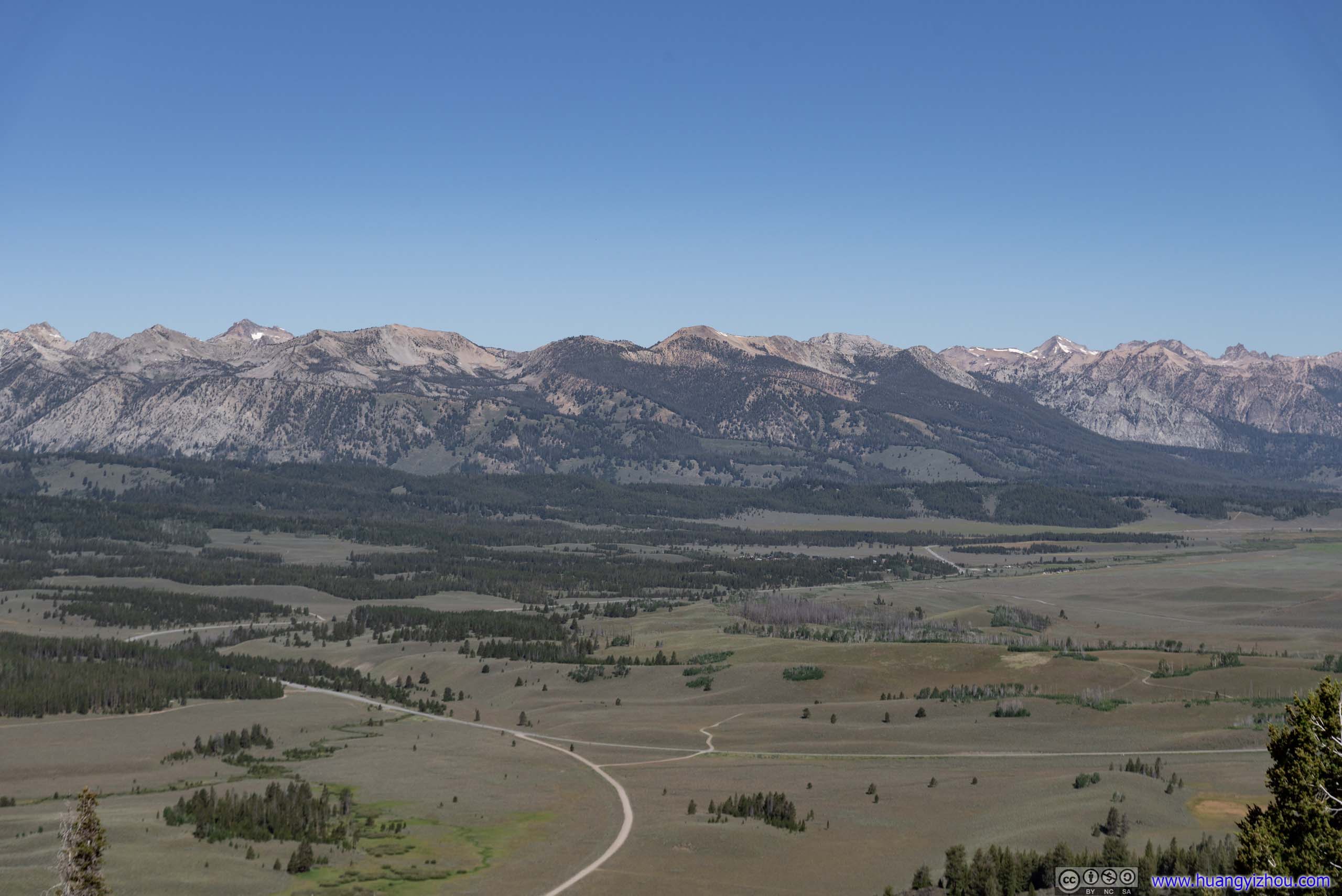
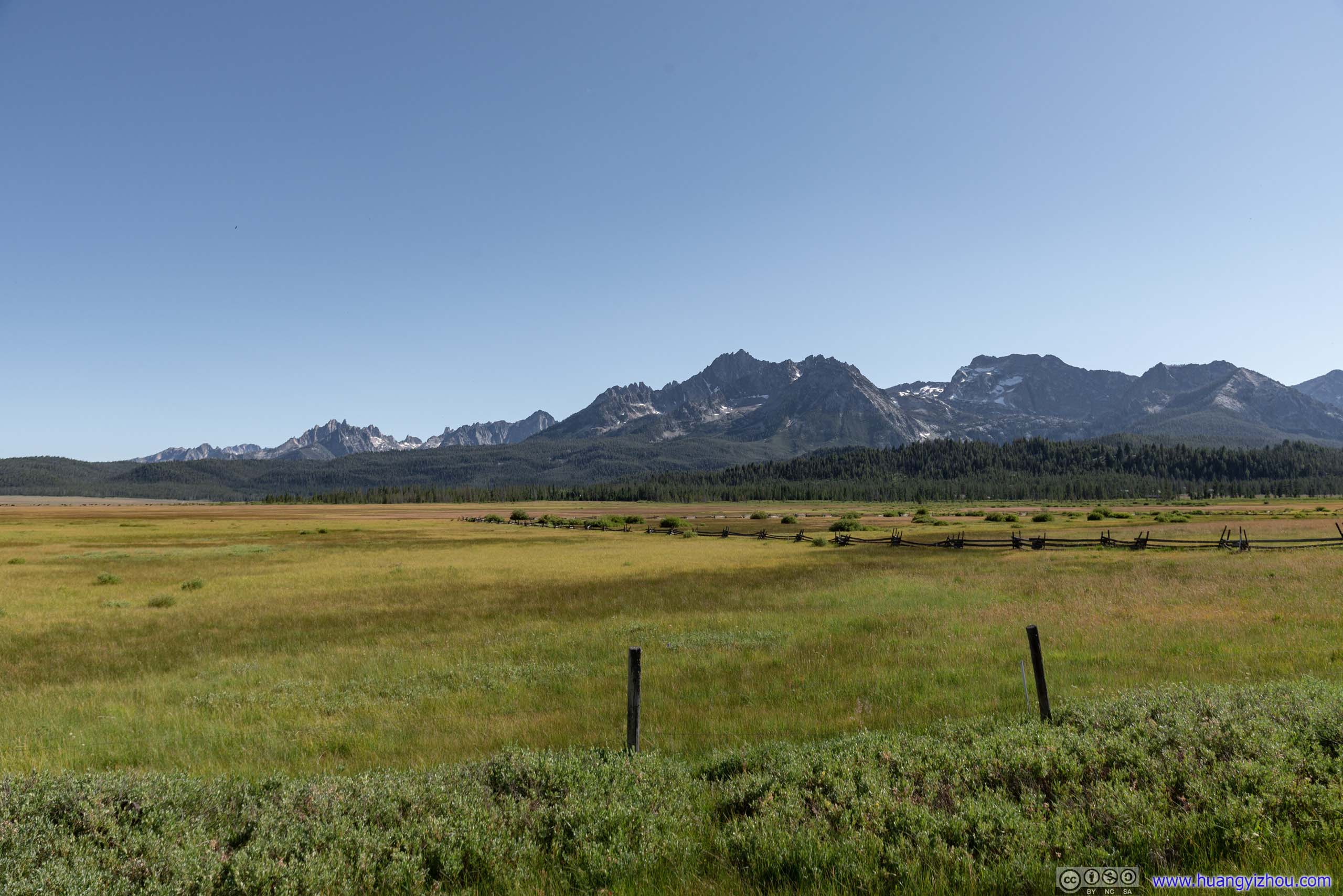
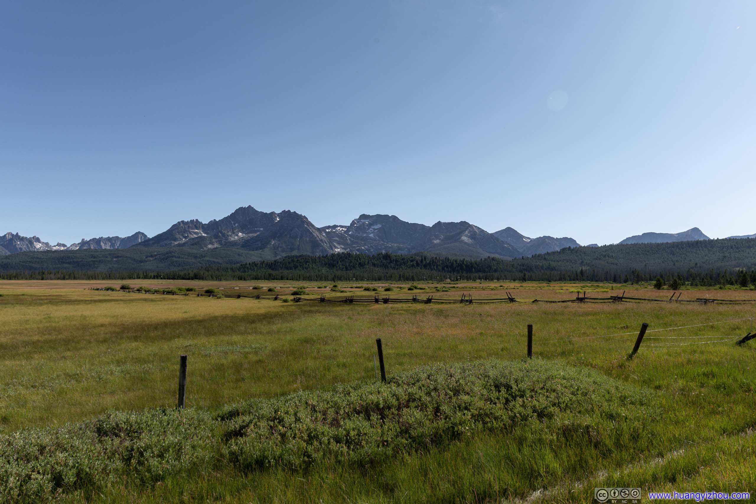
The drive from Hailey to Stanley passed through Galena Summit, at an elevation of 2652m (8701ft). Soon after that, there was a roadside turnout with magnificent views of Sawtooth Valley.
Galena Summit Overlook
 Mountains to the West
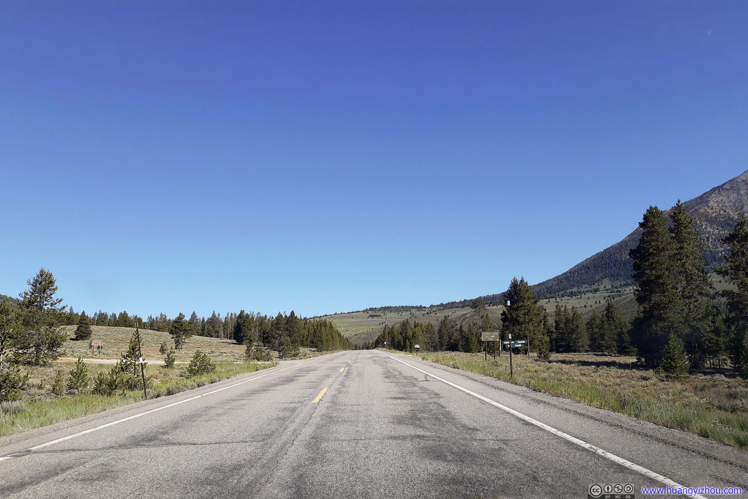
ID 75 Turnout
After descending from Galena Summit, Idaho Route 75 runs in Sawtooth Valley, mostly alongside Salmon River. This was a roadside turnout where I got the chance to launch my drone and appreciate the surrounding scenery.
 Salmon RiverLast year on my road trip from Glacier Park to Salt Lake City, we drove alongside the same river for 21 miles. Here Salmon River was closer to its origin and resembled more in scale to a nameless creek.
It’s a humbling thought that the river was named after the breed of fish, traveling all the way from Pacific Ocean to these mountains to hatch.
Sawtooth Valley
Pettit Lake
Before starting my hike to Sawtooth Lake, I made a final stop at the shores of Pettit Lake, a lake at valley elevation not far from Idaho Route 75. Most families come here for picnic or kayaking, but I stopped here so that I could view the lake from my drone.
Pettit Lake before Mountains

 McDonald Peak / Parks Peak / Imogene PeakBeyond the lake were mountains of Sawtooth Wilderness.
Pettit Lake
Overlooking Pettit Lake
Pettit Lake
With a drone, I flew across the 2km length of Pettit Lake in no time, reaching the rocks and forests of Sawtooth area.

 Hills of Parks Peak
Valley
Mountains by Pettit Lake
Pettit Lake and nearby Yellow Belly Lake
And my drone’s return from those pointy mountains was captured in this video:
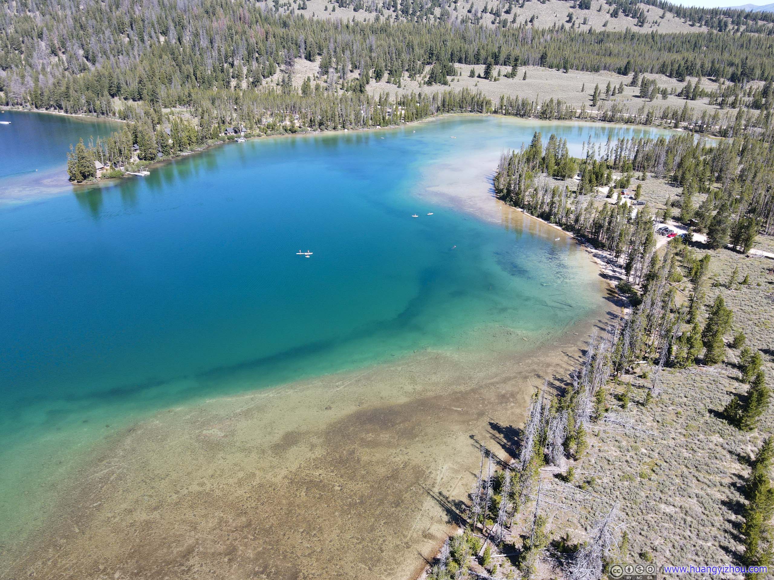
 Pettit LakeThe vivid colors of a lake, only visible from above.
After that, I headed directly to the trailhead of Sawtooth Lake.
Sawtooth Lake Trail
On the map, the parking lot was at “Iron Creek Trailhead”, named after the creek flowing next to it.
The last 5km (3.1mi) of forest road to the trailhead was unpaved and heavily washboarded, still in better shape than the one to Hyndman Peak trailhead though.
With a campground nearby and many other trails sharing the same trailhead, parking was a bit tight, with many cars resorted roadside parking off lots.
And there’s a self-served registration box where one had to fill out a registration/permit form for day trips. With the trail being so popular, the registration box was pretty much overflown.
And here’s GPS tracking:
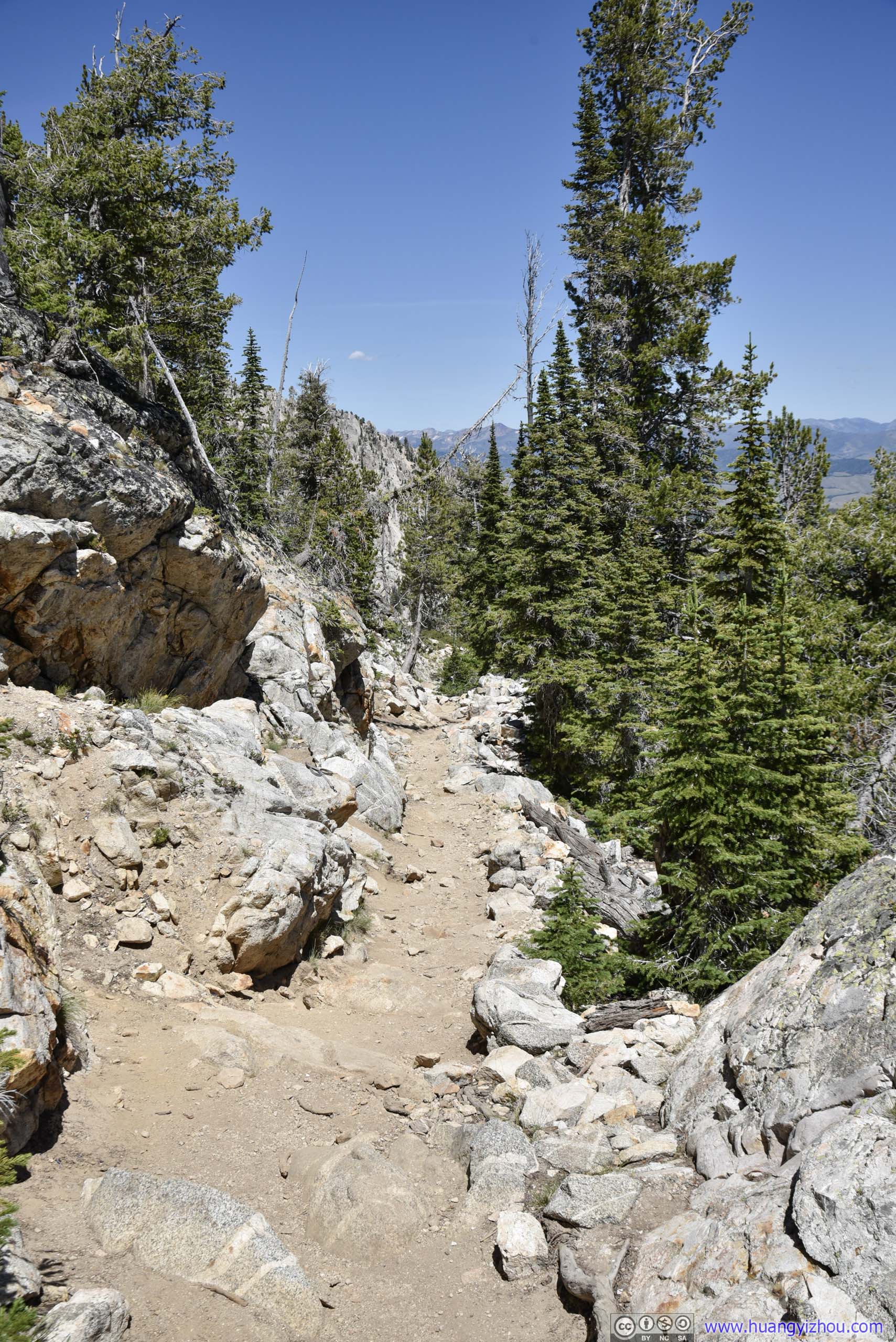
 Trail
Trail
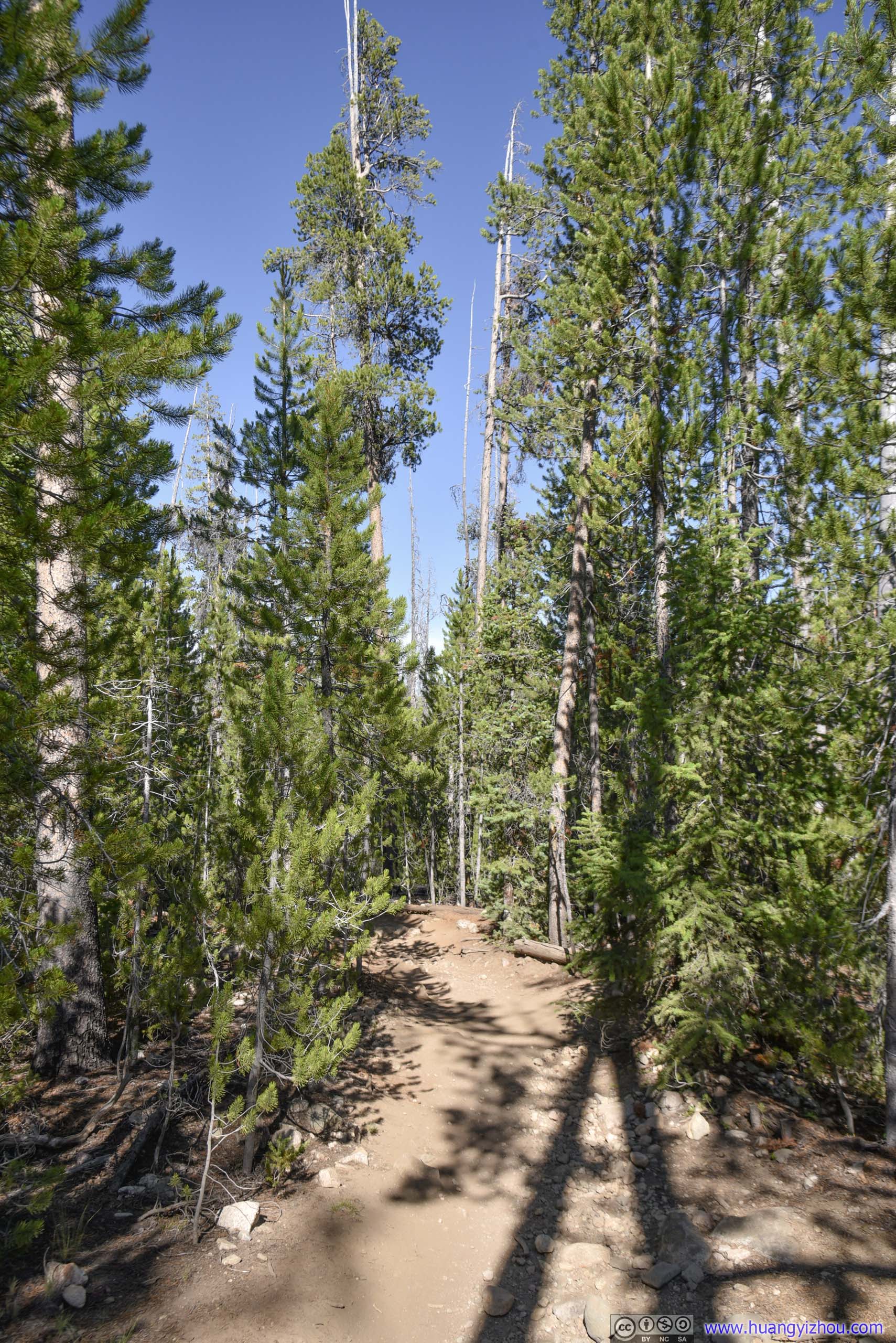
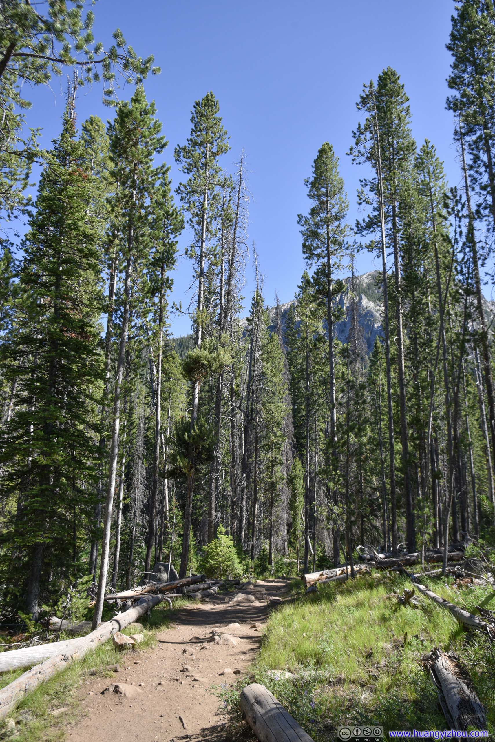
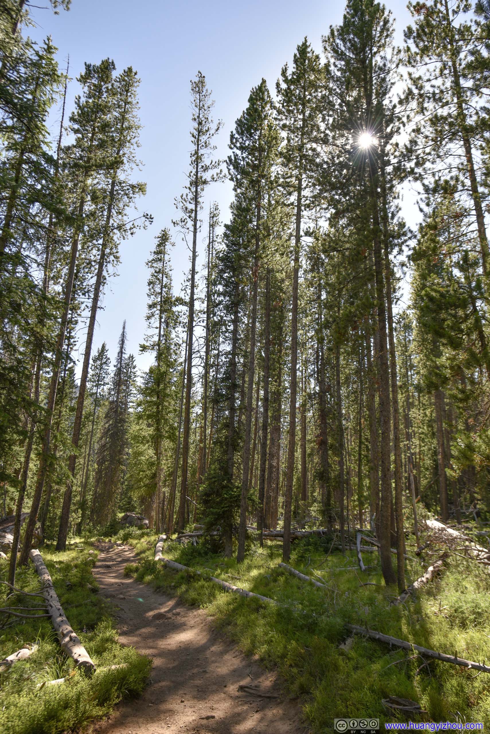
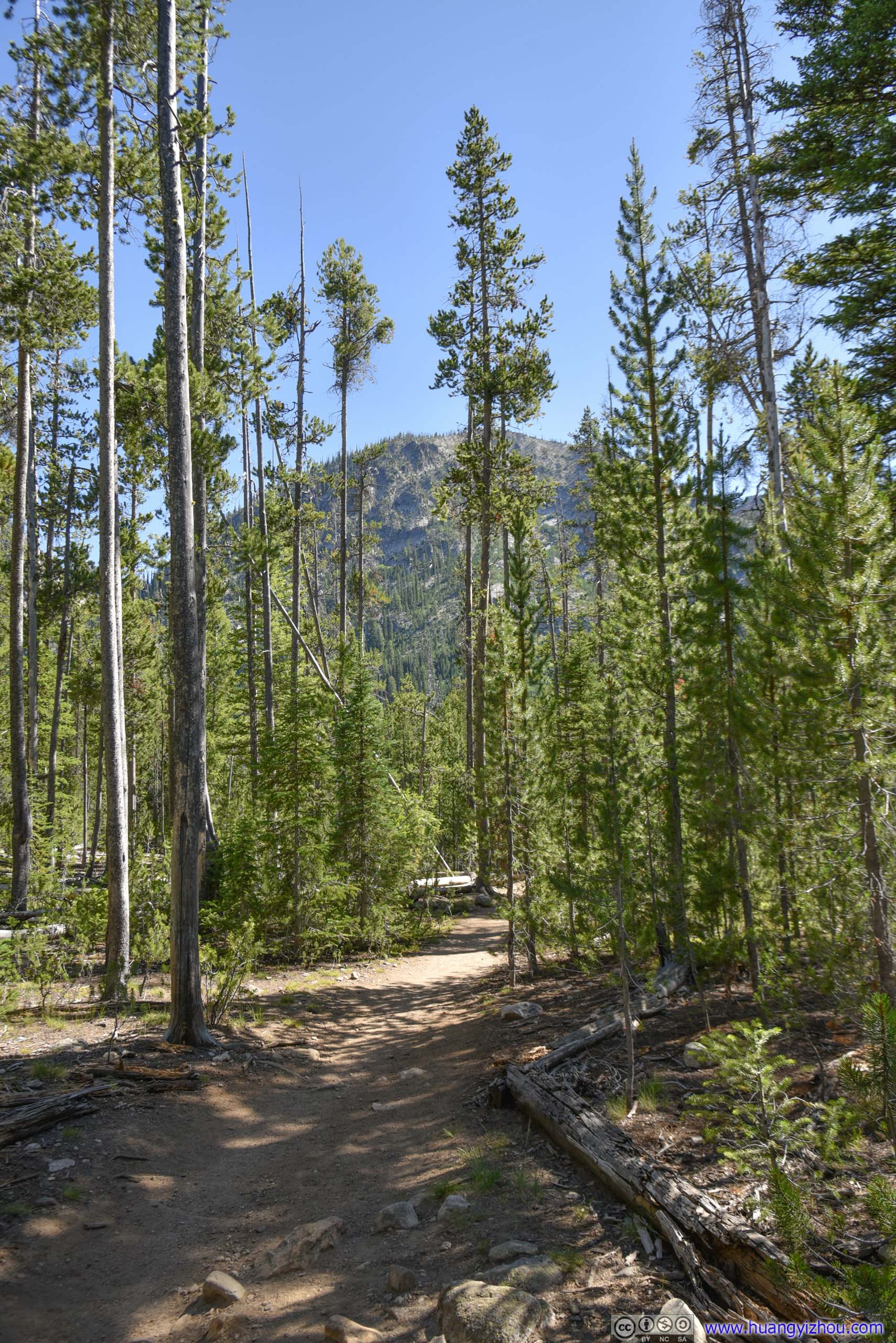
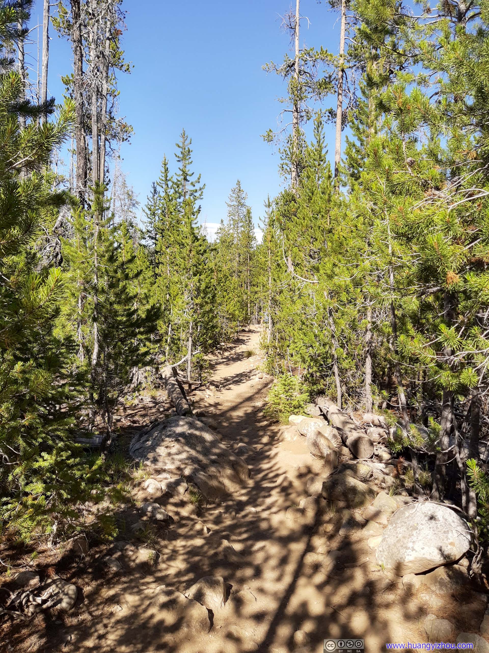
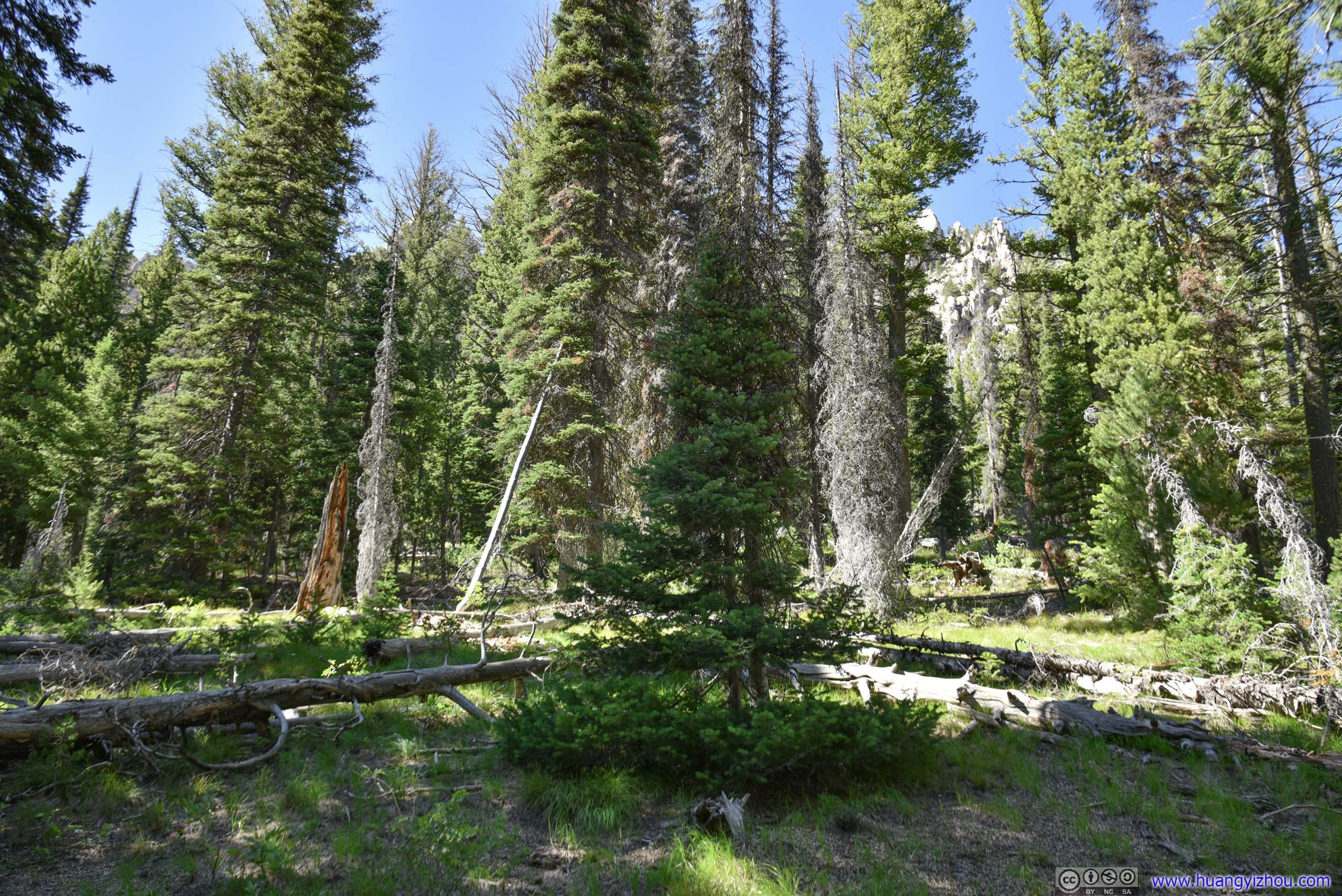
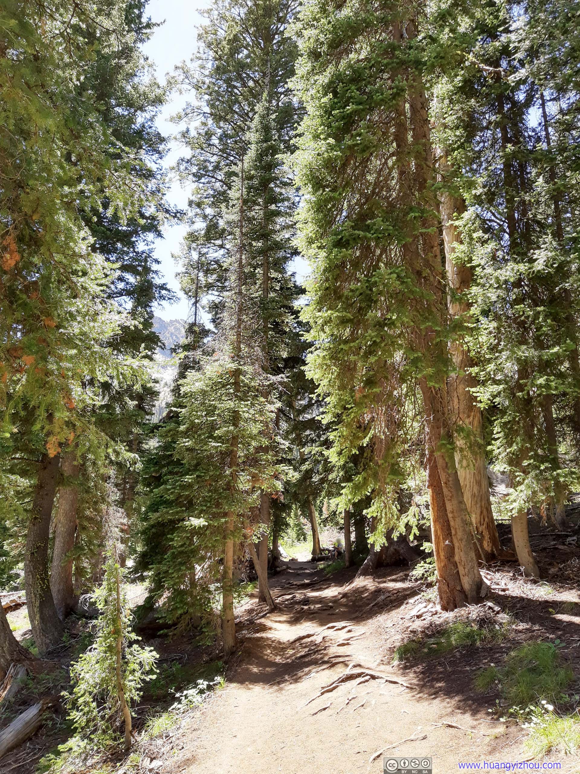
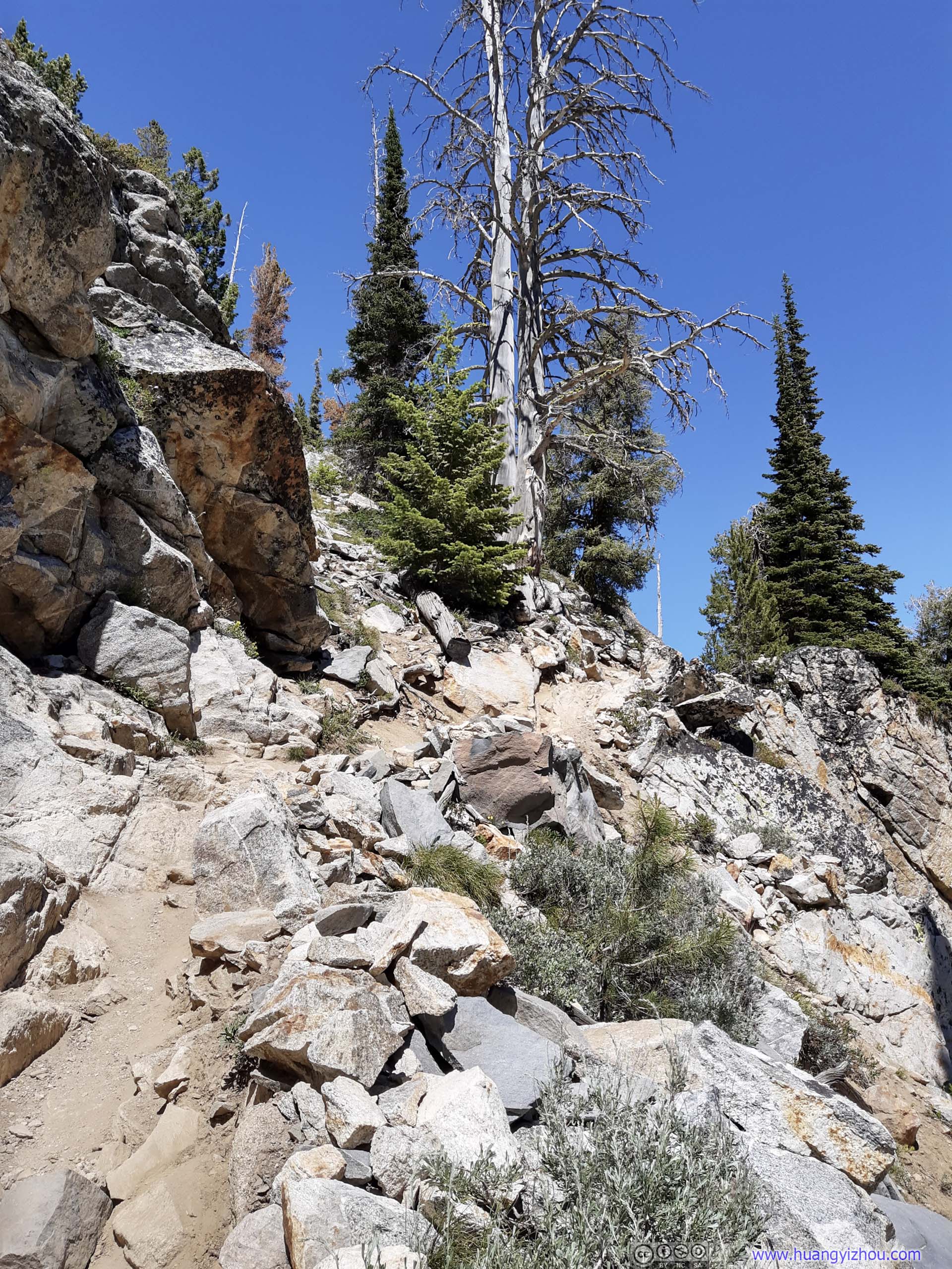
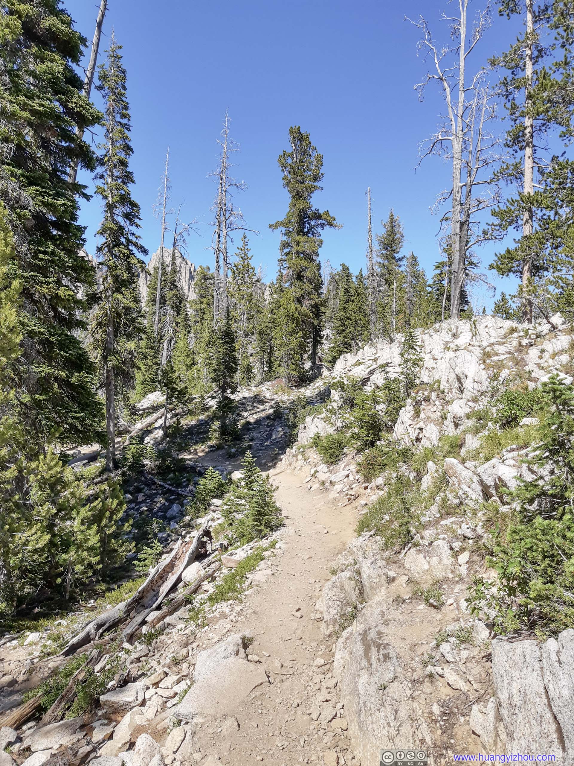
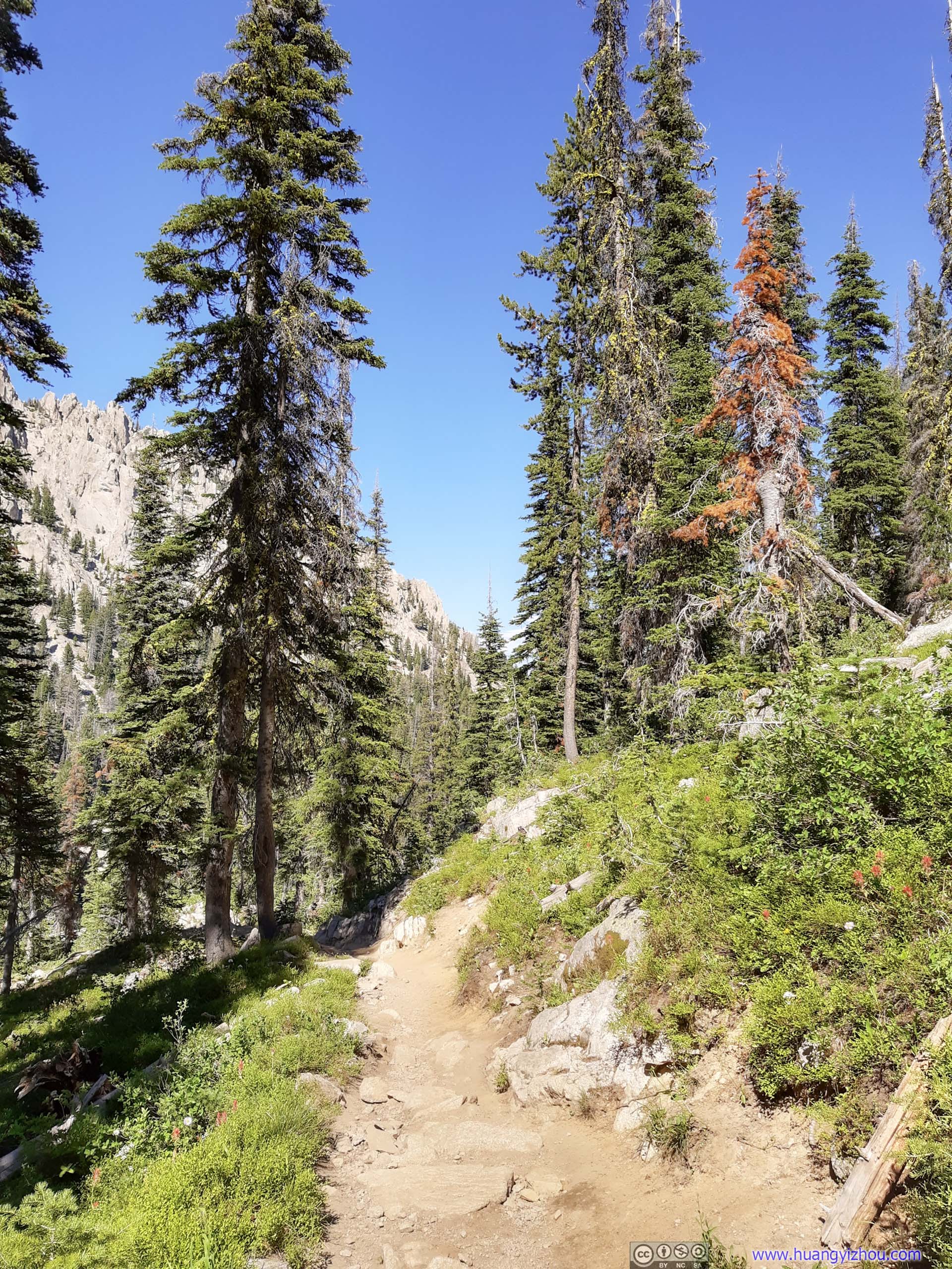
The first 3km of the trail was in dense pine forest like this. The trail was easy to tackle without much elevation change.
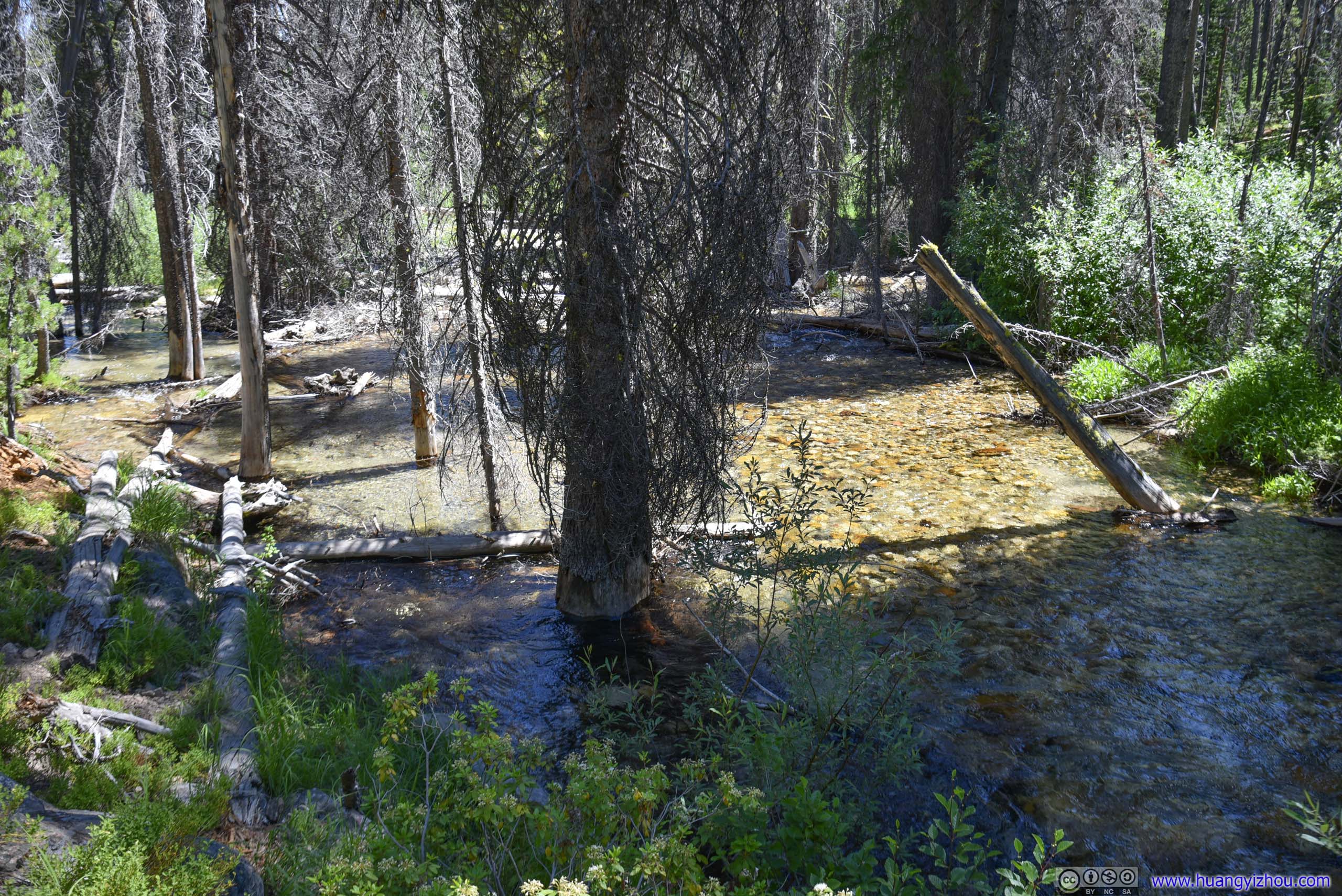
Tree in CreekDidn’t see this very often.
 Trail
Trail
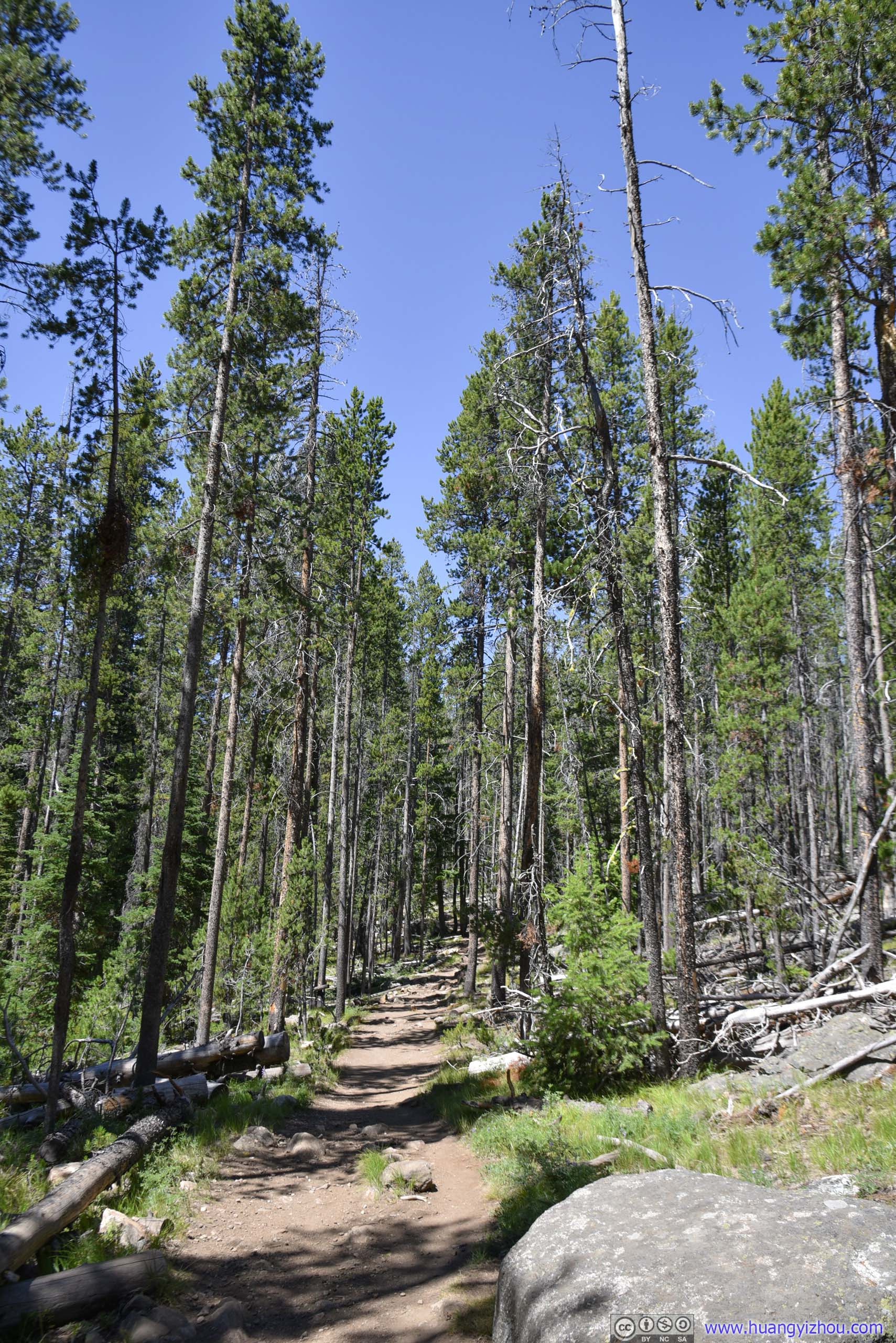
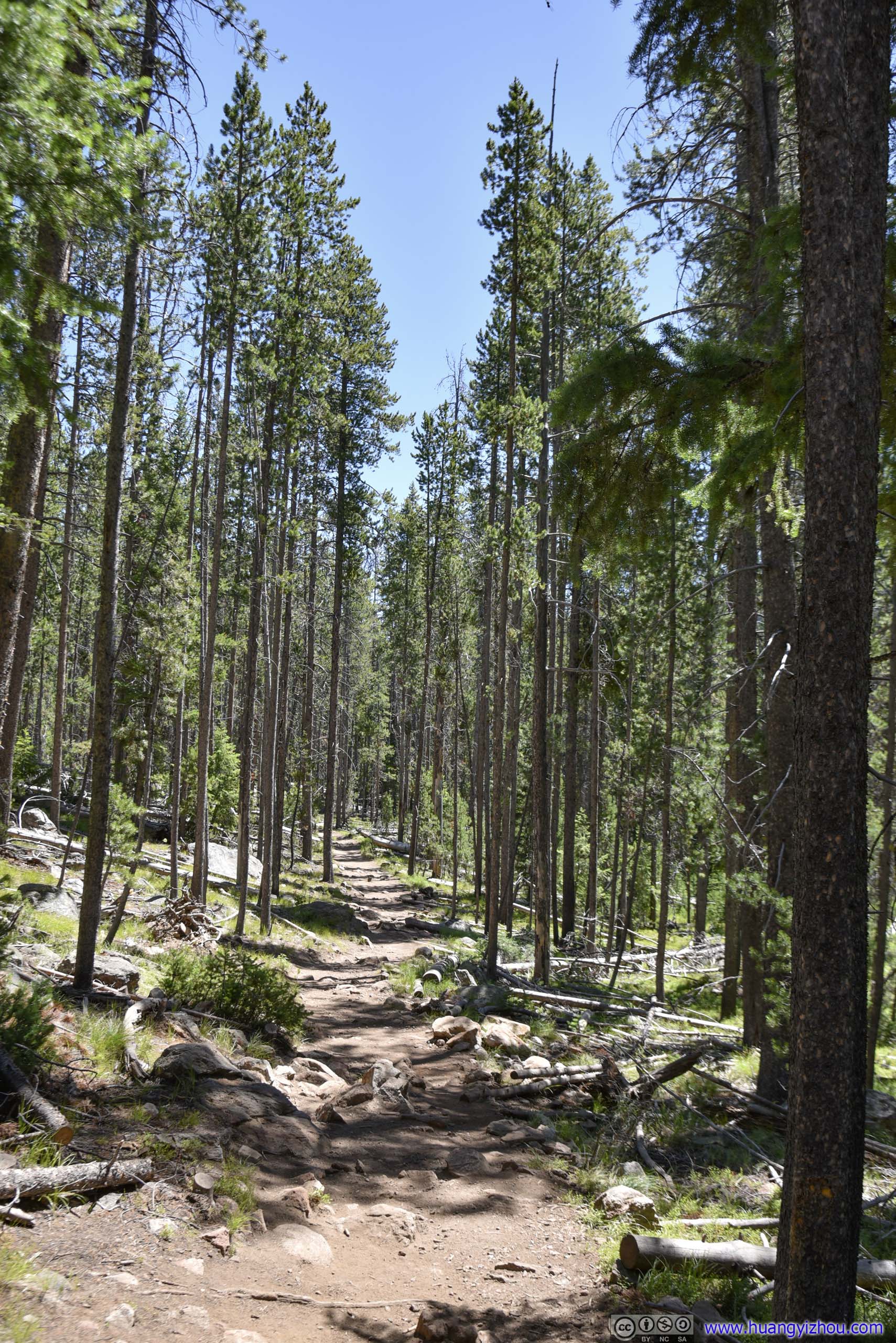
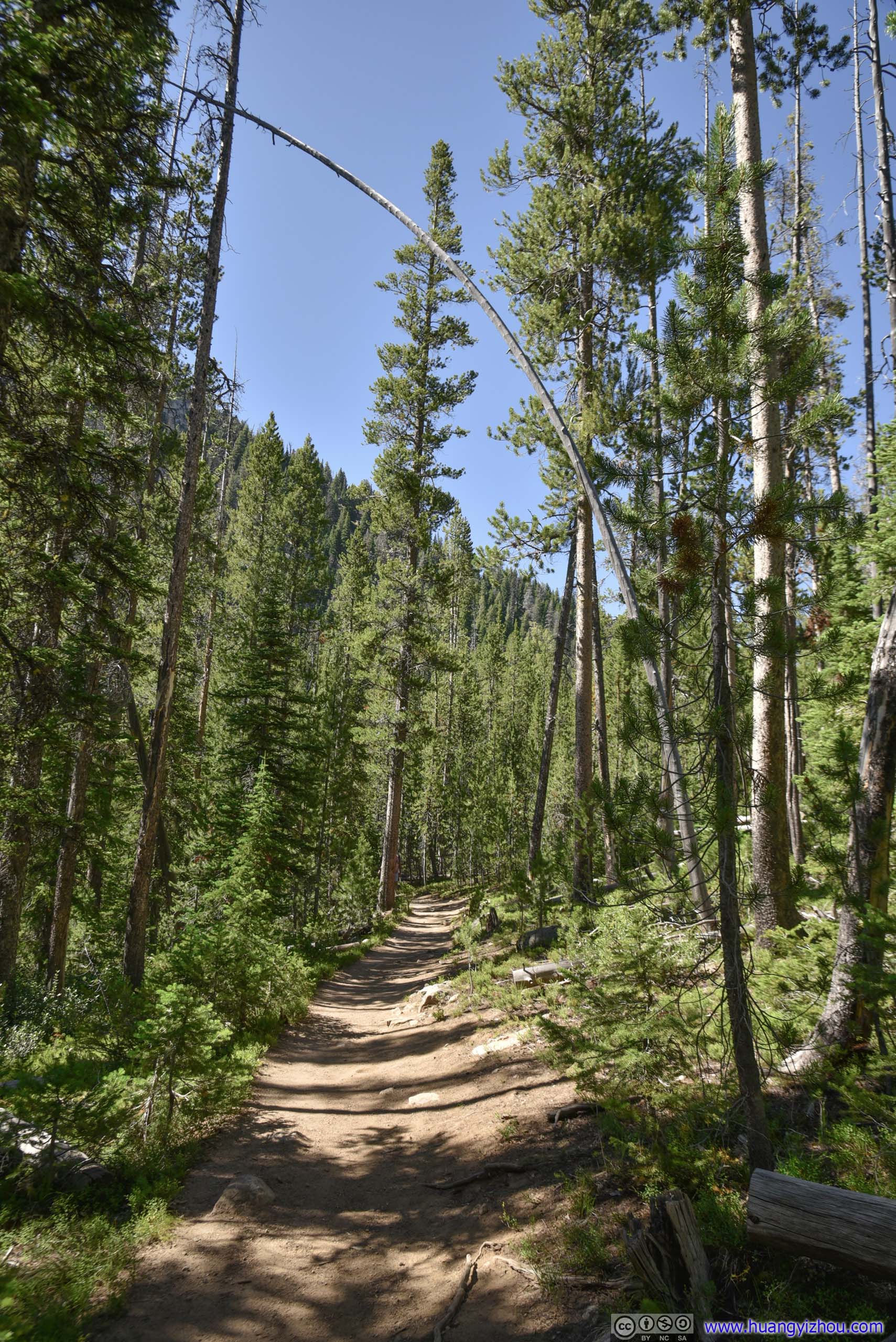
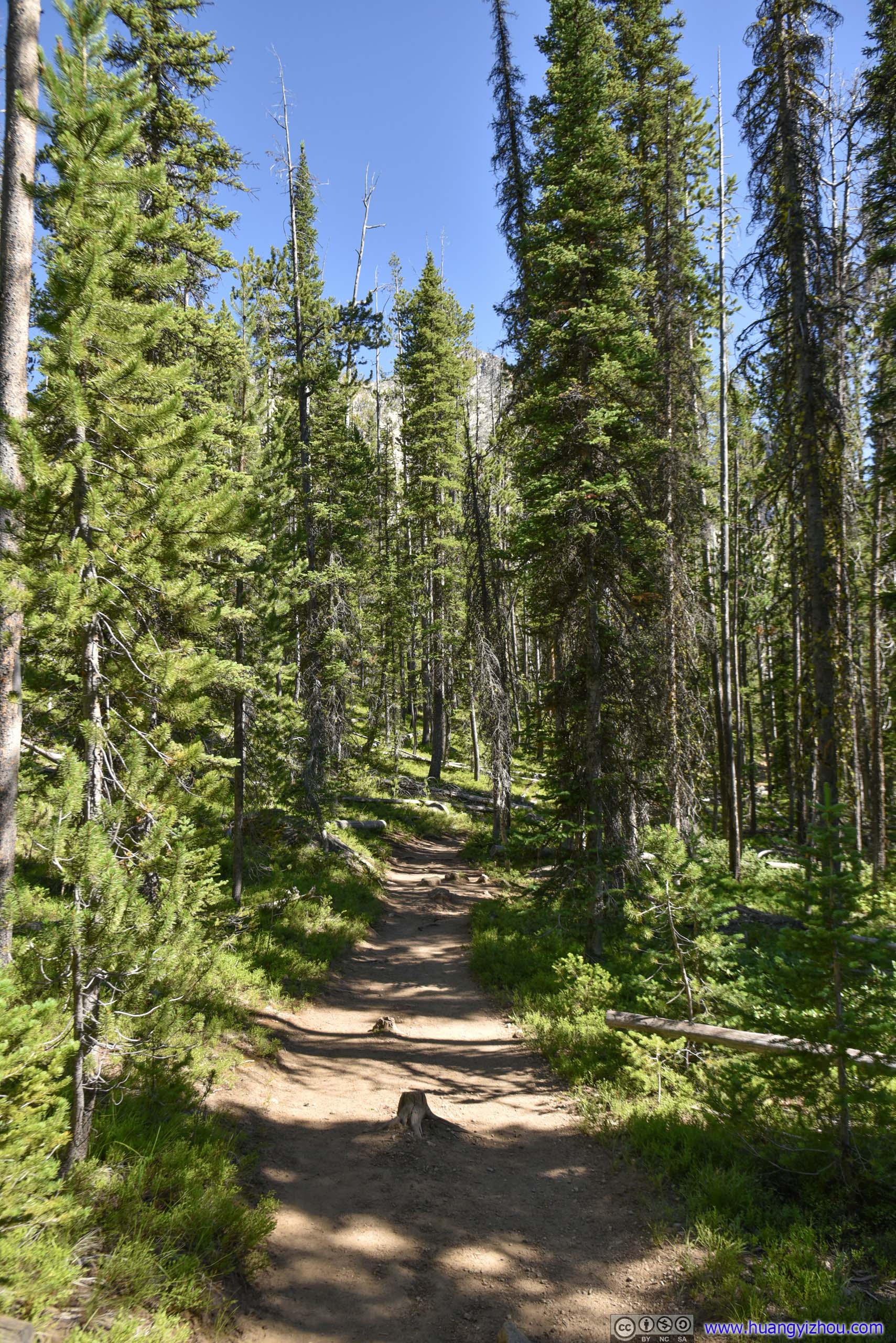
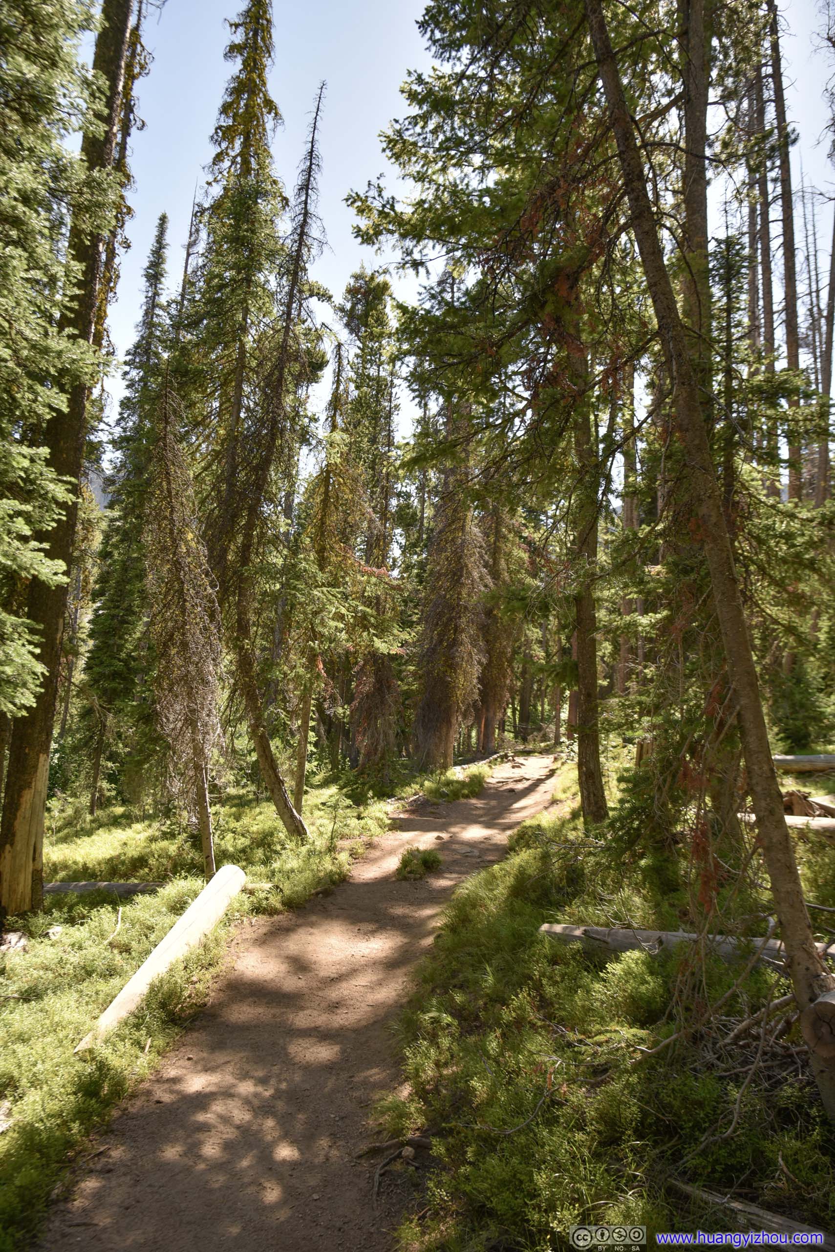
After the intersection at 3km, the trail continued on.
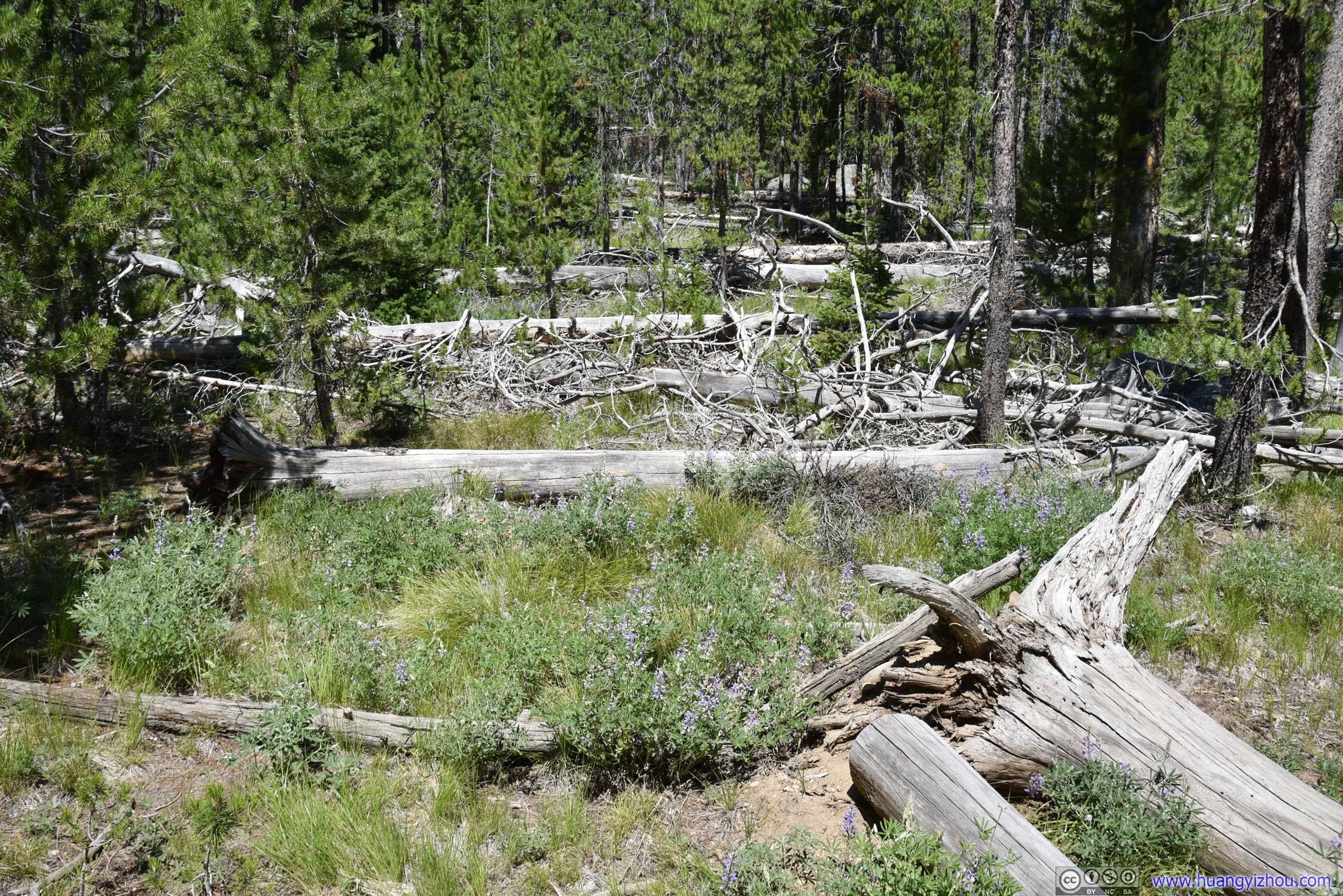
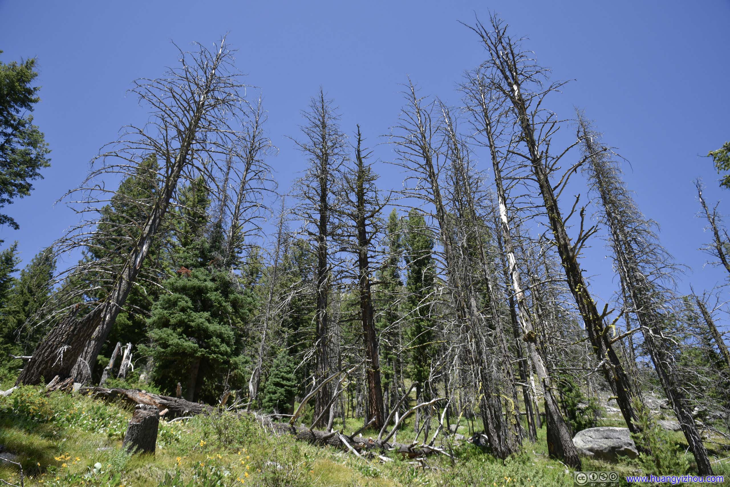
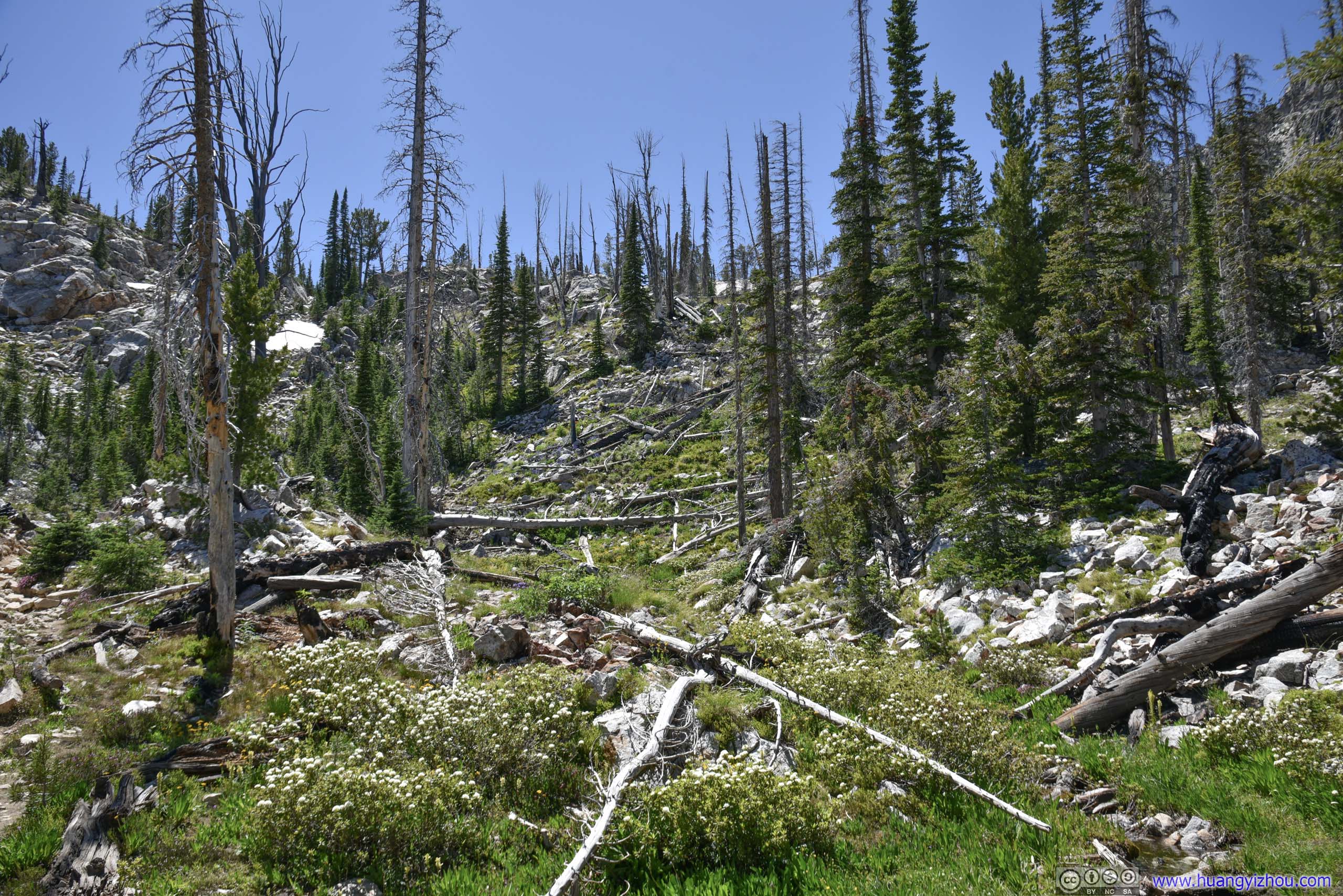
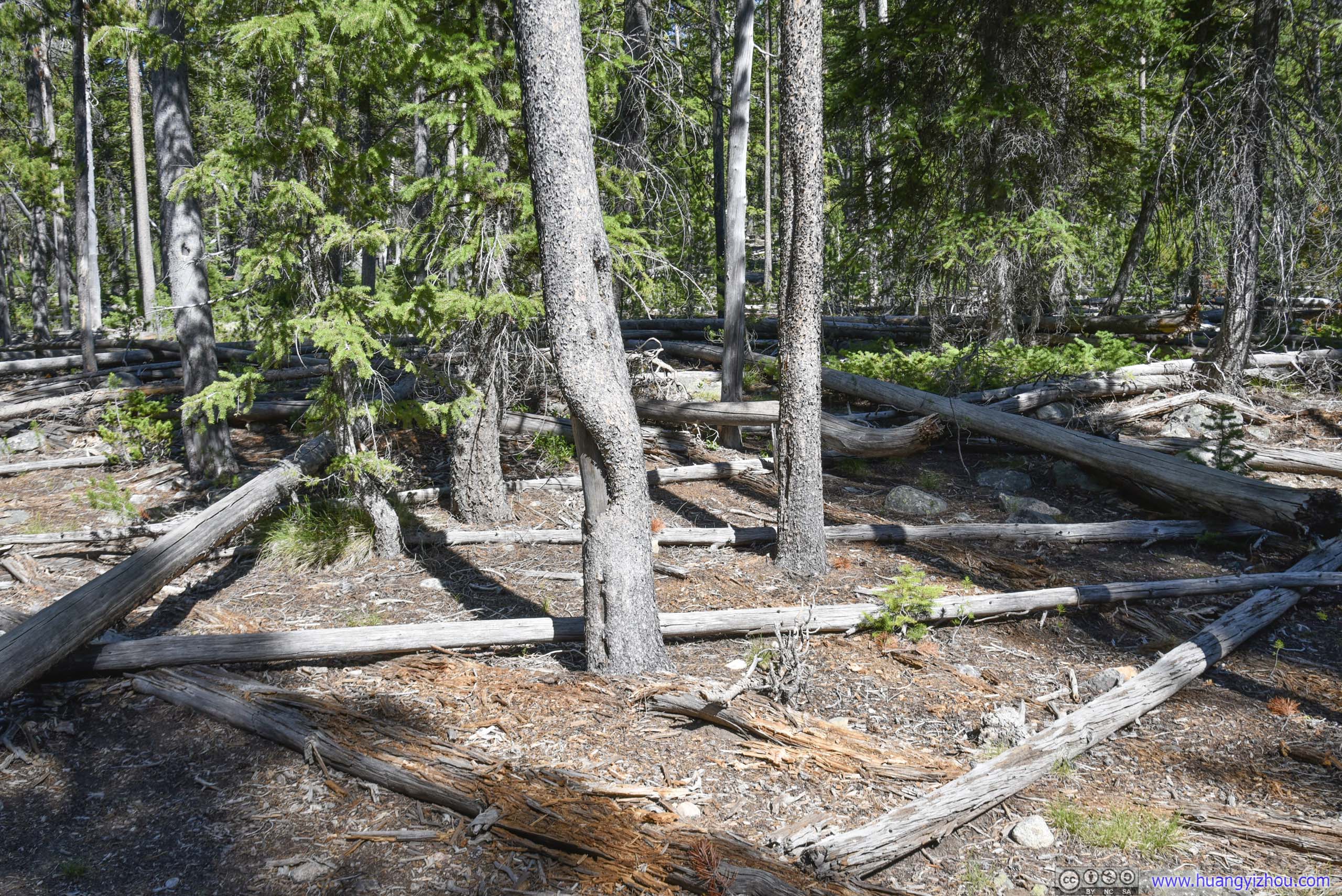 Fallen TreesA sign of the tougher times these forests had gone through.
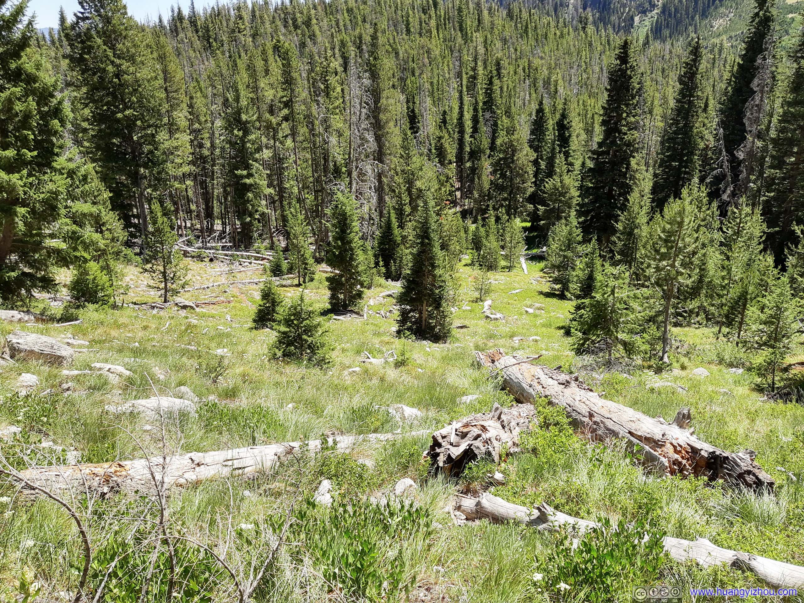
 Forest
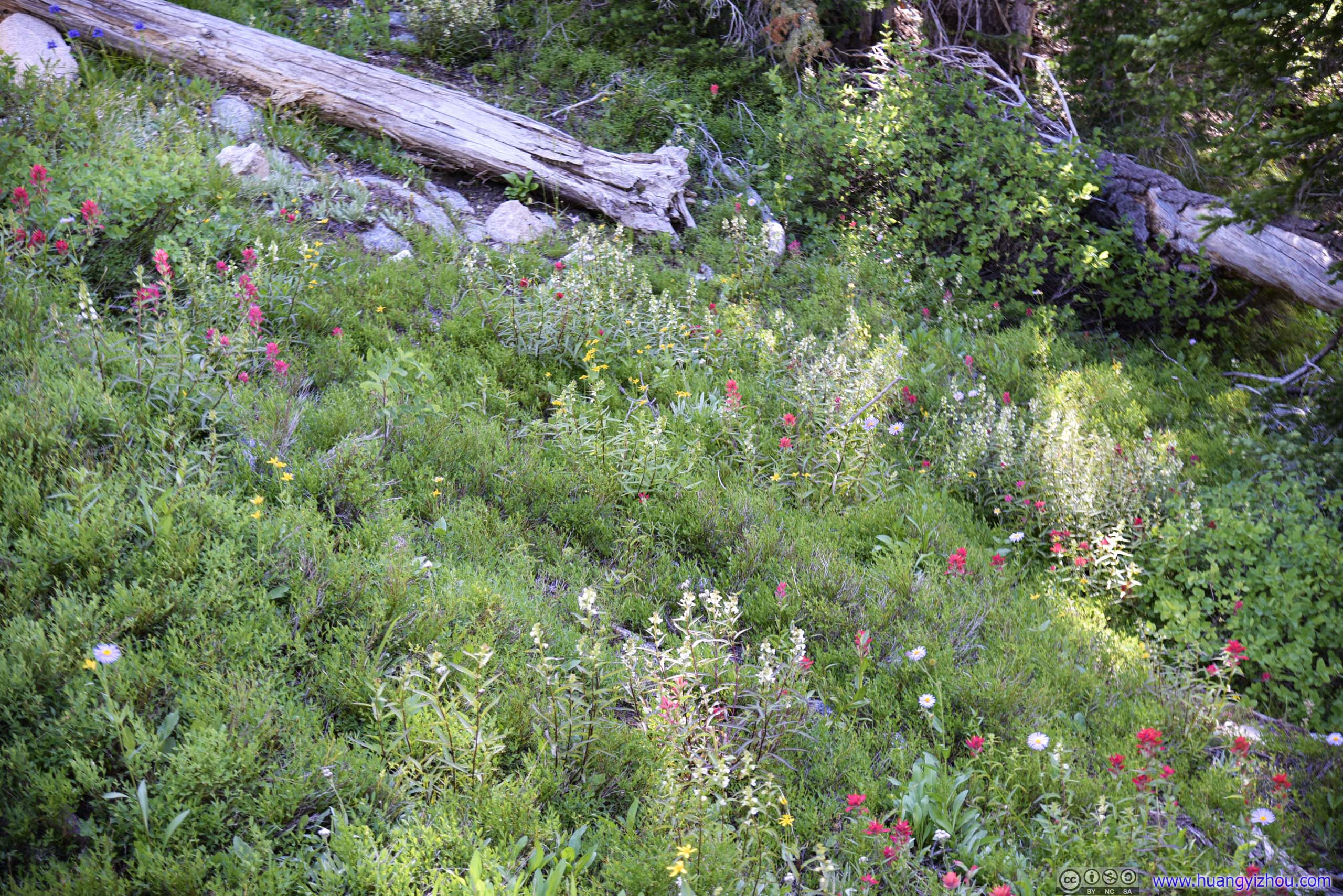
Forest grew sparser so one could start to appreciate the hills decorated with wildflowers.
 Hillside

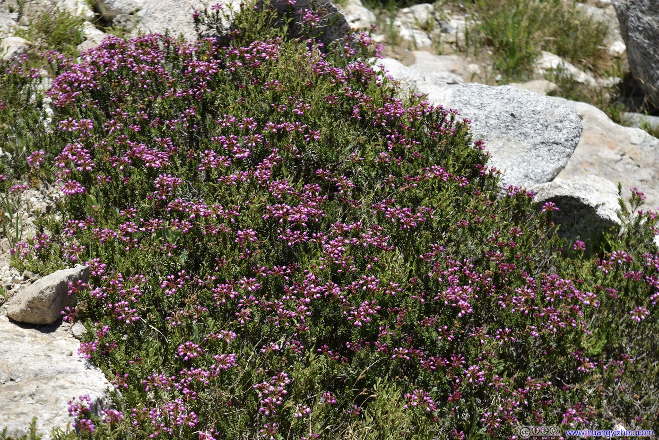
 Flowers
 Trail
Trail
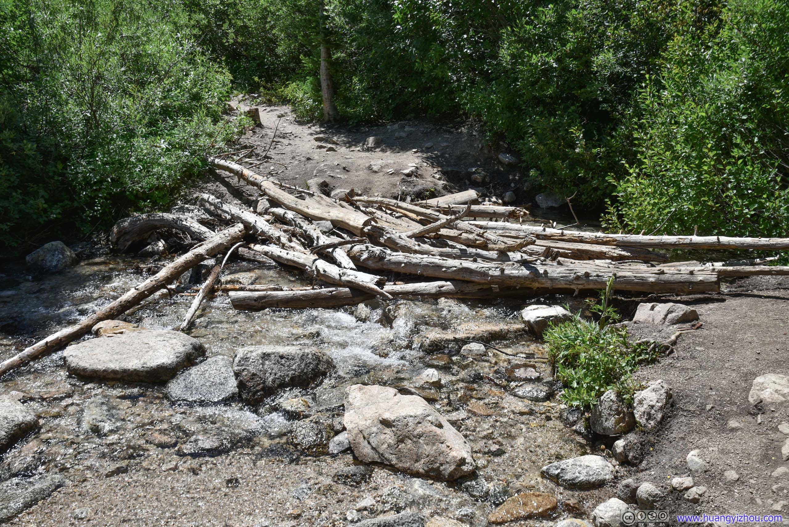
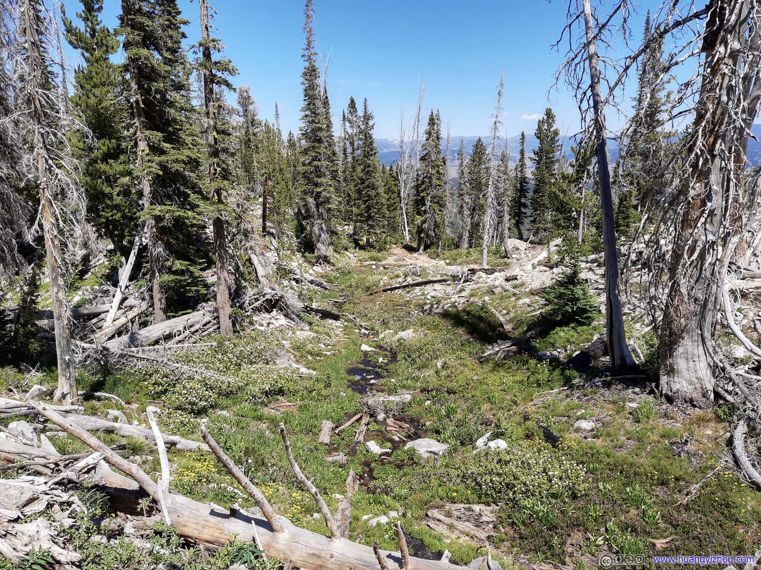
Creek CrossingThis crossing of Iron Creek wasn’t too hard with the many branches lying around. Trail soon turned into a series of switchbacks after this.
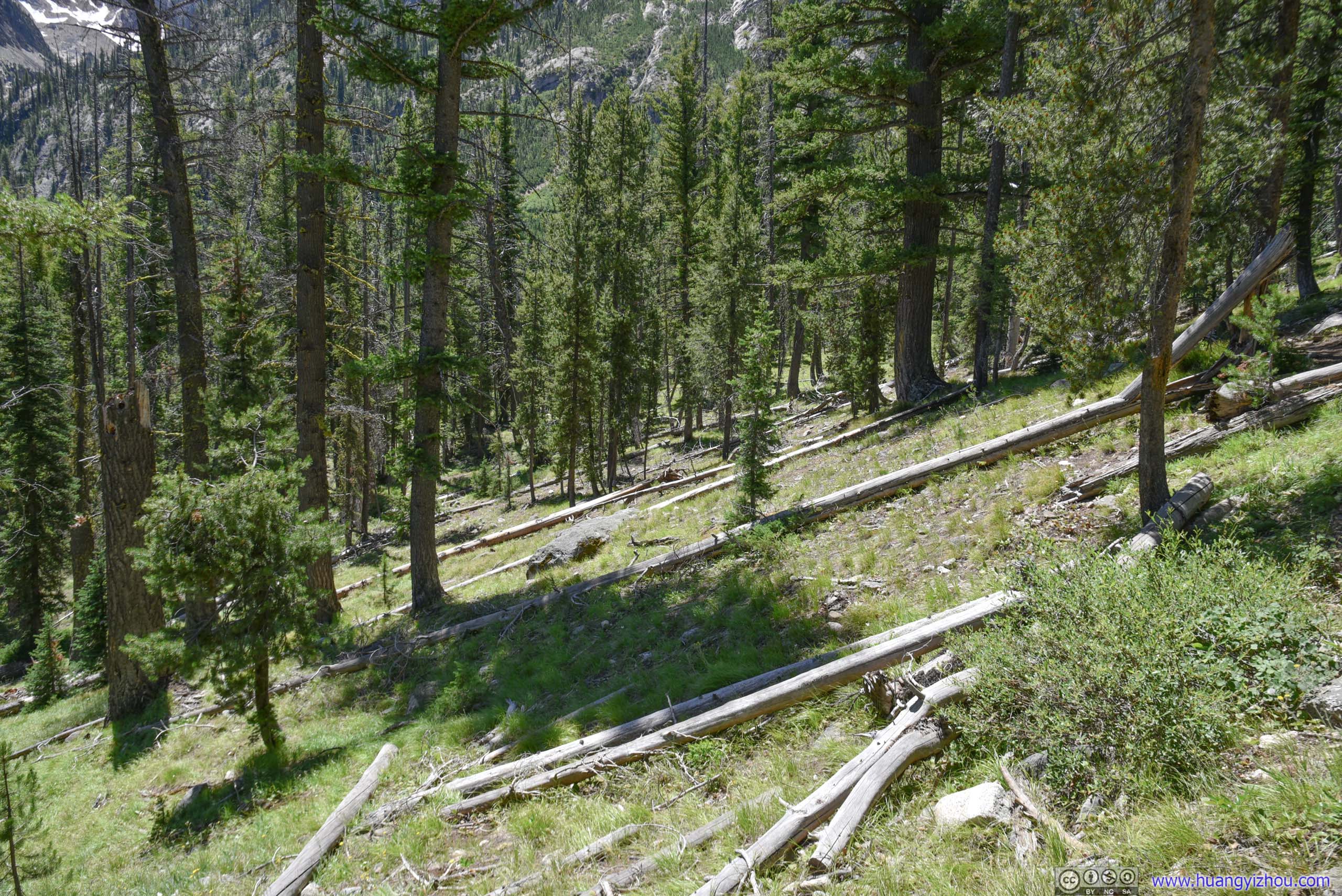
Unfortunately, many of the switchbacks before Alpine Lake wasn’t on steep terrain, with many shortcuts that seemed like reasonable and inviting alternatives routes.
 Mountains

 Trail
Trail
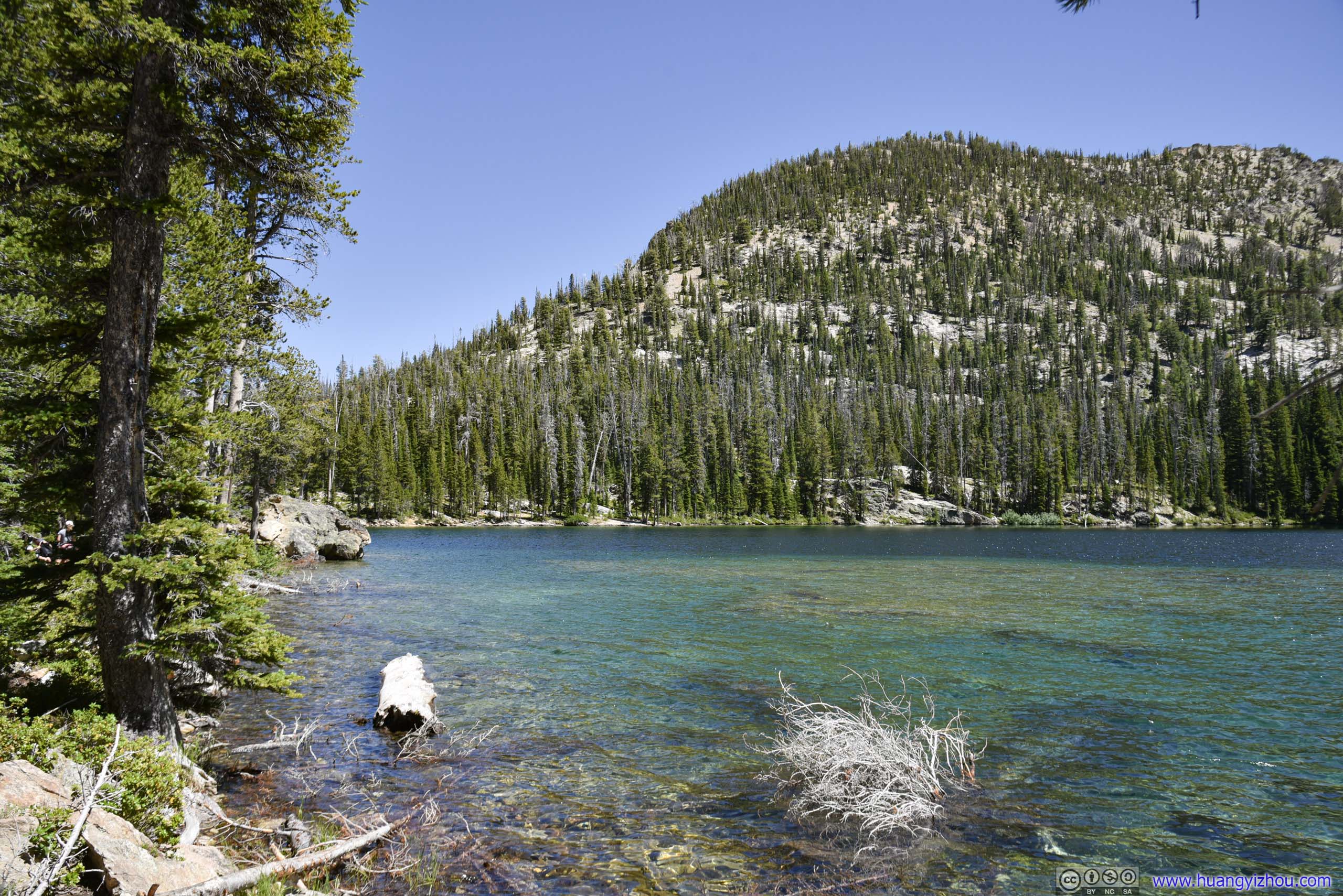
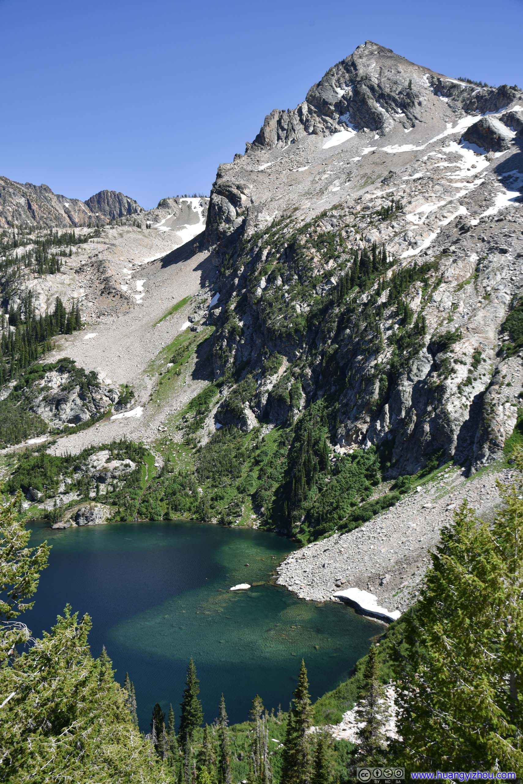
Alpine Lake
A little bit under 2 hours and 6km from trailhead, I reached Alpine Lake, which was a smaller lake than the Sawtooth Lake at the end. It’s located a short detour away from Sawtooth Lake Trail. I decided to take a rest here and enjoyed my lunch.
After Alpine Lake, the trail picked up difficulty by becoming rockier and steeper. Many families stopped at Alpine Lake as it’s a more accessible destination.
Alpine Lake
Alpine Lake
The shores of Alpine Lake was infested with swarms of bugs (maybe moths were a more accurate description) that was quite an intimidating sight. But unlike the hateful bugs I typically run into, they didn’t seem to bother with my lunch.
 Hills by Alpine Lake

 Alpine PeakViewed along the trail (left) and from the shores of Alpine Lake (right).
Nonetheless, my natural fear of bugs meant I didn’t linger at the lake for long after my lunch.
After that, the trail took on a series of switchbacks. With views overlooking Alpine Lake, it wasn’t as taxing.
 Overlooking Alpine Lake
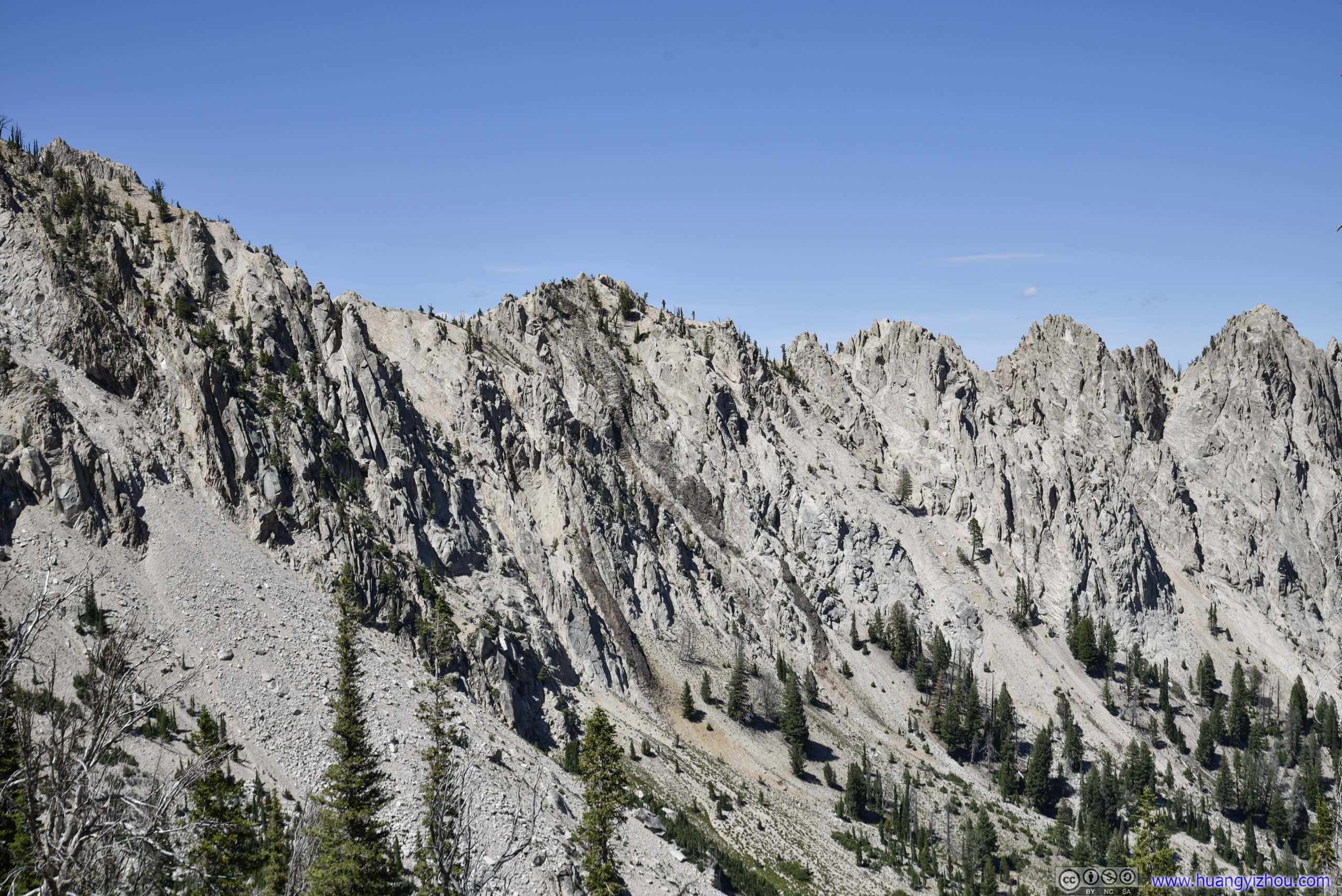
Ridge
Alpine Lake before Alpine Peak
 Trail
Trail
And some turns of the switchbacks were great overlooks.
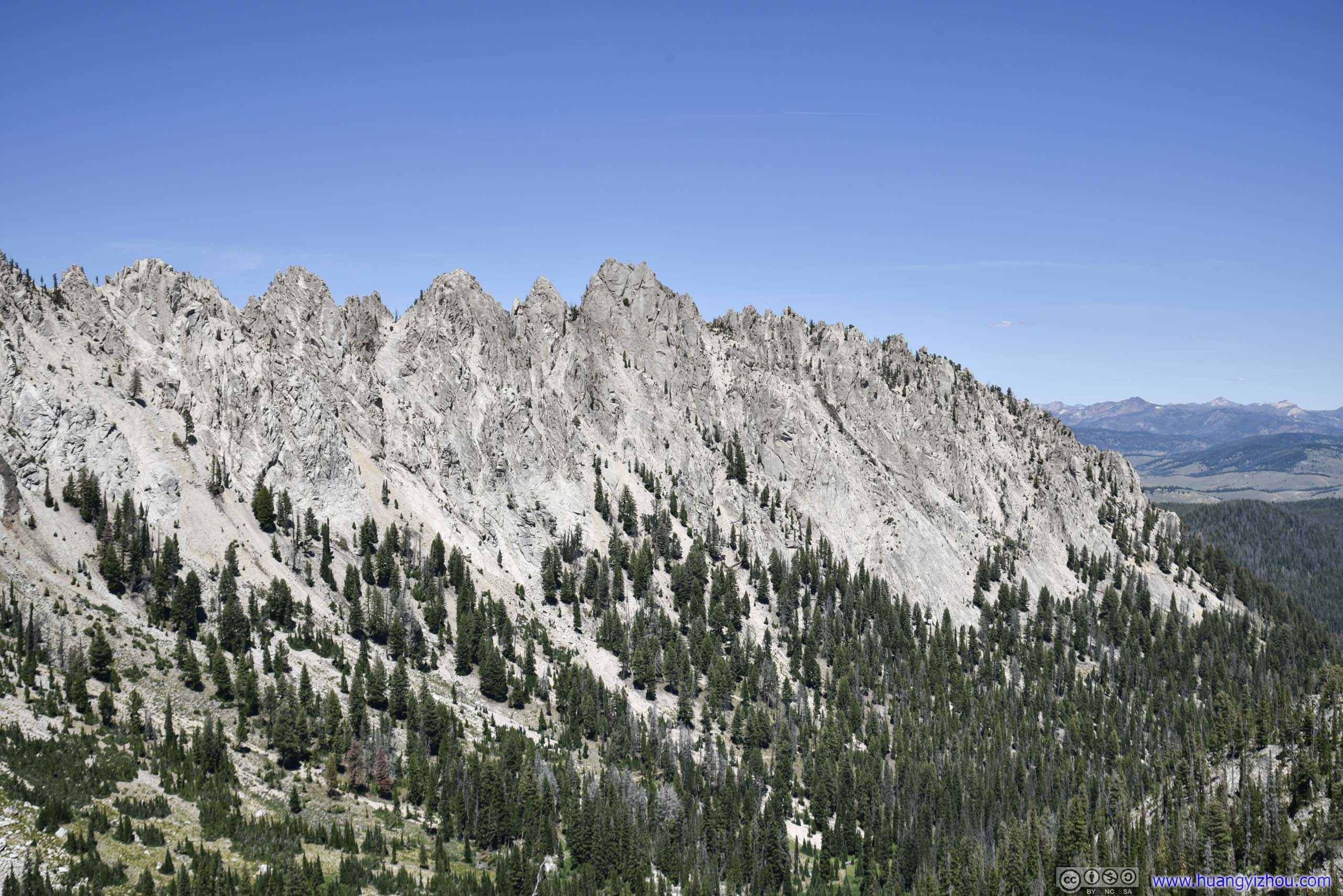
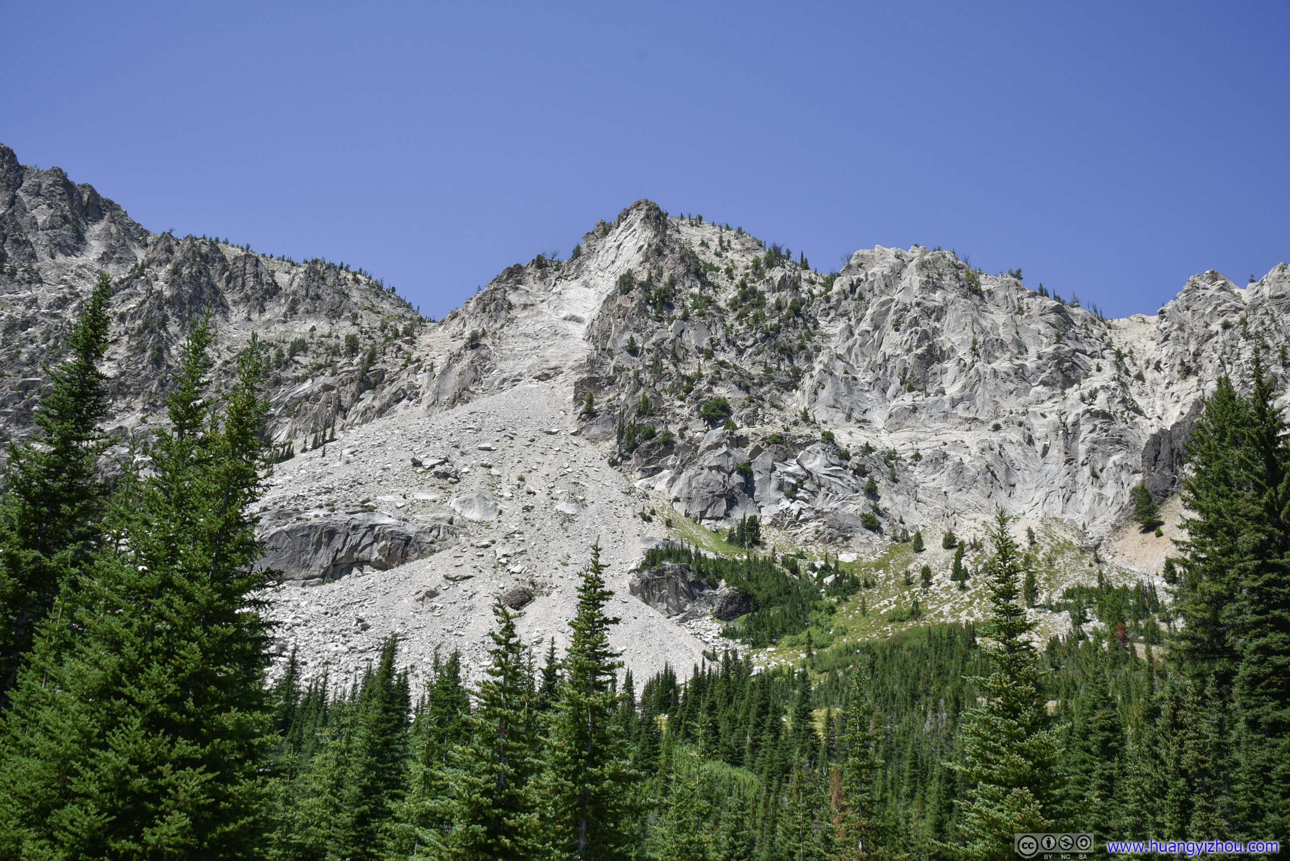
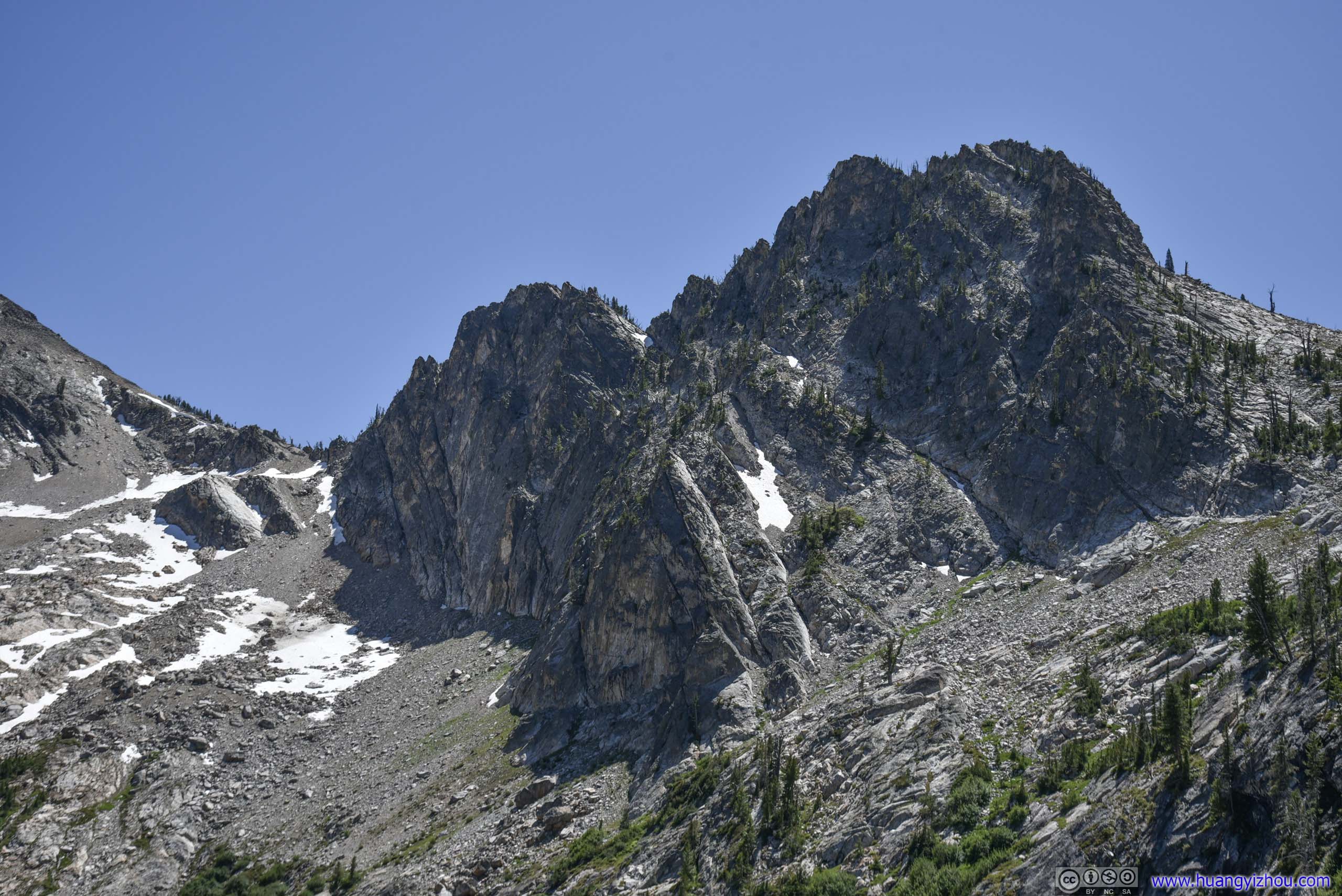
 Rugged MountainsProbably that’s why the area’s called “Sawtooth” wilderness.
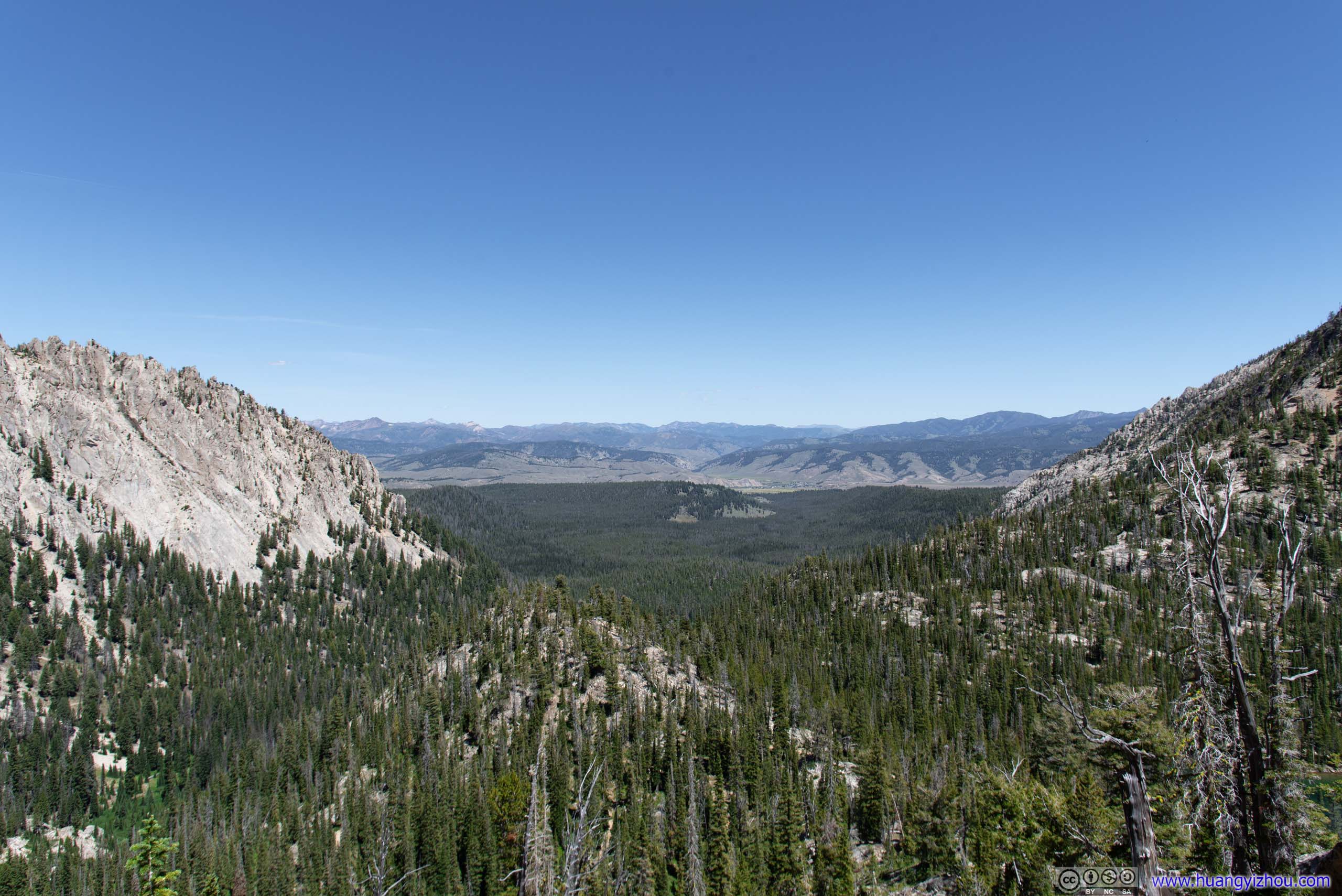
ValleyWith town of Stanley in the distance.
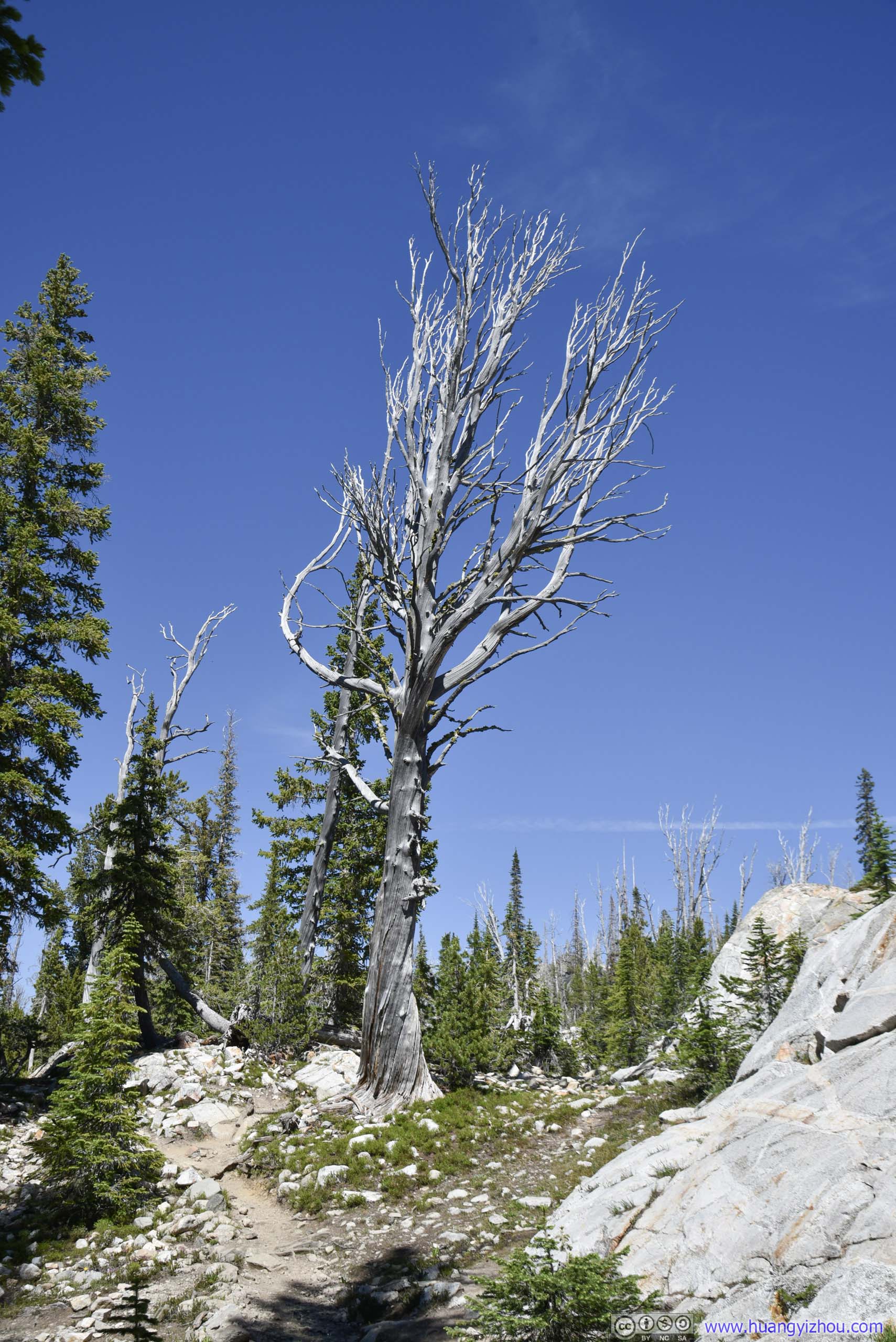
 Trees
Trees
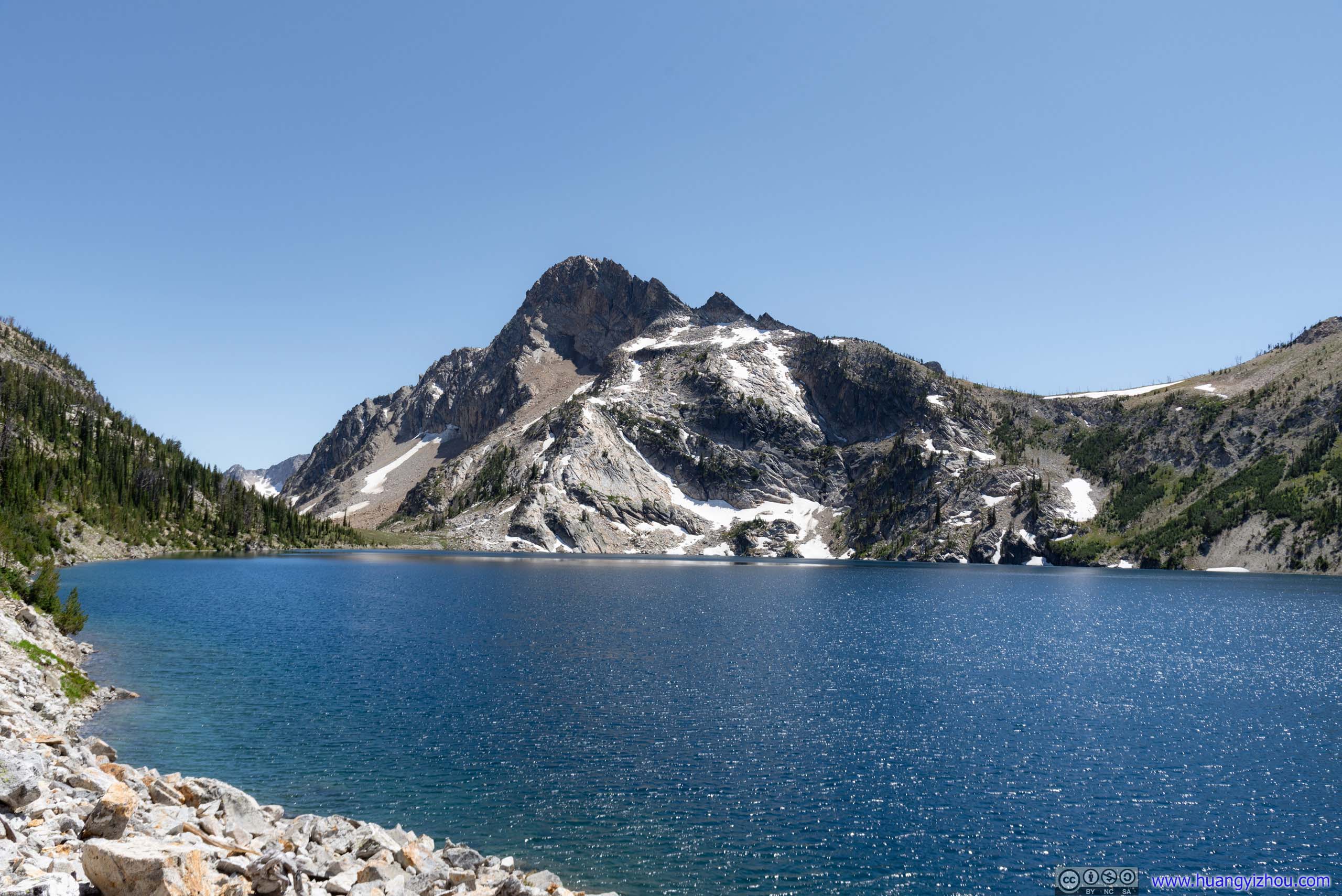
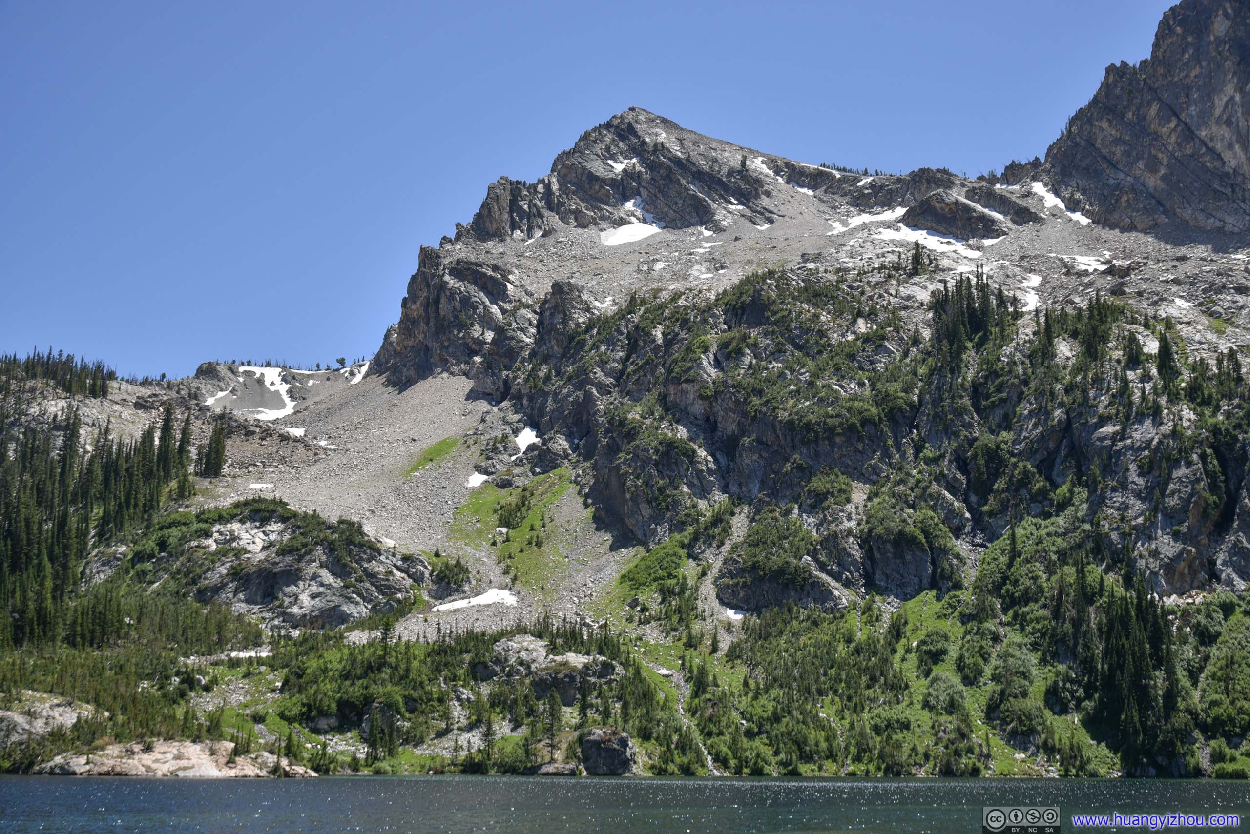
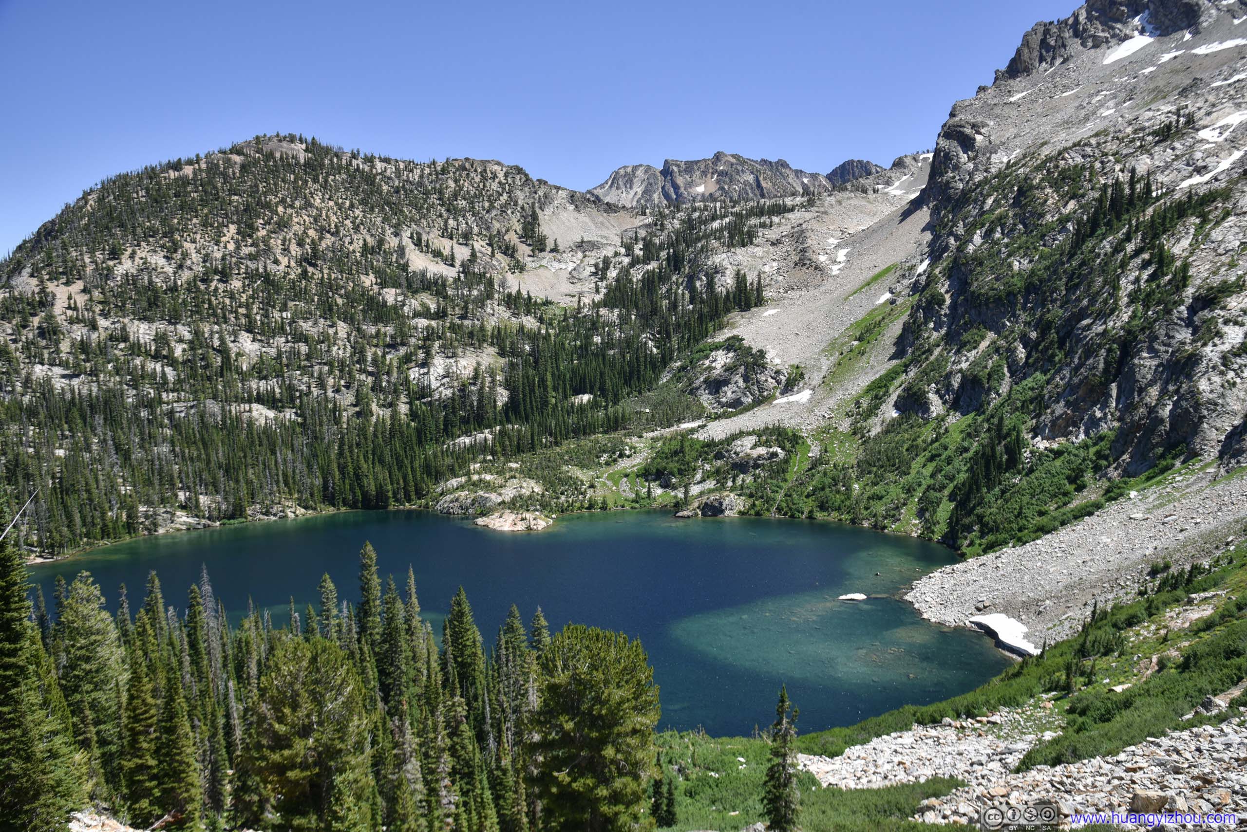
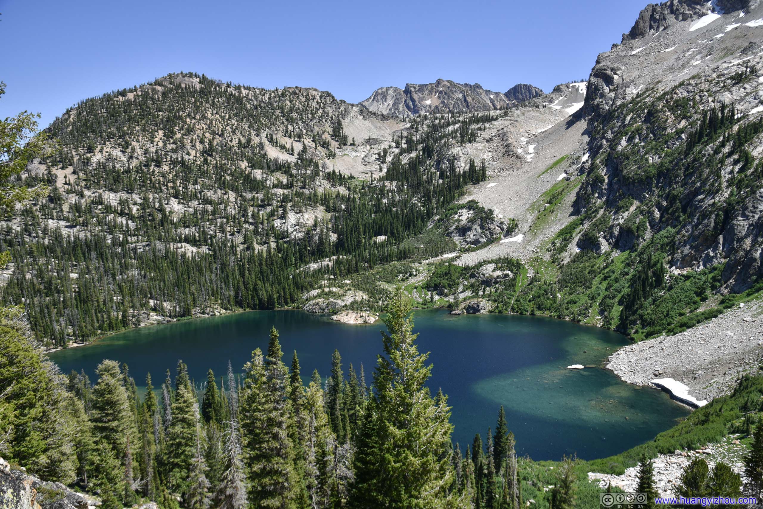
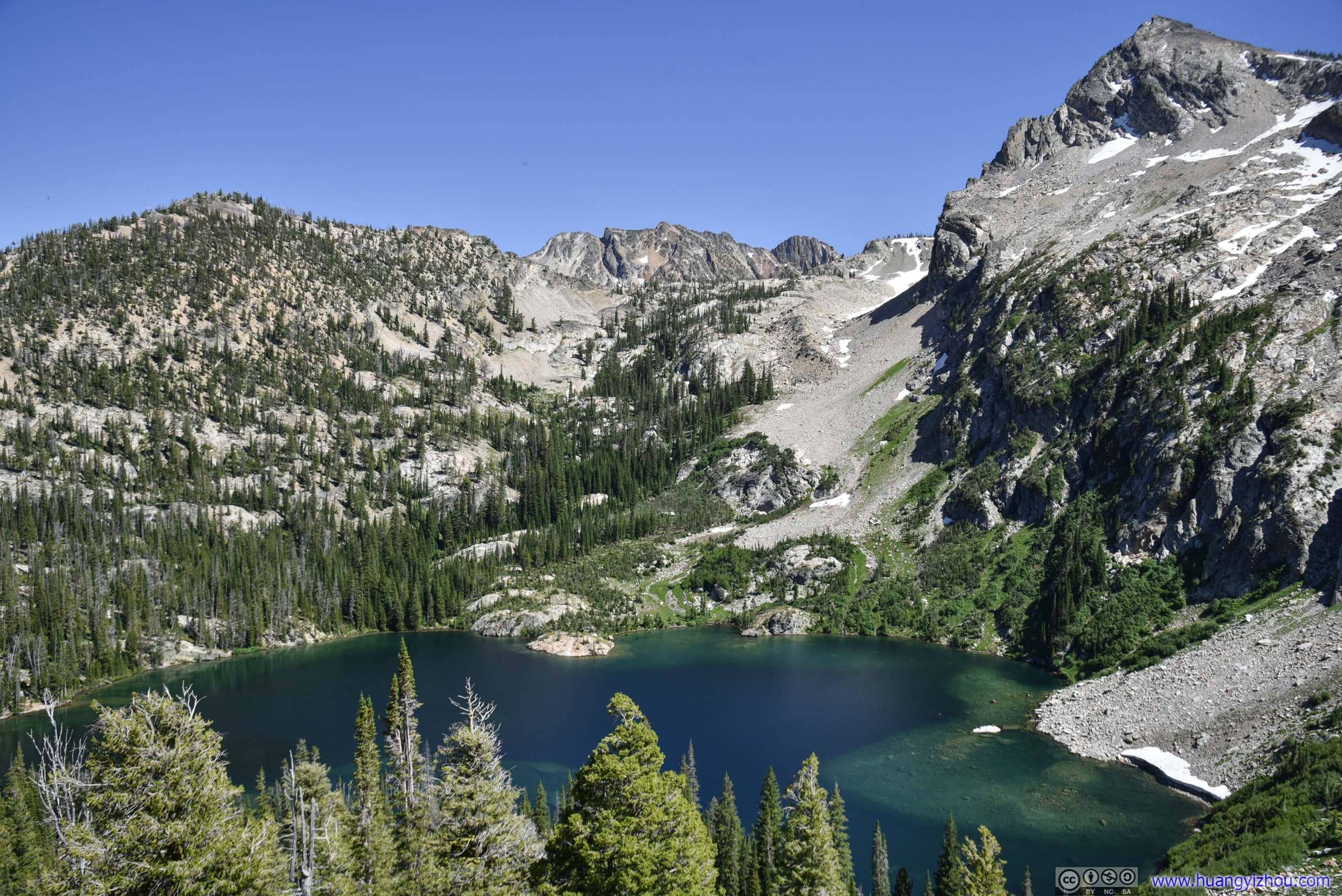
Sawtooth Lake
Finally, 2.5 hours since my start, I was at the shores of Sawtooth Lake.
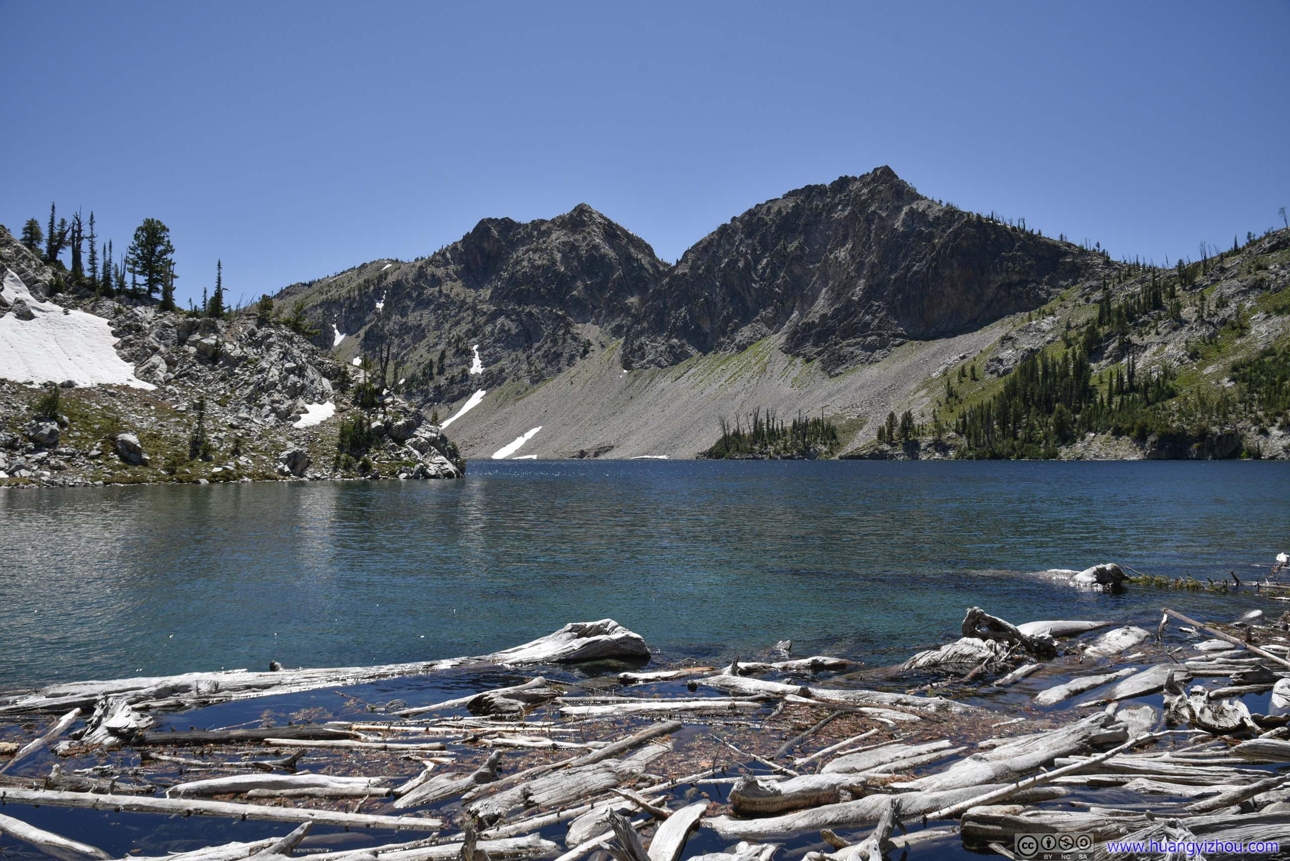
 Sawtooth Lake
First one was at its northern shore, a sneak peek of a portion of the lake. After the passage below, one would appreciate its full span of broadness.
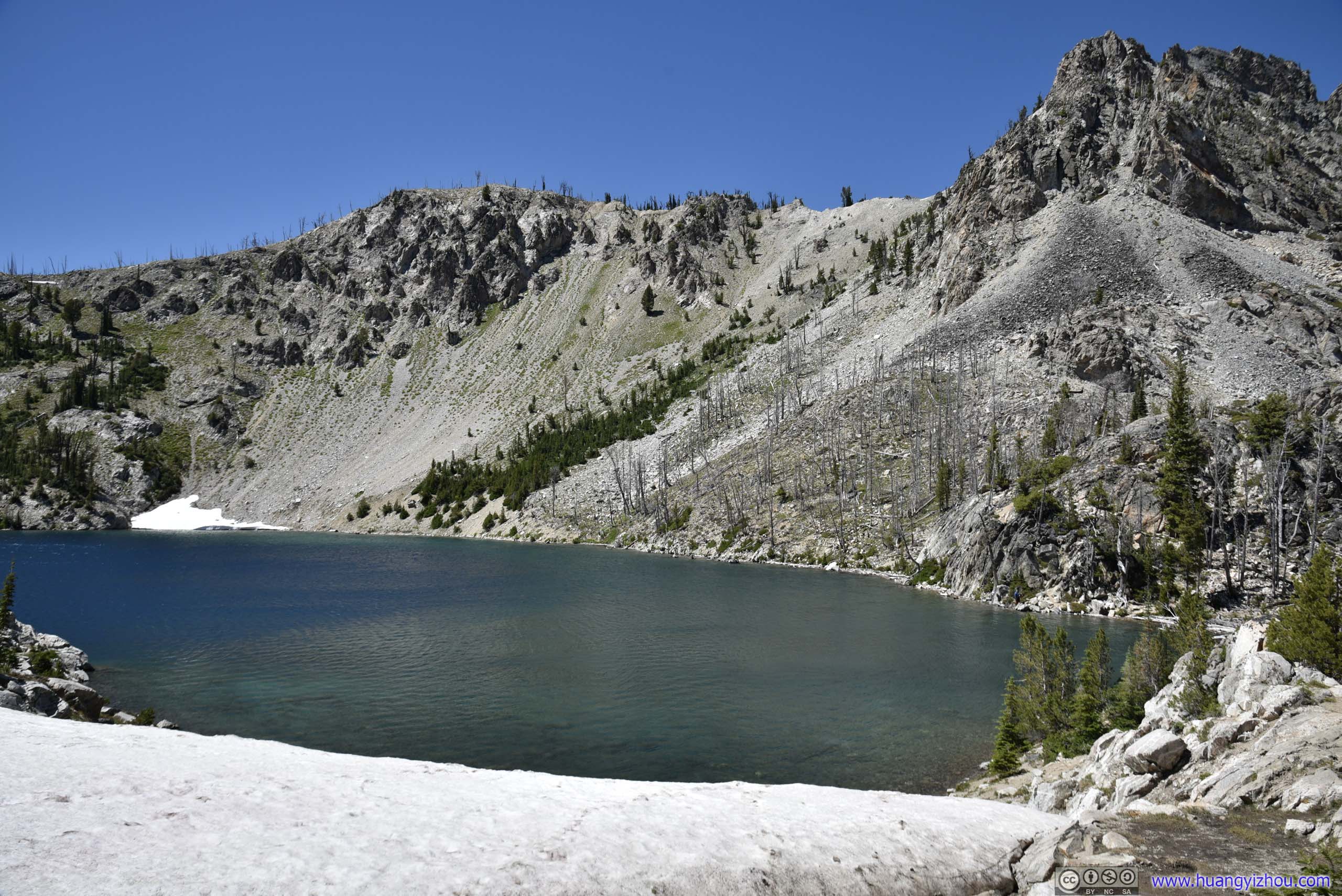
PassageA small passage between shores of Sawtooth Lake. The only time of the day that I had to step on snow, next to a crystal-clear pond.

 Sawtooth Lake
Compared with previous Alpine Lake surrounded by trees, Sawtooth Lake showed a more masculine aspect of the wilderness. It’s barren shores of talus field made strenuous travels, not to mention they were covered with snow for most of the year. Yet at the same time, the views were expansive, the mountains felt reachable, the waves from pleasant breeze were mesmerizing. It managed to be both brutal and beautiful at the same time.
Sawtooth Lake
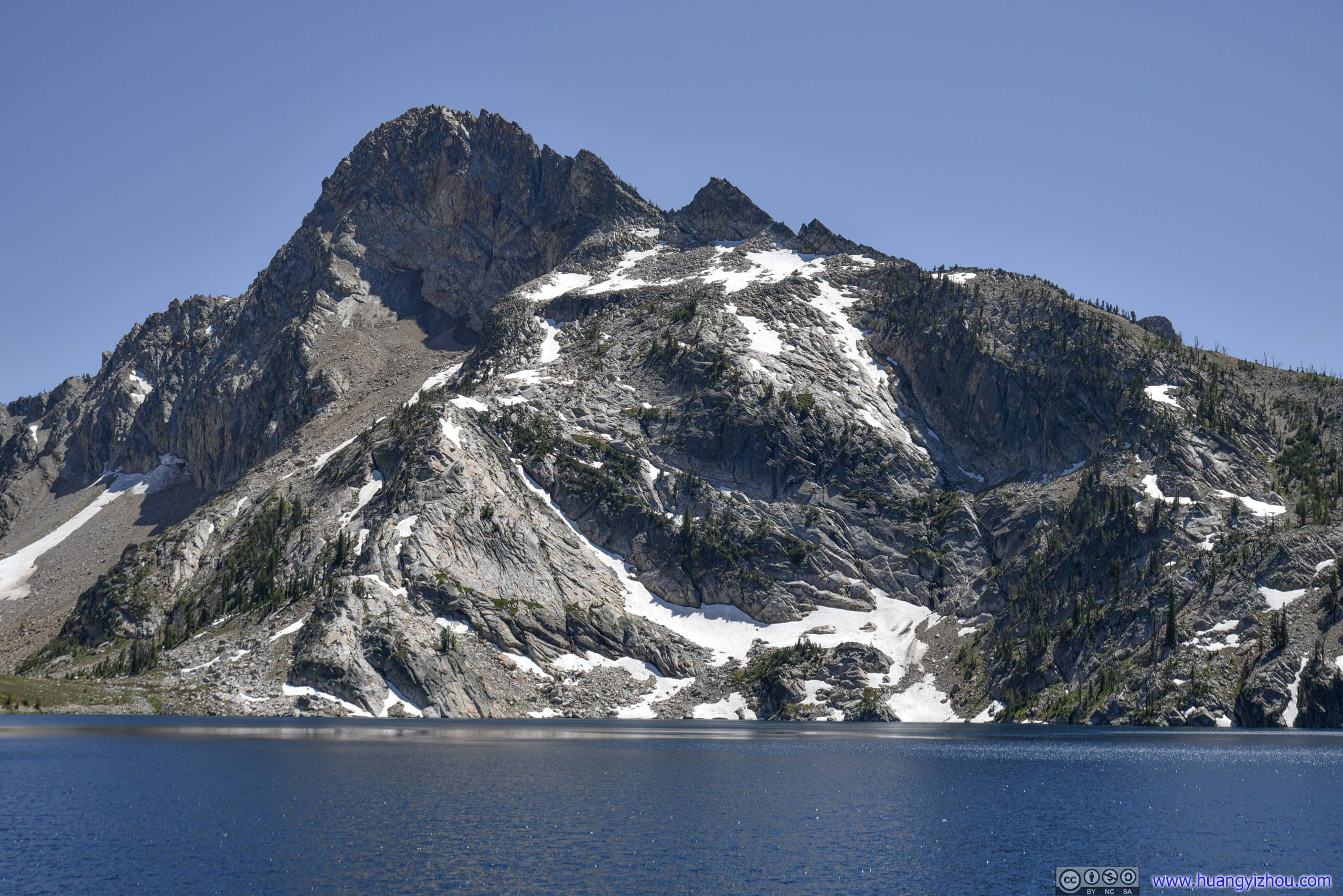
Mount ReganHighest mountain around Sawtooth Lake.
Sawtooth Lake turned out to be a popular camping spot, from which people explored deeper into Sawtooth National Forest. Farther West, Observation Peak was 7.5km away. And towards the East, one could hike off-trail to the summit of Alpine Peak. However, the roundtrip hike to Sawtooth Lake was 15km and I thought that’s enough for me, so like most people, I stayed at the shore of Sawtooth Lake for about 20 minutes, soaked in the sceneries, and headed back.
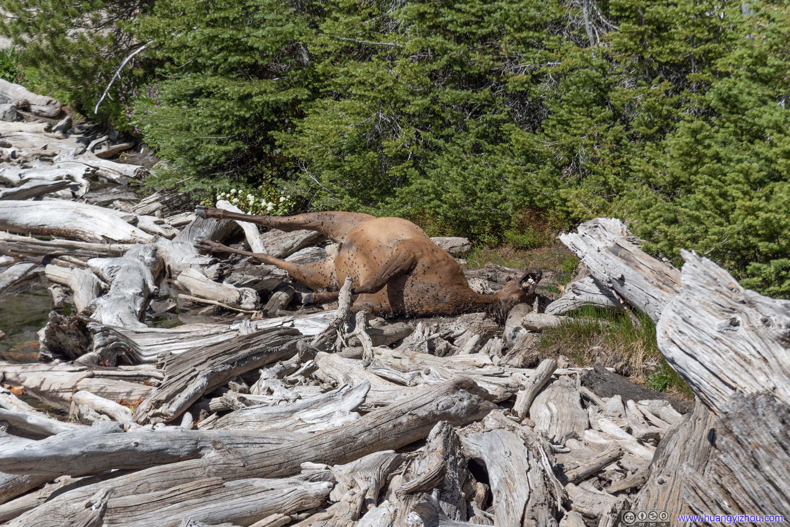
CorpseThere was a very strange smell on the northern shore of Sawtooth Lake. On my return I found its source being this dead deer tucked behind the woods. I didn’t quite understand how this creature came to its death at this location.
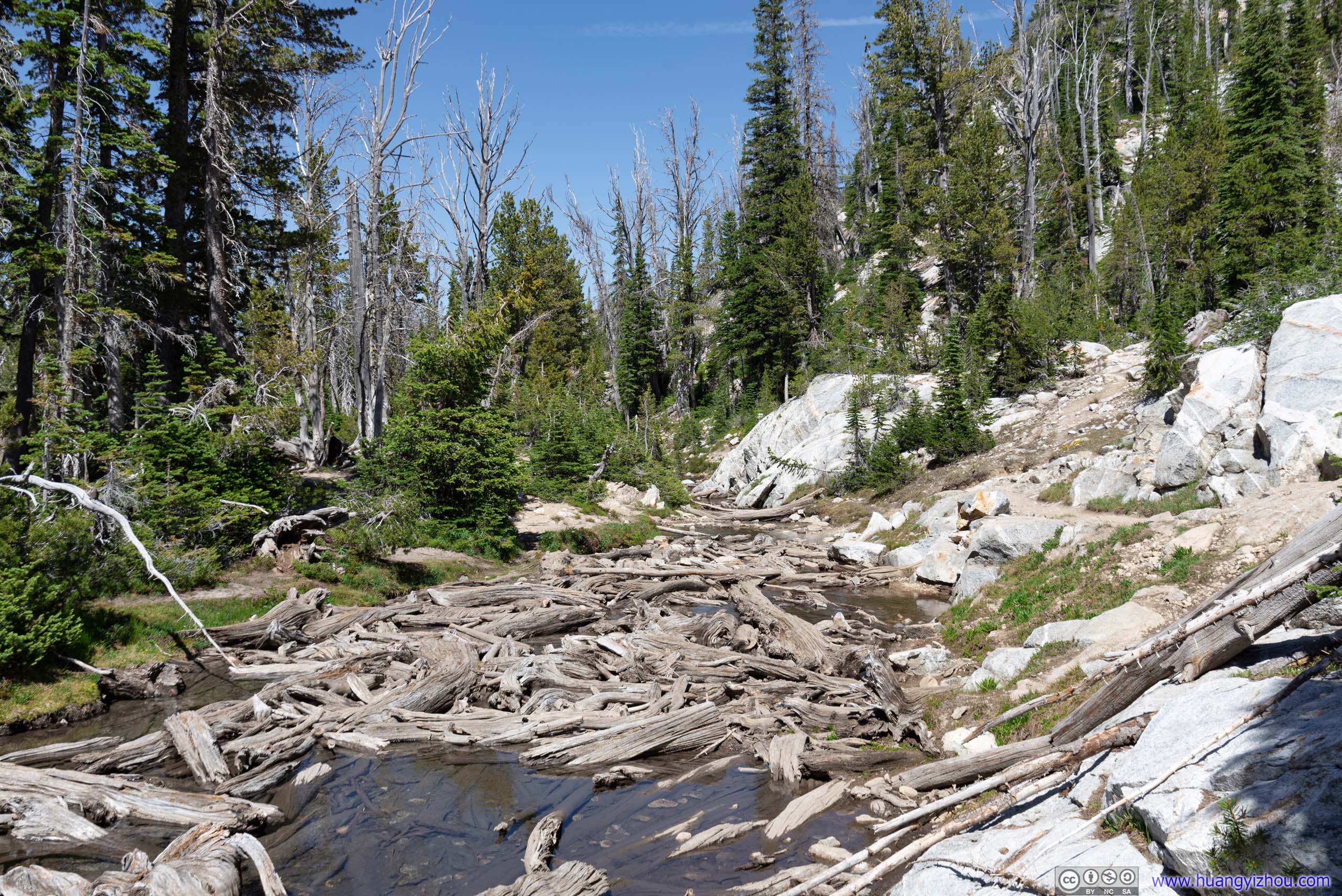
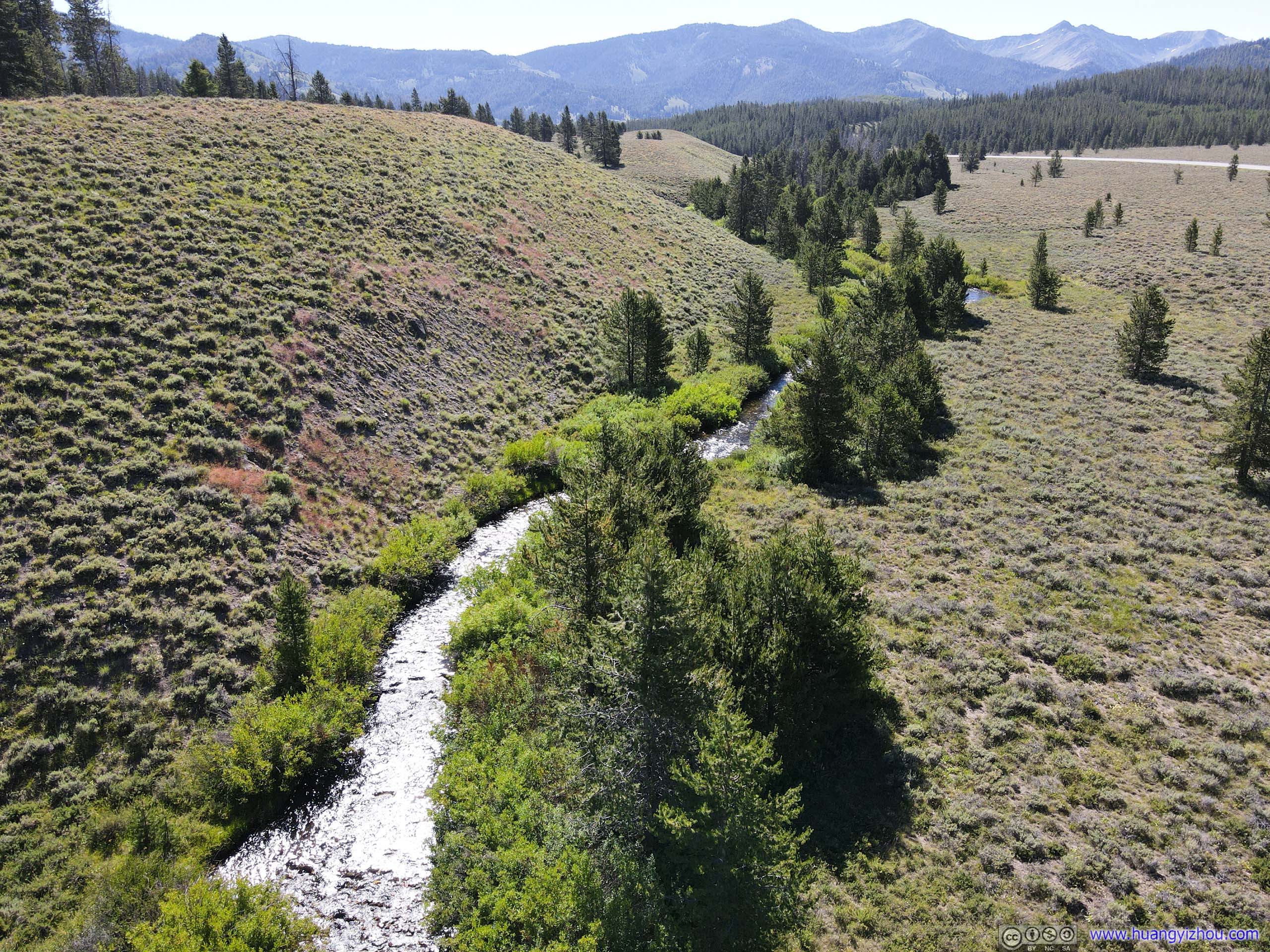
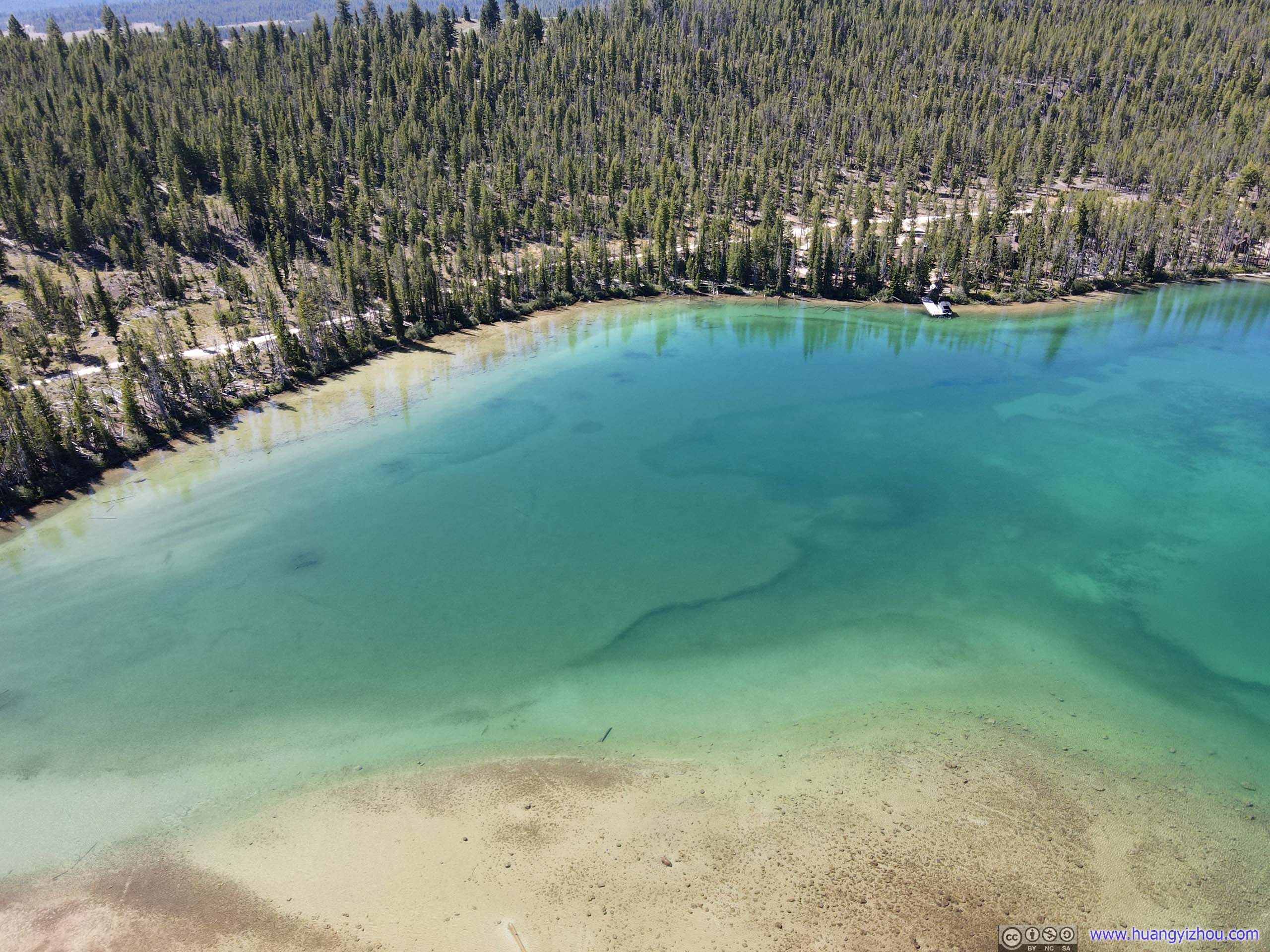
Iron Creek
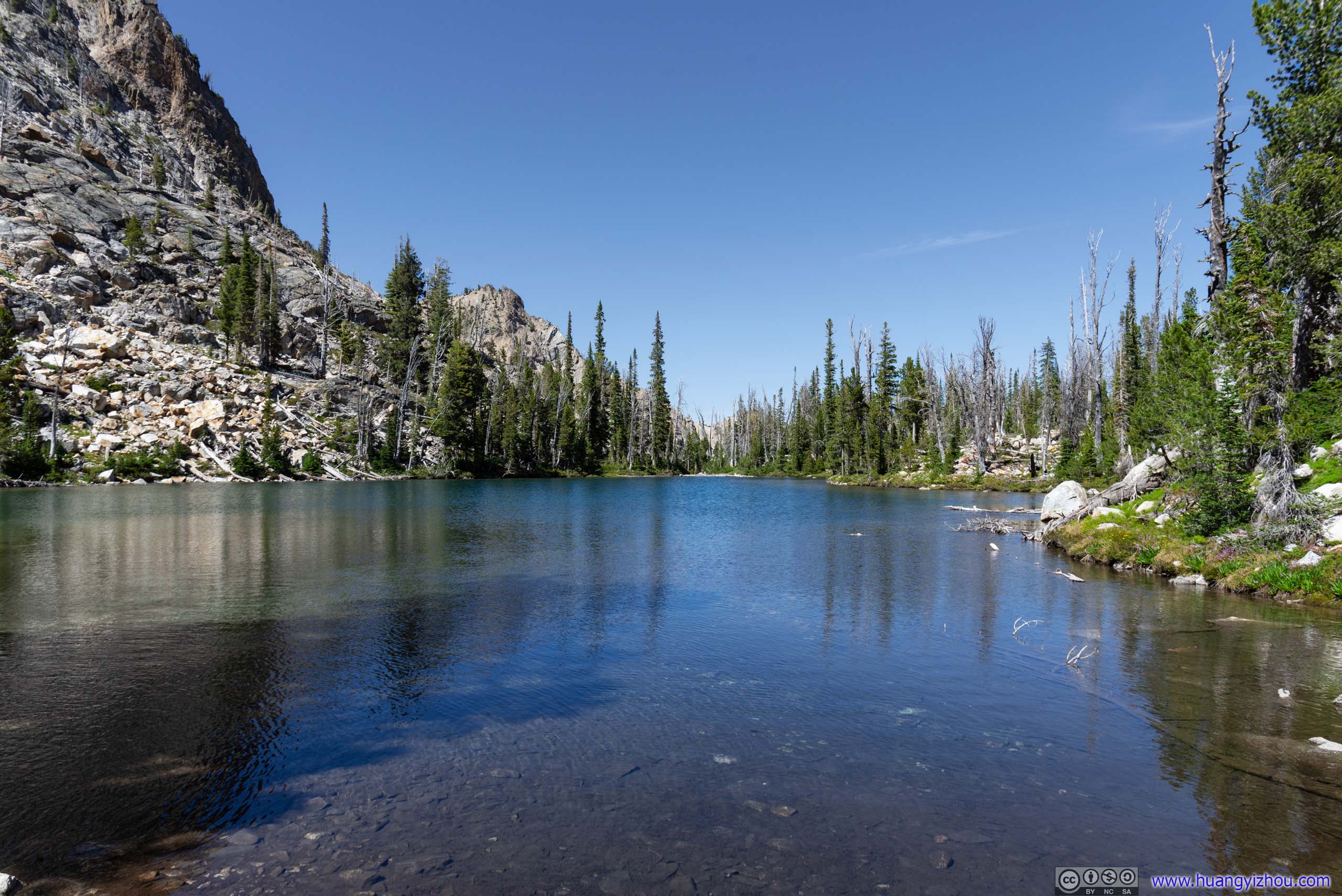
LakeA small lake along Iron Creek, not far from Sawtooth Lake.
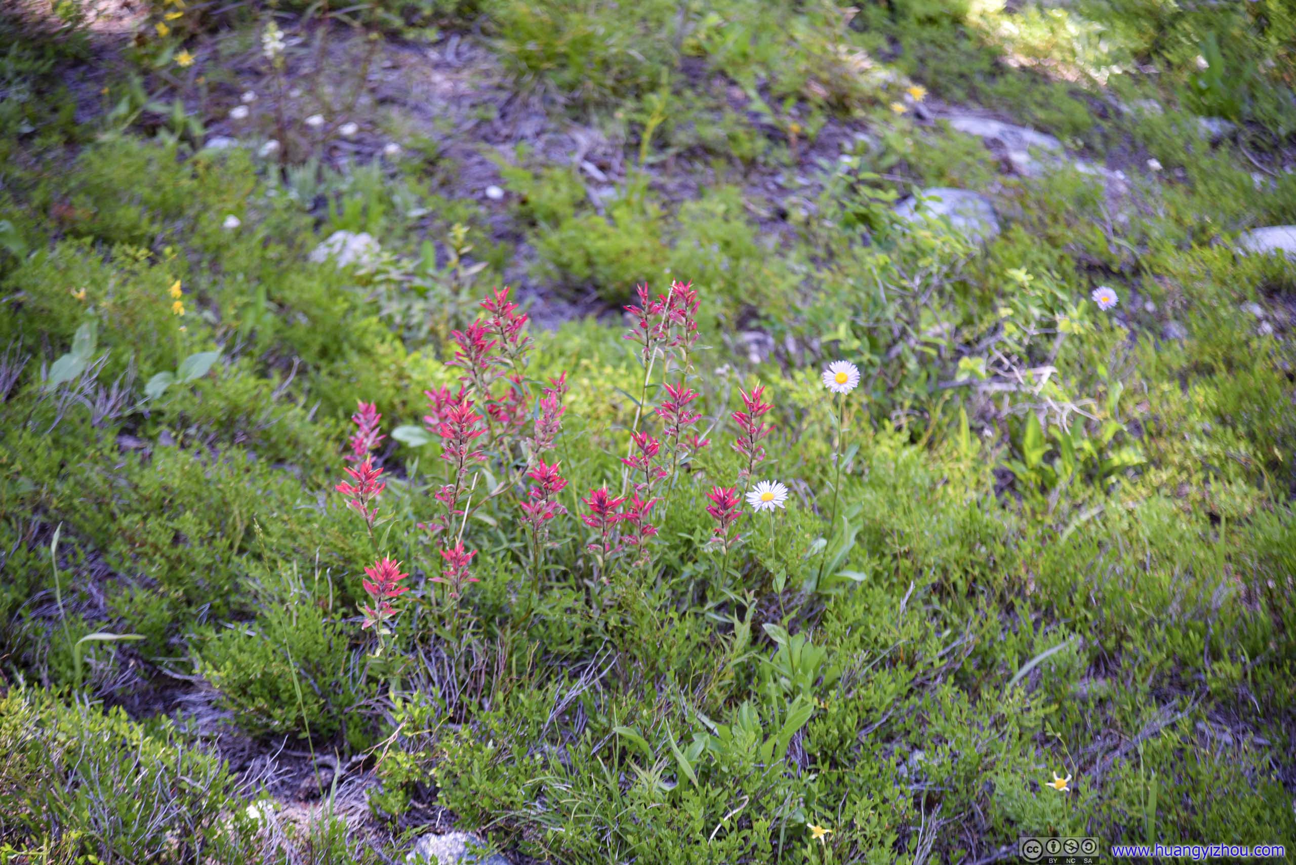
 Flowers
Dancing TentaclesSeemed to be a tree ravaged by wildfire. Its posture in death was pretty awesome.
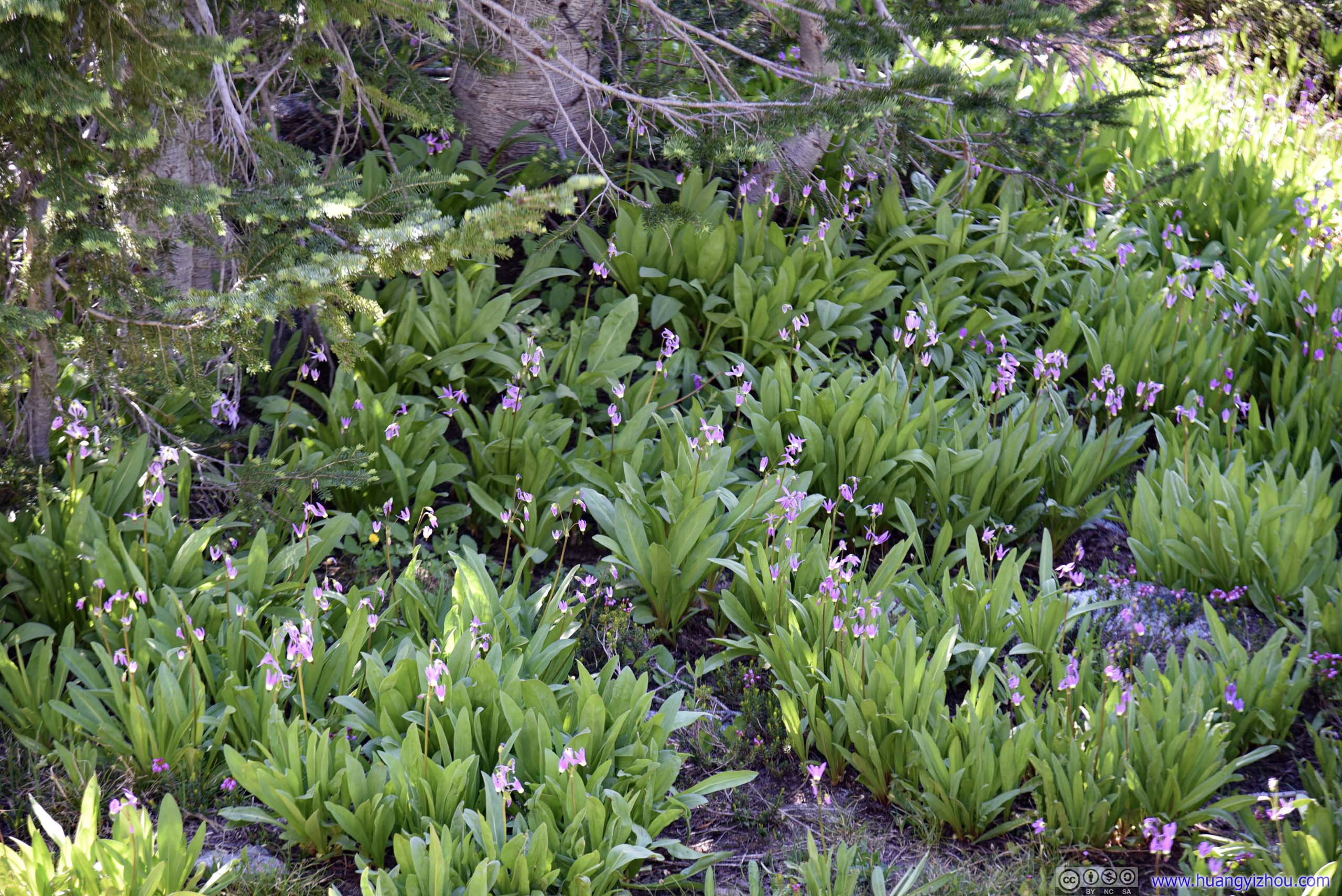
 FlowersIt’s the time of year when they were all blossoming.
 Trail
Trail
It’s during my trip back that I was really appreciating how even most of the trail was, that I could literally run most of the way down. It took me less than 2 hours to reach trailhead parking from Sawtooth Lake.
ID 21 Turnout
After leaving Sawtooth Mountains and just before reaching the town of Stanley, State Route 21 travelled through some open ranch with mountains on both sides. I stopped at one of the roadside turnouts and took the following photos.
 Mountains
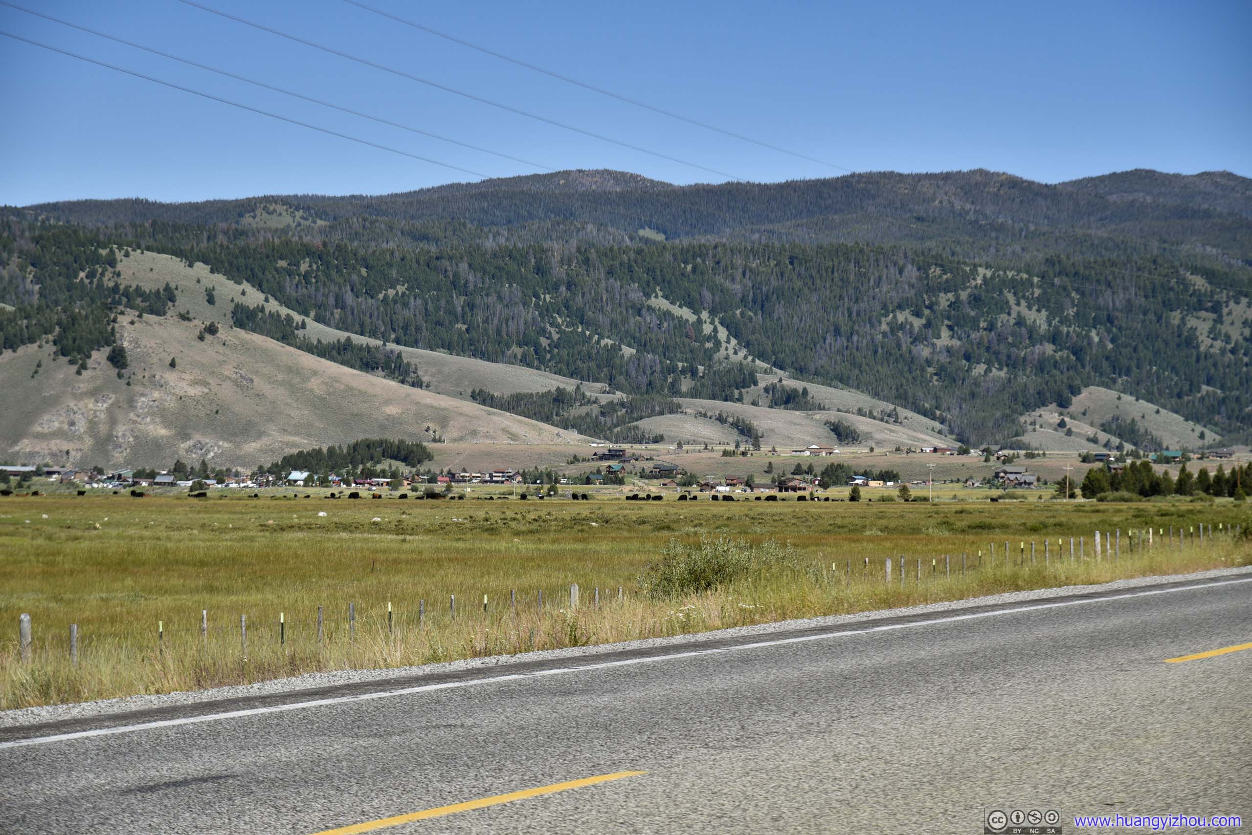
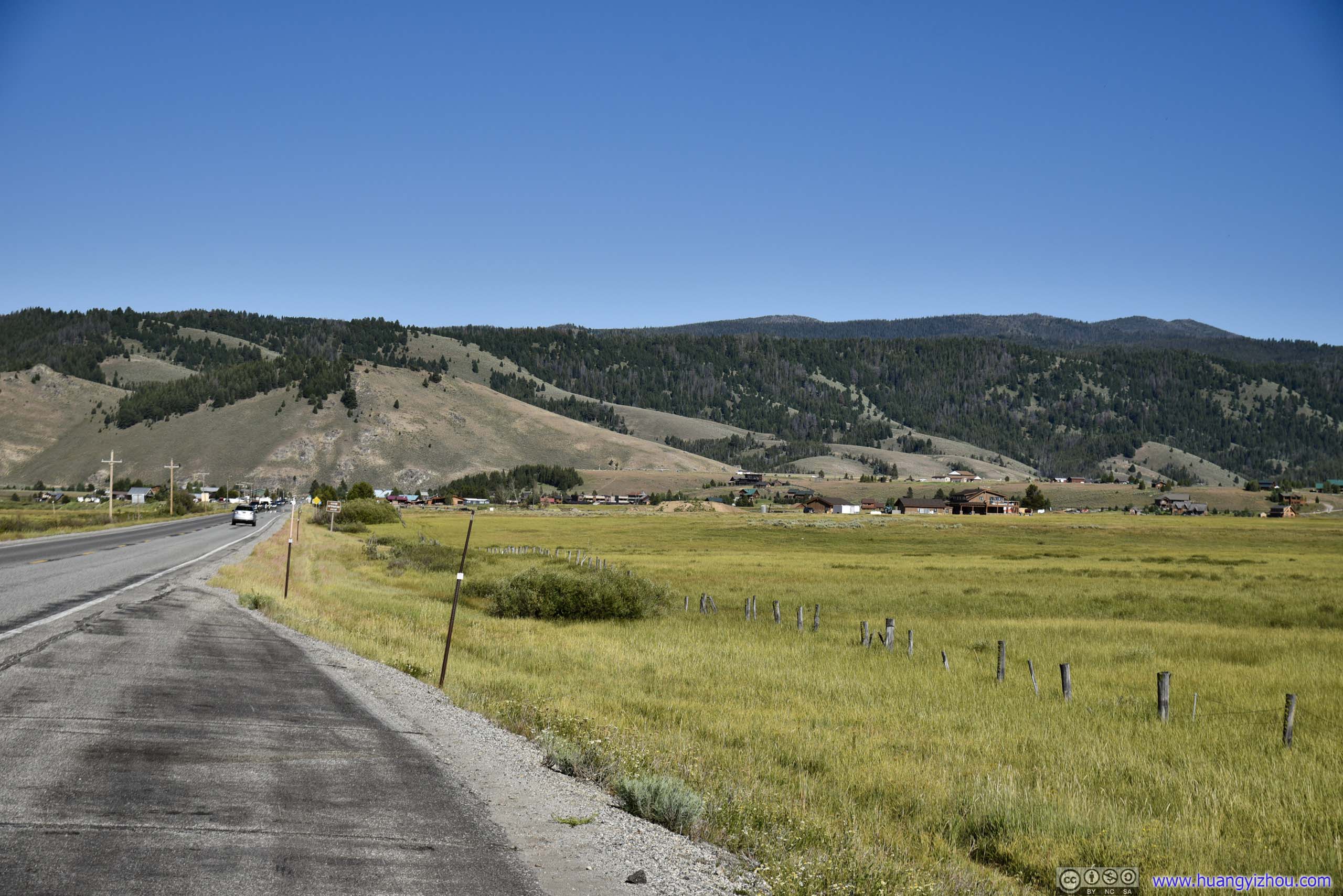 Distant Village
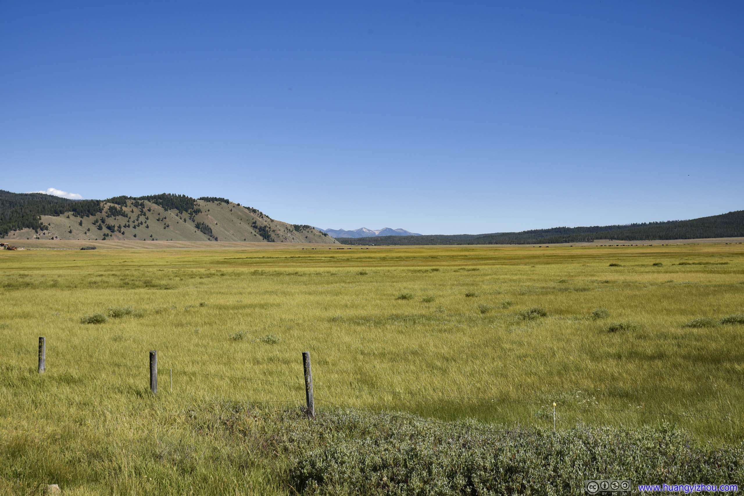
 Field and Mountain
Meadows by Stanley before Sawtooth Mountains
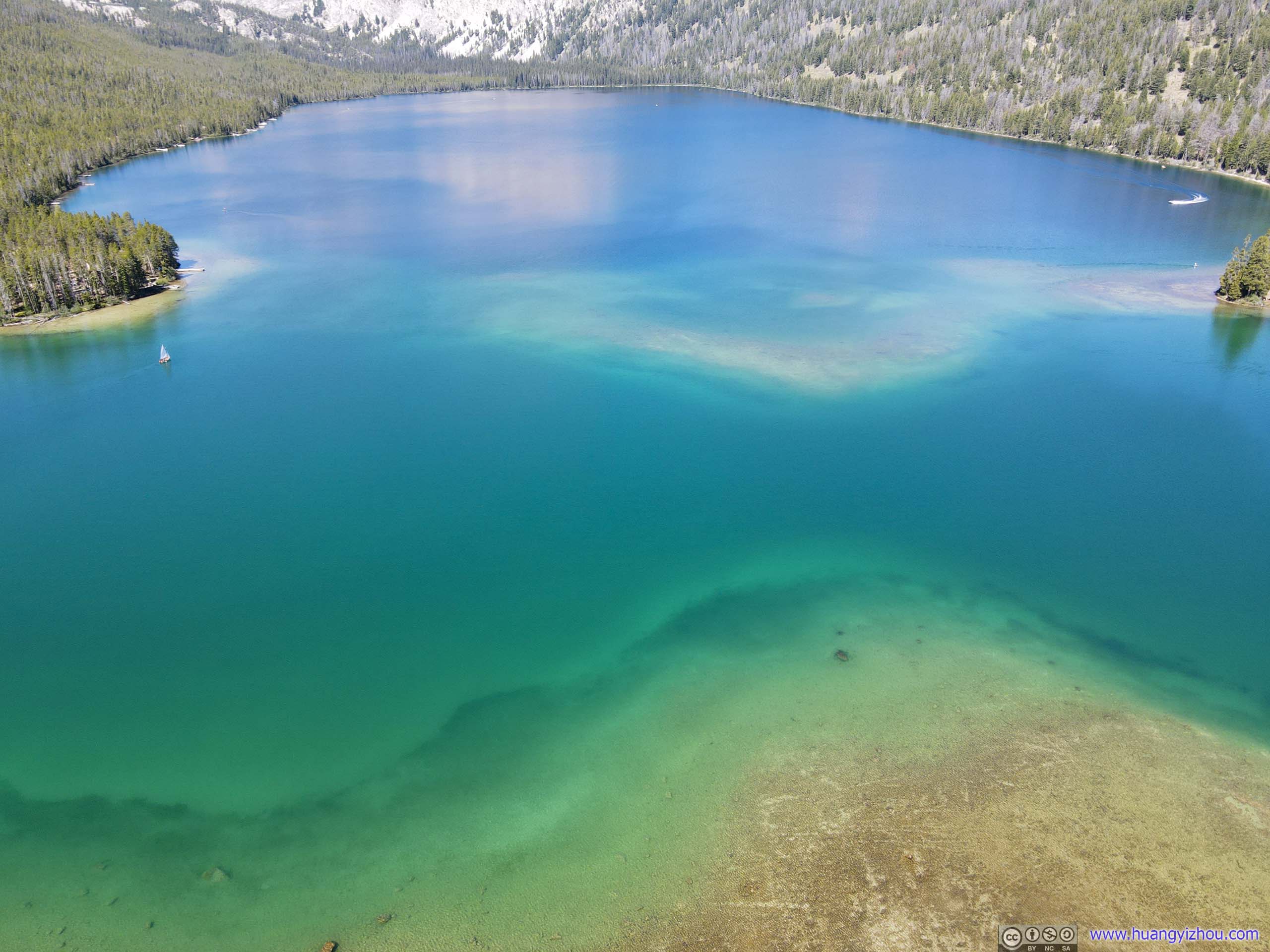
Redfish Lake
After that, I started my drive back, while making a few stops along the way. My first stop was Redfish Lake, the largest and most developed lake in the region. My other choice of hiking, Bench Lakes Trail, started near Redfish Lake.
By “most-developed”, I mean there were a couple of campgrounds and even hotels by its shore. The “North Shore Picnic Area” I visited had its parking lot almost full, with jet skis and kayaks popular in deeper waters and children playing in shallow waters.
Above these, there’s a shuttle/tour boat service travelling the entire length of Redfish Lake. I got my drone, and I thought it could do that too. Here’s a video, flying over to the valleys beyond the lake.
 Valley between Mountains


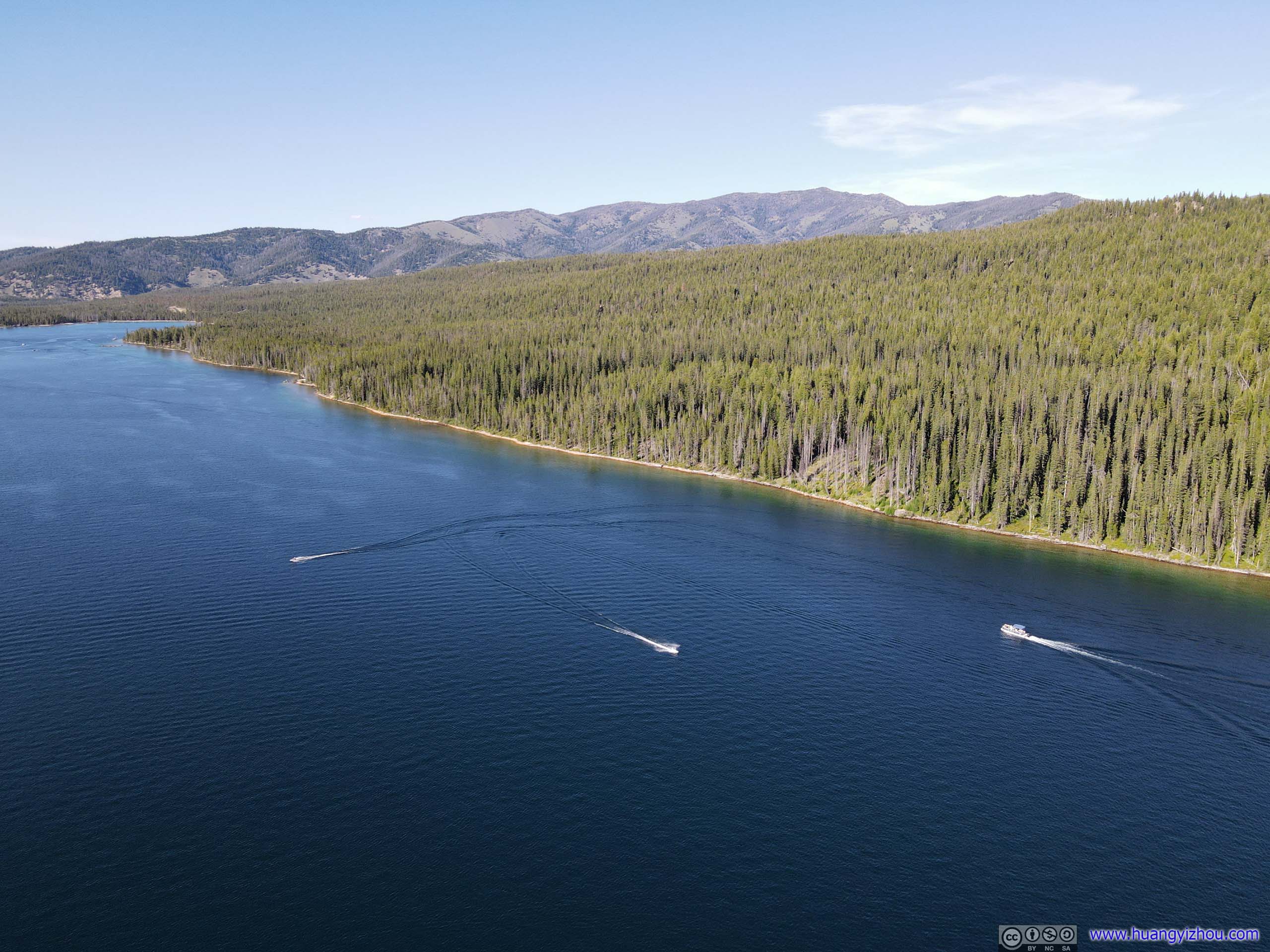 Redfish Lake
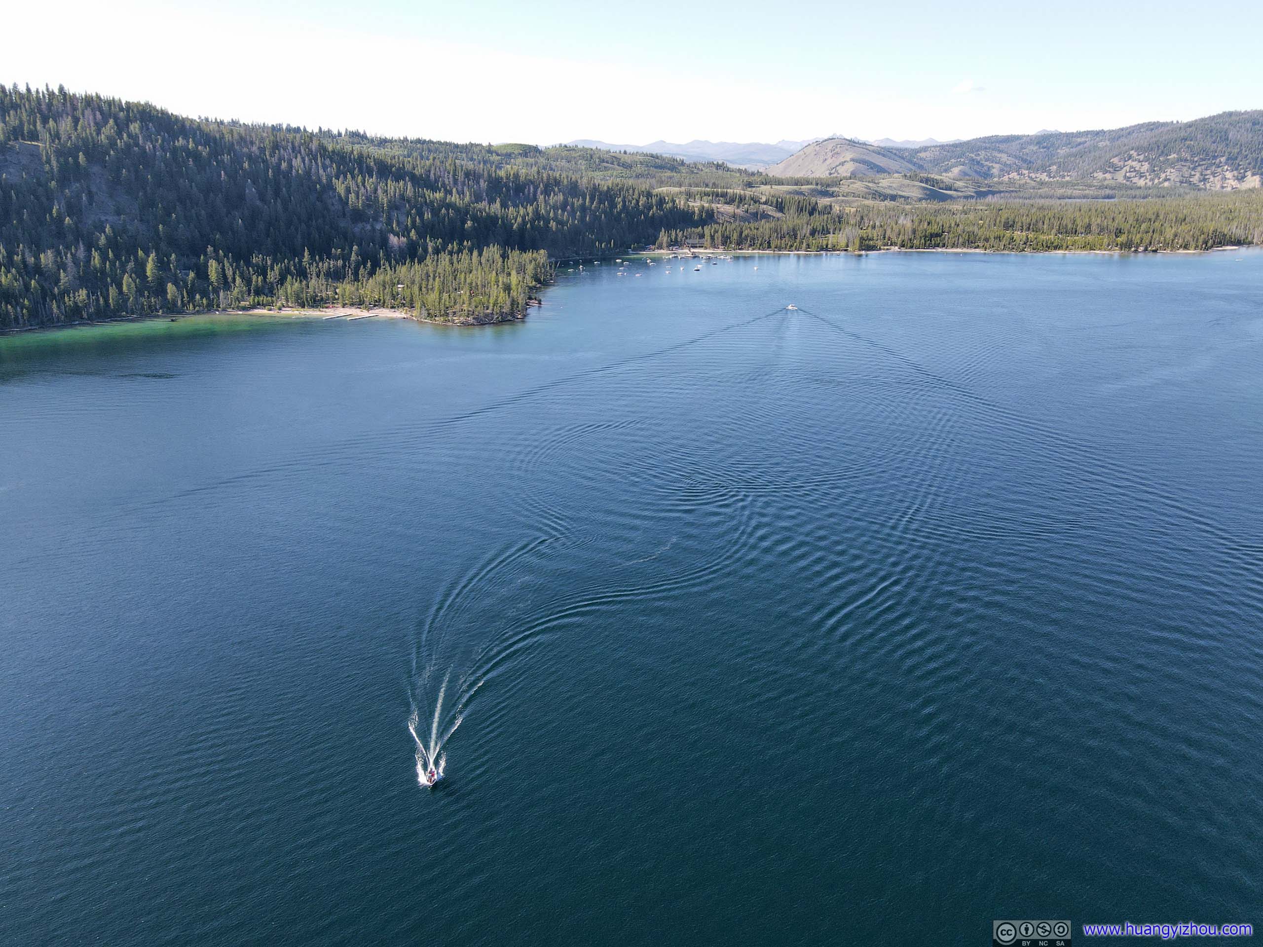
 Redfish Lake
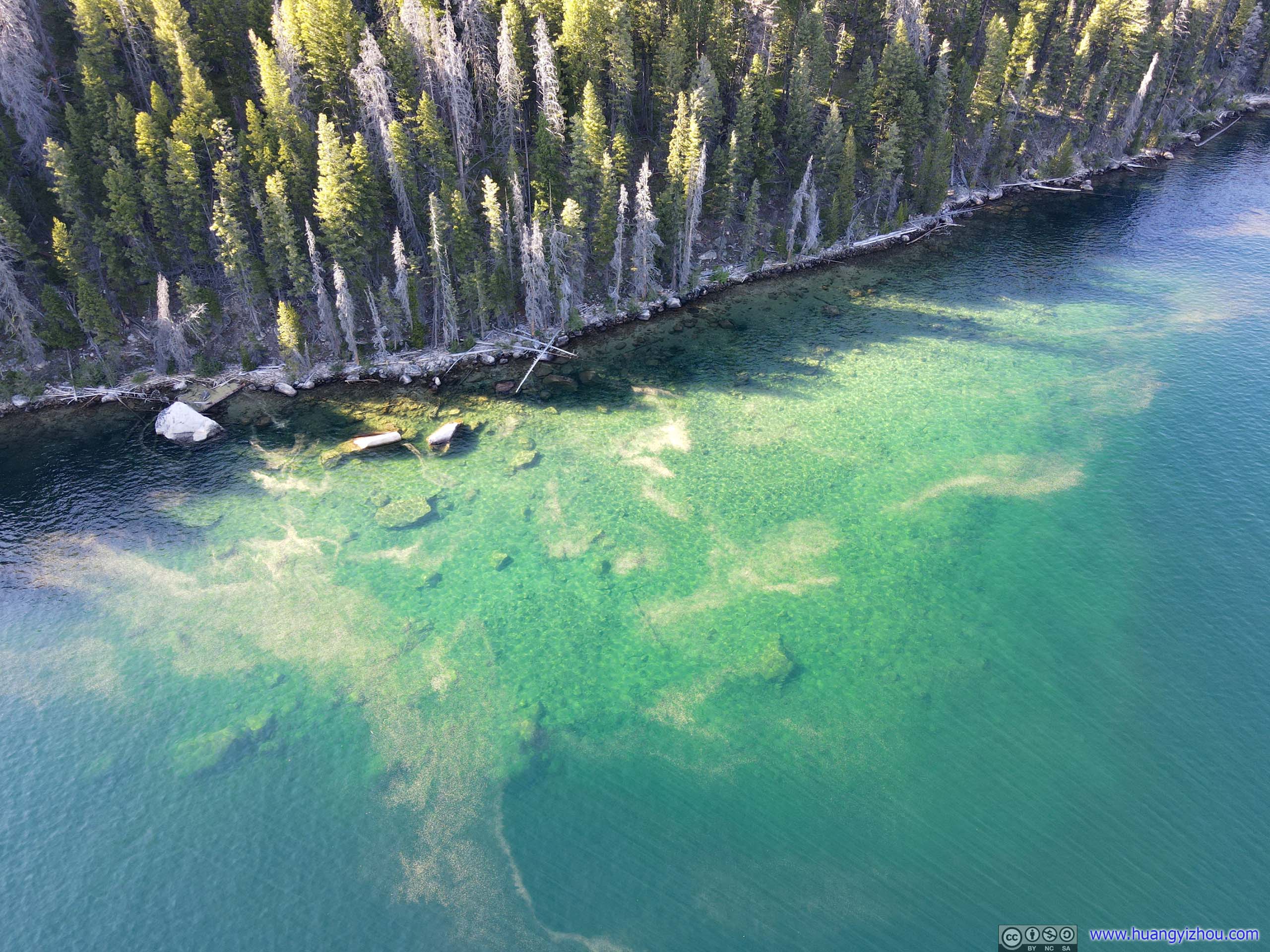
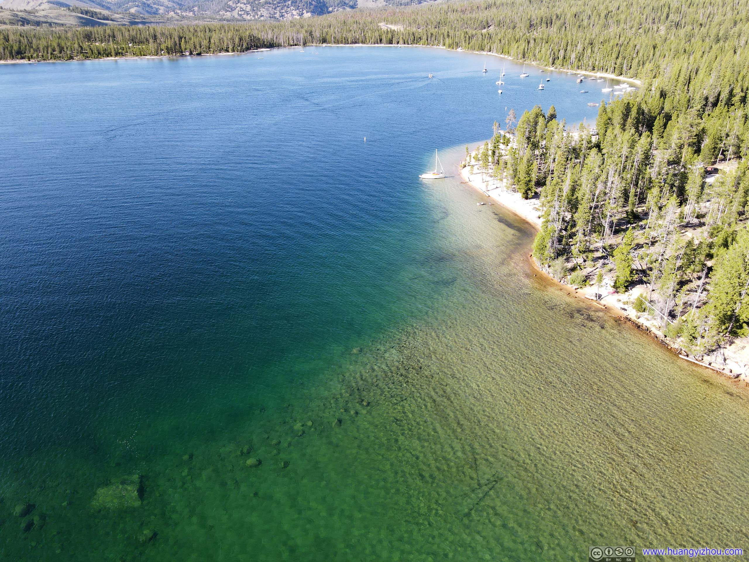
ShallowThe colors were rather beautiful.
Overlooking Redfish Lake
 Boats on Redfish Lake
Shores of Redfish LakeA popular beach conveniently located next to a parking lot, where I launched my drone.
And from its shore, its glittering waters backdropped by imposing mountains.
Redfish Lake
Grand Mogul

Mount Heyburn
Redfish Lake
Alturas Lake
My next stop of the day was Alturas Lake, in particular, Smokey Bear Campground which was located at its shore.
The campgrounds near Alturas Lake seemed certainly less occupied than the ones at Redfish Lake, a perfect fit for those looking for some solitude and away from the amenities of civilization.
 Alturas LakeFrom above (left) and from its shore (right).
Overlooking Alturas Lake
Unfortunately, probably because it’s getting late and sunlight was mostly blocked by mountains, the lake didn’t look particularly pretty from my drone. In comparison, the smaller Perkins Lake to the North was still shining in vivid colors.
 Perkins Lake and Alturas LakeAnd distant mountain ranges.
And here’s my drone flying over both lakes:
After that, I went on the way back to Hailey.
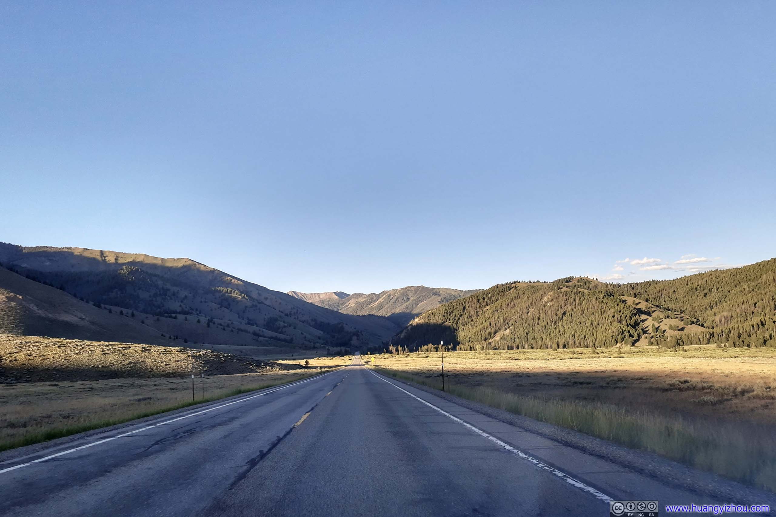 Country RoadMost of Idaho Route 75 was in excellent condition with few traffic.
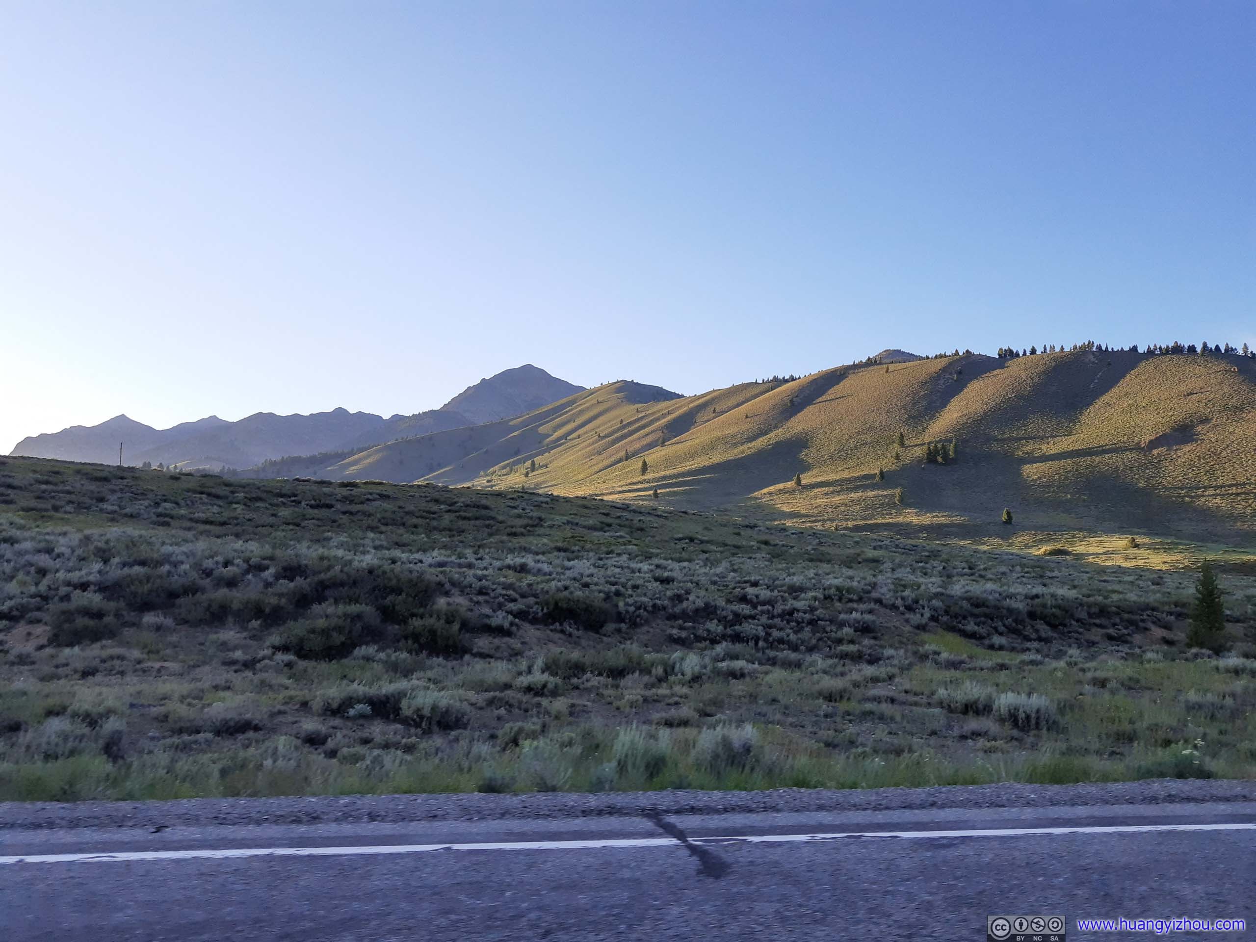
Hills under Sunset
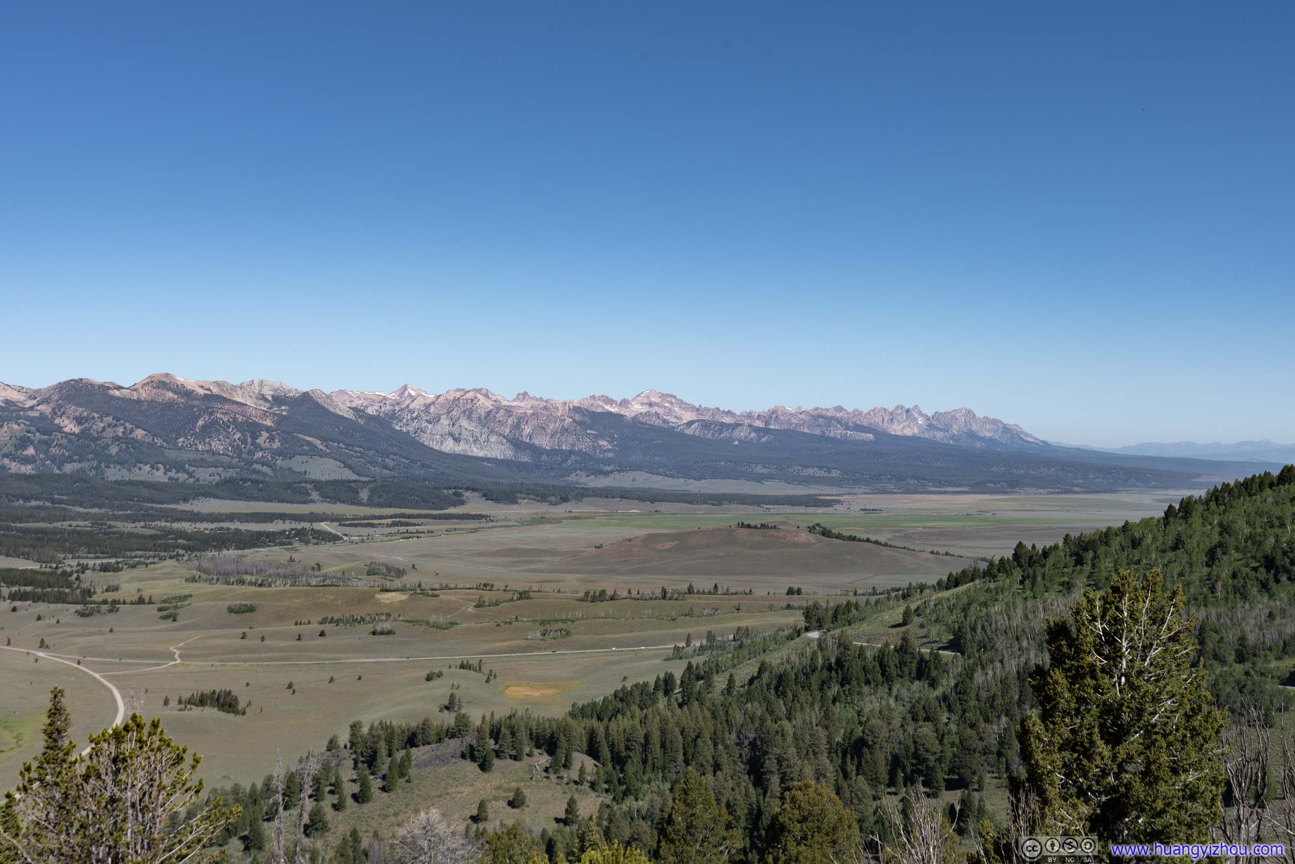
I made a final stop at a turnout along State Route 75 past Galena Summit, with views of valley extending to the horizon.
 Mountains
Idaho Route 75 up Galena Summit
END
![]() Day 4 of 2020 Idaho Trip, Sawtooth Wilderness by Huang's Site is licensed under a Creative Commons Attribution-NonCommercial-ShareAlike 4.0 International License.
Day 4 of 2020 Idaho Trip, Sawtooth Wilderness by Huang's Site is licensed under a Creative Commons Attribution-NonCommercial-ShareAlike 4.0 International License.