
Updated on August 14, 2021
Day 1 of 2021 Joshua Tree National Park Trip
First day of my April 2021 southern California trip. I would spend the entire day visiting Joshua Tree National Park, taking a few popular hiking trails like Hidden Valley, Ryan Mountain and Lost Palm Oasis.
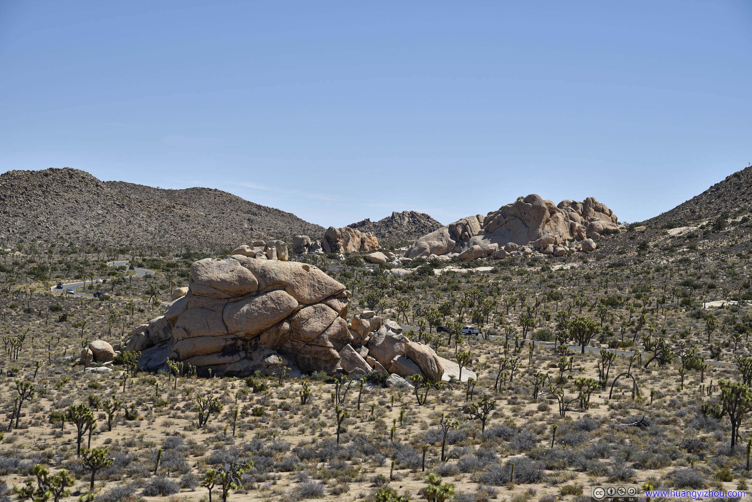
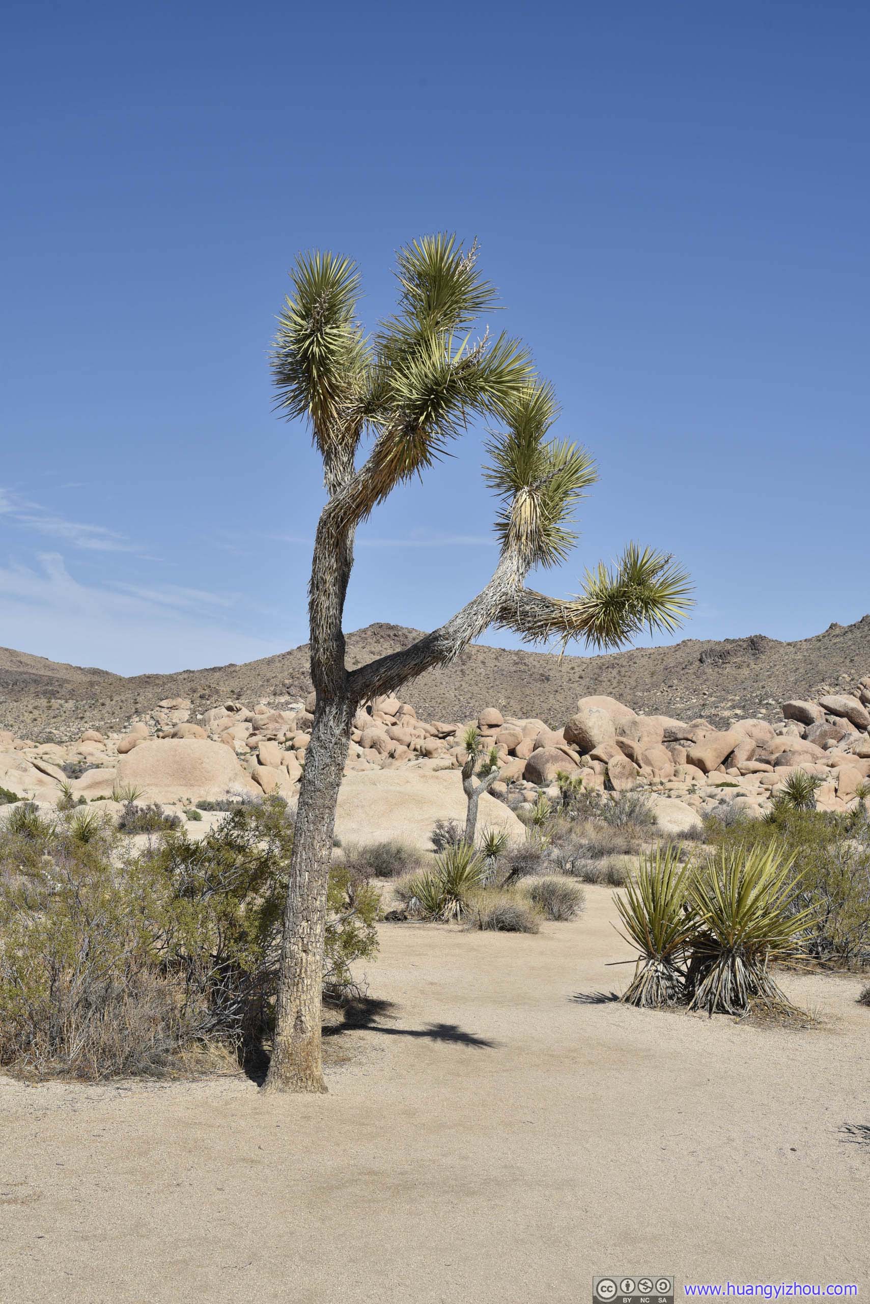
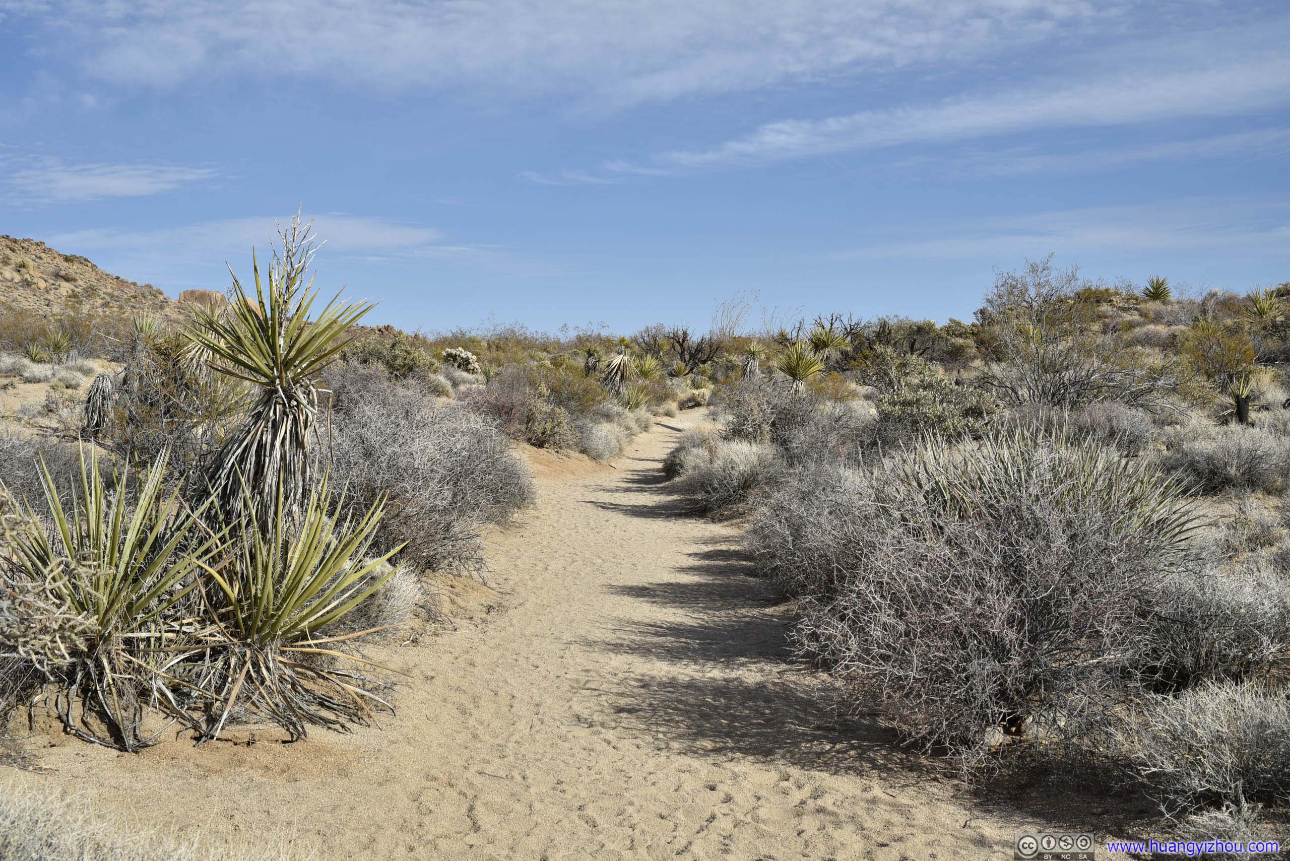
Field of Joshua Tree
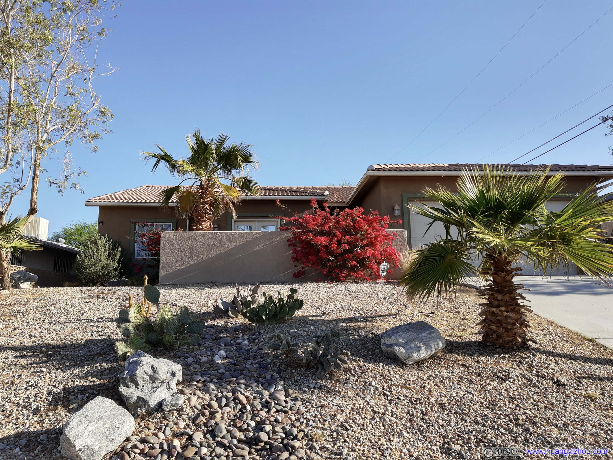
Flowers outside Airbnb Home
Saturday, April 10, I left the Airbnb house in Desert Hot Springs and headed towards Joshua Tree National Park. The drive to its northwest entrance passed through a narrow valley and gained almost 1000m in elevation. That would partly explain the area’s aridity as it would be difficult for moisture from the sea to reach such altitude.
The park’s a popular weekend getaway for people in the greater LA region in the spring. Despite I reached its gate before 9am, there was still a short line at the ticket booth. In addition, parking was sort of tight in the park today, occasionally I had to wait for a spot.
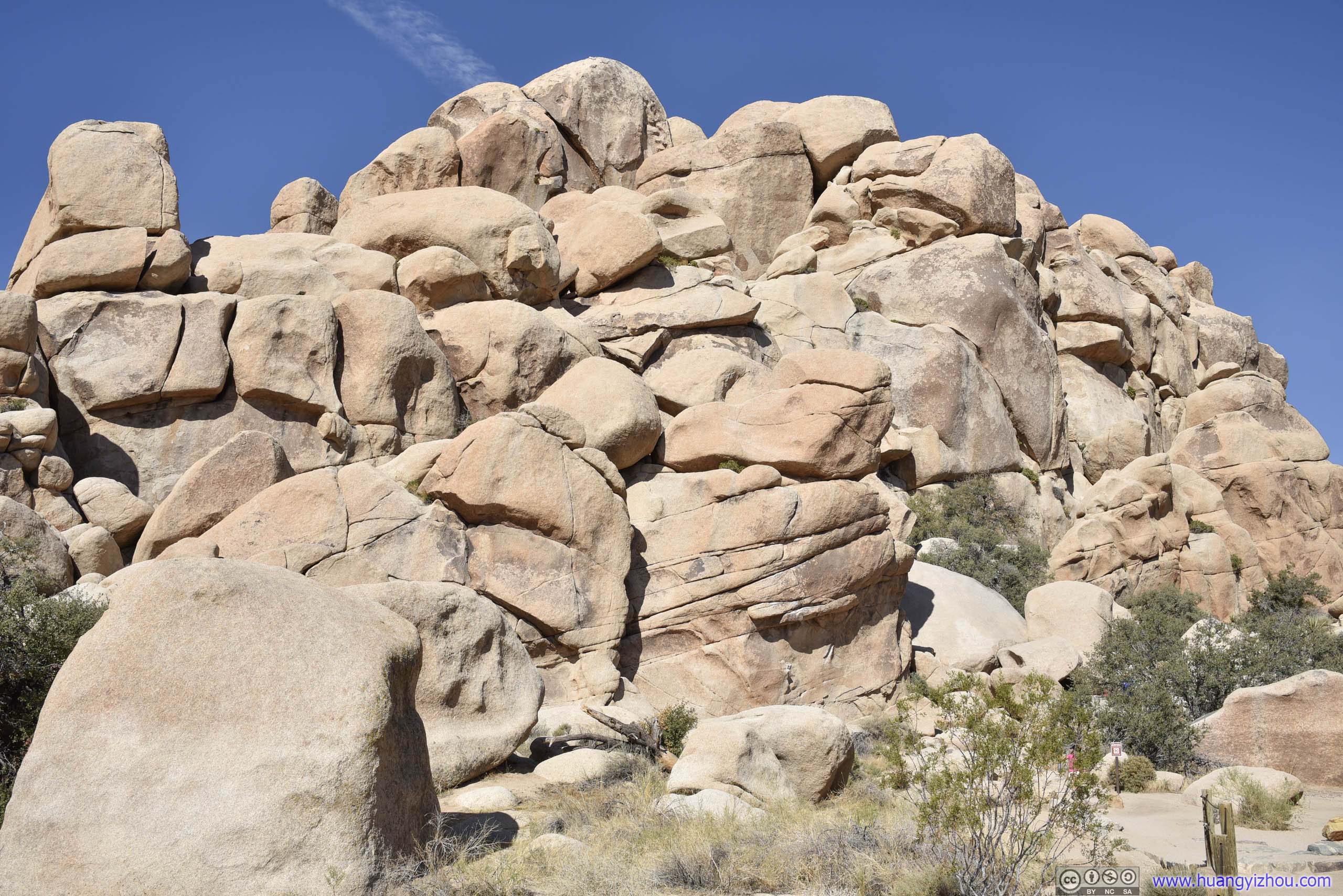
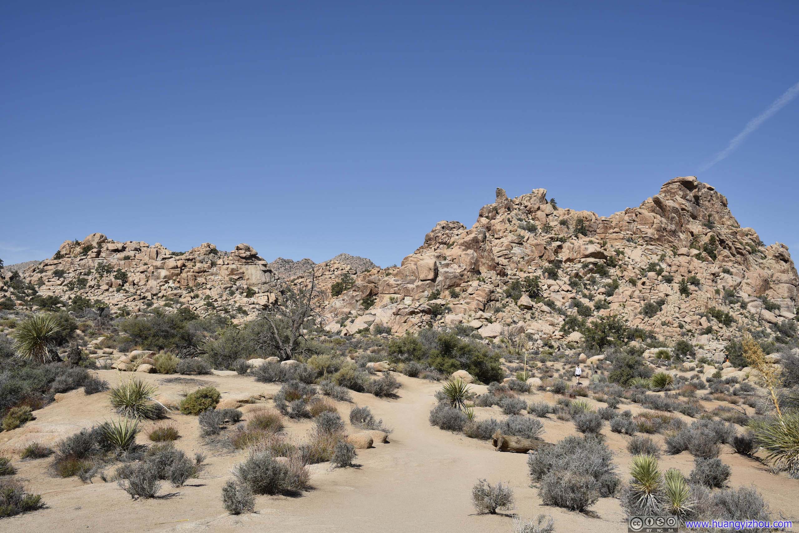
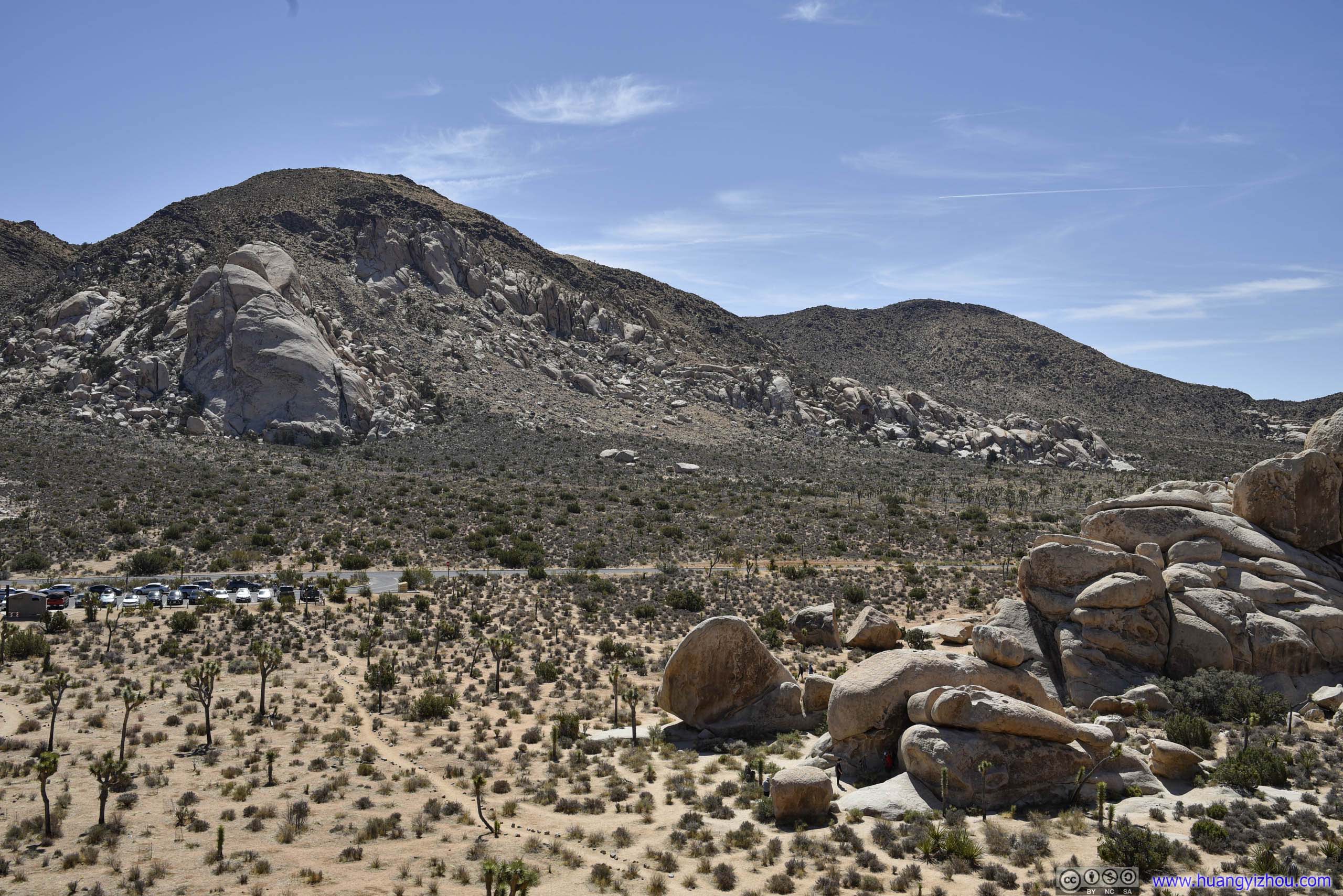
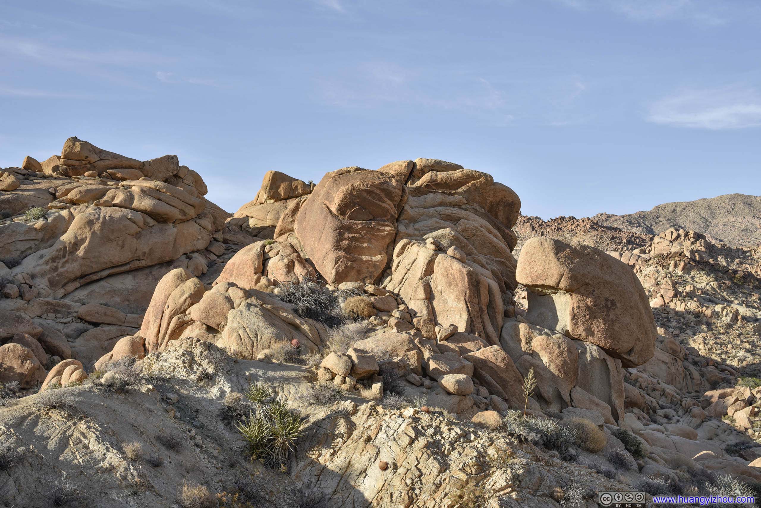
While the park was named for the plant that defyingly thrived on its desert landscape, it’s also known for its abundance of boulders and the wonderful rock-climbing activities it afforded. I was able to witness both on my first stop of the day, Hidden Valley.
Hidden Valley
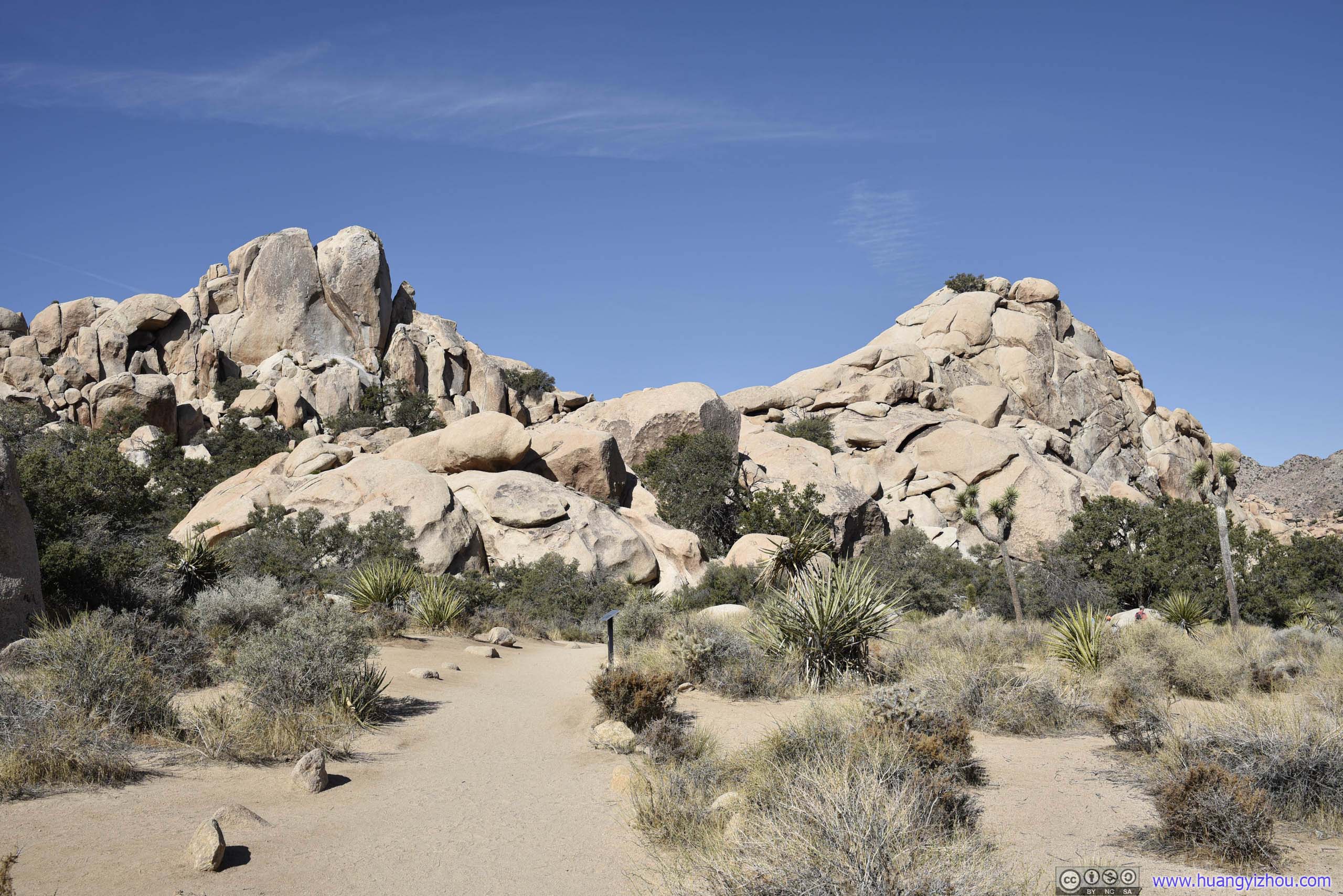
As its name suggested, a narrow gap in the rocks provided access to a “valley” that’s otherwise “hidden” behind giant boulders. Nowadays, a 1.6km loop trail would lead people around the valley where cattle owners once hid their illicit herds in the late 19th century.
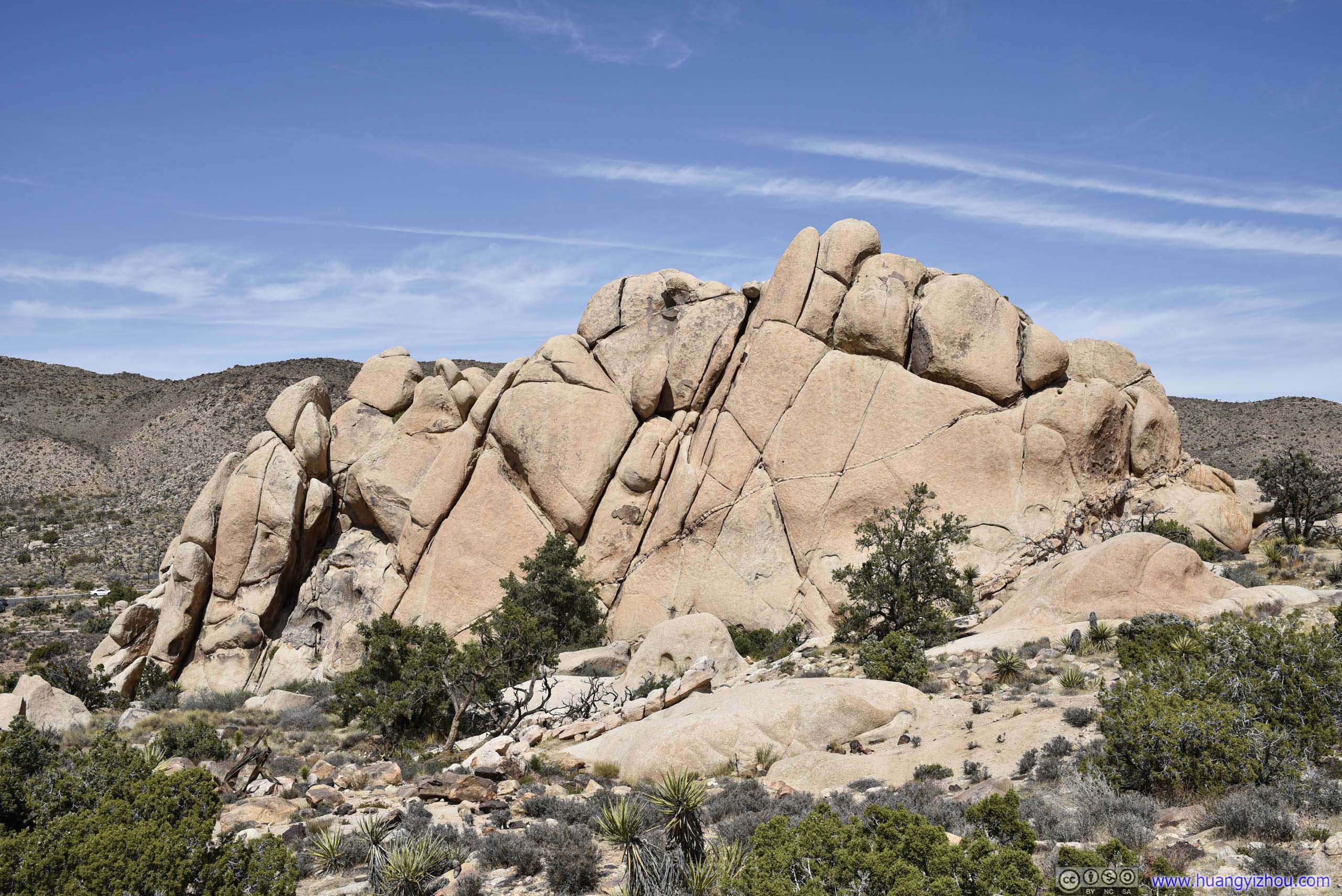
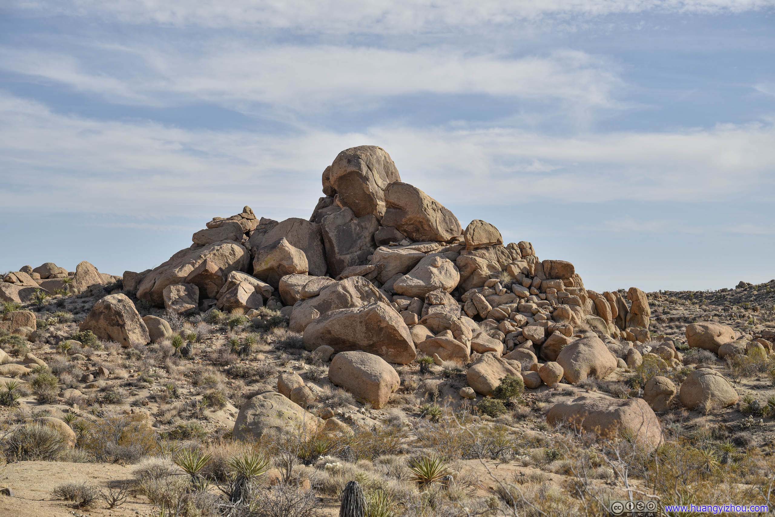
 Boulders
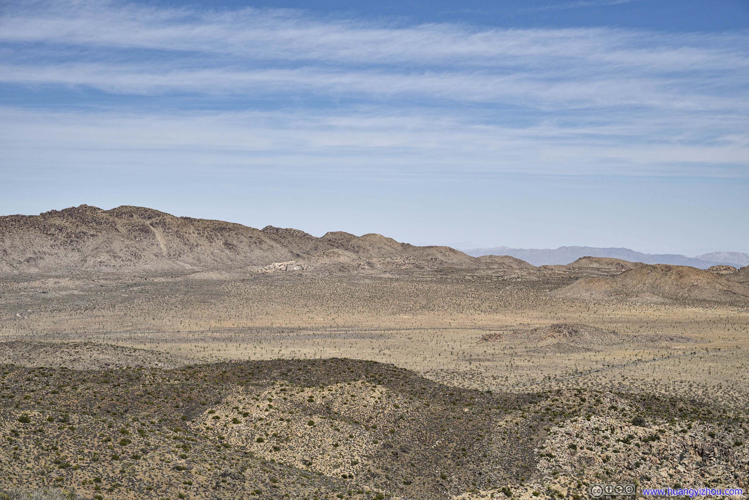
Once inside, the “valley” seemed so wide that somehow I felt “basin” was a more accurate name for it. At least, the trail wound through the wide valley floor with minimal elevation change, while the perimeter boulders were blunt and rounded. I had anticipated something steeper and more rugged.
 Joshua Trees in Hidden Valley
This is a popular place for rock climbers as I ran into a group of cal-fire rescuers honing their skill.
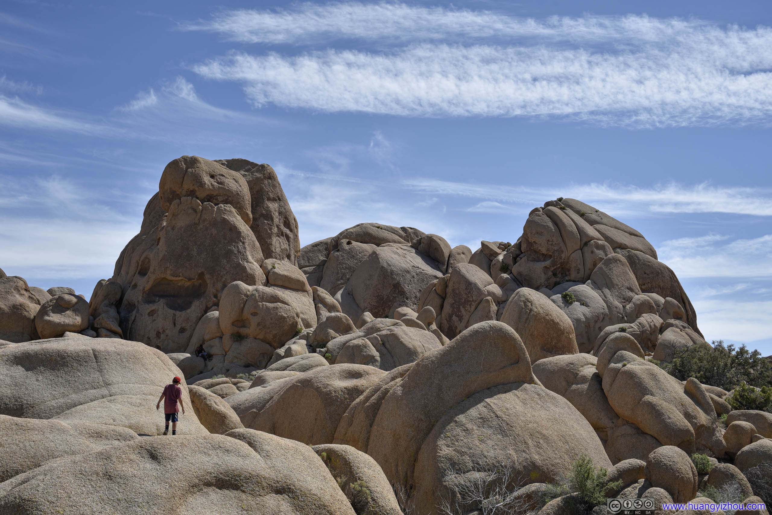
 Boulders
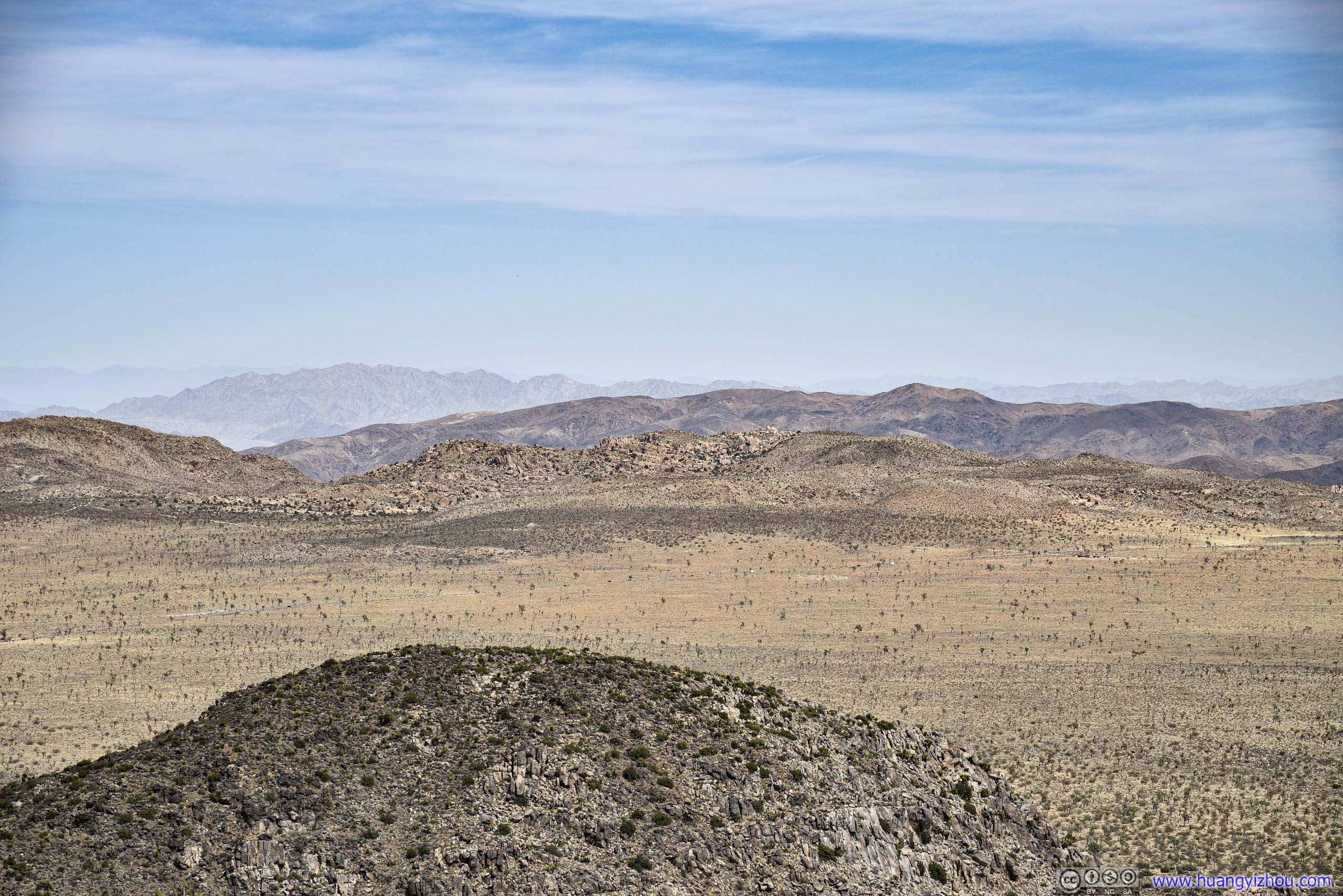
Hidden ValleyViewed from the northern end of trail.

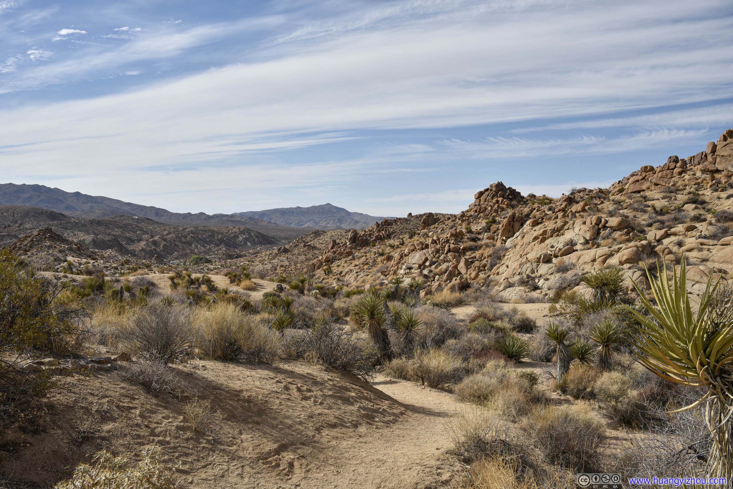
 Trail in Hidden Valley
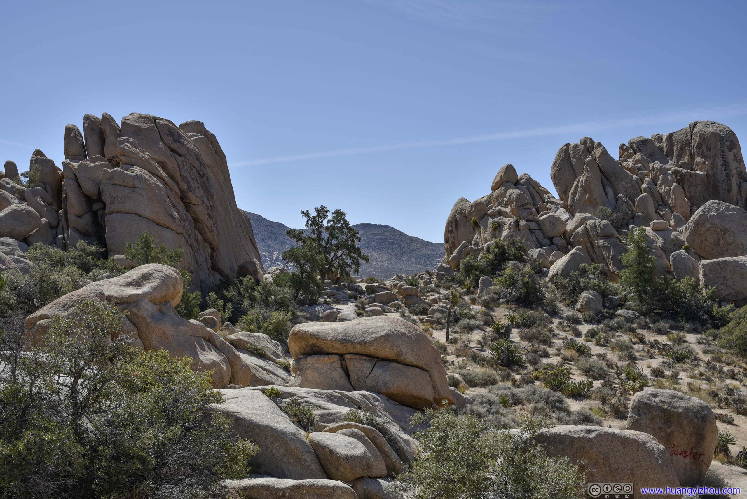
Opening in BouldersProbably that’s why it’s called “Hidden Valley” here.
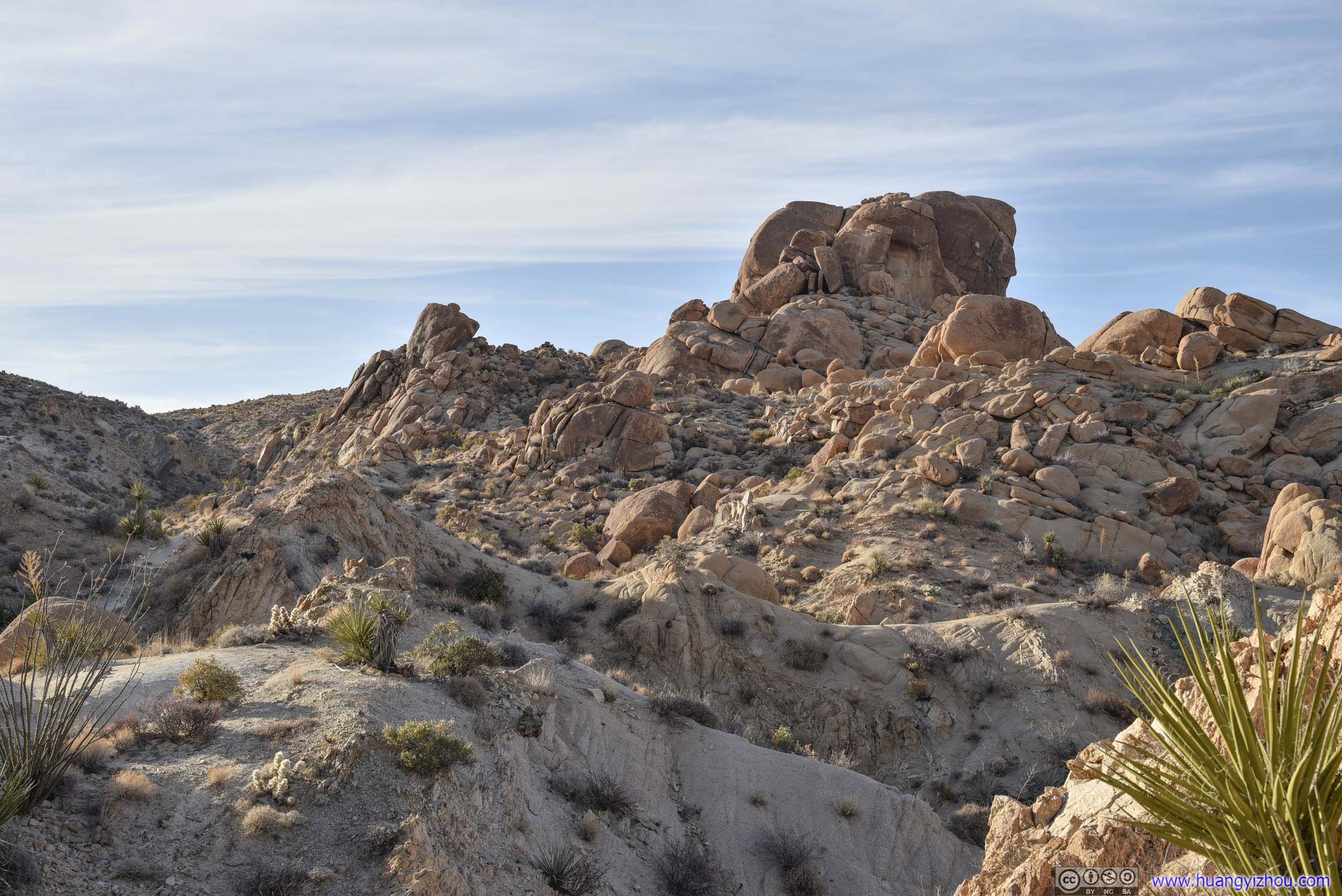
I spent less than an hour hiking in Hidden Valley, after which I planned to hit Barker Dam next. Unfortunately its parking lot was full, so I actually headed for Hall of Horrors next, where I snatched the last spot in the parking lot.
Hall of Horrors
The region between Hidden Valley and Hall of Horrors was roughly Lost Horse Valley, an open grassland as the core region of the park where Joshua trees abounded.
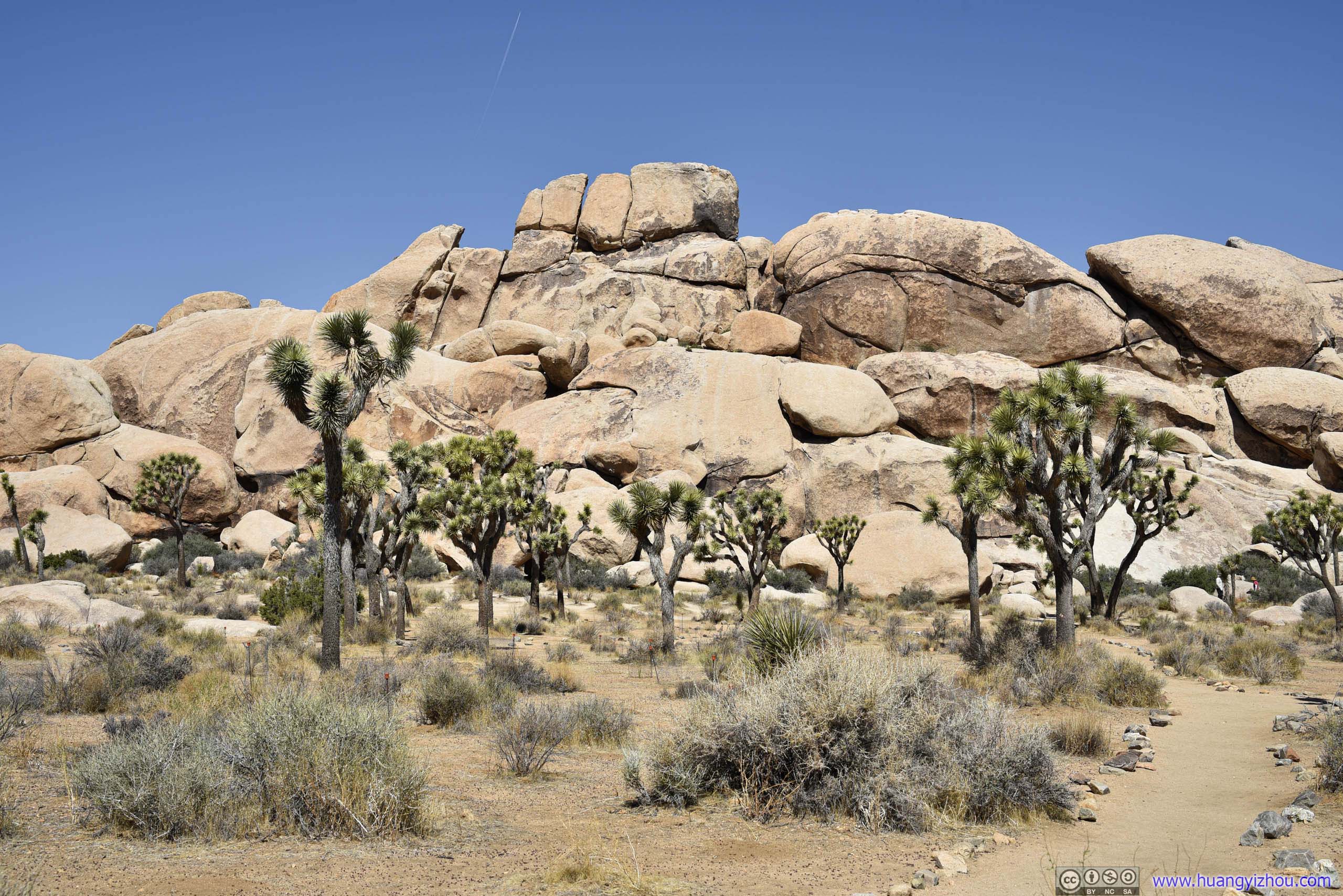
As for Hall of Horrors, the area was made of three giant slabs of boulders. Somewhere in those boulders was a narrow passage, covered by rocks on top and not much wider than a person. That’s where the name “Hall of Horrors” came from. The area’s other boulders were quite popular with rock climbers.
Unfortunately, some of the boulders didn’t seem as hard to me. As a result, I was so preoccupied with trying to scale them, that I completely forgot searching for the actual “Hall of Horrors”. (Its location was not marked on maps though, and with the area’s multitude of trails it’s hard to tell which one would lead to it.)
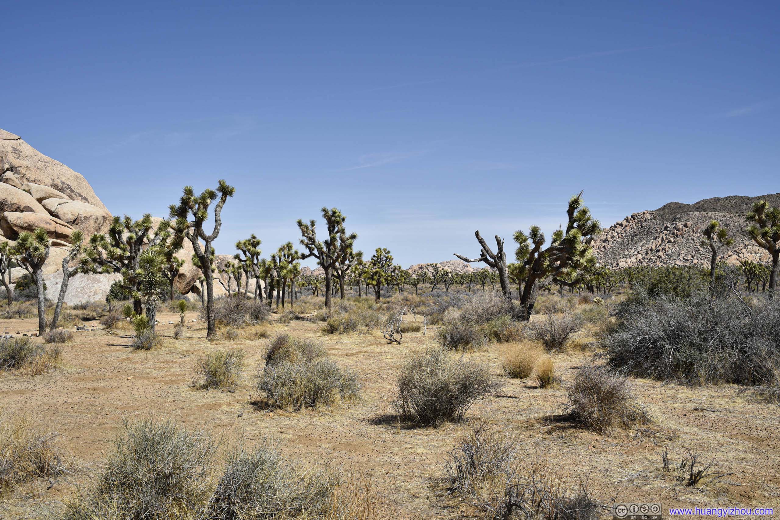
 Field of Joshua TreeAt the core of the park.
Climbers Scaling Boulder
After completely forgetting about “Hall of Horrors”, I happened to see a few people scaling the front side of the boulder. That’s when I noticed a route halfway up the boulder that didn’t require any specialty gear.
The next thing I knew, I was up that boulder overlooking the surrounding fields of Joshua trees and mountains.
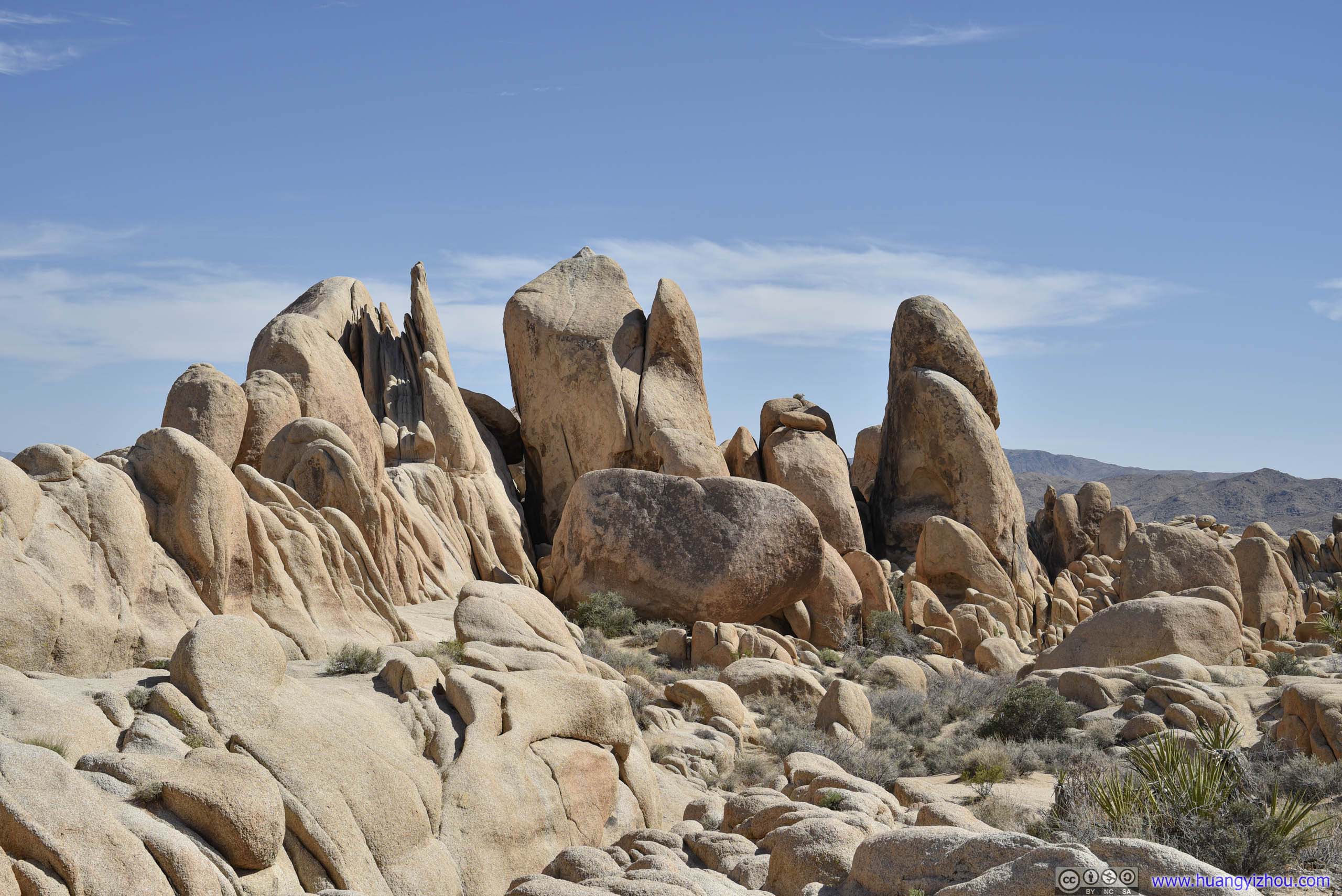
 Rocks
Rocks
Field of Joshua Trees
Ryan MountainAcross the road, one that I was going to scale next.
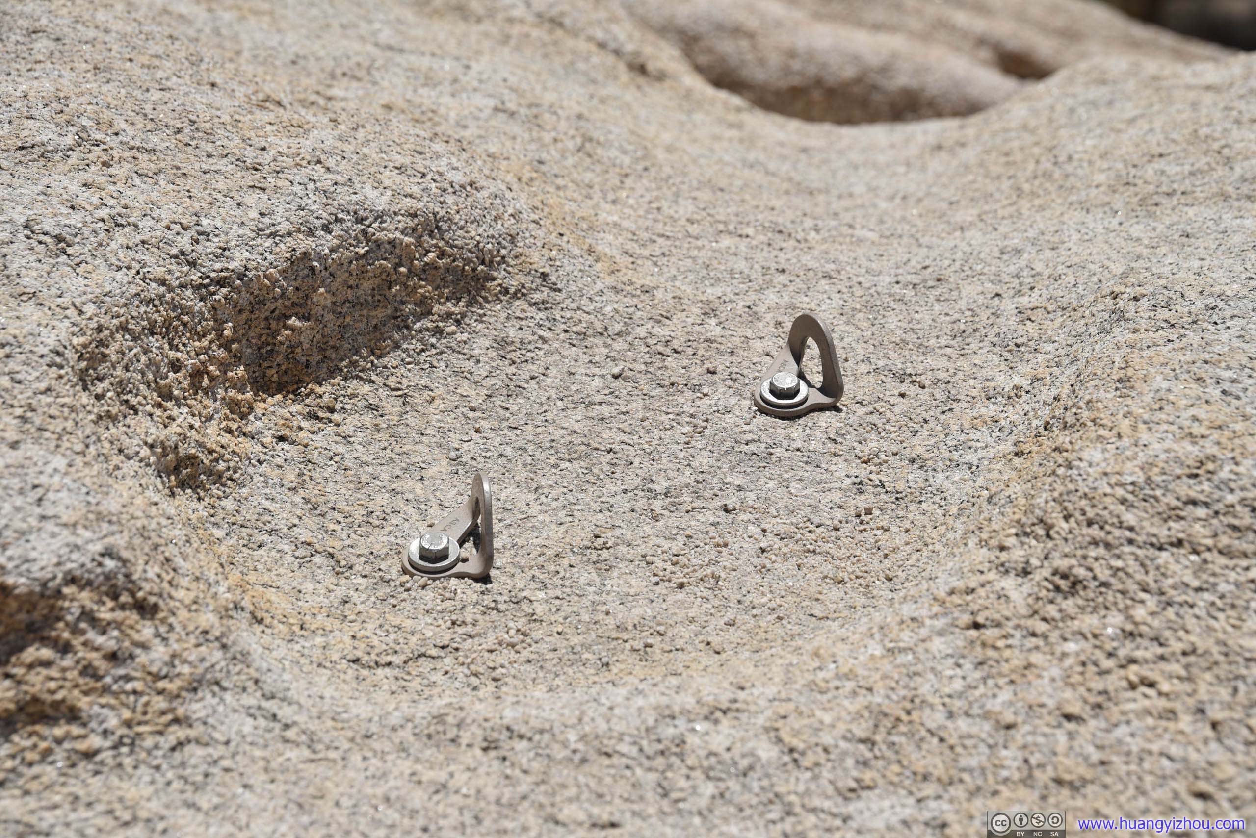
Rope Anchor PointsAlready set in place for climbers.
Ryan Mountain
After “Hall of Horrors”, the next stop on my itinerary was Ryan Mountain, whose parking lot was just down the road. Unfortunately, by the time I got there, the lot was already full. I ended up driving a few circles around it and ate a quick lunch while waiting for a car to leave, and that took about 10 minutes before a spot became available to me.
Apart from parking, it’s a 4.8km out-and-back trail to the top of Ryan Mountain with 326m elevation gain, where at the end one was rewarded with panoramic views of surrounding desert landscape. It’s not hard to tell its popularity by parking scarcity.
Here’s GPS tracking:
BoulderAs the park’s famous for its rocks of various shapes that would capture people’s imagination, here’s one for me: This looked like some fowl or dinosaur opening its mouth ready to devour its prey.
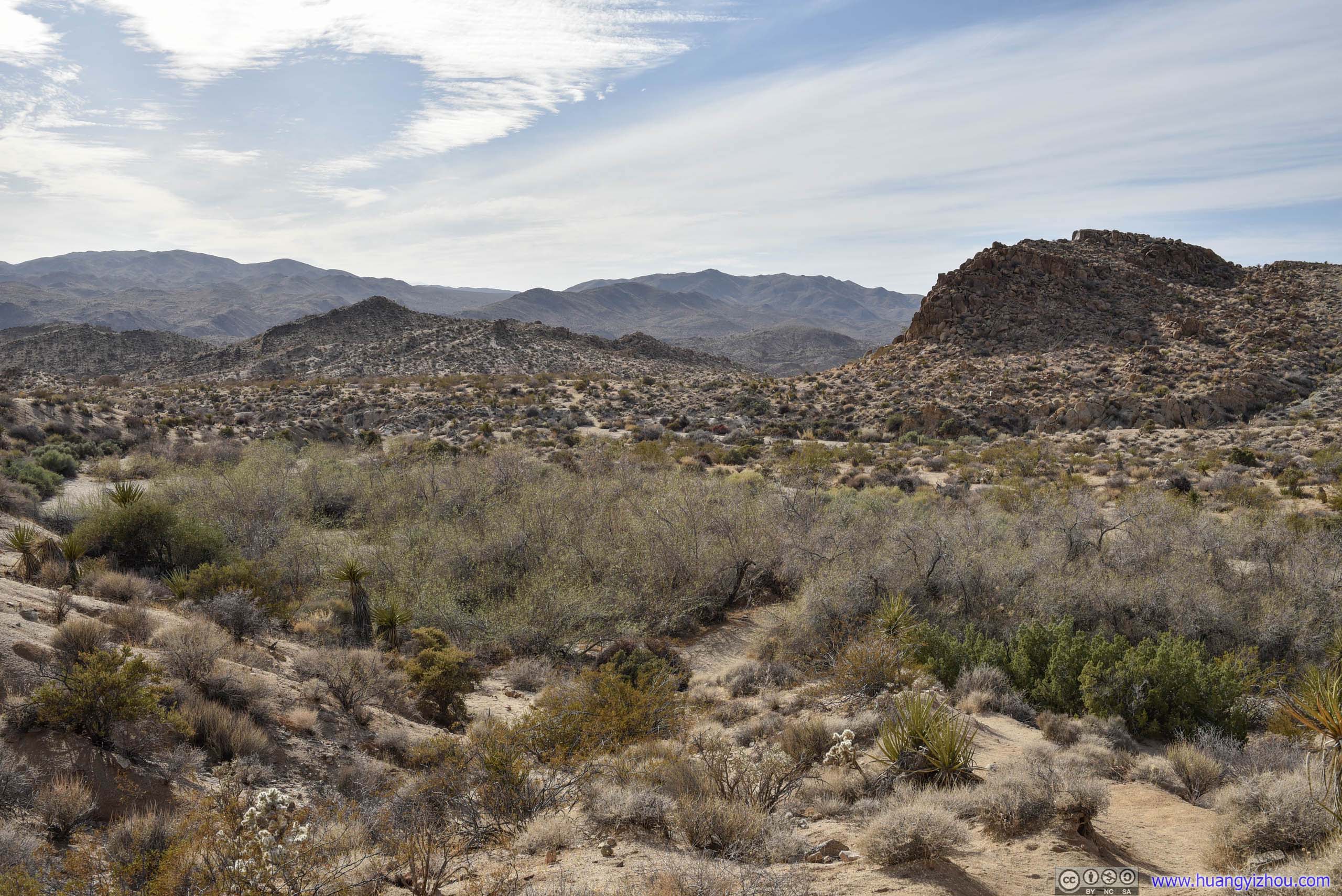
 Fields to the West
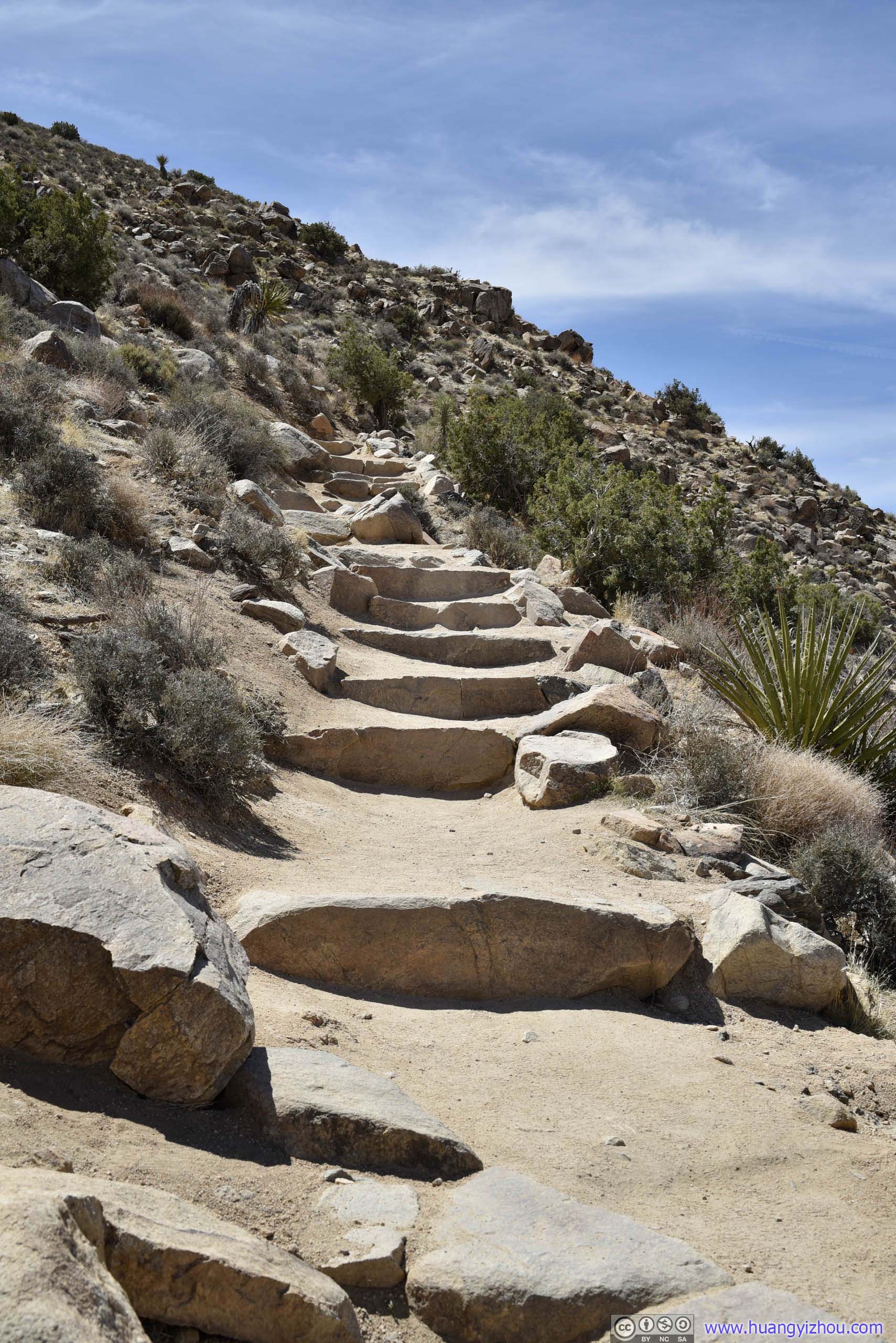
 TrailTypical condition, well maintained.

Fields to the North-WestTaken along the trail ascending Ryan Mountain.
 HillsideHeading closer to summit where Lost Horse Valley disappeared behind these hills that one just covered.
Summit
About 50 minutes after I started, I reached the summit of Ryan Mountain.
Fields to the West

Fields to the East
For some unknown reason, the summit of Ryan Mountain seemed popular with birds, I captured this one flying by:
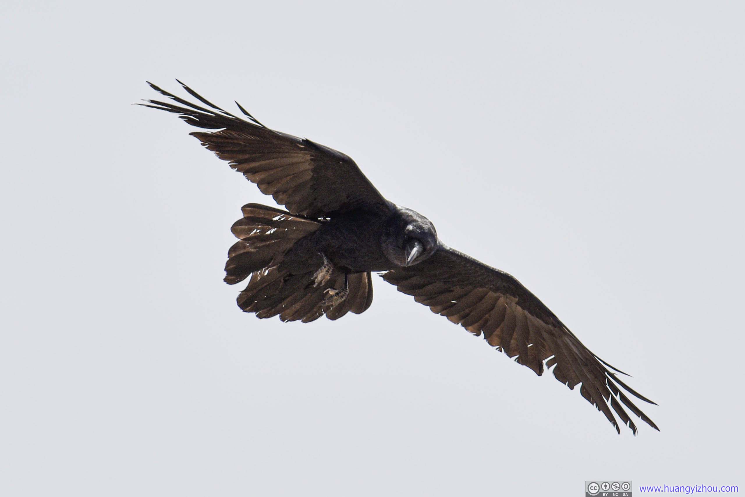
 Bird
Bird
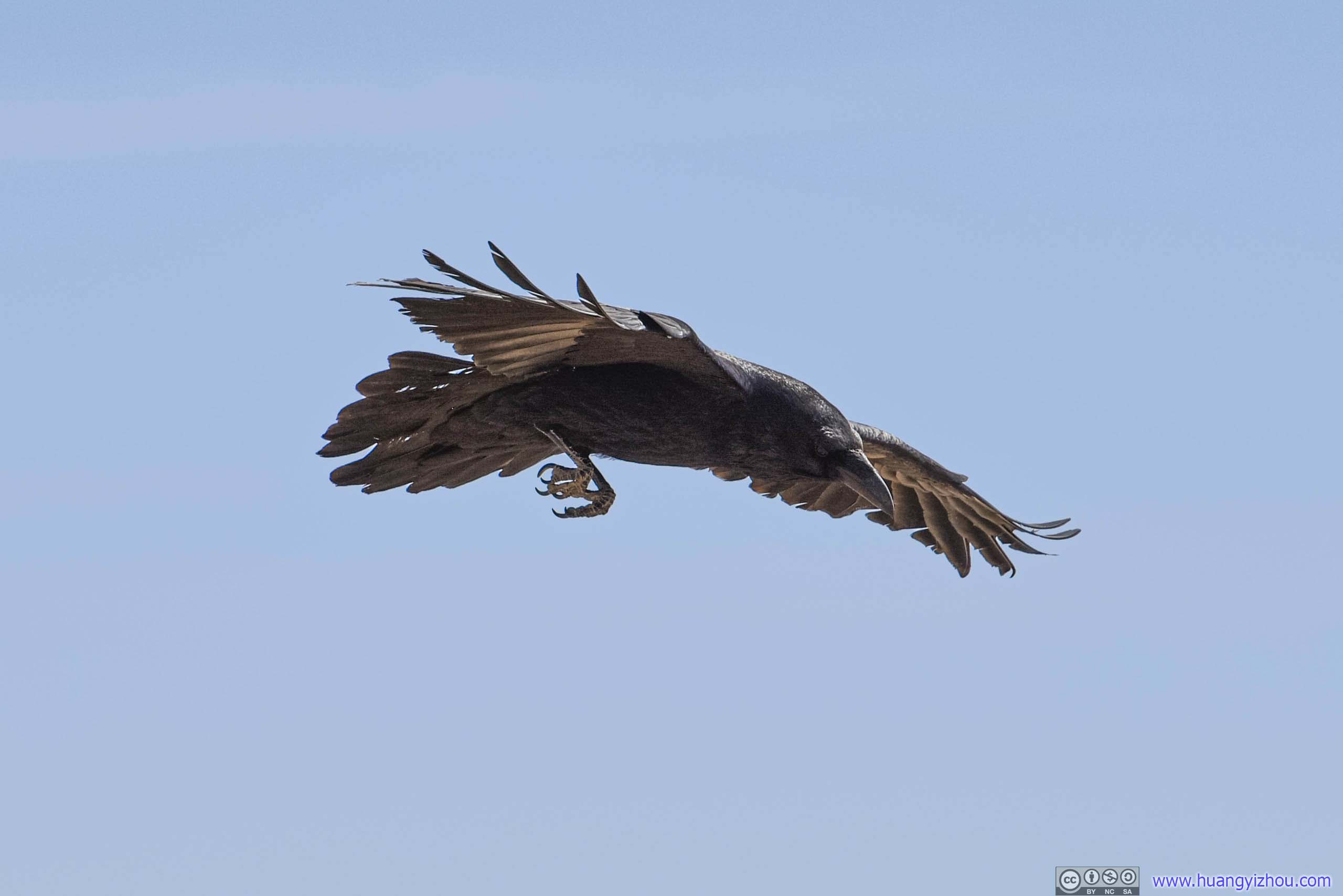
Then it landed, looking for food.
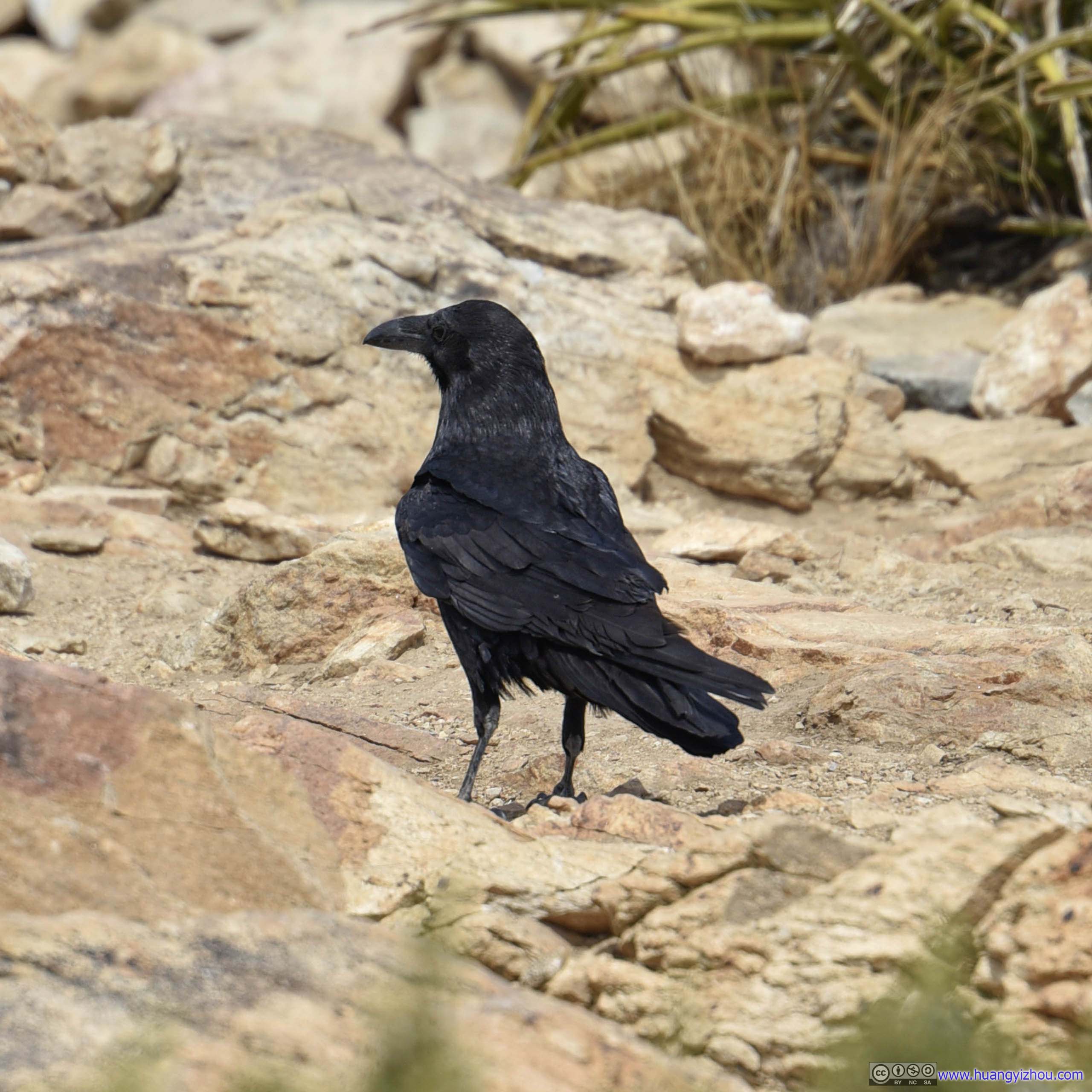 Bird
Bird
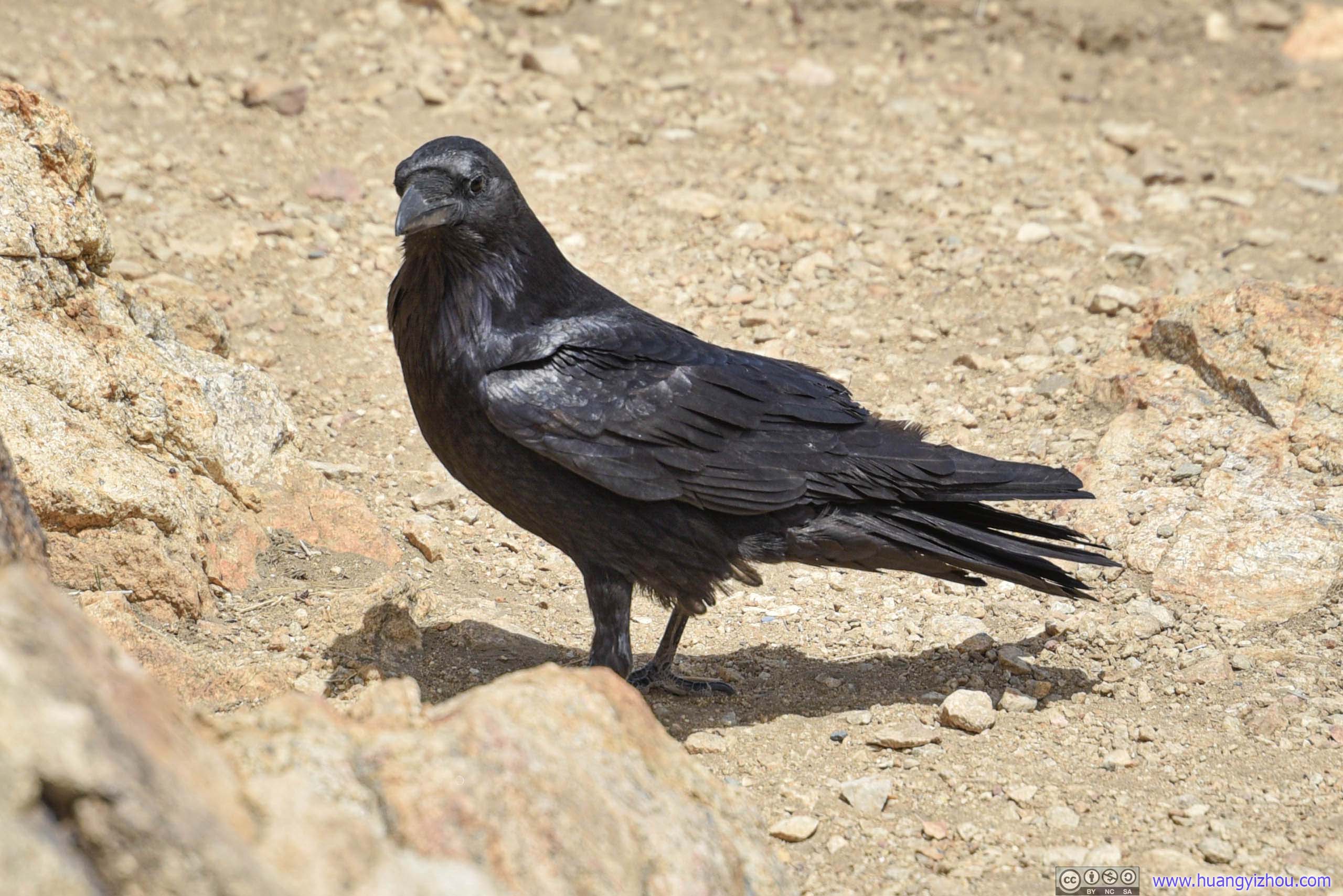
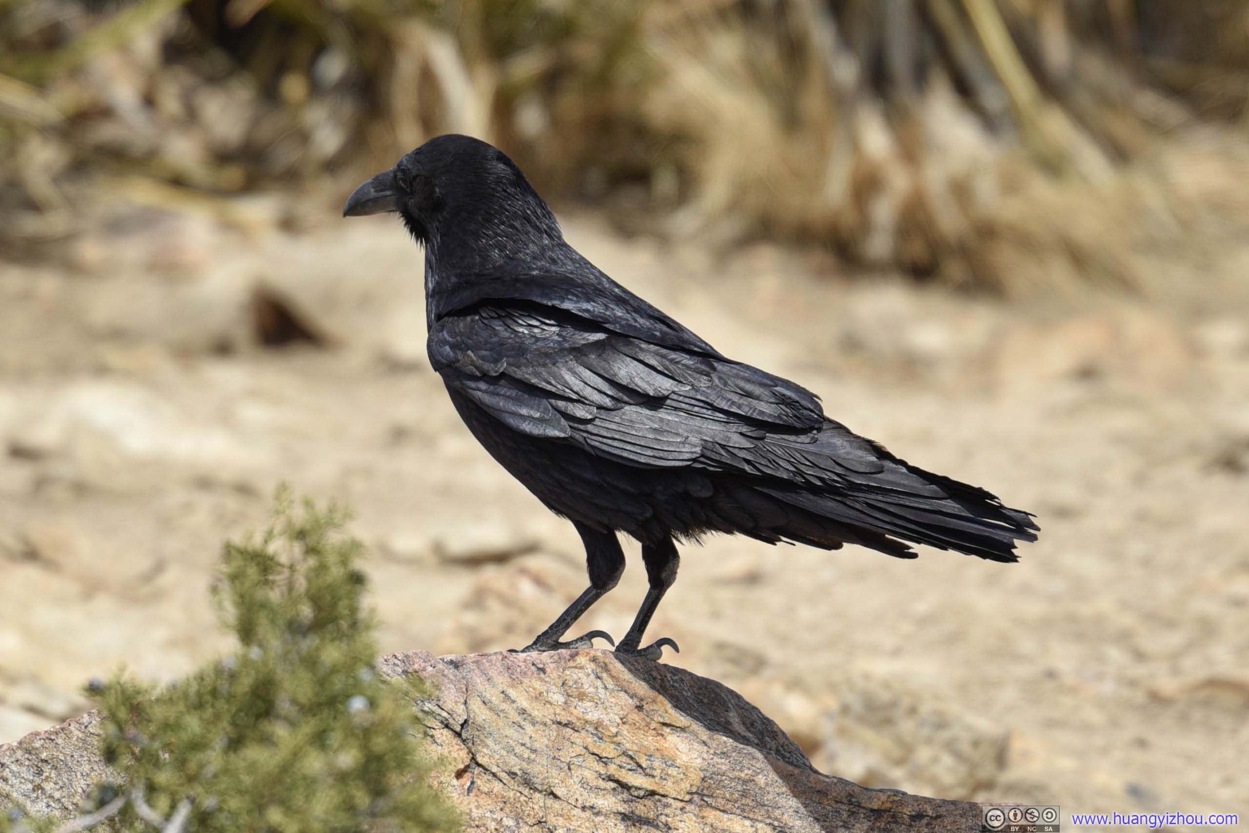
Before I left, I found some of its friends on top of a nearby Joshua tree.
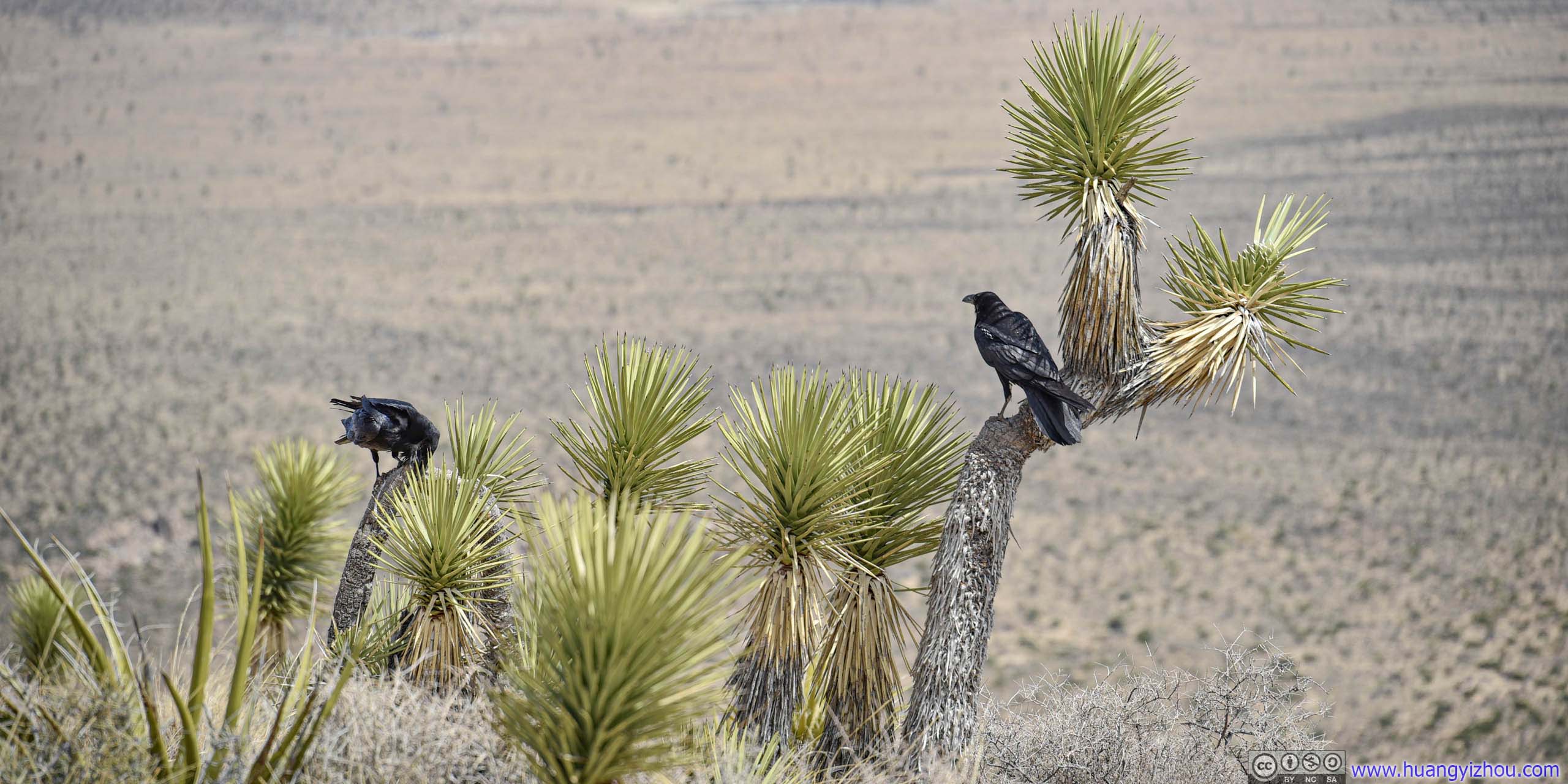
Pair of Birds
Then I got back to enjoying the views. The top of Ryan Mountain was pretty flat, with lots of room for people to pick their favorite spot and enjoy the scenery.
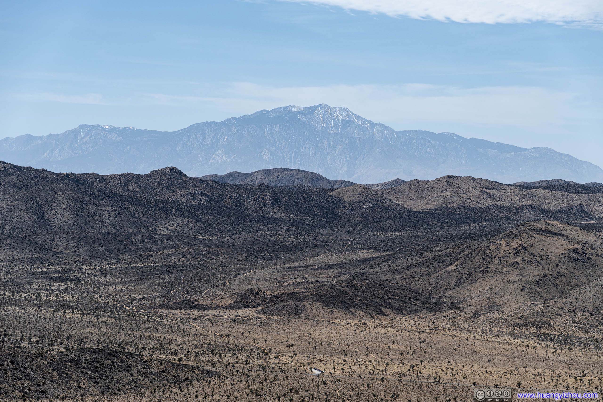
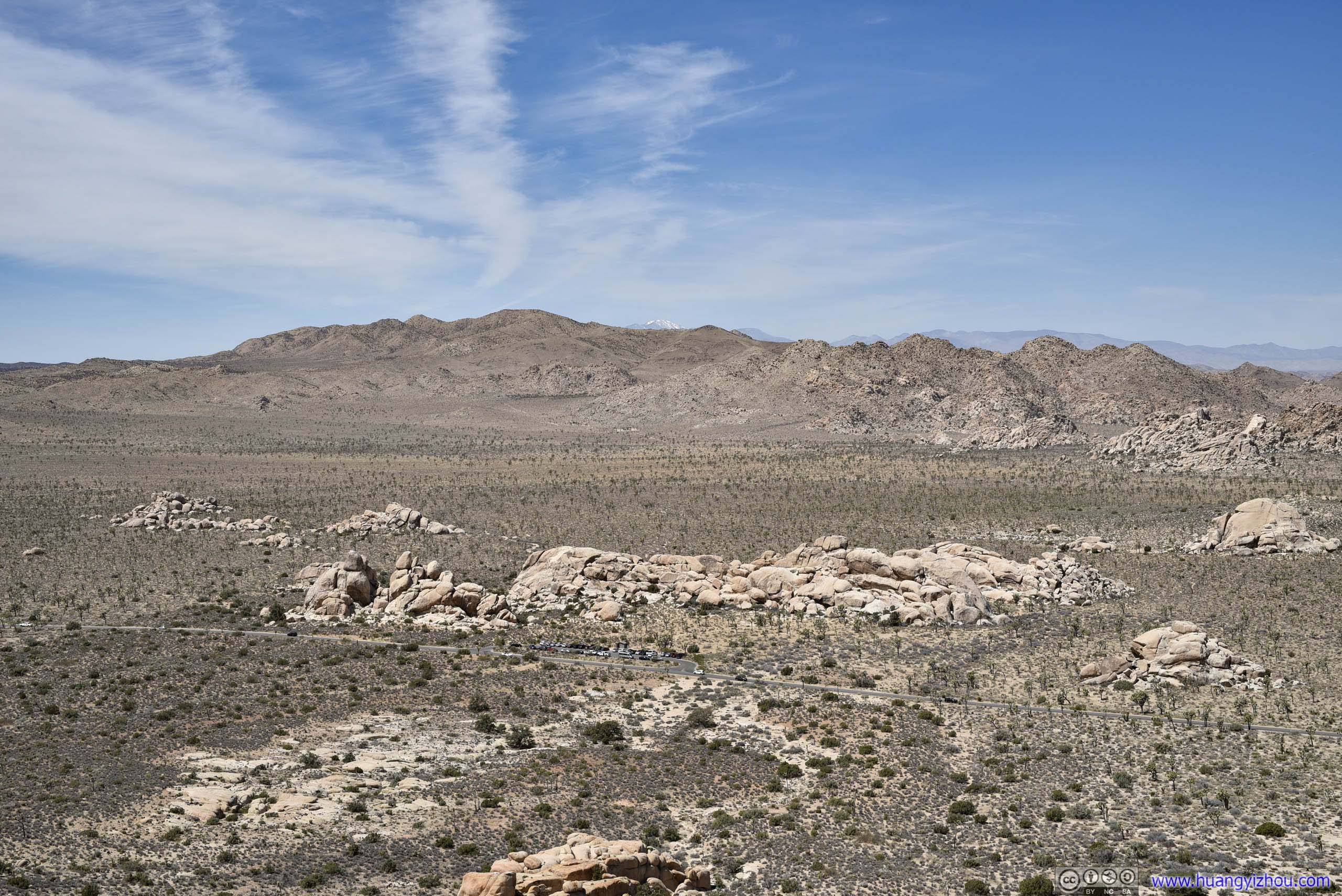
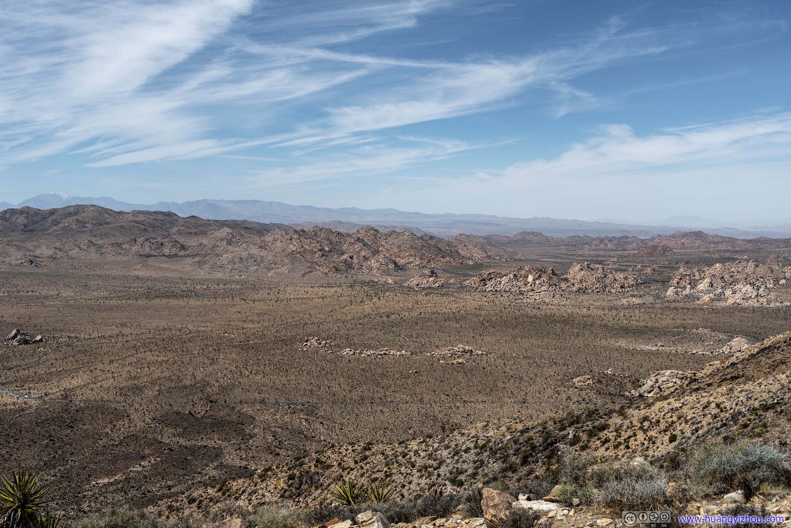
Mount San Jacinto
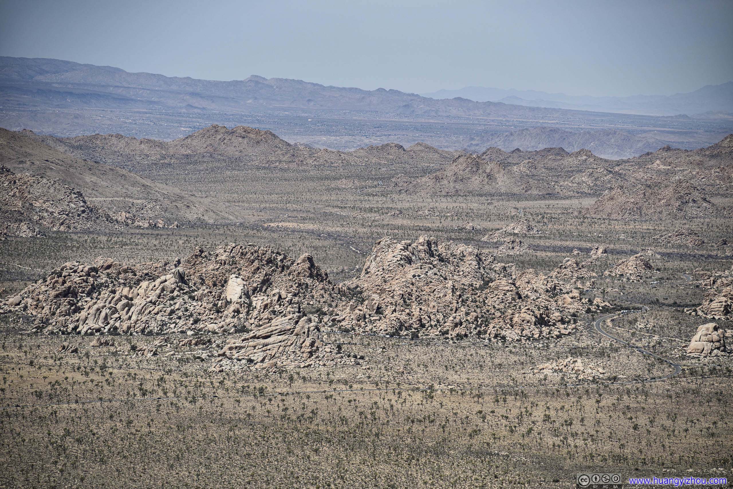
Hidden ValleyNow I could appreciate how that piece of land was “hidden” by hills on all sides.
Fields to the West
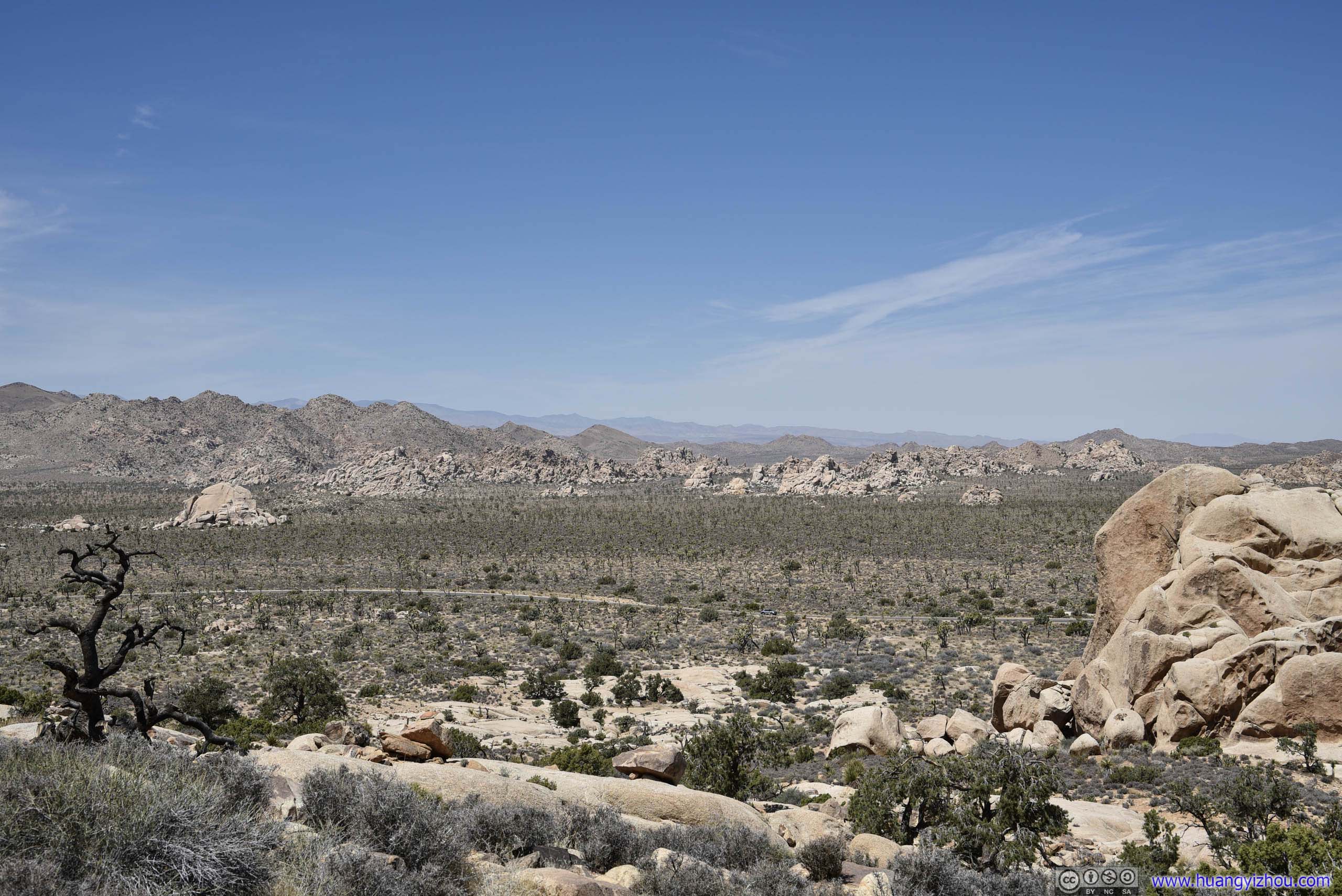
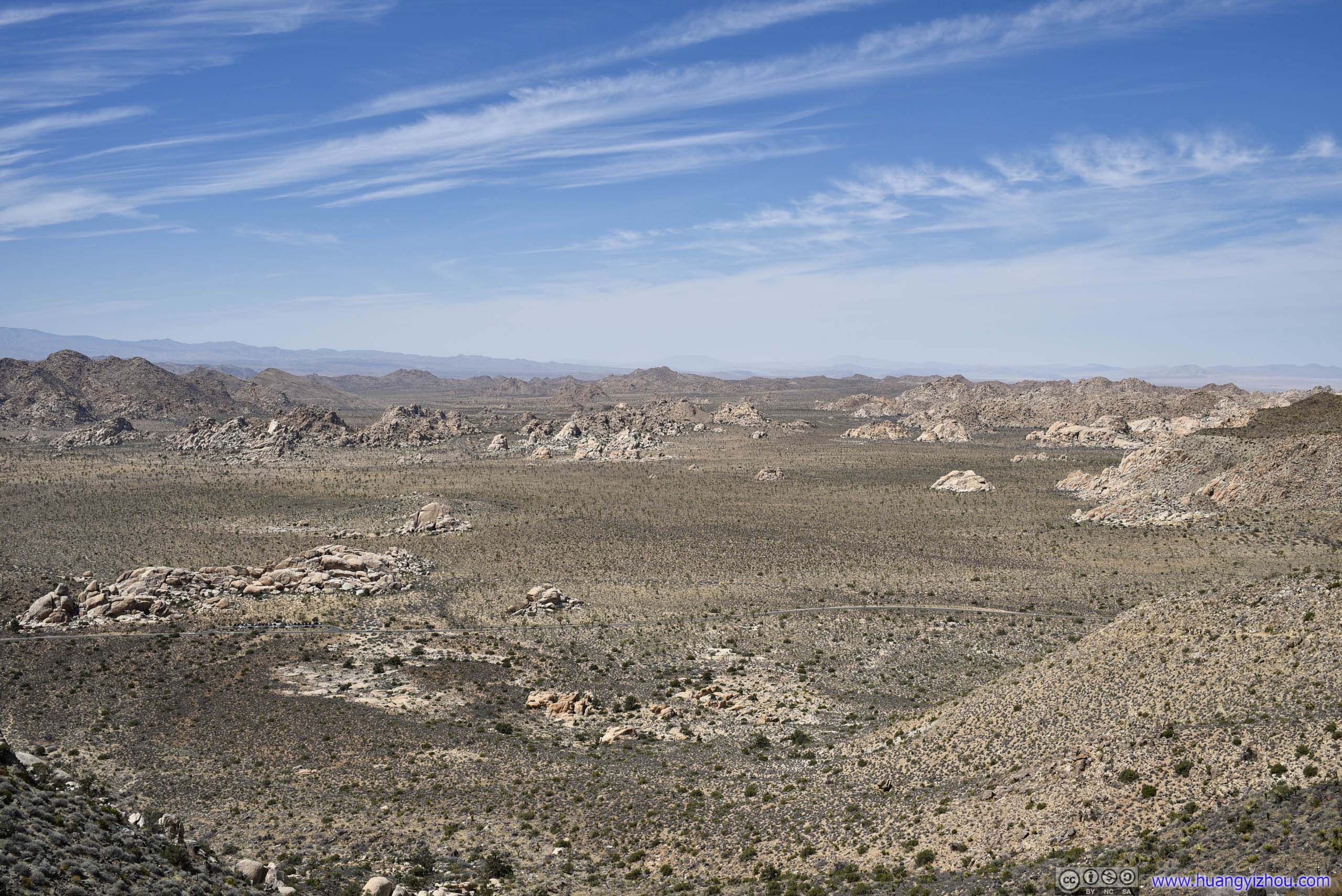
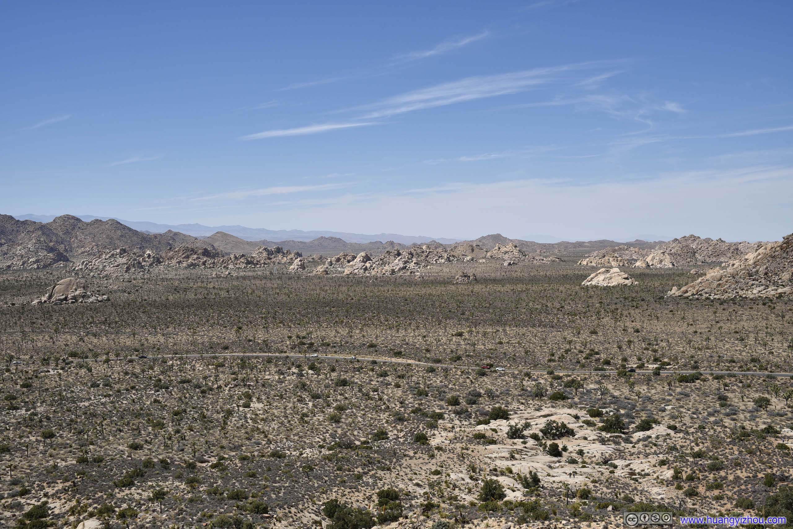
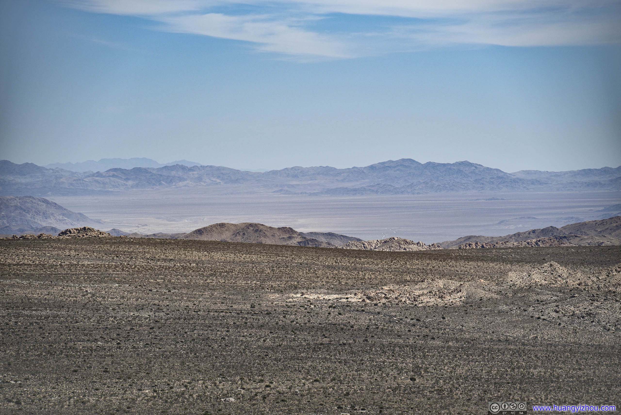
Ryan Mountain rose in the middle of the desert. As a result, one could enjoy views of extensive Joshua Tree fields on both sides of it.
Fields to the East

Fields to the EastExtensive Mojave Desert.
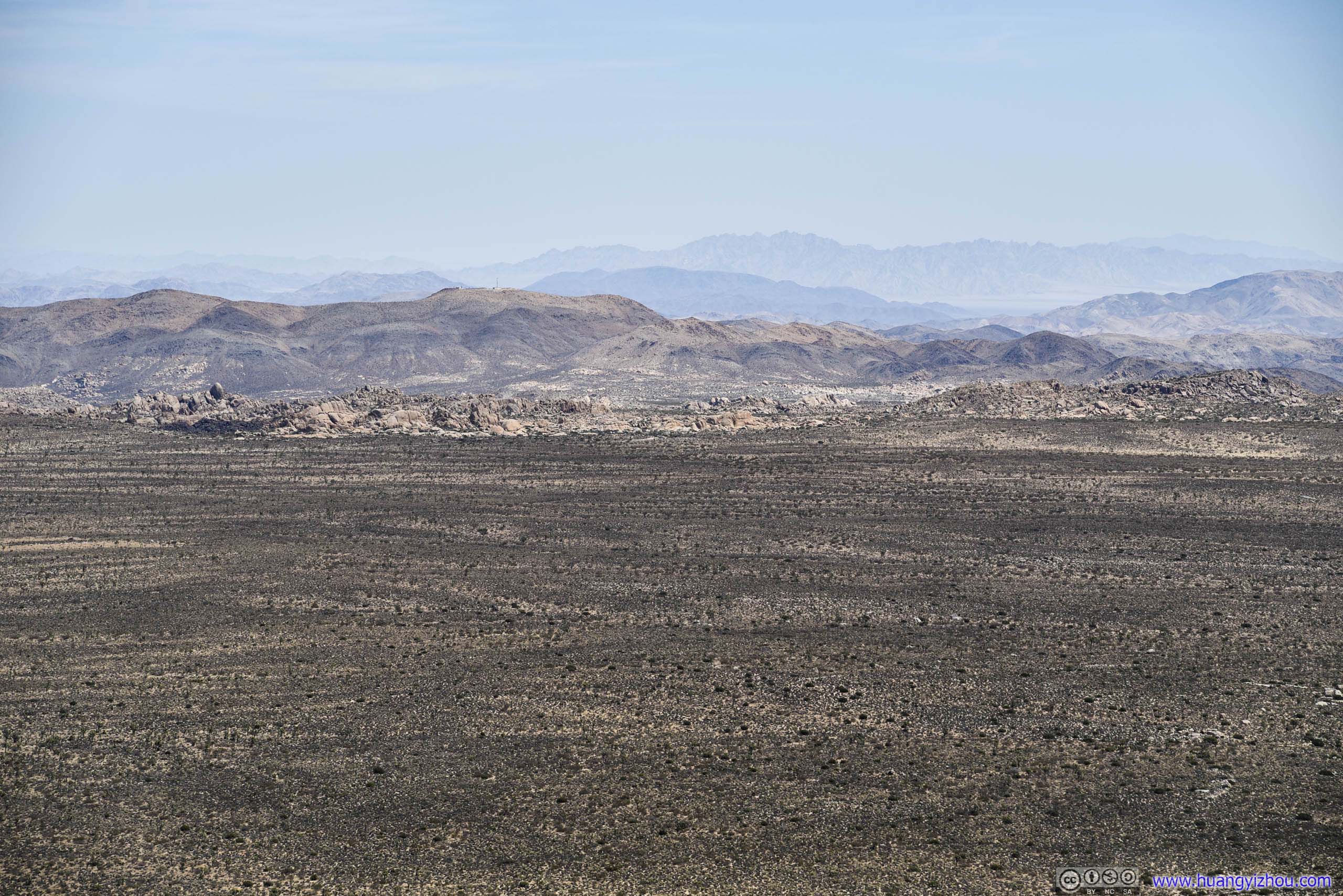
 Fields to the East
After spending about 25 minutes at the top, I headed back down.

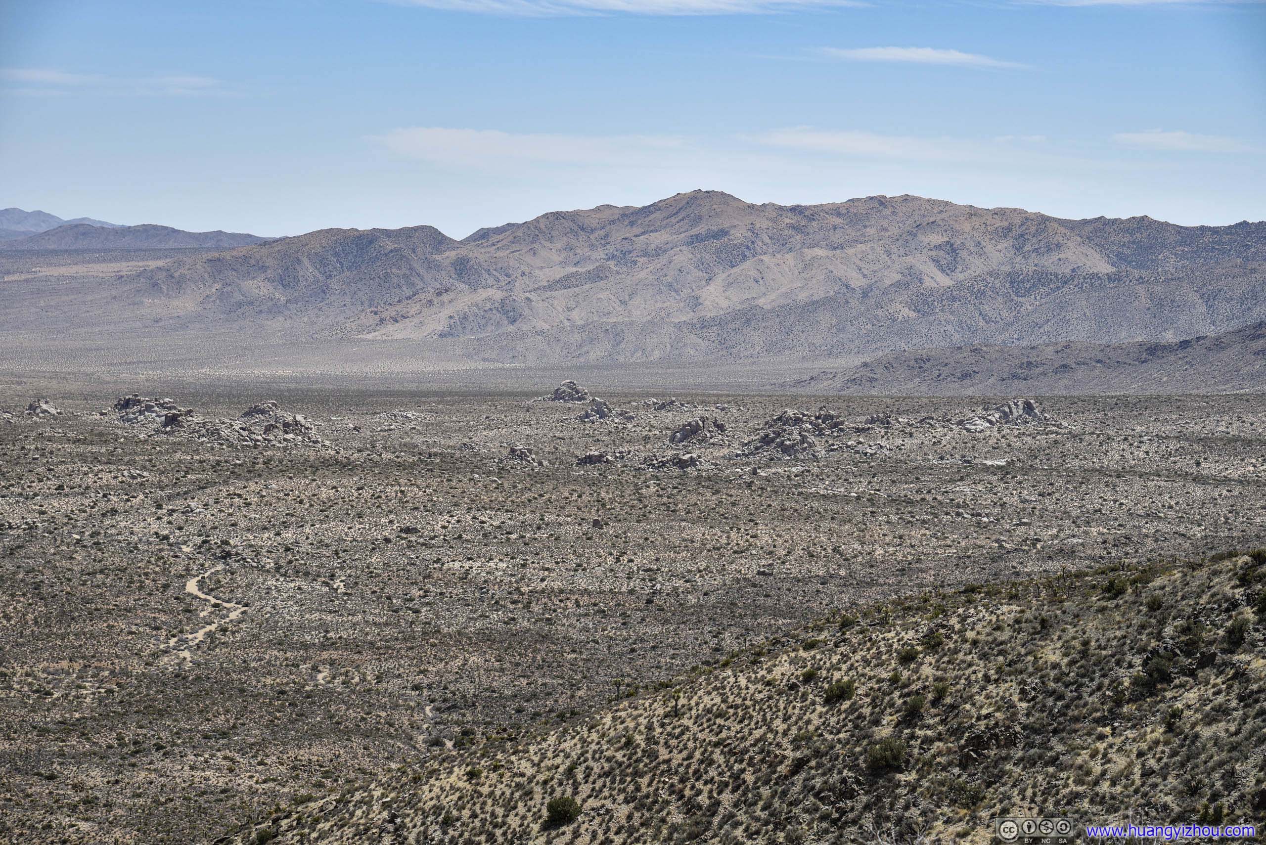
Fields from Trail

Fields to the North-WestTaken along the trail ascending Ryan Mountain.

 Boulders
A quick conclusion about Ryan Mountain Trail. It’s the most reviewed trail of Joshua Tree National Park on AllTrails, and the extensive views on top of it was certainly hard to beat. The trail was well-maintained and didn’t post any technical challenge. Apart from a few flies along the way (certainly not the worst that I’d seen), it’s quite enjoyable.
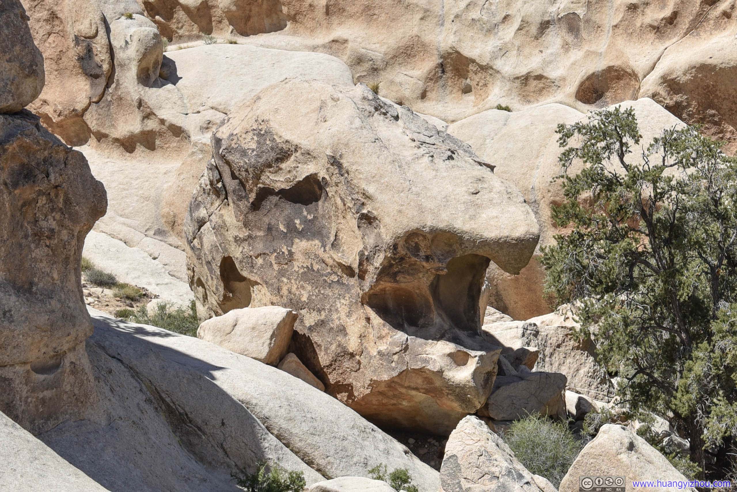
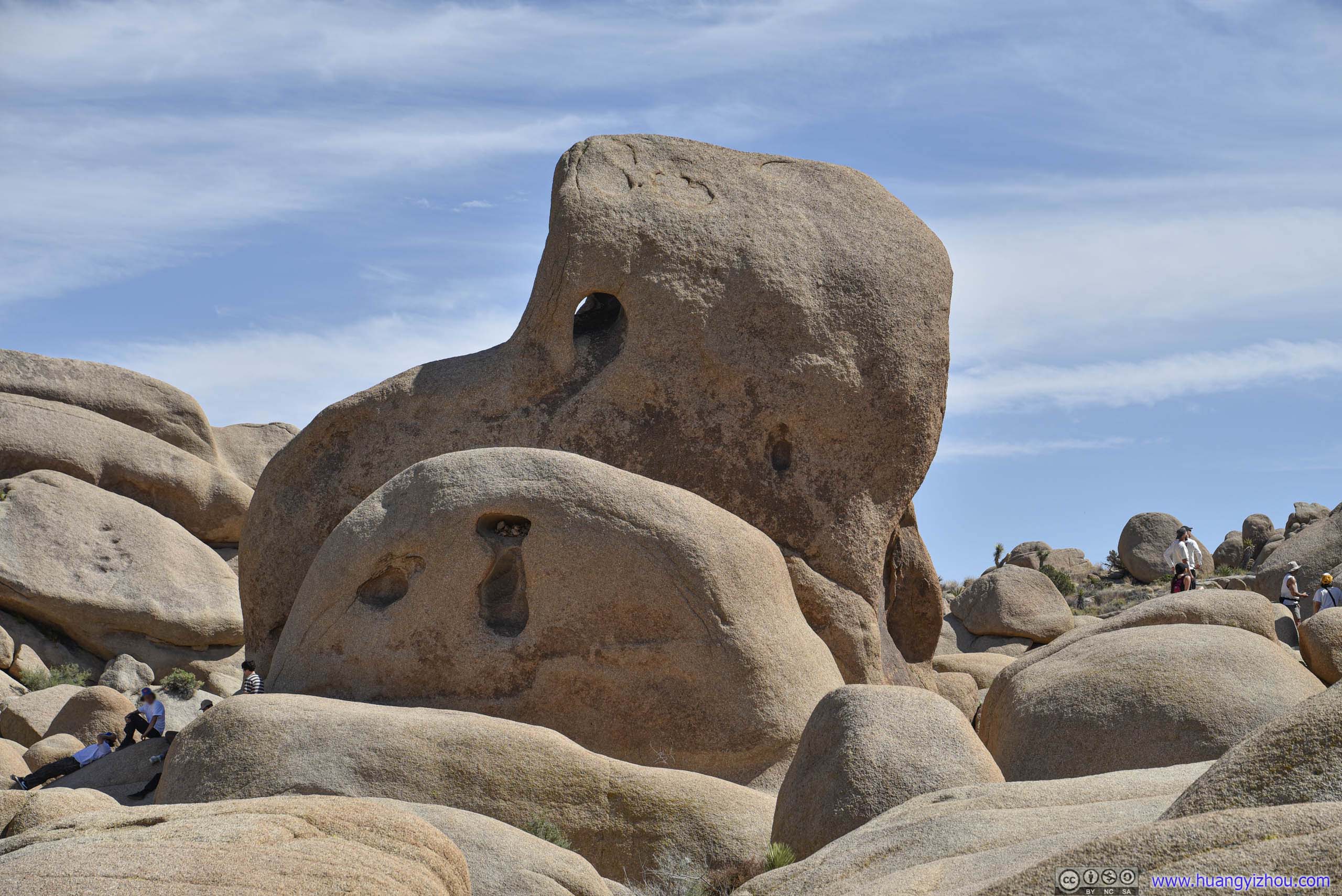
Skull Rock
After leaving Ryan Mountain, I continued driving East along the park road. My next stop was Skull Rock, which was a giant boulder with erosions that resembled a human skull.

Skull RockDidn’t look as scary to me though.
The official parking lot for Skull Rock was pretty small. During my visit a lot of vehicles just parallel parked along the road, and the park officials didn’t seem to care.
With many people trying to take their photos with this not-so-scary Skull Rock, it got pretty crowded there.

 Field of RocksNear Skull Rock. Lots of people ventured deeper onto these rocks and into wilderness.
Rock
Arch Rock
Next on my list was Arch Rock, on the doorstep of White Tank Campground. Unfortunately, the campground didn’t provide any parking for non-campers, and it took a 1km trail to reach from official parking lot.

Trail to Arch Rock
Joshua Tree by TrailOutstanding presence among fields of bushes.
 Field of RocksNear Arch Rock.
As for the arch itself, while I’d seen a few stunning photos of it at night with galaxies as backdrop, it’s a bit underwhelming compared to the various arches I visited last year at Arches National Park. On the plus side, it’s pretty accessible, I saw a few adventurous souls climbed on top of it. (Had I been wearing clothes and shoes more suitable for climbing I would probably do the same.)
And it’s pretty crowded.
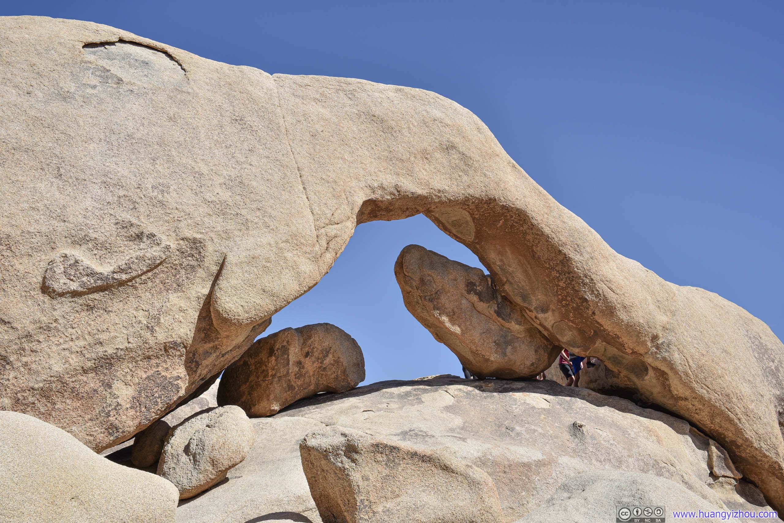
Arch Rock
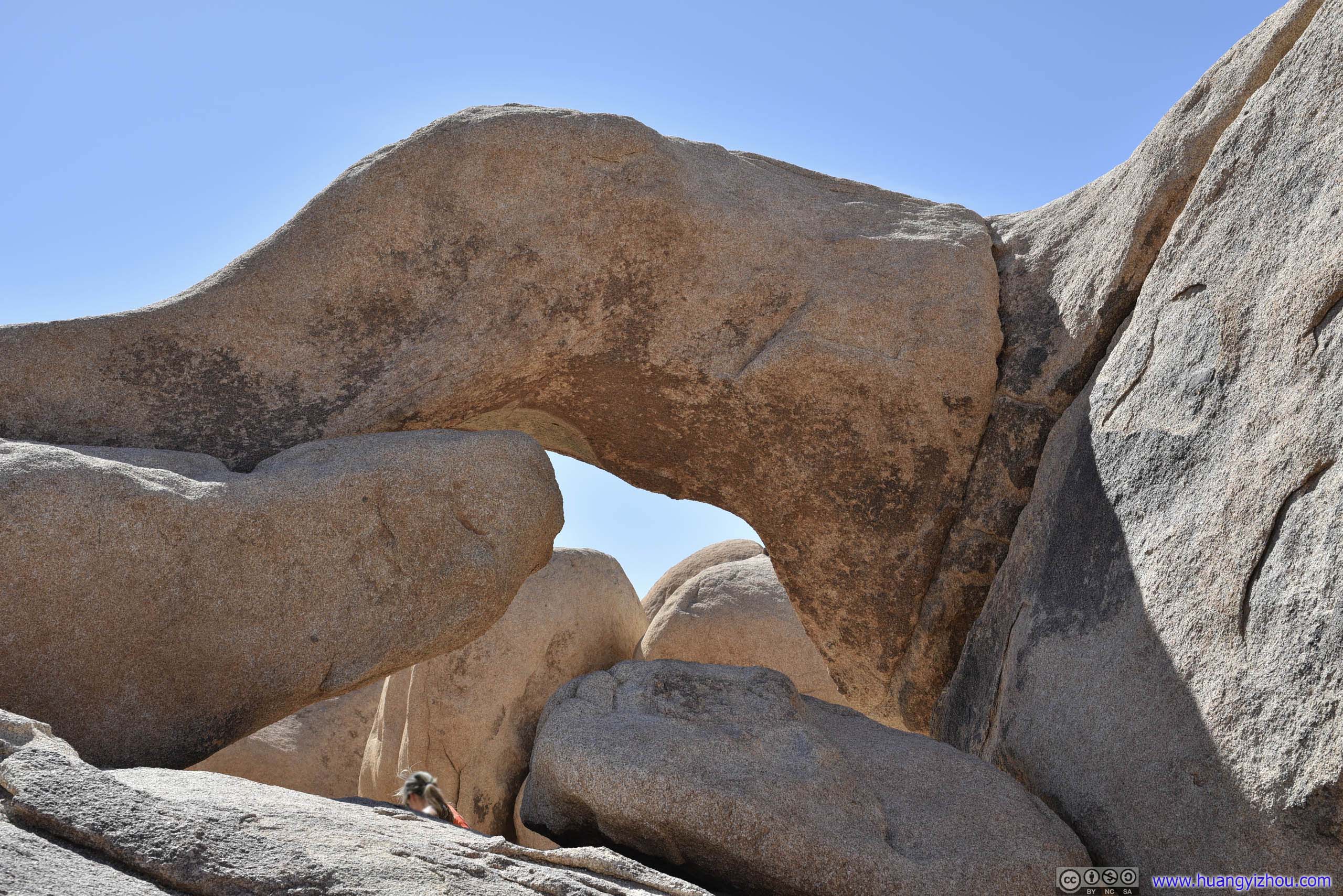
Arch RockLooking from its back. Not as magnificent as its front though.
Lost Palm Oasis
By the time I got back to my car at Arch Rock Trailhead, it’s 3:40pm. I figured I might be able to squeeze a visit to Lost Palm Oasis before the sunset at 7:16pm. So I raced south towards Cottonwood Springs, and started my hike at 4:20pm.
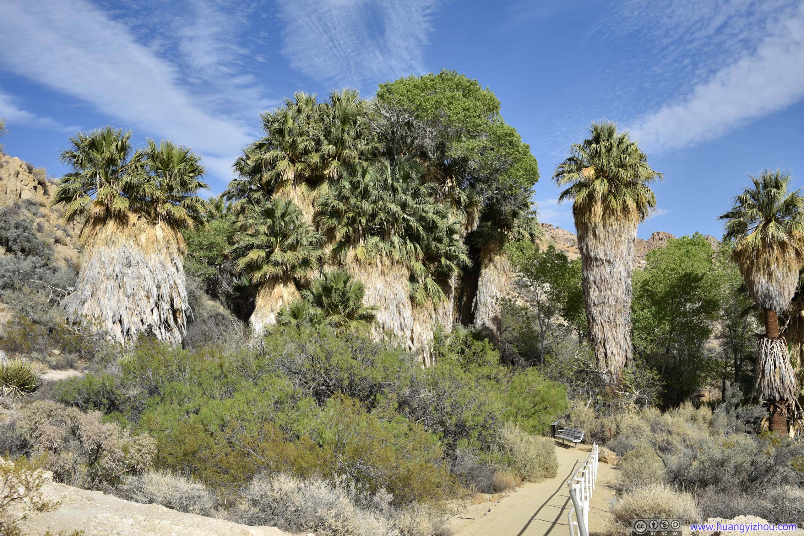
Palm Trees
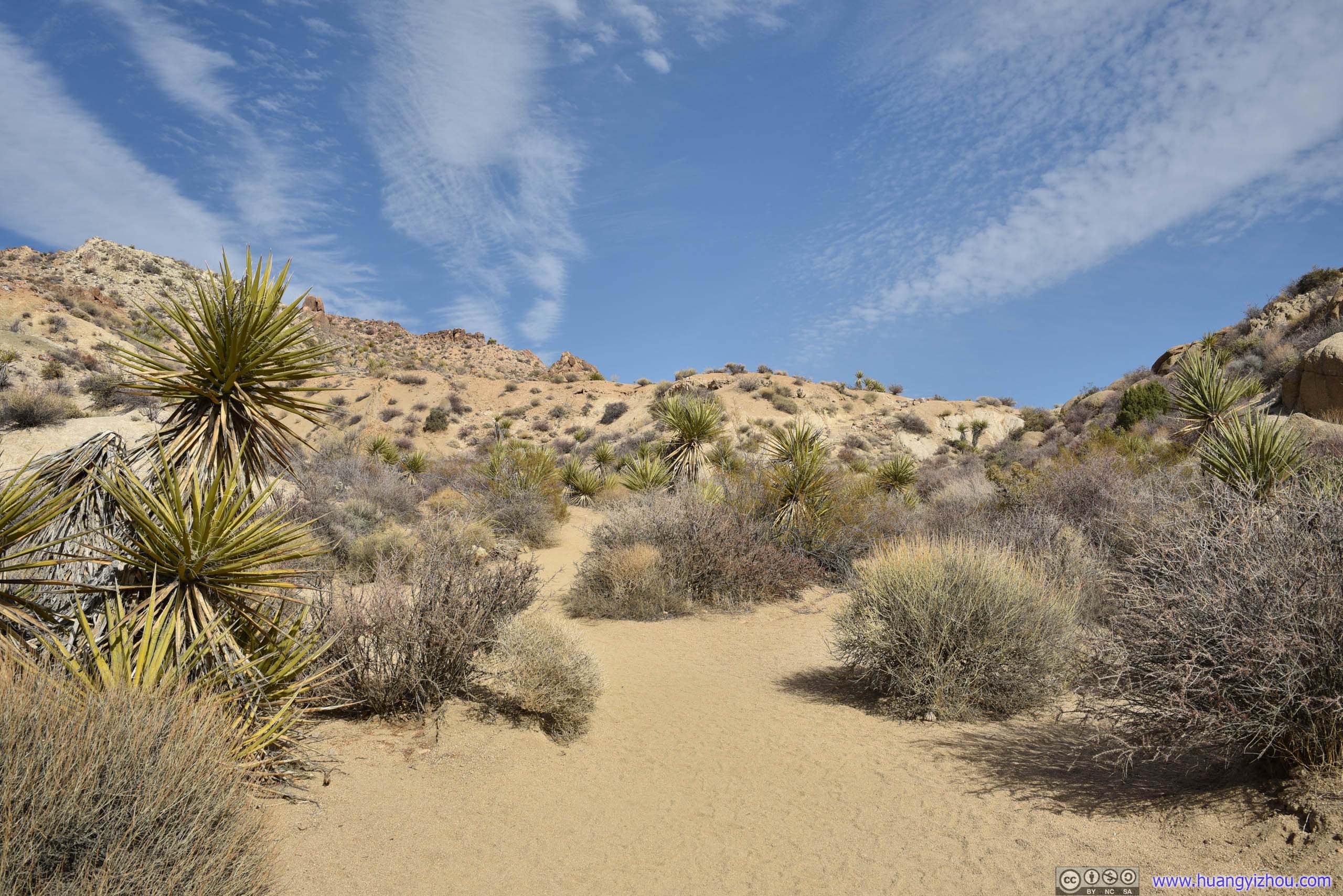
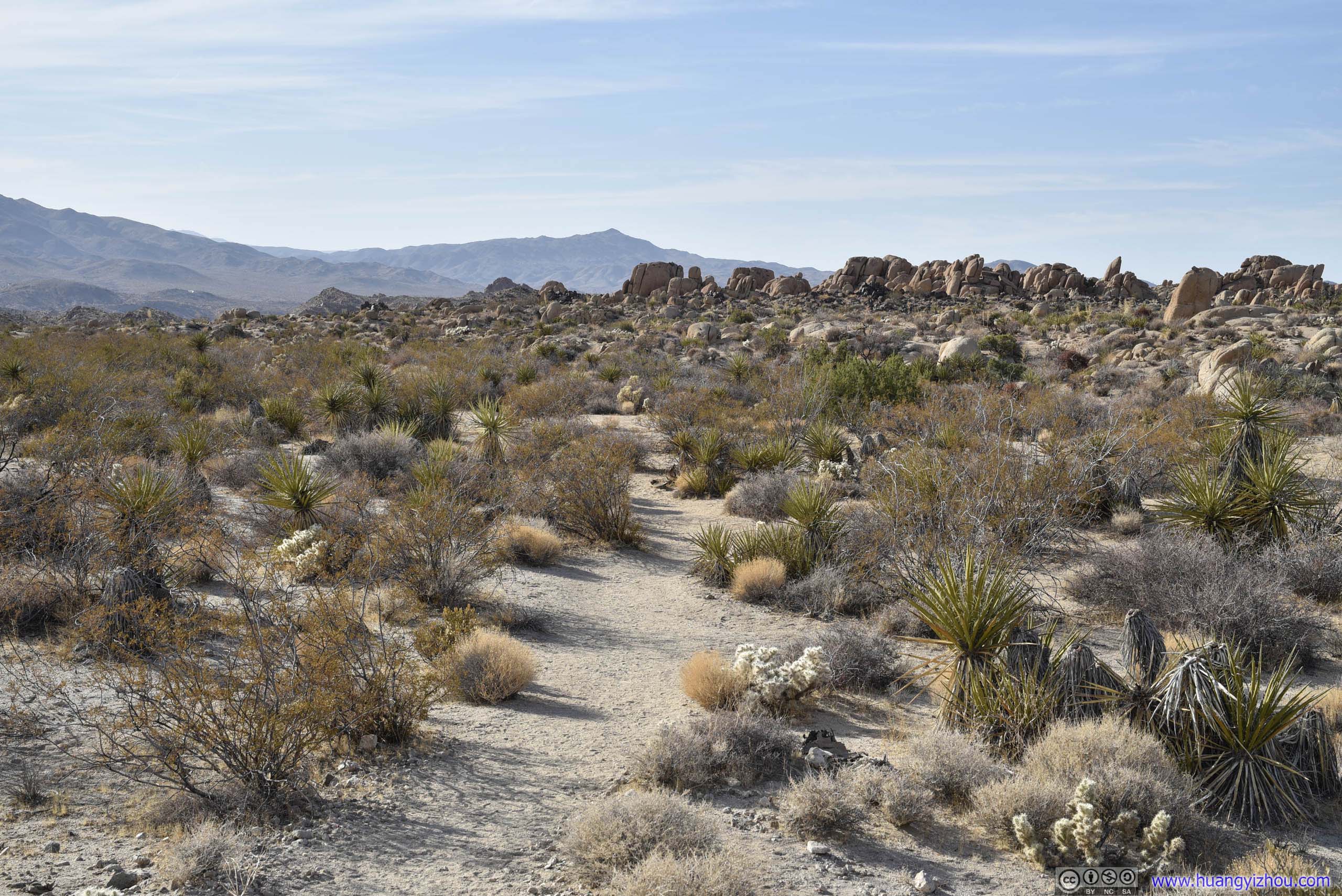
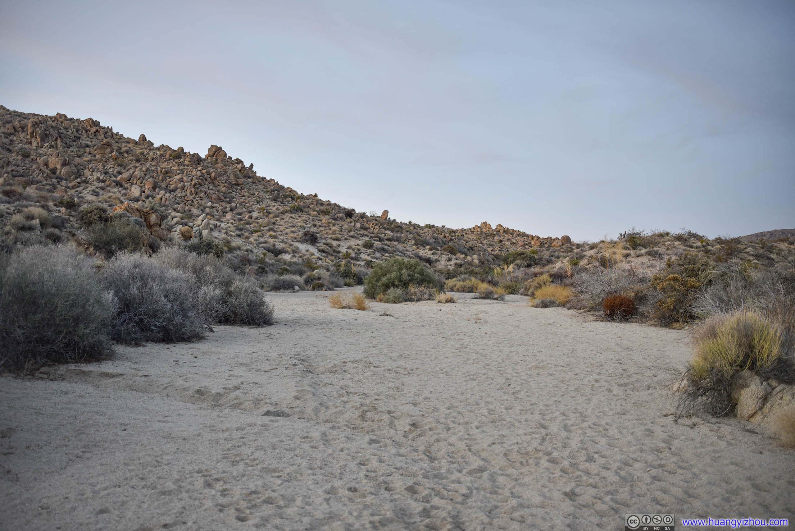
The trailhead to Lost Palm Oasis was at Cottonwood Springs towards the South of the park, named probably for the few palm trees pictured above. After that, it’s a 11.6km out-and-back trail among desert landscape to Lost Palm Oasis, with 313m elevation gain.
Here’s GPS tracking:
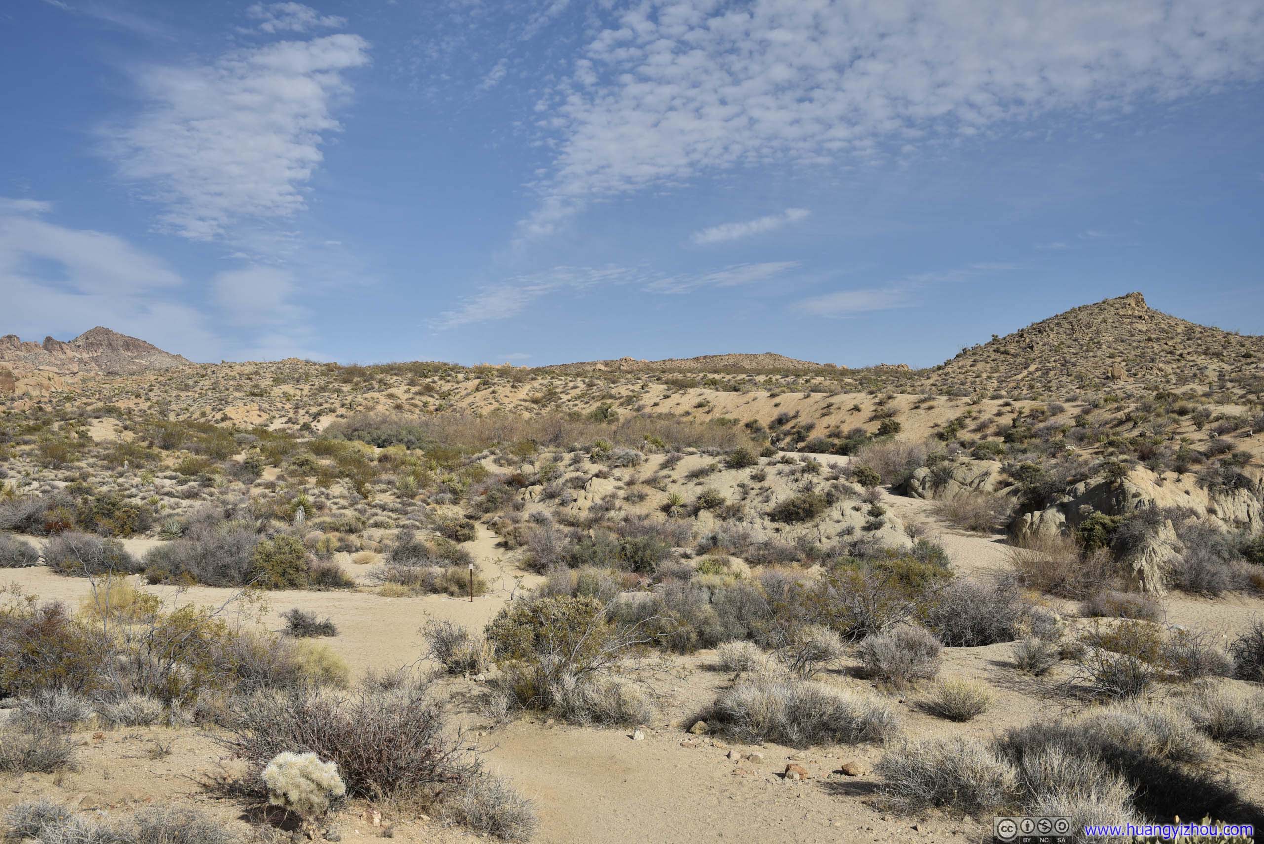
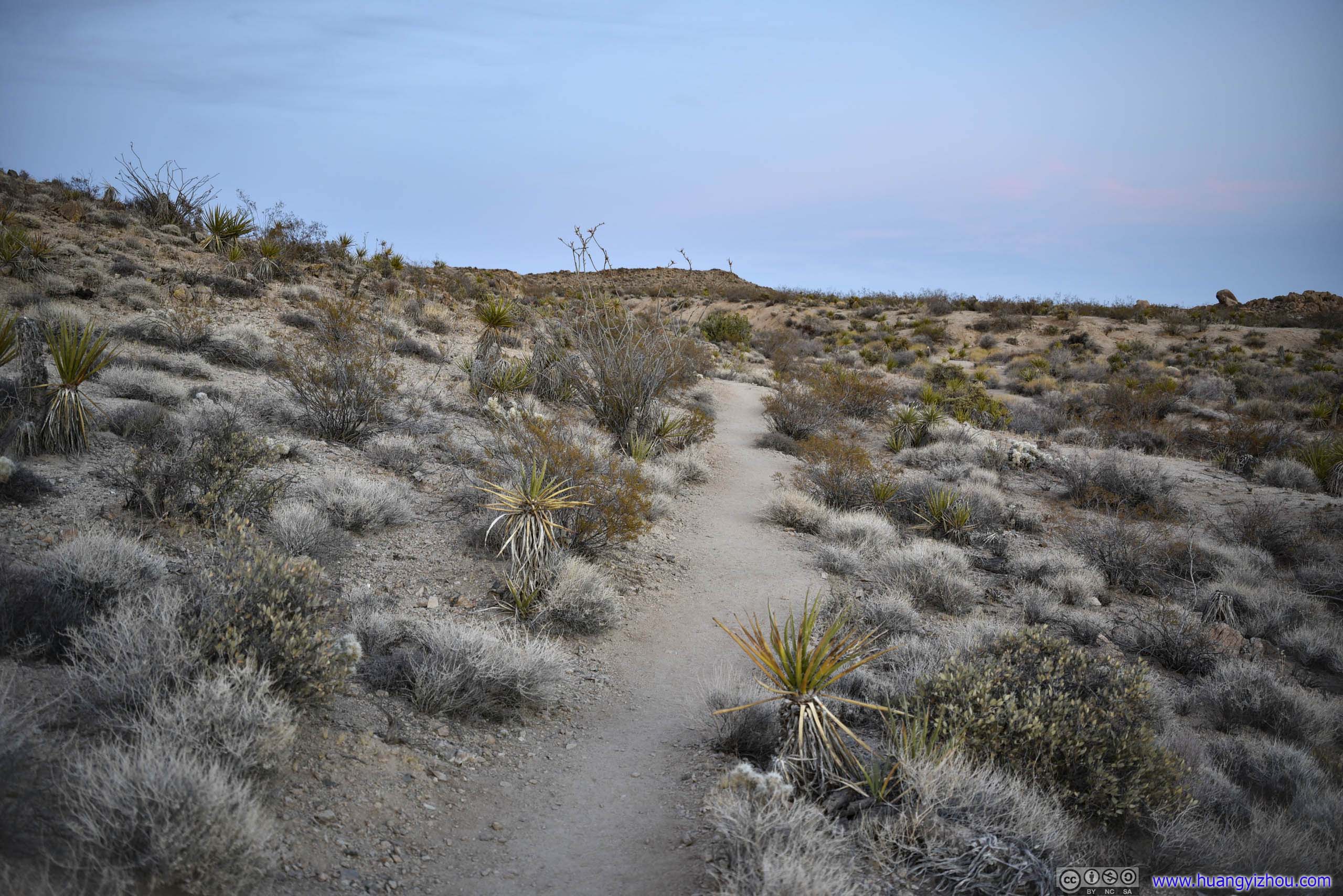
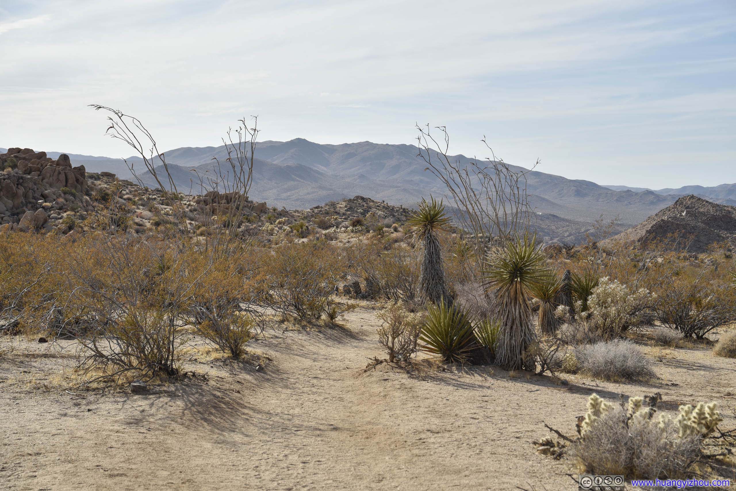
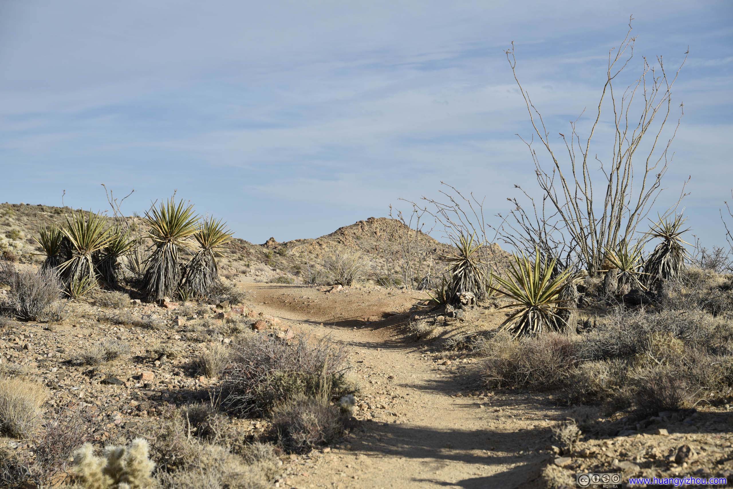
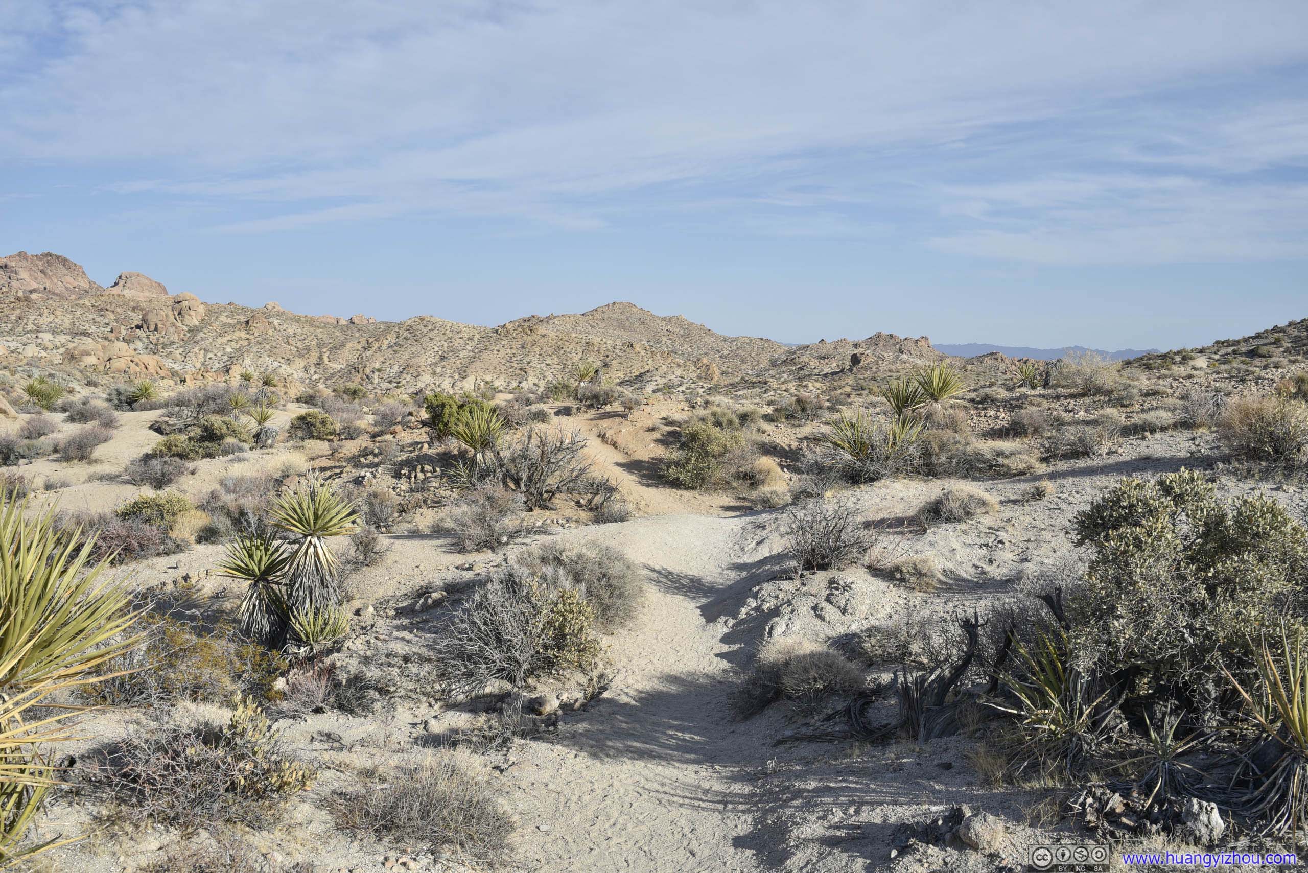
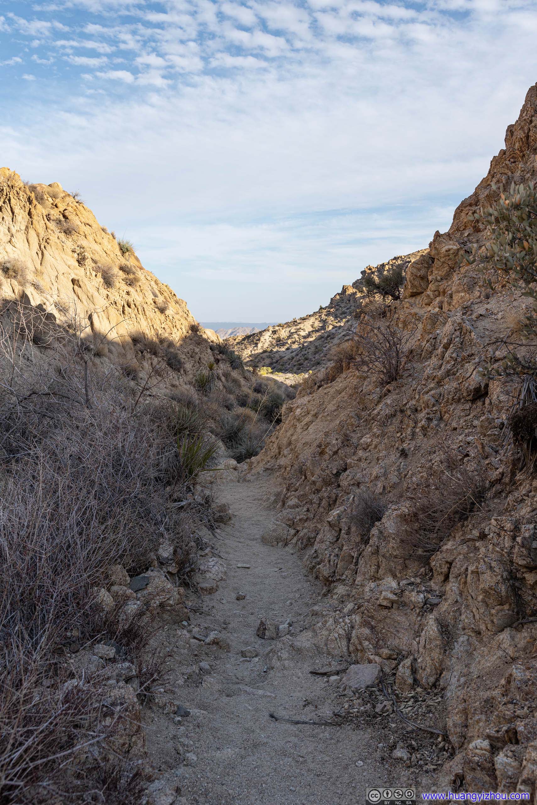
 Trail
Trail
 Boulders
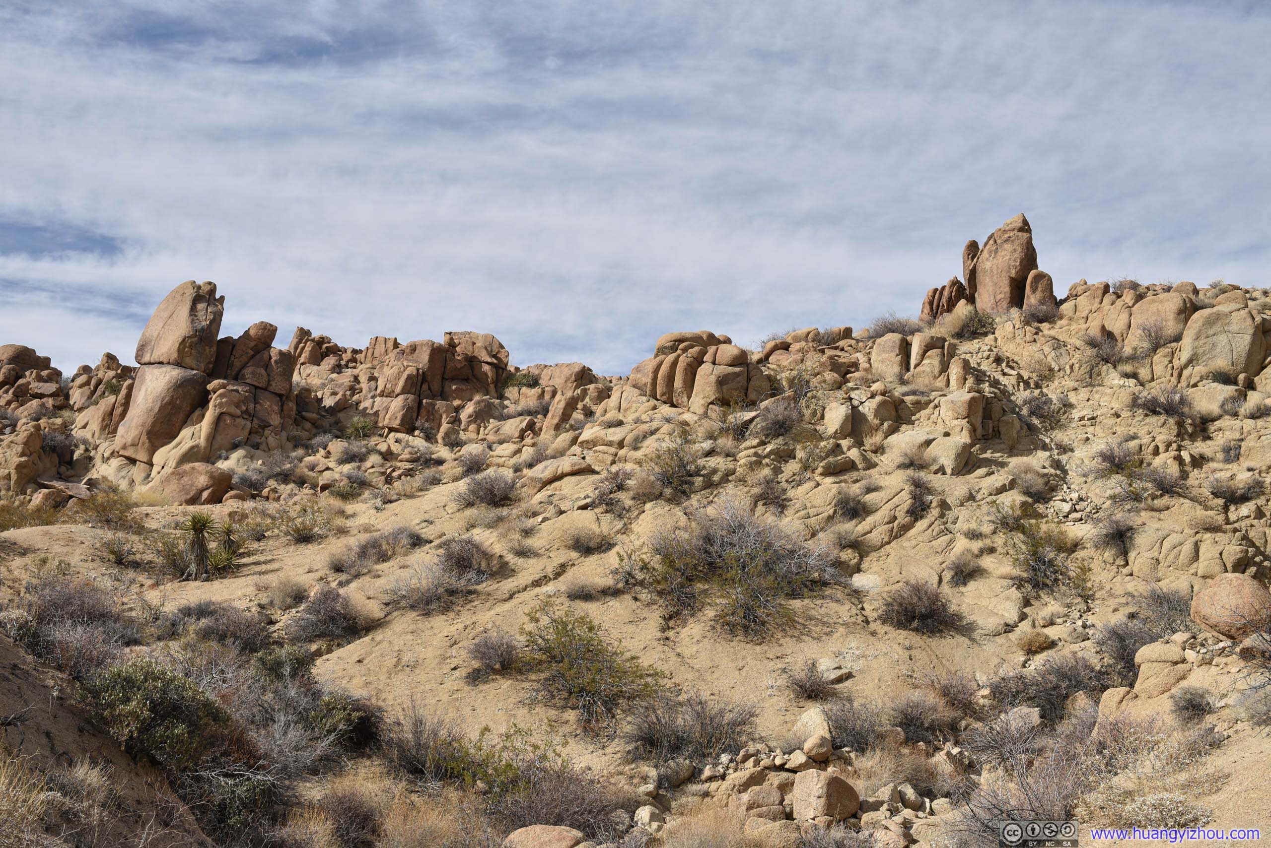
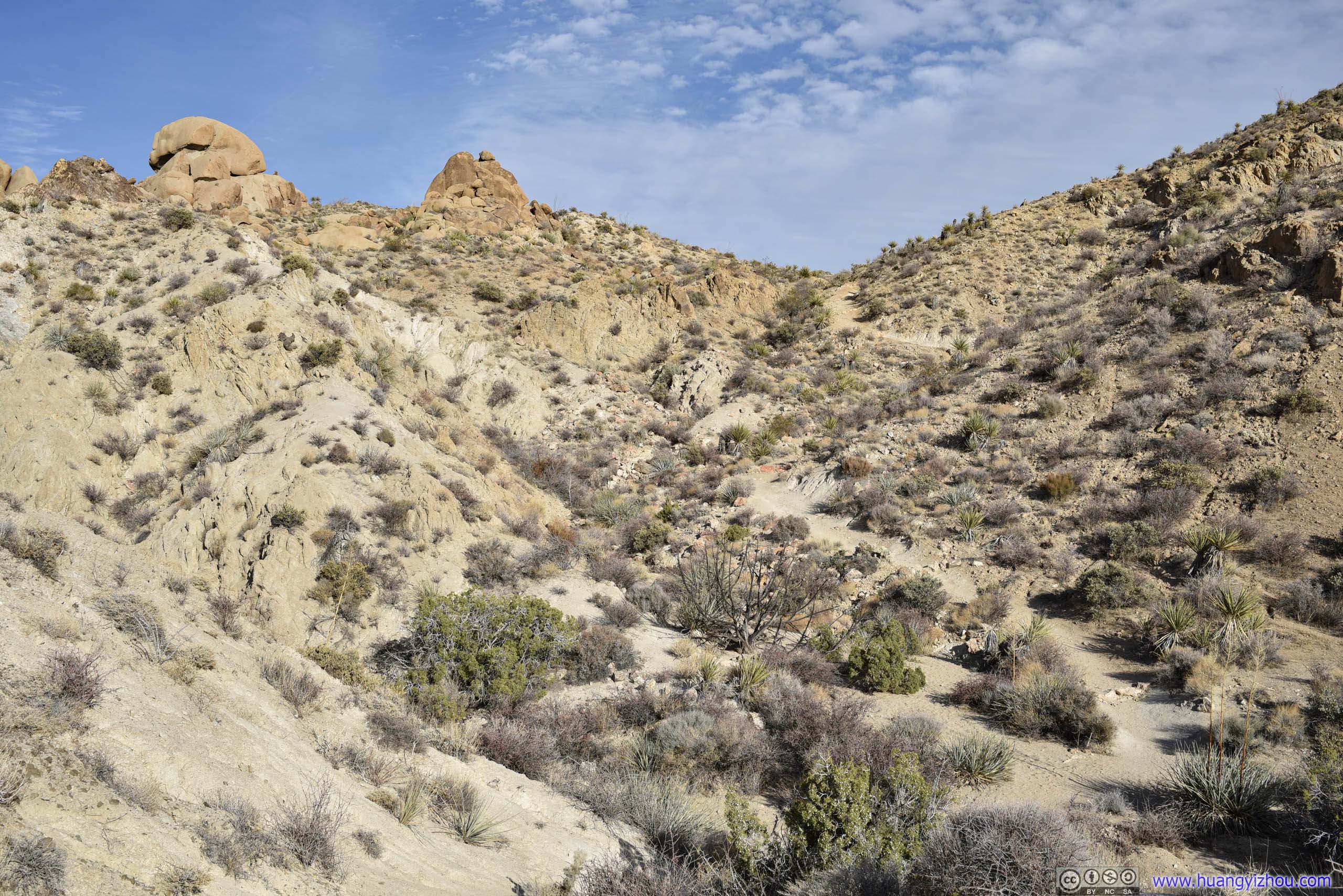
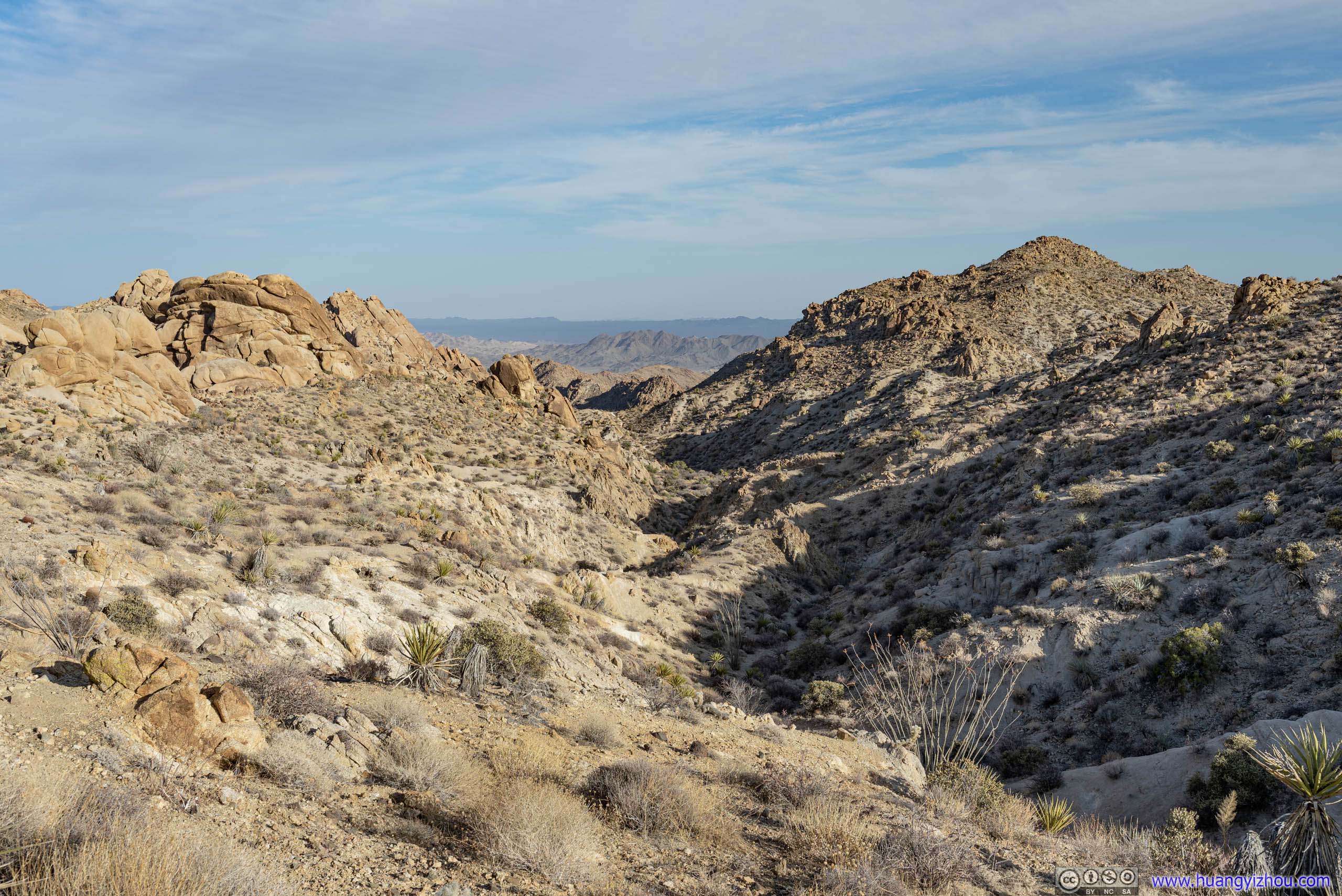
Right from trailhead, one may find the surrounding landscape being dominated by boulders that were ubiquitous in the park. About 1.1km from trailhead, one may turn north(left) and headed onto a loop trail back to Cottonwood Springs, which passed through Mastadon Peak with an abandoned mine.
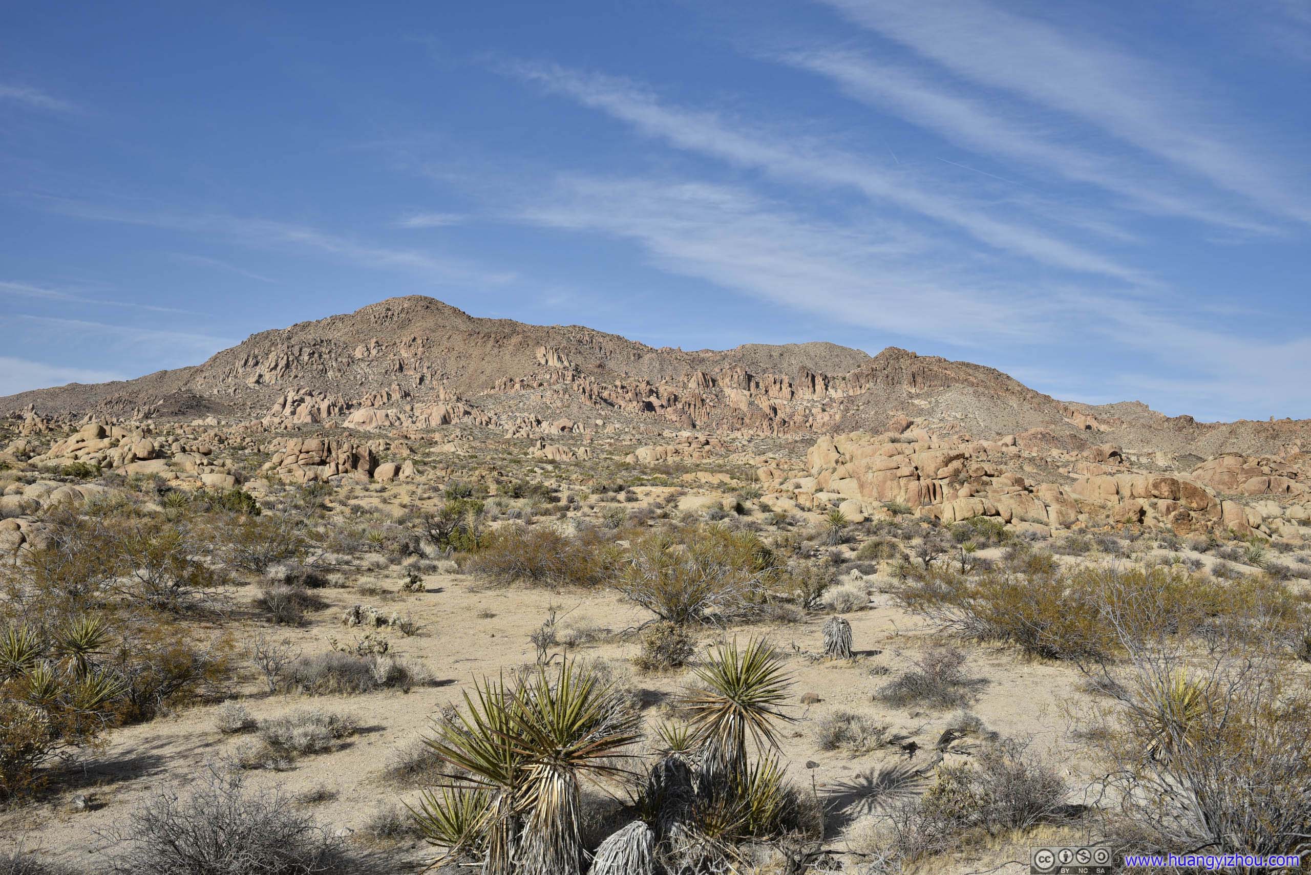
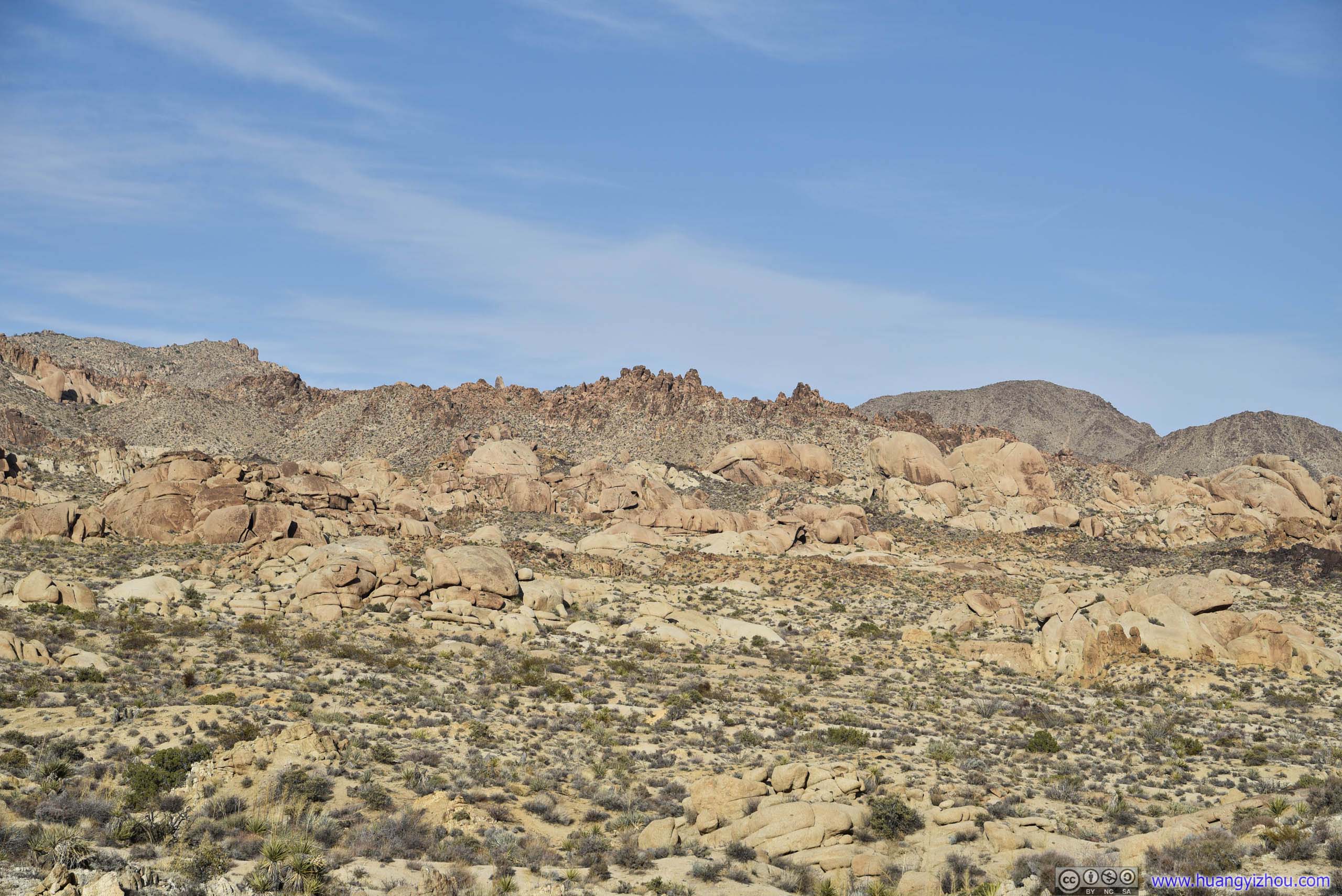
Pressing farther on, the boulders gave way to a more extensive desert landscape.
 Field
Field
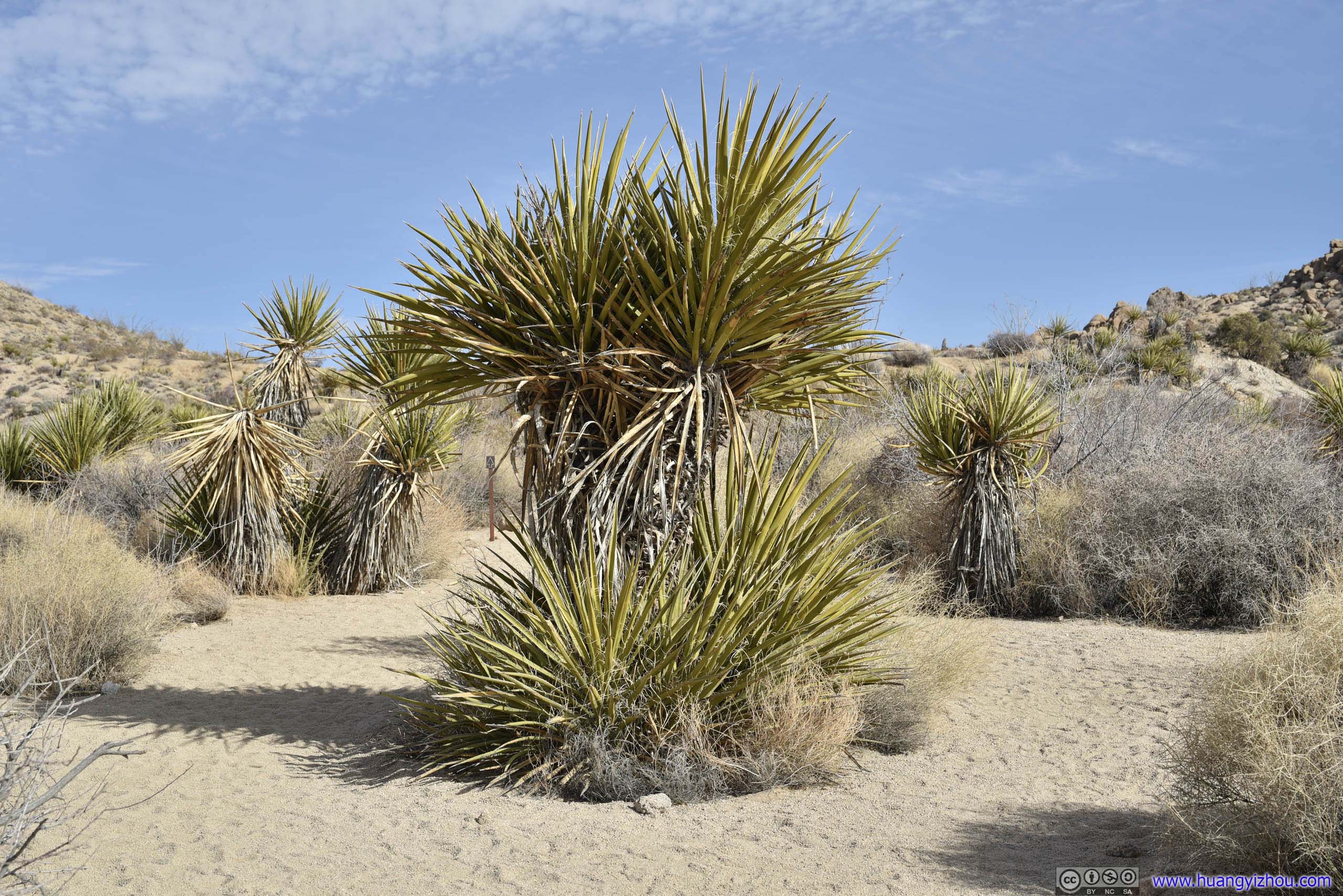
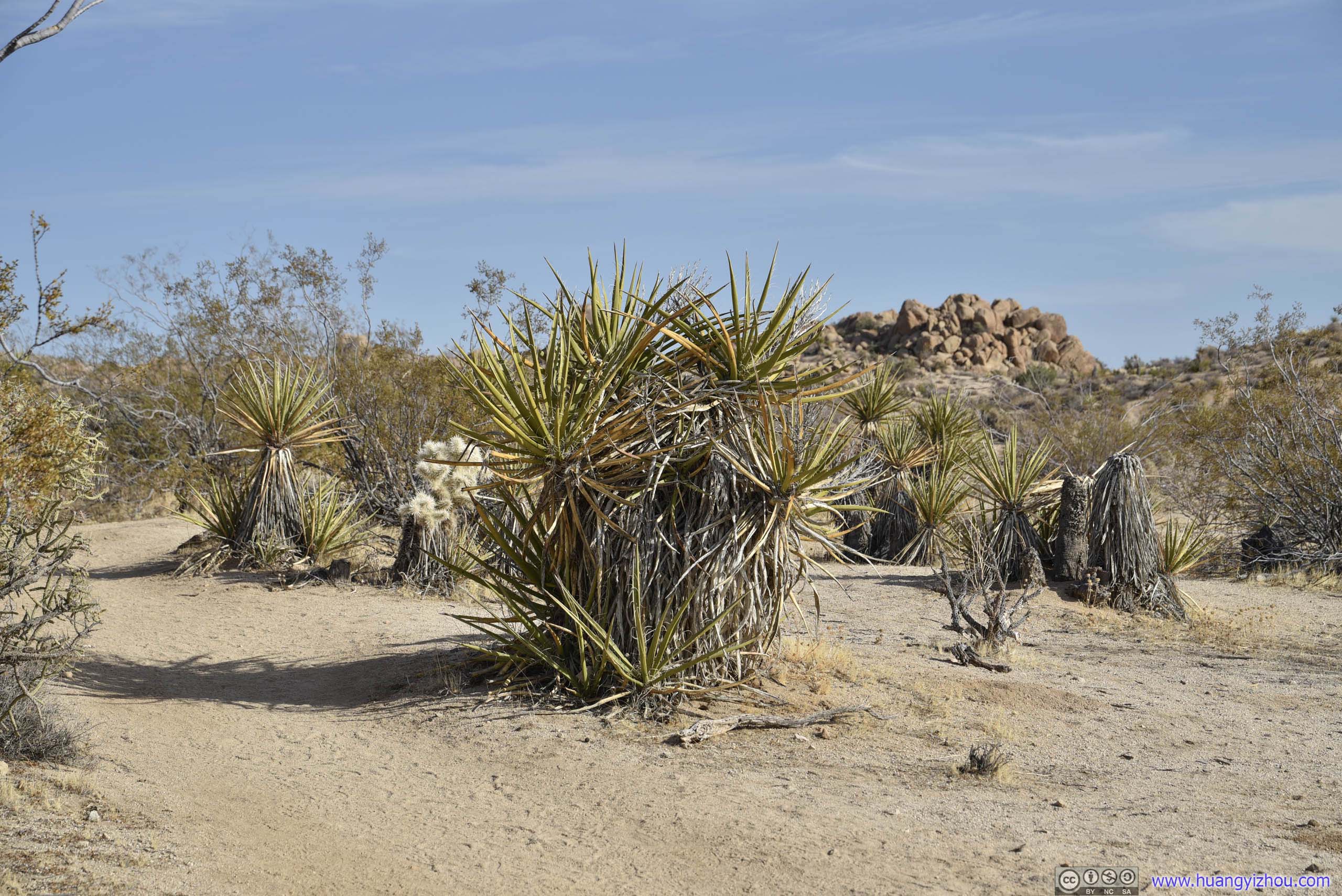
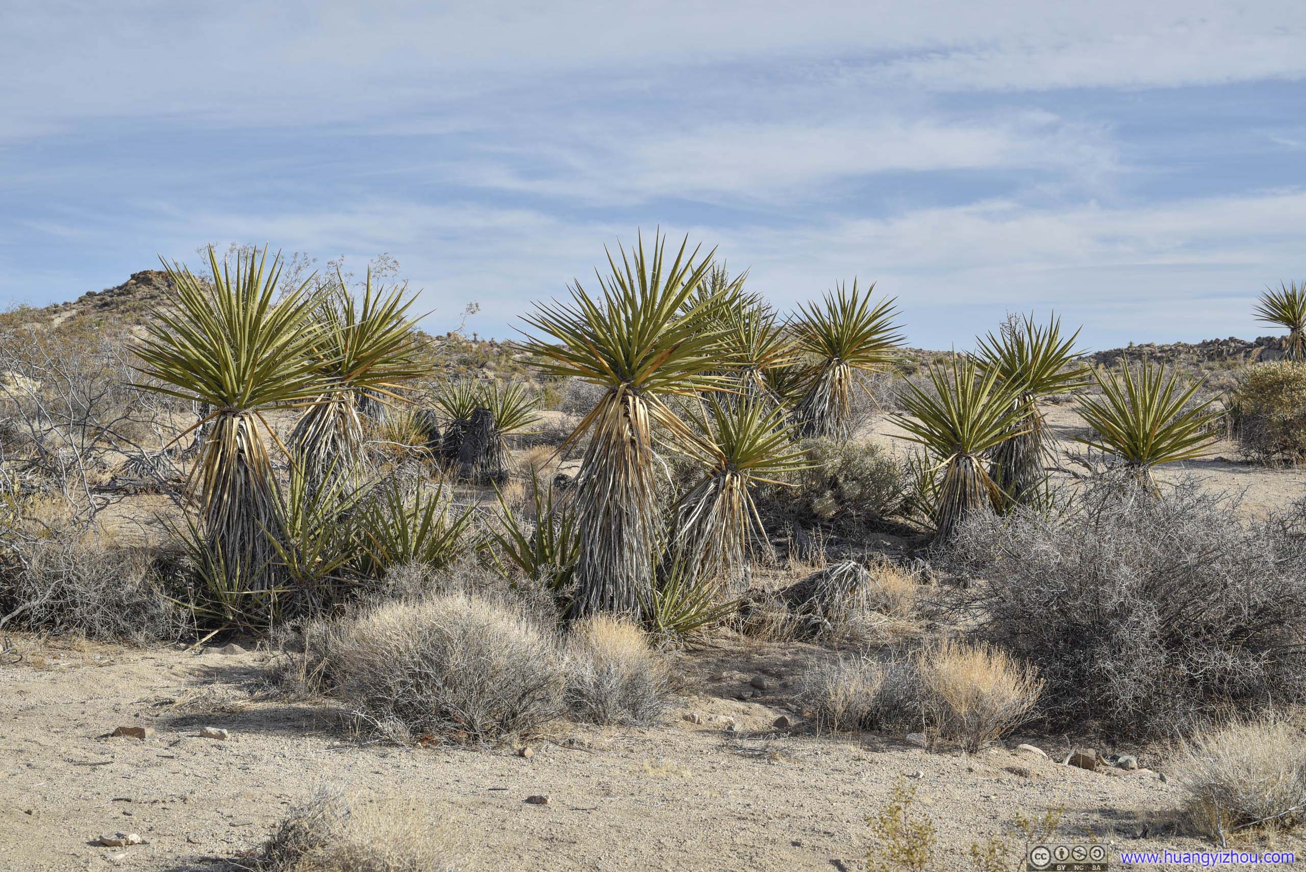
Along the way, this part of the park (Colorado Desert) displayed its unique ecosystem and plants.
 PlantsI don’t know its name, but this plant was certainly popular along the trail.

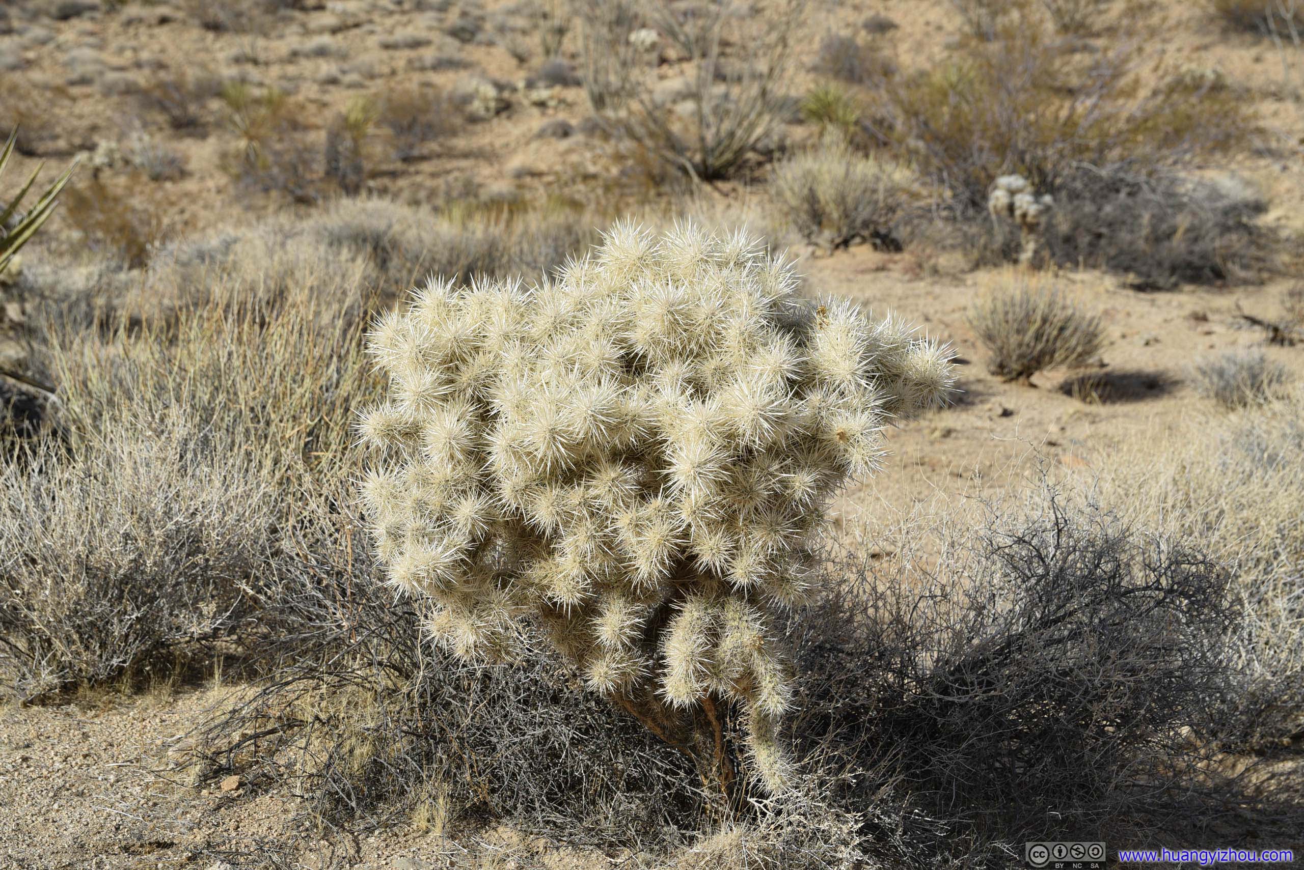
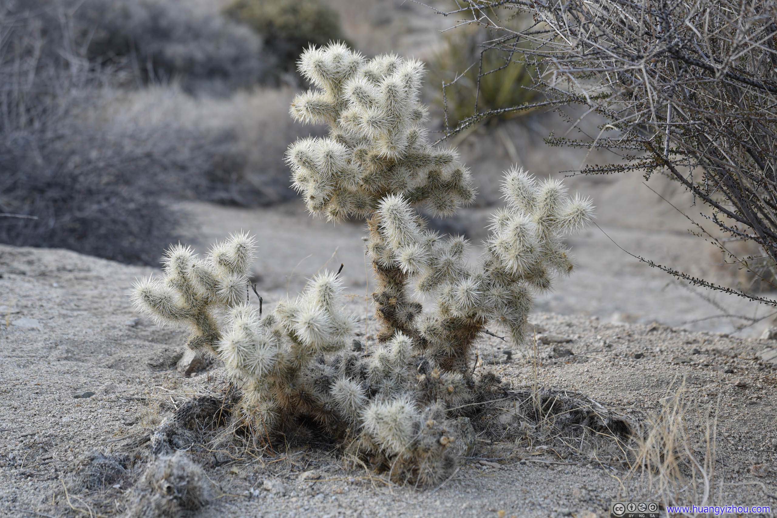 CactusTheir shape looked like coral reef that grew on land.
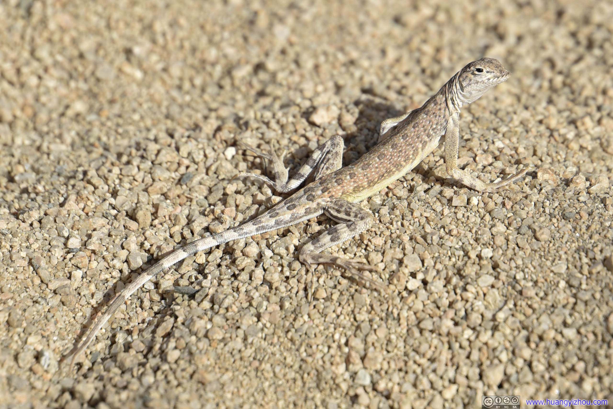
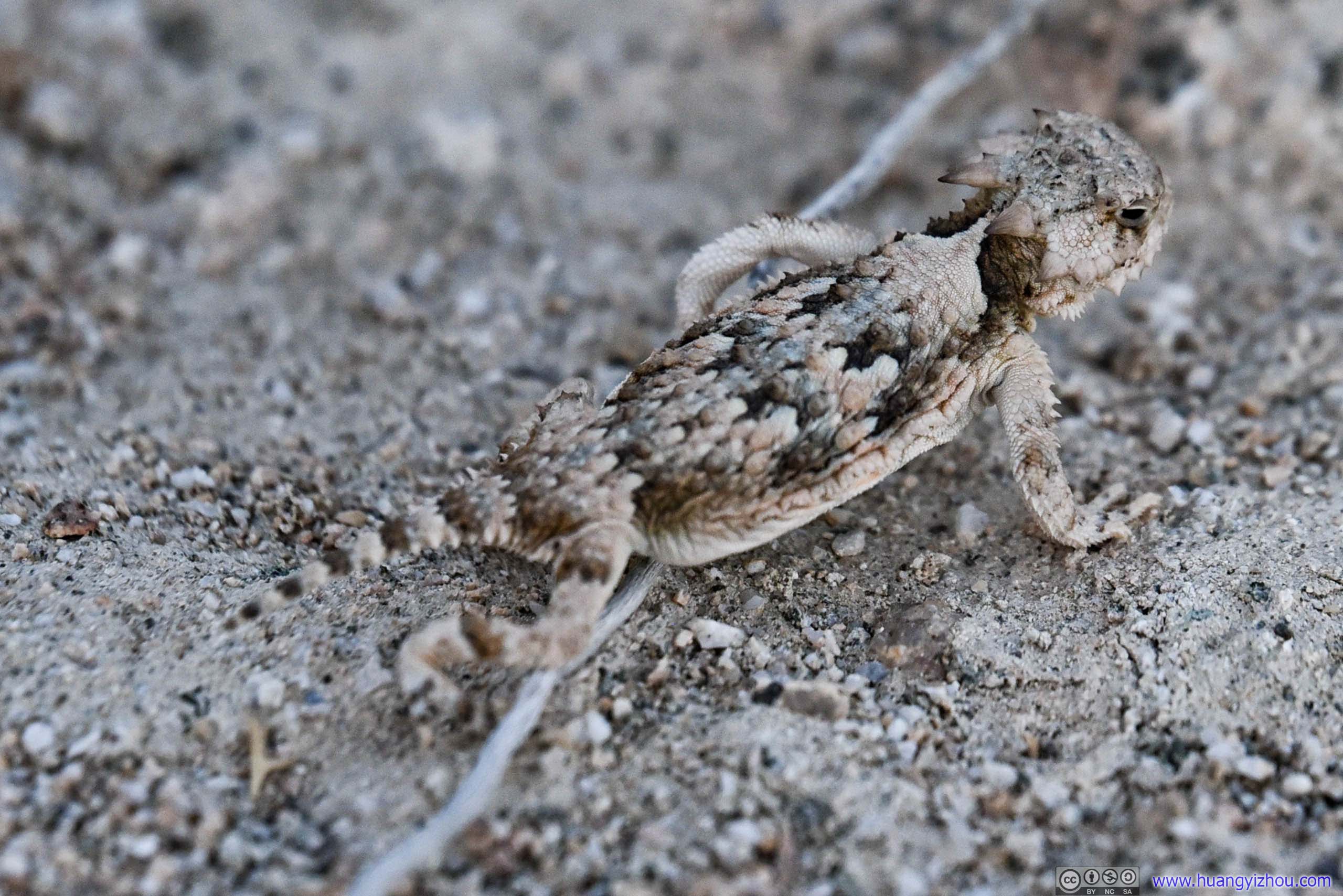 LizardThey were omnipresent in the desert.
 Trail
Trail
 River of SandI guess only during floods would this riverbed be covered in water again.

 Field of RocksTaken on my way to (top) and from (bottom) Lost Palm Oasis, wearing different colors.
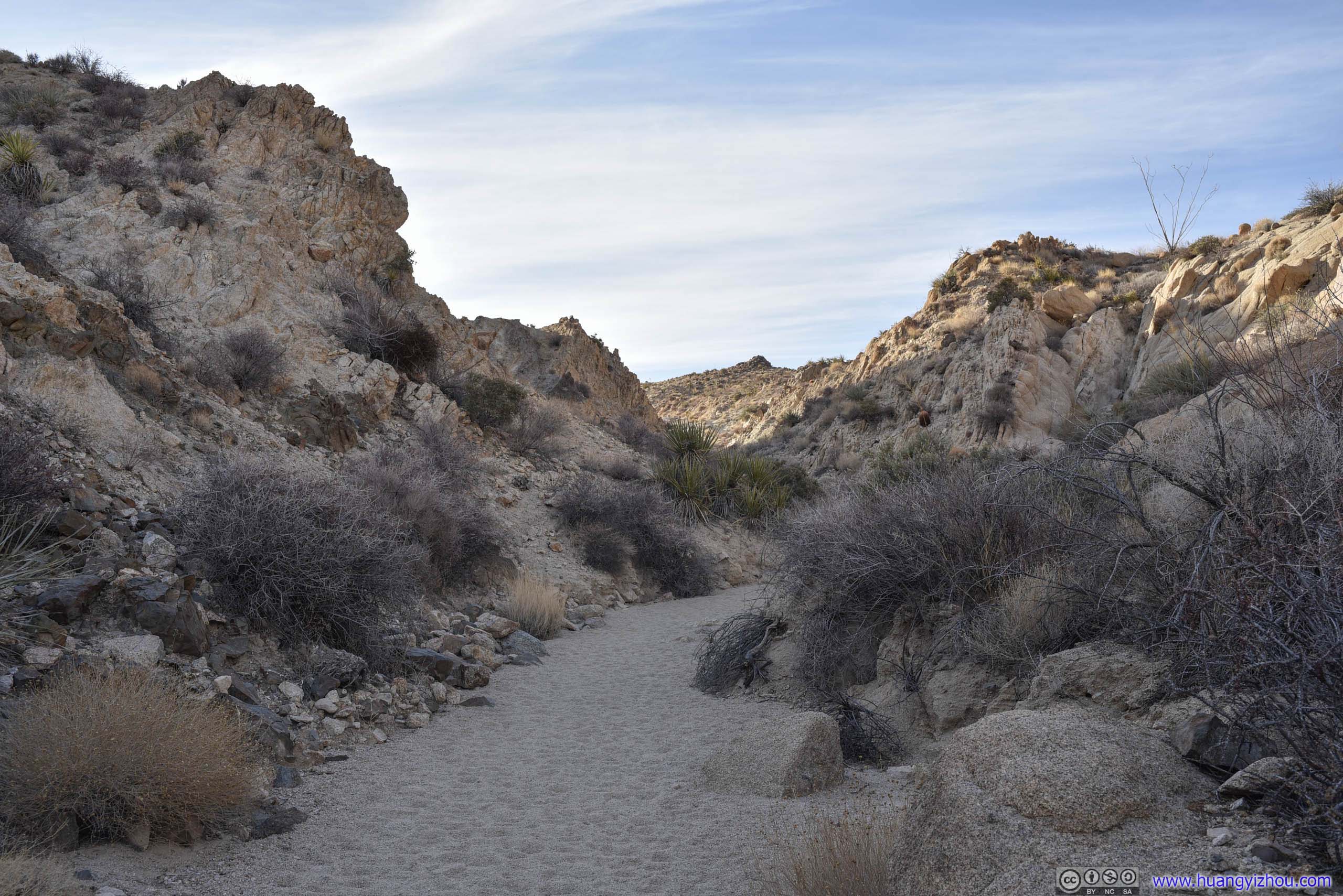
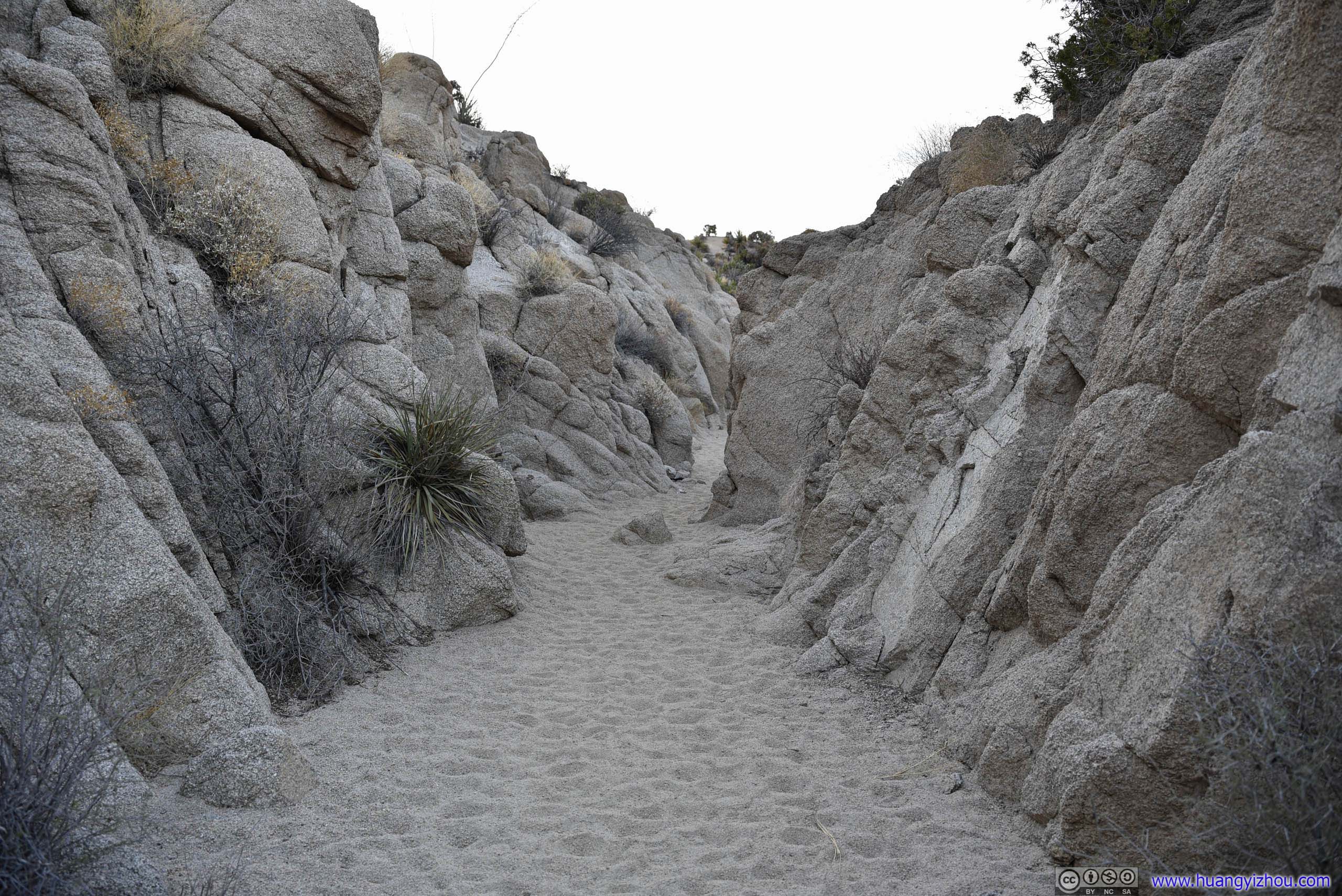
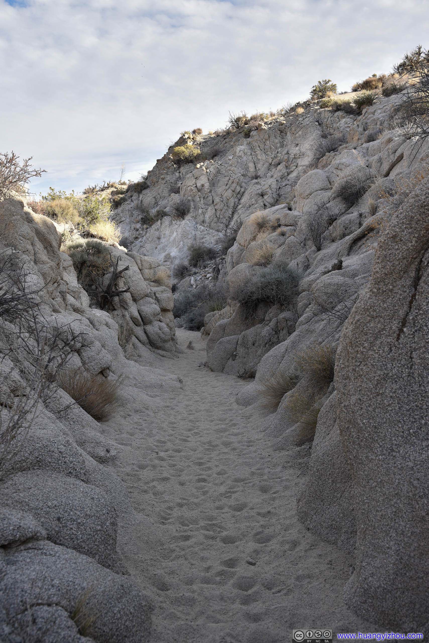
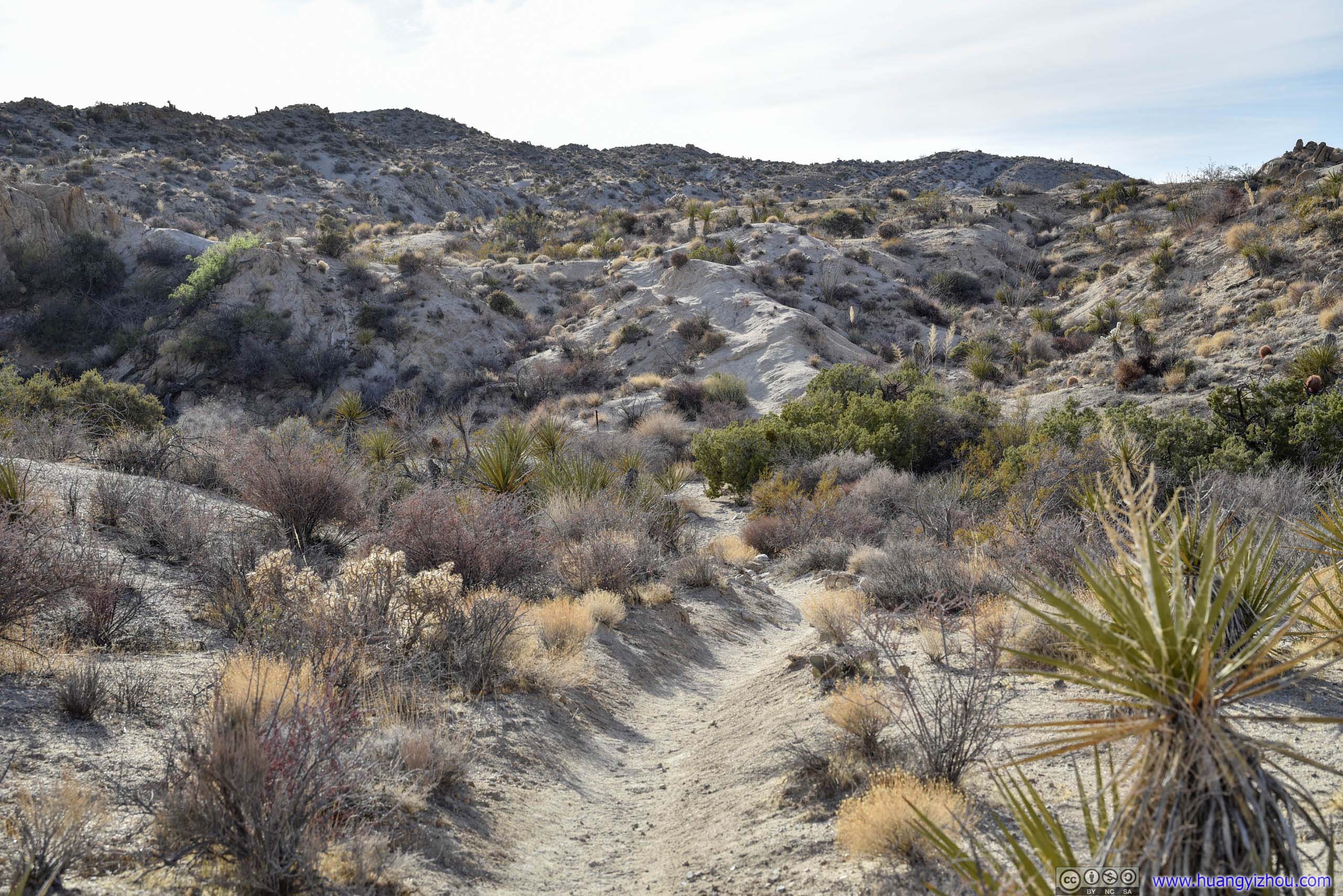
 TrailAt times the trail would enter narrow valleys.
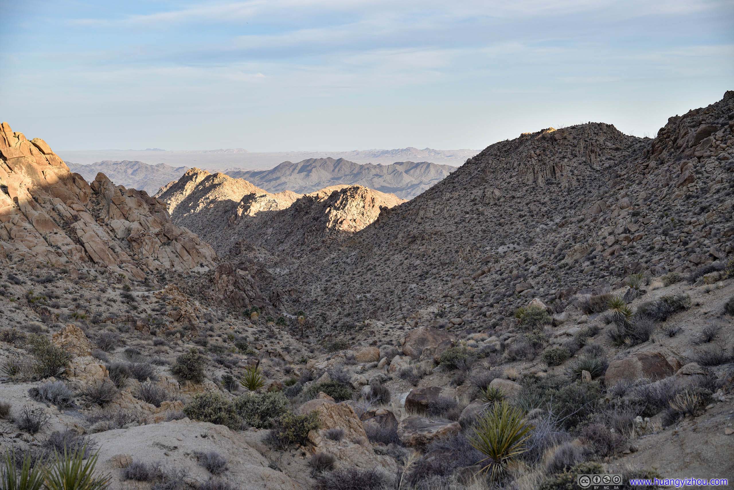
I should say the trail wasn’t very well marked, especially towards the end where the landscape started to get more mountainous. I did go slightly off trail during my return, which didn’t hurt as much navigational-wise as ecological-wise.
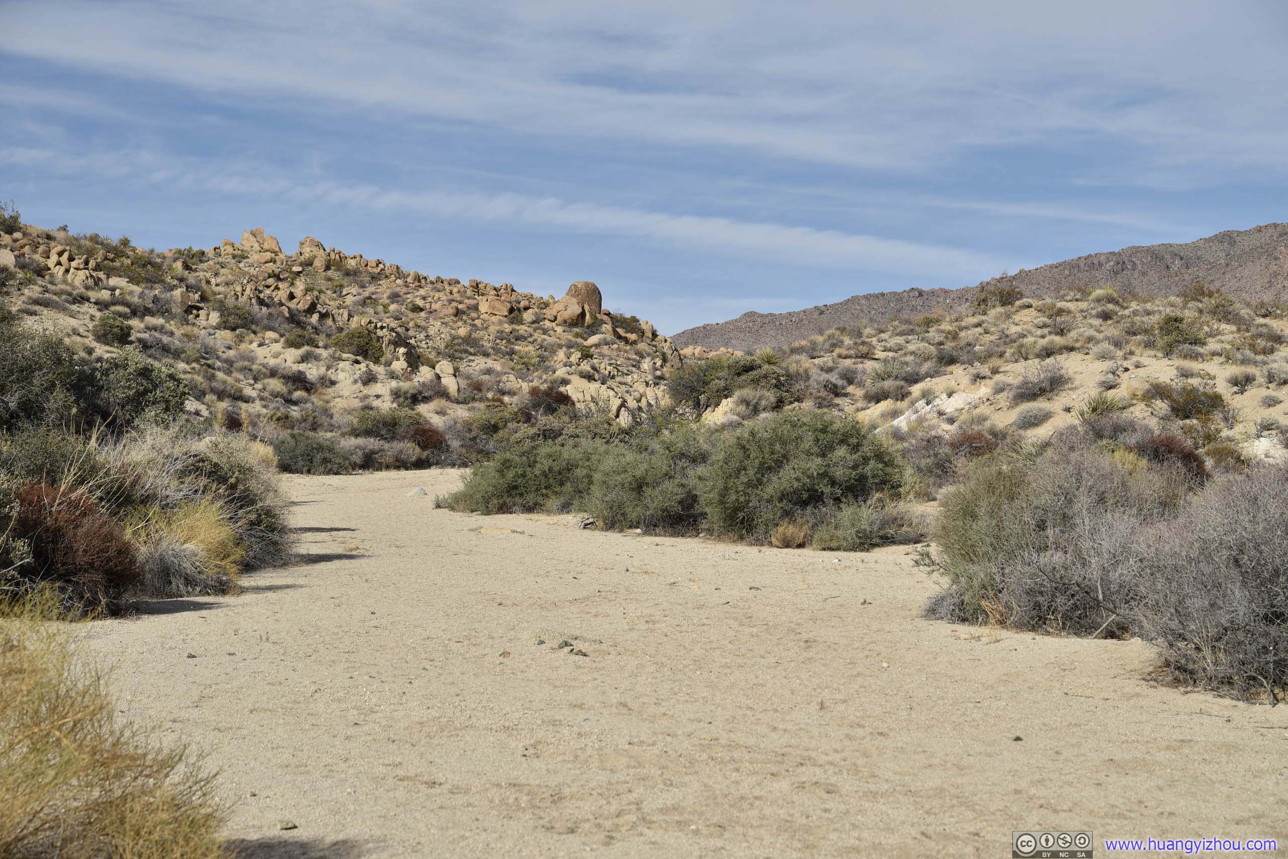
Canyon
 Boulders
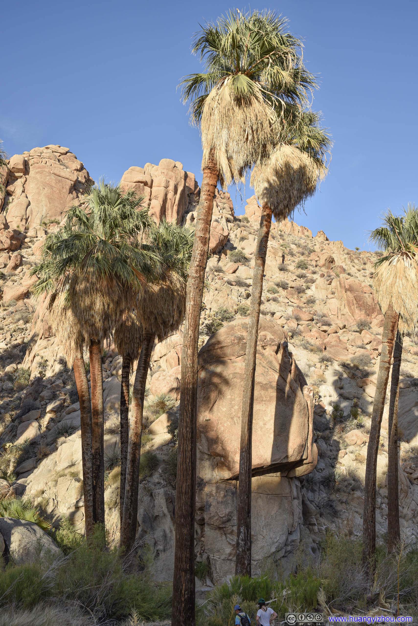
Oasis
5.5km from trailhead, one would reach the end of “established” trail. A left turn here one would descend down a valley where Lost Palm Oasis was located. The descent was a bit steep in places (class 1), caution was advised.
 Valley at Trail’s End and Distant Palm Trees
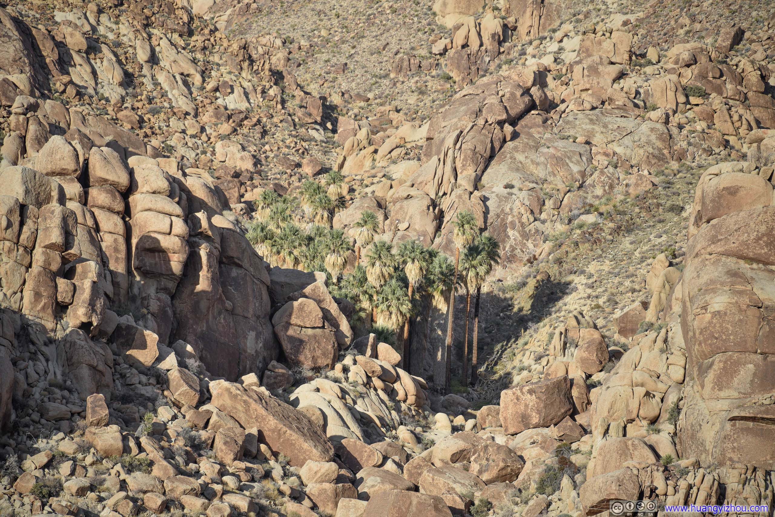
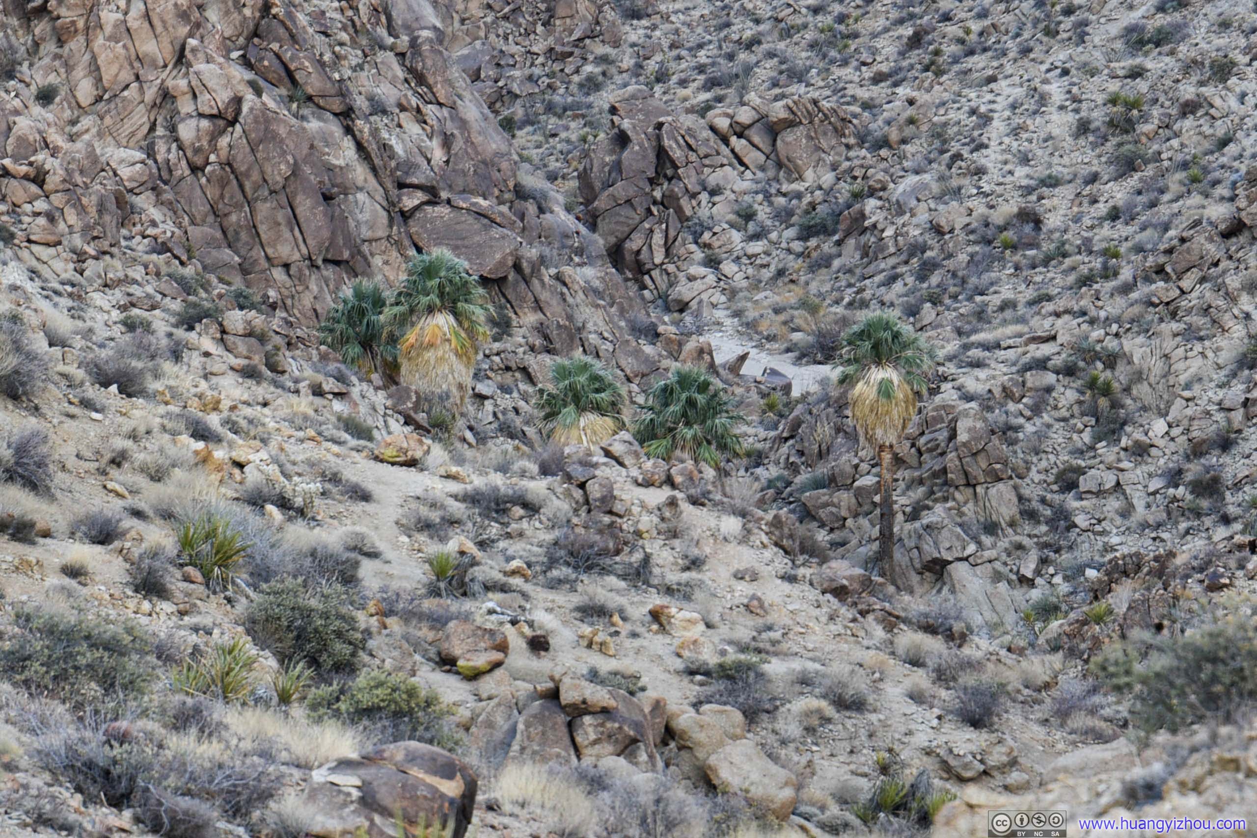
Distant Palm TreesUp a valley beyond reach. These distant palm trees were visible without leaving the established trail and descending down the valley.
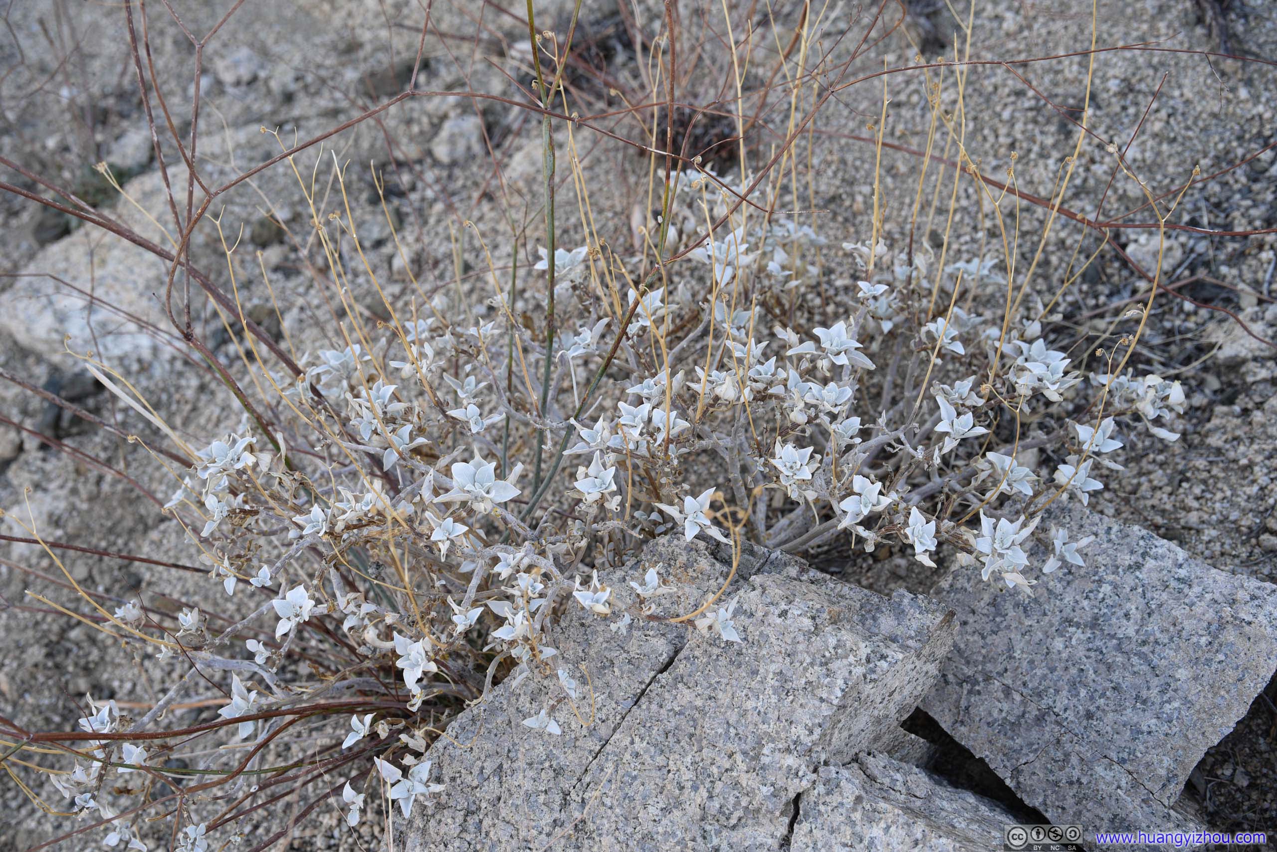
FlowersThe flowers seemed so solid and lifeless.
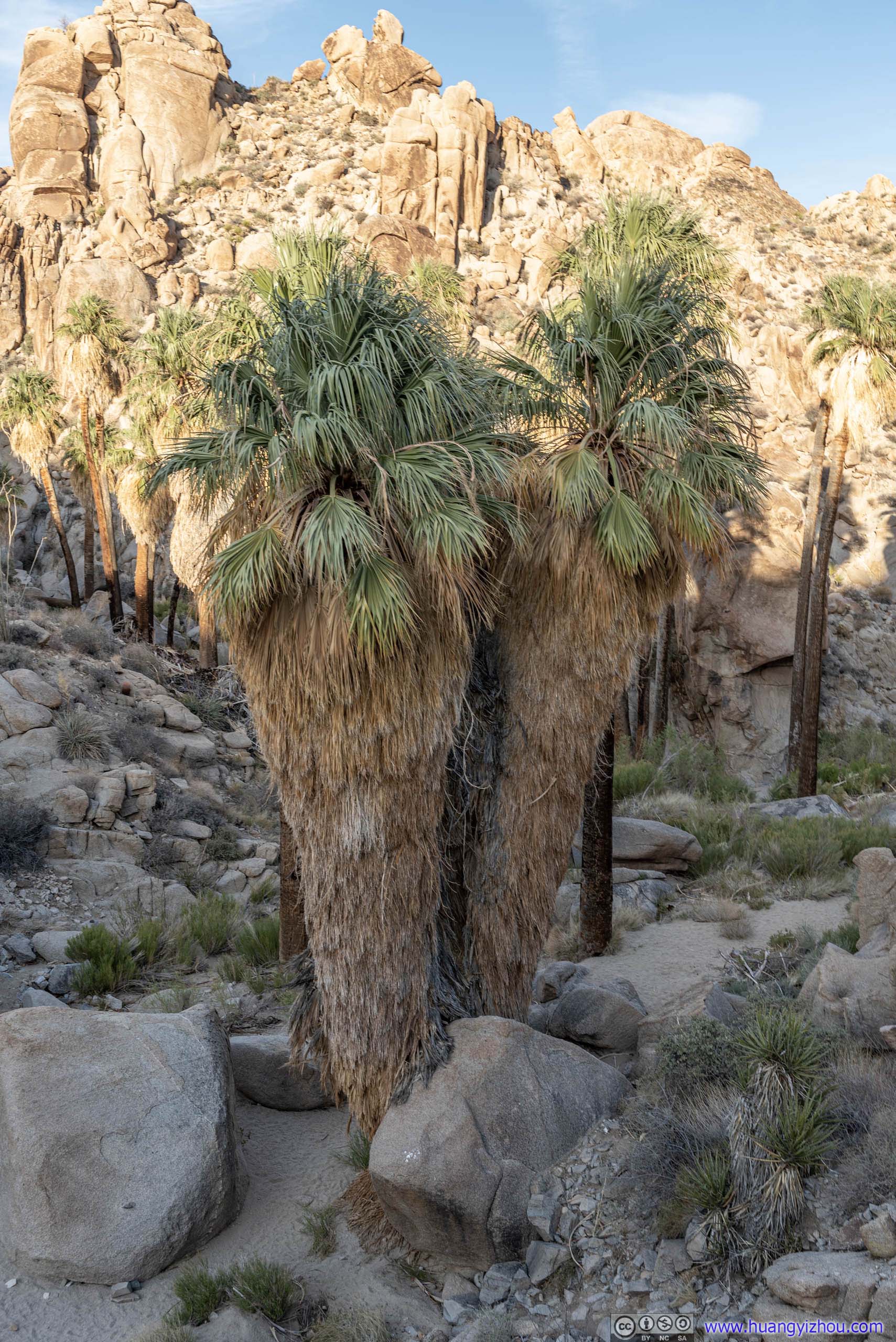
Palm TreesComing down from hill, these quadruplets were first to greet one’s sight.
After descending down the valley, I was at the base of the oasis, under the canopy of soaring palm trees. After hours of long trek, I could certainly appreciate the excitement when desert travellers caught sight of an oasis.
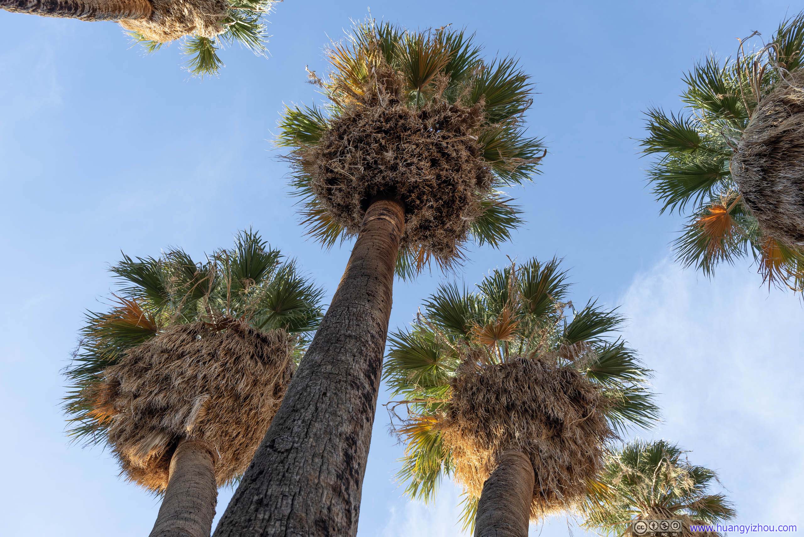
Palm Trees
Unfortunately I wasn’t such desert traveller, and my excitement was short-lived. While it’s called “oasis”, it’s a bit far from what I expected as I didn’t find any bodies of water nearby. The annoying presence of bugs certainly indicated the existence of water that’s hidden from my sight.
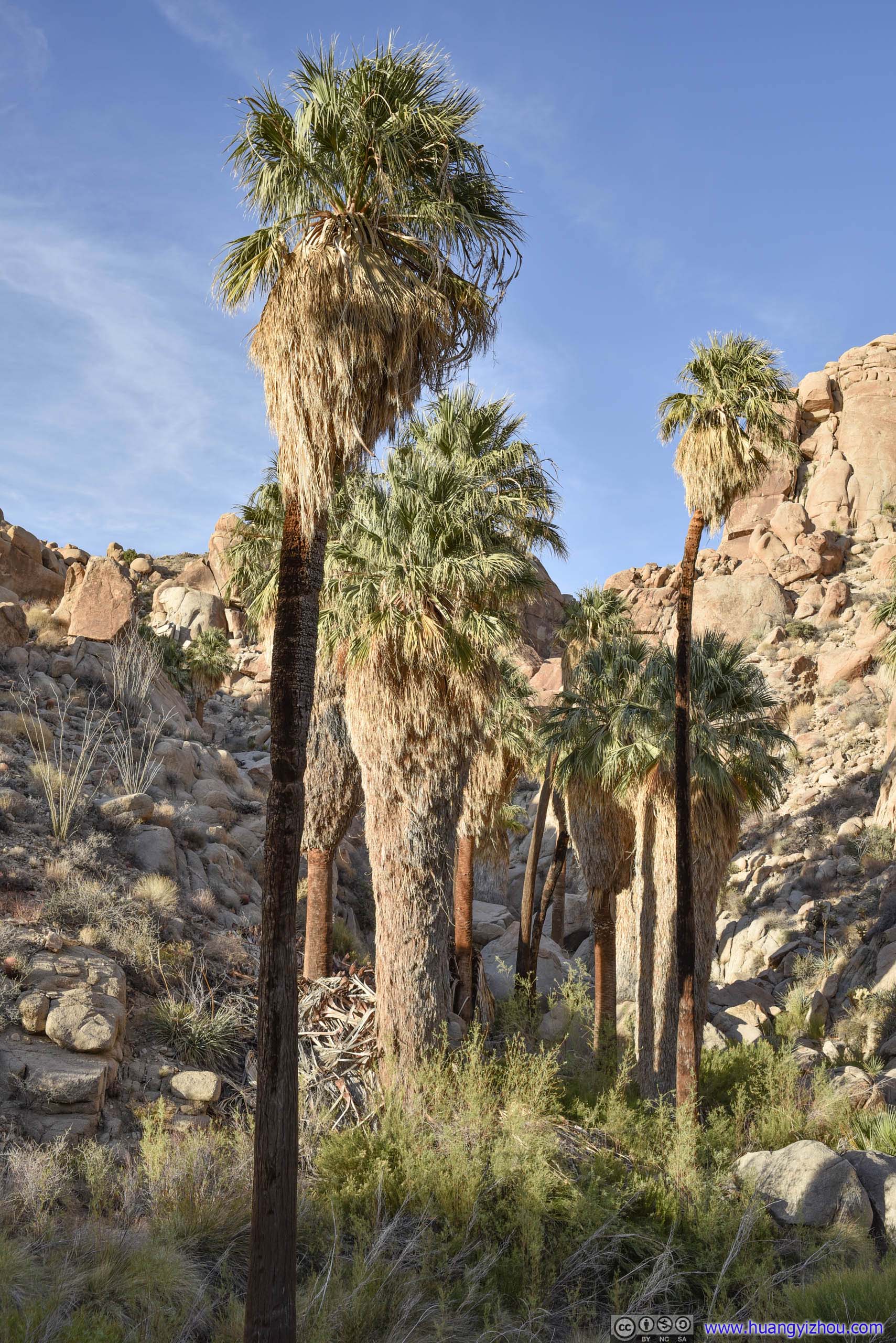
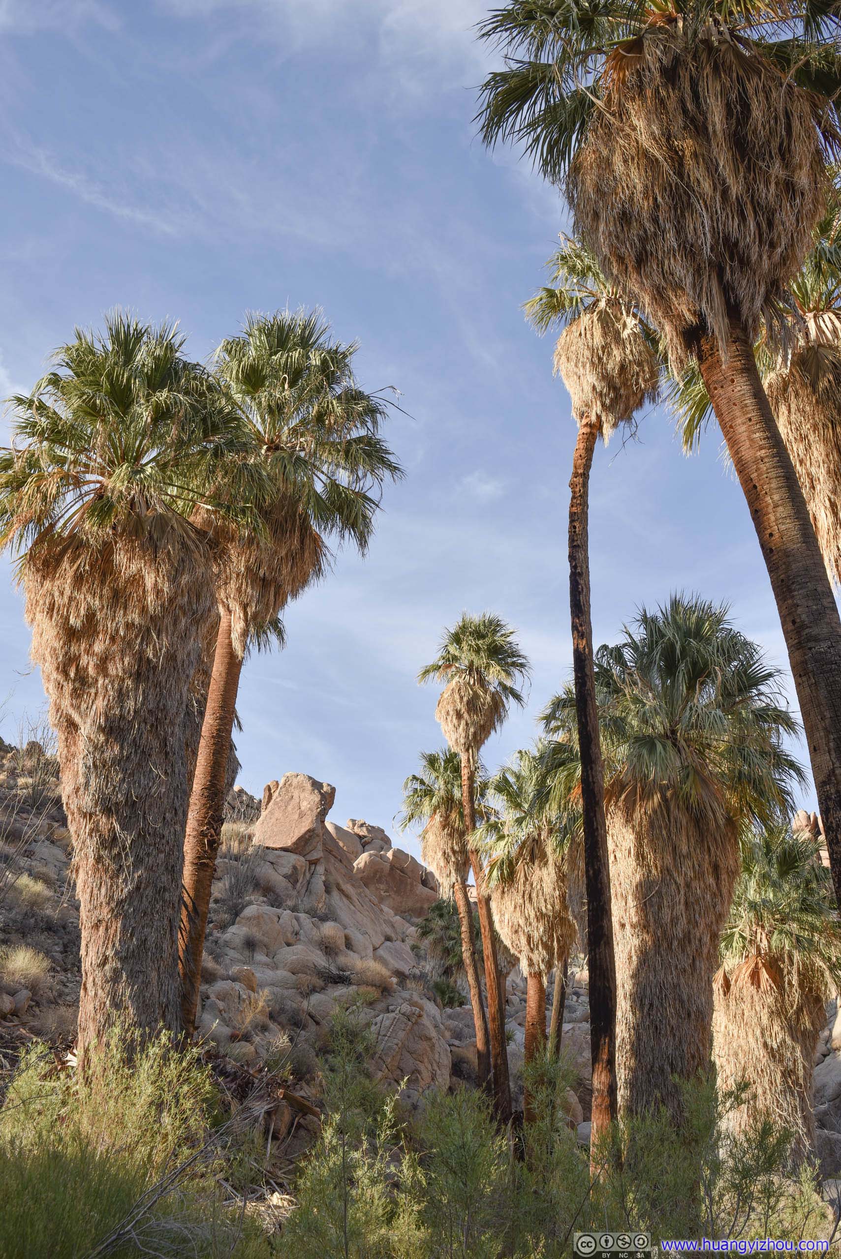
 Palm Trees
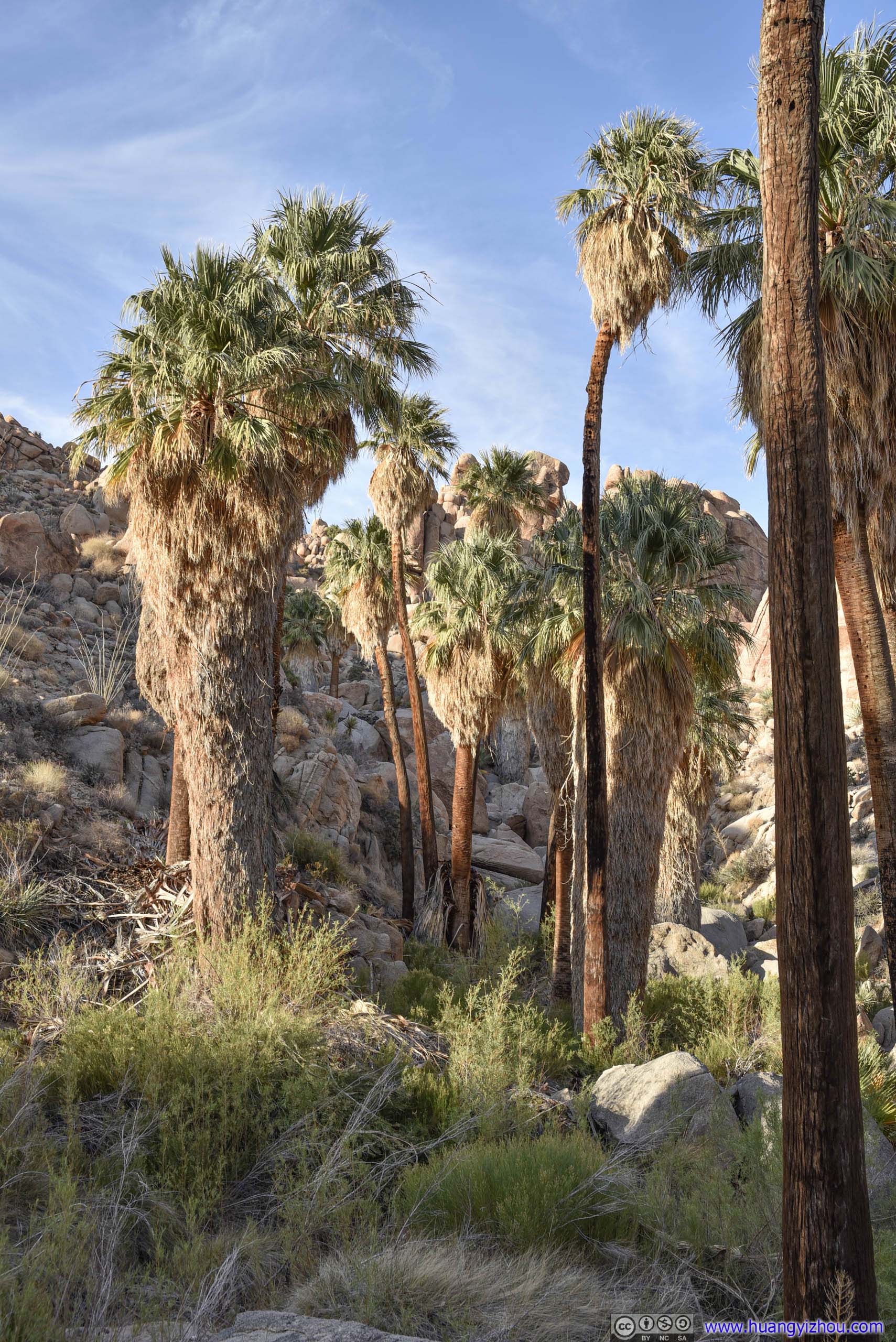
Lost Palm Oasis
Had I checked the route map in detail beforehand, I would have realized that the end of the trail formed a 700m loop, and I could continue heading down the oasis and coming back up at the other end of a nearby hill. Unfortunately, I didn’t. And with sunset fast approaching, I took the safe route and traced my steps back up the hill, back to “established trail”.
Lost Palm Oasis
Blooming CactusOne of the few flower sightings for the day.
On my way back, while the fiery clouds towards the west was spectacular near sunset, I didn’t have the luxury to stop and appreciate that. Despite my hastened pace, I only made it back to my car at 7:45pm, 30 minutes after sunset and with the help of cell phone flashlight.
After that, I drove back to my Airbnb and called it a day.
Conclusion
It’s a pretty packed day. Looking back, I was amazed that I visited so much of Joshua National Park during one day. Apart from Keys View and Baker Dam, it’s pretty much all the major attractions of the park.
One thing to note was the weather. Looking at the weather forecast with 33C high temperature and not many clouds, I opted for light-colored T-shirts and shorts for maximum heat dissipation. In reality, low humidity and wind meant it was a lot cooler than I expected and I would wish for more clothes.
For the places that I visited today, while I liked Ryan Mountain and I didn’t feel bad about Hidden Valley, both Arch Rock and Lost Palm Oasis was sort of underwhelming, comparing their scenery to walking distances. For Arch Rock, photos online were more than enough to satisfy me, avoiding the crowds, and for Lost Palm Oasis, well Cottonwood Springs at its trailhead was frankly more spectacular. But at the end of the day, thinking of how lives were surviving and prospering in such arid landscape, I would still say it’s a great day.
![]() Day 1 of 2021 Joshua Tree National Park Trip by Huang's Site is licensed under a Creative Commons Attribution-NonCommercial-ShareAlike 4.0 International License.
Day 1 of 2021 Joshua Tree National Park Trip by Huang's Site is licensed under a Creative Commons Attribution-NonCommercial-ShareAlike 4.0 International License.