
Updated on October 17, 2021
Day 2 of 2021 Memorial Day Weekend, McAfee Knob
Second day of 2021 Memorial Day weekend. We hiked to McAfee Knob, a piece of rock sticking out of a cliff with stunning views, dubbed “most photographed point of the Appalachian Trail”.
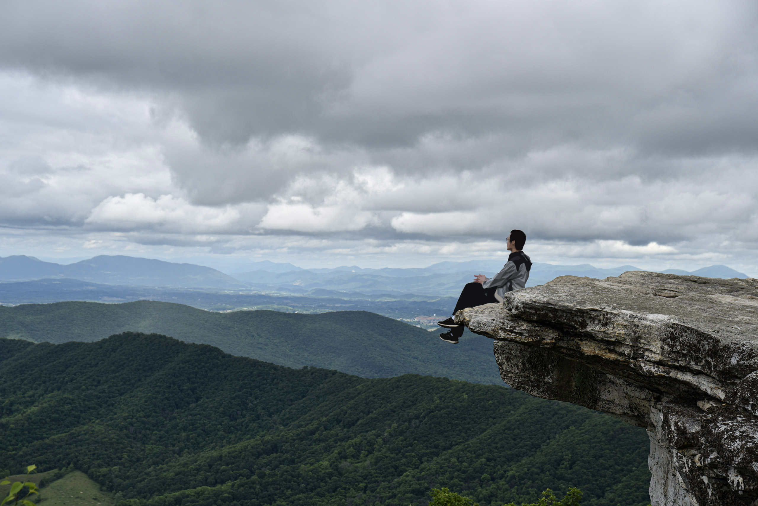
ObserverMe at McAfee Knob.
Today’s the highlight of our trip to Roanoke as we would be hiking to McAfee Knob, a popular spot along Appalachian Trail with stunning 270-degree panoramic views.
For its importance, it’s imperative that we visit it during good weather with clear views. The last thing we wanted was to hike all the way and find it covered in clouds, just like our previous day at Hanging Rock Raptor Observatory. McAfee Knob was actually visible from our hotel room, so we were quite worried as we found it concealed in clouds (from yesterday’s storm) while departing hotel at 11am. Luckily, weather forecast indicated that cloud ceilings would rise and scatter for the coming afternoon, which hopefully would result in great views at McAfee Knob. Fortunately, it did.
McAfee Knob Trail
Parking
With its popularity, parking was always an issue at McAfee Knob. The small parking lot at its trailhead held about 50-60 cars, which was far from enough. (There was a plan to build a pedestrian bridge across VA311, which would encroach the parking lot even more.) We saw a few cars parked along the nearby VA864, which was technically “no parking”. There was a park-and-ride down the mountain at “1240 N Electric Rd Parking”, but that’s 5.5 miles away and required roundtrip Uber rides.
In the end, we circled and waited at the parking lot for 15 minutes, until a spot became available.
Hiking
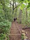
We tracked 12.6km for the roundtrip hike to McAfee Knob, with 400m of elevation gain evenly distributed throughout the hike. From parking lot, the trail followed Appalachian Trail for 400m, after which one could either choose to take 3.6km of Appalachian Trail deep in the woods for a classical hiking experience, or 3.4km of fire road which was a lot easier. After the two trails converge, it’s another 2km to the stunning views of McAfee Knob.
We opted to take the Appalachian Trail uphill, and the fireroad downhill. Here’s GPS tracking:
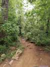
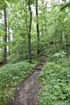
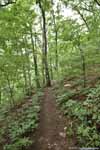
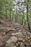
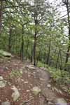
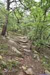
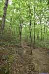
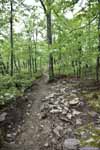
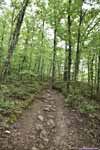
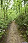
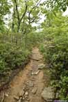
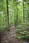
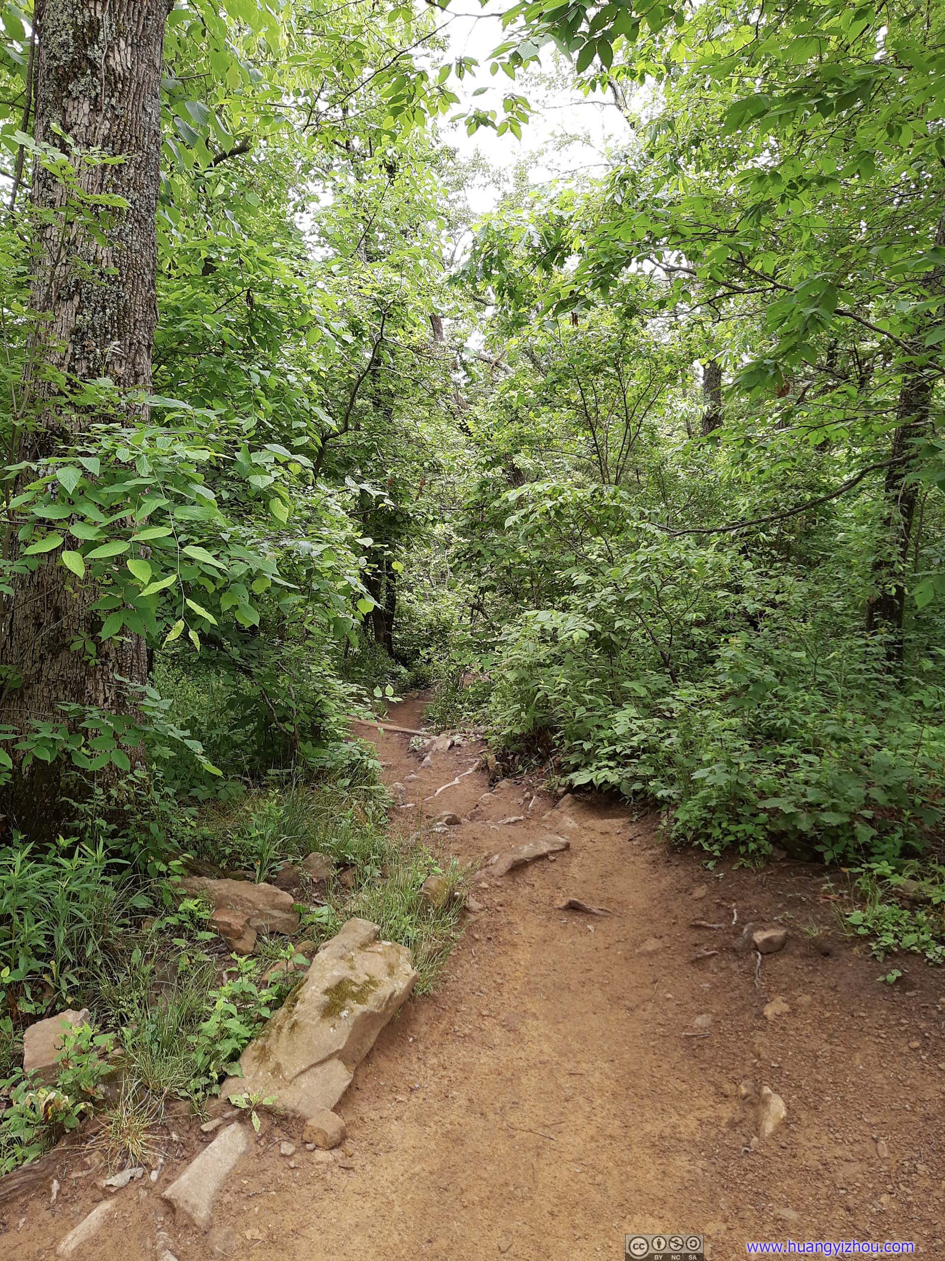
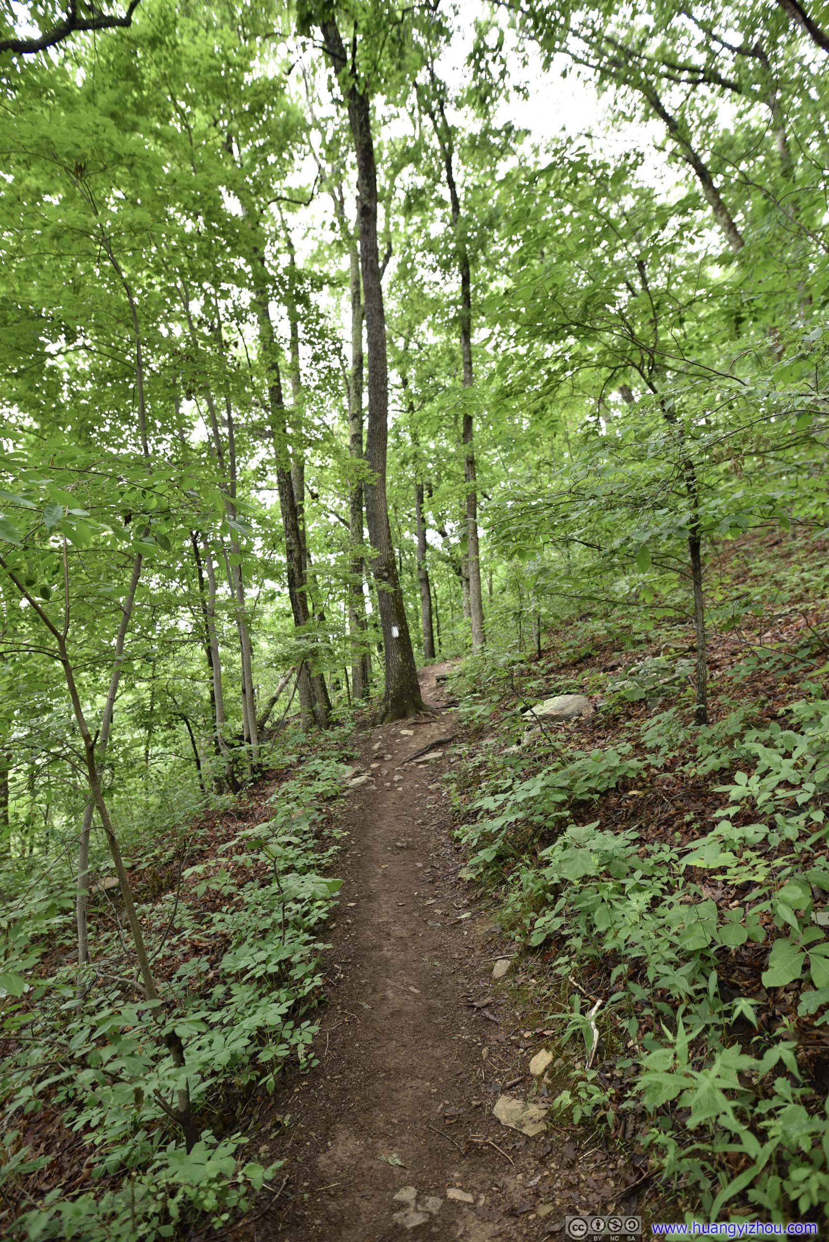
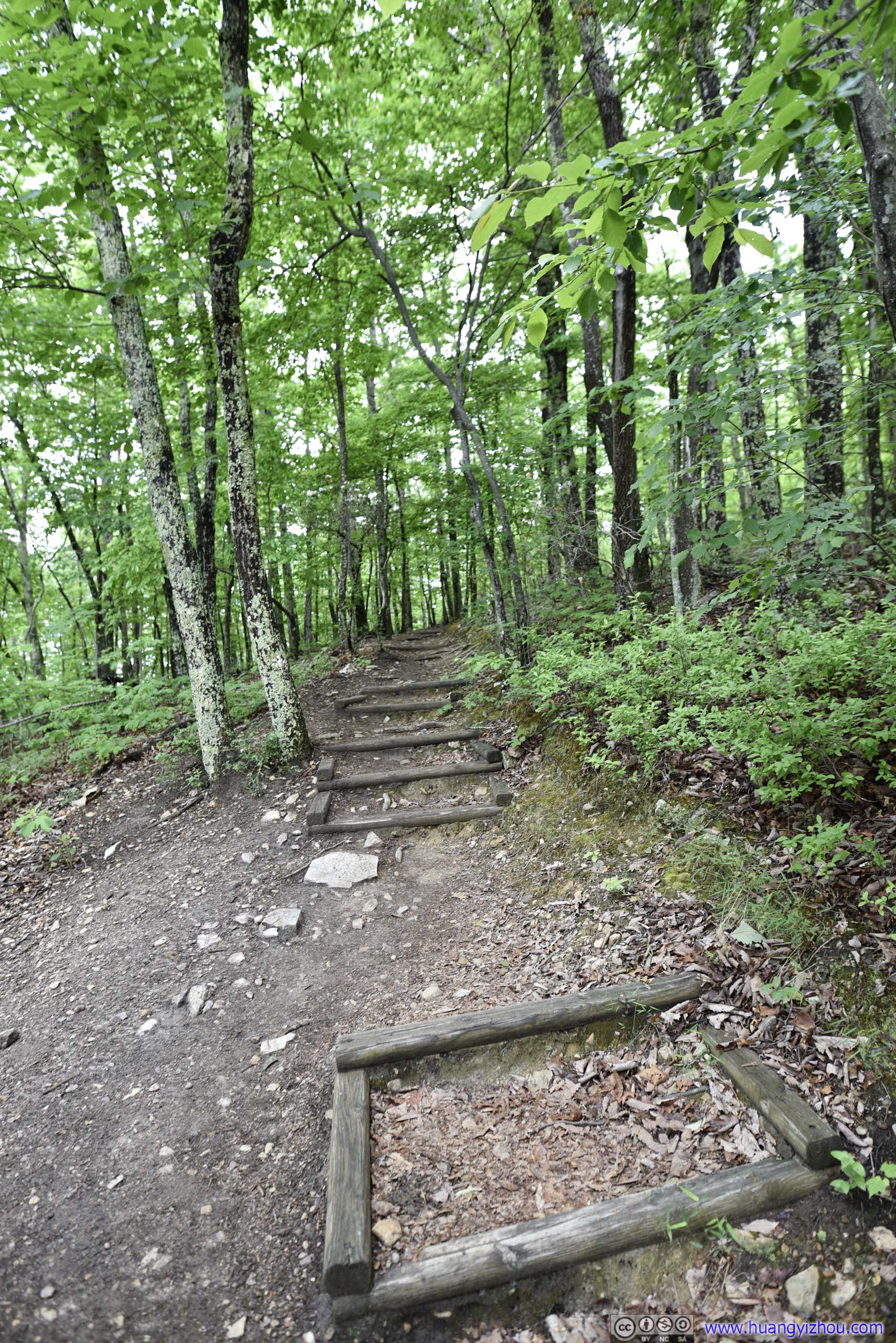
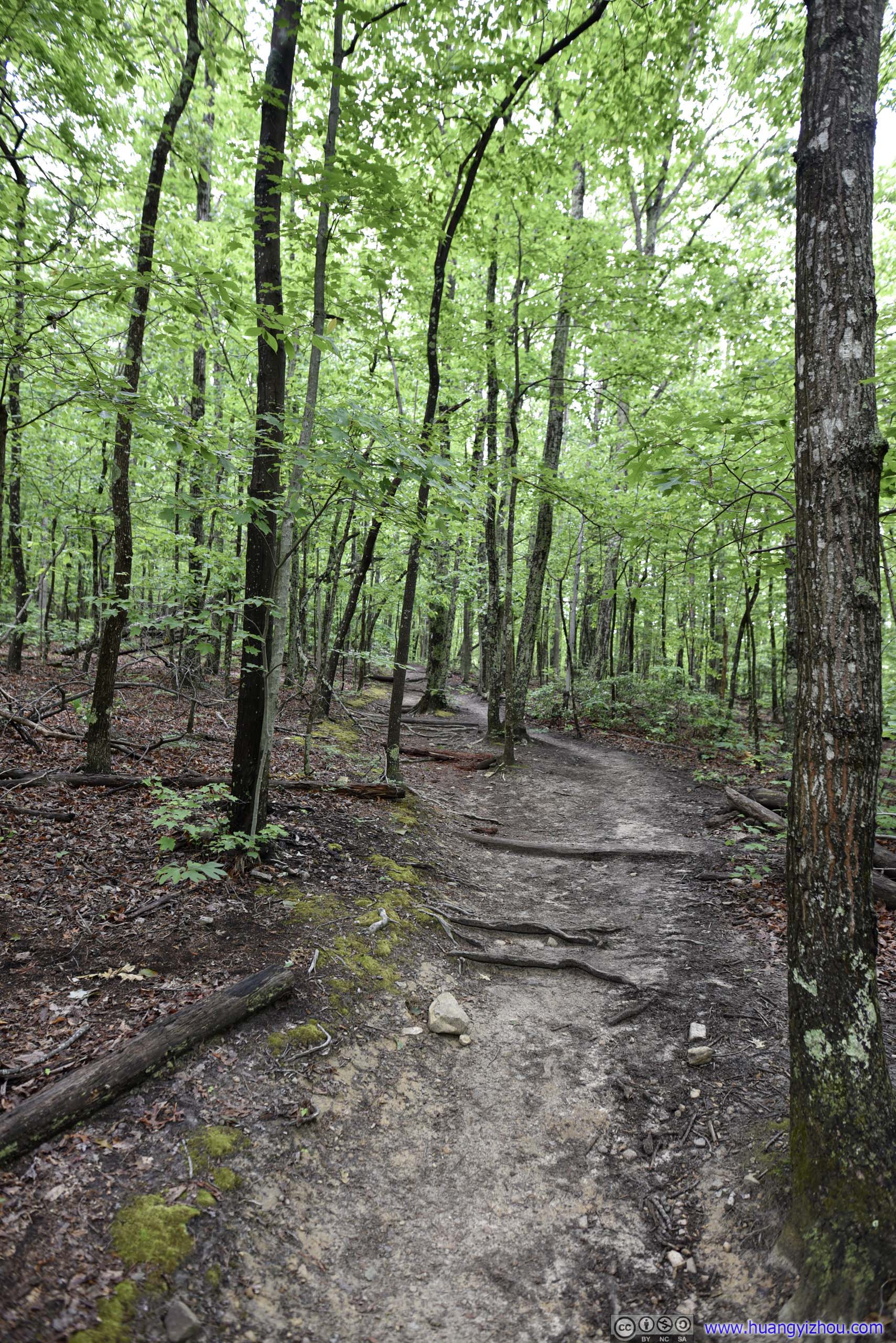
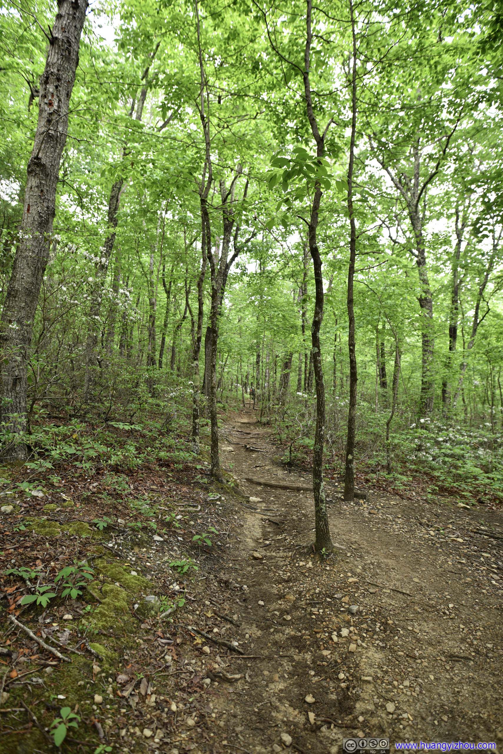
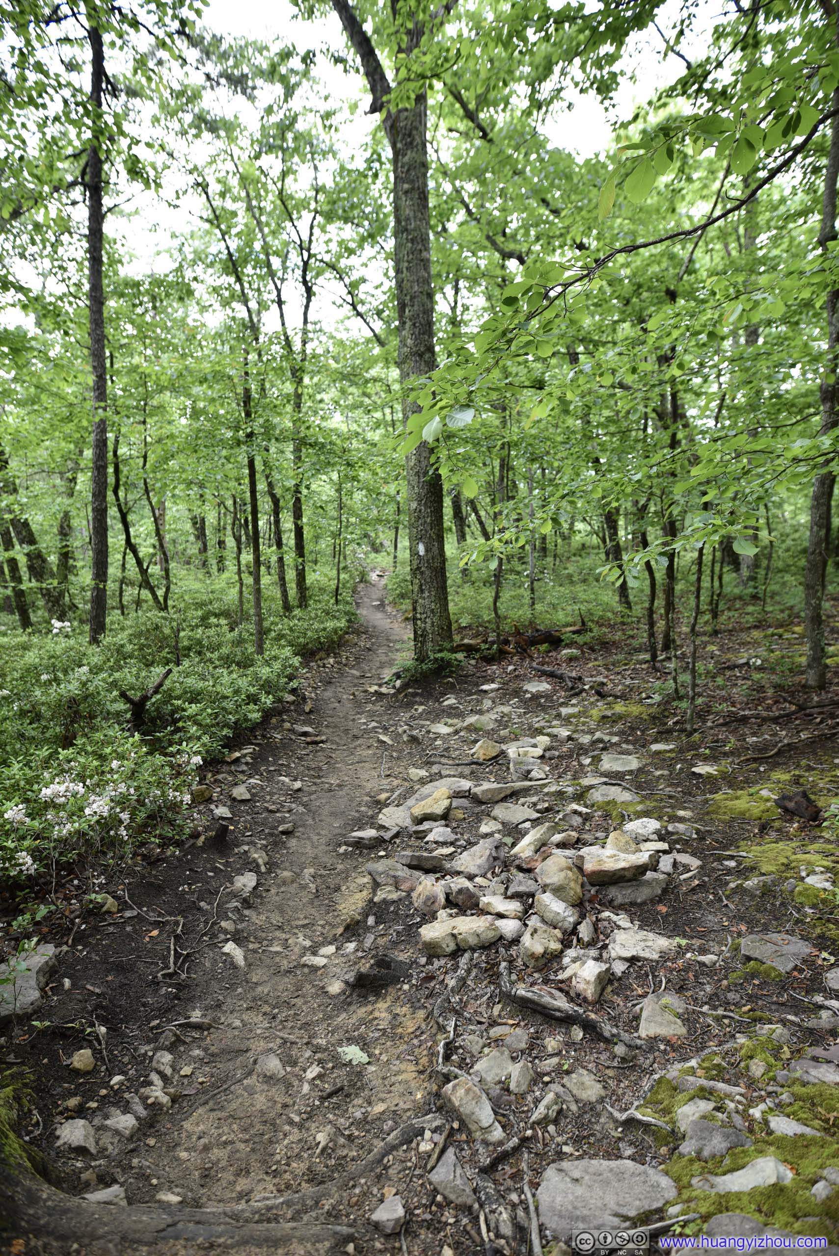
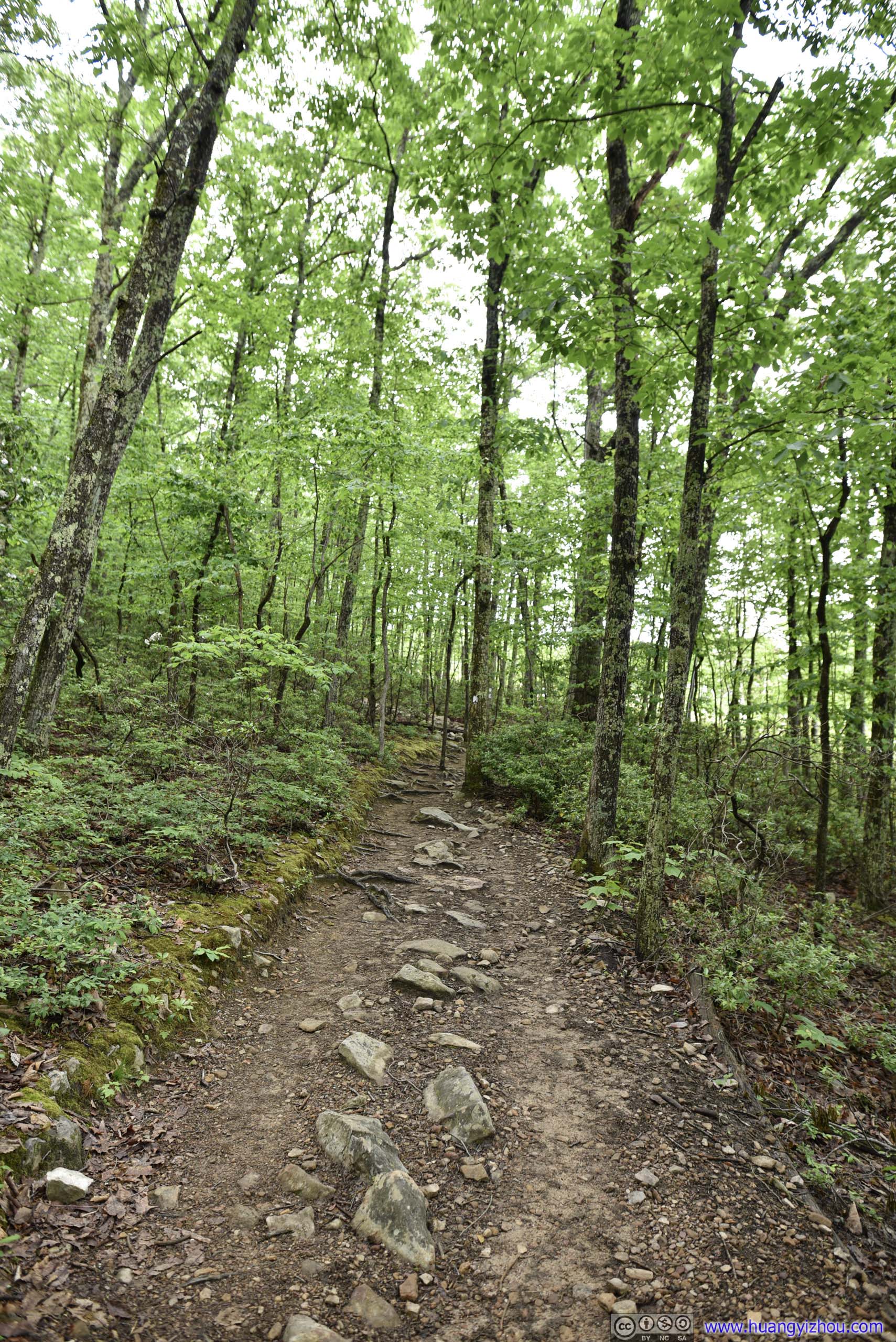
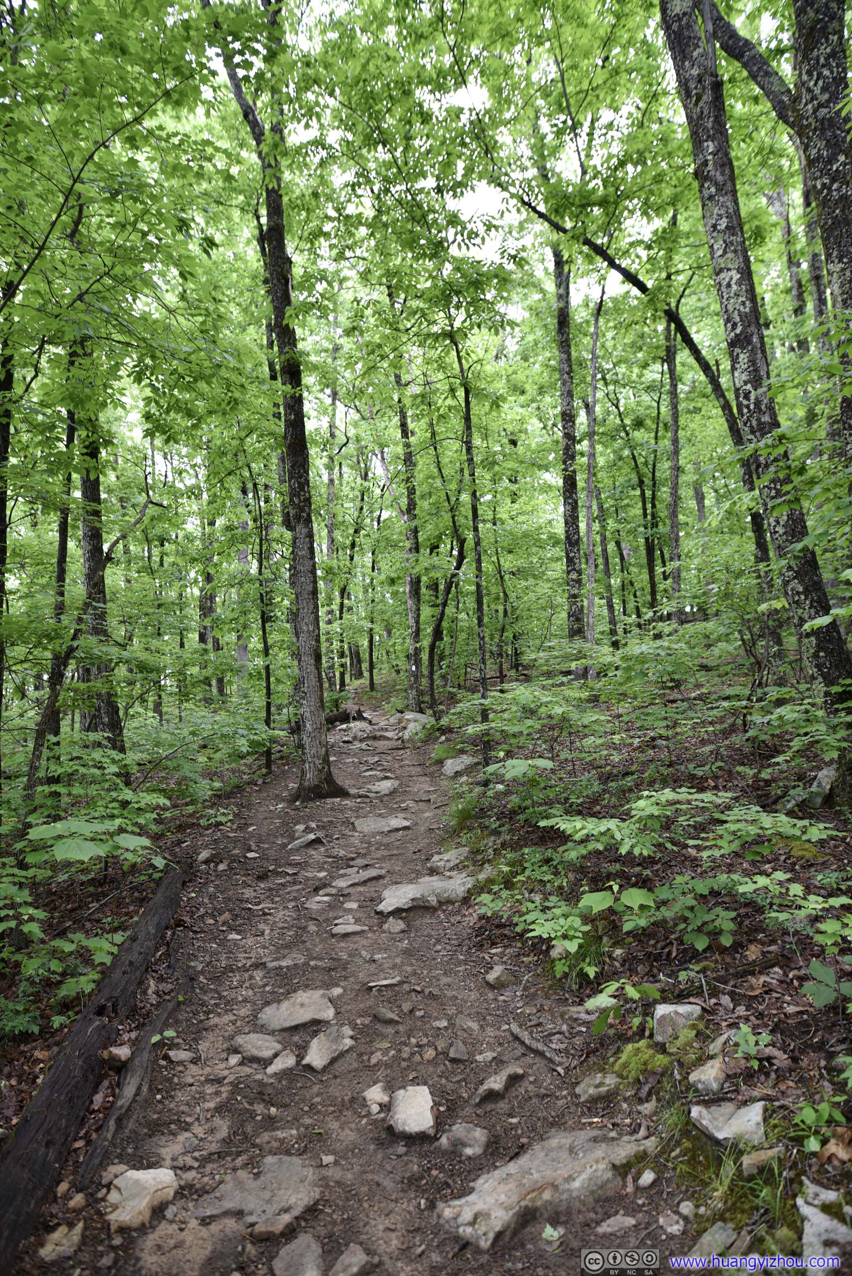
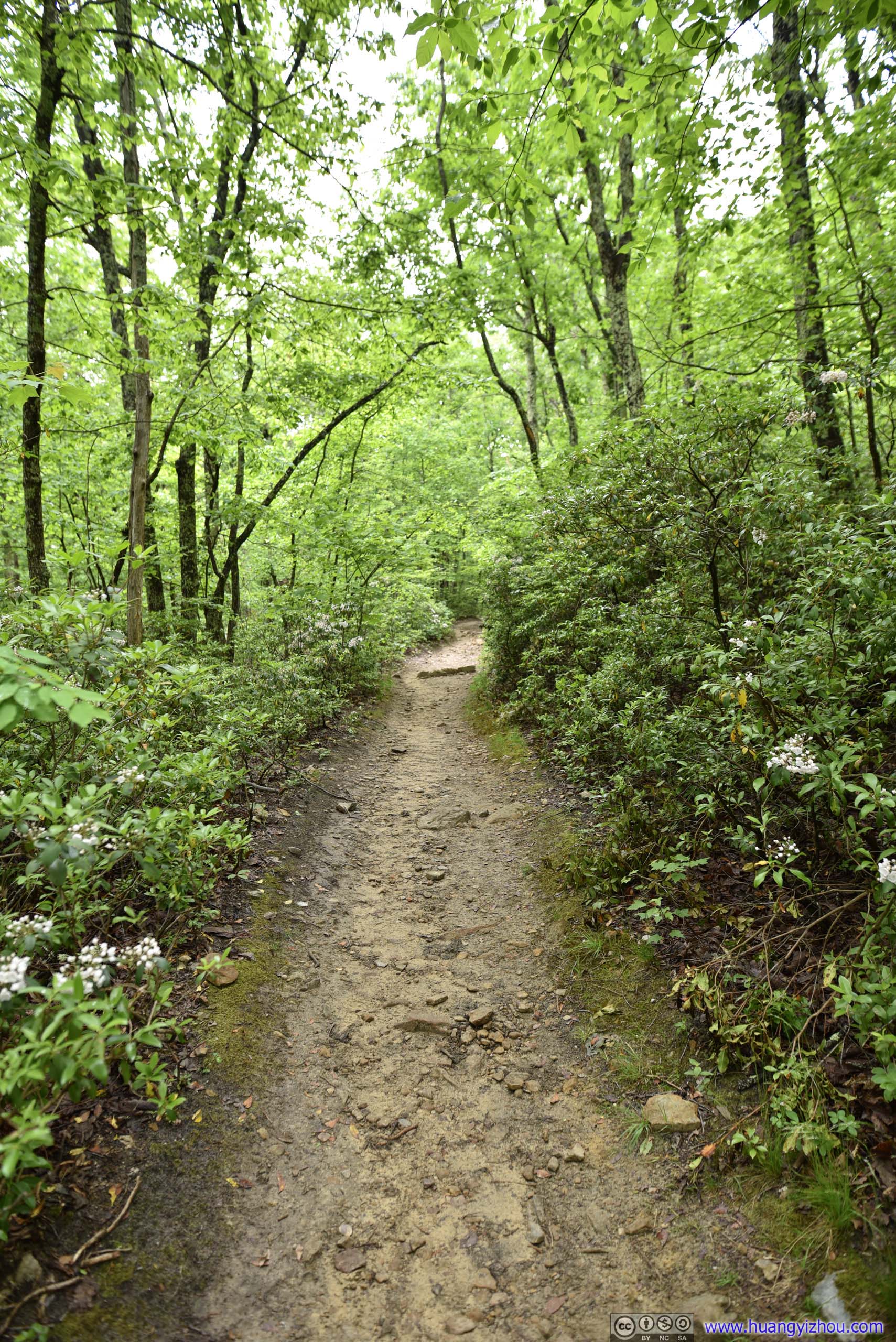
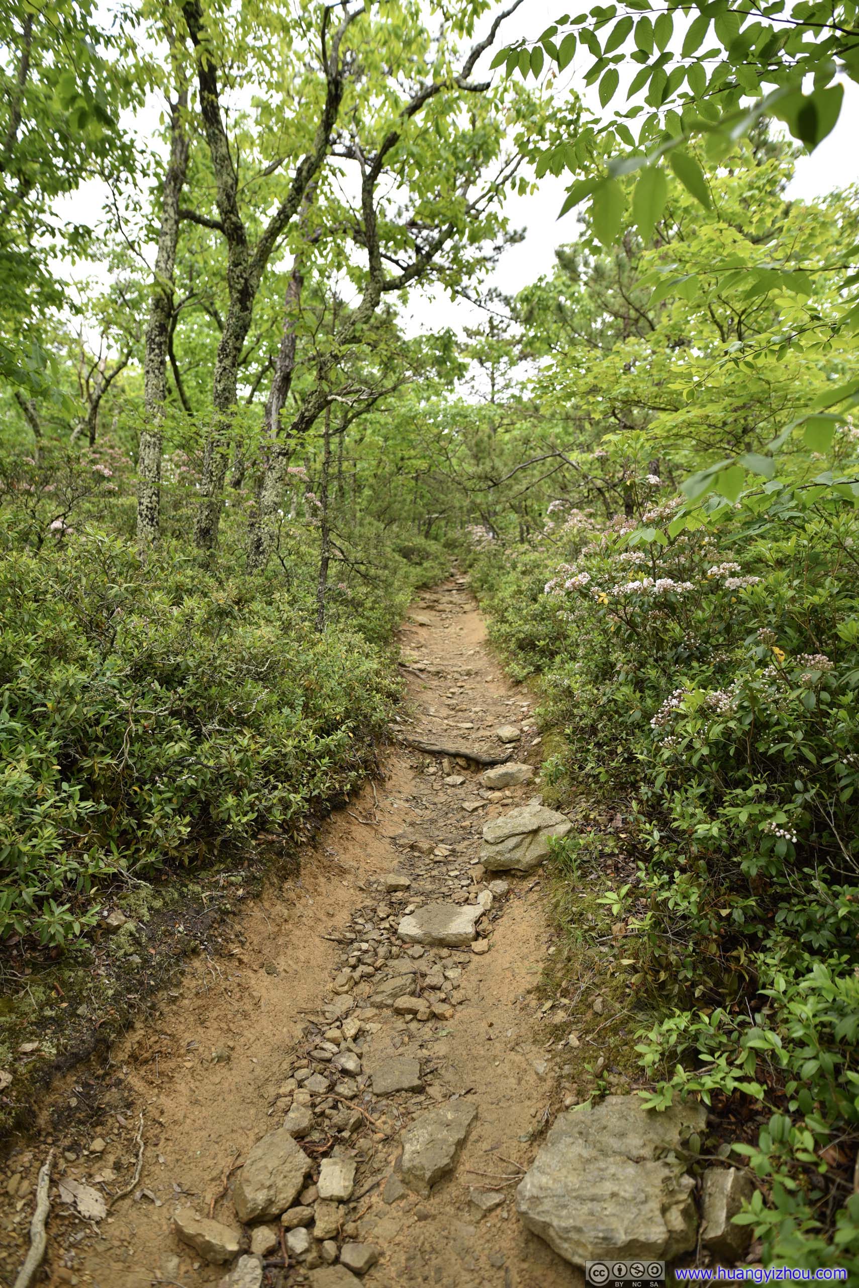
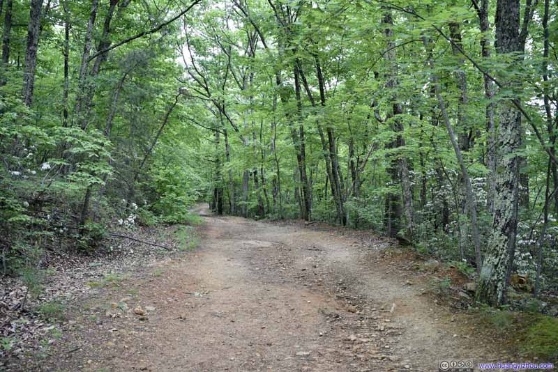
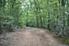
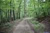
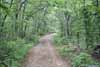
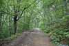
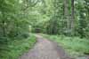
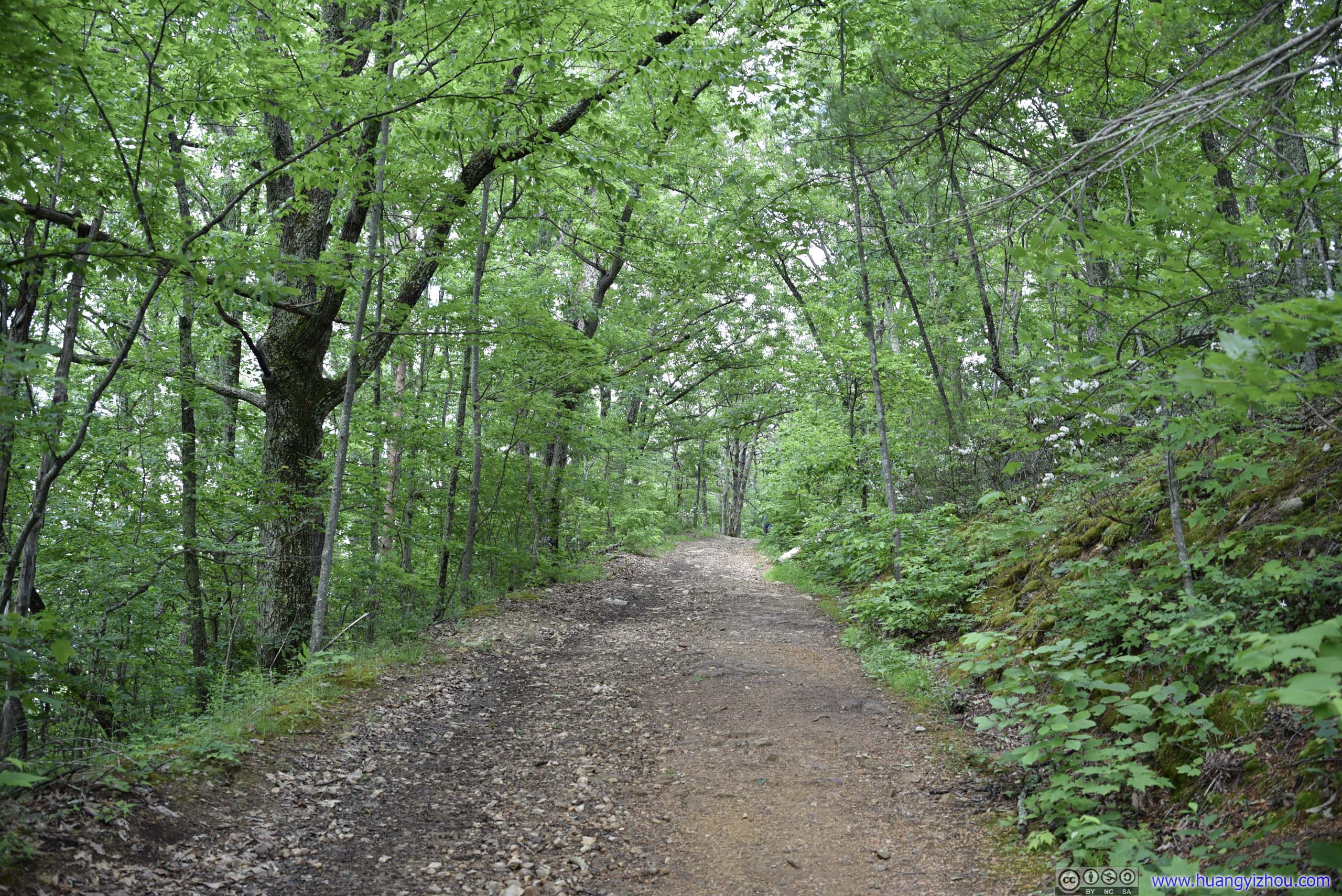
Overall, I would say the Appalachian Trail was in great condition that didn’t present any challenges at all. Here were its typical trail conditions:
 Trail
Trail Trail
Trail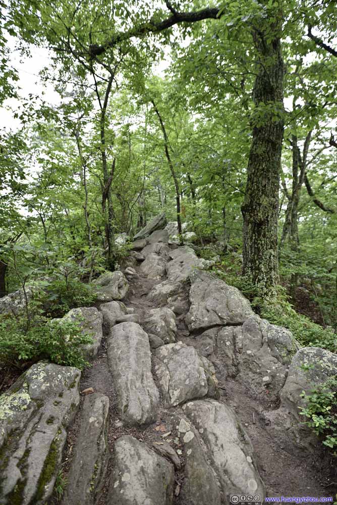 Trail
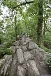
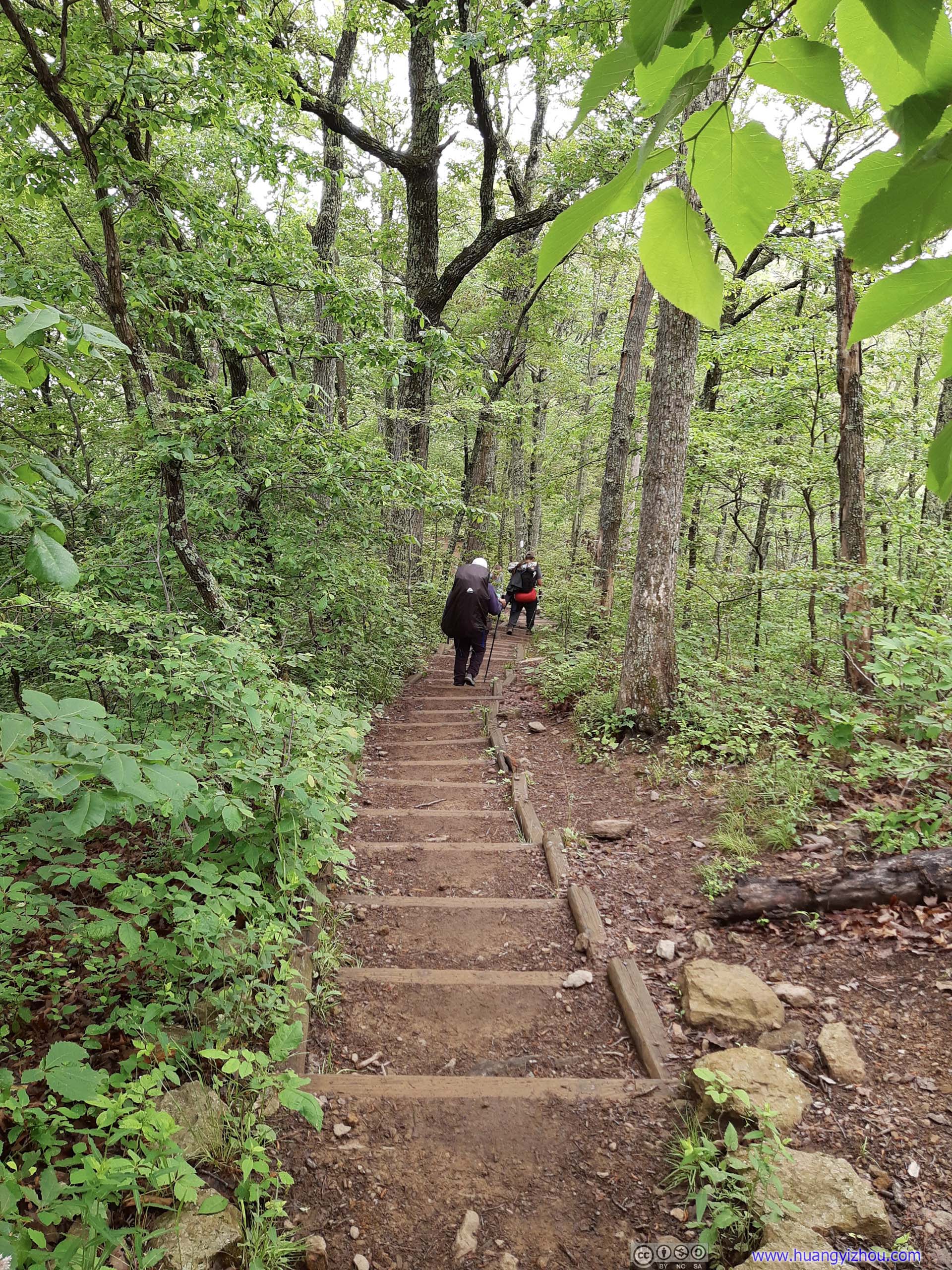
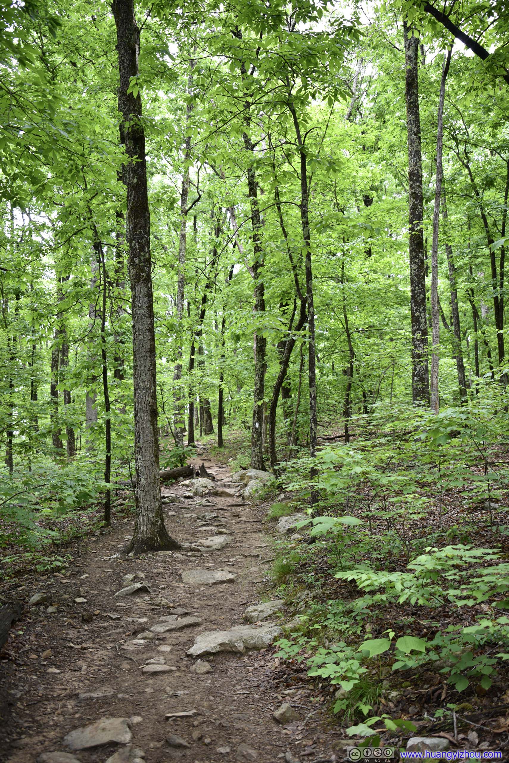
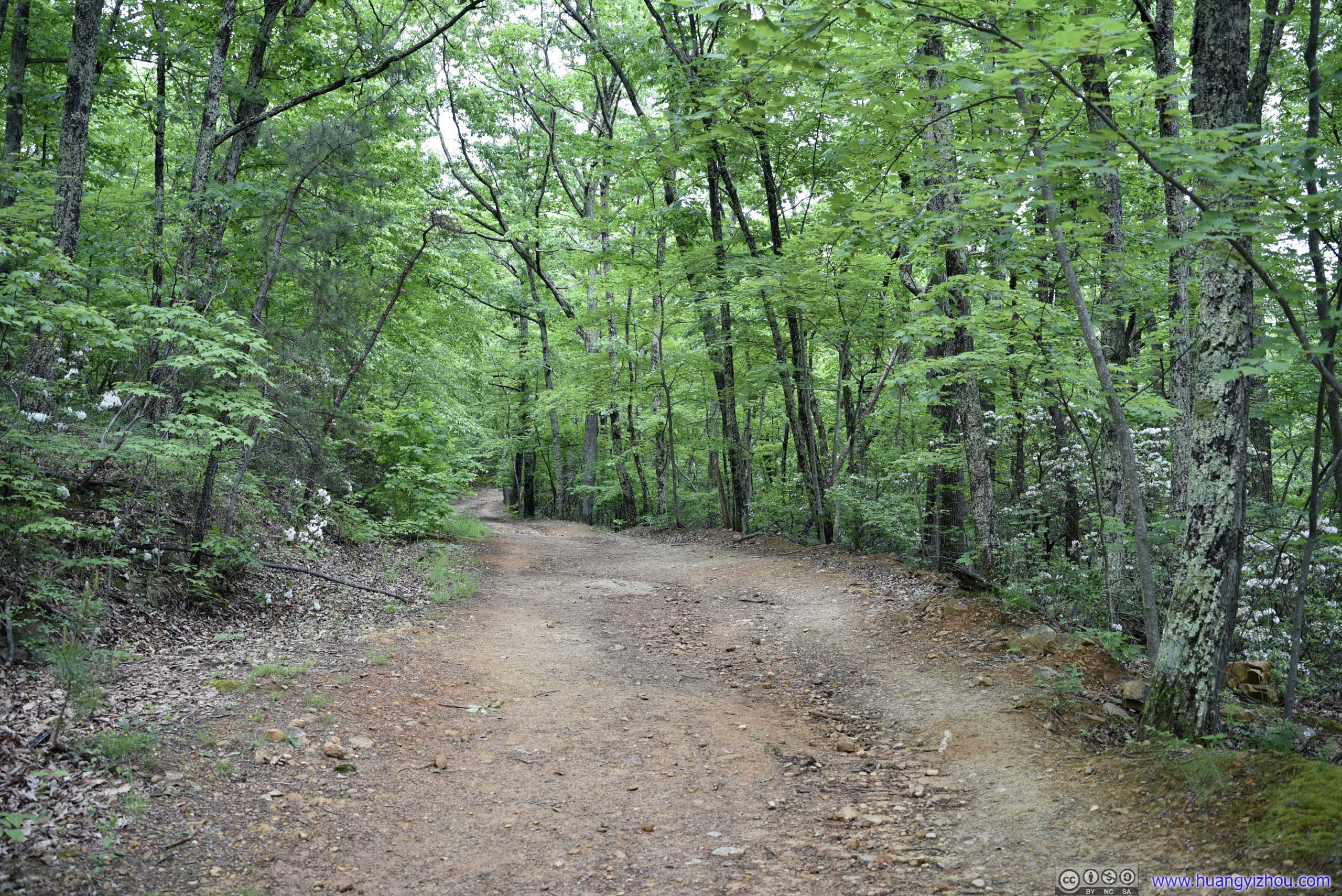
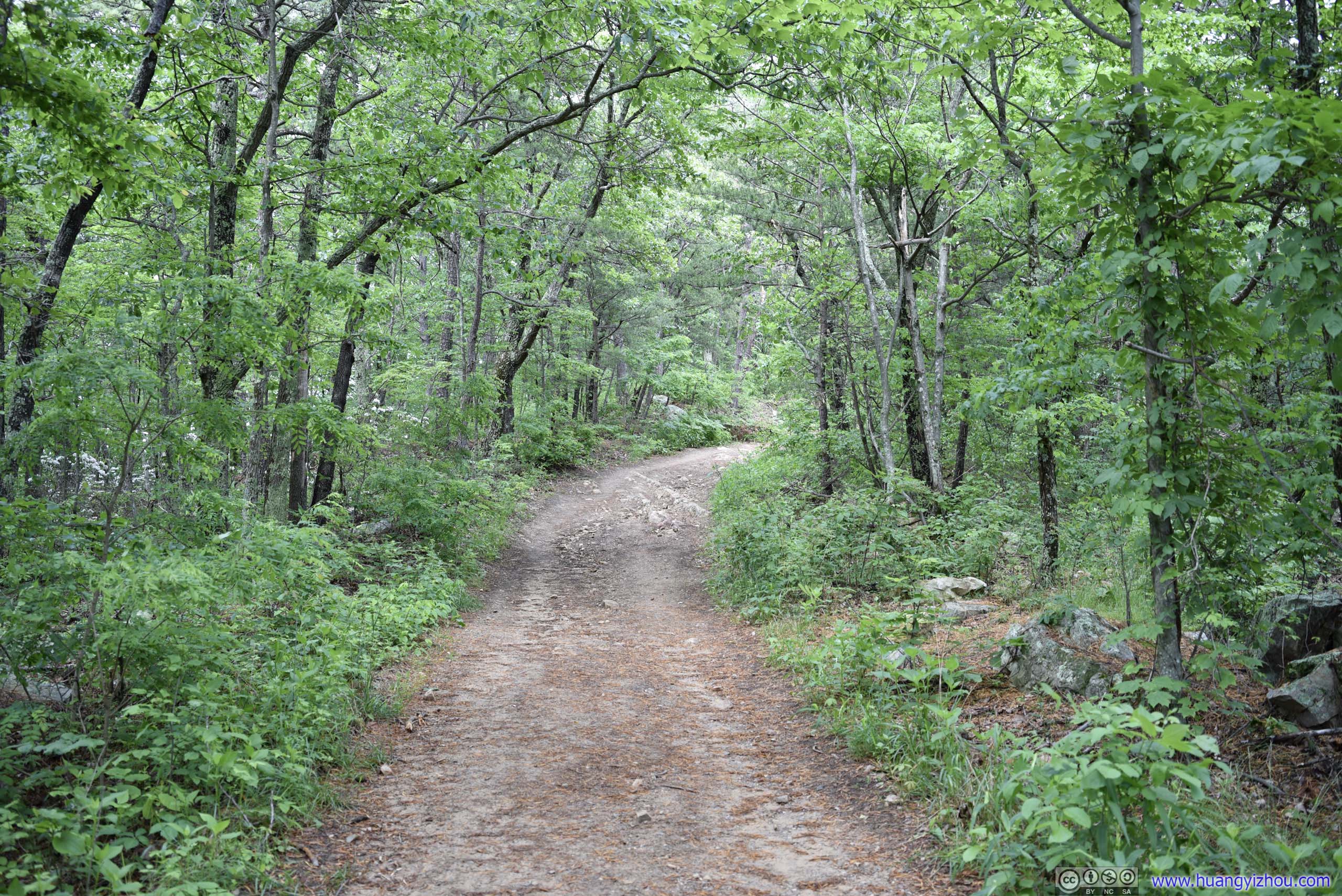
A short rocky section of Appalachian Trail, towards the start. Remaining trail was much easier to navigate than this.
Trail
A short rocky section of Appalachian Trail, towards the start. Remaining trail was much easier to navigate than this.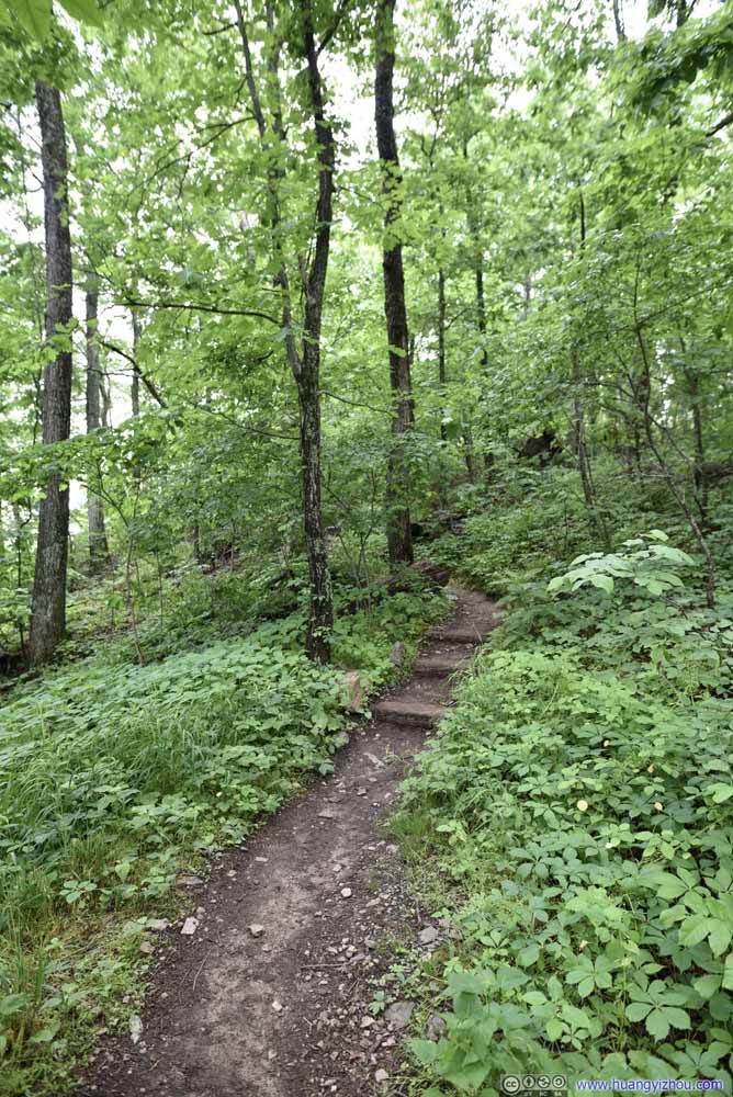 Trail
Trail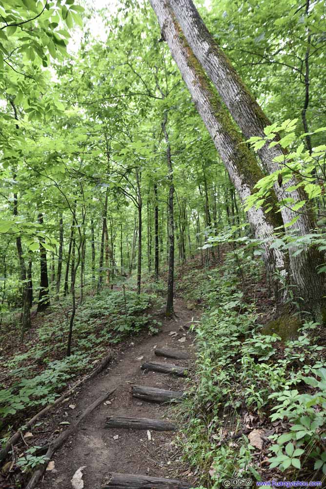 Trail
Trail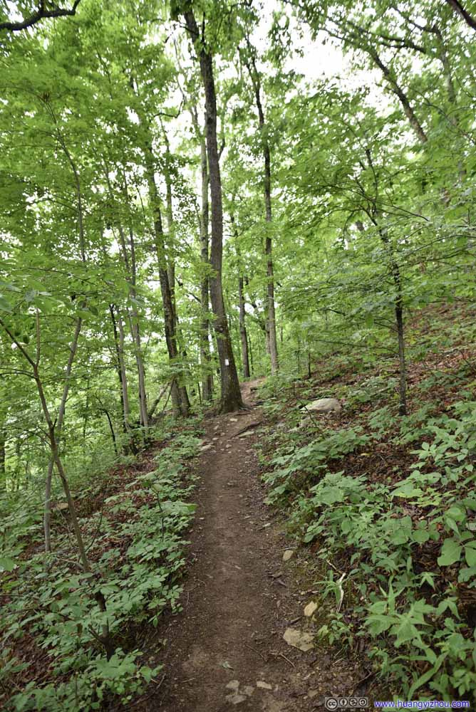 Trail
Trail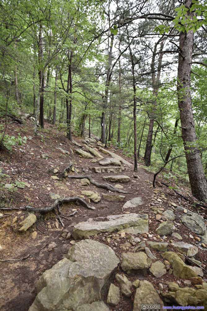 Trail
Trail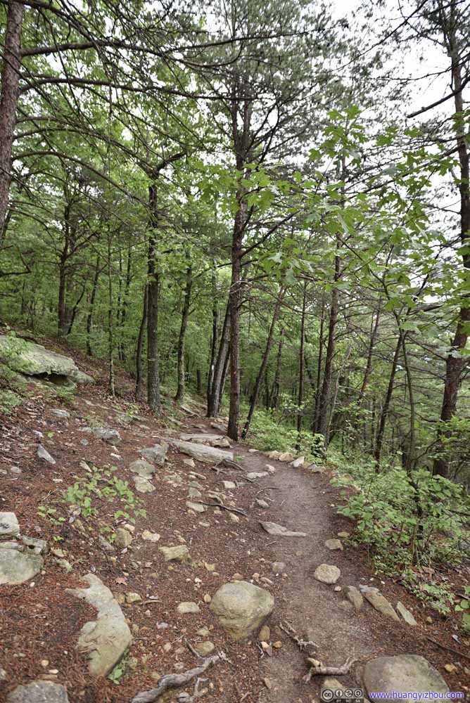 Trail
Trail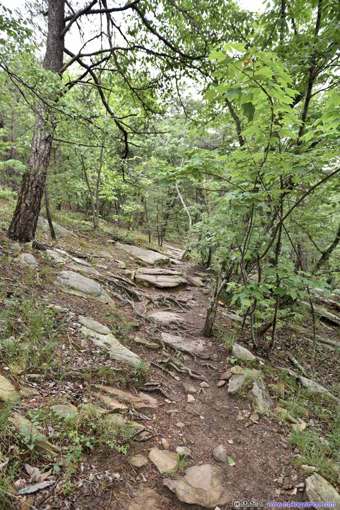 Trail
Trail Trail
Trail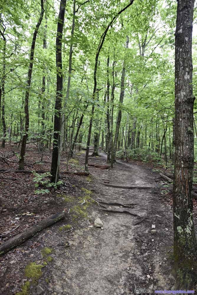 Trail
Trail Trail
Trail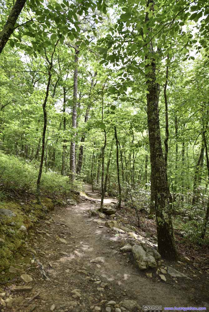 Trail
Trail Trail
Trail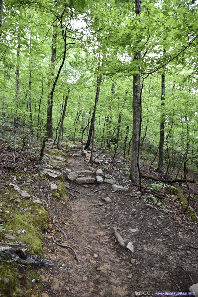 Trail
Trail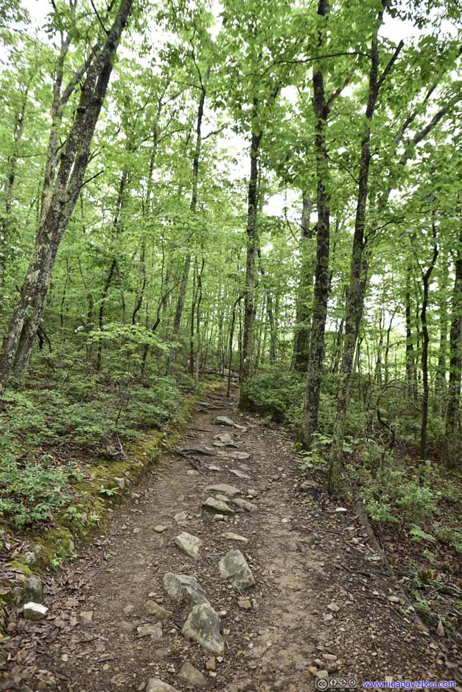 Trail
Trail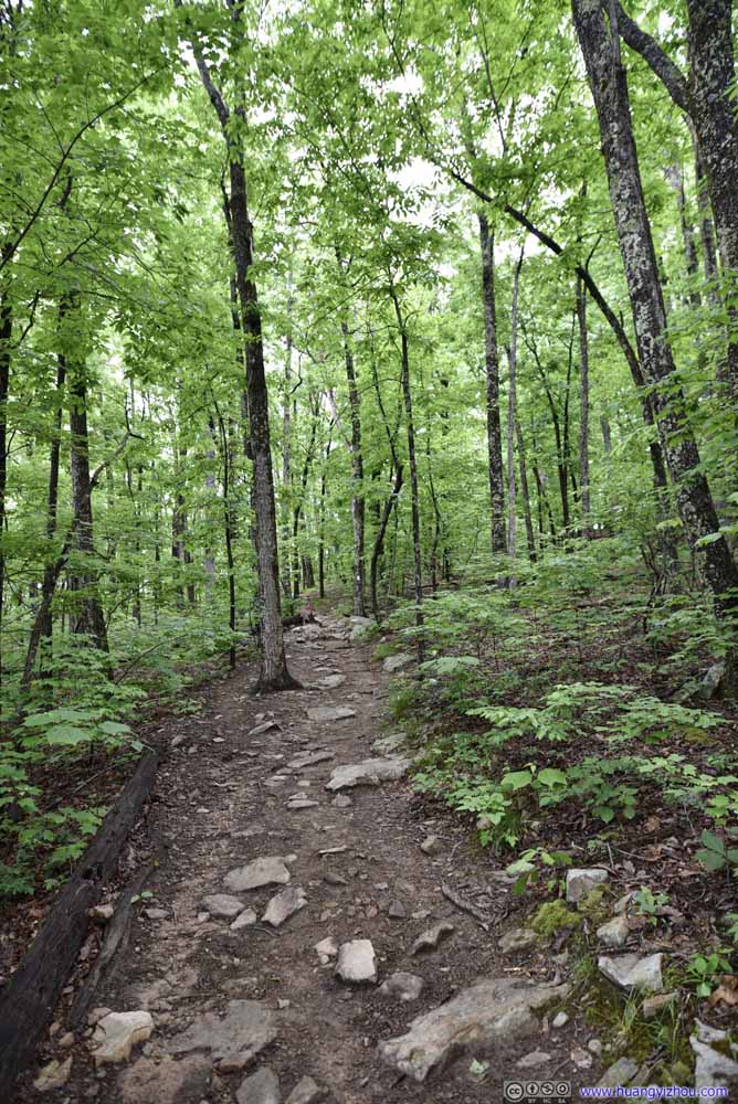 Trail
Trail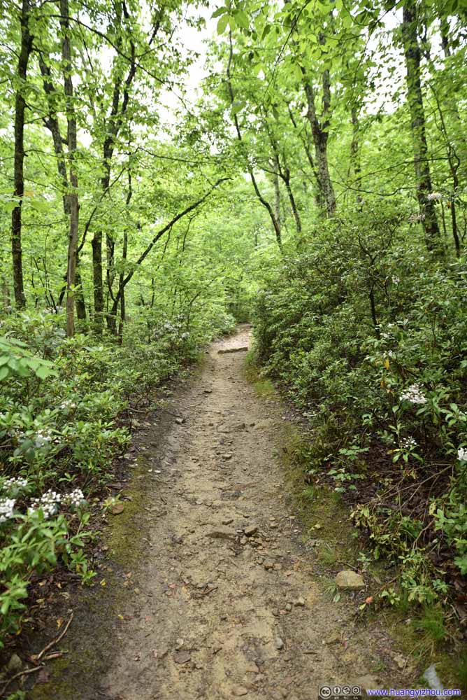 Trail
Trail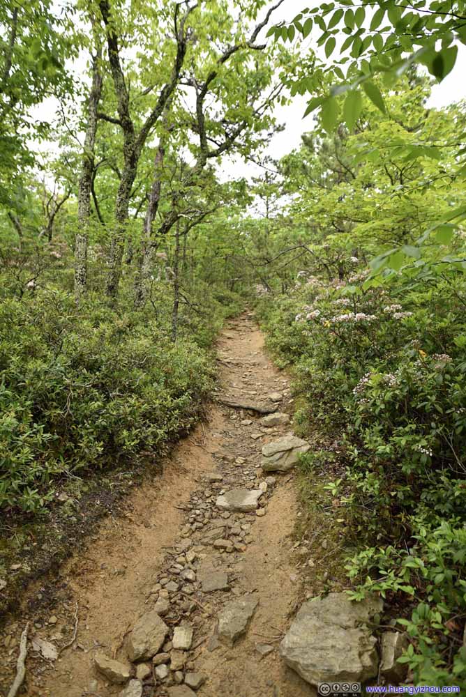 Trail
Trail Trail
Trail


Click here to display photos of the trail.
Trail
Trail

Trail

Trail

Trail
Trail

Trail

Trail

Trail
Trail
Trail
Trail

Trail
Trail

Trail
Trail
Trail
Trail
Trail
Trail
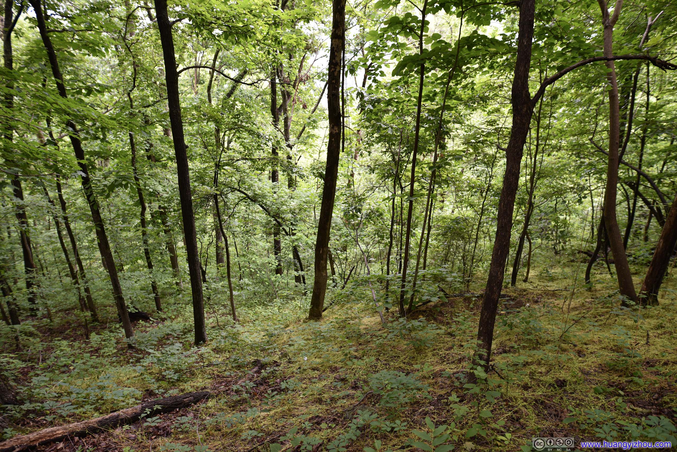
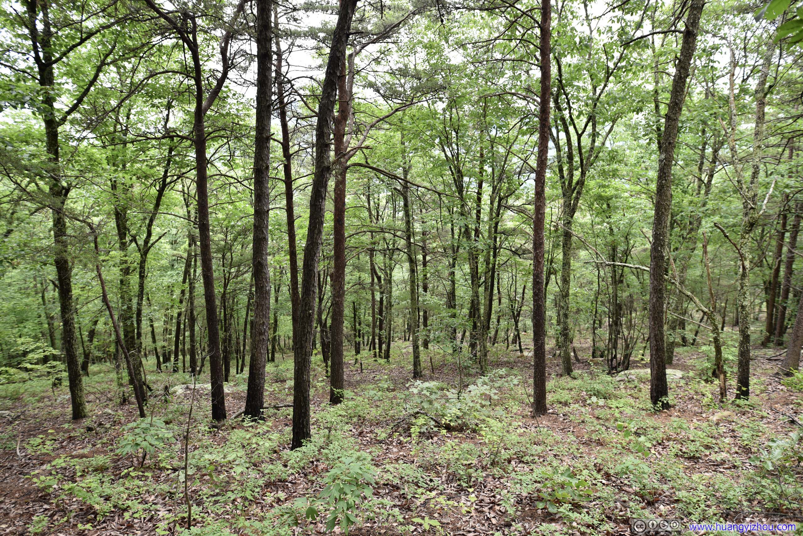 Forests
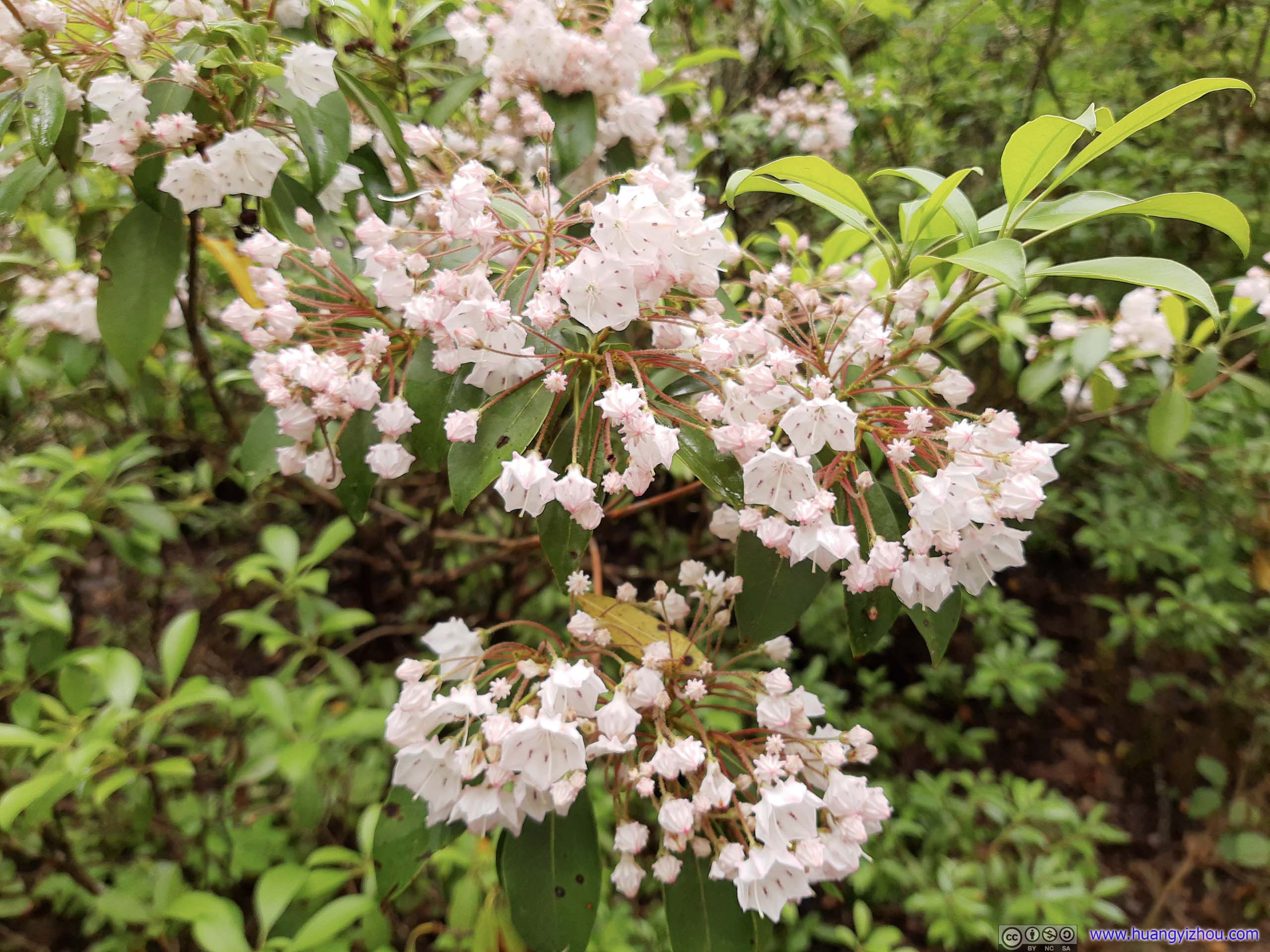
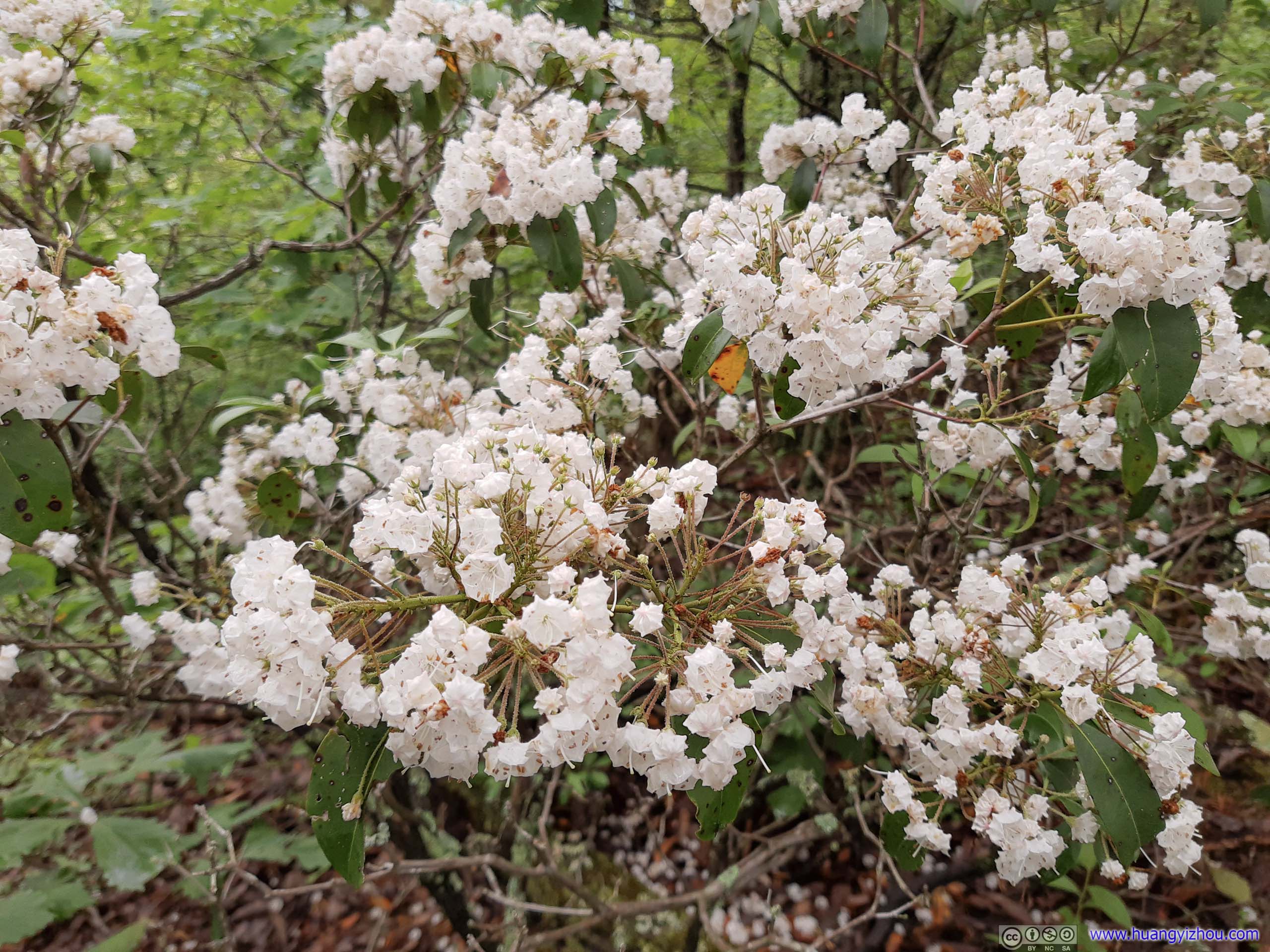
 Mountain Laurel
Along the way, it’s mostly cloudy, which saved me the need to apply sunscreen. Towards the end, I was elated to see rays of sun penetrating through the clouds and high trees, meaning we wouldn’t arrive at a cloud-covered McAfee Knob with no views. Finally, less than 2 hours after we started, we were at McAfee Knob.
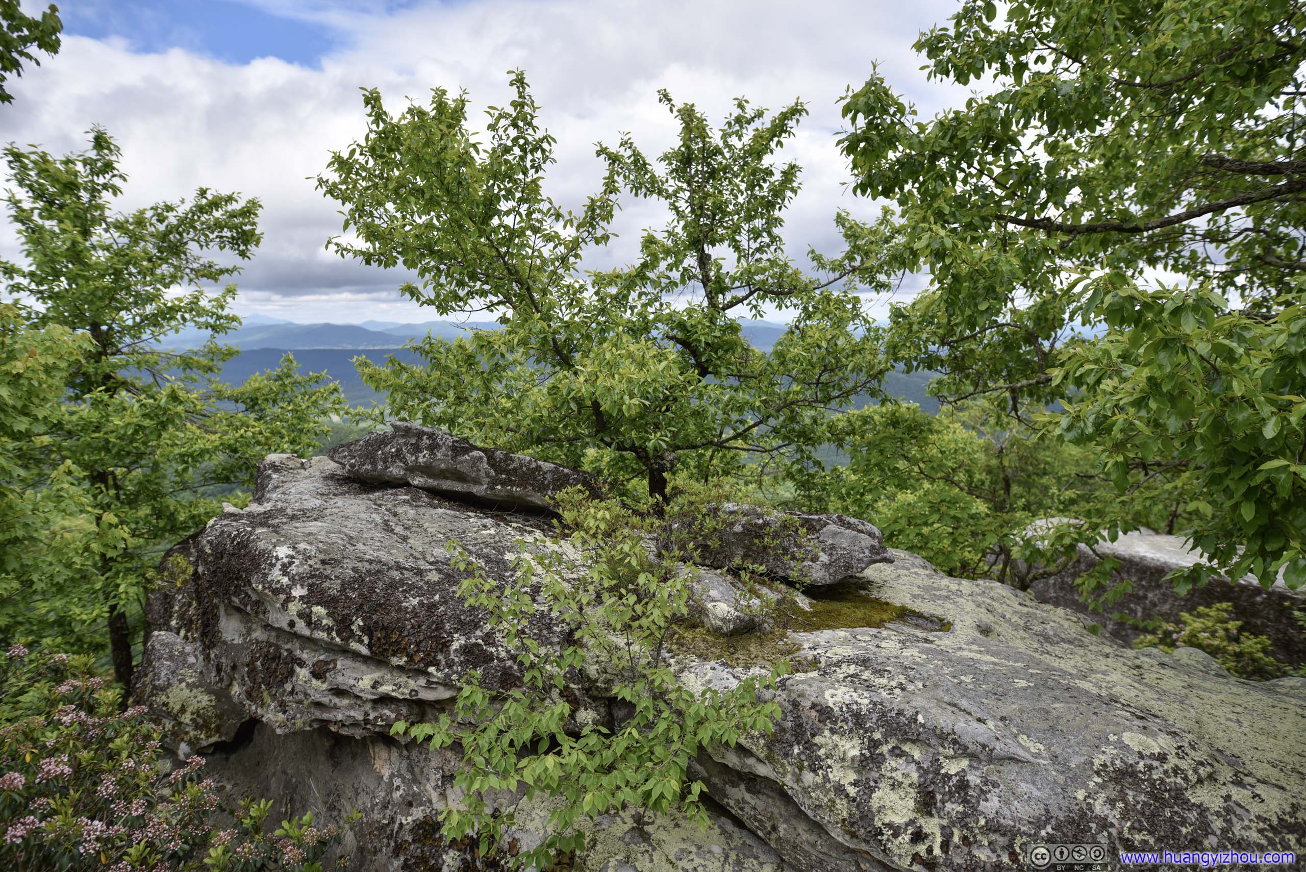
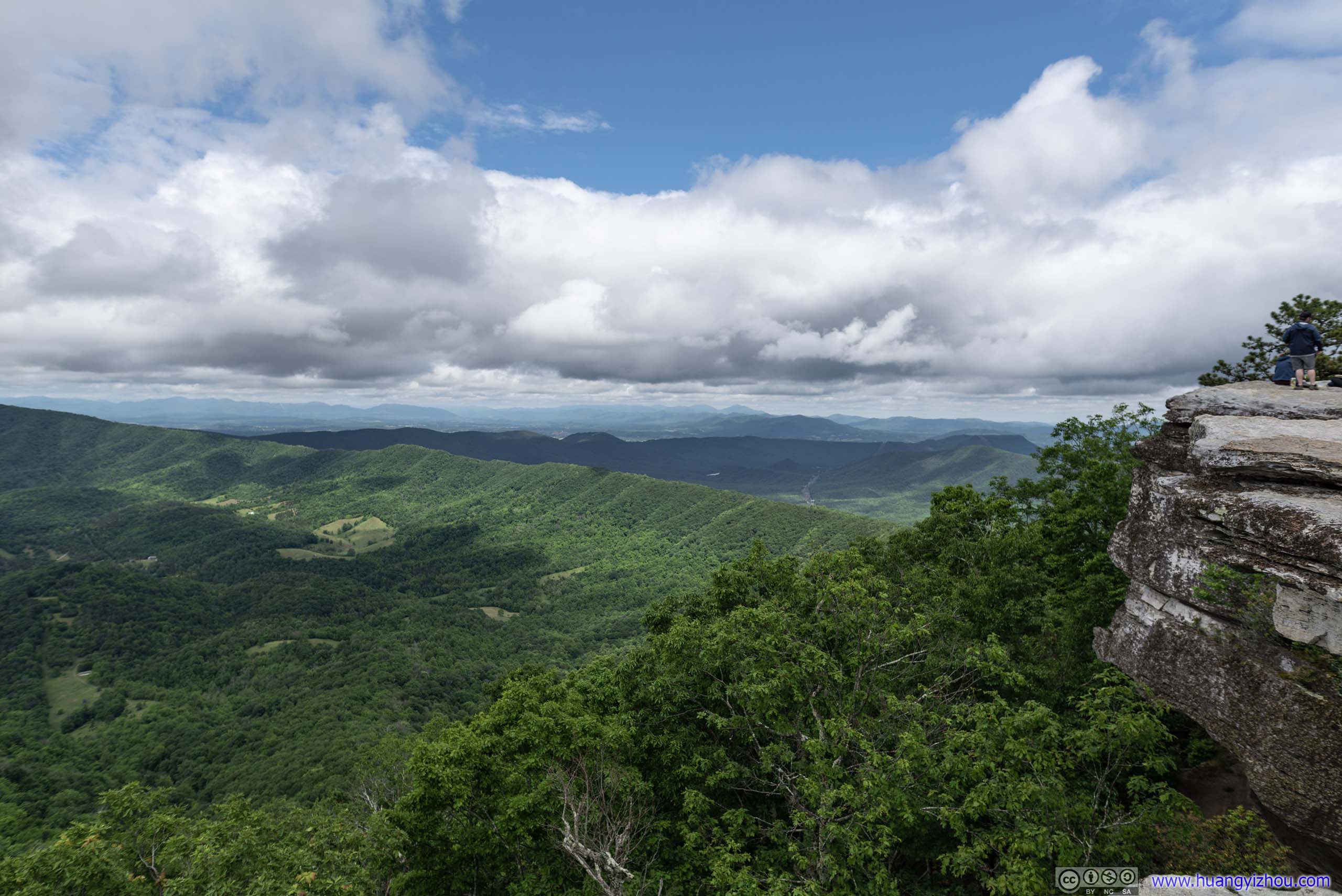
McAfee Knob
While the boulders at the summit form a crescent-shaped semicircle, the most photographed part was the rocky outcrop displayed at the top of this post. We stayed for about an hour at the summit, most (but not all) of the time there was a line for photographs and selfies.
It’s interesting that if one searched McAfee Knob on Google, most of the photos were people staying a safe distance away from the cliff; if one searched Instagram, most photos were like me sitting at the edge with feet in the air, among other stunts. It just shows the different mentalities of the two internet giants.
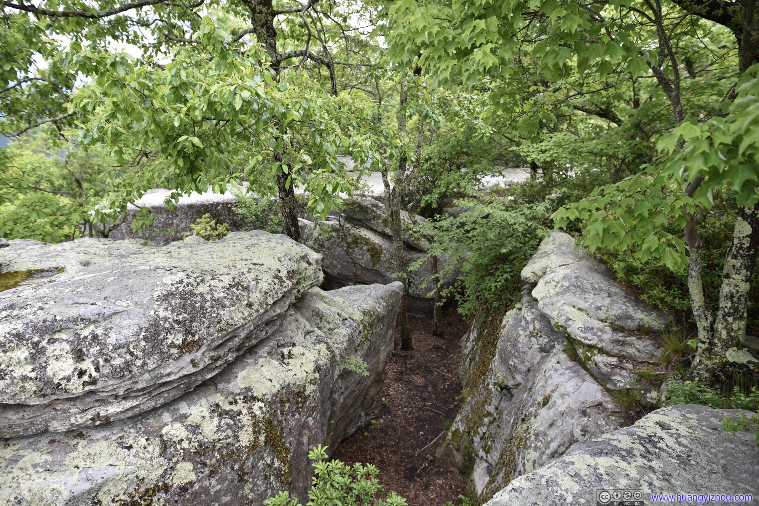
 Boulders

View from McAfee Knob
It’s a bliss to enjoy this view in a gentle soothing breeze. Best of all, I didn’t run into any bugs for the day.
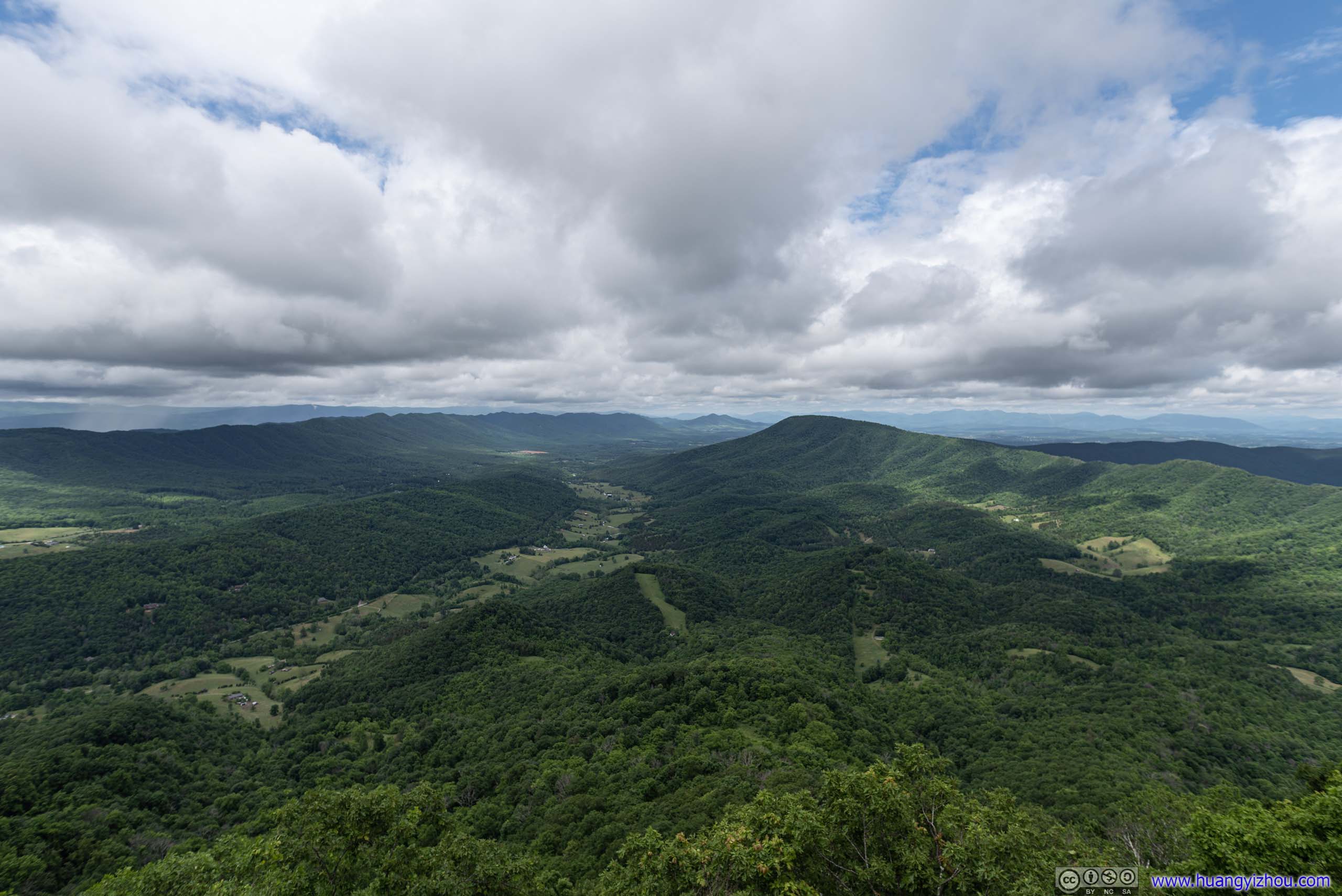
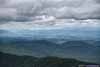
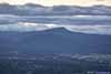
Mountains to the North
Mountains to the East
Mountains to the West
While soaking in the views, we also had our lunch at the top.
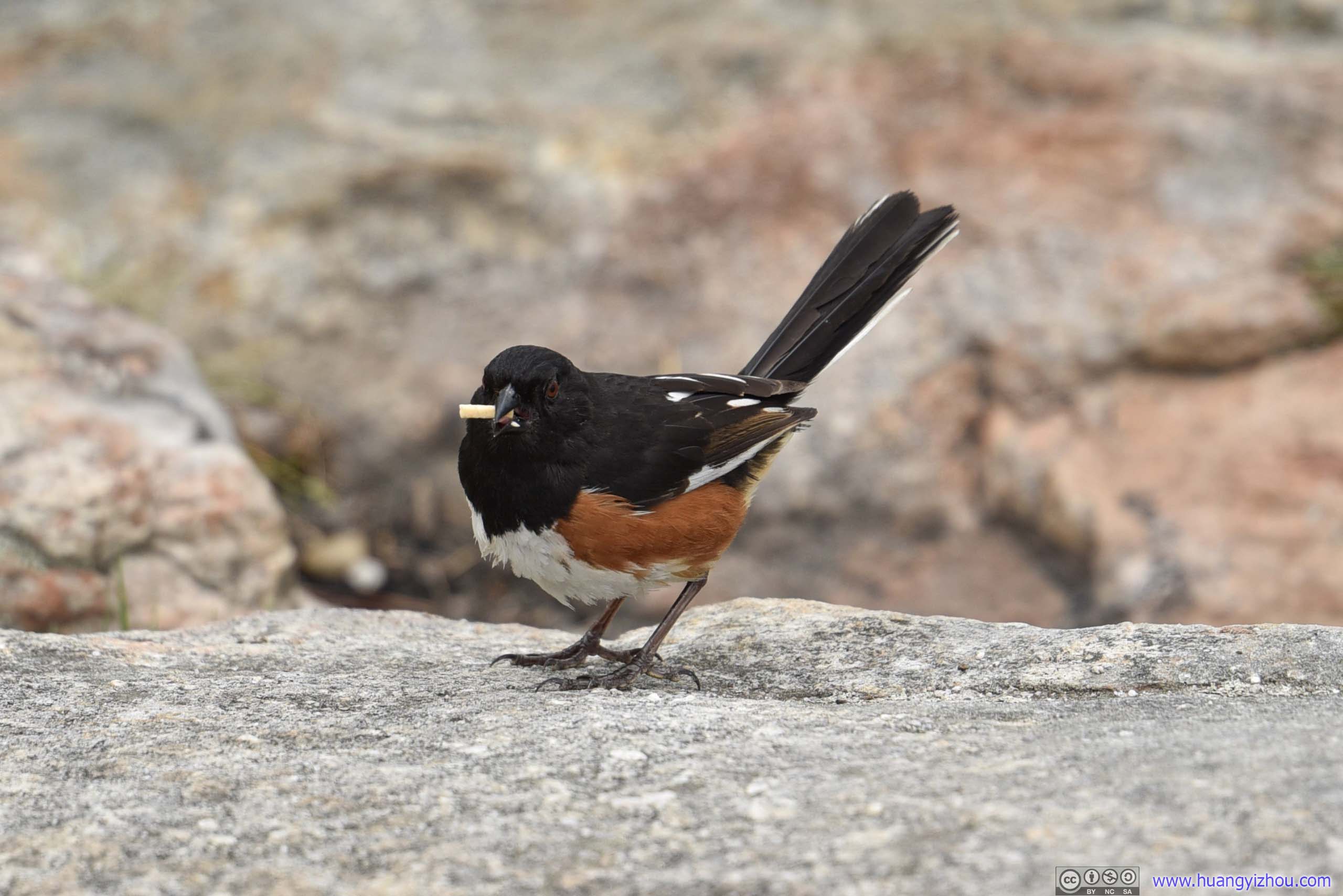
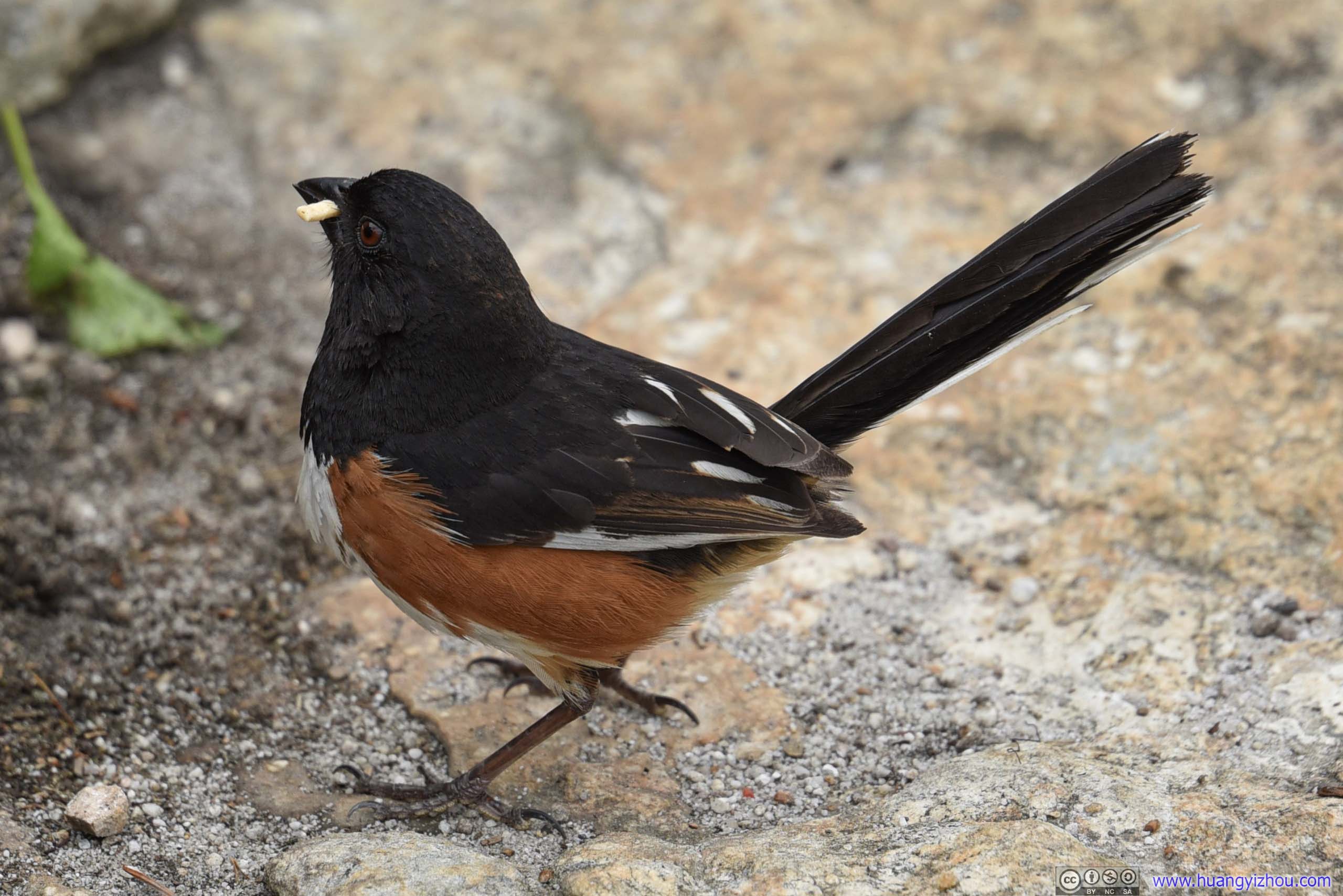
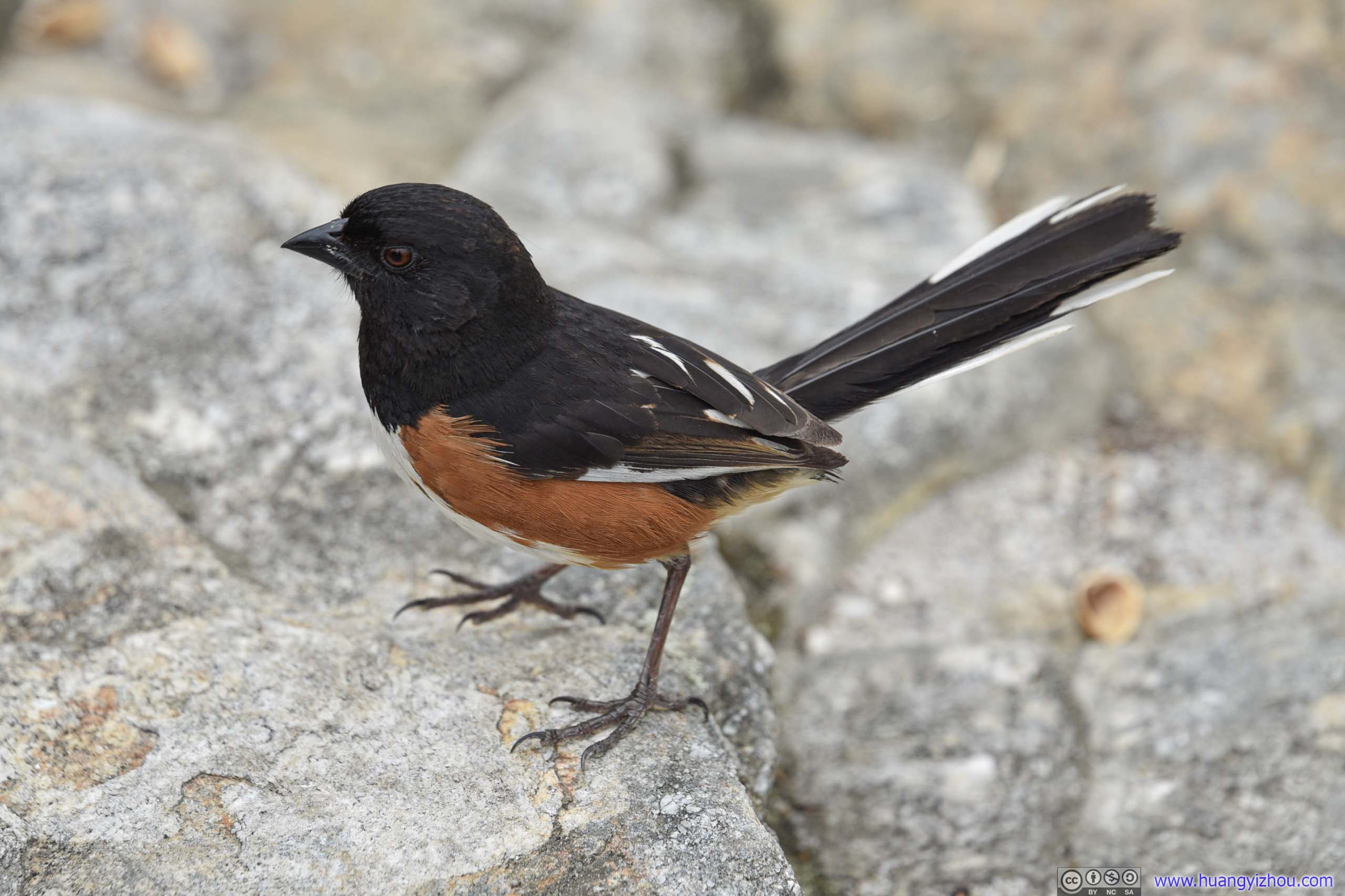 Bird
Bird
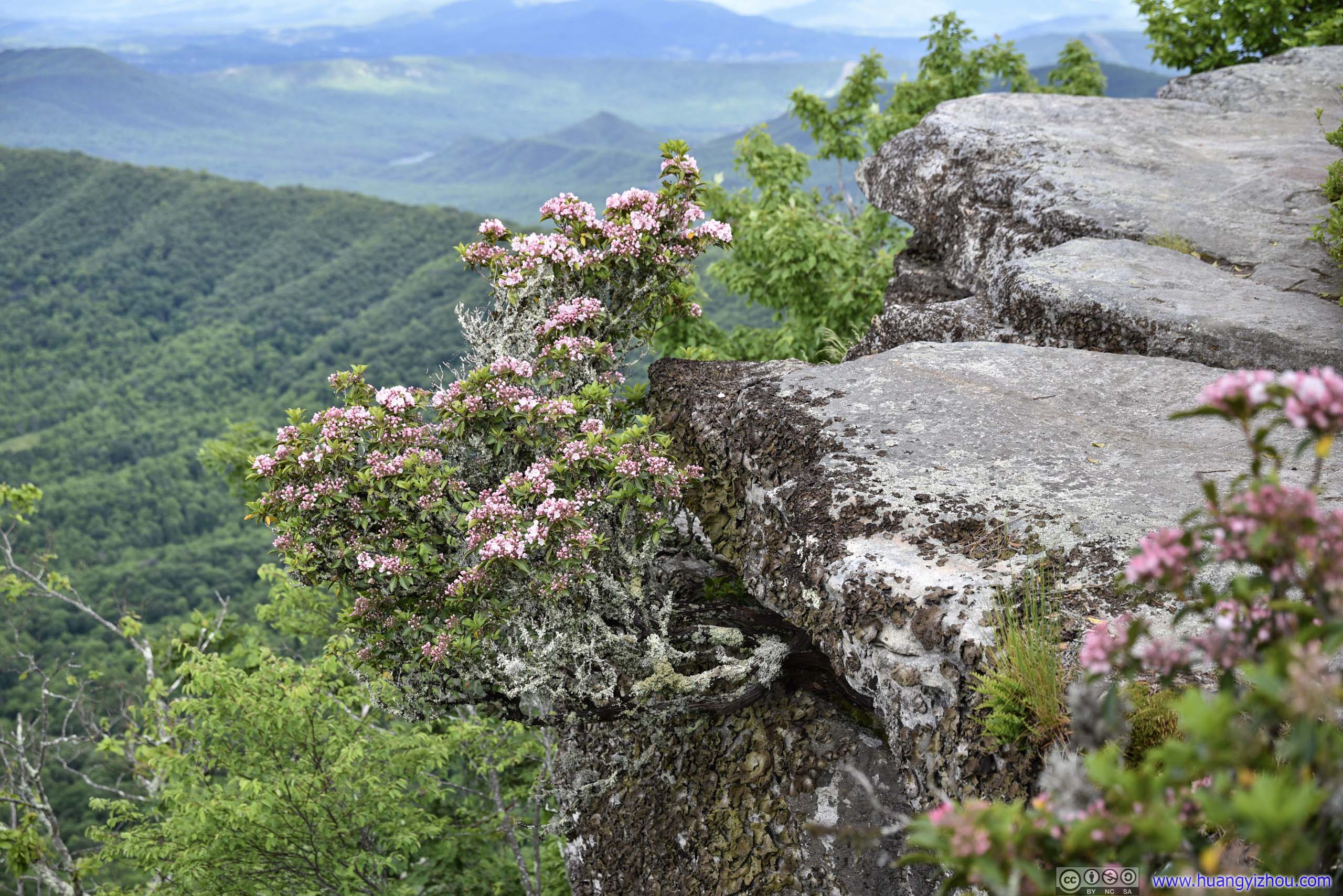
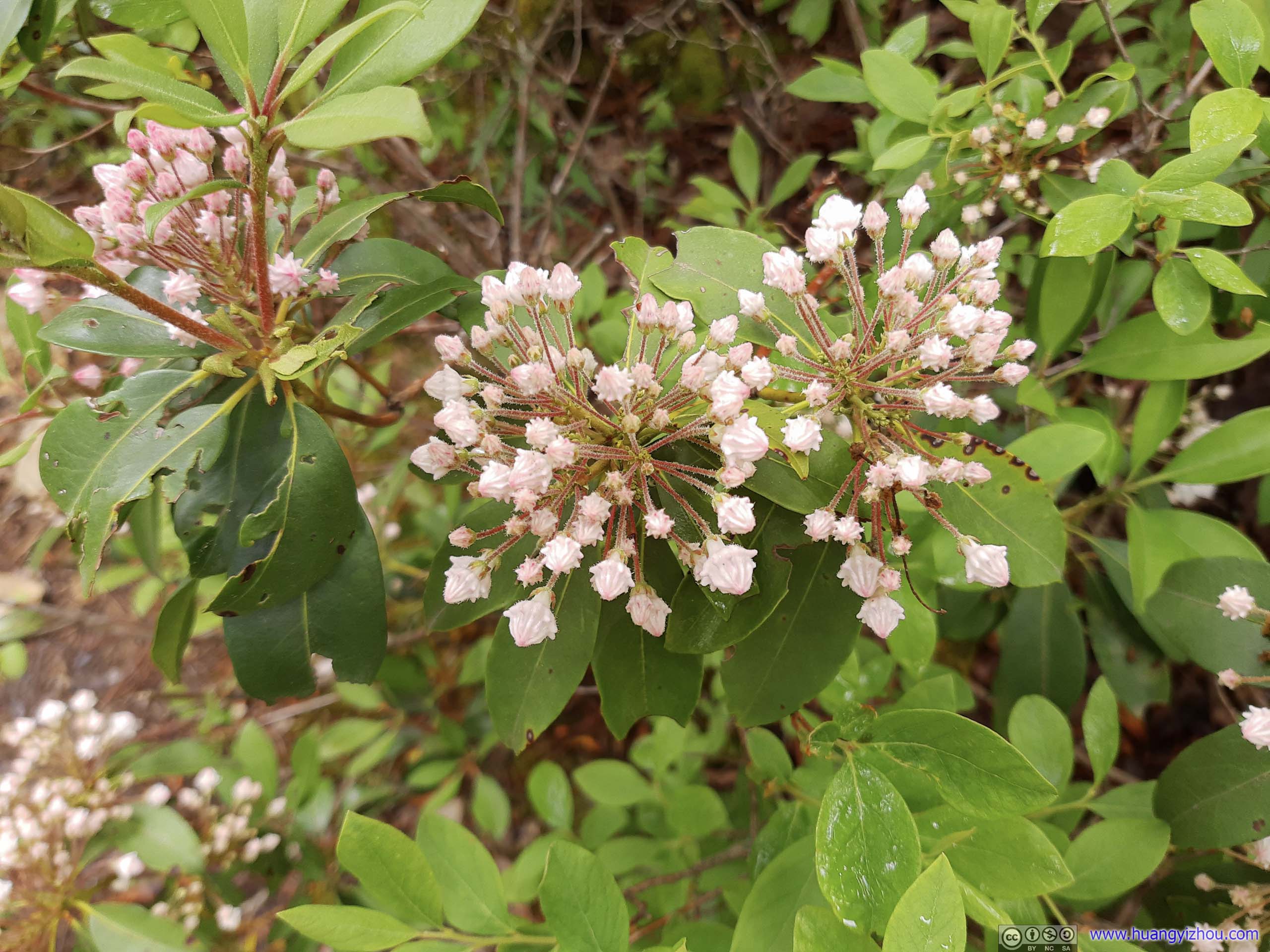
Mountain LaurelRooted between rocks and growing out of the cliff.
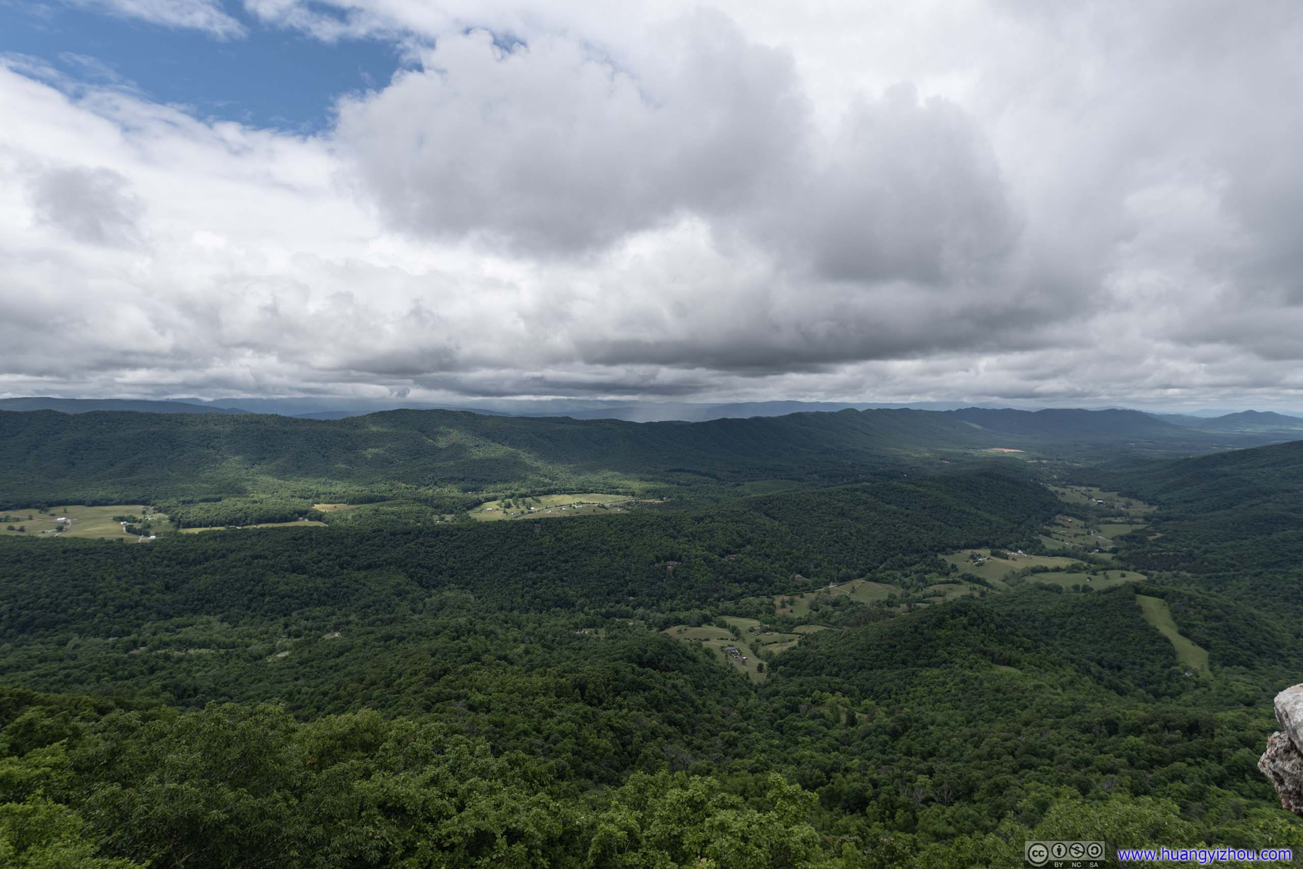
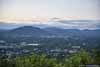
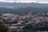
And here were the other views from McAfee Knob, particularly towards the east, where downtown Roanoke was clearly visible.
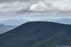
 Distant Tinker CliffsAlso part of Virginia Triple Crown, towards the north from McAfee Knob.
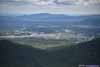
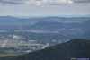
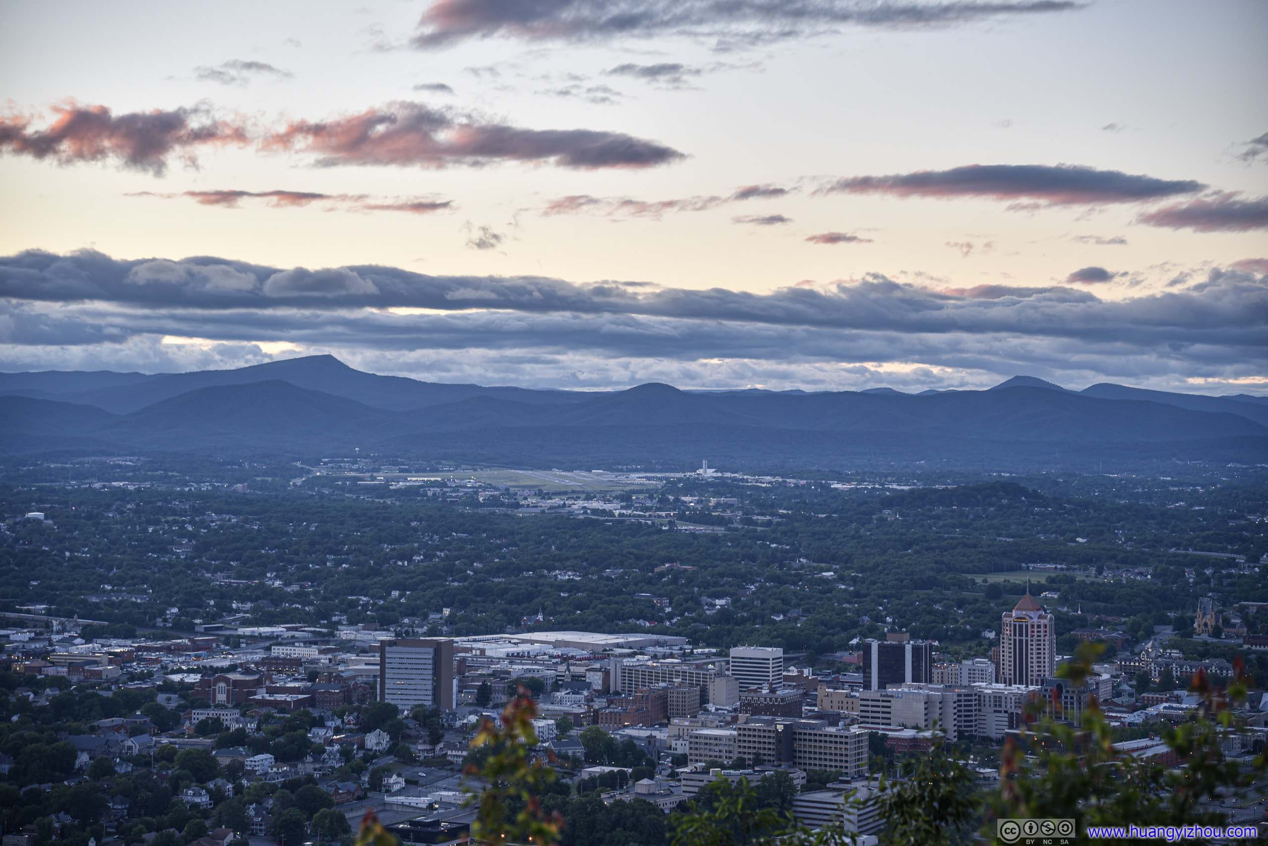
 Roanoke AirportOur hotel was also visible in this photo.
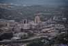
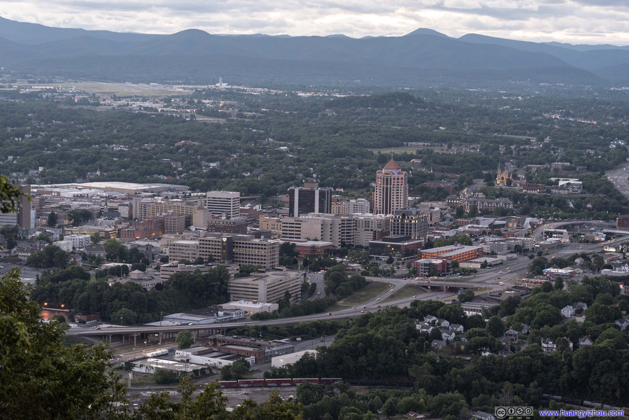
 Downtown Roanoke
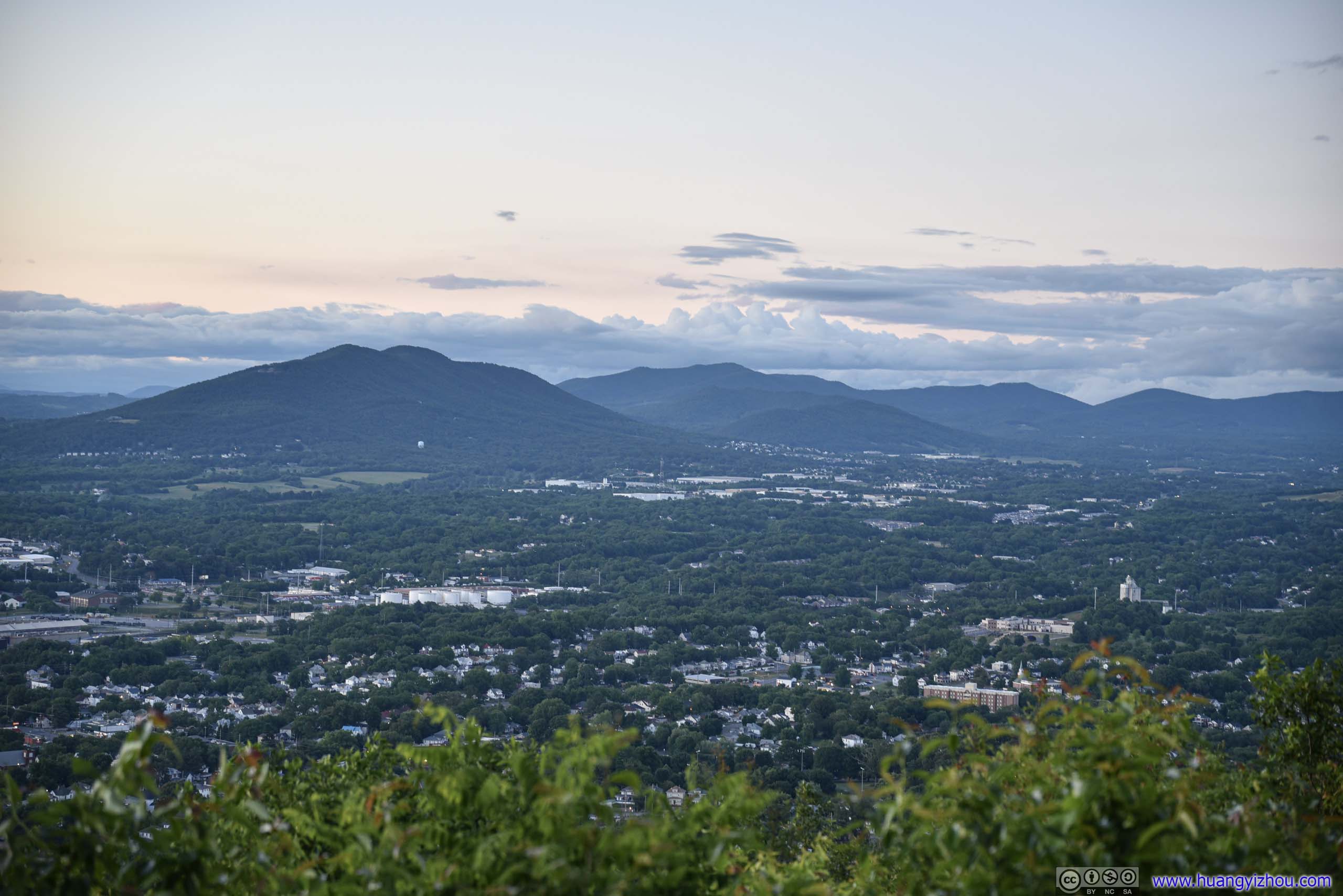
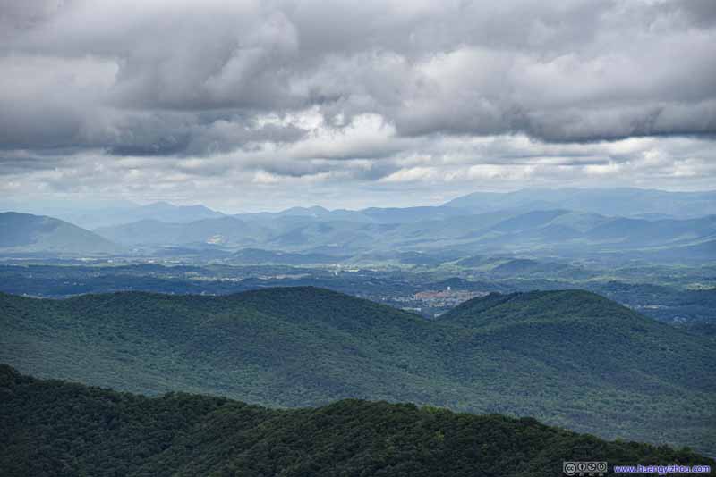 Rolling Mountains
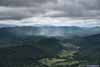
I liked how the shadows of the clouds were cast on the mountains, yielding patches of varying colors.
Rolling Mountains
I liked how the shadows of the clouds were cast on the mountains, yielding patches of varying colors.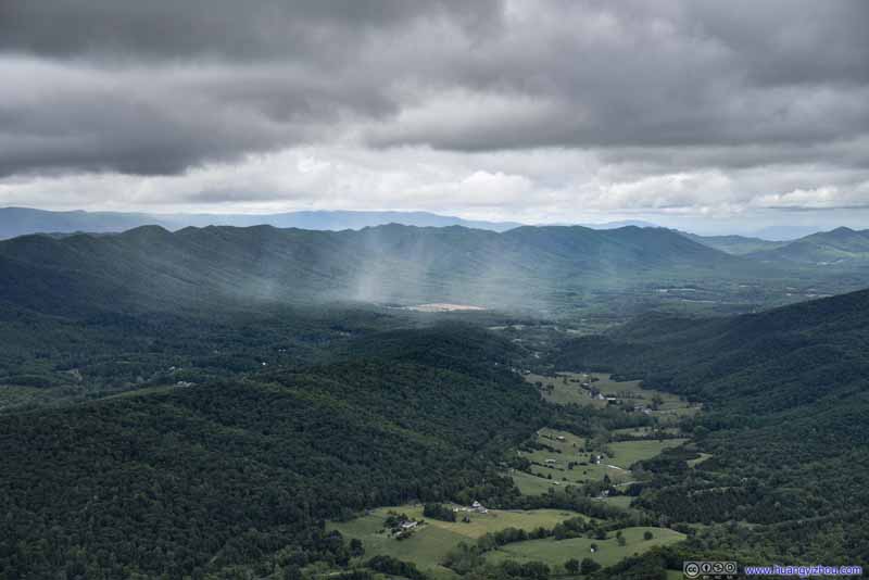 Break of Clouds
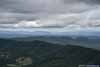
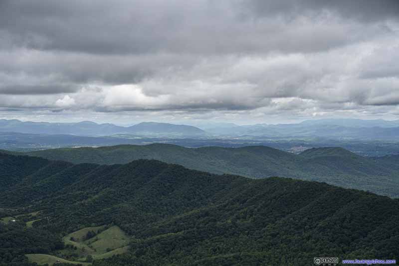 Mountain Ranges
Click here to display photos of the slideshow
Distant Tinker CliffsAlso part of Virginia Triple Crown, towards the north from McAfee Knob.
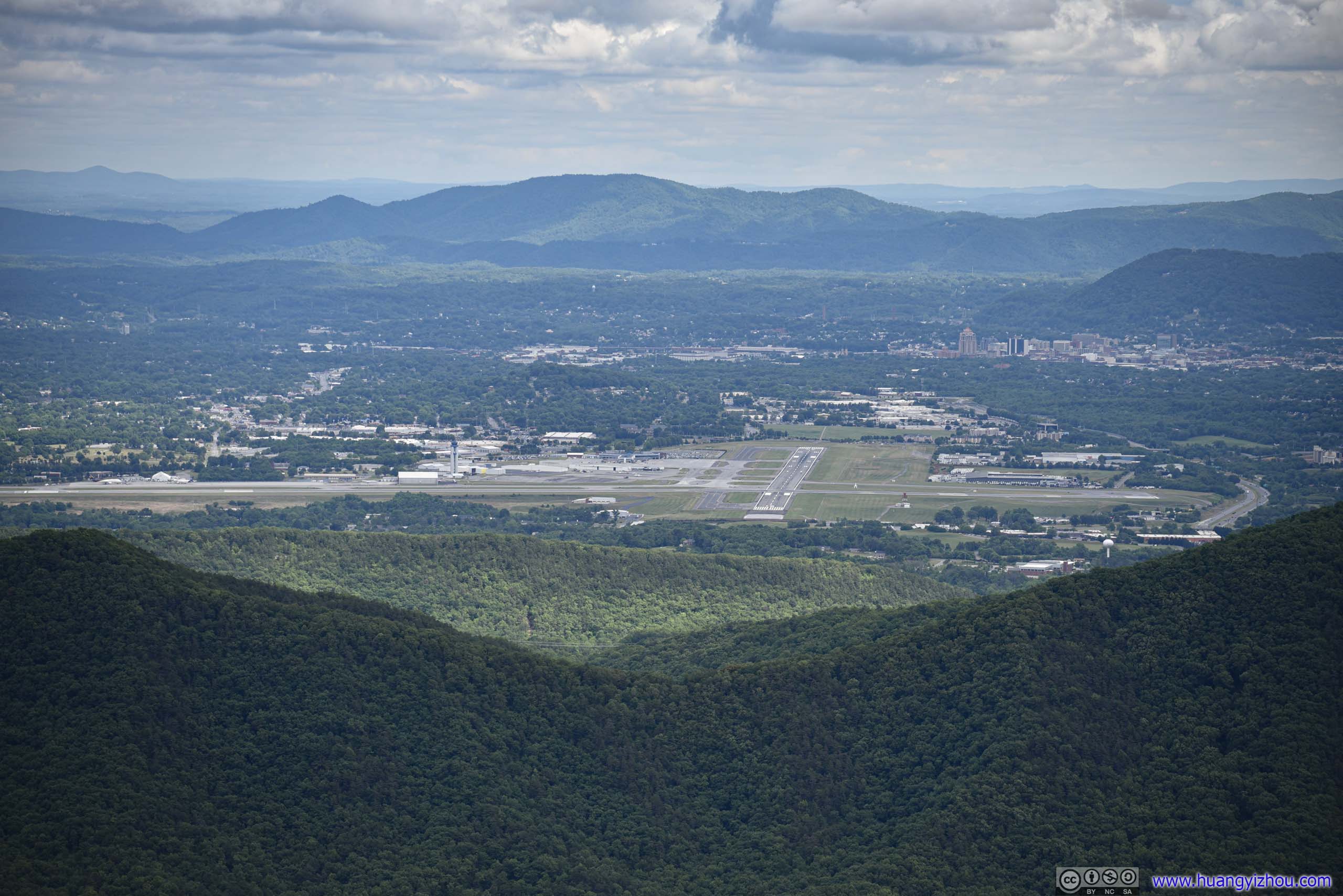
Roanoke AirportOur hotel was also visible in this photo.
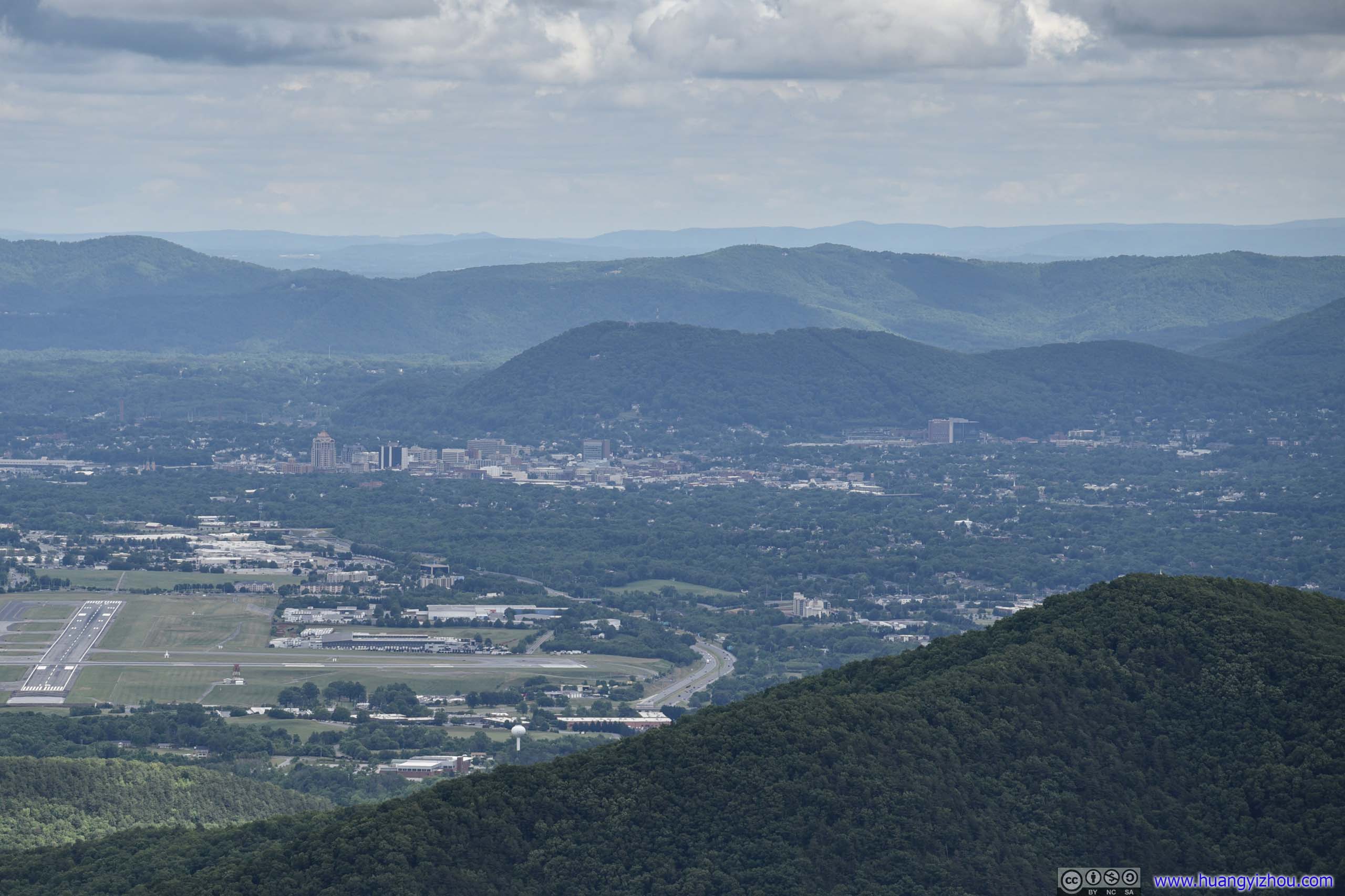
Downtown Roanoke

Rolling Mountains

Break of Clouds

Mountain Ranges
After staying for about an hour at the summit, we started our descent at around 3:40pm.
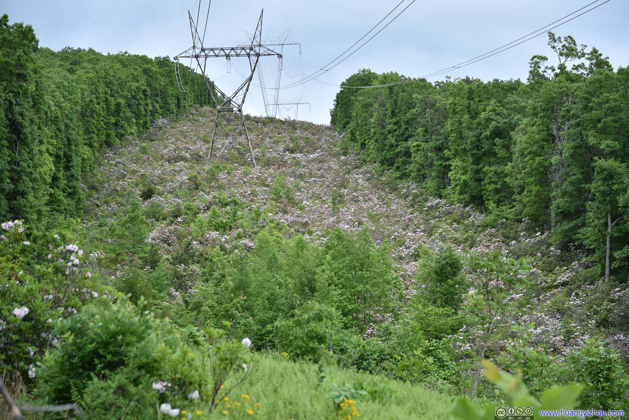
Field of Mountain LaurelUnderneath the powerlines where forests were chopped down, these flowers abounded.
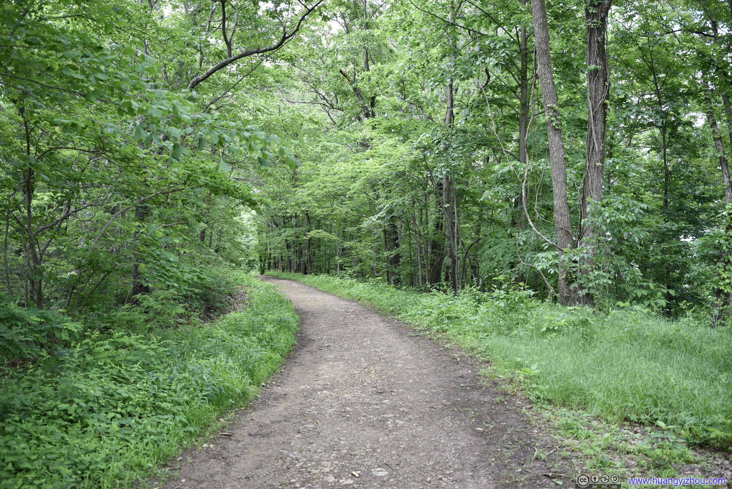
We picked the fire road for descent. Overall, it’s a pretty care-free experience going down this thoroughfare. Probably due to the storm the previous day, there were a few muddy spots, though they could be easily circumvented.
 Fire Road
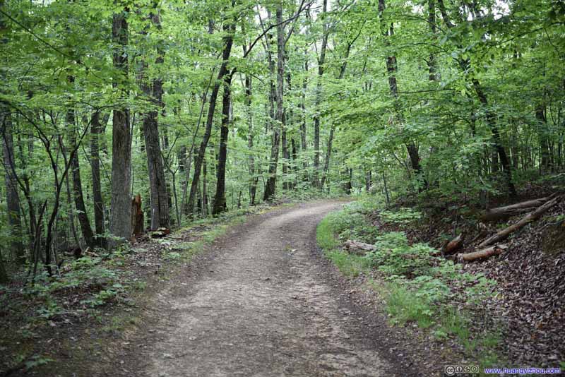 Fire Road
 Fire Road
 Fire Road
 Fire Road
Click here to display photos of the fire road.
Fire Road

Fire Road
Fire Road
Fire Road
Fire Road
At about 5:10pm, we got back to the trailhead. After that, we drove back to the hotel, took some rest, before deciding on a Korean restaurant for dinner.

DinnerWith all the bright red colors, Korean food looked spicier than it tasted.
Mill Mountain Star
After dinner, it’s about sunset time, and we thought “Mill Mountain Star” would be a great place to watch sunset. Situated on a hill just outside downtown Roanoke, it should also be a great place for views of the city of Roanoke.

Mill Mountain Star
Parking was limited at the small lot on top of mountain, luckily we pulled into the last open spot as we arrived, which was literally steps away from the star. (Otherwise, there’s a larger parking lot at Mill Mountain Discovery Center a short walking distance away.)
While the star was remarkable, unfortunately there were clouds over the distant Appalachian Mountains, so there’s no sunset to watch. There was a small observation deck at the star, but too many people were trying to take photos that it felt rather crowded. But the worst was that trees were growing too well beneath the observation deck, that view of downtown was partially blocked by them (photos below).
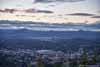
 Distant Mountains
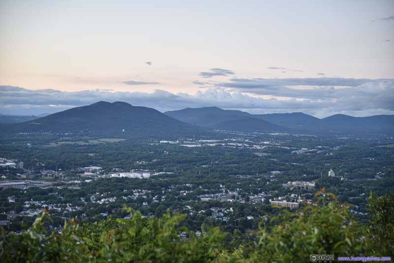 Mountains to the North
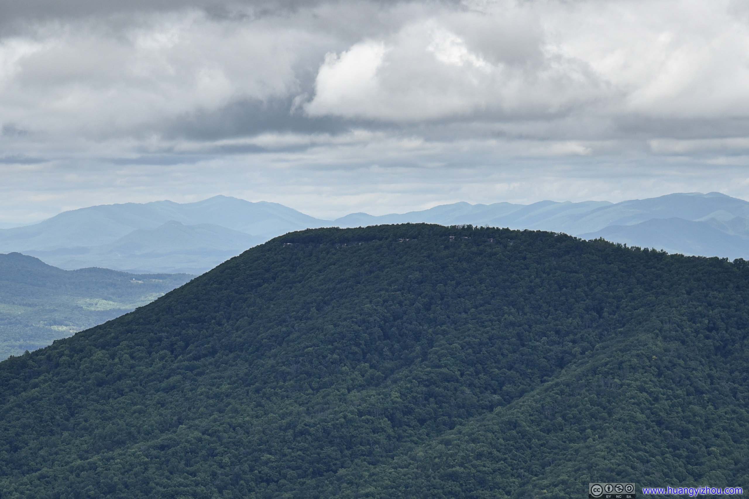
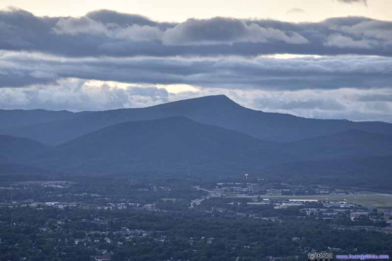 Distant MountainMcAfee Knob at the high point of the mountain in the center.
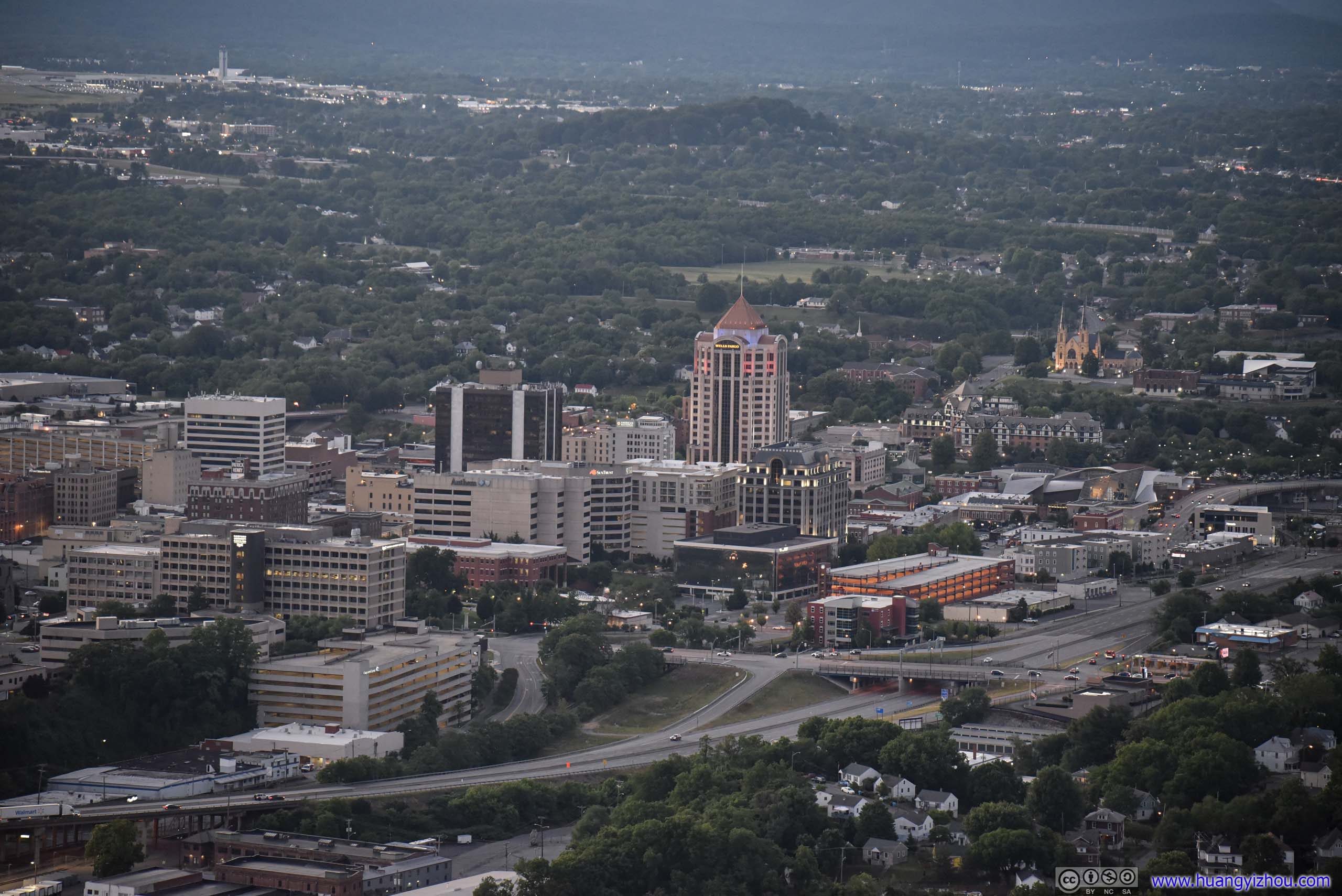
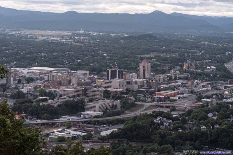 Downtown Roanoke
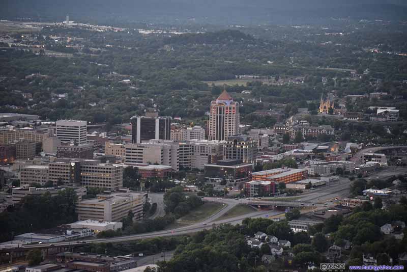 Downtown Roanoke
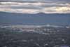
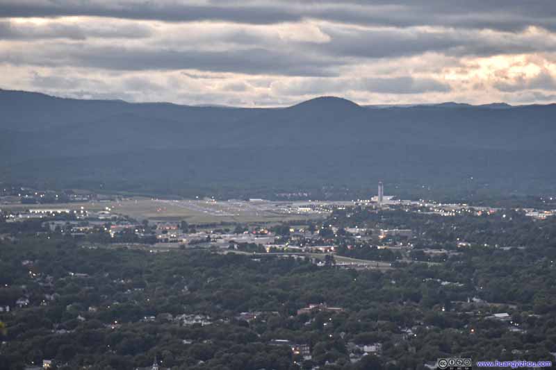 Distant Roanoke Airport
Click here to display photos of the slideshow
Distant Mountains
Mountains to the North

Distant MountainMcAfee Knob at the high point of the mountain in the center.
Downtown Roanoke
Downtown Roanoke

Distant Roanoke Airport
Combining all these disappointments, we didn’t stay long at Mill Mountain Star, before heading back to the hotel and calling it a day.
END
![]() Day 2 of 2021 Memorial Day Weekend, McAfee Knob by Huang's Site is licensed under a Creative Commons Attribution-NonCommercial-ShareAlike 4.0 International License.
Day 2 of 2021 Memorial Day Weekend, McAfee Knob by Huang's Site is licensed under a Creative Commons Attribution-NonCommercial-ShareAlike 4.0 International License.