
Updated on December 28, 2021
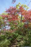
Hiking Rocky Brown Mountain Loop in Shenandoah
First weekend of October, I went hiking in Shenandoah National Park among early autumn colors.
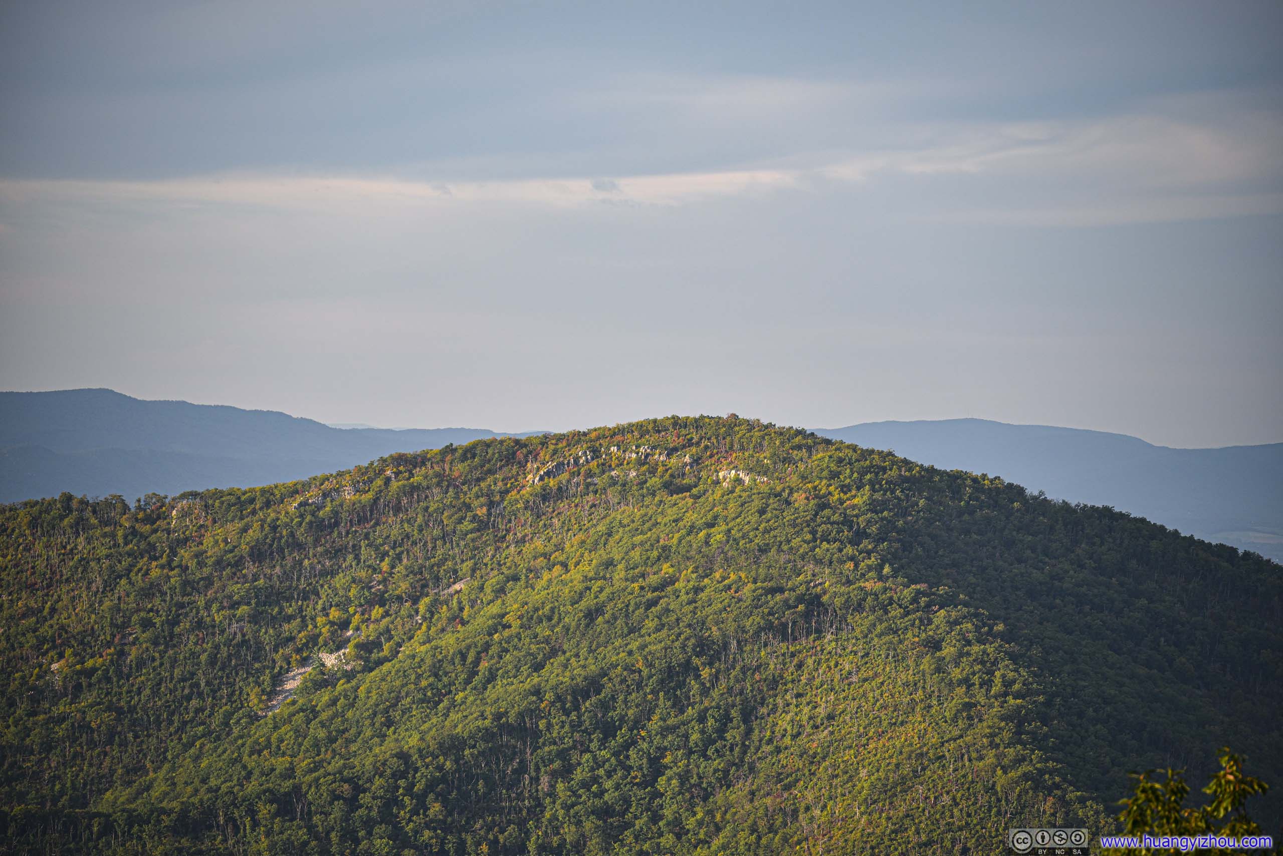
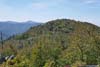
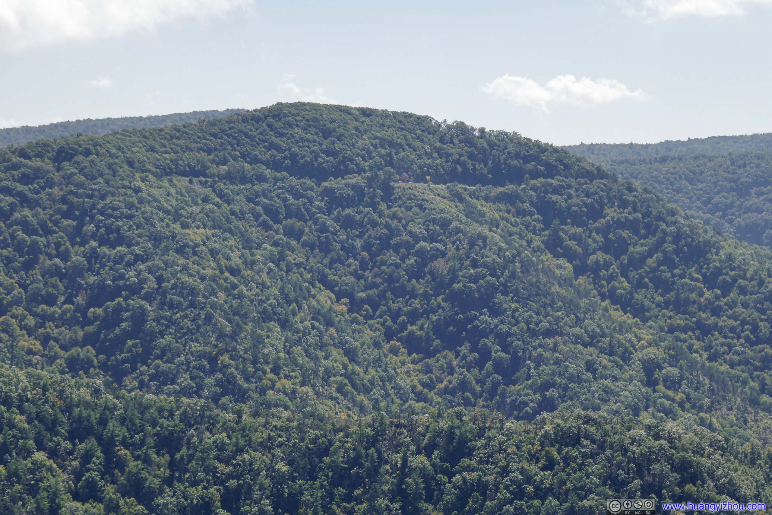
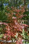
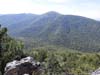
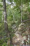
Rocky Mountain of Shenandoah National Park
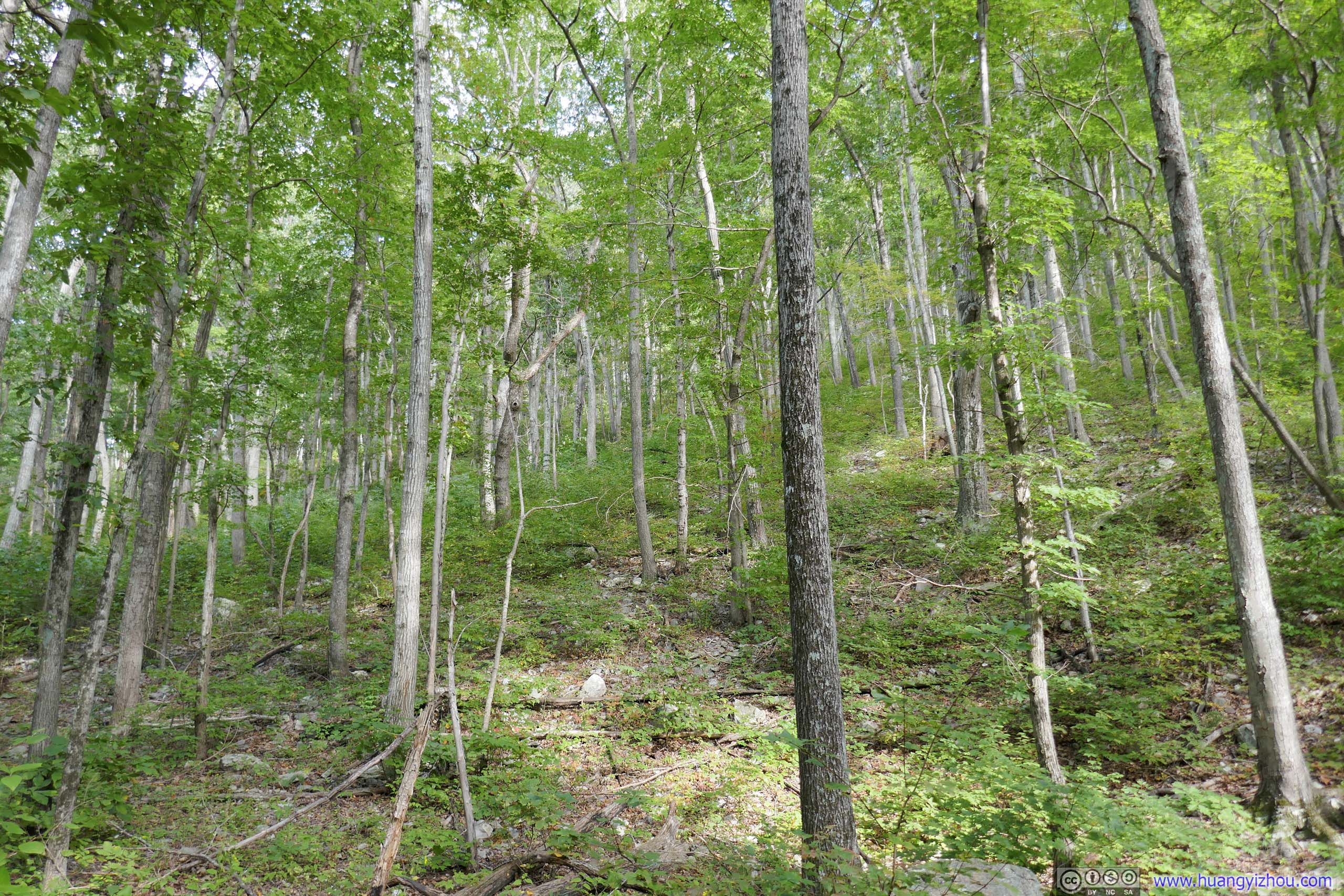
It’s almost a yearly tradition for me to head to Virginia in autumn when the mountains put on a palette of colors. This time, I picked one of the few trails in Shenandoah National Park that I hadn’t visited before, and hiked Rocky and Brown Mountain Loop.
While I envisioned hiking in cool autumn conditions among vivid colors, the day turned out to be hotter than what I’d like. After setting out from my home in Washington DC suburb, I had to occasionally use air-conditioning in my car during the drive to the trailhead. The southern part of Shenandoah National Park wasn’t that popular, and by the time I got to the trailhead “Brown Mountain Overlook”, the small parking lot was less than half filled.
I woke up sort of early today so I decided to have my lunch at the trailhead before my hike, and I was greeted with the first nuisance of the day, bugs. They were out in full swing, probably due to the warm autumn weather, and really bothered me while I was arranging my gears for the hike.
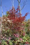
Brown and Rocky Mountain Loop
Eager to escape the bugs, I readied myself and headed onto the trail at 11:50am.
Here’s GPS tracking:
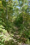
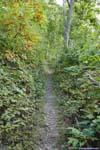
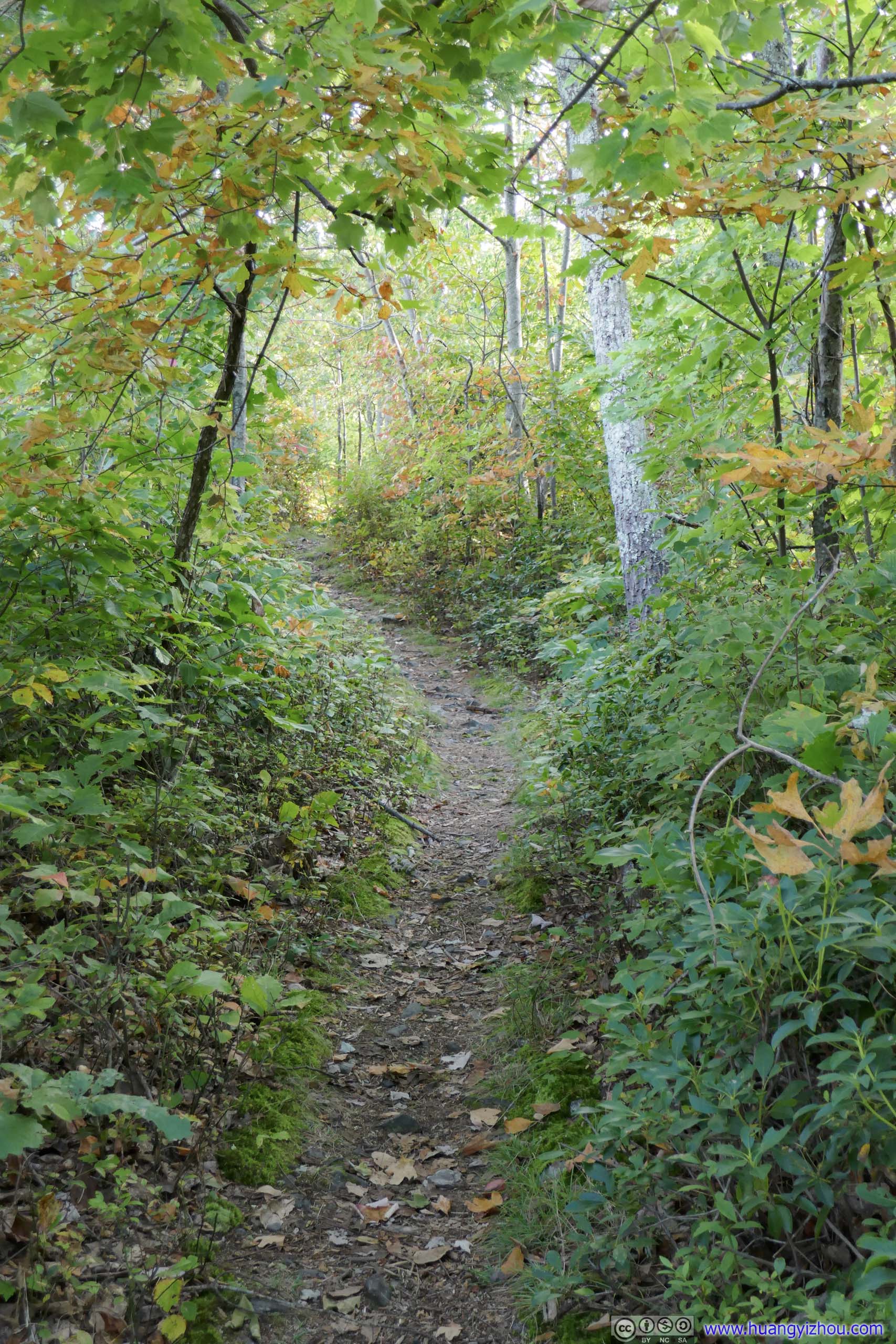
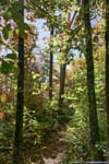
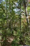
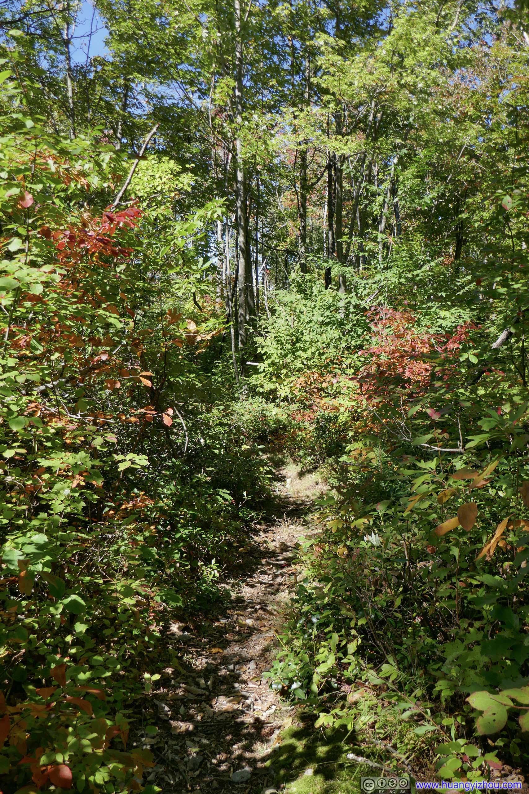
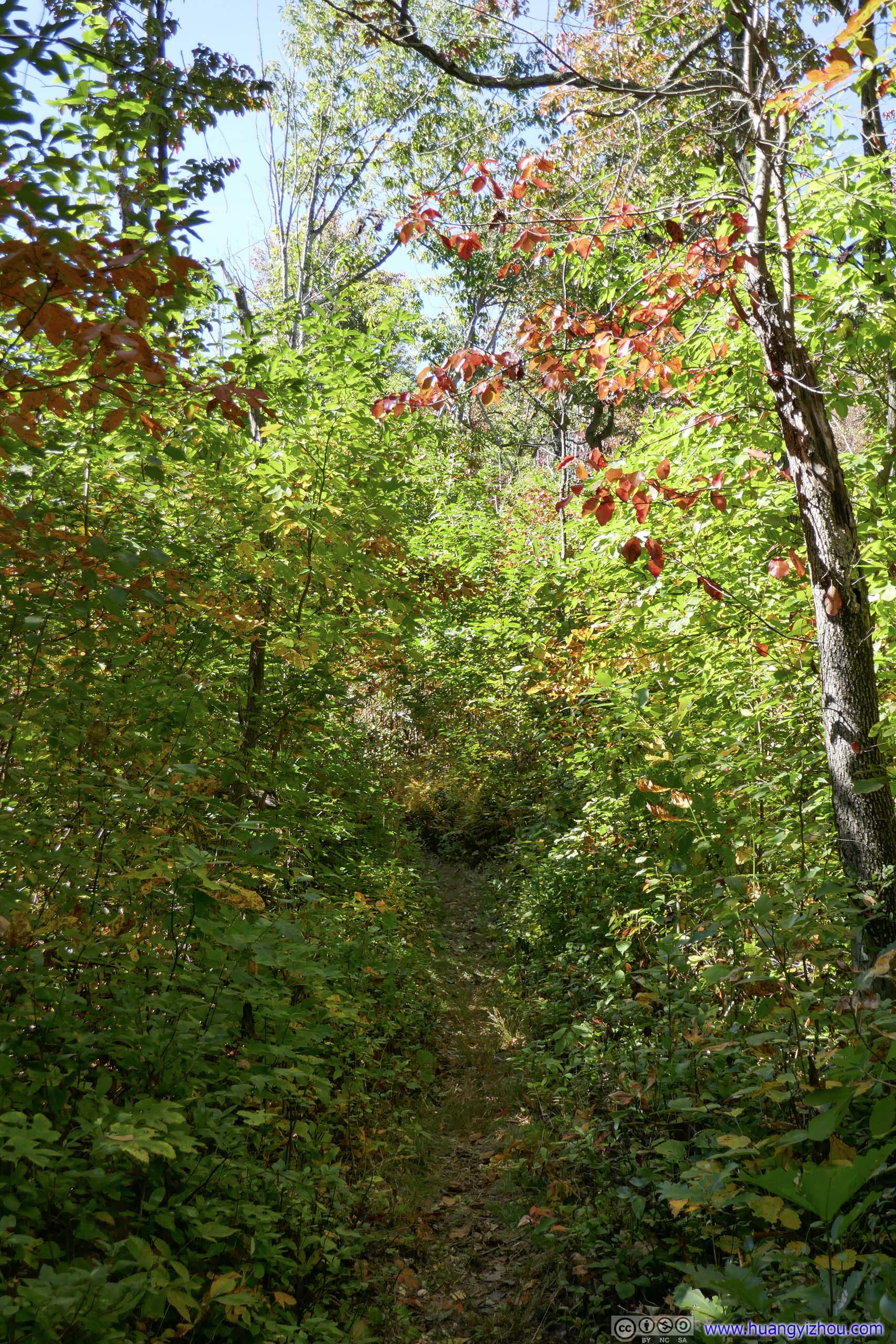
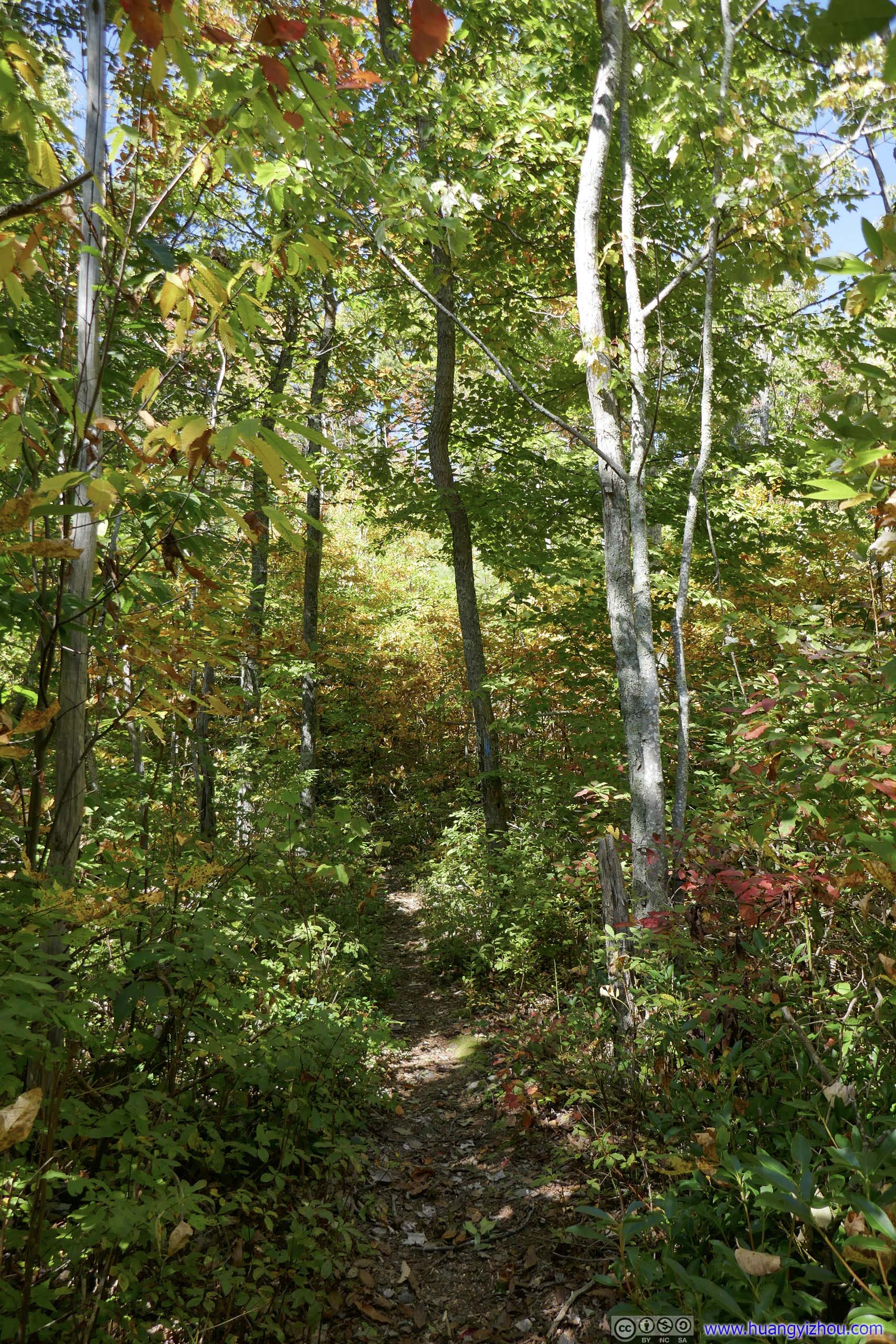
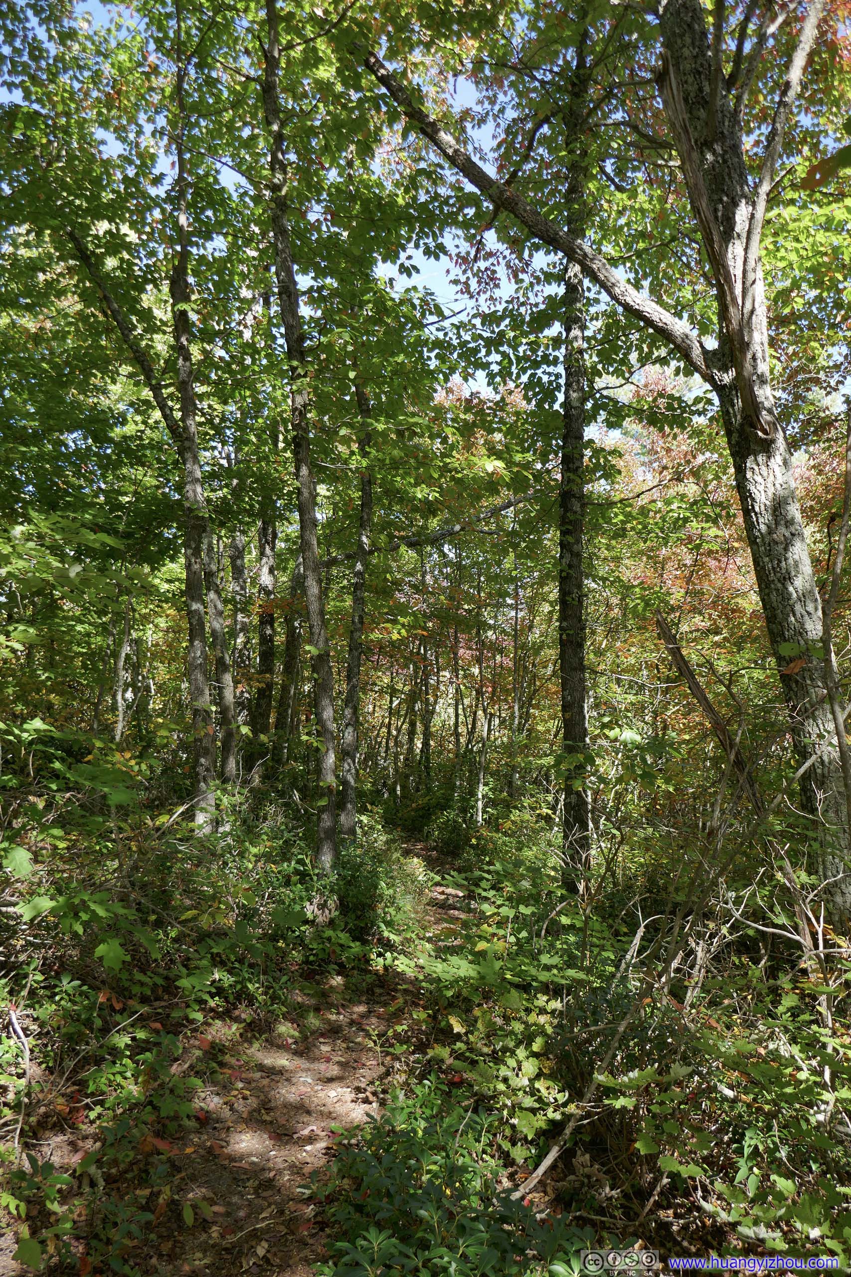
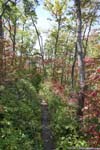
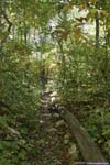
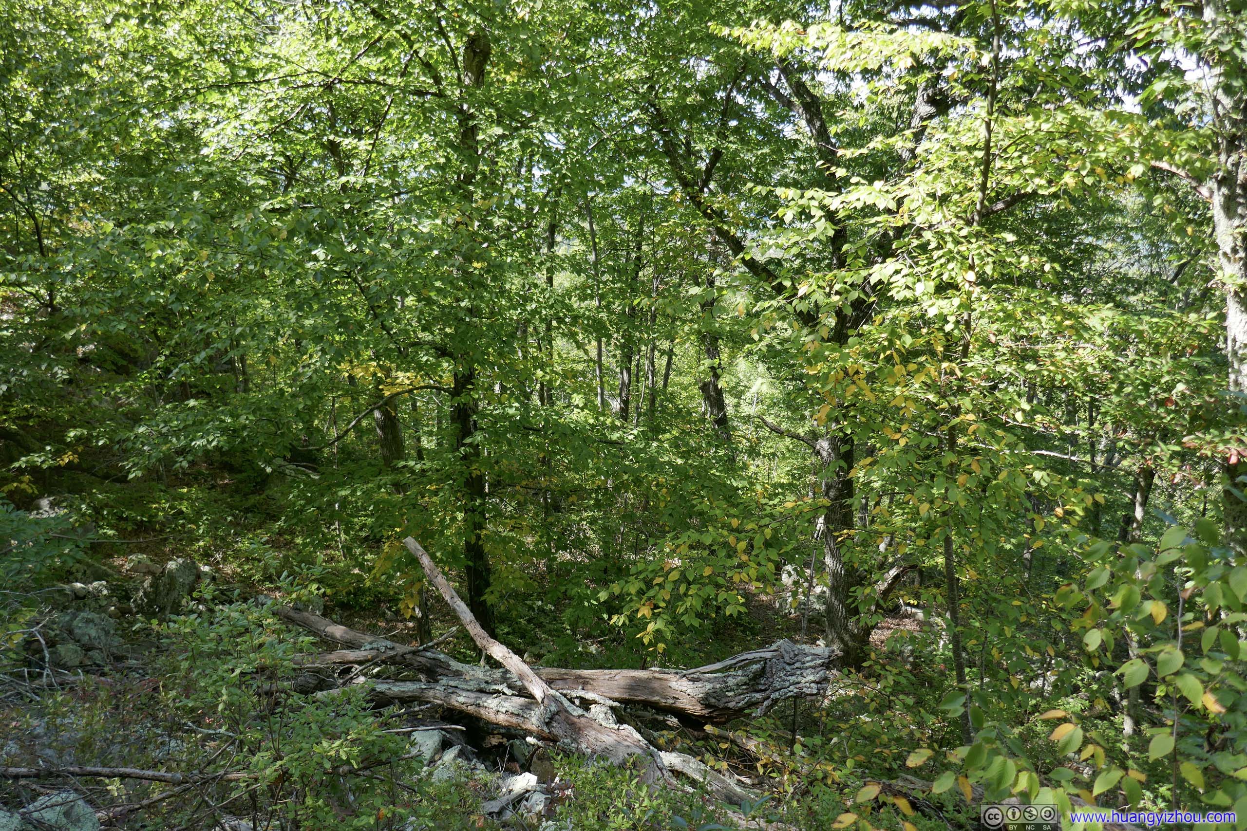
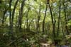
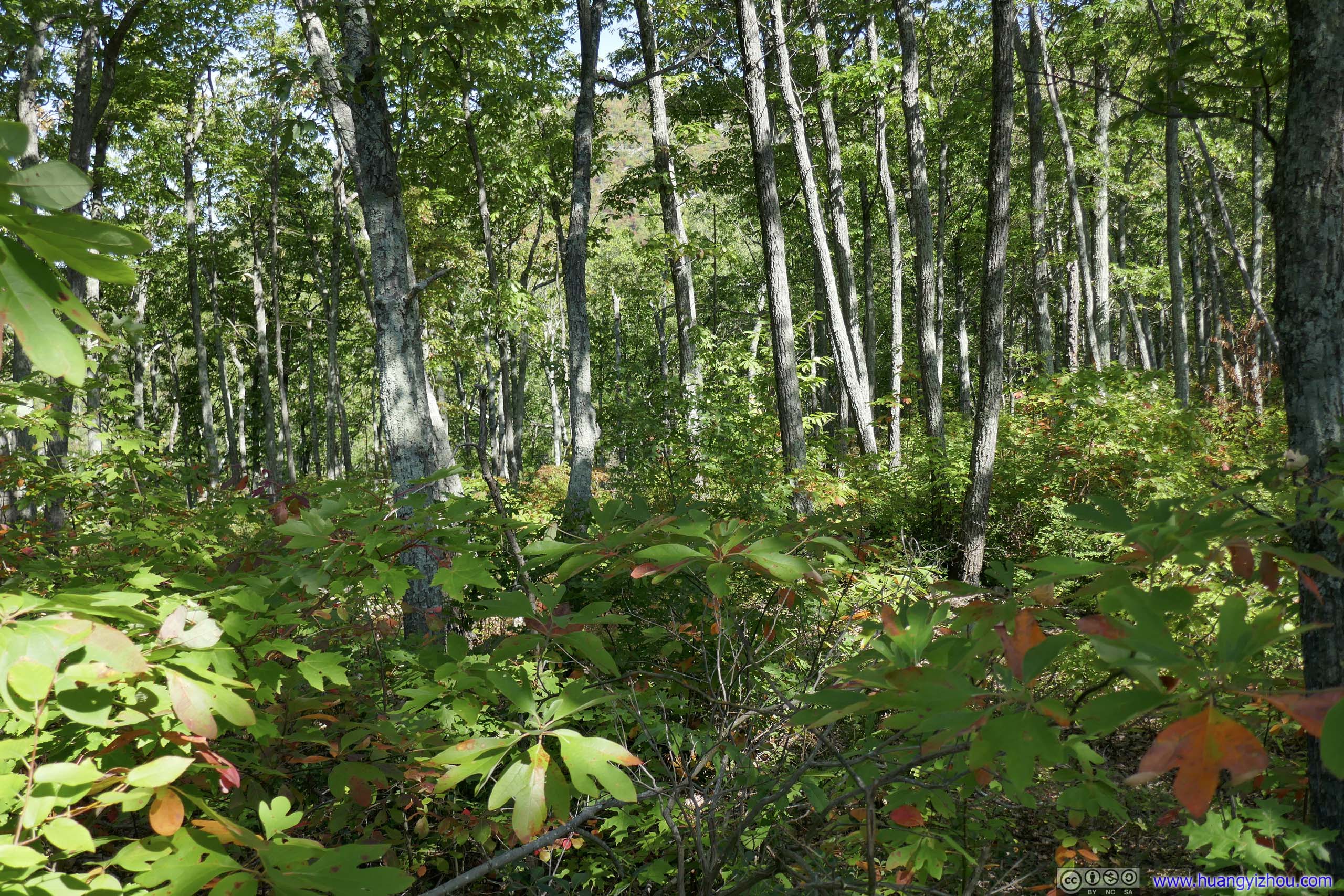
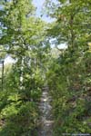
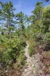
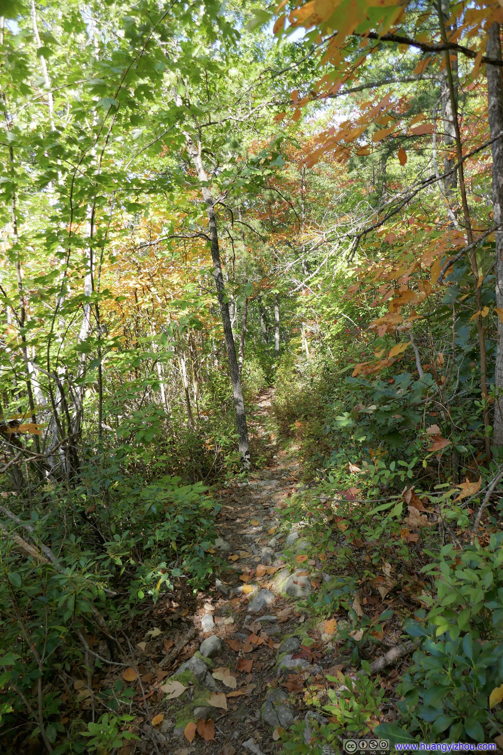
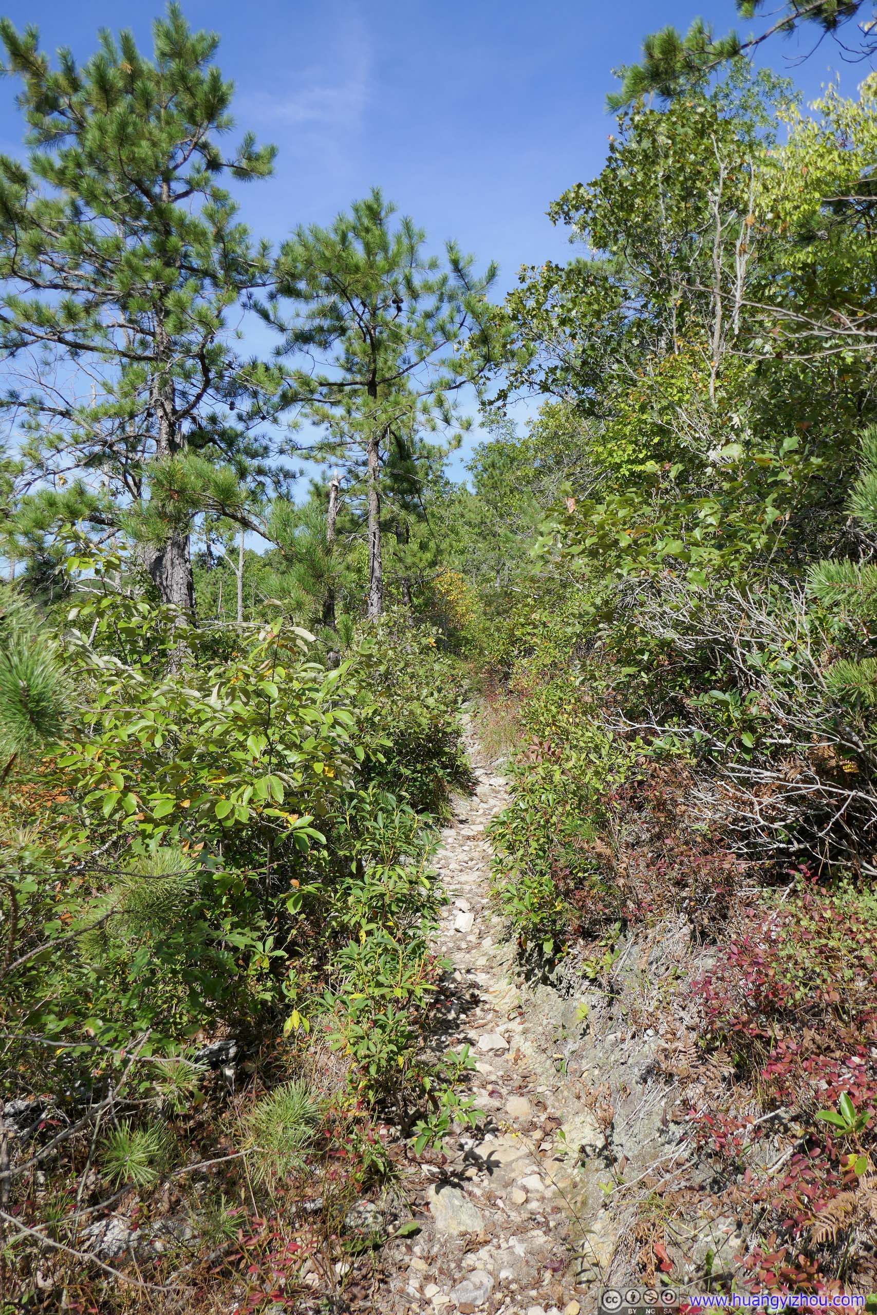
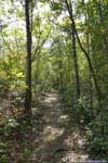
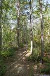
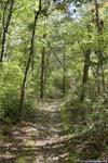
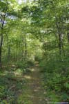
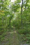
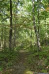
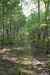
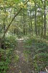
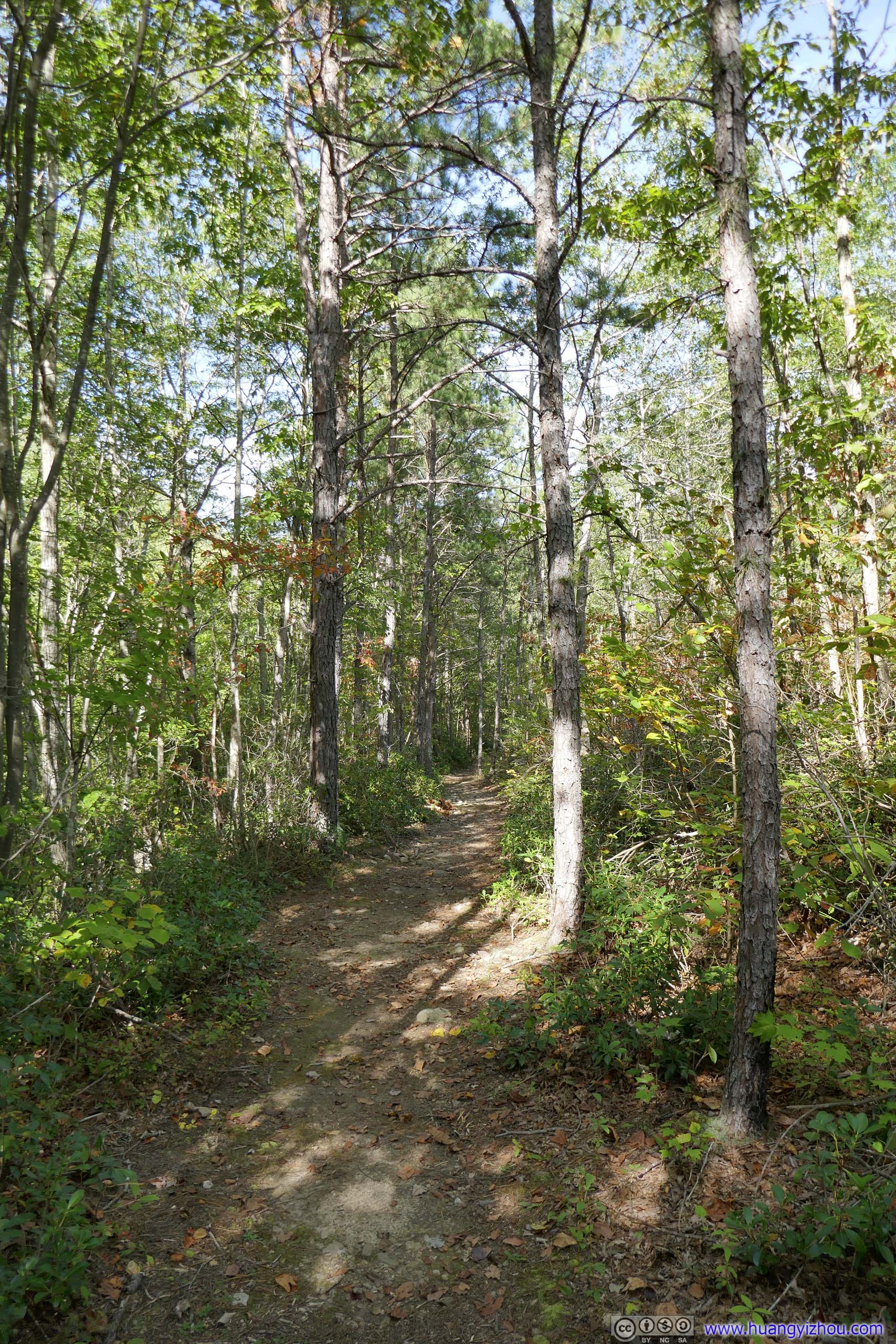
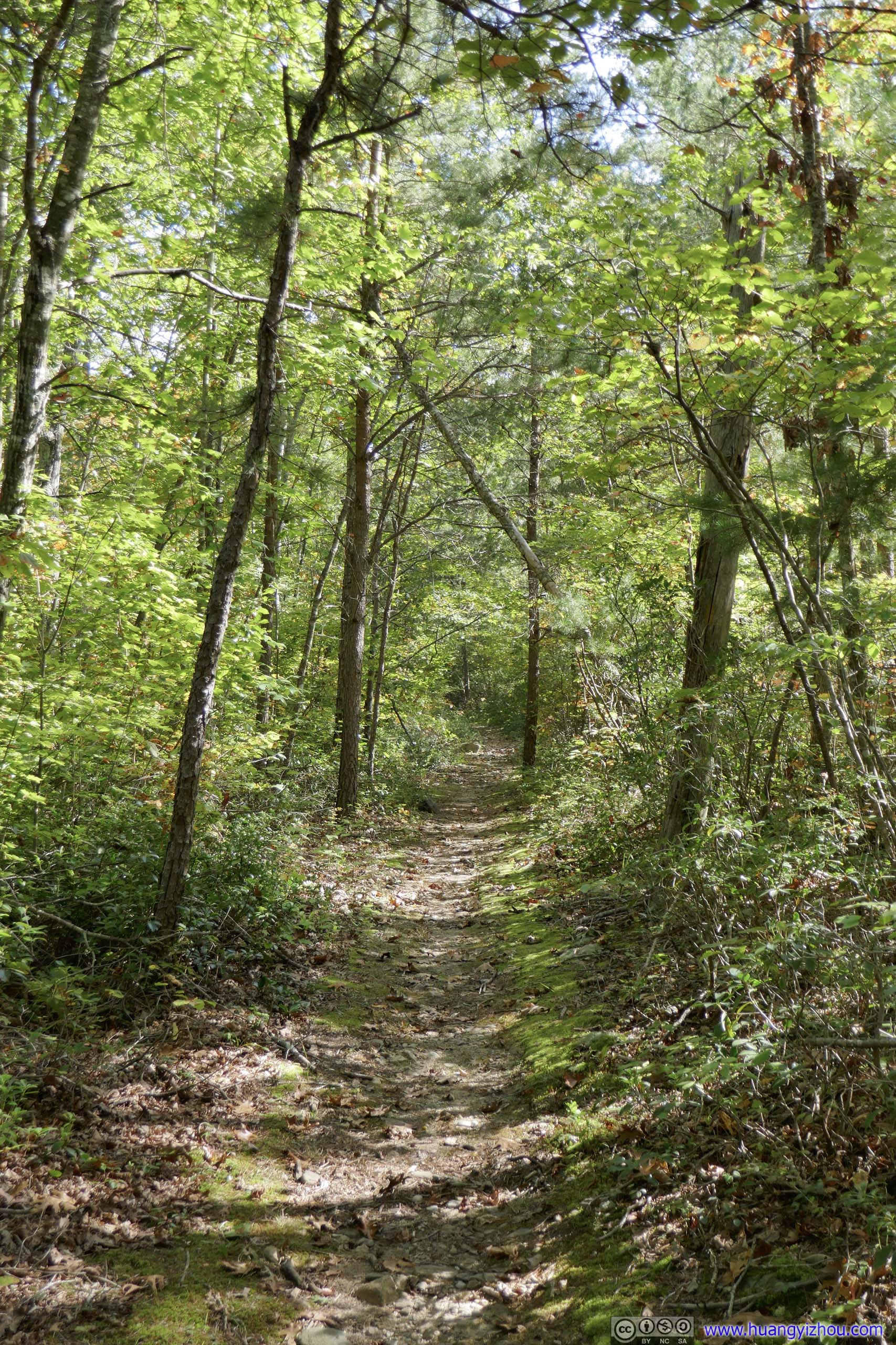
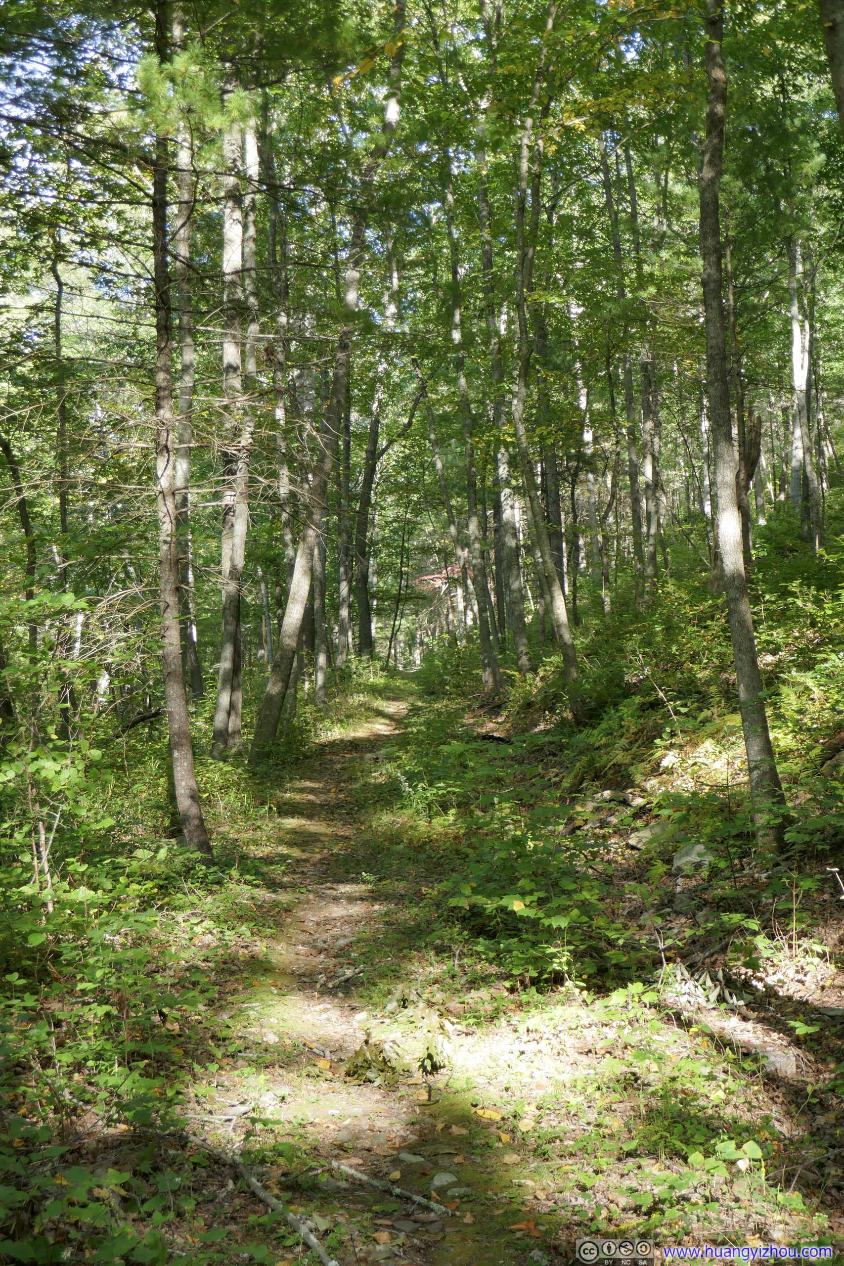
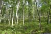
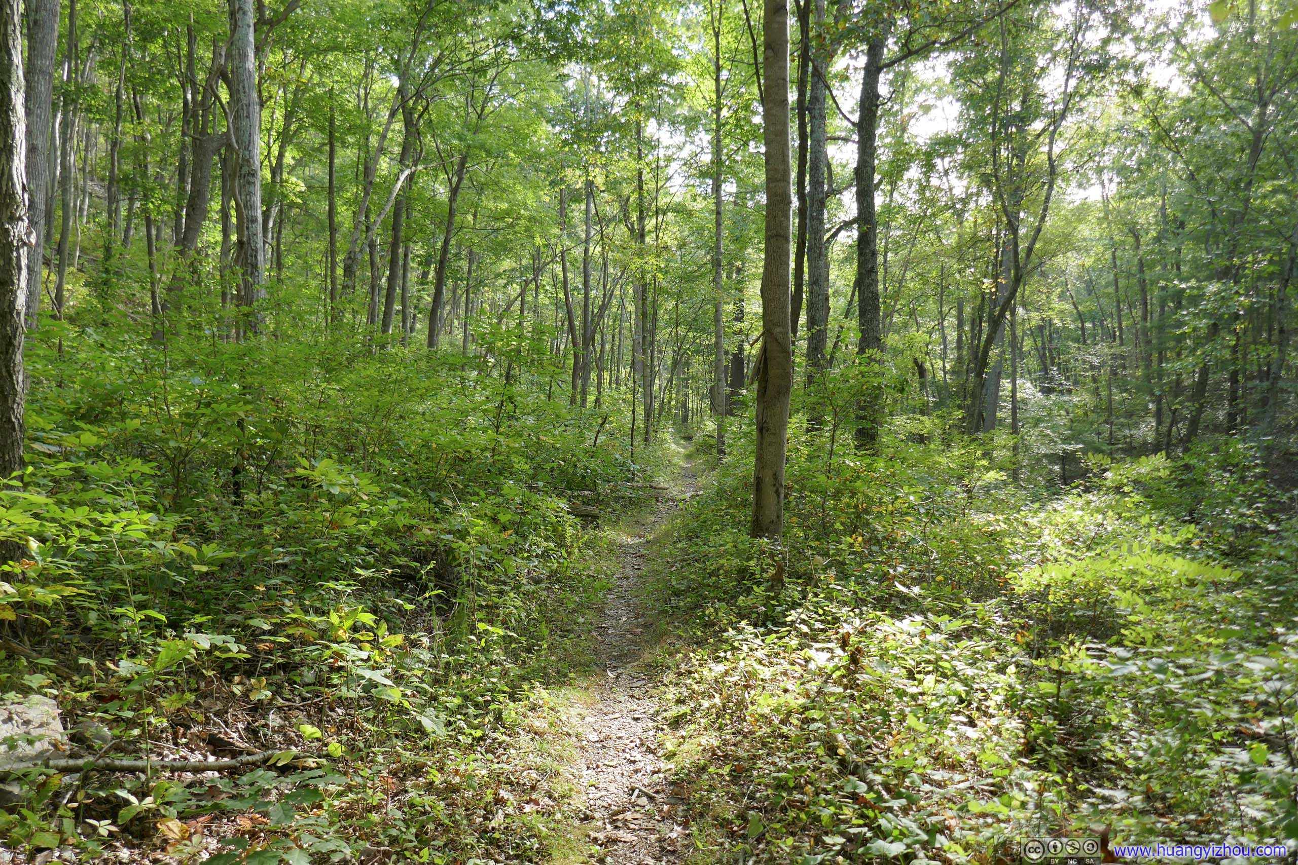
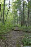
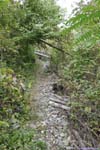
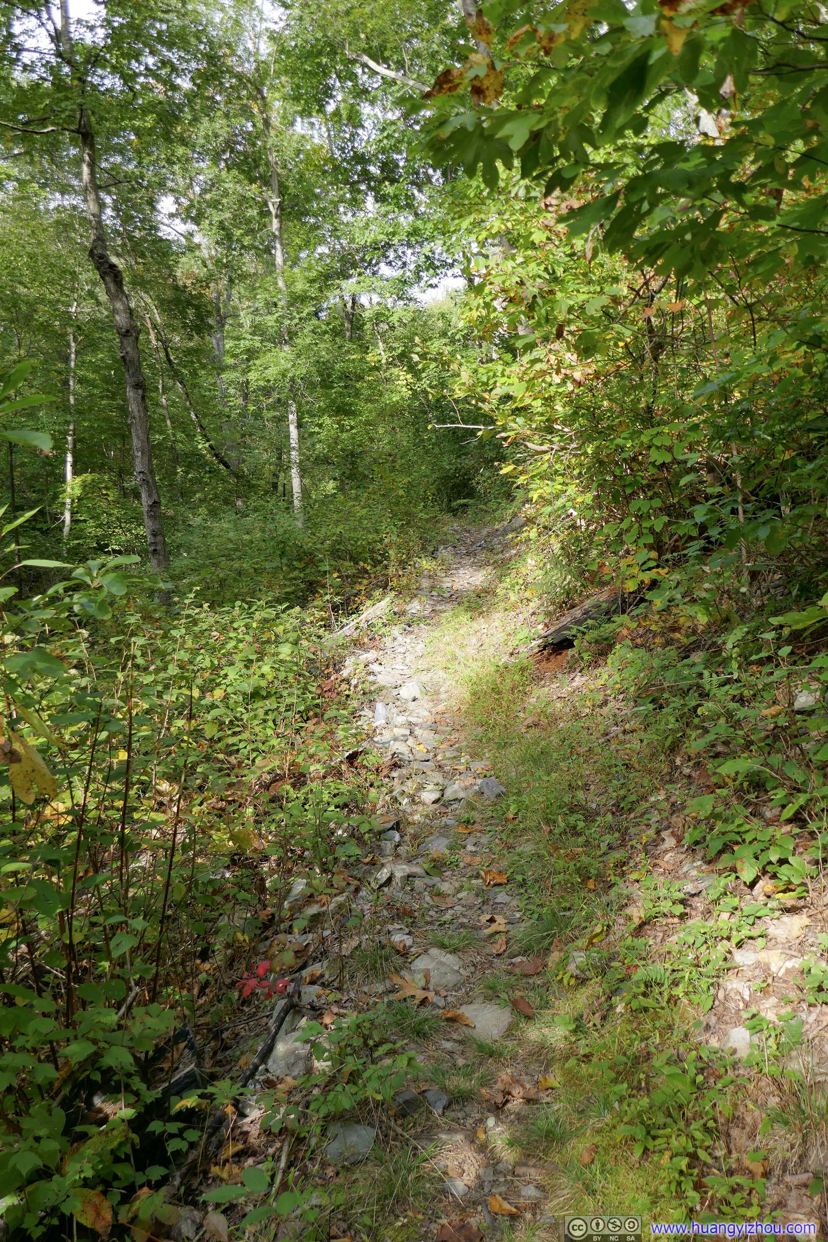
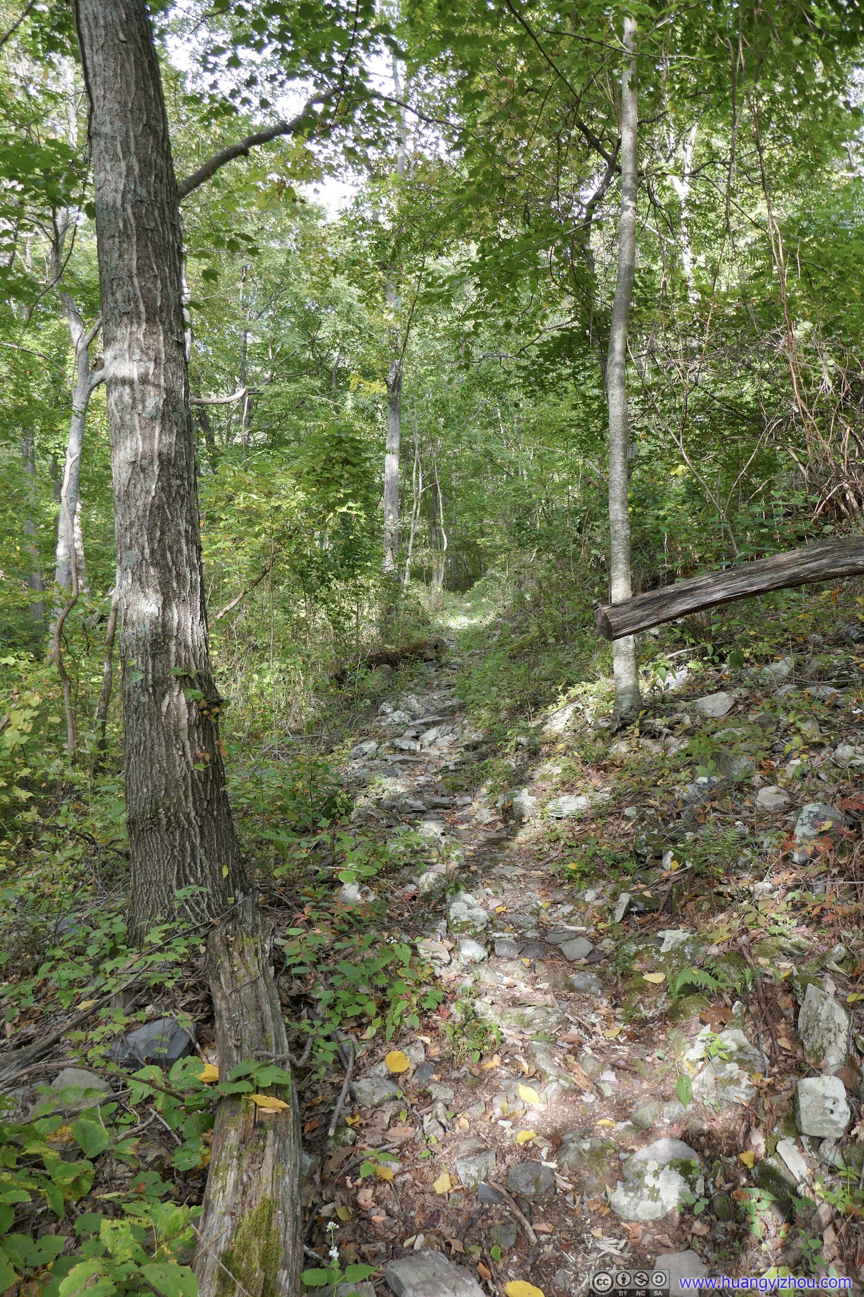
Since Skyline Drive was built along a ridge, the first part of the trail was actually heading downhill, as a typical walk in the woods.
 Trail
Trail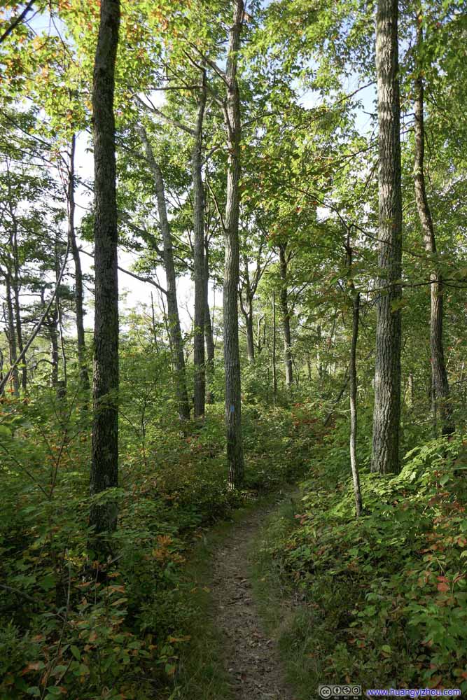 Trail
Trail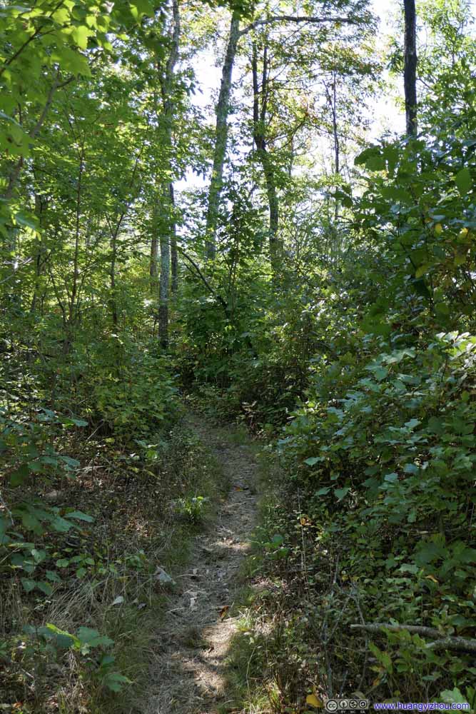 Trail
Trail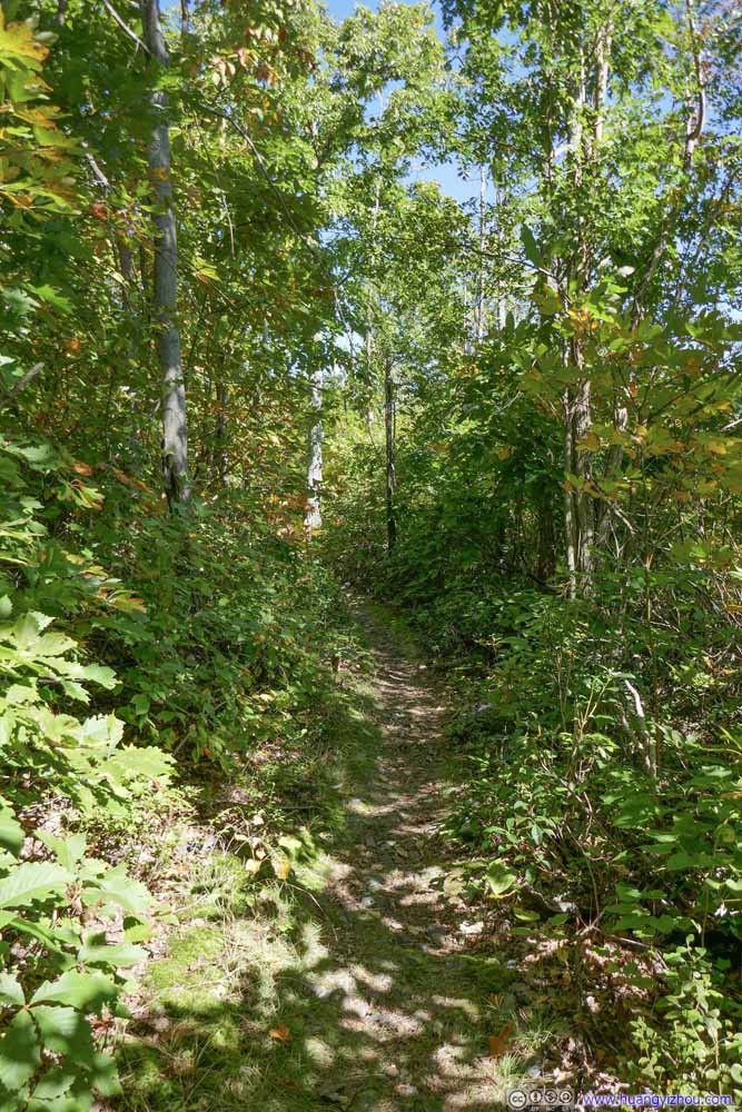 Trail
Trail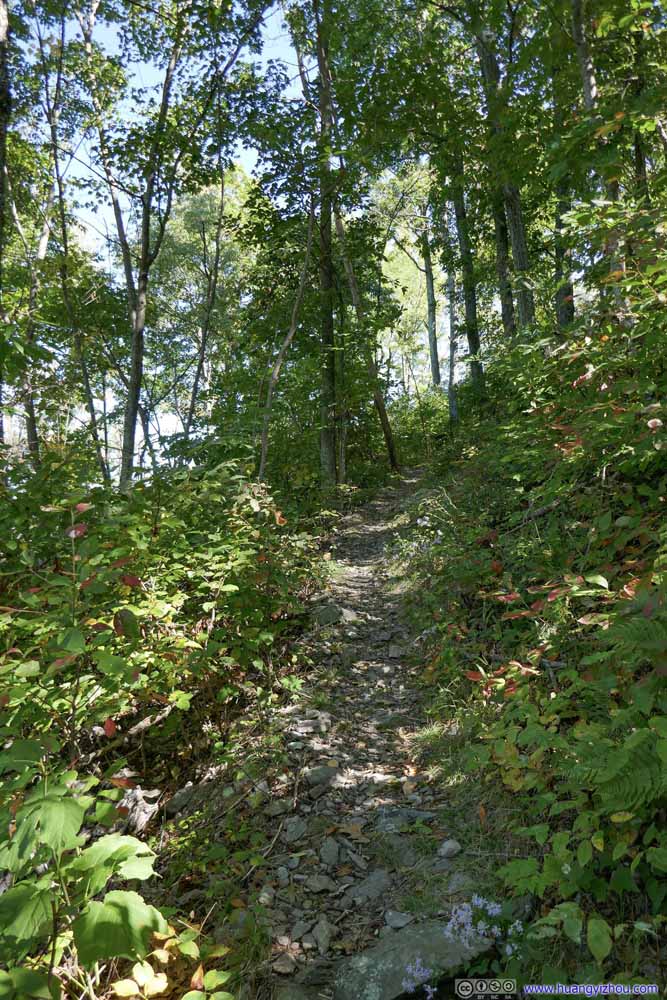 Trail
Trail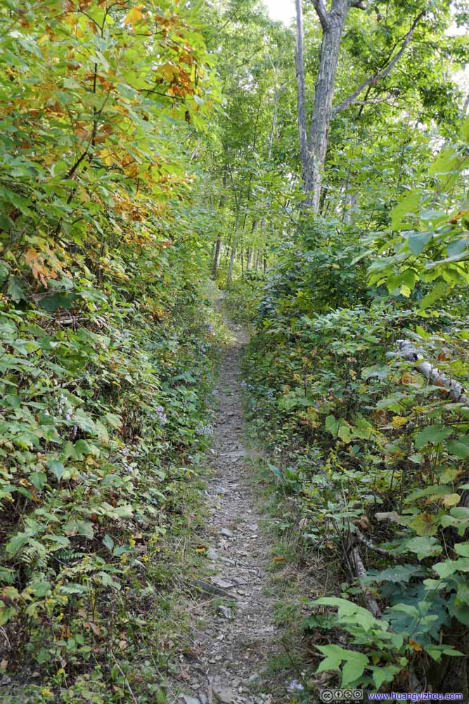 Trail
Trail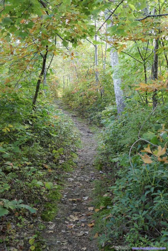 Trail
Trail


Click here to display photos of the trail.
 Trail
Trail
Trail

Trail

Trail

Trail
Trail
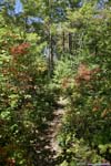
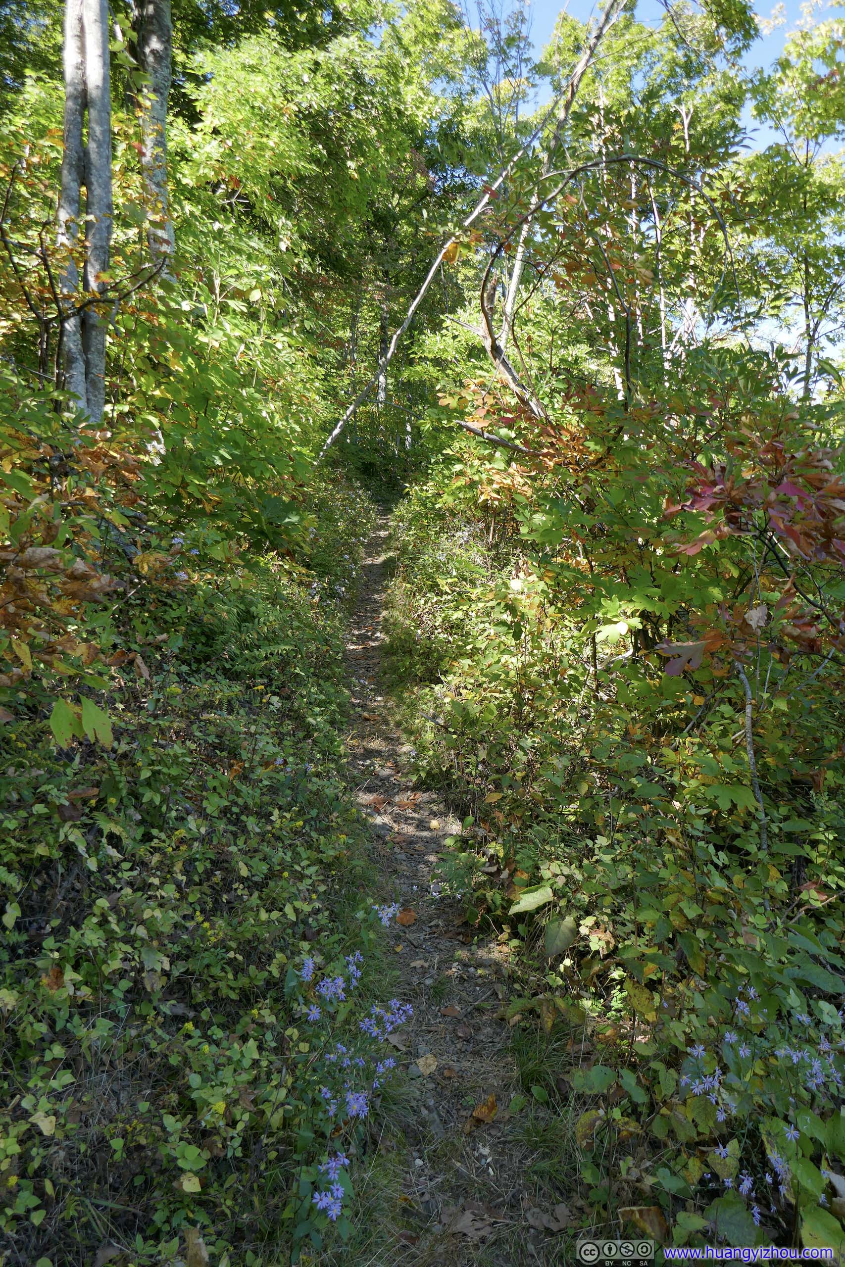
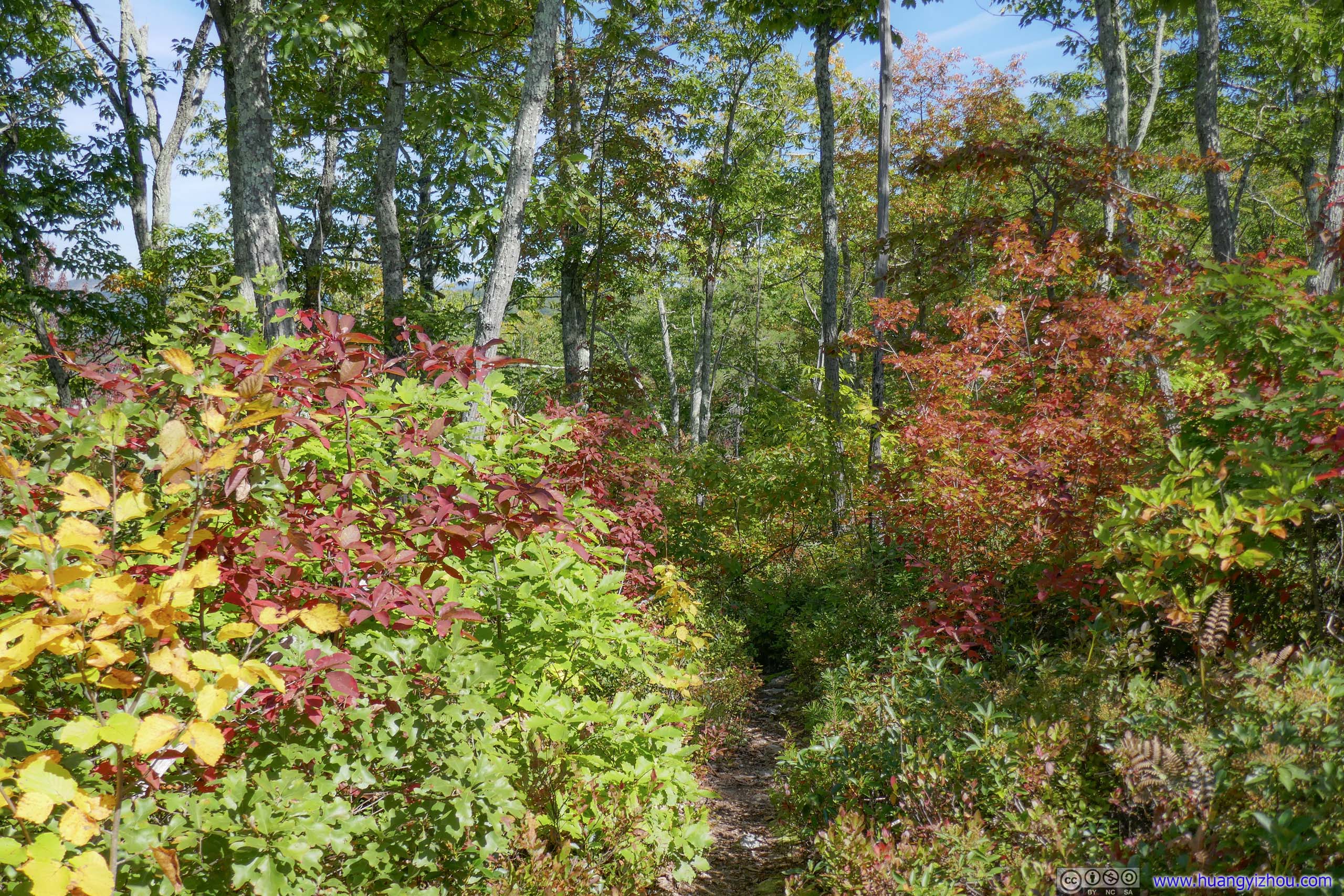
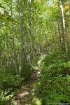
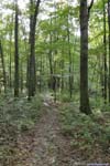
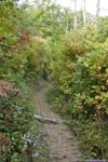
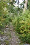
About 900m from trailhead, the trail reached a three-way intersection. Both branches formed the loop that I was to hike, which I chose the counterclockwise direction. So I made a right turn and continued towards Rocky Mountain.
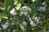
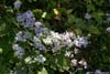
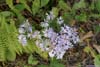
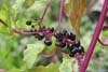
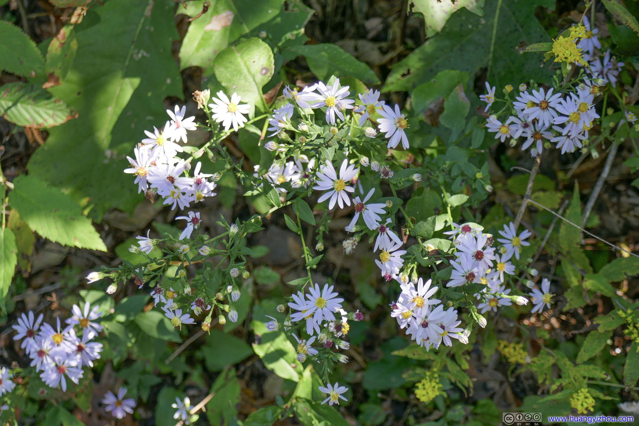
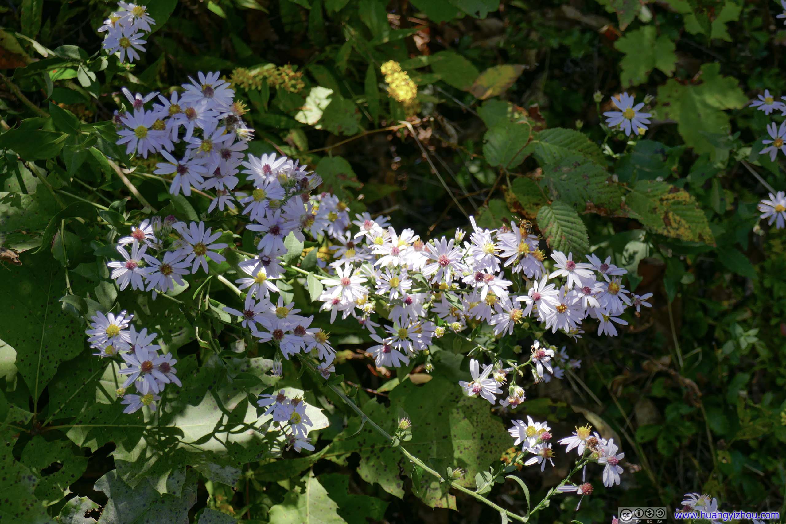
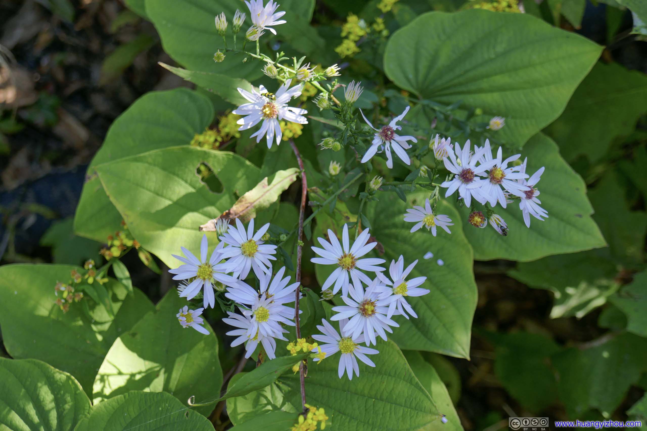
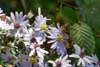
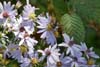
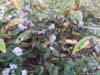
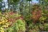
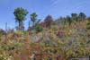
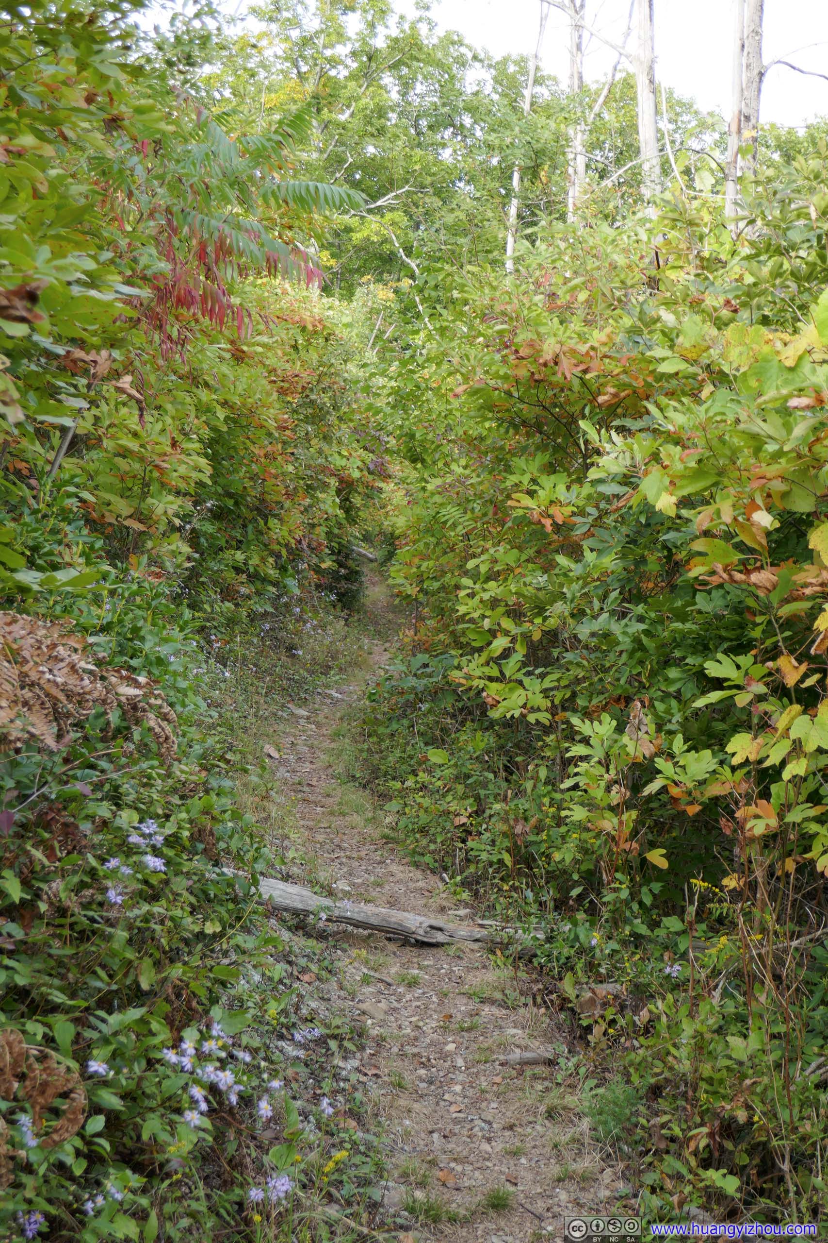
I saw the highest concentration of wildflowers close to the intersection. Theri uplifting presence certainly made the hike more enjoyable.
 Flowers
 Flowers
 Flowers
 Flowers
 Flowers
 Berries


Click here to display photos of the flowers.
Flowers
Flowers

Flowers
Flowers
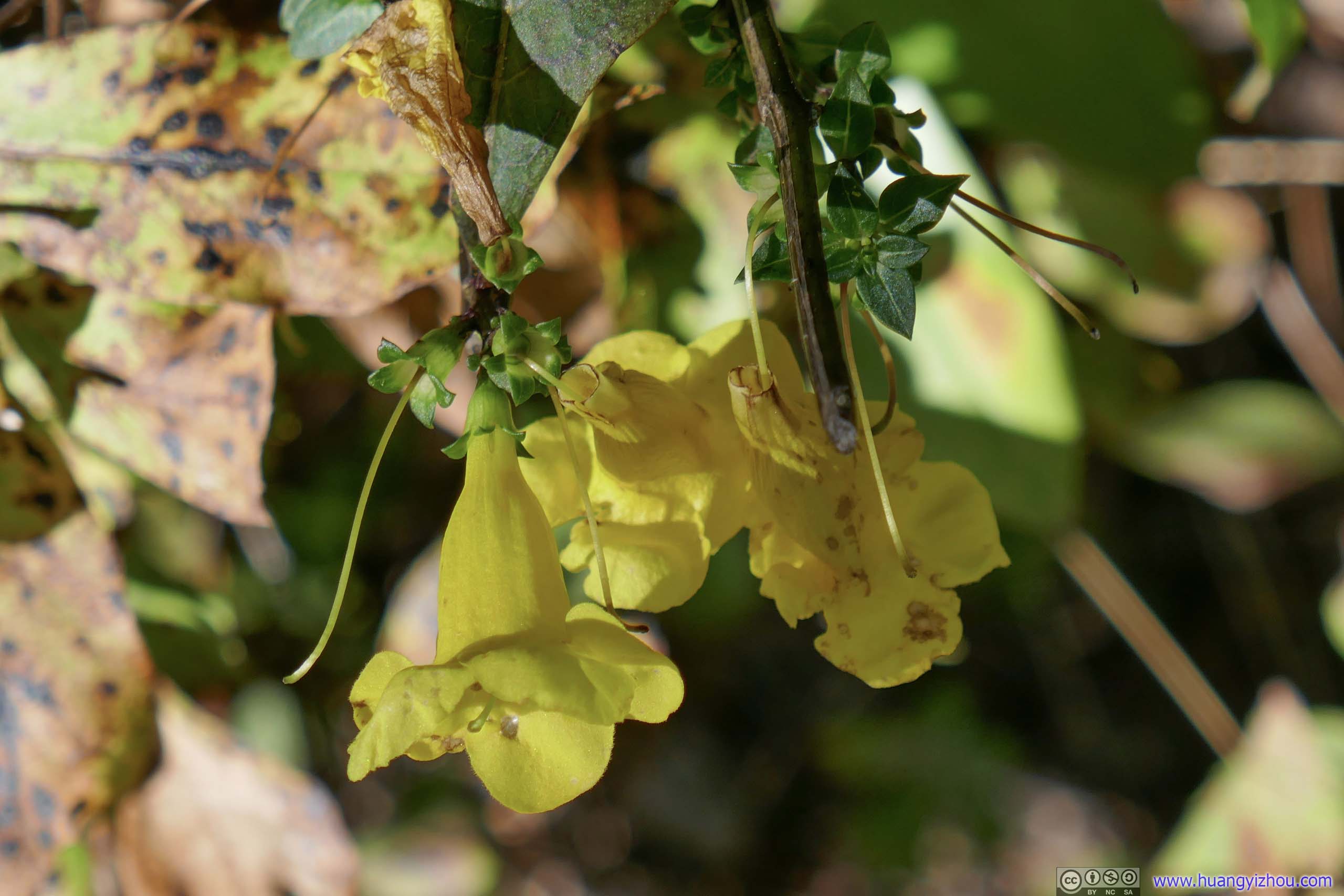
Flowers

Berries
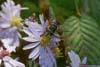
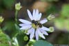
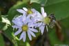
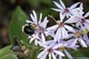
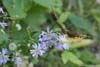
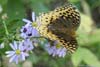
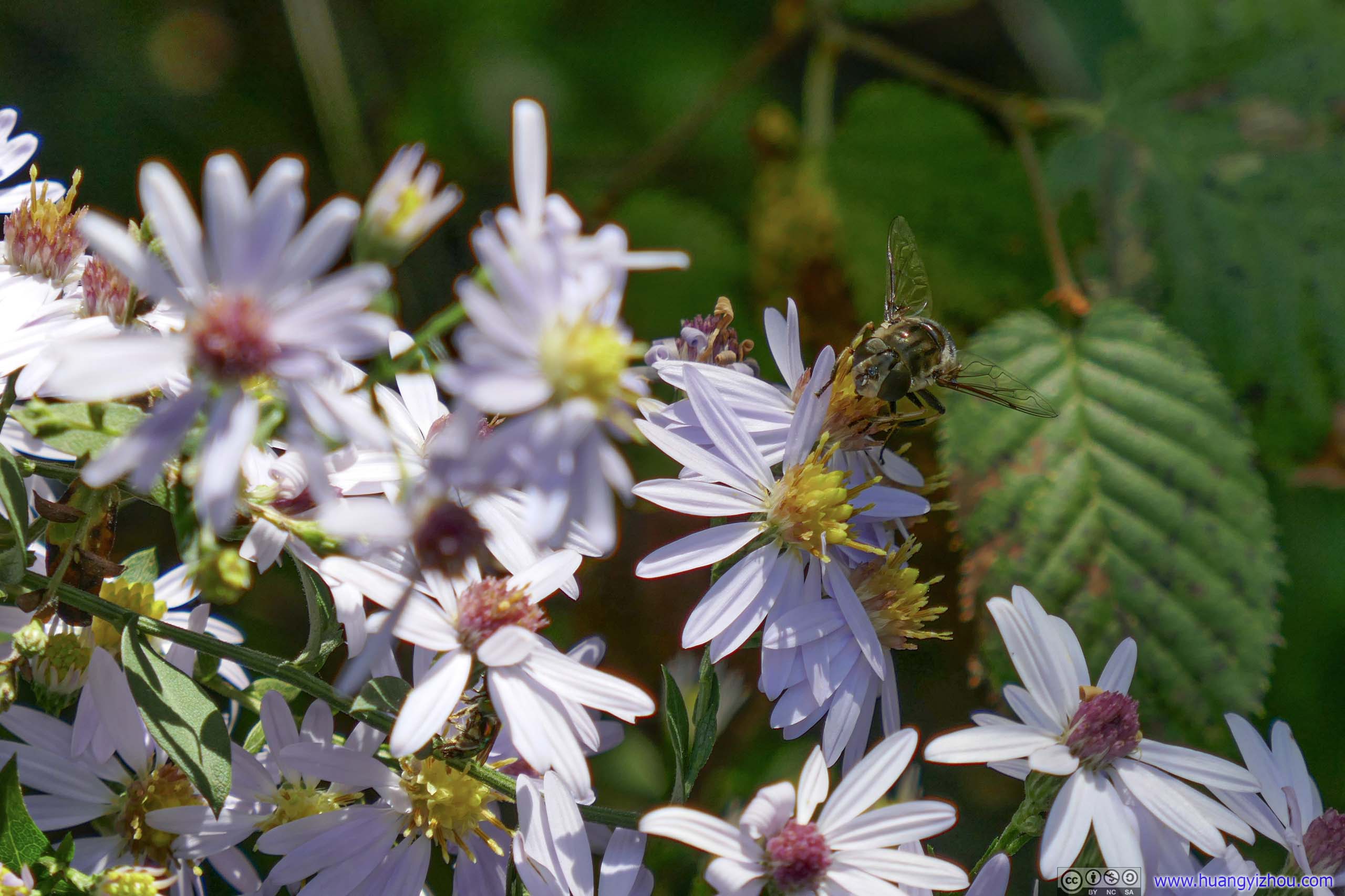
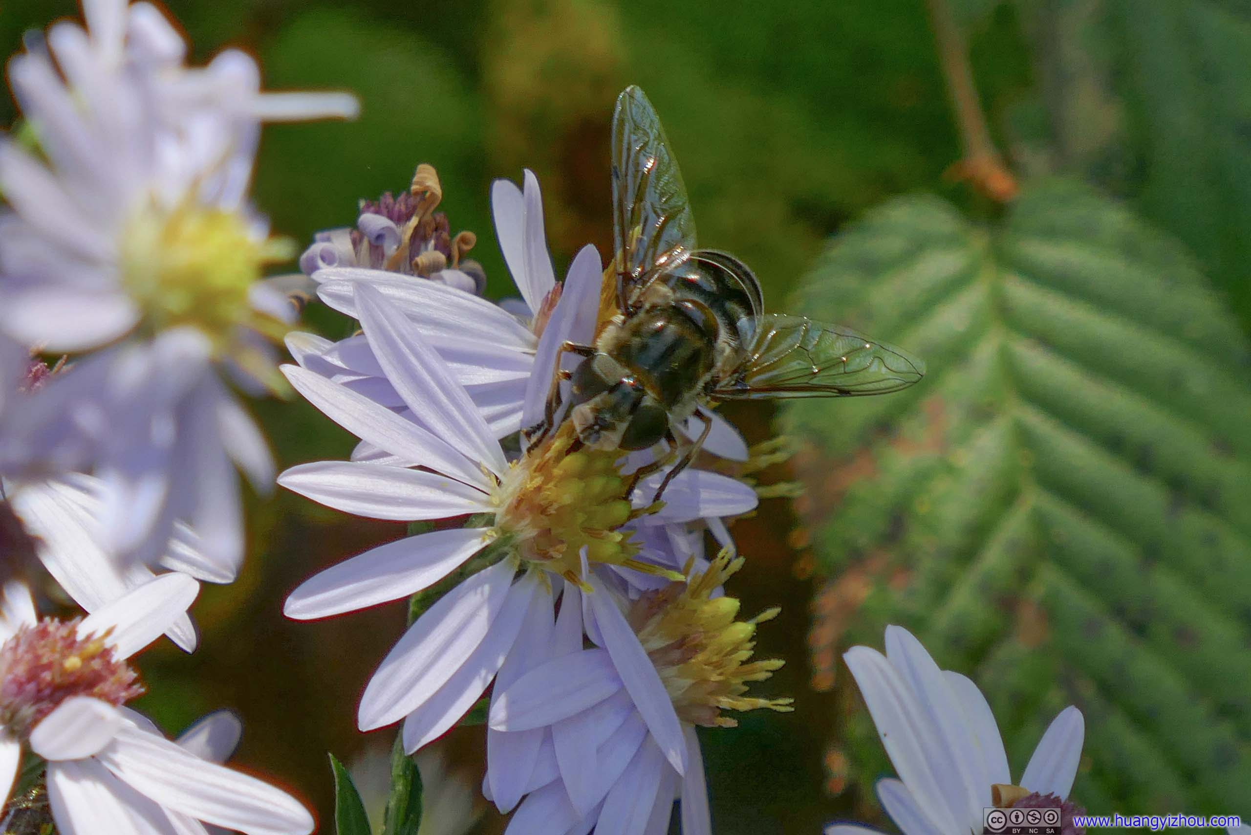
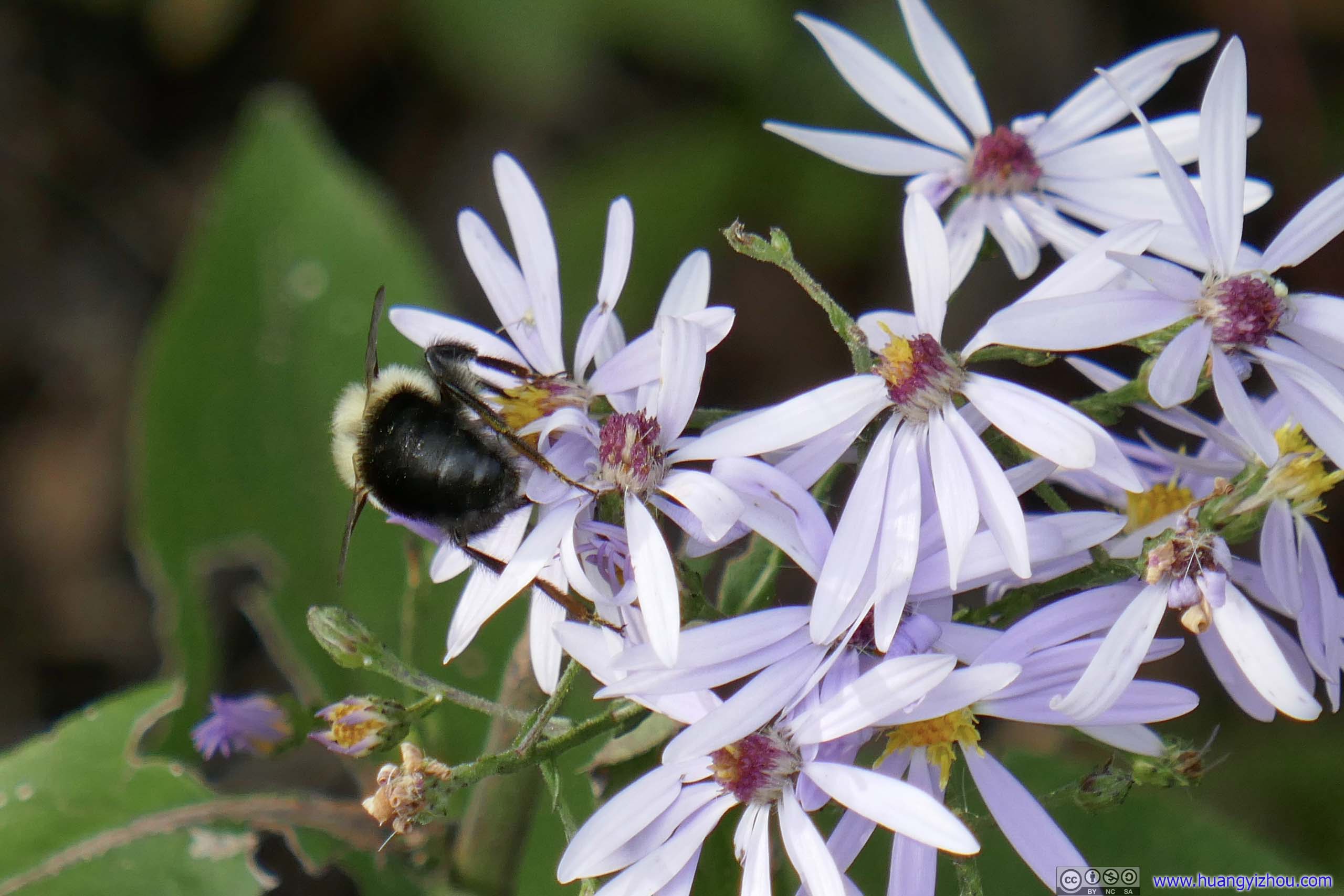
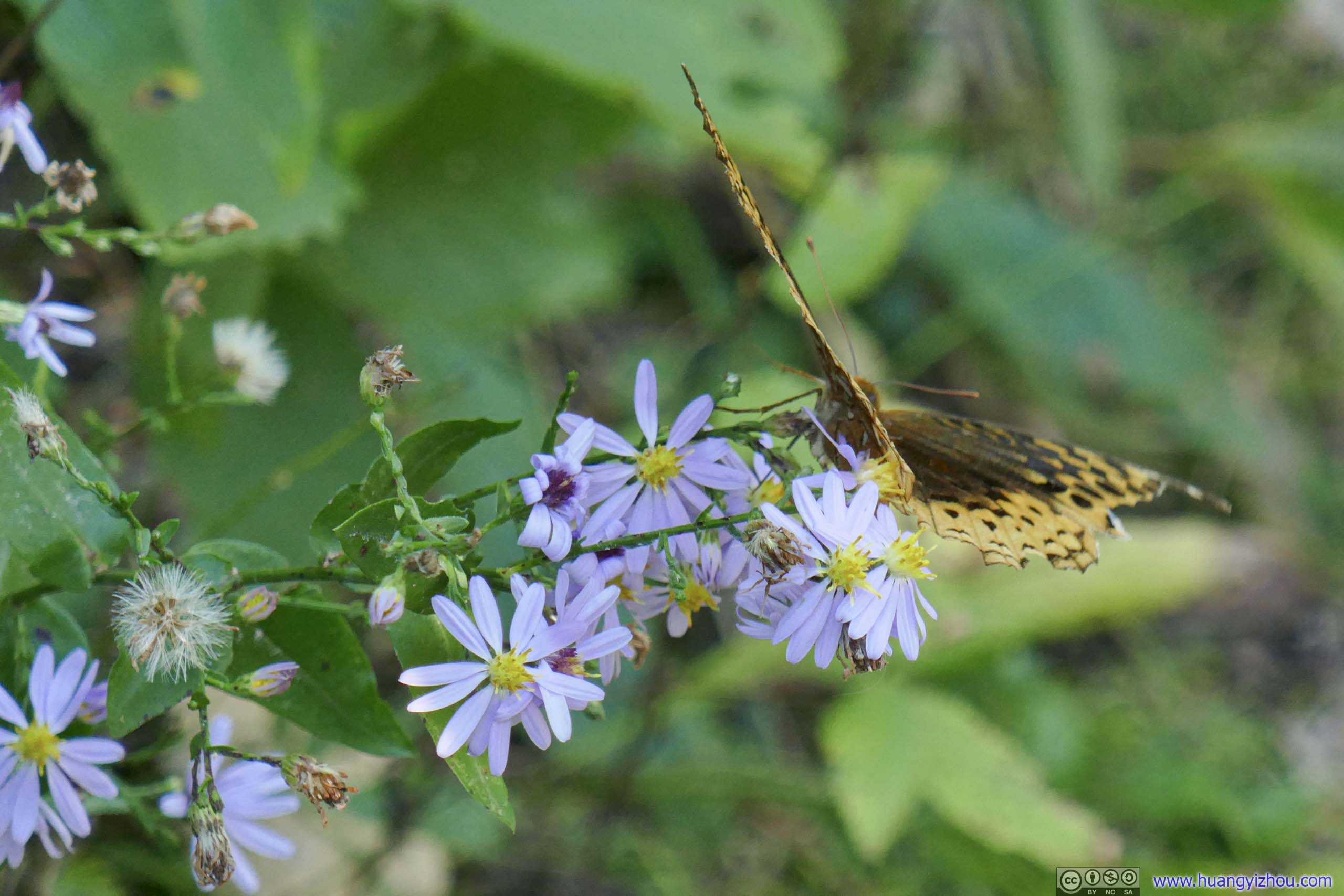
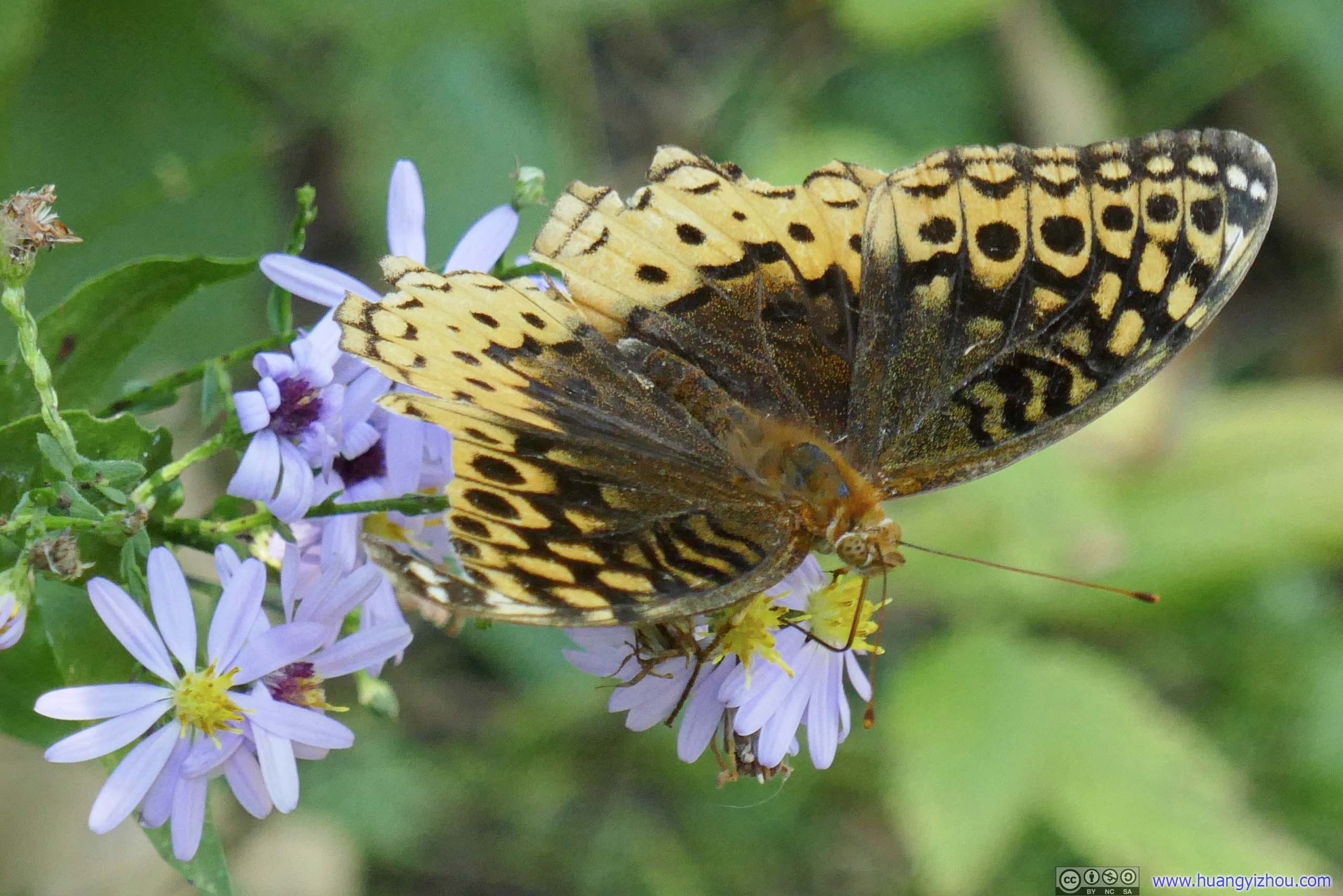
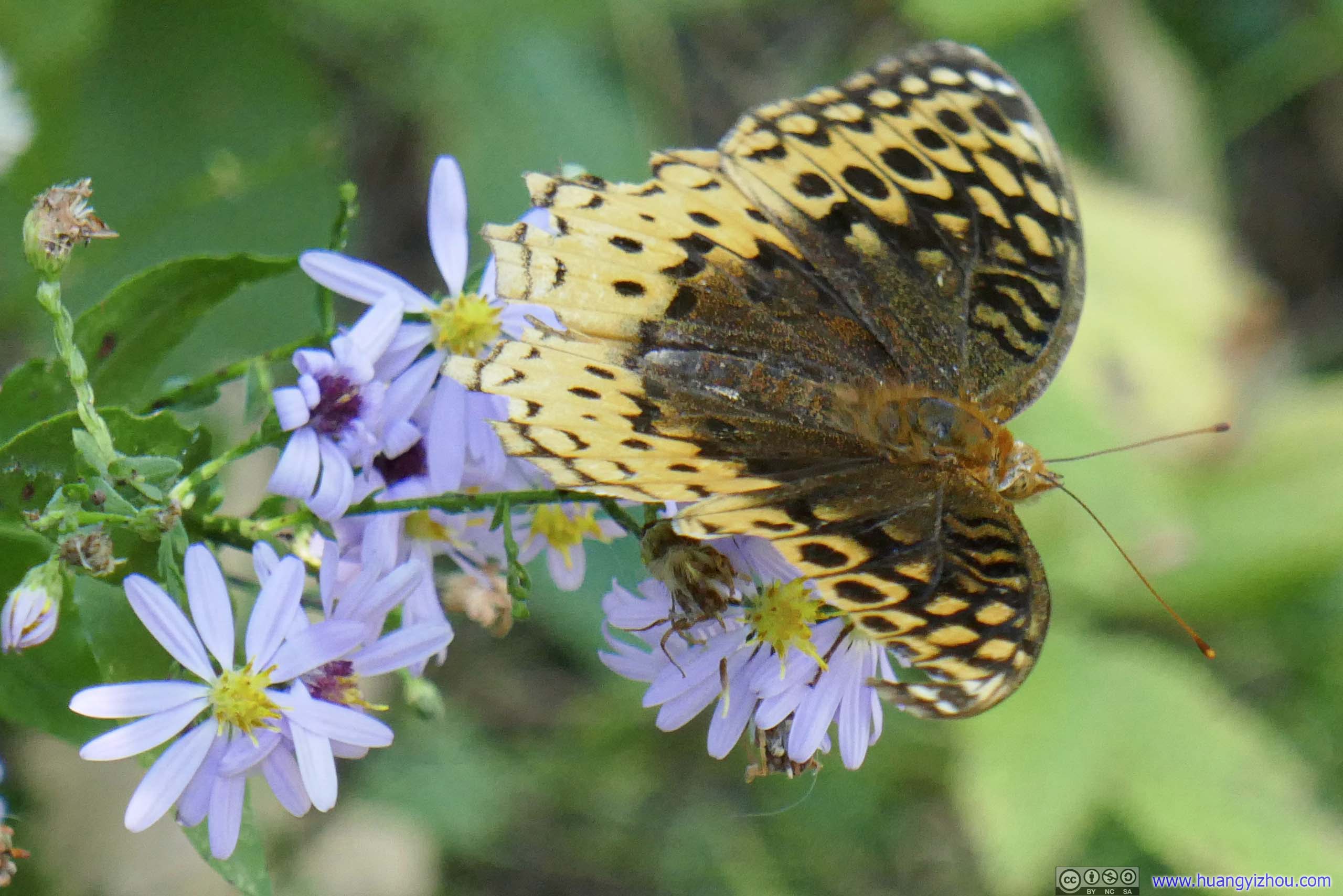
In addition, next to the flowers I had a few insect sightings today, mostly bees at work, but I also ran into a moth that wasn’t camera shy.
 Bee
Bee Bee
Bee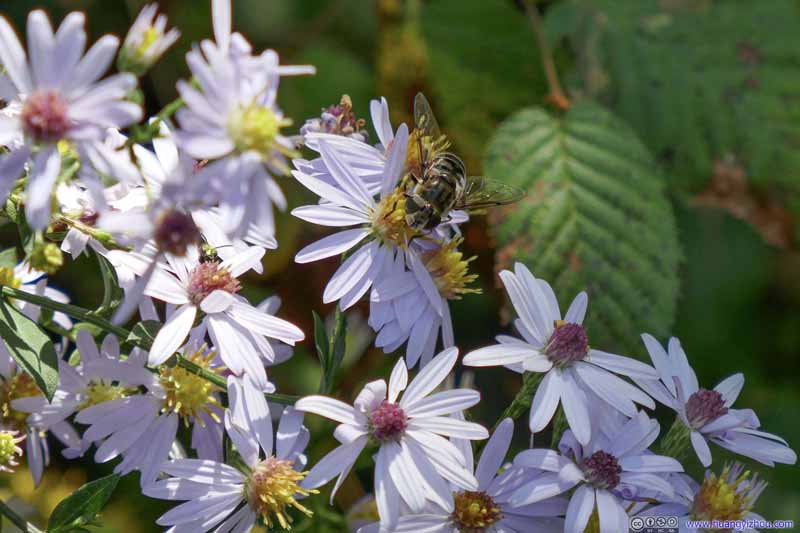 Bee
Bee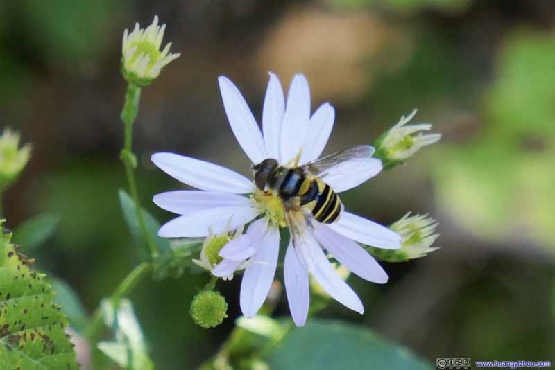 Bee
Bee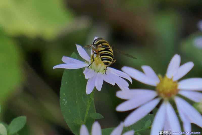 Bee
Bee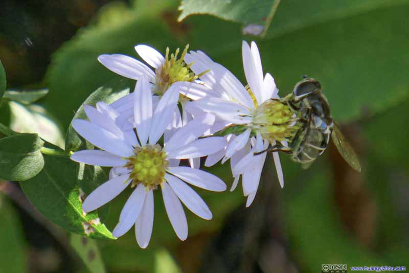 Bee
Bee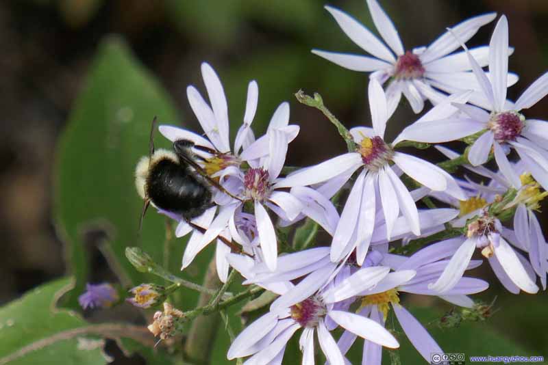 Bee
Bee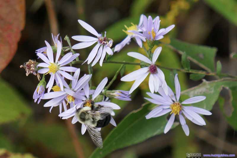 Bee
Bee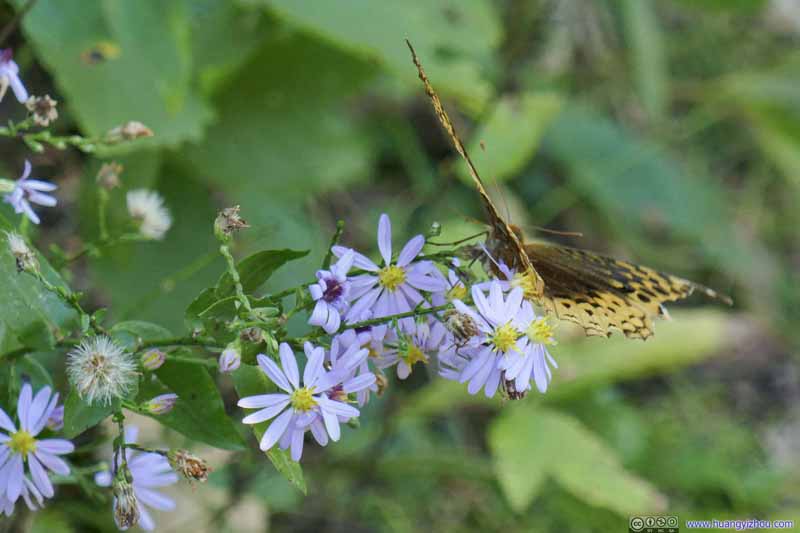 Moth
Moth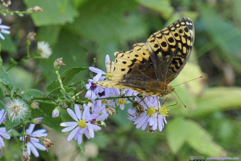 Moth
Moth Moth
Moth Moth
Moth Spider


Click here to display photos of the insects.
 Bee
Bee

Bee


 Bee
Bee
 Bee
Bee
 Moth
Moth
 Moth
Moth
Spider
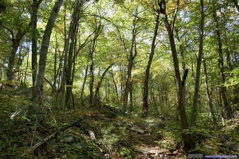
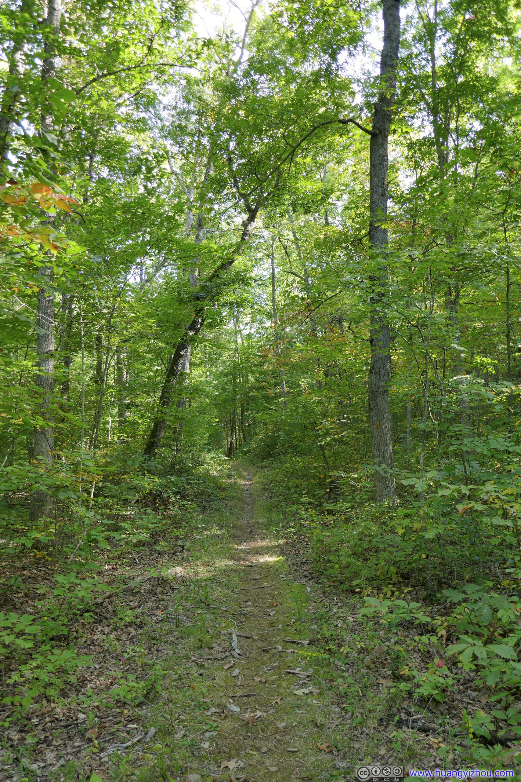
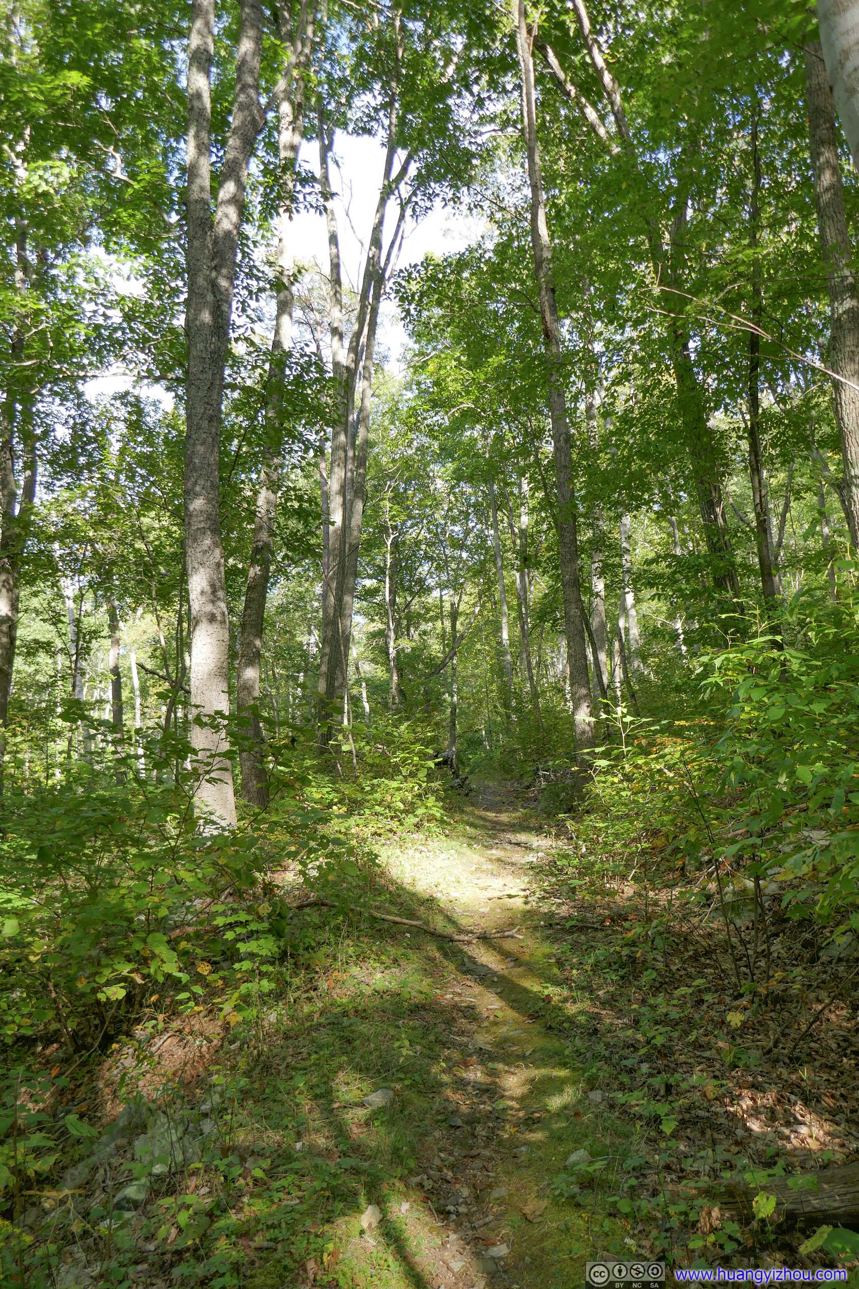
 Trail
Trail Trail
Trail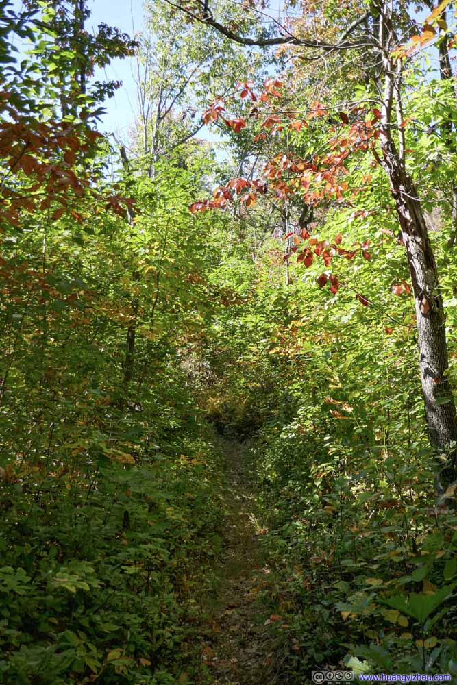 Trail
Trail Trail
Trail Trail
Trail Trail
Trail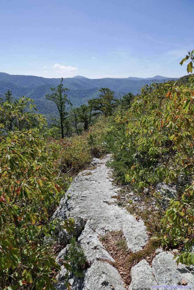 Exposed Trail

Click here to display photos of the trail.
Trail
Trail
Trail
Trail

Trail
Trail

Exposed Trail
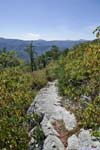
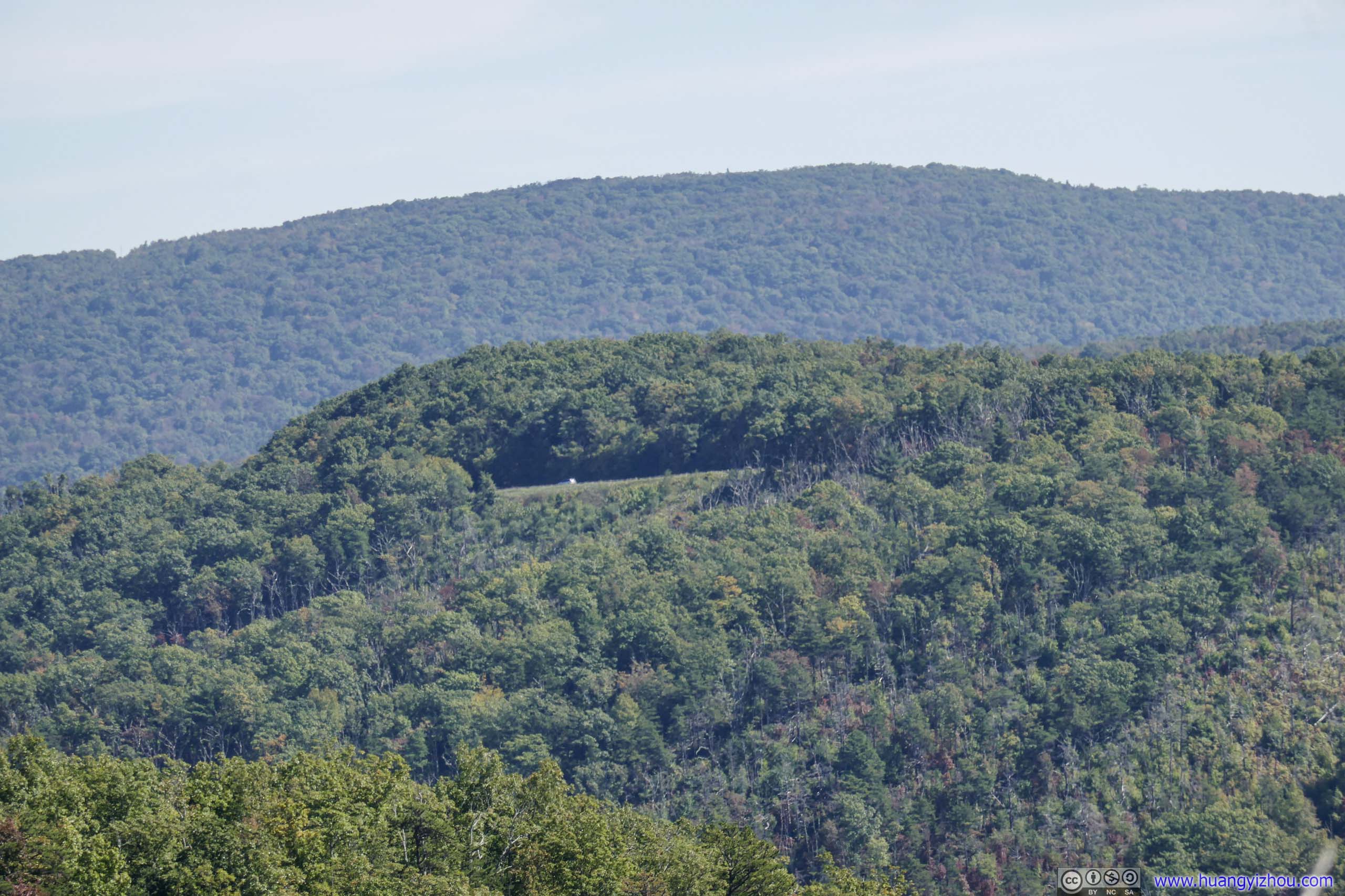
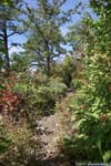
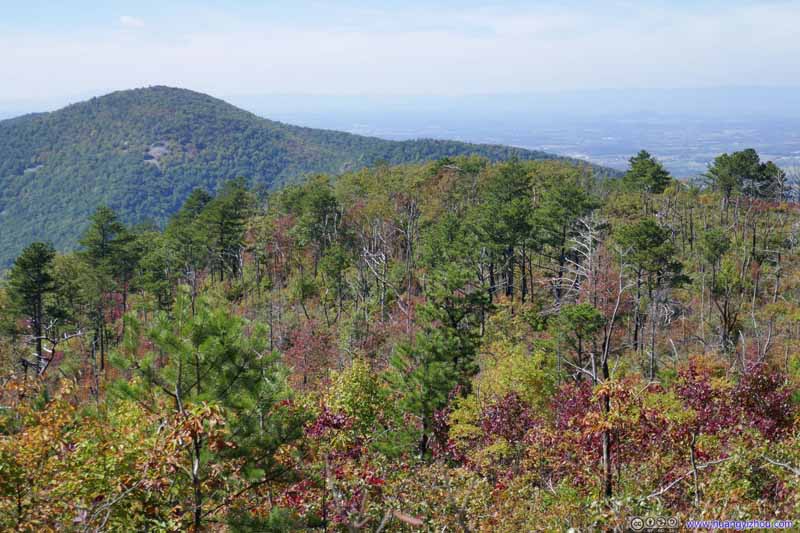
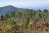
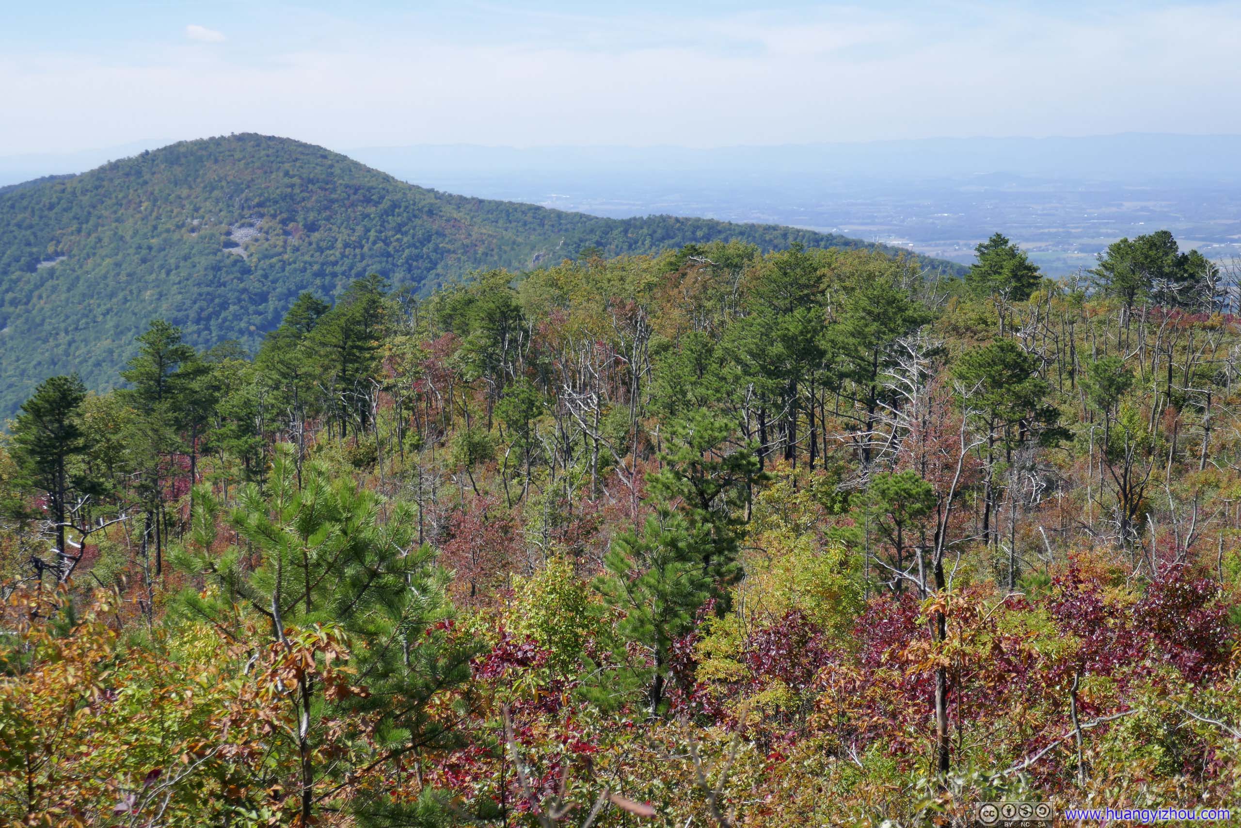
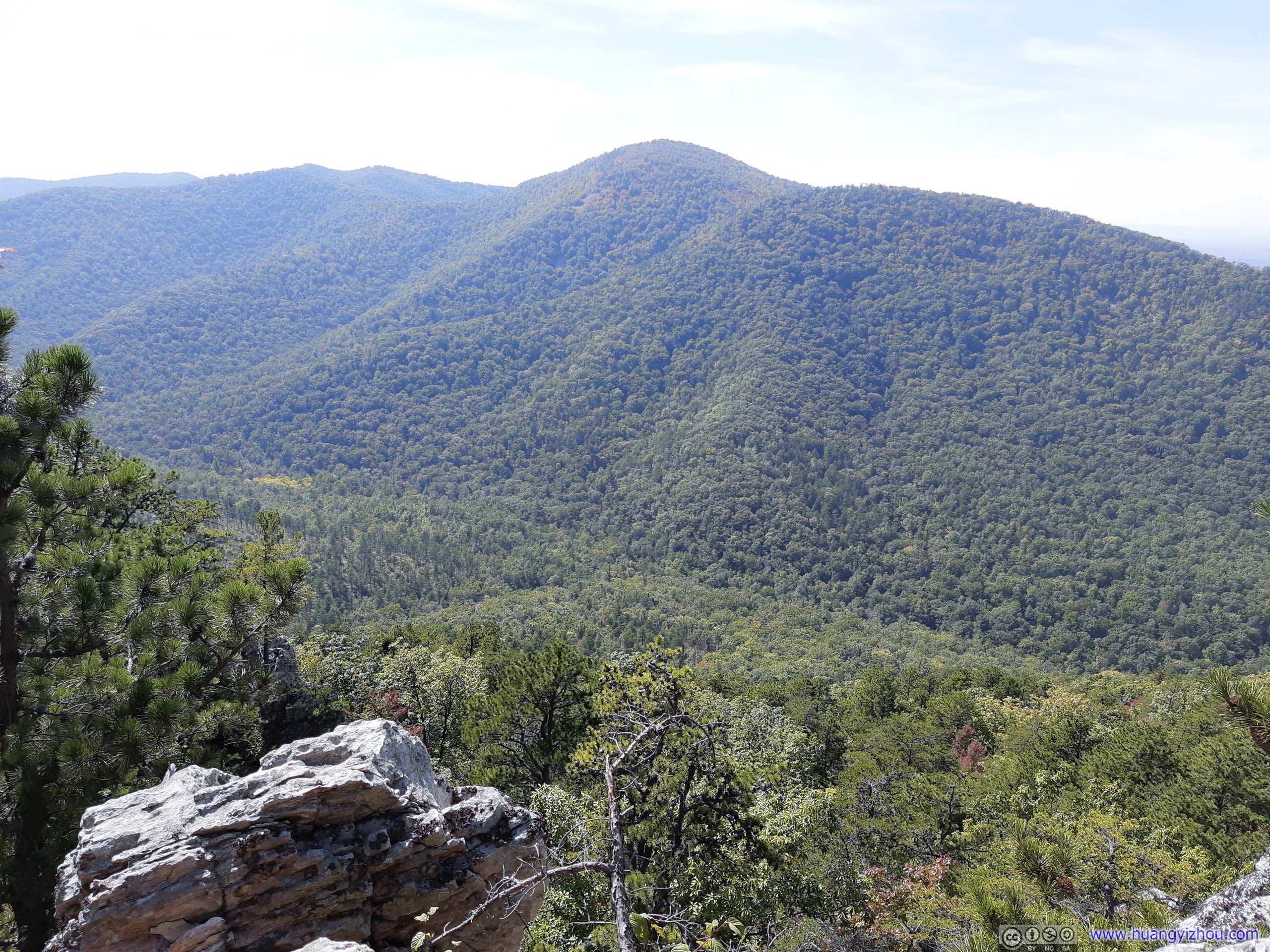
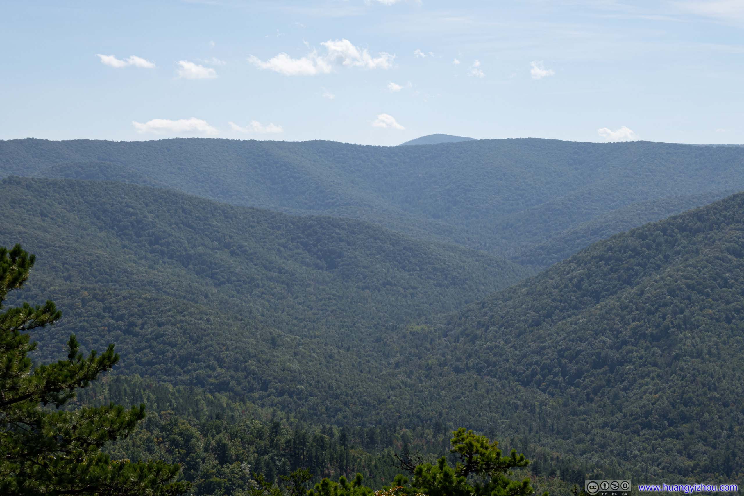
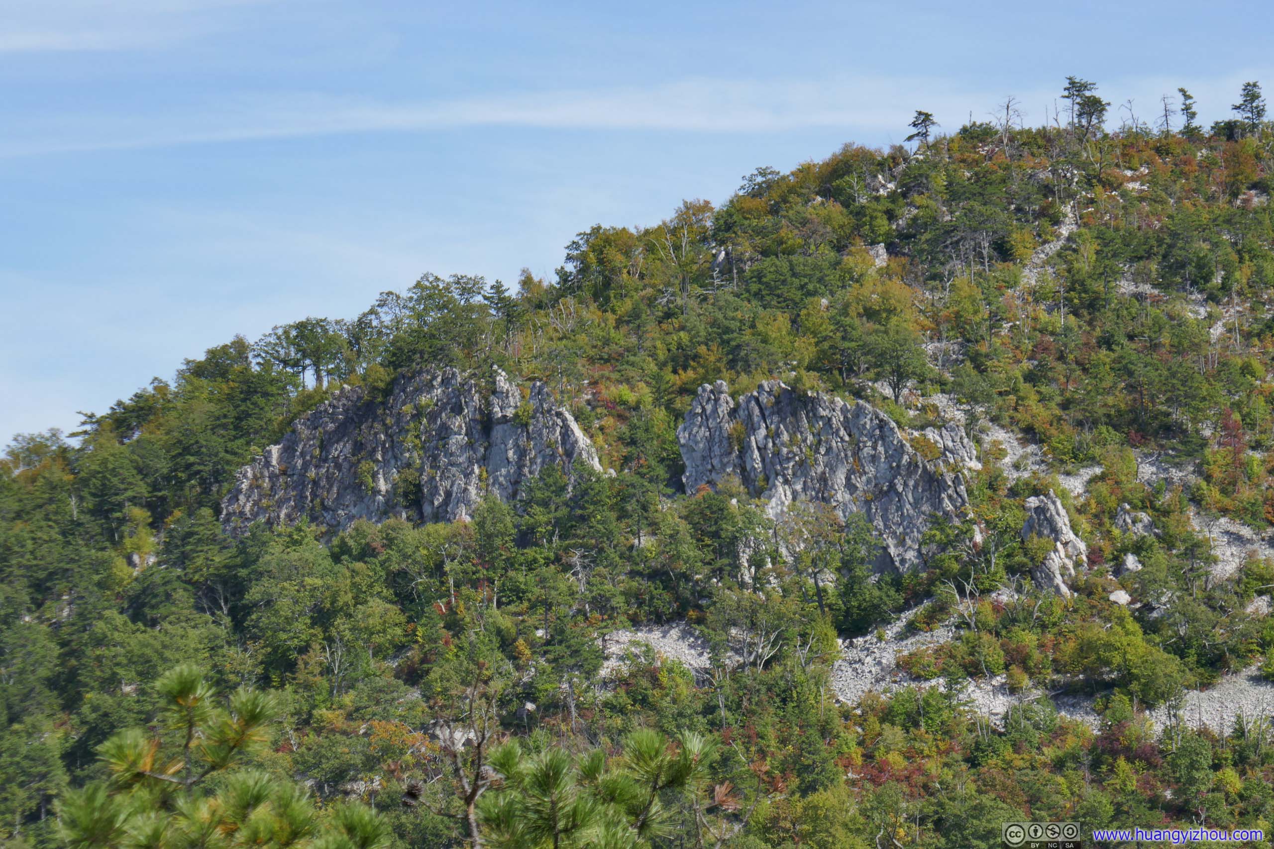
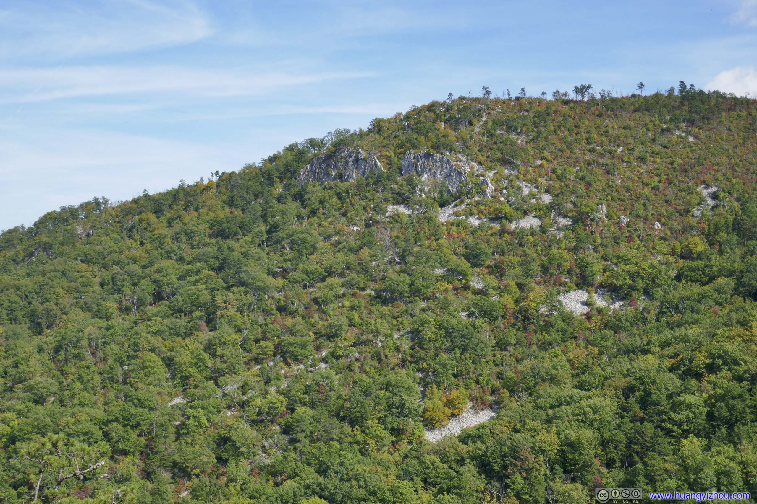
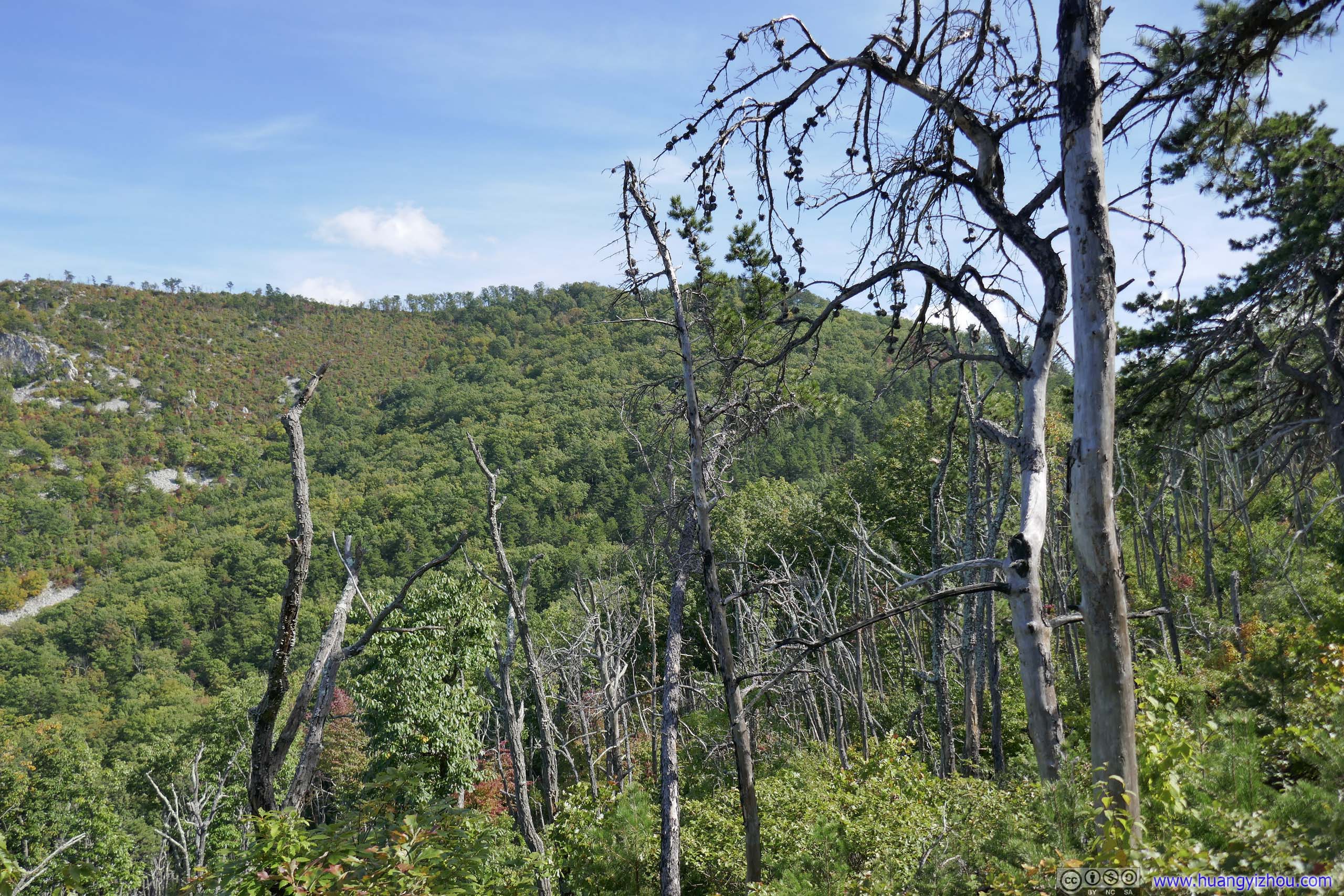
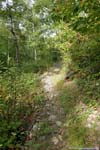
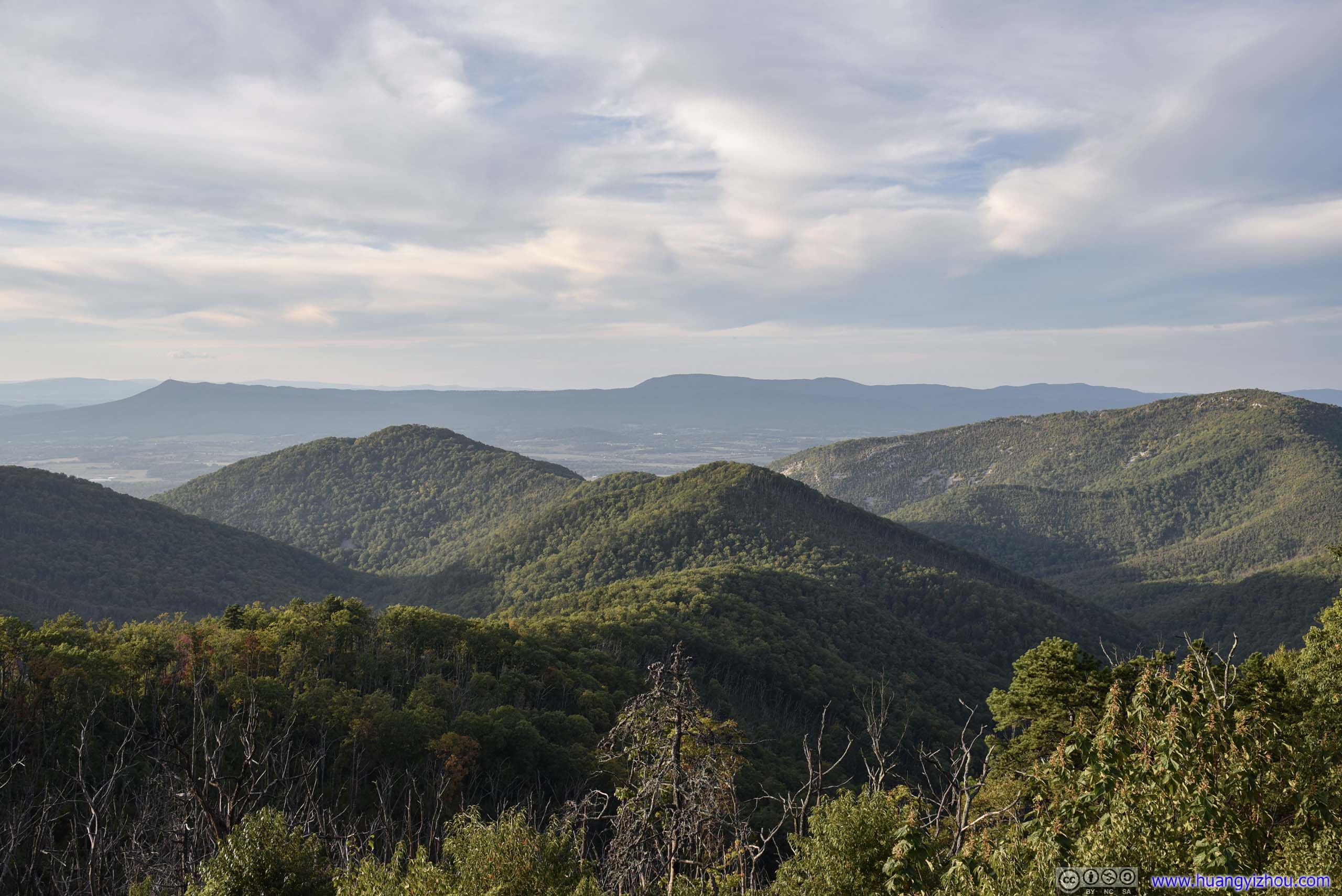
After the intersection, the trail went on a steady incline to recover elevation. 1.4km after the intersection, the trail reached an overlook which in my opinion offered the best views along the entire loop.
First Overlook
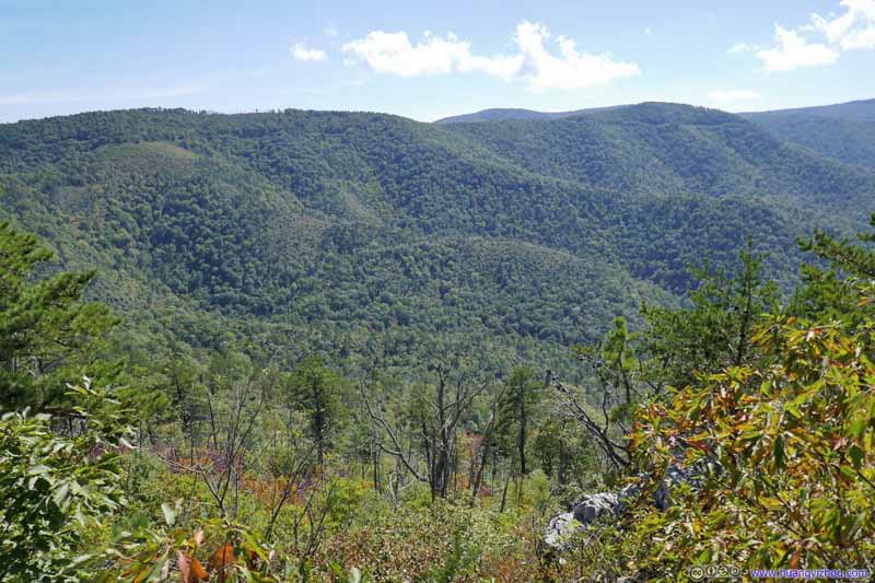 View of Mountains
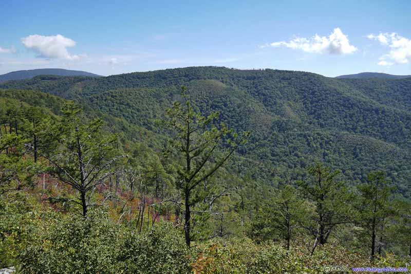 View of Mountains
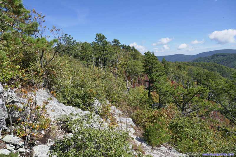 ForestWhere the trail was coming from.
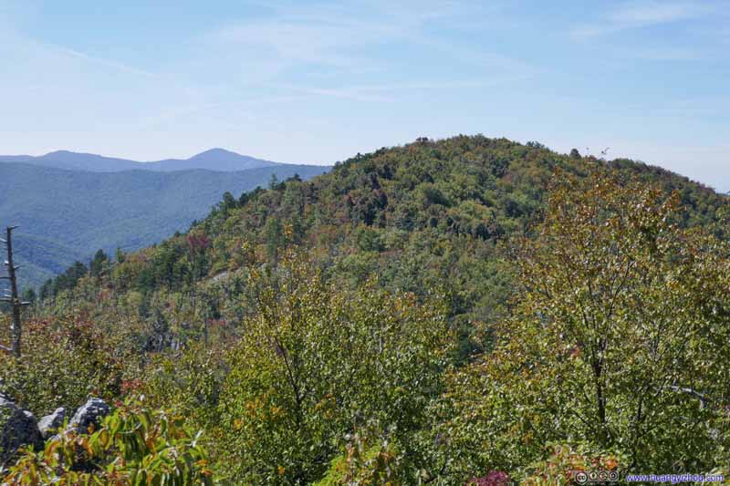 Rocky Mountain
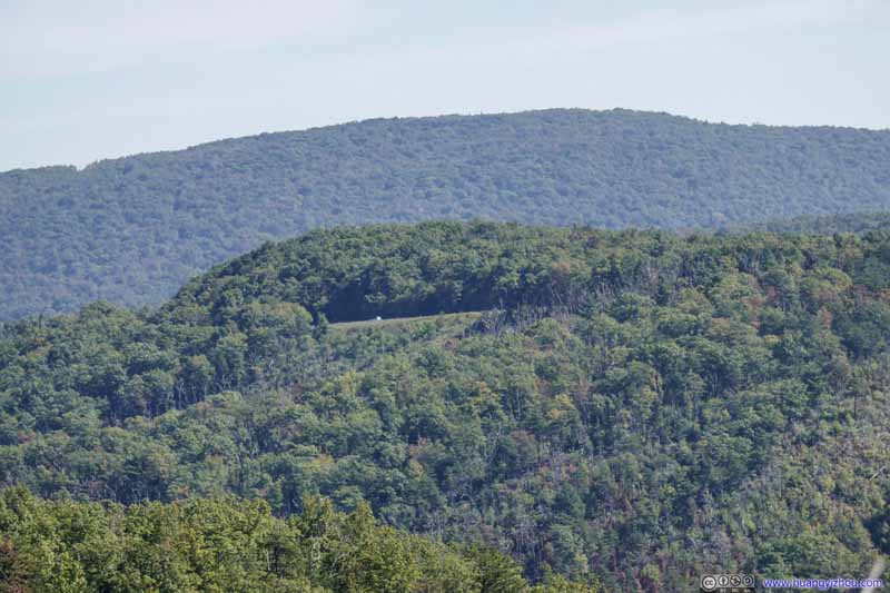 Skyline Drive
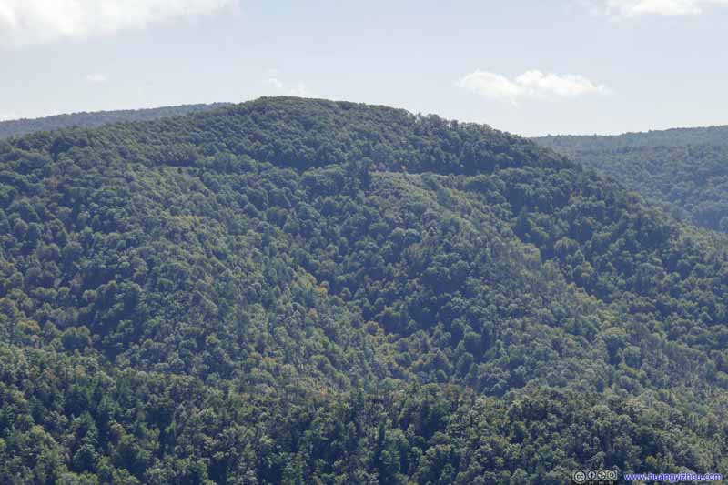 Skyline Drive

Click here to display photos from the overlook.

 View of Mountains

ForestWhere the trail was coming from.

Rocky Mountain
 Skyline Drive
With most of the trail in shaded woods, this overlook (2.3km from trailhead) provided a rare opportunity to appreciate the rolling hills towards the south. Unfortunately, it wasn’t marked on maps, and I regretted not staying there for longer. While the remainder of the trail would cross Rocky and Brown Mountains, it didn’t reach the summits of either and there weren’t great views like this one.
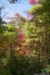
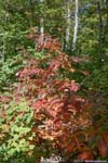
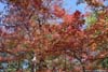
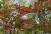
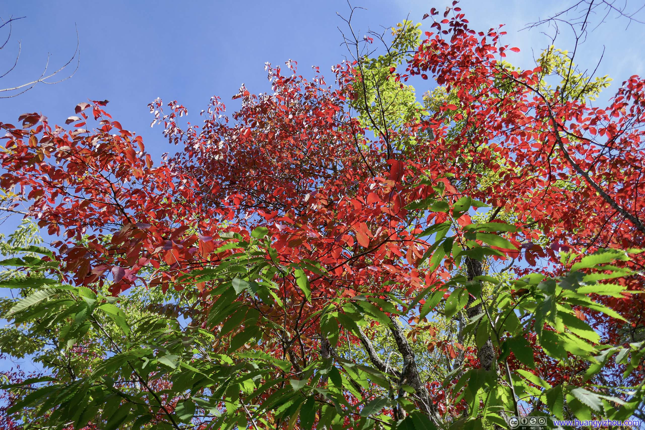
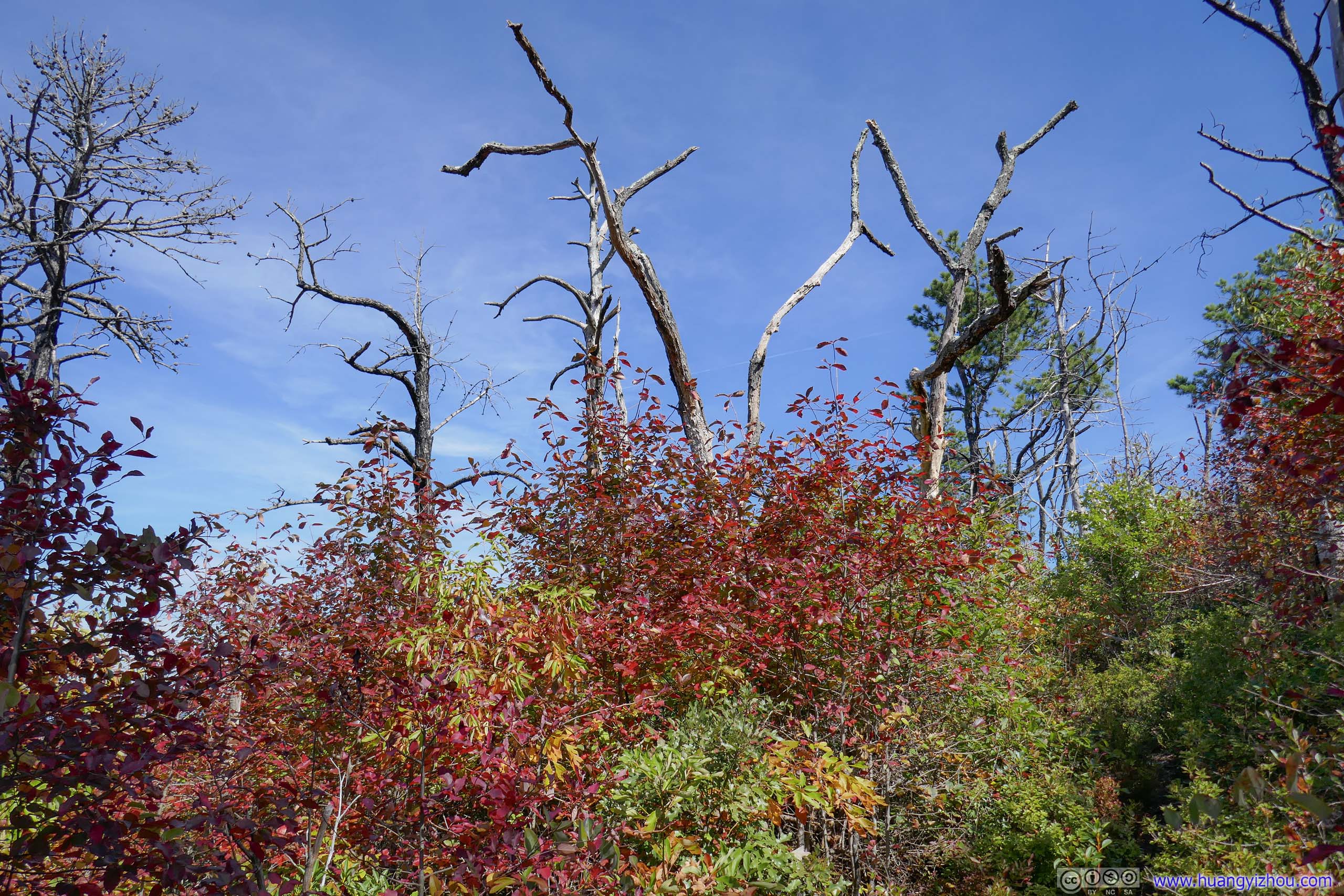
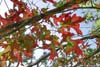
 Leaves Changing Colors
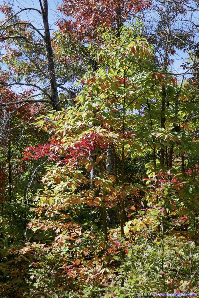 Leaves Changing Colors
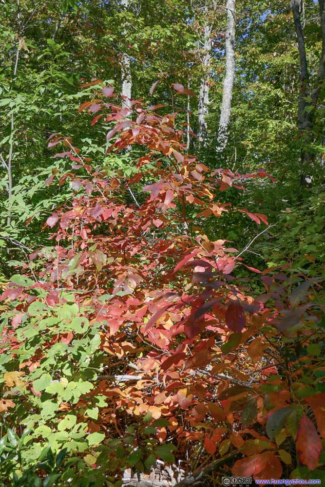 Red Leaves
 Red Leaves
 Red Leaves
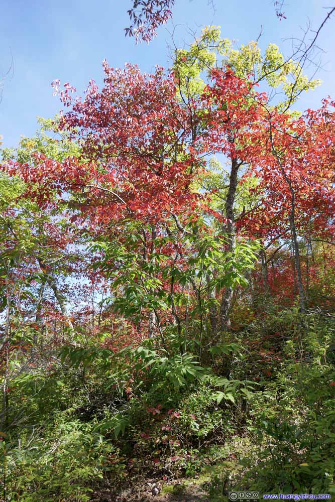 Red Leaves
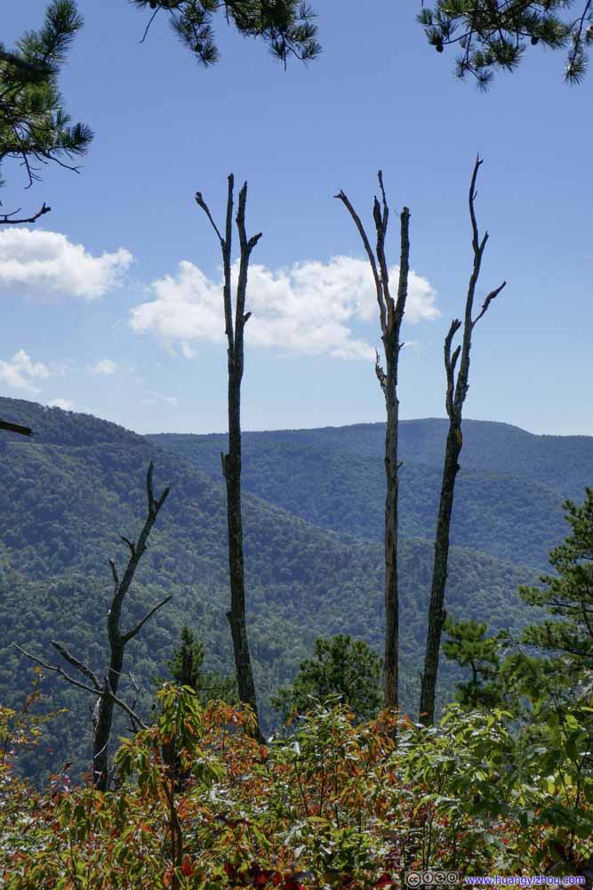 Burnt Tree


Click here to display photos of leaves changing colors.

 Leaves Changing Colors
 Red Leaves
Red Leaves

Red Leaves

Burnt Tree
 TrailAutumn colors visible along trail.
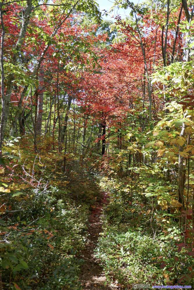 TrailAutumn colors visible along trail.
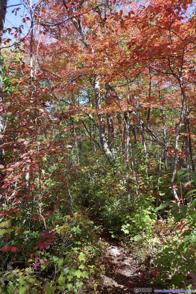 TrailAutumn colors visible along trail.
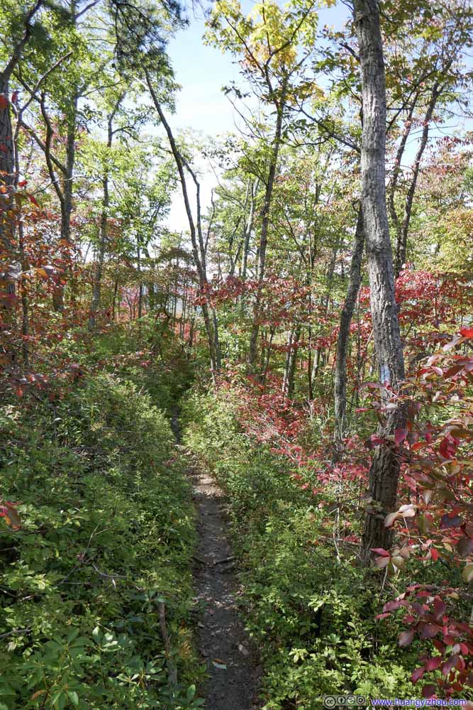 TrailAutumn colors visible along trail.
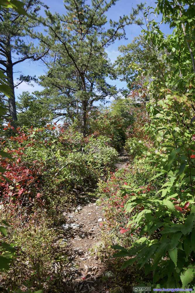 TrailAutumn colors visible along trail.
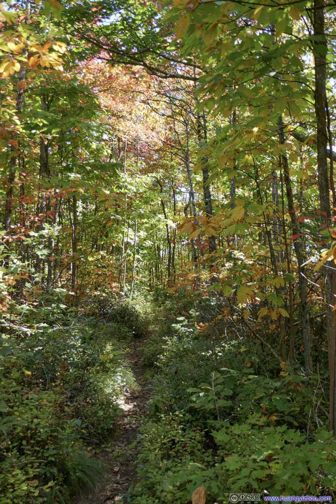 TrailAutumn colors visible along trail.
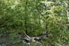
 TrailAlong forests that were still lush in green.
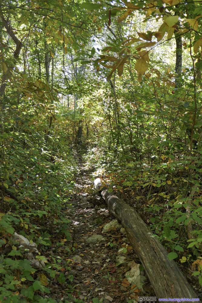 TrailAlong forests that were still lush in green.
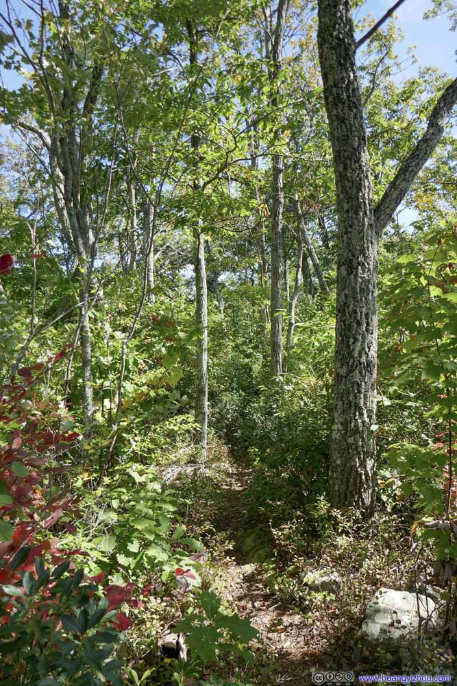 TrailAlong forests that were still lush in green.
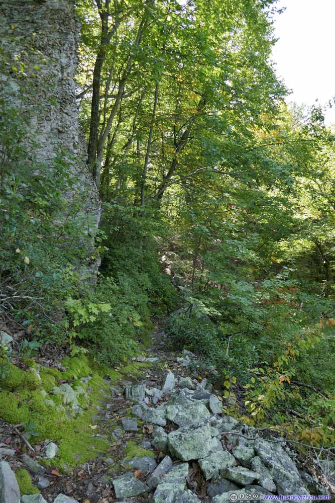 TrailAlong forests that were still lush in green.
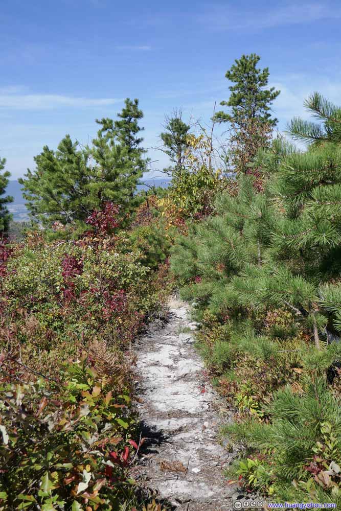 Trail
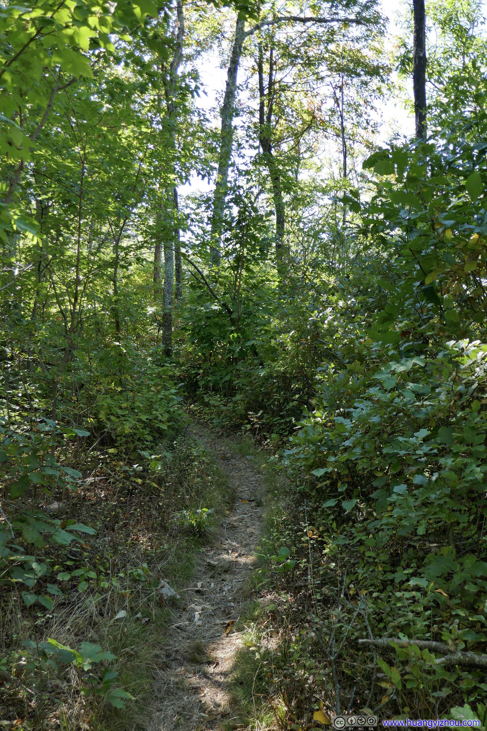
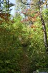
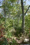
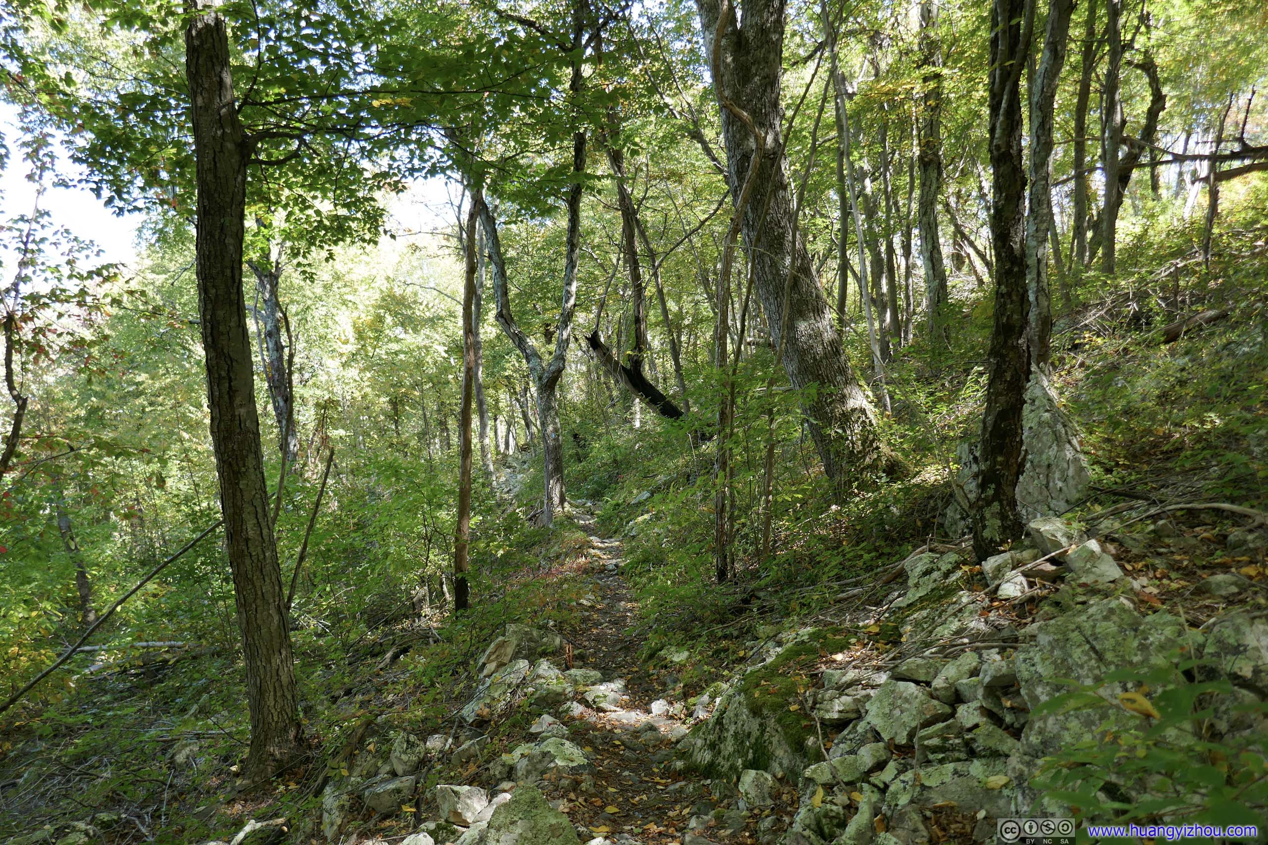
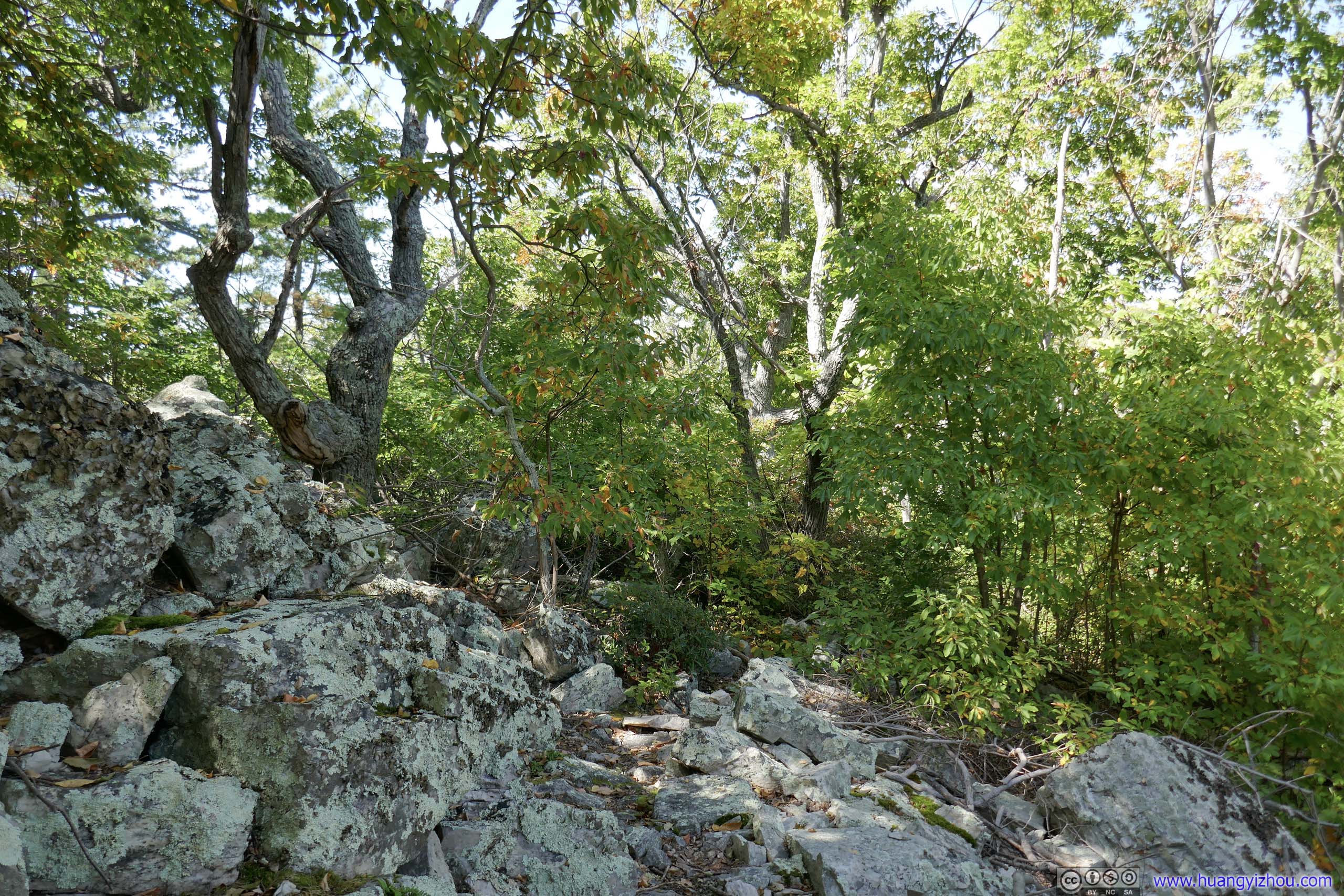
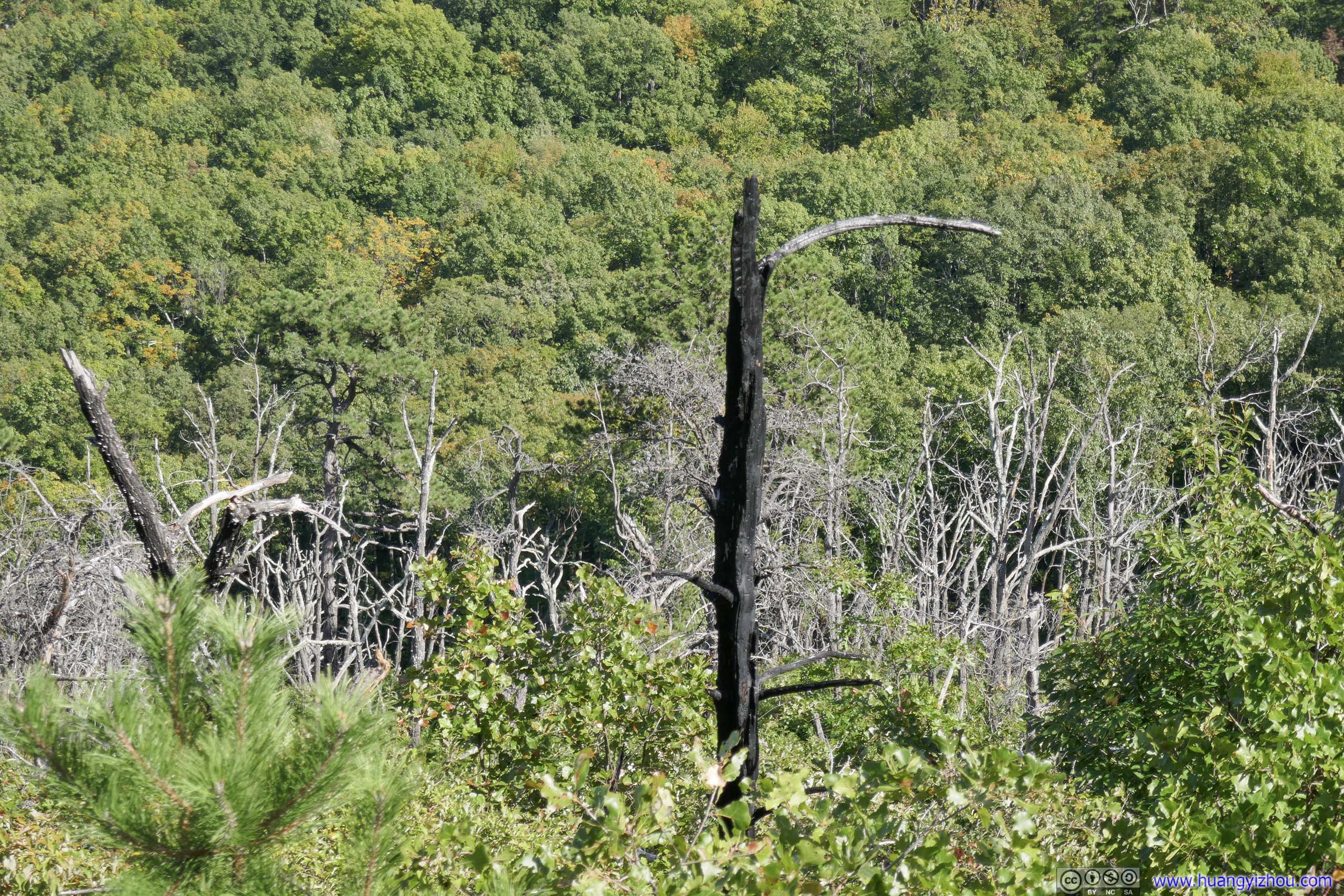
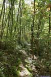
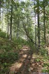
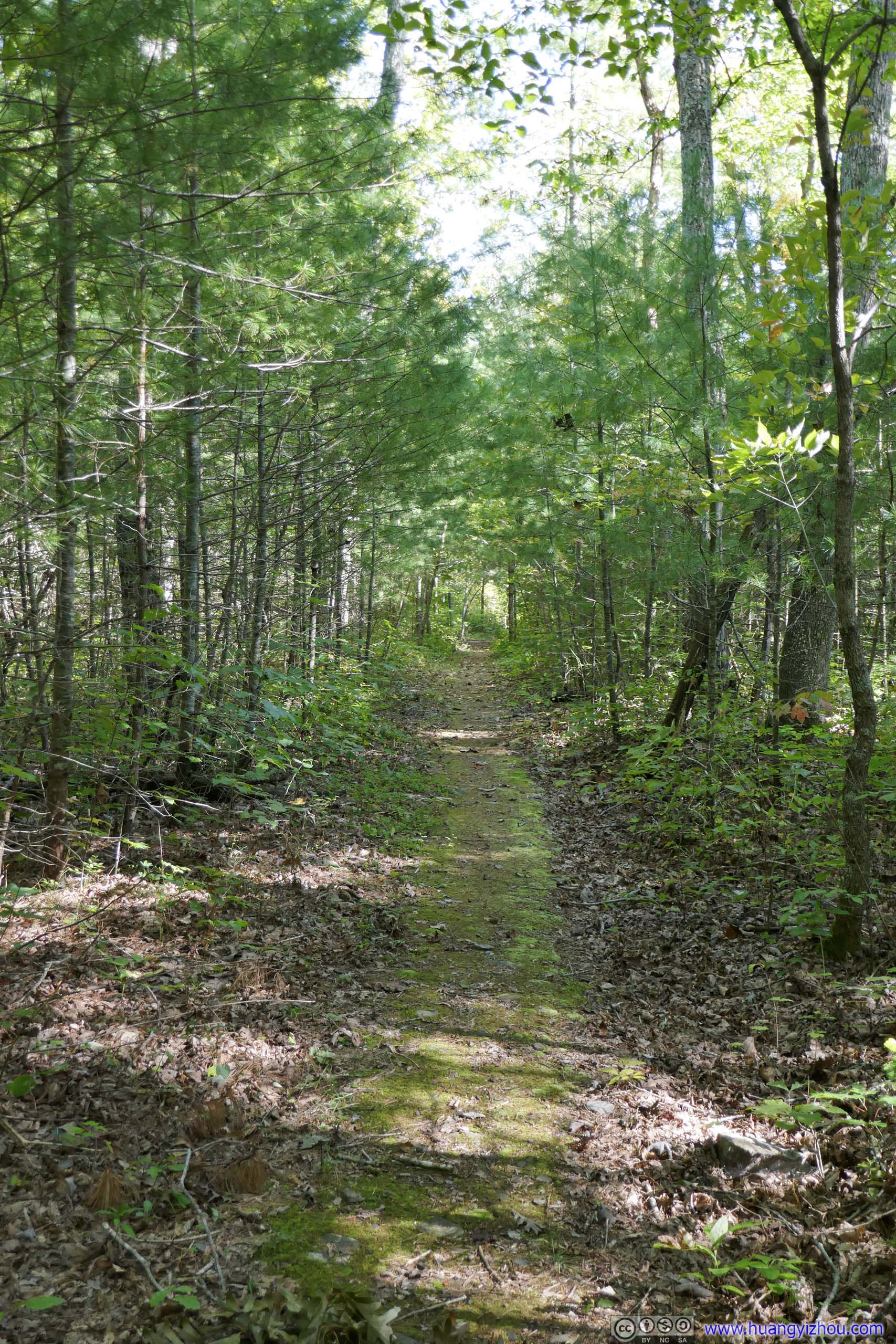
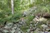
About halfway between Rocky and Brown Mountain, the trail entered what seemed to be a burn area where plants along the trail were a lot shorter.
Trail
About halfway between Rocky and Brown Mountain, the trail entered what seemed to be a burn area where plants along the trail were a lot shorter.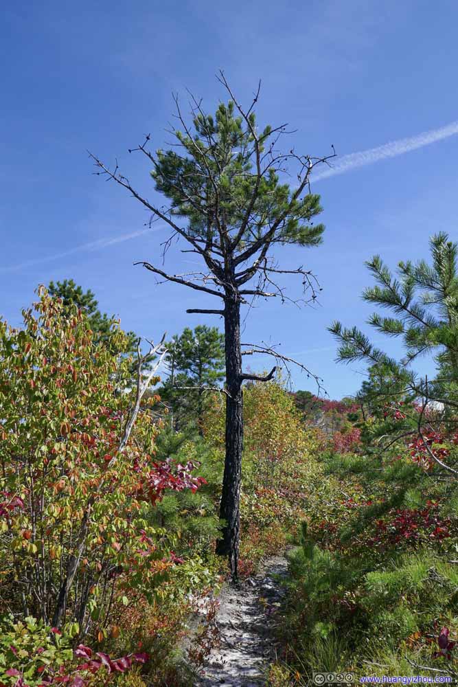 Trail
About halfway between Rocky and Brown Mountain, the trail entered what seemed to be a burn area where plants along the trail were a lot shorter.
Trail
About halfway between Rocky and Brown Mountain, the trail entered what seemed to be a burn area where plants along the trail were a lot shorter.


Click here to display photos of the trail.

 TrailAutumn colors visible along trail.

TrailAutumn colors visible along trail.

TrailAutumn colors visible along trail.
TrailAutumn colors visible along trail.

 TrailAlong forests that were still lush in green.

TrailAlong forests that were still lush in green.

TrailAlong forests that were still lush in green.
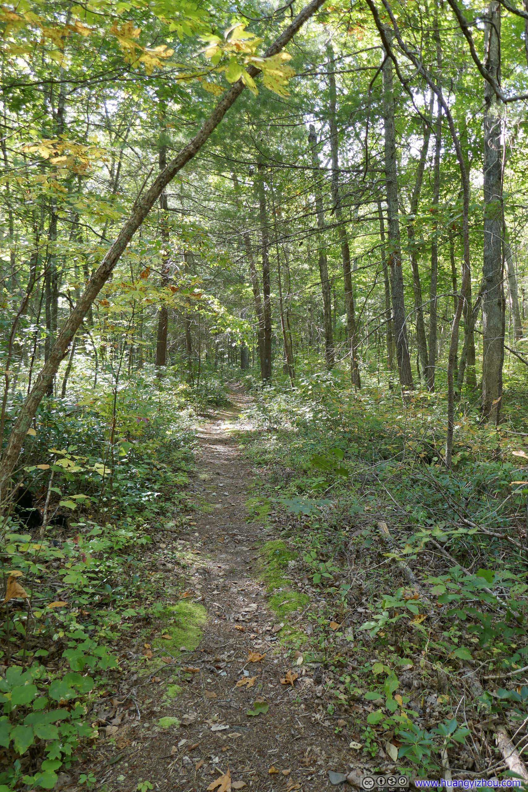
 Trail
Trail
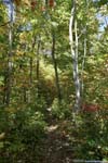
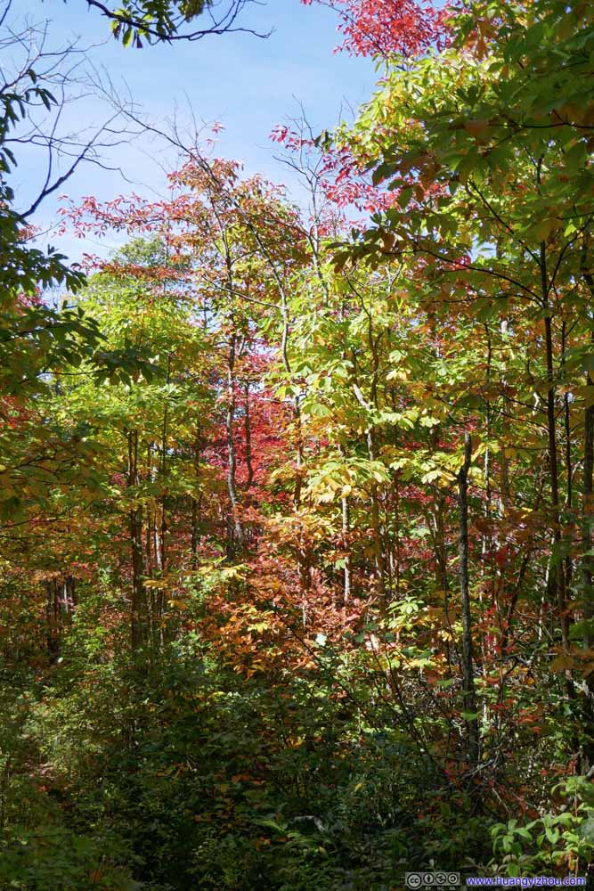
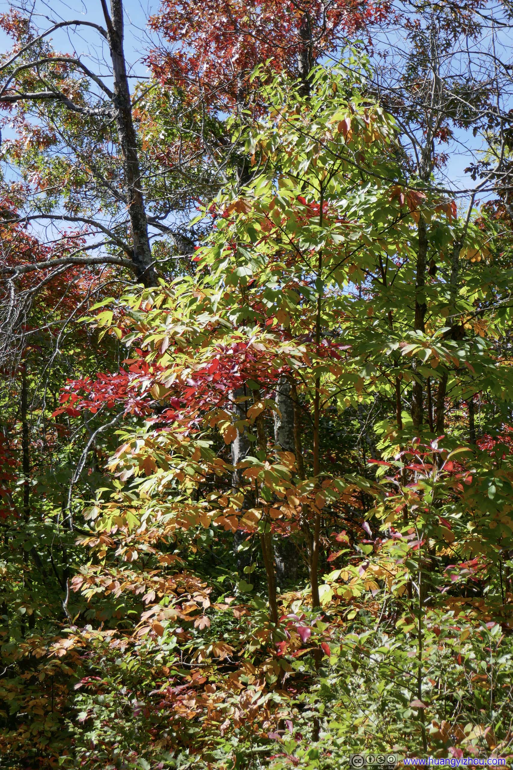
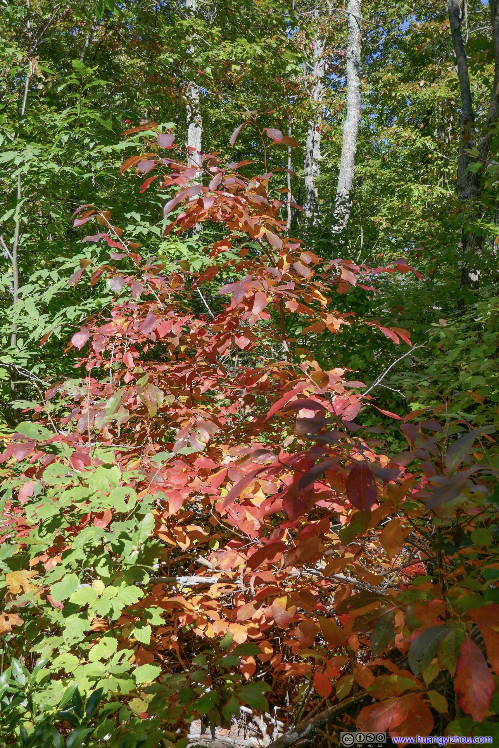
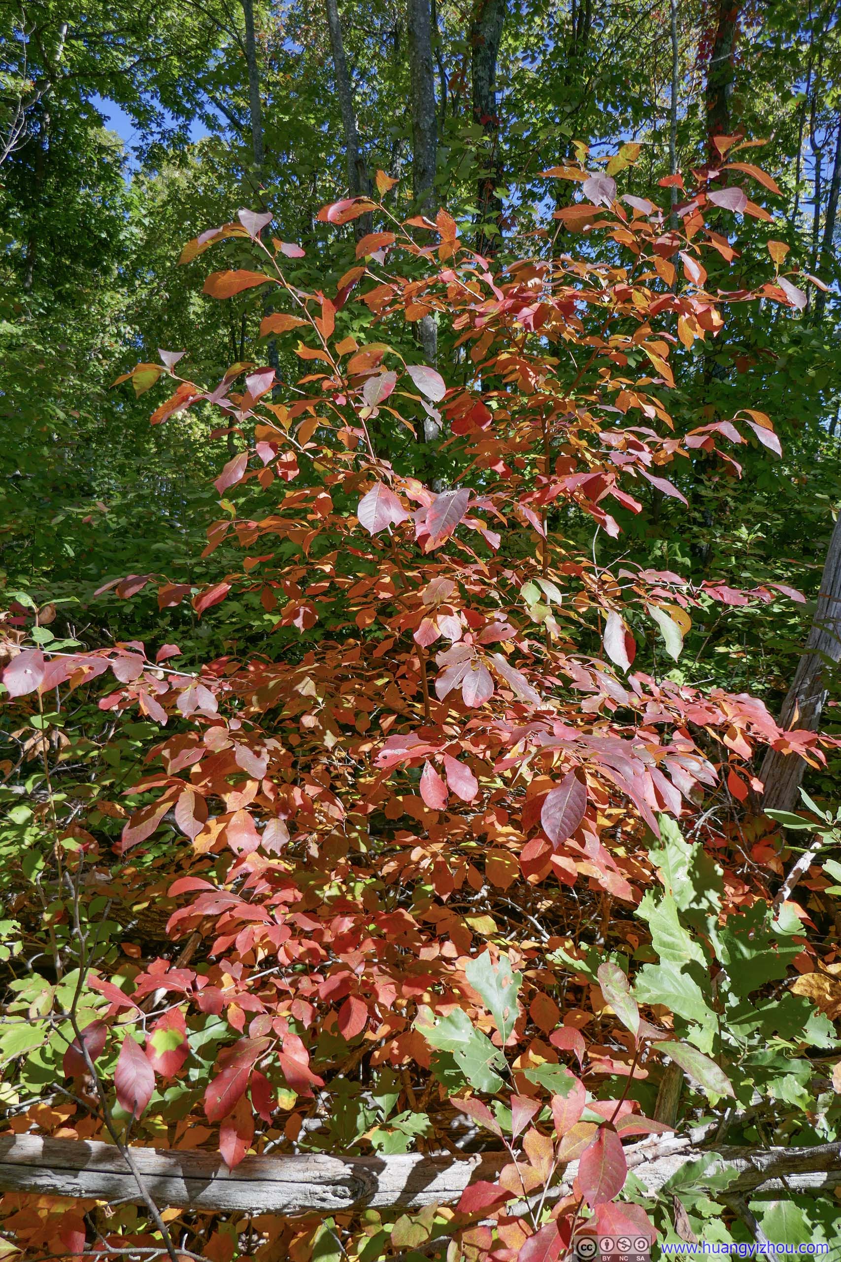
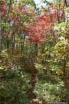
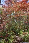
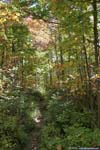
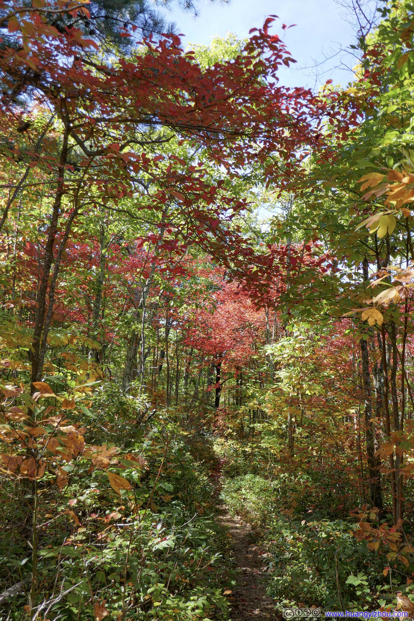
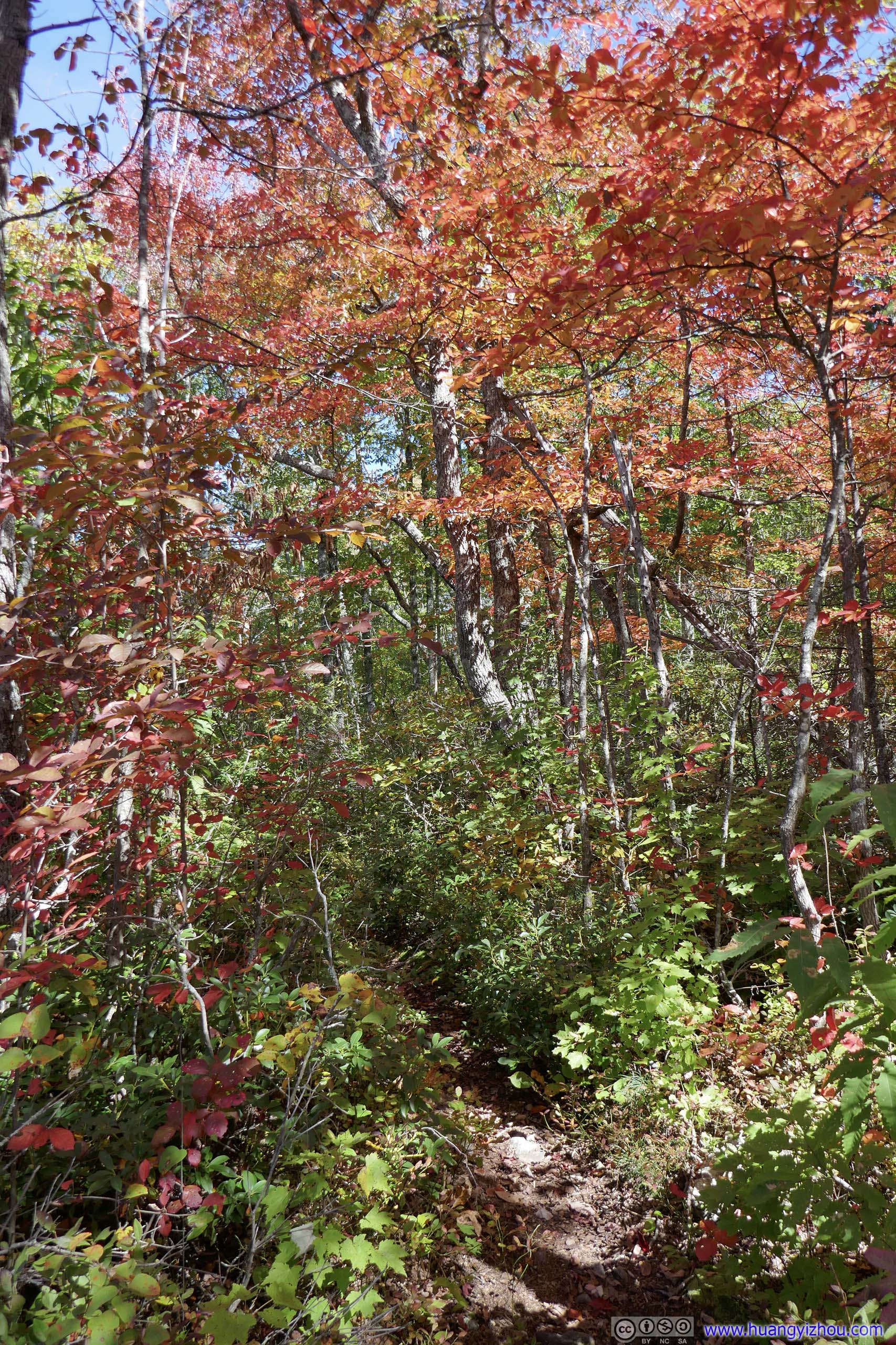
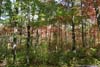
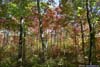
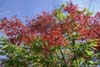
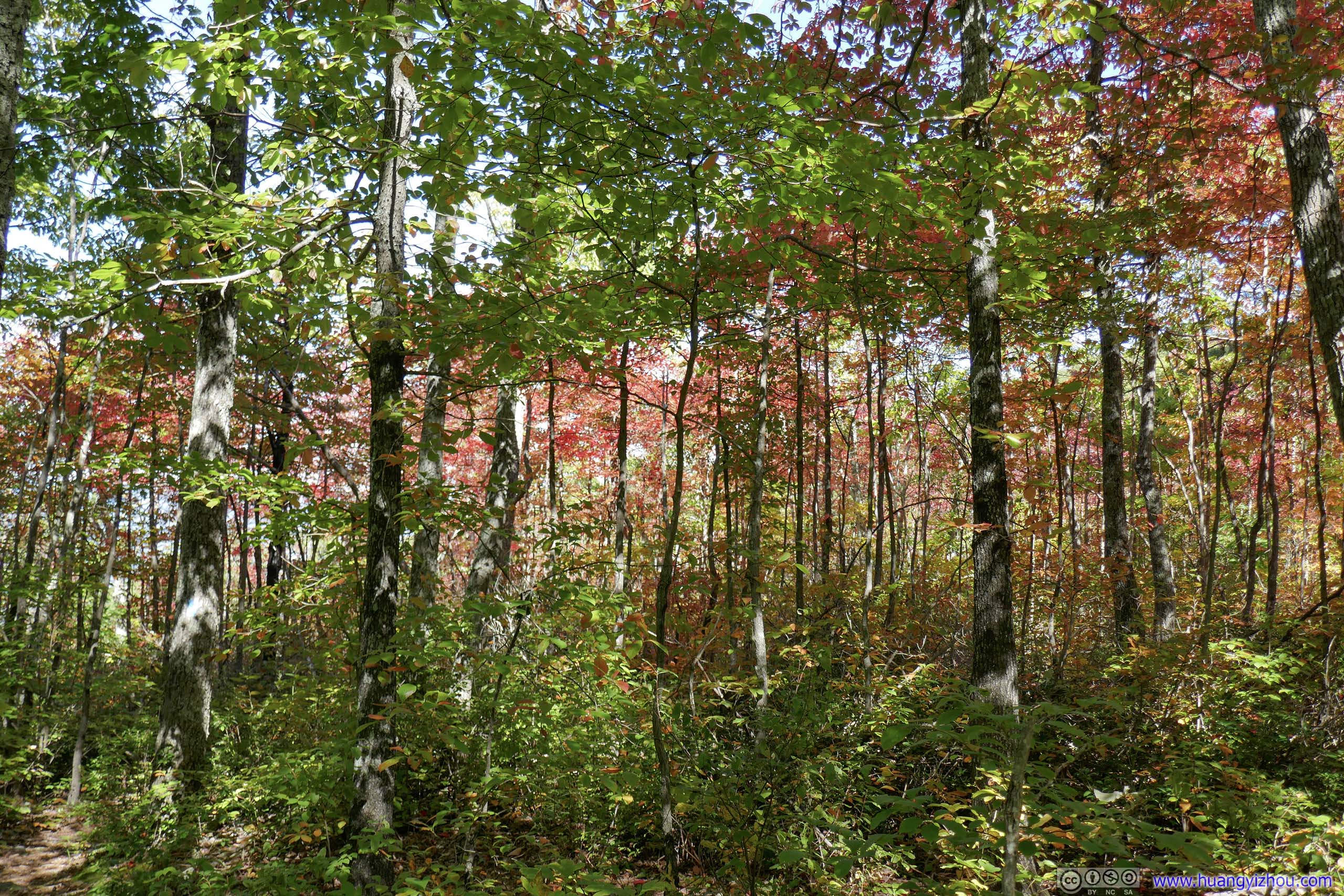
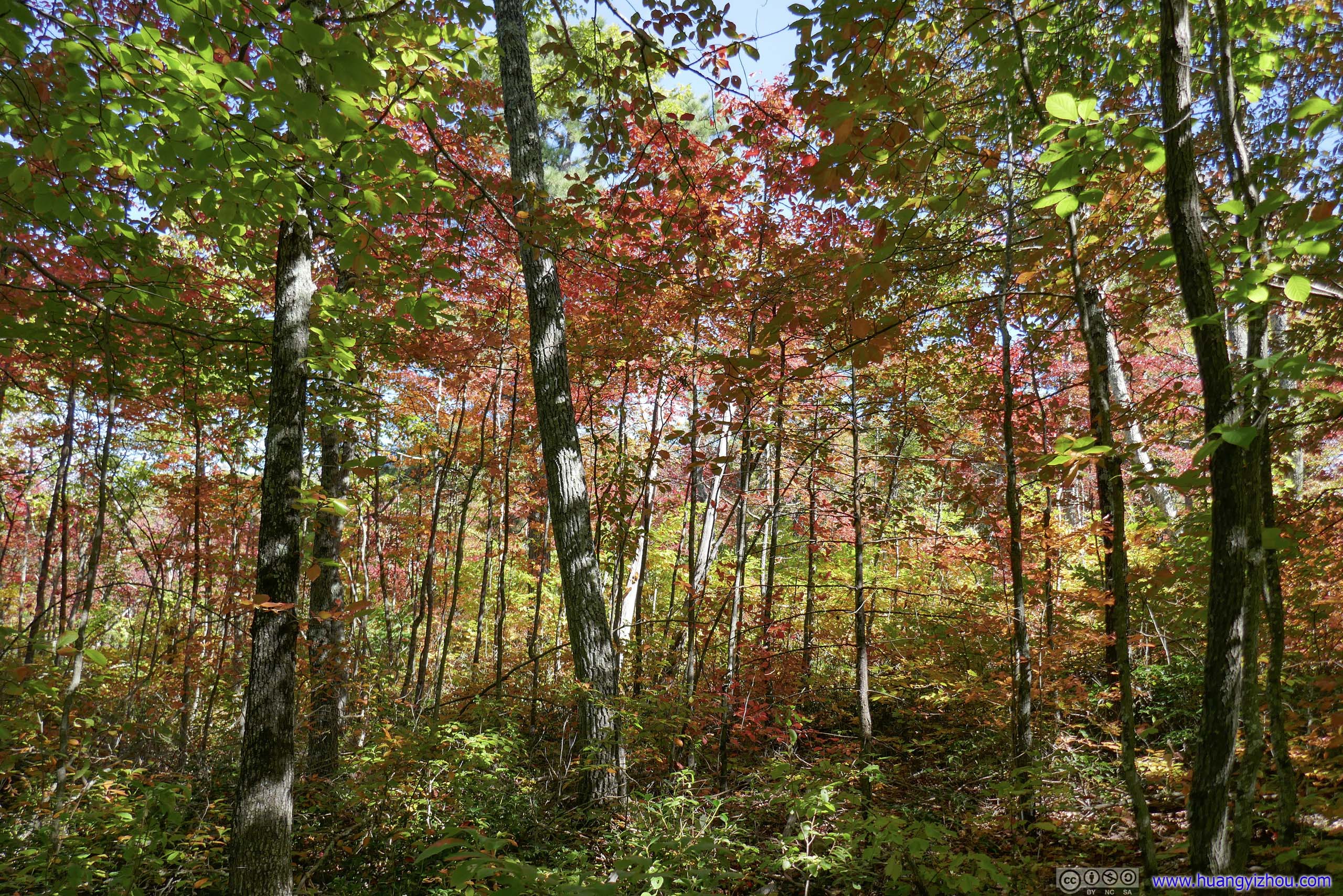
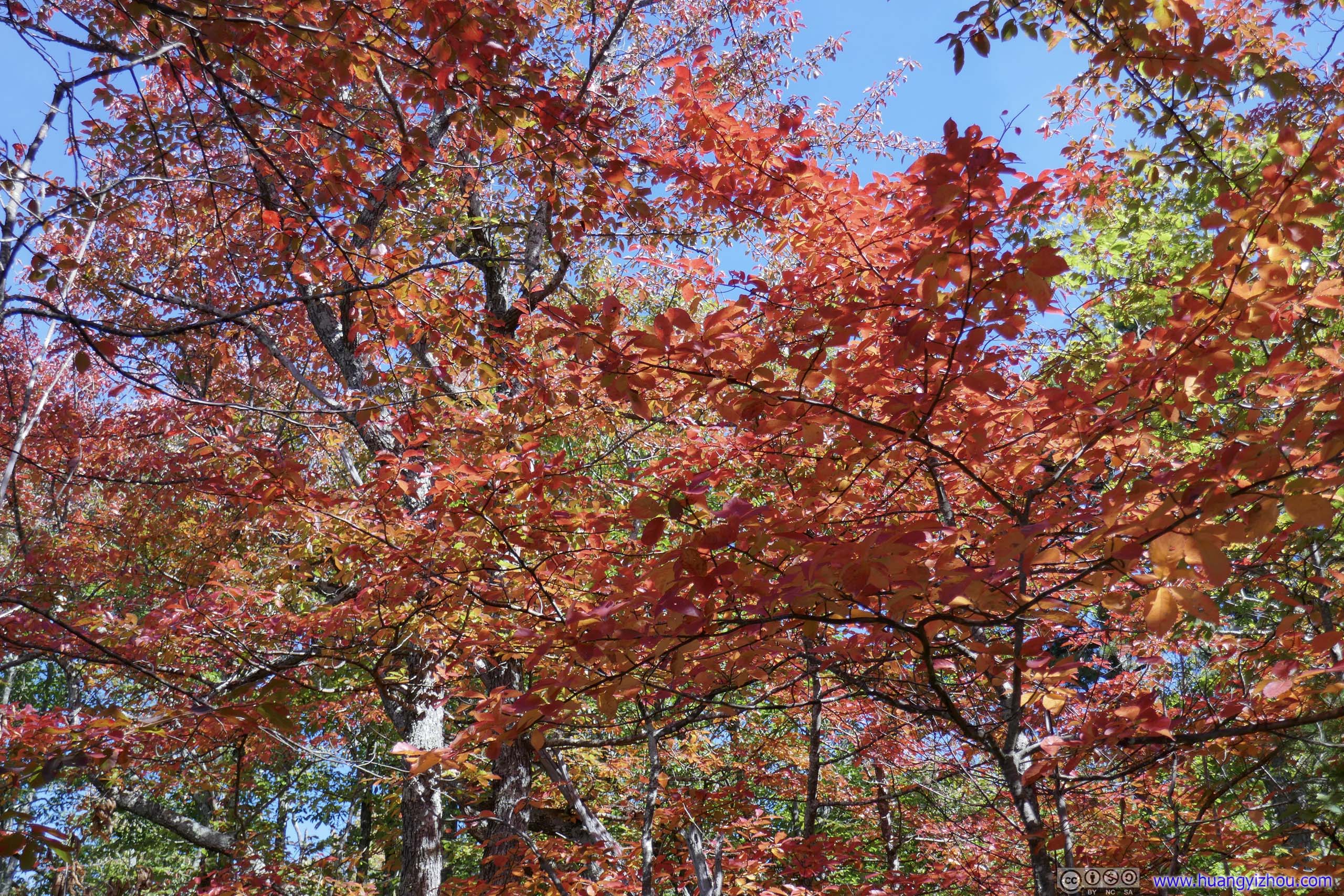
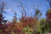
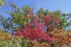
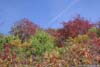
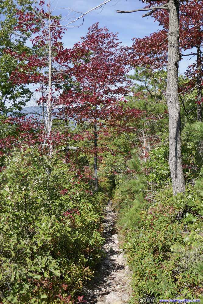
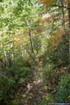
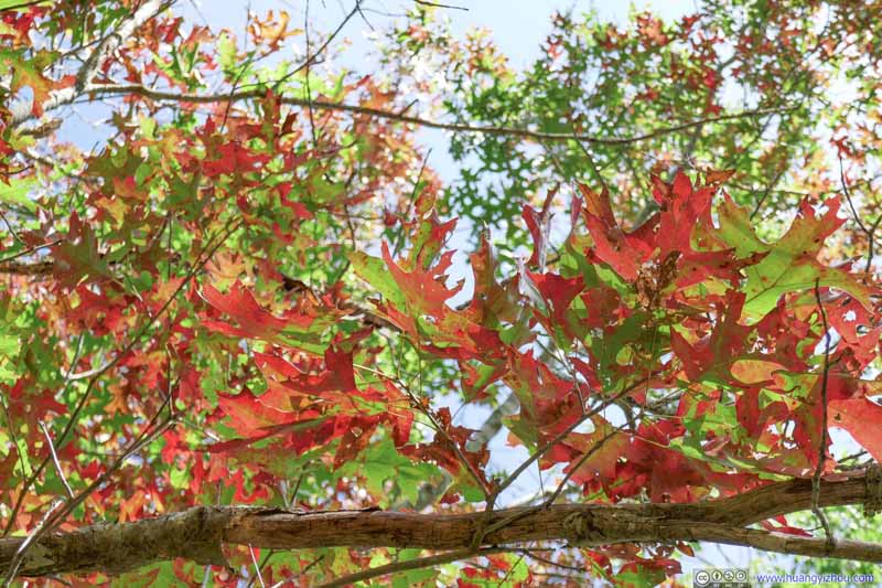
After leaving the previous overlook, between Rocky and Brown Mountain, I entered a section of the woods where autumn colors arrived earlier than the rest of the park. These enchanting colors were certainly a highlight of the day.
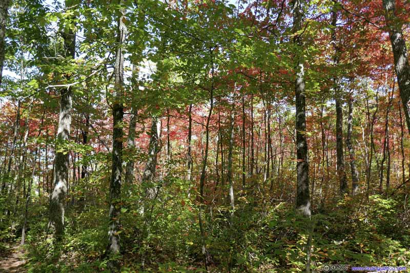 Forest in Autumn Colors
 Forest in Autumn Colors
 Leaves in Autumn Colors
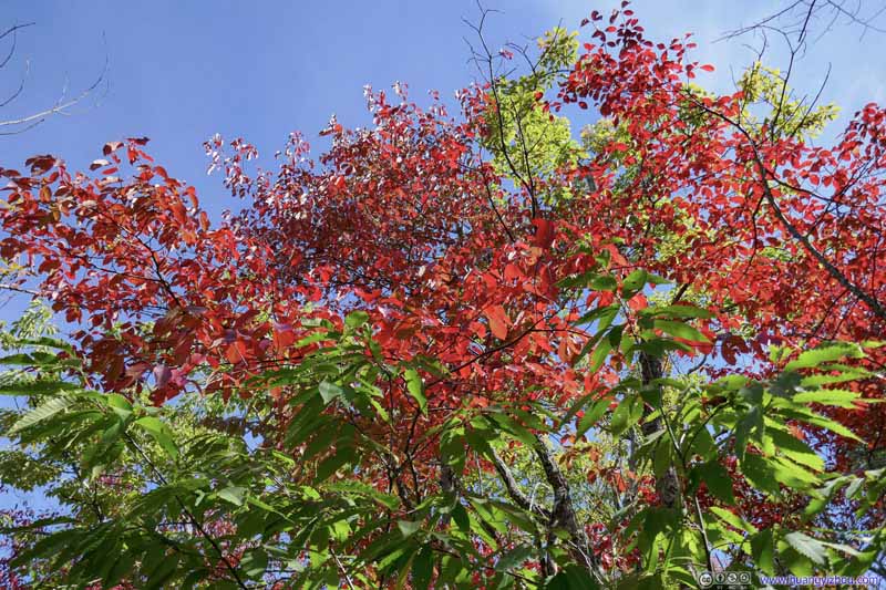 Leaves in Autumn Colors
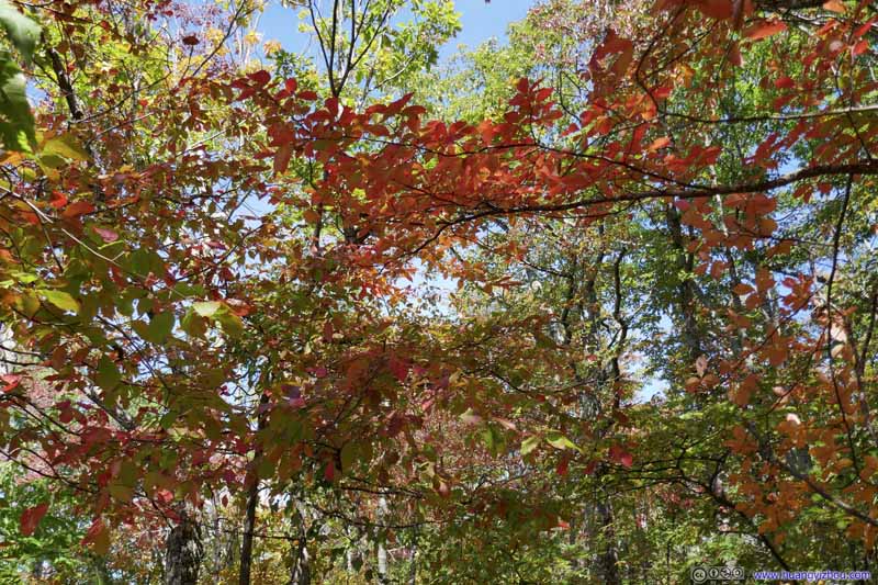 Leaves in Autumn Colors
 ForestThis part hadn’t started the turn of colors.
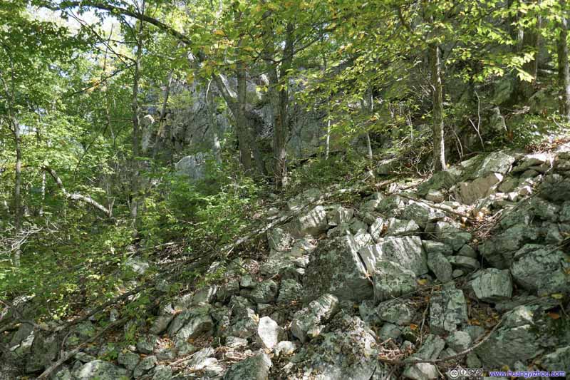 Pile of RocksFinally, there was something to correspond to the name of “Rocky Mountain”.
Click here to display photos along the trail.
 Forest in Autumn Colors
 Leaves in Autumn Colors
ForestThis part hadn’t started the turn of colors.

Pile of RocksFinally, there was something to correspond to the name of “Rocky Mountain”.
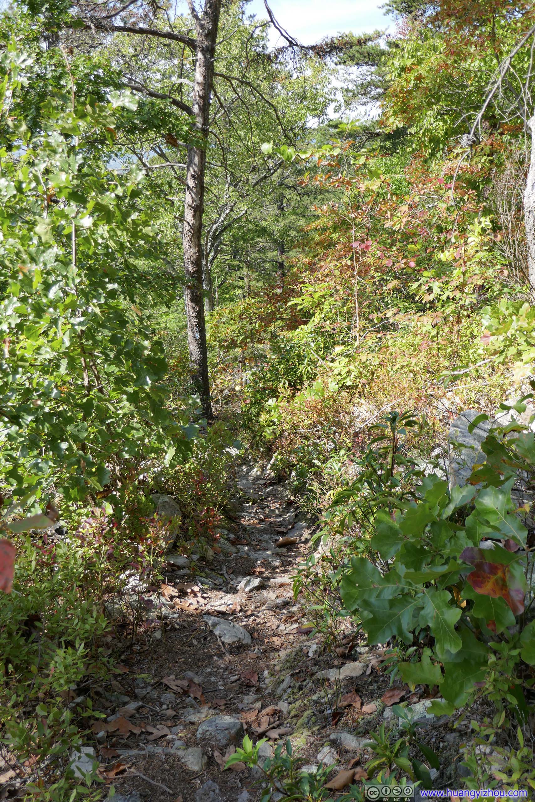
 TrailIt’s enjoyable to cross a forest in these warm colors.
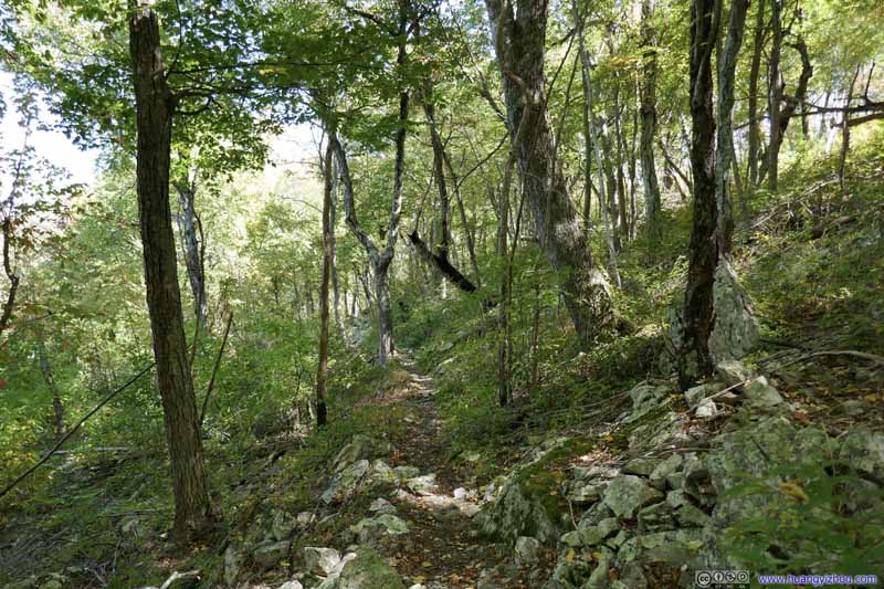 Trail
Trail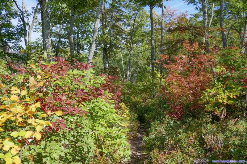 Trail
Trail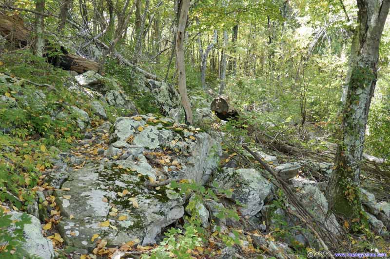 TrailOccasionally the trail made its way across a few rocks.
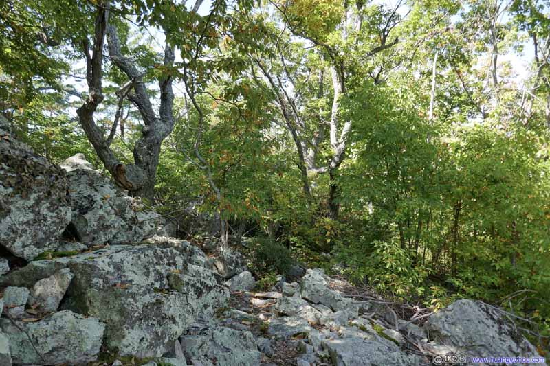 TrailOccasionally the trail made its way around a few rocks.
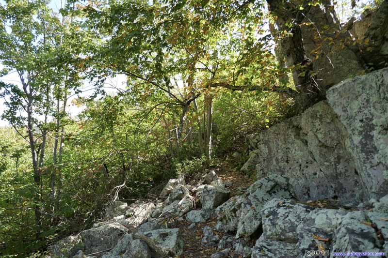 TrailOccasionally the trail made its way around a few rocks.


Click here to display photos of the trail.

TrailIt’s enjoyable to cross a forest in these warm colors.
Trail
Trail

 TrailOccasionally the trail made its way around a few rocks.
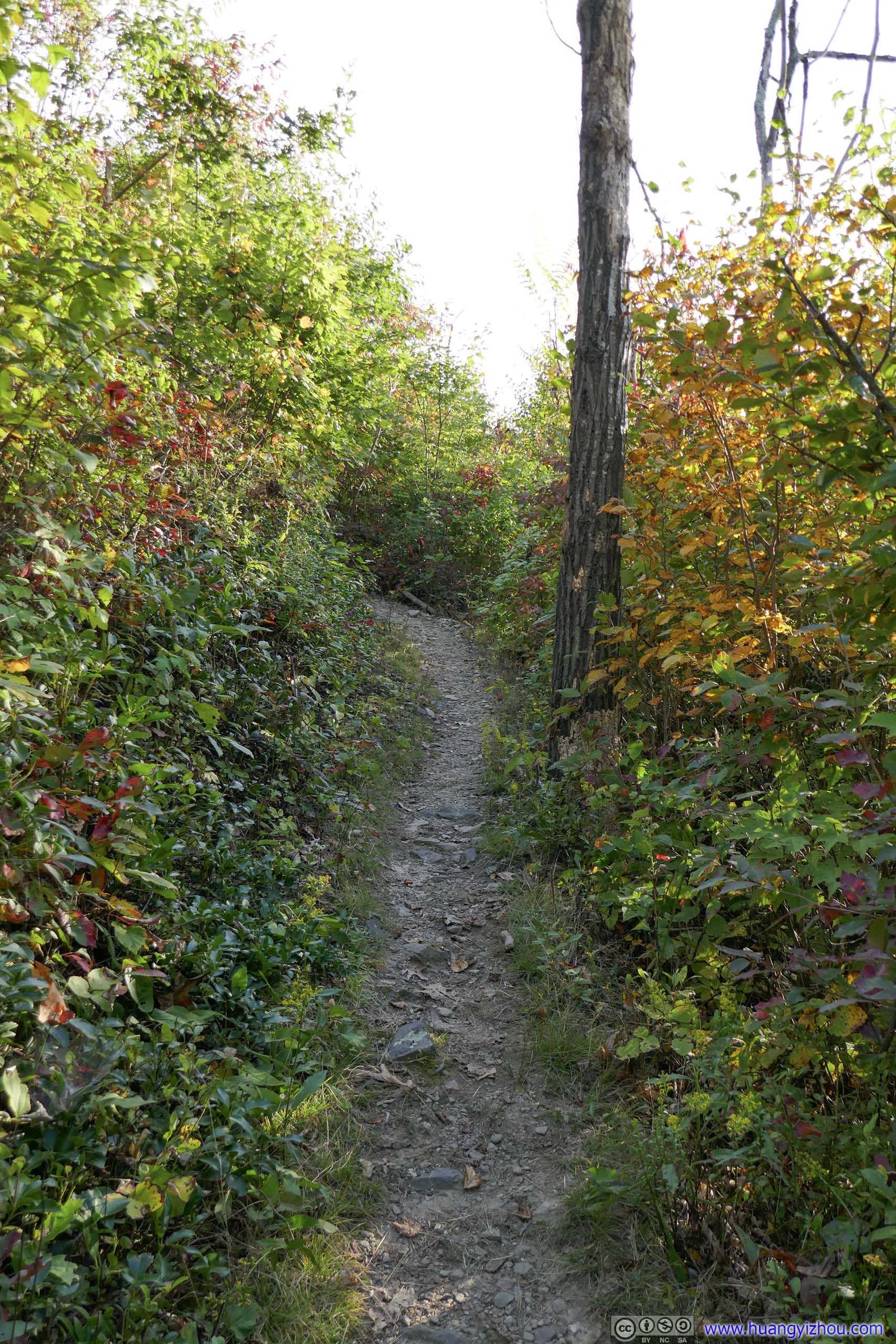
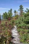
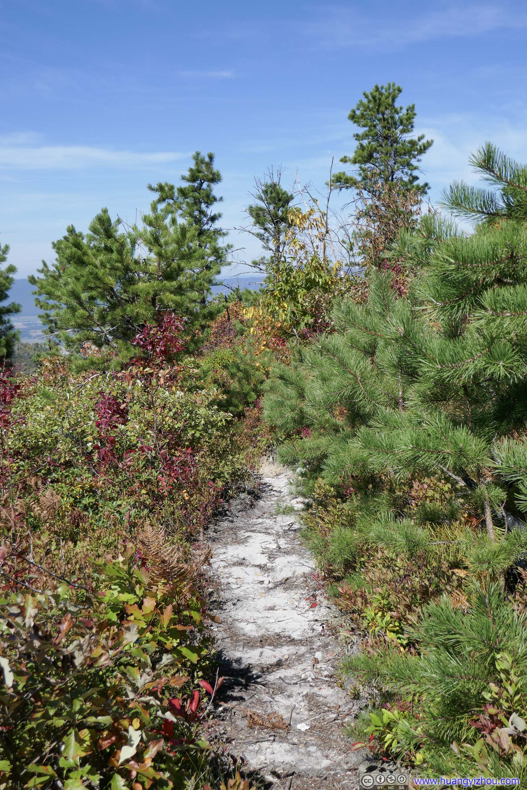
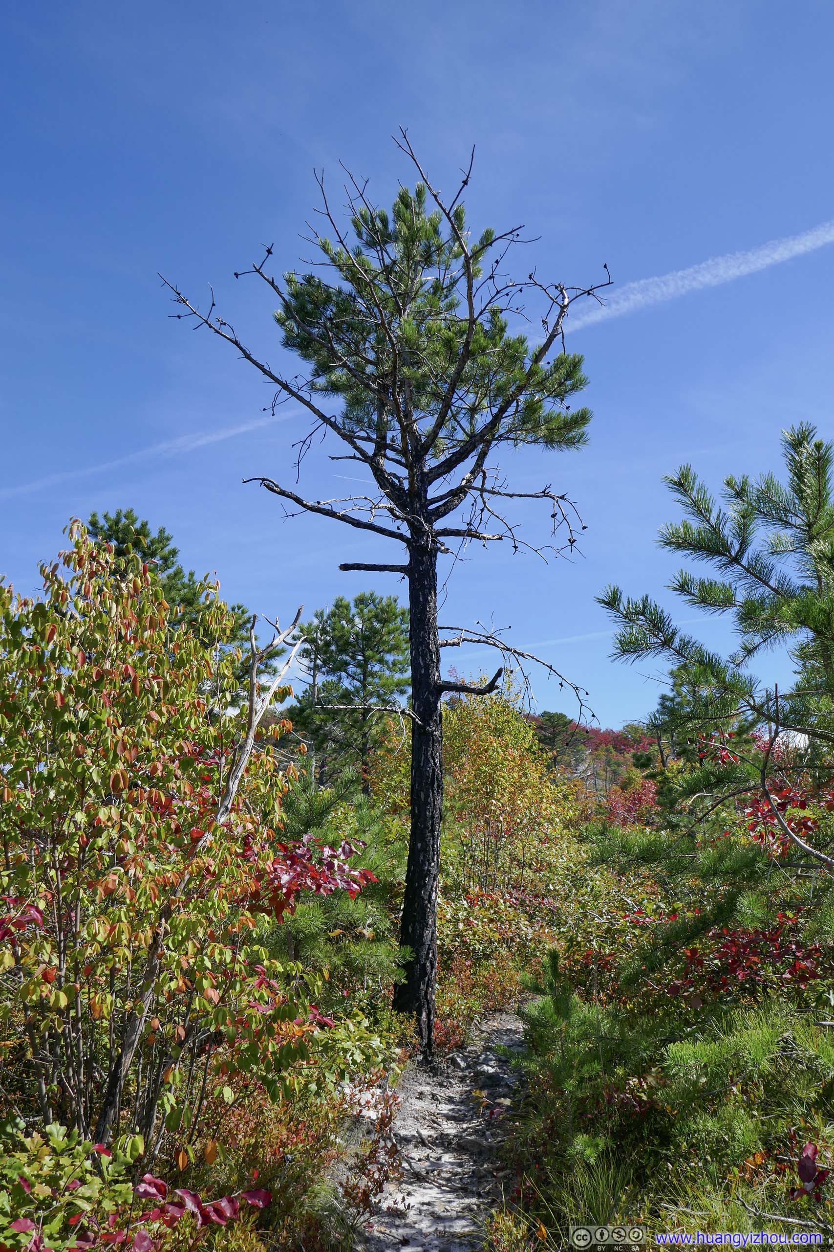
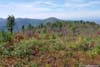
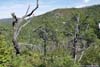
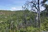
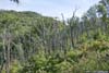
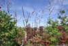
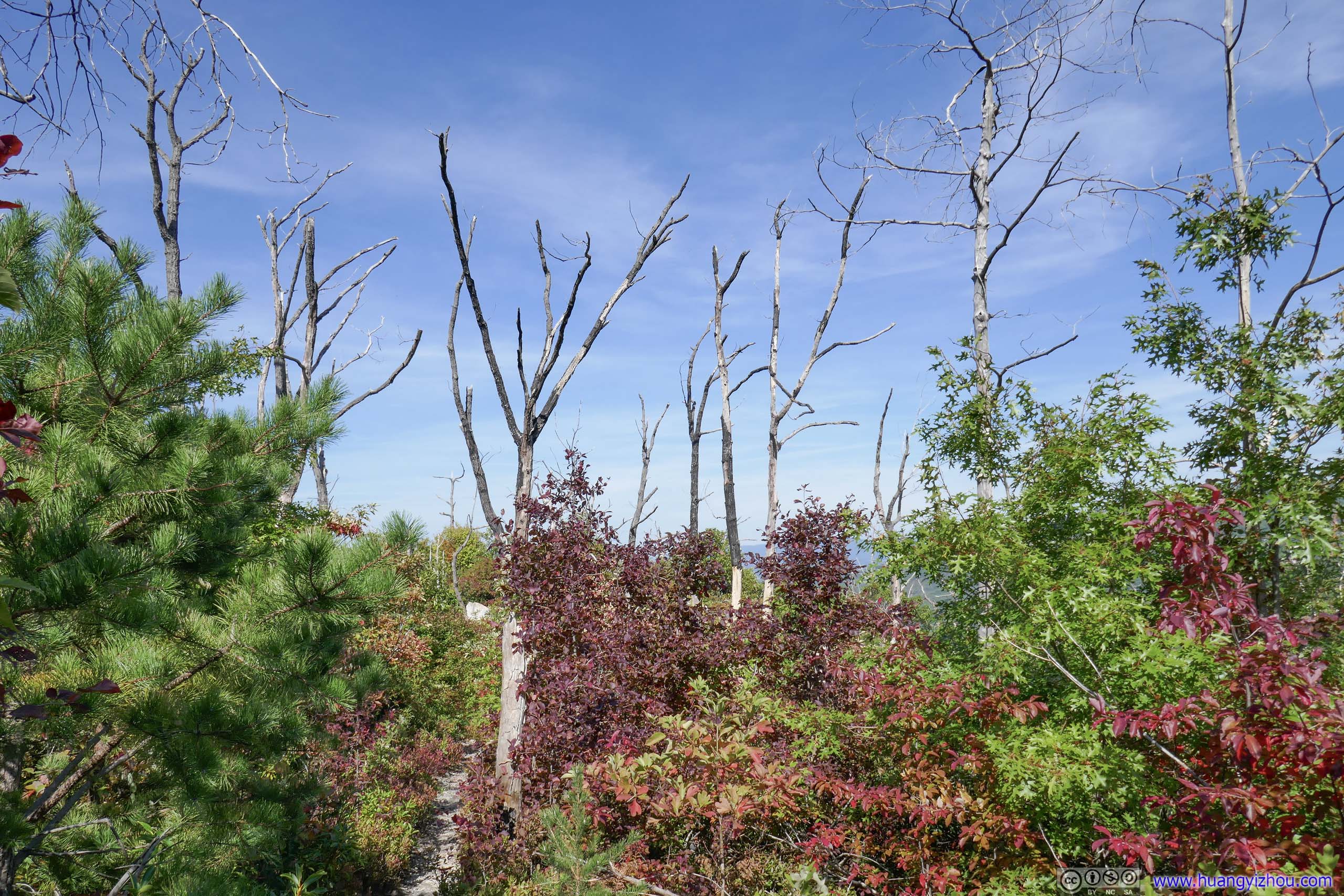
Between Rocky and Brown Mountains the trail passed through a field where a few scorched trees stood testimony to the fire that this forest had been through not that long ago. The dense but short vegetations around the trail spoke of its recovery from fire. It’s the only section of the trail that’s without shade.
 Field
Out of forests and into sunshine. This patch of forests seemed burned a while ago, so the plants along the trail were mostly short.
Field
Out of forests and into sunshine. This patch of forests seemed burned a while ago, so the plants along the trail were mostly short.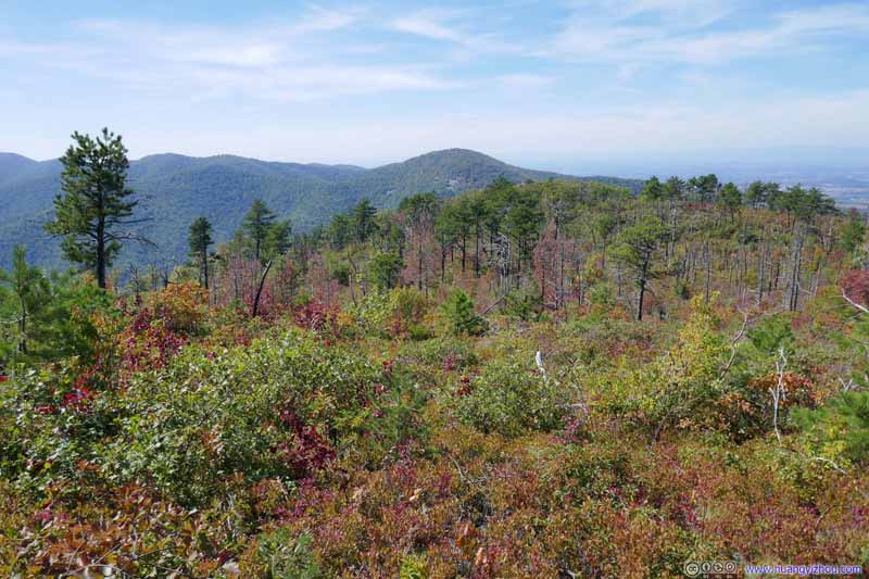 Field
Out of forests and into sunshine. This patch of forests seemed burned a while ago, so the plants along the trail were mostly short.
Field
Out of forests and into sunshine. This patch of forests seemed burned a while ago, so the plants along the trail were mostly short.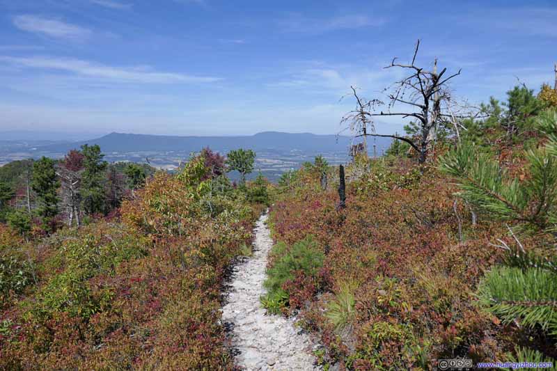 Trail
Trail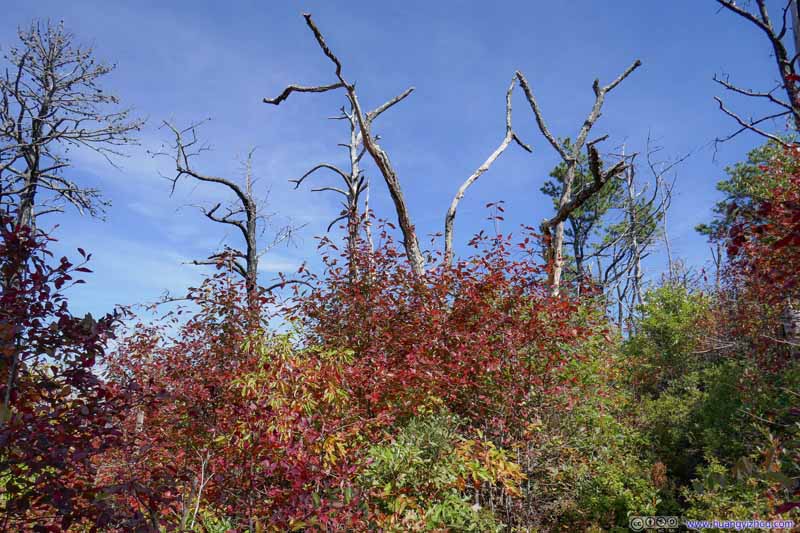 TreesThe few scorched trees still dominated the background in a striking manner.
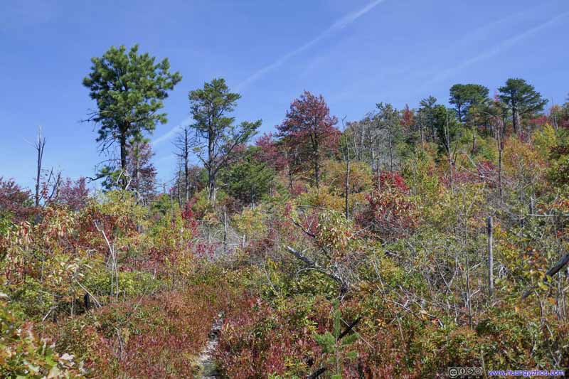 TreesA few pine trees that probably survived through the fire were dominating this shot.
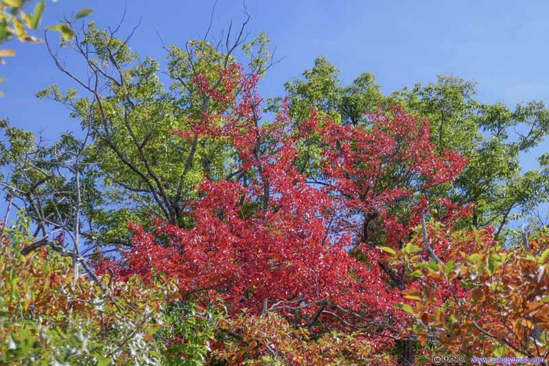 Trees in Autumn Colors
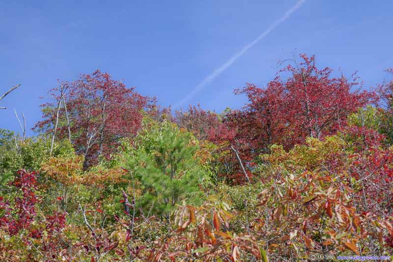 Trees in Autumn Colors
Click here to display photos of from the recovered burnt field.
 Field
Field

Trail
TreesThe few scorched trees still dominated the background in a striking manner.

TreesA few pine trees that probably survived through the fire were dominating this shot.

 Trees in Autumn Colors
After that, the trail passed Brown Mountain and started its descent down to the adjacent valley.
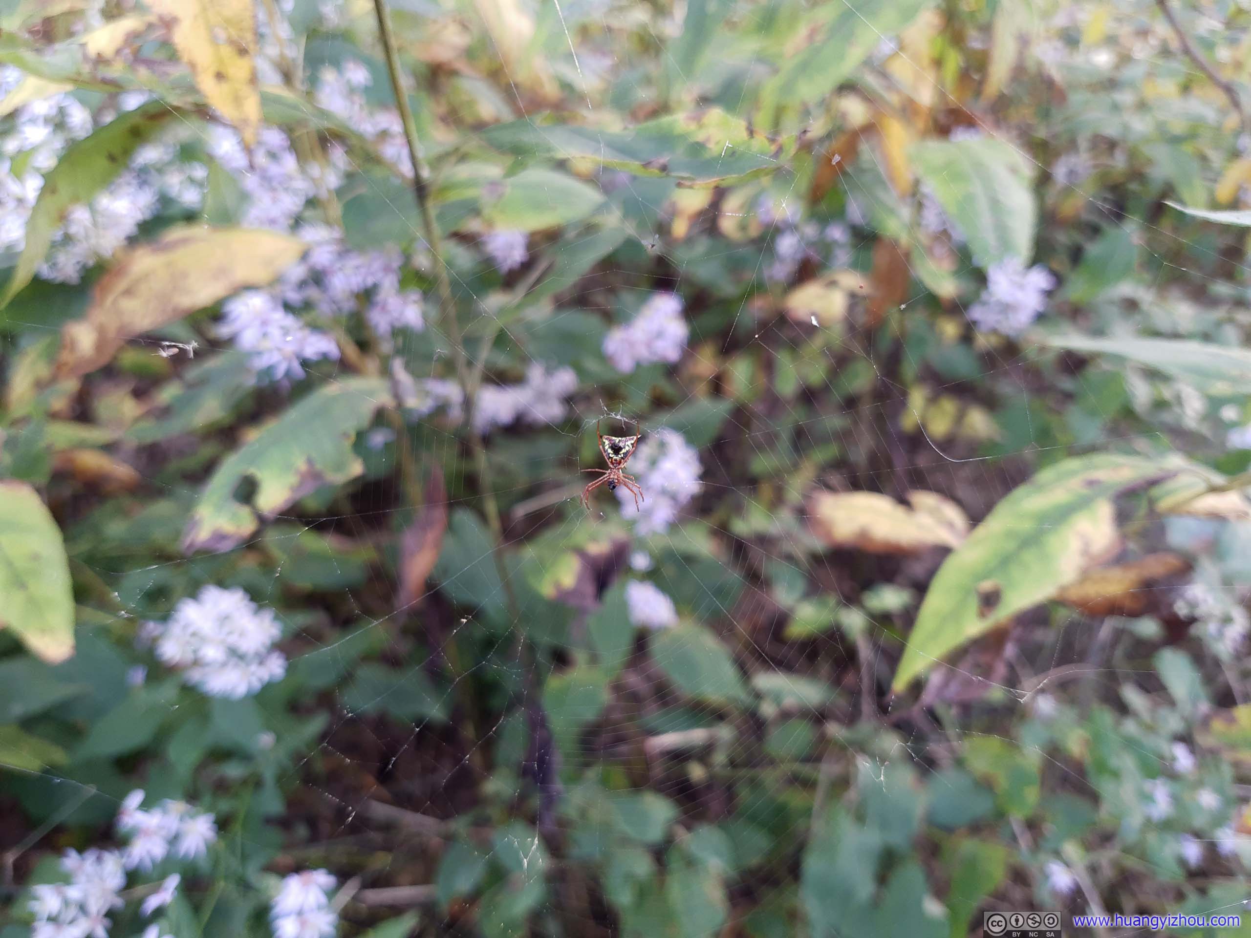
It’s worth noting that at higher elevations, I frequently ran into spider nets which was another nuisance of the day. But probably due to their presence, I wasn’t as bothered by bugs. But as I got lower in elevation, the trouble of bugs seemed back. It’s like I had to choose between two evils, which wasn’t pleasant.

Obstacle
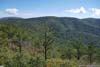
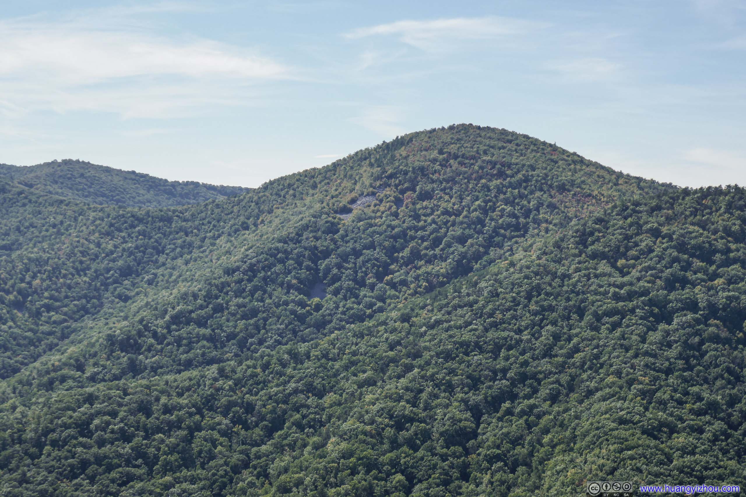
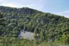
Second Overlook
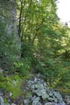
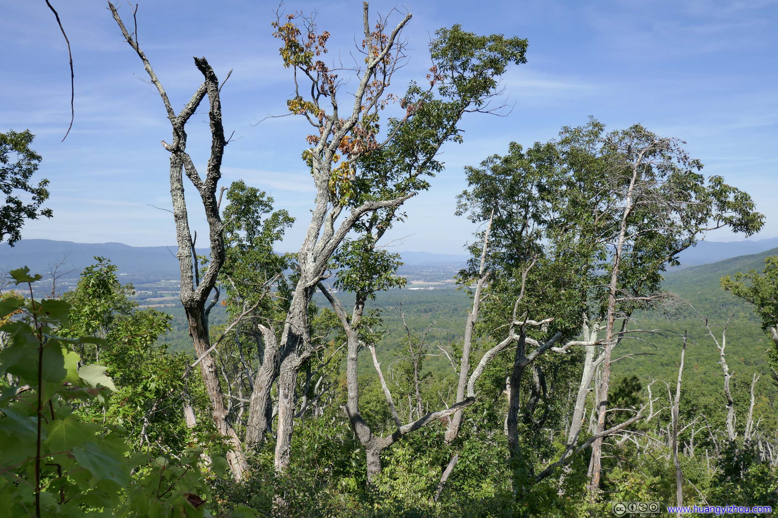
Past Brown Mountain and approximately 700m of elevation and 5km from trailhead, the trail made a U-turn. Near that turn, I found a few rocks just steps away from the trail overlooking the valley to the south. I’d hoped that either Rocky or Brown Mountain would offer some sort of views at their summits, but that didn’t happen. So I was thrilled by my discovery and hopped onto the rocks where I sat and soaked in the scenery.

View at Overlook
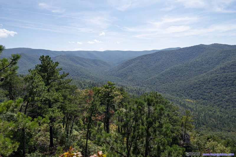 Mountains
 Rockytop
 Distant Mountains
 Rockytop
Click here to display photos of from the overlook.

Mountains
Rockytop
Distant Mountains
Rockytop
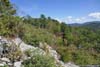
I took a 15-minute rest at the overlook before continuing downhill. Soon after that, the trail passed through another section of burnt forest. This time, the bushes along the trail were still wearing their summer green colors.
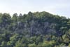
 Cliff
Cliff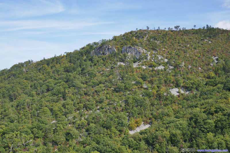 Cliff on Opposite Hill
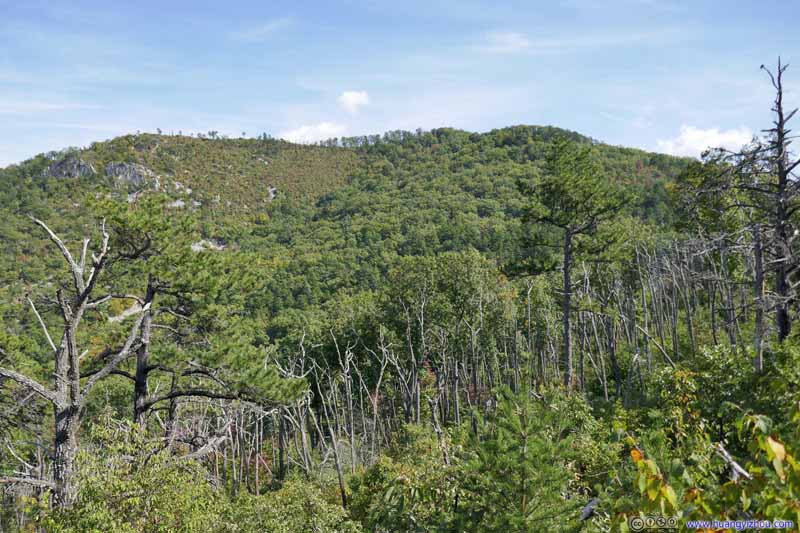 Forest before Opposite Hill
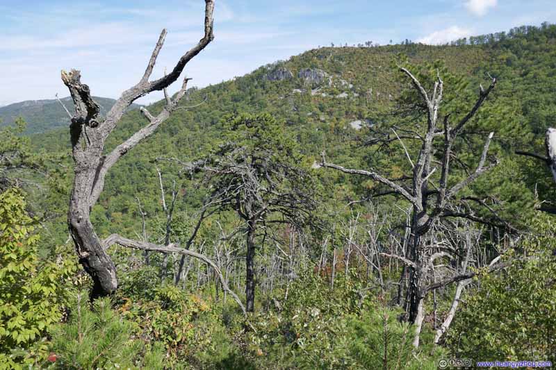 ForestsSigns of scorched trees.
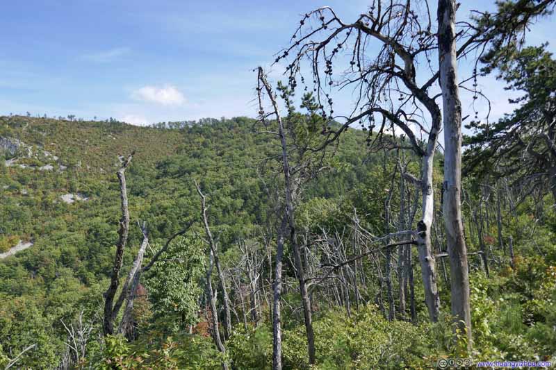 ForestsSigns of scorched trees.
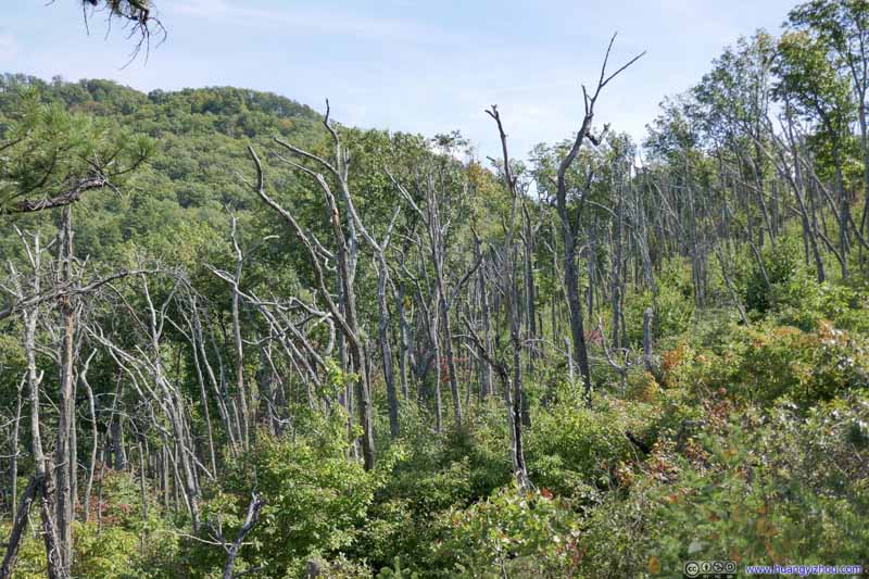 ForestsSigns of scorched trees.
 Scorched Trees
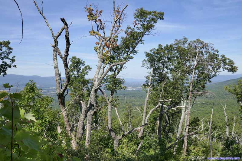 Scorched Trees
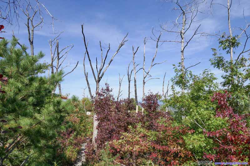 ForestA few scorched trees among a recovering forest.
 ForestOut of the burn zone things liked just as fine.
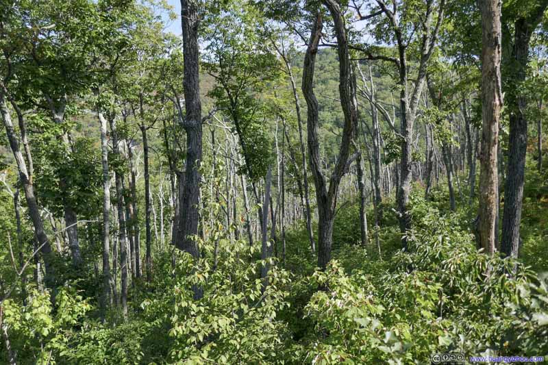 ForestOut of the burn zone things liked just as fine.


Click here to display photos of the trail passing by a scorched forest.
Cliff
Cliff on Opposite Hill

Forest before Opposite Hill

 ForestsSigns of scorched trees.
 Scorched Trees
ForestA few scorched trees among a recovering forest.
 ForestOut of the burn zone things liked just as fine.
 TrailThe final part going down Brown Mountain.
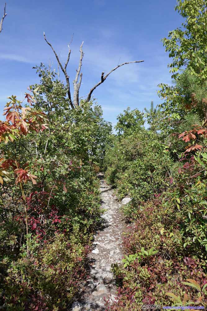 TrailThe final part going down Brown Mountain.
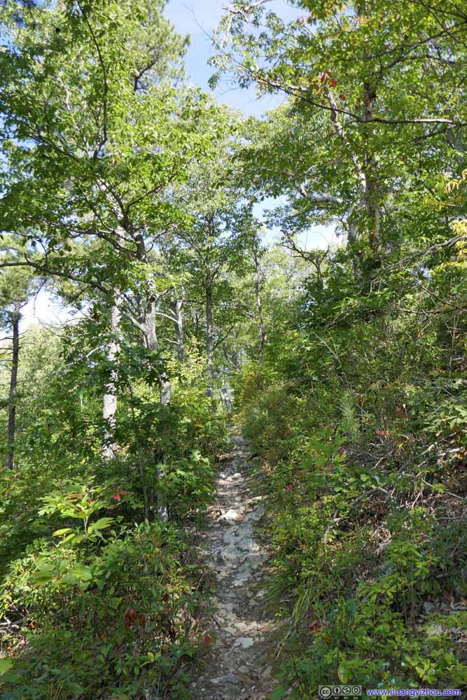 TrailThe final part going down Brown Mountain.
 TrailThe final part going down Brown Mountain.
 TrailThe final part going down Brown Mountain.
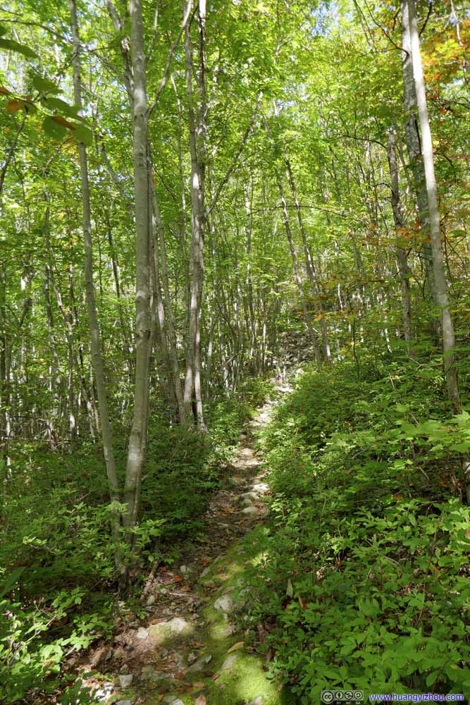 TrailThe final part going down Brown Mountain.
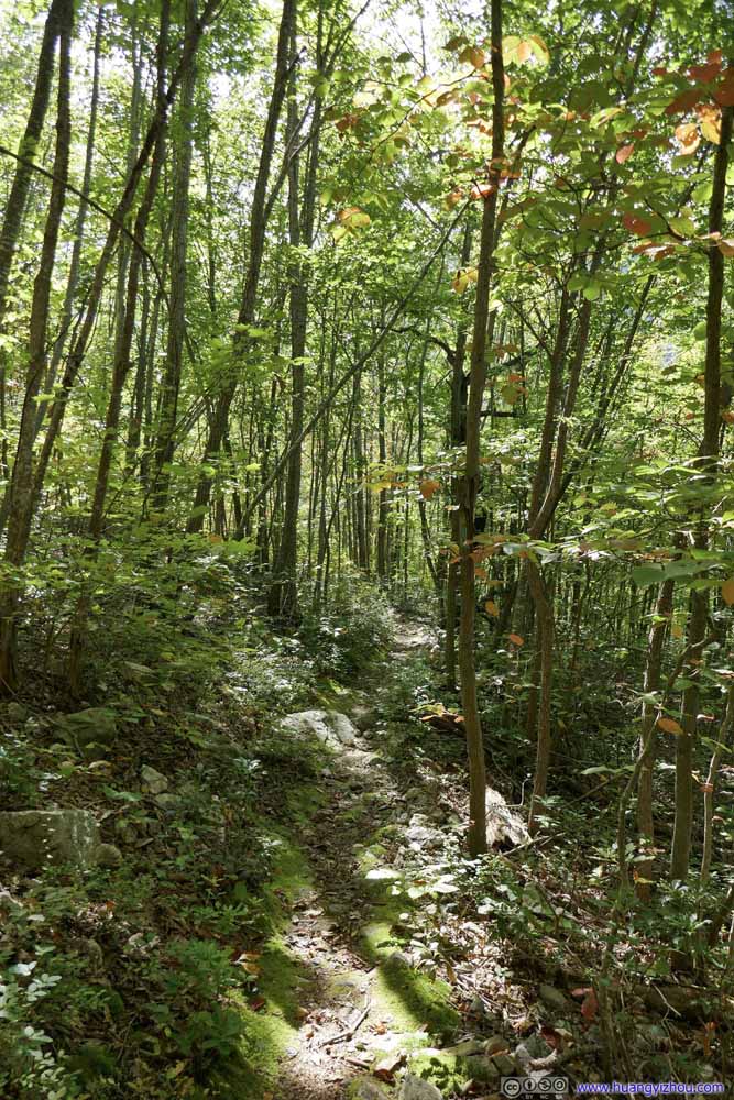 TrailThe final part going down Brown Mountain.
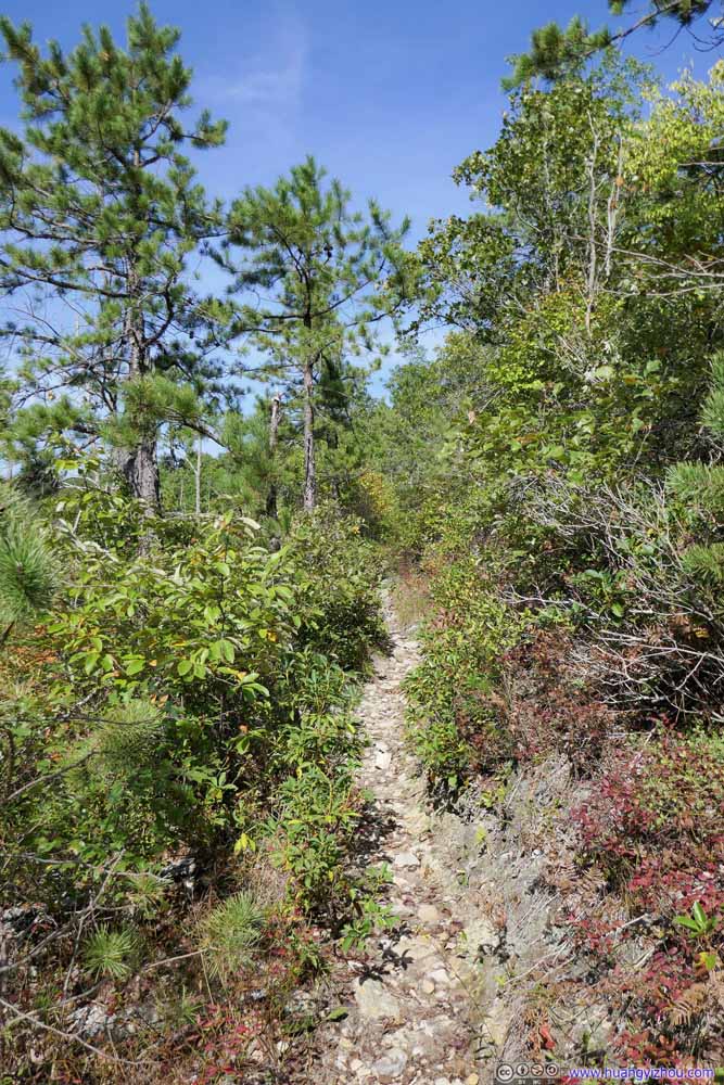 TrailThe final part going down Brown Mountain.


Click here to display photos of the trail.

TrailThe final part going down Brown Mountain.

TrailThe final part going down Brown Mountain.

TrailThe final part going down Brown Mountain.
TrailThe final part going down Brown Mountain.
TrailThe final part going down Brown Mountain.

TrailThe final part going down Brown Mountain.
TrailThe final part going down Brown Mountain.
TrailThe final part going down Brown Mountain.
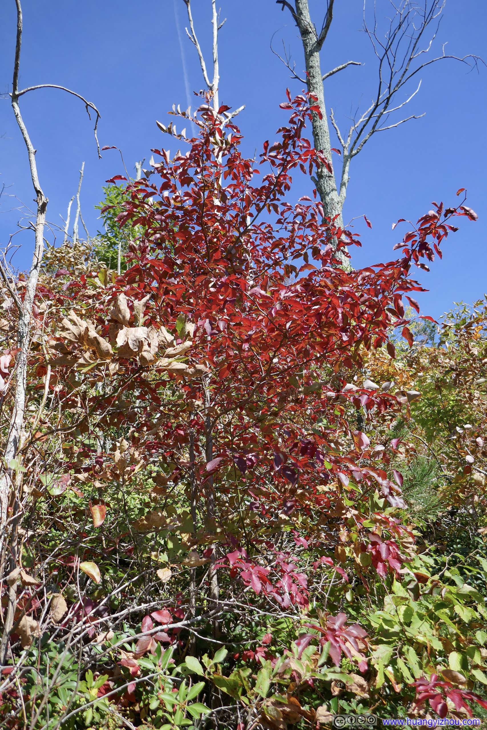
 LeavesTransition of colors within individual leaves.
 LeavesTransition of colors within individual leaves.
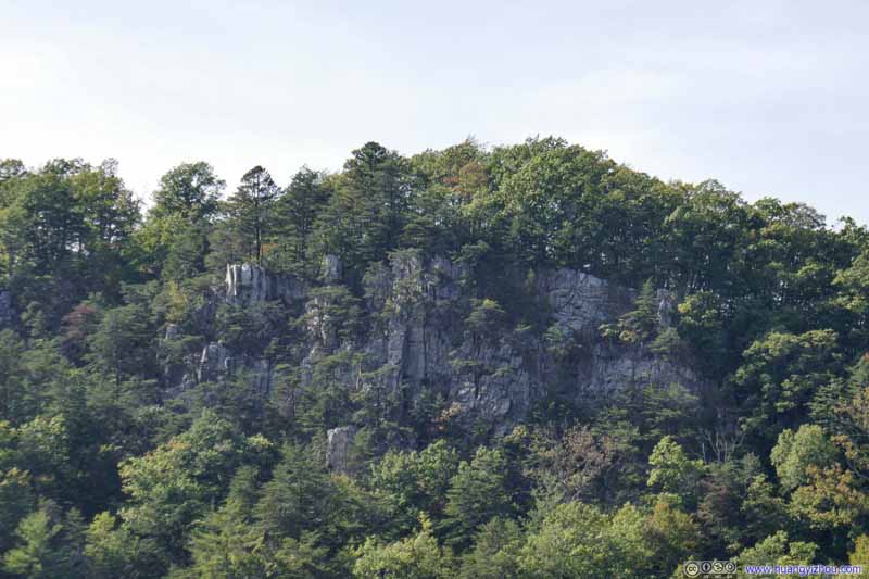 Cliff
Cliff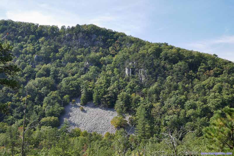 Opposite Mountain

Click here to display photos of the slideshow

LeavesTransition of colors within individual leaves.

LeavesTransition of colors within individual leaves.

Cliff

Opposite Mountain
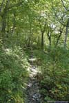
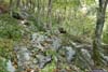
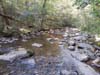
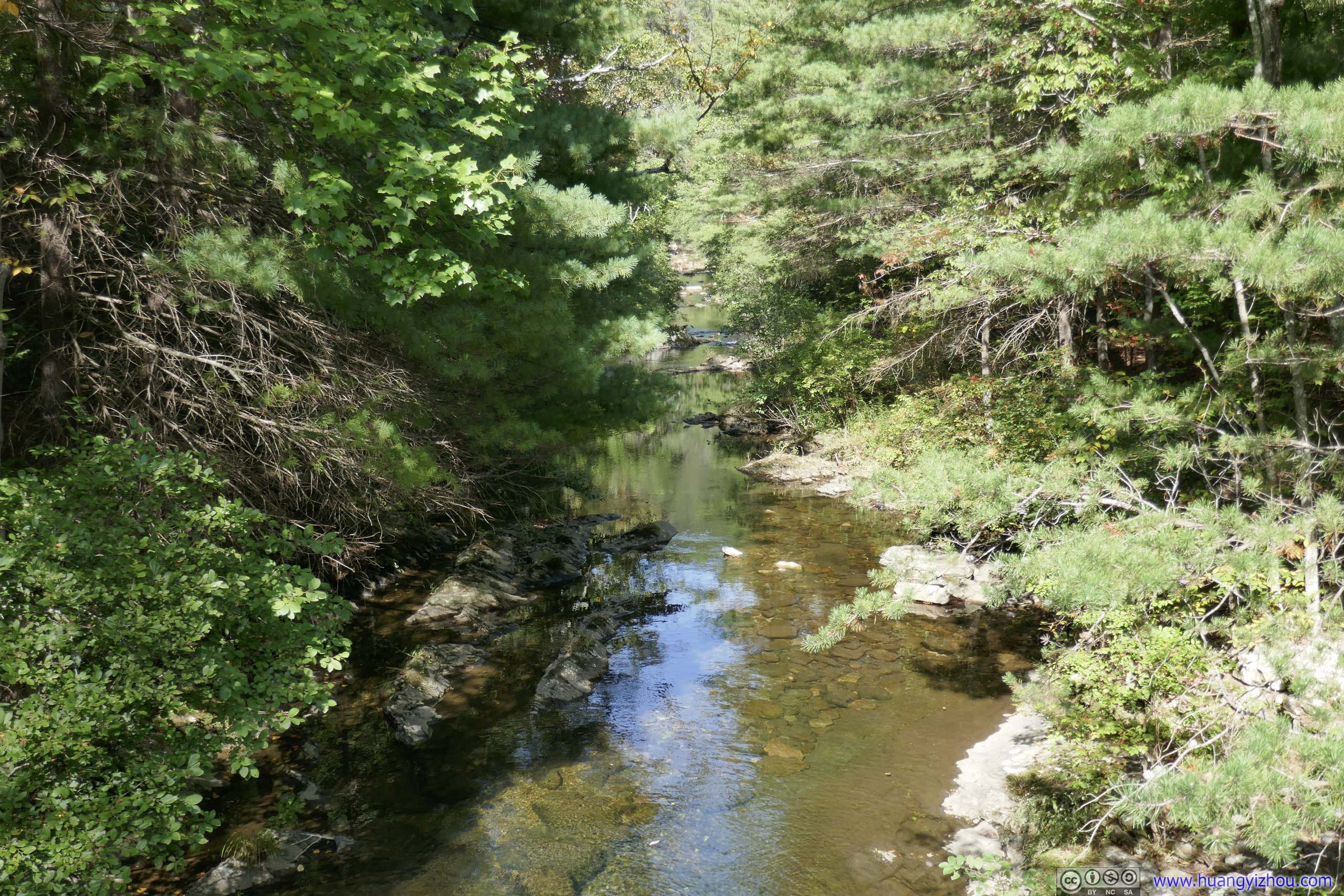
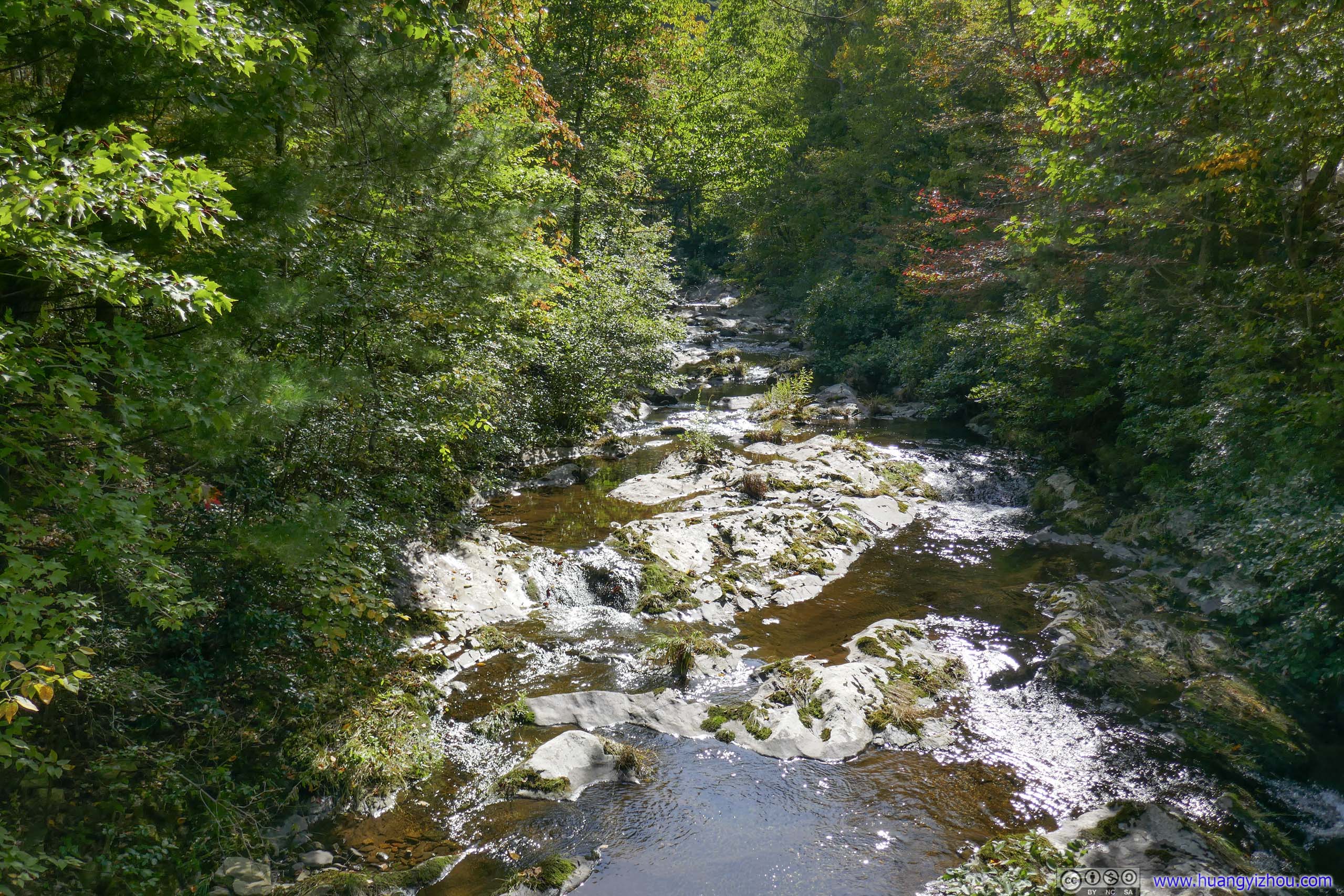
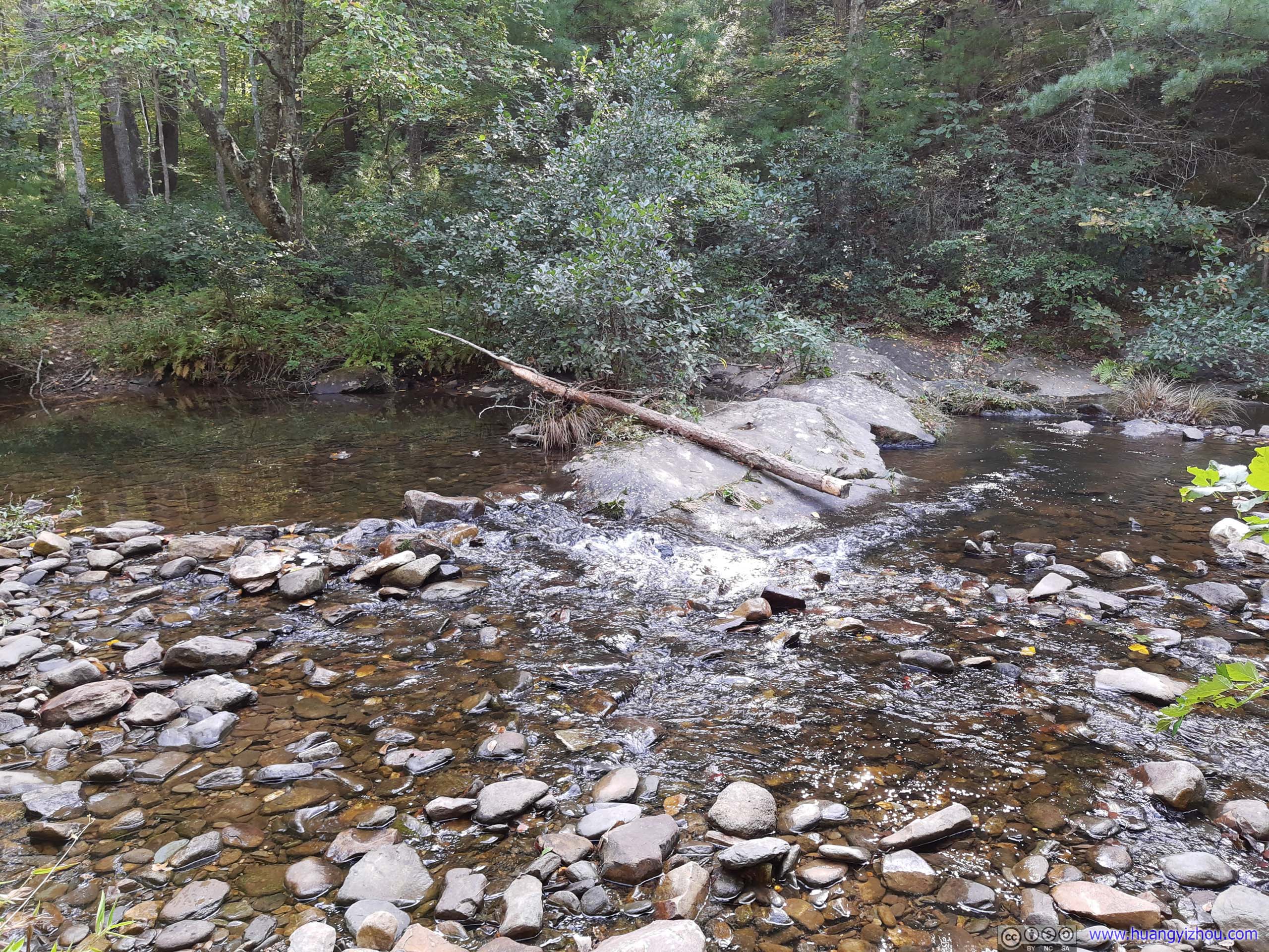
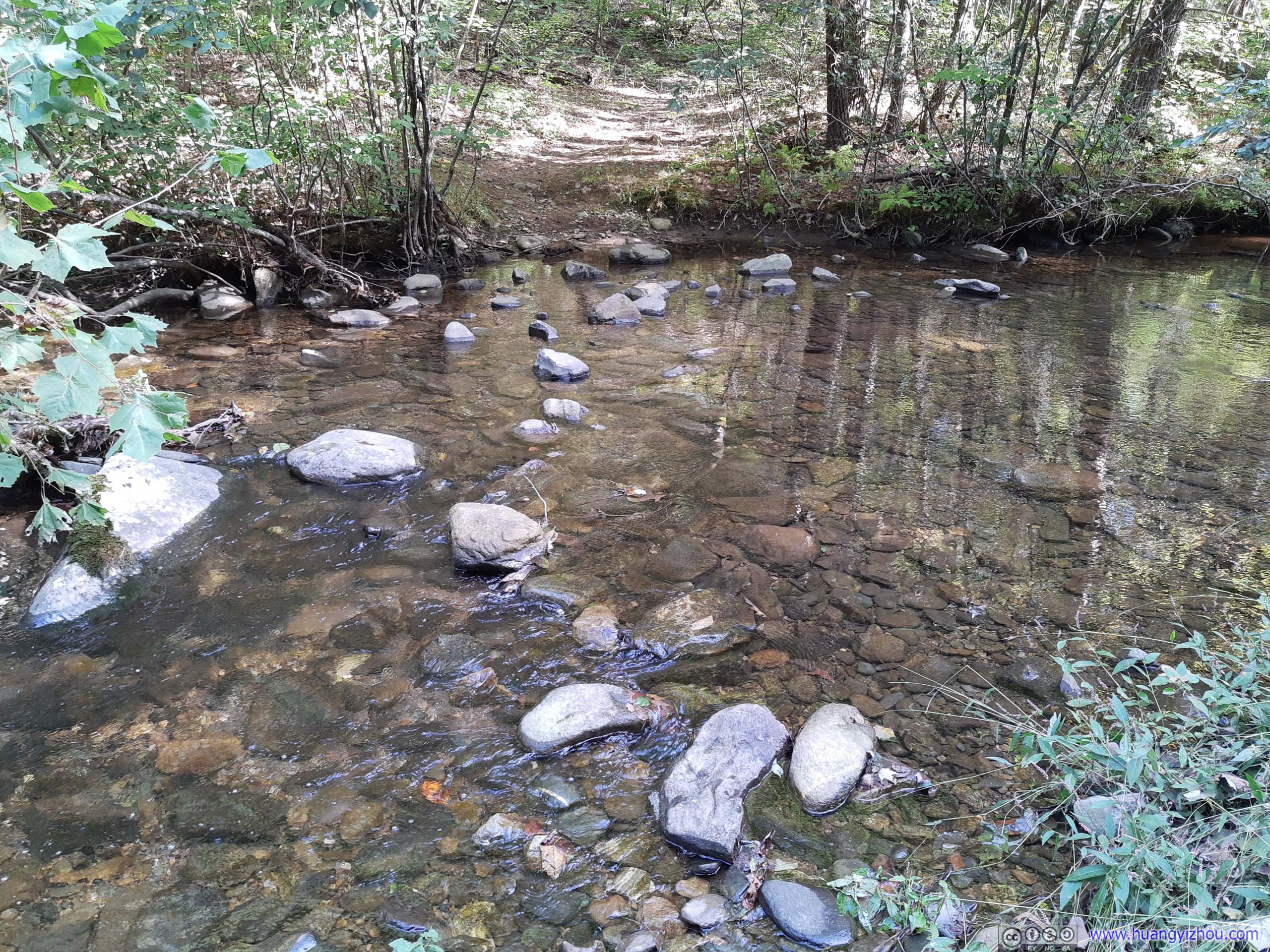
Finally, just past 3pm and 7.5km from trailhead, I reached the lowest elevation point of the trail next to a creek called “Big Run”. After that, I would take the trail along the creek back up to the trailhead.
Along Creek
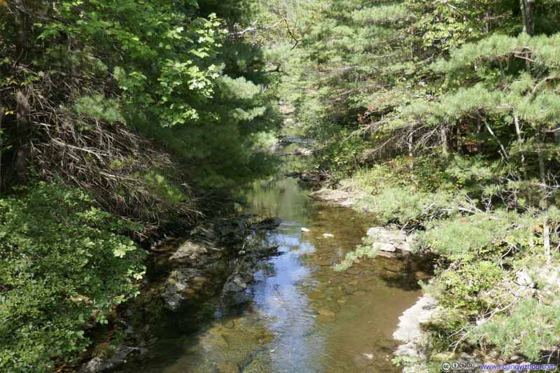 CreekJust after I came down from Brown Mountain. The creek was a bit rocky downstream.
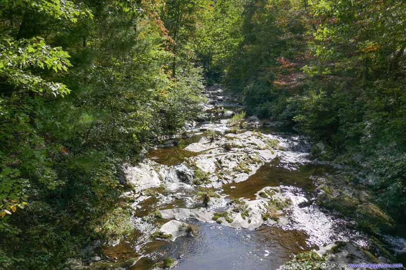 CreekJust after I came down from Brown Mountain. The creek was a bit rocky downstream.
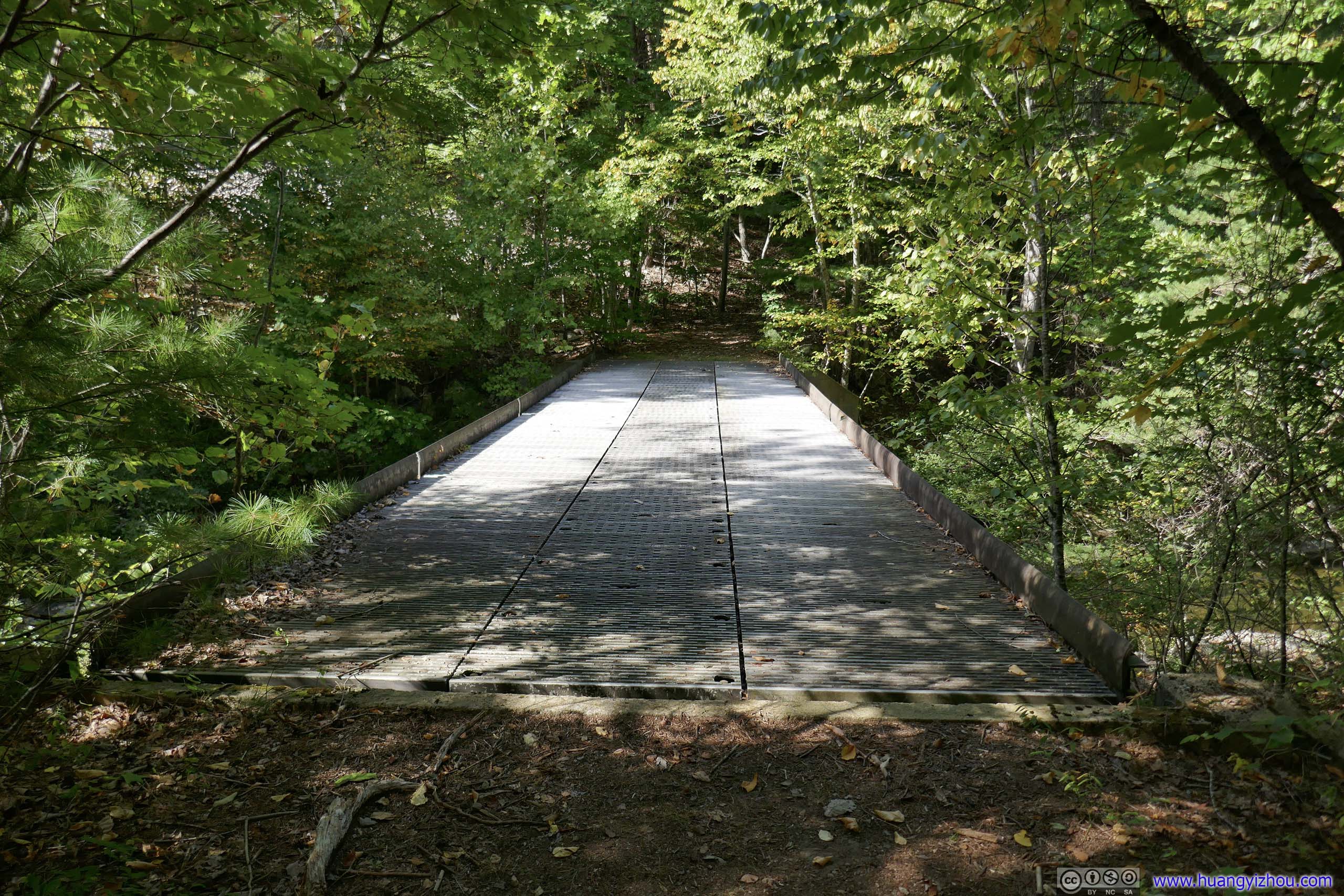
 Bridge
For those that wanted to access Shenandoah National Park from its western boundary. I was a bit puzzled as to why this bridge was so wide that it’s vehicle accessible. I didn’t see any fire roads extending into Shenandoah beyond this point.
Bridge
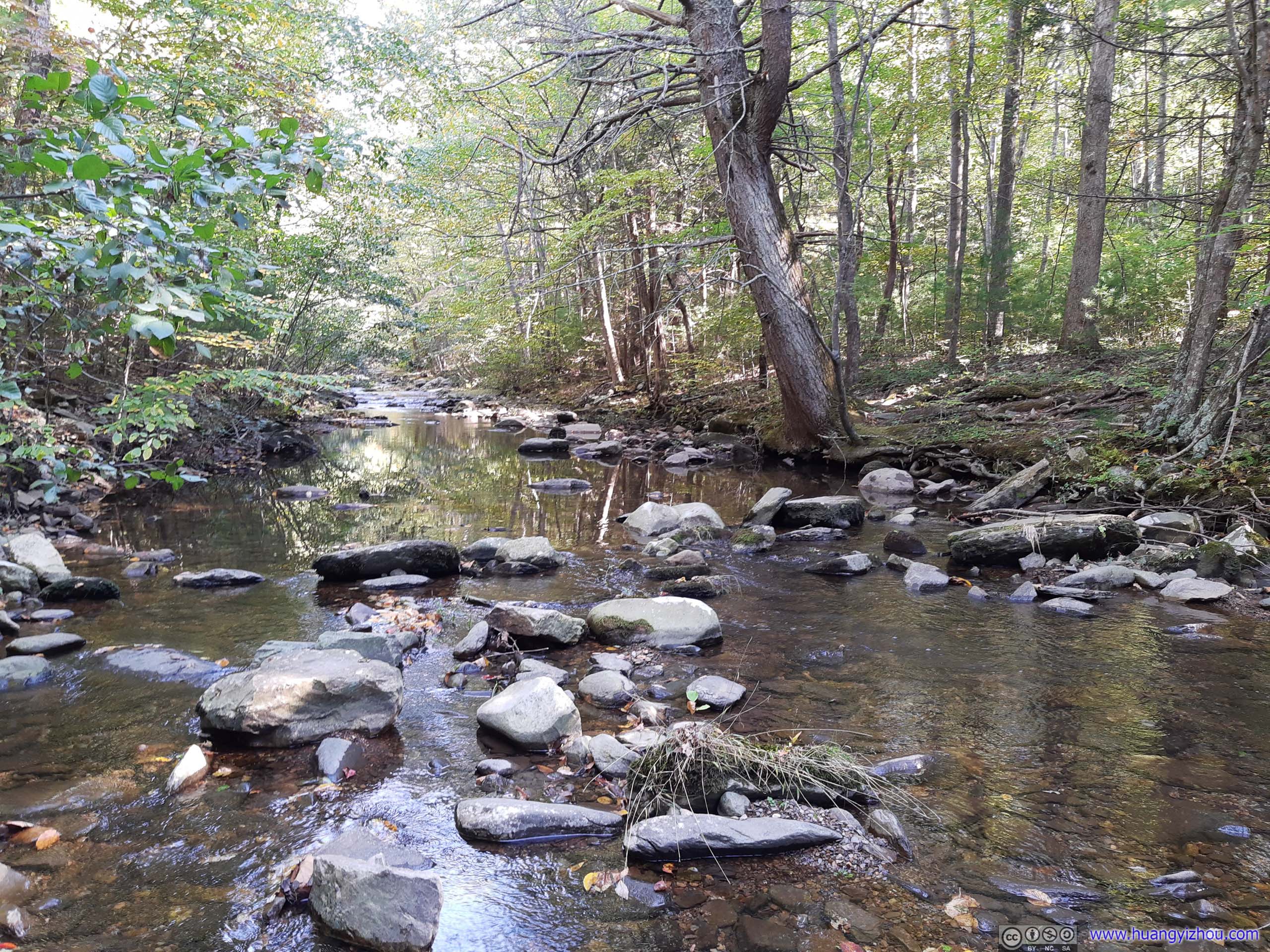
For those that wanted to access Shenandoah National Park from its western boundary. I was a bit puzzled as to why this bridge was so wide that it’s vehicle accessible. I didn’t see any fire roads extending into Shenandoah beyond this point.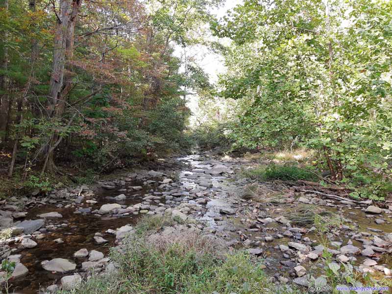 CreekNear the water crossings.
 CreekNear the water crossings.
 CreekNear the water crossings.
 CreekNear the water crossings.


Click here to display photos of the creek.
CreekJust after I came down from Brown Mountain. The creek was a bit rocky downstream.
CreekJust after I came down from Brown Mountain. The creek was a bit rocky downstream.
Bridge

CreekNear the water crossings.

CreekNear the water crossings.
CreekNear the water crossings.
CreekNear the water crossings.
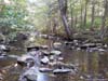
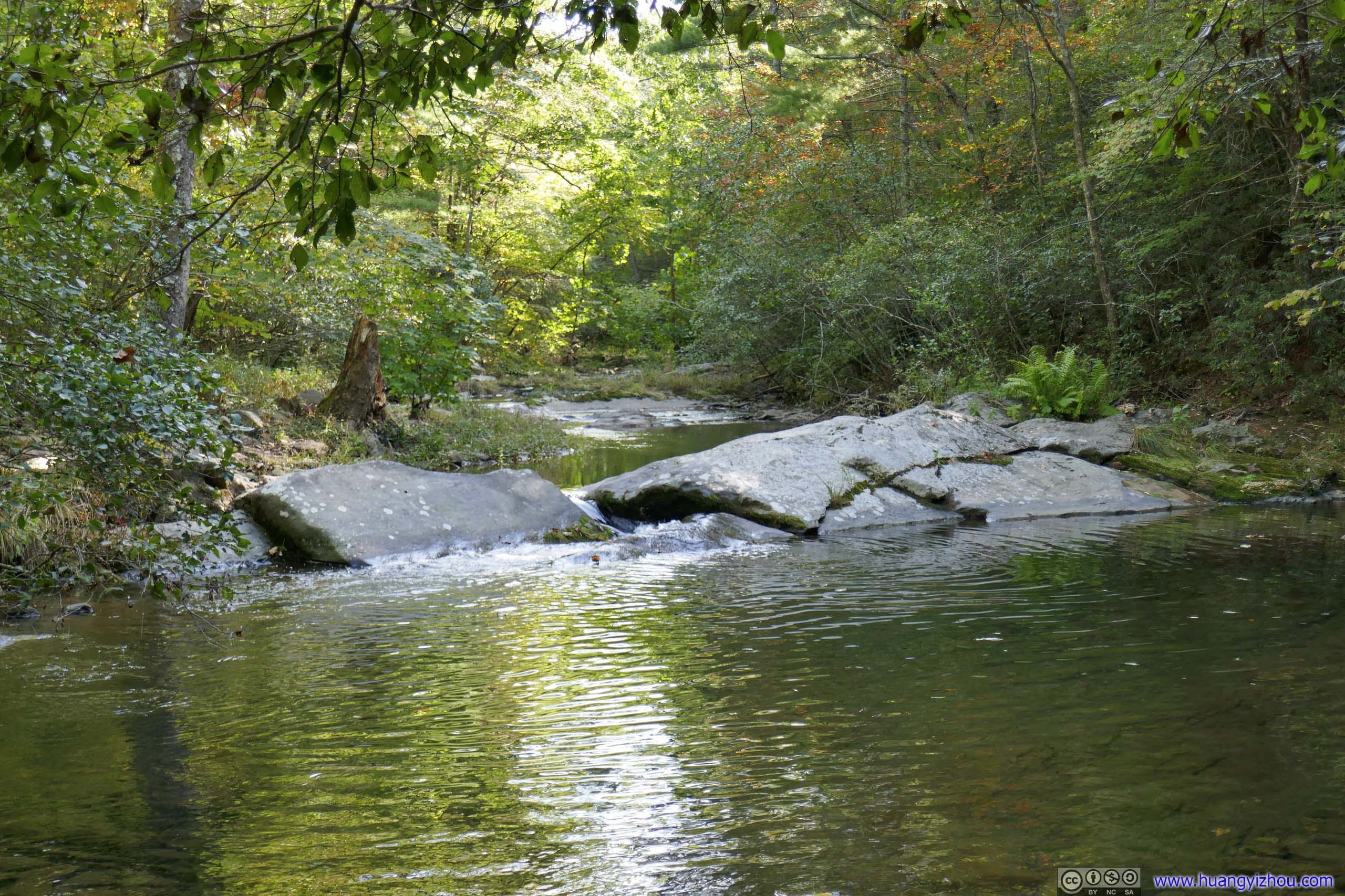
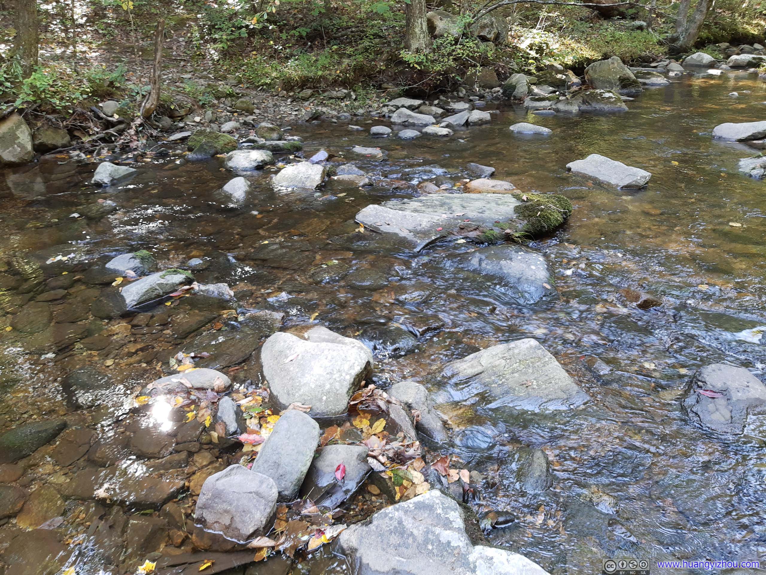
As the trail followed the creek upstream, it would make a total of 4 water crossings, which might be a deterrent for some people to try out the trail. During my visit, there were enough exposed rocks at each of the water crossings, that I made all 4 without getting my feet wet. I did this with the help of hiking poles, but they were certainly manageable without poles.
 First Water Crossing
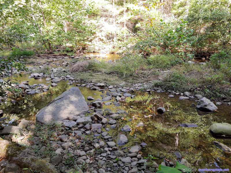 Second Water Crossing
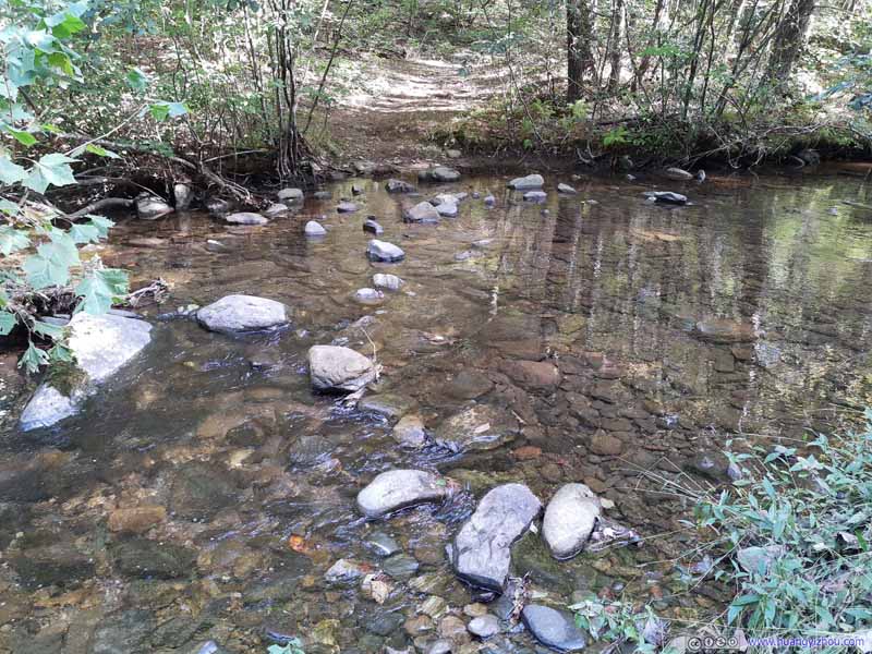 Second Water Crossing
 Third Water Crossing
 Fourth Water Crossing

Click here to display photos of the water crossings.
First Water Crossing
 Second Water Crossing
Third Water Crossing
Fourth Water Crossing
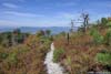
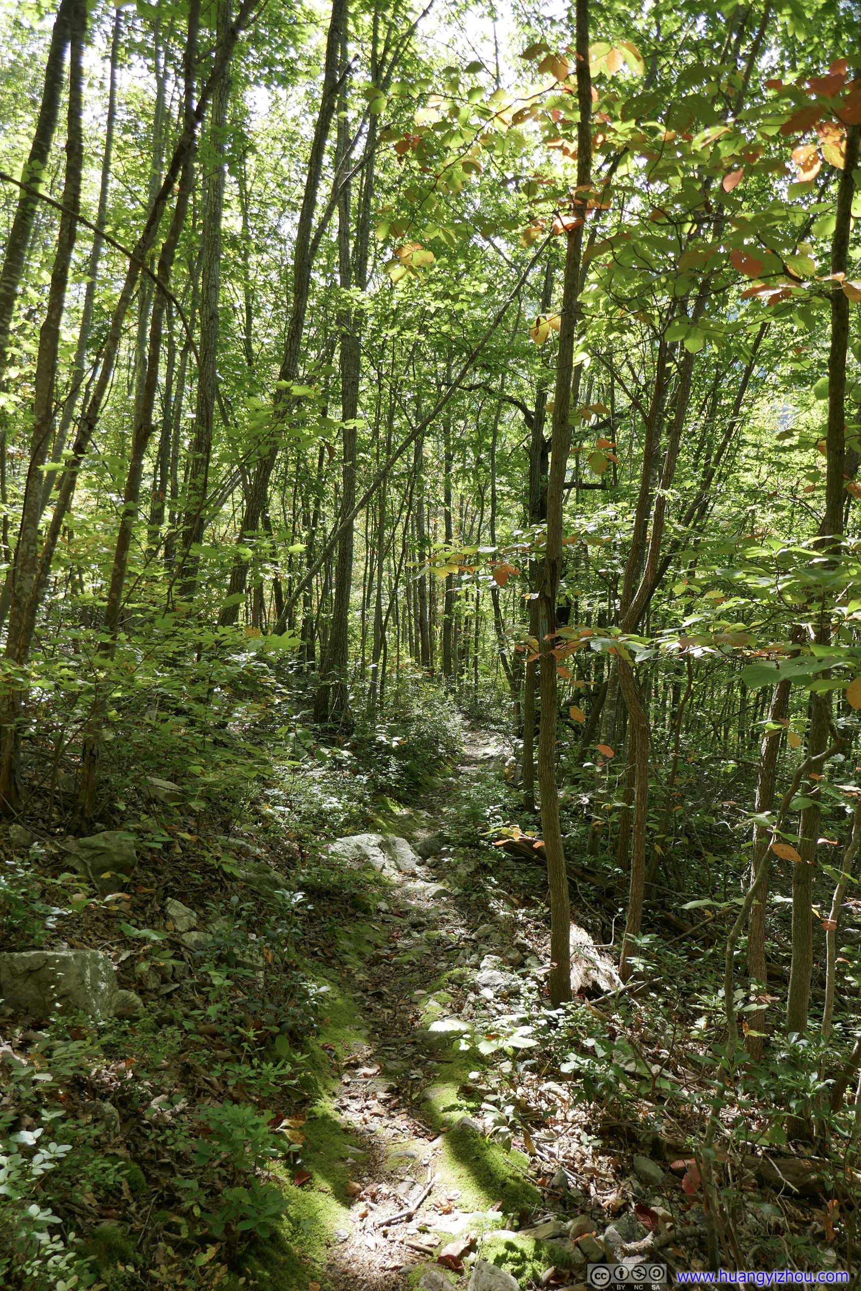
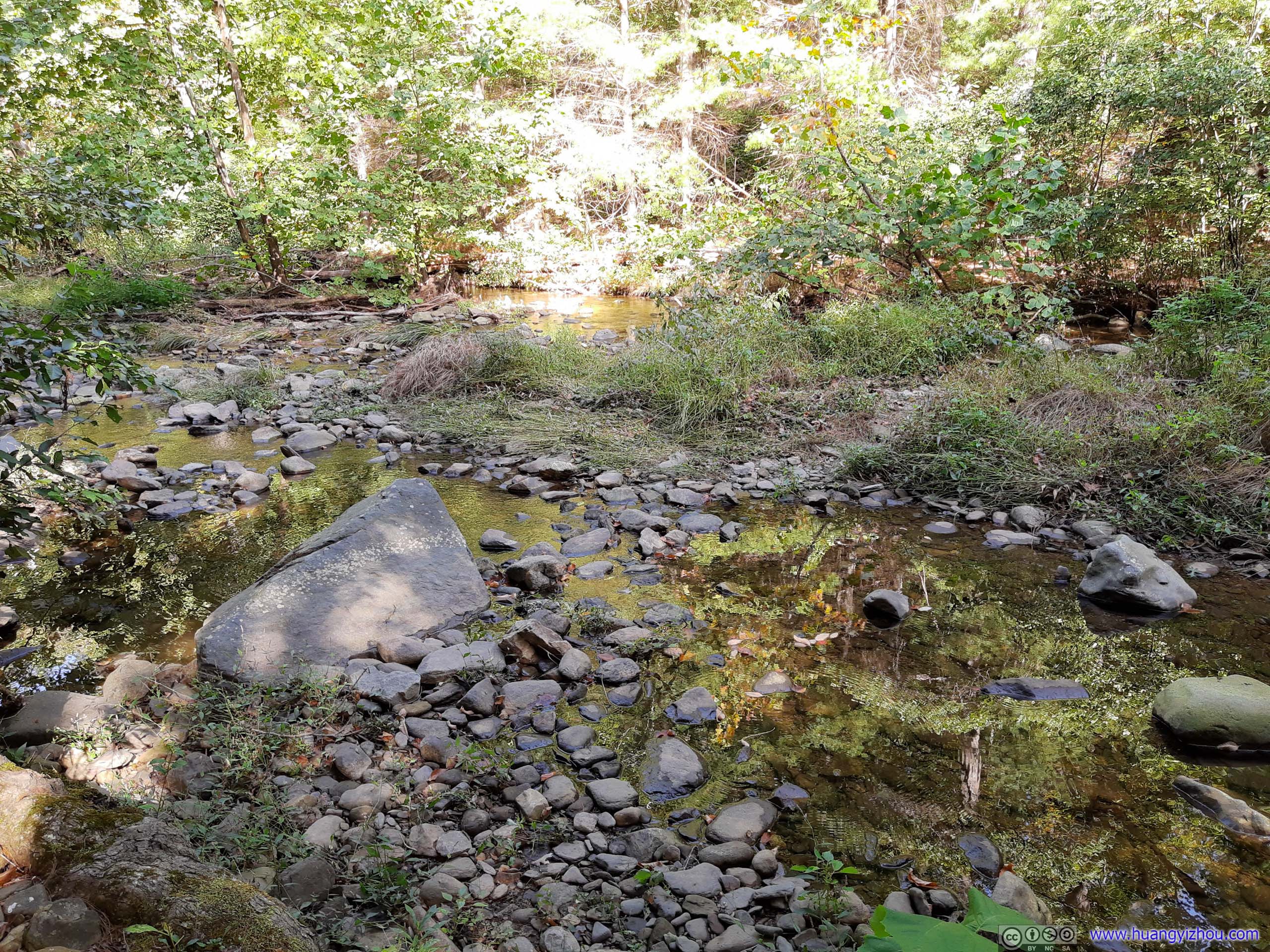
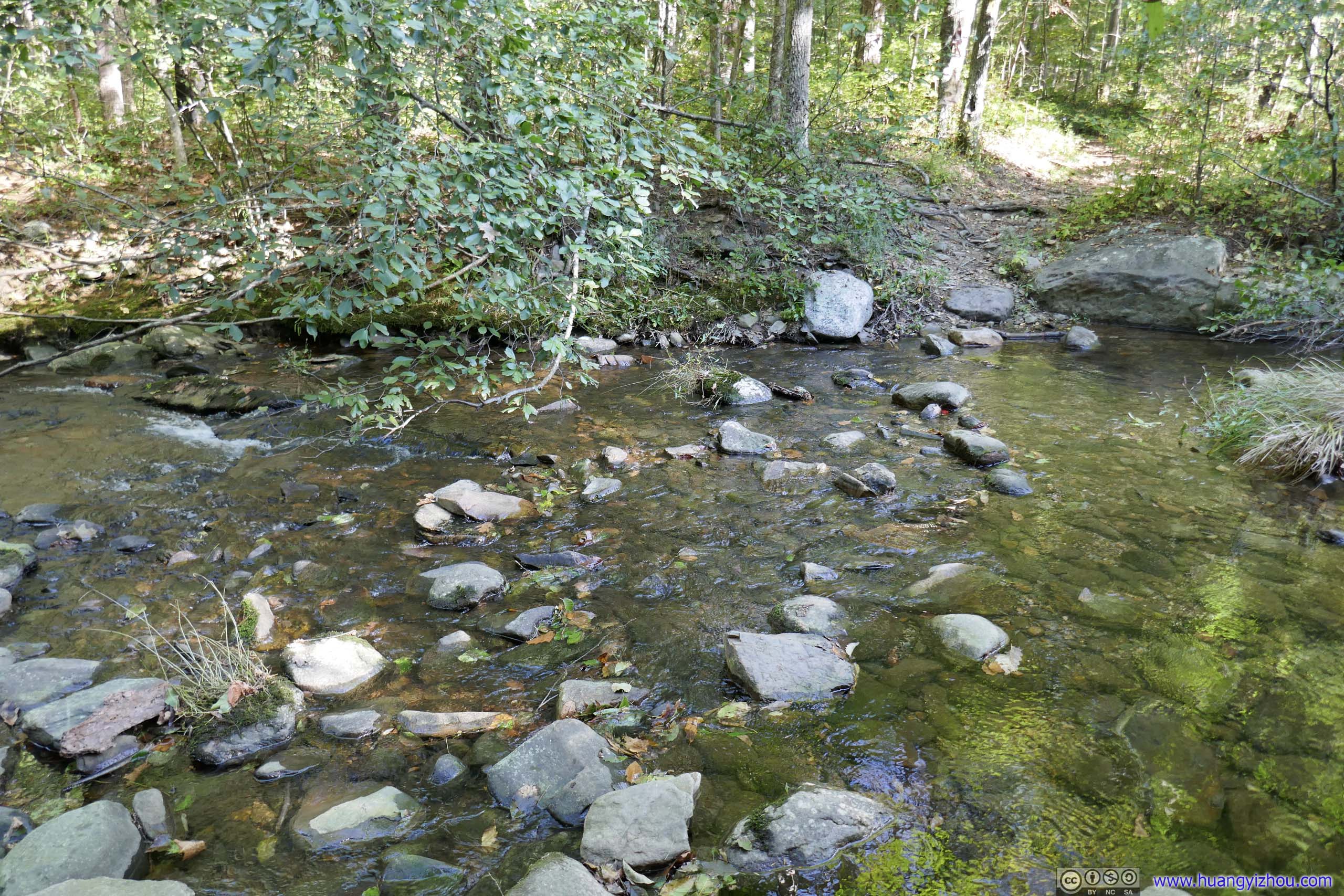
The trail along the creek was wider and easier to tackle. Unfortunately, the width of the trail didn’t stop spiders from setting their nets across, much to my annoyance. To make matters worse, I was also plagued by a few bugs along the creek. These bugs seemed particularly interested in areas around my ears, and they followed me persistently for that, creating intermittent and disturbing noises along the way.
 Trail
Trail Trail
Trail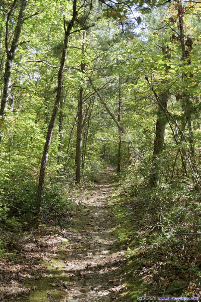 Trail
Trail Trail
Trail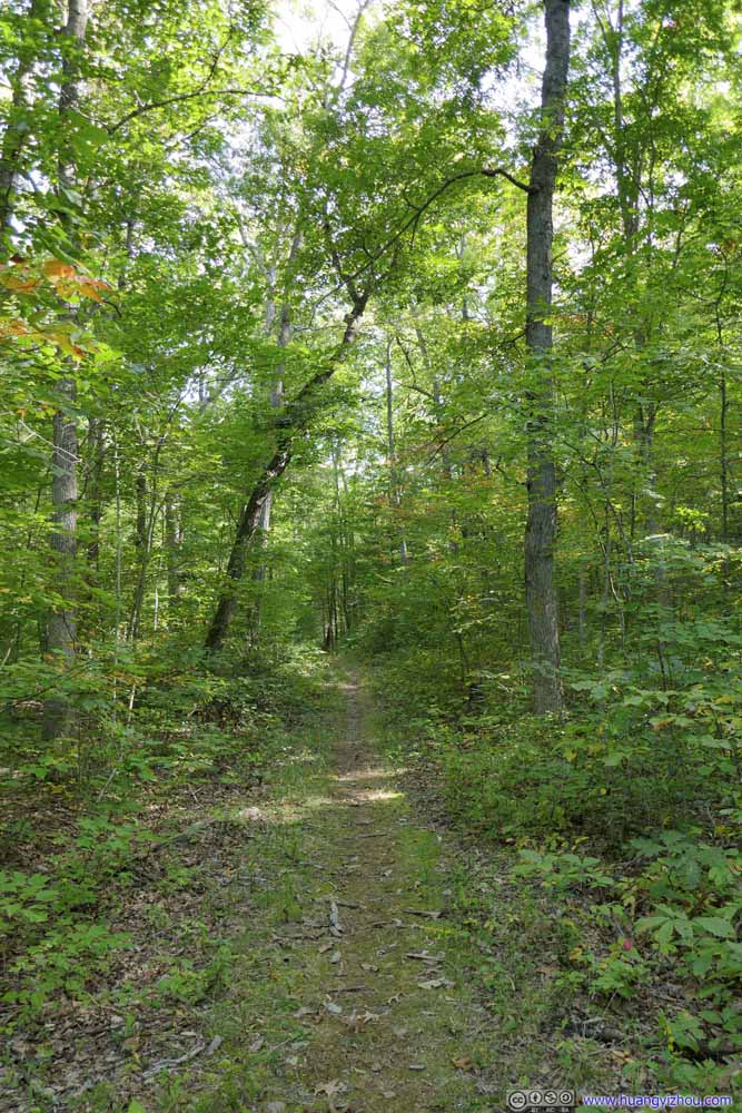 Trail
Trail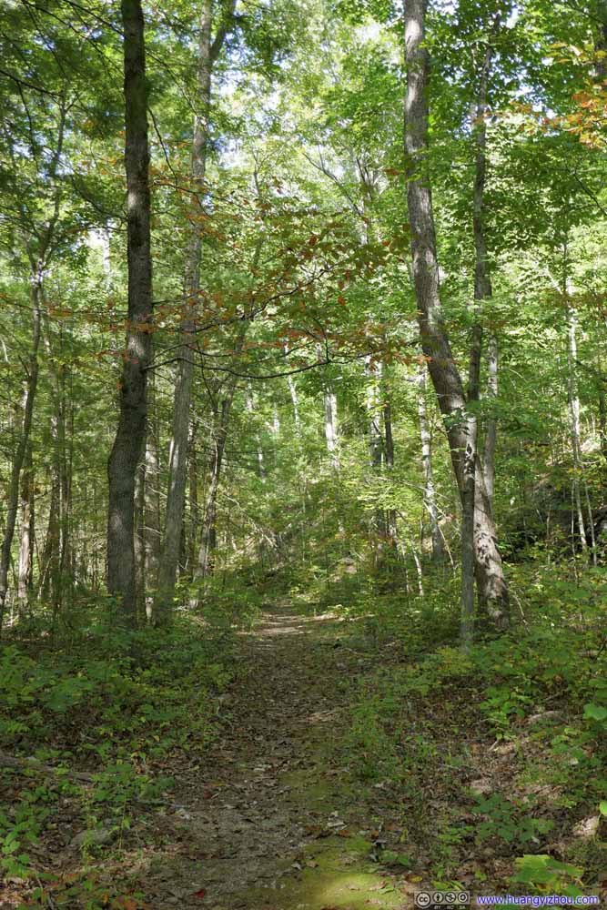 Trail
Trail Trail
Trail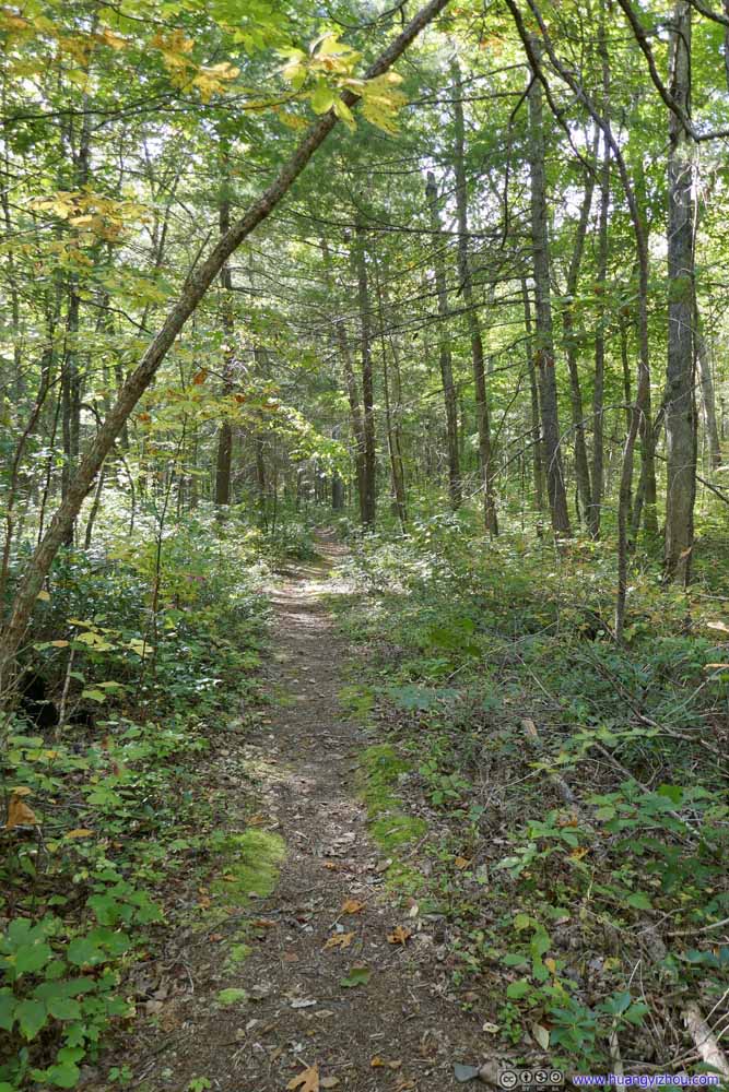 Trail
Trail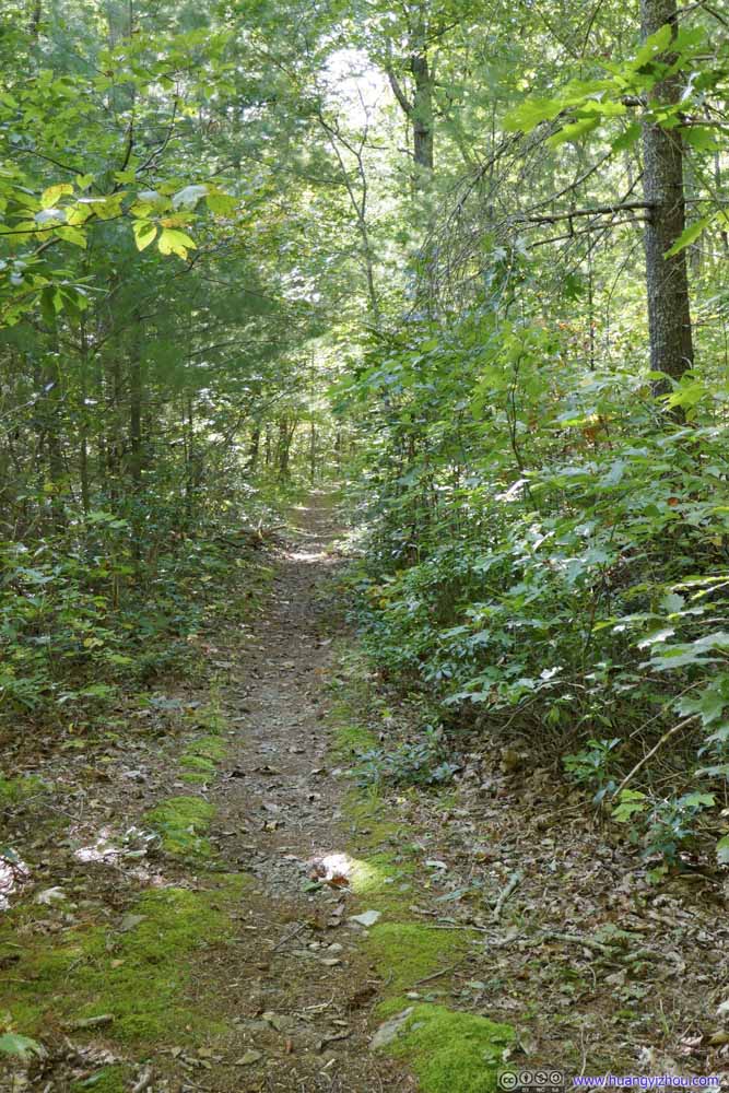 Trail
Trail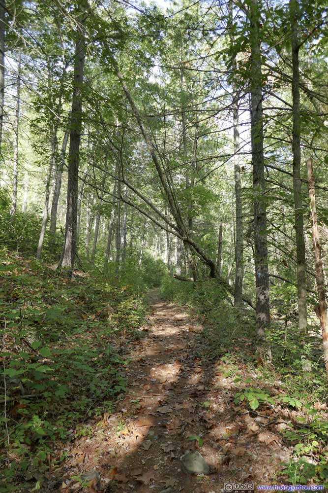 Trail
Trail Trail
Trail Trail
Trail


Click here to display photos of the trail along the creek.

Trail
Trail
Trail

Trail
Trail

Trail
Trail
Trail

Trail

Trail
Trail
Trail
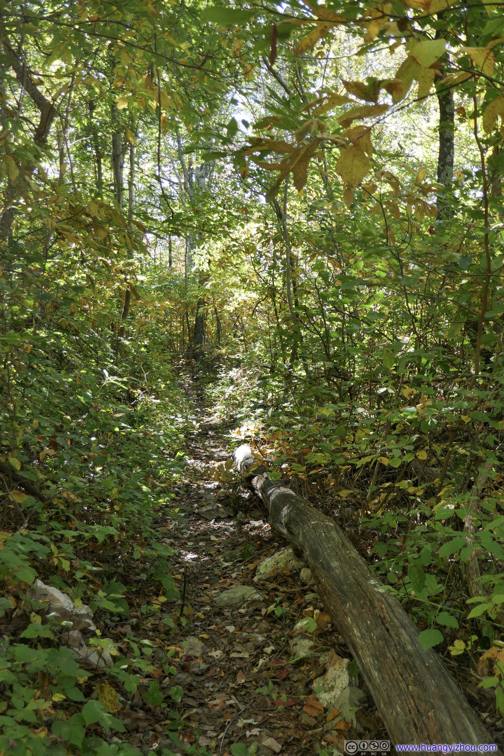
Not long after the fourth water crossing, the trail reached another intersection. I took a left here to stay on the path back to Brown Mountain Overlook.
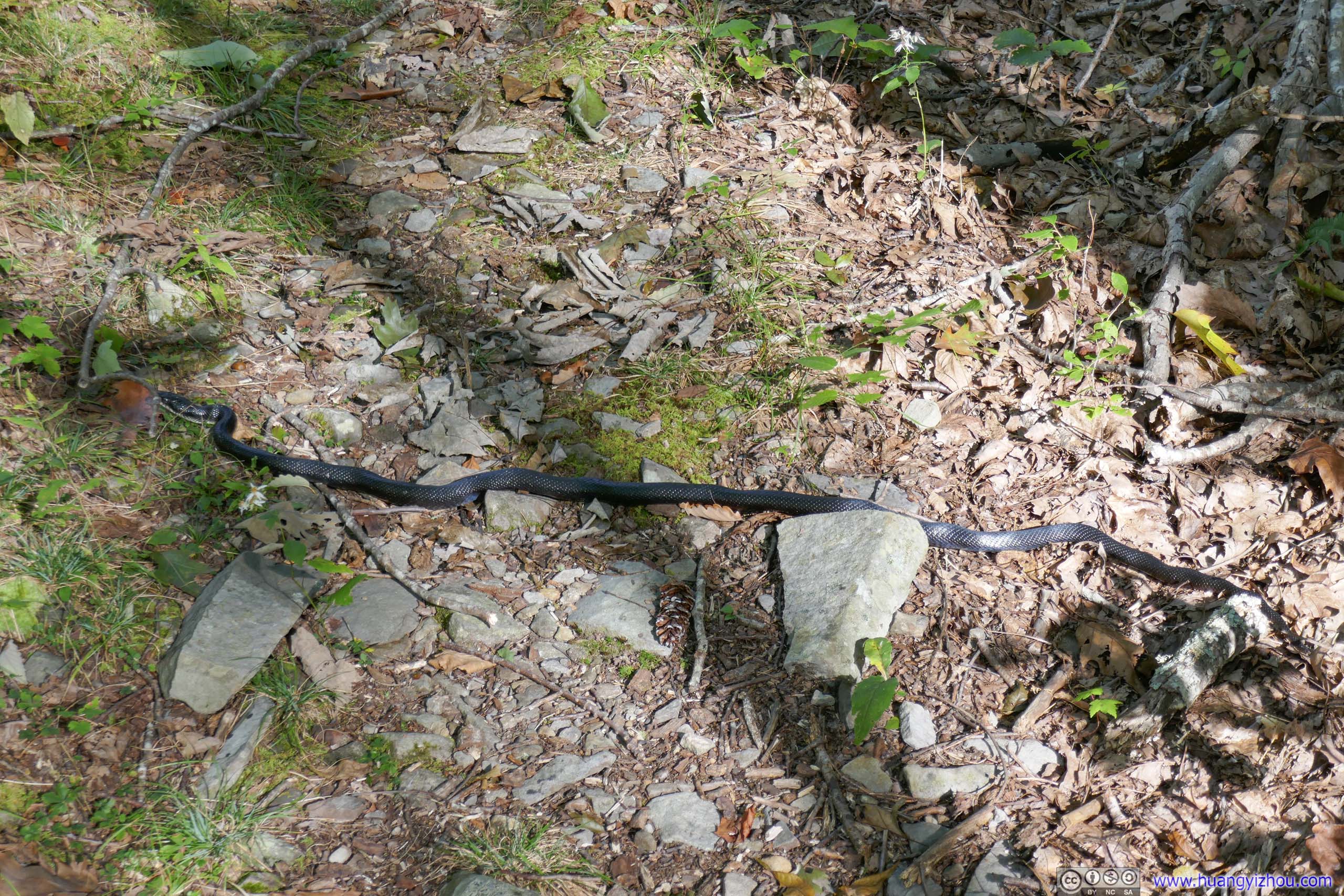
Snake
 ForestGradually I started to see the gradient of the hills nearby.
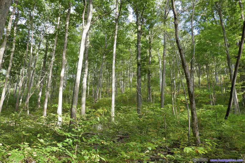 ForestGradually I started to see the gradient of the hills nearby.
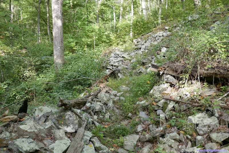 Pile of RocksNext to the trail, it’s a sign that the mountain was starting to take shake around me.
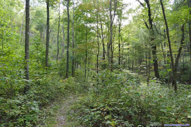 Trail in ForestFor now the trail was still an easy stroll in the woods.
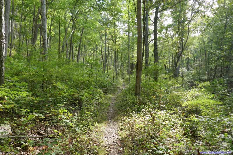 Trail in ForestFor now the trail was still an easy stroll in the woods.

Click here to display photos of the trail.
 ForestGradually I started to see the gradient of the hills nearby.

Pile of RocksNext to the trail, it’s a sign that the mountain was starting to take shake around me.

 Trail in ForestFor now the trail was still an easy stroll in the woods.
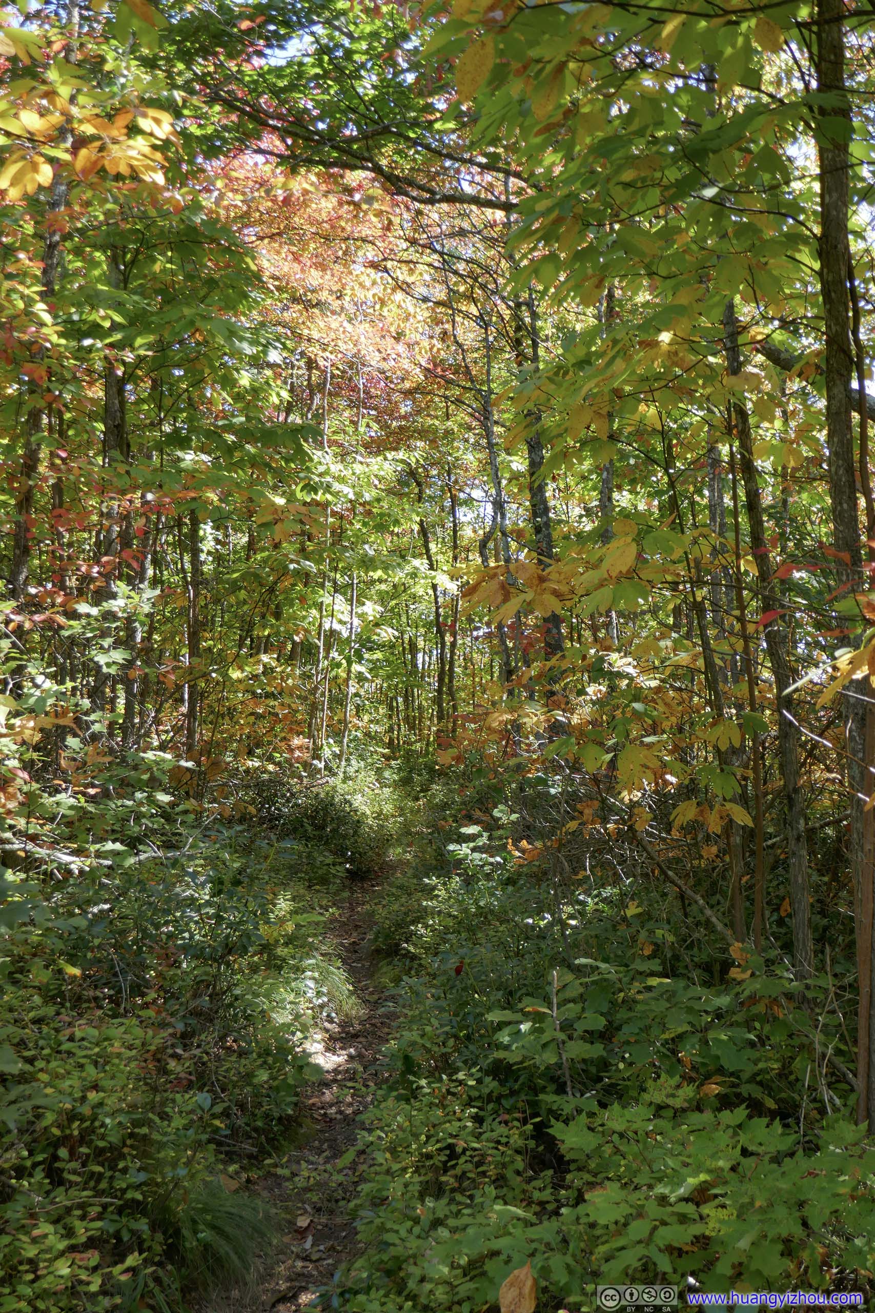
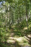
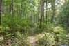
After leaving the intersection down the valley, the trail started to pick up elevation gain going back towards trailhead.
 TrailA gradual incline in the woods.
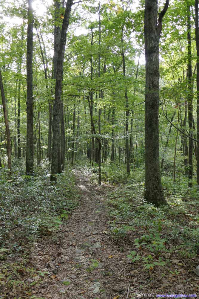 TrailA gradual incline in the woods.
 TrailThen it picked up the pace of elevation gain. The trail also grew narrower in this section.
 TrailThen it picked up the pace of elevation gain. The trail also grew narrower in this section.
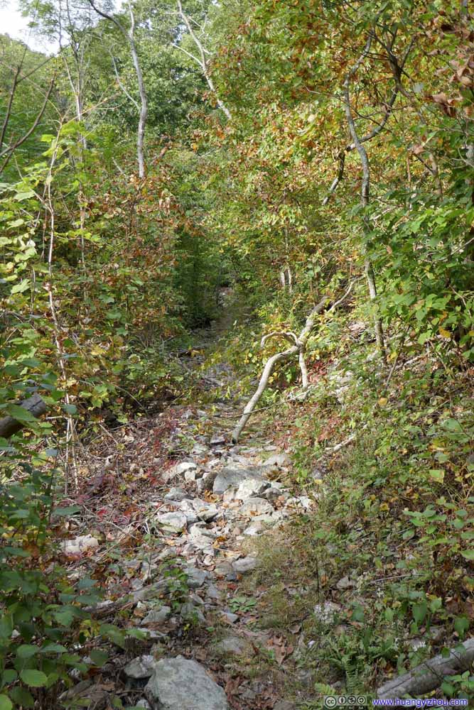 TrailThen it picked up the pace of elevation gain. The trail also grew narrower in this section.
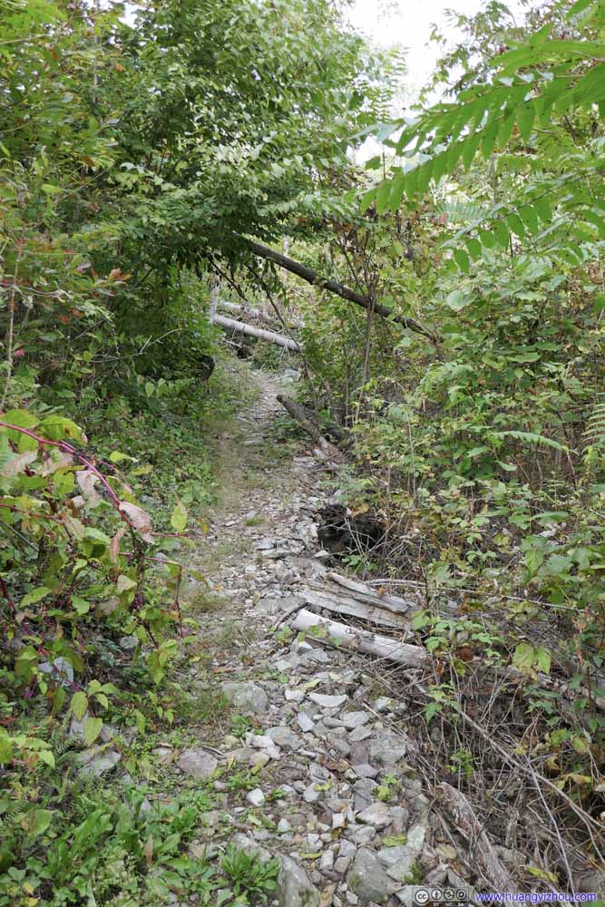 TrailThen it picked up the pace of elevation gain. The trail also grew narrower in this section.
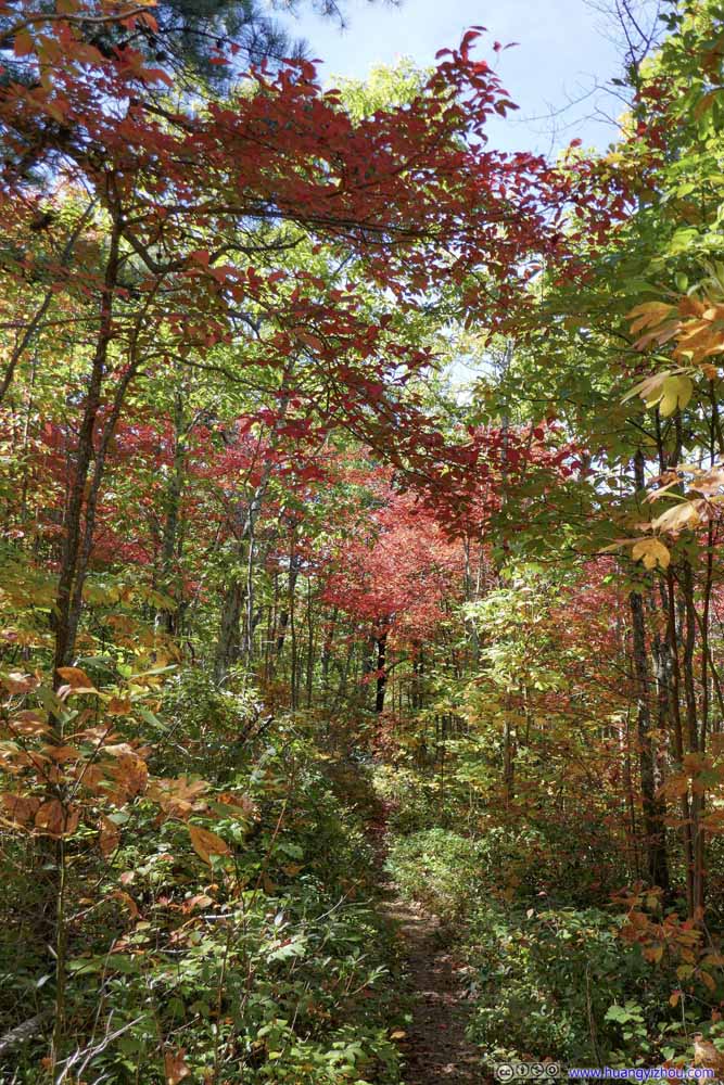
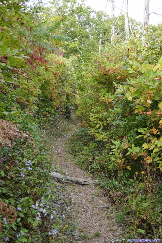 TrailCloser to the intersection where colors were more vibrant along the trail.
 TrailCloser to the intersection where colors were more vibrant along the trail.

Click here to display photos of the trail.

TrailA gradual incline in the woods.

TrailA gradual incline in the woods.
TrailThen it picked up the pace of elevation gain. The trail also grew narrower in this section.
TrailThen it picked up the pace of elevation gain. The trail also grew narrower in this section.

TrailThen it picked up the pace of elevation gain. The trail also grew narrower in this section.

TrailThen it picked up the pace of elevation gain. The trail also grew narrower in this section.
TrailCloser to the intersection where colors were more vibrant along the trail.

TrailCloser to the intersection where colors were more vibrant along the trail.
In the end, I reached the first intersection at 5:10pm, completing the loop. After some rests there, I continued on and got back to my car at 5:40pm.
Mountains to the West
Rest of Shenandoah
After some snacks to refresh myself from the hike, there was still about an hour left till sunset. Thus on my way back, I stopped at a few roadside turnouts and appreciated the scenery.
Loft Mountain Overlook
County Line Mountain
Mountains from Loft Mountain Overlook
Rocky Mountain Overlook
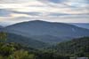
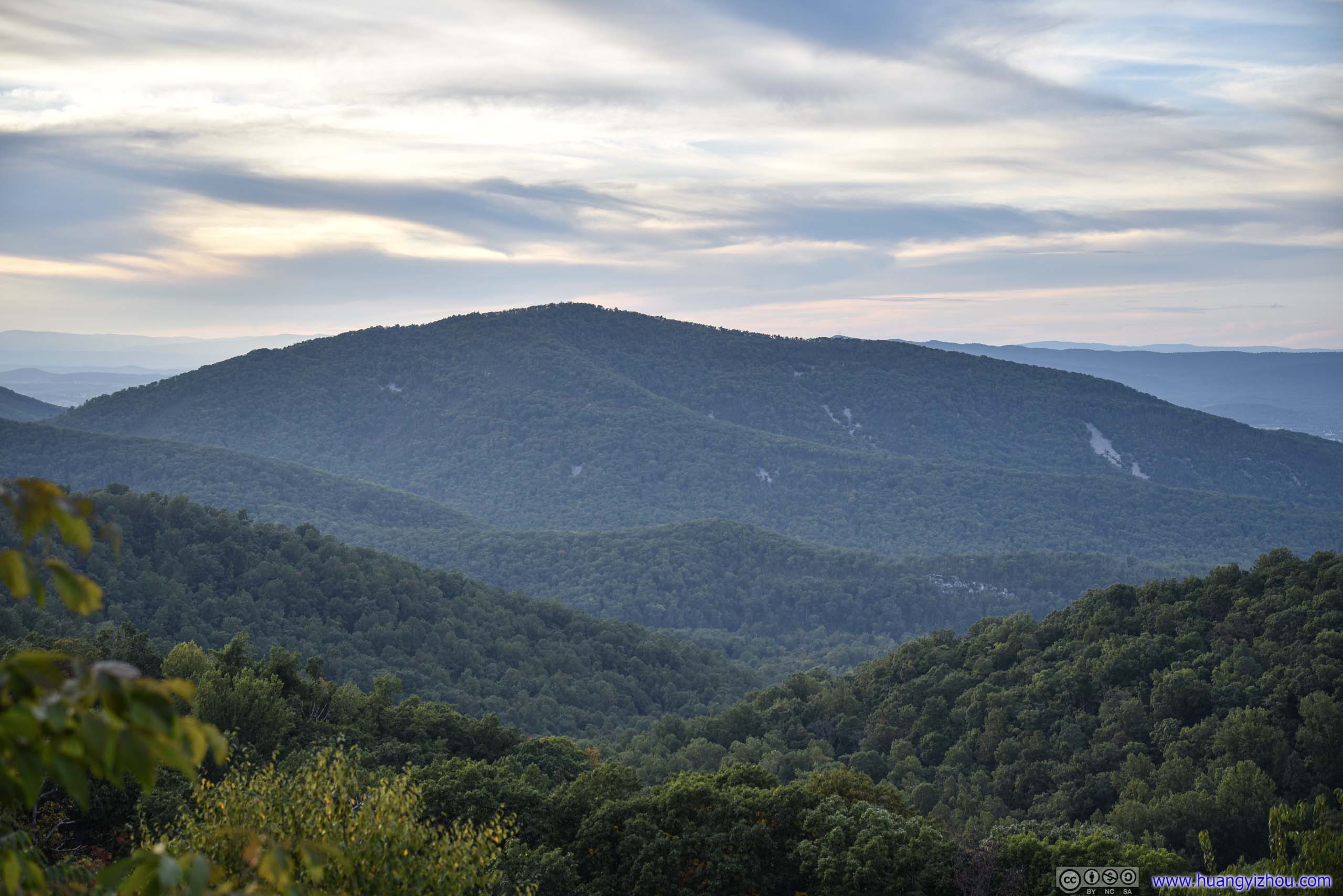
I was hoping to catch a sunset somewhere in Shenandoah National Park. Unfortunately, most of the west-facing turnouts in the southern part of the Park didn’t have very open views. In the end, I decided to stop at Rocky Mountain Overlook, and joined a group of people waiting for sunset.
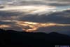
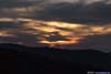
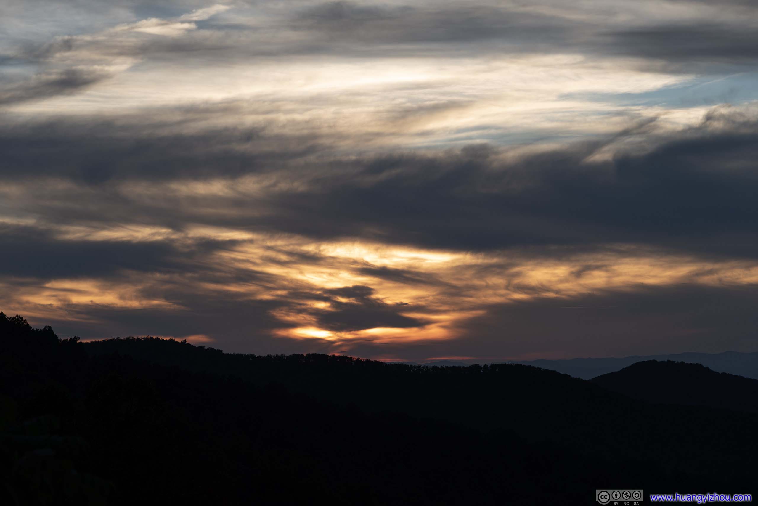
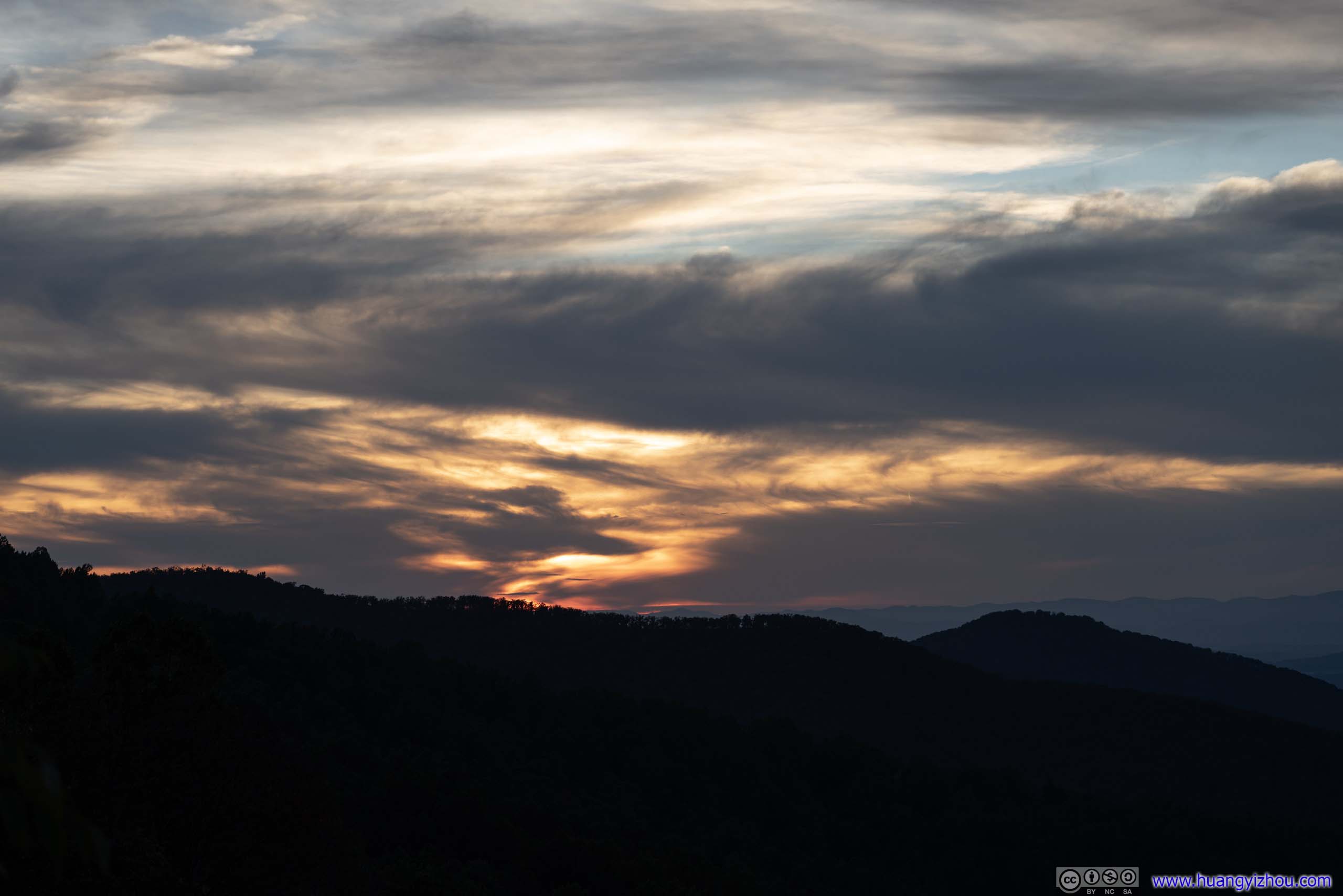
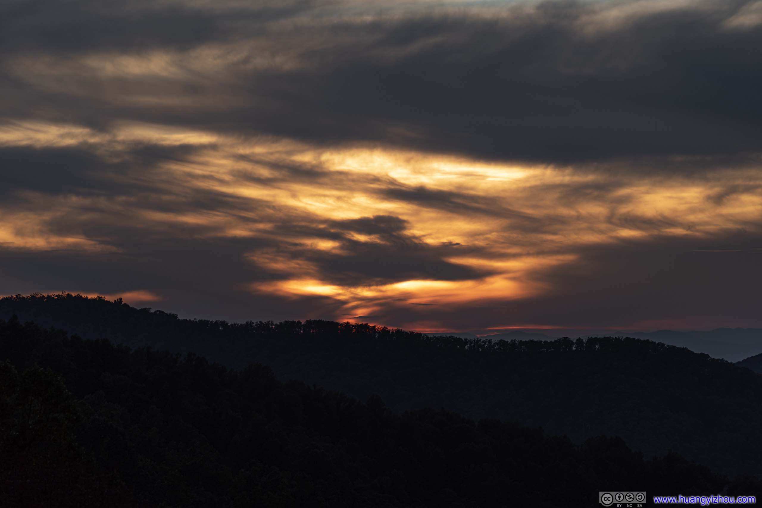
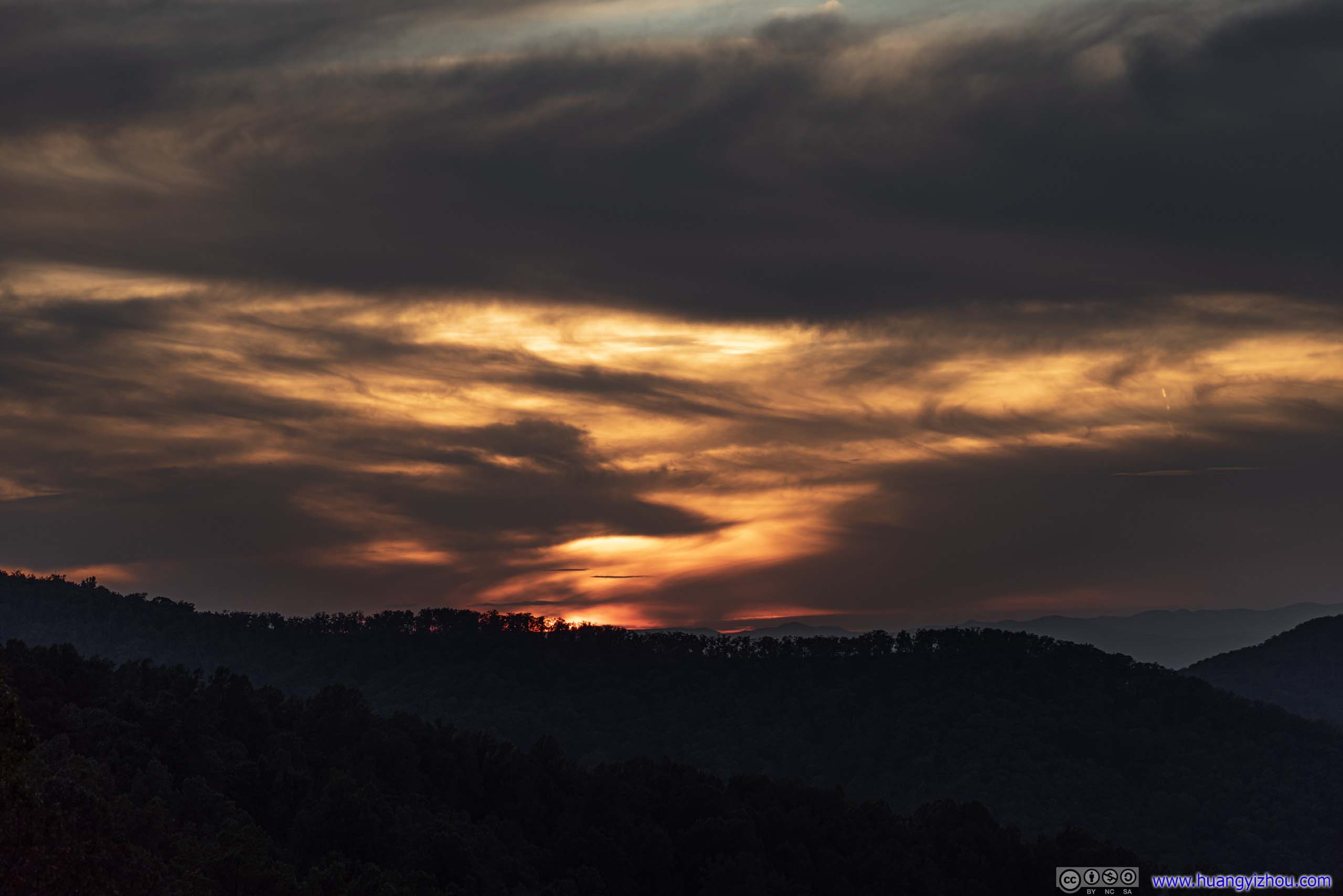
Sunset
Unfortunately, I didn’t have good lucks with sunset recently, and today was no exception. Thick clouds were over the western horizon, so there were no sightings of the actual sun this afternoon. Instead I ended my day with the fiery colors of those clouds under sunset.
 Sunset through Clouds
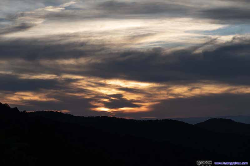 Sunset through Clouds
 Sunset through Clouds
 Sunset through Clouds
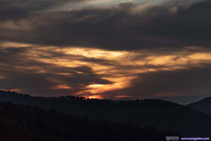 Sunset through Clouds
 Rocky Mount
Another mountain in Shenandoah National Park. Despite similar in name, this is different than the “Rocky Mountain” that I hiked today.
Rocky Mount
Another mountain in Shenandoah National Park. Despite similar in name, this is different than the “Rocky Mountain” that I hiked today.

Click here to display photos of the sunset.

Sunset through Clouds
Sunset through Clouds
Sunset through Clouds
Sunset through Clouds
Sunset through Clouds
Rocky Mount
END
![]() Hiking Rocky Brown Mountain Loop in Shenandoah by Huang's Site is licensed under a Creative Commons Attribution-NonCommercial-ShareAlike 4.0 International License.
Hiking Rocky Brown Mountain Loop in Shenandoah by Huang's Site is licensed under a Creative Commons Attribution-NonCommercial-ShareAlike 4.0 International License.