
Updated on May 14, 2022
Day 2 of 2020 Utah Trip, to Green River
Second day of my Utah trip as I would be driving from Salt Lake City to Green River, stopping at many places along the road to soak in the sceneries.
Road in Mountains“Castle Gate”, a big piece of boulder, in the center left.
I have an entire day to make the three-hour road trip from Salt Lake City to Green River, a town along Interstate 70 that’s one hour from Moab, with much cheaper hotel rooms.
My original plan was to take on some hiking trails in the mountains surrounding Salt Lake City. Mount Timpanogos seemed very tempting to me, only that after some research online I found summiting the mountain with its snow-covered trails in early June would be technical, at best. Since I stayed up late the previous night, I ideally preferred a shorter hike, and nearby Silver Lake Trail in Lone Peak Wilderness seemed like a perfect alternative (eventually I didn’t visit it). So after checking out of the Airbnb room at 11am, I headed for the mountains.
First KFC Franchise
Not far from Interstate 15 there’s a KFC restaurant (at 3890 S State St), which was the first of its franchise. I thought it’s worth a visit for a take-out lunch (during COVID).
Unfortunately, while Google Maps marked it as “open for take-out”, it actually wasn’t. So after a few photos I went back on the move.

Statue outside First KFC FranchiseColonel Sanders with Pete Harman, who opened the first KFC franchise in 1952.
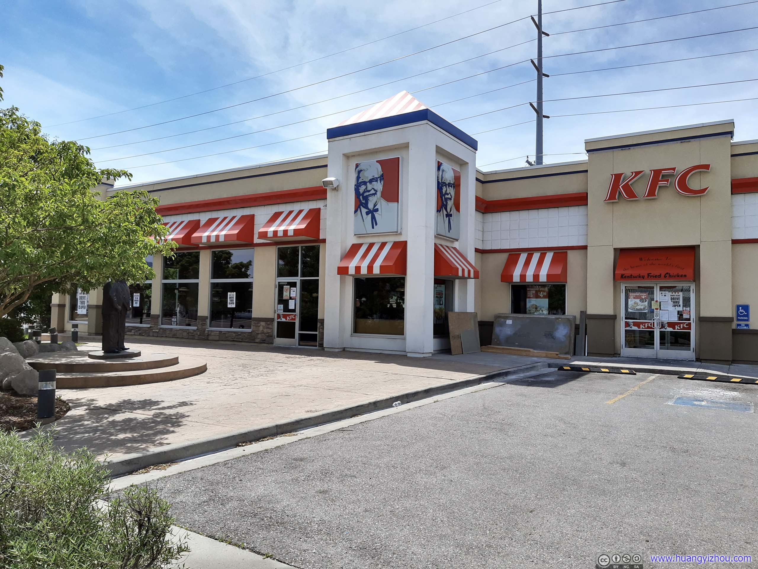
First KFC Franchise Restaurant
It felt to me that many intersections in the Salt Lake Valley area were designed in a way that, one had to be in the correct lane(s) at the previous intersections to make the correct turn, which was sort of puzzling as I was using Waze, not Google Maps with its lane indications.
And probably because the weather’s good, there were lots of cars entering the national forest from American Fork that day. And it turned out that the roadside parking lots and picnic grounds were mostly full.
Uinta-Wasatch-Cache National Forest
Unfortunately, it wasn’t until I arrived at Granite Flat Campground did I realize that the last three miles of Forest Route 8 to Silver Lake Trailhead was unpaved. Since I was driving a rental, which certainly didn’t like gravel roads to say the least, I decided to call off the hike to Silver Lake.
Instead, I headed for a nearby picnic area, and launched my drone.
Picnic Area by Granite Flat Campground
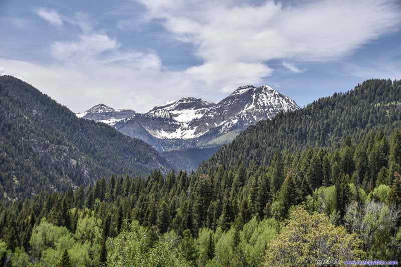 Mount TimpanogosI wished it could be accessible this early in season.
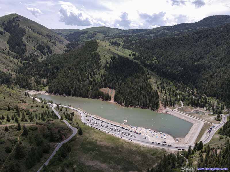 Tibble Fork Reservoir
A reservoir that one must pass along the way to Silver Lake. Lots of cars/ATVs circling around looking for a parking spot, creating some slowdown on my way here. But perhaps the most troubling, the beaches are packed, not much social distance going on?
Tibble Fork Reservoir
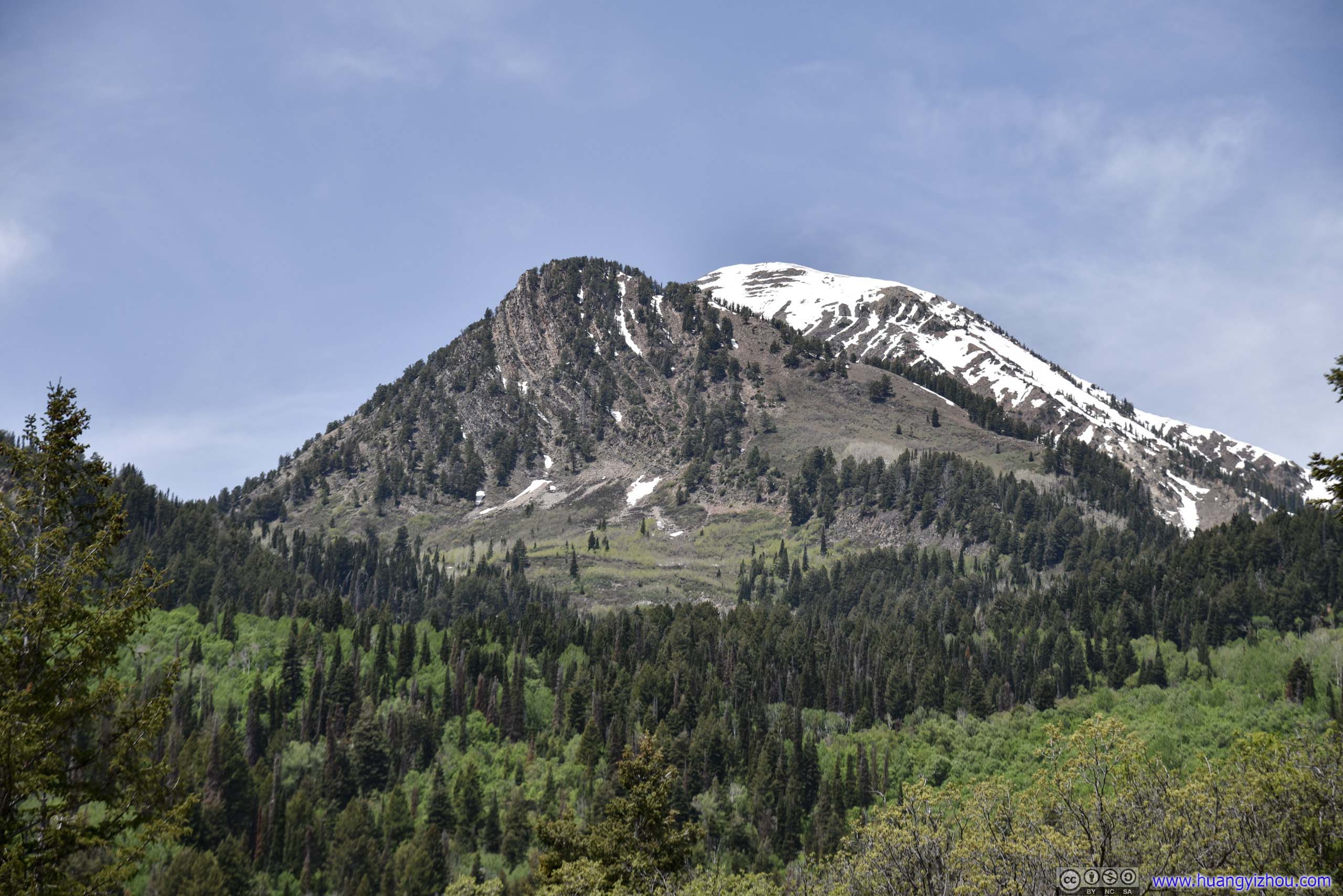
A reservoir that one must pass along the way to Silver Lake. Lots of cars/ATVs circling around looking for a parking spot, creating some slowdown on my way here. But perhaps the most troubling, the beaches are packed, not much social distance going on?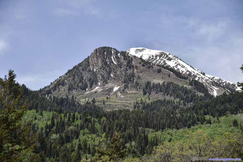 Box Elder Peak
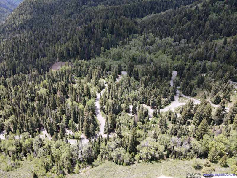 Granite Flat CampgroundSeemed closed, probably due to COVID.
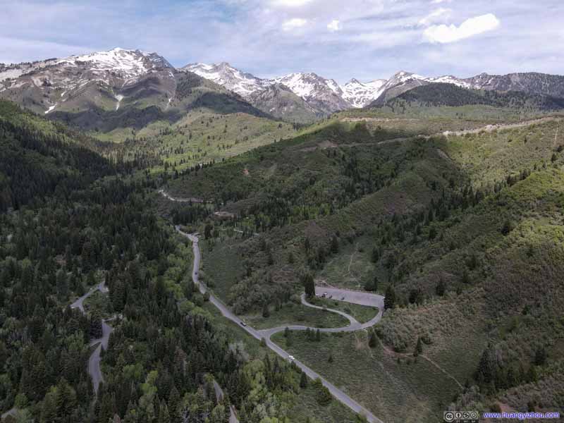 Mountains of Lone Peak Wilderness

Click here to display photos of the slideshow

Mount TimpanogosI wished it could be accessible this early in season.

Tibble Fork Reservoir
Box Elder Peak

Granite Flat CampgroundSeemed closed, probably due to COVID.

Mountains of Lone Peak Wilderness

Aerial View by Lone Peak Wilderness
Saw Mill Picnic Area
On my way out of the forests, I stopped at another campground for more time playing with my drone.
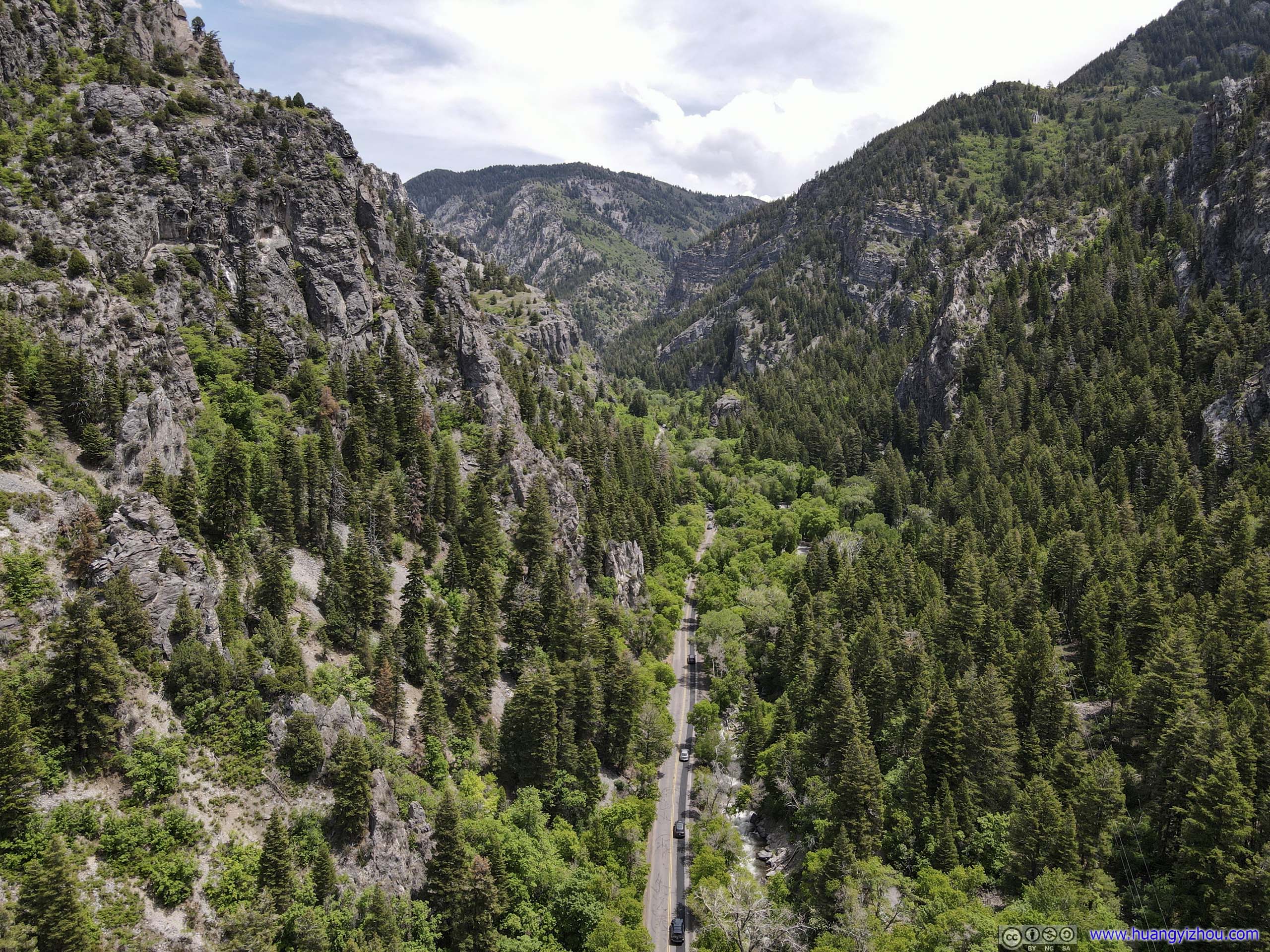
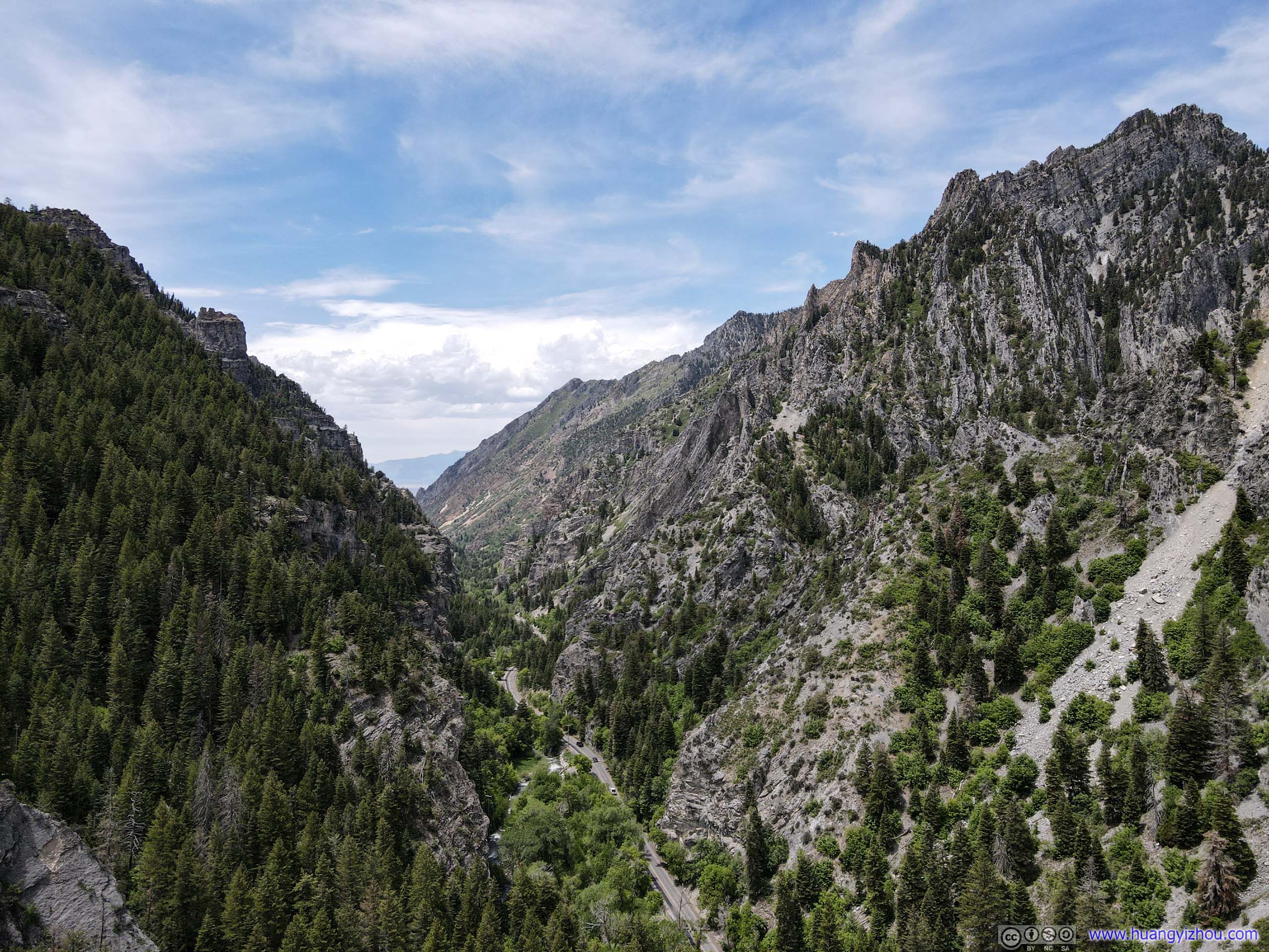 Road in American Fork Canyon
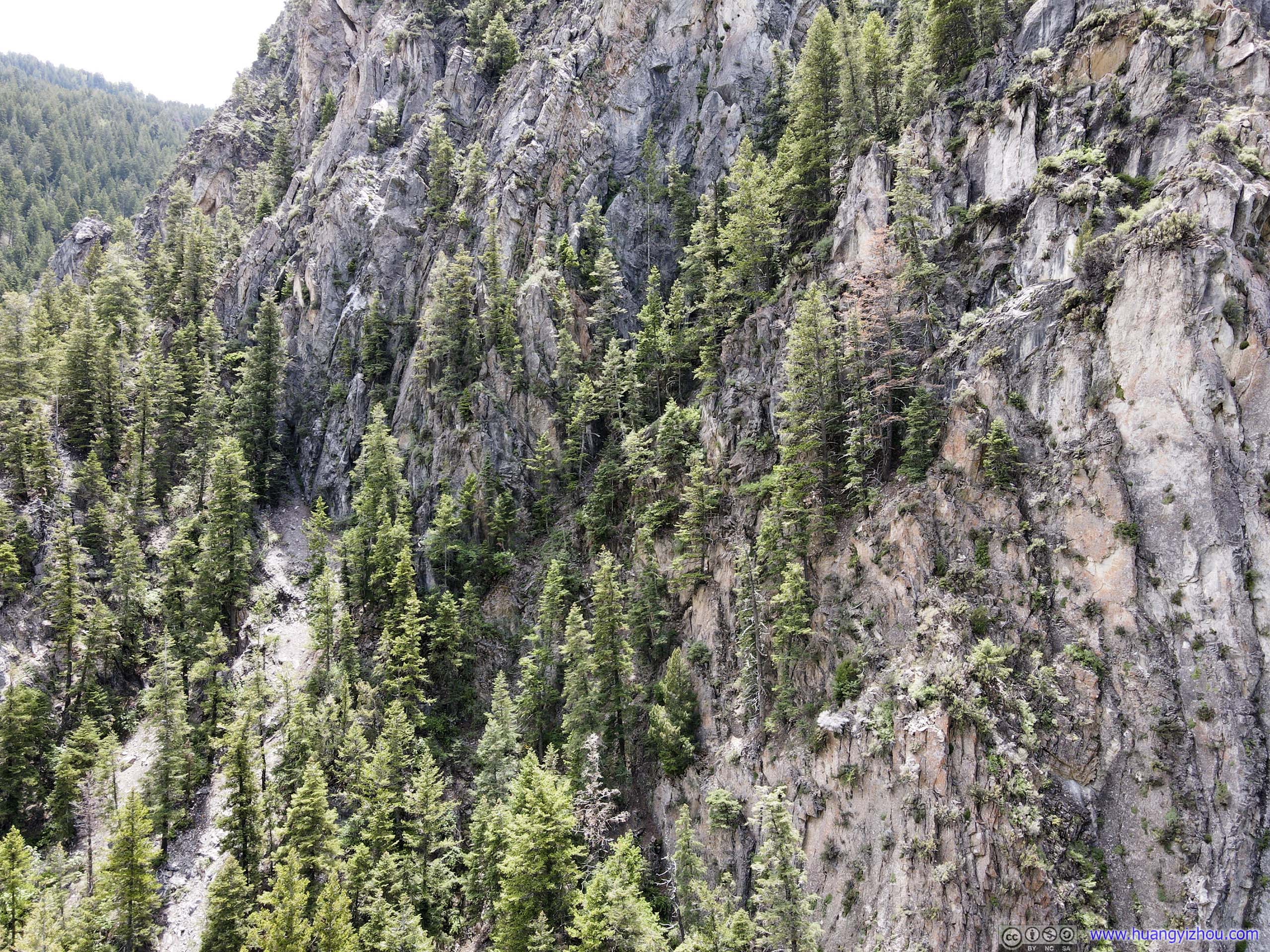
Pine Trees Growing on RocksThere didn’t seem to be a lot of places where these trees could take root.
And here’s drone footage.


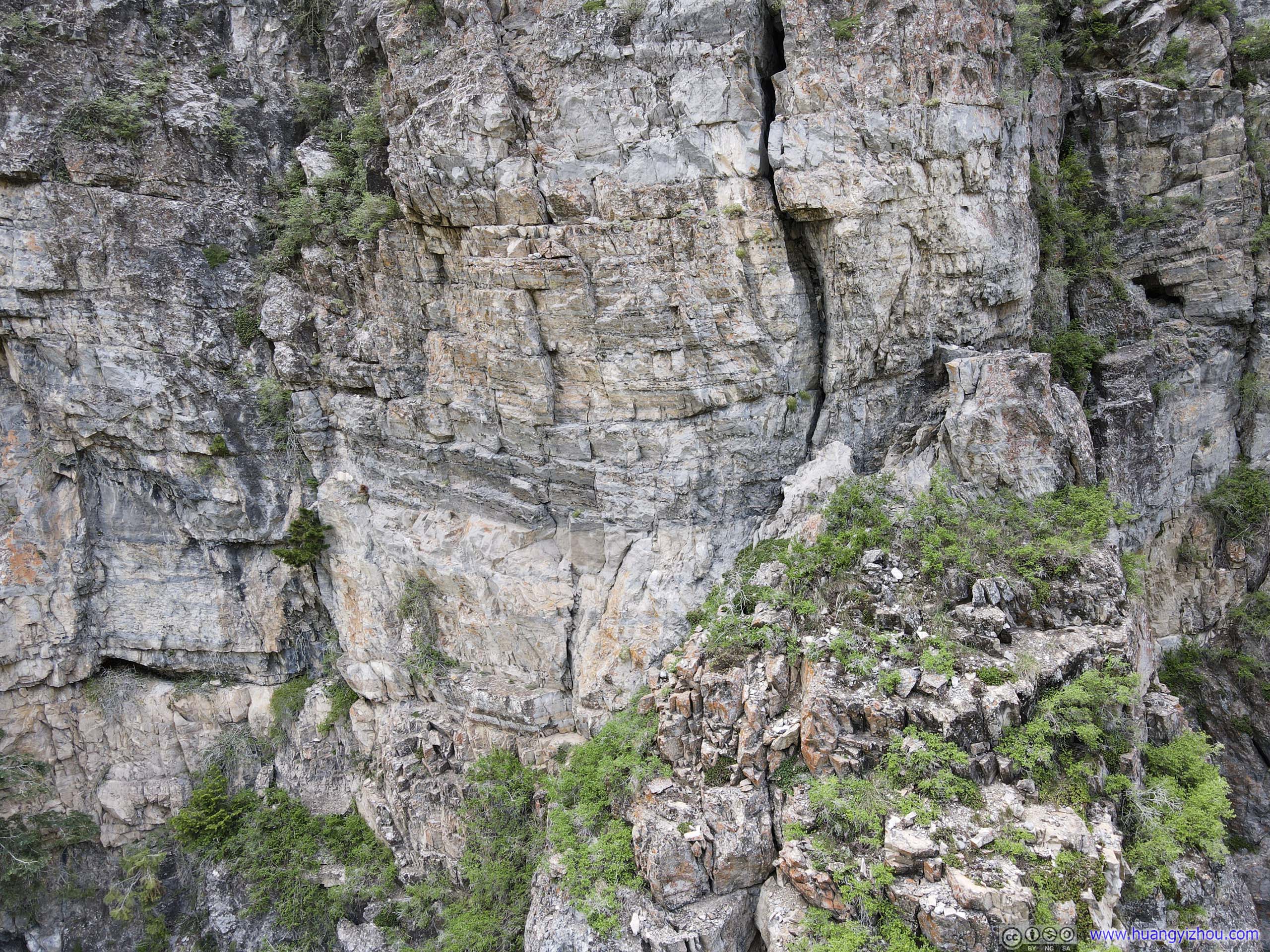 Rocks
Rocks
Road in American Fork CanyonThe surface condition wasn’t very good for this road.
 Rocks
Rocks
Entrance to American Fork Canyon
And I made another stop at its entrance.
Entrance to American Fork CanyonTwo magnificent mountains rising seemingly out of nowhere.

 TownhousesUtah Lake in the distance.
Distant Mountains of Lone Peak Wilderness
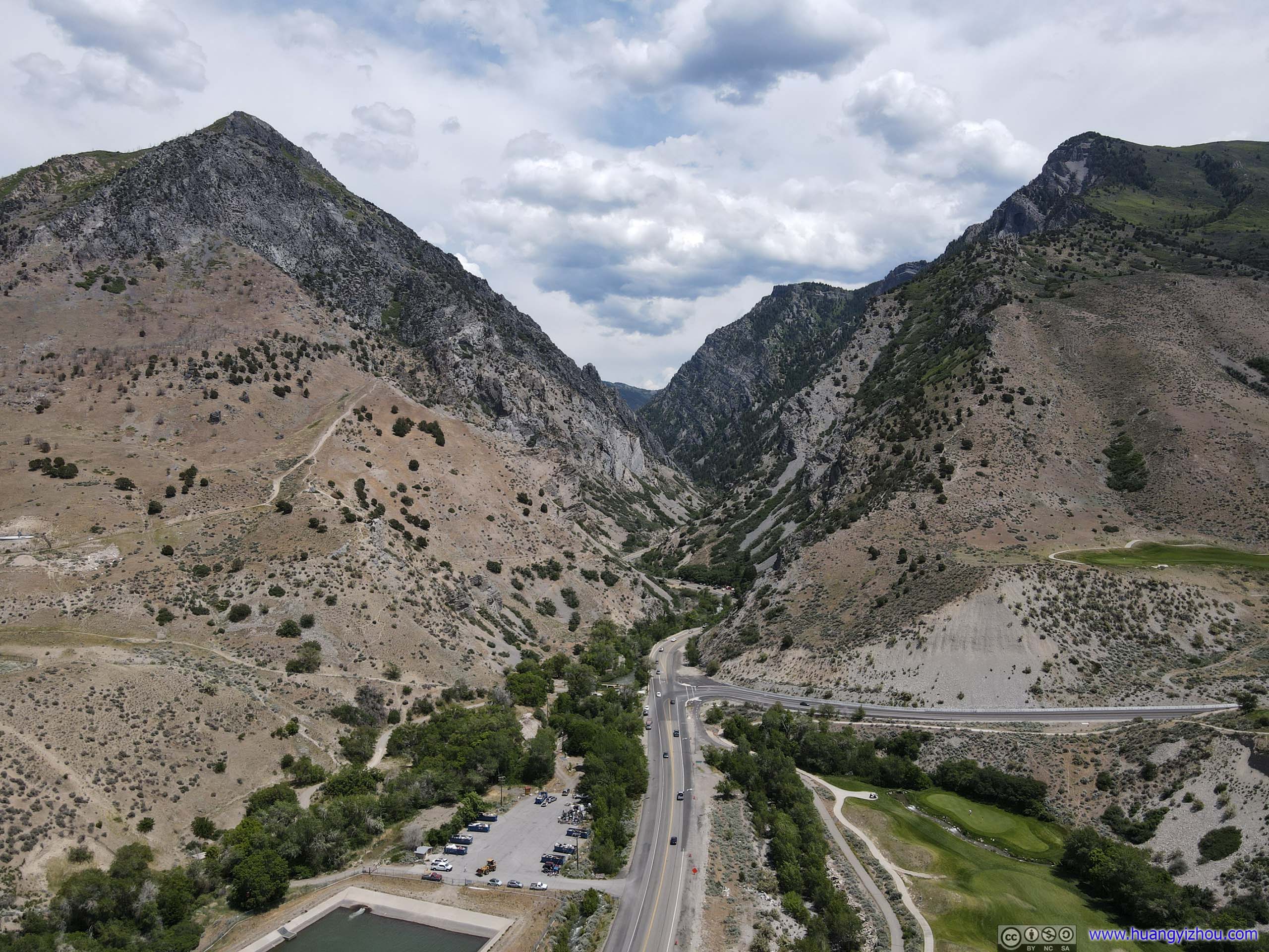
Aerial View at the Entrance of American Fork Canyon
Spanish Fork
I also made a stop before entering Spanish Fork Canyon.
Not far from the Canyon’s entrance there’s a huge cross statue on top of Dominguez Hill, commemorating the discovery of Salt Lake Valley. It’s accessible by a hiking trail, but since it’s already 2:30pm as I still got some distance to cover, I decided an aerial view from my drone would be enough.

 Wind Turbine
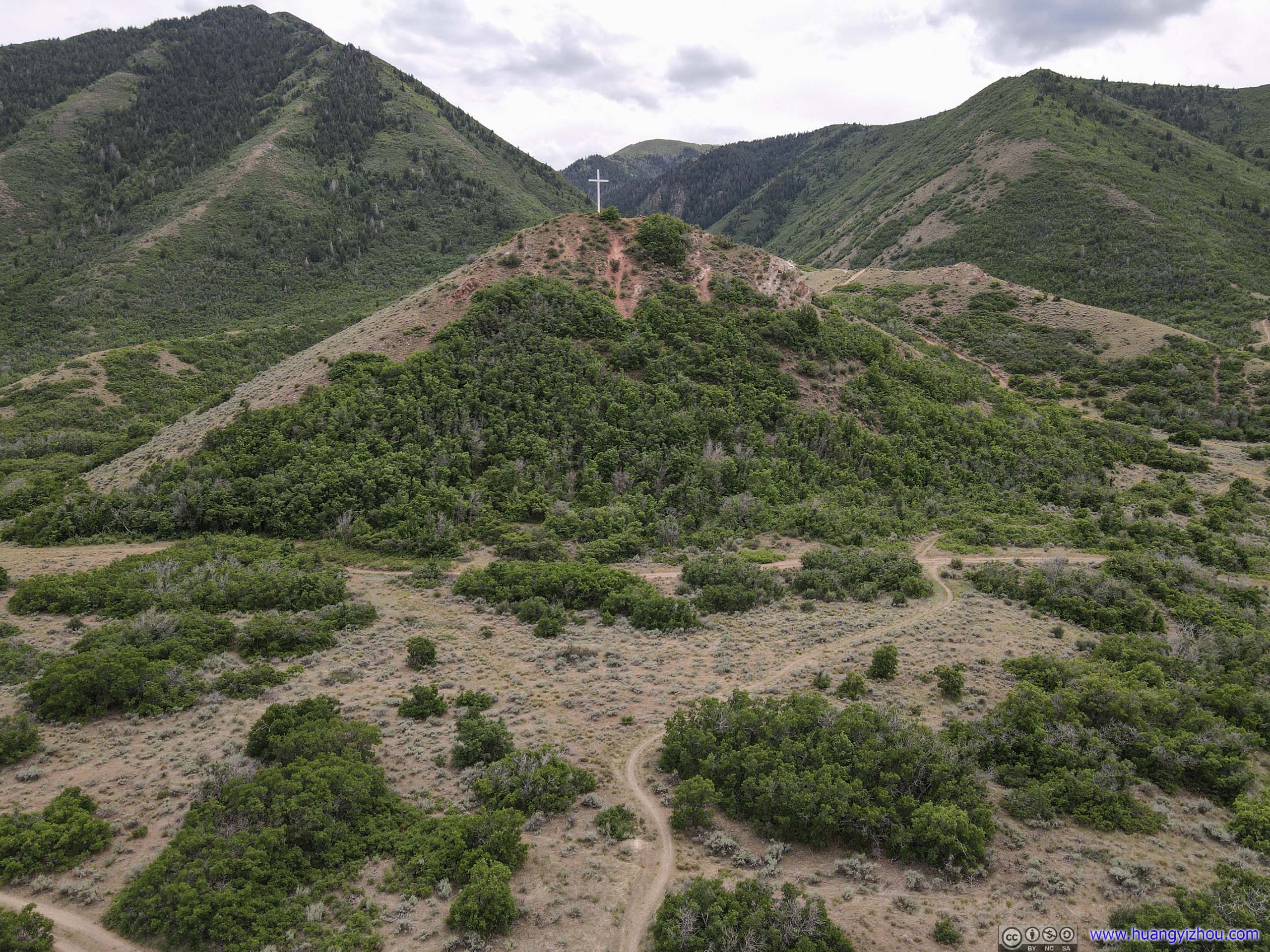
Escalante Cross on Dominguez Hill

Utah Valley and Distant Mountains
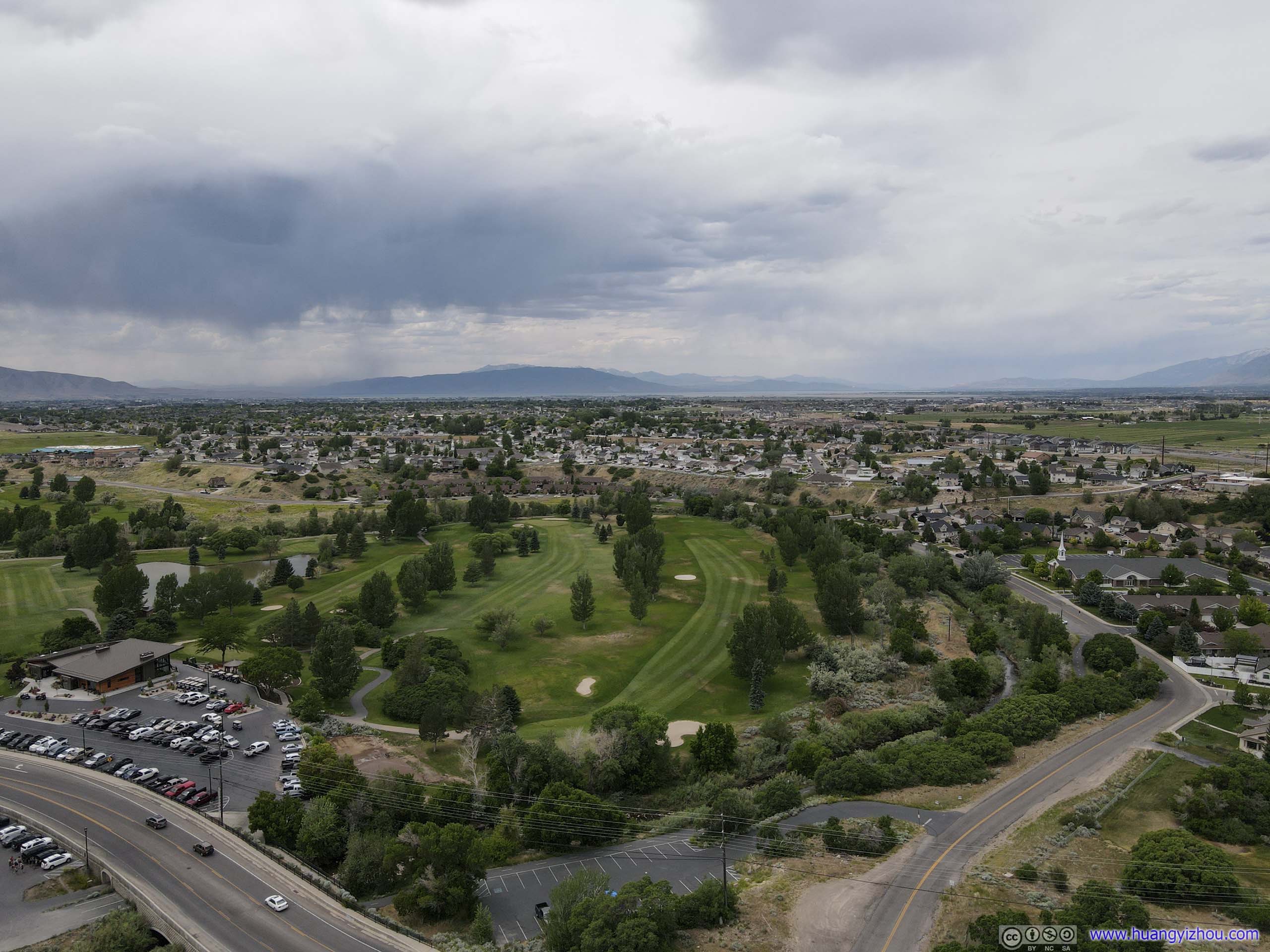
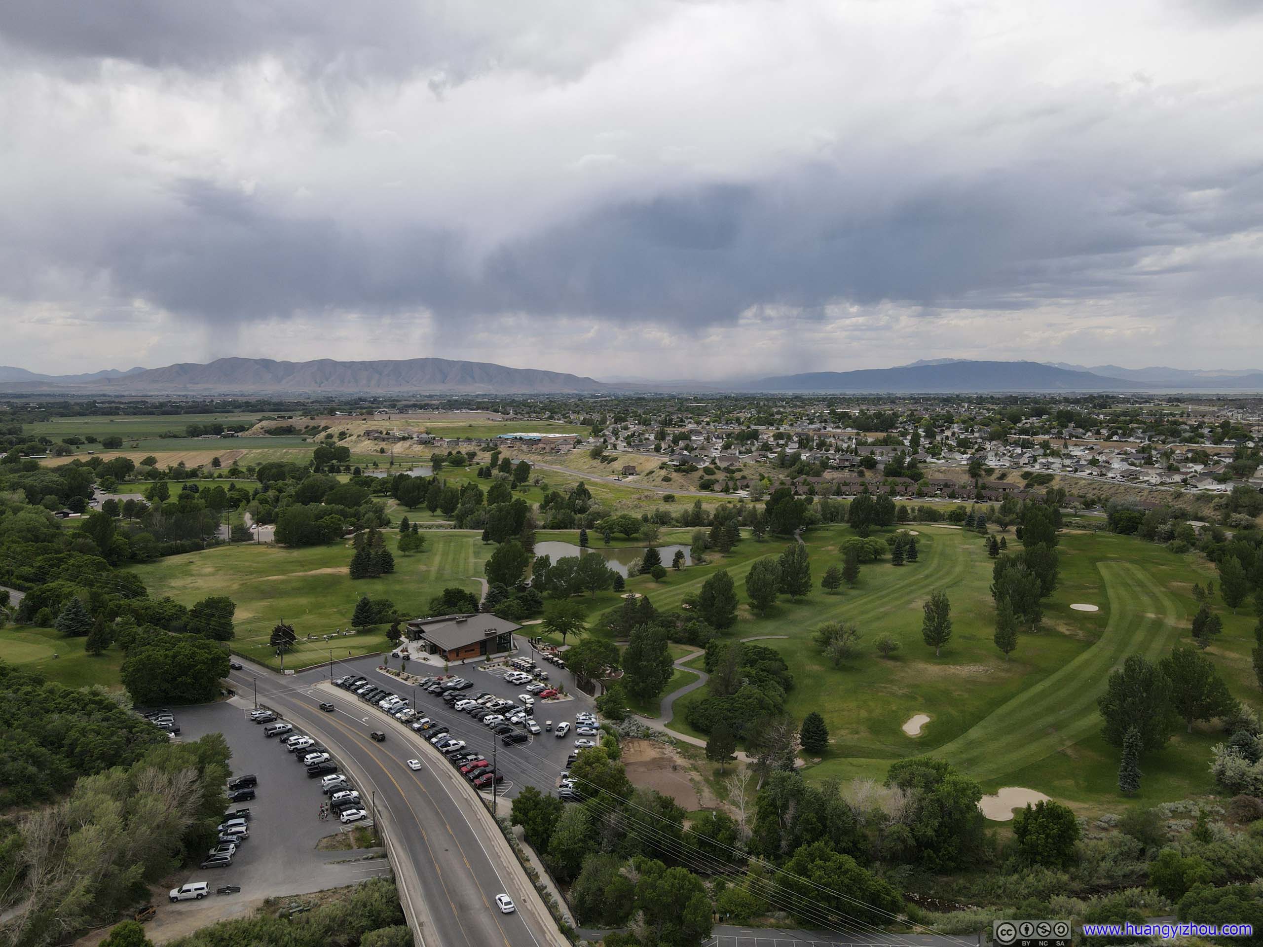 Golf Course
And here’s the footage from my drone.
After that, the mountain road wound itself among Spanish Fork Canyon, first in lush green and then in cinnamon brown as I approached Utah’s deserts.

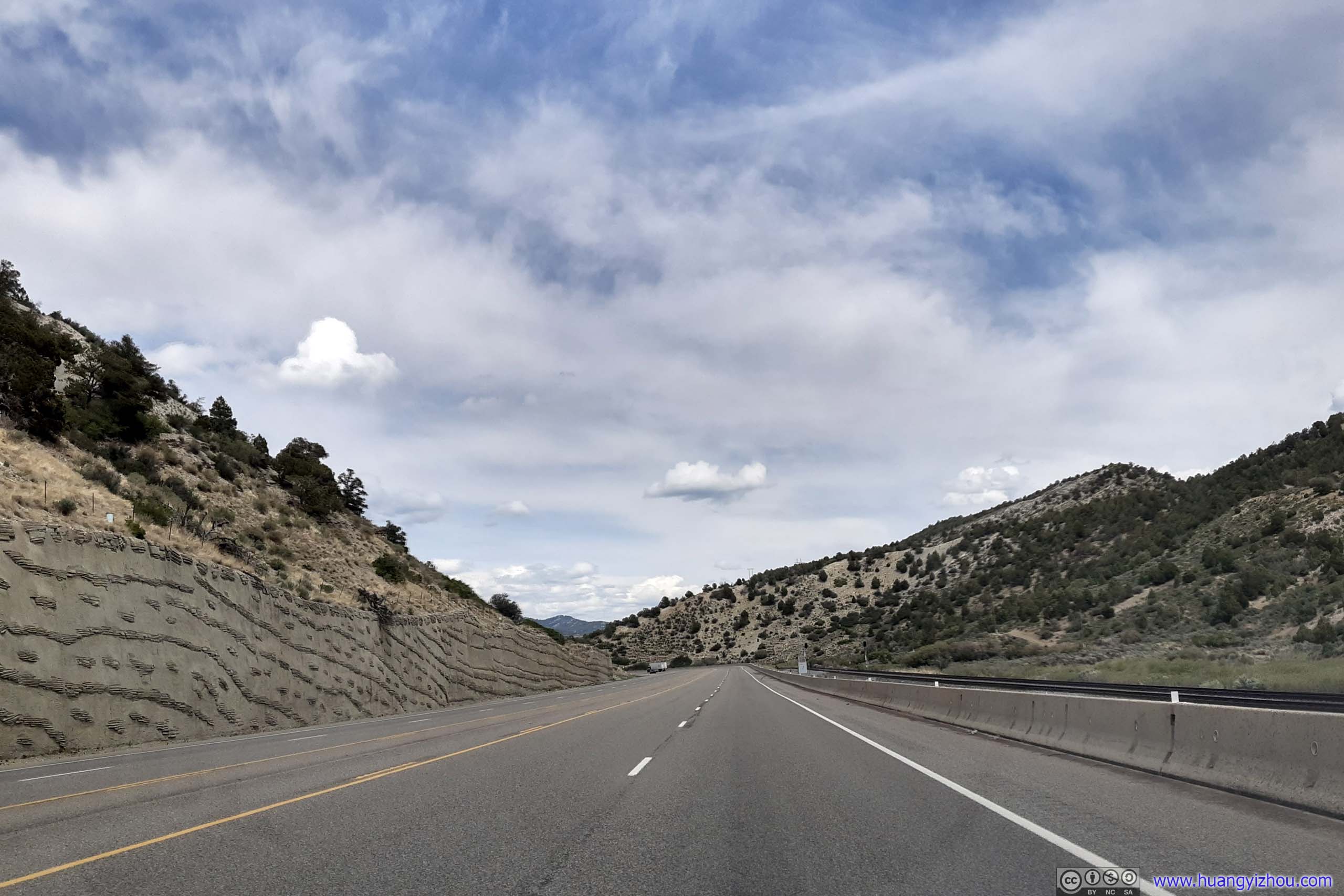
 Mountain Road
Tie Fork Rest Area
It came to my attention as another suitable spot for drone launch, and it turned out to have much more to offer.
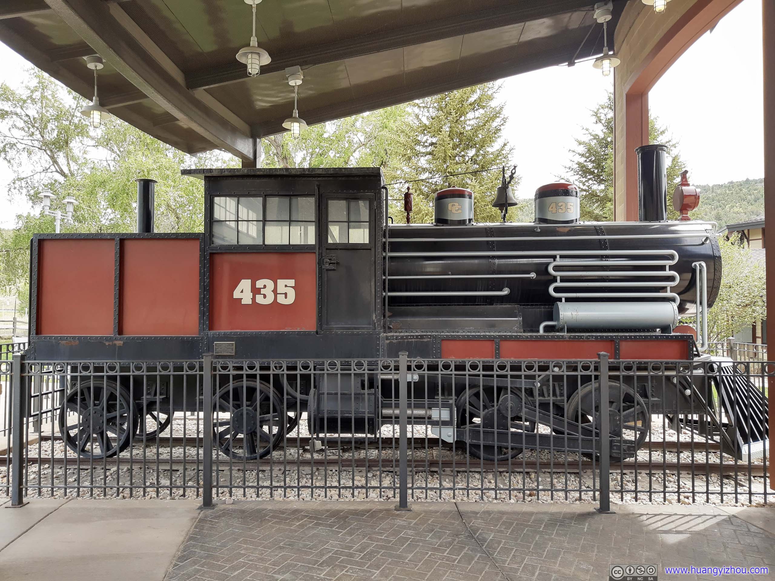
Train Model
The rest stop was close to / paid homage to the town of Tucker, where helper engines were once stationed to help freight trains climb over Solider Summit. Part of the rest stop was modelled after a train depot in memory of this.
With the decline of coal mining in Spanish Fork Canyon, the town of Tucker was now only a name on the map. But on the other side of Solider Summit, the town of Helper, named after the helper engines, was still in existence.
 Rest Area
 Highway
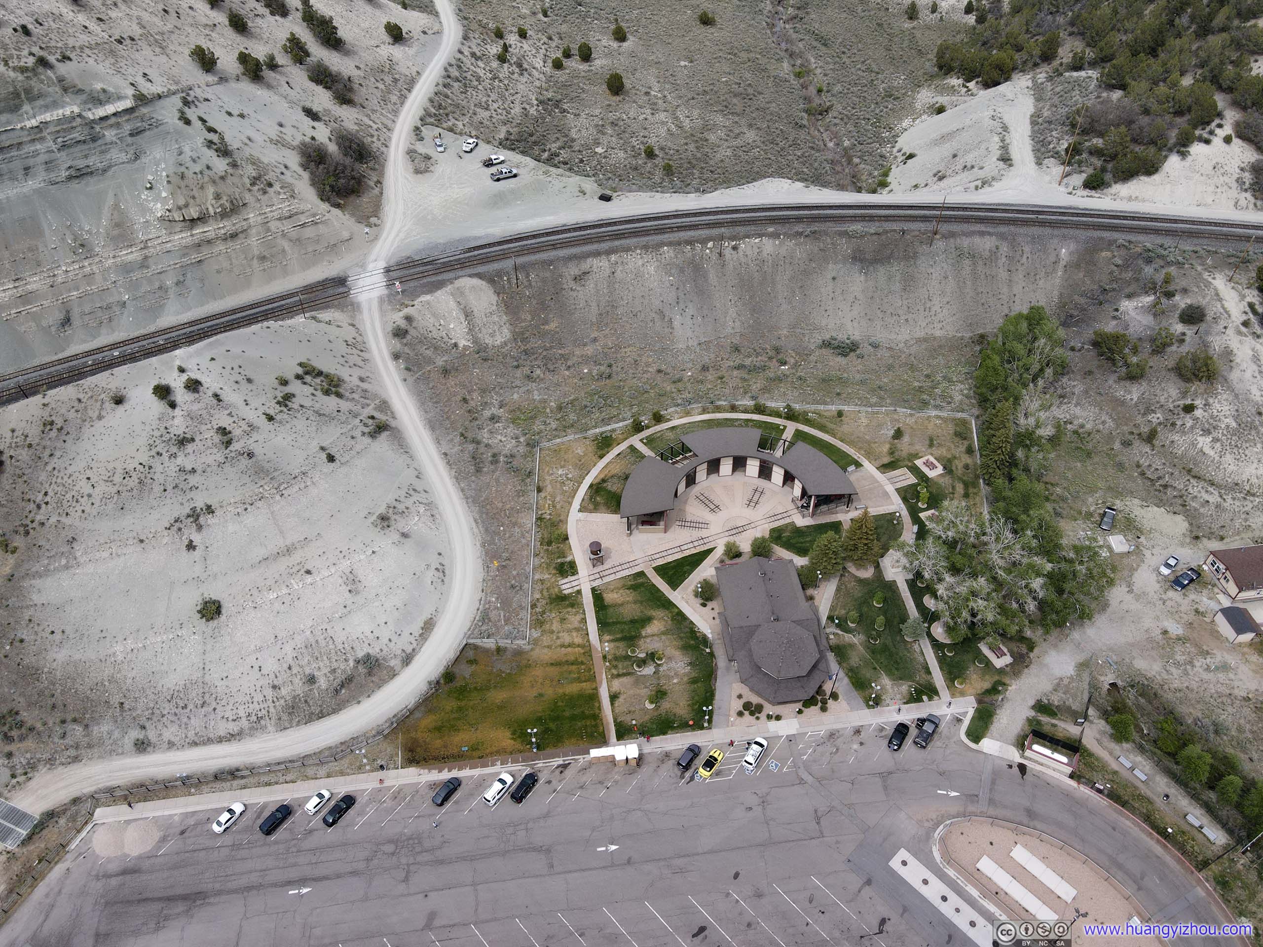
Aerial View of Tie Fork Rest Area
 Train Tracks
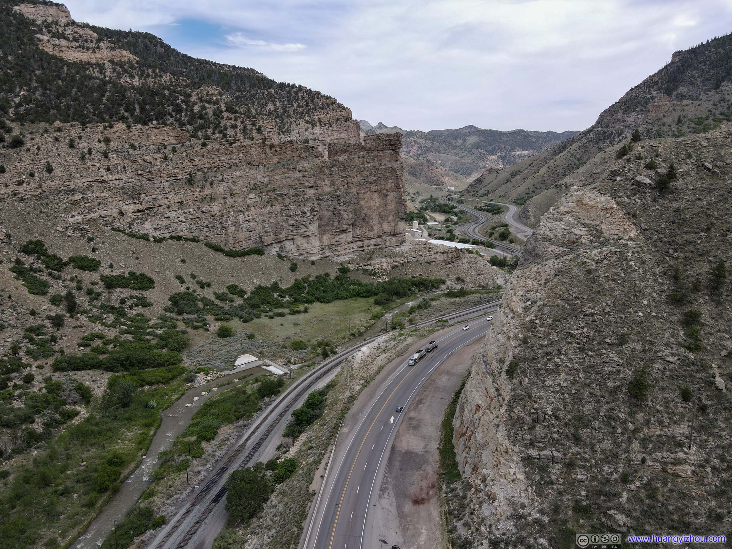
My next stop along the road was Castle Gate, named after a huge slab of rocks forcing roads to wind around it. First it’s a (unofficial) roadside parking lot leading into a canyon, then some roadside historical markers.

 Mountain Road
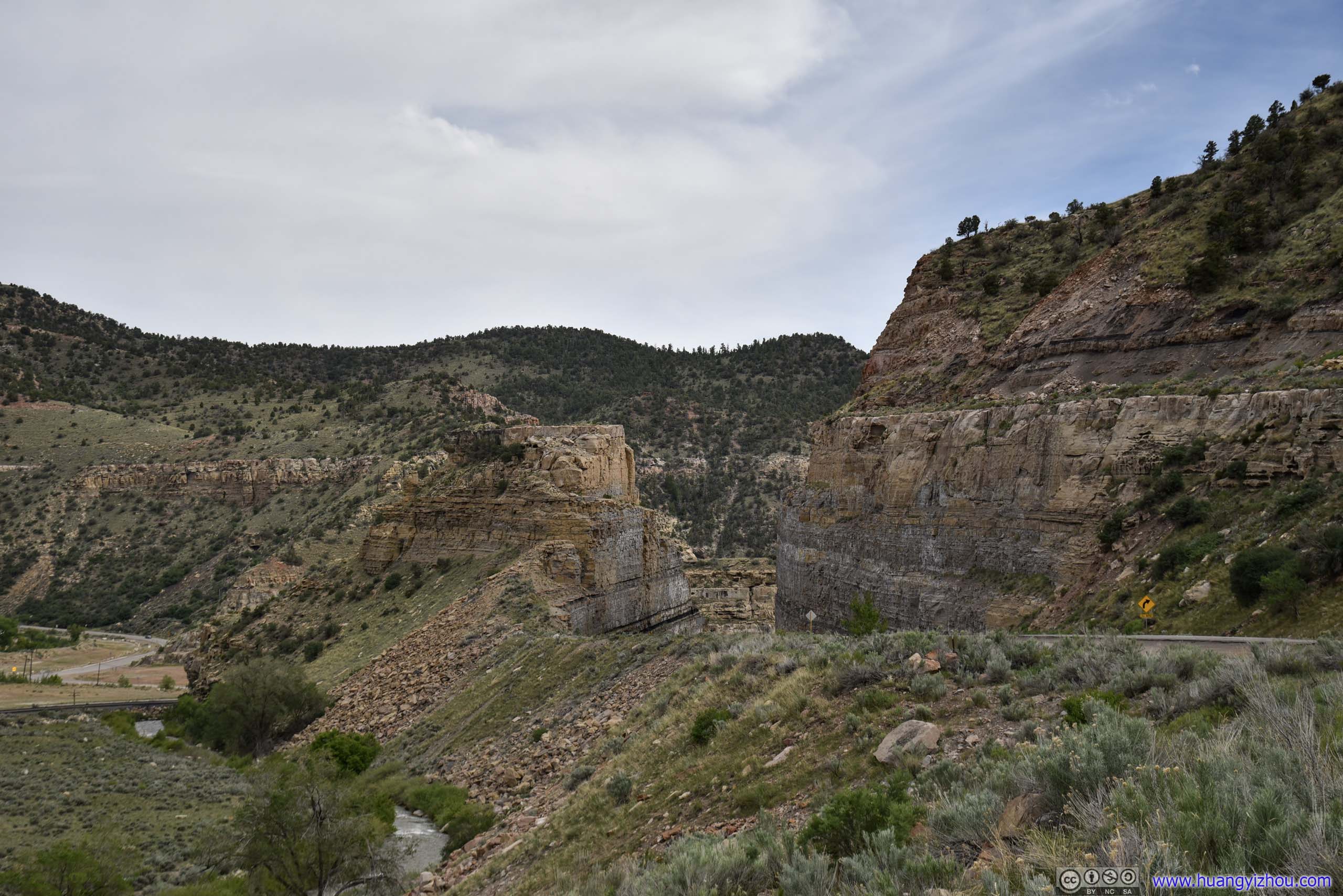
Castle Gate
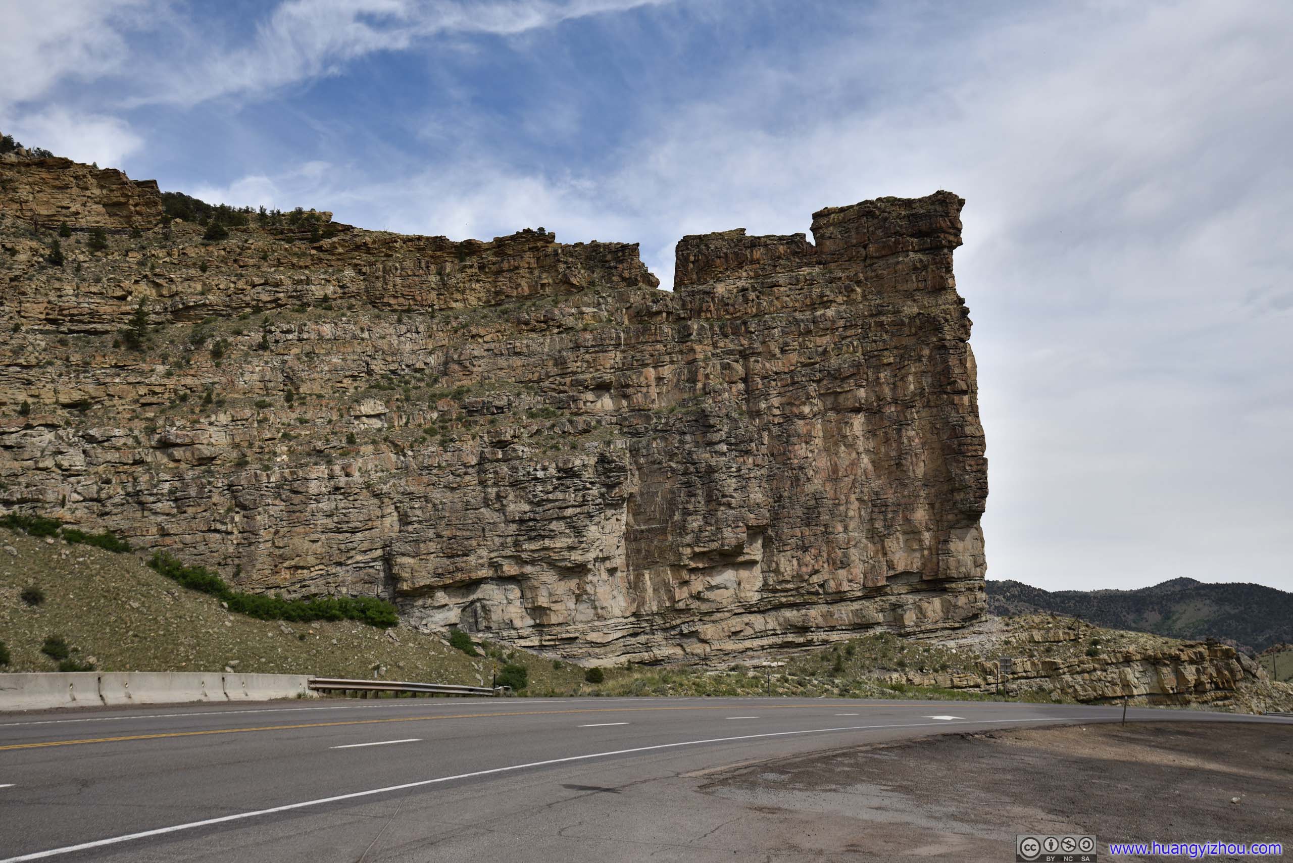
Castle GateWeirdly, it didn’t feel like either castle or gate to me.
First, my drone visited a nameless canyon, with a seemingly abandoned hut. I guess the hut was related to mining activities many years ago?

Canyon
Then I flew it around the actual Castle Gate.
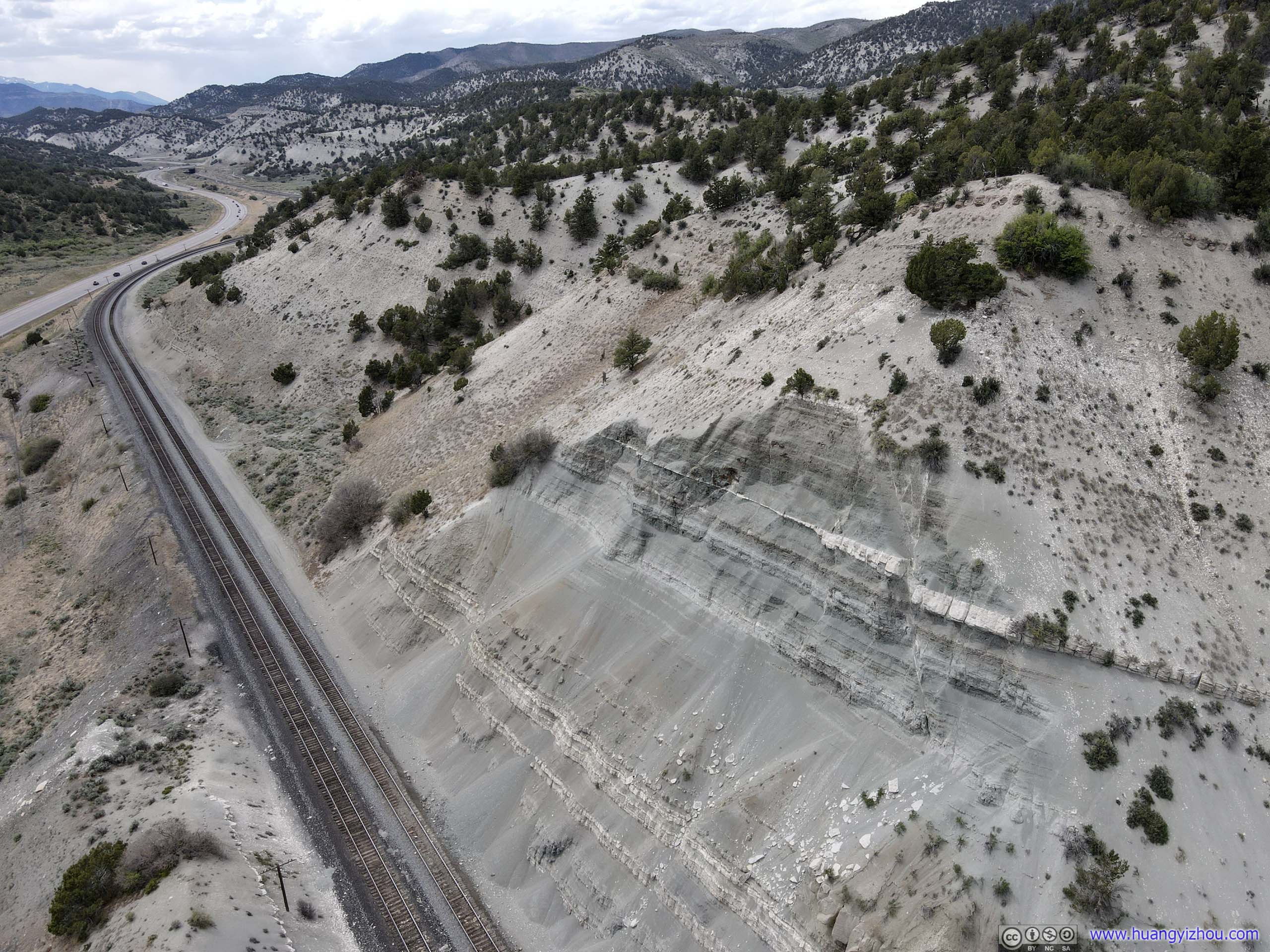
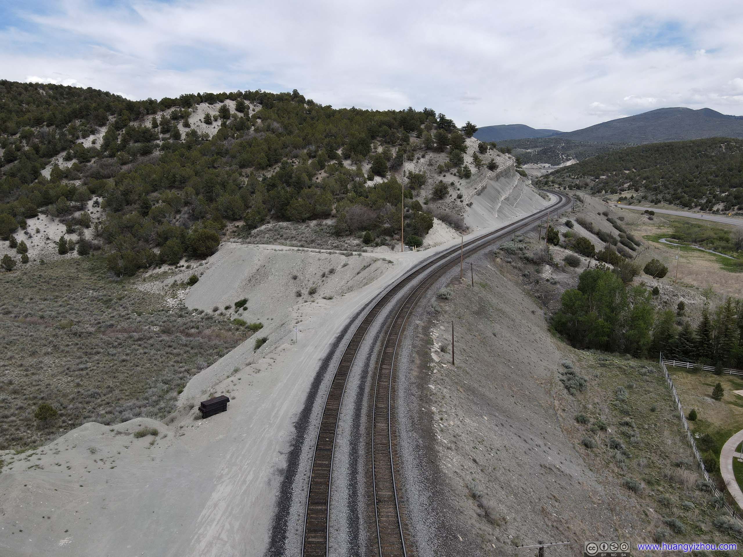
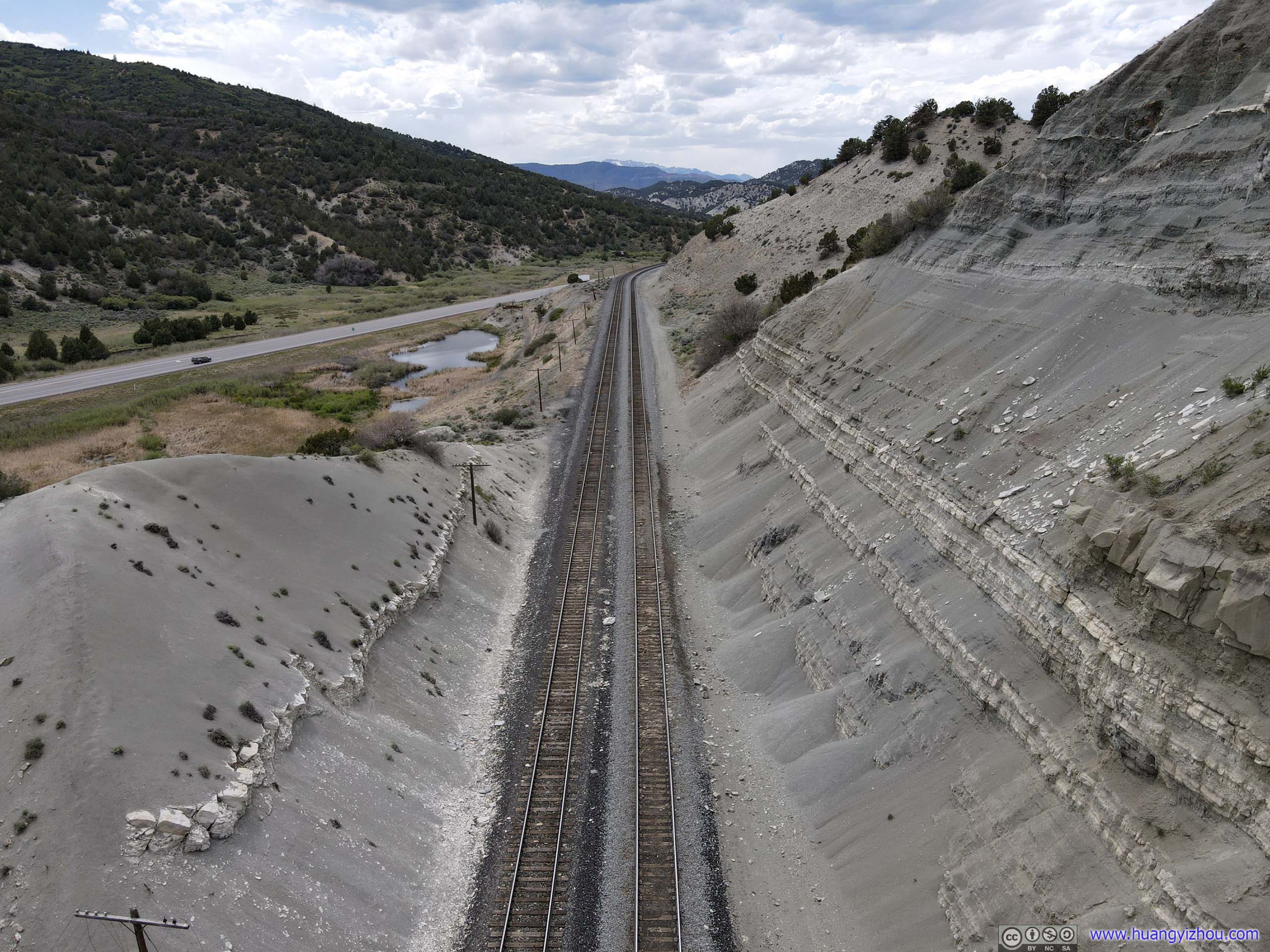
And finally, down Price River along railway tracks.
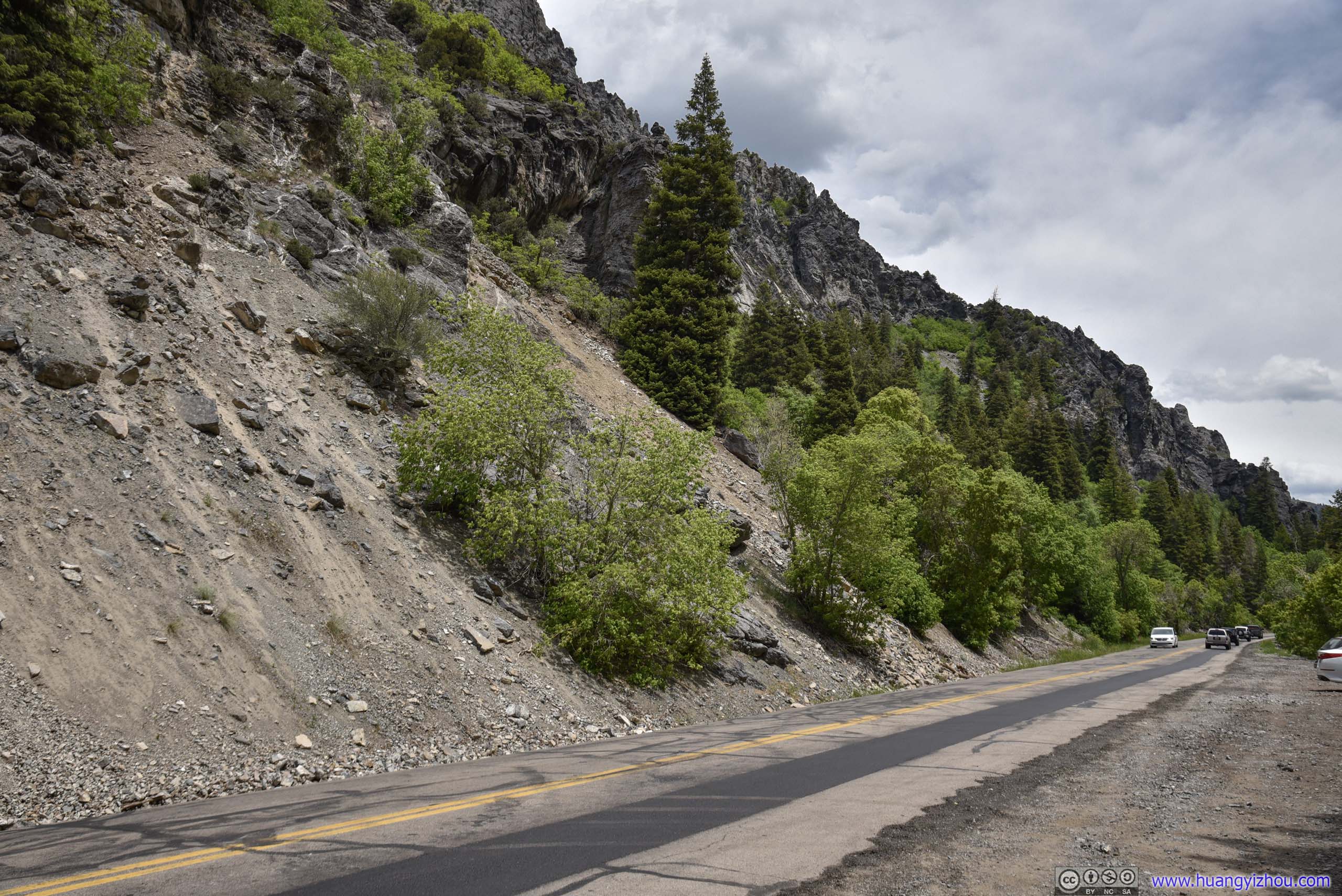
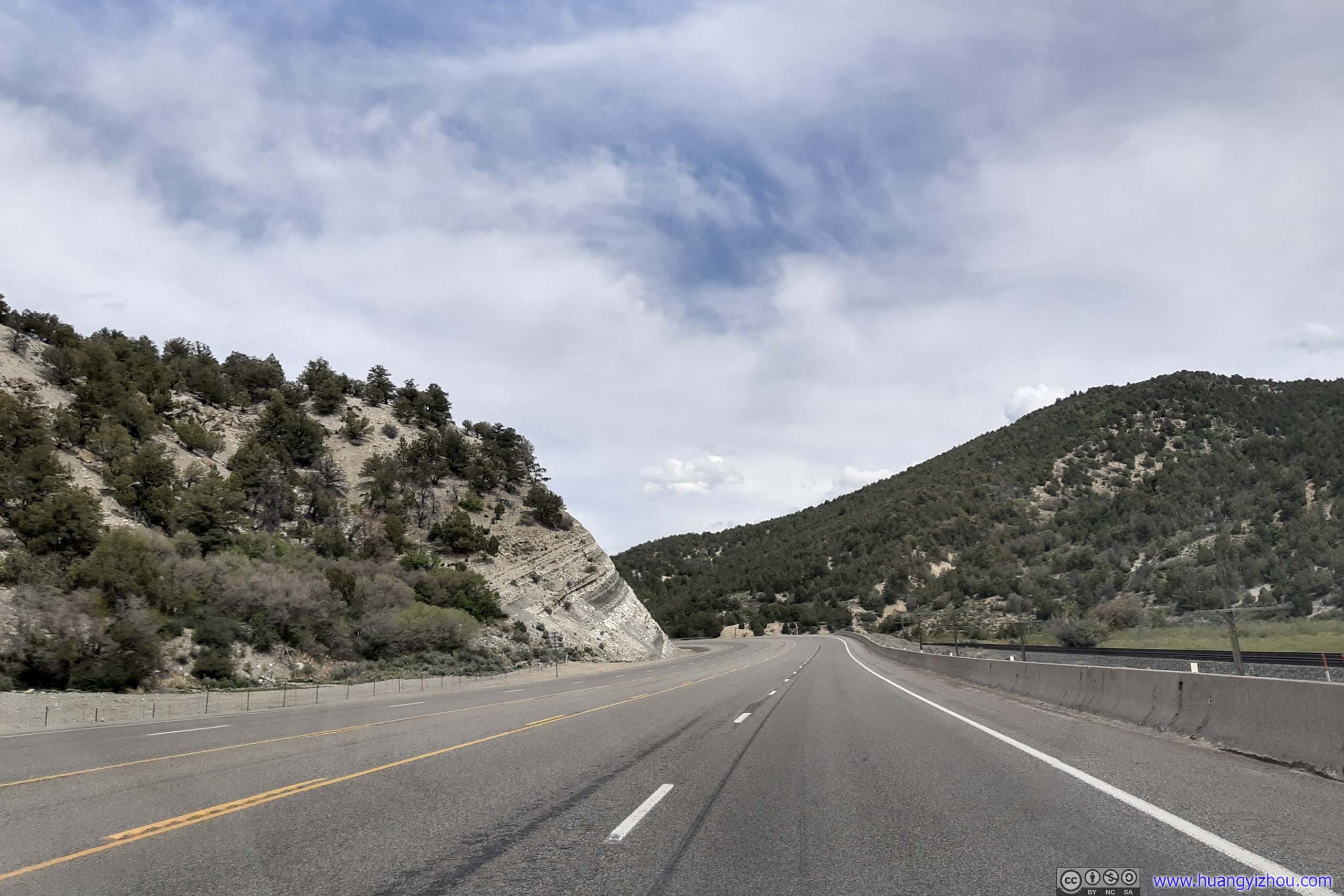
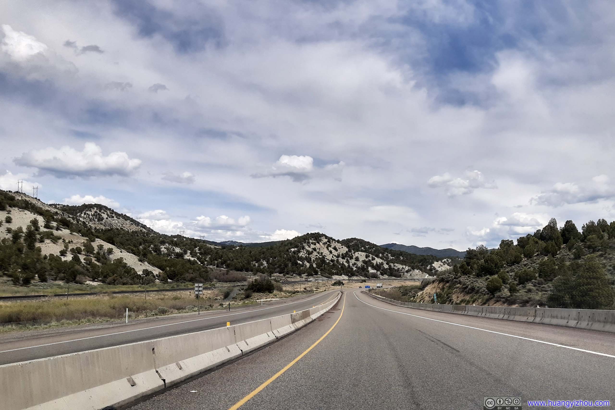
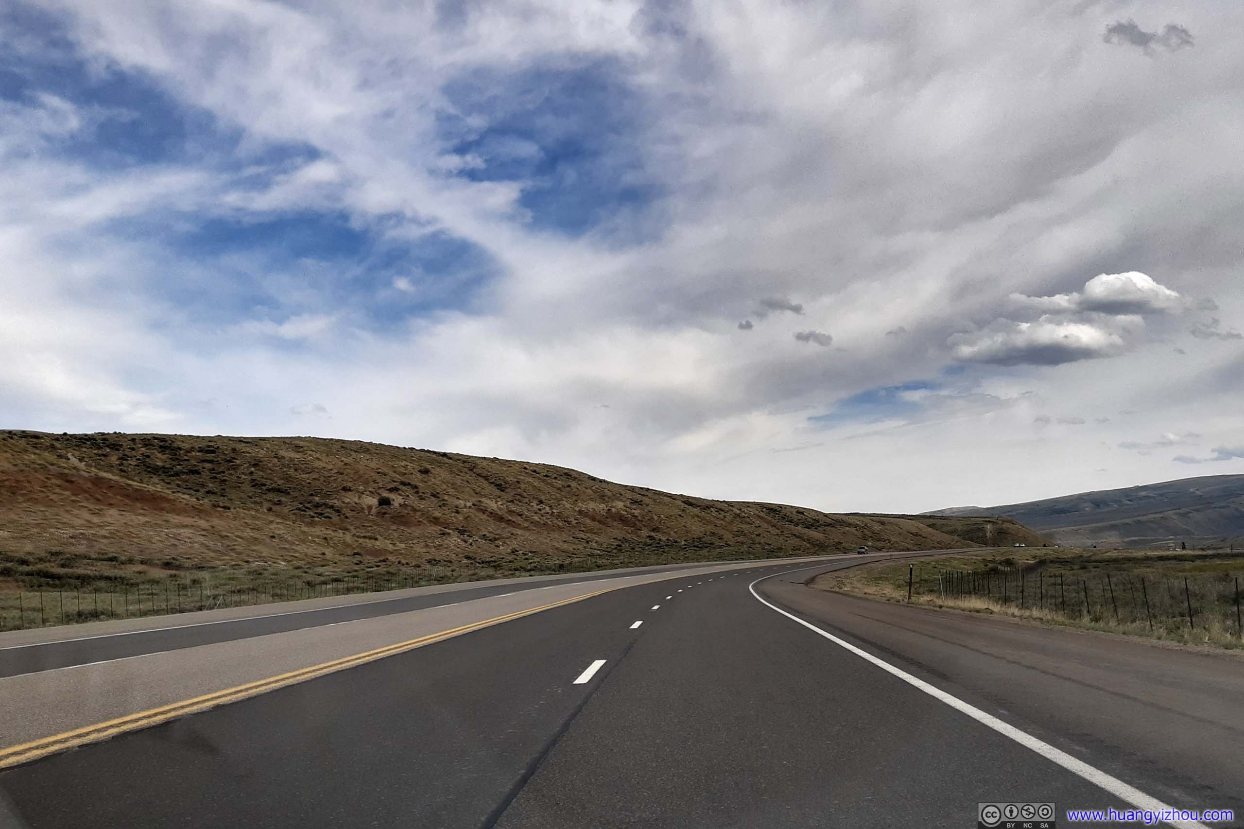
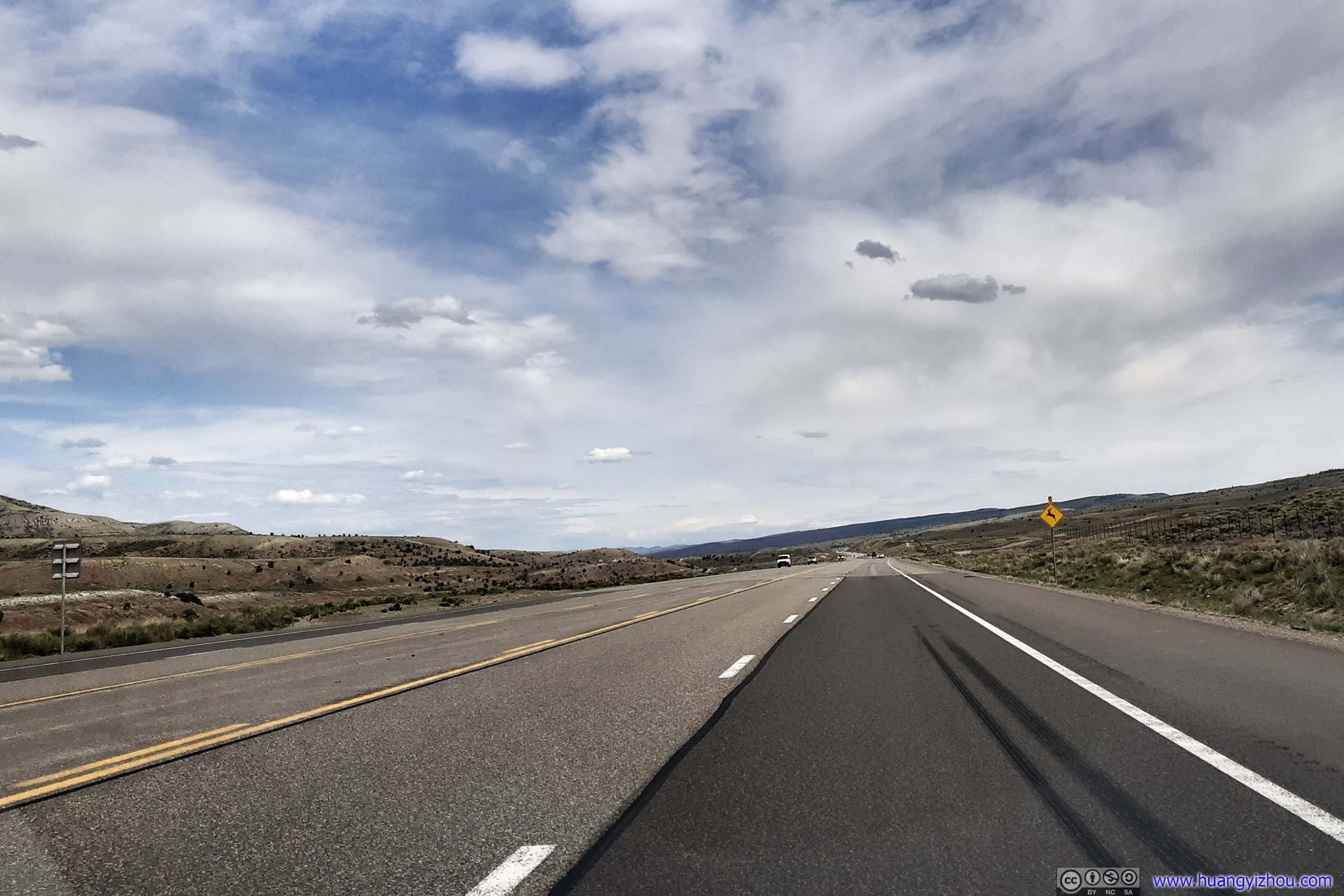
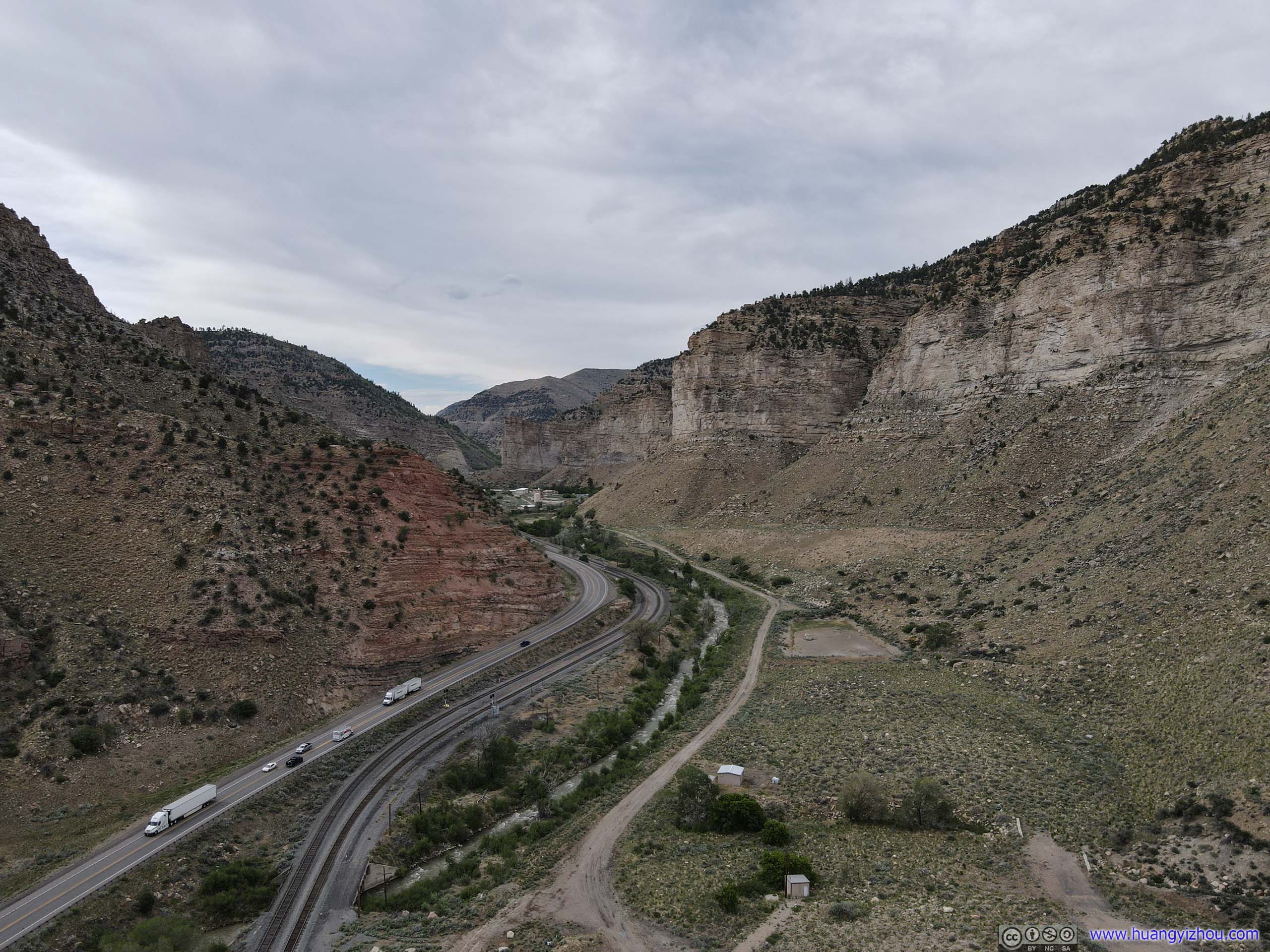 Road in Mountains
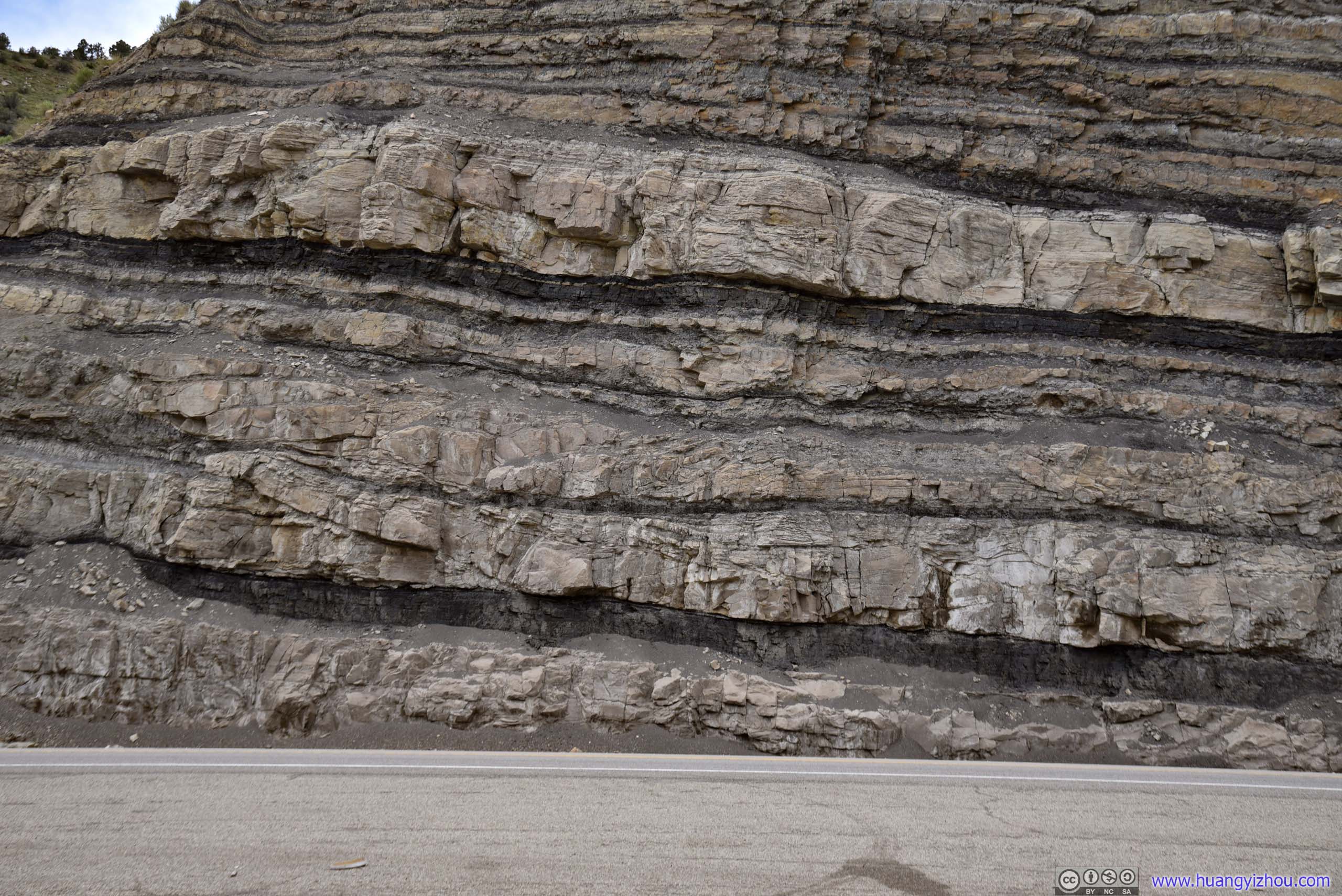
Layers of Rock
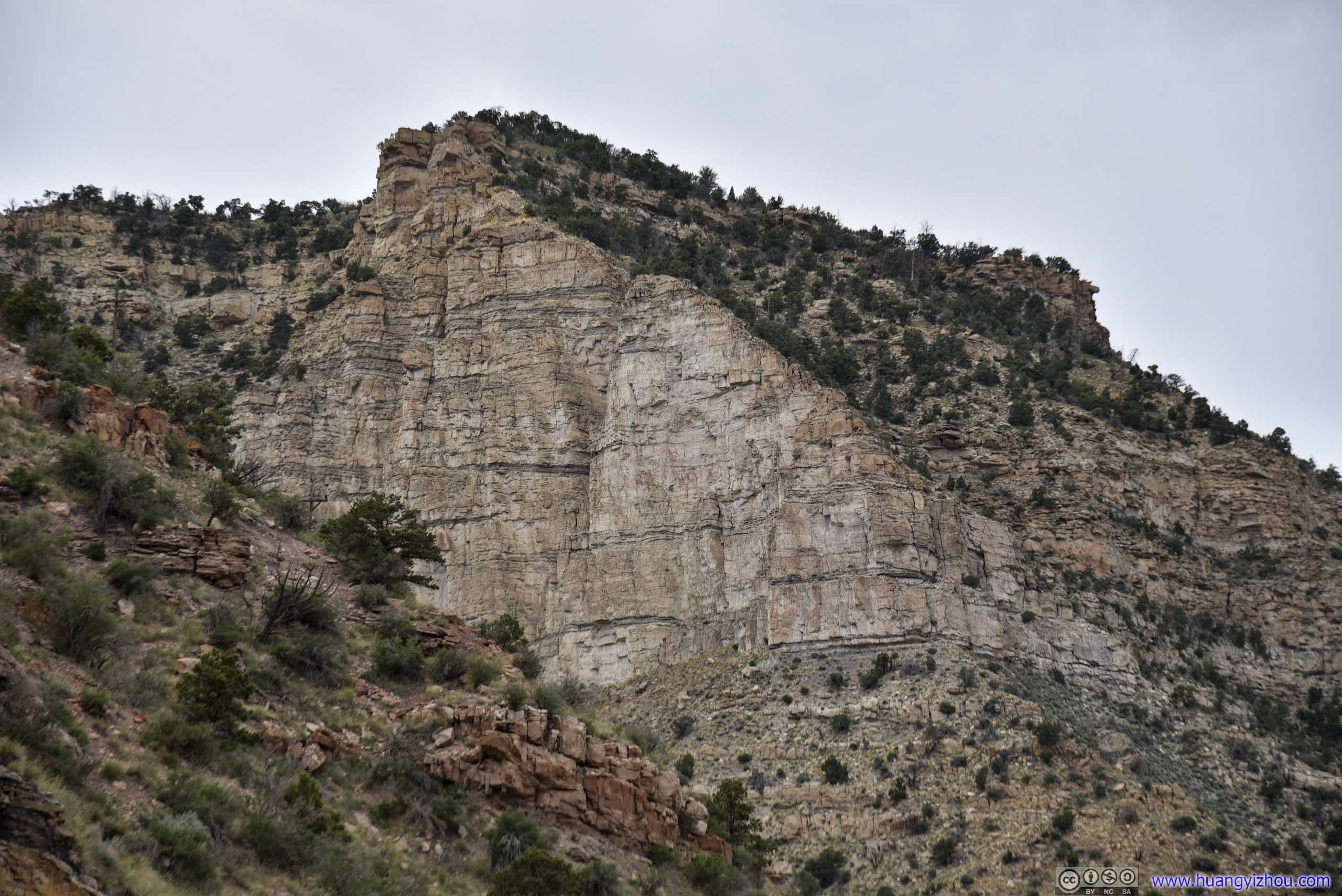
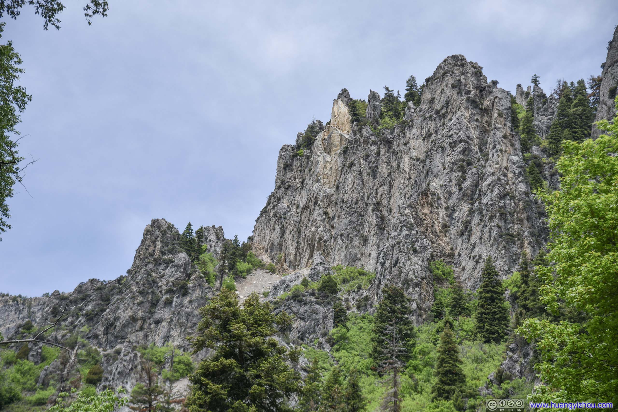
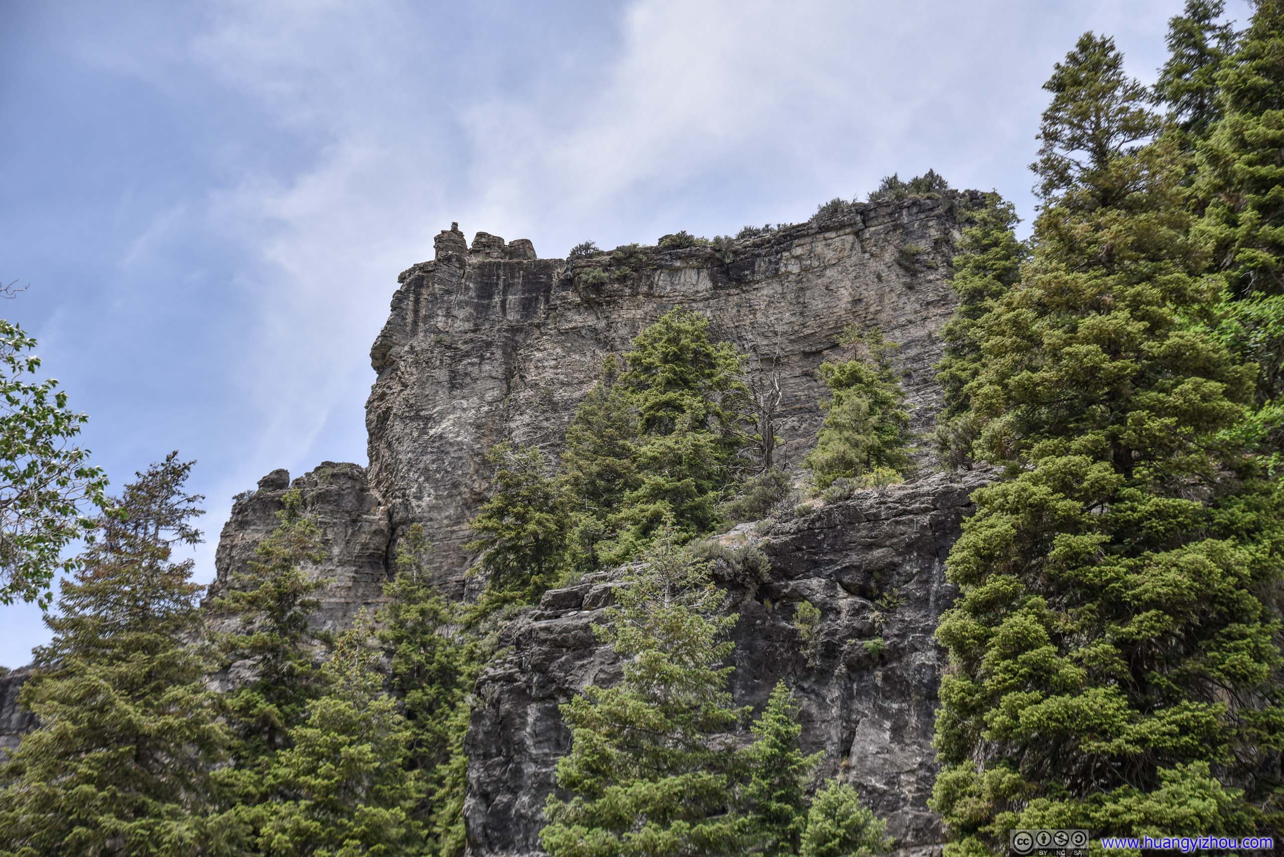
 Mountains
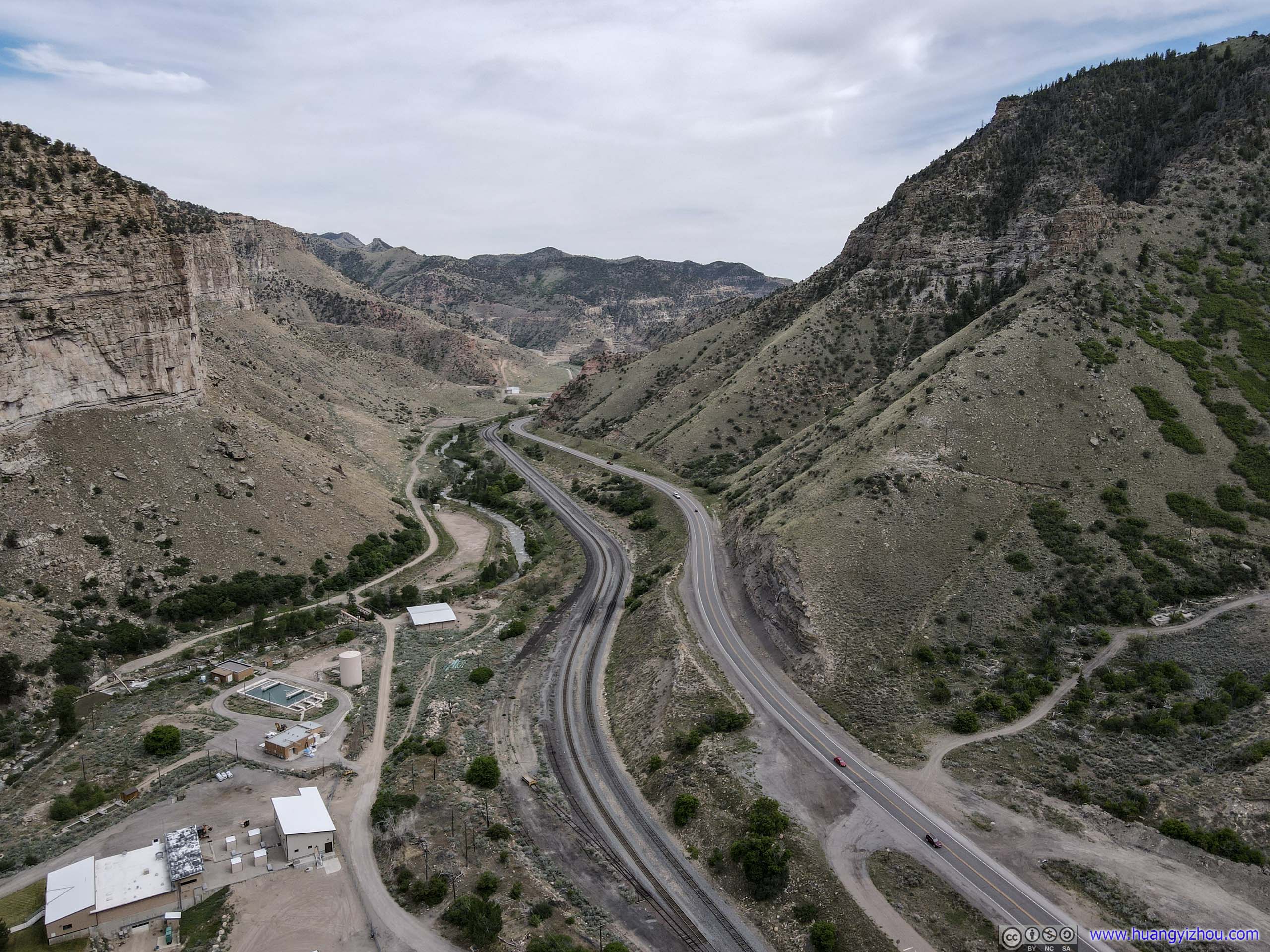
 Railroad along Price River
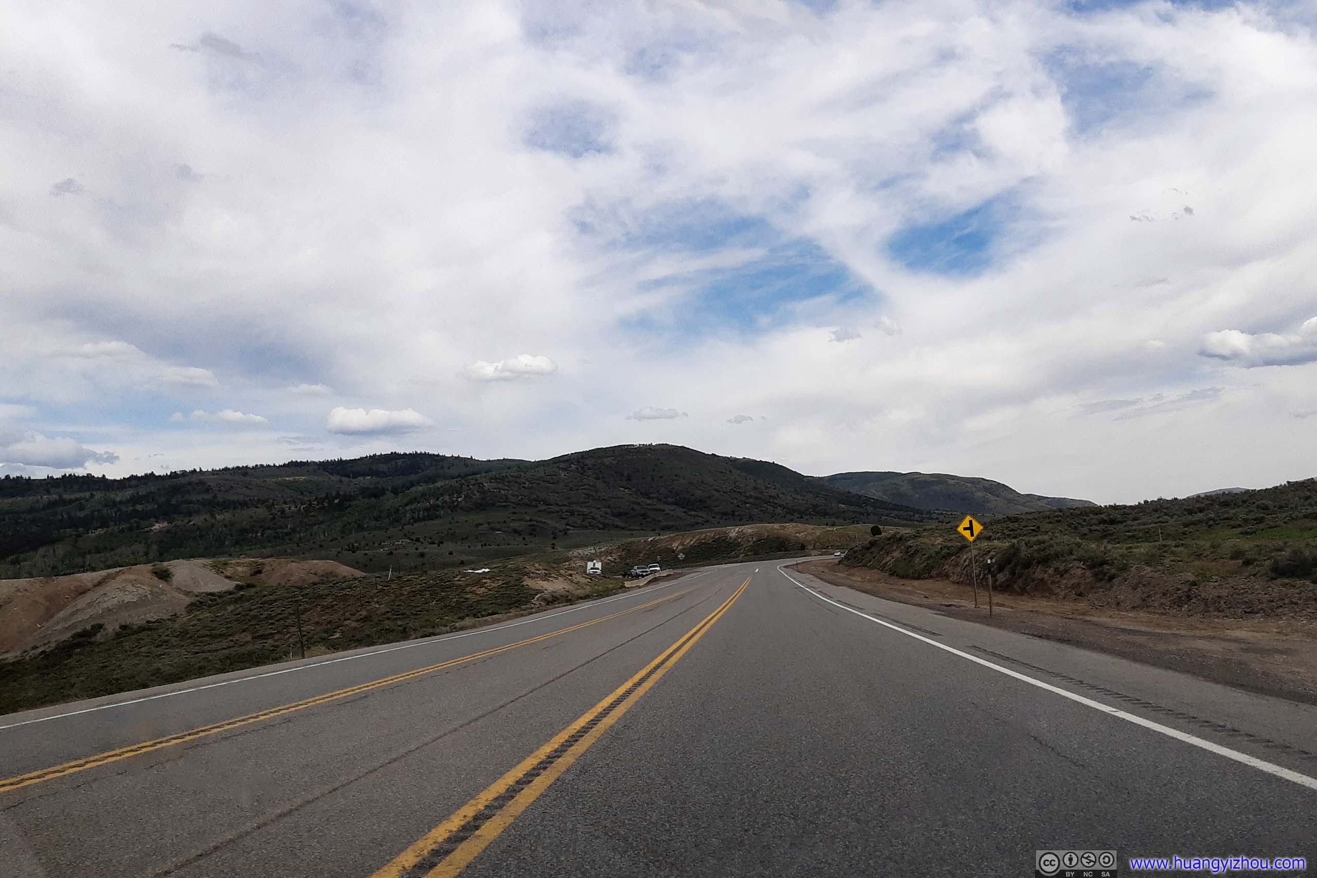
Sunnyside Junction
Coming out of Price Canyon, the landscape changed into a huge flat valley, with distant mesas that went on as far as the eye could see, like viewed from Sunnyside Junction in the following photo.
View of Distant Mesas from Sunnyside Junction

Sole Tree in Desert Field
Rock AsphaltDisplay of a basket of rock asphalt, that was mined at the top of Whitmore Canyon, 15 miles Northeast of this spot.
And here’s a drone footage:
Freight TrainProbably carrying coal from a coal field towards the East.
Aerial View of Sunnyside Junction
Not far down the road there’s Horse Canyon View Area, which was a proper highway rest area with covered toilets. But in my opinion I really preferred the vast open views at Sunnyside Junction, so I didn’t stay there for long.
Horse Canyon
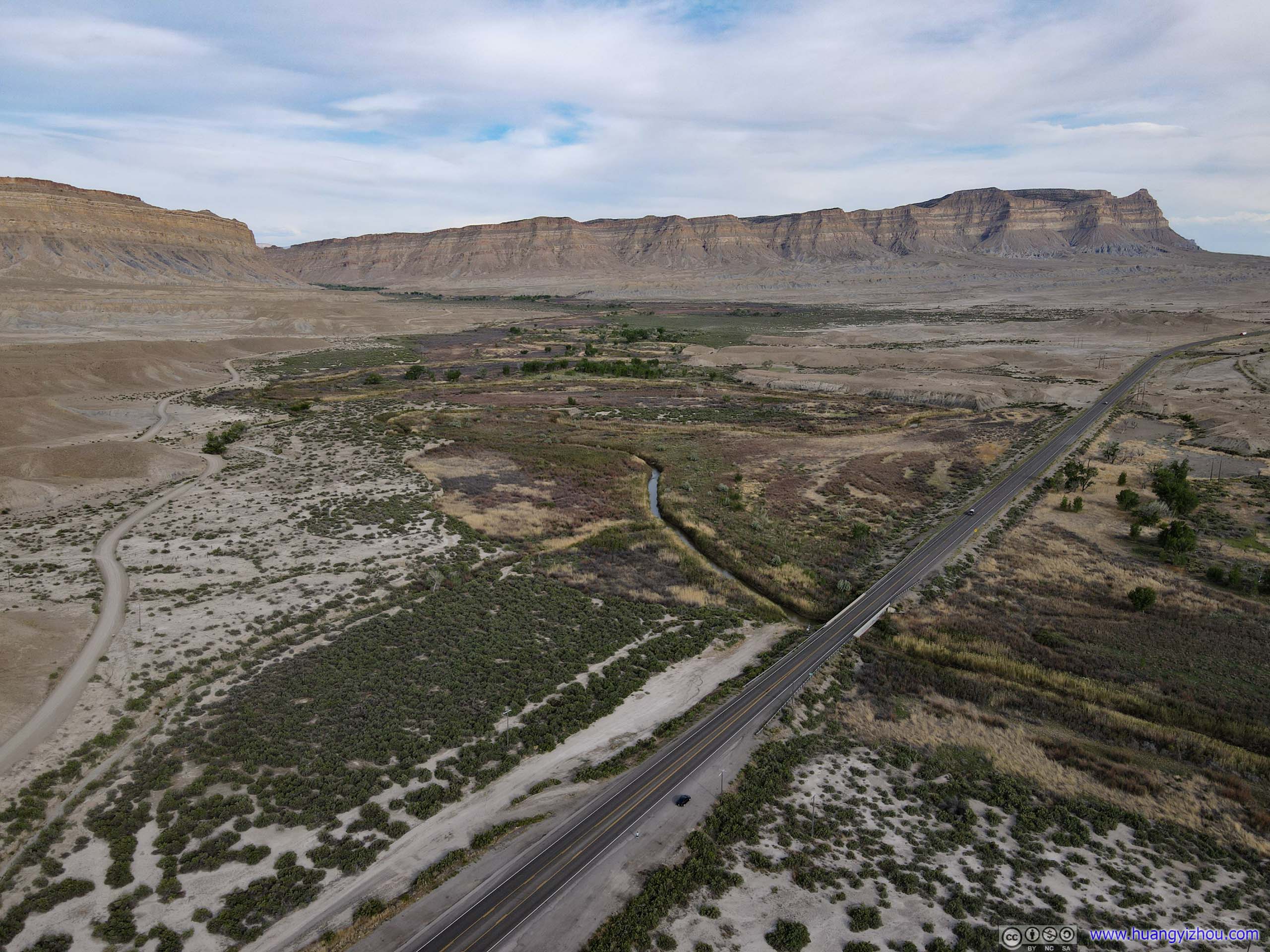
DownhillSome magnificent mesas ahead.
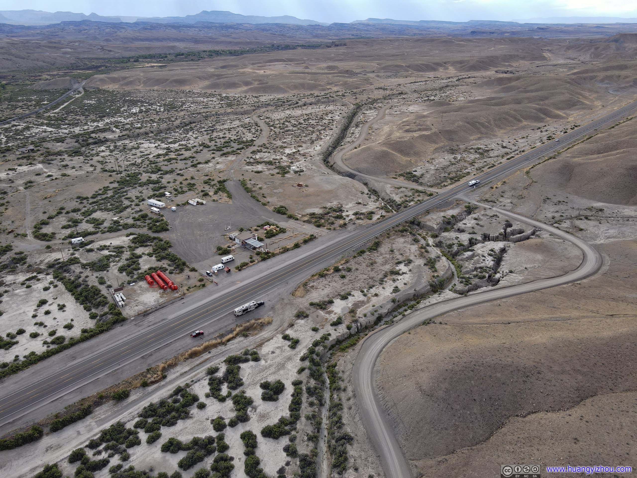
Woodside
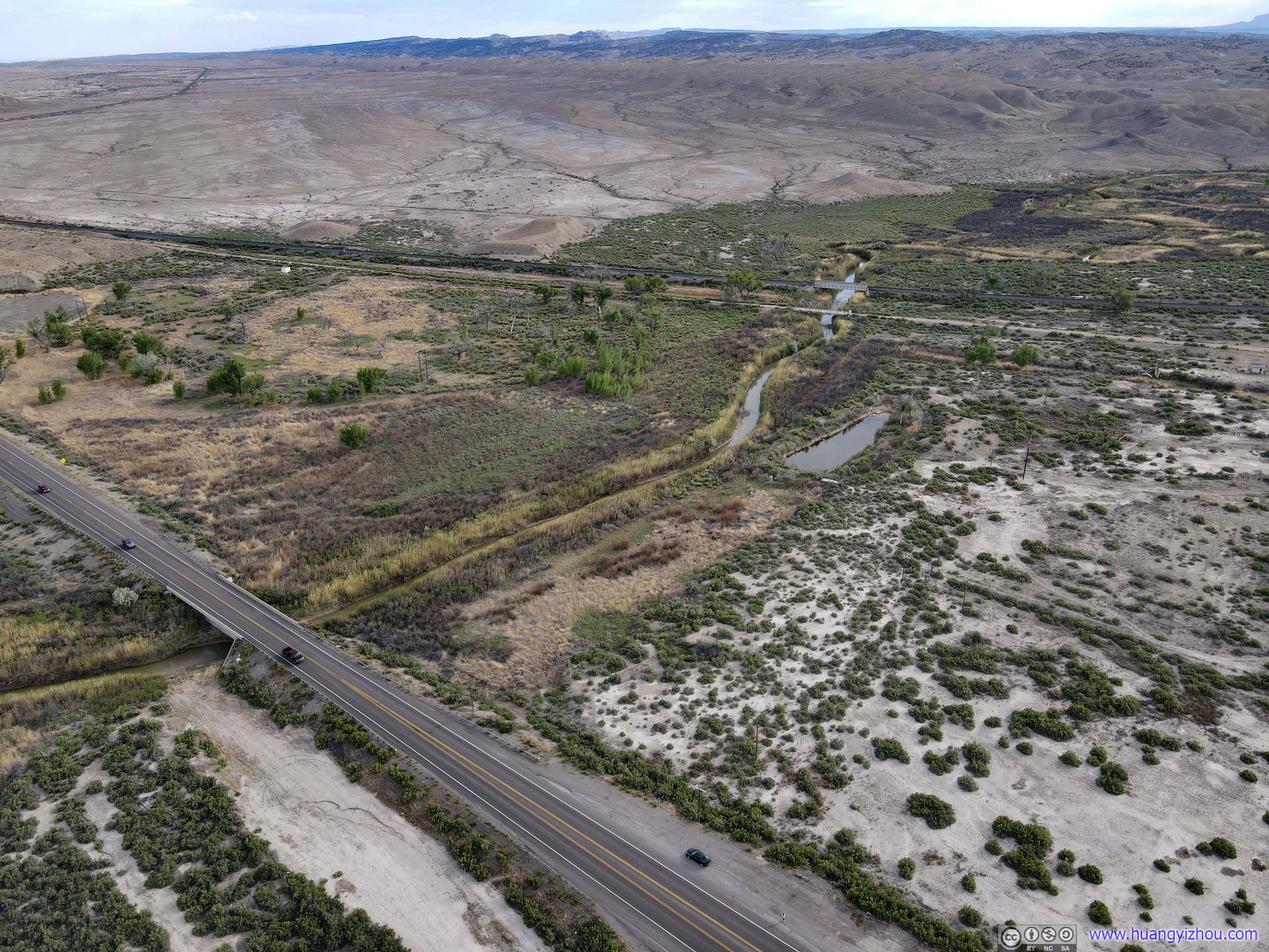
My last stop of the day, near an abandoned gas station at the abandoned village of Woodside. The array of mesas was close to Route 191 at this place, it’s also where Price River found its way through a canyon in the mesas. I planned on launching my drone here, hoping to get a closer look at these mesas.
 Mesa
Mesa
And here’s my drone footage:
Unfortunately, despite being at their closest, the mesas were still more than 2km from the road, and the battery of my drone was running low, so it had to return before reaching the entrance of the canyon.
Mesas by US191Near the village of Woodside.
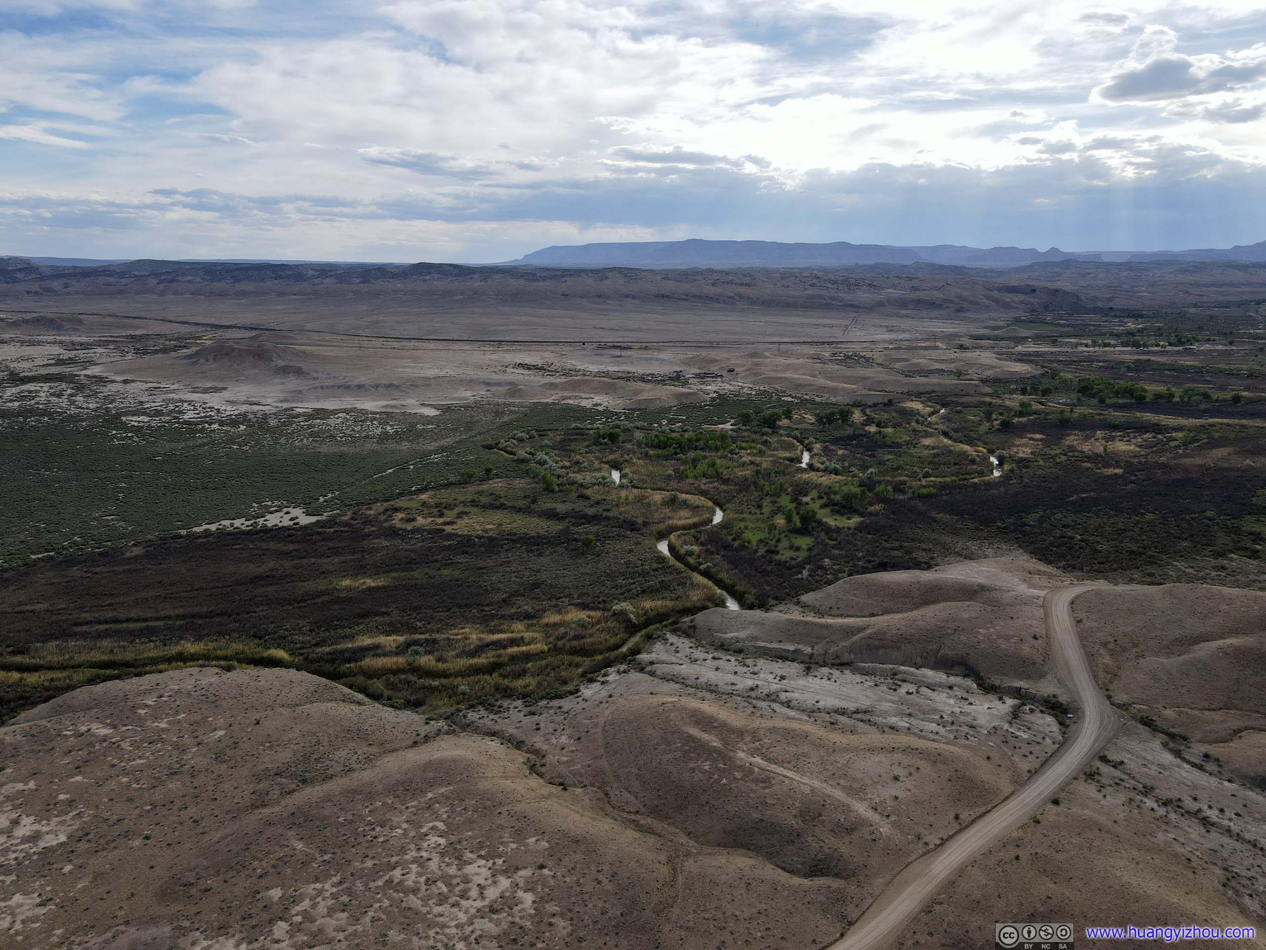

 Price River
 Road
Road

 CanyonPrice River flows between these mesas.
Then I continued my road trip. At 6:45pm, I reached the city of Green River where I would be spending the night. Located near the junction of I70 and US191, it offered many hotels and restaurants for travelers.
And I shall end this post with a photo of the Green River, that gave the city its name.
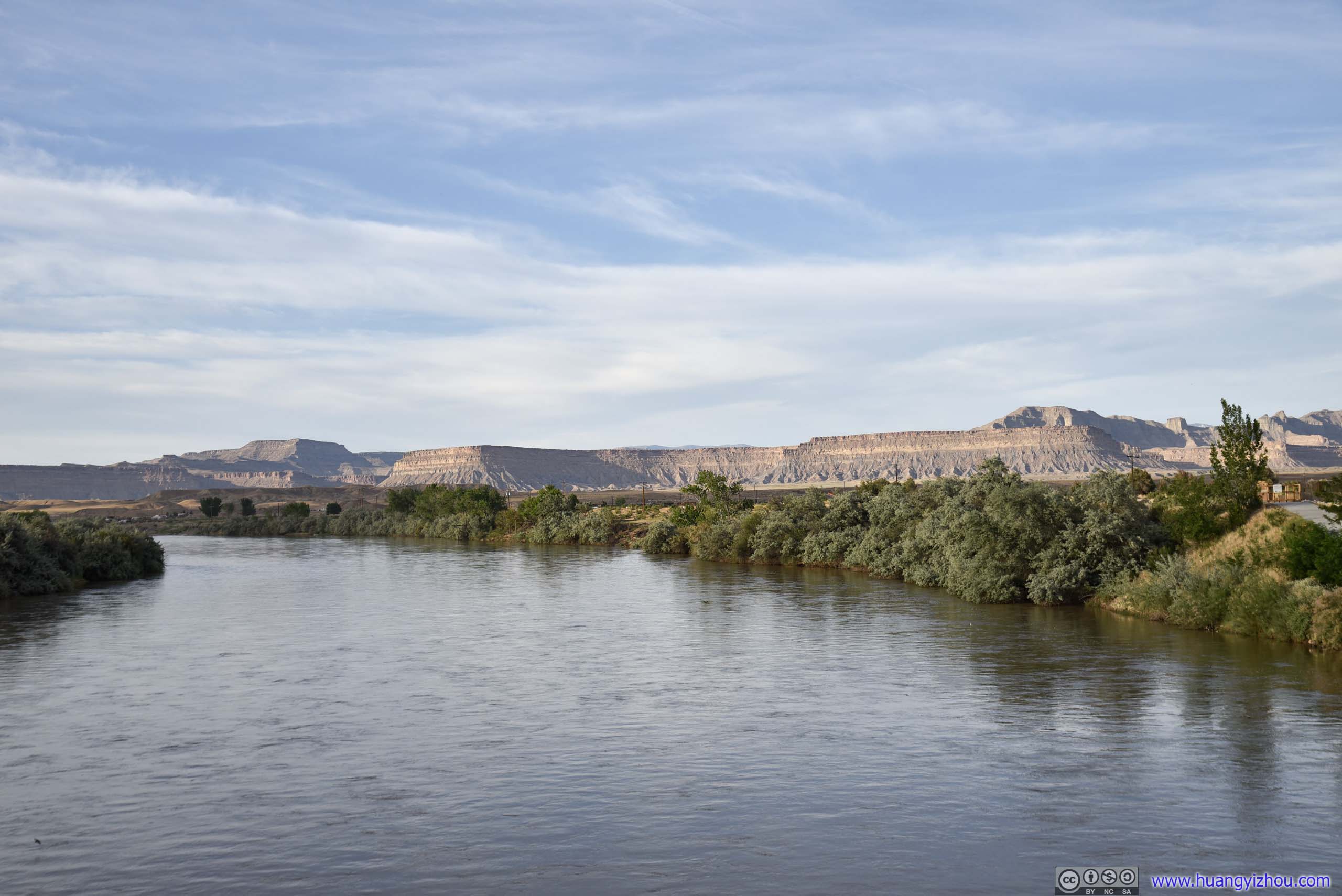
Green River
END
![]() Day 2 of 2020 Utah Trip, to Green River by Huang's Site is licensed under a Creative Commons Attribution-NonCommercial-ShareAlike 4.0 International License.
Day 2 of 2020 Utah Trip, to Green River by Huang's Site is licensed under a Creative Commons Attribution-NonCommercial-ShareAlike 4.0 International License.