
Updated on May 21, 2022
Day 3 of 2020 Utah Trip, Arches National Park
Third day of my Utah trip. I would finally be in one of Utah’s “mighty five” National Parks. I would be driving from Green River to Moab, and spend the majority of the day in Arches National Park.
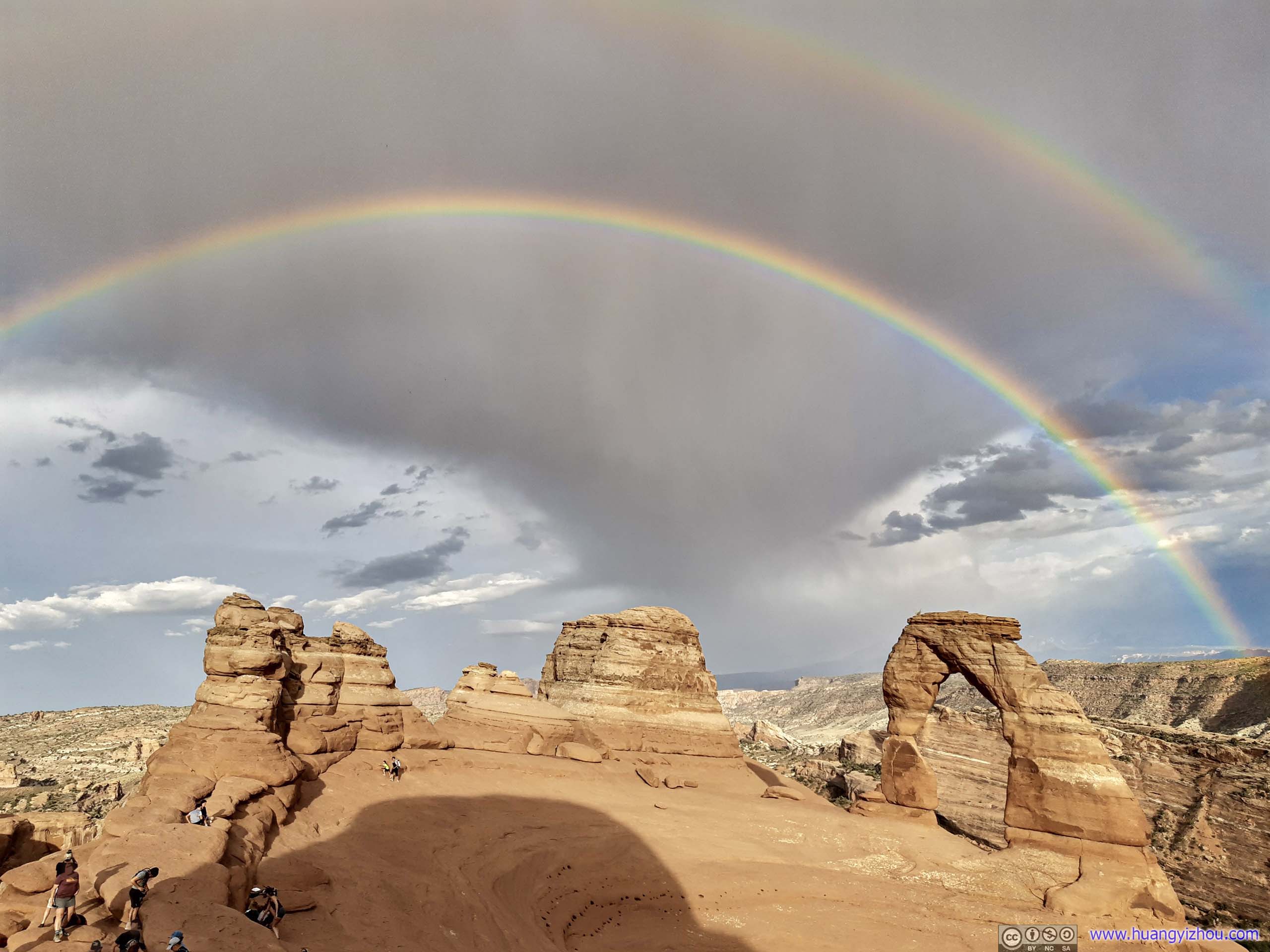
Double Rainbow over Delicate Arch
I chose to spend the previous night in the town of Green River, about an hour away from Moab, the gateway town to Arches and Canyonlands National Parks.
The hotel I stayed in Green River was 44 dollar per night, taxes included and before hotels.com reward/cashback. The minimum nightly rate for Moab was 100+ for the season. That is, I caught some hotels napping when Moab announced reopening dates for the national parks, and booked three nights for less than 200 dollars before they adjusted prices to proper levels.
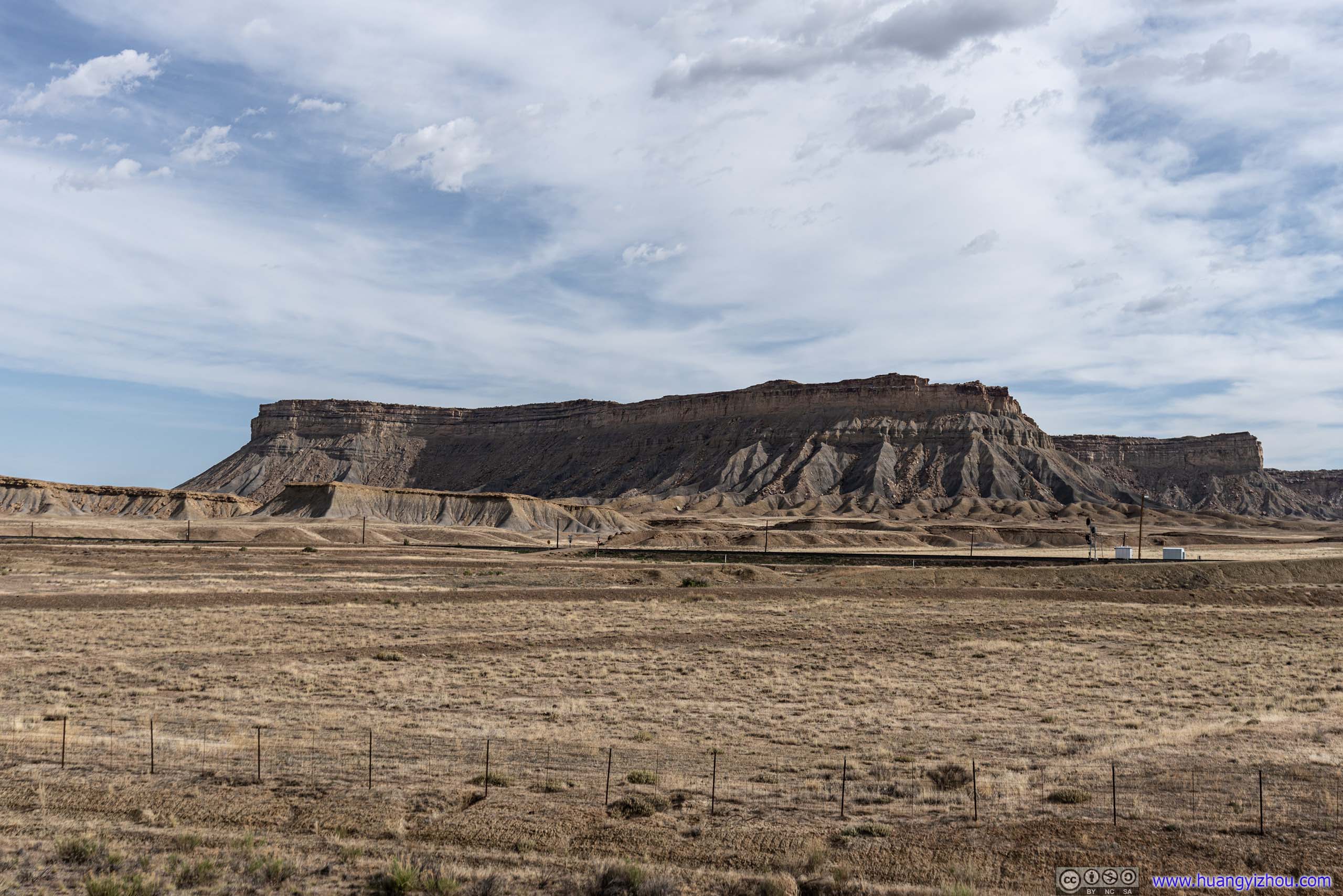
Floy
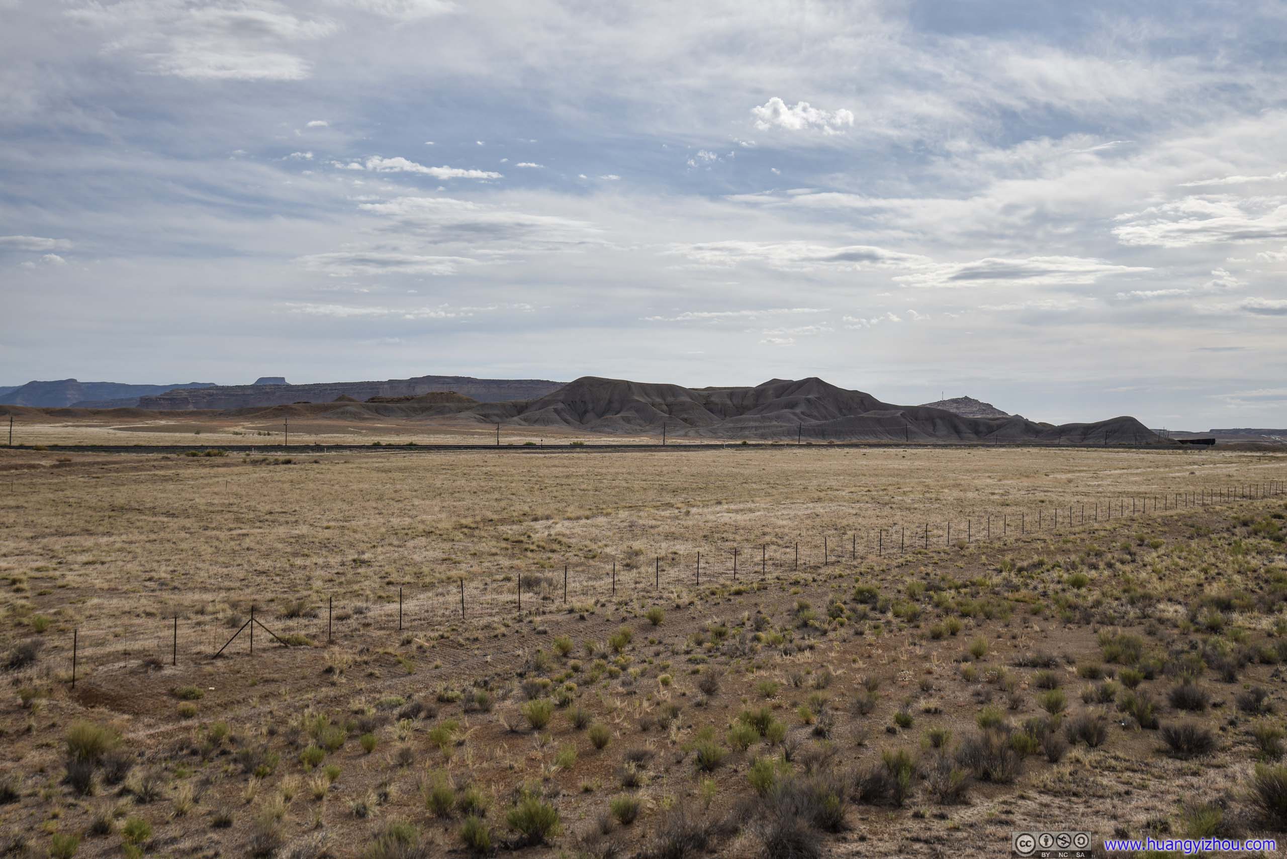
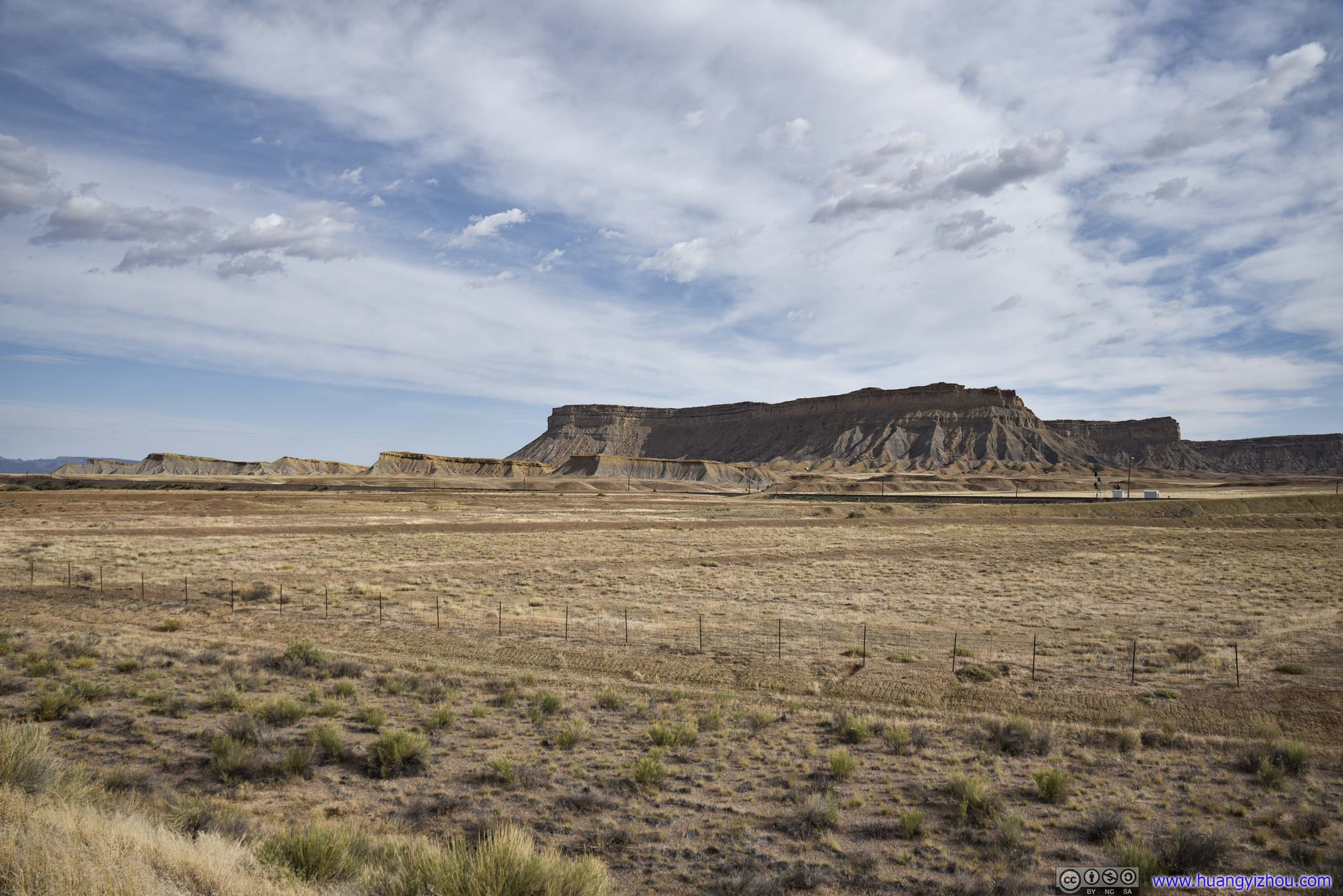
After leaving Green River, I followed Interstate 70 to a place called “Floy”, which was the intersection of Interstate 70 with Old Highway 6&50. There were some mesas not too far away to the North, so I thought it’s a good spot to play around with my drone, since for the rest of the day national parks were no-drone zones.

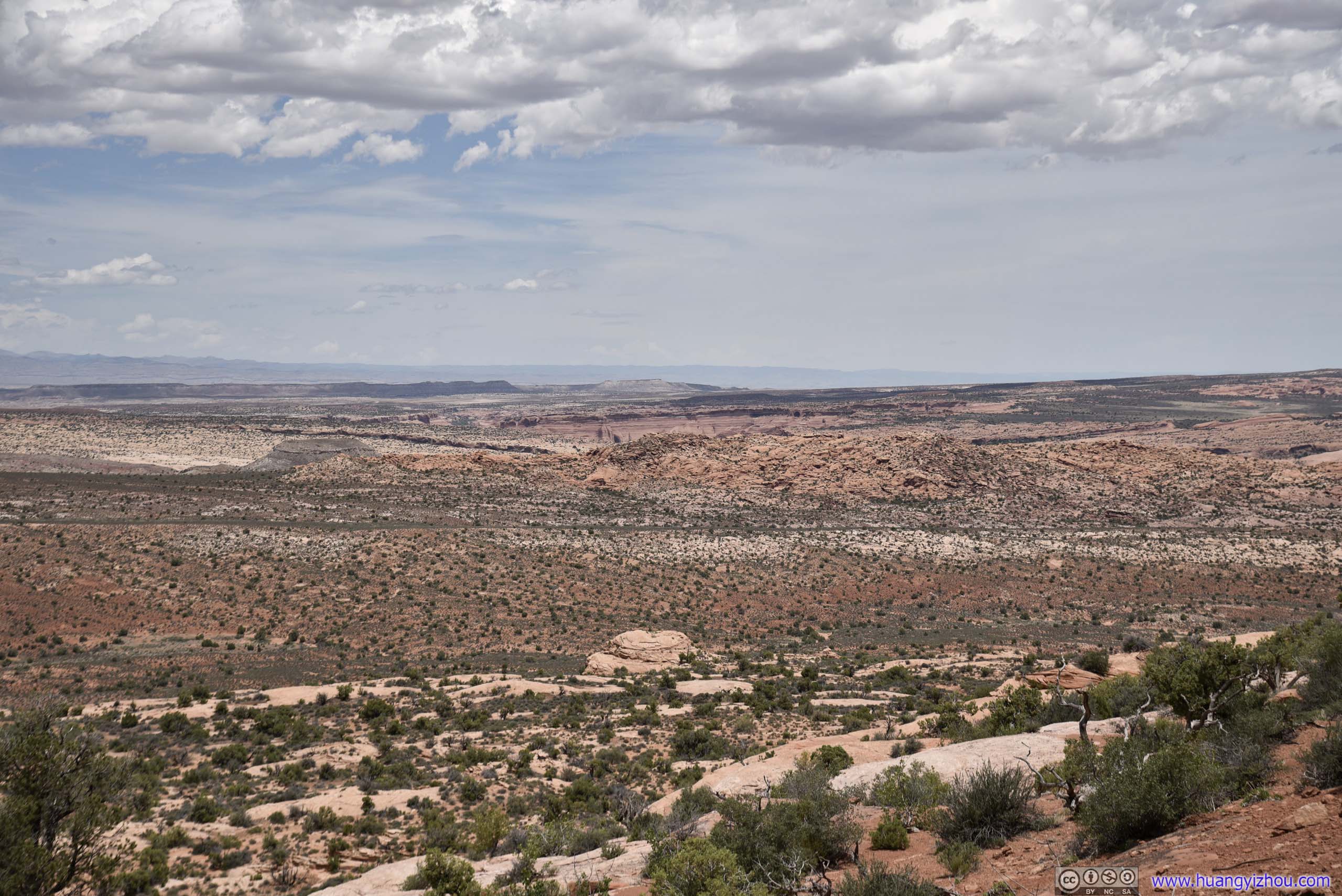
 Mesa
Mesa
Apart from a few off-roaders in ATVs, the area’s pretty desolate.

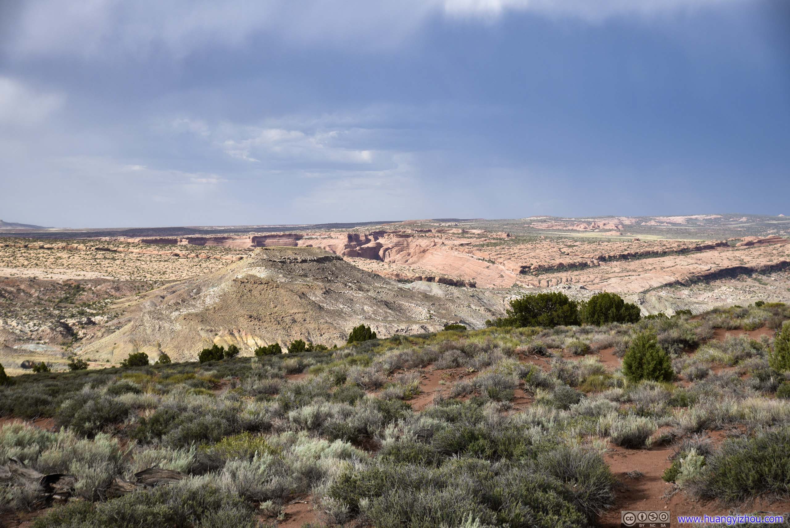
Distant Mountains
Mesas along Interstate 70 near Floy, Utah
Old Highway 6Abandoned and no longer maintained.

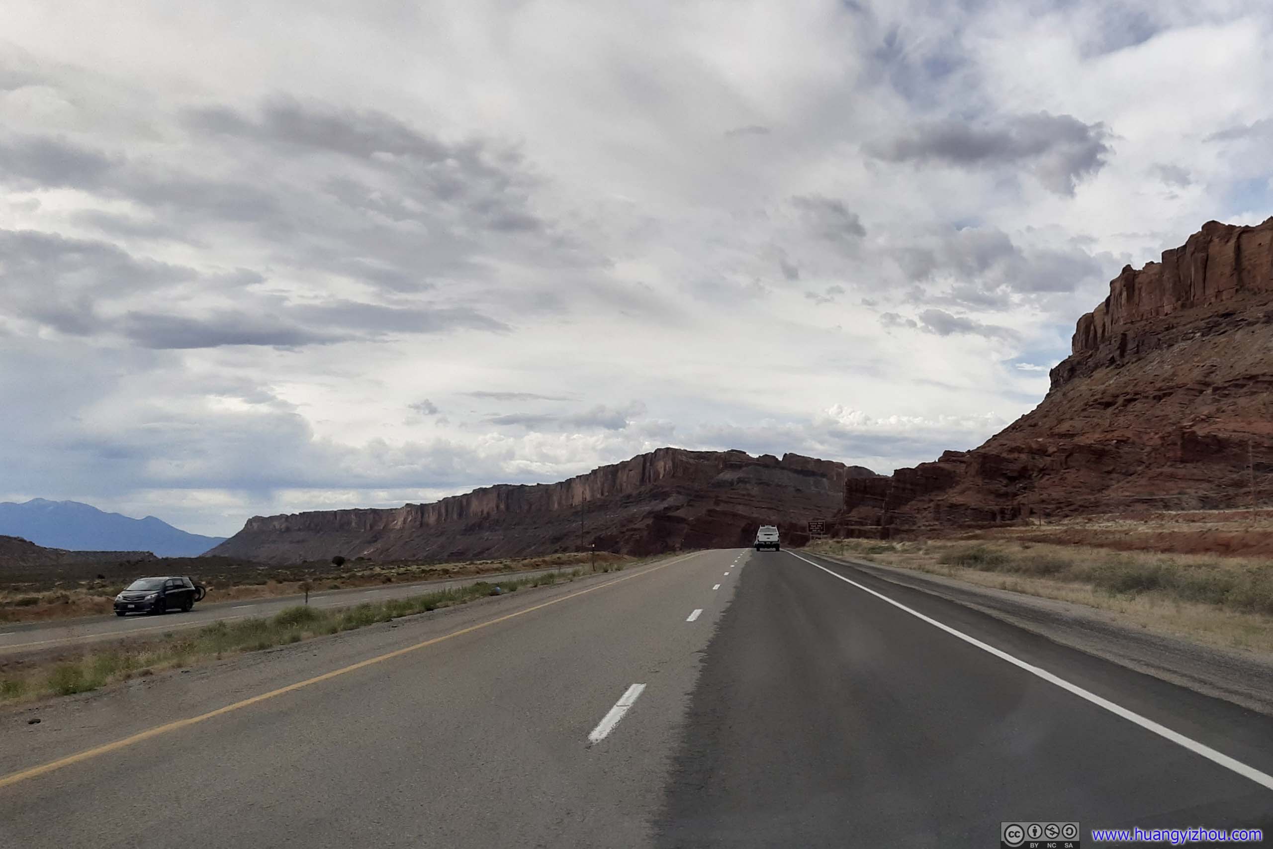
 Interstate 70
Railroad

Valley

 CreekOnly along which patches of trees could survive.
Interstate 70 near Floy, Utah
And here’s my drone footage:
 Country Road
Arches National Park
Finally, the star of the day. Arches National Park contains the highest density of natural arches in the world, with more than 2000 of them scattered across the park.
Because of COVID, during the first few days of reopening Arches and Canyonlands National Parks waived entrance fees.
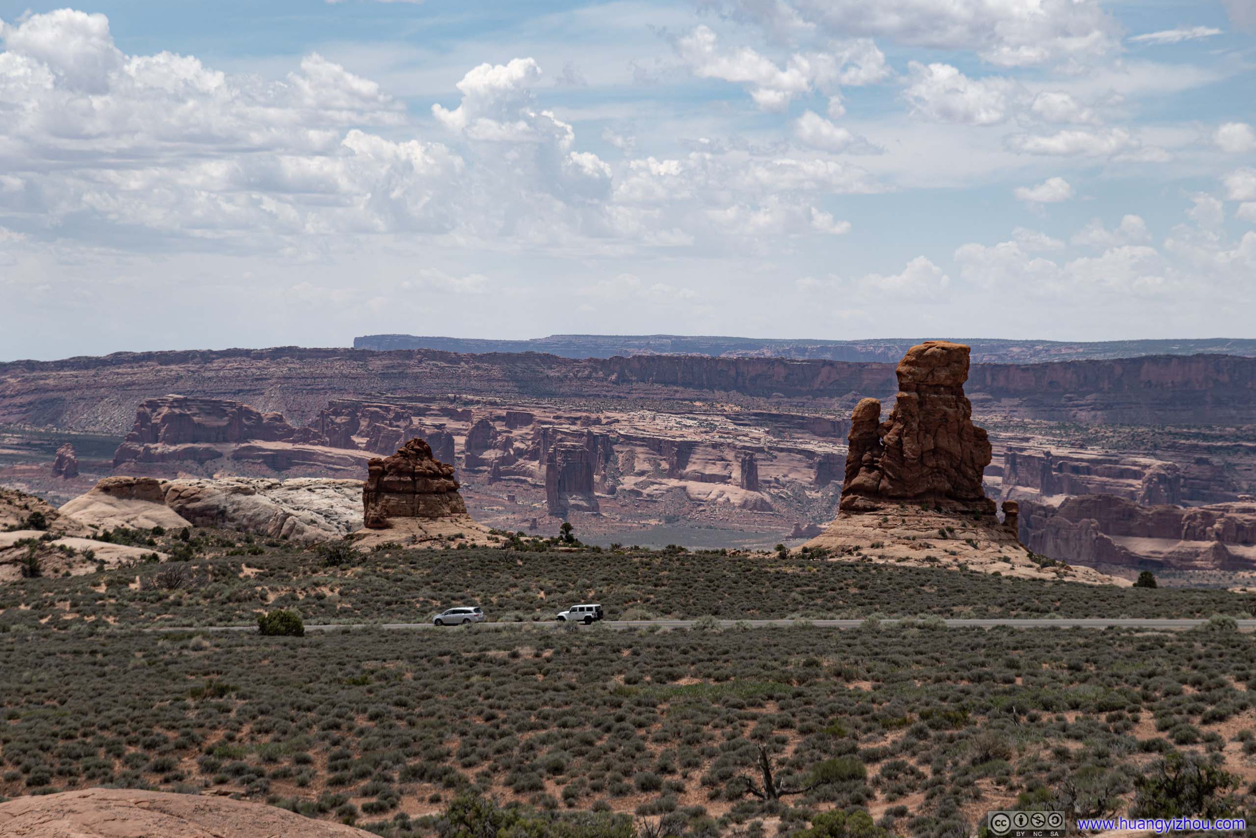
Roadside Turnouts
I made a few stops along the way before reaching the Windows area.
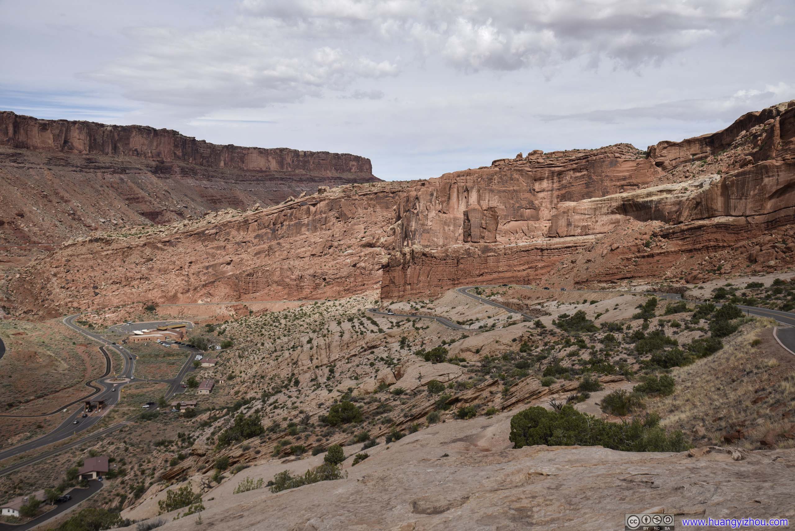
Moab Fault
This one’s not too far from the entrance as the park road wound its way up the mountain. The valley Route 191 passed through was made of two crust layers cracking into each other.
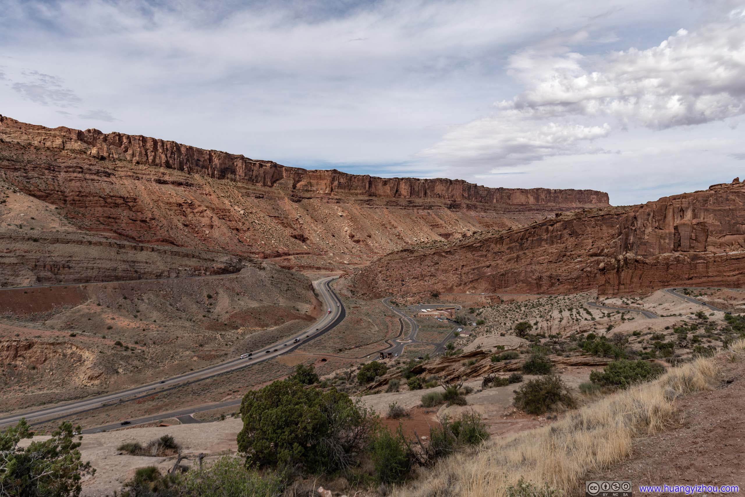
Moab Fault
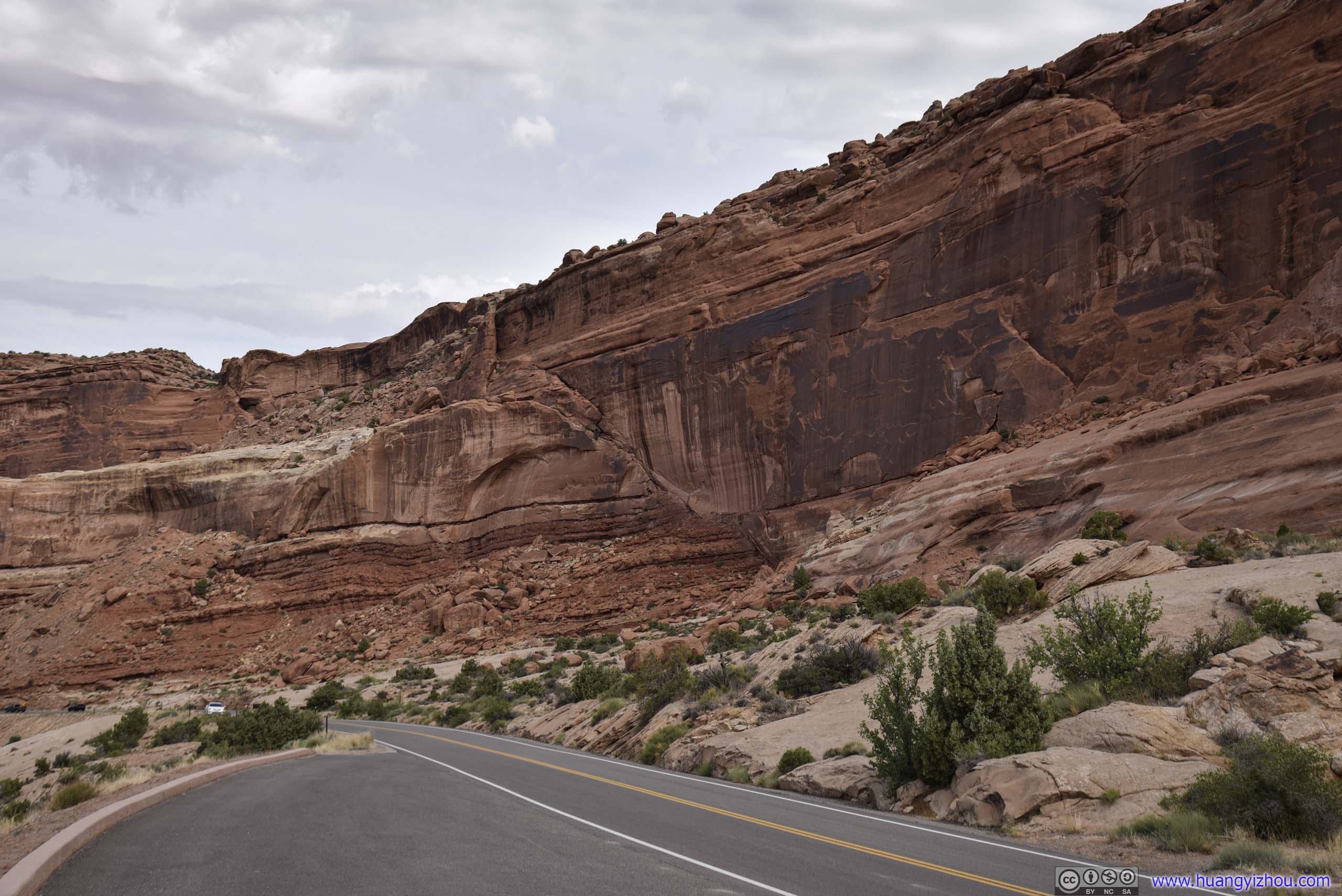
 Entrada Sandstone Layer
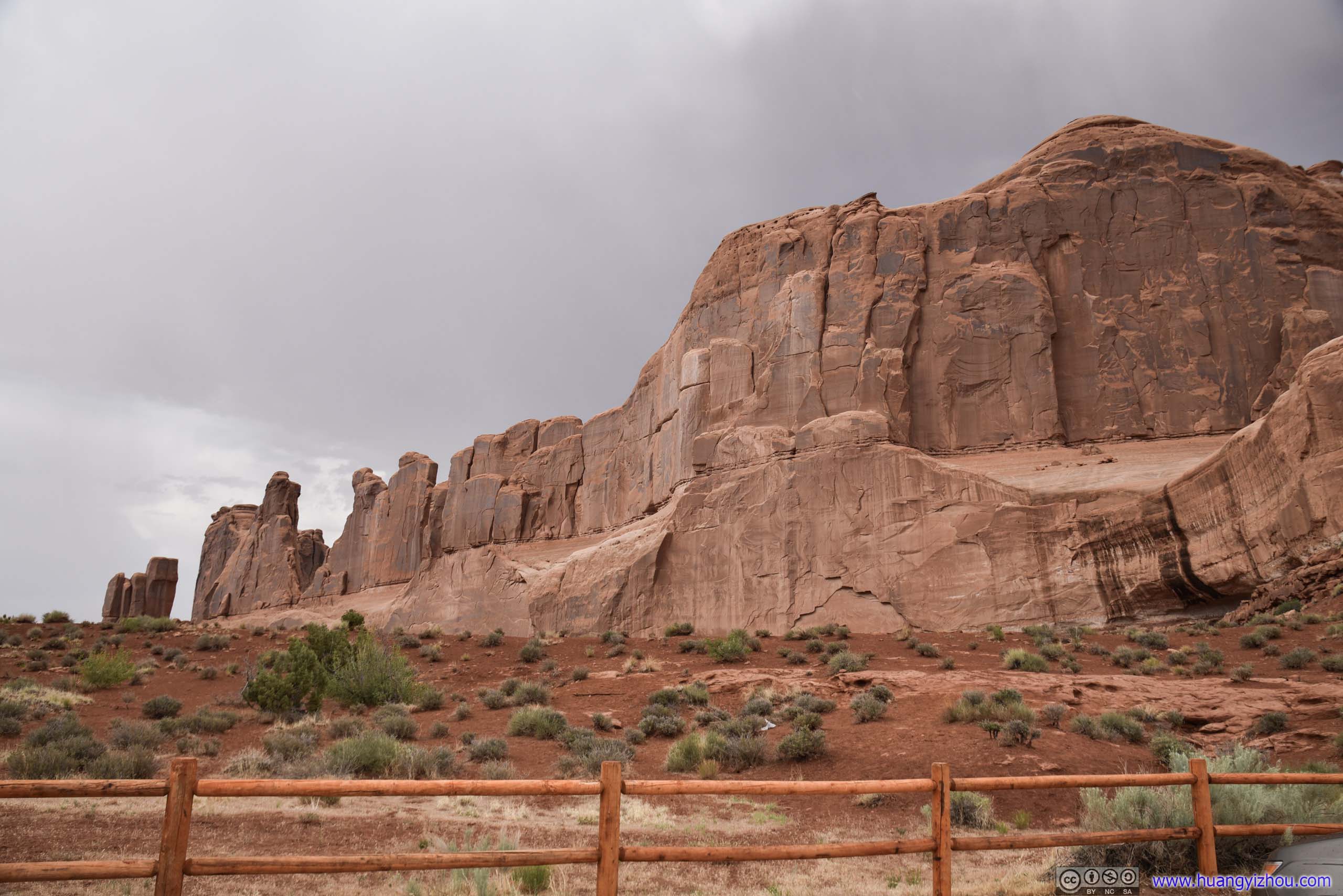
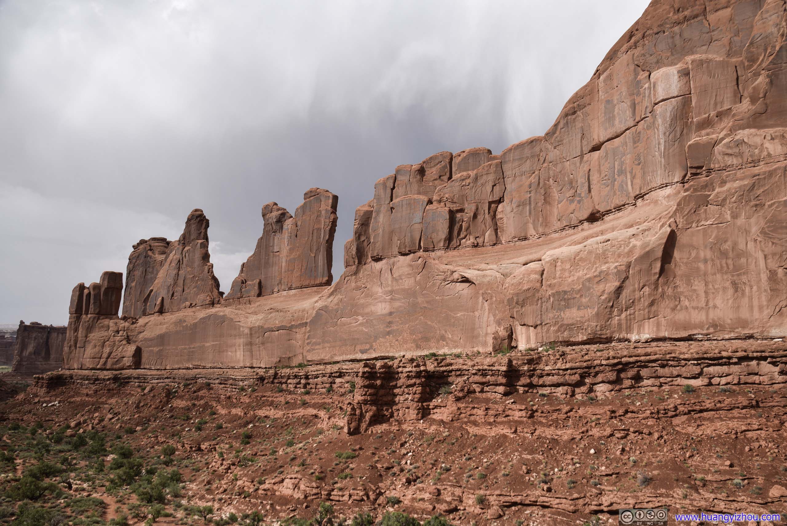
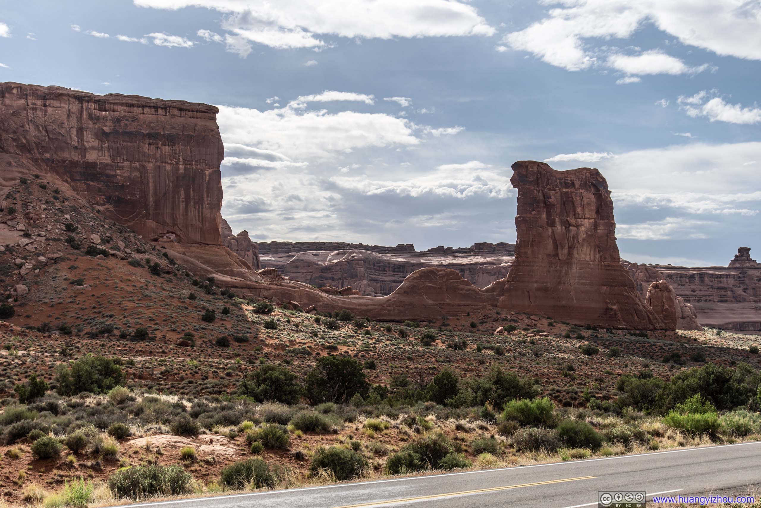
Park Avenue Roadside
This is a nameless roadside turnout as the park road made its way around Park Avenue, a series of soaring rock slabs.
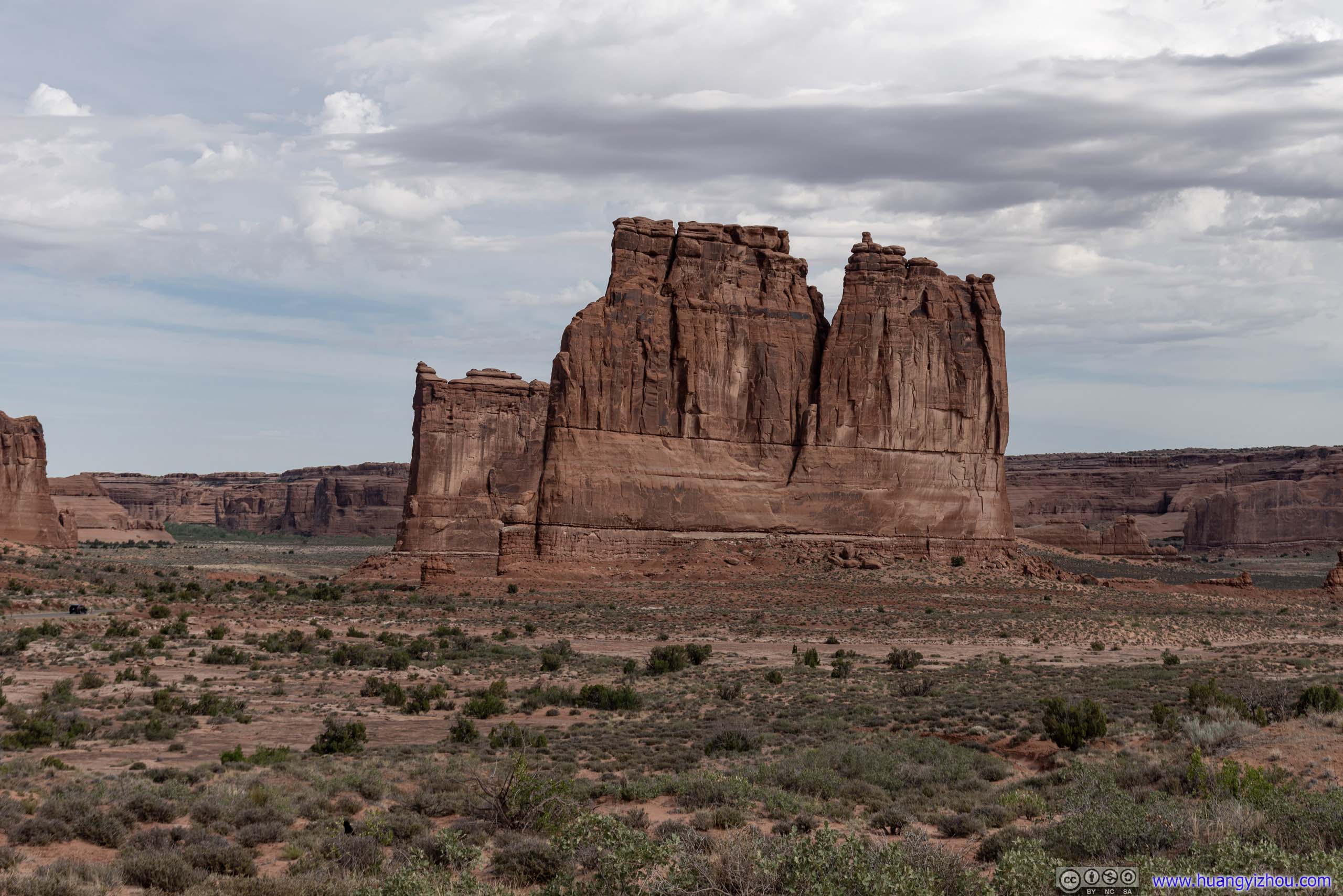
The Organ
Three Gossips

Bird
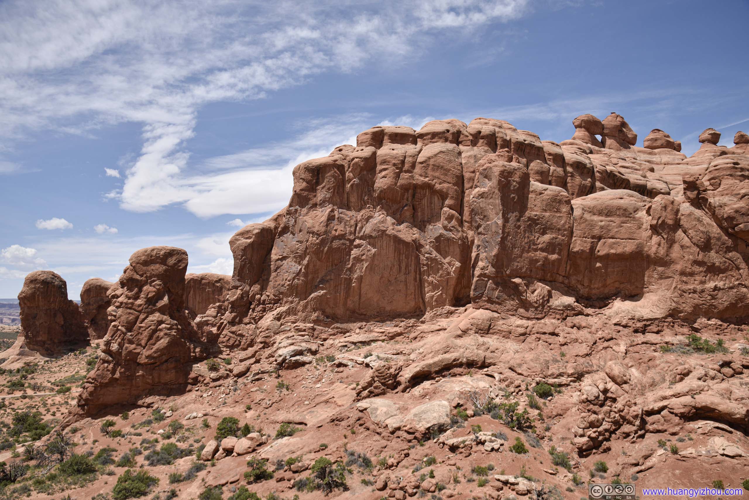
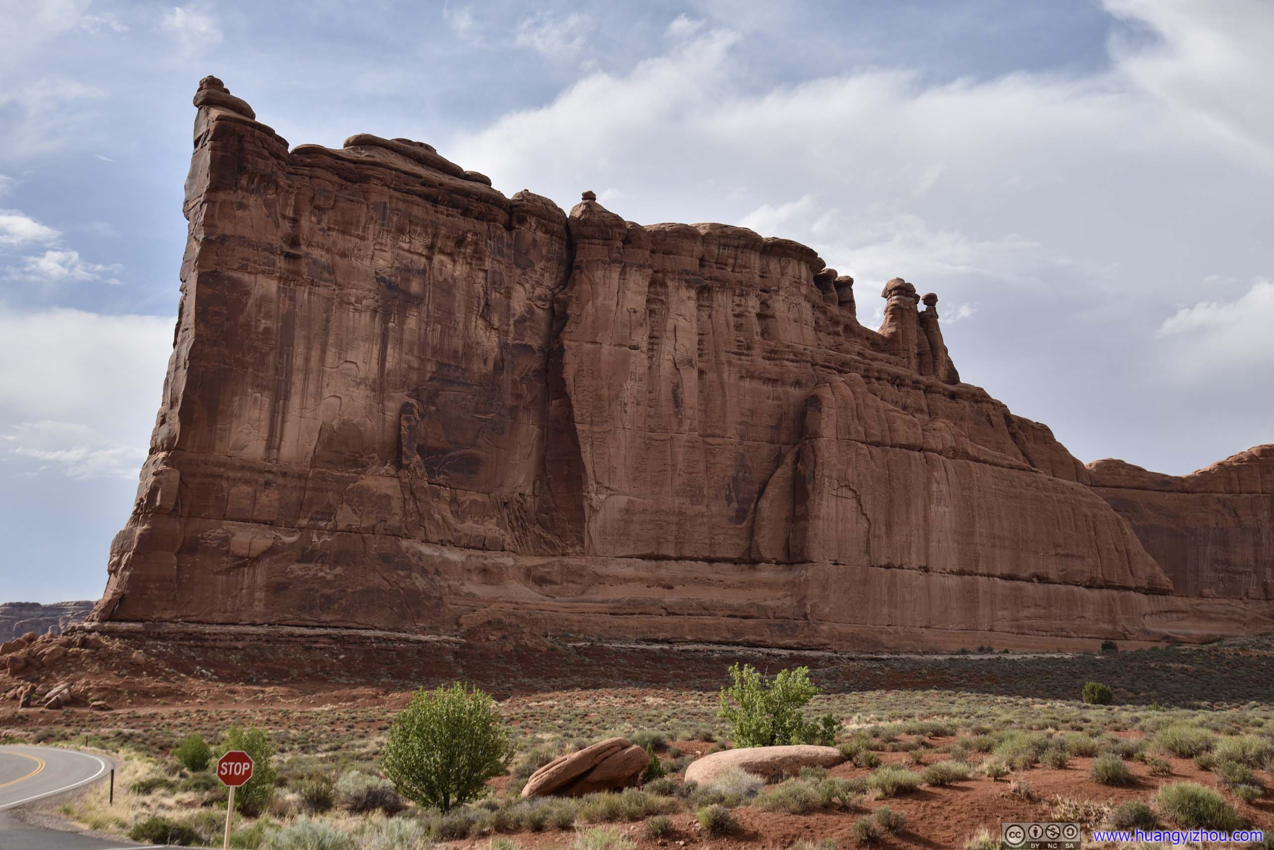
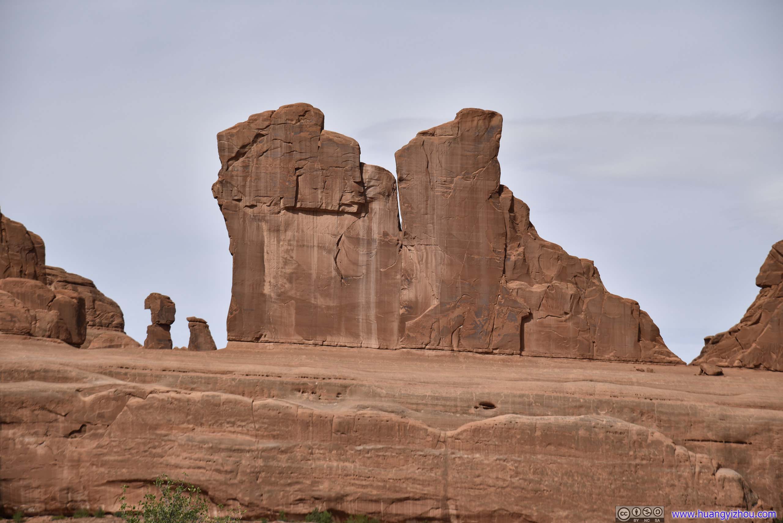 Rocks of Park Avenue
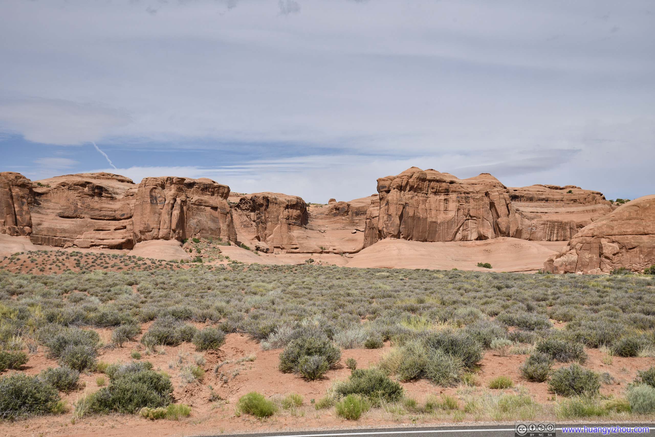
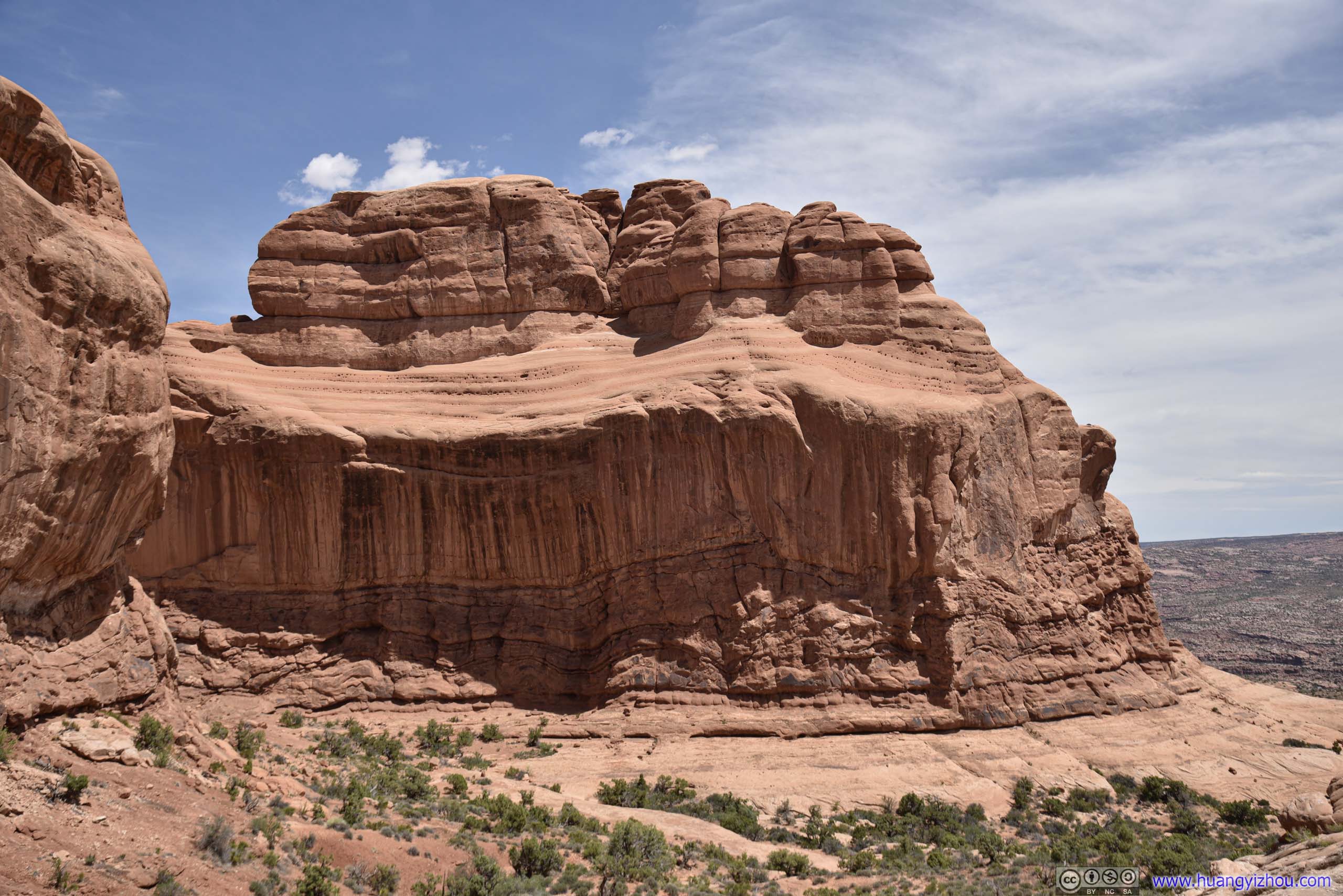
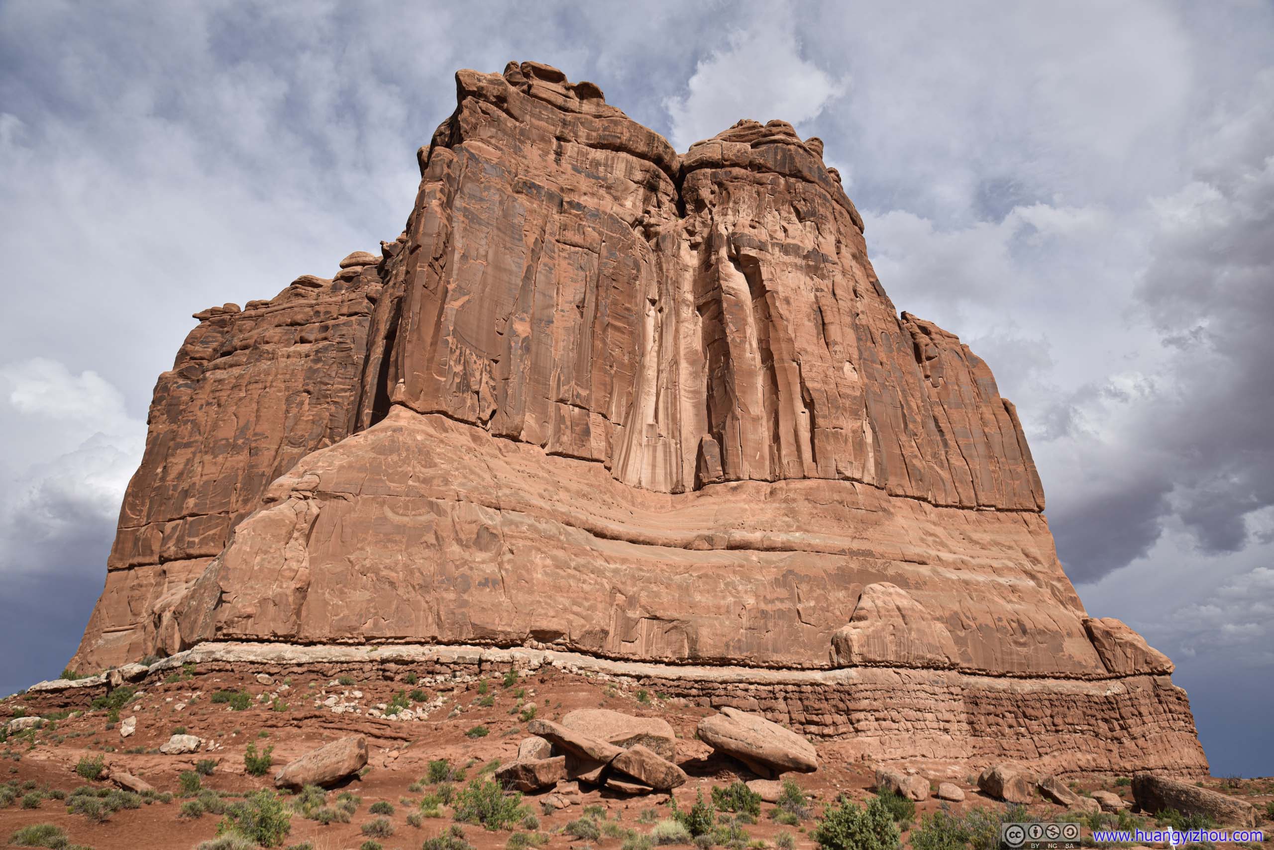
Cemented Sand Dunes
 Rocks along Road
 Cemented Sand Dones
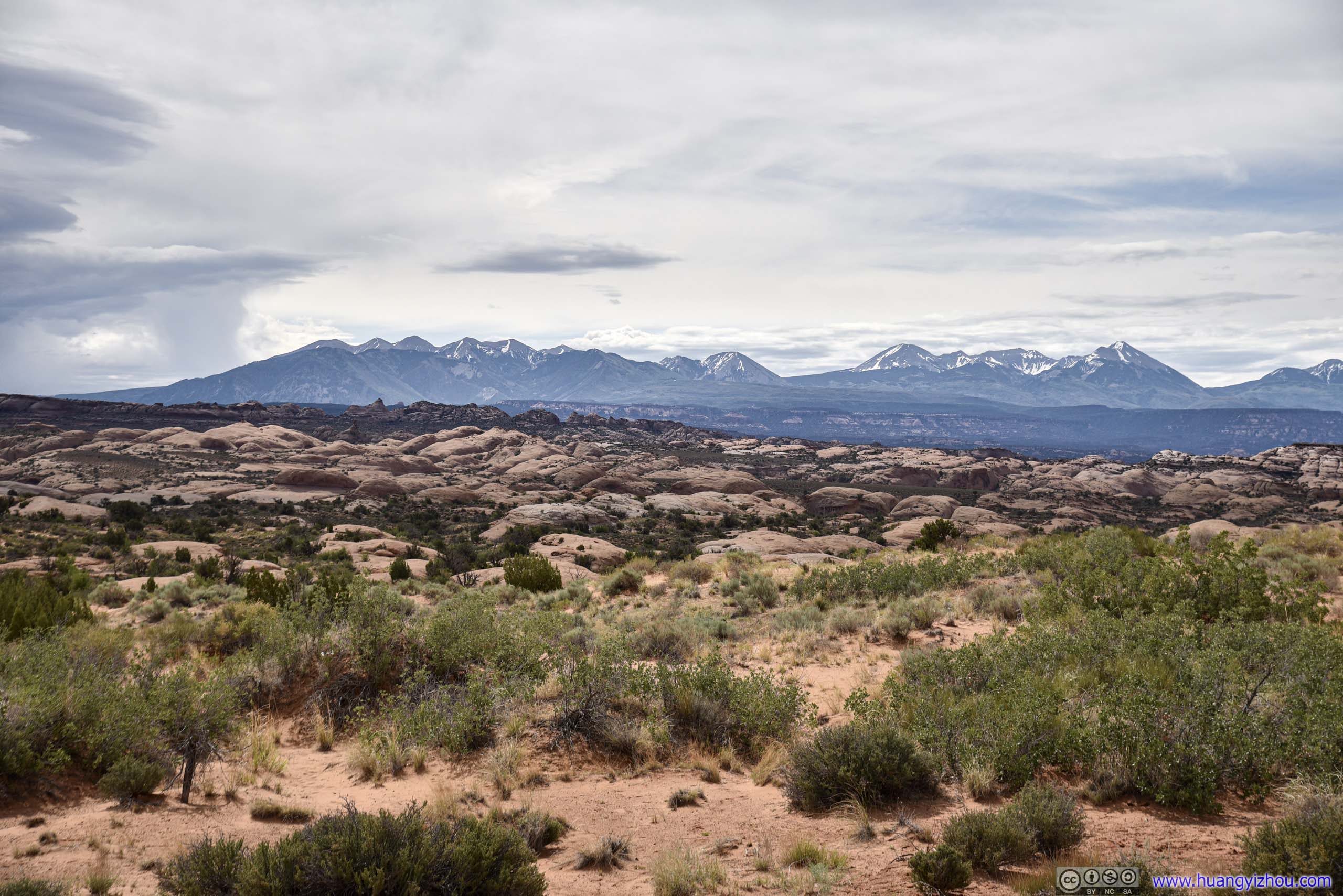
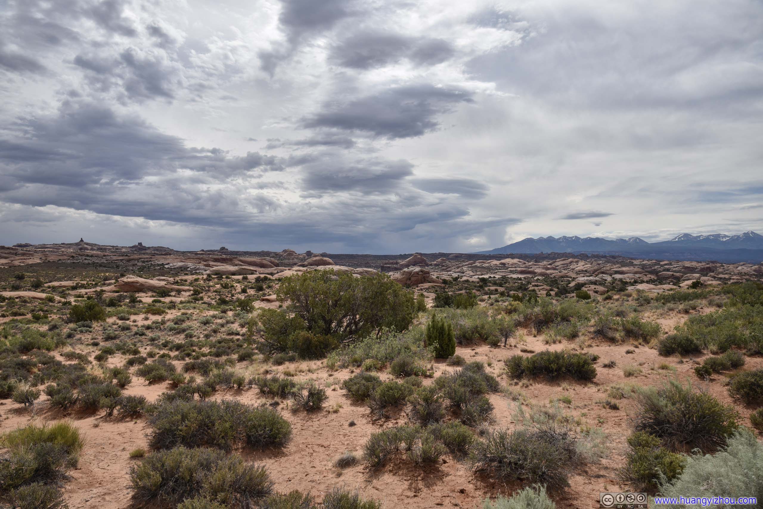
La Sal Mountains
Distant Rocks of Elephant ButteWhere I was heading next.
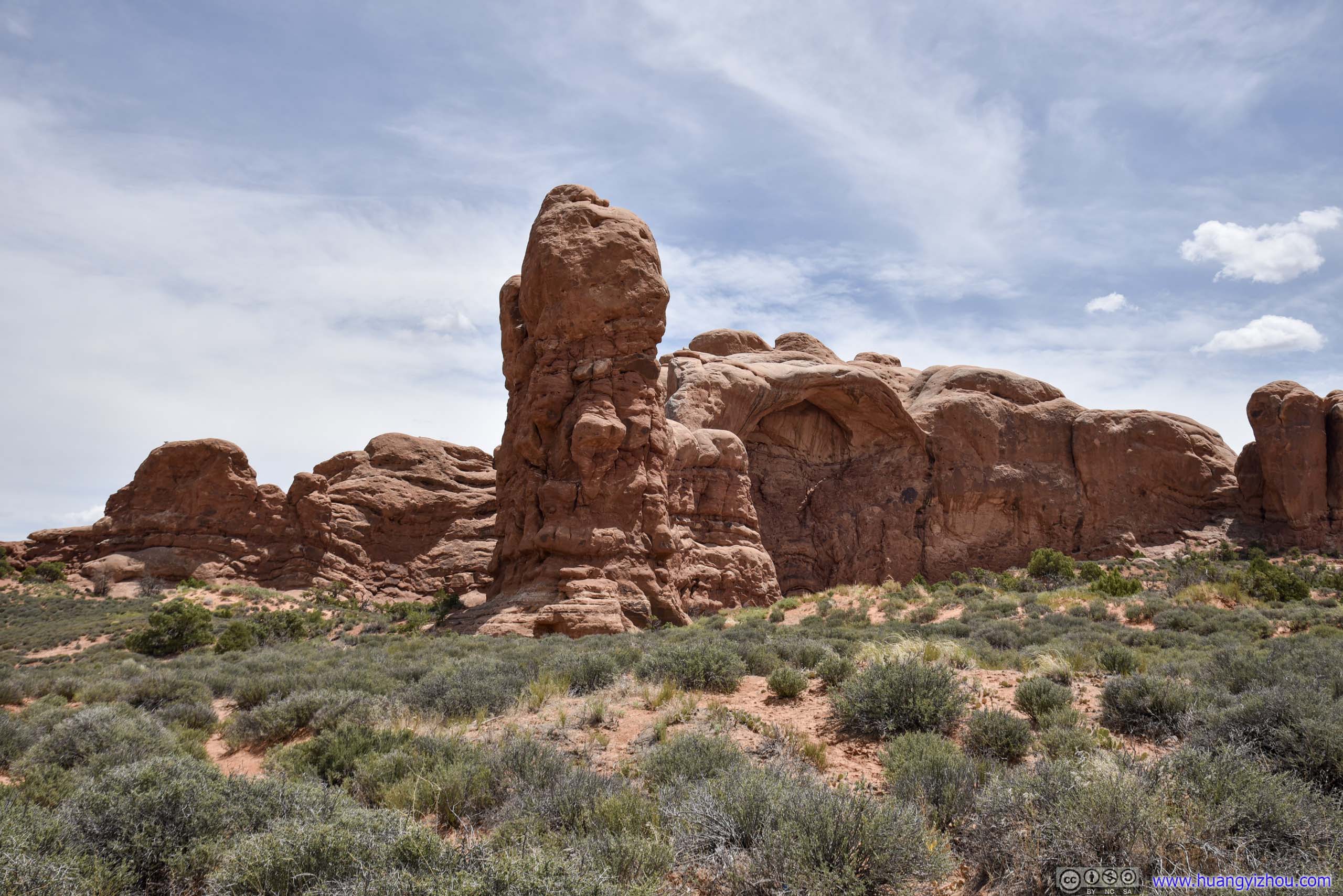
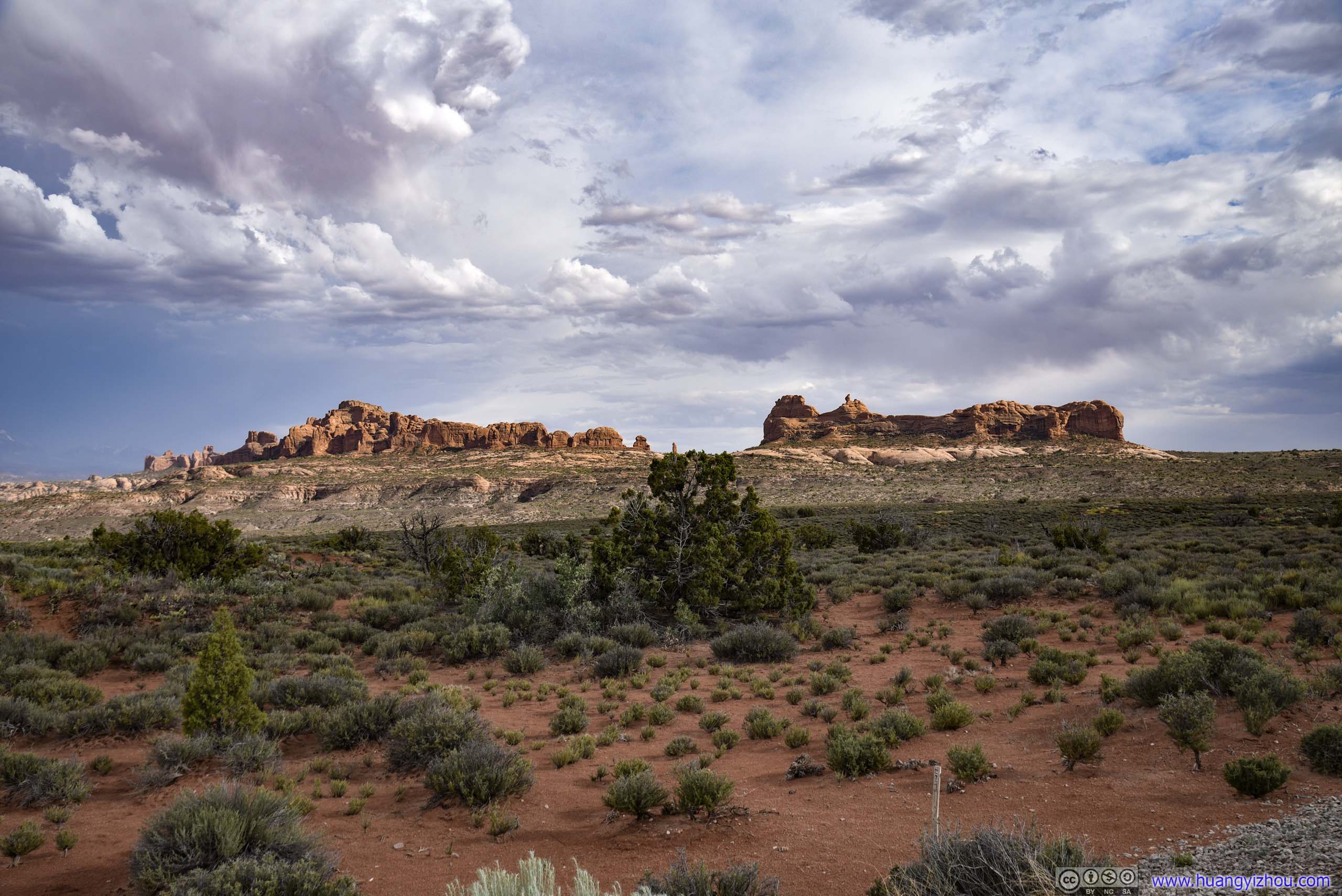
Windows Area
One of three clusters of attractions in the park (the other two being Delicate Arch and Devils Garden).
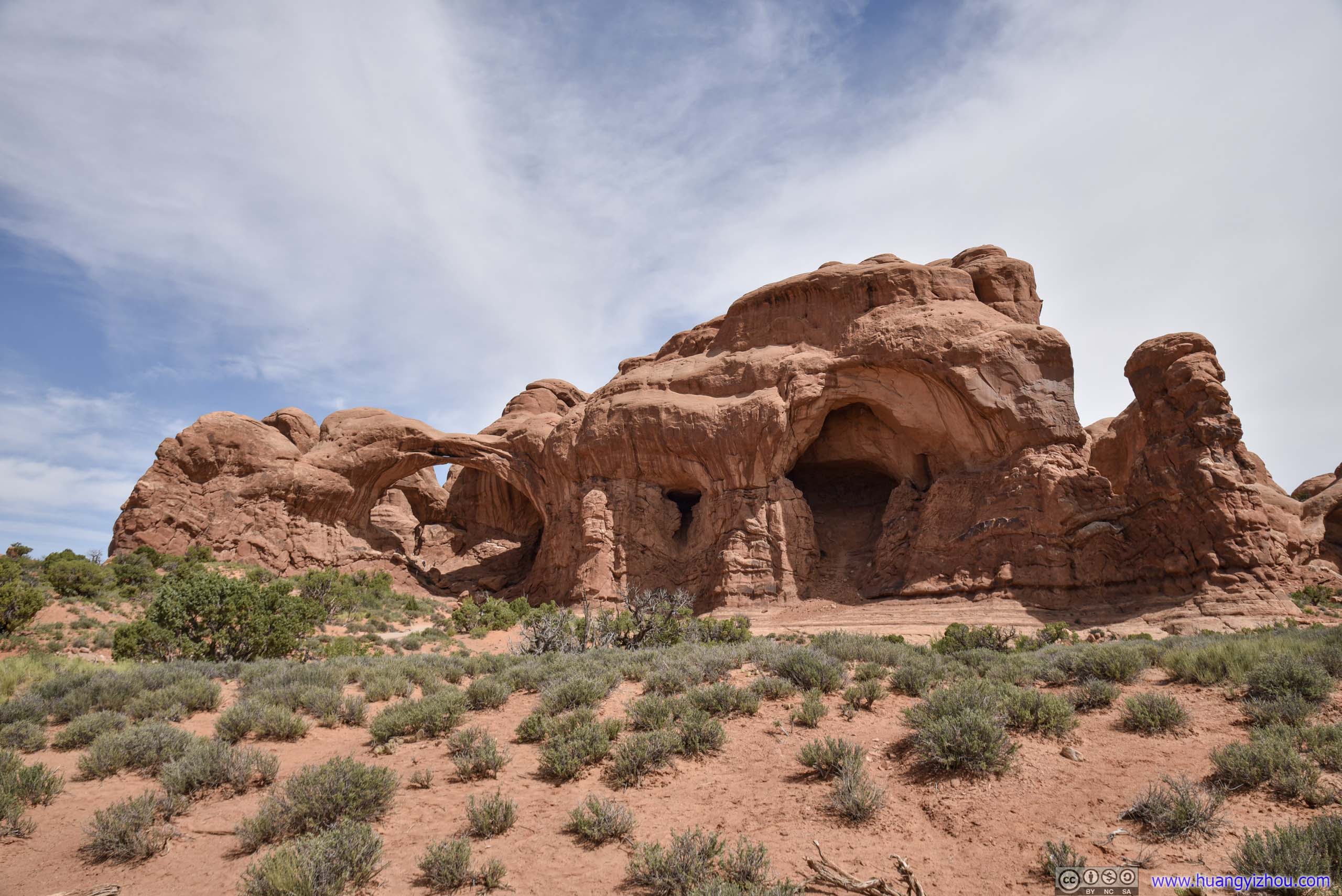
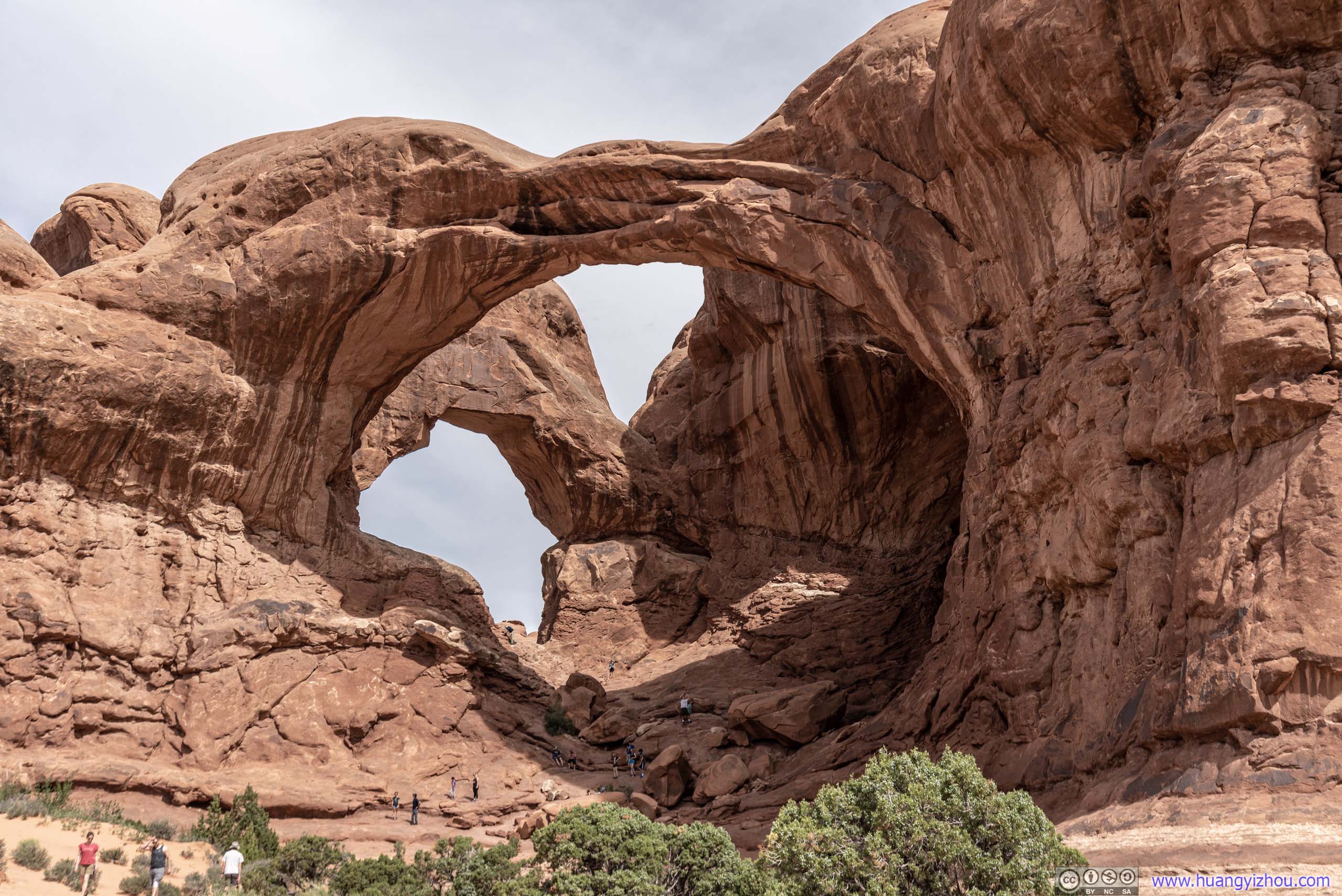
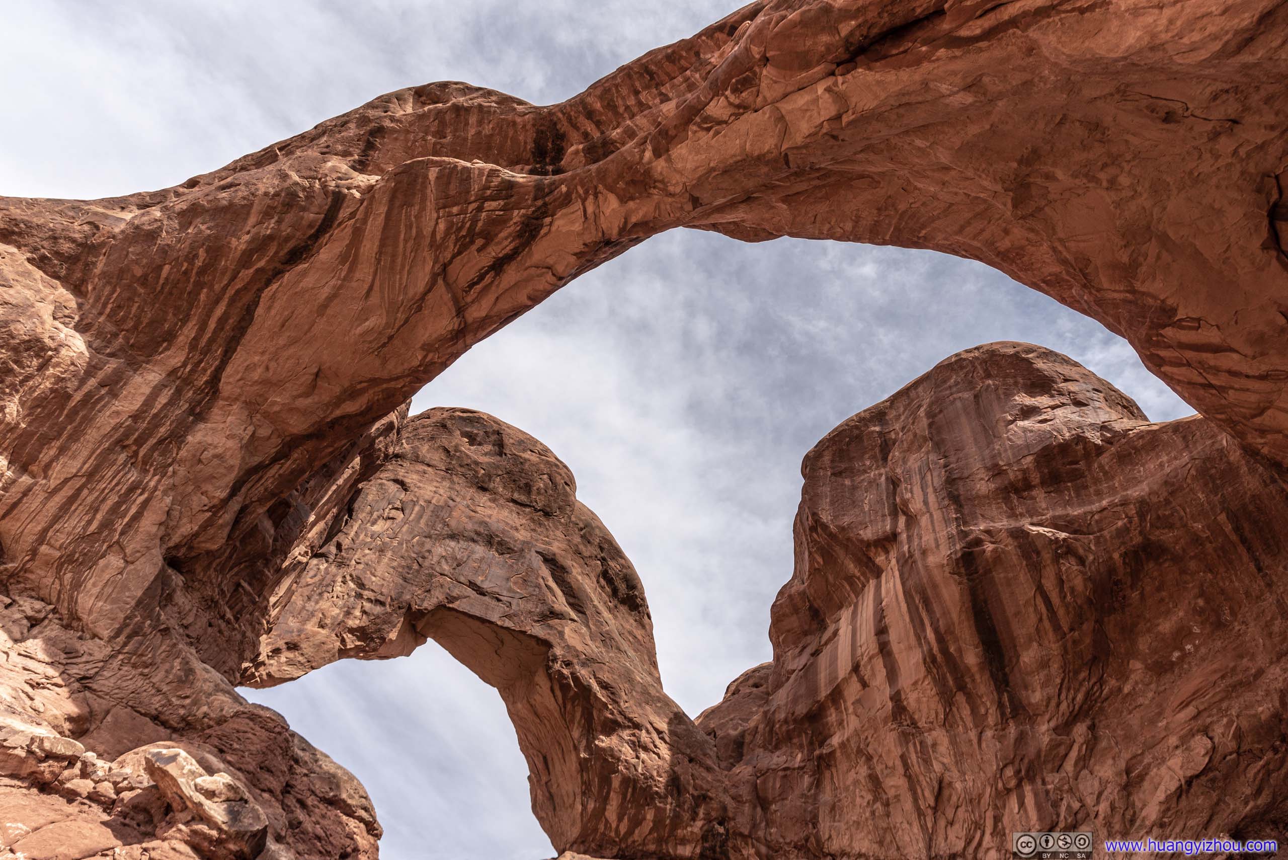
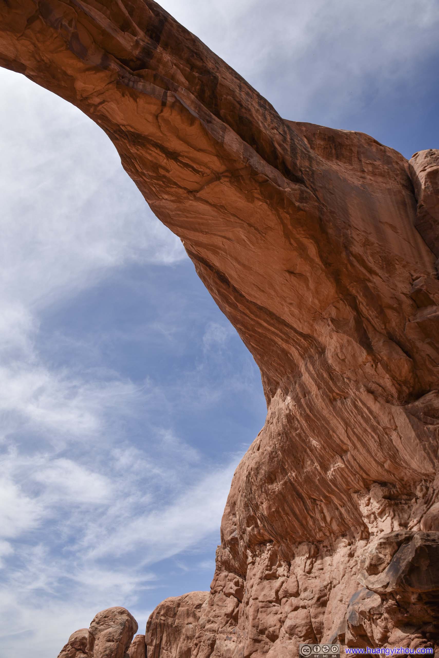
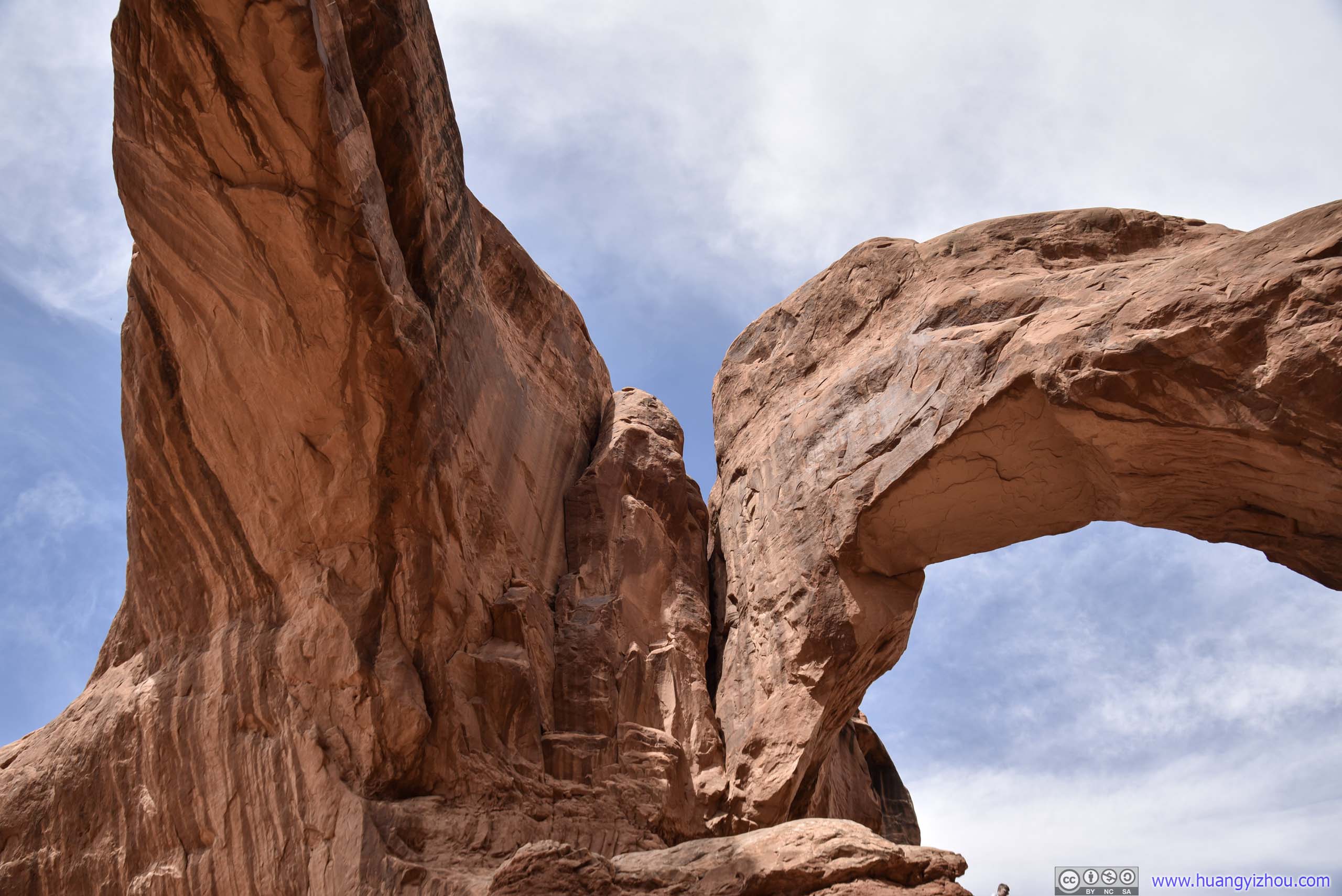
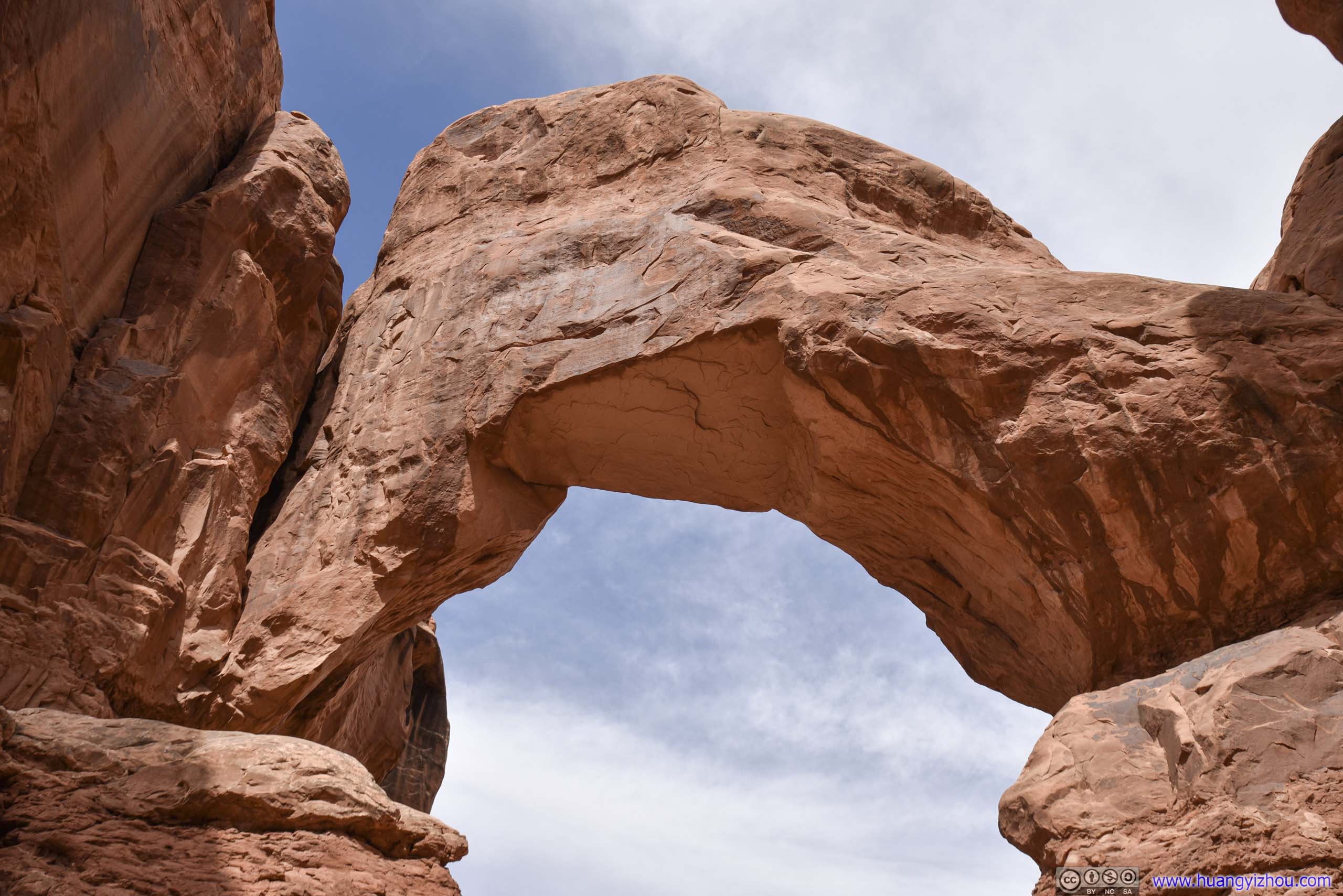
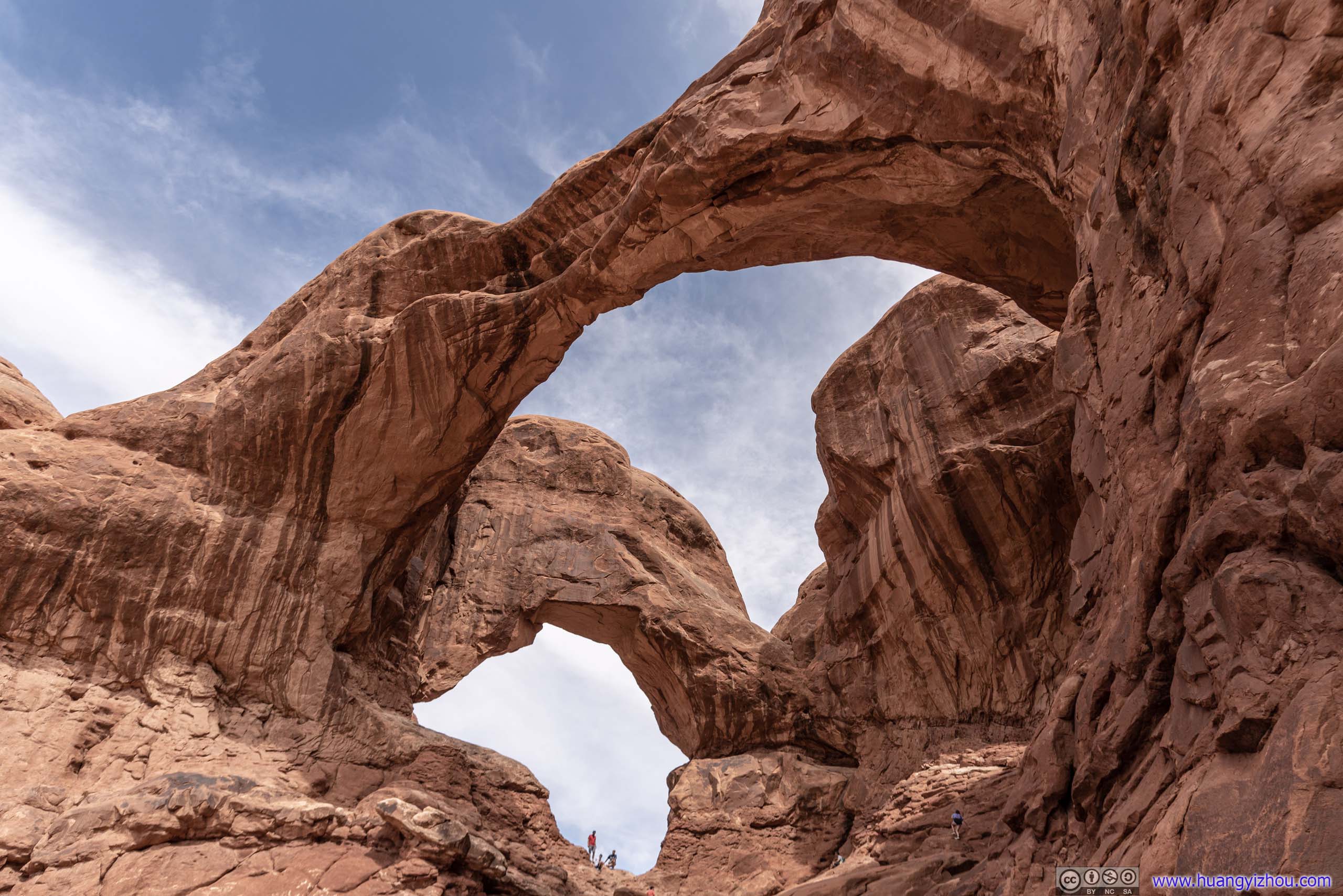
Double Arch
Located just 400 meters from the parking lot was “Double Arch”, the first set of arches that I visited for the day. It’s so named because the two arches share the same stone as the foundation for their legs. It’s formed by downward water erosion from atop the sandstone.
 Rocks
Rocks
 Double Arch

 Arch
Arch
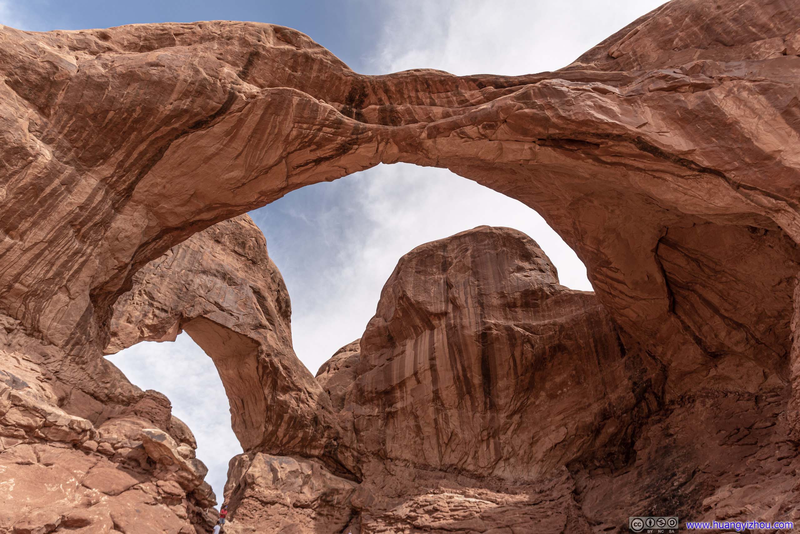
The final stretch to Double Arch was steep and involved (non-technical) climbing. After which one was rewarded with this view:
View from Double Arch

Rocks across Parking Lot
Arch
 Double Arch
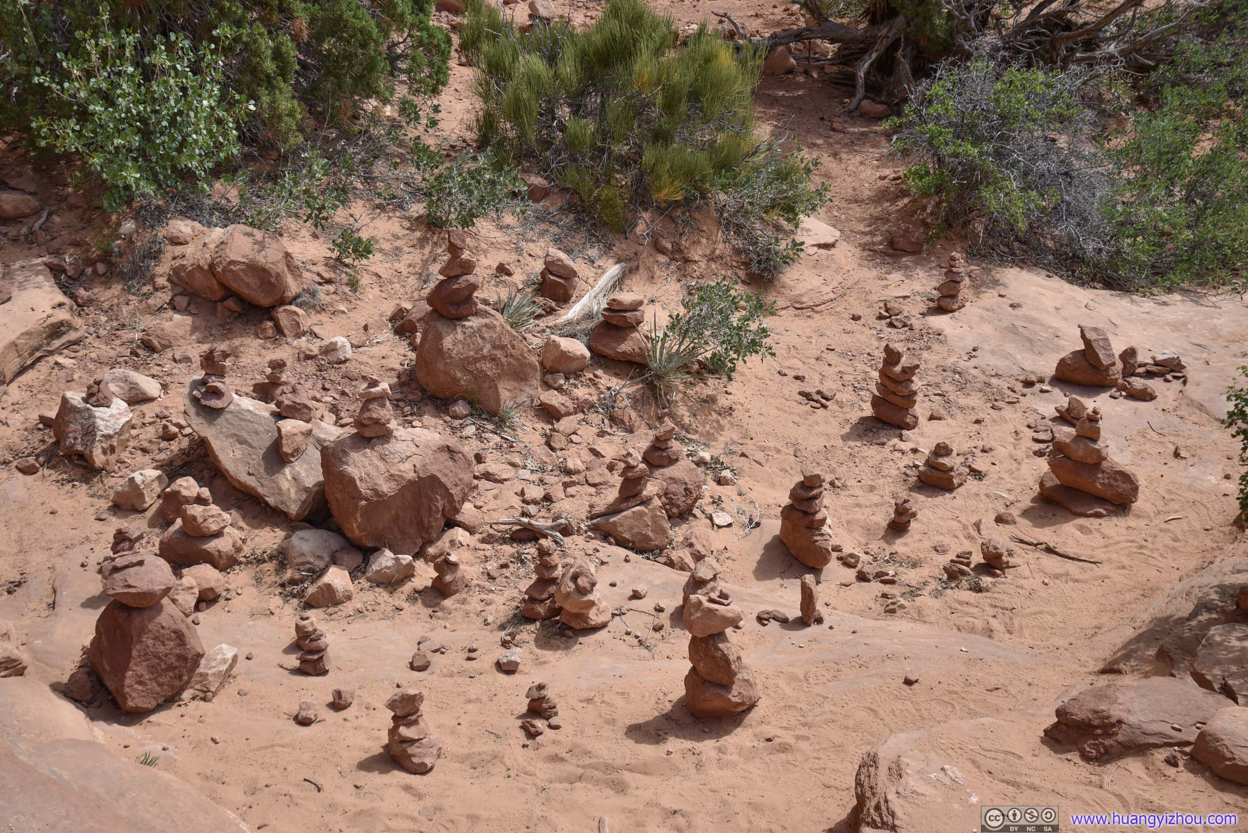
Cairns
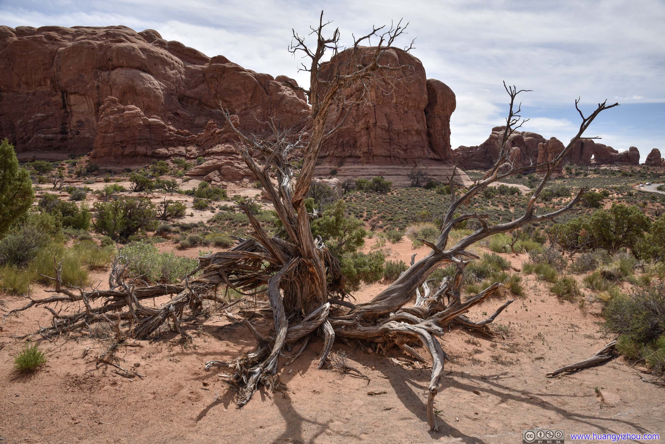
 Dead Tree

 Rocks
Rocks
Parade of ElephantsOn the side of the trail opposite to Double Arch.
I was having a hard time making sense of the name “Parade of Elephants”. To me these rocks didn’t look like elephants at all.
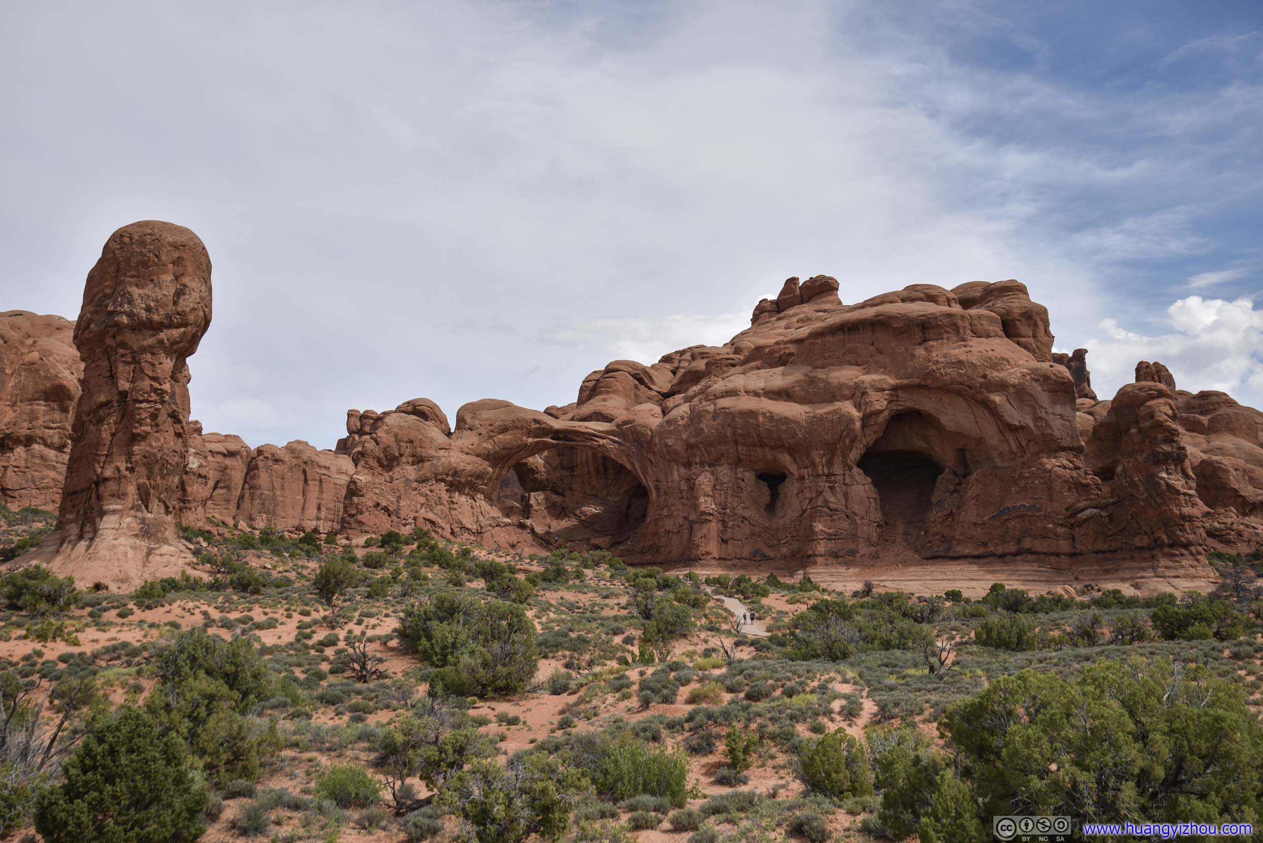
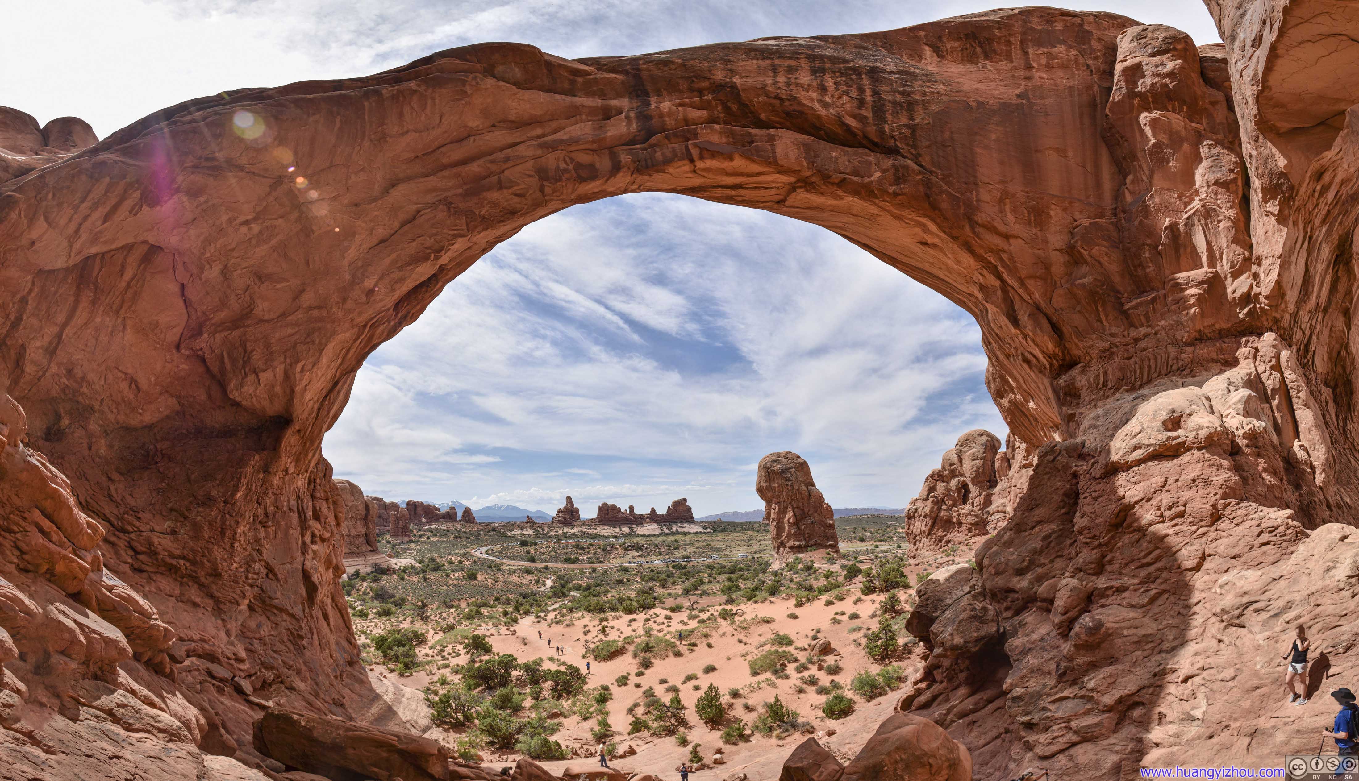
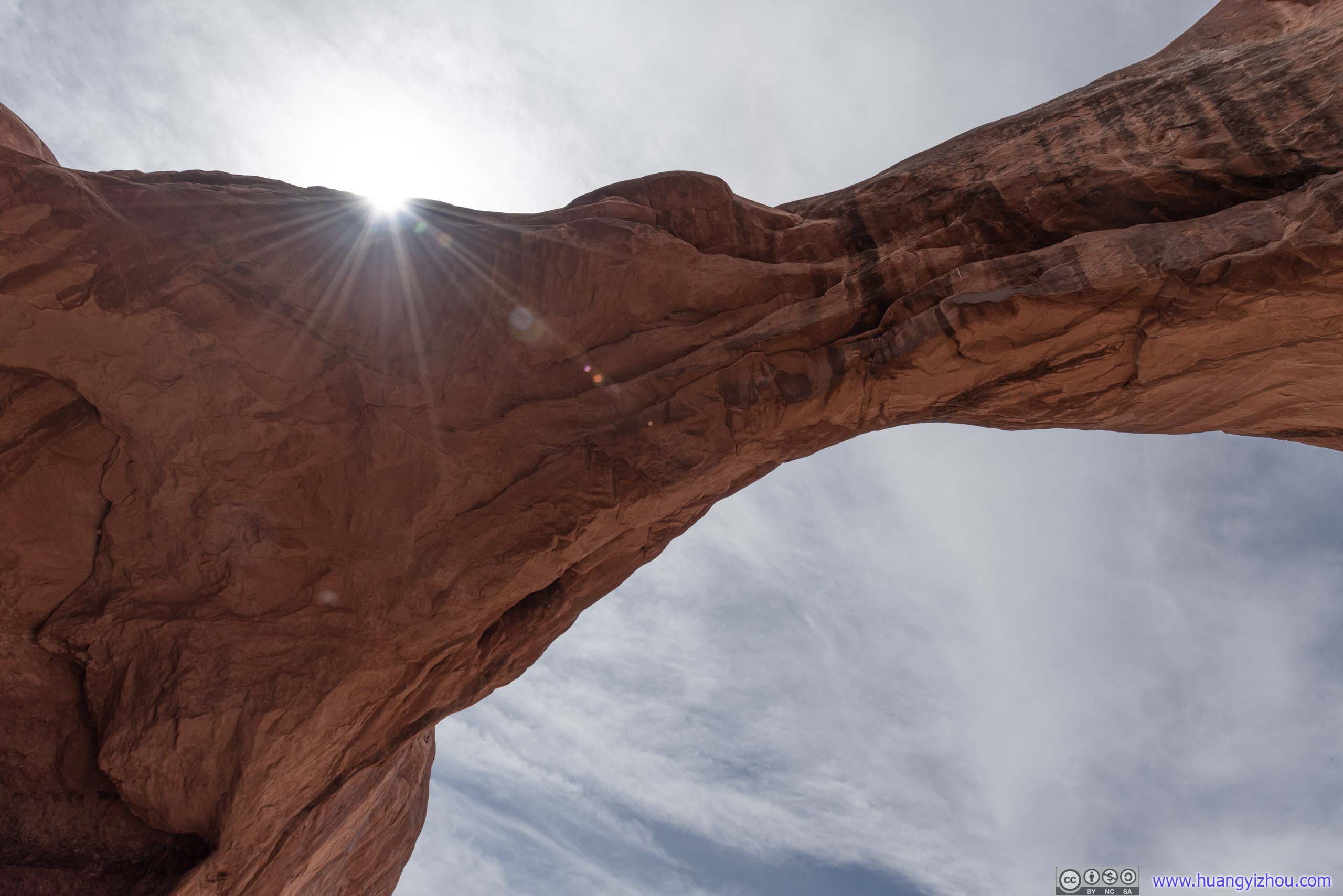
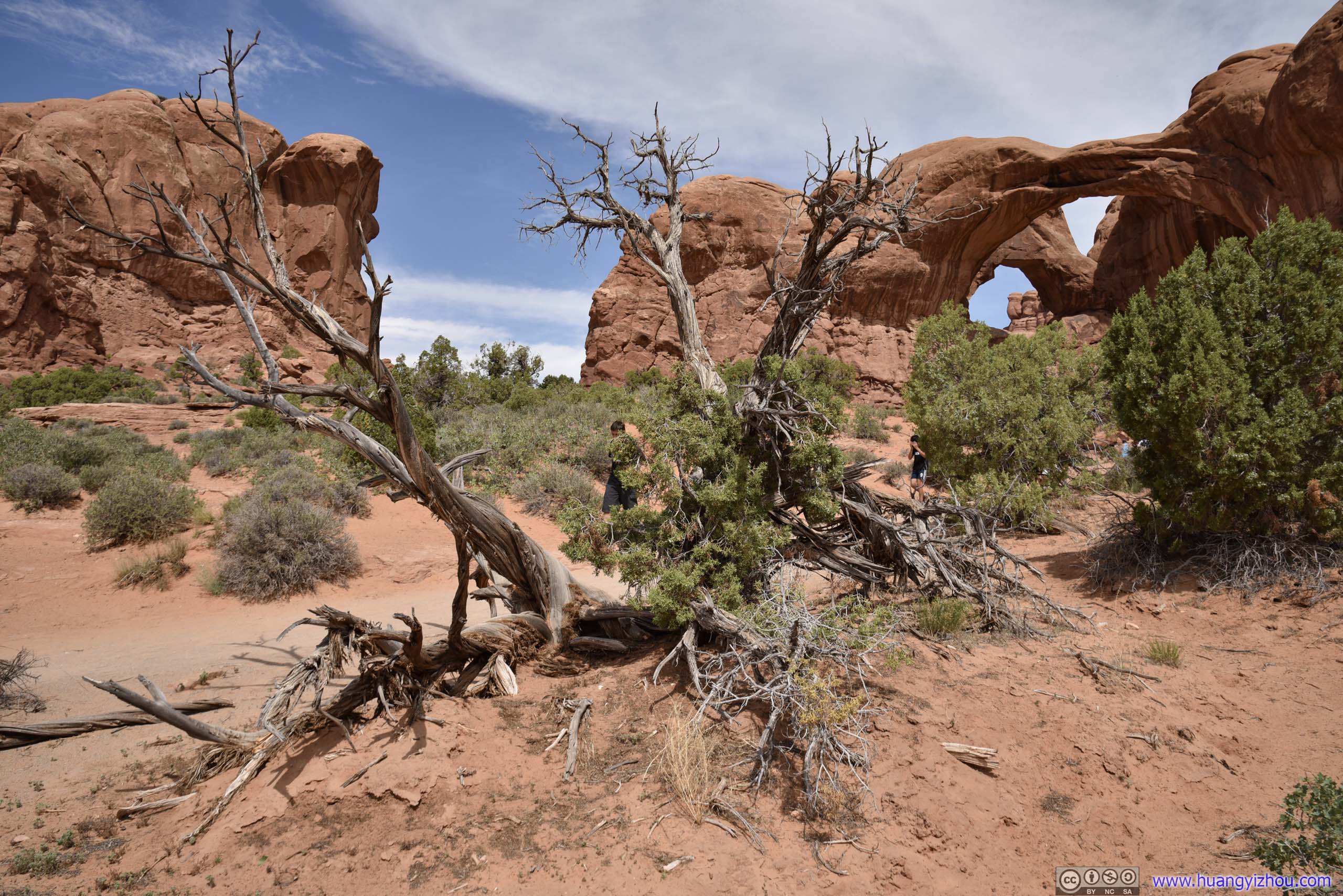
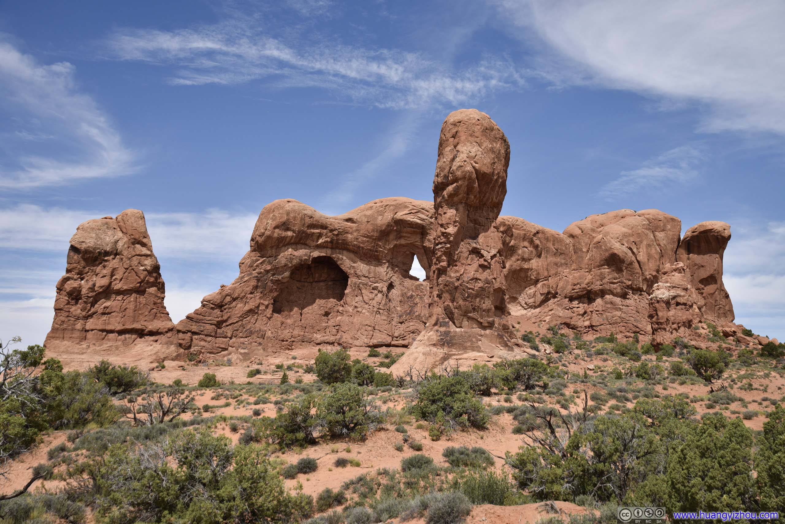
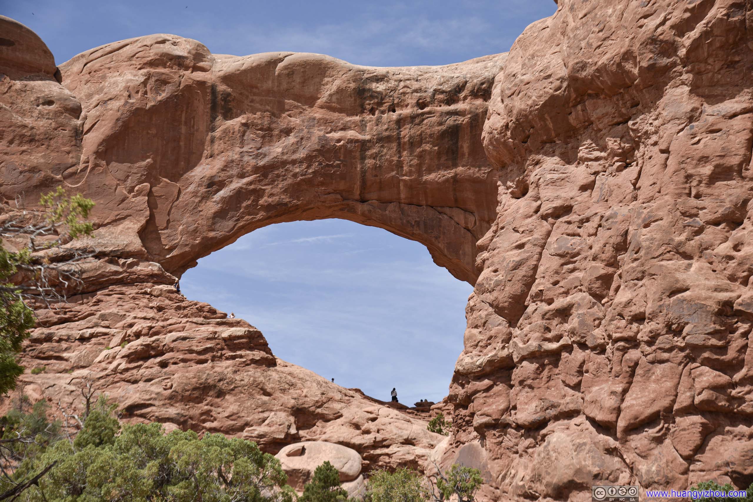
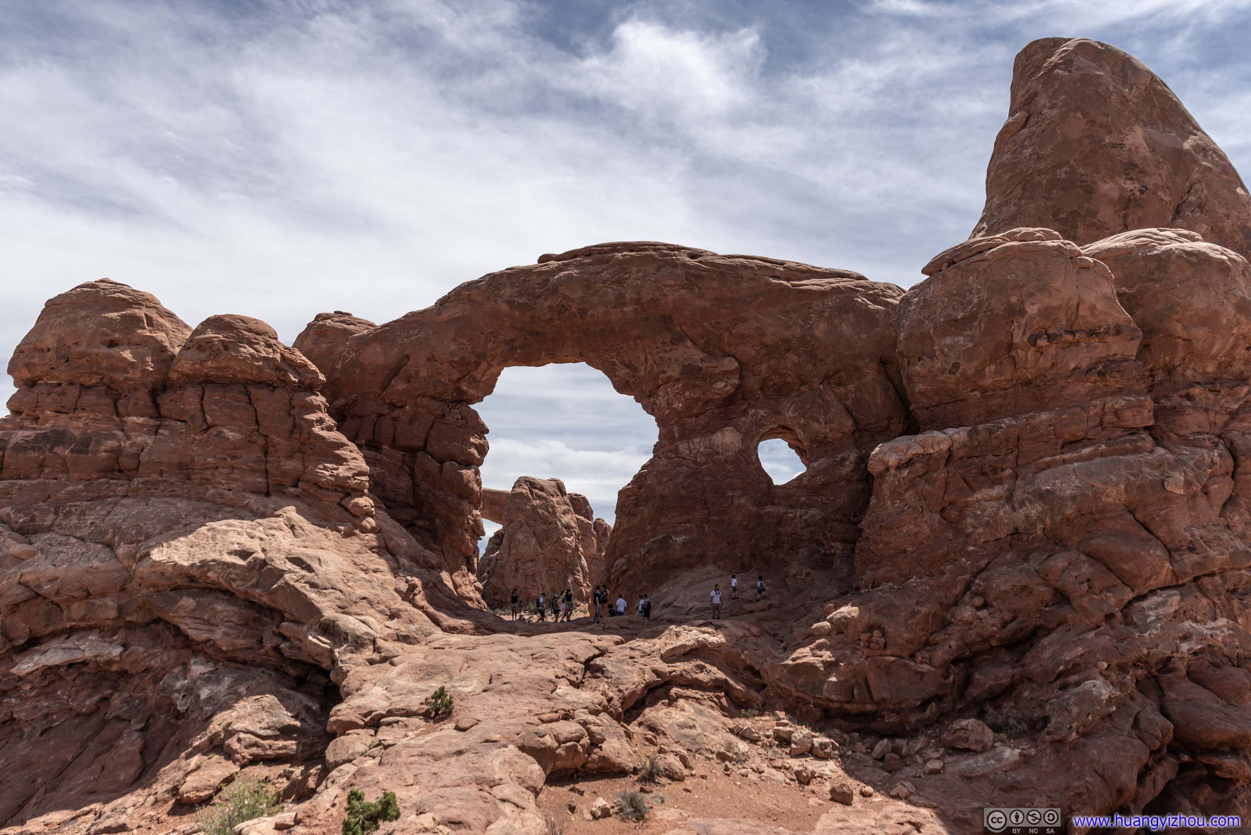
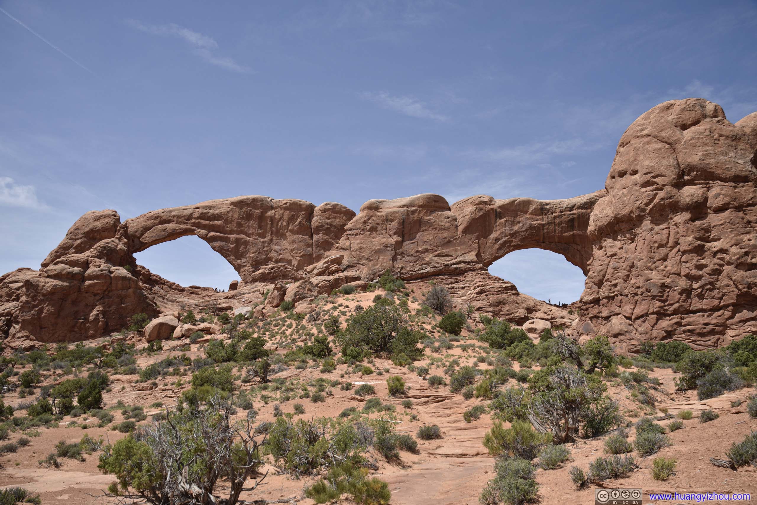
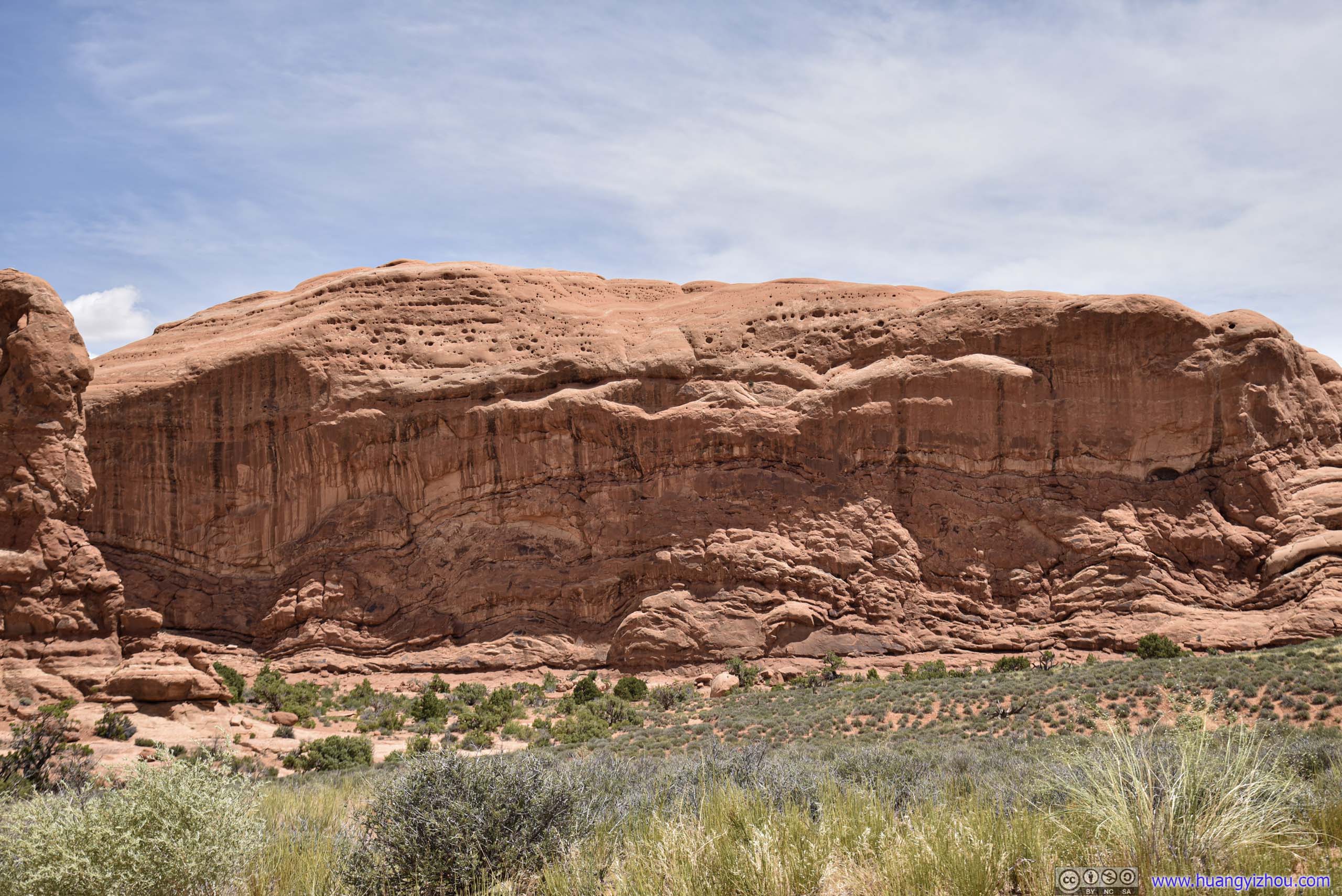
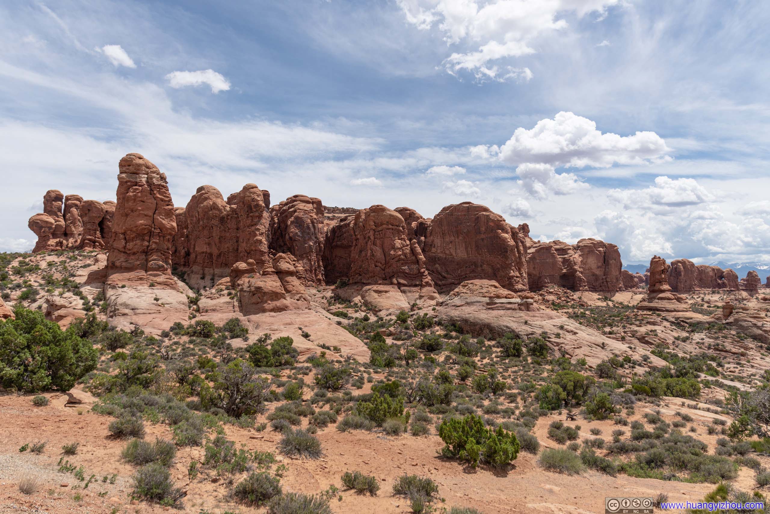
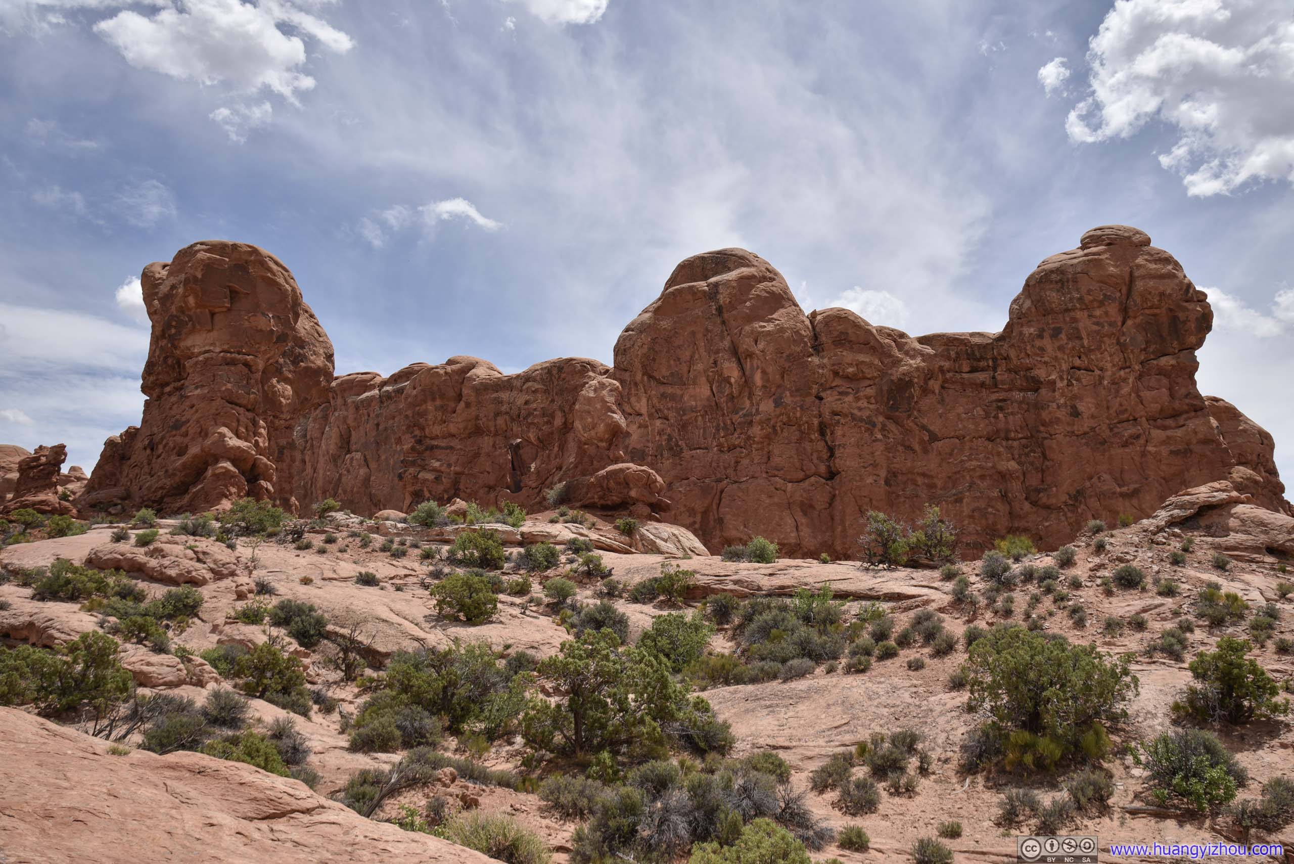
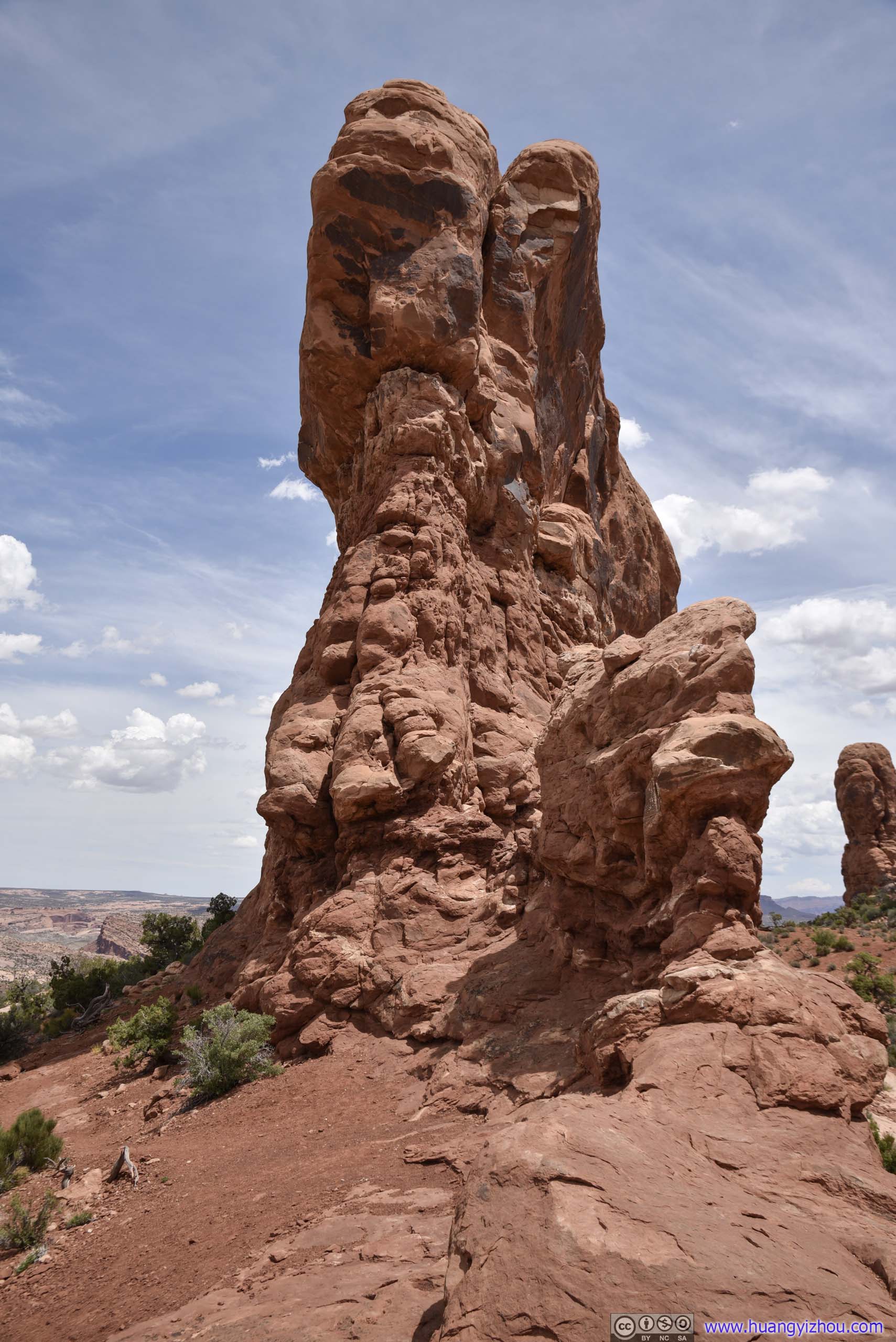
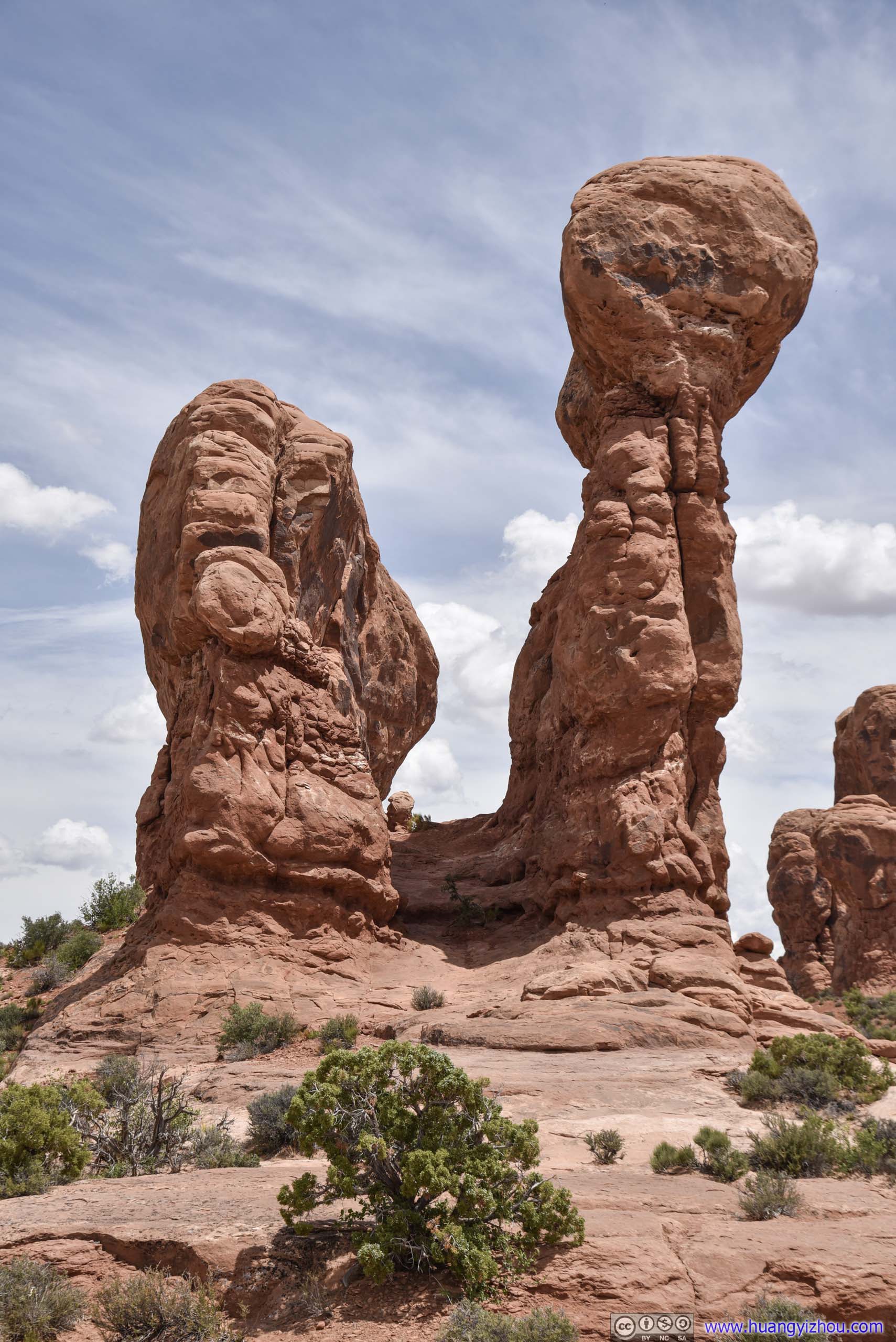
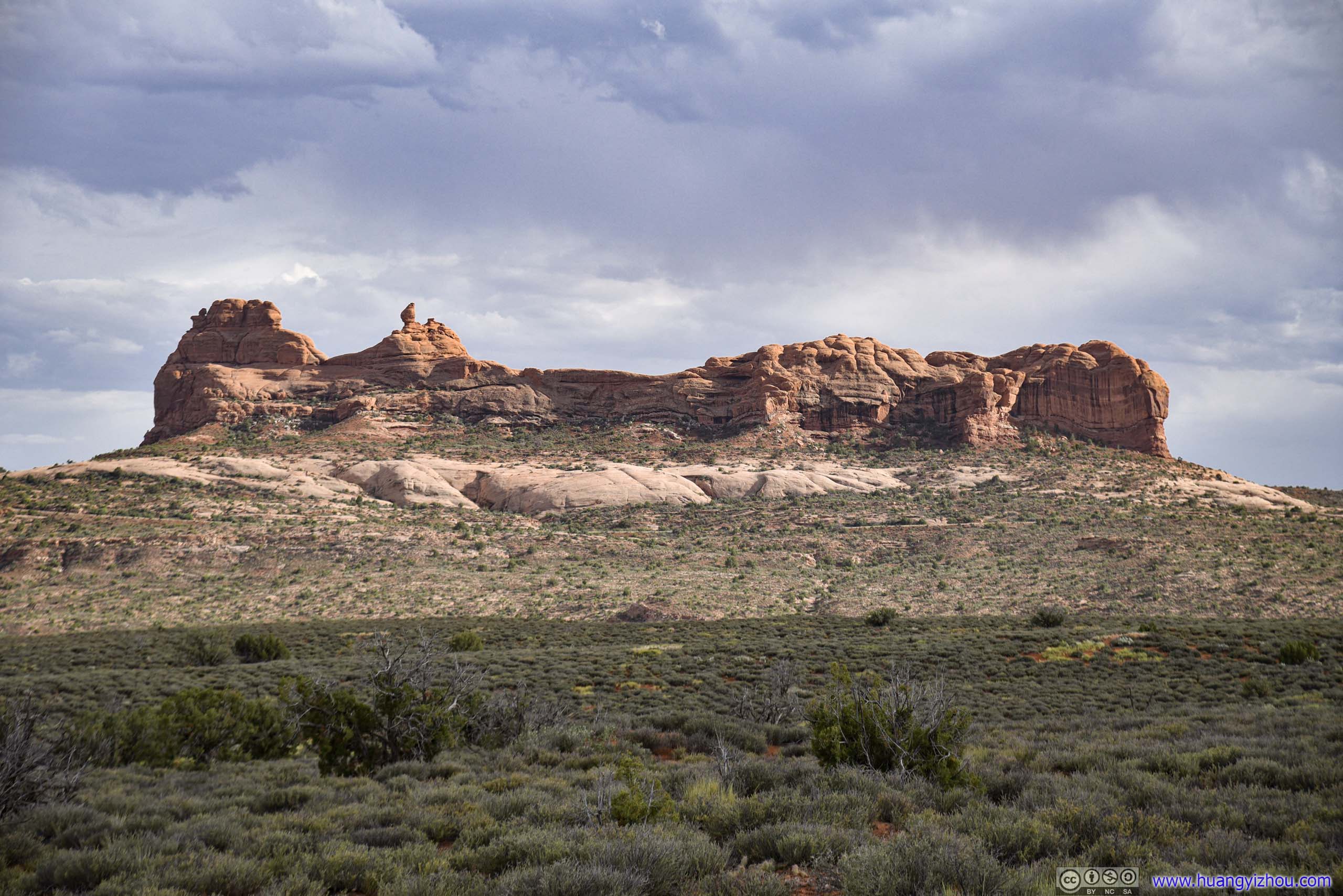
North/South Window
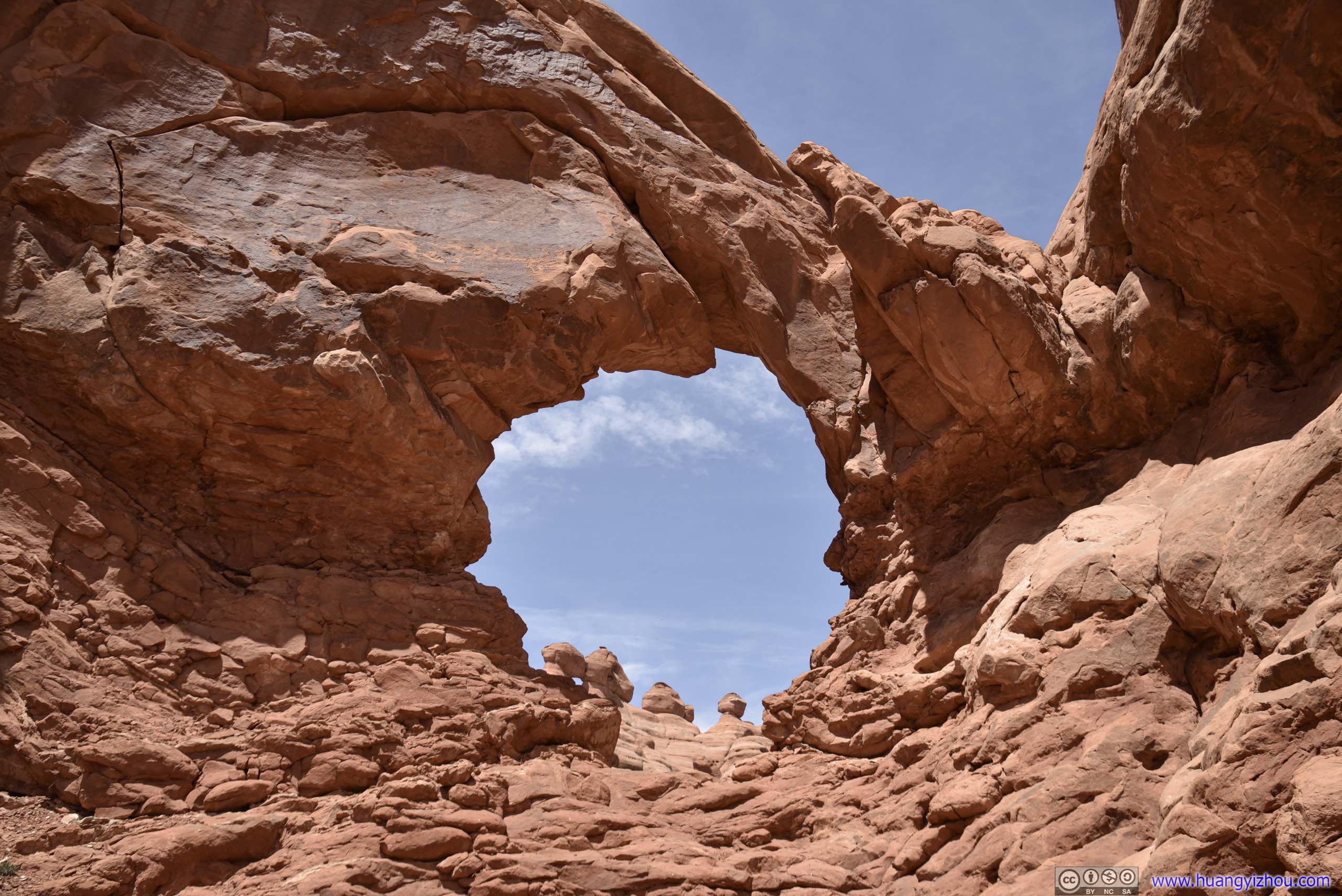
It’s so named because both windows were openings in the same sandstone fin, like this viewed from Turret Arch:
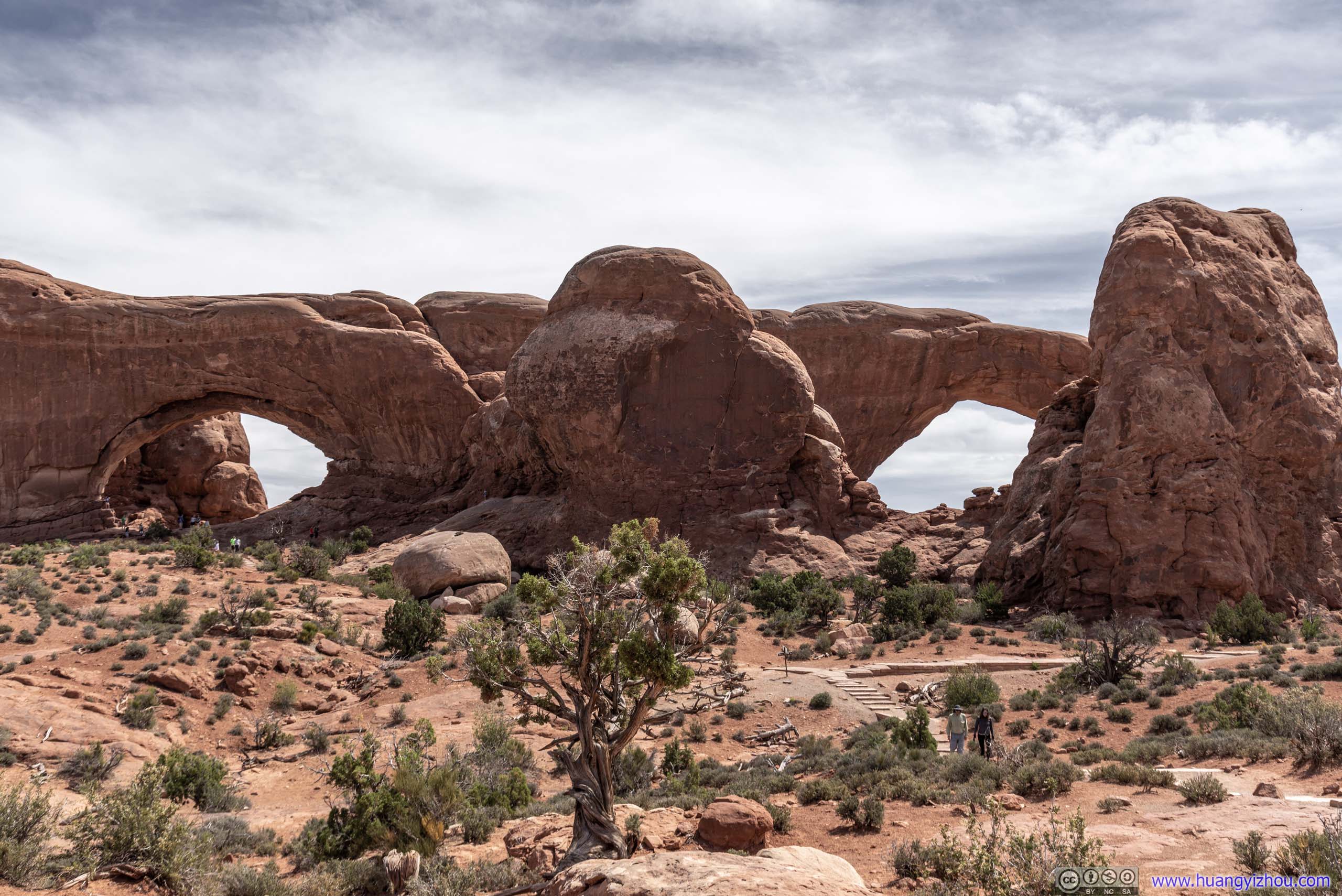
North and South Windows
The area had a series of developed and well-maintained trails. One could also take a primitive trail (actually not primitive at all, compared with other trails I hiked in the park) to make a loop back to the parking lot. This way one could also view the other (eastern) side of the two windows.
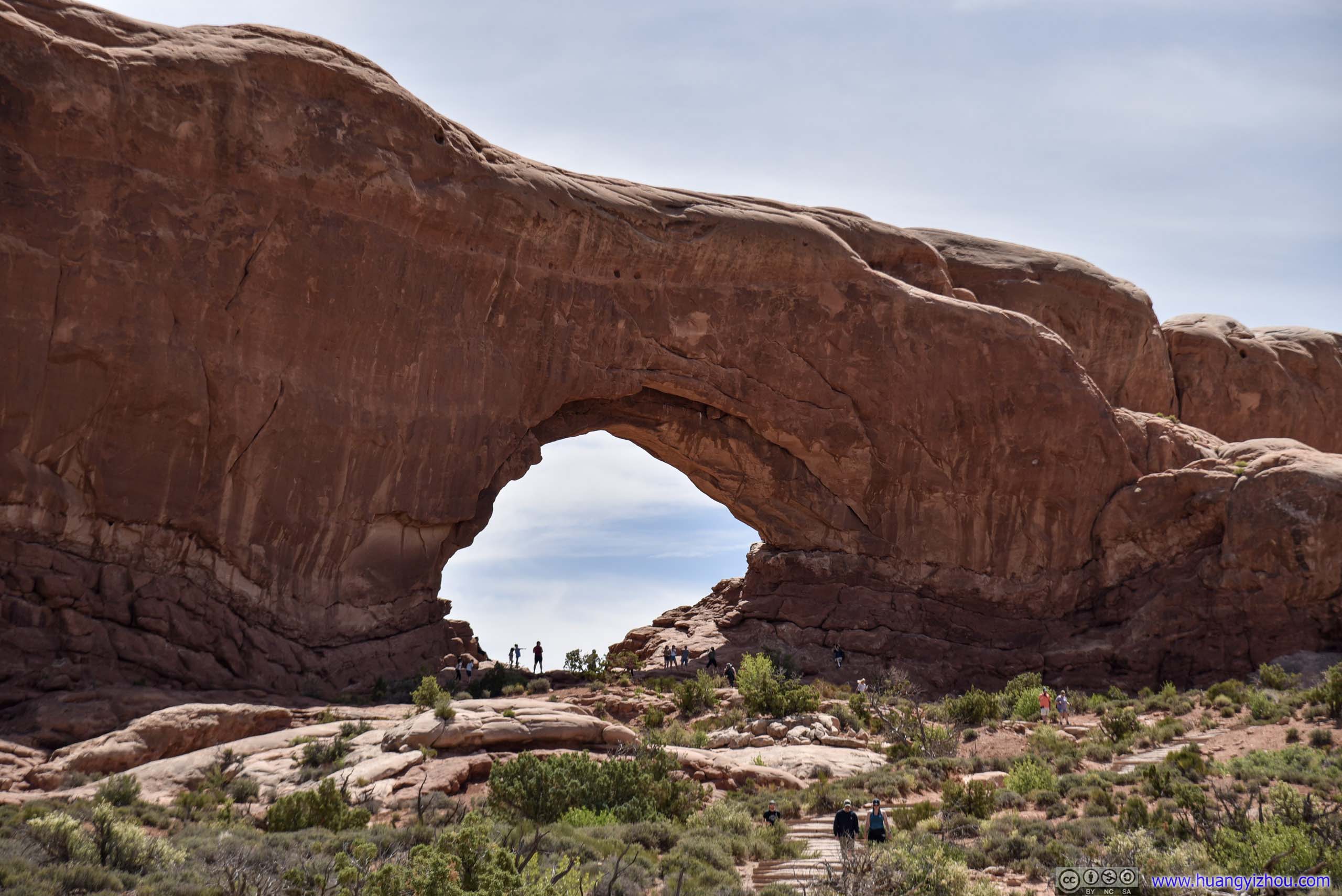
 (Two Sides of) North Window
 Fields
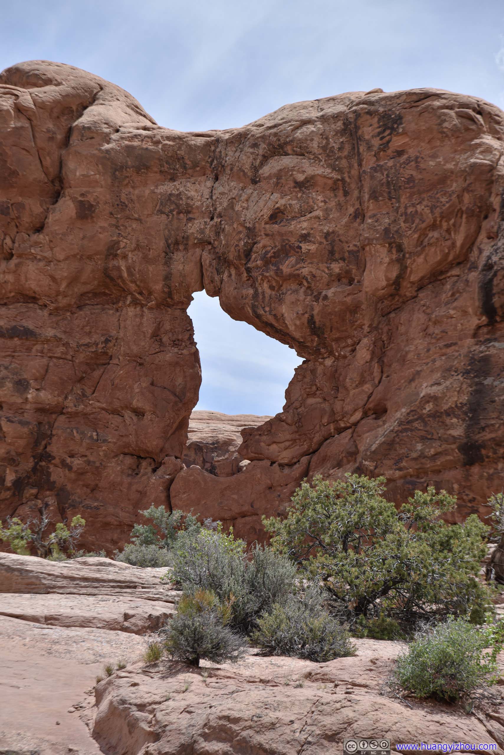
I visited Turret Arch first. Some say it’s so named because the rocks were more like a castle compared with the Windows. I was more skeptical as the arches weren’t located at the “turret” part.
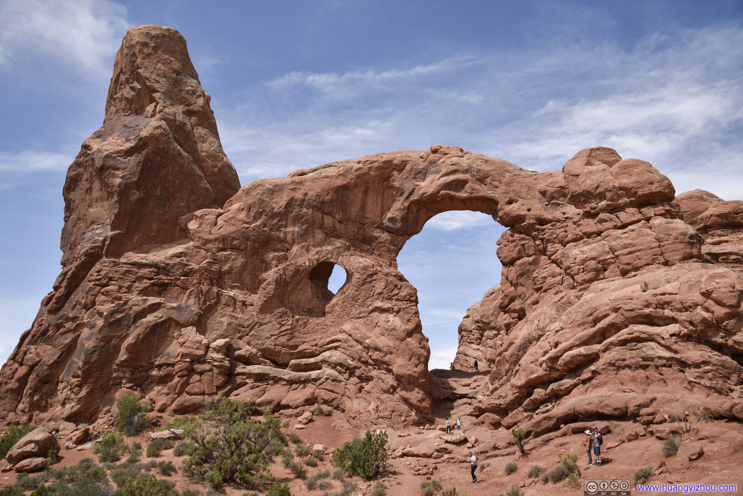
 (Two Sides of) Turret Arch
 Rocks
Rocks

 (Two Sides of) South Window
North and South Windows
Along the not-so-primitive trail back, I was greeted with more sceneries, like this forest of rocks or distant canyons.
 Rocks
Rocks
 Distant Buttes

Canyon Landscape
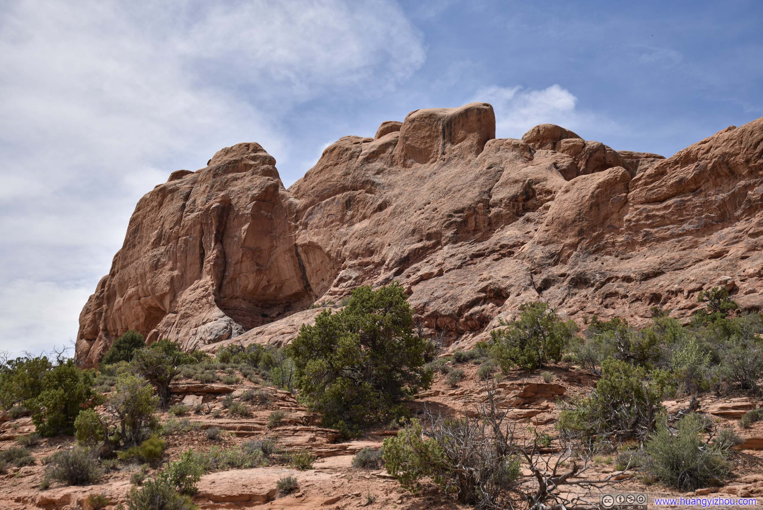
By alltrails, there was an unmarked trail leading to Ribbon Arch, which was another long and thin arch, like the more famous Landscape Arch (probably not as magnificent). So I decided to pay it a visit.
Unfortunately, there wasn’t network coverage in the park, and I didn’t prepare offline maps in advance. The trail’s not traveled by a lot of people, so it’s easy to get lost of it, that included me this time.
RocksI should have circled around this rock along the right side to Ribbon Arch, but I didn’t.
 Rocks
Rocks
The trail to Ribbon Arch passed through some steep sections, for which hands were occasionally used.
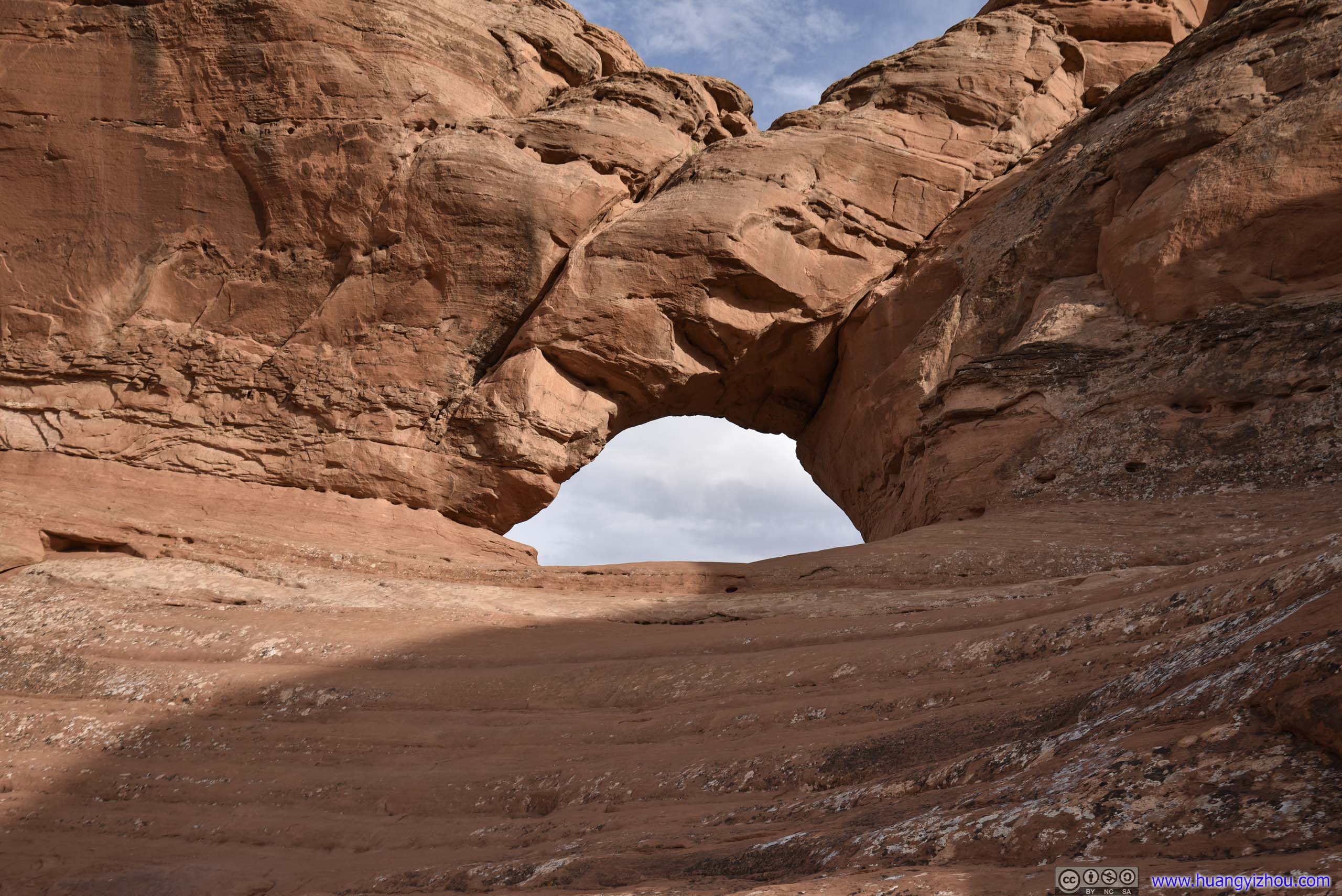
As a result, I ended up at this Christmas Tree Arch, the name of which wasn’t on most maps.
Christmas Tree ArchWhen looked at the right angle, the opening would resemble a Christmas tree.
While it’s a hot summer day in the deserts, wind was blowing strongly if one stayed near gaps in rocks, like the arch above. I enjoyed the breeze for some time before heading back to the parking lot.
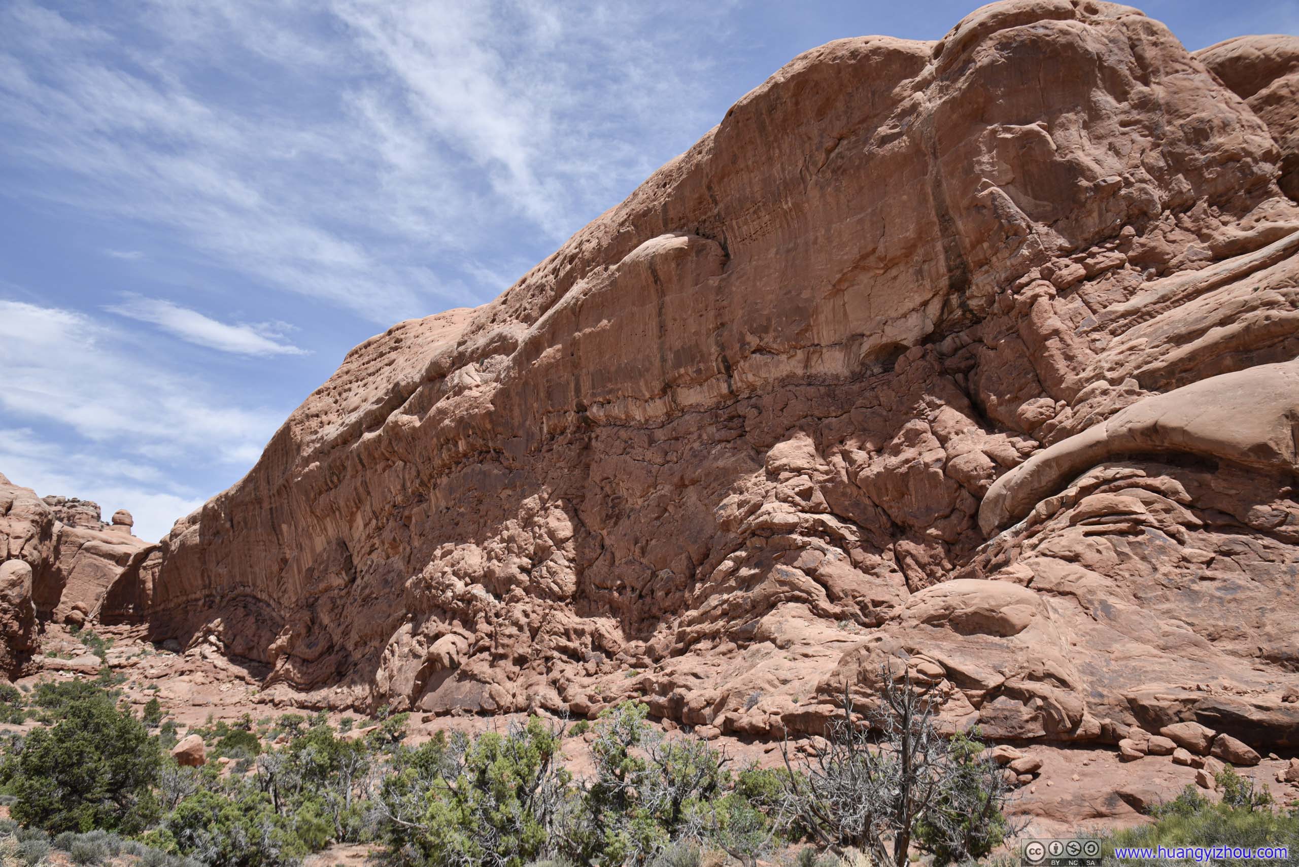
 Wall of RocksThe trail to Ribbon Arch follows the foot of these rocks.

 Rocks
Rocks
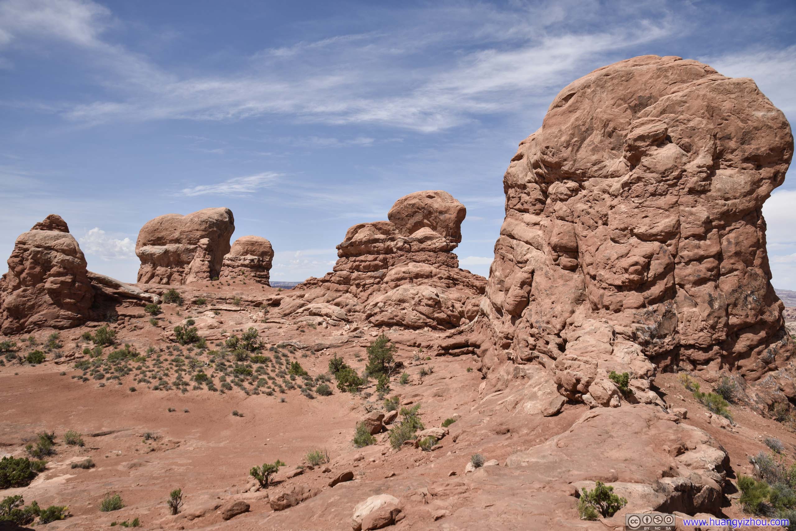
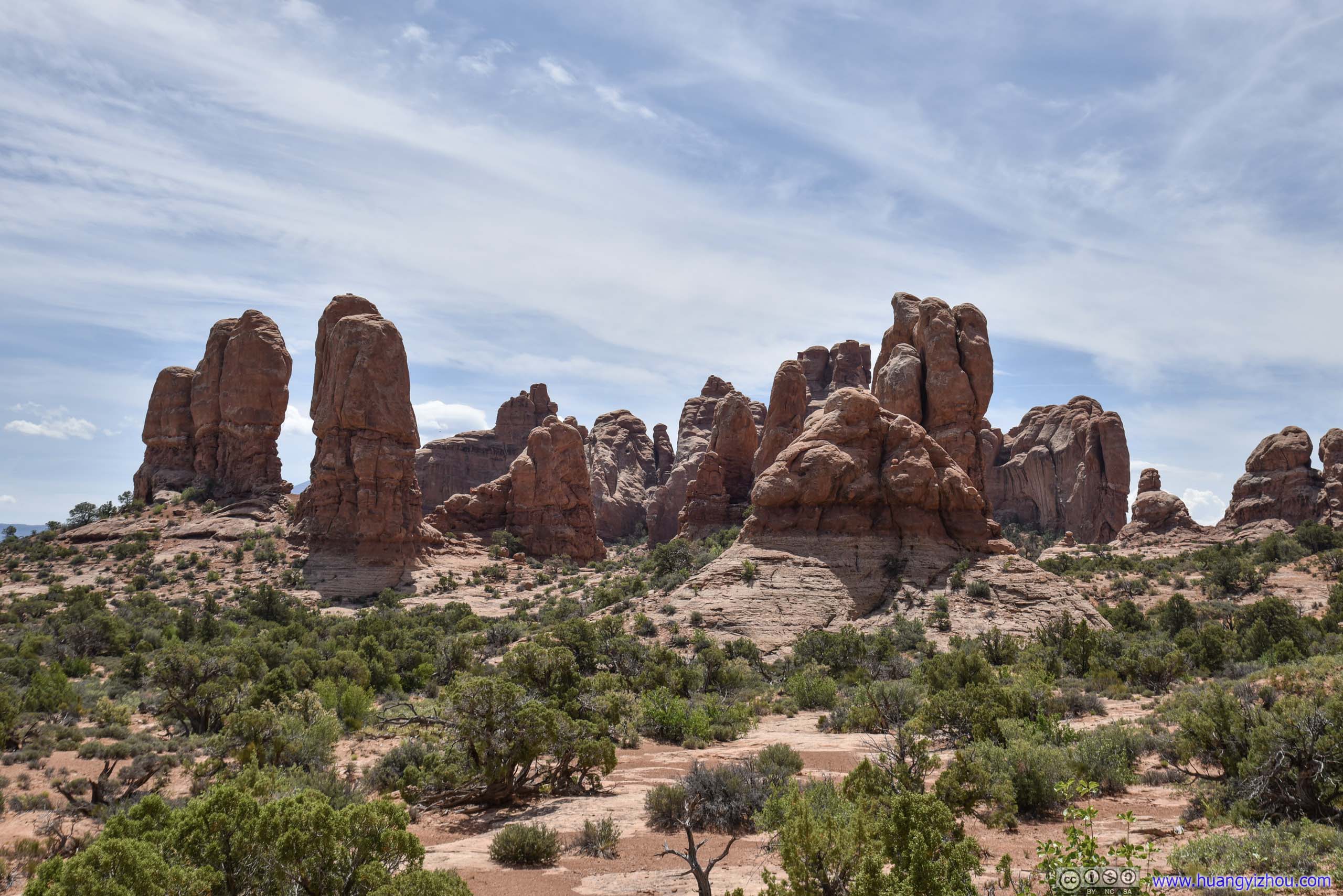
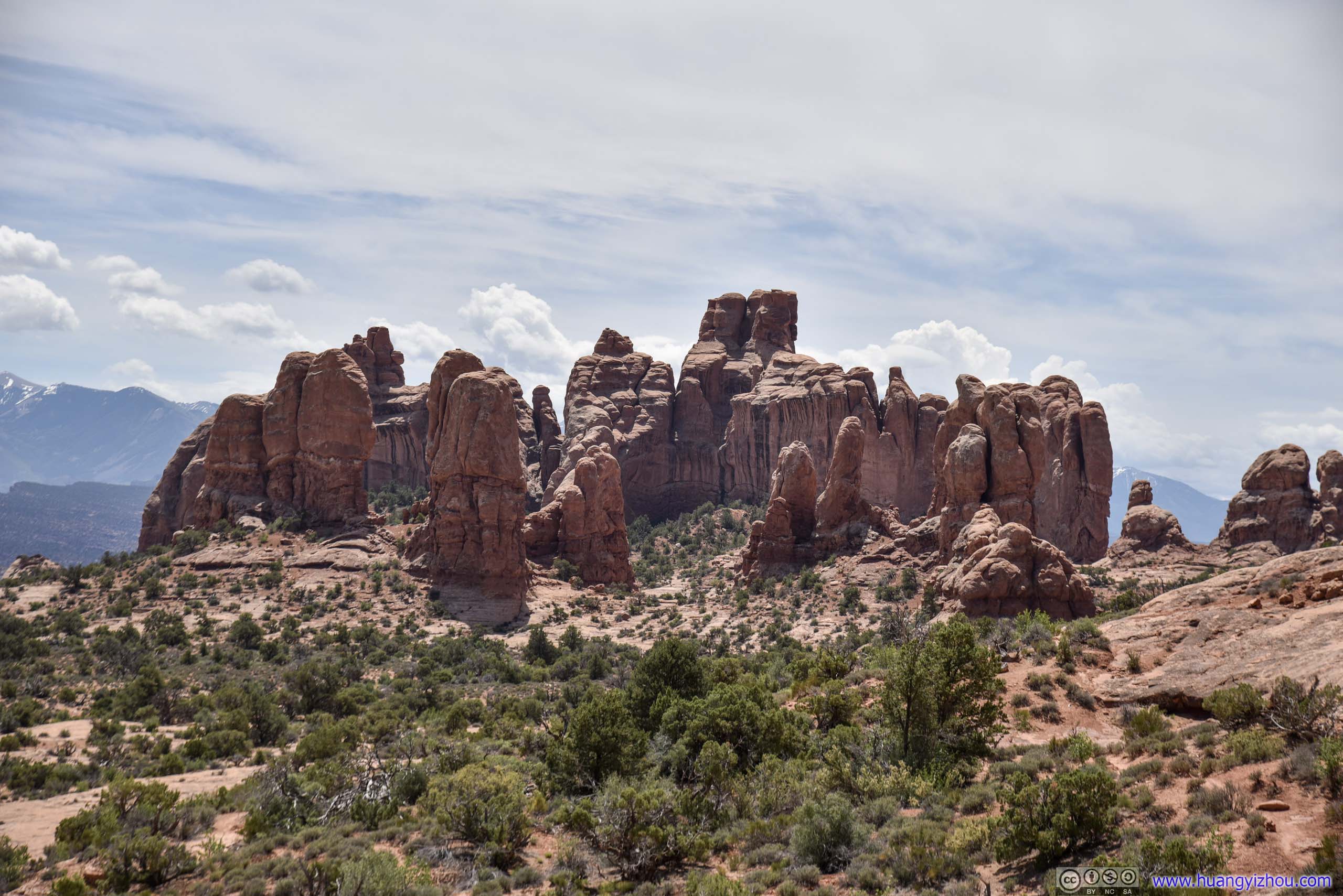
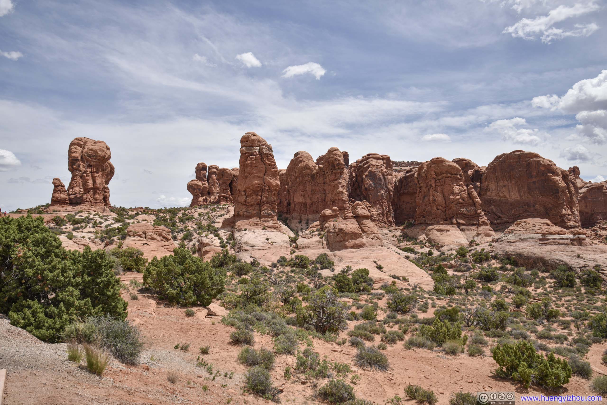
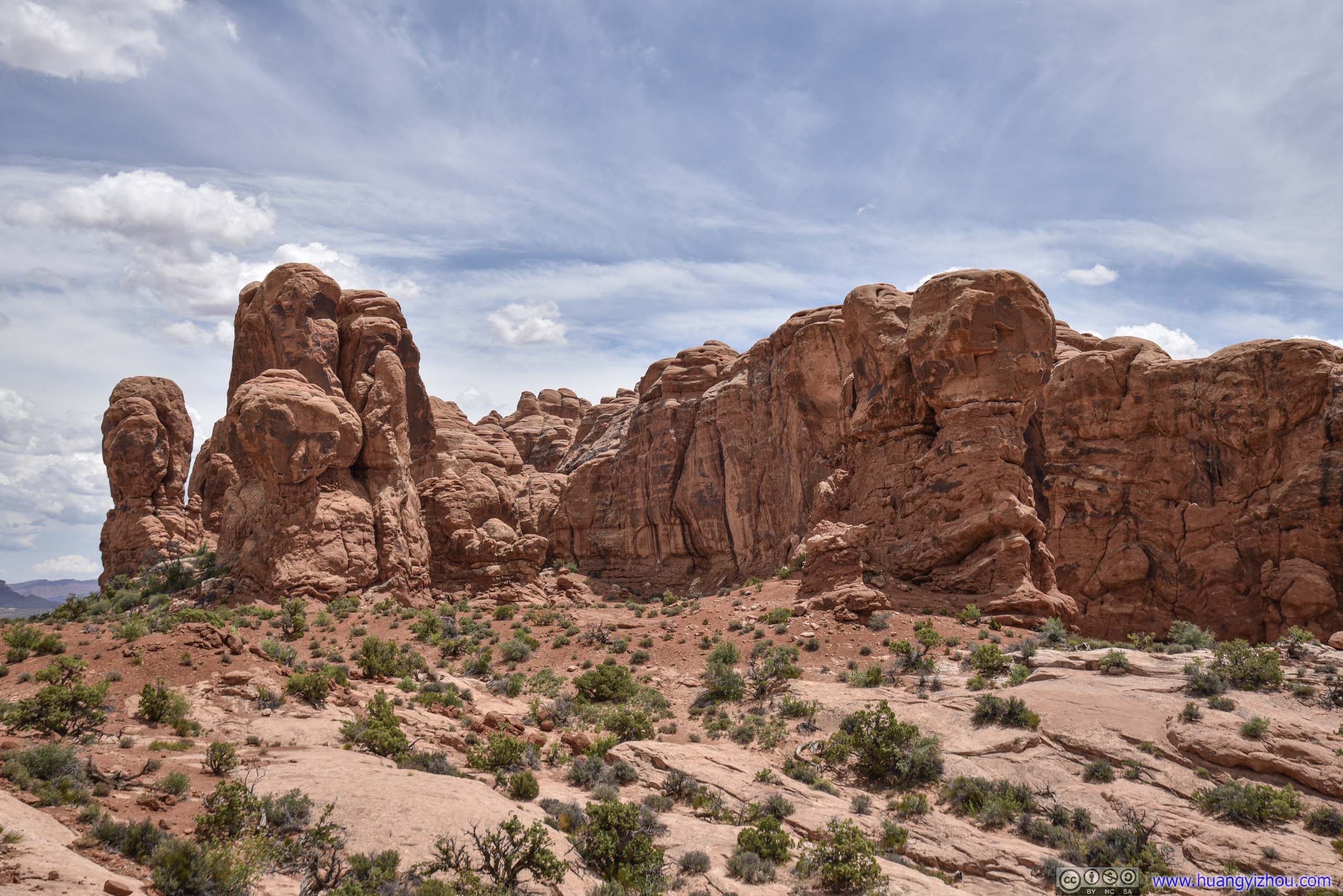
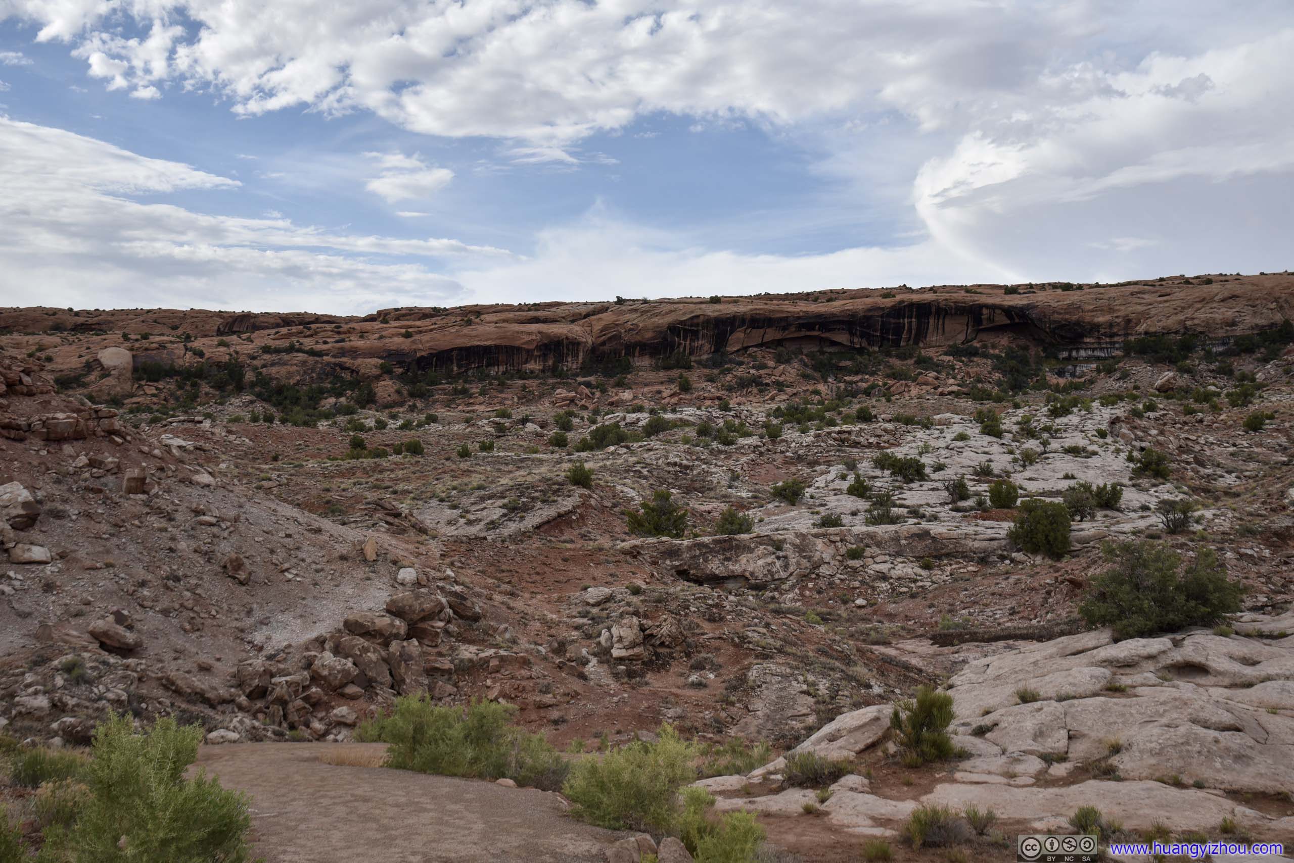
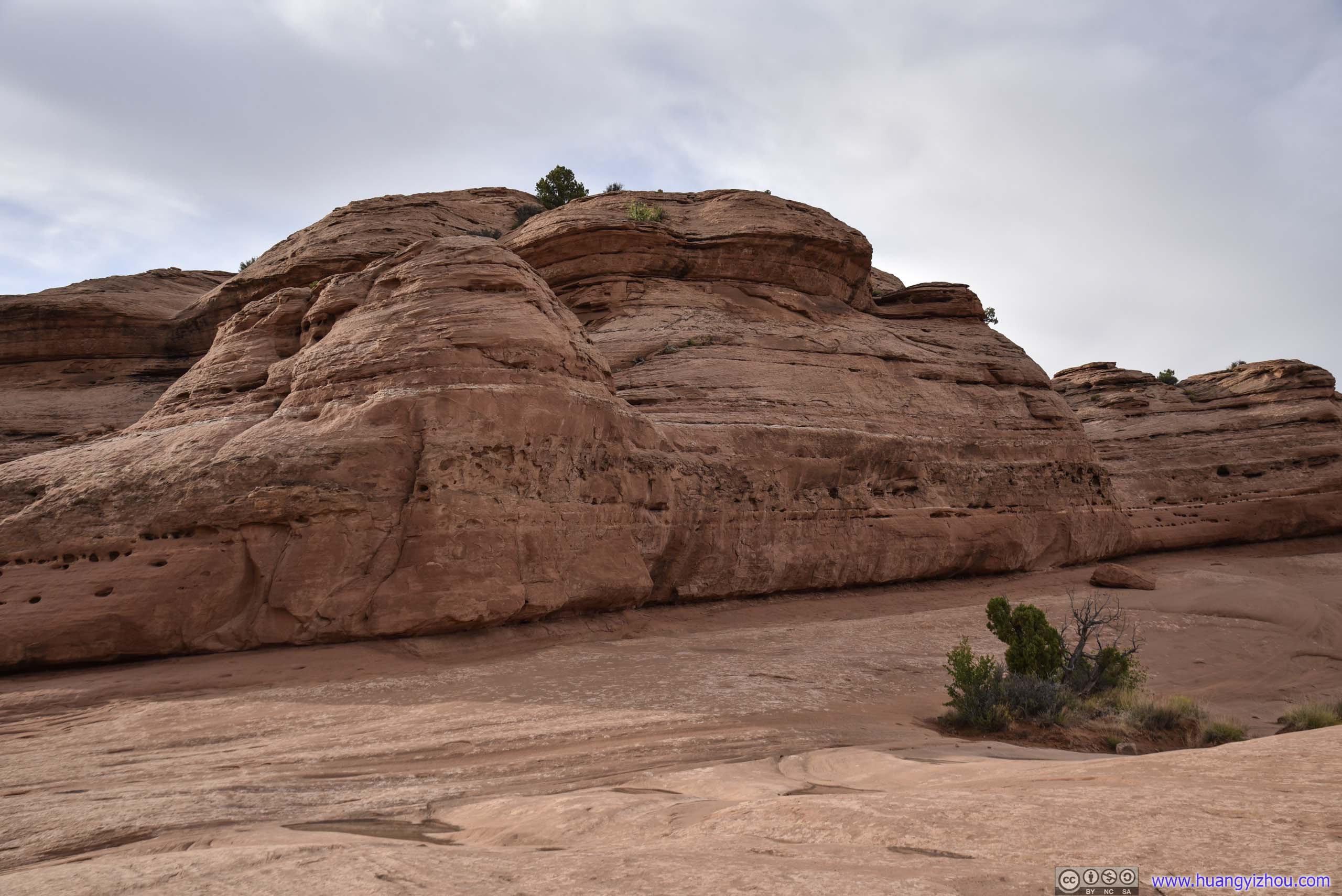
Garden of Eden
On my way out of the Windows area, I stopped at Garden of Eden, which was another cluster of rocks at the other end of Elephant Butte. Again, I have no clue why the region’s given this name.
 Garden of Eden

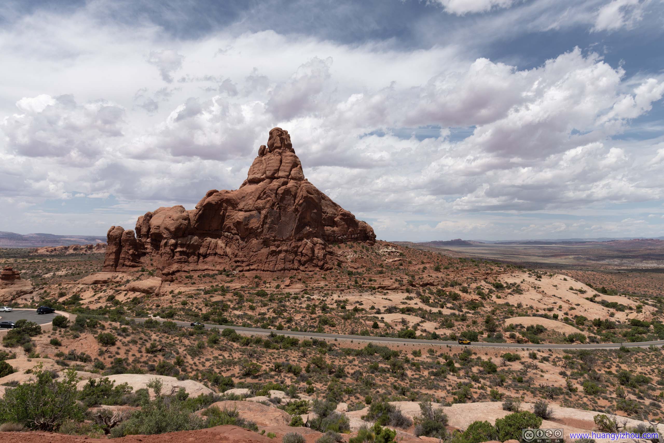 Ham Rock
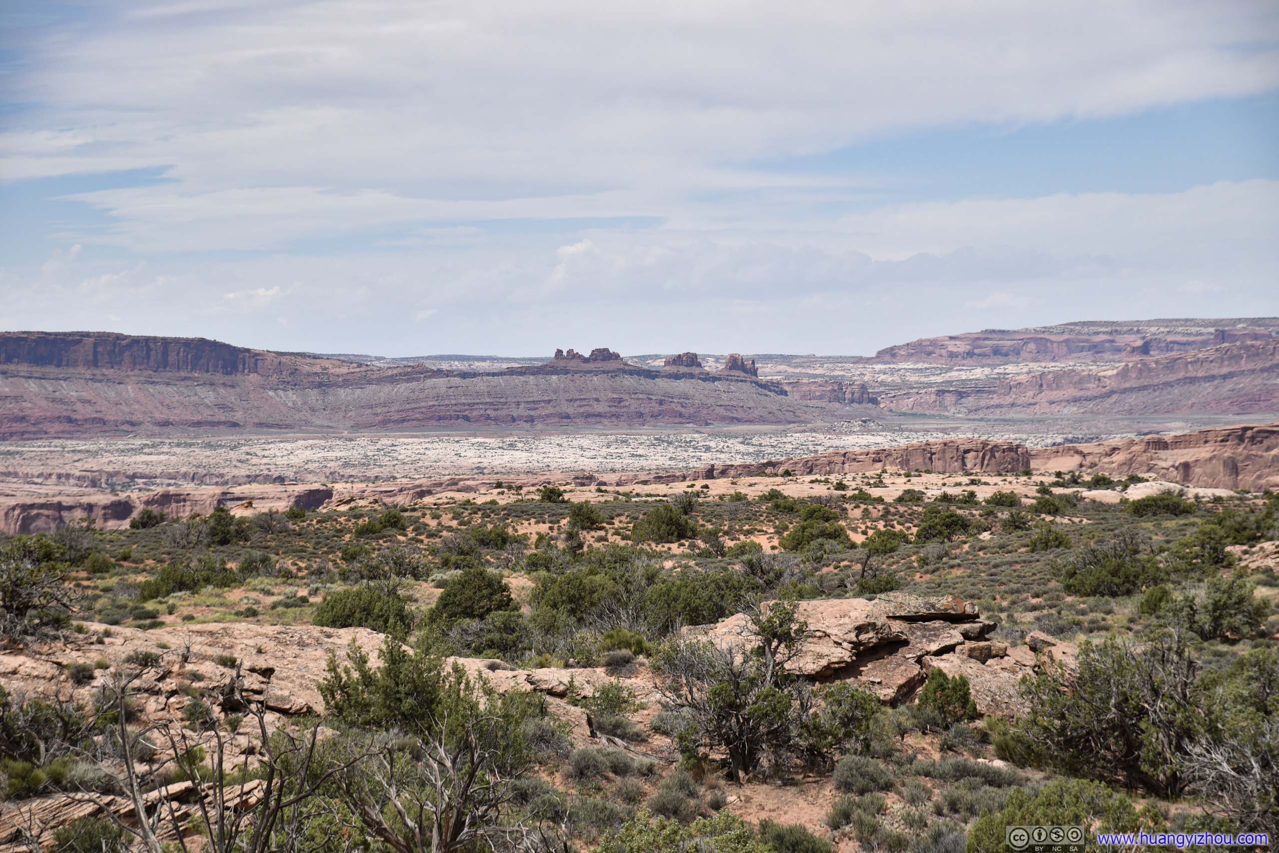
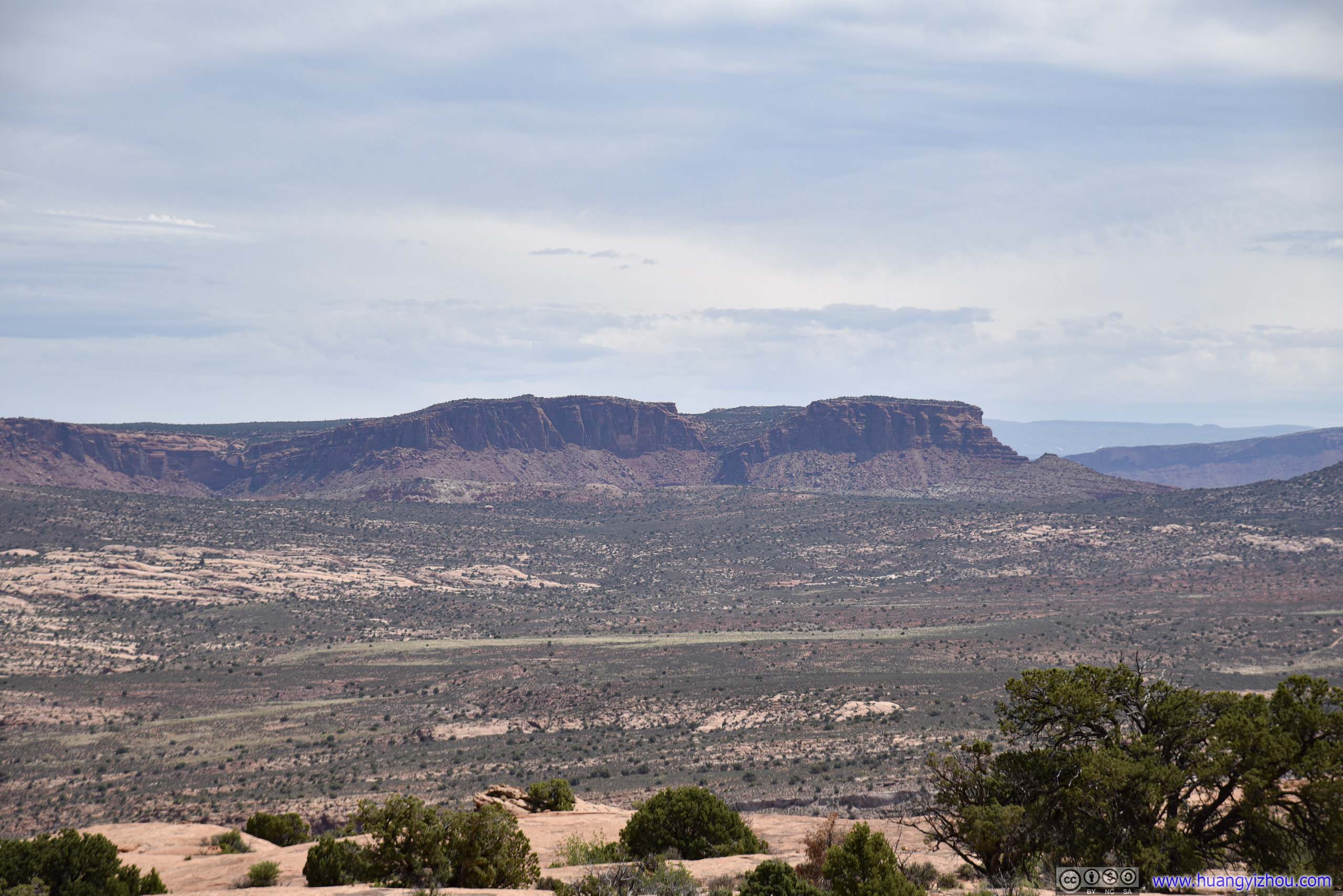
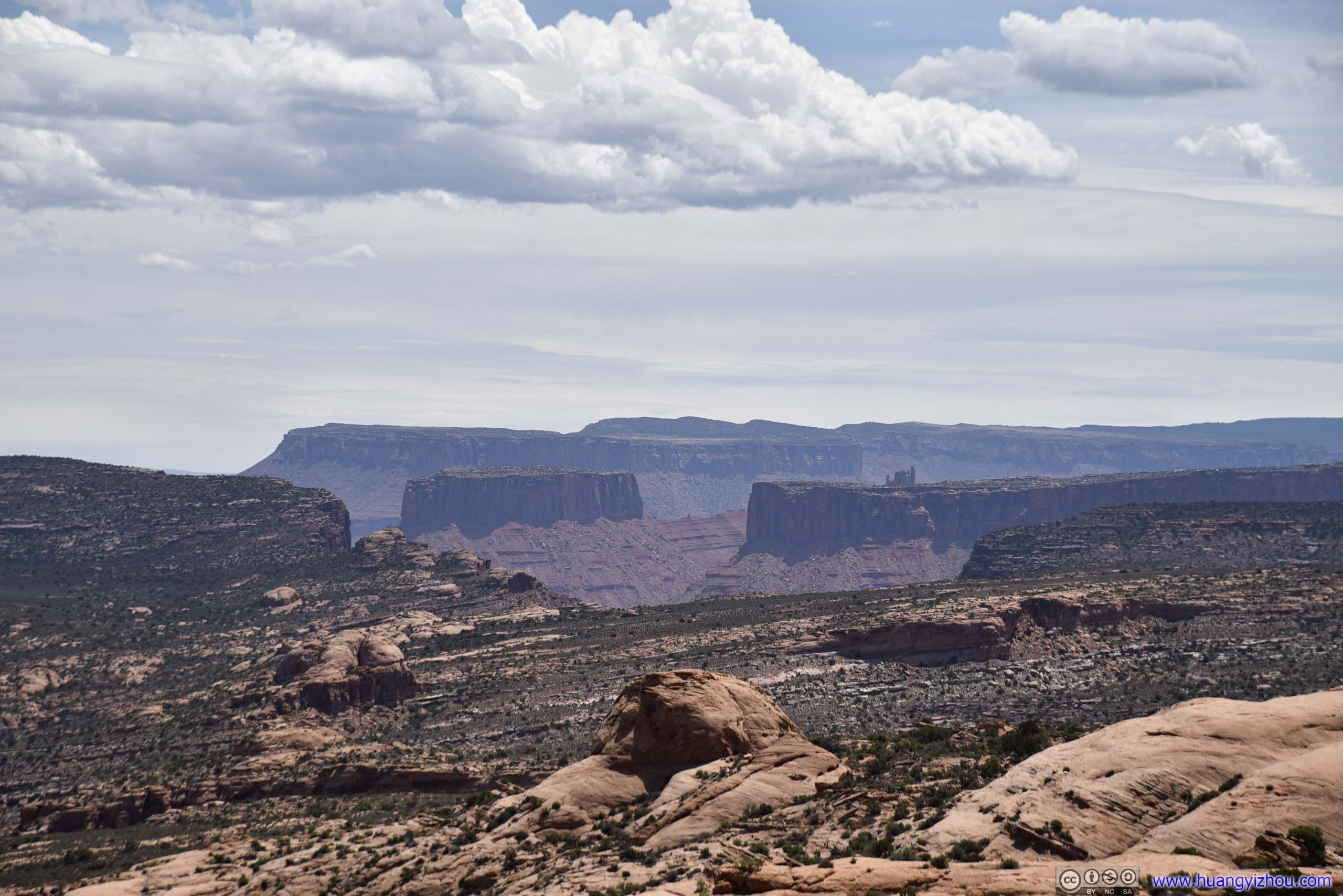
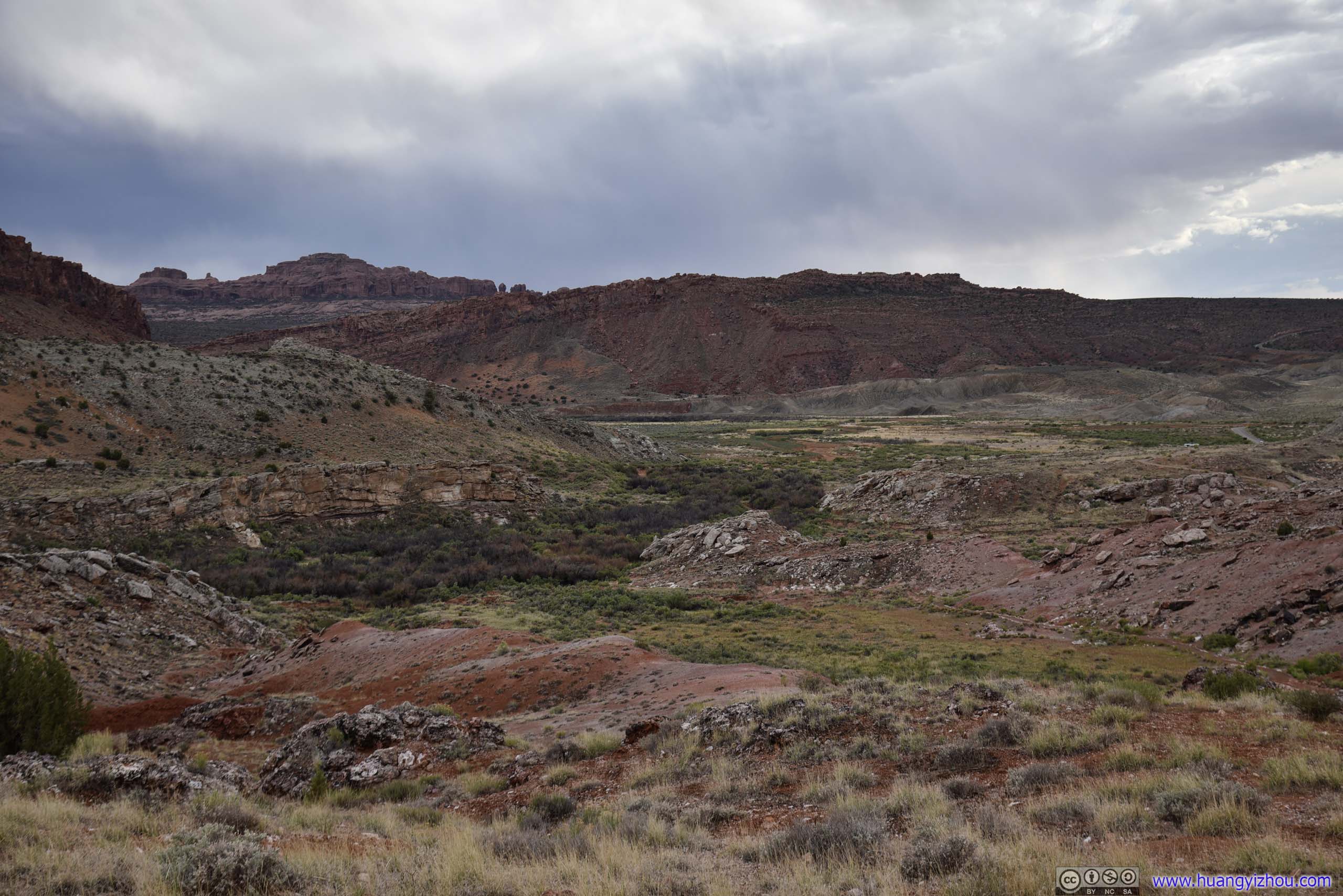
The area didn’t have any famous arches. But it offered unobstructed views of distant landscapes in the park, the openness of which was truly awesome.

 LandscapeDistant Fiery Furnace area.


 Garden of Eden
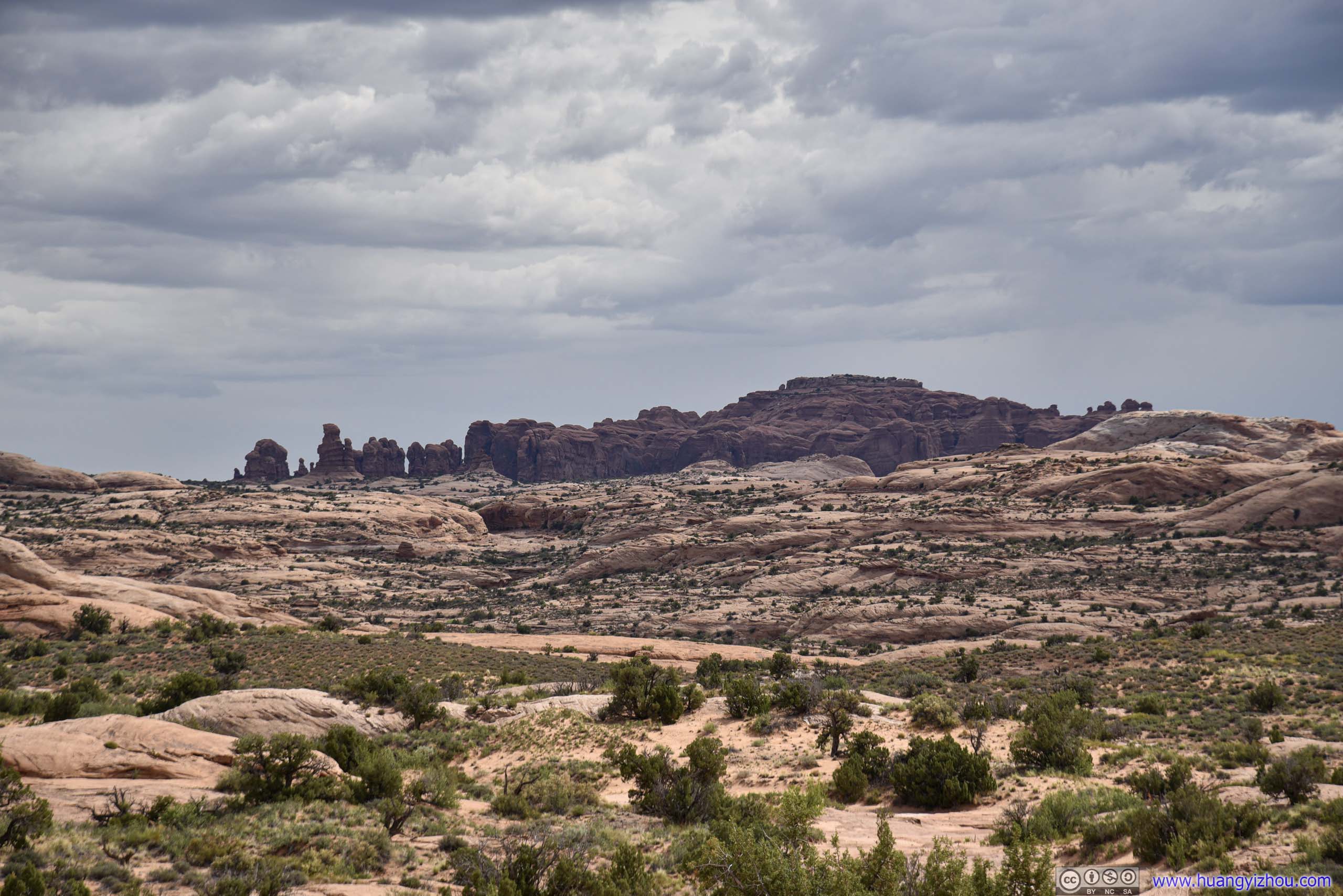
Distant Buttes
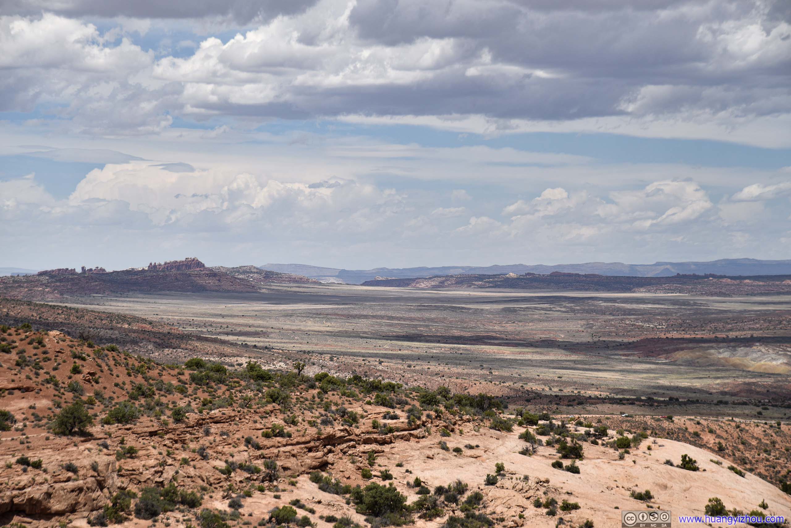
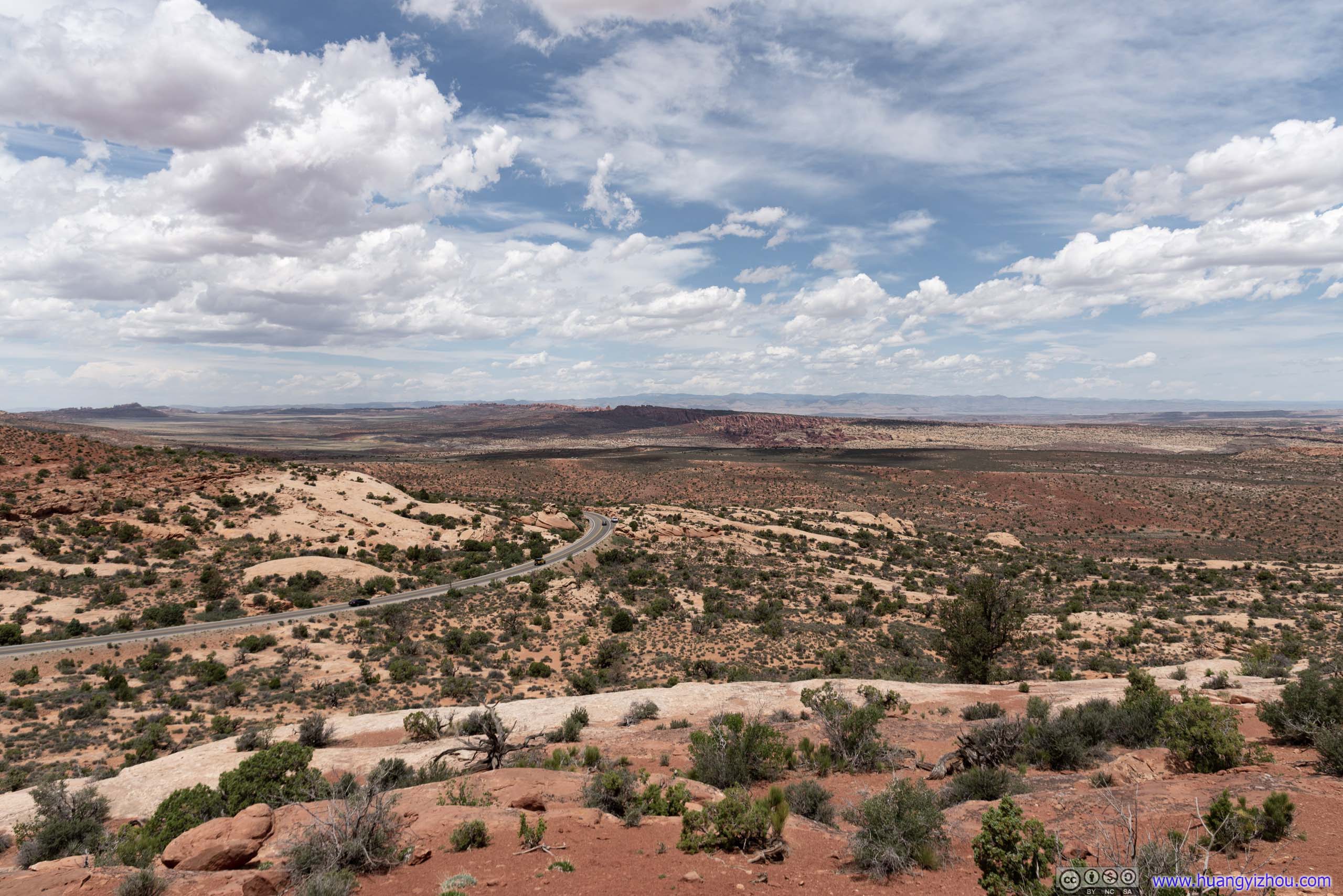
Salt Valley
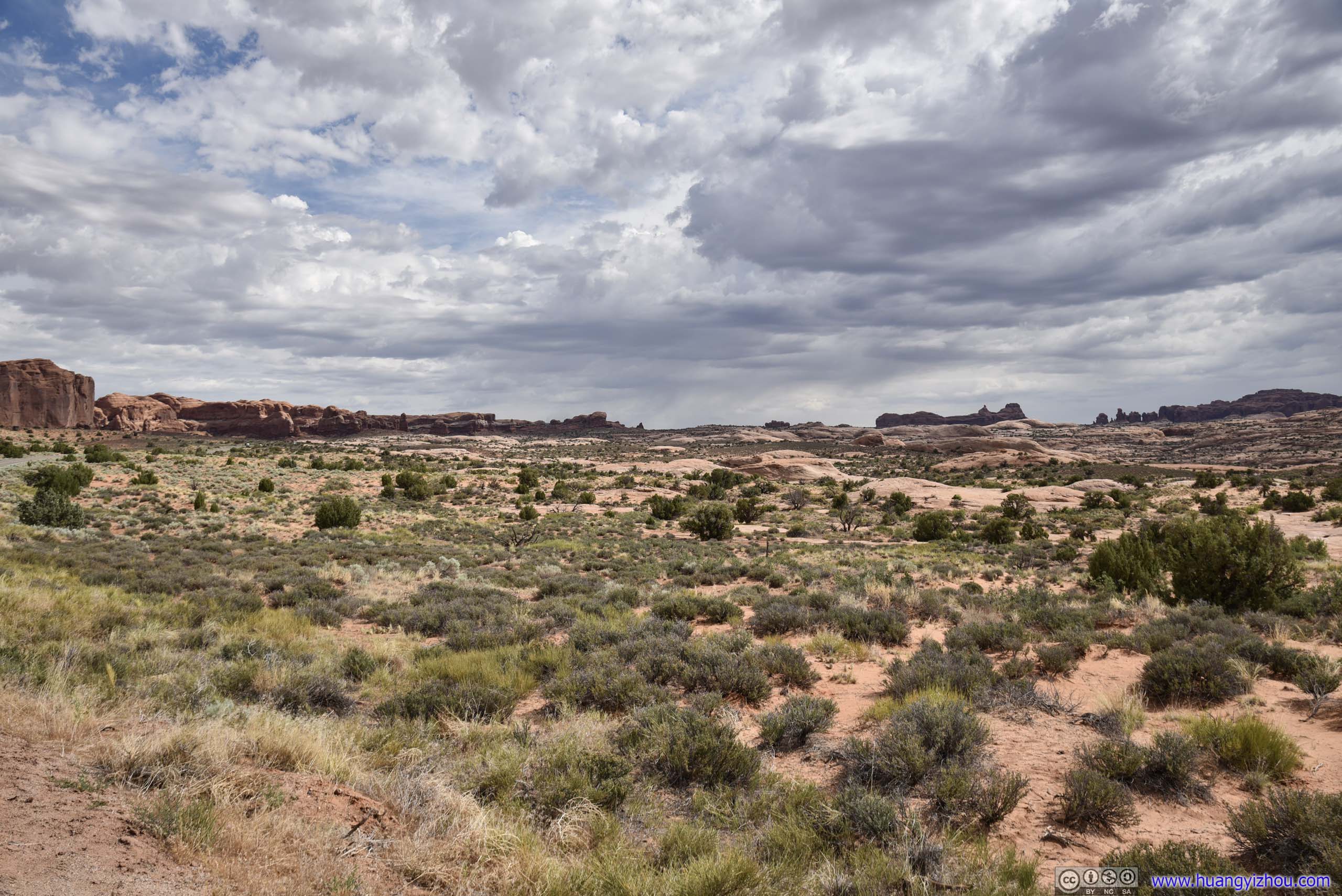
The area offered more of open hiking than established trails. I was eager to get to the city of Moab for lunch, so I didn’t venture far from the parking lot.
 Rocks
Rocks
 Valley and CanyonsPhoto on the right taken at Panorama Point later in the afternoon.
Serpentine Arch
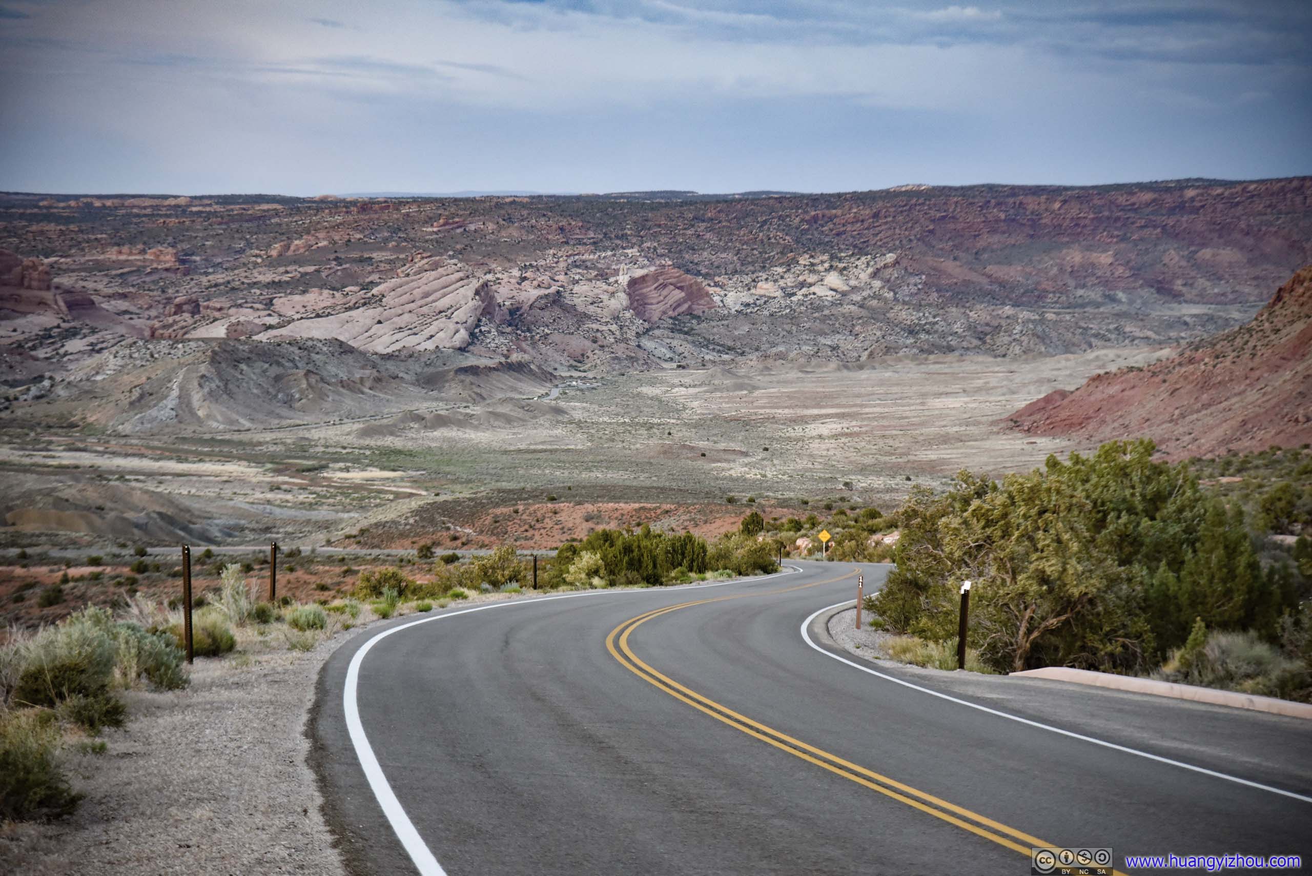
After that, I drove back to the city of Moab, taking what’s effectively a mid-day break.
Visiting at the beginning of June when daylight hours were long, I thought the ideal way of touring the Moab area was to head out early and late in the day when temperature was cooler, and get back to hotel to spend the hottest hours of the day with air-conditioning and napping, and maybe lunch. The only disadvantage was that, despite seemingly close on the maps, the drive from the heart of Arches/Canyonlands National Park to the city of Moab often took around an hour. Since this was my first day in the Moab area, I also used this opportunity to finish checking into my hotel room.
So a lunch and nap later, I left the hotel at 5pm, headed for a second time of the day into Arches National Park.
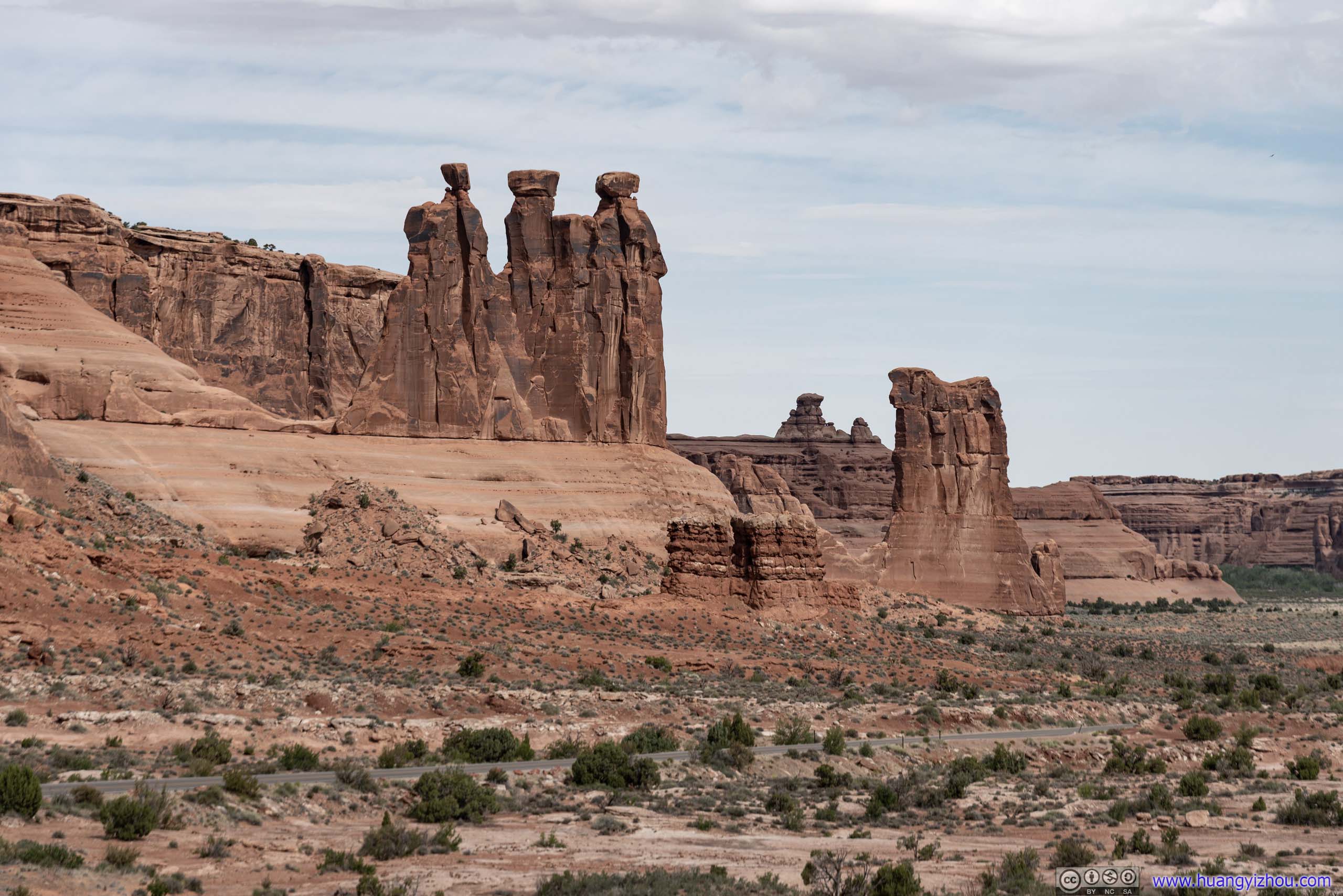
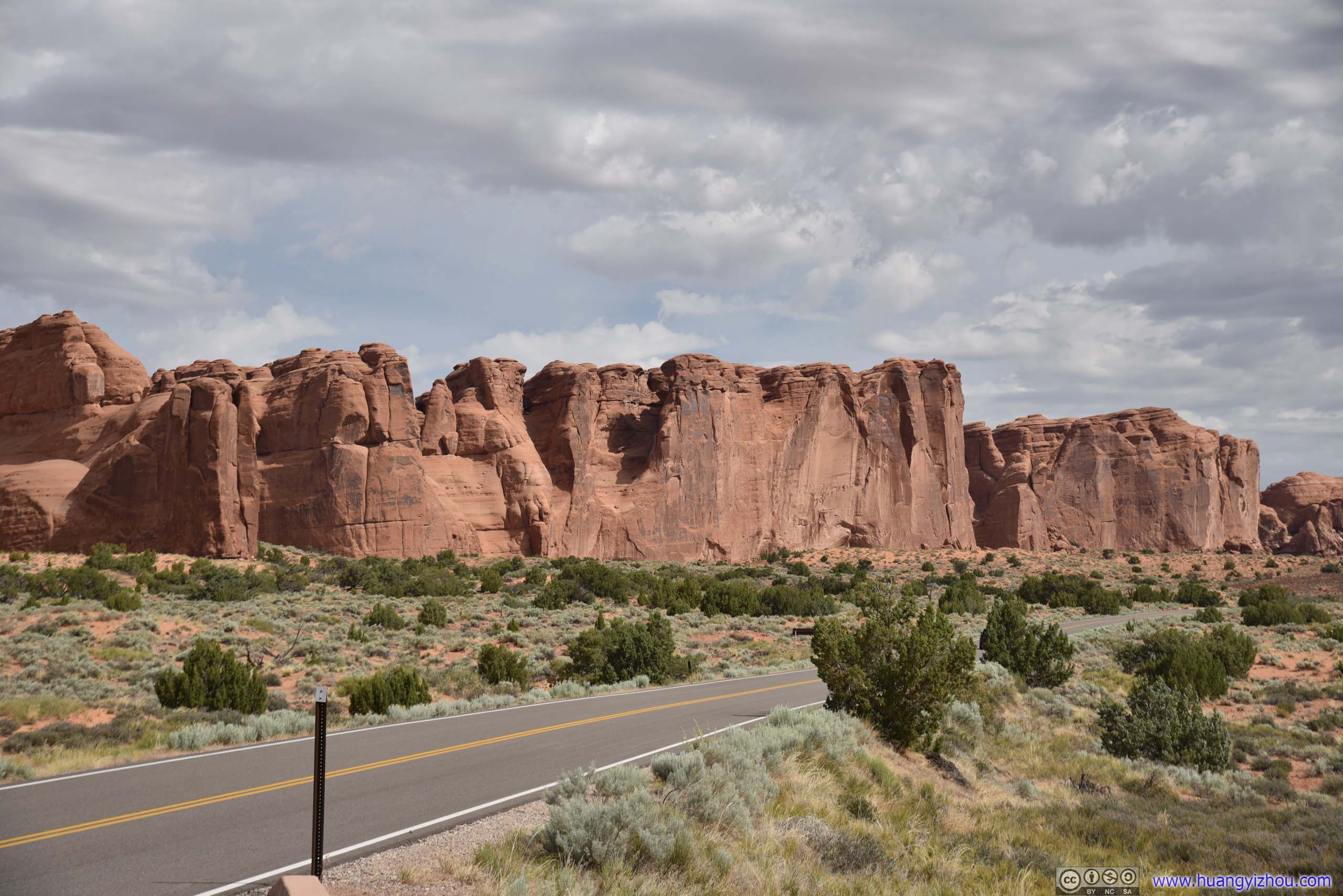
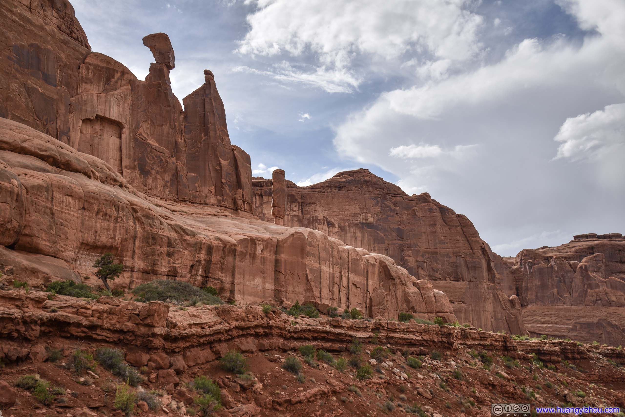
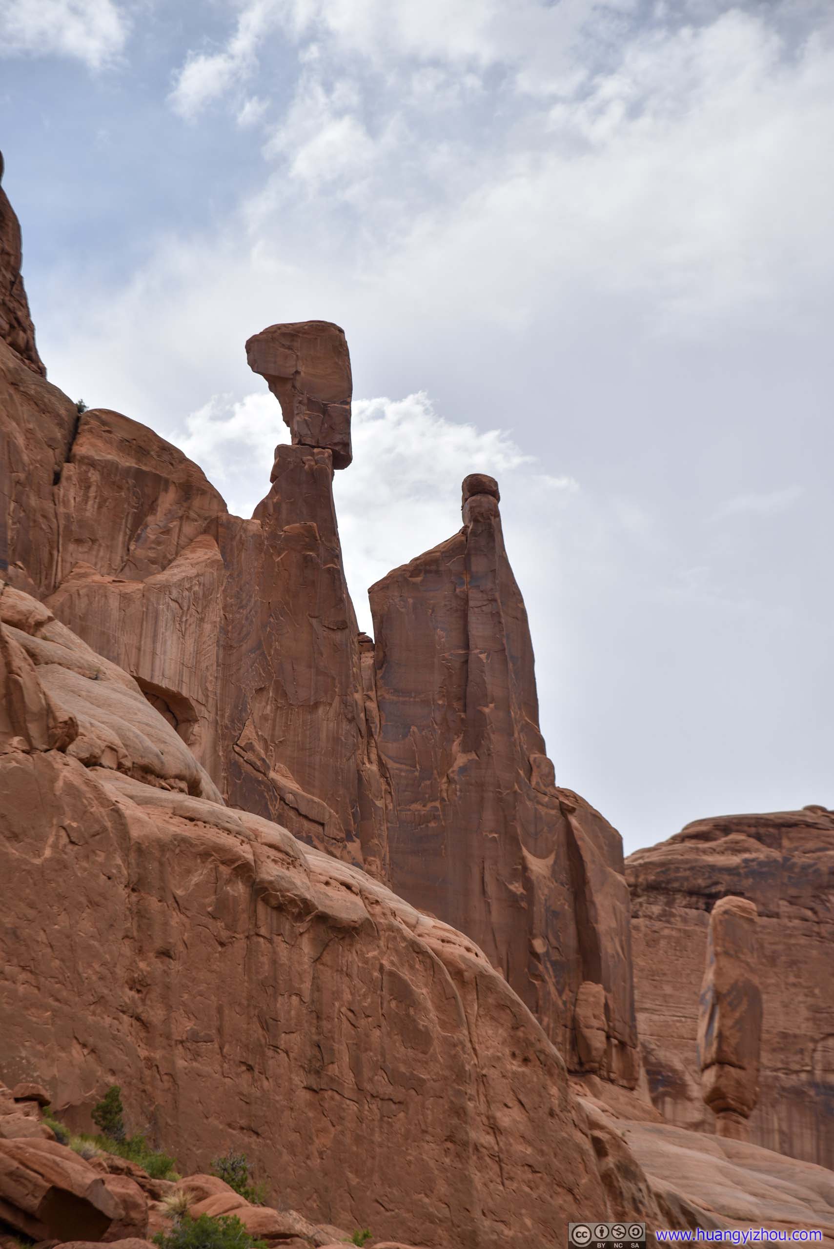
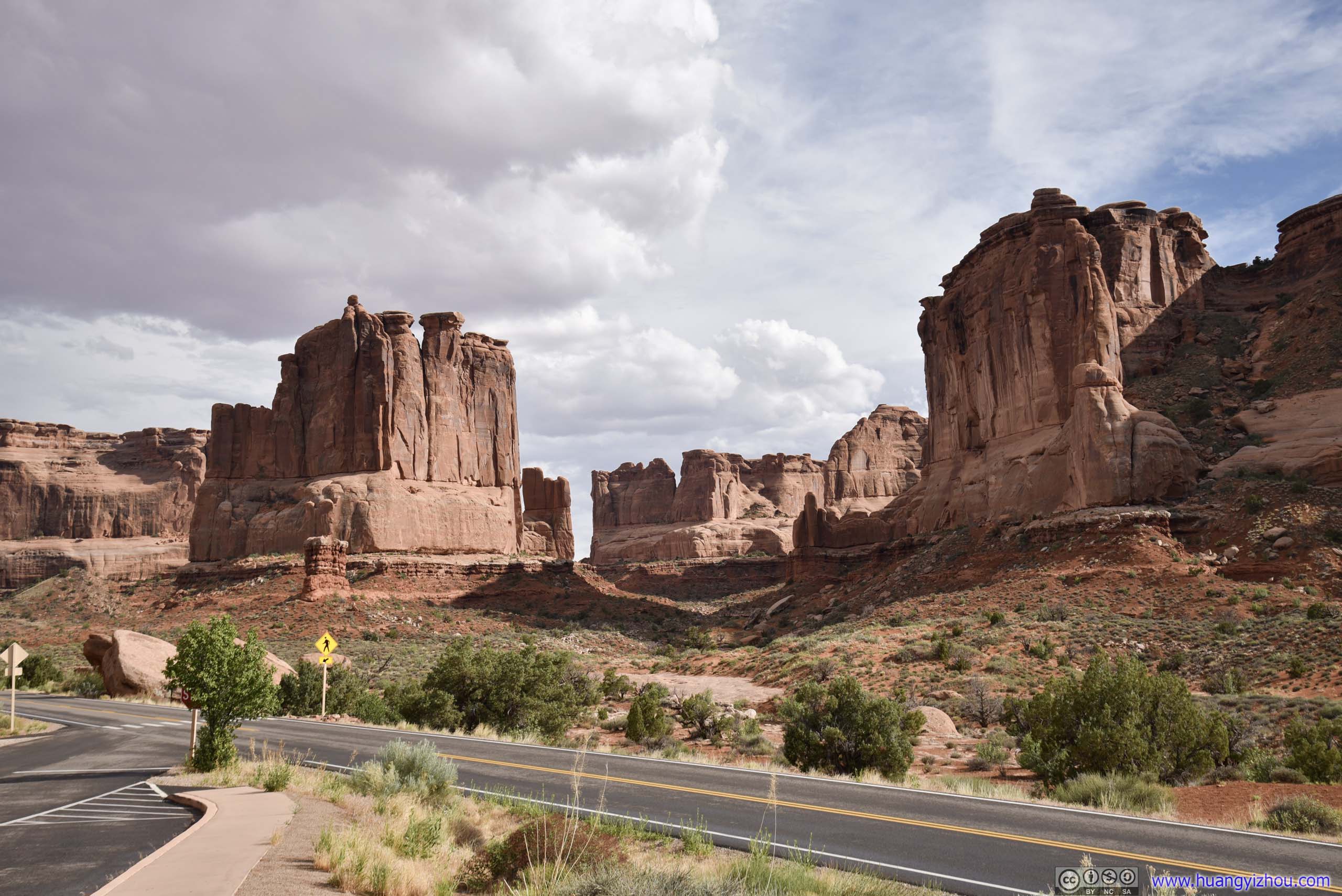
Park Avenue
Located near the entrance of the park, the region with its clusters of walls and fins were reminiscent of skyscrapers lining a big city’s streets, and thus was named “Park Avenue”.
There’s a 1.4km one-way trail leading from Park Avenue Trailhead to Courthouse Towers Overlook, with parking lots on both sides. If there are two or more drivers in the group I would highly recommend splitting the group and hiking this trail. But since I was on my own and I didn’t want to take the out-and-back trip doubling the distance, I just snapped a few photos at the viewpoint.
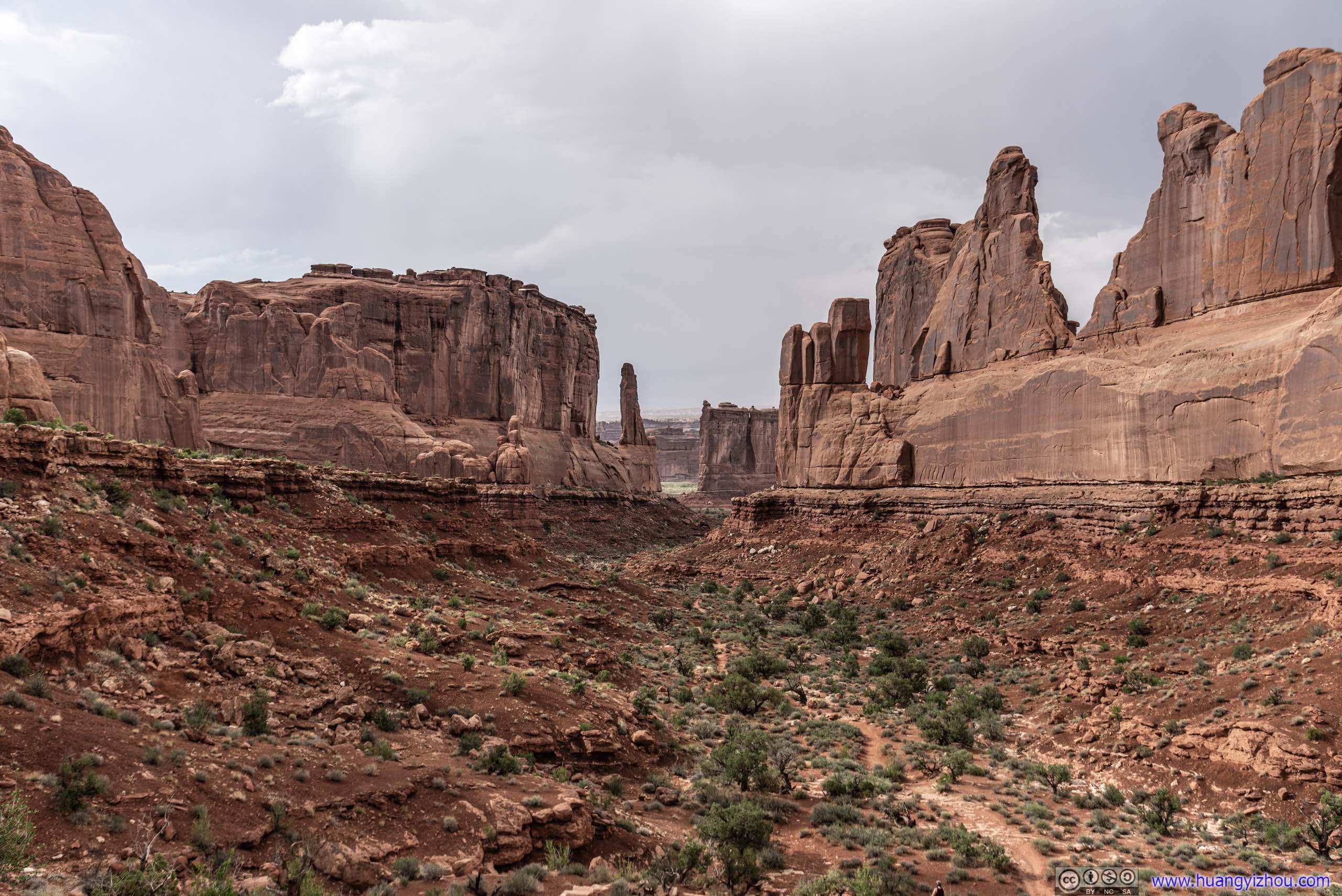
 Park Avenue
 Rocks
Rocks
Rocks
Layered Rocks
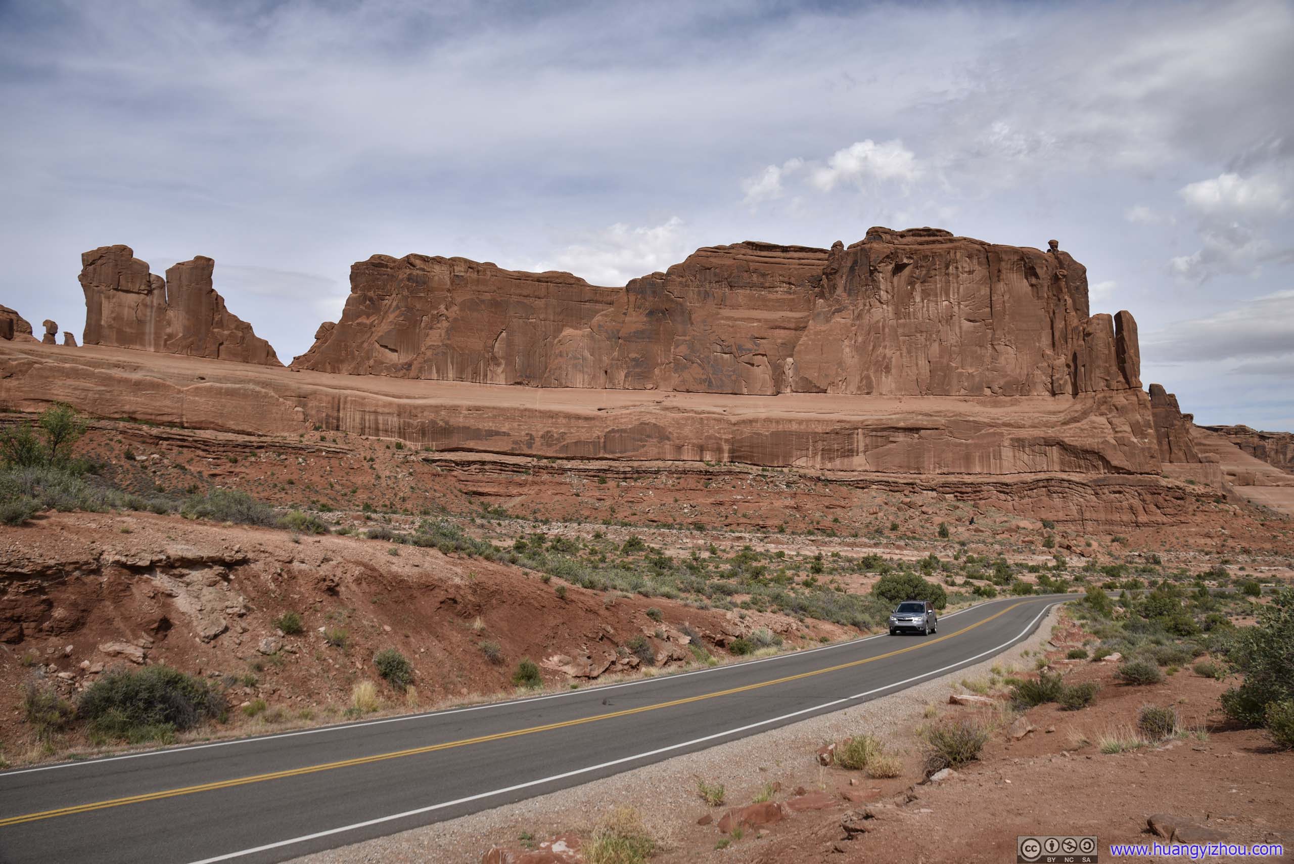
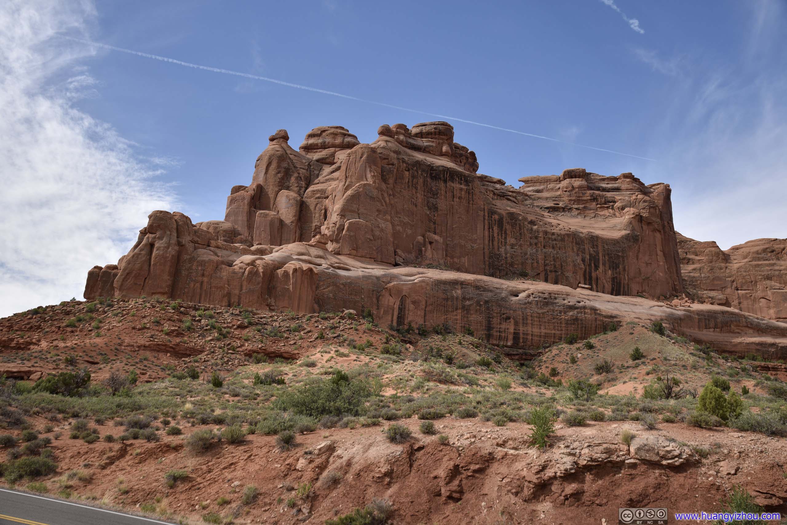
Courthouse Towers
Then I arrived at Courthouse Towers Overlook, which was the end of Park Avenue Trail.
Baby Arch and Sheep RockIt’s assumed that two possible arches were connecting Baby Arch on the left, and Sheep rock on the right.
Tower of Babel

 Park Avenue from Below
The Organ
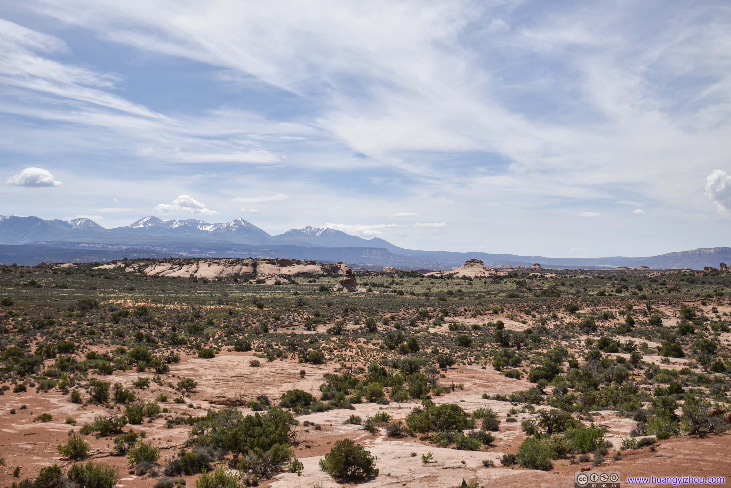
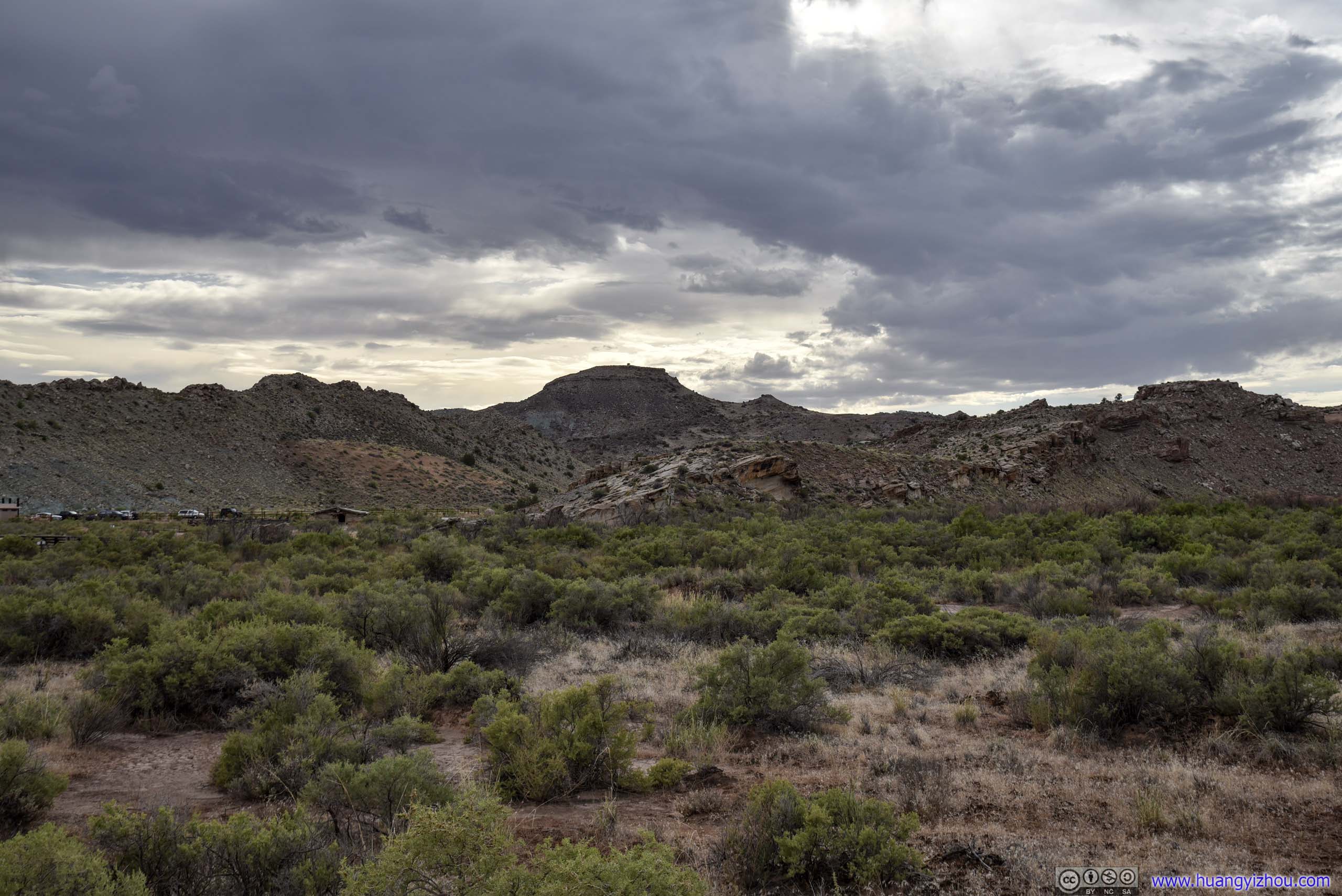
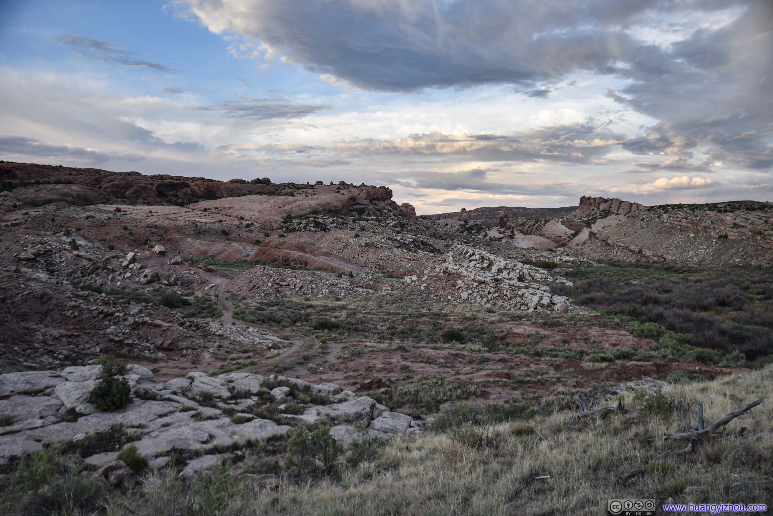
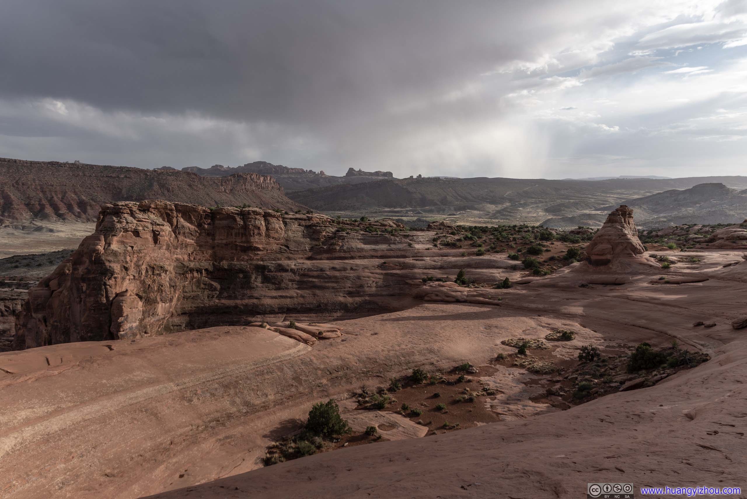
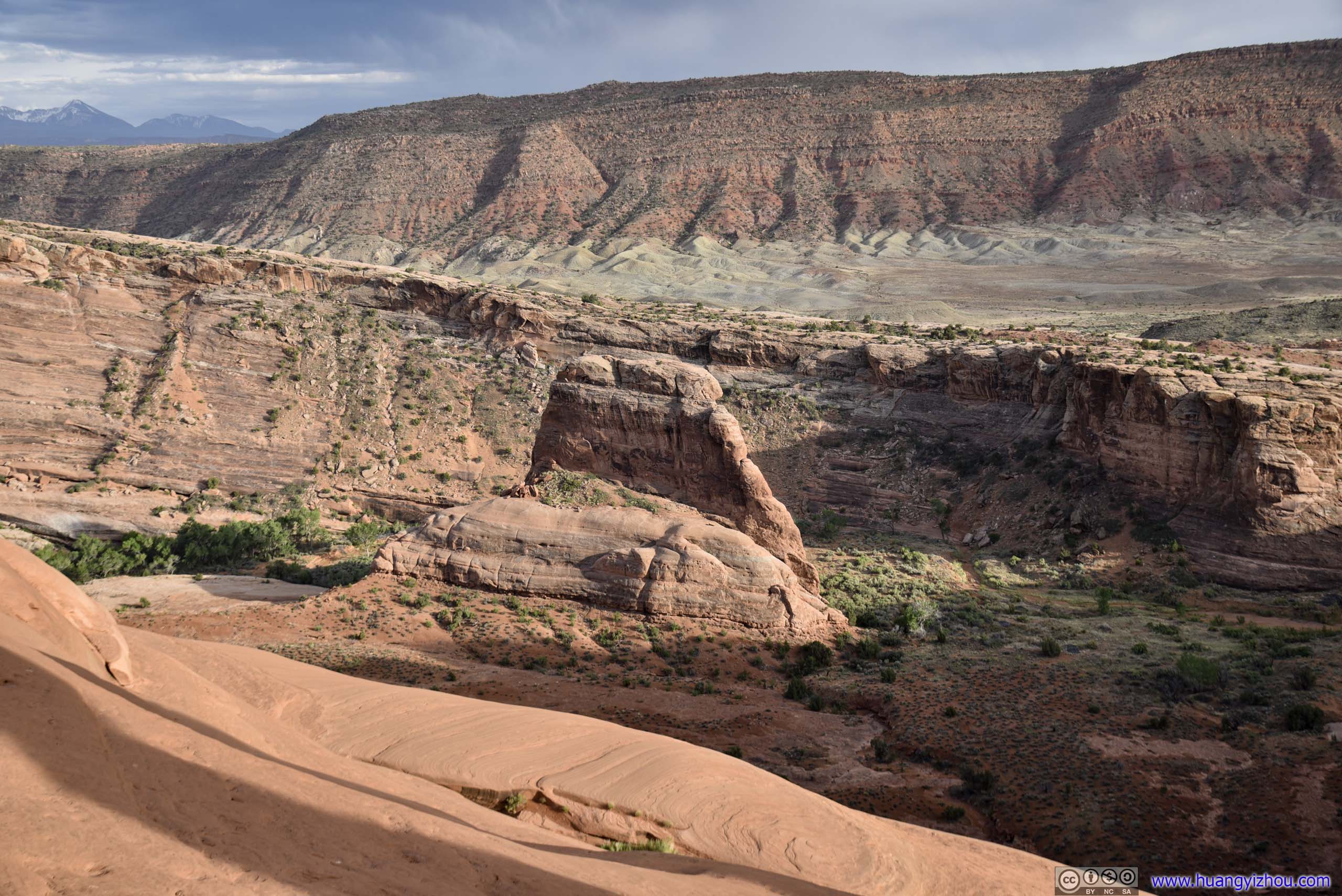
Panorama Point
On my way to Delicate Arch, I stopped at Panorama Point, which was a big roadside turnout with a picnic area. As its name suggested, it did offer all-round views. But somehow, I felt the views at Garden of Eden earlier today, despite not being 360-degree, were better and more diverse.

 Elephant Butte and Ham Rock
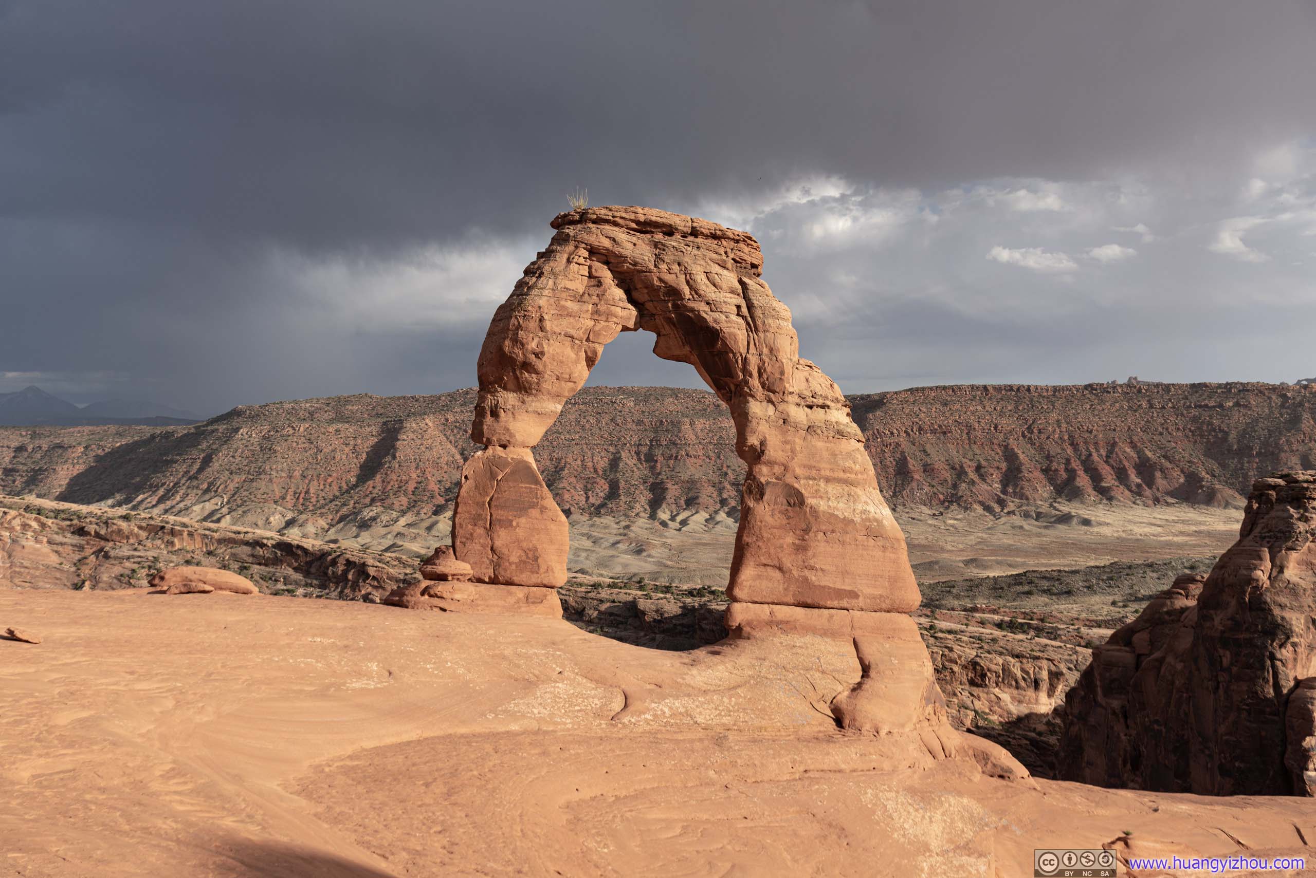
Delicate Arch
A most-recognized free-standing arch, a unique geologic feature, crown jewel of the park, background of Utah’s license plate.
It’s a 5km roundtrip trail to see the arch up close, which was popular at sunset. The trail condition was probably the best in the park. Probably due to COVID, during my visit the trailhead parking lot was less than a-third full.
Here’s GPS tracking:
Right next to the trailhead was Wolfe Ranch, remnants of someone that settled here more than a century ago.
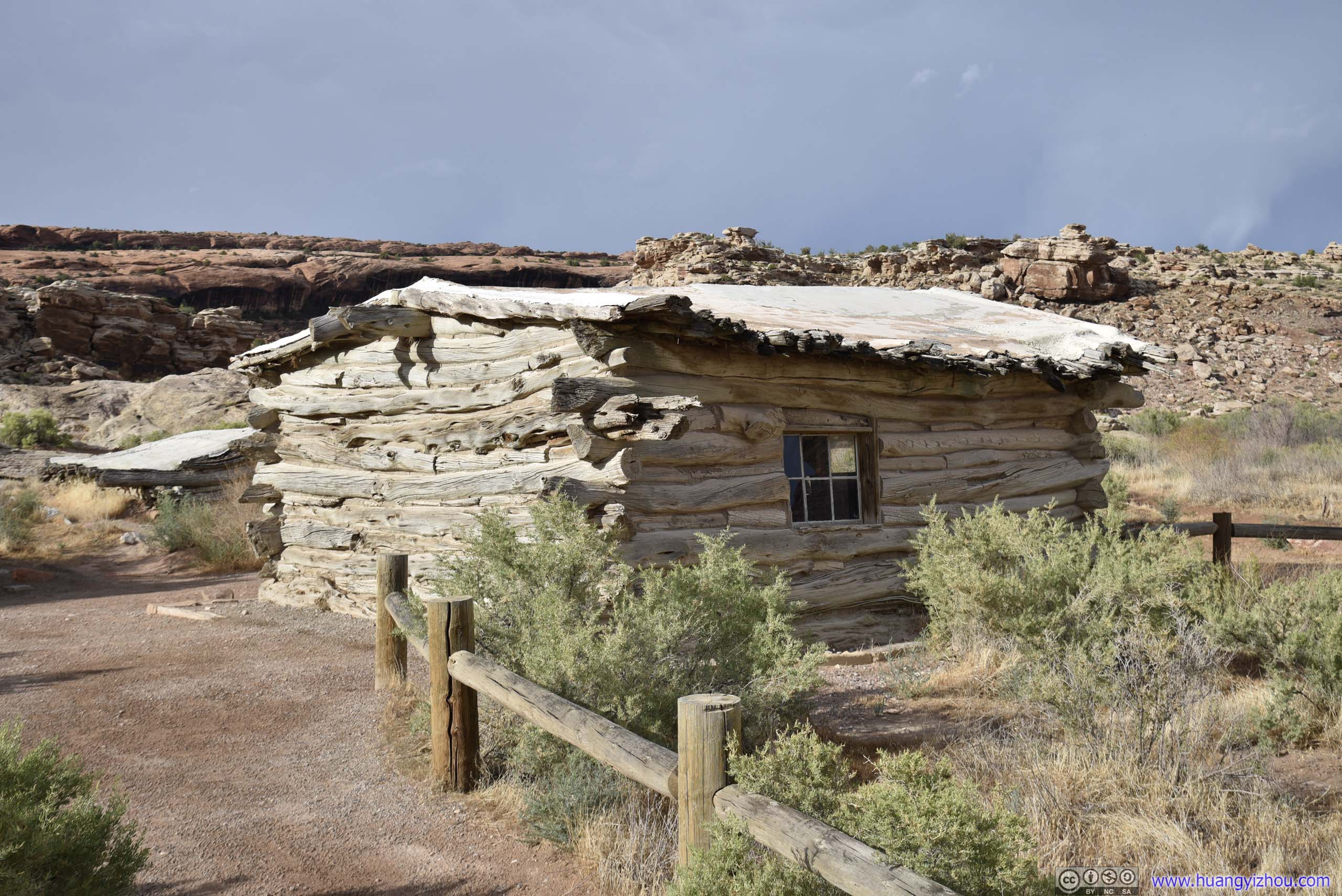
Wolfe Ranch
After that, the first part of the trail was through shallow bushes onto a slickrock. The segment’s well maintained.
 Landscape
Once on the slickrock it’s pretty much find-your-own-way, as long as it’s going in the right direction. Toward the end of the slickrock, there were some markers and cairns guiding the way. (Despite which I still lost the trail once.)
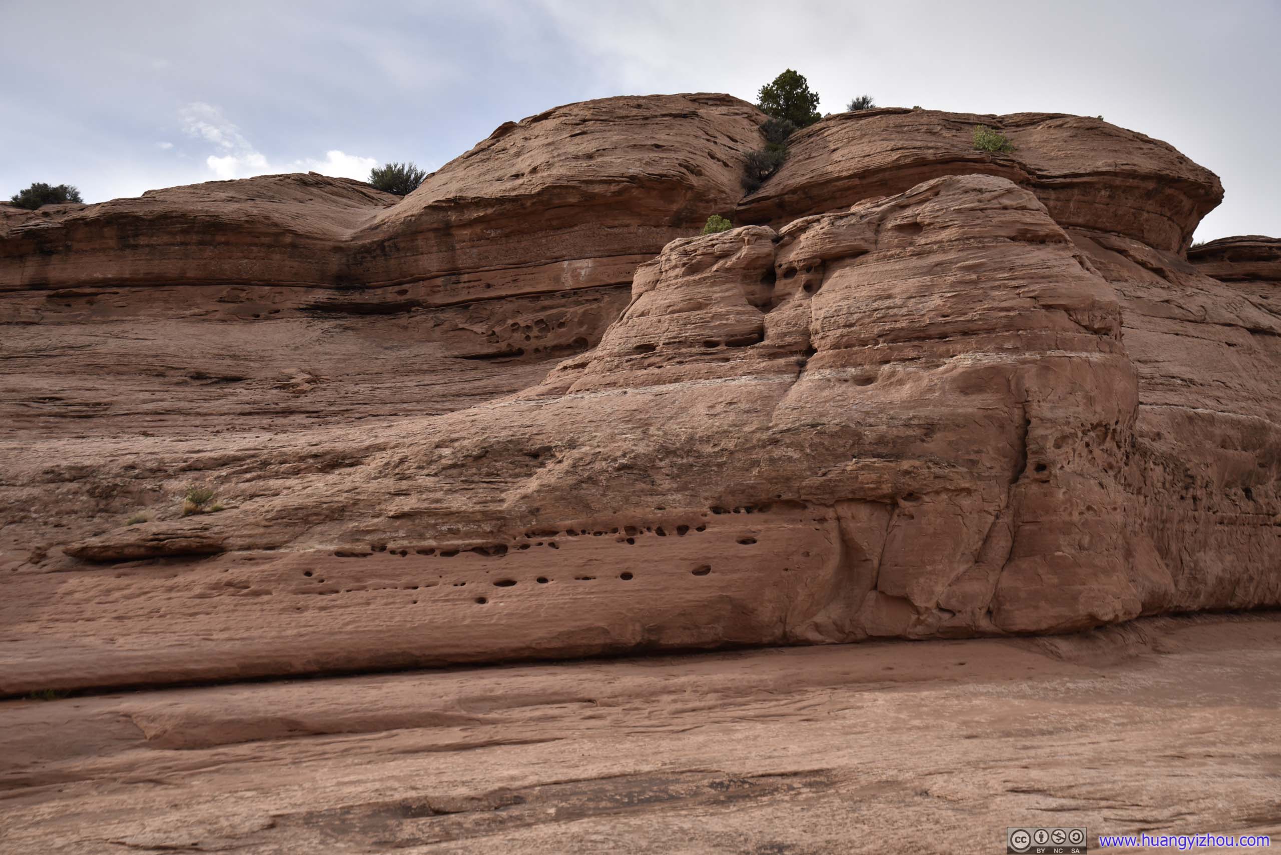
 Rocks with Holes from Erosion
Small ArchCloser to the end of the trail, a sneak peek of what’s ahead.
And finally, the arch that everyone anticipated for.
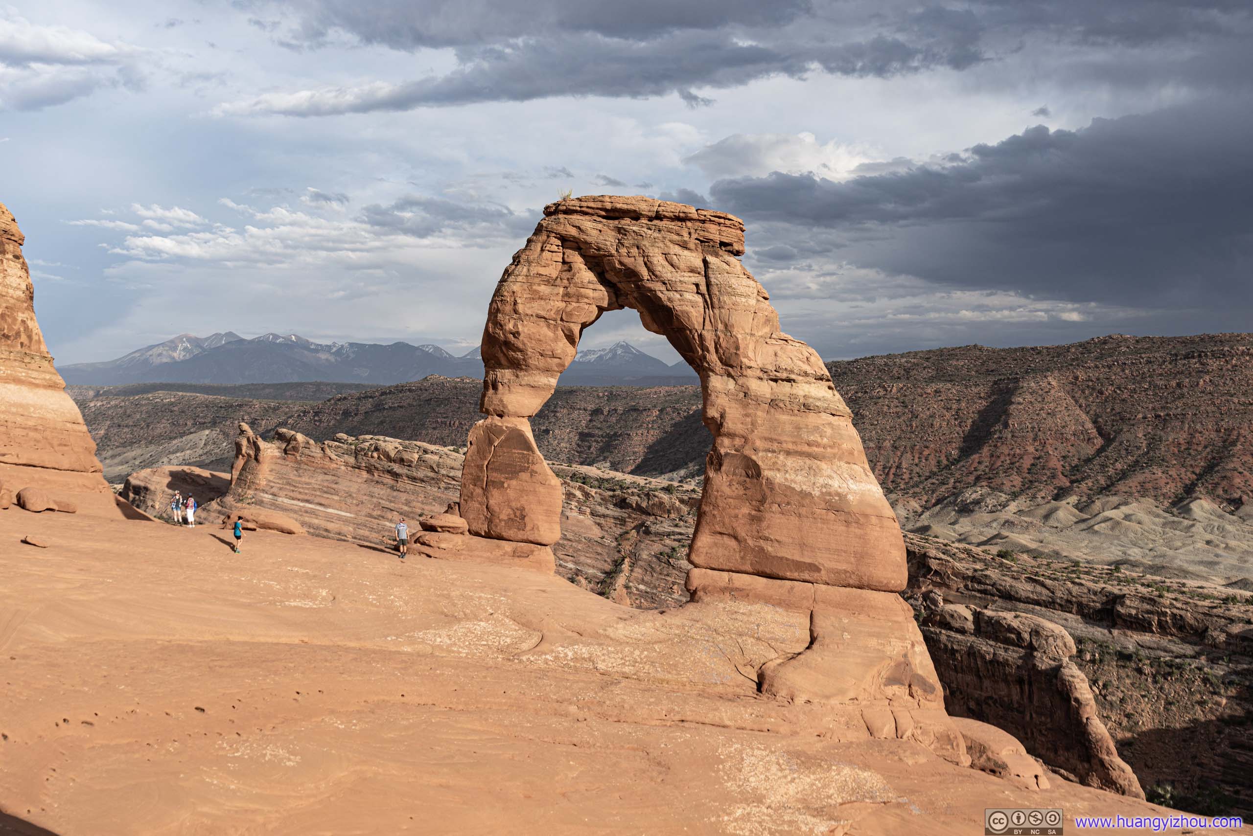
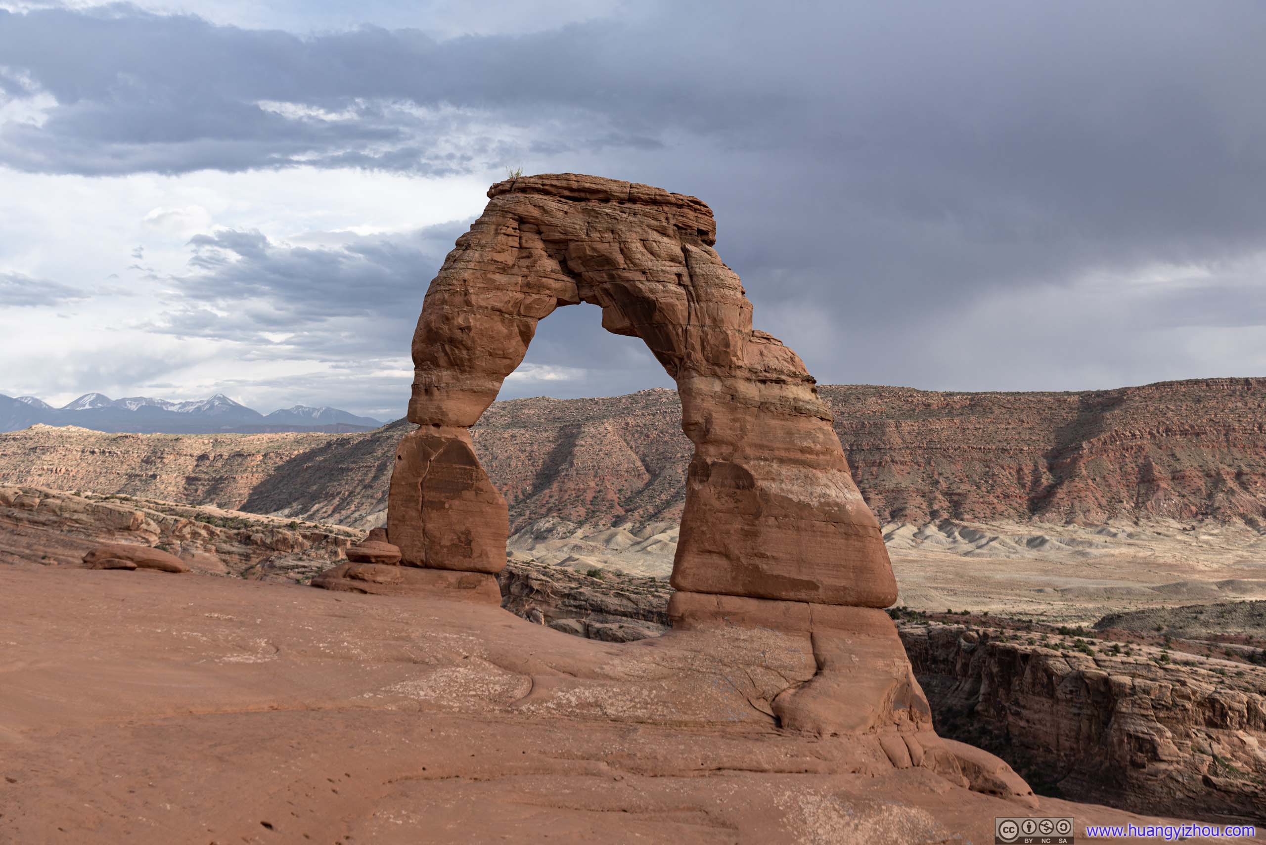 Delicate Arch
Basin across Delicate Arch
Butte in Valley
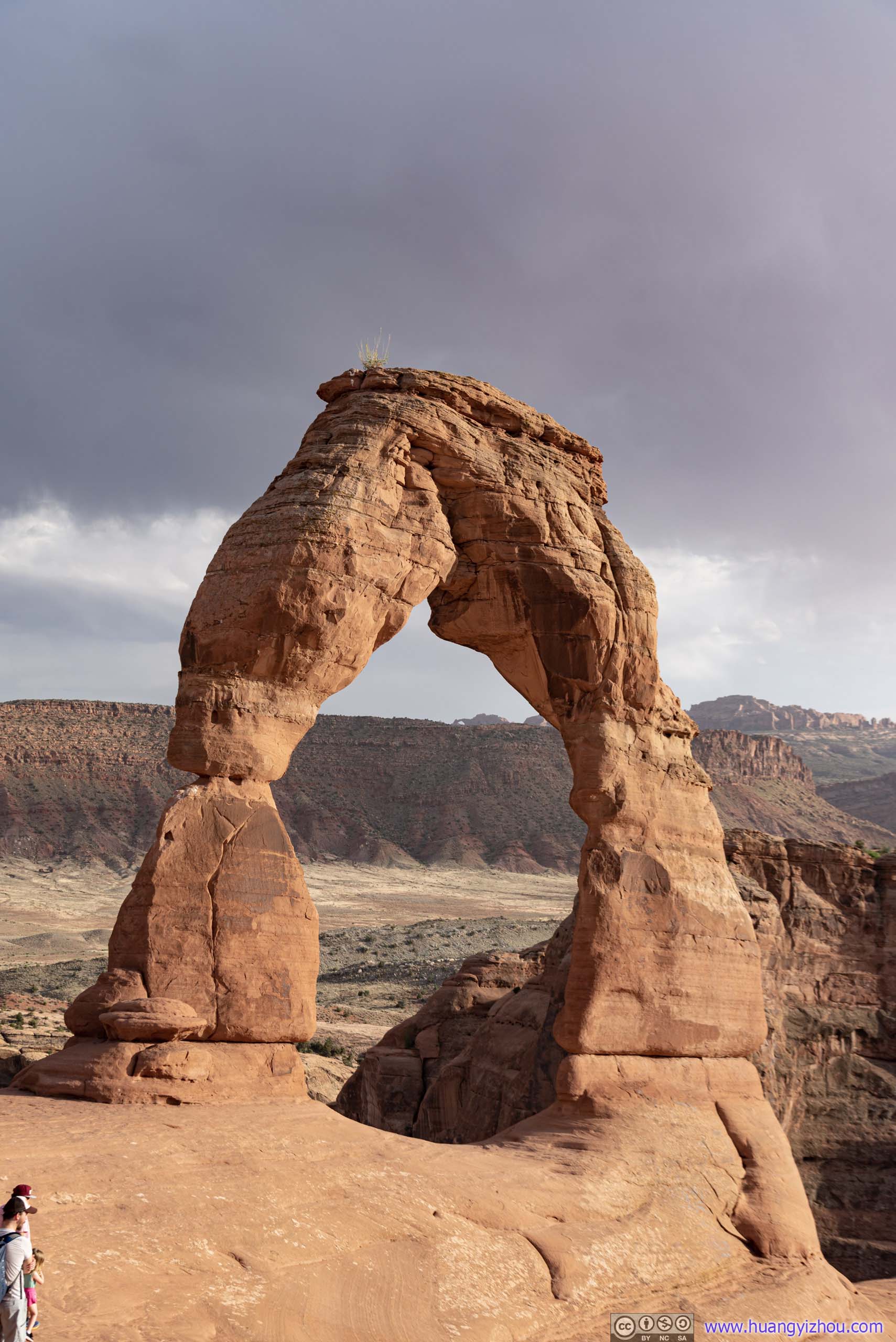
Delicate Arch
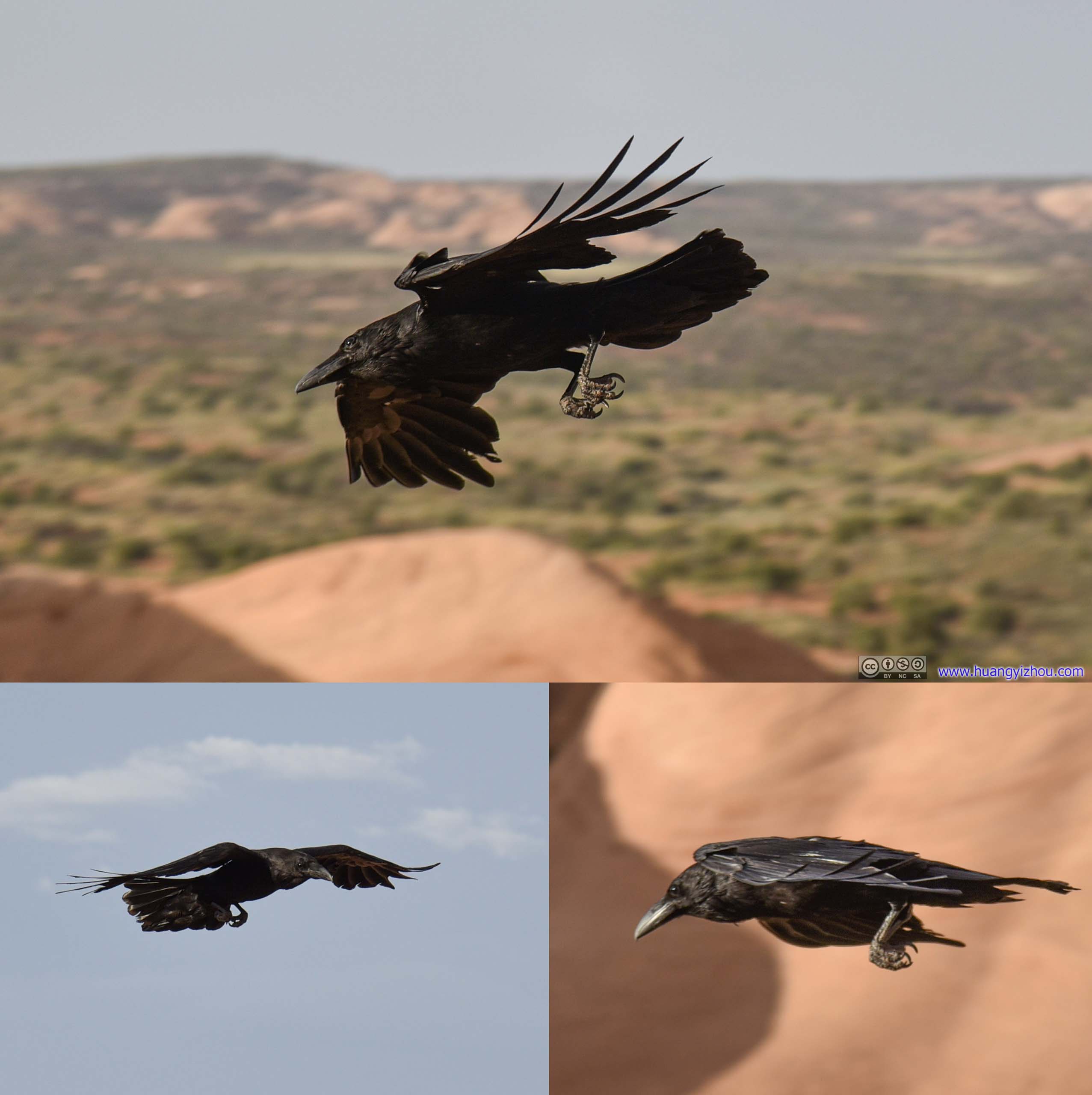
Bird
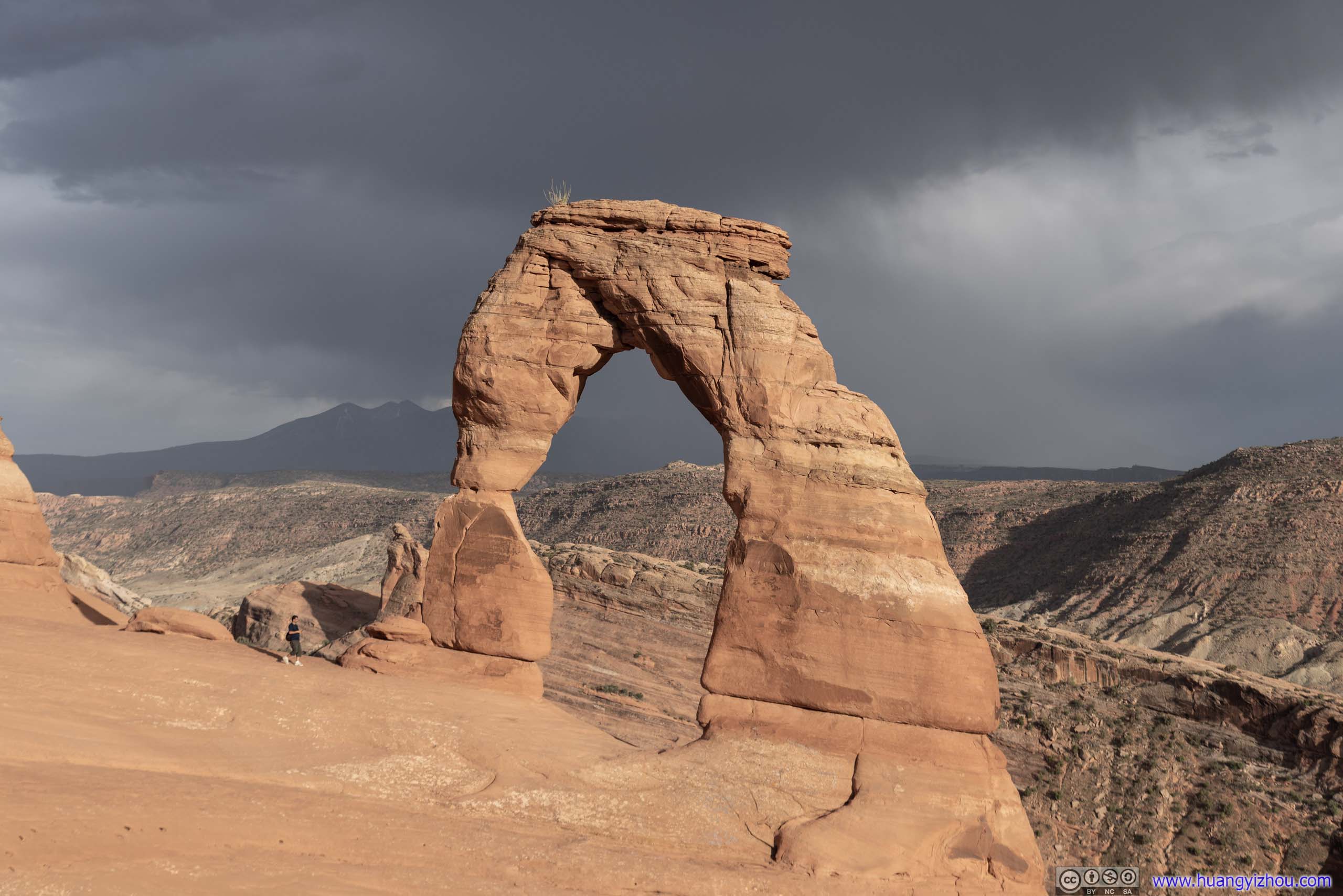
 Delicate Arch
I found myself visiting in a most fortunate time, as some impending distant storm was leaving lots of water droplets in the air, creating a rainbow behind the arch.
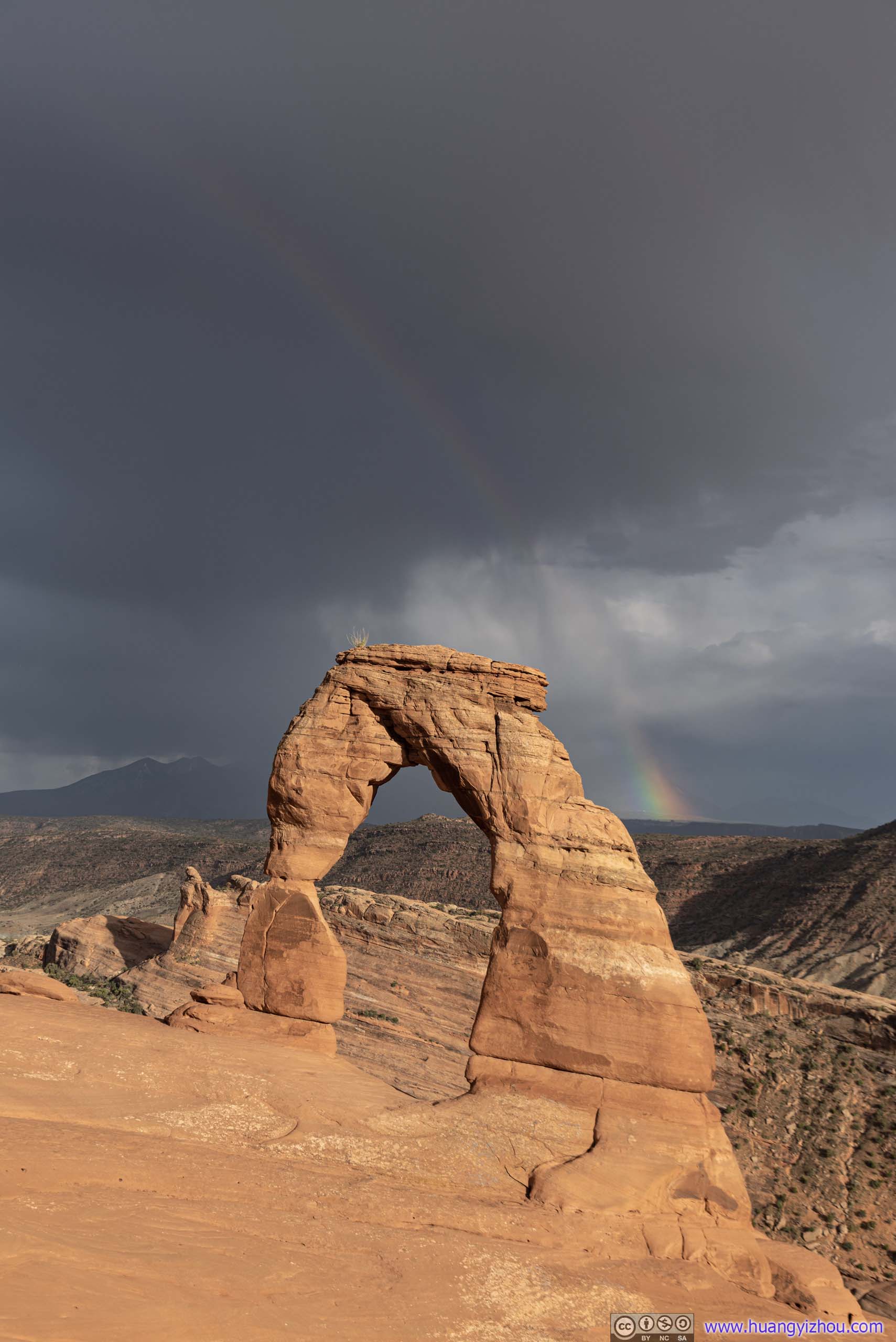
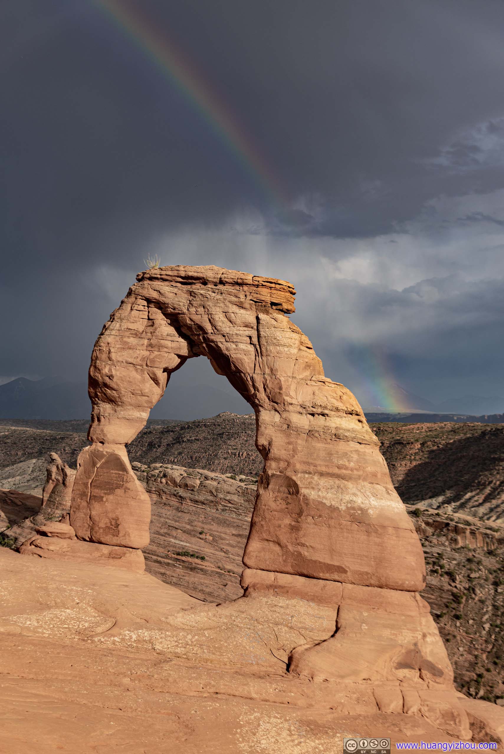 Rainbow over Delicate Arch
A few minutes later the entire crowd lit up, as a second rainbow was forming outside the first one.
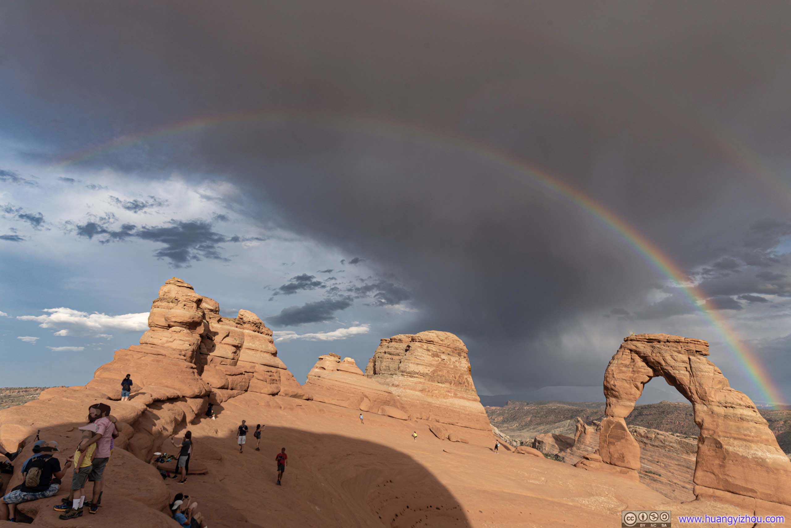
Double Rainbow over Delicate Arch
For a very brief moment, a third rainbow faintly formed outside the second one. The storm that gave birth to the rainbows also moved our way, bringing gale and raindrops. The circumstances just didn’t allow me to use my camera, so there weren’t any photos of that.
But anyway, double rainbows over Delicate Arch was nonetheless a sight to behold.
I waited until the storm and rainbows had passed, before heading back to the parking lot.
 Landscape
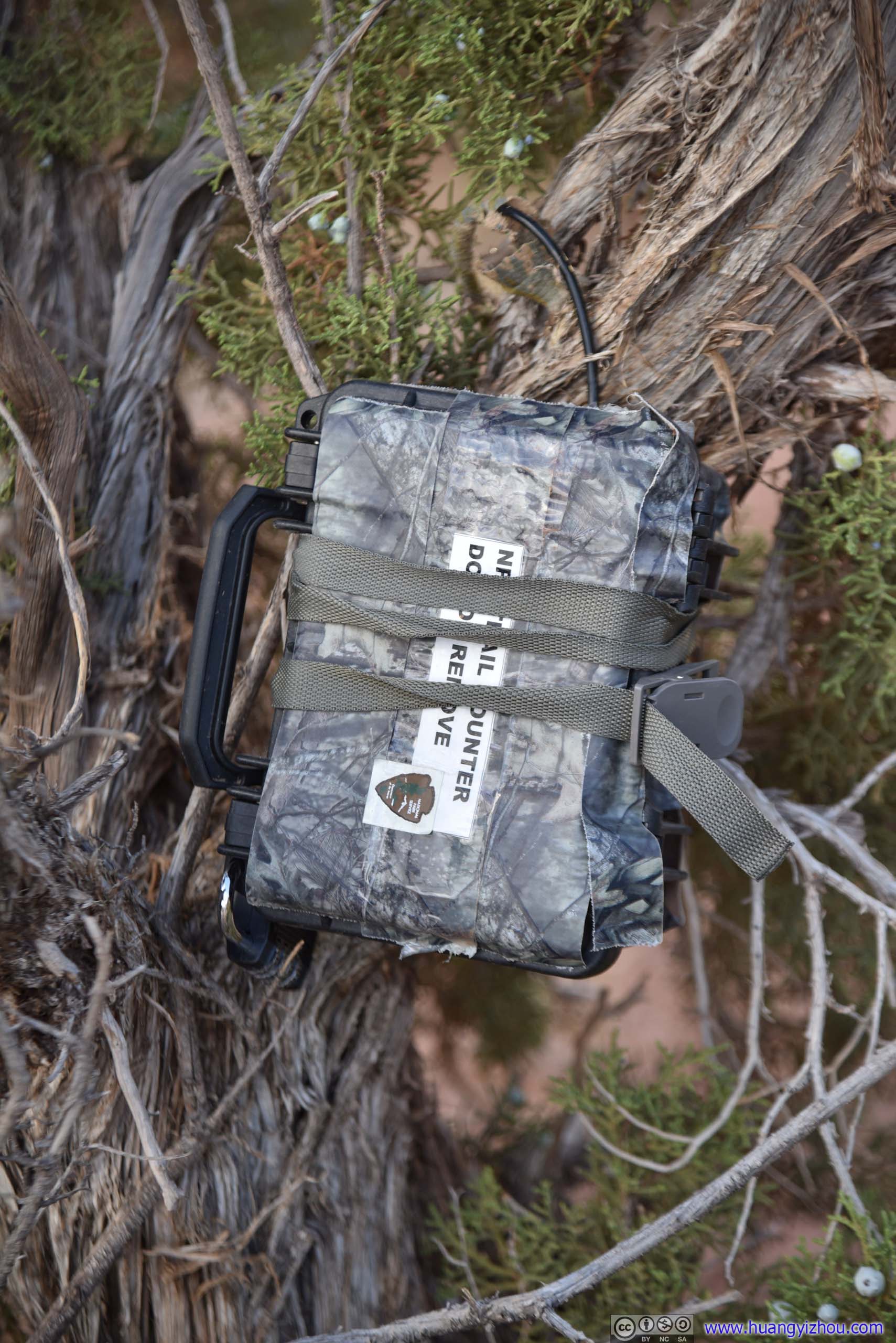
NPS Box
On the way back I made a small detour, paying Ute Indian petroglyphs a visit.
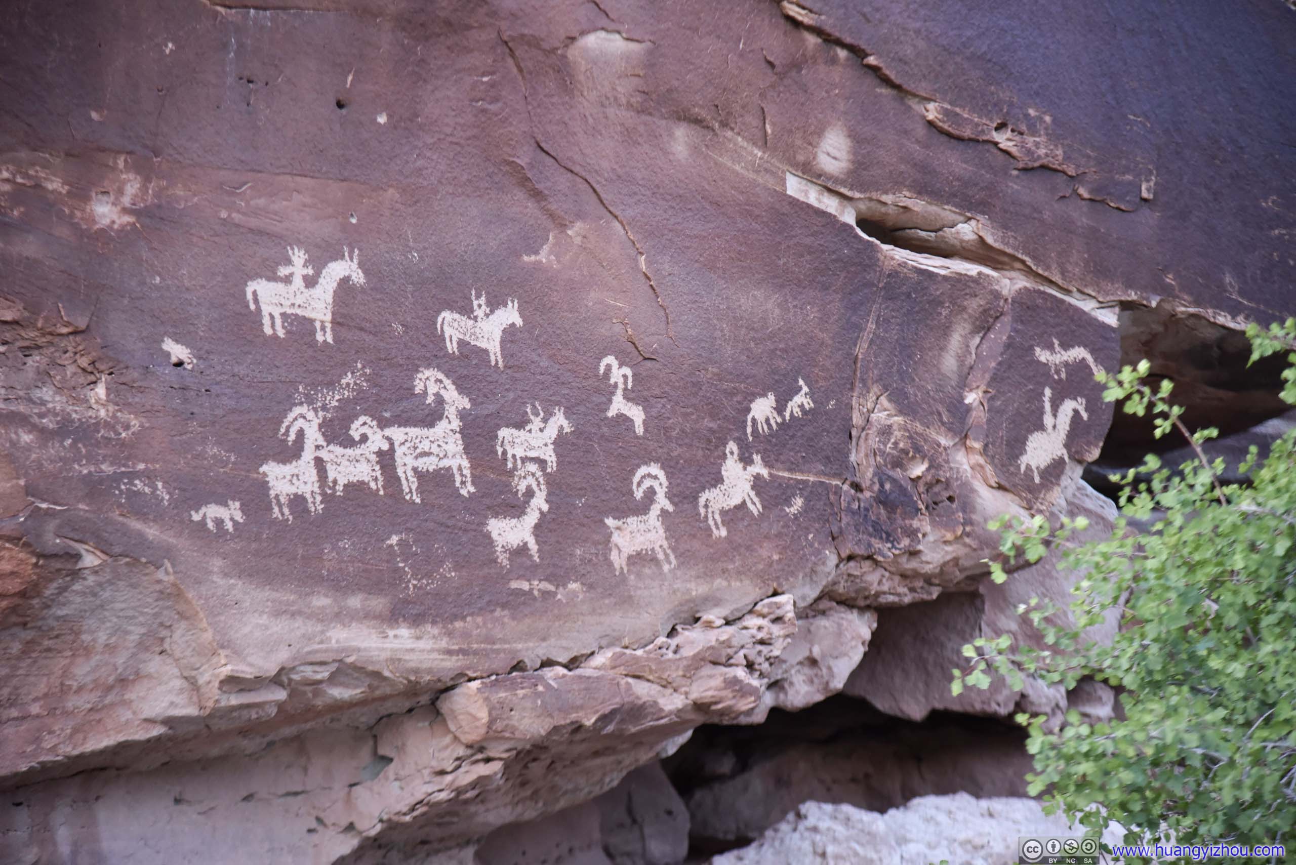
Ute Rock ArtCarved between AD 1650 and 1850.
South Window from Delicate Arch TrailNorth Window was blocked by some rocks.
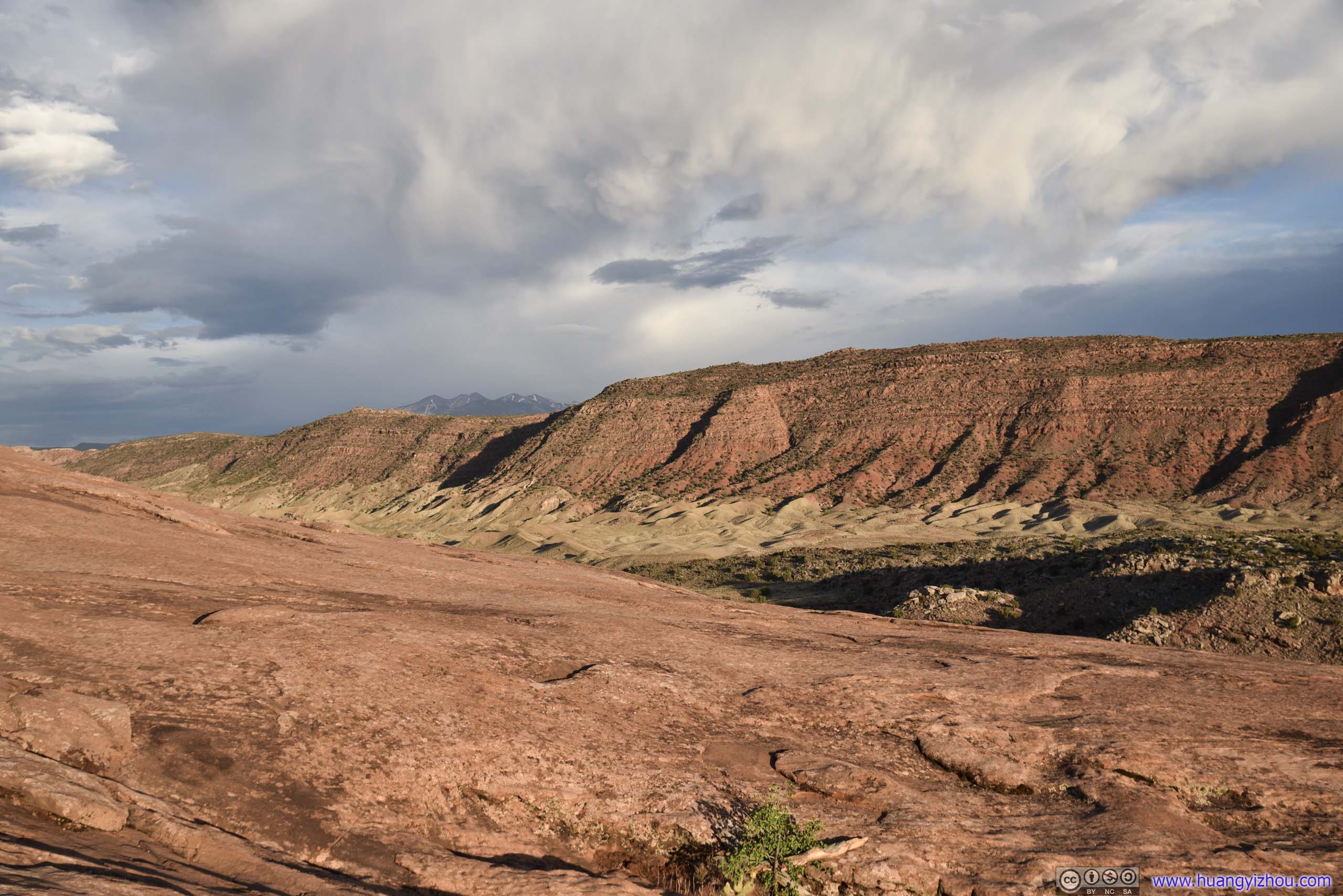
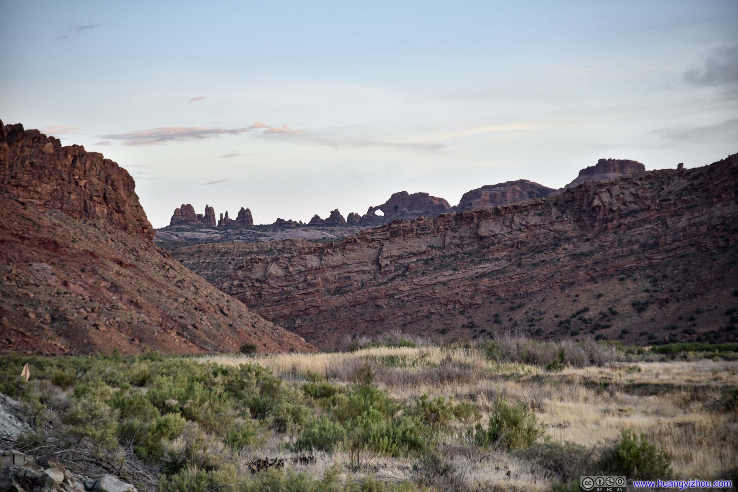
It was getting dark by the time I got back to Delicate Arch parking lot, so I headed my way out of the park. On the way back, I stopped at another roadside turnout overlooking Salt Valley, and for a moment admired the fiery clouds beyond the horizon, and the wonderful landscape underneath it.
Roadside Turnout by Salt Valley
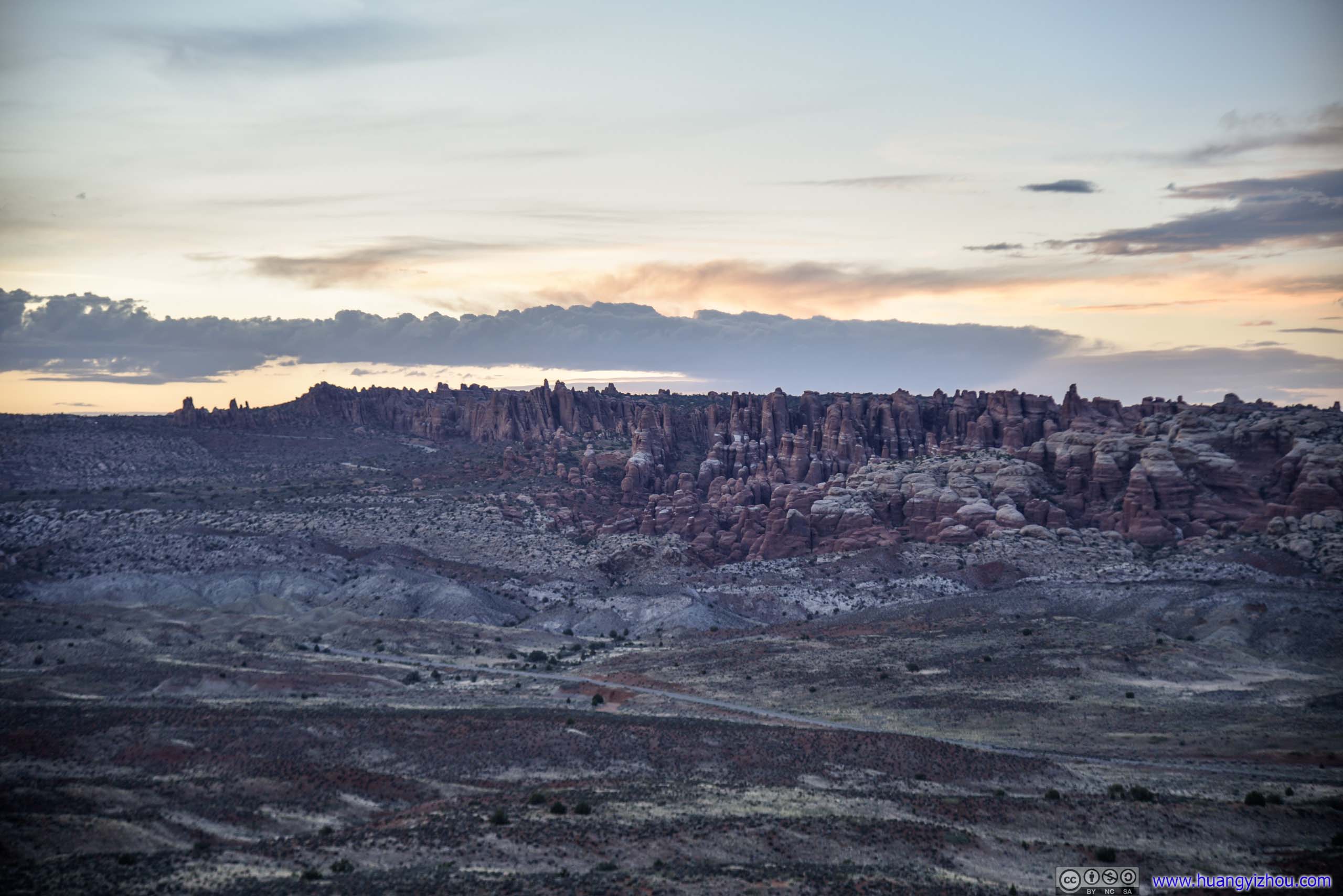
Distant Fiery FurnaceThe name’s sort of appropriate with sunset glow lighting up the skies above.
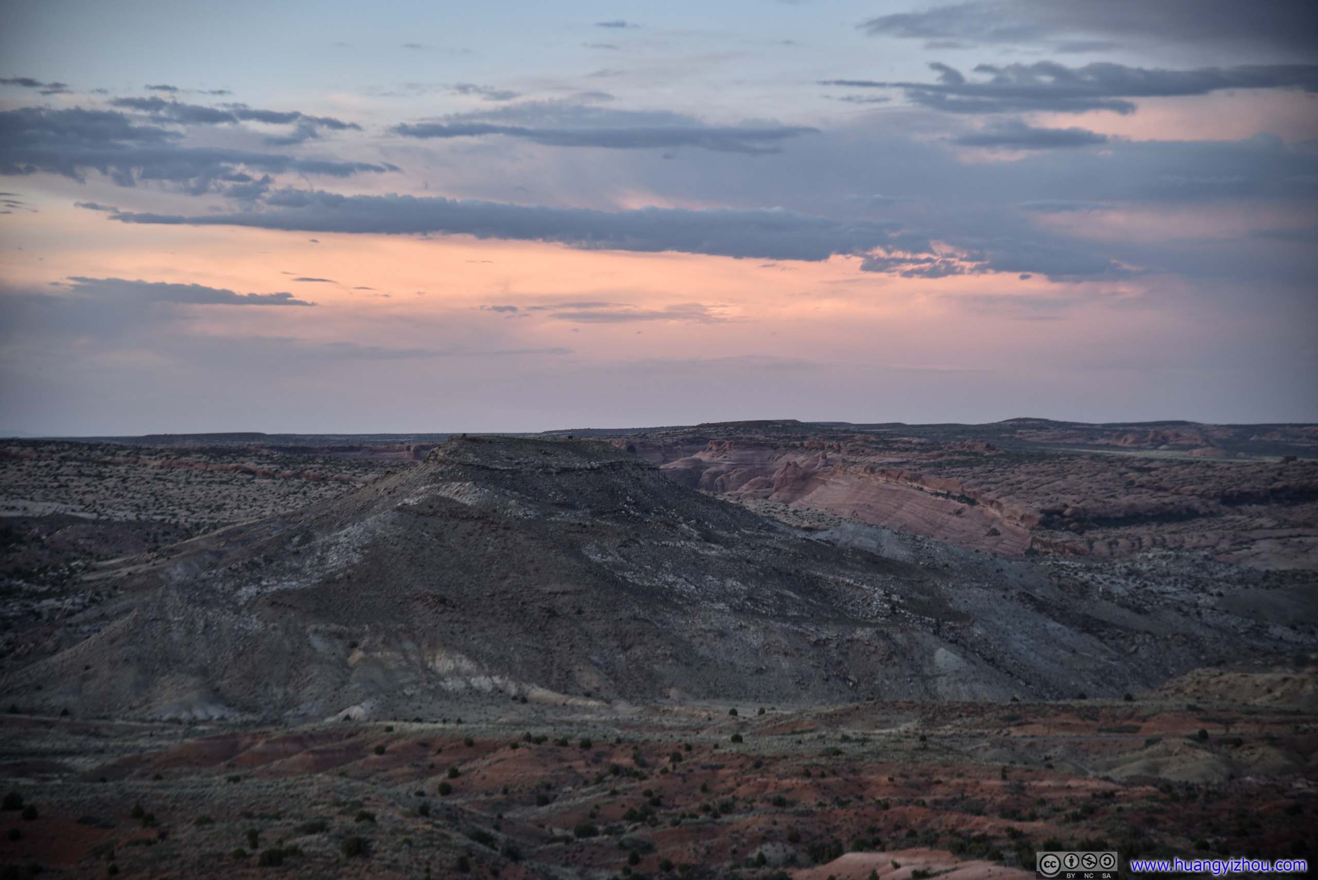
 Landscape in Sunset Glow
Sunset Glow over Salt Valley
After that I drove back to the hotel, and called it a day.
END
![]() Day 3 of 2020 Utah Trip, Arches National Park by Huang's Site is licensed under a Creative Commons Attribution-NonCommercial-ShareAlike 4.0 International License.
Day 3 of 2020 Utah Trip, Arches National Park by Huang's Site is licensed under a Creative Commons Attribution-NonCommercial-ShareAlike 4.0 International License.