
Updated on June 22, 2022
Day 7 of 2020 Utah Trip, Capitol Reef National Park
Seventh day of my Utah trip. I would be visiting Capitol Reef National Park today, hiking Cassidy Arch, Grand Wash and Hickman Bridge trails.

Cassidy Arch
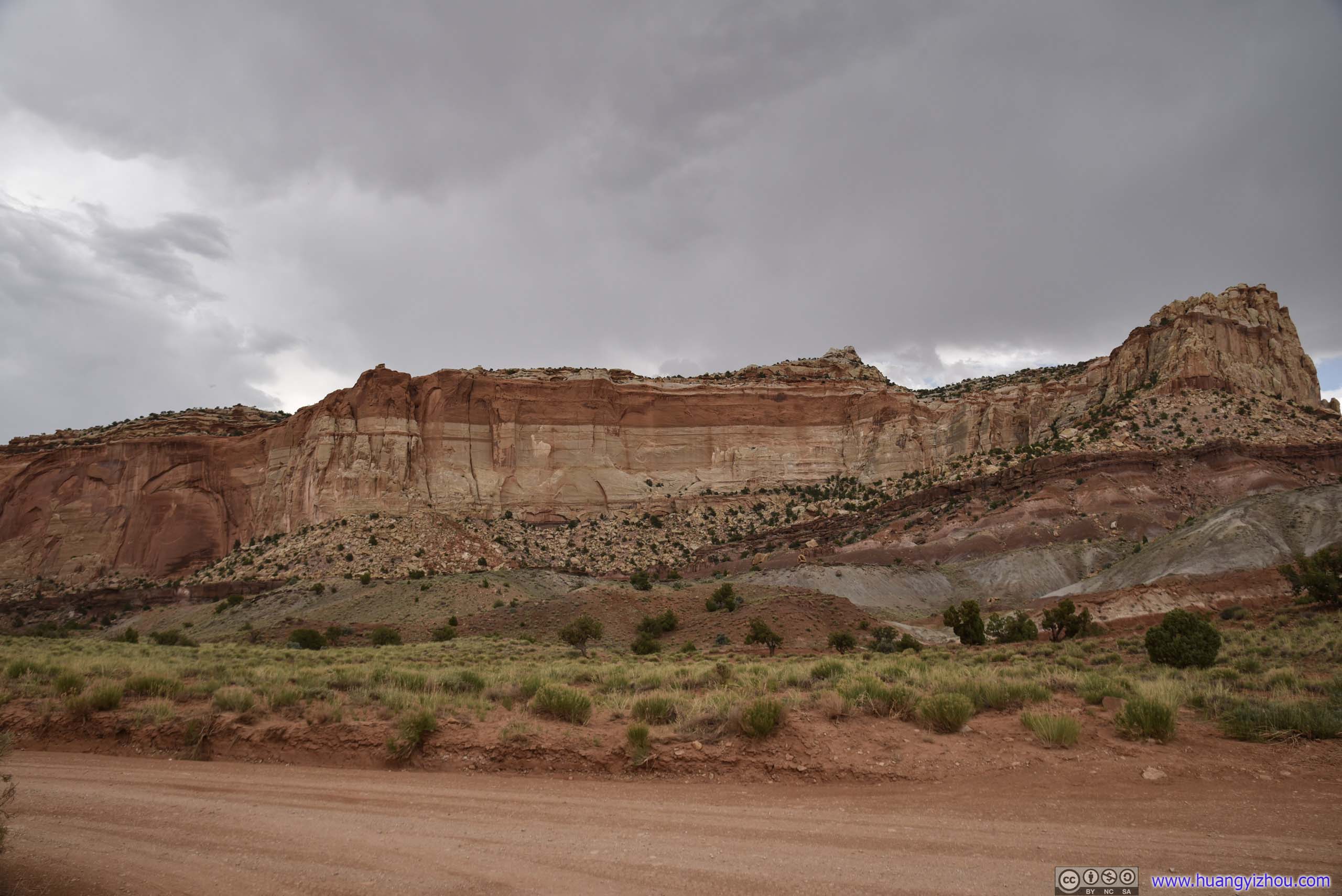
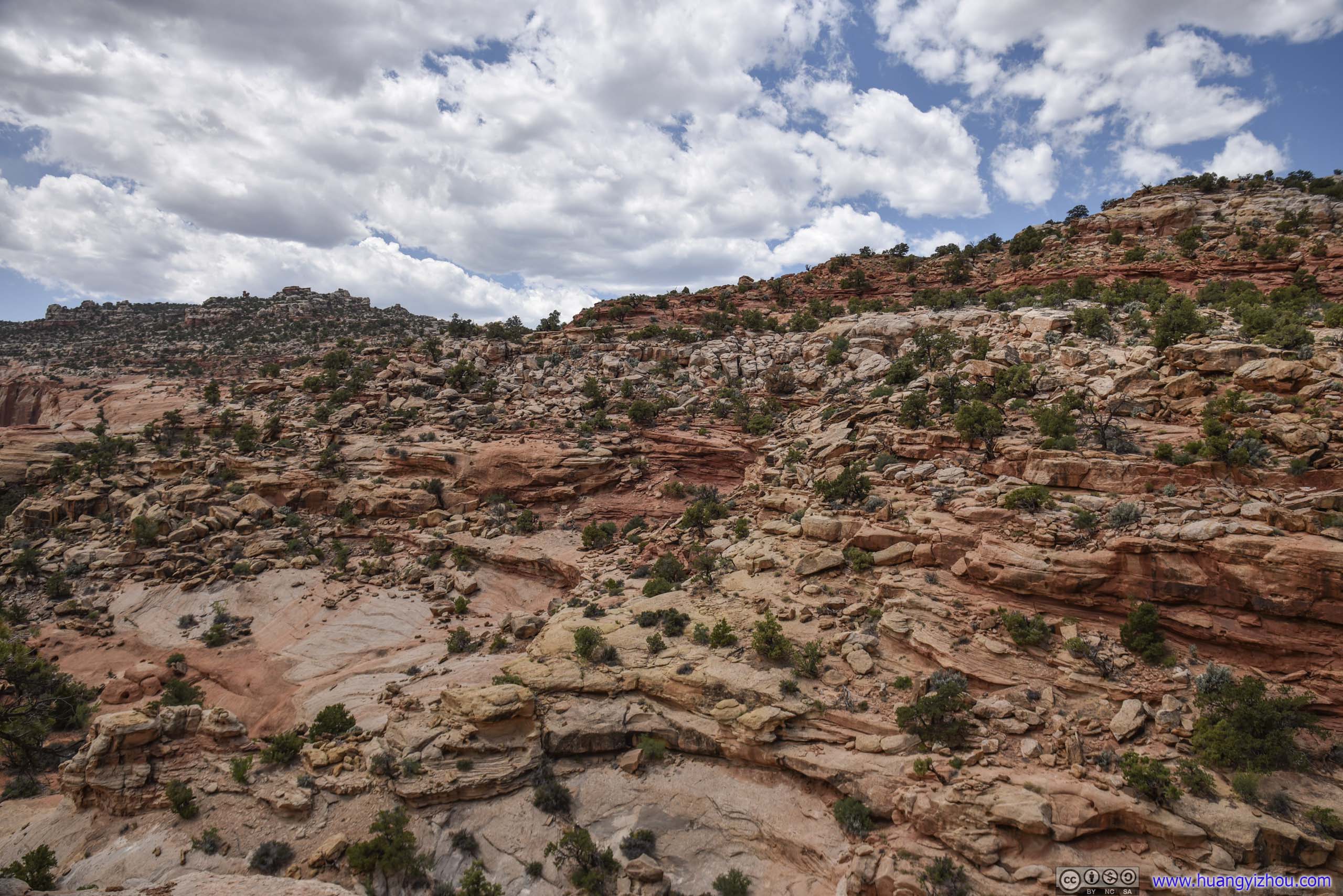
Compared with the other two national parks I visited a few days back, Arches and Canyonlands, Capitol Reef wasn’t as popular a destination. It had a few arches, not as dense and stunning as Arches; it had a few canyons, but lacking magnificent overlooks as the ones in Canyonlands. Its Scenic Drive was also shorter off UT24, than the park roads off US191. Fremont River flowed through Torrey, which was an inconspicuous creek compared to the mighty Colorado River near Moab.
So I didn’t put too much effort in planning my visit to Capitol Reef: I went to AllTrails and found out its three most popular trails, which happened to be not too long, and decided to hike them today. (I would hike the fourth most popular tomorrow morning). With Cassidy Arch and Grand Wash trails sharing a common trailhead, I headed there first.

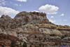
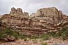
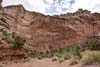
 Hill
Hill
 Hill
Hill
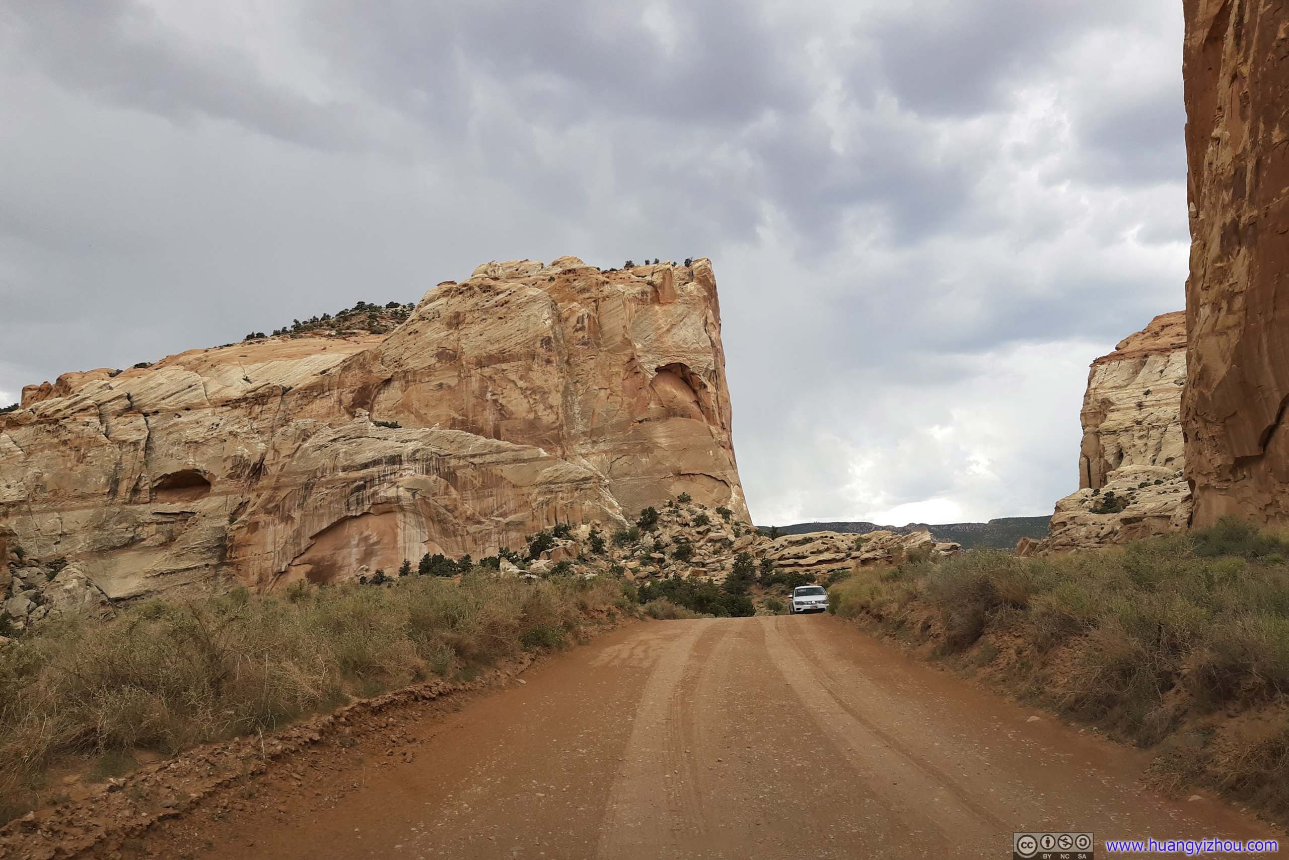
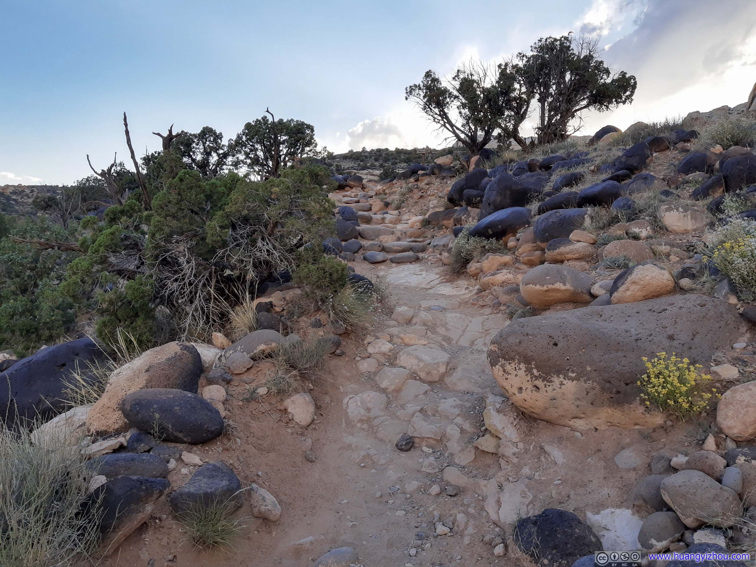
Grand Wash RoadThe last 2km from Scenic Drive to trailhead was on an unpaved road like this.

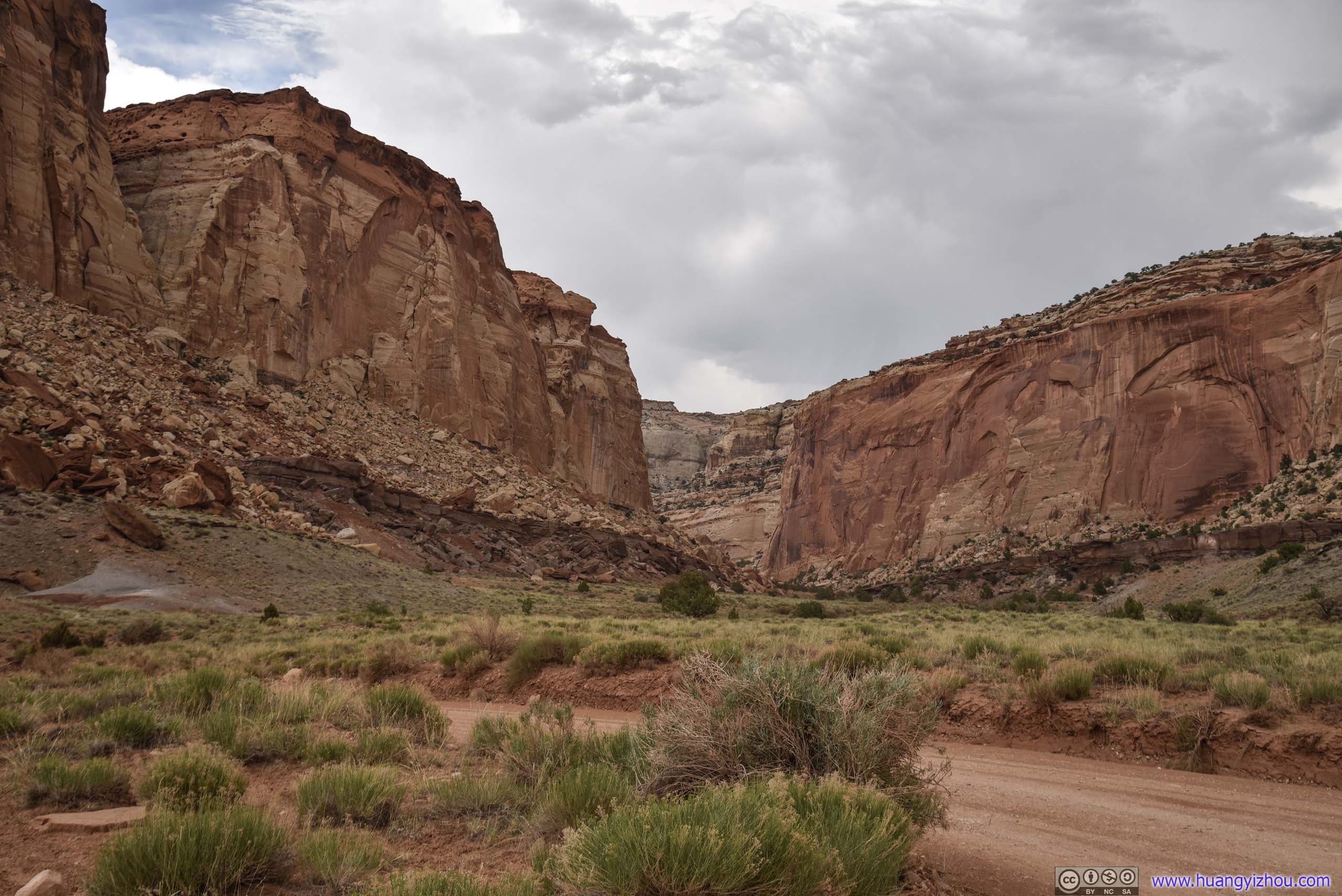
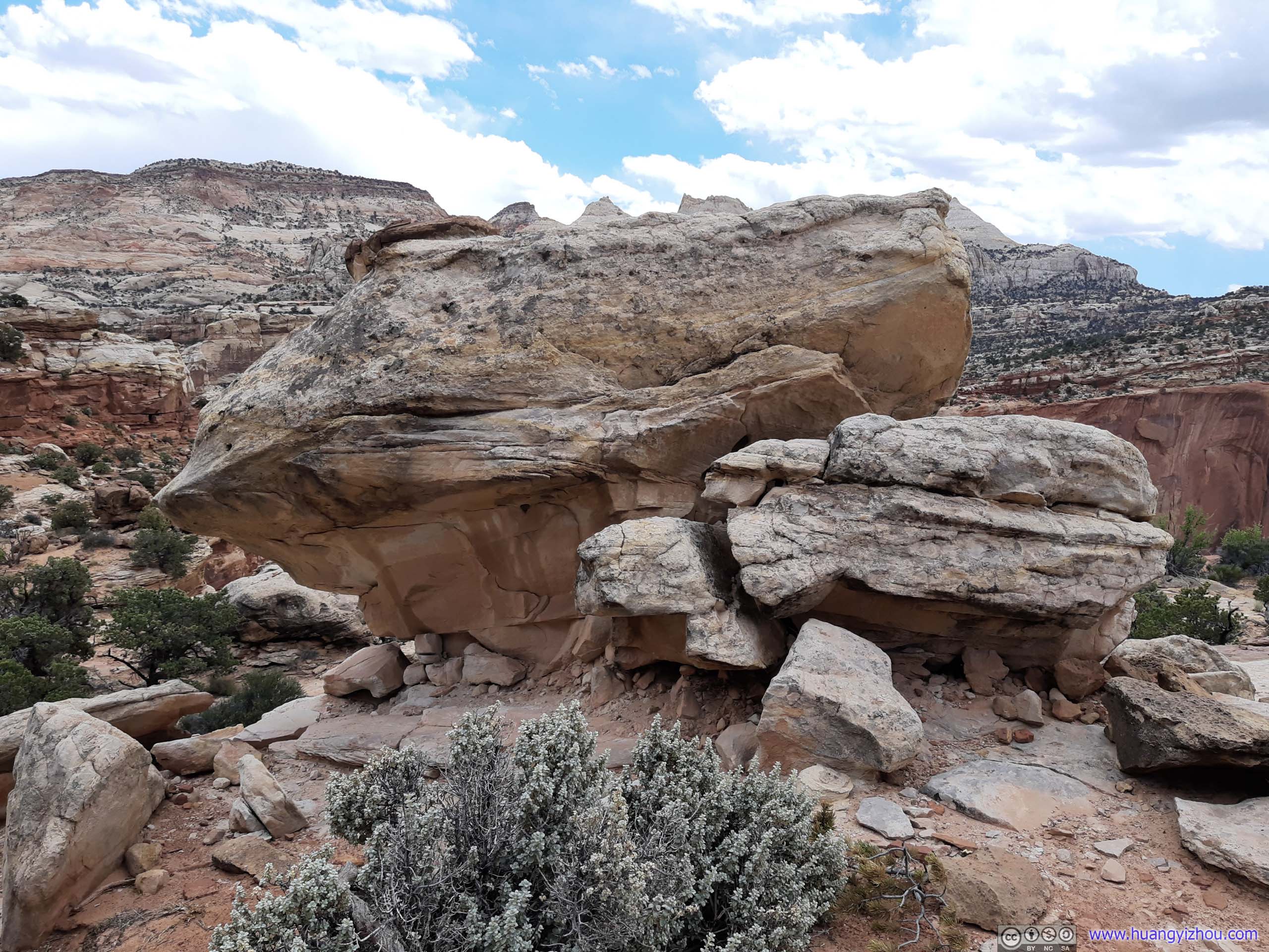
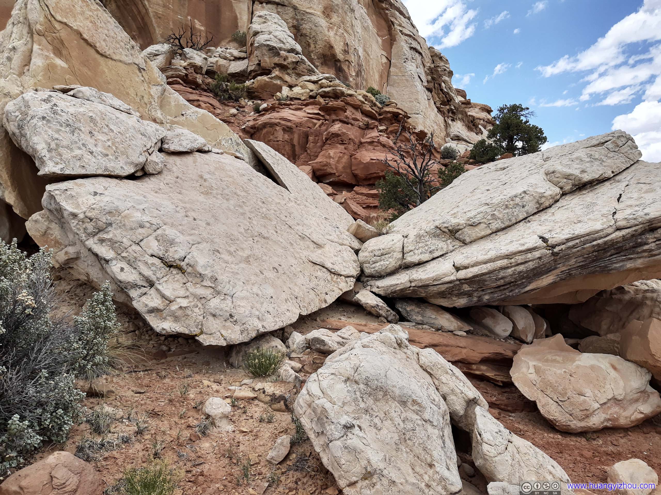
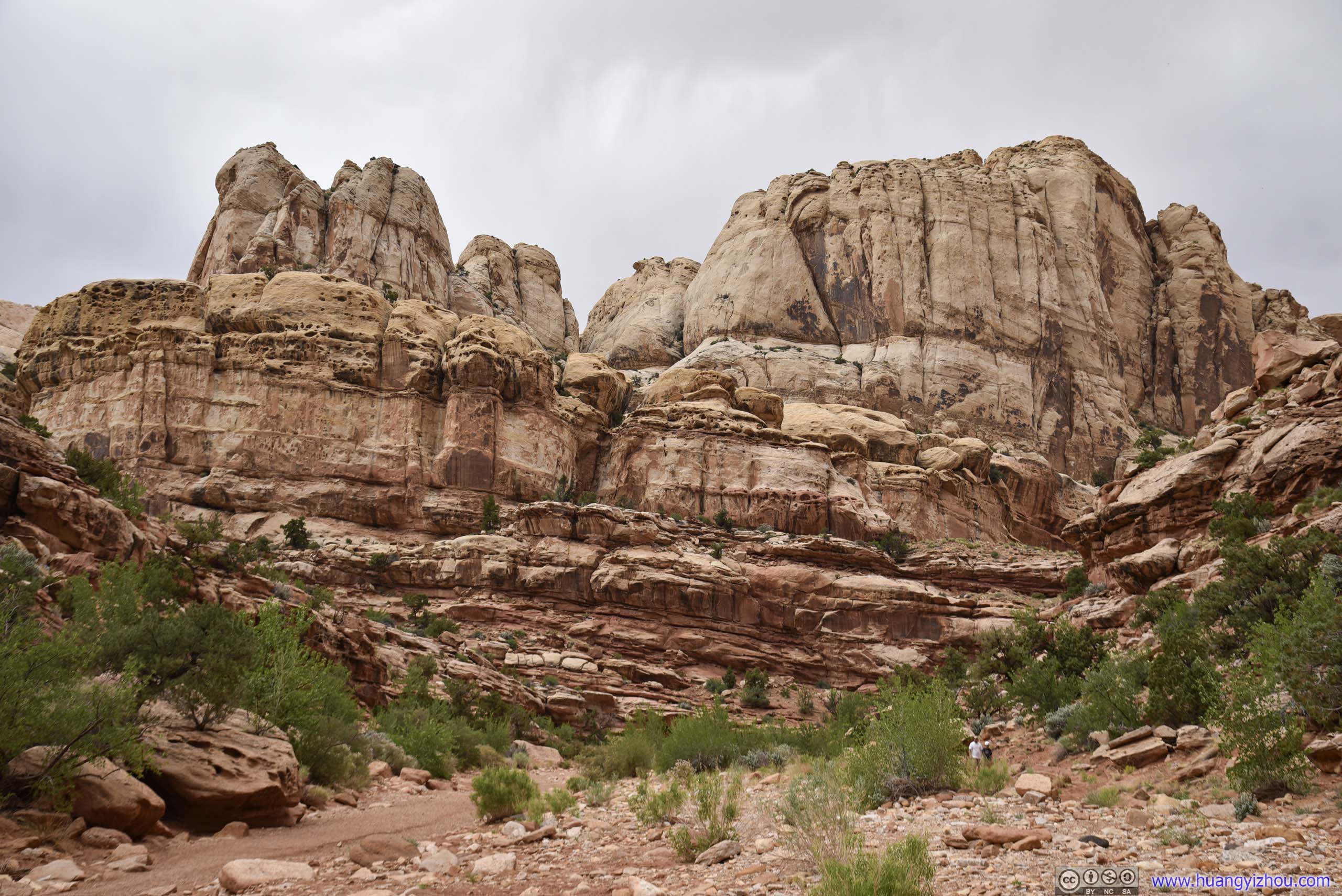
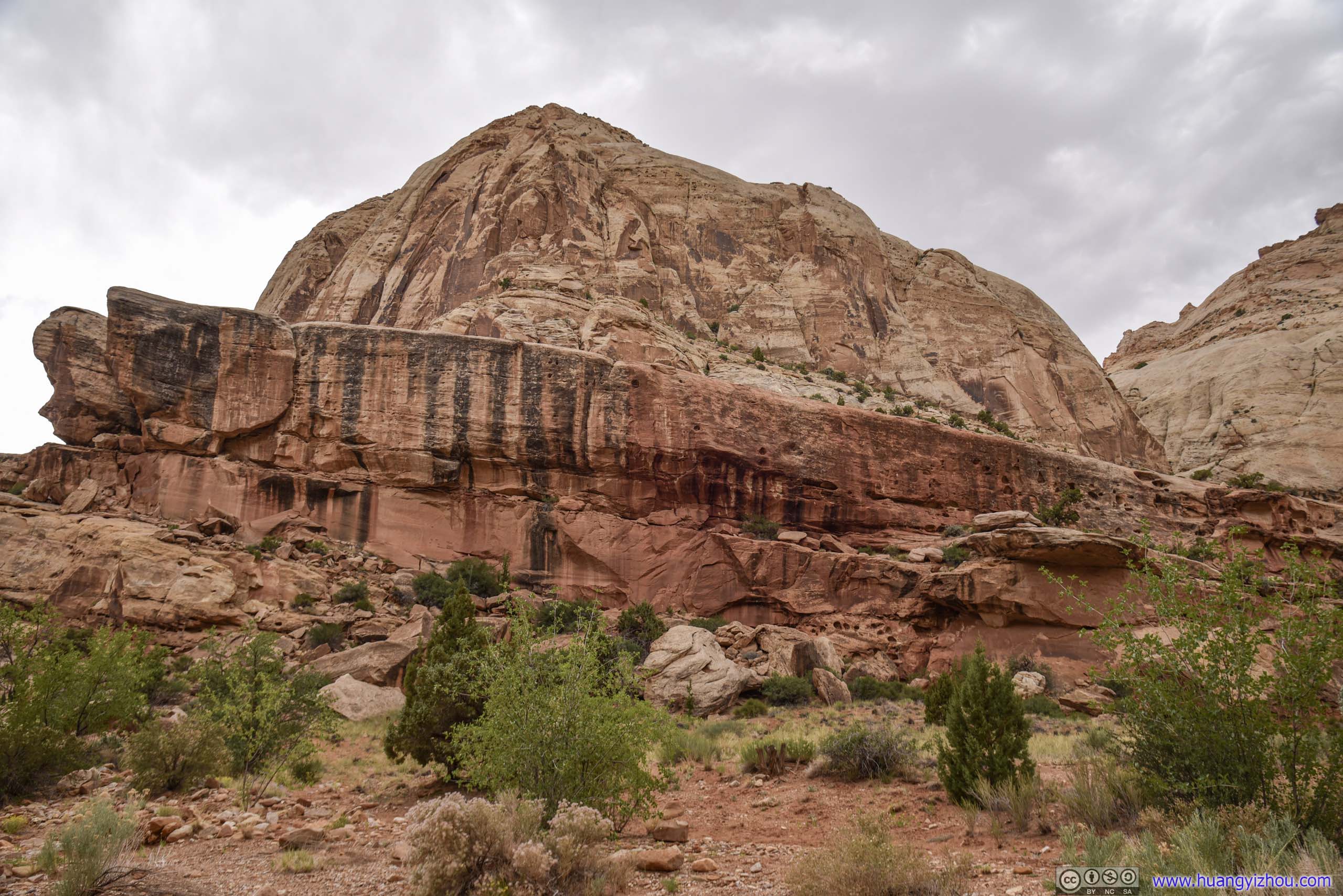
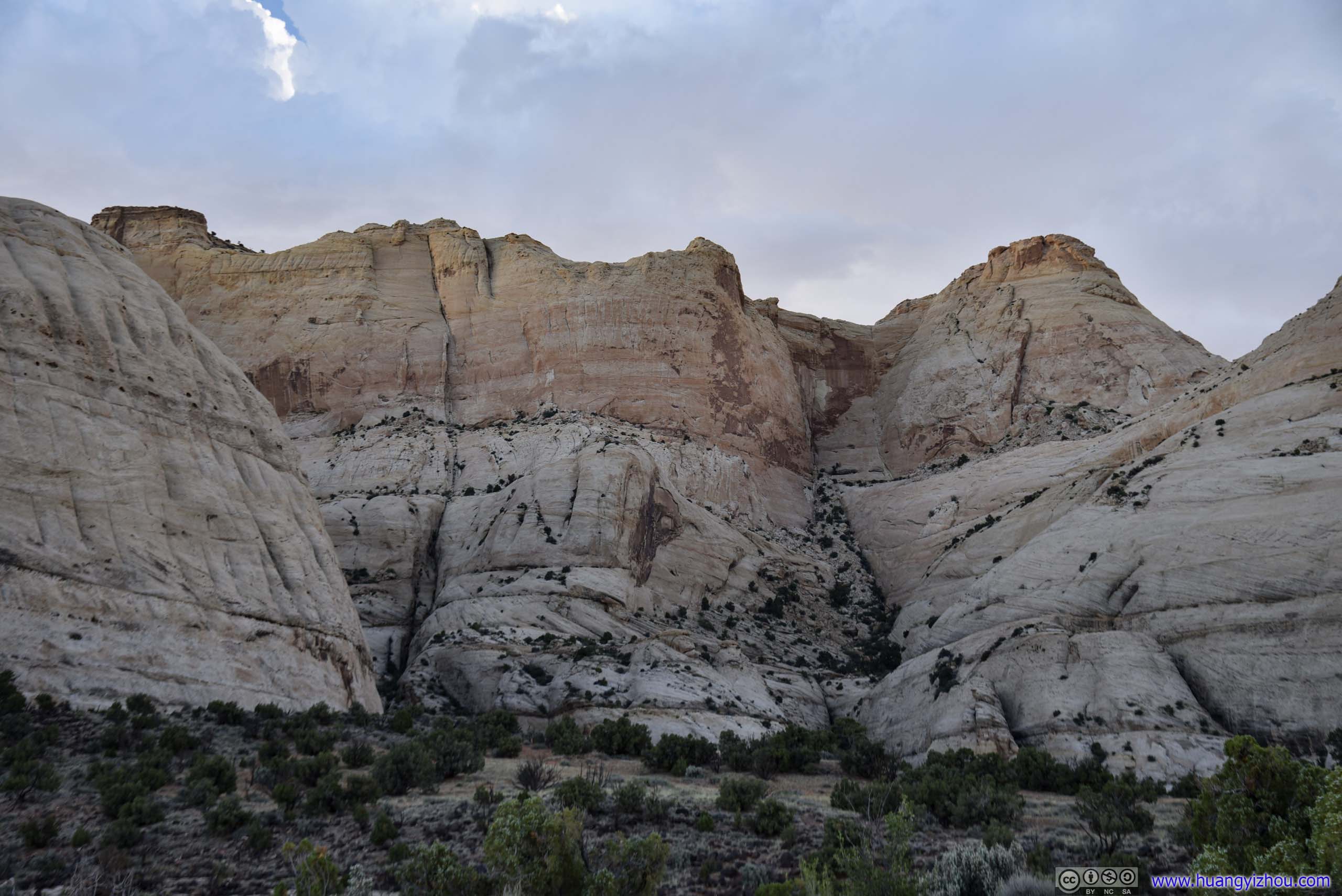
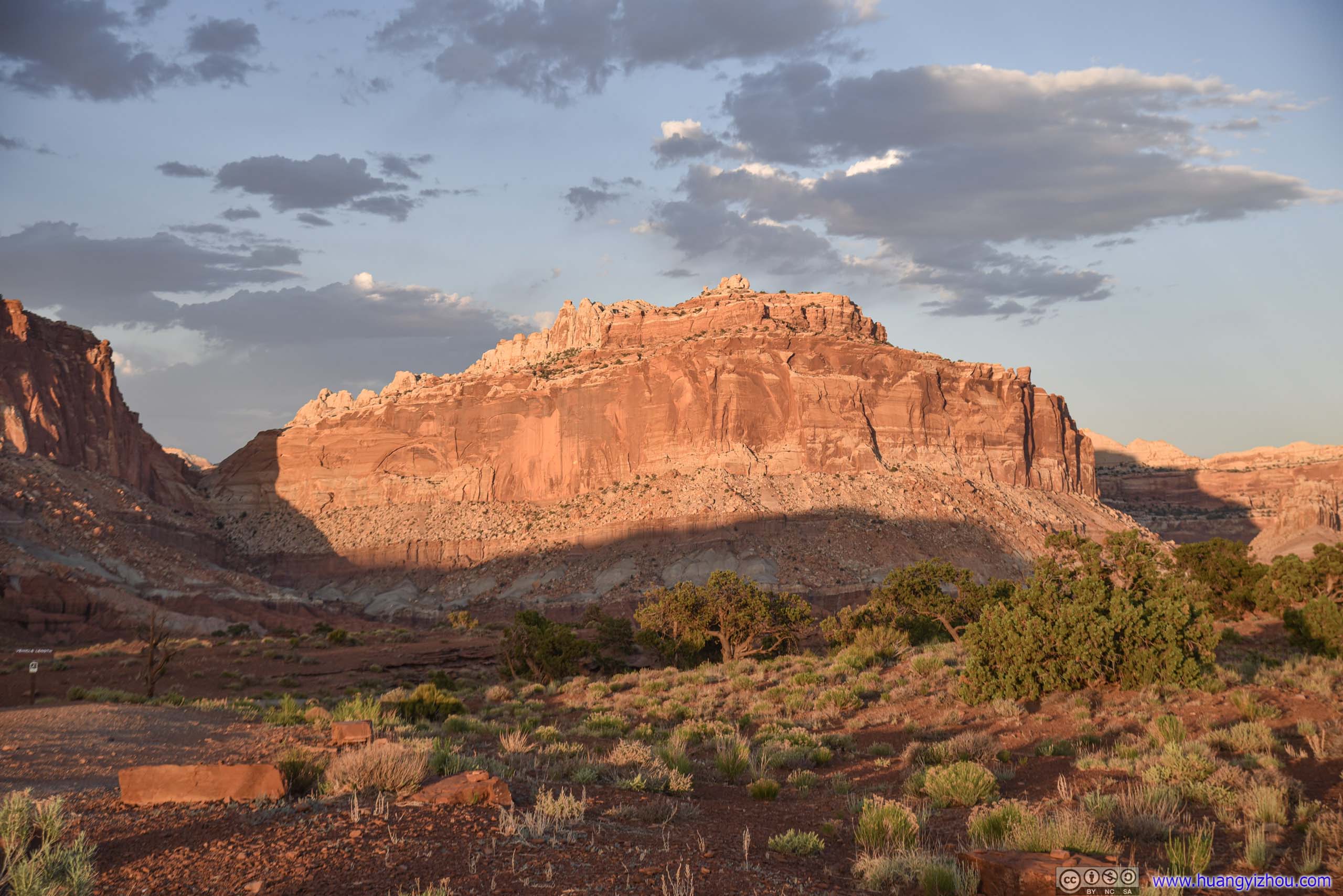
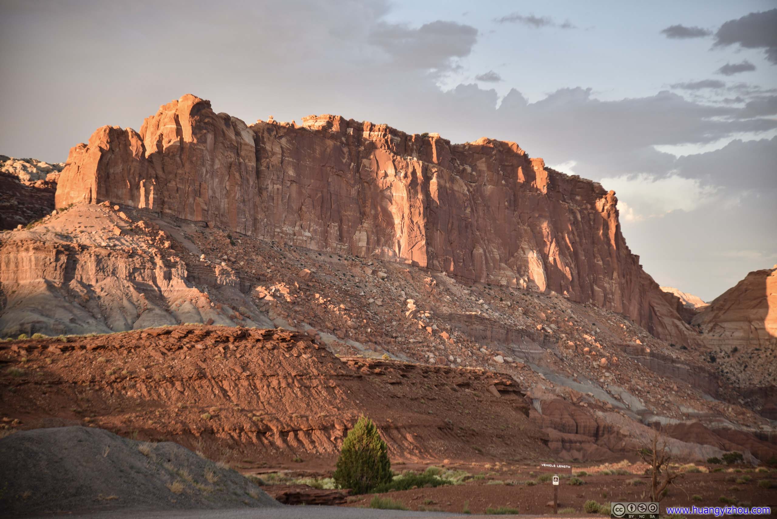
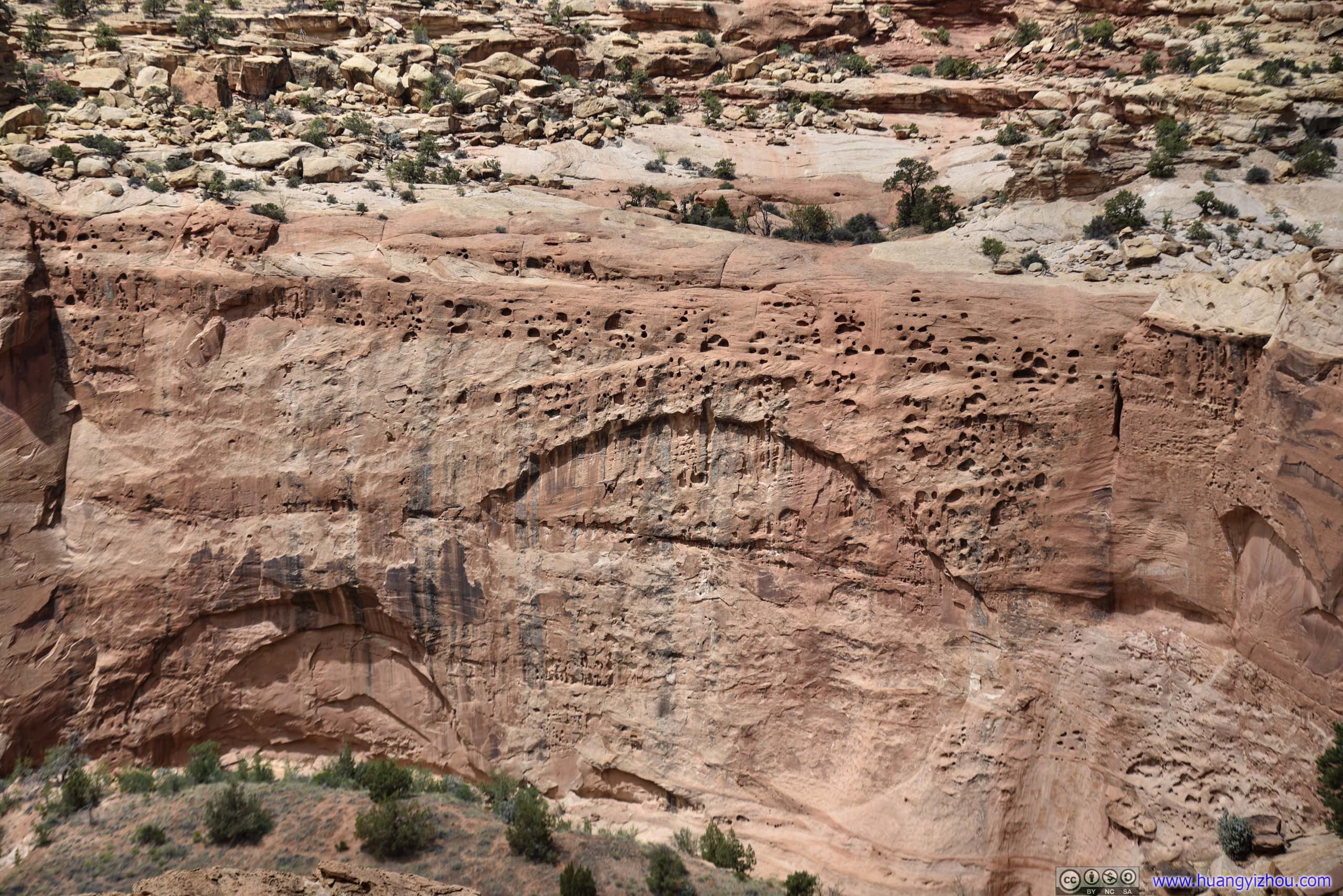 CliffLooking from parking lot (left) and hiking trail (right). It looked like a new arch was forming from erosion.
Cassidy Arch Trail
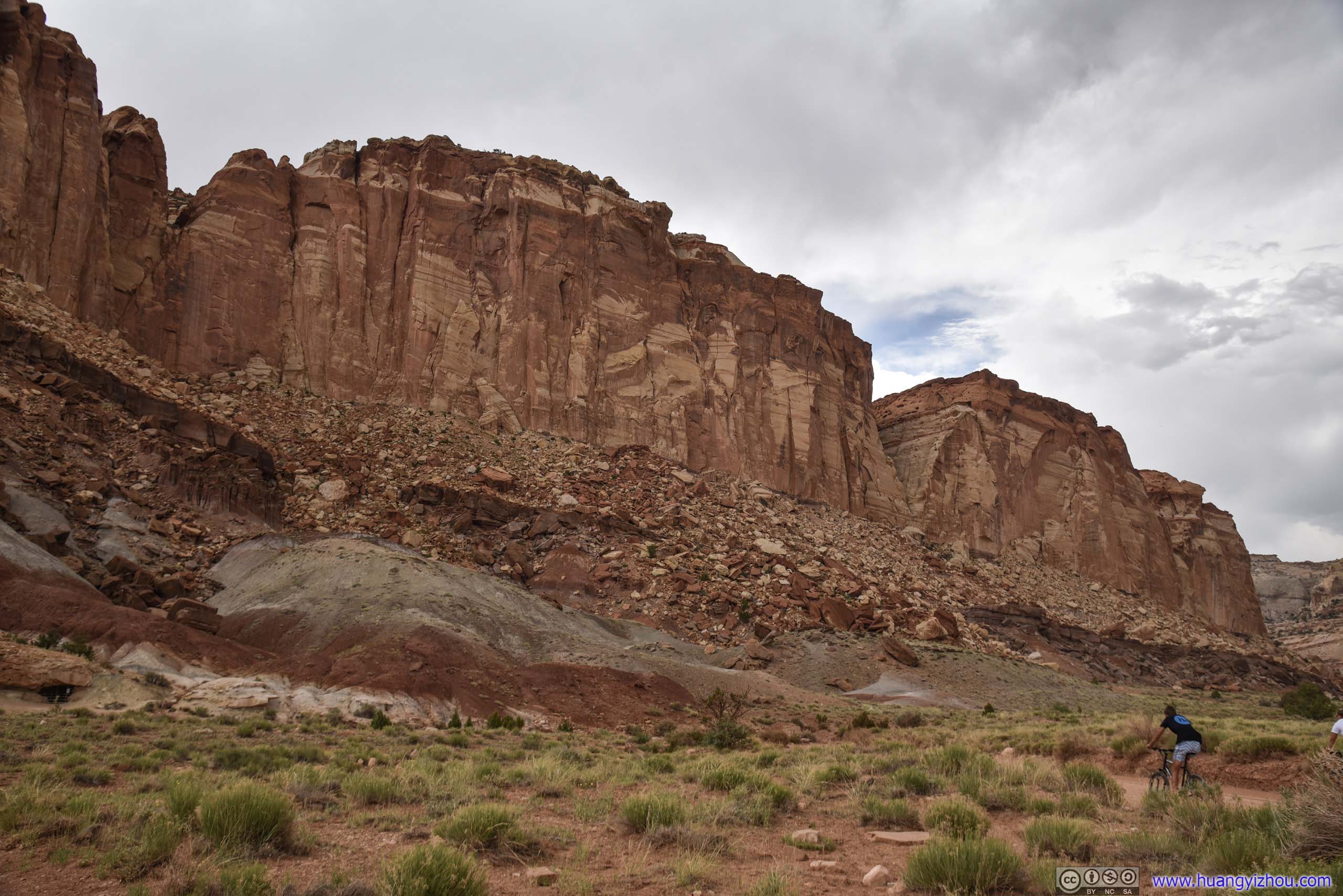
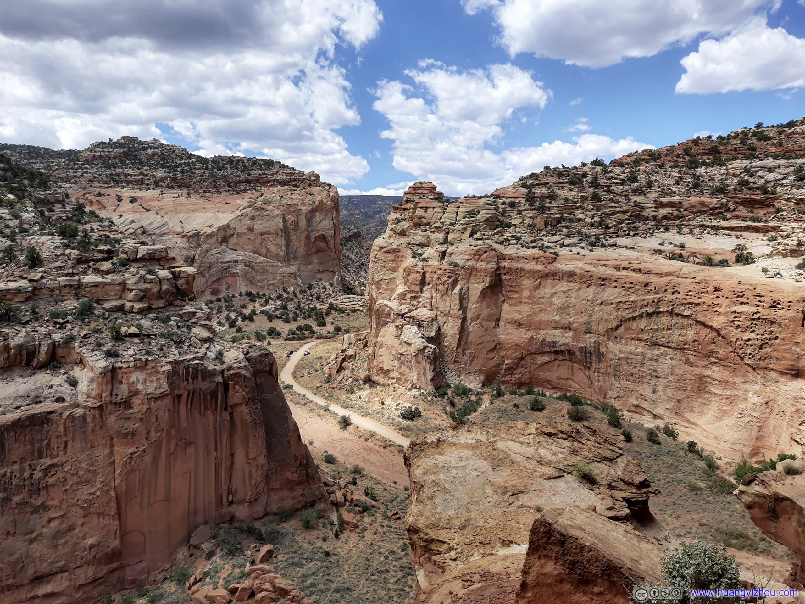
Cassidy Arch Trailhead was located 2km from Scenic Drive through an unpaved road. It’s said that somewhere along the road, there’s a place where one could view Cassidy Arch from below, which I didn’t manage to find on my way here.
Interestingly, the pit toilet next to the trailhead didn’t provide hand sanitizer “due to increased theft”. At the same time, all other parks I’d been to were inundated with them for COVID.
Here’s GPS tracking of both Cassidy Arch and Grand Wash.
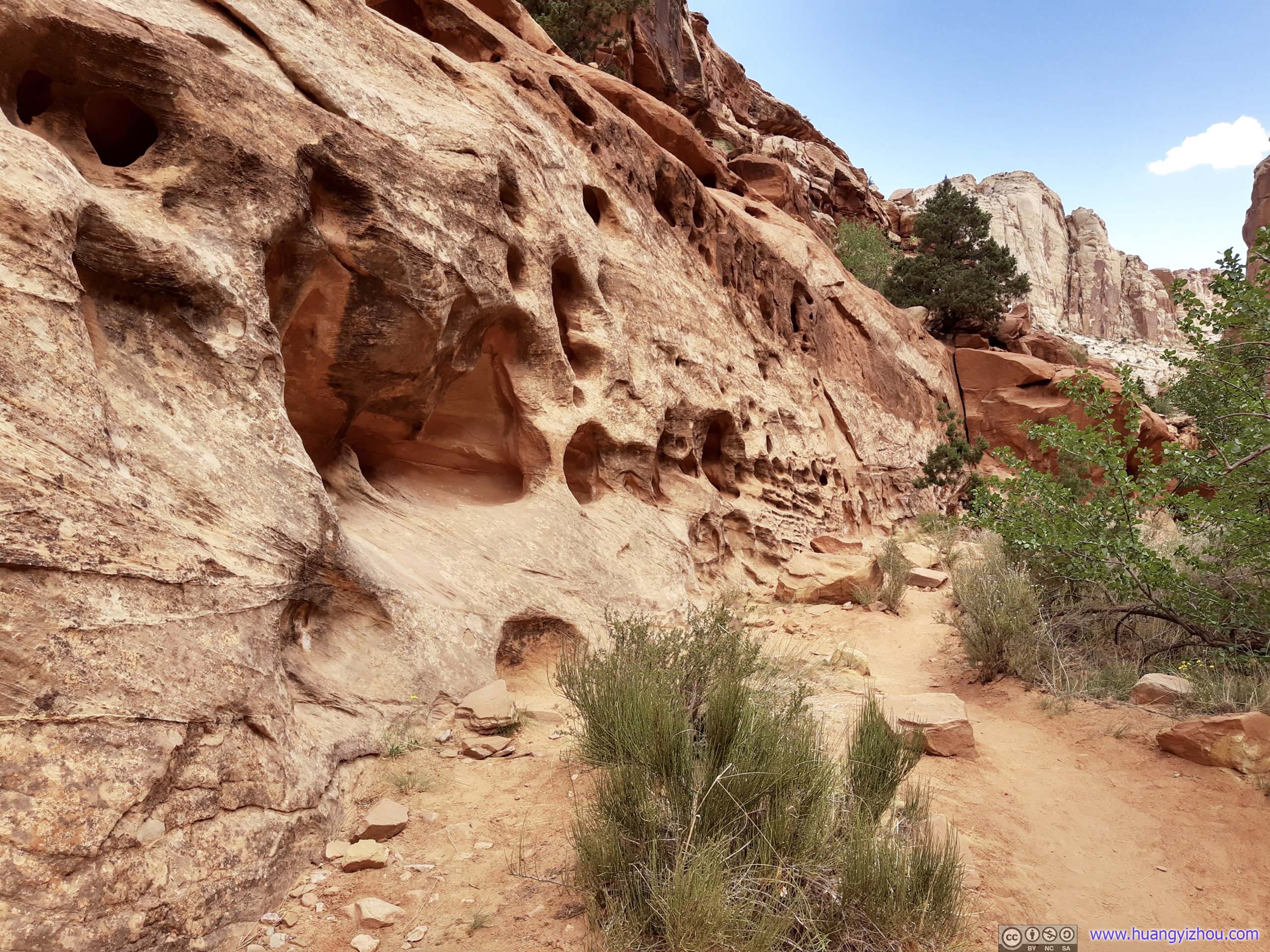
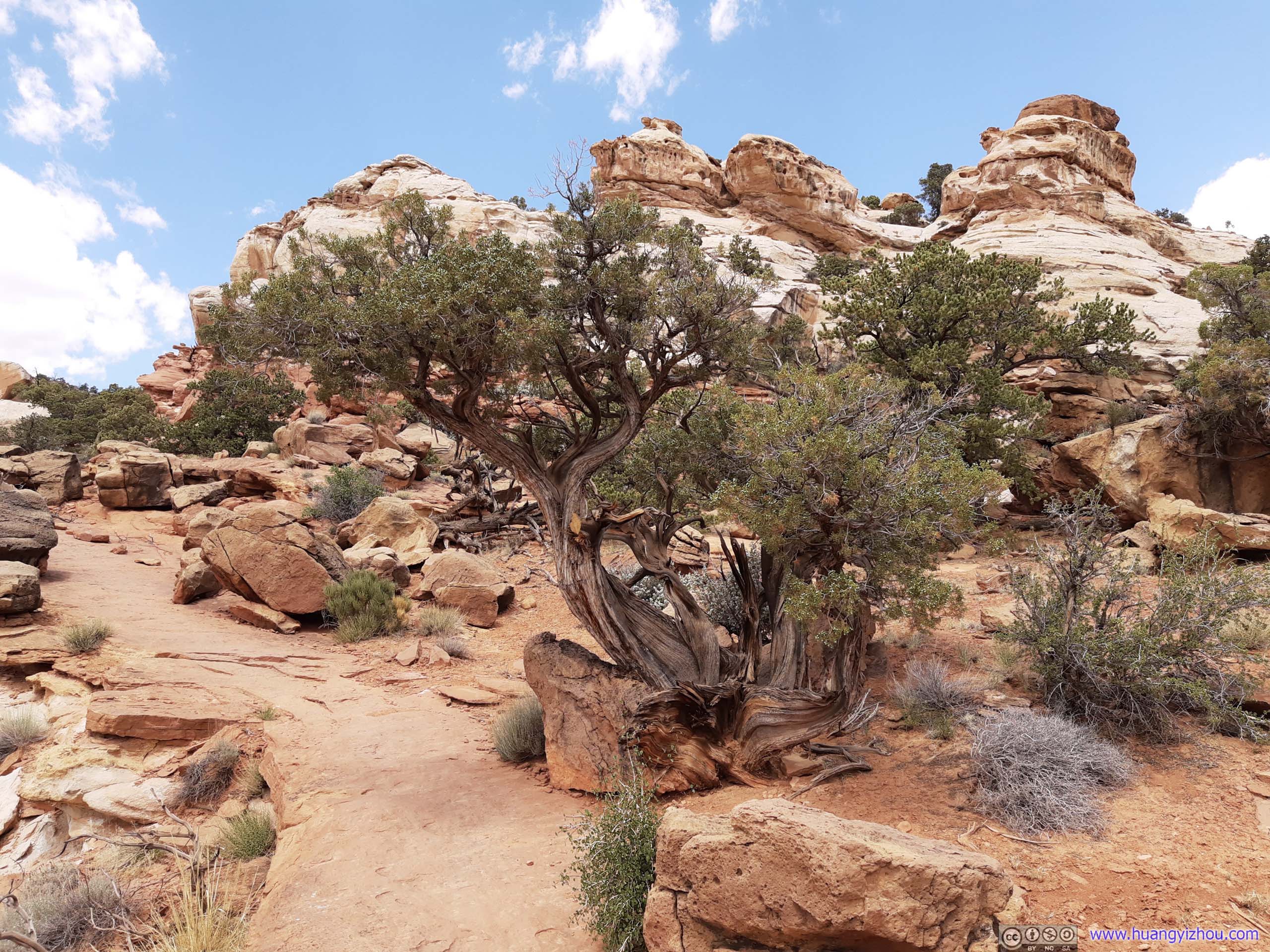
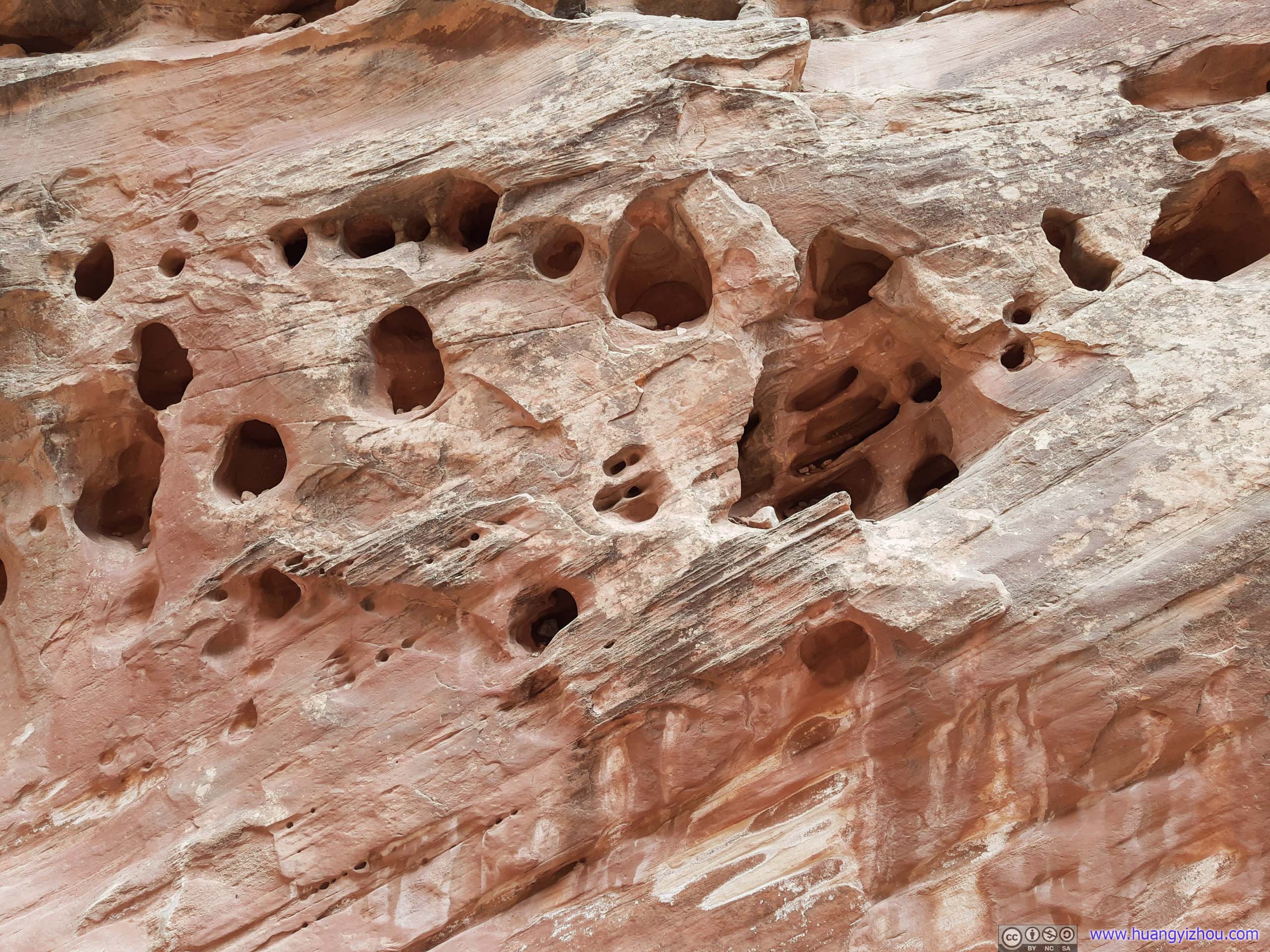
 TrailThe first 300m of Cassidy Arch Trail followed along Grand Wash, with curly rocks along the way.
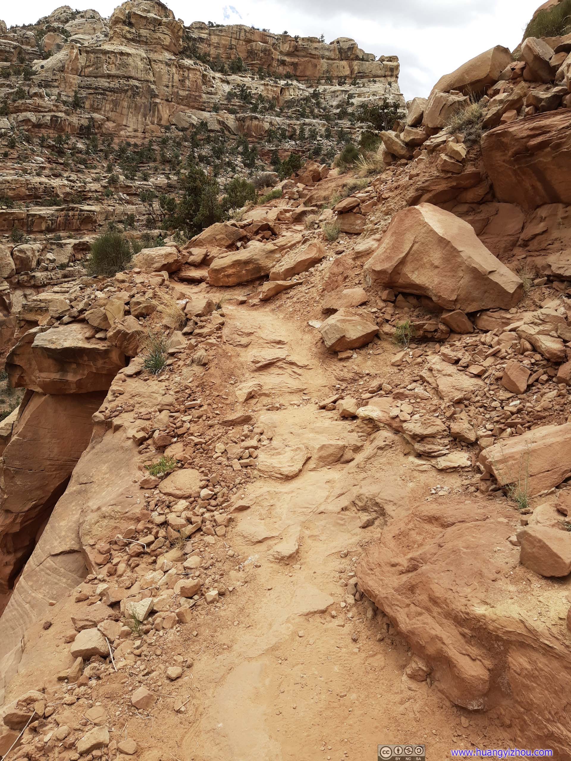
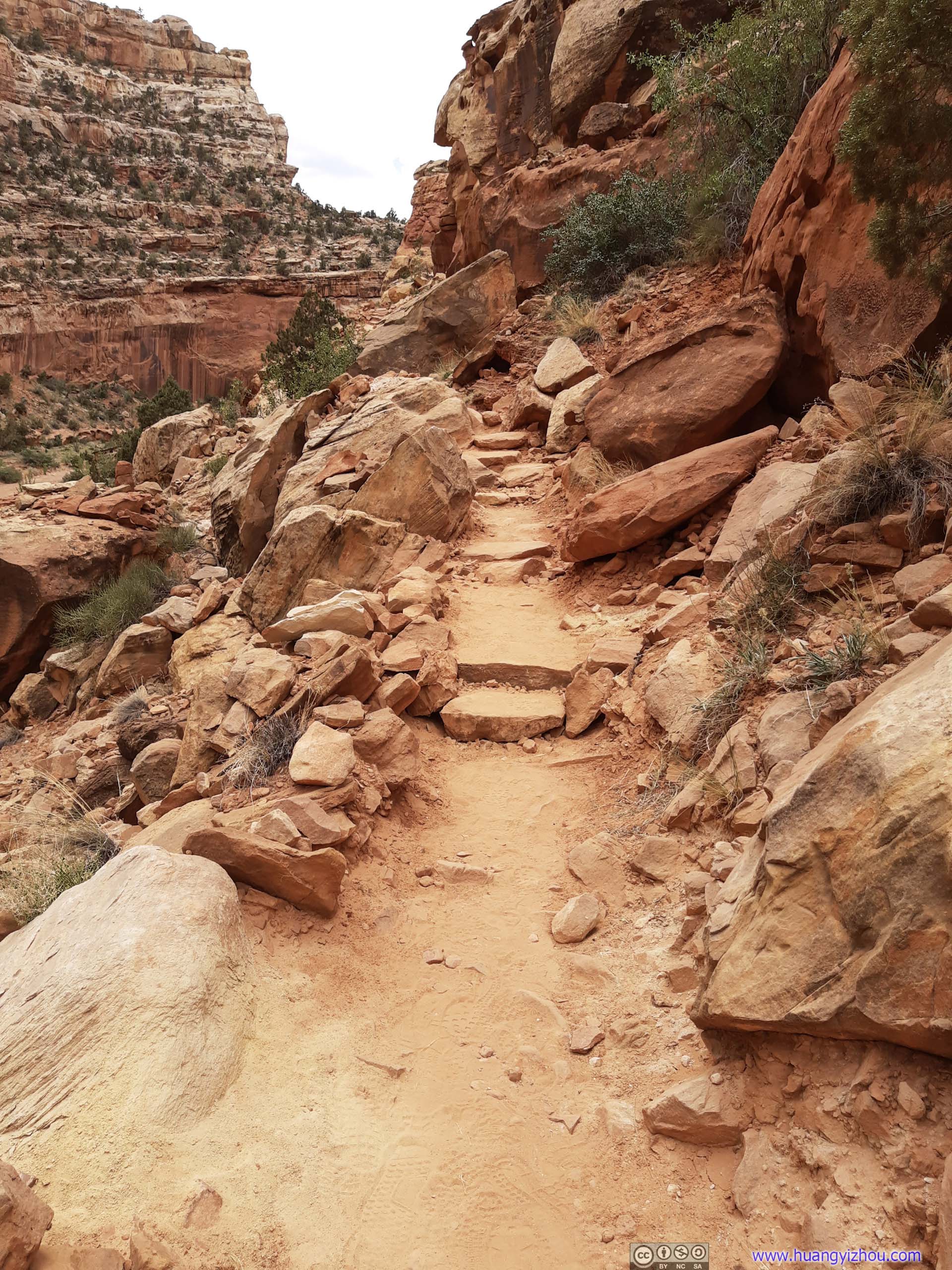 TrailThen it started to gain elevation.
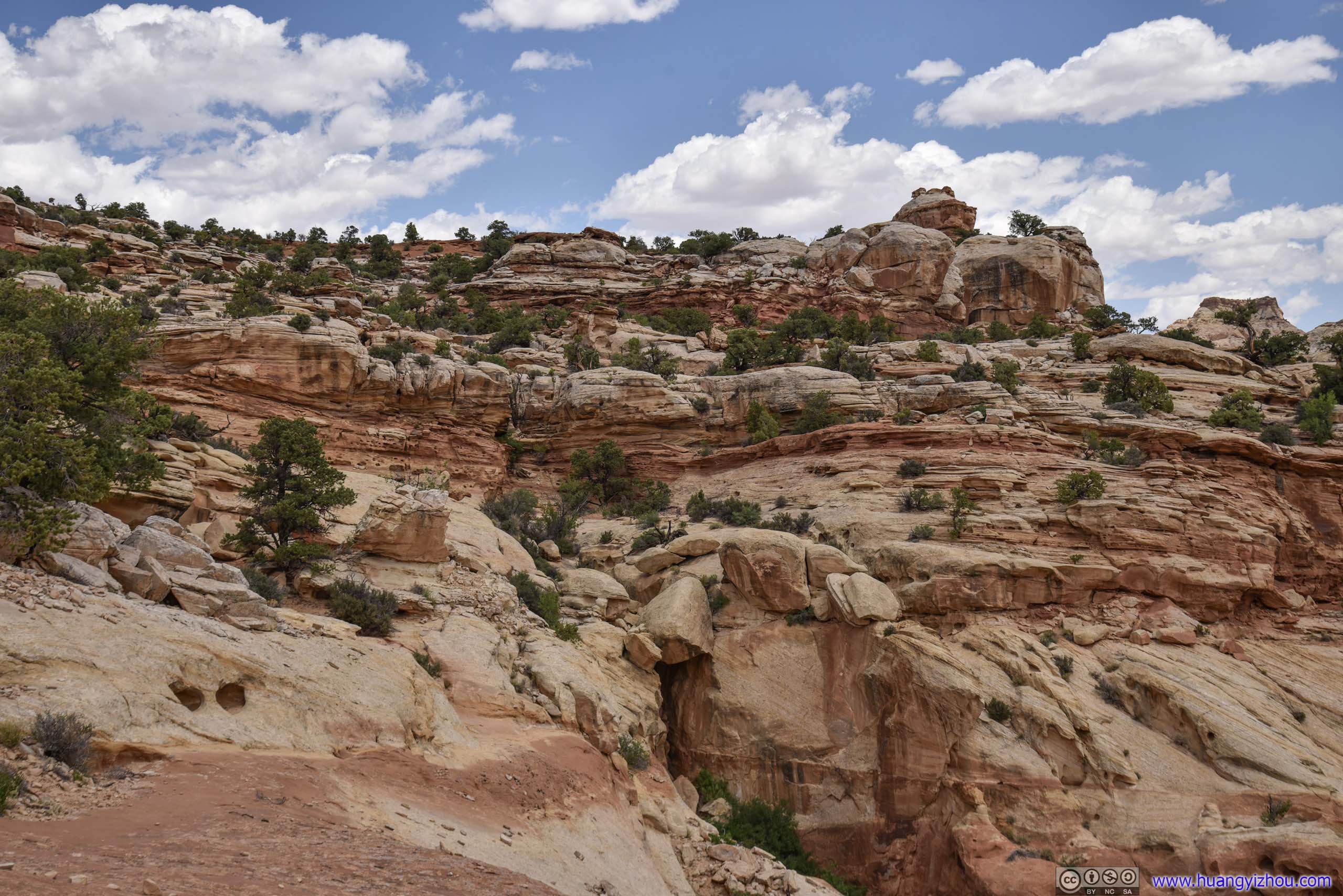
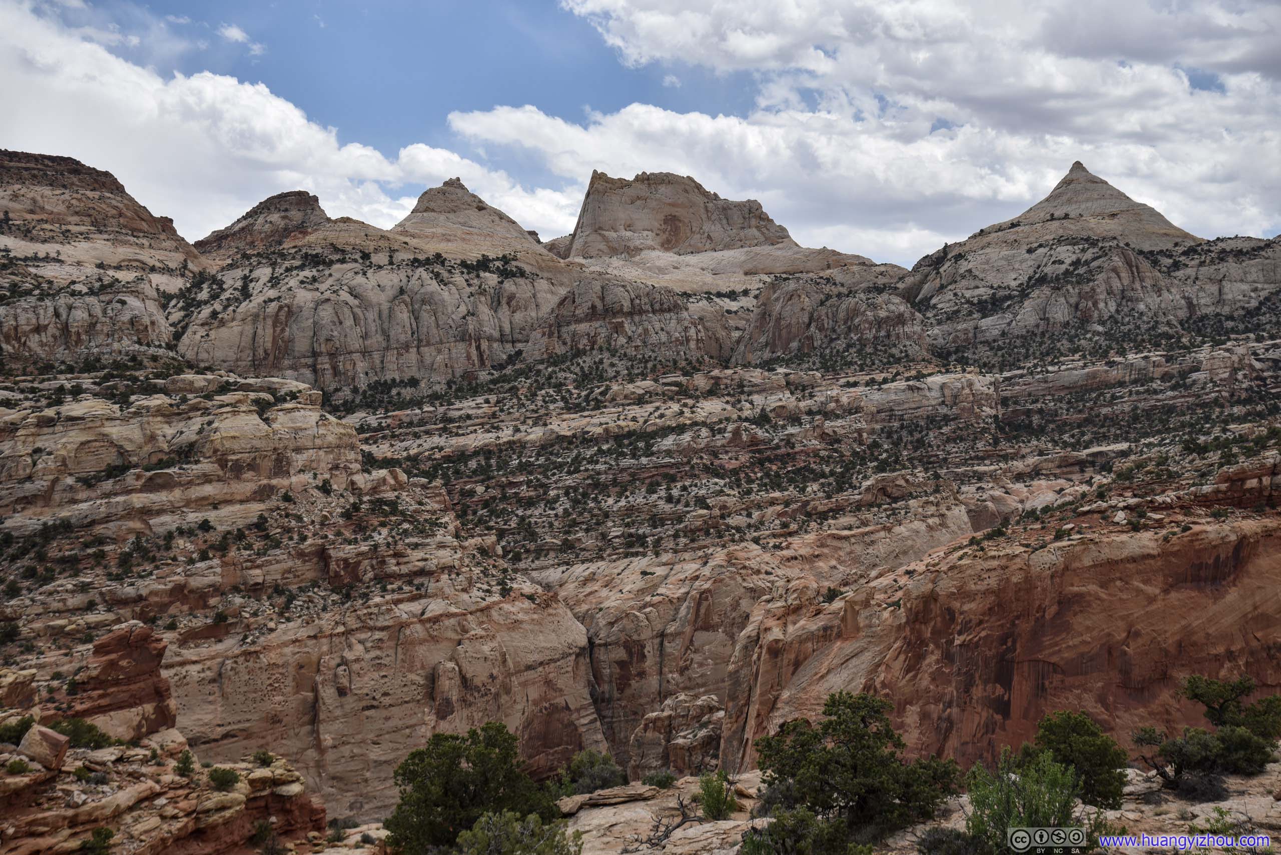
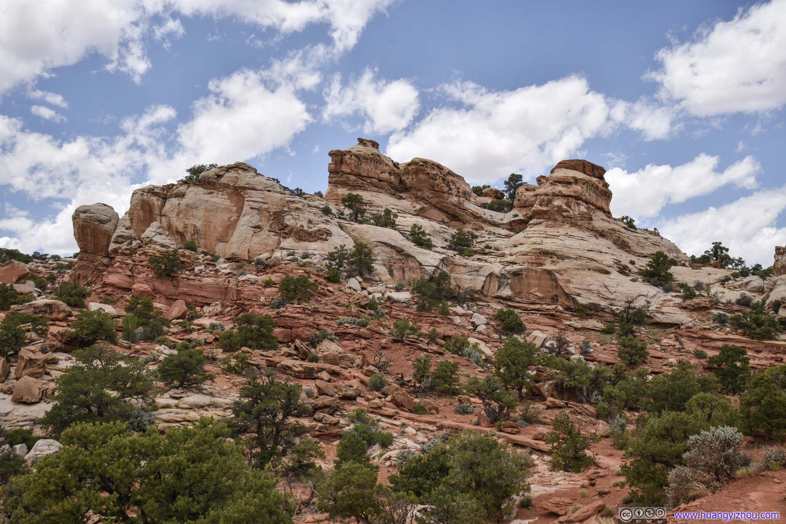
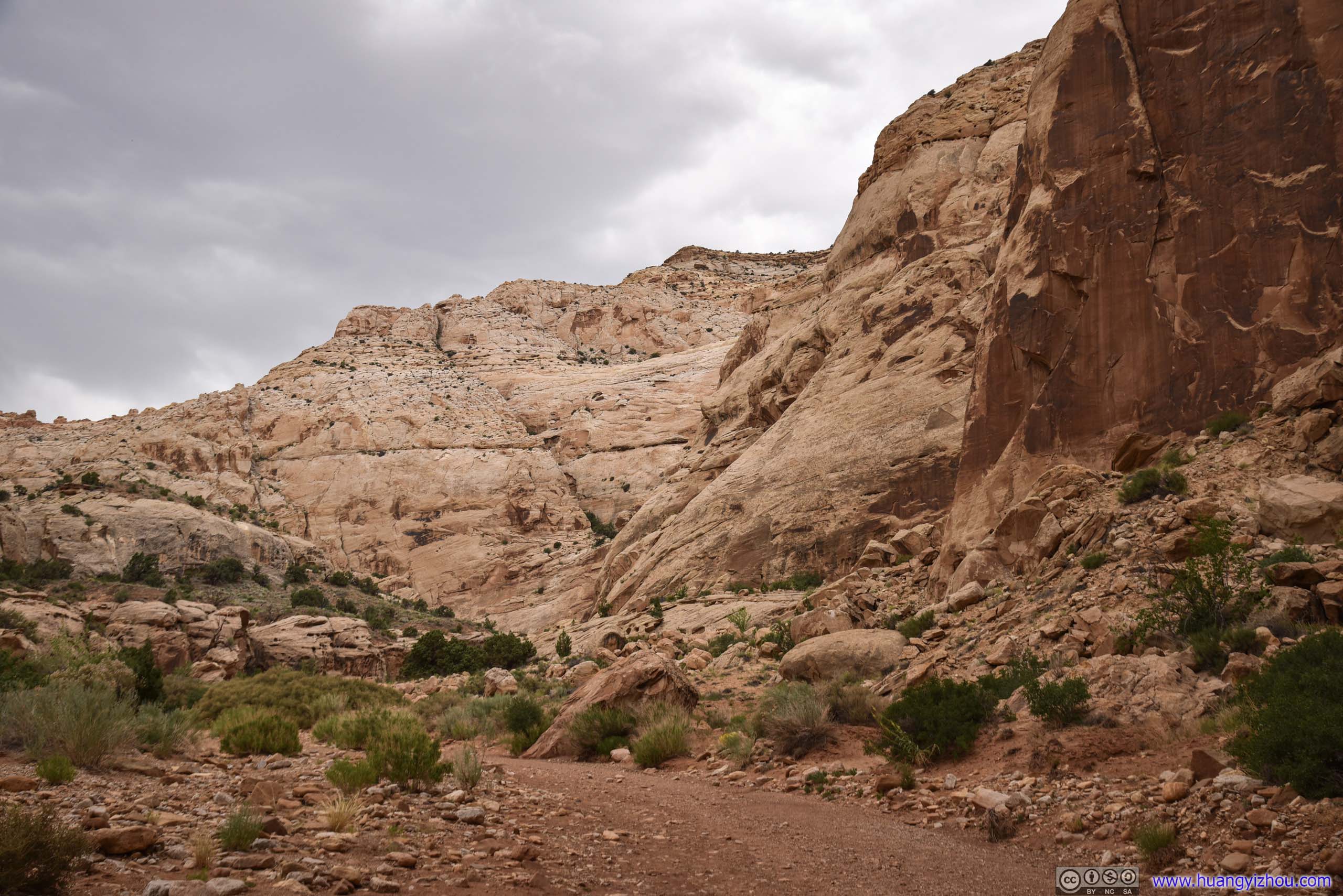
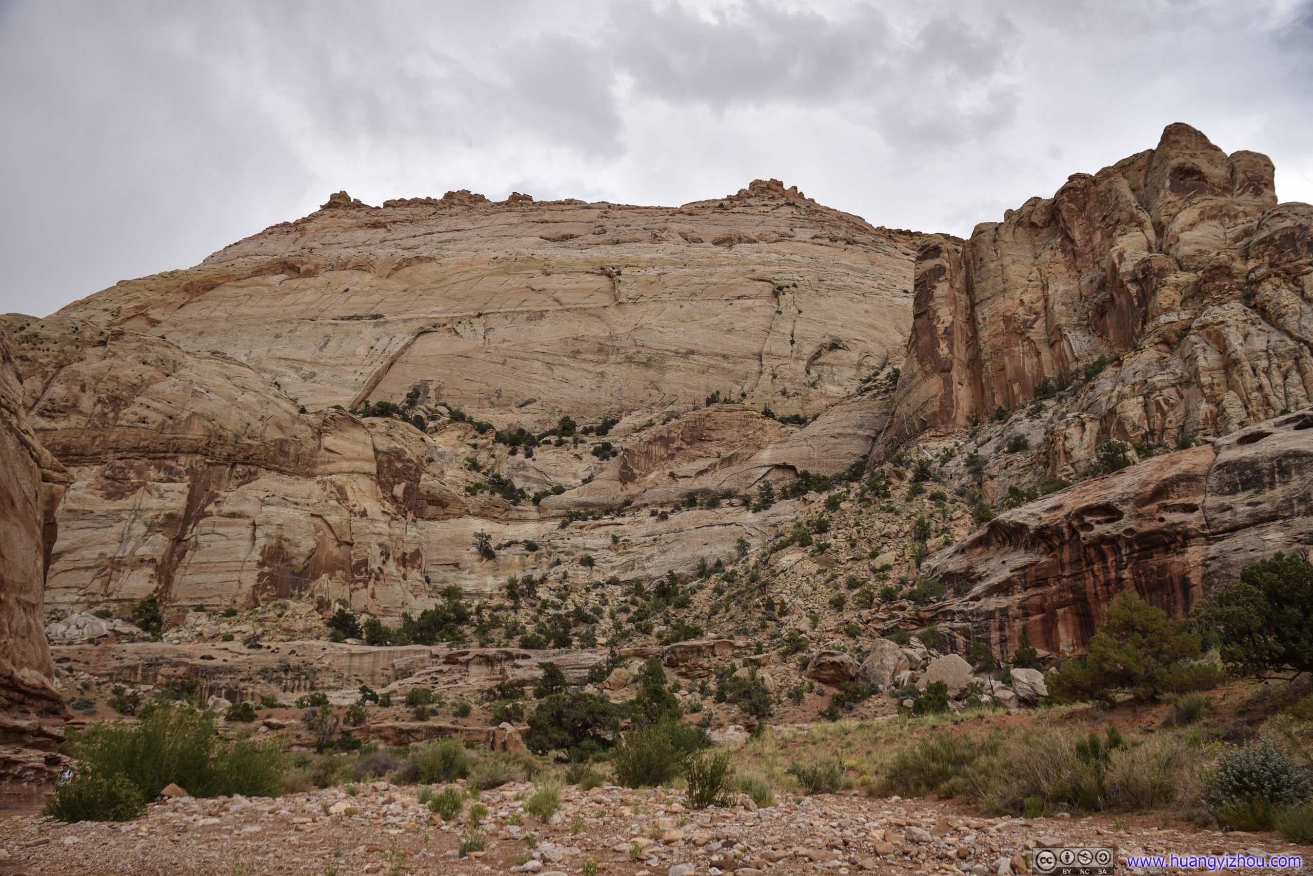
Most elevation gain of the trail took place in the short section after it forked off Grand Wash, while it made its way up “Capitol Reef” from the bottom of the canyon.
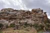
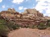
Hill
Overlooking Canyon
Rock Towers in Canyons
 TrailThis portion went along a rocky cliff.
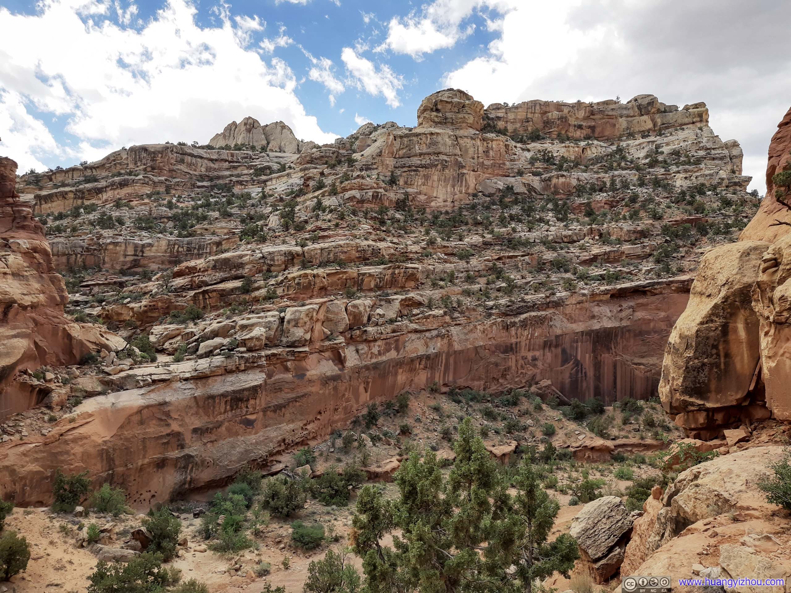
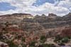
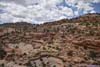
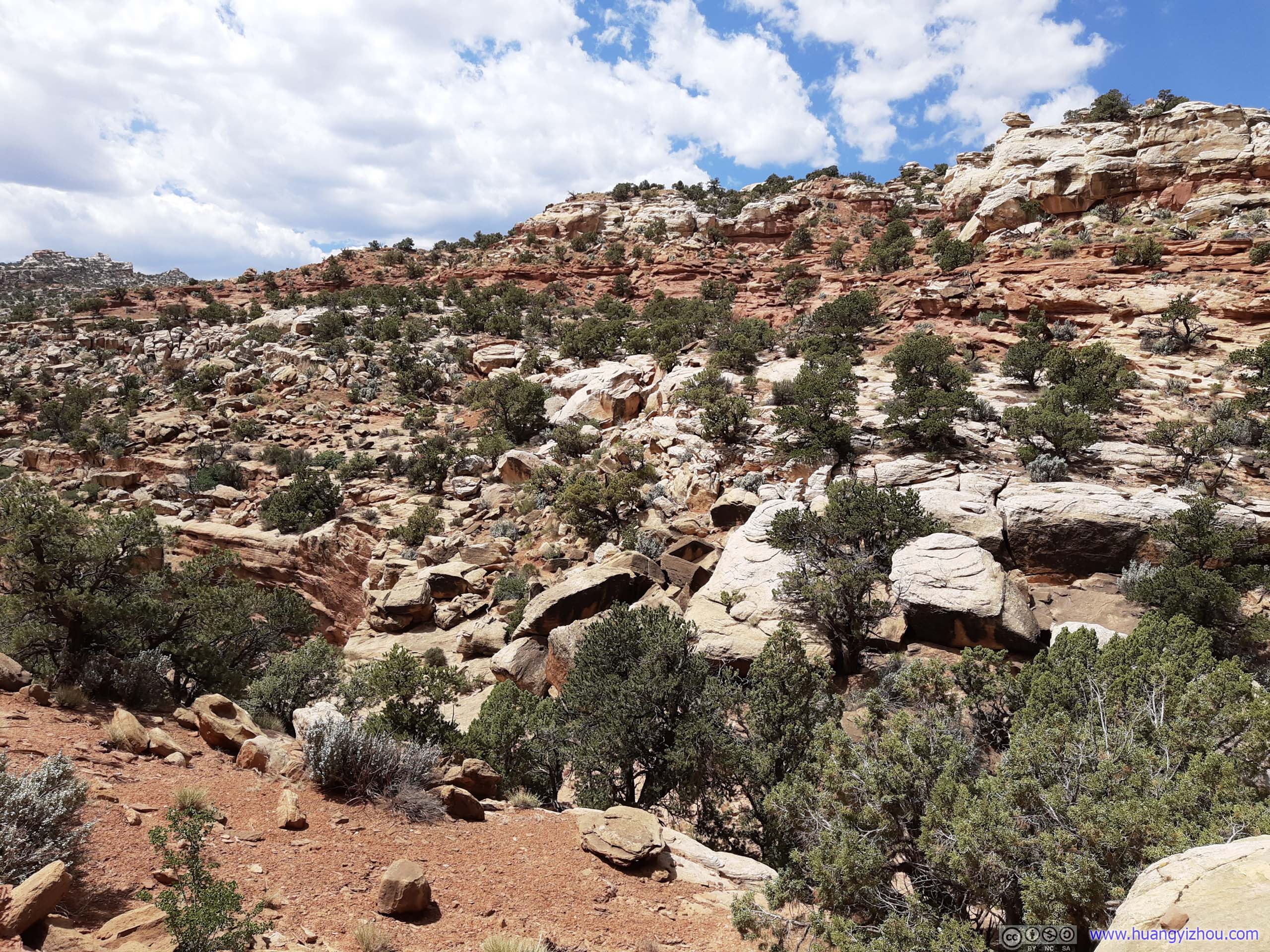
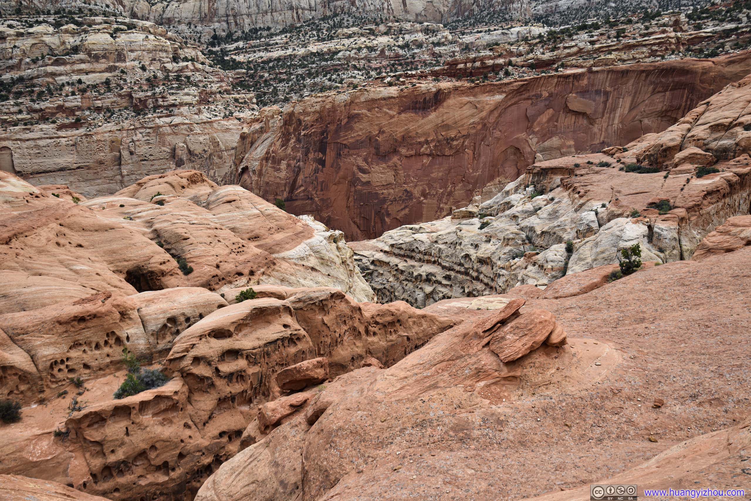
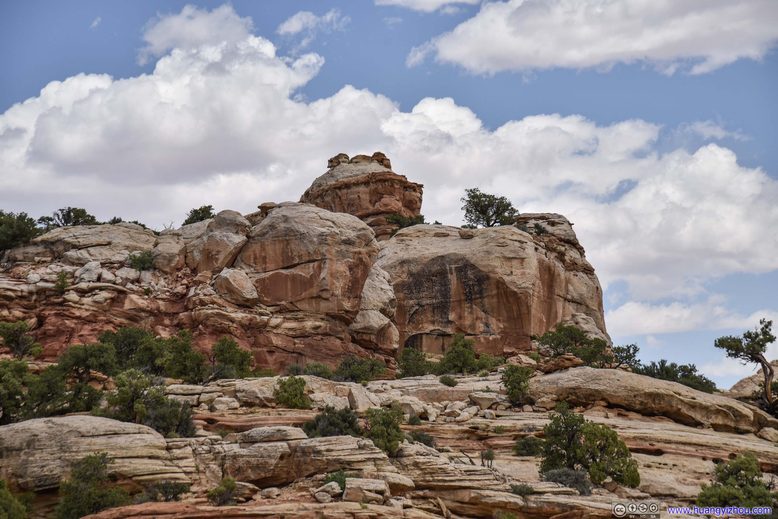
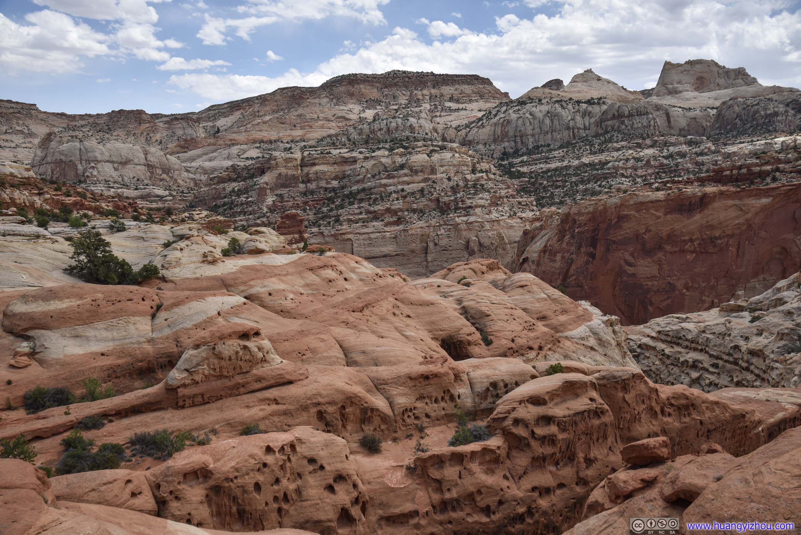
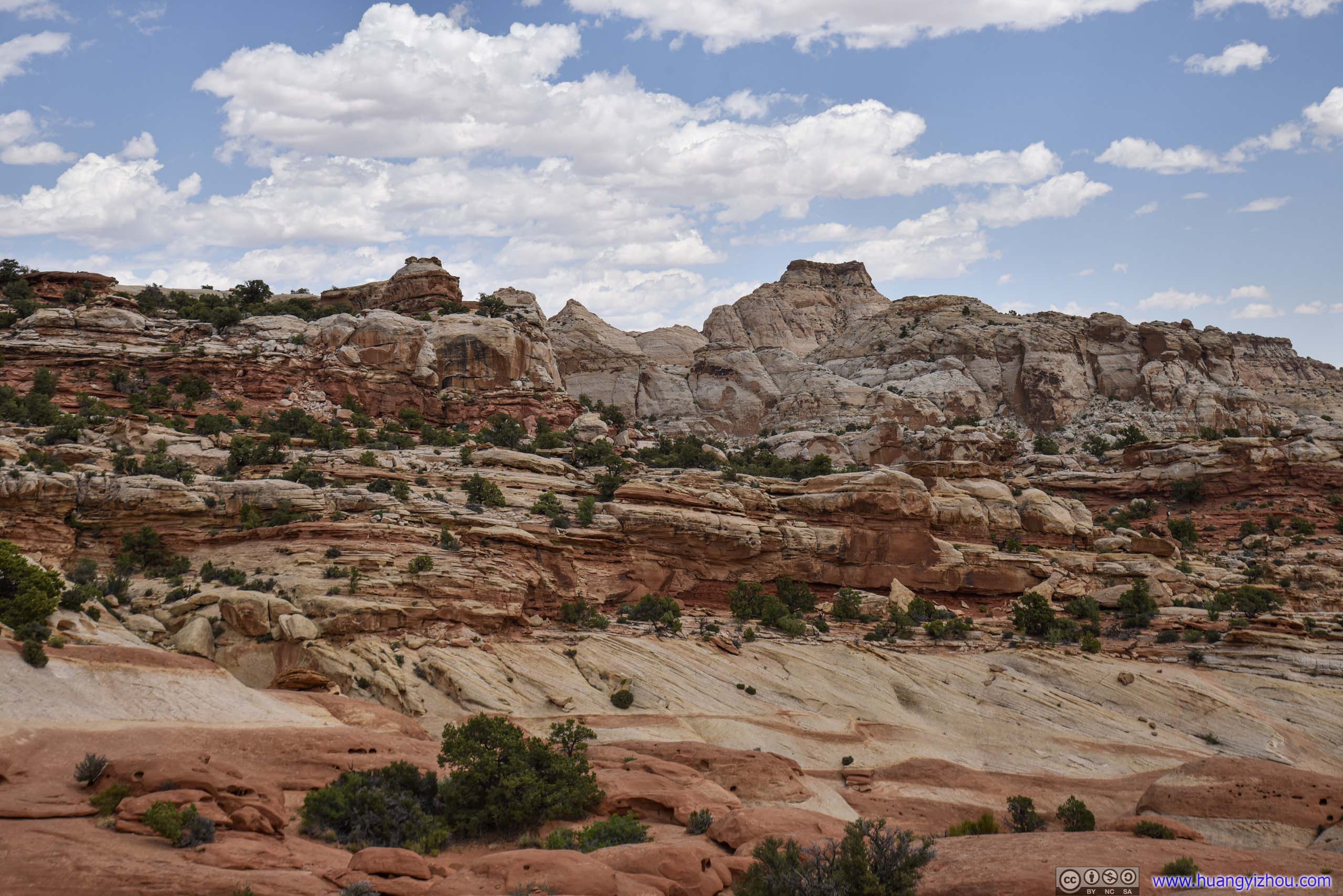
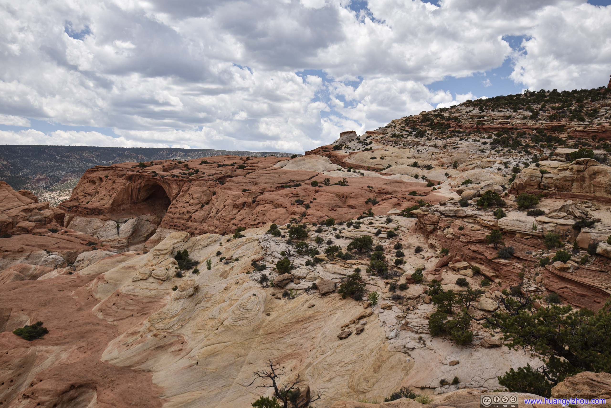
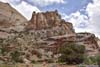
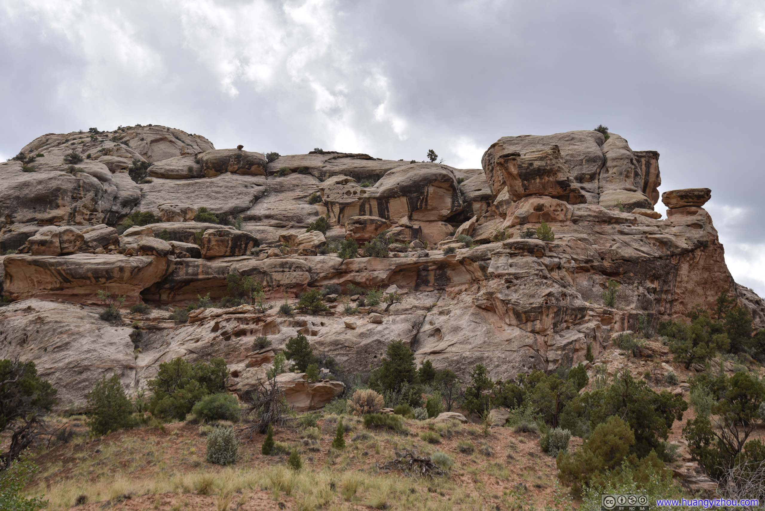
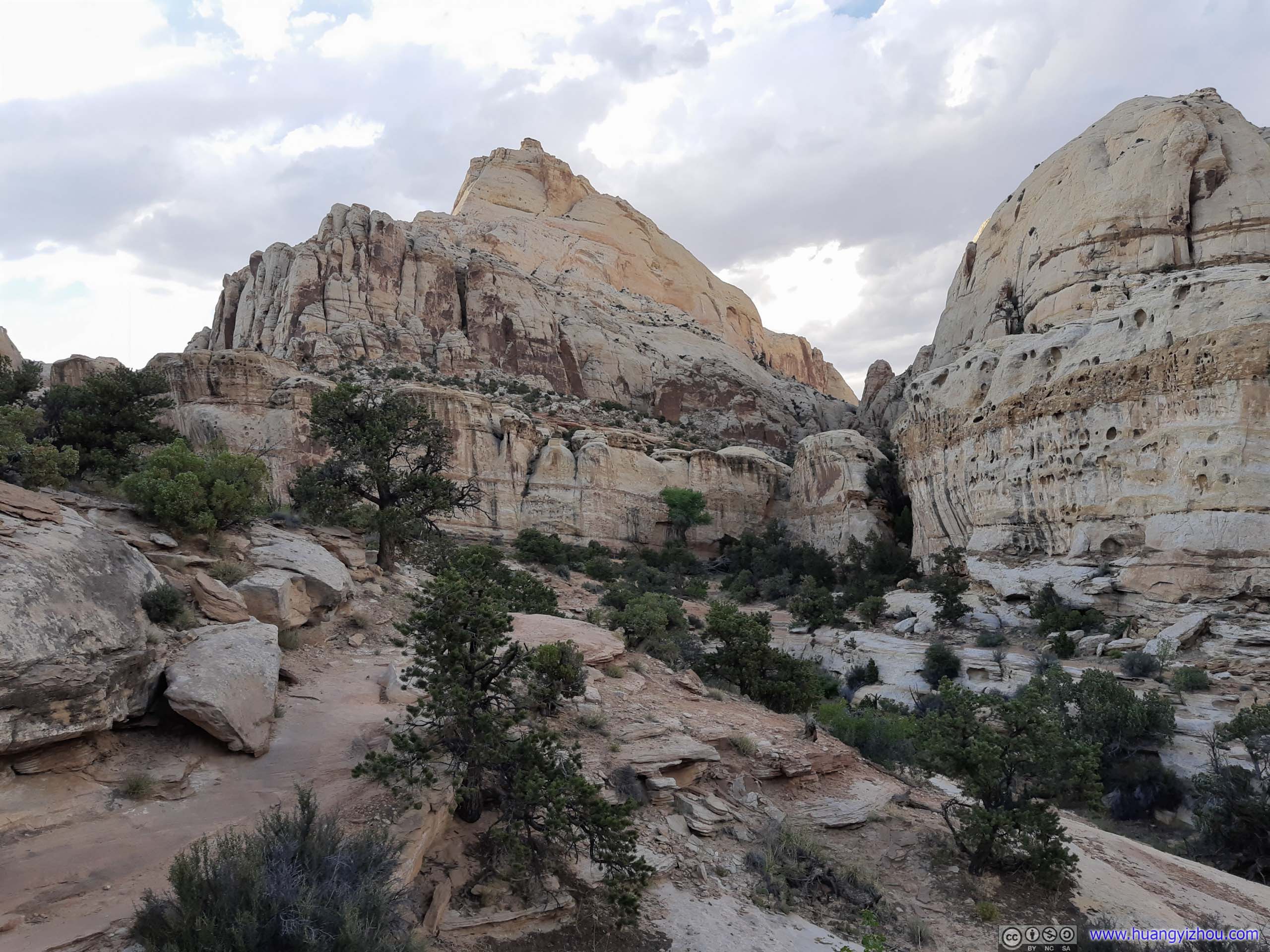
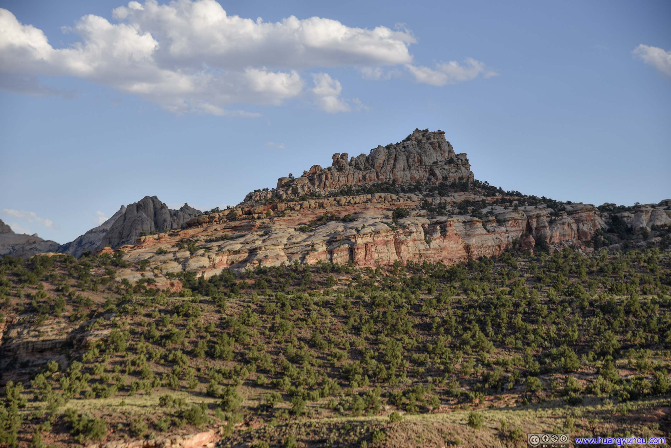
Once on top of “Capitol Reef”, one was greeted with views of hills across the Grand Wash Canyon, together with landscape decorated with bushes and sinuous rocks nearby.
 Hills
Hills Ferns Nipple
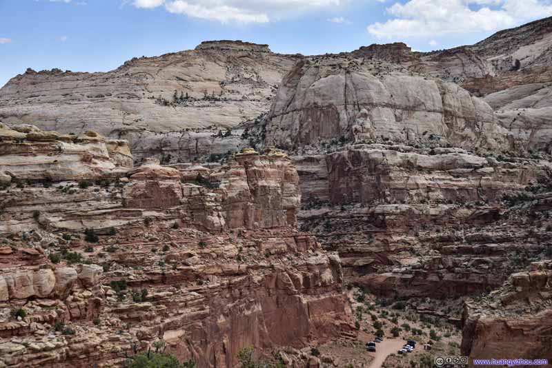 Hills
Hills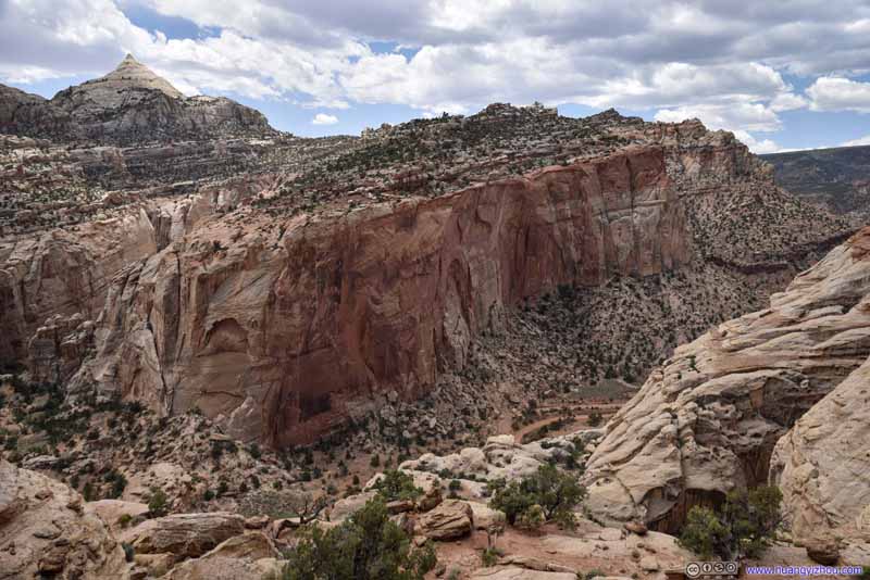 Hills
Hills Rocks
Rocks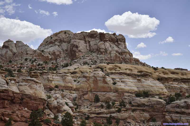 Rocks
Rocks Landscape
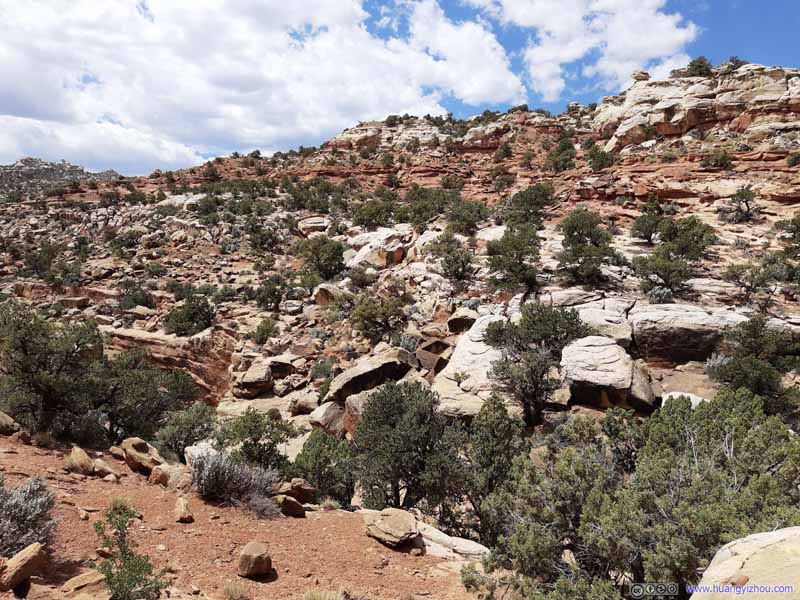 Landscape

Click here to display photos of the slideshow

Hills

Ferns Nipple

Hills

Hills

Rocks

Rocks
Landscape
Landscape
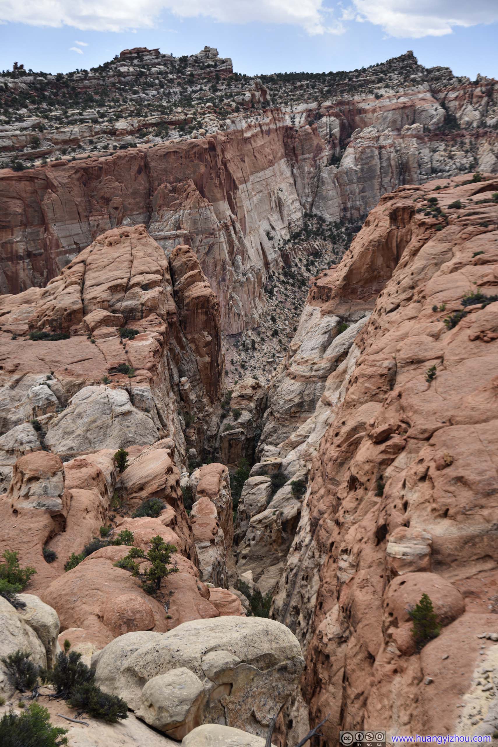
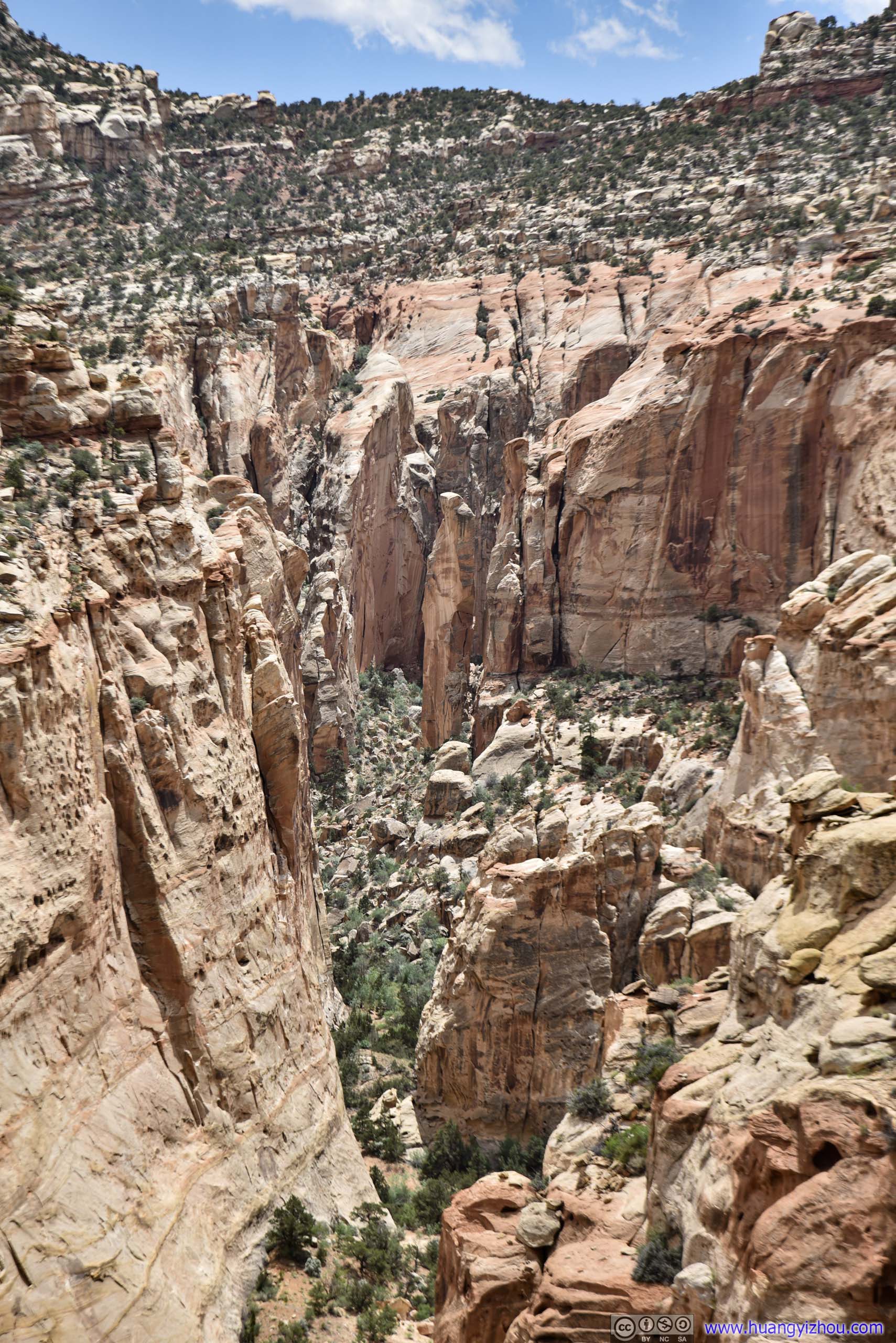
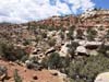
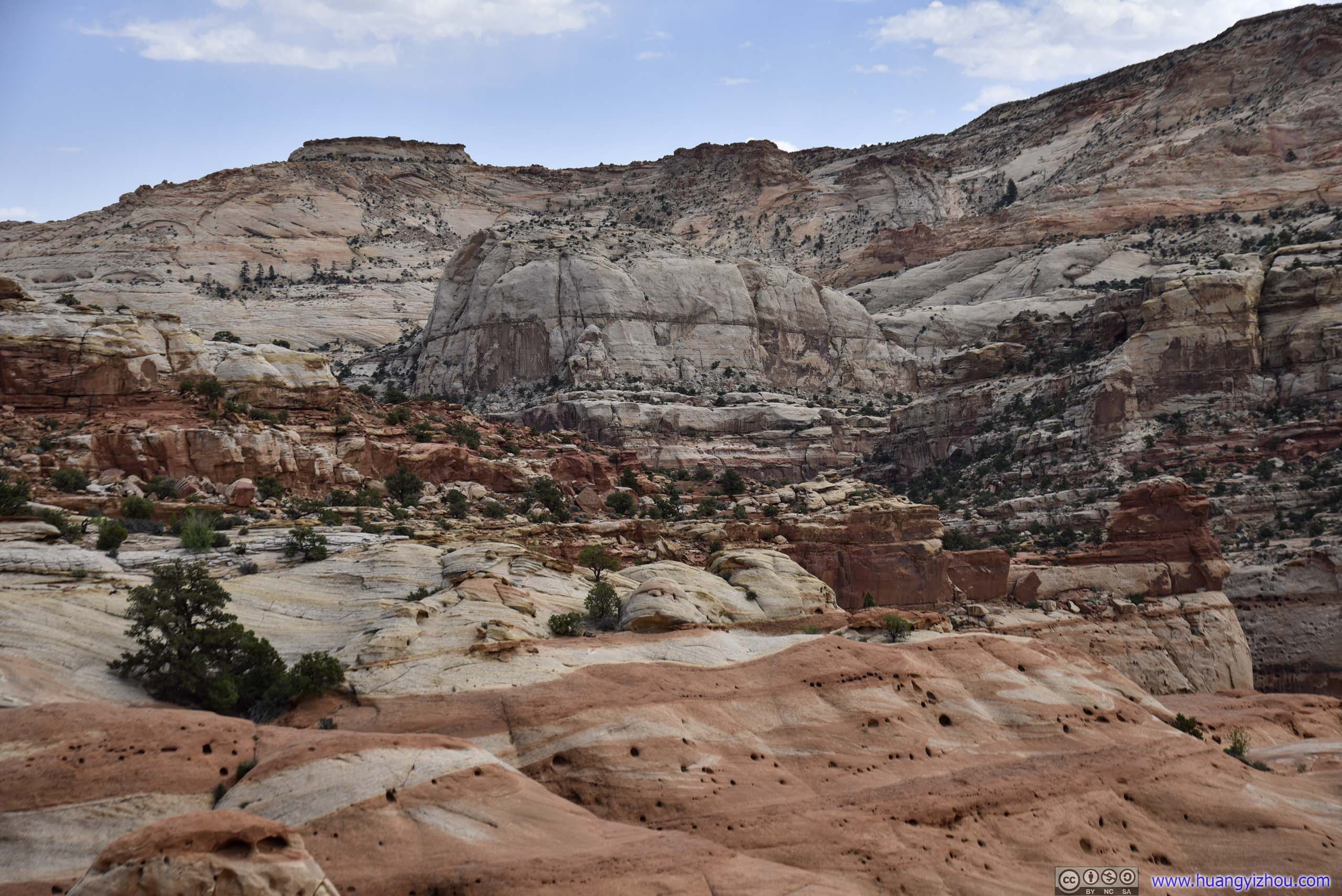
 CanyonThese canyons near Cassidy Arch were a favorite among climbers.
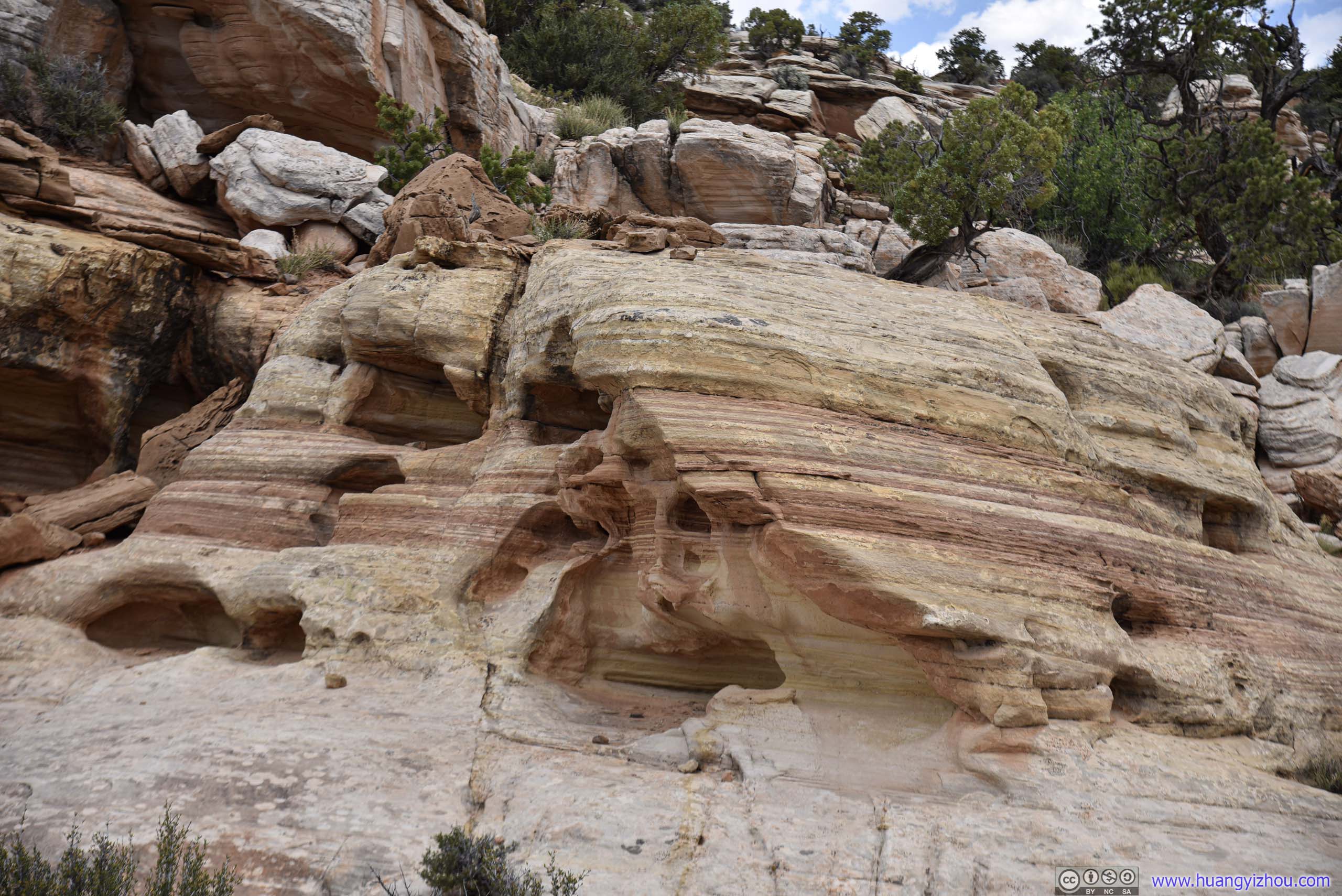


 Rocks with Erosion
 Rocks
Rocks
 Hills
Hills
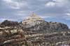
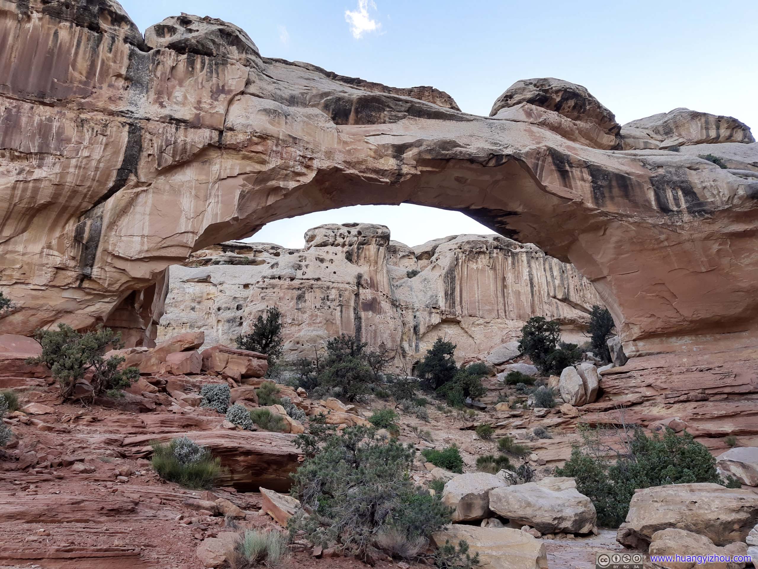
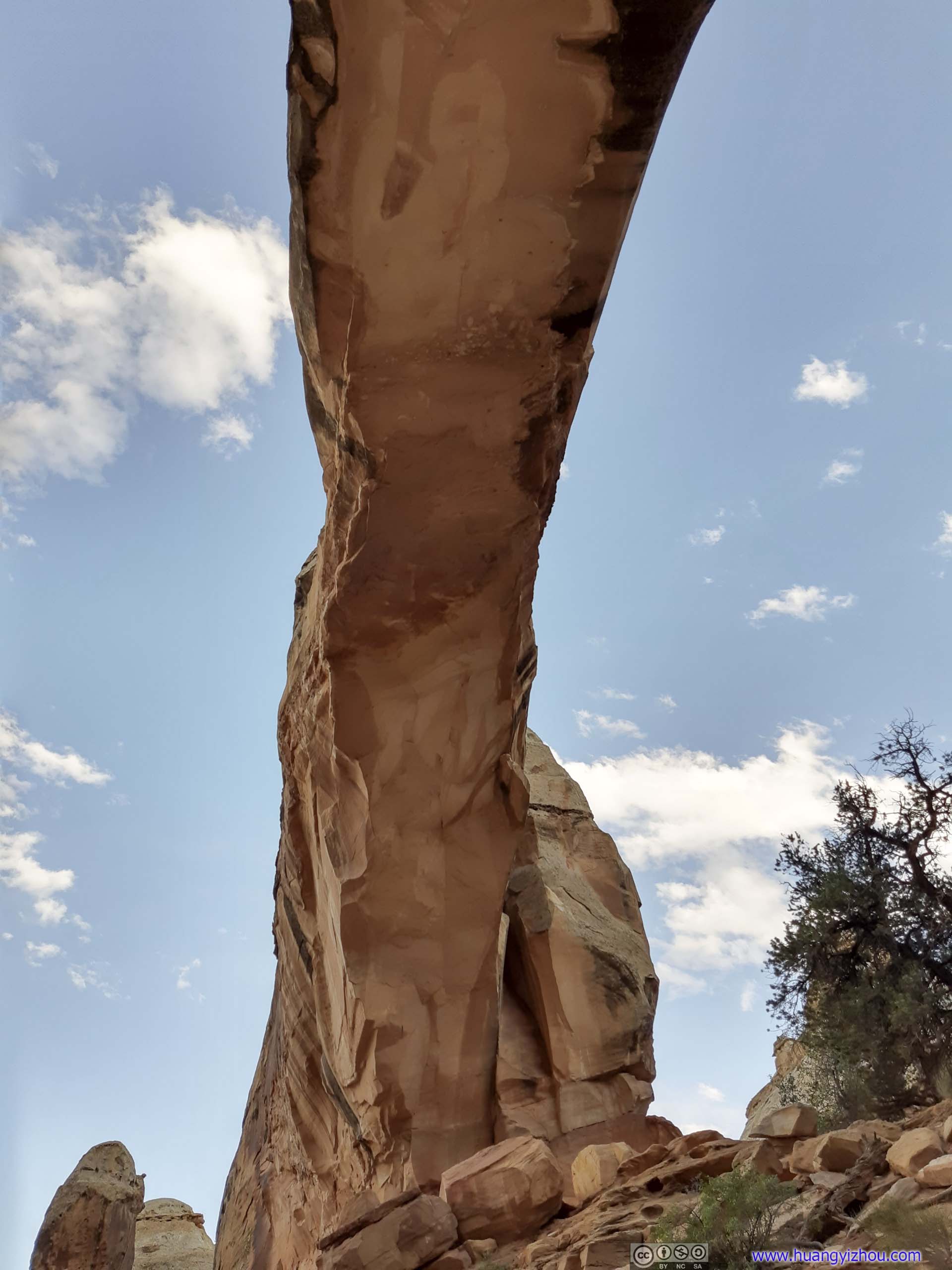
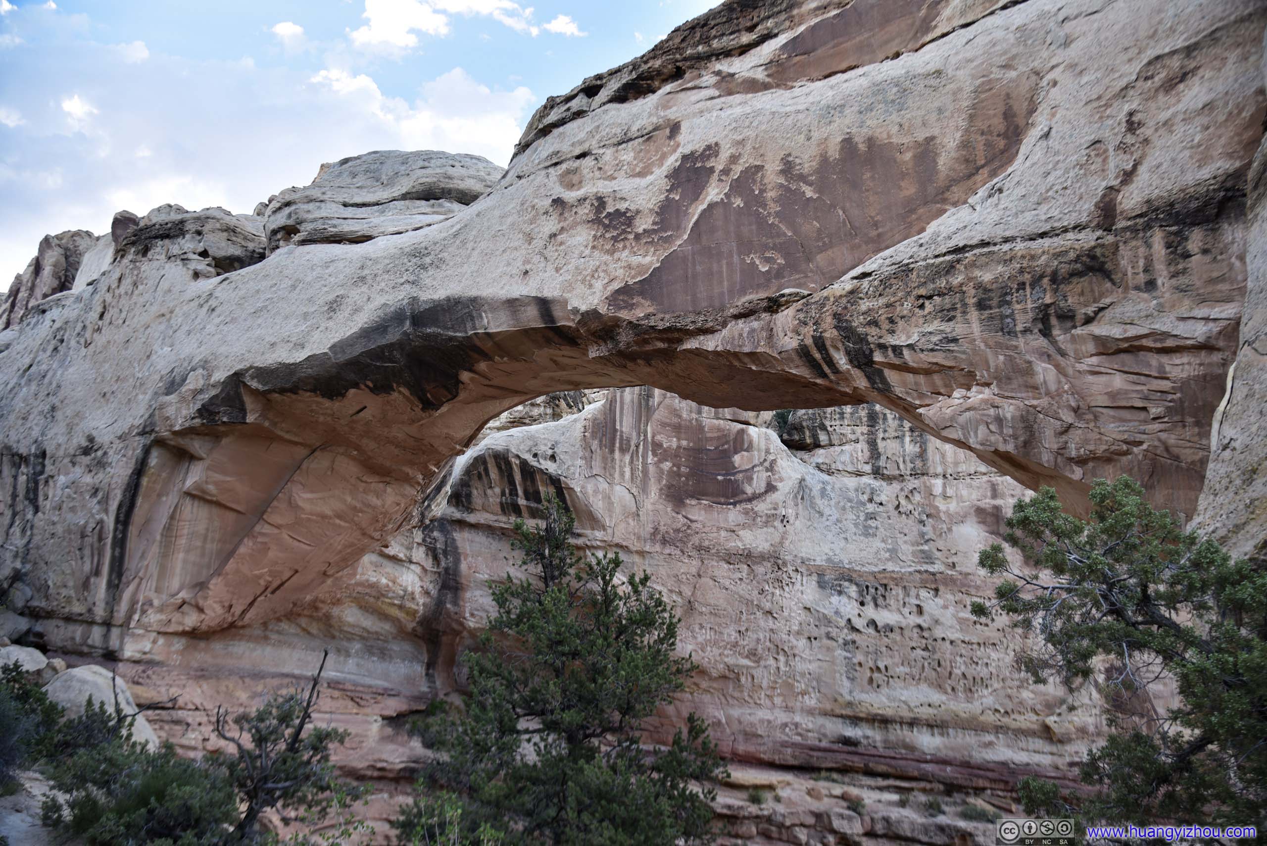
About an hour from parking lot, I was at Cassidy Arch.
Cassidy Arch
Cassidy Arch certainly wasn’t as magnificent as other arches that I visited earlier in this trip. But unlike other natural arches, one was permitted to walk on it.
Despite that the arch was too wide to make walking on it thrilling.
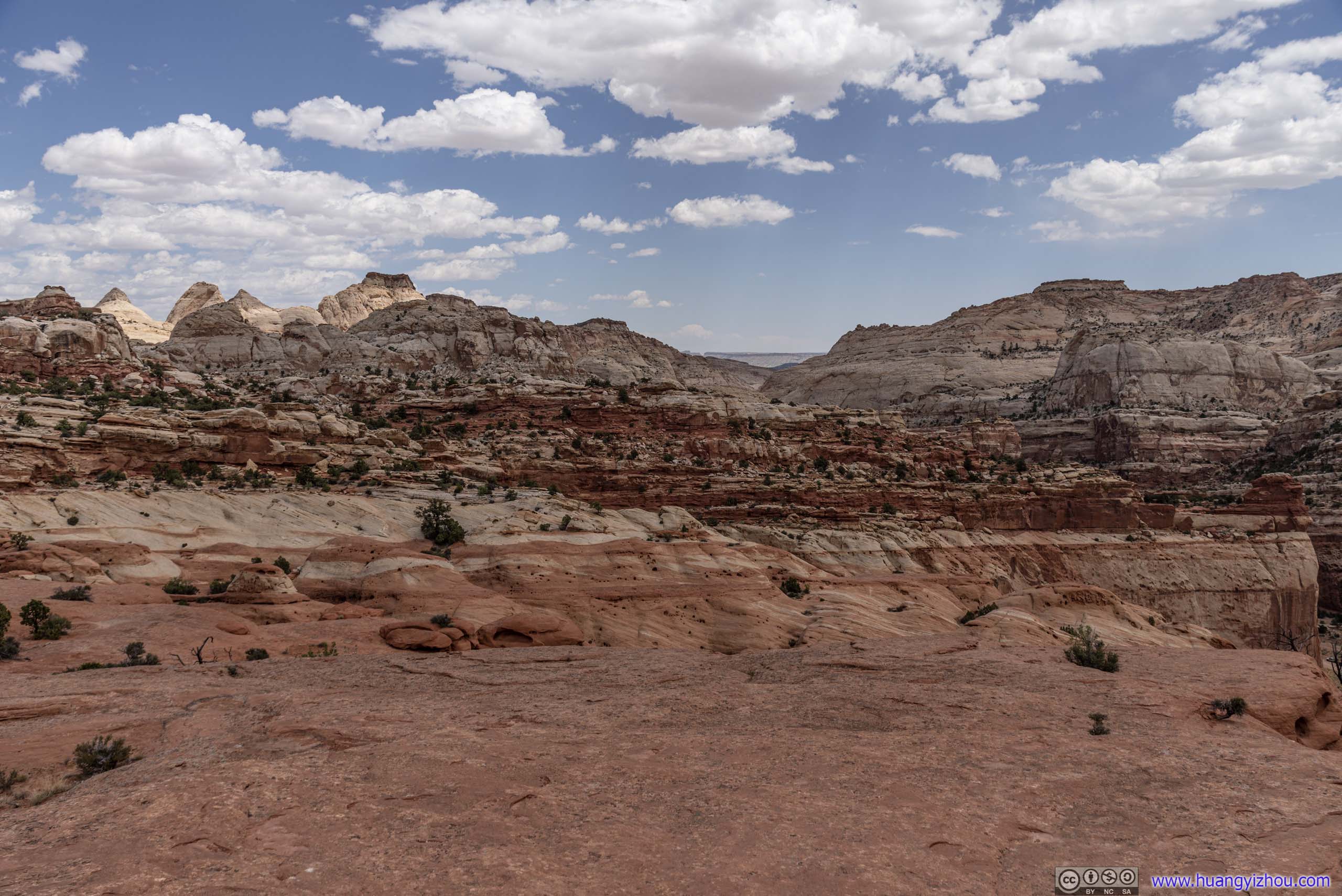
Right next to Cassidy Arch, there was a cliff overlooking the vast fields West of Capitol Reef. In my opinion it’s the best place for one to appreciate the geology nearby, with hills on one side and fields on the other. The contrast between the two was probably the highlight of Capitol Reef National Park.
Unfortunately, it’s also the spot where I experienced the most atrocious of bugs, as their swarms created the constant nuisance whenever I stopped for the briefest moment to either appreciate the scenery or simply taking random photos.
LandscapeNot so rocky west of Scenic Drive / Capitol Reef.
Distant Fields from Cassidy Arch

Distant Mesas to the WestThrough an opening of Capitol Reef.
 Hills
Hills
Mountains from Cassidy Arch
After battling with bugs for half an hour around Cassidy Arch, I conceded after pulling a not-so-satisfying selfie, and went on the return trip.

 Rocks
Rocks

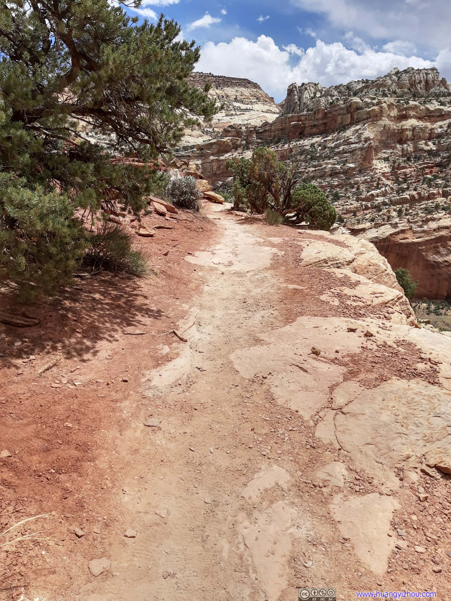
 Trail
Trail
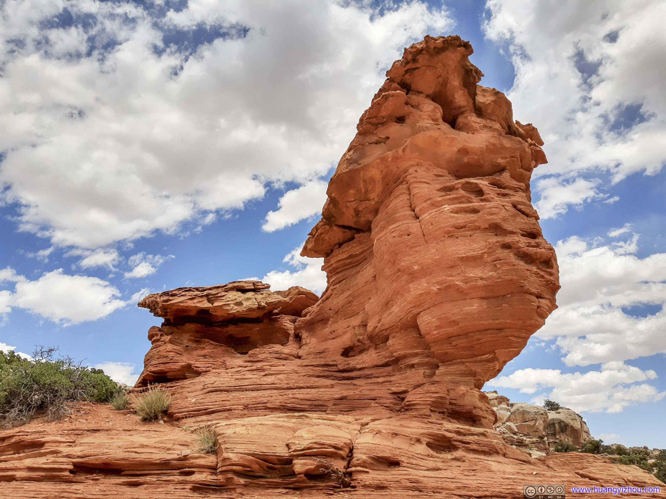
RockA pretty dominating one.
 Rocks
Rocks
 Landscape
So about 2 hours since I left my car, I got back to Grand Wash Trail.
Grand Wash Trail
Grand Wash was a gorge that cut across “Capitol Reef”, connecting Utah Route 24 / Fremont River to Capitol Reef’s Scenic Drive. The trail portion was 2-mile each way on what felt like level ground (despite GPS telling me there’s 50m elevation change). There were parking lots on both ends of the trail so in theory this hike could be done as “one-way”. But since I was by myself, I would do this as an out-and-back.
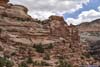
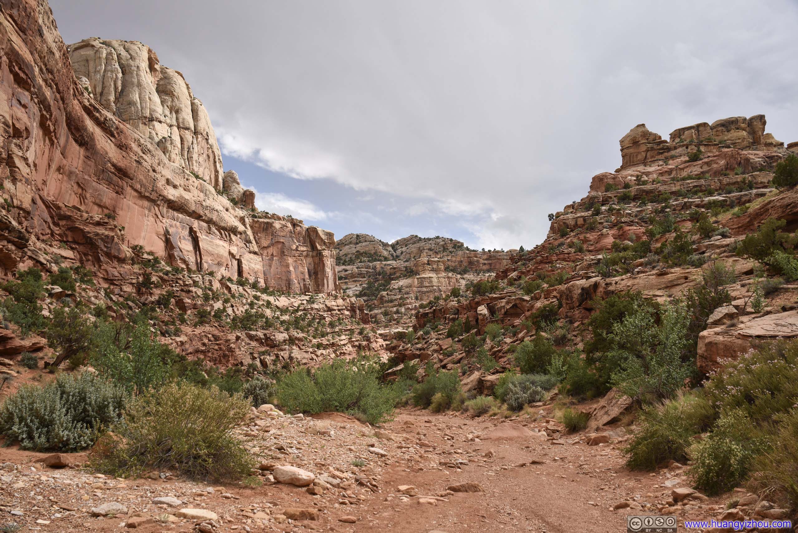
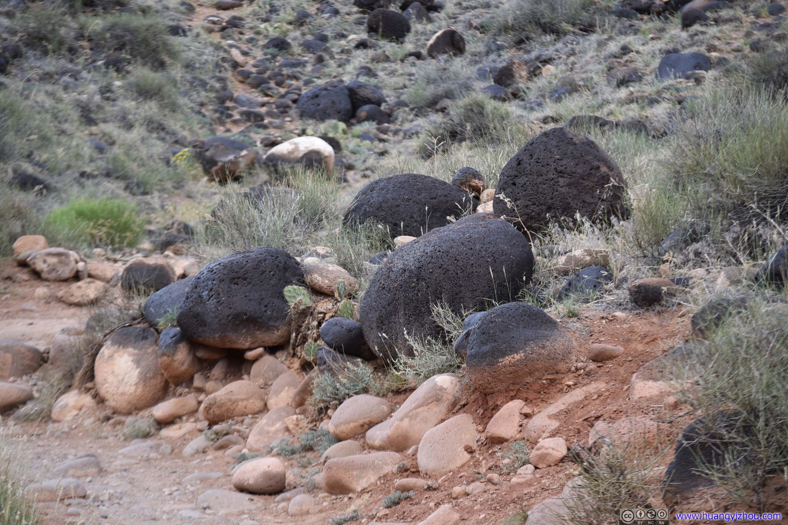
For the first part, Grand Wash was made of rocky hills of various shapes and sizes, with bushes claiming all but the steepest slopes. The canyon bent its way forward, as views of diverse hills were shuffled around.
 Grand Wash
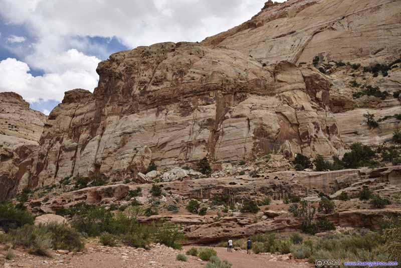 Grand Wash
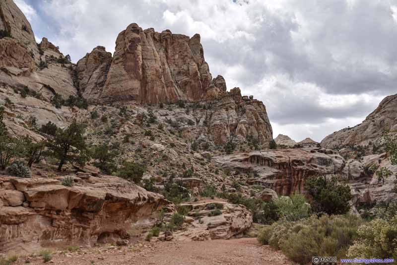 Grand Wash
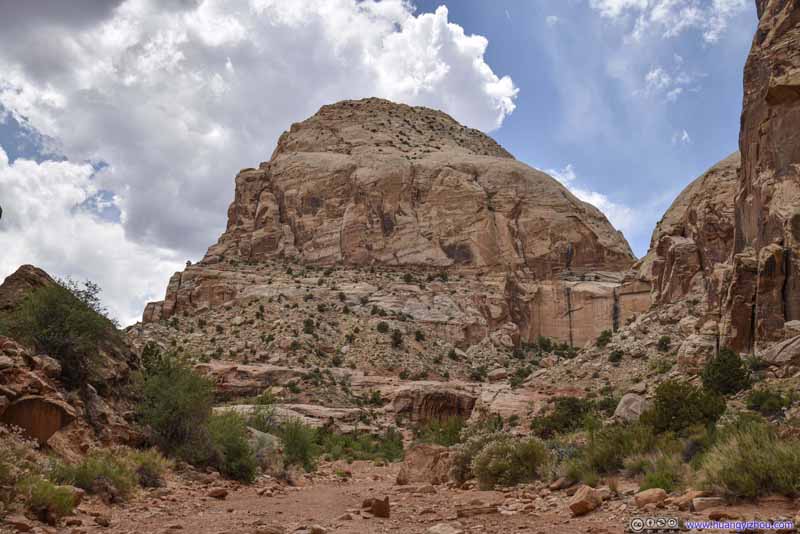 Grand Wash
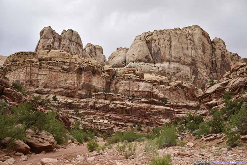 Grand Wash
 Grand Wash
 Grand Wash
 Cliff
Cliff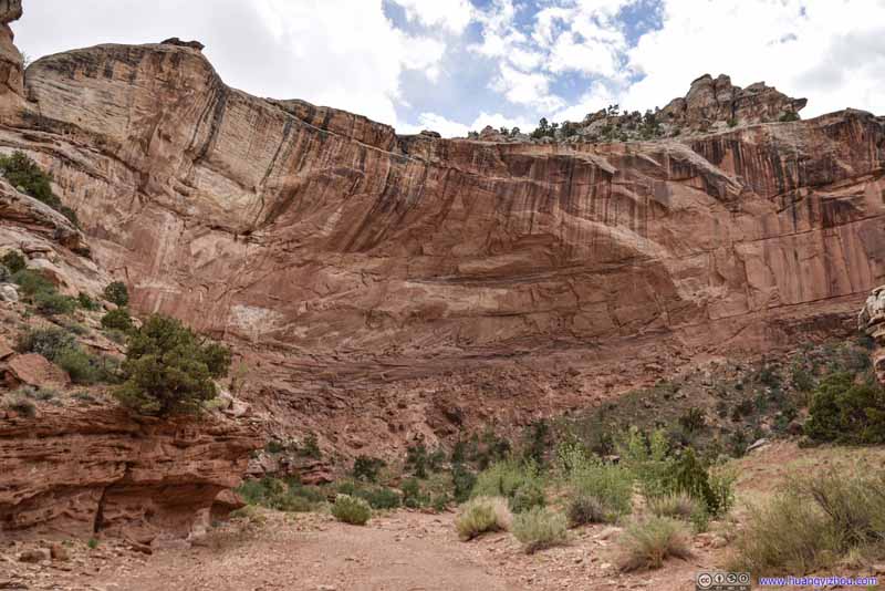 Cliff
Cliff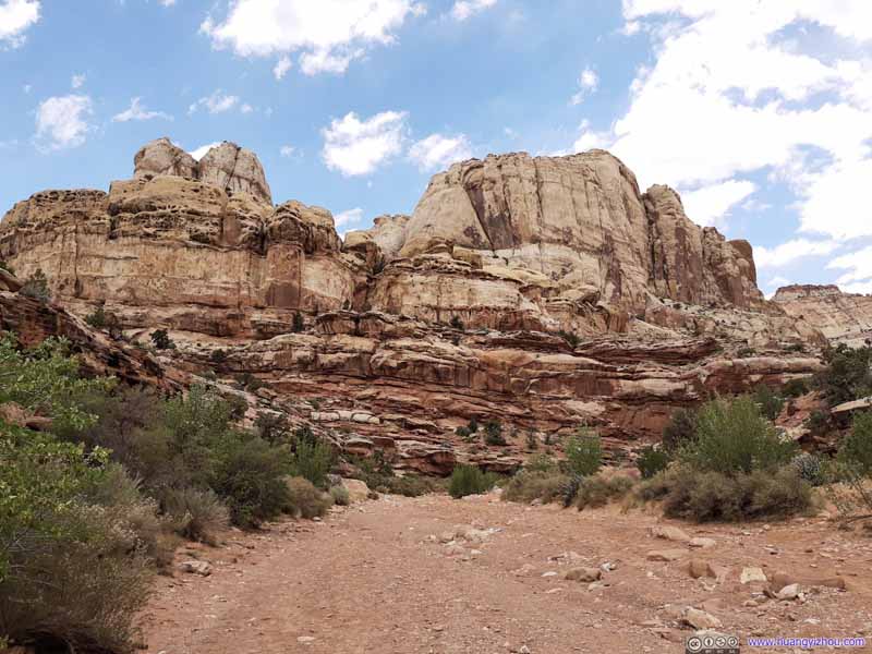 Grand Wash
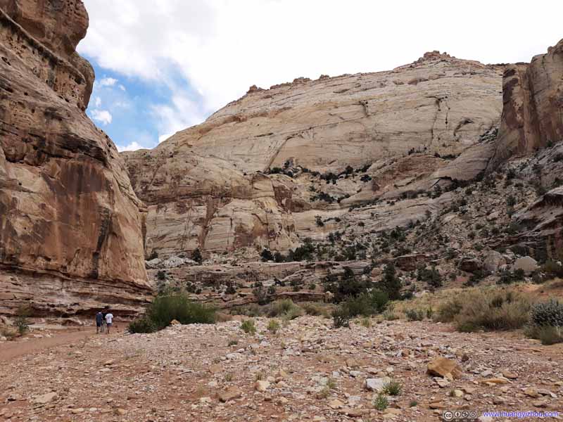 Grand Wash

Click here to display photos of the Grand Wash.
Grand Wash

Grand Wash

Grand Wash

Grand Wash
Grand Wash
Grand Wash

Grand Wash
Cliff
Cliff

Grand Wash

Grand Wash
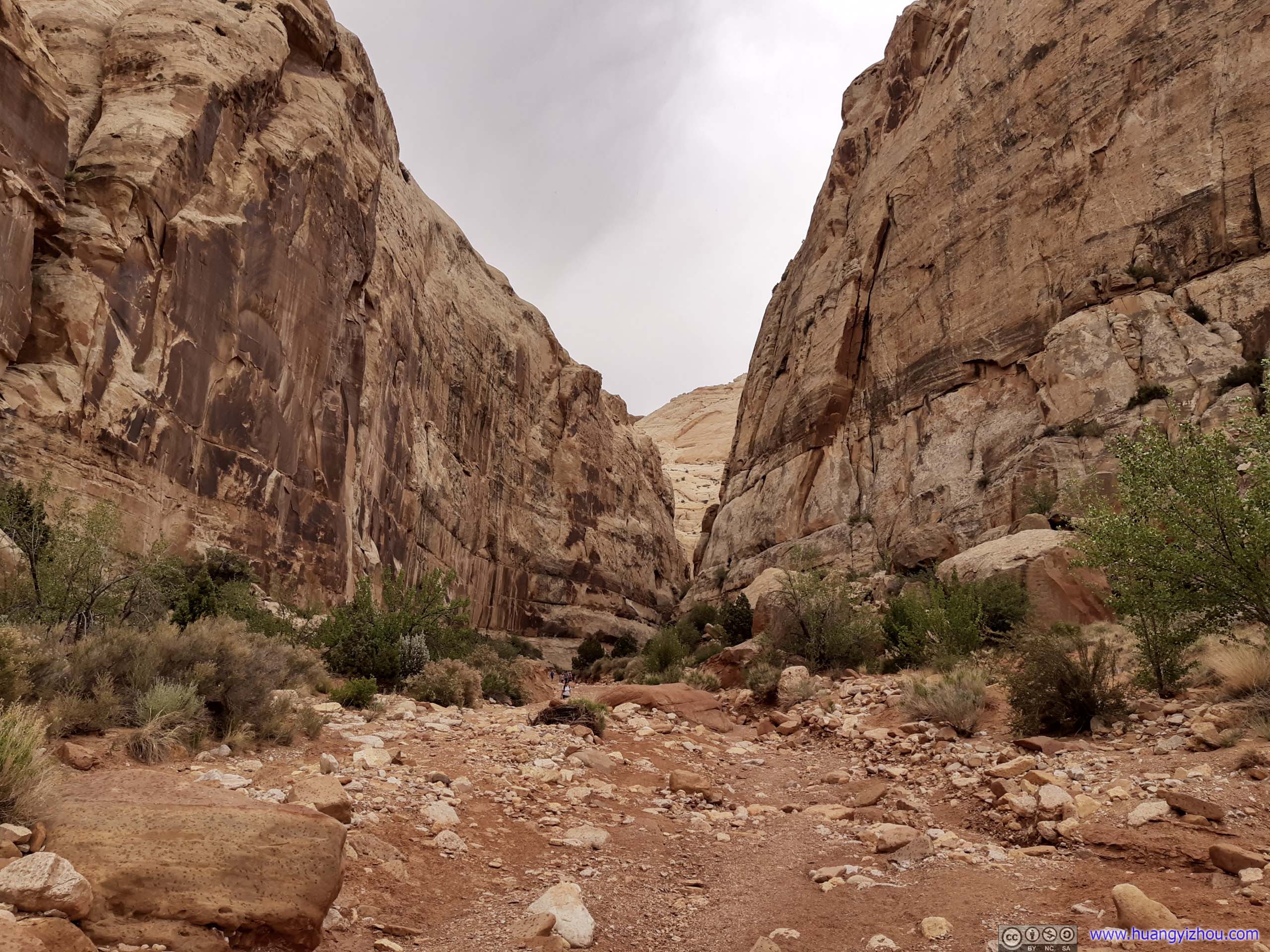
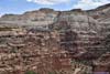
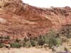
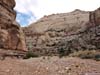
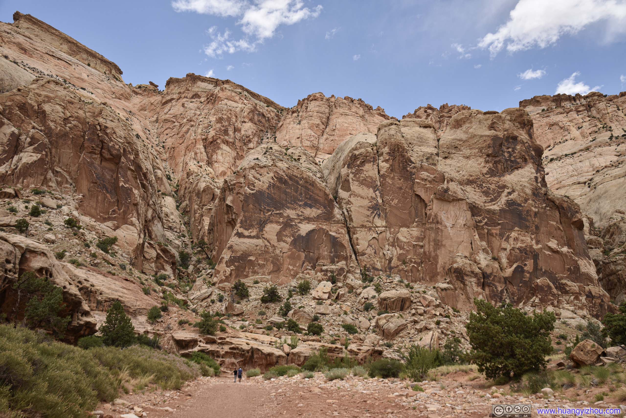
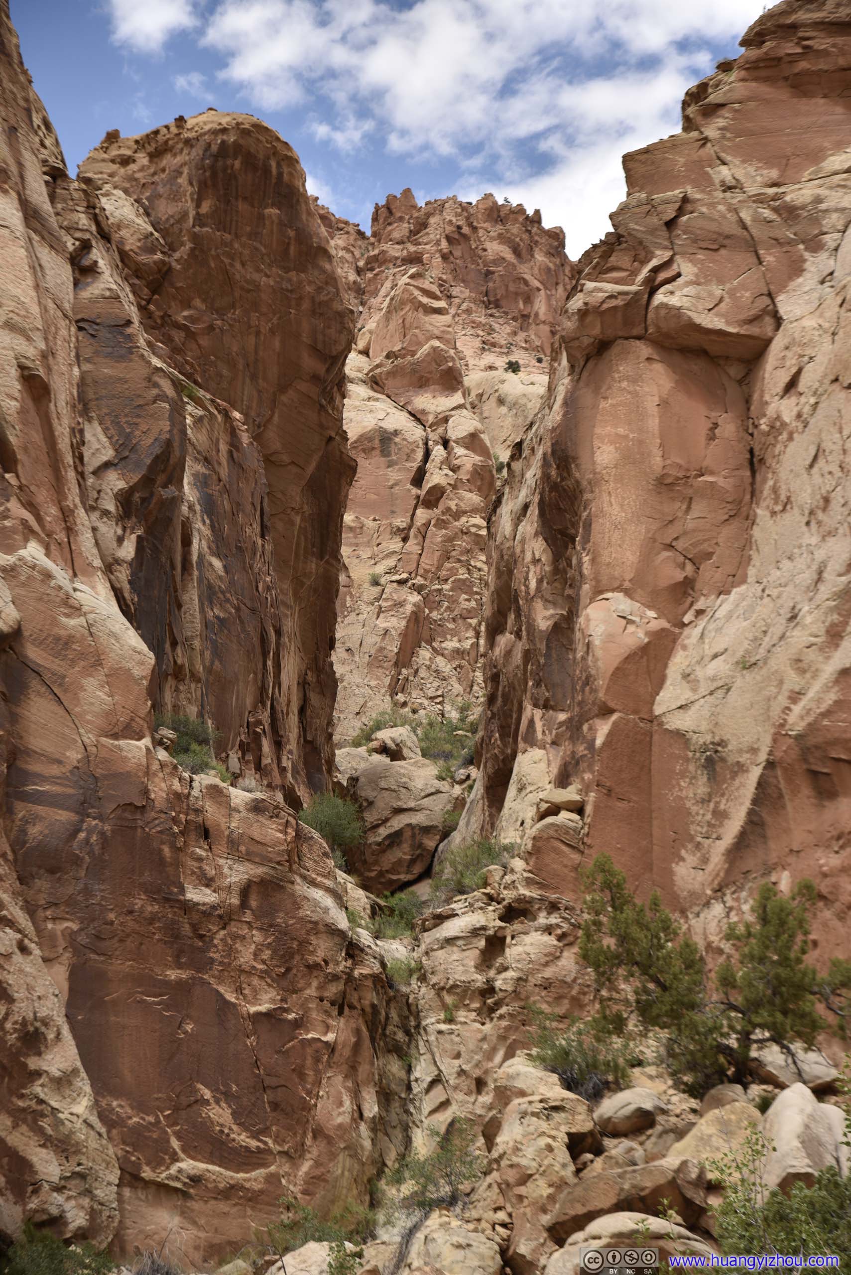
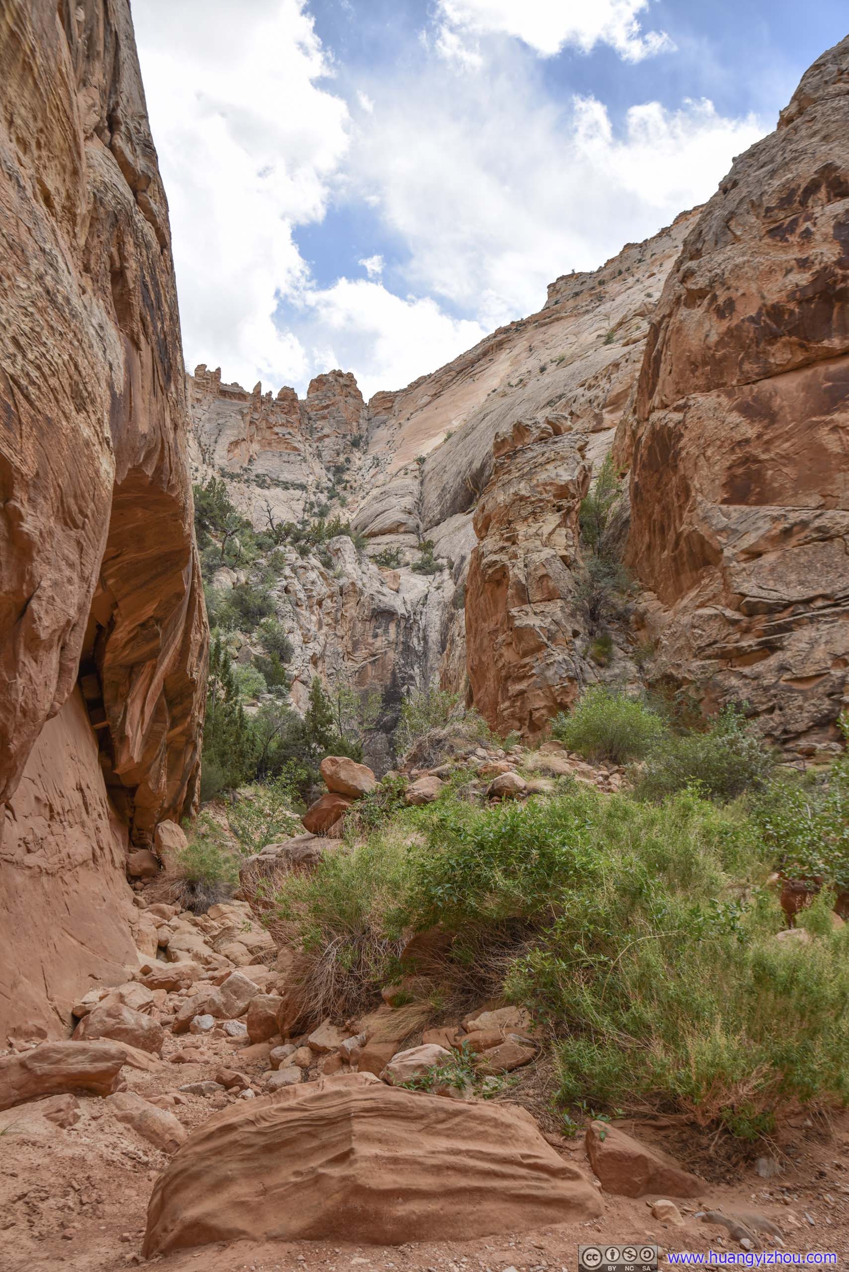
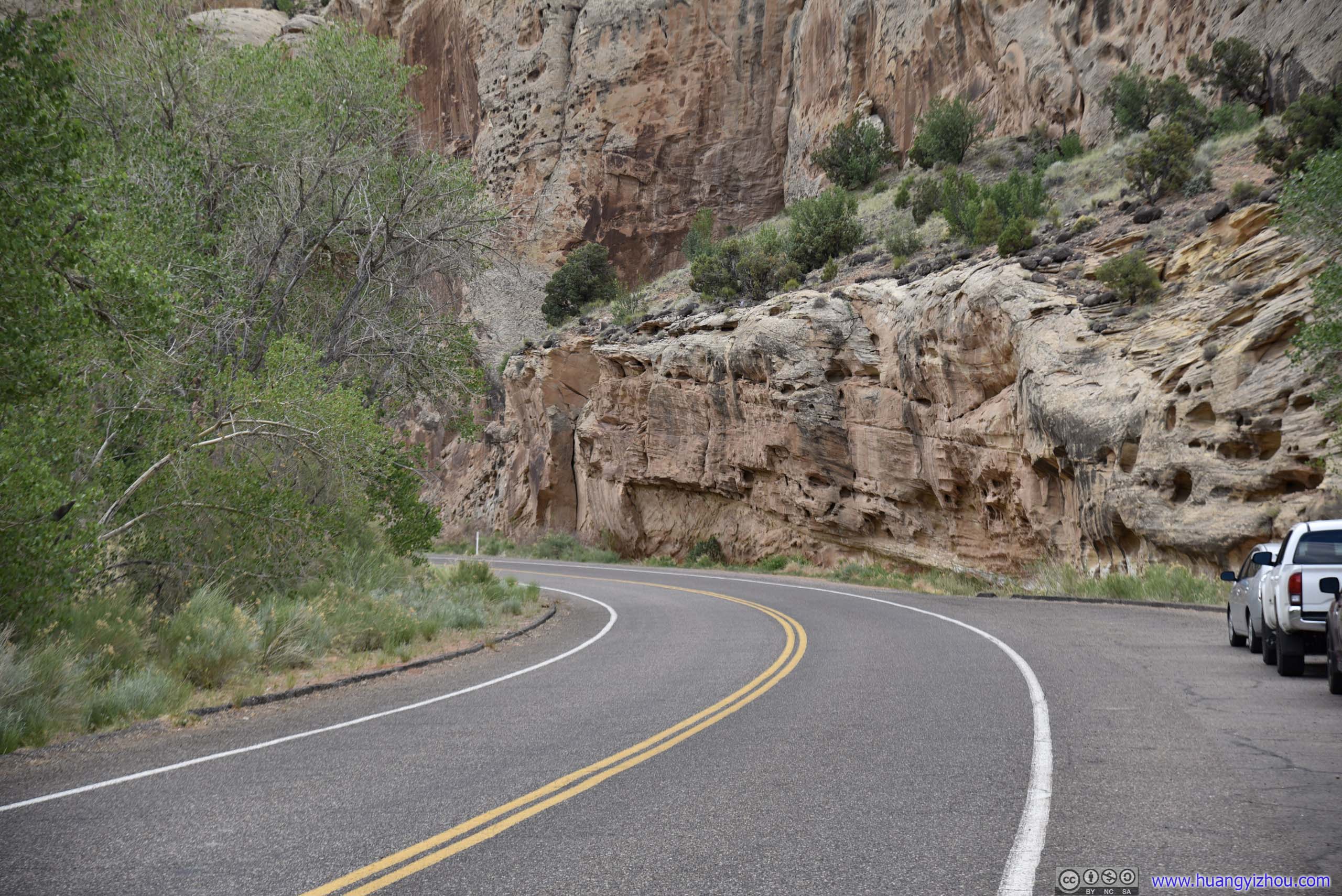
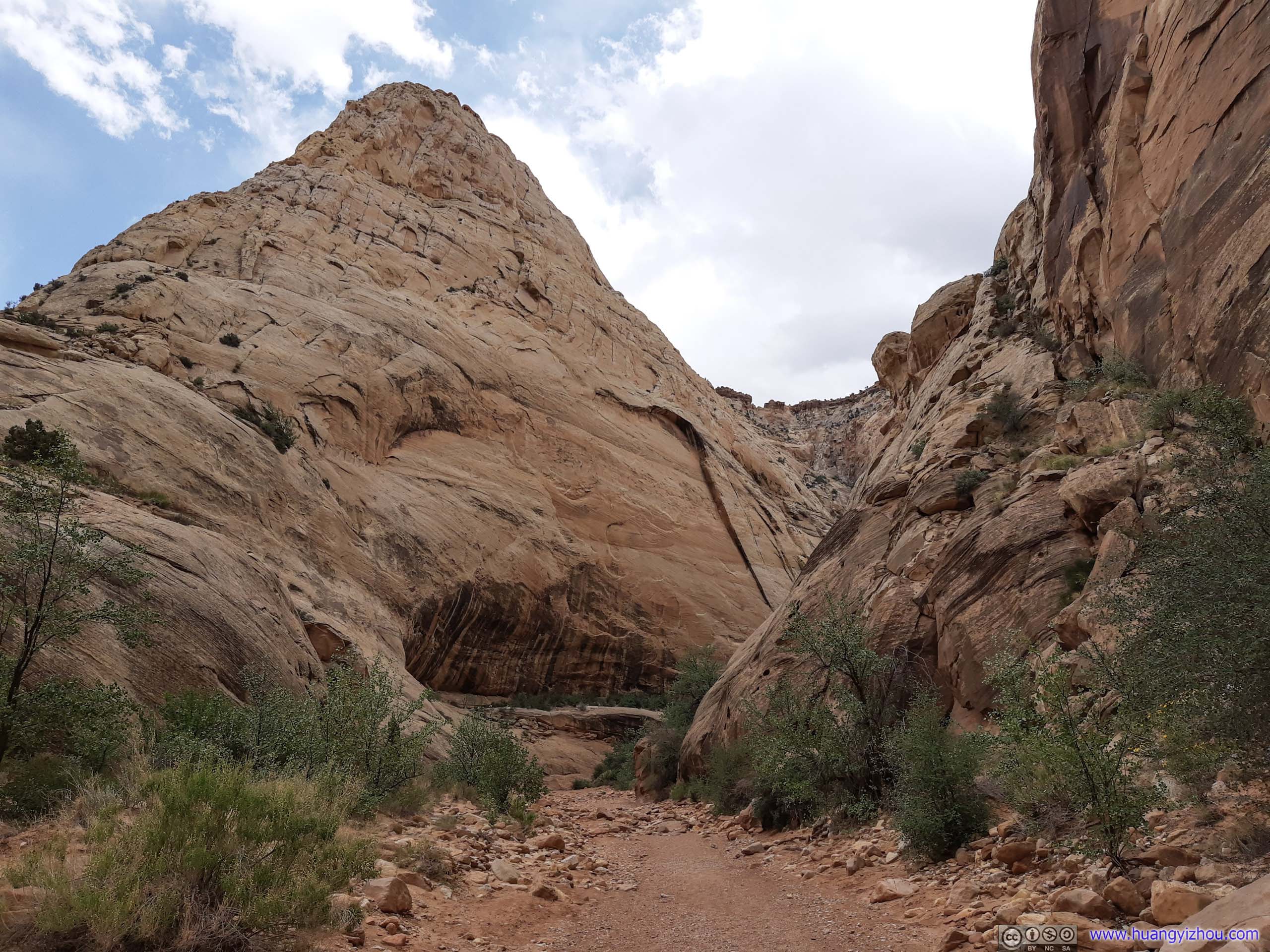
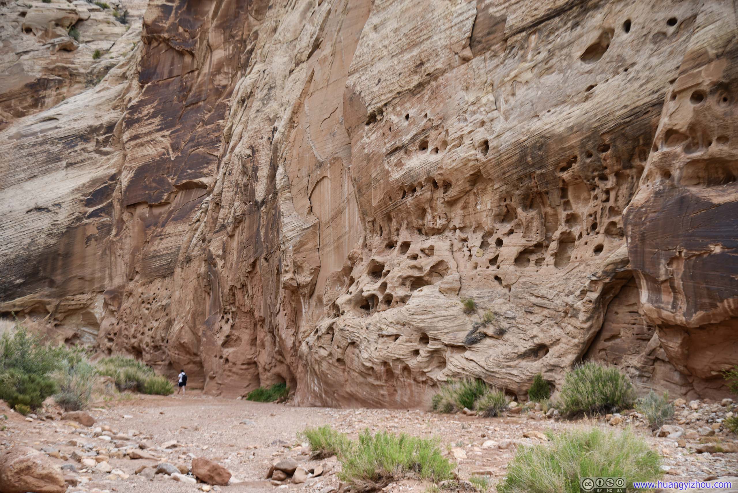
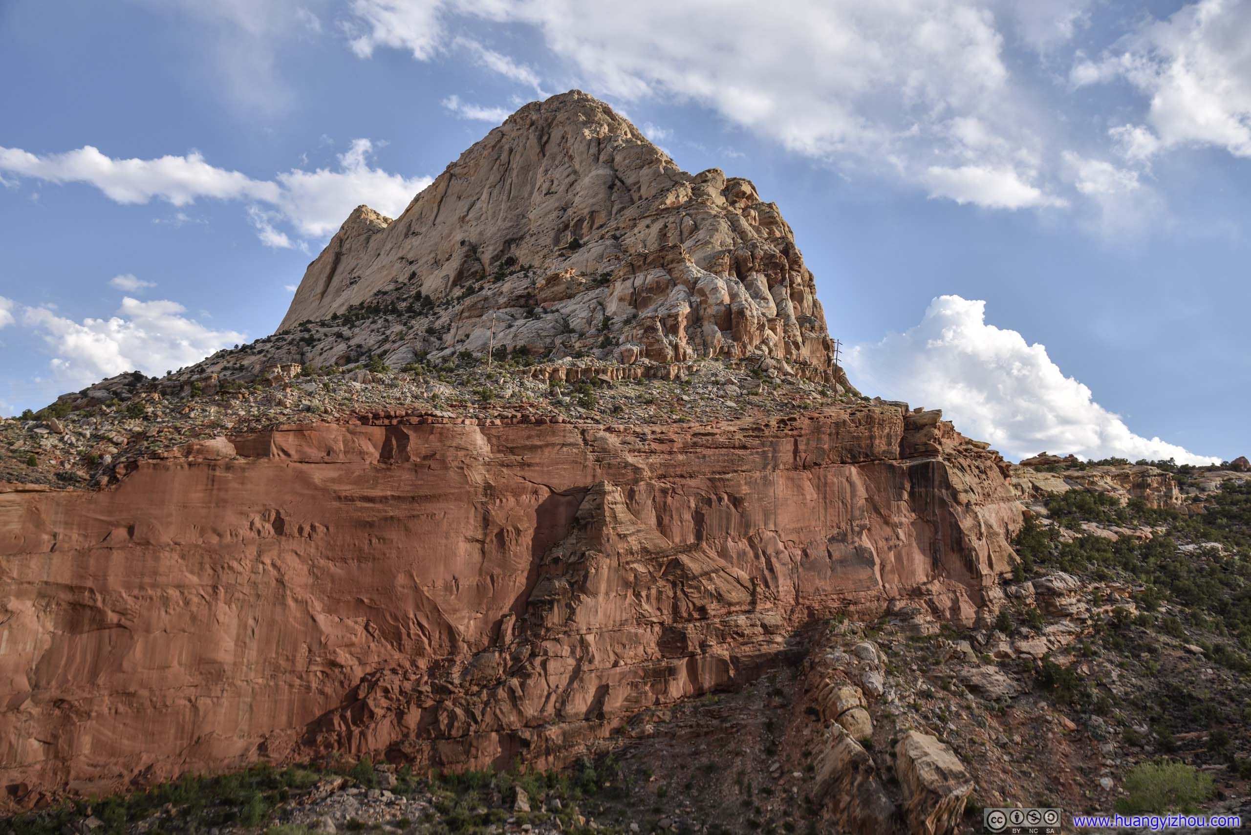
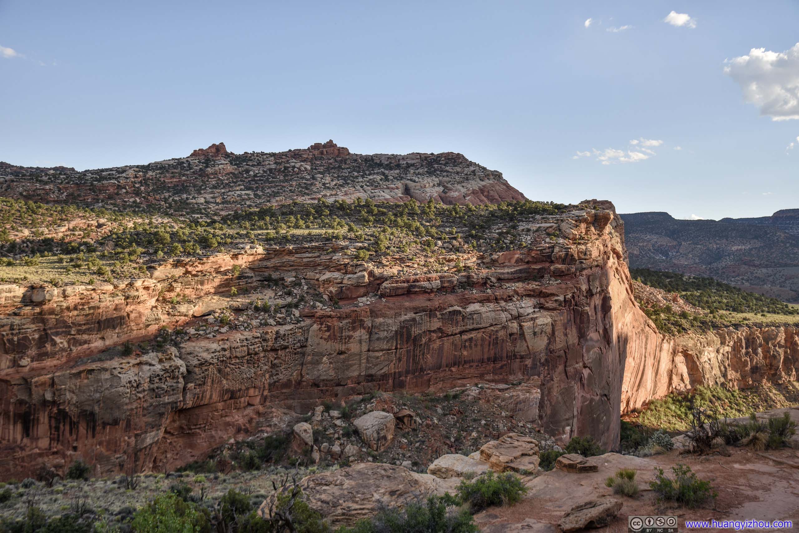
Canyon EntranceHiking from Cassidy Arch to UT24, the entrance of the canyon was very imposing.
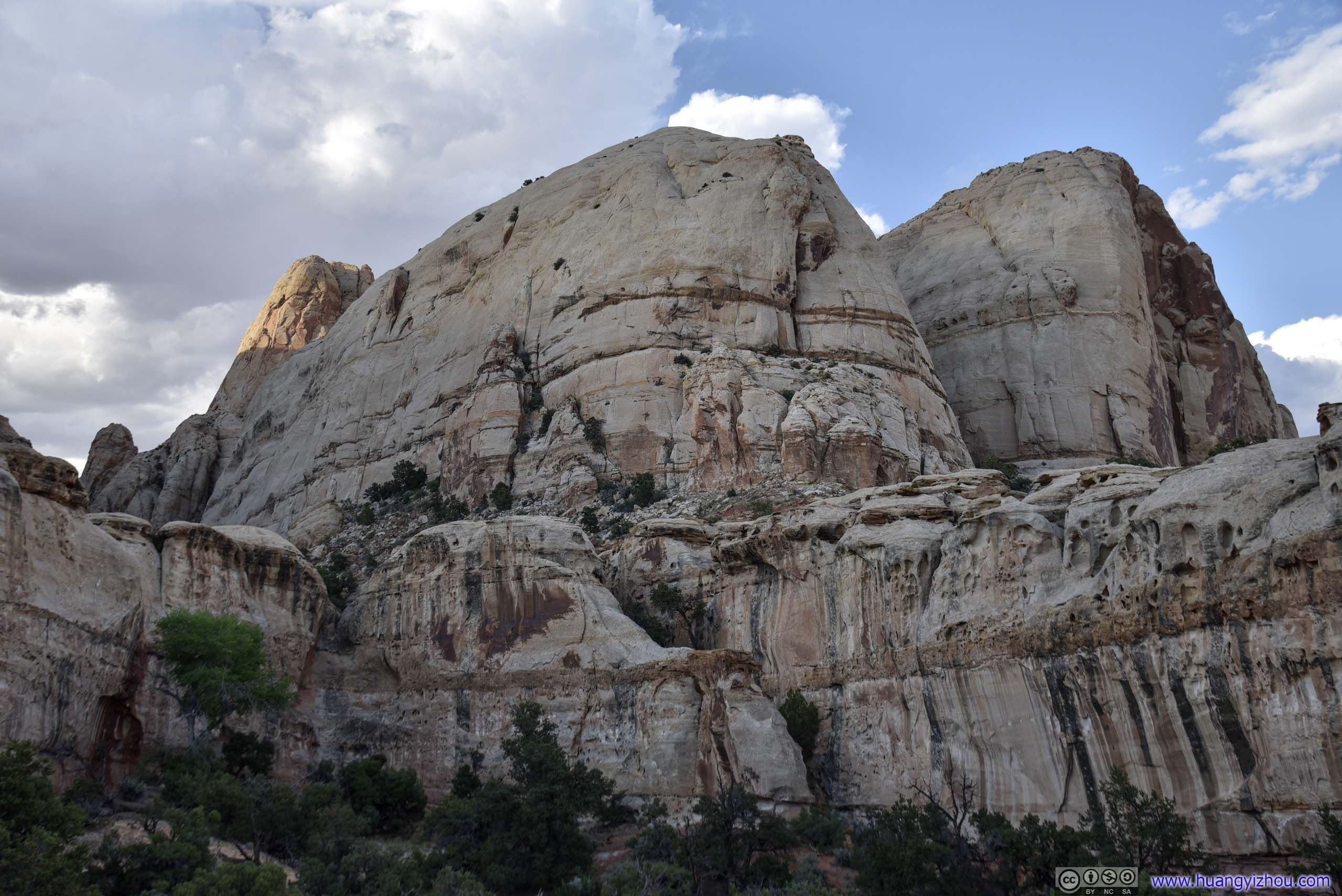
Then the canyon narrowed down, placing visitors directly at the foot of soaring cliffs.

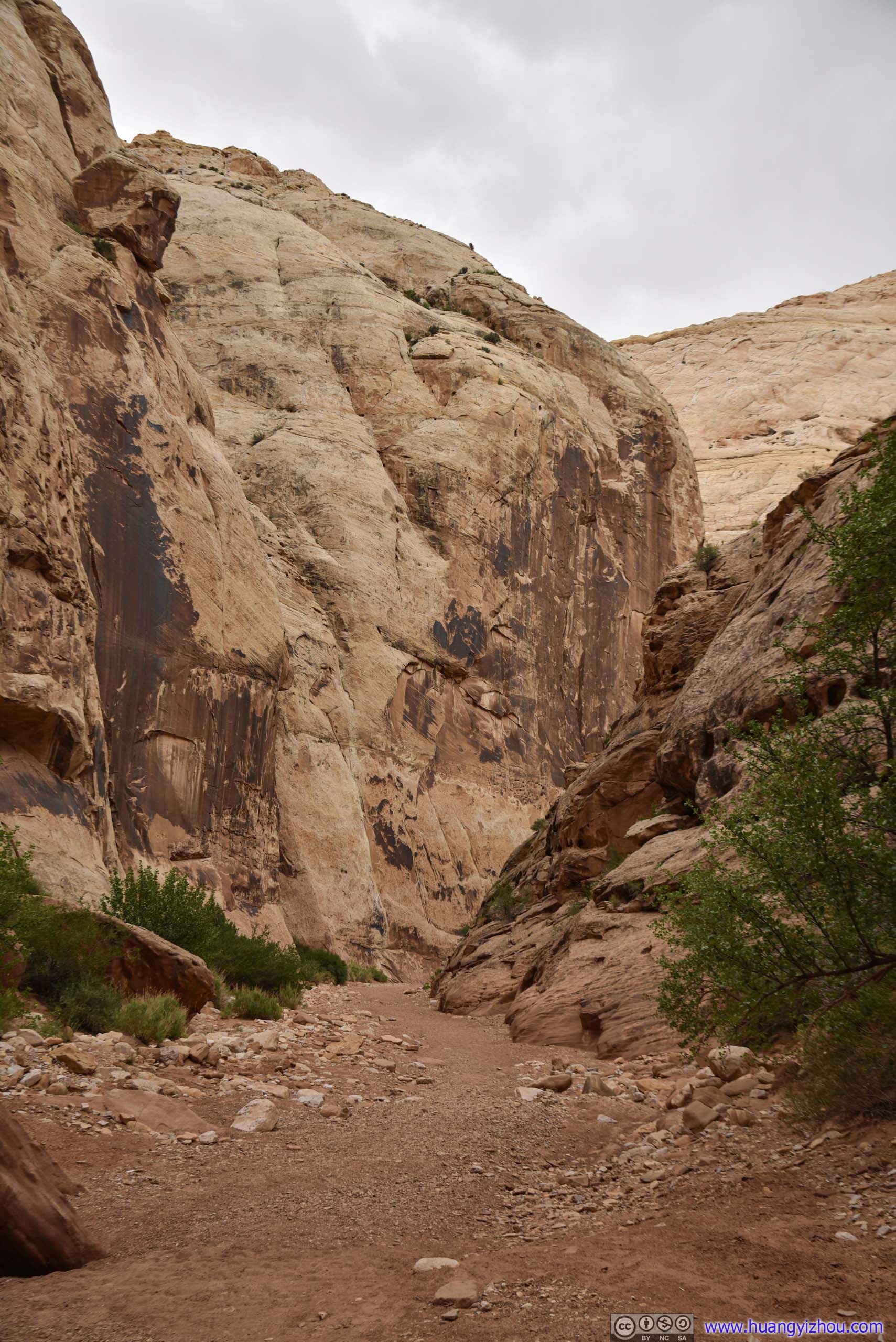
 Canyon

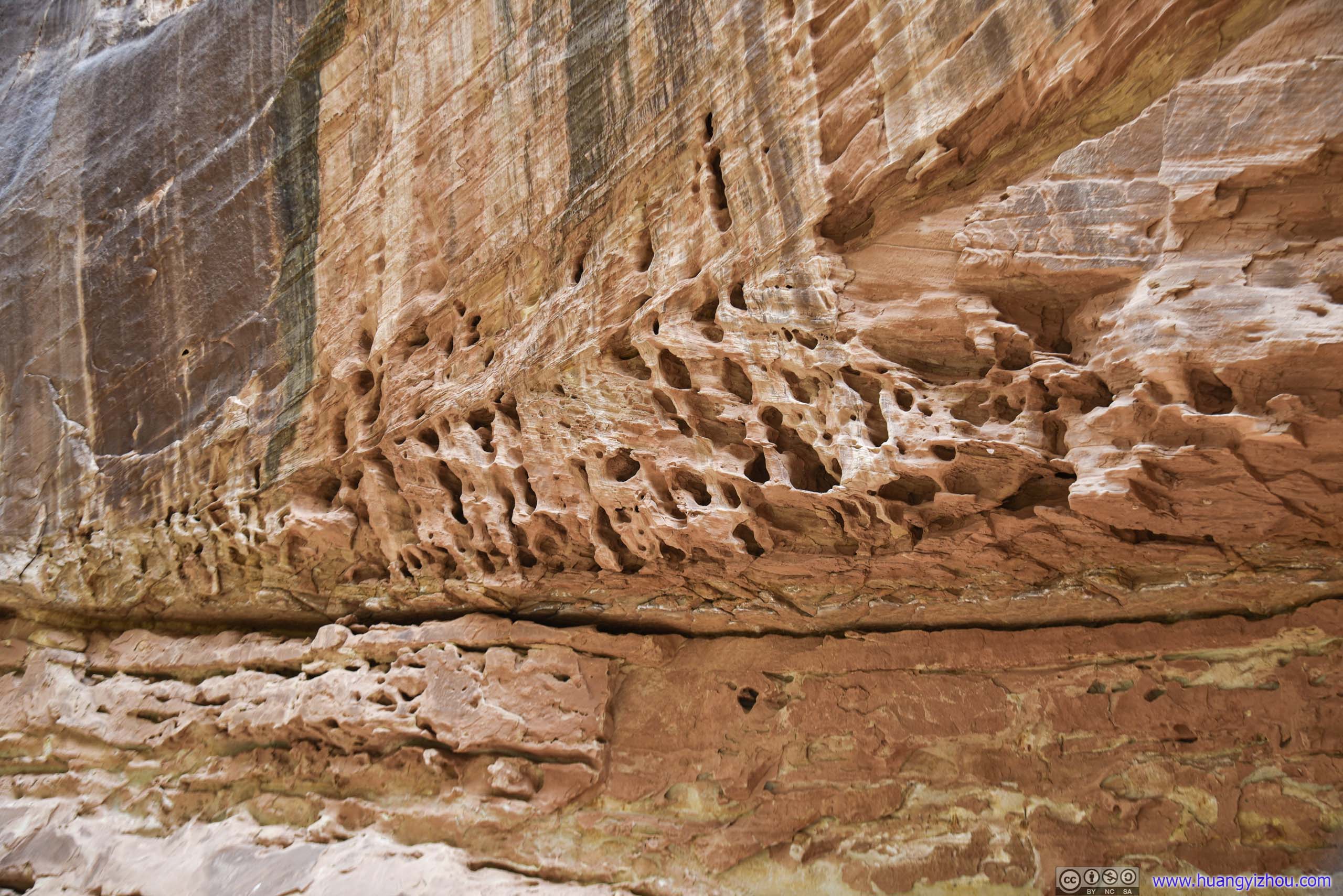
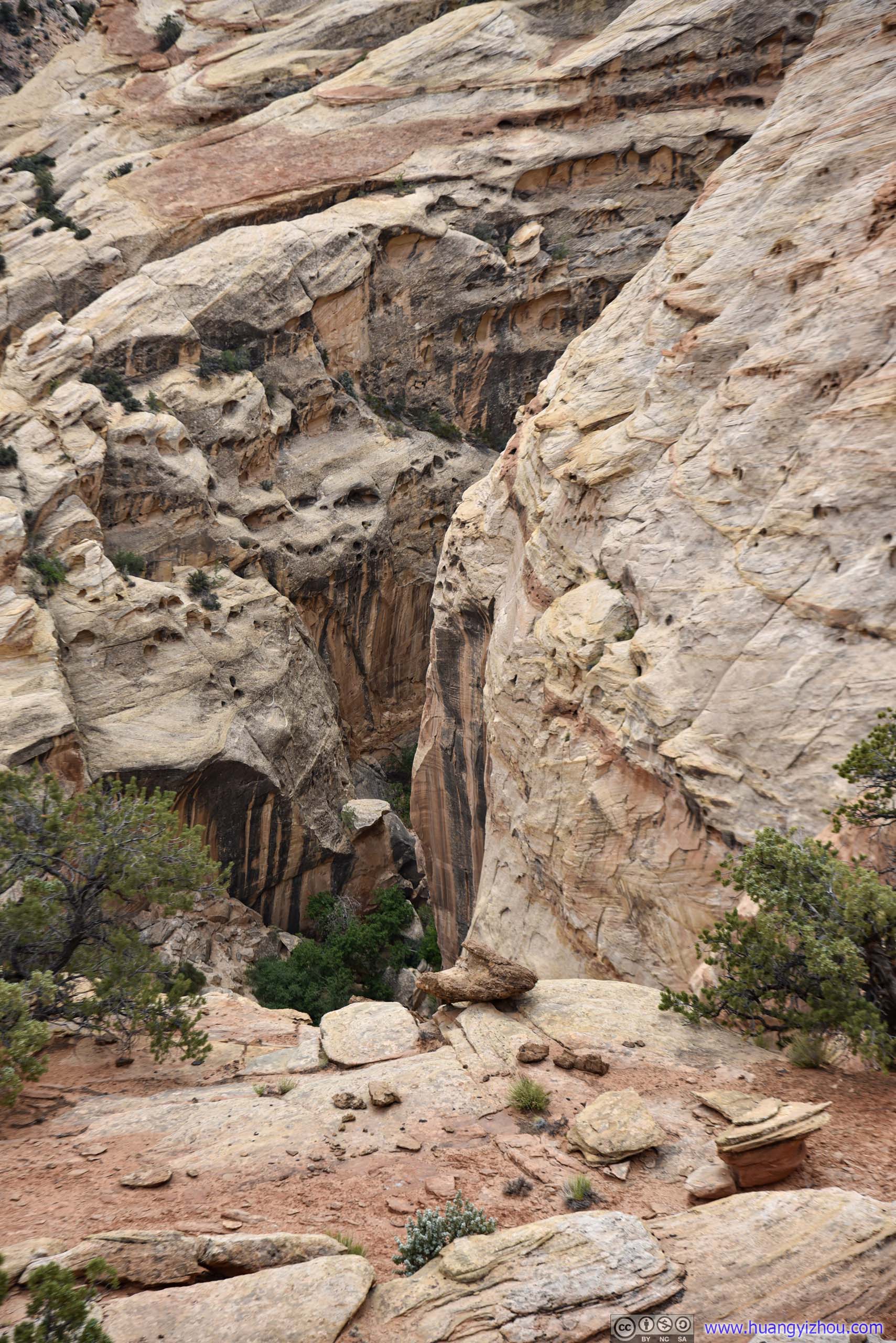
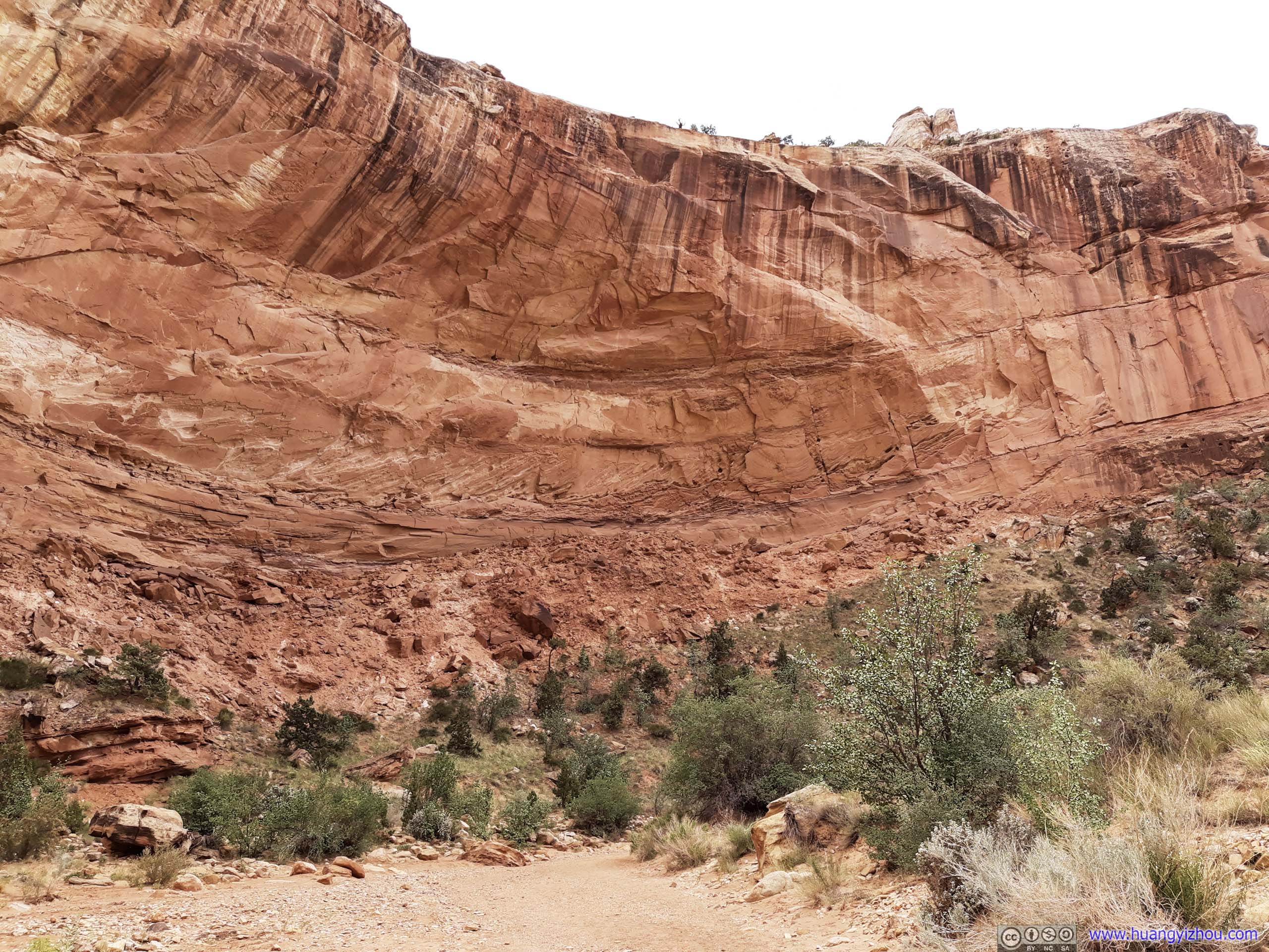
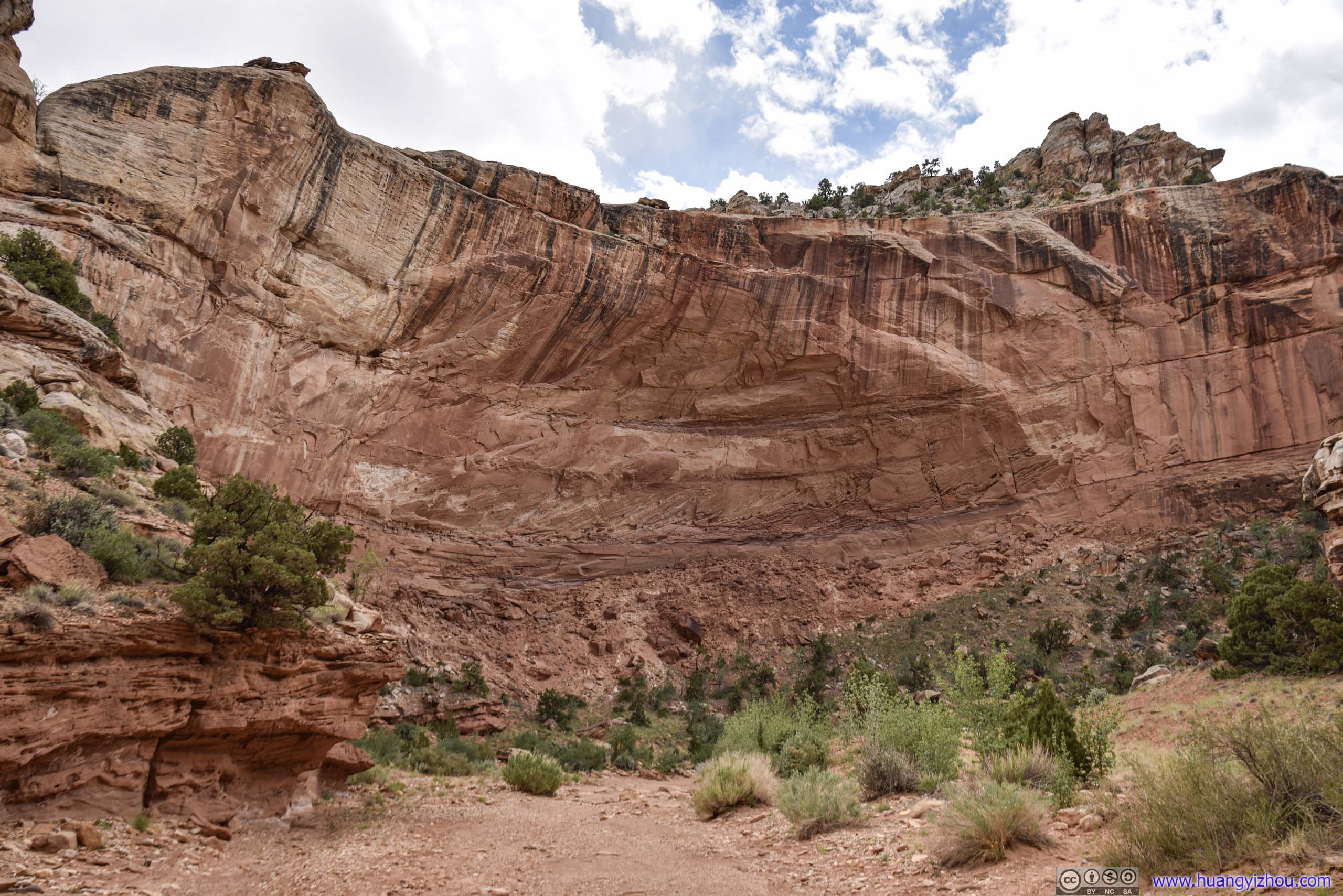
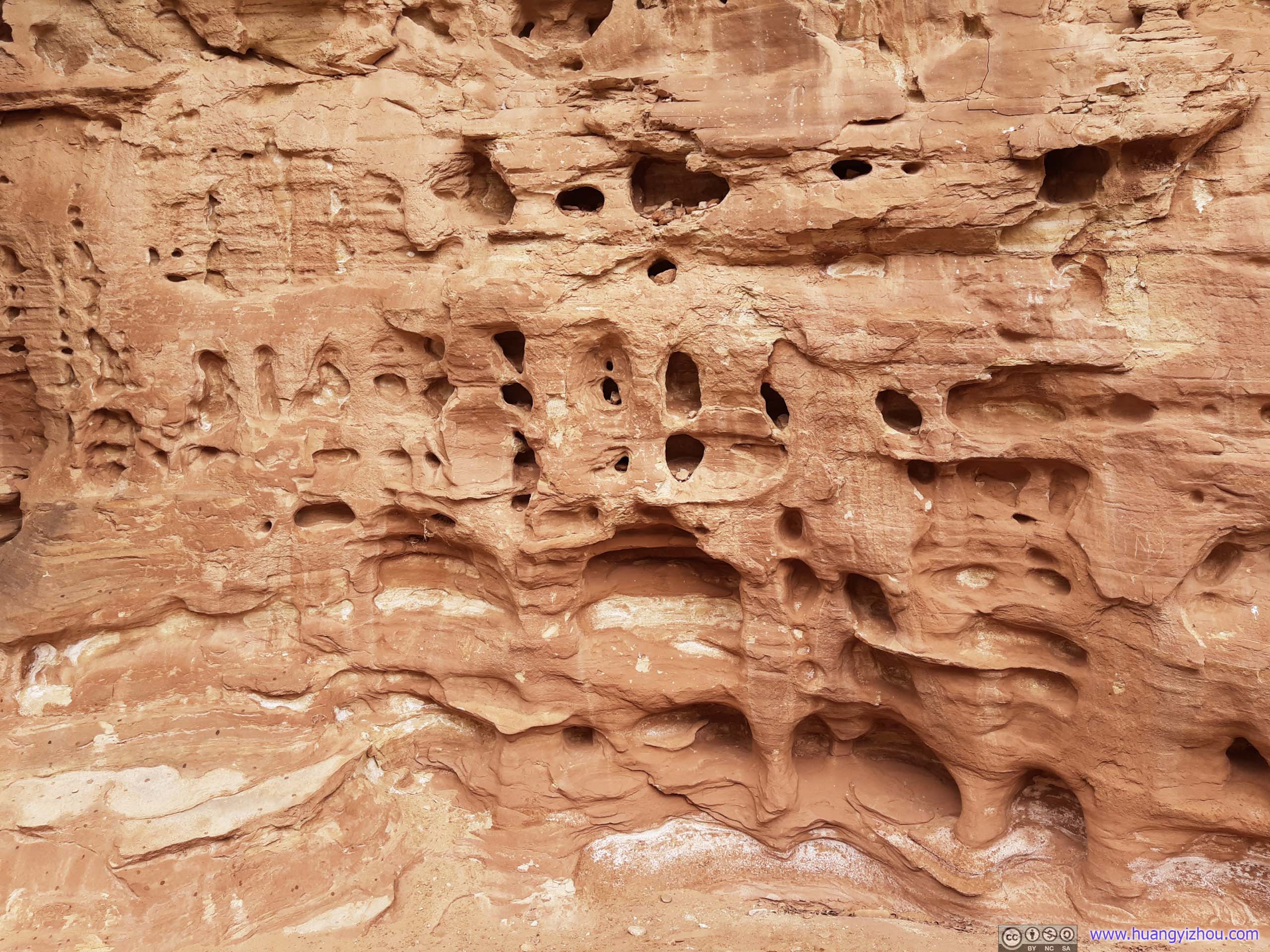
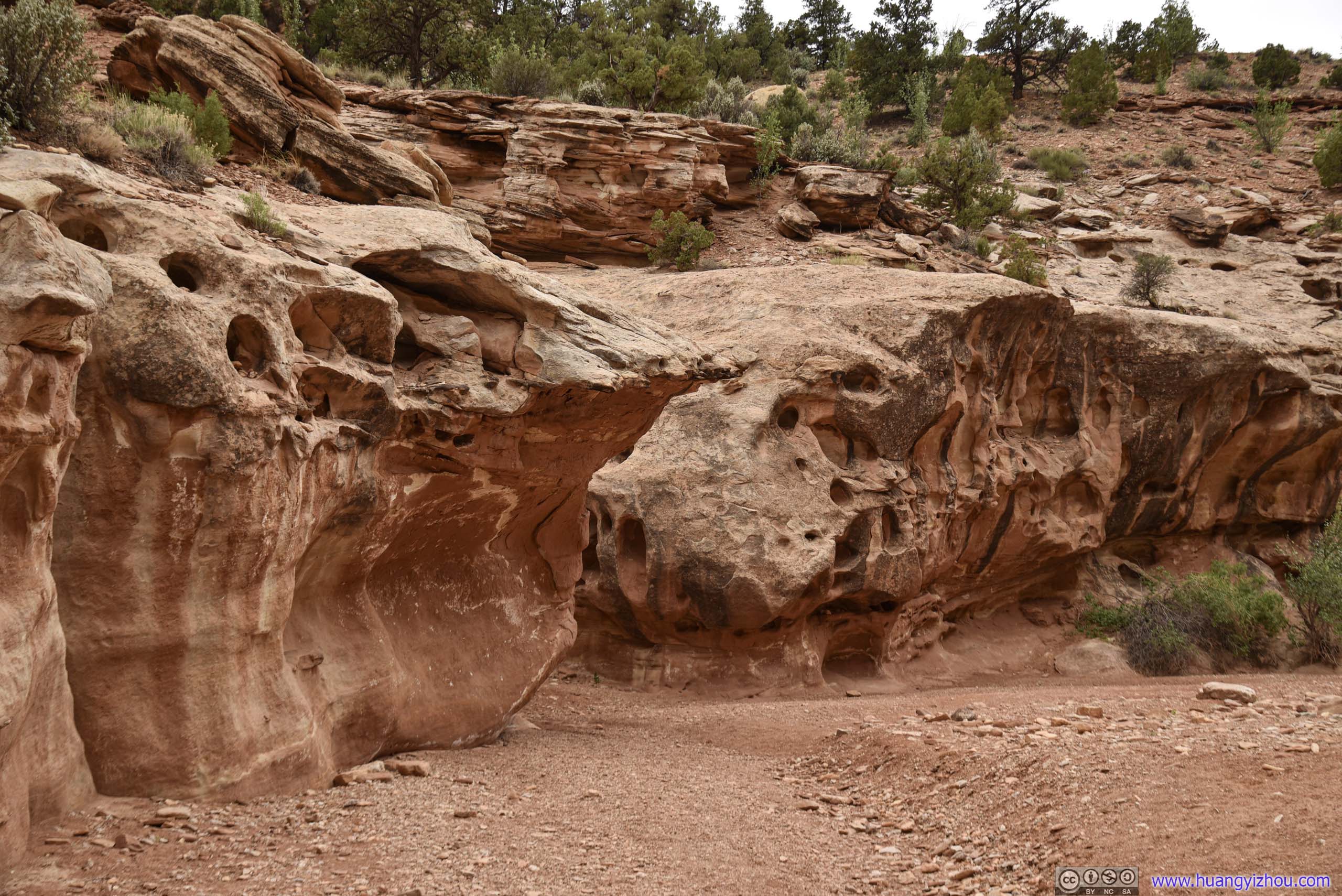
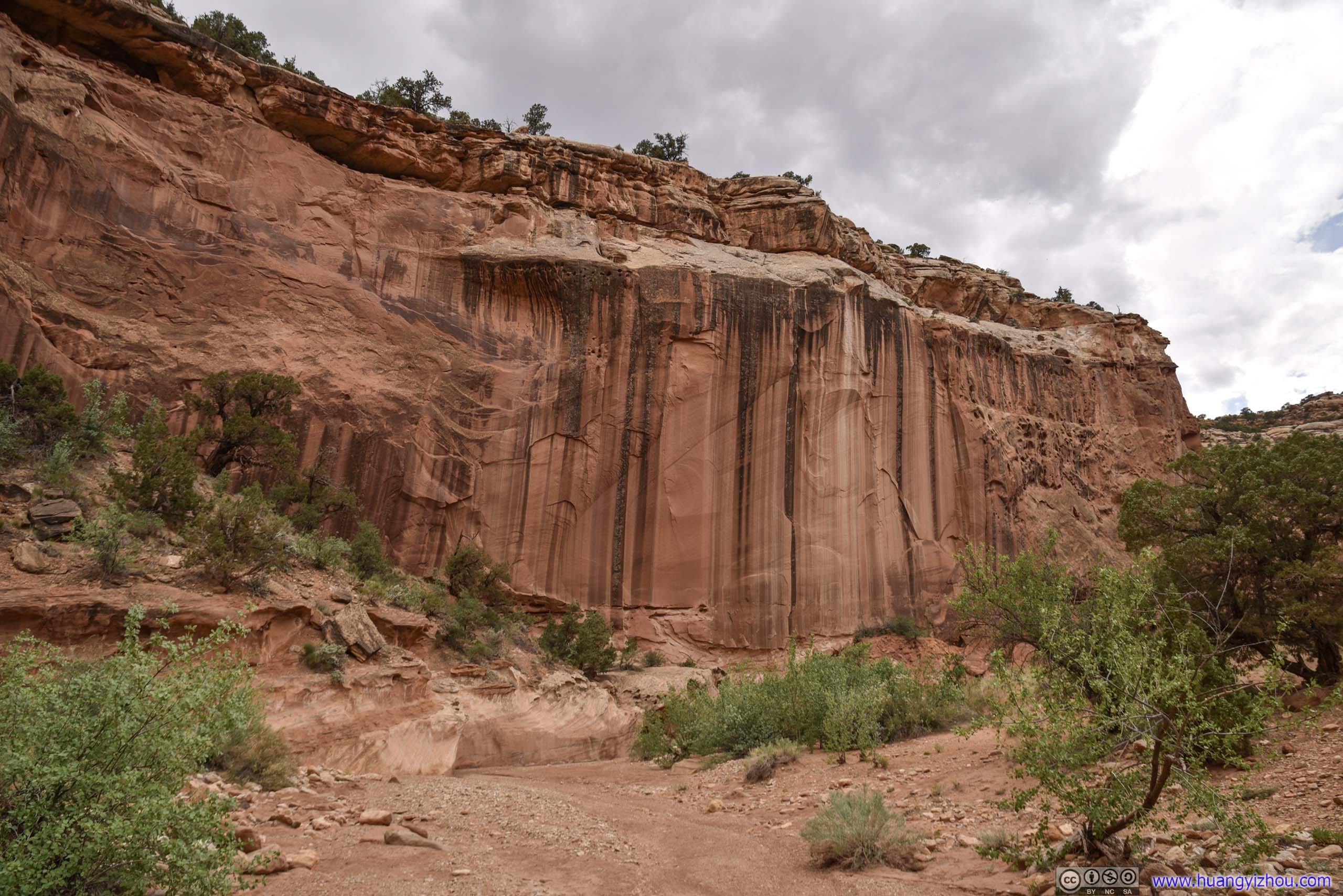
 Cliff with Erosion
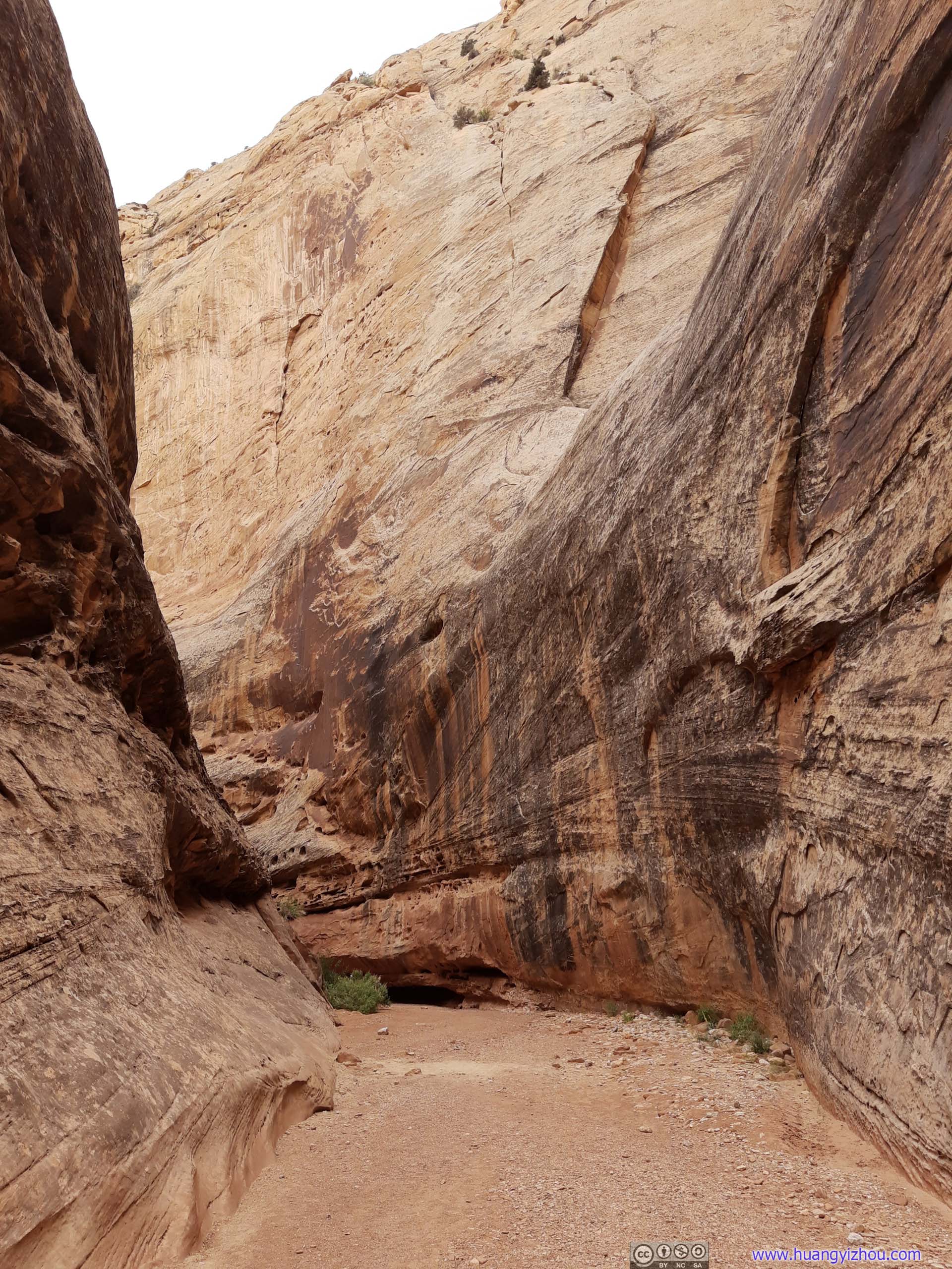
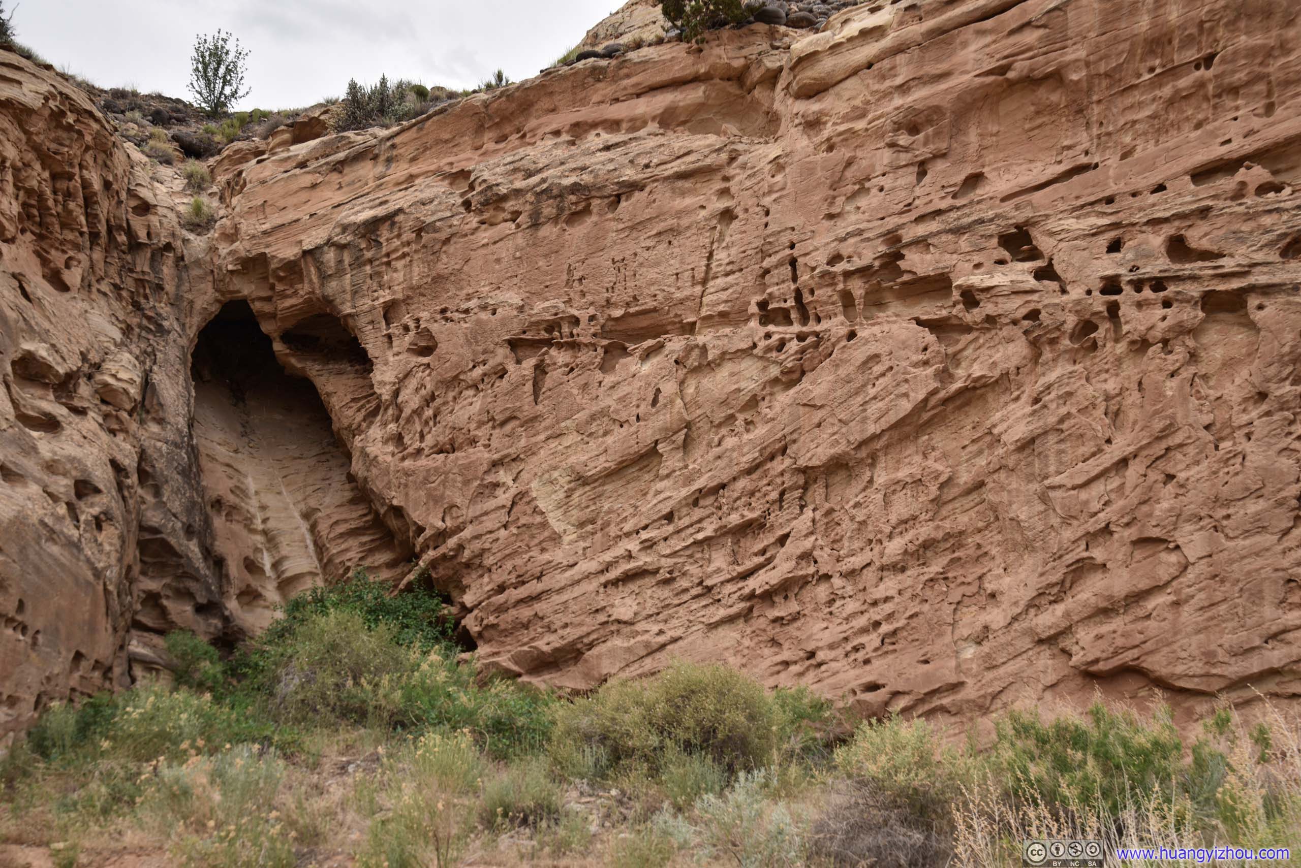
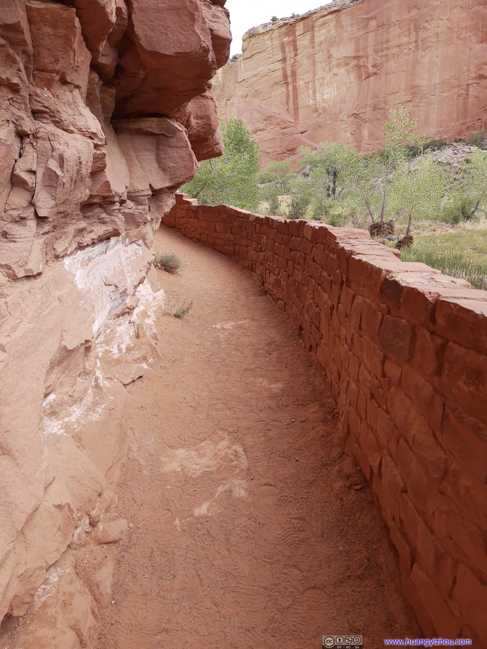
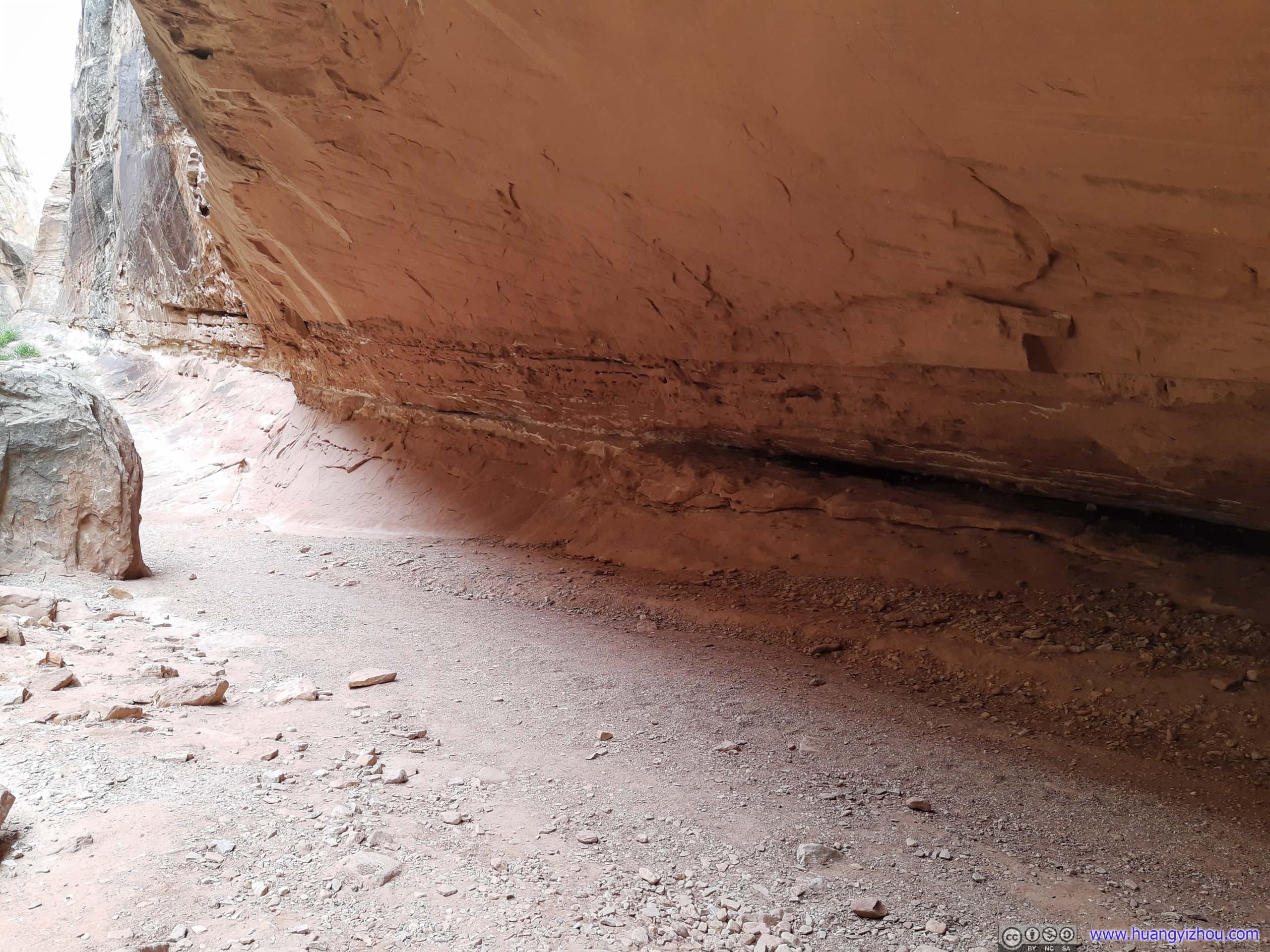 CanyonA portion of the trail going underneath the rocks.

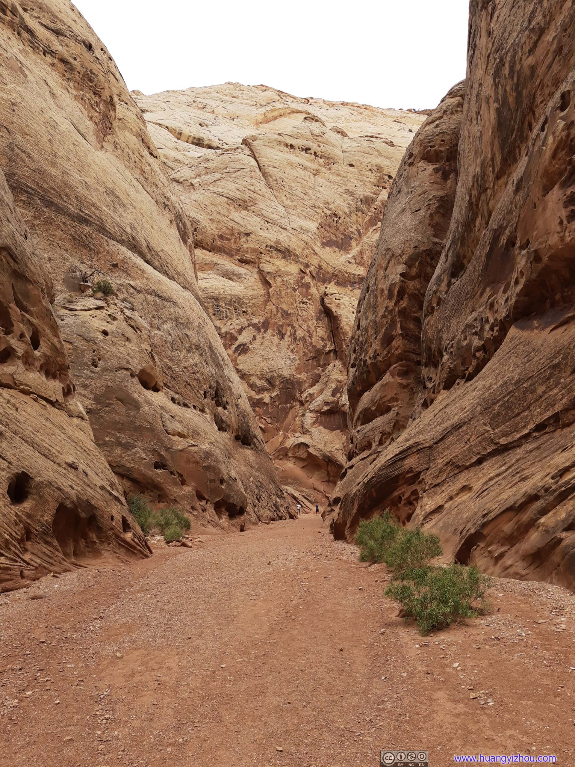
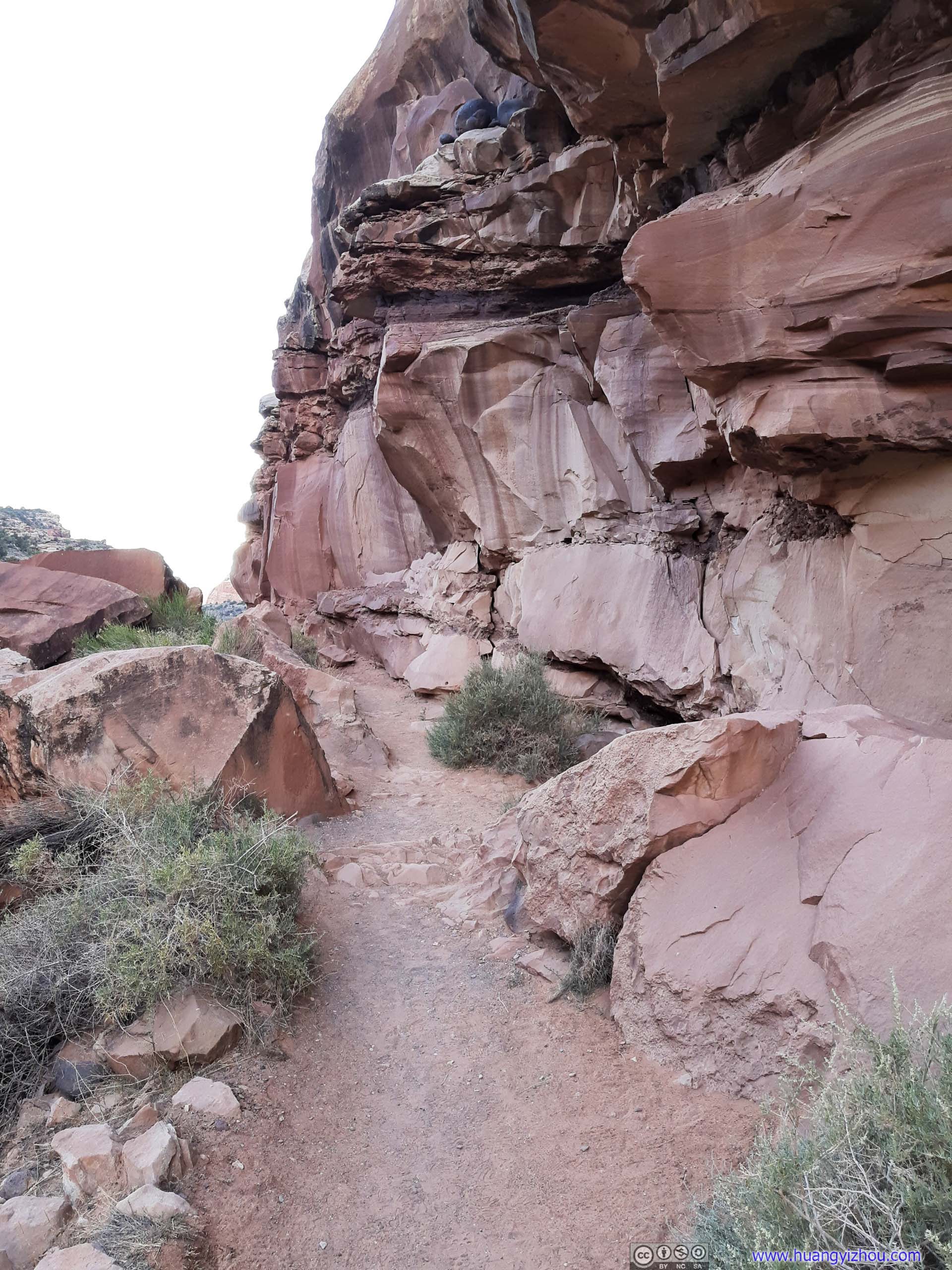
 CanyonA few narrow canyons can be seen along the trail.
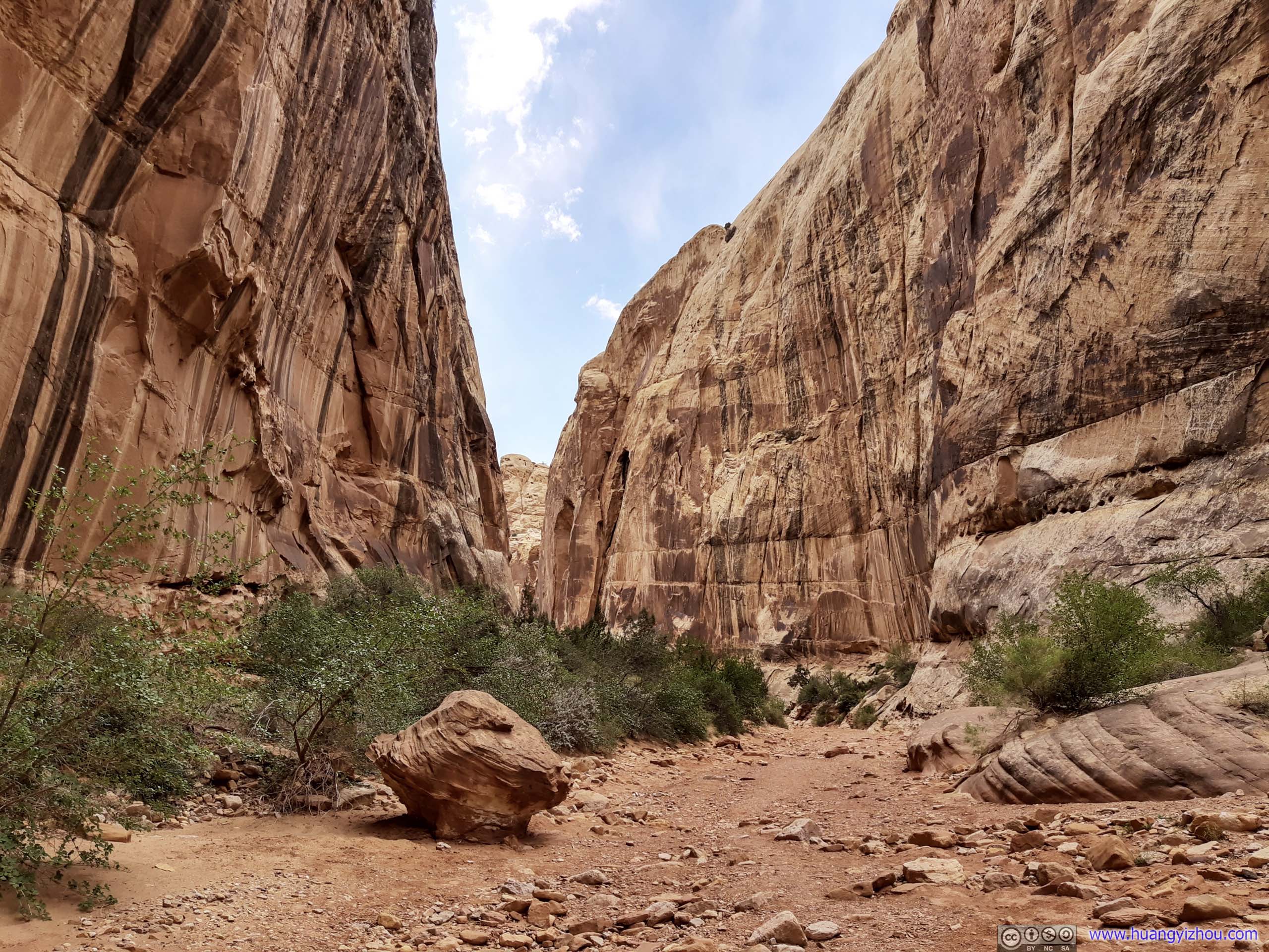
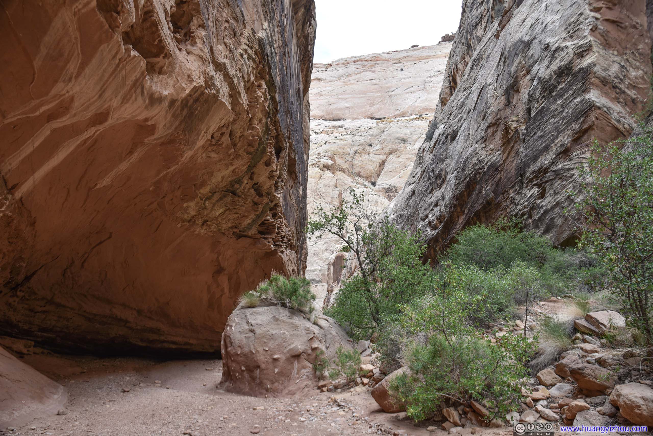
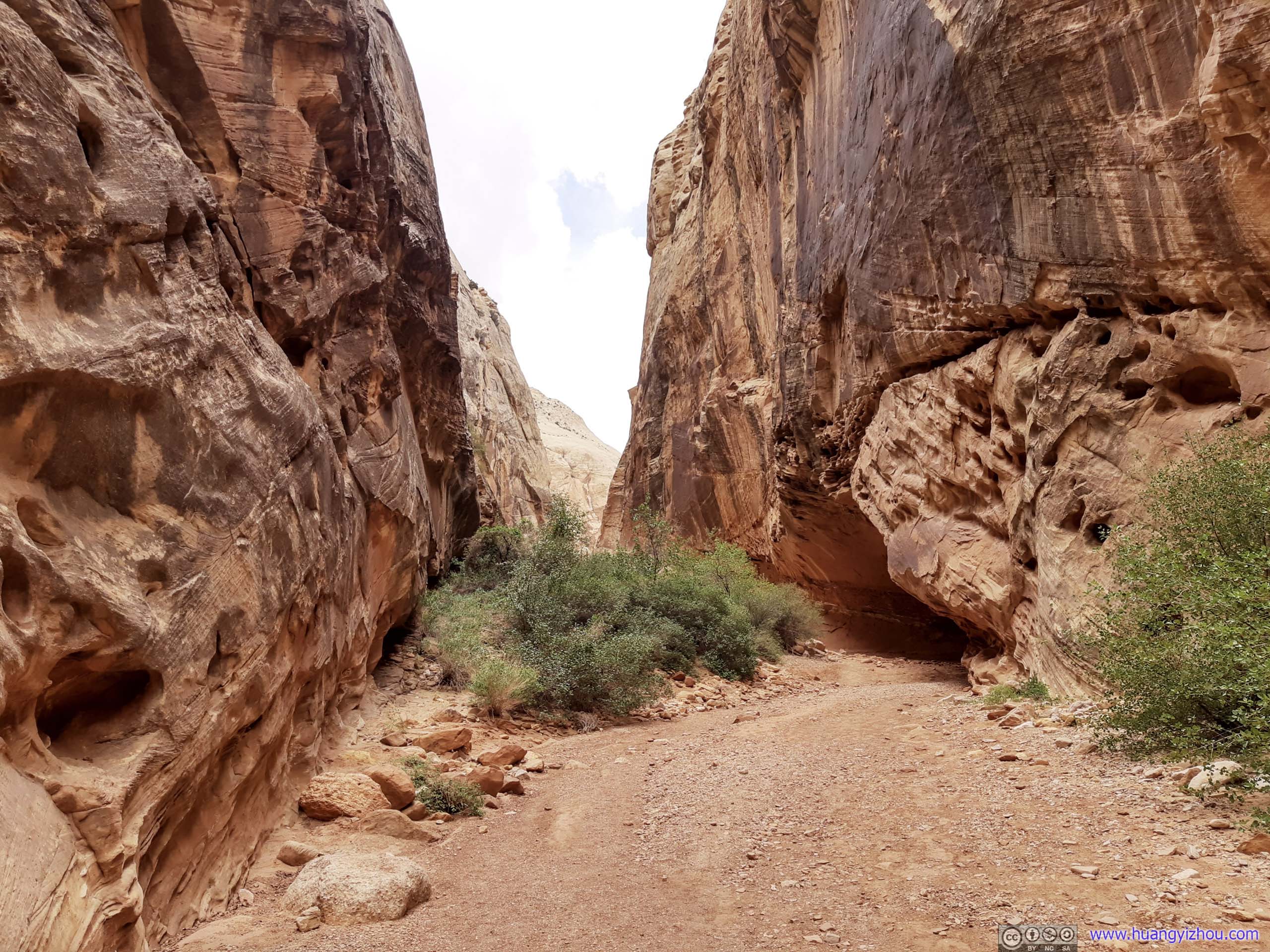
Then the canyon farther narrowed down to only a few meters wide as it made a series of twists and turns, a labyrinth without fear of getting lost.
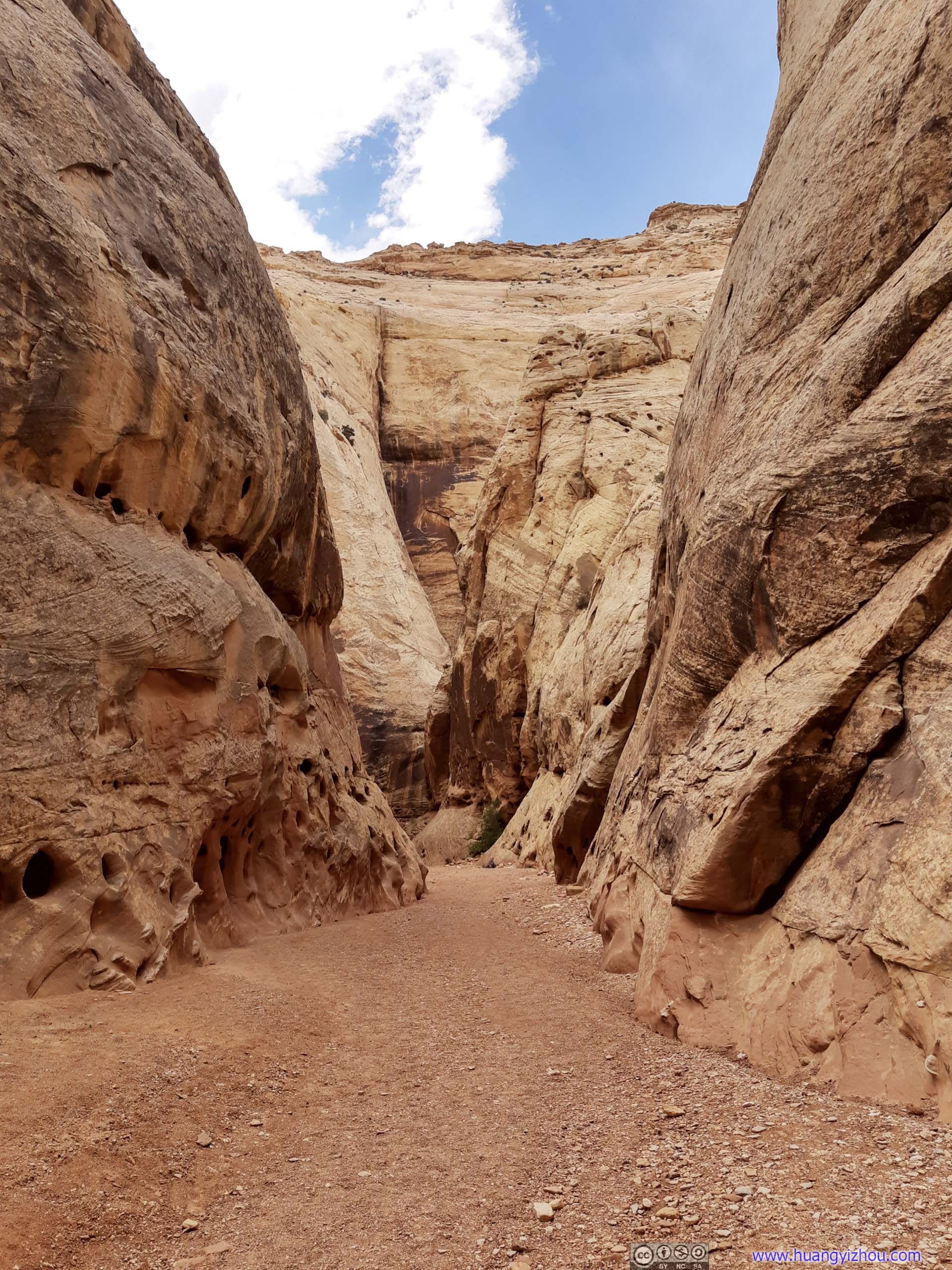
 CanyonPeople compared this section to Zion’s “The Narrows”, as both were narrow and winding. It’s just that here the trail’s dry, while “The Narrows” in Zion came with a flowing river.
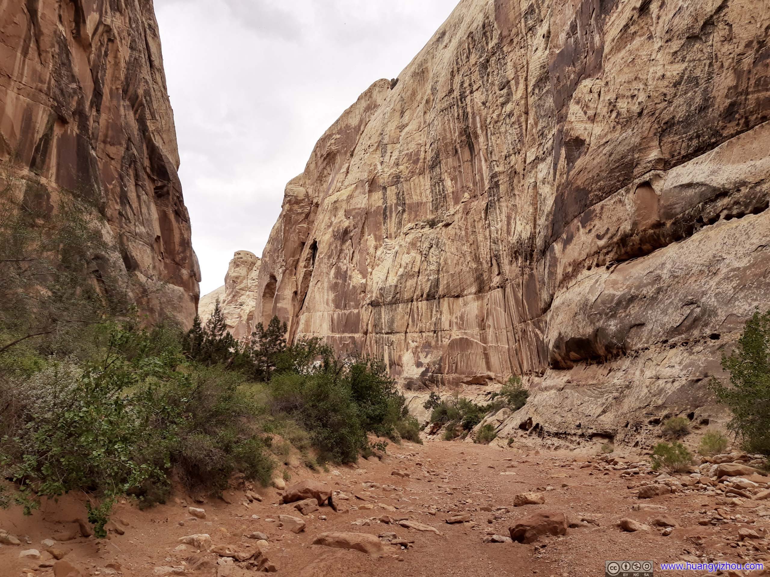
Grand Wash Canyon
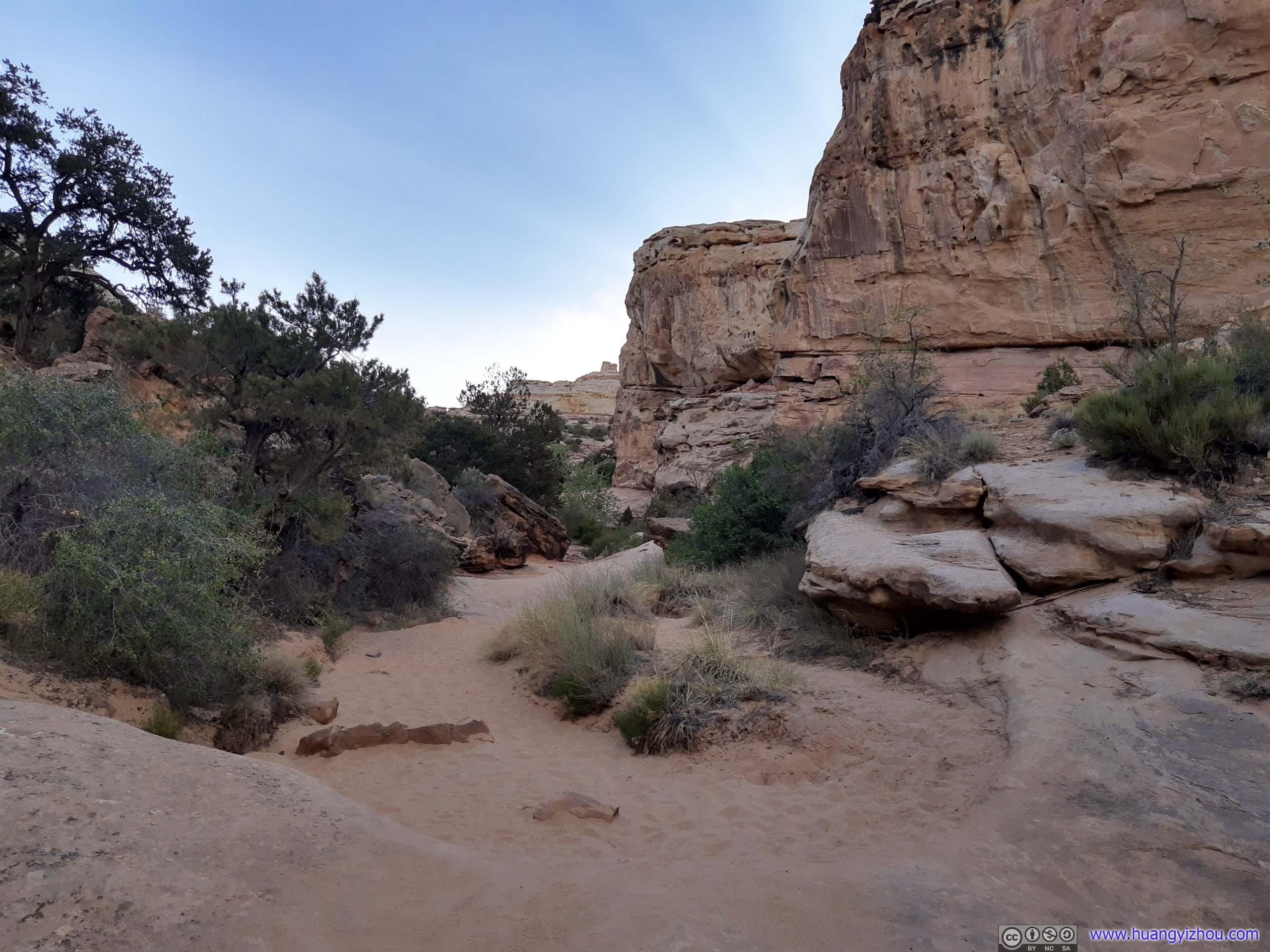
Once out of this narrow canyon, the other end of the trail wasn’t far away.
 Grand Wash

 Cliff with Erosion

Cliff
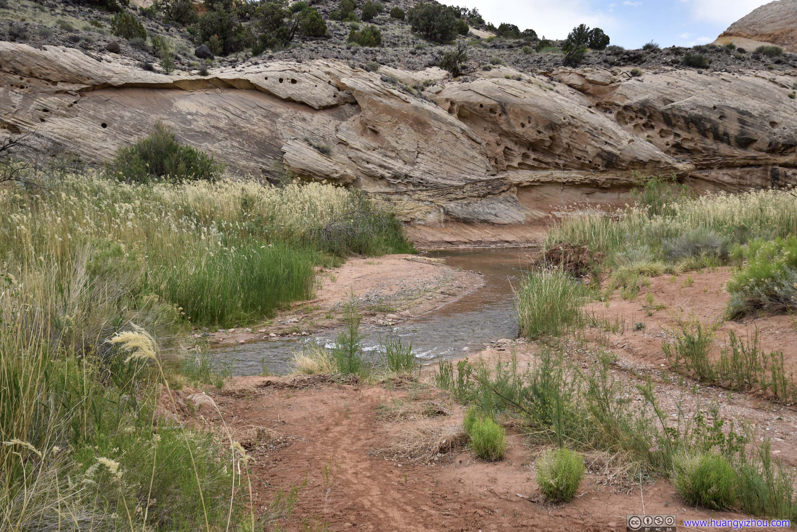
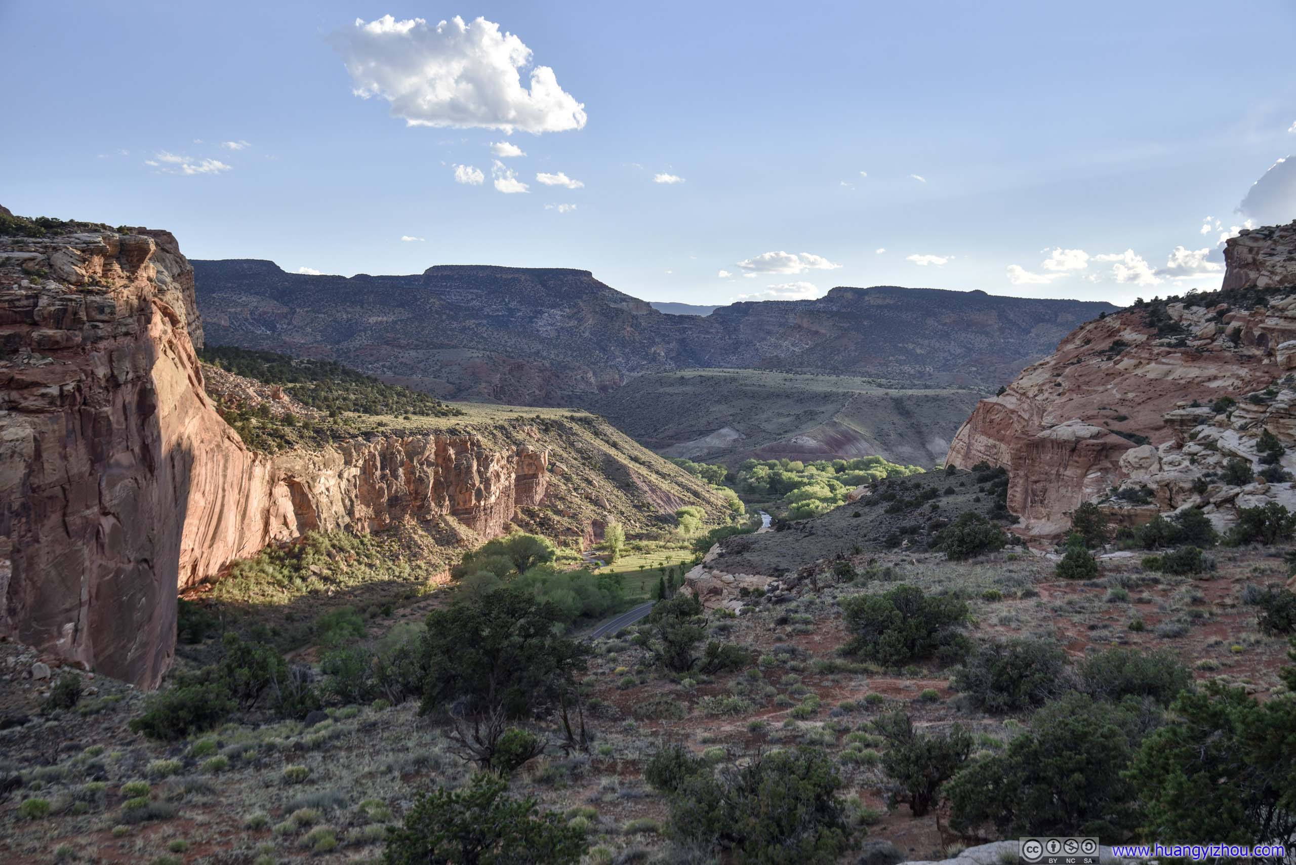
 Fremont River and RoadThe other end of Grand Wash trail.
After getting off Cassidy Arch Trail, it took me about an hour to cover Grand Wash Trail in one direction as I stopped a lot to take photos. There was another hour ahead as I made my way back to the parking lot.

 Grand Wash

Grand Wash
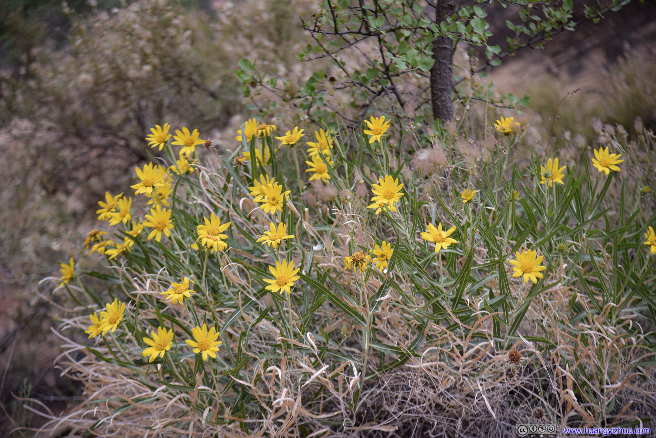
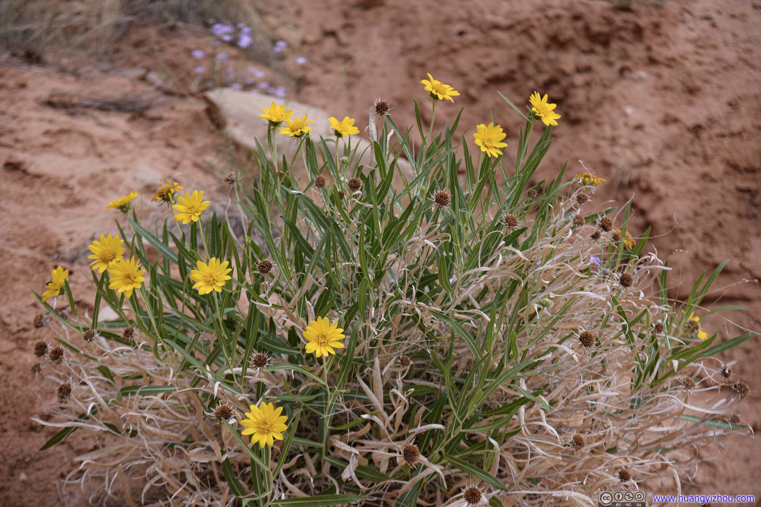 FlowersDidn’t see them often here in the desert.
 Cliff with Erosion
 Canyon
 Grand Wash
So after a little bit over 4 hours, I was back with my car.
Since there weren’t any restaurants in Capitol Reef National Park / Frutia, I drove back to the town of Torrey for lunch. And with my hotel just nearby, I took some relaxing downtime before continuing my tour in the afternoon.
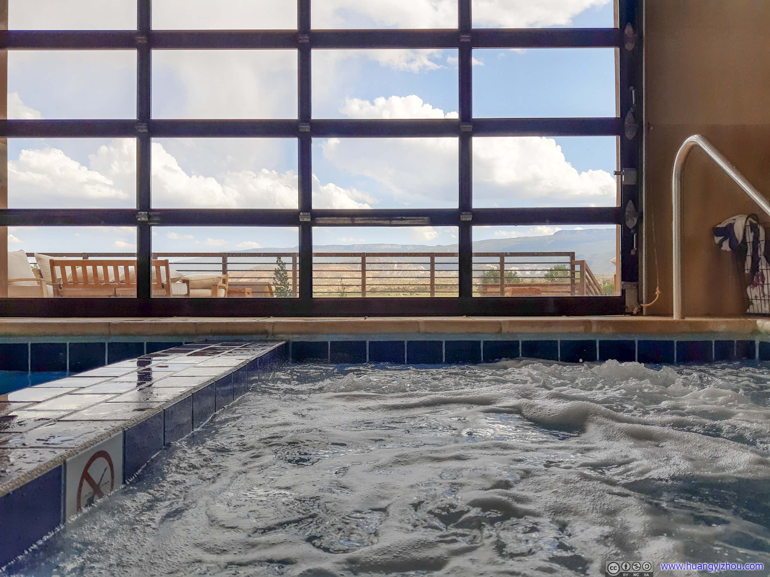
Hotel Pool with View
Hickman Bridge Trail
The most popular trail in Capitol Reef National Park, probably because it’s short (3km roundtrip), accessible (right off Utah Route 24), and it went underneath a natural bridge.
Here’s GPS tracking:
 TrailThe first 250 meters of trail was between a steep cliff and Fremont River like this.
 TrailThen it passed some varying terrain.
Rocks

 Hills
Hills

 LandscapeThe latter part of trail to Hickman Bridge was between two sets of mountains.
Hickman Bridge
 Hickman Bridge
Hickman Bridge
In my opinion, just like Cassidy Arch, the rocks that made up Hickman Bridge were too thick to be stunning, when compared against Landscape and Delicate Arches a few days back.
But on the good side, not far from Hickman Bridge, there was an overlook with views of various mountains bathed in sunset across the valley of Fremont River.
 Hills
Hills
Fremont River in Canyon
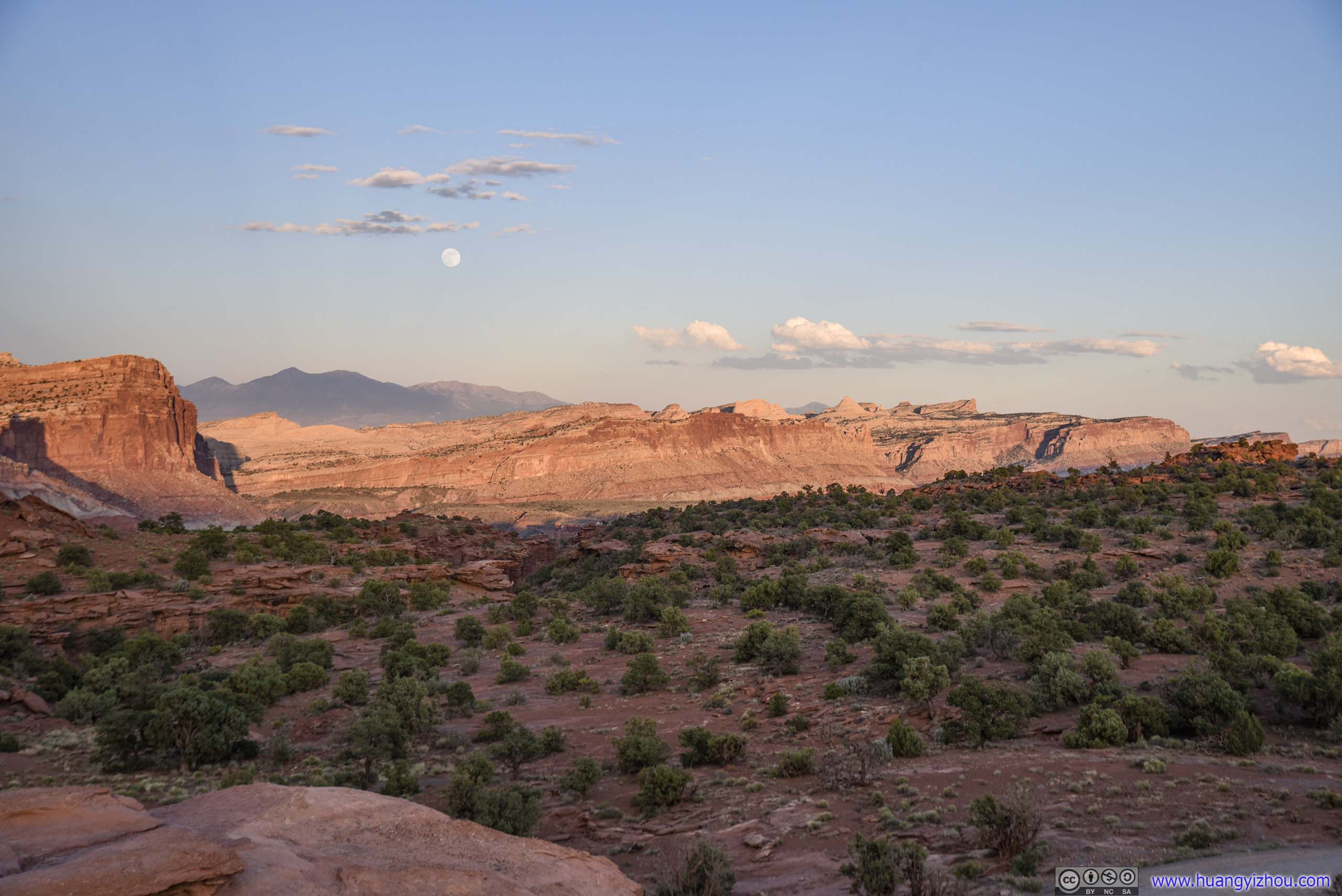
An hour later, I finished my hike to Hickman Bridge and got back to my car. At this point it’s approaching sunset time, and I found on the map that the park had an overlook called “Sunset Point”, so I decided to pay that area a visit. Nearby, “Panorama Point” and “Goosenecks Overlook” were located on the same spur of UT24.
Panorama Point
Of the three aforementioned locations, Panorama Point was the first one along the road. But after taking the following few photos, I somehow didn’t think the place was much panorama-inviting.
 Hills
Hills
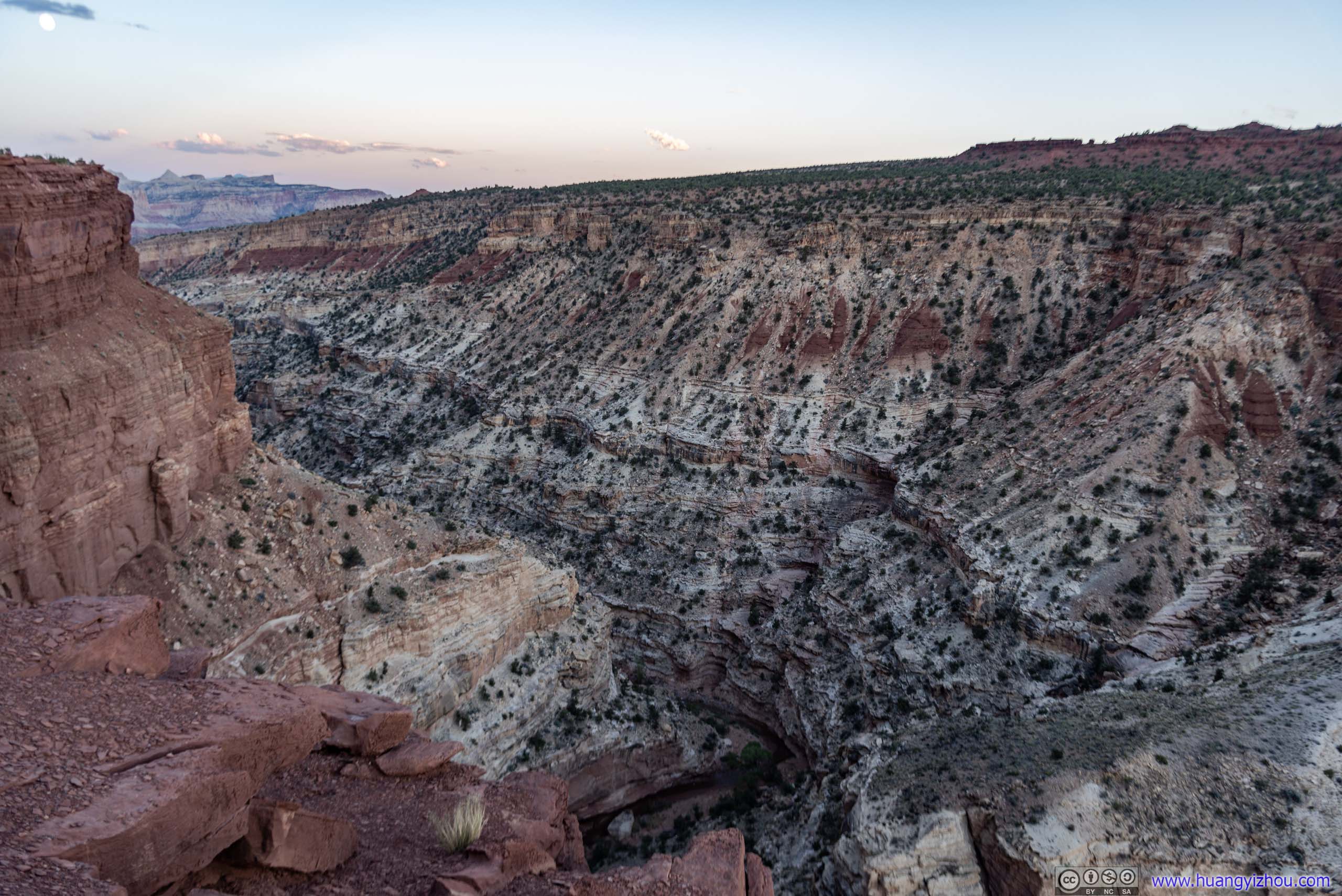
Moon over Capitol Reef
 Landscape
Mummy Cliff
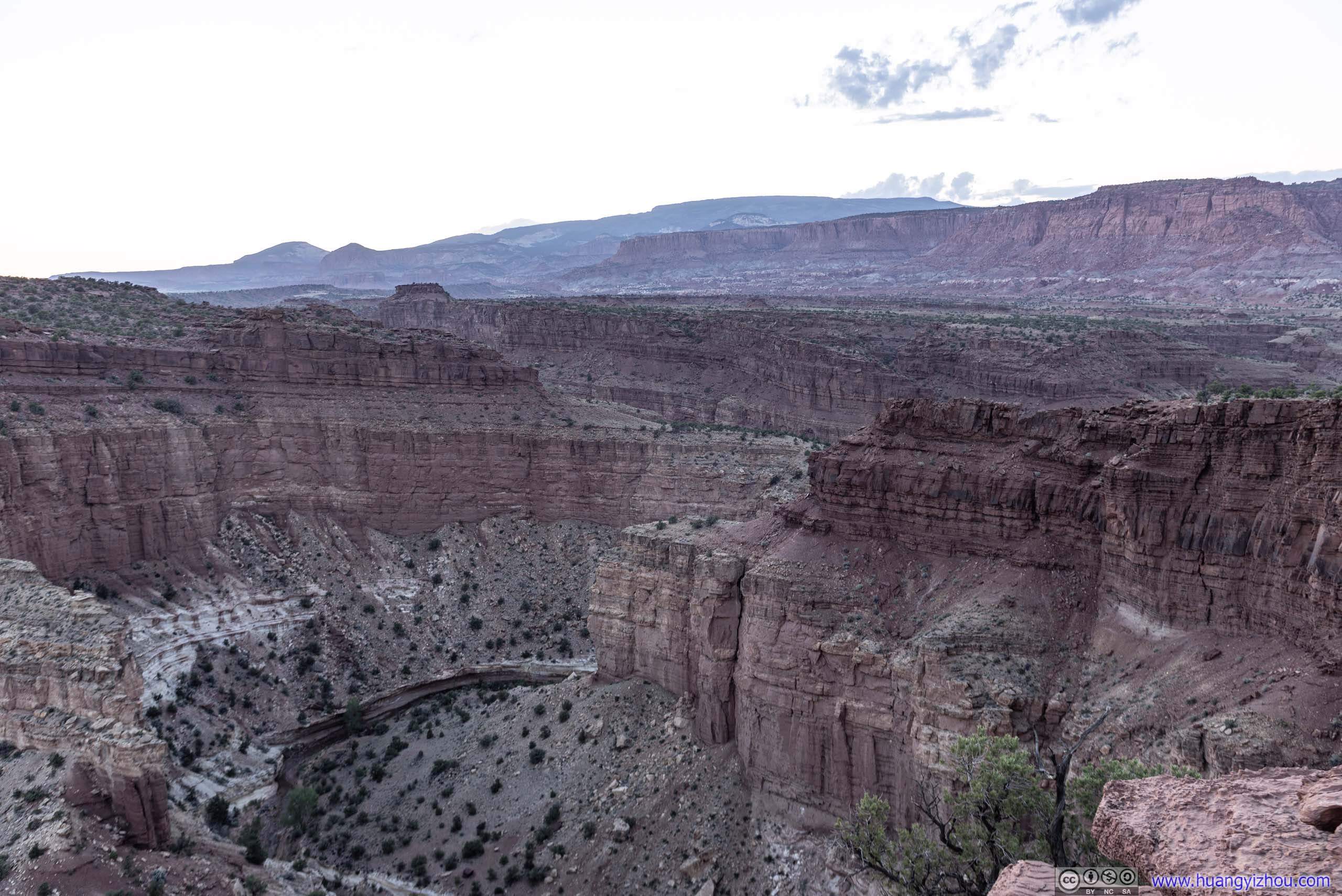
Goosenecks

Road to Goosenecks OverlookTaken the next day along Chimney Rock Trail.
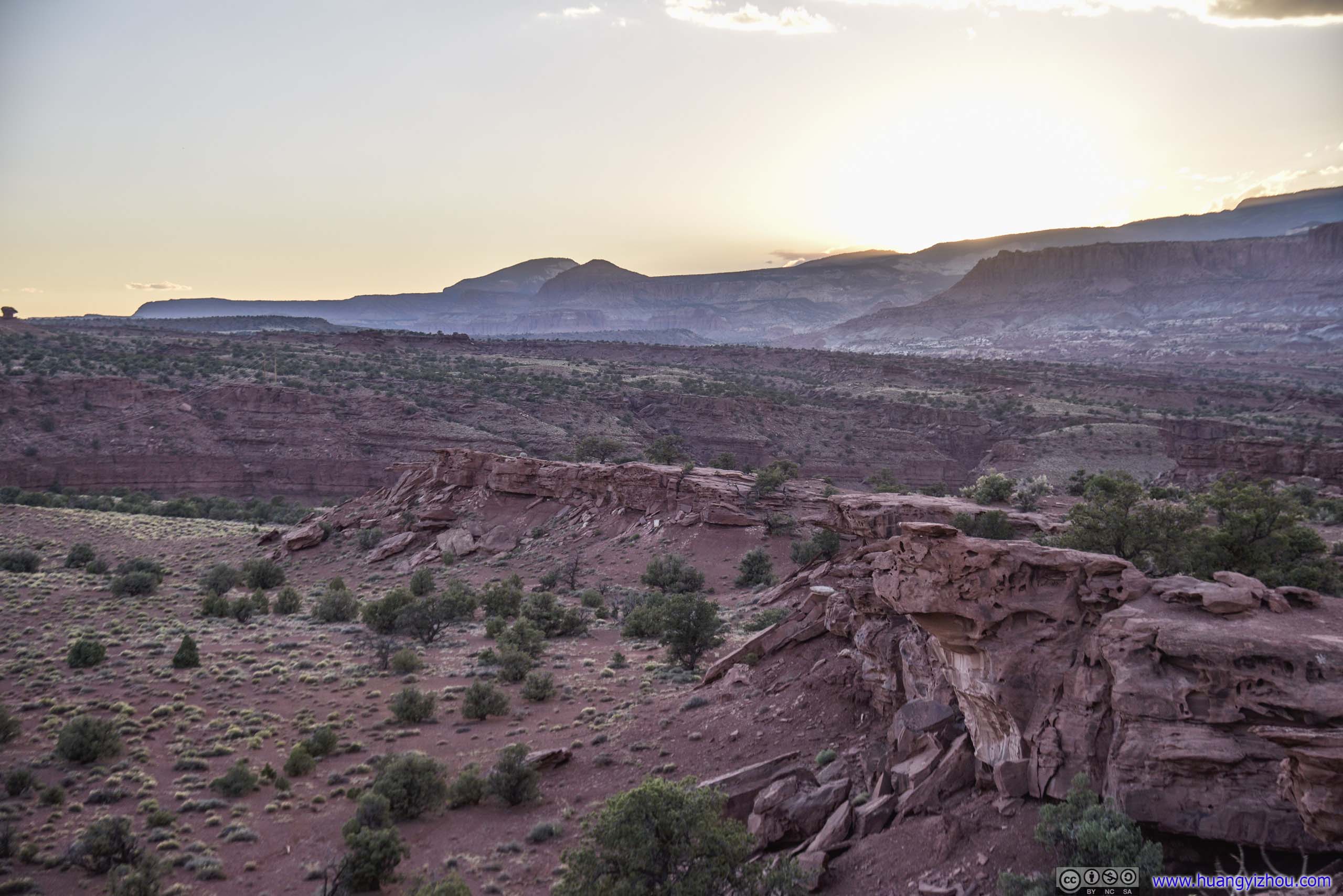
From Panorama Point it’s a 1.2km unpaved road (I thought the area was pretty popular with people, I couldn’t understand why the road was unpaved) to the parking lot, from which it’s a 600m trail to Sunset Point, and 100m trail to Goosenecks Overlook.
I arrived at the spot 15 minutes before official sunset time. Unfortunately, the field and mountains to the West were much higher in elevation, that at this time the sun was already behind the mountains. So I thought “Sunset Point” probably wouldn’t live up to its name, and decided to visit the closer “Goosenecks Overlook” instead.
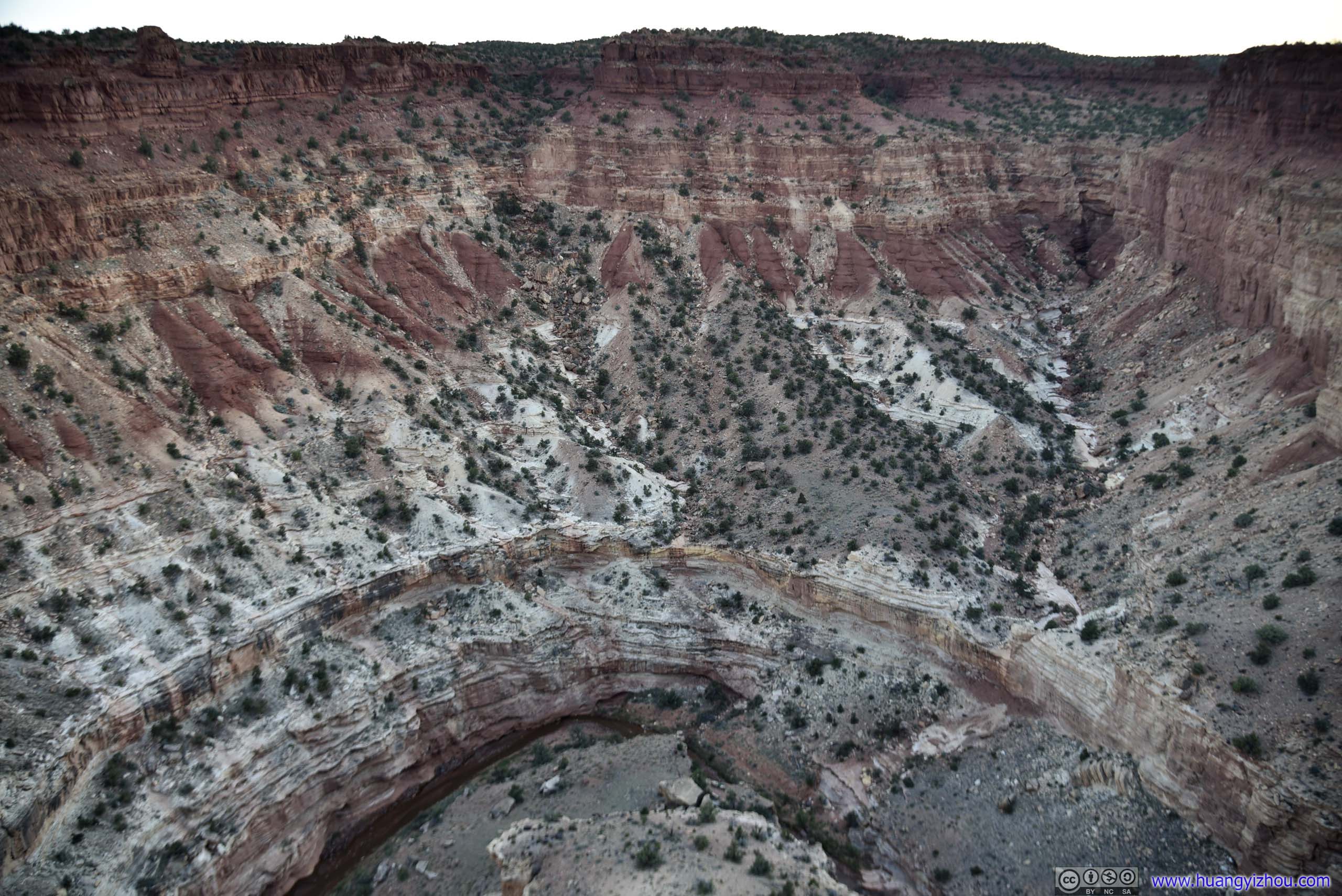
Goosenecks
Goosenecks Overlook
The overlook was over a series of tight bends of Sulphur Creek, which would eventually join the famous Colorado River downstream. The creek’s not as magnificent as Colorado or Green River, but on the good side, of the many canyons I visited during the trip, this overlook was the steepest and closest to water.

Distant Capitol Reef
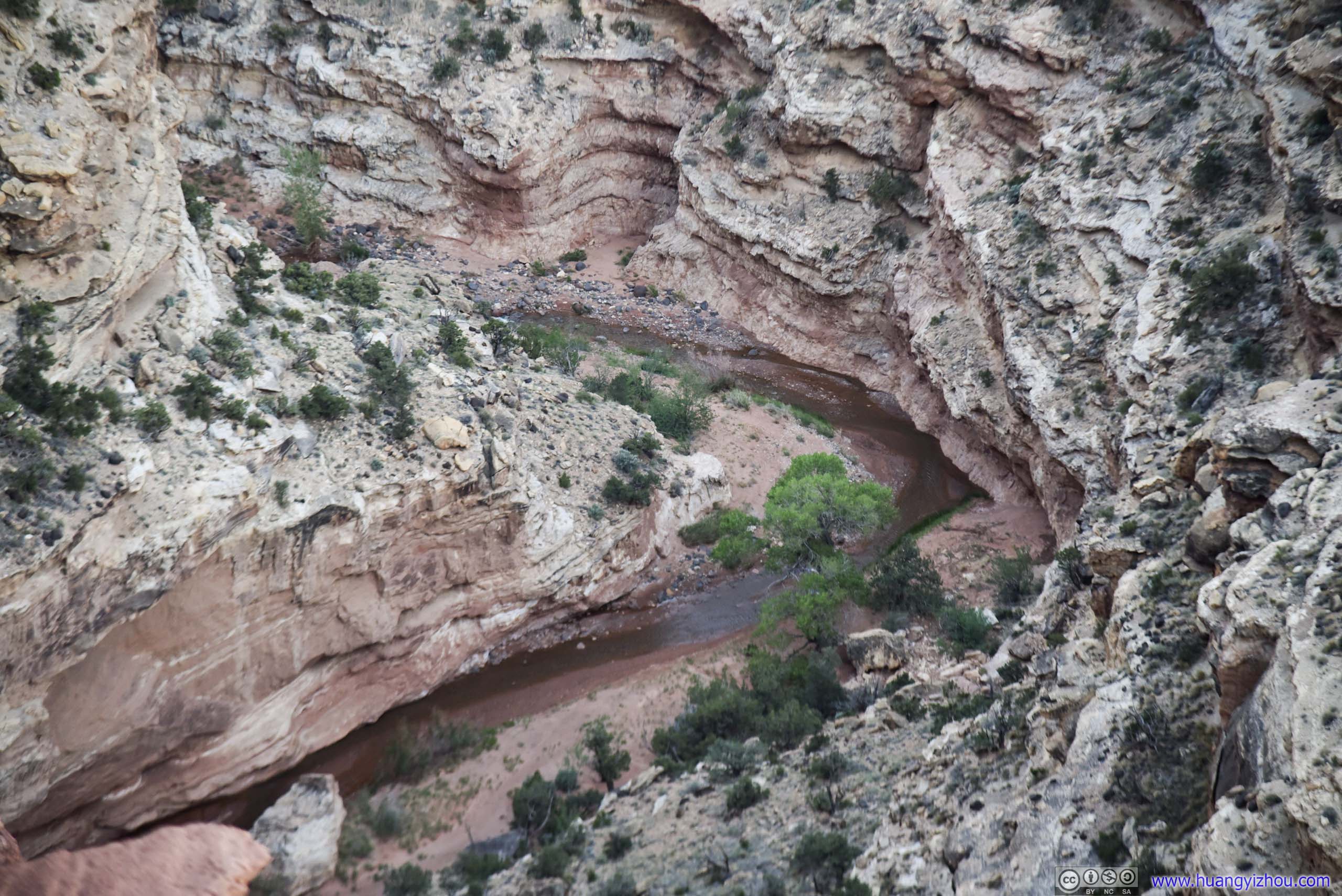 Sulphur Creek
Canyon
Landscape
I stayed at Goosenecks Overlook enjoying both the breeze and the scenery, until the sun had gone down, officially. End of day.
END
![]() Day 7 of 2020 Utah Trip, Capitol Reef National Park by Huang's Site is licensed under a Creative Commons Attribution-NonCommercial-ShareAlike 4.0 International License.
Day 7 of 2020 Utah Trip, Capitol Reef National Park by Huang's Site is licensed under a Creative Commons Attribution-NonCommercial-ShareAlike 4.0 International License.