
Updated on June 6, 2022
Day 6 of 2020 Utah Trip, from Moab to Torrey
Sixth day of my Utah trip. In the morning, I would be visiting Corona and Bowtie Arch, which were two arches in the Moab area that weren’t part of any established parks. Then I would use the rest of the day to make the road trip to Torrey, the gateway town to Capitol Reef National Park, paying a visit to Goblin Valley State Park along the way.
Corona Arch
I had some business to address early this morning. So by the time I checked out of the hotel and made my way to the trailhead of Corona Arch, it was past 10am.
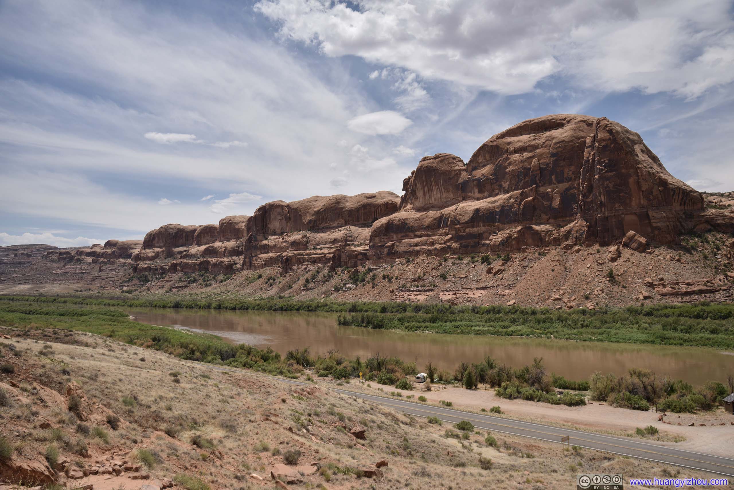
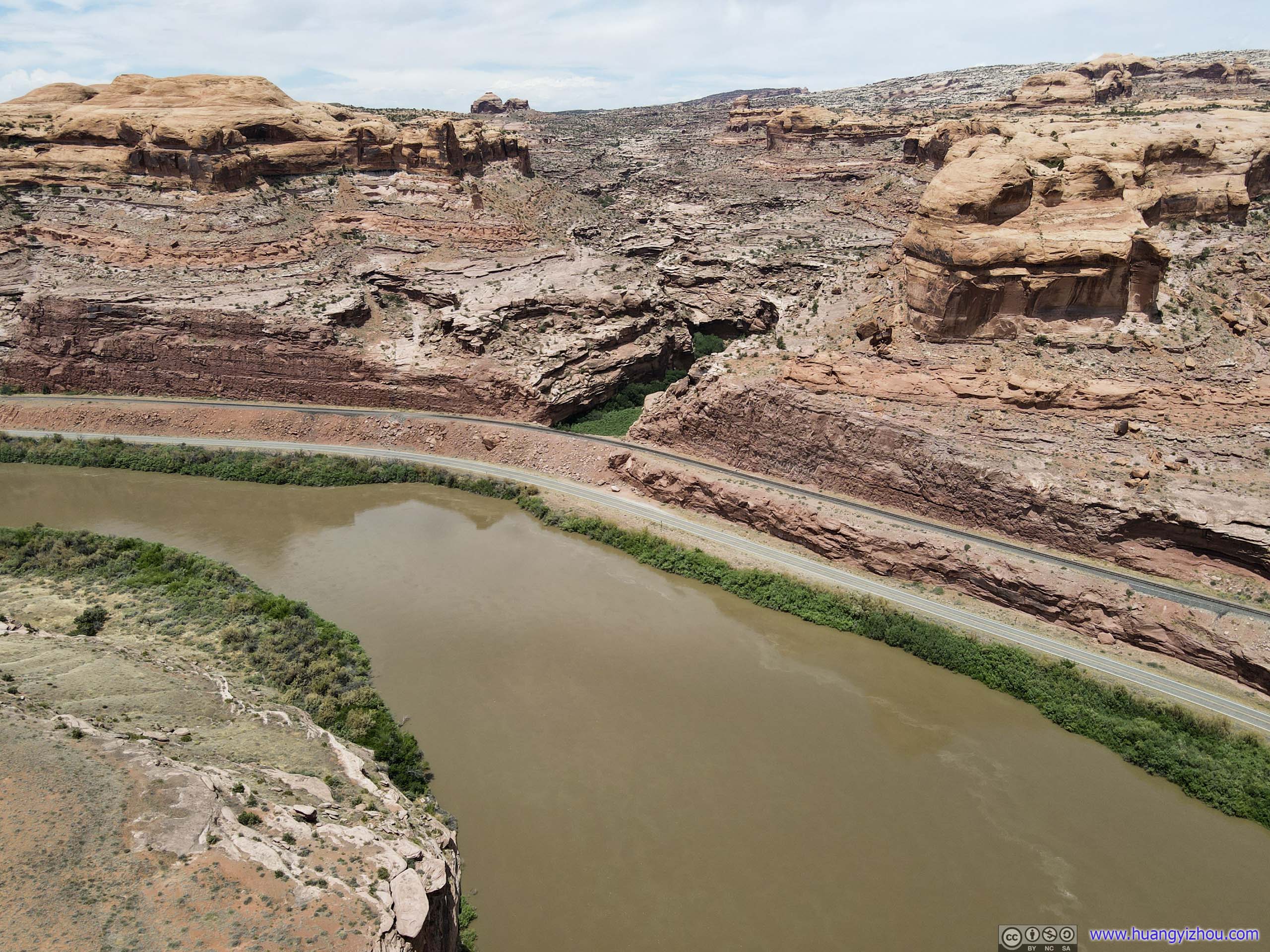
Not long after leaving Moab, UT279 to Potash factory / Corona Arch was running with giant cliffs on one side and mild Colorado River on another.
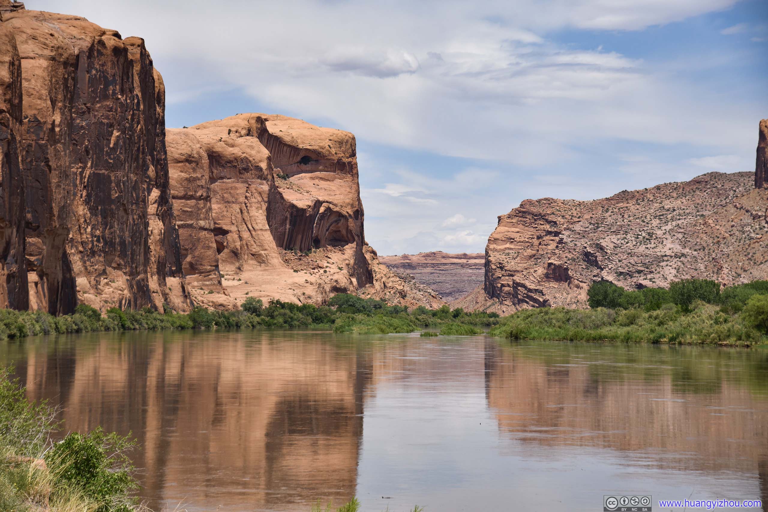
Colorado River in CanyonThe river found an opening between two giant hills and flew through.
Dinosaur Tracks and Petroglyphs
Along the way Utah route 279 passed Poison Spider Trailhead, which was long and unappealing to me (didn’t know how it got such a name). But starting from the same trailhead, there was a short trail to a nearby cliff, with petroglyphs (rock carvings by native American people) and dinosaur footprints, so I paid the latter a visit.
And here are the rock arts, located at the foot of a cliff which was also the end of the trail.
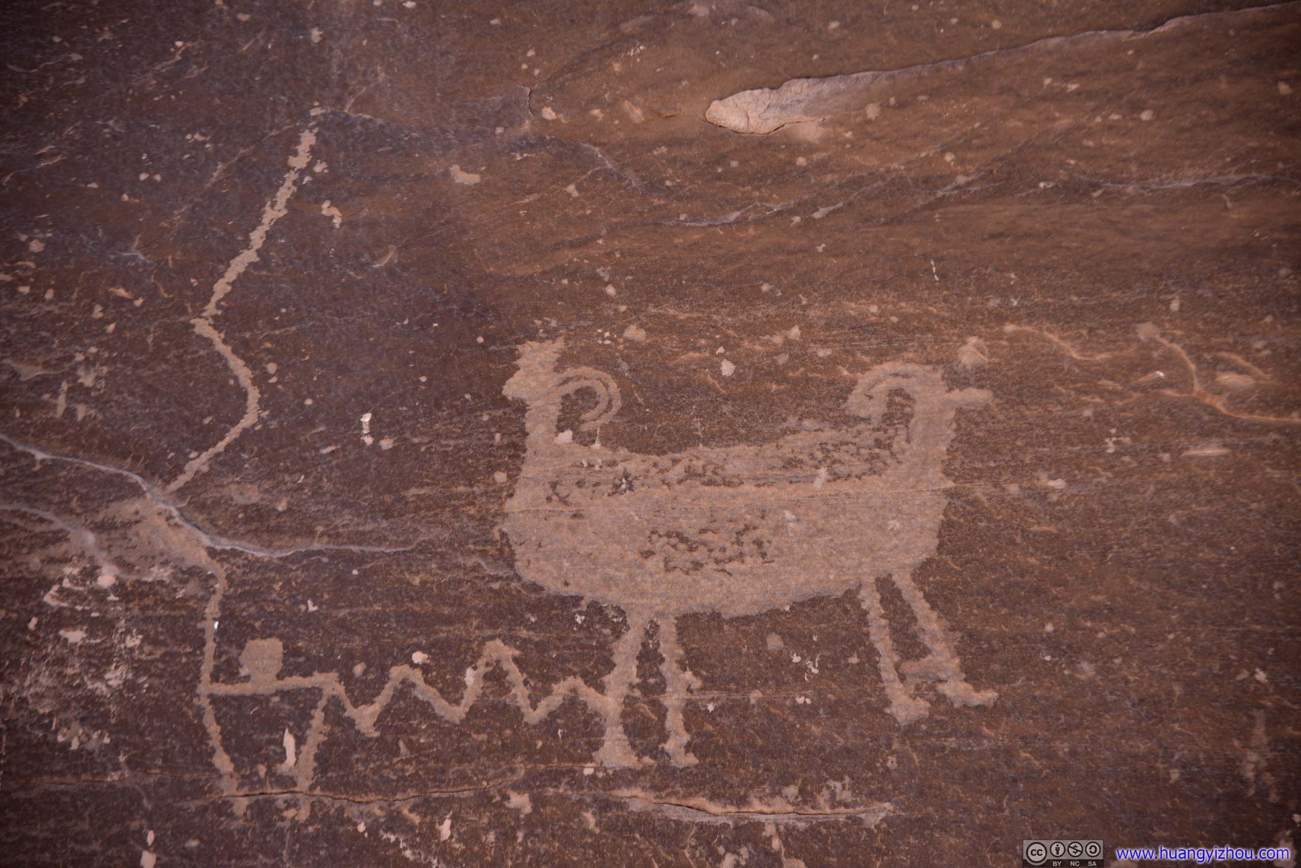
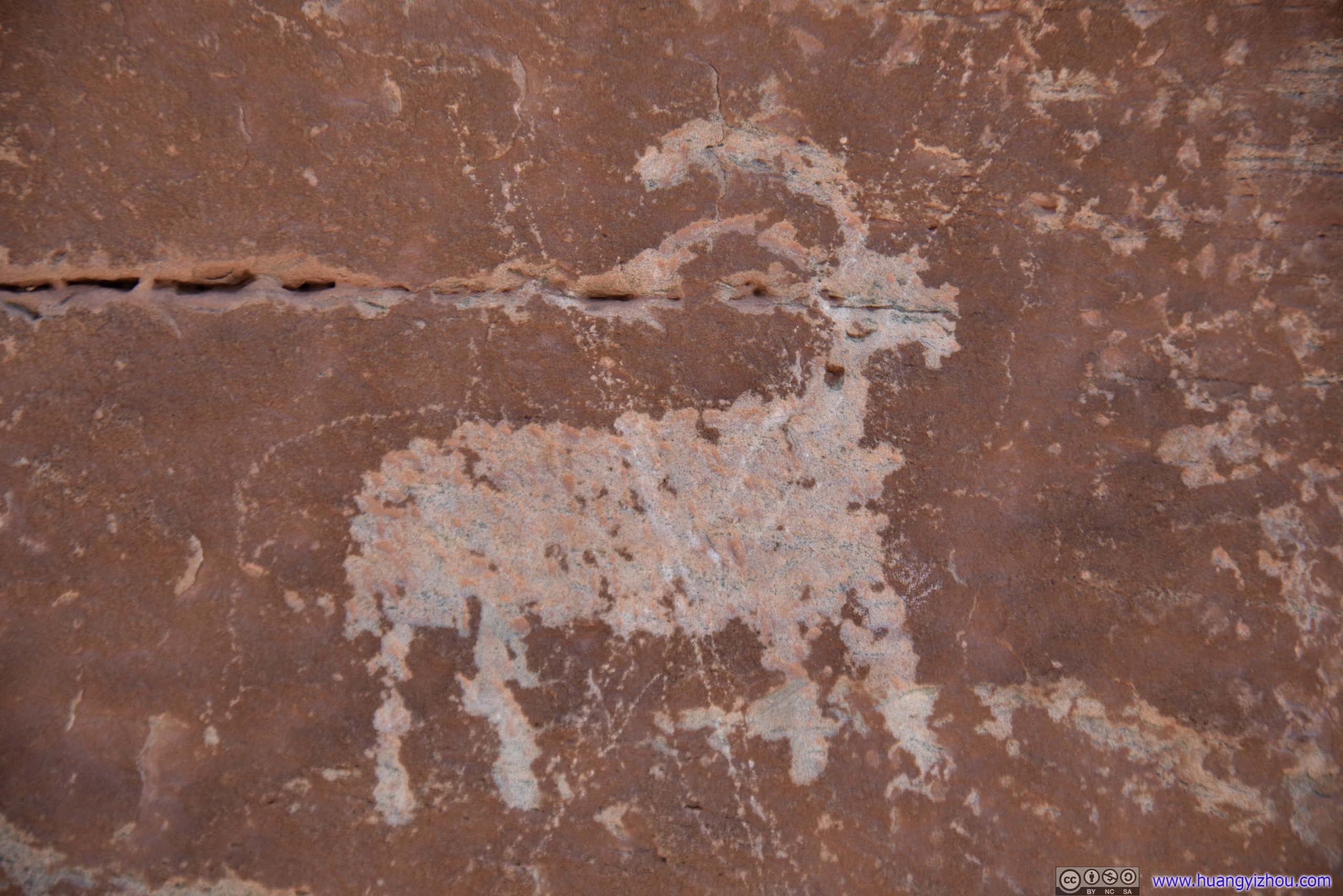
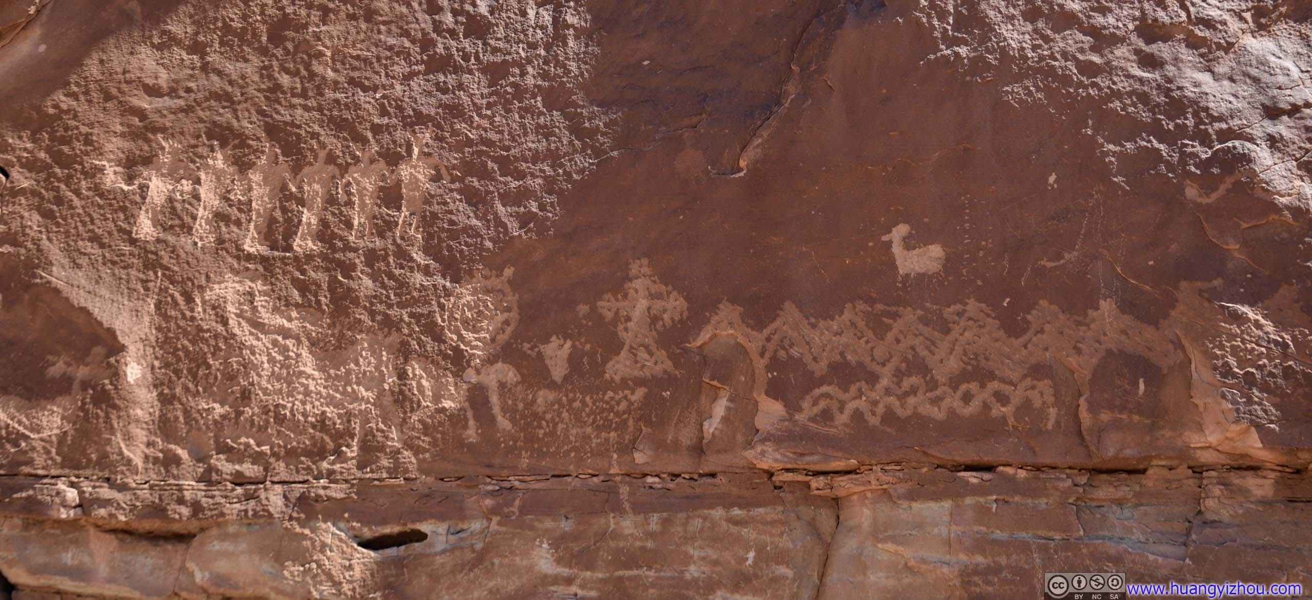
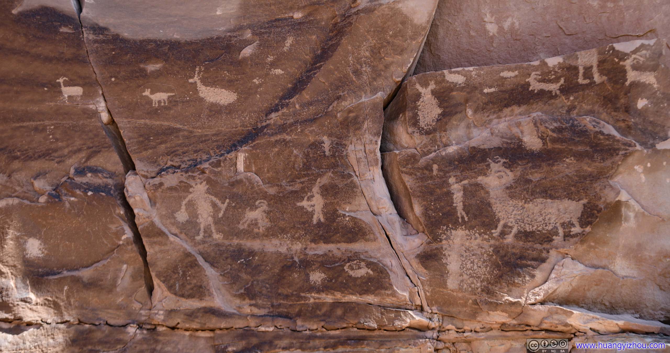
 Petroglyphs
Right next to the petroglyphs there was a slab of recently (< a century) fallen rock, with what I believed was a dinosaur footprint.
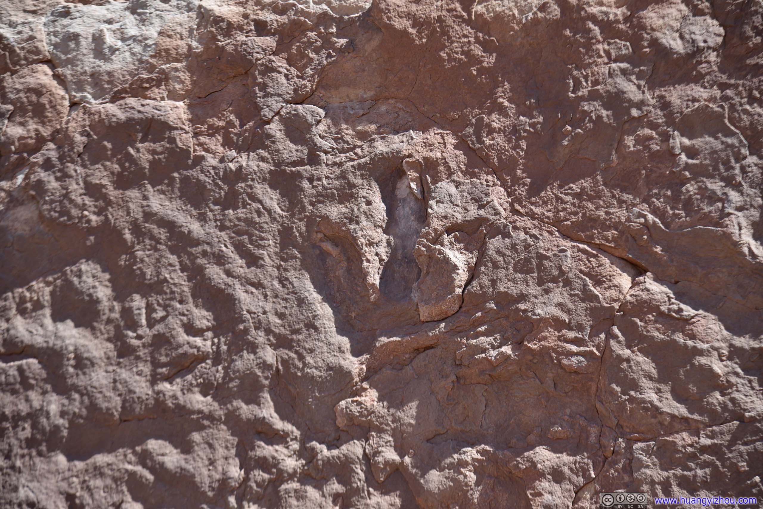
Dinosaur Footprint
Unfortunately, the area lacked a well-marked trail, so people roamed their way into many, that meant it’s extremely easy to get lost. It’s probably not a big deal as the parking lot was always in sight, and worst case one could cut through the bushes and made his way back, battling the guilt of destroying plants and virgin soil though.
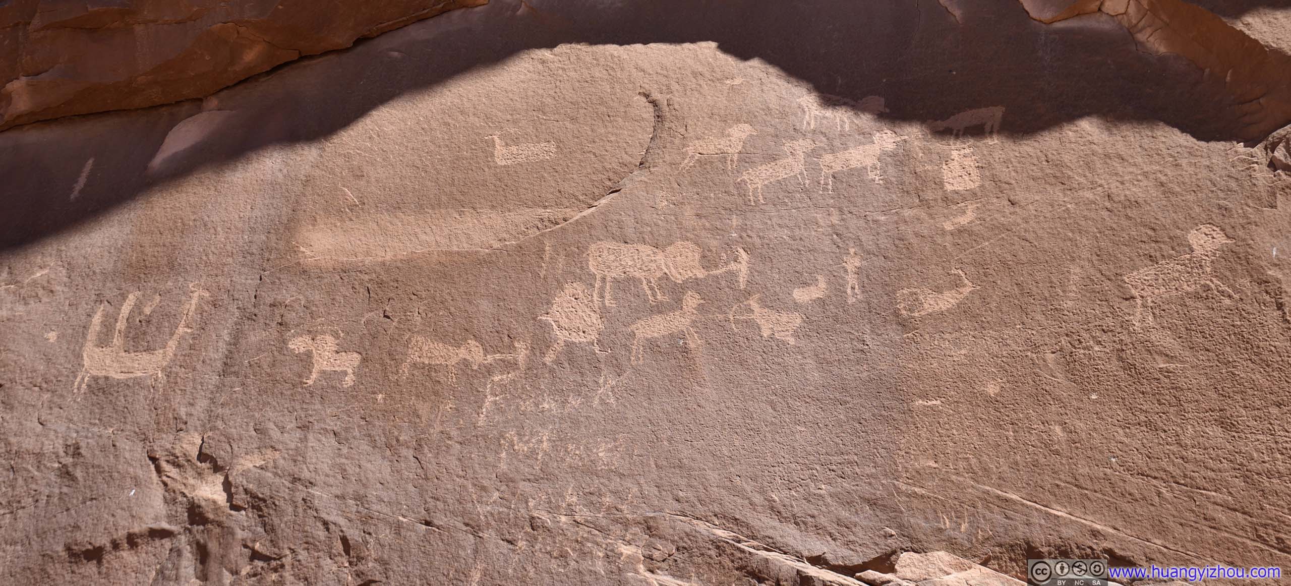
That meant, it took me quite some time to find the following slab, with many dinosaur footprints on it. It’s actually located right next to an information marker, just that I didn’t look it up when I passed it the first time.
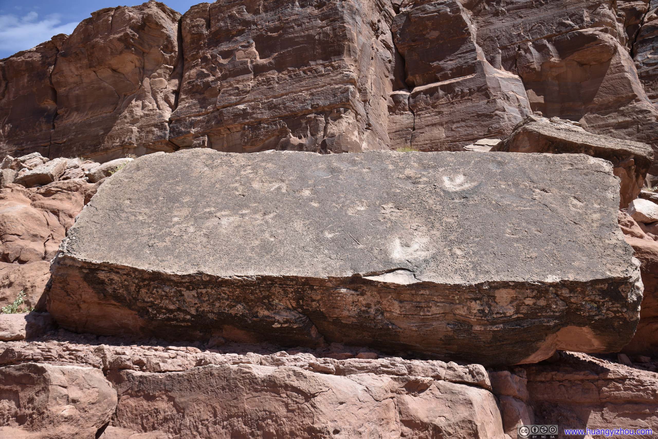
Dinosaur Footprints
Corona Arch
Paying Corona Arch a visit was probably very appropriate in the year 2020 as the other corona, the virus, was ravaging.
The only difficult climb along the 3.8km roundtrip Corona Arch Trail was equipped with a ladder, otherwise it’s an easy stroll with views of two other less-magnificent arches along the way.
Here’s GPS tracking:
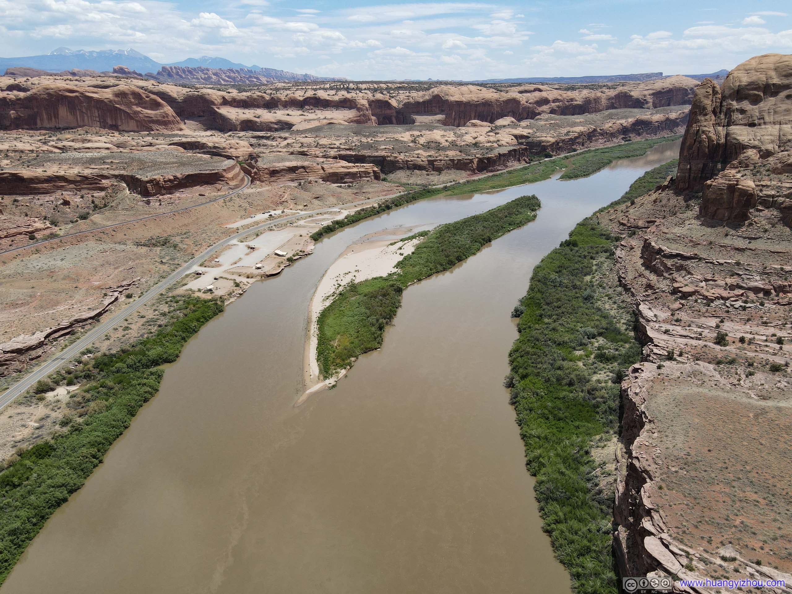
Not long after leaving the trailhead, the trail reached a platform overlooking the parking lot, campgrounds by the river, and the majestic bend that the Colorado River made.
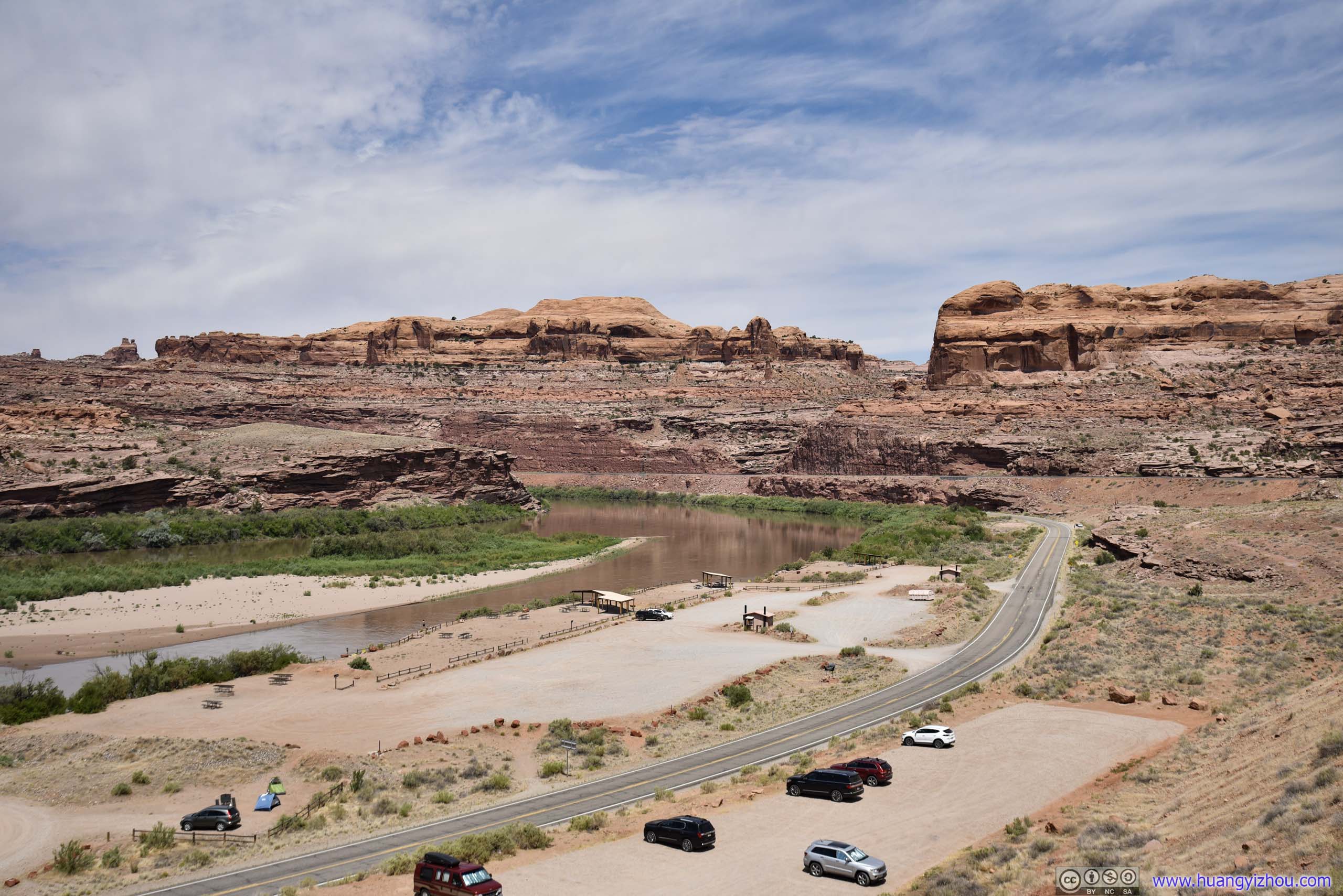
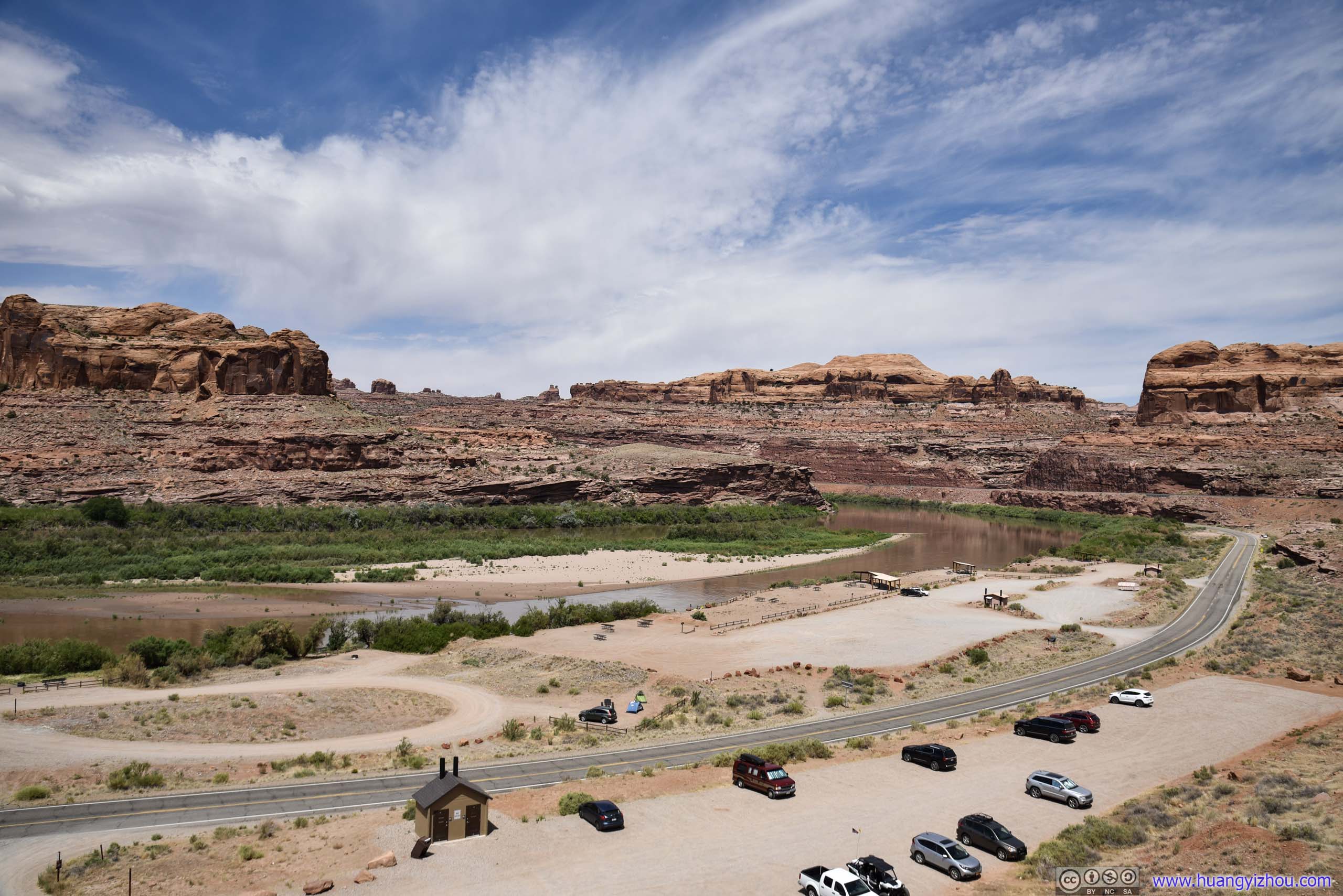 Colorado River

Bend of Colorado River
Then it crossed the Potash Railway. There was a small opening in the railway fence wires just wide enough for people to cross.
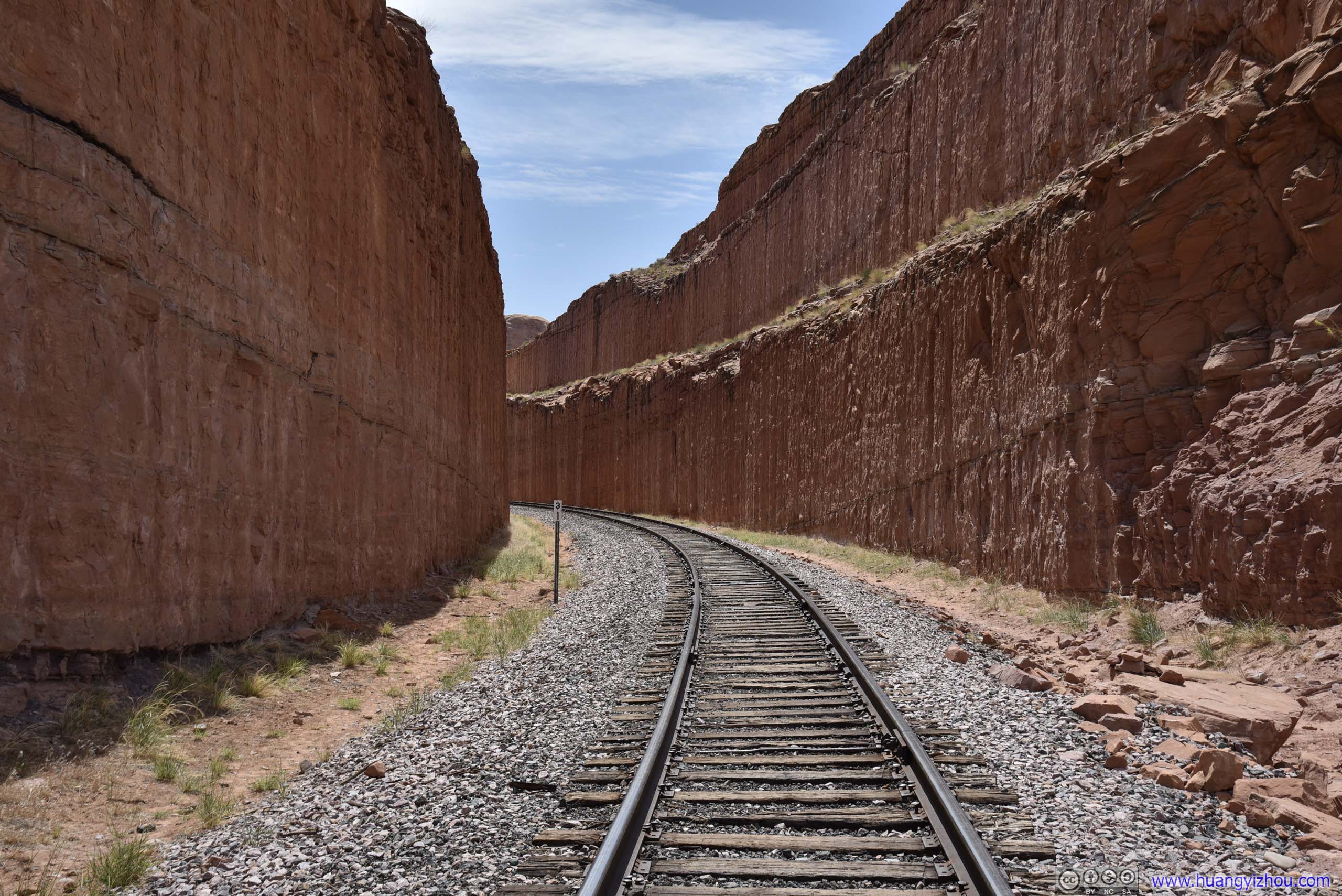
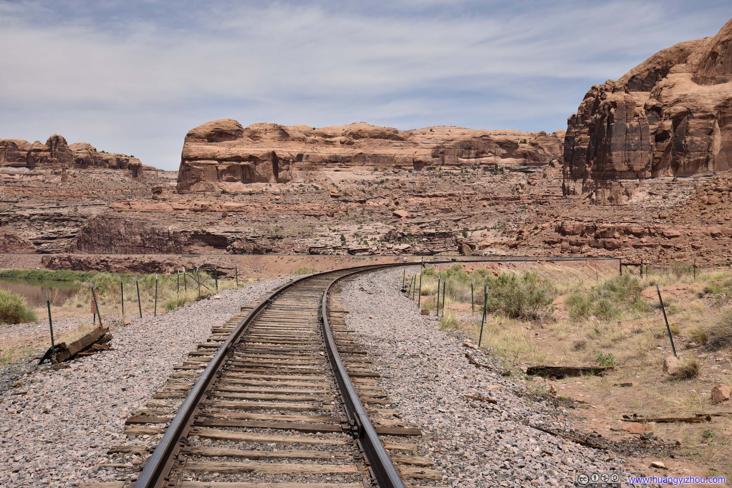 Railway
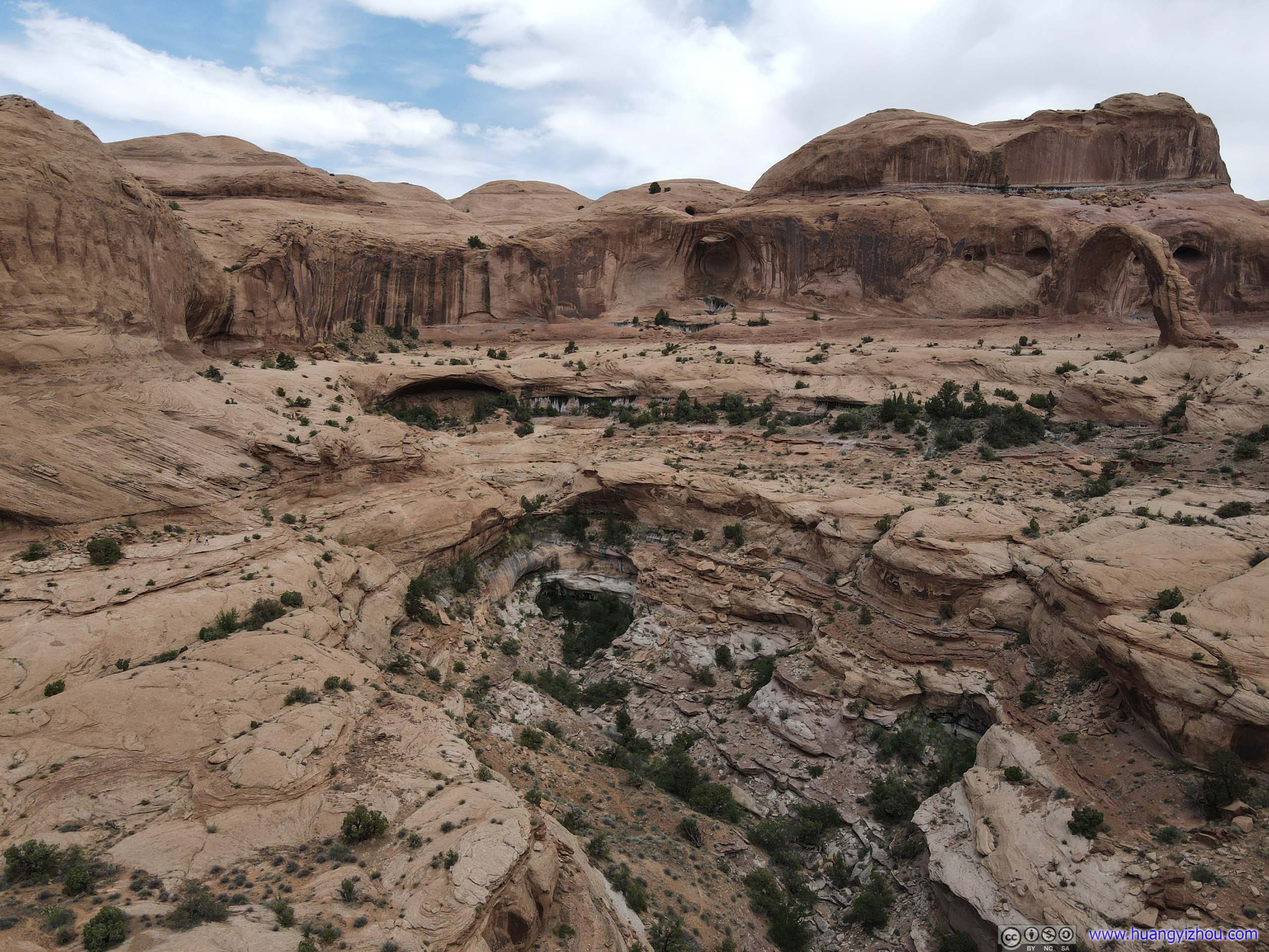
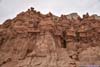
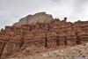
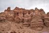
After that, it’s almost like hiking any other trail in the region. Parts of Corona Arch Trail was on loose sand, but most of it were on solid rocks.
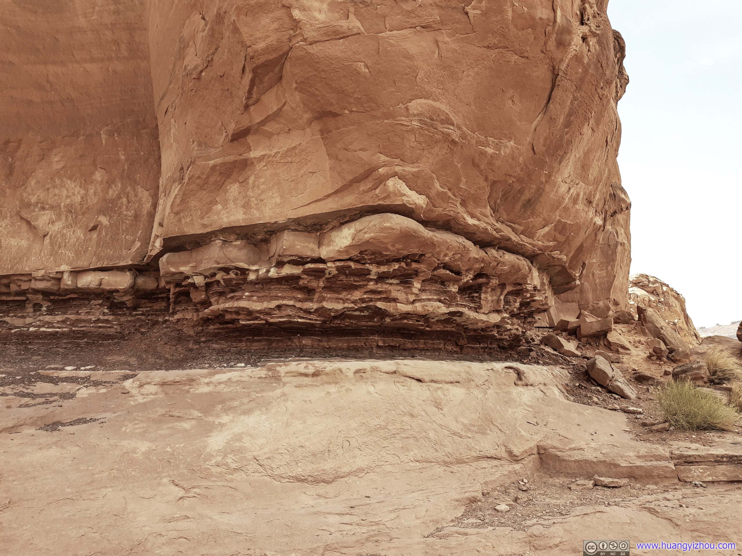
 Rocks and Alcove with Layered Erosion
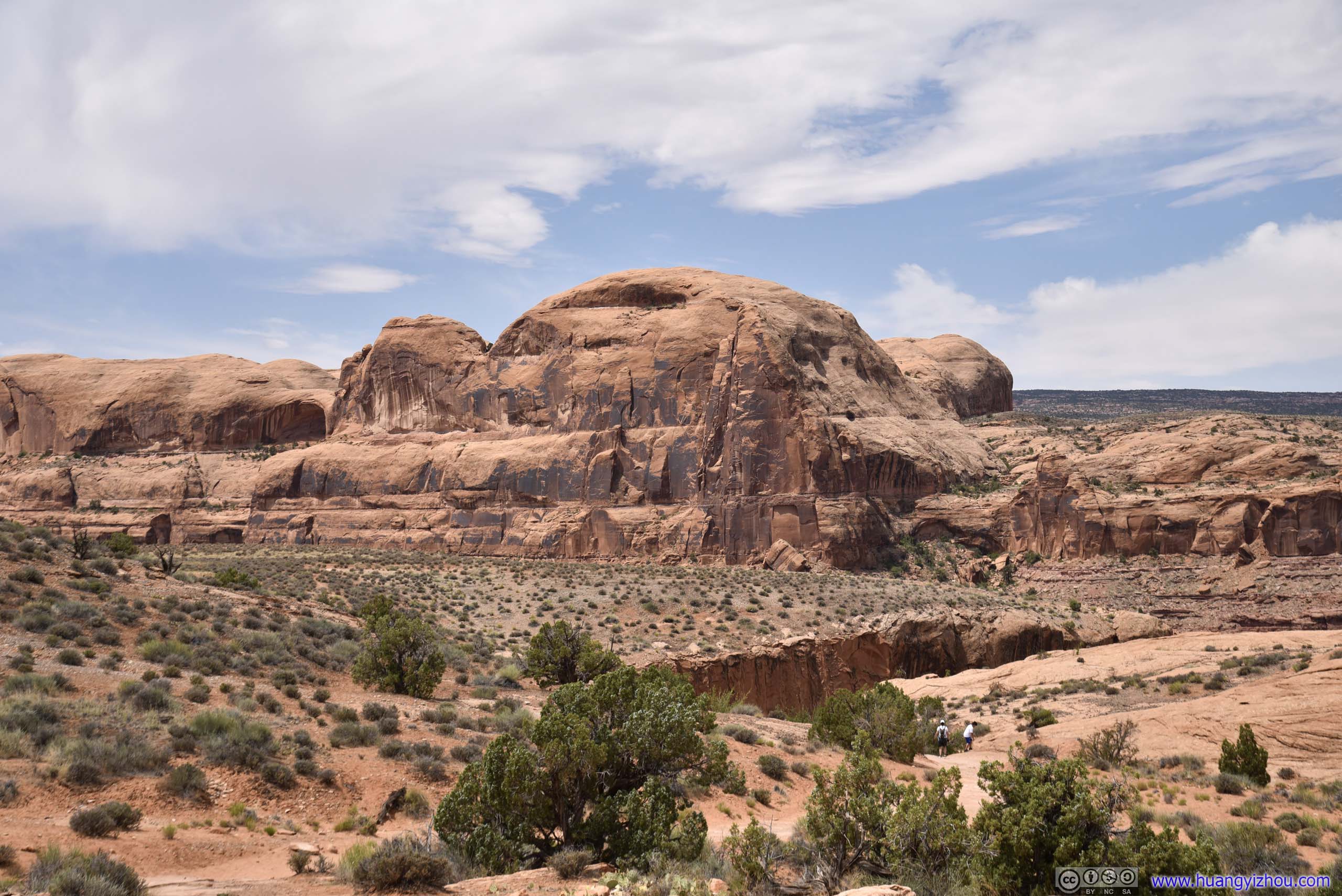
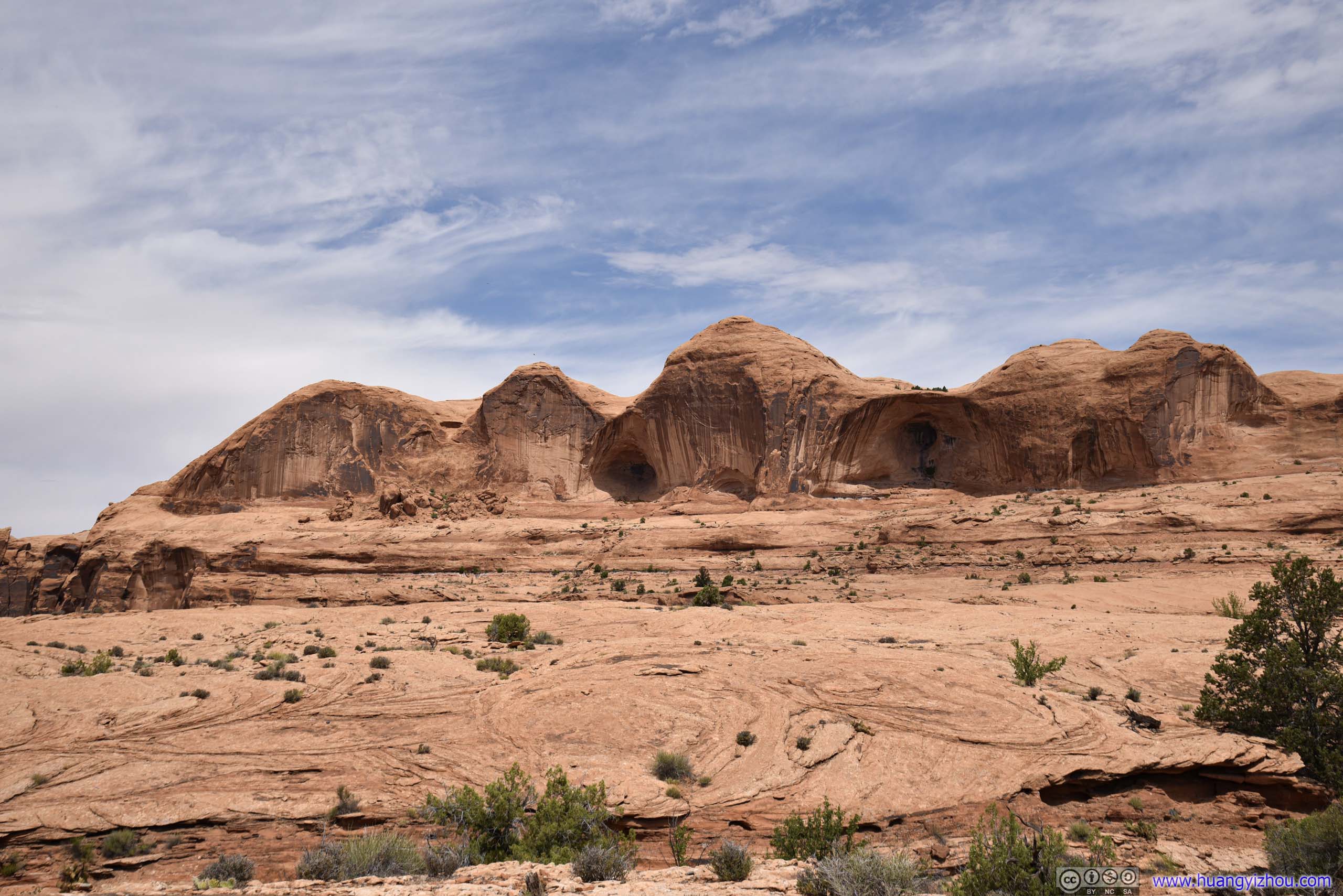
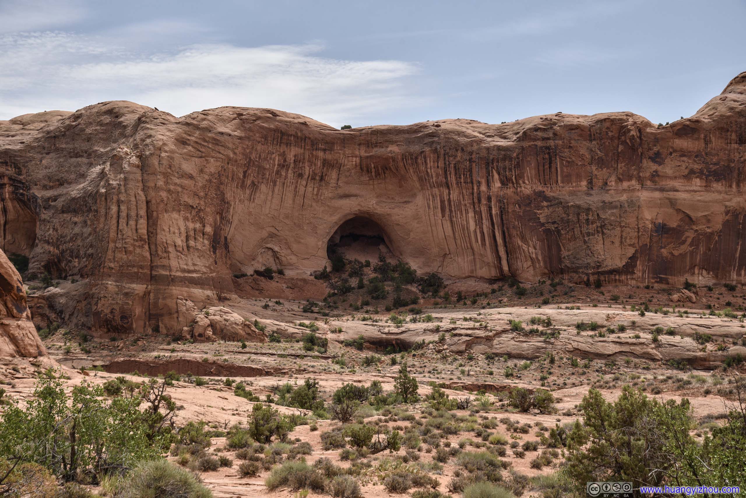
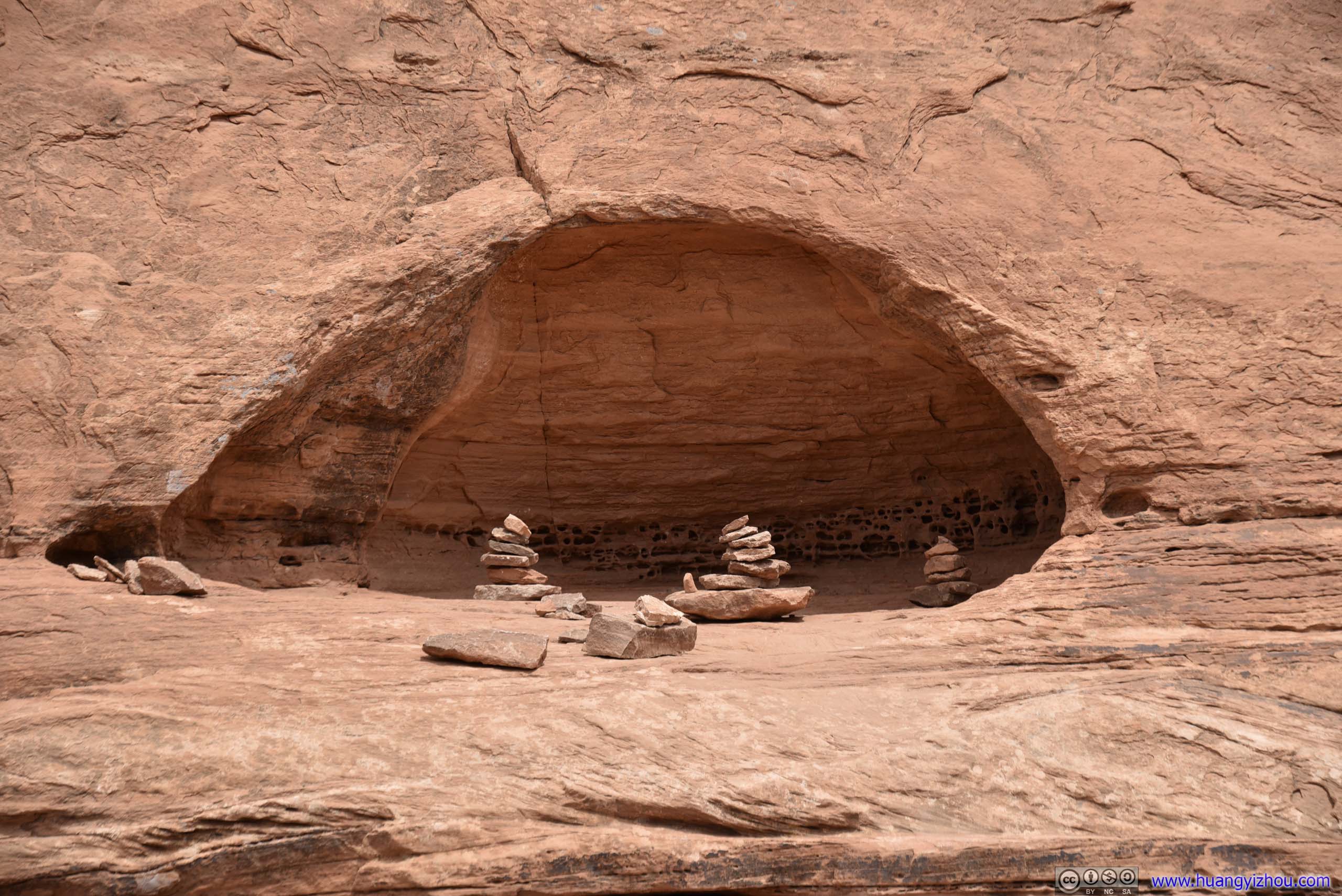
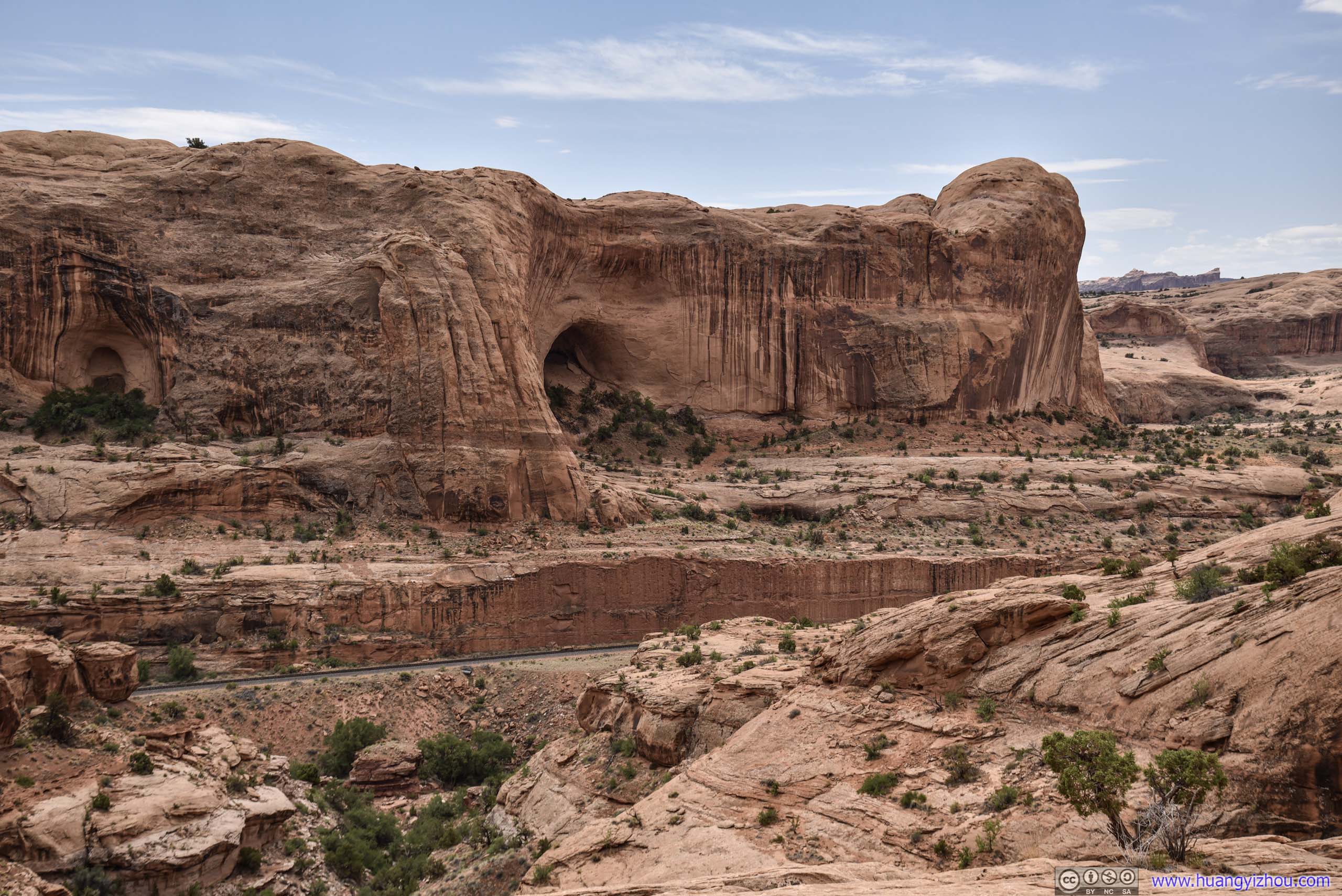 Rocks with Alcoves
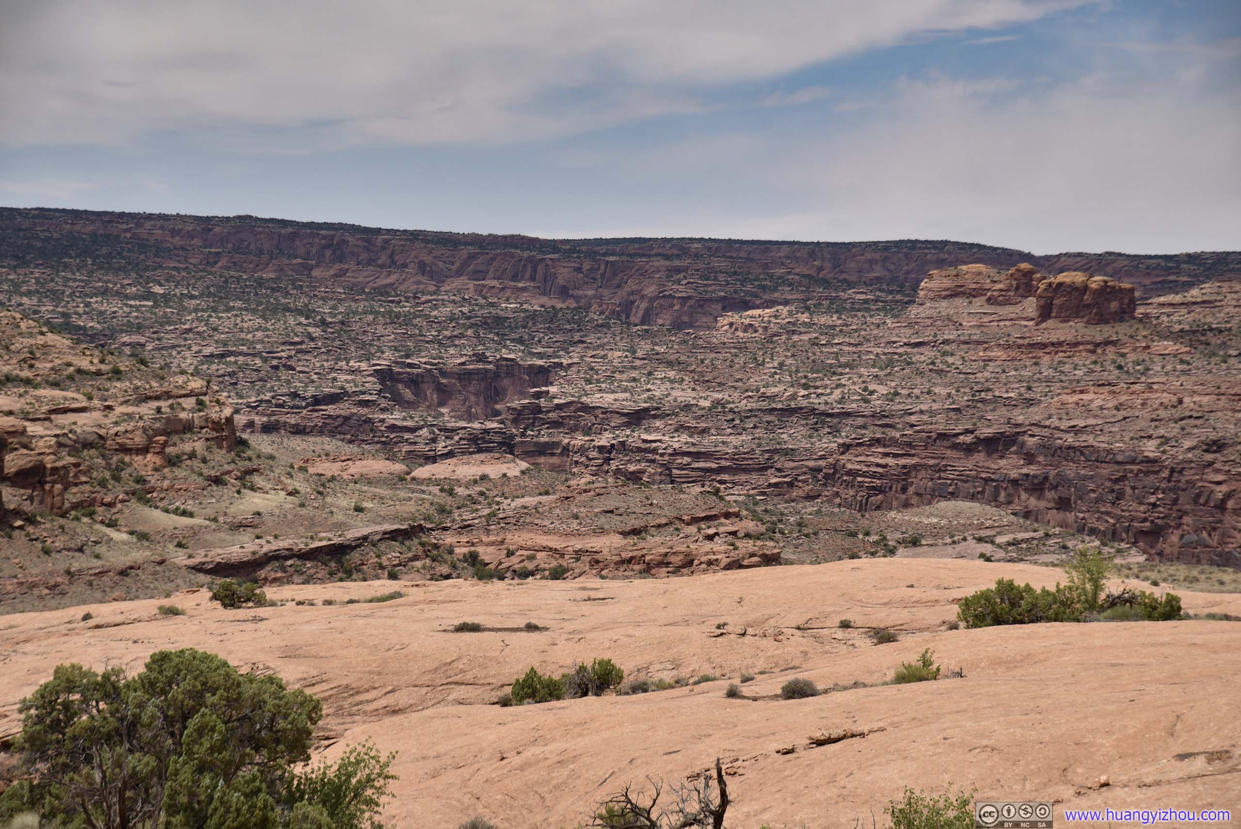
Distant Canyons
About two-thirds of the way, Corona Arch began to emerge from behind the rocks. That’s where a cluster of cairns were marking the occasion.
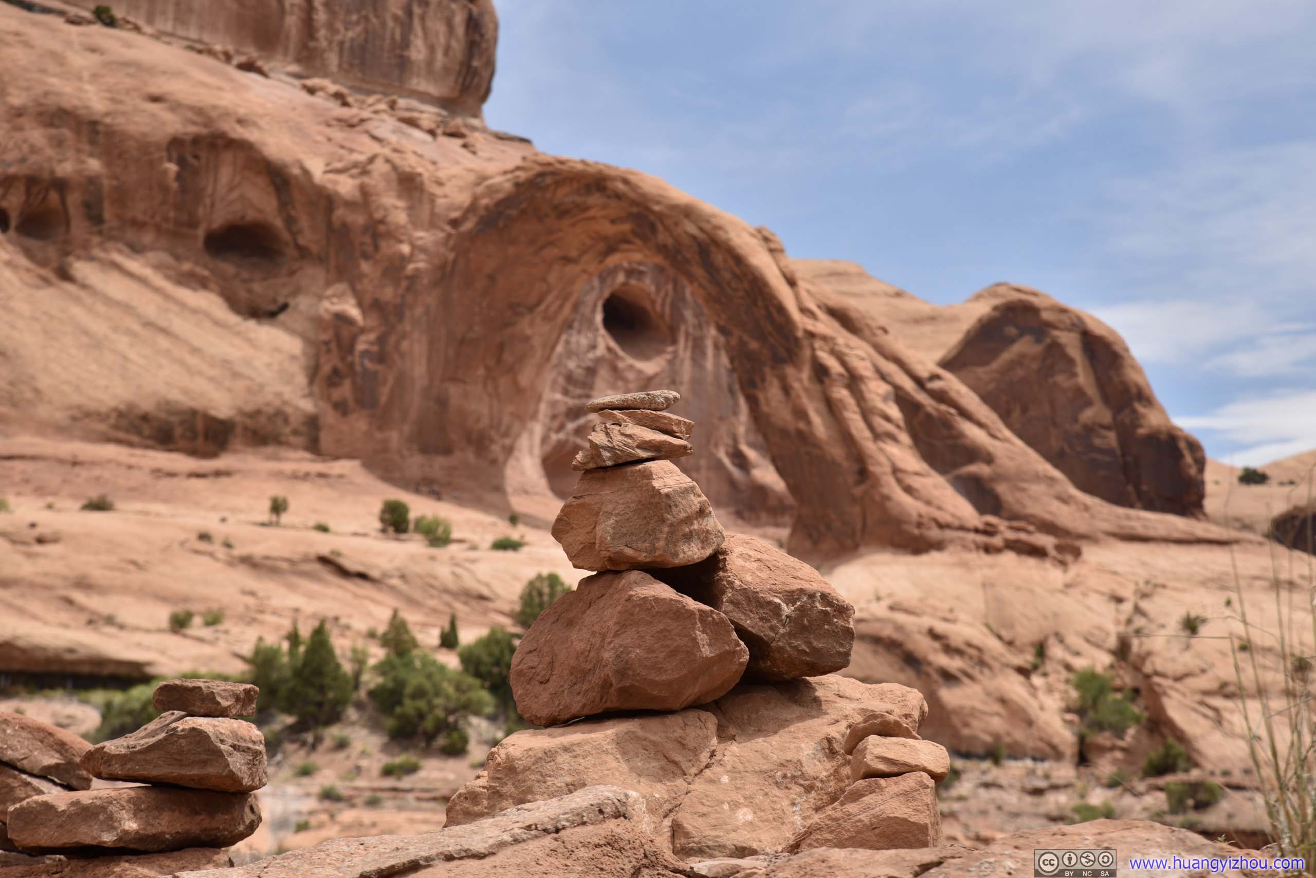
Cairn before Corona Arch
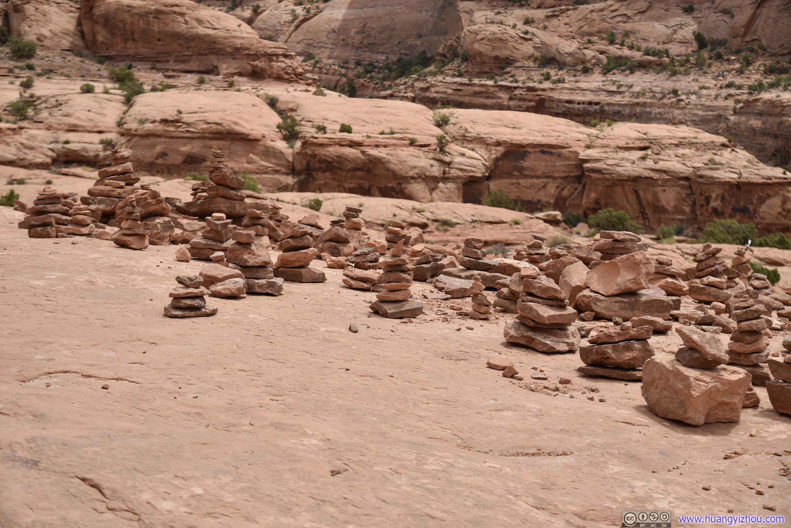
Cairns
Bowtie and Corona Arch
Corona Arch
AlcoveThe hiking trail passed right above that thin slab of rocks.
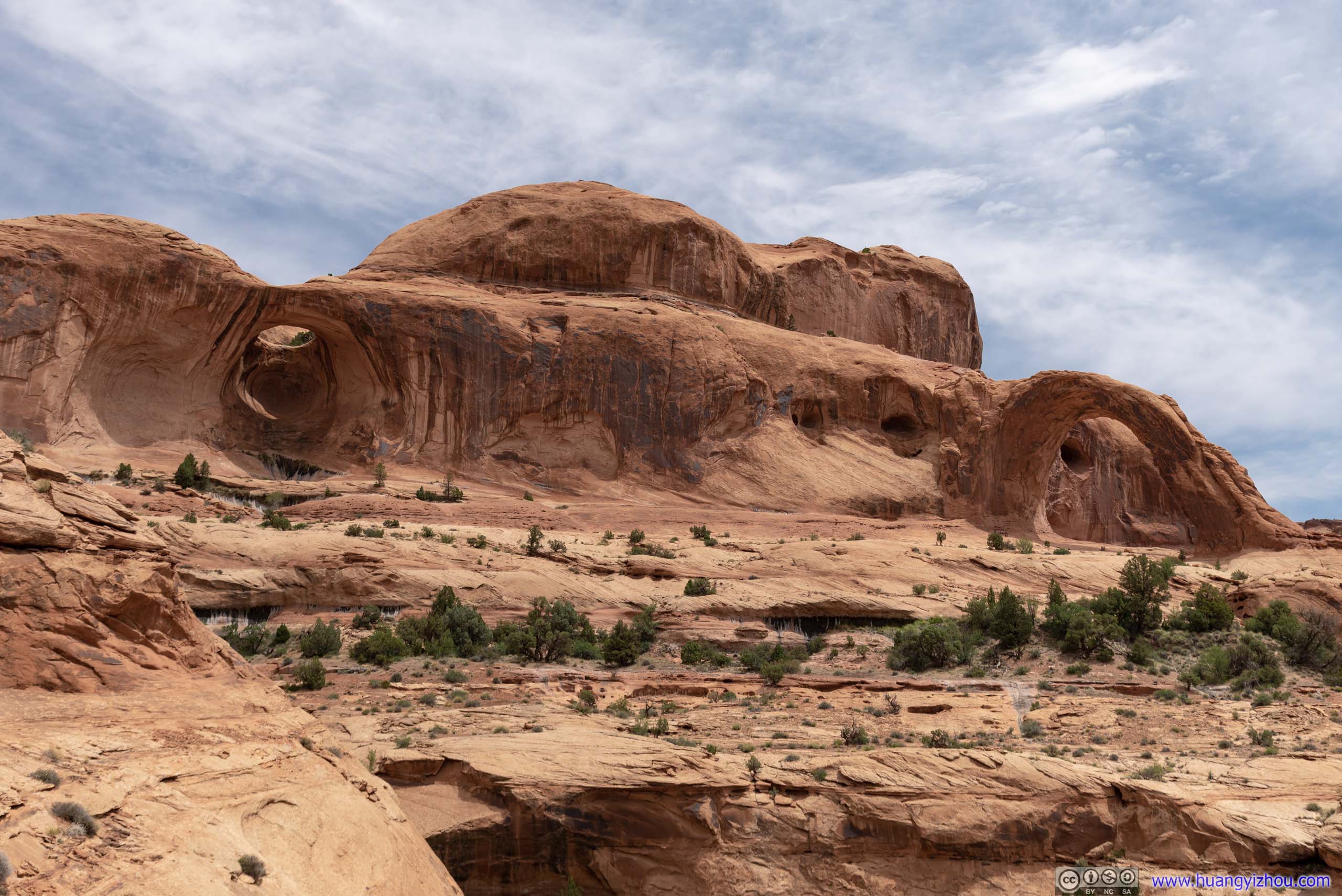
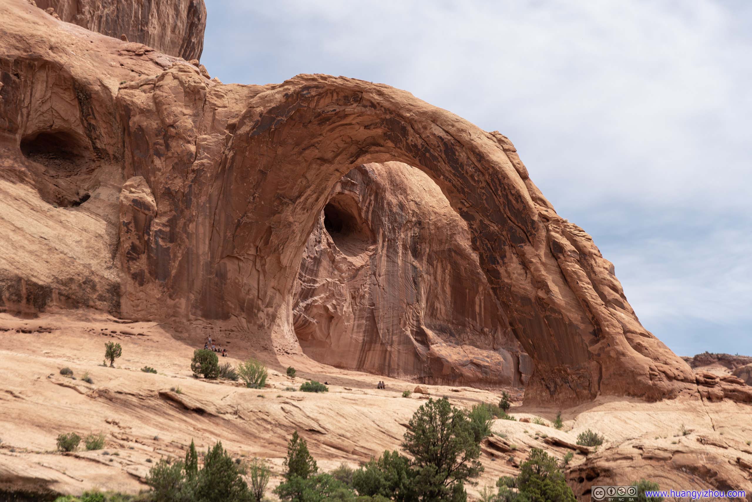
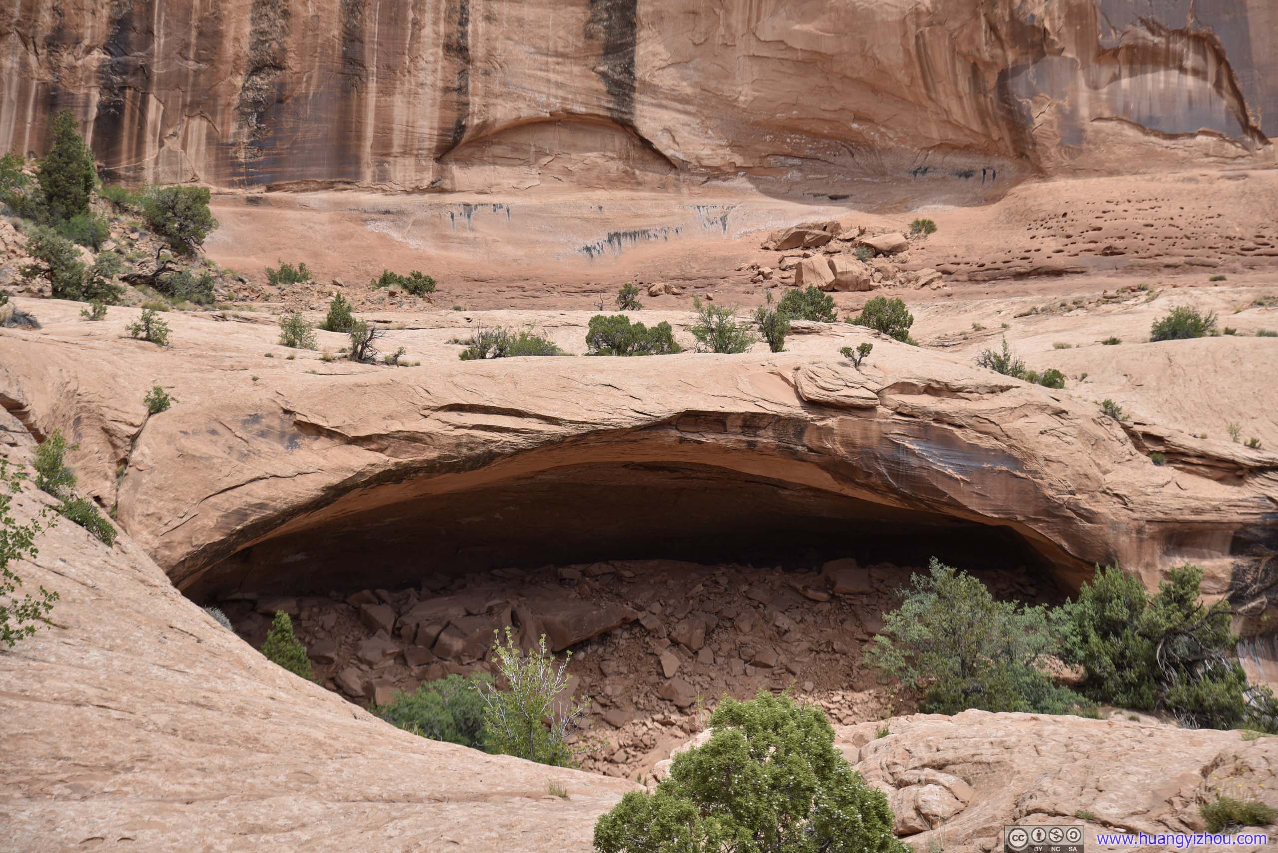
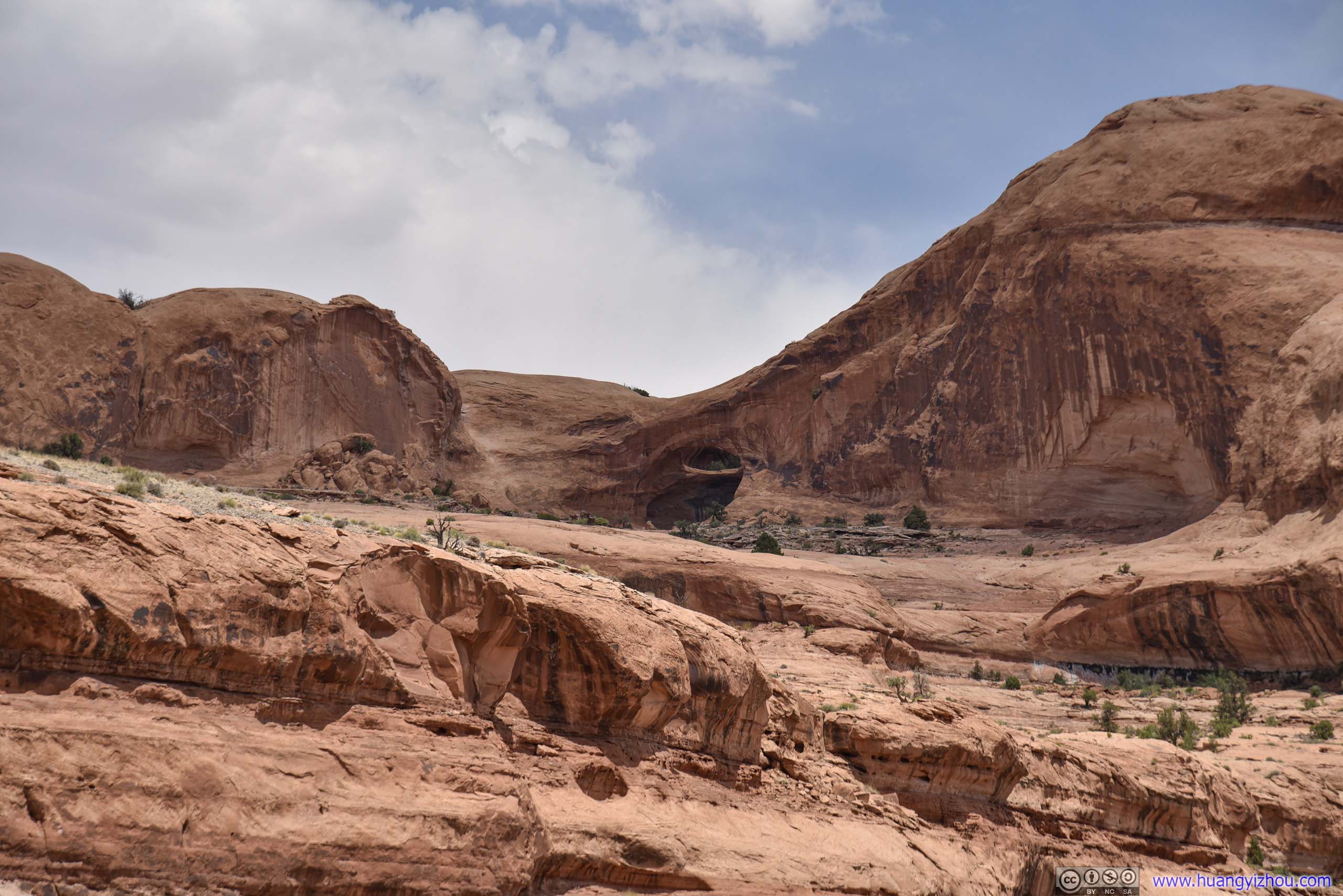
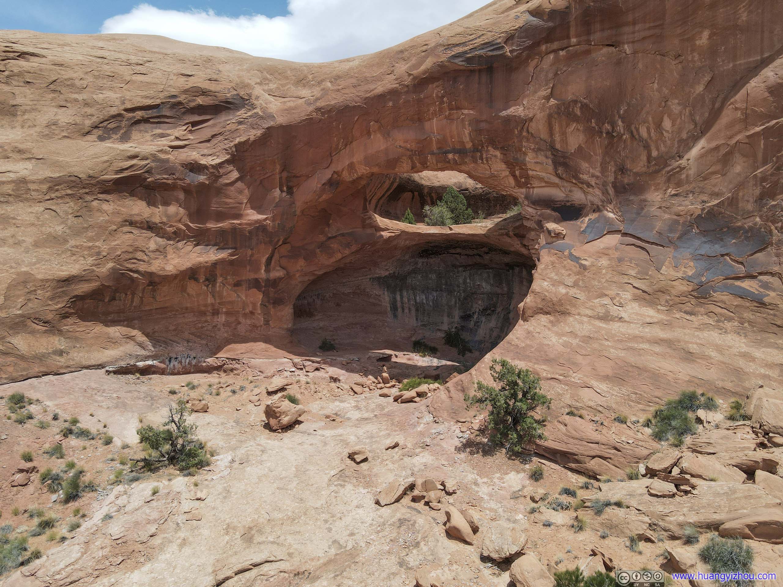
Before Corona Arch one would pass Bowtie Arch. It’s a pothole-type arch located high above the trail.

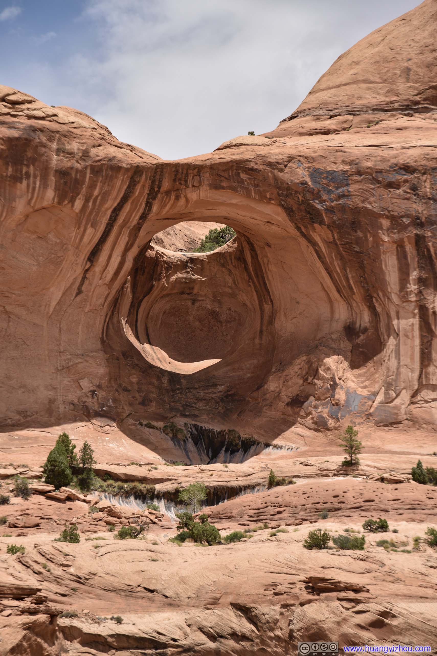 Bowtie Arch
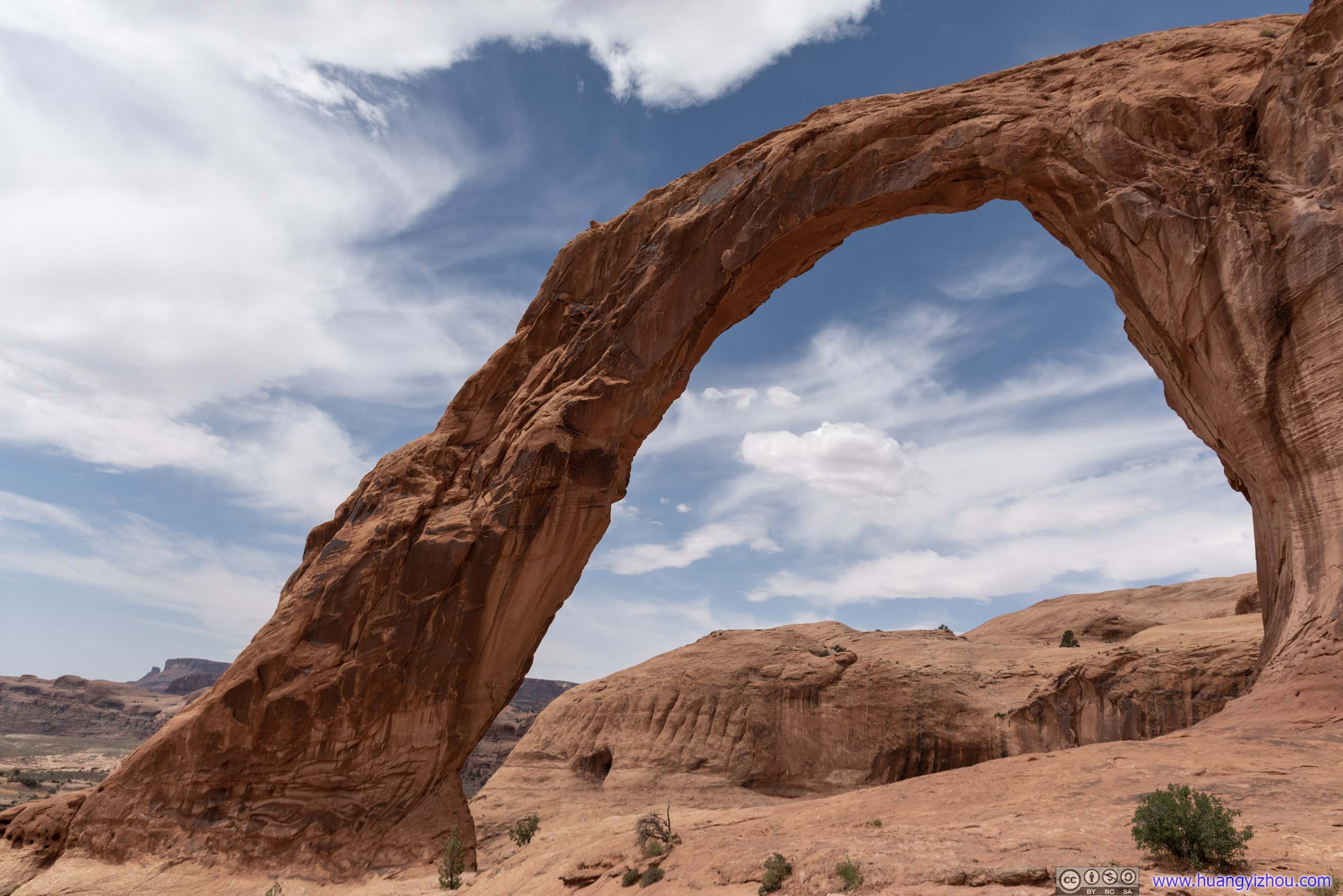
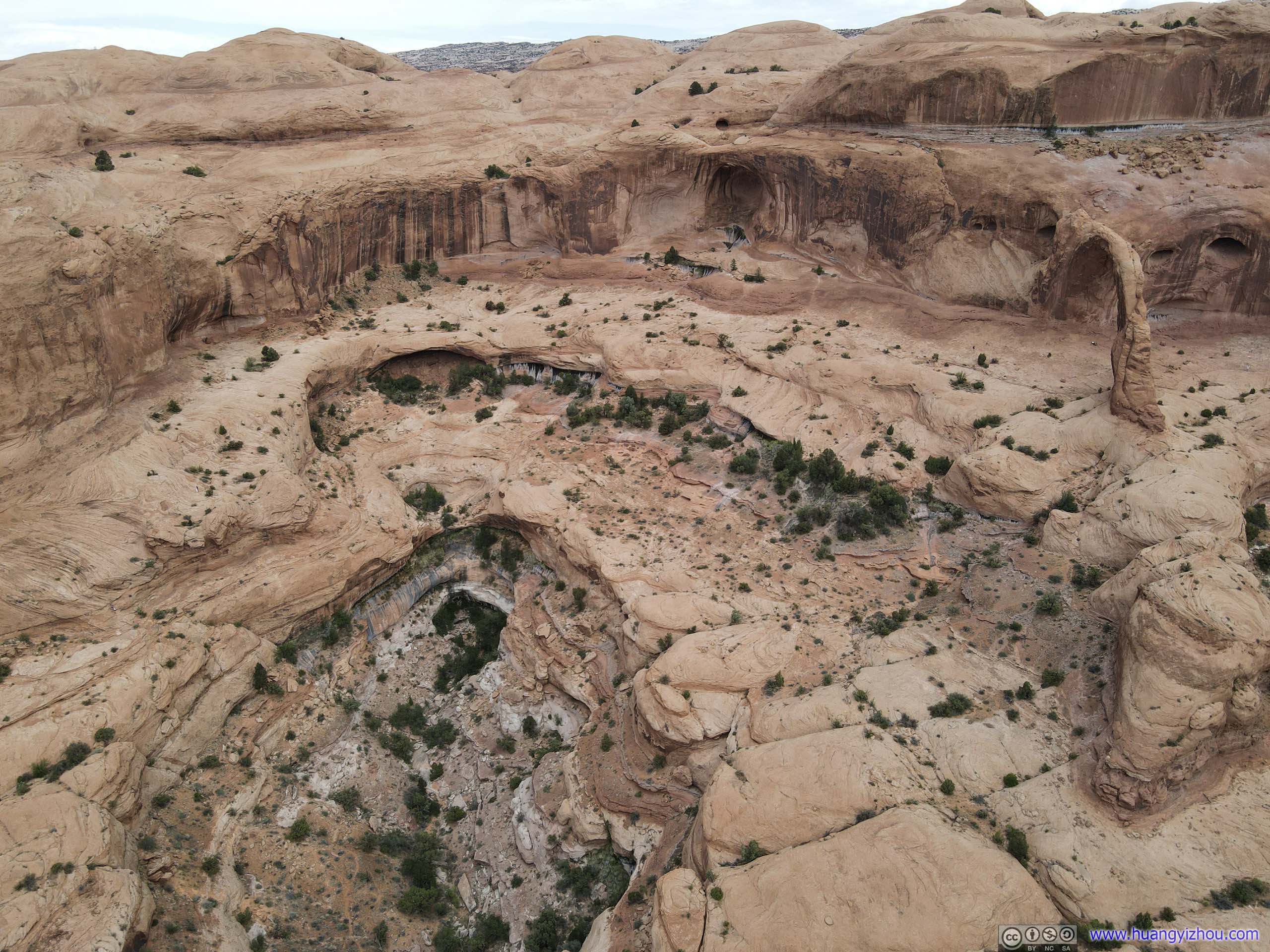
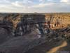
And finally, it’s Corona Arch, star of the day. Unlike most other arches in the Moab area, it’s one that one could easily hike through and admire by looking upwards. Its towering structure was looking magnificent against the landscape.

Corona Arch
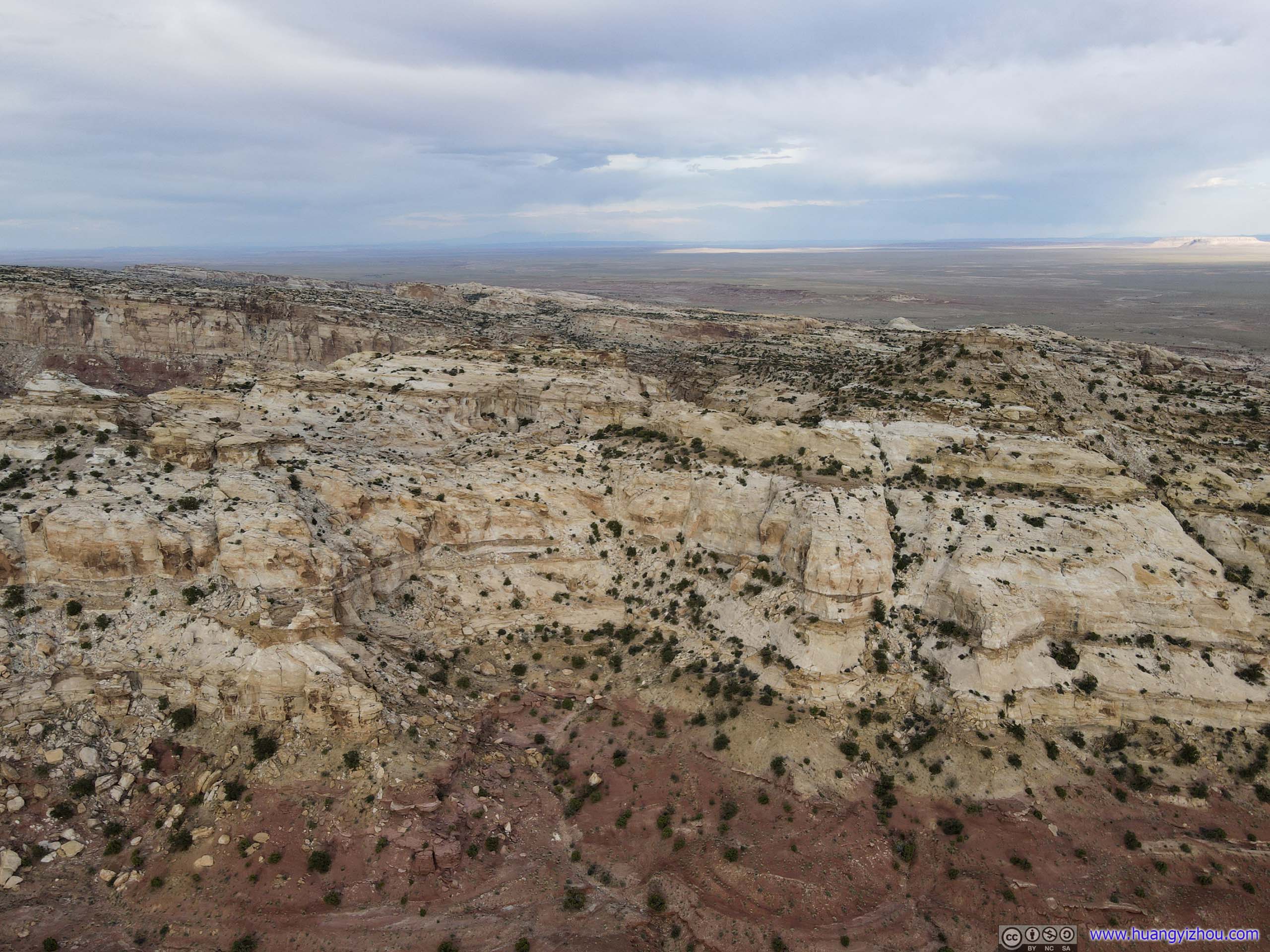
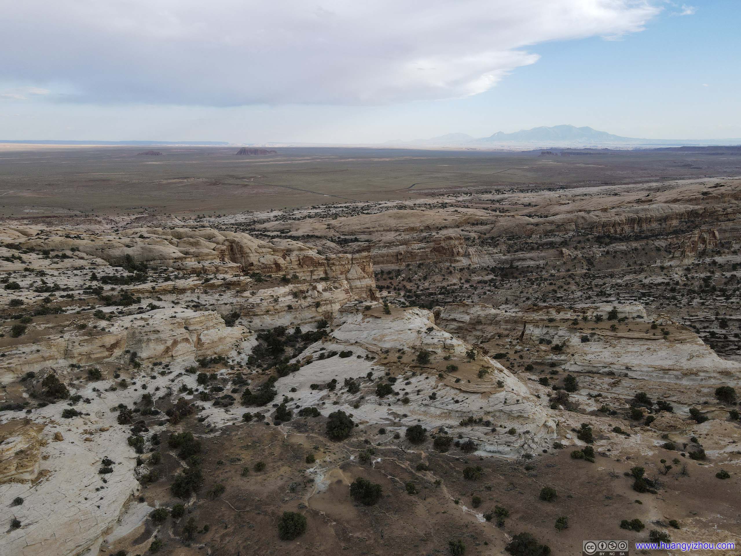
Even better, since this part of land was administered by the Bureau of Land Management, I could launch my drone for some aerial views.
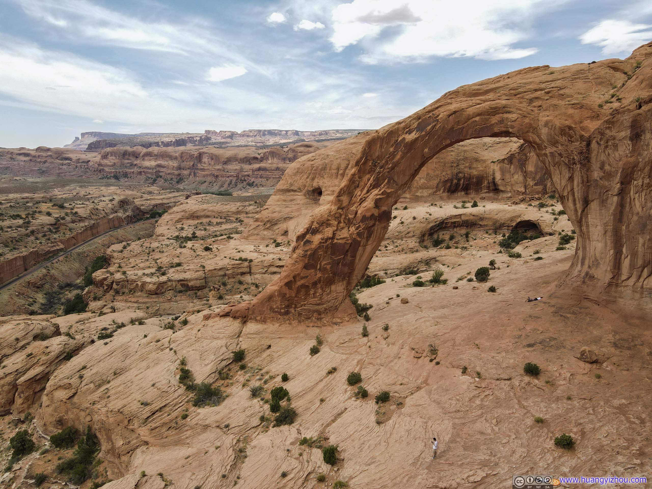
Corona Arch

Railway in Valley
 Valley between Bowtie and Corona Arch

Valleys
And here is some footage.
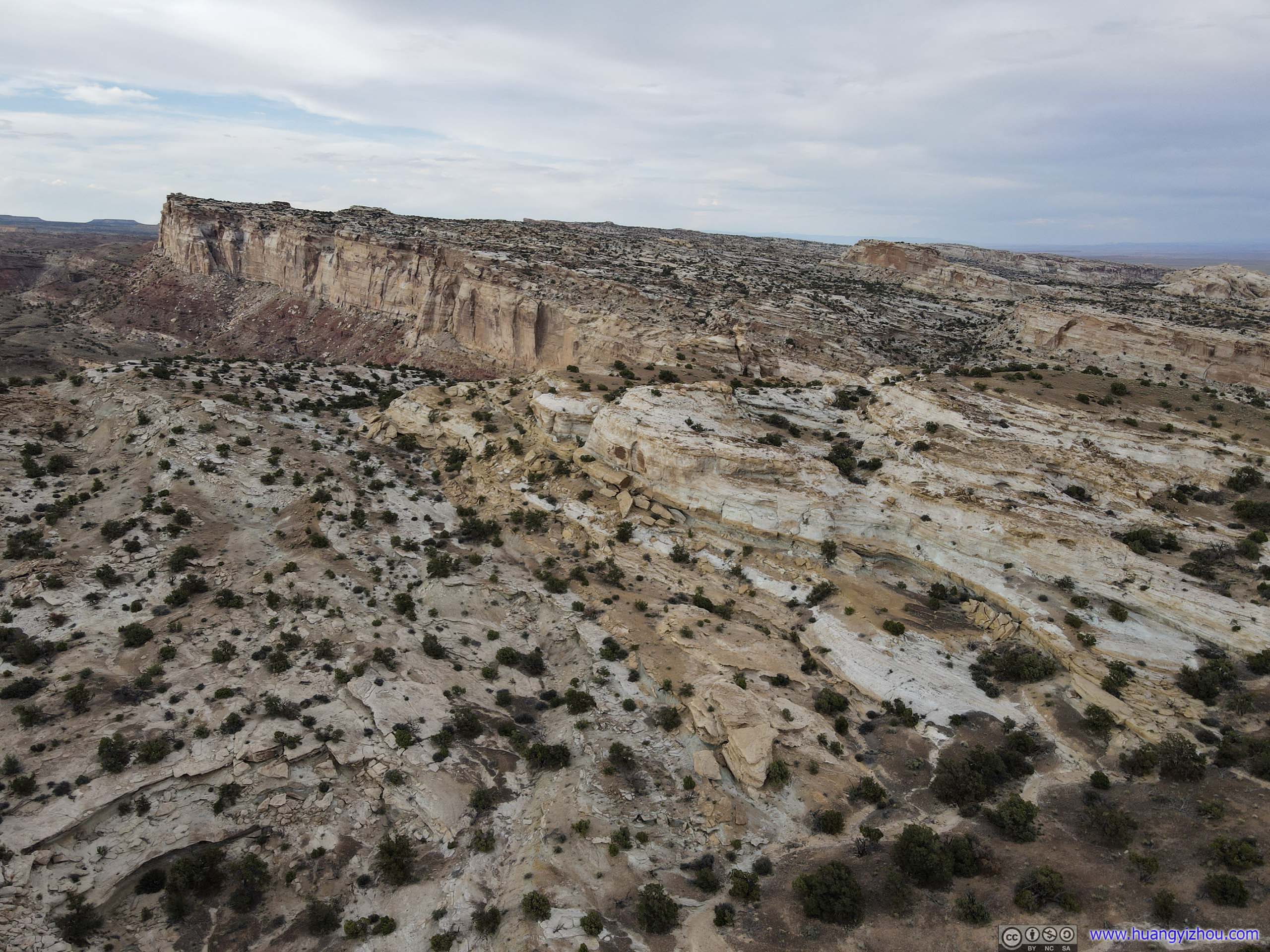
Along the main trail, there was a spur leading to Pinto Arch, which was another pothole-type arch like Bowtie Arch.
Distant Pinto Arch
But since it wasn’t as magnificent as Corona Arch, I decided to take an aerial tour of it with my drone and mark it off my destination list.
Pinto Arch
 Overlooking Colorado River
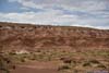
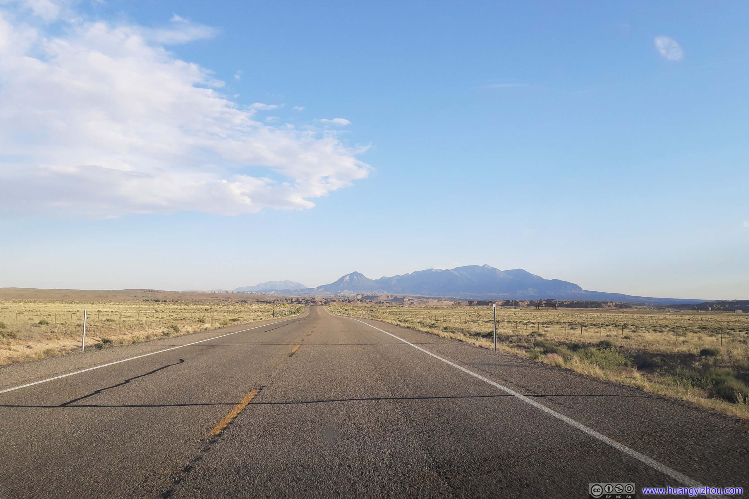
After that, I said goodbye to the town of Moab, and made my way to Capitol Reef National Park. I made a stop in the town of Green River, the only proper town along the way for a quick lunch, before continuing the journey to Goblin Valley State Park.
Country RoadUS191 between Crescent Junction and Moab, running through wide open fields between distant mesas.

HighwayInterstate 70 approaching junction of UT24, where the surrounding landscape was starting to become rugged.

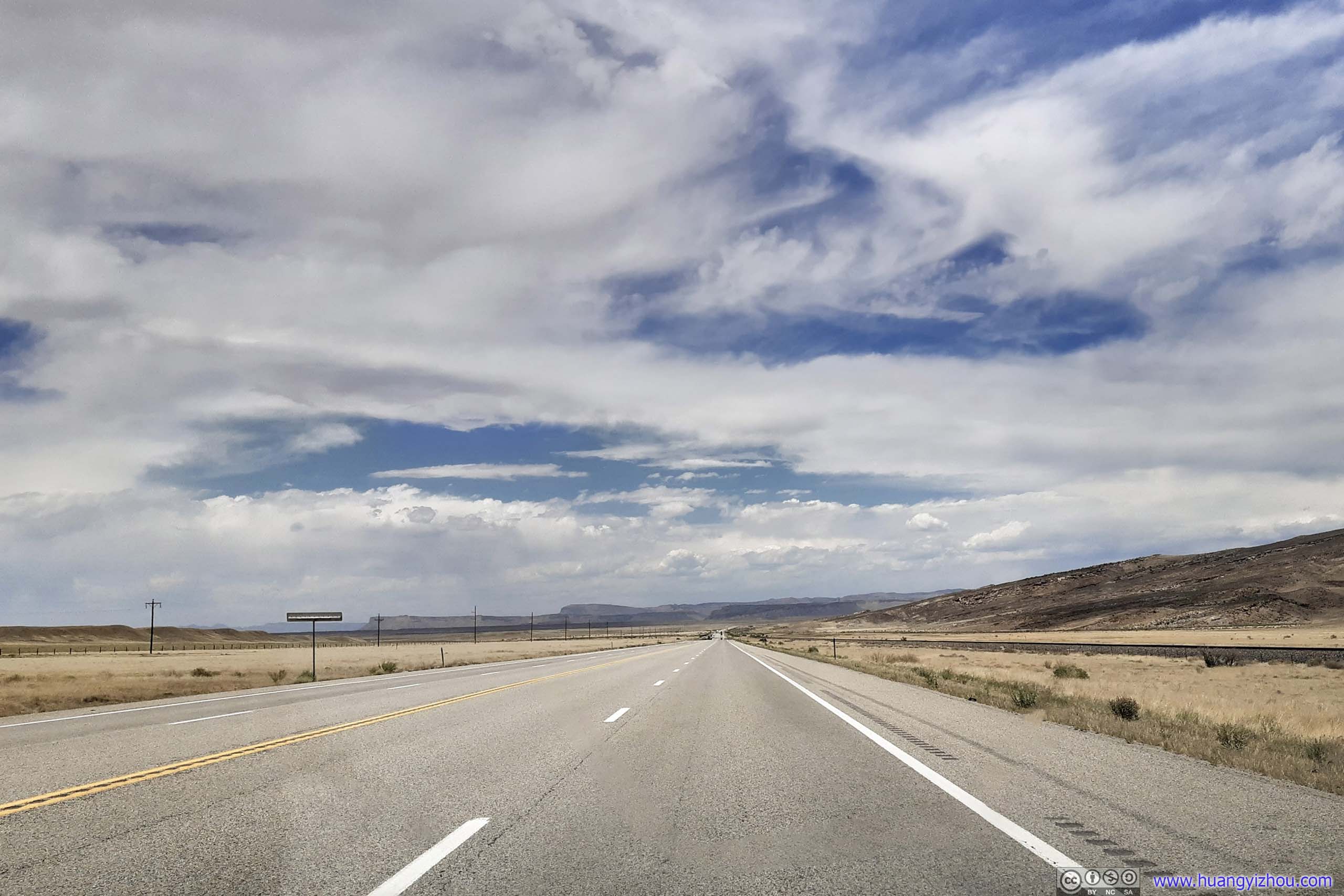
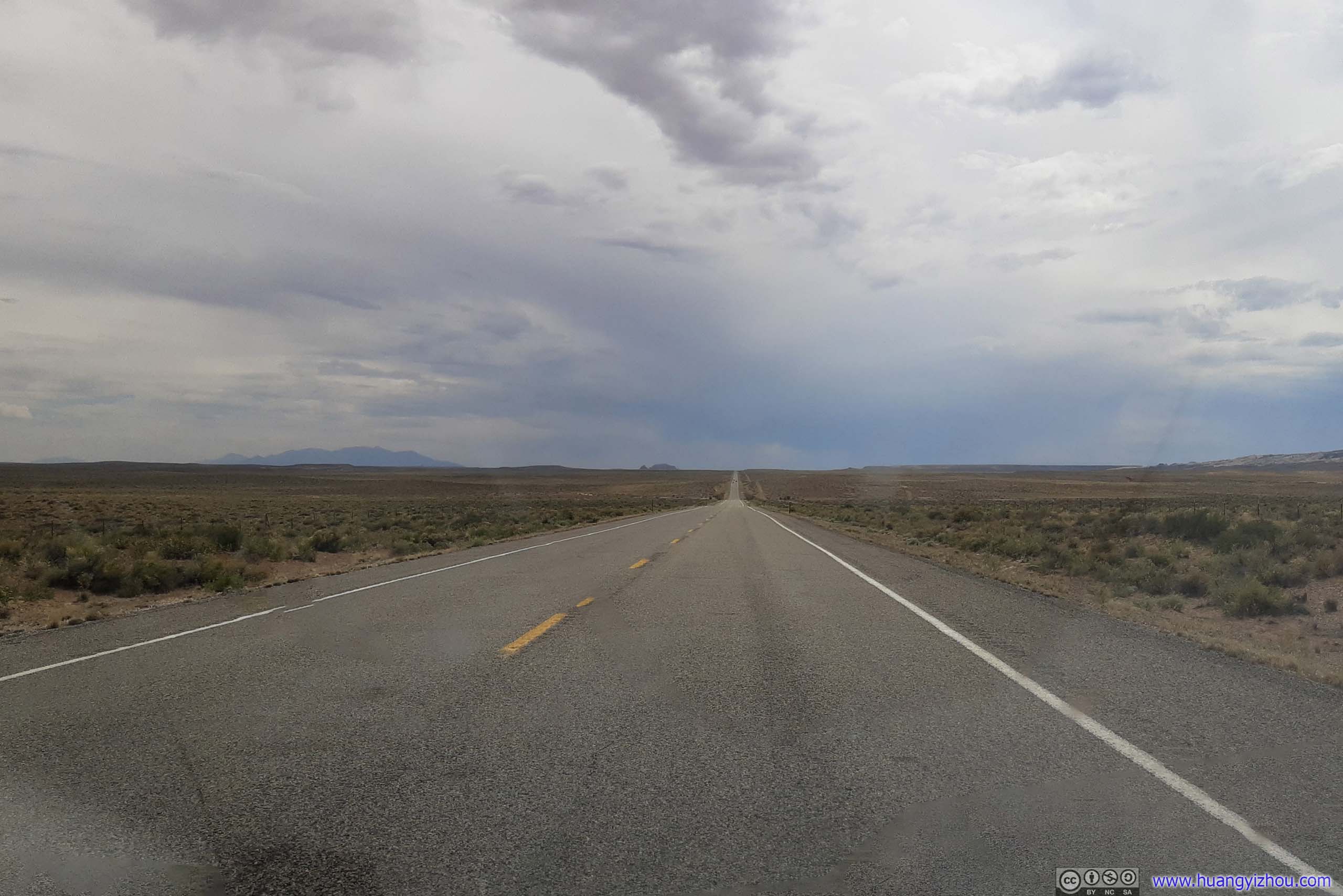 Country RoadUT24 with few traffic.
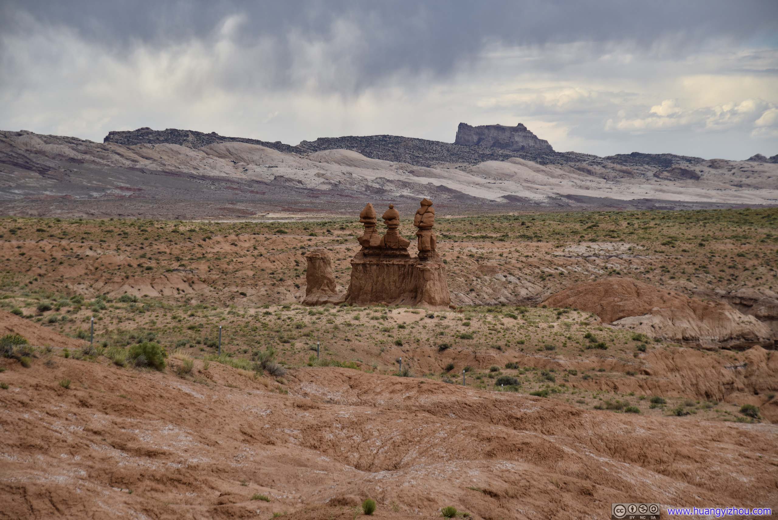
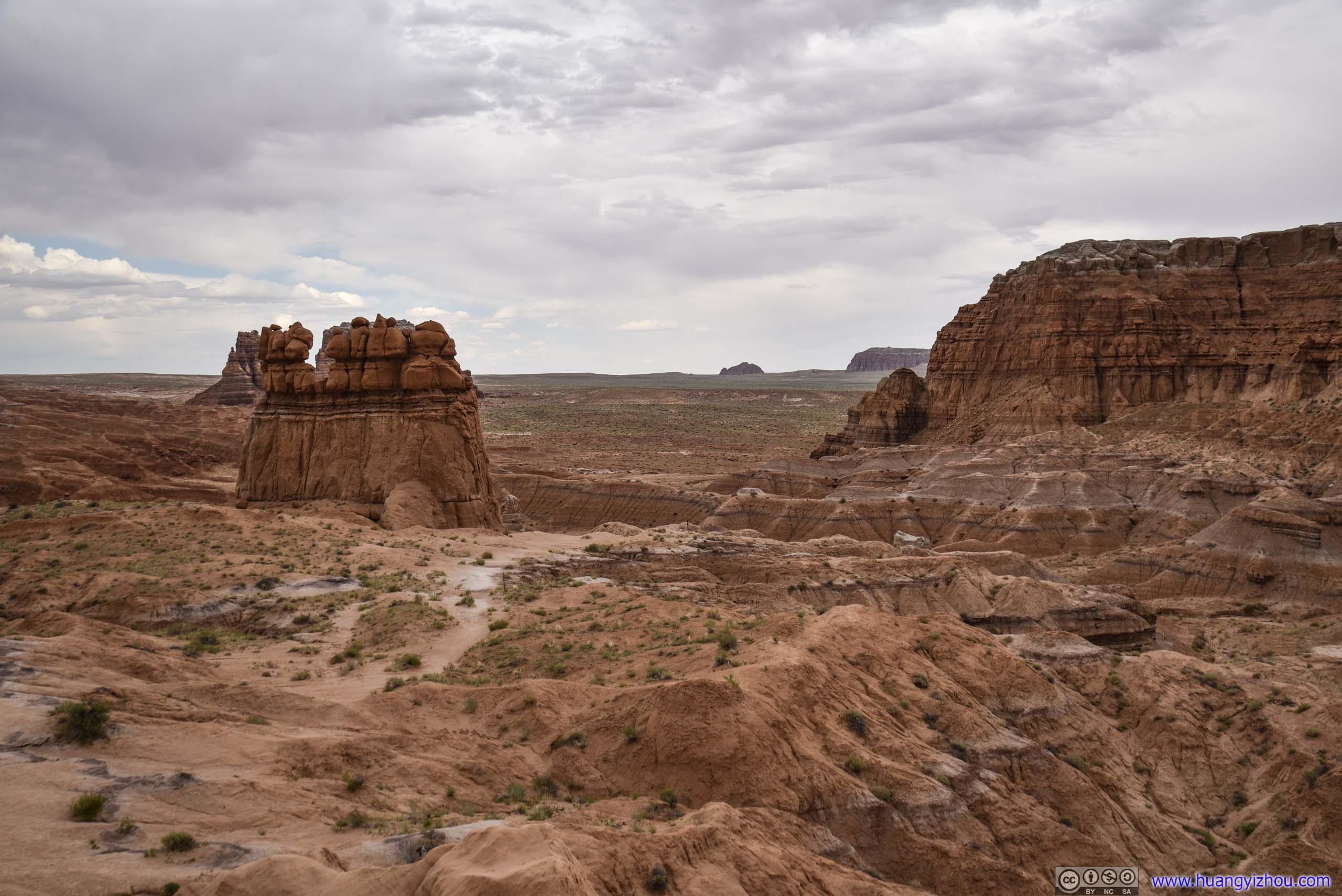
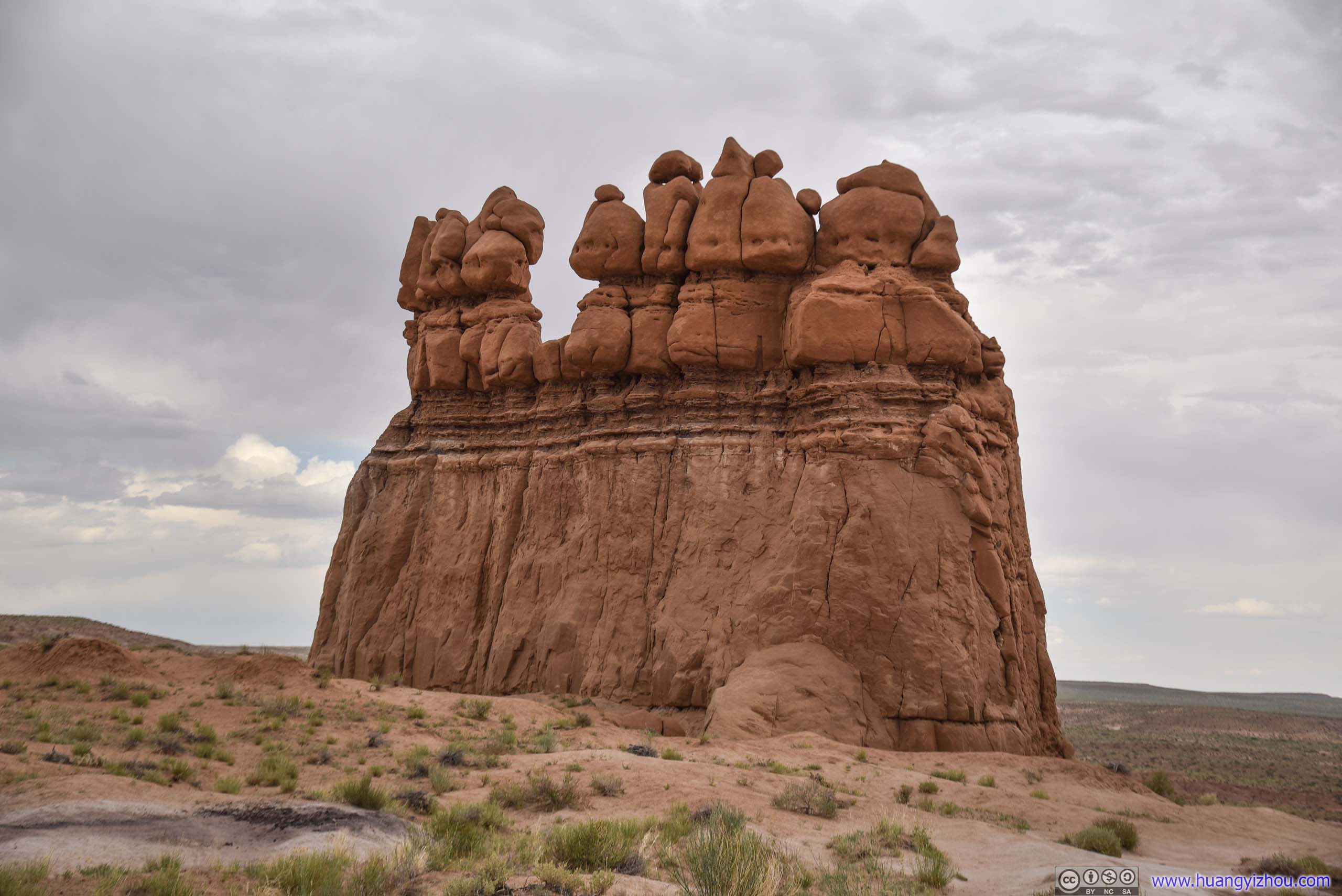
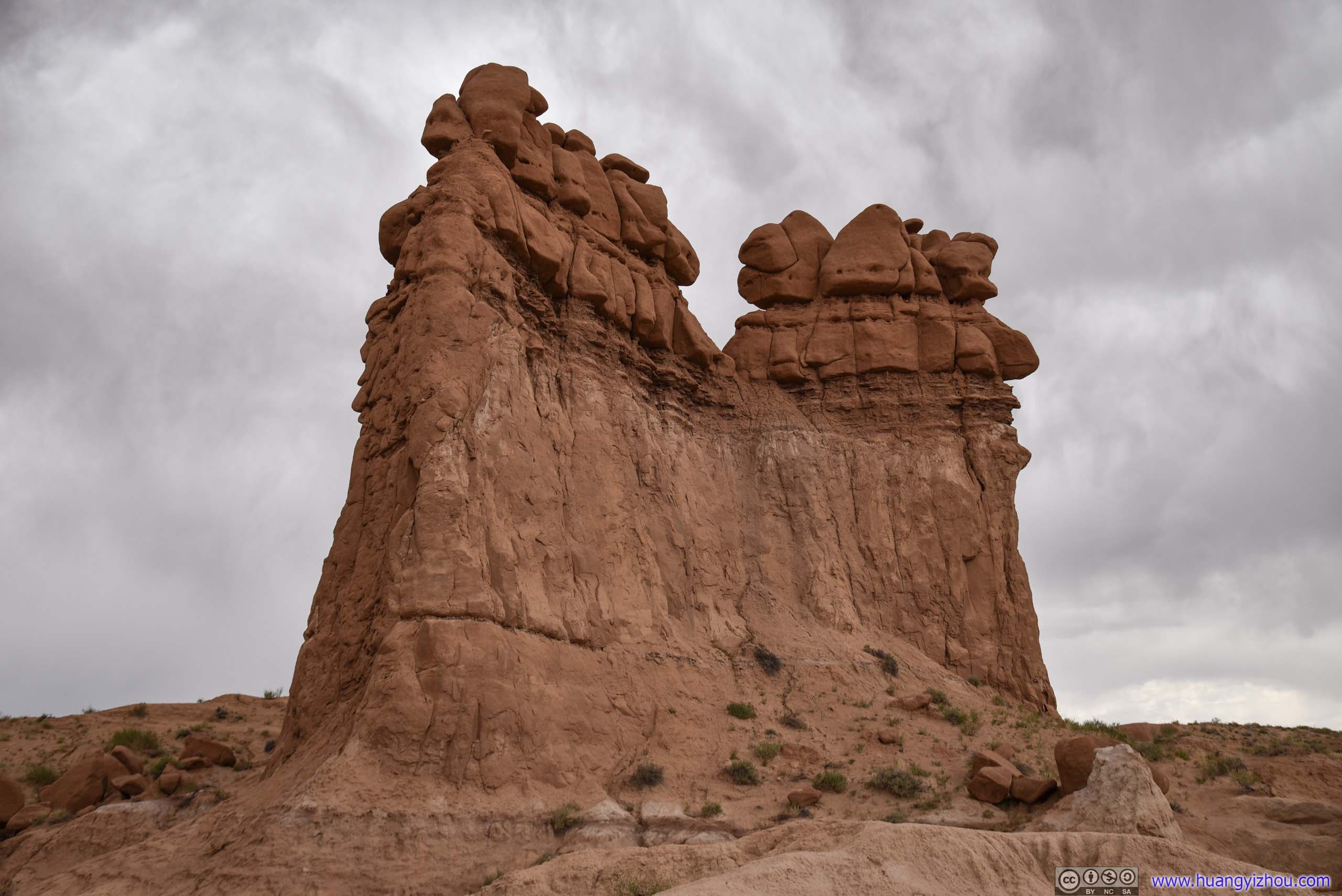
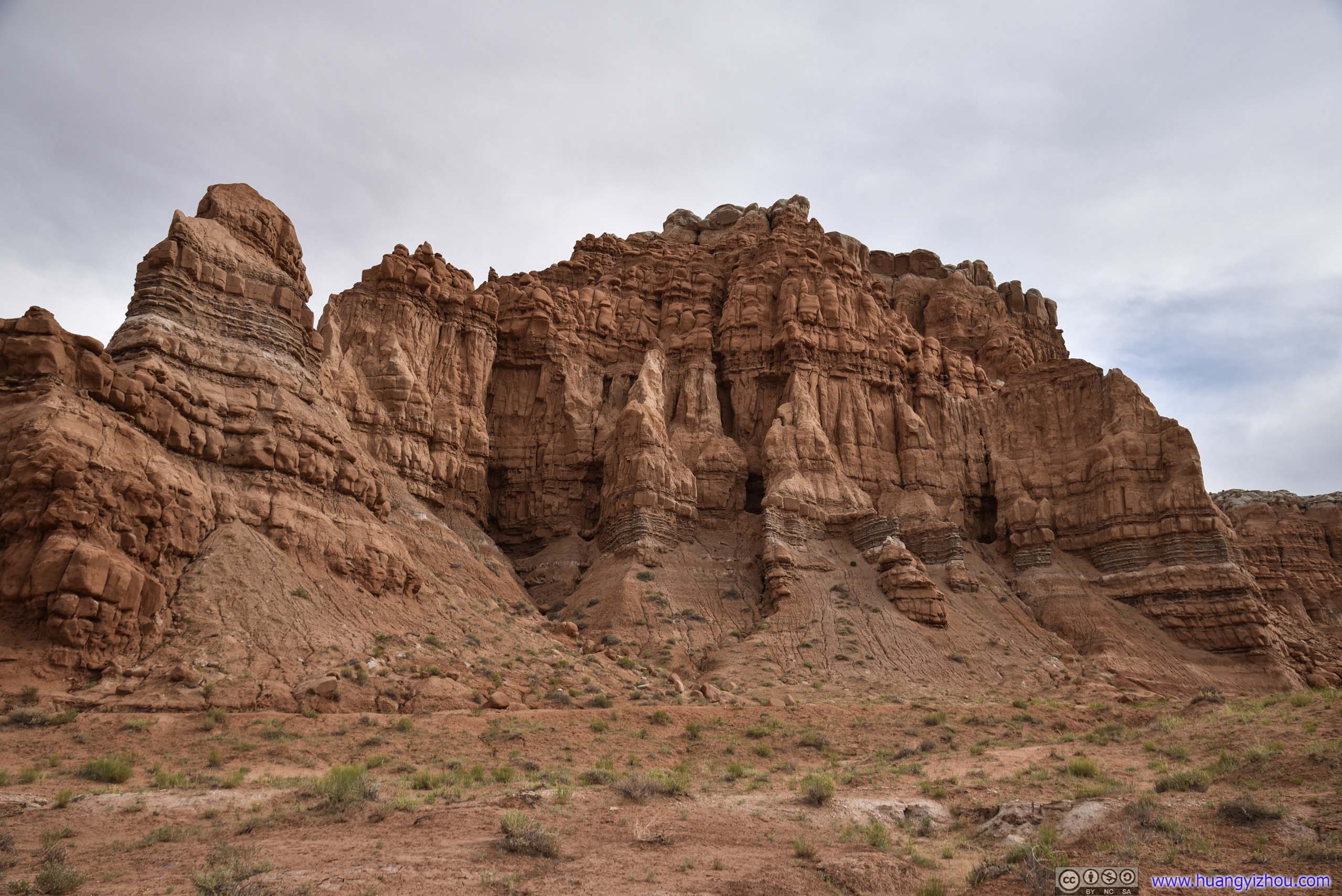
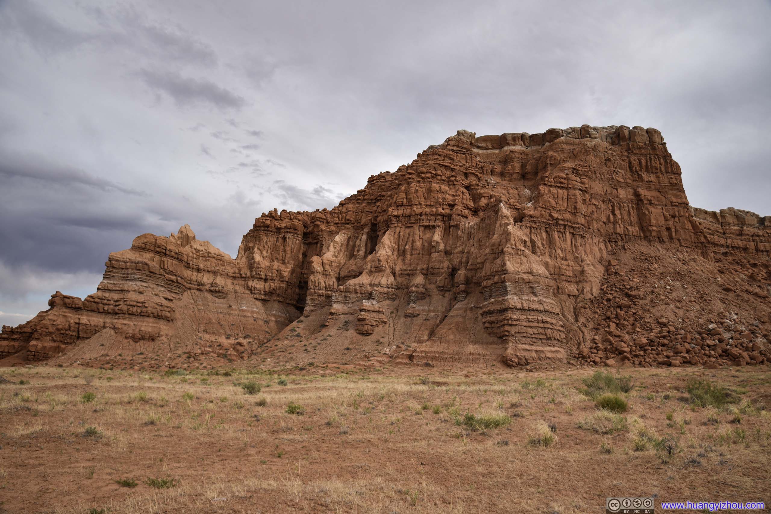
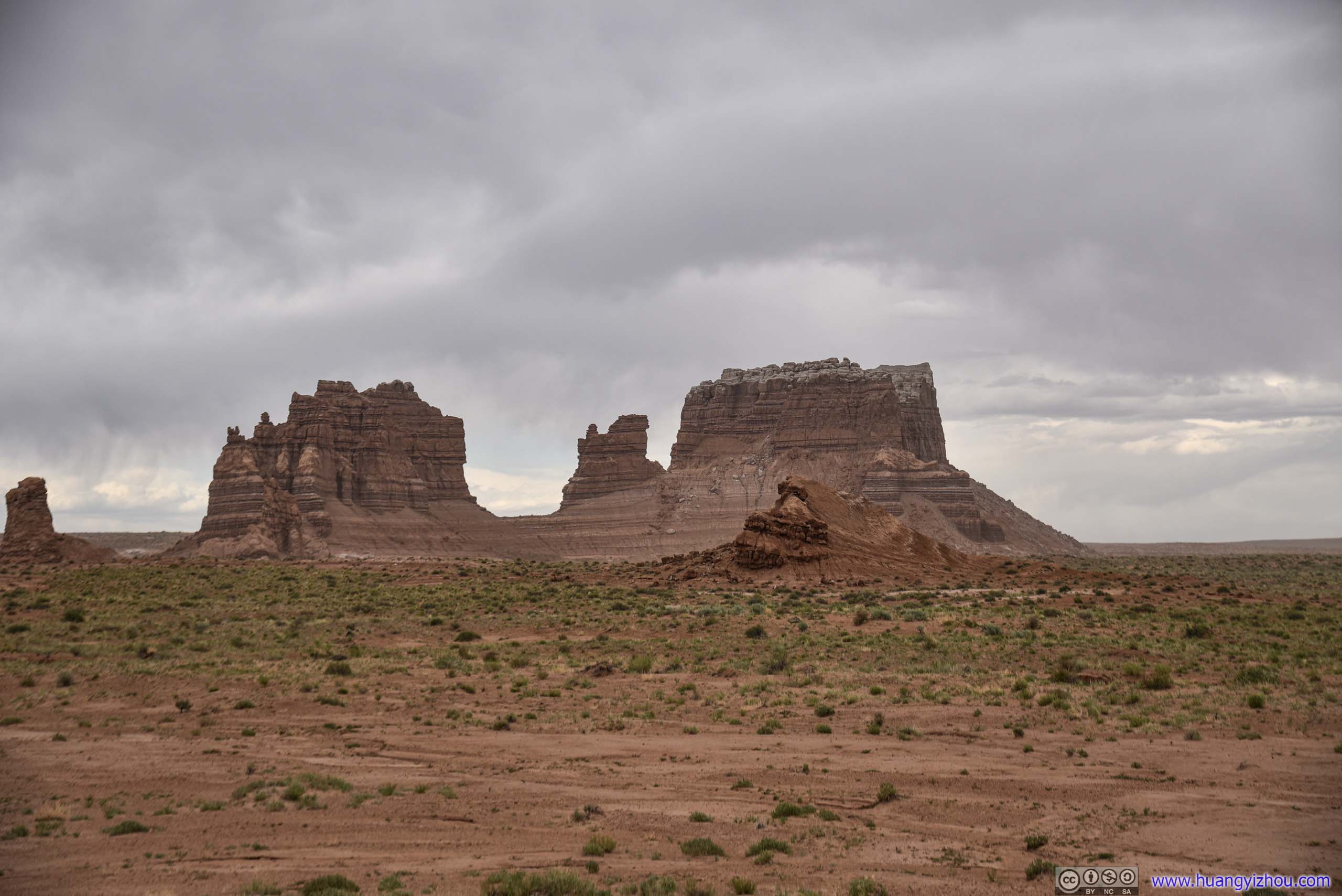
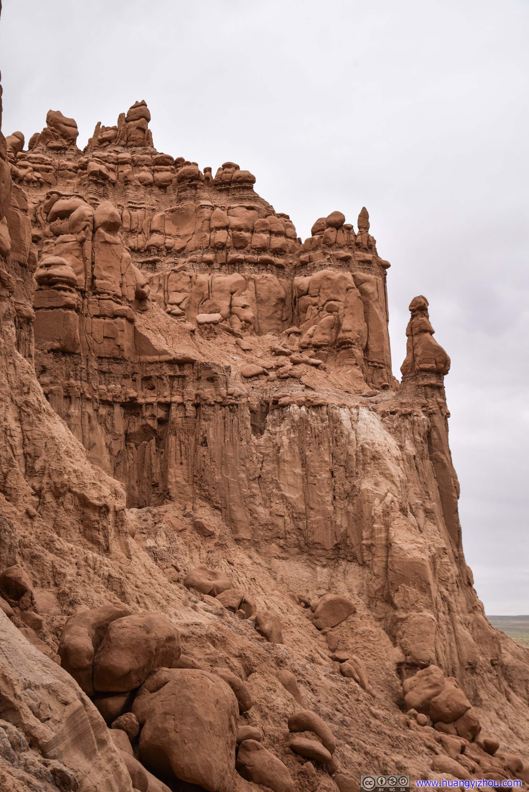
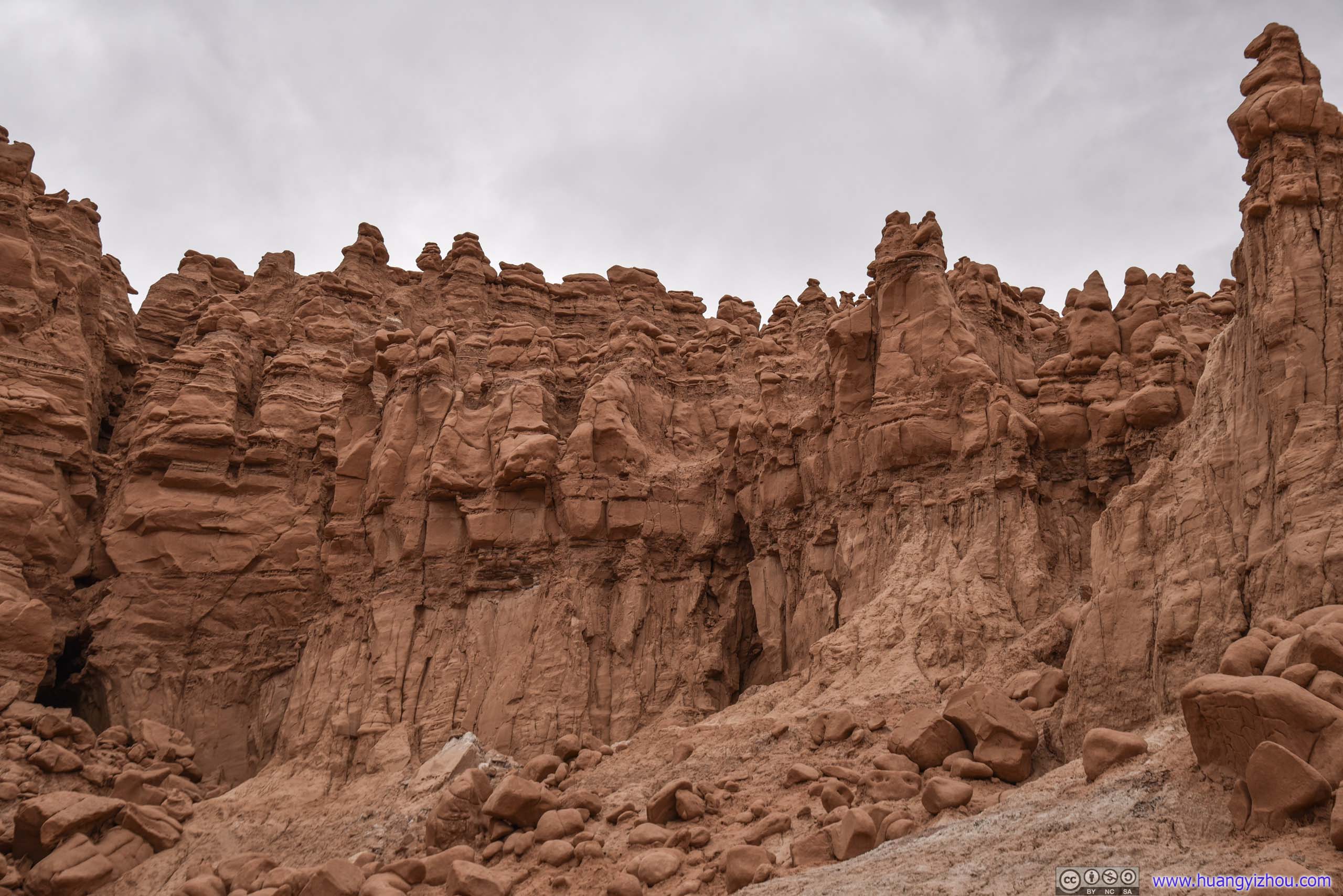
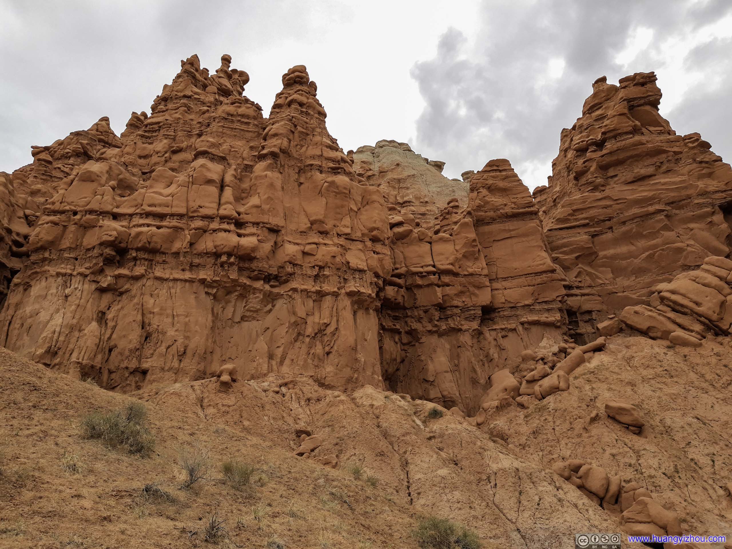
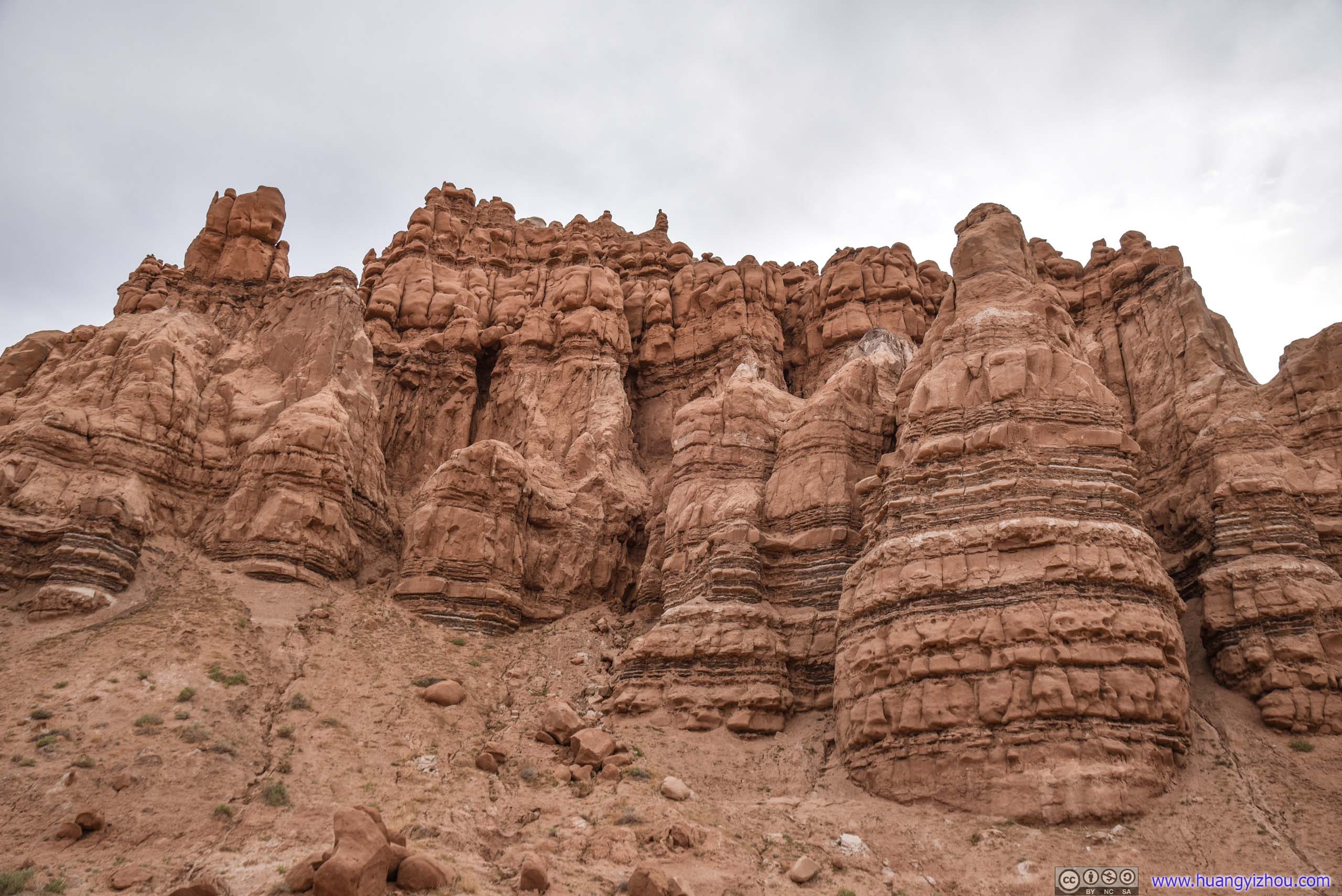
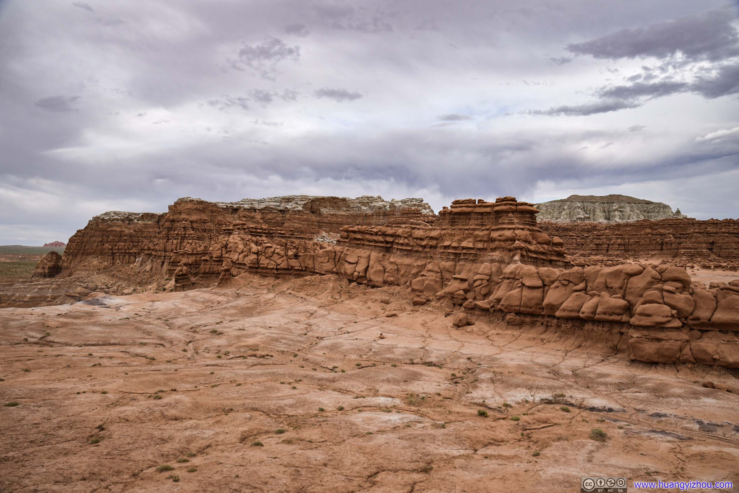
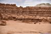
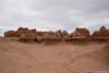
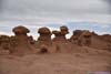
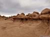
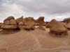
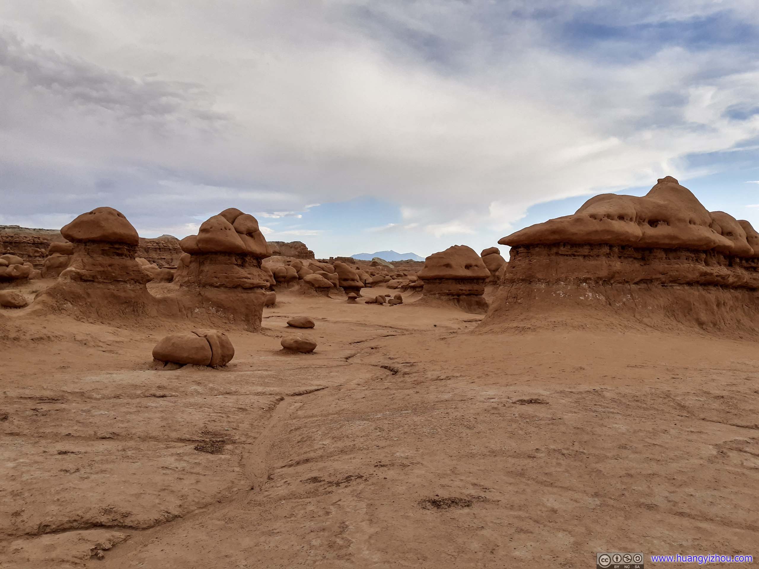
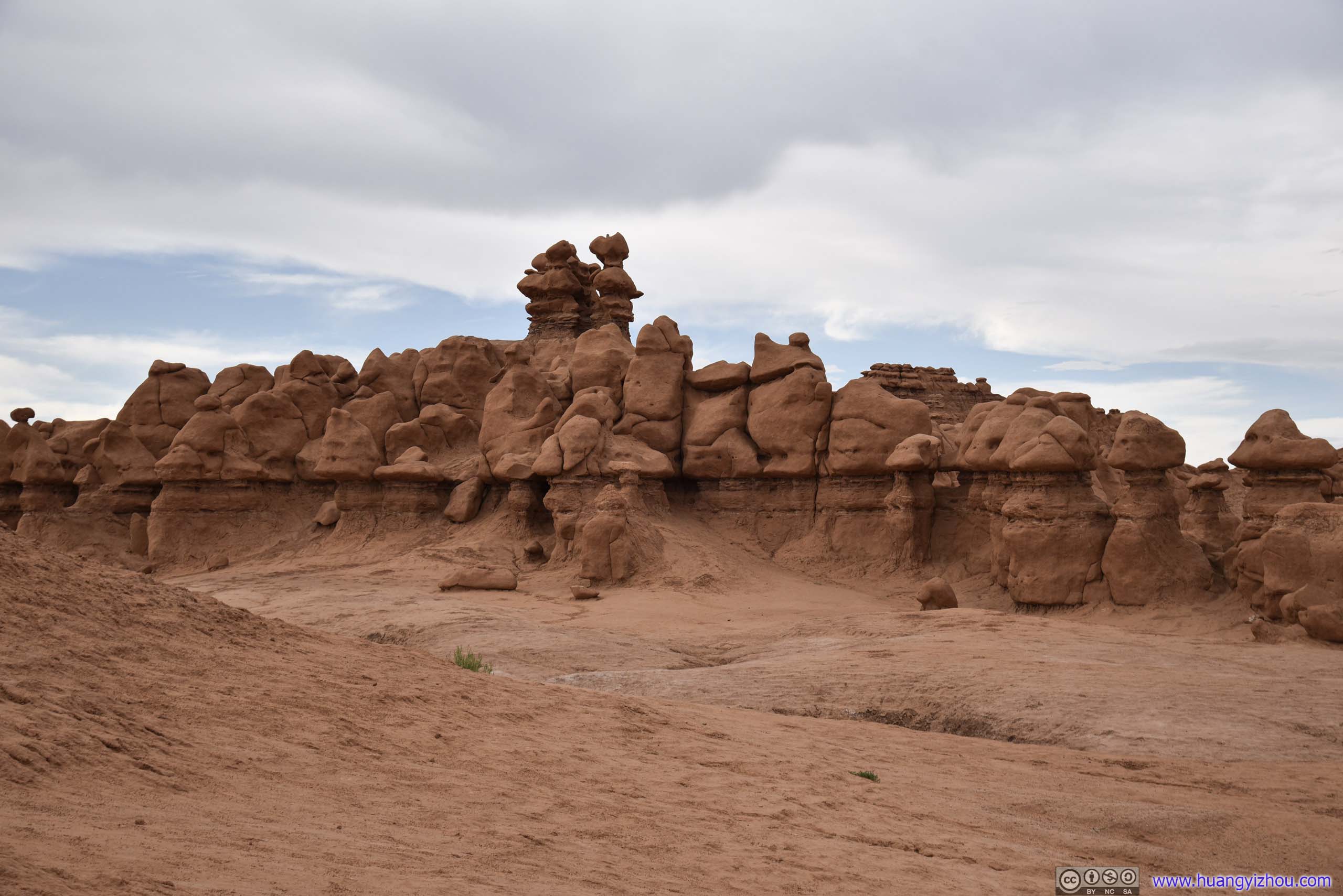
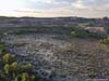
Goblin Valley State Park
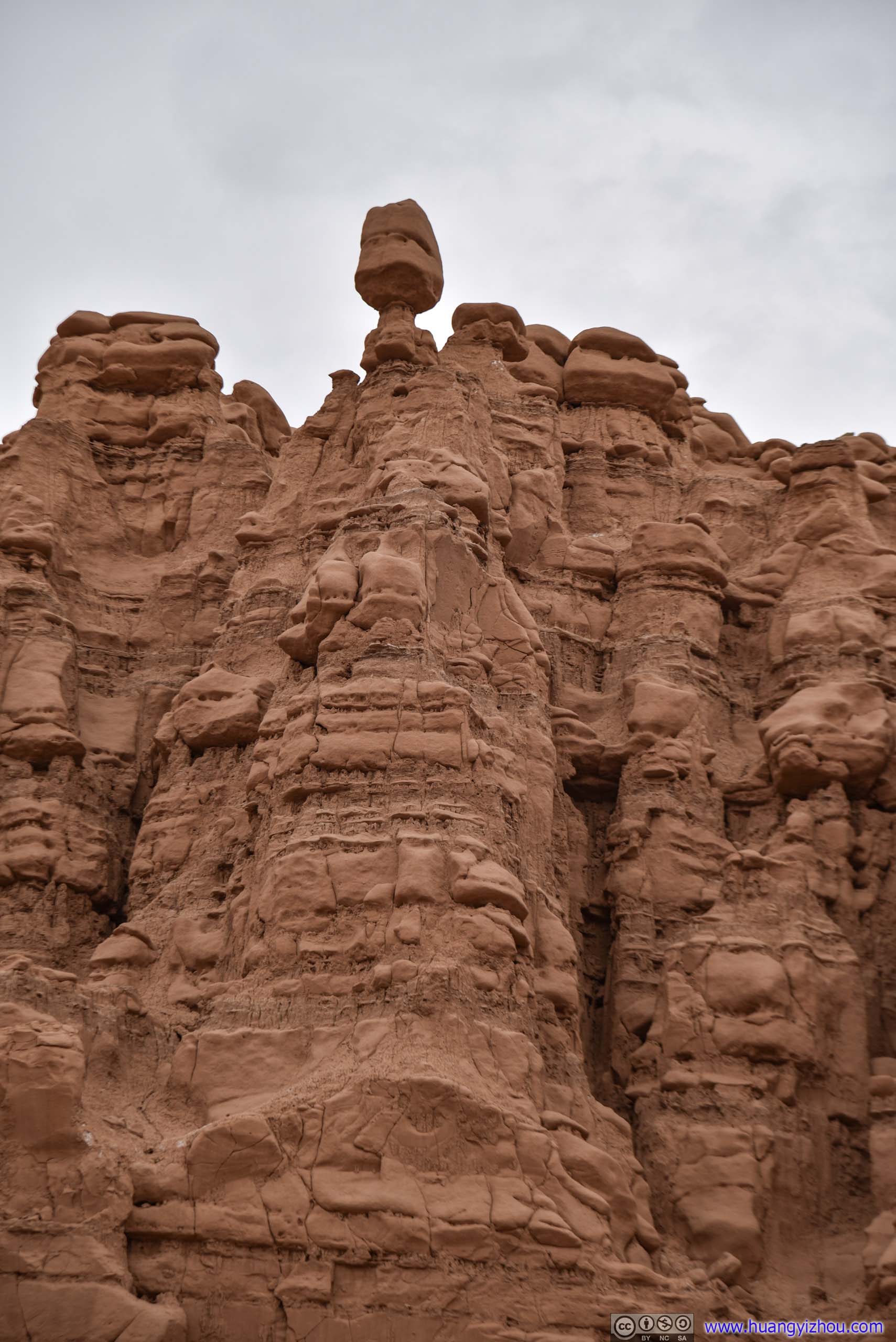
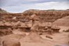
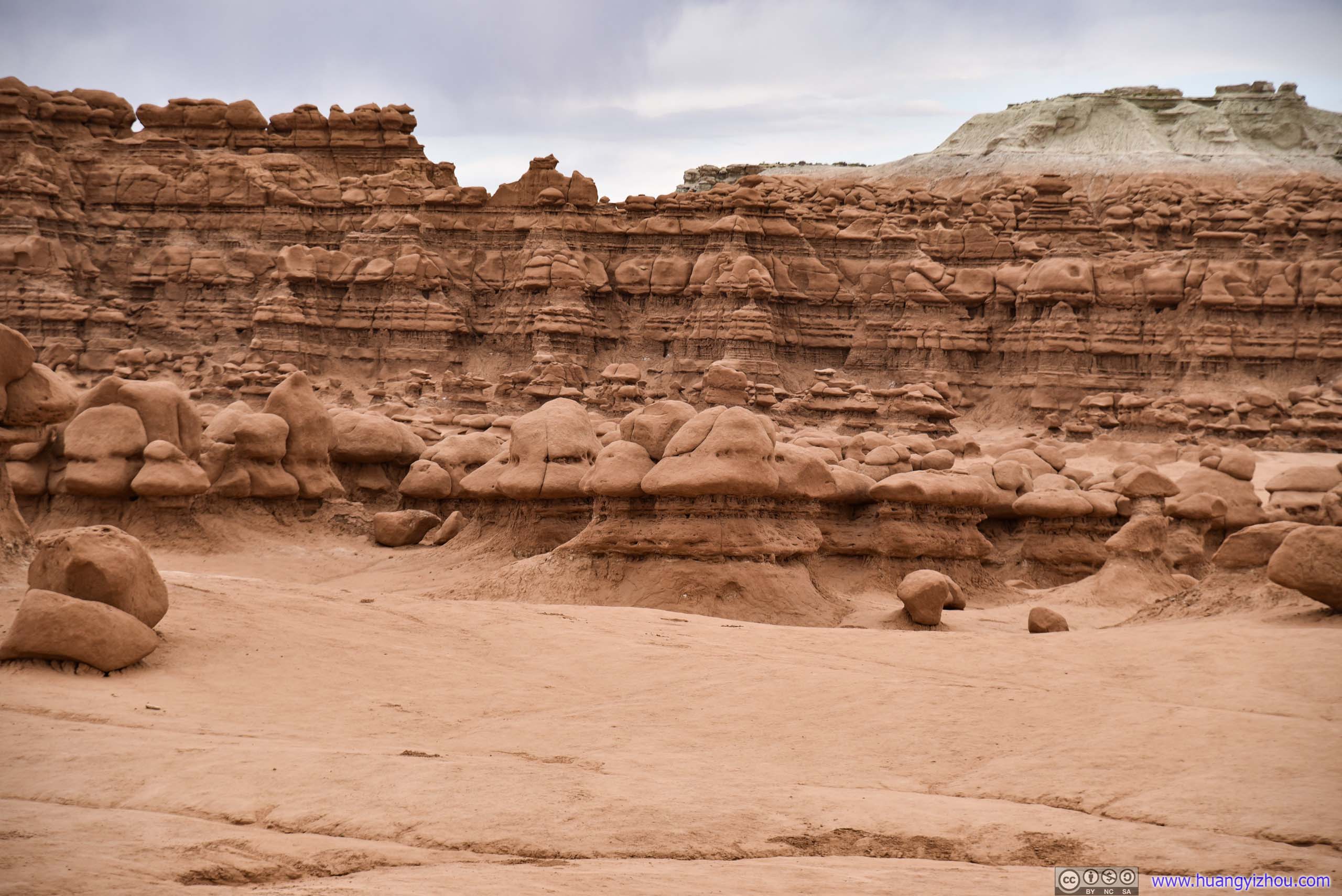
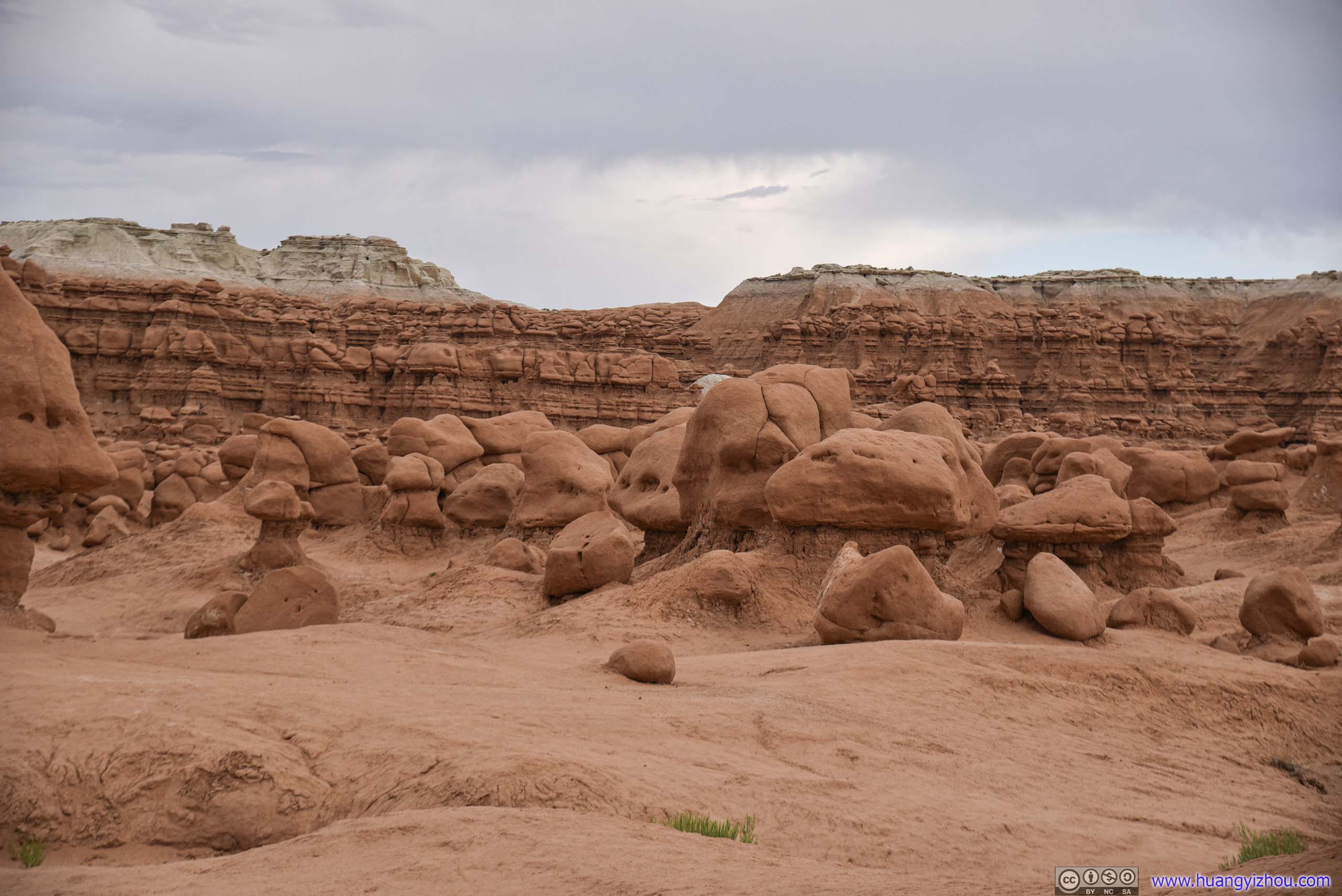
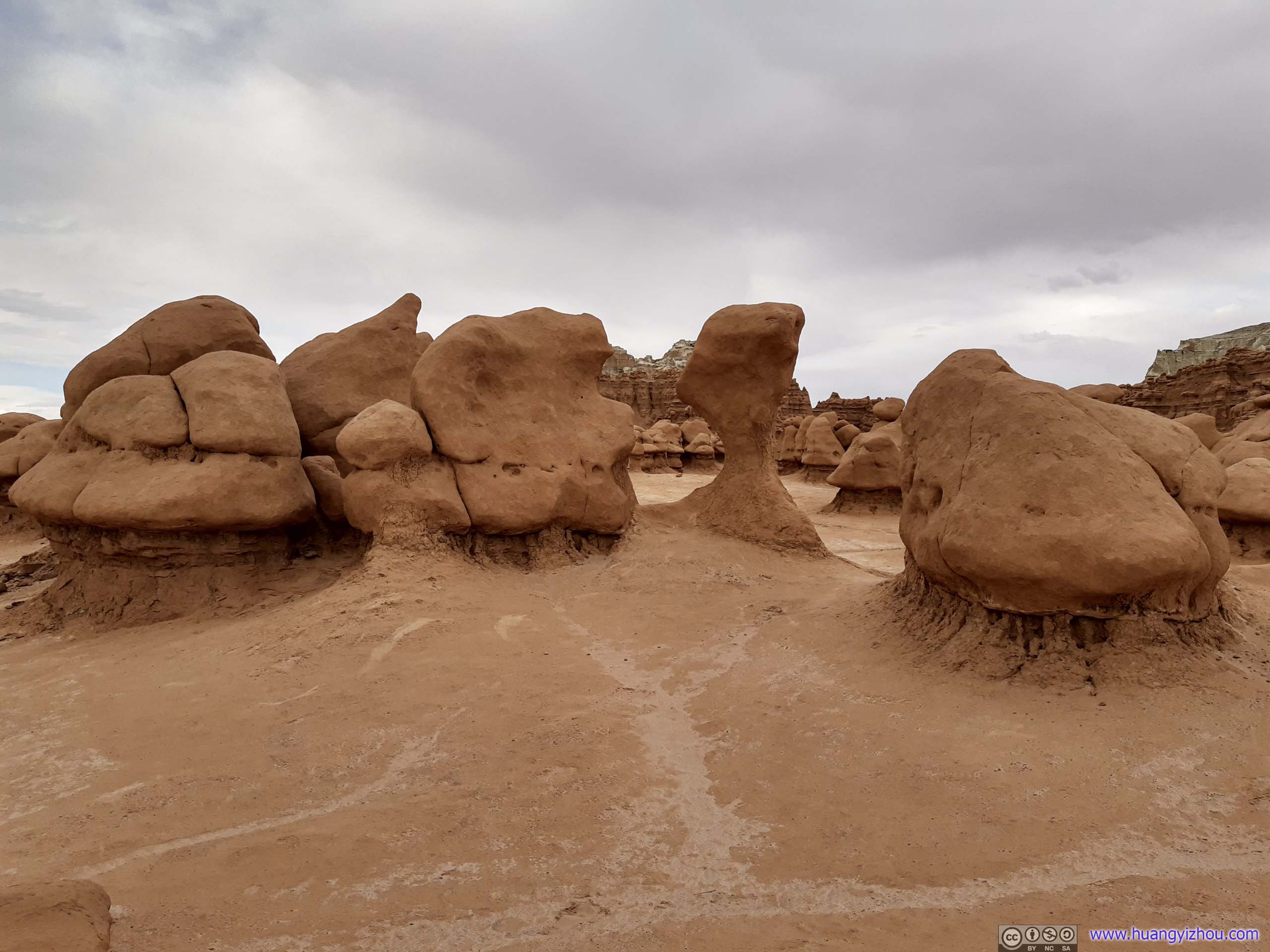
Located 12 miles from Utah Route 24 through a paved country road, Goblin Valley State Park featured many hoodoos, which were mushroom-shaped rock pinnacles referred to locally as goblins.
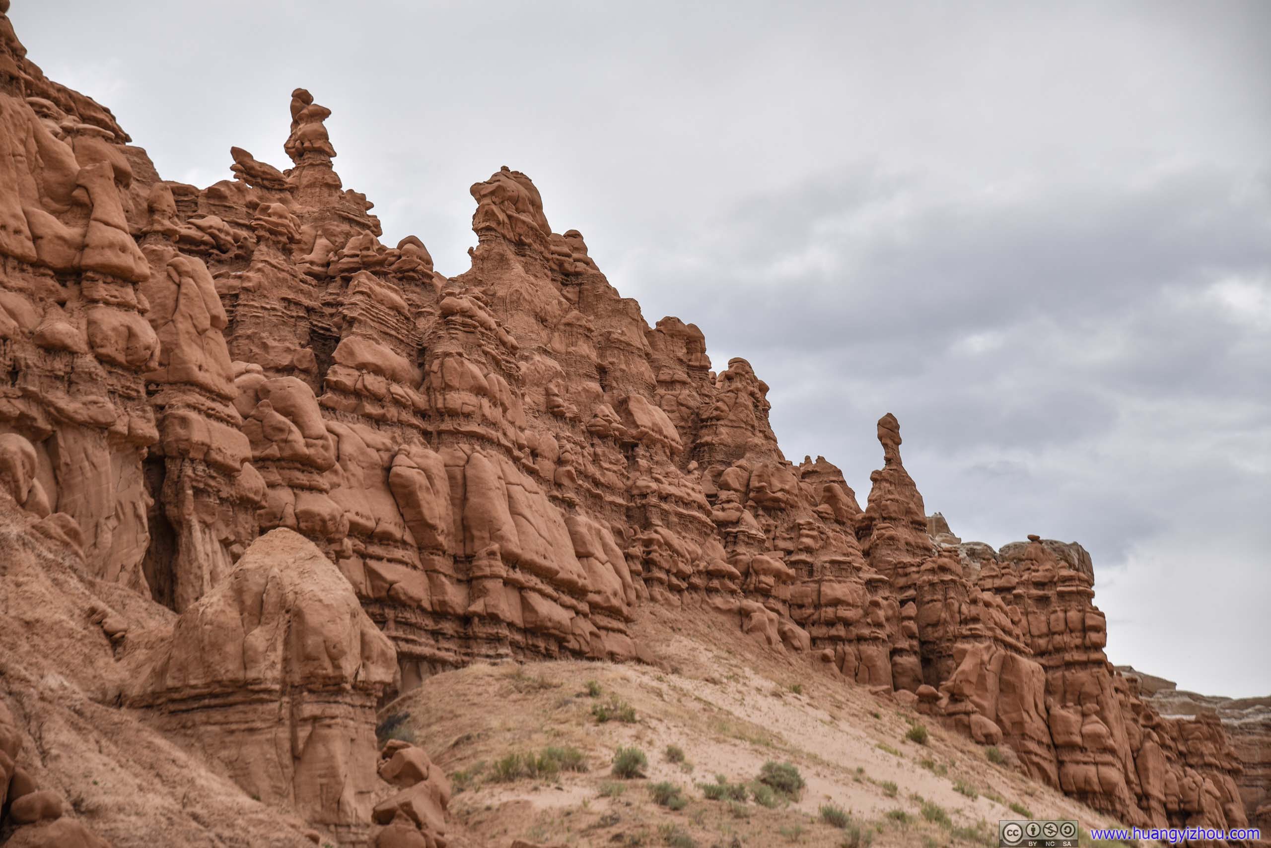
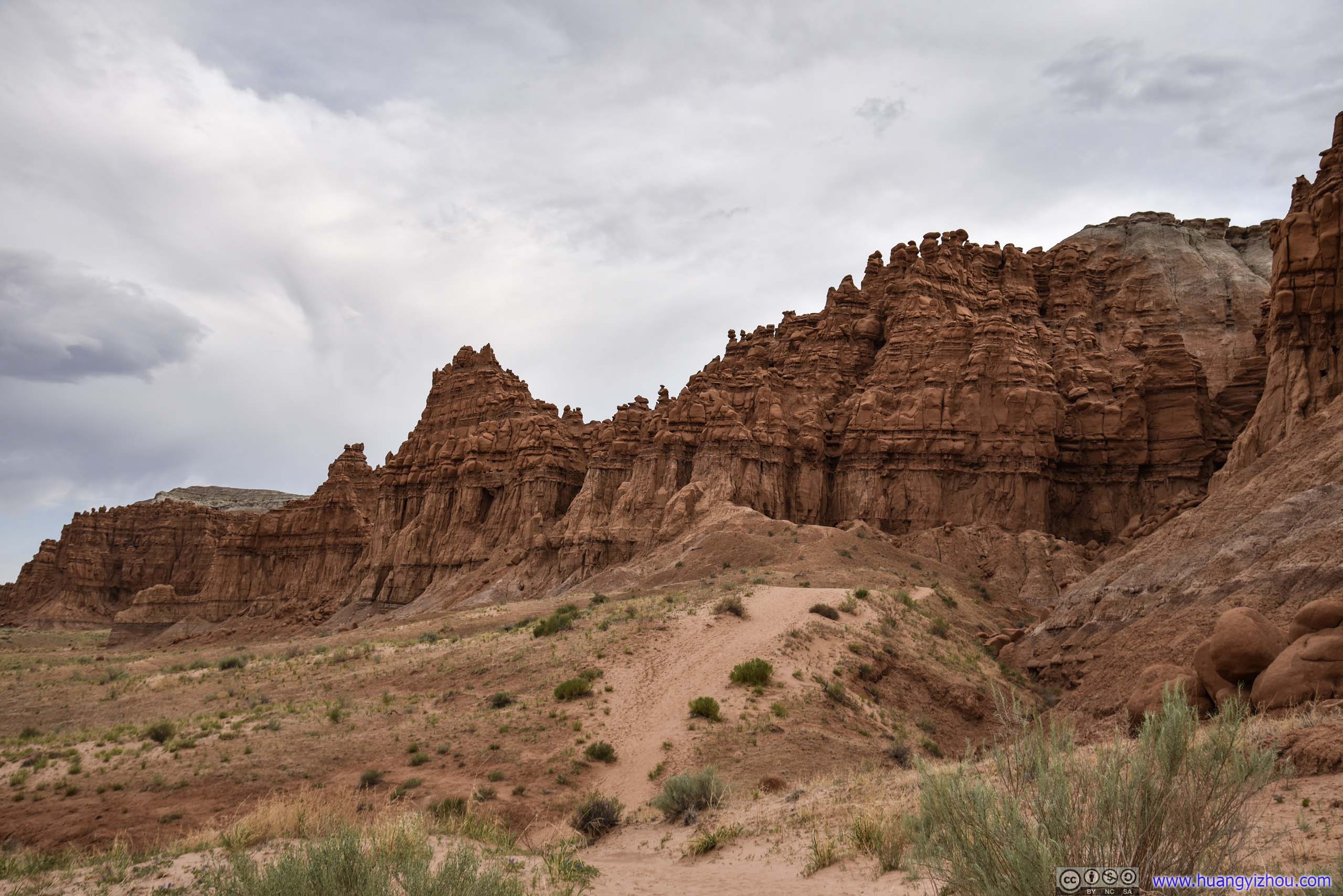
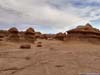
Core of the park was Goblin Valley (below), where many of these structures were concentrated in a basin. It’s said that the area used to be the edge of a shallow inland sea millions of years ago, and that alternating layers of hard sandstone and soft siltstone from tidal effects created such a high concentration of hoodoos.


 Goblin Valley
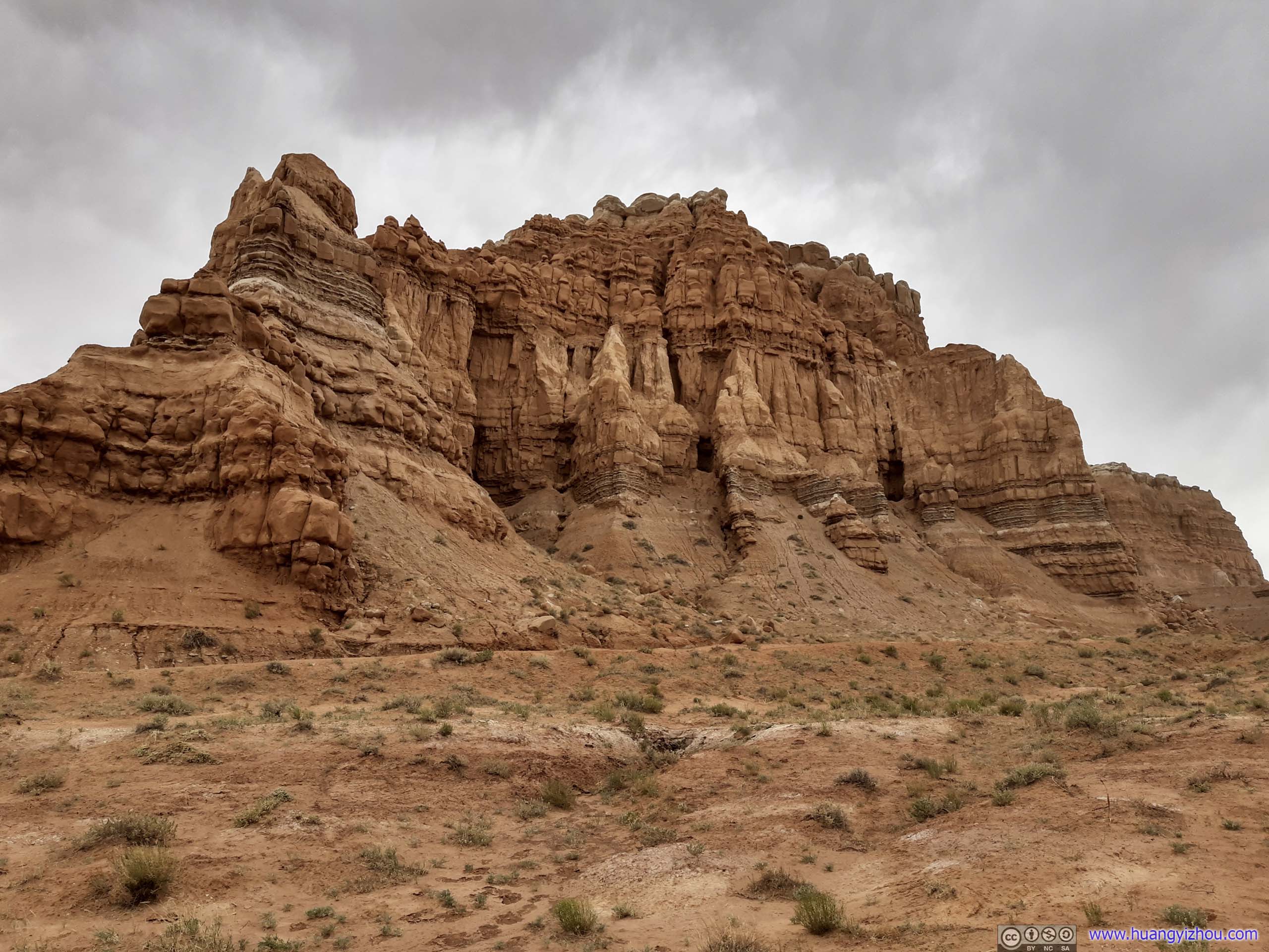
Wild Horse Butte

 Cliffs to the West
Goblin Valley
Goblin’s Lair Trail
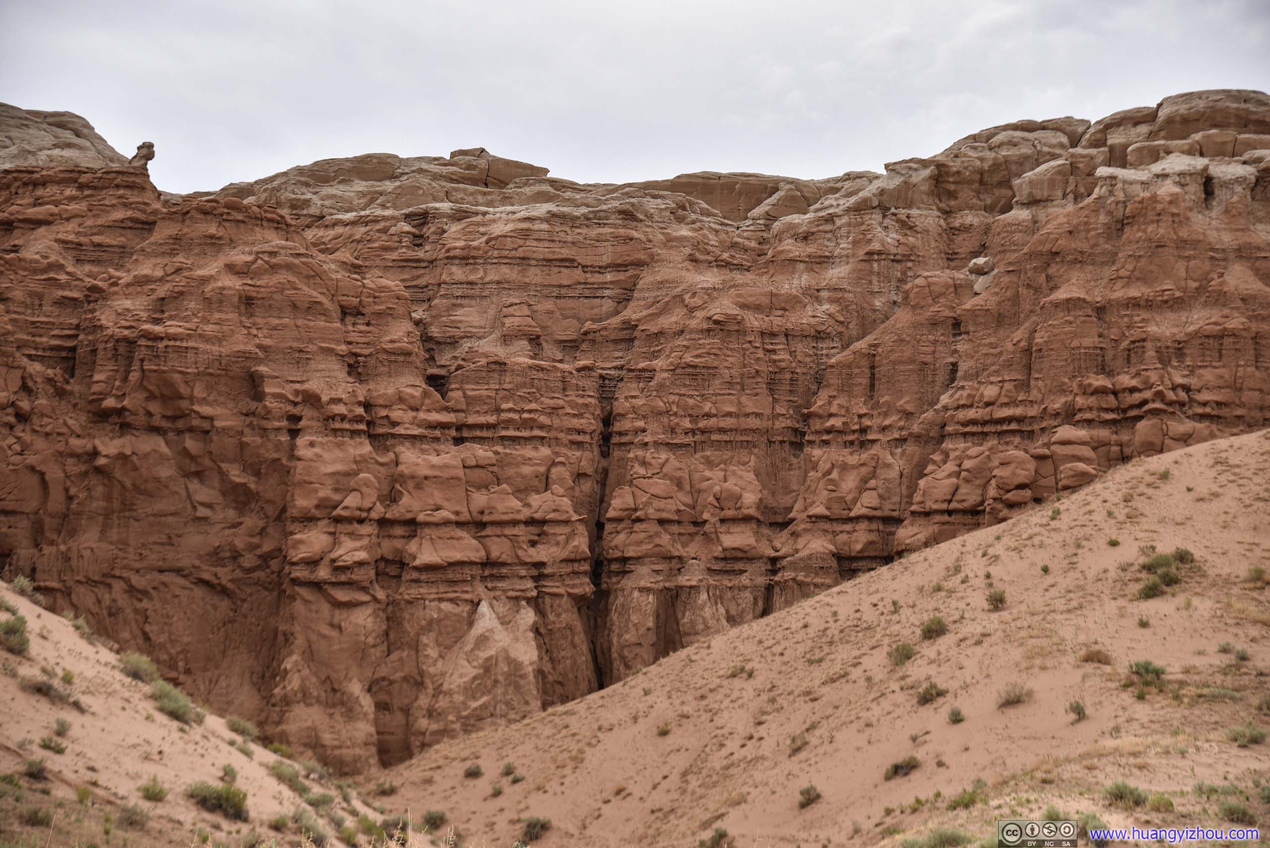
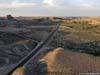
In addition to Goblin Valley, which was directly accessible from its parking lot, the park offered a 4km roundtrip hiking trail, around the perimeter walls of Goblin Valley to its opposite side, where a cave called “Goblin’s Lair” was located. That’s where I decided to explore first.
Three SistersA properly named set of rocks, still reminding me of the “Three Gossip” at Arches National Park.
 Goblin Valley
Landscape
 Rocks
Rocks
 Rocky Hill
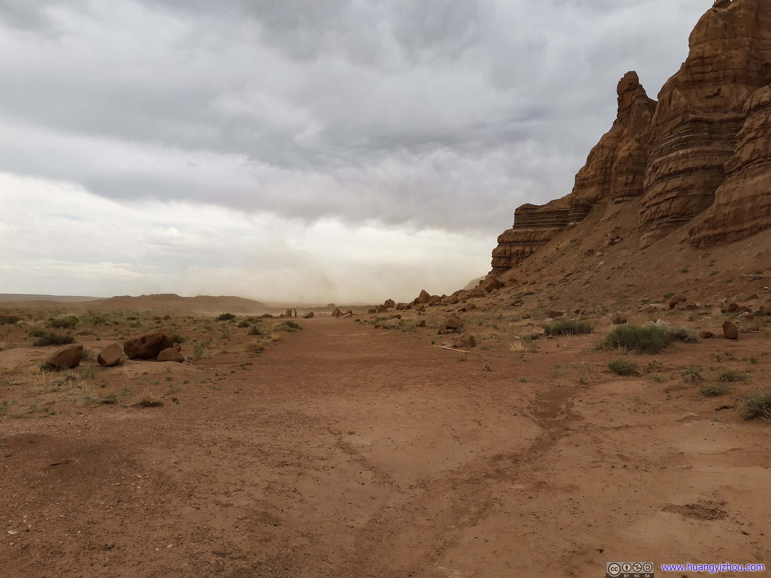
TrailSand being blown off ground in the distance.
Unfortunately, the distant storm that I didn’t take too seriously half an hour ago reached Goblin Valley, just as I was halfway in my hike to Goblin’s Lair. It’s desert here so the storm didn’t bring too much precipitation, the kind that raindrops were evaporating off my shirts at the same speed as they were falling down. But high winds from the storm were sweeping off sand from the ground, and for a miserable 15-minutes, I was battered by a constant swirl of sand, trying to find my way forward while not breathing in too many particles.
The worst part of it? When I was at the footstep of Goblin’s Lair 15 minutes later, which would serve as the perfect shelter from such sandstorm, it stopped.
Molly’s Castle


 Rocky Cliff
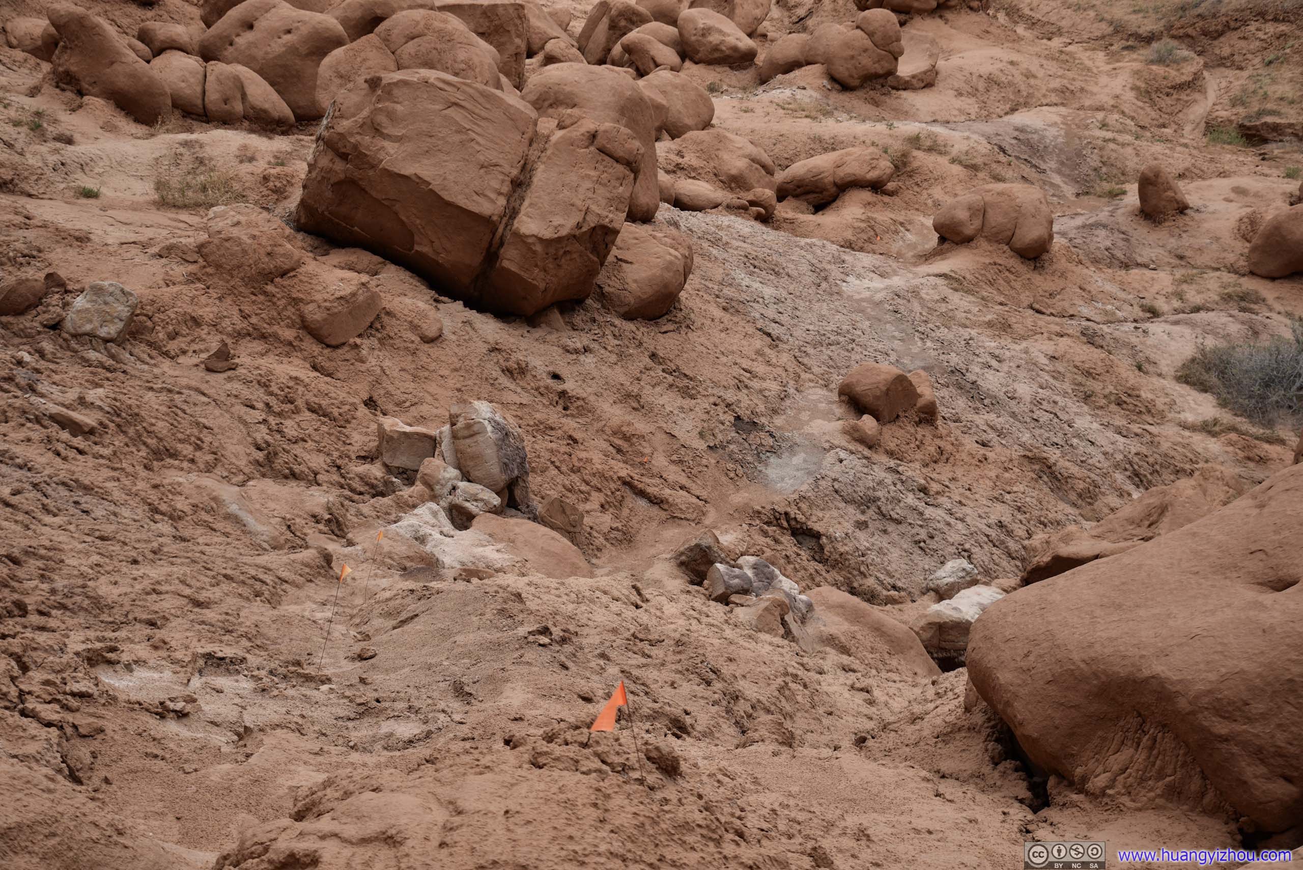
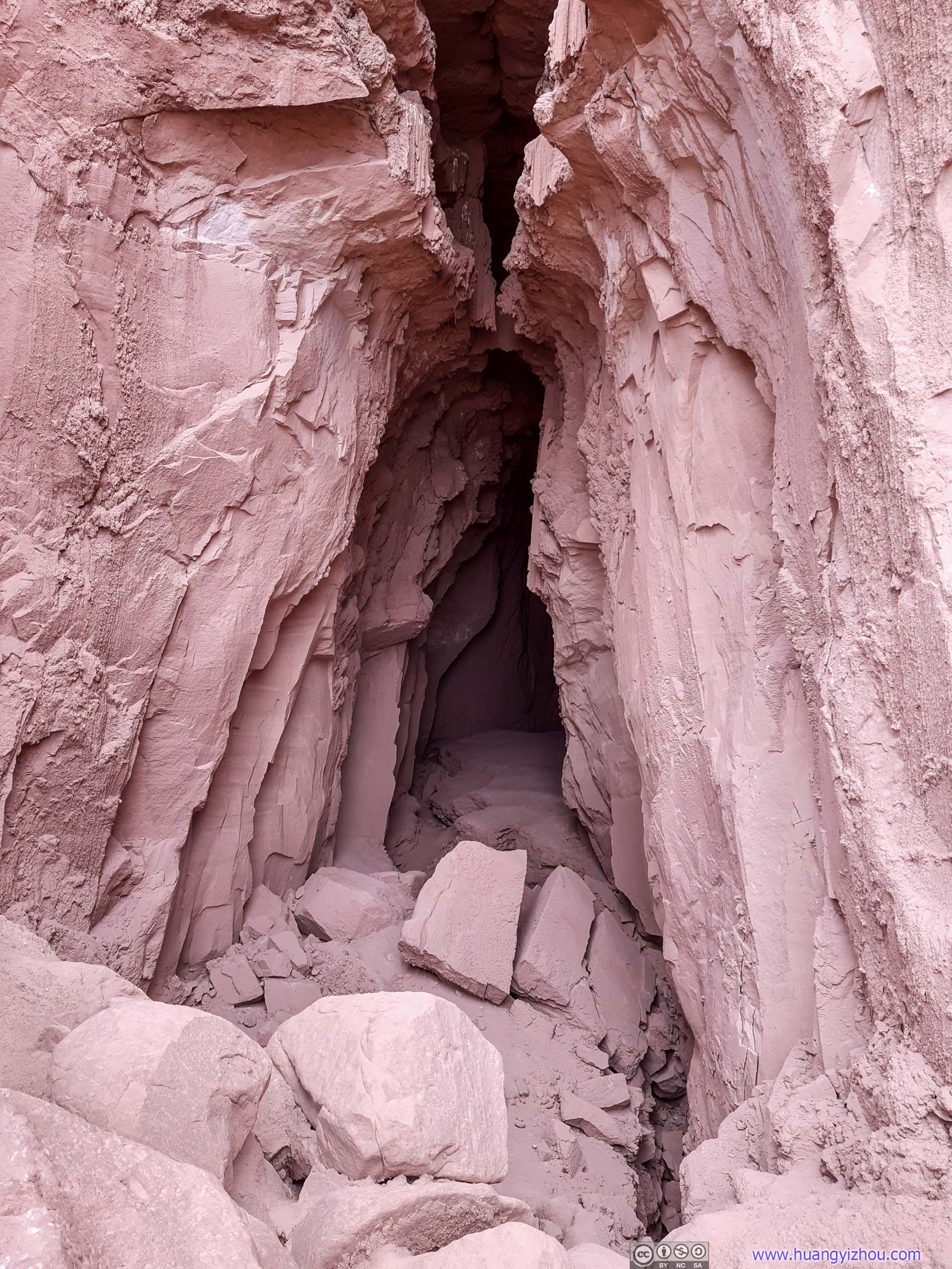
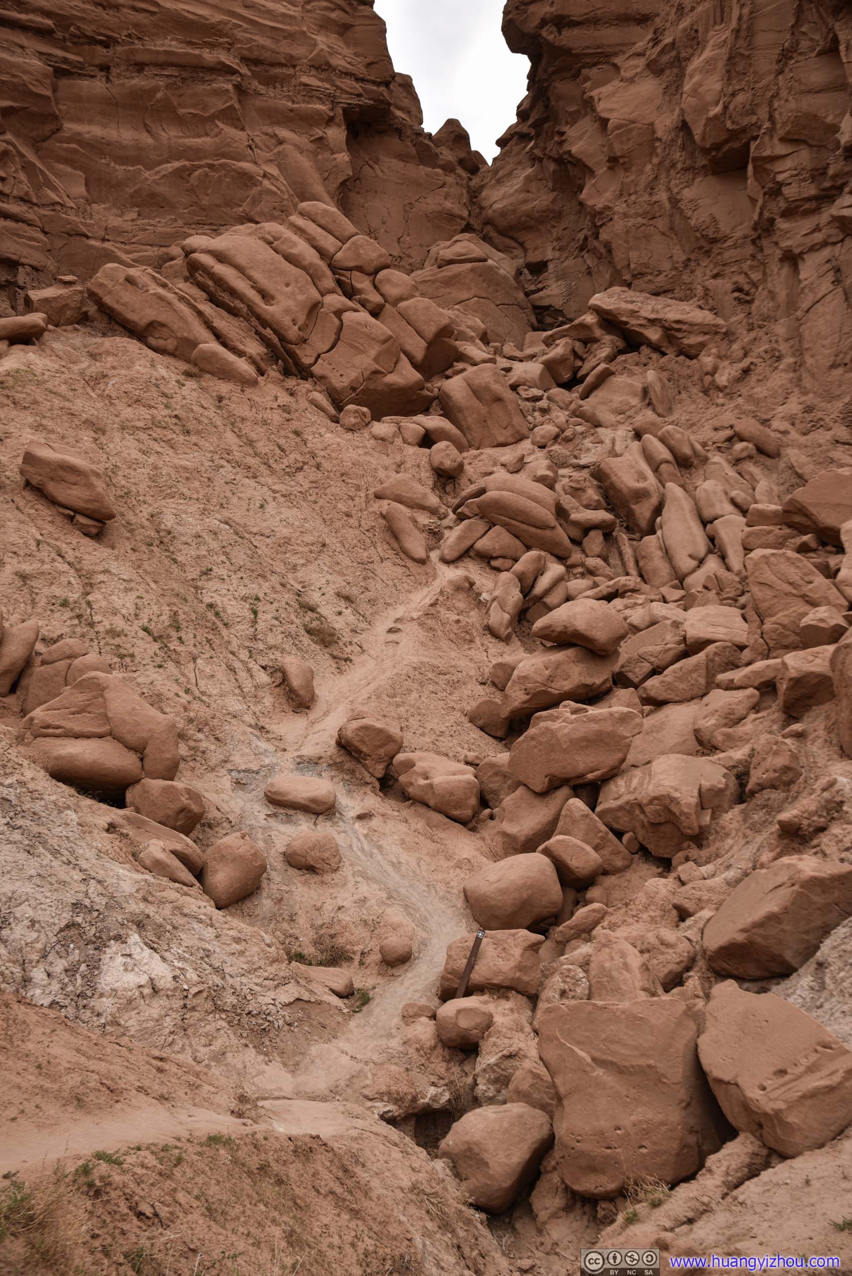
Since I didn’t want the sandstorm to scrape my cell phone screen, I kept it in my pocket and was navigating without it. As a result, I accidentally went past Goblin’s Lair, to the footstep of another nameless cave. The short 250m trail from Goblin’s Lair to this cave was marked with flags on the ground, which to a degree convinced me that I was on the right way.
TrailIf not for the few flags on the ground, it’s very hard to find a trail among these rocks.
Just like Goblin’s Lair, the final stretch up this cave was a steep, loose and narrow trail.

 Trail to Cave
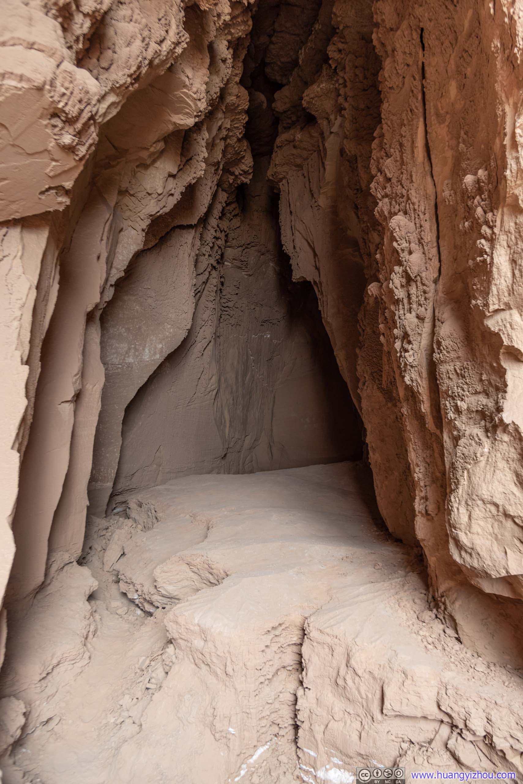
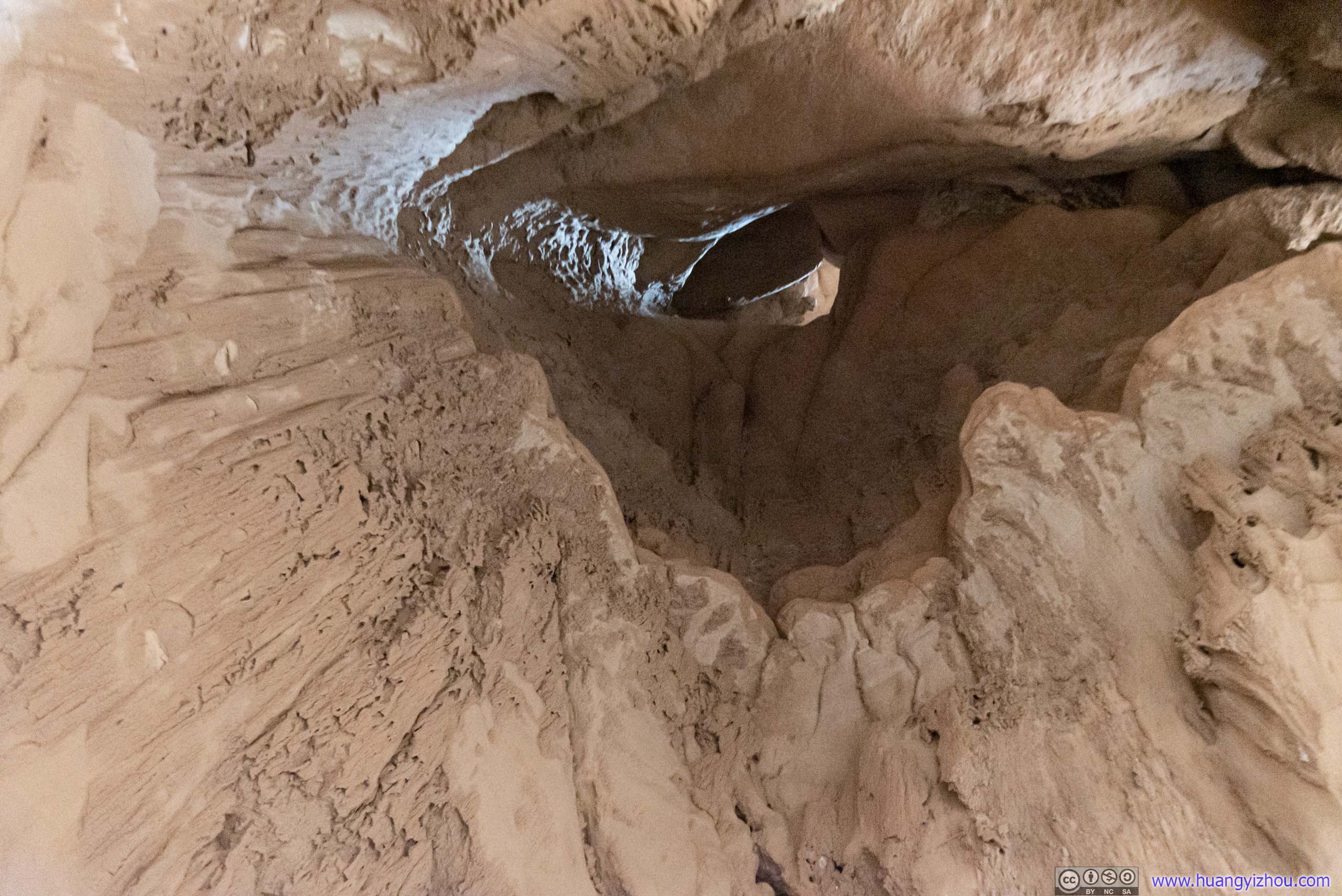
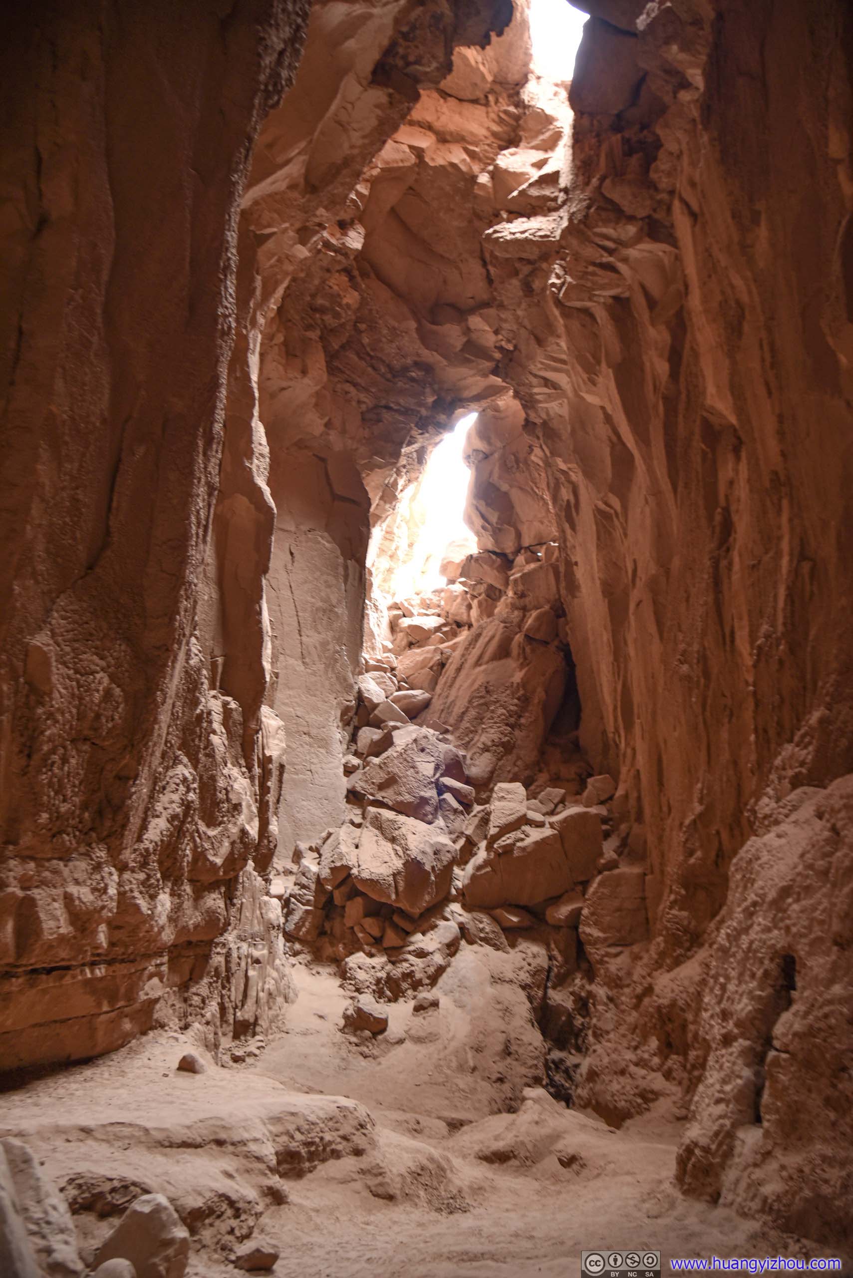
 Cave
Cave
It’s not a very large cave, about 10 meters long. I didn’t stay there for long before coming back out.
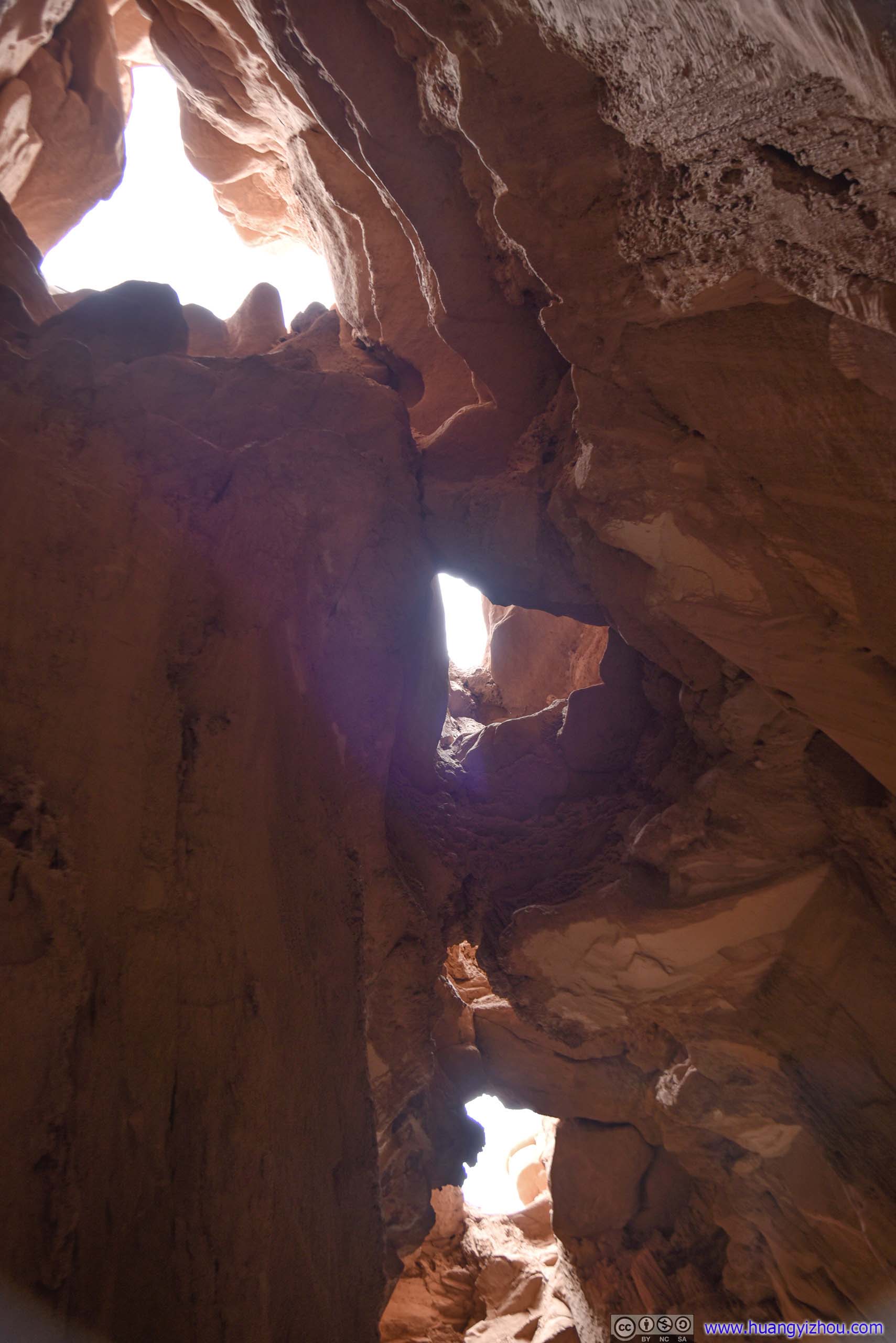
Openings in CeilingSo that the faintest light was falling through.
 Cave Walls
Then I made the short trip back to the actual Goblin Lair.

 Rocky Cliff

Snake
Trail up Goblin’s LairStill steep and loose, slips likely.
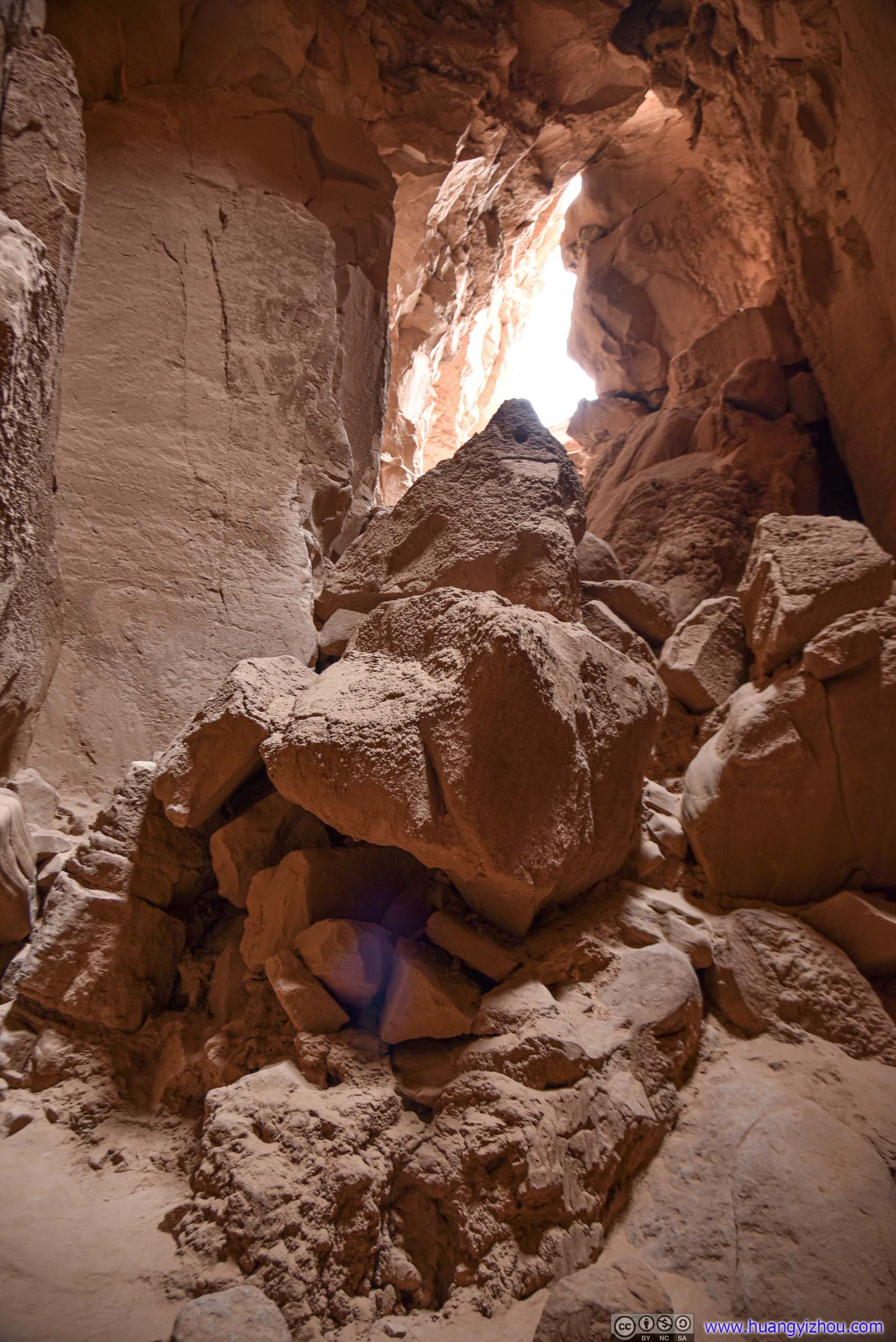
Just like the previous cave, the final stretch into its opening was steep and slippery. In addition, to get into Goblin’s Lair there was a final scramble down for about 10 meters, during which selecting the right path was crucial.
Unfortunately, I took the more difficult path down (below), ending up with some adrenaline-racing moments.
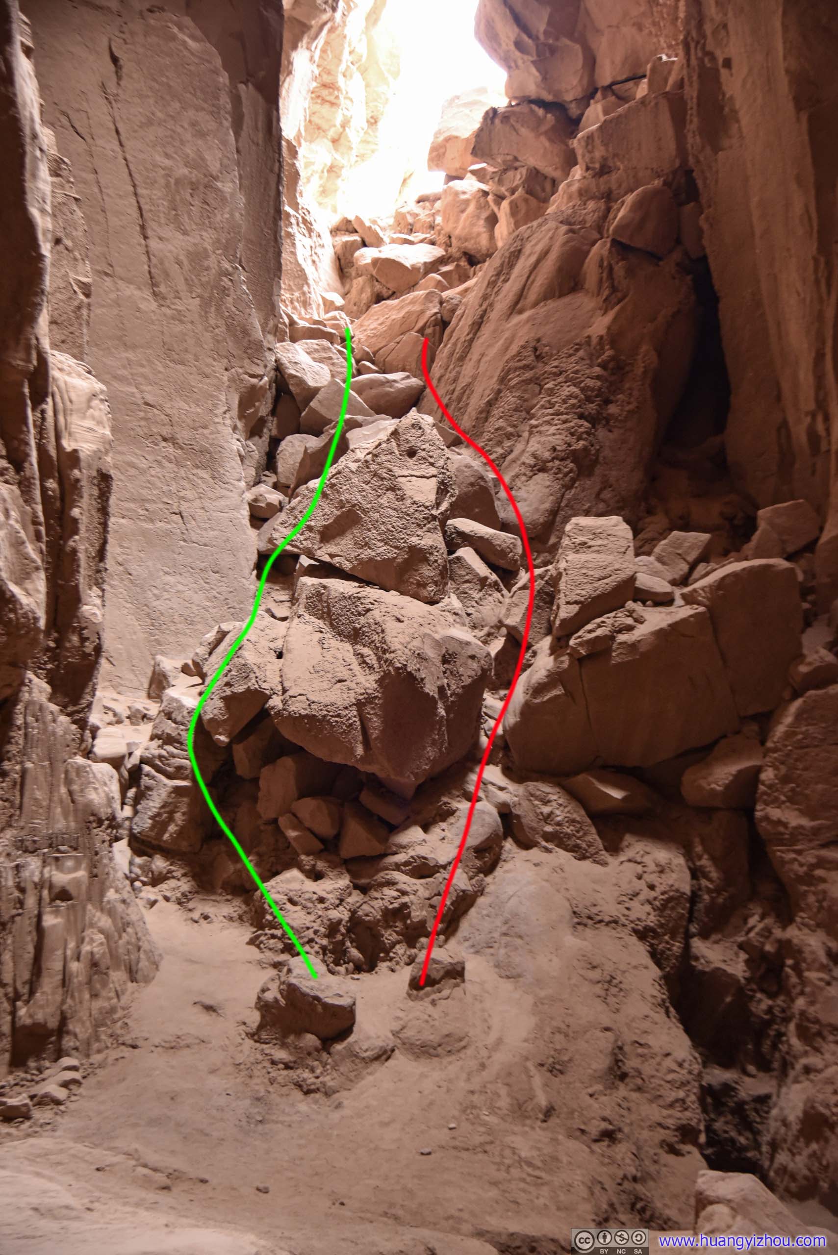
Scramble down to Goblin’s Lair
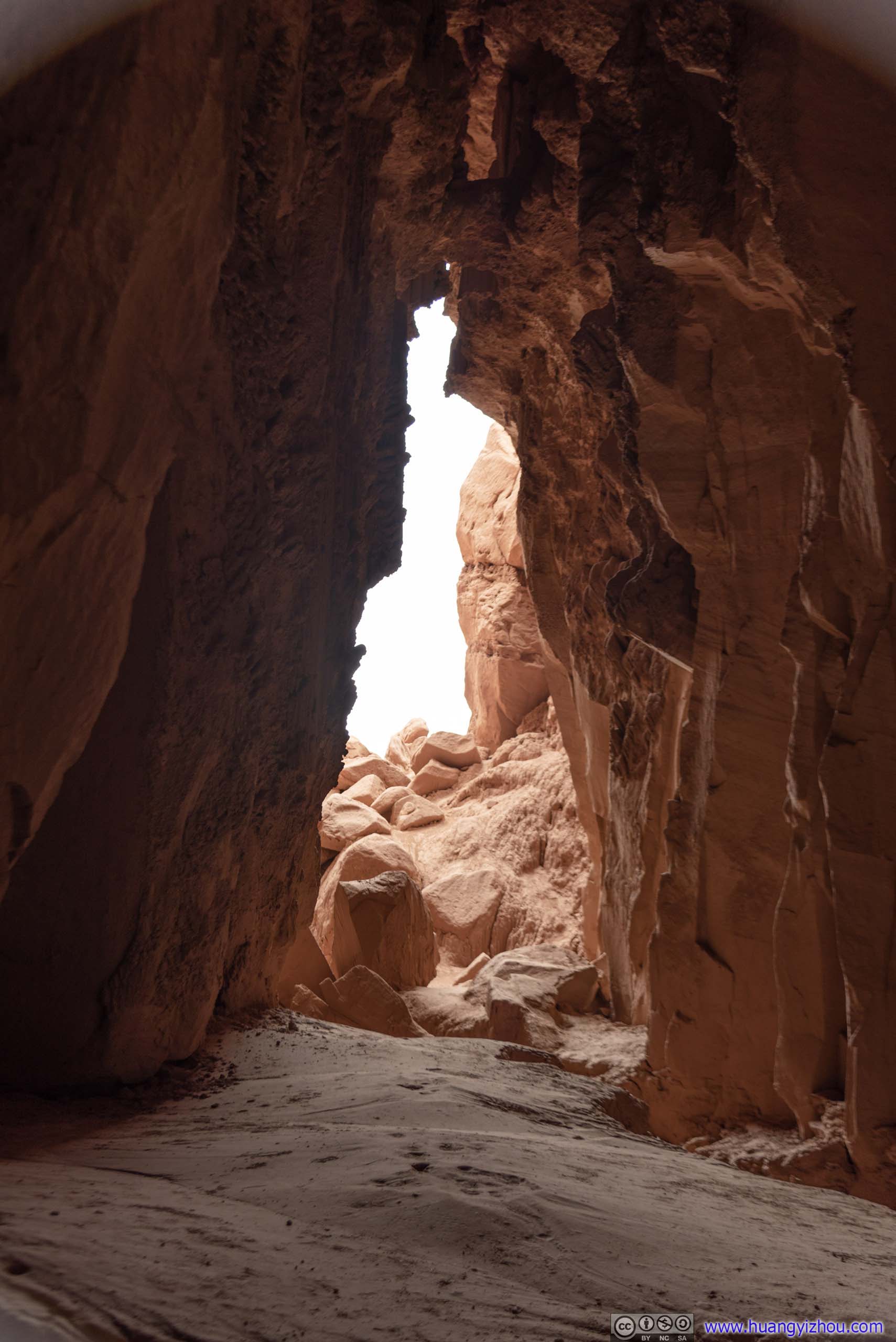
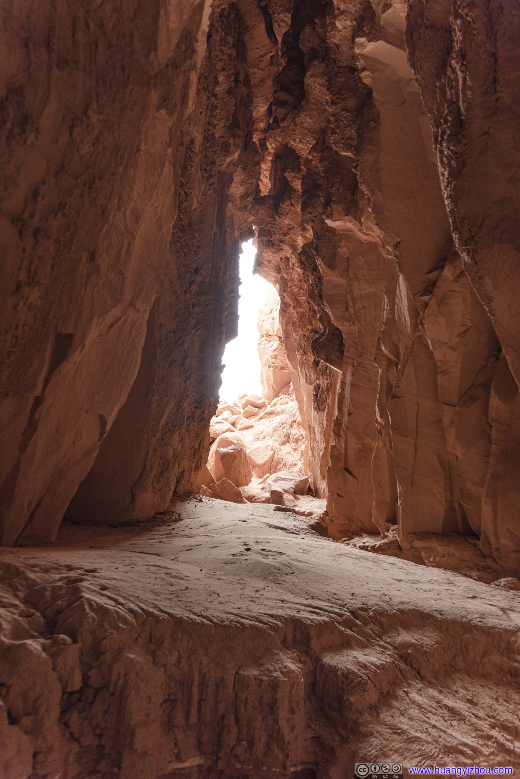
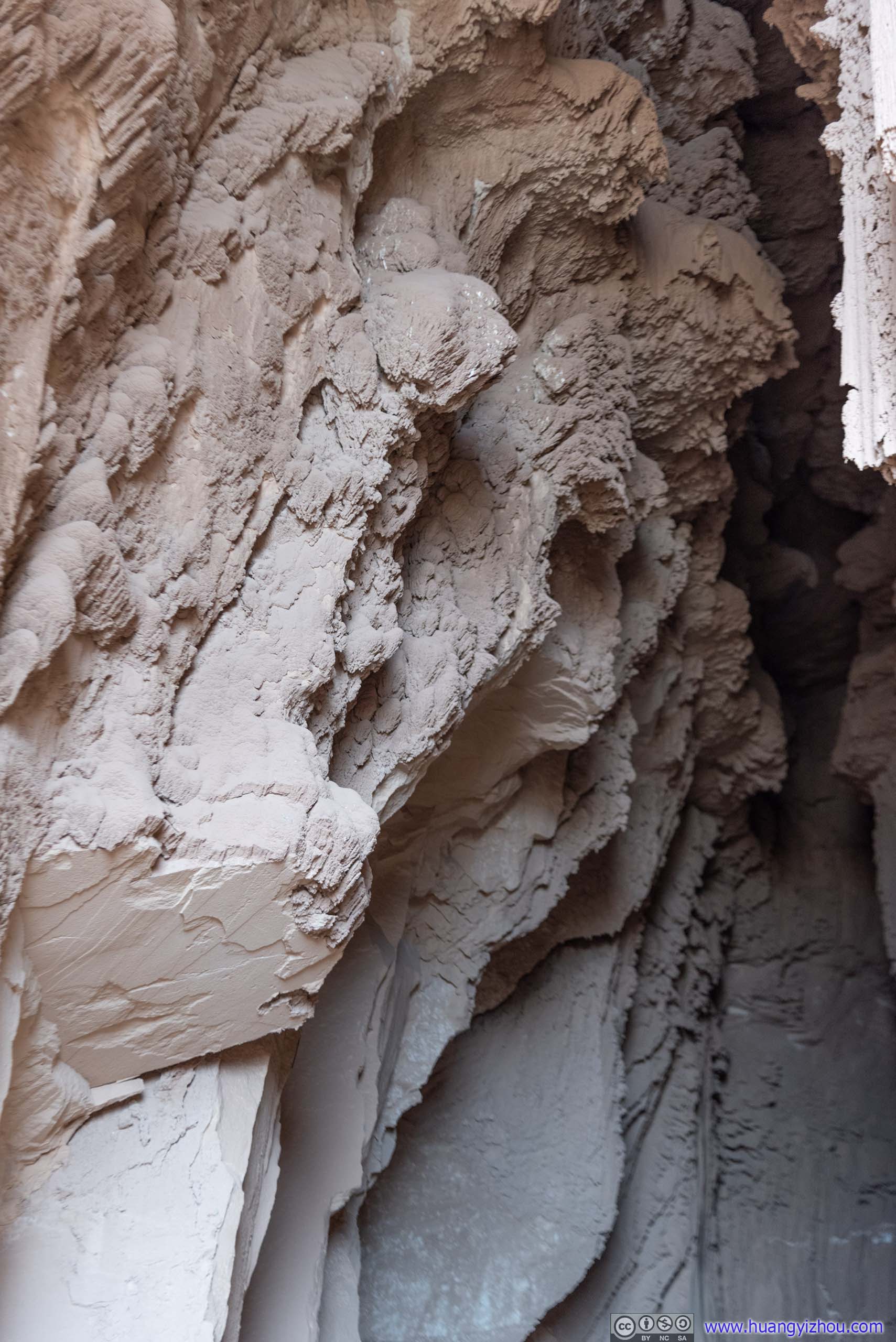
Openings in CeilingsMore openings than the previous cave, so that it’s brighter inside at Goblin’s Lair.
Once inside, I did a quick tour of this cave, which was about 20 meters long. Apart from a few erosions on the walls, there’s nothing too special about the cave, compared with the exciting scramble down to it.

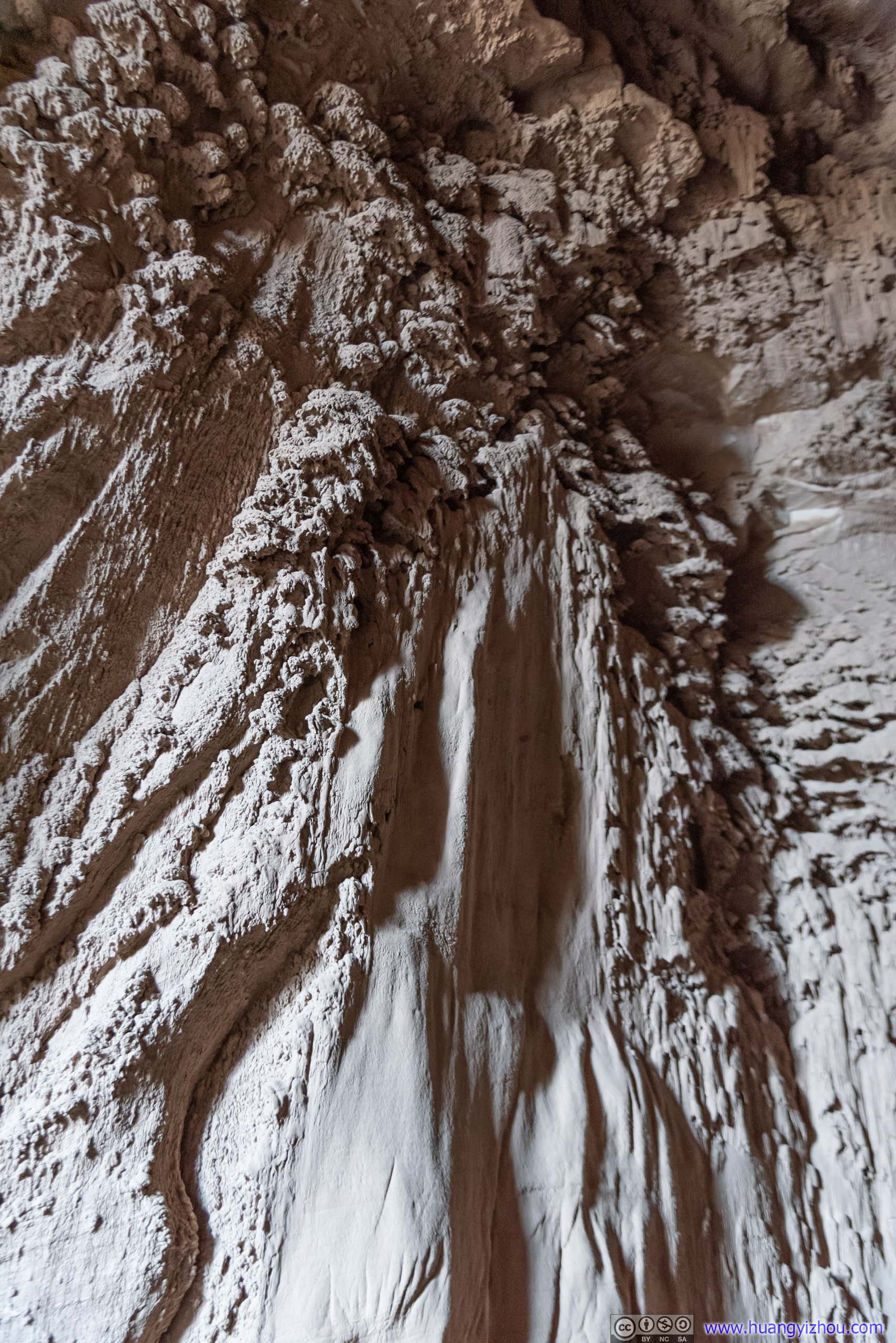
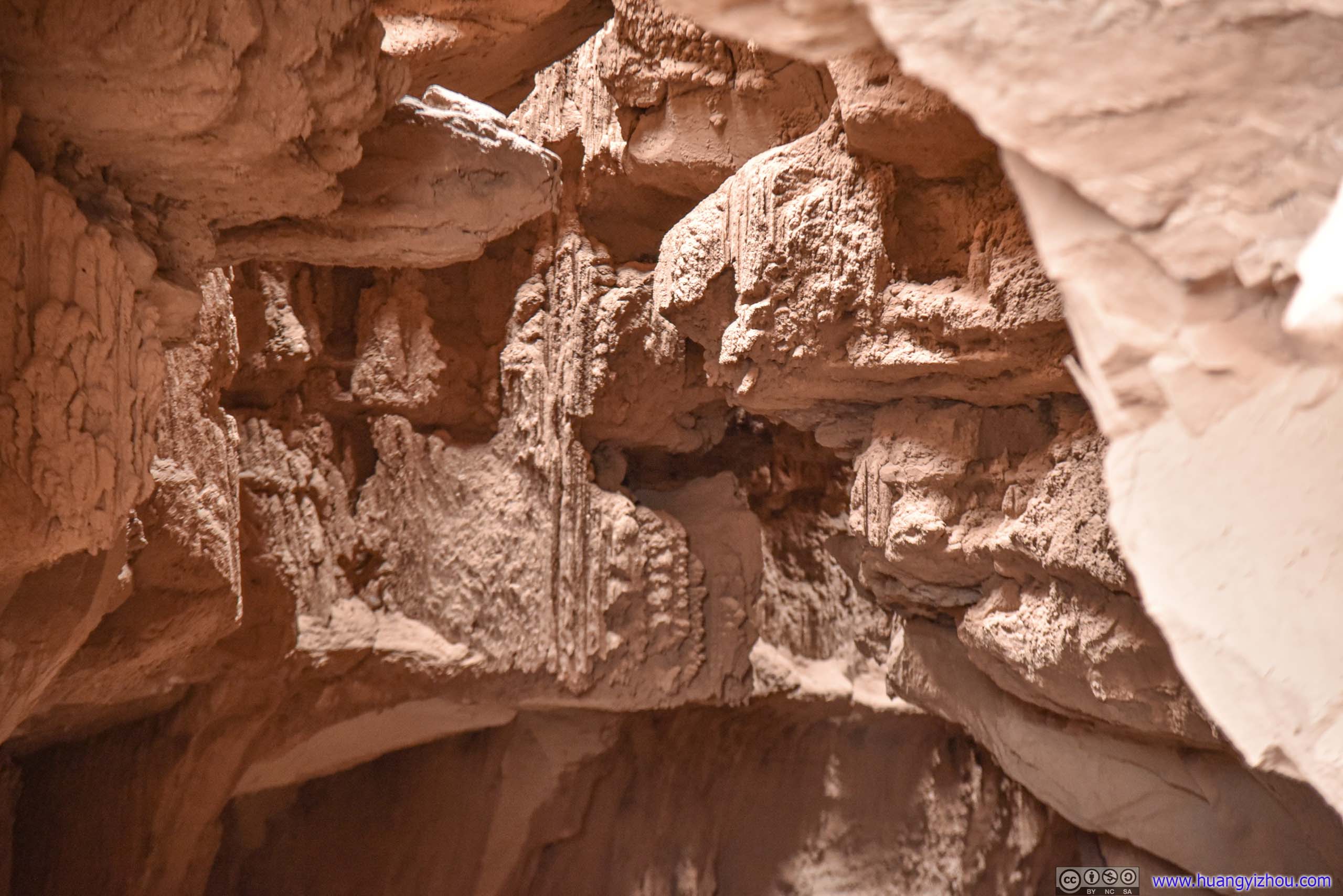 Erosion on Walls
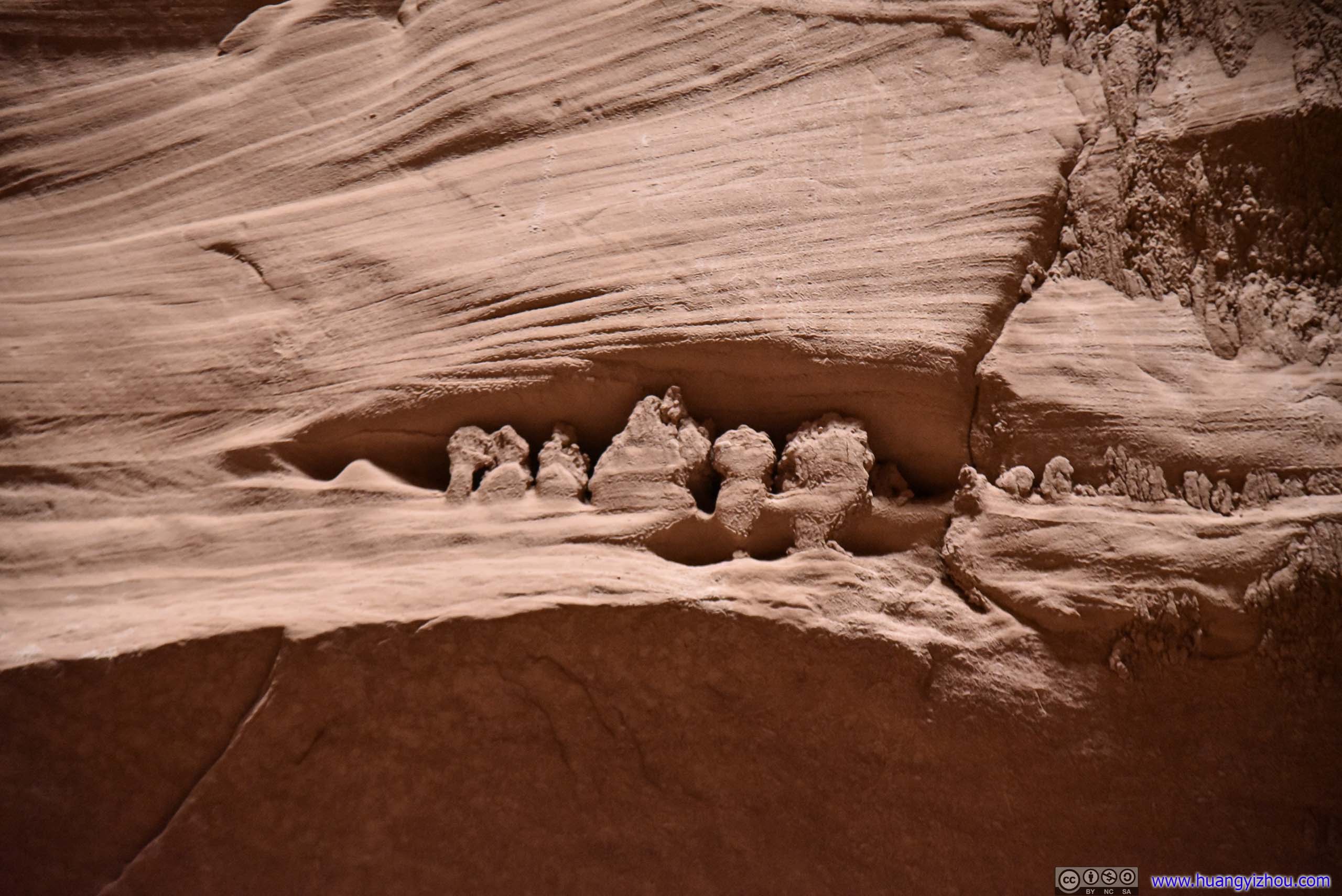
Erosions in WallsLooked like mini goblins to me.
 Goblin’s LairThe cave in its entirety.

Goblin’s Lair
After that, I left Goblin’s Lair and headed back to the parking lot.
 Rocky Cliff
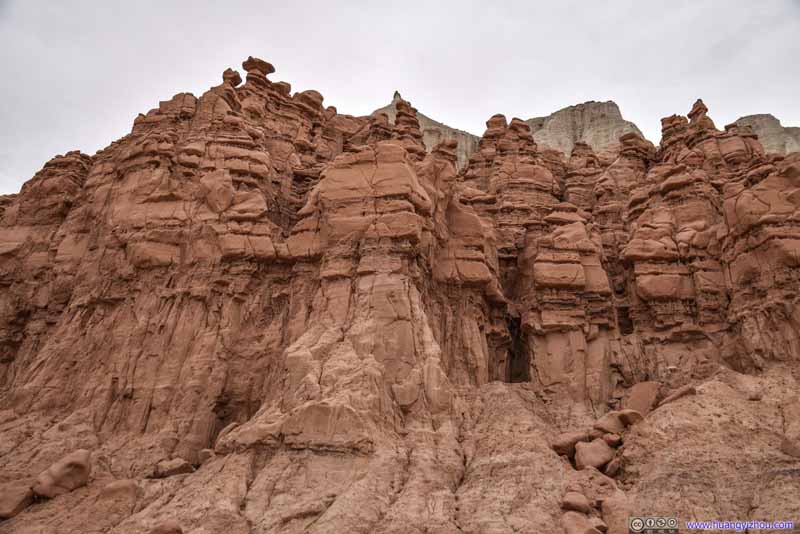 Rocky Cliff
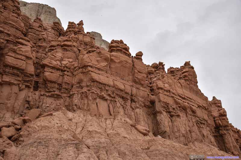 Rocky Cliff
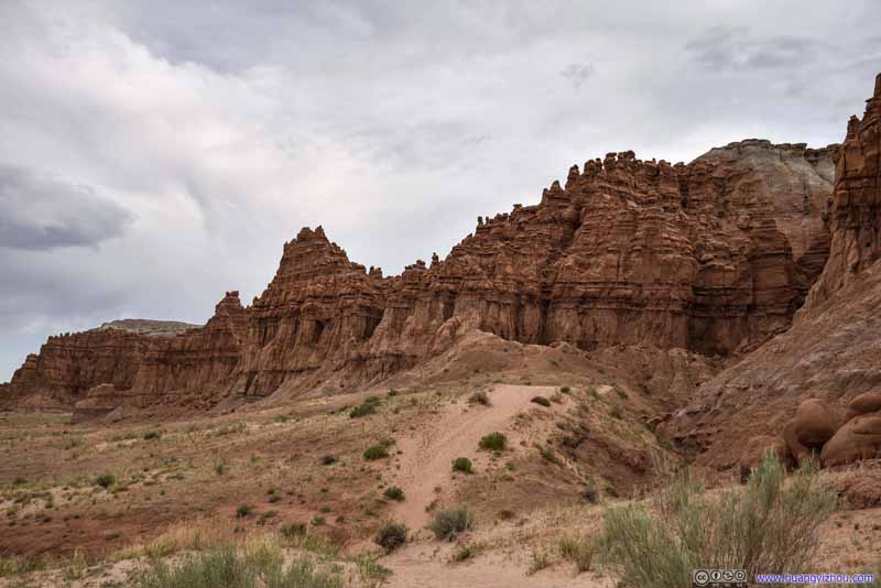 Trail to Goblin’s LairA dirt trail going around the rocky hill, that’s wide in most parts.
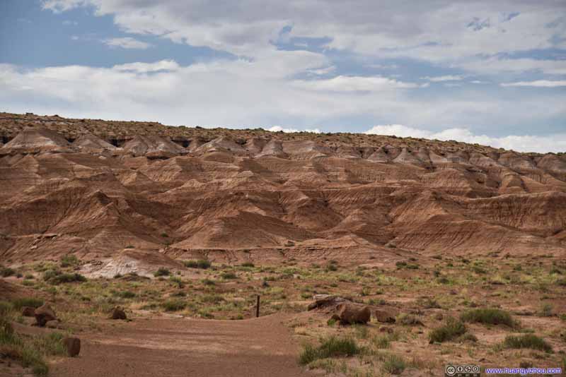 Trail to Goblin’s LairA dirt trail going around the rocky hill, that’s wide in most parts.
 Rocky Cliff
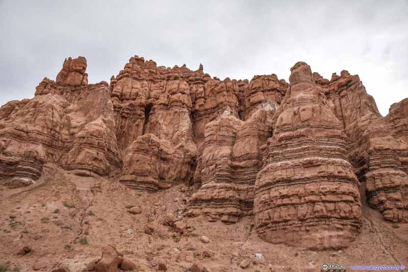 Rocky Cliff
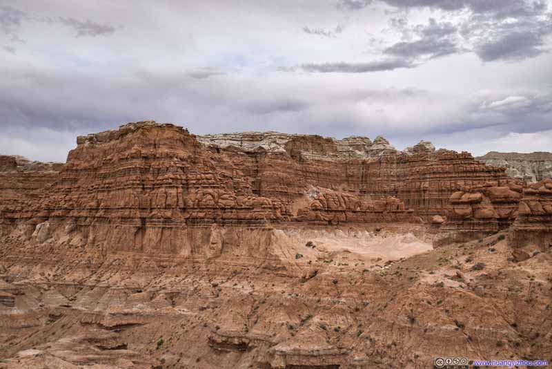 Rocky Cliff
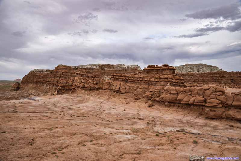 Rocky Cliff


Click here to display photos of the slideshow
Rocky Cliff

Rocky Cliff

Rocky Cliff
Trail to Goblin’s LairA dirt trail going around the rocky hill, that’s wide in most parts.

Trail to Goblin’s LairA dirt trail going around the rocky hill, that’s wide in most parts.

Rocky Cliff
Rocky Cliff

Rocky Cliff
Rocky Cliff
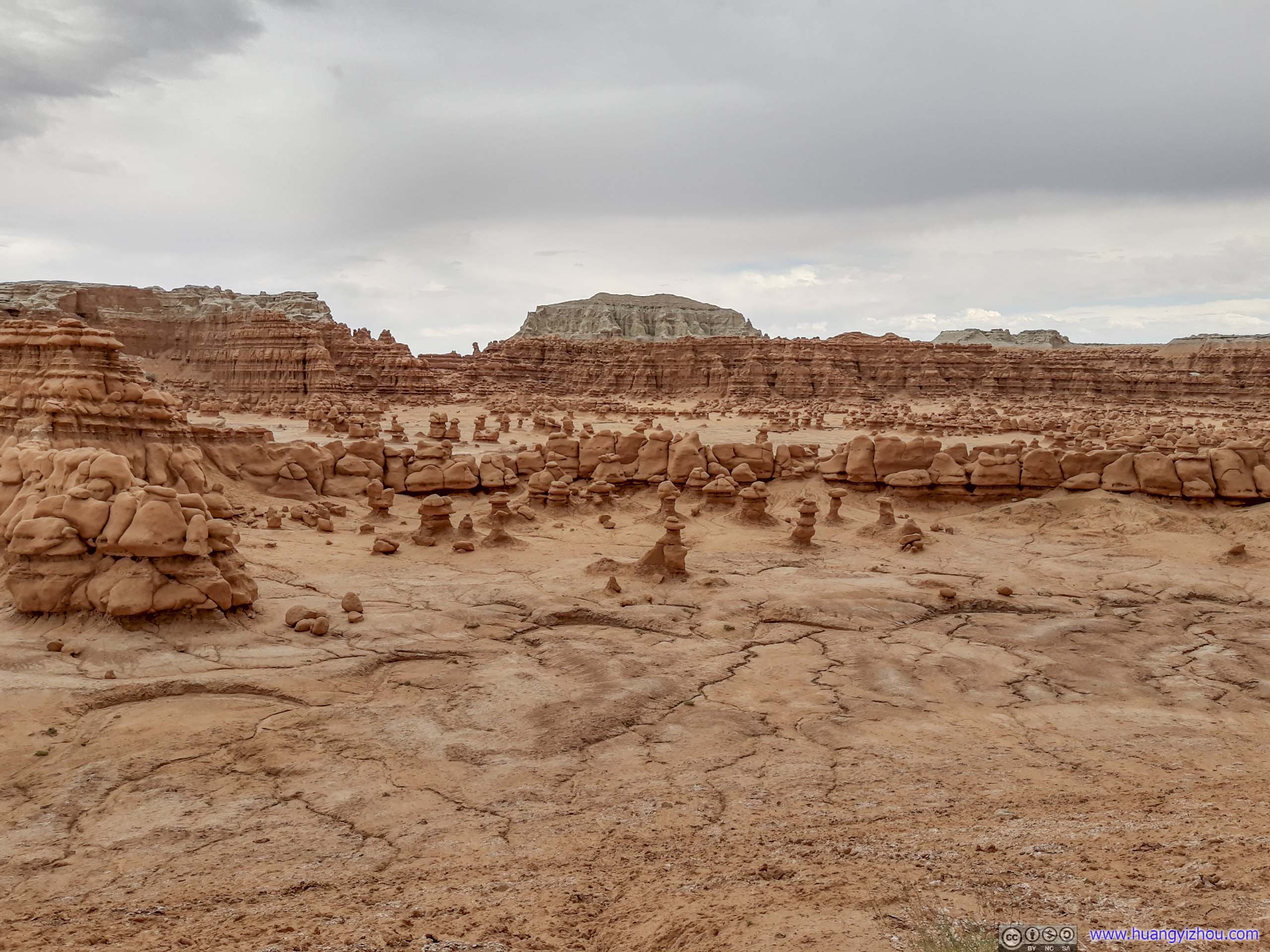
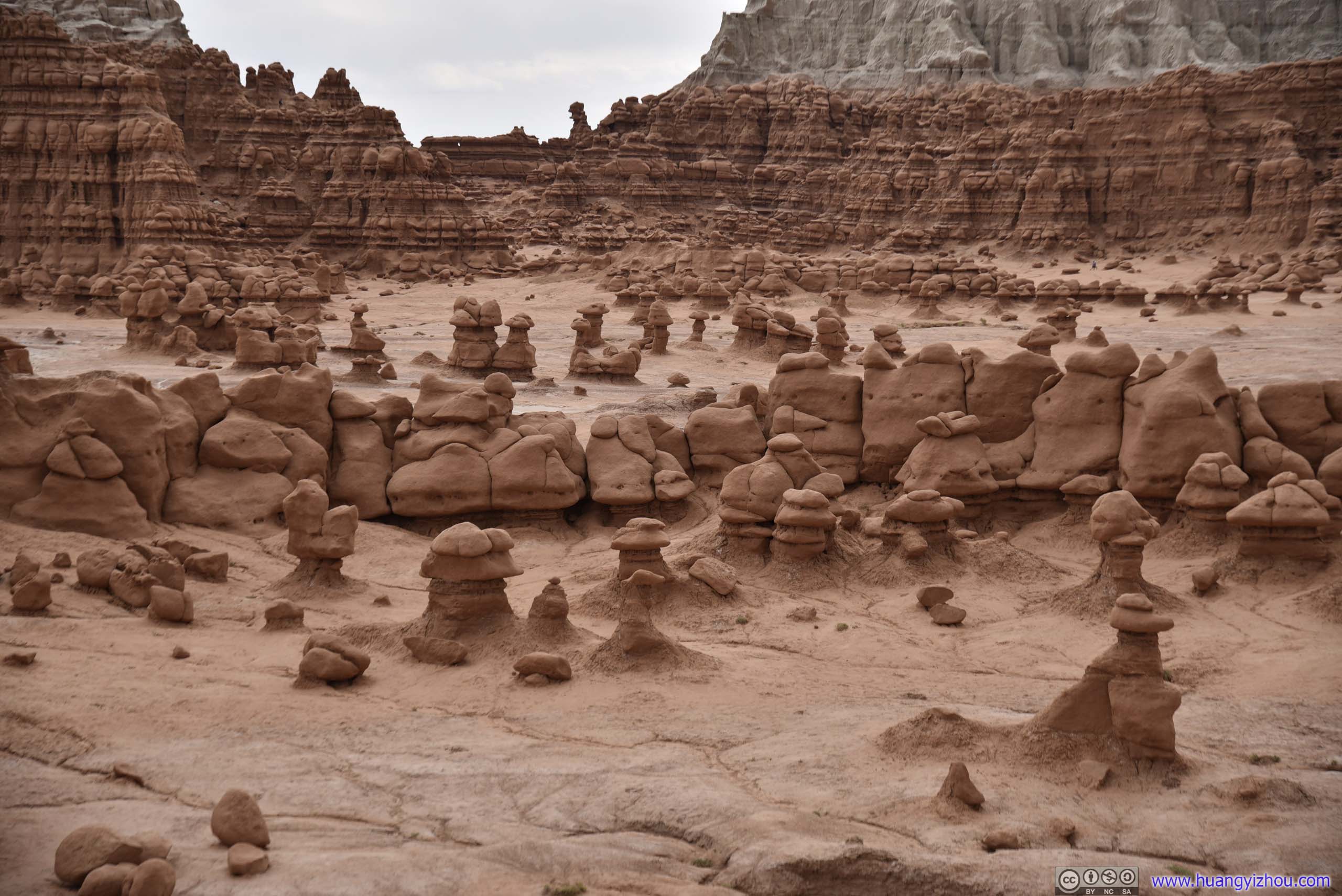
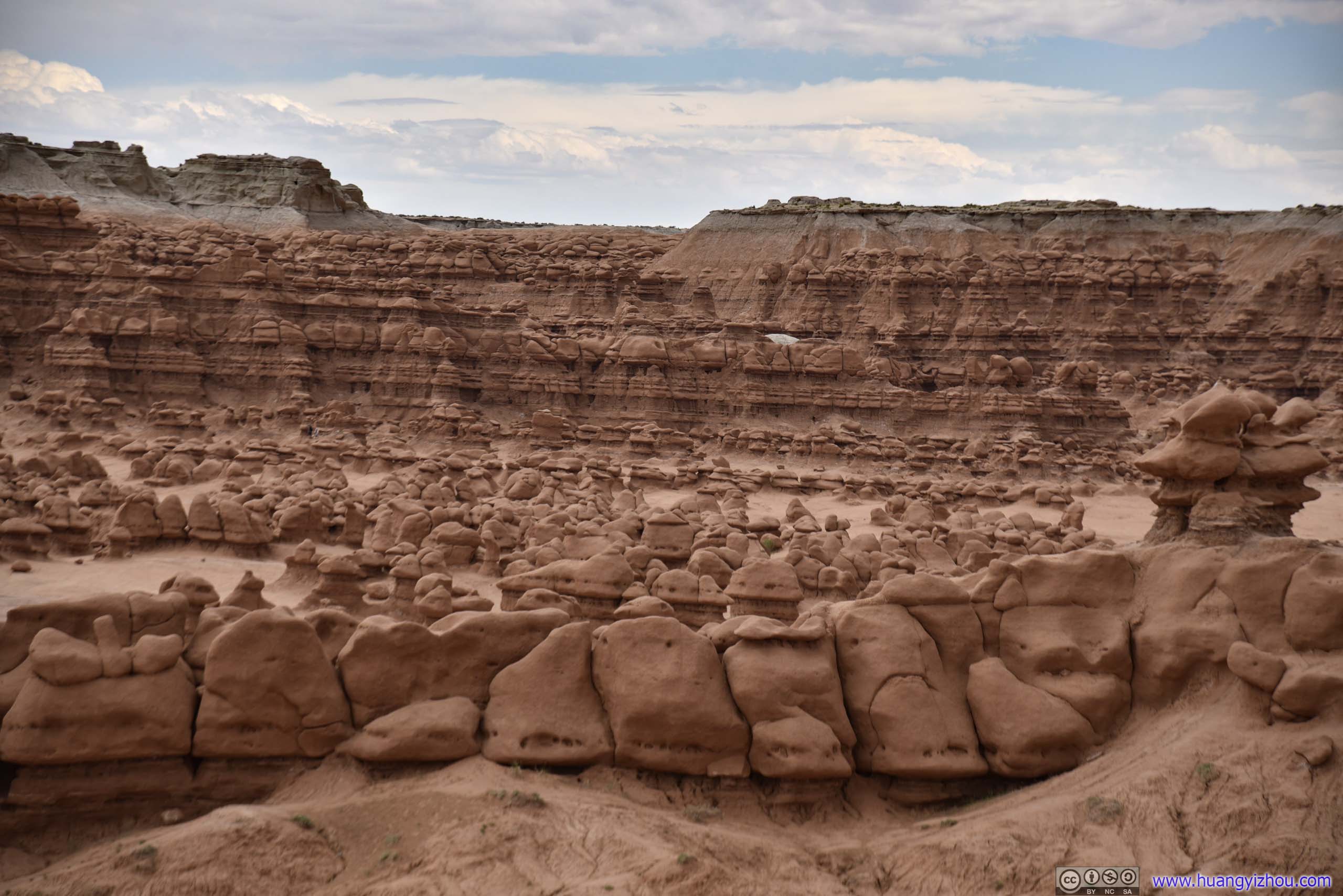
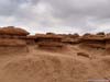
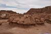
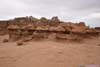
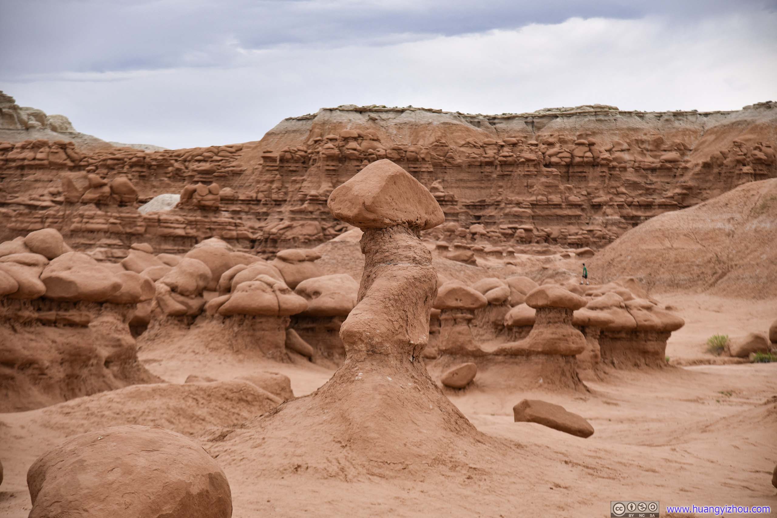
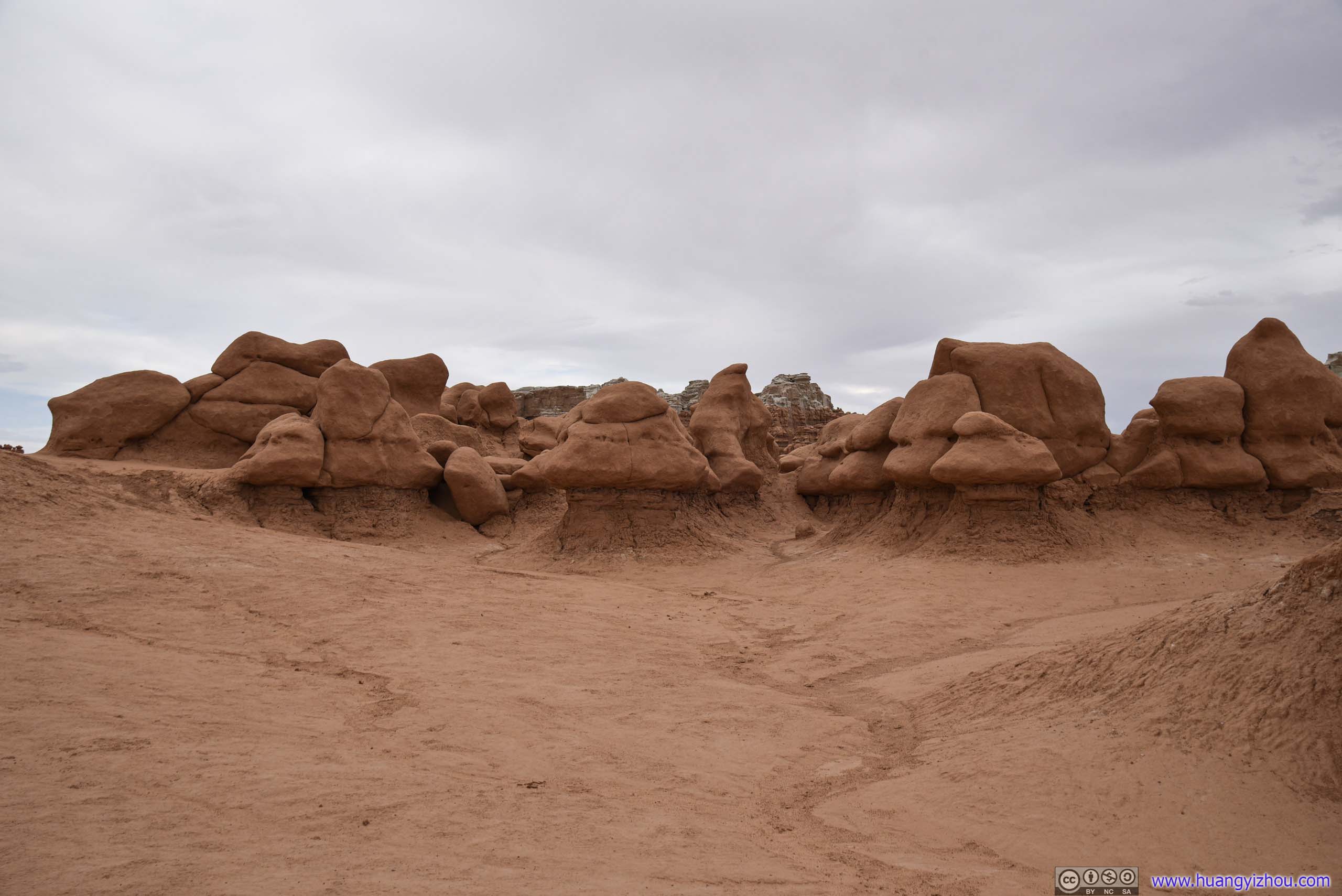
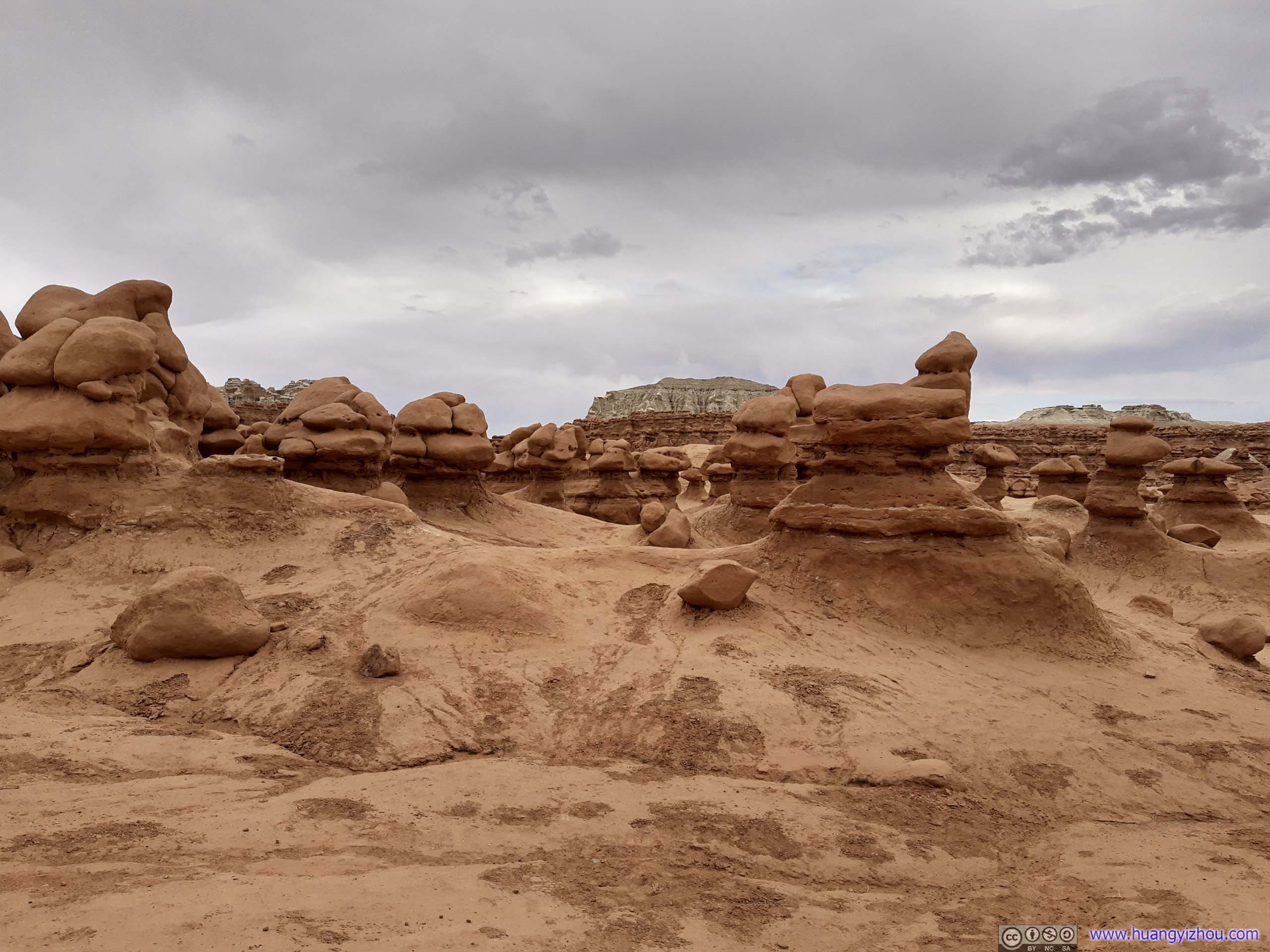
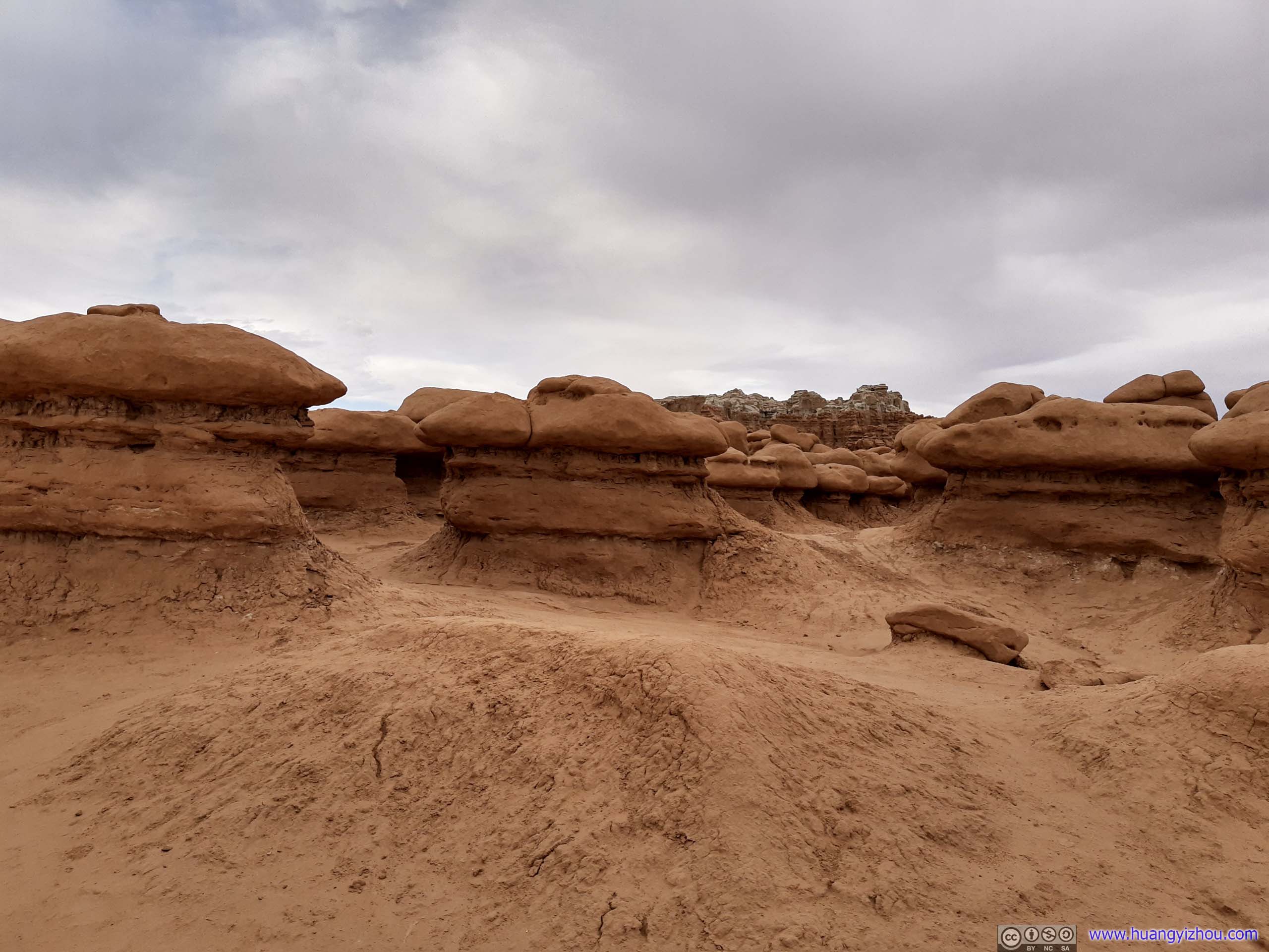
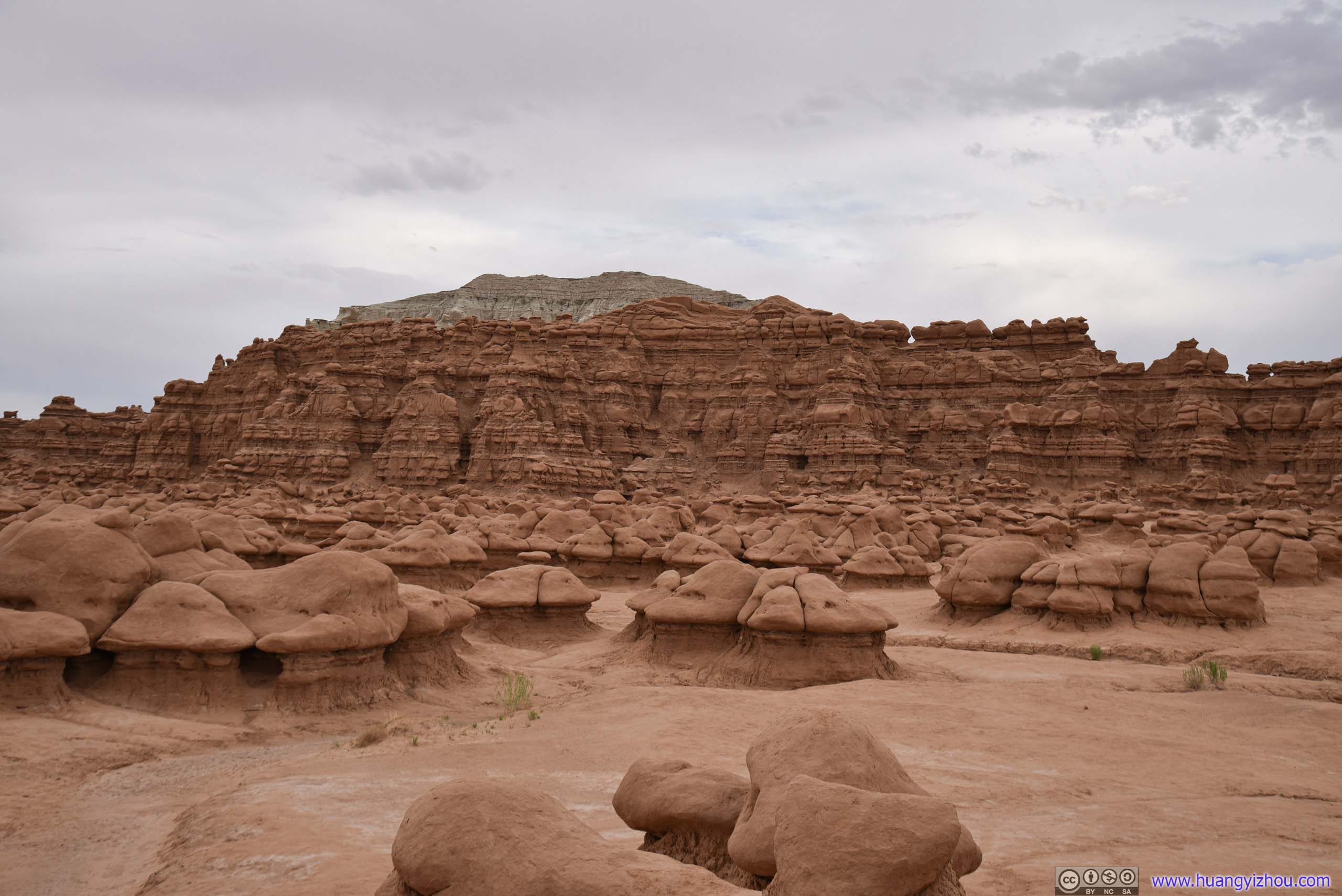
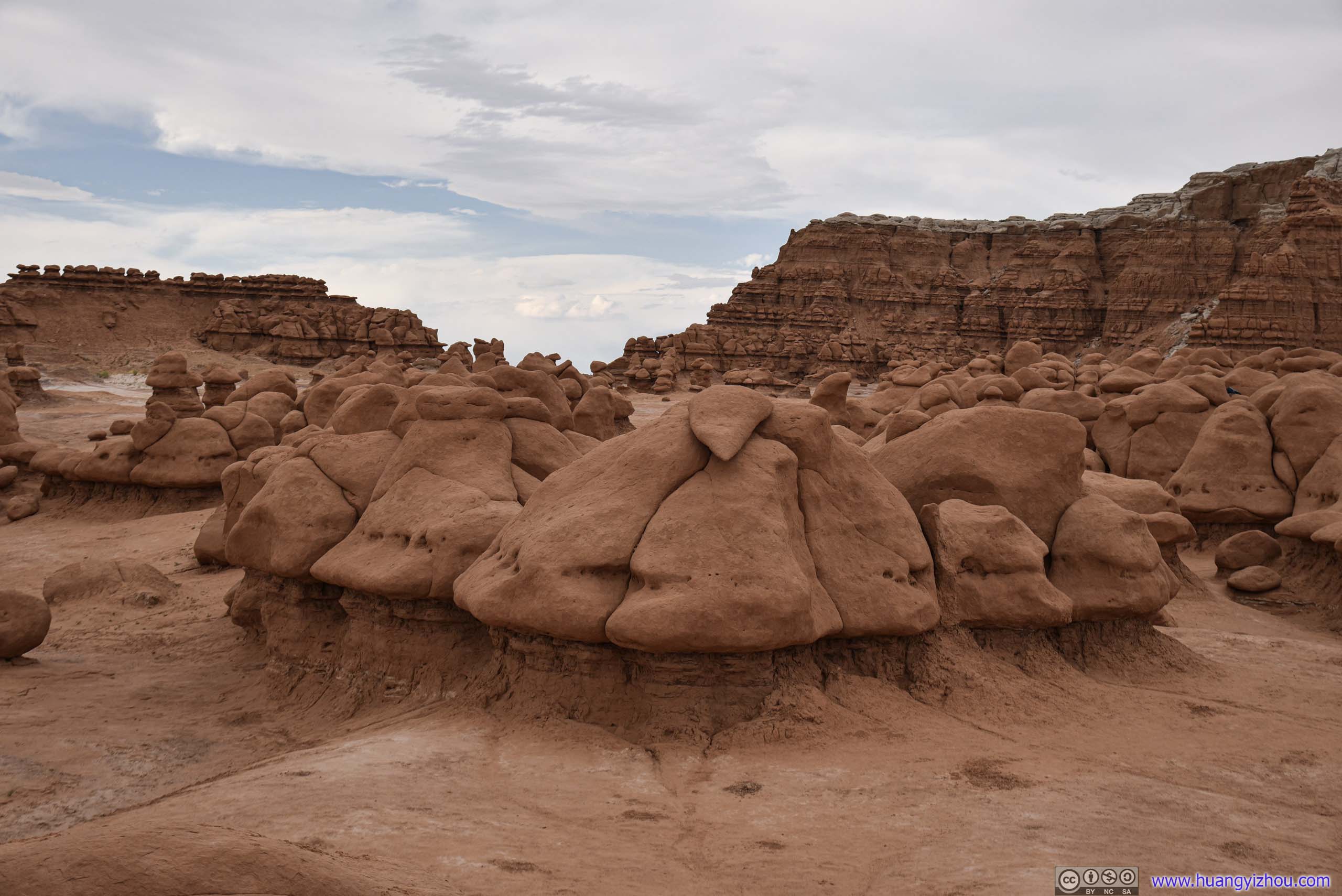
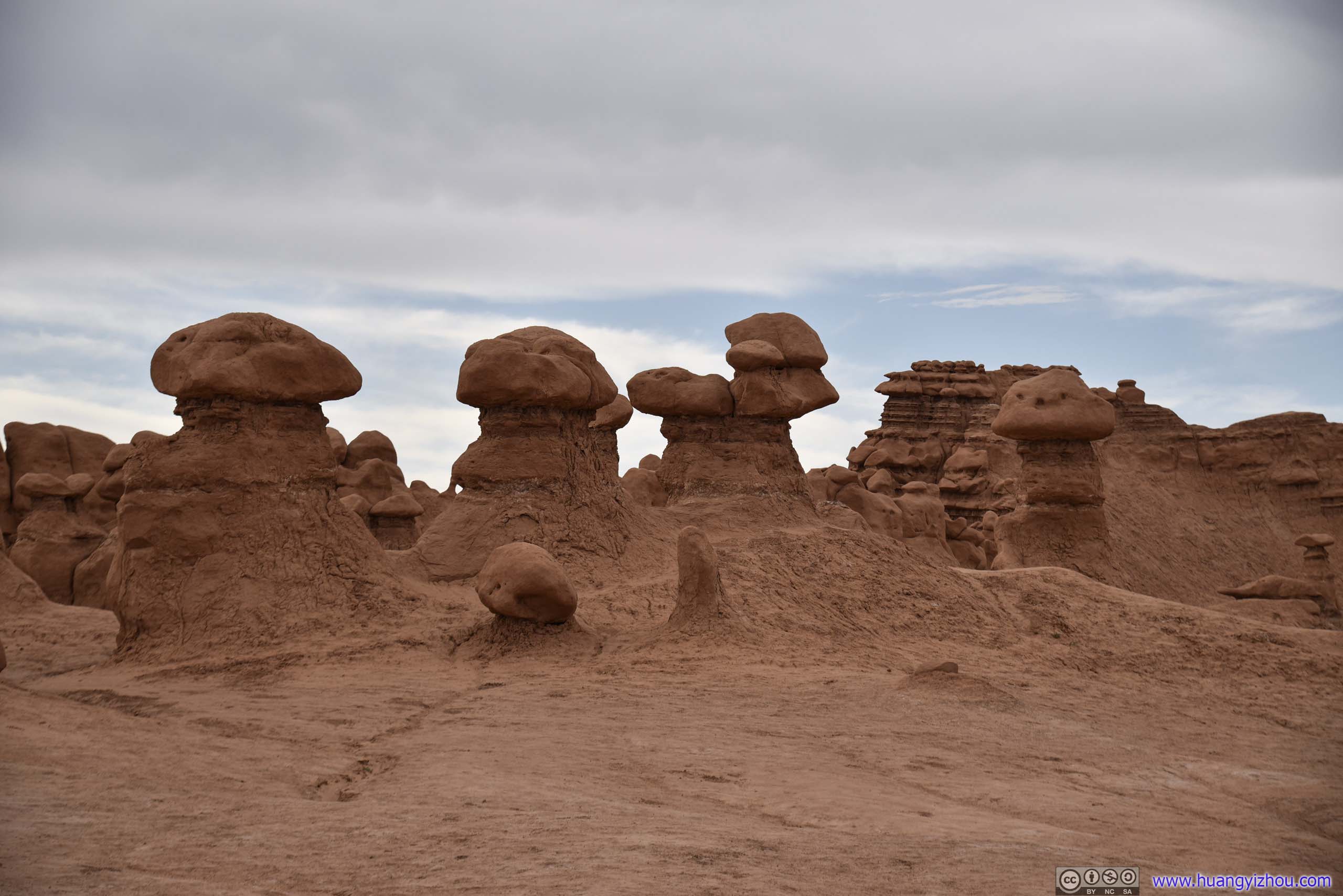
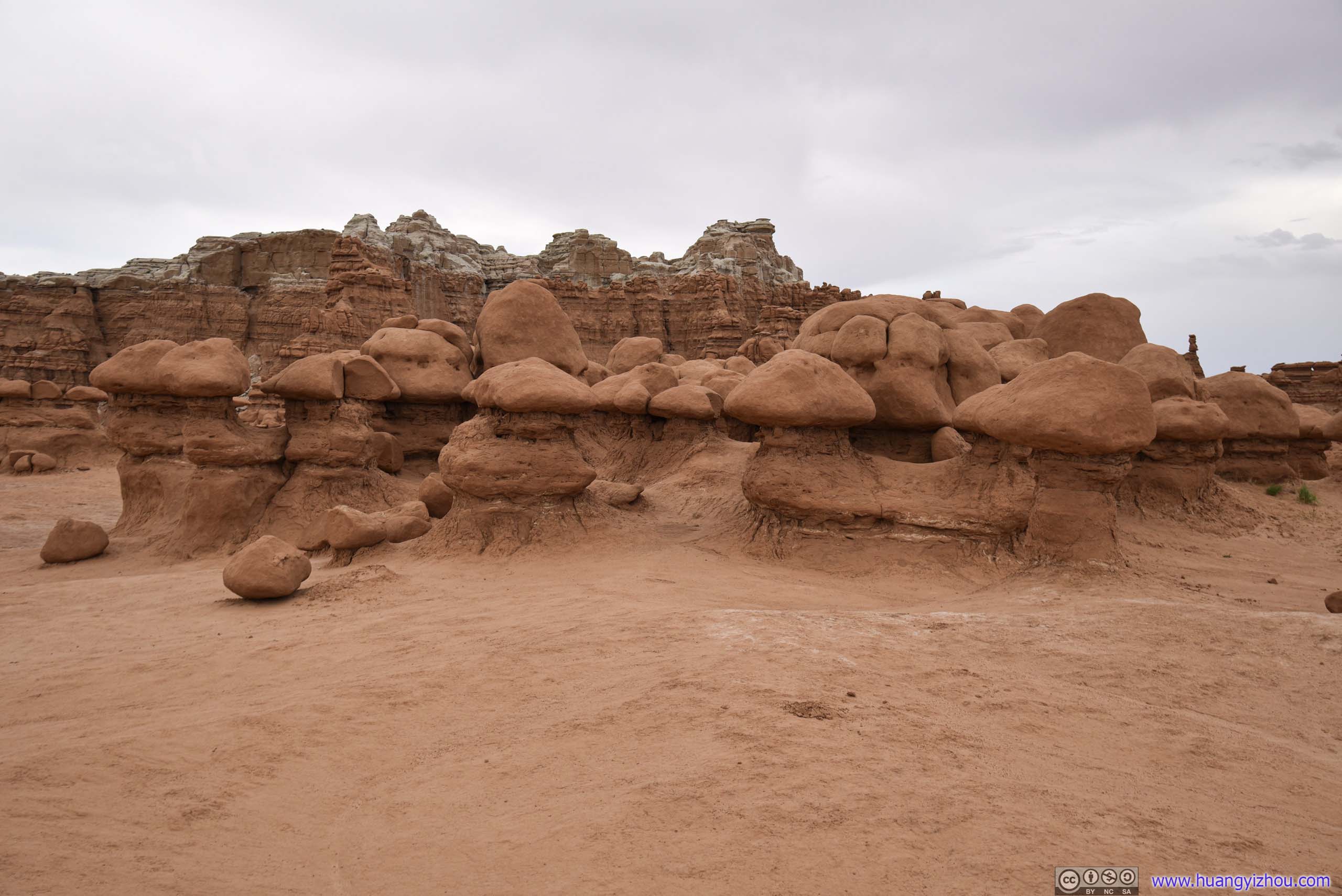
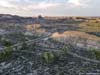
Goblin Valley
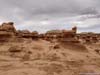
Finally, I was at Goblin Valley. There were no established trails among the forest of goblins, and the park allowed free-range hiking among them. So I spent about 20 minutes admiring the forces of nature that shaped these hoodoos.
 Goblin Valley
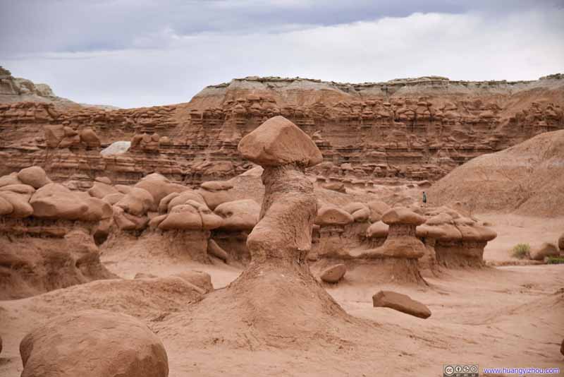 Goblin Valley
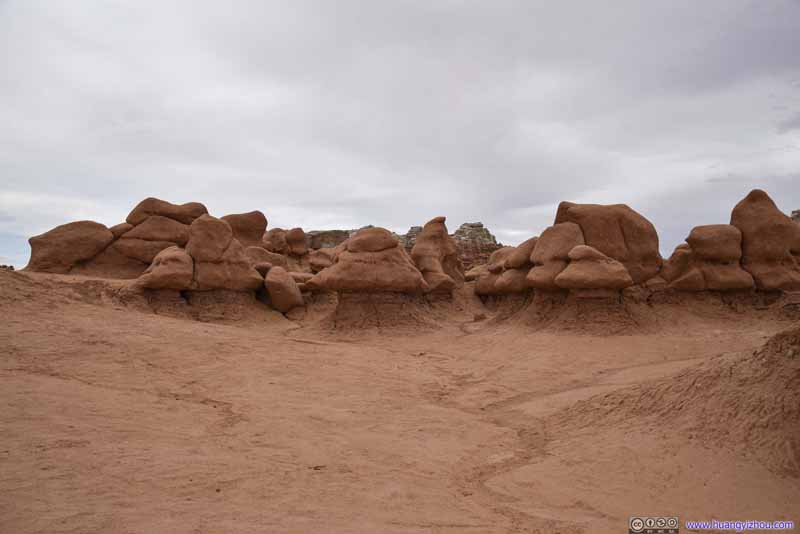 Goblin Valley
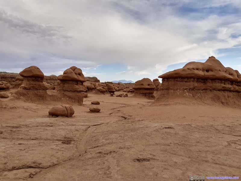 Goblin Valley
 Goblin Valley
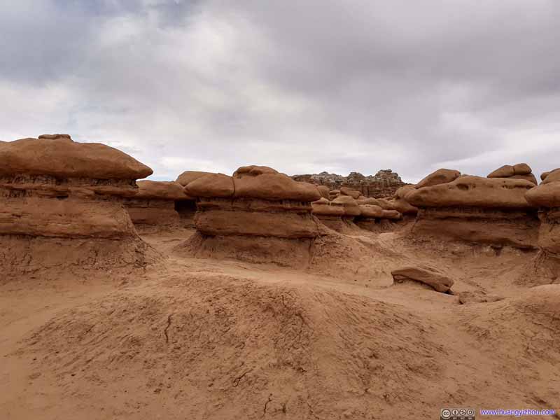 Goblin Valley
 Goblin Valley
 Goblin Valley
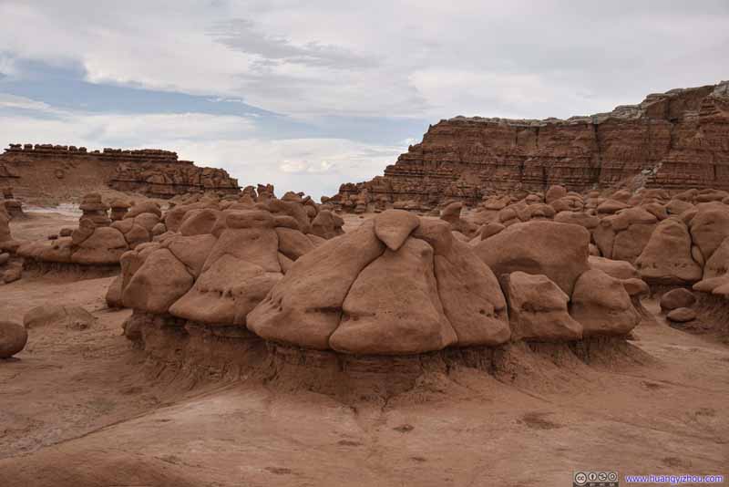 Goblin Valley
 Goblin Valley
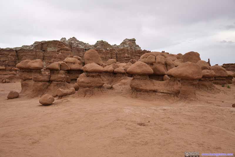 Goblin Valley
 Goblin Valley
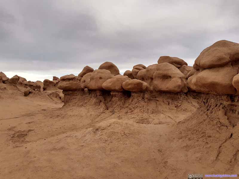 Goblin Valley
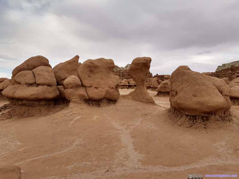 Goblin Valley


Click here to display photos of the Goblin Valley.
Goblin Valley
Goblin Valley
Goblin Valley
Goblin Valley
Goblin Valley
Goblin Valley
Goblin Valley
Goblin Valley
Goblin Valley
Goblin Valley
Goblin Valley
Goblin Valley

Goblin Valley
Goblin Valley
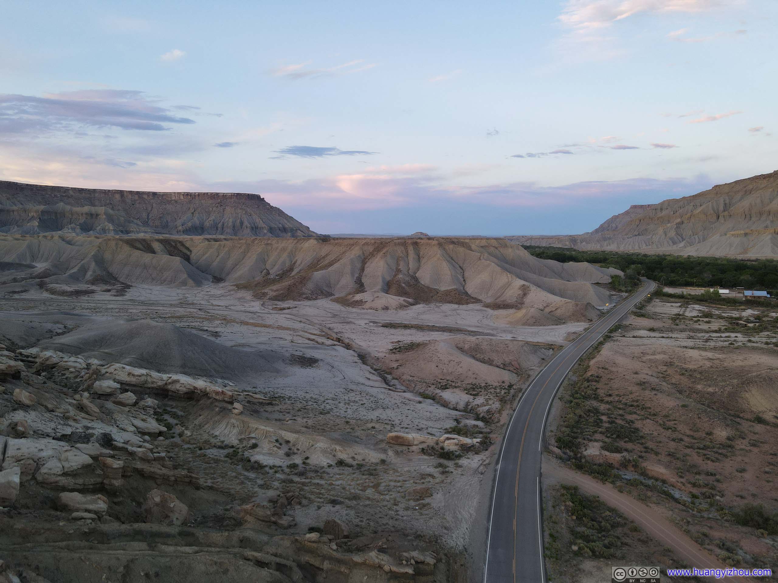
So at 7pm, I left Goblin Valley State Park, and continued driving towards Torrey.
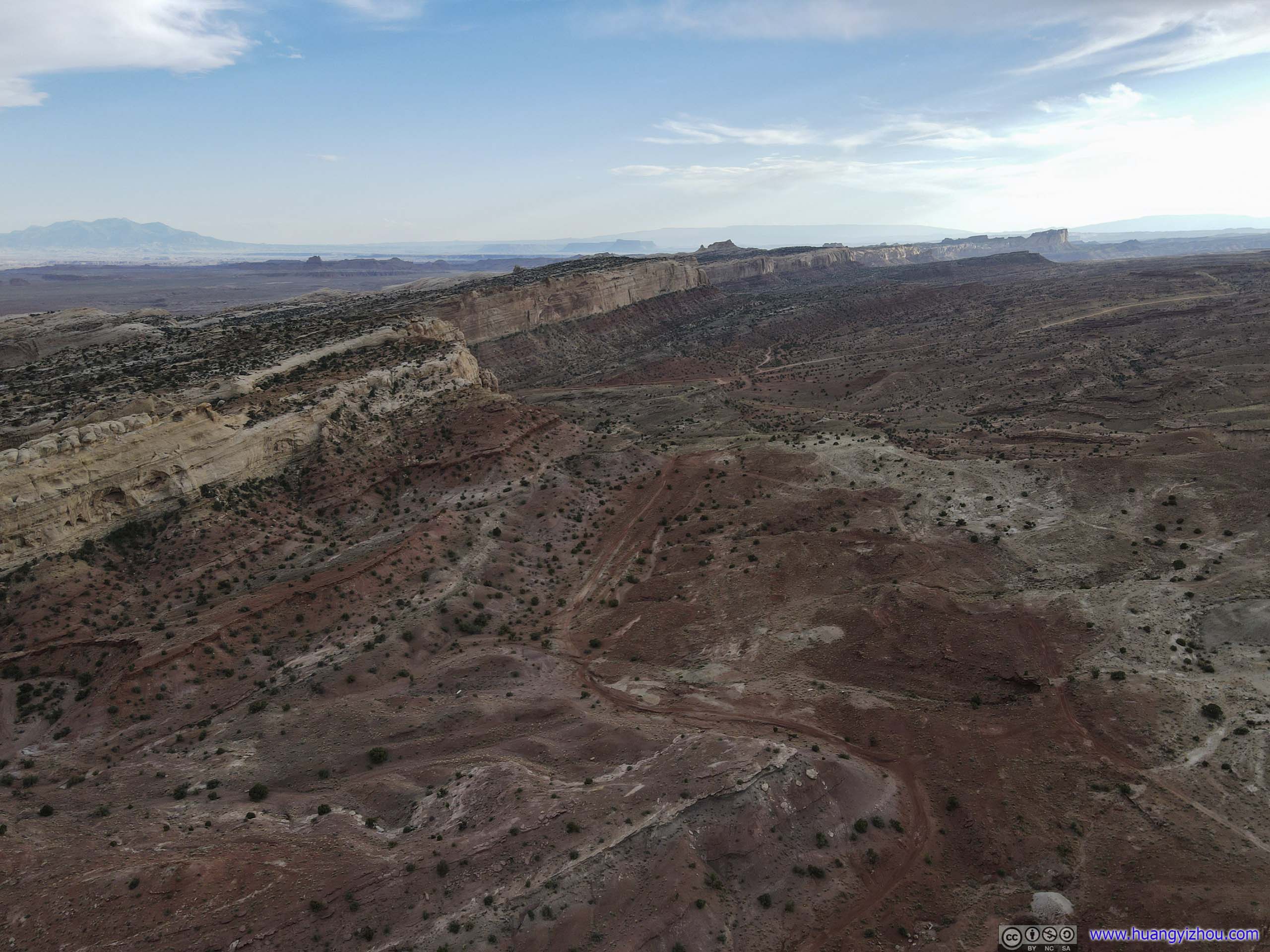
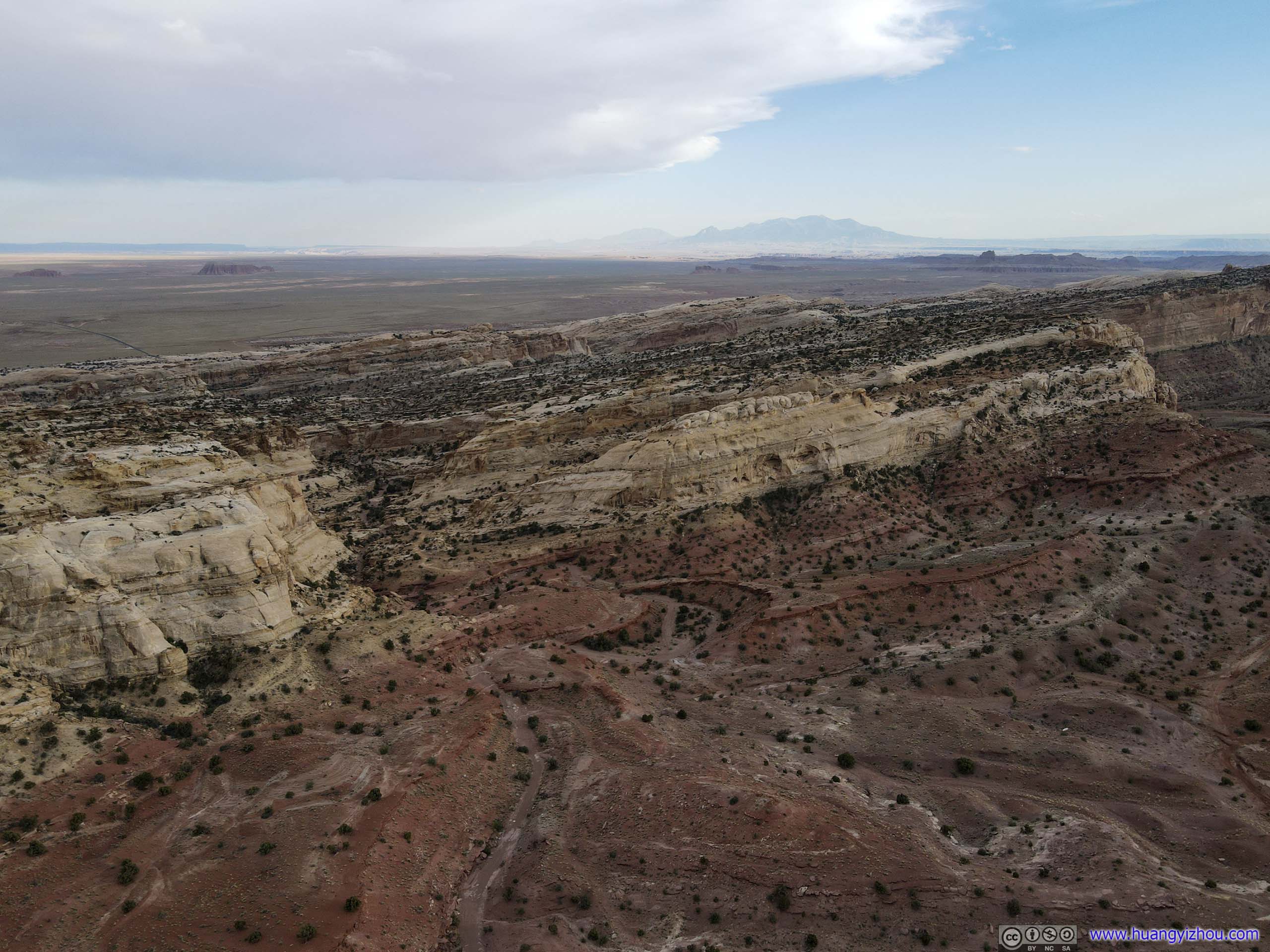
Roadside Drone Launches
Since Utah Route 24 to Torrey passed through some scenic landscape, I made a few stops along the way and played with my drone. The first stop was at the junction of Goblin Valley Road and Temple Mountain Road, just 10 minutes from Goblin Valley State Park, where I looked at the majestic Temple Mountain on the horizon and decided, that’s it.
Temple Mountain

Temple Mountain
Fault
 Landscape
The area surrounding Temple Mountain seemed to be a playground for ATVs, with many dirt roads surrounding it. Hiking-wise, there didn’t seem to be any established trail to the summit of Temple Mountain (it’s said to be a class 5 climb), so for me a drone tour seemed most appropriate.
After that, I went on my way.
 Country Road
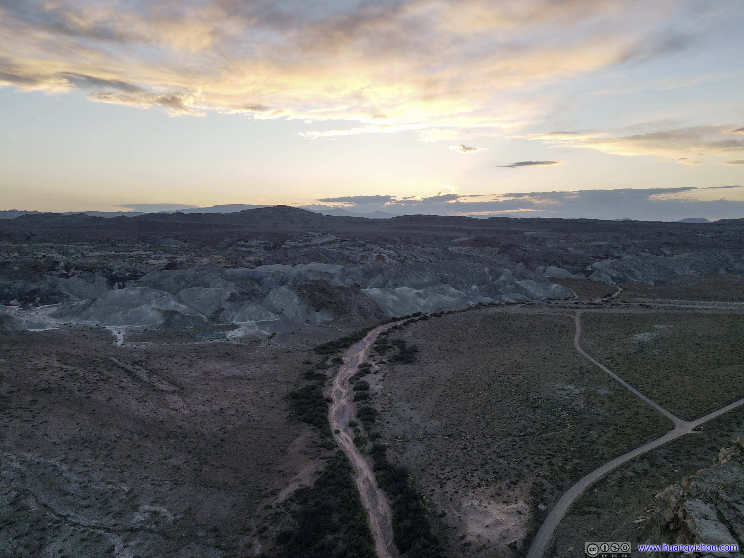
Fremont River
After the town of Hanksville, UT24 was running along Fremont River. So 5 minutes out of town, I stopped by the side of road and launched my drone for the scenery.
 Fremont River
Buttes by Fremont River
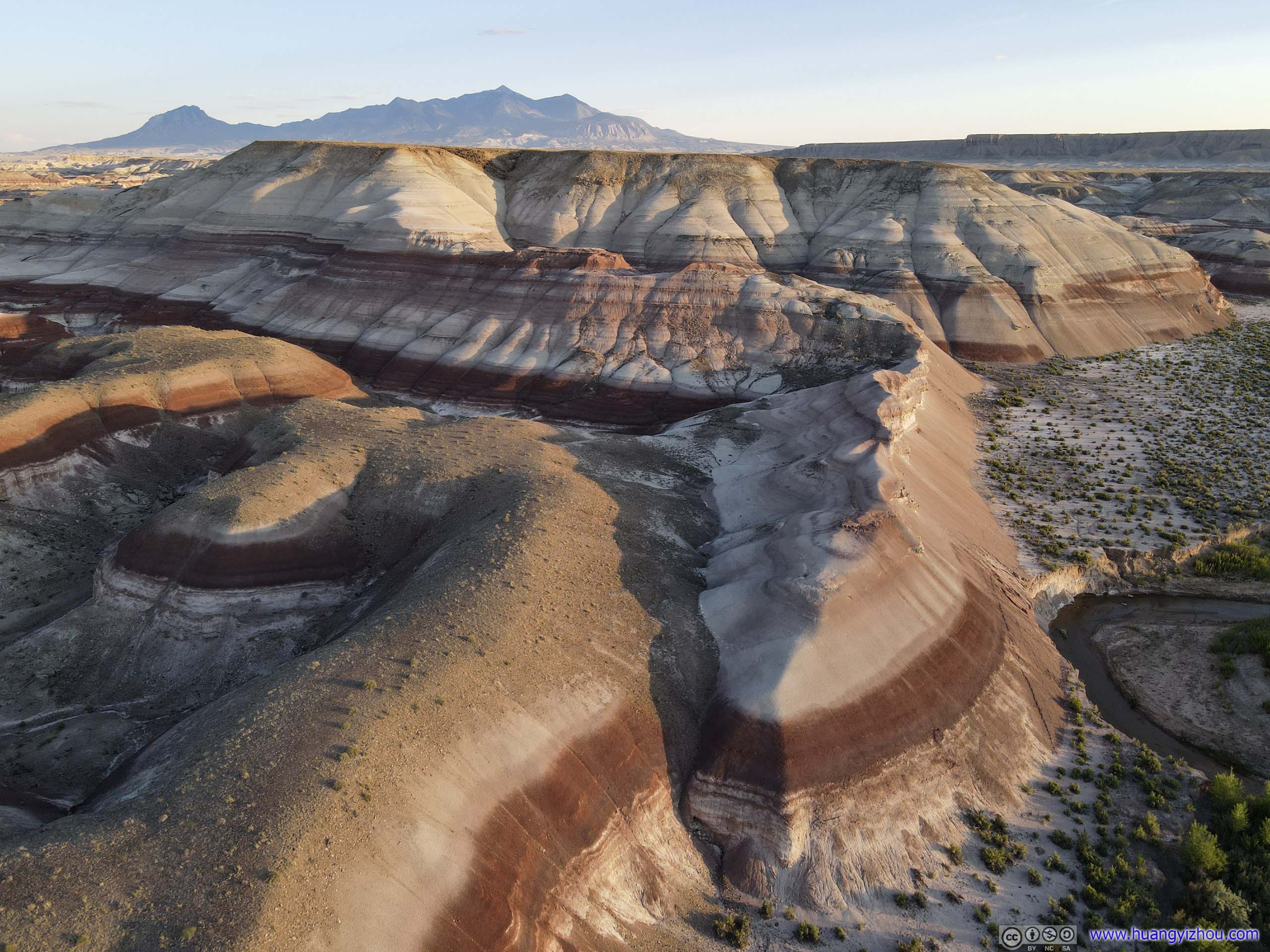
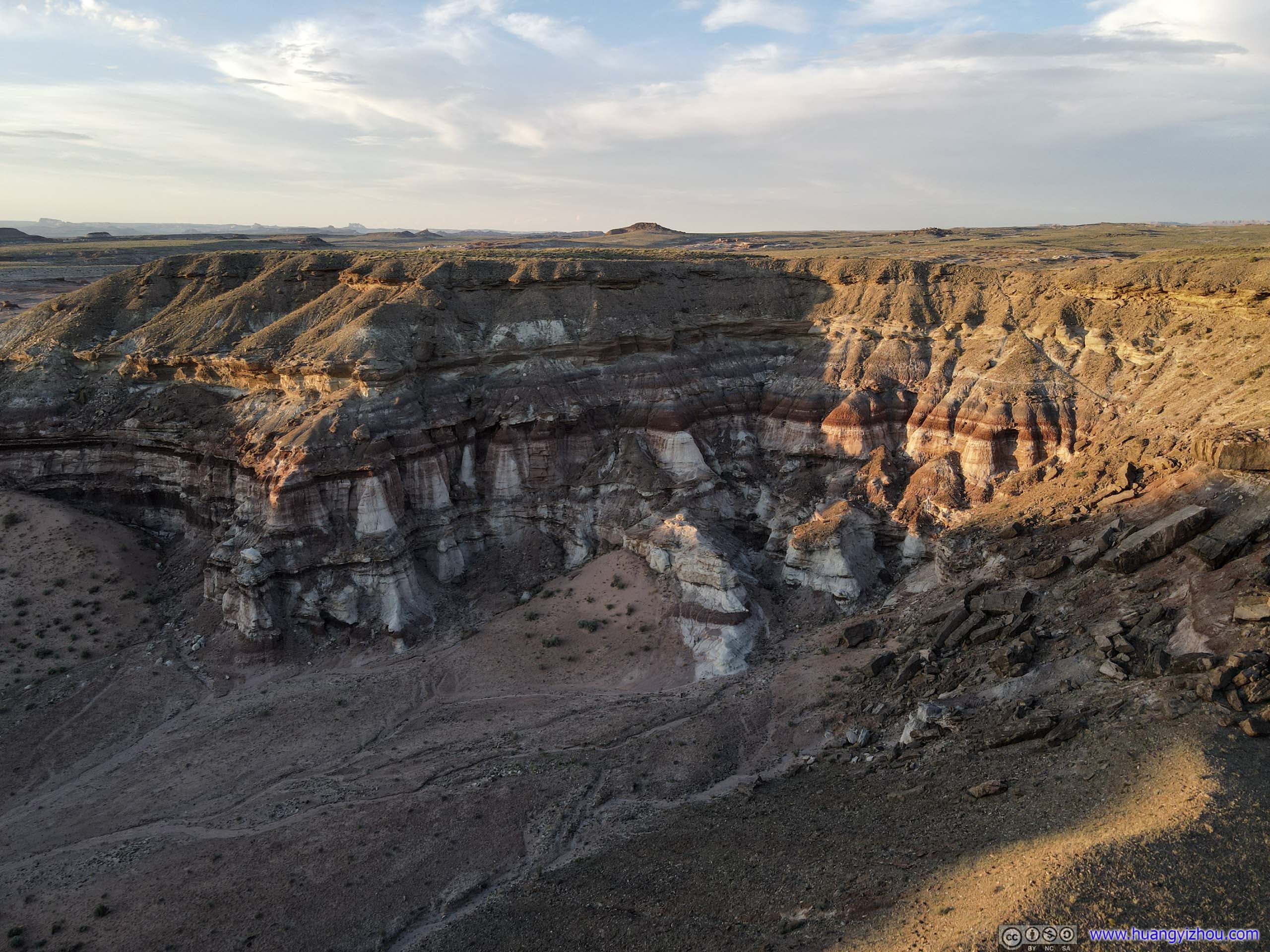
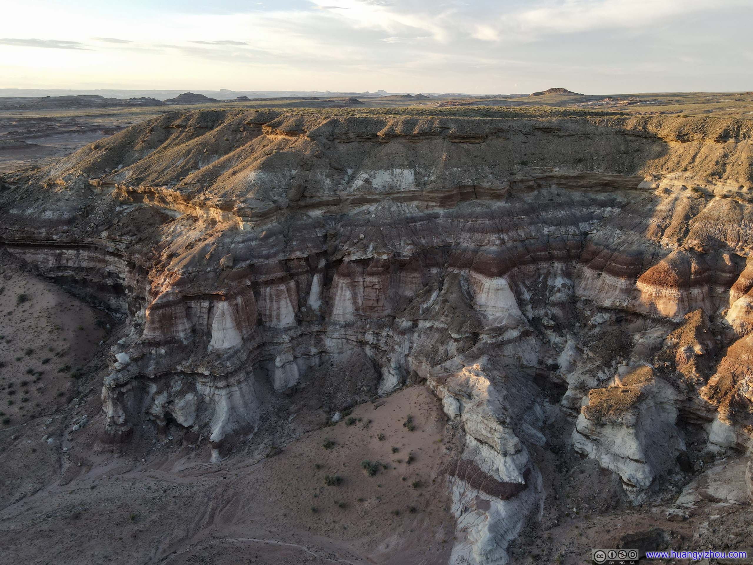
That’s when I found in addition to bushes and trees and farmland supported by the river, there were also buttes and mesas in vivid color not far from the river and road.
 Butte
Butte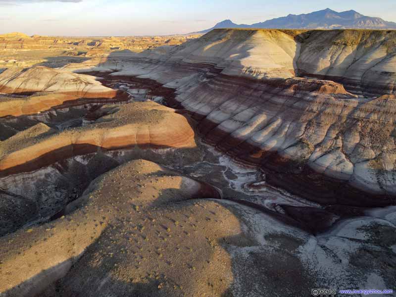 Butte
Butte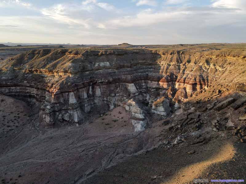 Butte
Butte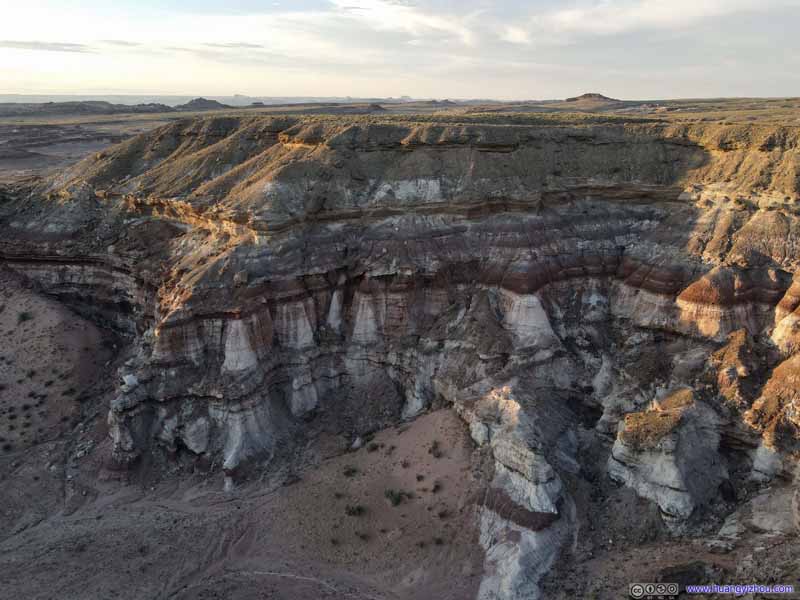 Butte
Butte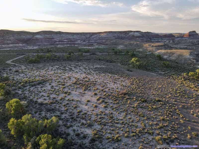 Field
Field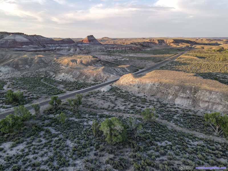 Field
Field Field
Field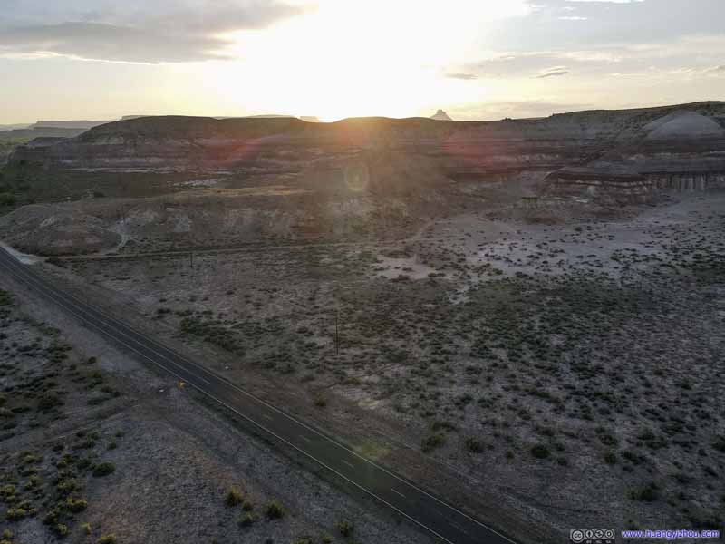 Field
Field


Click here to display photos of the slideshow
Butte

Butte
Butte
Butte
Field

Field

Field
Field
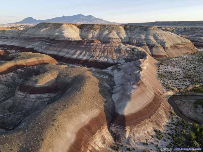
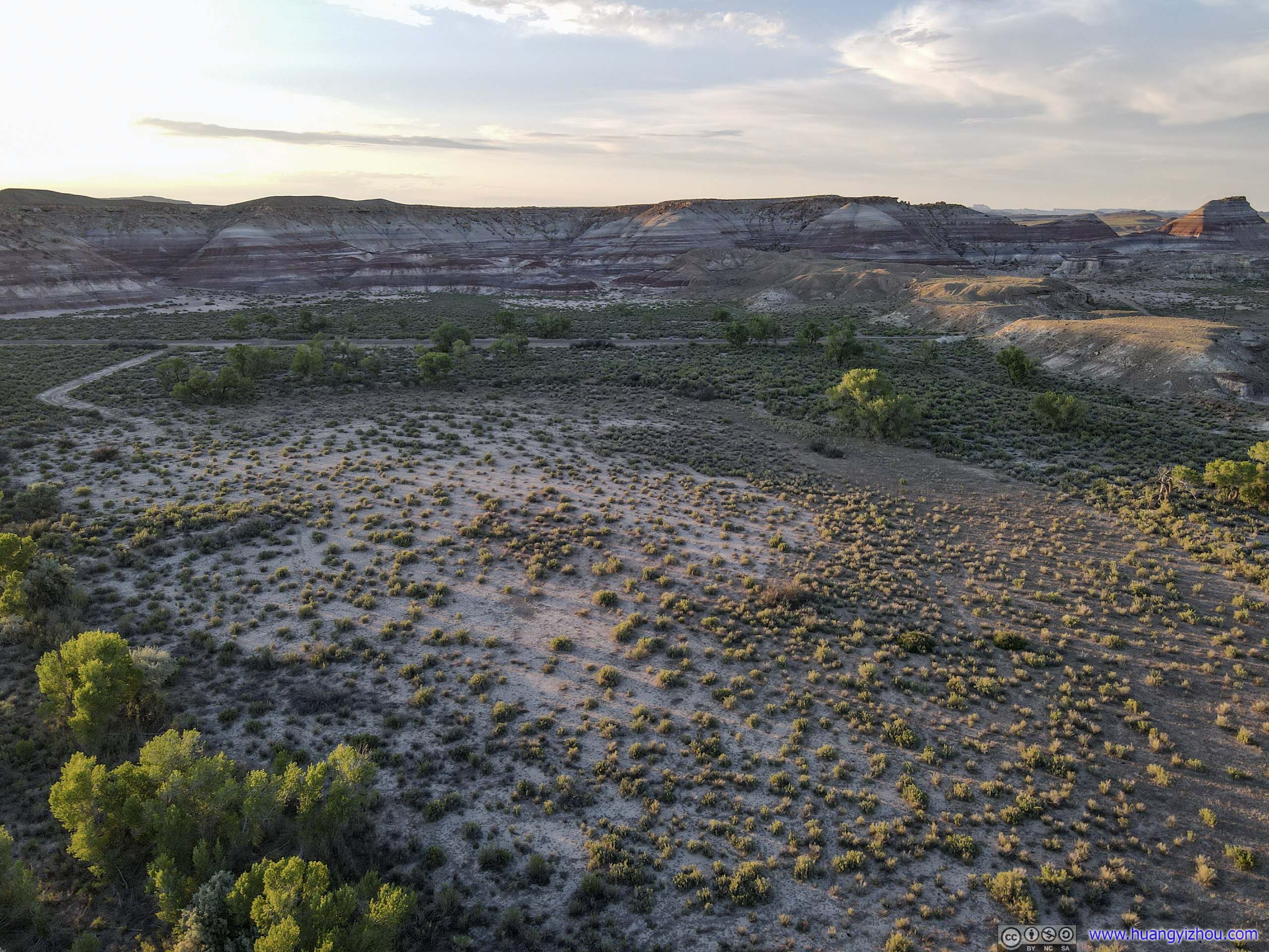
Caineville
Finally, just as the sun was setting, I made one last stop in the town of Caineville, which was the last/only named town on Google Maps before Capitol Reef National Park. That being said, the town/village was nothing more than a few patches of farmland, with water from nearby Fremont River.
 Field and Roads
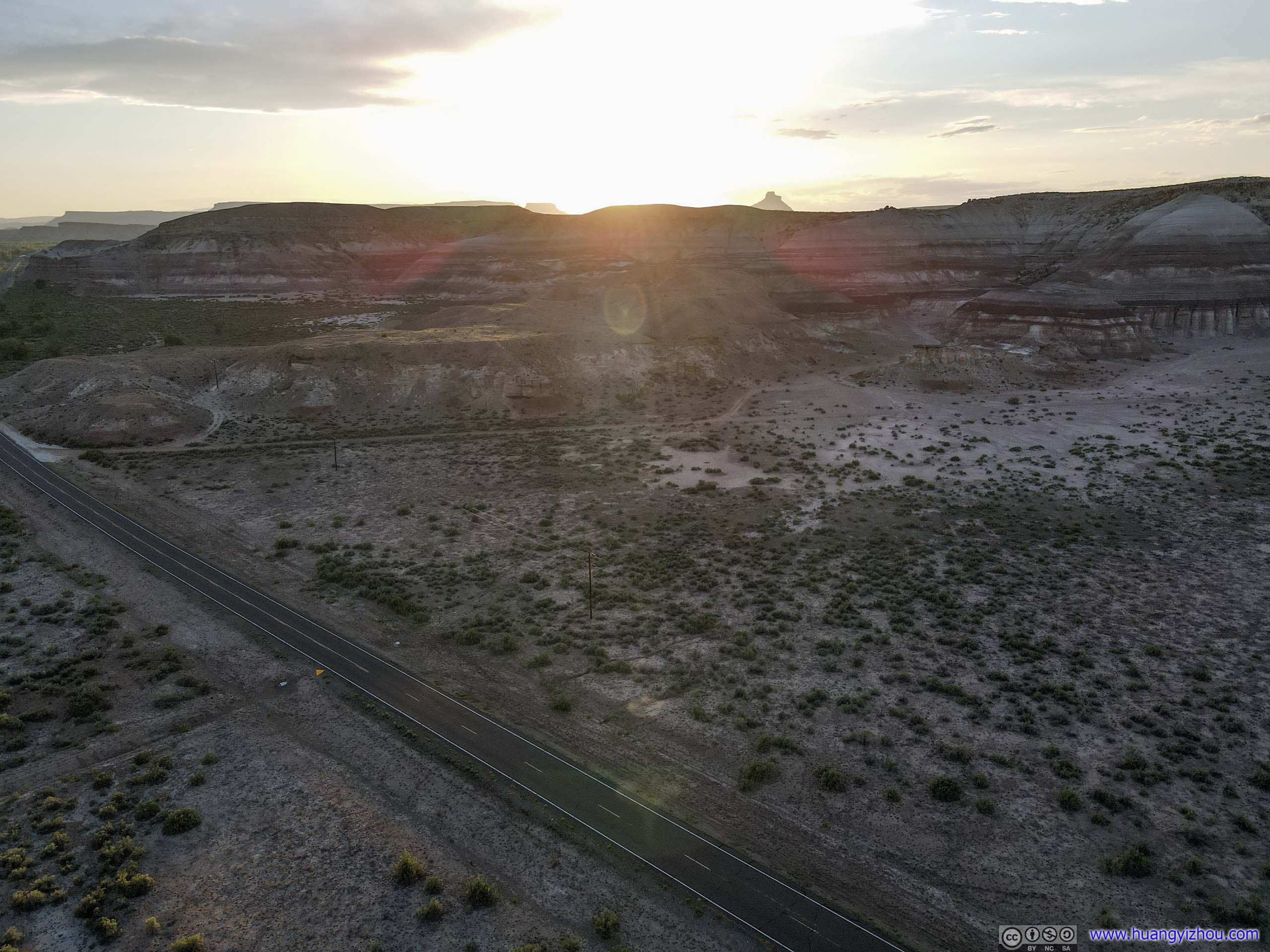
Overlooking Caineville
MesaThe top of which was called uncreatively as “Town Point”.

Town of CainevilleA small unincorporated farming community along Fremont River.
And finally, at 9:30pm, I checked into my hotel for the next two nights, ending a quite fulfilled day.
 Hotel Room
END
![]() Day 6 of 2020 Utah Trip, from Moab to Torrey by Huang's Site is licensed under a Creative Commons Attribution-NonCommercial-ShareAlike 4.0 International License.
Day 6 of 2020 Utah Trip, from Moab to Torrey by Huang's Site is licensed under a Creative Commons Attribution-NonCommercial-ShareAlike 4.0 International License.