
Updated on May 13, 2022
Weekend Trip to Virginia, Hiking Three Ridges Loop, Crabtree Falls and Humpback Rocks
My weekend trip of hiking in Virginia at the turn of April/May 2022, along the northern part of Blue Ridge Parkway.
Fields to the West from Humpback Rocks
On the weekend of April 30 – May 1 2022, I made an overnight trip to Virginia with some hiking planned around Blue Ridge Parkway. Spring had just arrived in the region, that meant the start of my 2022 outdoor season. I had some challenging day hikes planned for Colorado in July, so I wanted to make sure my body was still in shape, and for that, the 21km 1200m-elevation-gain Three Ridges Loop seemed like a perfect candidate. Weather forecast indicated better weather for Saturday April 30, so I allocated that day to Three Ridges. For Sunday May 1, I visited a few popular attractions along the northern part of Blue Ridge Parkway, namely Crabtree Falls and Humpback Rocks, (in addition to the not-so-popular White Rock Falls).
Three Ridges Loop
I chose to start the hike at the more popular Reed’s Gap Trailhead along Blue Ridge Parkway. Alternatively one could also choose to start from “The Priest Wilderness Parking Area”, which would be a slightly different path that’s a bit longer. The three hours of driving from Washington DC area was a breeze, and by the time I got to the trailhead at around 11am, the parking lot was completely full, and I pulled into the last spot of the small overflow lot.
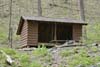
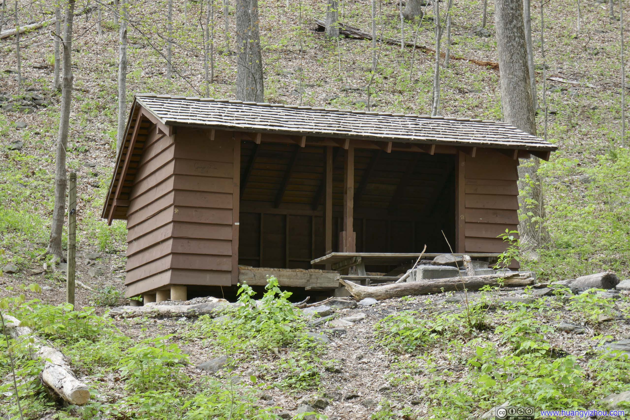
The entire loop was 21km, with 1200m elevation gain, thus many may opt to hike this as an overnight camping trip. A considerable portion of the trail followed the Appalachian Trail, with two designated shelters and ample camping spots along the way.
Here’s GPS tracking:
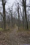
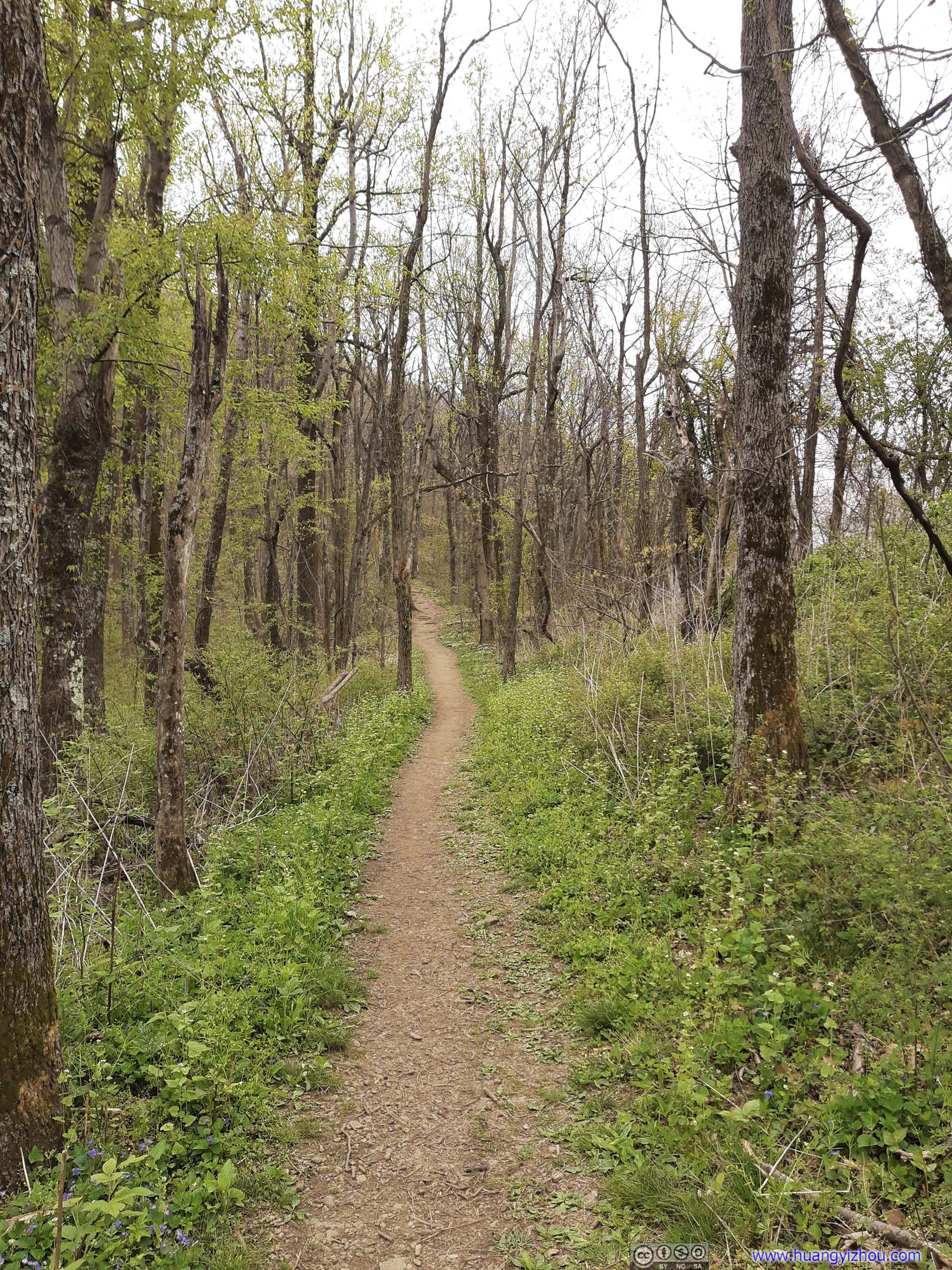
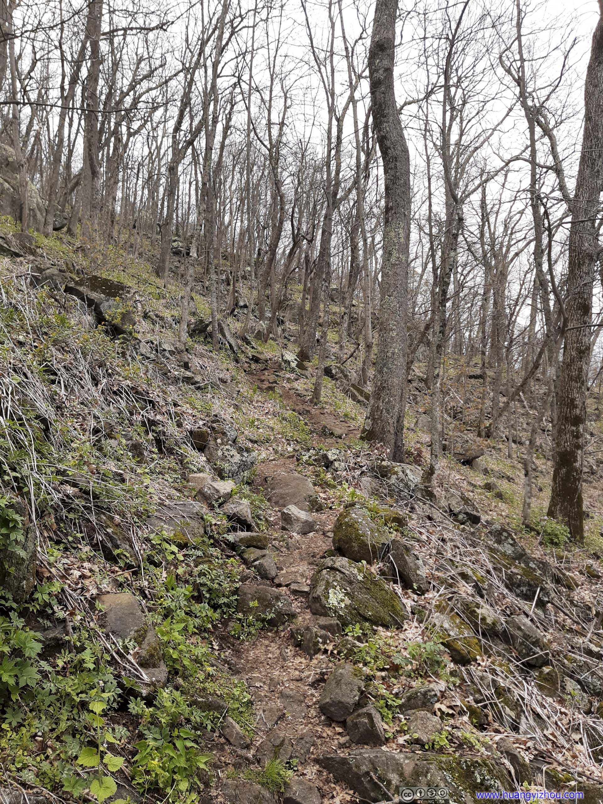
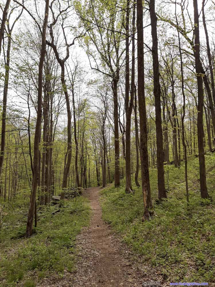
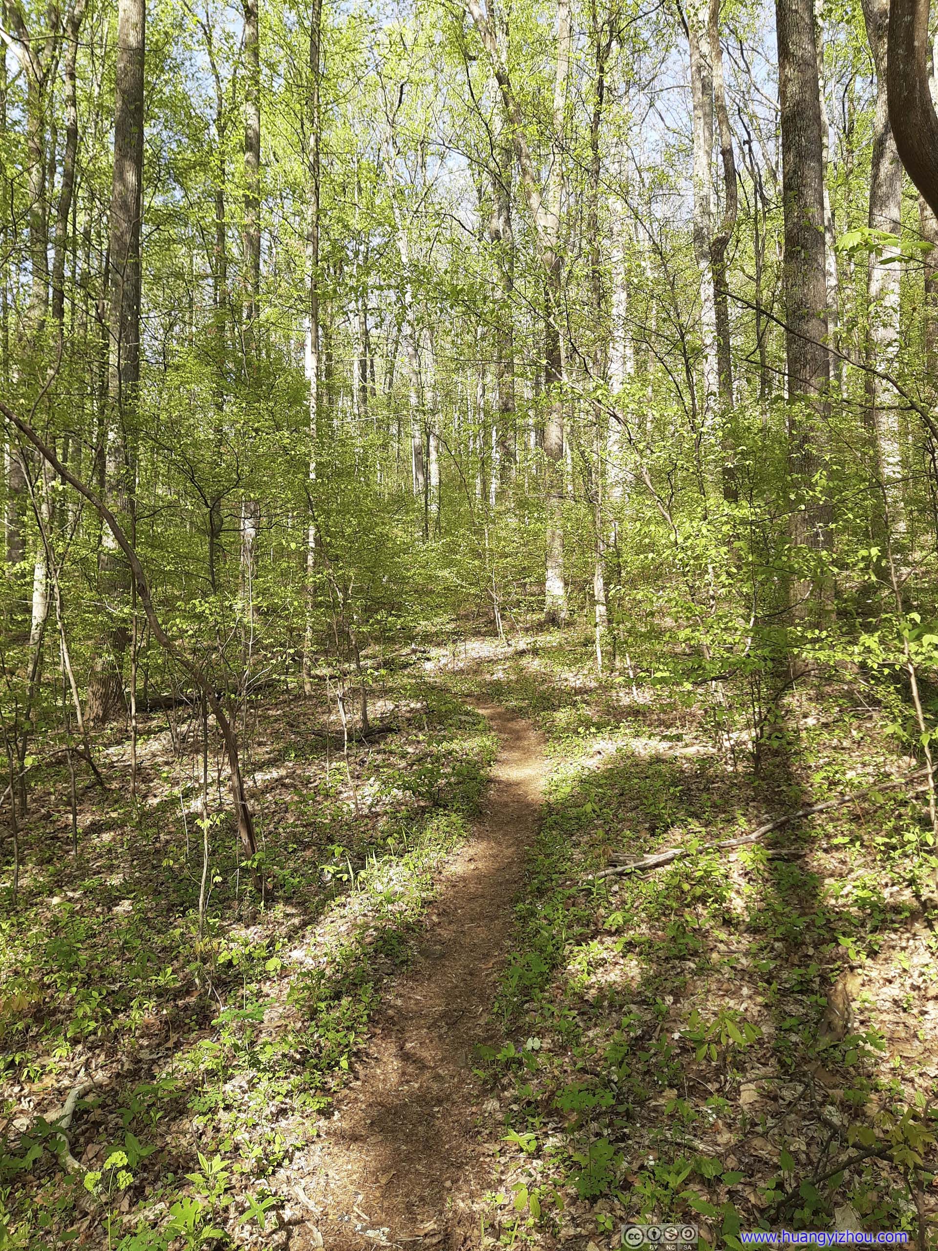
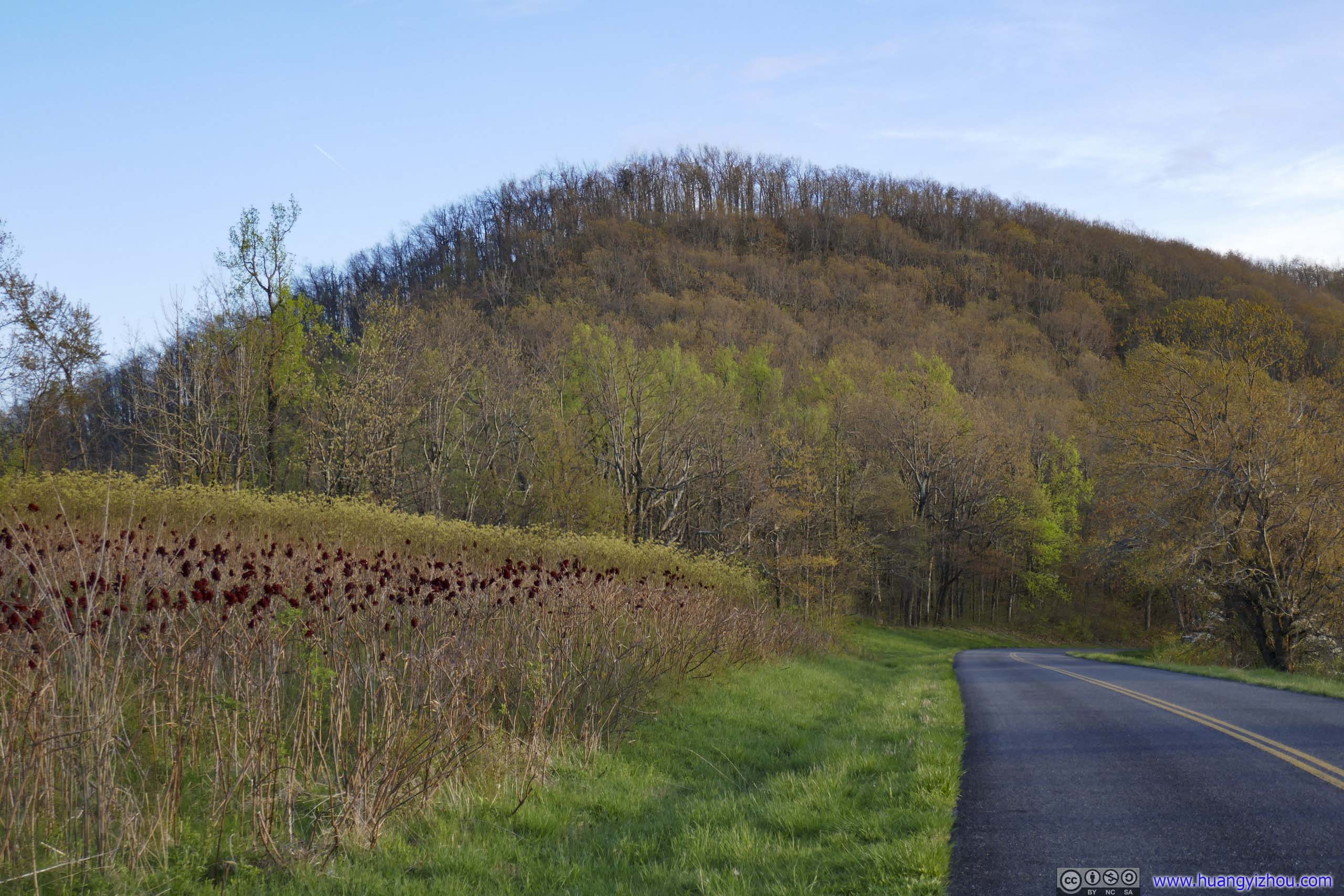
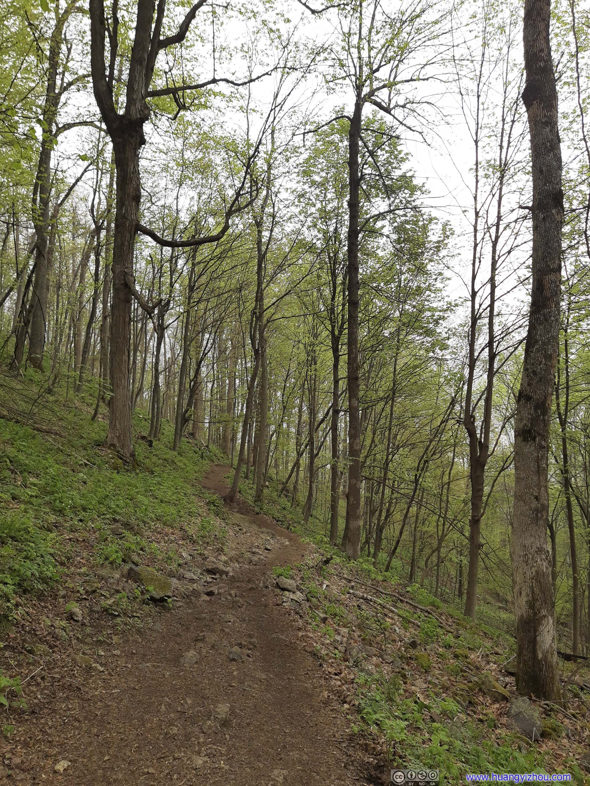
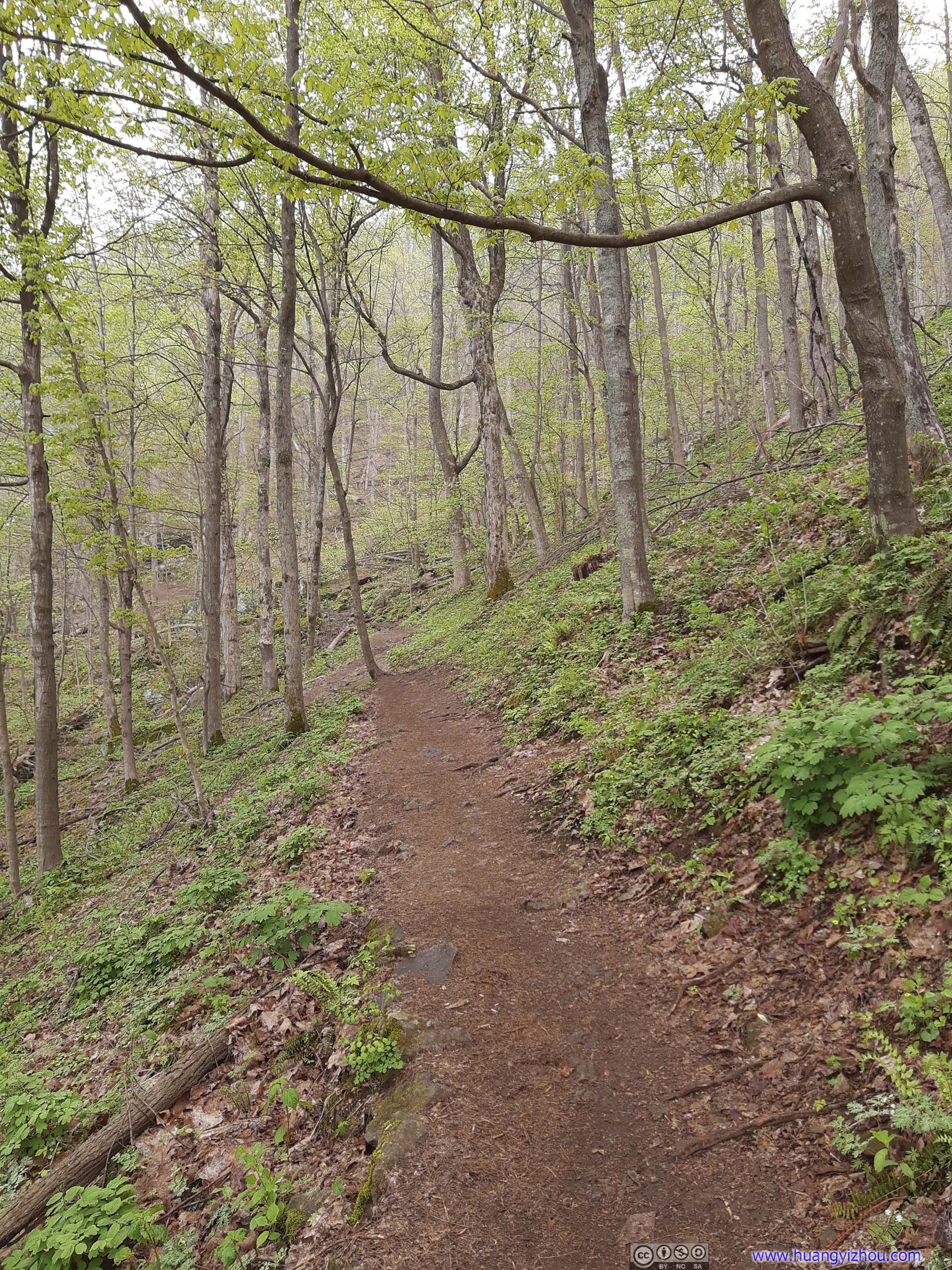
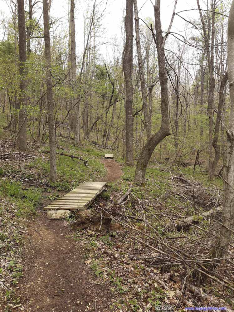
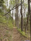
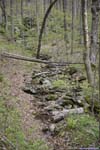
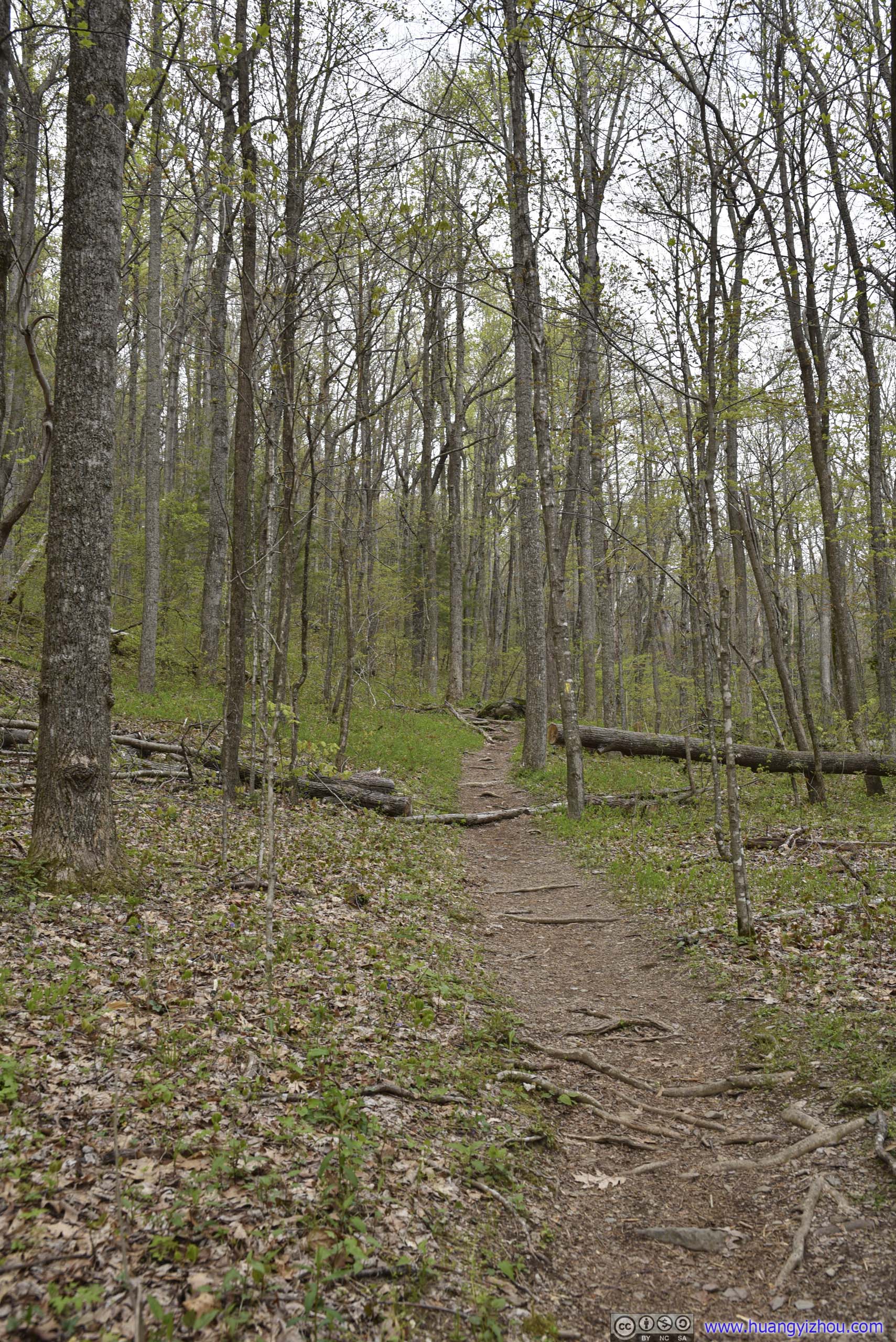
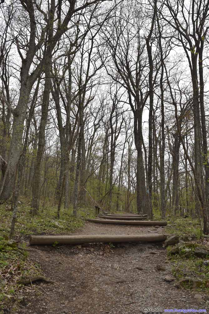
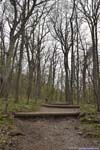
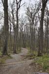
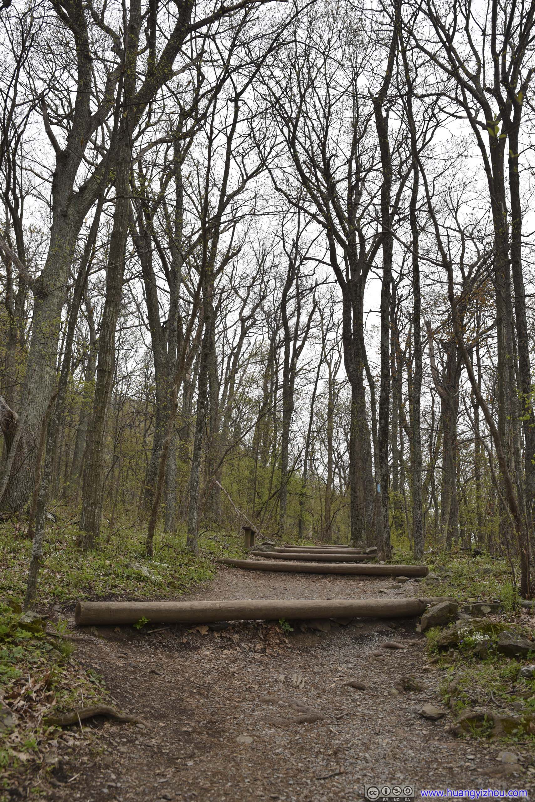
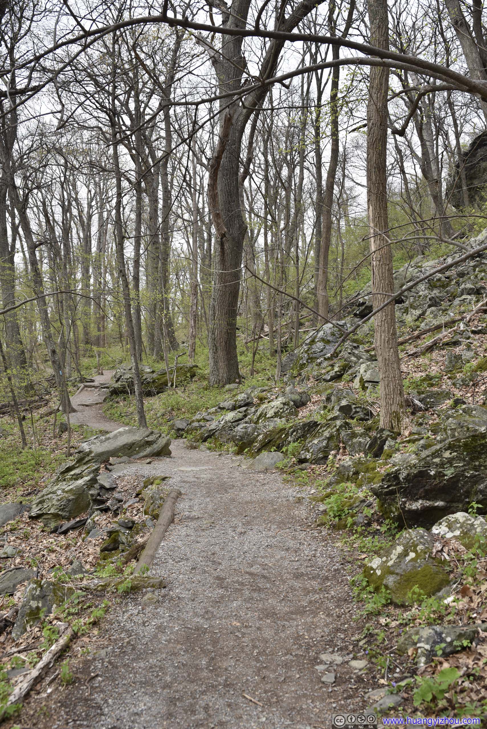
The first 2.6km of the trail was an out-and-back between the parking lot and Maupin Field Shelter. When I checked the weather forecast last night it showed limited prepetition probability, so I didn’t prepare any rain gear for today. Unfortunately just as I left the trailhead, it started to drizzle. Fortunately the rain wasn’t enough to wet my cotton coat, and for a moment I thought the droplets hitting my face were refreshing.
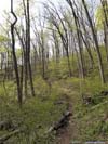
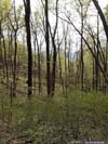
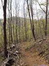
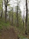
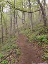
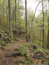
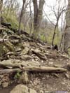
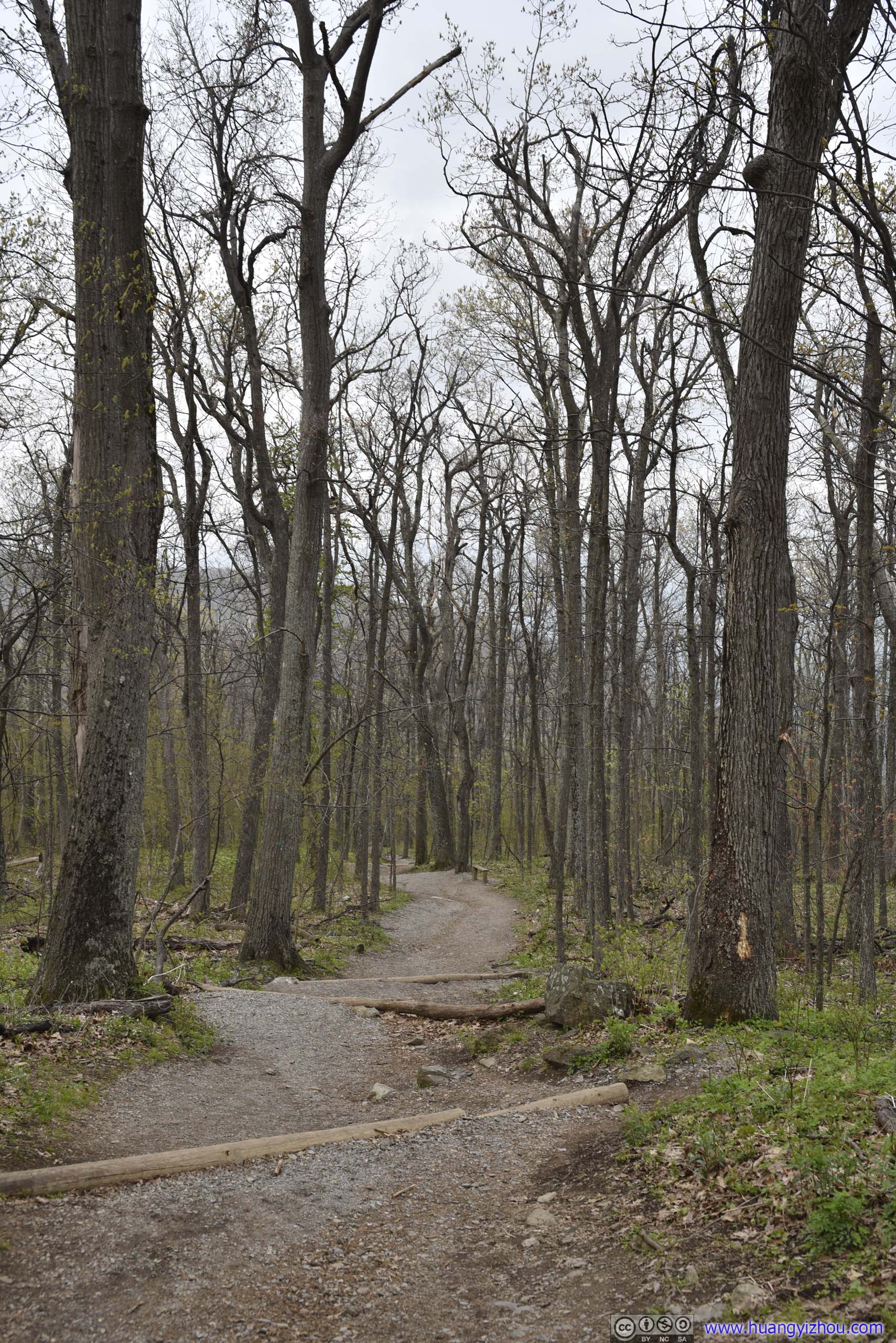
Trail
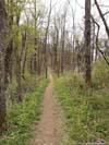
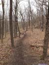
Click here to display photos of the trail.
Trail

Trail
Trail
Trail
Trail

Trail
Trail
 Trail
Trail

 Trail
Trail
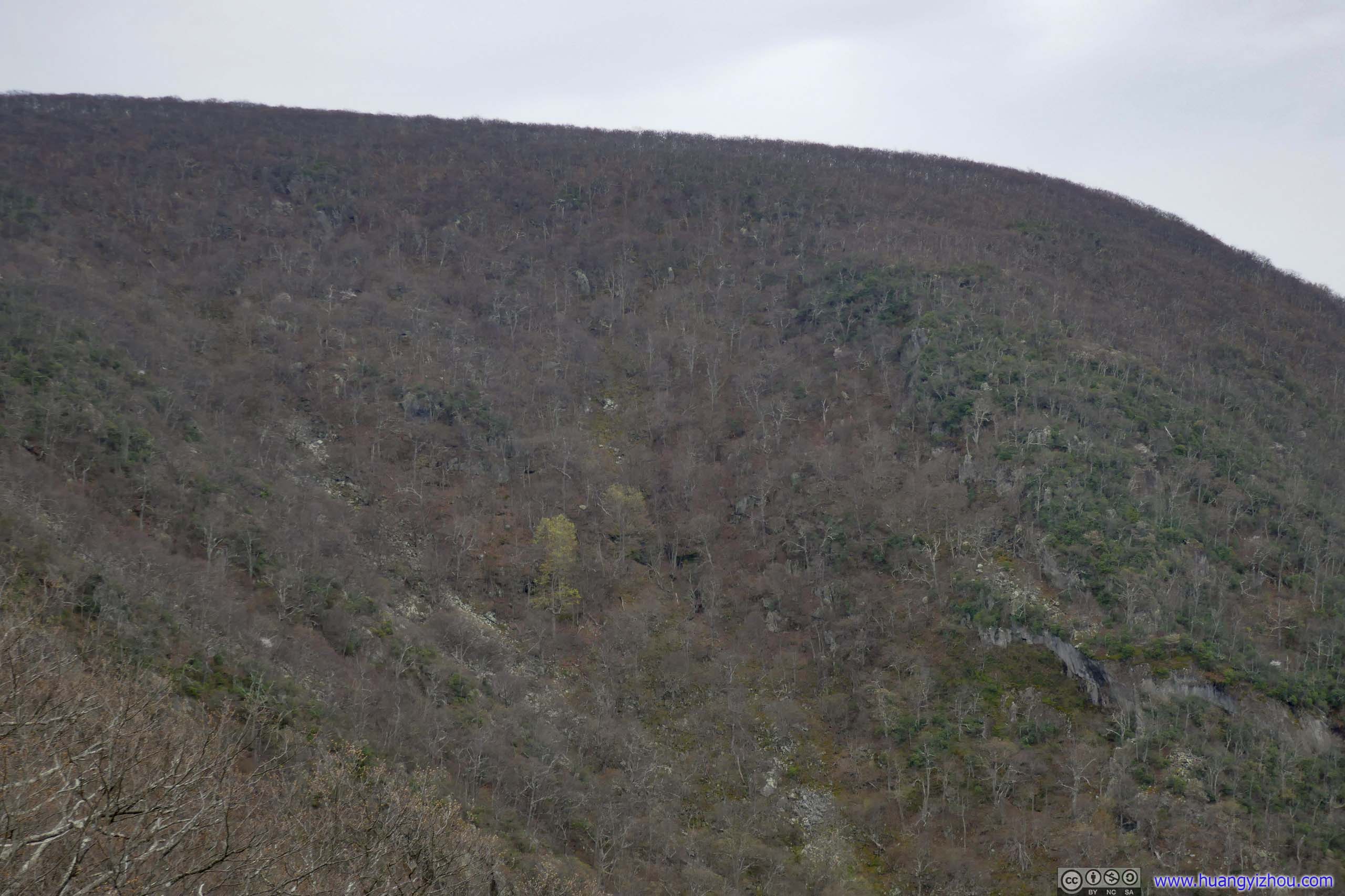
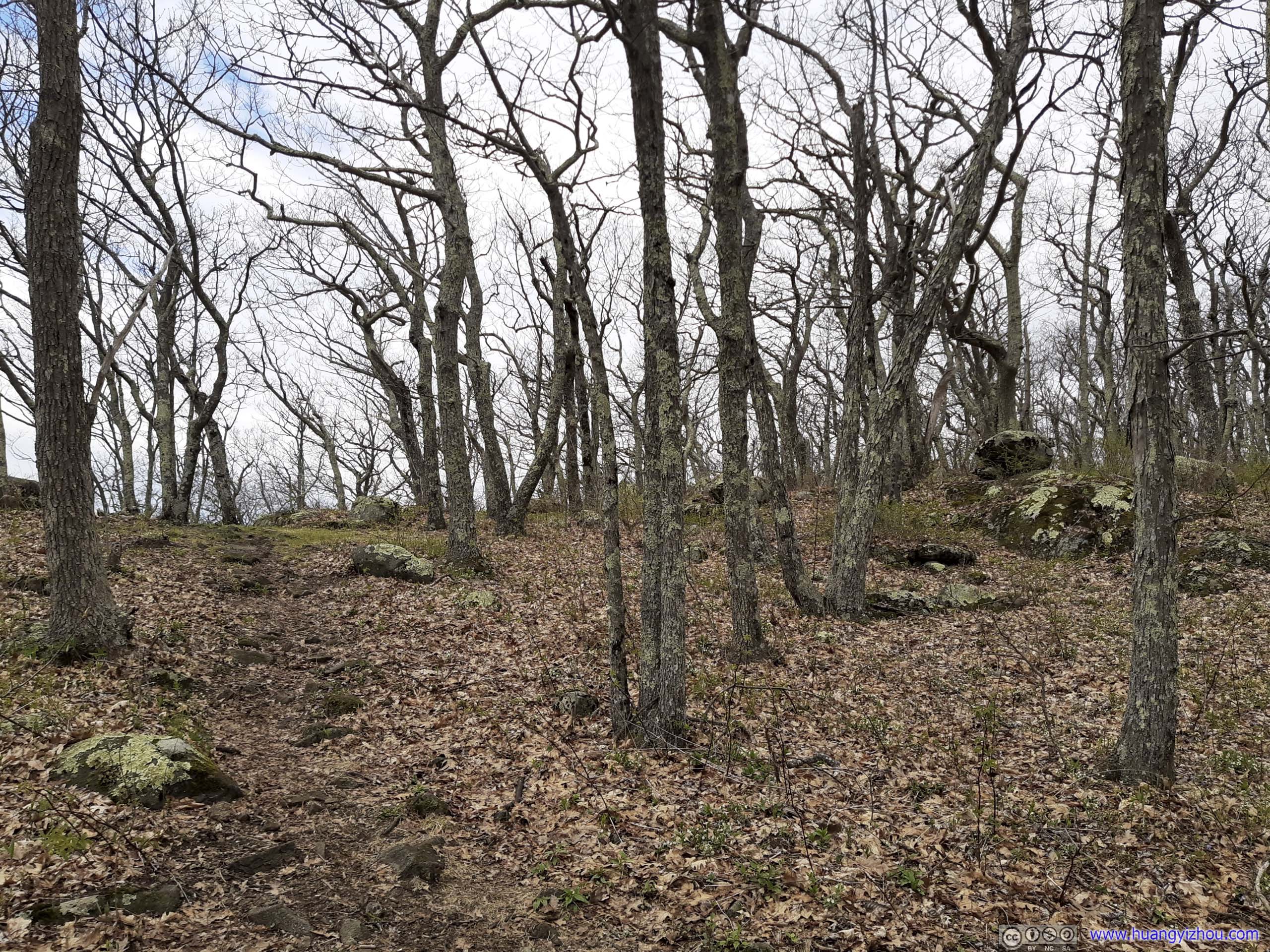
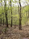
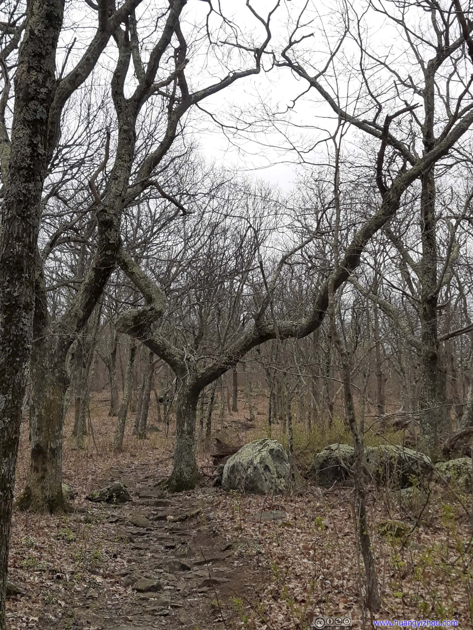
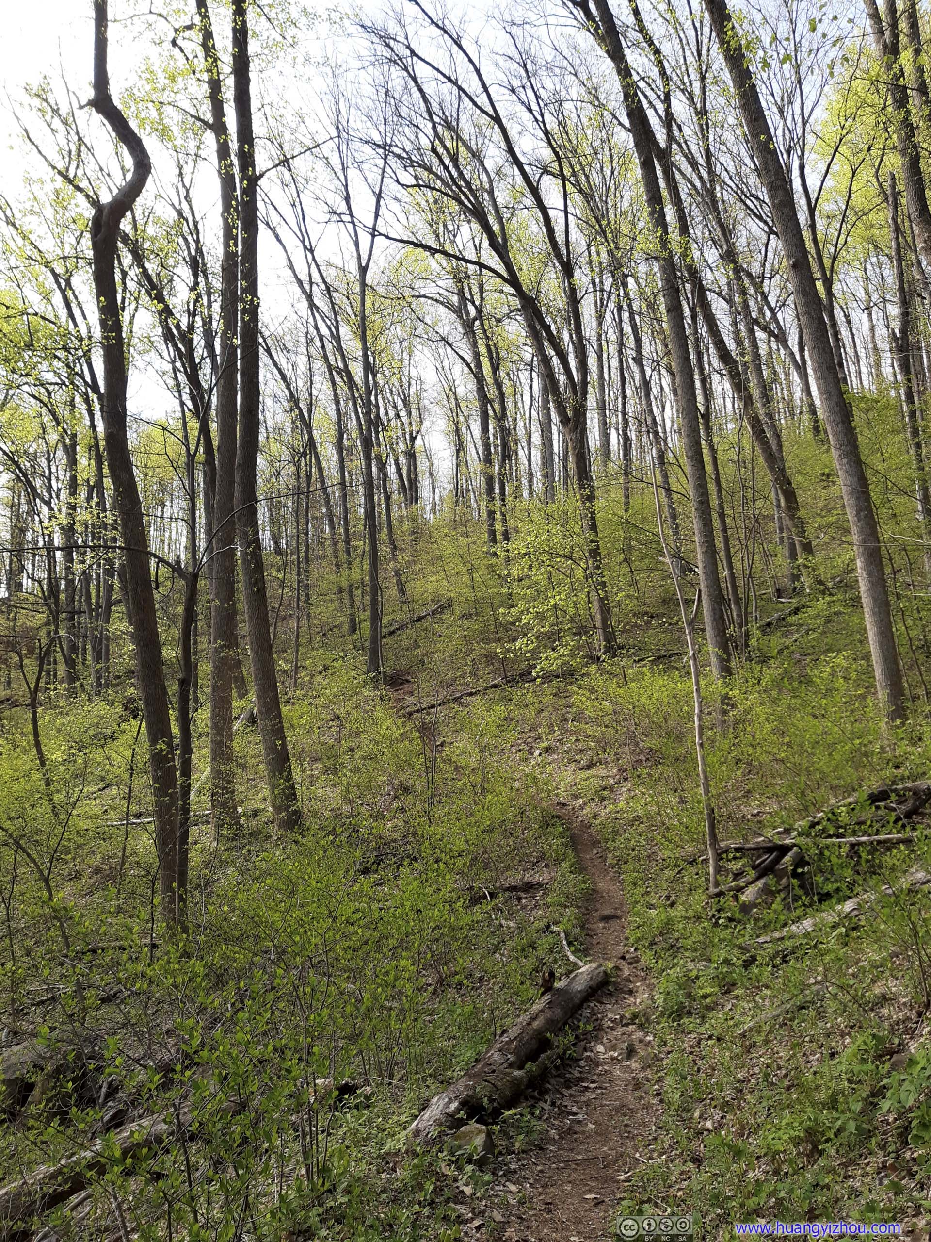
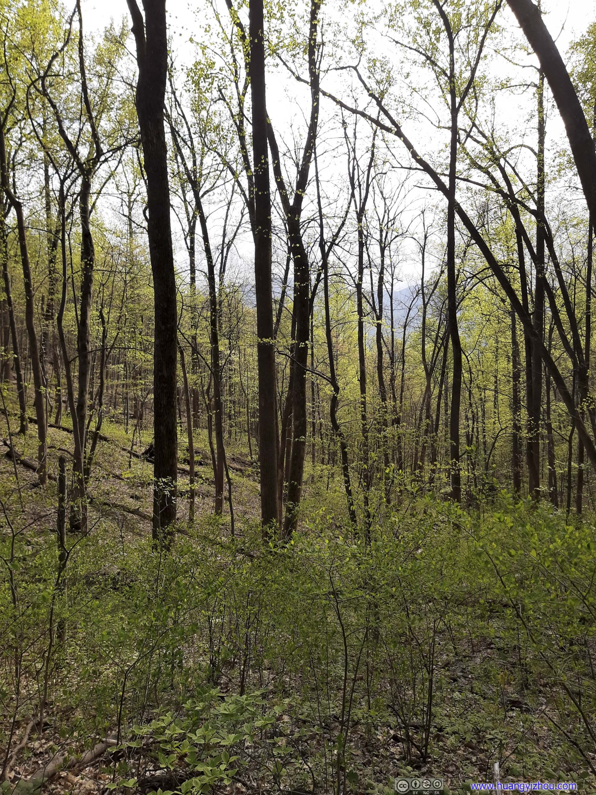
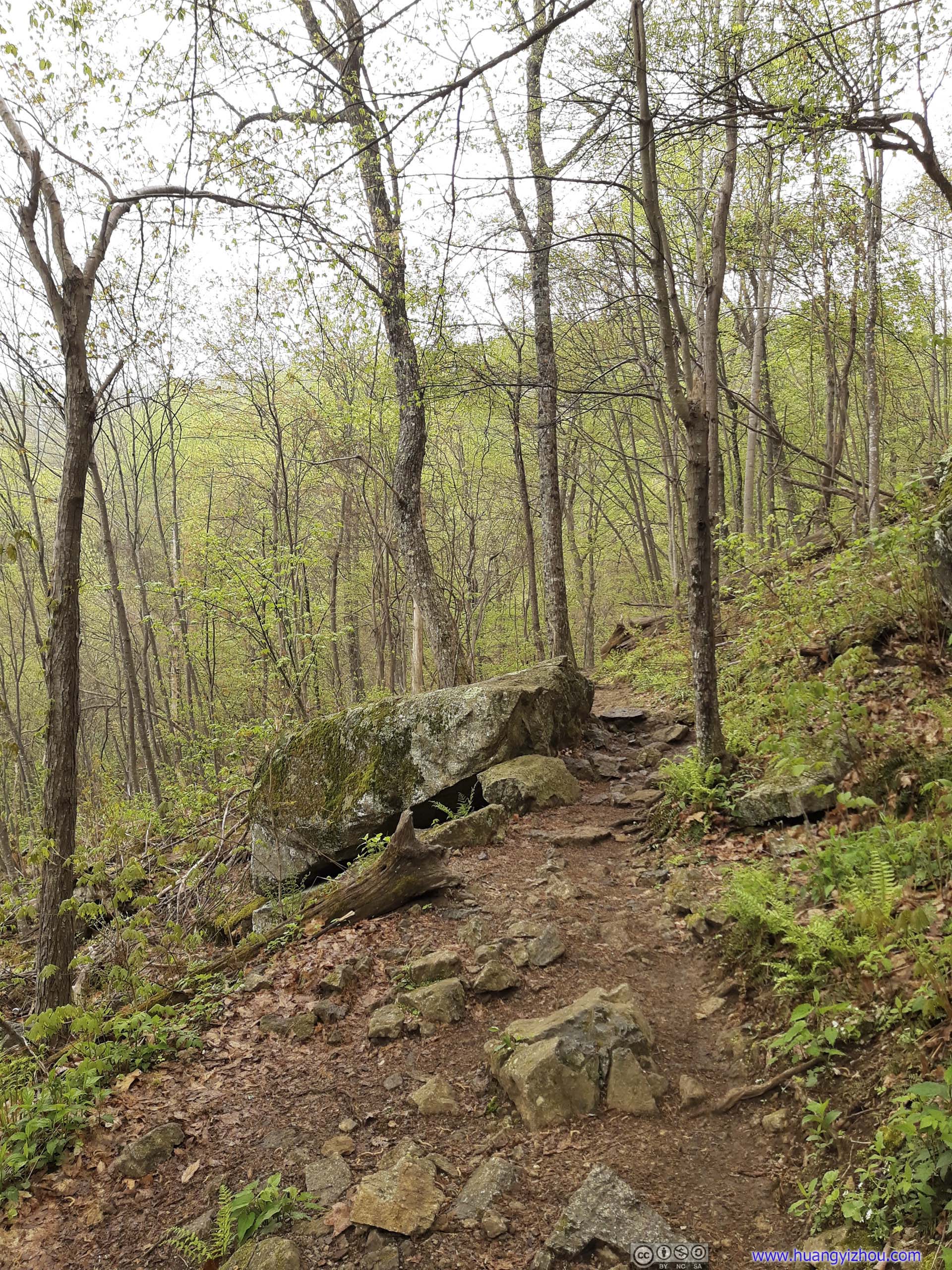
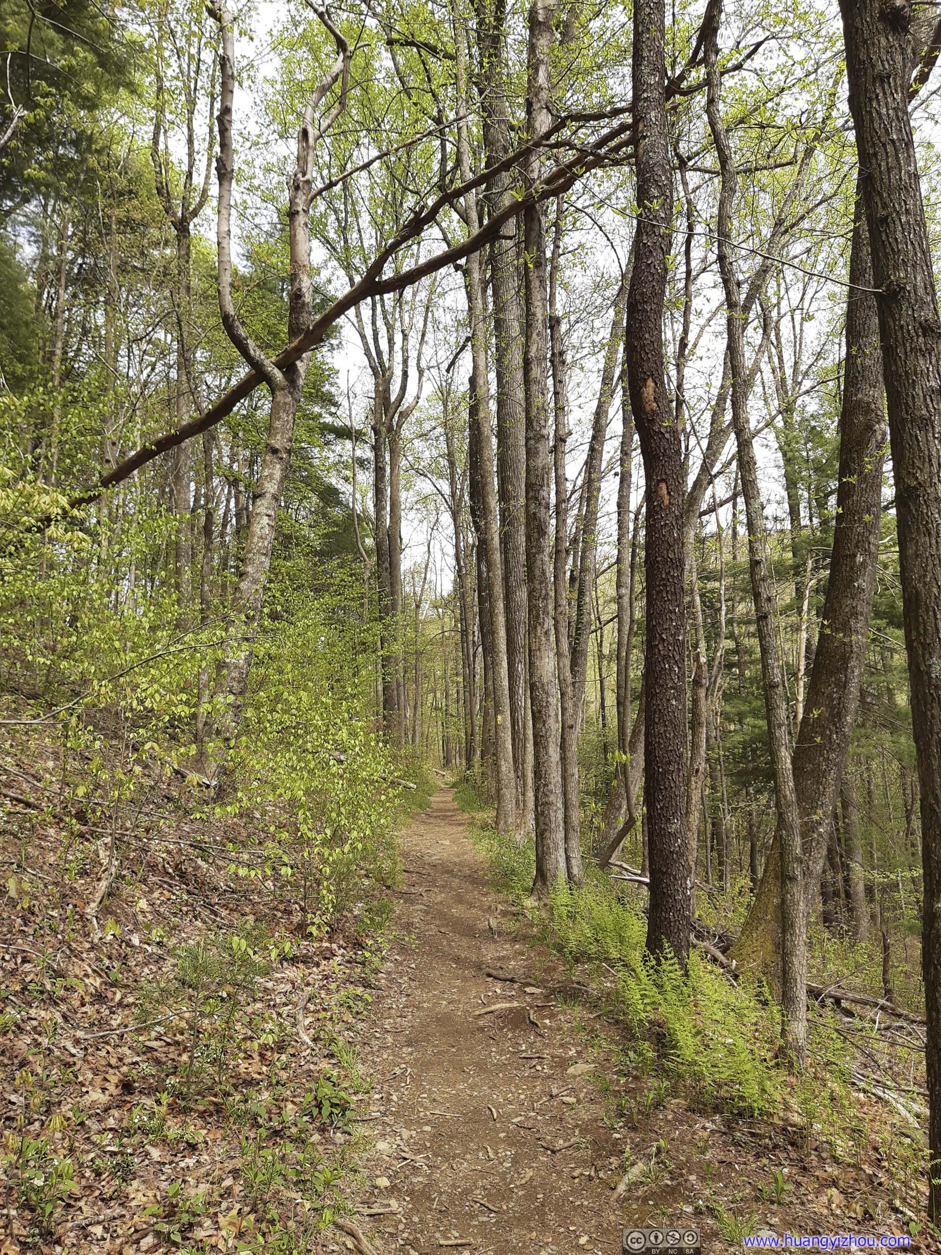
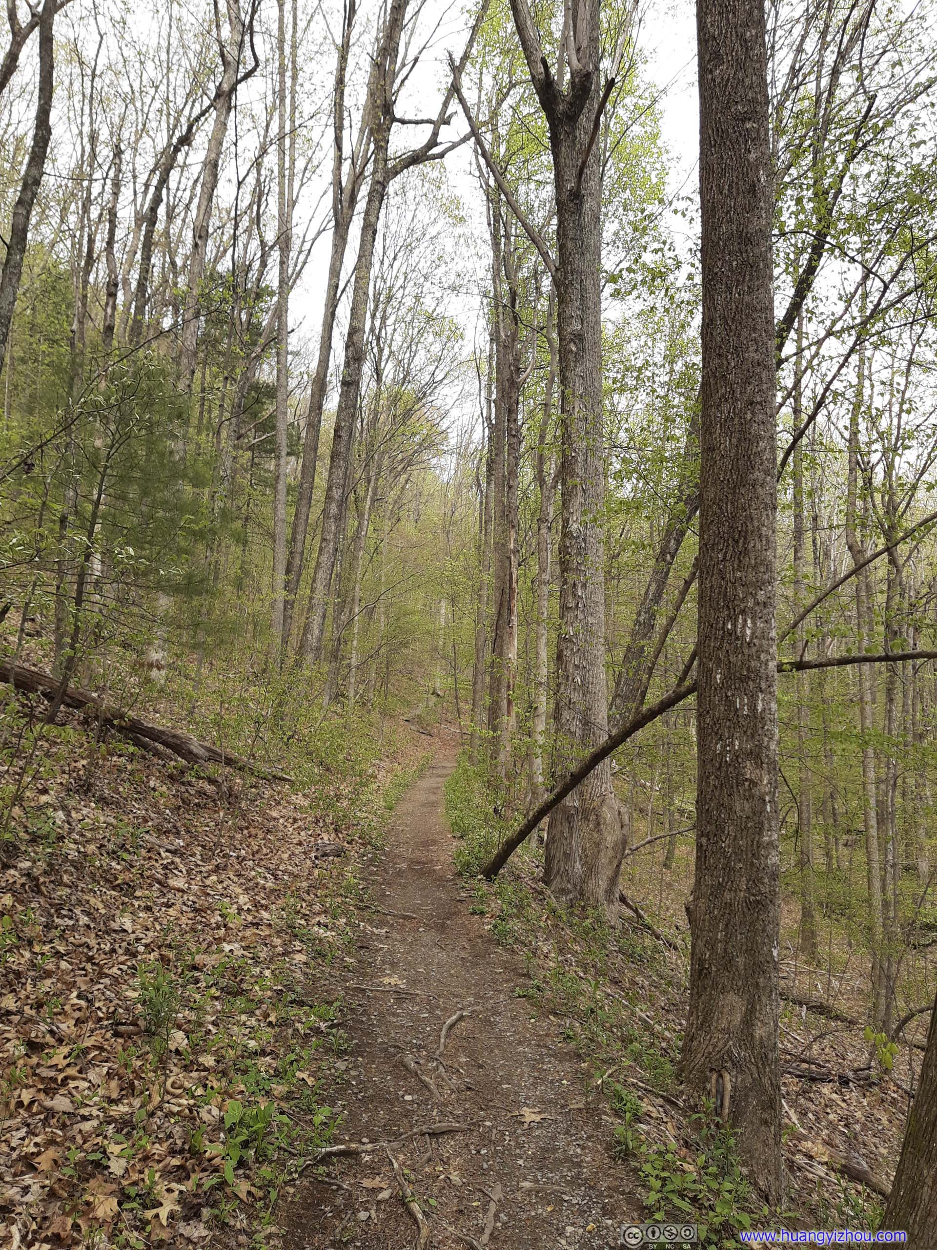
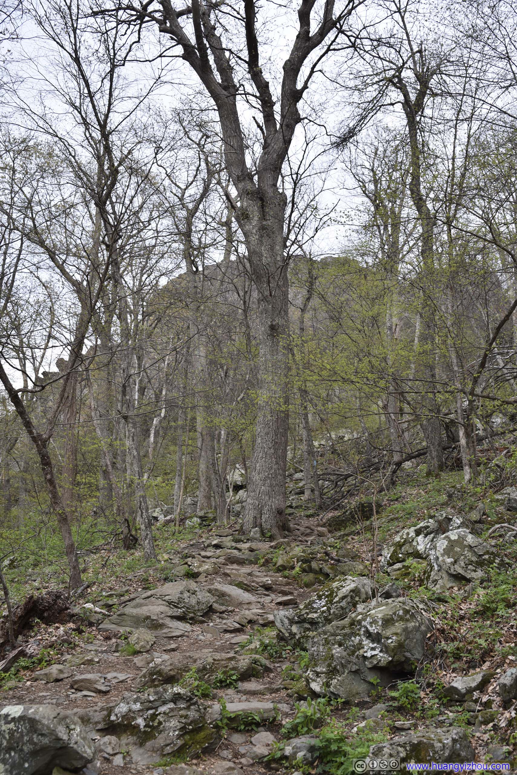
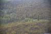
For this part, probably because it’s higher in elevation, or it’s the northern slope of a hill, spring colors hadn’t invigorated the barren trees along the trail.
I took a brief rest at Maupin Field with my lunch, that’s when I noticed the rain was getting heavier, my lenses were blurred, and my cotton coat was starting to get wet. I didn’t want to give up there, so I just carried on hoping the rain wouldn’t get any worse. And luckily, it didn’t, and my coat stayed mostly dry during this light rain.
From Maupin Field, I recorded portions of my hike with my chest-mounted GoPro, here’s a compiled video, most of which was at 7.5x playback speed (a speed at which the video shake from my body movement may cause dizziness).
0:00 Leaving Maupin Field
0:11 Three Ridges Wilderness boundary
2:50 First major overlook
4:03 Three Ridges summit
8:34 Harpers Creek Shelter
12:04 Campbell Creek Campground
14:52 Maupin Field again, finishing the loop
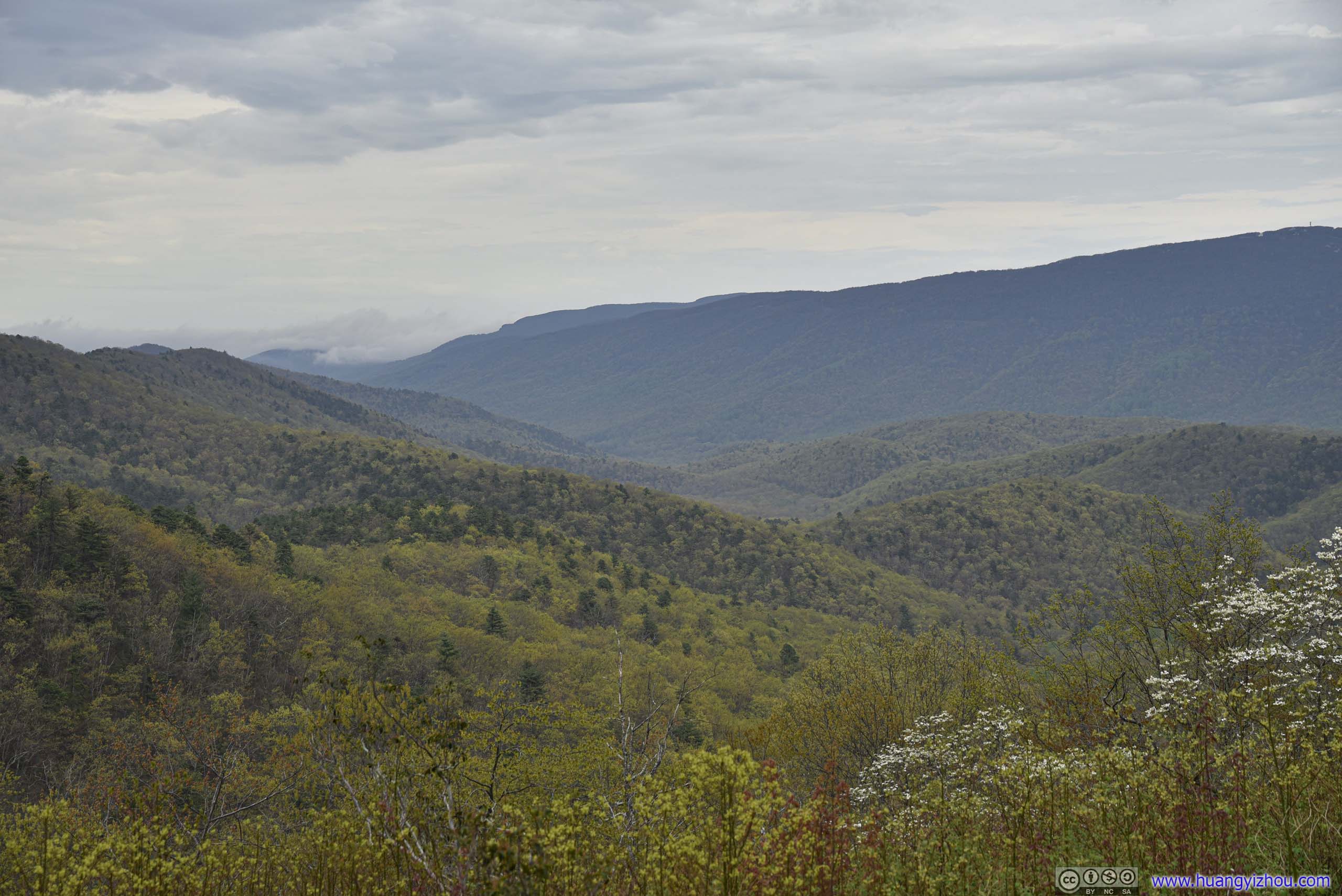
After leaving Maupin Field, I chose to hike Three Ridges Loop in the clockwise direction. This way I would be going uphill in the most rocky portions of Mau-Har Trail. Luckily, the rain didn’t last long, and about half an hour later, I saw rays of sun breaking through the clouds.
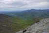
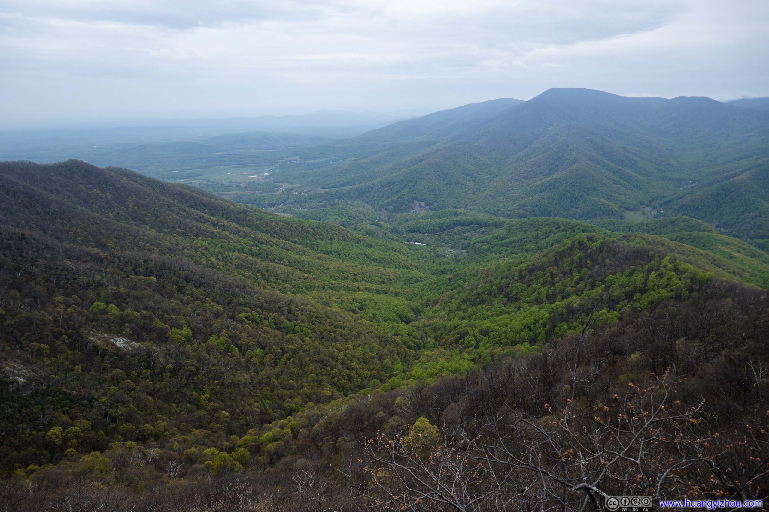
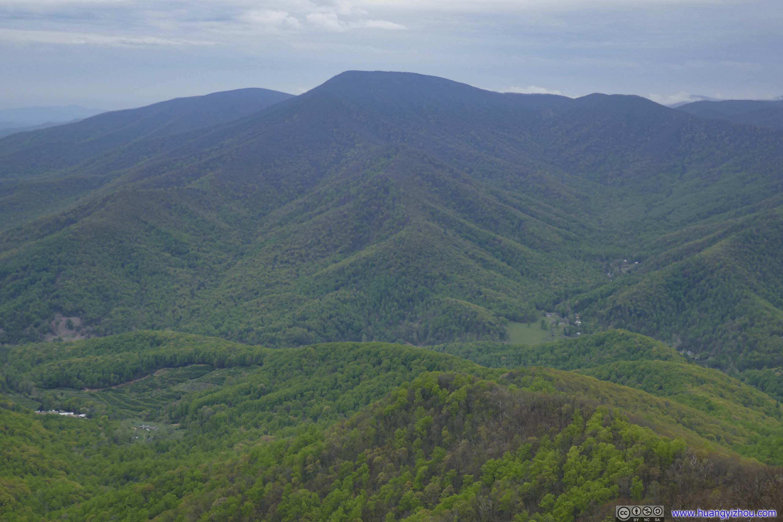
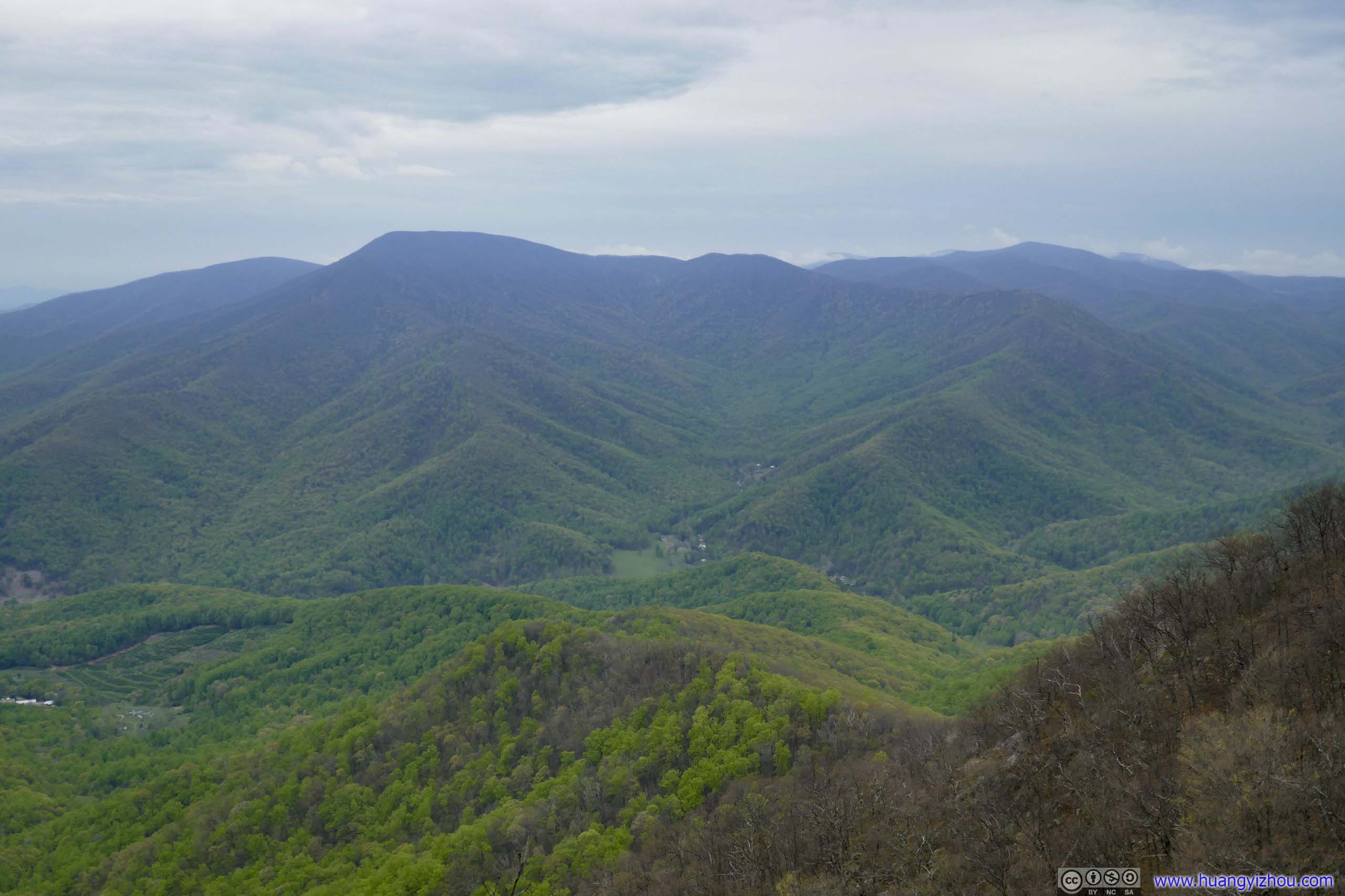
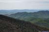
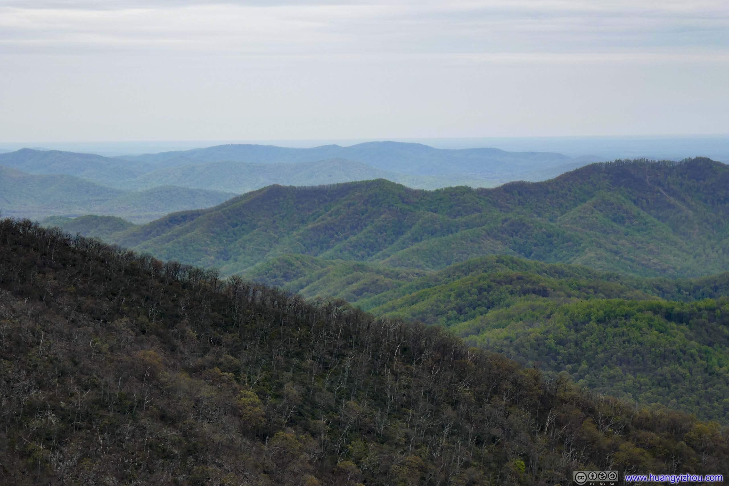
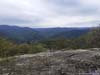
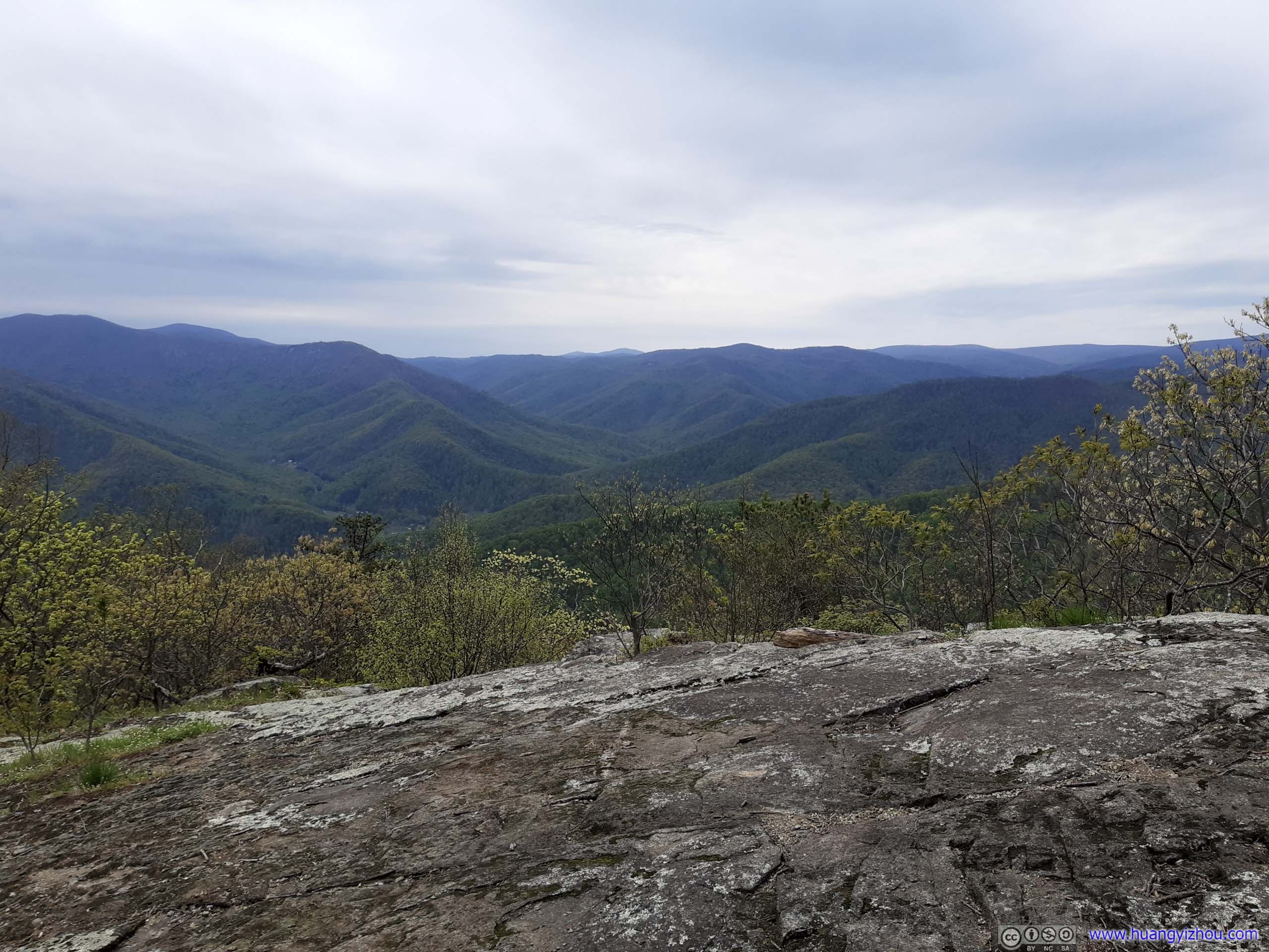
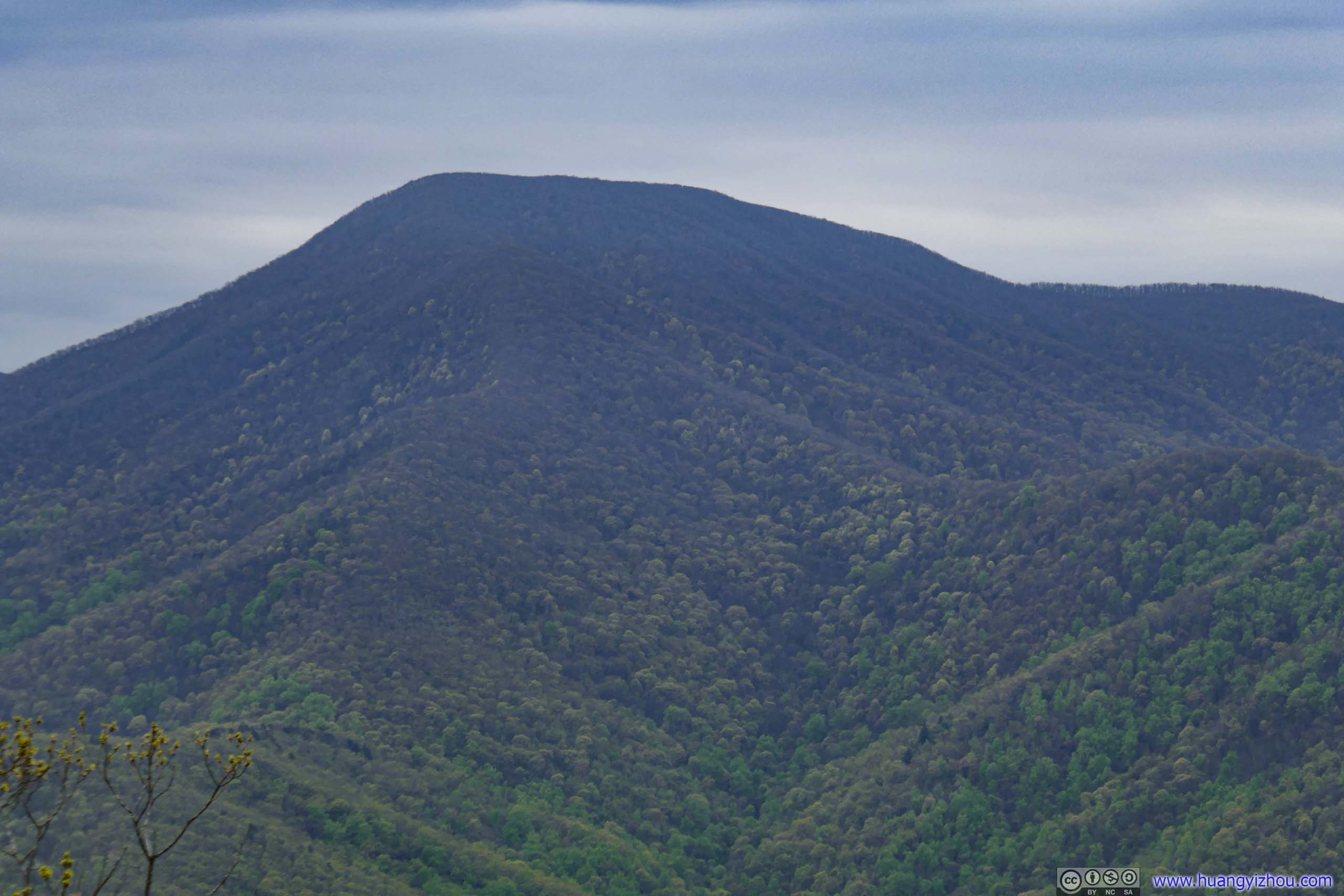
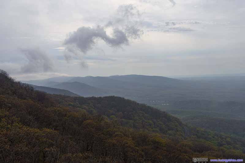
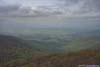
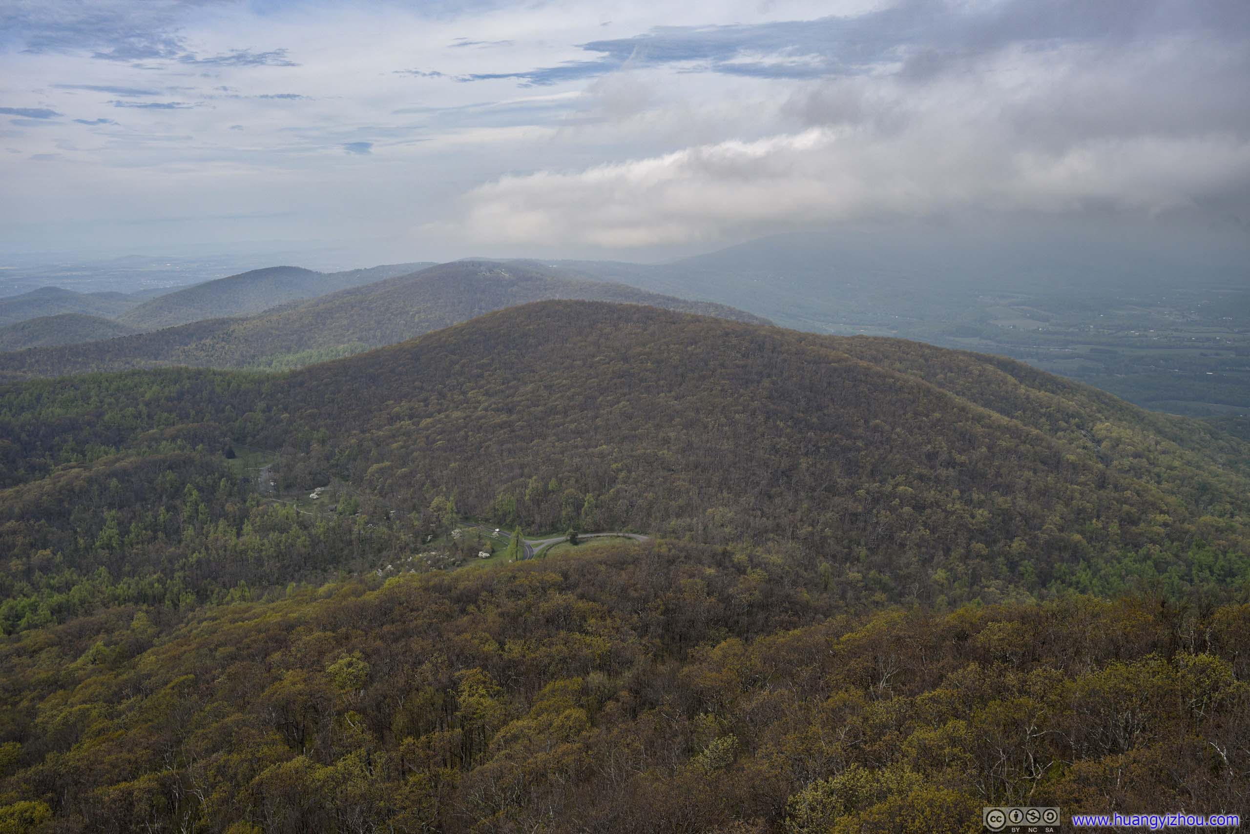
3km from Maupin Field, there was an overlook along the Appalachian Trail, with probably the best view along the entire hike.
View from Overlook
It’s still early in the spring, and the rolling hills in sight presented different shades of green, much to my please.
 Mountains
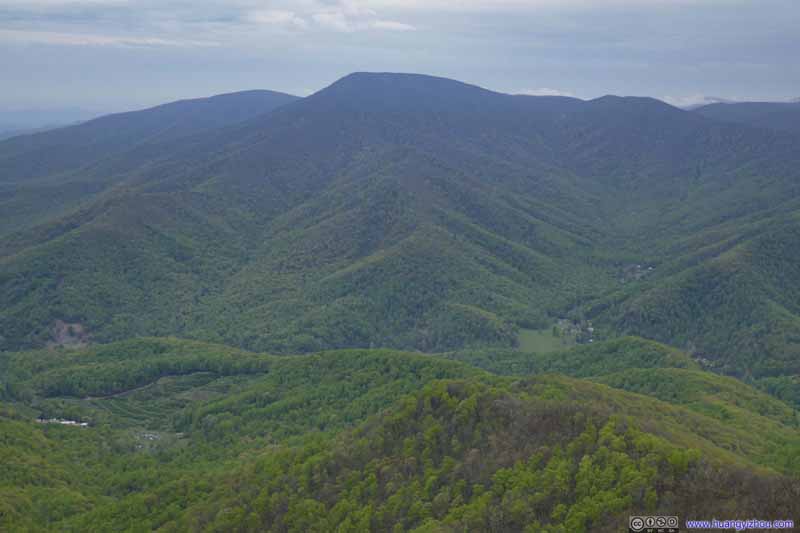 Mountains
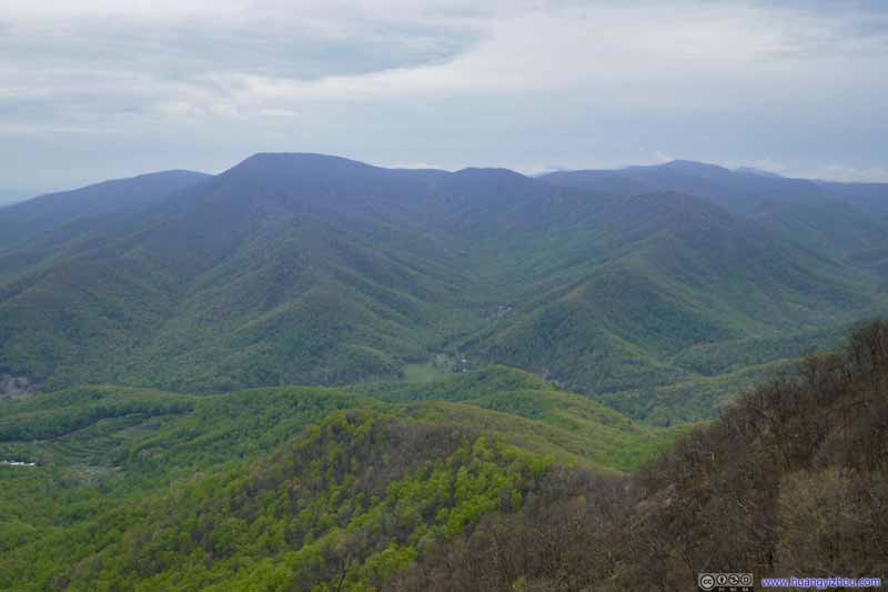 Mountains
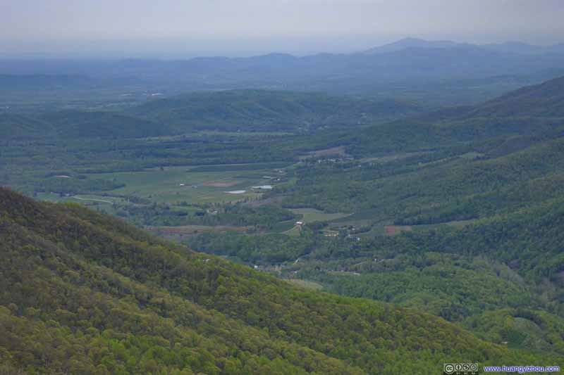 Distant Villages
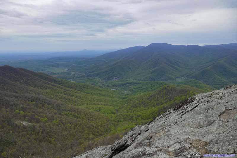 Mountains from Overlook
 Mountains from Overlook
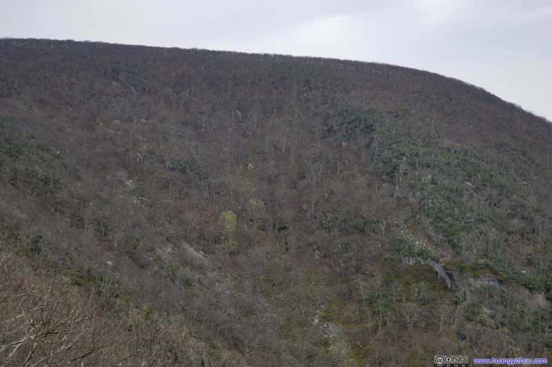 MountainsMost of the leaves hadn’t sprouted along this northern slope.
Click here to display photos from the overlook.
Mountains
Mountains
Mountains
Distant Villages

Mountains from Overlook

Mountains from Overlook
MountainsMost of the leaves hadn’t sprouted along this northern slope.
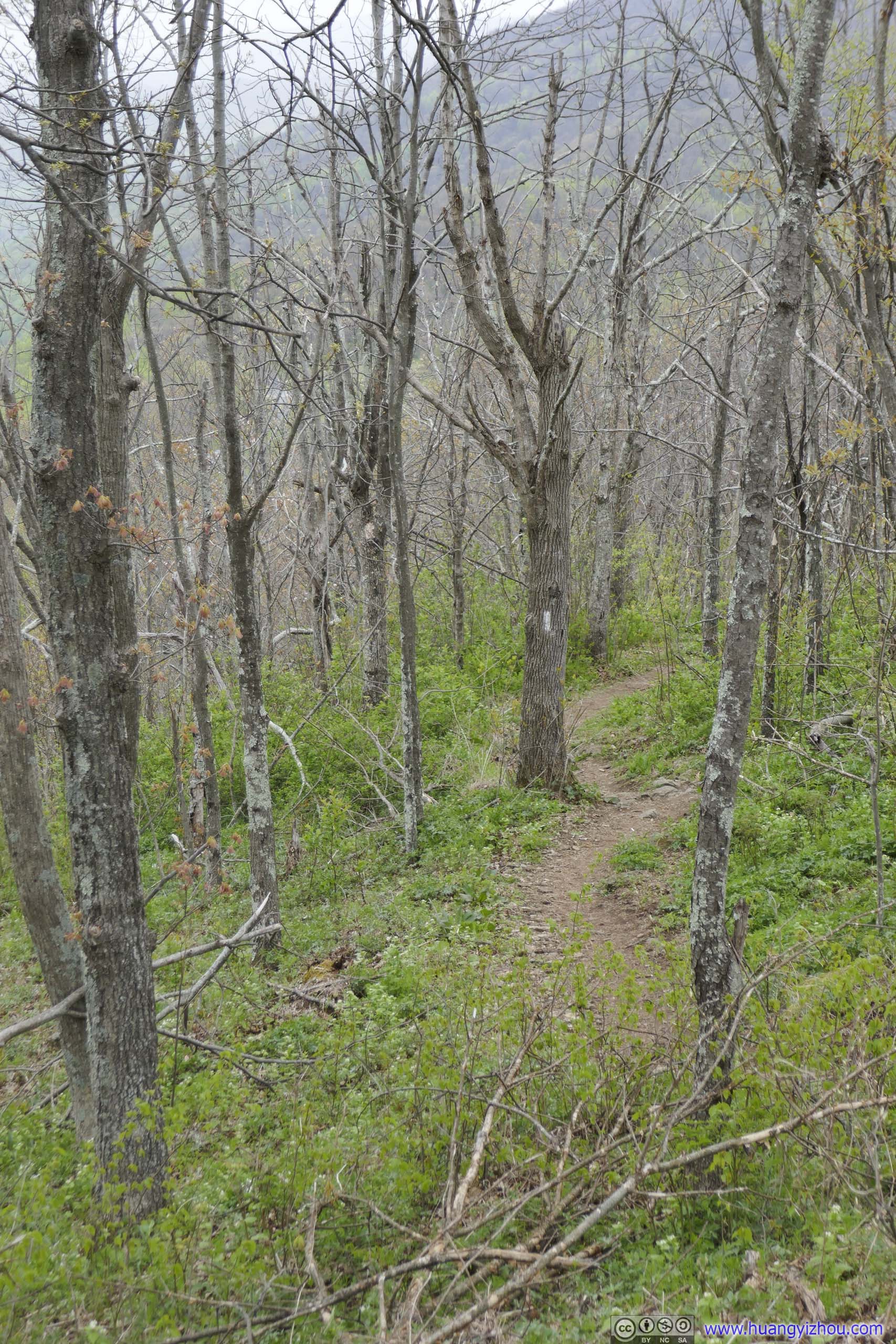
After leaving the previous overlook, the summit of Three Ridges was another 1.5km ahead.
 Forest
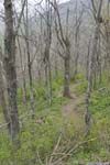
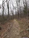
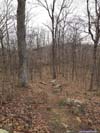
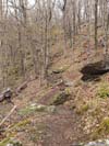
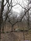
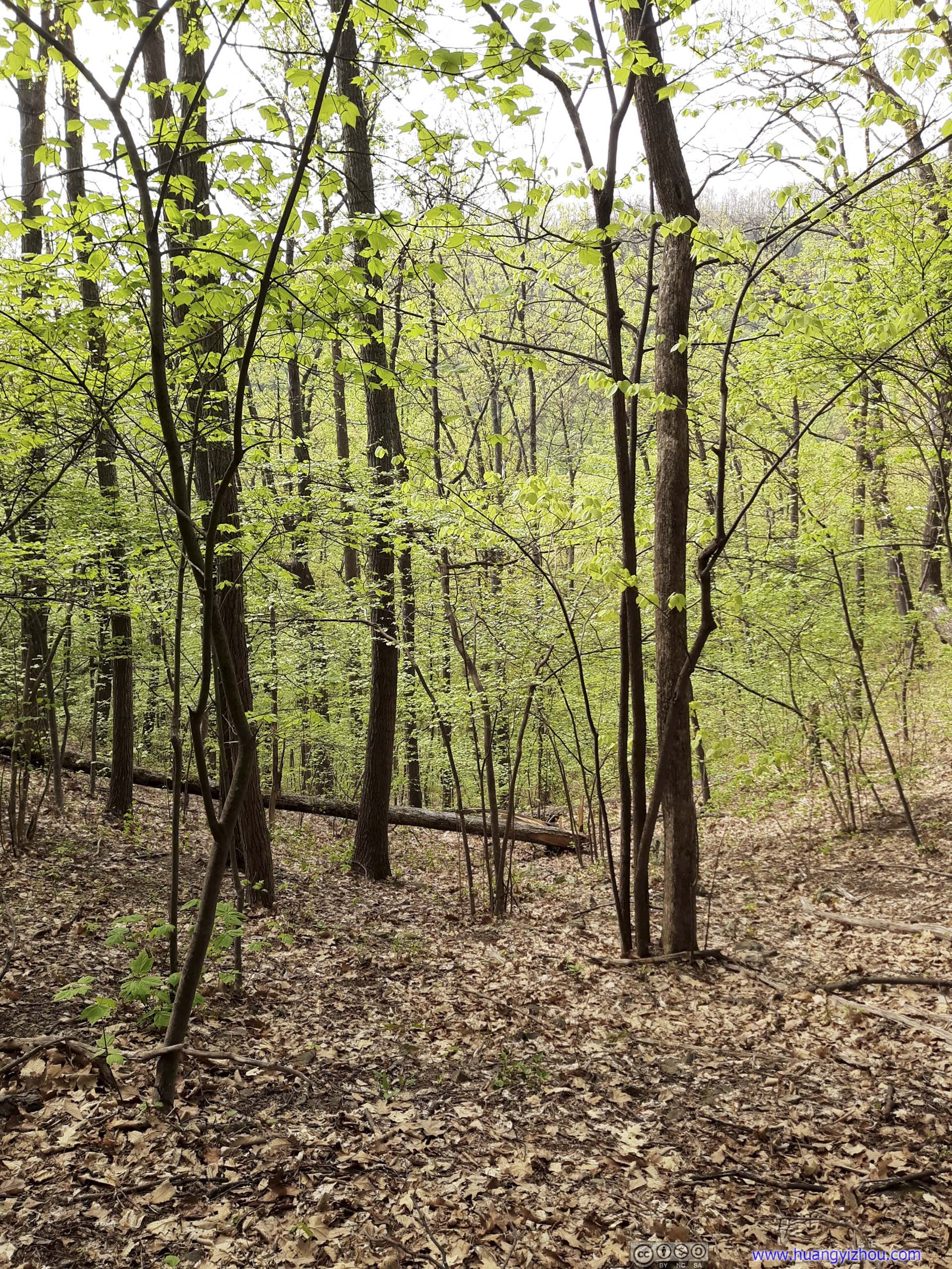
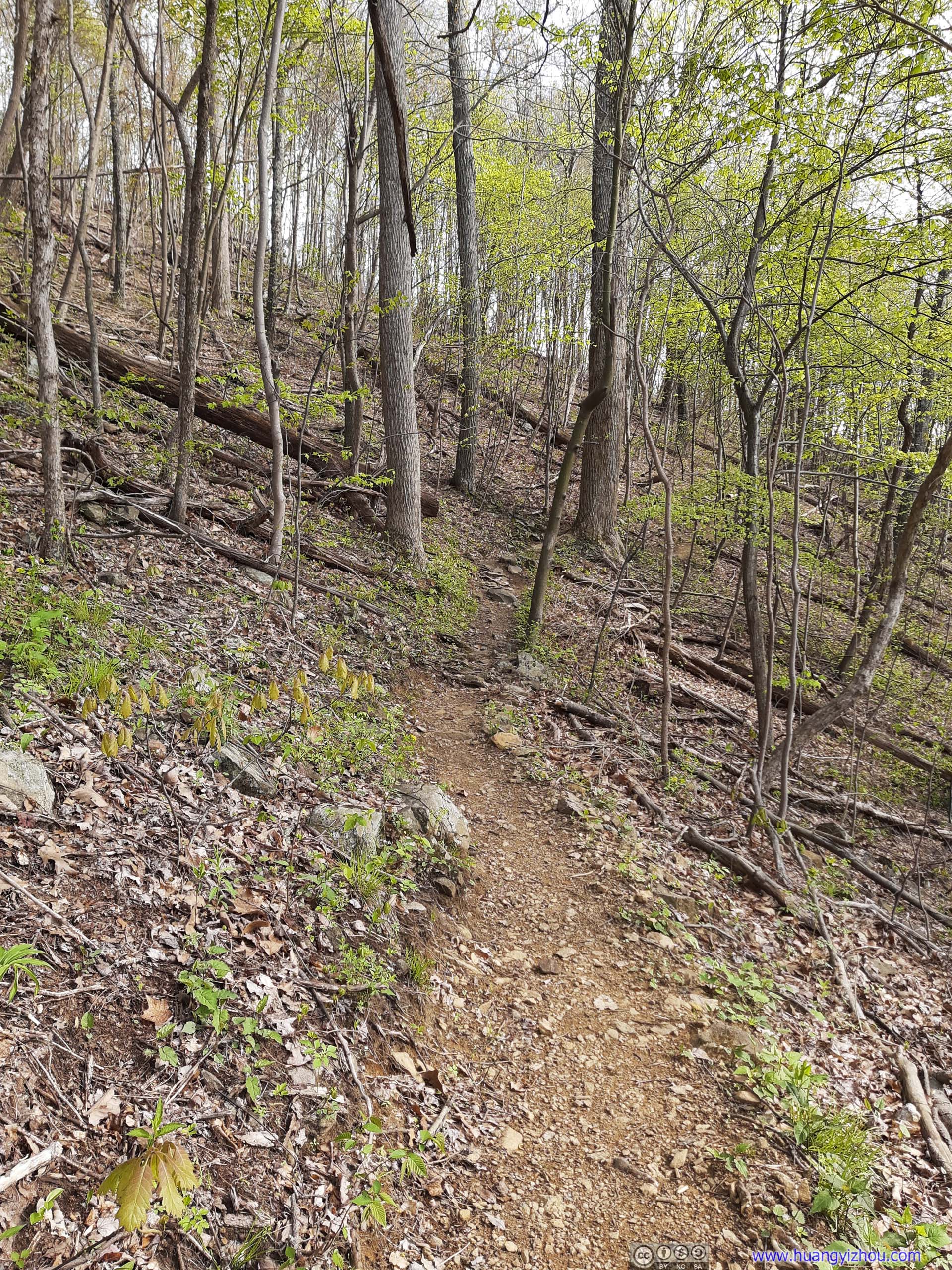
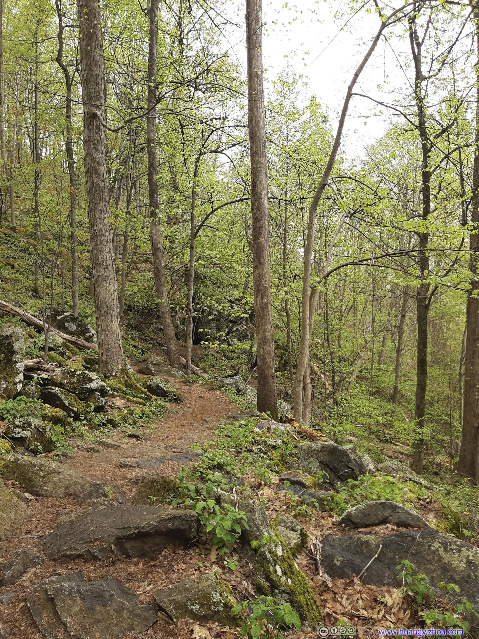
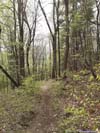
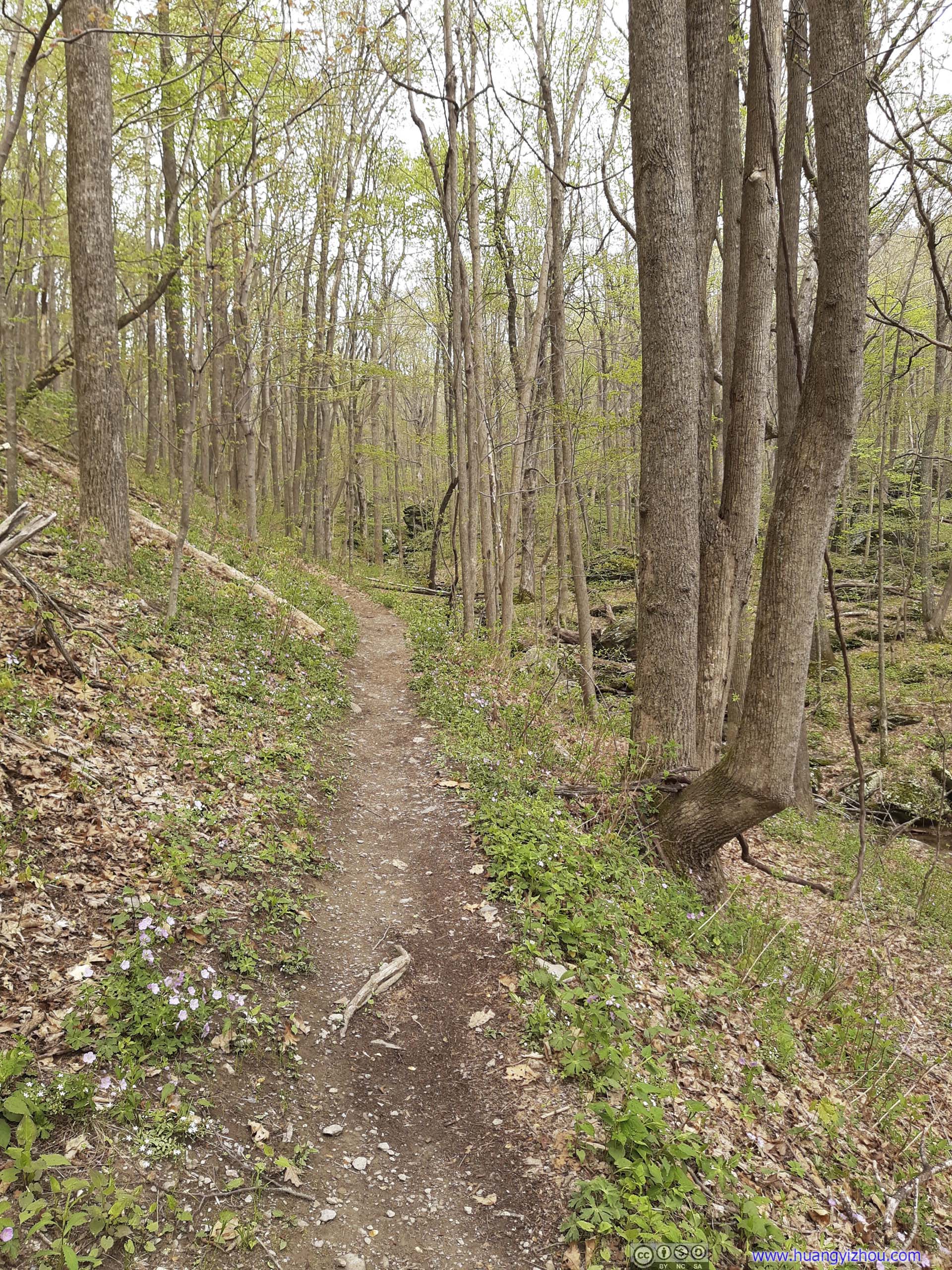
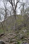
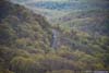
Continuing beyond the summit of Three Ridges, the trail made a few switchbacks while descending in elevation, as I noticed the colors along the trail turned from brown to yellow to green, pleasing signs of spring.
 TrailNear the summit of Three Ridges were the trees were still barren.
 TrailNear the summit of Three Ridges were the trees were still barren.
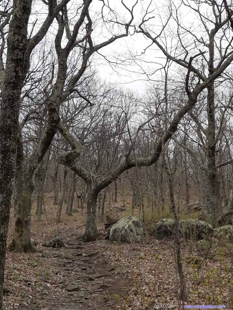 TreeInterestingly shaped like a spur.
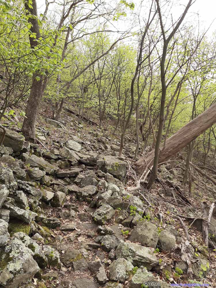 TrailThen as the elevation lowered, the trees started to become lush in green.
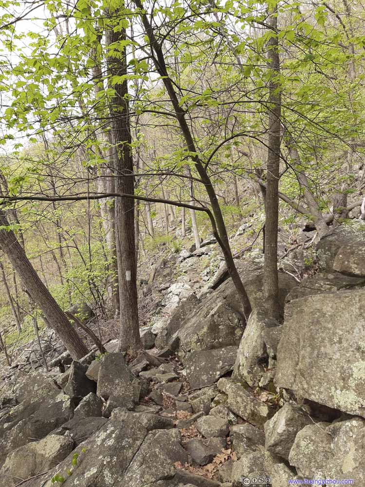 TrailThen as the elevation lowered, the trees started to become lush in green.
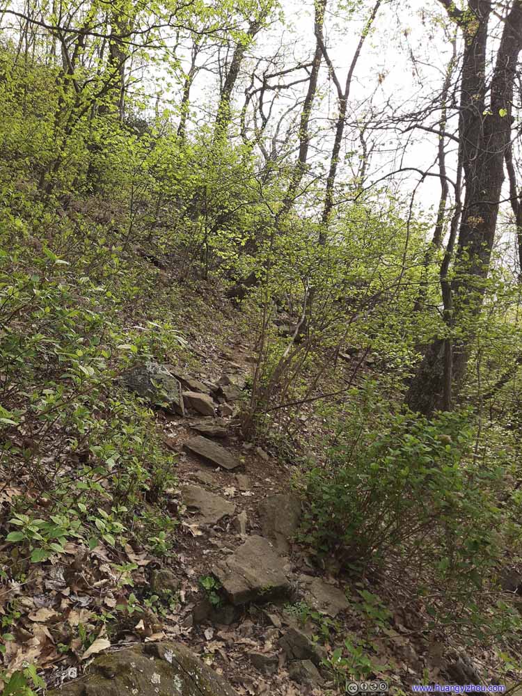 TrailThen as the elevation lowered, the trees started to become lush in green.
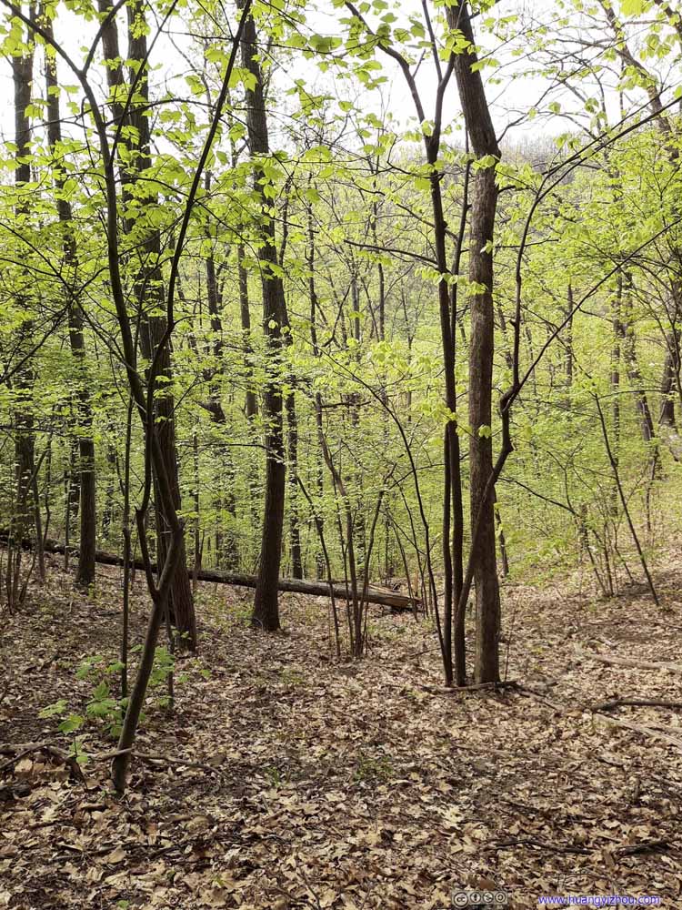 Forest
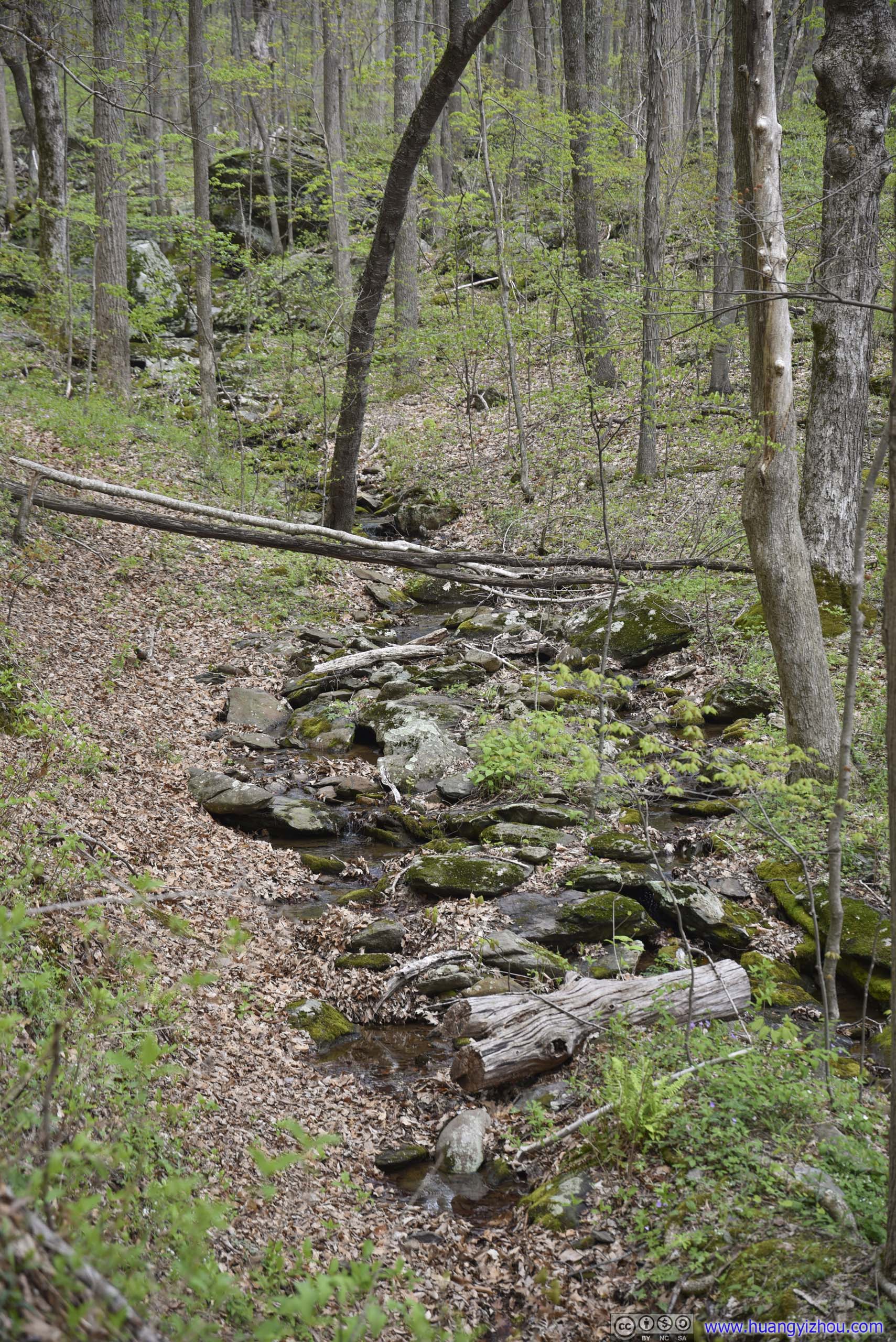
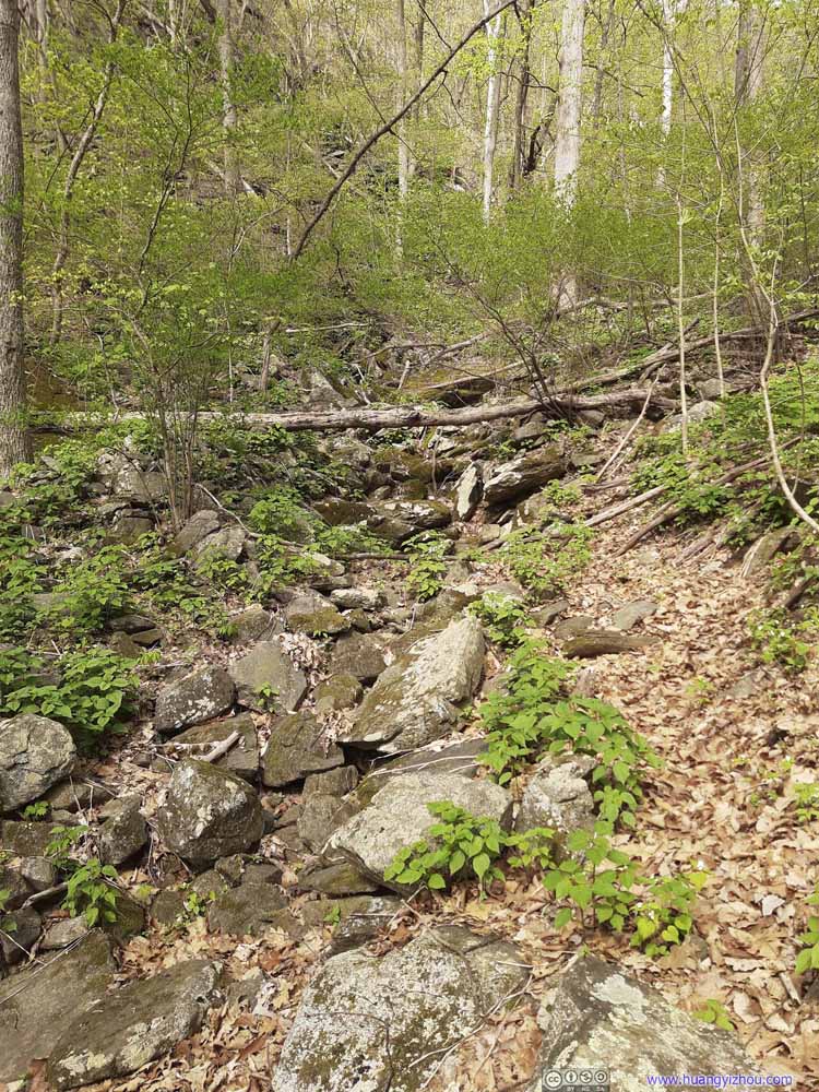 Dried Creek
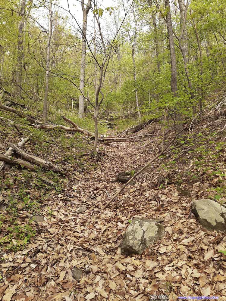 Dried Creek


Click here to display photos of the trail.
TrailNear the summit of Three Ridges were the trees were still barren.
TrailNear the summit of Three Ridges were the trees were still barren.
TreeInterestingly shaped like a spur.
TrailThen as the elevation lowered, the trees started to become lush in green.
TrailThen as the elevation lowered, the trees started to become lush in green.

TrailThen as the elevation lowered, the trees started to become lush in green.
Forest

Dried Creek
Dried Creek
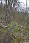
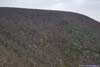
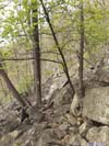
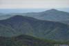
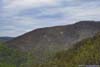
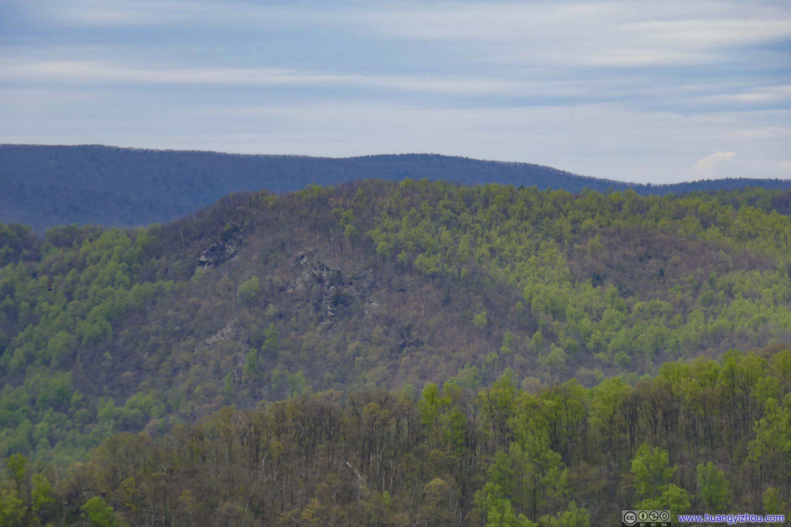
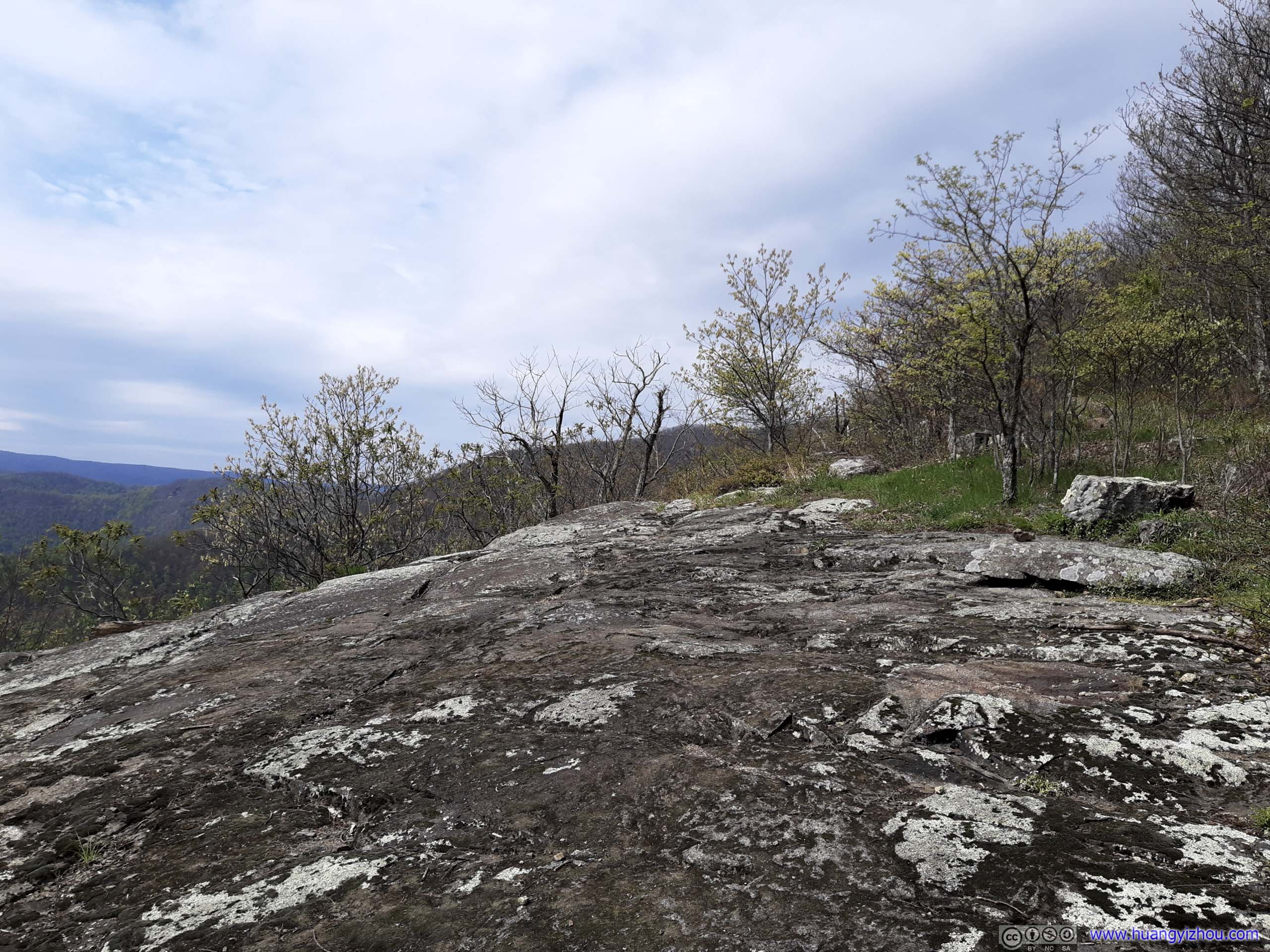
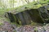
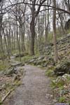
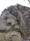
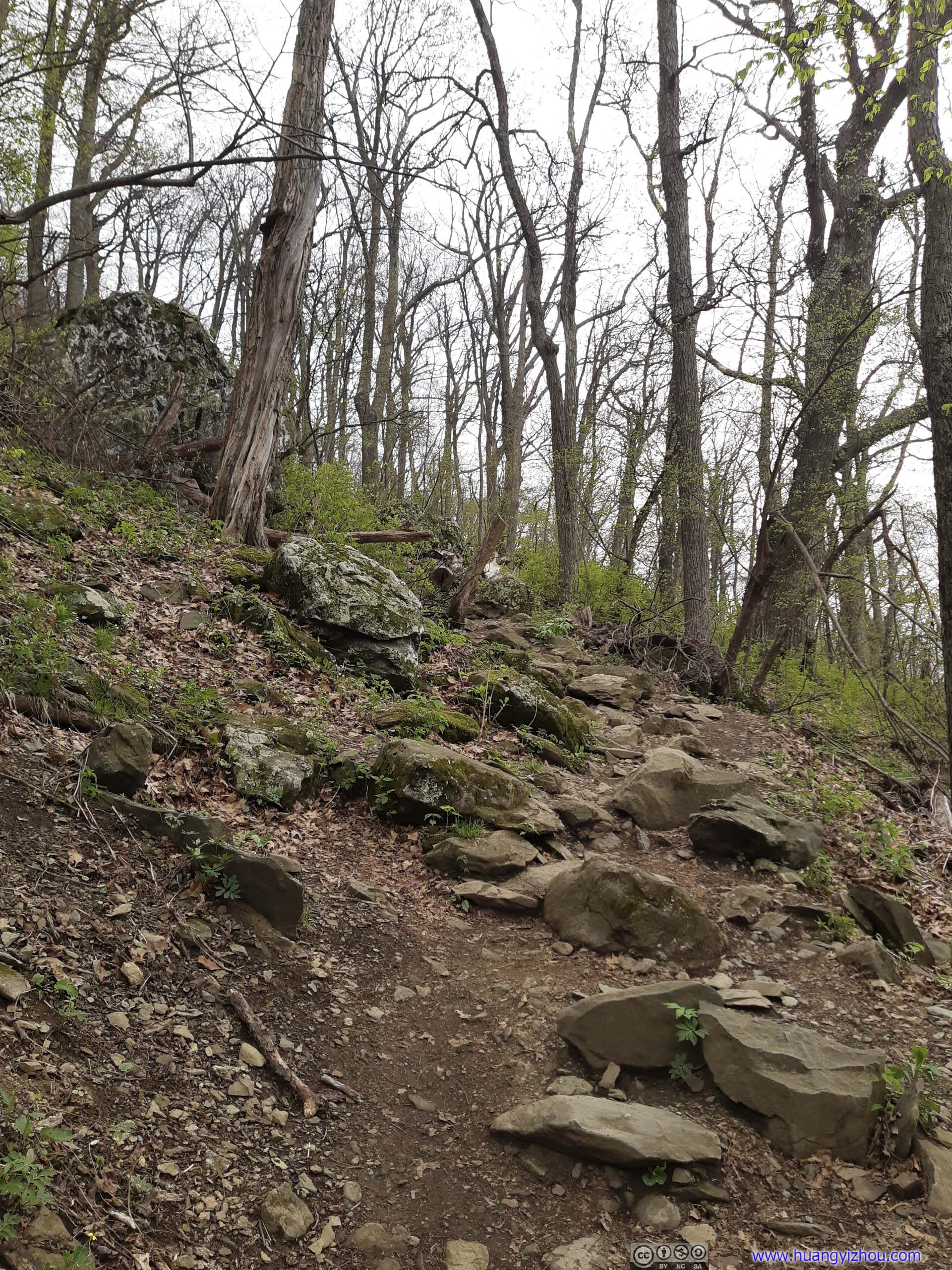
About 1.6km from the summit of Three Ridges, the trail passed along Chimney Rock, which was less impressive than the name suggested, with only minimal exposure. Nonetheless, it’s the only overlook along the trail facing east, photos below.
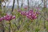
 Flowers along TrailThe mountain in the background was “three ridges” on maps, which I just descended from.
 Mountains
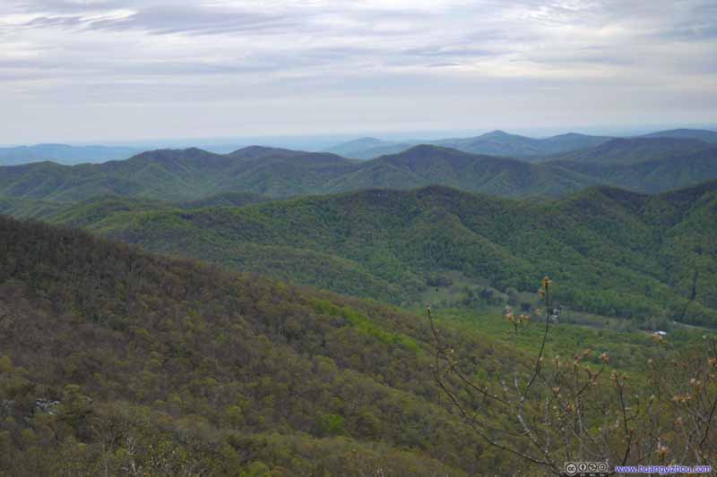 Mountains
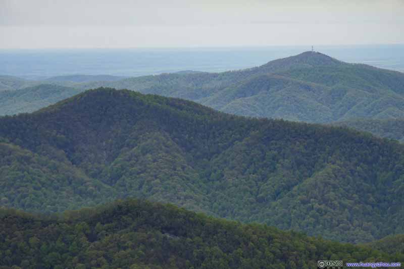 Mountains
 Mountains
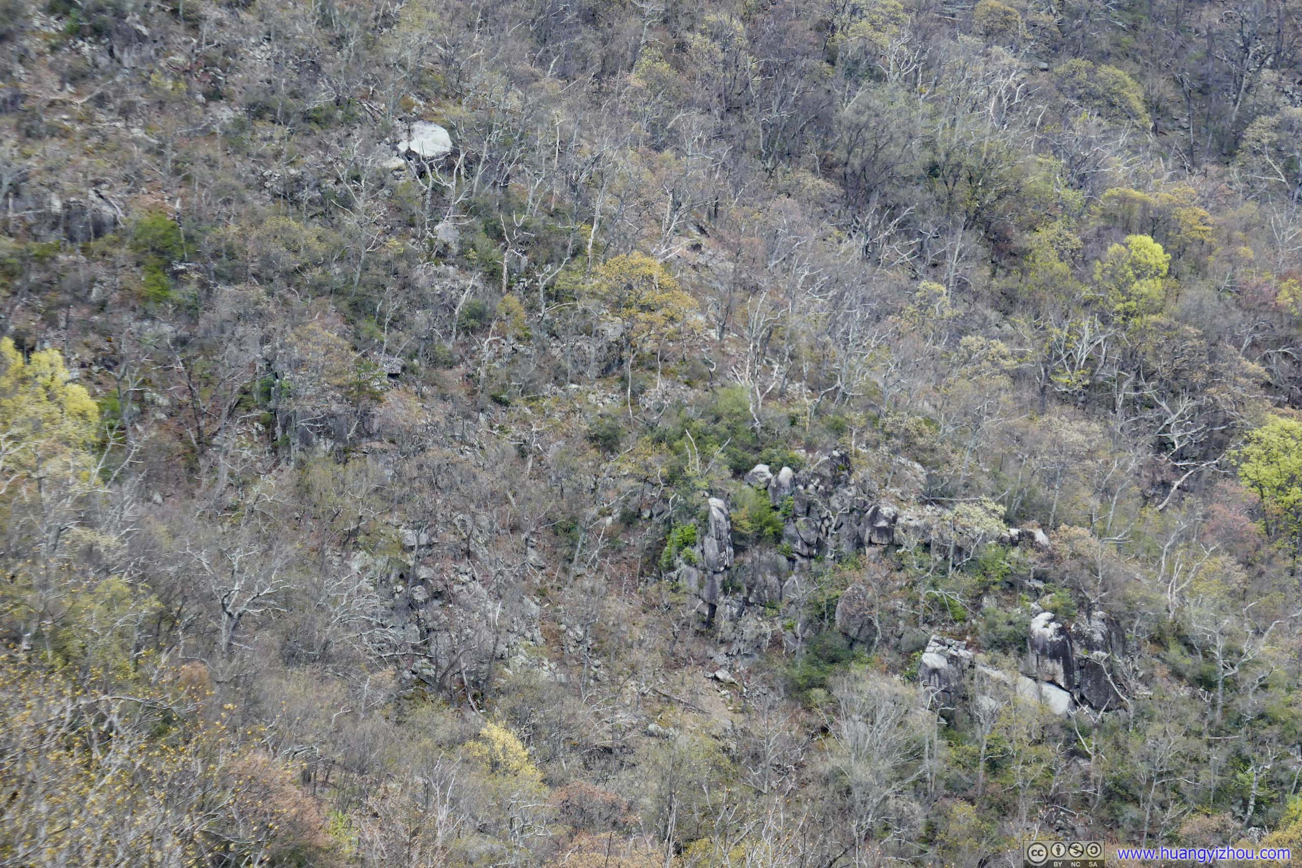
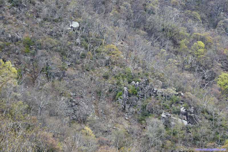 Rocks on Mountain
Spring hadn’t arrived at the trees along this southern slope, probably due to the presence of these rocks.
Rocks on Mountain
Spring hadn’t arrived at the trees along this southern slope, probably due to the presence of these rocks.

Click here to display photos of the slideshow

Flowers along TrailThe mountain in the background was “three ridges” on maps, which I just descended from.


 Mountains
Rocks on Mountain
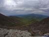
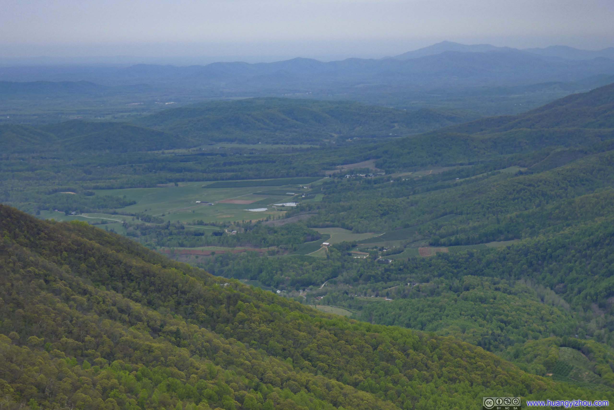
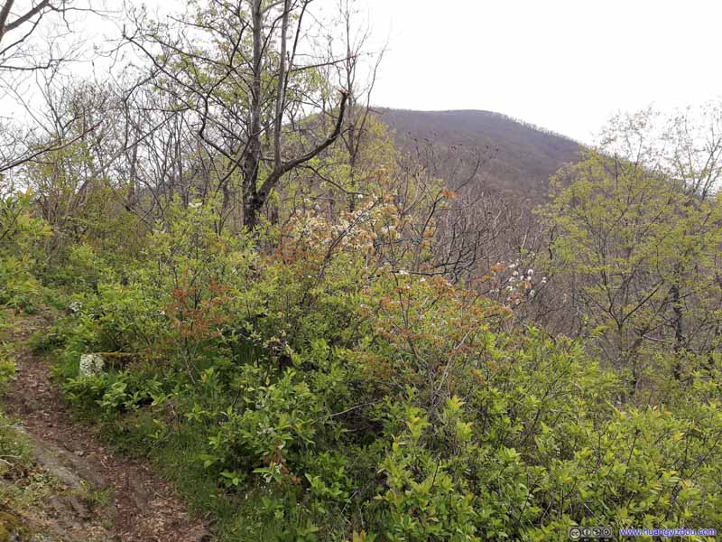
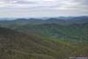
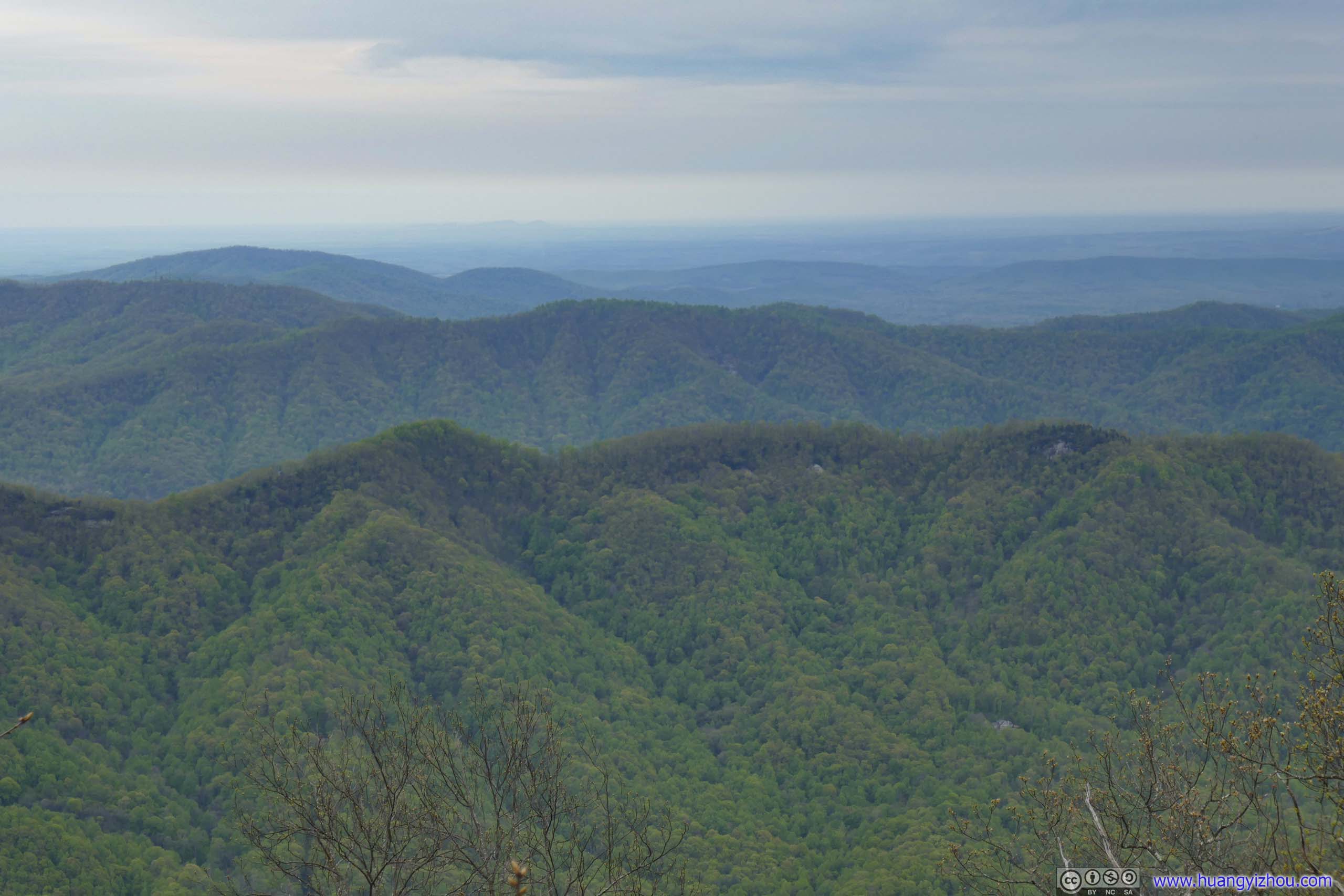
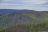
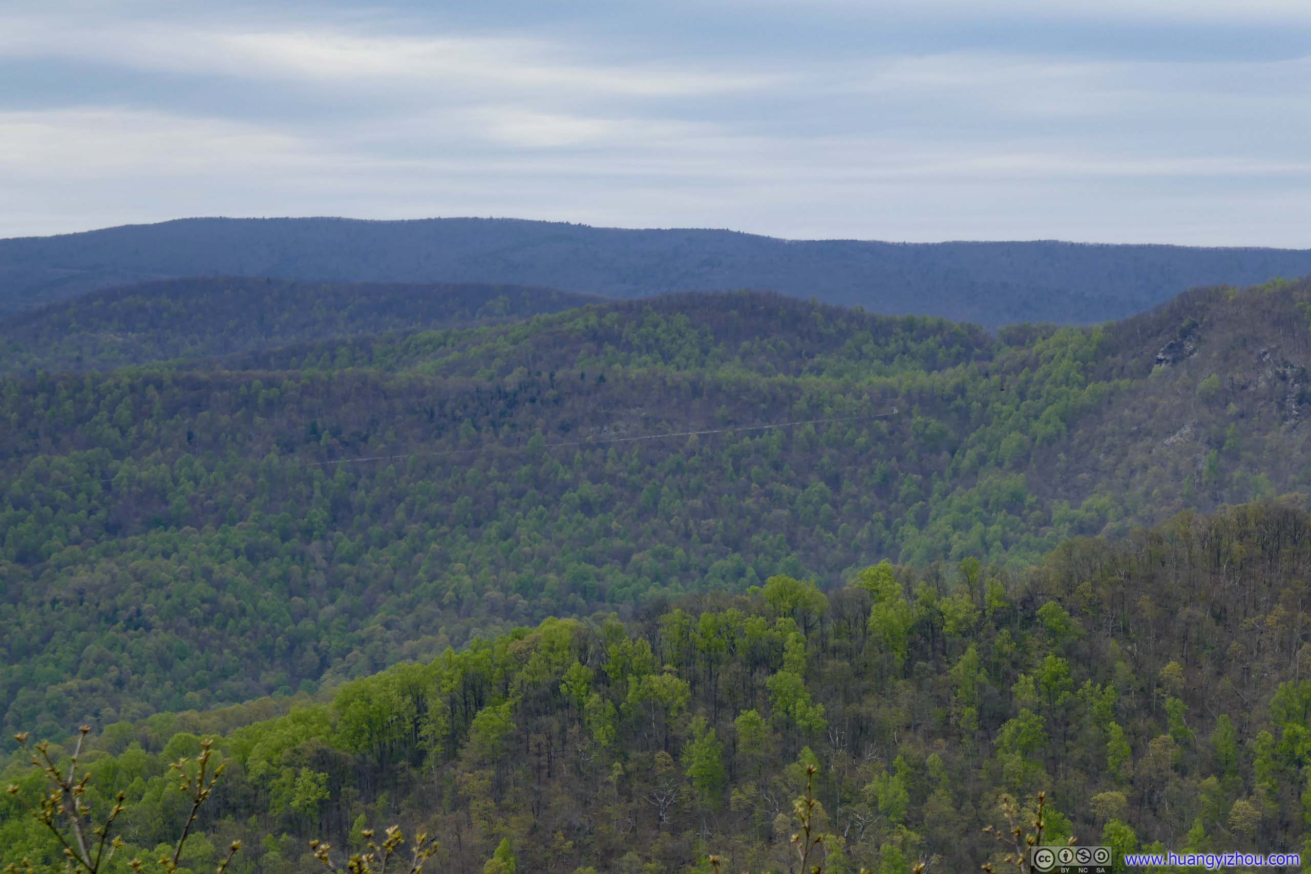
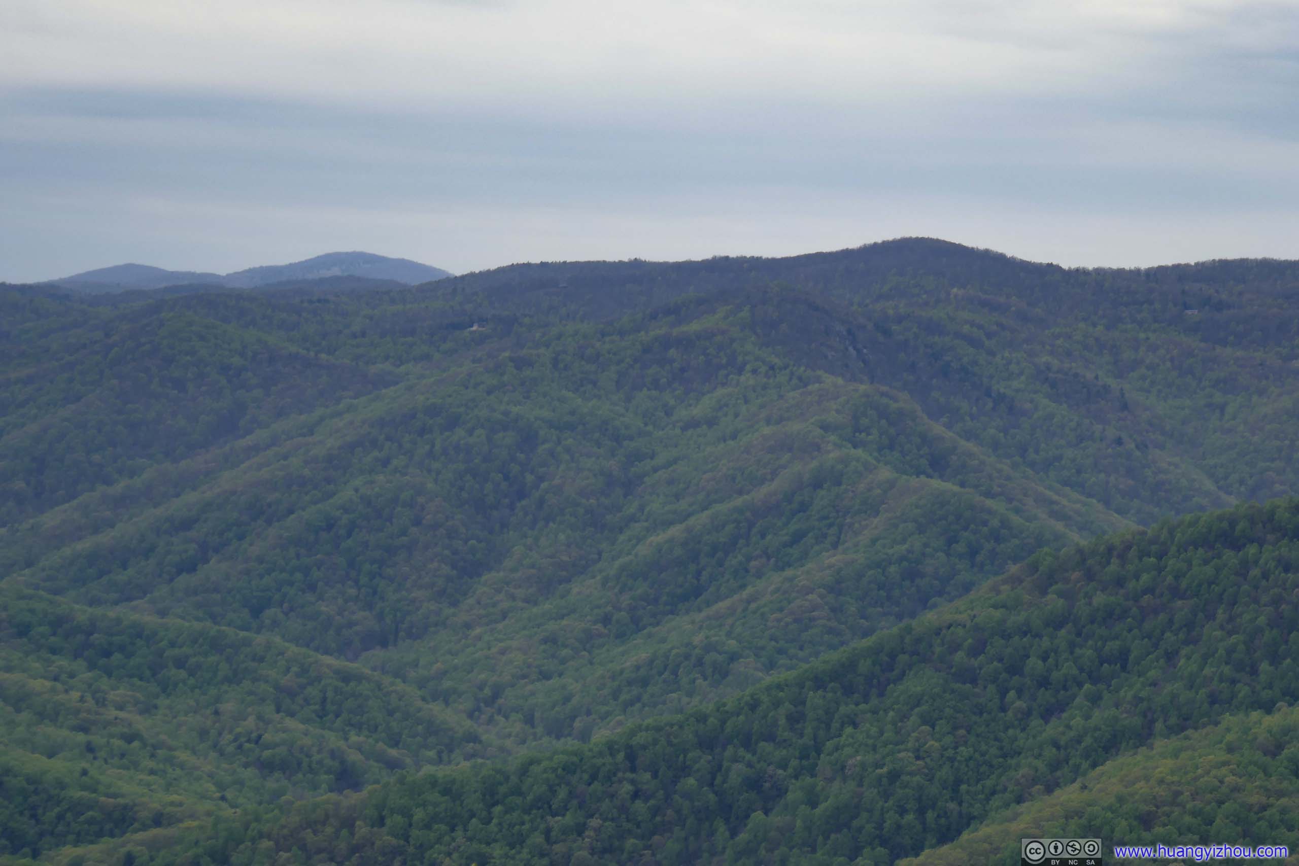
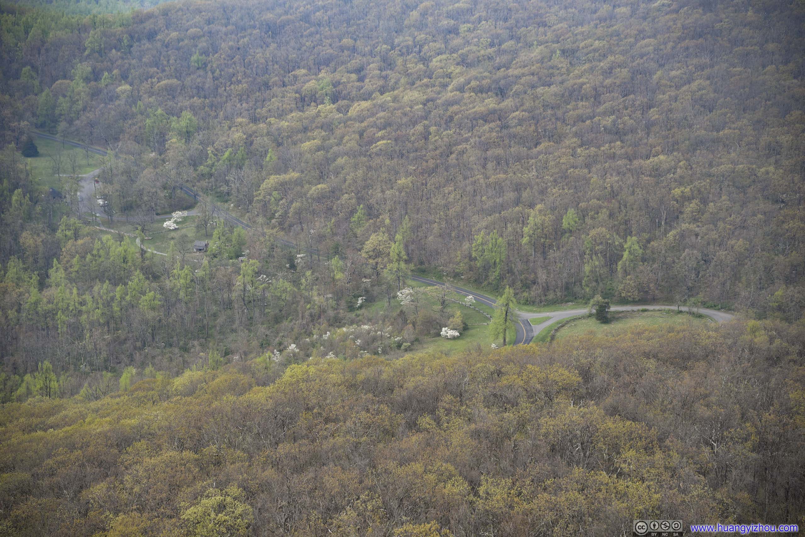
I took some rest at Chimney Rock, enjoying some snacks. After getting on my way and just 0.8km from Chimney Rock, there was an unnamed overlook on the west side of the trail. The space was more open, the views were better in my opinion, and frankly it’s a better snack spot.
 Mountains
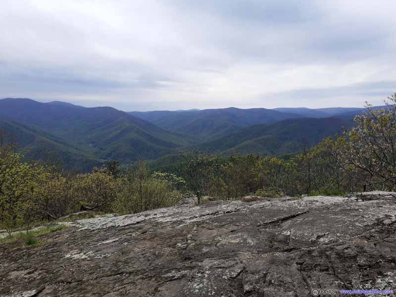 Mountains from Overlook
 Mountain
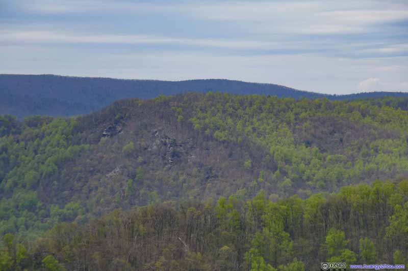 Mountain
 Mountain
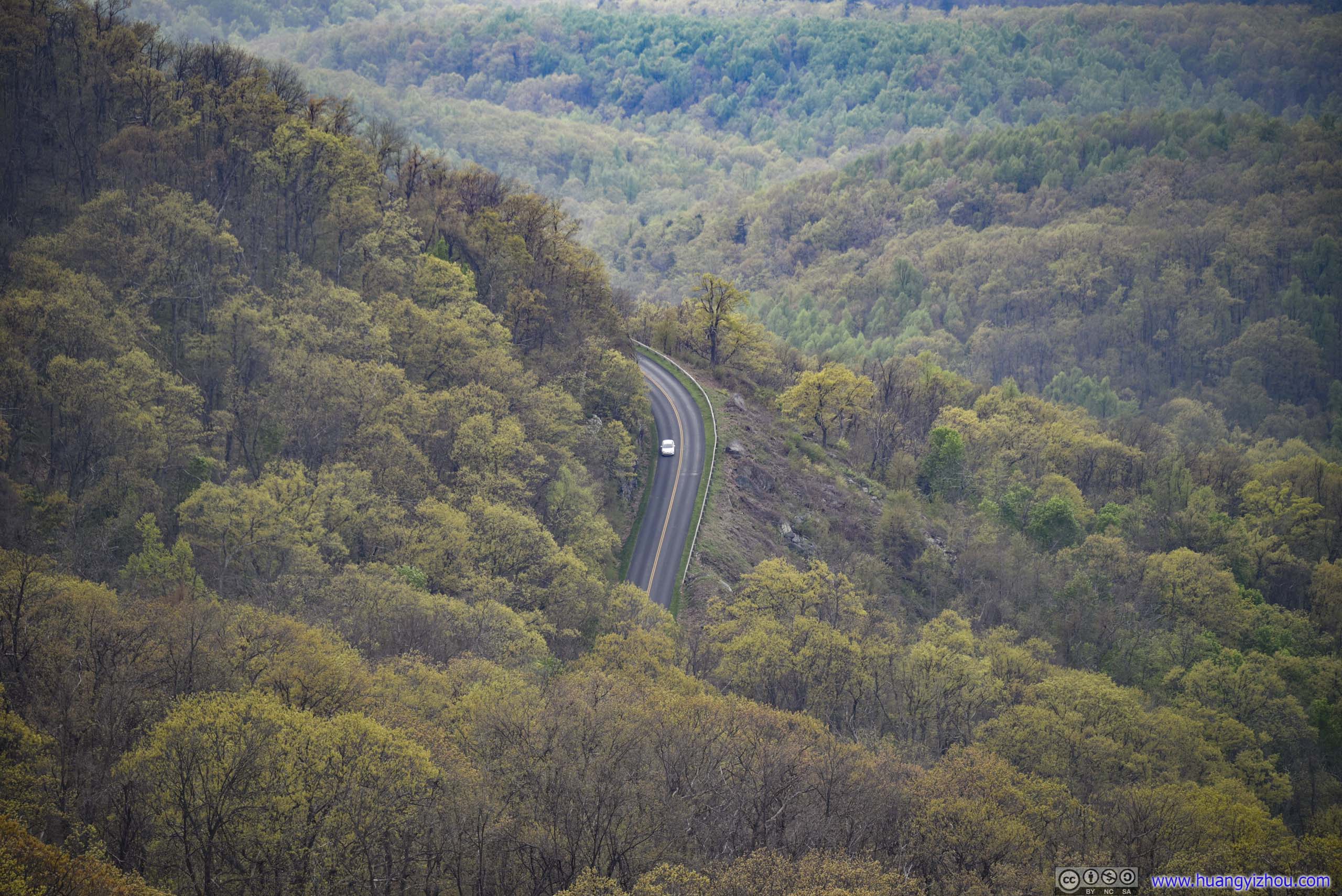
 MountainBlue Ridge Parkway visible in the center.
 Mountain
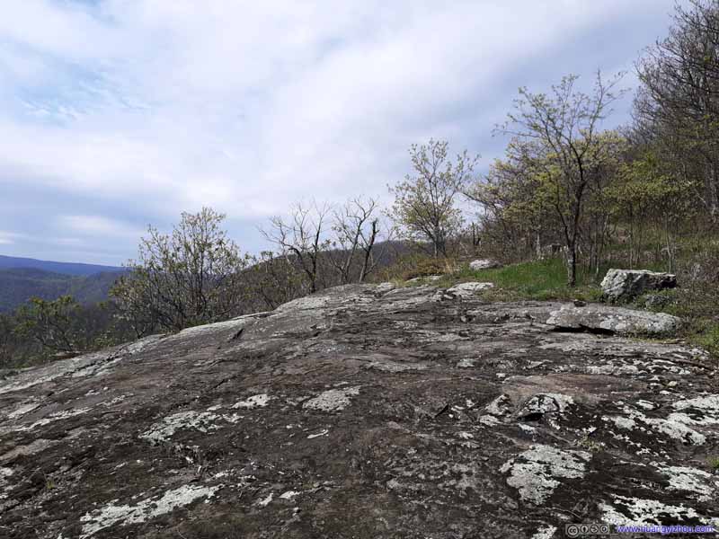 OverlookA relatively open space on a slight incline, maybe a good camping spot?

Click here to display photos from the overlook.

Mountains
Mountains from Overlook

Mountain
Mountain
Mountain
MountainBlue Ridge Parkway visible in the center.
Mountain
OverlookA relatively open space on a slight incline, maybe a good camping spot?
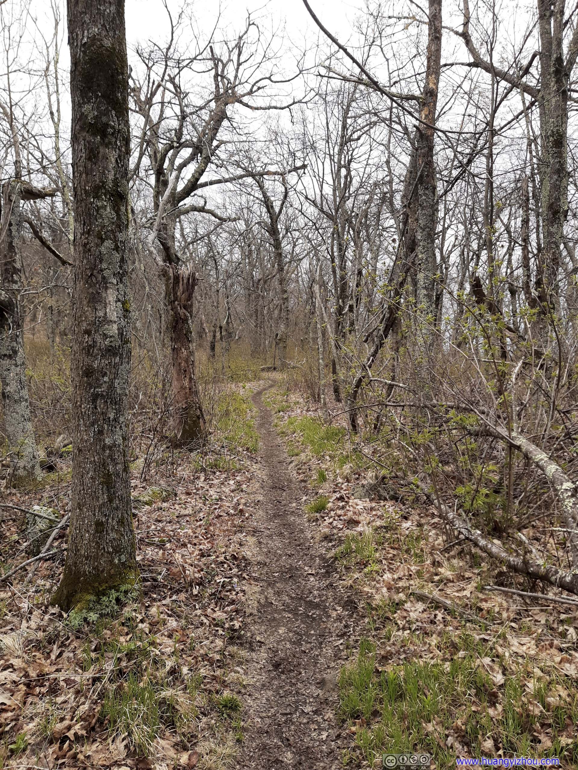
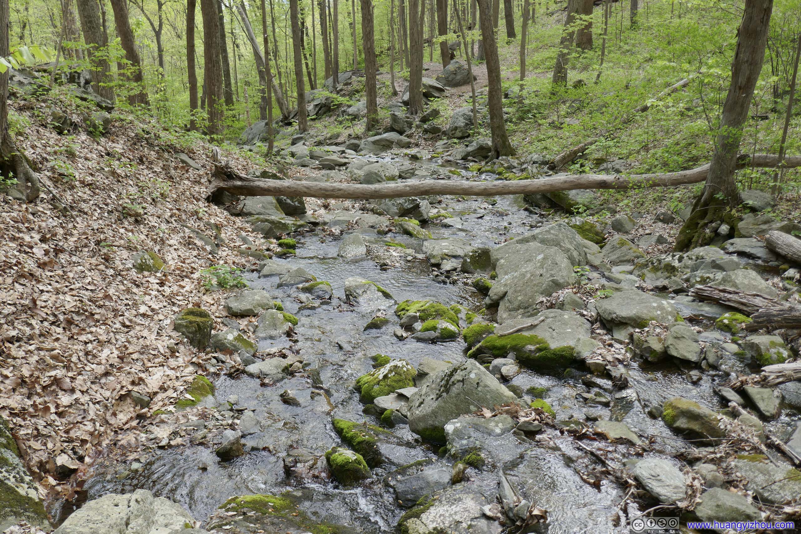
After that, the trail continued its descent, amid a canopy of trees as spring had arrived at this southern slope at a lower elevation. I was enjoying this lovely color and the ease of going downhill, a far cry from the constant worries about weather hours ago.
 Harpers Creek ShelterA shelter for hikers of Appalachian Trail.
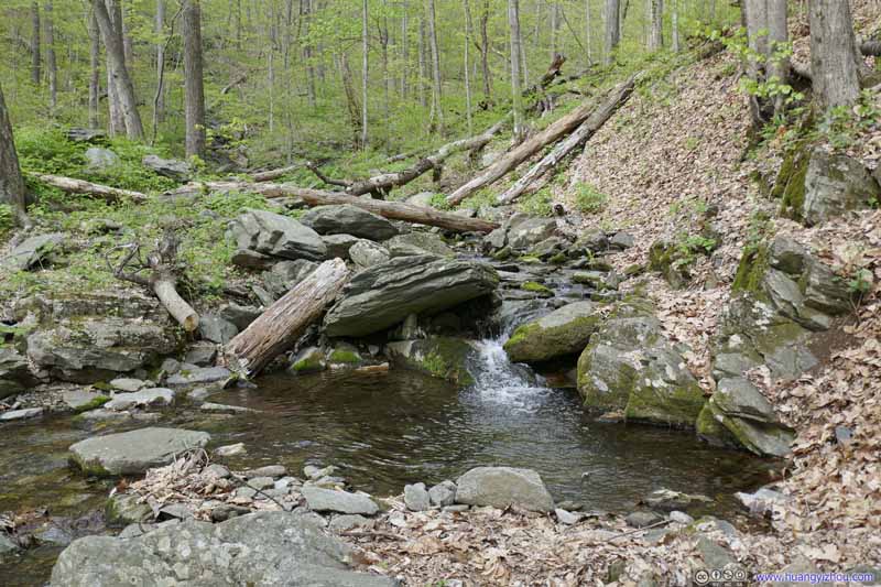 Harpers Creek
 Harpers Creek
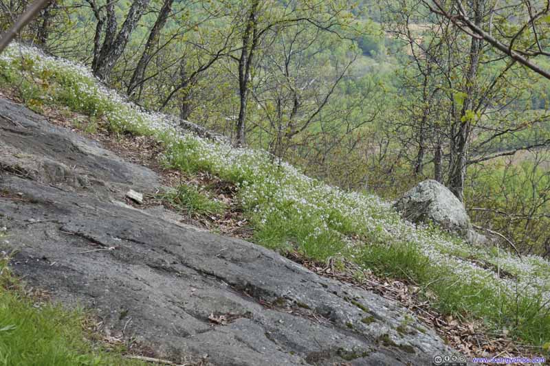 Patches of Flowers
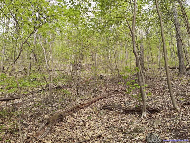 Forest


Click here to display photos around Harpers Creek Shelter.
Harpers Creek ShelterA shelter for hikers of Appalachian Trail.

 Harpers Creek

Patches of Flowers

Forest
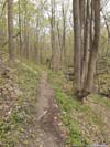
Finally, I arrived at Harpers Creek Shelter at 4:20pm. Weirdly, I didn’t run into any campers here, compared with the crowds along Campbell Creek or at Maupin Field. Harpers Creek Shelter was the lowest point in elevation of the entire loop. I took a short rest here, before continuing on the remainder of the loop which was mostly uphill back to the parking lot. The sun was out, bringing much needed warmth to the trail.
 Trail
Trail Trail
Trail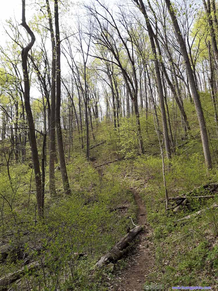 Trail
Trail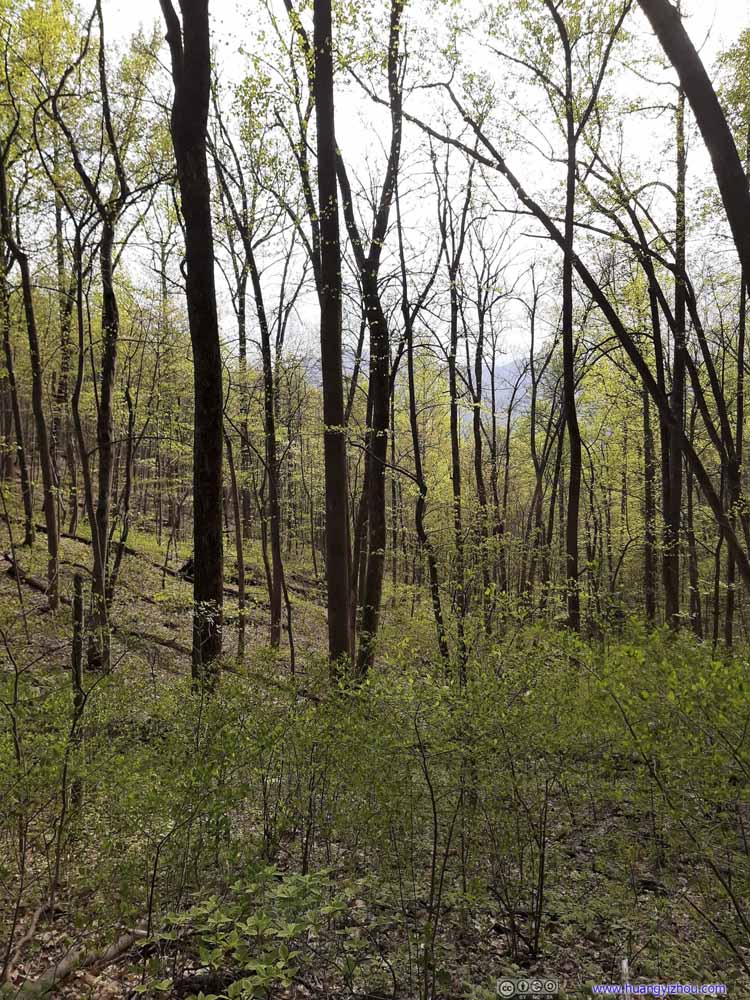 Forest
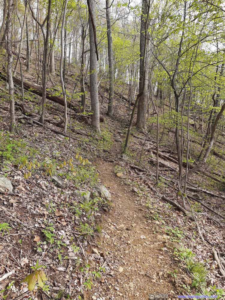 Trail
Trail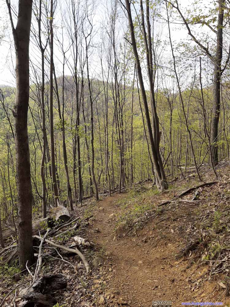 Trail
Trail


Click here to display photos of the slideshow

Trail
Trail
Trail
Forest
Trail

Trail
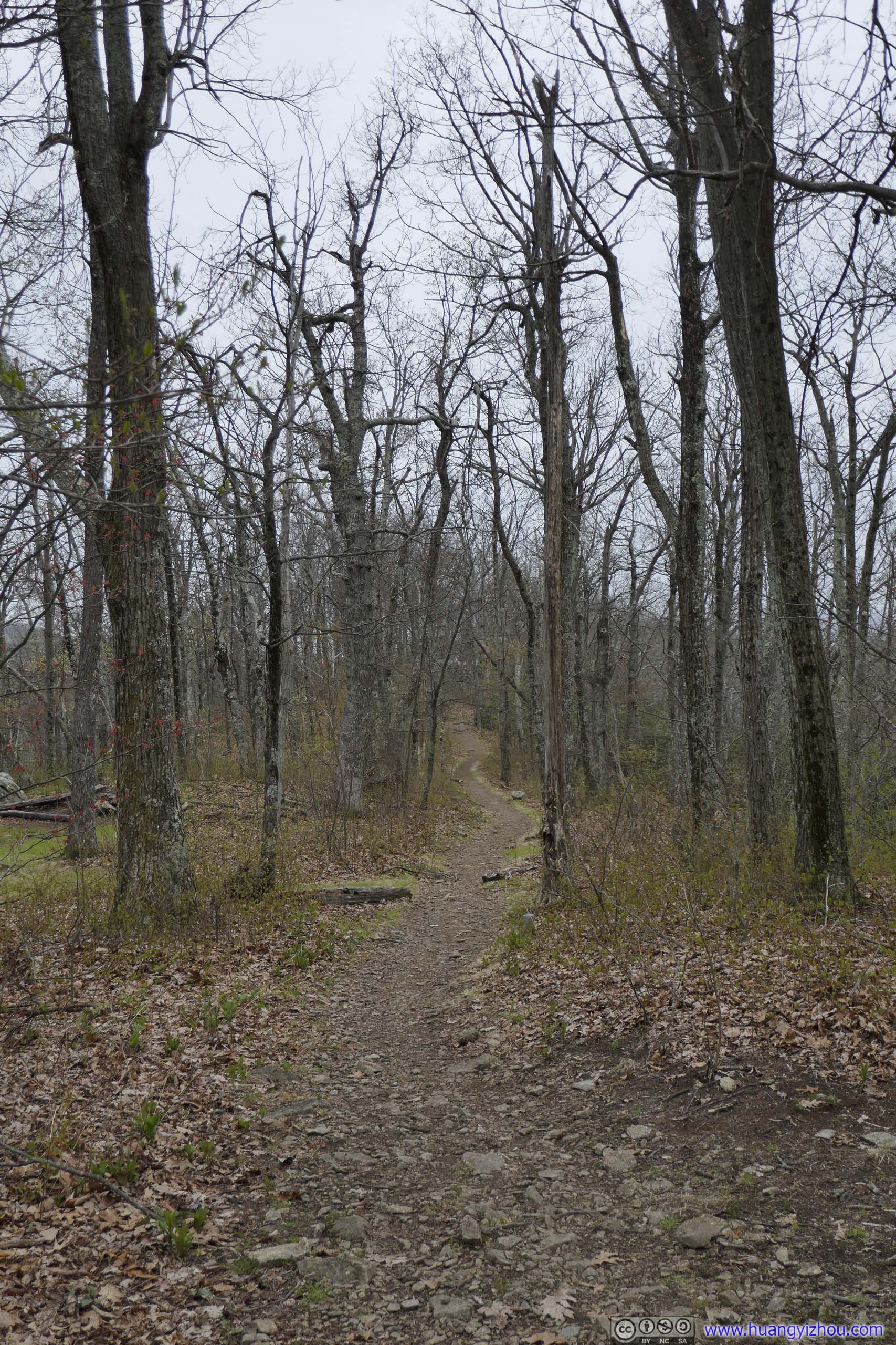
Another 1km from Harpers Creek Shelter, the trail reached an intersection. Continuing straight on Appalachian Trail would lead to the alternative parking lot “The Priest Wilderness Parking Area”, while a right-turn onto Mau-Har Trail would lead back to Blue Ridge Parkway.
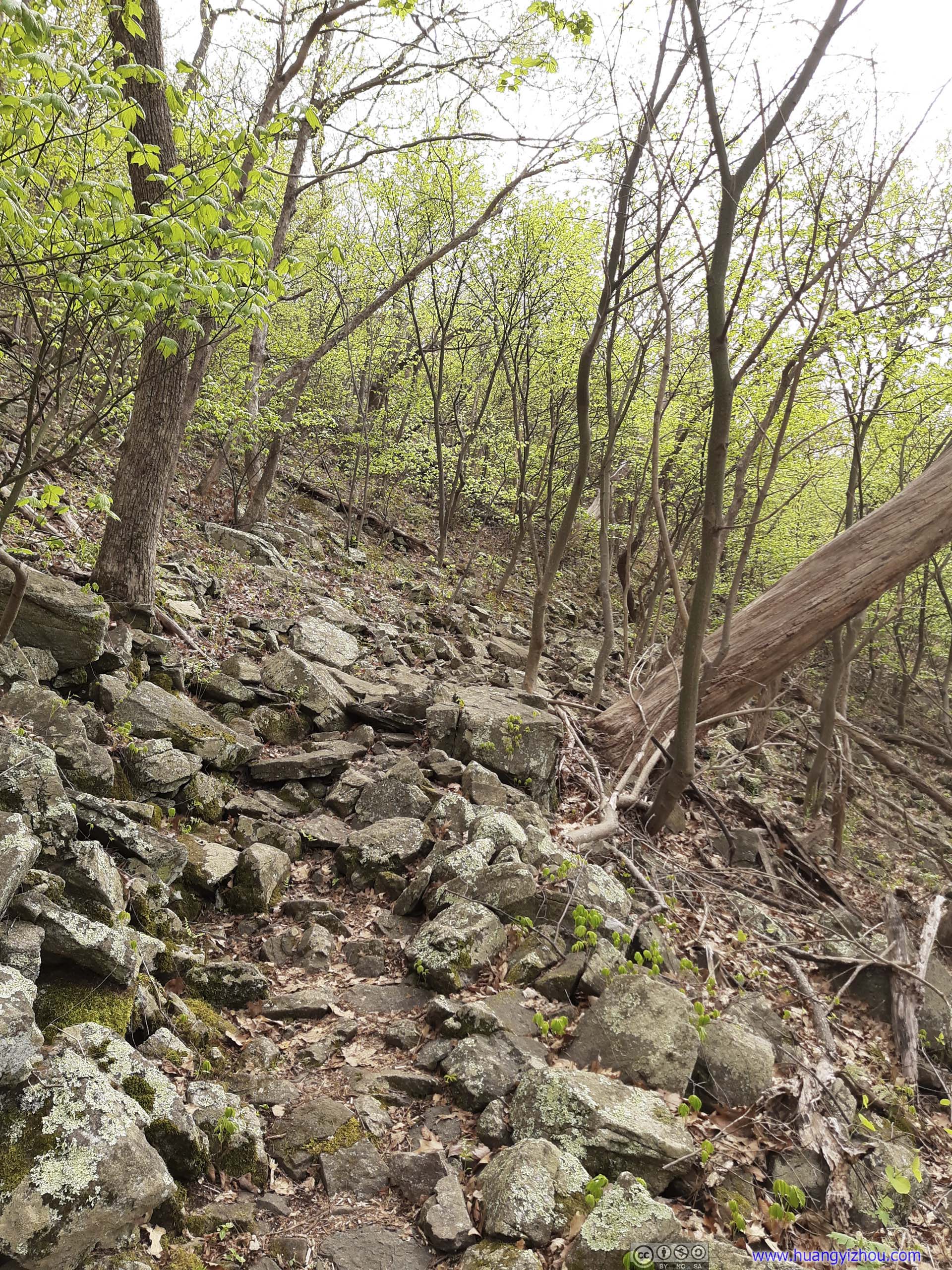
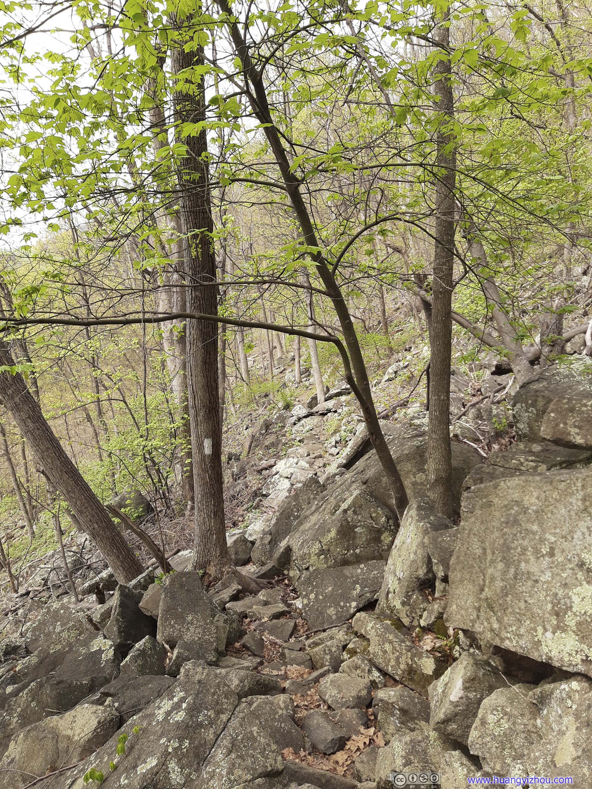
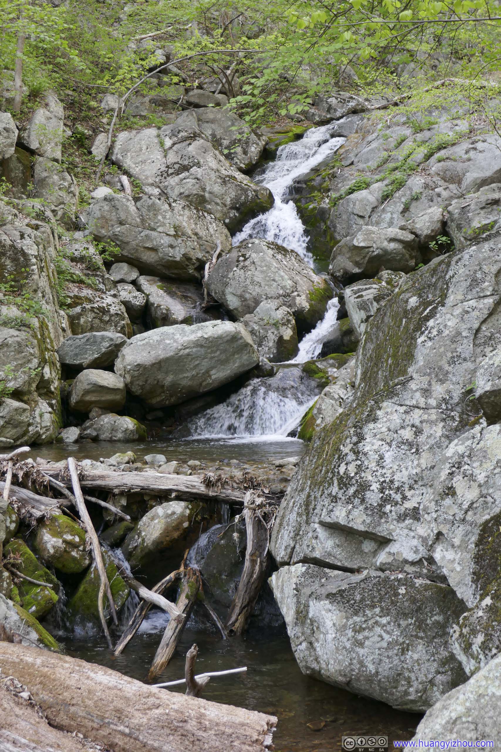
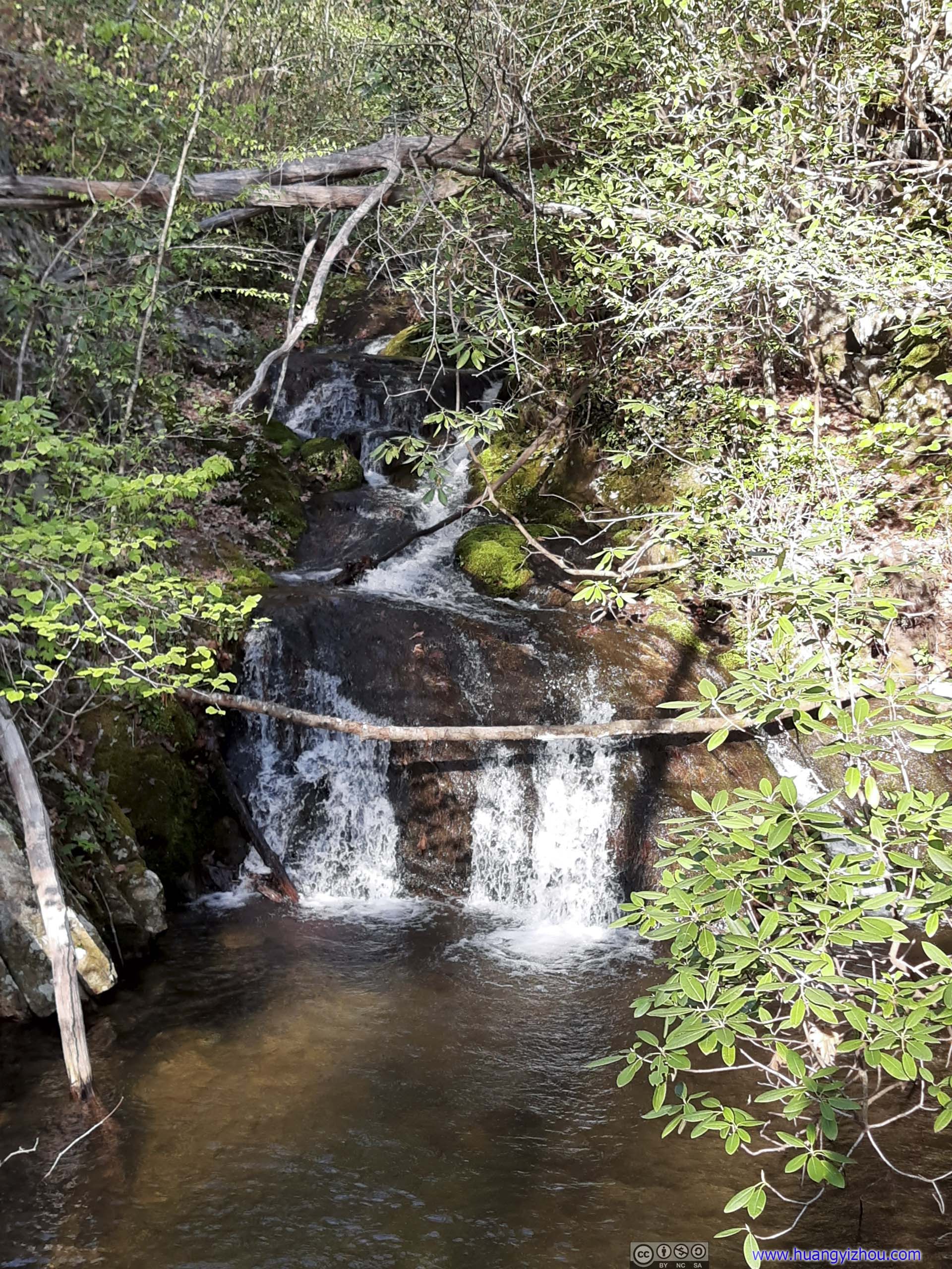
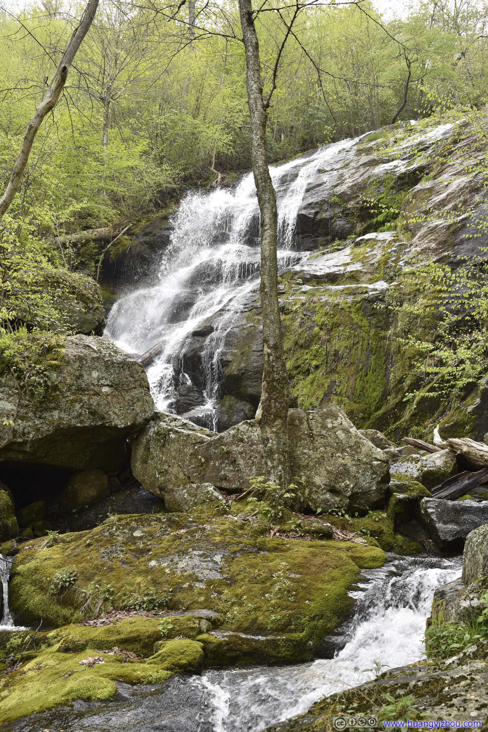
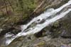
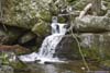
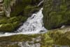
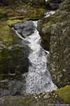
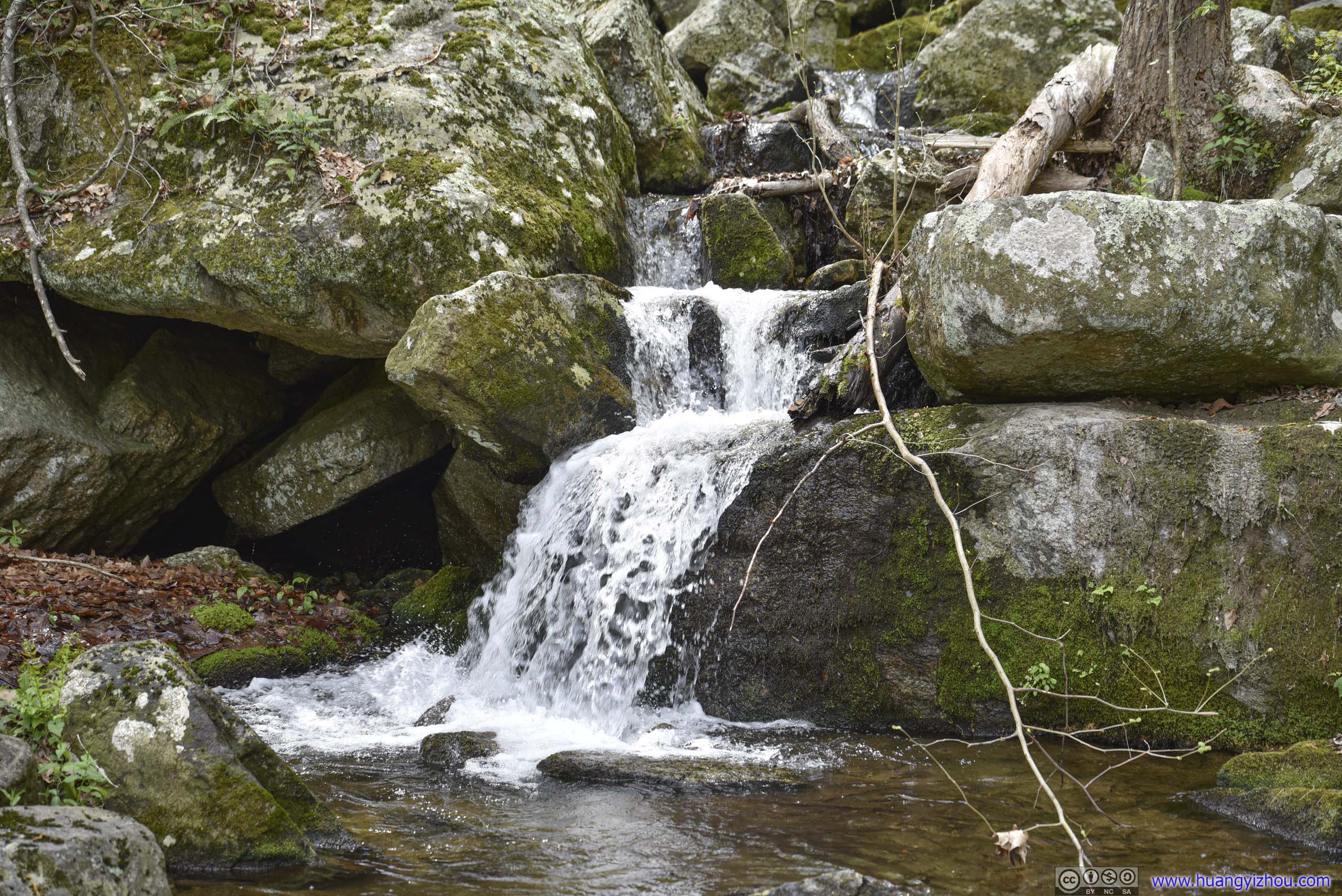
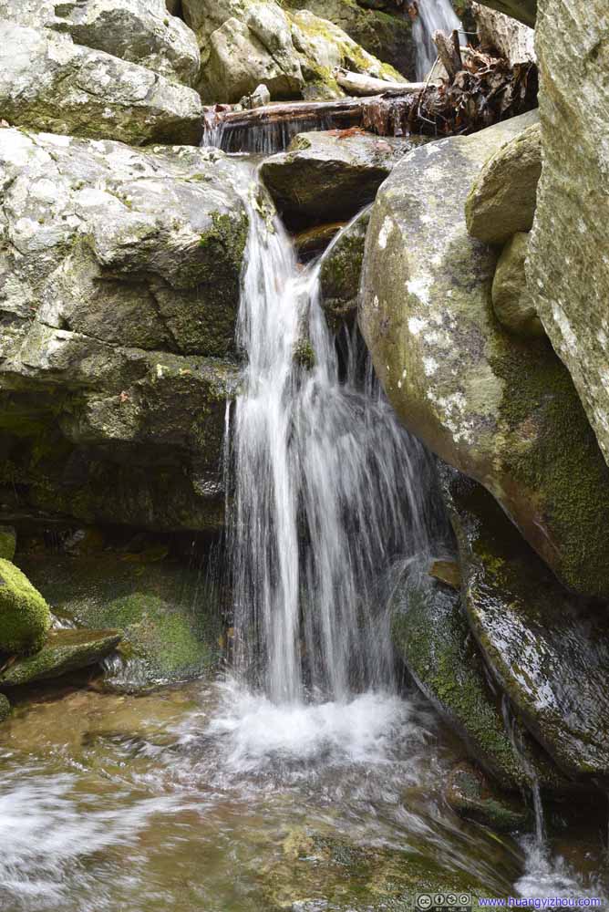
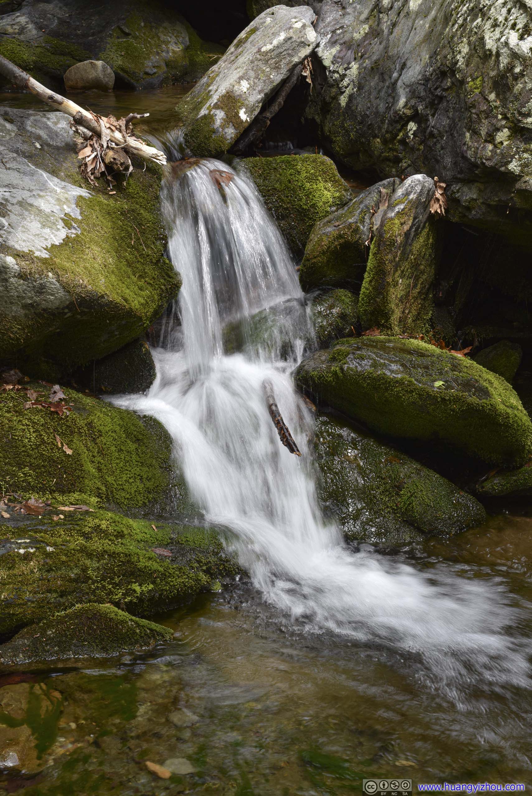
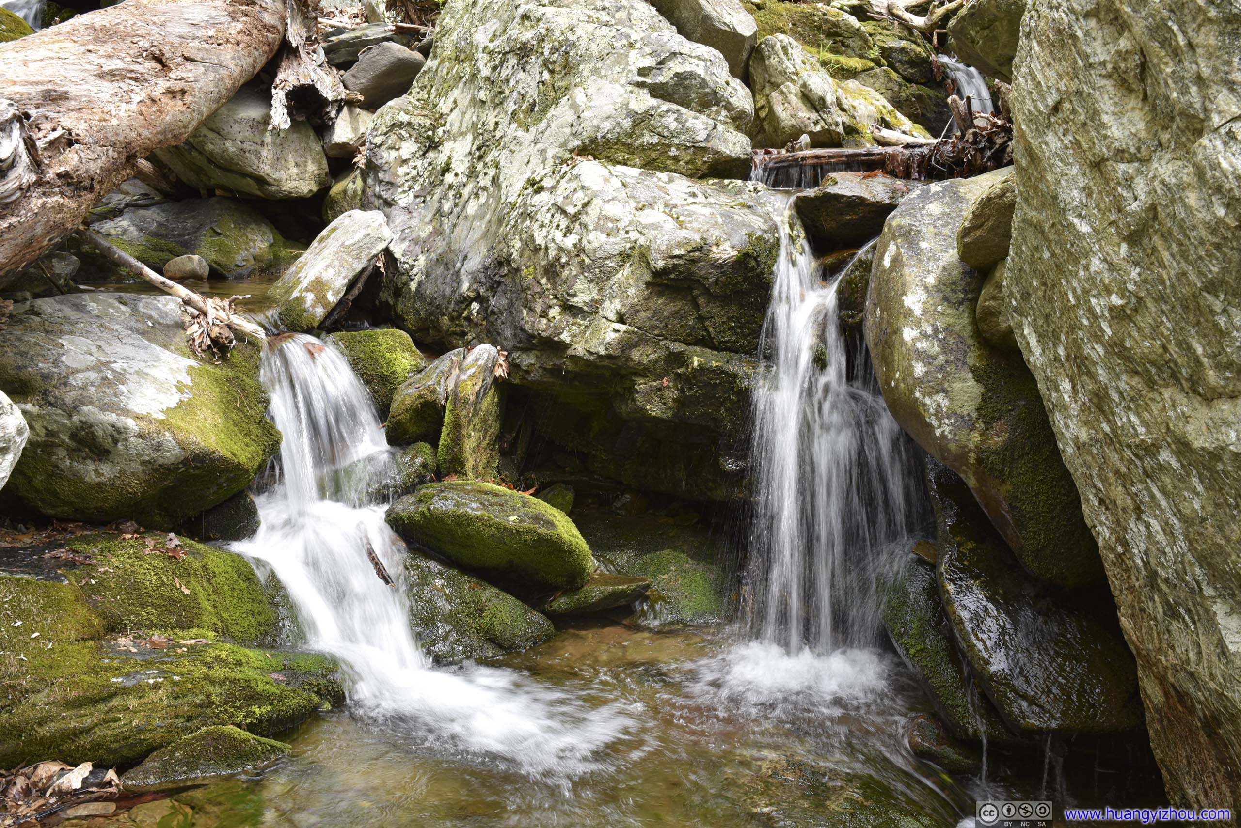
Mau-Har Trail had the most intense elevation gain throughout the entire hike, which wasn’t too bad to me. 1.3km since the intersection, I reached Campbell Creek, and was greeted by groups of campers by its shore.
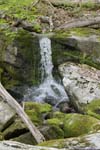
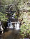
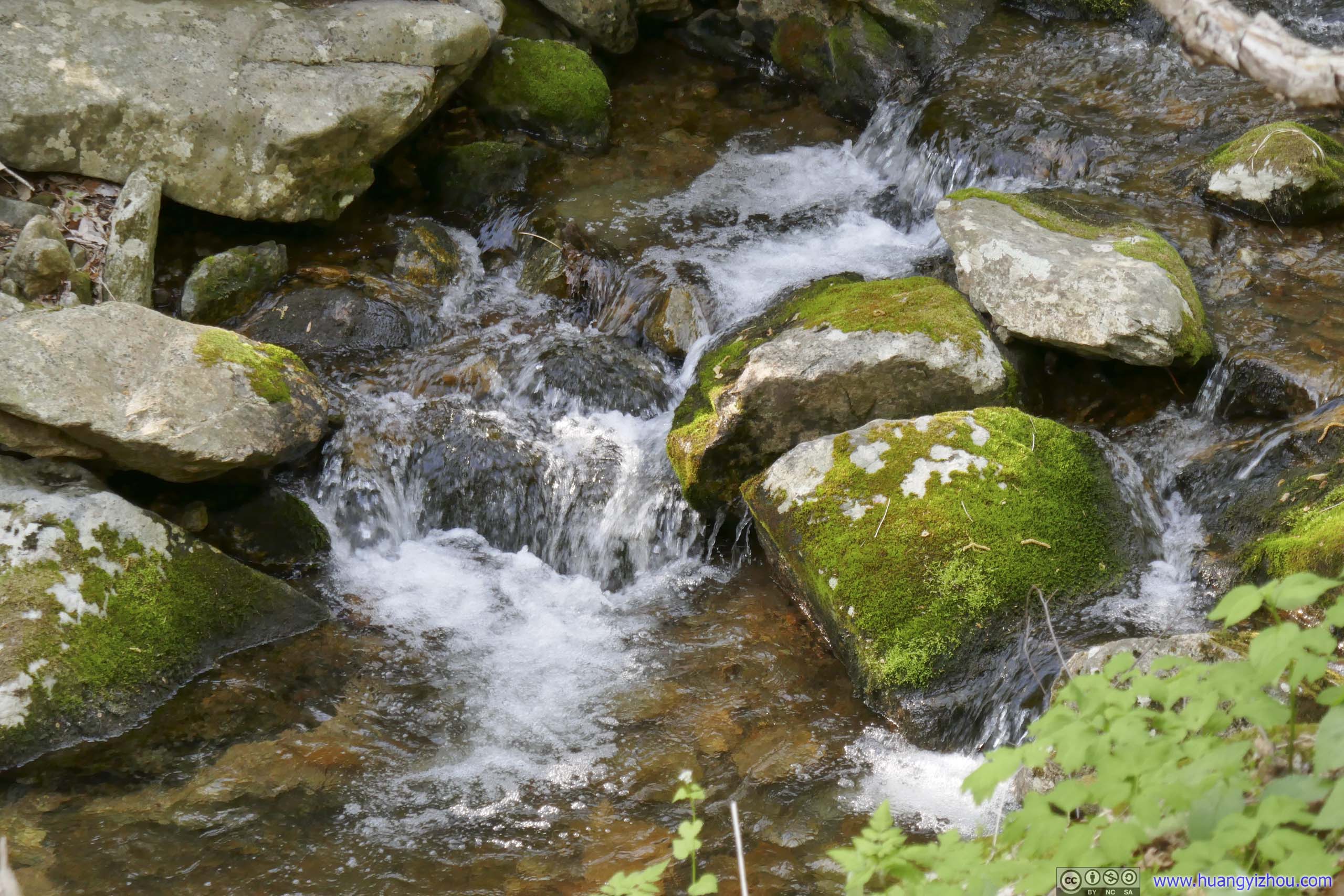
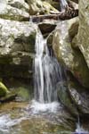
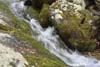
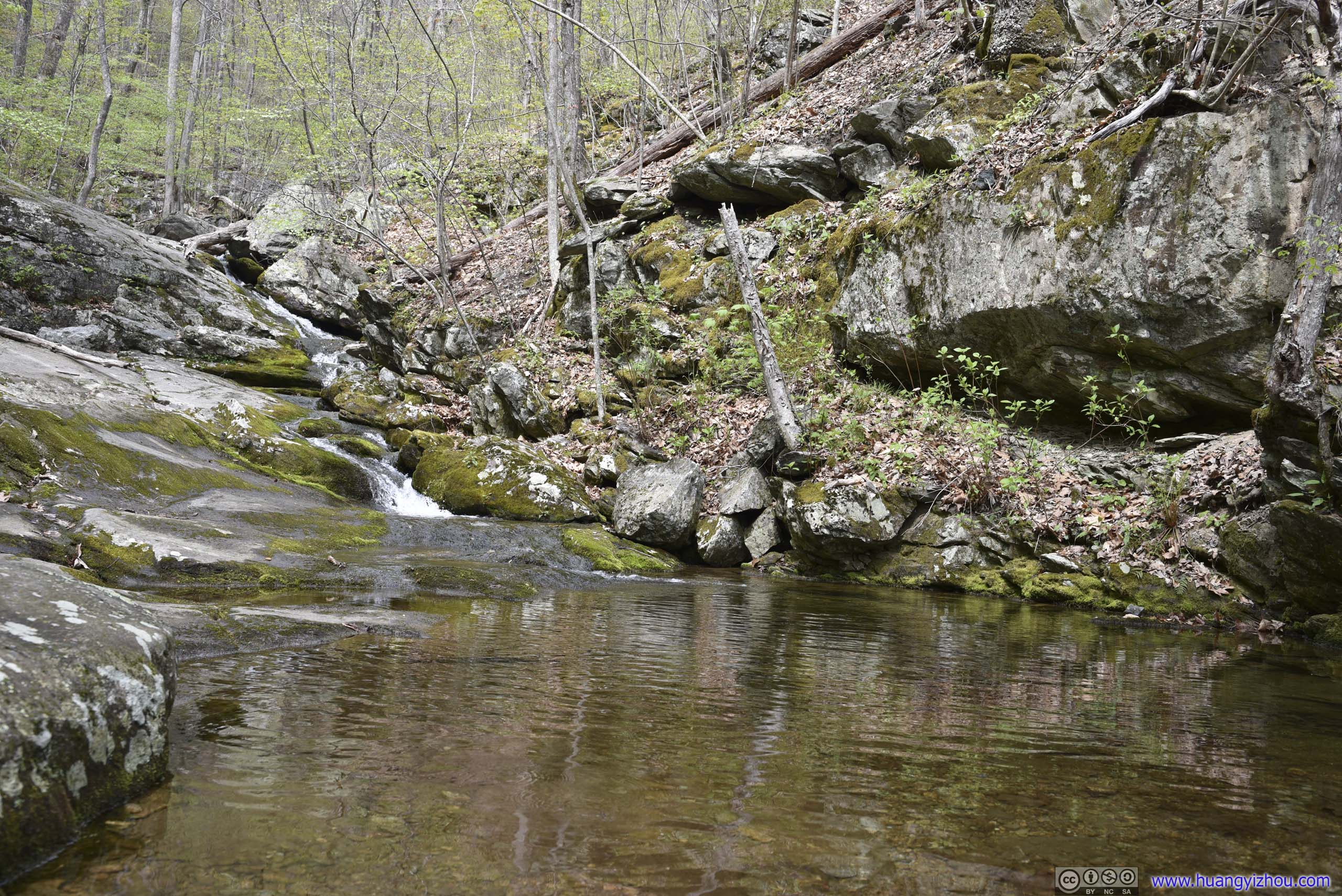
Waterfall


Click here to display photos of the slideshow
Waterfall

Waterfall
Waterfall
Waterfall
Waterfall
Waterfall
Waterfall
Waterfall

Waterfall
Waterfall
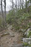
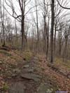
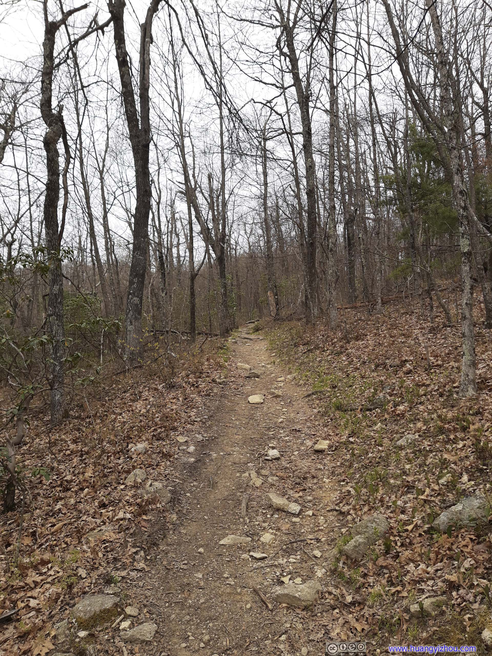
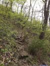
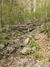
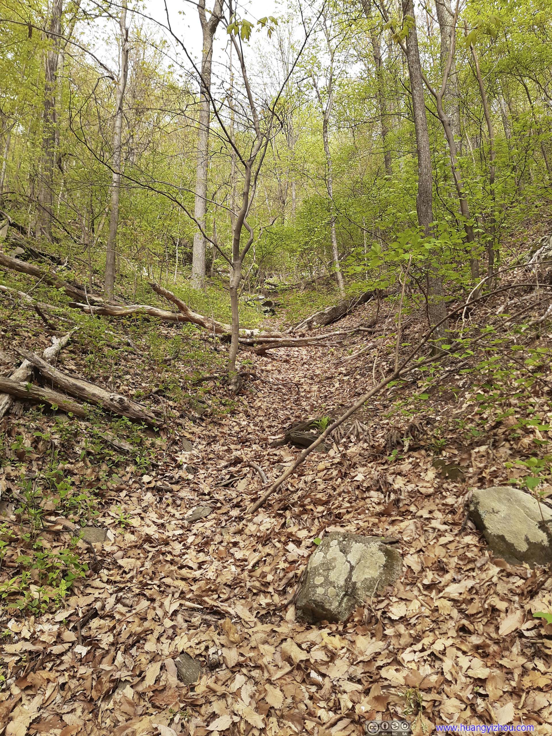
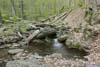
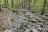
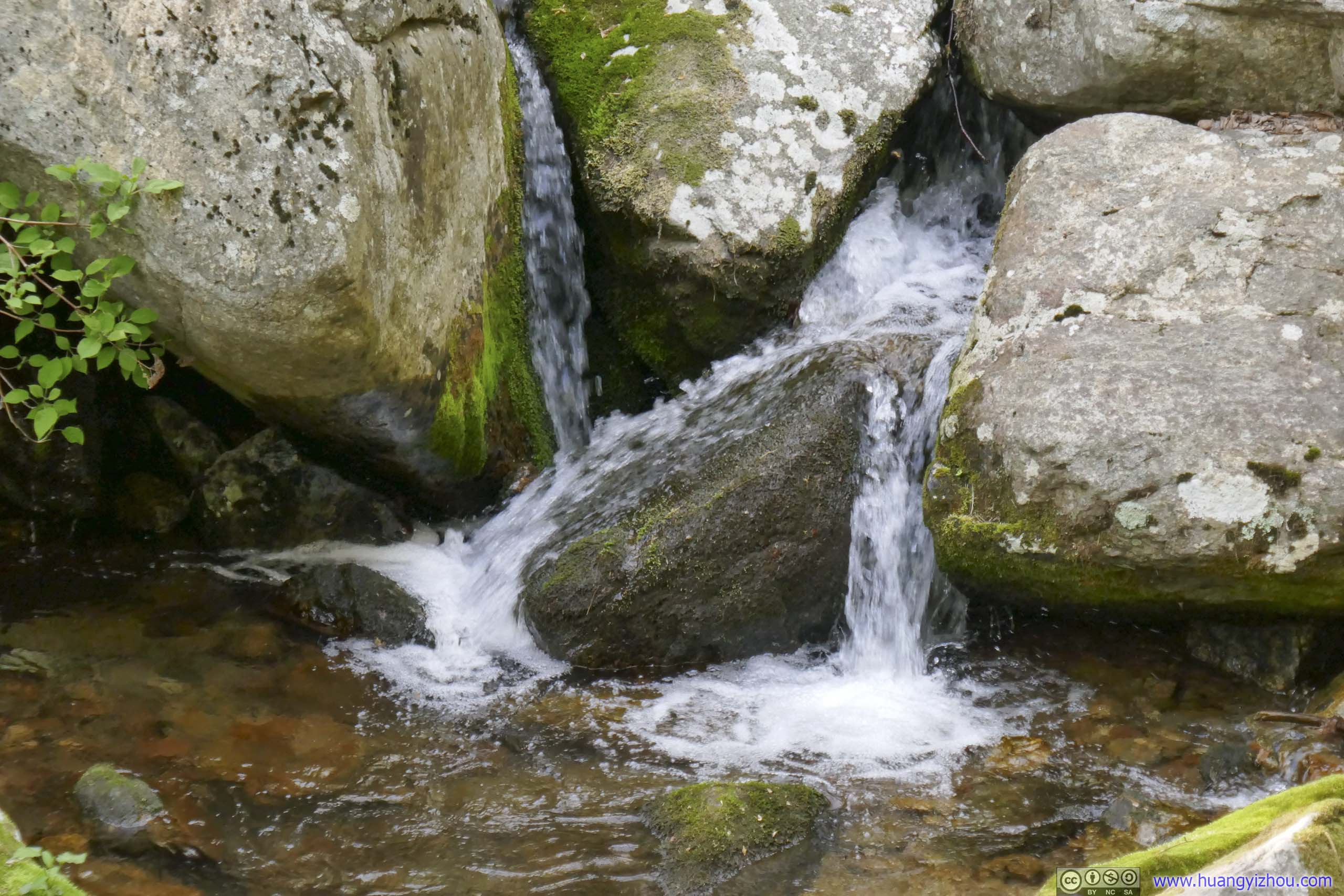
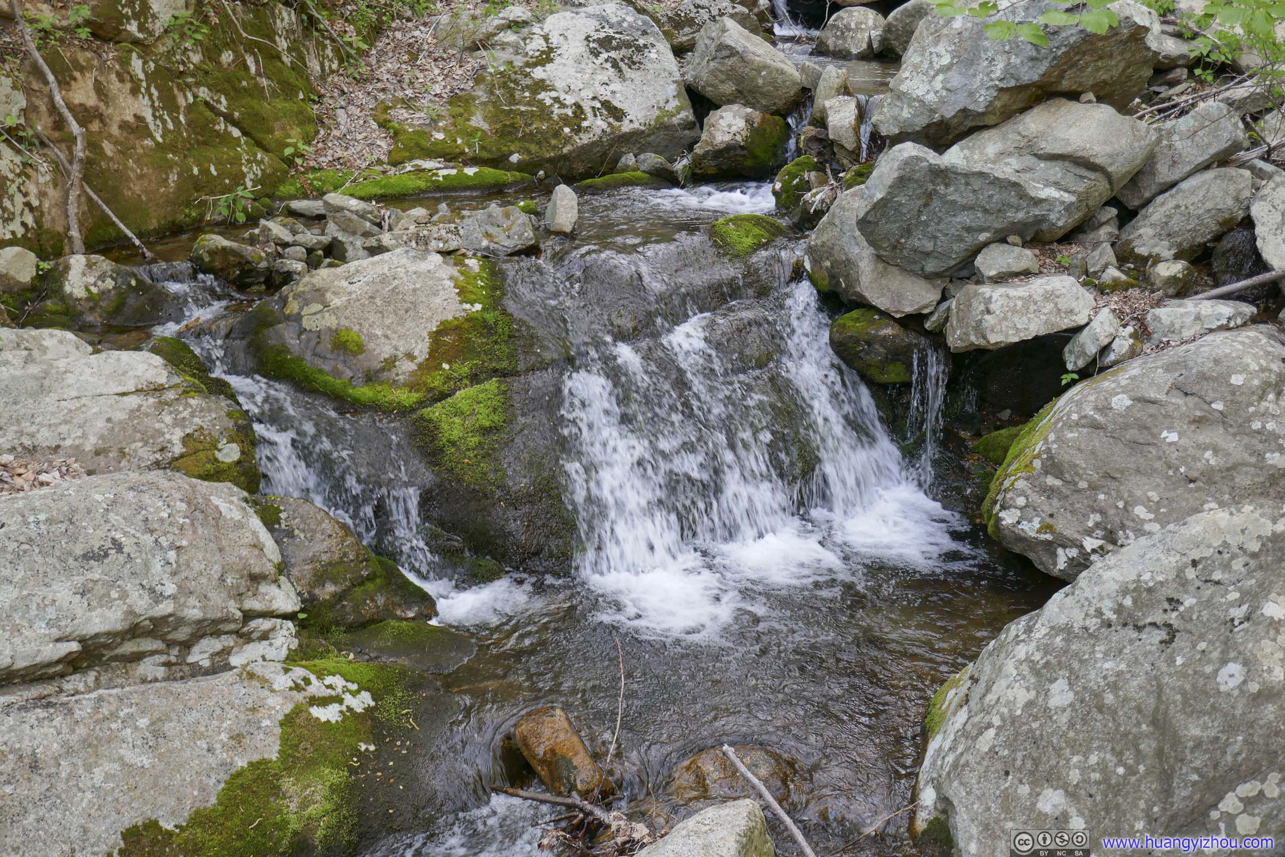
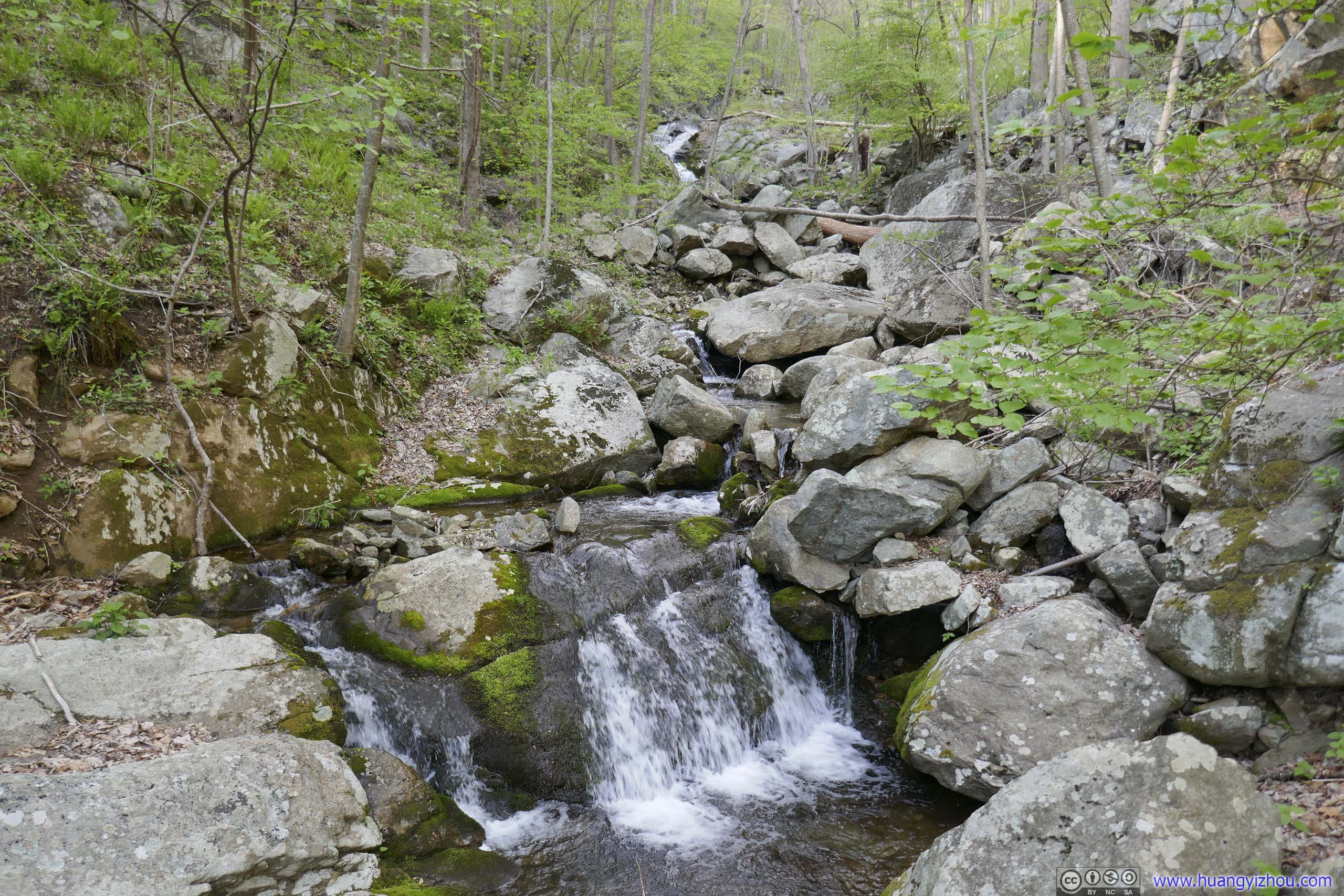
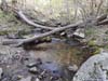
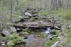
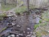
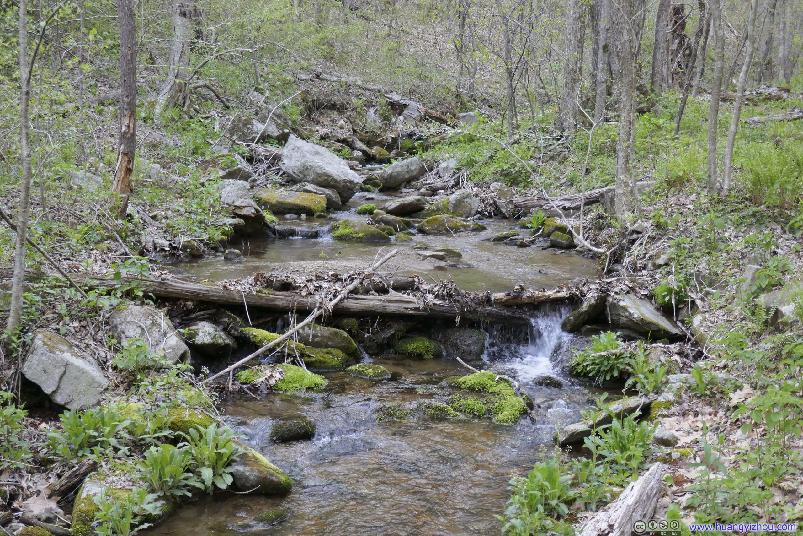
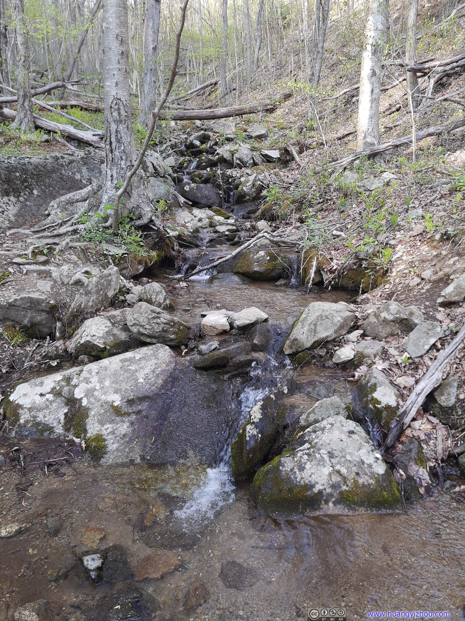
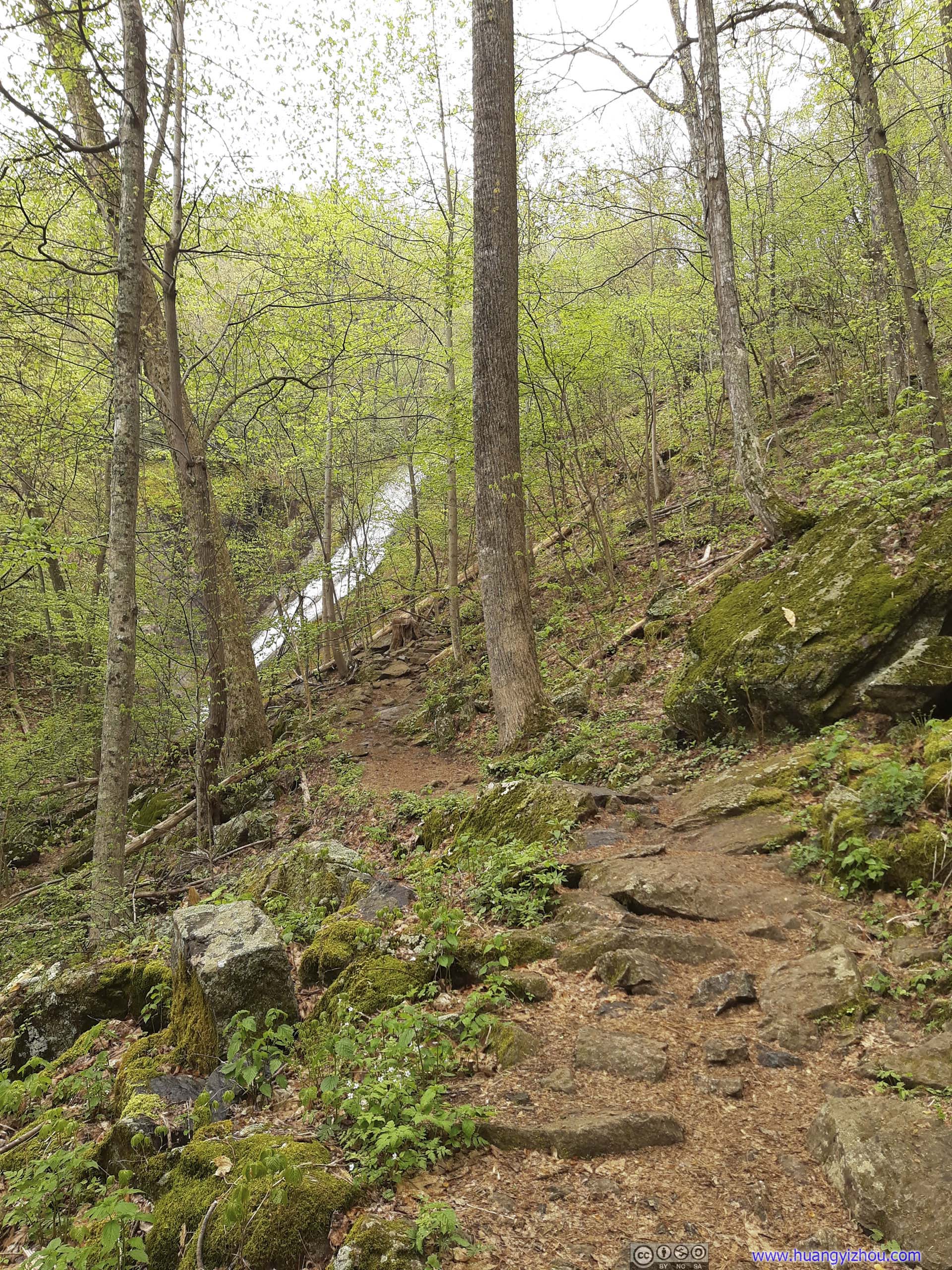
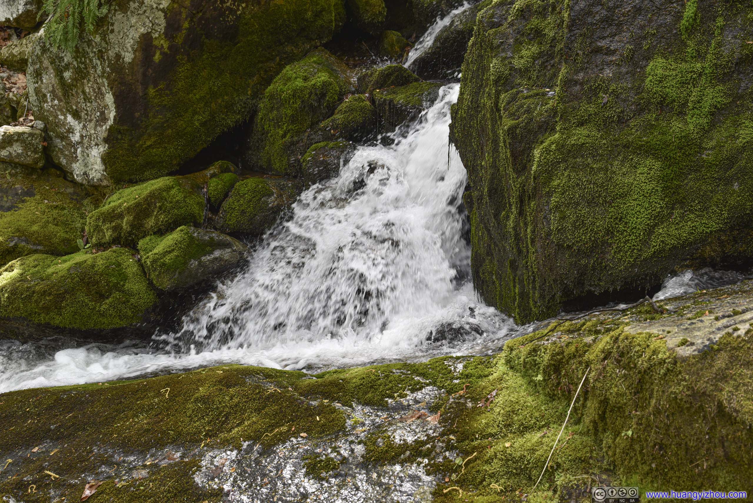
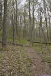
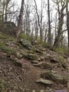
The 800m of trail after Campbell Creek Campground was the most difficult along the entire loop, as the trail followed Campbell Creek upstream while crossing spots that were wet, rocky or muddy. Still, nothing technical if one takes it carefully.
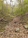
After that, there was still 1.8km back to Maupin Field with a few creek crossings, but with enough exposed rocks, none of them were difficult. I was back at Maupin Field at 6:40pm, just over 6 hours afterI left it. After that, it’s a breeze heading back to Reed’s Gap Parking Lot.
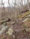
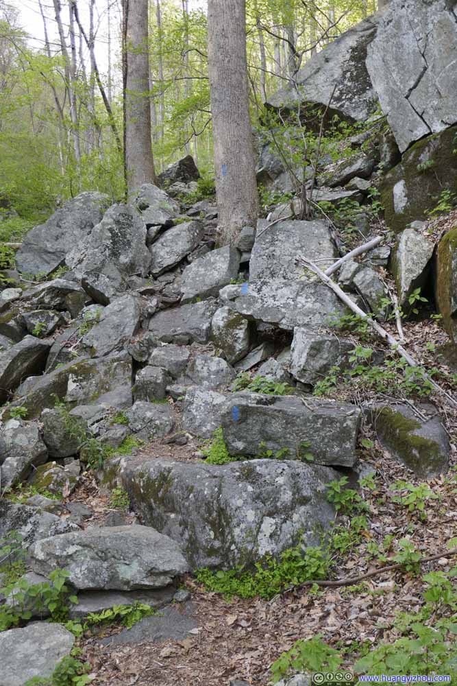 Steep TrailSome of the steepest trail throughout the loop, I would still rate that as YDS class 1.
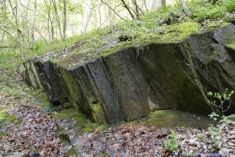 Rocks Dripping Water
Unfortunately the trail passed below these rocks, so it’s not that pleasant as I tried to avoid the wet spots.
Rocks Dripping Water
Unfortunately the trail passed below these rocks, so it’s not that pleasant as I tried to avoid the wet spots.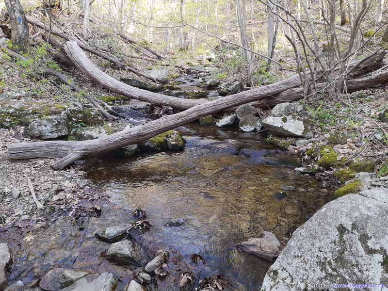 Creek
Creek Creek
Creek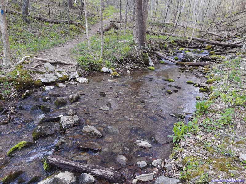 Water Crossing
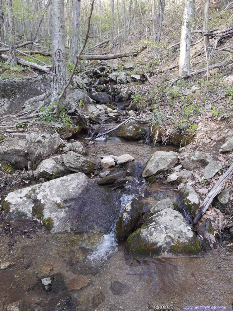 Creek
Creek
Click here to display photos of the slideshow

Steep TrailSome of the steepest trail throughout the loop, I would still rate that as YDS class 1.

Rocks Dripping Water

Creek
Creek

Water Crossing
Creek
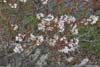
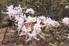
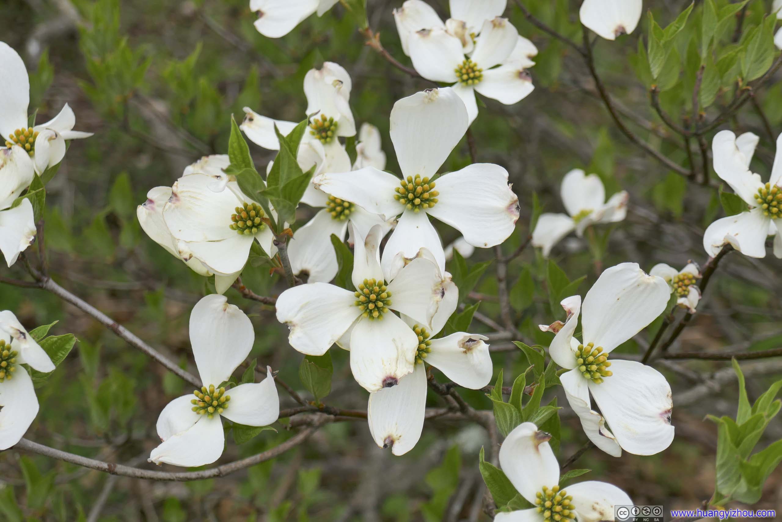
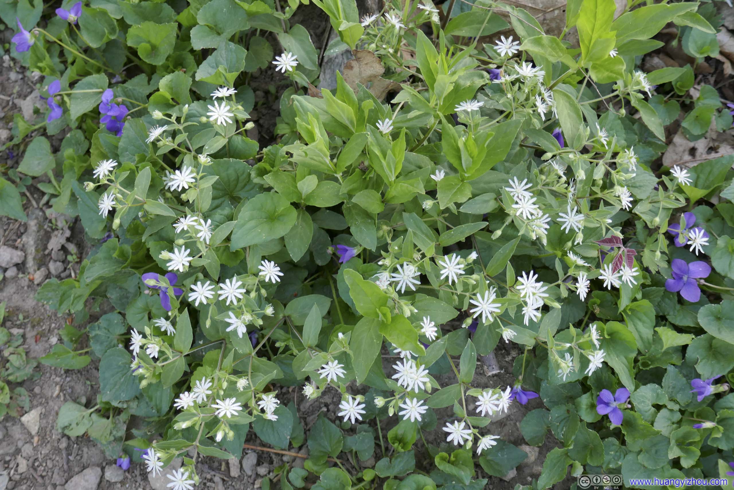
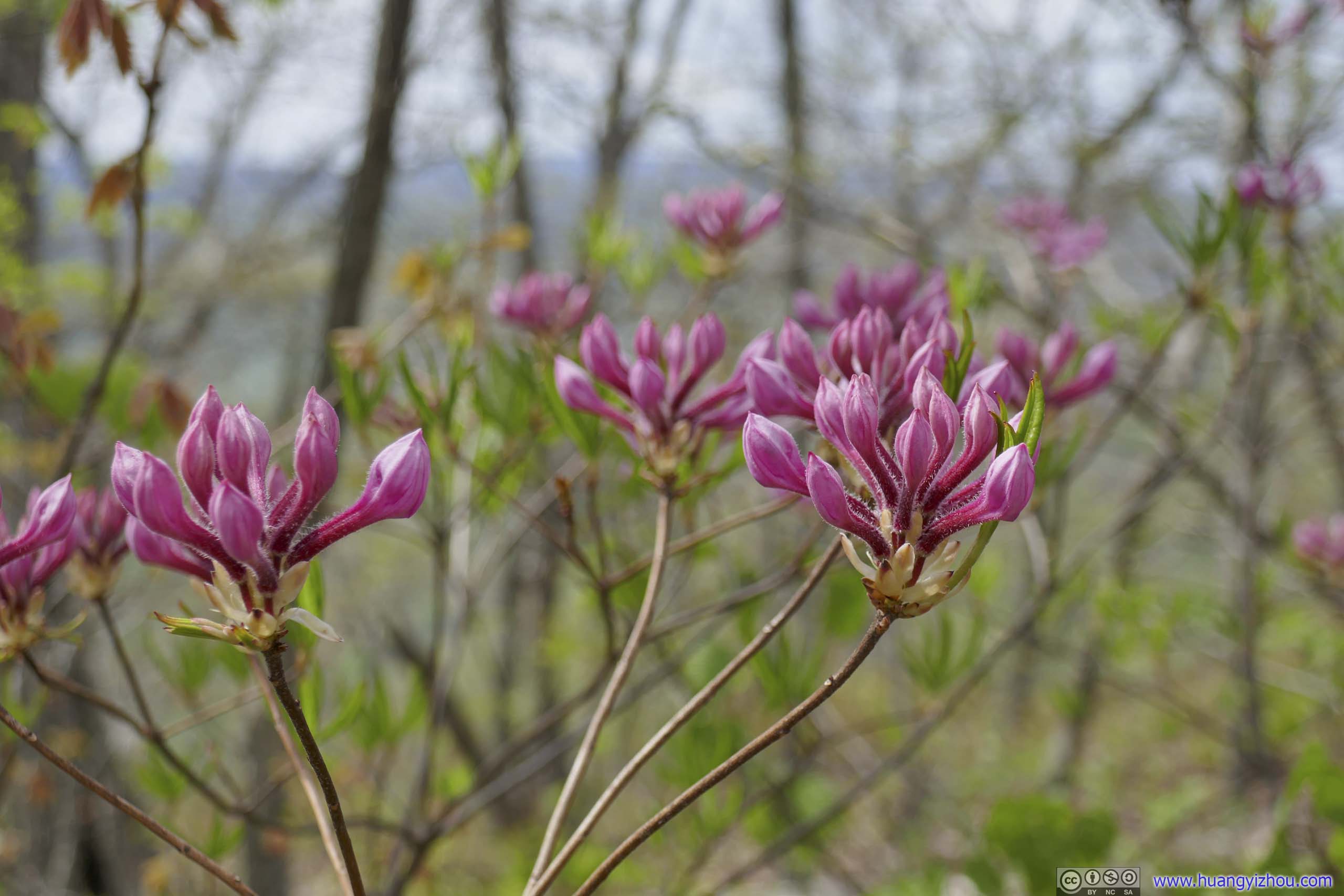
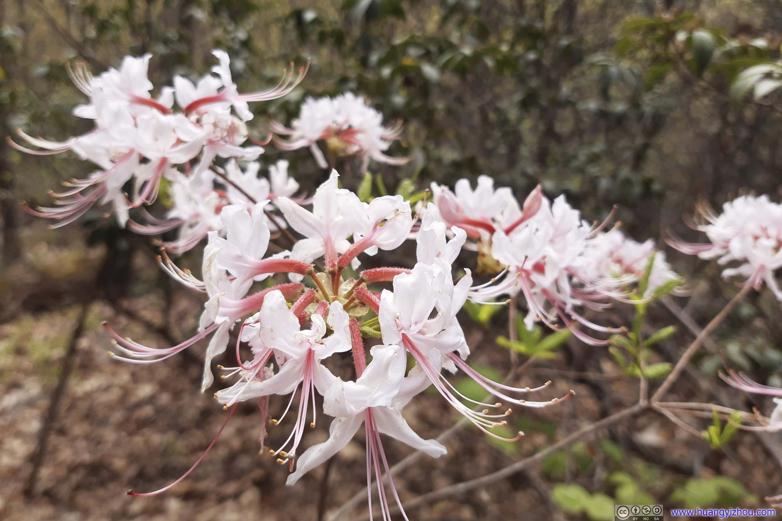
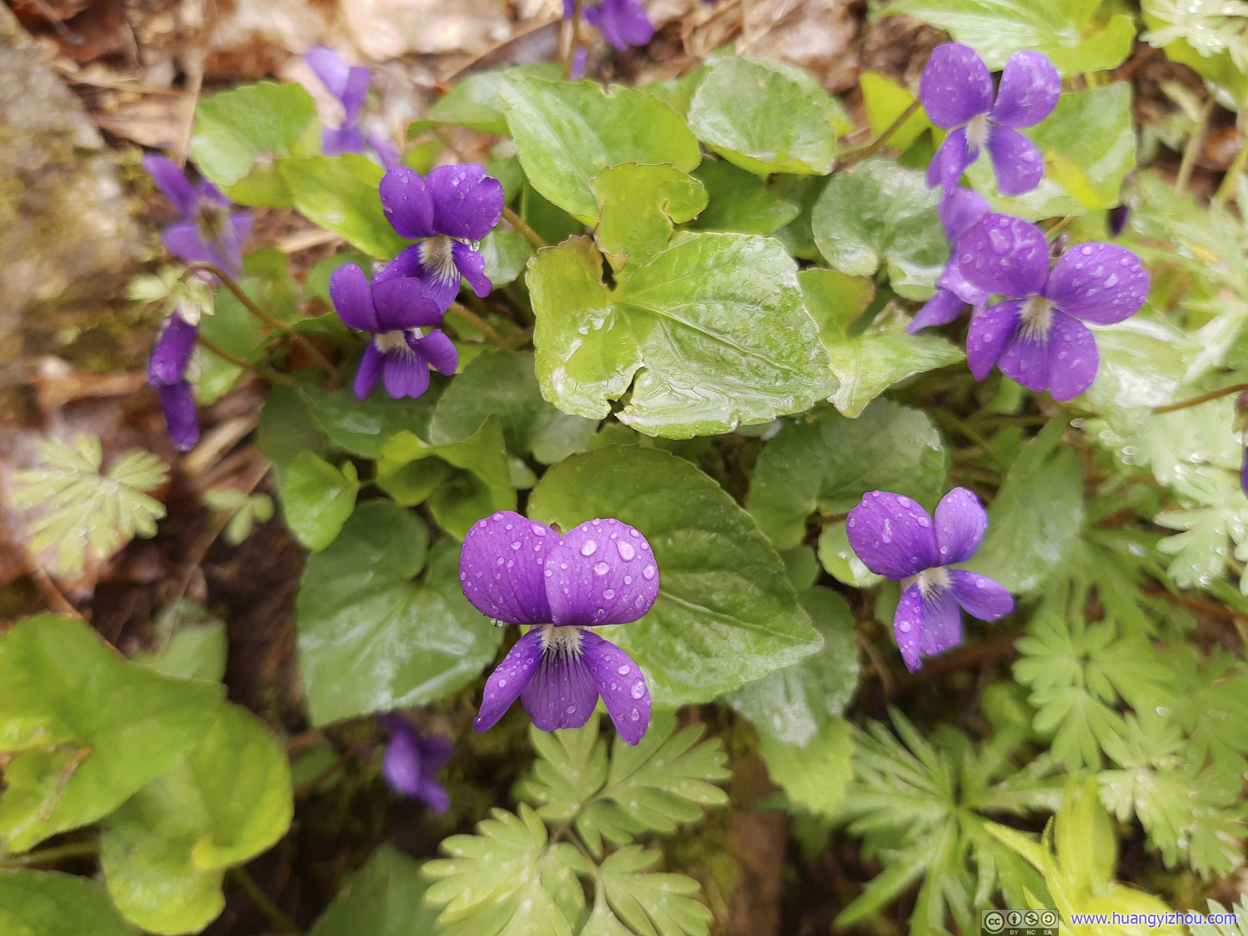
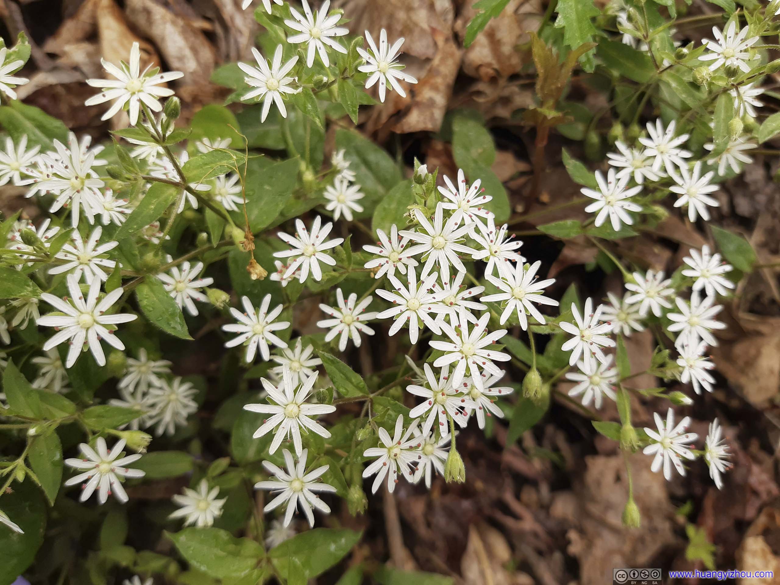
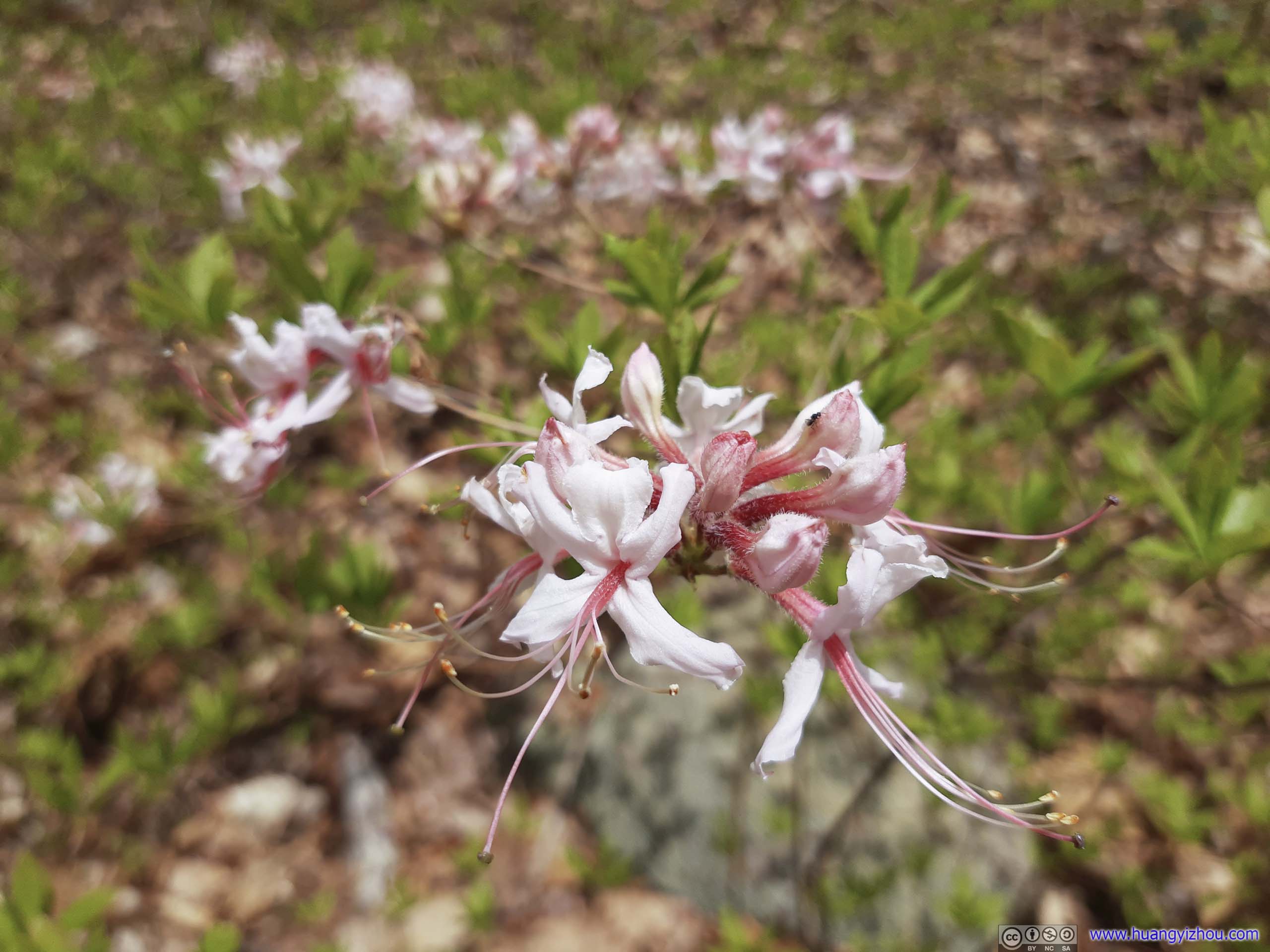
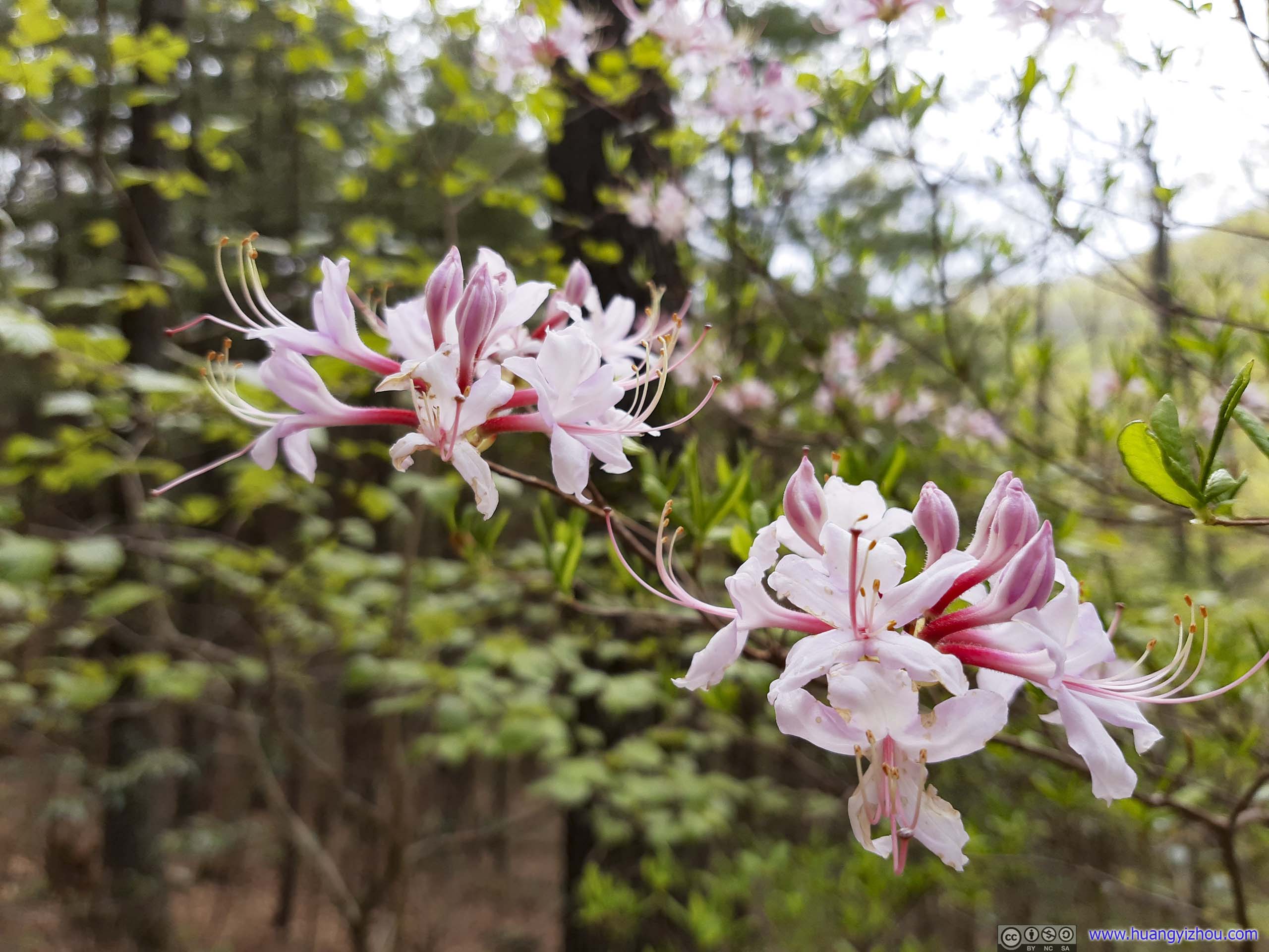
Since it’s springtime, I shall conclude the day’s hike with a collection of flowers spotted along the way.
Flowers


Click here to display photos of the slideshow
Flowers
Flowers

Flowers

Flowers
Flowers

Flowers
Flowers
Flowers
Flowers
Finally, I was back at the parking lot at 7:30pm, finishing the hike in just over 8 hours.
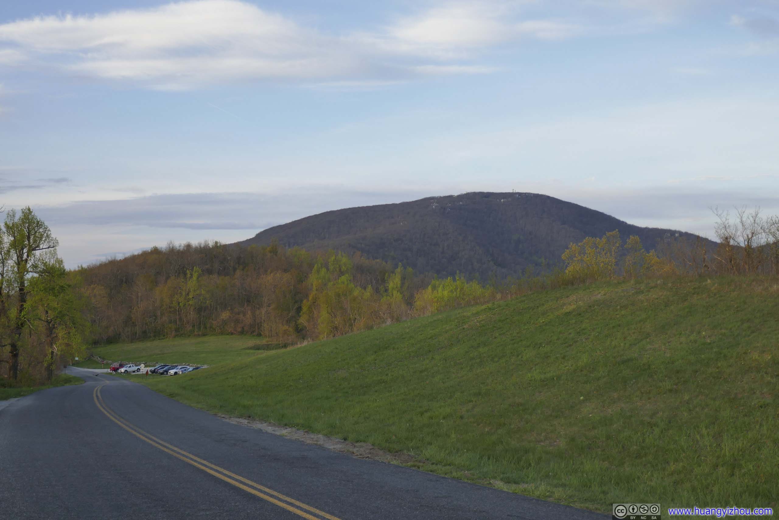 Meadow Mountain and Wintergreen ResortLooking south (left) and north (right) from the parking lot.
My overnight lodge near the city of Staunton, and the scenic country road leading off Blue Ridge Parkway meant the day ended on a high note. Here’s a compilation of some of the dashcam videos of the day.
3:43 After hiking Three Ridges Loop, leaving overflow parking at Reed’s Gap, heading downhill along the twisty mountain road of Reeds Gap Road VA664
5:19 Heading onto Mount Torry Road VA664, along Virginia’s countryside on the foot of Blue Ridge Mountains. The recording stopped at the nearby town of Waynesboro, when it started to get dark.
Fast forward to Sunday May 1. Weather forecast indicated some chances of rain today, so I decided to spend the day with mostly short hikes, that I could retreat back to the car in case the rain got heavy.
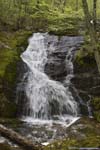
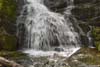
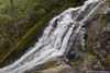
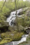
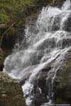
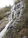
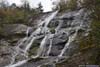
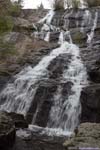
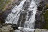
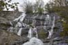
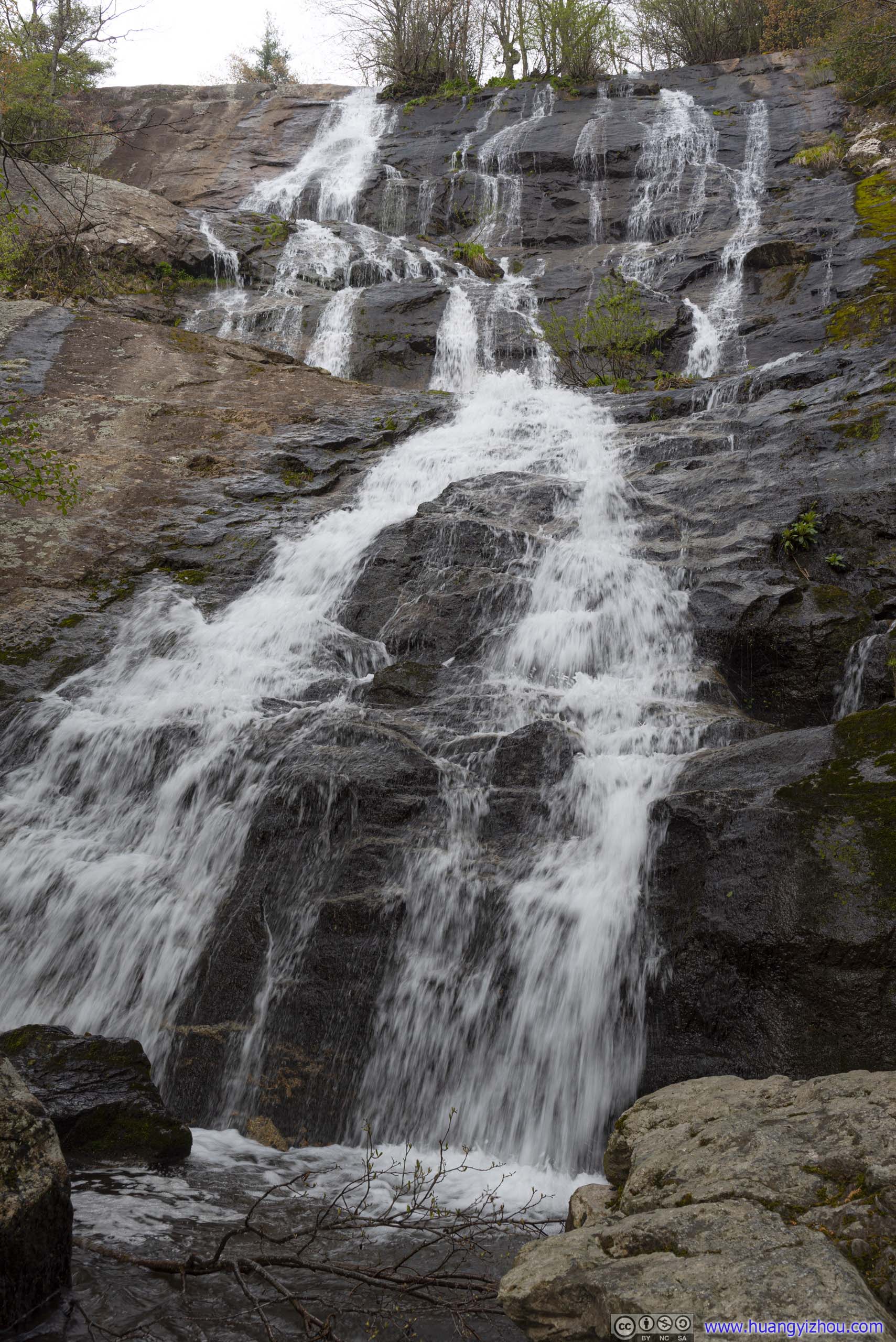
Crabtree Falls
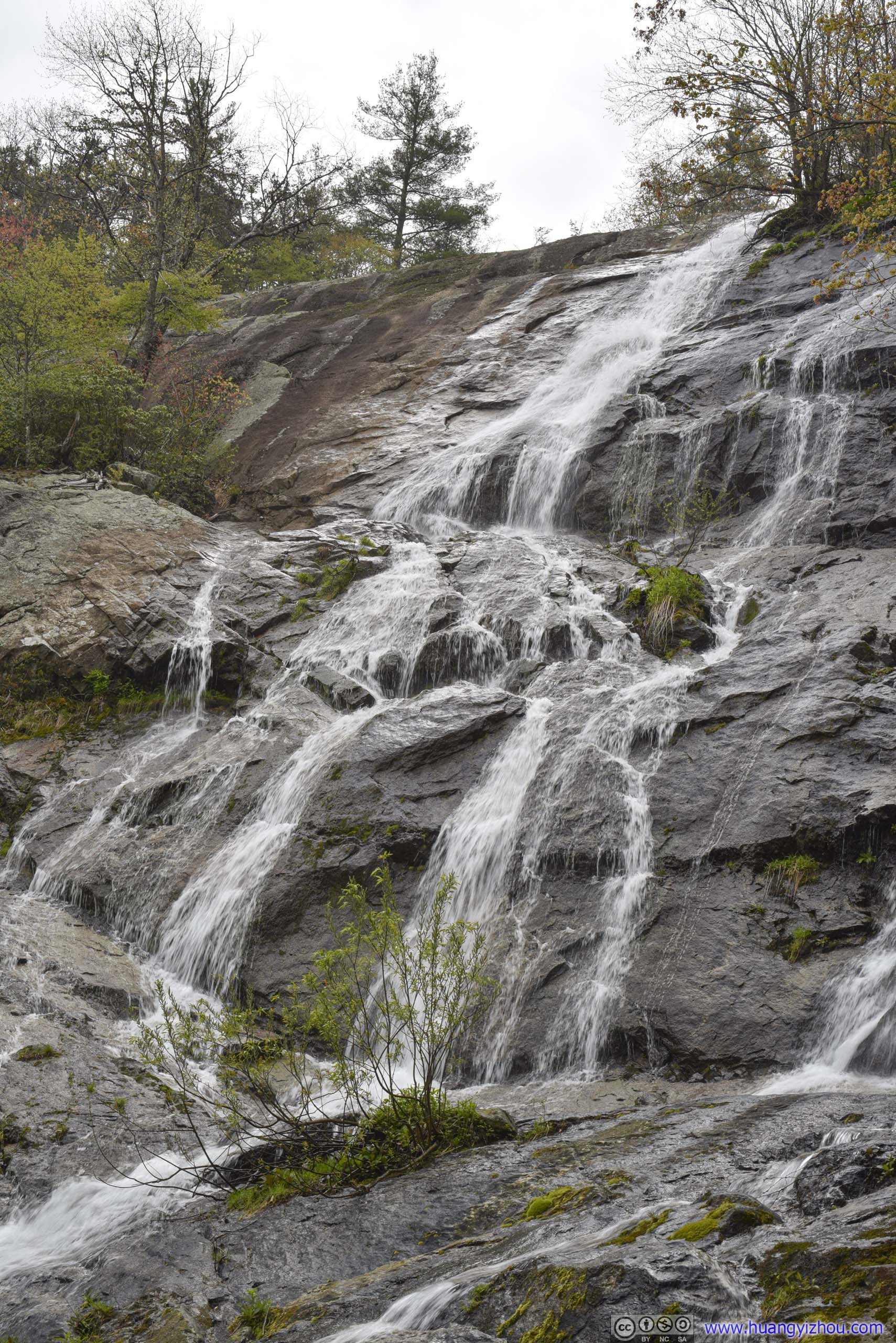
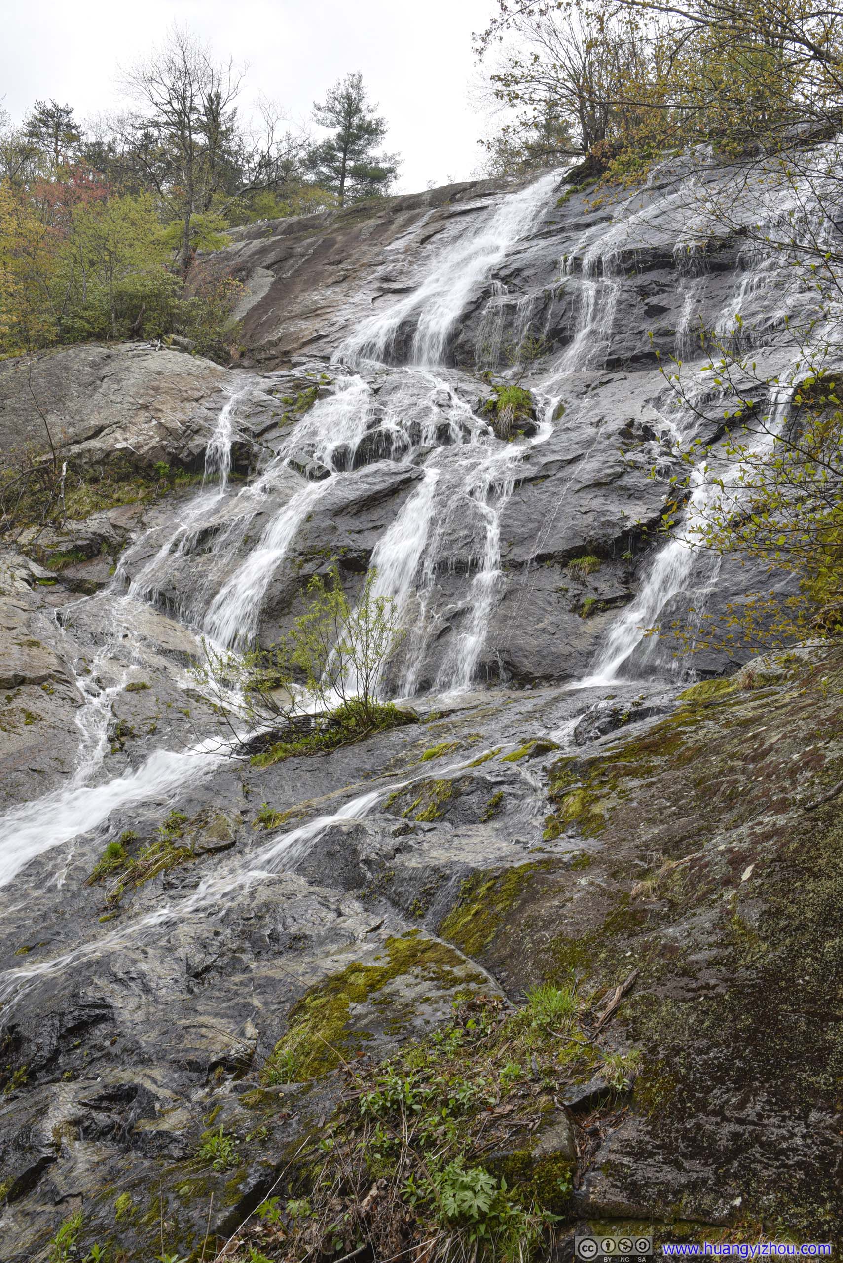
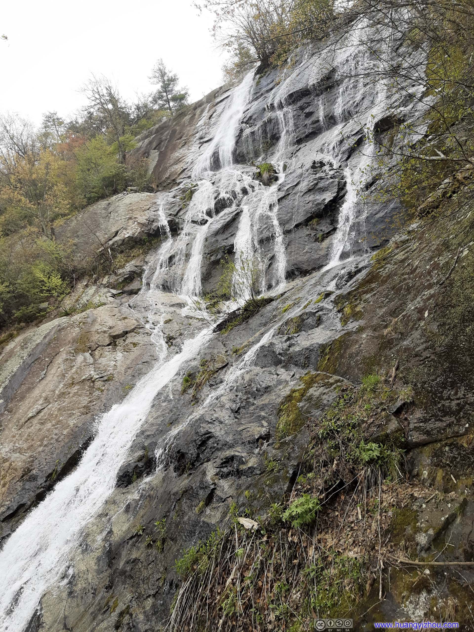
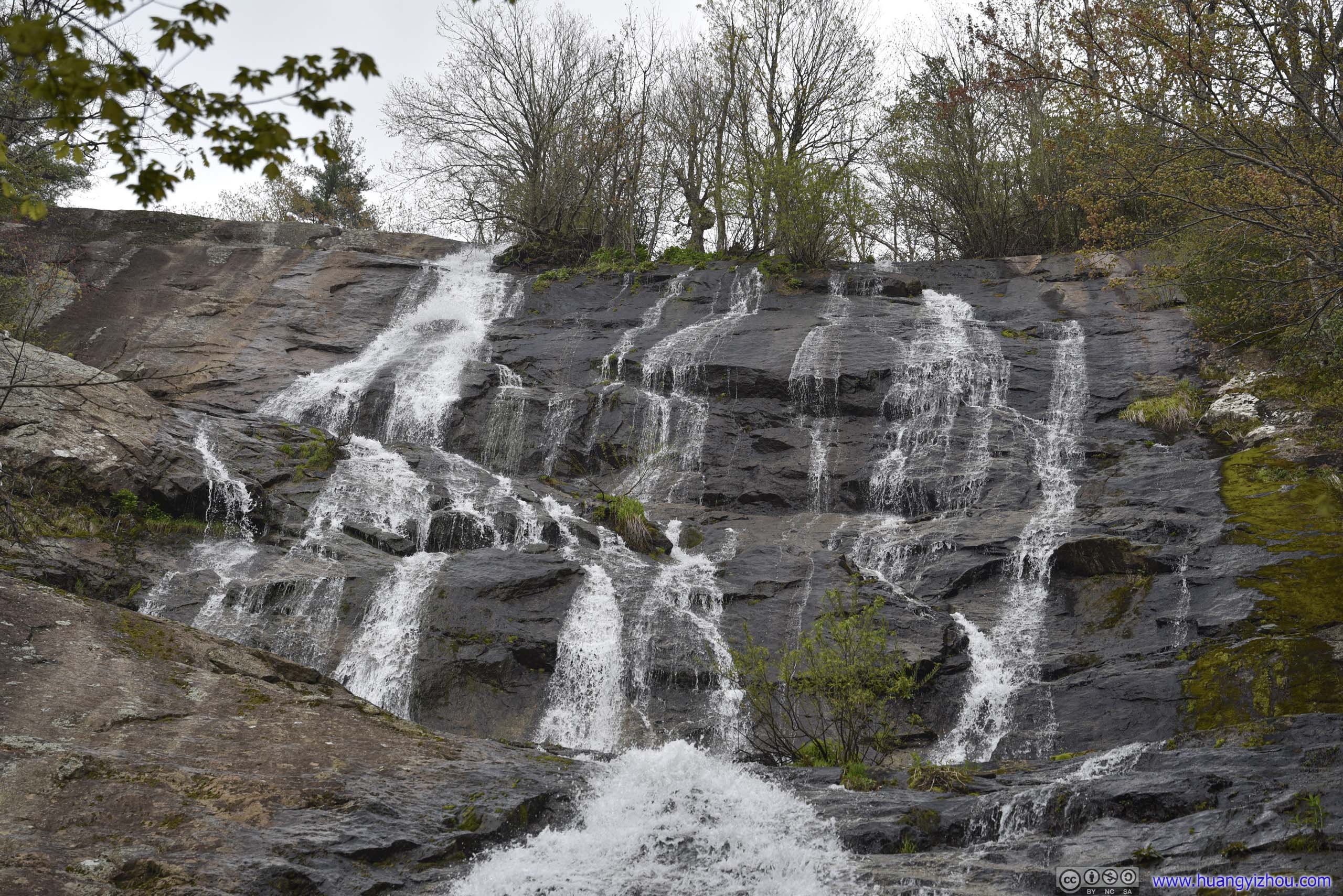
To begin the day, I decided to visit Crabtree Falls, made of a series of waterfalls with the highest combined drop east of the Mississippi River. It’s a bit confusing that farther south along Blue Ridge Parkway, there was another Crabtree Falls in North Carolina. Driving along the twisty country road of VA56 was fun at first, but Crabtree Falls took 24 minutes of full driving attention to reach from the town of Steeles Tavern, that’s to some degree frighteningly stressful.
Crabtree Falls Trail was a 5.8km out-and-back trail with 340m of elevation gain. The trail made a few switchbacks going from the bottom to the top of Crabtree Falls, with a few vistas next to the waterfall. The closer to the parking lot, the better the trail condition, with quite a few muddy spots at higher elevations, while the first vista was wheelchair accessible.
Here’s GPS tracking:
Here was a collection of photos from the first few viewpoints.
 Crabtree Falls
 Crabtree Falls
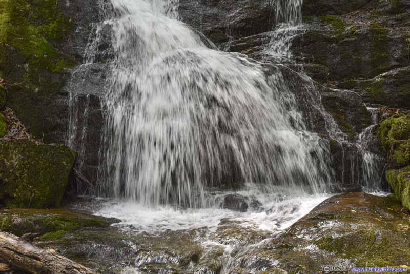 Crabtree Falls
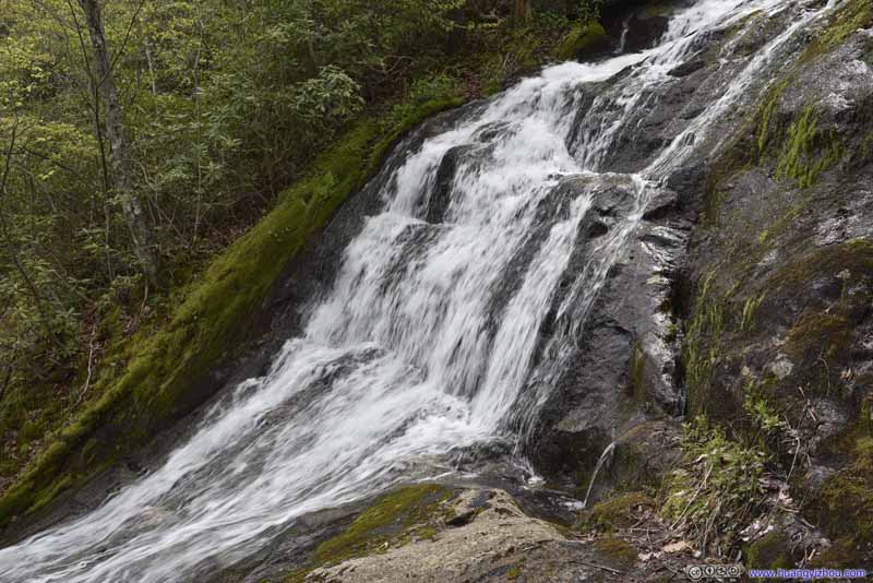 Crabtree Falls
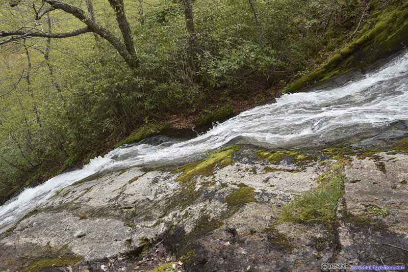 Crabtree Falls
 Crabtree Falls
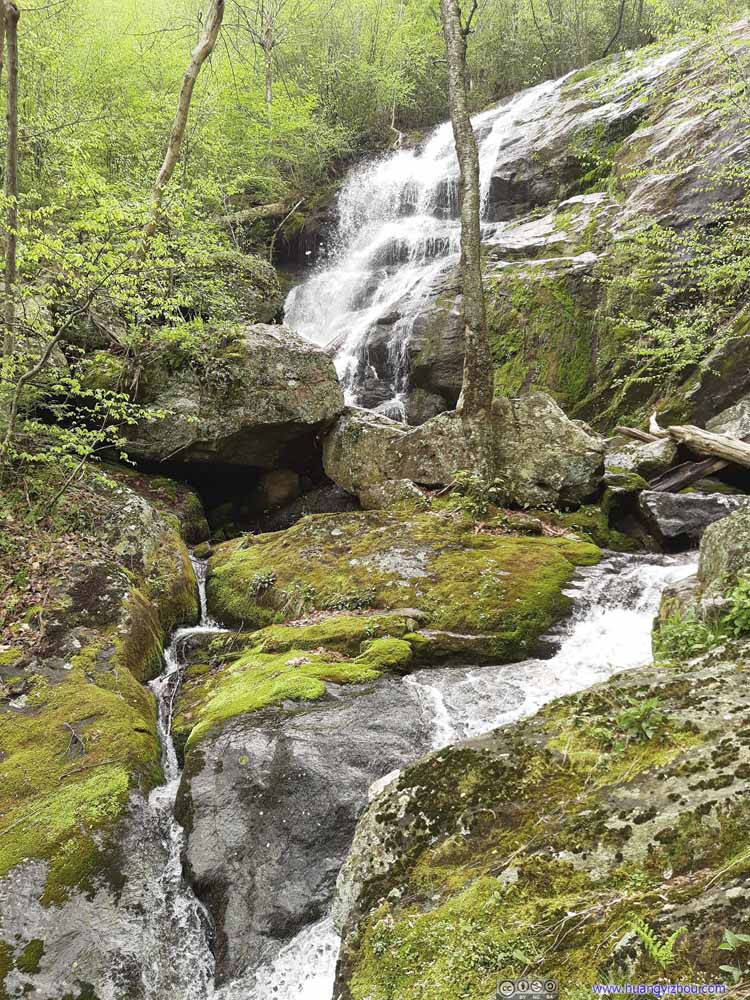 Crabtree Falls
 Crabtree Falls
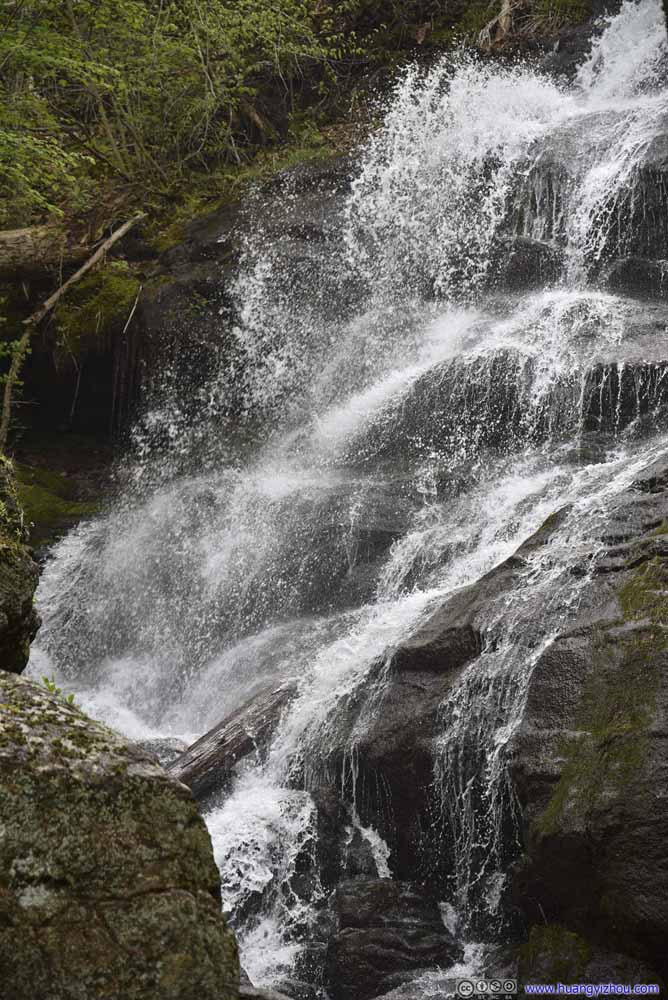 Crabtree Falls


Click here to display photos of Crabtree Falls.

Crabtree Falls

Crabtree Falls
Crabtree Falls

Crabtree Falls

 Crabtree Falls

Crabtree Falls
Crabtree Falls

Crabtree Falls
For the weather forecast, it’s 70% precipitation probability for today and 20% for yesterday, but both days turned out to have on-and-off drizzle of similar durations. I was wearing rain gear for my visit to Crabtree Falls, so the drizzle wasn’t bothering me at all.
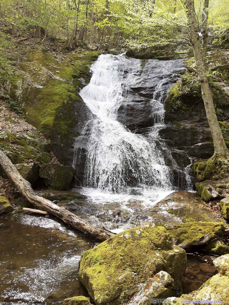
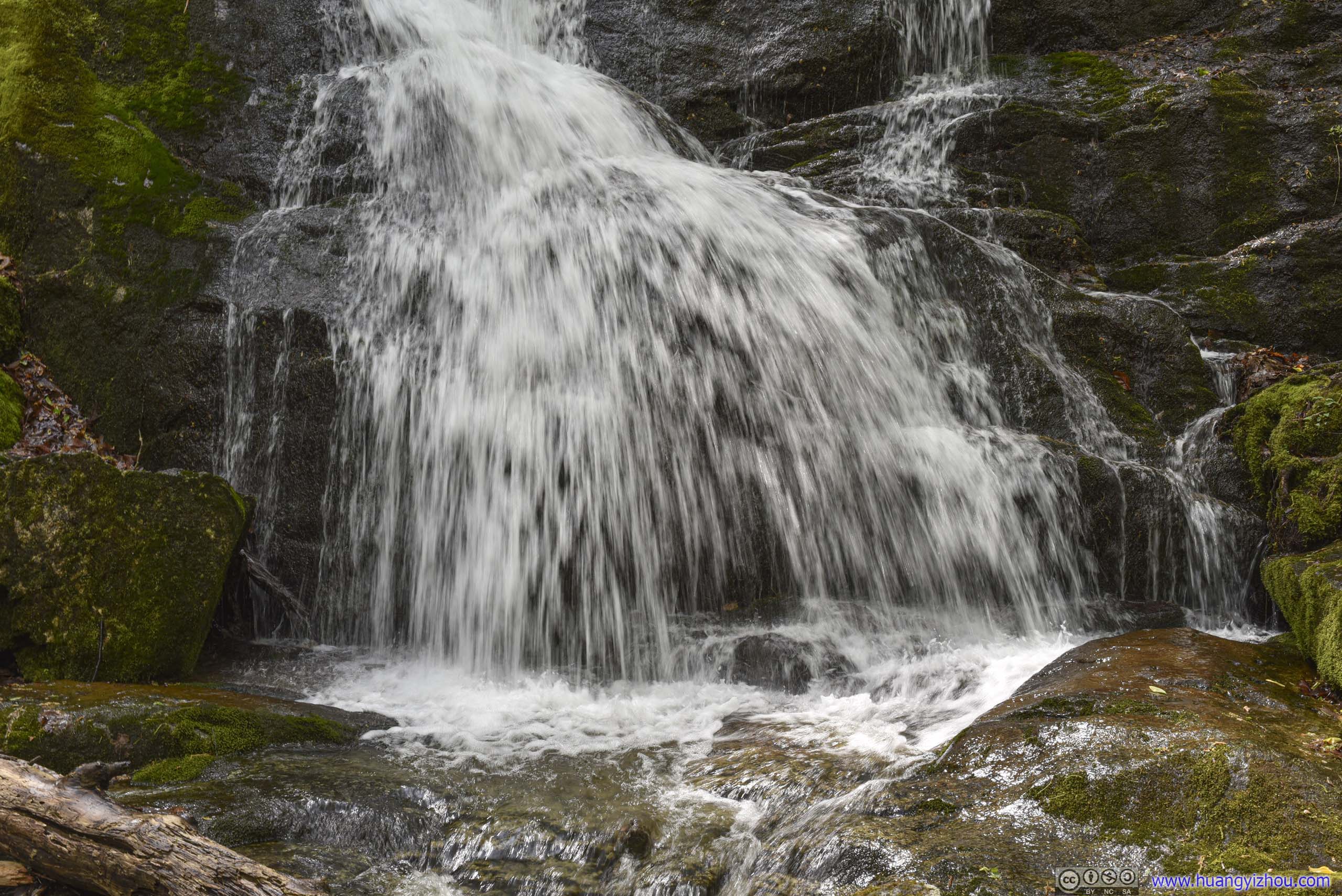
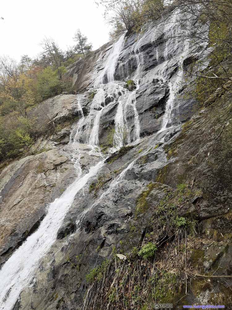
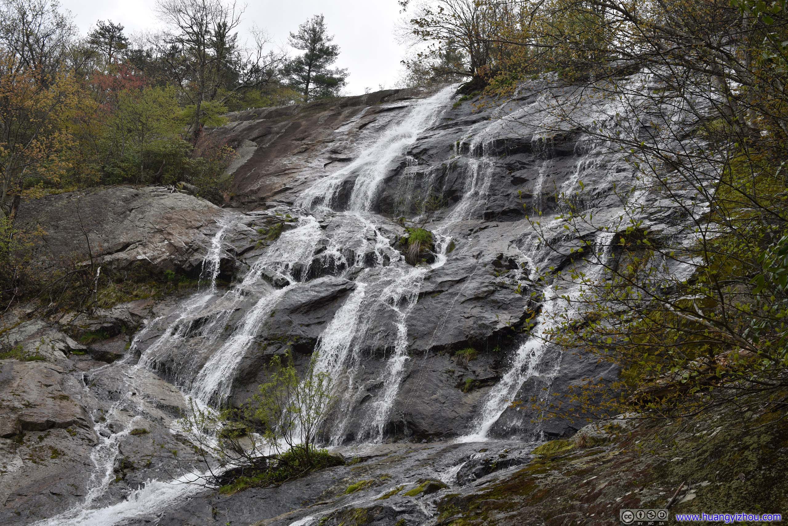
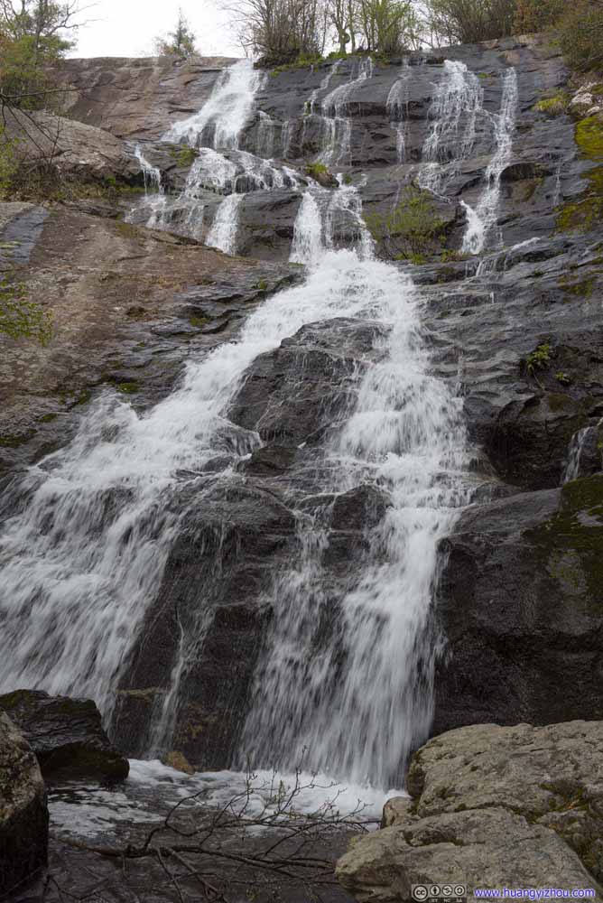
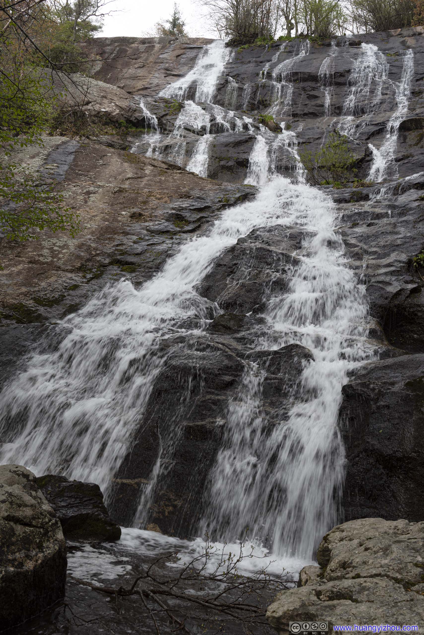
The last viewpoint, and probably the most magnificent, was at 2.3km from trailhead. Here the mighty torrents were cascading down a cliff wall about 60m in height.
 Crabtree Falls
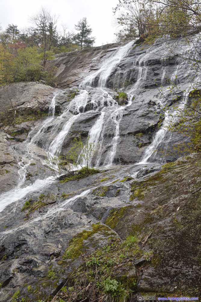
 Crabtree Falls
 Crabtree Falls
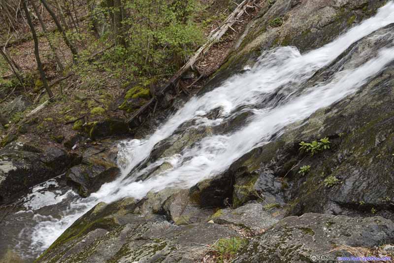 Crabtree Falls
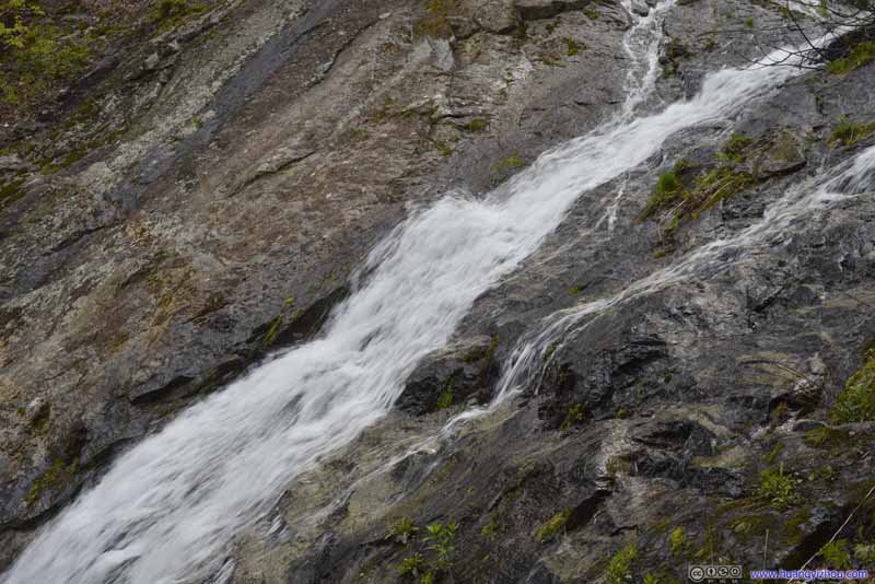 Crabtree Falls

Click here to display photos of Crabtree Falls.
Crabtree Falls
Crabtree Falls
Crabtree Falls
Crabtree Falls
Crabtree Falls

Crabtree Falls
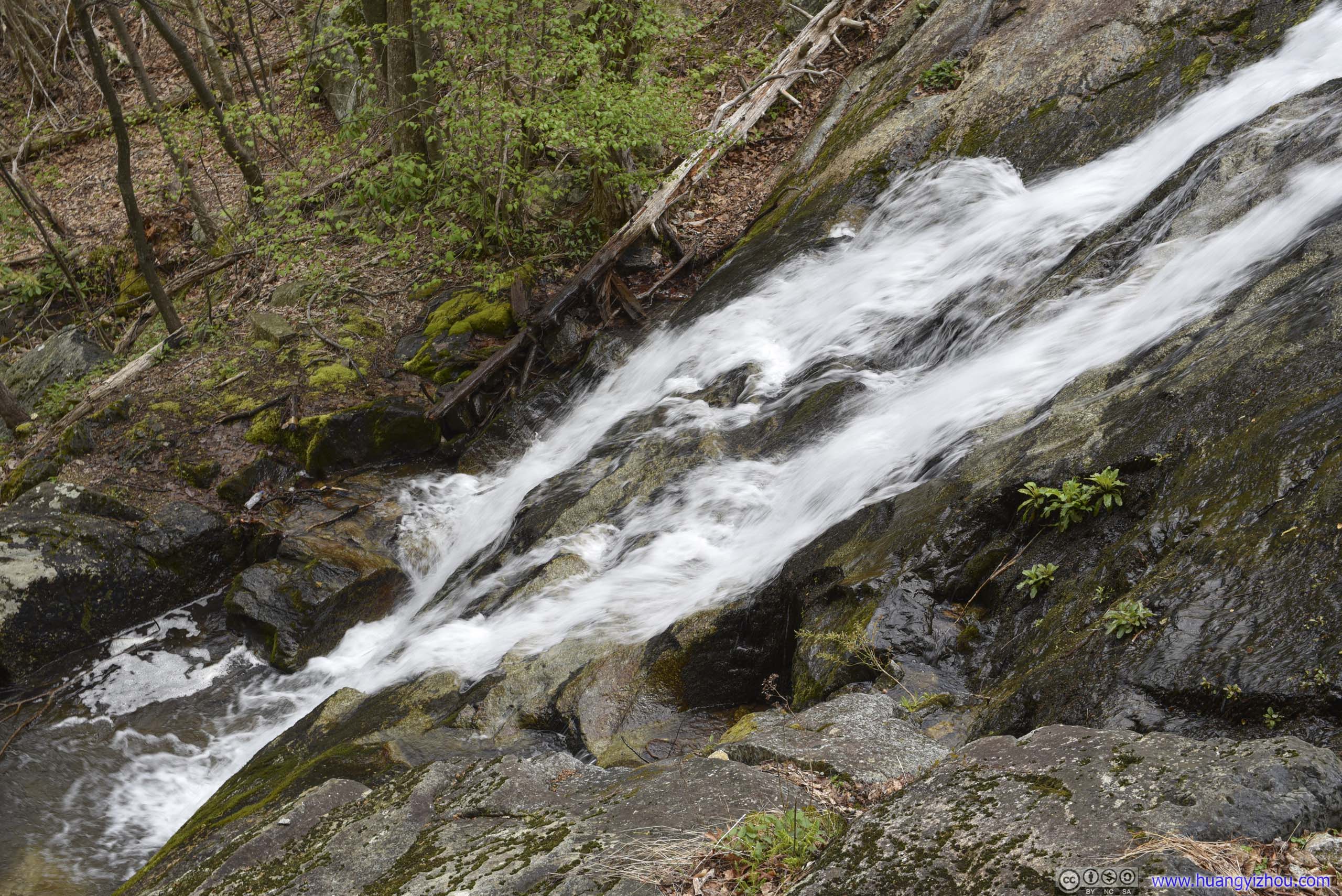
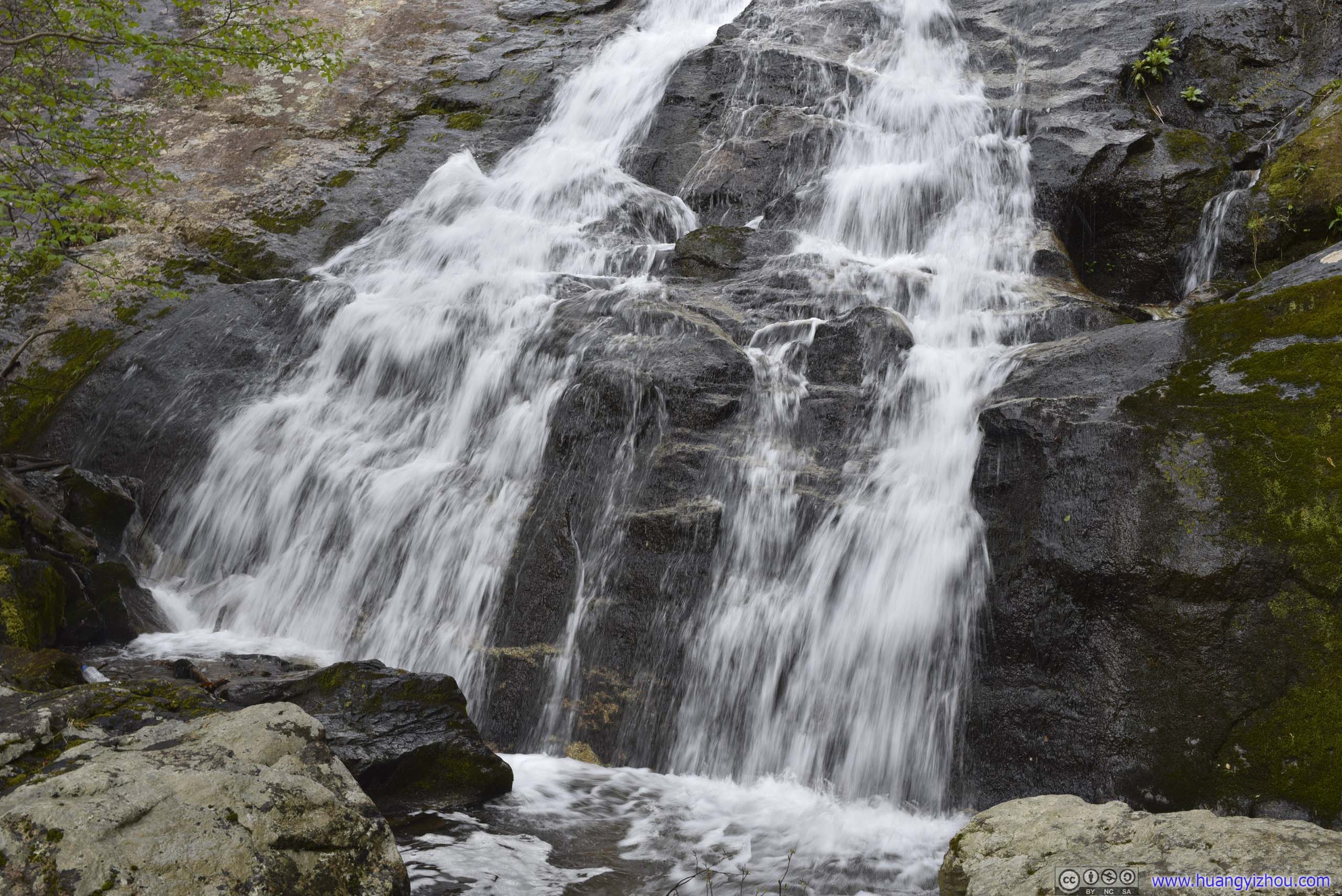
I was feeling adventurous, so I went off trail to a spot closer to the water, where the roaring falls splashed down just meters from me, into small creeks that partly flew between my straddled legs.
 Crabtree Falls
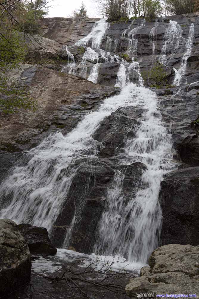 Crabtree Falls
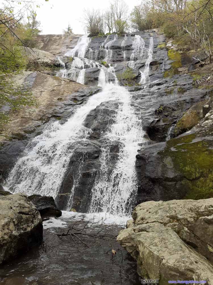 Crabtree Falls
 Crabtree FallsLooking downstream.
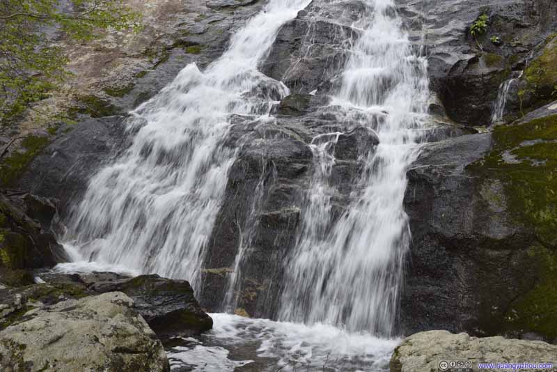 Crabtree Falls
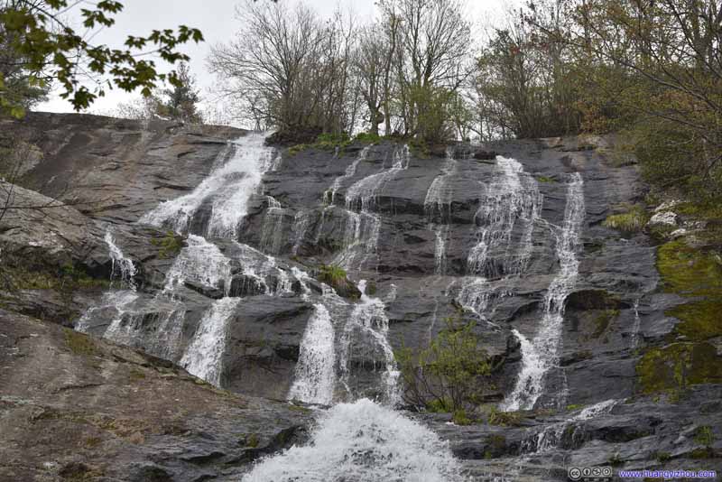 Crabtree Falls


Click here to display photos of Crabtree Falls.
Crabtree Falls
Crabtree Falls

Crabtree Falls
Crabtree FallsLooking downstream.
Crabtree Falls
Crabtree Falls
While a sign here indicated “the last viewpoint of waterfall”, one could continue for another 400m to an overlook, crossing a bridge underneath which Crabtree Creek flew through (photos below). The overlook offered views of the surrounding mountains, which, on a rainy day like this were partly veiled behind clouds and looking mystically attractive.
 Crabtree Creek
 Mountains in Mist
I spent about 10 minutes at the overlook on top of Crabtree Falls, before the rain forced me to start my descent in the shelter of the forest. Here were typical trail conditions.
 Trail
Trail Trail
Trail Trail
Trail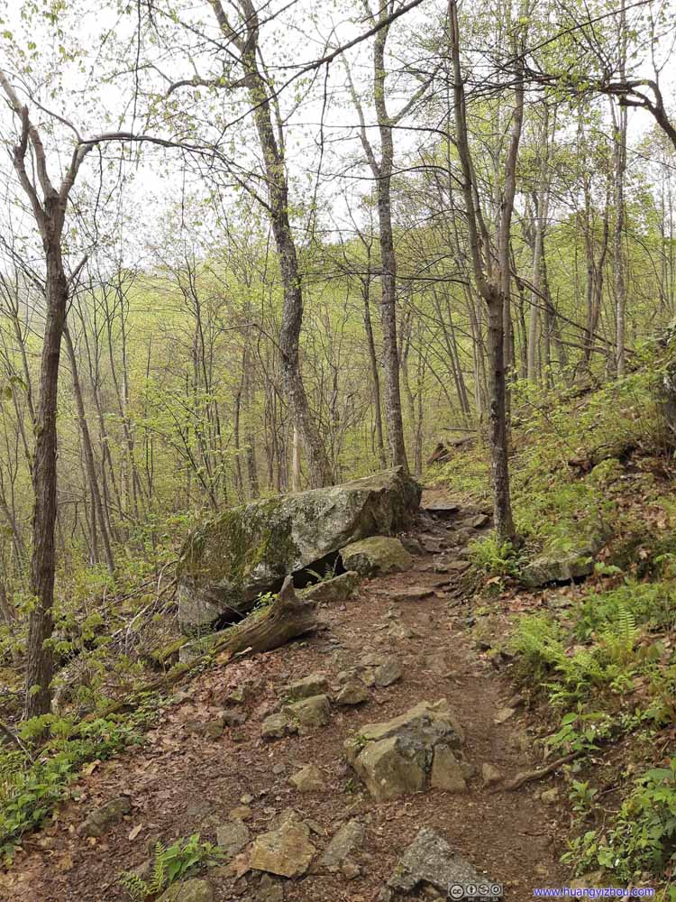 Trail
Trail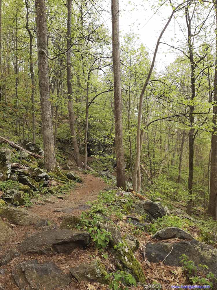 Trail
Trail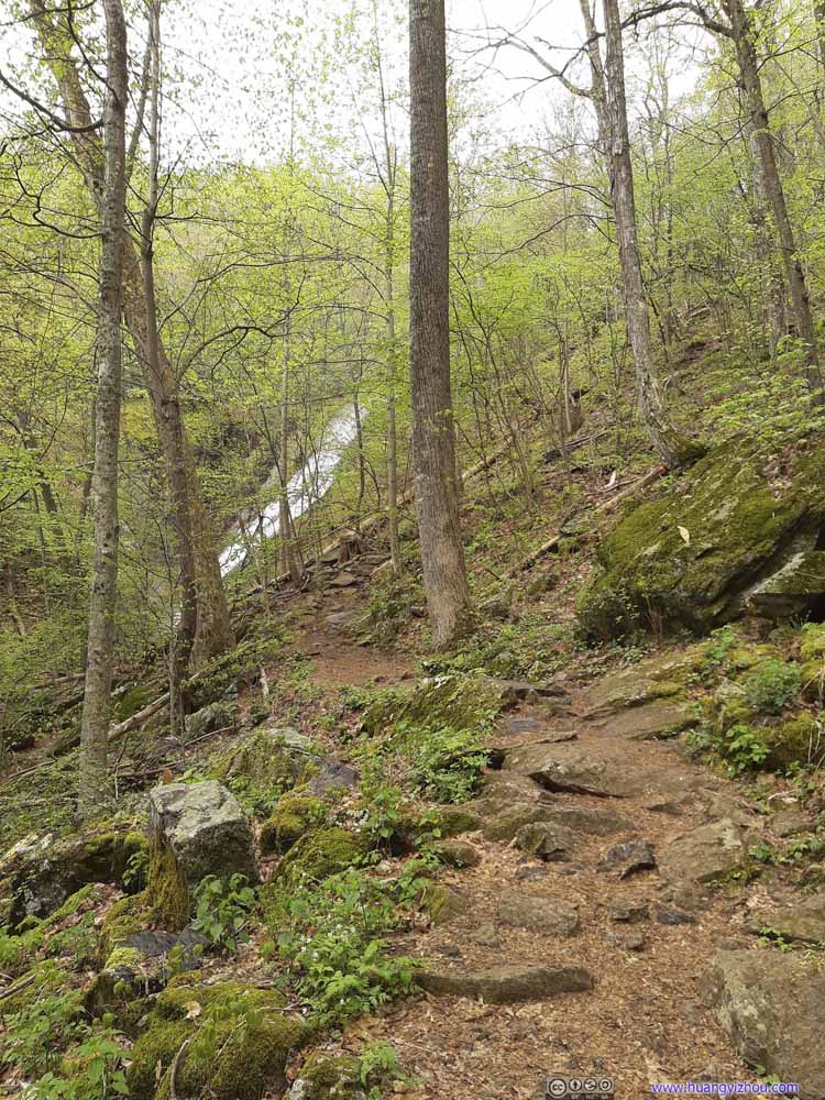 Trail
Trail


Click here to display photos of the trail.

Trail
Trail
Trail
 Trail
Trail
Trail
And a few minor waterfalls along the way.
 Crabtree Falls
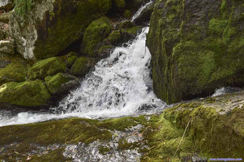 Crabtree Falls
 Crabtree Falls
 Crabtree Falls

Click here to display photos of Crabtree Falls
 Crabtree Falls
Crabtree Falls
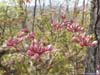
 Flowers
By the time I got back to the trailhead, the rain had stopped. So I had my lunch in the nearby picnic ground, before continuing off at around 1:30pm.
Here’s a compilation of select dashcam videos throughout the day, of the winding VA56 country road, and the enjoyable Blue Ridge Parkway.
2:09 Crossing underneath Blue Ridge Parkway, continuing onto Crabtree Falls Highway (VA56). For this part it’s mostly downhill, and my excitement had largely worn out. So it’s a bit stressful as it seemed to take me forever to reach my destination, Crabtree Falls.
6:04 Finally I pulled into Crabtree Falls’ parking lot.
6:23 After visiting Crabtree Falls, I continued back to Blue Ridge Parkway. Twisty mountain roads again.
10:59 Turning onto Blue Ridge Parkway, heading north. I made a few stops, including (12:36 Fork Mountain Overlook), in addition to that, the video is unfortunately not continuous.
 MountainsFrom Fork Mountain Overlook, an overlook along Blue Ridge Parkway.
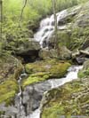
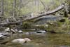
In addition to Crabtree Falls, another famous hiking spot nearby was Humpback Rocks, which was only a 3km out-and-back trail. Since there was enough time left in the day, I decided to first visit White Rock Falls along the way.
White Rock Falls
While on AllTrails, the preferred way to hike White Rock Falls was to take a 7.6km loop trail, I was a bit tired (and unsure of weather) that I decided to take a 4km out-and-back version from “White Rock Gap Parking Area”. (White Rock Falls being less exciting than Crabtree Falls certainly played a role in my mindset.)
Here’s GPS tracking:
 Trail
Trail Trail
Trail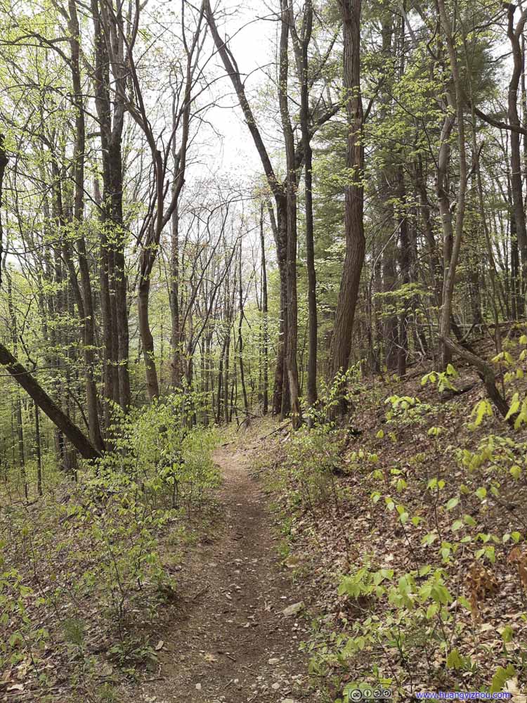 Trail
Trail Trail
Trail Trail
Trail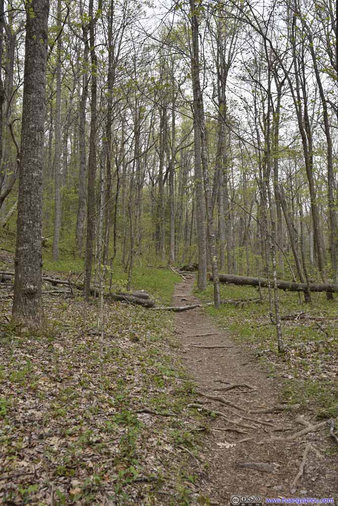 Trail
Trail CreekOne that runs along the trail.

Click here to display photos of the trail.

Trail
 Trail
Trail
 Trail
Trail
Trail
CreekOne that runs along the trail.
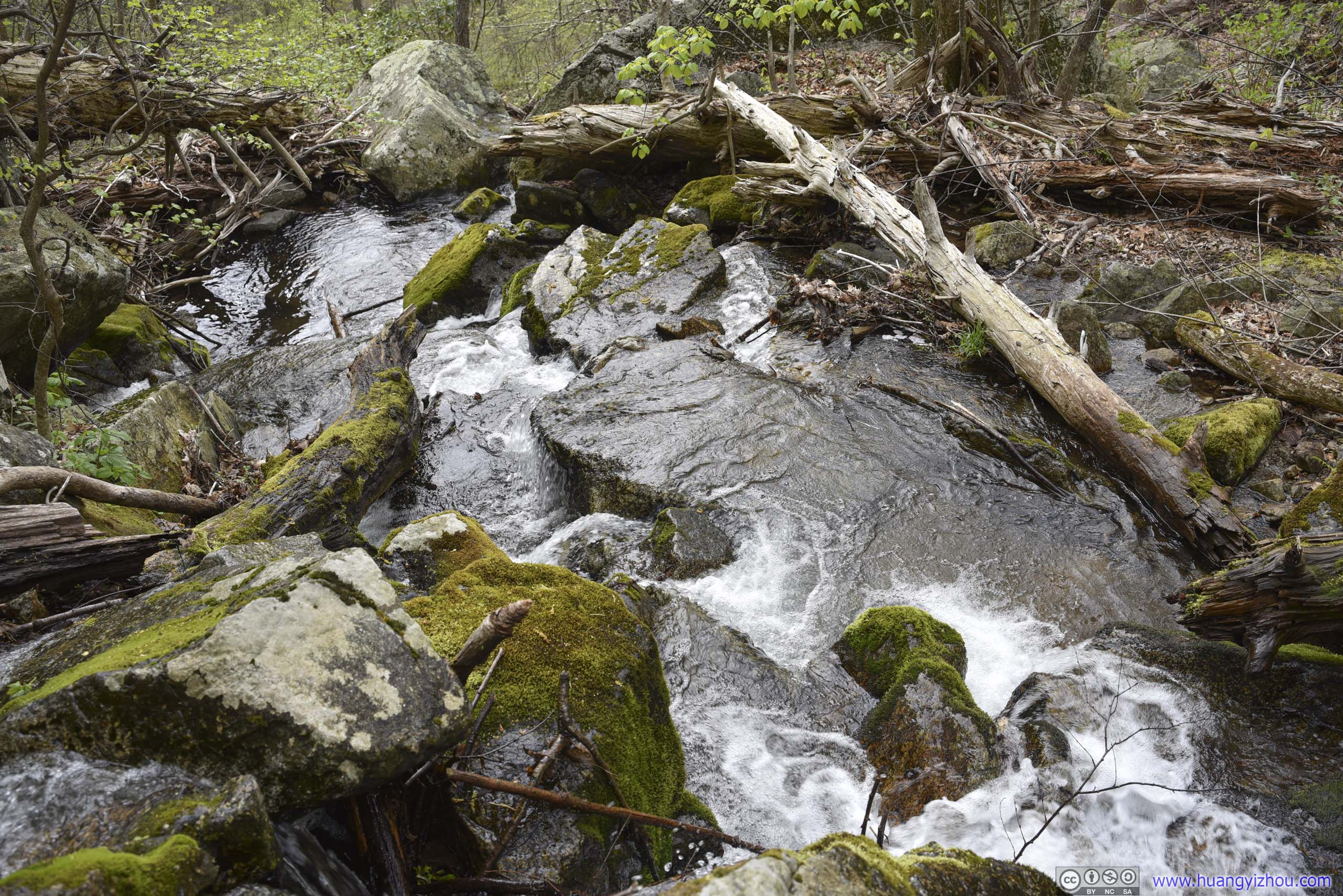
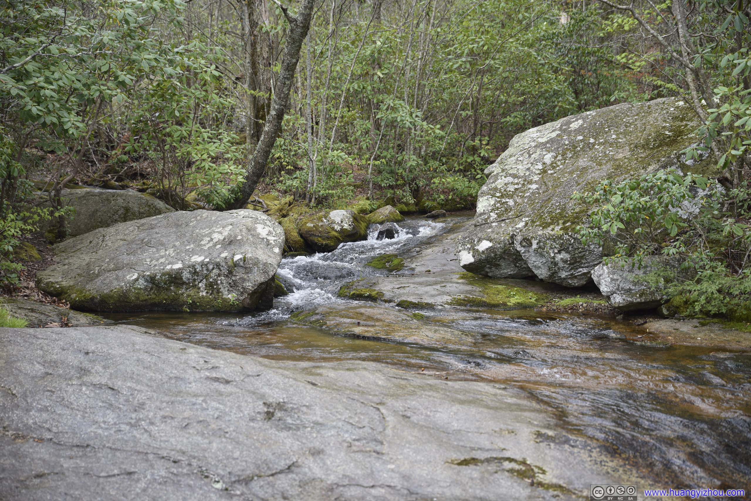
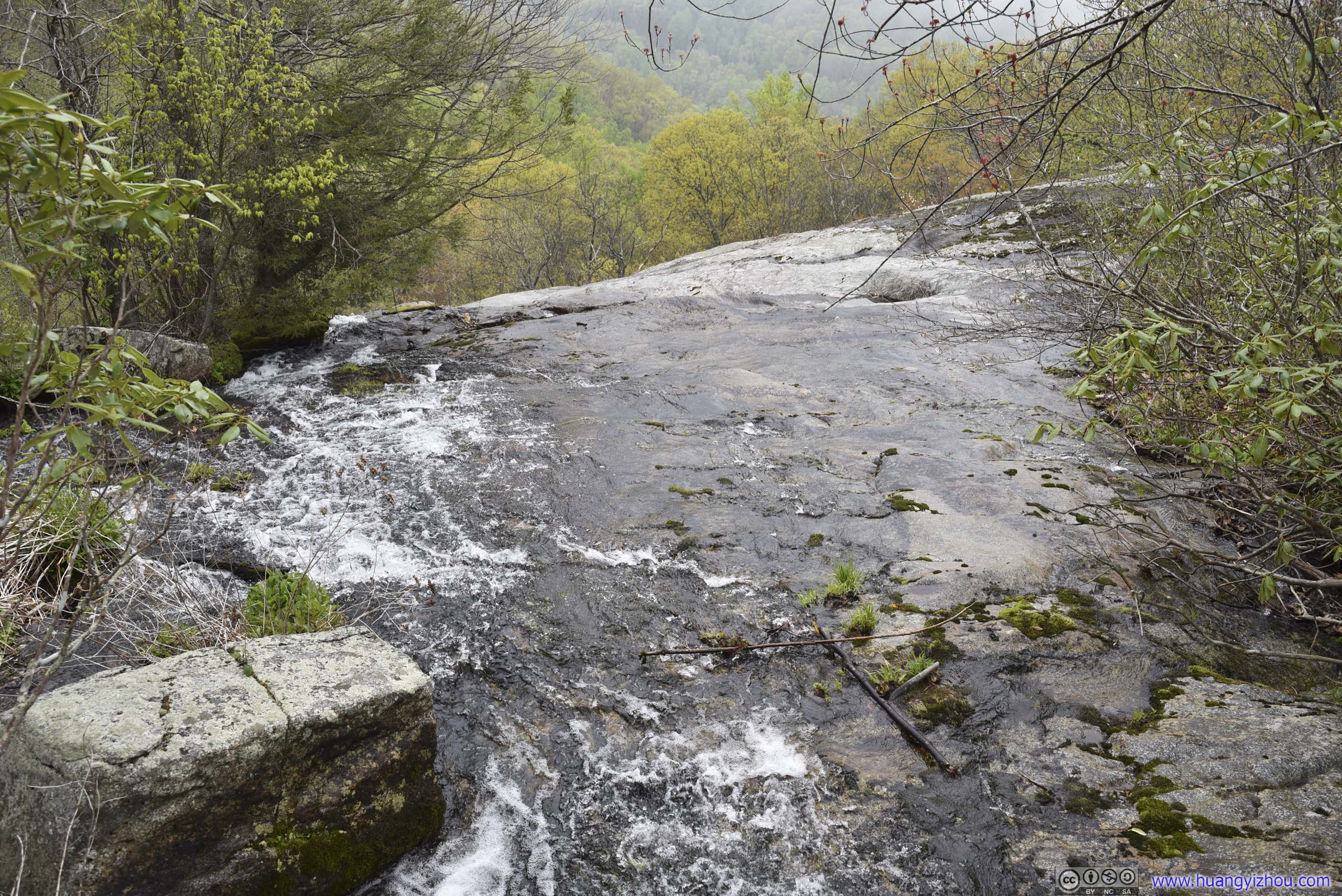
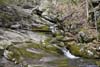
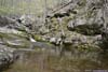
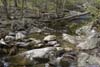
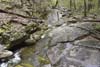
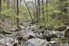
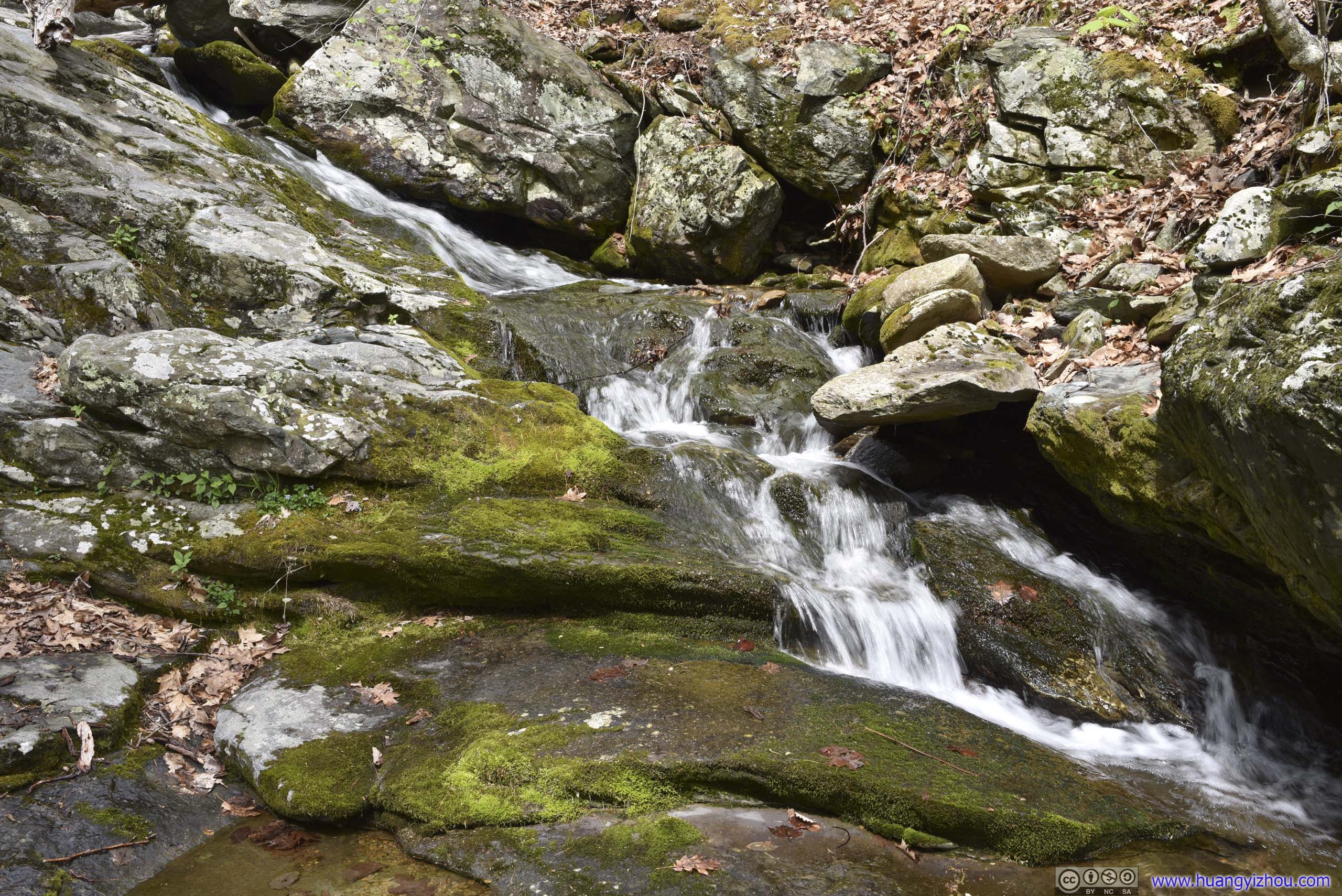
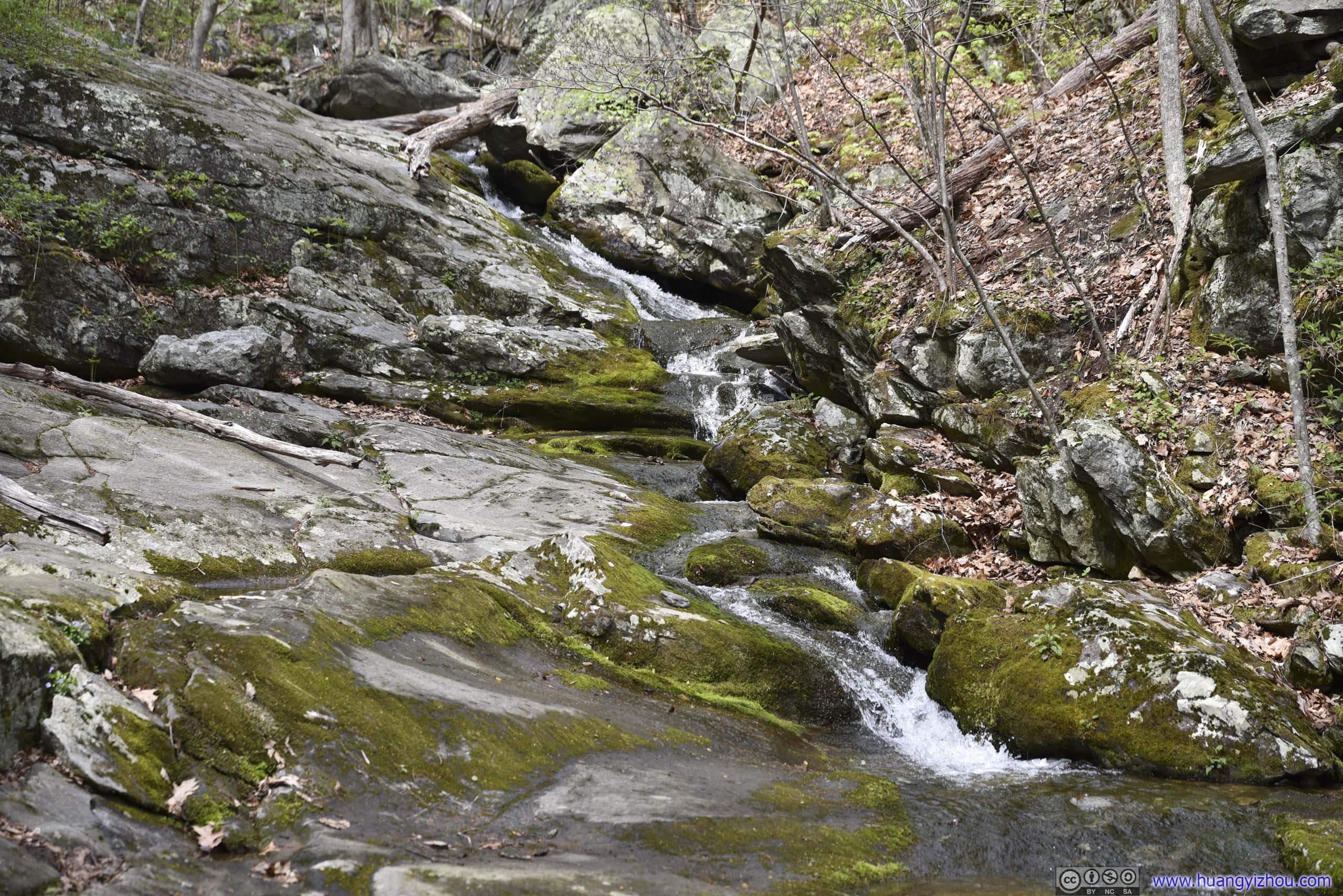
After leaving the parking lot, the trail made its way through dense forest, while following a small creek most of the way. The sound of water and birds were exhilarating in the occasional sunshine. Towards the end, the trail passed through a section of pine trees, which was sort of rare in the region.
The trail was well maintained and easy to tackle. With the help of gravity, I reached a water crossing just 25 minutes after setting off. Like before, I recorded portions of my hike with my chest-mounted GoPro, here’s a compiled video at 7.5x playback speed.
2:22 250m from trailhead, heading back
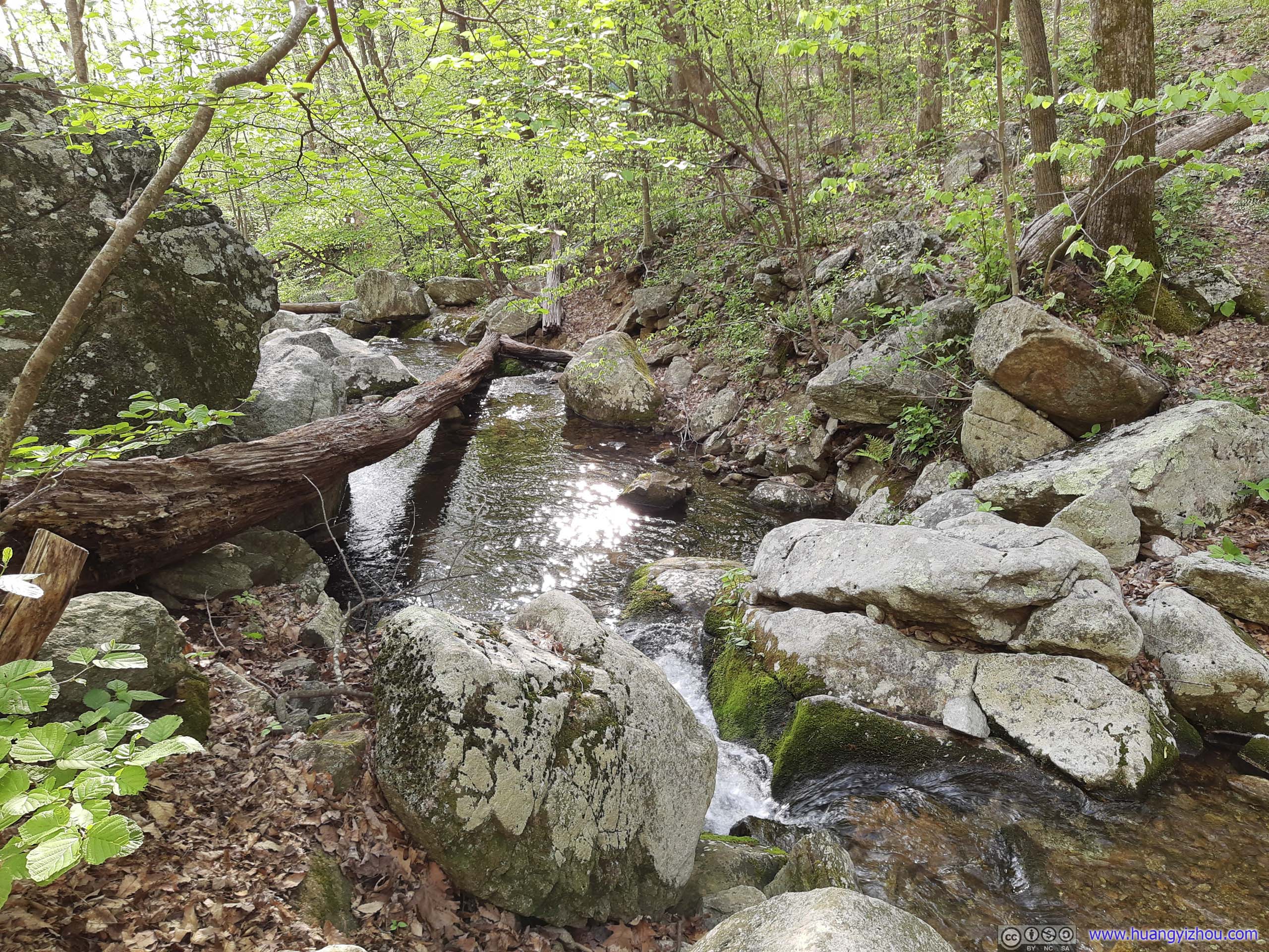
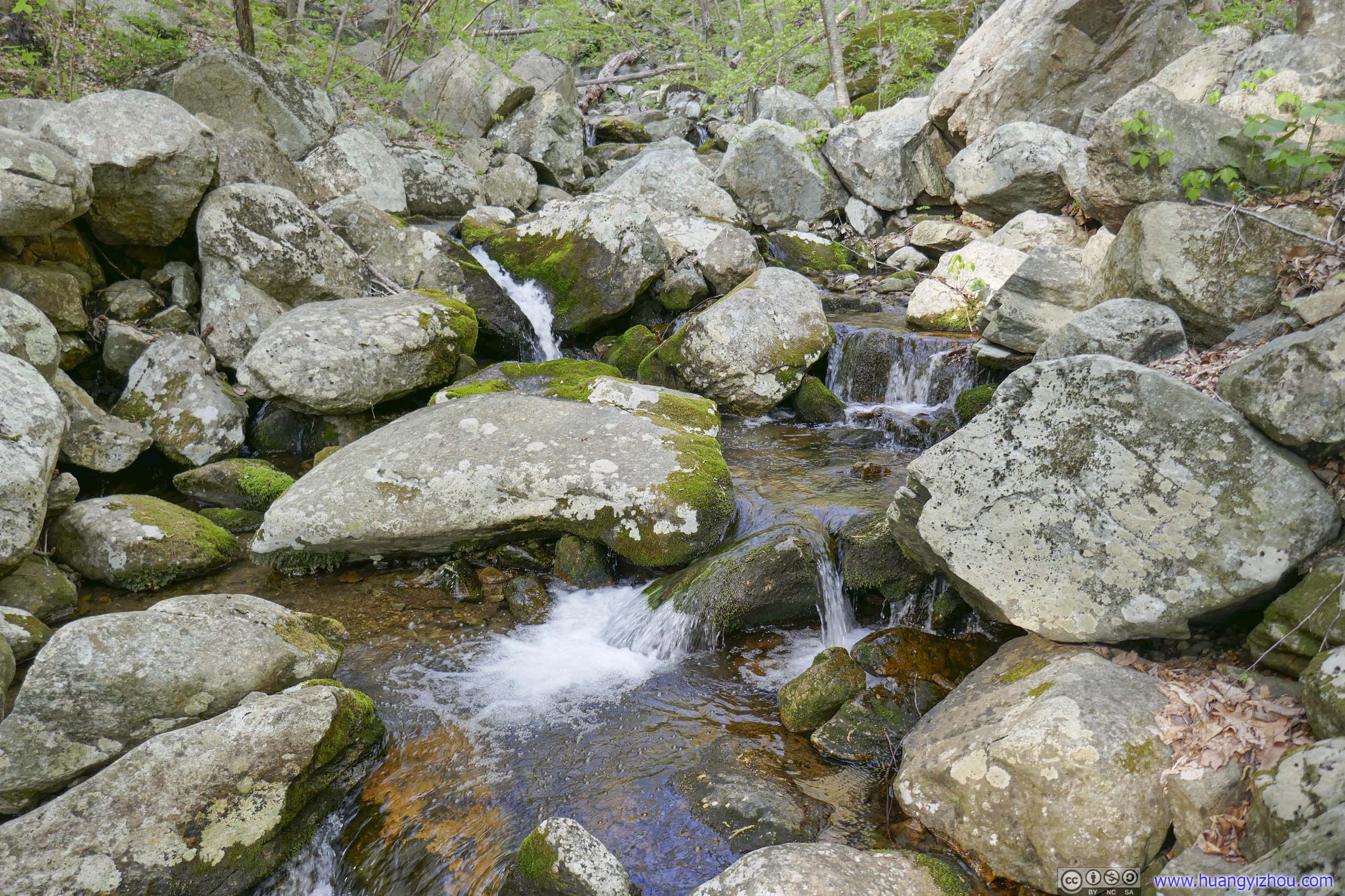
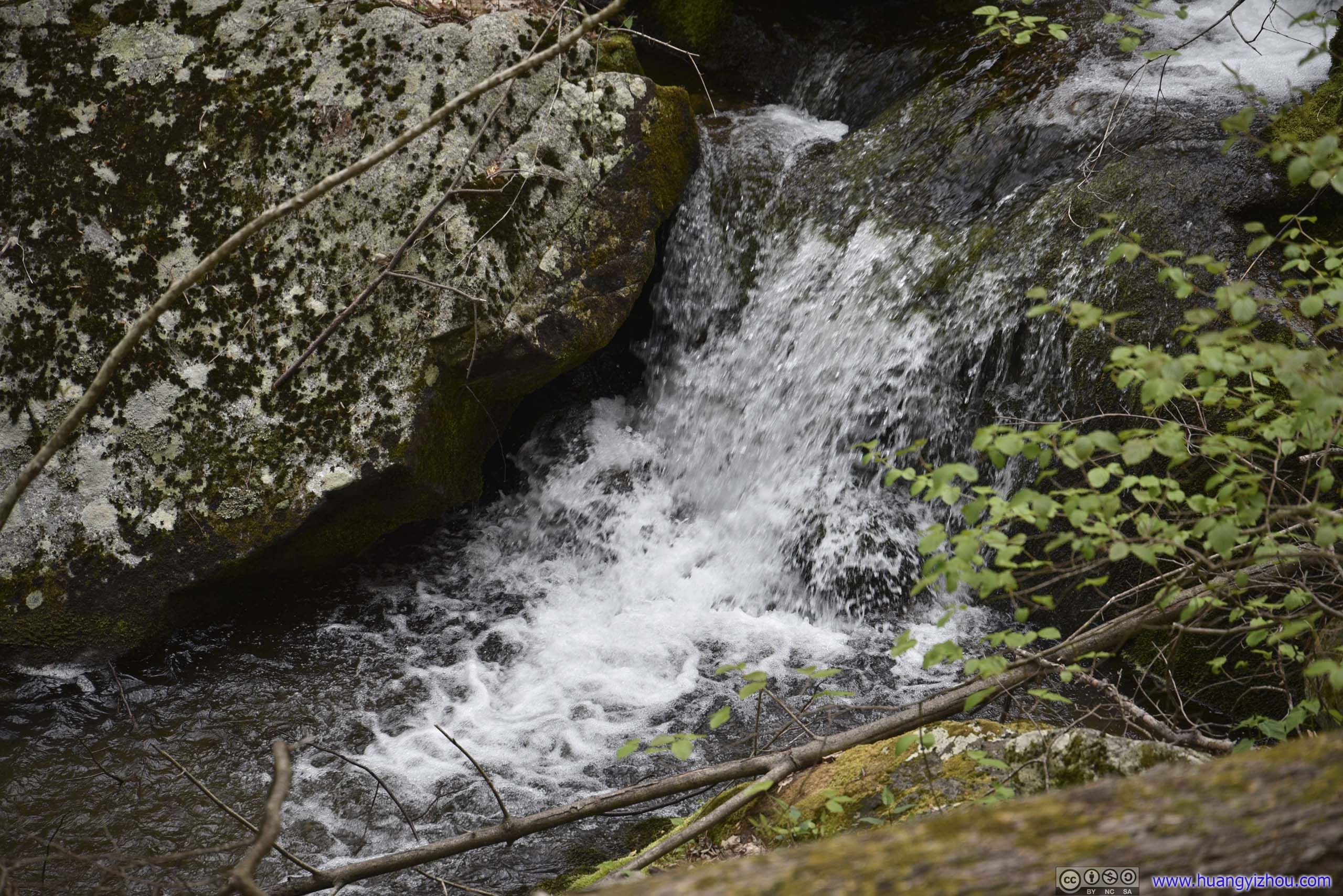
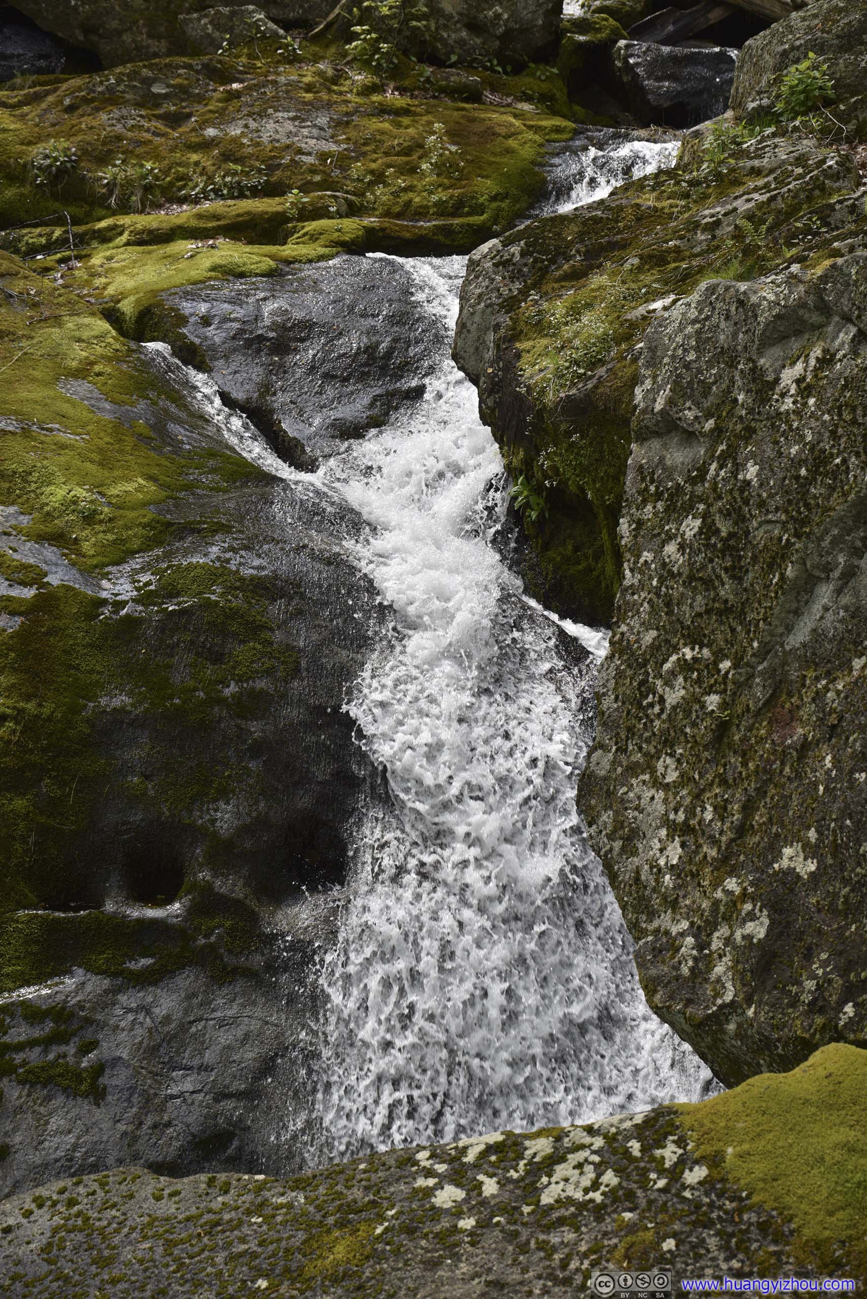
 Waterfall
 Waterfall
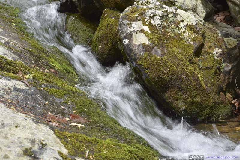 Cascades
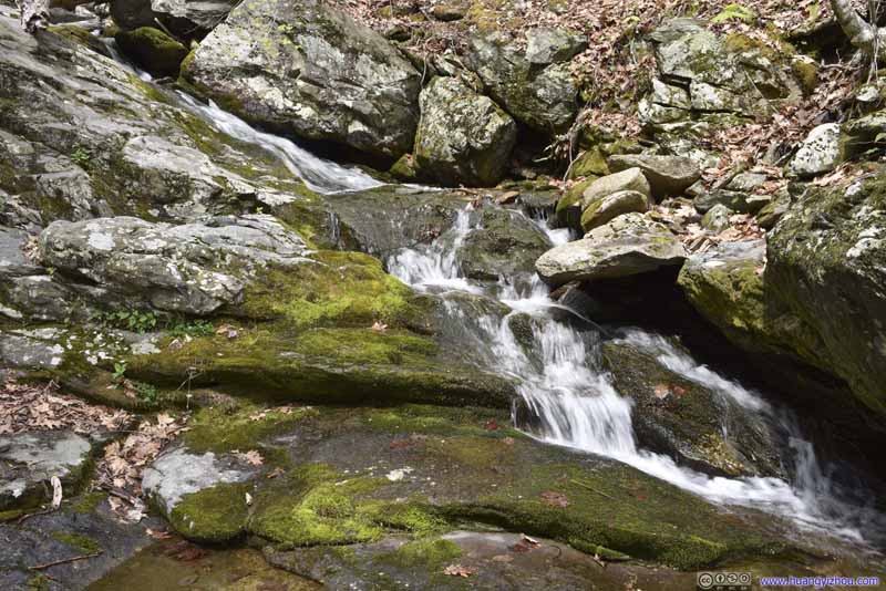 Cascades
 Cascades
 Cascades
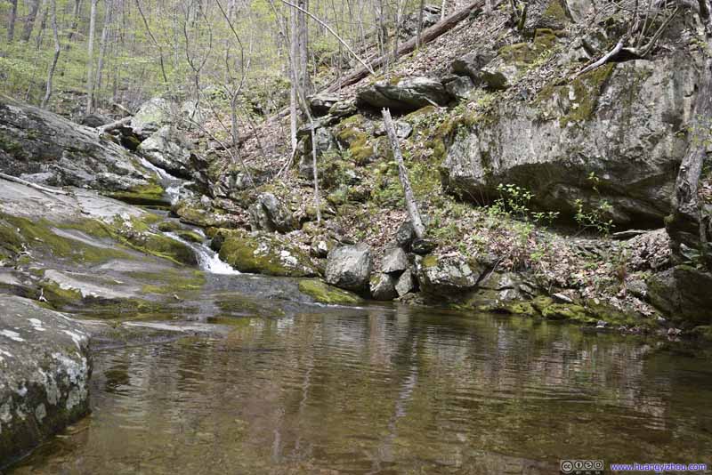 Pond
Pond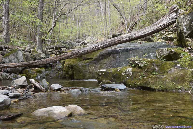 Pond
Pond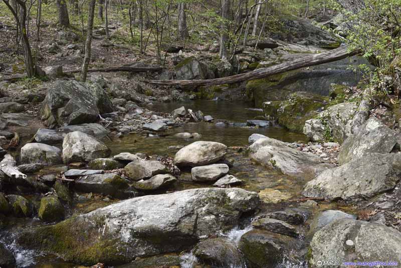 Pond
Pond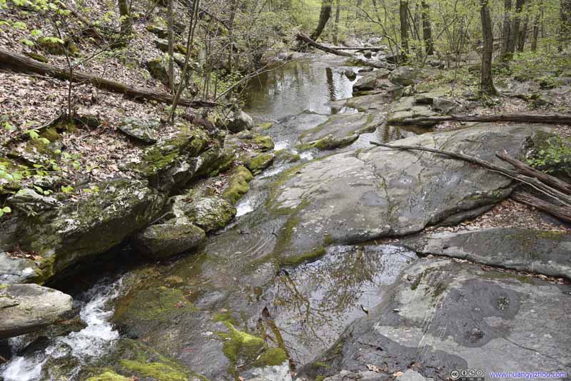 Creek
Creek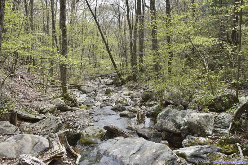 Creek
Creek

Click here to display photos of the slideshow

Waterfall
Waterfall
Waterfall


 Cascades

 Pond
Pond

 Creek
Creek
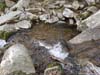
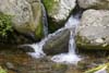
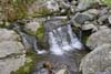
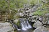
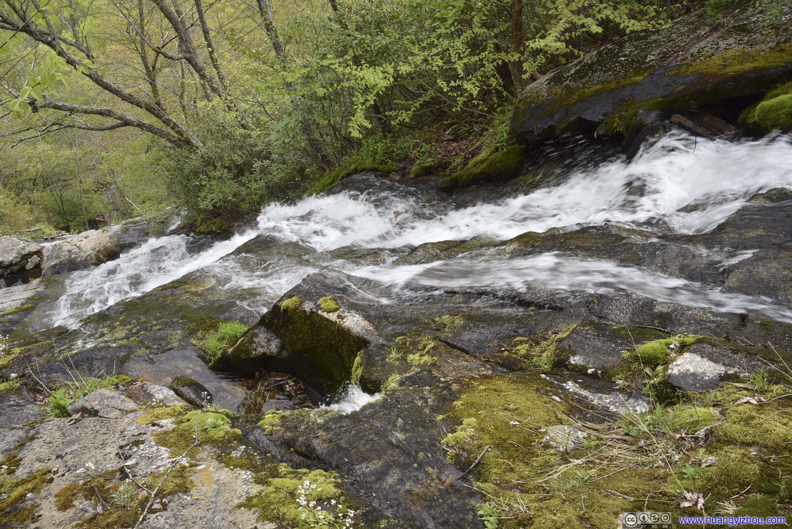
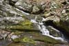
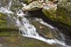
At the water crossing there were a few cascades, which I interpreted as White Rock Falls. I could have continued for another 400m uphill to an overlook of a larger set of waterfalls, but with the visit to Crabtree Falls earlier today I was a bit tired of waterfalls. So I decided to make my way back instead.
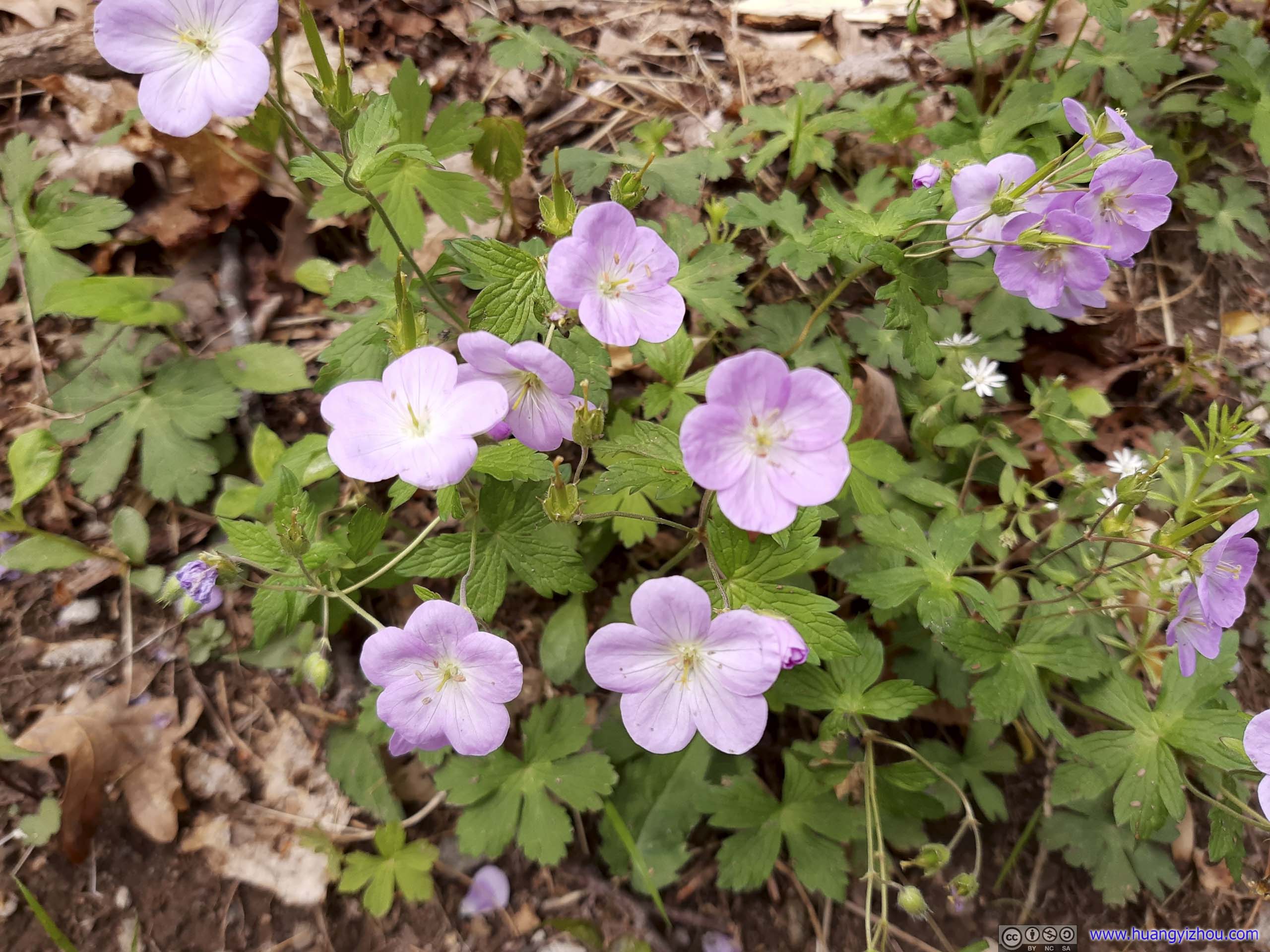
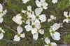
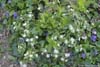
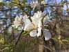
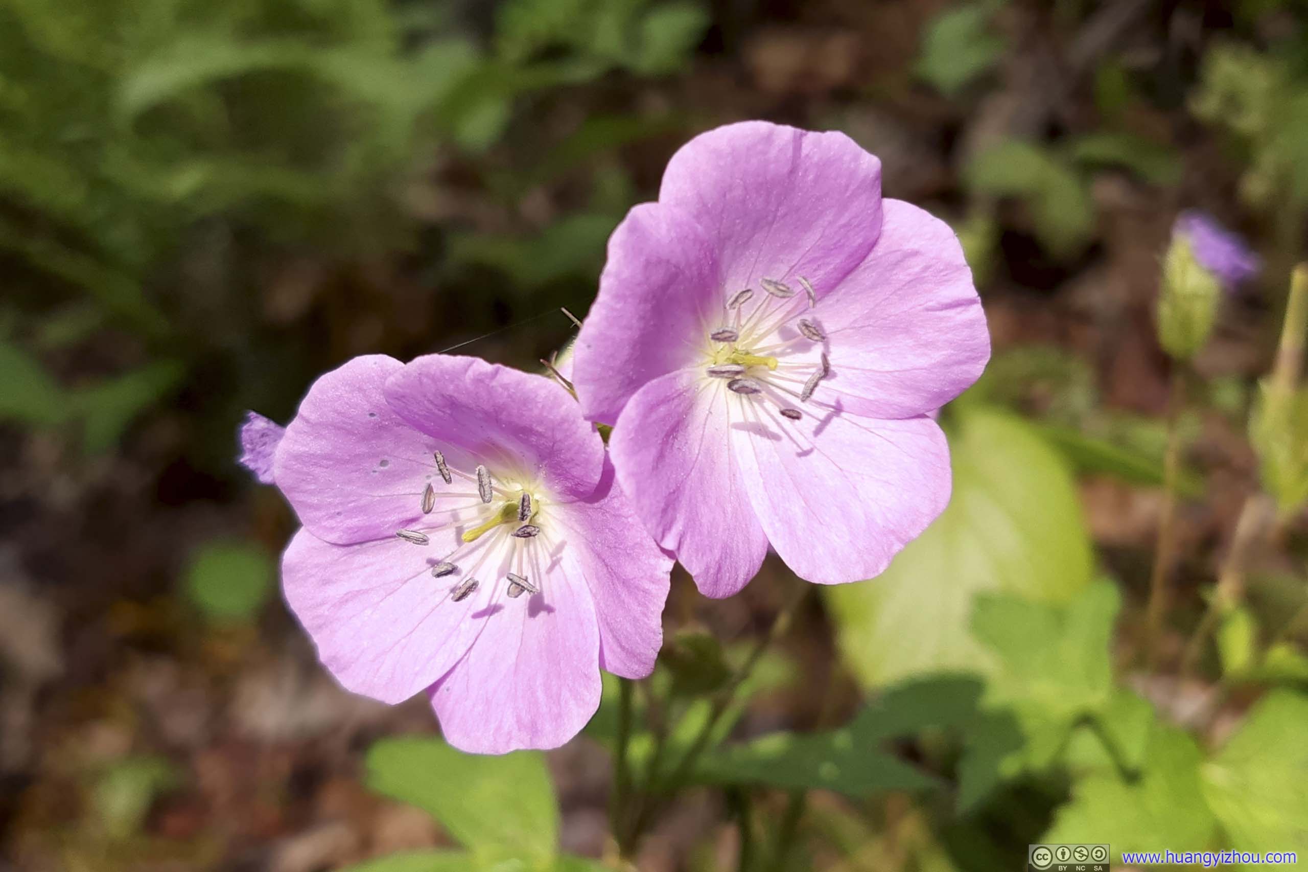
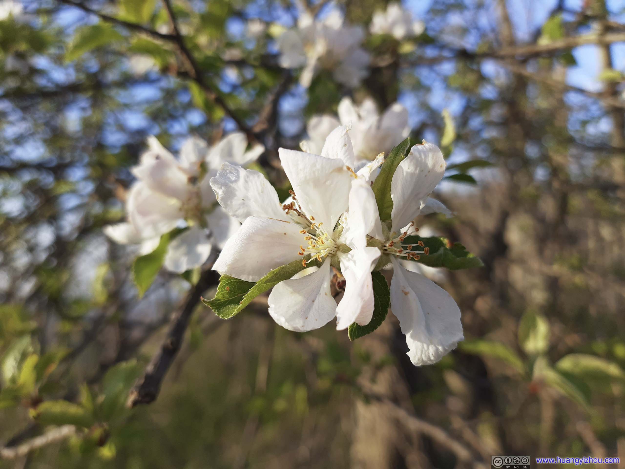
 FlowersAlong the trail flowers were blossoming nicely.
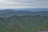
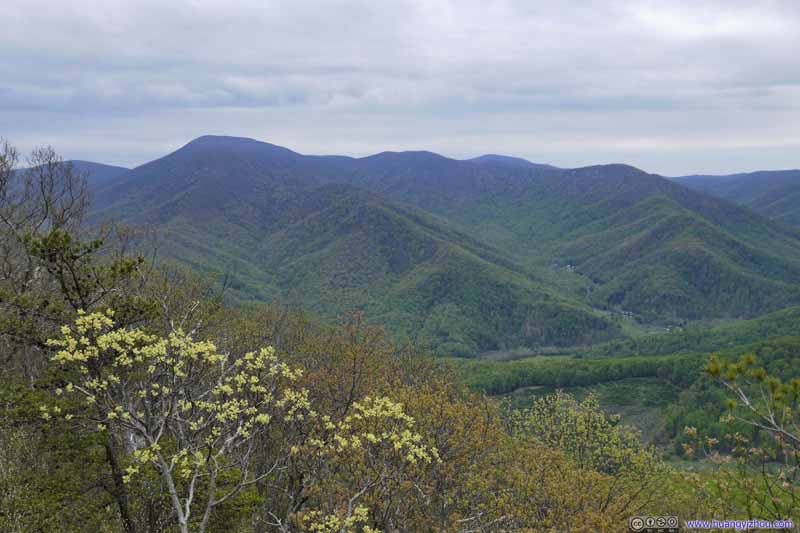
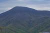
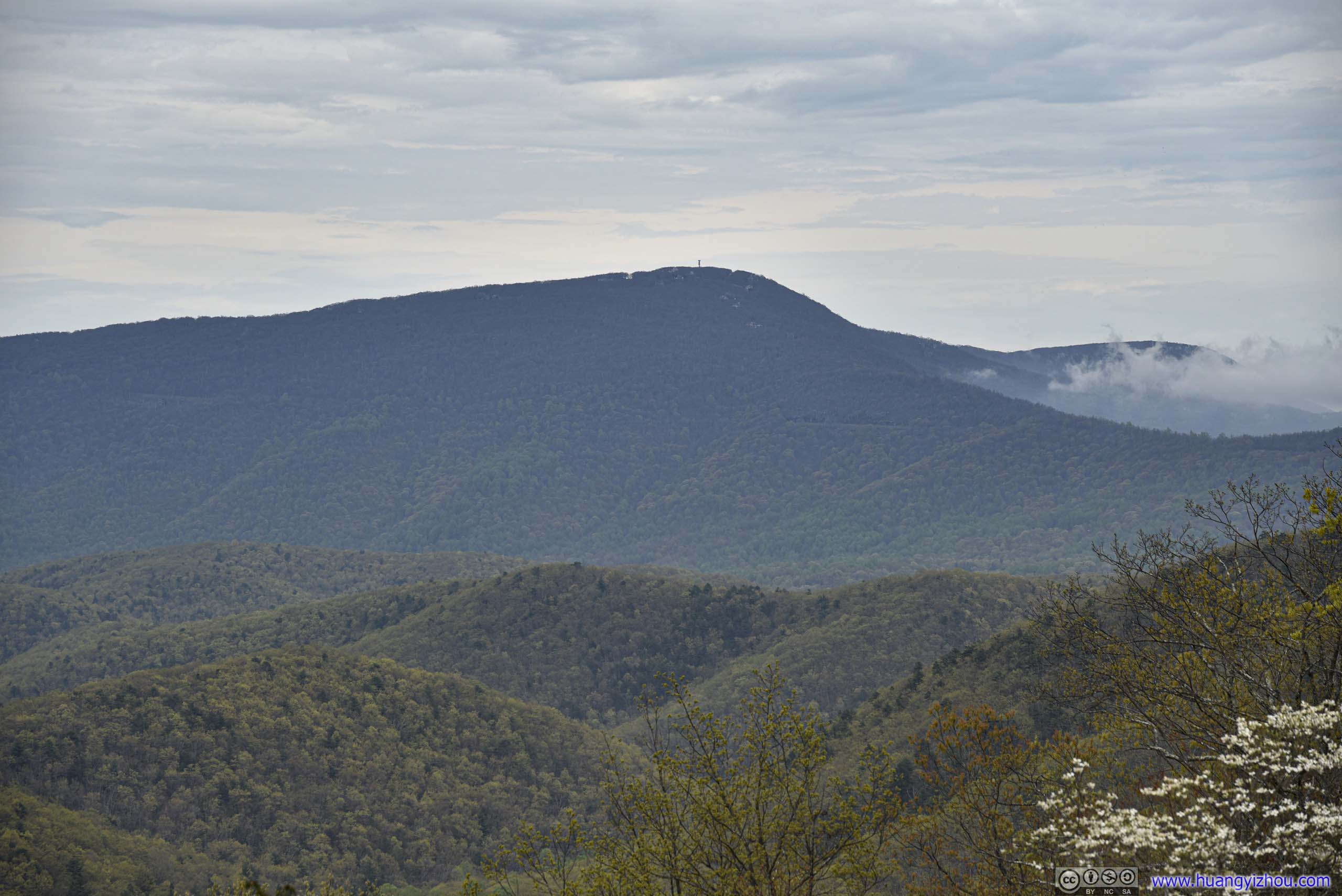
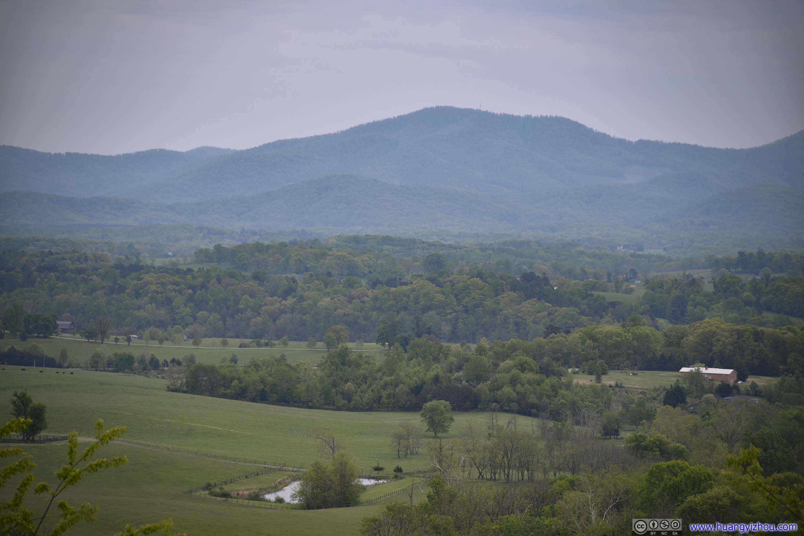
On the way towards Humpback Rocks, I stopped at Hickory Spring Overlook, a small overlook with open views, probably only second to the Ravens Roost Overlook where I went stargazing two years ago.
View from Hickory Spring Overlook
 Mountains
Humpback Rocks
Finally, another highlight of the weekend as I was about to hike Humpback Rocks, the most popular trail in the region that ended at some boulders with towering views towards the west. The parking lot for Humpback Rocks was rather small for its popularity. Alternatively, one could choose to park at the visitor center 500m up the road.
There were two ways to reach Humpback Rocks from its parking lot, a 1.4km direct route, and a 4.6km switchback route of Appalachian Trail. Humpback Rocks were 240m higher in elevation than the parking lot, so the direct route may be a bit steep for some people. But it was fine to me as I opted for it.
Here’s GPS tracking:
 Trail
Trail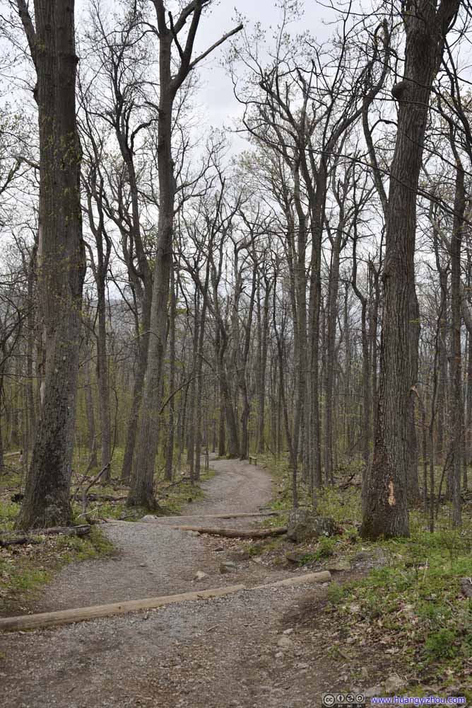 Trail
Trail Trail
Trail Trail
Trail Trail
Trail Trail
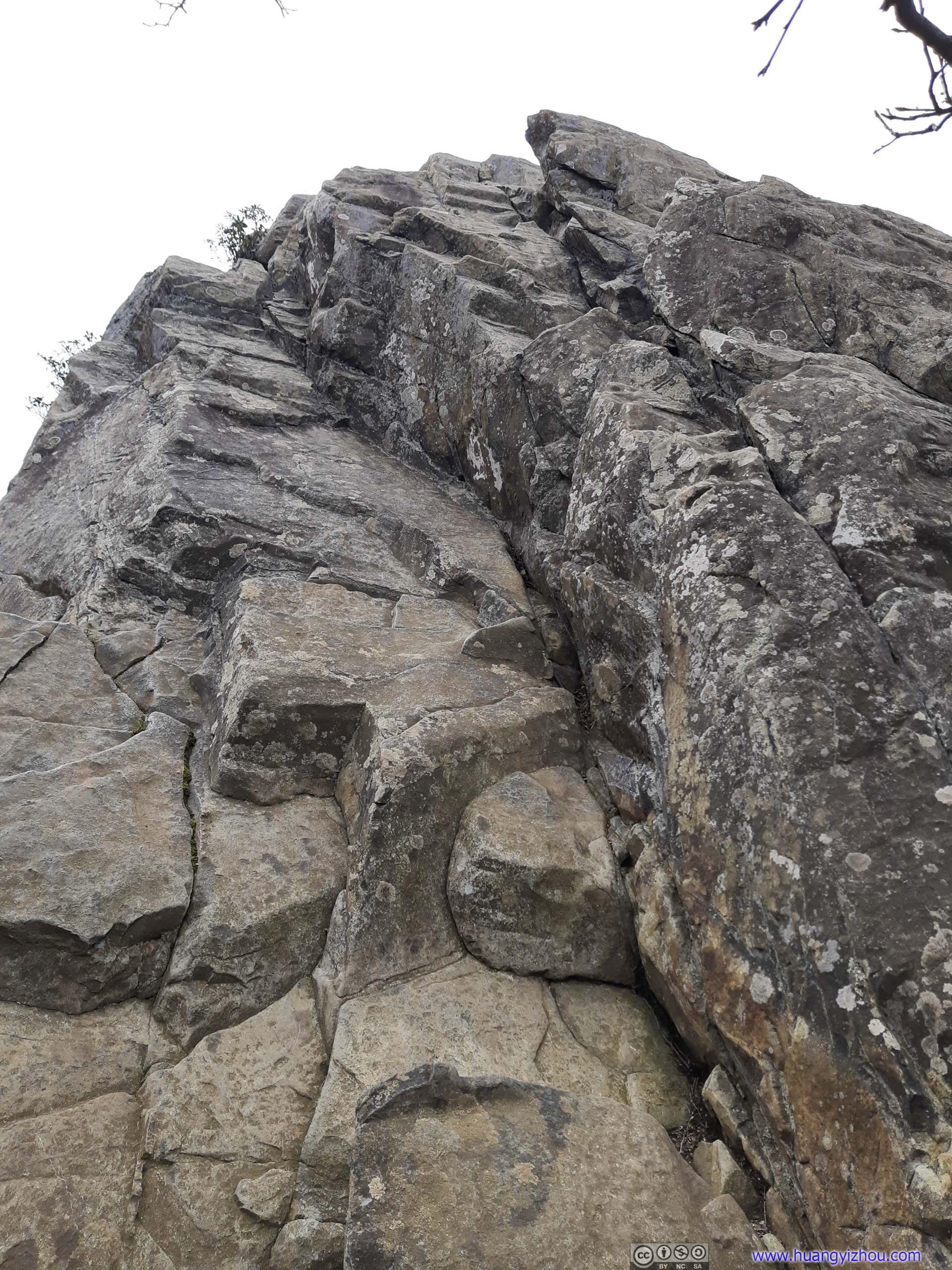
Trail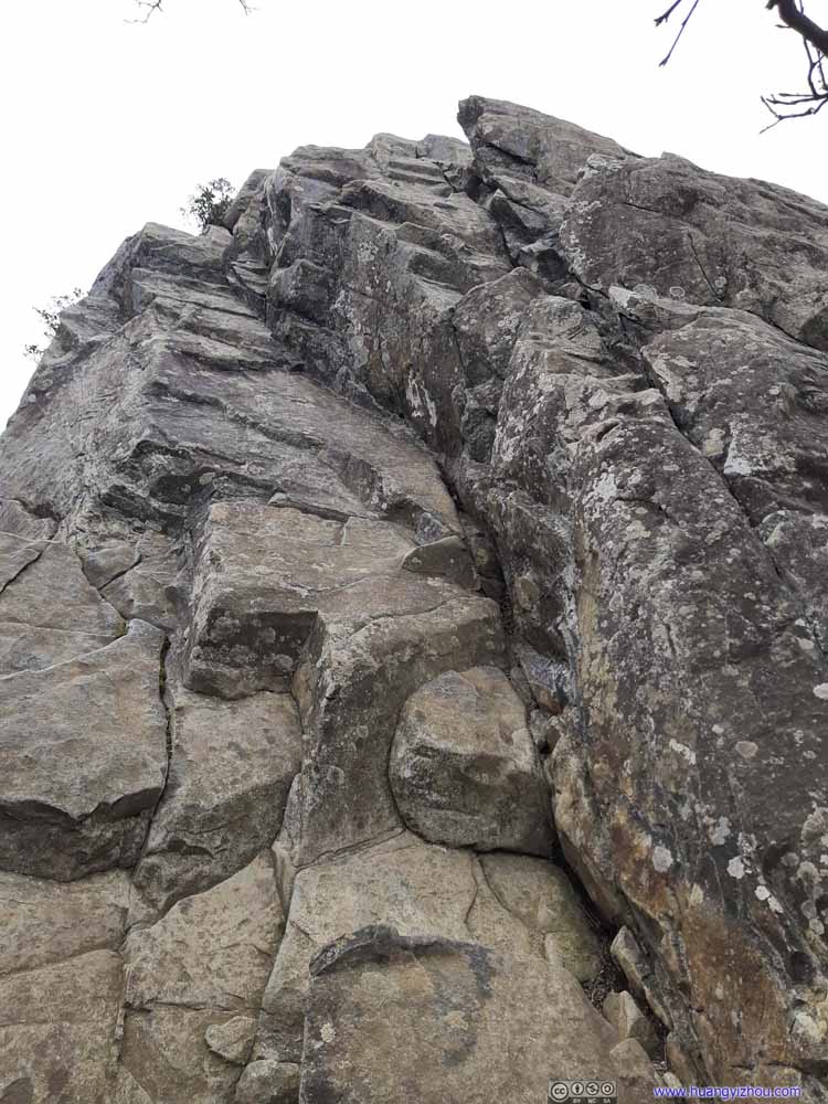 Humpback Rocks
The final few steps onto Humpback Rocks. Despite it looked rather steep from this picture, I would rate it as YDS class 2 tops.
Humpback Rocks
The final few steps onto Humpback Rocks. Despite it looked rather steep from this picture, I would rate it as YDS class 2 tops.
Click here to display photos of the slideshow
 Trail
Trail
Trail
Trail

Trail
Humpback Rocks
Despite the steepness, the first 2/3 of the trail was even and easy to tackle. It’s not until one reached the foot of Humpback Rocks that the trail started to get rocky (pictured above).
Despite the looks from the pictures, I didn’t think Humpback Rocks presented any serious exposure. In my opinion, YDS class 2 was an overestimation of the rocks.
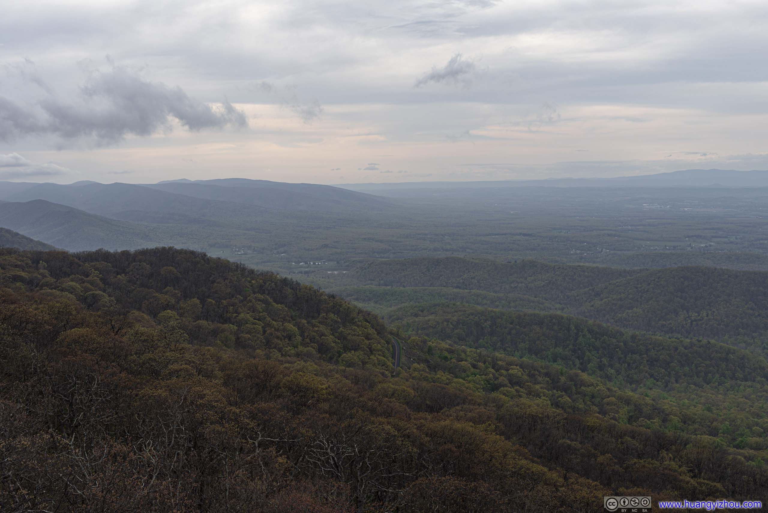
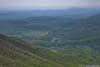
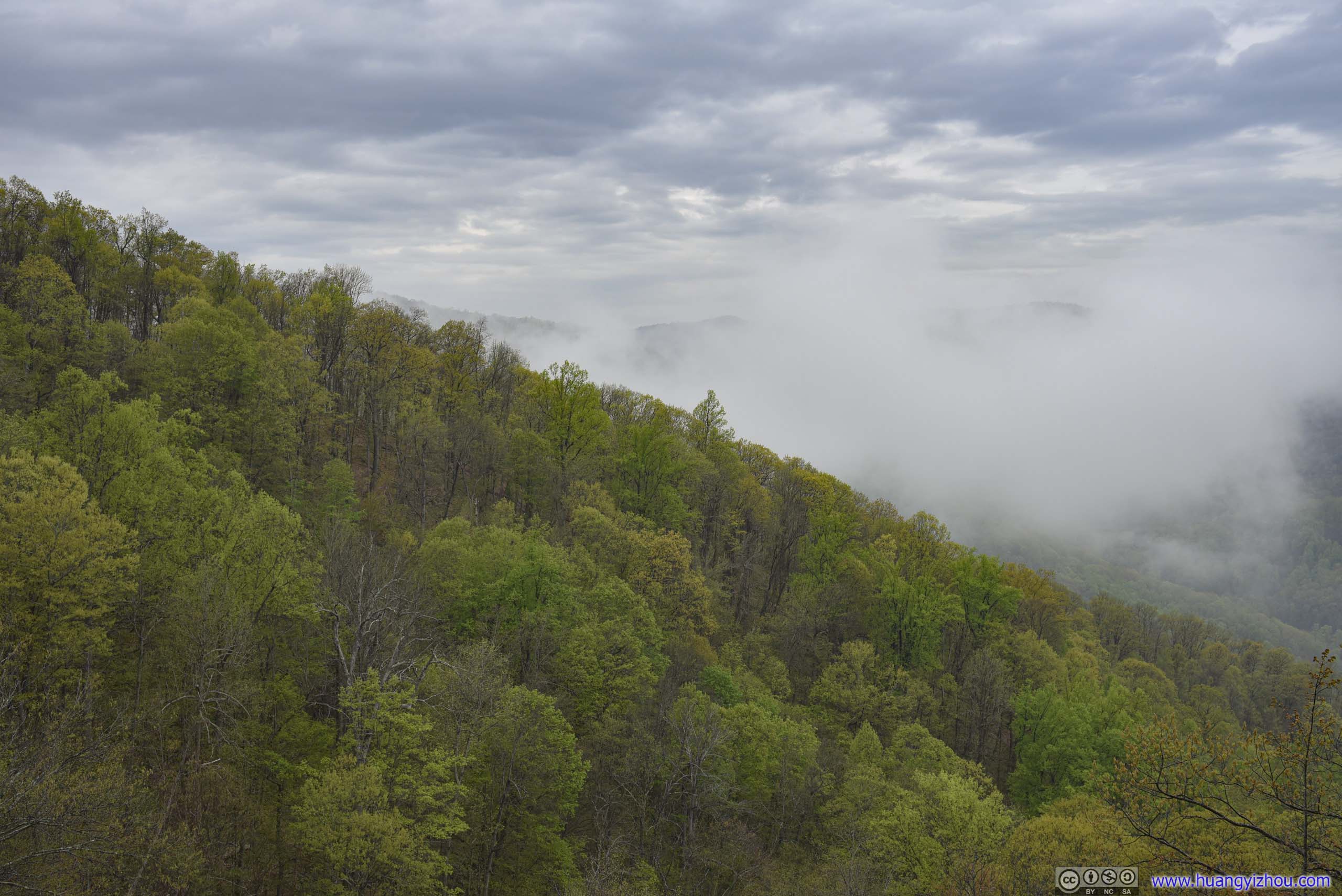
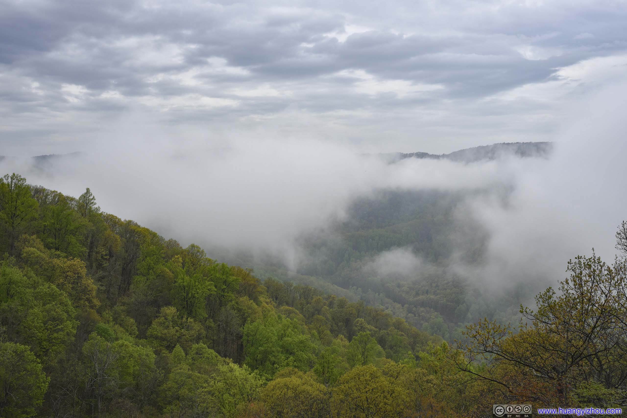
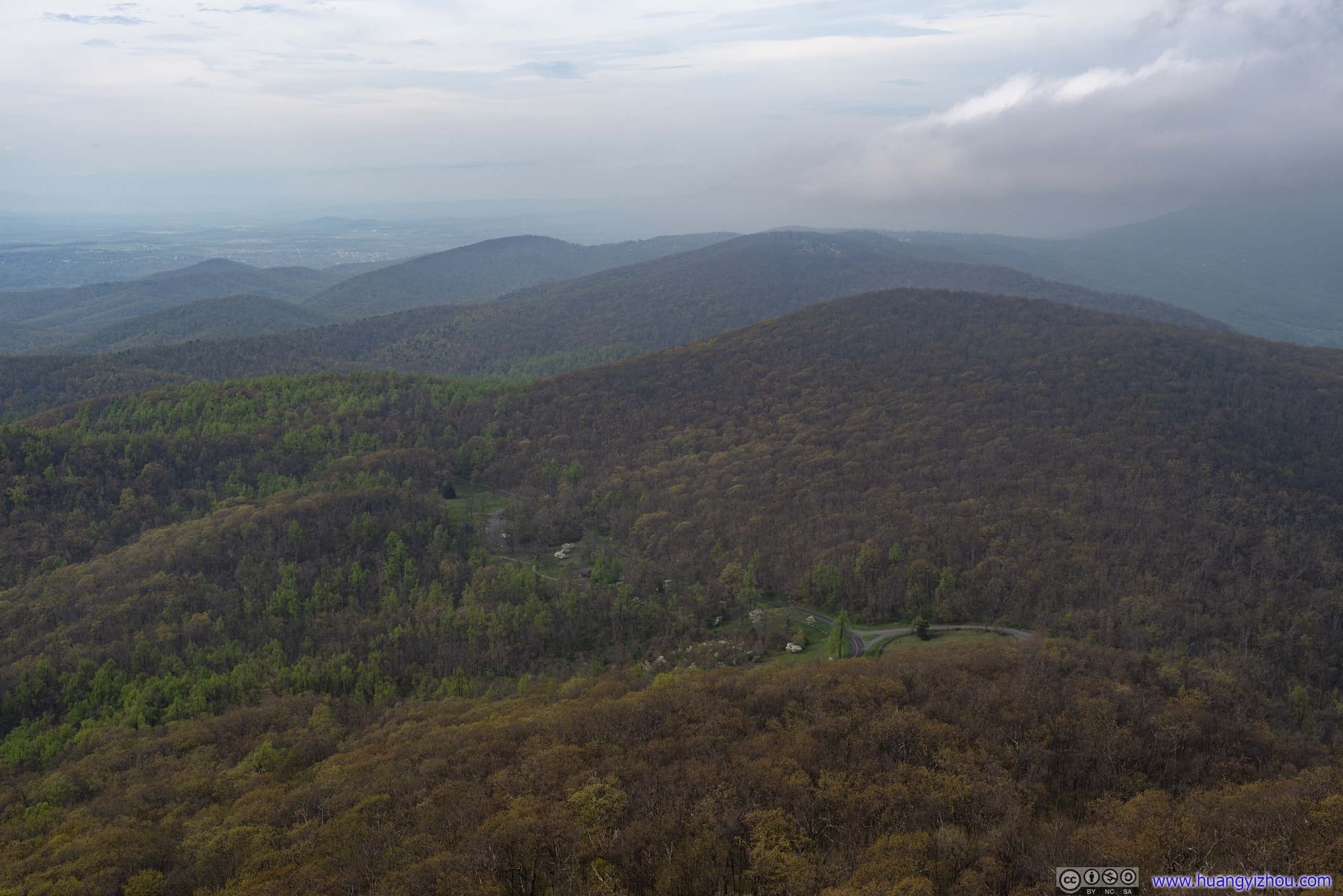
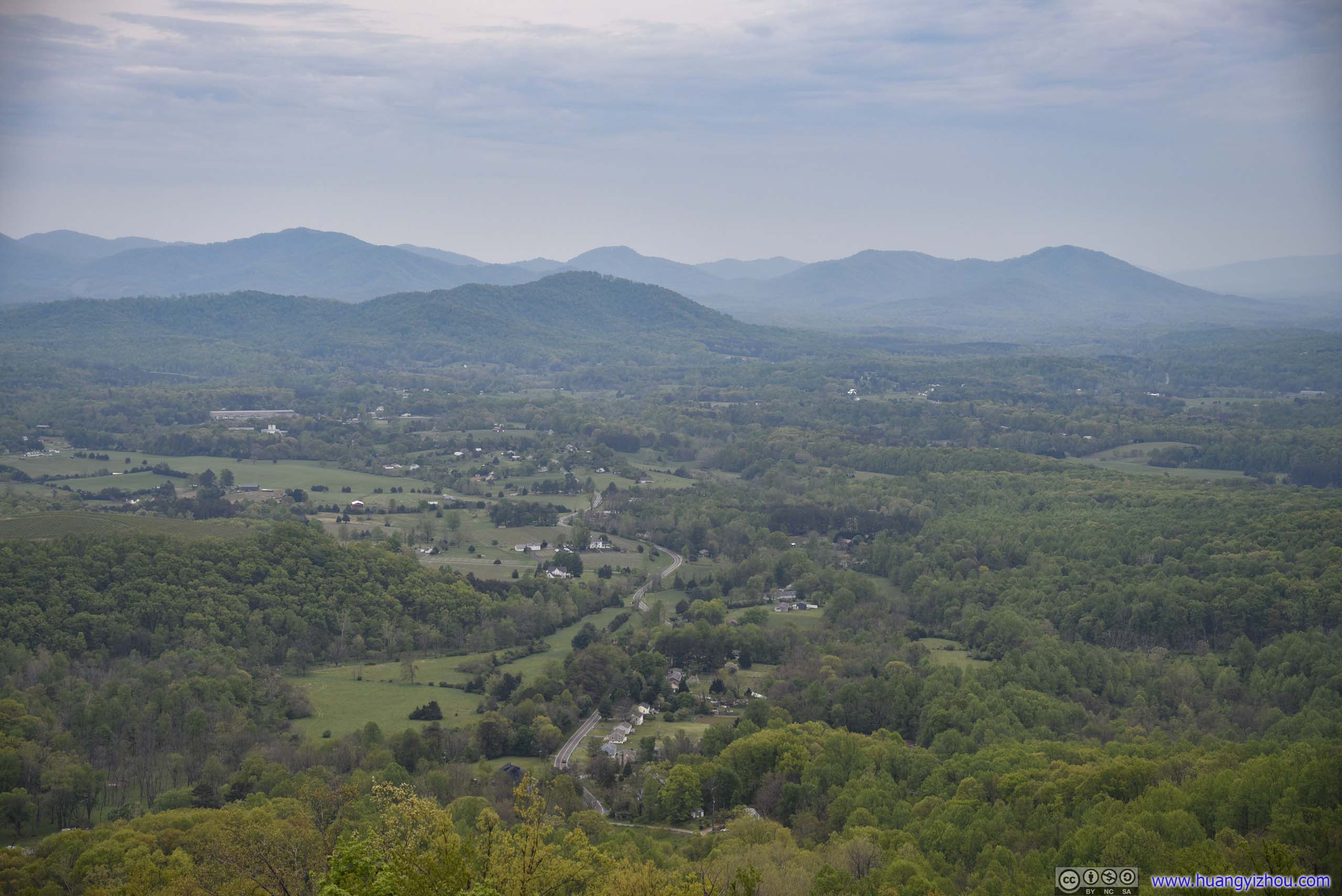
After all, it took me less than half an hour to reach Humpback Rocks from the parking lot. Upon my arrival, wind was blowing mist from the east, obscuring most of the views. The mist gradually cleared up, and much appreciated welcome, and I was treated with spectacular views to the west, where extensive farmland transitioned into mountain ranges.
 Mountains to the West
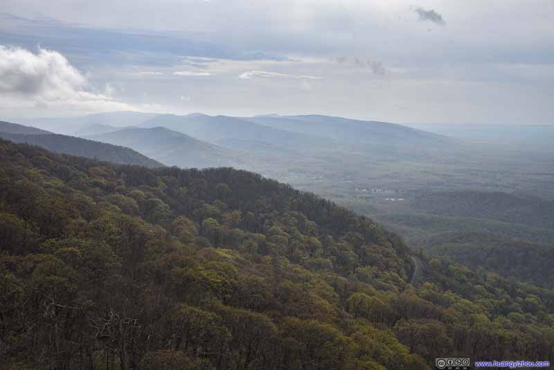 Mountains to the West
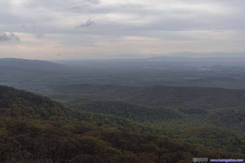 Fields to the West
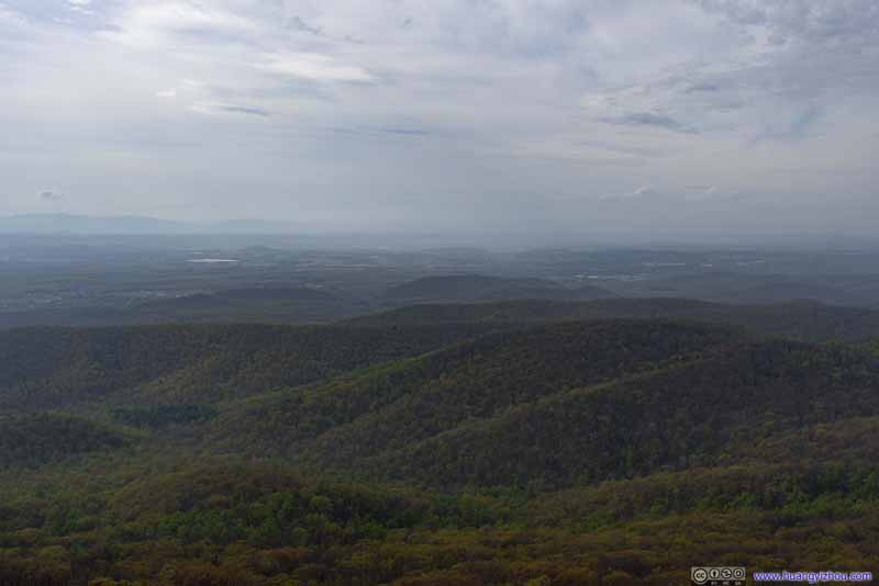 Fields to the Northwest
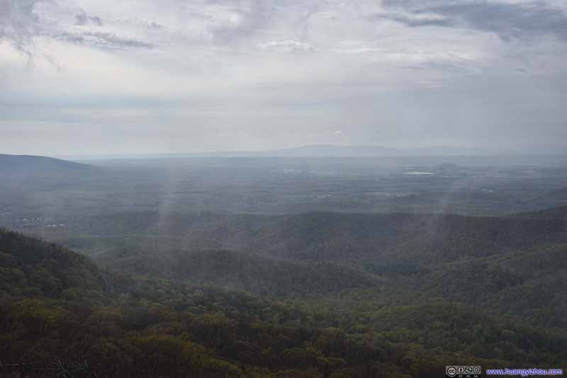 Fields to the West
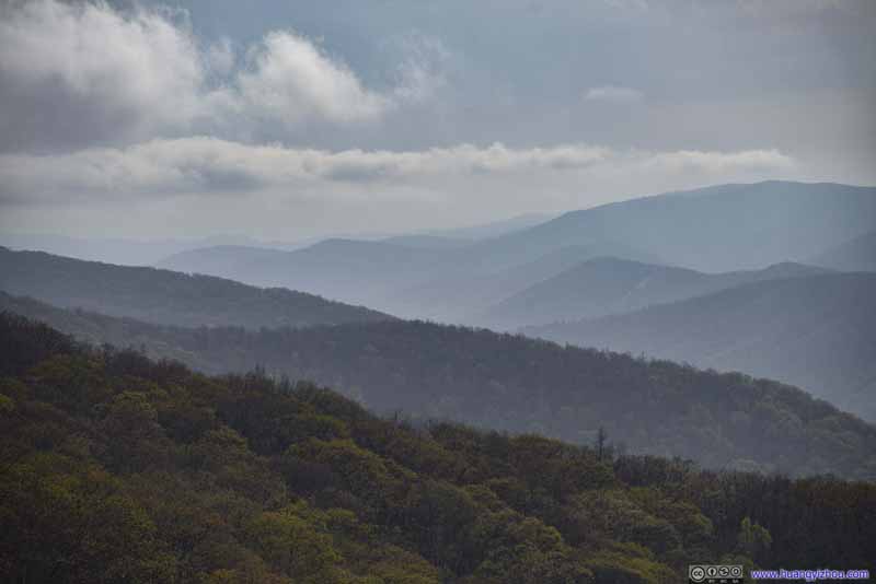 Distant Mountains
Click here to display photos from Humpback Rocks.

 Mountains to the West
Fields to the West

Fields to the Northwest
Fields to the West

Distant Mountains
View from Humpback Rocks
It’s the best view of the weekend, so I stayed at Humpback Rocks for an extended amount of time, in a combination of meditation and scenery appreciation. Passing mists meant the view was always changing, and never boring.
 Humpback Rocks
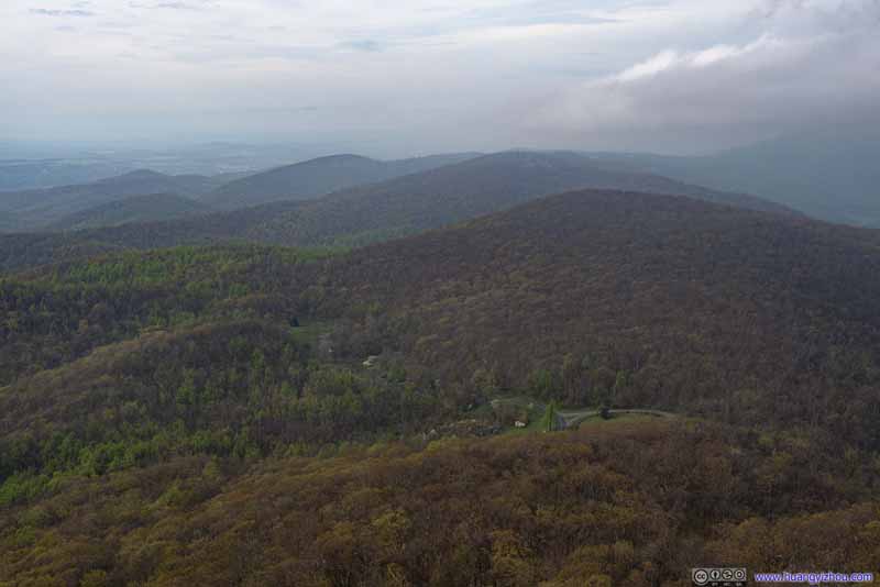 Mountains to the North
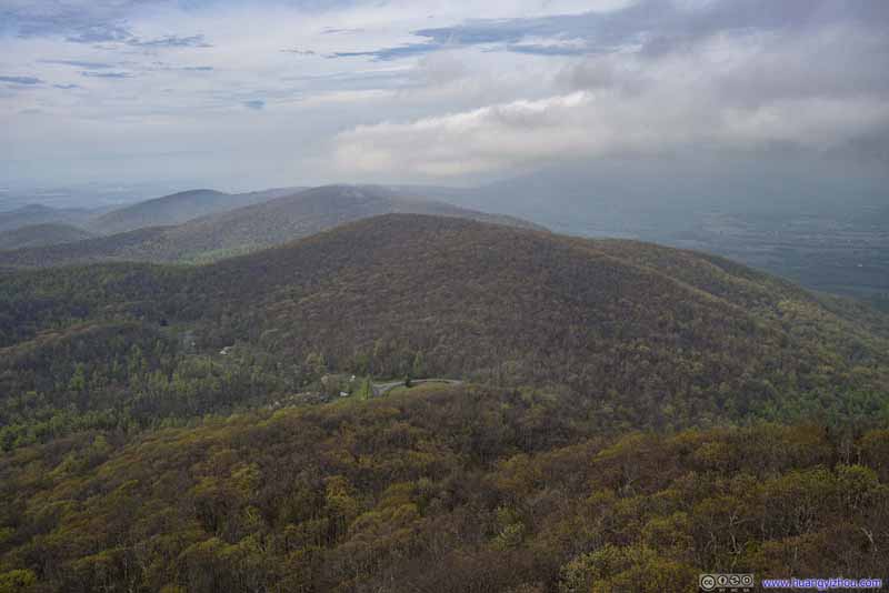 Mountains to the North
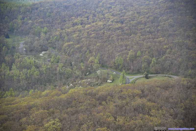 Visitor Center
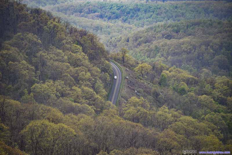 Blueridge Parkway
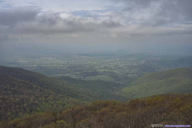 Villages to the East
Click here to display photos of the slideshow

Humpback Rocks
 Mountains to the North
Visitor Center
Blueridge Parkway

Villages to the East
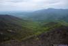
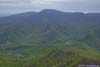
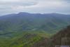
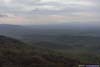
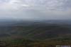
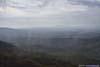
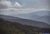
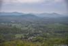
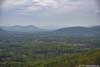
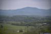
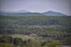
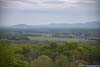
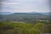
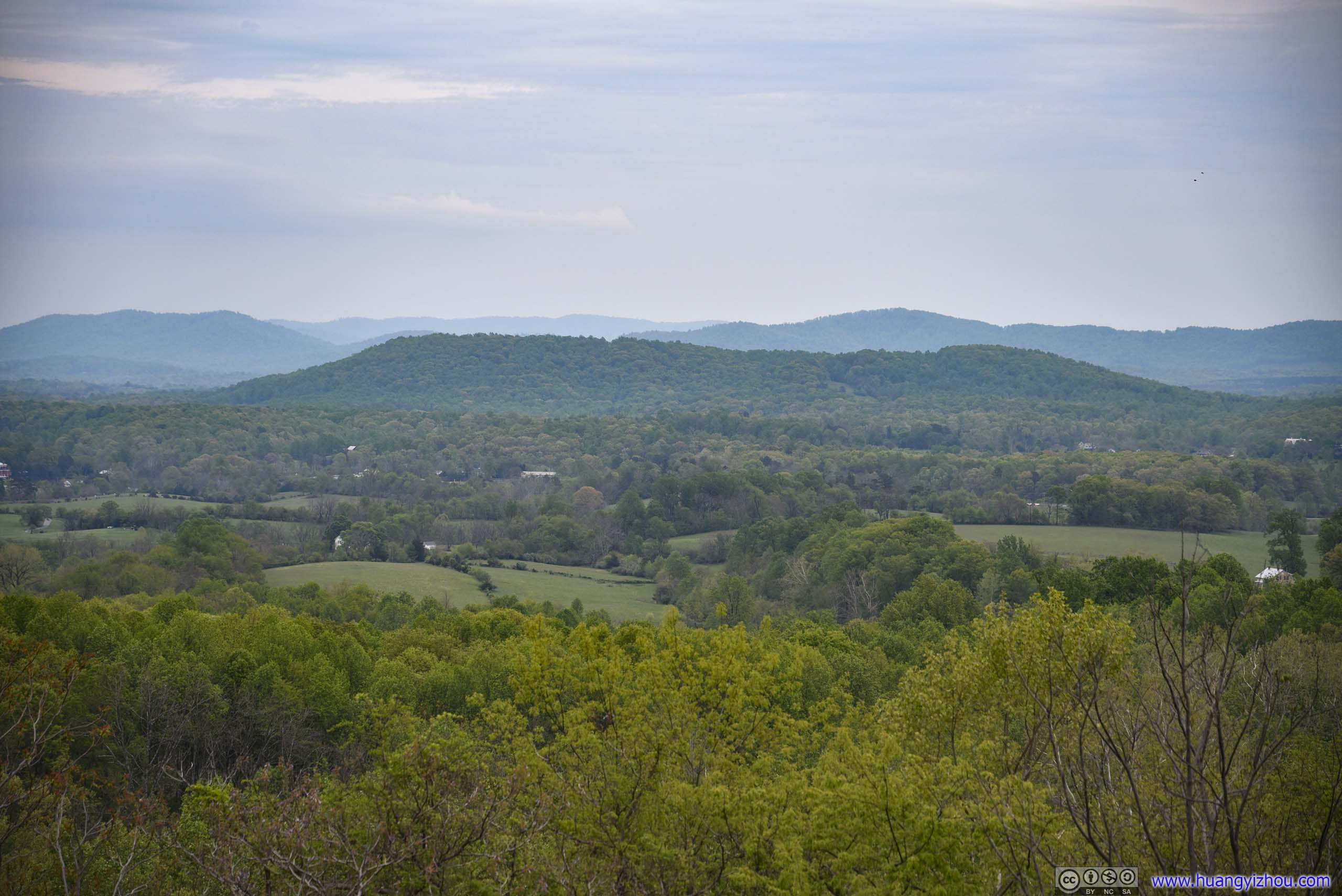
And it’s 6pm by the time I got back to the parking lot. On my way back to Washington DC, I stopped at a few viewpoints along I64, which given the lower elevation was much greener but not exactly exciting (pictures below).
 Mountains and Villages
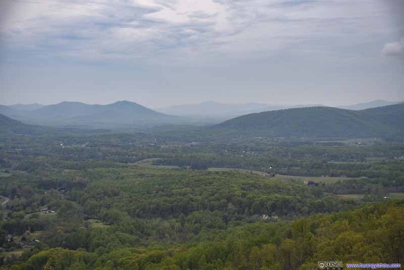 Mountains and Villages
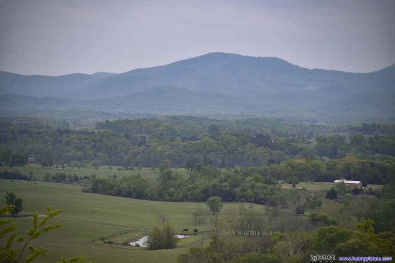 Mountains and Villages
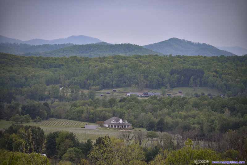 Mountains and Villages
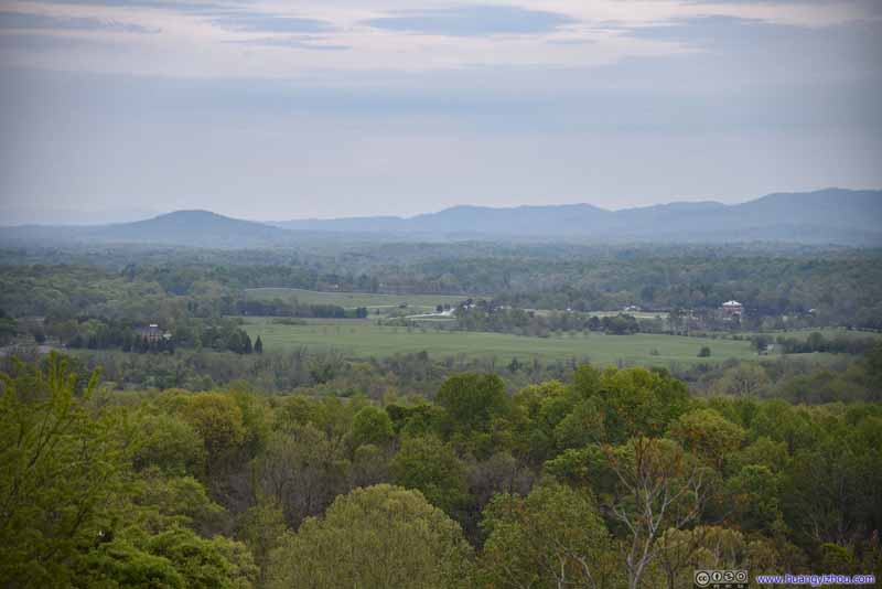 Mountains and Villages
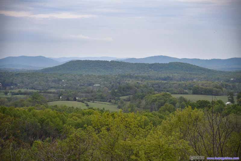 Mountains and Villages
Click here to display photos of the slideshow
Mountains and Villages

Mountains and Villages
Mountains and Villages

Mountains and Villages

Mountains and Villages
Mountains and Villages
And after a dinner outside Charlottesville, it’s a breeze heading back to DC along Virginia’s country road.
It’s just that Virginia’s DOT decided to close 3 of 4 lanes on I66 for some road work starting at 9pm, and I hit in just in time that the delay wasn’t correctly reflected onto my navigation app (which would otherwise take me off the interstate), and I was hit was a 20-minute delay, and lots of anger afterwards.
END
![]() Weekend Trip to Virginia, Hiking Three Ridges Loop, Crabtree Falls and Humpback Rocks by Huang's Site is licensed under a Creative Commons Attribution-NonCommercial-ShareAlike 4.0 International License.
Weekend Trip to Virginia, Hiking Three Ridges Loop, Crabtree Falls and Humpback Rocks by Huang's Site is licensed under a Creative Commons Attribution-NonCommercial-ShareAlike 4.0 International License.