
Updated on August 11, 2022
Day 2 of 2022 Independence Day Trip, Breakneck Ridge
Second day of my 2022 Independence Day trip, I spent the day hiking Breakneck Ridge, a popular hiking route on the Hudson River, with probably the best scrambling sections in the region.
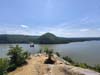
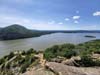
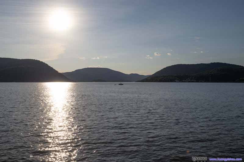
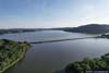
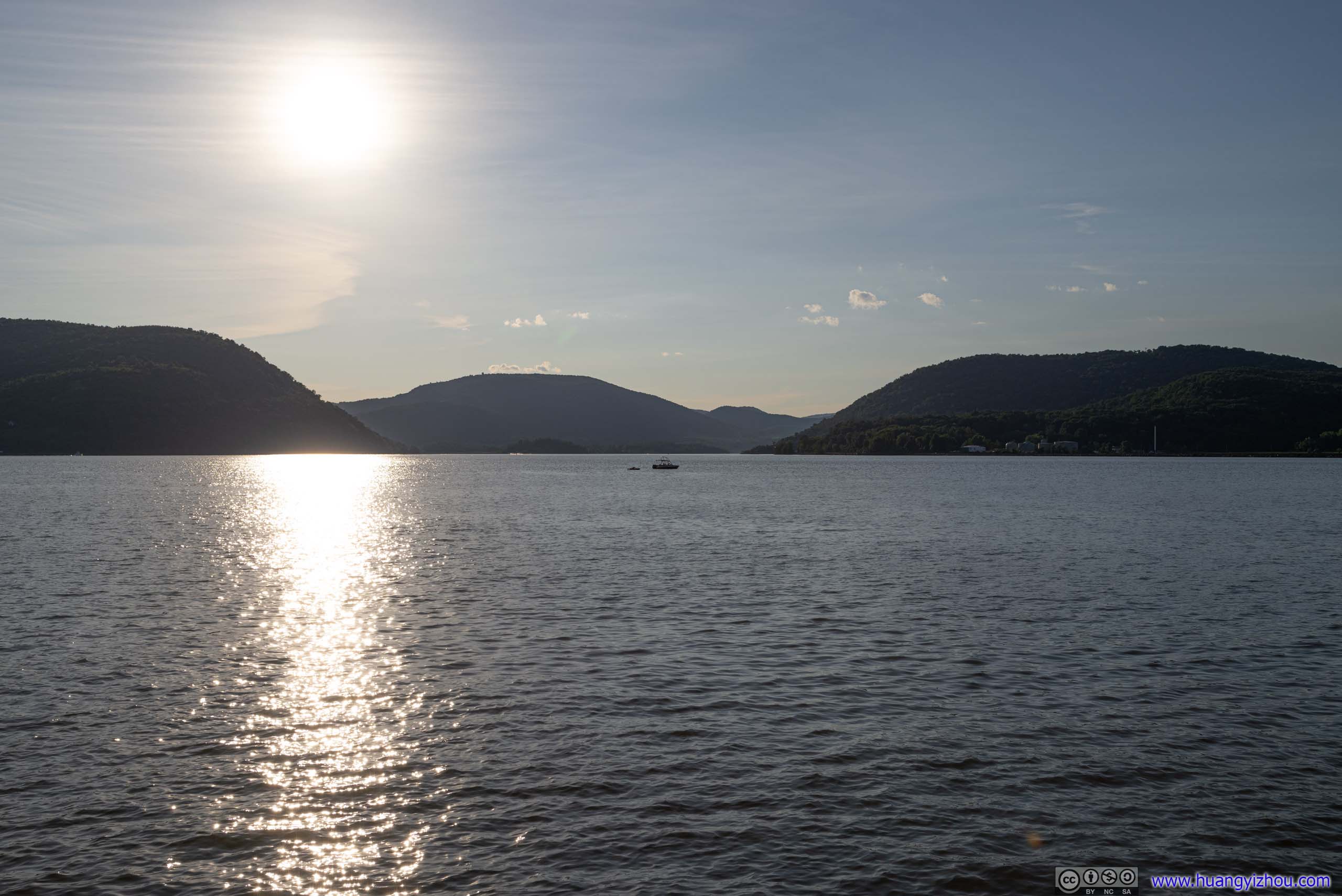
Hudson River from Breakneck Ridge
It’s almost 11pm by the time I reached the hotel in Nyack last night. After that, I didn’t want to miss some sports matches earlier in the day so I watched the replay. That meant, I woke up late today, and by the time I left the hotel, it’s almost noon.
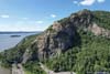
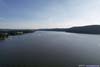
My main goal for the day was Breakneck Ridge, a popular route along the Hudson River, with YDS Class 3 scrambling. The route offered numerous overlooks of the Hudson River, made spectacular by its steepness and its proximity to the river.
Stops along Hudson’s West Bank
After leaving the hotel, I followed US 9W north, made two stops along the way near Jones Point and Mine Dock Park where I launched my drone for aerial tours of the Hudson River.
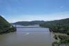
Jones Point
 Overlooking Hudson River near Jones Point
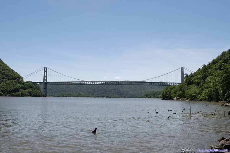
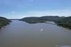
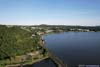
Mine Dock Park
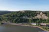
In particular, Mine Dock Park was a great place to view Bear Mountain Bridge. Built where the Hudson River was at its narrowest in the vicinity, it’s the longest suspension bridge in the world when completed in 1924. As for views, the nearby Fort Montgomery State Historic Site was probably better with its Popolopen Suspension Bridge, but the site was closed during my visit on a Monday.
Hudson River from Mine Dock Park
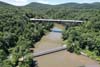
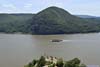
 Bear Mountain Bridge
 Eastern Tower of Bear Mountain BridgeThe bridge was unique in that the approach spans do not have suspender cables.
 Bear Mountain Bridge
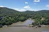
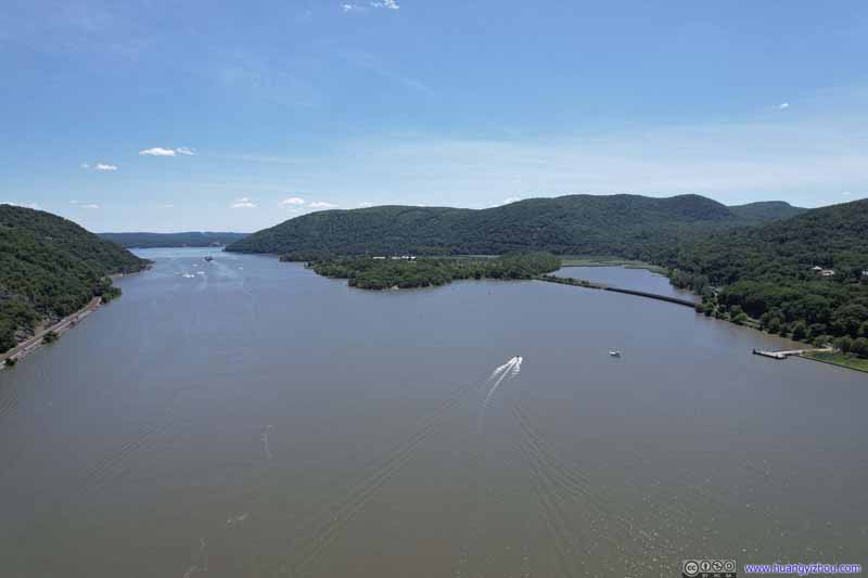 Iona Island in Hudson River
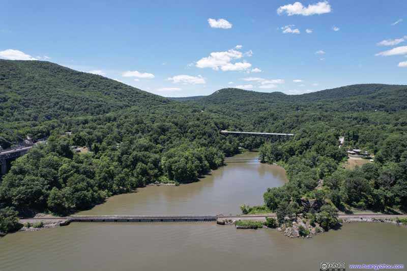 Bridges over Popolopen Creek
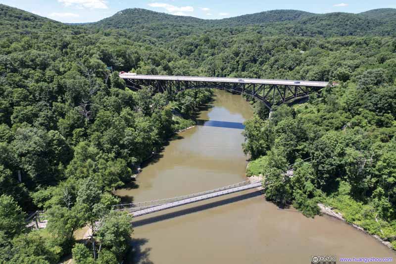 Bridges over Popolopen Creek
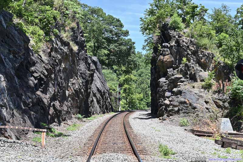 River Subdivision RailwayOwned by CSX, quite some engineering required in the construction of these rails.
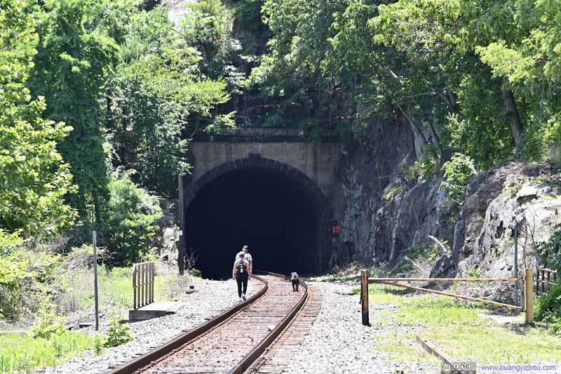 River Subdivision RailwayOwned by CSX, quite some engineering required in the construction of these rails.
Click here to display photos of the slideshow

Bear Mountain Bridge

Eastern Tower of Bear Mountain BridgeThe bridge was unique in that the approach spans do not have suspender cables.

Bear Mountain Bridge

Iona Island in Hudson River

 Bridges over Popolopen Creek

River Subdivision RailwayOwned by CSX, quite some engineering required in the construction of these rails.
River Subdivision RailwayOwned by CSX, quite some engineering required in the construction of these rails.
 Bear Mountain Bridge over Hudson RiverFrom the south(top) and north(bottom) of the bridge.
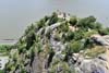
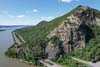
Breakneck Ridge
Finally, it’s the highlight of the day, Breakneck Ridge.
I encountered some traffic while passing Bear Mountain (people were eager to get out on Independence Day), so by the time I arrived at the trailhead of Breakneck Ridge, it’s almost 2pm.
Since it’s a very popular trail with limited parking (basically 500m of parallel parking along route 9D), it had me worried. It turned out that I arrived at quite a few empty spots, probably because the morning visitors had left. The summer afternoons were hotter and certainly not a preferred time for hiking. The section of route 9D near the trailhead had a reduced speed limit to accommodate the hikers.
Given its popularity and difficulty, there were a few volunteers at the trailhead with information maps and free (!) iced bottled water, which was surprisingly considerate.
After having my car parked and stretching myself up, it’s 2:15pm by the time I left the volunteers and started my hike. The route could only be taken in the counter-clockwise direction per regulations, thus all the scrambling would be during ascent.
Here’s GPS tracking:
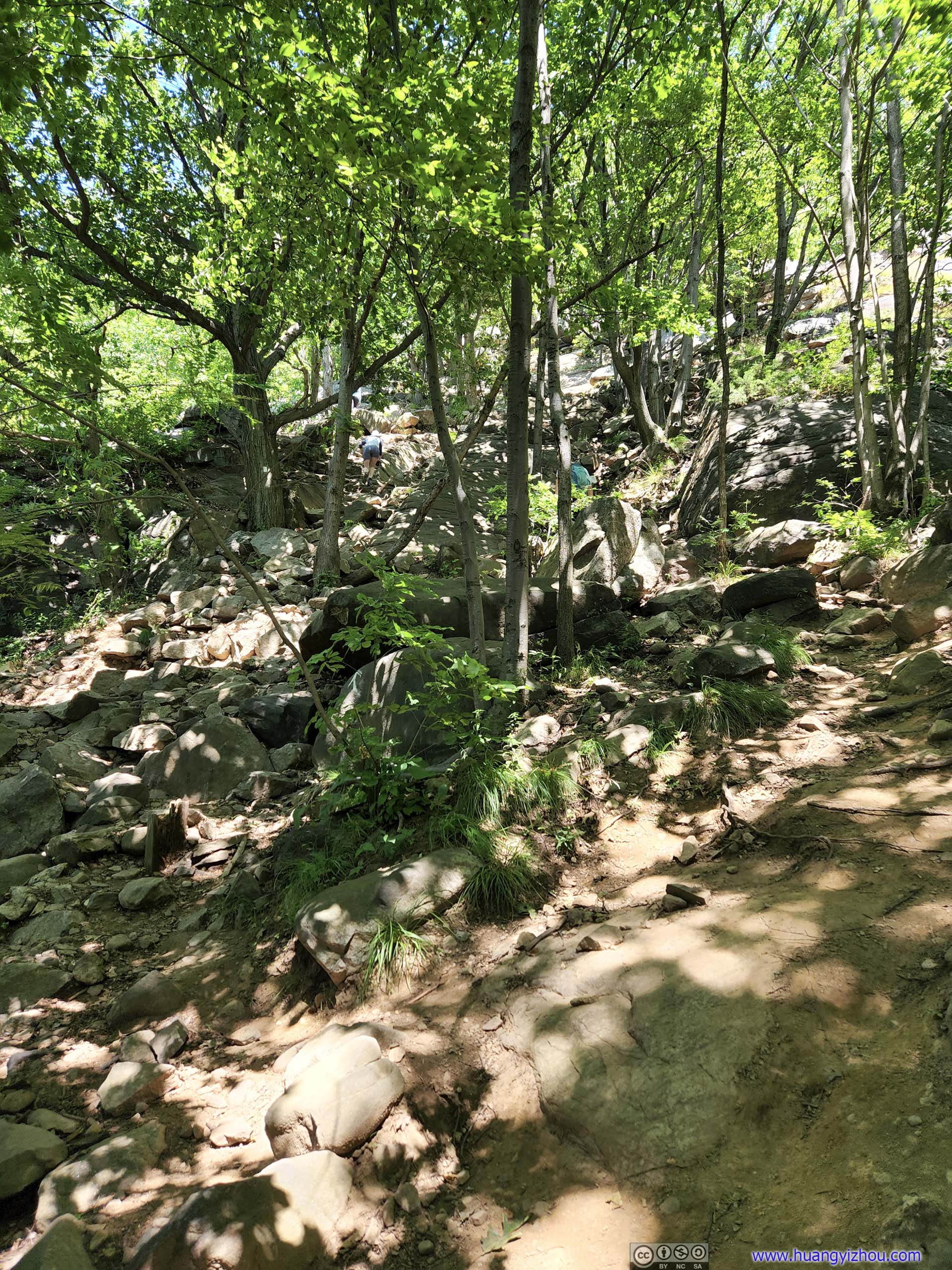
Not long after leaving the trailhead, the trail entered steep YDS class 3 scrambling terrain. The abundance of rocks around meant there were many possible routes up the hill, however, markings were plentiful guiding people on the easiest route up. Despite that, I still missed a right turn before the flag post, which ended up in some more technical ascents than I had hoped.
I used a chest-mounted GoPro to record the scrambling sections, here were the clips from the day:
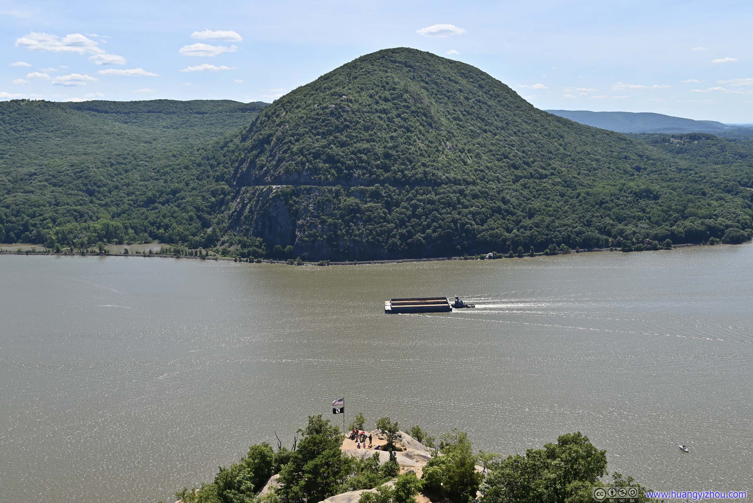
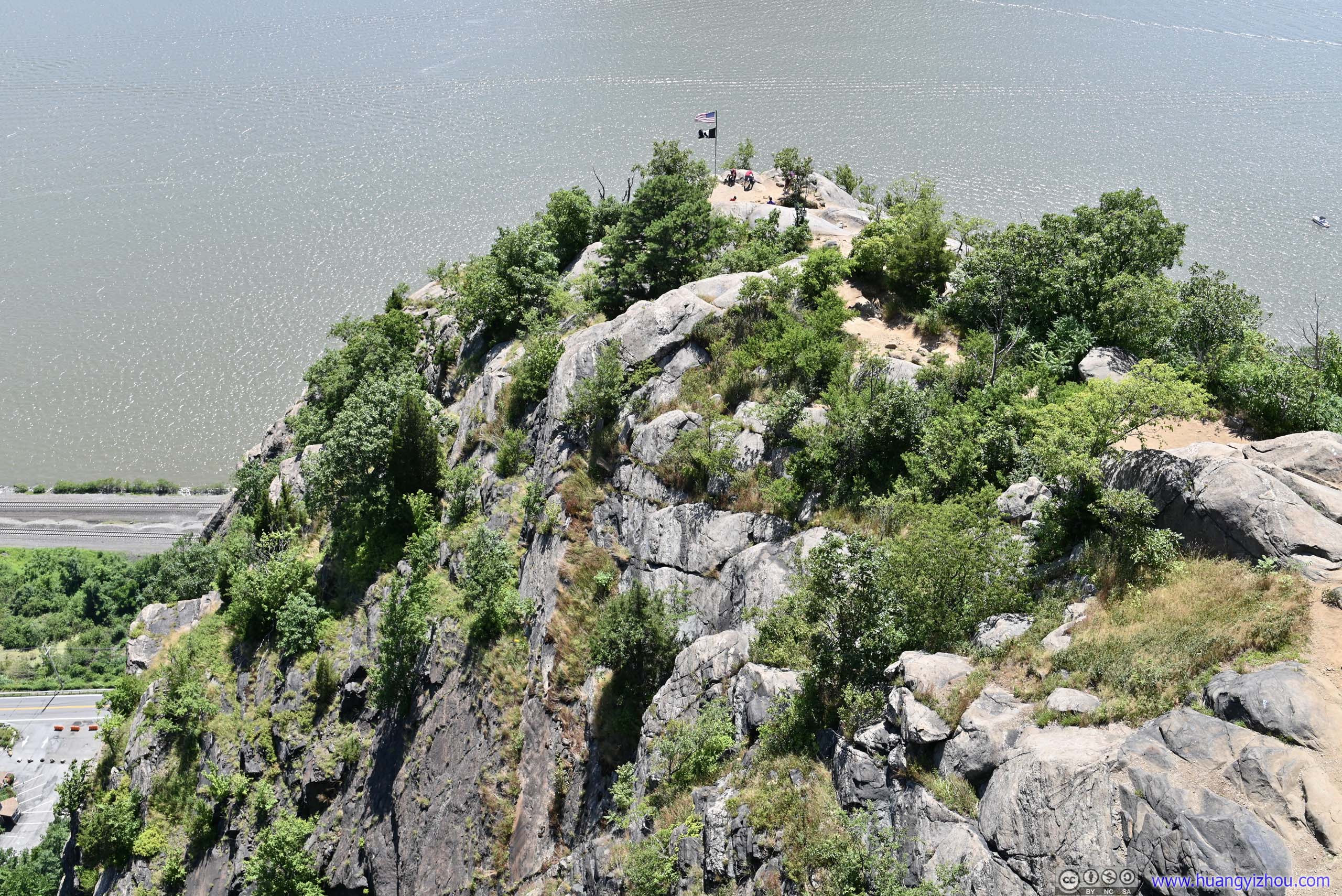
At around 2:40pm, I reached the “flag post”, which was a major milestone along the scrambling section. Since it’s close to the Hudson River, I believed it offered the best views along the trail, like a front-row seat for the scenery below. It’s also large enough in space for people to spread out and take rests.
 Flag post along TrailI believed the best views along the trail were at this spot.
 Pollepel IslandBannerman’s Castle, an abandoned military surplus warehouse.
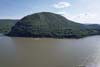
 Storm King Mountain across Hudson River
 Overlooking Flag postThe path looked pretty steep from this angle.
 Hudson River Upstream
 Hudson River Downstream

Click here to display photos of the slideshow

Flag post along TrailI believed the best views along the trail were at this spot.
Pollepel IslandBannerman’s Castle, an abandoned military surplus warehouse.
Storm King Mountain across Hudson River
Overlooking Flag postThe path looked pretty steep from this angle.
Hudson River Upstream

Hudson River Downstream
Hudson River from Breakneck Ridge
After the flag post, there were a few additional scrambling sections. They were mostly in the sun, which my skin certainly didn’t like. Interestingly, the trail forked a few times into “easy” and “hard” paths. I enjoyed the previous scrambling so I took the “hard” paths. To me they never exceeded YDS class 3.
Following the scrambling sections were a few overlooks. In my opinion they didn’t offer any better views than the flag post. As the overlooks got higher but farther from the river, views of the river faded behind the surrounding mountains, which weren’t as exciting.
I had great fun on the rocks throughout, but it was a hot summer afternoon, and towards the end I did feel my enjoyment slightly abated, probably due to the weather (and the views growing less spectacular).
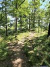
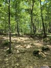
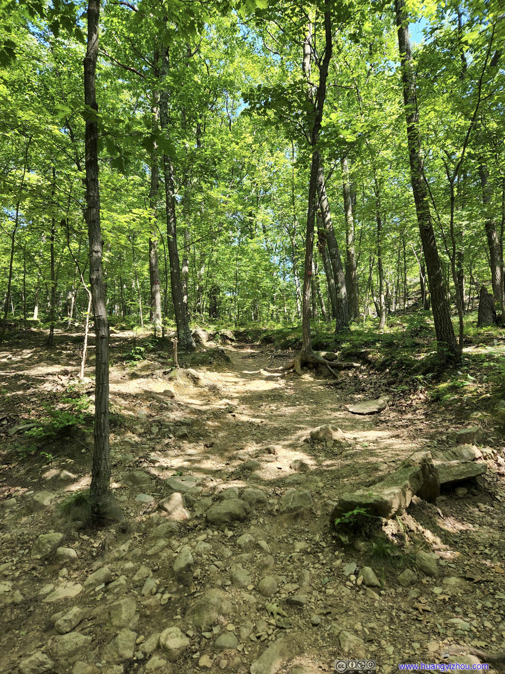
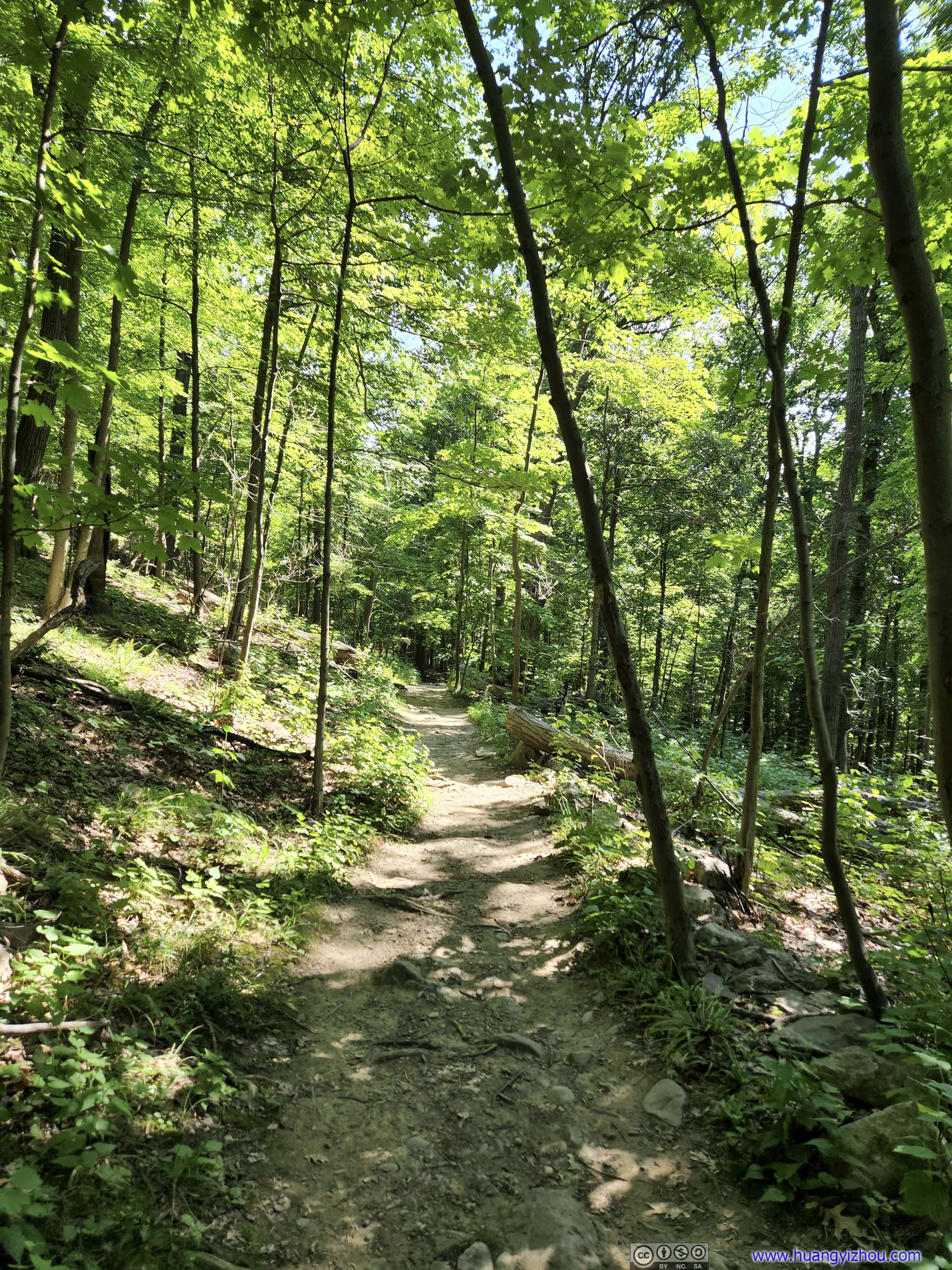
After leaving the scrambling sections, it’s a typical walk in the woods back to the trailhead, the kind that’s hard to excite me. On OpenStreetMap, there were a few paths cutting through the loop and shaving off some distance, but they all involved bushwhacking. So I followed the proper trail and got back to my car at around 4:30pm.
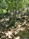
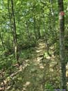
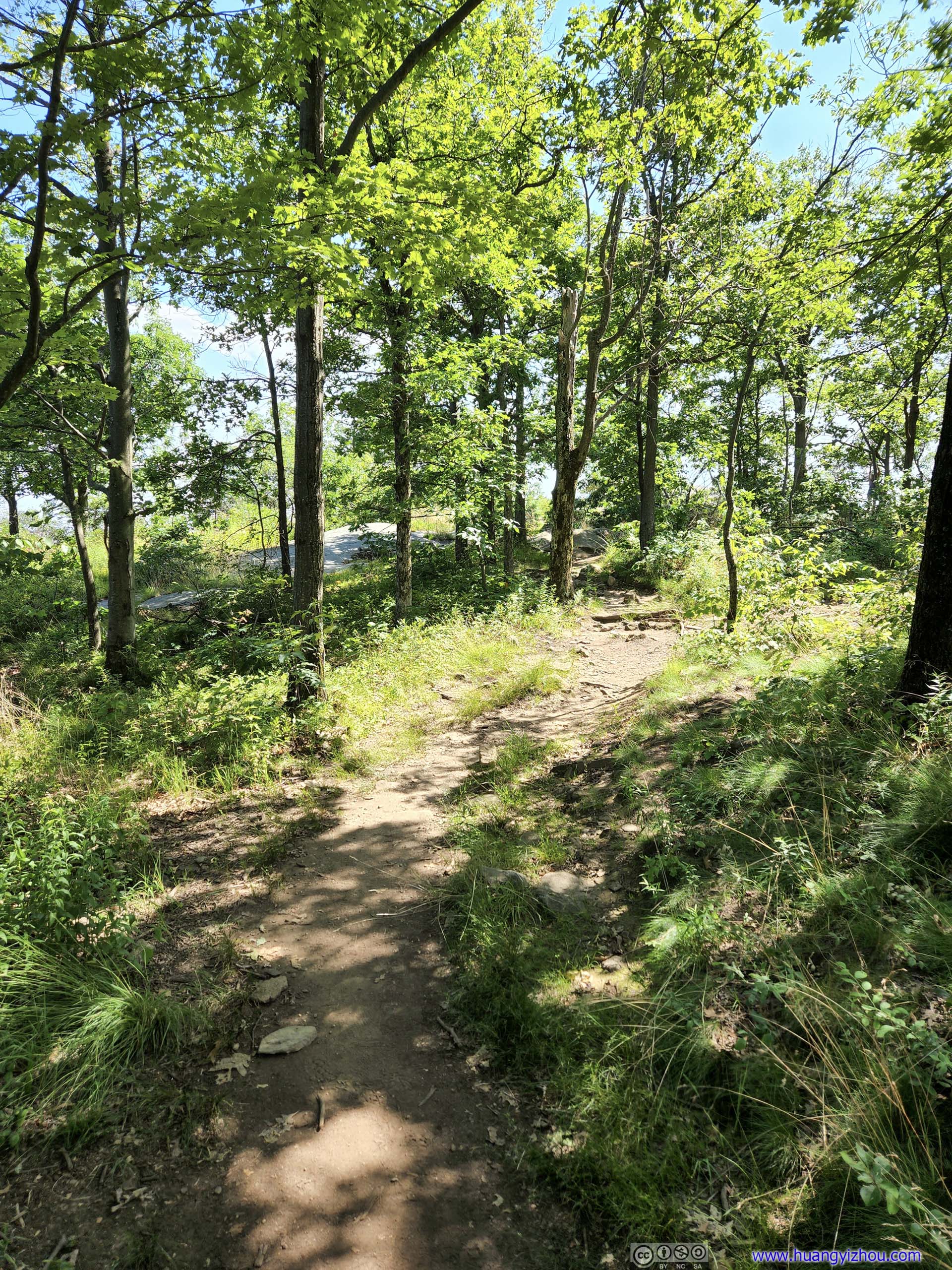
 TrailStart of the scrambling section, during which I used exclusively my GoPro for recording.
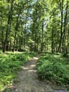
 TrailLeaving the scrambling sections, the trail was a casual stroll in the woods, with few views.
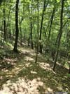
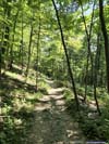
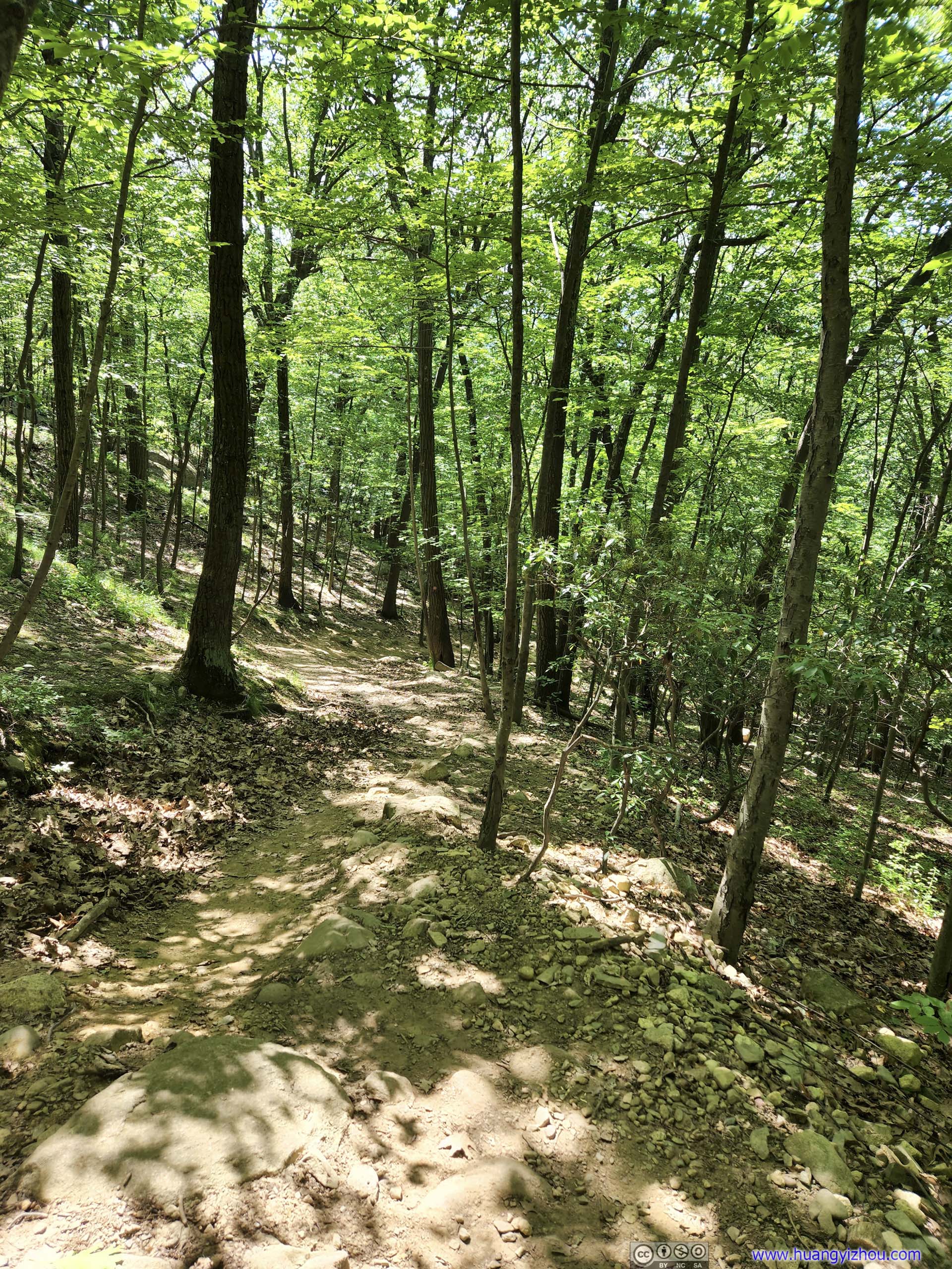
 TrailDownhill section that was a bit steep.
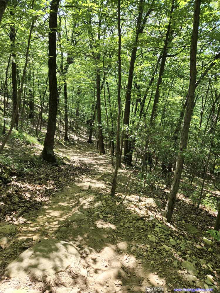 TrailDownhill section that was a bit steep.
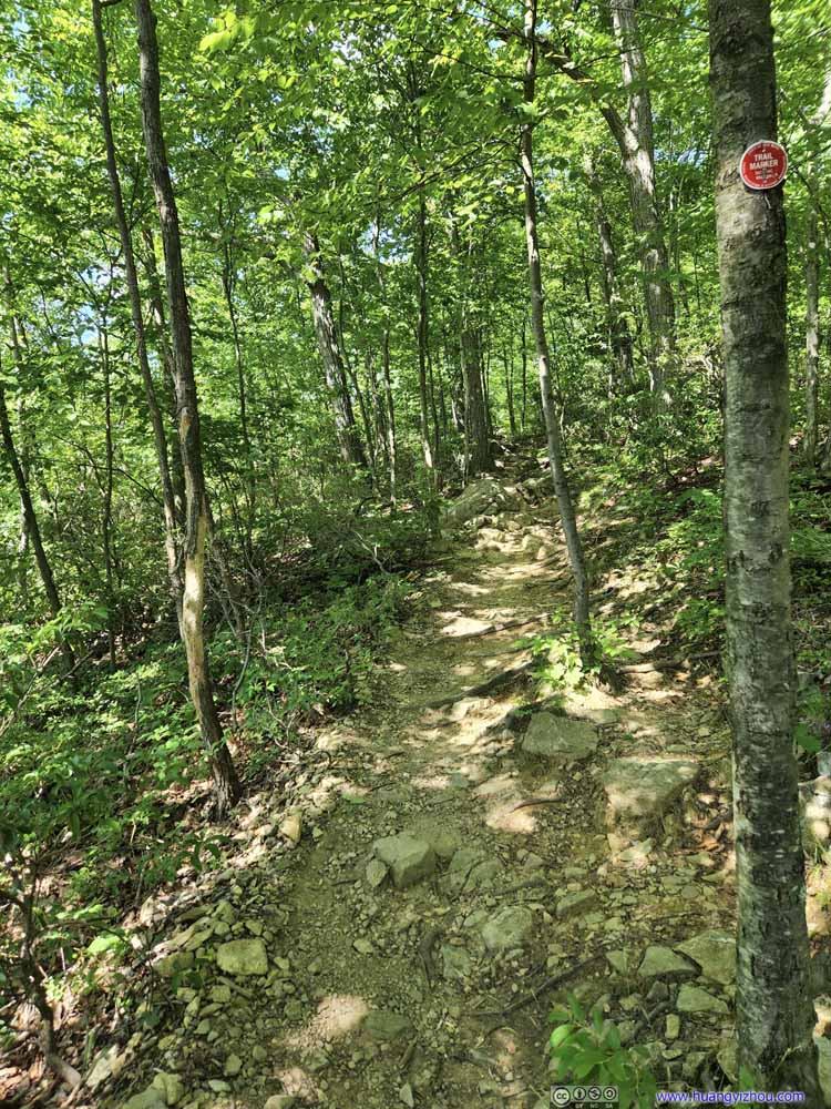 Trail
Trail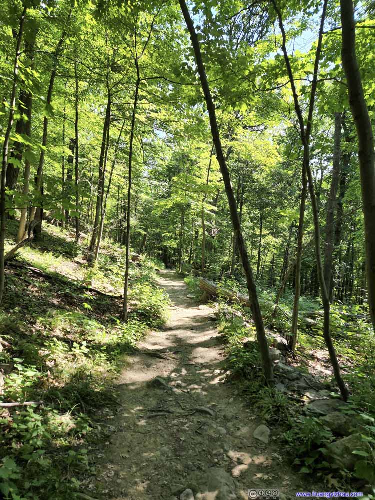 Trail
Trail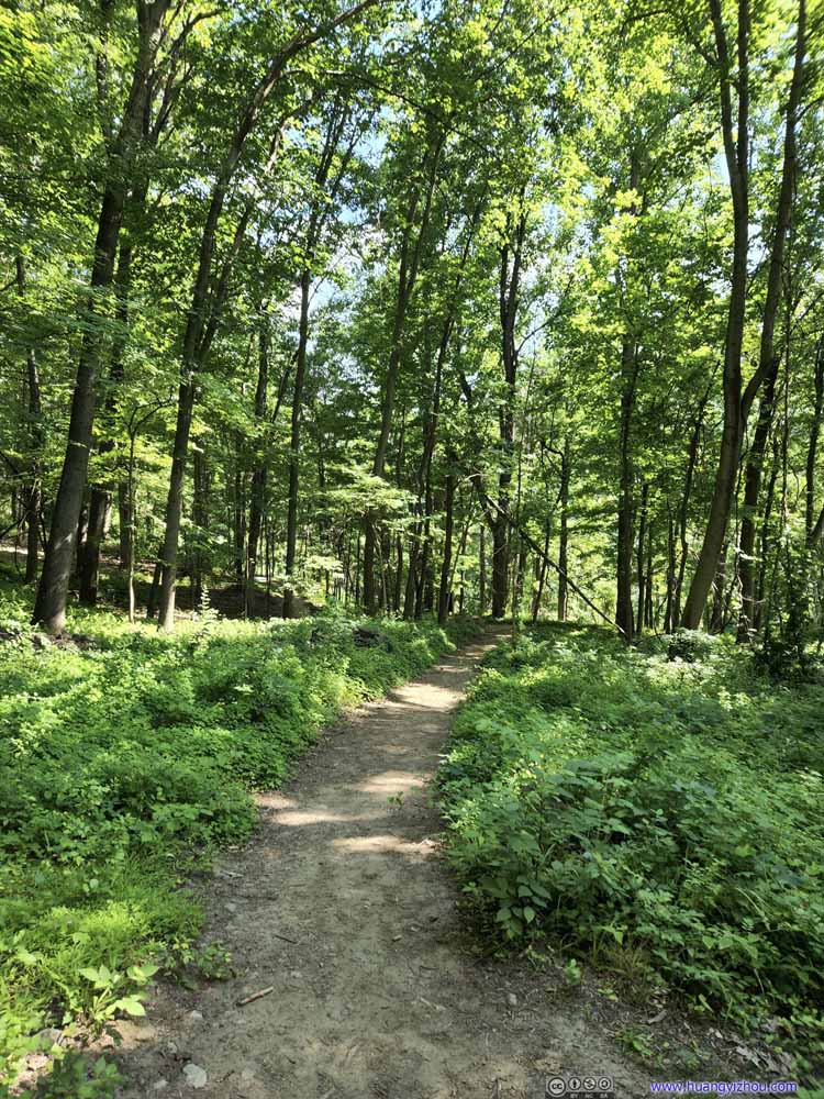 Trail
Trail
Click here to display photos of the trail.
TrailStart of the scrambling section, during which I used exclusively my GoPro for recording.
TrailLeaving the scrambling sections, the trail was a casual stroll in the woods, with few views.
 TrailDownhill section that was a bit steep.

Trail
Trail

Trail
Drone Aerial Tour
After getting back to my car, which had been baked in the sun for hours, I turned on the air circulation. While waiting for the car to cool down, I launched my drone to take an aerial tour of the surroundings.
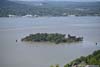
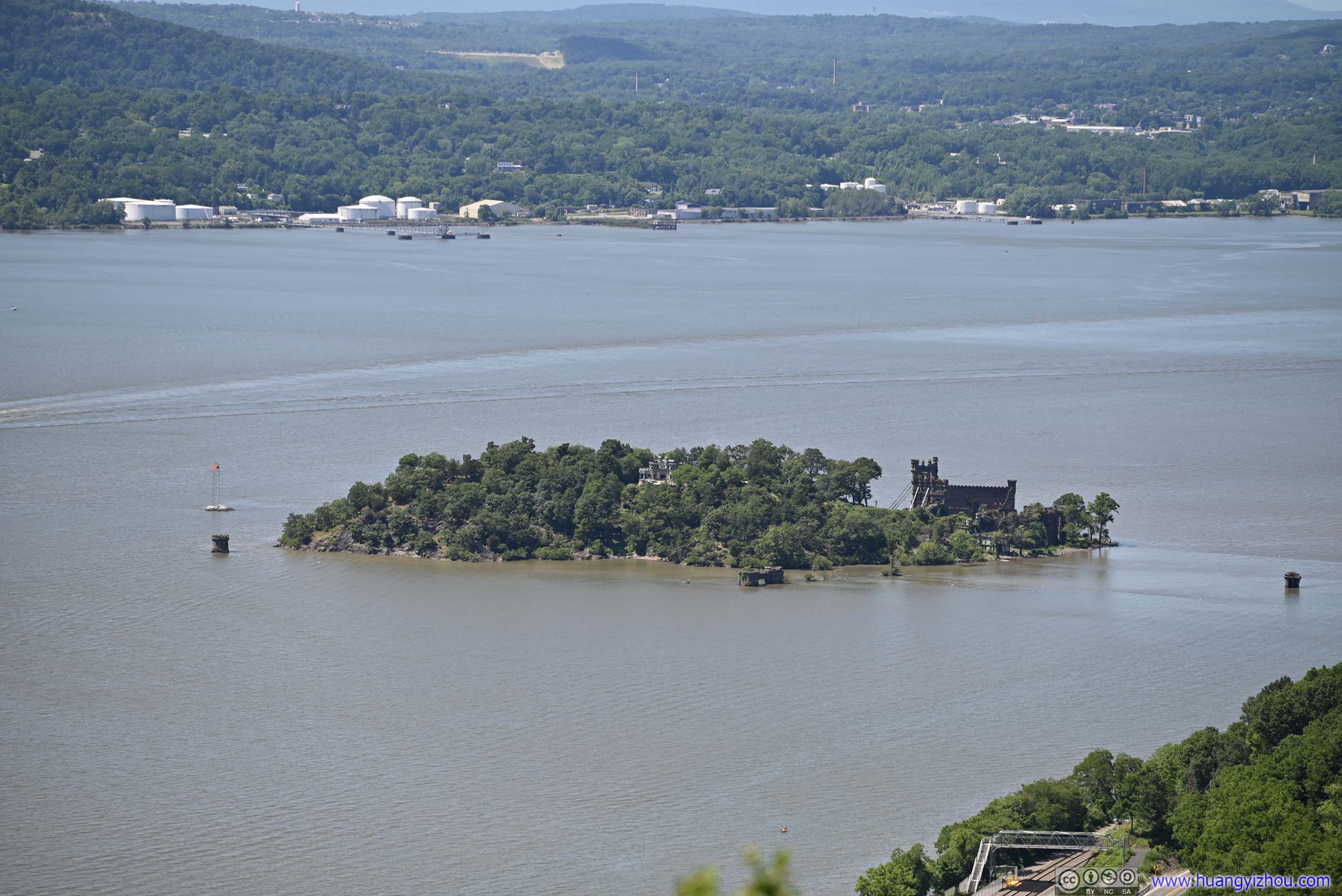
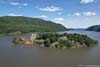
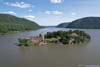
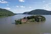
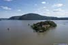
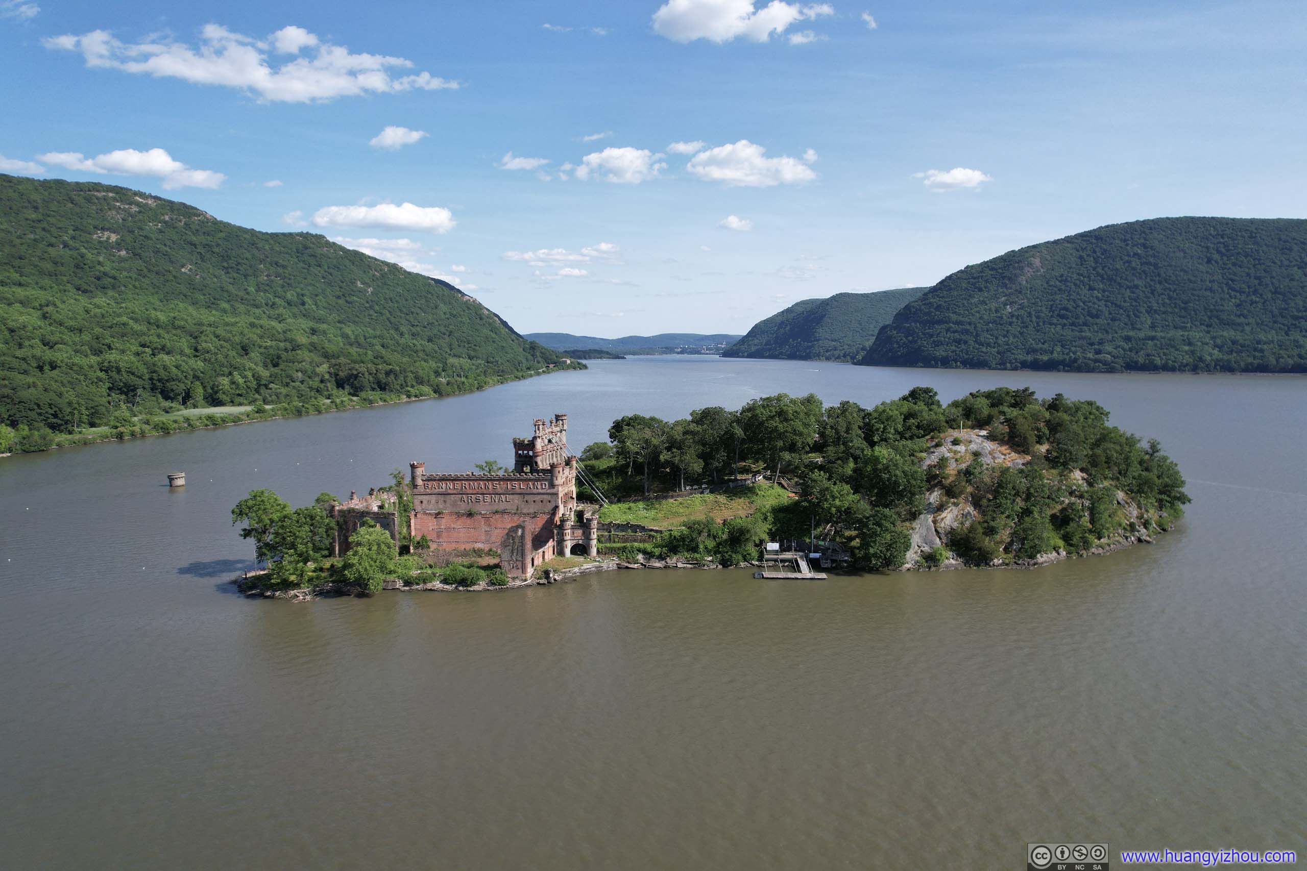
In particular, just up the river was Pollepel Island, which was the site of Bannerman Castle, an abandoned military surplus warehouse. Since there were no public tours of the island during that day, I decided to do an aerial tour by drone instead.
 Pollepel Island with Bannerman’s Castle
 Pollepel Island with Bannerman’s Castle
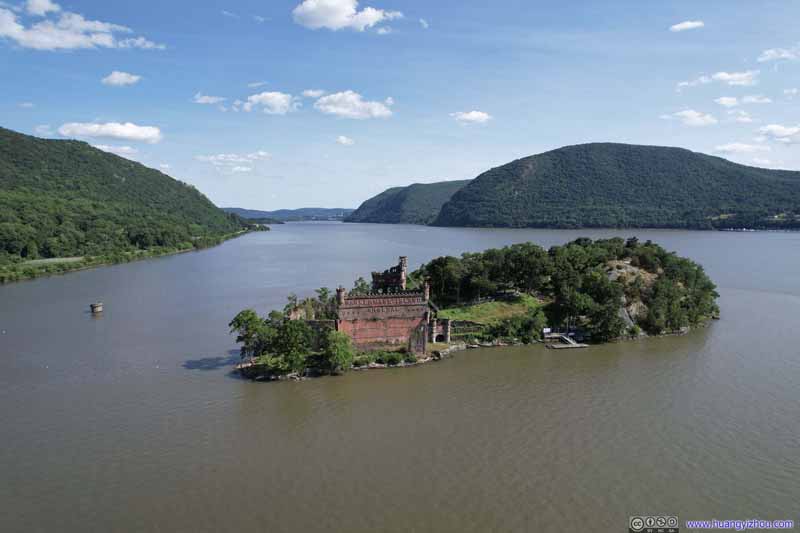 Pollepel Island with Bannerman’s Castle
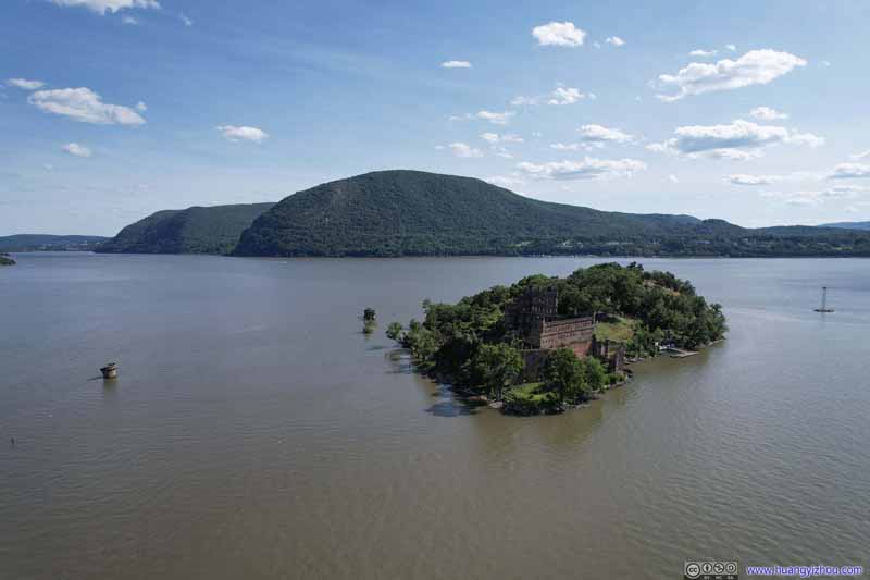 Pollepel Island with Bannerman’s Castle
 Storm King Mountain
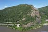
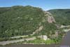
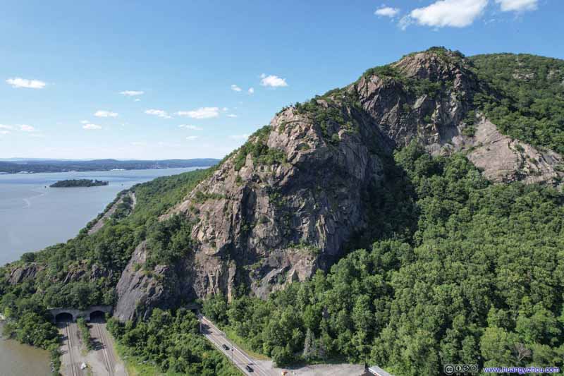 Breakneck Ridge
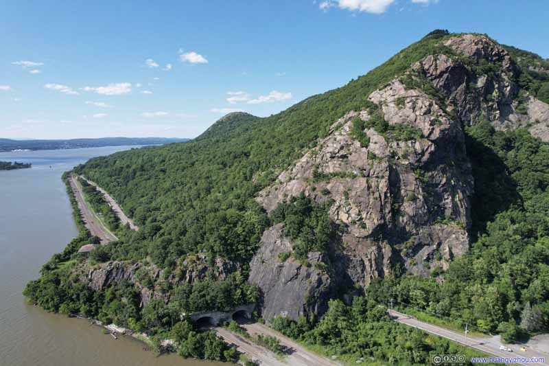 Breakneck Ridge
 Breakneck Ridge
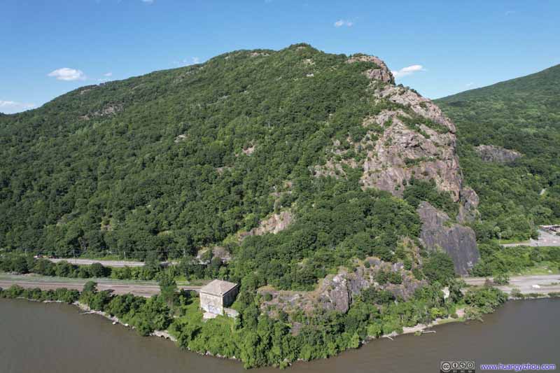 Breakneck Ridge
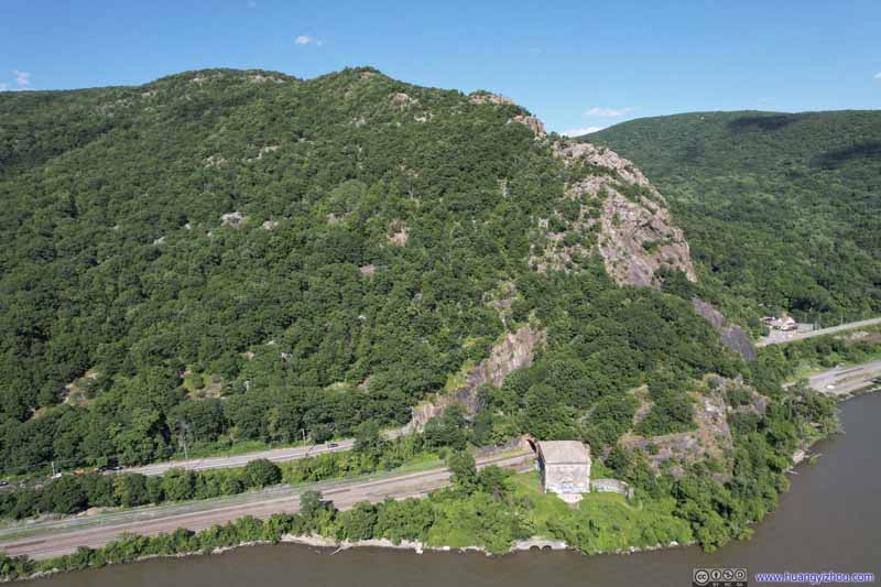 Breakneck Ridge

Click here to display photos of the slideshow

Pollepel Island with Bannerman’s Castle
Pollepel Island with Bannerman’s Castle

Pollepel Island with Bannerman’s Castle
Pollepel Island with Bannerman’s Castle

Storm King Mountain
Breakneck Ridge

Breakneck Ridge
Breakneck Ridge

Breakneck Ridge

Breakneck Ridge
Hudson River near Breakneck Ridge
And here were some clips from my drone:
Stops along Hudson’s East Bank
Poughkeepsie
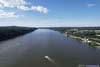
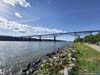
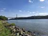
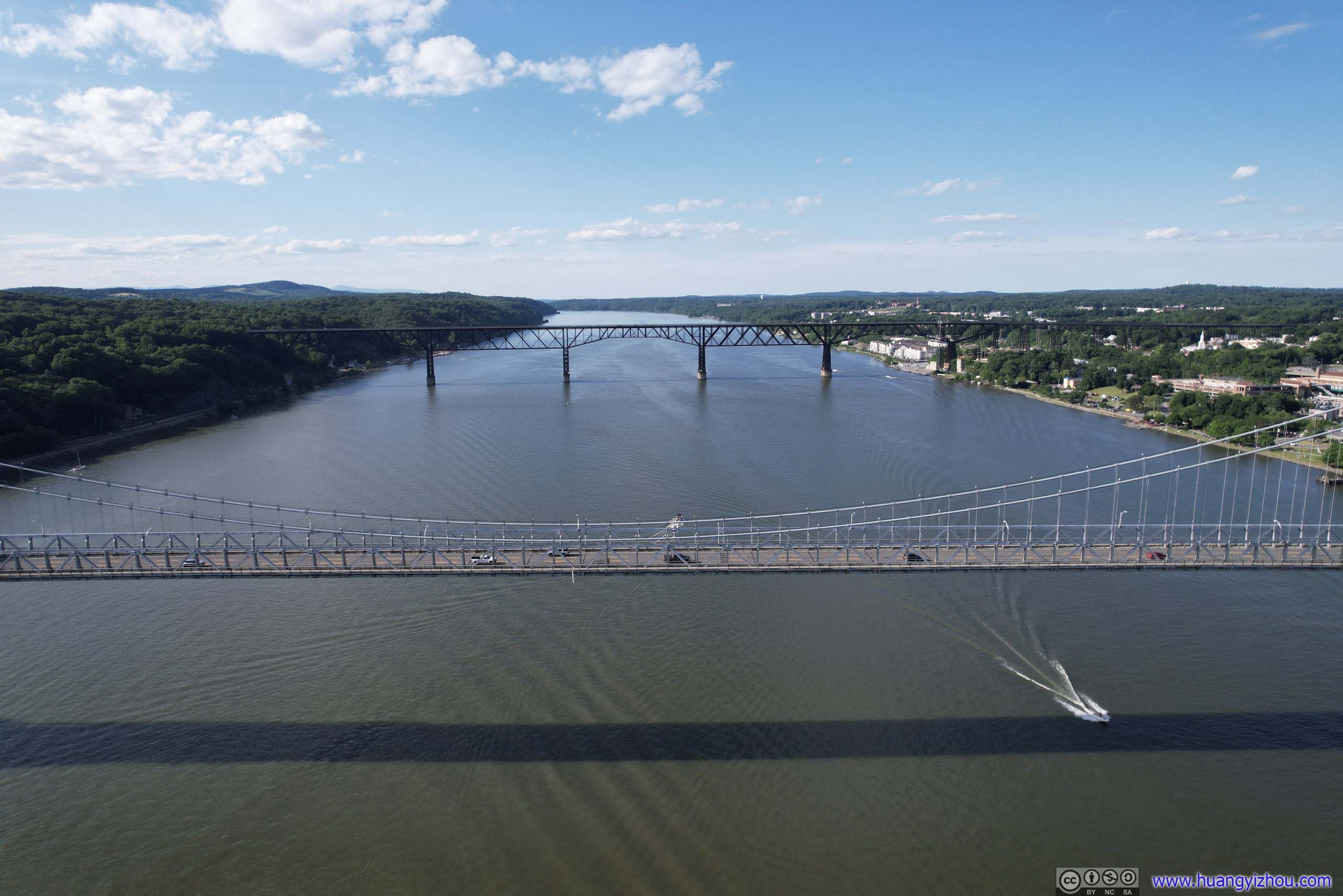
After leaving Breakneck Ridge, I headed for Poughkeepsie and aimed to check out “Walkway over the Hudson”, a rail bridge constructed in 1889 and converted to a pedestrian walkway in 2009.
Unfortunately, I was disappointed to find out that the bridge was closed earlier that day in preparation for the night’s firework show. (It seemed like for the past two days, there was always “operational hours” information unbeknownst to me.) So instead, I used my drone for an aerial tour.
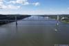
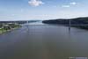
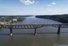
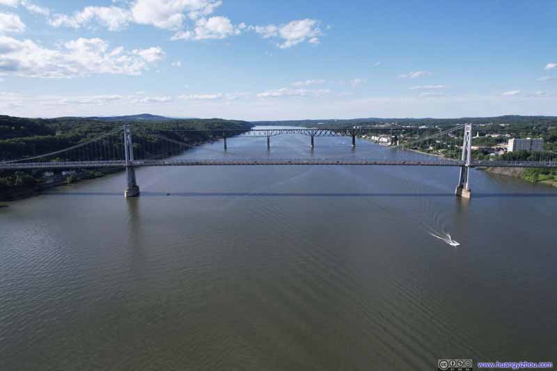 Two Bridges over Hudson River
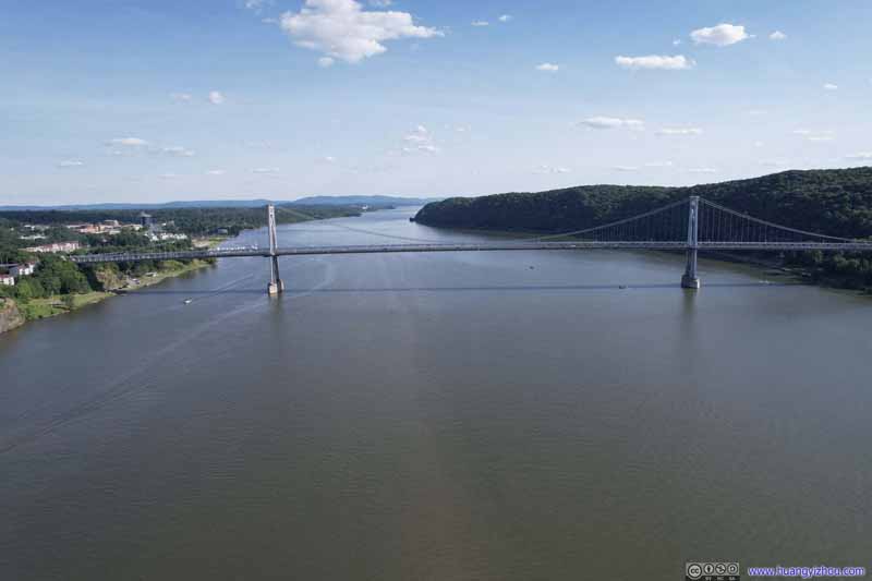 Mid Hudson Bridge
 Two Bridges over Hudson River
 Two Bridges over Hudson RiverThe walkbridge in the foreground was closed for the night’s firework display.
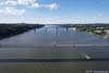
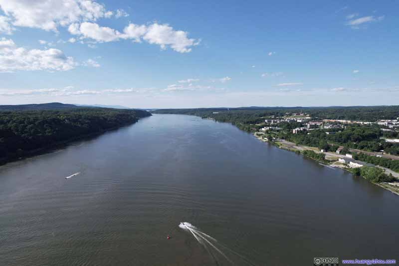 Hudson River
 Walkway Over the Hudson
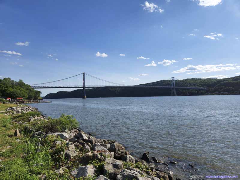 Mid Hudson Bridge
Click here to display photos of the slideshow

Two Bridges over Hudson River

Mid Hudson Bridge
Two Bridges over Hudson River
Two Bridges over Hudson RiverThe walkbridge in the foreground was closed for the night’s firework display.

Hudson River
Walkway Over the Hudson
Mid Hudson Bridge
Bridges across Hudson near Poughkeepsie
And here were the videos I recorded from my drone:
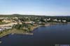
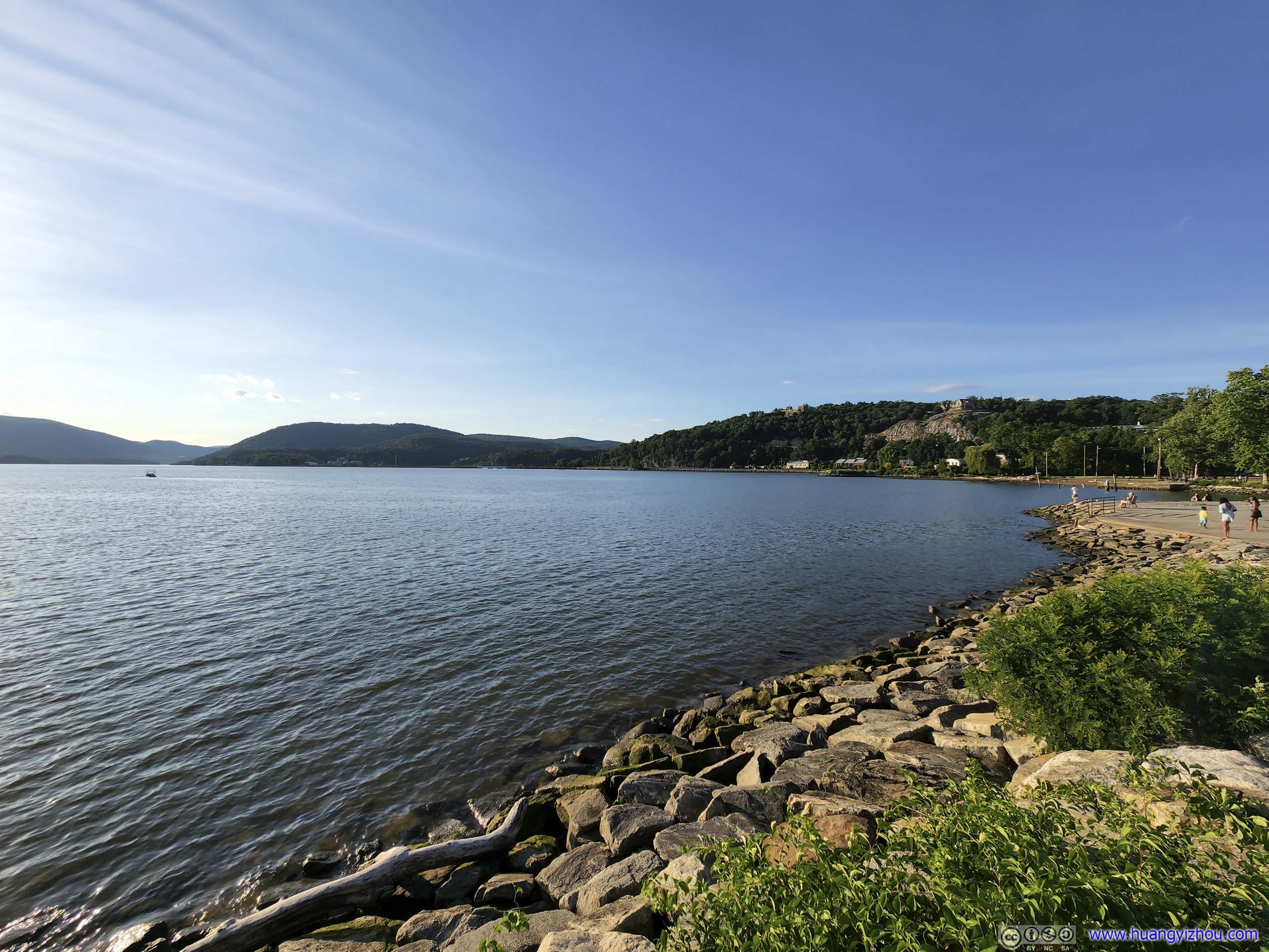
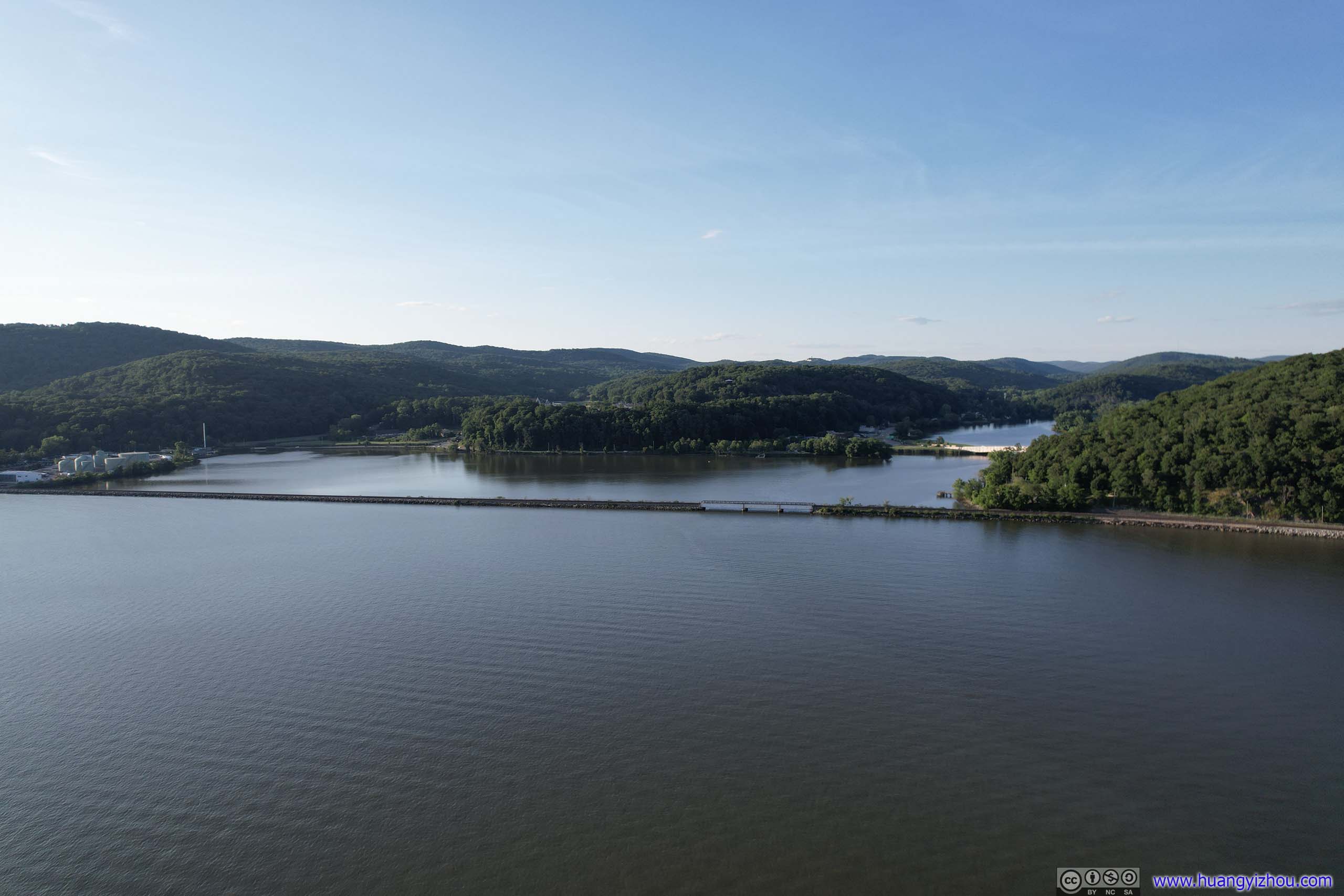
After that, I started heading back towards the hotel in Nyack. I made a stop at the town of Peekskill, just opposite of Jones Point where I visited this morning.
Peekskill
 Hudson RiverAt Peekskill the Hudson River made a 90-degree turn.
 Shores of Hudson River
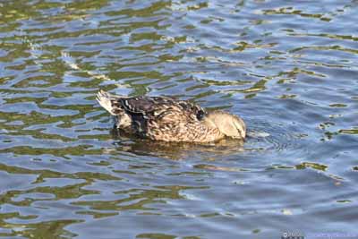
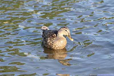
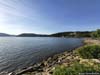
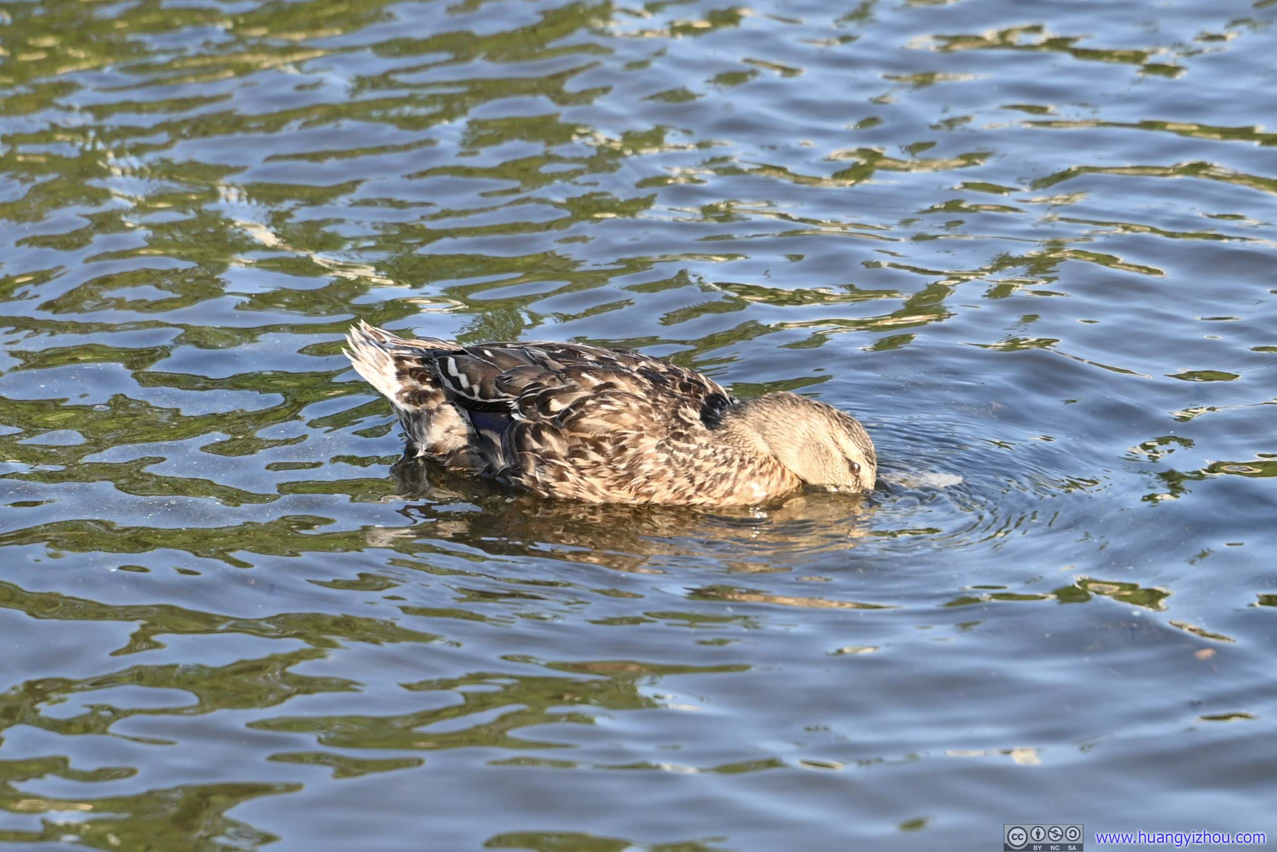
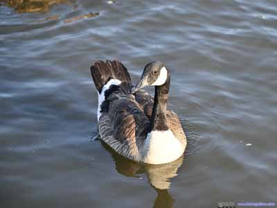 Ducks
Ducks Annsville Creek
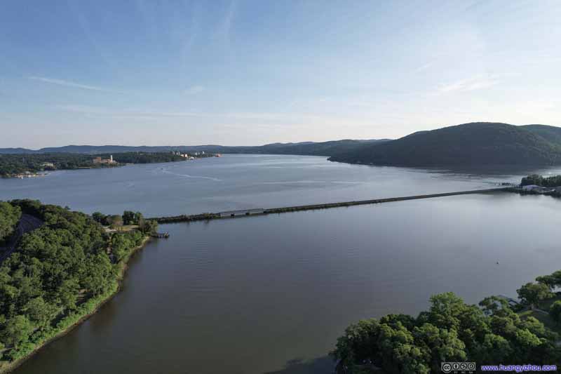 Confluence of Annsville Creek and Hudson RiverThe Hudson line railway seemed like a natural divider of the two bodies of water.
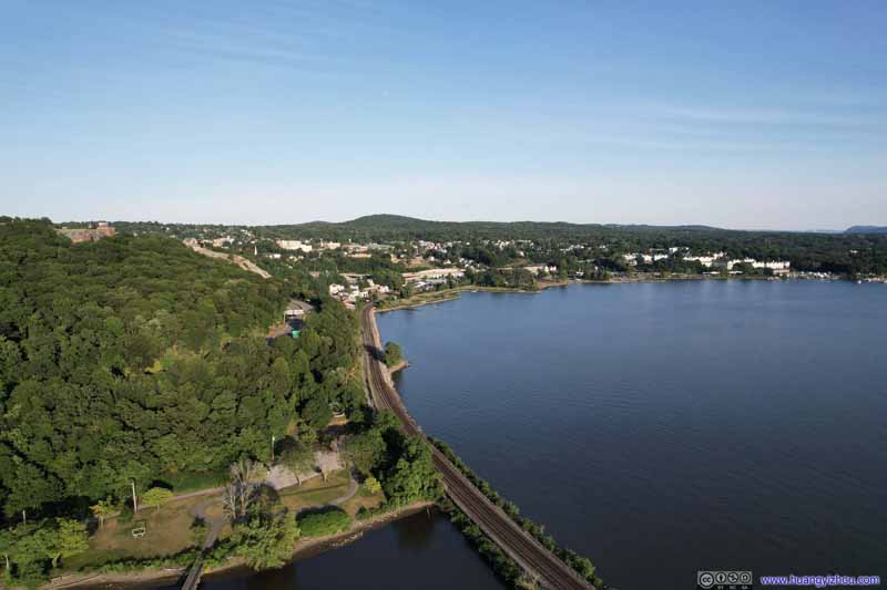 Annsville Creek and Hudson River
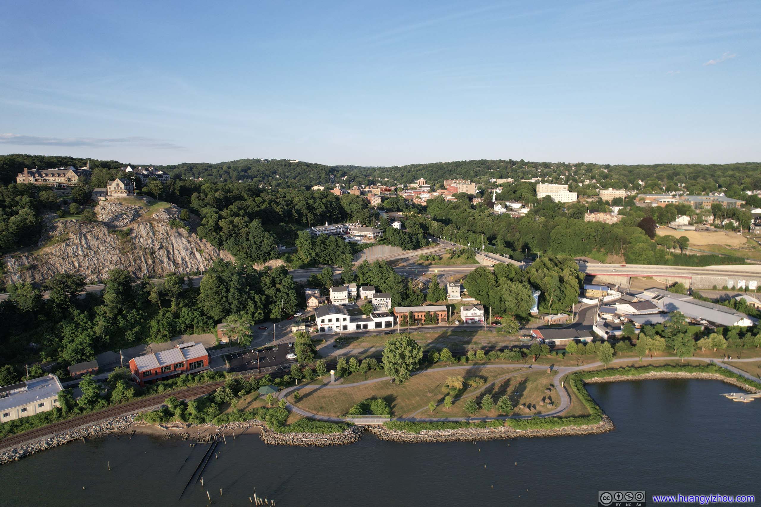
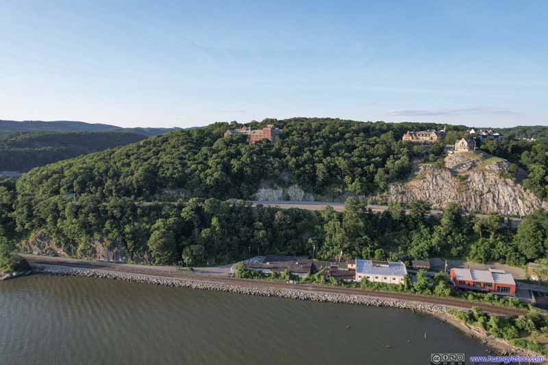 Fort HillTwo lovely buildings on the hill. A luxury apartment on the left, a hotel on the right.
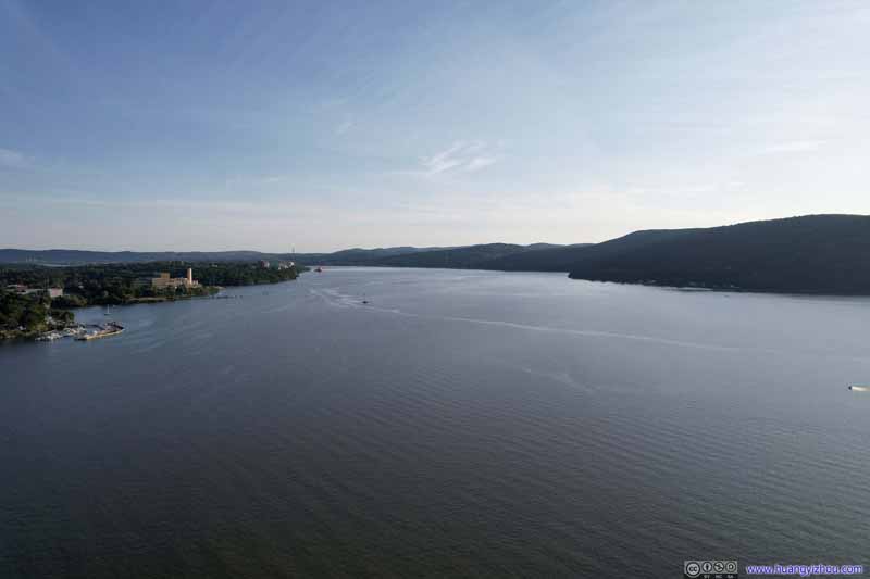 Hudson River Downstream
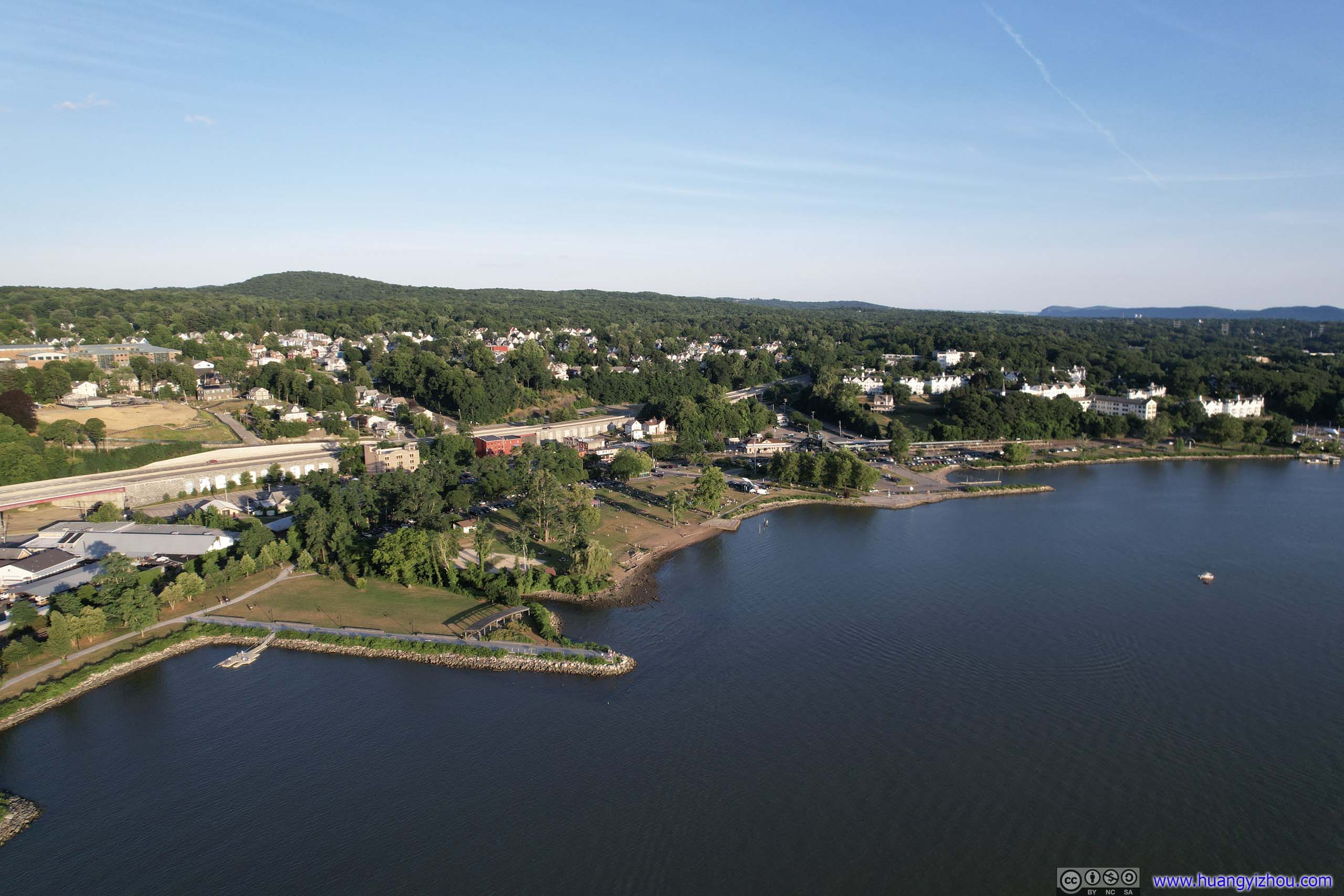
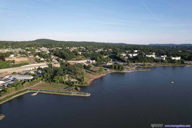 Peekskill Waterfront
 Peekskill Waterfront

Click here to display photos of the slideshow
Hudson RiverAt Peekskill the Hudson River made a 90-degree turn.
Shores of Hudson River


 Ducks
Ducks
Annsville Creek

Confluence of Annsville Creek and Hudson RiverThe Hudson line railway seemed like a natural divider of the two bodies of water.

Annsville Creek and Hudson River

Fort HillTwo lovely buildings on the hill. A luxury apartment on the left, a hotel on the right.

Hudson River Downstream
Peekskill Waterfront
Peekskill Waterfront

Overlooking Peekskill Waterfront
And here were some videos:
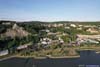
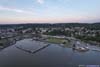
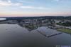
Tarrytown
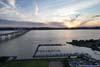
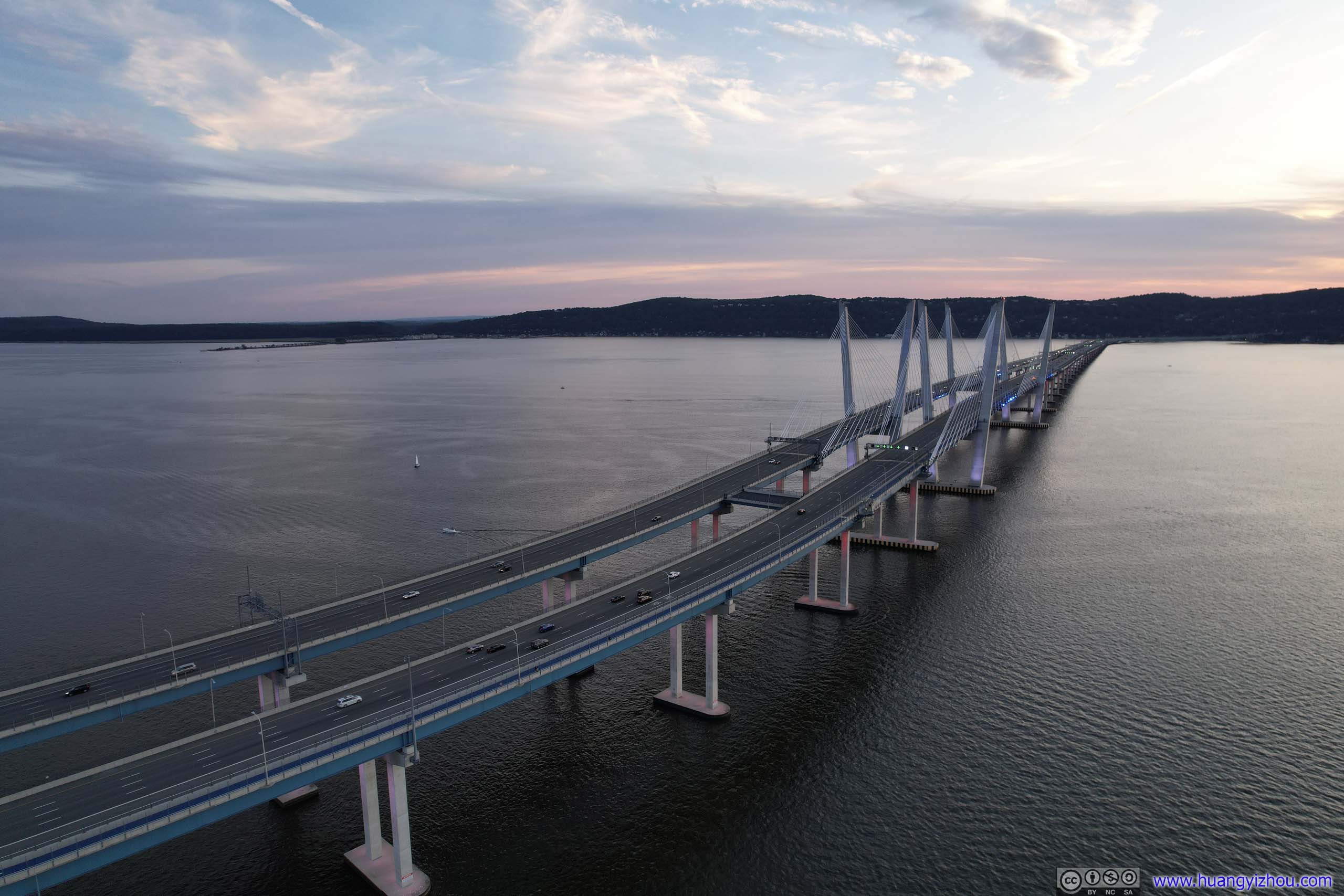
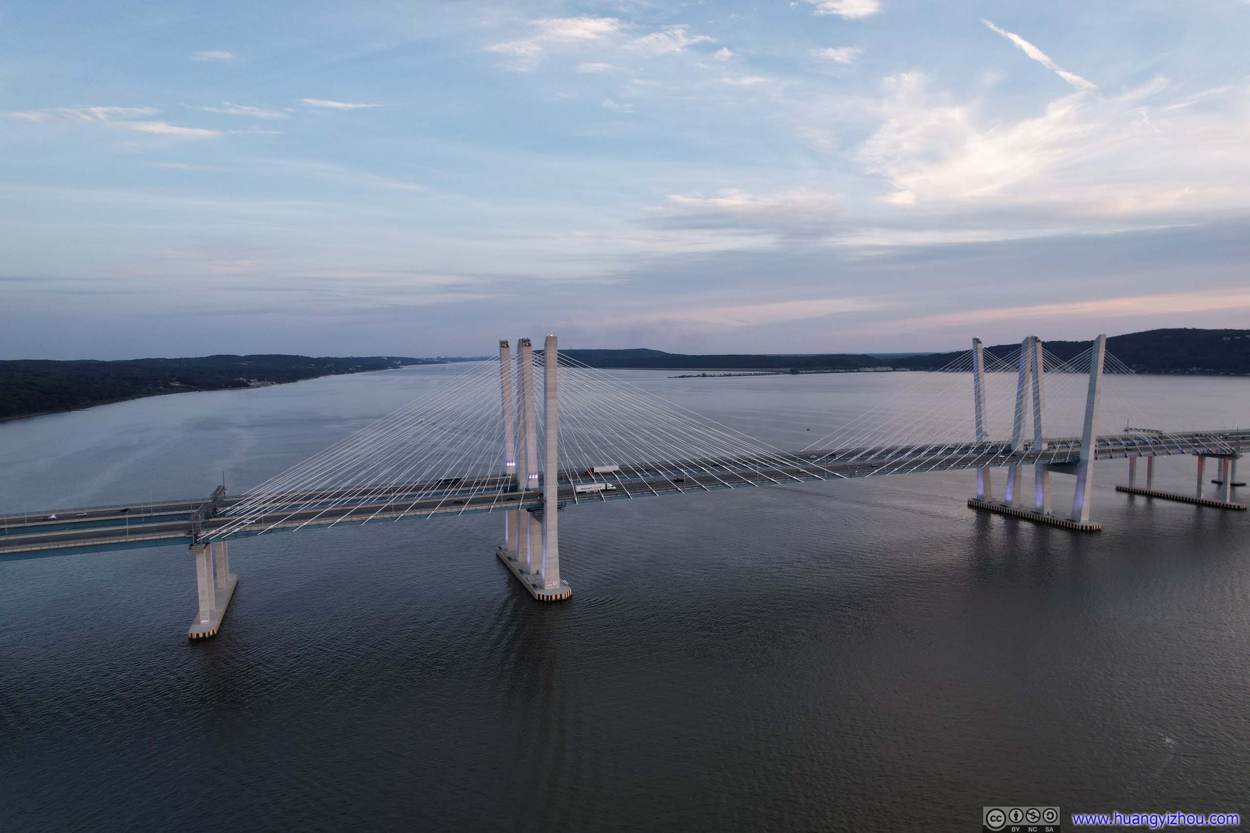
Finally, before I crossed the bridge back to Nyack, I made a stop at Tarrytown. It’s about 8pm when I arrived, just in time for sunset. With mountains across the Hudson River partly blocking the sun, I figured an aerial tour with my drone was the best way to appreciate the glowing horizons at dusk.
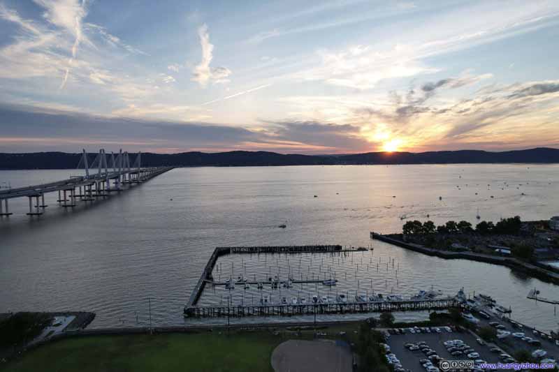 Sunset across Hudson River
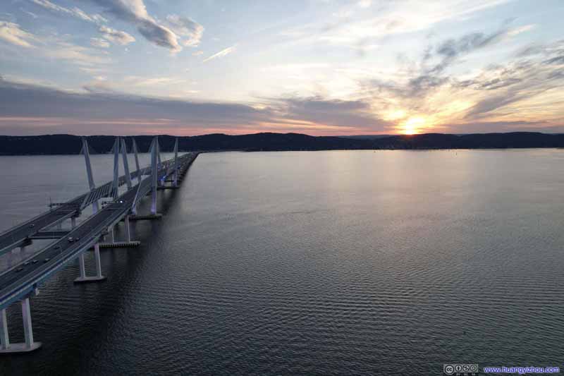 Tappan Zee Bridge and Sunset
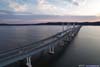
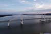
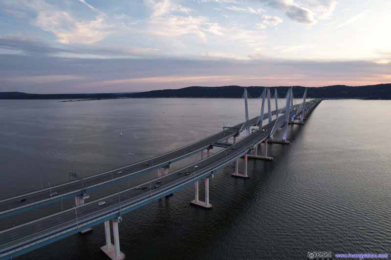 Tappan Zee Bridge
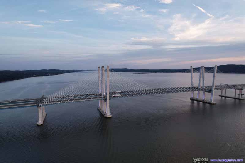 Tappan Zee Bridge
 Tarrytown Waterfront
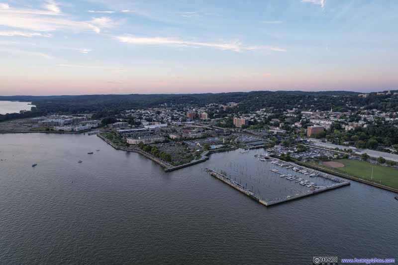 Tarrytown

Click here to display photos around Tarrytown.

Sunset across Hudson River

Tappan Zee Bridge and Sunset
 Tappan Zee Bridge
Tarrytown Waterfront
Tarrytown
Overlooking Tappan Zee Bridge across Hudson
And here were some clips from my drone:
Nyack Independence Day Firework
After the stop in Tarrytown, I crossed Tappan Zee Bridge back to Nyack, where I would be spending the night. I got word that there would be a firework show tonight in Nyack, which I thought was a good idea to attend. However, given how I fared with timekeeping throughout this trip, it’s no surprise that I thought the firework show would begin at 9pm while in fact it’s 9:30pm. So instead of parking my car at the hotel and taking a leisurely stroll to the waterfront, I thought I was in a hurry and thus decided to park my car around downtown Nyack (which was a misery in its own before such an event). I made it to the waterfront at 8:55pm, only to spend the next 35 minutes waiting, with no internet. (Cellular coverage in the United States sucked whenever there’s a congregation.)
And here were some clips of the firework show, recorded on my cell phone:
Then the real disaster started after the firework show, as throngs of people were trying to leave via Nyack’s narrow streets, so there was a considerable traffic jam. It took me a miserable half-hour to drive the 1.2km from where I parked back to the hotel, which was slower than making a return trip on foot. So just like the previous day, it’s almost 11pm by the time I got back to the hotel, concluding a very long day.
END
![]() Day 2 of 2022 Independence Day Trip, Breakneck Ridge by Huang's Site is licensed under a Creative Commons Attribution-NonCommercial-ShareAlike 4.0 International License.
Day 2 of 2022 Independence Day Trip, Breakneck Ridge by Huang's Site is licensed under a Creative Commons Attribution-NonCommercial-ShareAlike 4.0 International License.