
Updated on August 10, 2022
Day 1 of 2022 Independence Day Trip, Sam’s Point of Minnewaska State Park
For 2022’s Independence Day, I made a 3-day trip to the Hudson Valley area of New York State for some outdoor activities. Weather was great and I had a good time among New Yorks’ diverse landscape, a fresh departure from the Blue Ridge Mountains in my backyards.
Sam’s Point
For 2022’s Independence Day, I had a few days off and thus could venture a bit farther. In this case, Hudson Valley seemed like a perfect destination to me. It’s about half a day’s driving from my home in Maryland, not too far but yet beyond a day trip’s range. For three days, I checked out a few popular hiking trails in the region, and was greatly impressed by their diverse landscape, a stark contrast from the monotone forests that I visited earlier this year in the Blue Ridge mountains.
Port Jervis
Since the weather forecast indicated chances of storm in the afternoon of July 2, I actually left home on Sunday, July 3. Google Maps estimated the drive from my home to Sam’s Point would take about 5 hours, and there wasn’t much traffic along the highways in Pennsylvania.
Originally, I planned to have my lunch in Milford Beach, a scenic recreational site along the Delaware River. However, it was a popular day in Delaware Water Gap National Recreation Area as I was turned away at the parking lot, so I headed for the nearby town of Port Jervis, and found a public park instead.
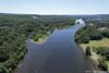
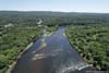
After lunch, I launched my drone for an aerial tour of the nearby Delaware River. In particular, not far downstream was the tri-state point where New Jersey, New York and Pennsylvania shared a common boundary.
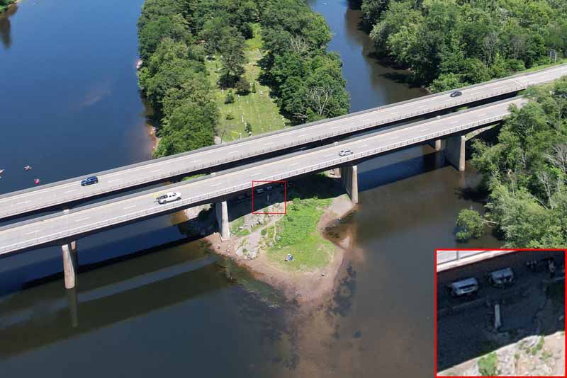 Tri State Monument
A small monument underneath the interstate bridge, where New Jersey, New York and Pennsylvania’s boundaries intersect.
Tri State Monument
A small monument underneath the interstate bridge, where New Jersey, New York and Pennsylvania’s boundaries intersect.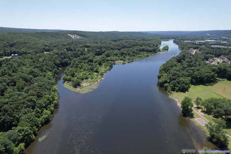 Delaware River
 Delaware River
 Delaware River
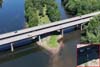
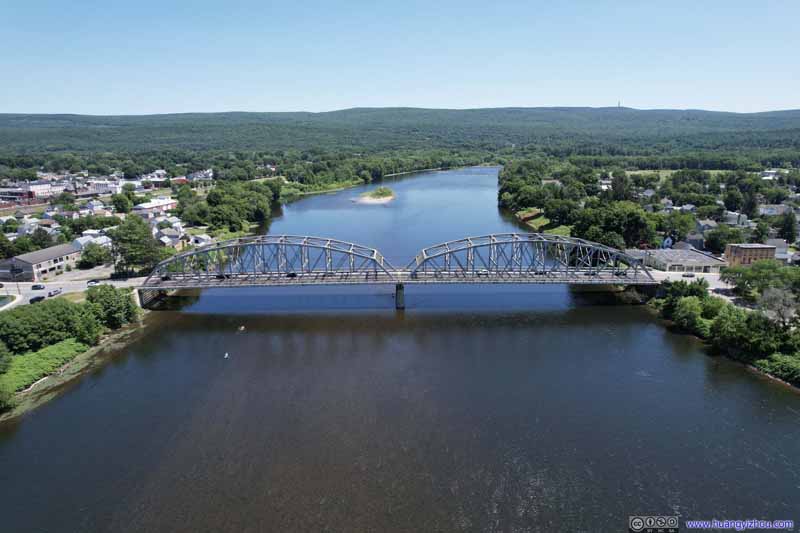 Mid-Delaware Bridge
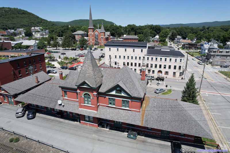 Overlooking Port Jervis Station
A building that appeared historic. I didn’t understand why NJ Transit used a small platform down the street, but not this building.
Overlooking Port Jervis Station
A building that appeared historic. I didn’t understand why NJ Transit used a small platform down the street, but not this building.

Click here to display photos of the slideshow

Tri State Monument


 Delaware River

Mid-Delaware Bridge

Overlooking Port Jervis Station
Overlooking Delaware River near Tri State Point

Overlooking Port Jervis
And here’s a video:
After that, I made my way to Sam’s Point area of Minnewaska State Park.
Minnewaska State Park
Due to its popularity, Minnewaska State Park enacted a reservation system for the parking lot at Sam’s Point during summer weekends and holidays. From my observation, the afternoon slots (2PM to closing, which was 9PM during my visit) were very available a few days in advance.
I planned my departure for a 2PM arrival, since the trail I aimed for was among the longer ones. Yet I always overestimated my abilities of waking up early (and under-estimated lunch break times during road trips), so it was 3pm by the time I arrived. After a lengthy wait for the only 2 restroom stalls, I started my hike at 3:15pm.
The hike I aimed for was a loop connecting Sam’s Point, Ice Cave, Verkeerderkill Falls and High Point, in the counter-clockwise direction. Here’s GPS tracking:
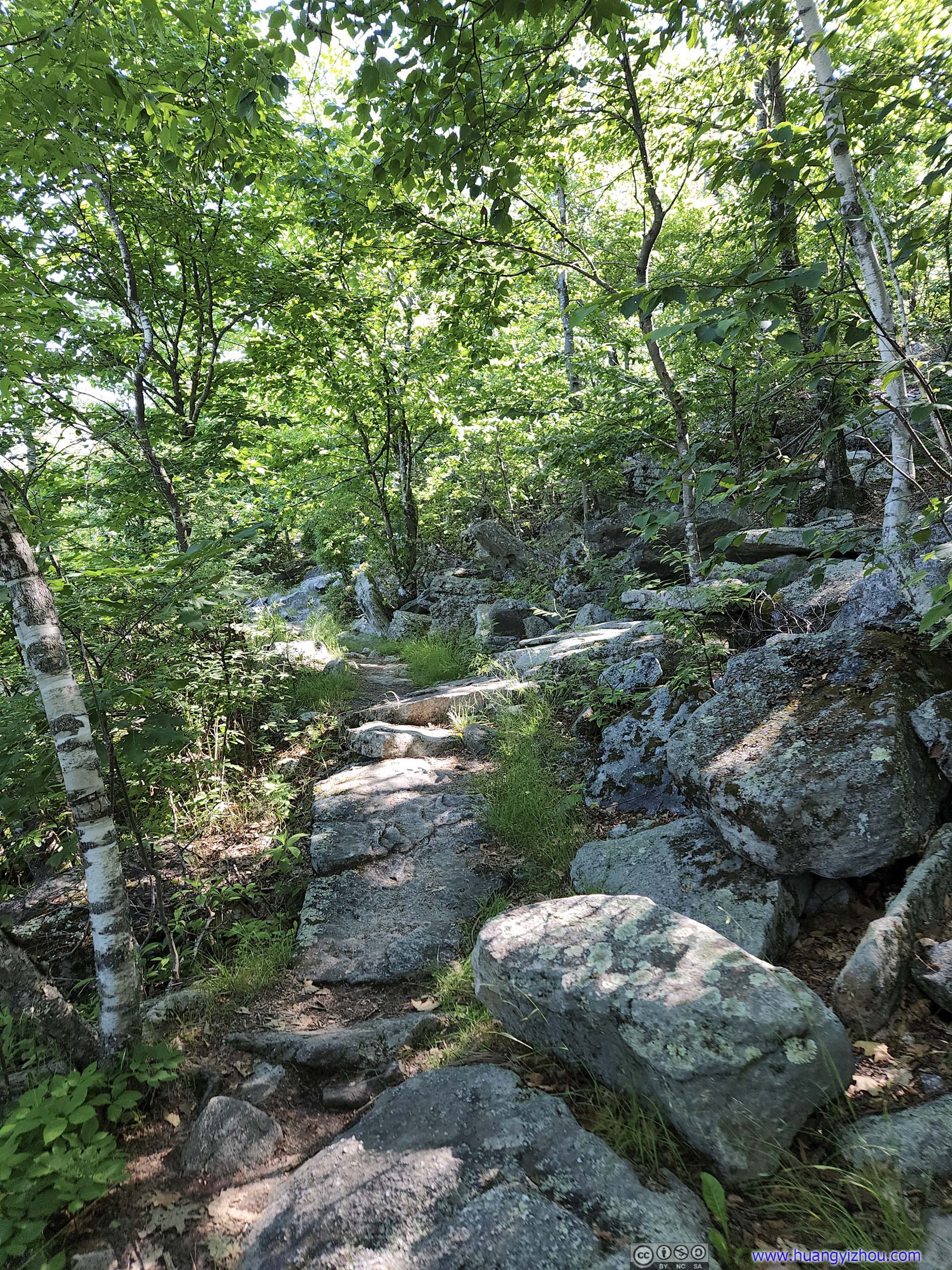
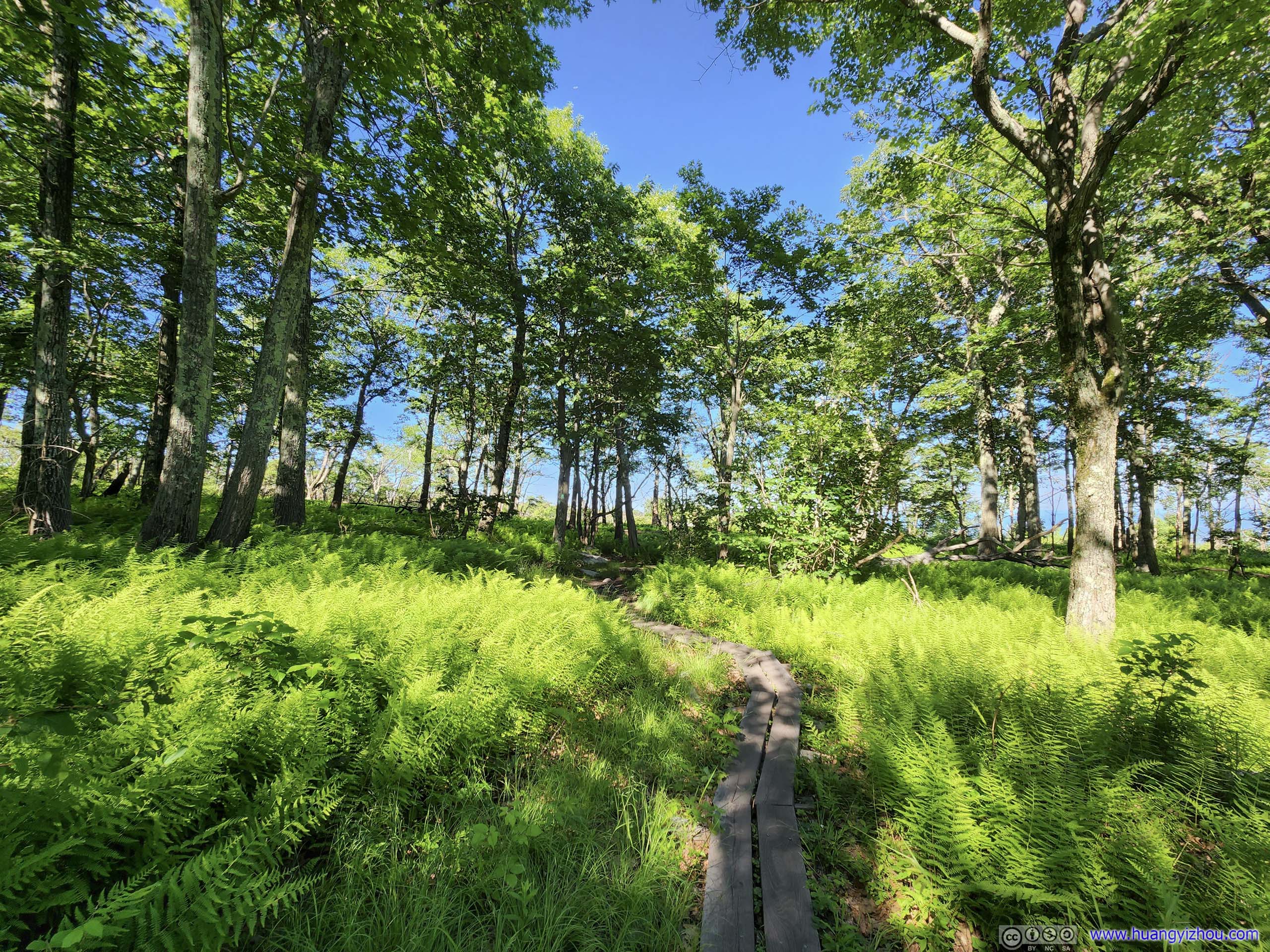
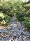
From the trailhead, Sam’s Point was just a short uphill stroll away, mostly in the shade.
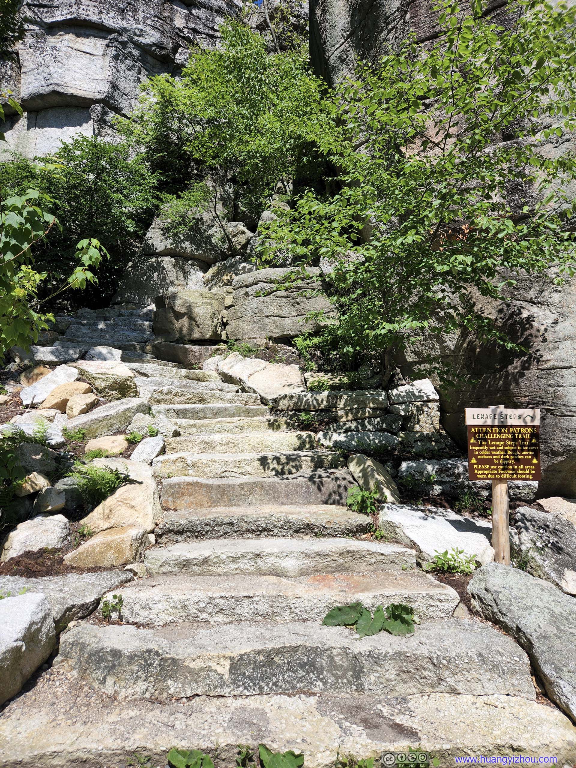
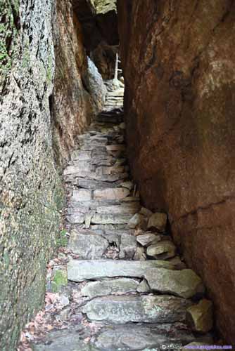
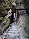
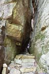
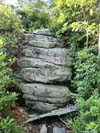
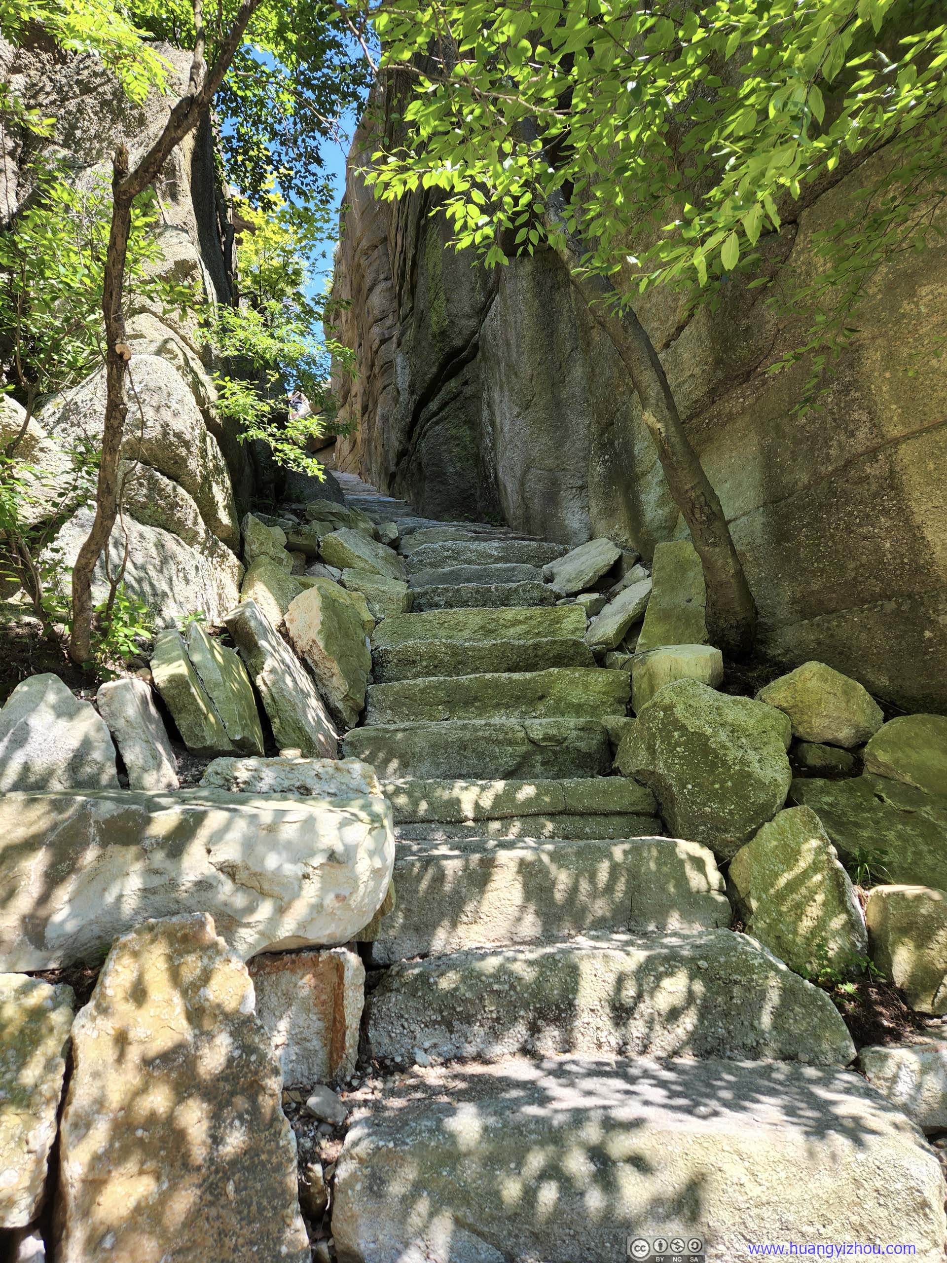 Lenape Steps
Sam’s Point
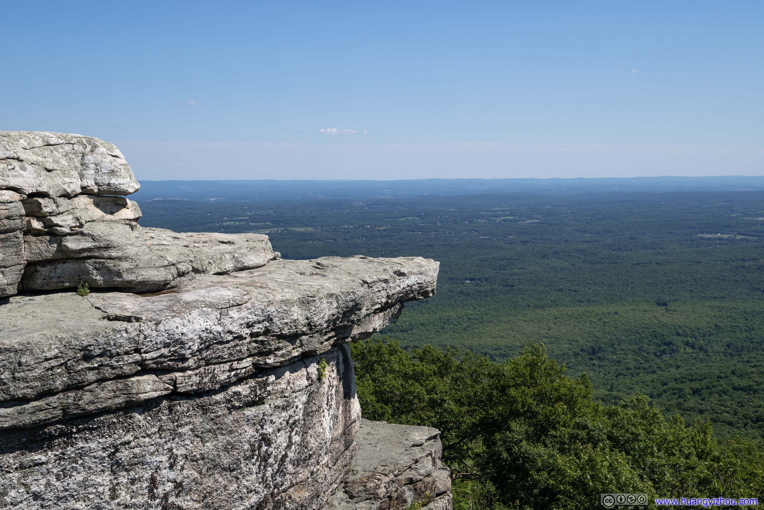
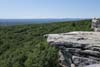
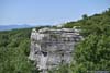
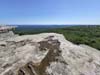
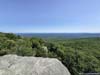
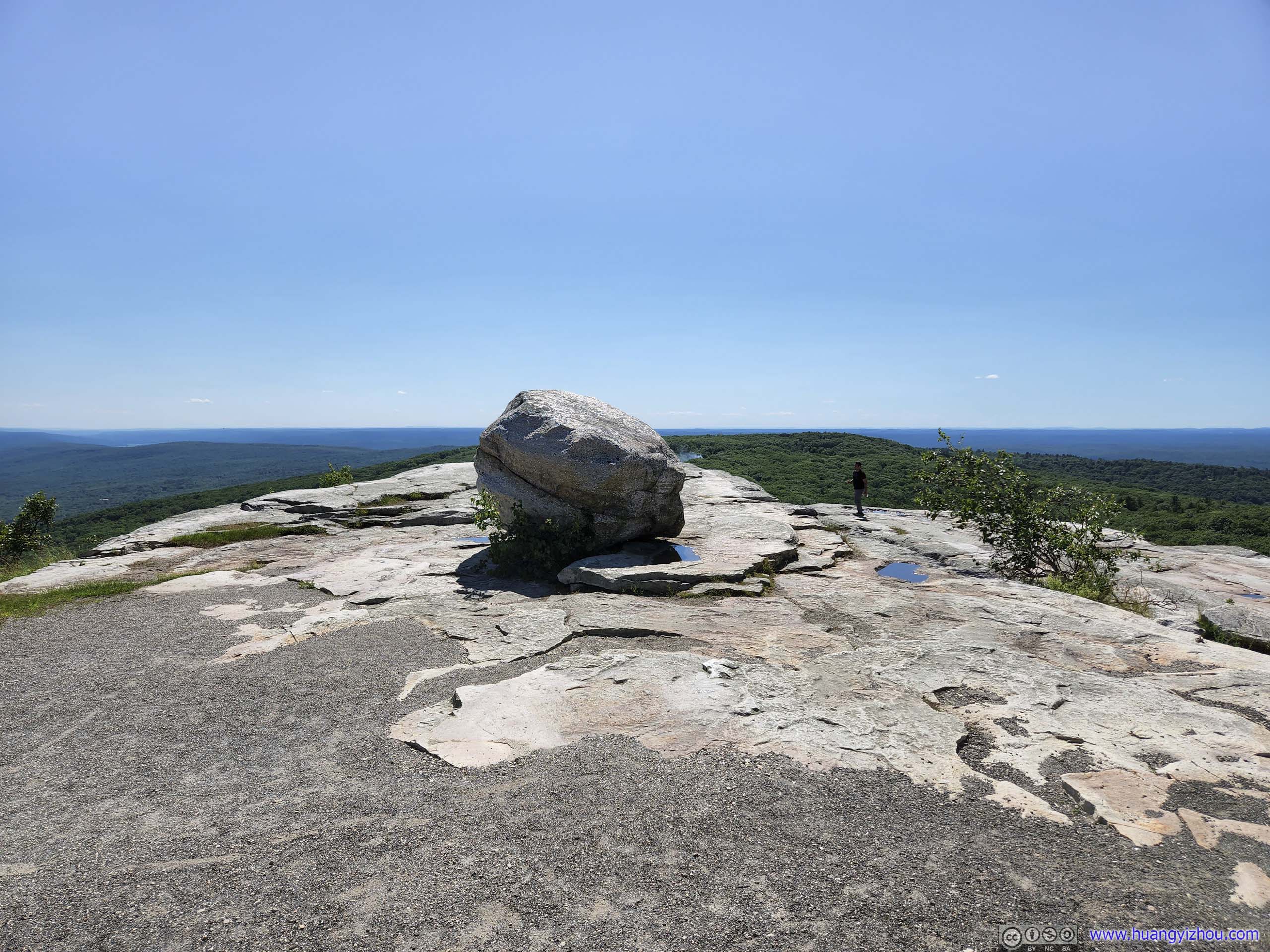
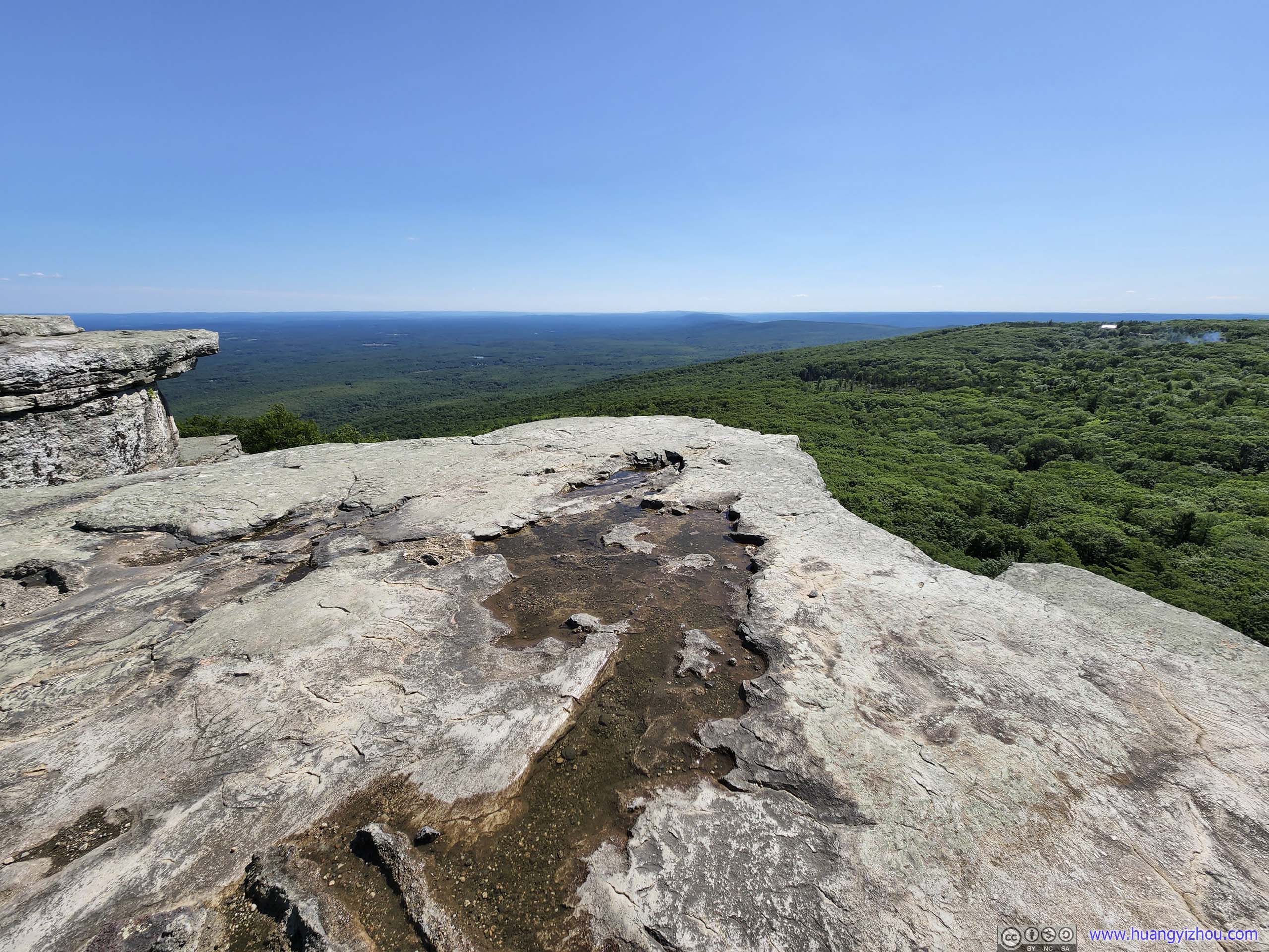
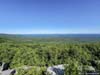
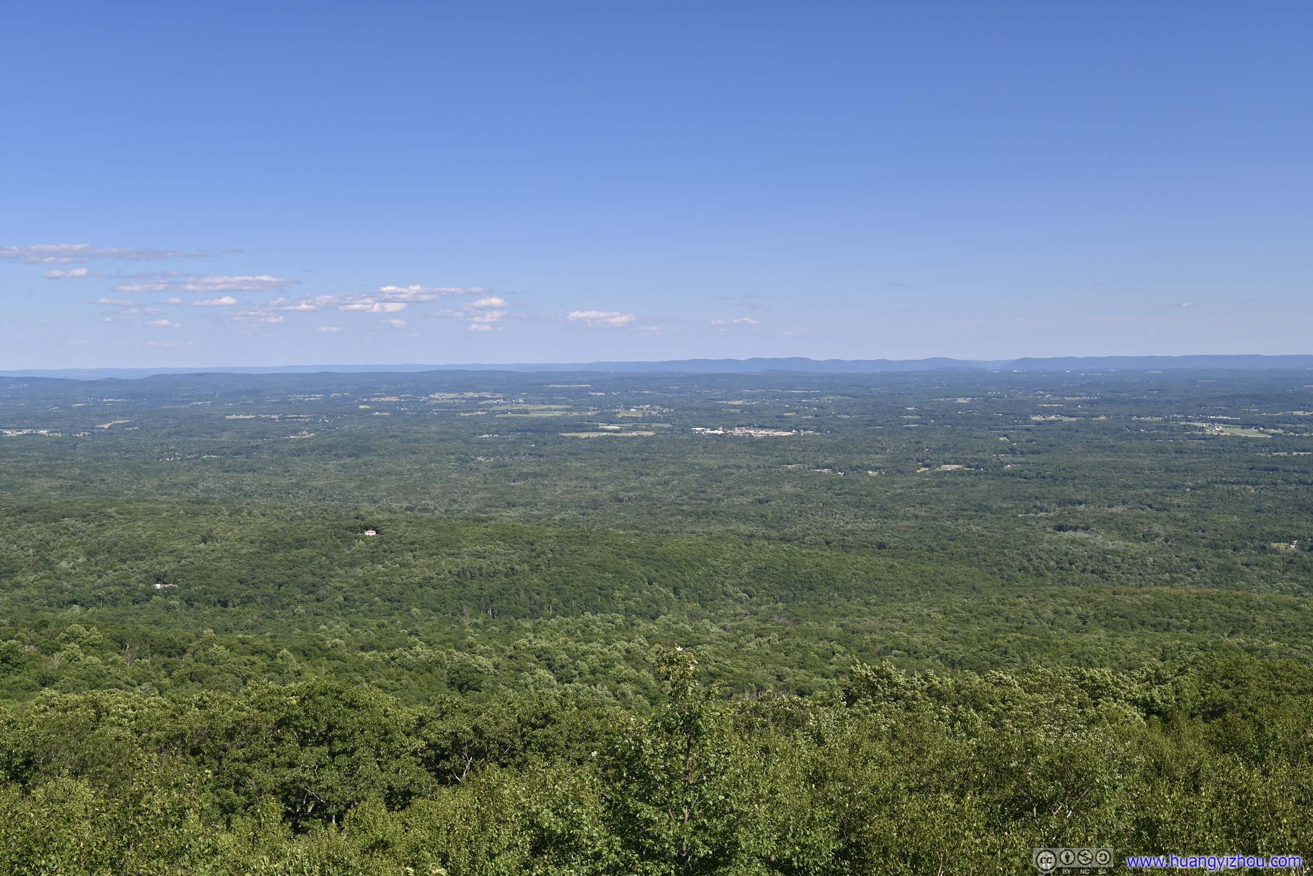
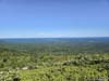
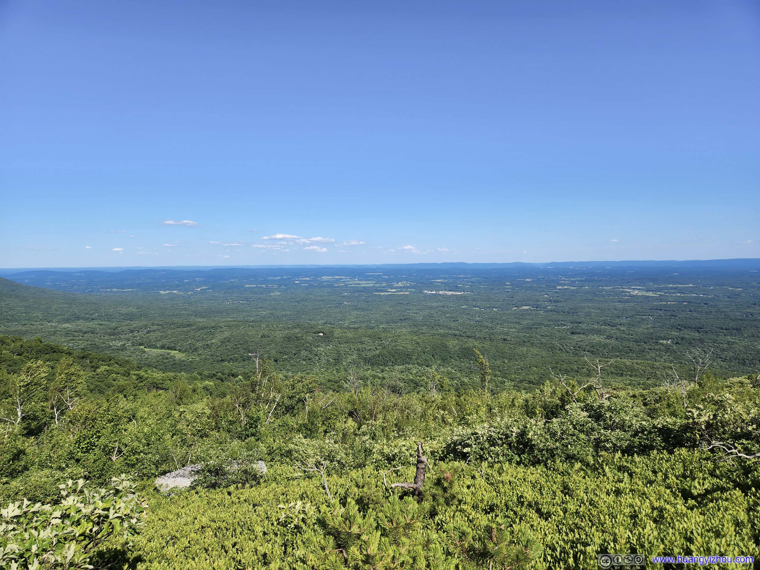
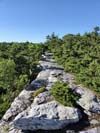
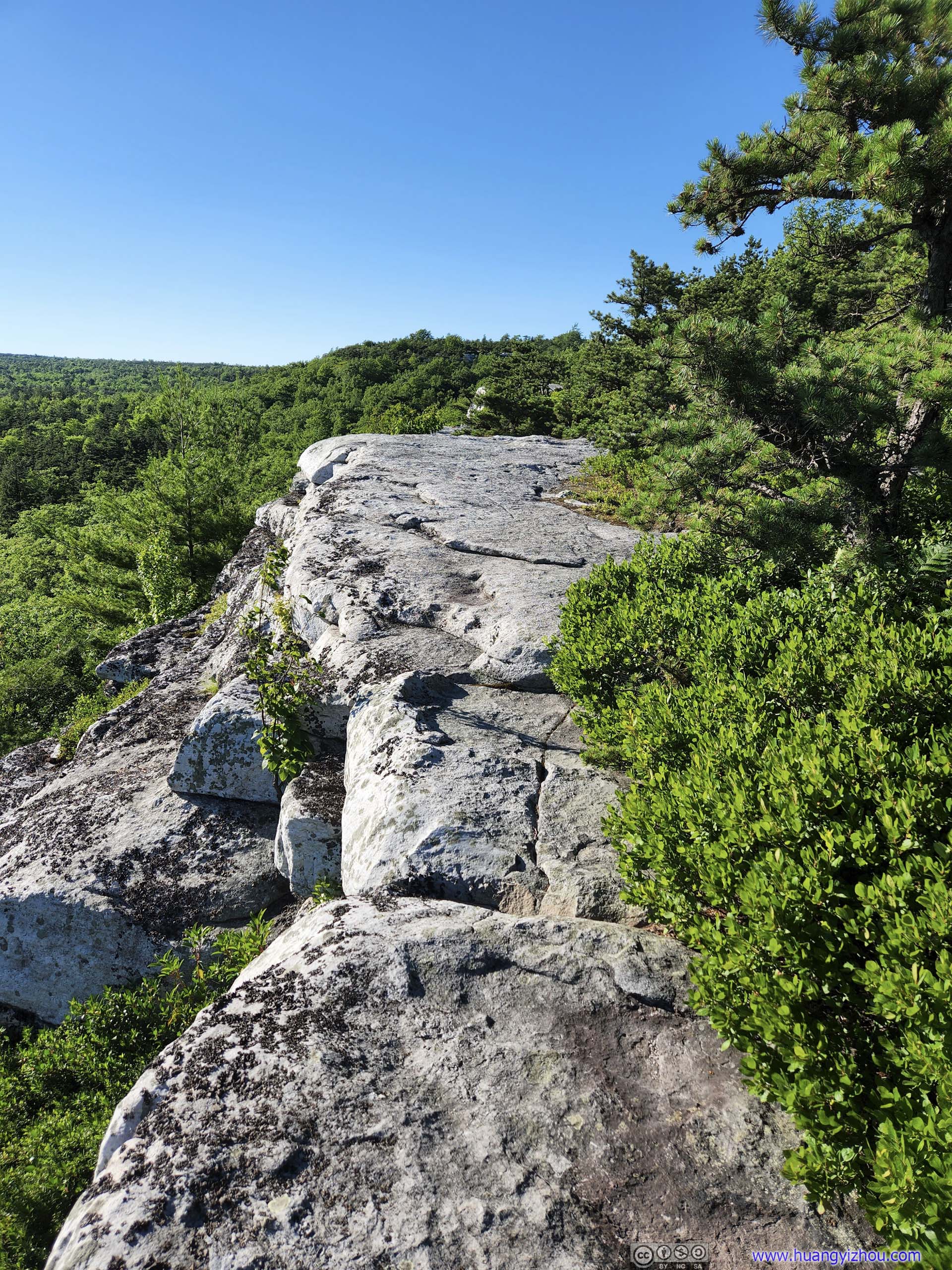
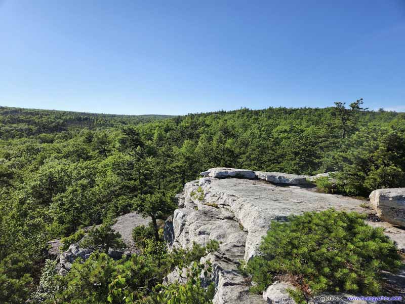
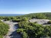
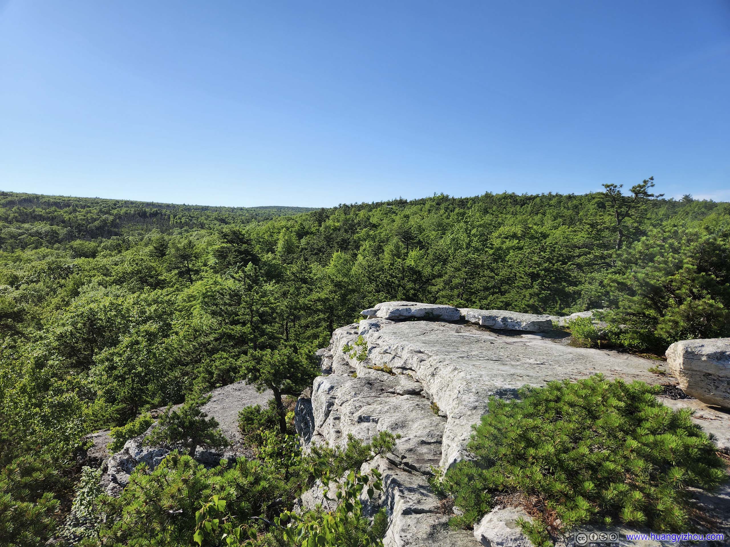
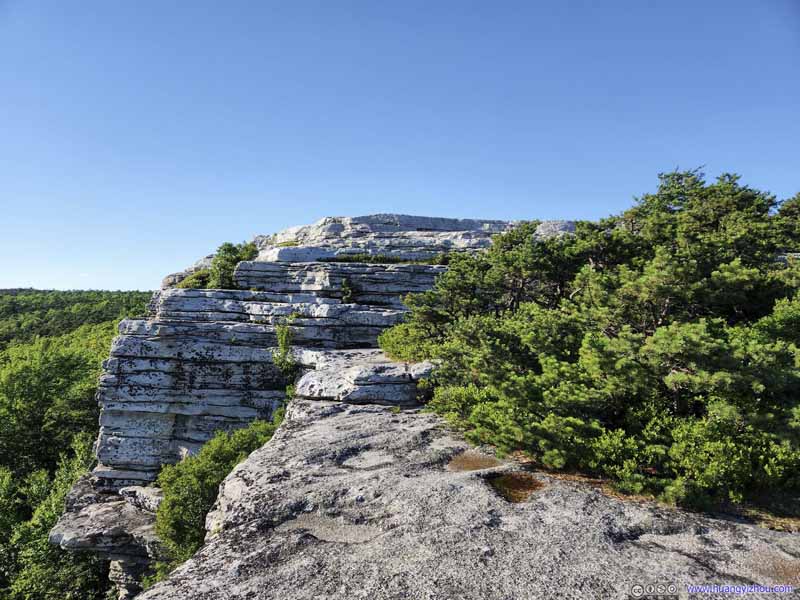
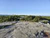
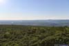
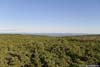
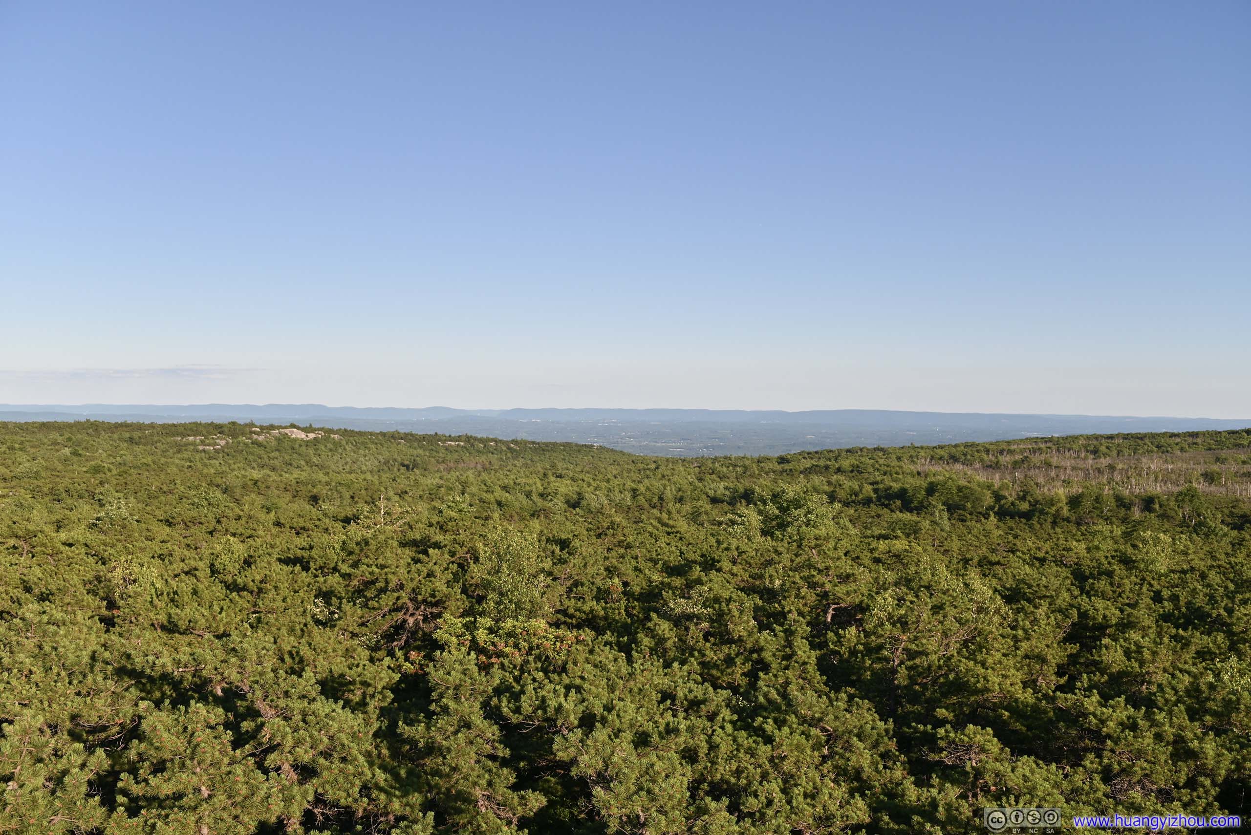
Sam’s Point was two sets of rocky outcrops facing south, with broad views from the extensive fields near the Hudson River to the Catskill Mountains to the west. It’s a bit like McAfee Knob along the Appalachian Trail, just smaller in size but much more accessible. The surfaces were mostly flat up till the cliff, so I didn’t consider it dangerous.
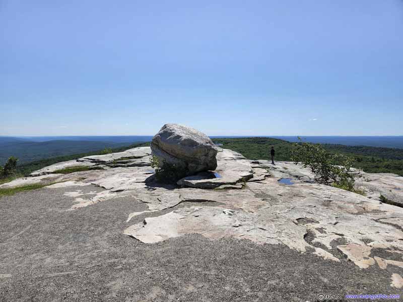 Sam’s Point
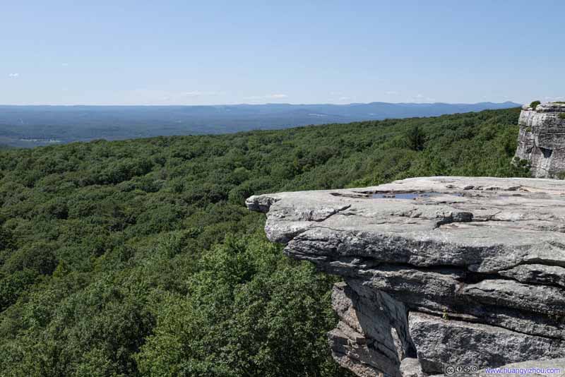 Sam’s Point
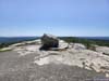
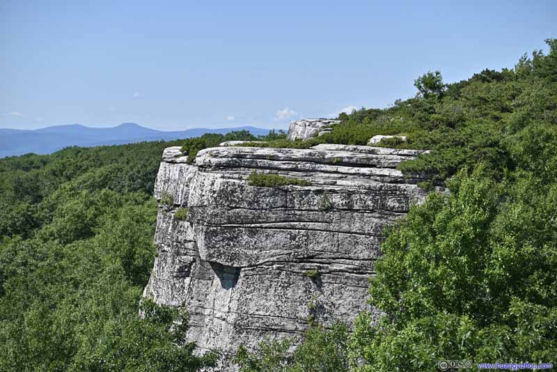 Boulders from Sam’s Point
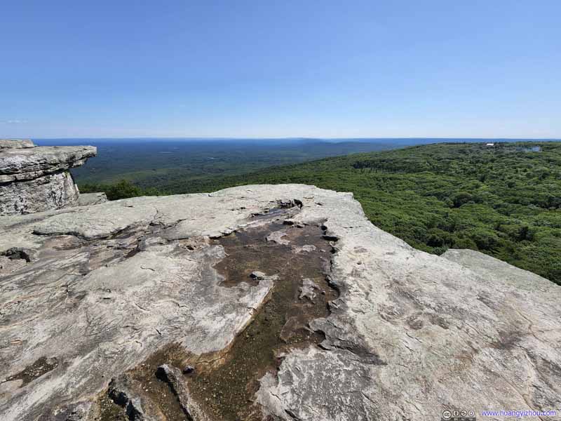 Sam’s Point
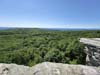
 Fields from Sam’s Point
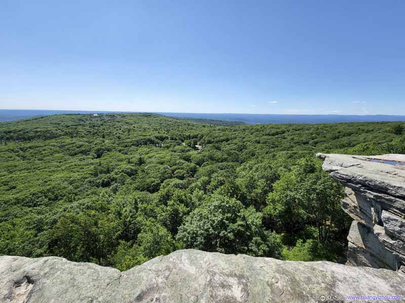 Fields from Sam’s Point
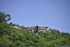
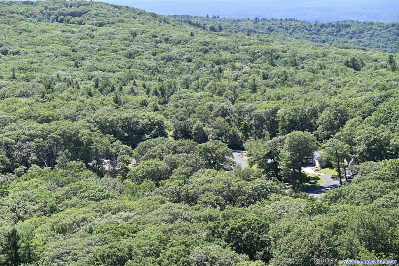 Overlooking Parking Lot
 Sam’s Point from Parking Lot
Click here to display photos of the slideshow
Sam’s Point

Sam’s Point

Boulders from Sam’s Point
Sam’s Point
Fields from Sam’s Point
Fields from Sam’s Point
Overlooking Parking Lot
Sam’s Point from Parking Lot
View from Sam’s Point
I spent about 20 minutes at Sam’s Point, enjoying the breeze and posing for various photos, before continuing onto the ice cave.
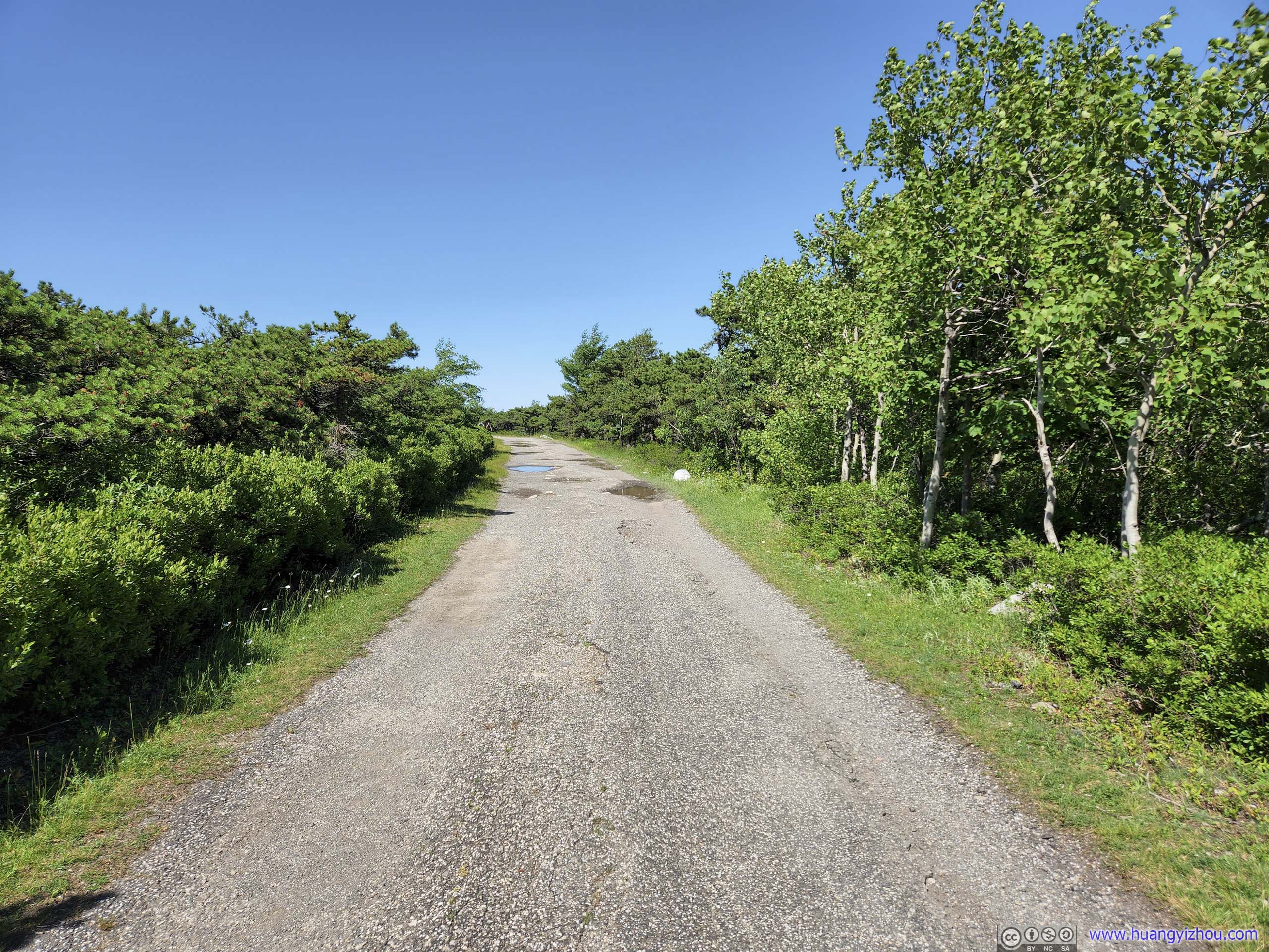
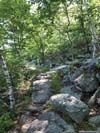
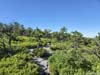
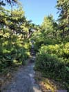
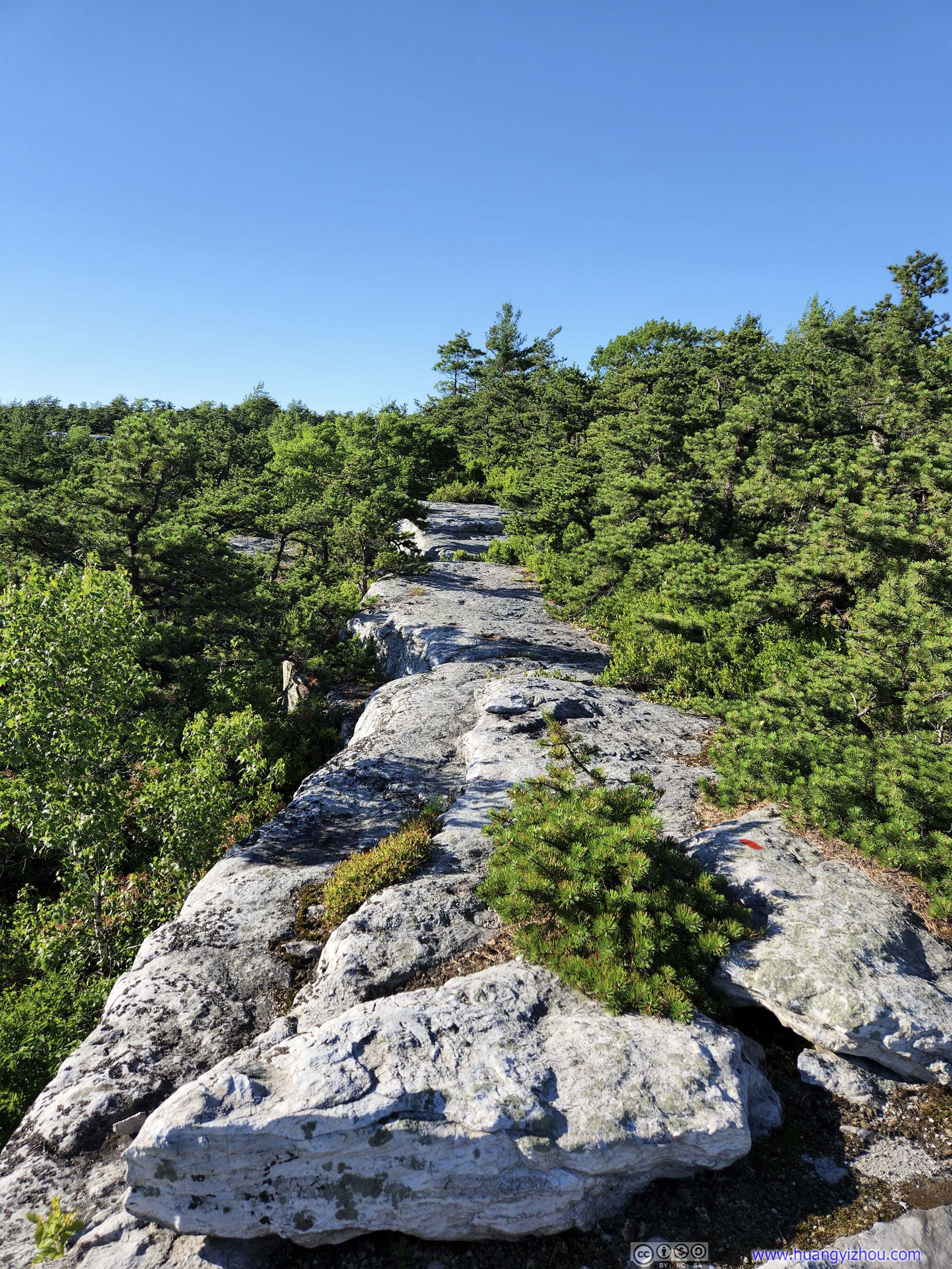
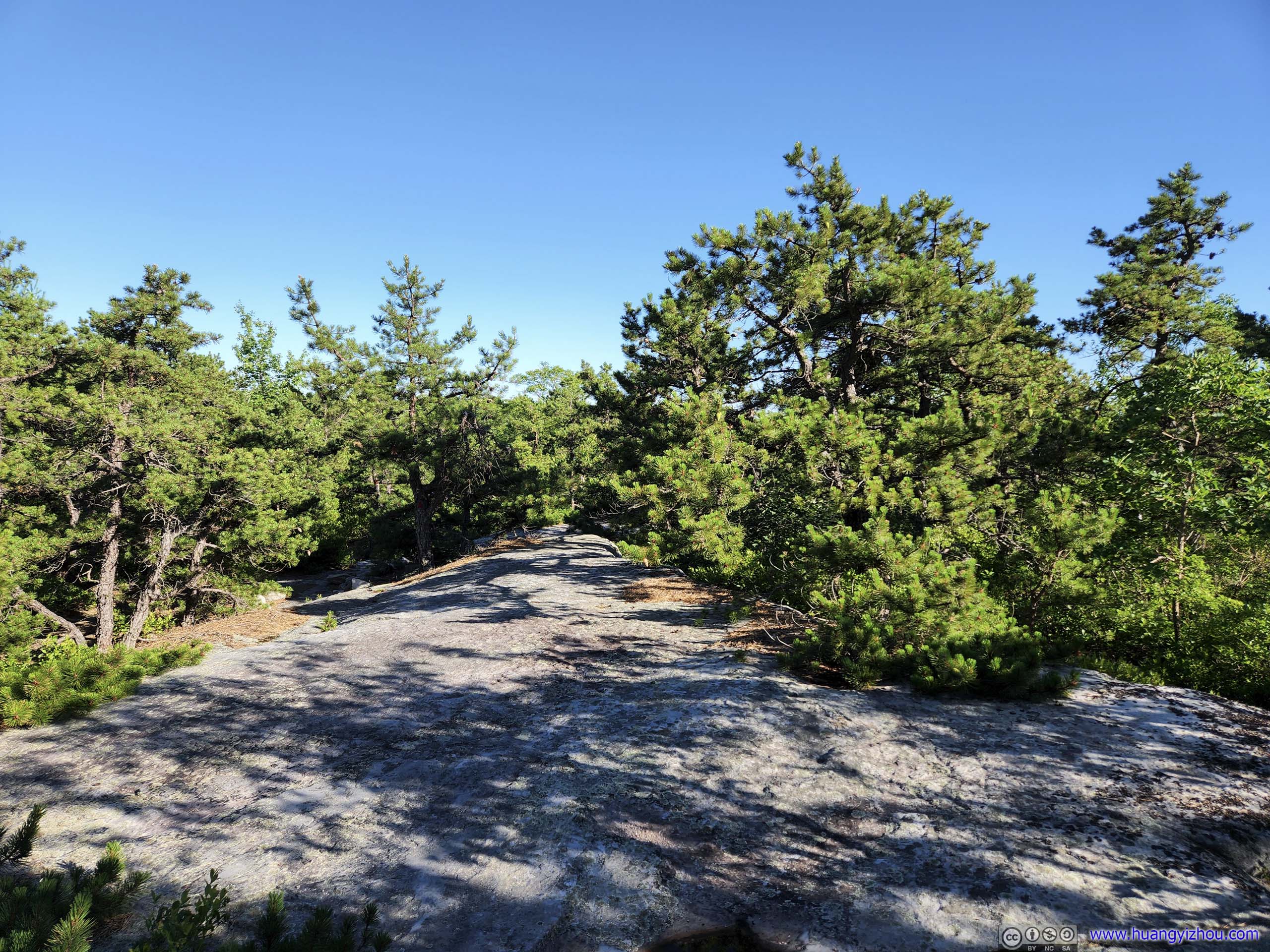
 Trail to Sam’s PointThis section was mostly in the shades.
 Trail to Sam’s PointThis section was mostly in the shades.
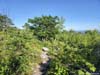
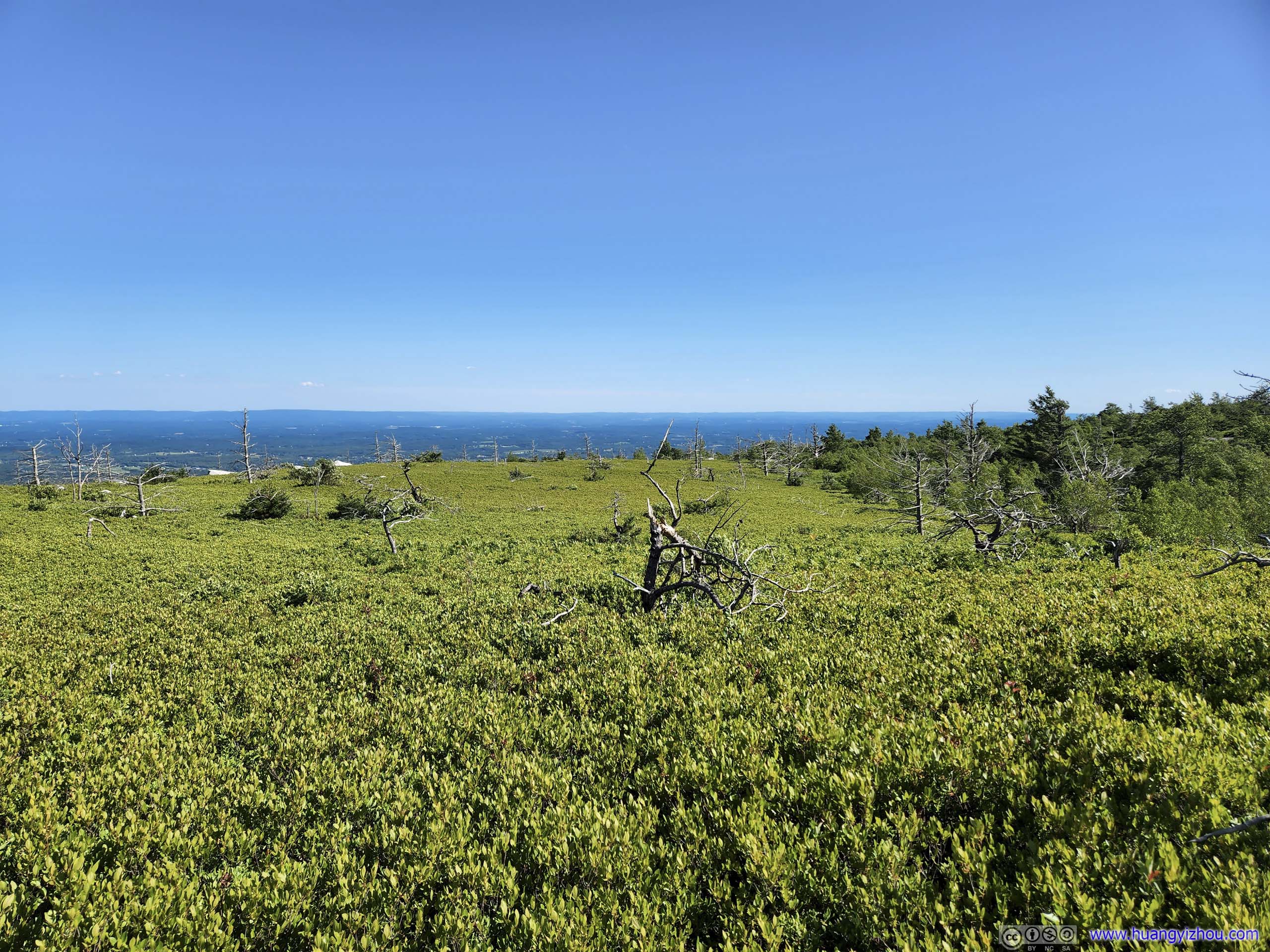
 Road from Sam’s PointLeaving Sam’s Point, the road was on a plateau and there was no longer any shade.
 Intersection
A small loop around Lake Maratanza to the left, a larger loop that I was about to take on the right.
Intersection
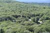
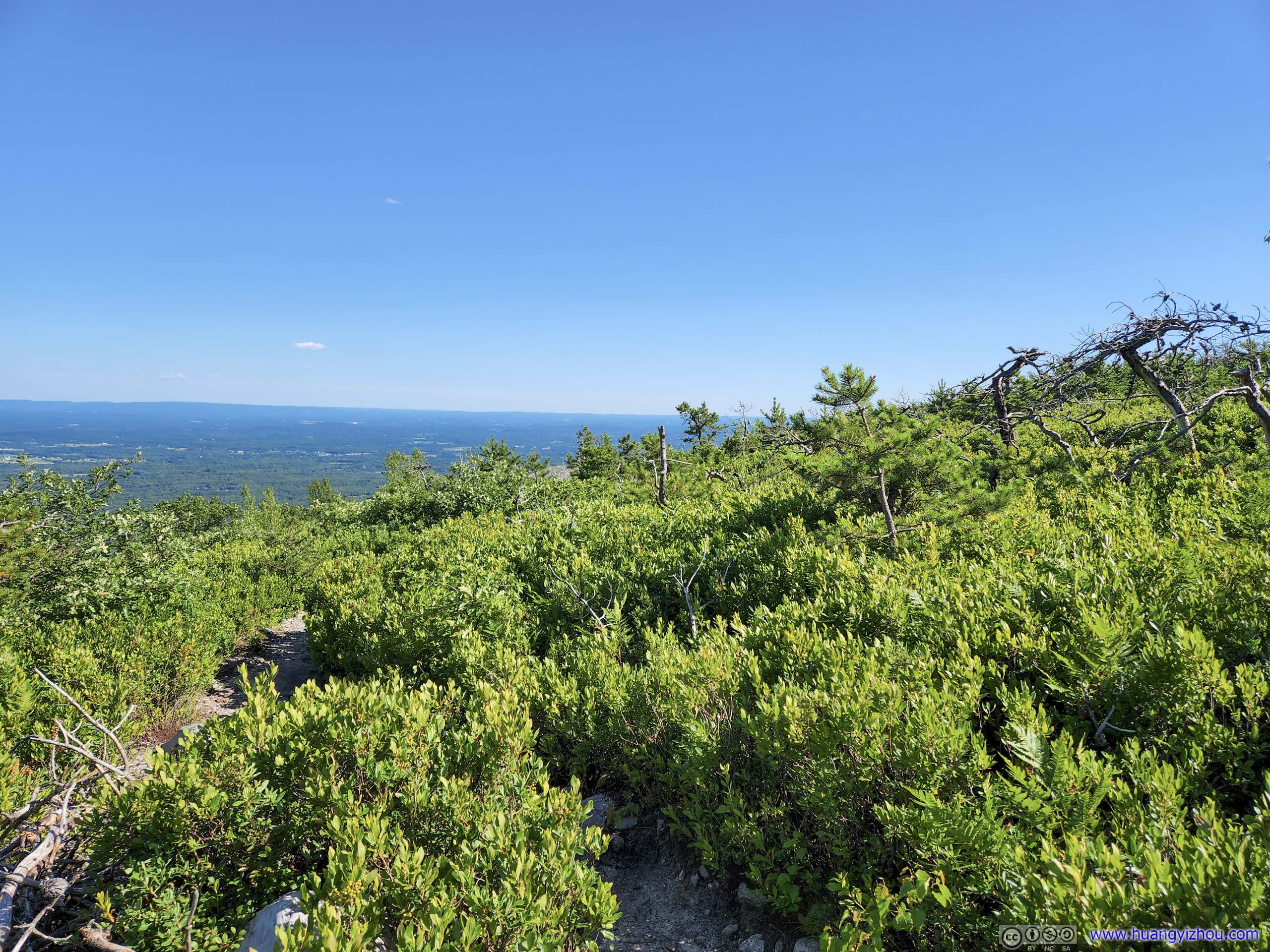
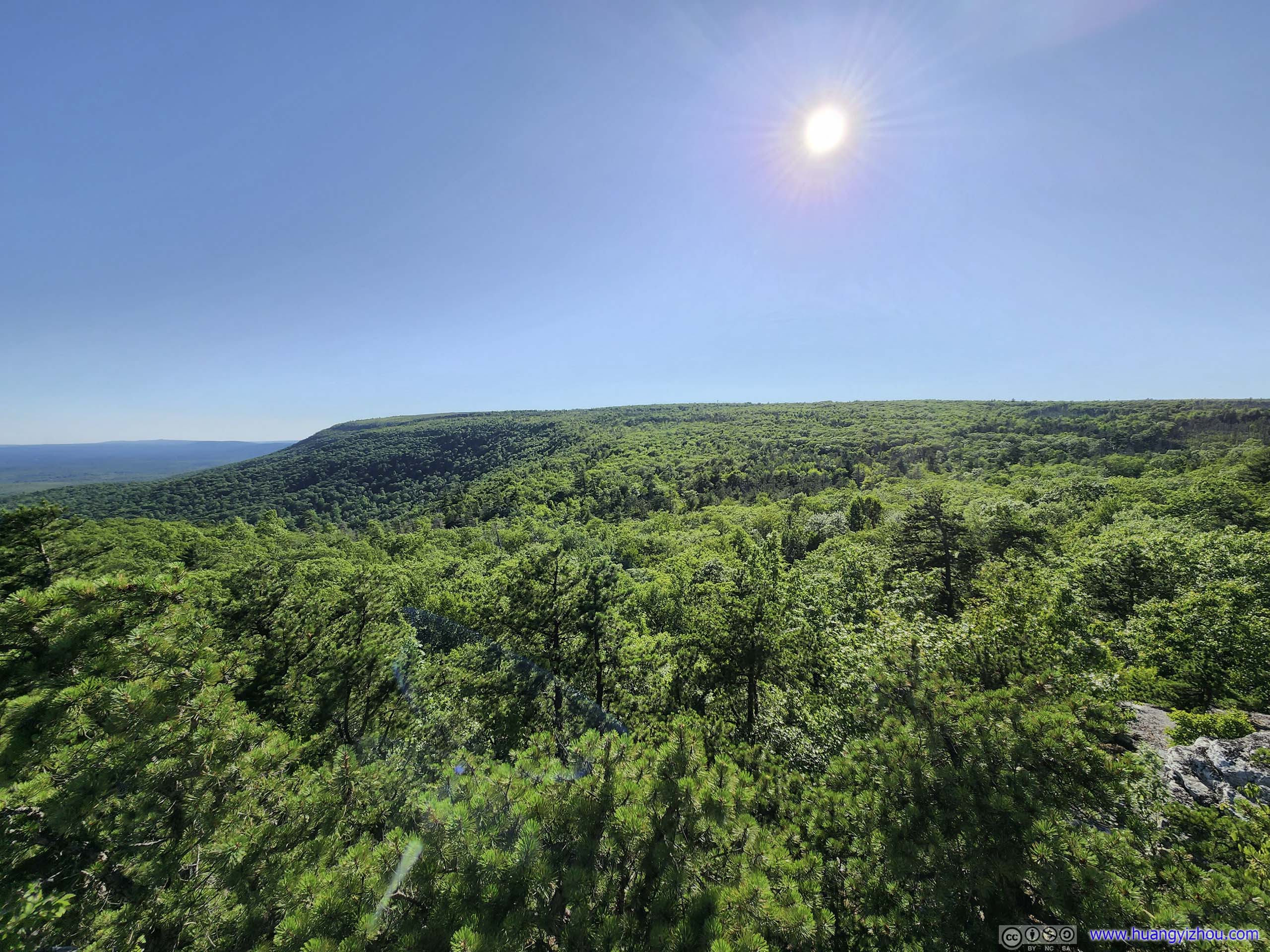
A small loop around Lake Maratanza to the left, a larger loop that I was about to take on the right. Road to Ice CaveClear views of the distant plains, which I quite enjoyed.
 Road to Ice CaveSome other rocky cliffs of Minnewaska State Park in the distance.
Click here to display photos of the slideshow
Trail to Sam’s PointThis section was mostly in the shades.
Trail to Sam’s PointThis section was mostly in the shades.
Road from Sam’s PointLeaving Sam’s Point, the road was on a plateau and there was no longer any shade.
Intersection
Road to Ice CaveClear views of the distant plains, which I quite enjoyed.
Road to Ice CaveSome other rocky cliffs of Minnewaska State Park in the distance.
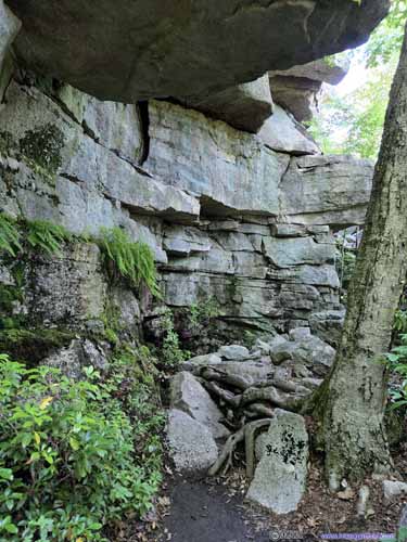
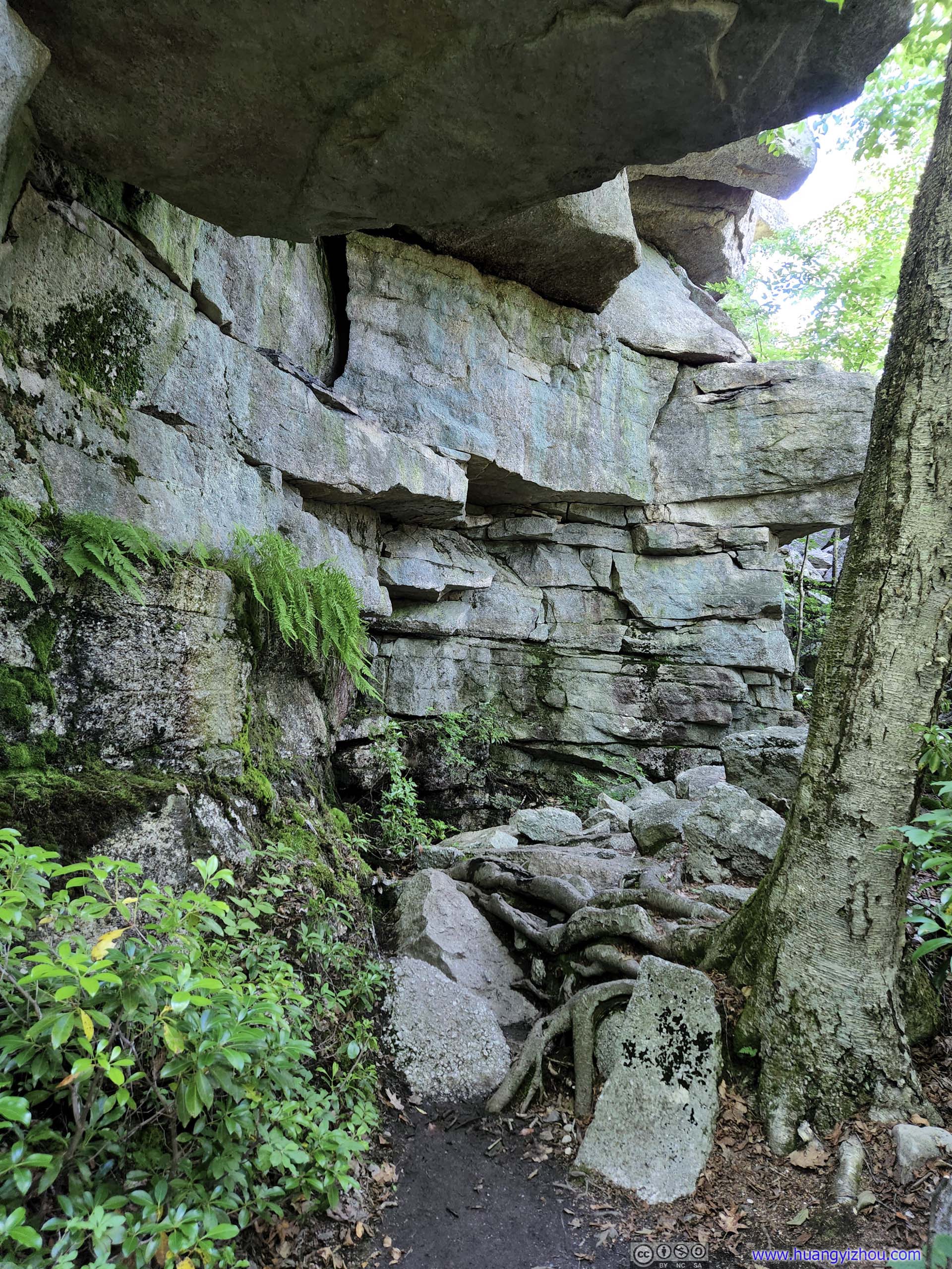
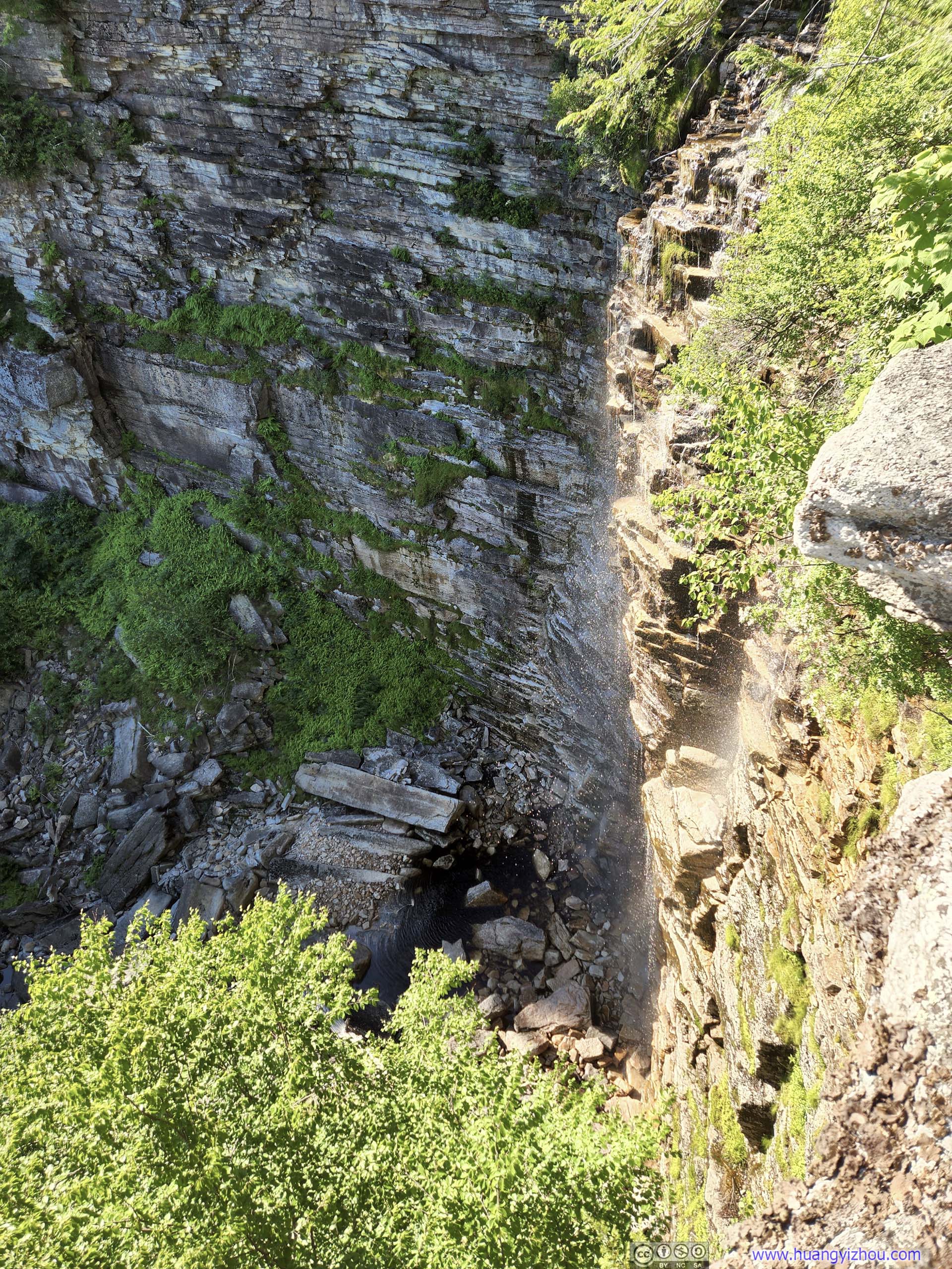
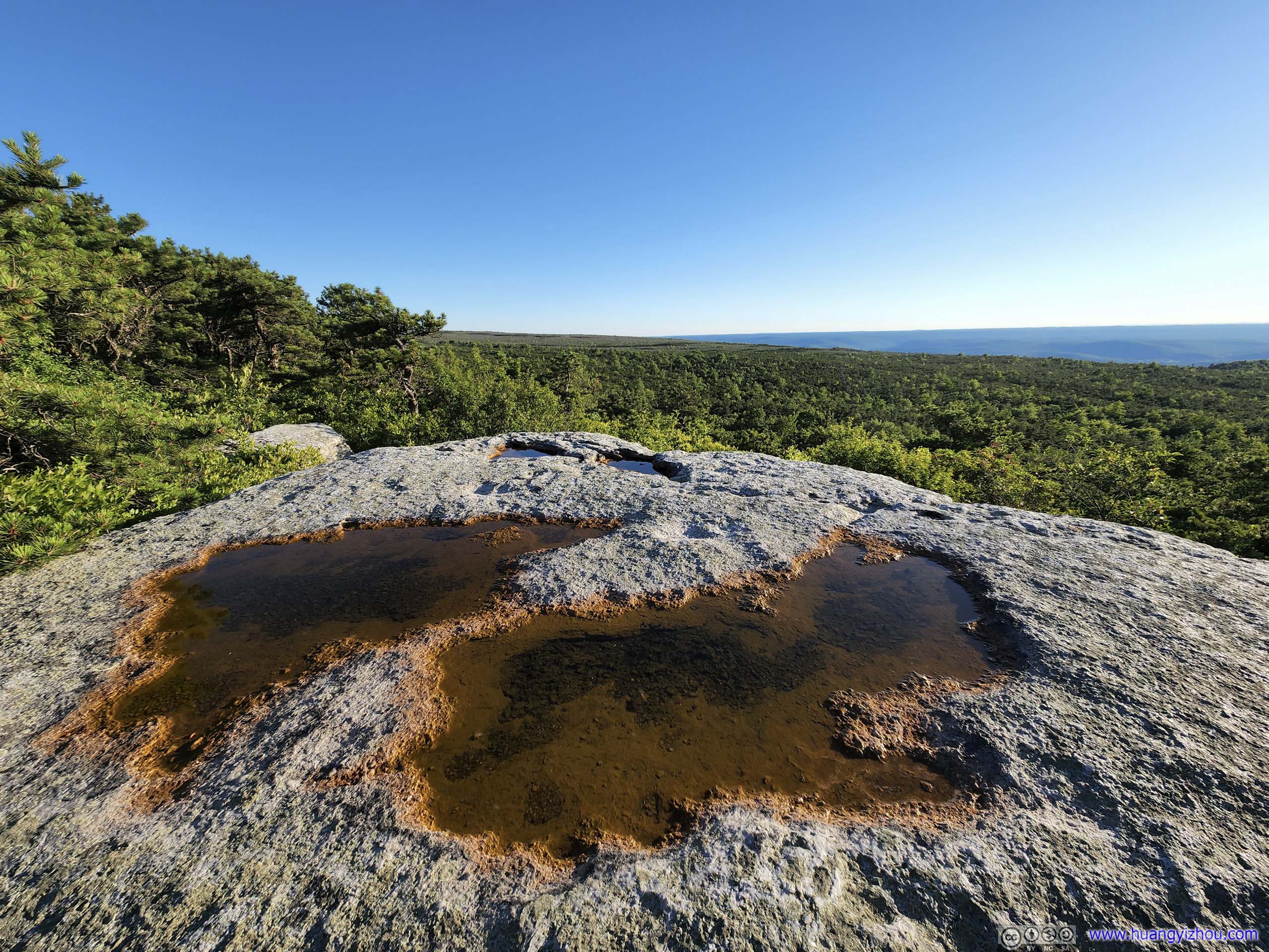
Ice Cave
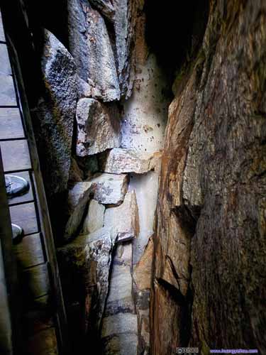
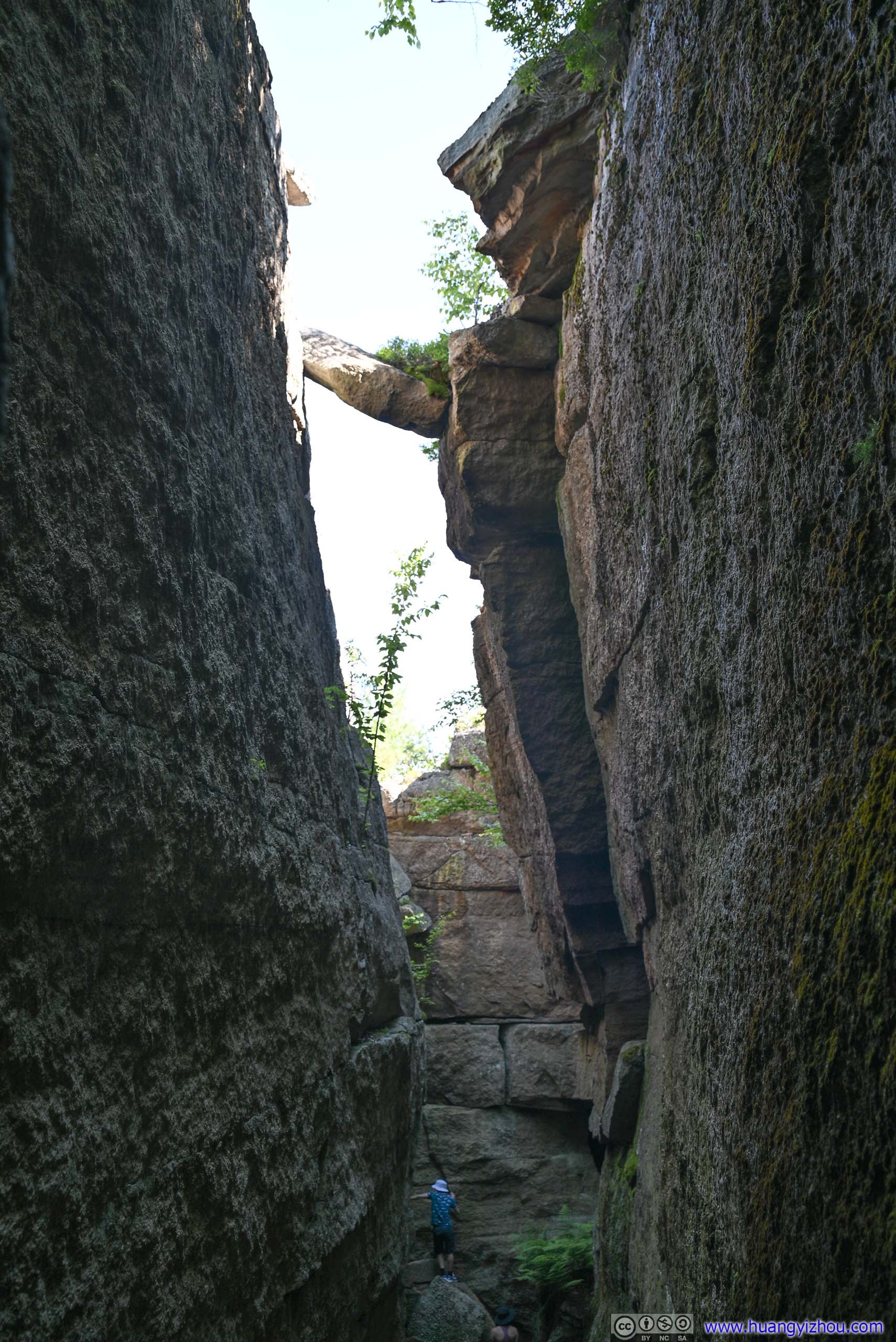
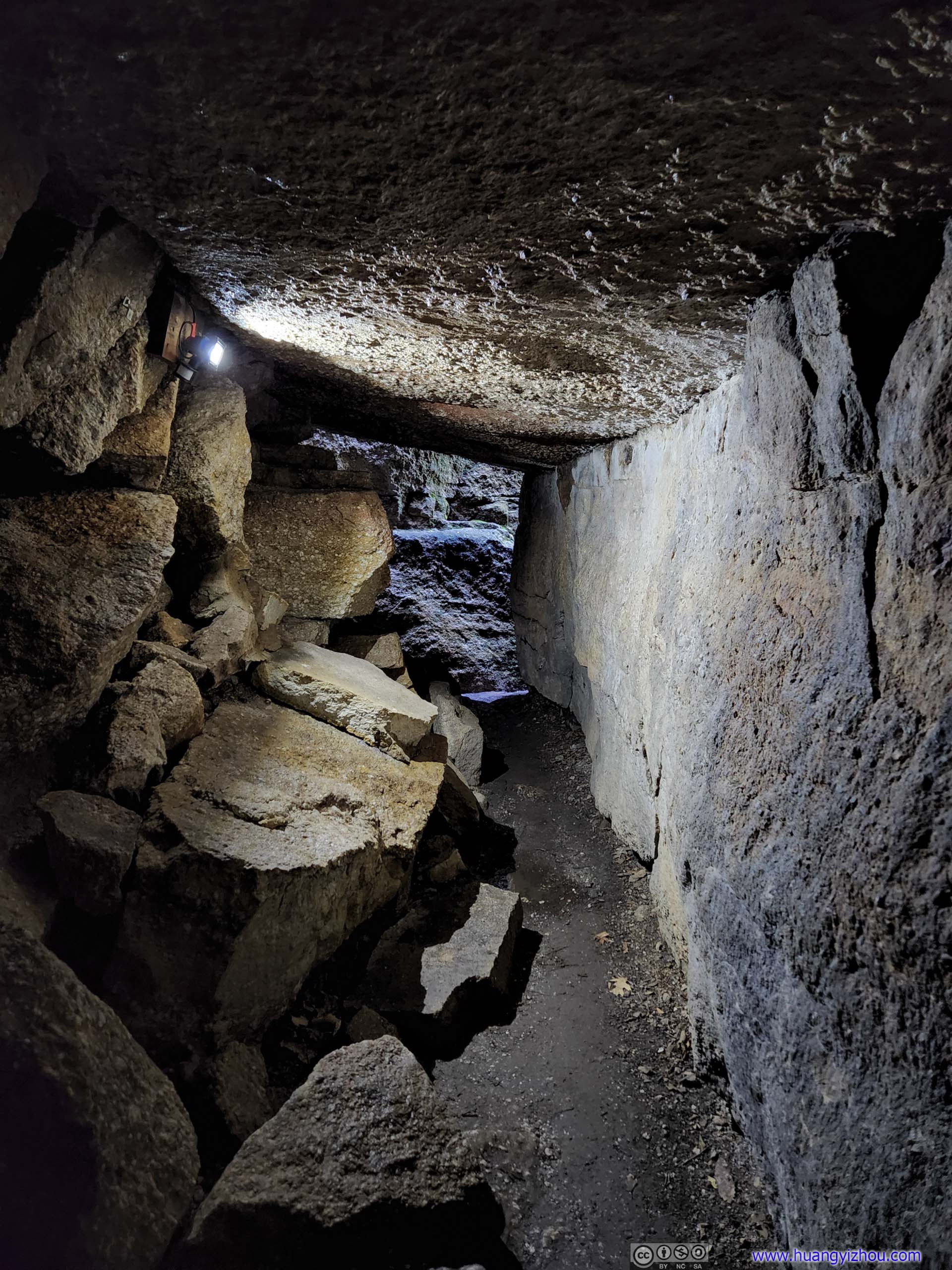
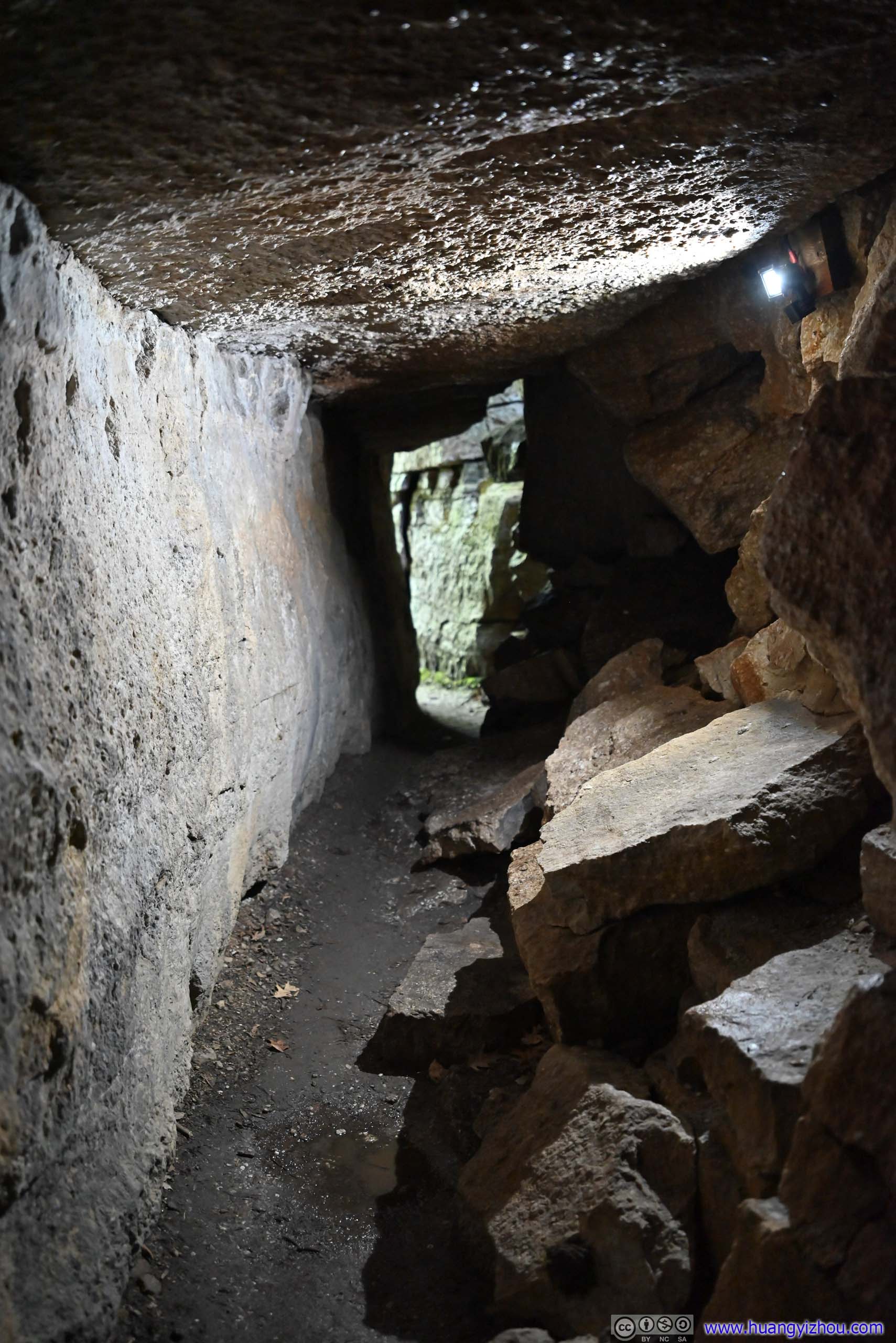
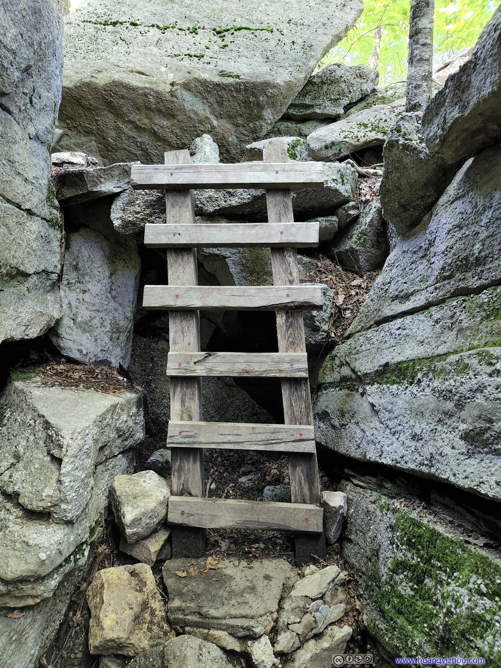
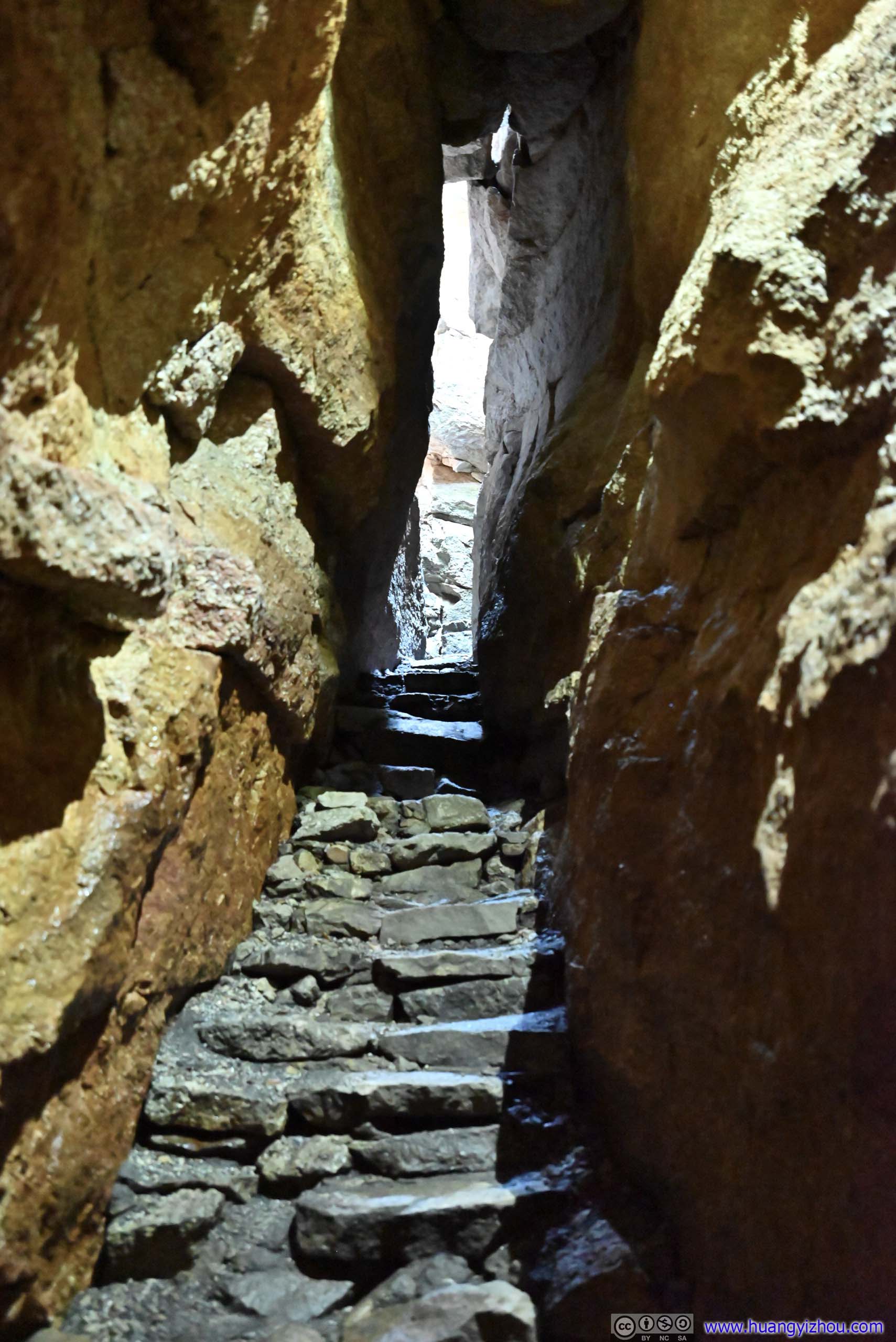
A highlight to this part of Minnewaska State Park was an ice cave, whose rocks were shaped in such a way that traps winter snowfall but blocks sunshine. As a result, snow could be present in the caves until July. The State Park made considerable improvements to the ice cave, such as lighting, ladders and wooden walkways, and for safety the ice cave was only opened late in the year when the walkways were free of snow. Luckily, during my visit they were open.
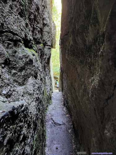
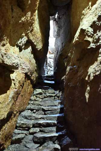
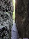
- Down a long set of wet stairs was the first ice cave, which, compared to a cave felt to me more like a slit in the rocks. I felt cold air blowing through the cave, but no ice present, which was a bit disappointing.
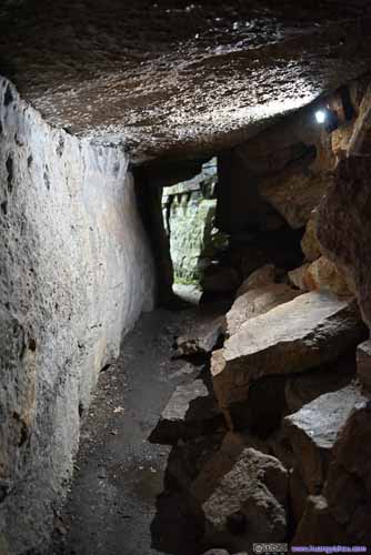
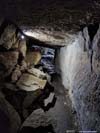
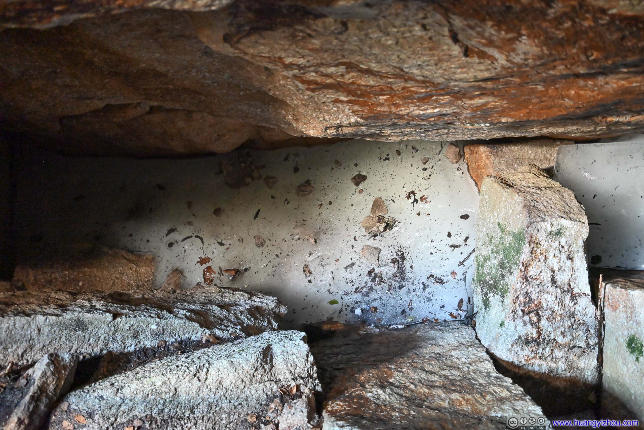
- Not long after that was the second cave. This time, it’s a proper cave (with rocks covering above my head). It felt colder, with patches of water on the ground, but still, no visible ice.
- Finally, it’s the third and the largest and longest of the caves. Despite a few openings above letting some natural light in, I was elated to find some ice frozen solid beneath the boardwalk. A truly marvelous sight as the ice cave lived up to its name.

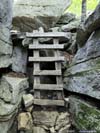
 Initial StairsPortions of these stairs were slippery, I bet it’s from the melted ice. People were taking this cautiously.
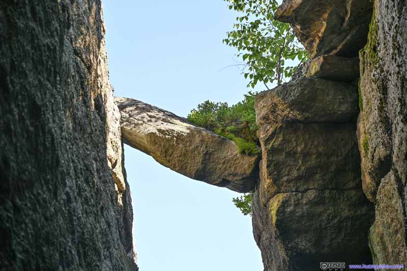 Balanced RockHanging high above the entrance of the first cave.
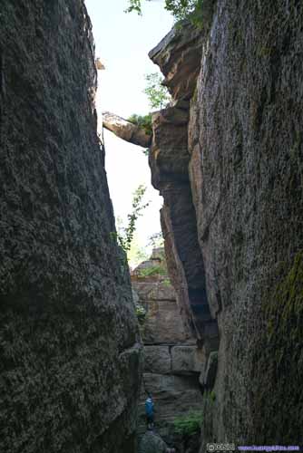
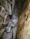
 PassageInto (left) and out of (right) the first cave, which had no ice in it.
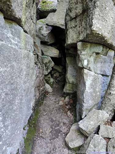
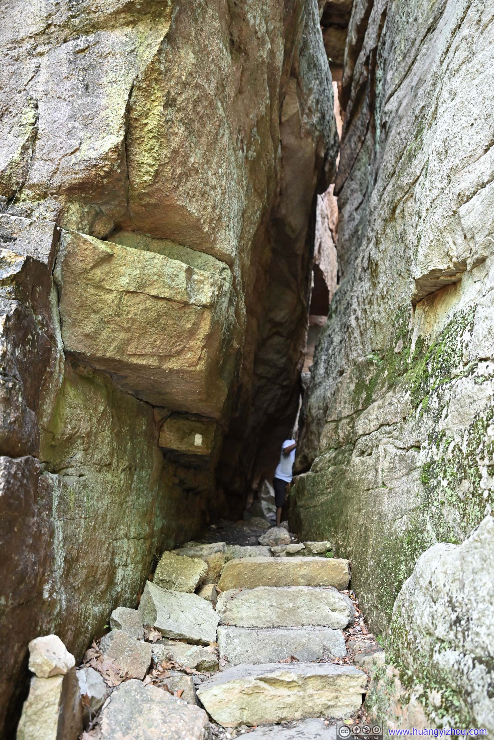
 Entrance and Exit of Second CaveA very narrow passage for the exit.
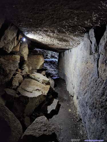
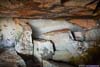
 Second CaveA bit disappointed that there wasn’t any ice here.
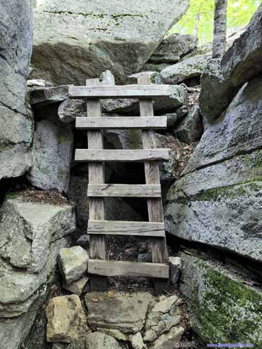
 Path between Caves
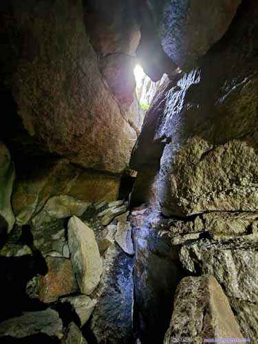
 Opening and Passage in Third Cave
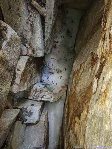
 Ice in Third Cave
 Ice in Third Cave
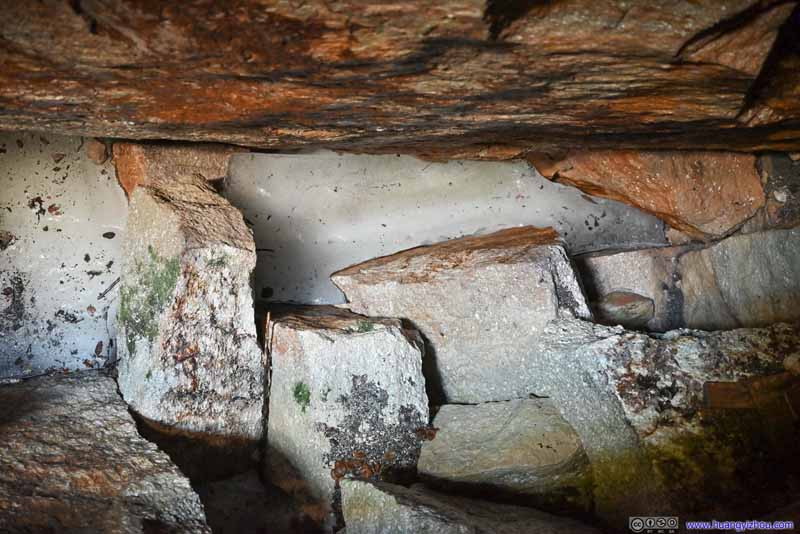 Ice in Third Cave


Click here to display photos of the slideshow

 Initial StairsPortions of these stairs were slippery, I bet it’s from the melted ice.

Balanced RockHanging high above the entrance of the first cave.
 PassageInto (left) and out of (right) the first cave, which had no ice in it.

 Entrance and Exit of Second CaveA very narrow passage for the exit.
 Second CaveA bit disappointed that there wasn’t any ice here.
 Path between Caves

 Opening and Passage in Third Cave

 Ice in Third Cave
Ice in Third Cave

Ice in Third Cave
After a series of ladders out of the chilly third ice cave, I was back in the light and in the hot summer air of New York state. Sounds of other visitors marveling at the caves were only meters beneath me, but it felt like two different worlds. I spent a few minutes at the exit of the ice cave, gathering myself while enjoying the views of distant plains.
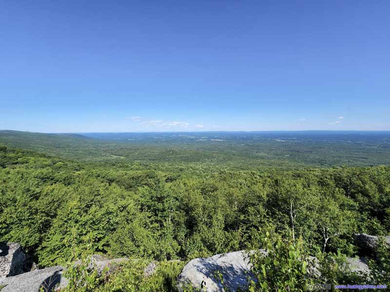 Overlooking Plains
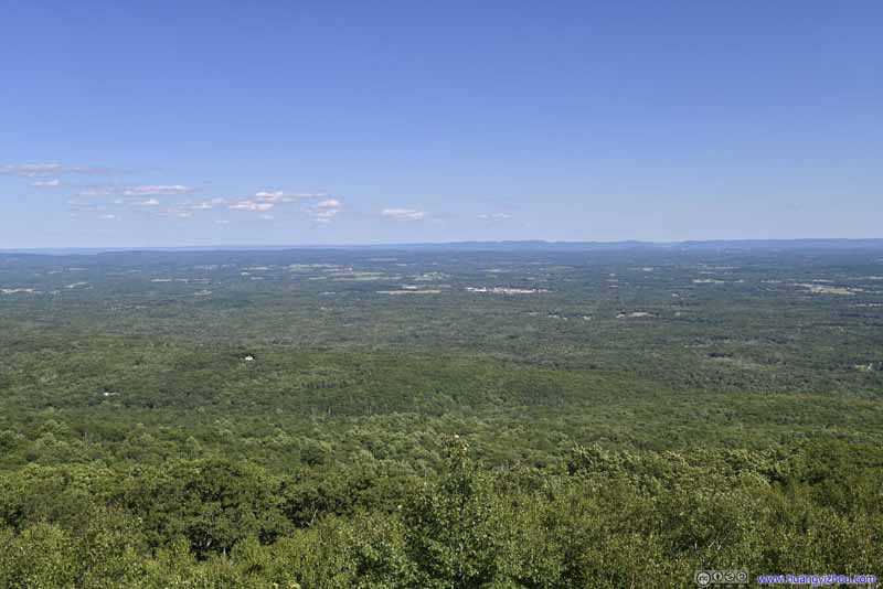 Overlooking Plains
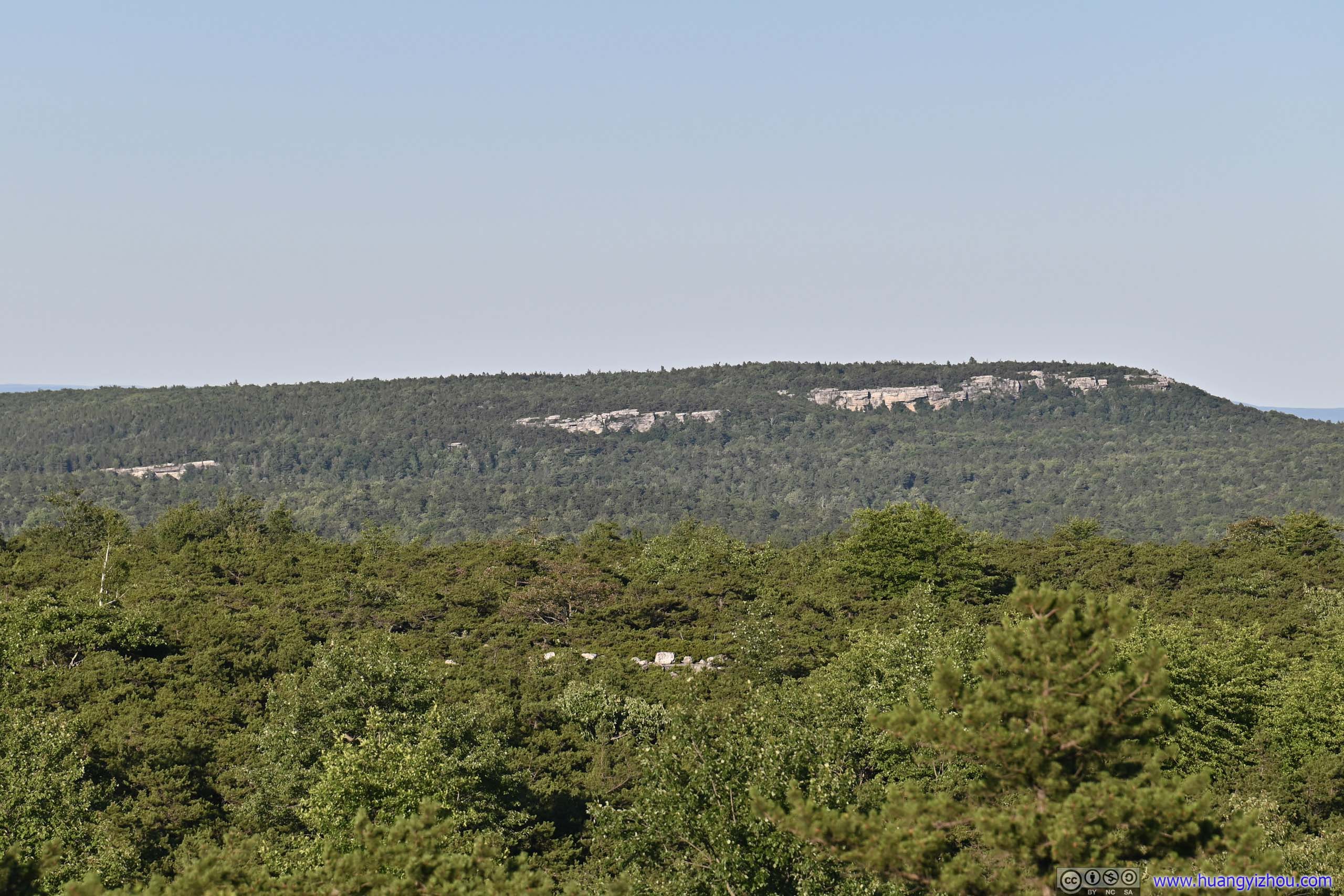
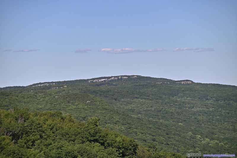 Castle Point and Hamilton PointAfter coming out of the ice cave these cliffs felt closer.
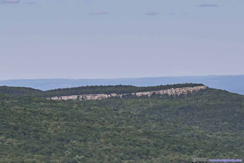 Gertrude’s NoseAfter coming out of the ice cave these cliffs felt closer.
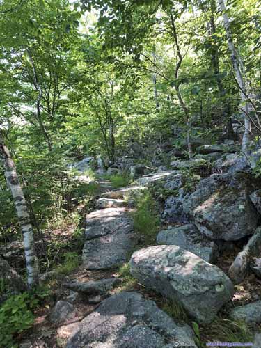
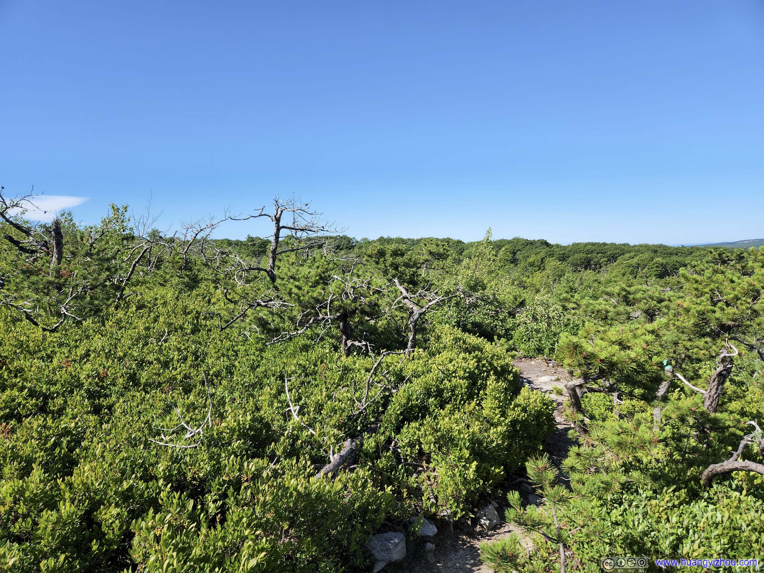
 Trail from Ice CaveA small section in the woods.
Click here to display photos of the slideshow

Overlooking Plains
Overlooking Plains
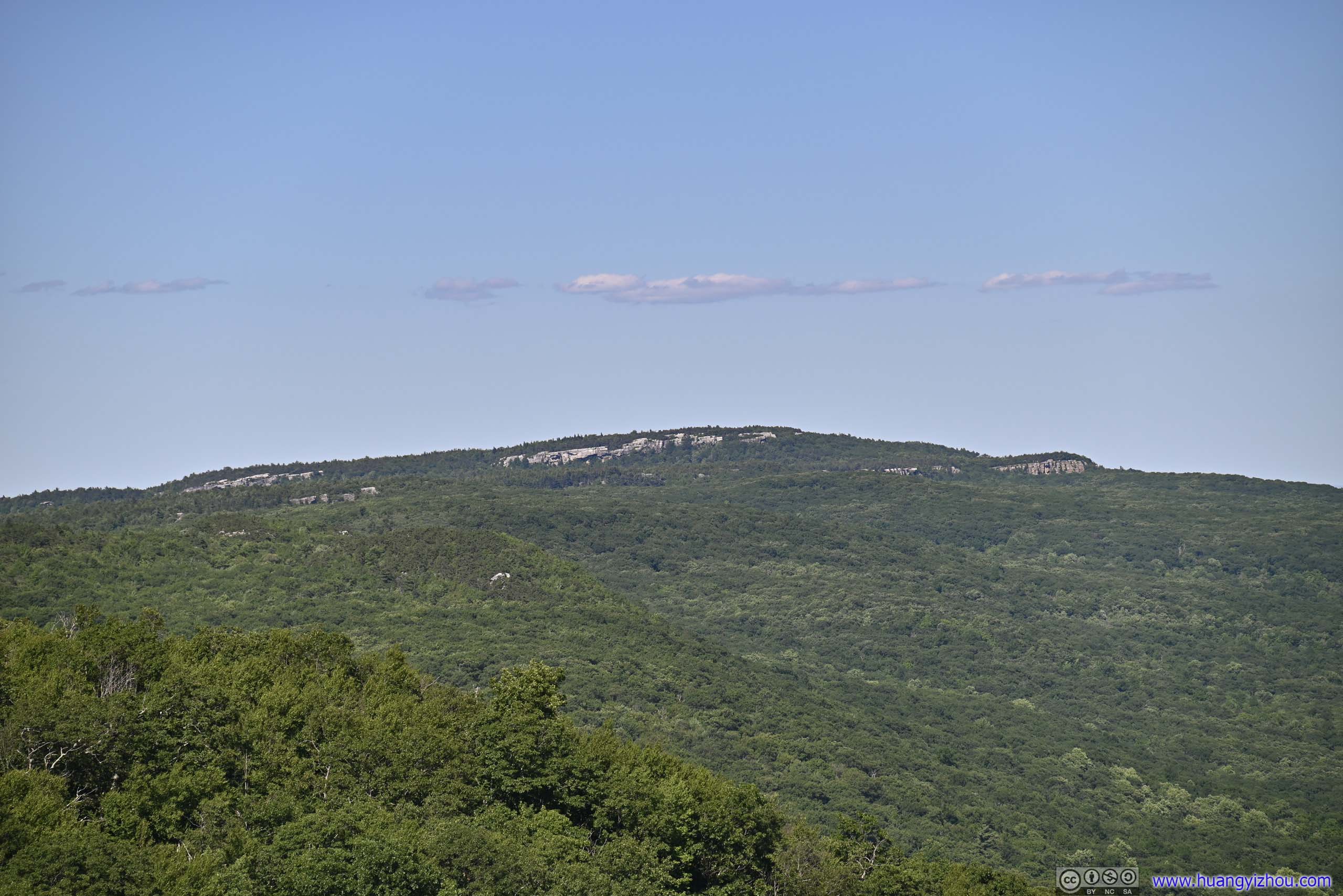
Castle Point and Hamilton PointAfter coming out of the ice cave these cliffs felt closer.
Gertrude’s NoseAfter coming out of the ice cave these cliffs felt closer.
 Trail from Ice CaveA small section in the woods.
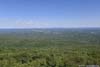
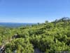
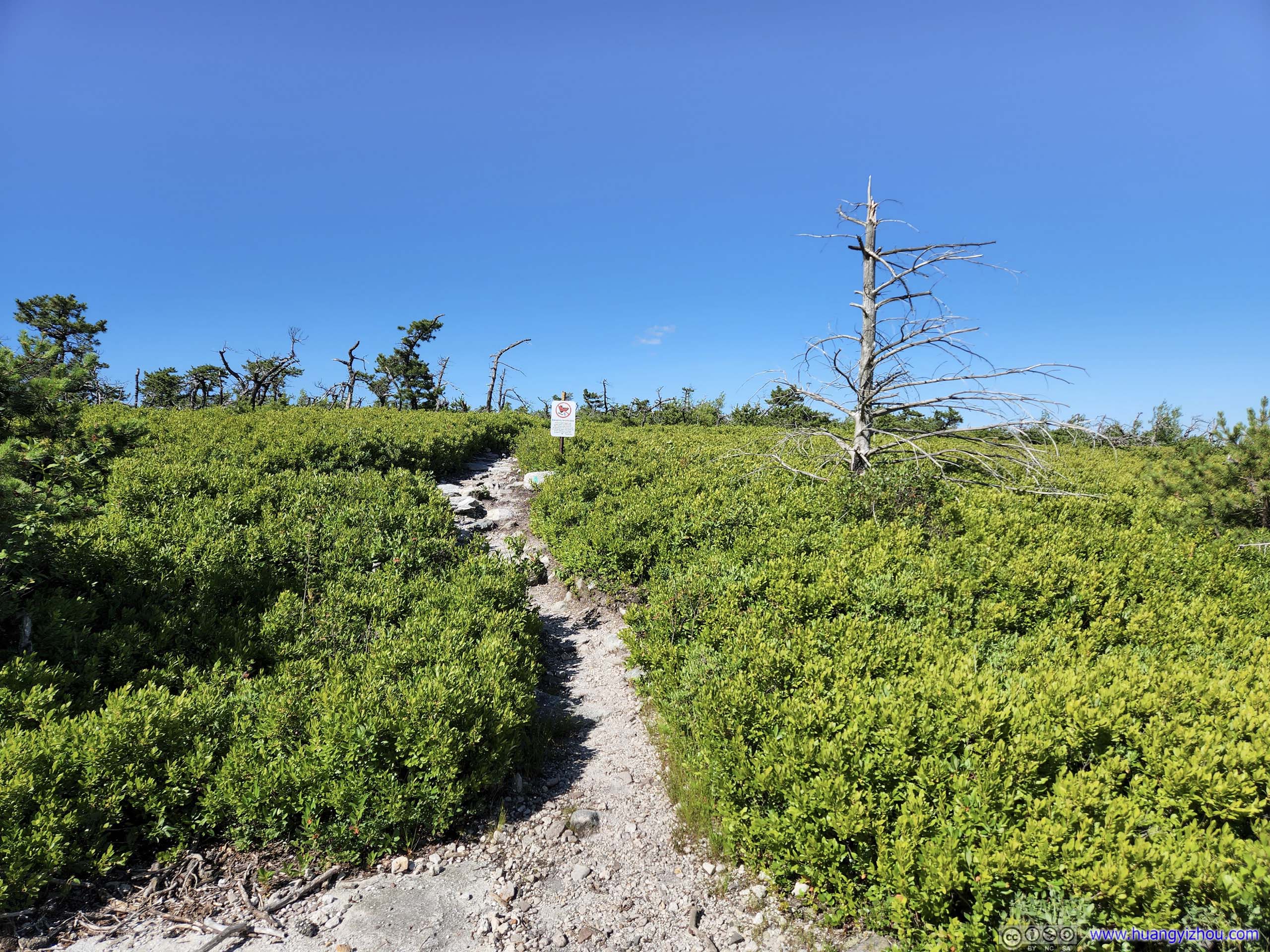
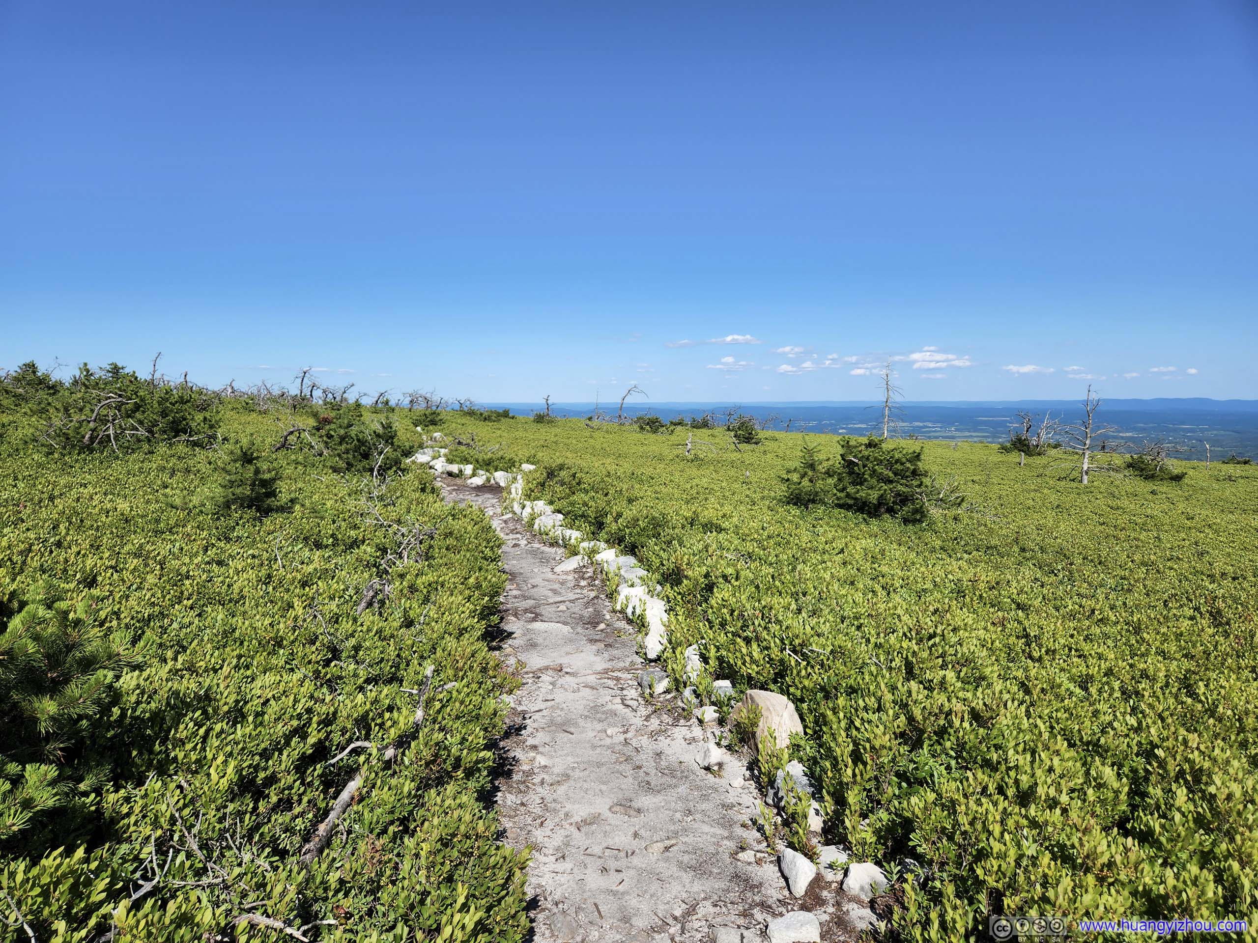
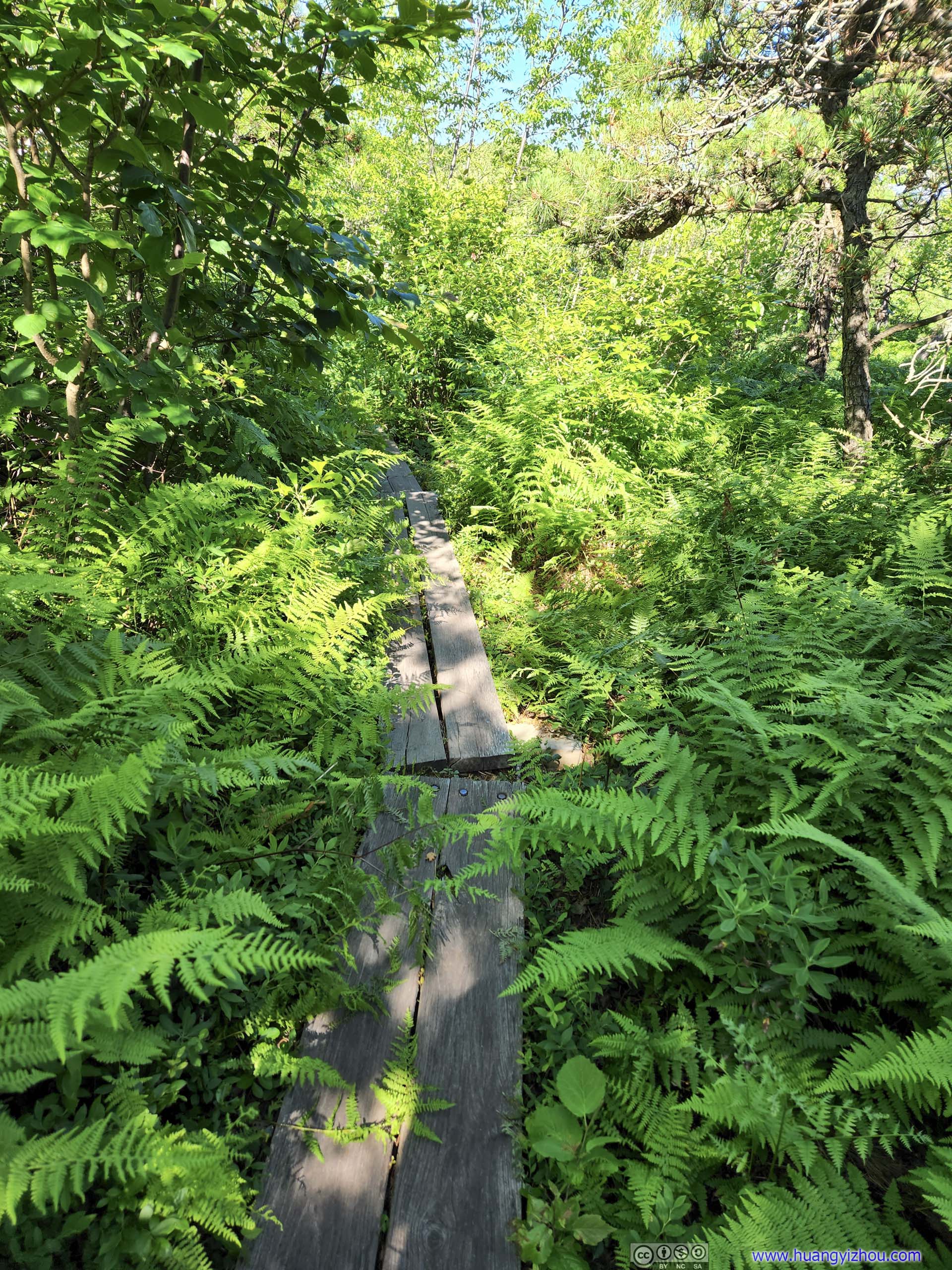
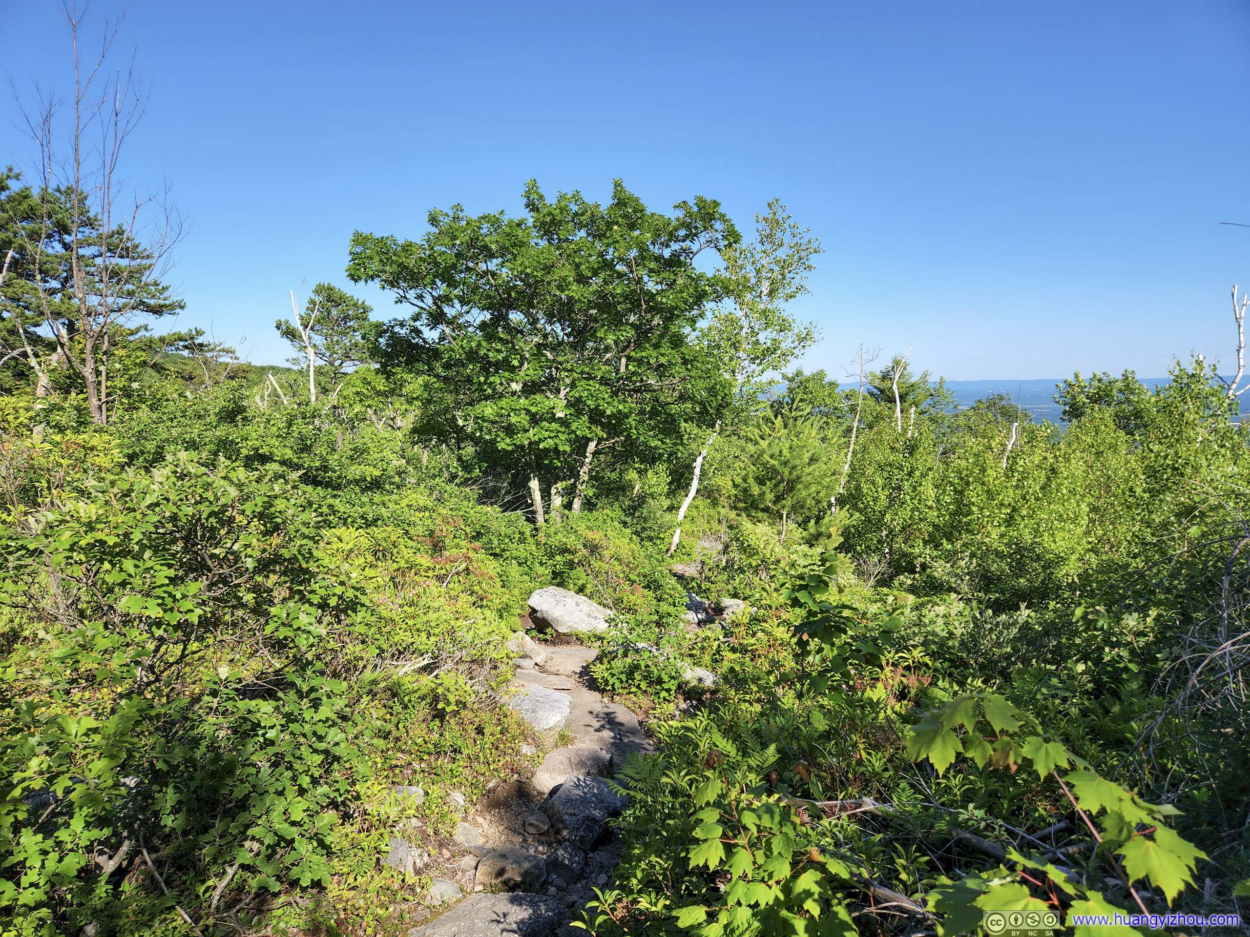
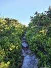
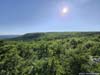
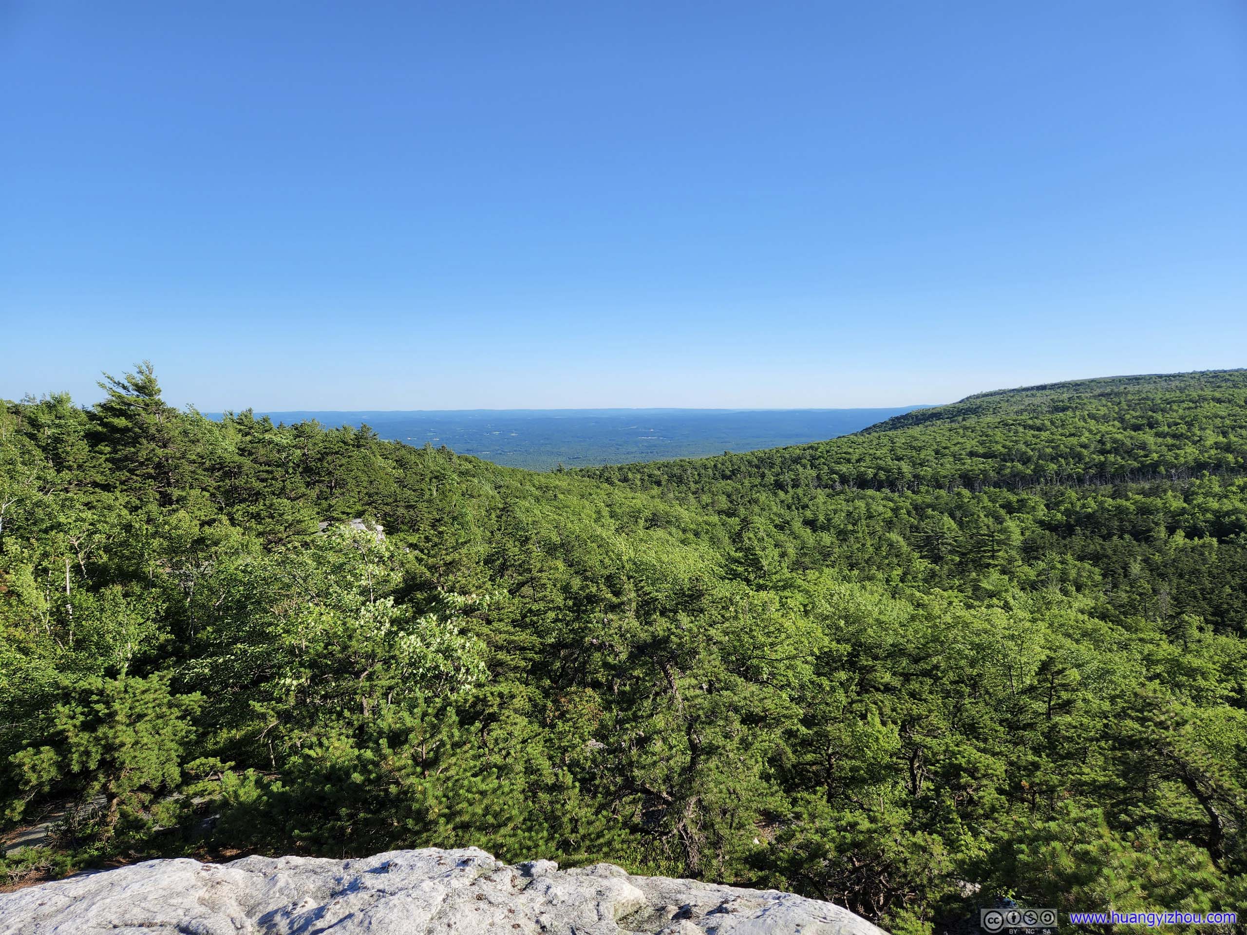
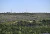
After that, I headed onto Verkeerderkill Falls Trail, about 2.7km between the gravel road and Verkeerderkill Falls. The trail began among shallow bushes, meaning I got great views of the extensive farmlands to the east, bordered by mountains along the Hudson River. This is a stark contrast to most of my hikes in the Blue Ridge Mountains, which usually took place in dense forests and the only view was towards the end, but here I could enjoy the views constantly, and I was greatly satisfied by that.
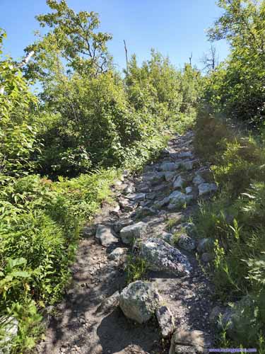
 Start of Verkeerderkill Falls TrailCompared with the previous gravel road, this trail was much narrower.
 Verkeerderkill Falls Trail
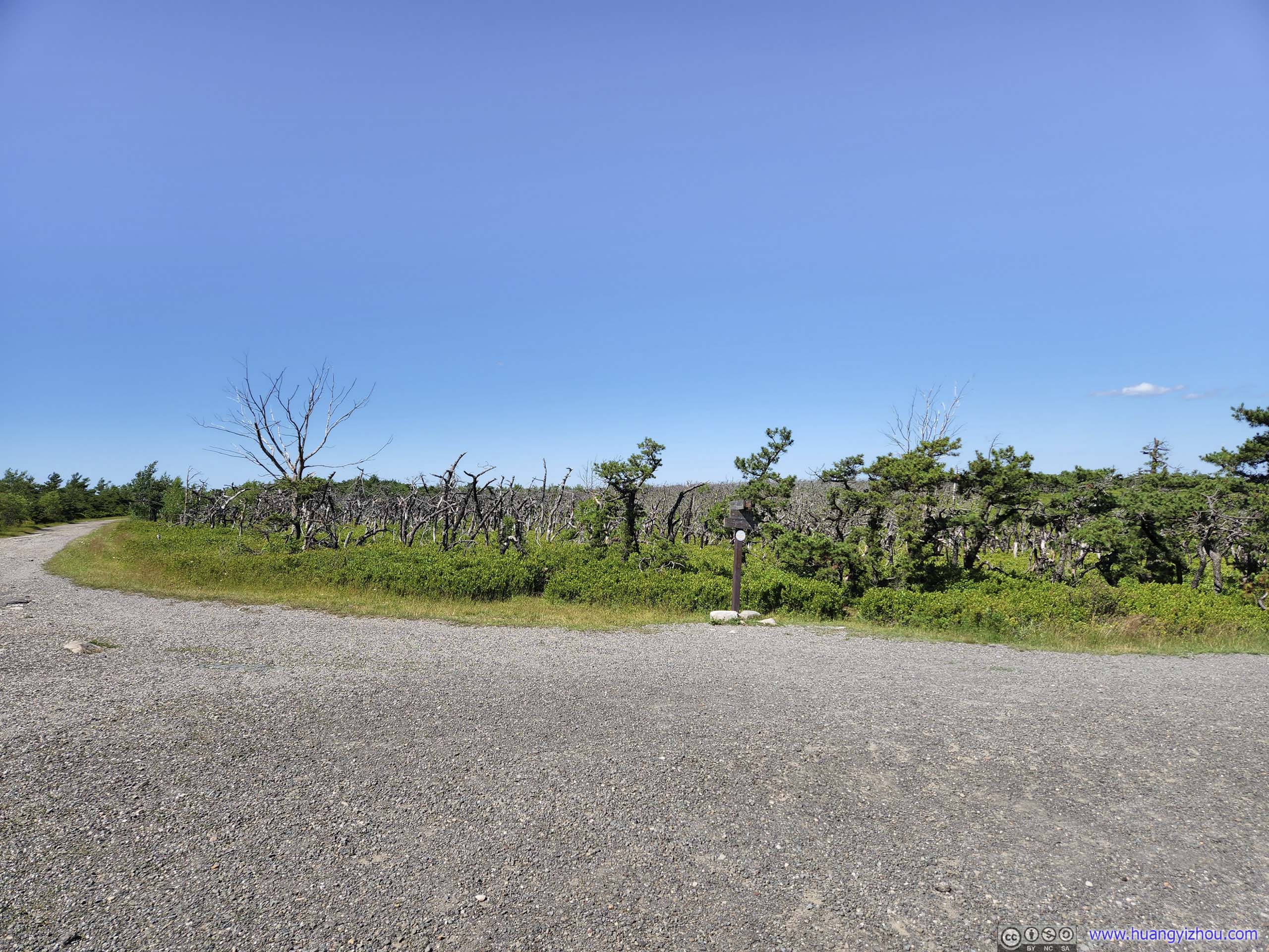
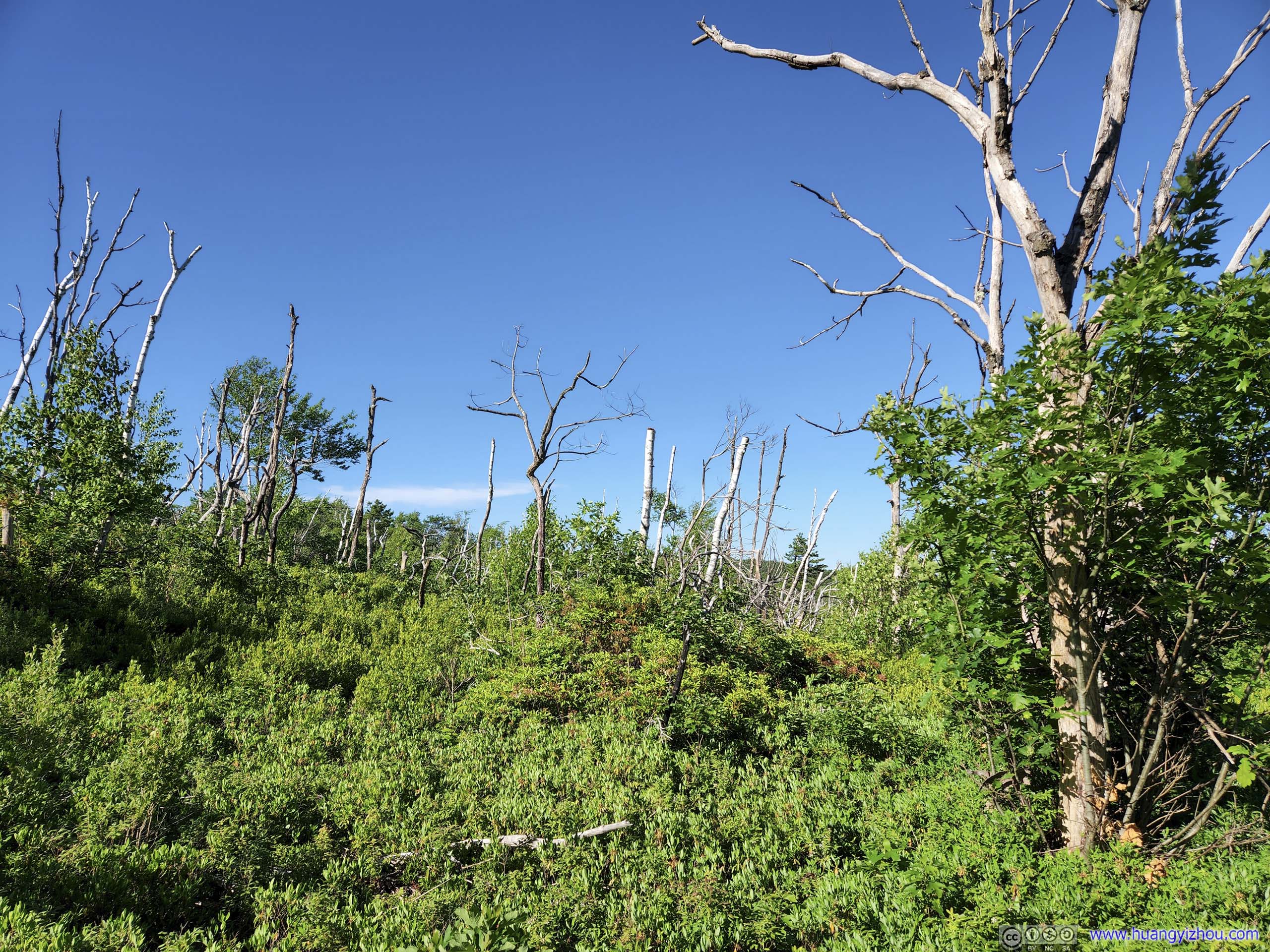
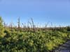
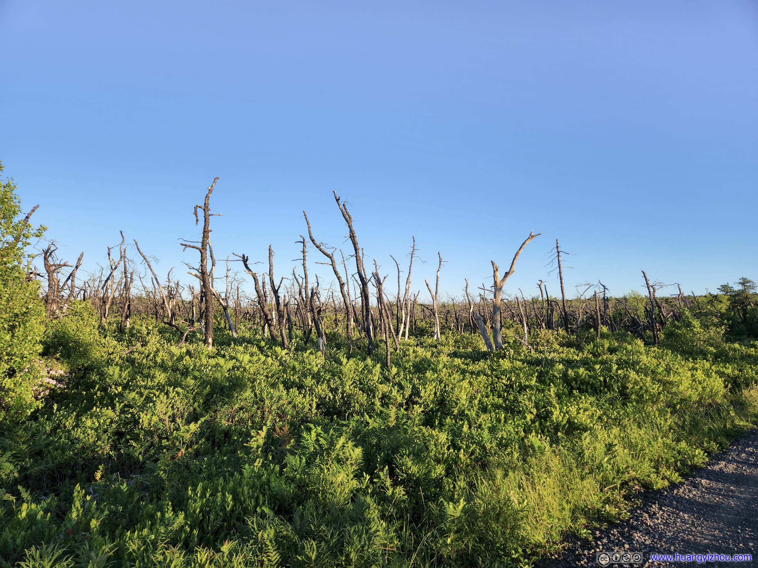
The beginning of the trail was carved out from shallow bushes, with dead trunks scattered around, which I guessed was due to fire some time ago.
Verkeerderkill Falls Trail
The beginning of the trail was carved out from shallow bushes, with dead trunks scattered around, which I guessed was due to fire some time ago.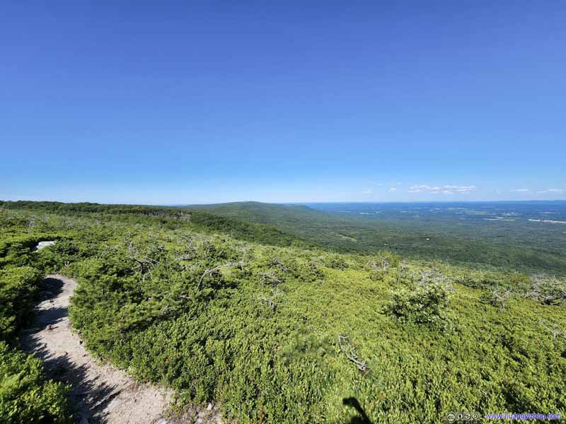 Verkeerderkill Falls TrailThe shallow bushes meant I enjoyed pleasing views along this section of the trail.
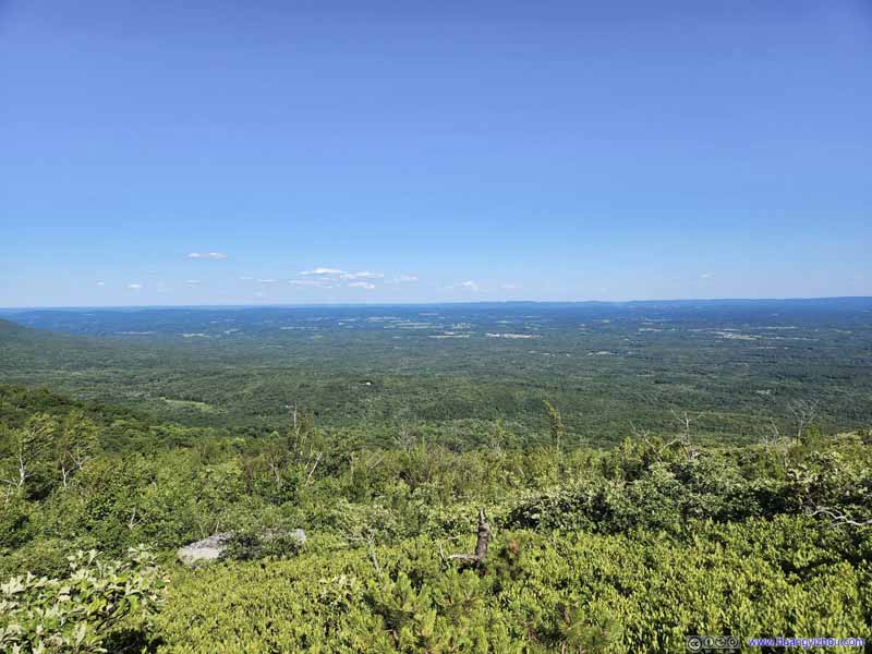 Overlooking PlainsGreat visibility this afternoon with pleasant views.
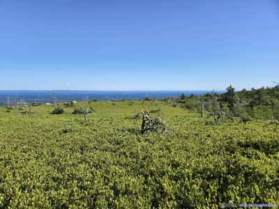
 Verkeerderkill Falls Trail
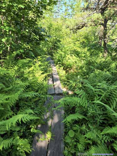
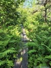
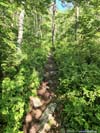
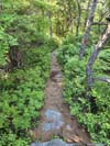
 Verkeerderkill Falls TrailThen the pleasant bushes ended, and the trail entered some varying landscape.
 Verkeerderkill Falls TrailA section with different undergrowth.
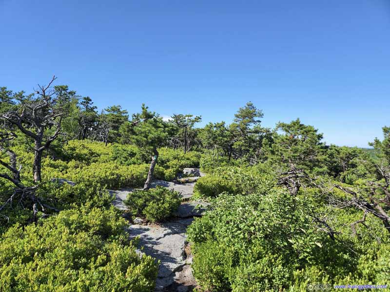 Verkeerderkill Falls TrailThen the trail surface started to get rockier.
 Verkeerderkill Falls TrailAnd the forests surrounding the trail would get dense.
 Forest around TrailSign that new trees were replacing the old.


Click here to display photos of the slideshow
Start of Verkeerderkill Falls TrailCompared with the previous gravel road, this trail was much narrower.
Verkeerderkill Falls Trail

Verkeerderkill Falls TrailThe shallow bushes meant I enjoyed pleasing views along this section of the trail.
Overlooking PlainsGreat visibility this afternoon with pleasant views.

 Verkeerderkill Falls Trail
 Verkeerderkill Falls TrailThen the pleasant bushes ended, and the trail entered some varying landscape.
Verkeerderkill Falls TrailA section with different undergrowth.
Verkeerderkill Falls TrailThen the trail surface started to get rockier.
Verkeerderkill Falls TrailAnd the forests surrounding the trail would get dense.
Forest around TrailSign that new trees were replacing the old.
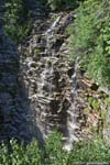
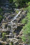
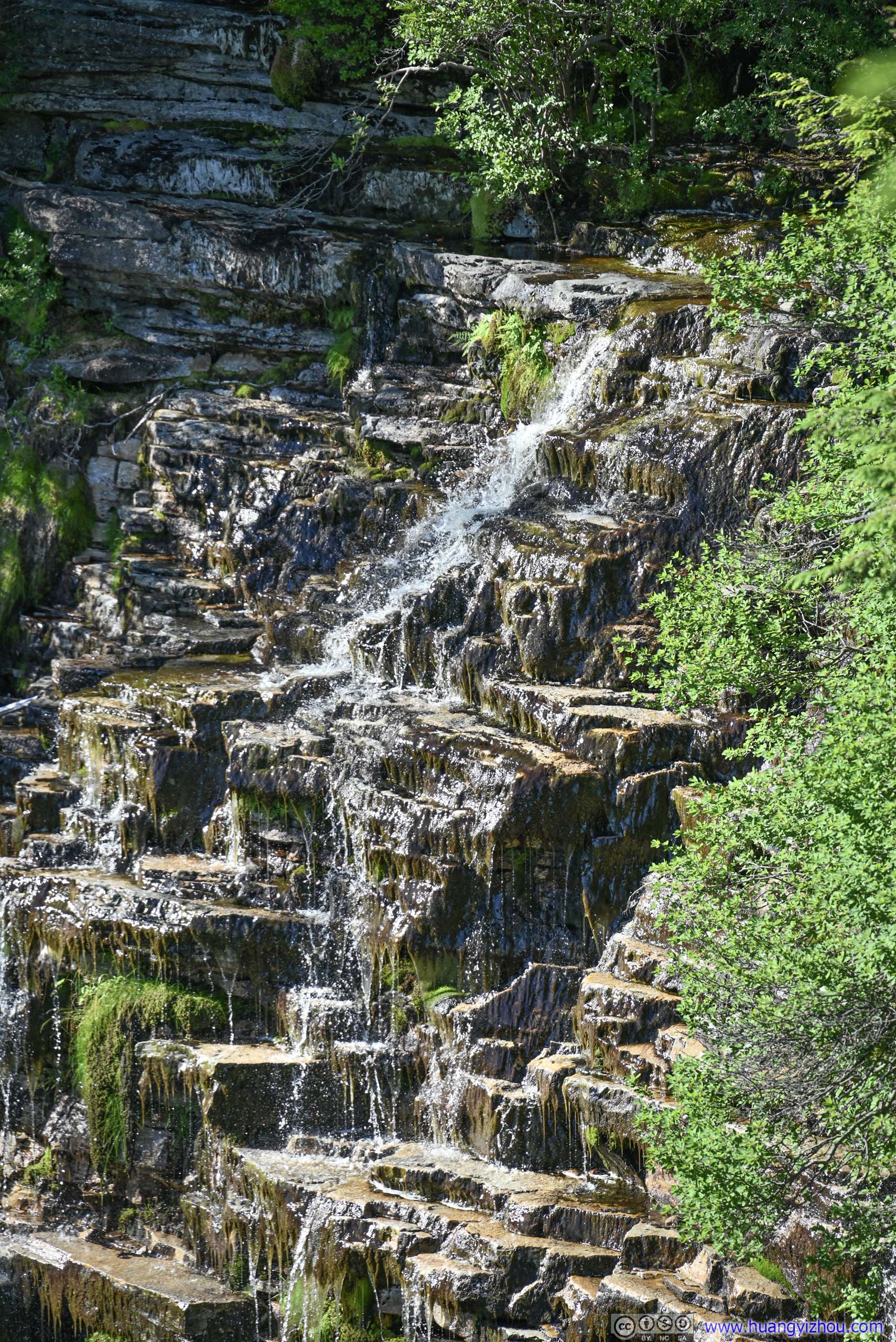
Verkeerderkill Falls
At about 5:30pm, I arrived at Verkeerderkill Falls. A bit to my surprise that a few groups of people set up picnic spots in the shade next to the waterfall. It’s a long way from the parking lot so that’s quite some endeavor just for a picnic.
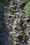
Crossing a small creek, there were two trail-side overlooks of Verkeerderkill Falls. The first one was closer to the falls, with views of its bottom; the second one slightly back had better views of its upper part.
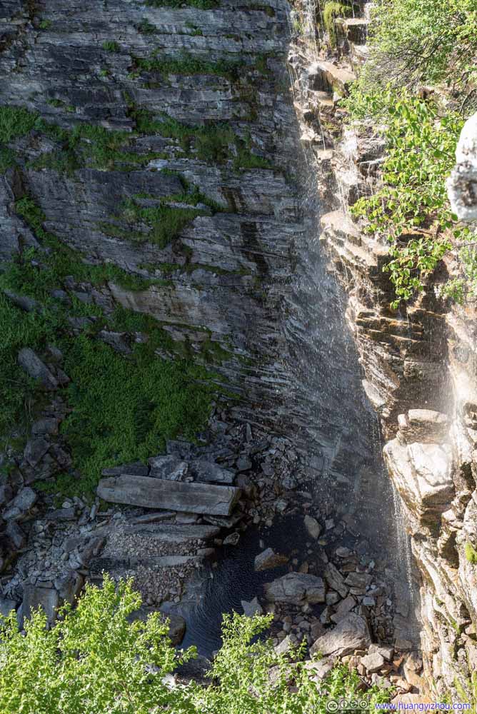 Verkeerderkill FallsFrom the first overlook where the bottom of the waterfall was visible.
 Verkeerderkill FallsFrom the first overlook where the bottom of the waterfall was visible.
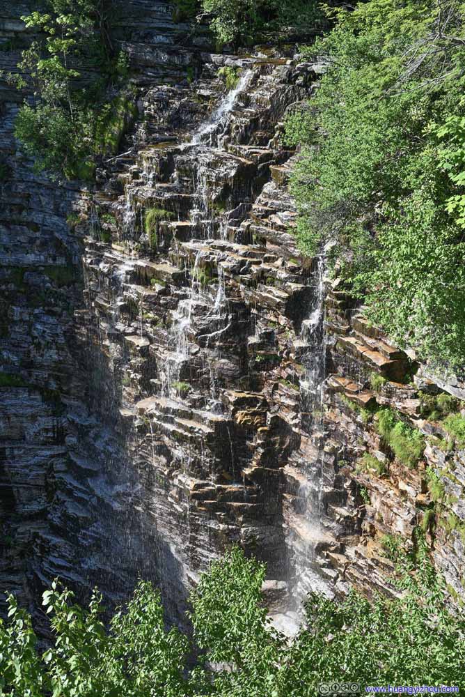 Verkeerderkill FallsFrom the second overlook, with better views of upper section of the waterfall, but not its bottom.
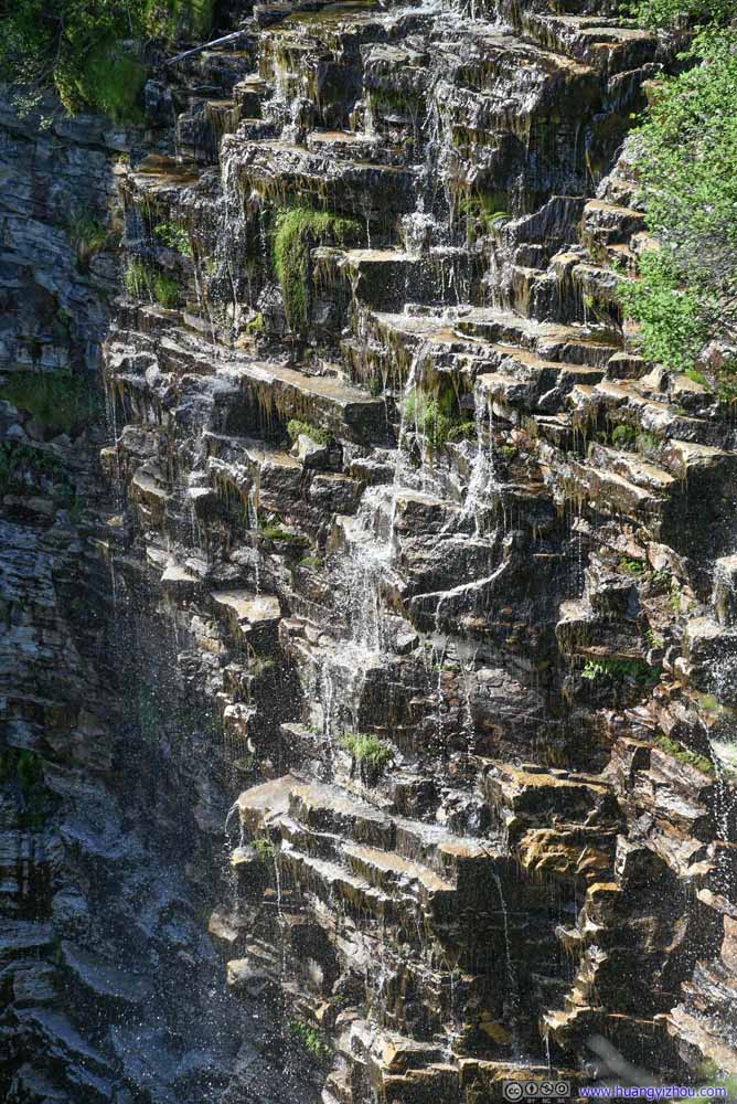 Verkeerderkill FallsFrom the second overlook, with better views of upper section of the waterfall, but not its bottom.
 Upper Part of Verkeerderkill FallsFrom the second overlook, with better views of upper section of the waterfall, but not its bottom.
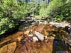
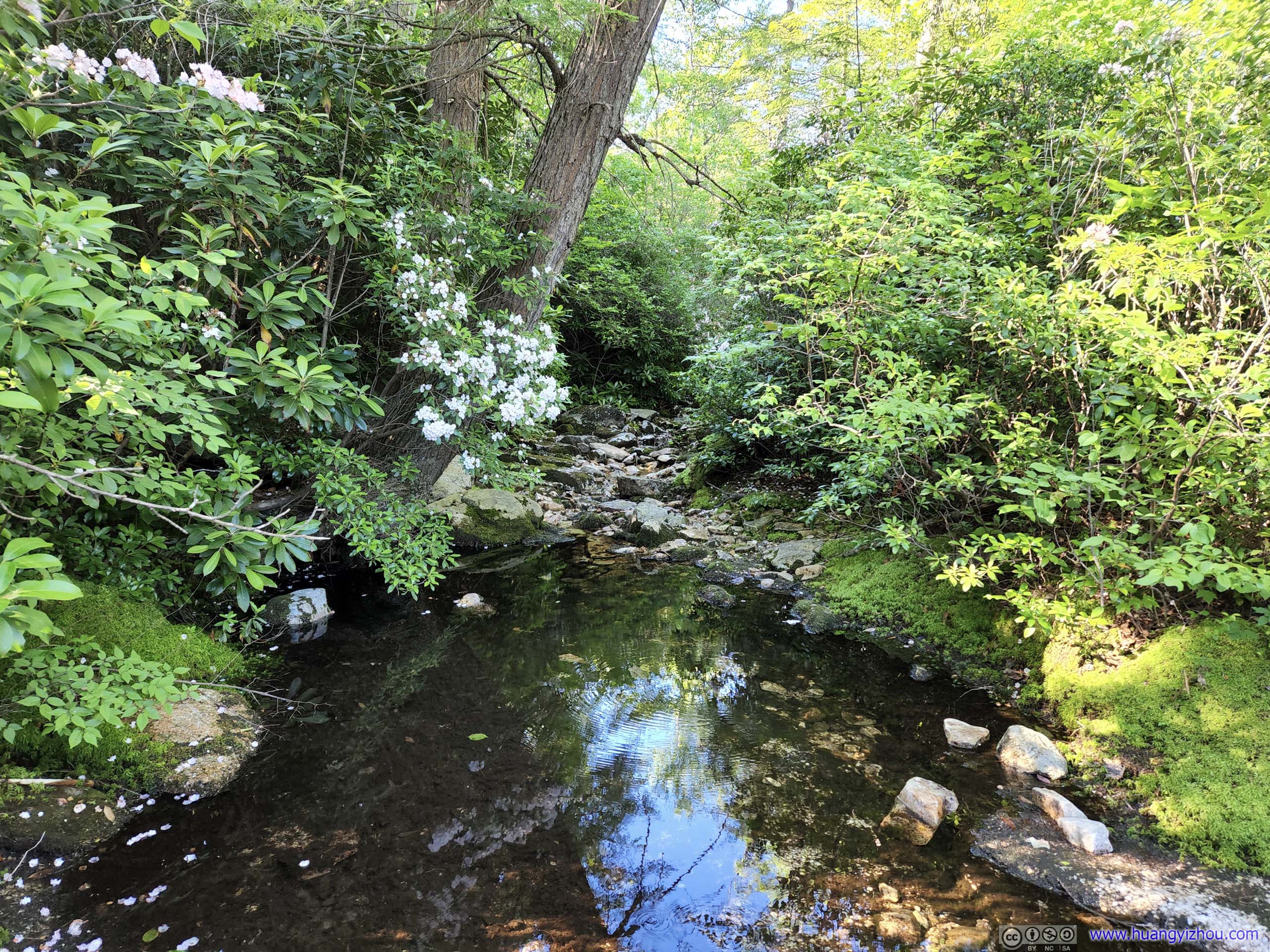
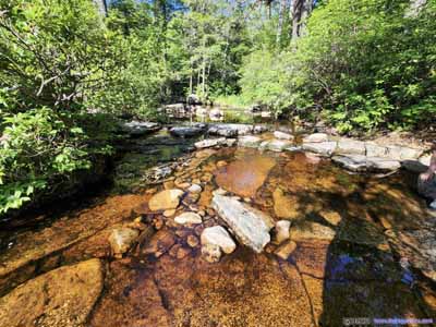 Creek
The one that created Verkeerderkill Falls. The trail made an inconspicuous crossing a short distance from the waterfall.
Creek
The one that created Verkeerderkill Falls. The trail made an inconspicuous crossing a short distance from the waterfall.
Click here to display photos of the slideshow

Verkeerderkill FallsFrom the first overlook where the bottom of the waterfall was visible.
Verkeerderkill FallsFrom the first overlook where the bottom of the waterfall was visible.

Verkeerderkill FallsFrom the second overlook, with better views of upper section of the waterfall, but not its bottom.

Verkeerderkill FallsFrom the second overlook, with better views of upper section of the waterfall, but not its bottom.
Upper Part of Verkeerderkill FallsFrom the second overlook, with better views of upper section of the waterfall, but not its bottom.
 Creek
Creek
I left Verkeerderkill Falls at around 5:45pm. 500m later, the trail reached a well-marked intersection, where I took a left turn and continued the loop.
 Continuing on Verkeerderkill Falls Trail
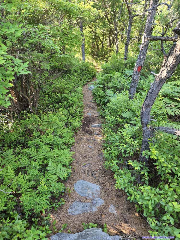 High Point Trail
Where the blaze color changed to red. It’s imperative to keep an eye on the blaze as otherwise it’s very easy to get lost along High Point Trail.
High Point Trail
Where the blaze color changed to red. It’s imperative to keep an eye on the blaze as otherwise it’s very easy to get lost along High Point Trail. High Point Trail
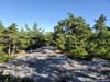
Portions of the trail followed the outer counter of some cliff/boulders. They didn’t feel scary at all to me, in fact I liked the views they offered.
High Point Trail
Portions of the trail followed the outer counter of some cliff/boulders. They didn’t feel scary at all to me, in fact I liked the views they offered. High Point Trail
It took minimal rock scrambling at certain places along the trail. To me they involved minimal use of hands, and turned out to be a great exercise for my adventurous mind.
High Point Trail
It took minimal rock scrambling at certain places along the trail. To me they involved minimal use of hands, and turned out to be a great exercise for my adventurous mind. High Point TrailThe trail moved away from the cliff for the latter half of High Point Trail.
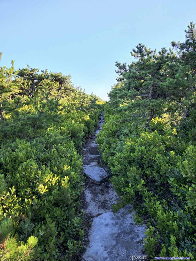 High Point Trail
The latter half of High Point Trail was getting narrower, with no views, nor worries of falling down the cliff.
High Point Trail
The latter half of High Point Trail was getting narrower, with no views, nor worries of falling down the cliff. High Point Trail
Leaving High Point, the trail got a bit wider as it went on a steep descent down to the carriage road.
High Point Trail
Leaving High Point, the trail got a bit wider as it went on a steep descent down to the carriage road.
Click here to display photos of the slideshow

Continuing on Verkeerderkill Falls Trail

High Point Trail
High Point Trail
High Point Trail

High Point Trail

High Point TrailThe trail moved away from the cliff for the latter half of High Point Trail.

High Point Trail

High Point Trail
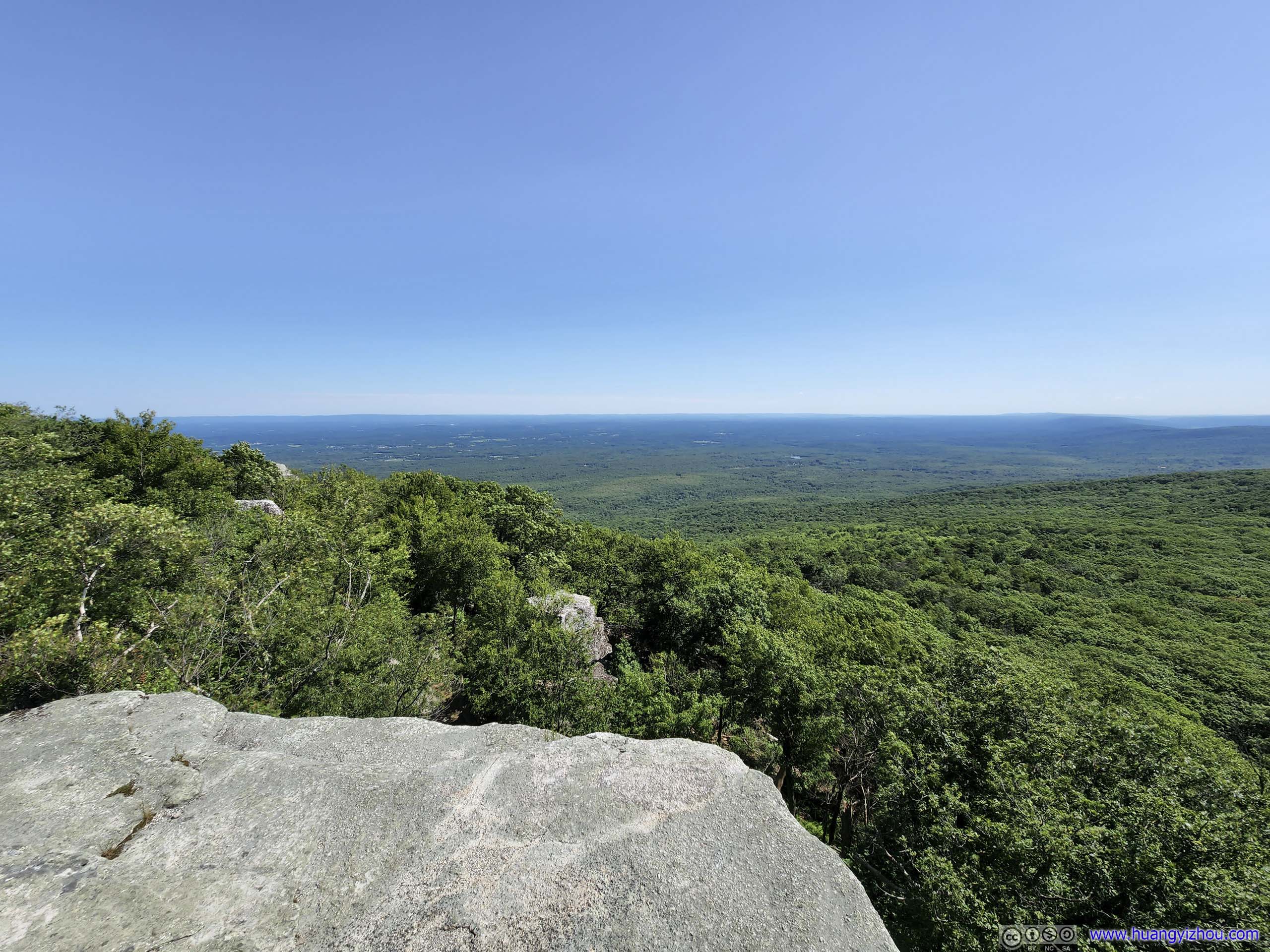
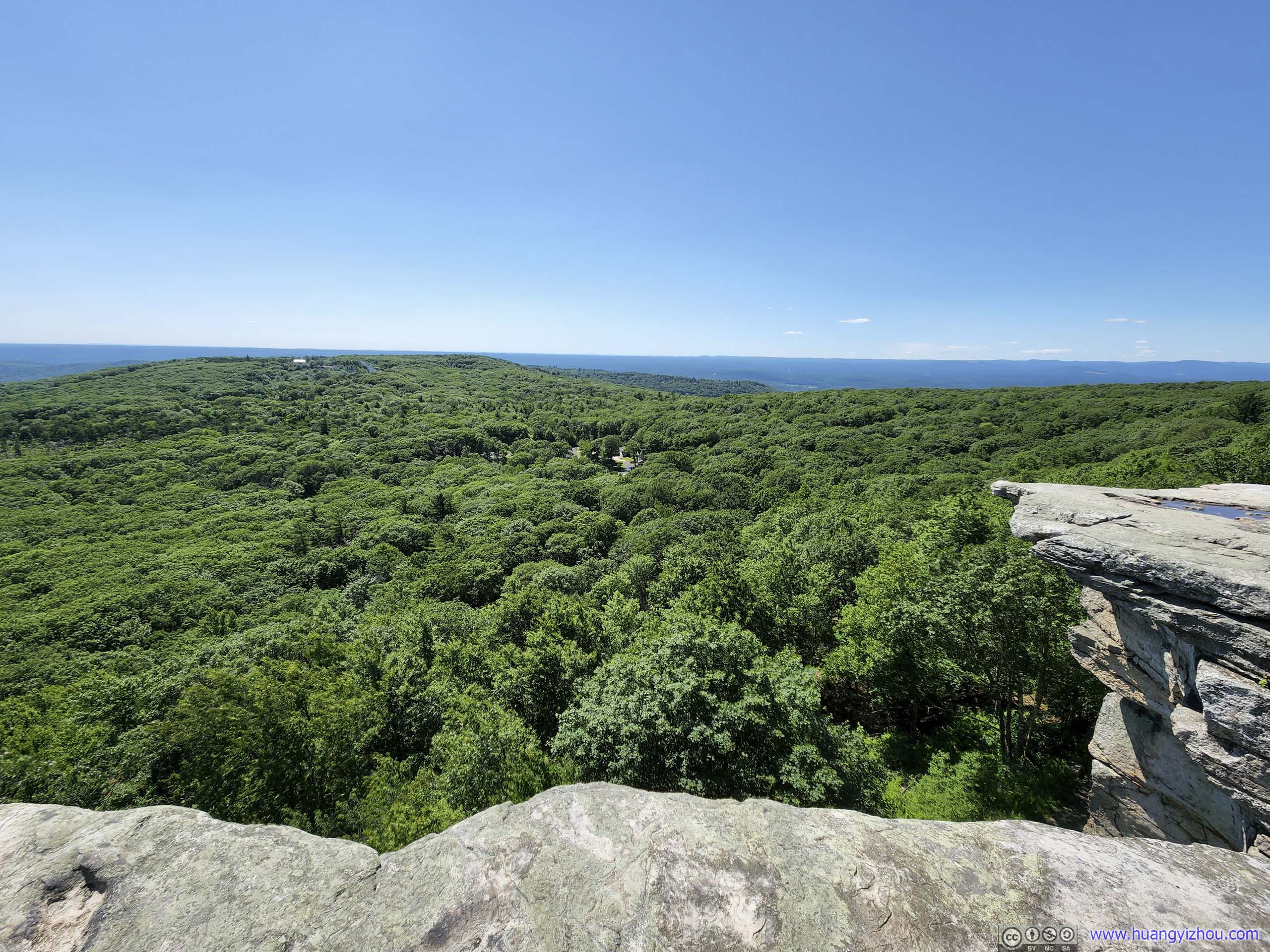
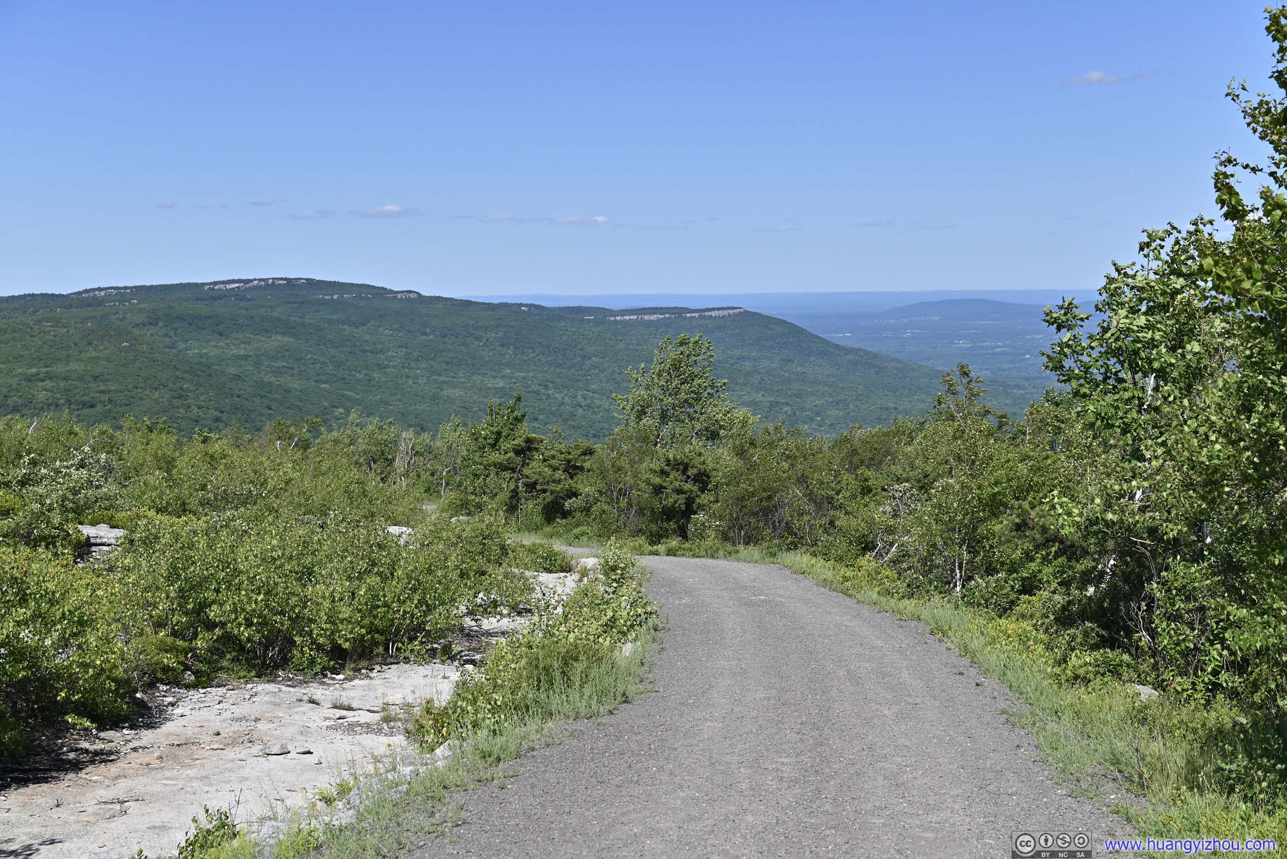
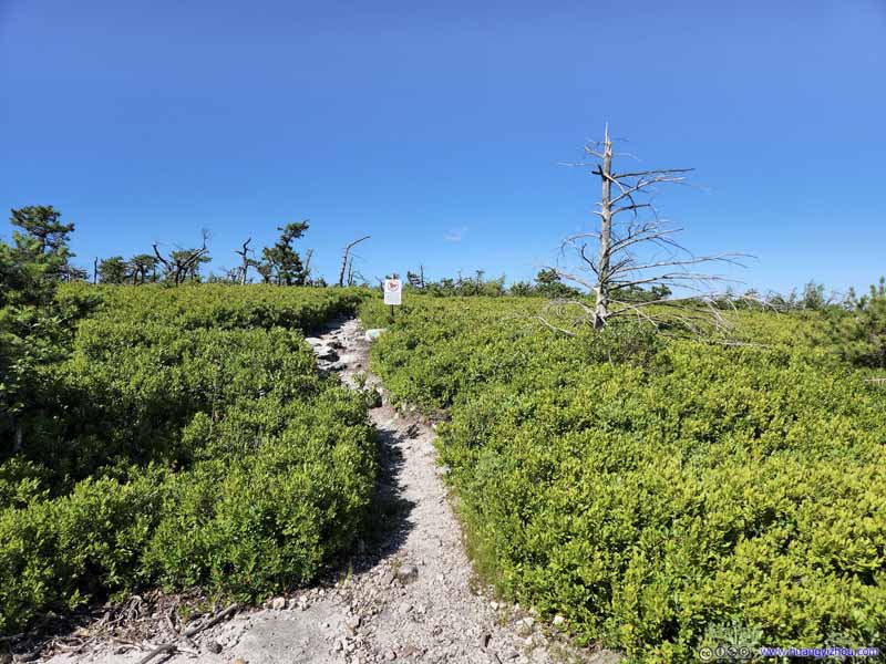
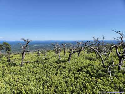
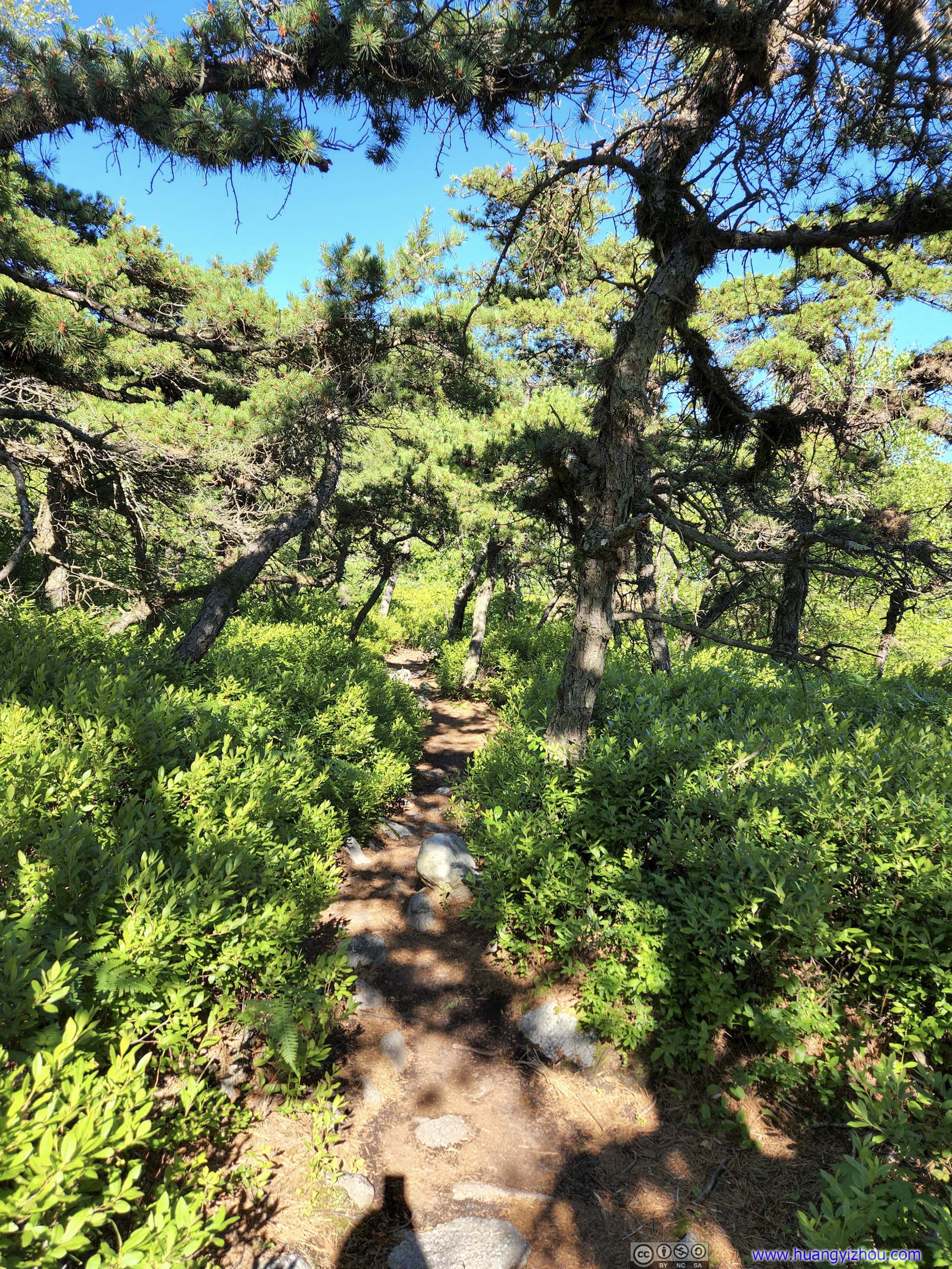
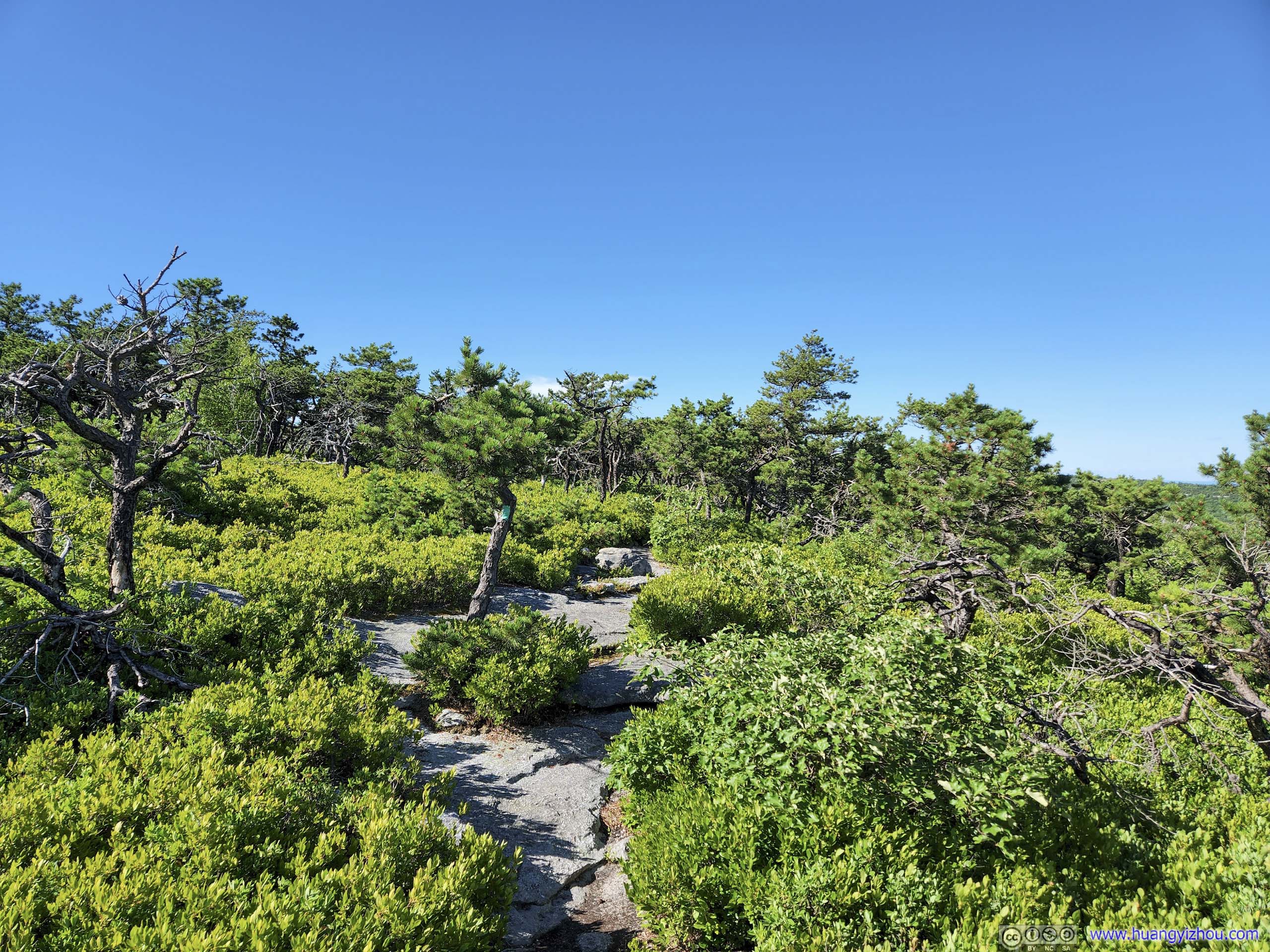
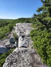
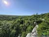
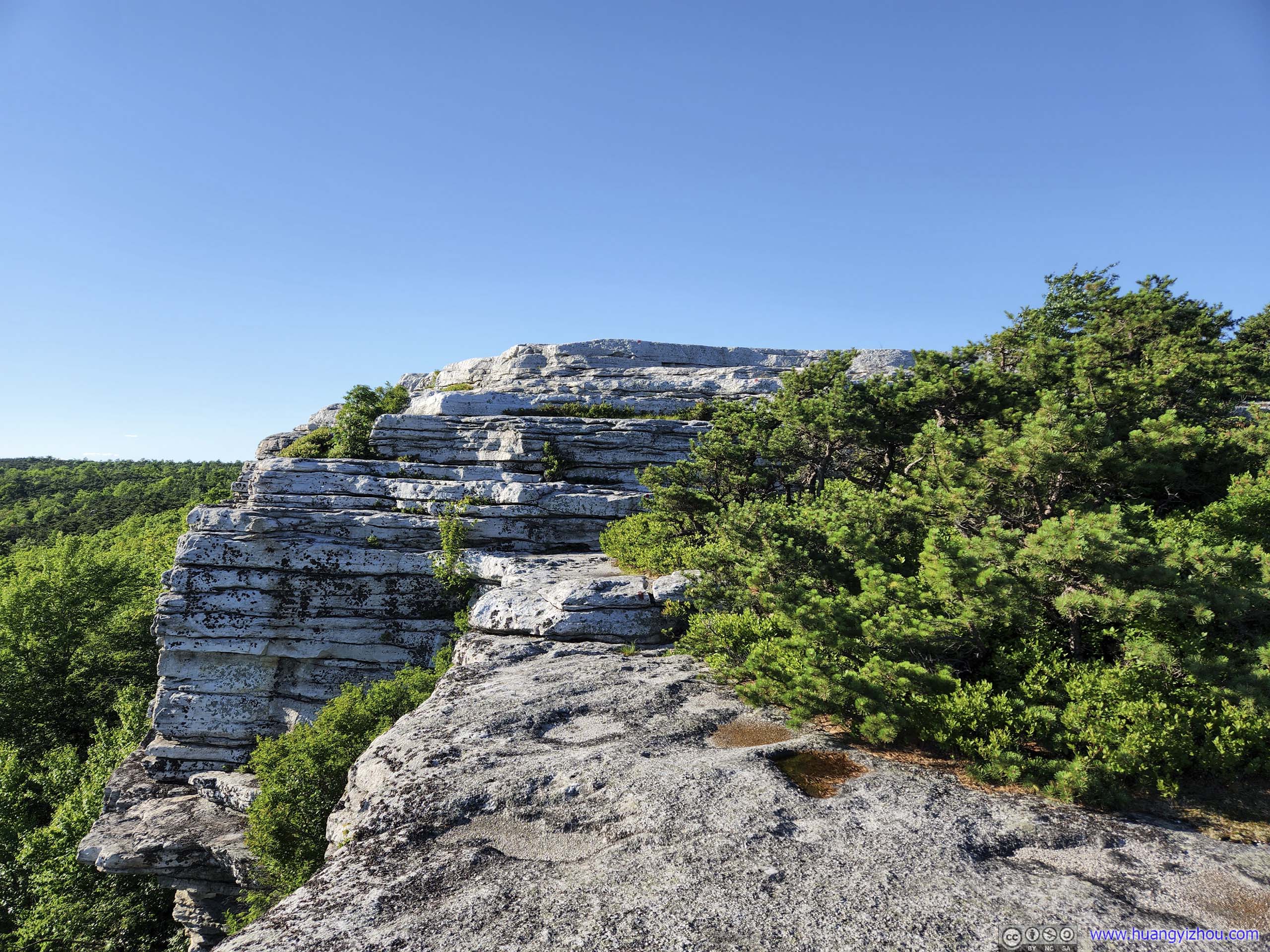
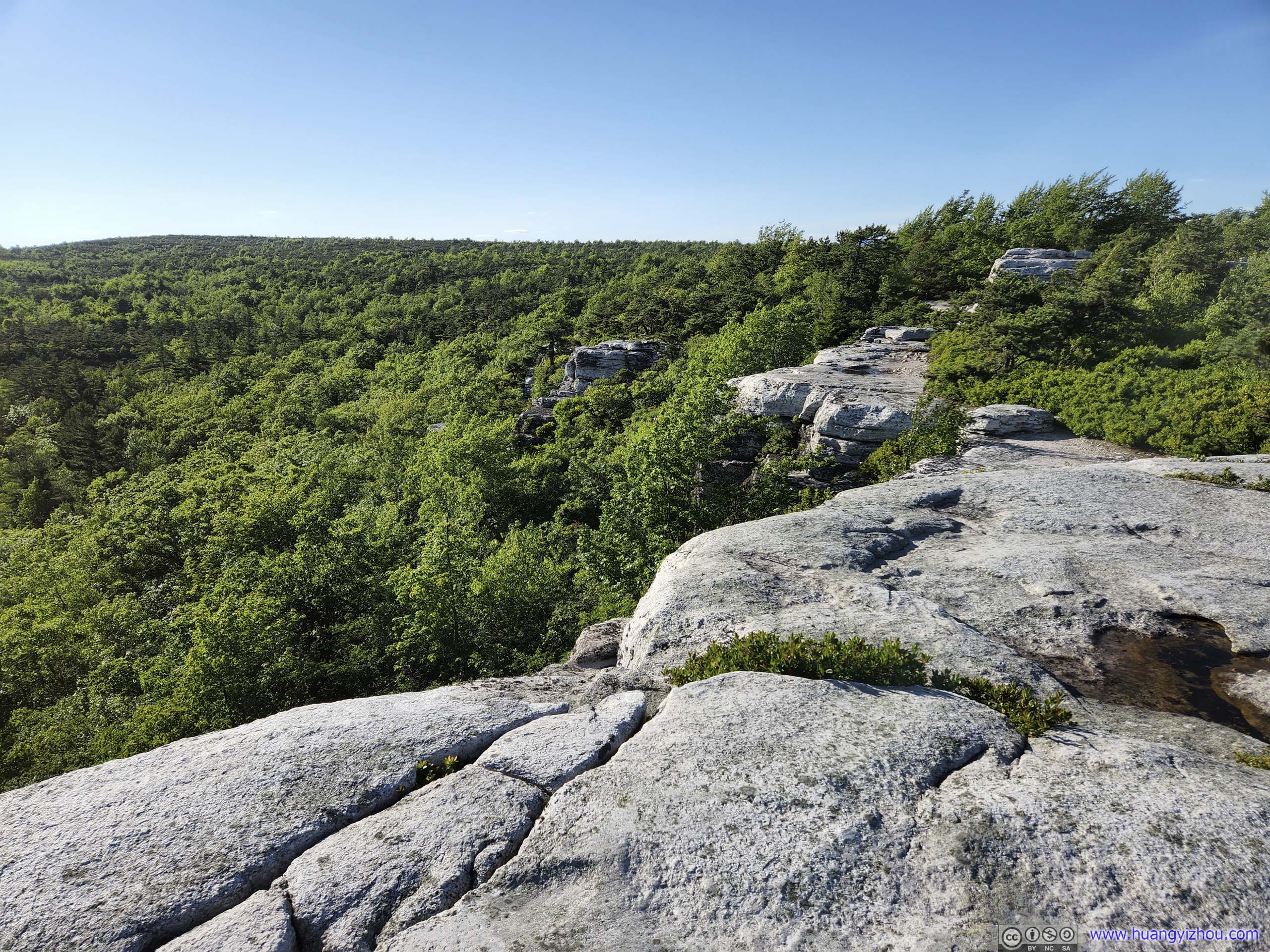
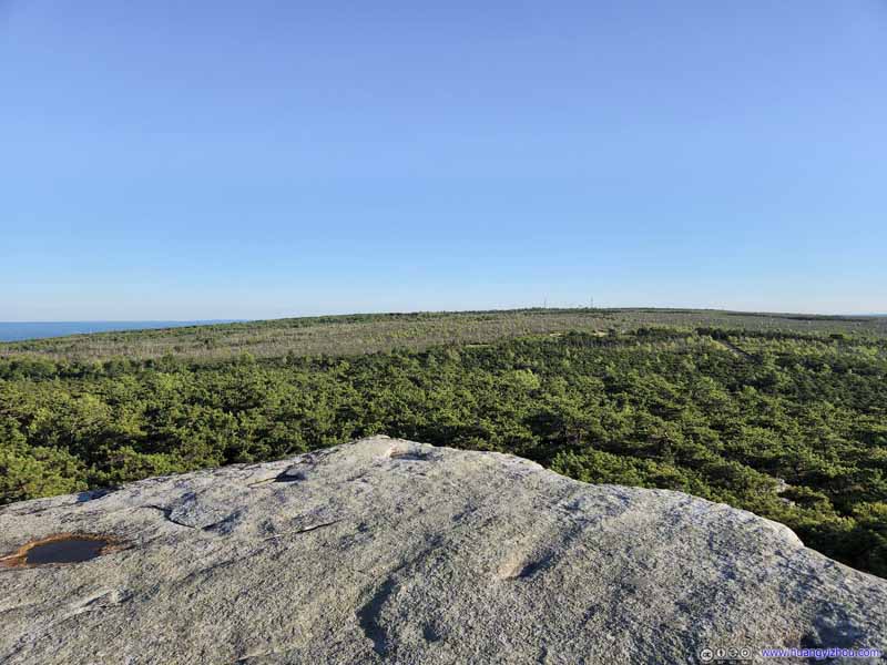
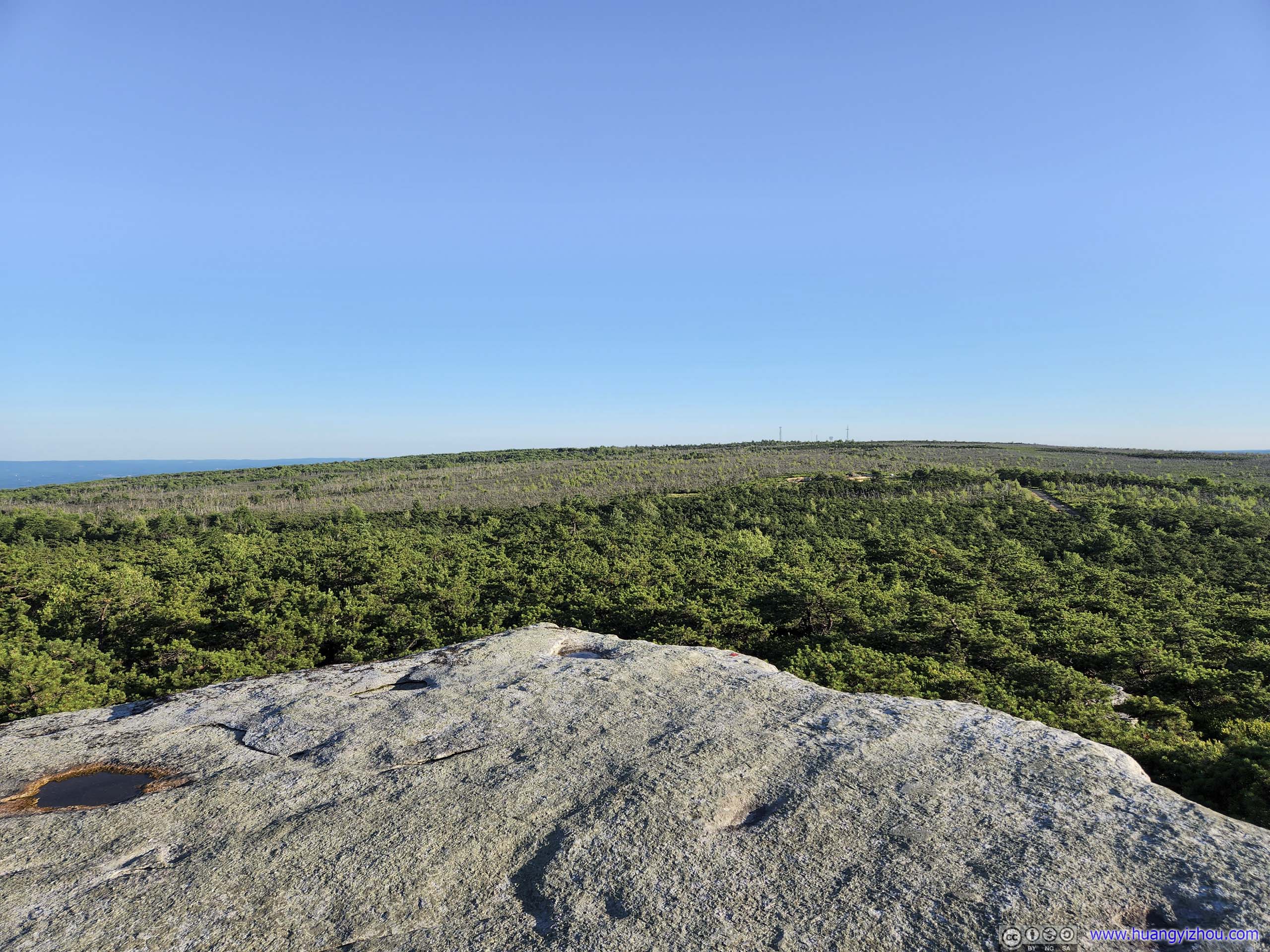
From the intersection it’s 3.1km to High Point (plus an additional 0.7km to the carriage road). I quite enjoyed this part of the trail as it navigated through bushes and short trees but stayed mostly on rocks. The minimal scrambling (actually, I could do them hands-free) was rather gratifying to me, and considerable portions of the trial were along some boulders/cliffs, meaning they again offered great views of the forests to the south.
 High Point TrailThe initial part of High Point Trail offered great views along boulders/cliffs.
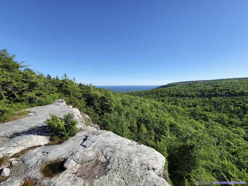 High Point TrailThe initial part of High Point Trail offered great views along boulders/cliffs.
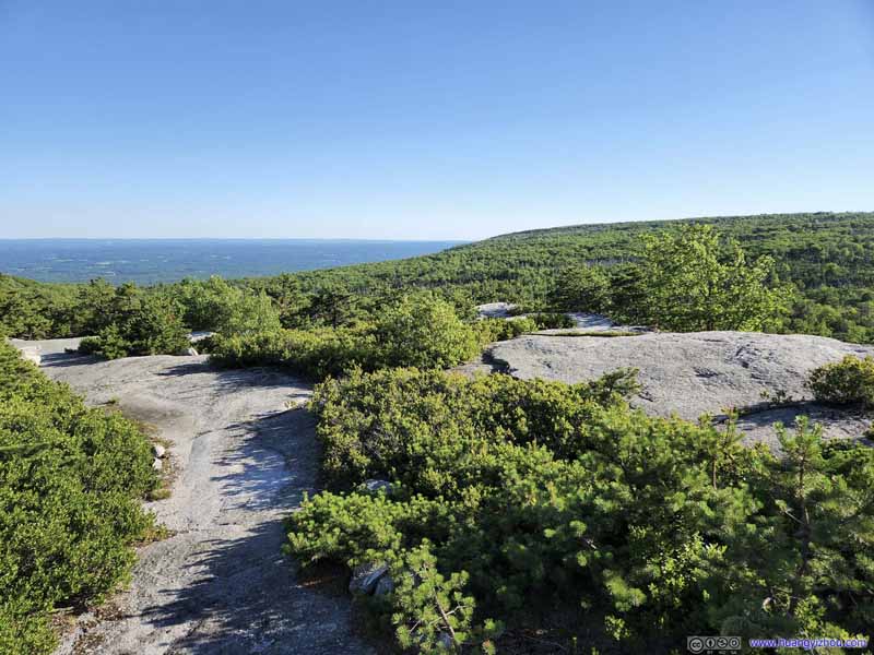 High Point TrailThe initial part of High Point Trail offered great views along boulders/cliffs.
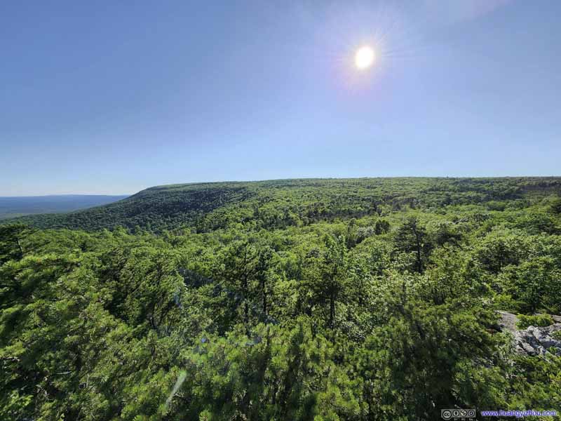 ForestsTowards the direction of Sam’s Point.
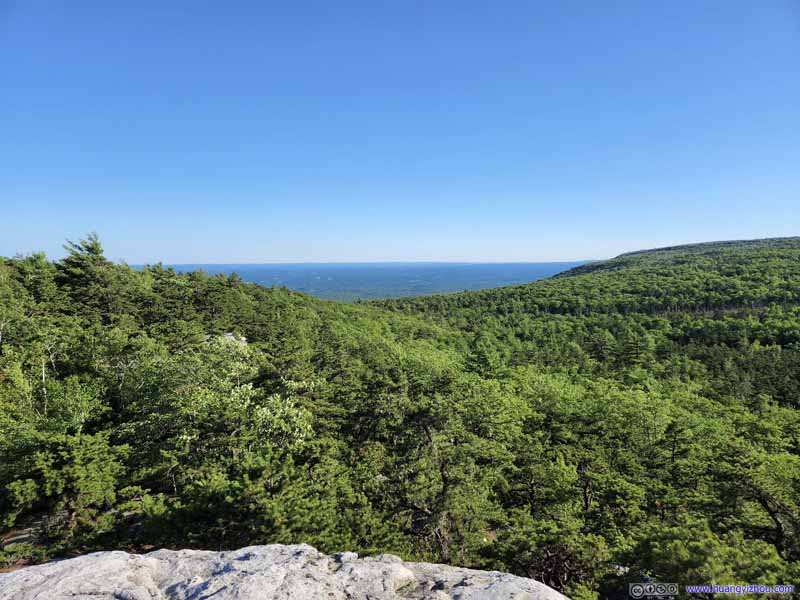 ForestsVerkeerderkill Falls was in the middle of the small concave in the terrain.
 ForestsTowards High Point.
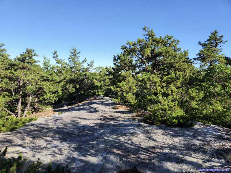 High Point Trail
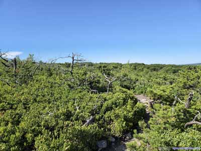
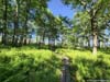
When not along cliffs, High Point Trail wound its way through a pine forest. Its surface was still mostly made of rock.
High Point Trail
When not along cliffs, High Point Trail wound its way through a pine forest. Its surface was still mostly made of rock.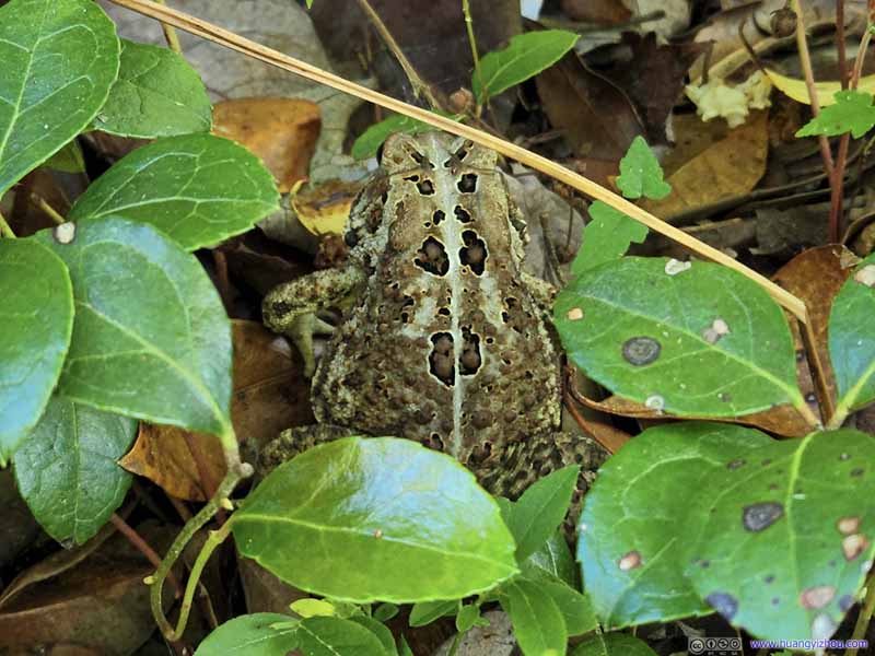 FrogHidden in the bushes.


Click here to display photos of the slideshow

 High Point TrailThe initial part of High Point Trail offered great views along boulders/cliffs.
ForestsTowards the direction of Sam’s Point.
ForestsVerkeerderkill Falls was in the middle of the small concave in the terrain.

ForestsTowards High Point.
High Point Trail

FrogHidden in the bushes.
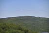
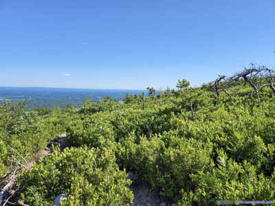
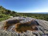
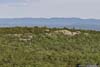
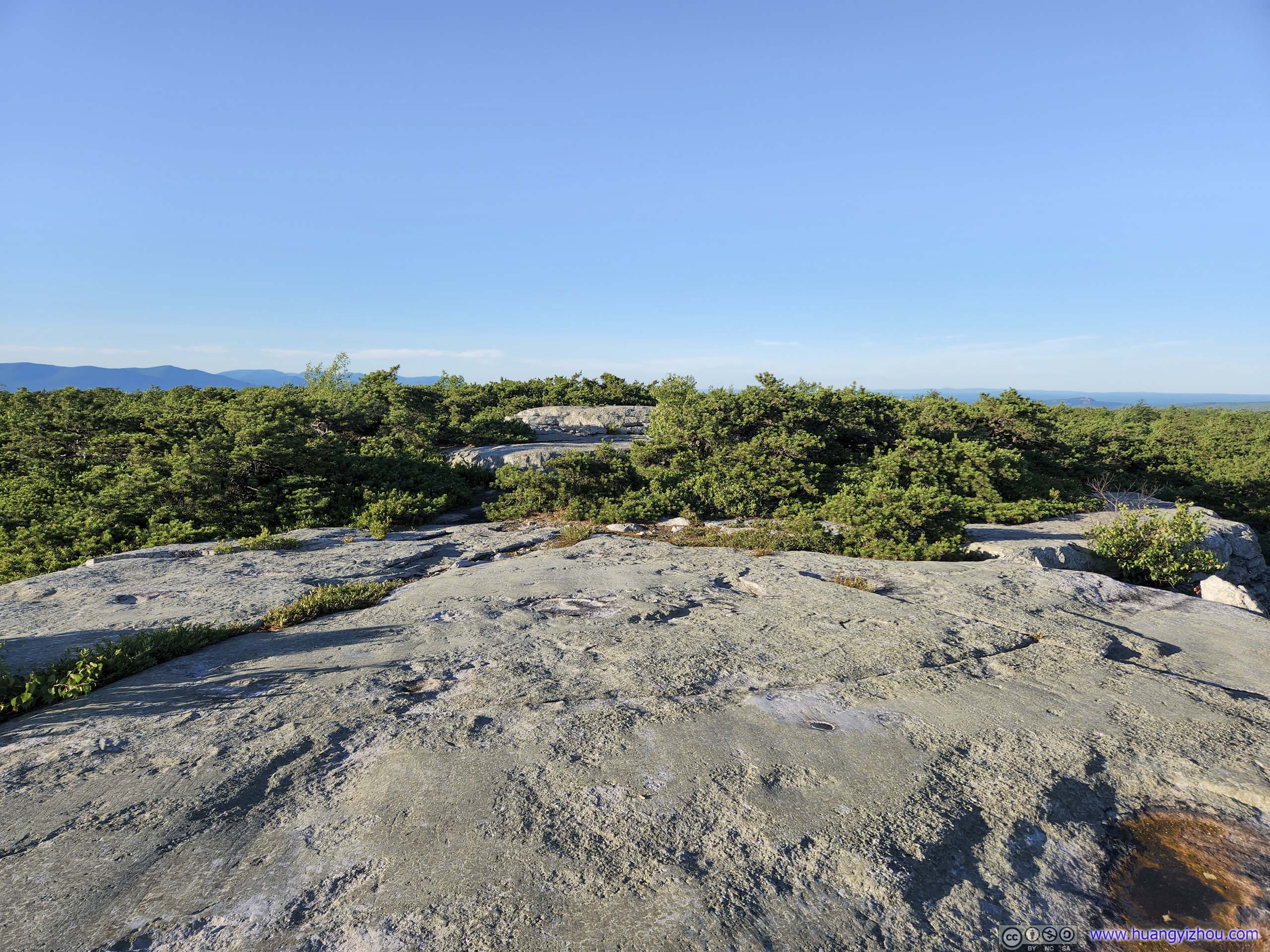
About halfway to High Point, I reached an open field of rocks, with great views overlooking the forests to the south. It’s a bit like Sam’s Point, except the rocks didn’t extend beyond the cliffs, and the views towards east/west were largely obstructed by the trees. Nonetheless, it’s an ideal place for me to take a short rest before continuing on.
 Rocky Overlook
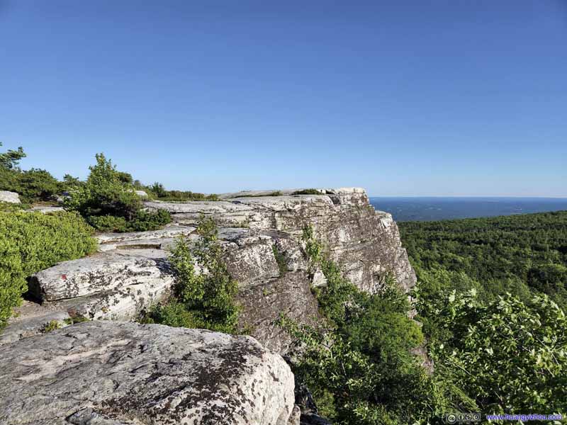 Rocky Overlook
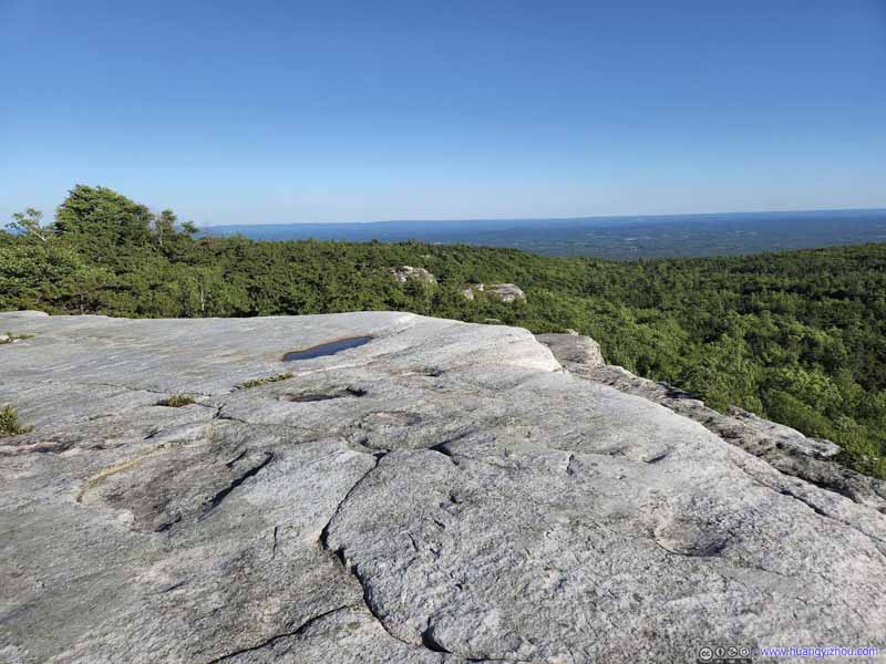 Rocky Overlook
 Rocky Overlook
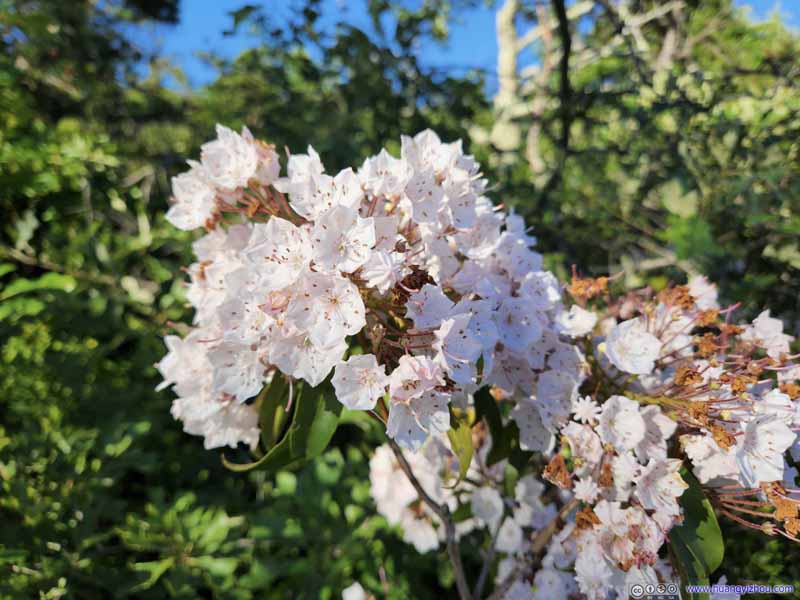 Flowers
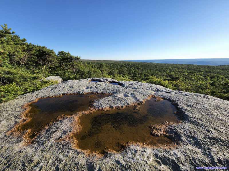 BoulderPast High Point, overlooking mountains to the southwest.

Click here to display photos of the slideshow
 Rocky Overlook

 Rocky Overlook

Flowers
BoulderPast High Point, overlooking mountains to the southwest.
High Point
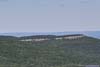
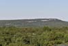
Finally, I reached High Point at 7pm. This was a giant boulder that towered about the surrounding treeline, with panoramic views. It’s also the only point along the trail with decent views of various lakes and mountains to the west, despite I could only tell their contours against the setting sun.
 High PointView to the south. These rocks were higher than the forests to the south.
 High PointBushes to the North
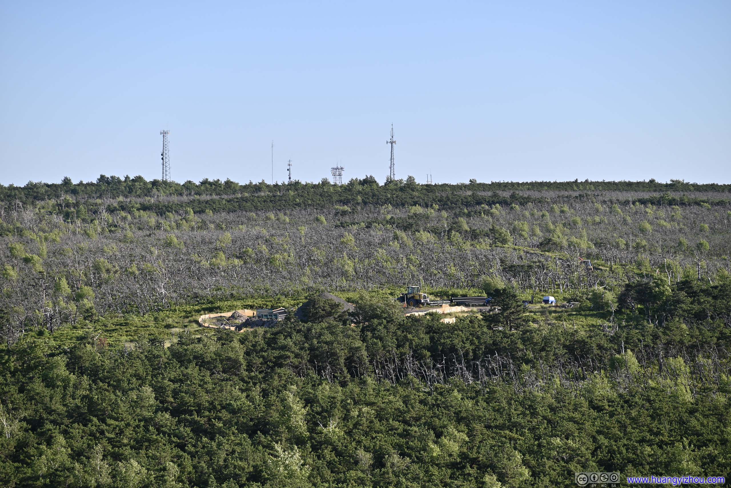
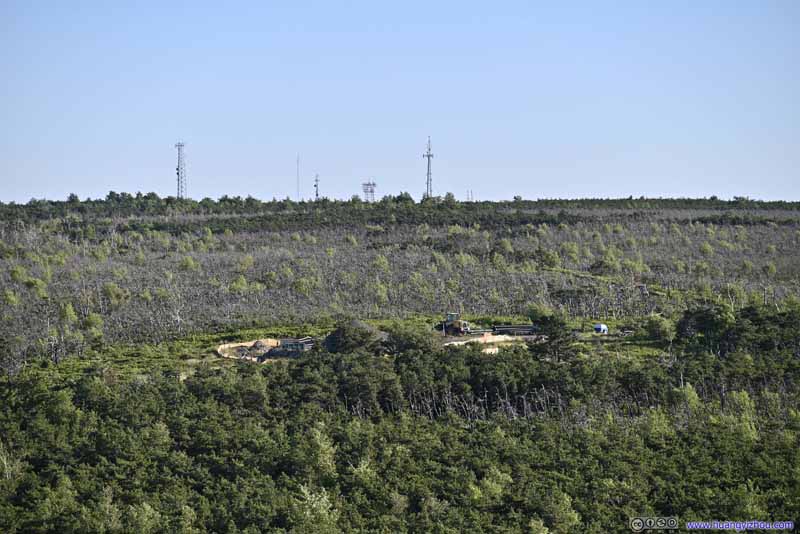 Construction Site
To the south, as a staging ground for constructions along the High Point Carriageway. I loved the signal towers in the background, providing me great coverage.
Construction Site
To the south, as a staging ground for constructions along the High Point Carriageway. I loved the signal towers in the background, providing me great coverage.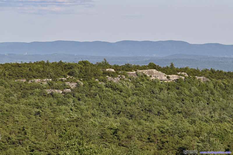 BouldersWhere I previously rested.
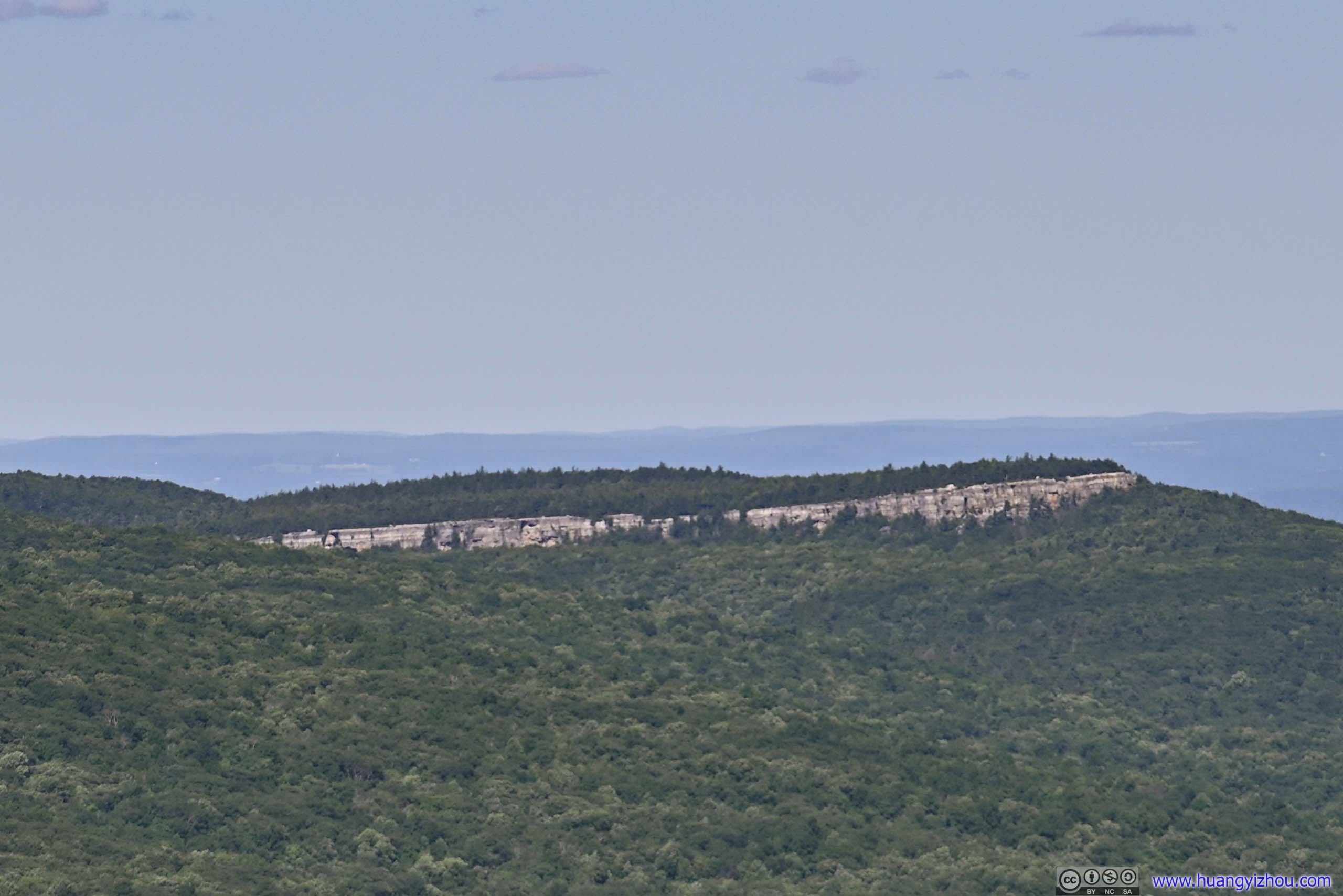
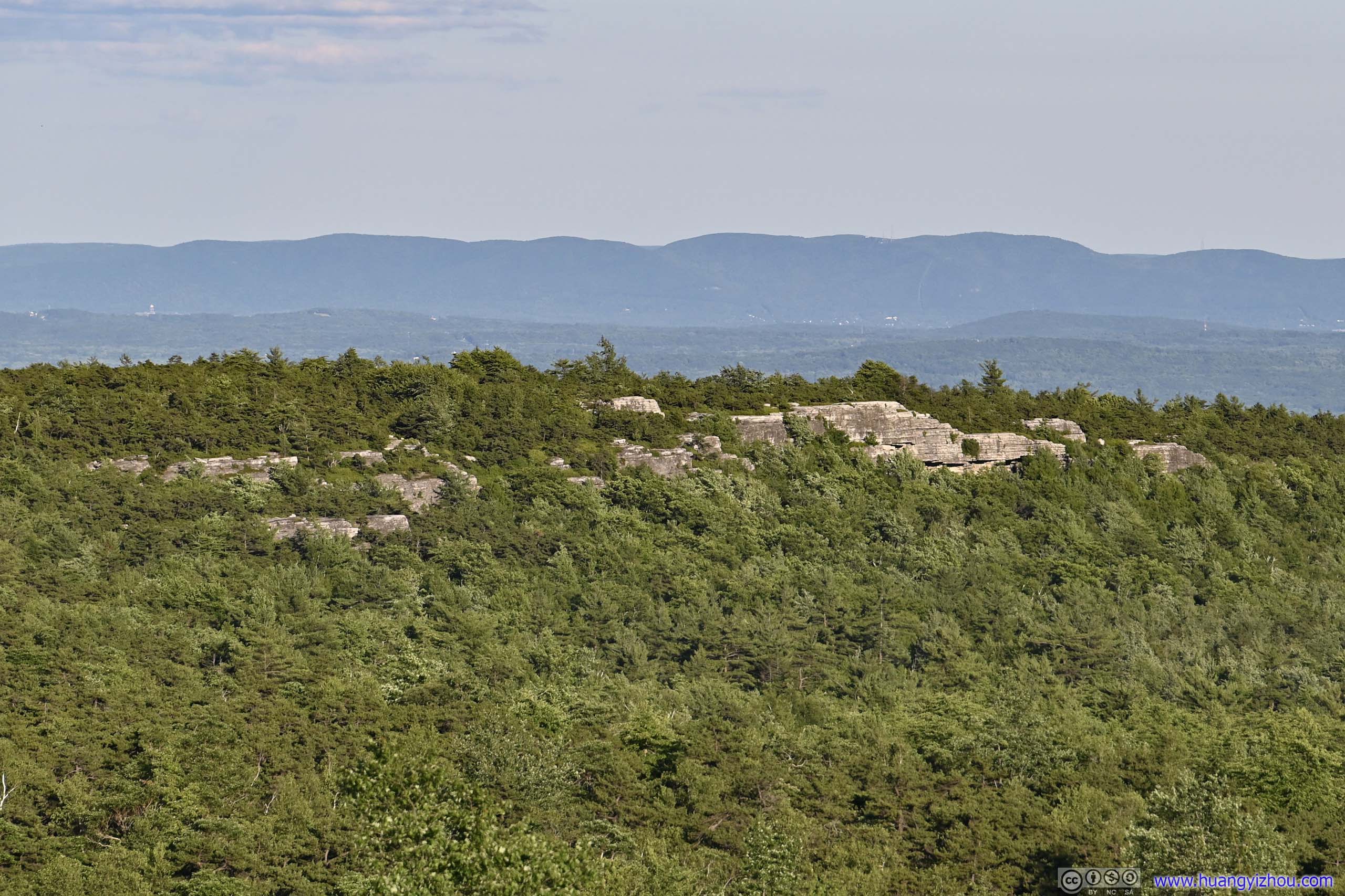
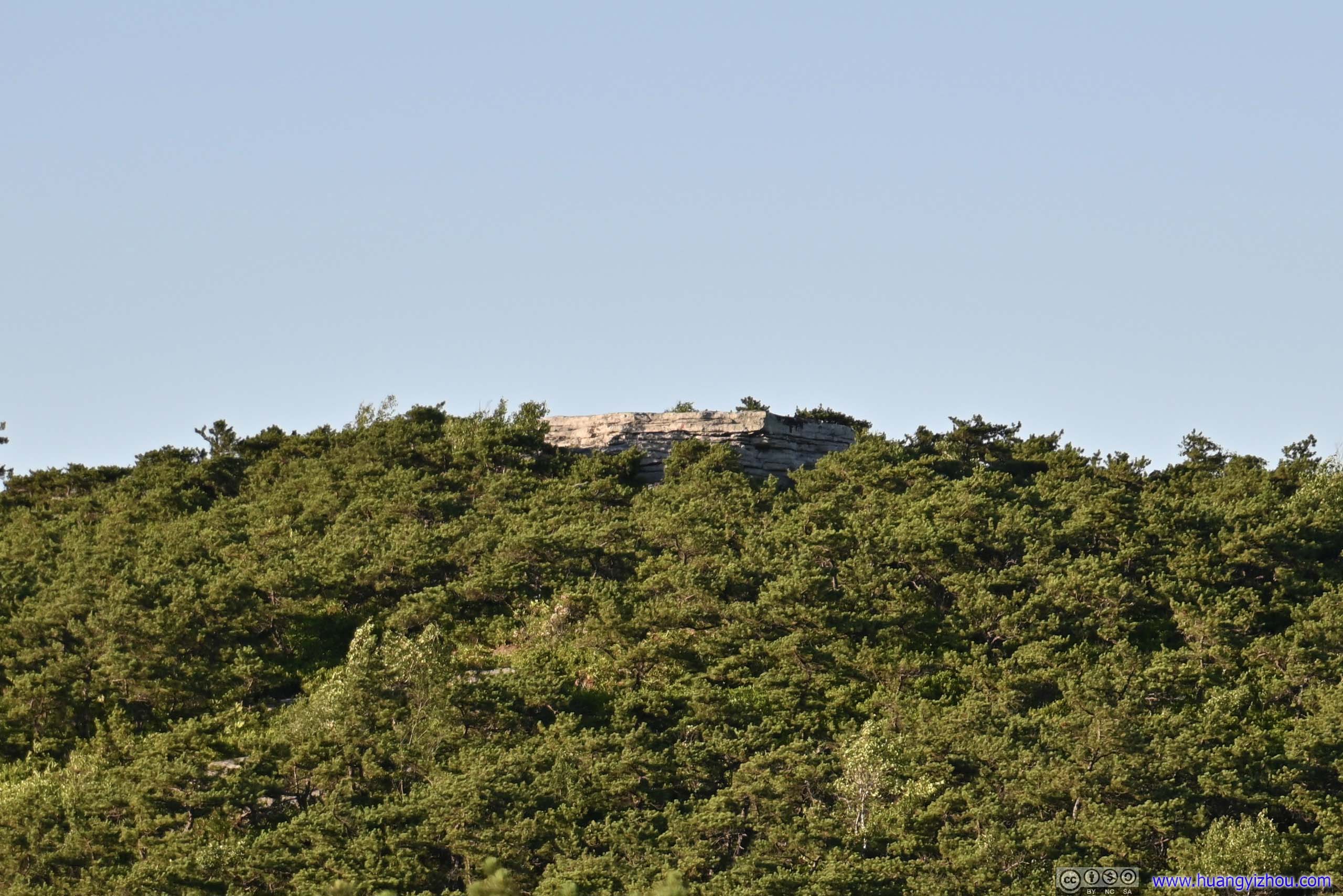
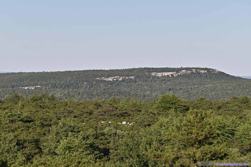 Distant CliffsCastle Point
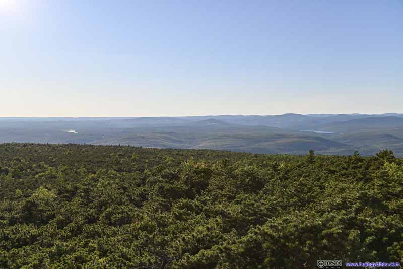 Rolling MountainsTowards the west.
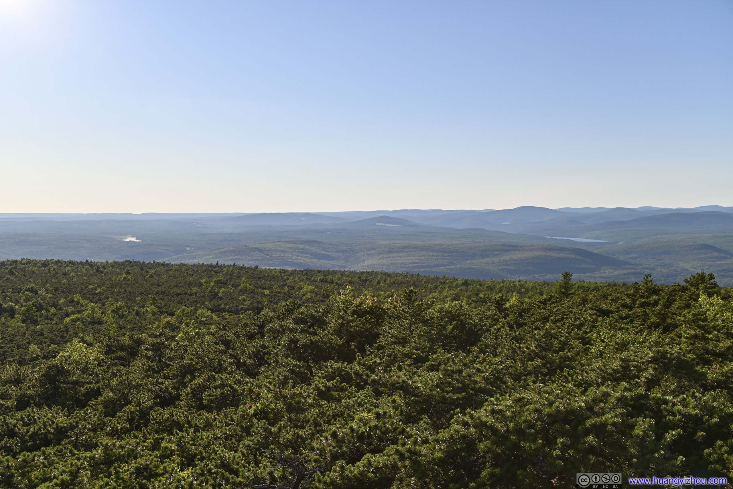
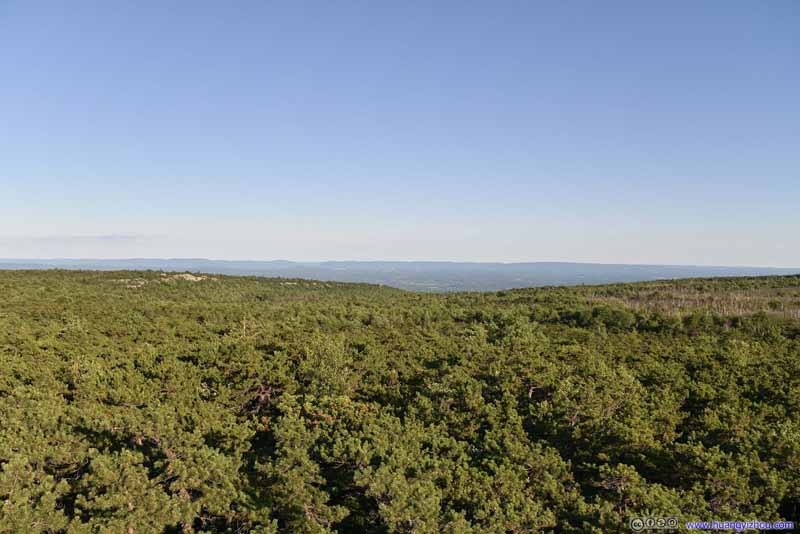 View to the EastThe mountains of Hudson Valley in the distance.
Click here to display photos of the slideshow
High PointView to the south. These rocks were higher than the forests to the south.
High PointBushes to the North
Construction Site
BouldersWhere I previously rested.
Distant CliffsCastle Point
Rolling MountainsTowards the west.
View to the EastThe mountains of Hudson Valley in the distance.

View from High Point
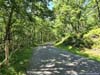
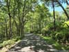
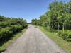
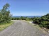
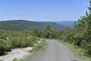
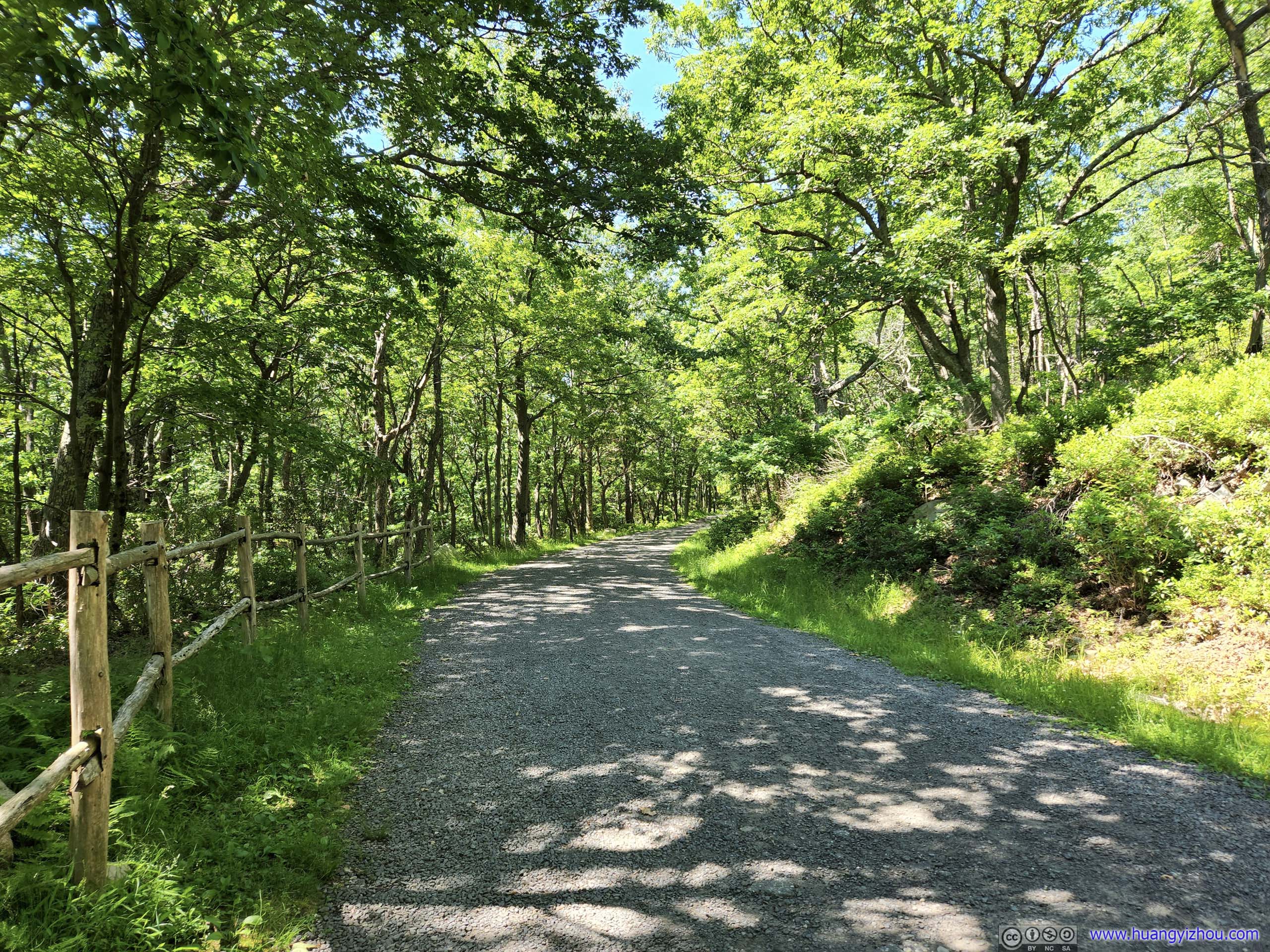
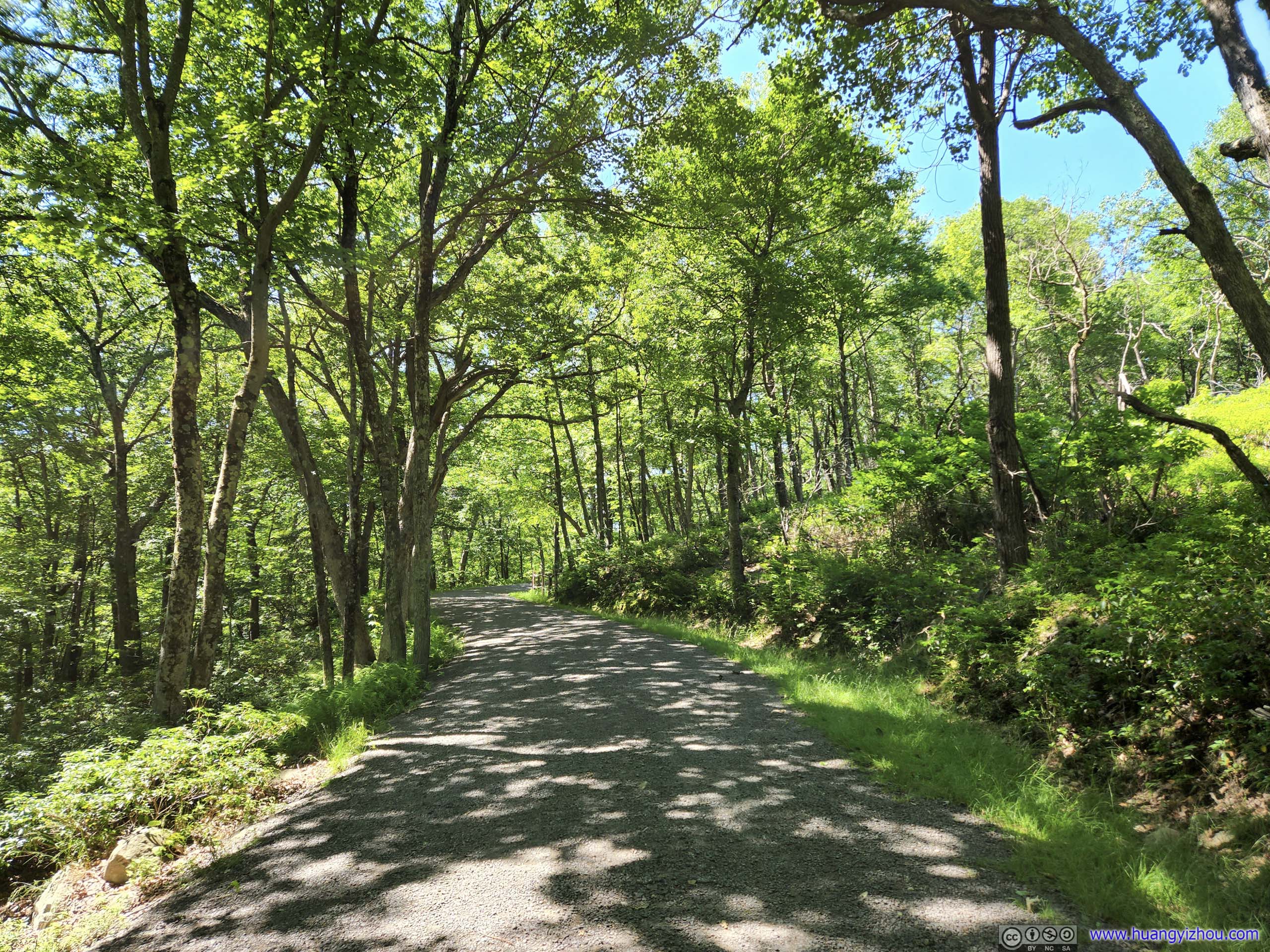
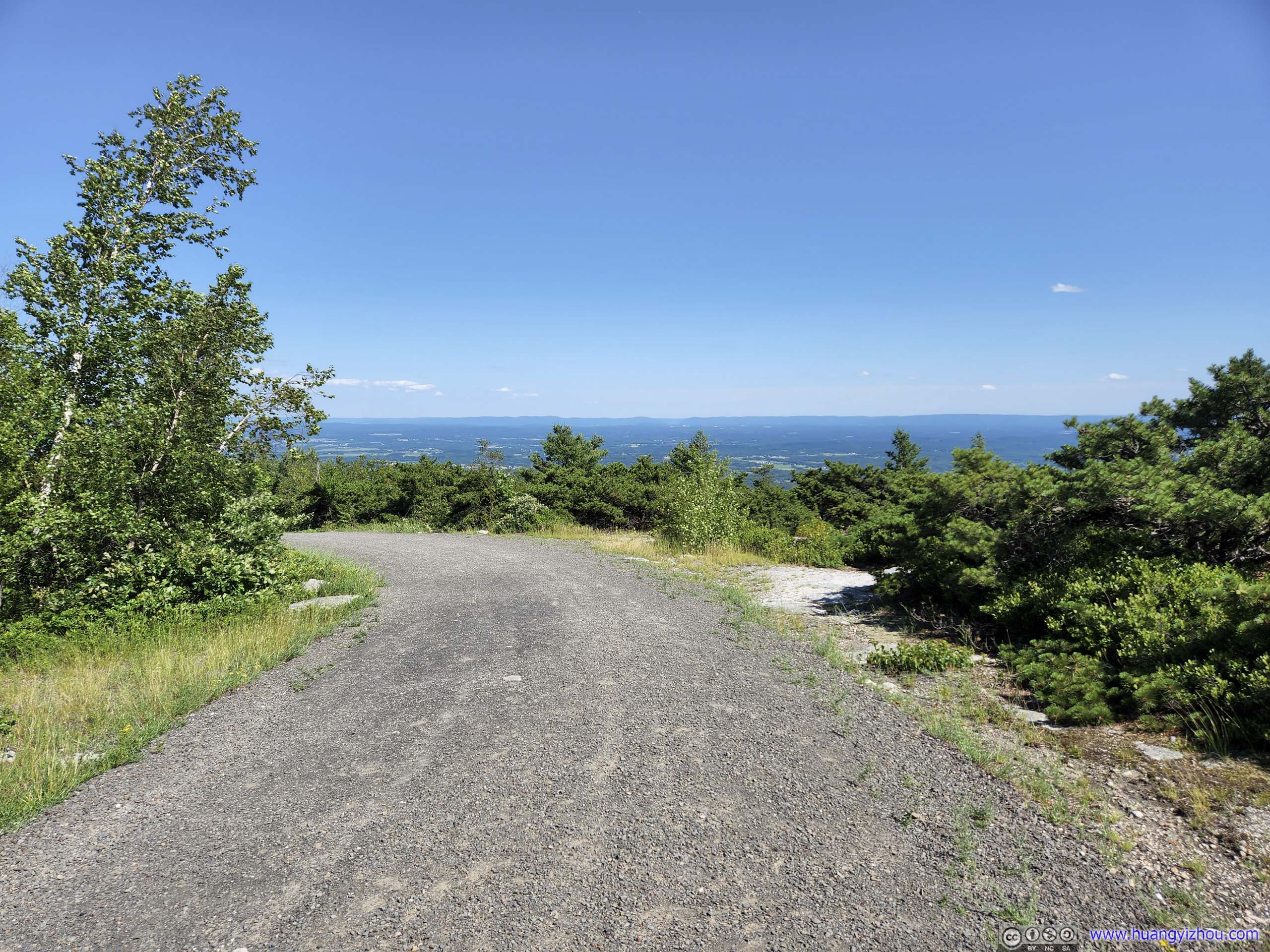
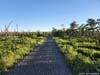
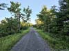
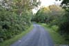
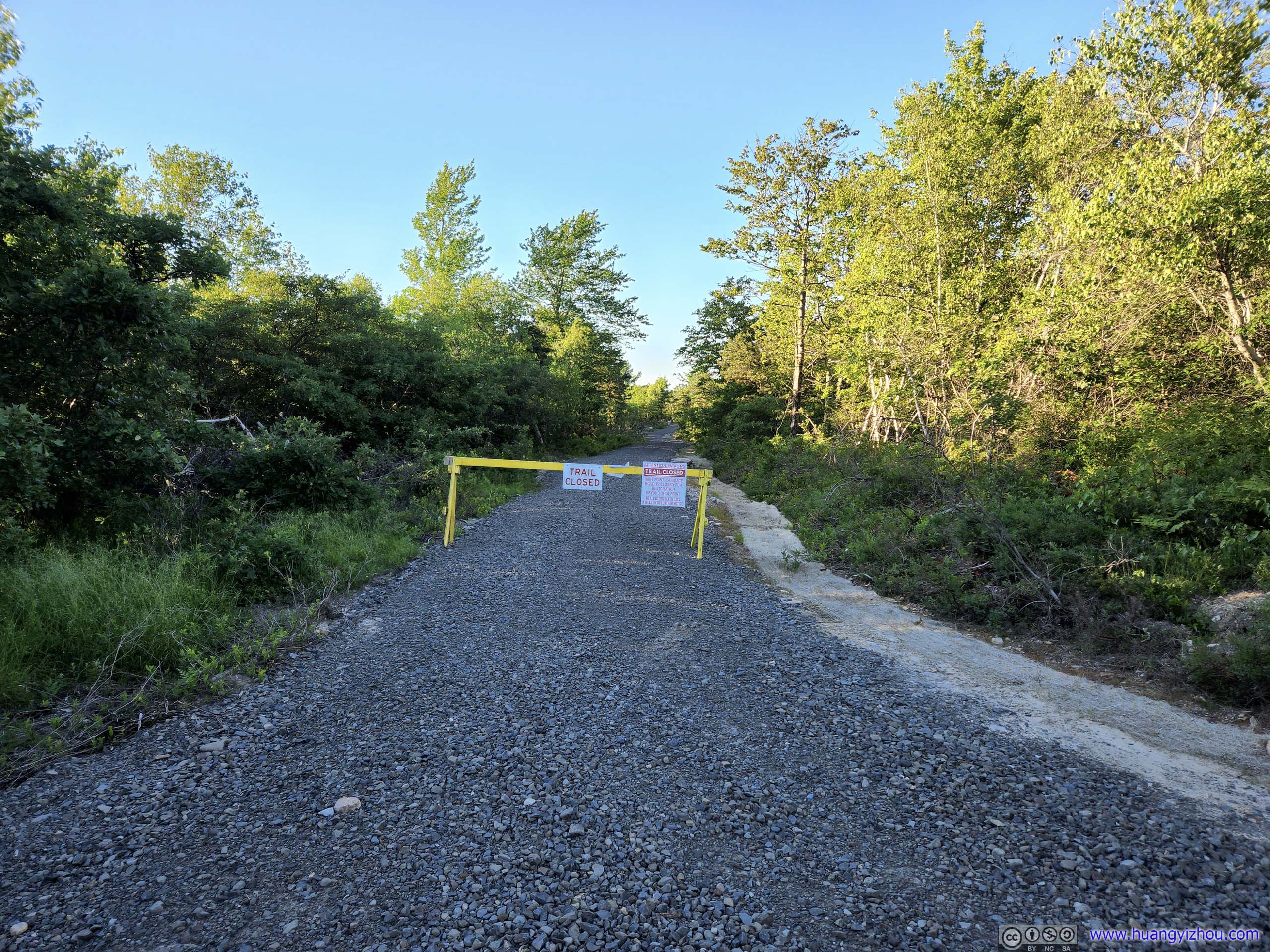
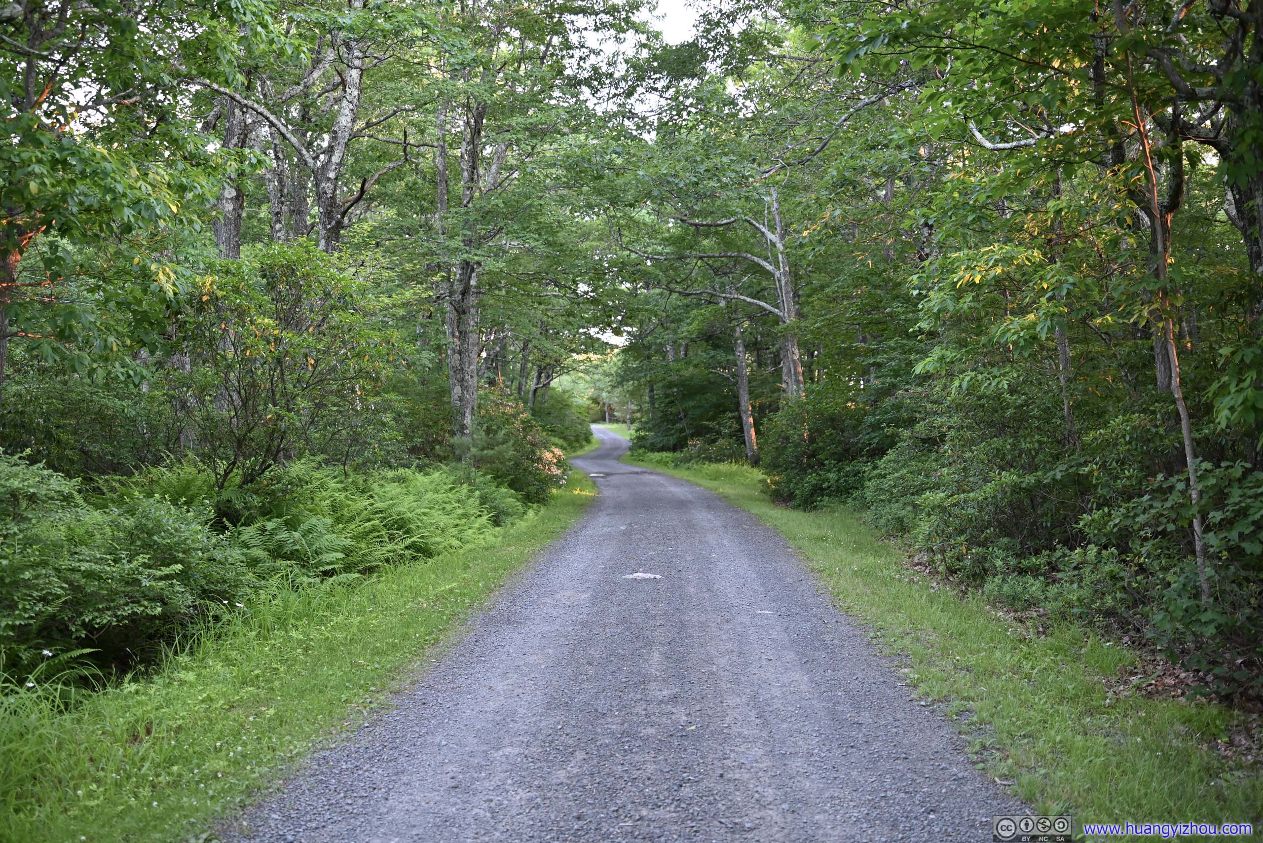
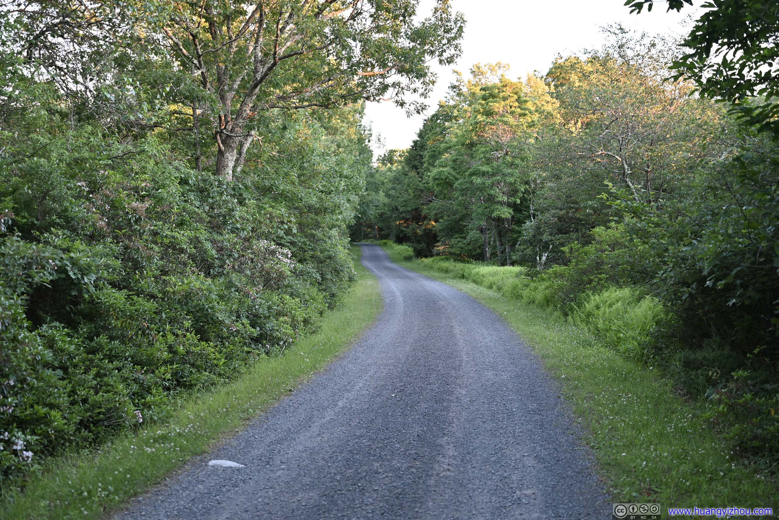
Not long after leaving High Point, I reached High Point Carriageway, which was a gravel road leading back to the trailhead. For the summer of 2022, the carriageway was closed to the north of this intersection for “maintenance”.
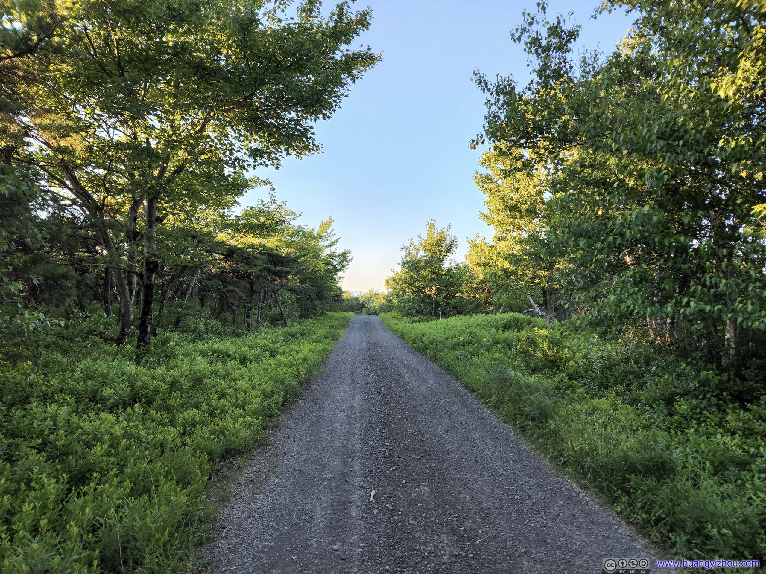
The remaining 4.7km of carriageway back was in such good condition that I spent most of it browsing my cell phone (amazingly I have cellular coverage). There was an accident on my way to the hotel in Nyack so it took some route planning.
 High Point Carriageway
While the State Park website showed the entirety of High Point Carriage Road was closed since March 2022, during my visit it’s only closed from High Point to the north, meaning hikers can still complete the loop.
High Point Carriageway
While the State Park website showed the entirety of High Point Carriage Road was closed since March 2022, during my visit it’s only closed from High Point to the north, meaning hikers can still complete the loop.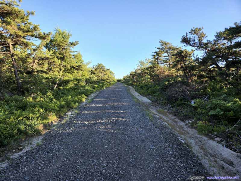 High Point Carriageway
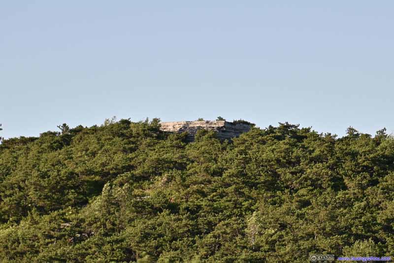 High Point from Carriage Way
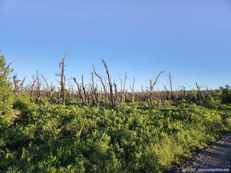 Forest along the Road
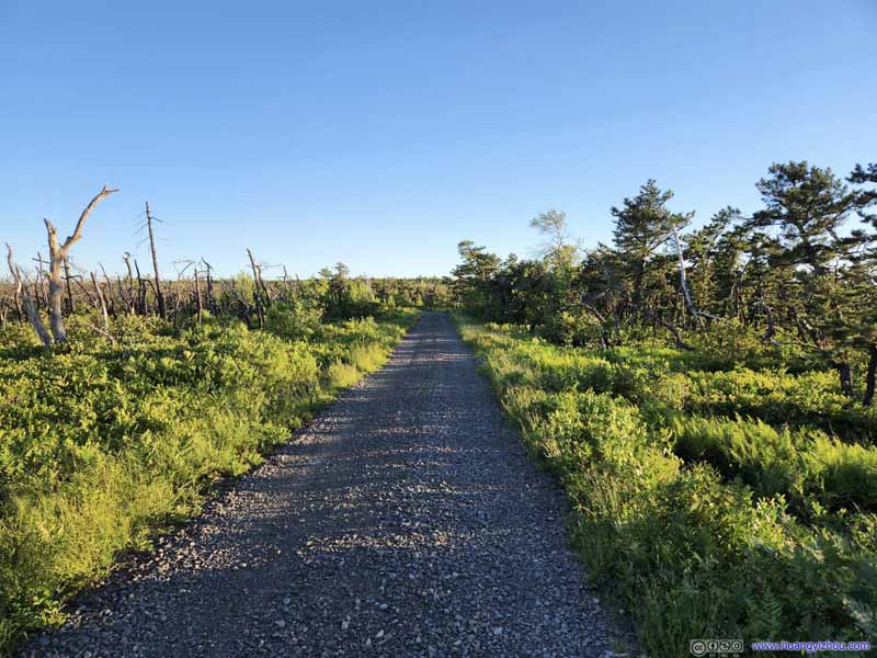 High Point Carriageway
 High Point Carriageway
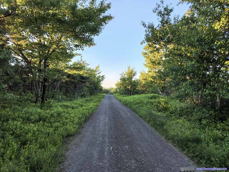 High Point Carriageway
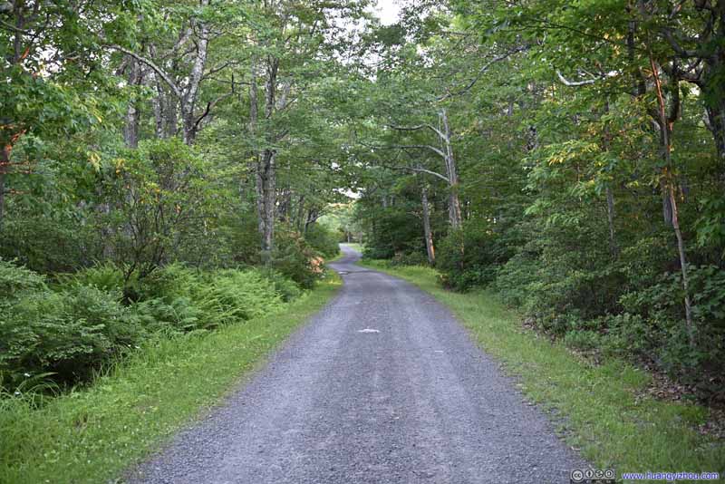 High Point Carriageway
 High Point Carriageway


Click here to display photos of the slideshow
High Point Carriageway

High Point Carriageway
High Point from Carriage Way
Forest along the Road

High Point Carriageway

High Point Carriageway
High Point Carriageway
High Point Carriageway
High Point Carriageway
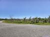
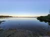
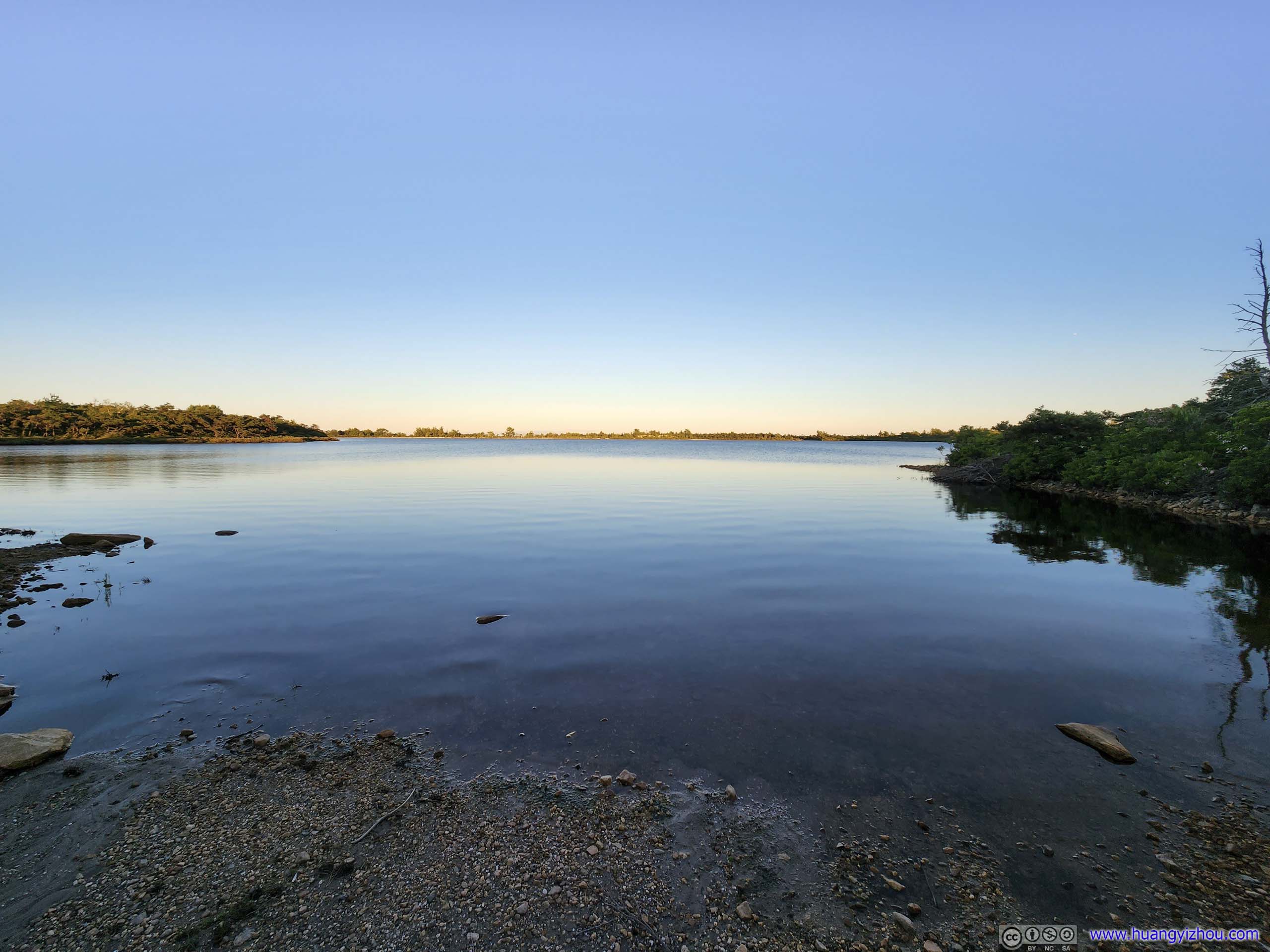
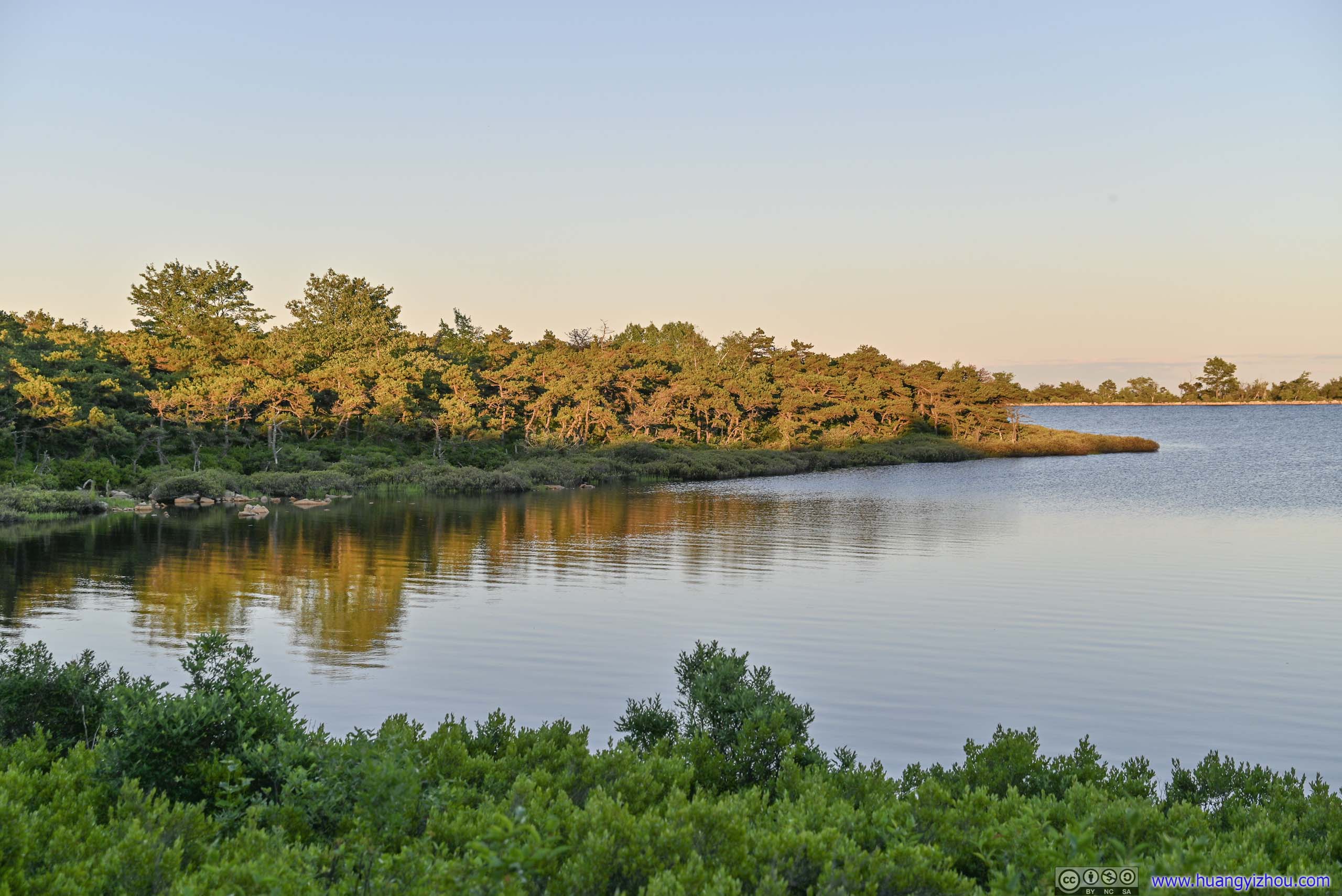
About 1.2km from the trailhead, a short spur trail led to the shores of Lake Maratanza, which I decided to check out.
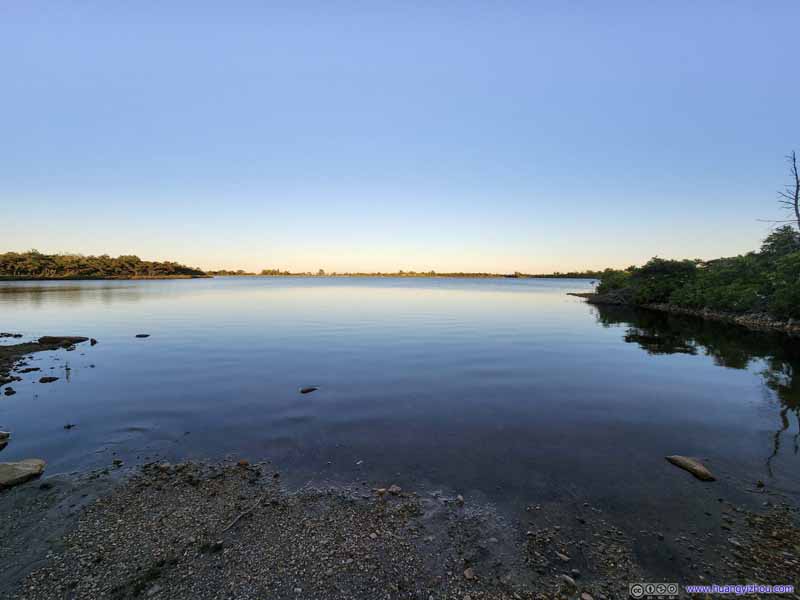 Lake Maratanza
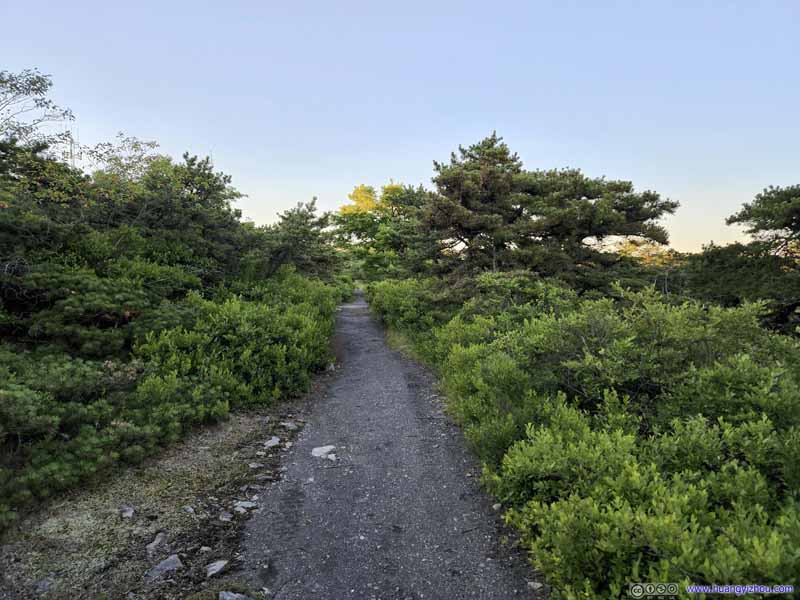 Spur to Lake Maratanza
 Lake MaratanzaUnder sunset colors.
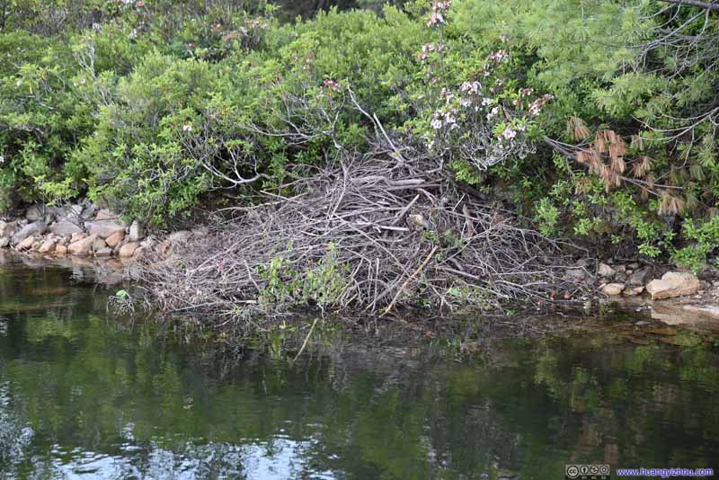 Otter’s Nest
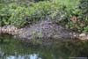
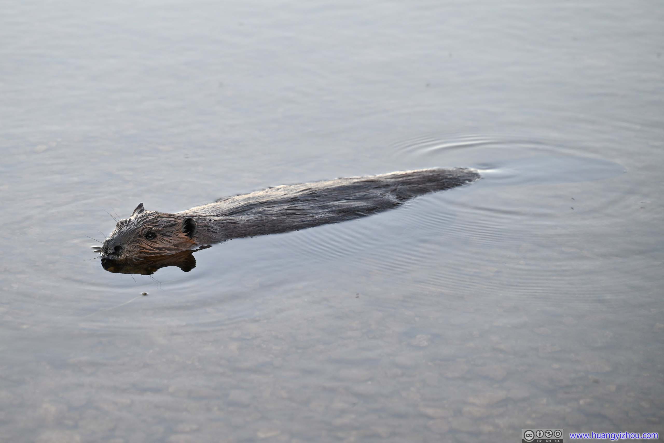
The end of the trail was a tiny beach of Lake Maratanza. I was thrilled to find this Otter’s nest by its shore. Judging by its size and its rather audible roars, I assumed an otter family resided there.
Otter’s Nest
The end of the trail was a tiny beach of Lake Maratanza. I was thrilled to find this Otter’s nest by its shore. Judging by its size and its rather audible roars, I assumed an otter family resided there.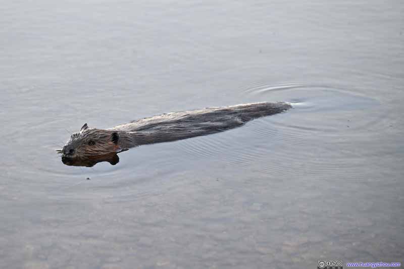 Otter
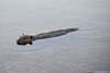
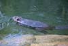
Probably alerted by my arrival, one of the otter parents swam out of the nest and did a patrol of the shore. Sensing that I wasn’t a threat to their nest, the otter soon returned to tend to the babies.
Otter
Probably alerted by my arrival, one of the otter parents swam out of the nest and did a patrol of the shore. Sensing that I wasn’t a threat to their nest, the otter soon returned to tend to the babies. Otter
Probably alerted by my arrival, one of the otter parents swam out of the nest and did a patrol of the shore. Sensing that I wasn’t a threat to their nest, the otter soon returned to tend to the babies.
Otter
Probably alerted by my arrival, one of the otter parents swam out of the nest and did a patrol of the shore. Sensing that I wasn’t a threat to their nest, the otter soon returned to tend to the babies.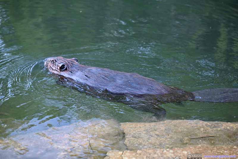 Otter
Probably alerted by my arrival, one of the otter parents swam out of the nest and did a patrol of the shore. Sensing that I wasn’t a threat to their nest, the otter soon returned to tend to the babies.
Otter
Probably alerted by my arrival, one of the otter parents swam out of the nest and did a patrol of the shore. Sensing that I wasn’t a threat to their nest, the otter soon returned to tend to the babies.


Click here to display photos of the slideshow
Lake Maratanza

Spur to Lake Maratanza
Lake MaratanzaUnder sunset colors.

Otter’s Nest

 Otter
Otter
Weirdly, during this final leg back I felt some sores on my legs. The day’s hike was more than 15km, certainly not short but I had hiked much longer without issue. I guessed the few hours of driving in the morning certainly took their toll on my body.
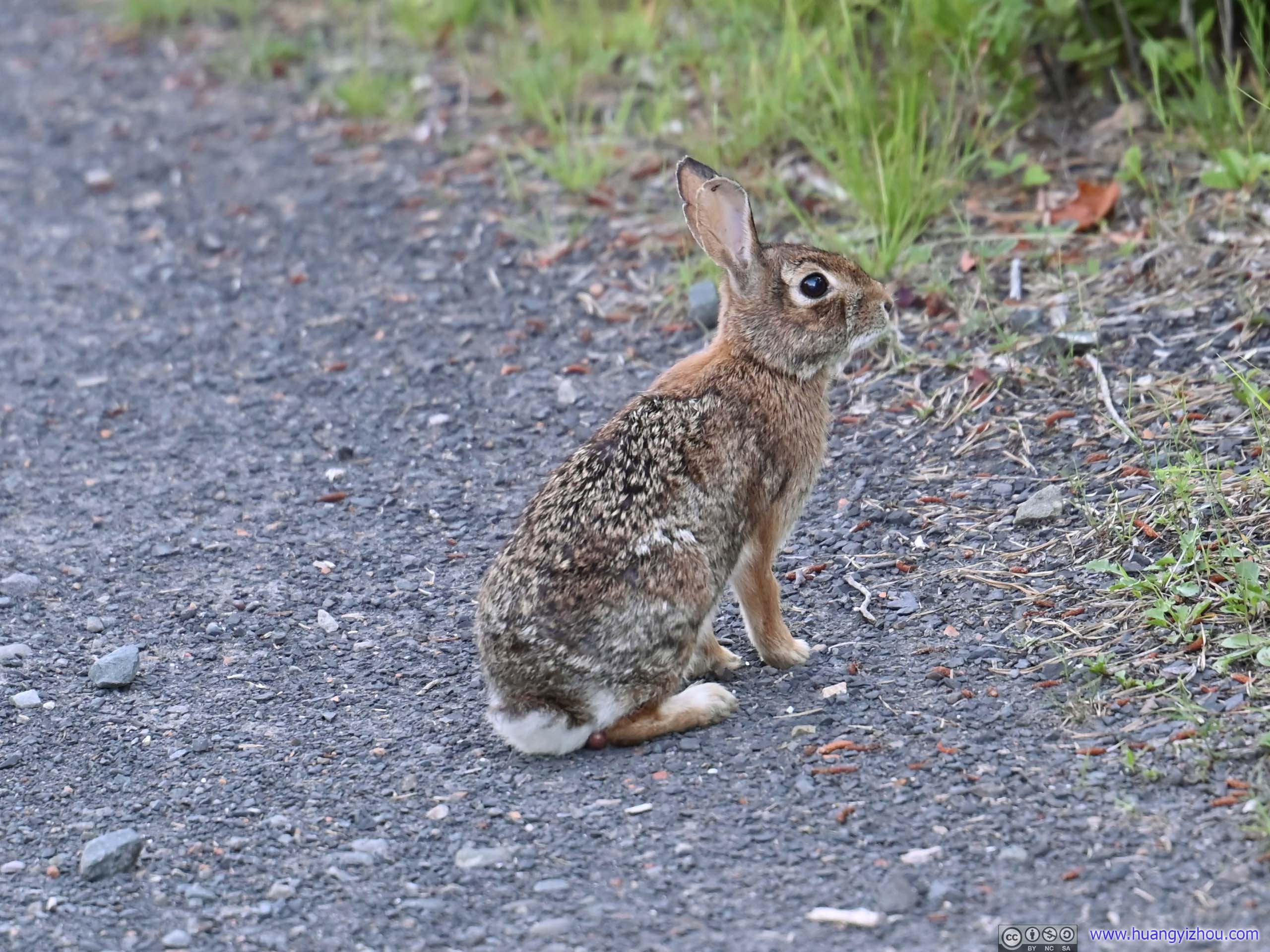
 RabbitAlong High Point Carriageway I saw many rabbits. They were quite shy of the camera though.
Finally, I got back to the parking lot at 8:30pm. The state park closed at 9pm during the day of my visit, that meant all vehicles had to be out by that time. I planned my day to finish the hike by 8pm (what I thought was its closing time), a combination of my late arrival, the wait at the restrooms and me taking lots of photos along portions of the trail (really enjoyed the High Point trail) meant I missed that by half an hour.
After that, I headed for my overnight hotel in Nyack. The small section of traffic jam along US Highway 6 at 10pm was a bit unbelievable.
END
![]() Day 1 of 2022 Independence Day Trip, Sam’s Point of Minnewaska State Park by Huang's Site is licensed under a Creative Commons Attribution-NonCommercial-ShareAlike 4.0 International License.
Day 1 of 2022 Independence Day Trip, Sam’s Point of Minnewaska State Park by Huang's Site is licensed under a Creative Commons Attribution-NonCommercial-ShareAlike 4.0 International License.
It’s ny happy place. Tx for sharing nice oictures.