
Updated on November 13, 2024
Day 3 of 2022 Colorado Trip, DeCaLiBron Loop
Third day of our 2022 summer trip to Colorado. We would be hiking the DeCaLiBron loop, a famous group of mountains outside the town of Alma, offering an opportunity to bag 3 or 4 14ers in one day.
Mount Lincoln
Following yesterday’s trip to Quandary Peak, whose altitude turned out to be somewhat of a challenge for my friend, we decided to try out another hike of similar difficulty today, and that’s the famous DeCaLiBron loop.
The trail’s name combined abbreviations of Mount Democrat, Mount Cameron, Mount Lincoln, and Mount Bross, four mountains above 14000 feet that can be bagged in one day. The trail was officially rated as YDS class 2, probably due to steep sections leading to Mount Democrat and Mount Bross. On paper, the loop was 11.3km long with 956m elevation gain, which was actually slightly shorter than Quandary Peak the previous day.
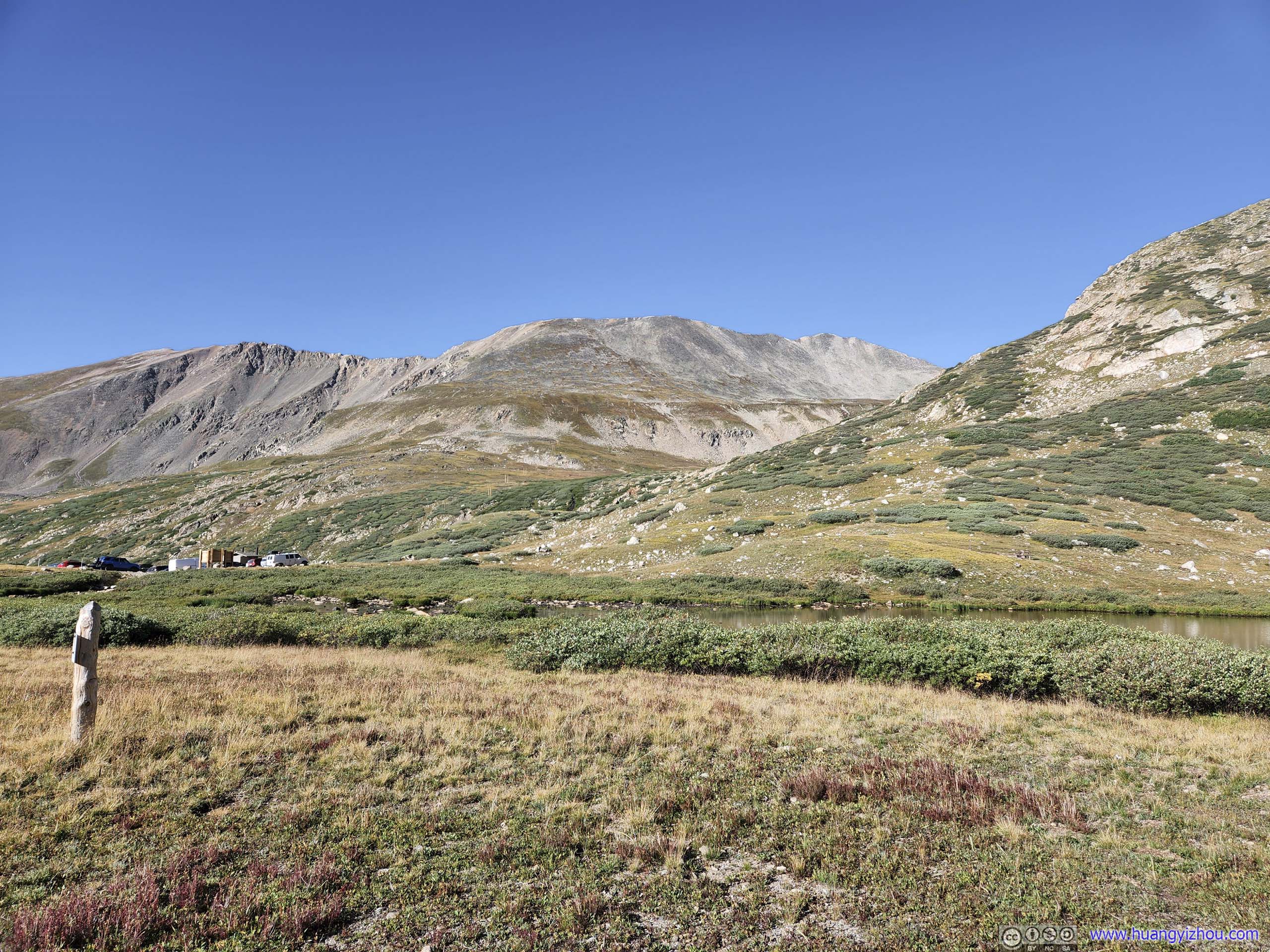
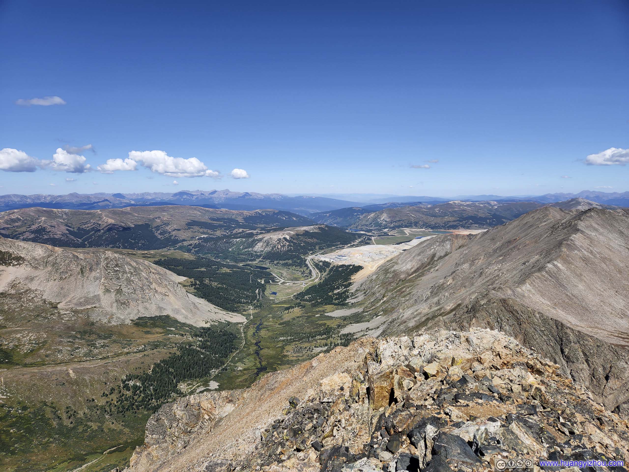
So on the morning of August 30, we left our Airbnb lodge and headed for Kite Lake Trailhead. After leaving the town of Alma, it’s a 5.5-mile unpaved road leading to the trailhead, the last mile of which was in pretty bad shape. But by going slowly and paying close attention to the road, we made it in a low-clearance sedan.
The trailhead was located in Pike National Forest, which charged a 5 dollar per day parking fee. To my best knowledge “America the Beautiful Pass” should cover this fee, otherwise that’s a challenge as I kept minimum cash for my daily life.
So at 8:53am, we left the trailhead. We decided to take the loop in the clockwise direction, following the sequence of the name DeCaLiBron.
Here’s GPS tracking:
 Mount Democrat from Kite Lake
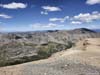
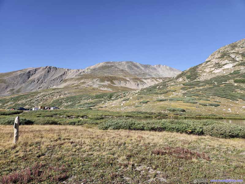 Mount Buckskin from Kite LakeTrailhead parking lot in the center left.
 Trail
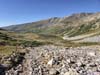
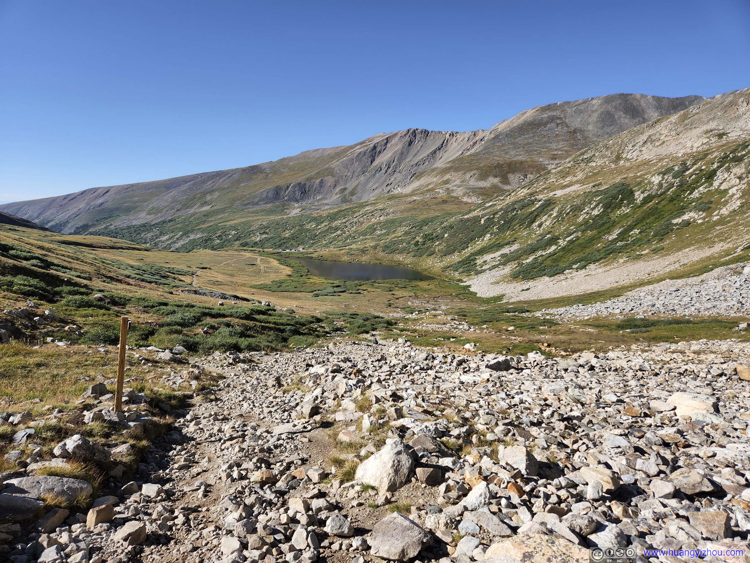
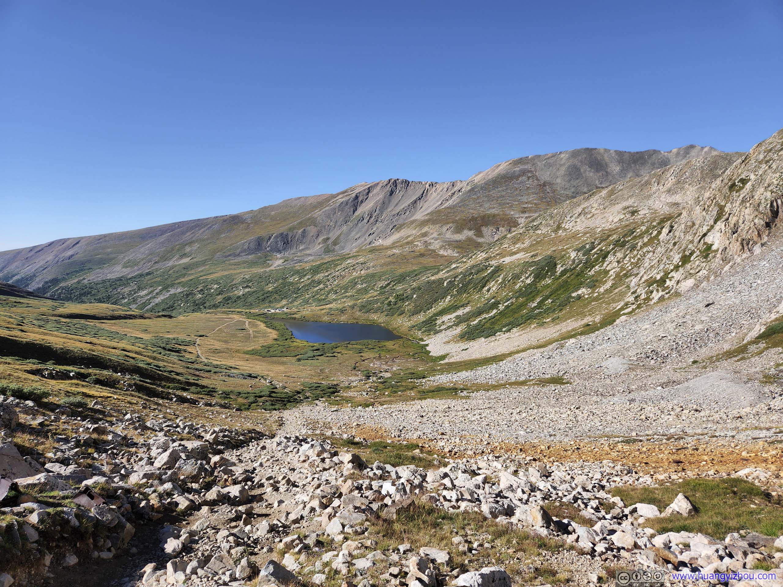
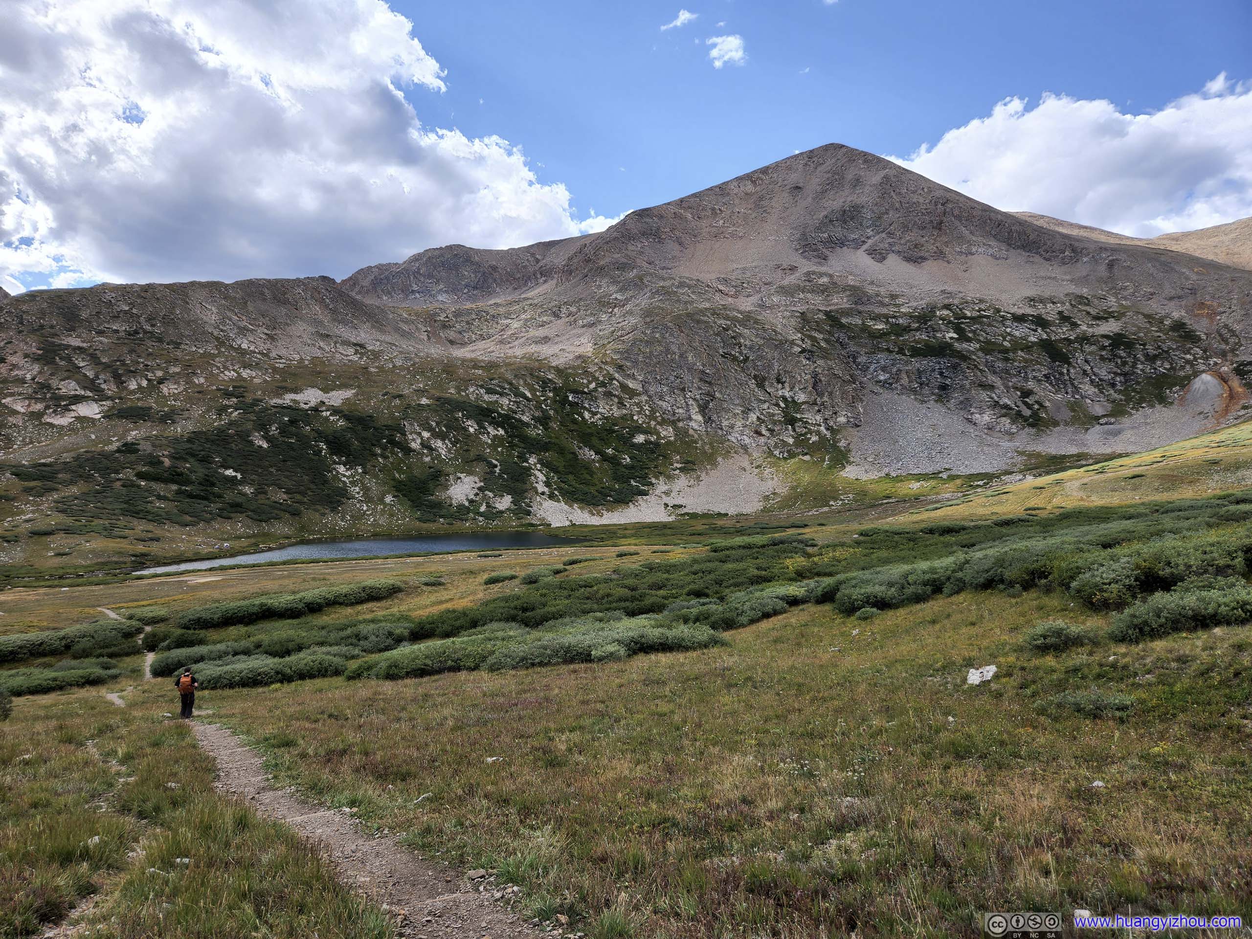
Trail Overlooking Kite Lake
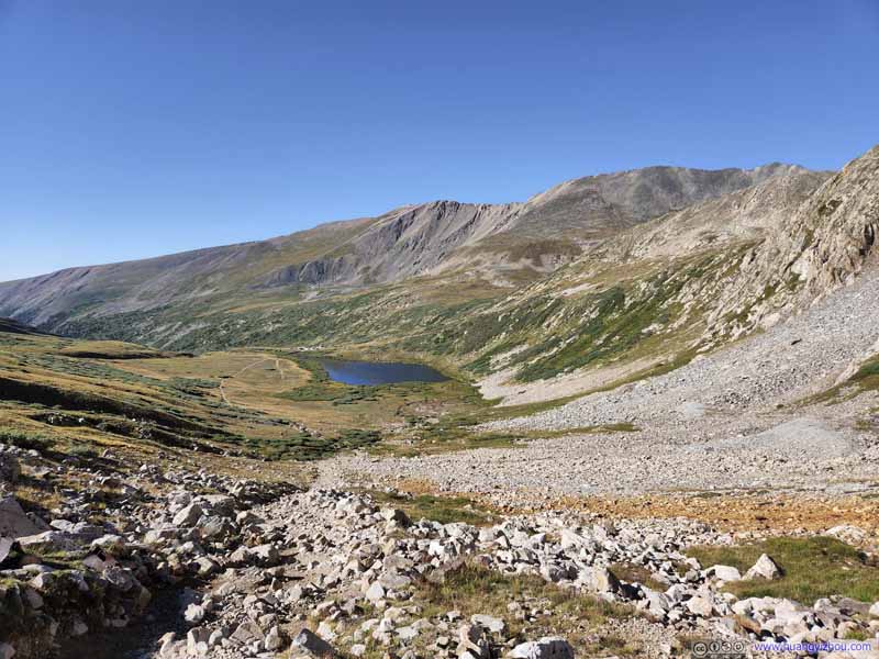 Overlooking Kite LakeOnly after gaining some elevation did the lake start to resemble the shape of a kite.
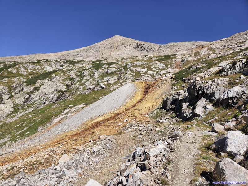 Yellow Rocks
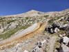
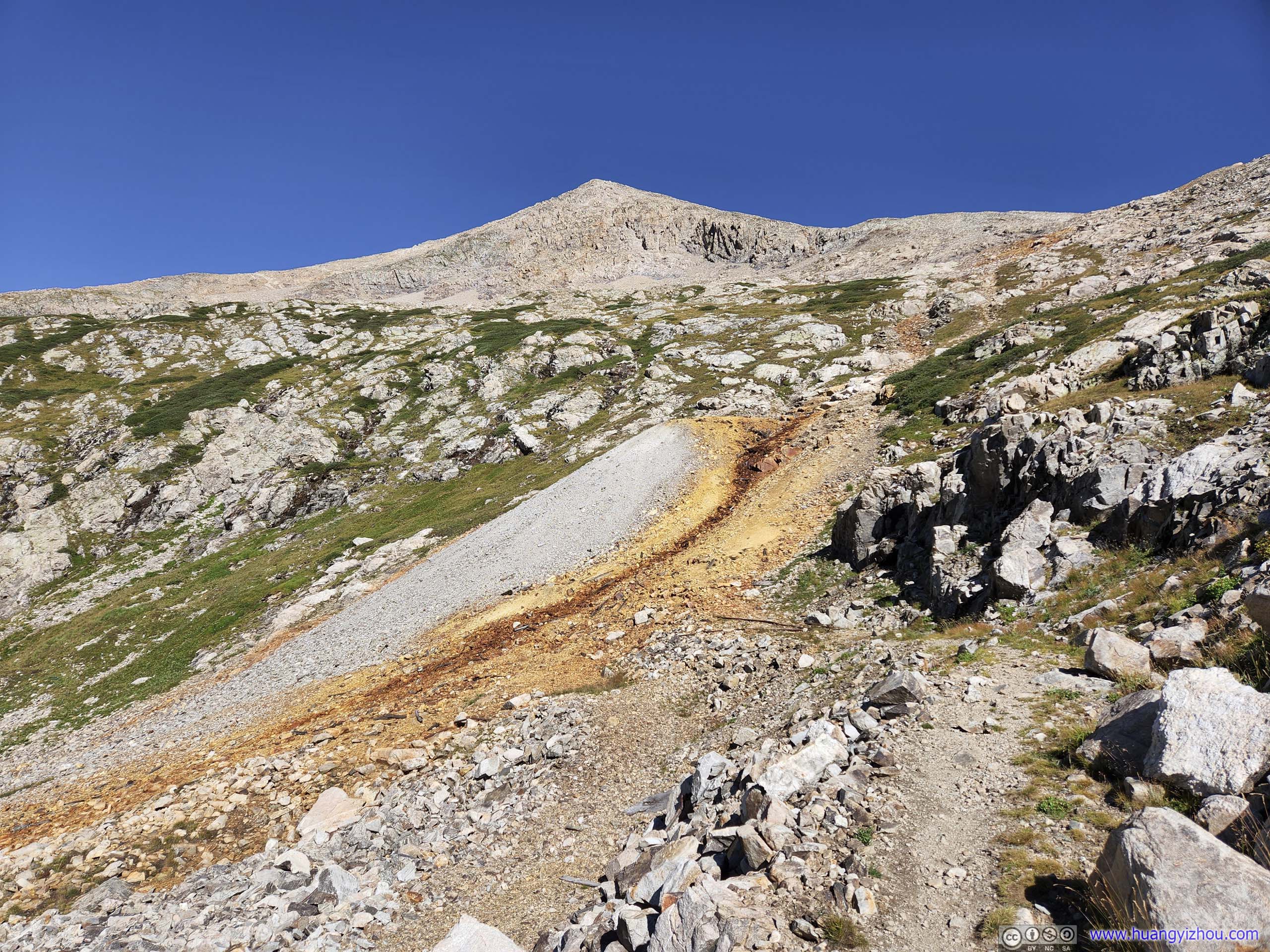
I guessed that’s a creek flowing down the hill containing sulfur, giving the rocks a brown color. Mount Democrat in the background.
Yellow Rocks
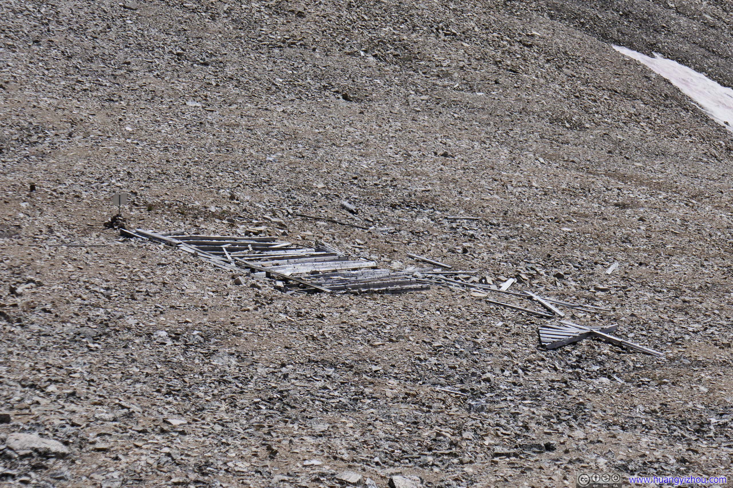
I guessed that’s a creek flowing down the hill containing sulfur, giving the rocks a brown color. Mount Democrat in the background. Mining Sites along Trail
Remnants of old mines, probably to extract sulfur as indicated from the previous photo. Mount Democrat in the background.
Mining Sites along Trail
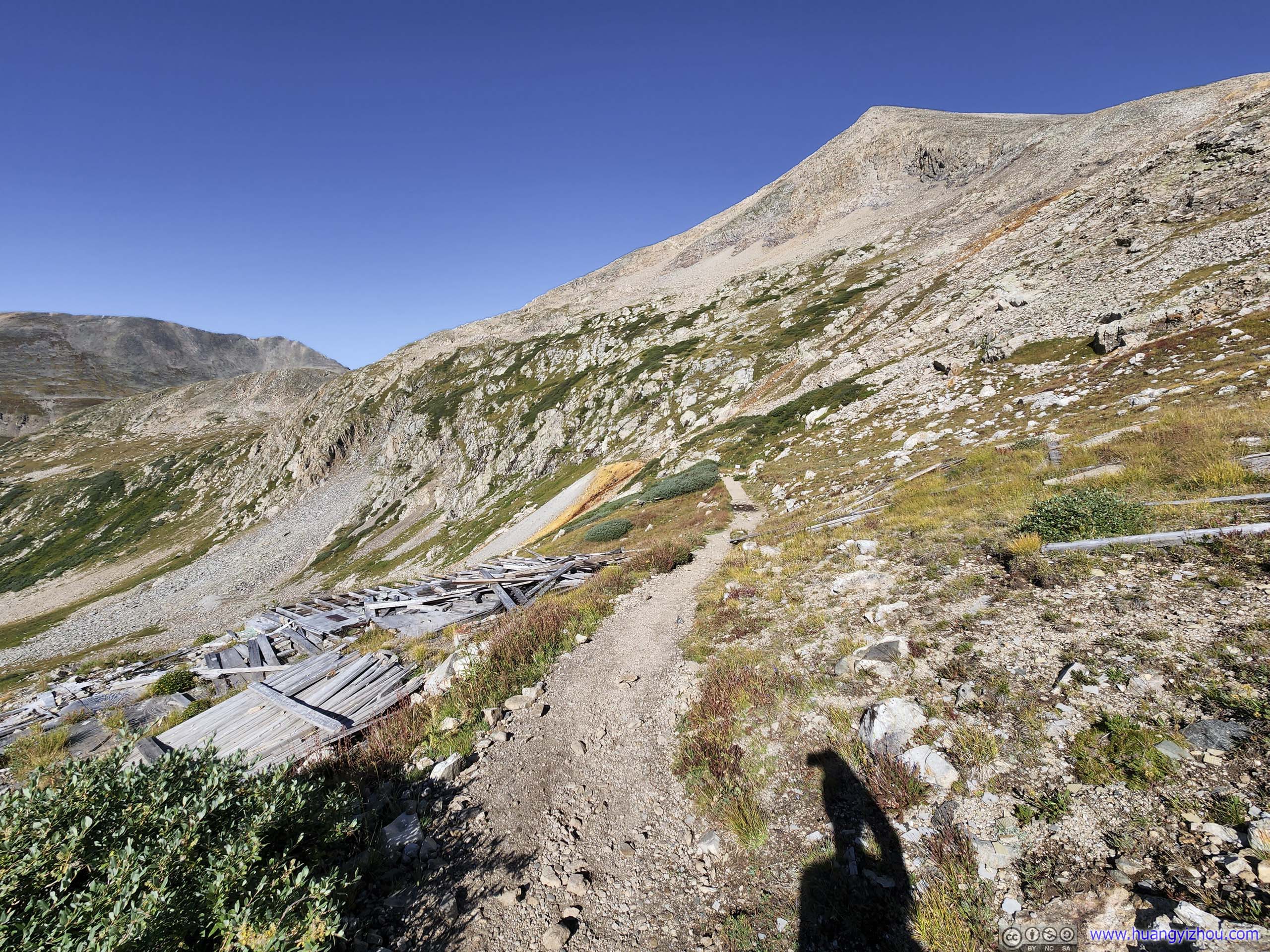
Remnants of old mines, probably to extract sulfur as indicated from the previous photo. Mount Democrat in the background.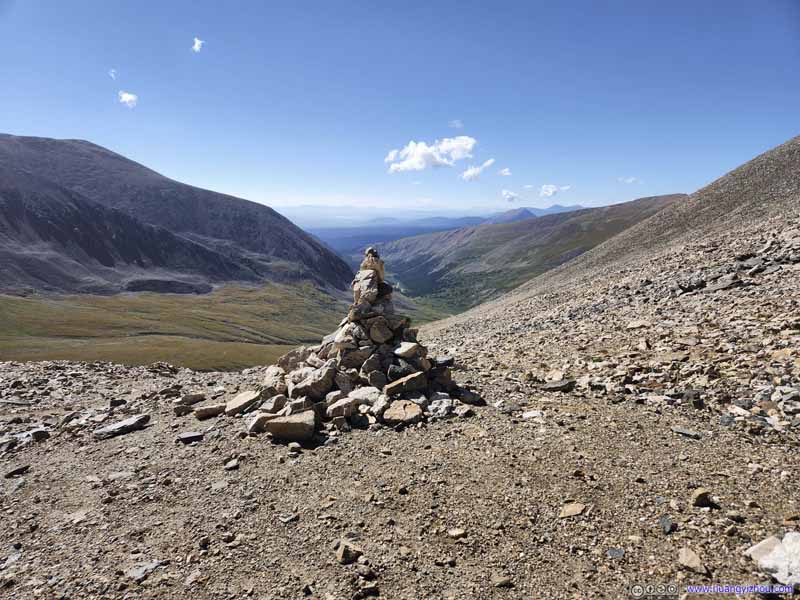 Junction of Trail
The saddle point between Mount Democrat (to the right of this photo) and Mount Cameron (left) where the trails intersected. I was looking back towards Kite Lake, where we came from.
Junction of Trail
The saddle point between Mount Democrat (to the right of this photo) and Mount Cameron (left) where the trails intersected. I was looking back towards Kite Lake, where we came from. Mine EntranceRight next to the trail junction was this abandoned mine site.
Click here to display photos of the slideshow

Mount Democrat from Kite Lake
Mount Buckskin from Kite LakeTrailhead parking lot in the center left.
Trail
Overlooking Kite Lake
Overlooking Kite LakeOnly after gaining some elevation did the lake start to resemble the shape of a kite.
Yellow Rocks
Mining Sites along Trail
Junction of Trail
Mine EntranceRight next to the trail junction was this abandoned mine site.
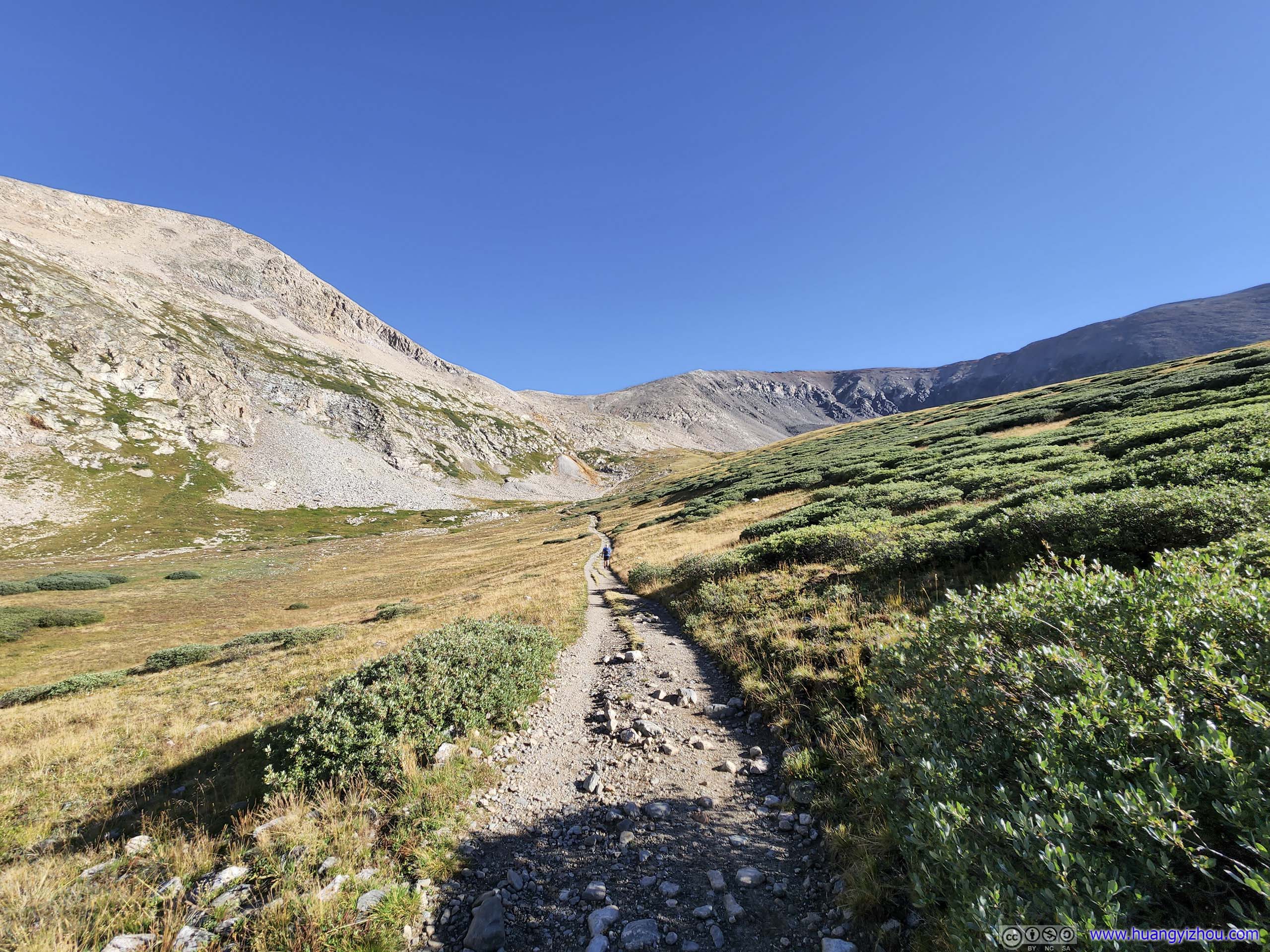
After 2.2km, the trail reached the saddle point between Mount Democrat and Mount Cameron. We took a brief rest there before continuing onto Mount Democrat.
 Trail to Mount Democrat
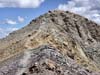
Taken on my way up Mount Cameron. A visible path of switchbacks among the rocks. In my opinion, the last part of the switchbacks, indicated by the red arrow, were the steepest and thus most challenging. It’s probably for this section that the trail was rated as YDS class 2 (otherwise I think Mount Democrat should be class 1).
Trail to Mount Democrat
Taken on my way up Mount Cameron. A visible path of switchbacks among the rocks. In my opinion, the last part of the switchbacks, indicated by the red arrow, were the steepest and thus most challenging. It’s probably for this section that the trail was rated as YDS class 2 (otherwise I think Mount Democrat should be class 1). Trail to Mount DemocratTaken on my way up Mount Cameron. This wide angle shot also included Kite Lake as trailhead.
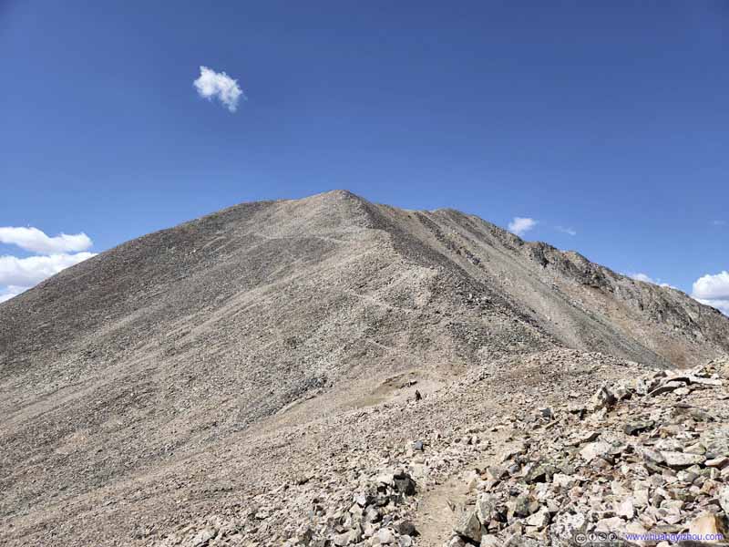 Trail to Mount Democrat
Taken on my way up Mount Cameron. The junction and the abandoned mine were in the lower center of this photo.
Trail to Mount Democrat
Taken on my way up Mount Cameron. The junction and the abandoned mine were in the lower center of this photo.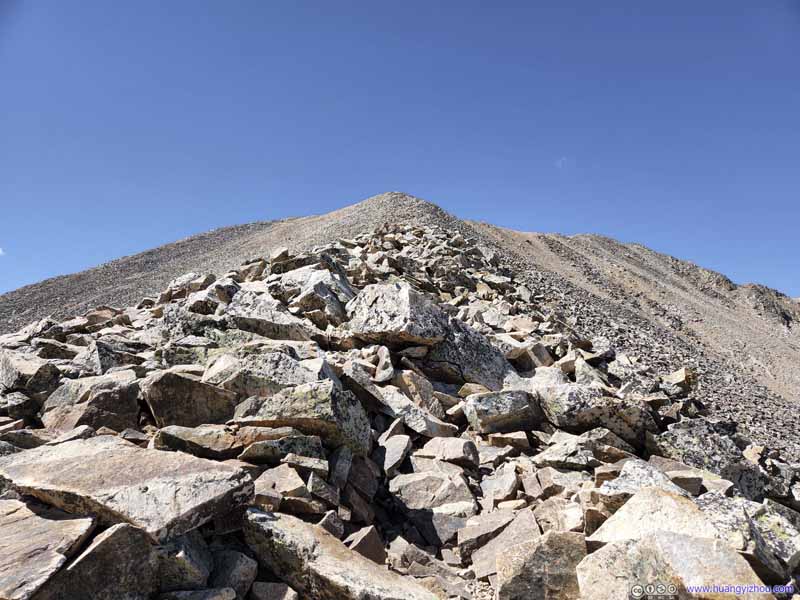 Trail to Mount Democrat
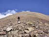
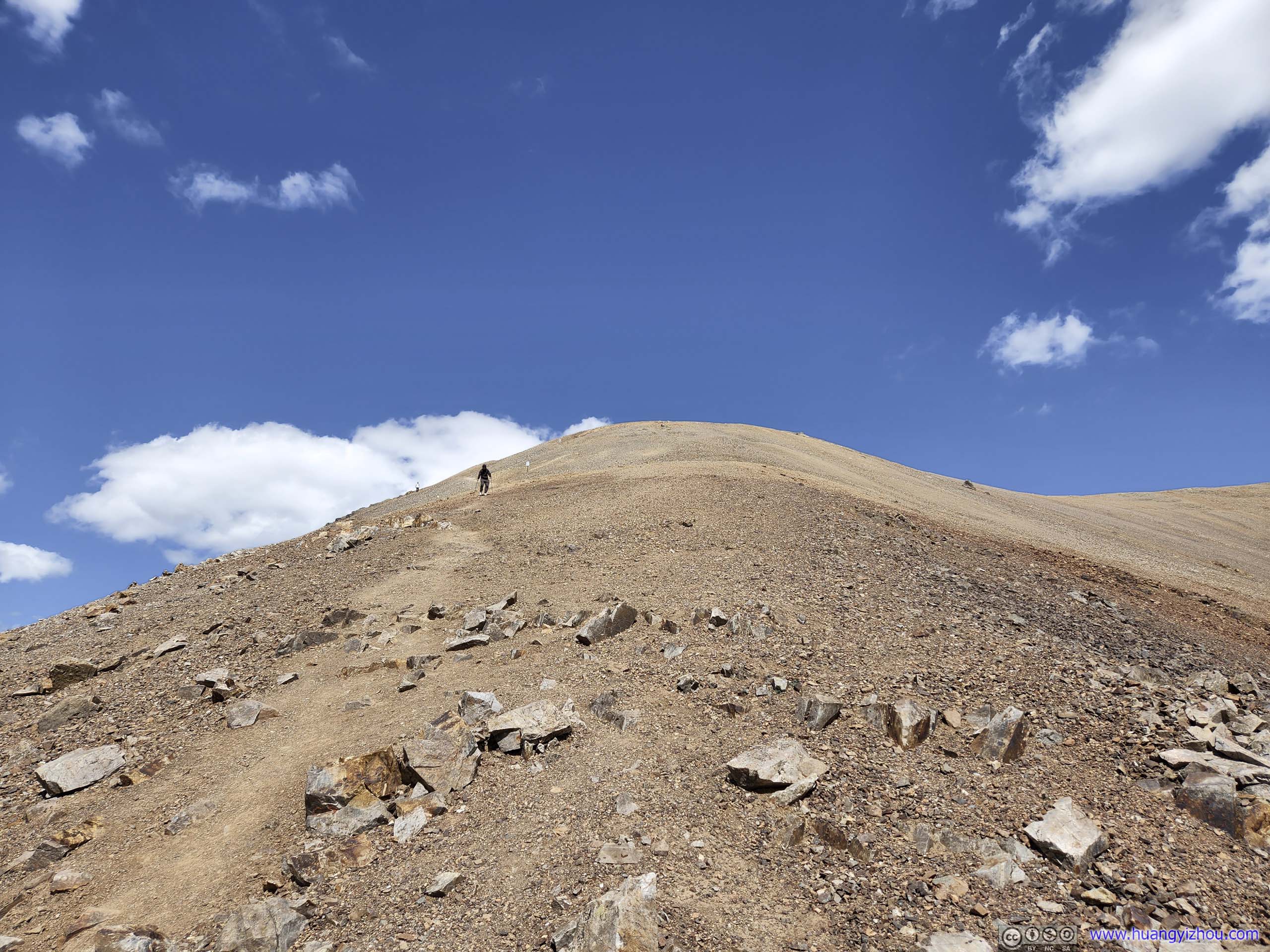
The initial part after leaving the junction. I couldn’t identify a visible trail here, so there was some rock hopping. I didn’t think this part was technical.
Trail to Mount Democrat
The initial part after leaving the junction. I couldn’t identify a visible trail here, so there was some rock hopping. I didn’t think this part was technical. Final Stretch up Mount Democrat
 Mining RemnantsJust before the final stretch up Mount Democrat.
Click here to display photos of the trail to Mount Democrat
Trail to Mount Democrat

Trail to Mount DemocratTaken on my way up Mount Cameron. This wide angle shot also included Kite Lake as trailhead.
Trail to Mount Democrat
Trail to Mount Democrat
Final Stretch up Mount Democrat
Mining RemnantsJust before the final stretch up Mount Democrat.
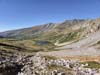
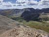
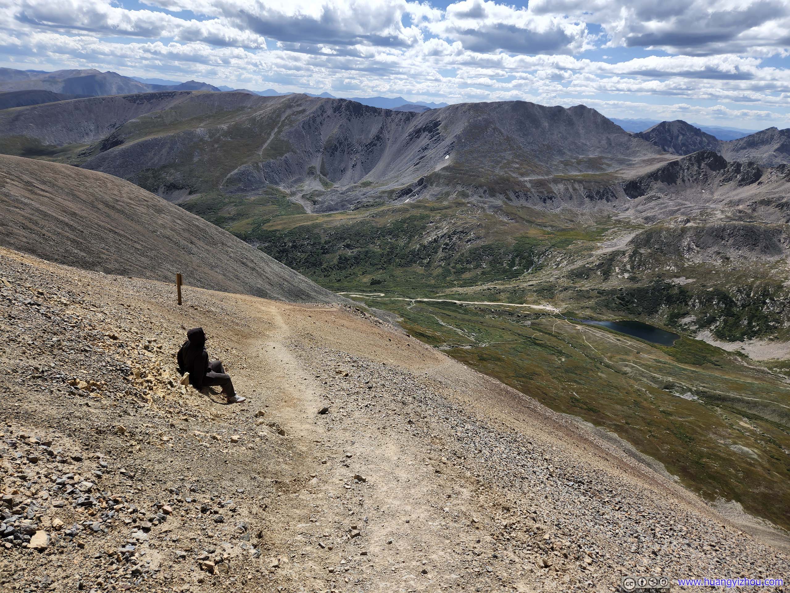
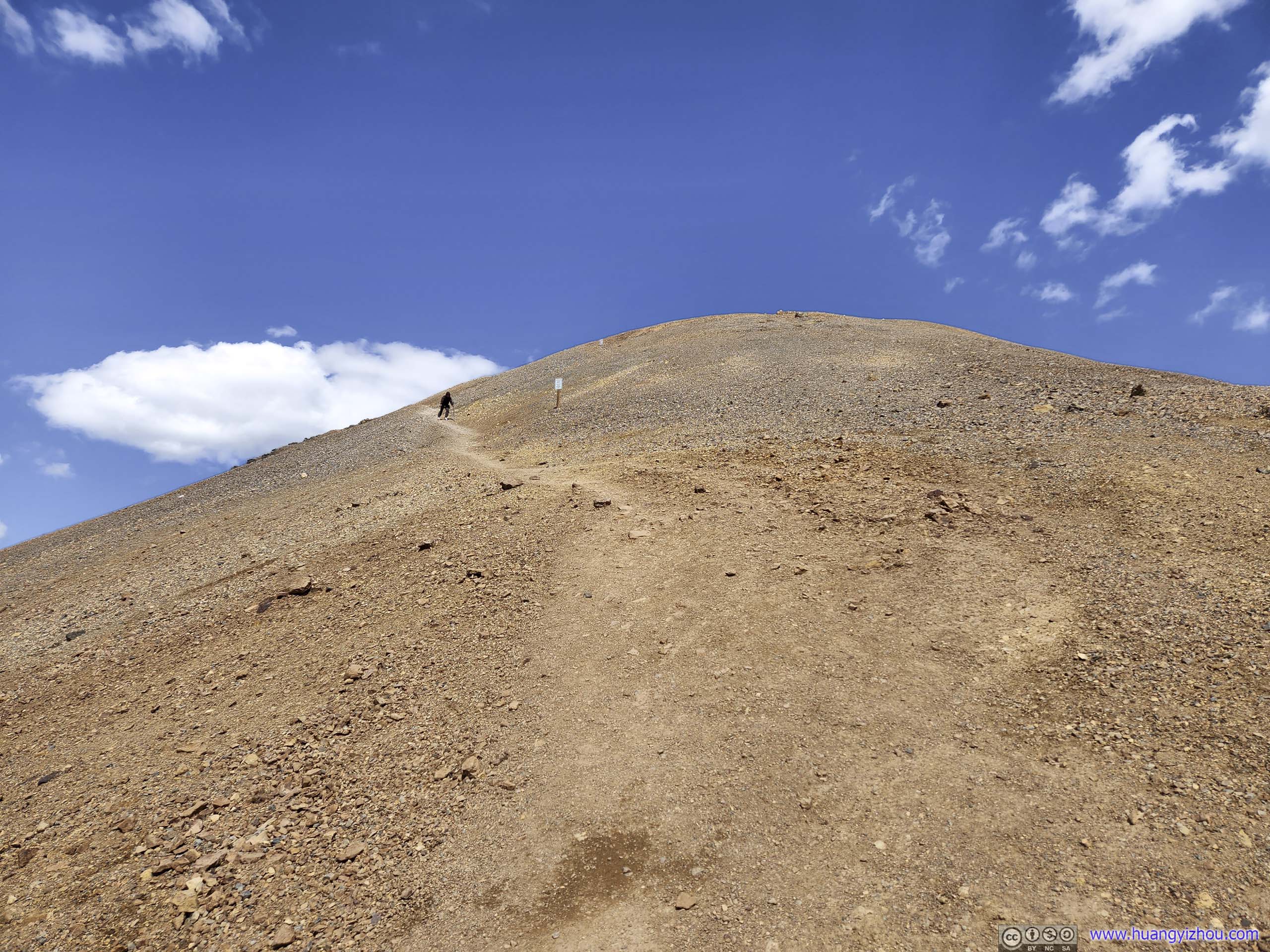
The trail to Mount Democrat was completely on rocks, and occasionally involved rock hopping. About halfway between the saddle point and the summit was the steepest section, which our hiking poles helped a lot. After that, there was a section where elevation gain eased up, before a final stretch up the summit.
It’s during this section that we first got rewarded with proper views, of mountain ranges to the north and west in bright sunlight.
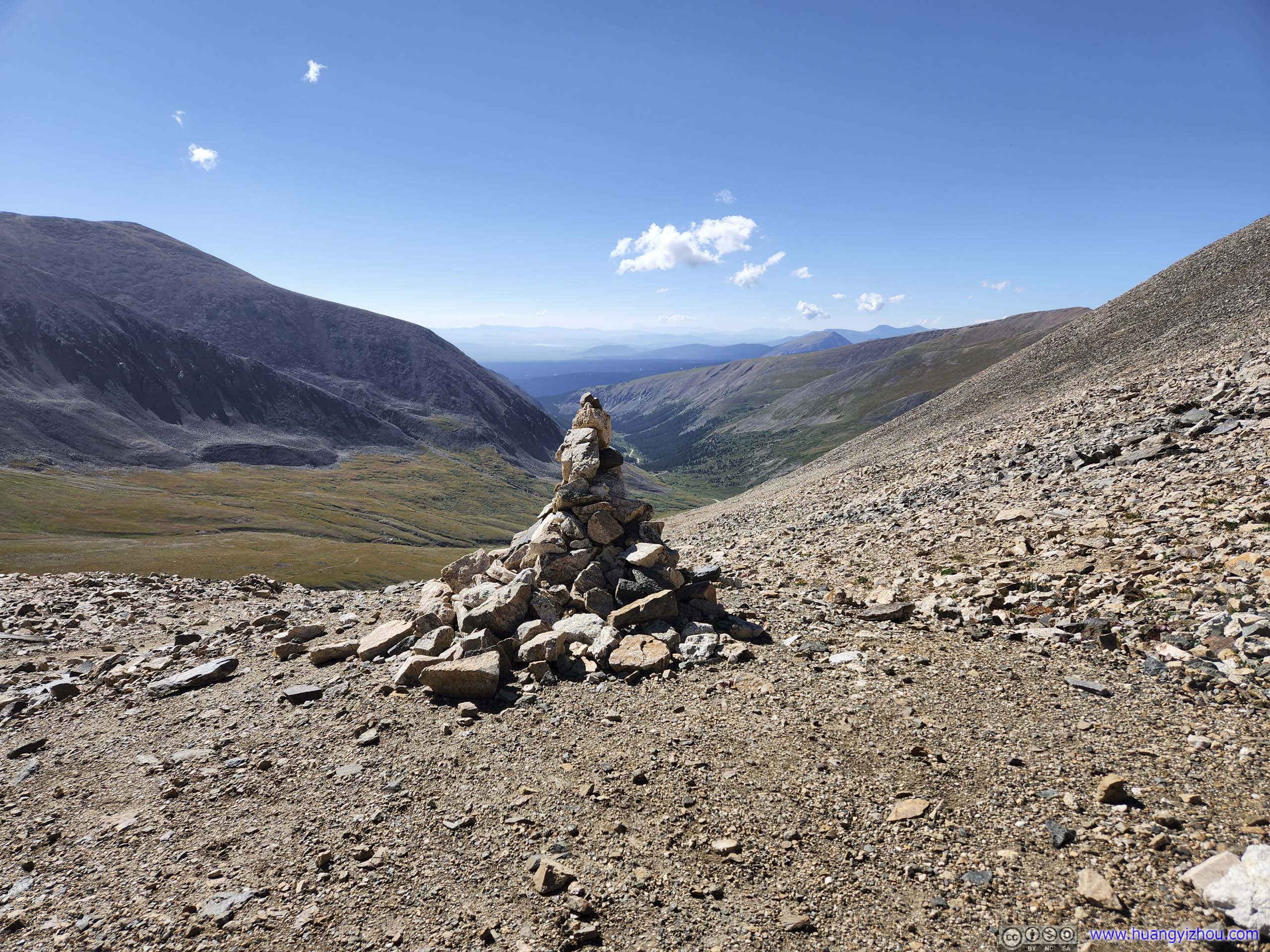
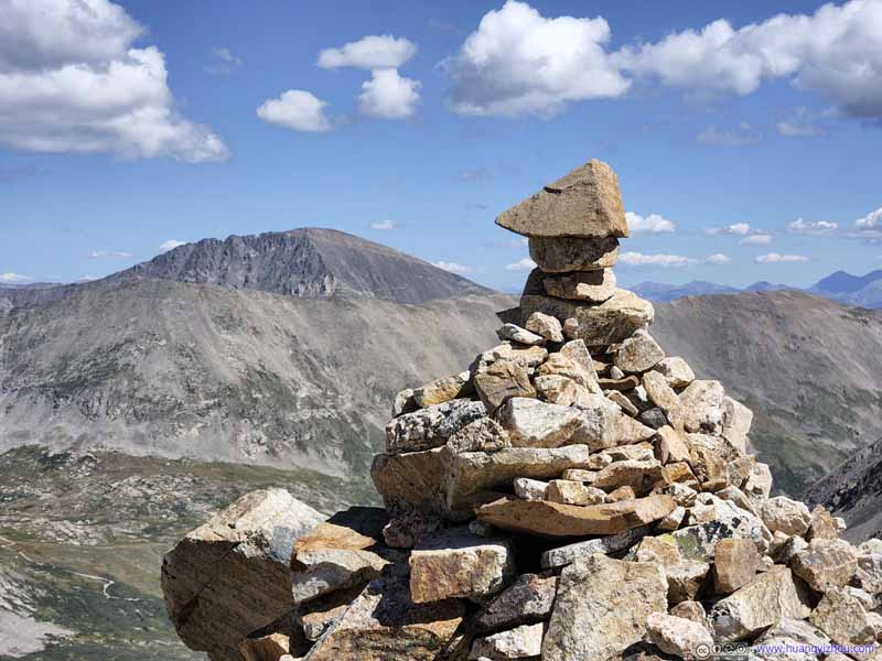 CairnOne that’s placed along the trail, with Quandary Peak as background.
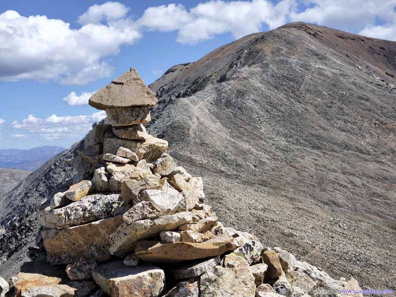 CairnOne that’s placed along the trail, with Mount Cameron as background.
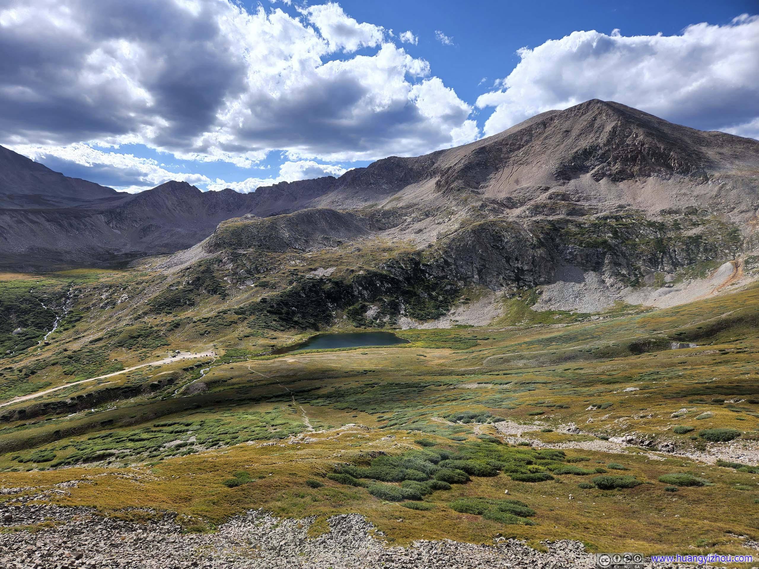
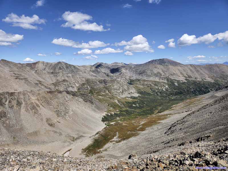 Platte Gulch and Mountains to the North
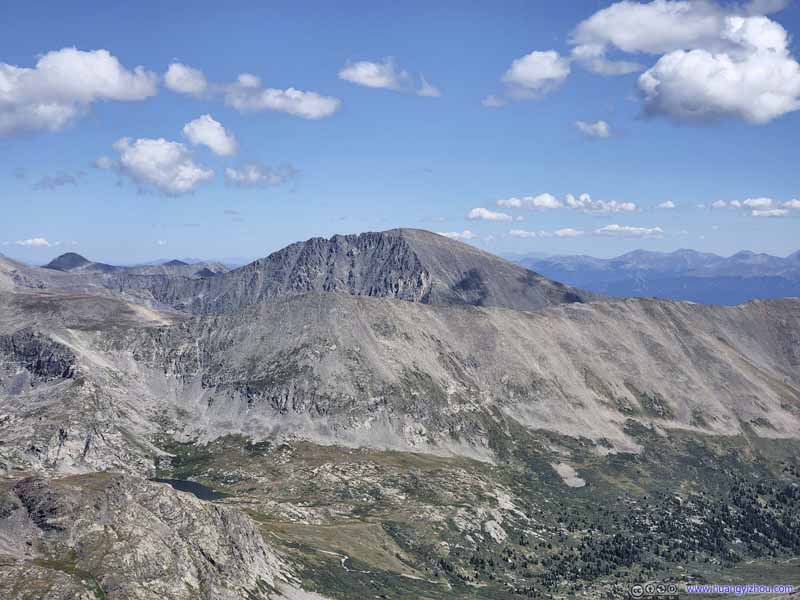 Quandary PeakOne that we summitted the previous day, a constant sight along this section of the trail.
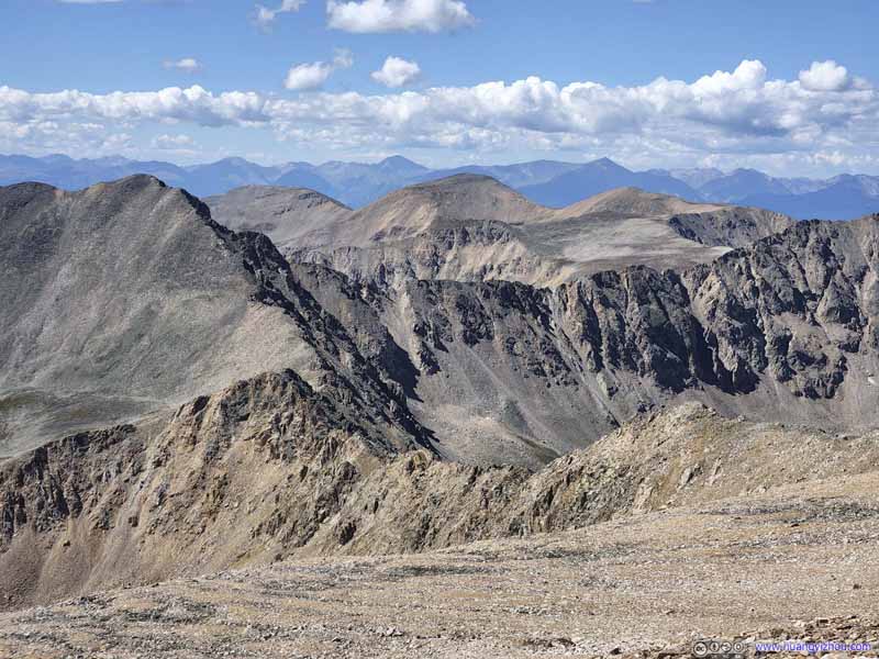 Mountains to the SouthRidge between Mount Democrat and Mount Buckskin.
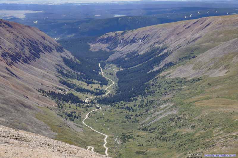 ValleyThe dirt road to Kite Lake, where we came from.

Click here to display views along the way to Mount Democrat.

CairnOne that’s placed along the trail, with Quandary Peak as background.
CairnOne that’s placed along the trail, with Mount Cameron as background.

Platte Gulch and Mountains to the North
Quandary PeakOne that we summitted the previous day, a constant sight along this section of the trail.
Mountains to the SouthRidge between Mount Democrat and Mount Buckskin.
ValleyThe dirt road to Kite Lake, where we came from.
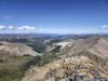
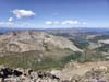
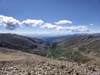
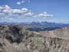
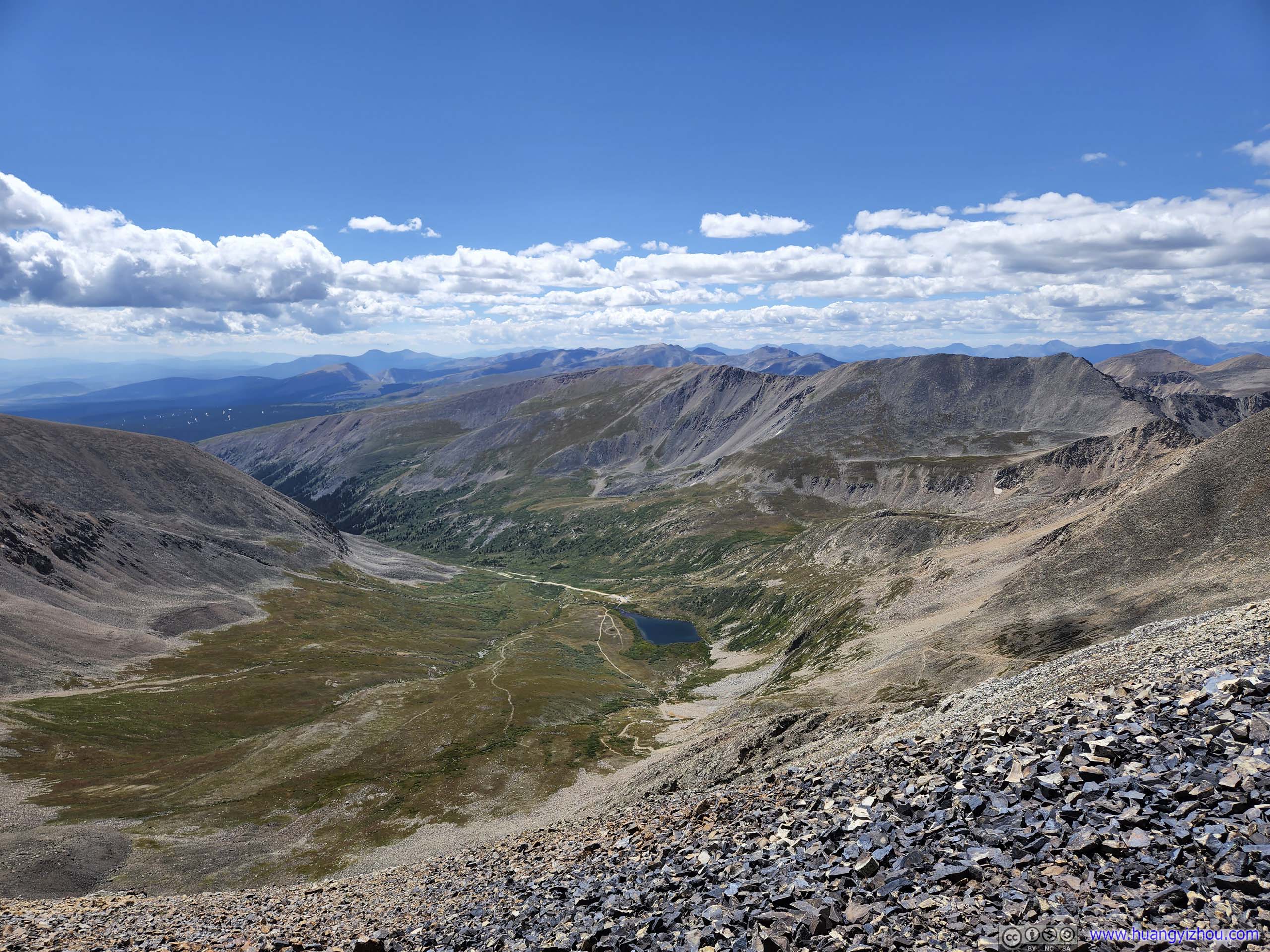
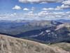
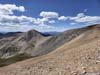
Just before 11am, we reached the summit of Mount Democrat. Located in the center of Mosquito-Tenmile Range, it offered great views towards all directions.
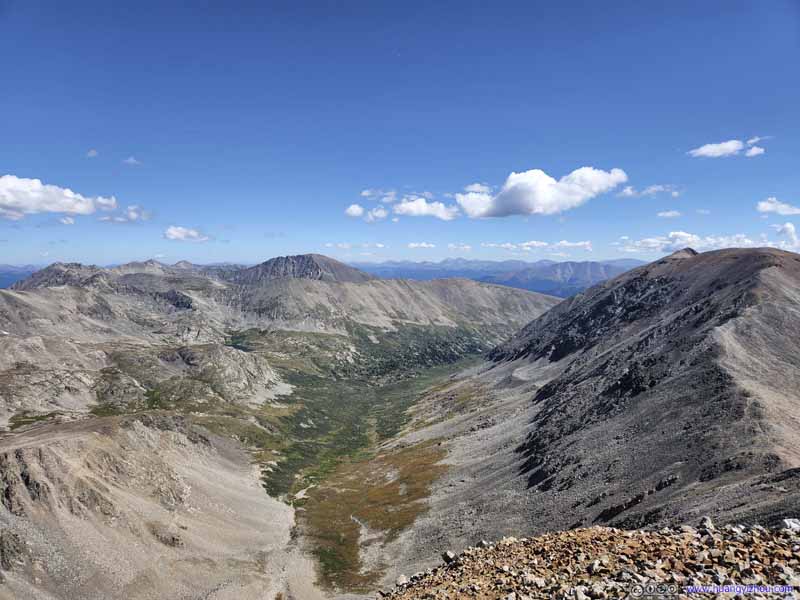 Platte GulchQuandary Peak, which we summitted the previous day, was the prominent presence in the center.
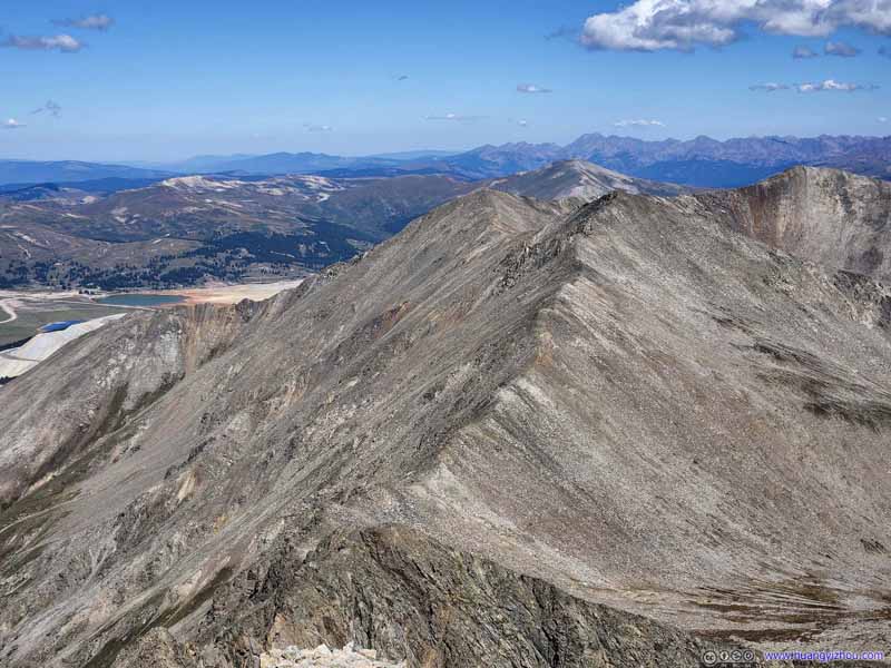 Traver Peak
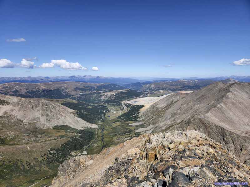 Fremont PassOn the continental divide. To its south, CO 91 made a hairpin turn.
 Mount Arkansas
 Mountains to the SouthMount Buckskin in the middle.
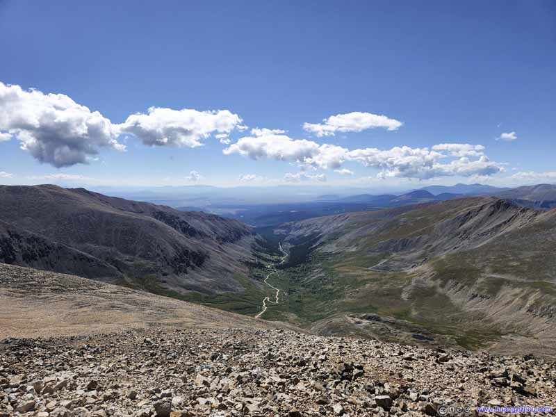 ValleyThe winding dirt road to Kite Lake, where we came from.

Click here to display photos from Mount Democrat.

Platte GulchQuandary Peak, which we summitted the previous day, was the prominent presence in the center.
Traver Peak
Fremont PassOn the continental divide. To its south, CO 91 made a hairpin turn.

Mount Arkansas
Mountains to the SouthMount Buckskin in the middle.
ValleyThe winding dirt road to Kite Lake, where we came from.

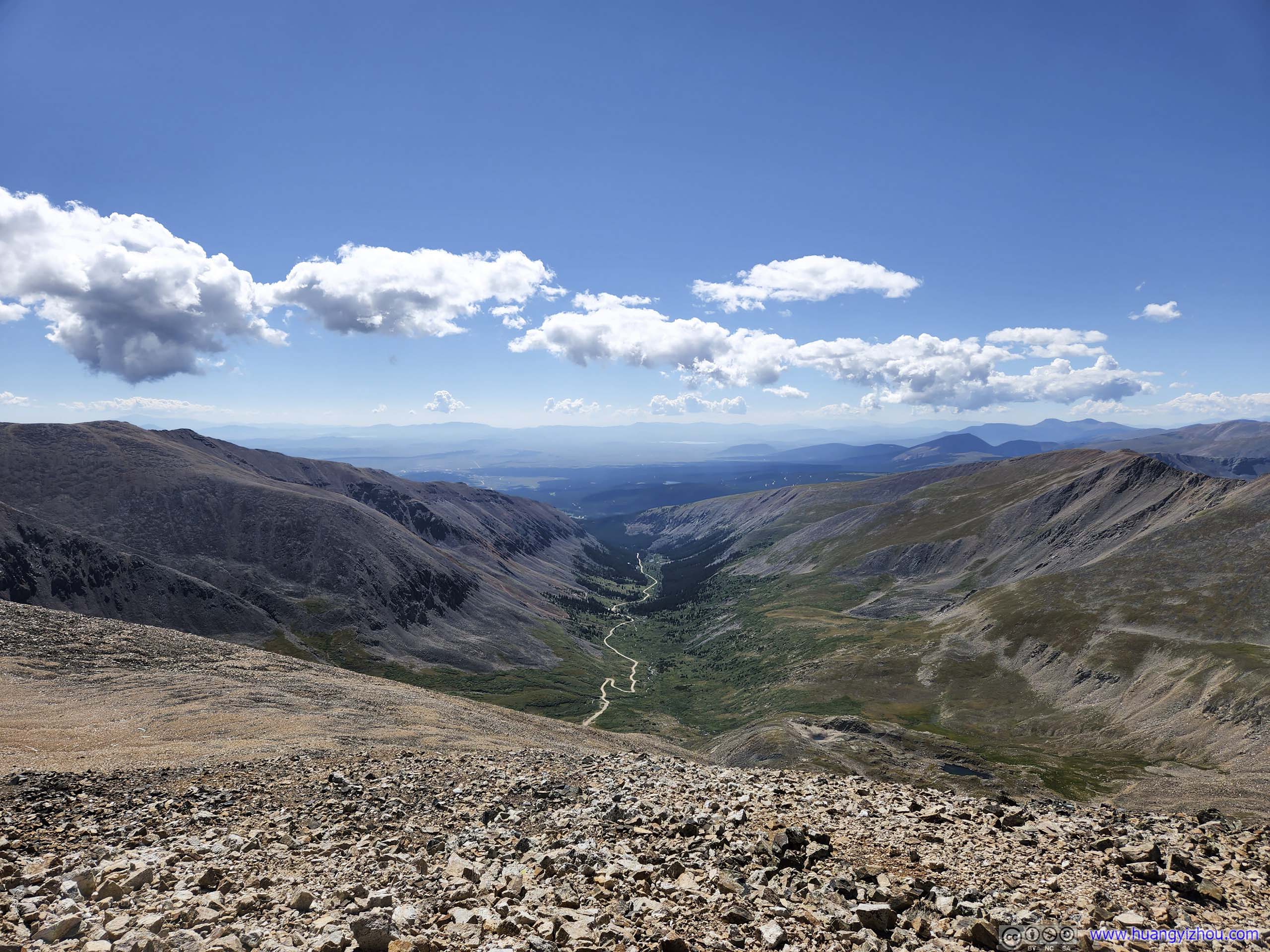
View from Mount Democrat to the West
We spent about 18 minutes at the summit of Mount Democrat, enjoying snacks and chatting with fellow hikers, before heading back down and towards Mount Cameron.
 Trail to Mount Cameron
Taken on my way up Mount Democrat. The junction and the abandoned mine were in the lower center of this photo.
Trail to Mount Cameron
Taken on my way up Mount Democrat. The junction and the abandoned mine were in the lower center of this photo. Trail to Mount CameronMy friend descending from Mount Democrat in the foreground.
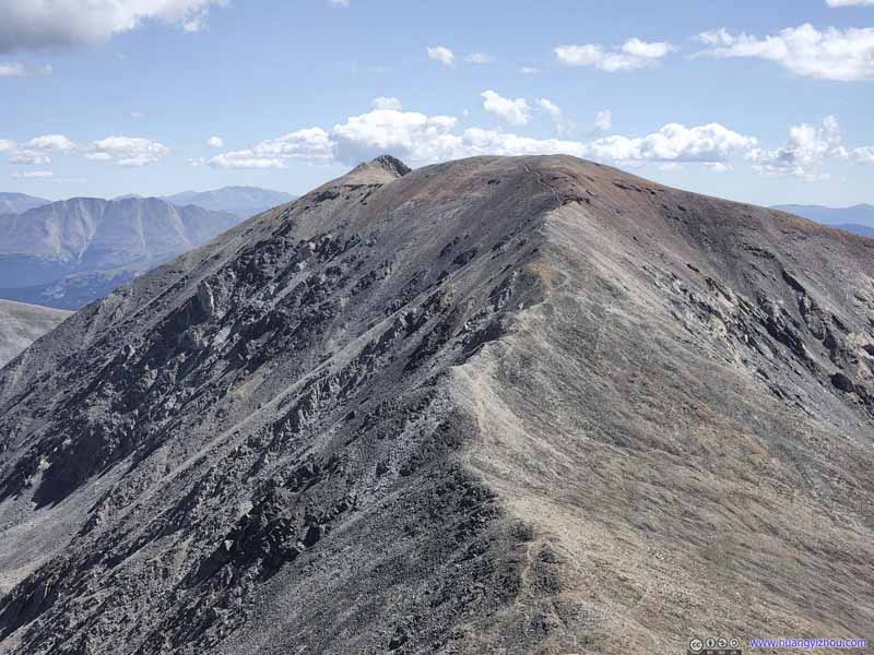 Trail to Mount Cameron
Taken from the summit of Mount Democrat. The summit of Mount Lincoln was partially visible in the background.
Trail to Mount Cameron
Taken from the summit of Mount Democrat. The summit of Mount Lincoln was partially visible in the background.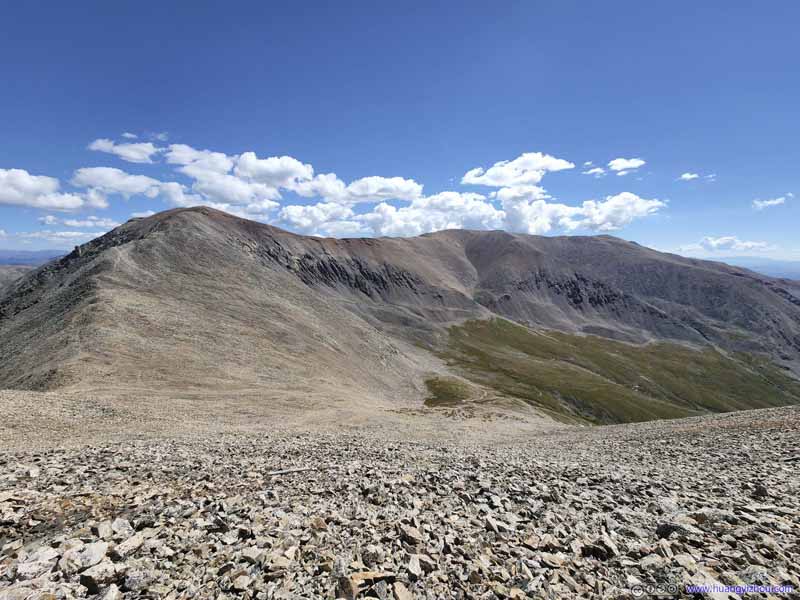 Mount Cameron and Mount BrossTaken on my way from Mount Democrat.
 Trail to Mount Cameron
Taken close to the summit of Mount Cameron. Compared with Mount Democrat, this section of the trail was much easier.
Trail to Mount Cameron
Taken close to the summit of Mount Cameron. Compared with Mount Democrat, this section of the trail was much easier.

Click here to display photos of the trail to Mount Cameron.
Trail to Mount Cameron
Trail to Mount CameronMy friend descending from Mount Democrat in the foreground.

Trail to Mount Cameron
Mount Cameron and Mount BrossTaken on my way from Mount Democrat.

Trail to Mount Cameron
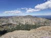
And here were the views along the way, which were never disappointing.
 Overlooking Kite Lake
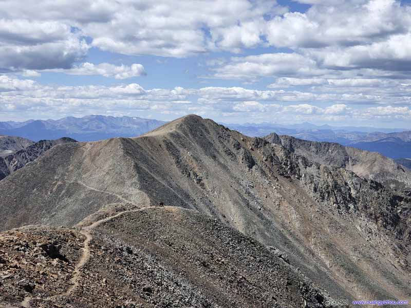 Looking back at Mount Democrat
 Mountains to the West
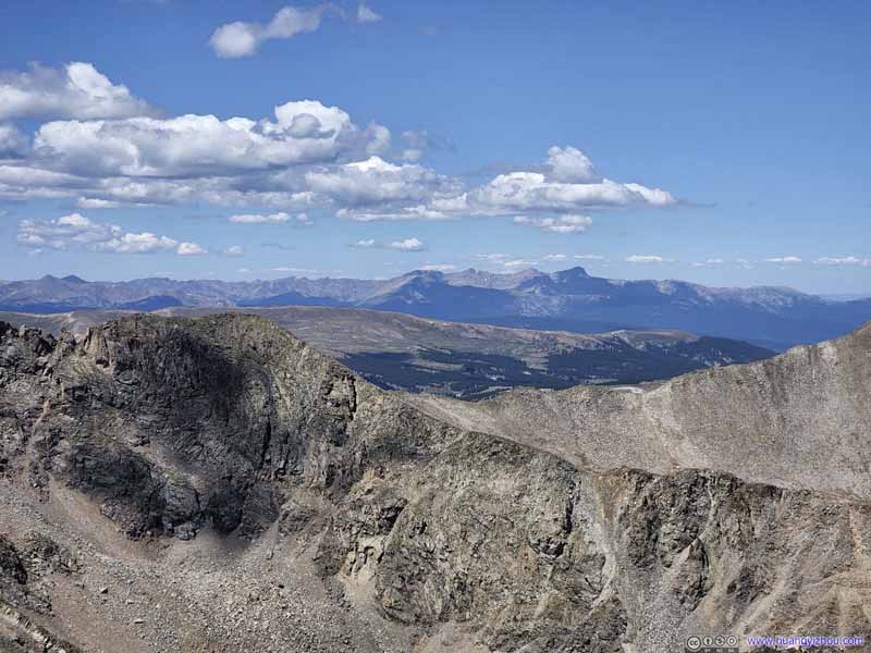 Mountains to the WestDistant mountains in Holy Cross Wilderness.
 Mountains to the North
 Quandary PeakIts smooth eastern ridge and rugged western ridge.
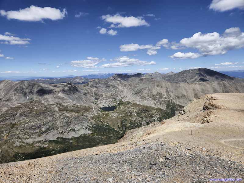 Wheeler Lake before Wheeler Peak
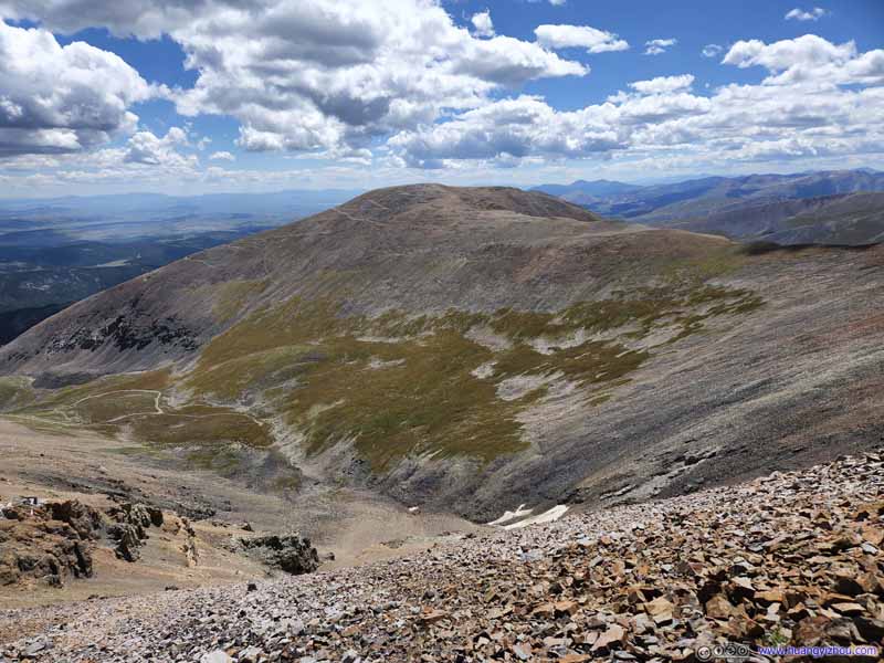 Mount Bross


Click here to display photos of the slideshow
Overlooking Kite Lake
Looking back at Mount Democrat
Mountains to the West
Mountains to the WestDistant mountains in Holy Cross Wilderness.

Mountains to the North

Quandary PeakIts smooth eastern ridge and rugged western ridge.

Wheeler Lake before Wheeler Peak

Mount Bross
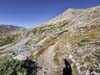
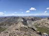
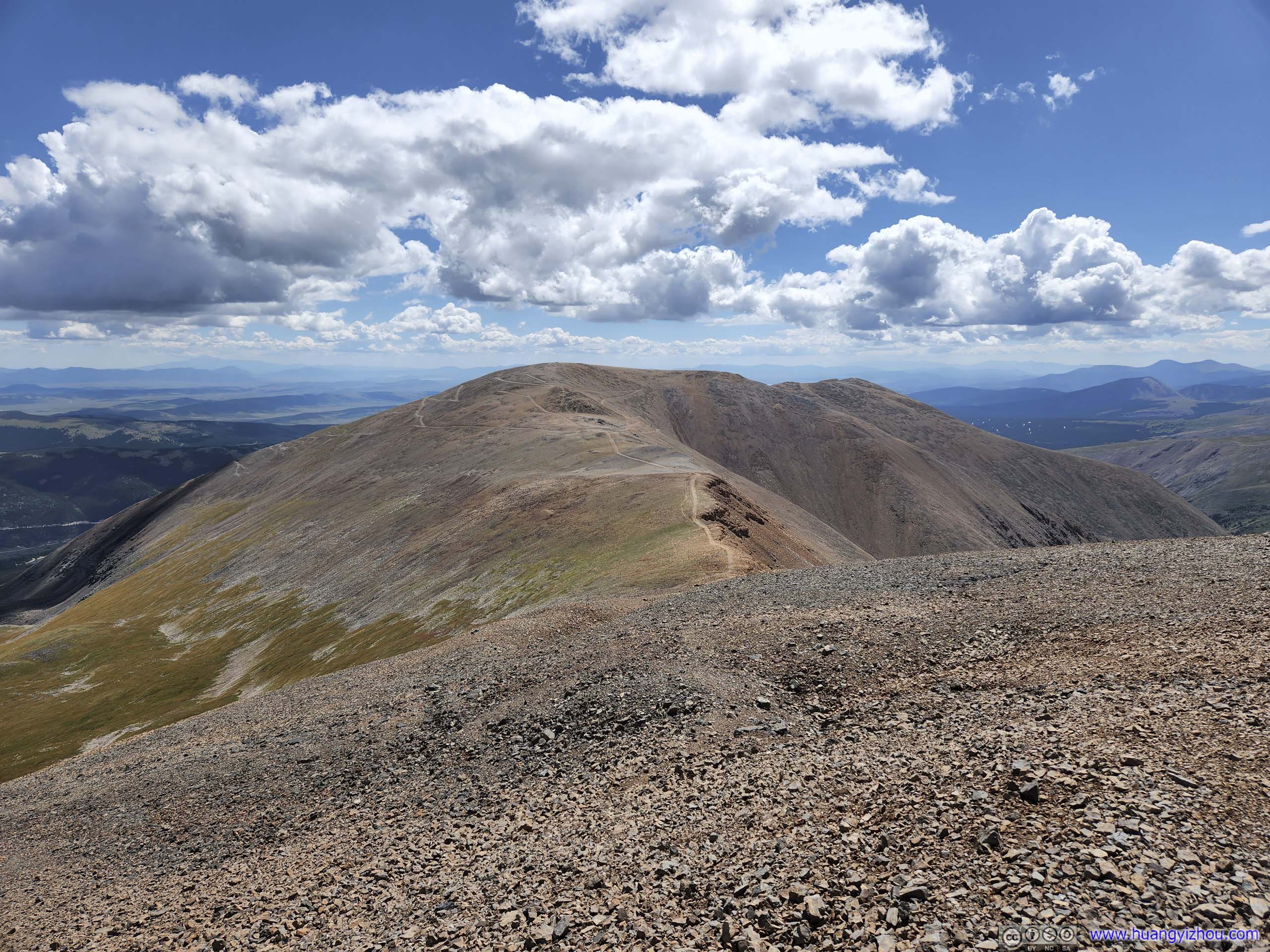
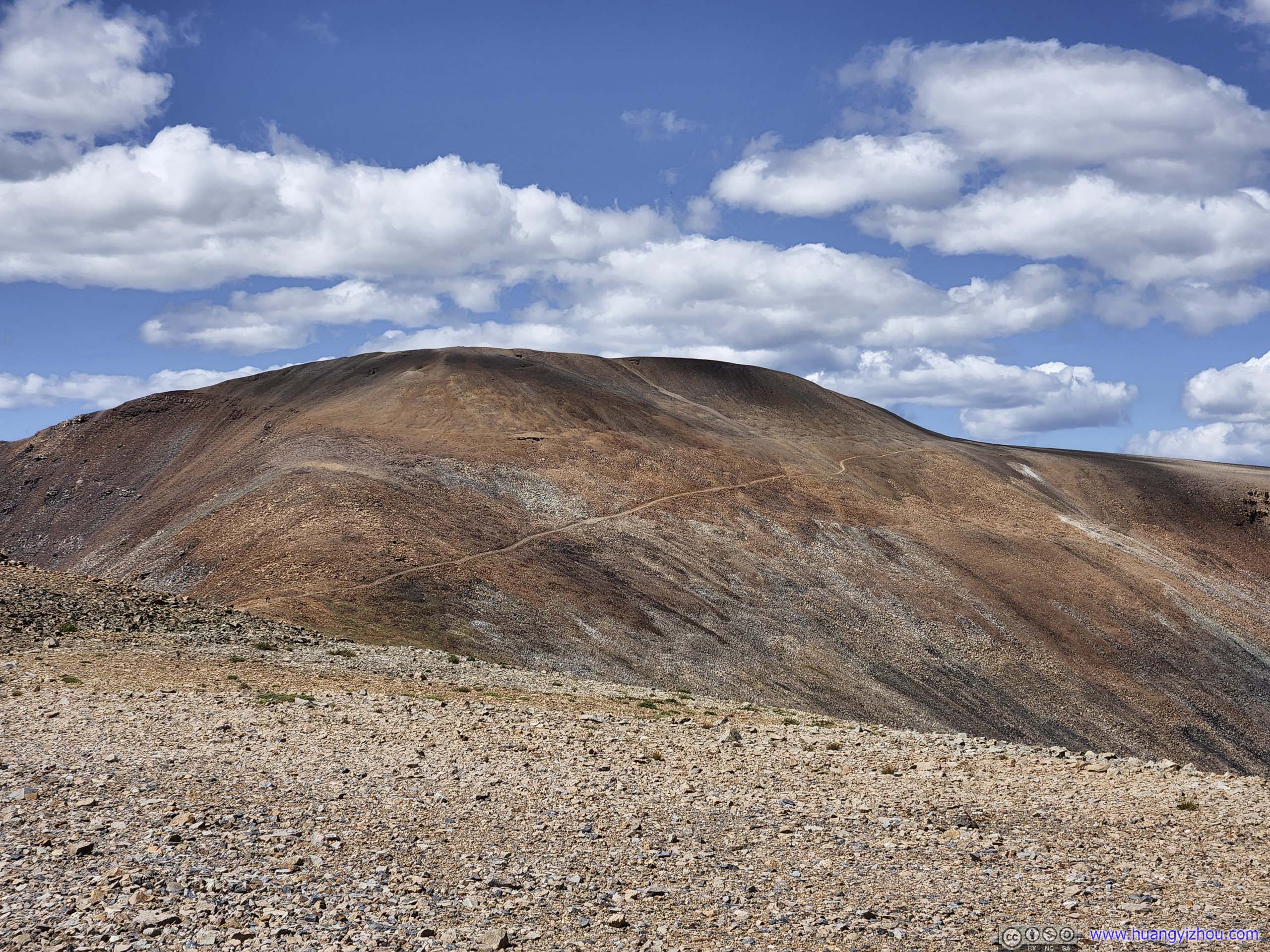
Compared to the section between the trailhead and Mount Democrat, during which elevation gain was constant and grueling, the trail Mount Cameron was more manageable, relatively. In addition, the top of Mount Cameron was really flat, so for a moment my friend and I were struggling to locate the spot where we ought to celebrate our summiting.
In the end, we picked a random molehill slightly off the trail (as the trail didn’t seem to pass through the summit), and took a few photos to mark the moment.
View from Mount Cameron to the East
 Mountains to the East
Mount Lincoln in the left, Mount Bross in the right (out of the frame). Across a valley and CO 9, a few mountains as the southern tip of Front Range.
Mountains to the East
Mount Lincoln in the left, Mount Bross in the right (out of the frame). Across a valley and CO 9, a few mountains as the southern tip of Front Range. Mount Silverheels
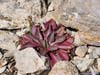
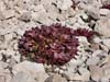
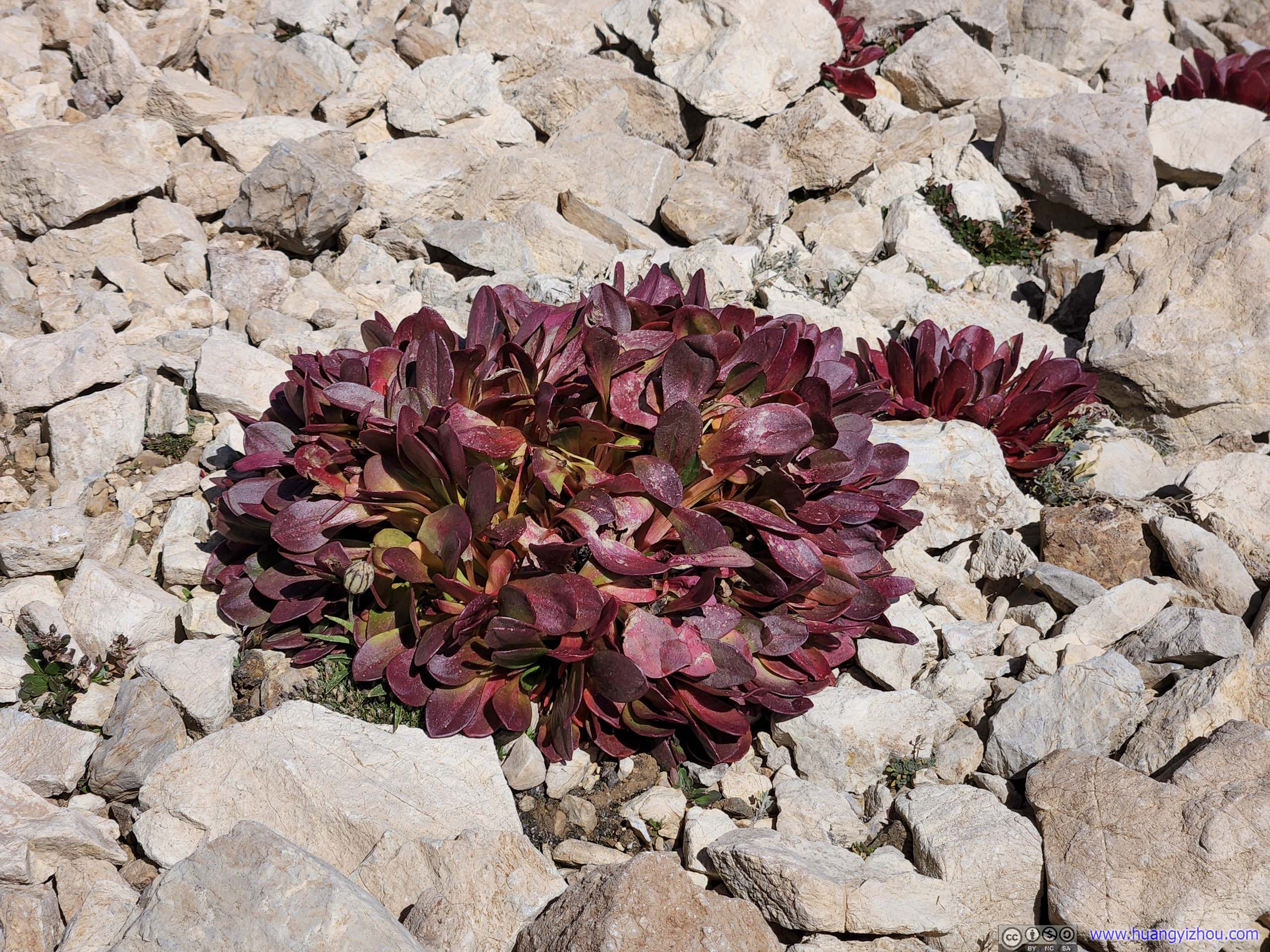
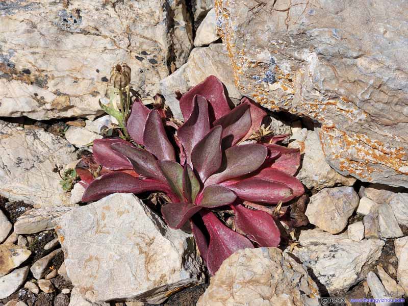 Vegetation
These plants seemed to come out of nowhere between the cracks of rocks. It’s the end of August, probably the end of their short summer life so the leaves were already turning red.
Vegetation
These plants seemed to come out of nowhere between the cracks of rocks. It’s the end of August, probably the end of their short summer life so the leaves were already turning red.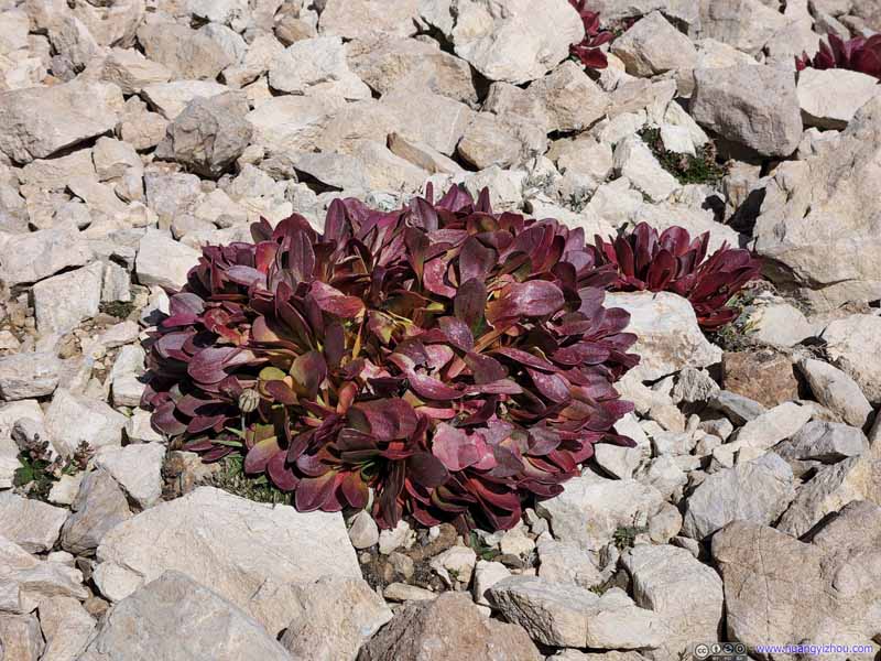 Vegetation
These plants seemed to come out of nowhere between the cracks of rocks. It’s the end of August, probably the end of their short summer life so the leaves were already turning red.
Vegetation
These plants seemed to come out of nowhere between the cracks of rocks. It’s the end of August, probably the end of their short summer life so the leaves were already turning red.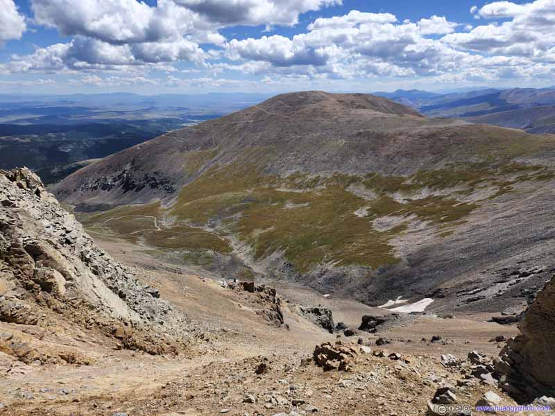 Mount Bross
Taken from the trail to Mount Lincoln, which followed a ridgeline with decent exposure on both sides (pictured here to the south).
Mount Bross
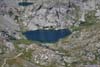
Taken from the trail to Mount Lincoln, which followed a ridgeline with decent exposure on both sides (pictured here to the south). Wheeler LakeAn alpine lake to the north.
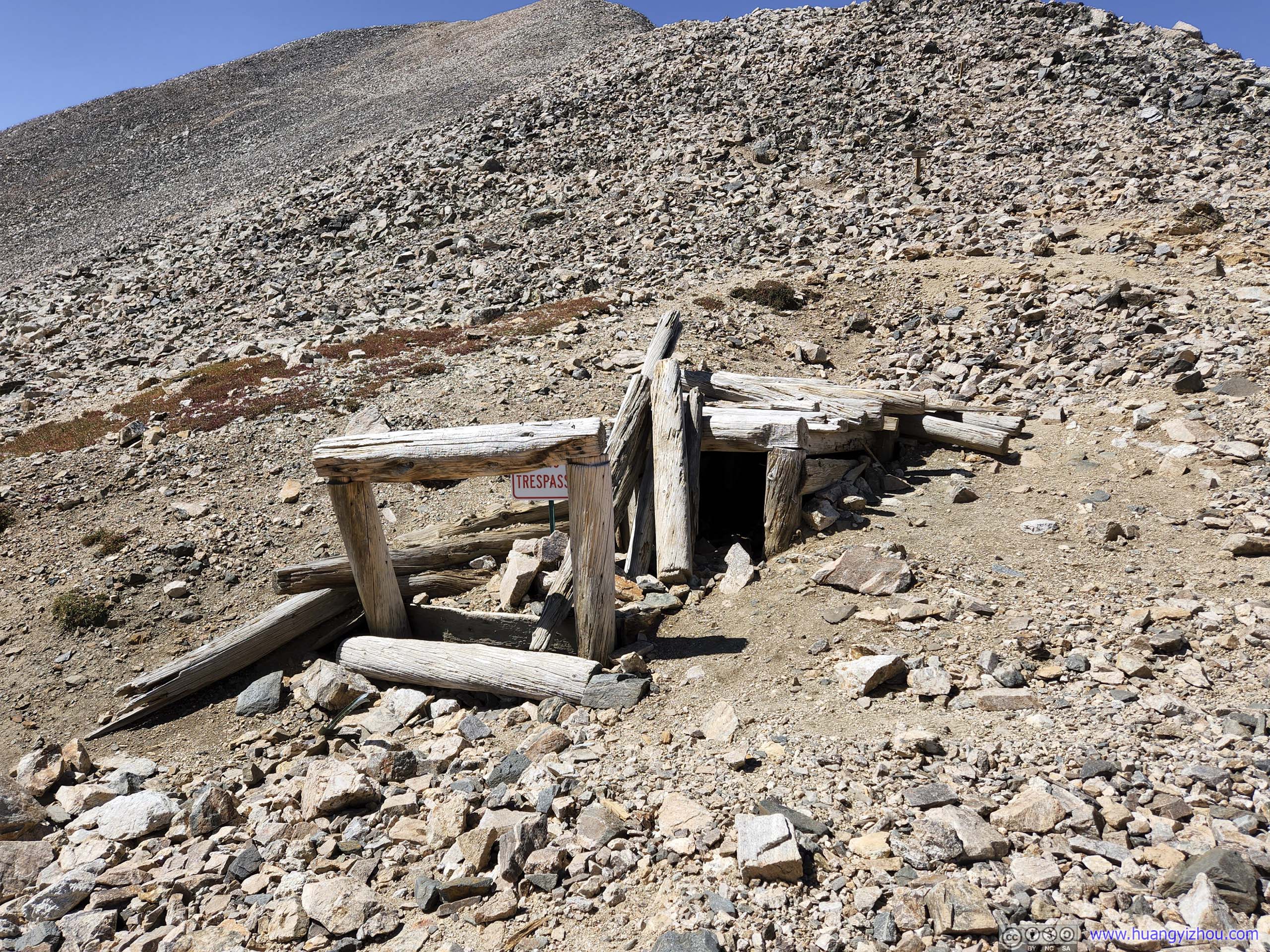
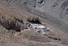
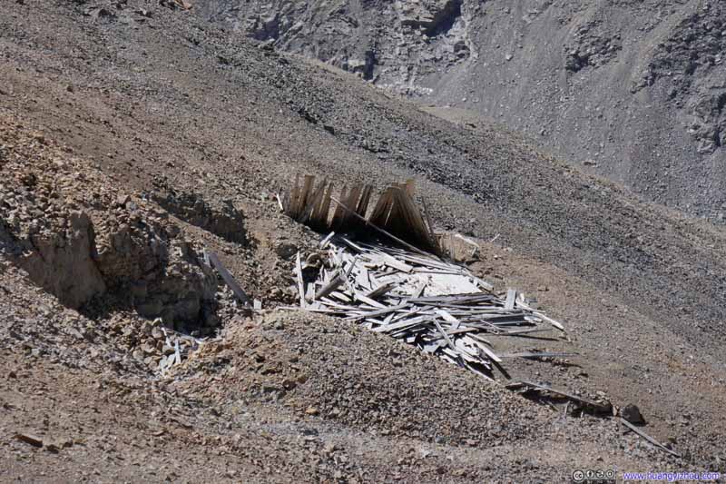 Abandoned MinesAround Mount Lincoln. It’s never hard to find abandoned mines among these mountains.

Click here to display photos of the slideshow

Mountains to the East

Mount Silverheels

Vegetation
Vegetation

Mount Bross

Wheeler LakeAn alpine lake to the north.

Abandoned MinesAround Mount Lincoln. It’s never hard to find abandoned mines among these mountains.
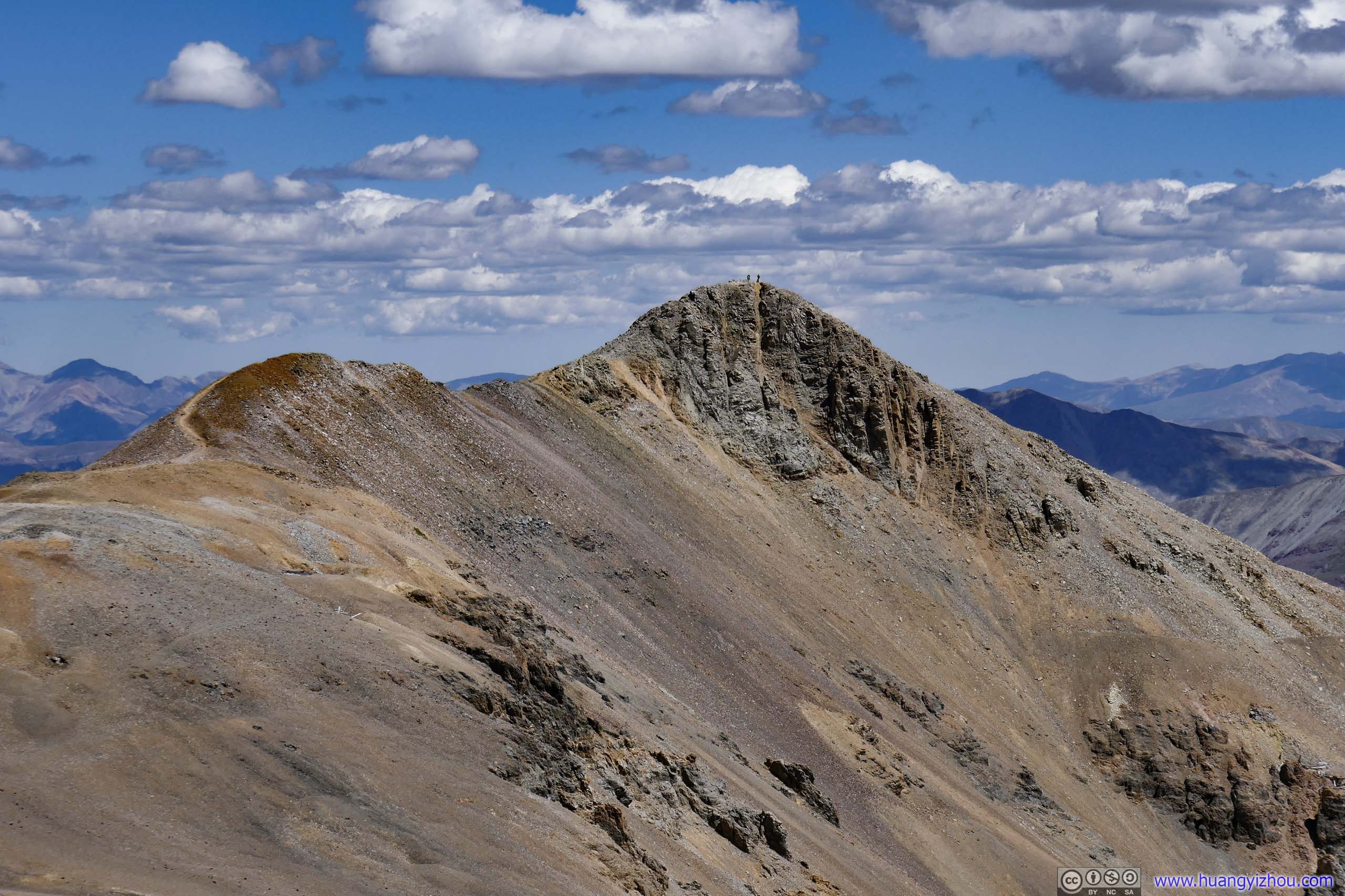
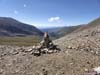
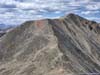
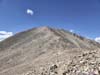
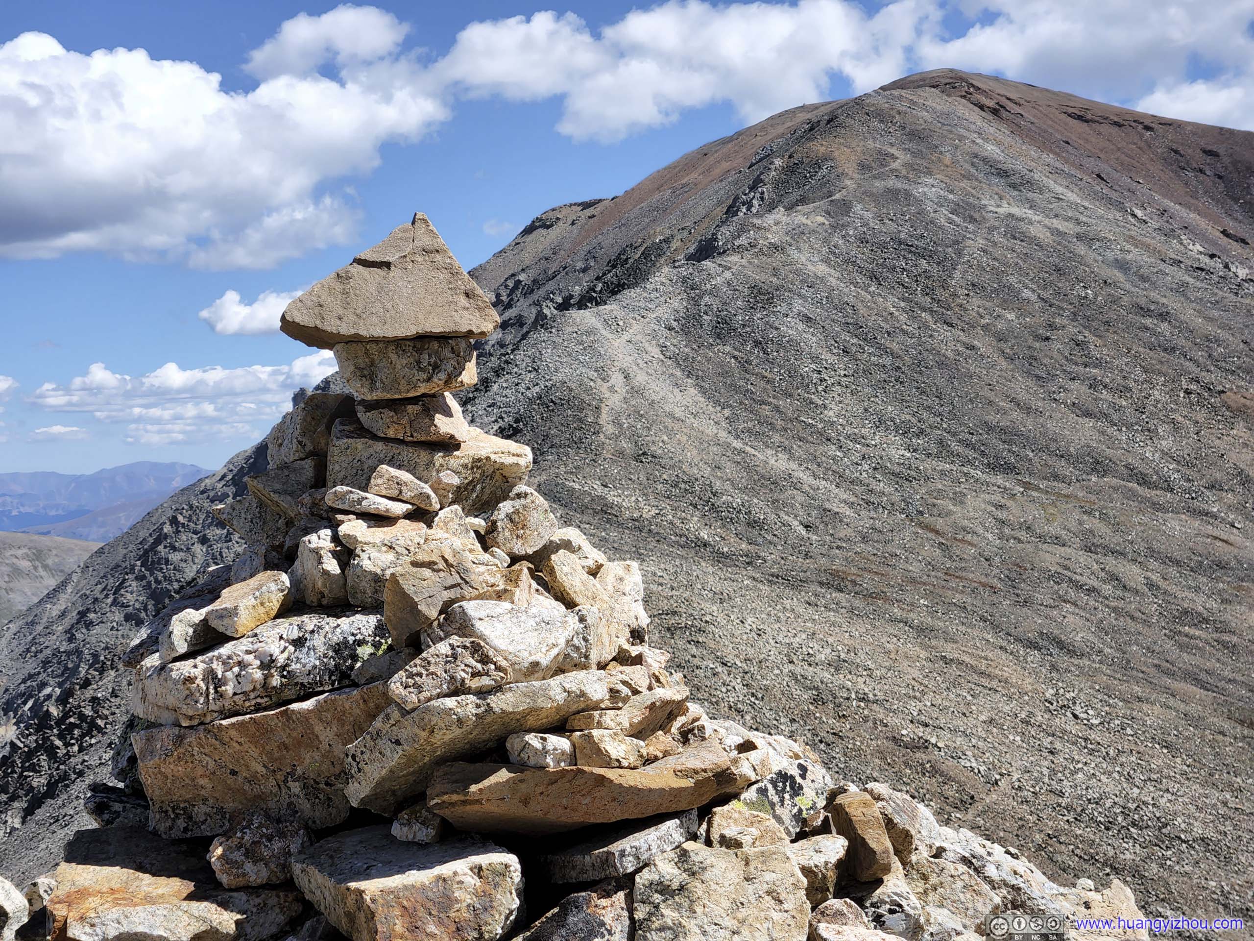
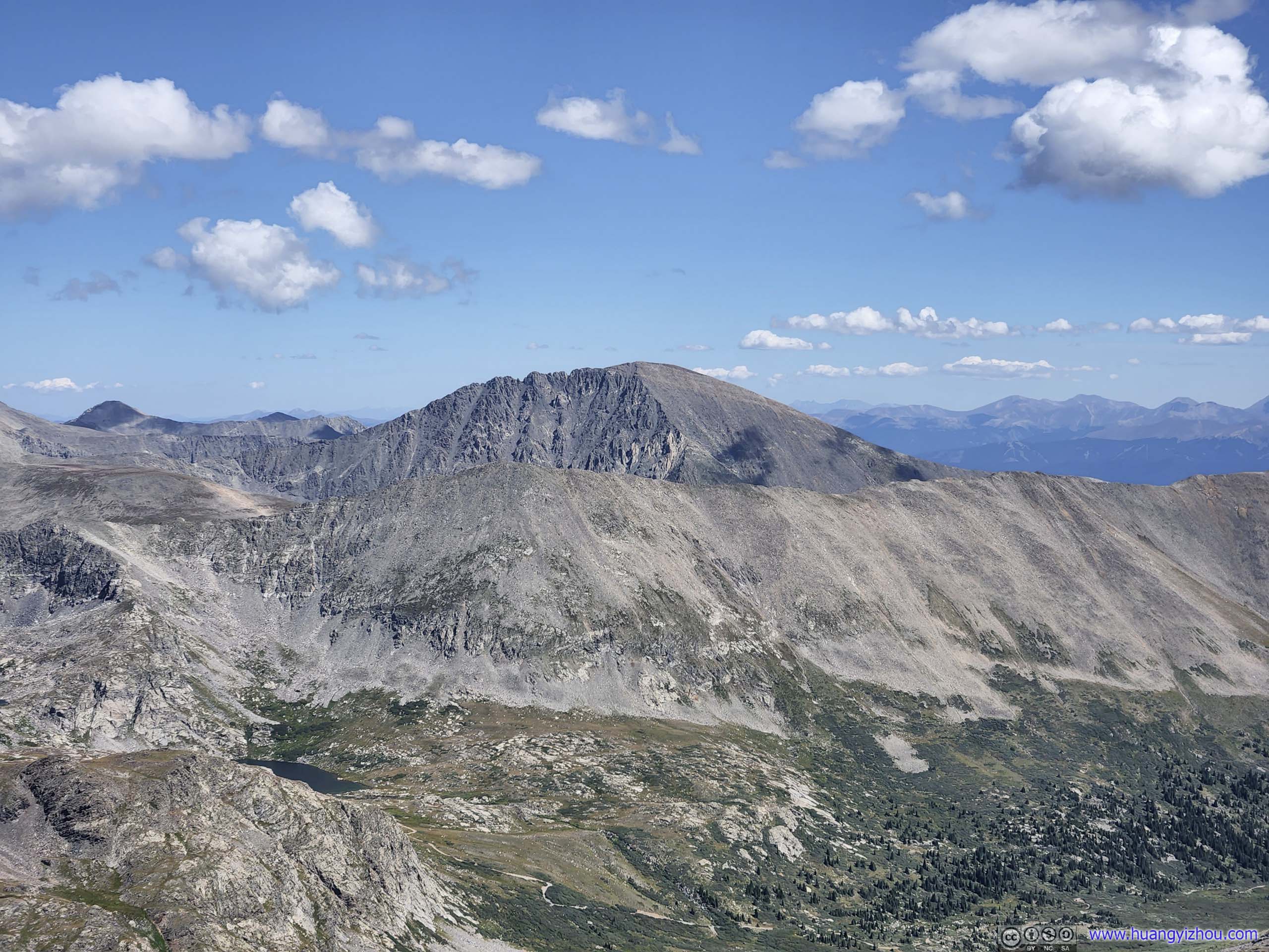
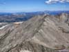
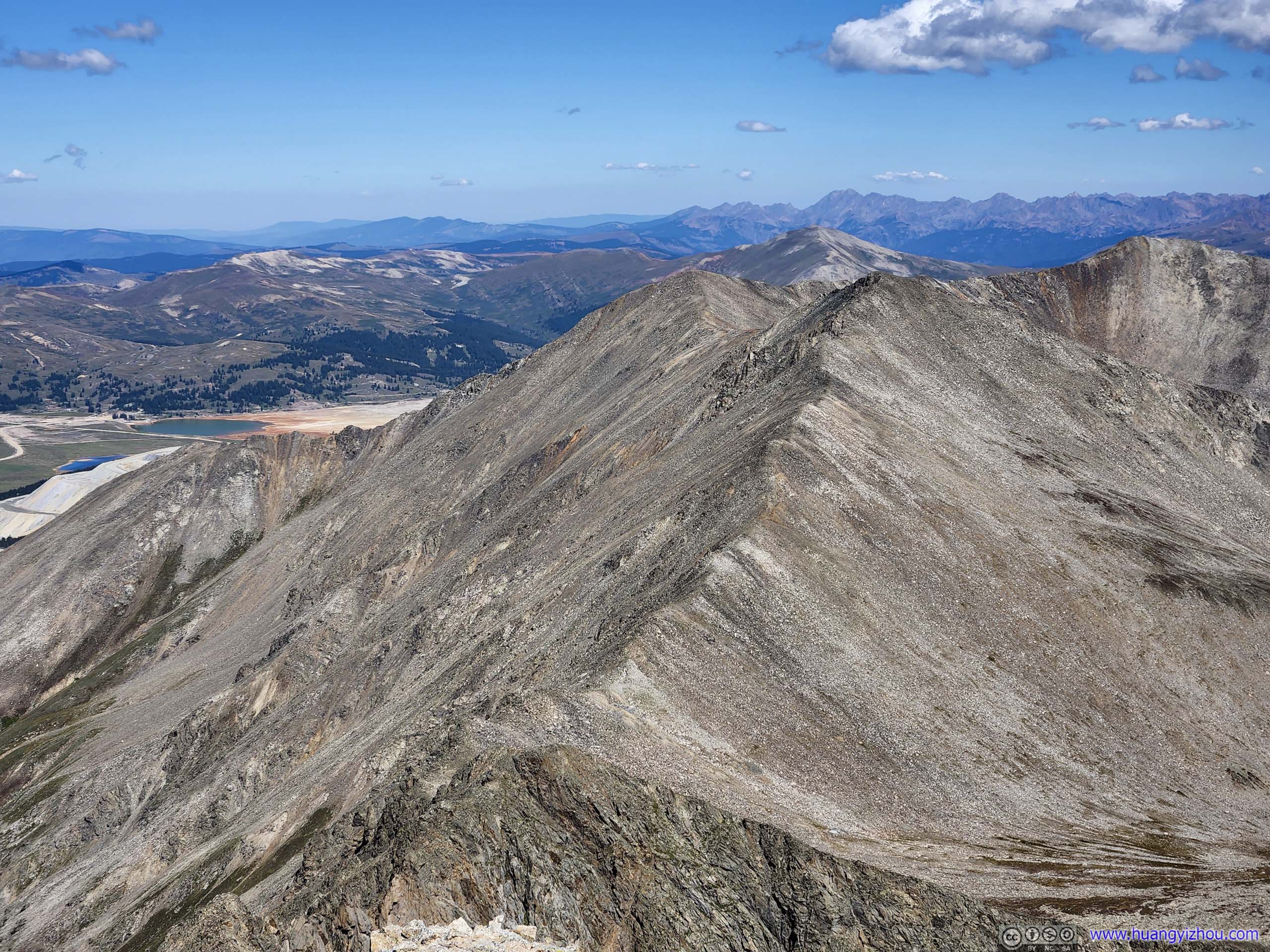
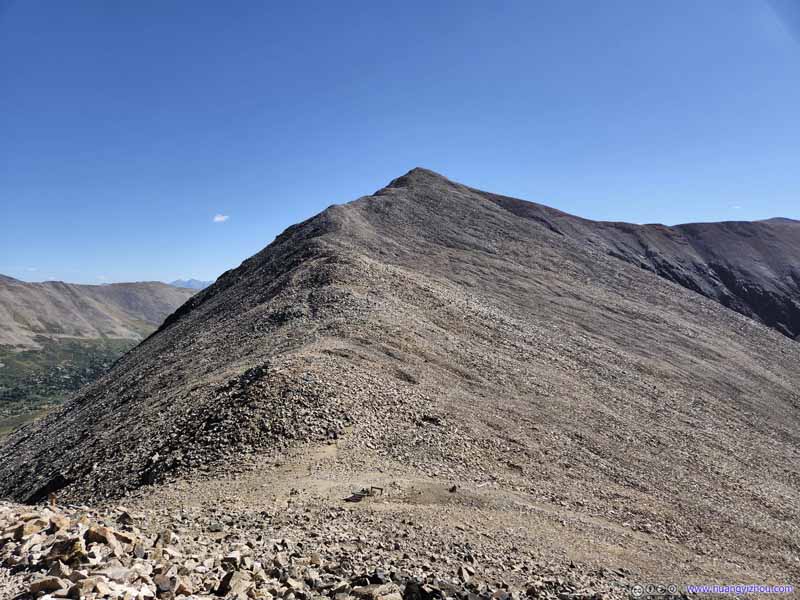
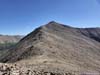
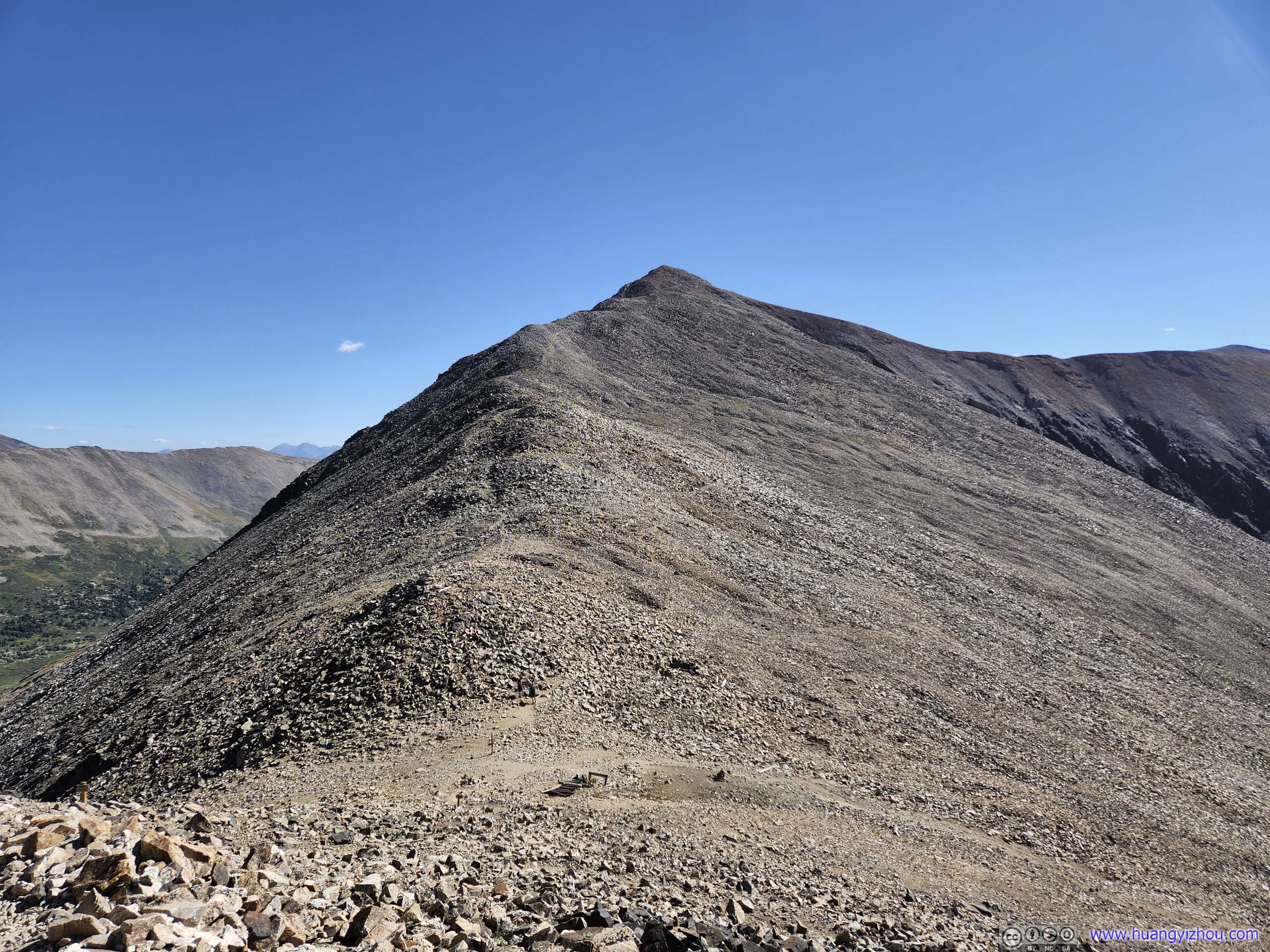
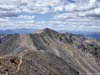
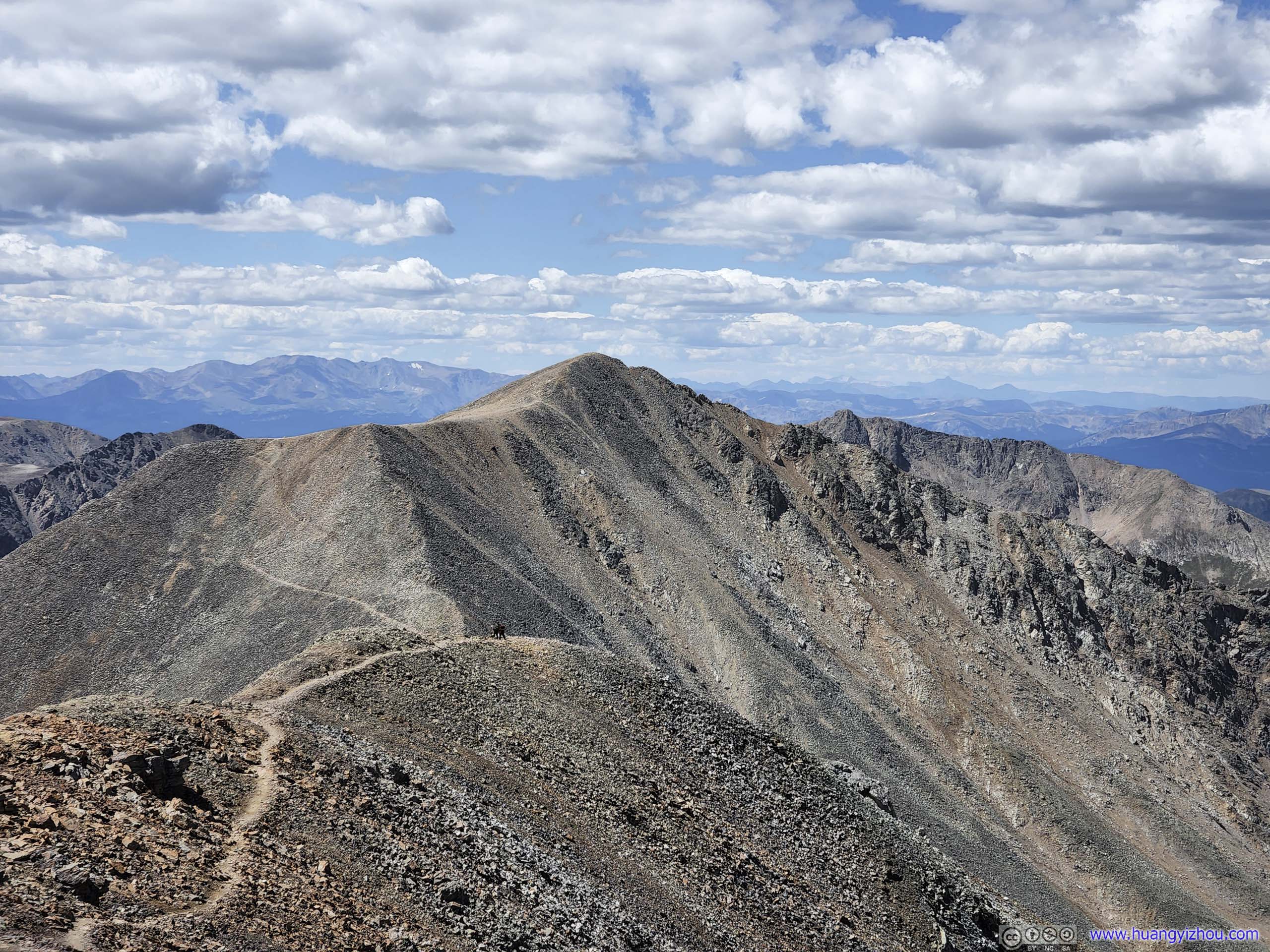
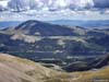
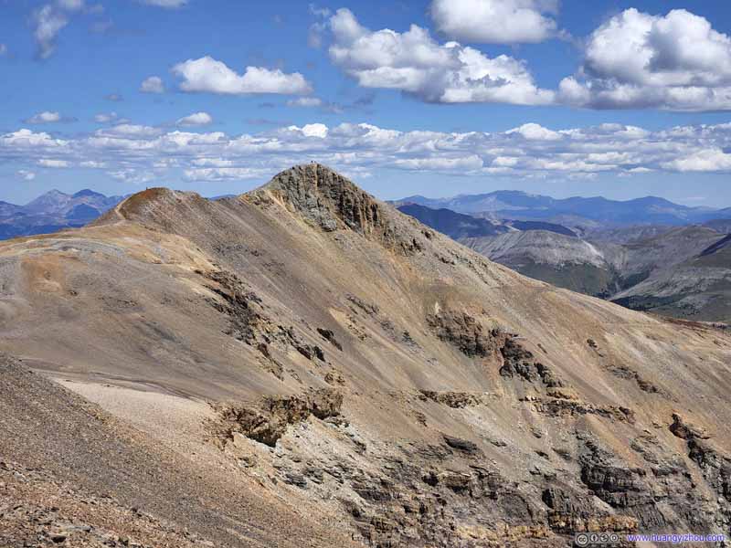
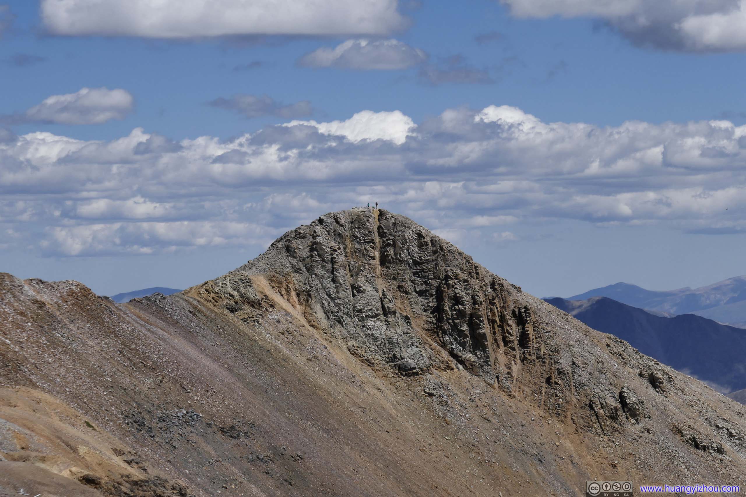
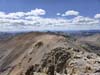
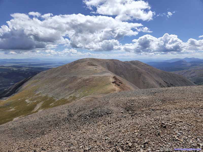
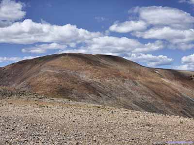
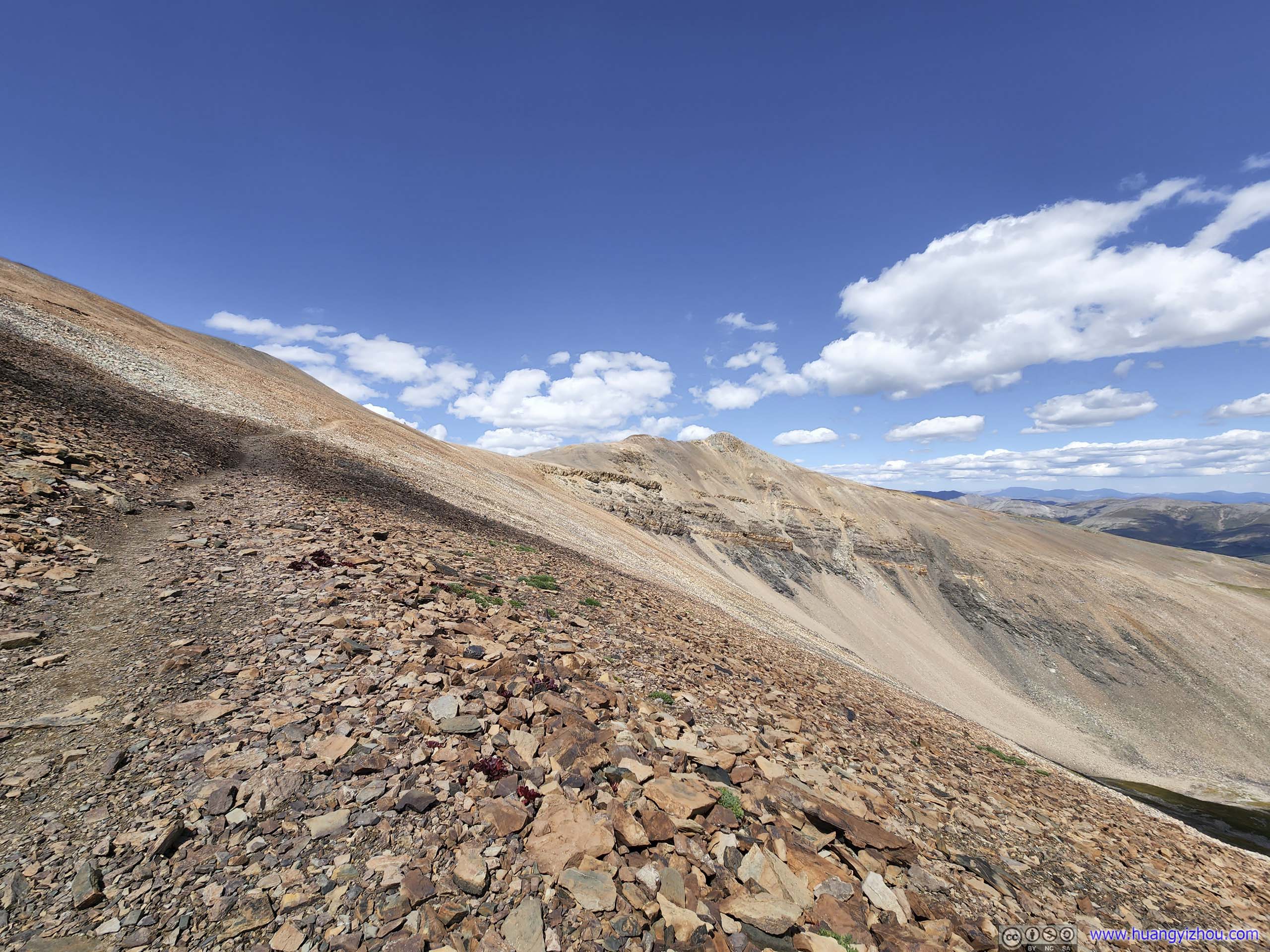
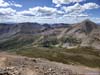
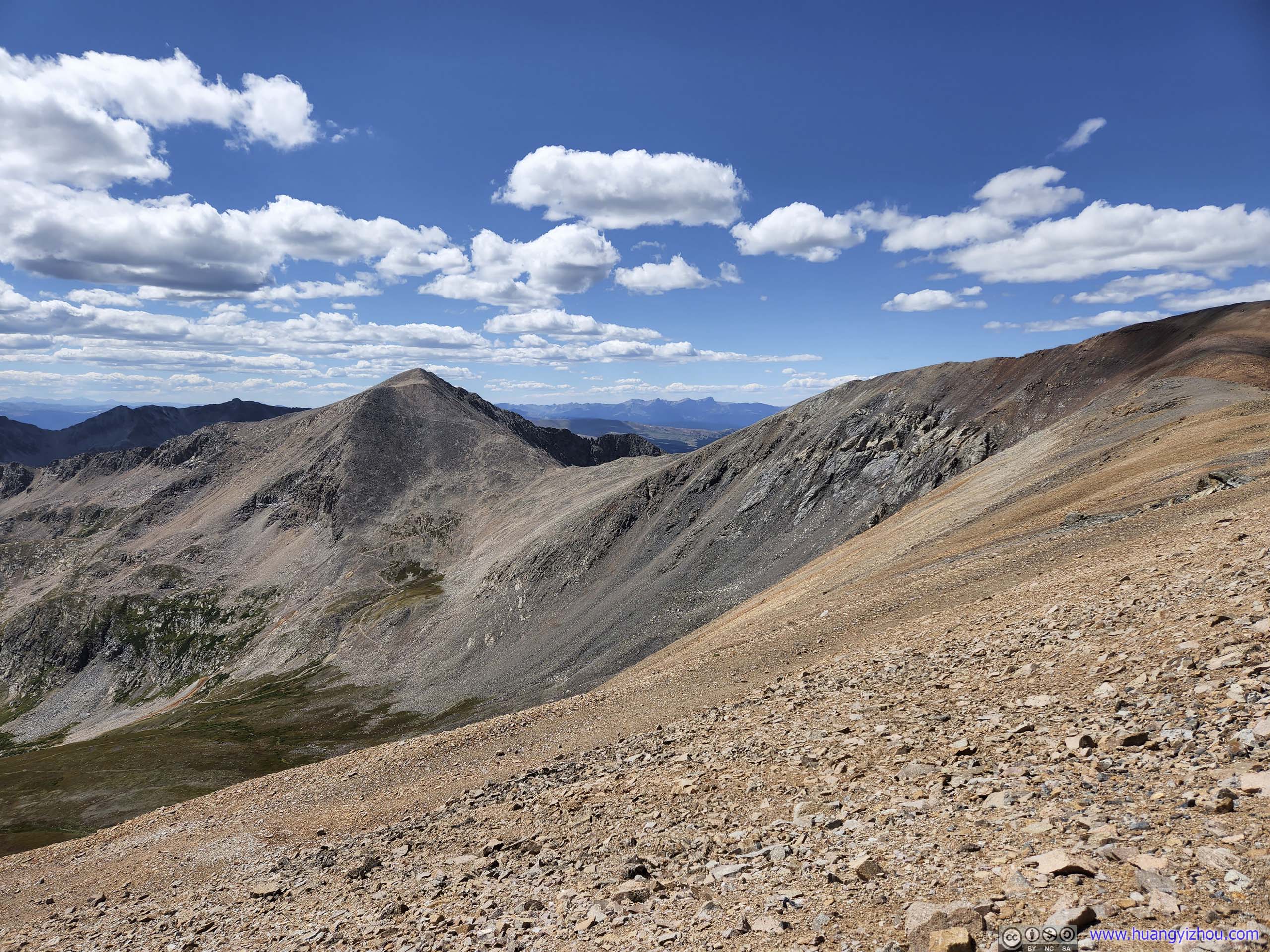
While the summit of Mount Cameron was hardly remarkable, the sight of Mount Lincoln, which was obstructed for much of the hike, was an exciting discovery. From a distance, its rigid pointy shape felt solemn and unapproachable, and the bulky boulders that made up its slopes were a departure from the screes on the other peaks nearby. At the same time, the trail following a ridgeline to its summit was one of the least technical of the day. It felt that the mountain had a sense of dignity that suited the name “Lincoln” well, it’s slim, rugged, but at the same time, renowned. In the end, at an elevation of 4357m, it’s the highest elevation point of this Colorado trip, of the Mosquito-Tenmile Range, and of my life till then.
 Mount LincolnShot from Mount Cameron.
 Mount LincolnIts rugged southwestern face.
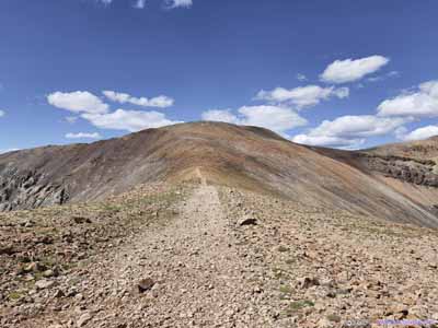
 Trail to Mount LincolnThe summit was a short 10-minute spur trail away from the junction to Mount Bross.
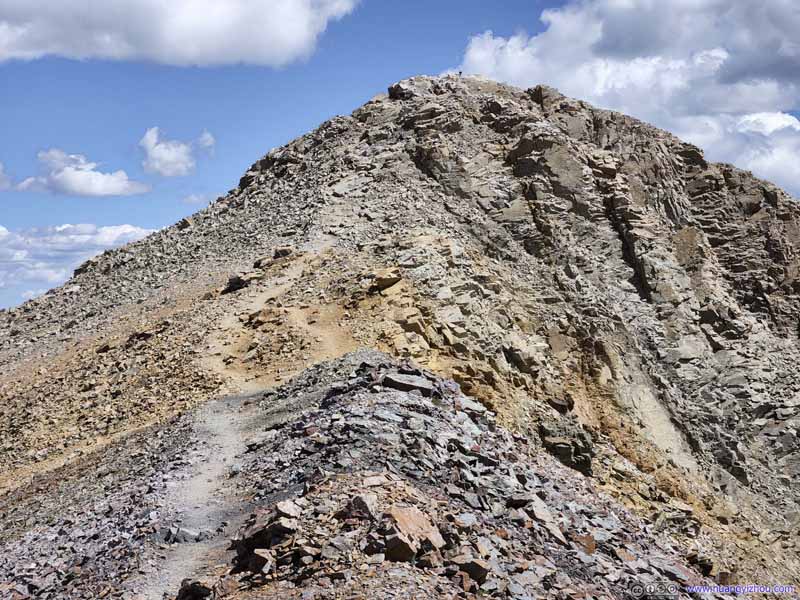 Trail to Mount Lincoln
The final section, looked a bit steep, but in reality it’s much easier to handle than the ones to Mount Democrat.
Trail to Mount Lincoln
The final section, looked a bit steep, but in reality it’s much easier to handle than the ones to Mount Democrat. Mount LincolnCaptured along the way to Mount Bross, of its southern face from different angles.
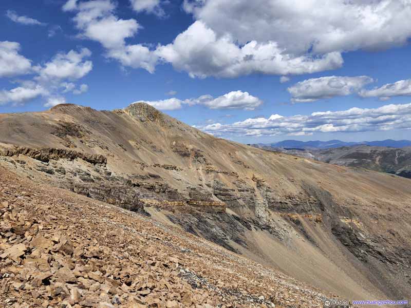 Mount LincolnCaptured along the way to Mount Bross, of its southern face from different angles.
 Mount LincolnCaptured along the way to Mount Bross, of its southern face from different angles.
 Mount LincolnCaptured along the way to Mount Bross, of its southern face from different angles.


Click here to display photos of Mount Lincoln.

Mount LincolnShot from Mount Cameron.
Mount LincolnIts rugged southwestern face.
Trail to Mount LincolnThe summit was a short 10-minute spur trail away from the junction to Mount Bross.

Trail to Mount Lincoln
Mount LincolnCaptured along the way to Mount Bross, of its southern face from different angles.

Mount LincolnCaptured along the way to Mount Bross, of its southern face from different angles.
Mount LincolnCaptured along the way to Mount Bross, of its southern face from different angles.

Mount LincolnCaptured along the way to Mount Bross, of its southern face from different angles.
A short 20 minutes from Mount Cameron, we were at the summit of Mount Lincoln. For its spectacular shape and for its altitude, I commemorated the moment with the following drone video:
27 seconds, 2160p60fps, 2x playback speed, 19Mbps/63MB for H265, 20Mbps/63MB for H264.
And here were the views around it.
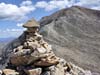
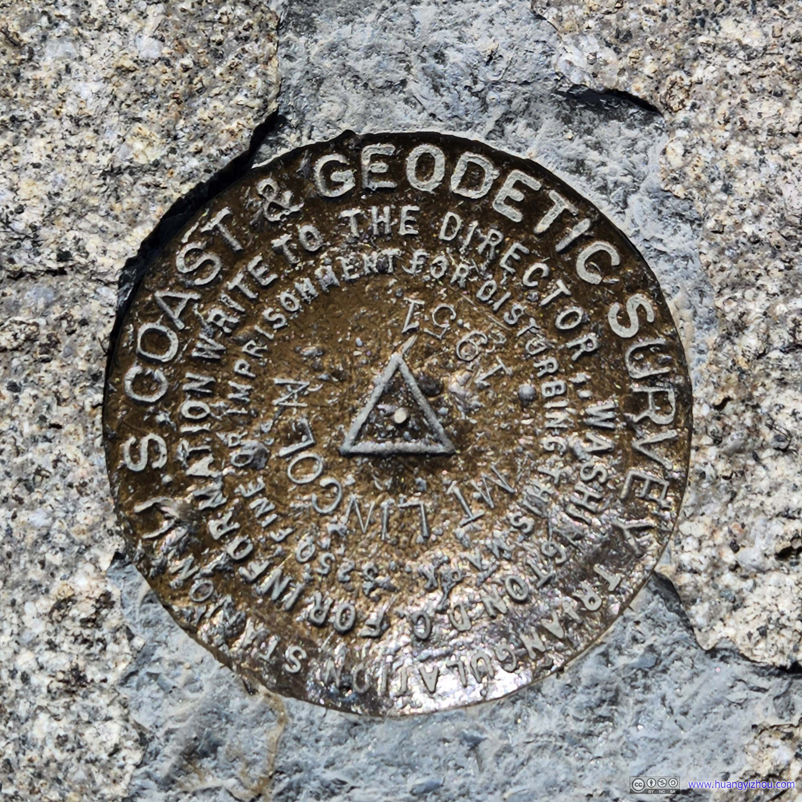
 Summit Marker of Mount Lincoln
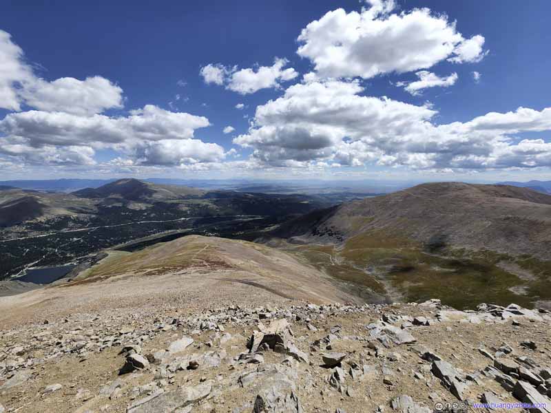 Fields to the SoutheastNot many mountains beyond the southern tip of Front Range.
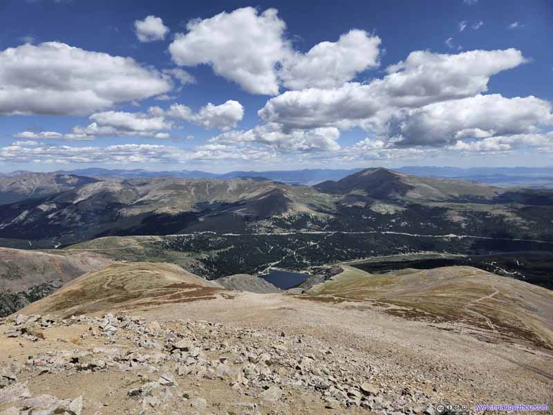 Mountains to the EastFront Range mountains.
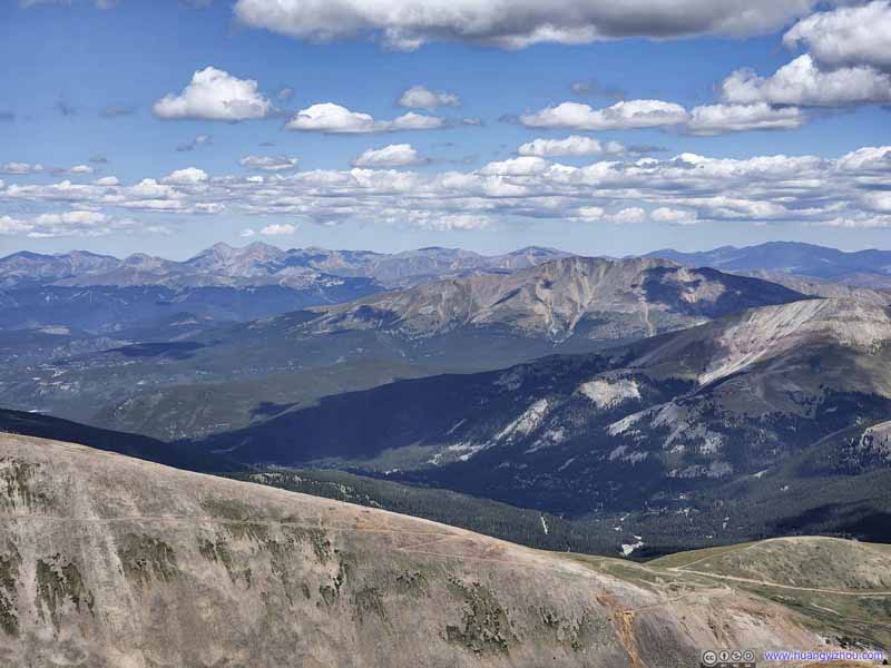 Mountains to the NortheastTorreys and Grays Peaks were a constant sight from these mountains.
 Mountains to the NorthFamiliar sight of Quandary Peak.
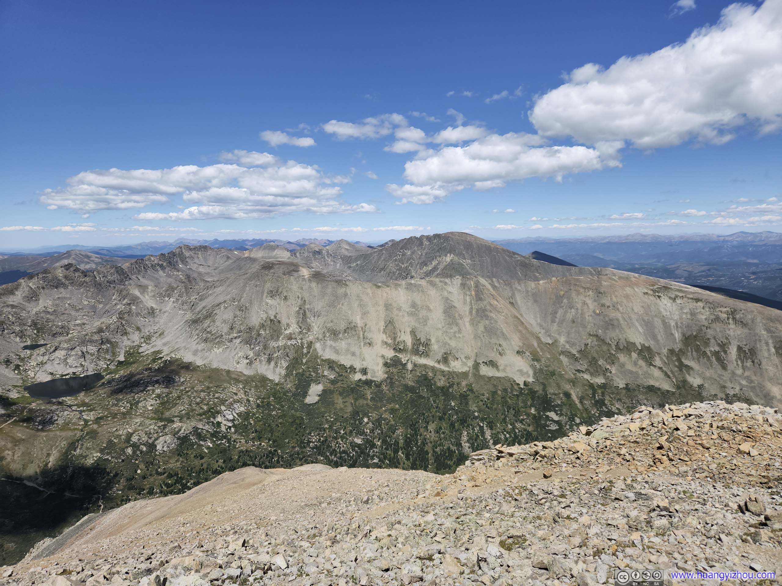
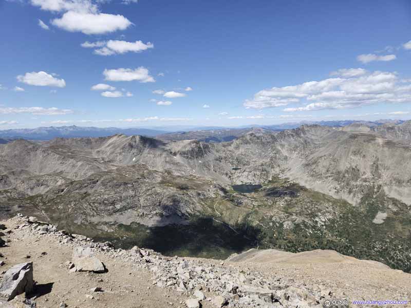 Mountains to the NorthwestWheeler Lake before Wheeler Peak.
 Mountains to the WestA faint trail leading to Mount Lincoln, where we came from.
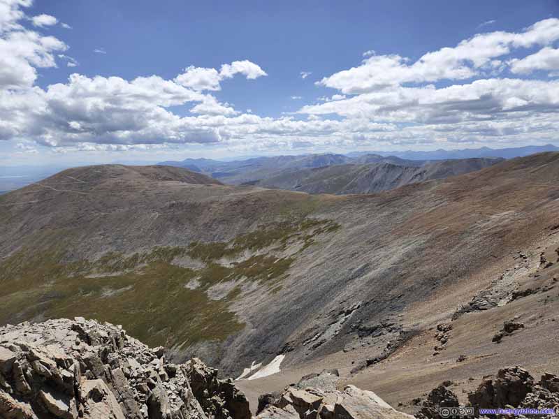 Mount BrossTo the southwest. Its summit can actually be reached by offroad vehicles.


Click here to display photos from Mount Lincoln.
Summit Marker of Mount Lincoln
Fields to the SoutheastNot many mountains beyond the southern tip of Front Range.
Mountains to the EastFront Range mountains.

Mountains to the NortheastTorreys and Grays Peaks were a constant sight from these mountains.
Mountains to the NorthFamiliar sight of Quandary Peak.
Mountains to the NorthwestWheeler Lake before Wheeler Peak.
Mountains to the WestA faint trail leading to Mount Lincoln, where we came from.

Mount BrossTo the southwest. Its summit can actually be reached by offroad vehicles.
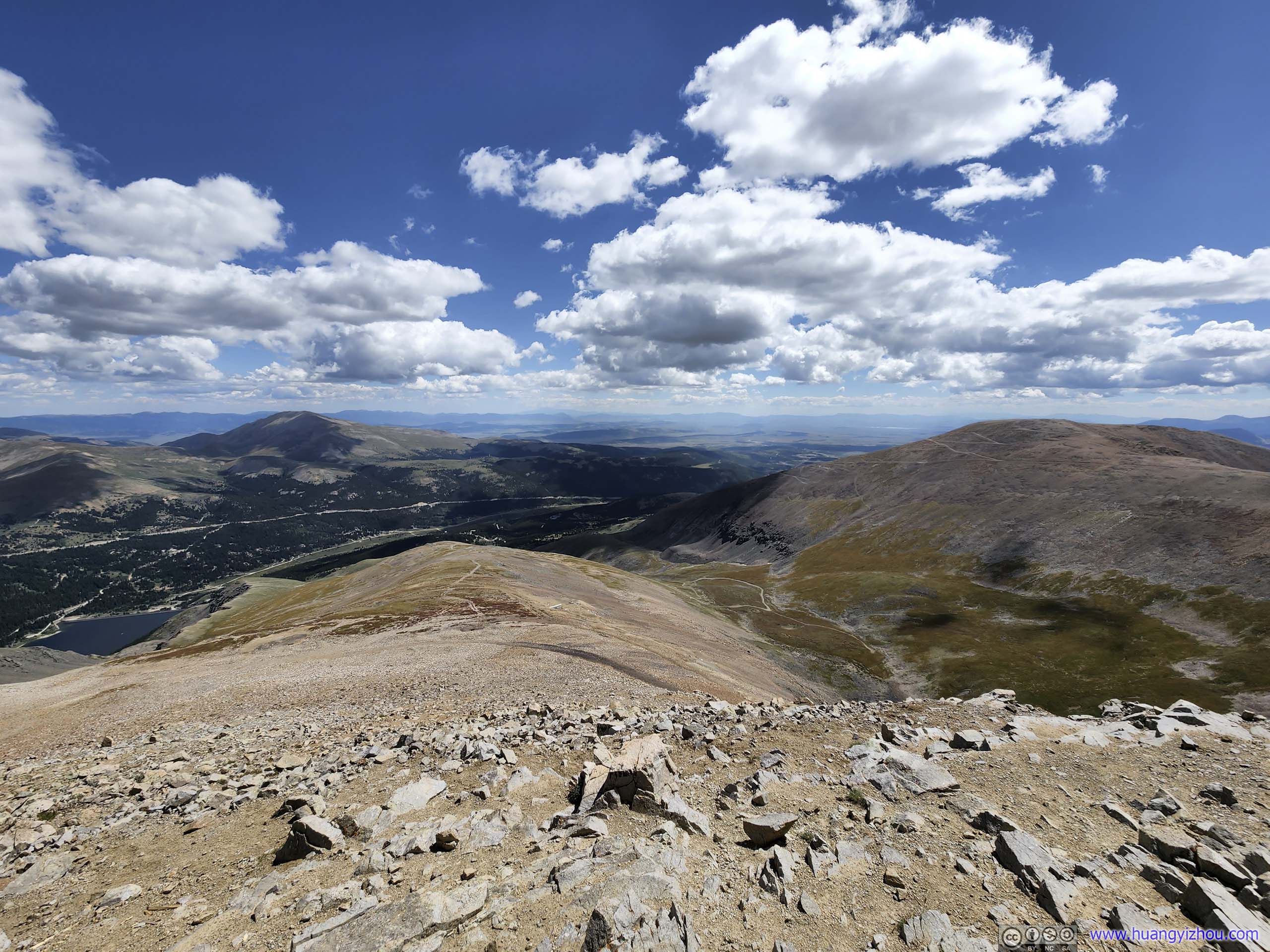
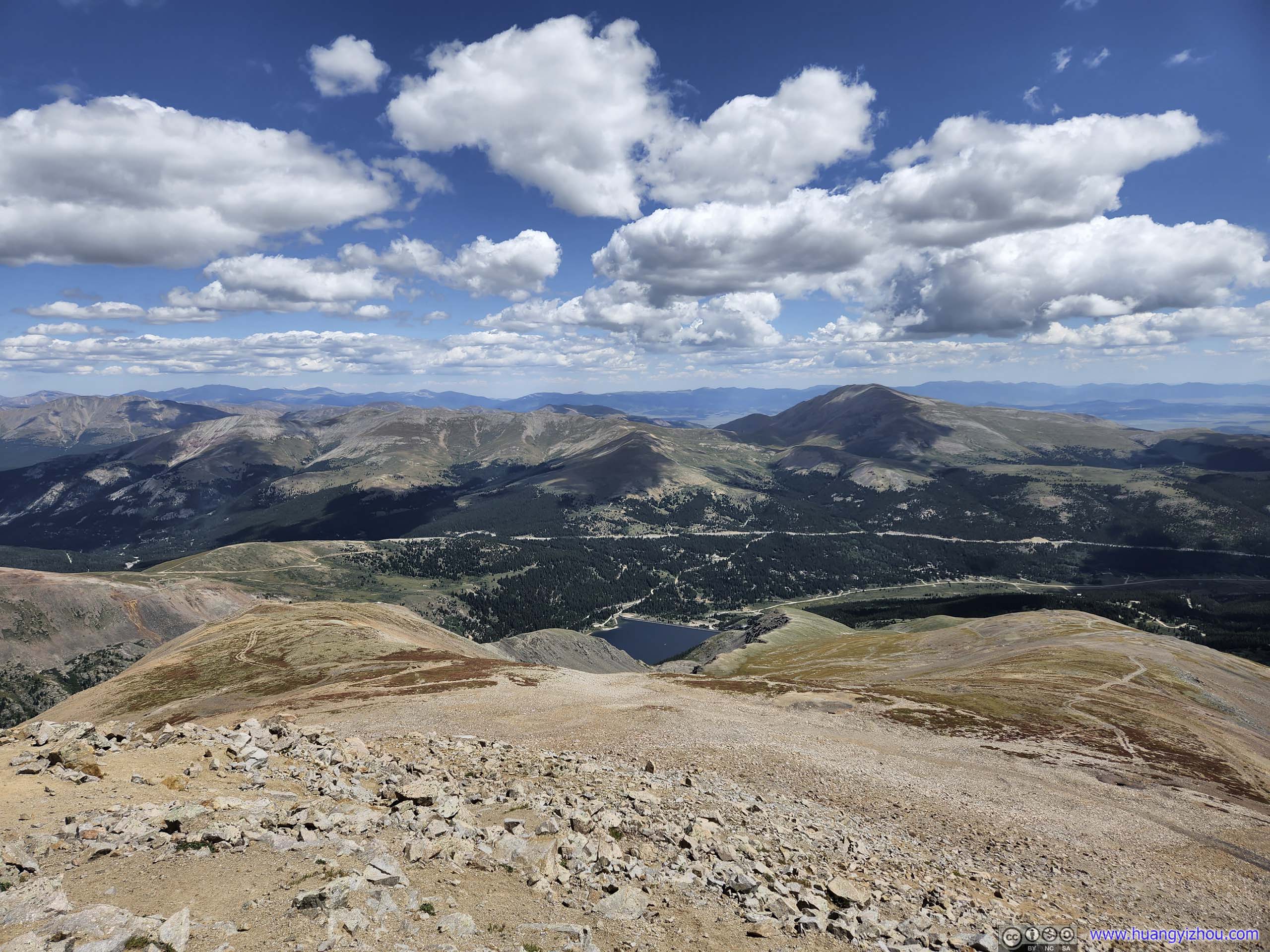
 View from Mount Lincoln to the East (top) and West (bottom)
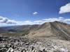
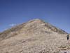
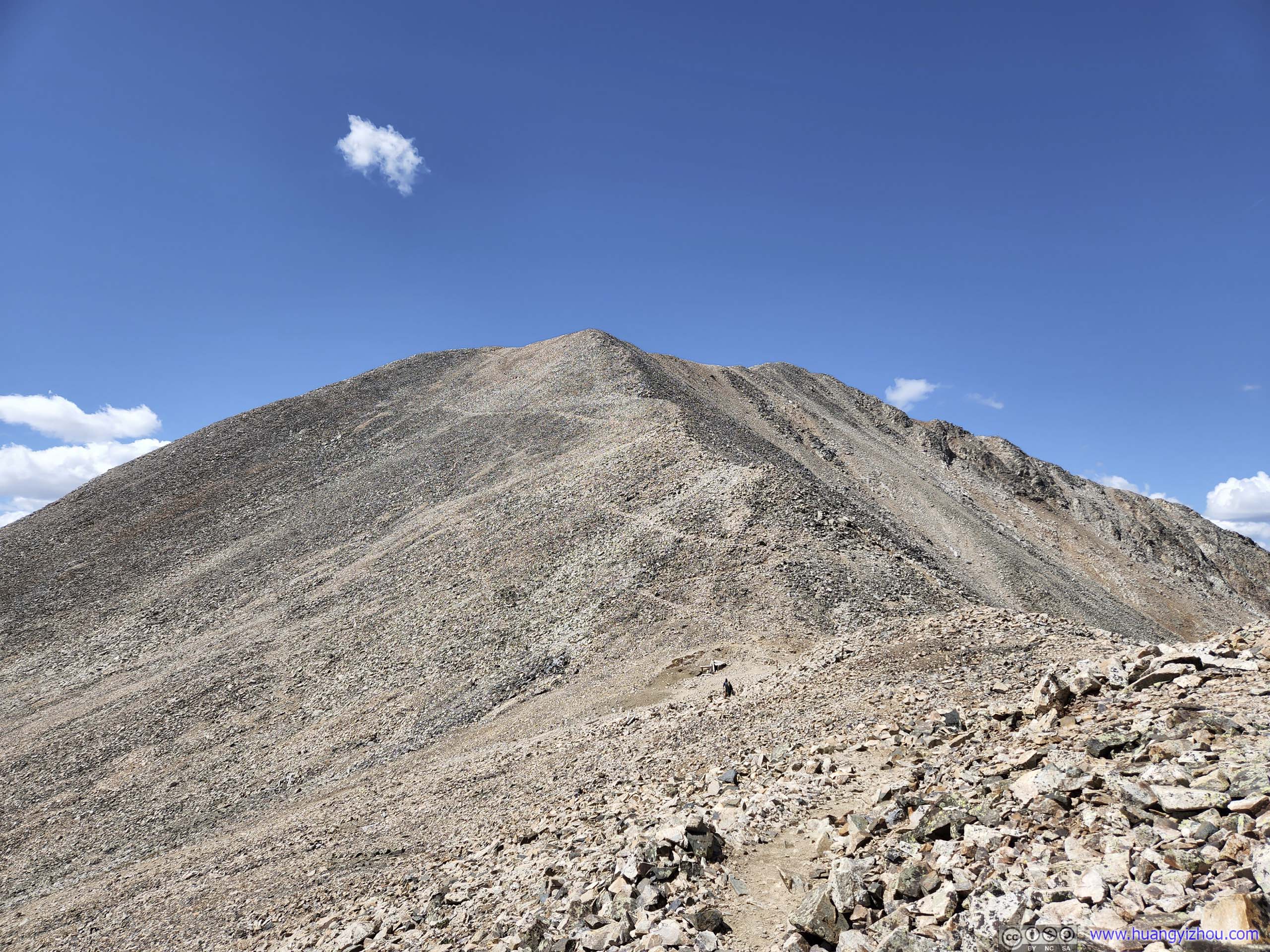
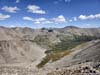
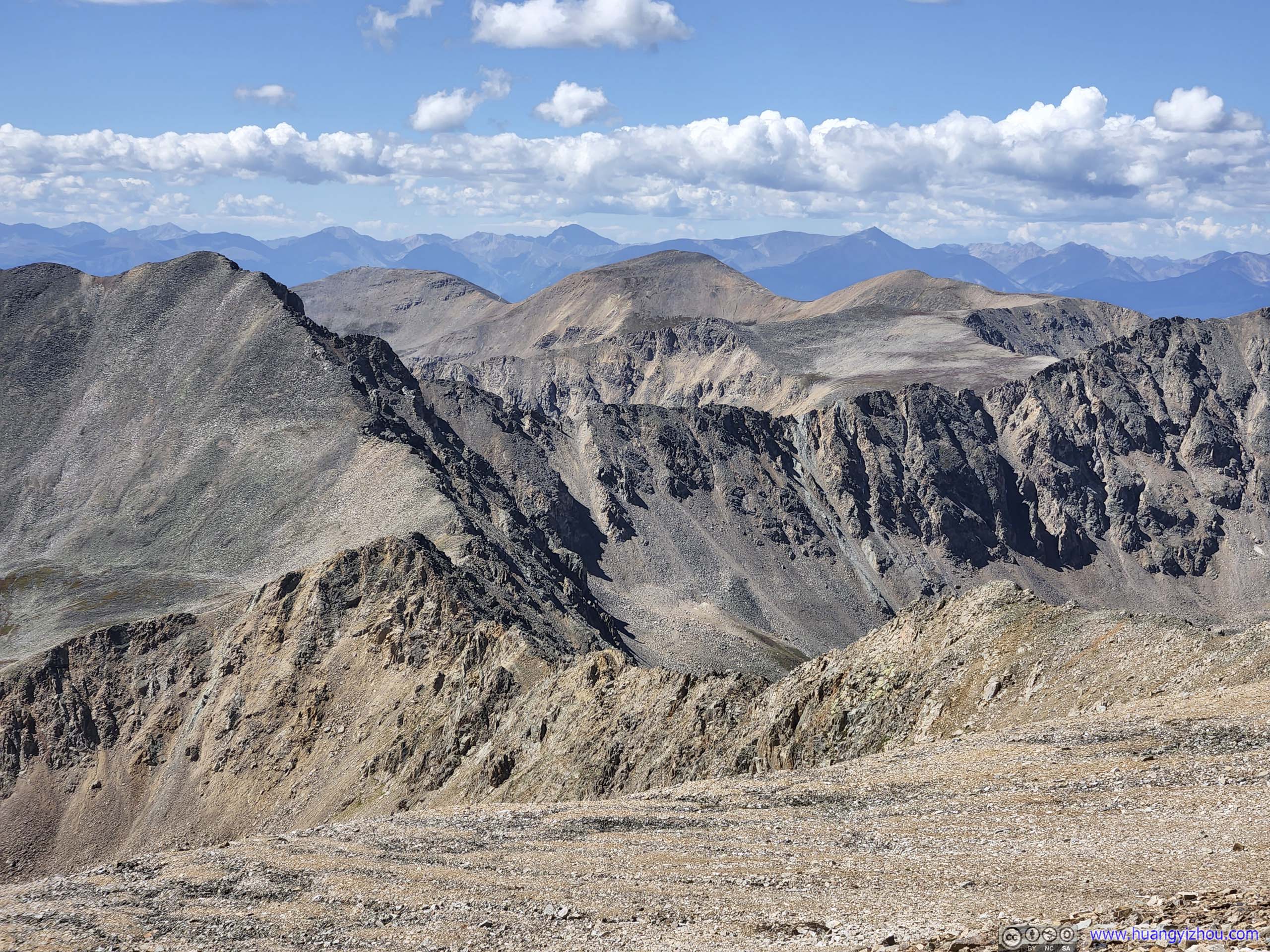
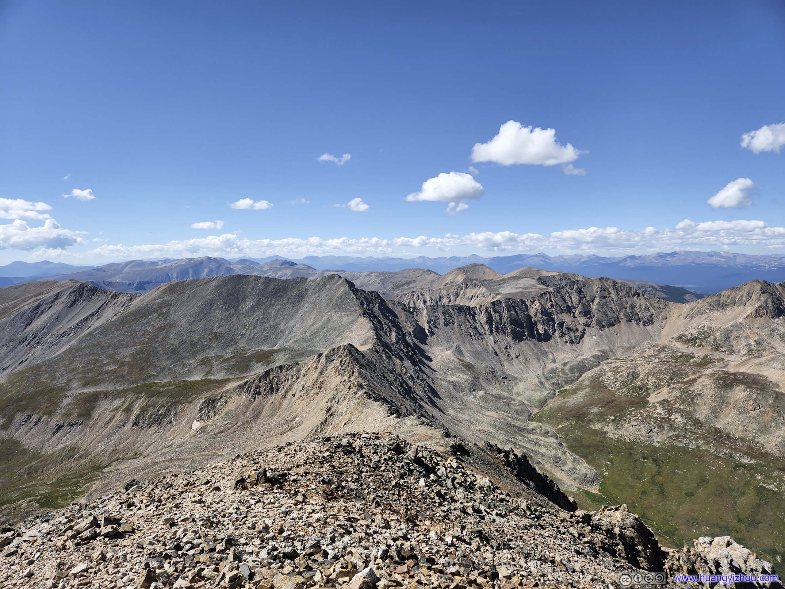
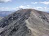
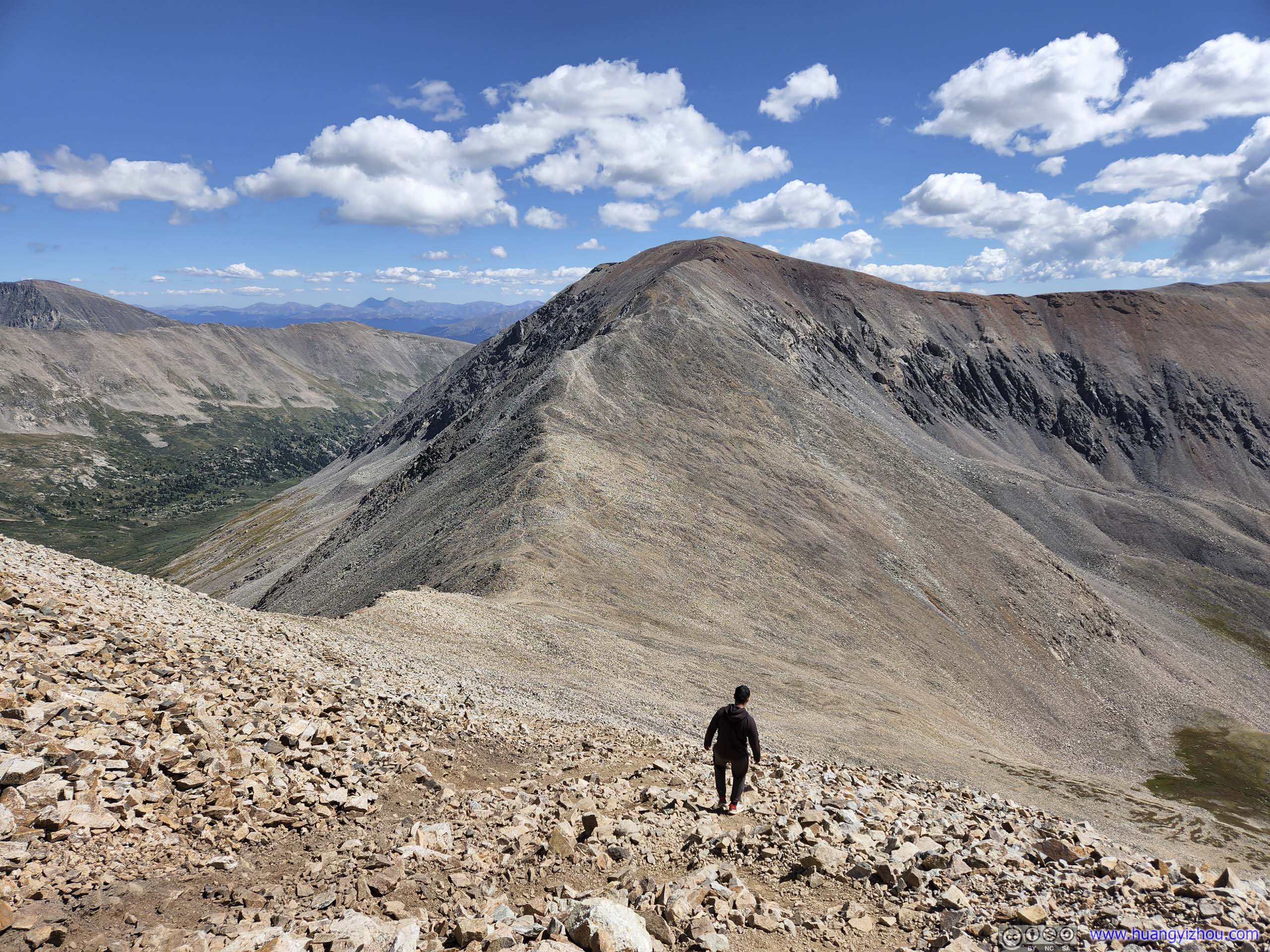
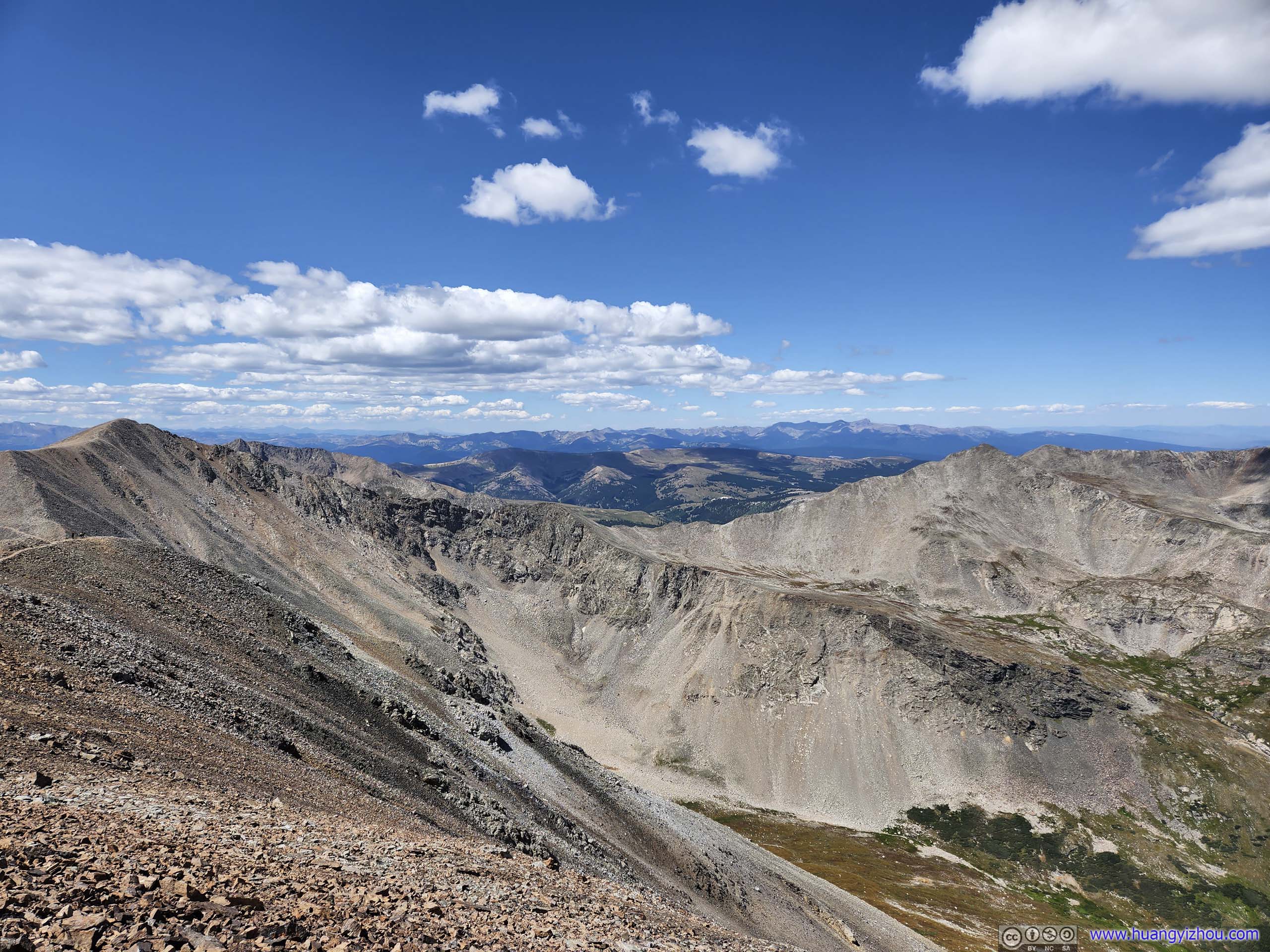
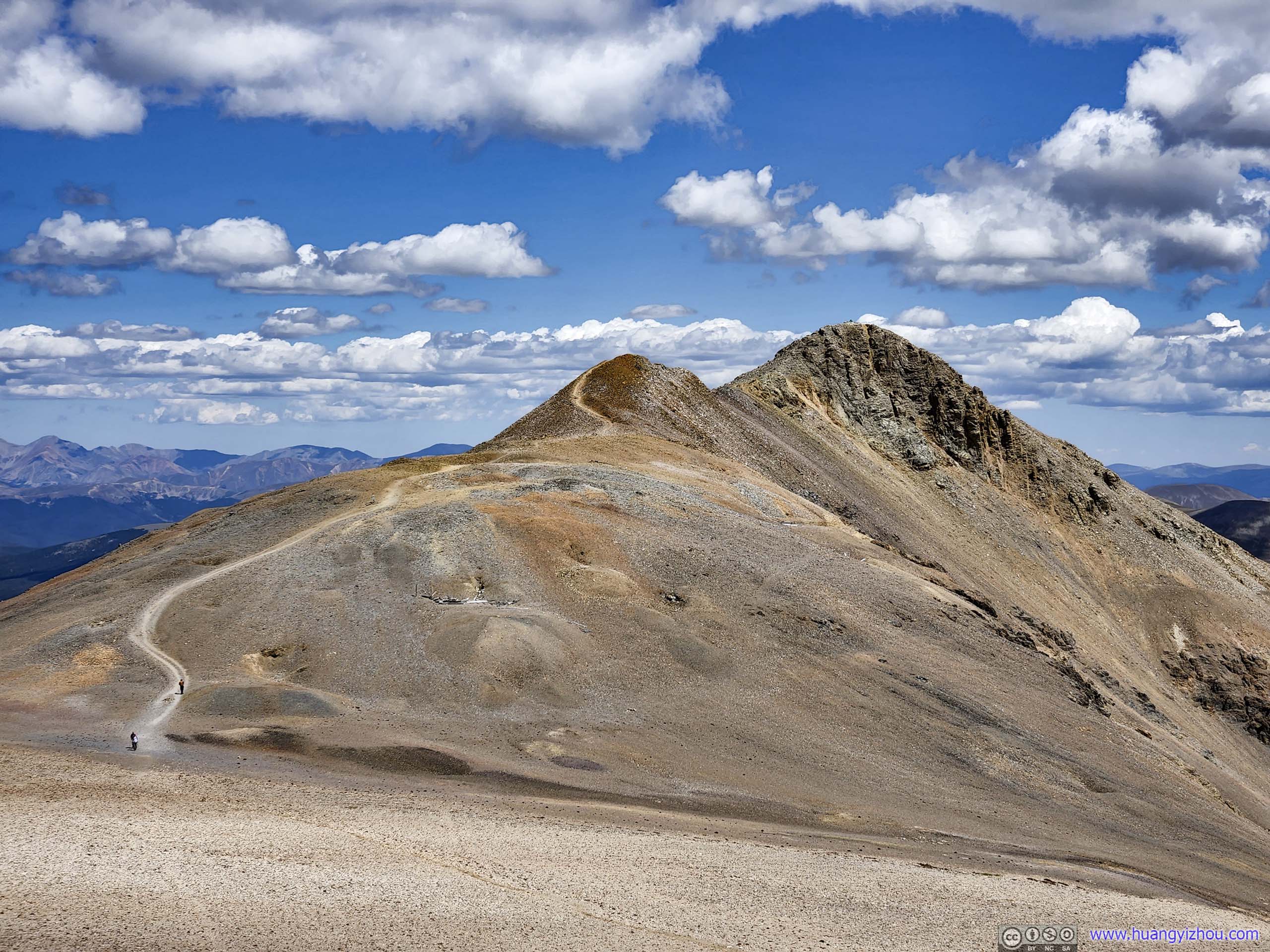
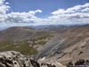
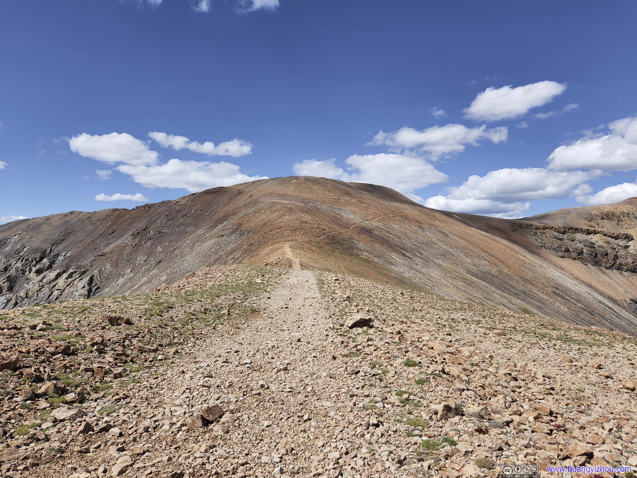
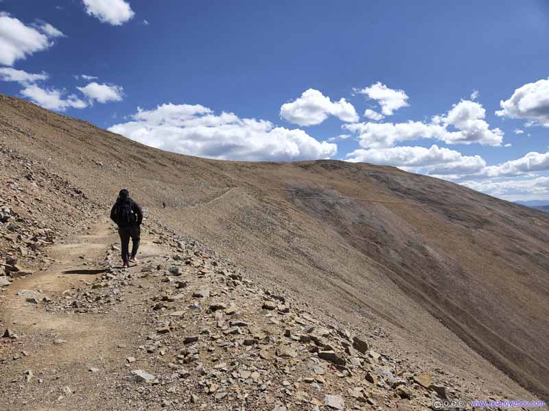
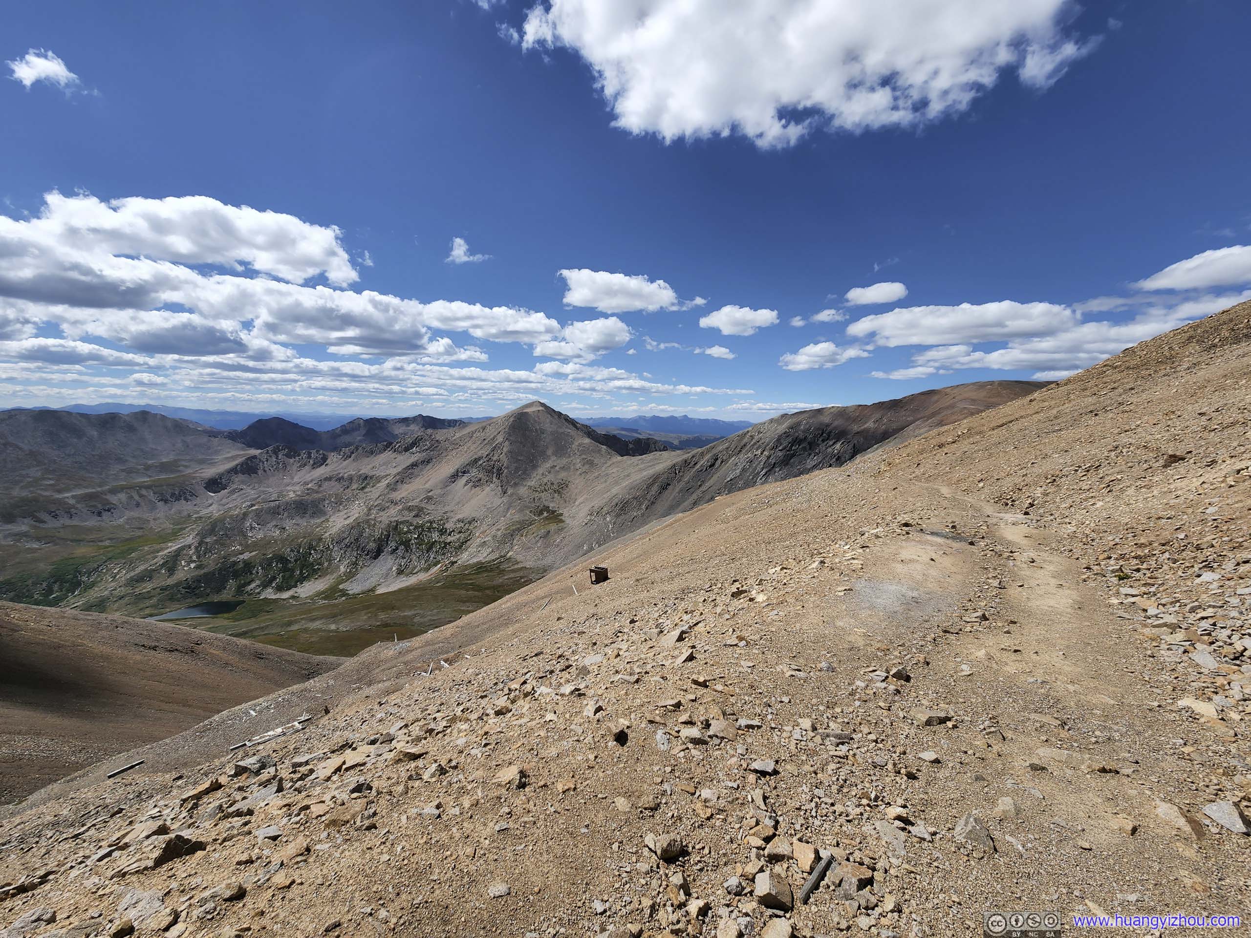
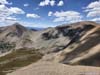
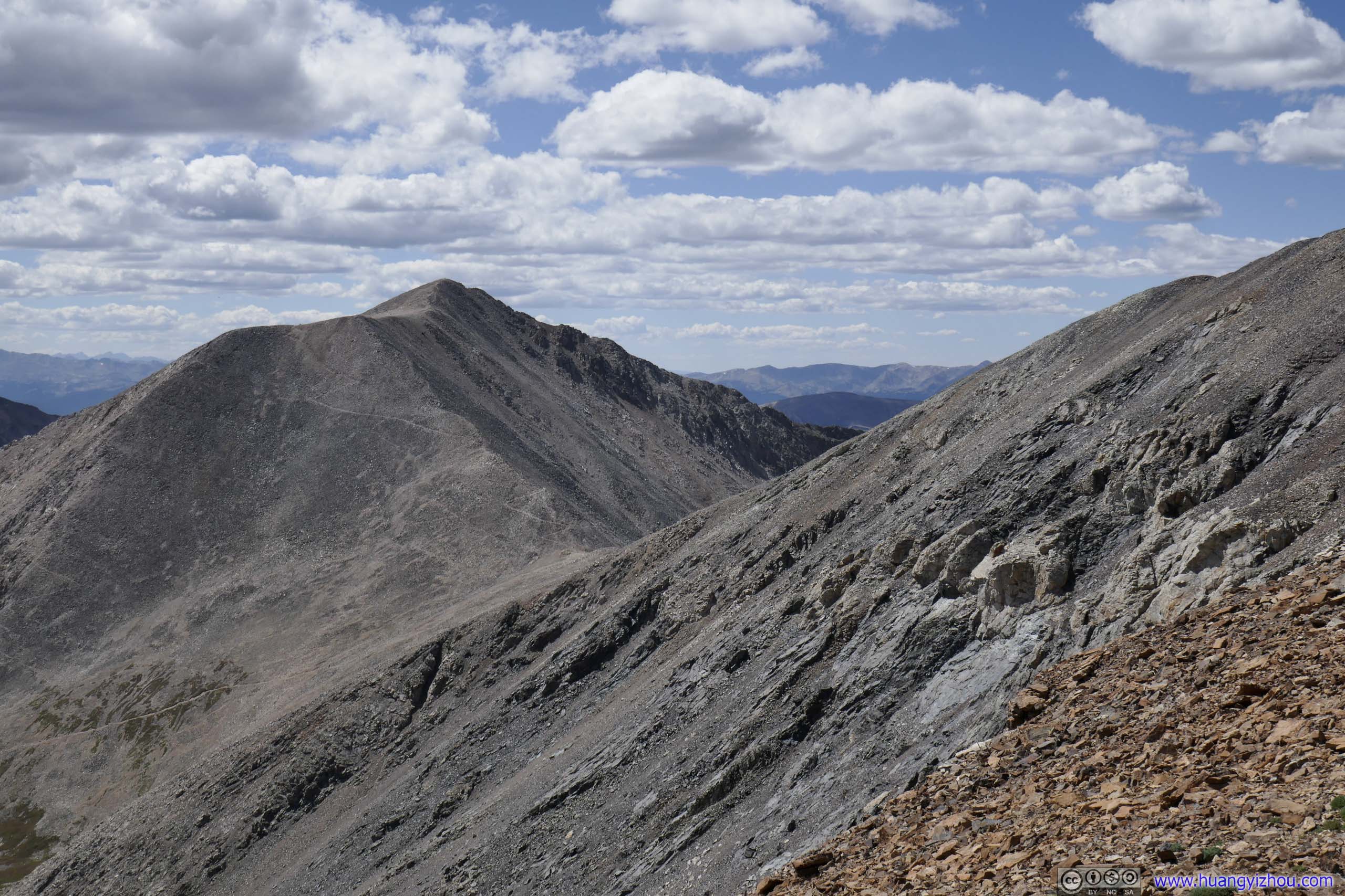
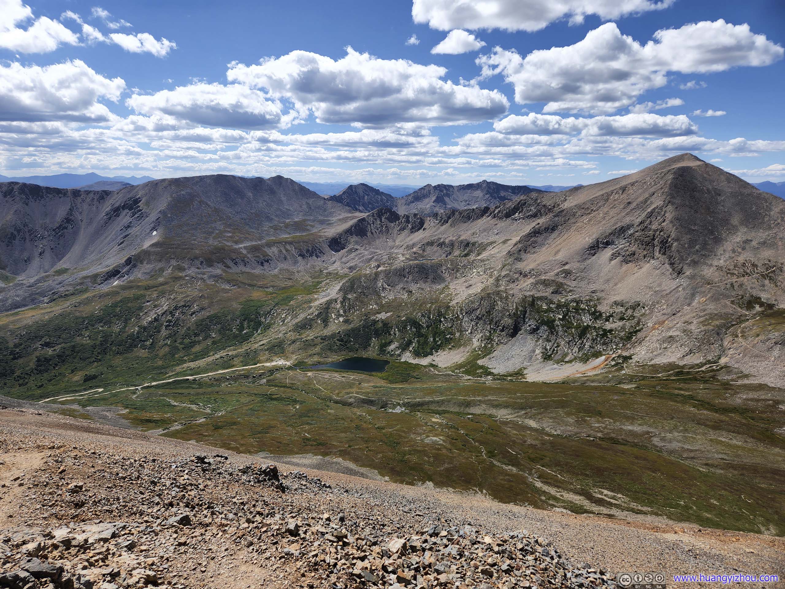
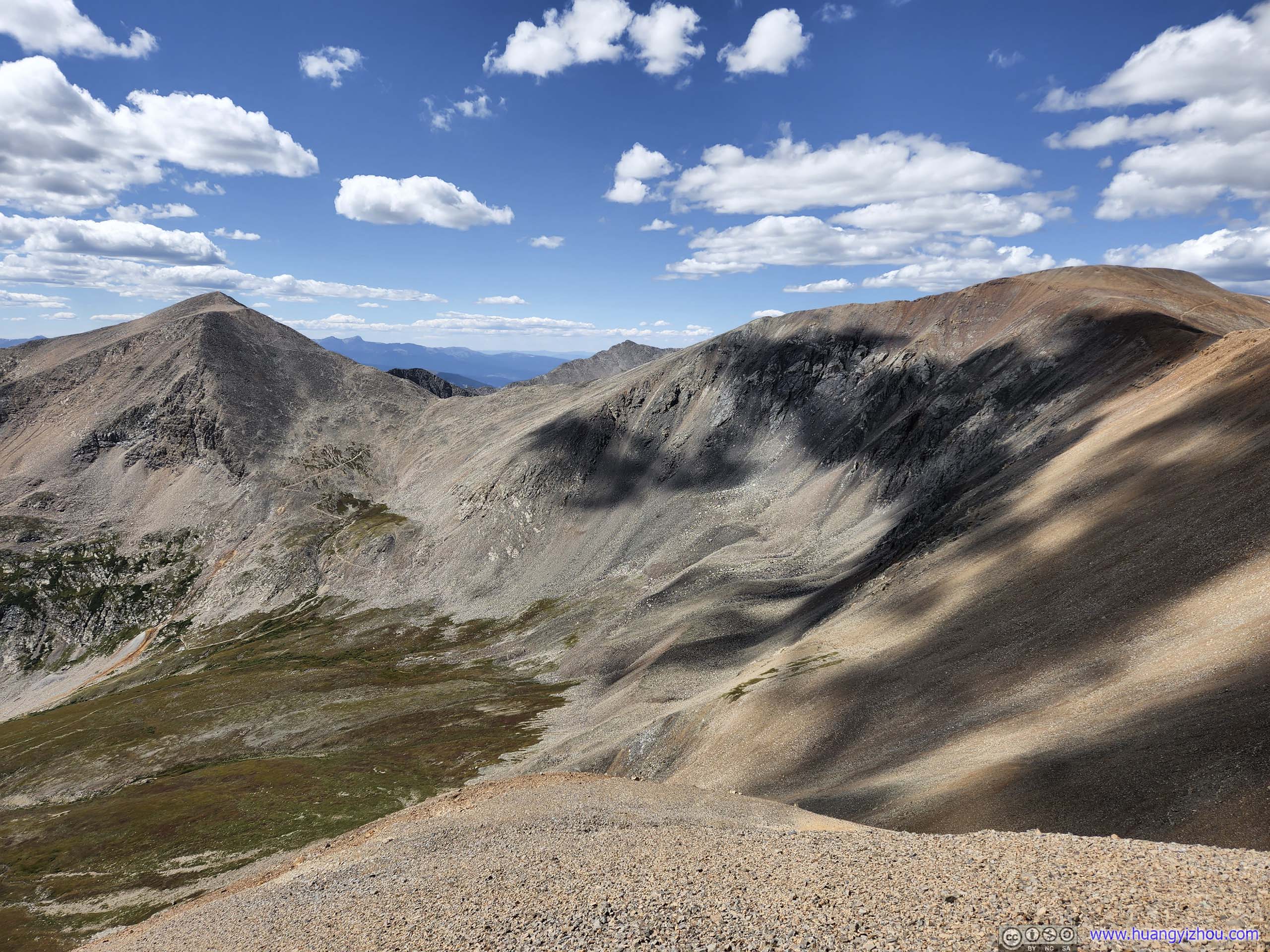
We stayed at the summit of Mount Lincoln for about 40 minutes, before heading back and towards Mount Bross. The trail between Mount Lincoln and Mount Bross followed a gentle ridgeline with slight downhill, a comfortable stroll for my friend still not used to the altitude.
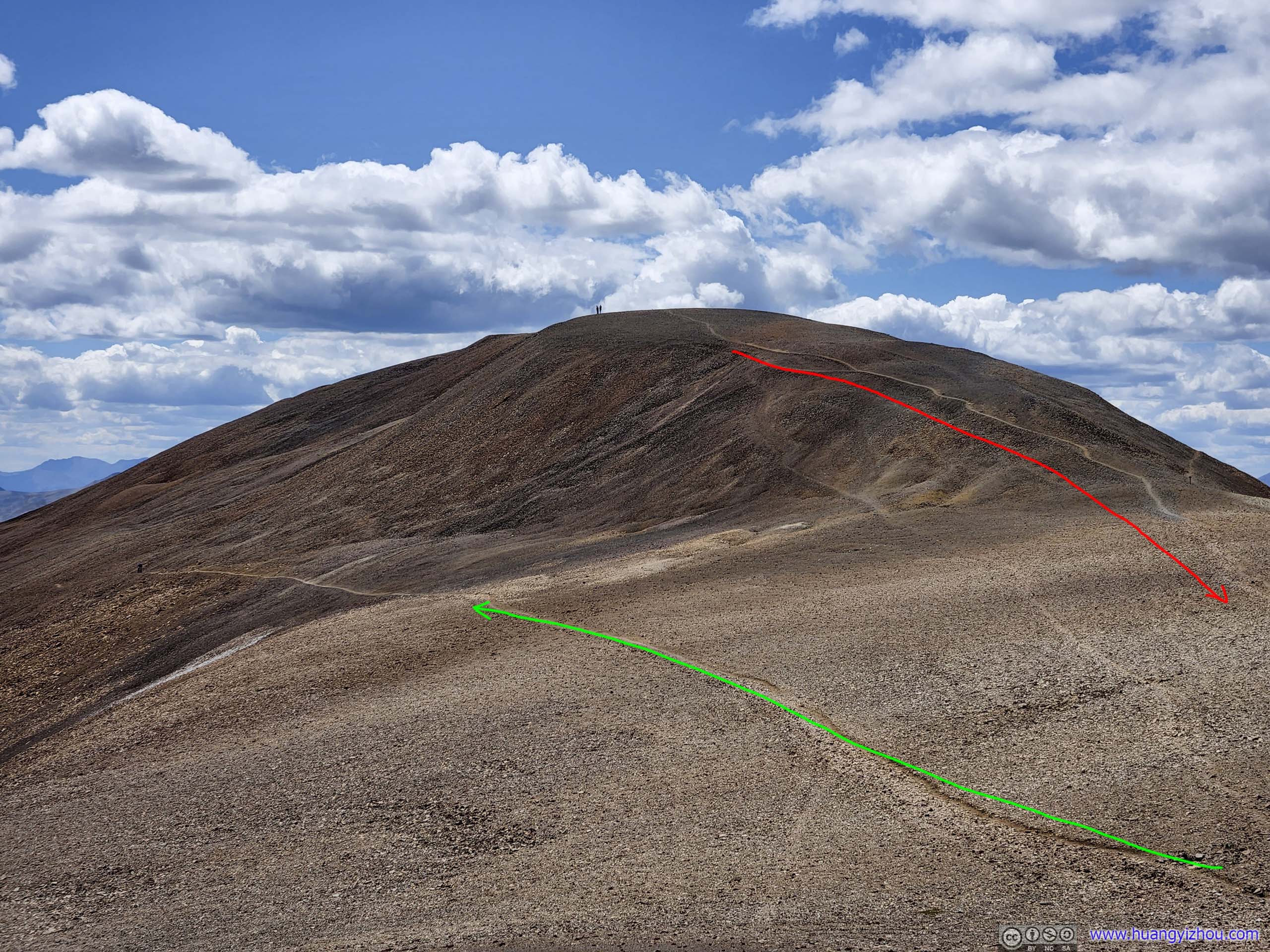
 Trail to Mount BrossCaptured from Mount Cameron.
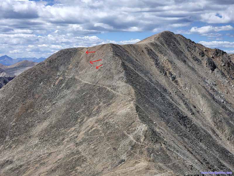
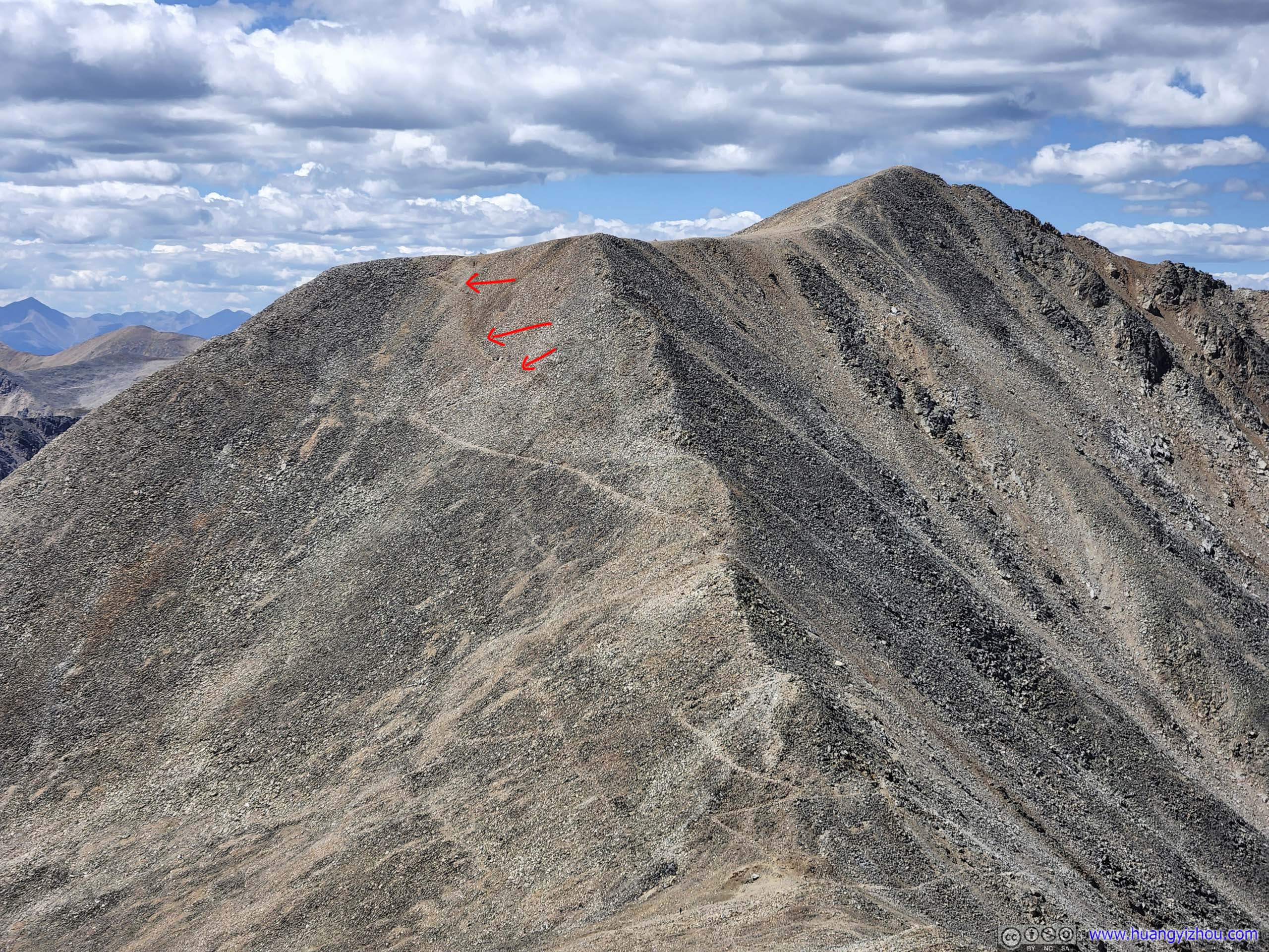
 Trails around Mount Cameron
Two faint trails, one (red) leading from Mount Cameron, one (green) bypassing Mount Cameron leading to Mount Bross.
Trails around Mount Cameron
Two faint trails, one (red) leading from Mount Cameron, one (green) bypassing Mount Cameron leading to Mount Bross.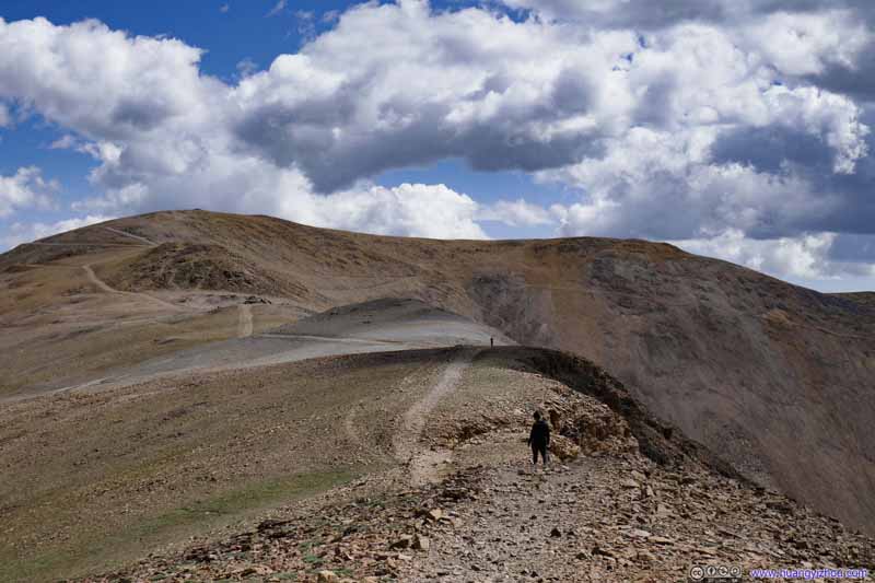 Trail to Mount Bross
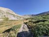
The section of the trail between Mount Cameron and Mount Bross was mostly level. A respite from the grueling elevation changes for the rest of the day.
Trail to Mount Bross
The section of the trail between Mount Cameron and Mount Bross was mostly level. A respite from the grueling elevation changes for the rest of the day.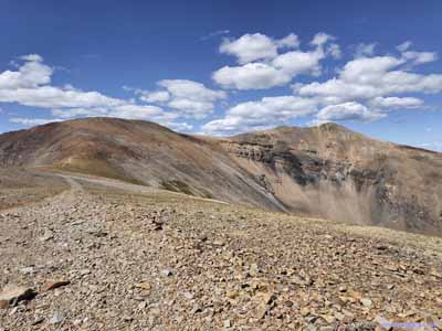
 Trail from Mount CameronLooking back at both Mount Lincoln and Mount Cameron.

Click here to display photos of the trail to Mount Bross.
Trail to Mount BrossCaptured from Mount Cameron.
Trails around Mount Cameron

Trail to Mount Bross

 Trail from Mount CameronLooking back at both Mount Lincoln and Mount Cameron.
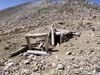
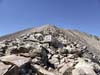
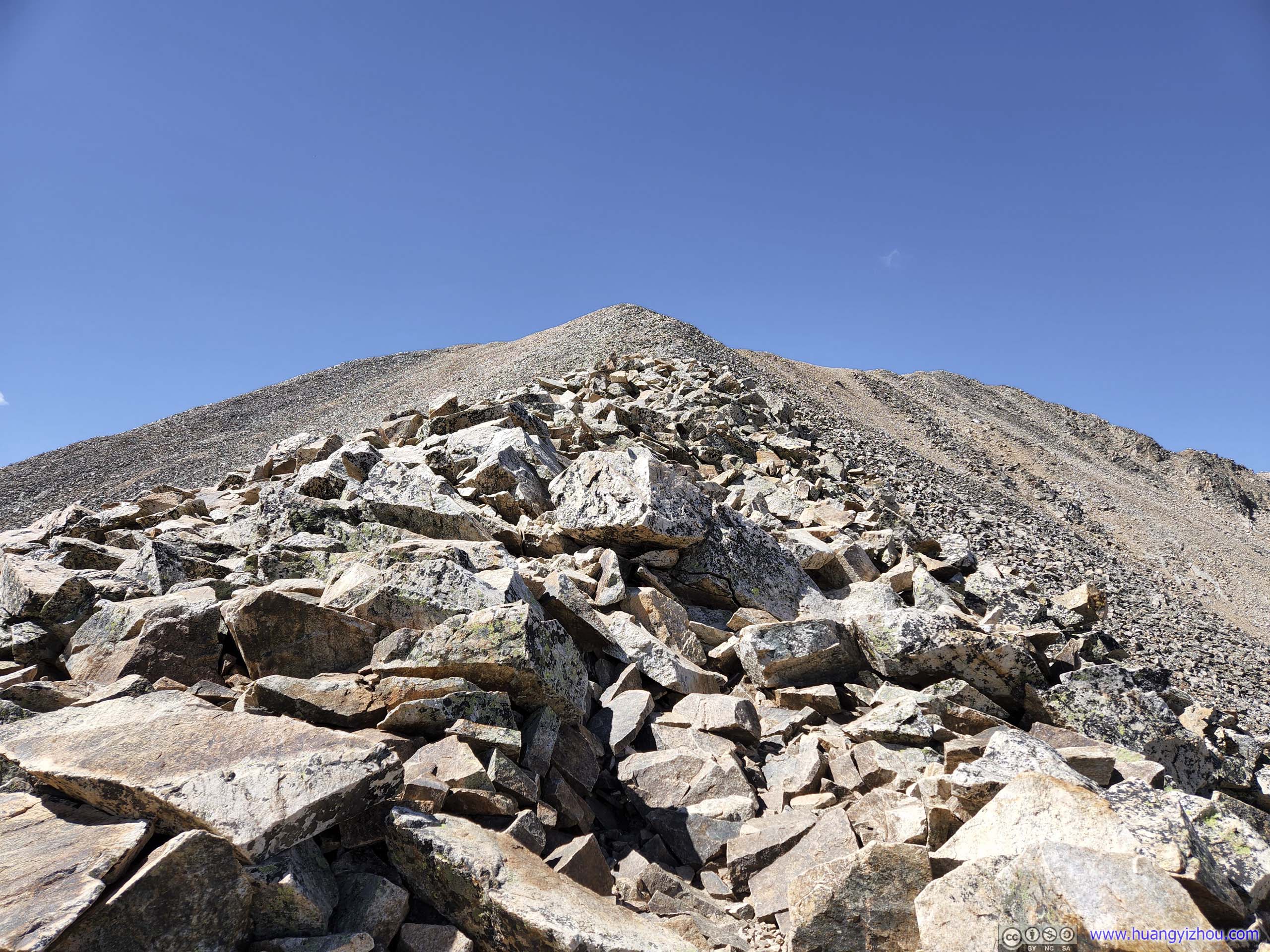
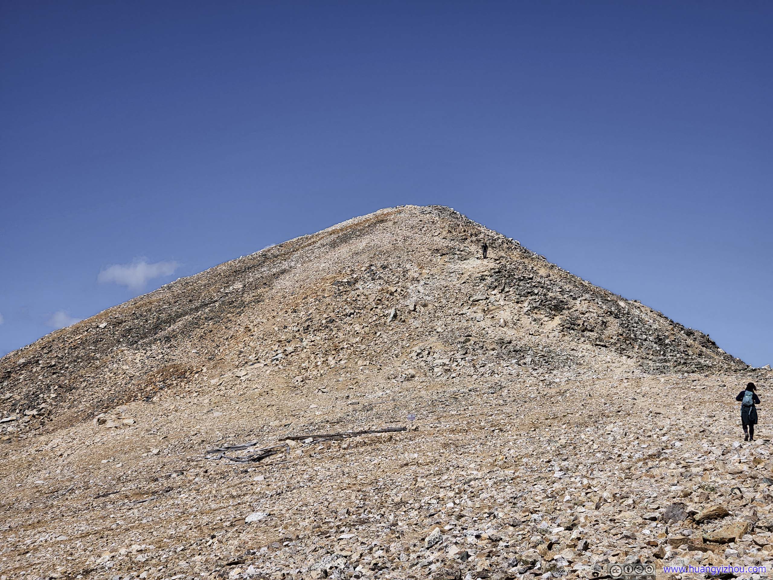
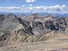
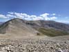
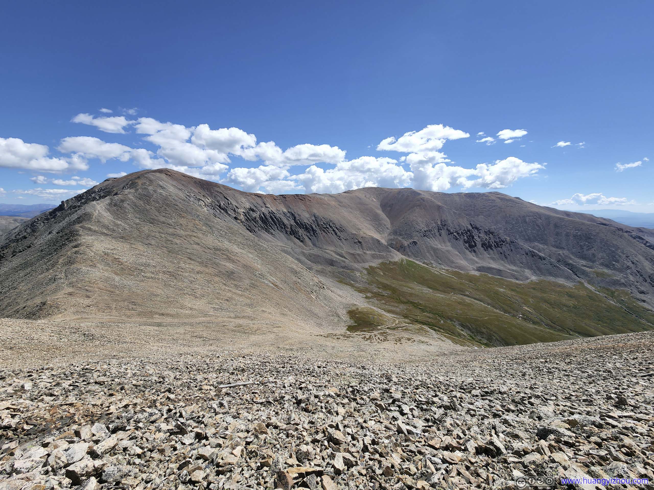
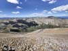
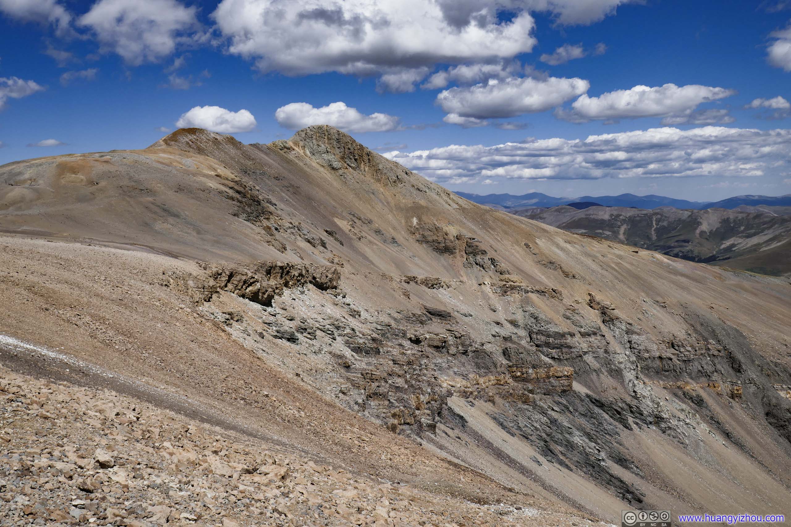
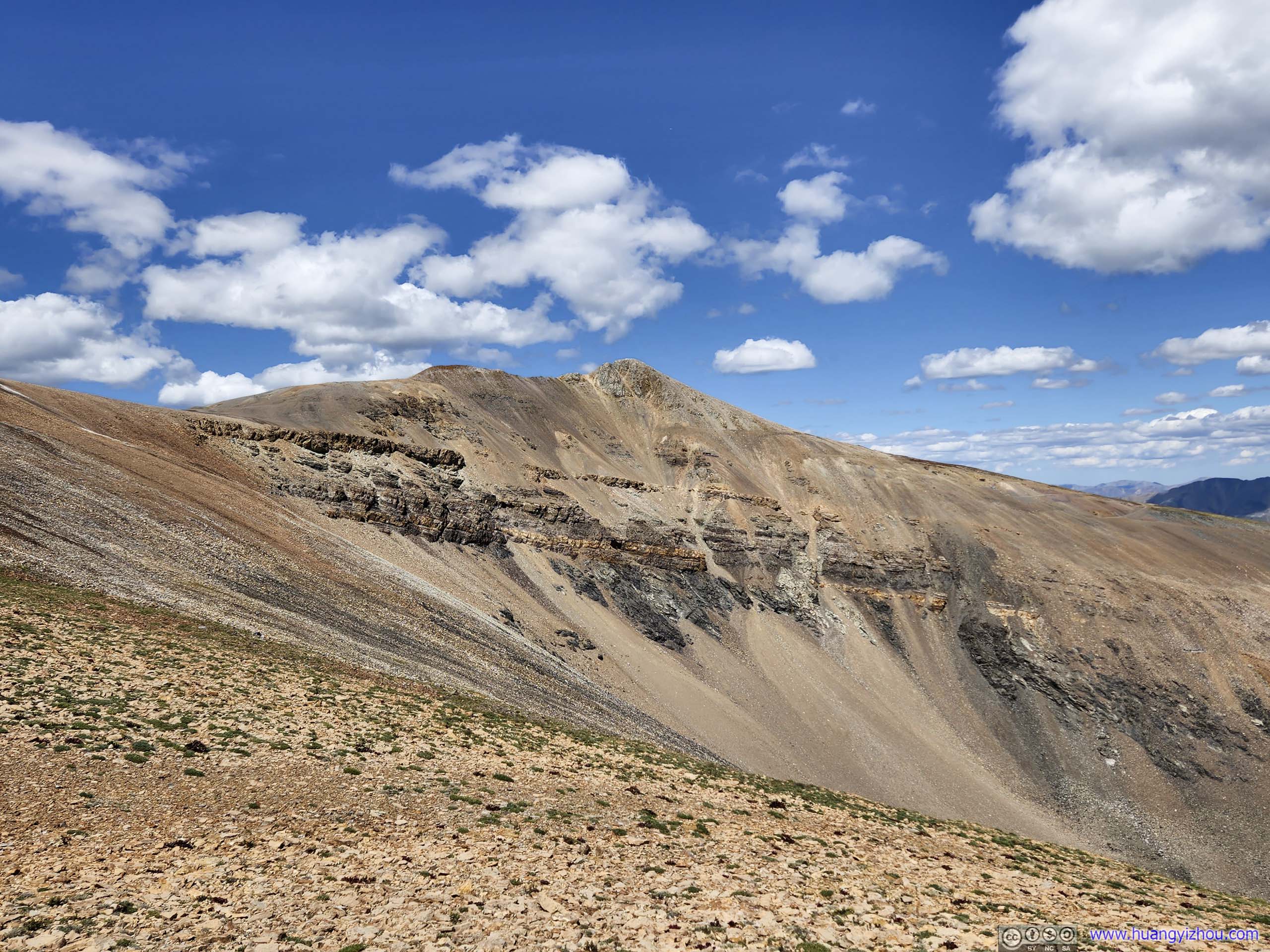
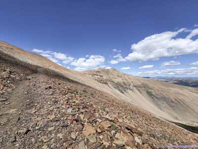
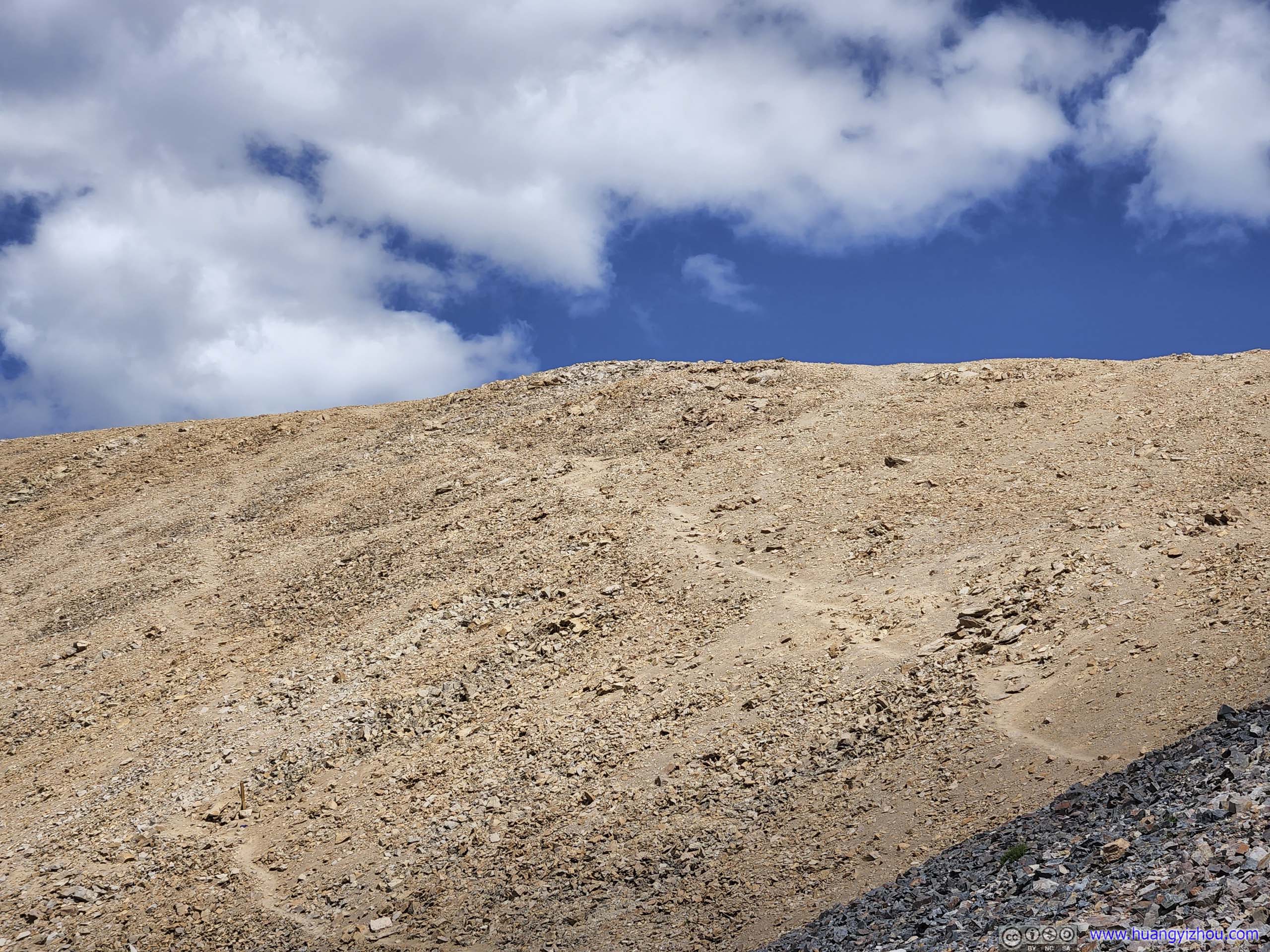
The areas surrounding DeCaLiBron loop used to be scattered with mines, throughout the day we saw quite a few of them next to the trail lying abandoned. The mining history probably contributed to the fact that the summit of Mount Bross was located in private land, and was off public access. There was a bypass trail (that passed about 100m from the summit), allowing hikers to finish the DeCaLiBron loop.
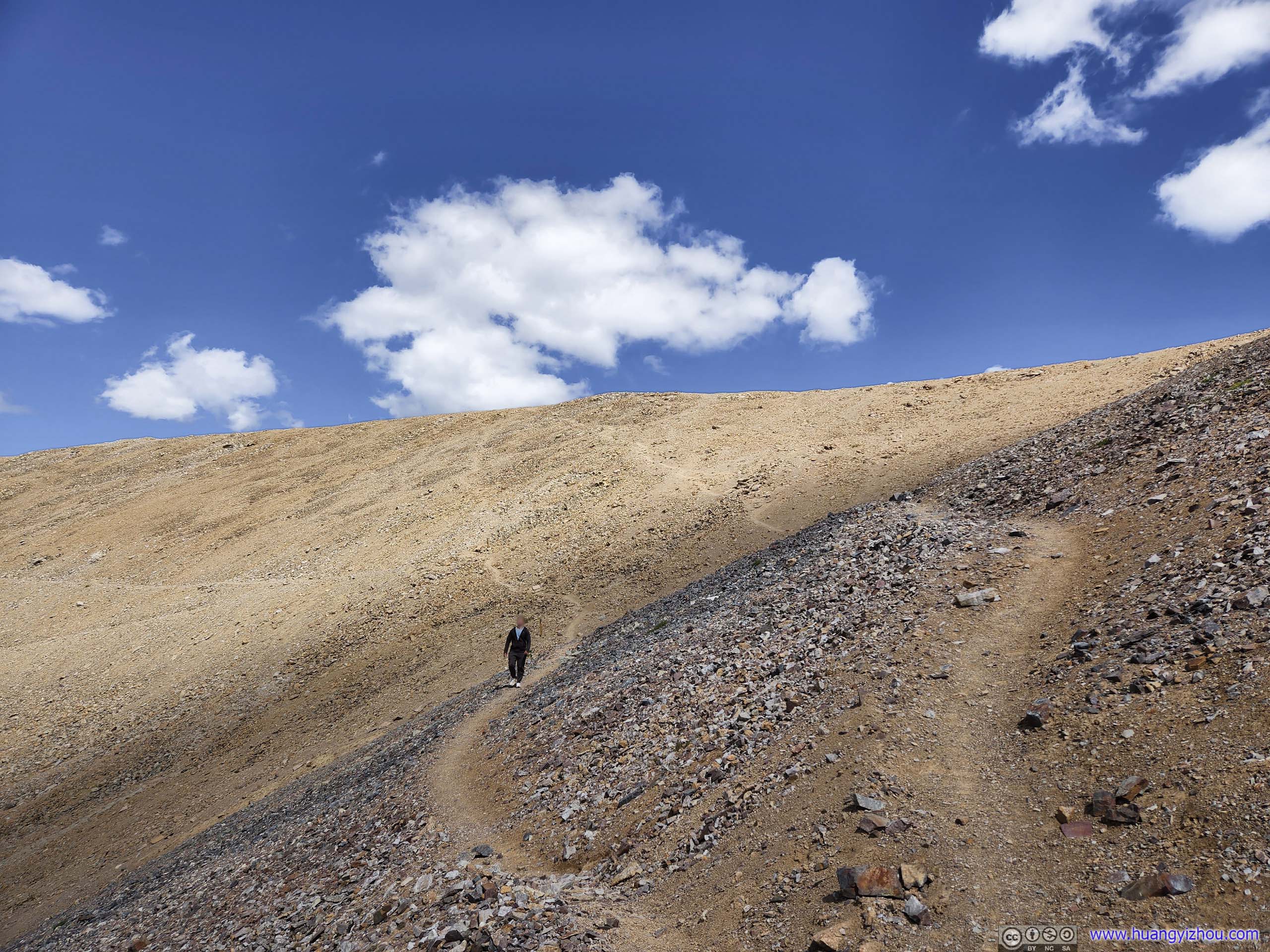
 Trail around Mount Bross
 Trail around Mount Bross
 Mount Bross
A few faint trails leading to the summit of Mount Bross, which was on private property and off hiker limits.
Mount Bross
A few faint trails leading to the summit of Mount Bross, which was on private property and off hiker limits.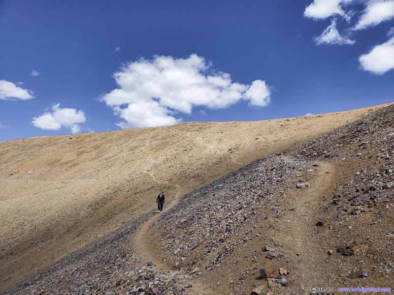 Trail around Mount Bross
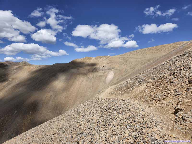 Trail around Mount BrossClouds casting shadows on the western face of Mount Bross.


Click here to display photos of the trail around Mount Bross.
Trail around Mount Bross
Trail around Mount Bross
Mount Bross
Trail around Mount Bross

Trail around Mount BrossClouds casting shadows on the western face of Mount Bross.
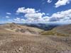
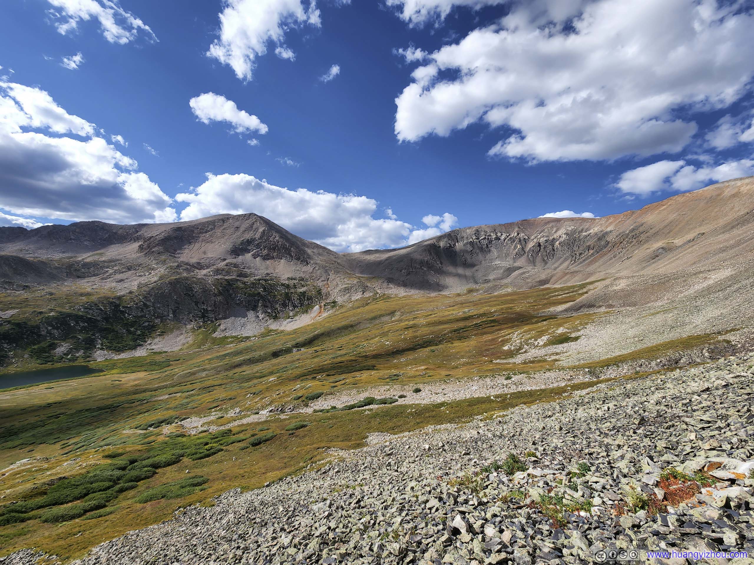
And here were the views along the bypass trail. After summiting them, the few mountains to the north began to feel familiar to me.
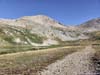
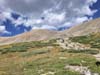
 Mount DemocratThe first summit of the day.
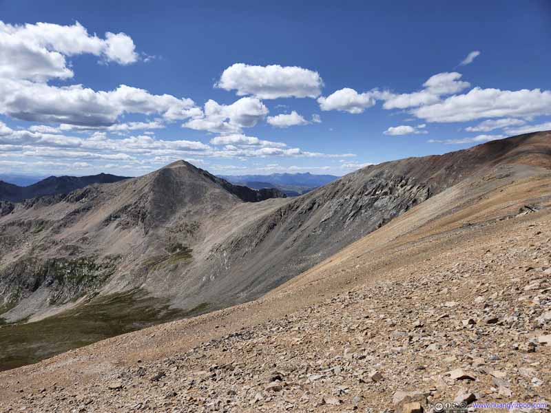 Mount Democrat
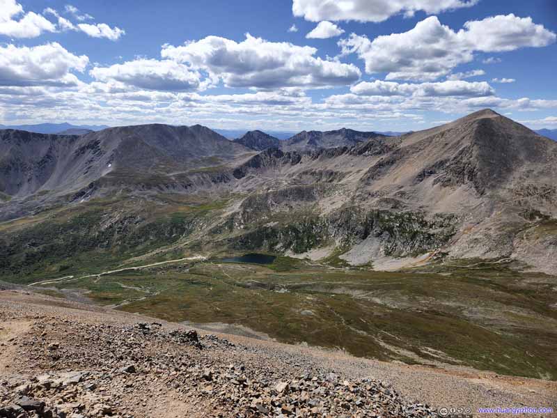 Kite Lake
 Mount Democrat and Mount Cameron
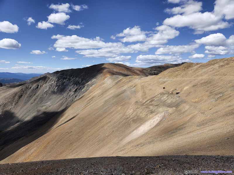 Mount Cameron

Click here to display photos of the slideshow
Mount DemocratThe first summit of the day.
Mount Democrat
Kite Lake
Mount Democrat and Mount Cameron

Mount Cameron
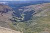
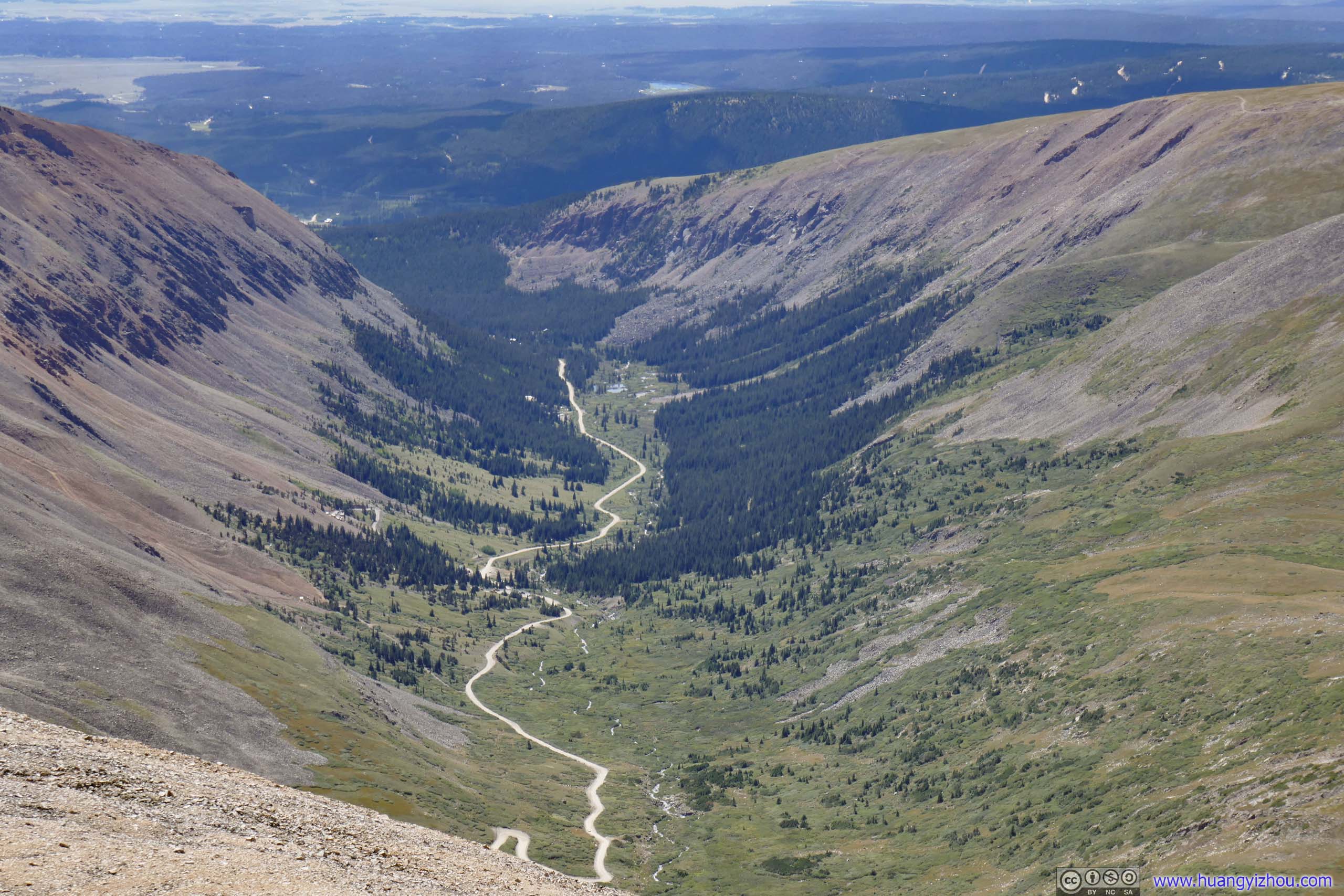
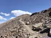
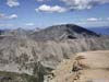
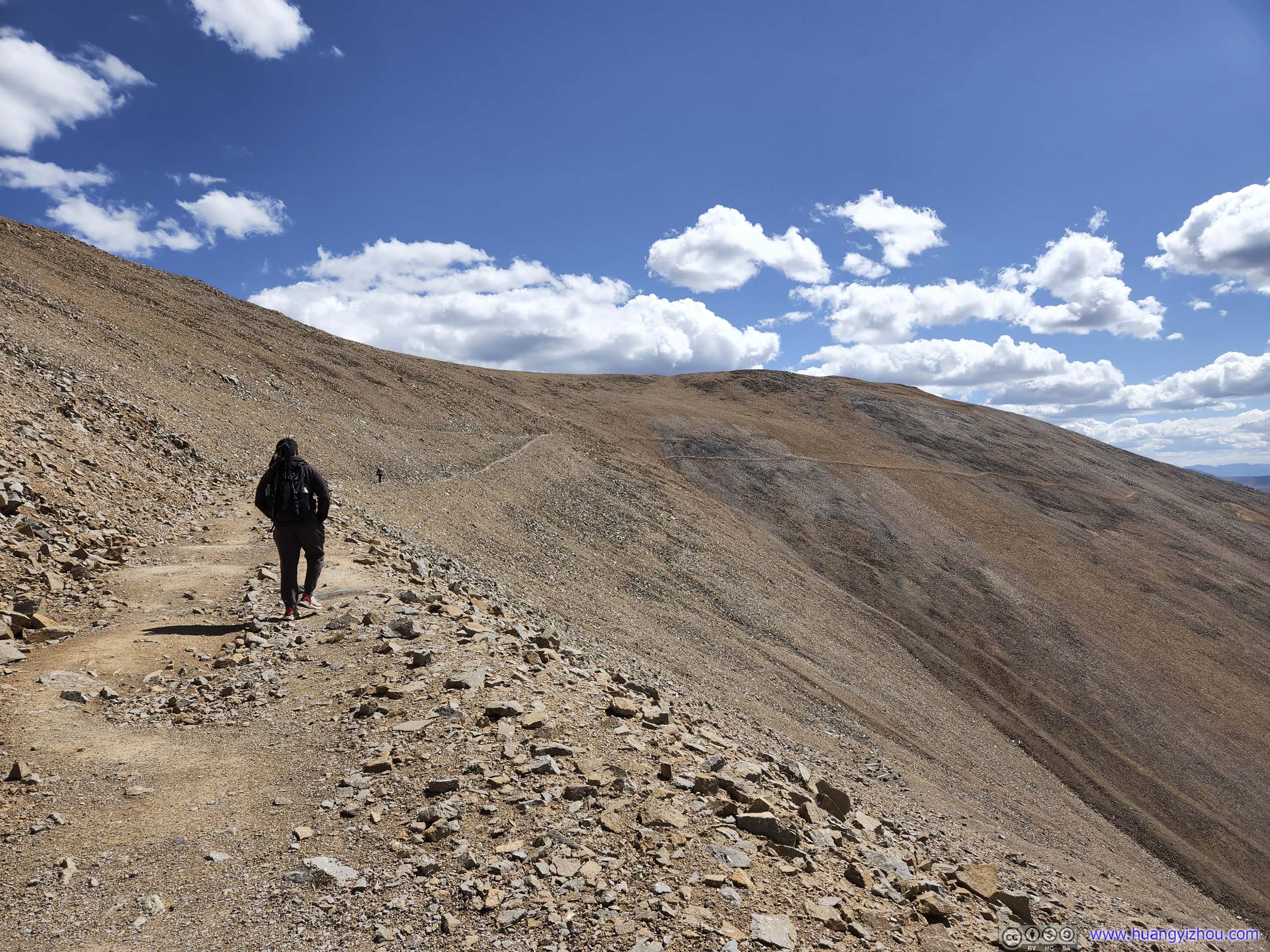
After passing Mount Bross, the trail went on a very steep descent back to Kite Lake. For this part, 30%+ gradient was the norm. Our hiking poles helped out greatly.
 Trail from Mount Bross
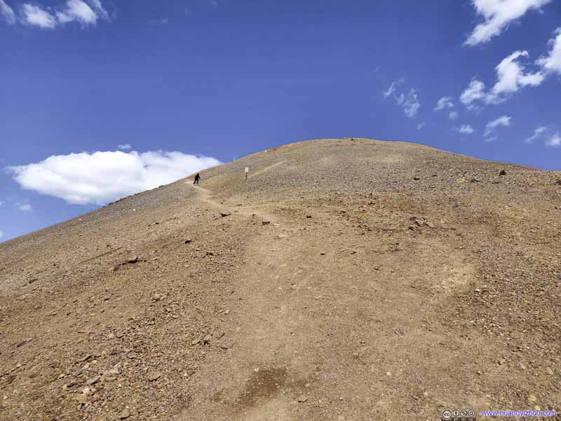 Trail from Mount Bross
 Trail from Mount Bross
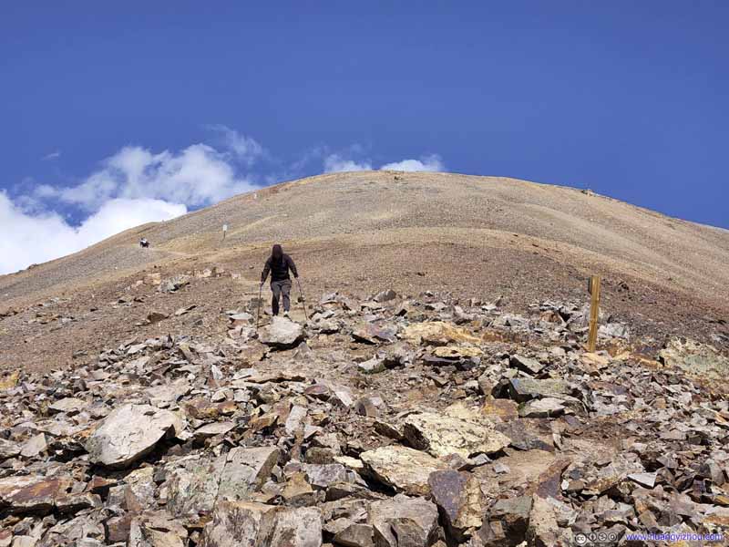 Trail from Mount Bross
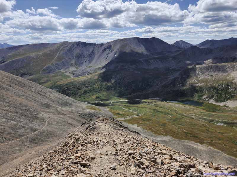 Trail from Mount Bross

Click here to display photos of the trail from Mount Bross.
Trail from Mount Bross
Trail from Mount Bross
Trail from Mount Bross

Trail from Mount Bross

Trail from Mount Bross
While descending from Mount Bross, our party ran into an incident, which set us back about 45 minutes.
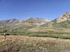
Soon after that, vegetation began to appear along the trail, as if welcoming us back to earth from a fascinating hike up above.
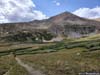
 Kite Lake before Mount Democrat
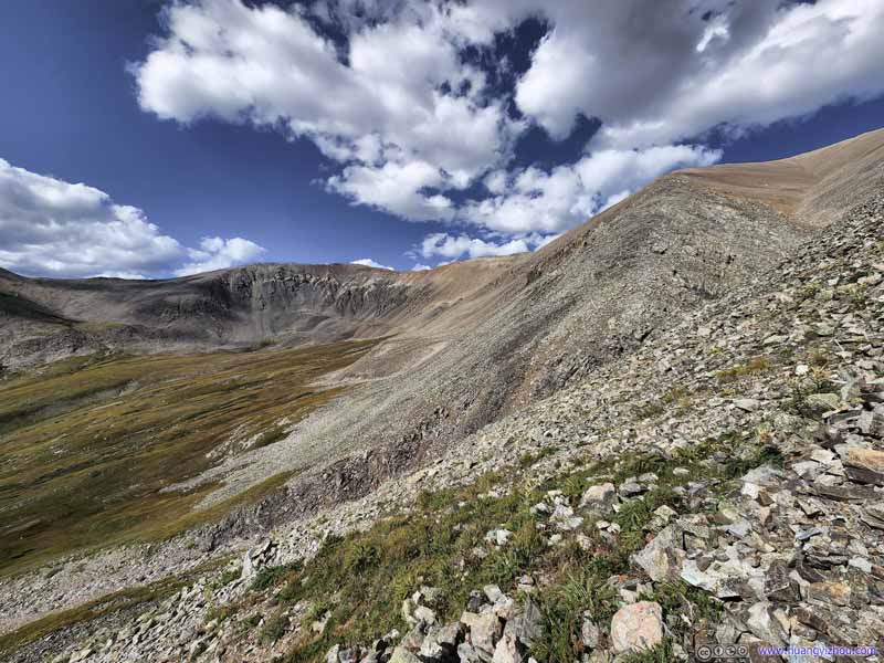 Mount Cameron and Mount Bross
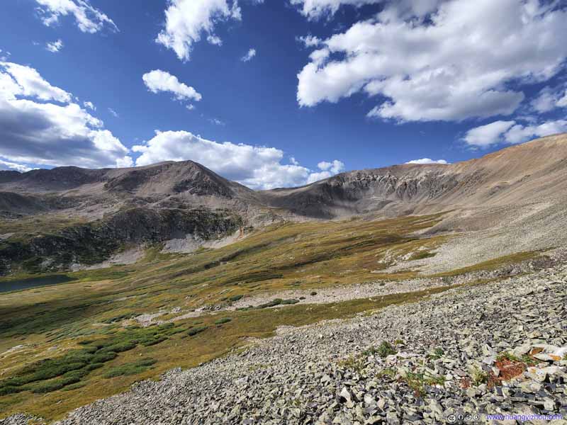 Mount Democrat and Mount Cameron
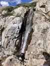
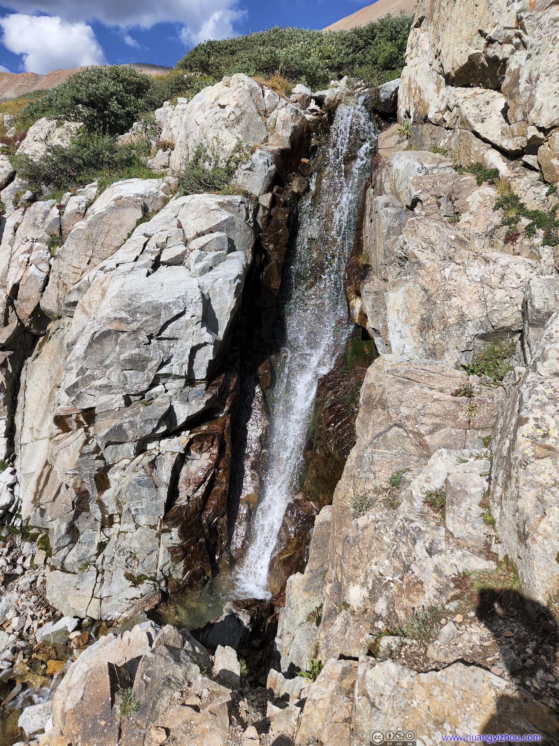
 WaterfallOne that flows from Mount Bross into Kite Lake.
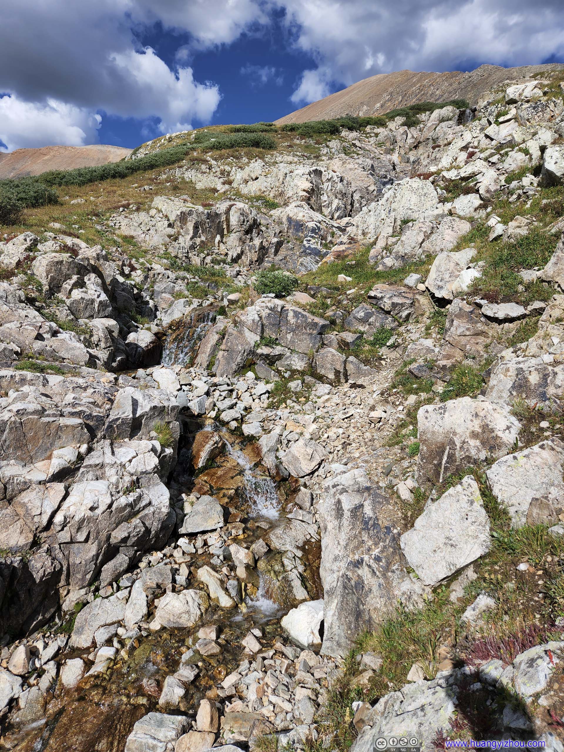
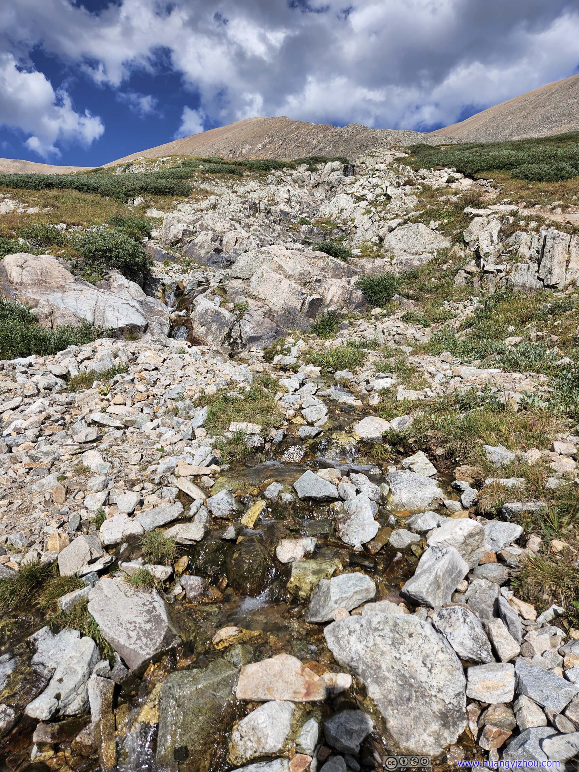
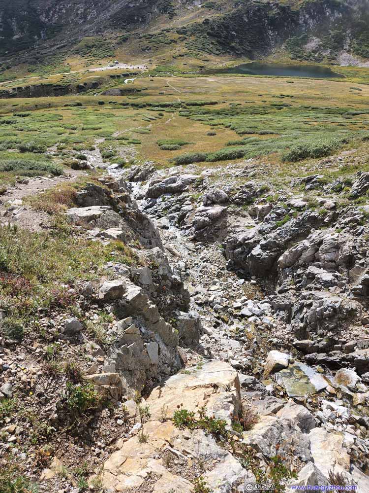 CreekOne that flows from Mount Bross into Kite Lake.
 Mount BrossAs seen not far from trailhead.
 Mount Democrat


Click here to display photos of the slideshow
Kite Lake before Mount Democrat

Mount Cameron and Mount Bross
Mount Democrat and Mount Cameron
 WaterfallOne that flows from Mount Bross into Kite Lake.
 CreekOne that flows from Mount Bross into Kite Lake.

Mount BrossAs seen not far from trailhead.
Mount Democrat
Finally, we were back at the trailhead just before 5pm, concluding the DeCaLiBron loop in 8 hours.
END
![]() Day 3 of 2022 Colorado Trip, DeCaLiBron Loop by Huang's Site is licensed under a Creative Commons Attribution-NonCommercial-ShareAlike 4.0 International License.
Day 3 of 2022 Colorado Trip, DeCaLiBron Loop by Huang's Site is licensed under a Creative Commons Attribution-NonCommercial-ShareAlike 4.0 International License.