
Updated on August 6, 2025
Day 7 of 2022 Colorado Trip, Rocky Mountain National Park
Seventh day of our 2022 Colorado trip. We would be visiting Rocky Mountain National Park today, do some hiking among the scenic alpine lakes in the Bear Lake area, and finish the day with a tour of the park’s Trail Ridge Road.
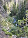
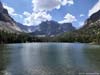
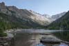
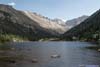
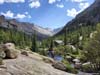
Dream Lake
For this Colorado trip, we reserved two days for Rocky Mountain National Park. After a thrilling hike to the summit of Longs Peak the previous day, we planned to spend this day in a way like a typical tourist in the park.
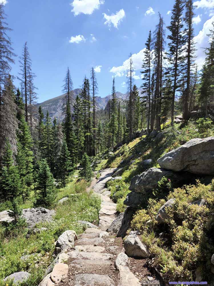
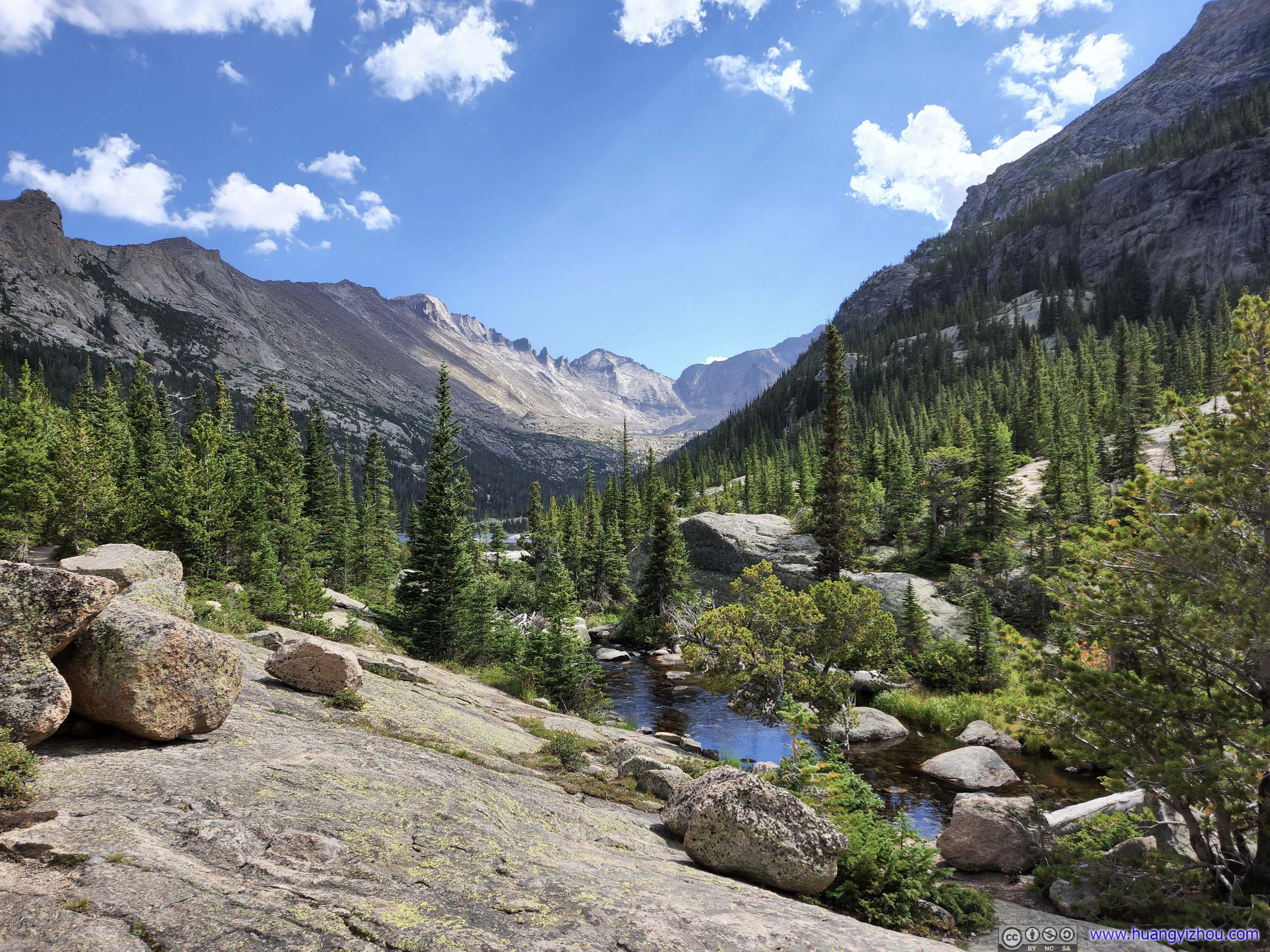
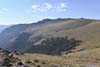
That meant we would focus in the Bear Lake region, the heart of the park. Mountains of the Continental Divide formed a few comb-like gorges in the region, which were home to a few glaciers and many beautiful alpine lakes. The latter was always my favorite where nature showcased its bounty with pristine waters, lush trees and rugged boulders.
At Bear Lake region, we planned a trimmed down version of Lake Loop Trail (AllTrail link), skipping Sky Pond and Lake of Glass. After a grueling hike the previous day, this should be the perfect match for our fitness.
During the summer months, Rocky Mountain National Park had a time-entry system in place, and the morning slots (5-7 and 6-8) for the Bear Lake region were the most sought-after. My experience was that, for their initial release a month in advance, these slots were gone within minutes. Knowing that we stayed about an hour from the park’s entrance and we weren’t good at getting up early, we reserved the 6-8 slots, and entered the park around the likes of 7:50am.
By which time the parking spaces at Bear Lake were long gone. Despite a few signs stating this inevitable fact, we were feeling speculative and still drove up there. In the end, we retreated to the Park & Ride at Glacier Basin and took the shuttle bus to Bear Lake.
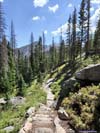
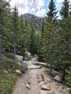
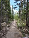
Lake Loop Trail
After getting off the shuttle at Bear Lake, we took a few moments for some snacks and sunscreen, before setting off the hike just before 9am. Here’s GPS tracking:
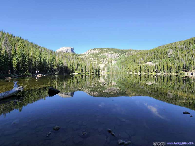
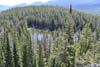
Bear Lake
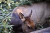
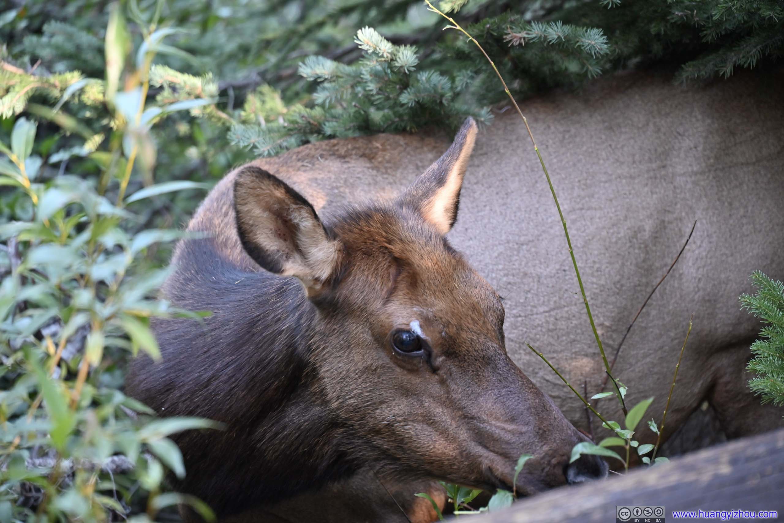
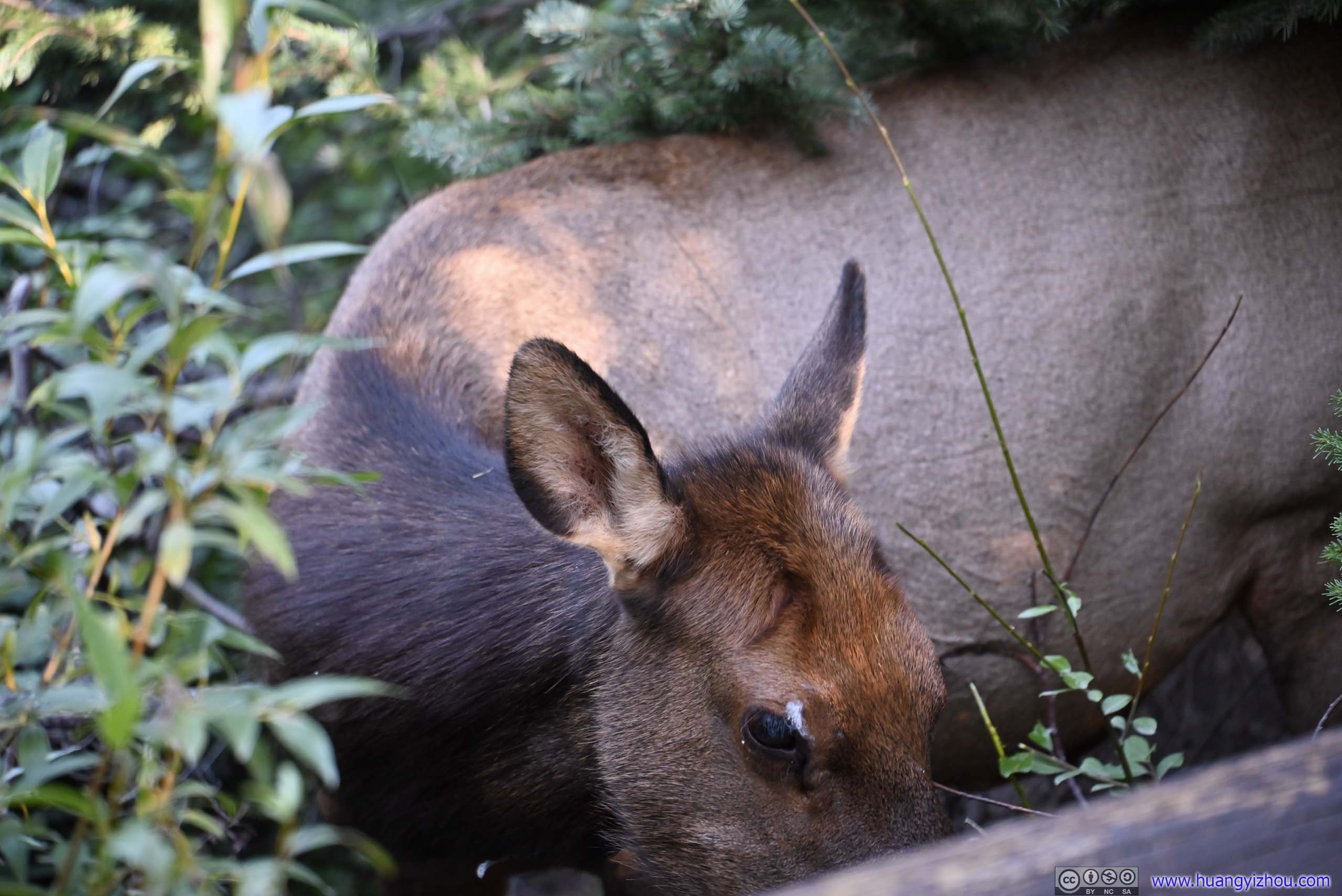
First, we took the short 1km loop trail of Bear Lake, right next to the shuttle stop. And just a few steps into the hike, we found a deer grazing in the bushes. Probably due to the amount of visitors to Bear Lake, that deer wasn’t remotely afraid of human.
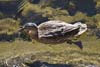
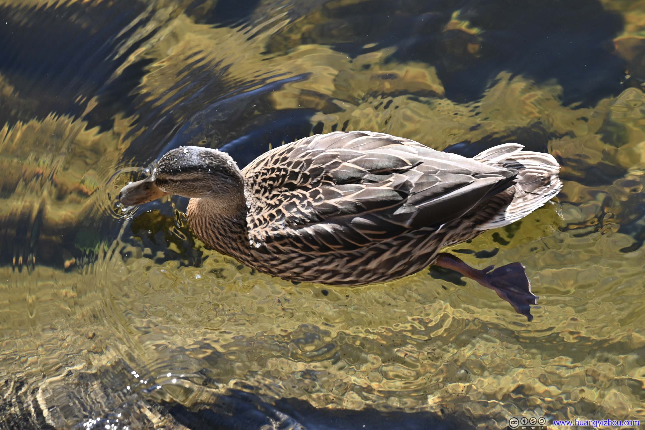
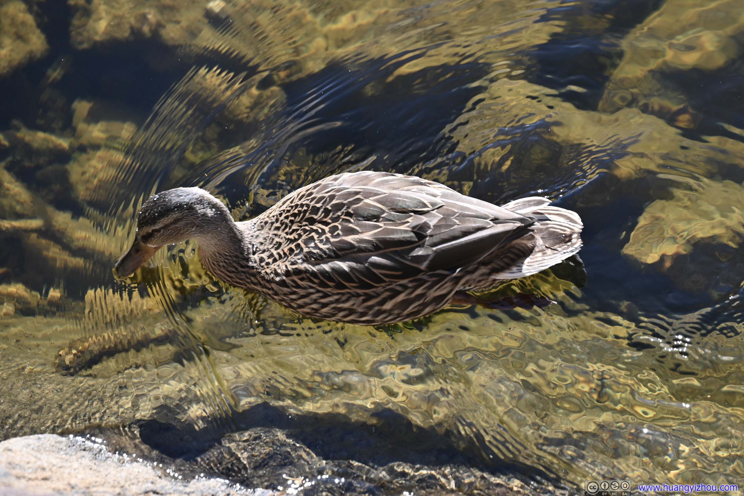
In addition, I also spotted a few ducks swimming in Bear Lake, which was the only duck sighting of the day.
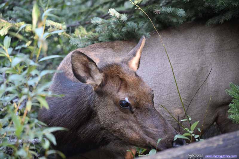 DeerRight off the trailhead, grazing in the bushes.
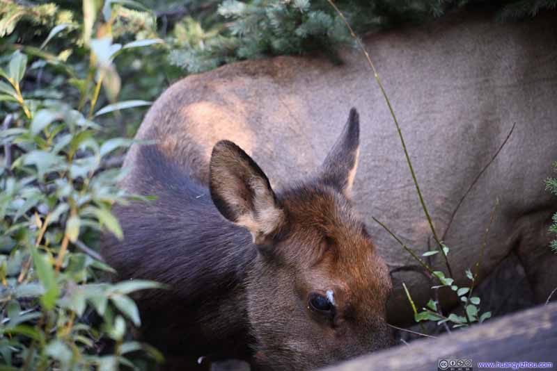 DeerRight off the trailhead, grazing in the bushes.
 DuckSwimming along the shores of Bear Lake. The lake’s water looked crystal clear from this angle.
 DuckSwimming along the shores of Bear Lake. The lake’s water looked crystal clear from this angle.
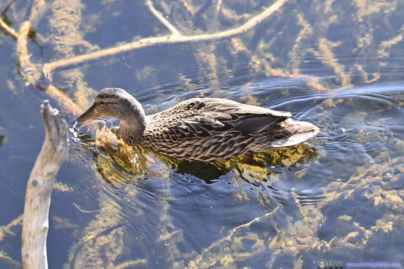 DuckSwimming along the shores of Bear Lake.


Click here to display photos of animals near Bear Lake.
DeerRight off the trailhead, grazing in the bushes.
DeerRight off the trailhead, grazing in the bushes.
DuckSwimming along the shores of Bear Lake. The lake’s water looked crystal clear from this angle.
DuckSwimming along the shores of Bear Lake. The lake’s water looked crystal clear from this angle.

DuckSwimming along the shores of Bear Lake.
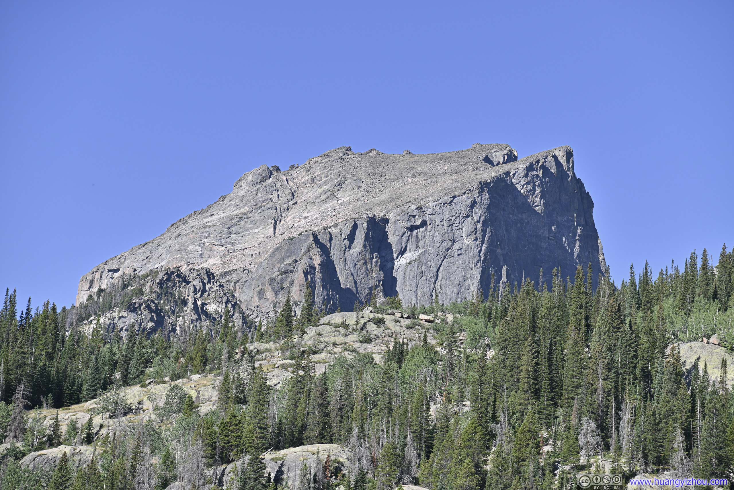
Back to Bear Lake itself, it had the typical tranquility of alpine lakes, maybe even more so that its shores were lined with pine trees, not boulders.
 Bear Lake
 Hallett Peak behind Bear LakeNow I wasn’t a big fan of the wrinkles on the water, created by some ducks.
 Hallett PeakA preview of its magnificence.
 Longs Peak from Bear LakeOne that we summitted the previous day, looking gorgeous from this angle.
 Bear Lake
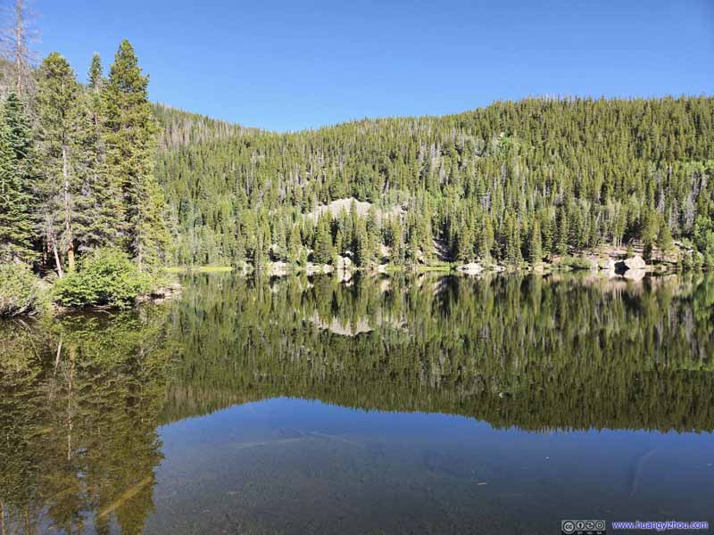 Bear Lake

Click here to display photos of Bear Lake.
Bear Lake
Hallett Peak behind Bear LakeNow I wasn’t a big fan of the wrinkles on the water, created by some ducks.
Hallett PeakA preview of its magnificence.
Longs Peak from Bear LakeOne that we summitted the previous day, looking gorgeous from this angle.
Bear Lake
Bear Lake
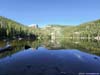
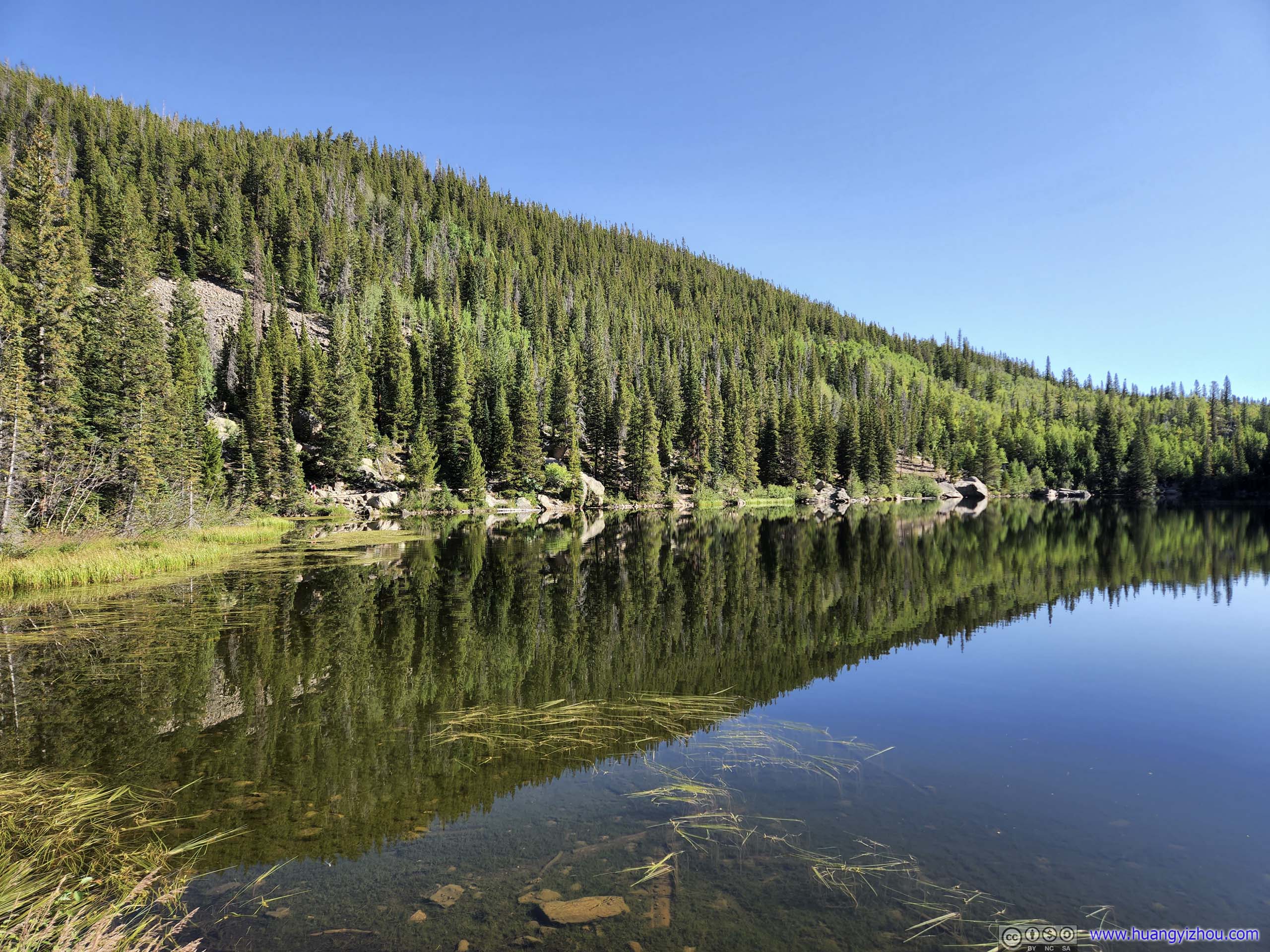
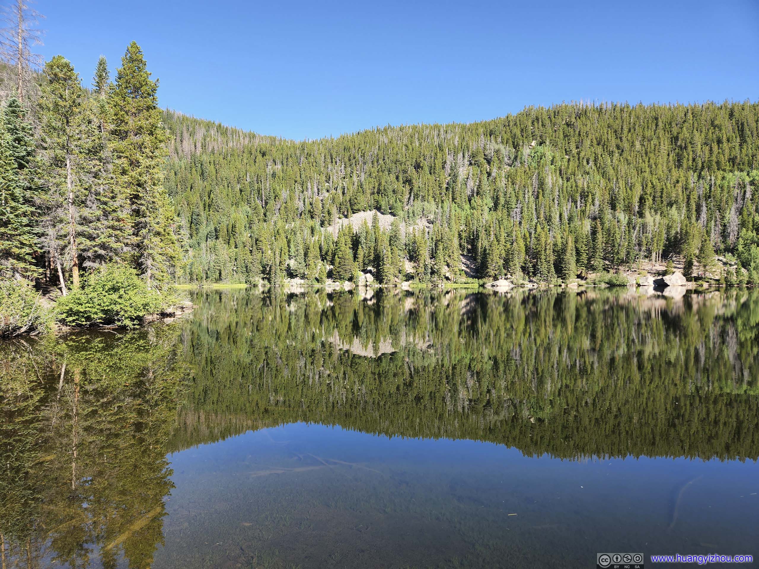
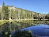
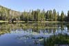
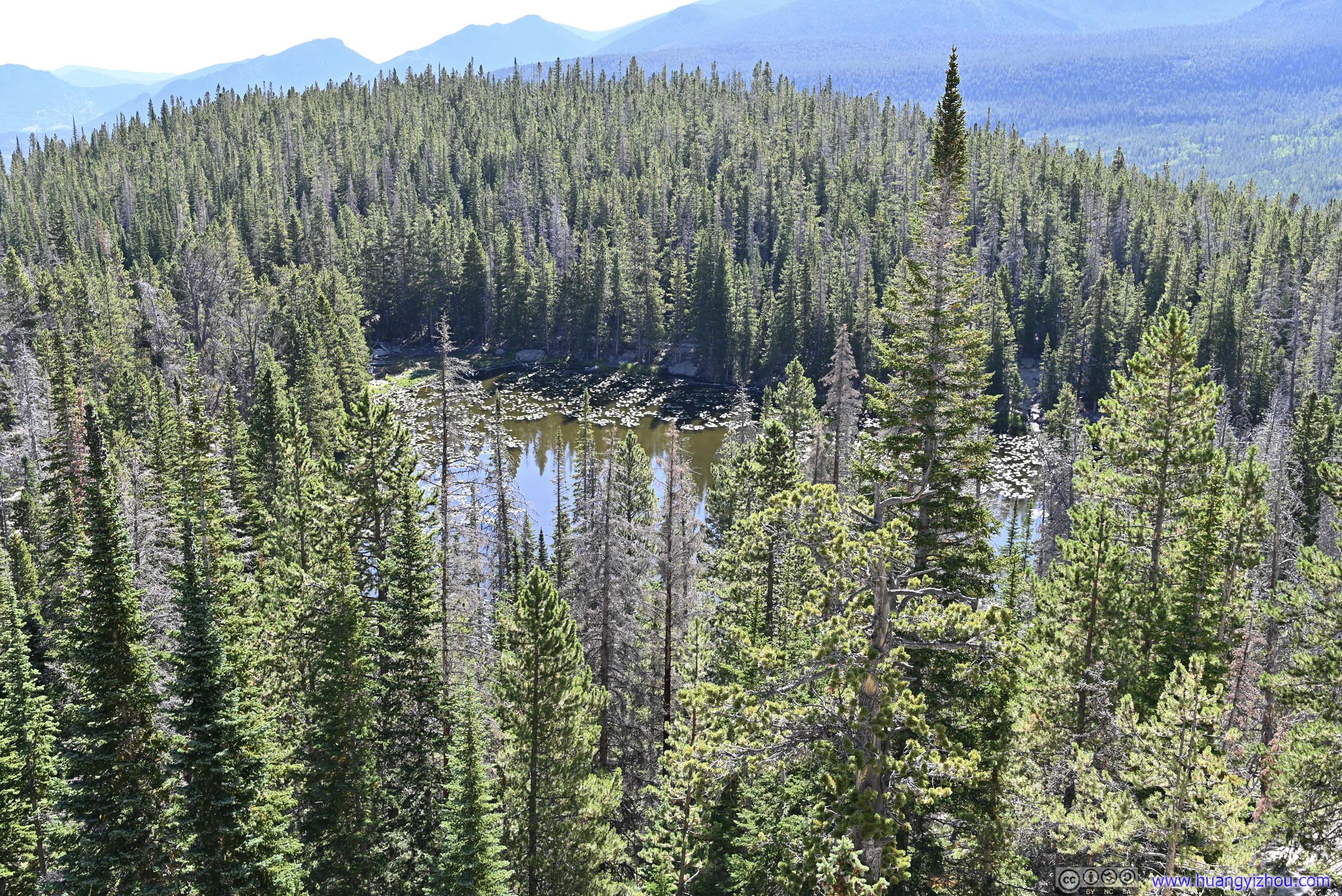
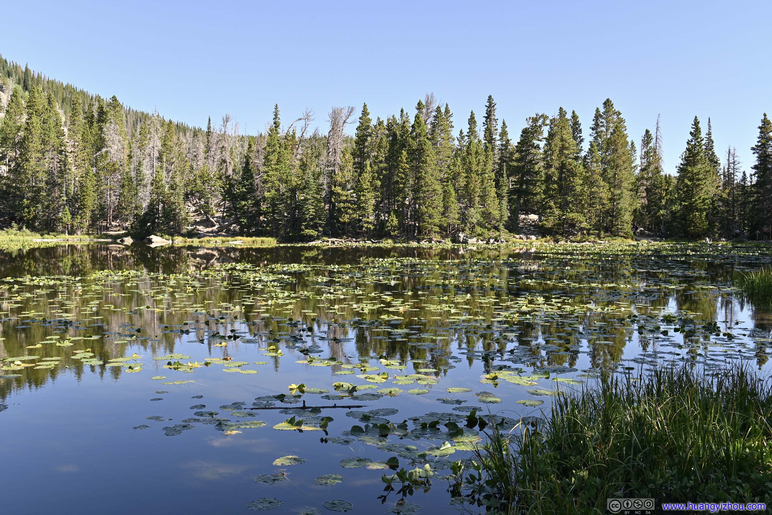
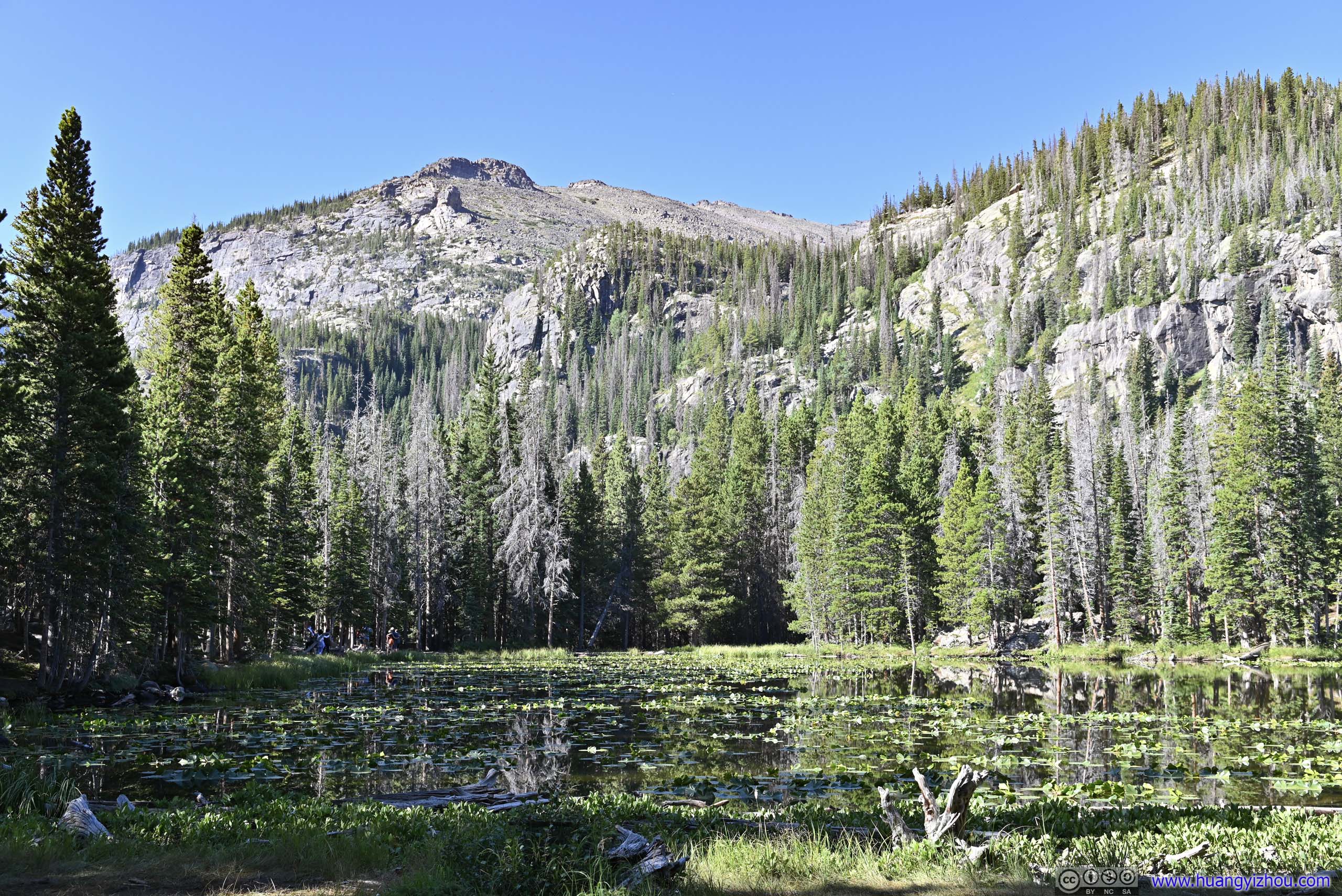
Nymph Lake
After that, we continued towards Nymph Lake, which wouldn’t be remarkable if not for its location along the way to Dream Lake. Some lotuses grew in it, which was unique among the day’s many alpine lakes.
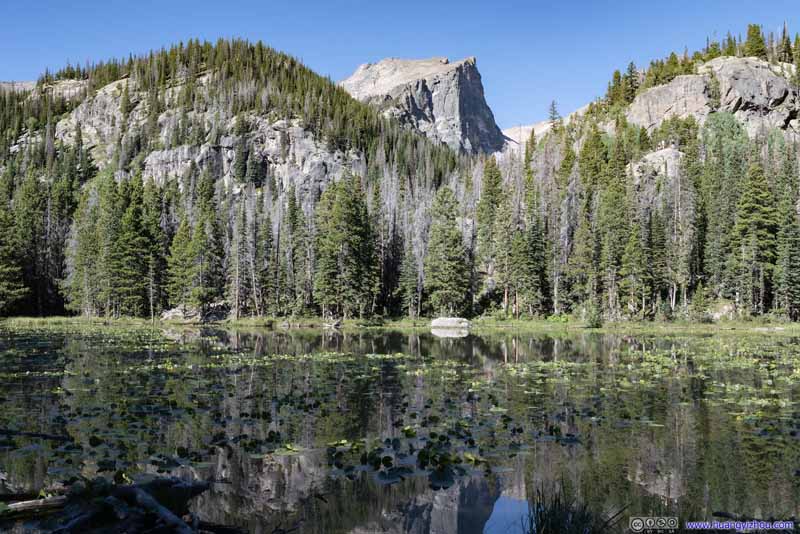 Nymph LakeHallett Peak in between the hills in the foreground.
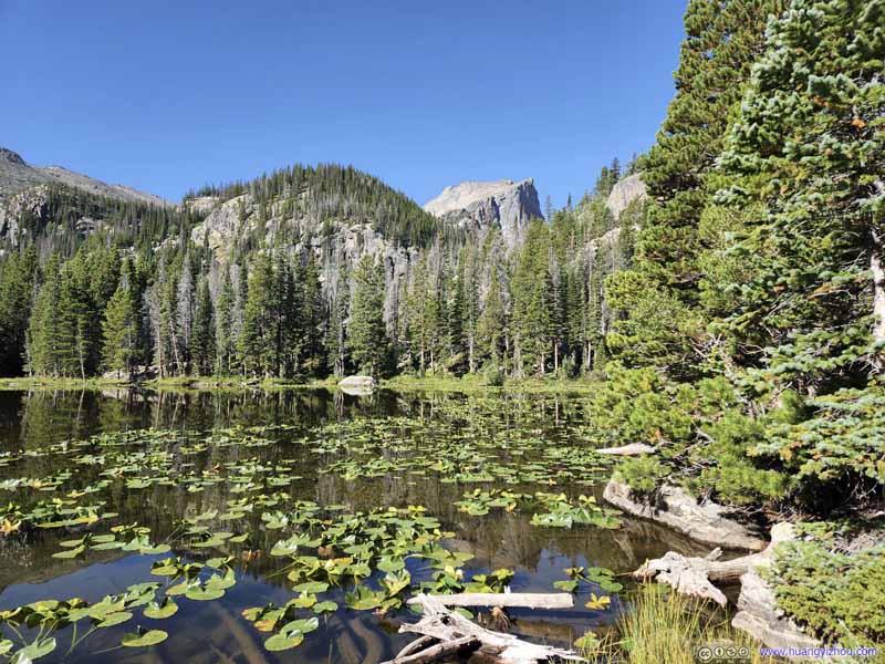 Nymph Lake
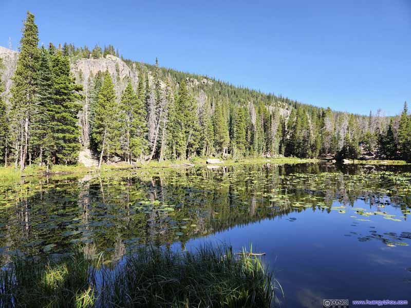 Nymph Lake
 Overlooking Nymph LakeFrom further up the trail.
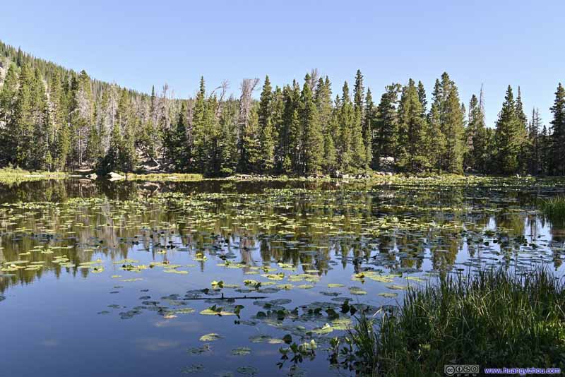 Nymph Lake
 Nymph Lake


Click here to display photos of the slideshow

Nymph LakeHallett Peak in between the hills in the foreground.

Nymph Lake
Nymph Lake
Overlooking Nymph LakeFrom further up the trail.
Nymph Lake
Nymph Lake
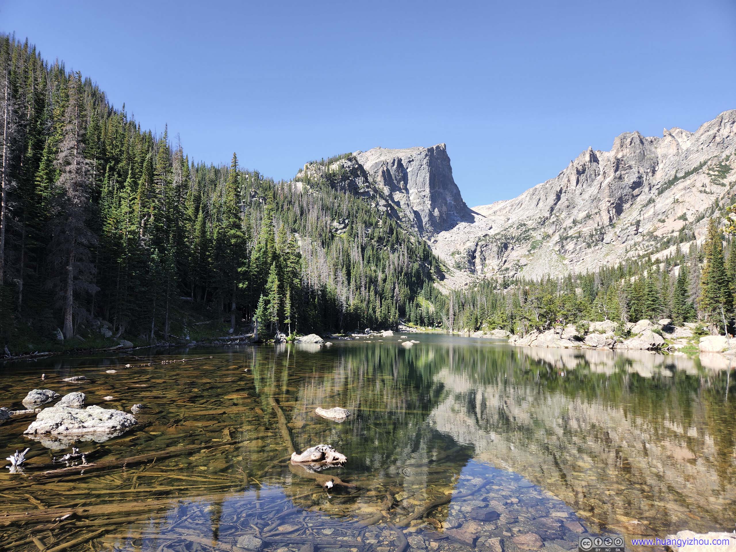
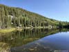
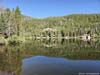
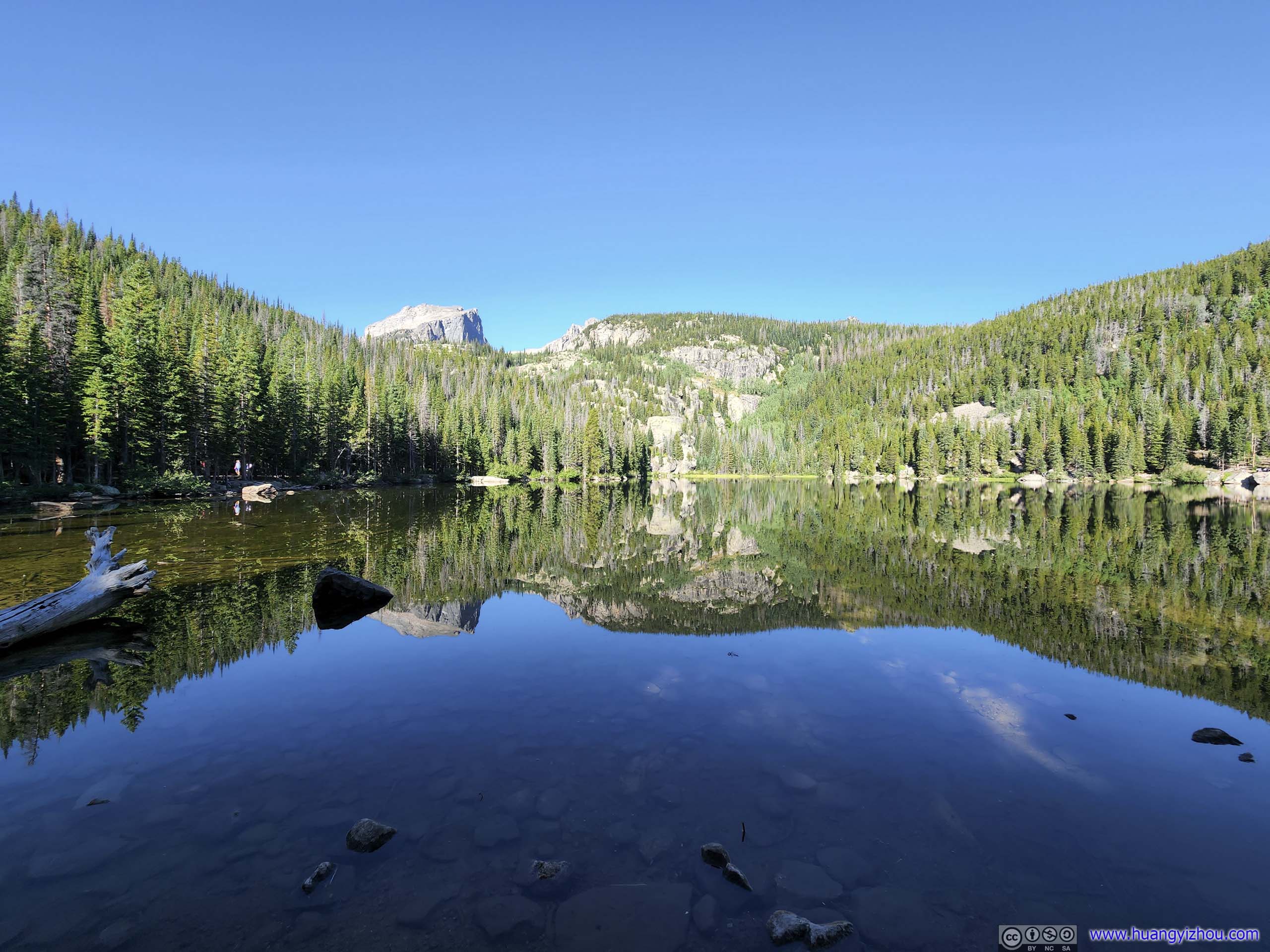
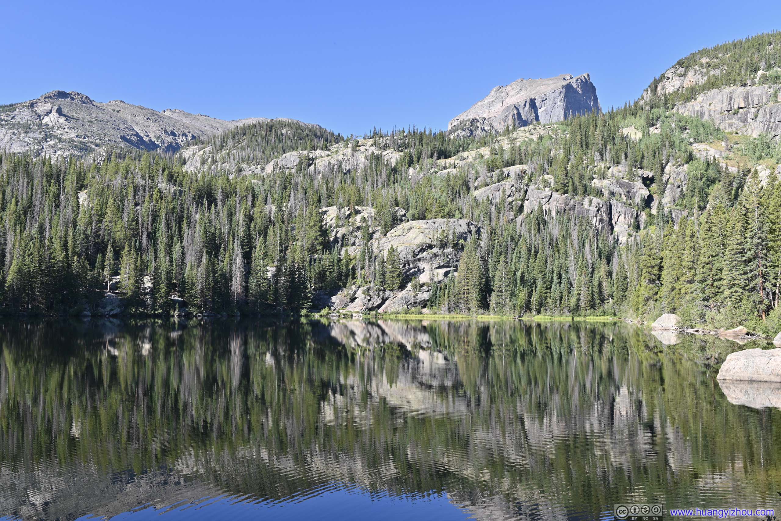
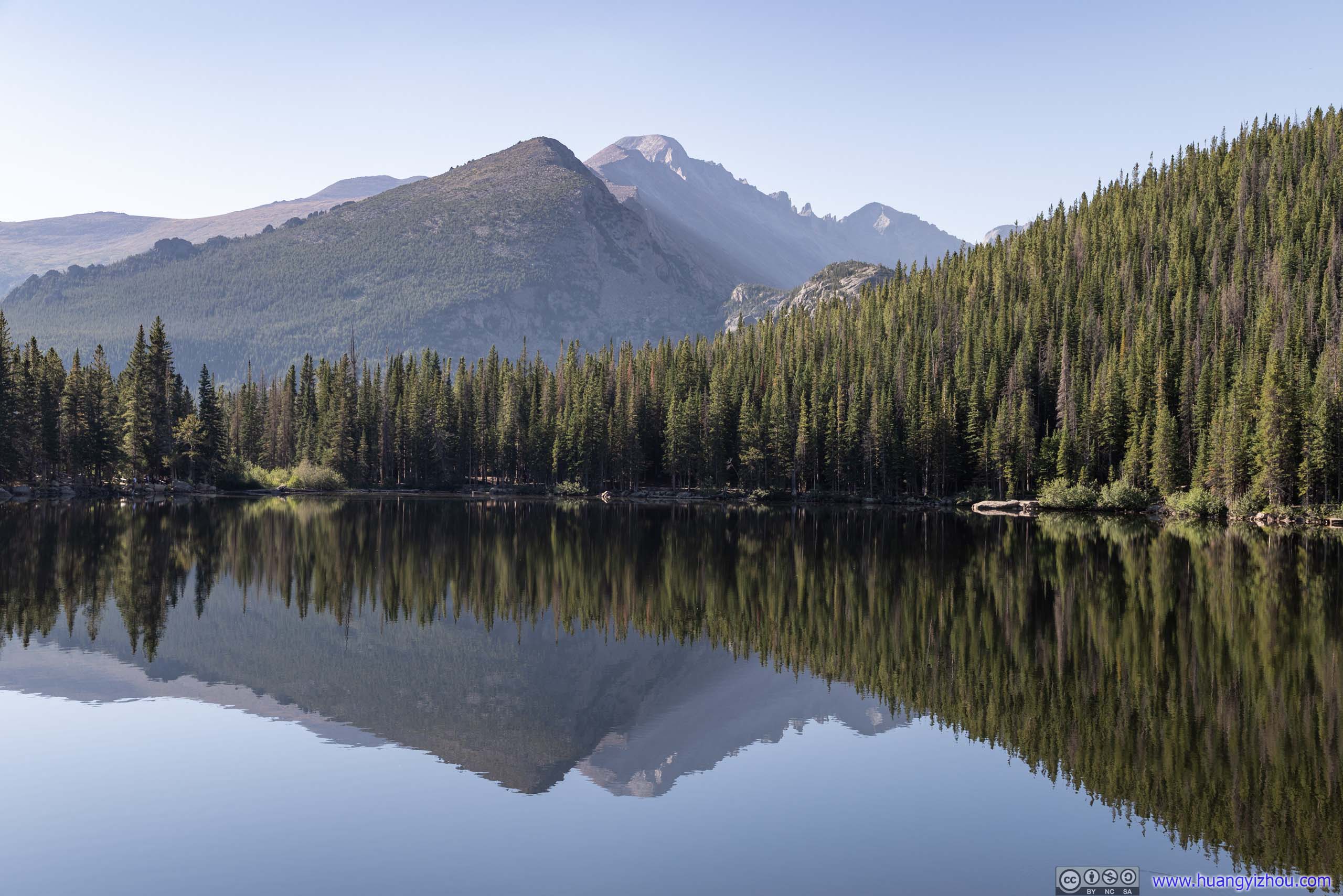
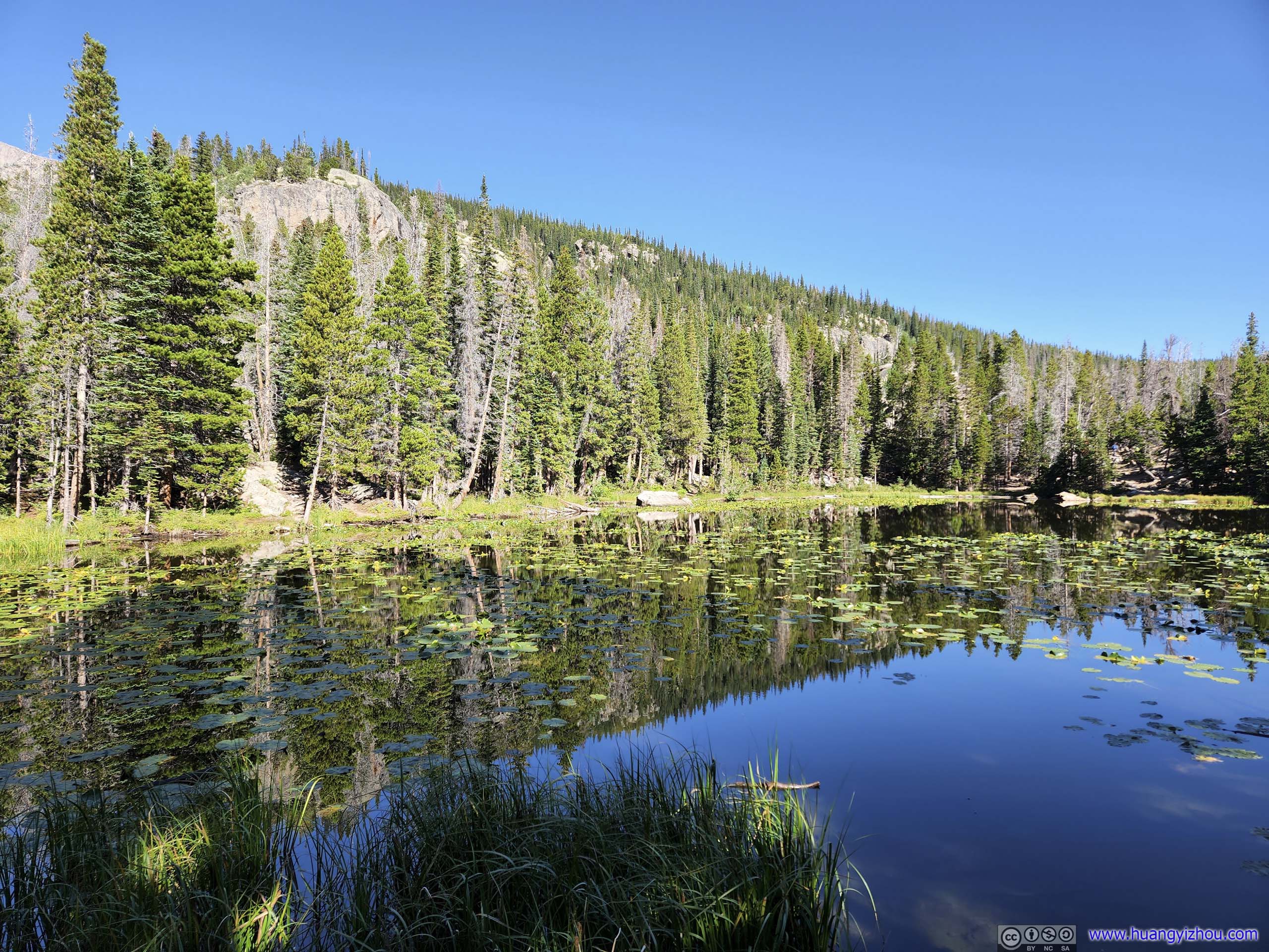
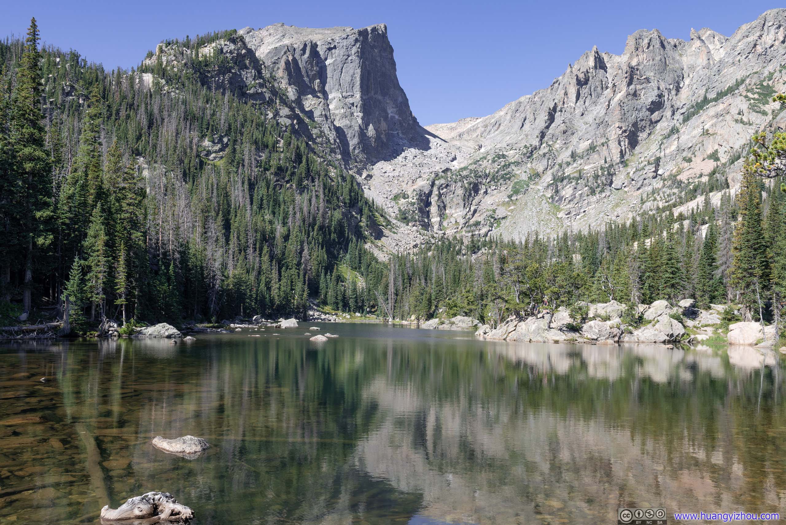
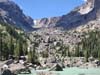
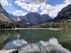
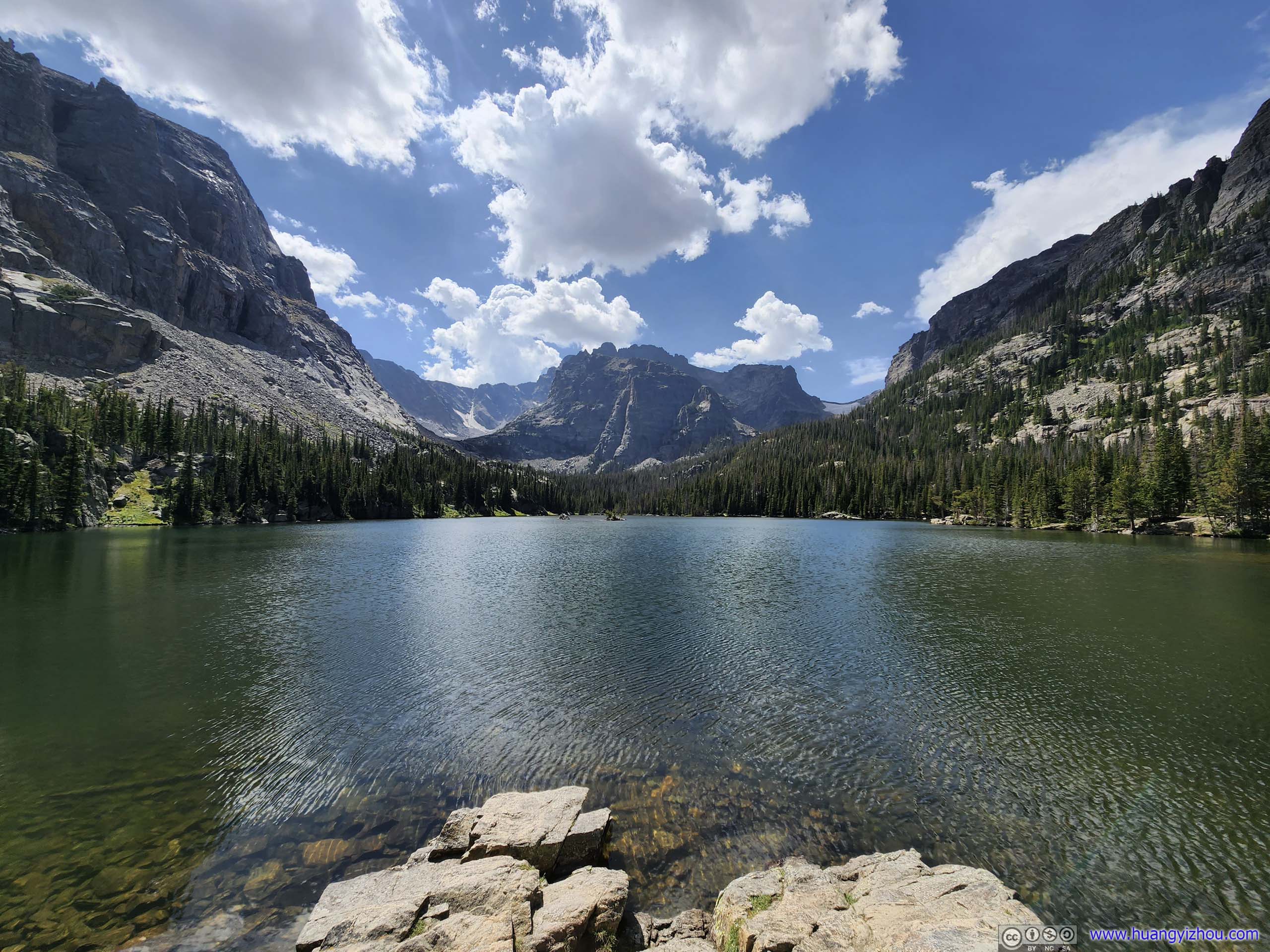
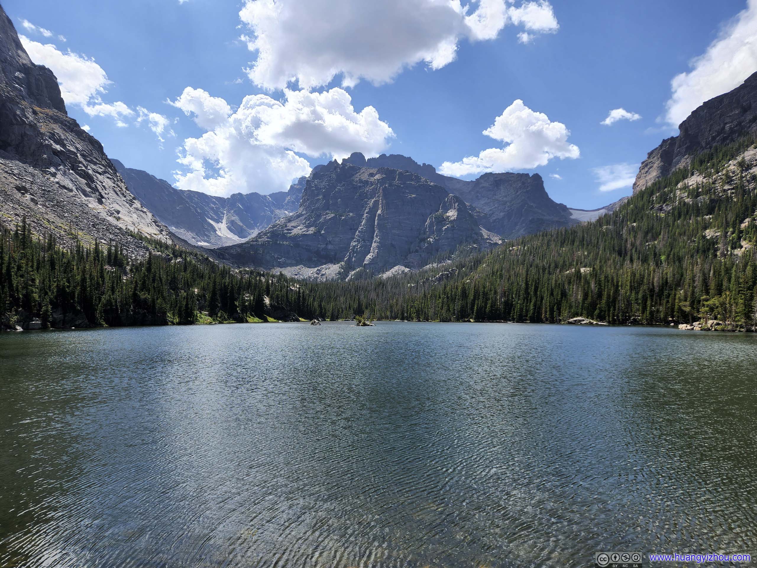
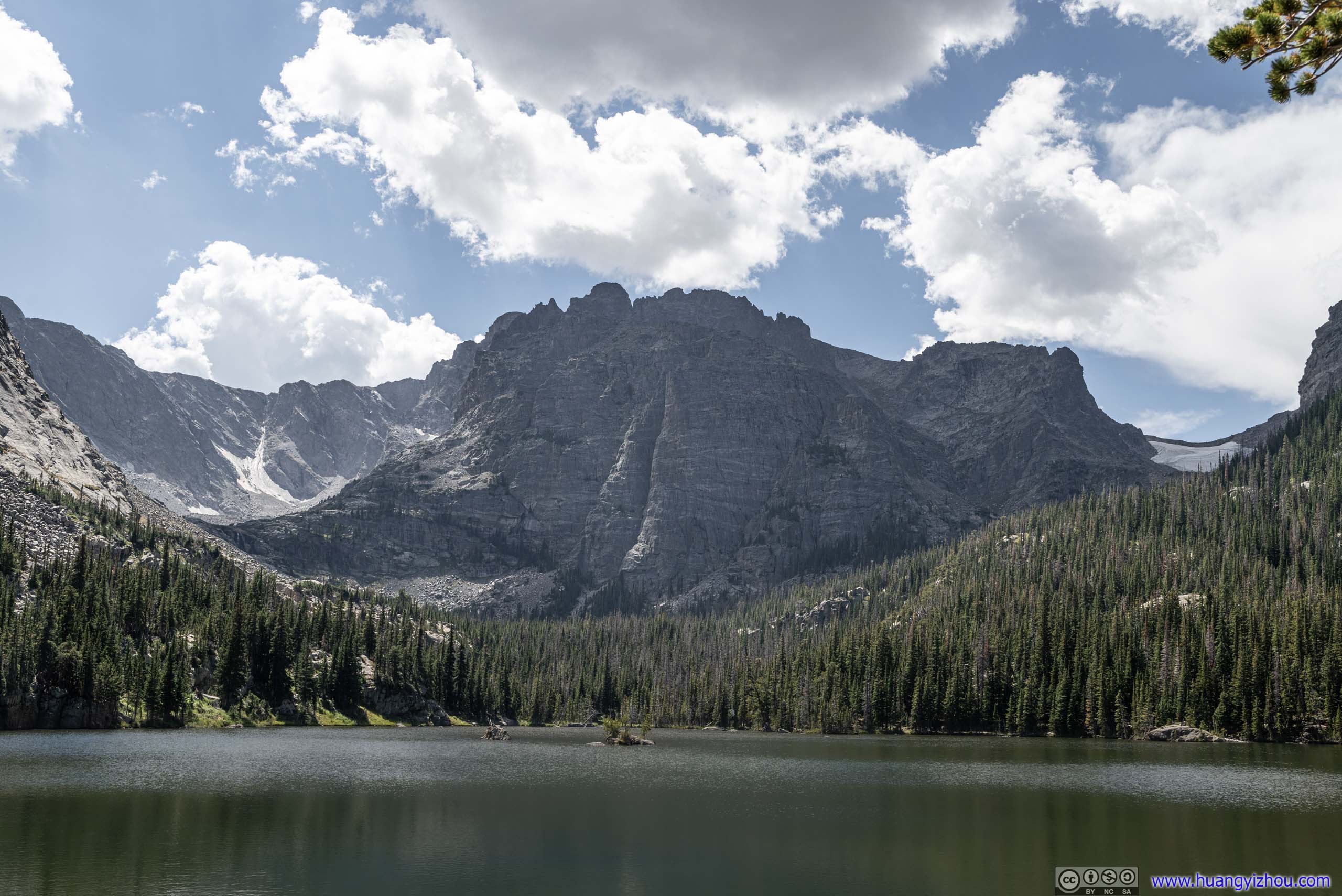
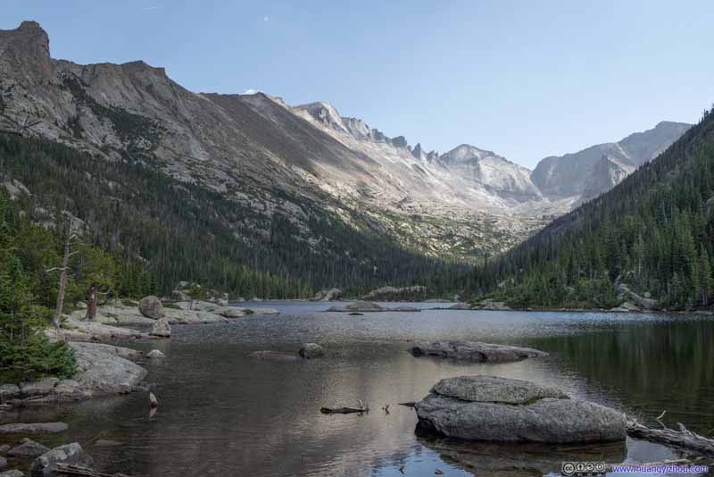
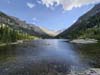
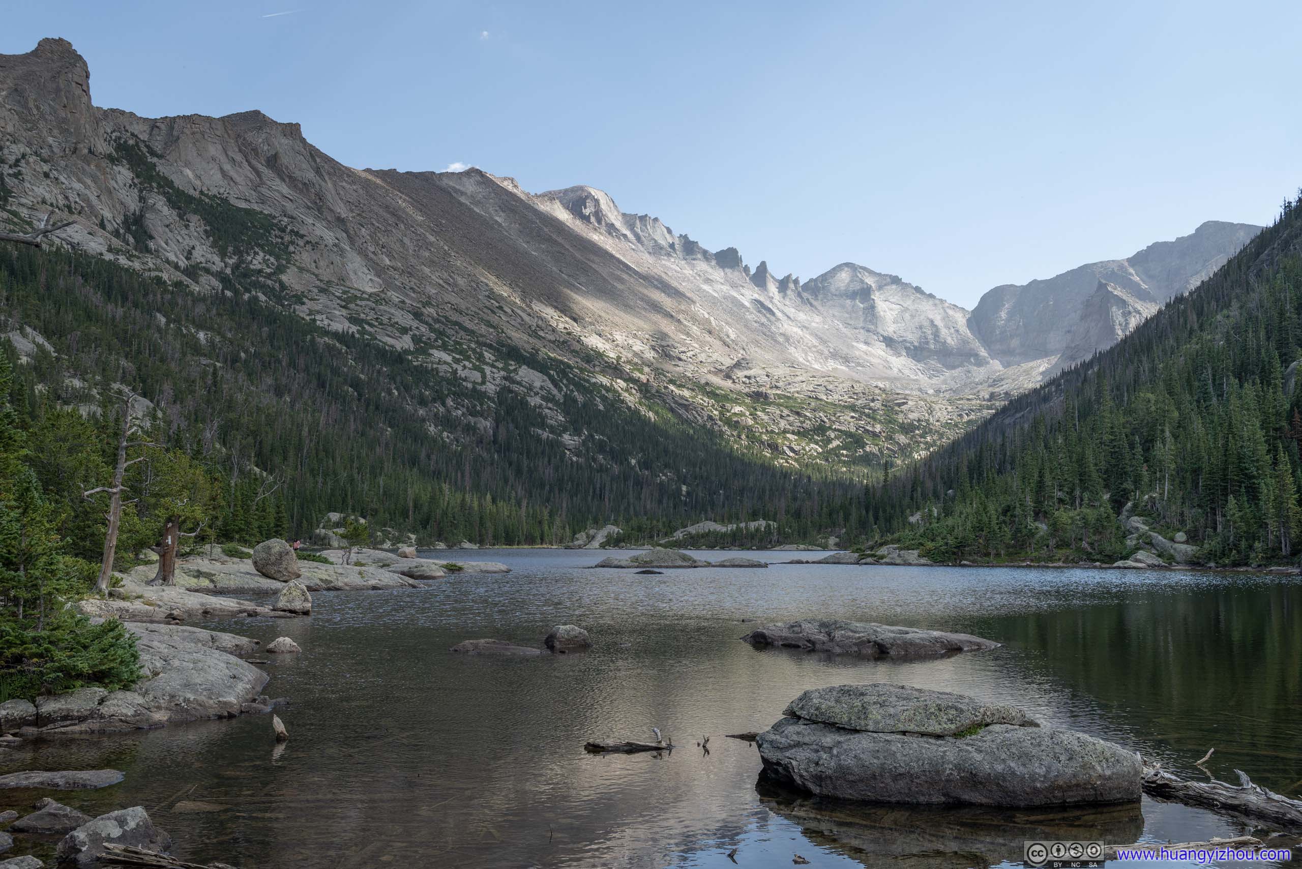
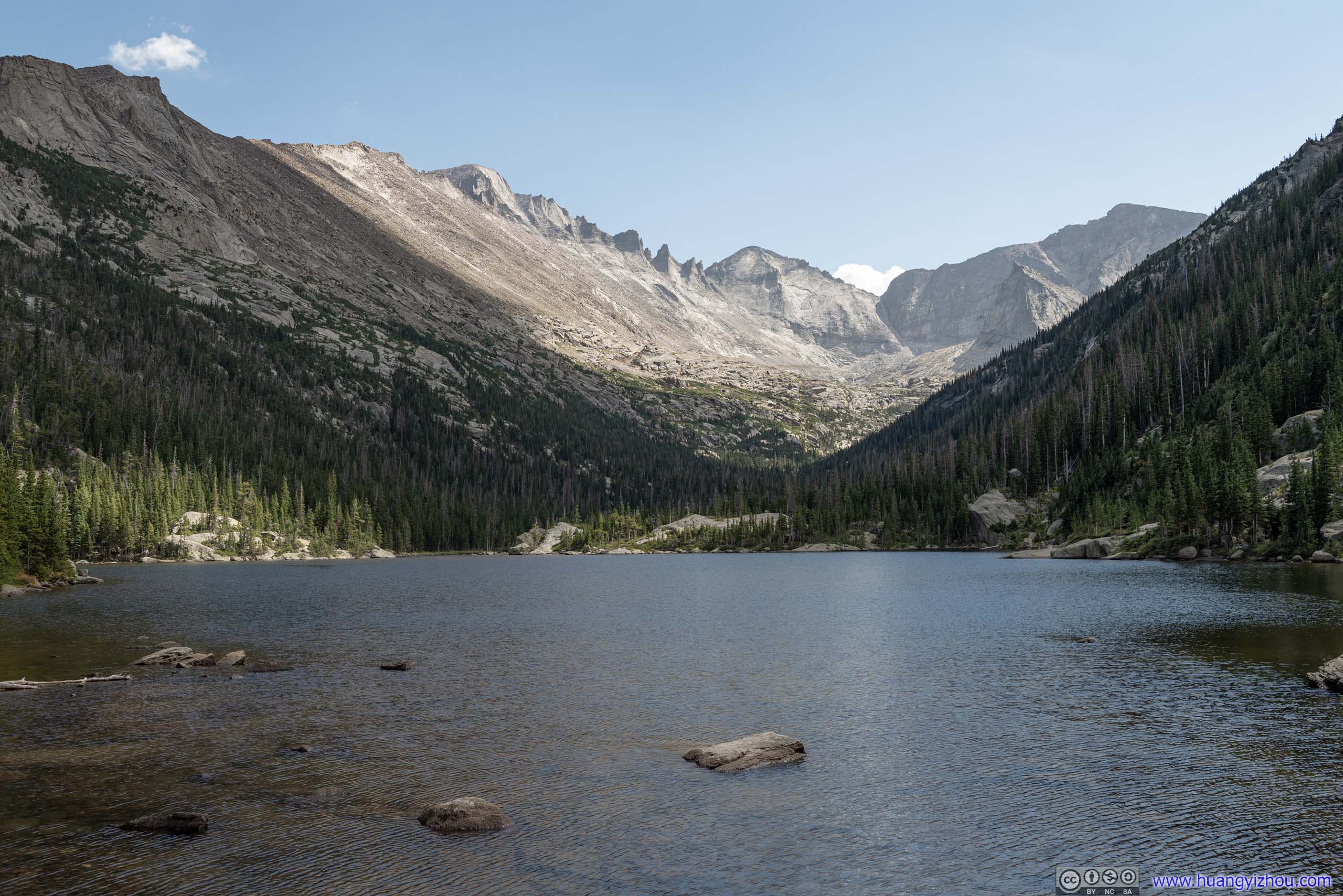
Dream Lake
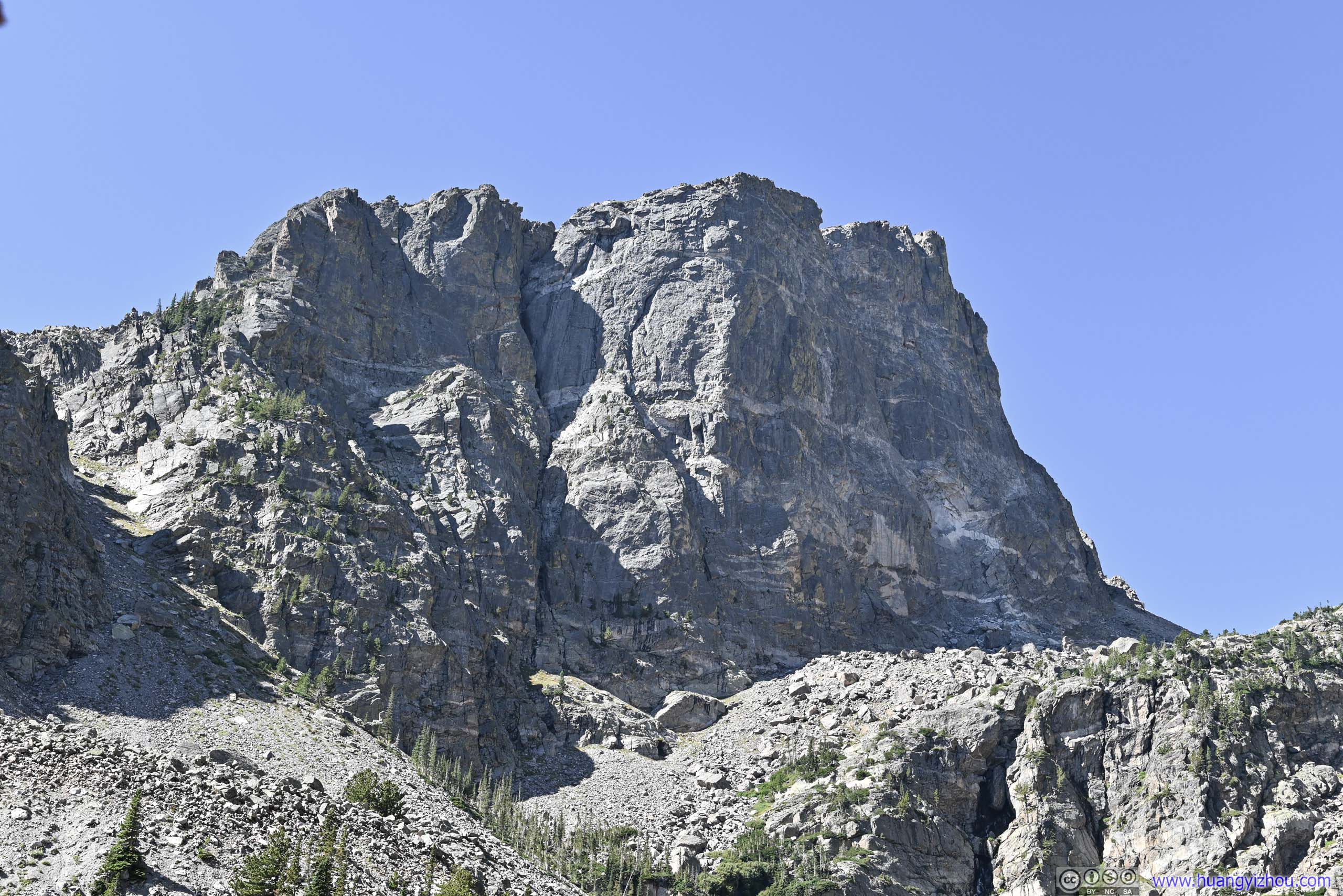
Not long after Nymph Lake was Dream Lake, the poster child of Rocky Mountain National Park. Here the magnificent Hallett Peak showed off its imposing cliffs, as reflected by this elongated body of water. It’s like a less striking version of Long’s Diamond Peak, but viewed at the perfect angle, and decorated by lively trees rather than harsh tundra. A view that one just couldn’t get bored of.
Dream Lake
After spending 15 minutes enjoying a picturistic picnic, we continued into Tyndall Gorge towards Emerald Lake.
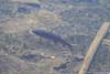
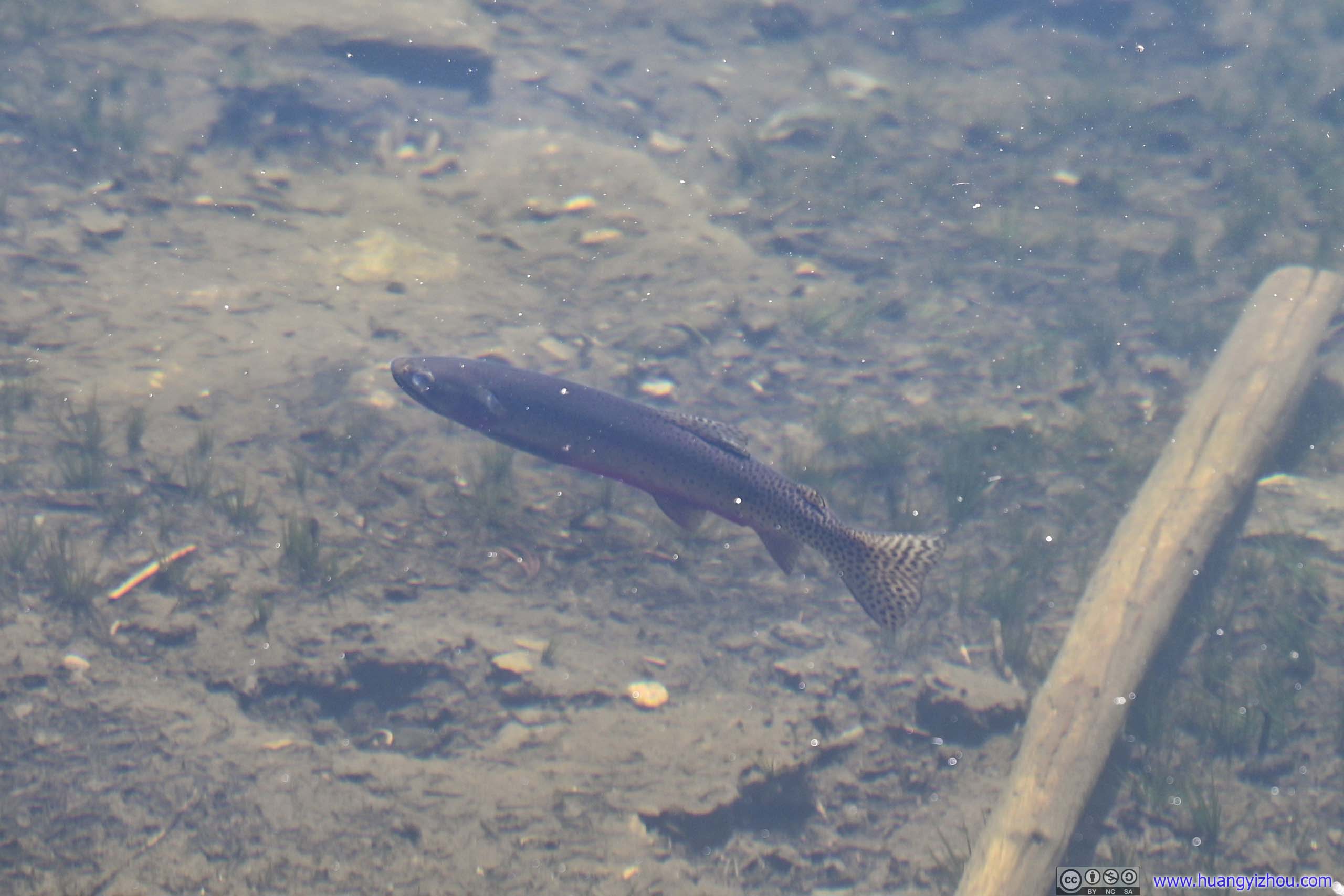
That’s when my friend spotted a few fish in the crystal clear waters of Dream Lake.
 Fish in Dream Lake
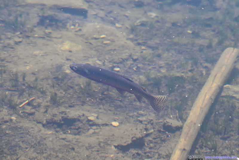 Fish in Dream Lake
 Fish in Dream Lake
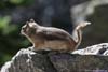
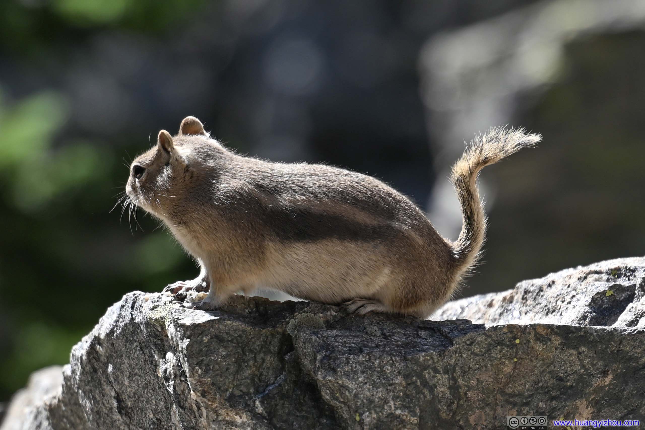
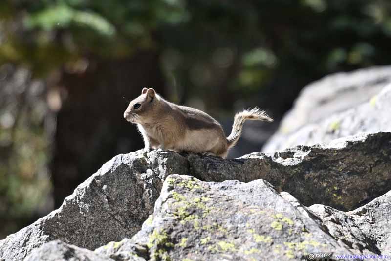 Squirrel
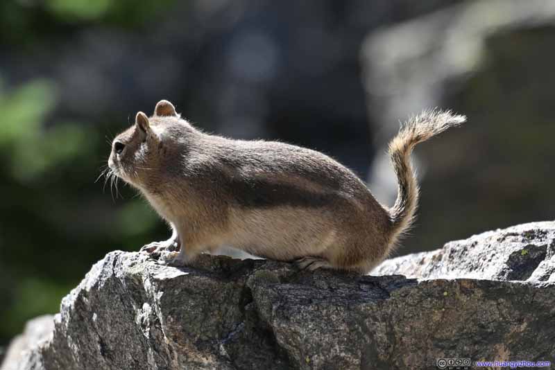 Squirrel


Click here to display photos of the animals.

Fish in Dream Lake
Fish in Dream Lake

Fish in Dream Lake

Squirrel
Squirrel
Shores of Dream LakeThe trail to Emerald Lake passed along the shores of Dream Lake.
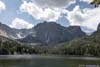
Emerald Lake
At around 10:40am, we reached Emerald Lake, the end of the trail.
The lake was located just at the foot of Hallett Peak, whose rocky cliff felt a lot closer compared with Dream Lake. Unfortunately, the proximity meant one was no longer appreciating its cliffs from the side, and thus the views weren’t as spectacular. I guessed this lived up to their names, “dream” could be romantic, but the reality up close may not. I could appreciate that Emerald Lake looked a lot “greener” than the previous lakes and thus its name. Earlier in the season there may be snow along the rocky slopes, giving it a more “alpine” feeling. There weren’t many accessible areas along Emerald Lake, unlike Dream Lake where people could spread out along its long shoreline, so it felt sort of crowded.
In conclusion, I didn’t enjoy Emerald Lake compared with other lakes of the day.
 Emerald Lake
 Emerald Lake
 Hallett PeakDidn’t look as spectacular from the shores of Emerald Lake.
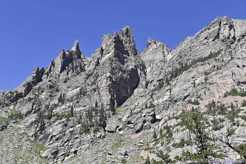 Rock FormationsAlong Flattop Mountain.
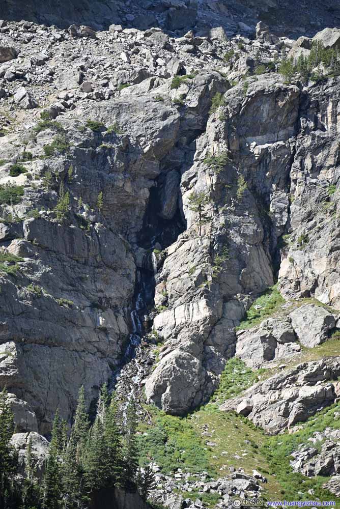 WaterfallFrom Tyndall Glacier, feeding into Emerald Lake.
Click here to display photos of the slideshow

Emerald Lake

Emerald Lake
Hallett PeakDidn’t look as spectacular from the shores of Emerald Lake.

Rock FormationsAlong Flattop Mountain.
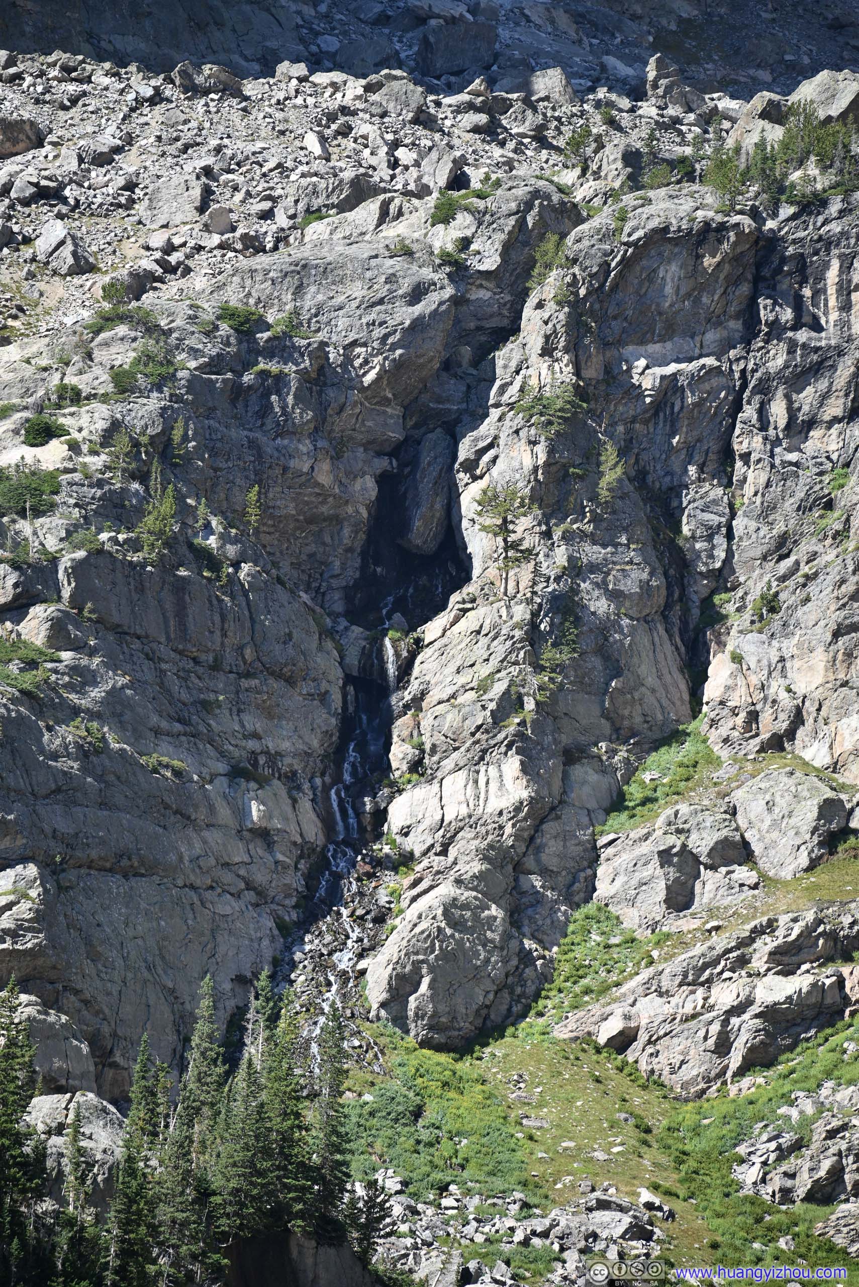
WaterfallFrom Tyndall Glacier, feeding into Emerald Lake.
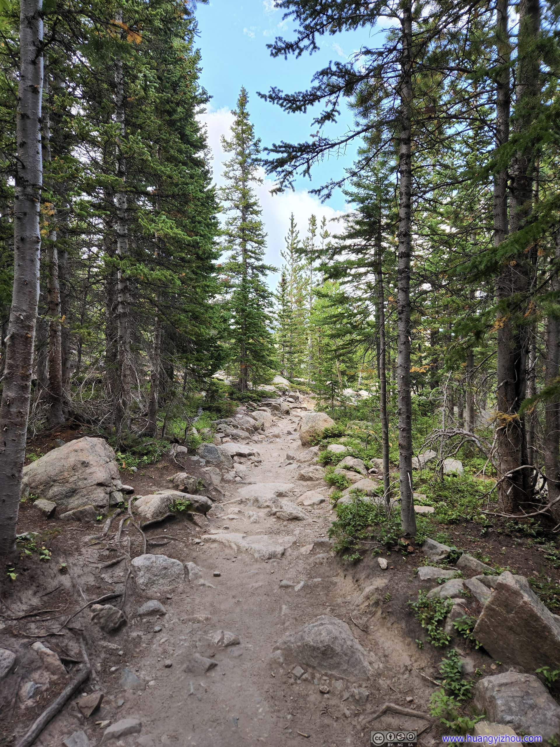
After about 20 minutes at Emerald Lake, we traced our steps back to Dream Lake, and continued our loop hike towards Lake Haiyaha.
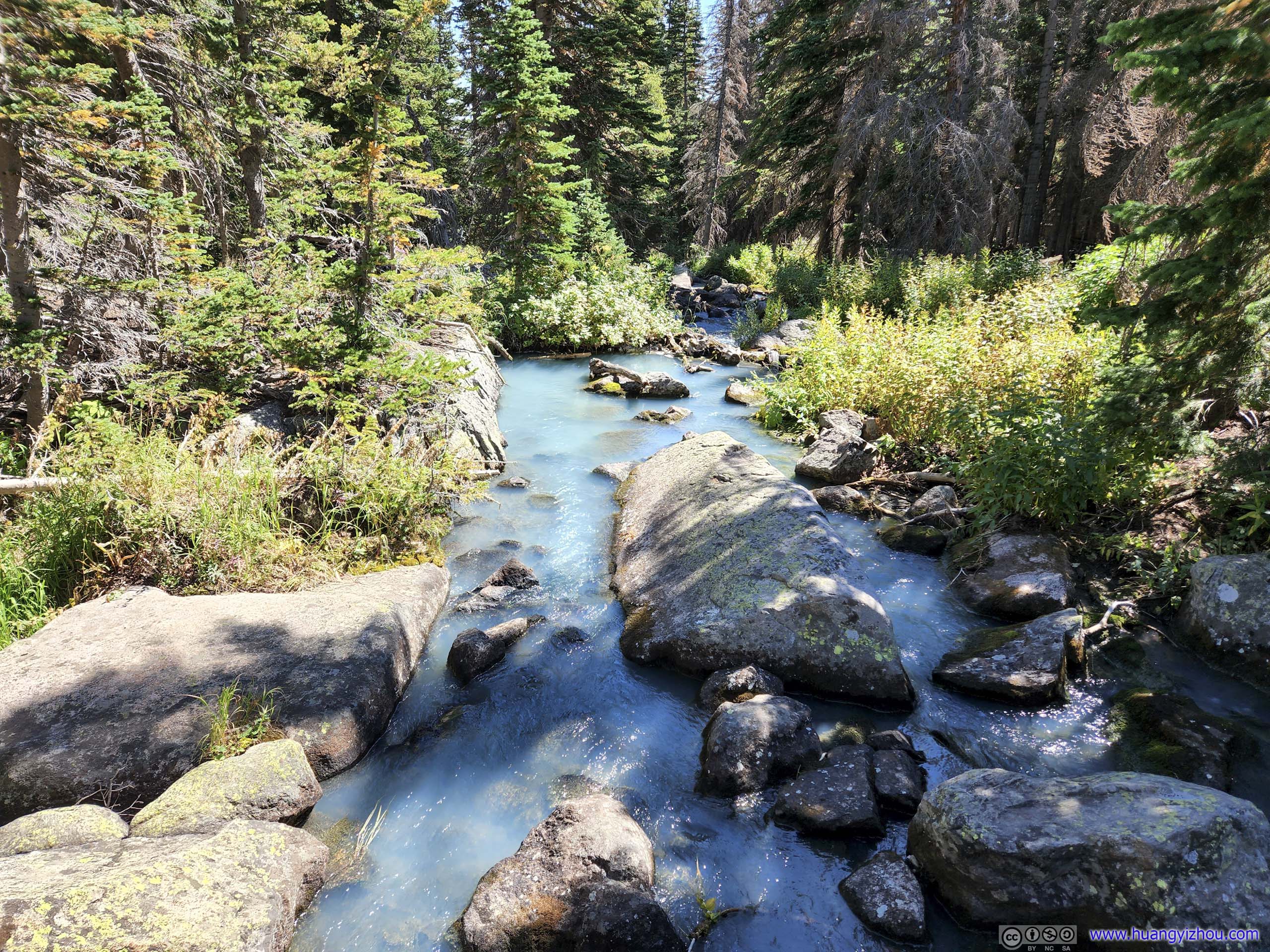
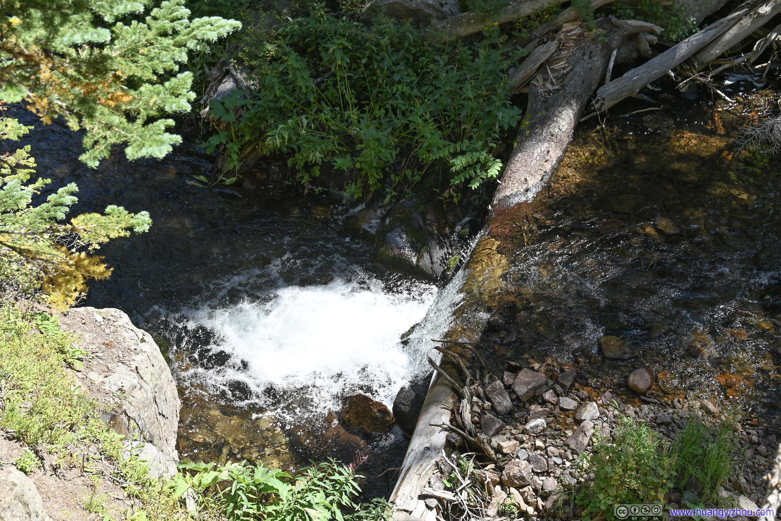
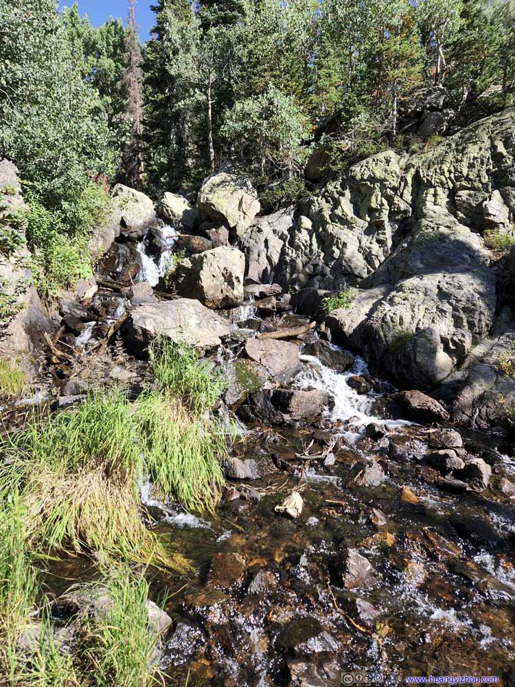 CreekOne that flew from Dream Lake.
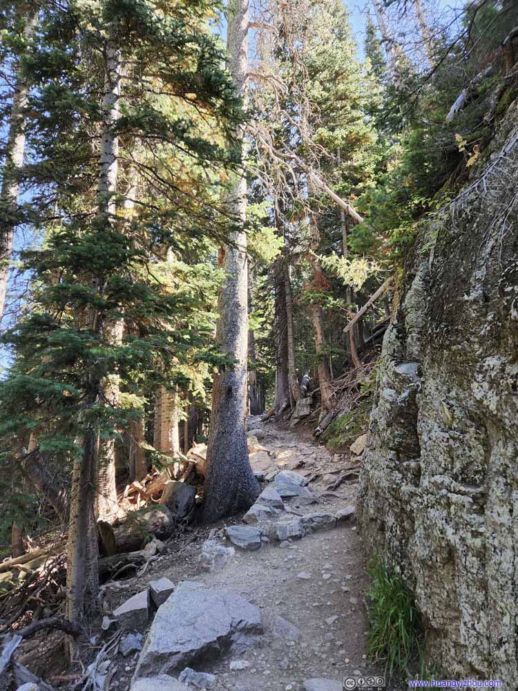 TrailLeaving Dream Lake and climbing up a hill.
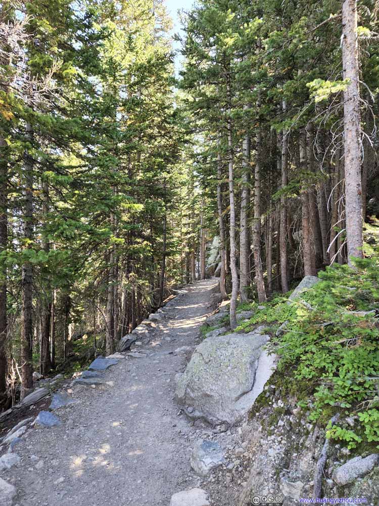 TrailLeaving Dream Lake and climbing up a hill.
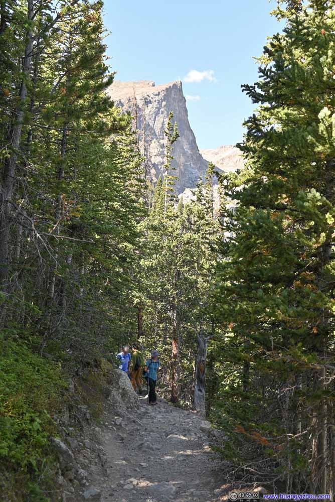 TrailHallett Peak in the background.
 TrailToward Lake Haiyaha.
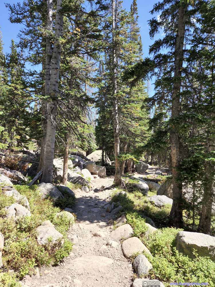 TrailFrom Lake Haiyaha.
 Split BranchesAnother one created by Tom the cat?

Click here to display photos of the trail.
CreekOne that flew from Dream Lake.

TrailLeaving Dream Lake and climbing up a hill.
TrailLeaving Dream Lake and climbing up a hill.

TrailHallett Peak in the background.
TrailToward Lake Haiyaha.

TrailFrom Lake Haiyaha.

–Another one created by Tom the cat?
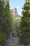
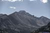
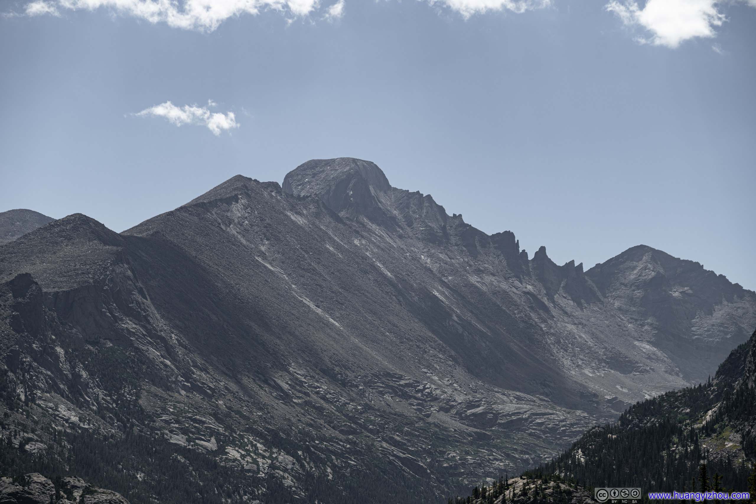
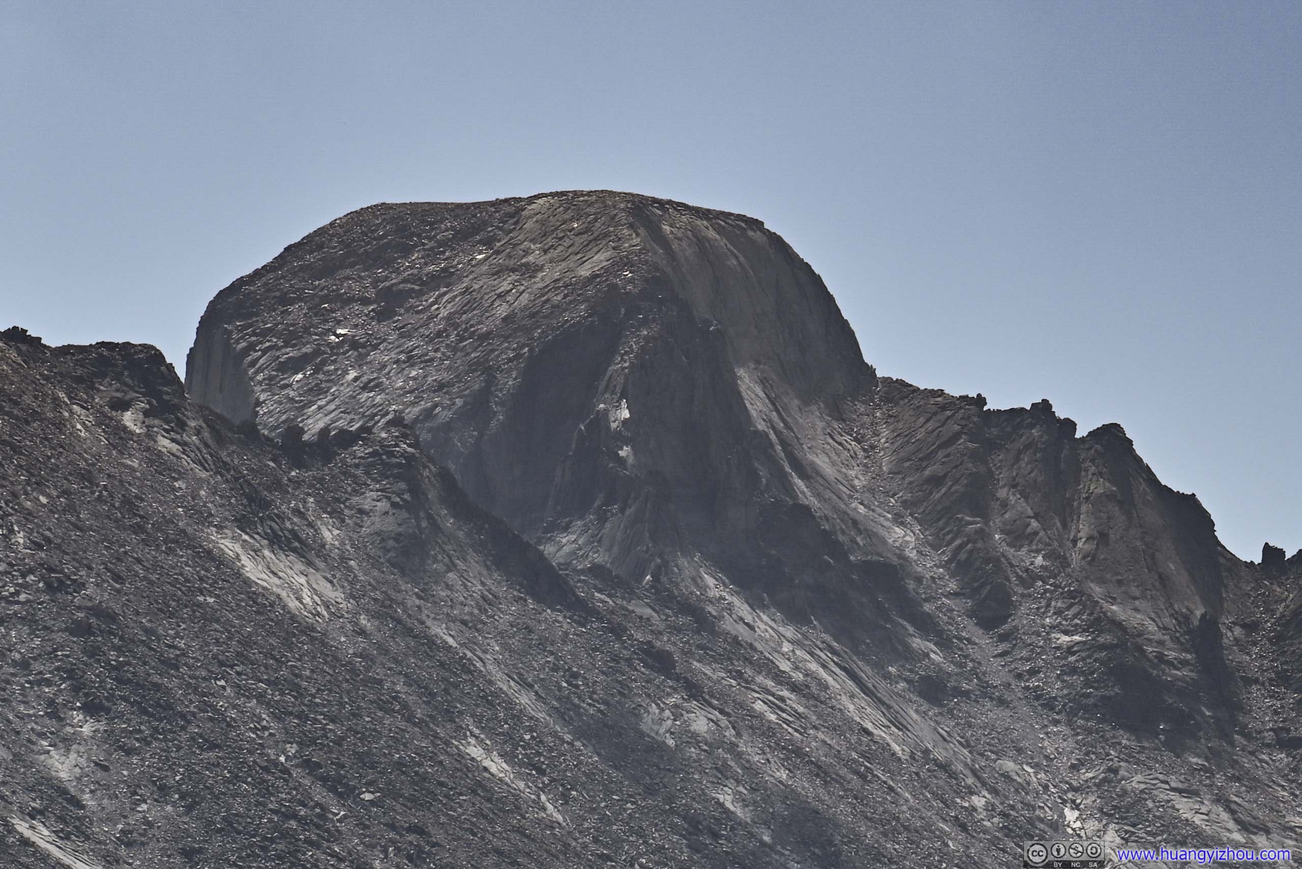
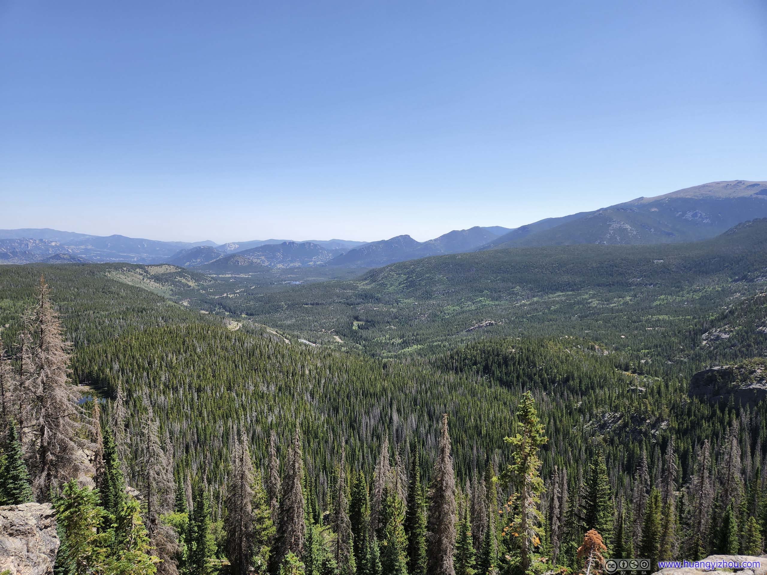
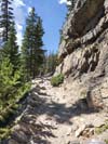
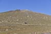
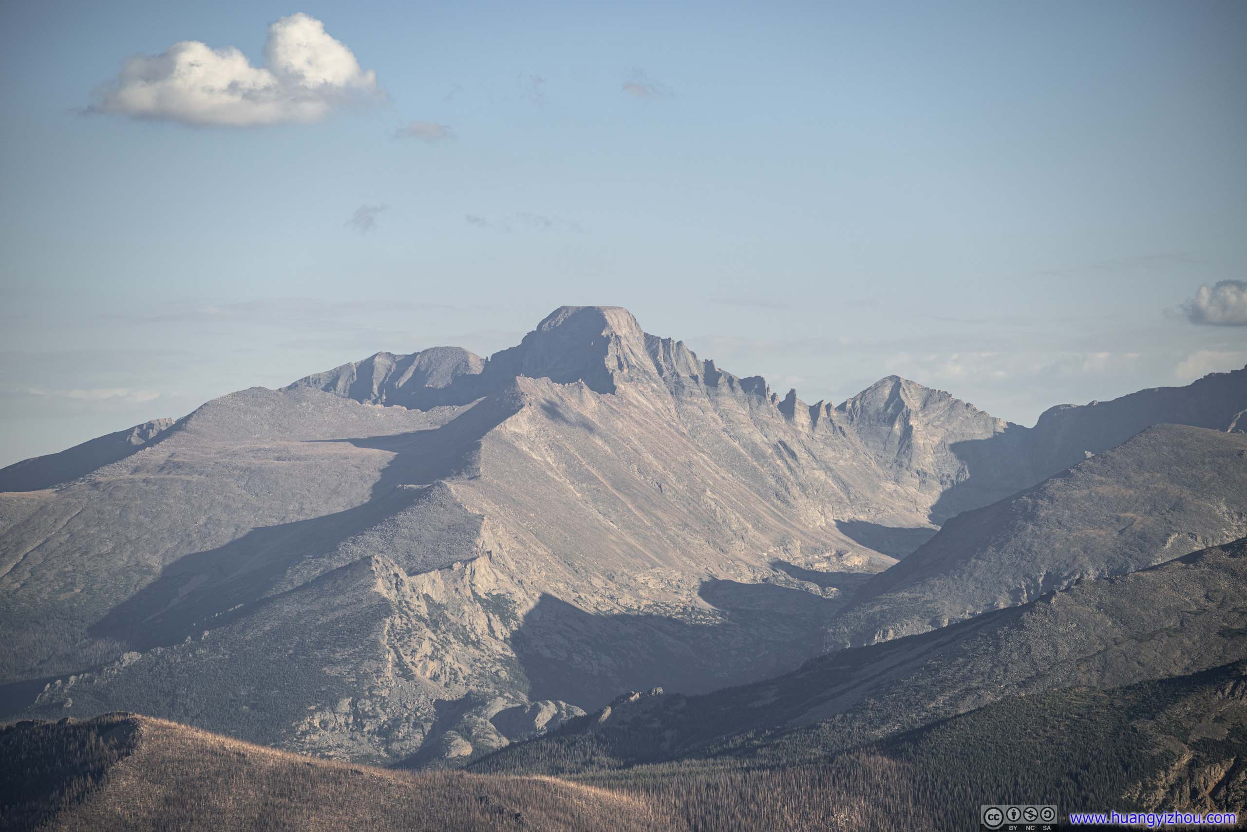
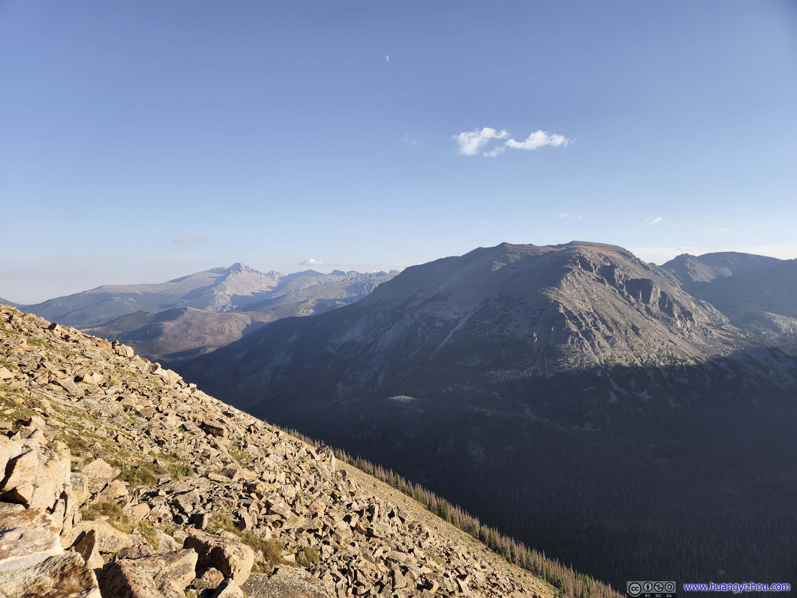
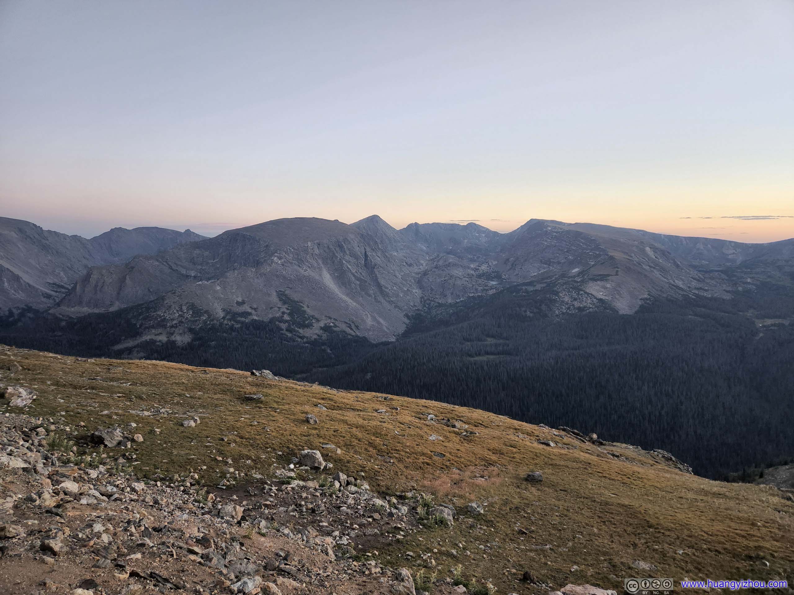
Leaving Dream Lake, the trail took on some quick elevation gain through a switchback, before reaching some unofficial overlook towards the east, where we got a clear view of Longs Peak and the extensive fields next to it.
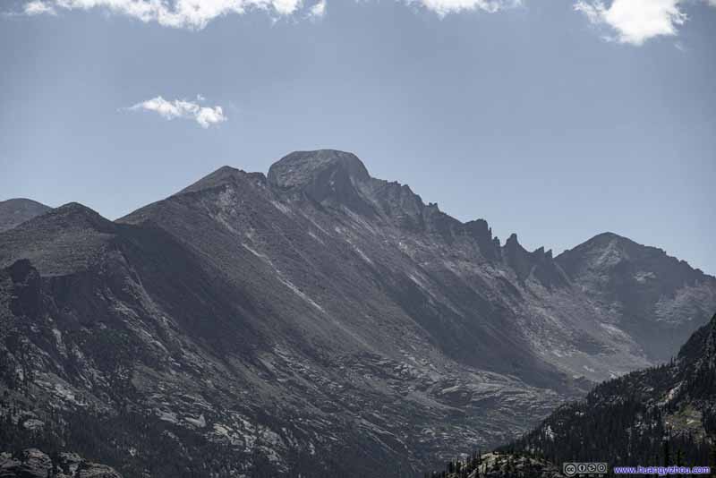 Longs PeakIt’s magnificent western face and “Keyboard of the Winds” to Pagoda Mountain.
 Longs Peak“The Ledges” and “The Trough” of Keyhole route visible in this shot.
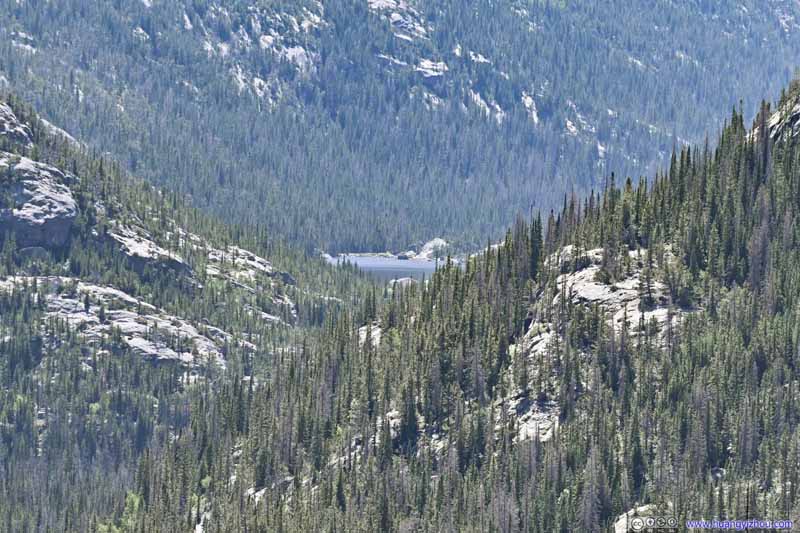 Distant Mills Lake between Mountains
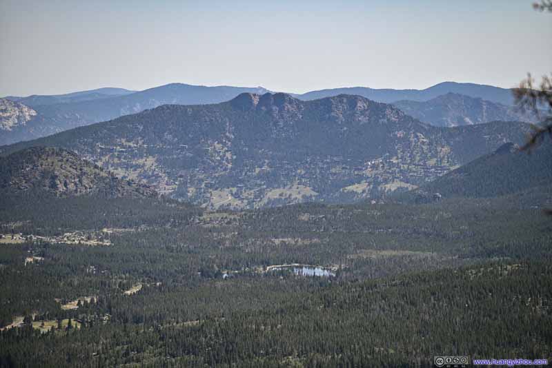 Sprague Lake before Rams Horn Mountain
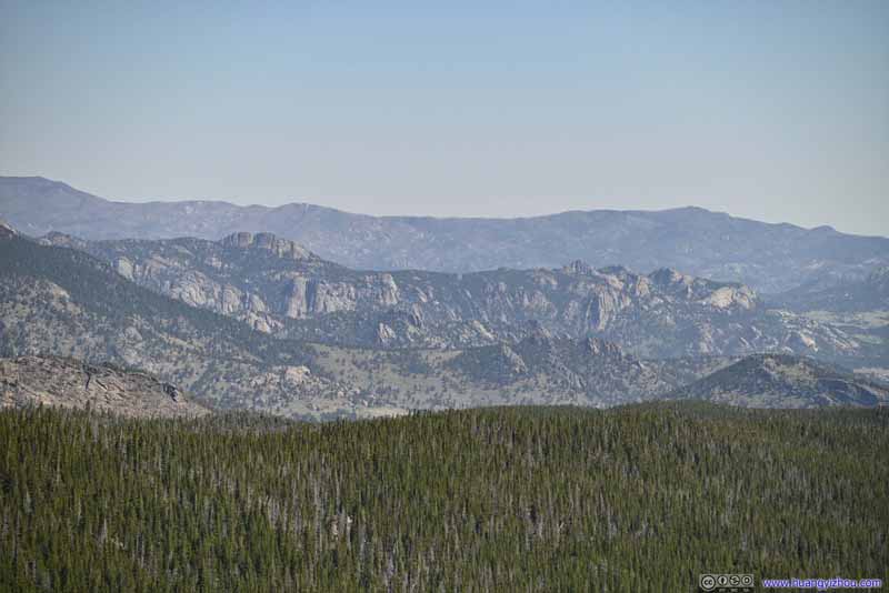 Distant HillsDistinctive rocks north of Estes Park.
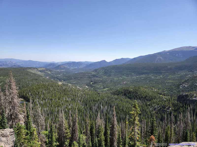 Fields
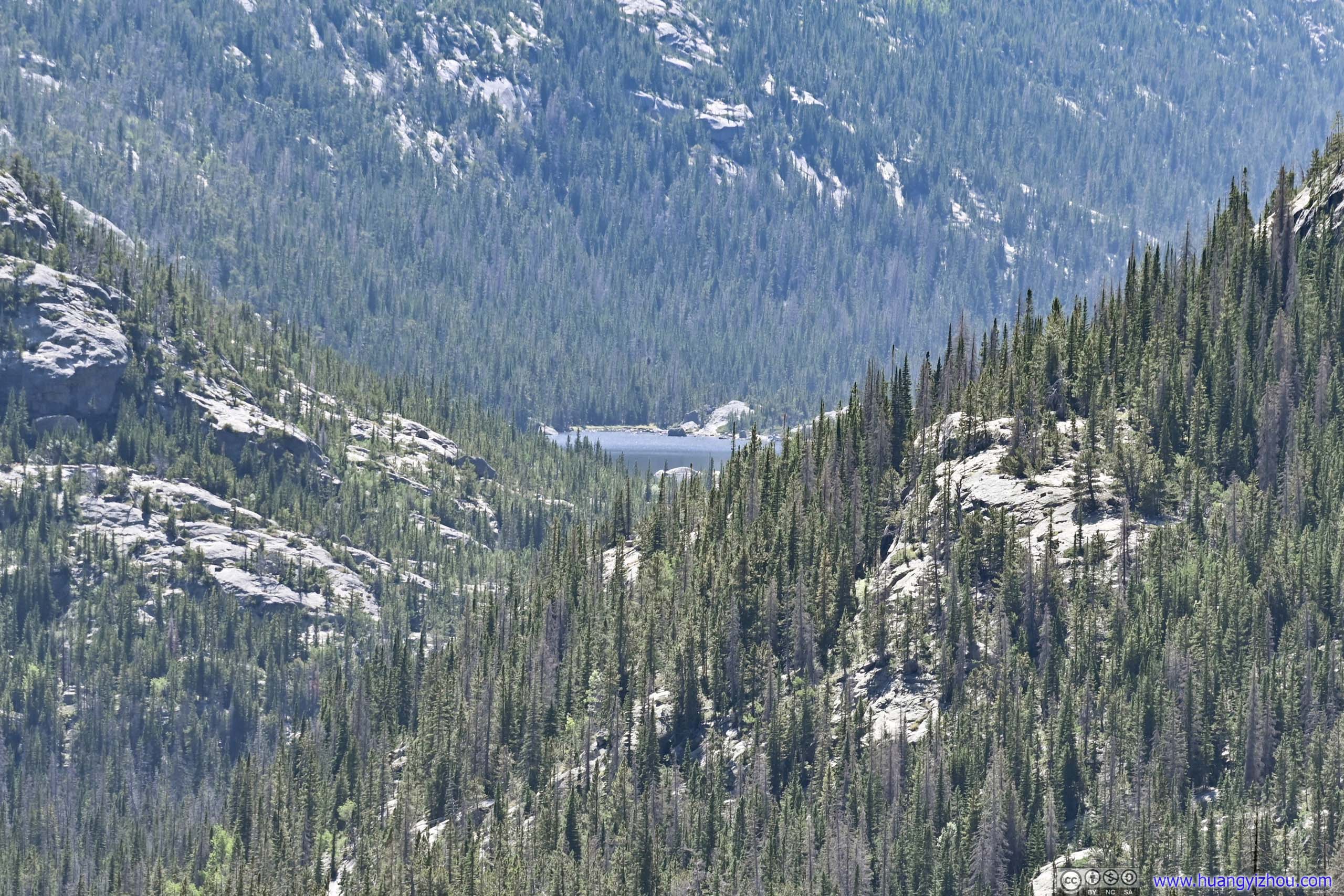
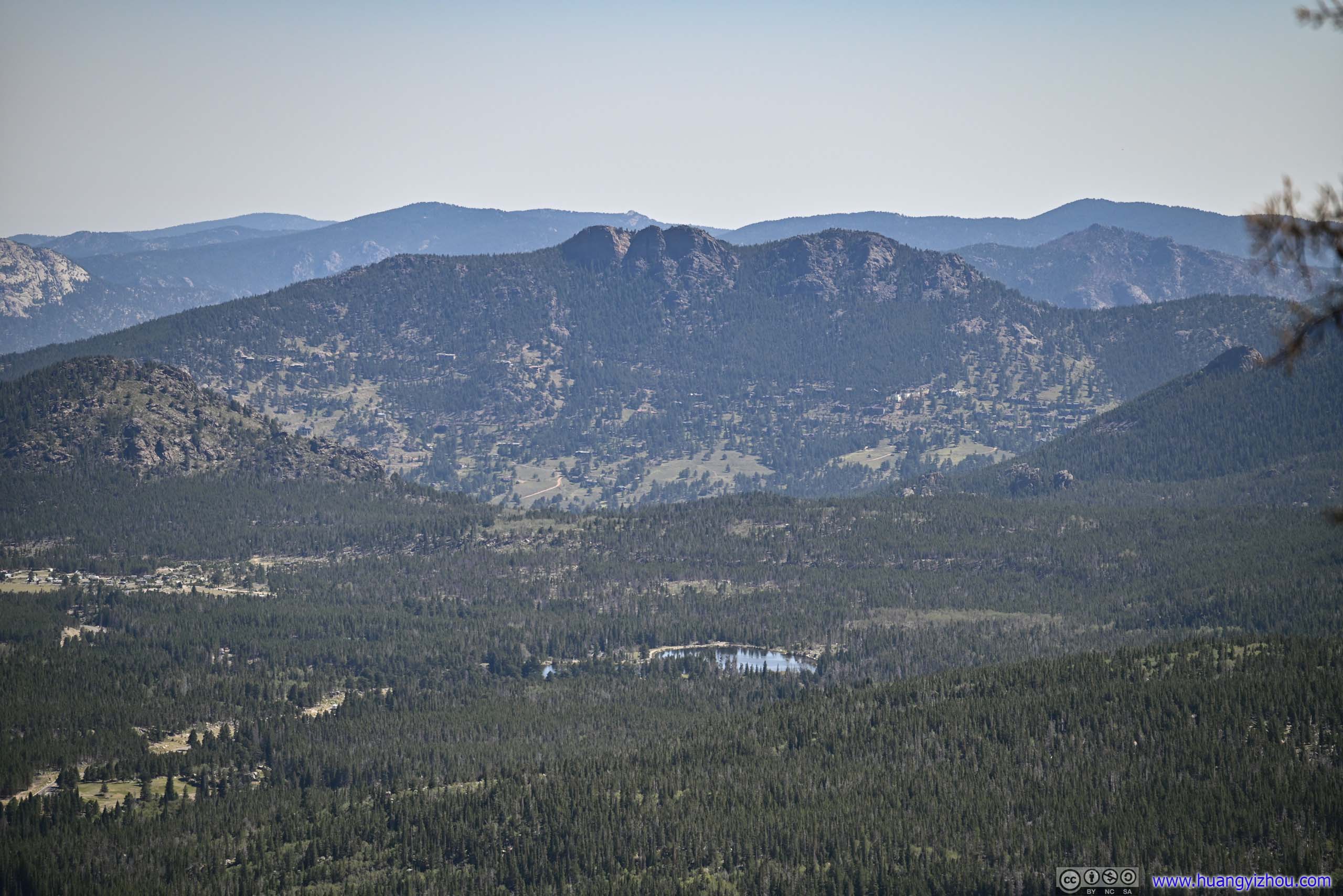
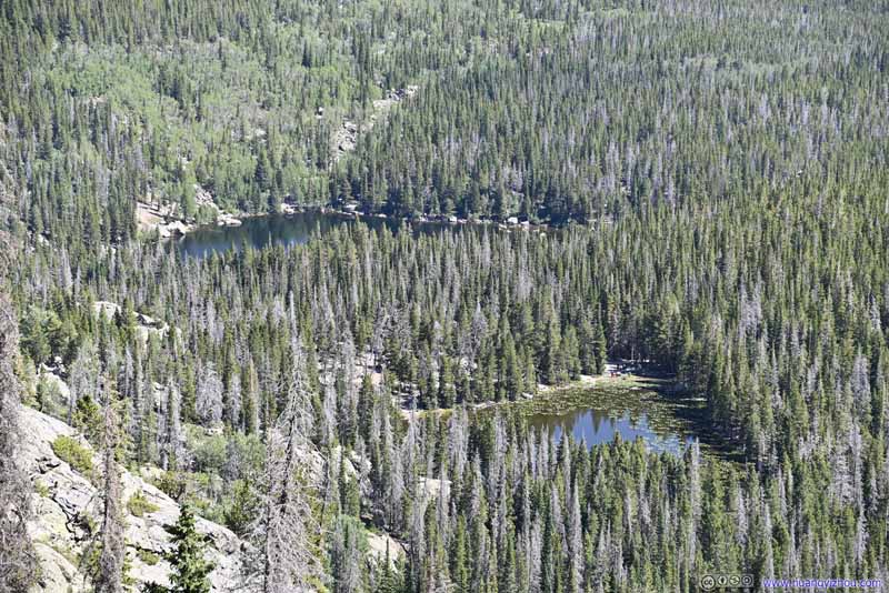 Overlooking Nymph Lake and Bear Lake
Click here to display photos of the slideshow
Longs PeakIt’s magnificent western face and “Keyboard of the Winds” to Pagoda Mountain.
Longs Peak“The Ledges” and “The Trough” of Keyhole route visible in this shot.
Distant Mills Lake between Mountains
Sprague Lake before Rams Horn Mountain

Distant HillsDistinctive rocks north of Estes Park.
Fields
Overlooking Nymph Lake and Bear Lake
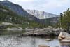
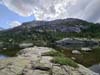
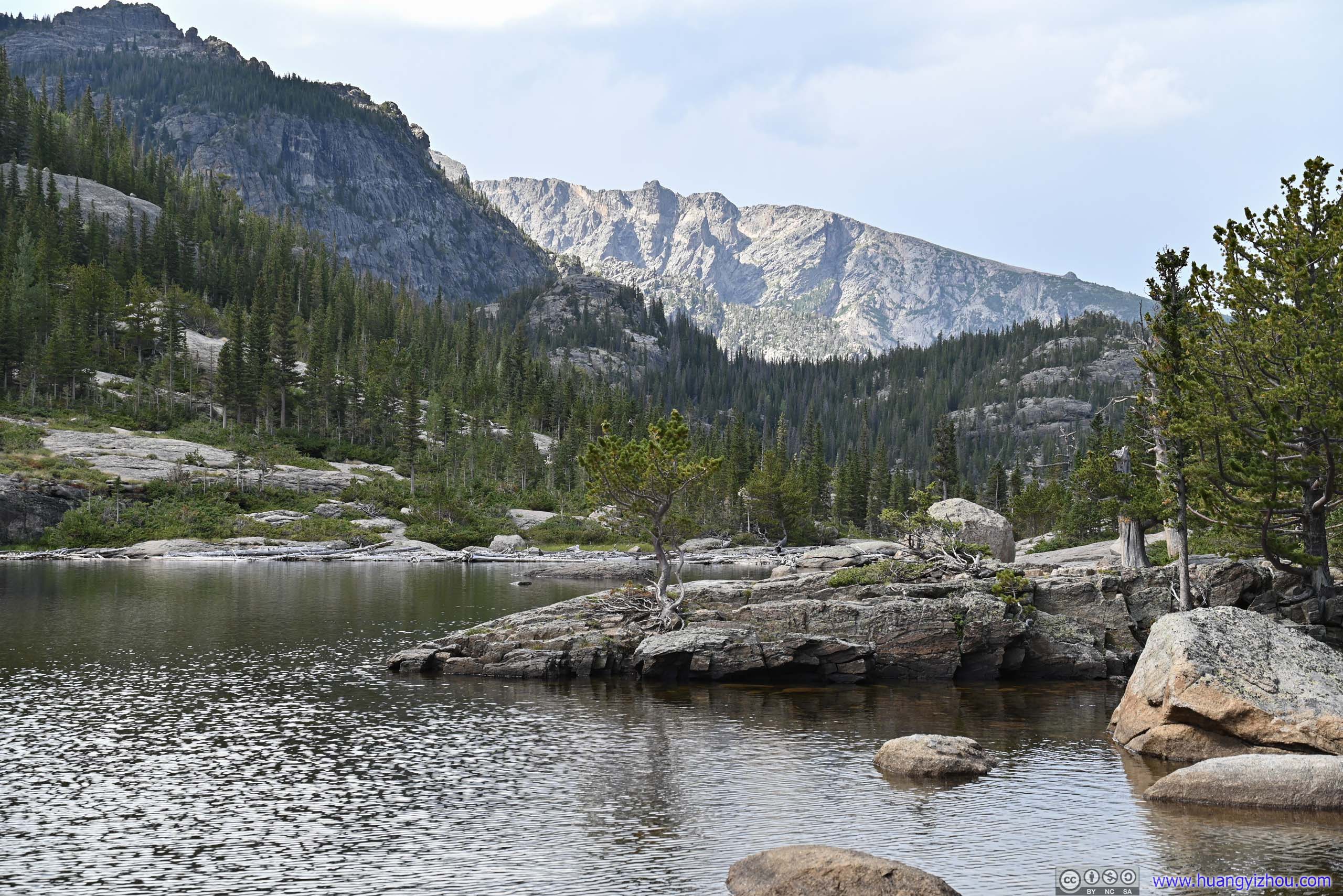
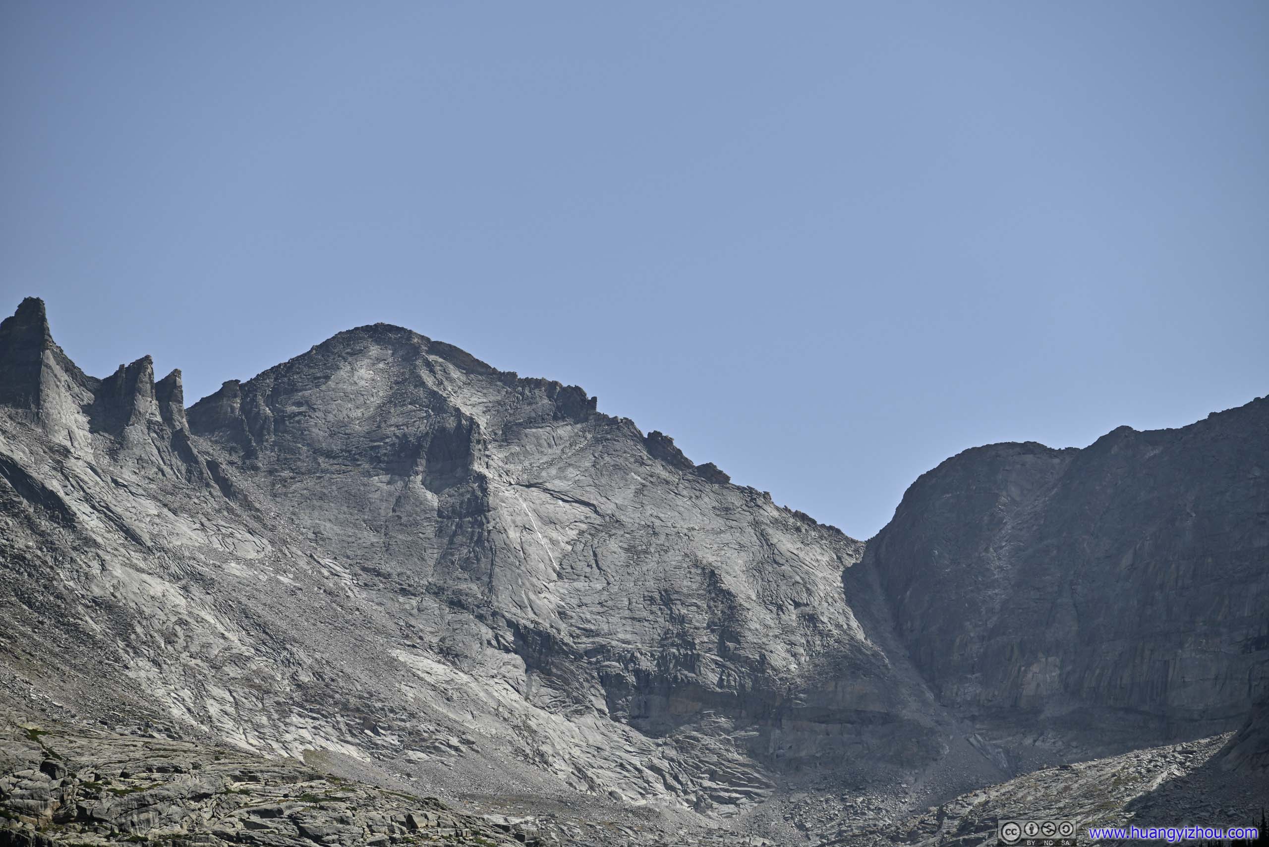
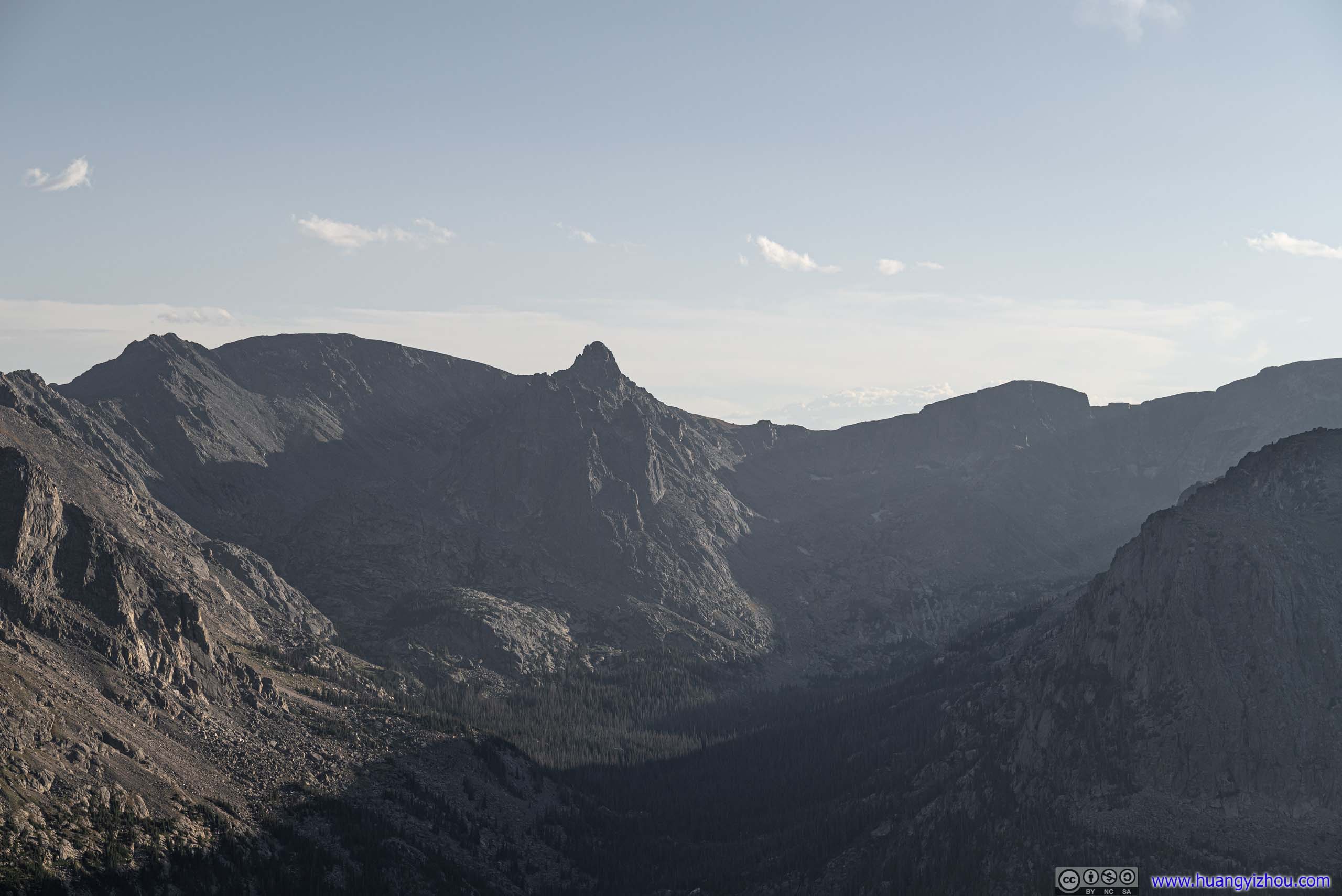
Lake Haiyaha
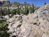
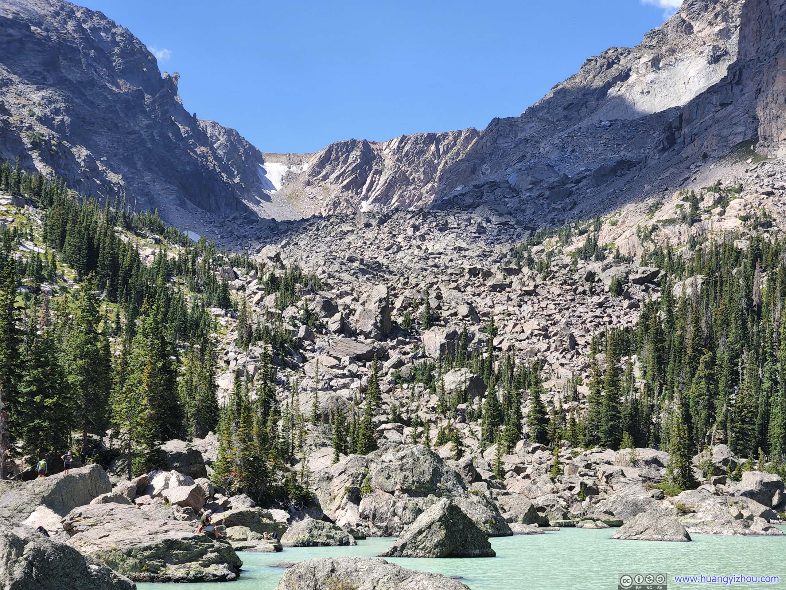
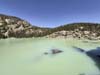
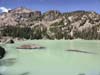
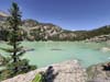
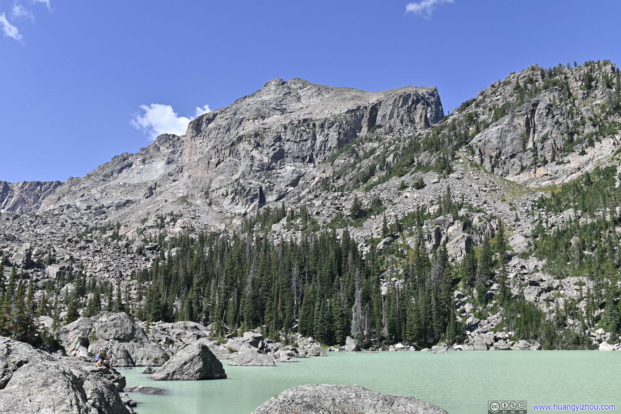
Not long after the previous overlook, we were approaching Lake Haiyaha, an indigenous word of “rocks”. On June 28, a rockslide on the south side of Hallett Peak exposed glacier sediments up in the canyon. Rainfall carried the sediments down to Lake Haiyaha, giving it a unique muddy shade of cyan. This rare sight made it a popular destination for summer visitors.
On our way there, we got a sneak preview of the lake’s colors from Chaos Creek, one that flew from it.
 Chaos CreekOne that flew from Lake Haiyaha with its cyan color.
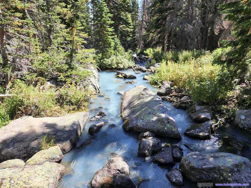 Chaos CreekOne that flew from Lake Haiyaha with its cyan color.
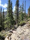
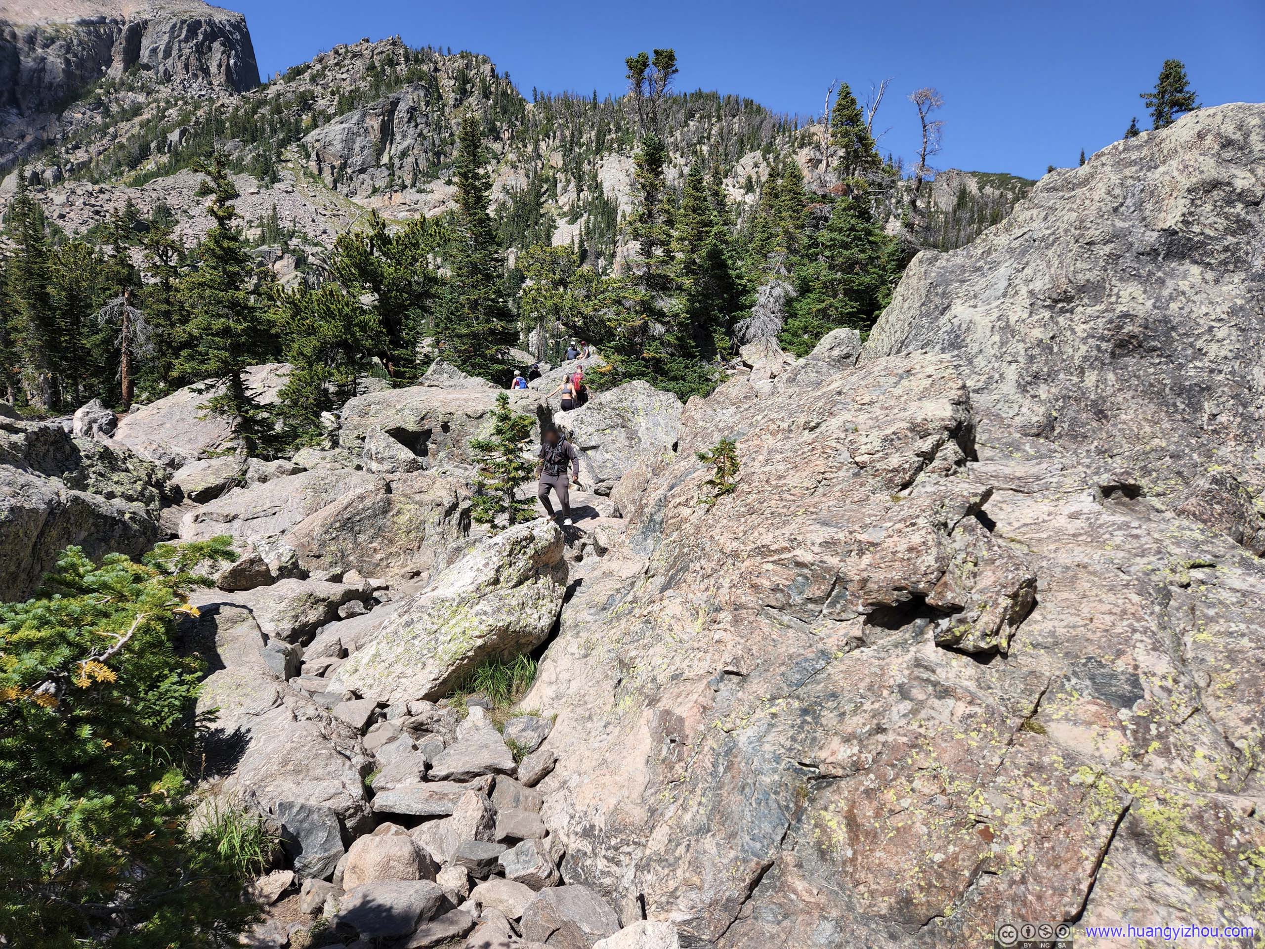
 Path to Lake HaiyahaInvolves some scrambling, between YDS class 1 and 2.
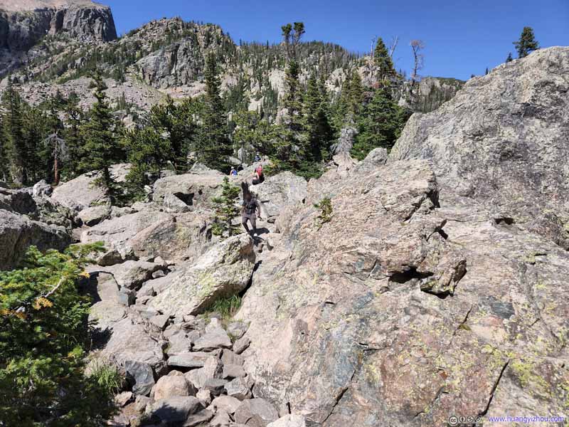 Path to Lake HaiyahaInvolves some scrambling, between YDS class 1 and 2.
 ValleyThe rock debris from Hallett Peak very visible.
Click here to display photos of the slideshow
Chaos CreekOne that flew from Lake Haiyaha with its cyan color.
Chaos CreekOne that flew from Lake Haiyaha with its cyan color.

Path to Lake HaiyahaInvolves some scrambling, between YDS class 1 and 2.
Path to Lake HaiyahaInvolves some scrambling, between YDS class 1 and 2.
ValleyThe rock debris from Hallett Peak very visible.
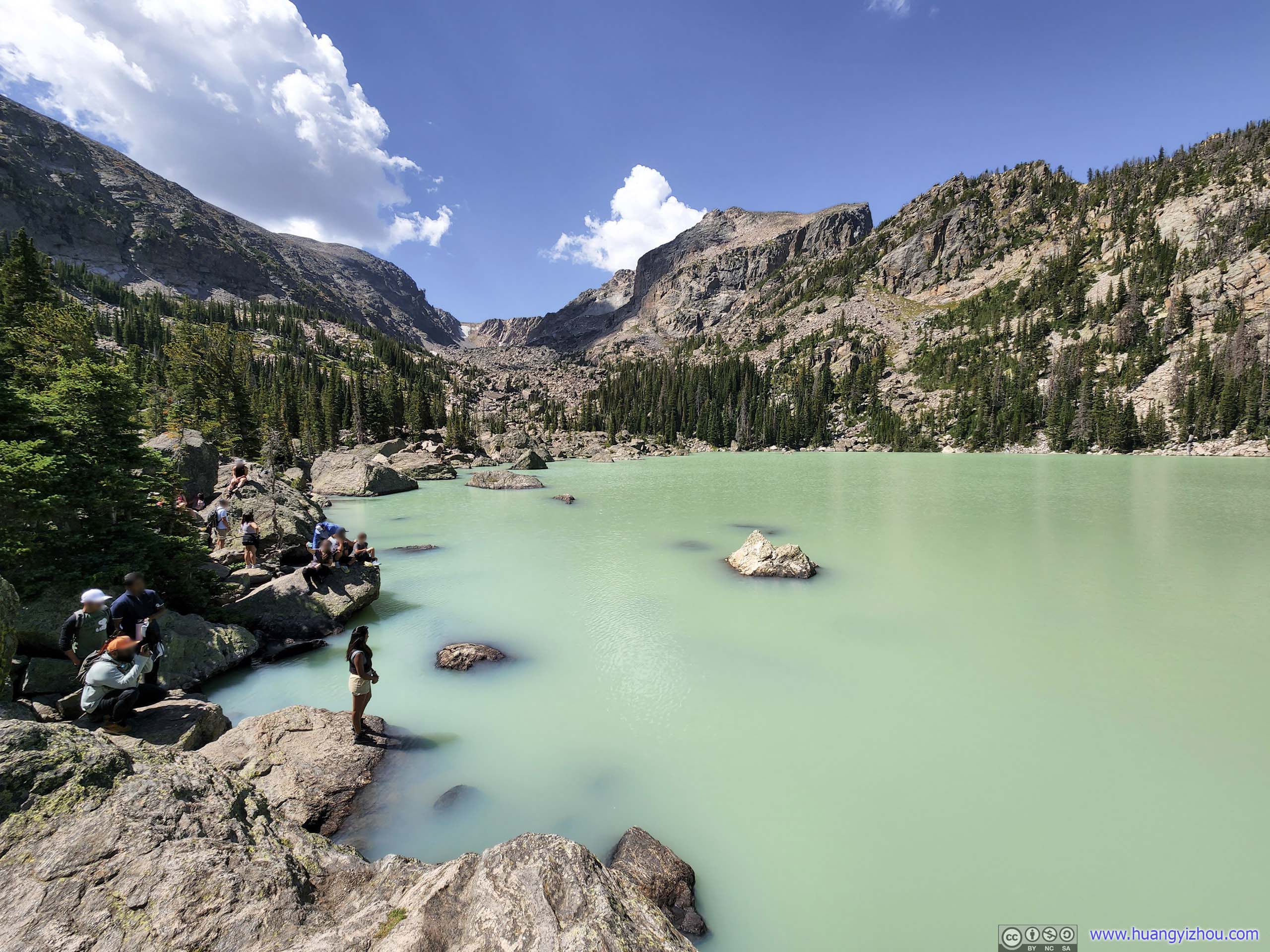
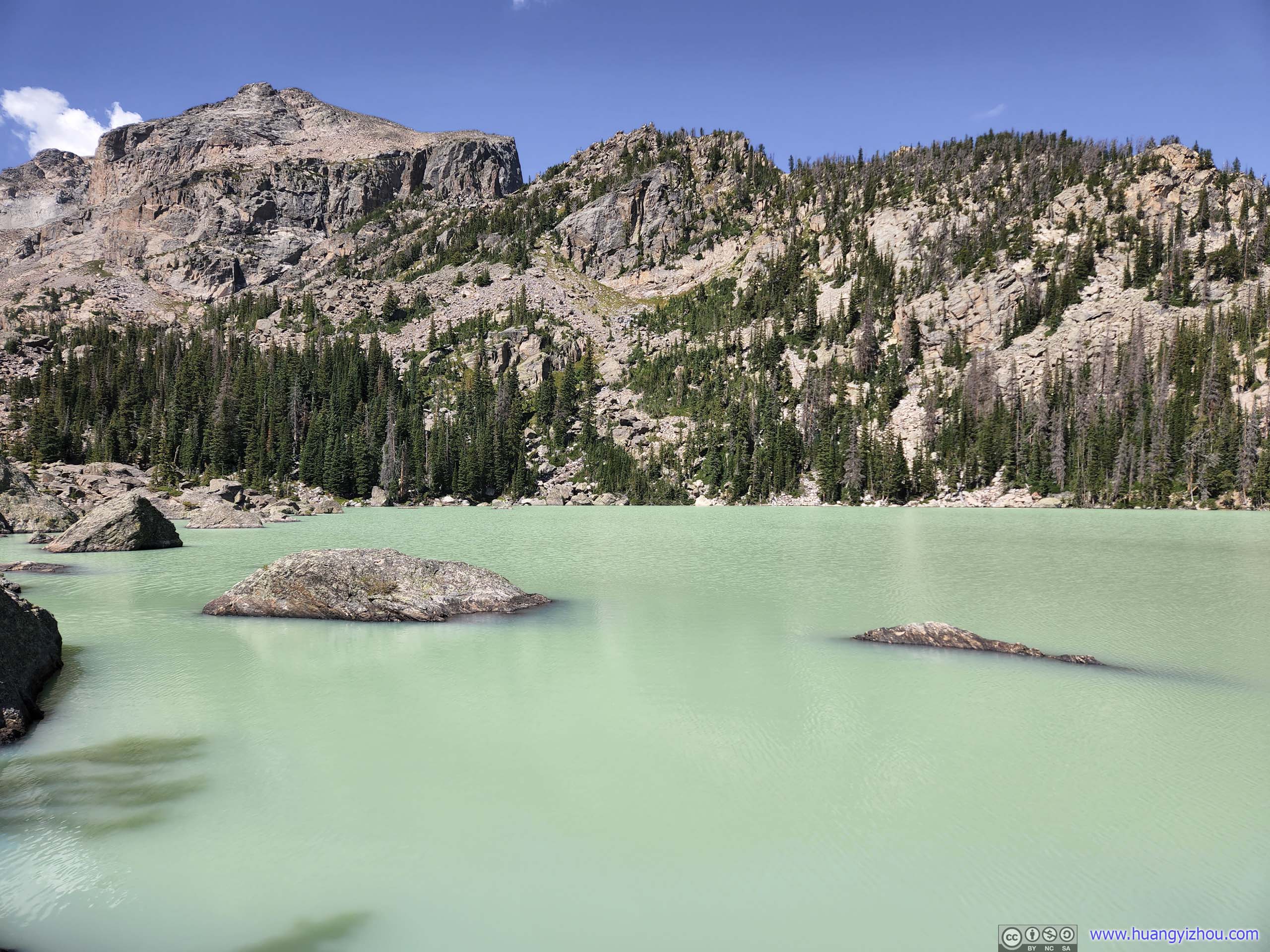
Living up to its indigenous name, the shores of Lake Haiyaha consisted of rocks and boulders of various sizes, and it’s somewhat of a scramble to reach it. During our visit, the lake felt a bit crowded with throngs of spectators watching its unique colors.
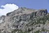
 Hallett Peak beyond Lake HaiyahaWhose rockslide caused the lake to put on a mystical muddy color.
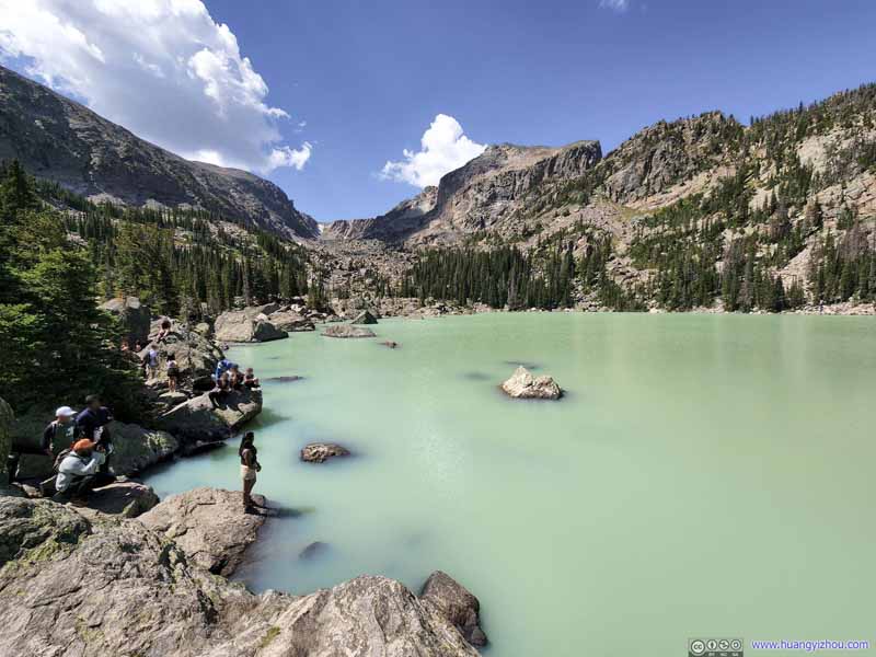 Lake Haiyaha
 Lake Haiyaha
 Lake Haiyaha
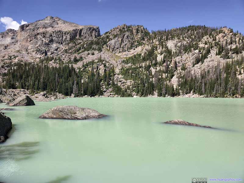 Lake Haiyaha
 Lake Haiyaha
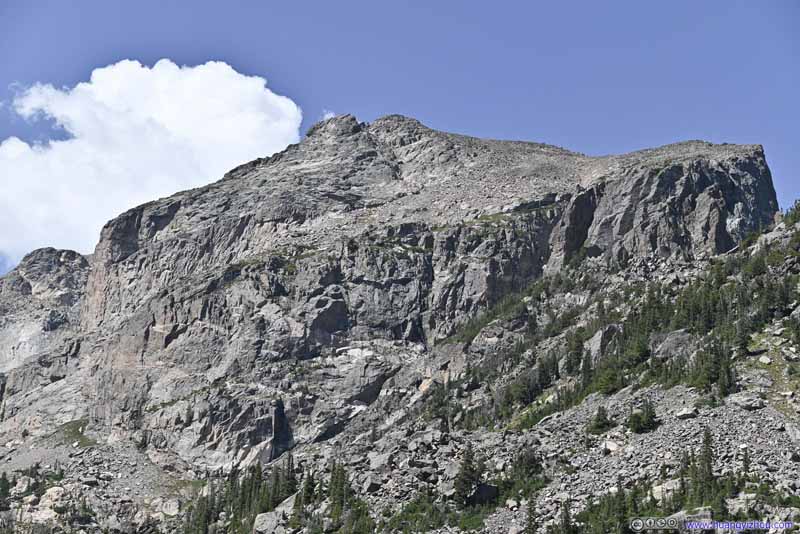 Hallett Peak
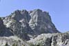
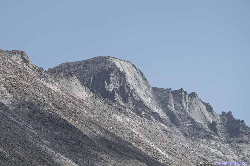
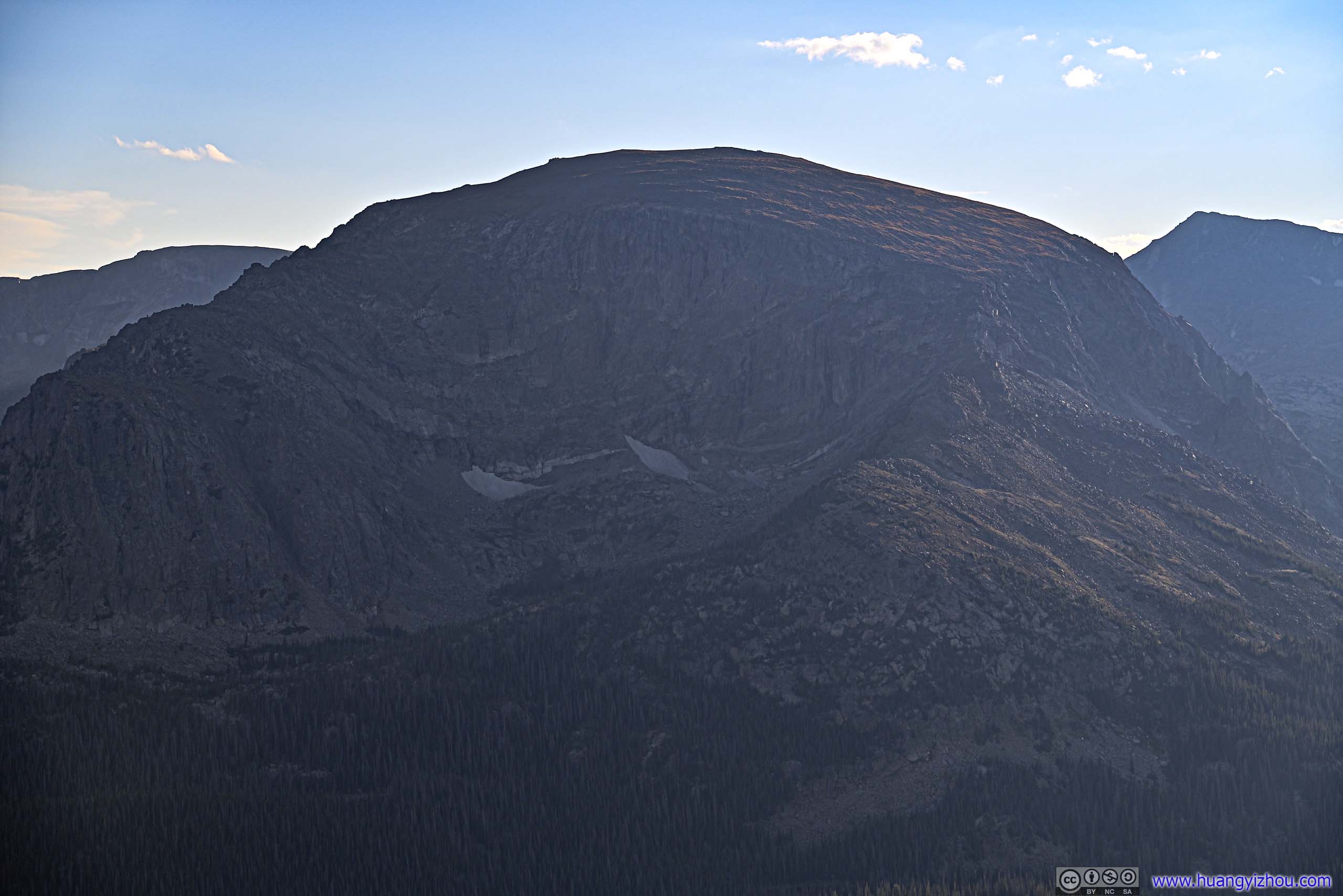
 didn’t look as magnificent from this angle, compared with the vertical dropoff from Dream Lake.
Hallett Peak
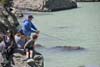
Hallett Peak didn’t look as magnificent from this angle, compared with the vertical dropoff from Dream Lake. People at Lake HaiyahaMuddy water makes it harder for fish to spot baits. This gentleman picked a good spot for fishing.

Click here to display photos of Lake Haiyaha.
Hallett Peak beyond Lake HaiyahaWhose rockslide caused the lake to put on a mystical muddy color.
Lake Haiyaha

Lake Haiyaha

Lake Haiyaha
Lake Haiyaha
Lake Haiyaha
Hallett Peak
People at Lake HaiyahaMuddy water makes it harder for fish to spot baits. This gentleman picked a good spot for fishing.
Lake Haiyaha
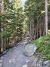
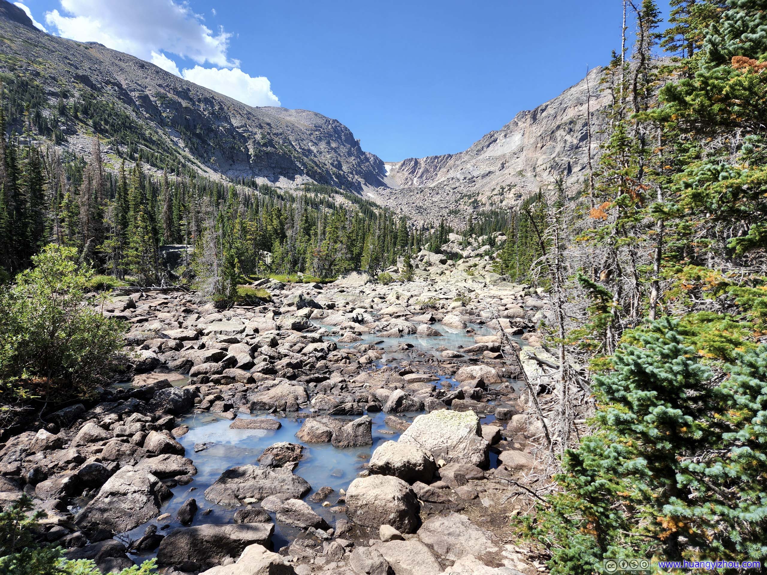
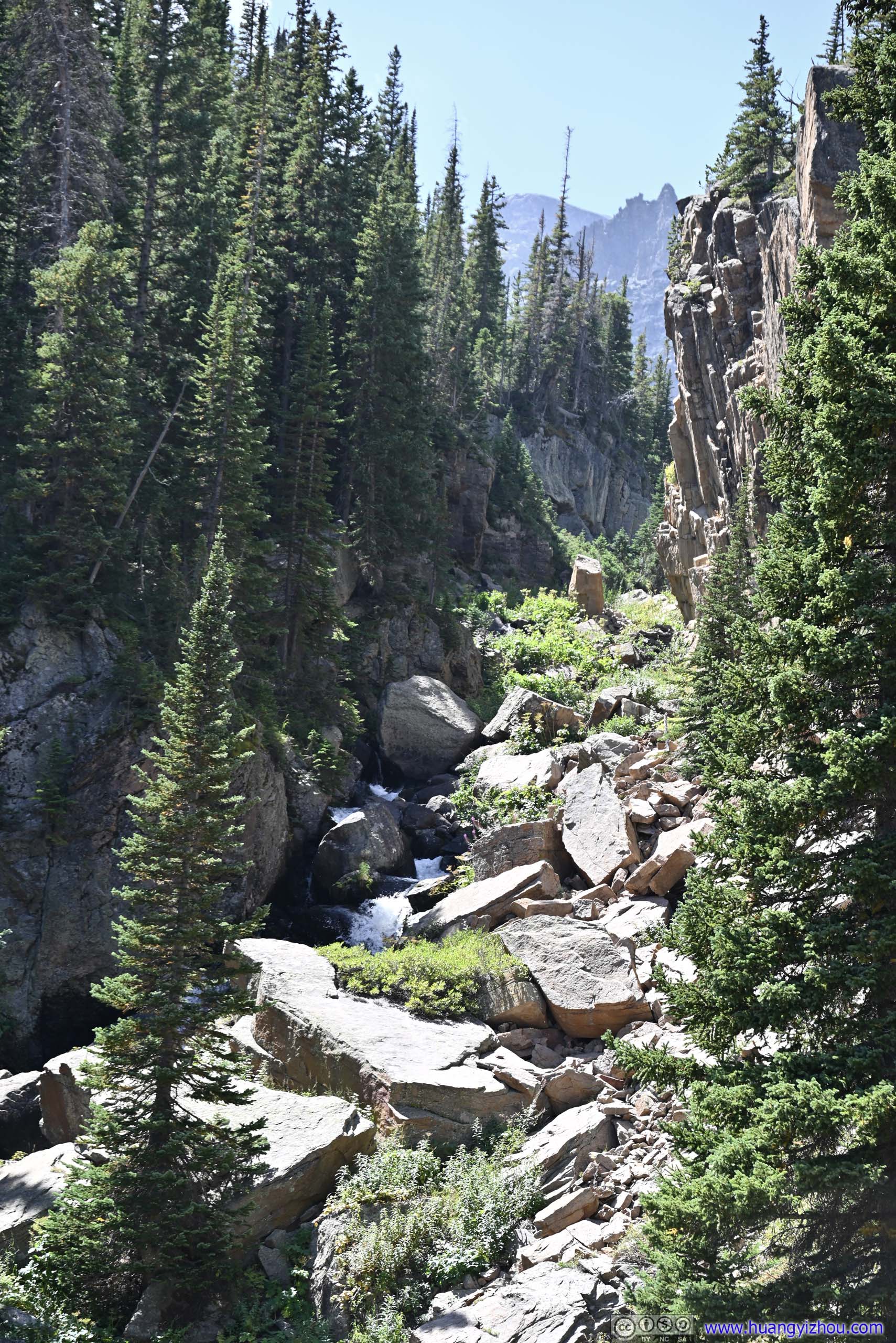
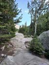
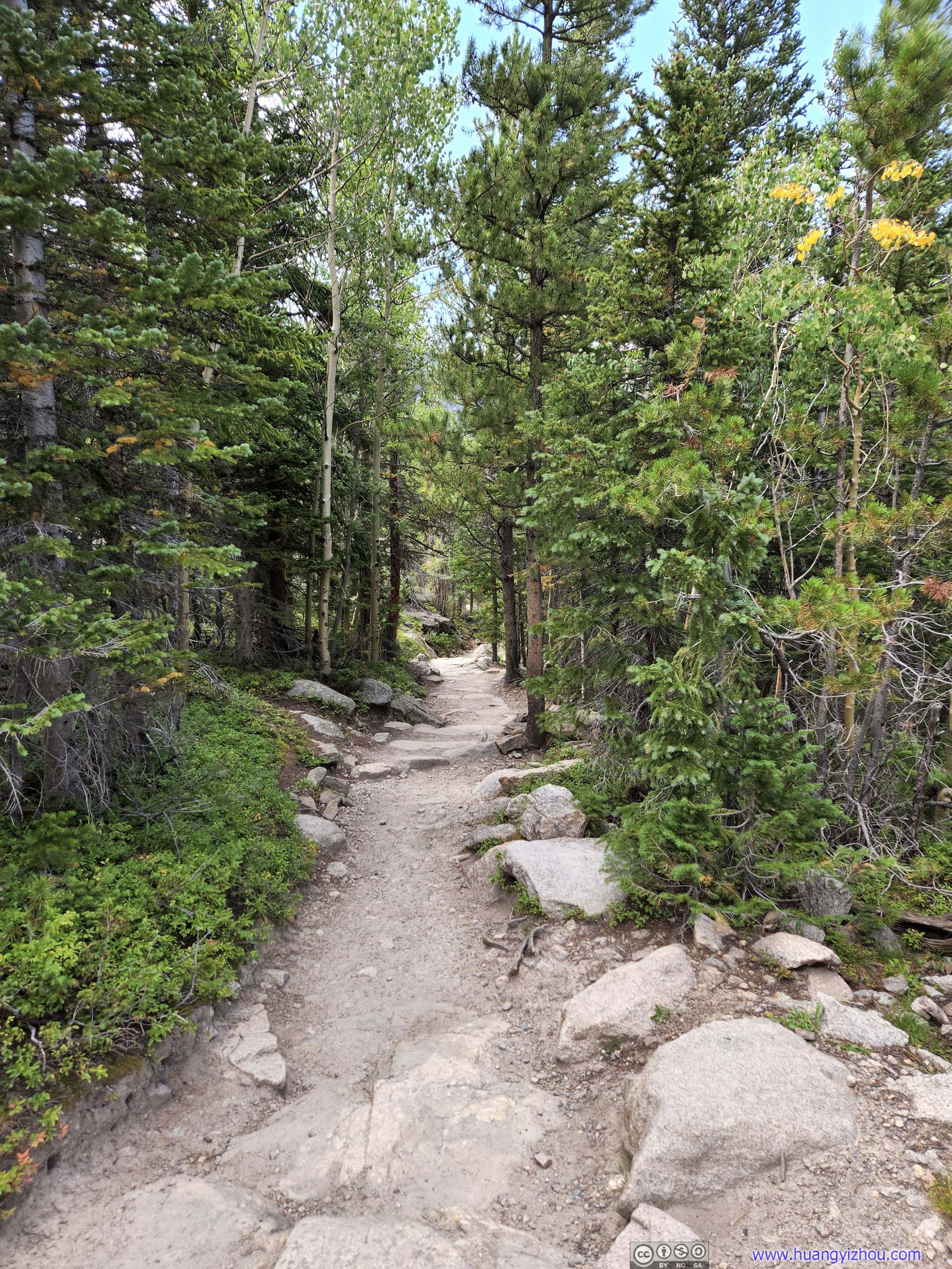
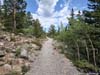
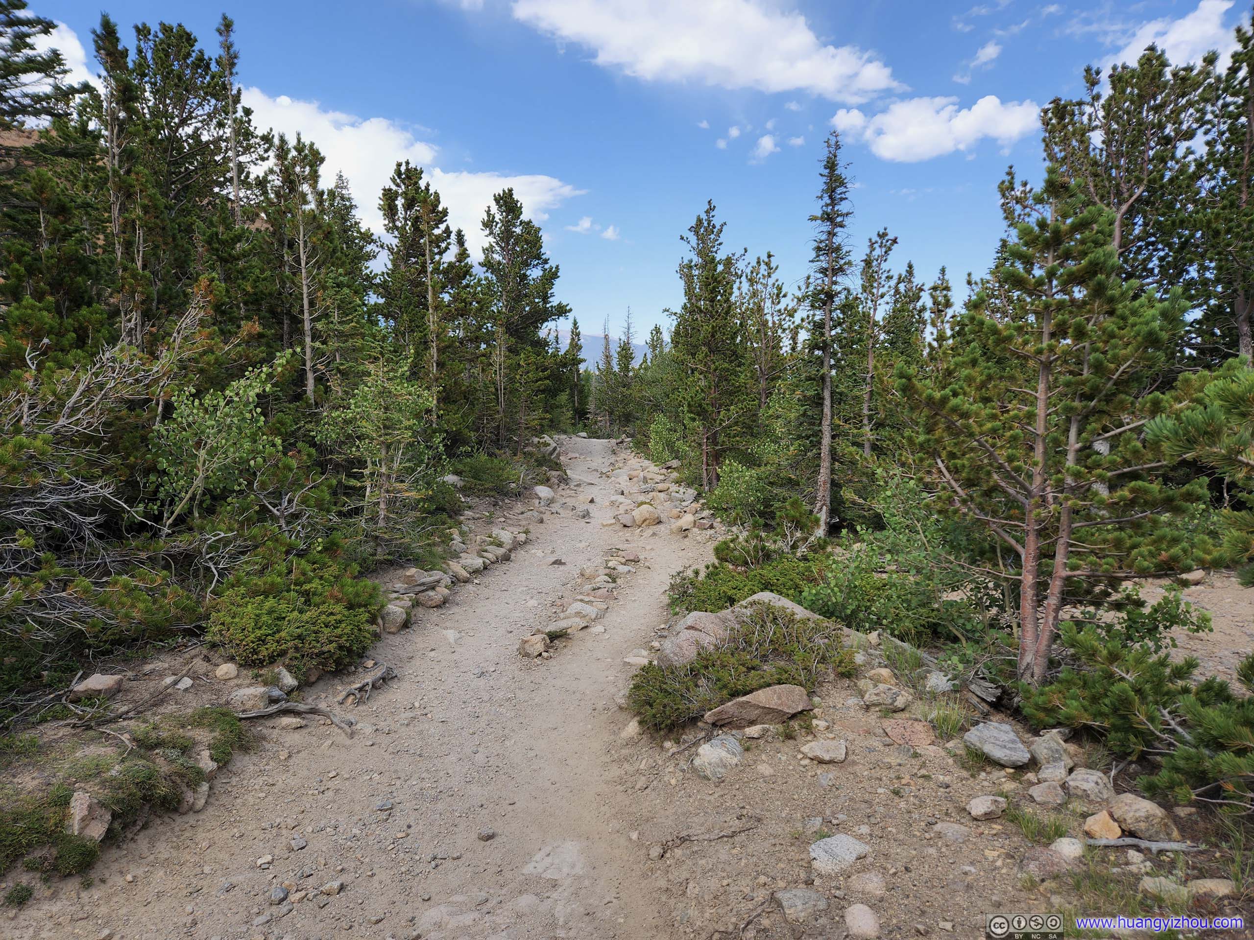
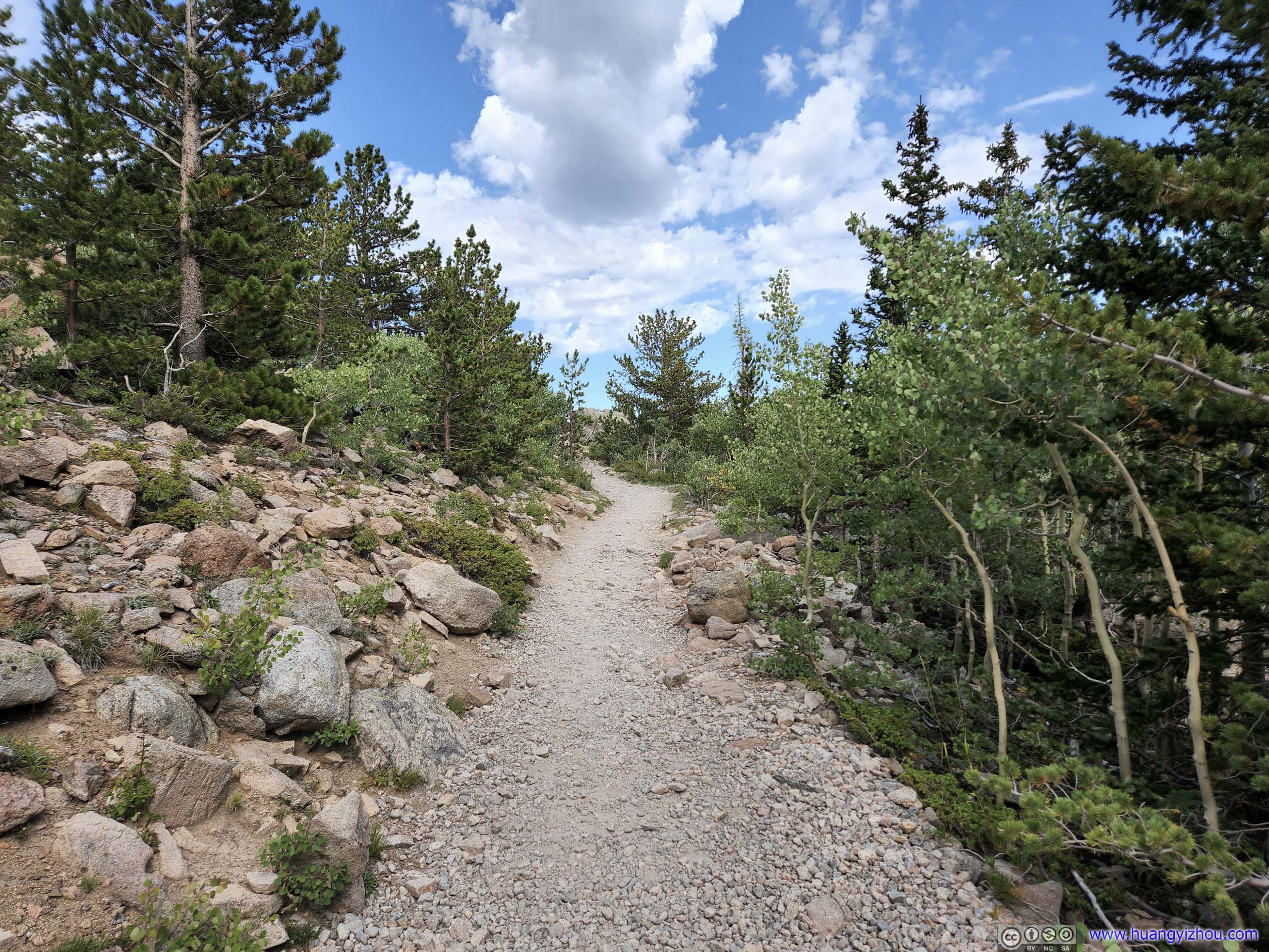
After that, we continued on Haiyaha Cutoff Trail towards Glacier Gorge. It ended up being a comfortable but unremarkable 35-minute stroll in the woods, without views. In the end, we reached a major intersection at 1pm, where two spurs led to The Loch and Mills Lake, in addition to the trail leading back to Glacier Gorge Trailhead (and maybe a few other winter trails that existed only on maps)
The two spurs leading to The Loch and Mills Lake were of similar lengths. We decided to visit The Loch first, and Mills Lake later.
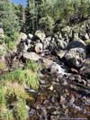
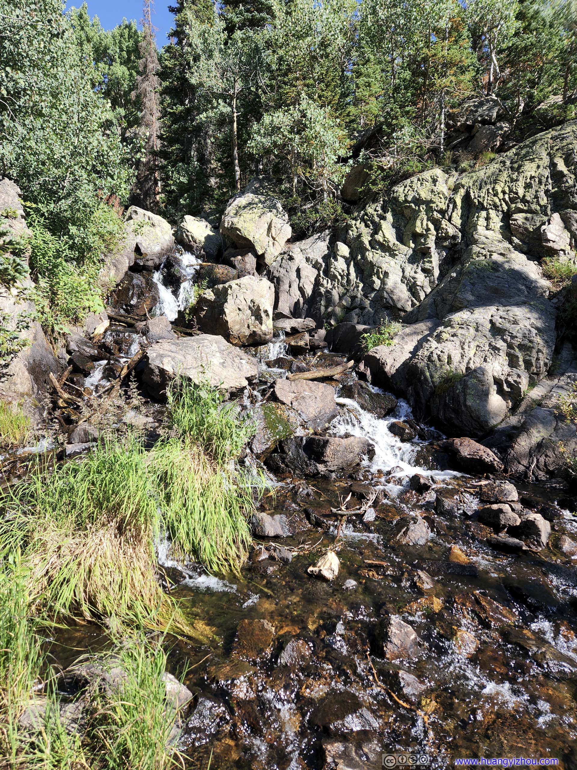
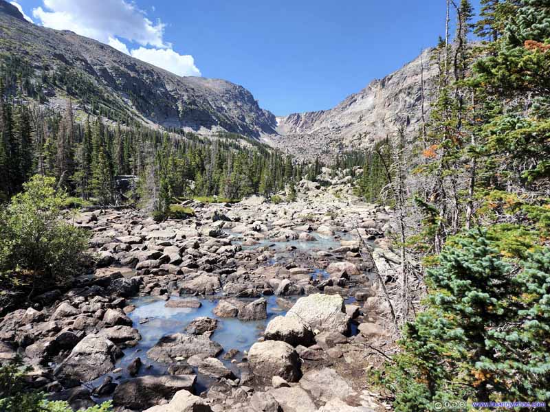
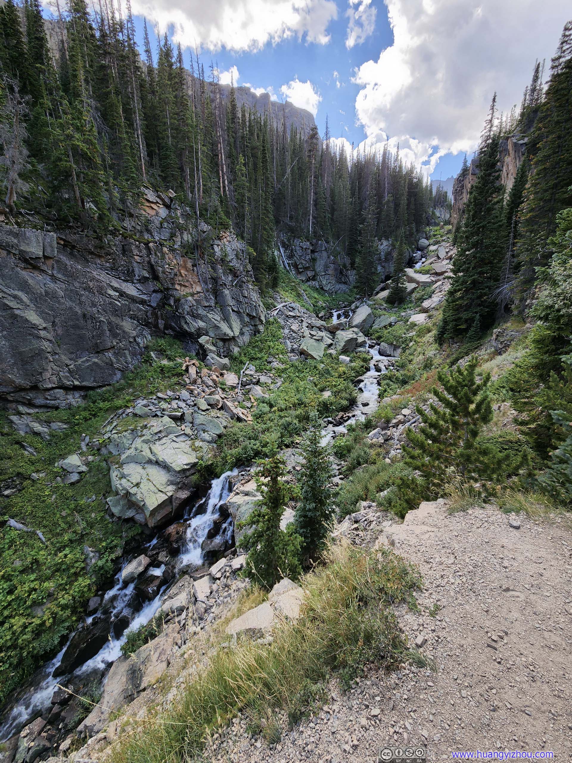
The trail to The Loch followed a small creek that flew from the lake, as it carved its way through a canyon. At a few switchbacks, it offered views of waterfalls along the creek, a welcoming reprieve from the 10%+ average gradient for this section.
 Creek
Creek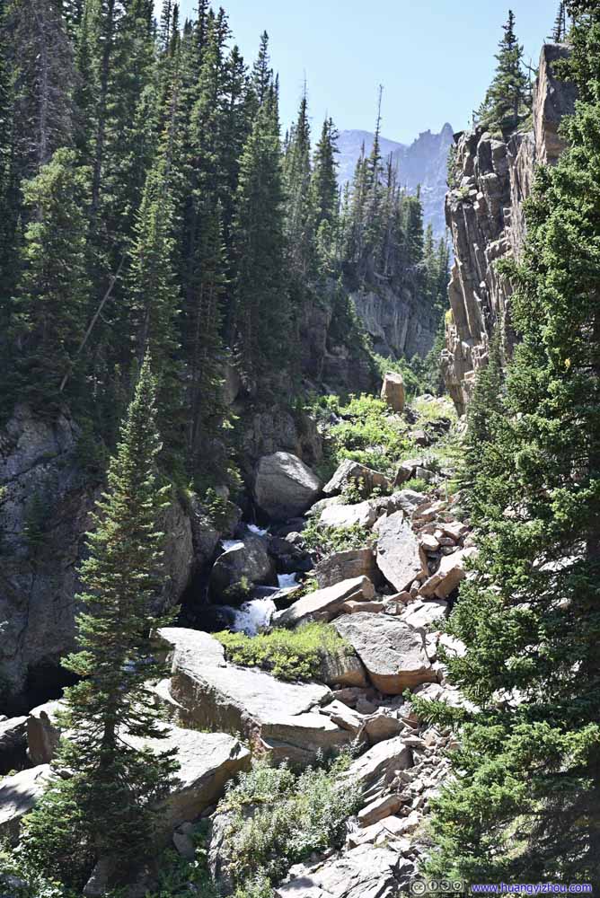 Creek
Creek Creek
Creek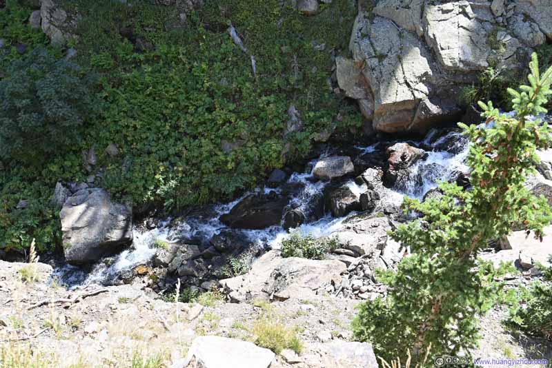
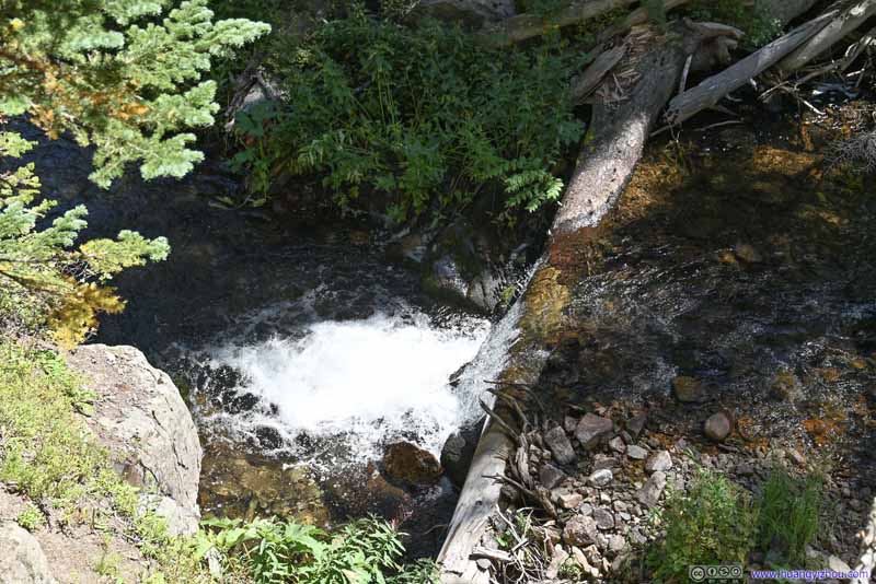 Waterfall


Click here to display photos of the creek and waterfall from The Loch.
Creek
Creek
Creek

 Waterfall
The Loch
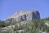
Half an hour from the intersection, we reached the Loch, which is a Scottish word for “lake”.
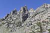
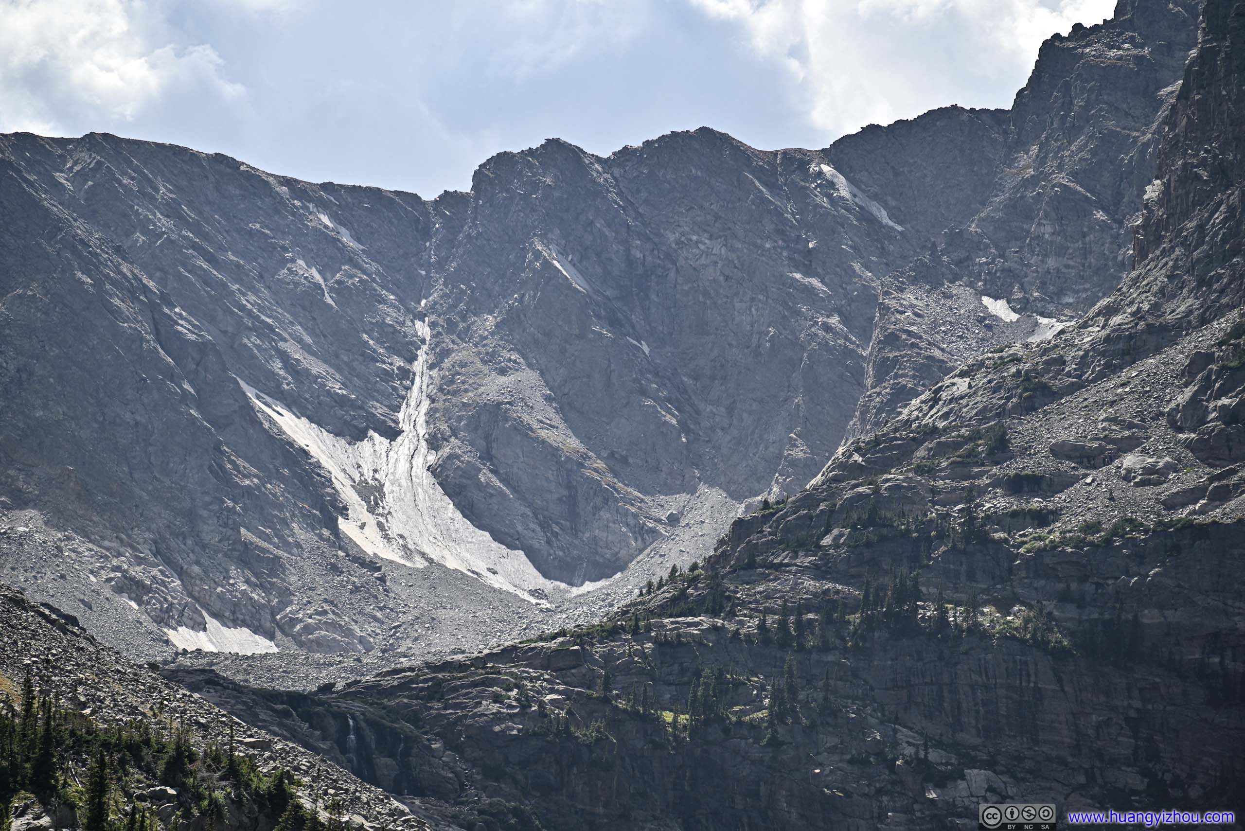
Here we deviated from the established trail, and went to the end of a small peninsula to the left, right in front of “The Sharkstooth” beyond the lake. The rugged rock faces of “The Sharkstooth” felt like a demon guarding some treasures, and us, as challengers, reached its doorstep after some exciting journey. With that, the lake in between, with its breadth, felt like the place for the most epic battle that imagination can conceive. I felt this was a sight that could rival Hallett Peak from Dream Lake. Here the scenery not just exhibits its splendor, it confronts its visitors.
 The Loch
 The Loch
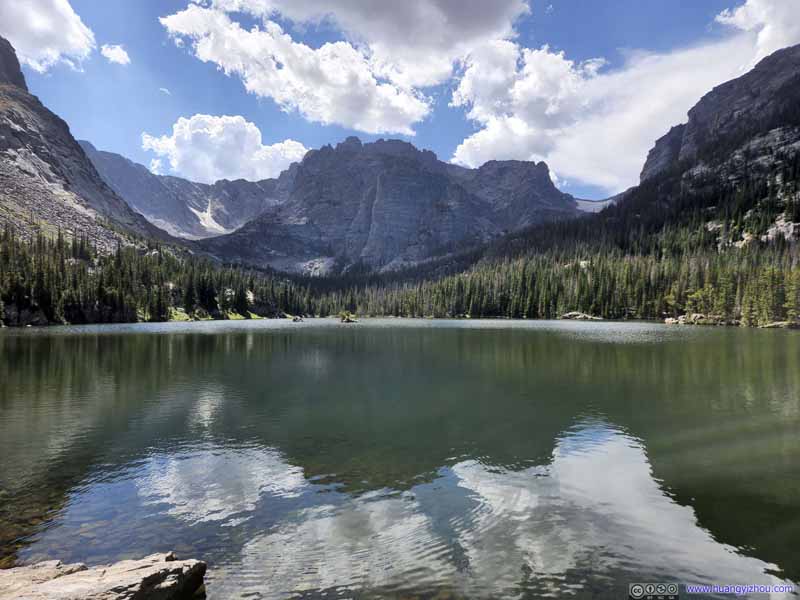 The Loch
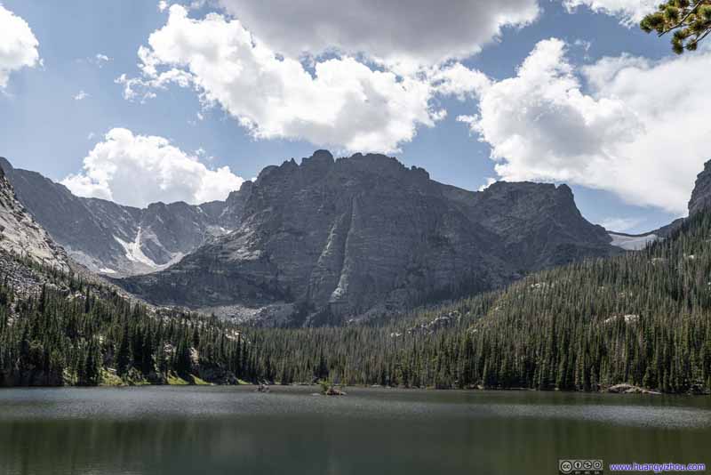 The SharkstoothRock formations right against the Loch.
 Andrews GlacierA hiking trail would lead to the foot of this glacier.
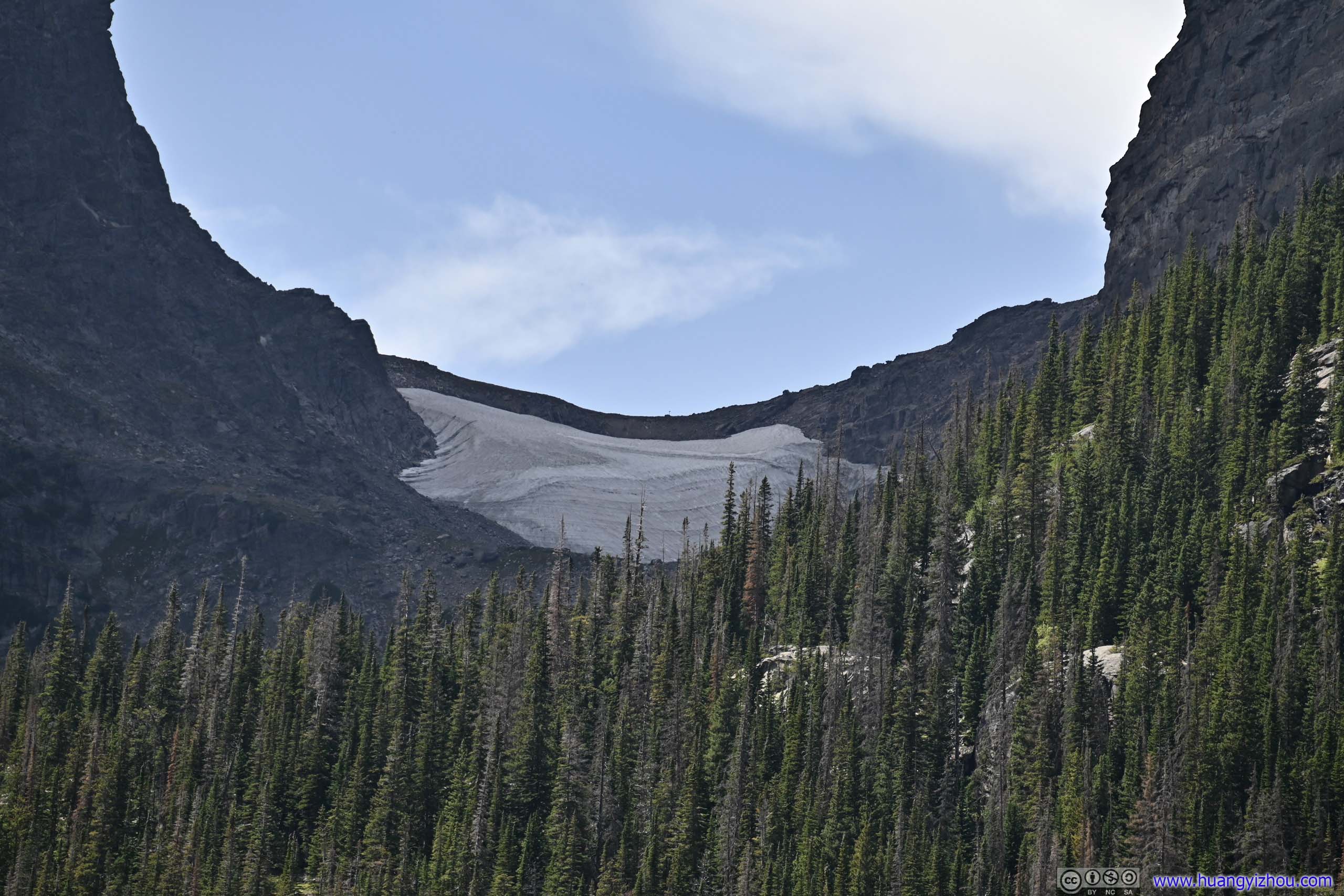
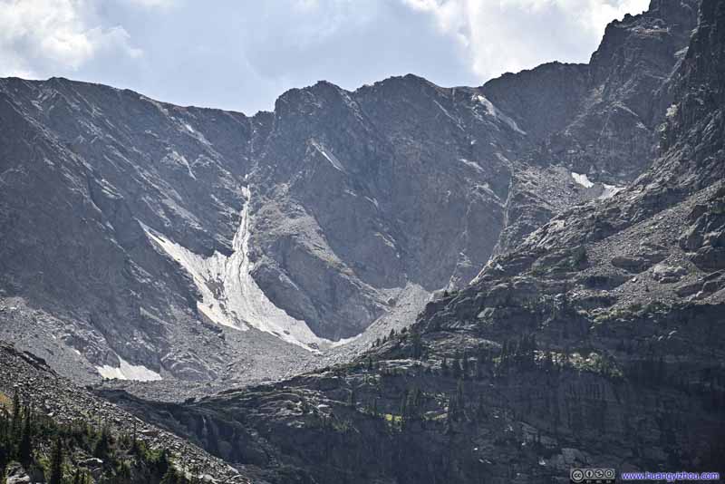 Taylor GlacierLooked much smaller from this angle.
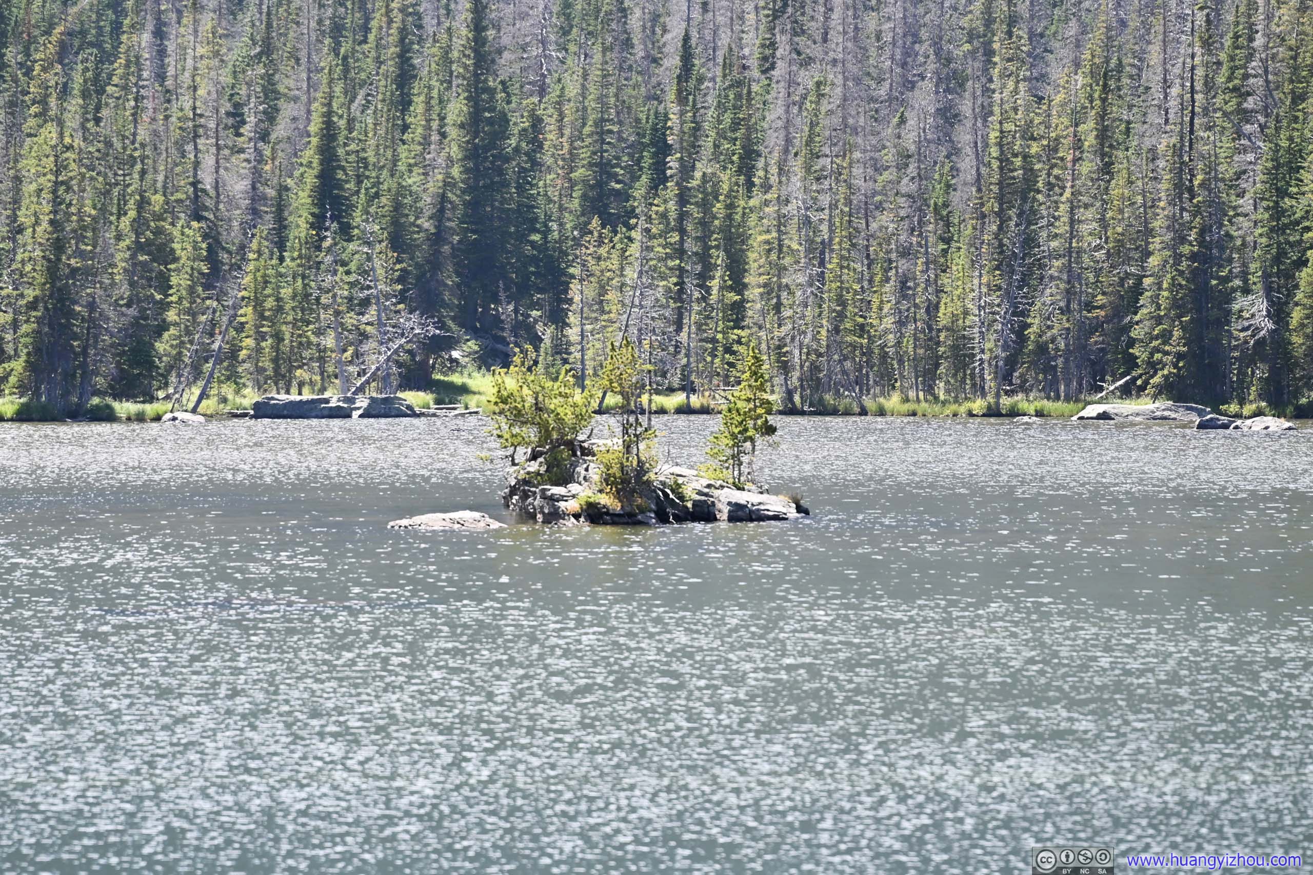
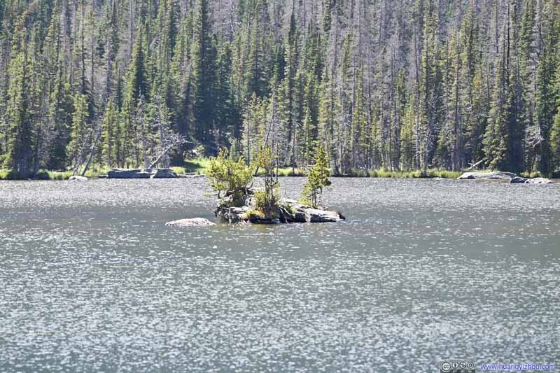 Island in The LochI was surprised that trees can grow on this rock island.


Click here to display photos from The Loch.
The Loch
The Loch

The Loch
The SharkstoothRock formations right against the Loch.
Andrews GlacierA hiking trail would lead to the foot of this glacier.
Taylor GlacierLooked much smaller from this angle.
Island in The LochI was surprised that trees can grow on this rock island.
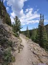
We spent about 25 minutes at The Loch, accompanied by only a few other groups, before heading back to the intersection. An additional 20 minutes later, we were on the other spur trail to Mills Lake.
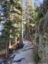
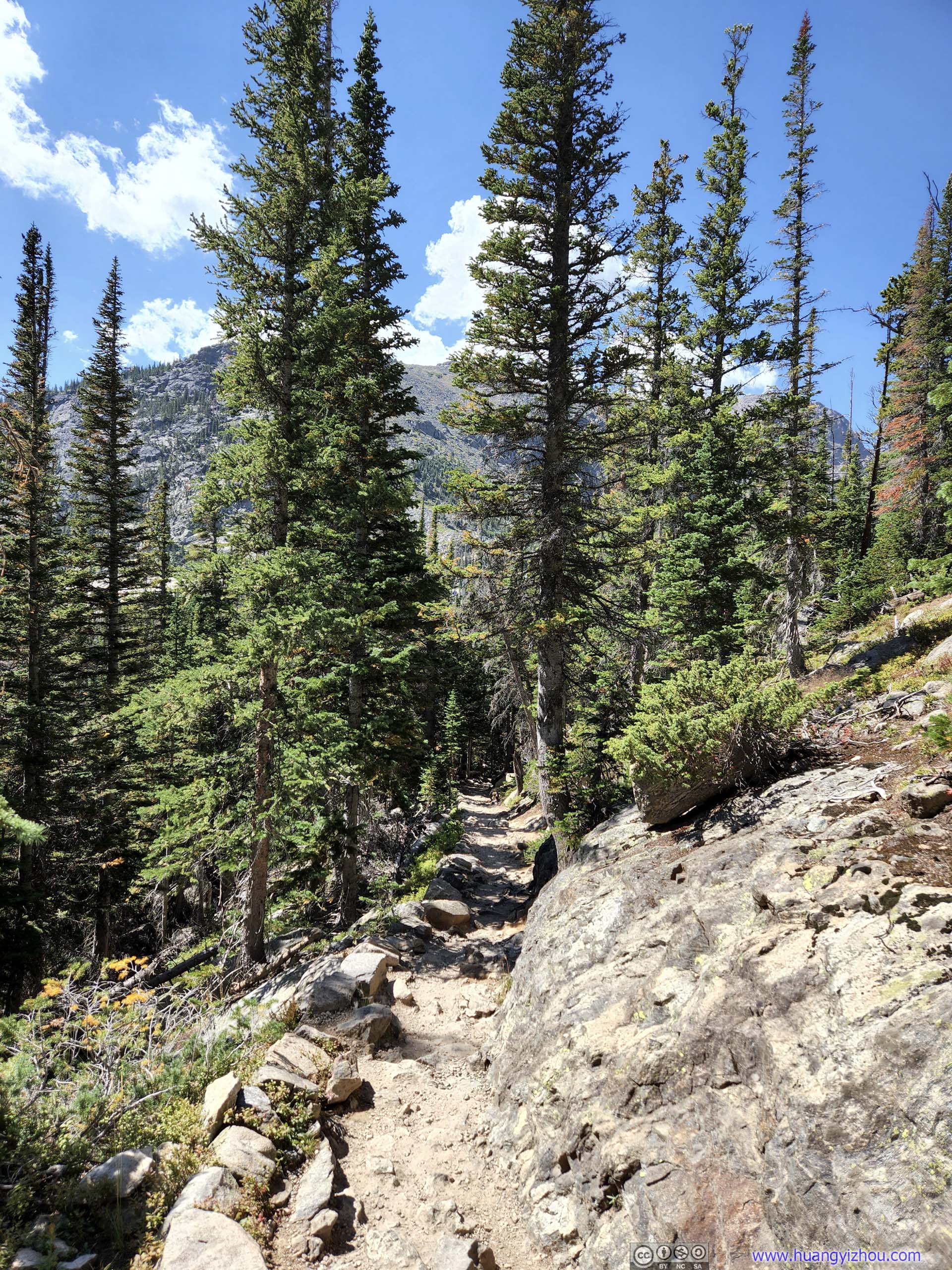
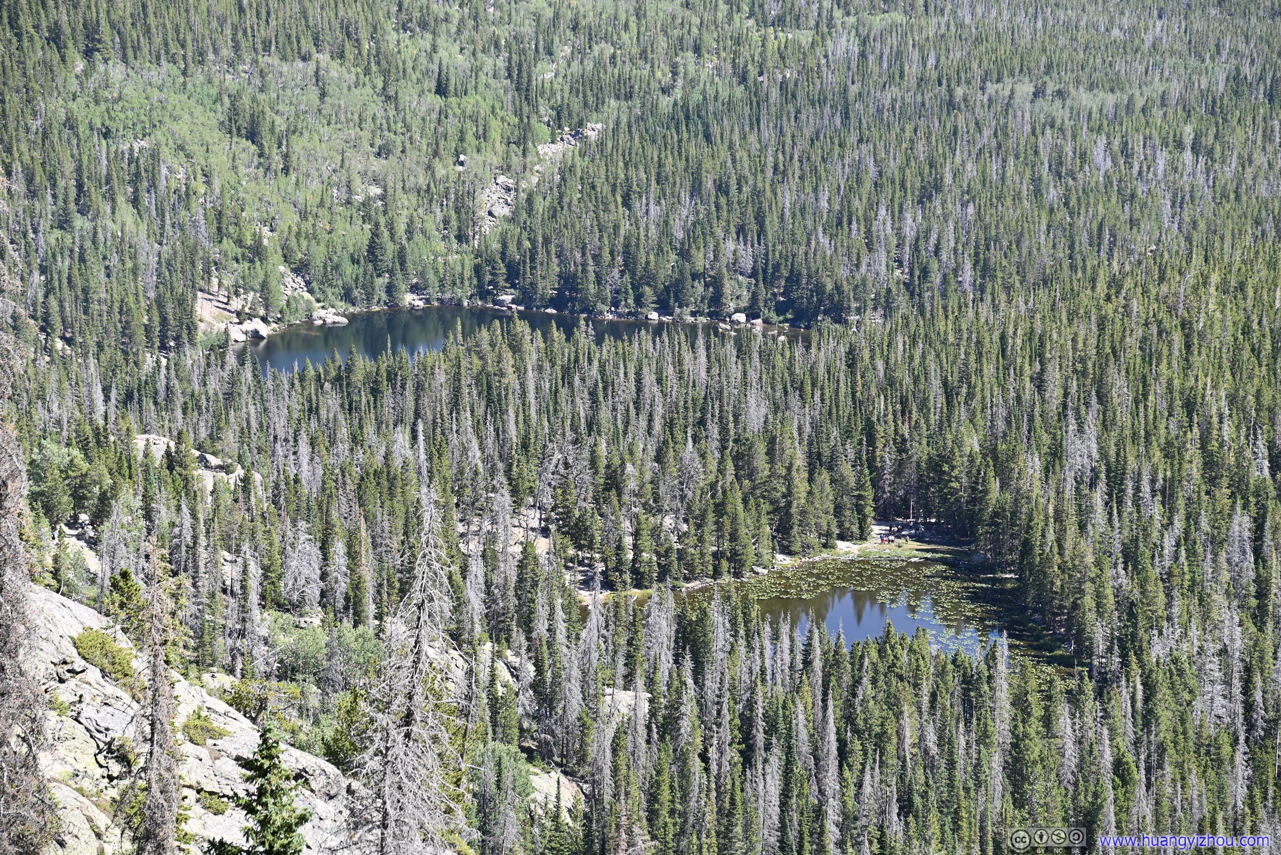
 TrailBetween Lake Haiyaha and The Loch.
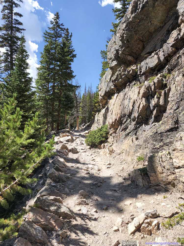 TrailTowards the Loch. The trail followed a small canyon with rocks on one side.
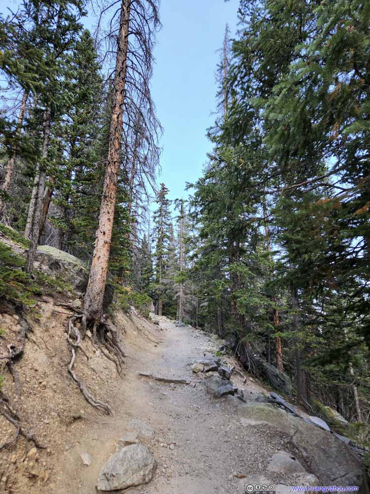 TrailTowards the Loch. The trail followed a small canyon with rocks on one side.
 TrailTowards Mills Lake.
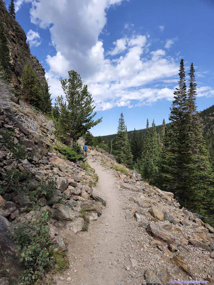 TrailTowards Alberta Falls.
 TrailTowards Alberta Falls.
 TrailTowards Alberta Falls.
 TrailTowards Alberta Falls.


Click here to display photos of the trail.

TrailBetween Lake Haiyaha and The Loch.

TrailTowards the Loch. The trail followed a small canyon with rocks on one side.

TrailTowards the Loch. The trail followed a small canyon with rocks on one side.

TrailTowards Mills Lake.

TrailTowards Alberta Falls.

TrailTowards Alberta Falls.
TrailTowards Alberta Falls.
TrailTowards Alberta Falls.
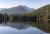
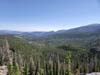
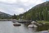
Mills Lake
This was like a more easygoing version of The Loch, located in a wider gorge. The mountains surrounding it were more laid back, like they were looking after the lake, not facing it off. We found good solitude at a rocky peninsula extending into the Lake, as this was the only lake of the day that we had to ourselves. It’s a good place to appreciate the magnificence of Longs Peak, which we just summitted the previous day.
 Mills Lake
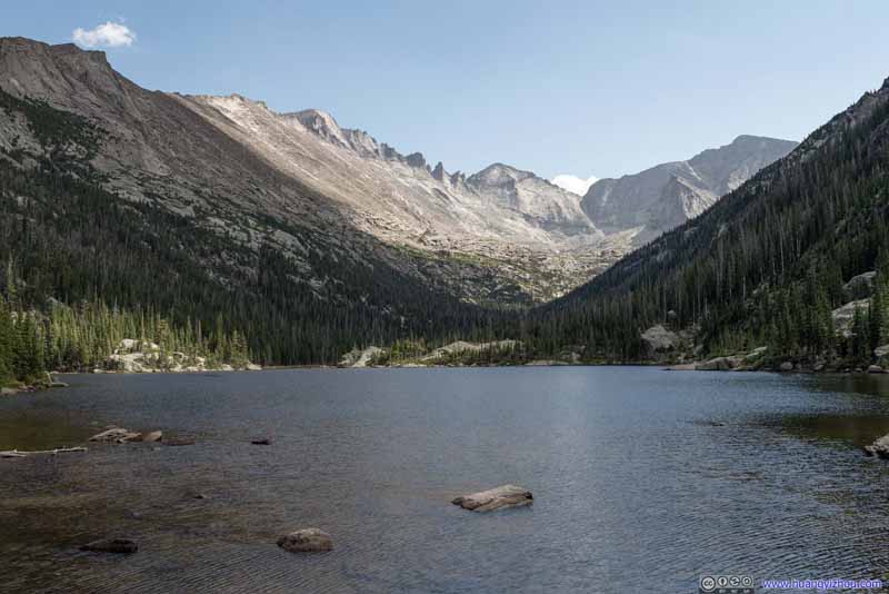 Mills Lake
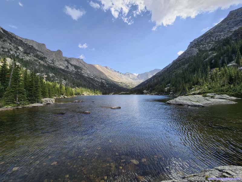 Mills Lake
 Mills LakeFlattop Mountain in the background, where we came from.
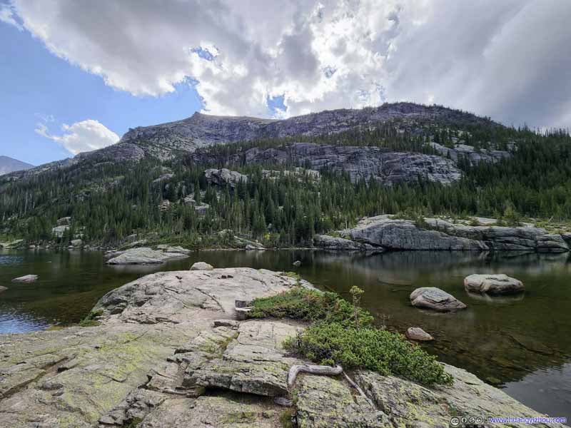 Mills LakeThatchtop Mountain to the west.
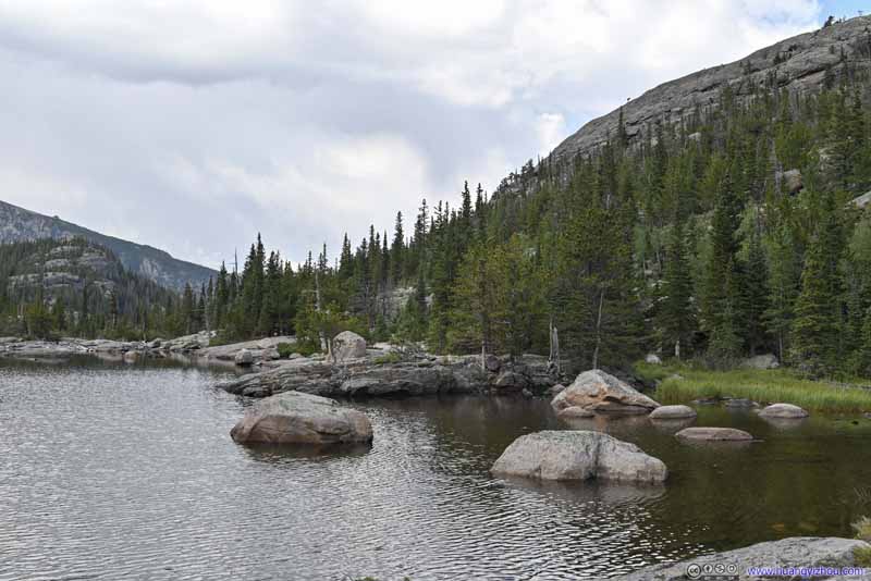 Shores of Mills Lake
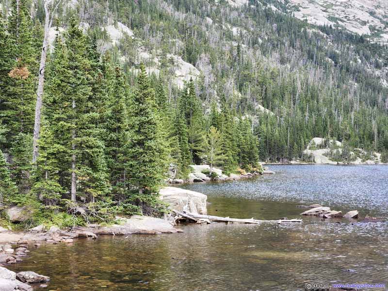 Shores of Mills Lake
Click here to display photos from Mills Lake.
Mills Lake
Mills Lake

Mills Lake
Mills LakeFlattop Mountain in the background, where we came from.
Mills LakeThatchtop Mountain to the west.
Shores of Mills Lake
Shores of Mills Lake
Mills Lake
 Longs PeakClosest look of the entire day.
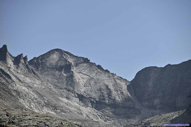 Pagoda MountainA mountain west of Longs Peak.
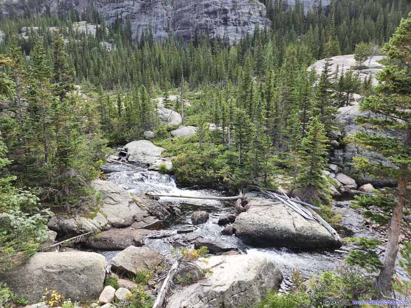 Creek from Mills Lake
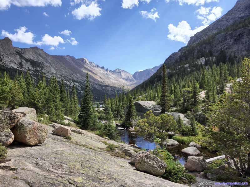 Creek from Mills Lake
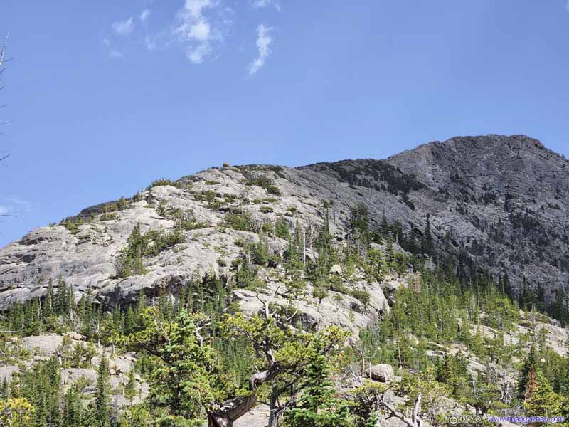 Half Mountain
My friend and I guessed that the mountain in the right of this photo was called Half Mountain due to its smaller size compared to the neighboring Longs Peak. So, we decided to name the small hill to the left of this photo Quarter Mountain, and we were quite interested in the small rocky sphere on top of it.
Half Mountain
My friend and I guessed that the mountain in the right of this photo was called Half Mountain due to its smaller size compared to the neighboring Longs Peak. So, we decided to name the small hill to the left of this photo Quarter Mountain, and we were quite interested in the small rocky sphere on top of it.

Click here to display photos around Mills Lake.

Longs PeakClosest look of the entire day.
Pagoda MountainA mountain west of Longs Peak.

 Creek from Mills Lake

Half Mountain
We spent about 15 minutes at Mills Lake, before heading back to the intersection. In the end, the two spurs to The Loch and Mills Lake took us just over 2 hours, after which we continued onto the loop trail.
 Mountains
 Thatchtop Mountain
 FieldsFrom an overlook before reaching Alberta Falls.
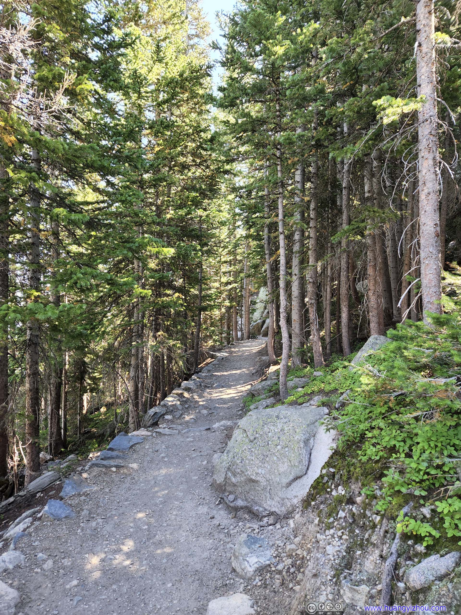
 Trail
Trail Trail
Trail

Click here to display photos of the slideshow
Mountains
Thatchtop Mountain
FieldsFrom an overlook before reaching Alberta Falls.
 Trail
Trail
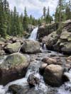
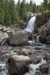
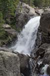
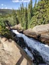
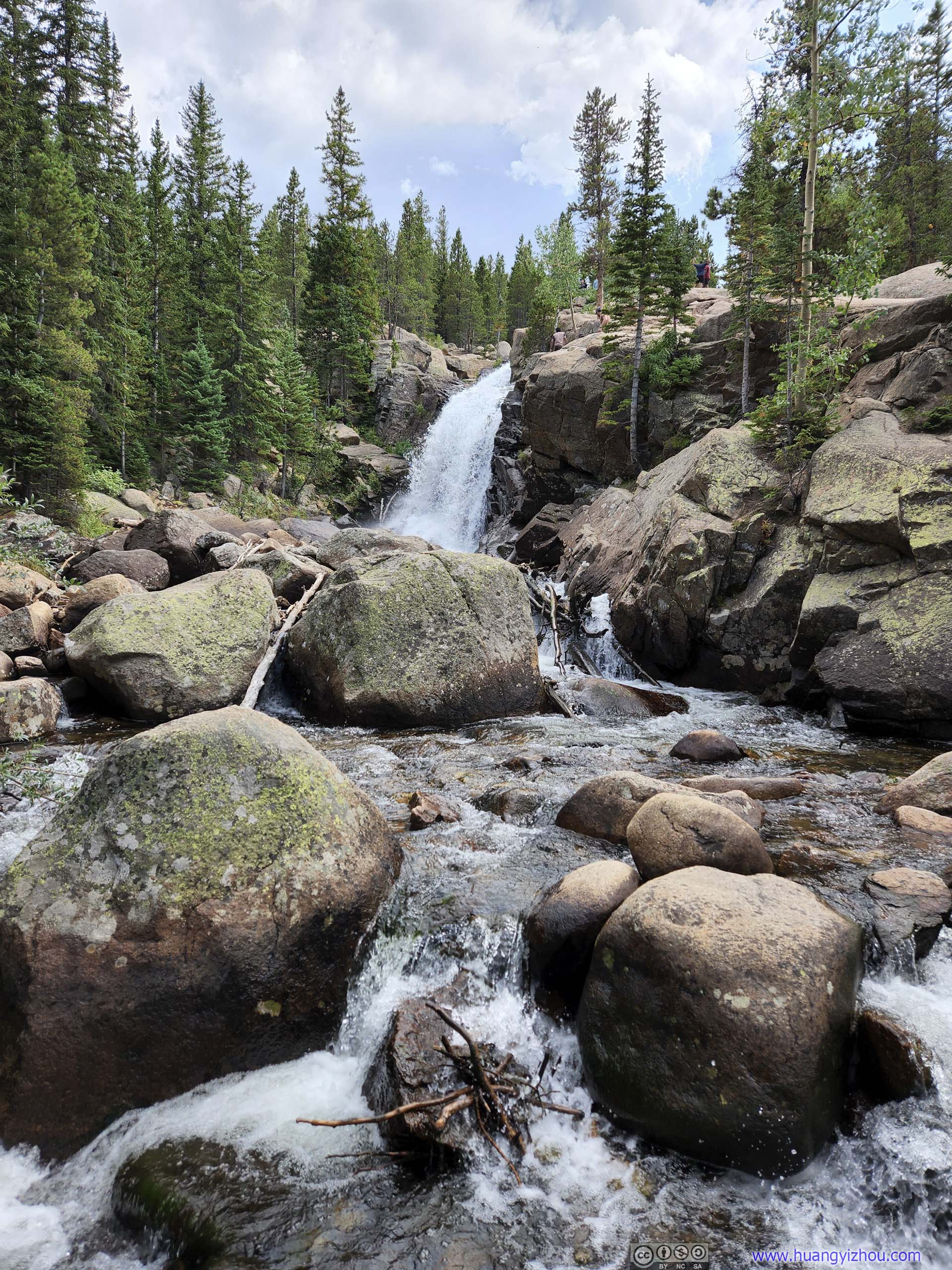
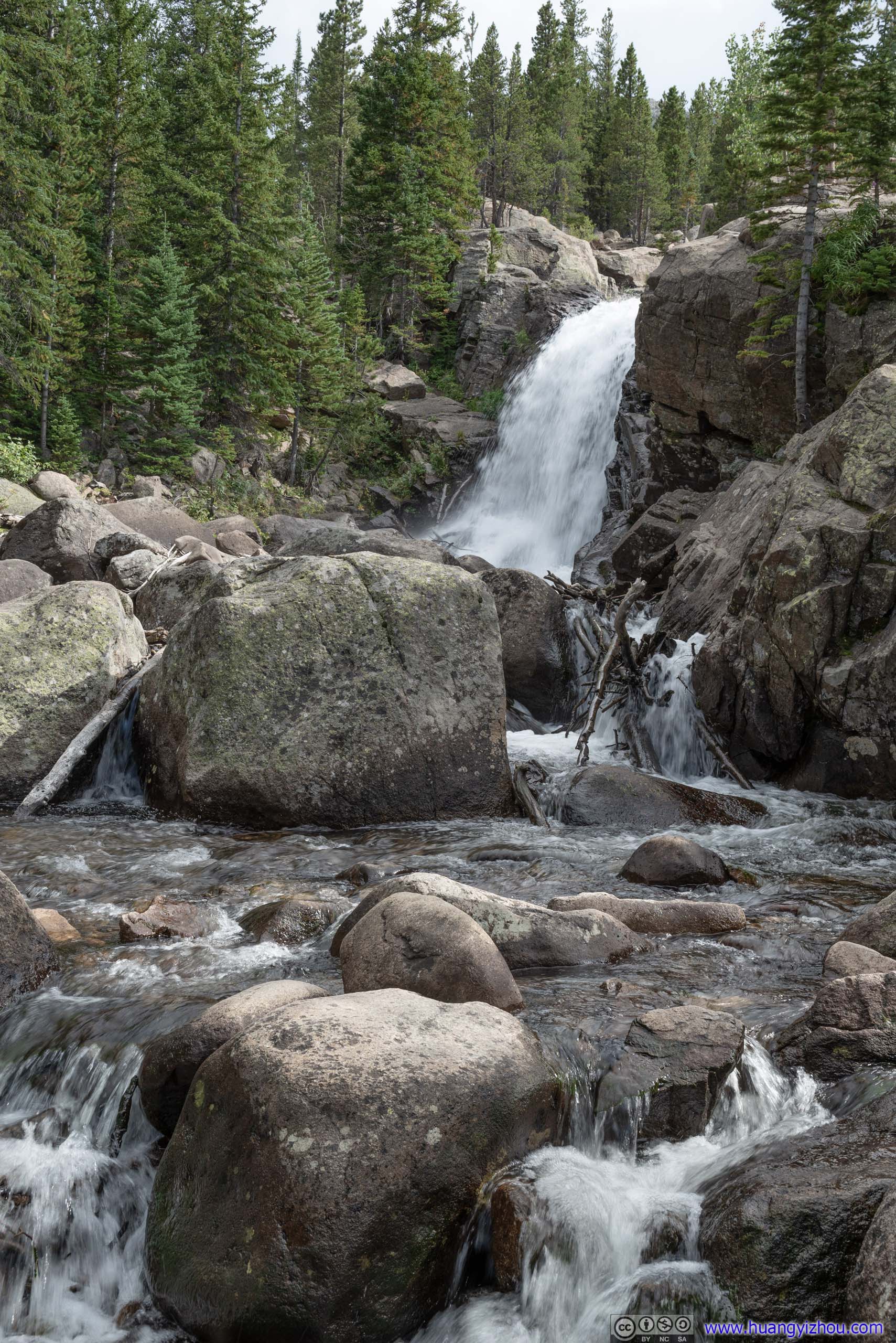
Alberta Falls
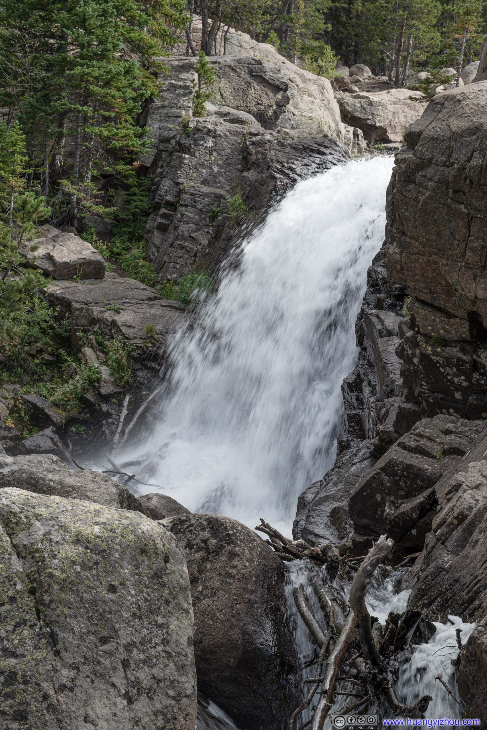
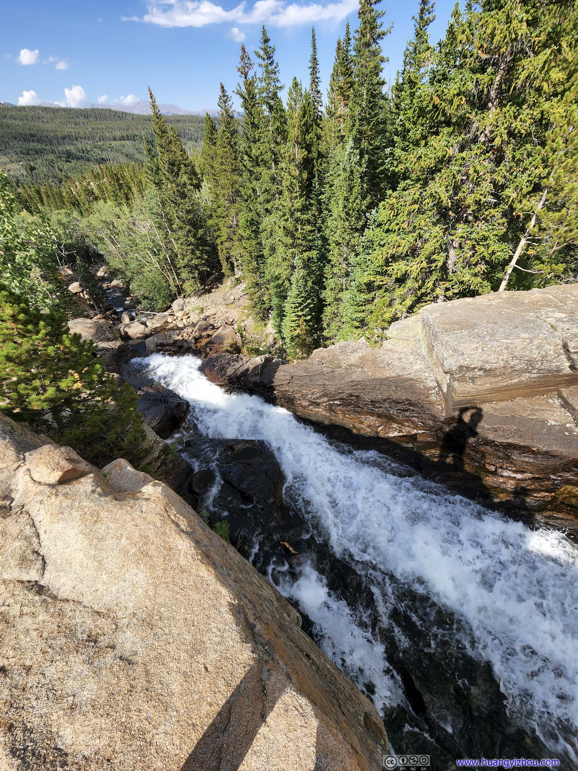
After the intersection, the trail largely followed Glacier Creek back to the bus stop, which was formed by waters from The Loch and Mills Lake. Along the way, the creek made a few waterfalls, of which Alberta Falls were the most significant.
The waterfall can be viewed from a safe distance right next to the trail (first few photos of the following slideshow), or one could hike a few steps up the hill and get up close with it (last few photos). Personally, I liked the former as it’s an unmistakably waterfall view. The latter felt more like watching some torrents, as it’s harder to appreciate the height difference.
The waterfall is only 1.3km from a trailhead, so it’s rather popular and can get crowded at times.
 Alberta FallsScrambling down a few rocks to the side of Glacier Creek.
 Alberta Falls
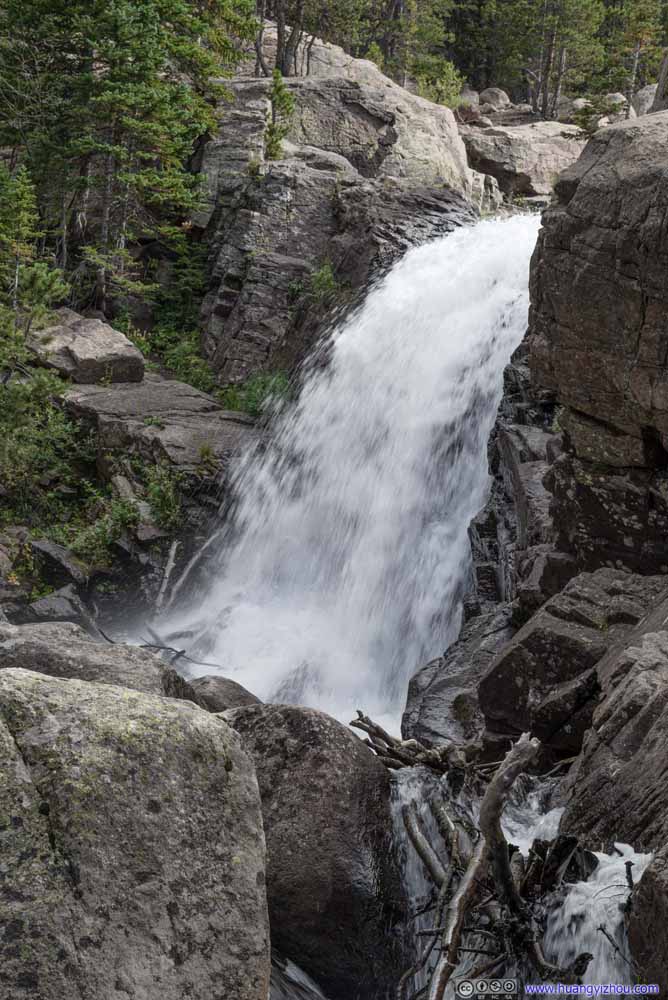 Alberta Falls
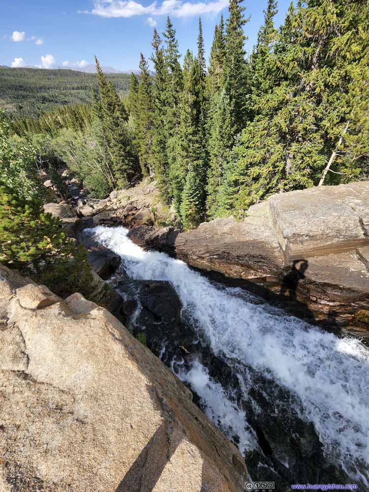 Alberta FallsLooking down from top of the falls.
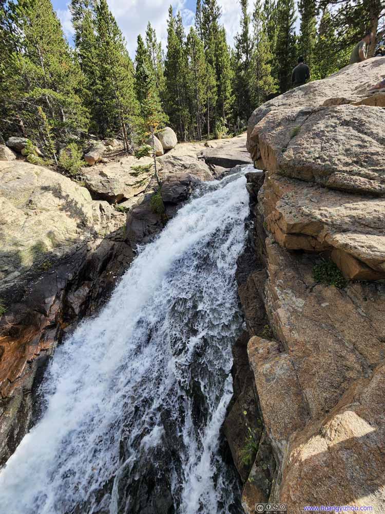 Alberta FallsAs seen on the upper edge of the waterfall.
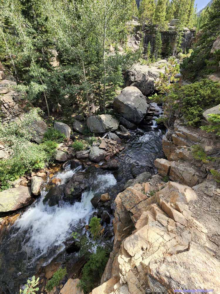 WaterfallAlong Glacier Creek, upstream of Alberta Falls.
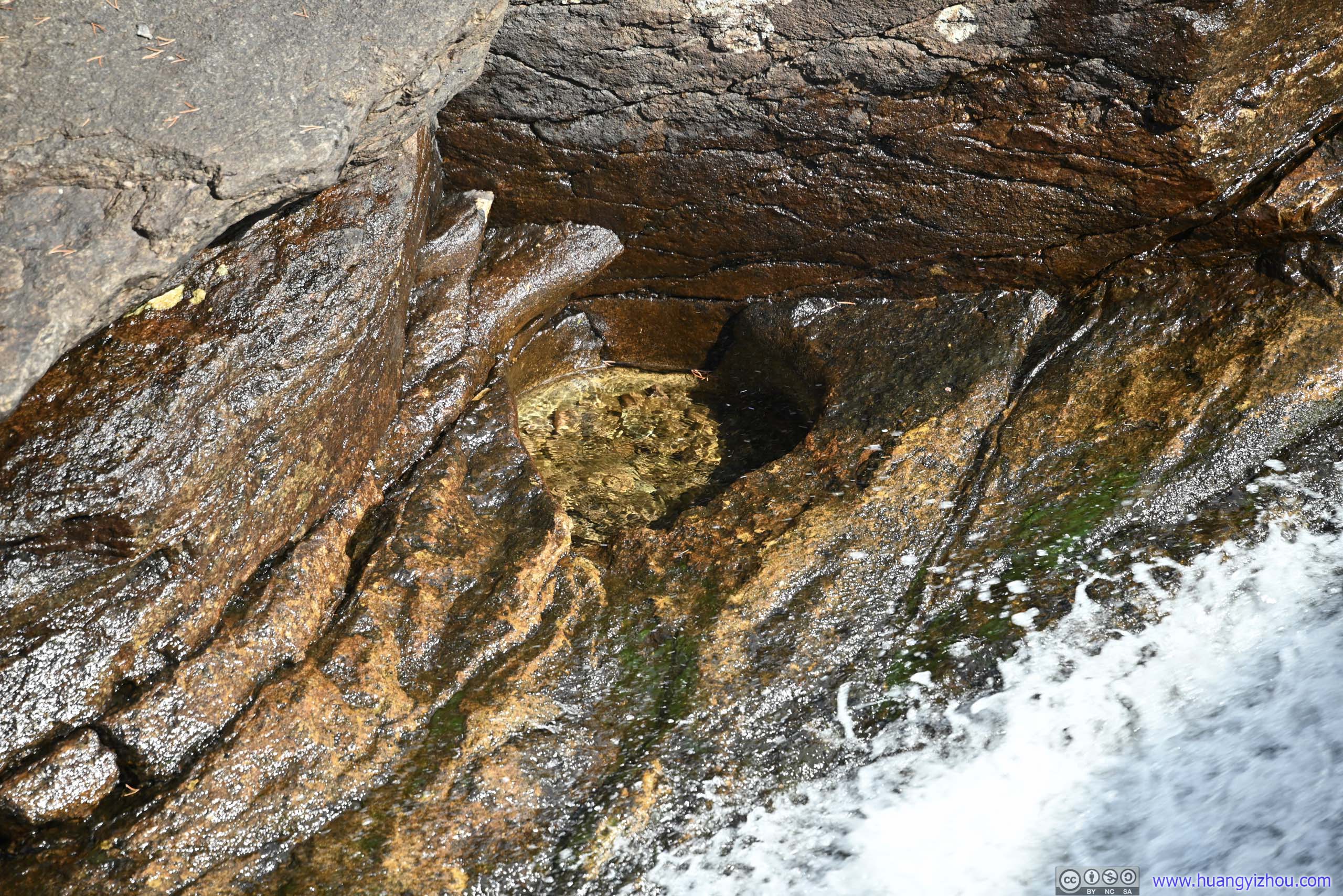
 Pool next to Alberta Falls
I wonder would anyone fancy his/her coin/rock tossing skills at this pool on the opposite side of the waterfall.
Pool next to Alberta Falls
I wonder would anyone fancy his/her coin/rock tossing skills at this pool on the opposite side of the waterfall.


Click here to display photos of Alberta Falls.
Alberta FallsScrambling down a few rocks to the side of Glacier Creek.
Alberta Falls
Alberta Falls
Alberta FallsLooking down from top of the falls.

Alberta FallsAs seen on the upper edge of the waterfall.

WaterfallAlong Glacier Creek, upstream of Alberta Falls.
Pool next to Alberta Falls
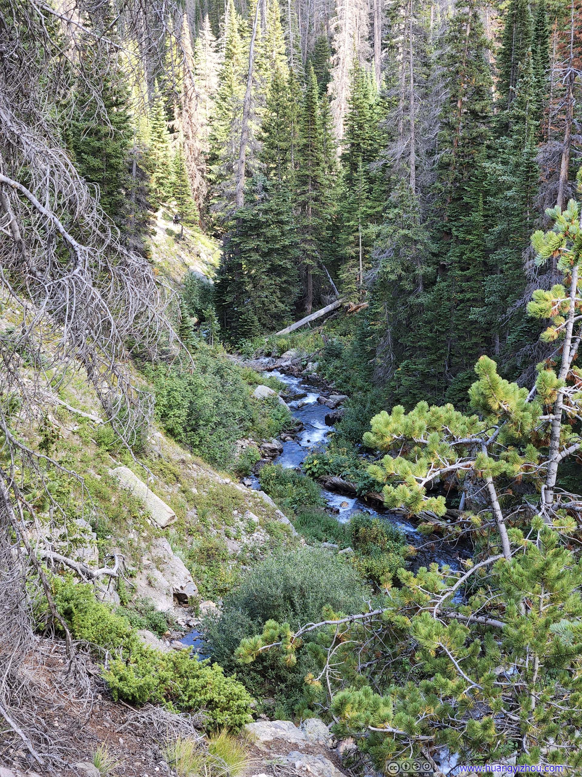
After Alberta Falls, it’s a comfortable stroll back to the trailhead. Before crossing Chaos Creek (which, at this point, no longer looked as chaotic as the muddy waters of Lake Haiyaha, after mixing with water from Dream Lake), we decided to head down the hill towards Glacier Gorge Trailhead instead of going back to Bear Lake. In this way, we left an open jaw in our loop, and saved ourselves some elevation gain.
In the end, we arrived at Glacier Gorge Trailhead at 4:20pm, finishing this 17-km hike in just under 7.5 hours. By that time, there was a long line for shuttle bus, a testimony for the area’s popularity.
We waited 15 minutes for the shuttle bus, and after getting back to the car, we paid a brief visit to Sprague Lake, which, compared with the many alpine lakes earlier in the day, wasn’t very remarkable.
By the time we left Sprague Lake, it’s 5pm, just over 2 hours from sunset. Since my friend had to head straight to the airport the next day, we felt we still had enough daylight left for a tour of Trail Ridge Road.
Trail Ridge Road
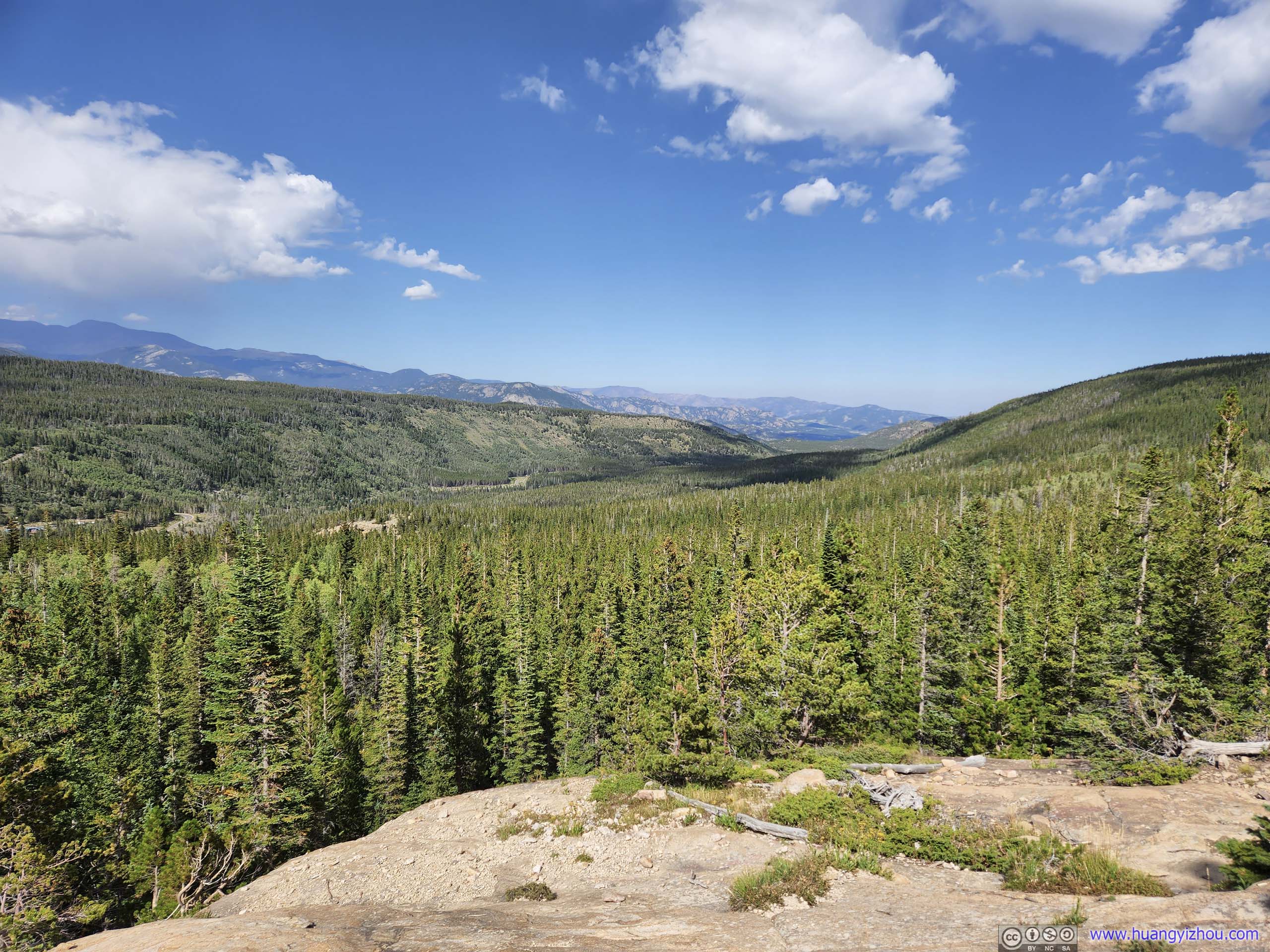
This is the main road in Rocky Mountain National Park, connecting Estes Park in the northeast and Grand Lake in the southwest, passing through scenic alpine terrains.
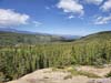
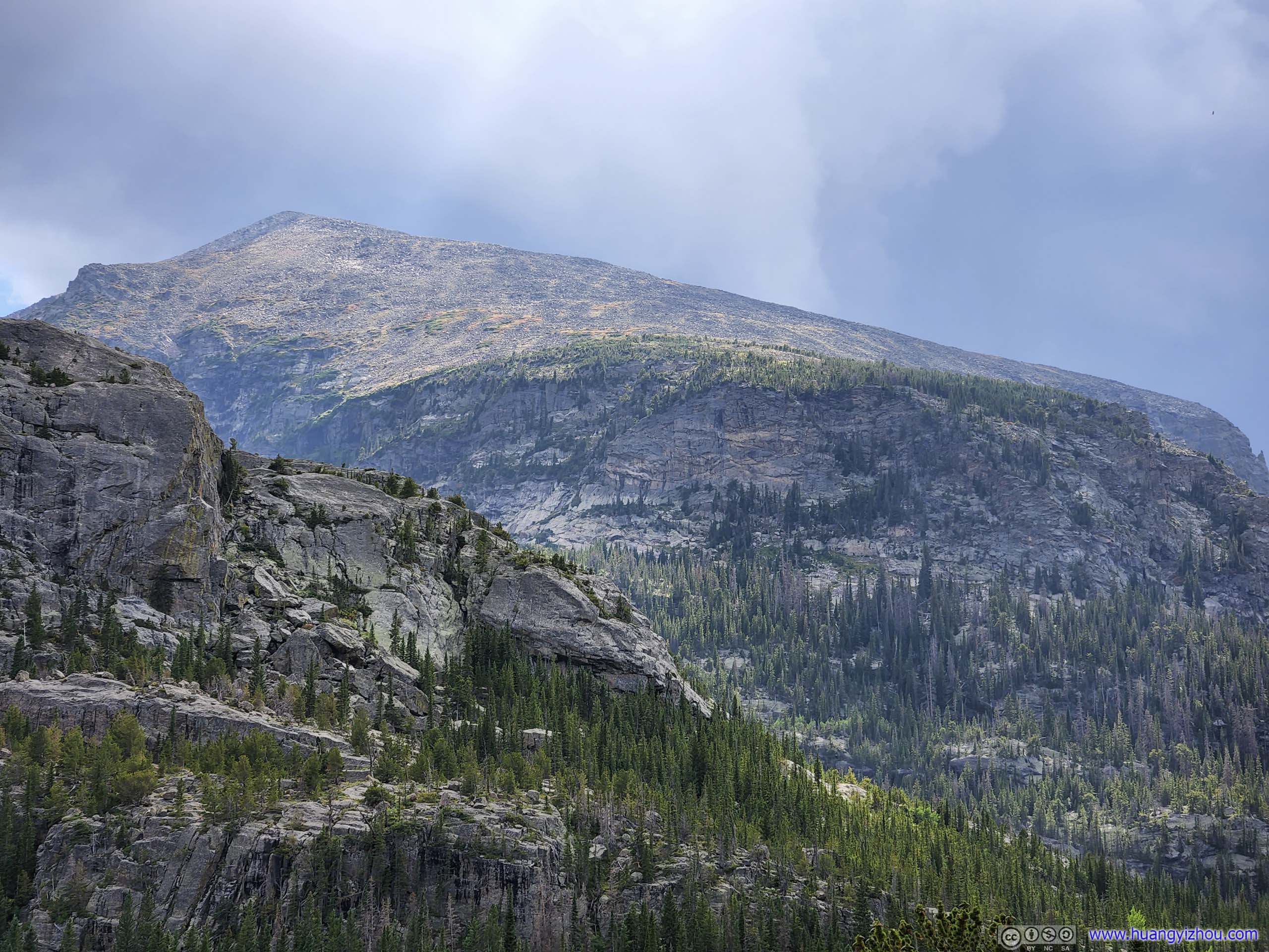
Before Many Parks Curve Overlook, it’s like a typical drive in the forest, not very remarkable. After that, views of the various mountains across Forest Canyon started to get interesting.
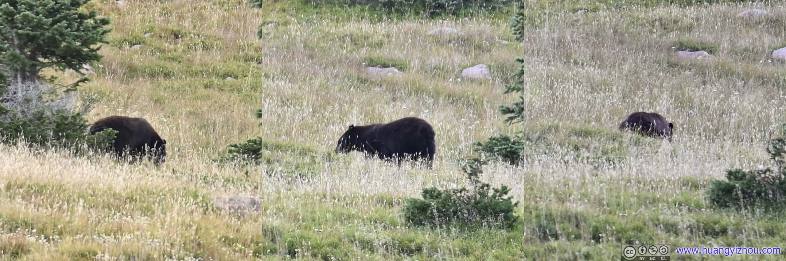
Bear Sighting
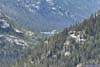
Rainbow Curve Overlook
The first overlook that we stopped (since we couldn’t find parking at the previous Many Parks Curve).
 View from Rainbow Curve Overlook
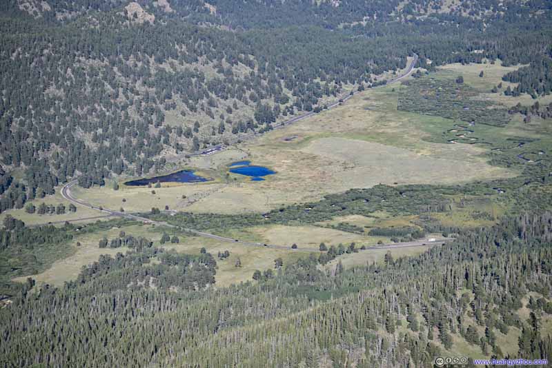 ValleyWhere Falls River Road travelled through.
 Mummy MountainWith its distinctive rock face.


Click here to display photos from Rainbow Curve Overlook.

View from Rainbow Curve Overlook

ValleyWhere Falls River Road travelled through.
Mummy MountainWith its distinctive rock face.
View from Rainbow Curve Overlook
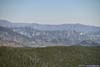
At this time, we realized that afternoon wasn’t the best time to visit the eastern part of Trail Ridge Road, as the mountains across Forest Canyon were in the shade, their magnificence hard to appreciate. Things would look a lot better in the morning.
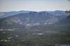
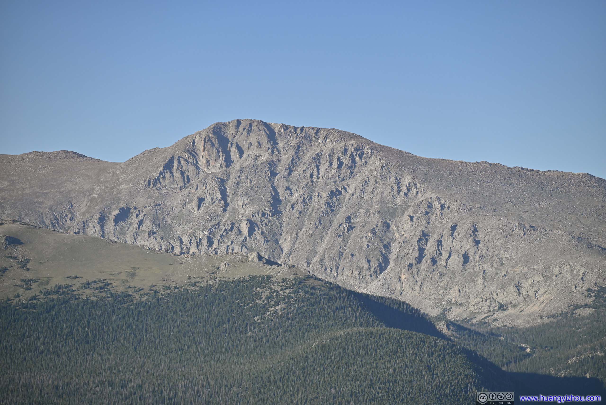
Forest Canyon Overlook
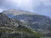
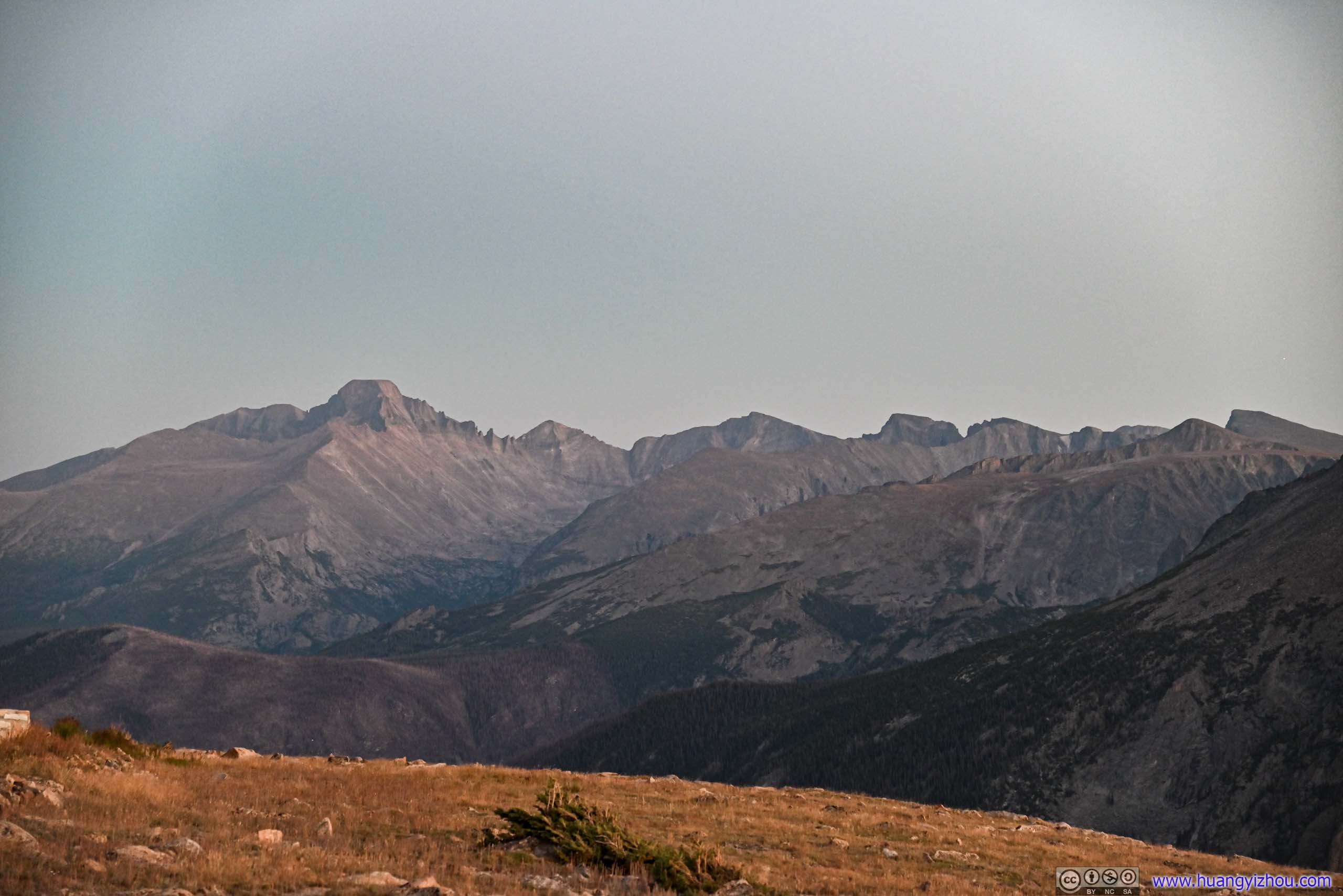
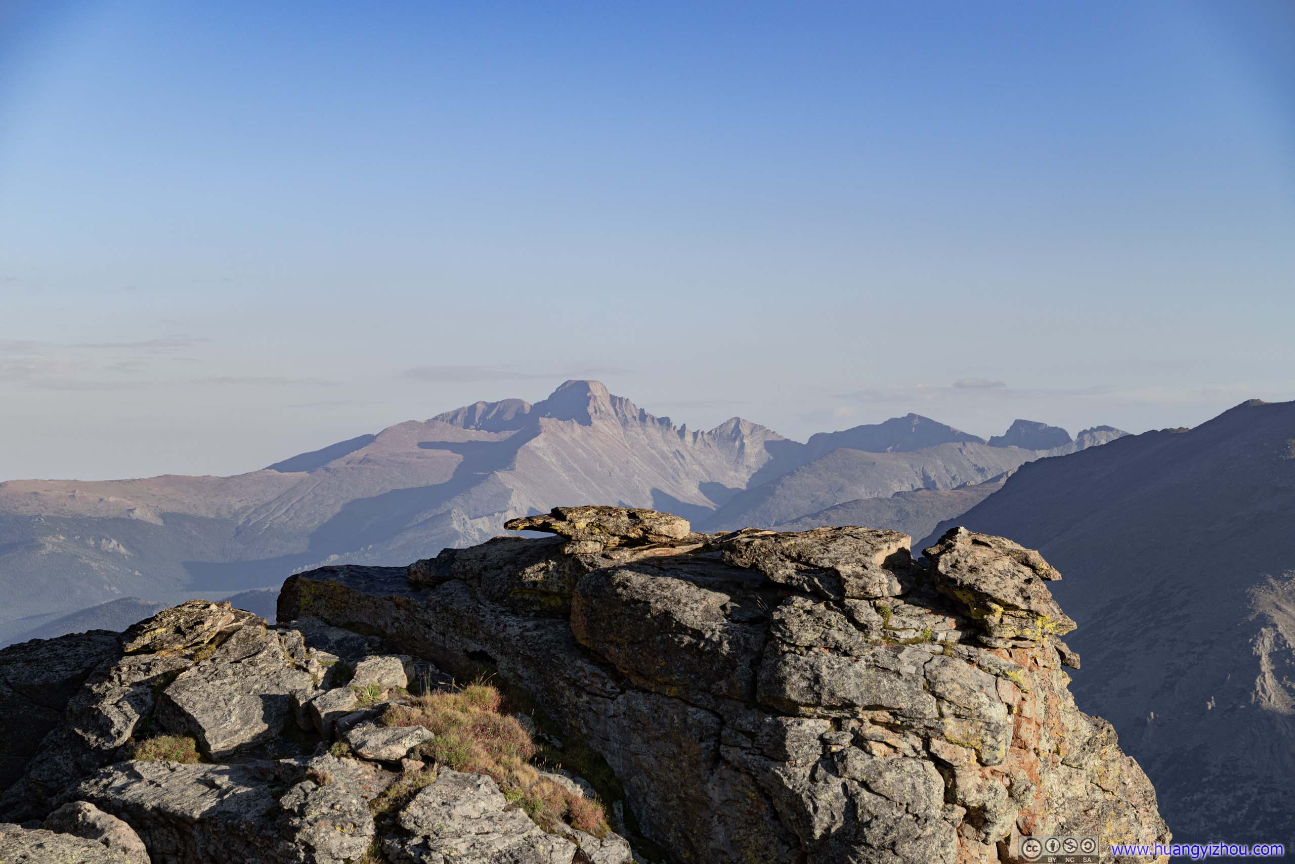
A major overlook on the south side of Trail Ridge Road. The western face of Longs Peak looked pretty prominent from here, but most other mountains across Forest Canyon were in the shade, not clearly seen.
 Distant Longs Peak
 Mountains across Forest CanyonSprague Mountain, Hayden Spire and Mount Eleanor
 Mountains across Forest Canyon
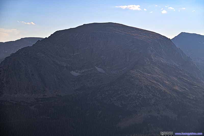 Terra Tomah Mountain
 Ridge to the WestWhere Trail Ridge Road traveled through.
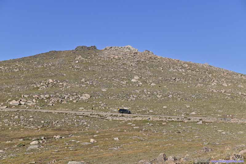 HillA not very prominent one to the north of Trail Ridge Road.


Click here to display photos from Forest Canyon Overlook.
Distant Longs Peak
Mountains across Forest CanyonSprague Mountain, Hayden Spire and Mount Eleanor
Mountains across Forest Canyon
Terra Tomah Mountain
Ridge to the WestWhere Trail Ridge Road traveled through.
HillA not very prominent one to the north of Trail Ridge Road.
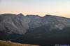
Forest Canyon
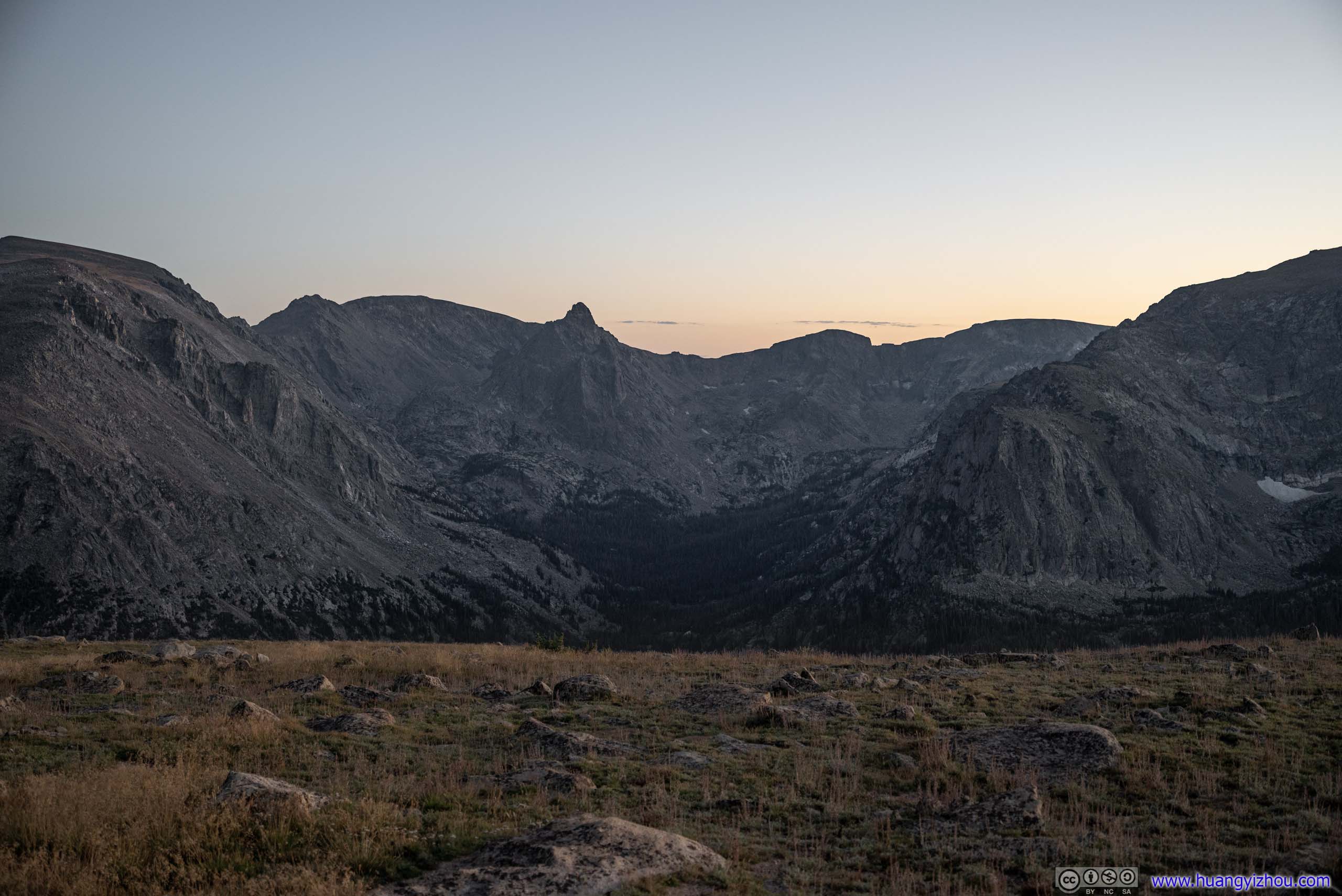
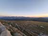
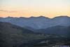
After sunset and on our way back, we made another stop at Forest Canyon Overlook. The mountains certainly appeared more approachable under twilight colors.
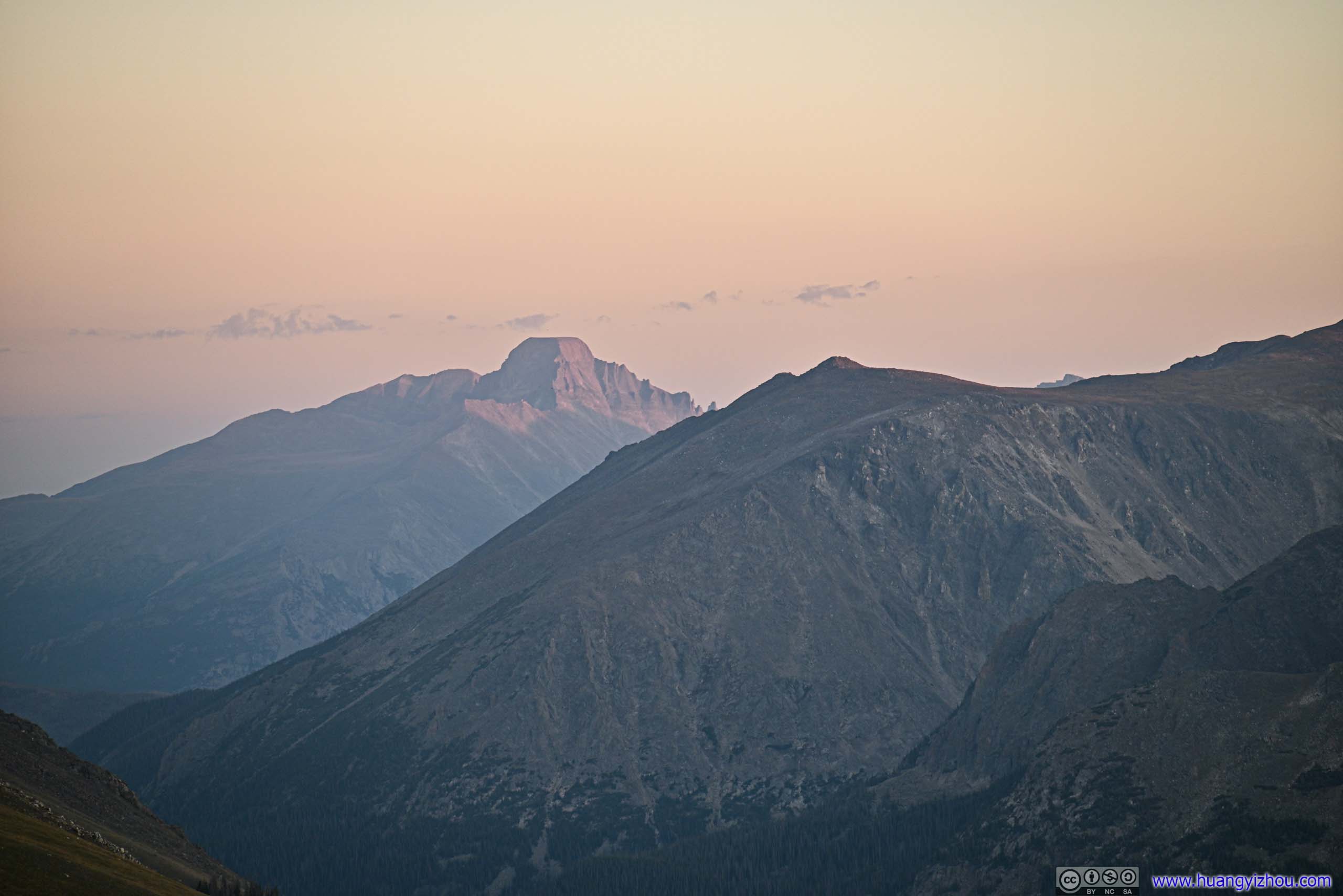
 Distant Longs Peak
 Mountains to the Southeast
 Mountains across Forest CanyonSprague Mountain, Hayden Spire and Mount Eleanor

Click here to display photos from Forest Canyon Overlook.

Distant Longs Peak
Mountains to the Southeast
Mountains across Forest CanyonSprague Mountain, Hayden Spire and Mount Eleanor
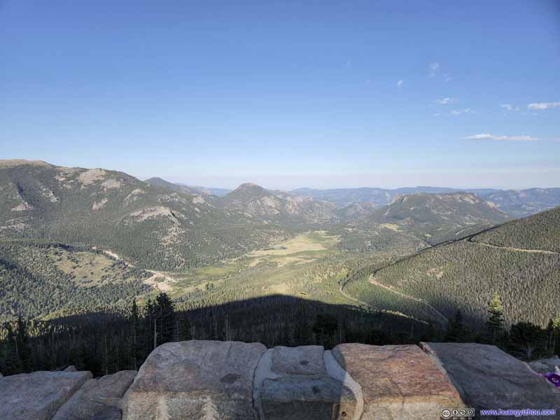
Tundra Community Trailhead
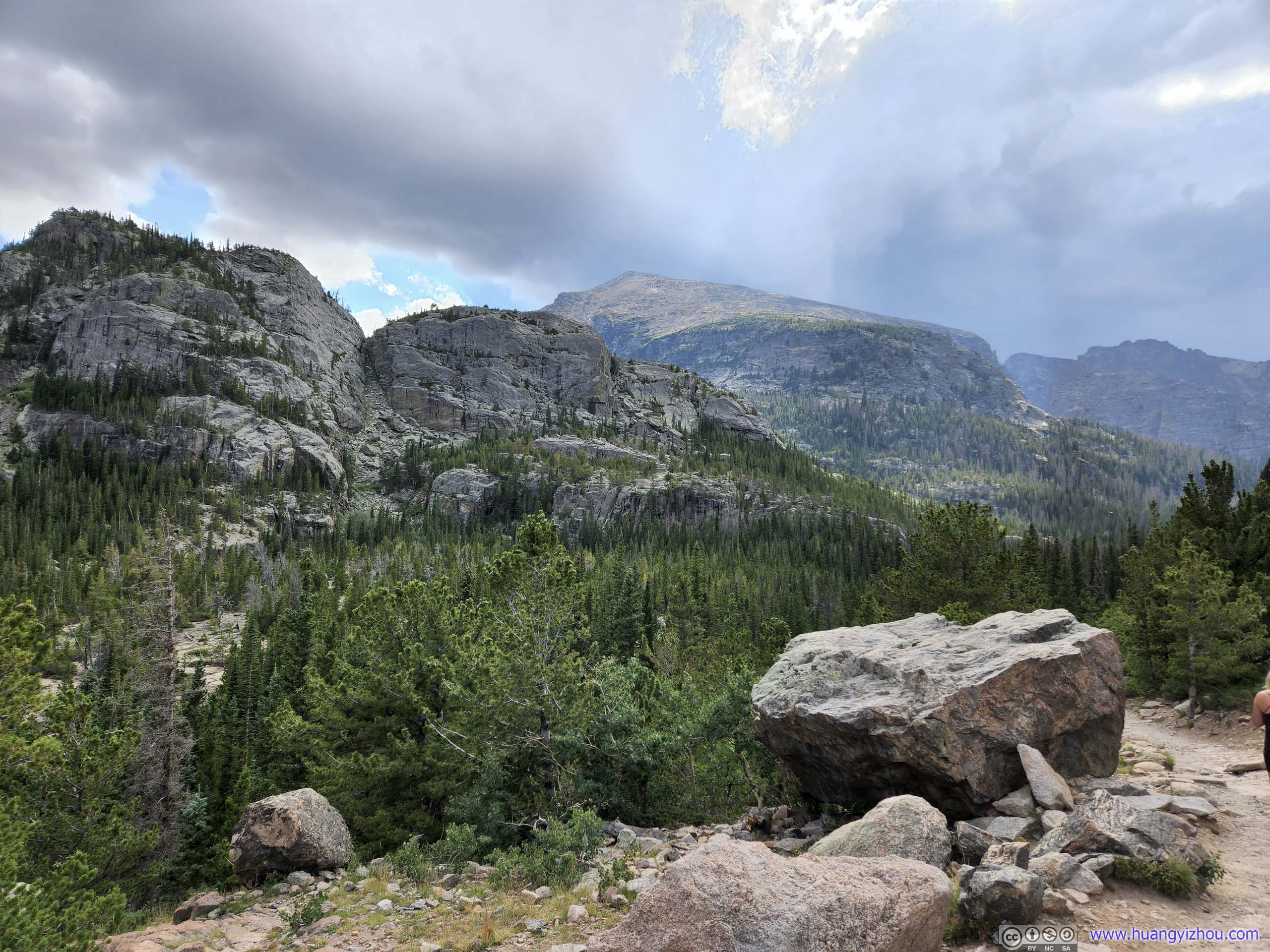
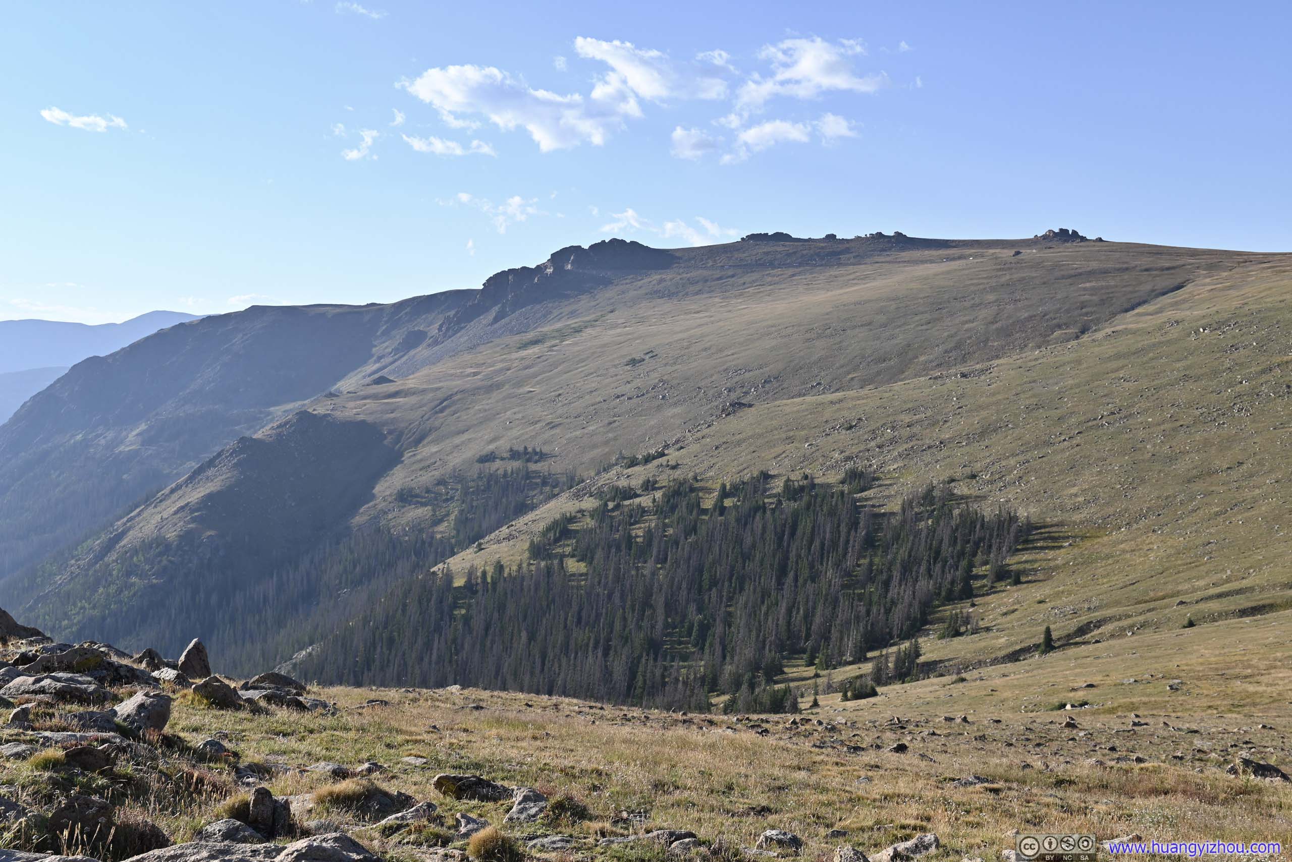
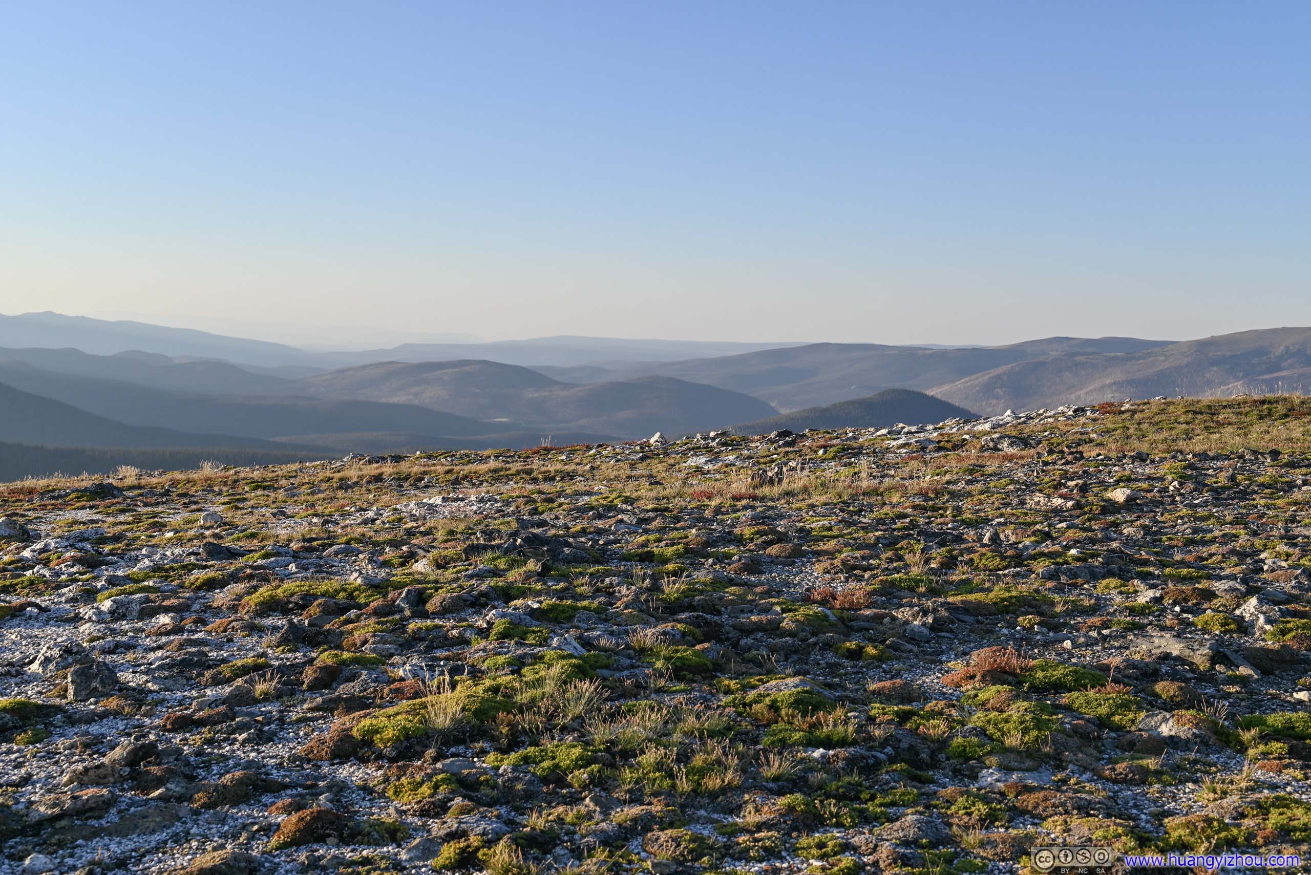
This was another major turnout along Trail Ridge Road, with a 1.8km out-and-back trail onto the alpine tundra. I guessed this trail was set up so that visitors could get a feeling of the tundra landscape, as other tundra areas along Trail Ridge Road were closed to protect their fragile environment.
To us, the tundra trail was hardly exciting. Instead, we found a few boulders on the southern side of the road, and took a few moments to explore them.
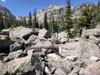
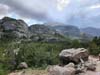
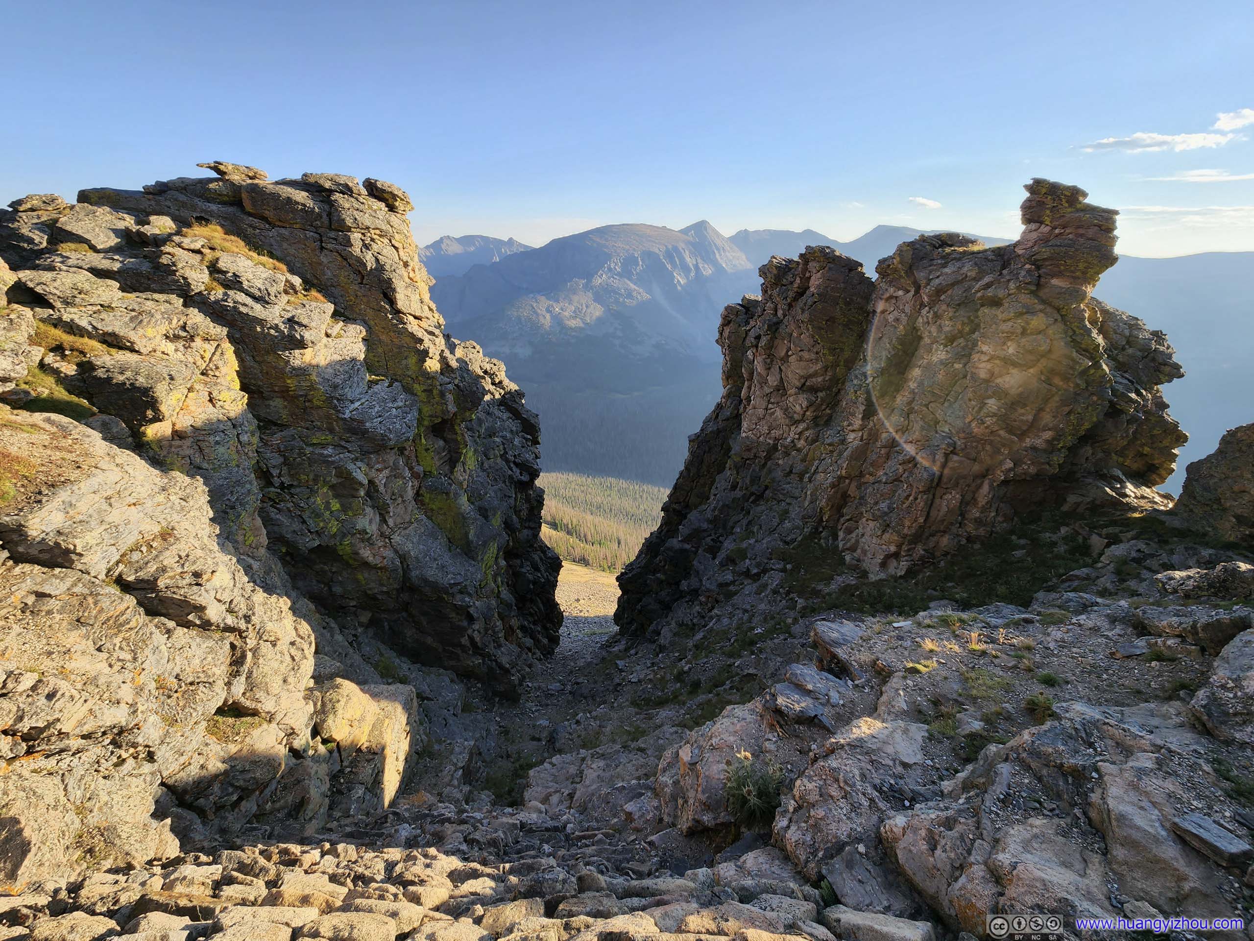
 Boulders
A mini gorge between the two boulders. The one on the left was actually accessible via a few class 1 scrambles.
Boulders
A mini gorge between the two boulders. The one on the left was actually accessible via a few class 1 scrambles.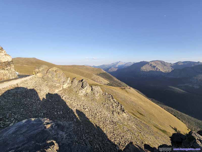 Mountains to the EastTrail Ridge Road (left) cut an opening in the boulders.
 Mountains to the EastThe left boulder (from the previous photo) in front, Longs Peak in the back.
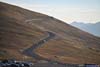
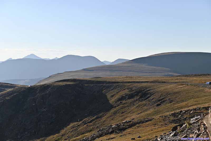 Trail Ridge RoadLooking towards the west.


Click here to display photos of the slideshow
Boulders

Mountains to the EastTrail Ridge Road (left) cut an opening in the boulders.
Mountains to the EastThe left boulder (from the previous photo) in front, Longs Peak in the back.

Trail Ridge RoadLooking towards the west.
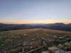
Likewise, we paid this turnout another visit after sunset, with softer colors on the mountains.
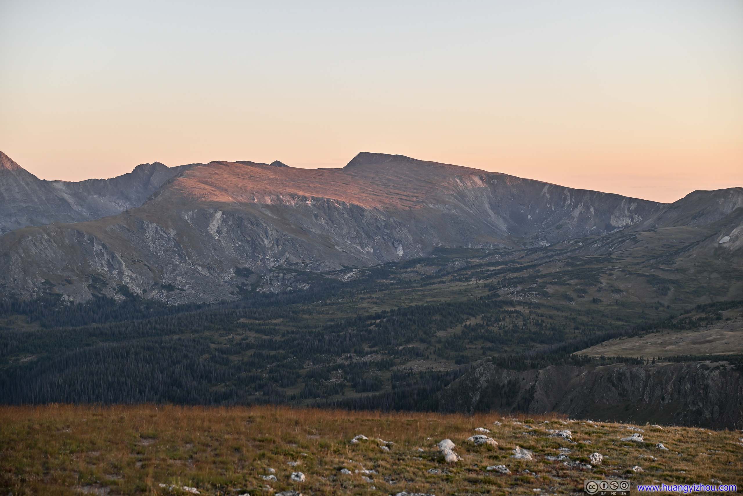
 Mountains across Forest Canyon
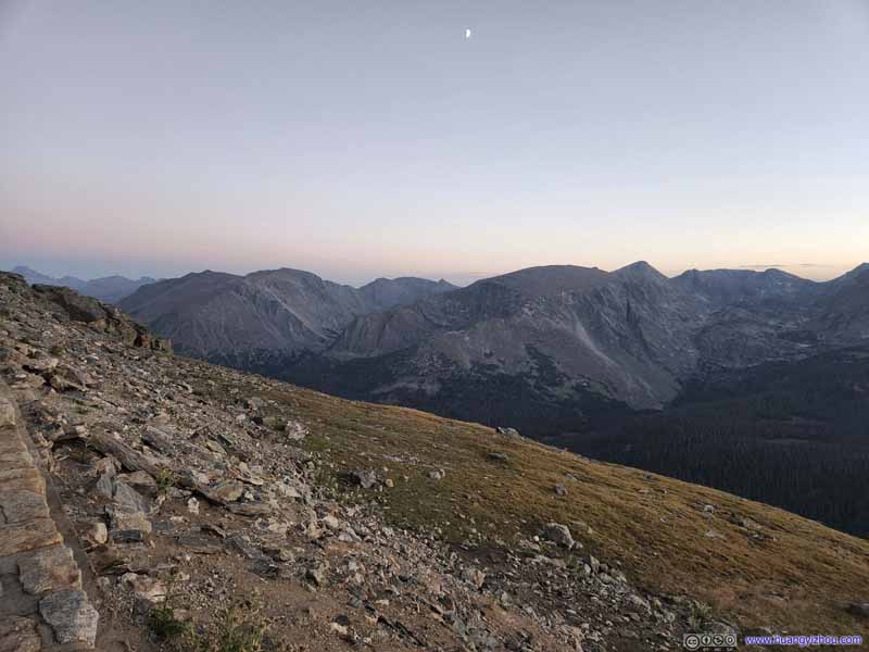 Mountains across Forest Canyon
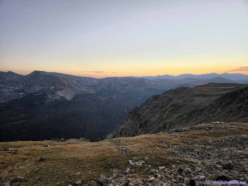 Mountains across Forest Canyon
 Mountains across Forest CanyonSprague Mountain and Hayden Spire
 Stones Peak
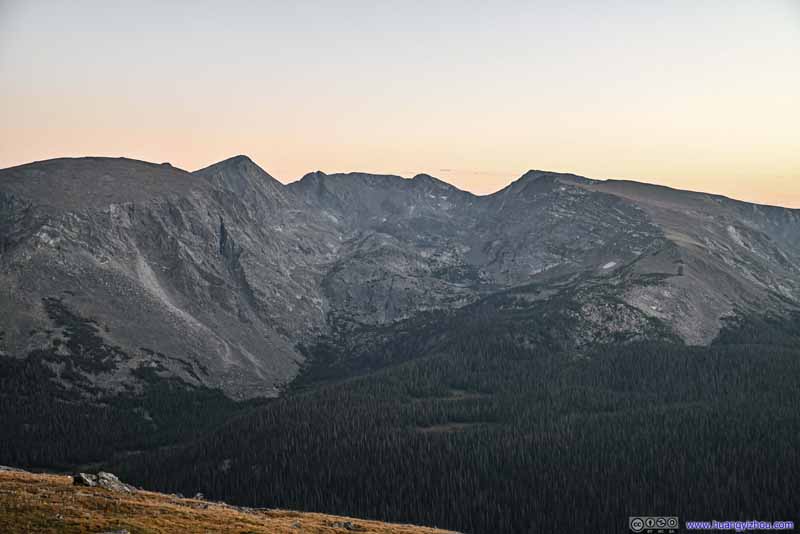 Mountains across Forest CanyonMount Julian, Cracktop, Chief Cheley Peak and Mount Ida
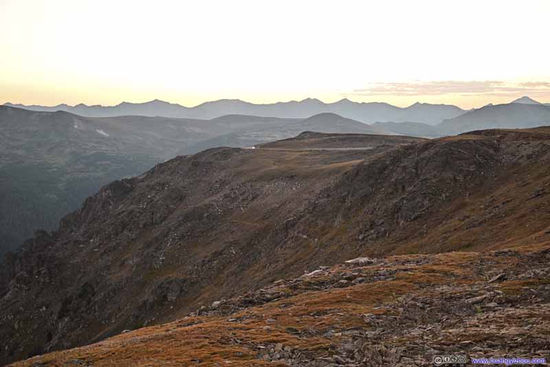 Trail Ridge Road to the West
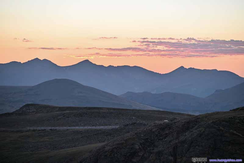 Mountains to the WestStill wearing sunset colors.

Click here to display photos of the slideshow
Mountains across Forest Canyon

Mountains across Forest Canyon

Mountains across Forest Canyon
Mountains across Forest CanyonSprague Mountain and Hayden Spire
Stones Peak

Mountains across Forest CanyonMount Julian, Cracktop, Chief Cheley Peak and Mount Ida

Trail Ridge Road to the West
Mountains to the WestStill wearing sunset colors.
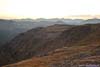
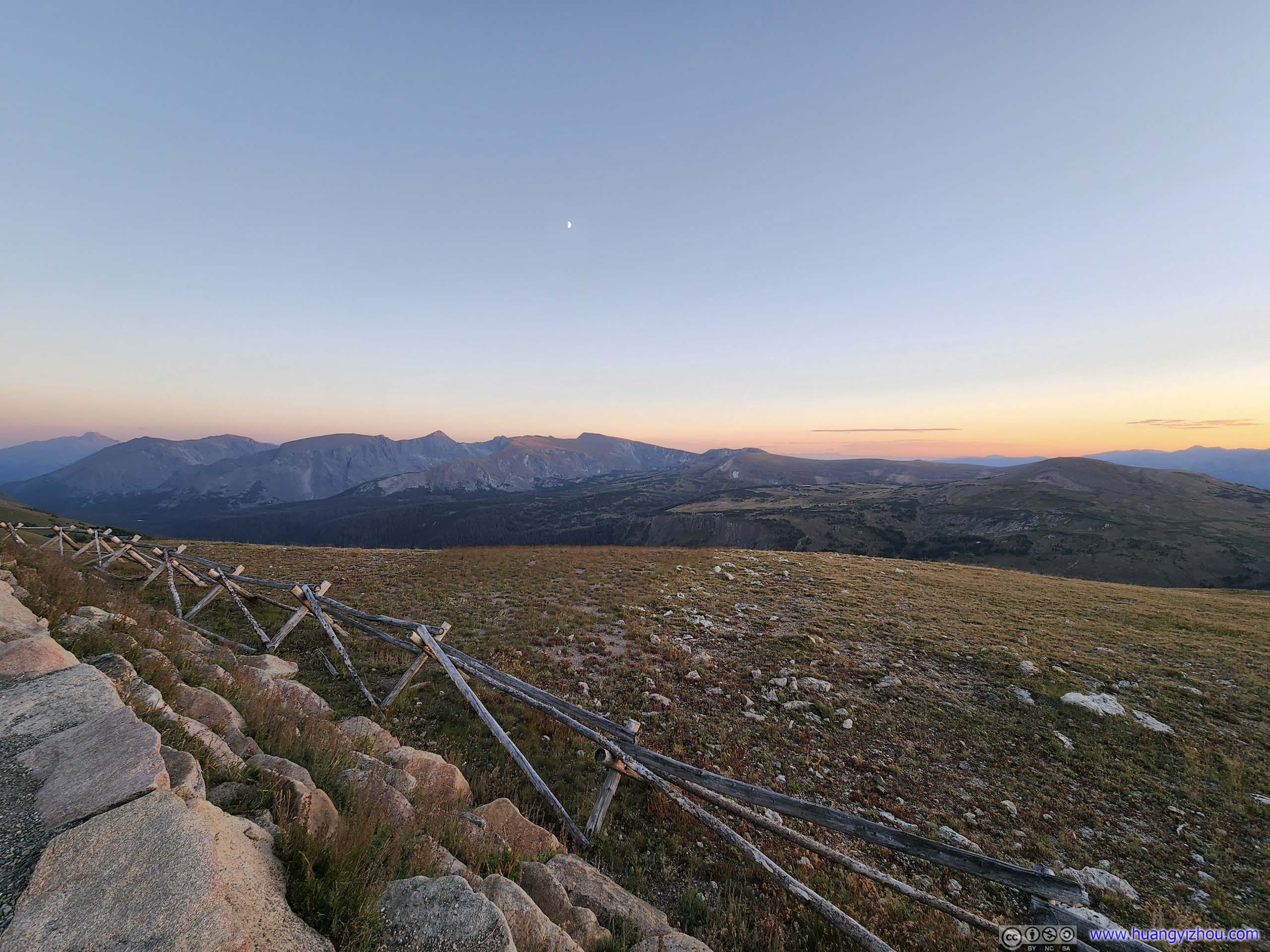
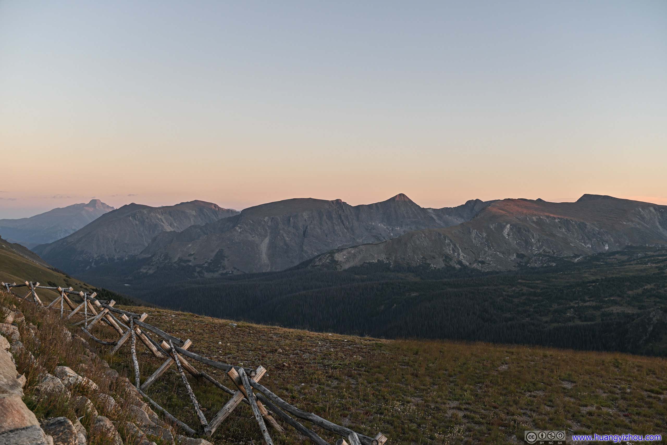
View from Tundra Overlook at Dusk
After that, we headed further west along Trail Ridge Road. Originally, we planned to head all the way to Milner Pass / Continental Divide and then back. We were running late so we decided to only make it to the Alpine Visitor Center.
Alpine Ridge
Alpine Visitor Center featured a cafe and some exhibits, but we only reached there at 6:50pm, long past their closing time.
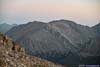
Next to the parking lot, there’s a 1km out-and-back trail leading up the ridge to a vista. The trail was paved with stairs, so we decided to check it out.
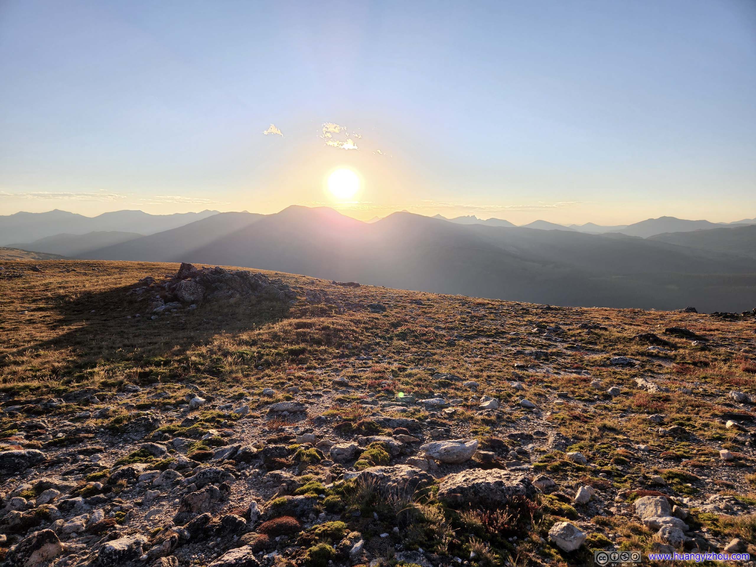
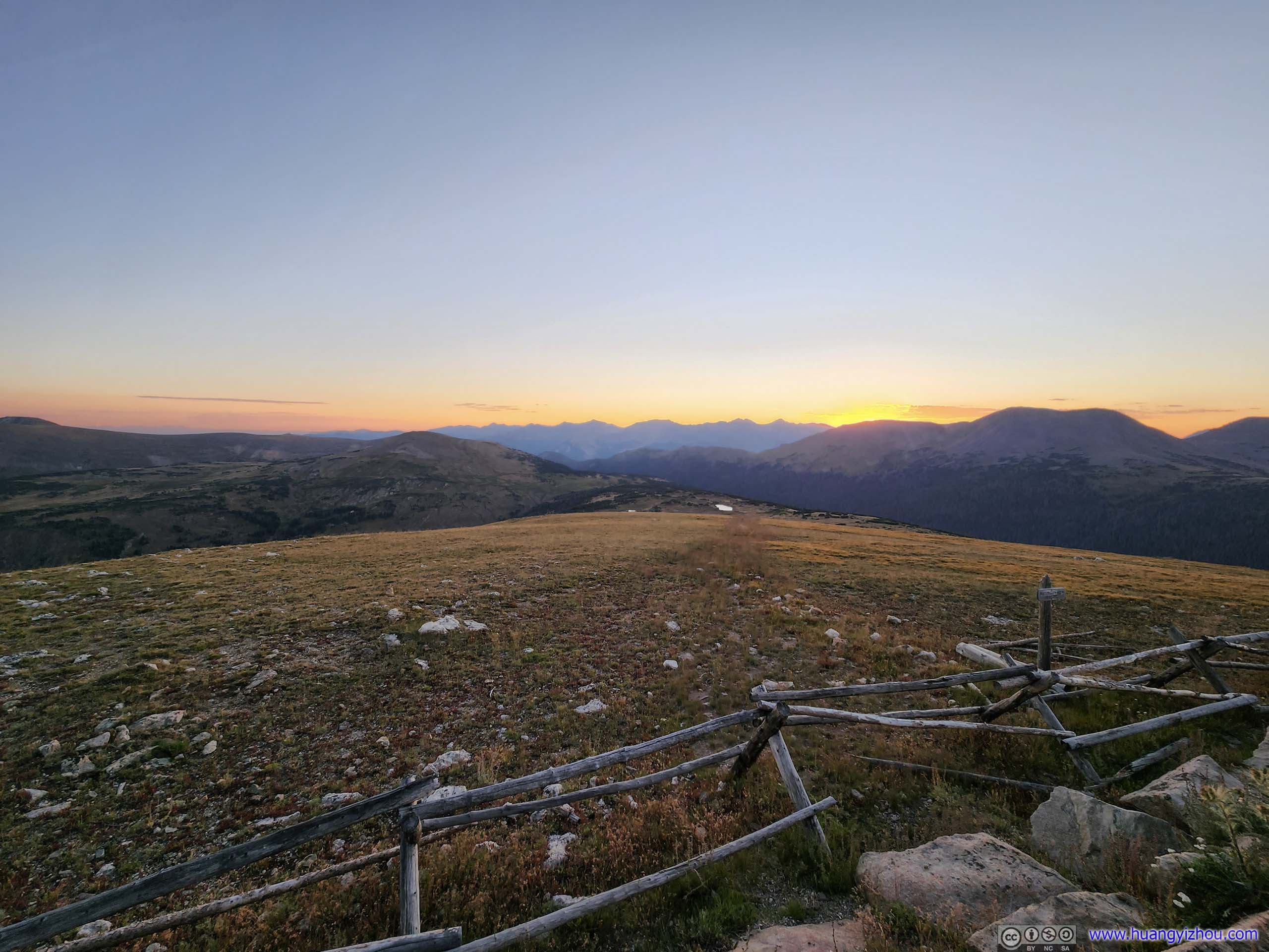
 Setting Sun
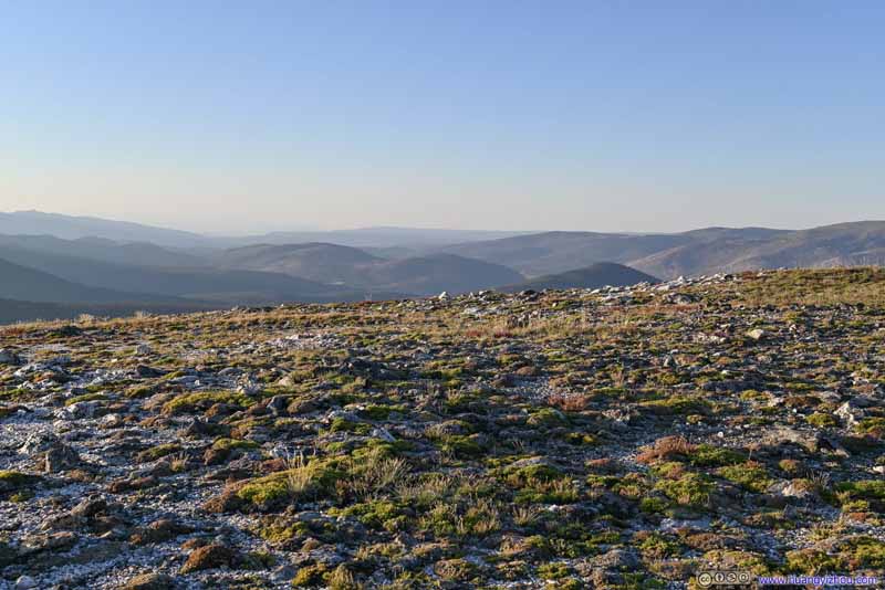 Tundra
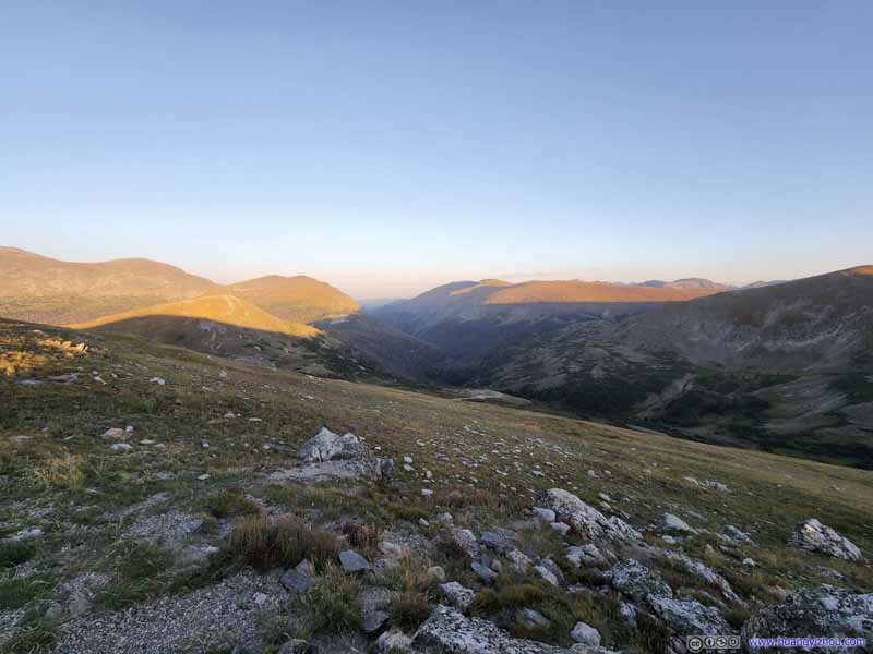 Valley
Where Fall River Road traveled through. The setting sun was casting golden colors on the mountain tops.
Valley
Where Fall River Road traveled through. The setting sun was casting golden colors on the mountain tops. Trail Ridge Road
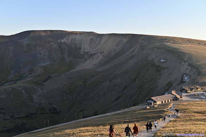 Alpine Ridge Trail
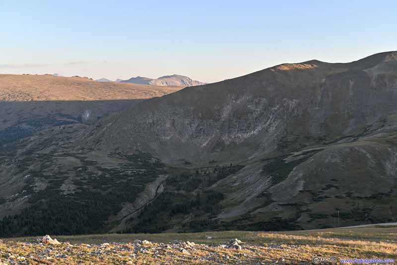 Mountains

Click here to display photos from Alpine Ridge.
Setting Sun
Tundra

Valley
Trail Ridge Road
Alpine Ridge Trail
Mountains
While I certainly liked the views here compared with earlier at Tundra Community Trail (the warmer colors from lower angles of the sun certainly helped), the views were still not as exciting as the various mountains across Forest Canyon. In addition, the wind was very strong at Alpine Ridge, and it’s getting cold at dusk. So we didn’t stay here for long before retreating to our car.
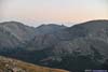
View from Alpine Ridge towards the East
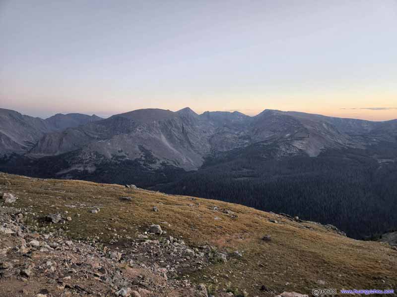
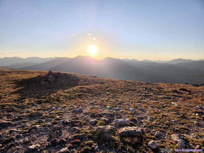
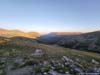
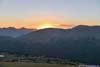
After that, it’s almost time for sunset. We met some people at the top of Aline Ridge waiting for sunset, but with strong winds we preferred to wait in the comfort of a car. With that in mind, we drove back to Gore Range Overlook, and waited for the sunset.
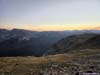
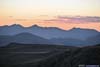
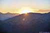
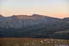
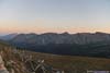
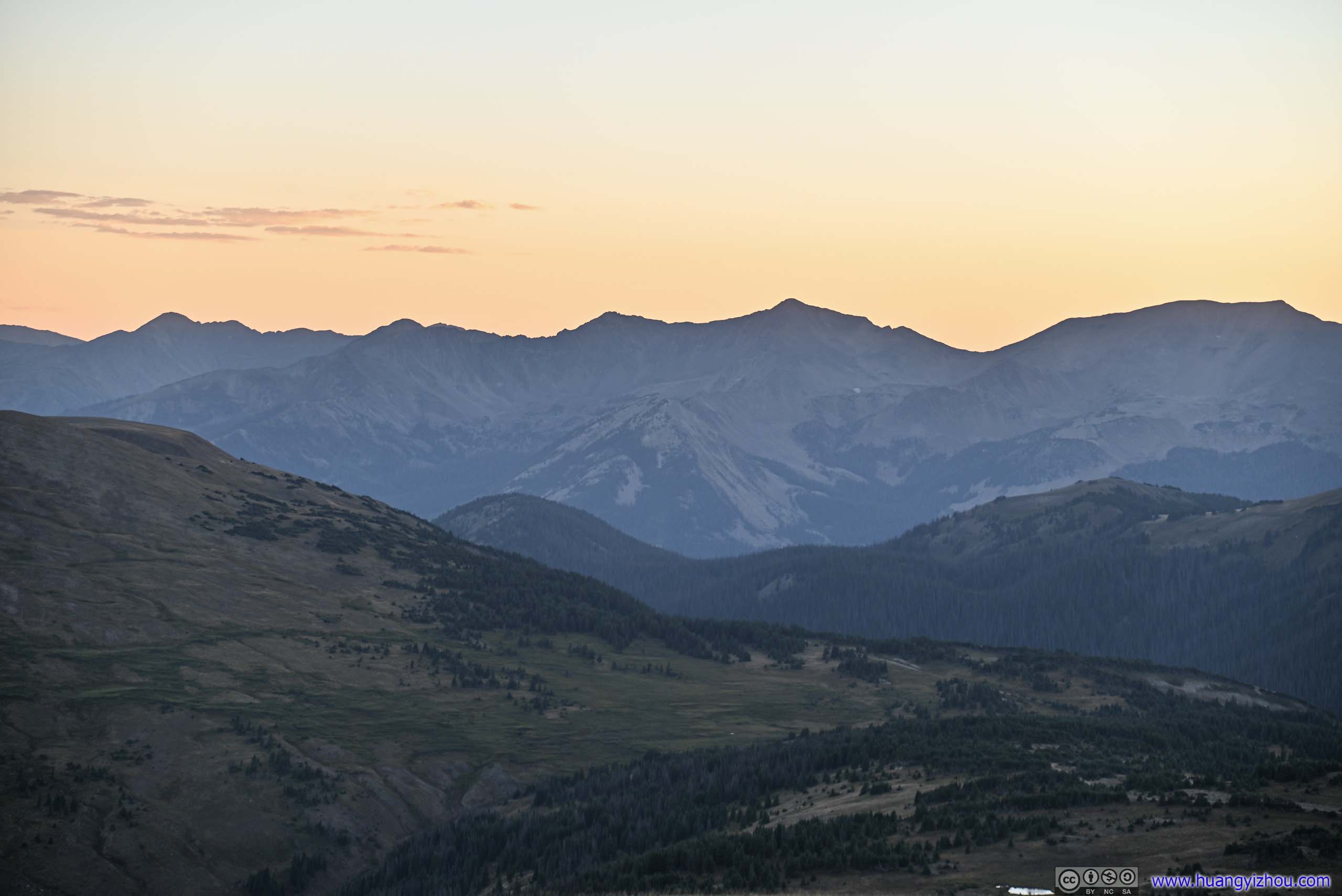
Gore Range Overlook
One of the few overlooks along Trail Ridge Road facing west, a perfect place for us to watch sunset. The Gore Range Mountains were actually located to the west of Silverthorne and Frisco, about 60 miles away.
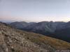
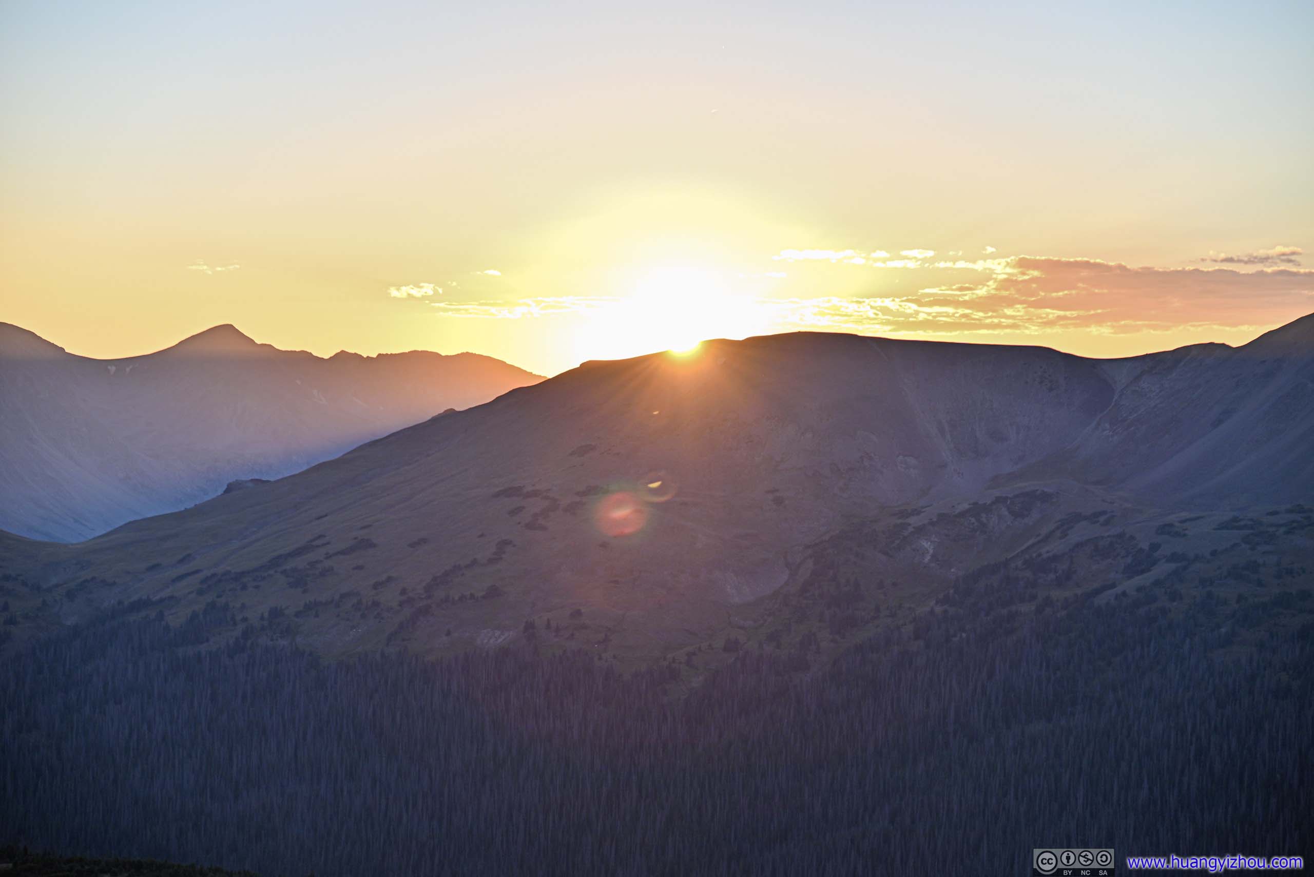
 Sunset
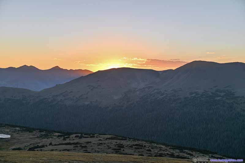 Sunset
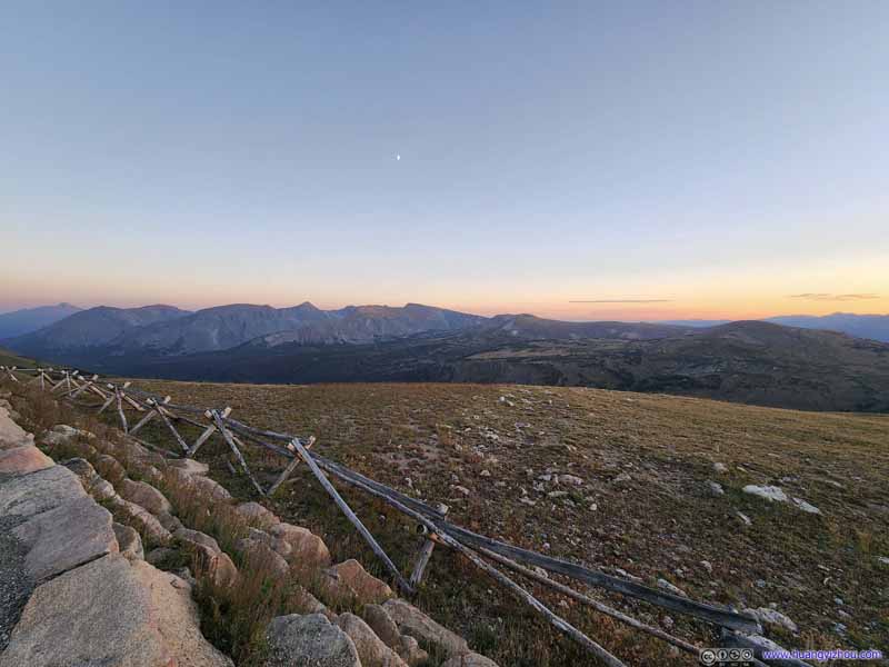 Mountains
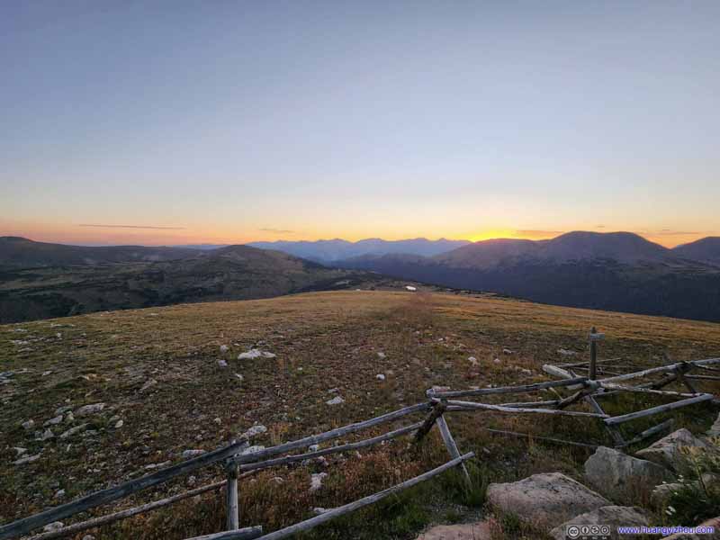 Mountains
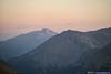
 Distant Longs Peak
 Mount Ida
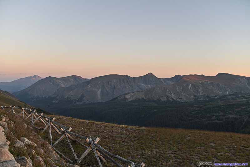 Mountains to the East
 Mountains to the WestBaker Mountain, Mount Stratus, Mount Nimbus and Mount Cumulus
 Distant Gore Range MountainsNear the towns of Frisco and Silverthorne.

Click here to display photos of the from Gore Range Overlook.
Sunset
Sunset
Mountains
Mountains
Distant Longs Peak
Mount Ida
Mountains to the East
Mountains to the WestBaker Mountain, Mount Stratus, Mount Nimbus and Mount Cumulus
Distant Gore Range MountainsNear the towns of Frisco and Silverthorne.
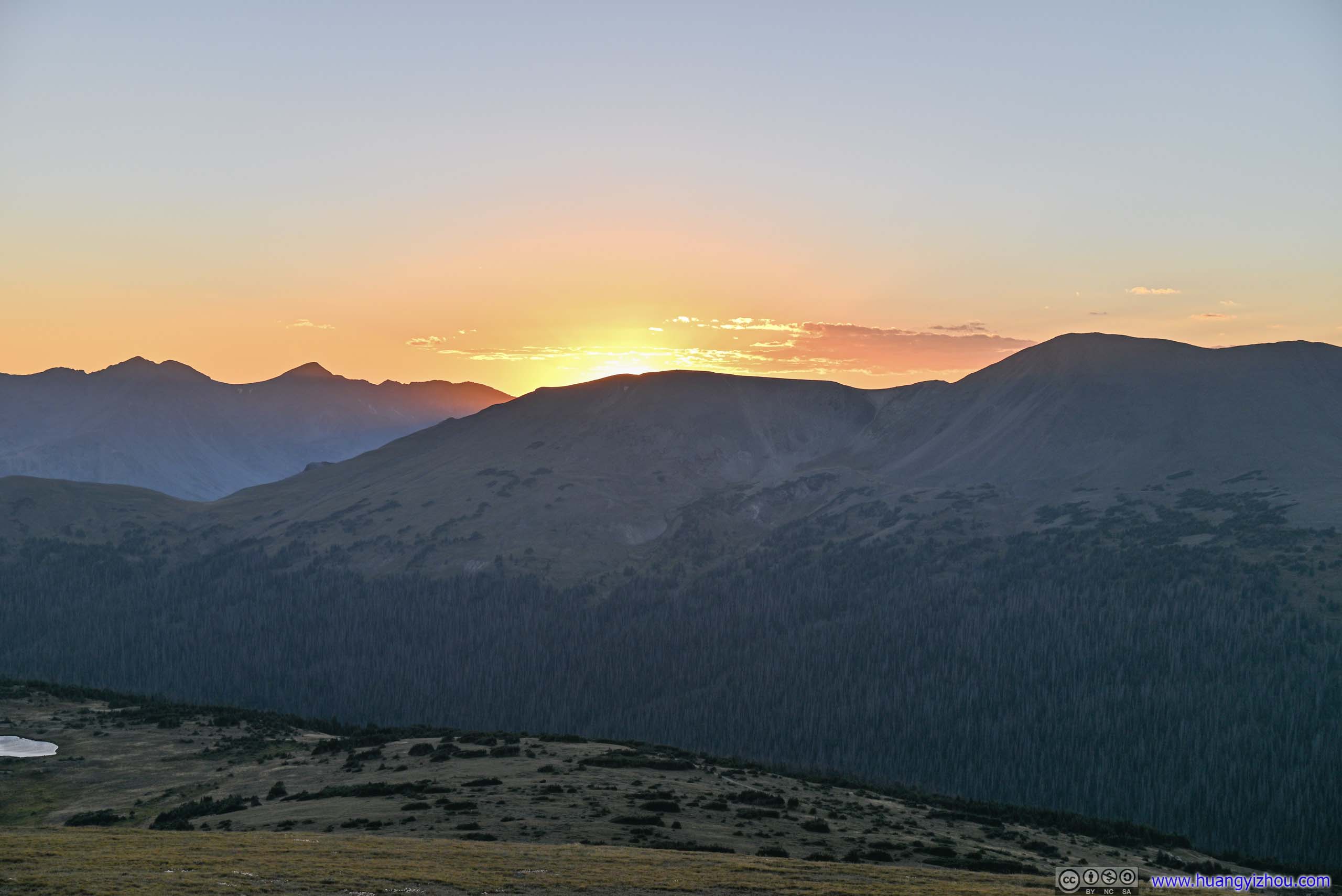
View from Gore Range Overlook at Dusk
After that and on our way back, we stopped again at Tundra Community Trailhead and Forest Canyon Overlook. This time, the mountains emerged from the shadows into twilight, and we could finally appreciate their elegance. After that, we drove back to our hotel in Longmont, concluding this long day.
END
![]() Day 7 of 2022 Colorado Trip, Rocky Mountain National Park by Huang's Site is licensed under a Creative Commons Attribution-NonCommercial-ShareAlike 4.0 International License.
Day 7 of 2022 Colorado Trip, Rocky Mountain National Park by Huang's Site is licensed under a Creative Commons Attribution-NonCommercial-ShareAlike 4.0 International License.