
Updated on December 27, 2023
October 2022 Foliage, South Blue Ridge Parkway to Asheville
Third day of my road trip to the south Blue Ridge Mountains. I would be leaving the Great Smoky Mountains today, taking the scenic Blue Ridge Parkway towards Asheville.

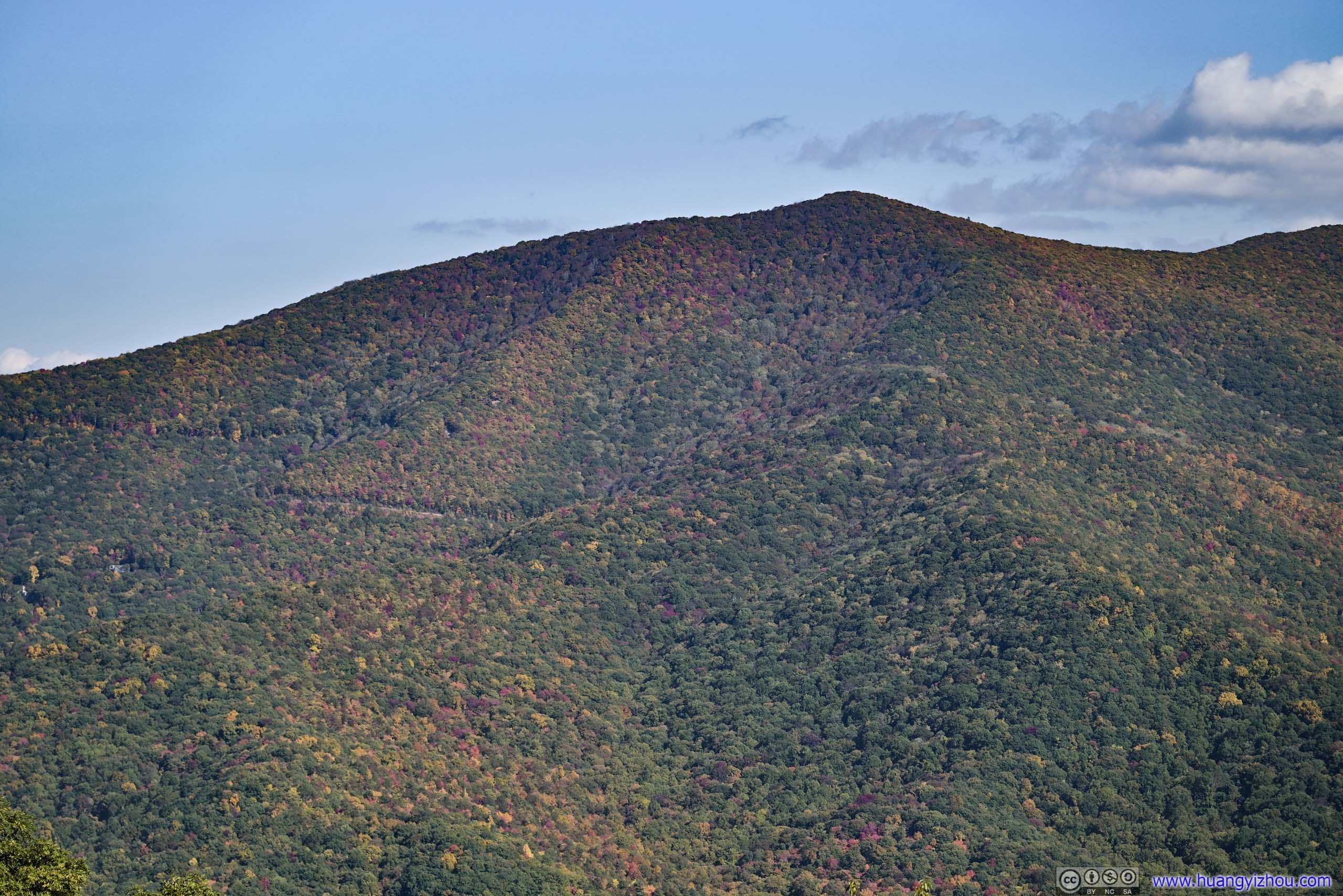
Fields in Autumn Colors
After spending two fulfilling days in Great Smoky Mountains National Park, I would start my journey back home today. I had always wanted to take the driving tour of Blue Ridge Parkway, whose southern terminus is just to the east of the national park, so that’s my way home. For my trip to Grayson Highlands back in May, I took the Blue Ridge Parkway back from Fancy Gap, so this time I planned to reach Fancy Gap by next afternoon, after which I would take the interstate back home around Washington DC as I had to be back by tomorrow’s end. With that, I planned to spend this night around Asheville (and I ended up in the town of Marion, NC). It turned out that I had two very packed days ahead of me.
After a long hike the previous day, I took a good night’s rest, and only checked out of the hotel in Pigeon Forge at 9:30am. First, I would drive through Great Smoky Mountains National Park to reach the start of Blue Ridge Parkway.
Great Smoky Mountains National Park
Here’s a timelapse video of me driving through the national park, captured by a windshield-mounted GoPro.
- 0:00 Starting near Sugarlands Visitor Center
- 2:31 Ben Morton Overlook
- 3:23 Charles A Webb Overlook
- 3:33 An unnamed overlook, with arguably the best views of the day
- 5:24 Driving past Oconaluftee Visitor Center
- The remainder of the video follows Big Cove Road to the parking lot of Mingo Falls.
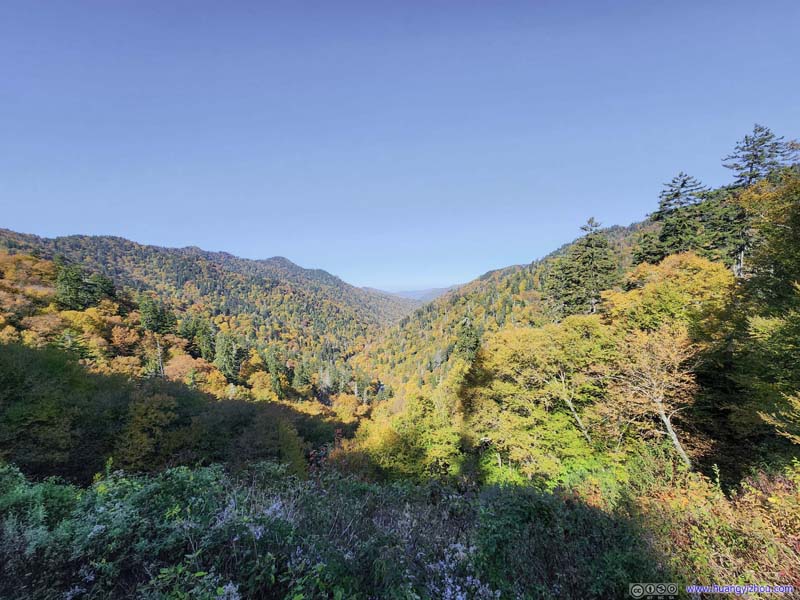
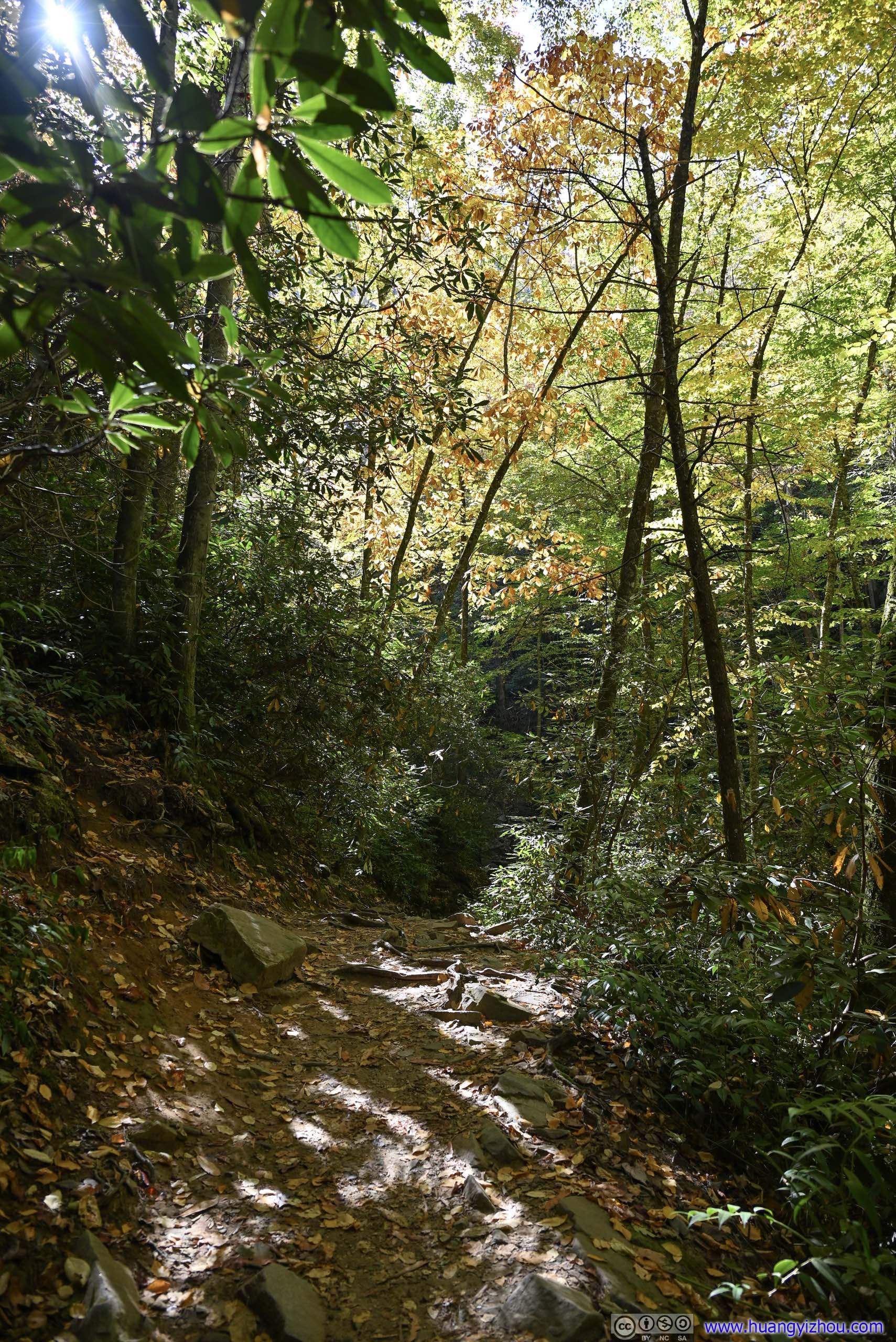
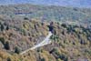
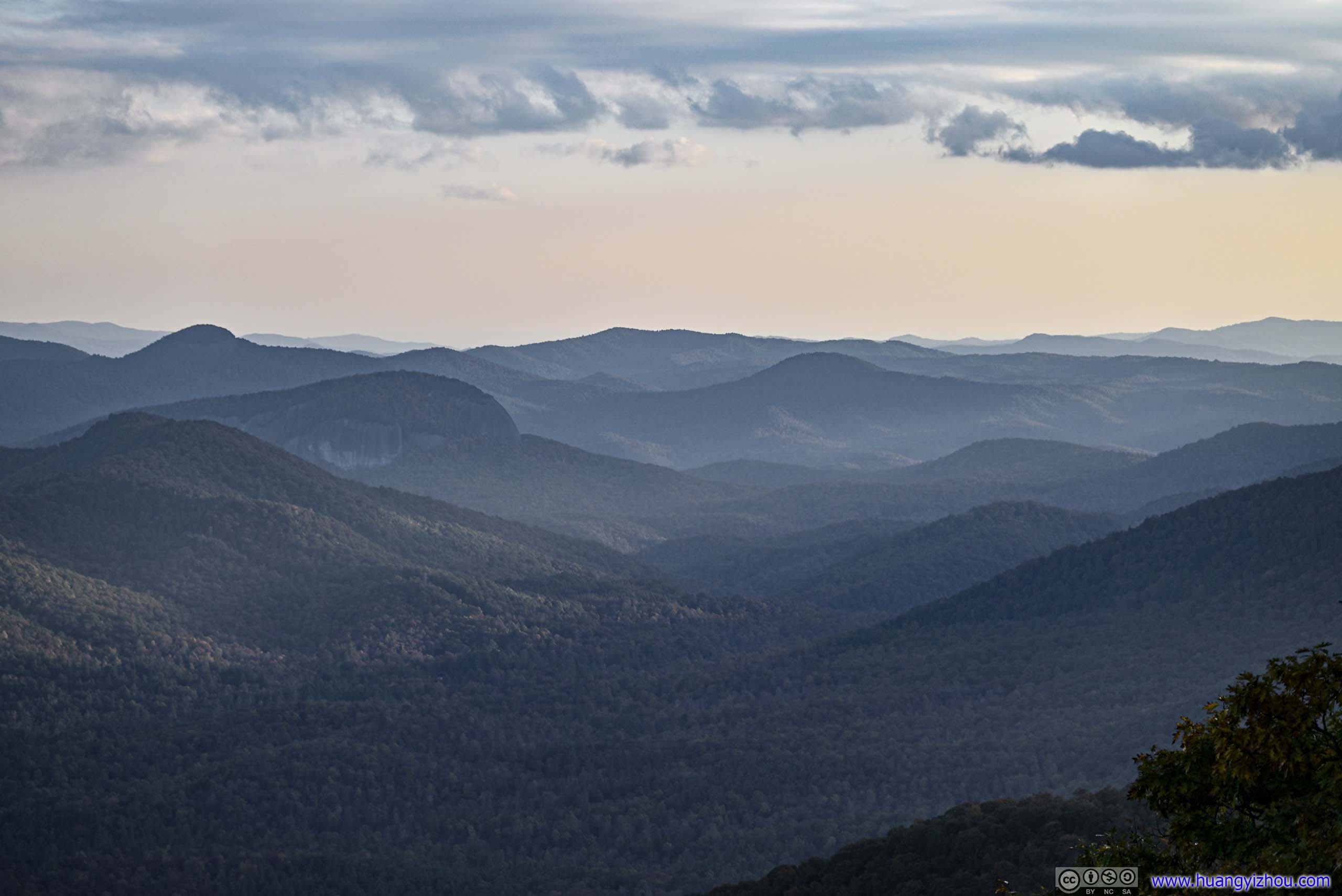
It’s a Monday and the traffic was noticeably lighter in the park, and the autumn colors were always stunning. I made a stop at Morton Overlook for a last look at Tennessee before I crossed into North Carolina.
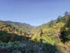
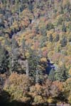
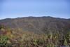
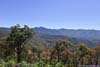
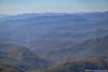
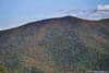
 Mountains
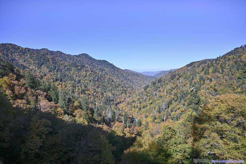 MountainsA valley between the mountain where the park road made its way up.
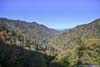
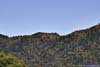
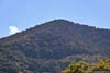
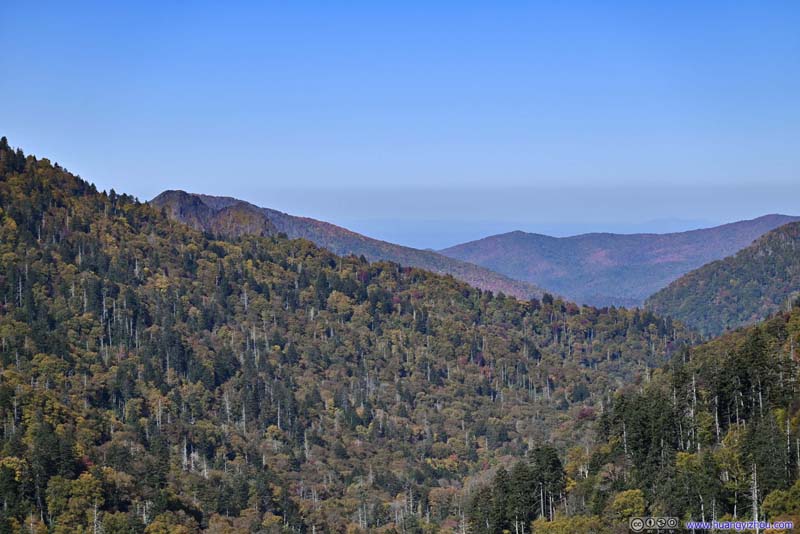 Distant MountainsChimney Tops clearly visible in the left background.
 MountainsAlong the road further up the mountain.
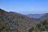
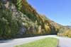
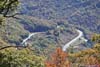
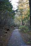
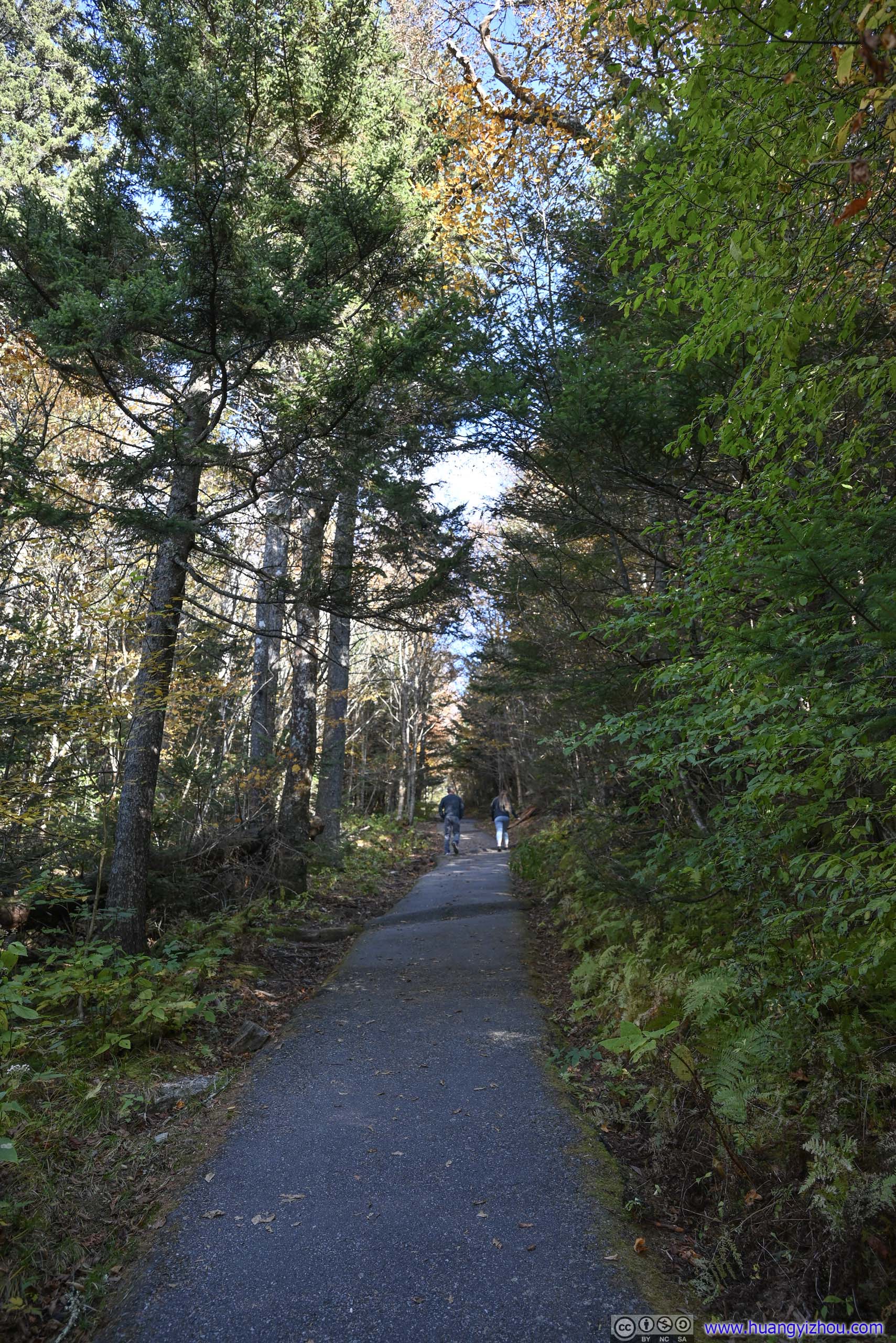
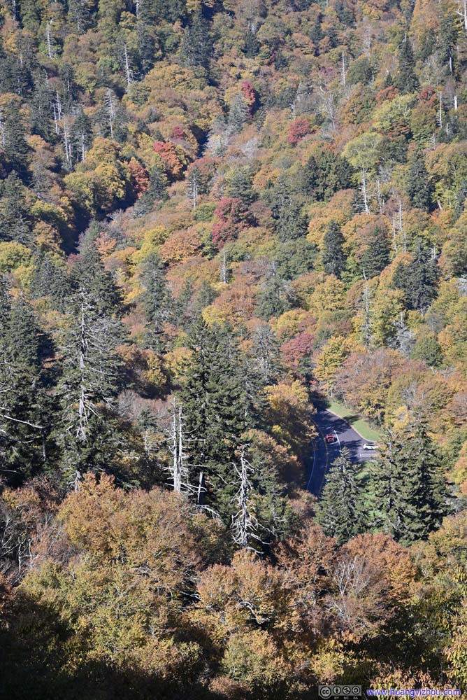 Overlooking Park Road in Forest
Click here to display photos from Morton Overlook.

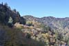
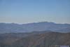
Mountains

MountainsA valley between the mountain where the park road made its way up.

Distant MountainsChimney Tops clearly visible in the left background.

MountainsAlong the road further up the mountain.

Overlooking Park Road in Forest
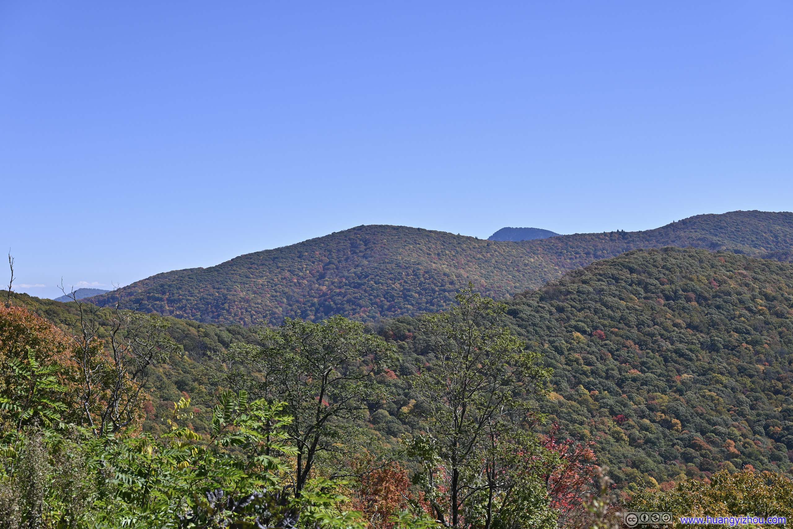
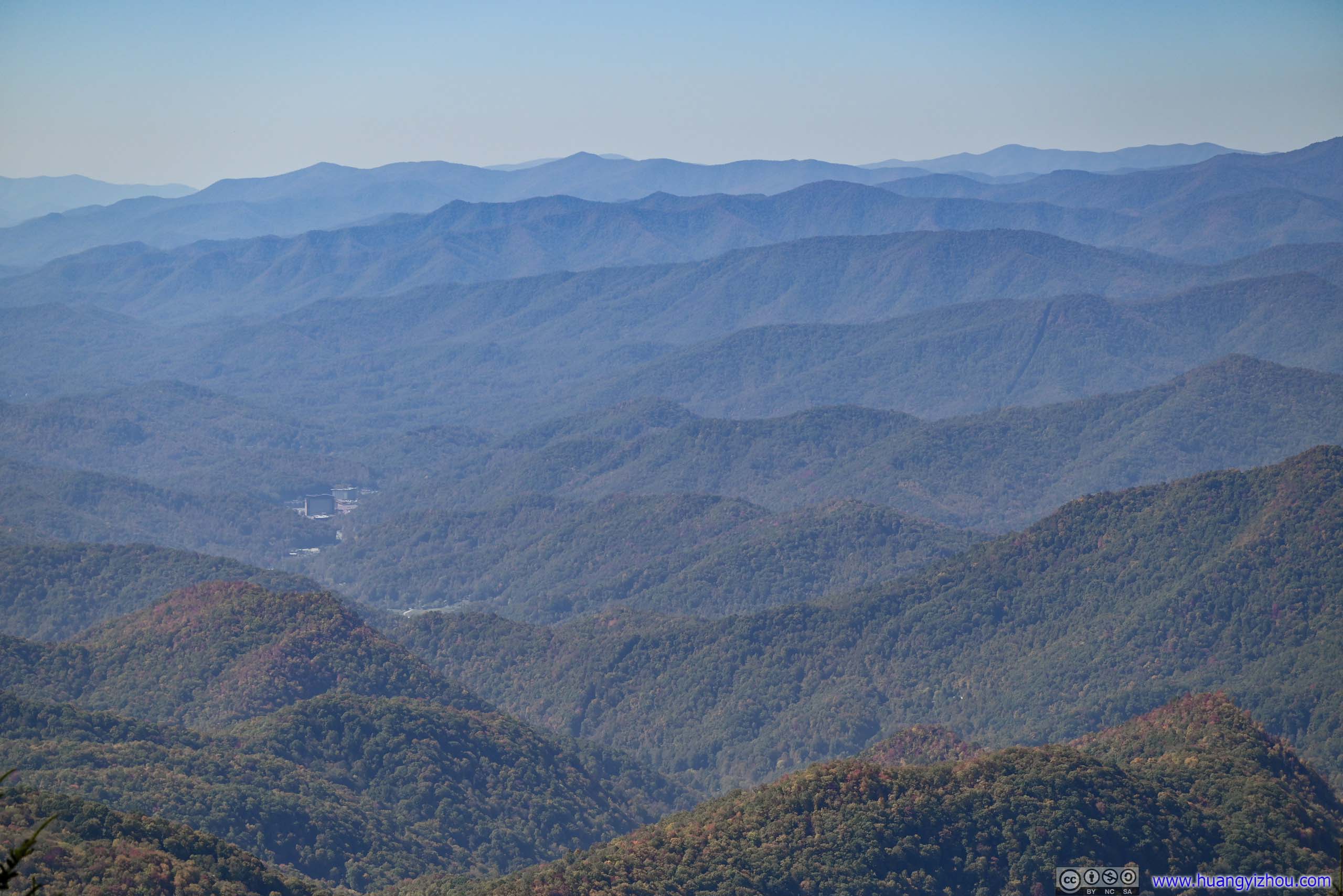
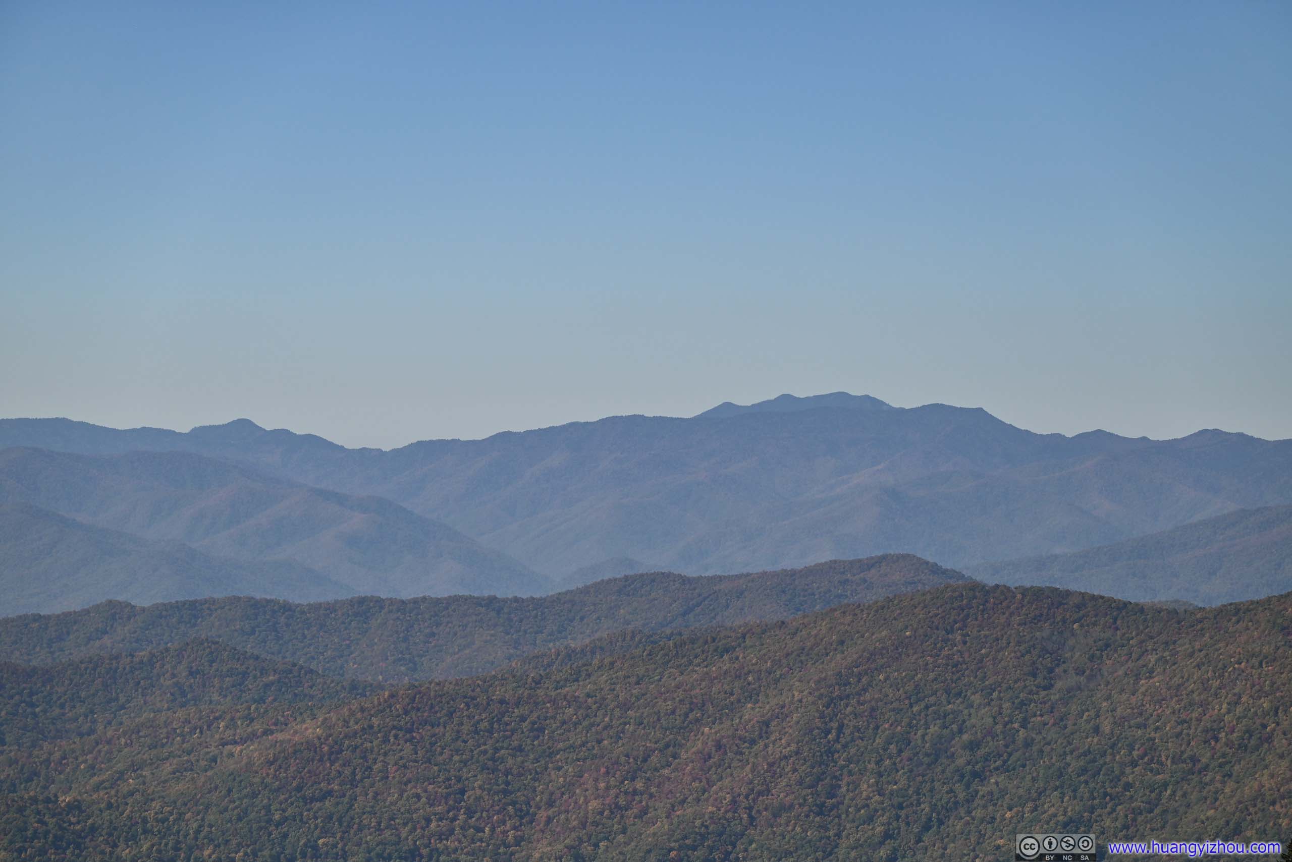
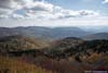
Apart from Newfound Gap and Clingmans Dome, I believed the best overlooks of Great Smoky Mountains National Park were located in North Carolina, by which I nominated Deep Creek Valley overlooks. Unfortunately, their parking was full by the time I drove past them, so I stopped at Charles A Webb Overlook, where views weren’t as great as Deep Creek Valley Overlook, and an unnamed one after the park road turned around through Thomas Ridge, with the last great views in the park.
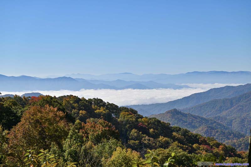 Distant MountainsFrom Charles A Webb Overlook. A rolling sea of clouds living up to the name of great smoky.
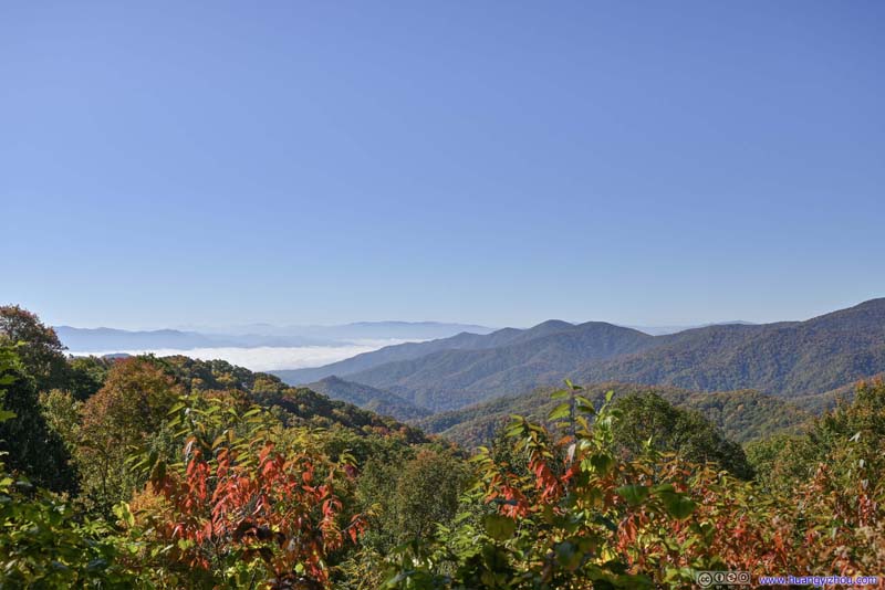 Distant MountainsFrom Charles A Webb Overlook. A rolling sea of clouds living up to the name of great smoky.
 Clingmans DomeFrom Charles A Webb Overlook. Parking lot in the left, the observation tower in the center right.
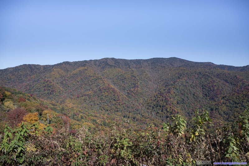 MountainFrom the unnamed turnout around the corner.
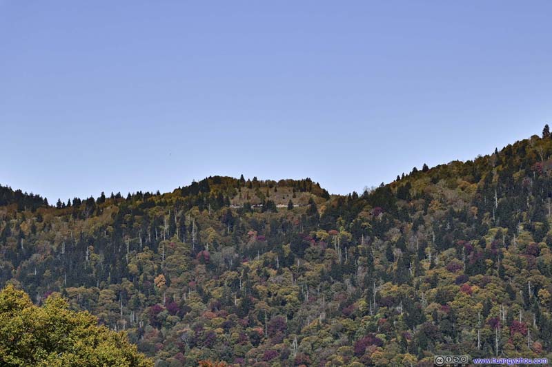 Newfound GapFrom the unnamed turnout around the corner.
 Park RoadFrom the unnamed turnout around the corner.
Click here to display photos from the overlooks.

Distant MountainsFrom Charles A Webb Overlook. A rolling sea of clouds living up to the name of great smoky.

Distant MountainsFrom Charles A Webb Overlook. A rolling sea of clouds living up to the name of great smoky.
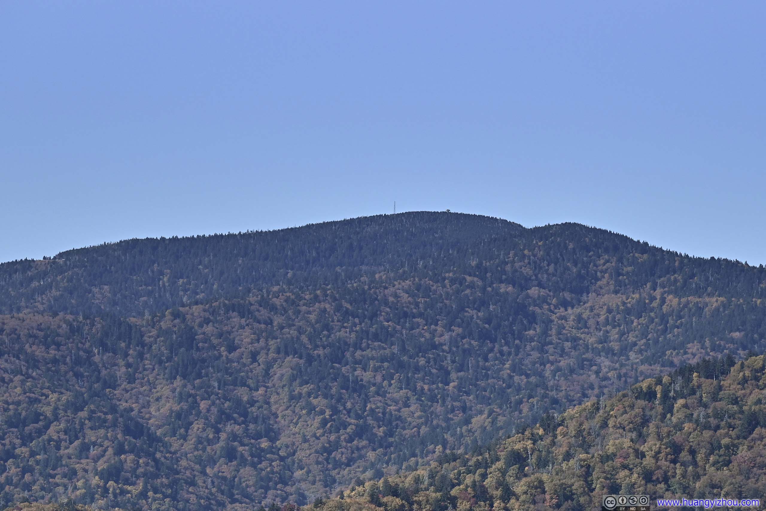
Clingmans DomeFrom Charles A Webb Overlook. Parking lot in the left, the observation tower in the center right.
MountainFrom the unnamed turnout around the corner.
Newfound GapFrom the unnamed turnout around the corner.
Park RoadFrom the unnamed turnout around the corner.
View of Great Smoky Mountains
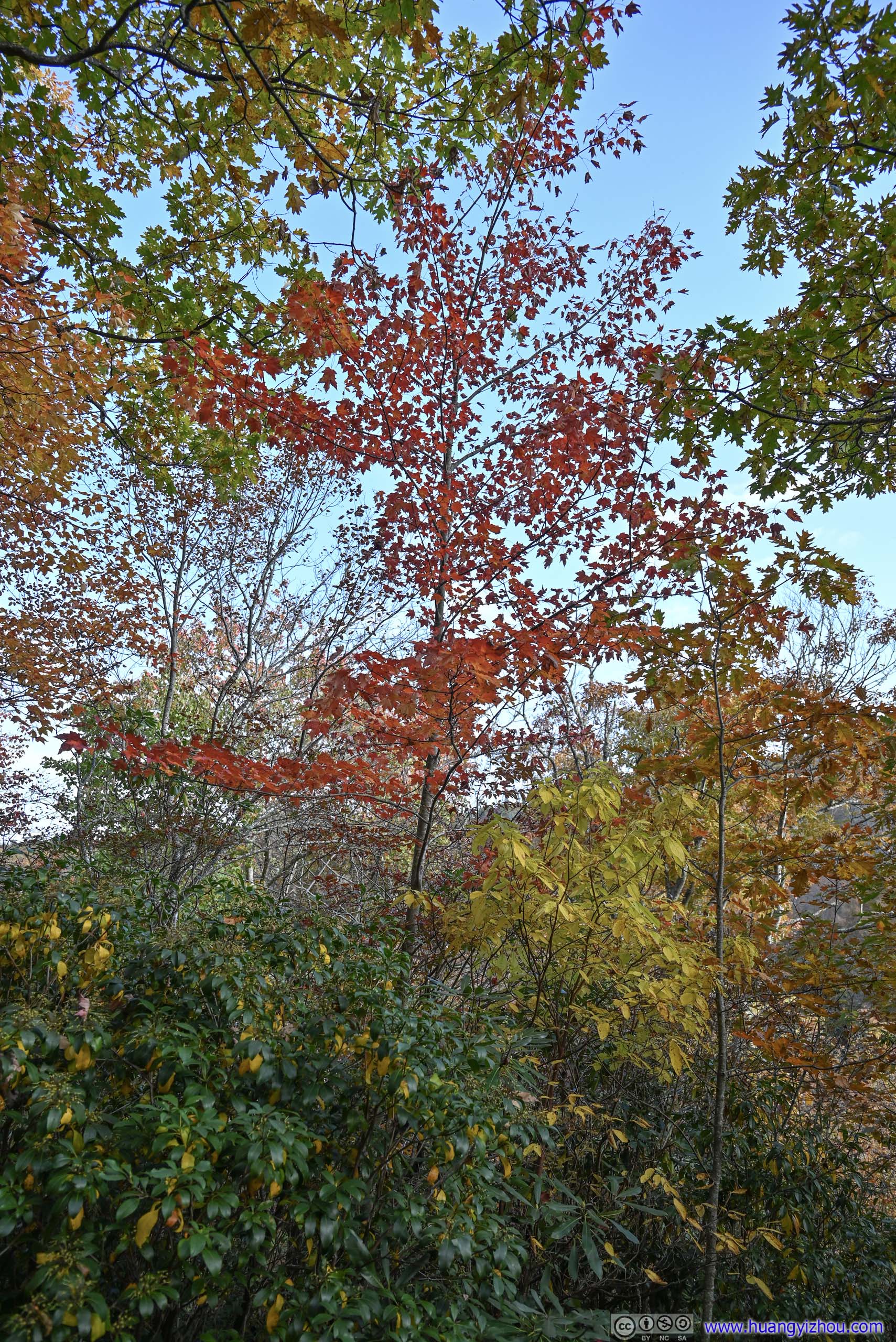
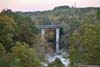
After that, the park road wound its way down the mountain, reaching the town of Cherokee, named for the indigenous tribe. Before heading onto Blue Ridge Parkway, I decided to check out the nearby Mingo Falls.
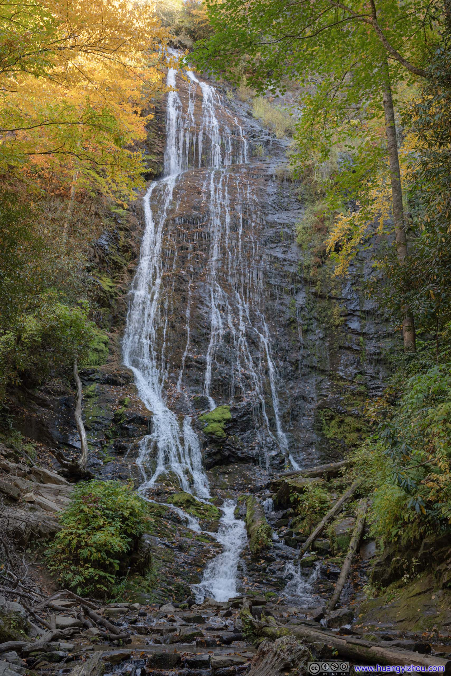
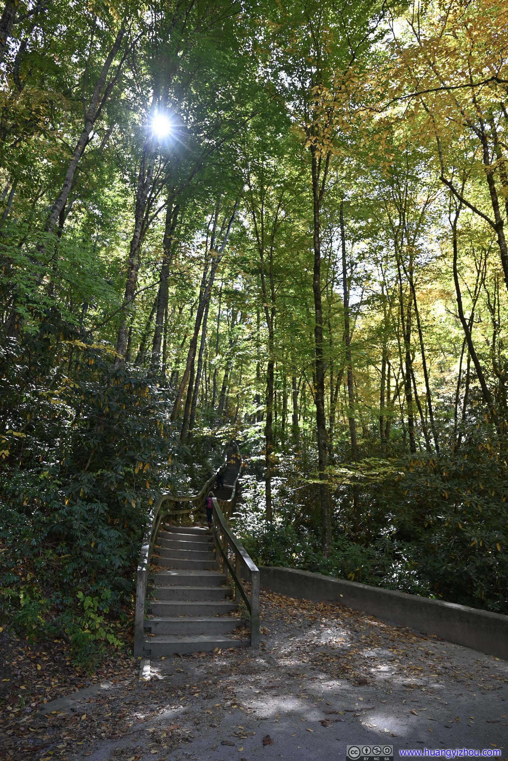
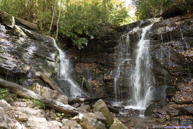
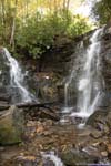
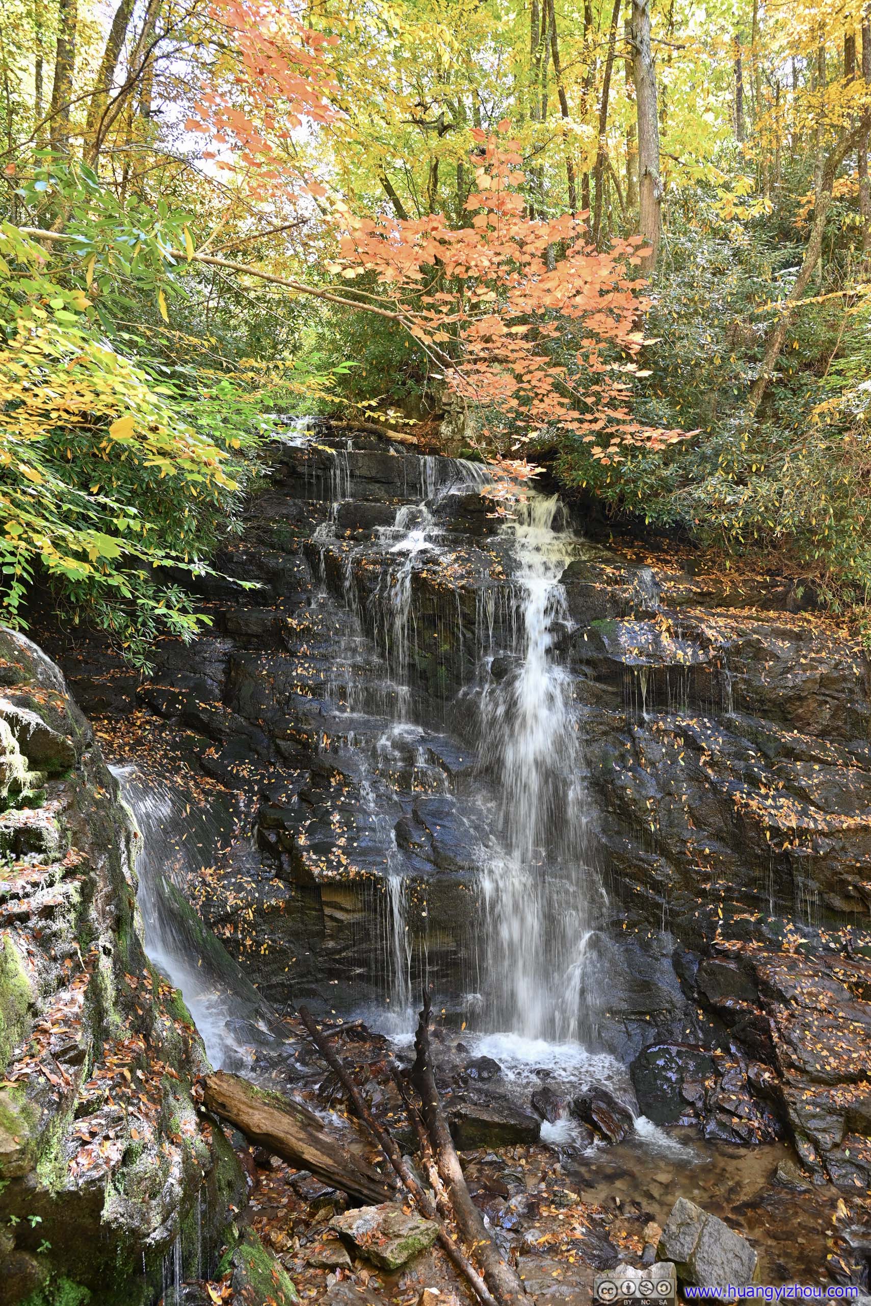
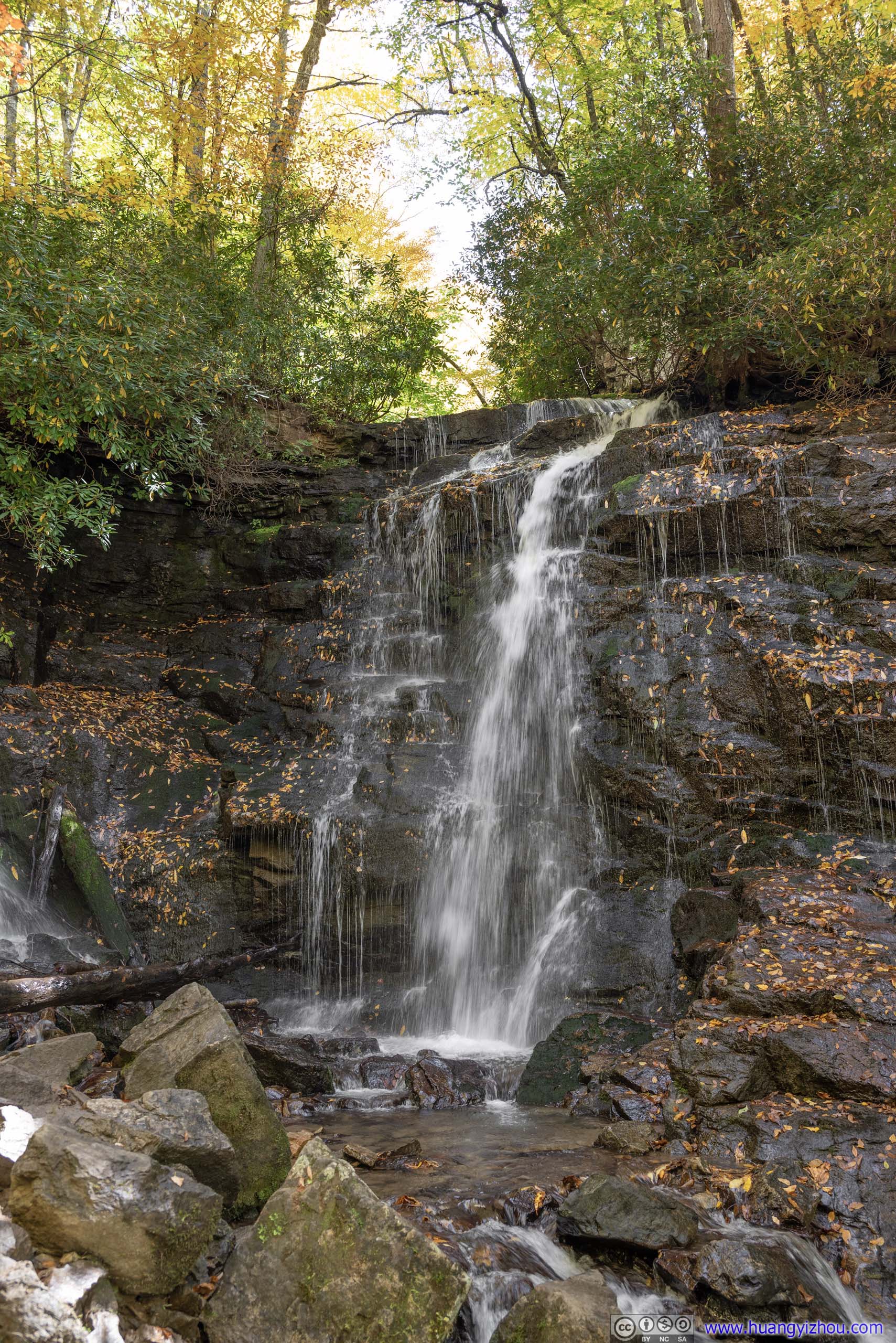
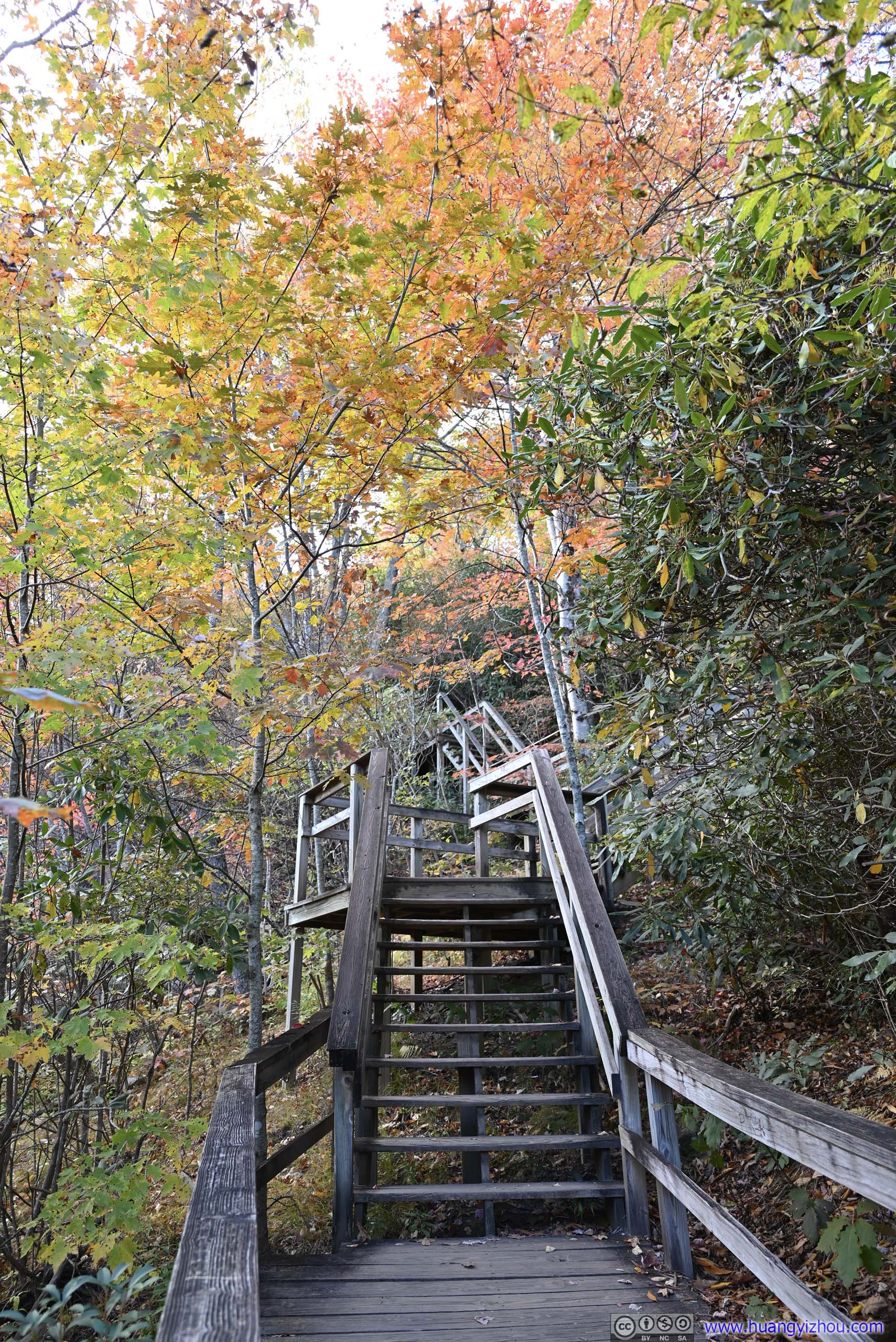
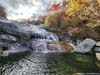
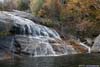
Mingo Falls
This is one of the tallest waterfalls in the southern Appalachian region. It’s located a bit out of the way, about 10 minutes from the parkway. From its parking lot, it’s a short 200m one-way trail to the waterfall, involving many steps (which means, it’s improved and in my opinion, very accessible). The waterfall can be viewed from a footbridge at a distance. Even though the waterflow wasn’t high for the season, the impressive height of Mingo Falls easily made it my favorite waterfall of the day.
 Mingo Falls
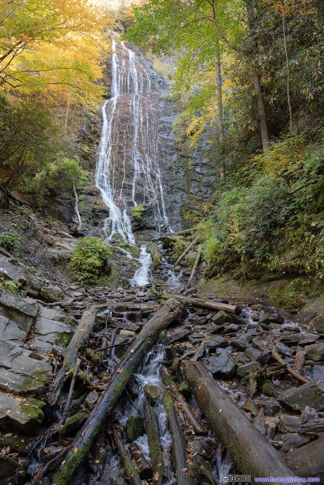 Mingo Falls
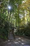
 Trail to Mingo Falls
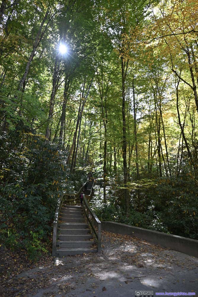 Trail to Mingo Falls

Click here to display photos of the Mingo Falls.
Mingo Falls

Mingo Falls
Trail to Mingo Falls
Trail to Mingo Falls
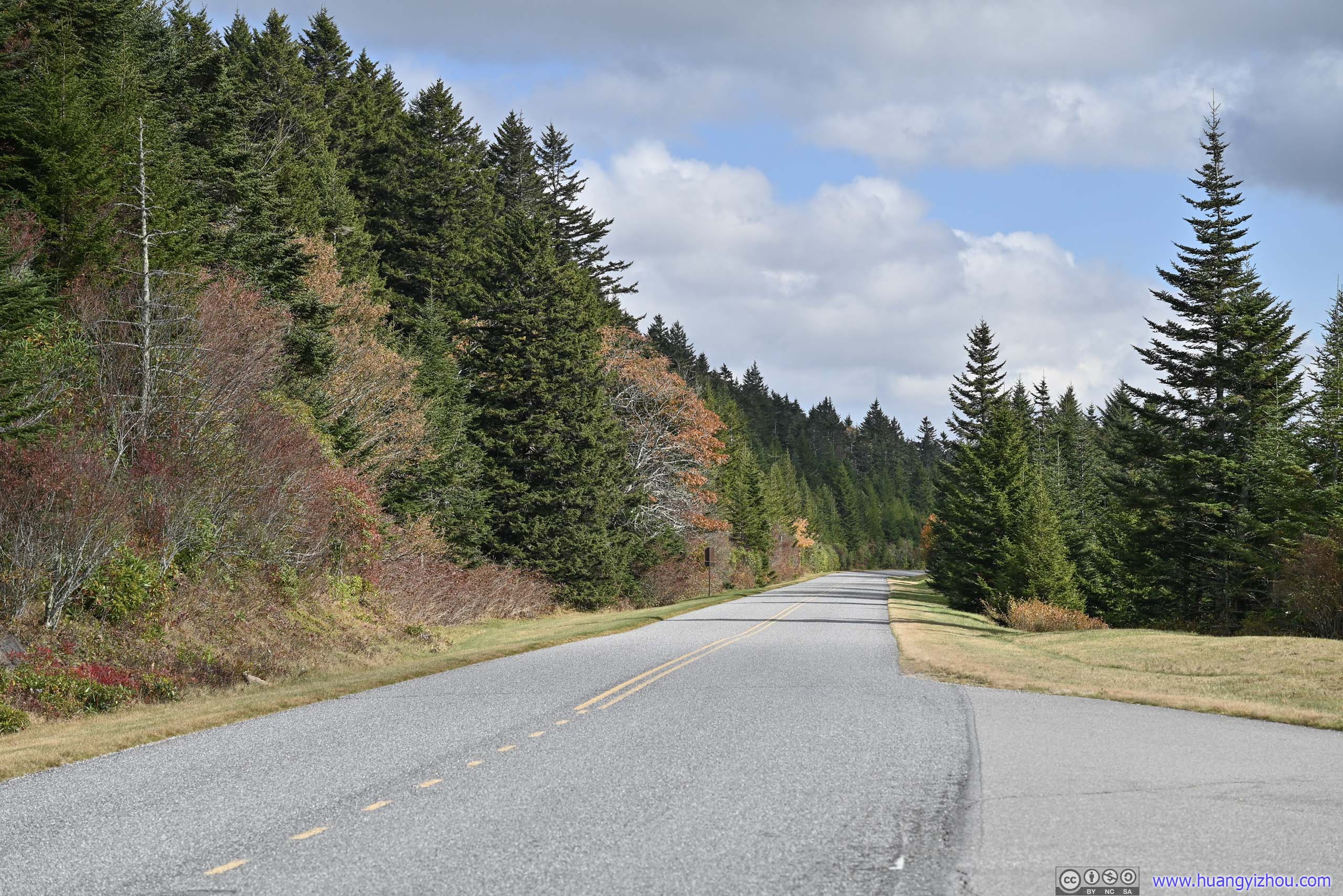
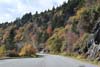
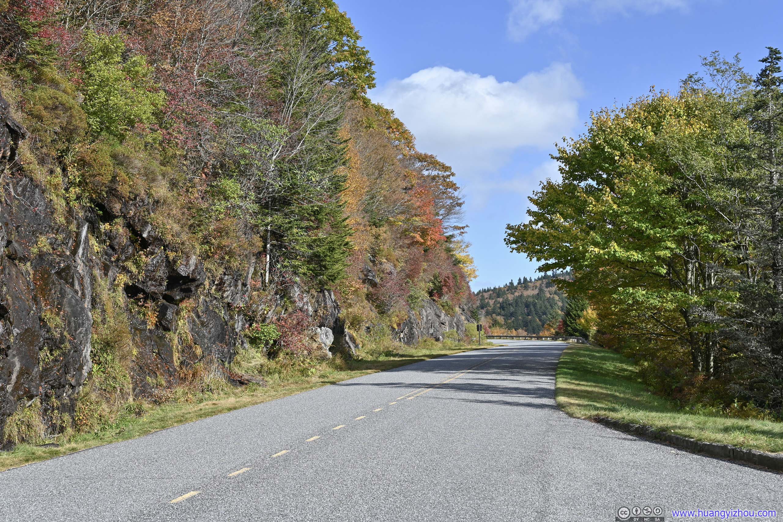
Blue Ridge Parkway
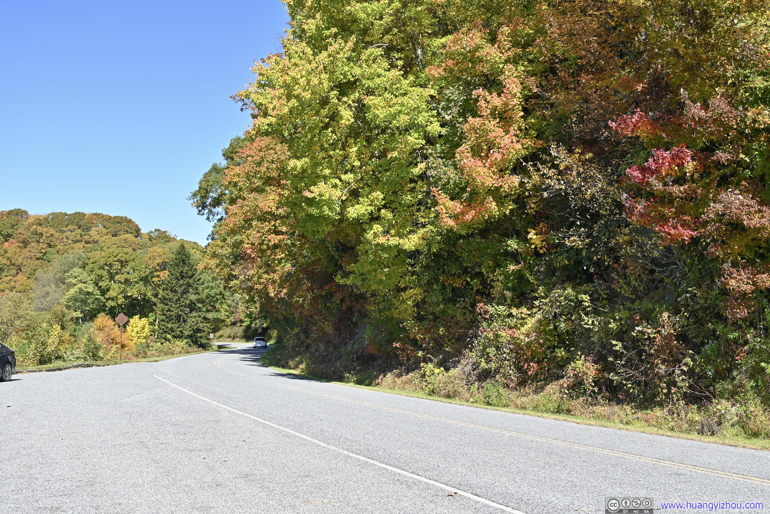
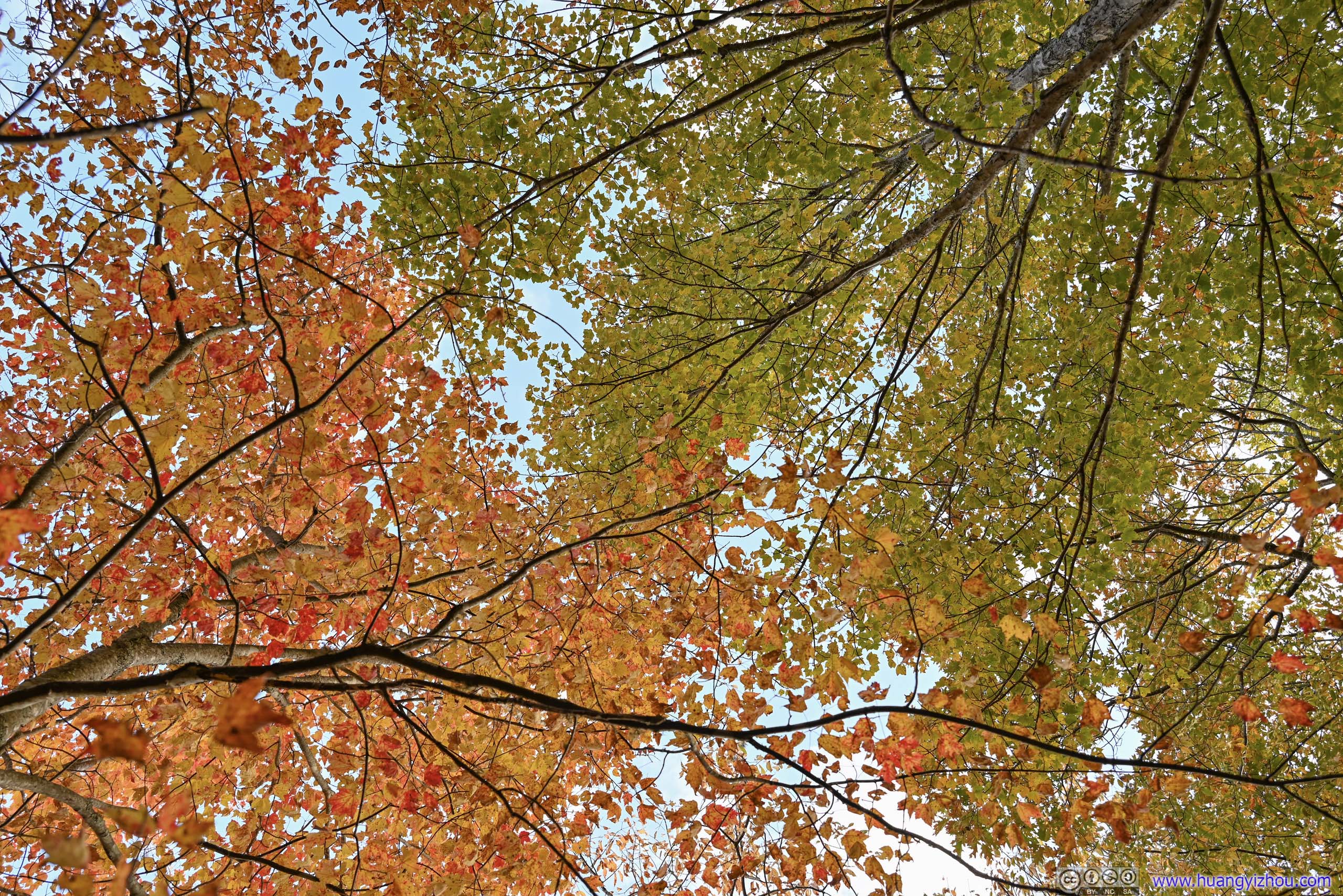
So after the detour to Mingo Falls, it’s 12:30pm by the time I headed onto the Blue Ridge Parkway. Compared with the road through the Great Smoky Mountains, the parkway was much quieter, but in my opinion with better foliage colors covering the full range from green to red. The drive was both relaxing and enjoyable, and I was glad I visited at the best time of the year.
Here’s a timelapse video of the day’s driving along the parkway, captured by a windshield-mounted GoPro.
- 0:00 Entering the parkway from its southern terminus
- 0:17 Raven Fork Overlook
- 2:07 Bunches Bald Overlook
- 2:24 Plott Balsam Overlook
- 2:47 Leaving the parkway at Soco Gap. I decided to take a small detour to visit the nearby Soco Falls.
- 3:08 Resuming at Soco Gap Overlook
- 3:52 Woolyback Overlook
- 4:10 Waterrock Knob Visitor Center
- 4:34 Yellow Face Overlook
- 6:41 Steestachee Bald Overlook
- 8:07 Richland Balsam Overlook. Highest point of Blue Ridge Parkway
- 8:18 Cowee Mountain Overlook. Great views.
- 9:20 Wolf Mountain Overlook
- 9:48 Devil’s Courthouse Parking Lot
- 10:35 Graveyard Fields Parking Lot
- 10:43 East Fork Overlook
- 11:35 Pounding Mill Overlook
- 12:20 Funnel Top Overlook
- 13:41 Wash Creek Valley Overlook
- The video ends at French Broad Overlook, just outside Asheville NC, when it’s getting dark.
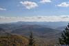
Along the way, I stopped at a few overlooks.
 Mountainsfrom Bunches Bald Overlook, Jenkins Ridge in the foreground.
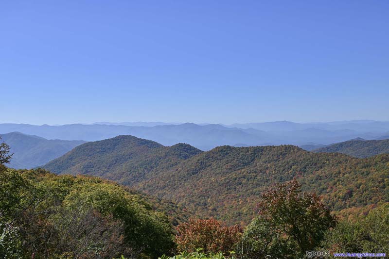 Jenkins RidgeFrom Bunches Bald Overlook.
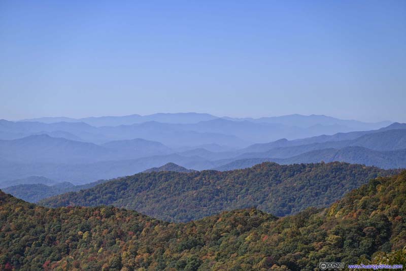 Distant MountainsFrom Bunches Bald Overlook.
 Setzer MountainFrom Plott Balsam Overlook.
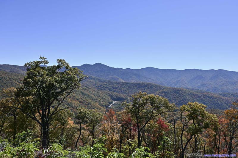 Plott BalsamsFrom Plott Balsam Overlook.
 Wolfetown RoadUS Route 19. The road I was about to take to Soco Falls.
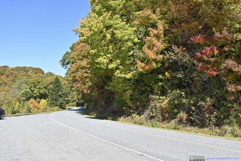 Blue Ridge ParkwayFrom Plott Balsam Overlook.


Click here to display photos from Bunches Bald Overlook and Plott Balsam Overlook.

Mountainsfrom Bunches Bald Overlook, Jenkins Ridge in the foreground.
Jenkins RidgeFrom Bunches Bald Overlook.
Distant MountainsFrom Bunches Bald Overlook.
Setzer MountainFrom Plott Balsam Overlook.
Plott BalsamsFrom Plott Balsam Overlook.
Wolfetown RoadUS Route 19. The road I was about to take to Soco Falls.
Blue Ridge ParkwayFrom Plott Balsam Overlook.
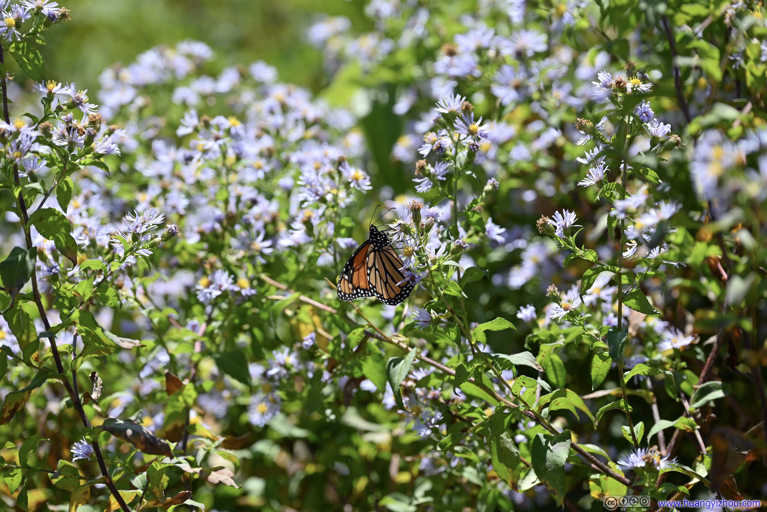
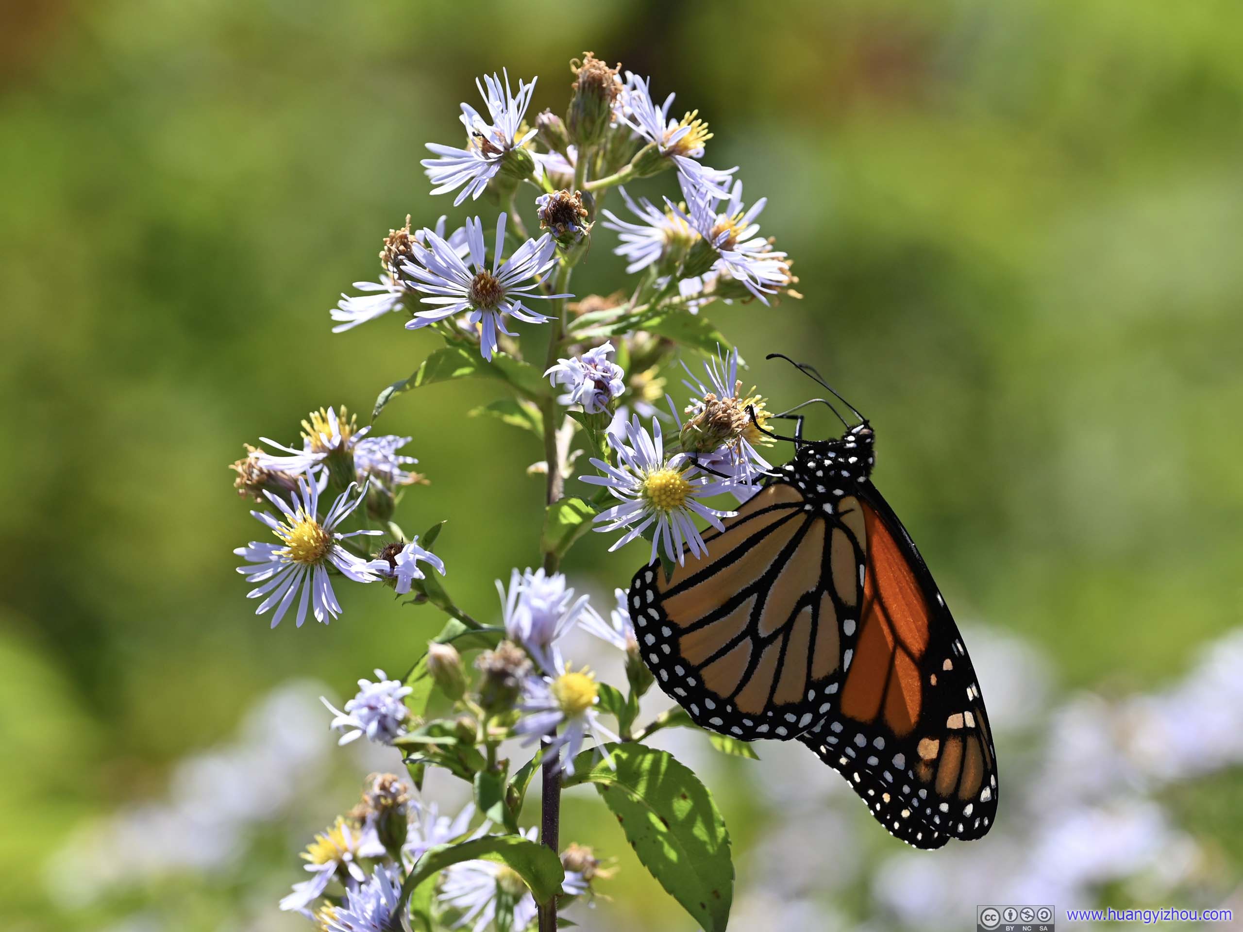 Monarch ButterflyFrom Plott Balsam Overlook. This was the only wildlife sighting of the day, as I admired both its beauty and the amazing macro capabilities of my new 24-120F4 lens that I got just before this trip.
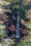
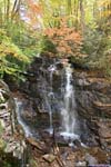
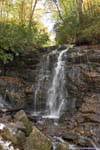
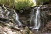
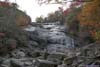
Soco Falls off Parkway
At Soco Gap, I decided to take a detour to visit the nearby Soco Falls. The waterfalls were located just a short 1.4mi from the parkway, unfortunately, its parking lot was small and not well maintained. That meant my car sustained minor undercarriage damage, which was repaired sometime later with touchup pens. 😠
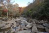
Speaking of the waterfall, it’s located just off the parking lot, but unfortunately required some scrambling (YDS class 2) down to reach the water. There were ropes at the scrambling sections providing some help. Alternatively, the waterfall could be viewed from a wooden platform some distance away. Soco Falls were actually two waterfalls next to each other, but neither of them was tall nor spectacular. For the poor parking lot conditions and steep scramble down, I wasn’t a big fan of the waterfall. But in the end, it’s just next to the major road of US19, and close to the parkway.
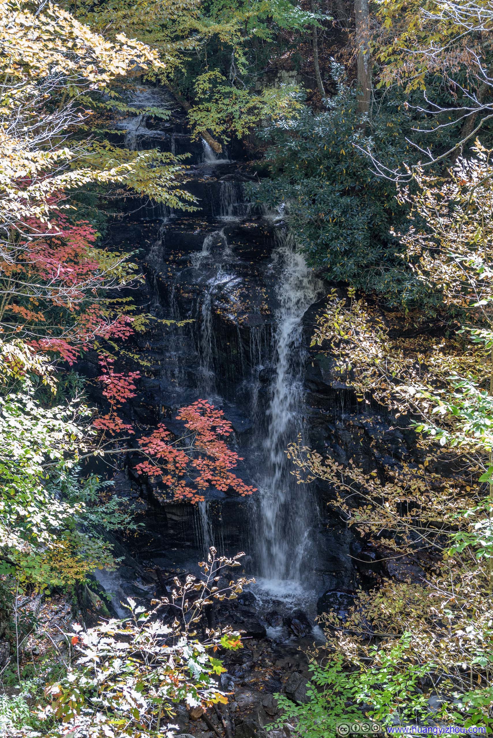
 Soco Falls from Overlook
Taken from a wooden platform overlooking the waterfall, built for those not fit for the scramble down. The red leaves in the foreground provided the perfect balance of colors.
Soco Falls from Overlook
Taken from a wooden platform overlooking the waterfall, built for those not fit for the scramble down. The red leaves in the foreground provided the perfect balance of colors. Soco Falls
 Soco Falls
 Soco Falls
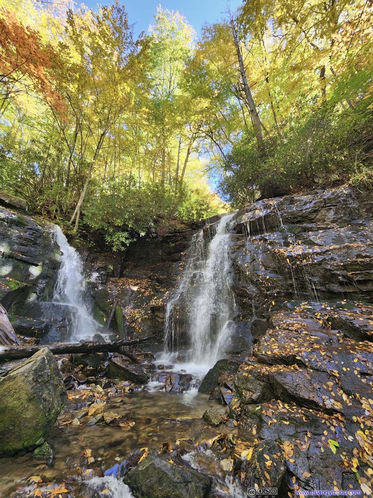 Soco Falls
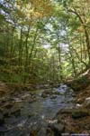
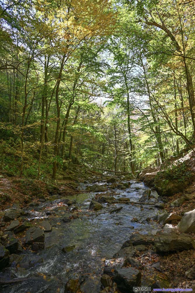 CreekDownstream of Soco Falls.
 Creek and Soco Falls

Click here to display photos of Soco Falls.
Soco Falls from Overlook
Soco Falls
Soco Falls

Soco Falls

Soco Falls

CreekDownstream of Soco Falls.
 Creek and Soco Falls
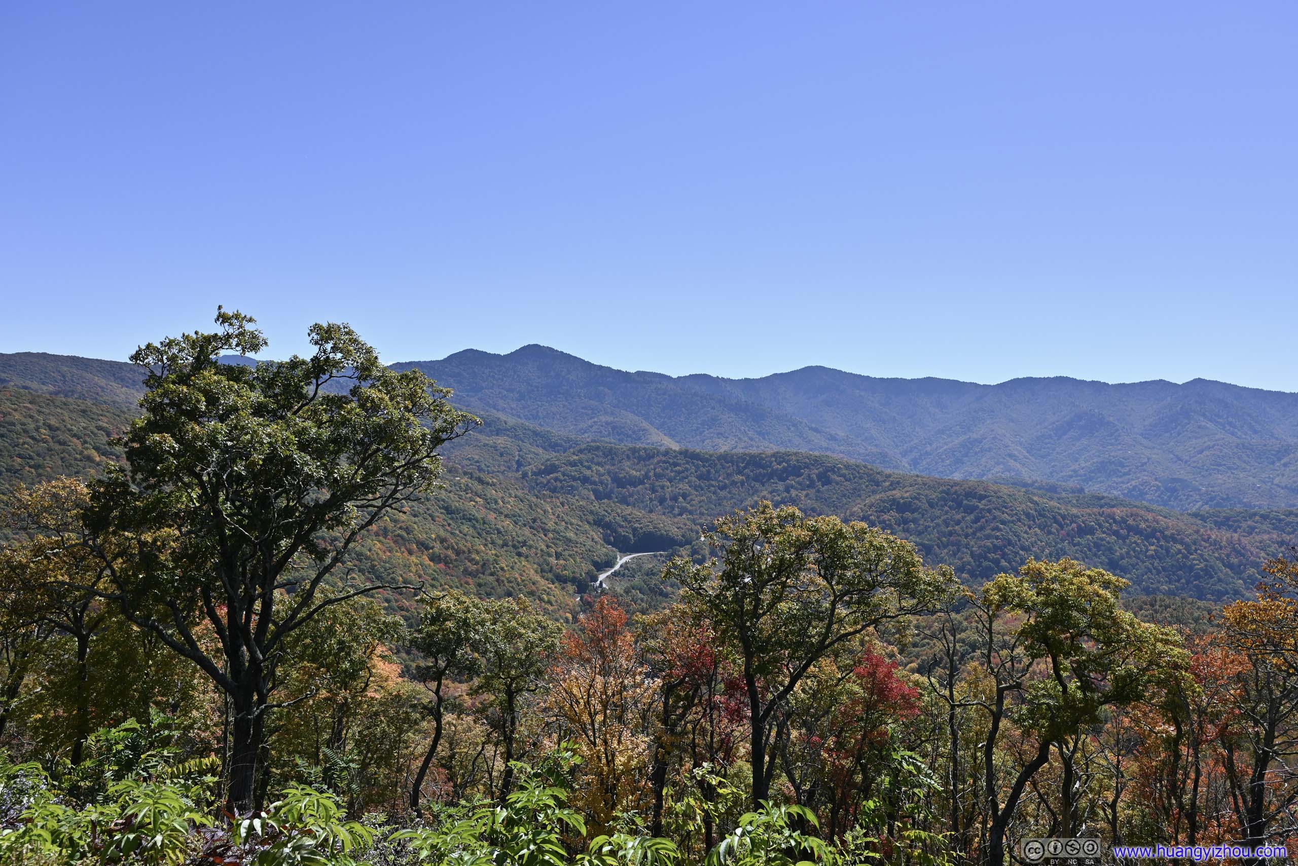
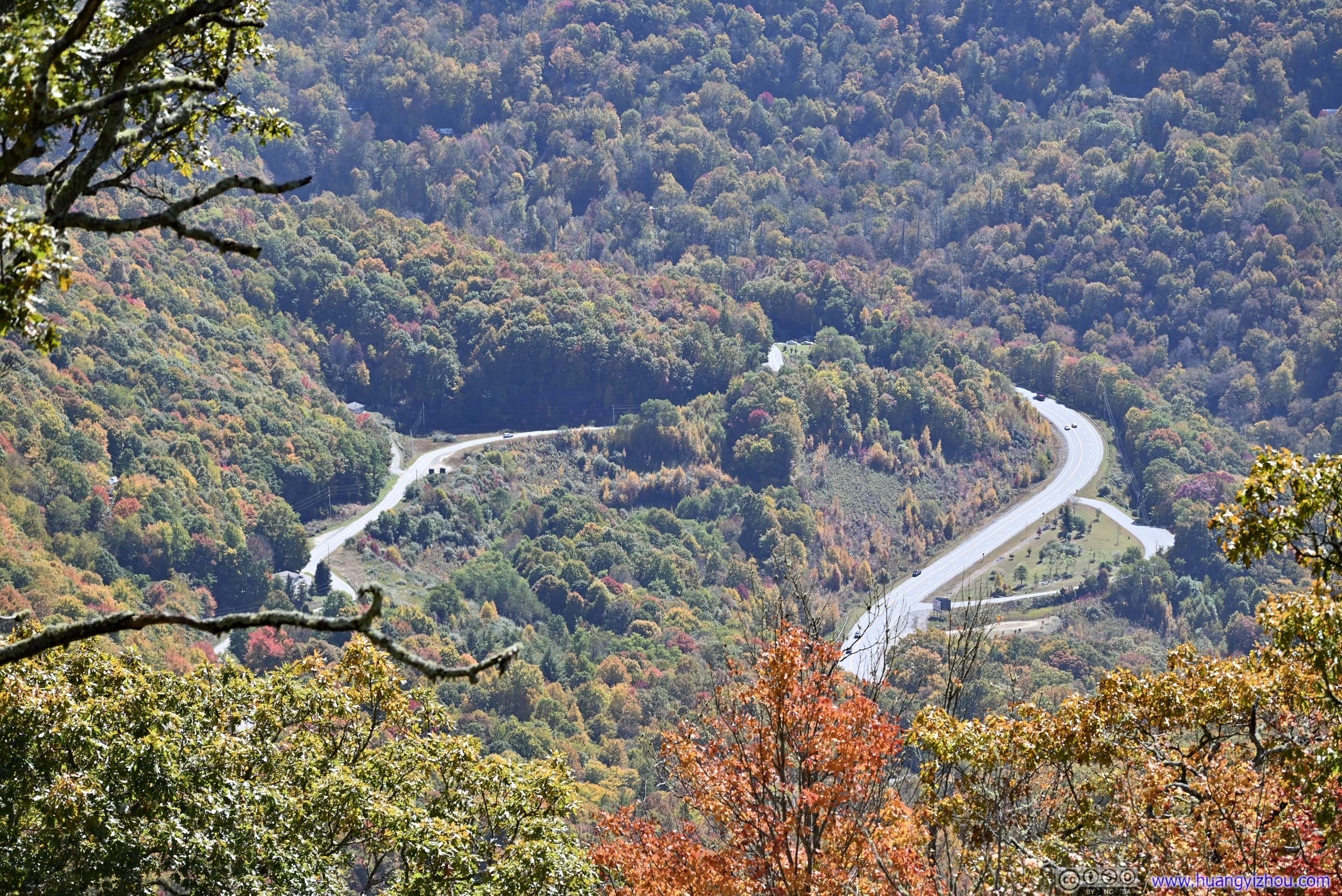
After that, I continued onto the parkway, heading towards Waterrock Knob.
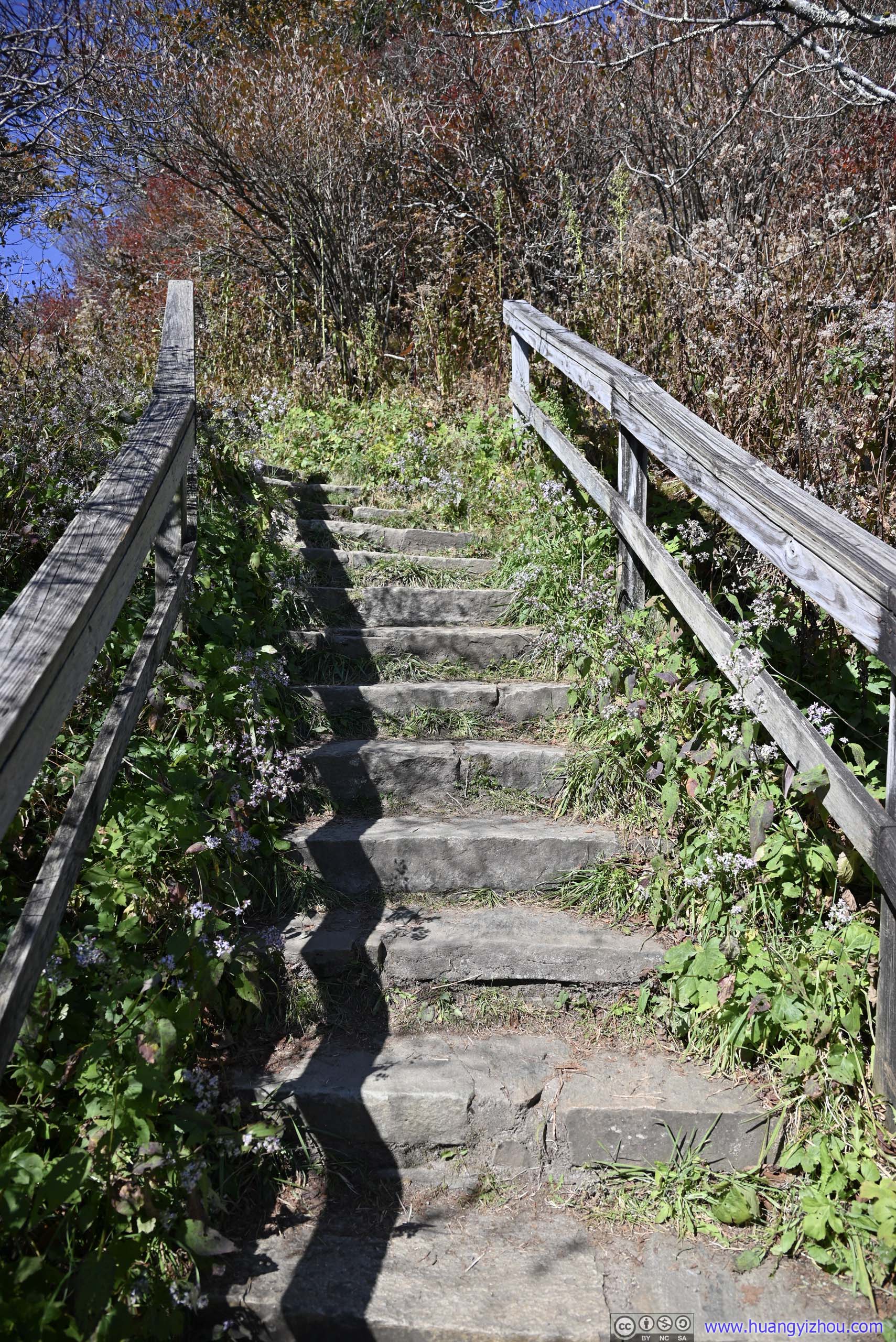
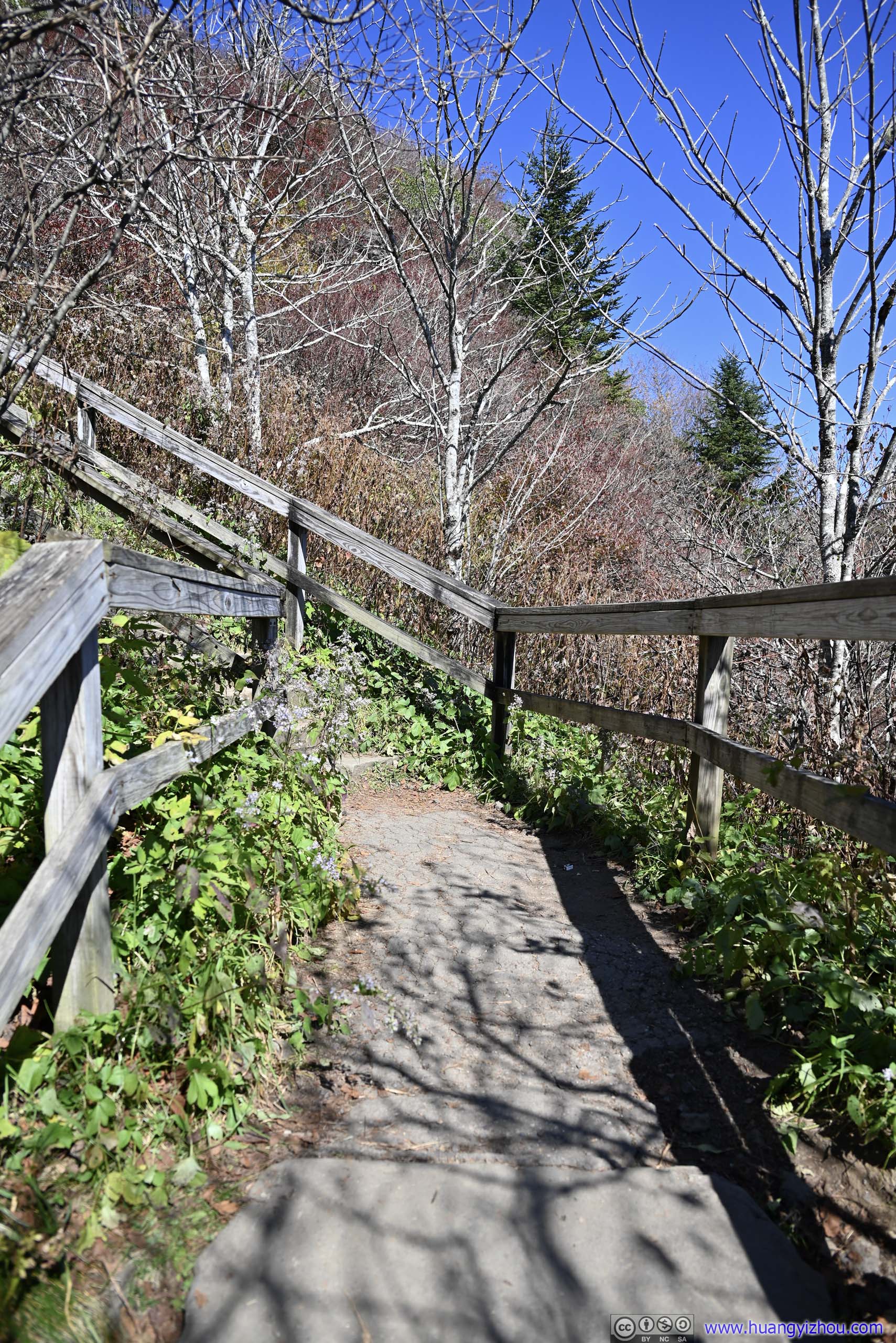
Waterrock Knob
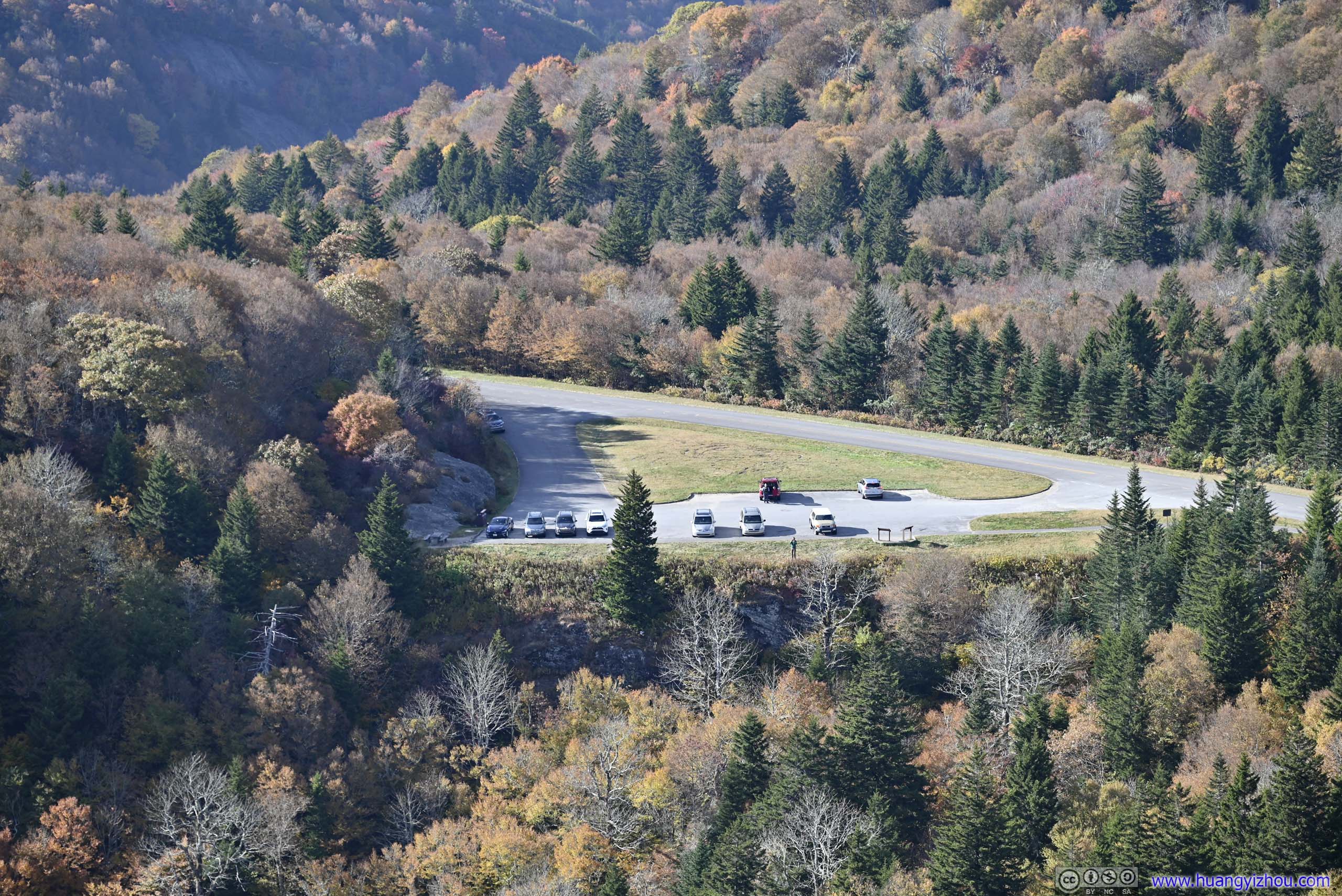
The place of the only visitor center along Blue Ridge Parkway for the day, featuring a large parking lot, many picnic tables, and decent views on both sides of the ridge, but unfortunately, no flush toilet.
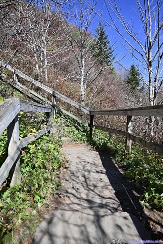
After taking a few photos at the parking lot, I headed onto the short (0.8km one-way) hiking trail to Waterrock Knob. The first 1/3 of the trail was paved with wooden stairs, leading to a small overlook (where the views weren’t that great). After that, the remainder of the trail continued towards Waterrock Knob with views to the west.
 Yellow Face Overlook along Blue Ridge ParkwayWhere I would make my next stop.
 Mountains and ParkwayTowards the east, taken from the parking lot.
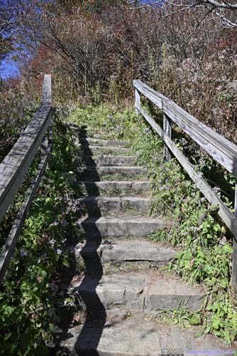
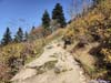
 TrailFirst it was a paved pathway to a small overlook.
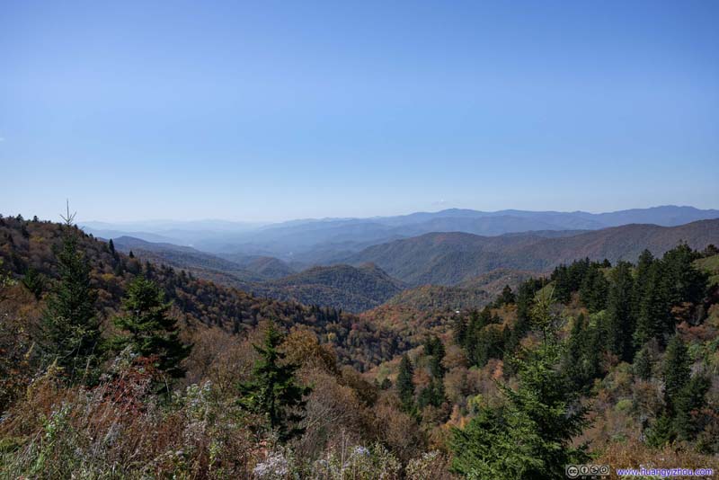 Mountains from Woolyback OverlookTaken back at Woolyback Overlook.
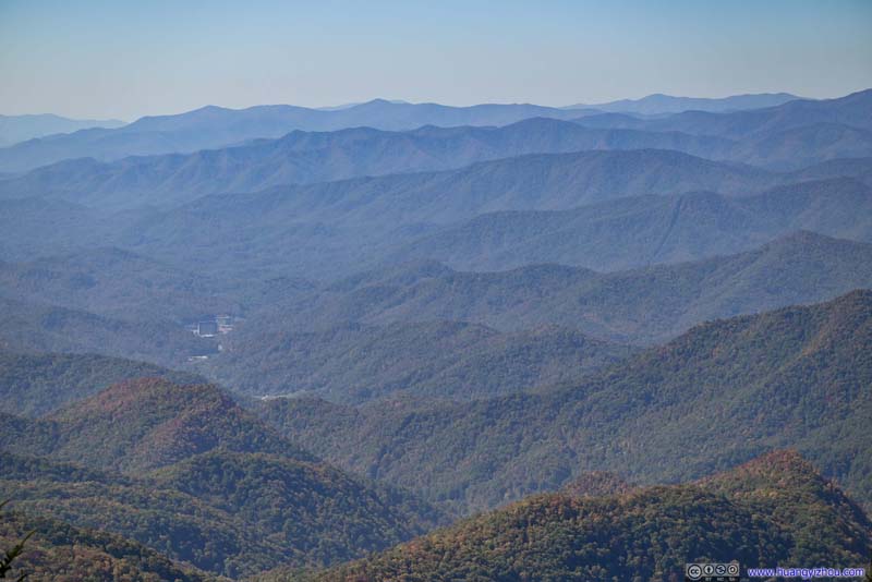 Distant MountainsTown of Cherokee. Harrah’s casino resort was an obvious sight among the mountains.
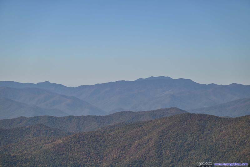 Distant MountainsOf Great Smoky Mountains National Park. Clingmans Dome on the left, Mount LeConte on the right.
 TrailAfter the small overlook it’s a typical trail, pretty wide.

Click here to display photos of the slideshow
Yellow Face Overlook along Blue Ridge ParkwayWhere I would make my next stop.
Mountains and Parkway
 TrailFirst it was a paved pathway to a small overlook.
Mountains from Woolyback OverlookTaken back at Woolyback Overlook.
Distant MountainsTown of Cherokee. Harrah’s casino resort was an obvious sight among the mountains.
Distant MountainsOf Great Smoky Mountains National Park. Clingmans Dome on the left, Mount LeConte on the right.
TrailAfter the small overlook it’s a typical trail, pretty wide.
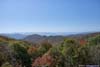
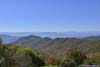
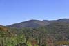
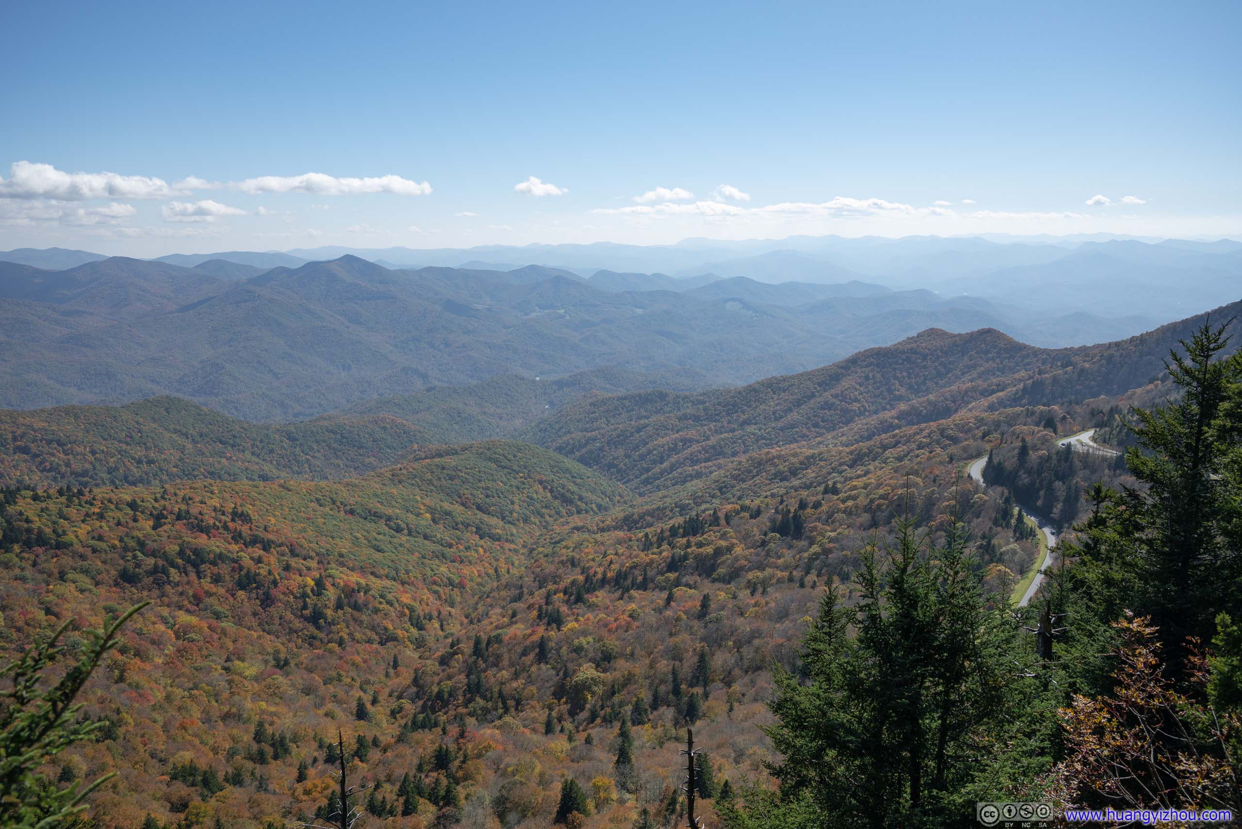
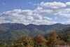
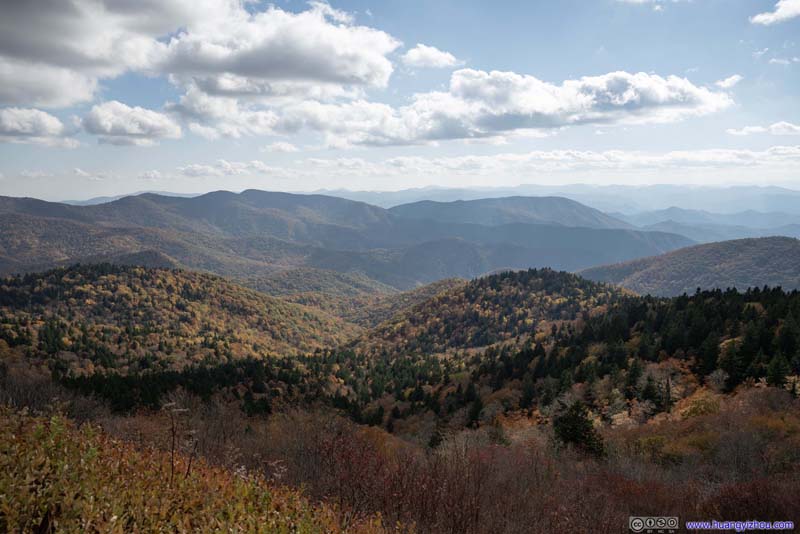
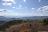
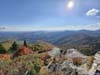
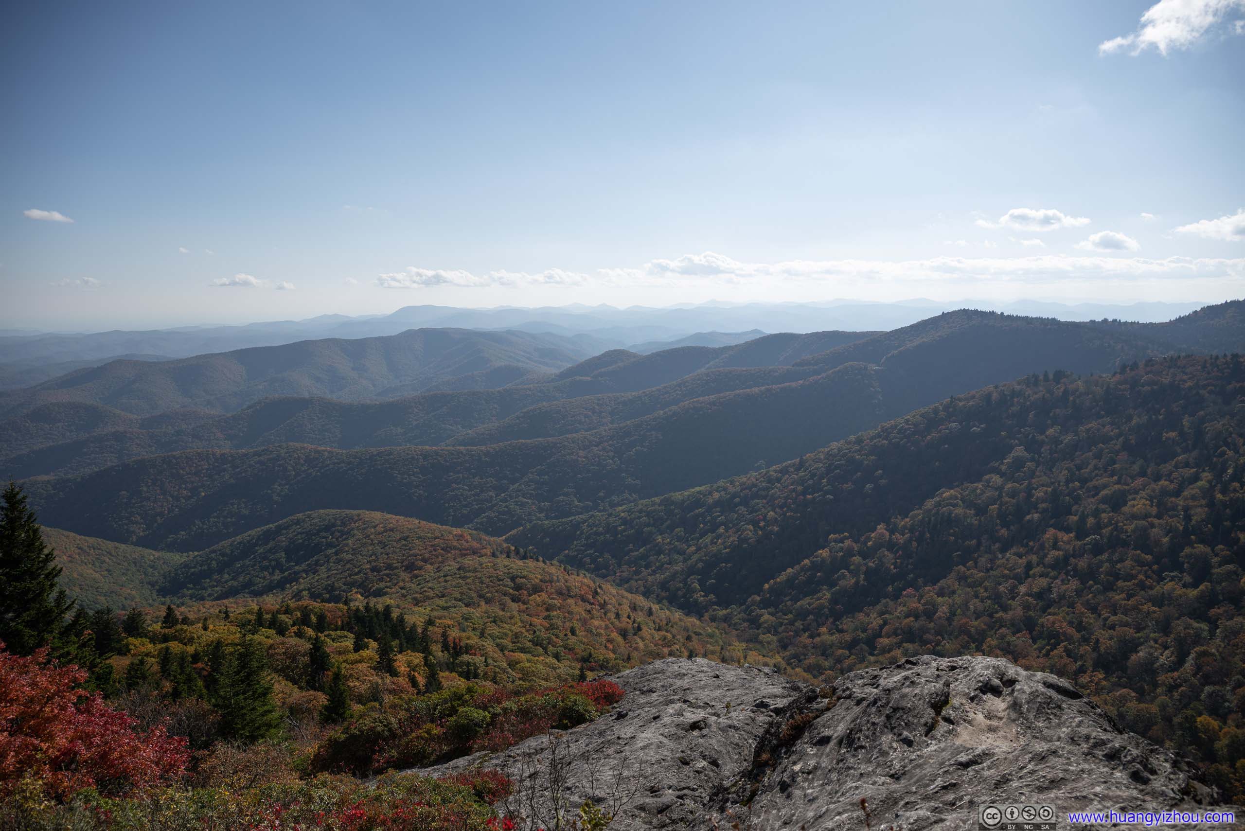
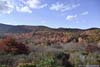
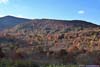
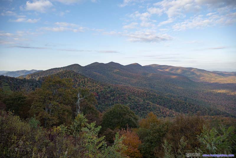
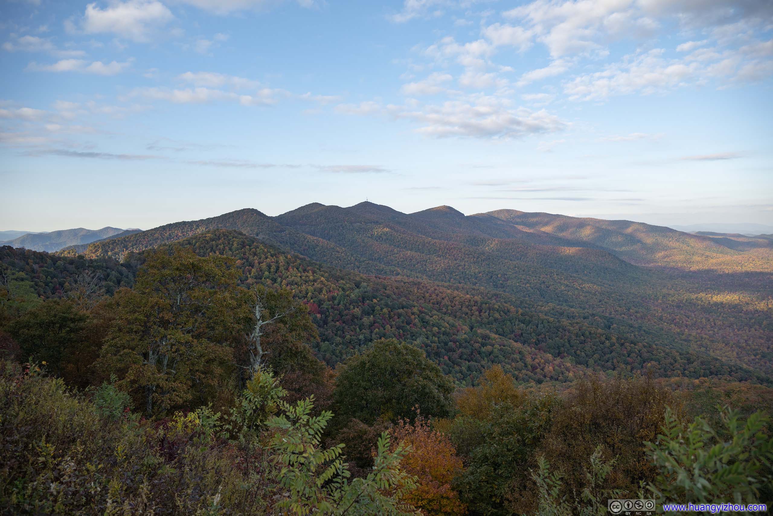
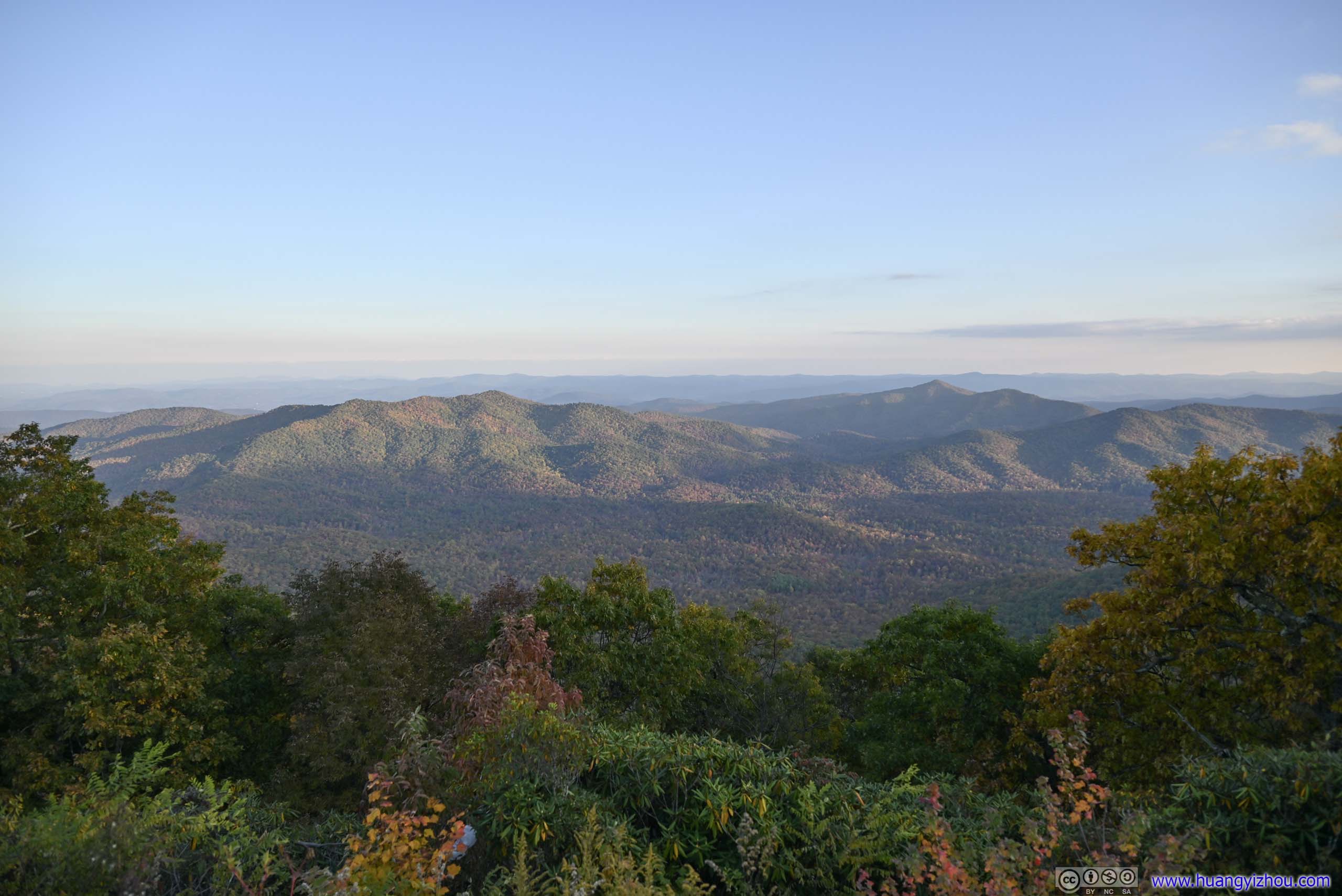
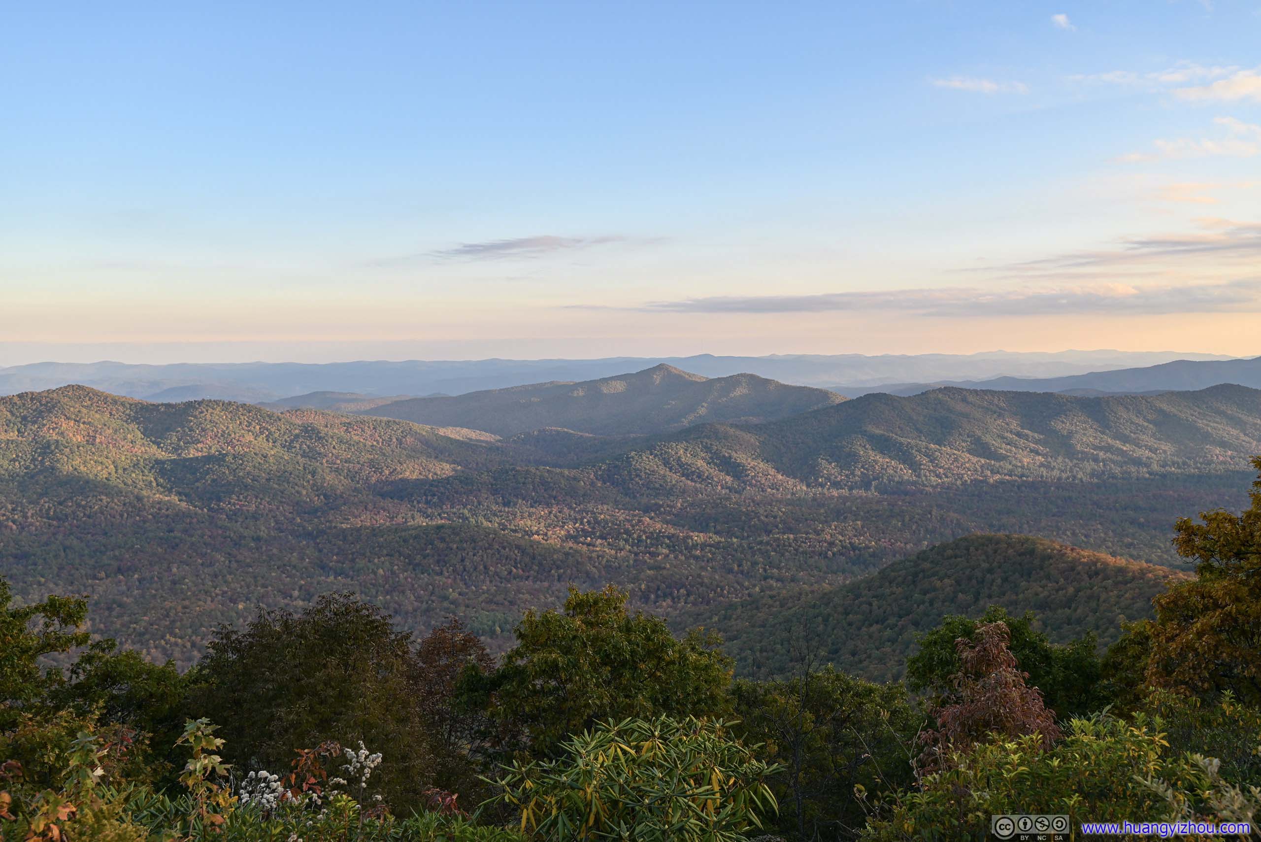
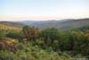
For all the cars at the parking lot, only a small portion of people opted to hike onto Waterrock Knob, so the summit was never crowded. A few trees grew around the summit, but there were a few spots in between the trees and bushes where one could appreciate the expansive views of fields and mountains wearing full foliage colors. For that, I considered it well worth the efforts on the steep trail leading to the summit.
 Fields in Autumn ColorsFrom the summit, between bushes.
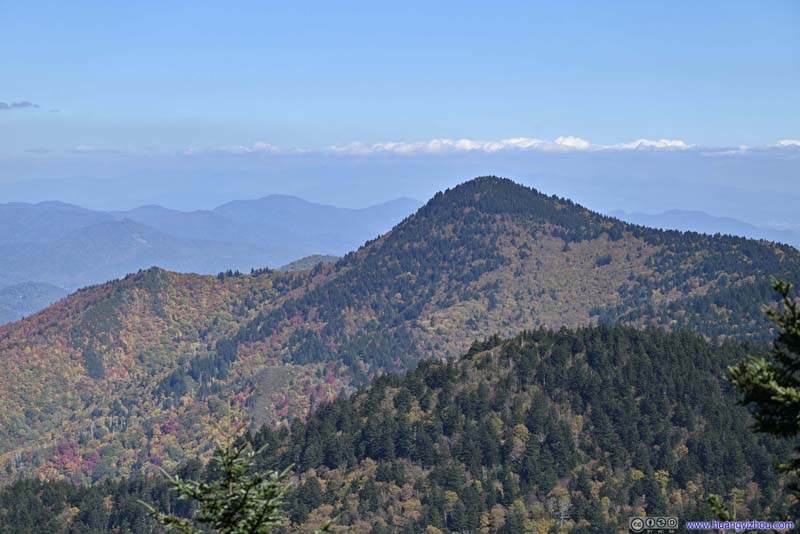 MountainOn the map, it’s called “Plott Balsam”.
 Yellow Face Overlook along Blue Ridge ParkwayWhere I would make the next stop.
 MountainsTowards the south, in Nantahala National Forest.
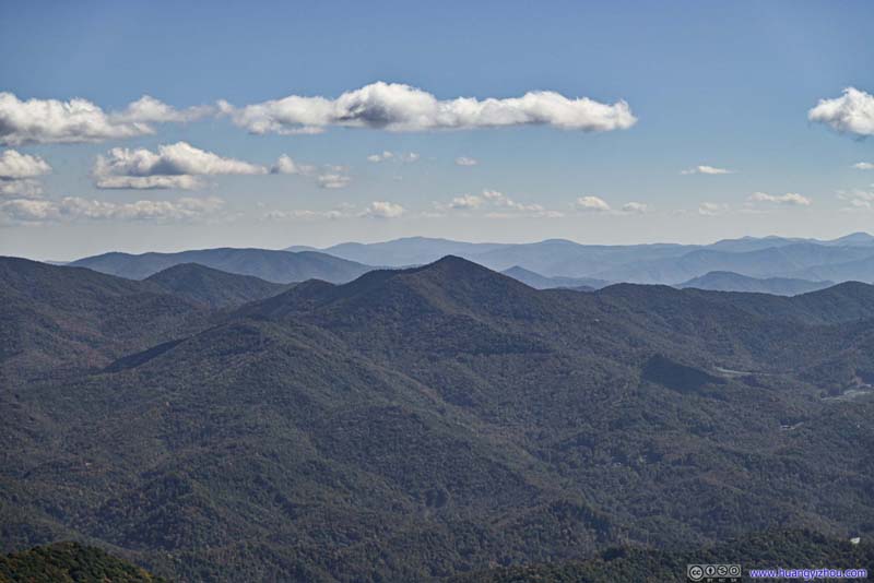 MountainsDoubletop Mountain in the foreground.
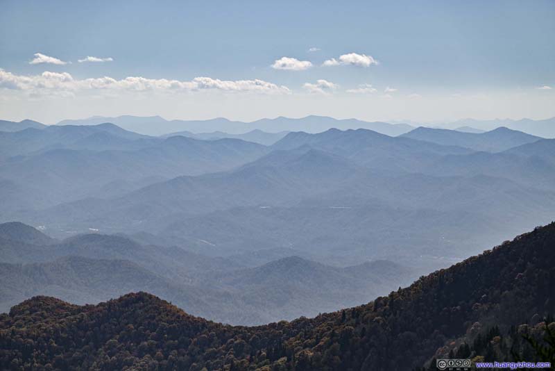 MountainsTowards the south, in Nantahala National Forest.
 Town of Maggie ValleyTowards the north, taken along the trail.

Click here to display photos from the summit of Waterrock Knob.
Fields in Autumn Colors

MountainOn the map, it’s called “Plott Balsam”.
Yellow Face Overlook along Blue Ridge ParkwayWhere I would make the next stop.
MountainsTowards the south, in Nantahala National Forest.

MountainsDoubletop Mountain in the foreground.
MountainsTowards the south, in Nantahala National Forest.
Town of Maggie ValleyTowards the north, taken along the trail.
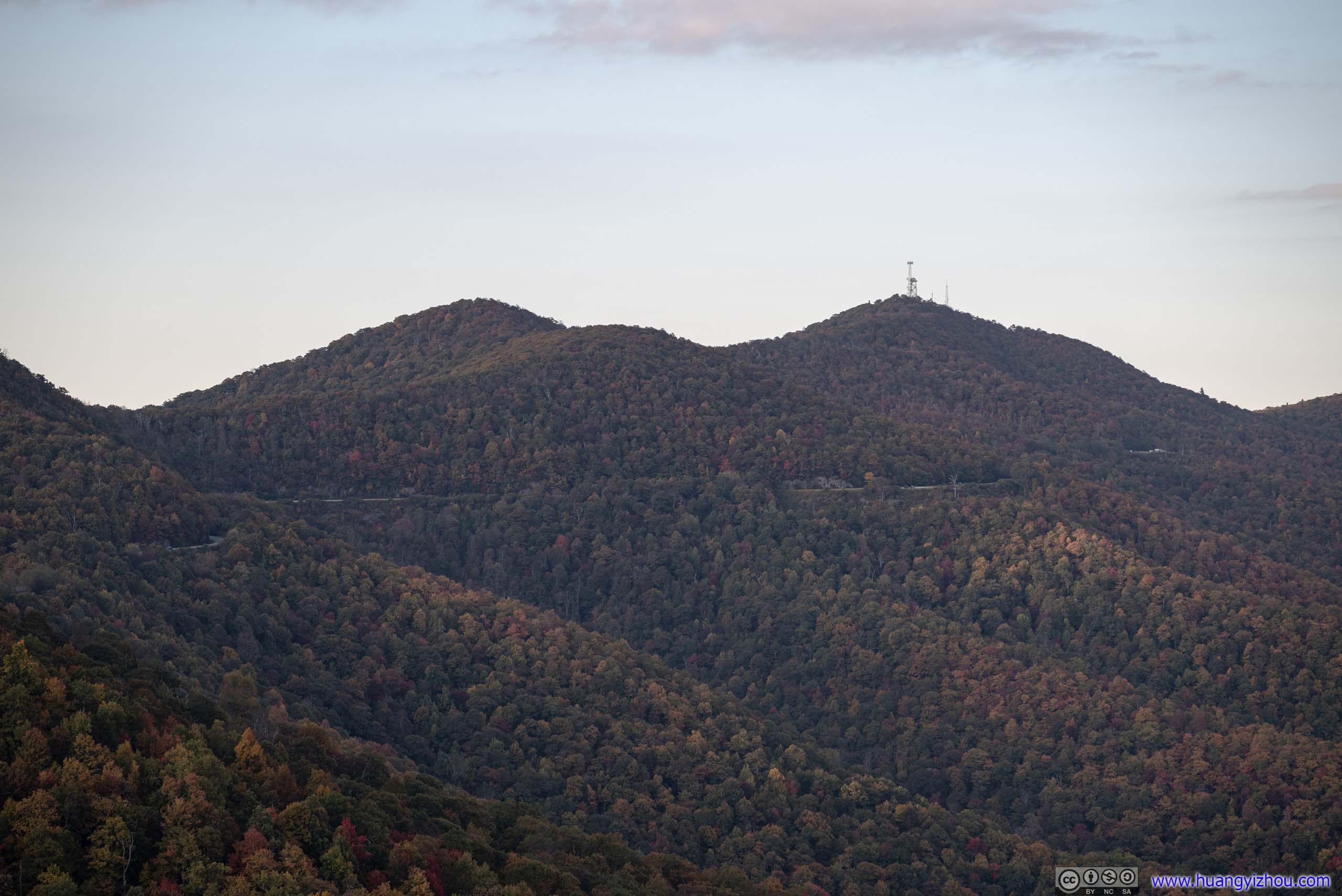
From the summit of Waterrock Knob, one could opt to continue towards Browning Knob to a plane crash site with some wreckage. Considering both time and distance, I decided to forgo that part.
View from Waterrock Knob Parking Lot towards the East
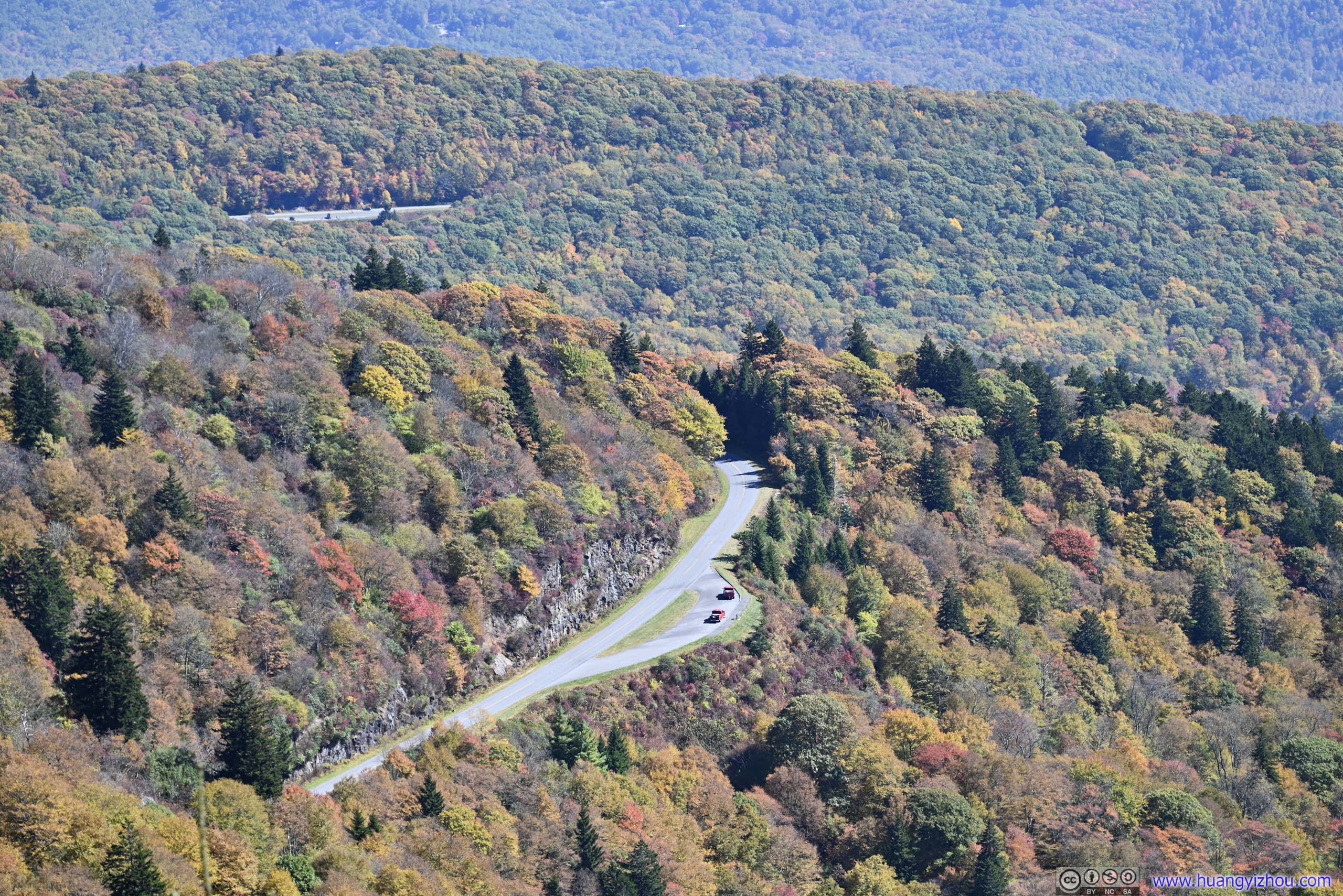
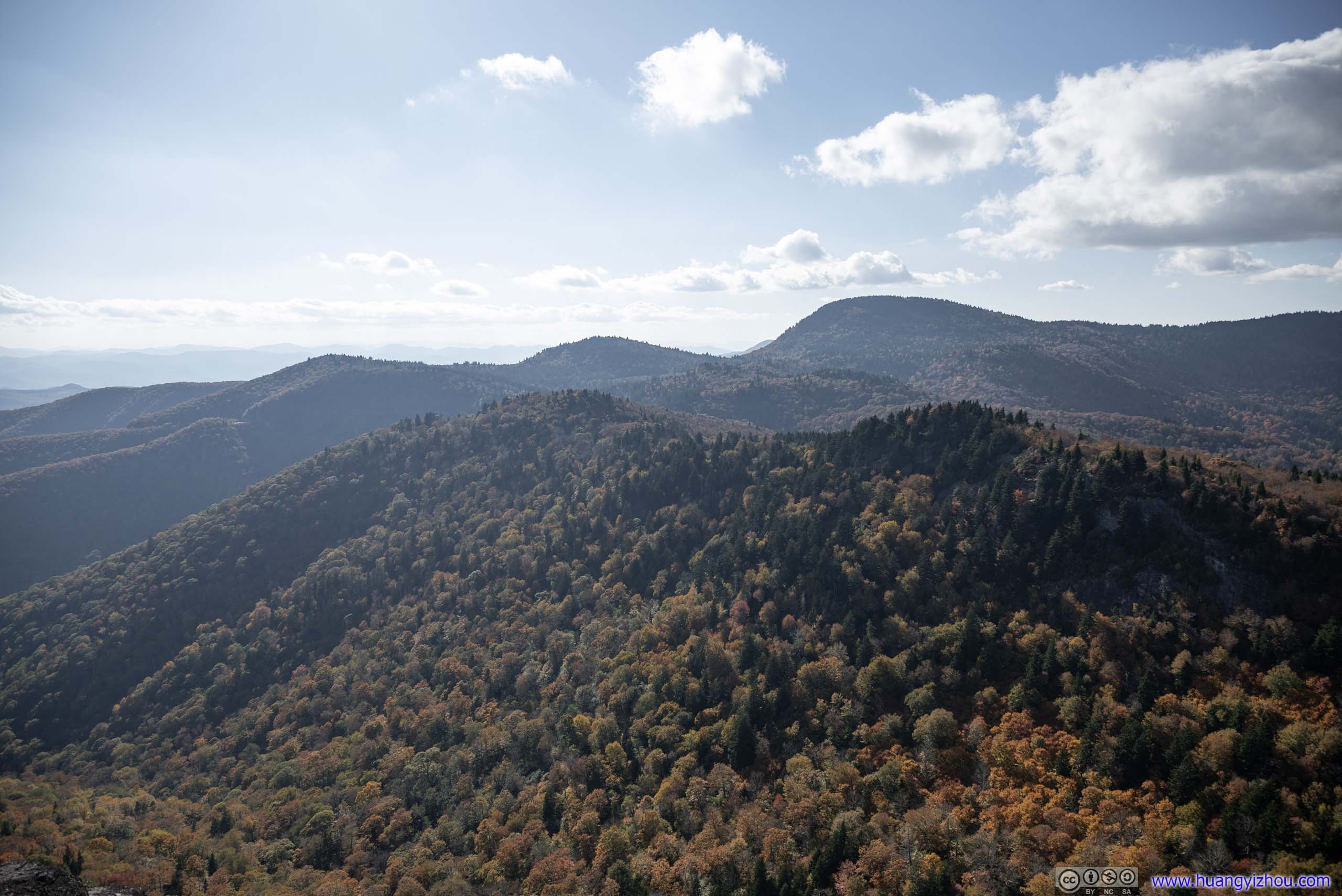
By the time I left Waterrock Knob Parking Lot, it’s past 3pm. I made a brief stop at the nearby Yellow Face Overlook, and then Steestachee Bald Overlook past US74.
 Waterrock KnobFrom Yellow Face Overlook.
 Mountains to the SouthFrom Yellow Face Overlook.
 Mountains to the EastFrom Steestachee Bald View, Lickstone Bald in the center.
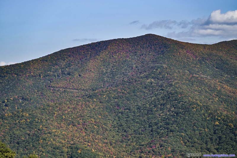 Lickstone BaldFrom Steestachee Bald View.
 Steestachee BaldDoesn’t look that impressive against the sun.
 Distant MountainsFrom Steestachee Bald View, Richland Balsam in the left.
Click here to display photos of the slideshow

Waterrock KnobFrom Yellow Face Overlook.

Mountains to the SouthFrom Yellow Face Overlook.

Mountains to the EastFrom Steestachee Bald View, Lickstone Bald in the center.
Lickstone BaldFrom Steestachee Bald View.
Steestachee BaldDoesn’t look that impressive against the sun.
Distant MountainsFrom Steestachee Bald View, Richland Balsam in the left.
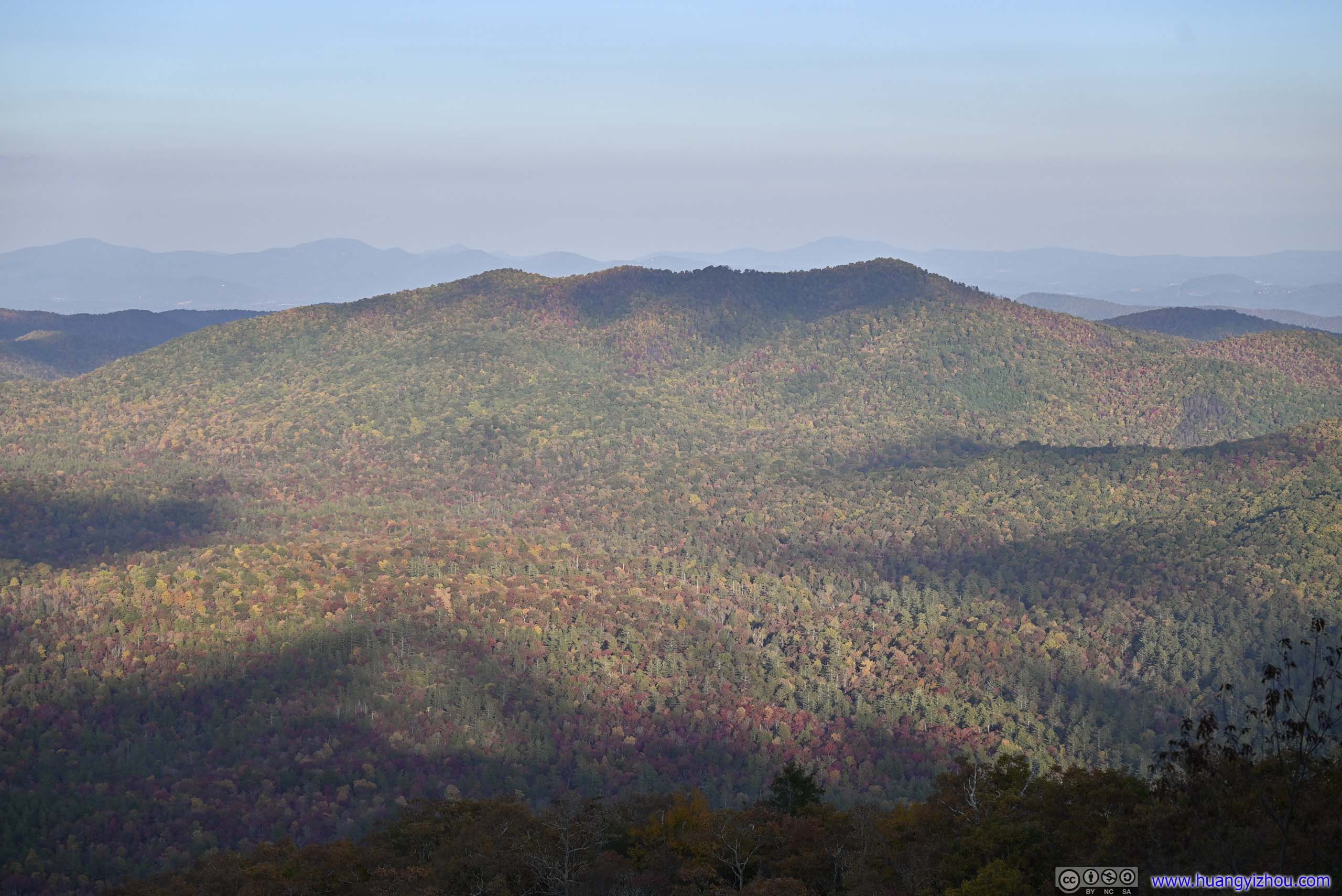
View from Yellow Face Overlook
View from Steestachee Bald Overlook
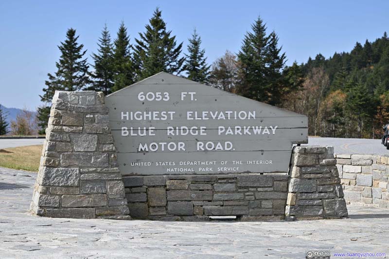
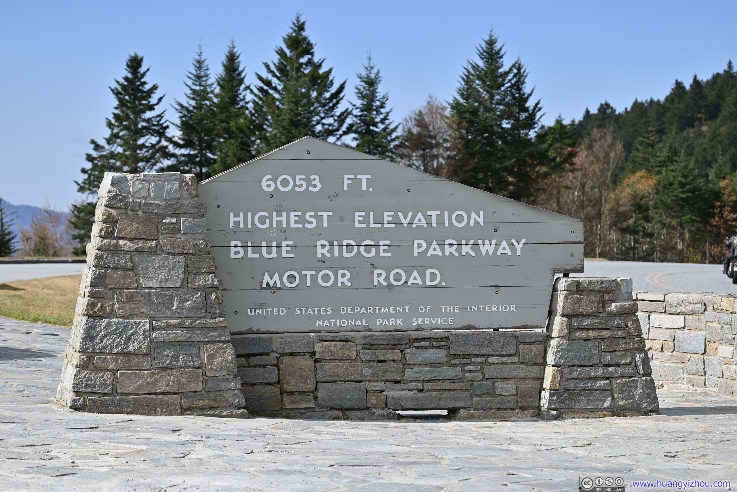
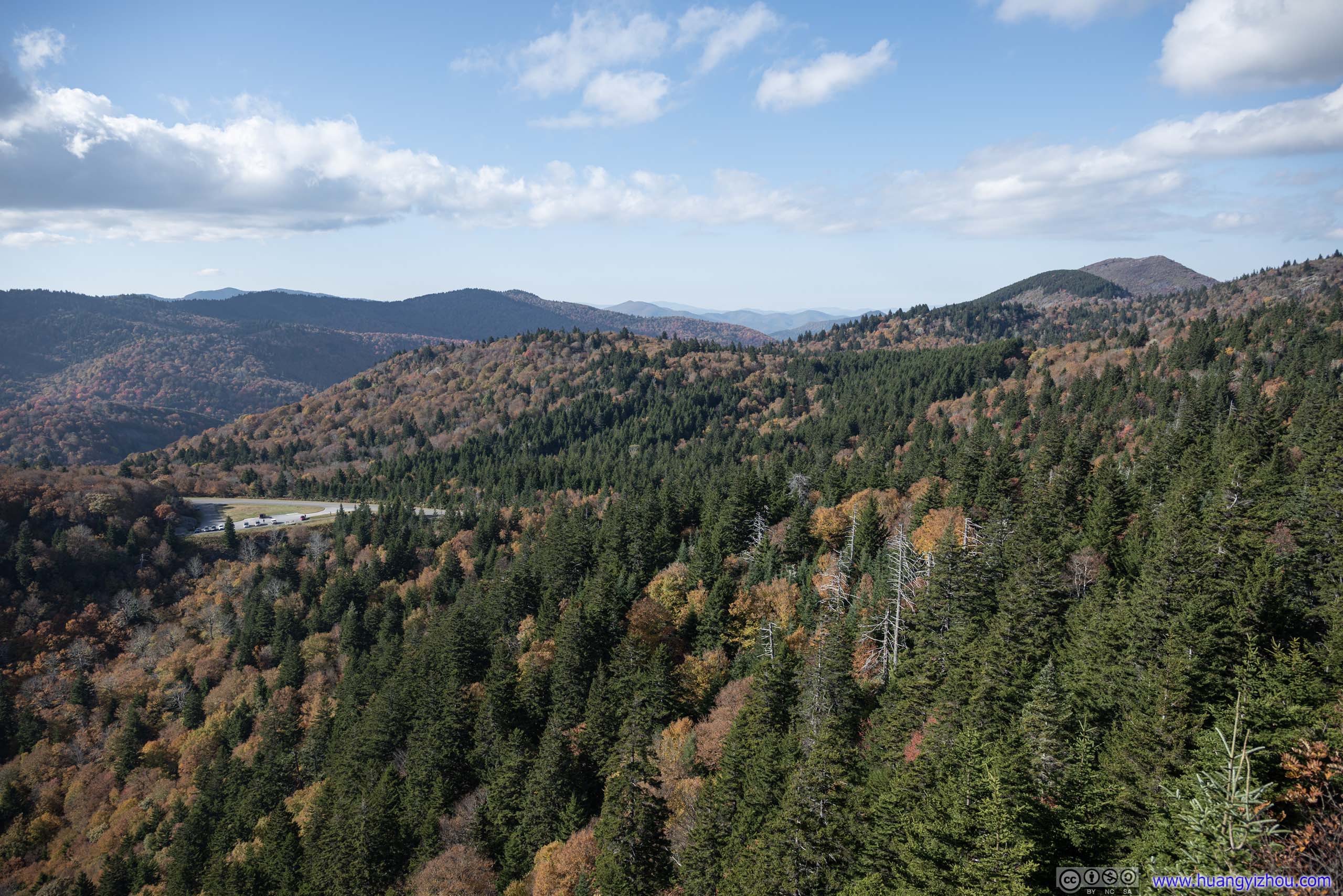
Richland Balsam Overlook
Further down the road was Richland Balsam Overlook. This is the highest point of Blue Ridge Parkway, and thus featured a larger parking lot than what its views were worth. Behind it, there was a trail leading up to Richland Balsam (from a different overlook down the road), which I didn’t have the time for.
 Marker at Richland Balsam Overlook
 Mountains to the South
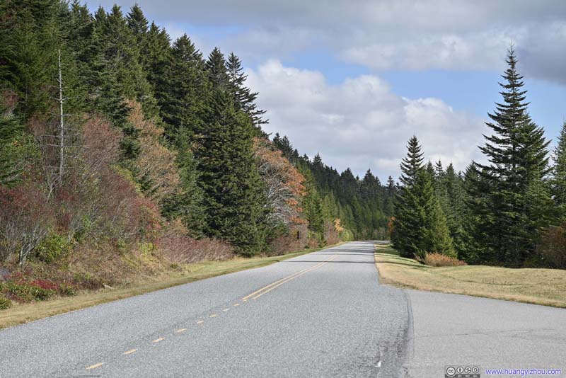 Blue Ridge Parkway
Click here to display photos from Richland Balsam Overlook.
Marker at Richland Balsam Overlook
Mountains to the South
Blue Ridge Parkway
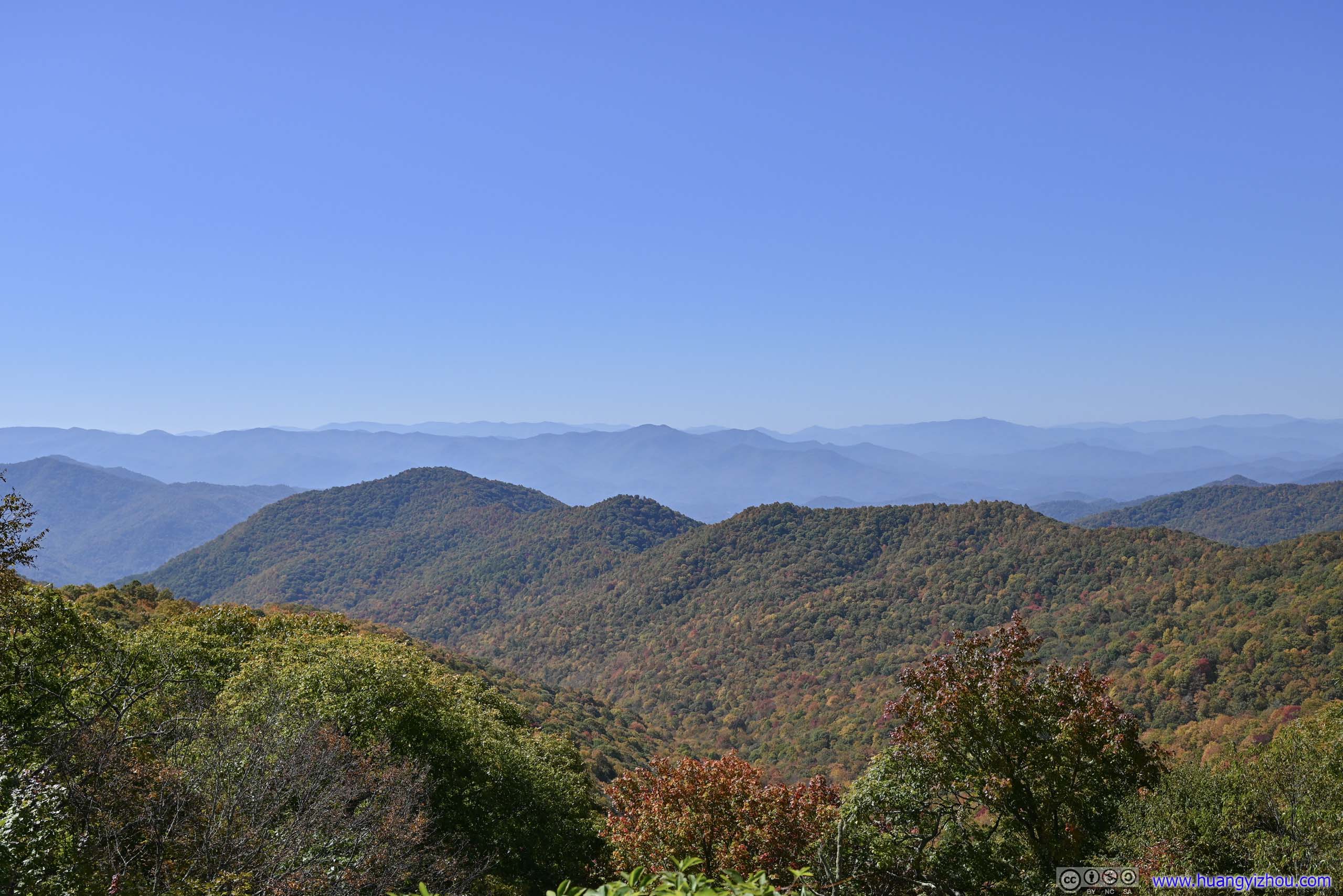
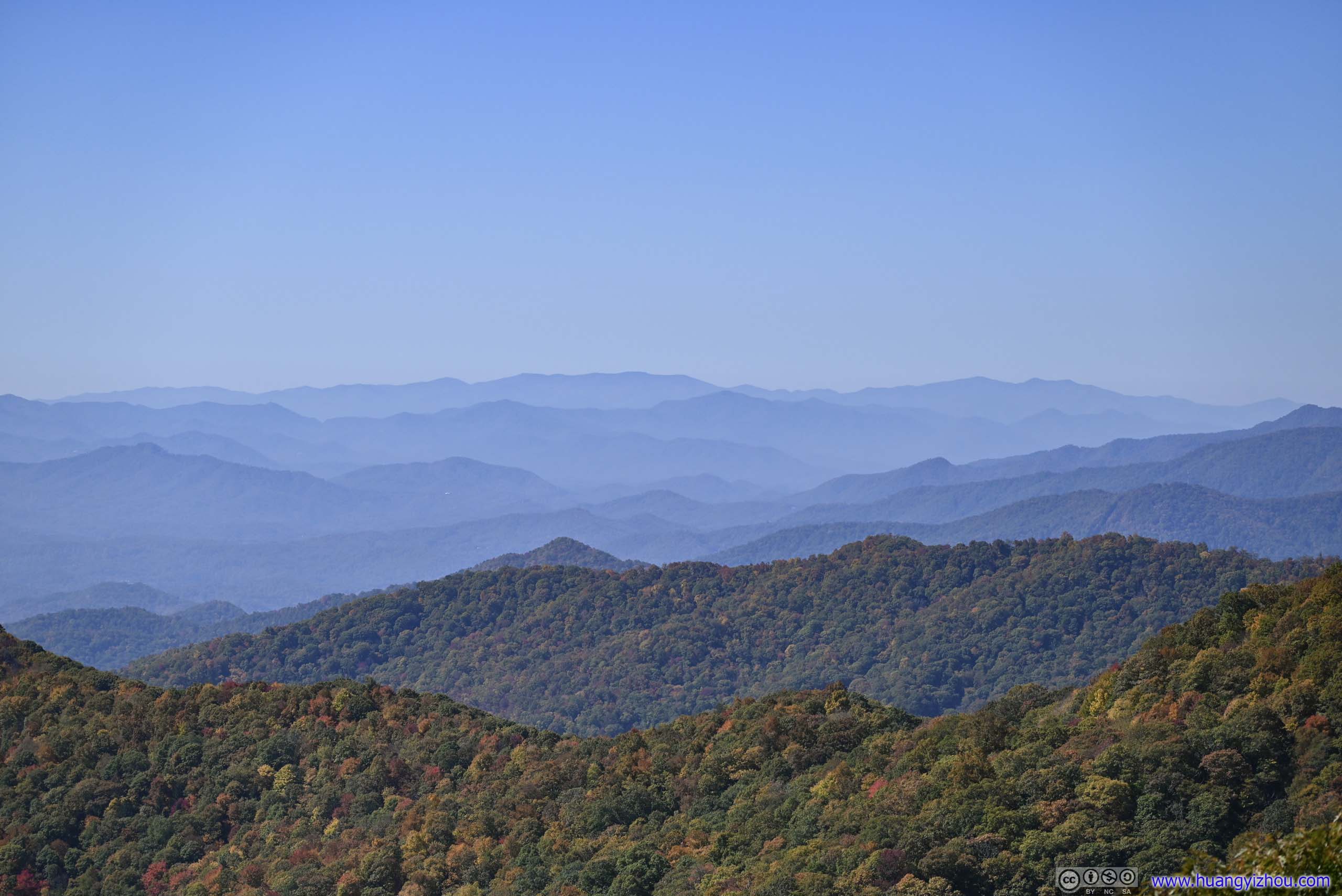
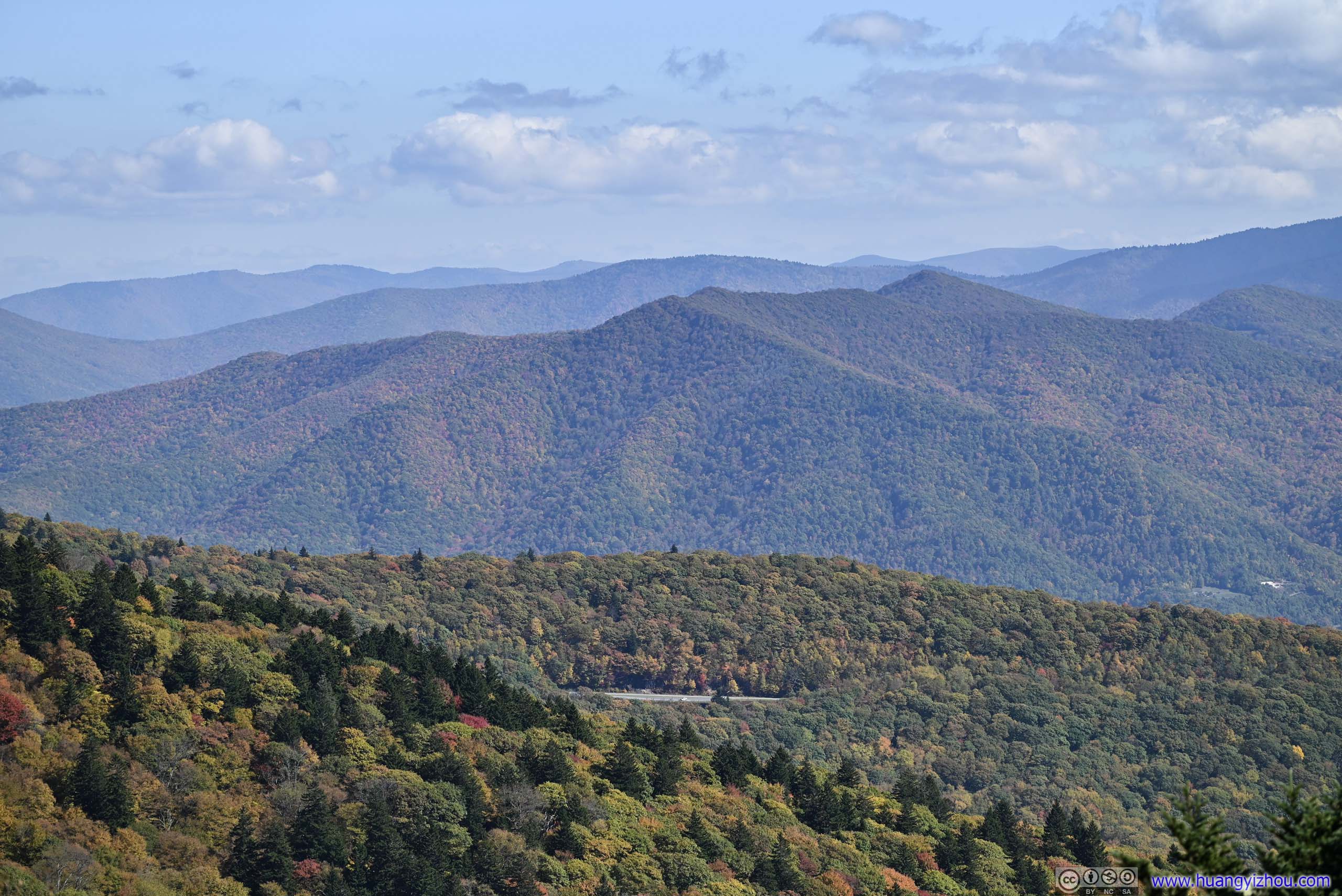
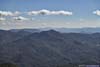
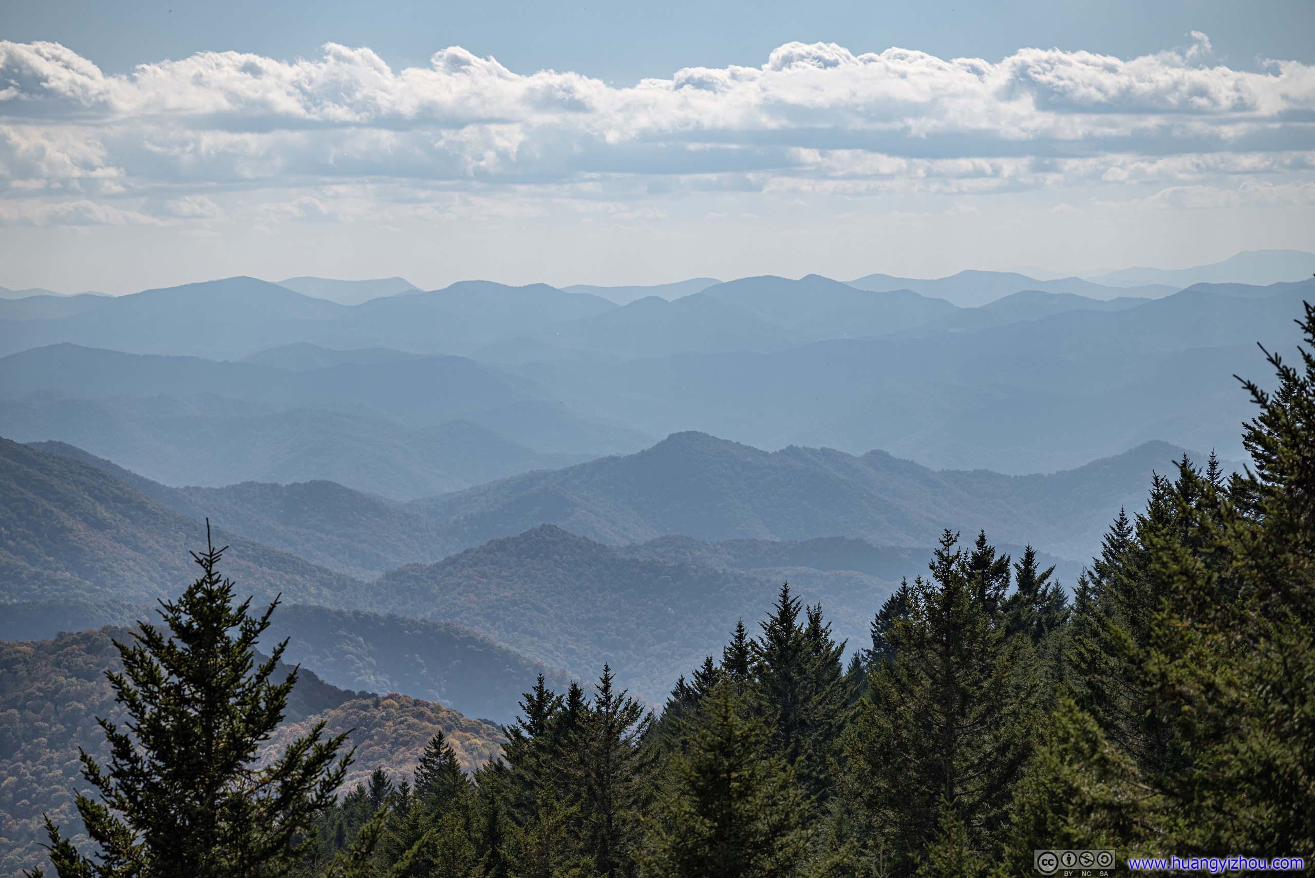
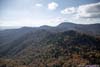
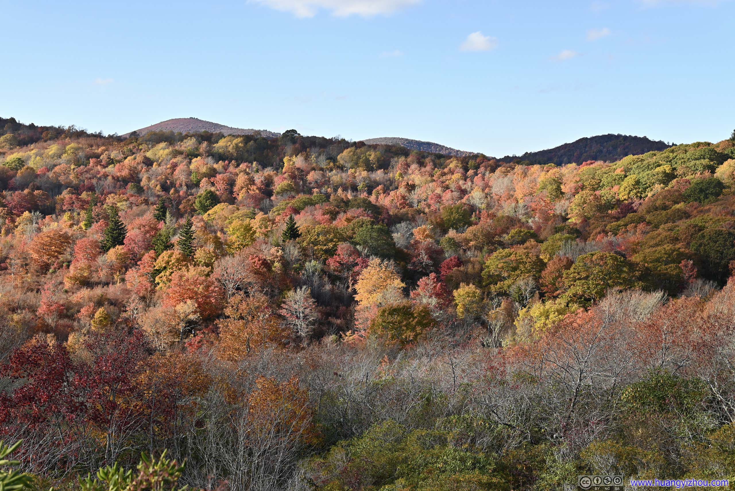
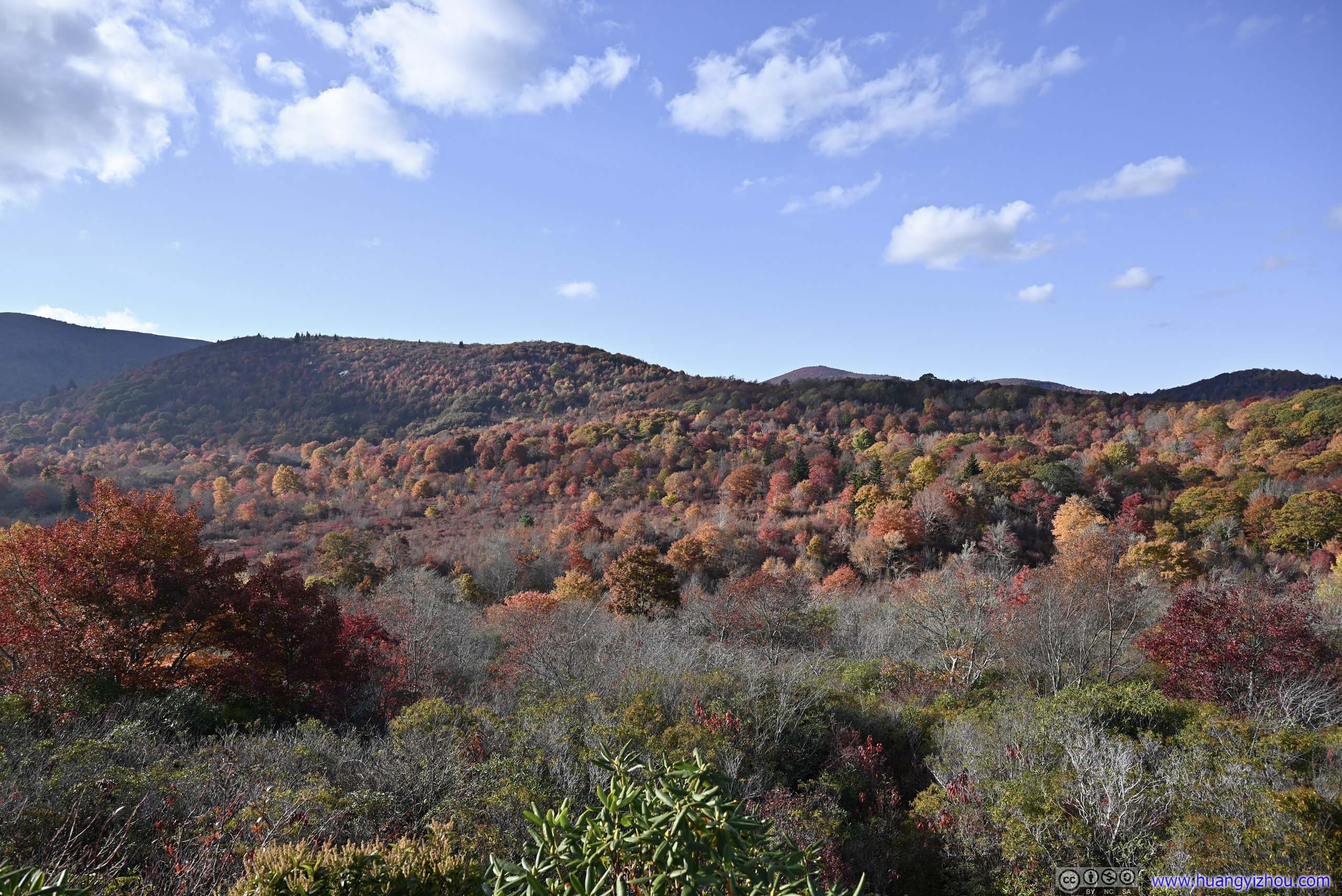
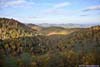
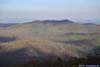
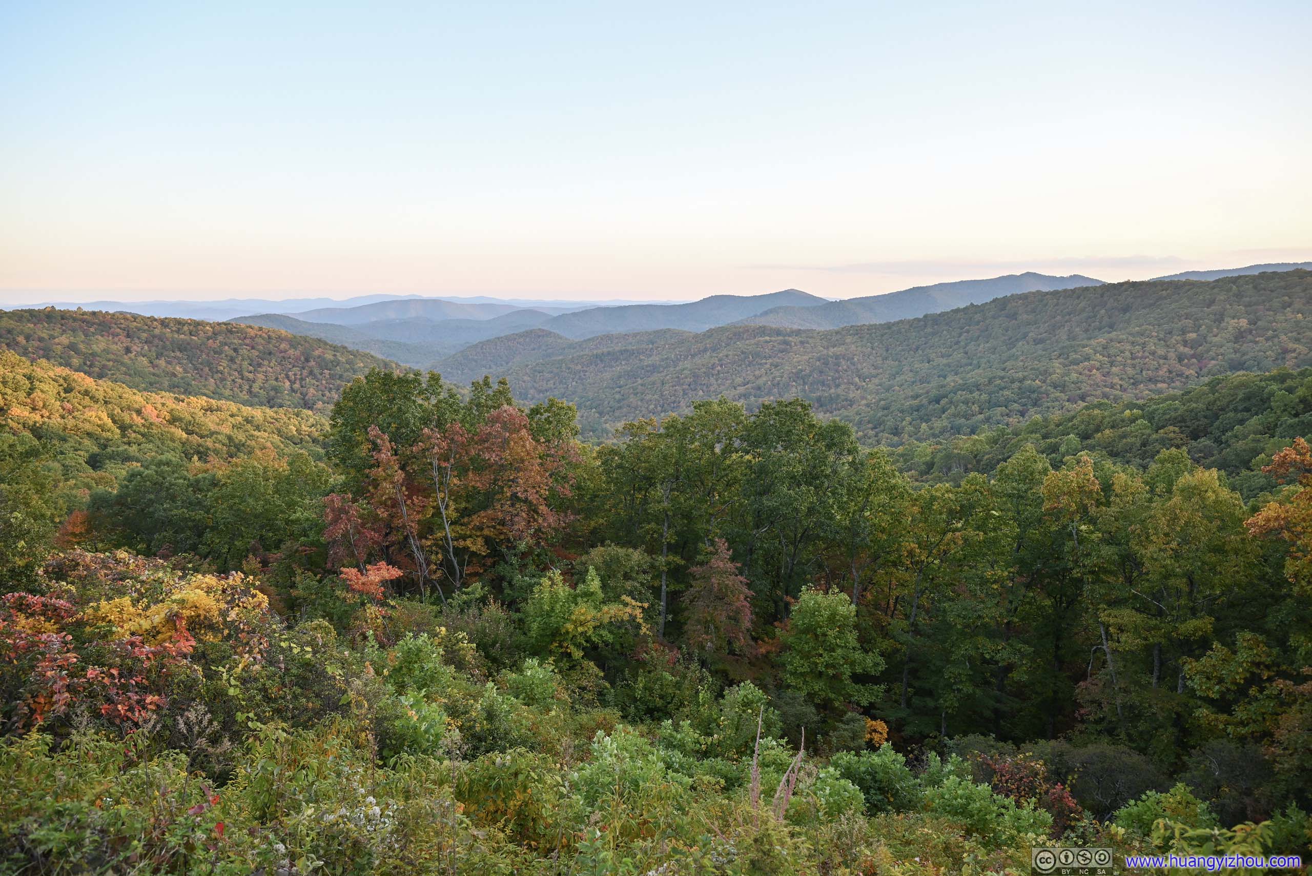
Cowee Mountains Overlook
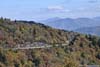
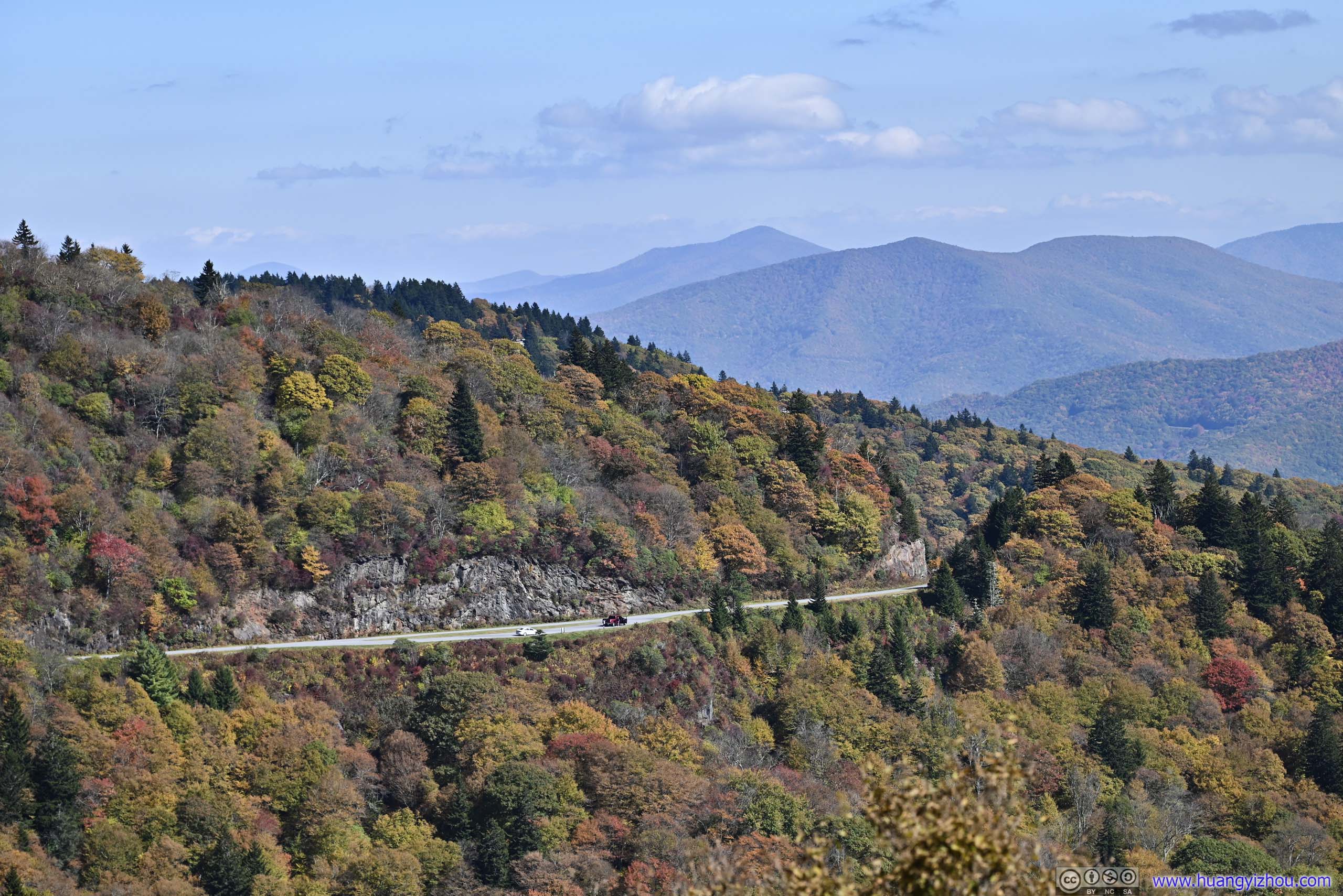
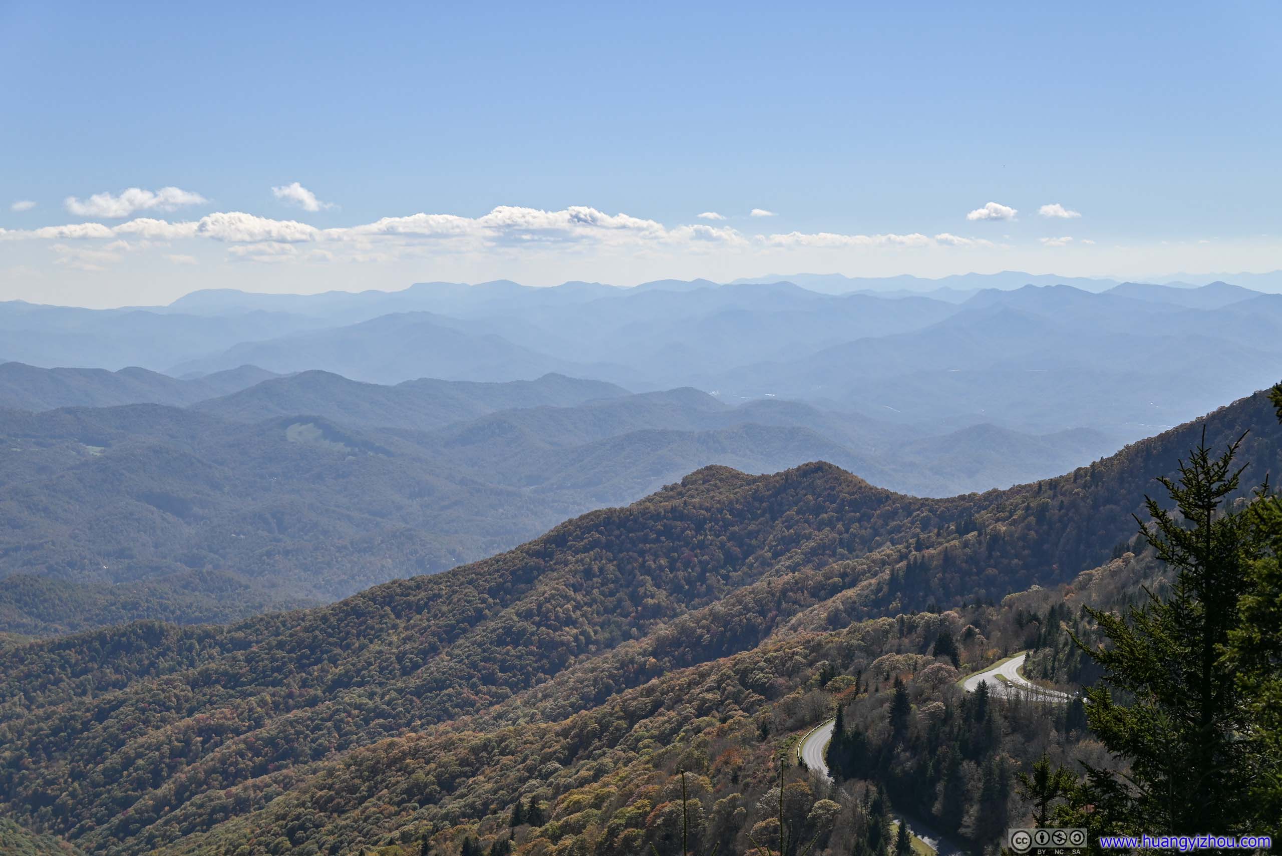
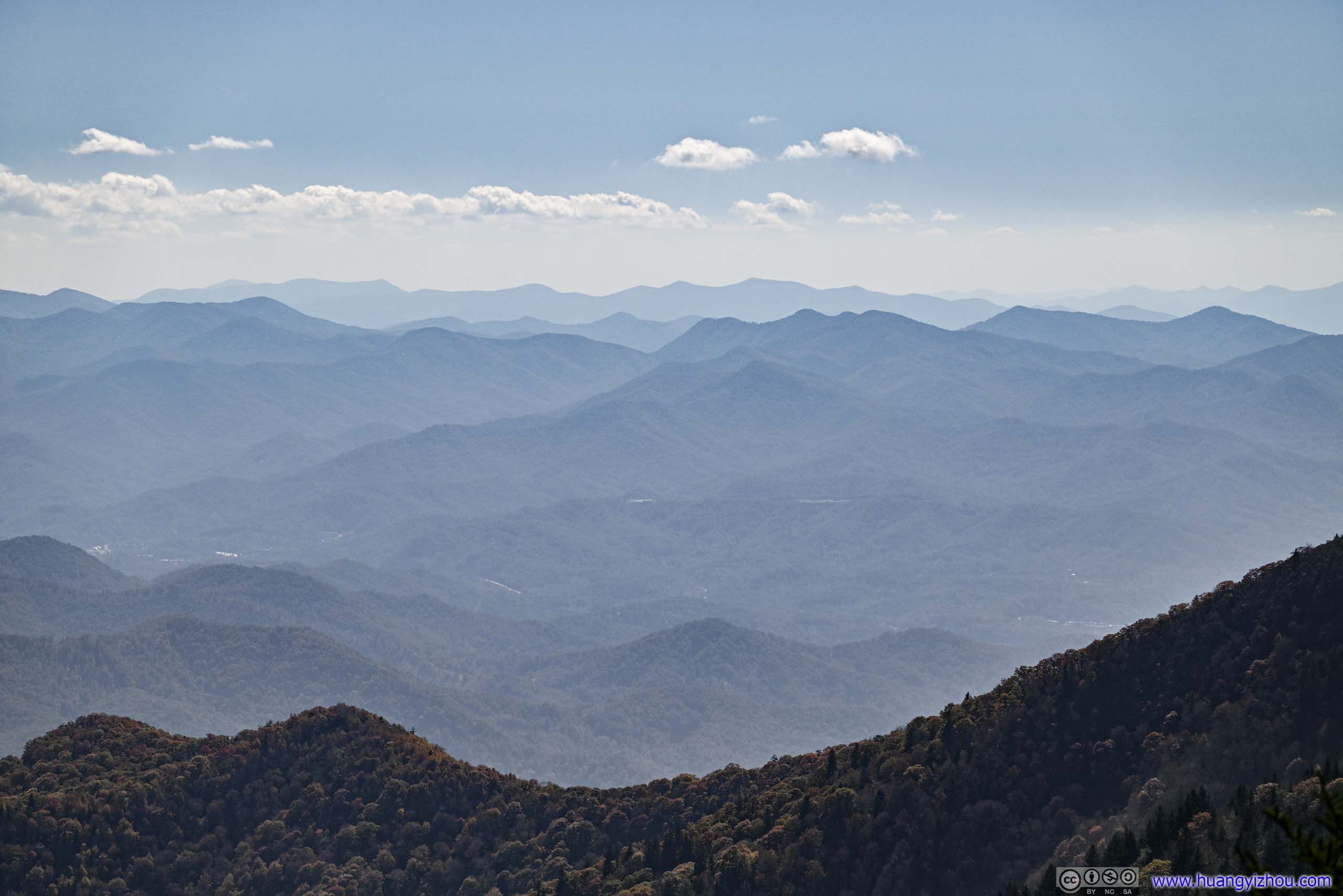
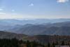
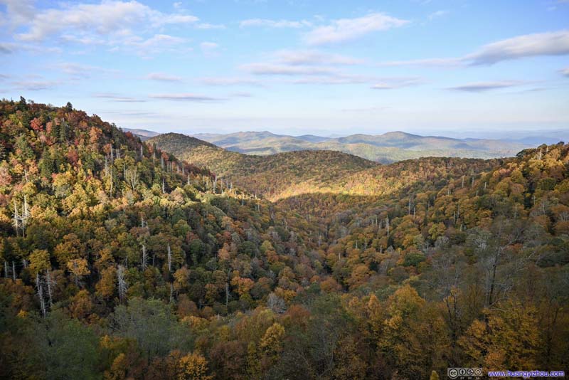
Not far from the high point of Richland Balsam Overlook was Cowee Mountains Overlook. Located at a curve of parkway, it offered broad views of the mountains to the south, as if to make up for its bigger brother’s lack of views. It’s easily one of the most scenic overlooks of the day, classic for this section of the Blue Ridge Parkway.
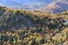
 Mountains
 Mountains
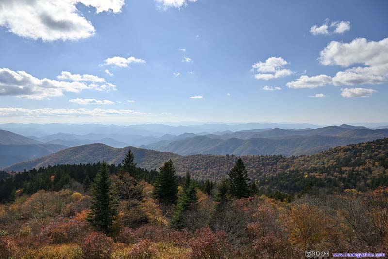 Mountains
 Richland BalsamBlue Ridge Parkway passed through the clearings, with its overlook on the left of this photo.
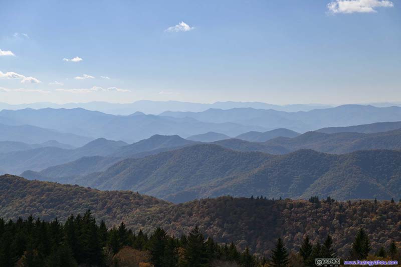 Distant Mountains

Click here to display photos from Cowee Mountains Overlook.

Mountains
Mountains

Mountains
Richland BalsamBlue Ridge Parkway passed through the clearings, with its overlook on the left of this photo.

Distant Mountains
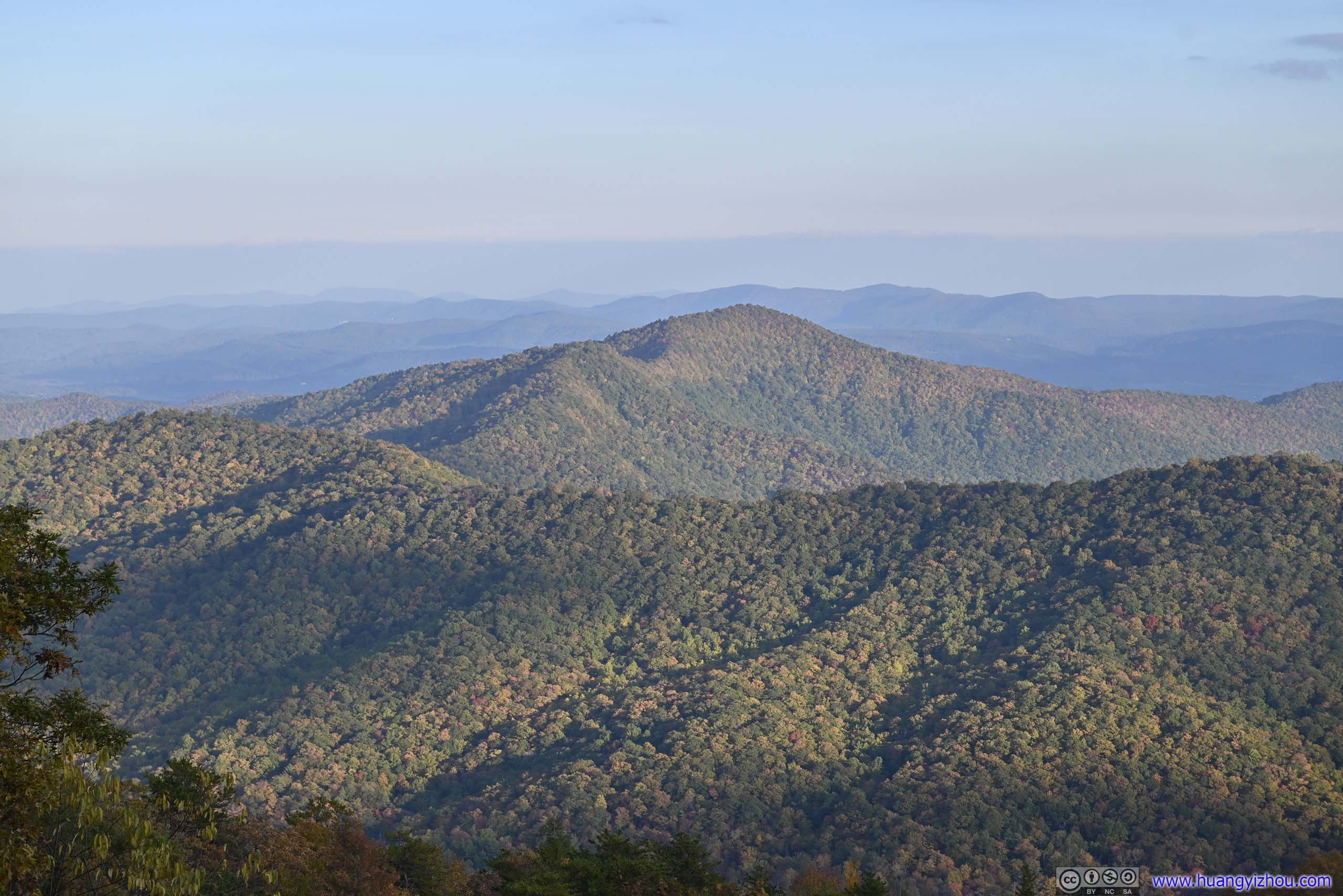
View from Cowee Mountains Overlook
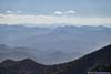
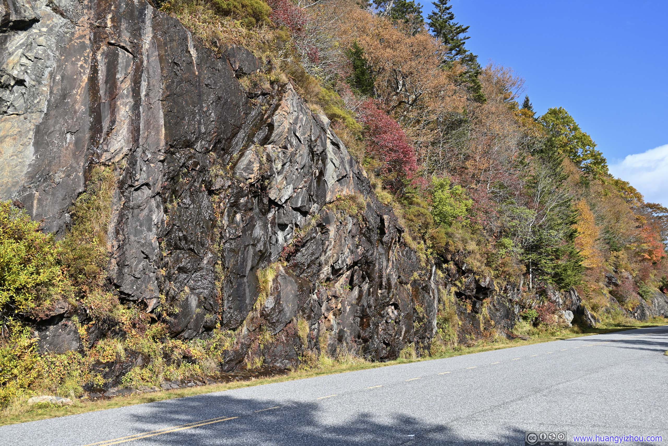
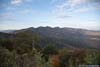
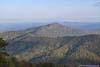
Wolf Mountain Overlook
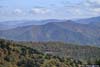
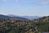
This was another overlook that I stopped at before crossing NC Route 215. Unfortunately, “Wolf Mountain” was hardly living up to its furious name, as it looked more like a molehill. The section of parkway from Richland Balsam was largely following a ridge, and the colors of foliage was vivid against a clear blue sky.
 MountainsWolf Mountain in the foreground right. Wolf Creek Reservoir in the background right.
 Blue Ridge ParkwayA weeping wall.
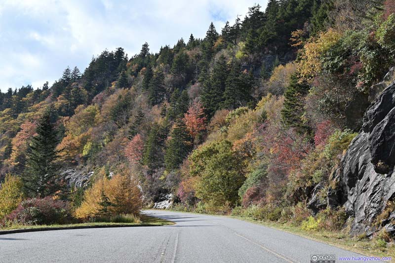 Blue Ridge ParkwayGood blend of colors.
 Blue Ridge ParkwayGood blend of colors.


Click here to display photos from Wolf Mountain Overlook.

MountainsWolf Mountain in the foreground right. Wolf Creek Reservoir in the background right.
Blue Ridge ParkwayA weeping wall.

Blue Ridge ParkwayGood blend of colors.
Blue Ridge ParkwayGood blend of colors.
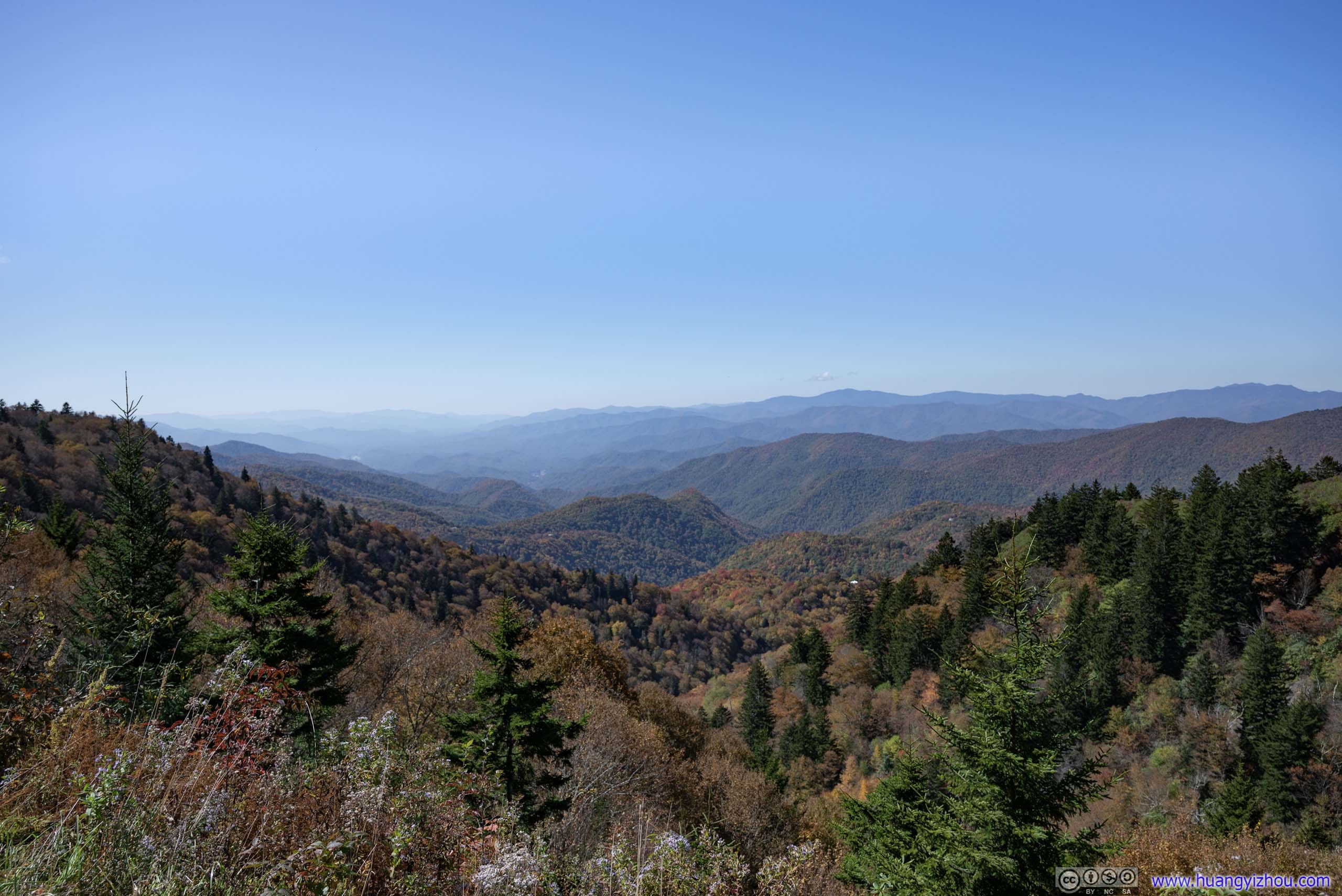
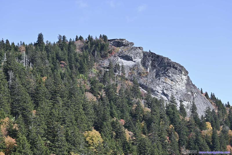
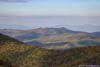
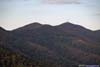
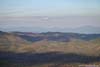
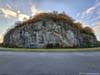
Devil’s Courthouse
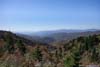
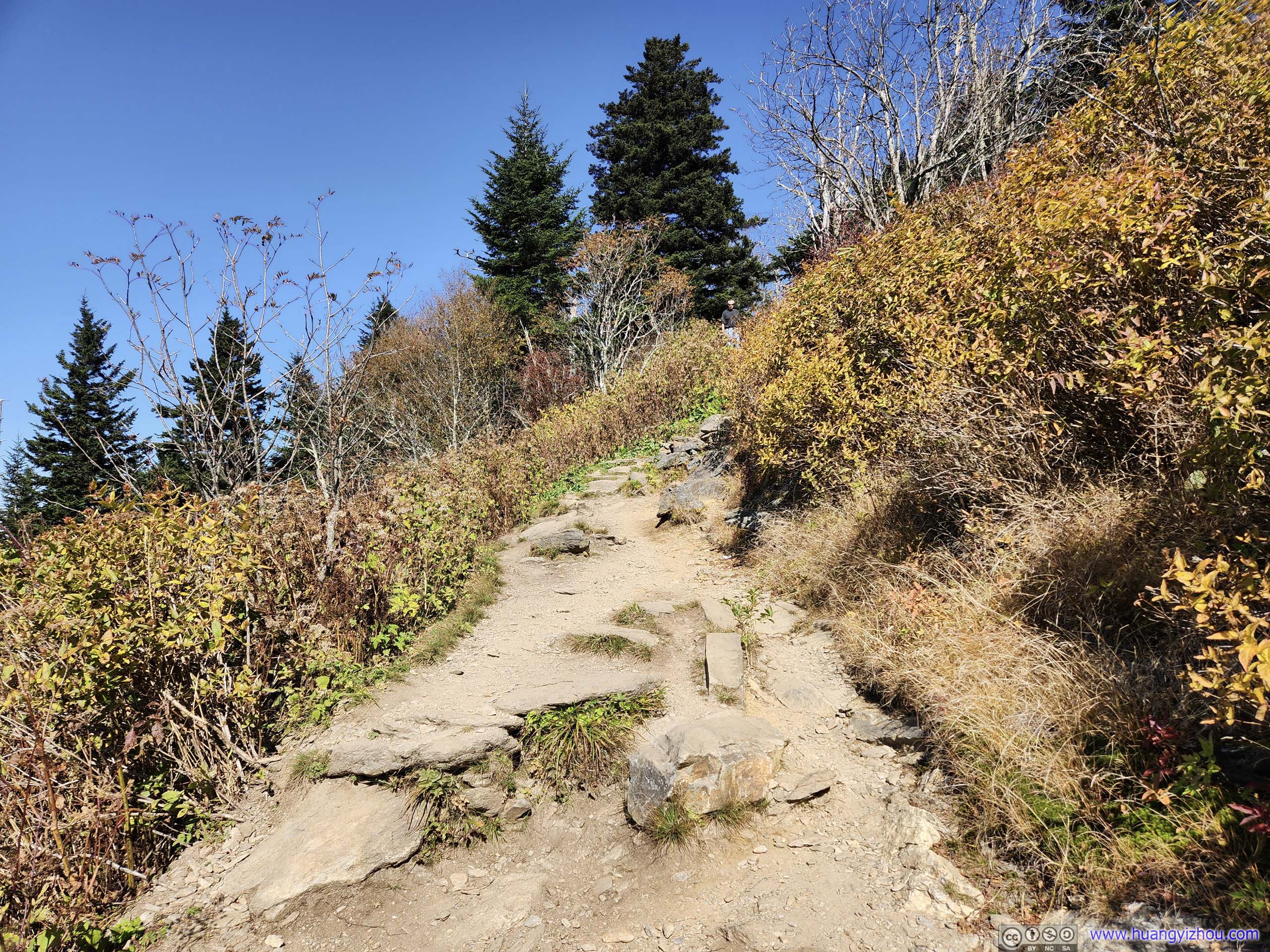
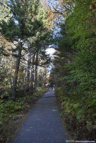
Not long after crossing NC Route 215, I was at Devil’s Courthouse, a prominent cliff-top overlook that stood out among the pine forests of its surroundings. The overlook can be reached via a 1.3km out-and-back trail with 84m elevation gain. For both its name and its views, I decided to check it out.
 Devils Courthouse from Parking Lot
 Devils Courthouse from Parking Lot
 Trail to Devils Courthouse
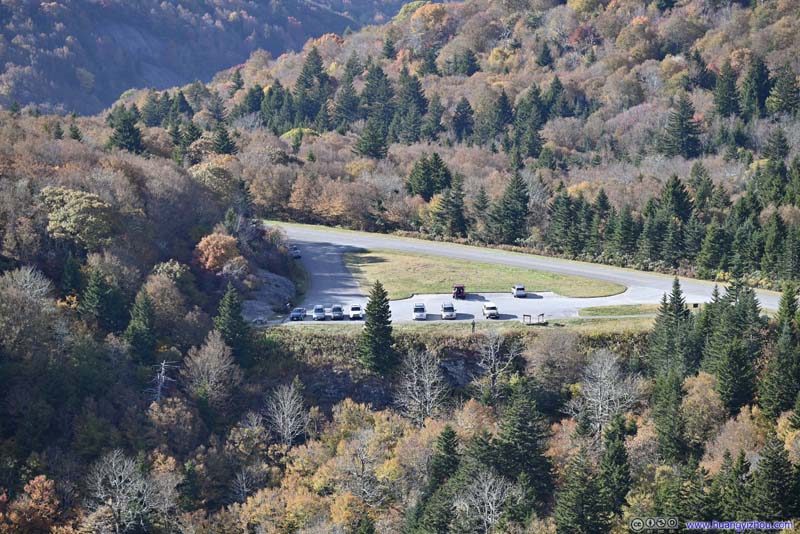 Overlooking Parking Lot
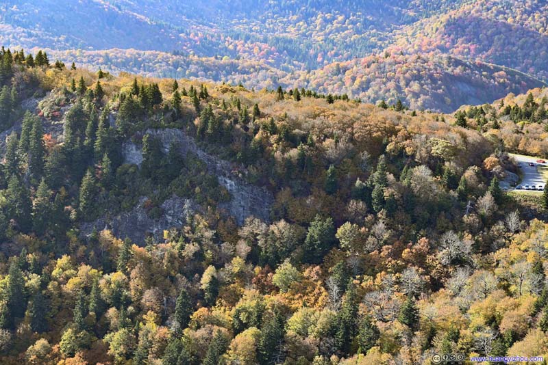 Cliff Next to Parking LotI liked the vivid colors of this shot.
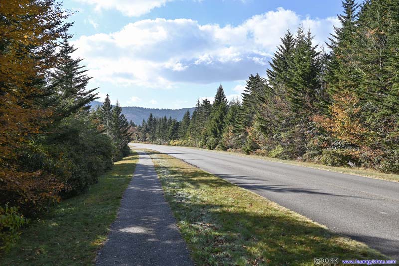 Blue Ridge Parkway
Click here to display photos of the slideshow

Devils Courthouse from Parking Lot

Devils Courthouse from Parking Lot

 Trail to Devils Courthouse
Overlooking Parking Lot

Cliff Next to Parking LotI liked the vivid colors of this shot.

Blue Ridge Parkway
Large portions of the trail was paved, so it’s not too much of an effort to reach Devil’s Courthouse. Unfortunately, to protect sensitive species as stated by NPS, or to babysit innocent visitors from falling off the cliff, a wall was set up at Devil’s Courthouse thus the actual cliff was off limits. Nonetheless, the views were well worth the trip.
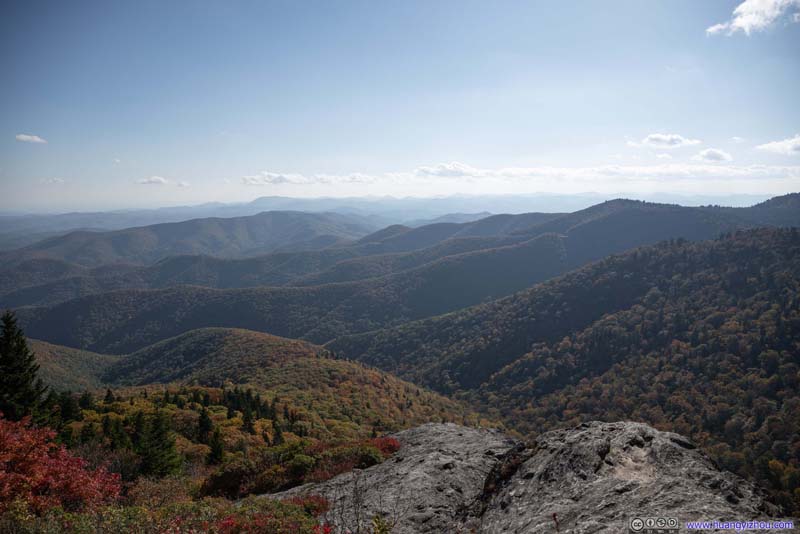 MountainsOf Courthouse Valley.
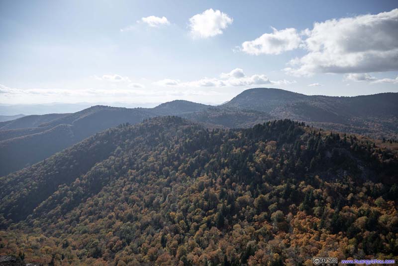 MountainsTo the west. Tanasee Bald and Herrin Knob in the background.
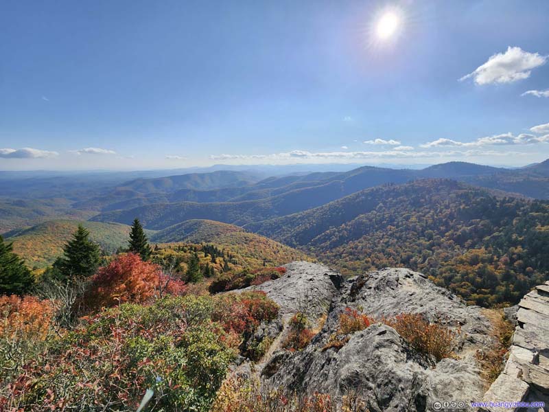 Mountains
 MountainsTo the north, in Pisgah National Forest.
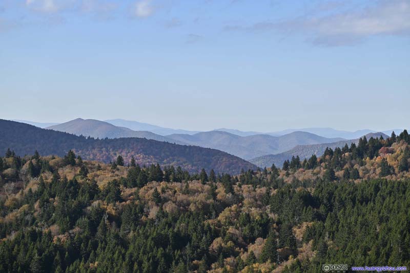 Mountains to the NorthOf Pisgah National Forest.
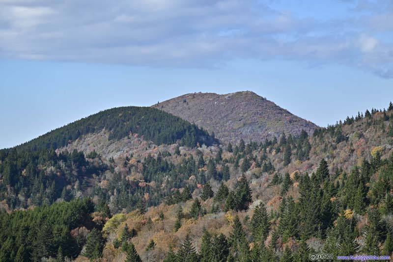 Sam’s KnobA prominent mountain to the north.

Click here to display photos from Devil’s Courthouse.
MountainsOf Courthouse Valley.
MountainsTo the west. Tanasee Bald and Herrin Knob in the background.
Mountains
MountainsTo the north, in Pisgah National Forest.
Mountains to the NorthOf Pisgah National Forest.
Sam’s KnobA prominent mountain to the north.
View from Devil’s Courthouse
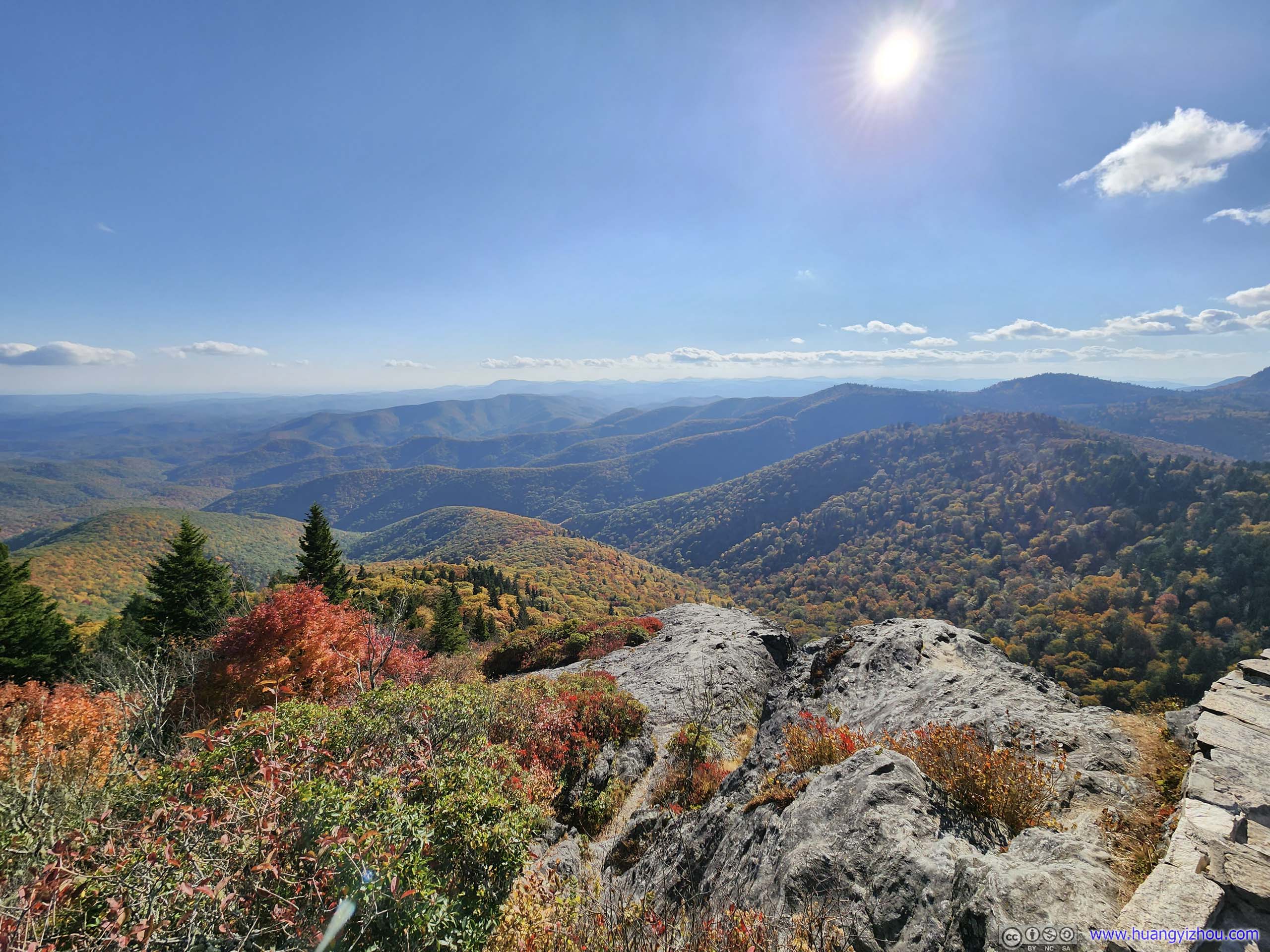
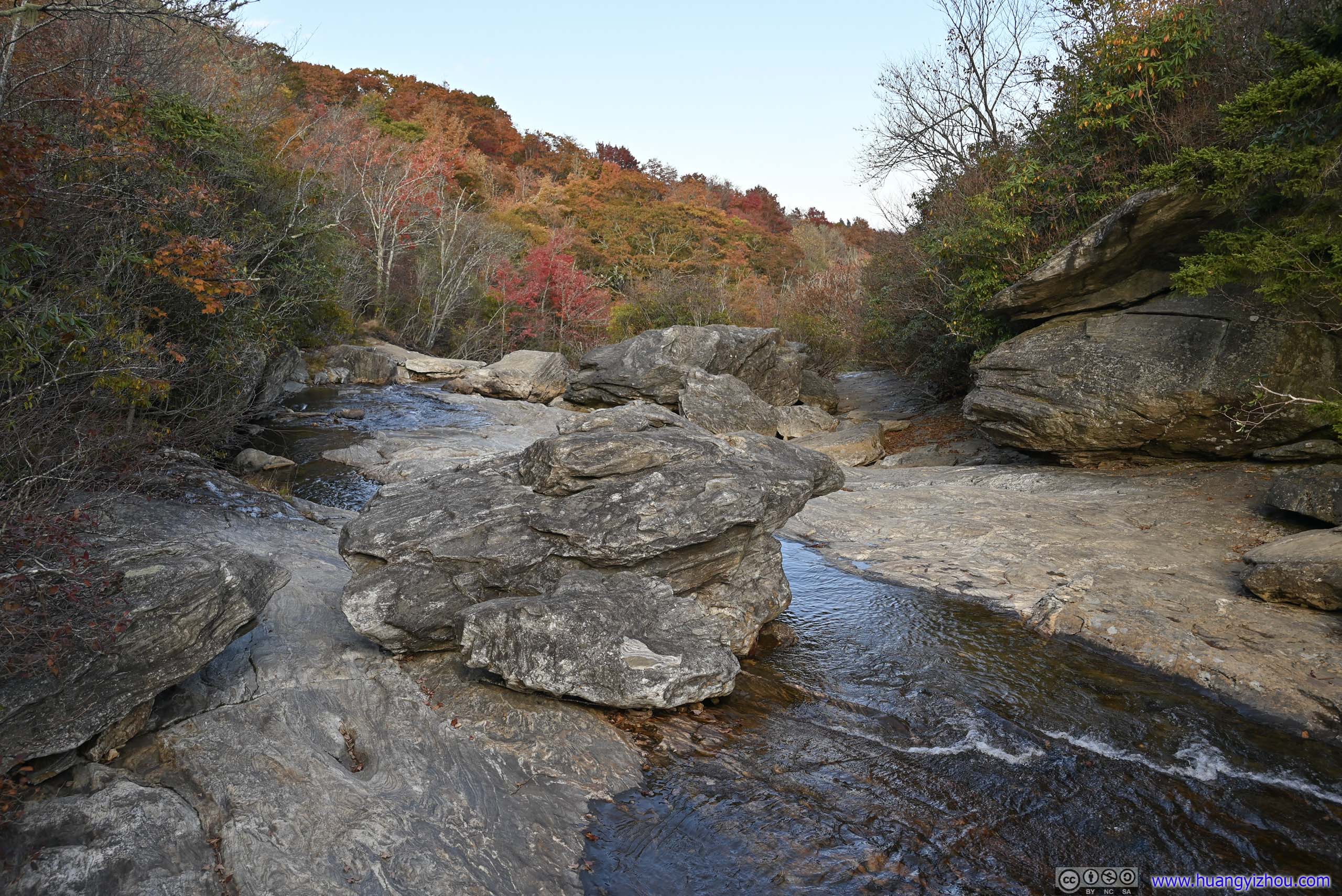
After that, I headed for the Graveyard Falls Trailhead. If I had more time, I would love to check out Black Balsam Knob or even venture into Shining Rock Wilderness, but I had to be home the next evening so they were passed off.
Lower Graveyard Falls
By the time I arrived at the parking lot of Lower Graveyard Falls, it’s past 5pm, less than 2 hours before sunset. It’s a Monday but the small parking lot was almost full, speaking to its popularity.
I could see why just a few steps from my car, where the setting sun illuminated the fields in the most animated colors. It’s far from the most extensive view of the day, but certainly the most vibrant.
And with that, I headed onto the trail. With my limited time, I could only visit the “Lower Graveyard Falls”, leaving out the upper one.
 Mountains in Autumn ColorsFrom the parking lot.
 Mountains in Autumn ColorsFrom the parking lot.
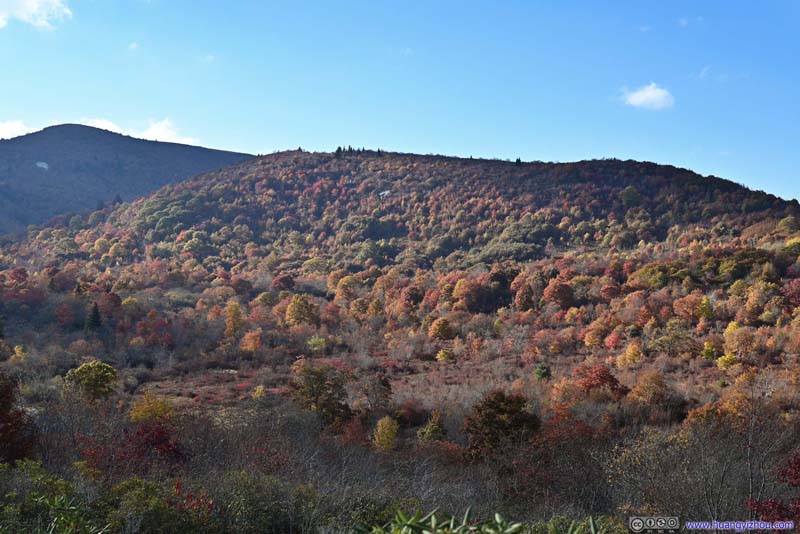 Mountains in Autumn ColorsFrom the parking lot.
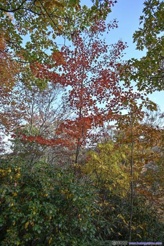
 Foliage along Trail to Waterfall
 Battle of ColorsAlong the trail.
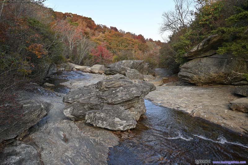 Yellowstone ProngFlowing downstream to the waterfall.


Click here to display photos of the slideshow
Mountains in Autumn ColorsFrom the parking lot.
Mountains in Autumn ColorsFrom the parking lot.

Mountains in Autumn ColorsFrom the parking lot.
 Foliage along Trail to Waterfall
Battle of ColorsAlong the trail.
Yellowstone ProngFlowing downstream to the waterfall.
The trail to Lower Graveyard Falls was well-constructed, with boardwalk in most if not all parts. Unfortunately, the boardwalk was broken in quite a few places. 🤨
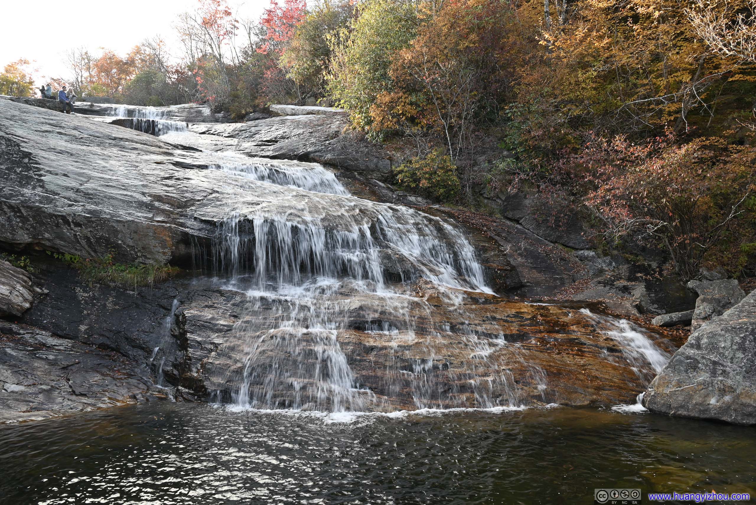
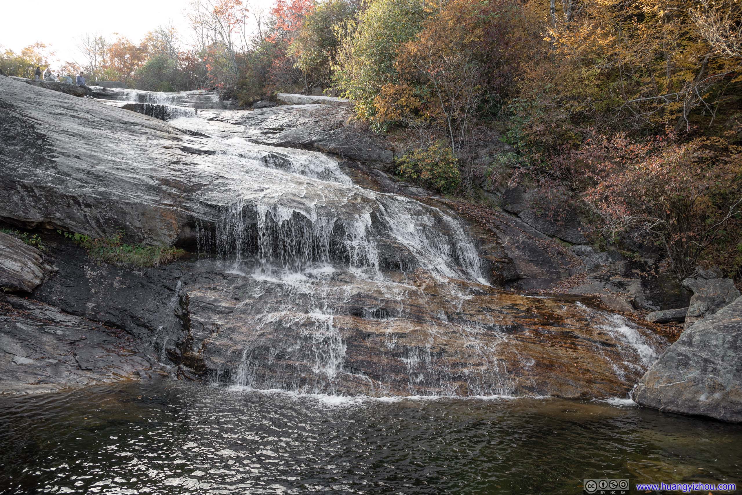
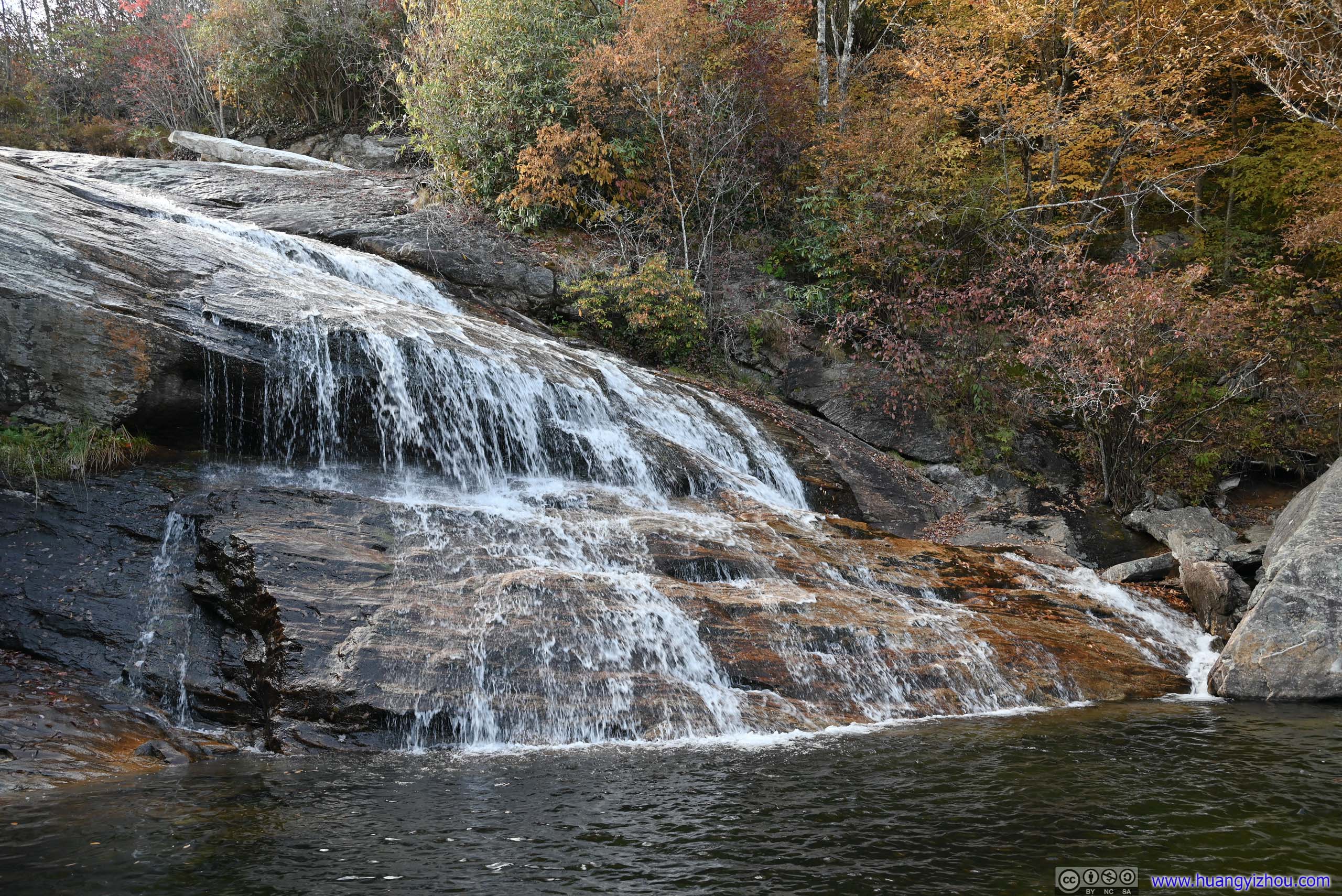
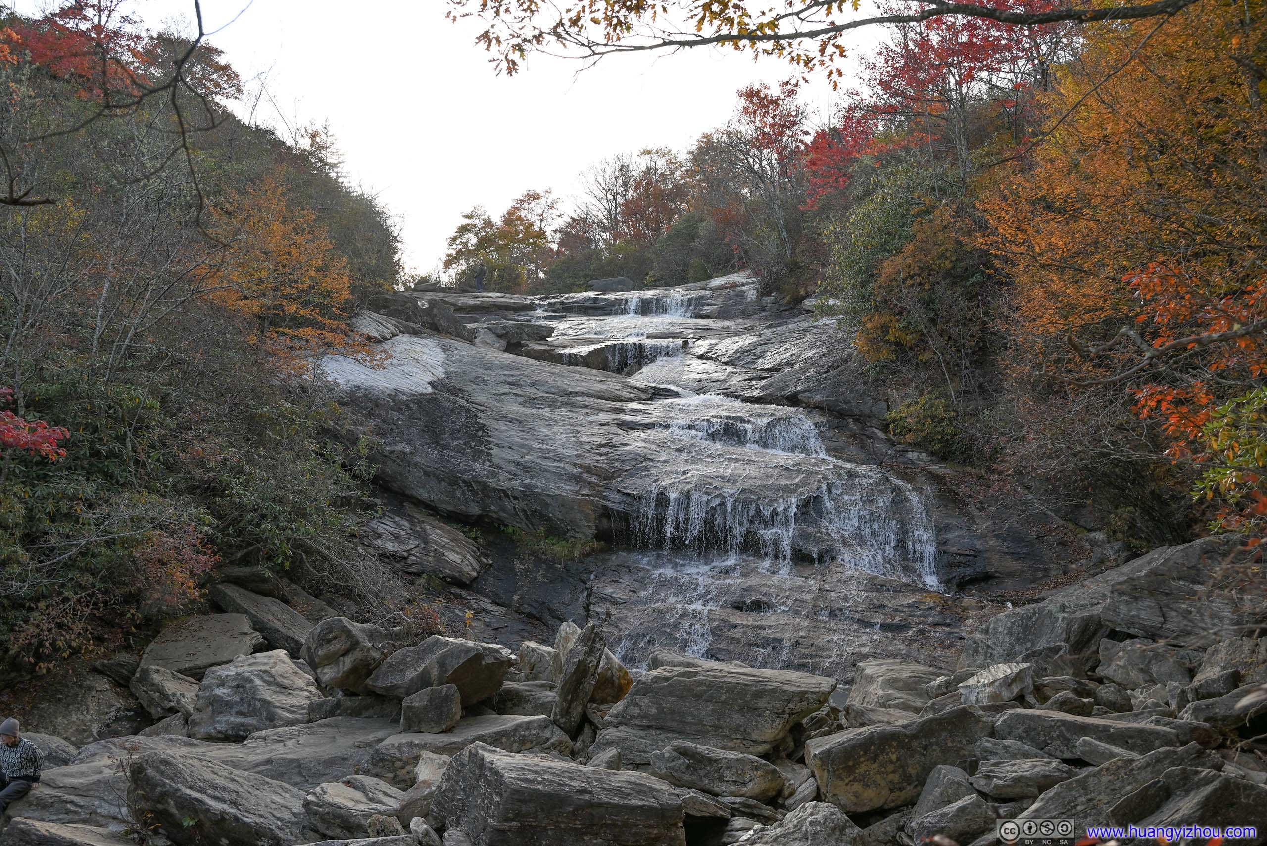
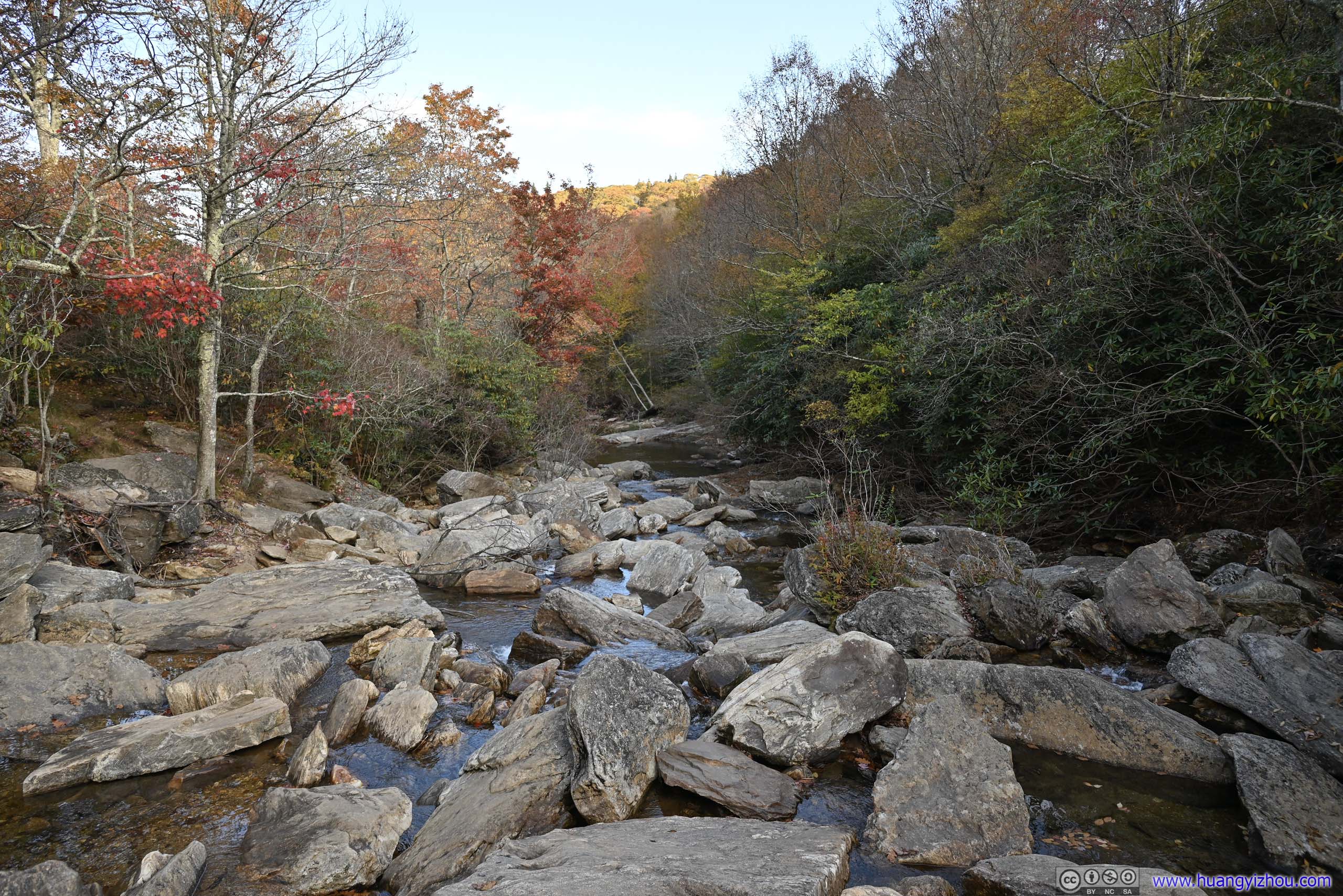
Finally, I arrived at Lower Graveyard Falls. The waterfall could be watched from a safe distance where the trail ended, or, one could hop across the rocks and get a close-up look. It’s a series of cascading waterfalls, lacking impressiveness but fitting the soft lighting near dusk. Of the three waterfalls I visited today, only Lower Graveyard Falls offered enough space for its visitors to spread out, to relax and medicate under its soothing sounds.
 Lower Graveyard Falls
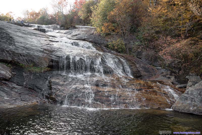 Lower Graveyard Falls
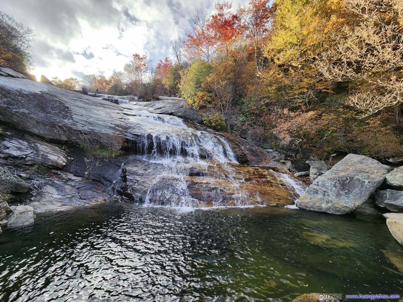 Lower Graveyard Falls
 Lower Graveyard Falls
 Lower Graveyard Falls
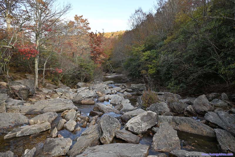 Yellowstone ProngDownstream of the waterfall.

Click here to display photos of Lower Graveyard Falls.
Lower Graveyard Falls
Lower Graveyard Falls

Lower Graveyard Falls
Lower Graveyard Falls
Lower Graveyard Falls
Yellowstone ProngDownstream of the waterfall.
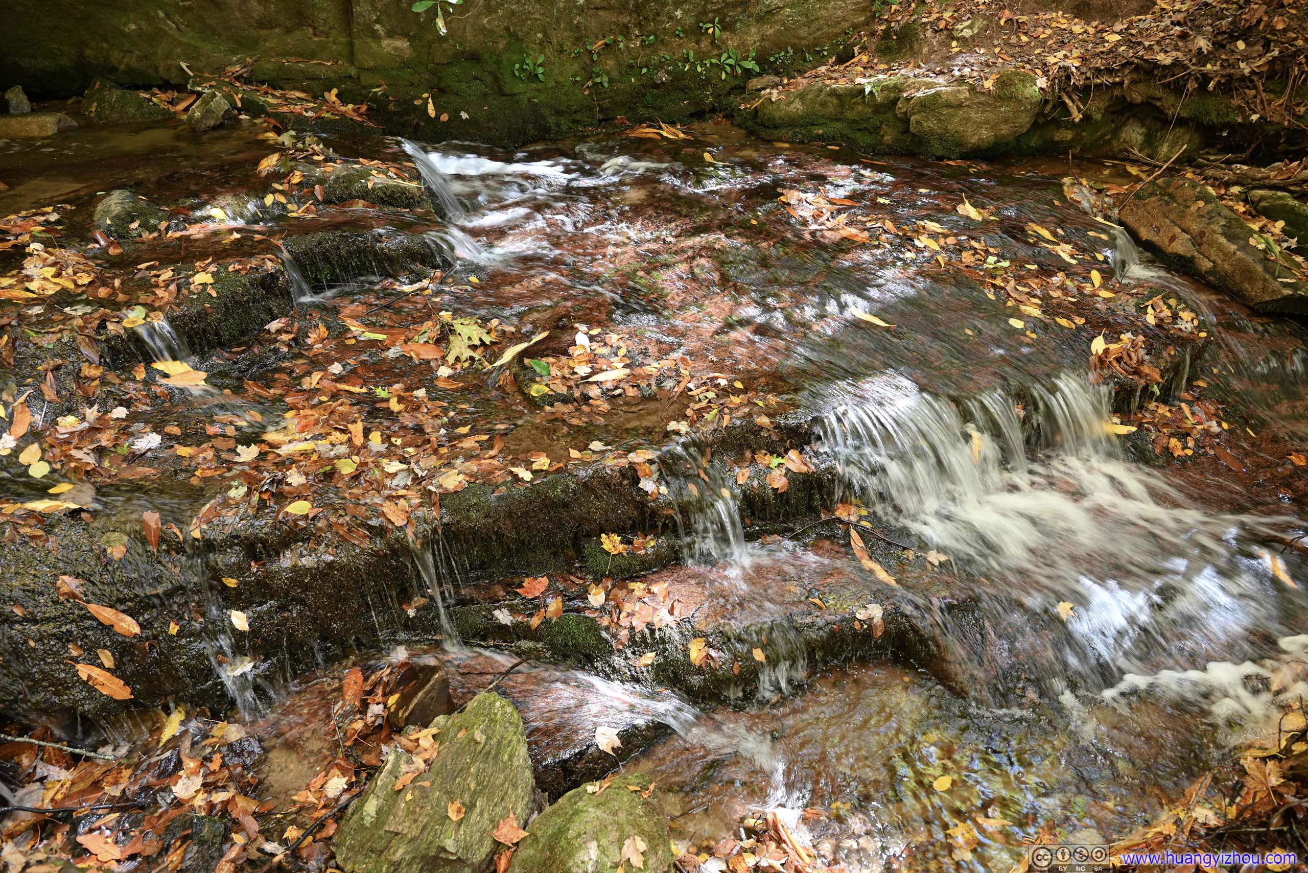
After getting back to my car, I drove a short distance down the road to East Fork Overlook. It overlooked the valley where Yellowstone Prong flew through, the same creek that created the Graveyard Falls. Now the sun was lower and the lands were golden, a spectacular autumn scene.
In addition, for the first time of the day, the distant mountains were facing sunlight and being clearly visible. I picked up two distinctive mountains, Funneltop Mountain and Black Mountain, both deep inside Pisgah National Forest. For the next few overlooks, they were still the distinctive mountains down the horizon. Not until I got back home and processed the photos, did I realize that I had been photographing different faces of the same mountains. It’s the heart-warming feeling that I made some new friends, and they looked after me along the way.
 Valley
Downstream of Graveyard Falls, I could still hear the sound of water in addition to this scenery of foliage colors.
Valley
Downstream of Graveyard Falls, I could still hear the sound of water in addition to this scenery of foliage colors.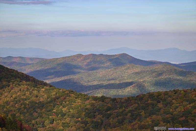 Funneltop MountainIn Pisgah National Forest
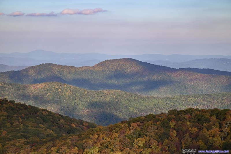 Black MountainIn Pisgah National Forest
 Rock WallBlue Ridge Parkway carved its way through these rocks.
Click here to display photos from East Fork Overlook.

Valley
Funneltop MountainIn Pisgah National Forest
Black MountainIn Pisgah National Forest
Rock WallBlue Ridge Parkway carved its way through these rocks.
View from East Fork Overlook
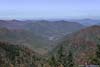
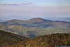
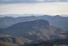
Pounding Mill Overlook
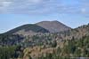
Pressed on time, the next overlook that I stopped at was Pounding Mill Overlook. Just like the Cowee Mountains Overlook earlier today, this overlook was along a curve of the parkway, giving it broad views. In addition, Looking Glass Rock, a giant rocky hill with curved and exposed rocks, was a novel sight among the rolling hills and forests nearby.
 Mountains to the North
 Fryingpan MountainWith the lookout tower on top of it.
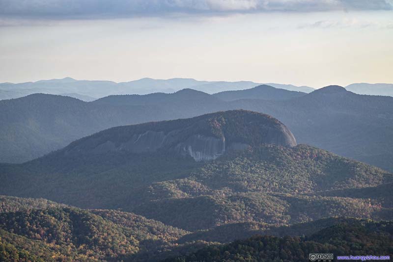 Looking Glass Rock
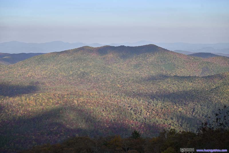 Funneltop MountainRoughly the same face as previously at East Fork Overlook.
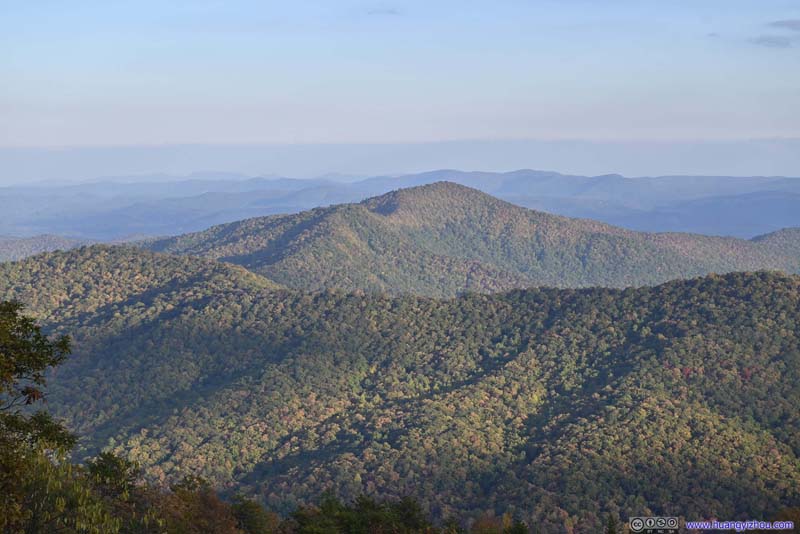 Black MountainA different face from previously at East Fork Overlook.
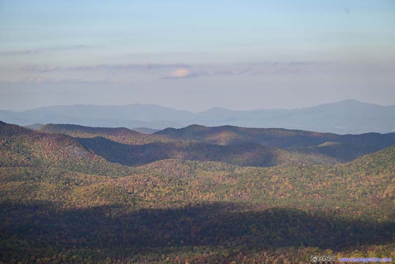 Distant Mountains
 CurveWhere Blue Ridge Parkway made this curve, creating Pounding Mill Overlook with its broad views.
Click here to display photos from Pounding Mill Overlook.
Mountains to the North
Fryingpan MountainWith the lookout tower on top of it.

Looking Glass Rock
Funneltop MountainRoughly the same face as previously at East Fork Overlook.
Black MountainA different face from previously at East Fork Overlook.
Distant Mountains
CurveWhere Blue Ridge Parkway made this curve, creating Pounding Mill Overlook with its broad views.
View from Pounding Mill Overlook
My next stop was at Funneltop View, named for one of the mountain friends that I made today. Interestingly, both Funneltop Mountain and Black Mountain were visible from here.
 Funneltop and Black MountainFrom Funnel Top View.
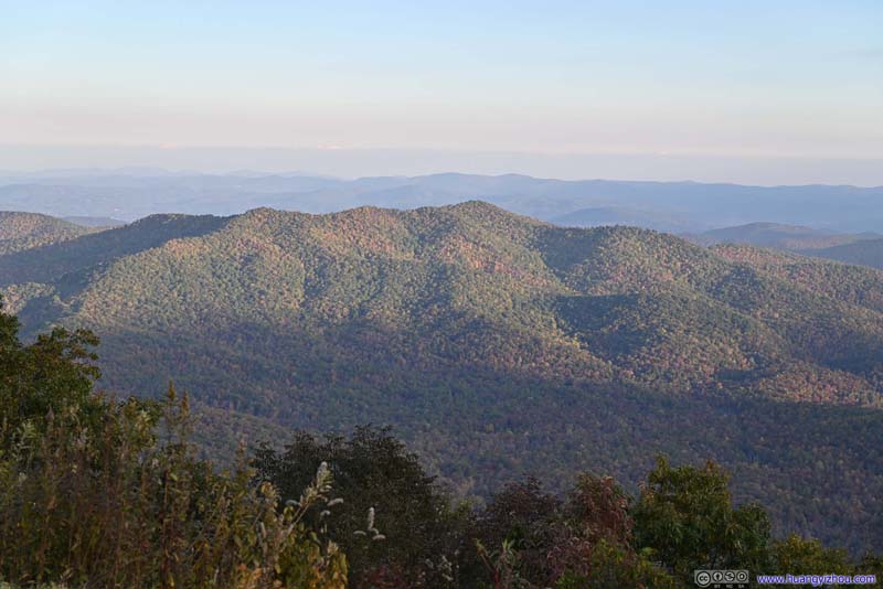 Funneltop MountainFrom Funnel Top View.
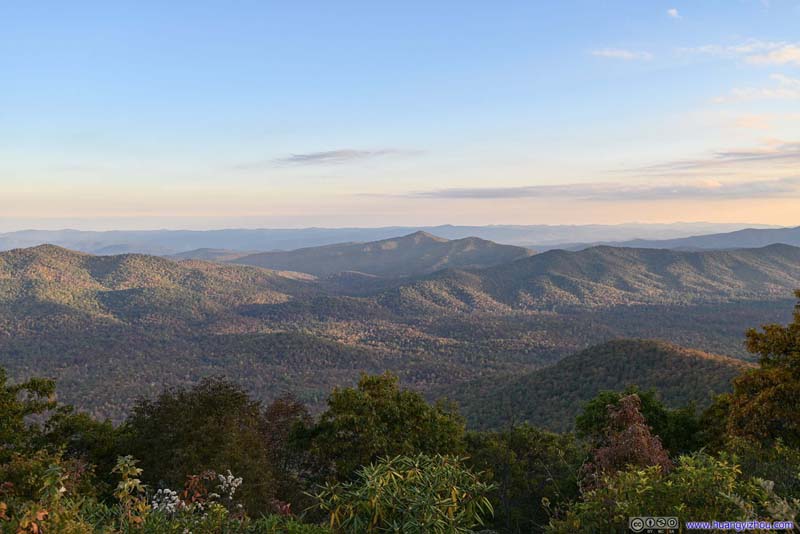 Black MountainFrom Funnel Top View.
 ValleyLooking Glass Rock was a striking presence.
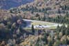
 Allegiant Air A320
Presumably flying into the nearby Asheville Airport. Allegiant Airlines was the largest operator from Asheville Airport.
Allegiant Air A320
Presumably flying into the nearby Asheville Airport. Allegiant Airlines was the largest operator from Asheville Airport.

Click here to display photos from Funneltop View.
Funneltop and Black MountainFrom Funnel Top View.

Funneltop MountainFrom Funnel Top View.
Black MountainFrom Funnel Top View.
ValleyLooking Glass Rock was a striking presence.

Allegiant Air A320
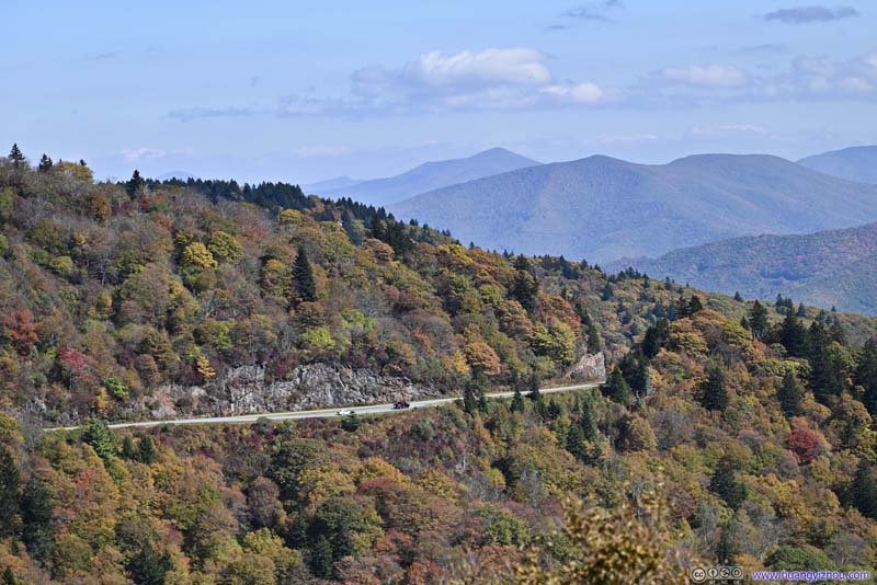
After that, I made two more stops, at Wash Creek Valley Overlook and French Broad River Overlook. I was running late so I made fewer stops along the way.
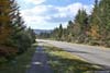
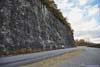
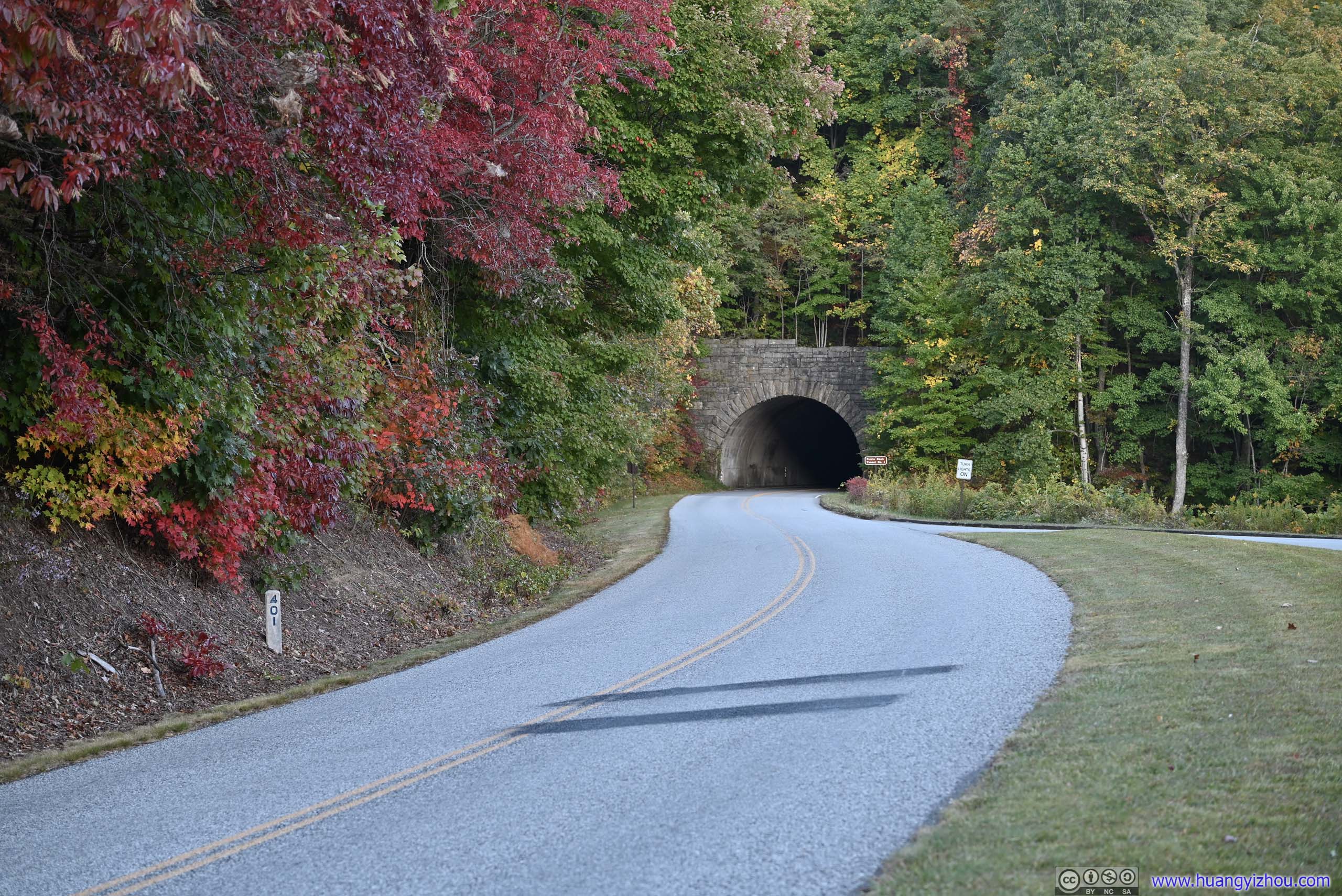
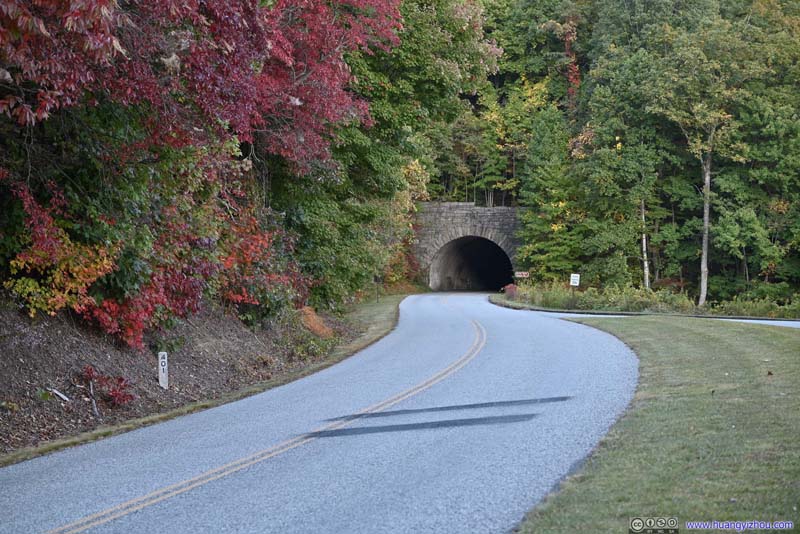 Blue Ridge ParkwayNear Wash Creek Valley Overlook, a few tunnels were located nearby.
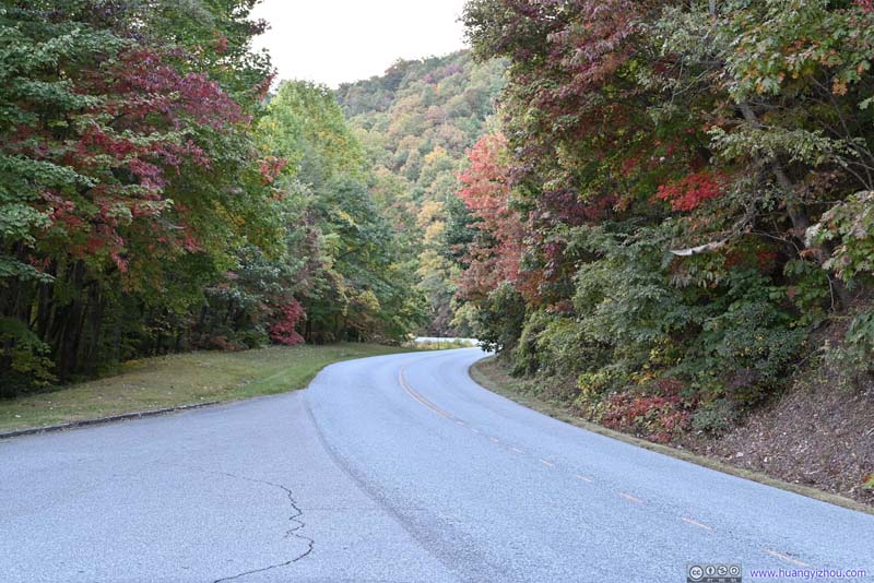 Blue Ridge ParkwayAutumn Colors near Wash Creek Valley Overlook.
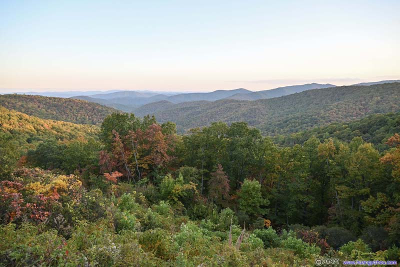 Wash Creek ValleyFrom Wash Creek Valley Overlook.
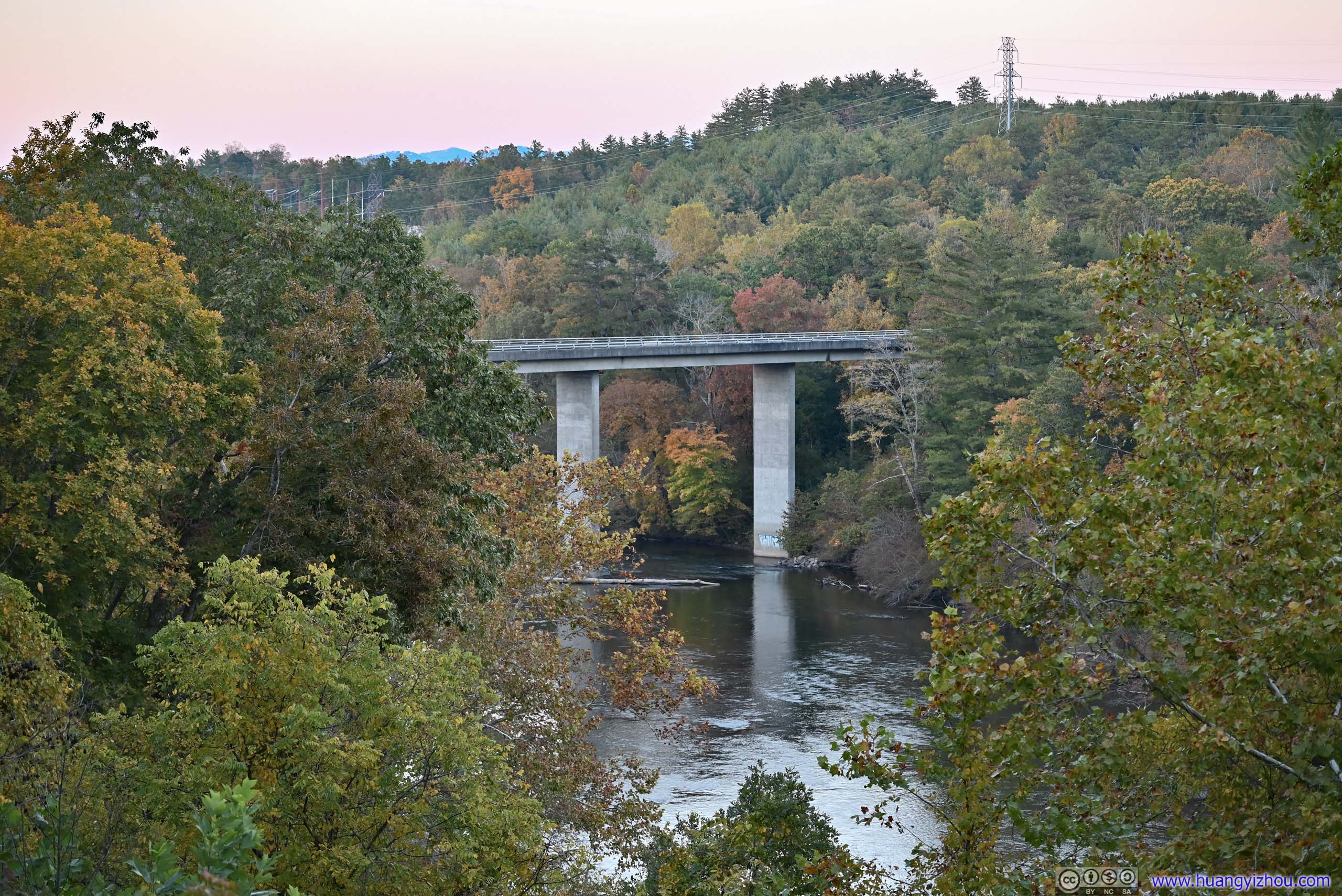
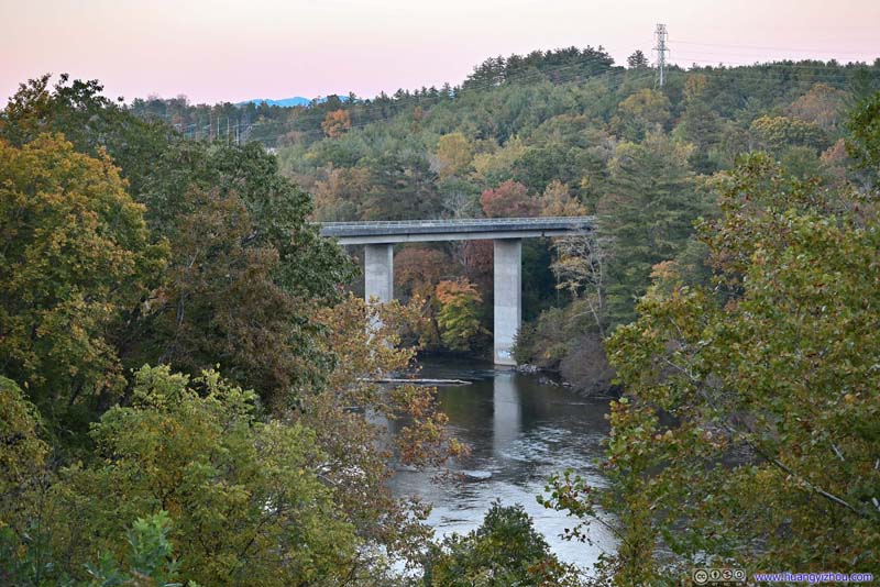 Bridge across French Broad RiverView from French Broad River Overlook was partly obscured by trees.
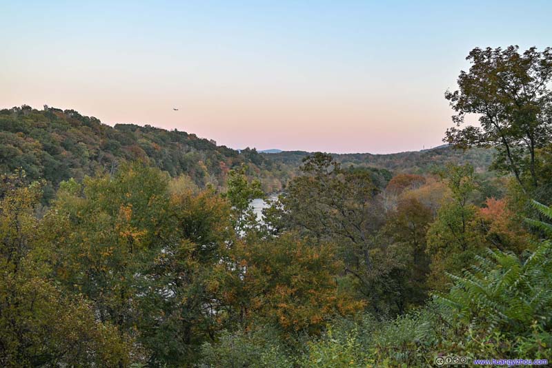 French Broad RiverView from French Broad River Overlook was partly obscured by trees.
Click here to display photos of the slideshow
Blue Ridge ParkwayNear Wash Creek Valley Overlook, a few tunnels were located nearby.

Blue Ridge ParkwayAutumn Colors near Wash Creek Valley Overlook.
Wash Creek ValleyFrom Wash Creek Valley Overlook.
Bridge across French Broad RiverView from French Broad River Overlook was partly obscured by trees.
French Broad RiverView from French Broad River Overlook was partly obscured by trees.
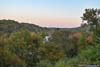
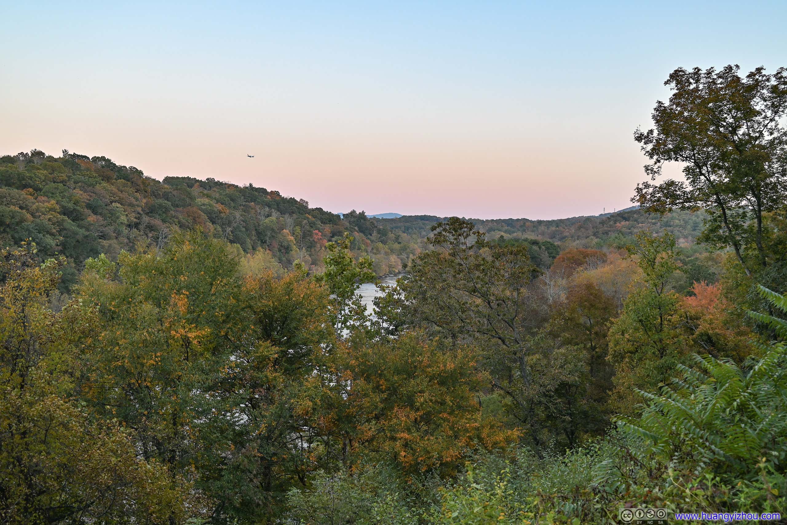
By the time I reached French Broad River Overlook on the outskirts of Asheville, it’s just minutes before sunset. Originally, I had planned hoped to continue along the parkway, visiting Craggy Pinnacle and Mount Mitchell before reaching my overnight lodge in the town of Marion NC, and that seemed just too ambitious compared to reality. So after the next 10 miles of the parkway, which felt like cutting through some suburban residential neighborhood, I headed onto Interstate 40, taking the shortcut towards the town of Marion.
After having dinner along the way, I reached my overnight hotel in Marion just past 8pm, just over an hour after sunset.
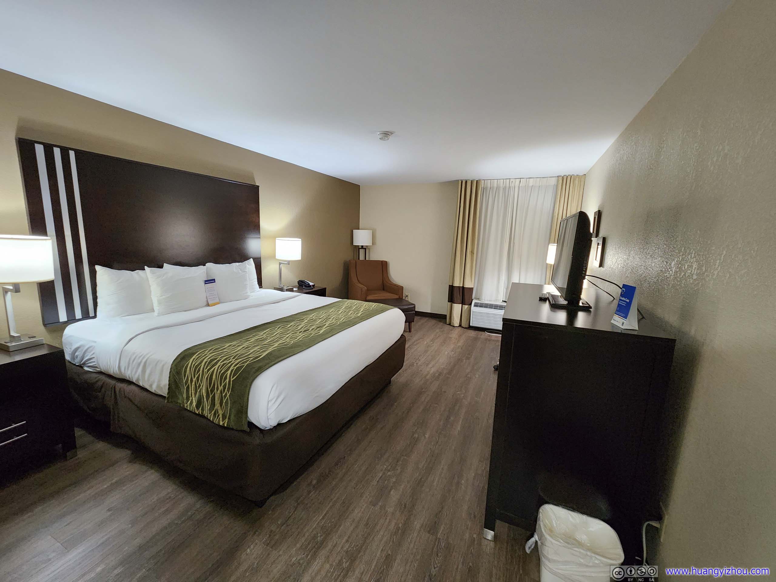
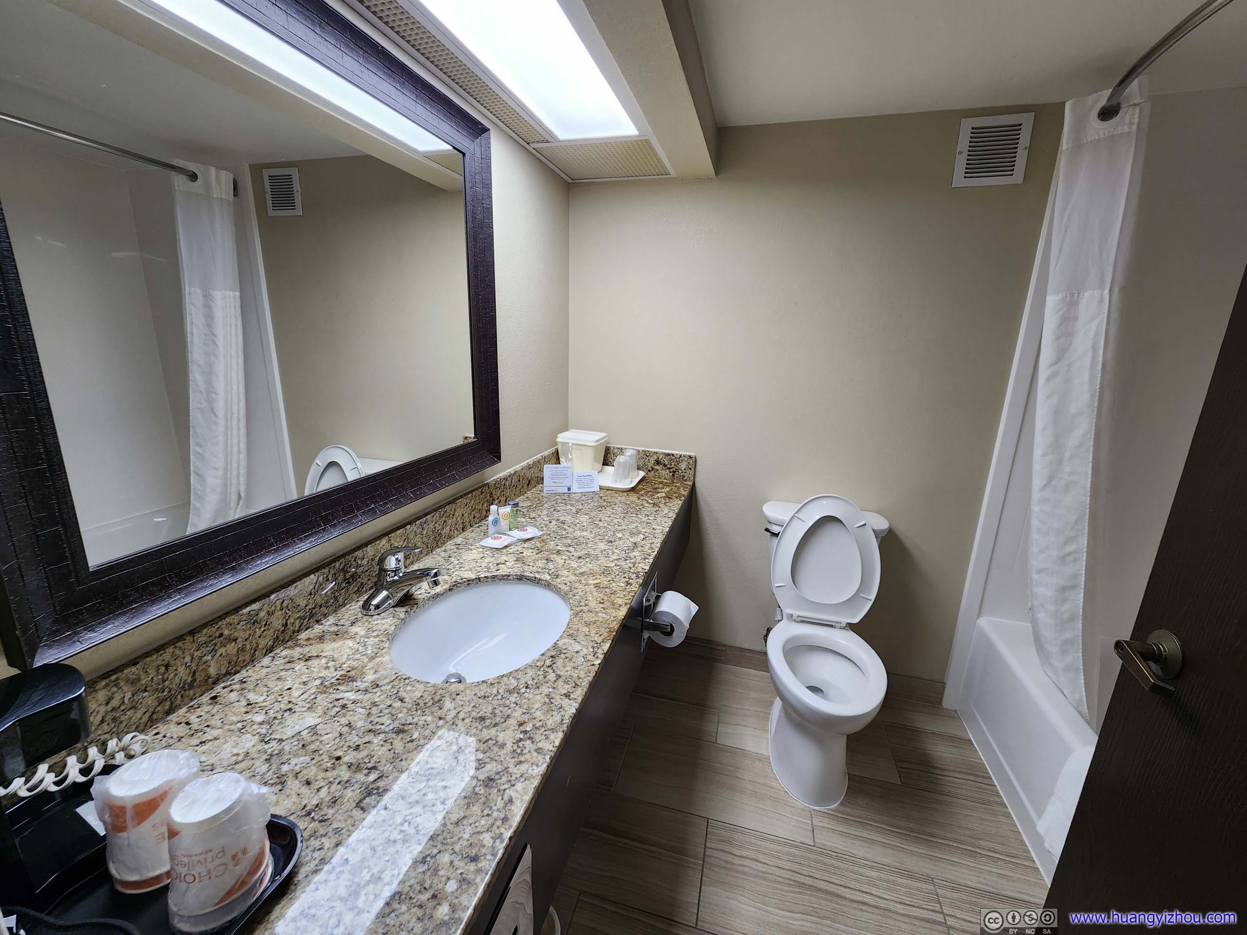
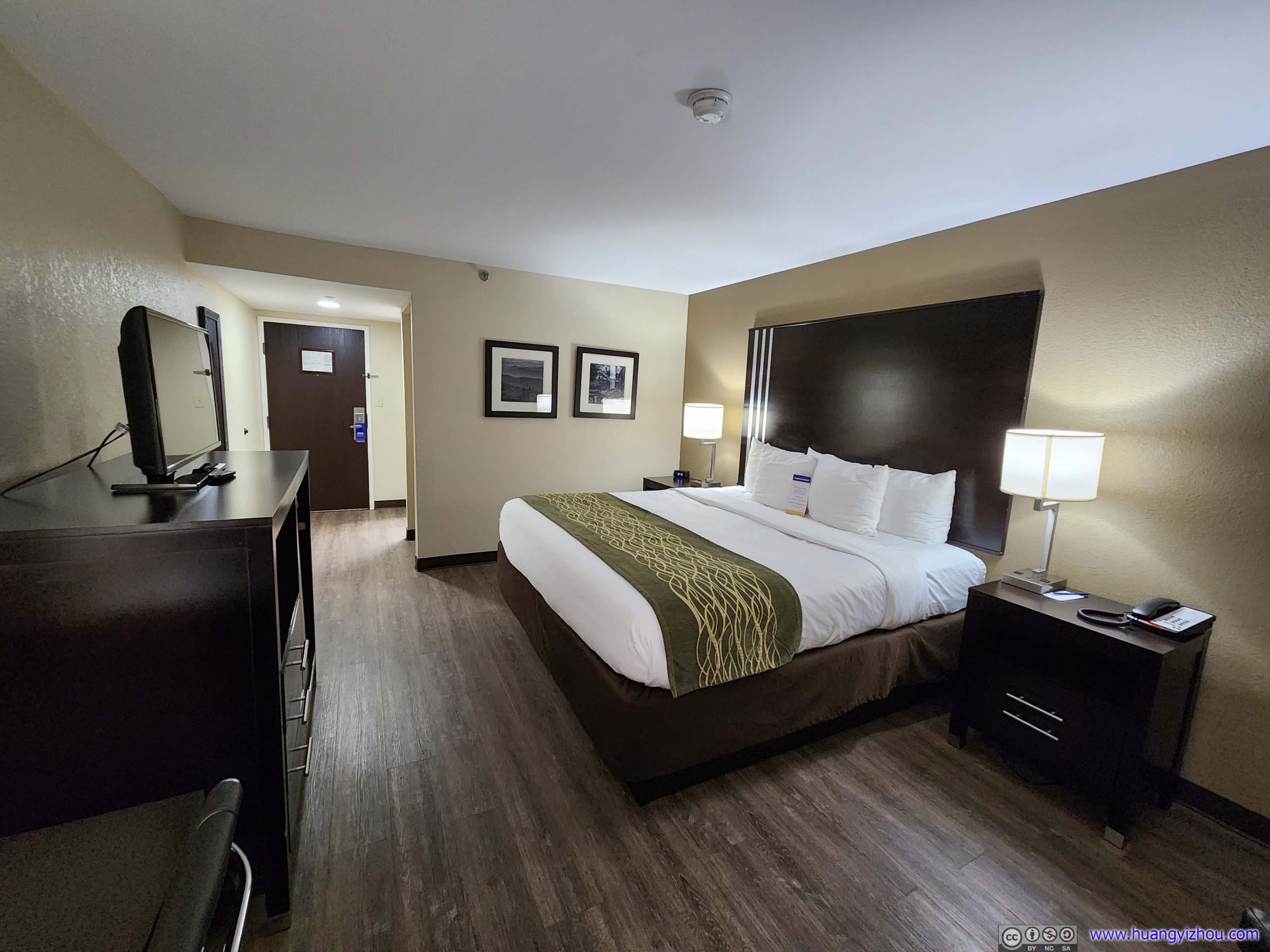
For this night, I decided to stay in Comfort Inn, Marion, a brand of Choice Hotel Group. Of the few hotels in the town of Marion, it’s the closest to Blue Ridge Parkway (still a 30-minute drive). It’s reasonably priced ($112 per night before taxes), it’s clean, and unlike my previous nights at Pigeon Forge (which really lowered my bars for hotels 😒), I didn’t run into any issues.
Hotel Room


Click here to display photos of Comfort Inn, Marion
Hotel Room
Hotel Room
Hotel Room
END
![]() October 2022 Foliage, South Blue Ridge Parkway to Asheville by Huang's Site is licensed under a Creative Commons Attribution-NonCommercial-ShareAlike 4.0 International License.
October 2022 Foliage, South Blue Ridge Parkway to Asheville by Huang's Site is licensed under a Creative Commons Attribution-NonCommercial-ShareAlike 4.0 International License.