
Updated on December 25, 2023
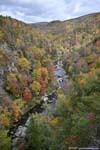
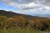
October 2022 Foliage, Blue Ridge Parkway from Marion to Fancy Gap
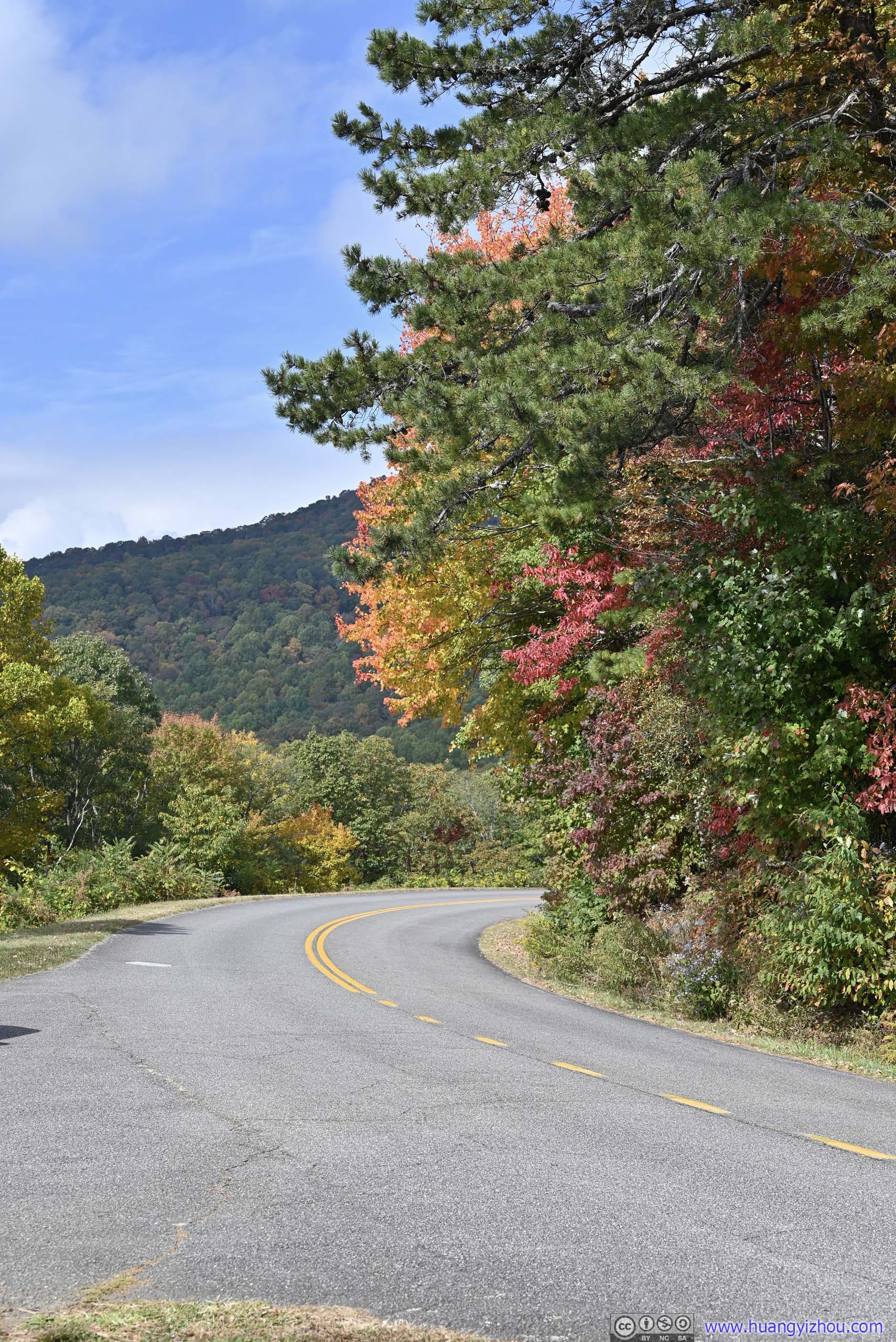
Fourth and last day of my road trip to the south Blue Ridge Mountains. I would be leaving the town of Marion, NC this morning, driving through the most scenic sections of Blue Ridge Parkway, before hopping onto the interstate and raced back home in the evening.
Linn Cove Viaduct
Driving from Marion, NC to Washington DC in one day is sort of a rush, add some sightseeing along the way, then it definitely is. But anyways, I had to be back home at the end of the day so that’s what I would do, and I was accompanied by the most wonderful foliage colors of the year along the most scenic sections of Blue Ridge Parkway.
So after a good night’s rest, I left the hotel in Marion, NC at 9:30 in the morning. I picked this town to spend the night for its proximity to Blue Ridge Parkway, but it still took me 30 minutes via NC Route 80 to join the parkway at Buck Creek Gap. The last section of the country road involved many tight curves as it made its way up the mountain, which made for some very intense driving to say the least.
Just like the previous day, I recorded a timelapse video of the day’s driving along the parkway, captured by a windshield-mounted GoPro.
<
- 0:00 The twisty sections of NC Route 80, Buck Creek Road
- 1:13 Entering the parkway at Buck Creek Gap
- 1:40 Black Mountain Overlook
- 2:18 Crabtree Falls Parking Lot
- 4:28 The Loops Overlook
- 4:58 Heffner Gap Overlook
- 5:33 Bear Den Overlook
- 6:53 Leaving the parkway for a detour to Linville Falls
- 7:36 Rejoining the parkway from Linville Falls
- 9:16 Grandfather Mountain Overlook
- 9:52 Linn Cove Visitor Center
- 10:02 Onto the famous Linn Cove Viaduct
- 10:20 Yonahlossee Overlook just after the viaduct
- 10:50 Price Lake Overlook
- 13:01 Yadkin Valley Overlook
- 15:31 Elk Mountain Overlook
- 18:05 Parkway closed at Miller Gap for construction.
- 18:09 After detour, continue from Laurel Springs.
- 18:57 Alligator Back Overlook
- 19:58 Air Bellows Overlook
- The video ends as I exited the parkway at Fancy Gap.
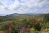
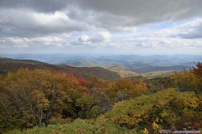
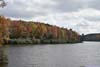
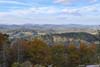
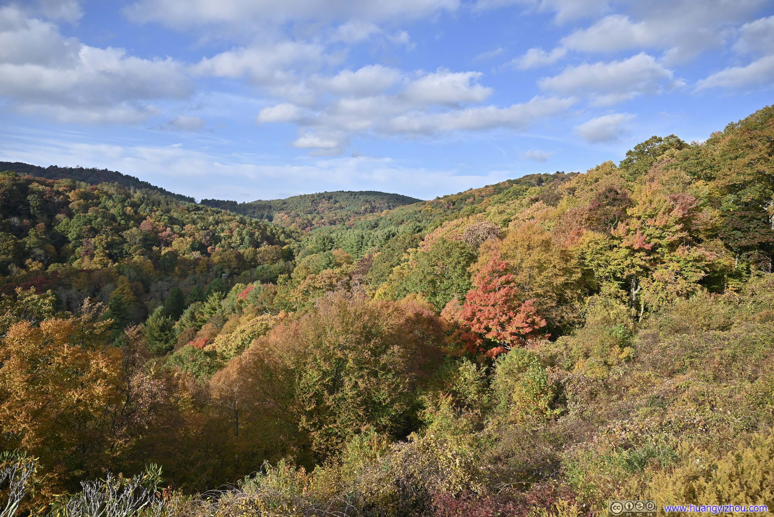
Black Mountain Overlook
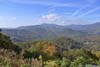
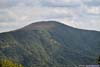
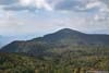
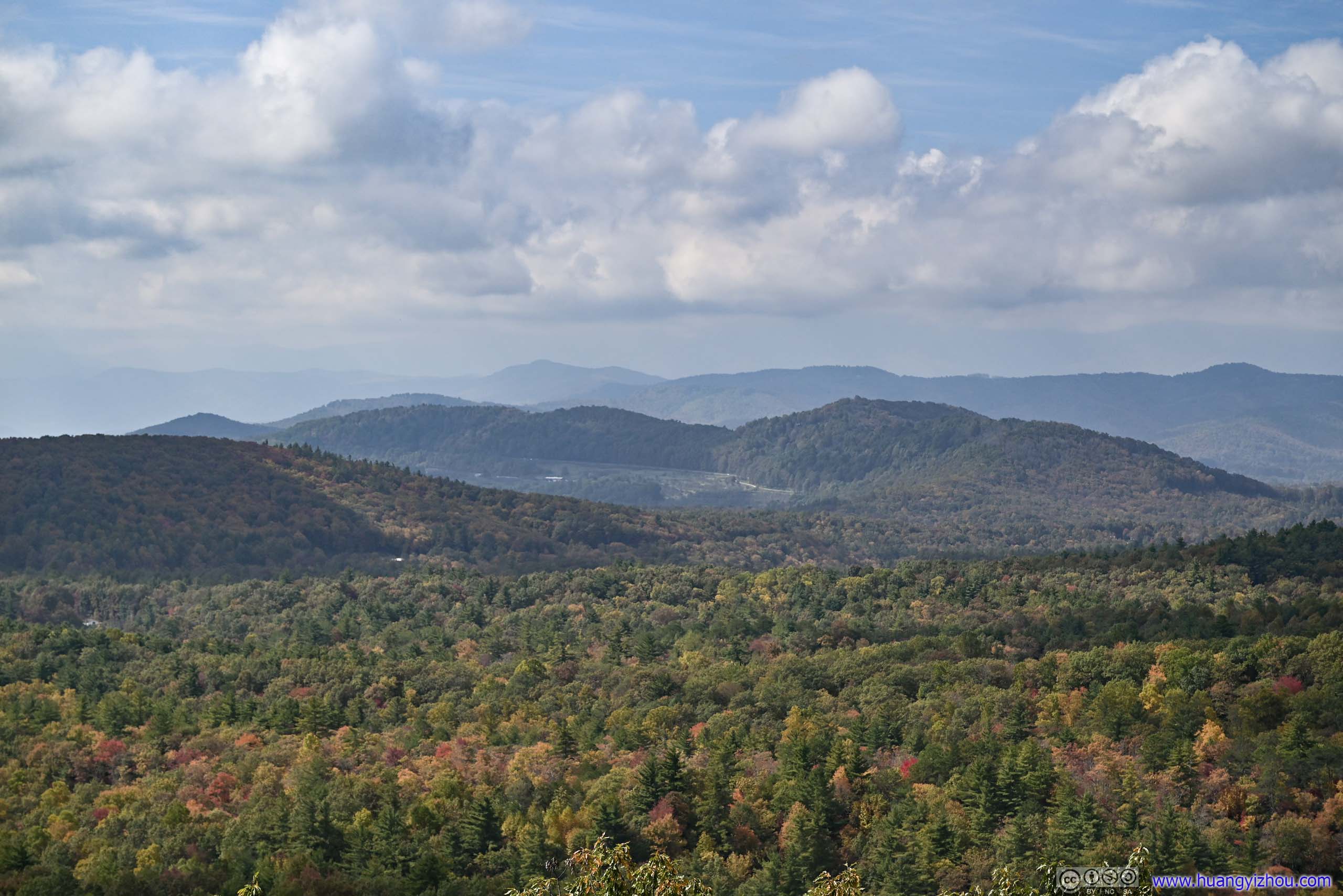
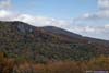
Not long after getting onto the parkway, I made my first stop at Black Mountain Overlook, with views of a series of mountains to the west, including Mount Mitchell, the highest mountain in the eastern United States. I was sort of puzzled by the name as none of the mountains in sight looked remotely gloomy to me. I (predictably) ran out of time the previous day and skipped the section of the parkway between Asheville and Marion, which included a spur to Mount Mitchell, so this overlook sort of made up to me.
 Mountains to the WestA few of them behind clouds.
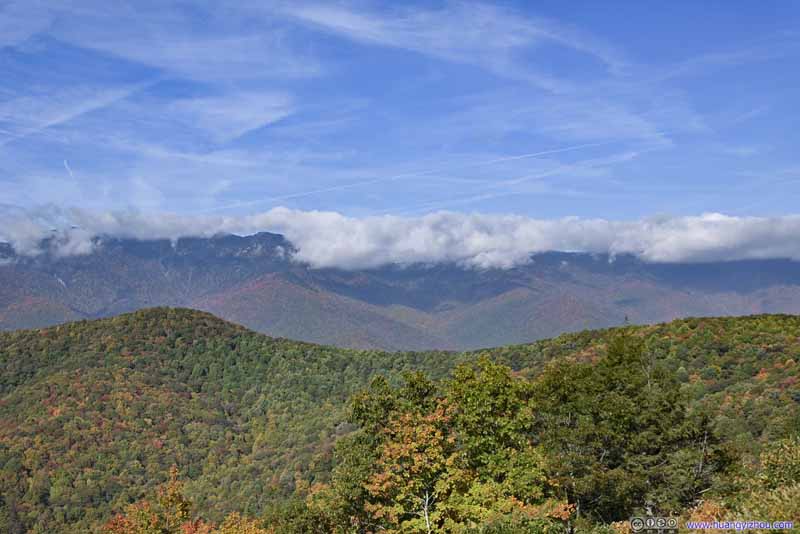 Mountains to the WestA few of them behind clouds.
 Mountains to the SouthwestThese ones are clearly visible.
 Distant MountainsBlue Ridge Parkway made its way behind these mountains.
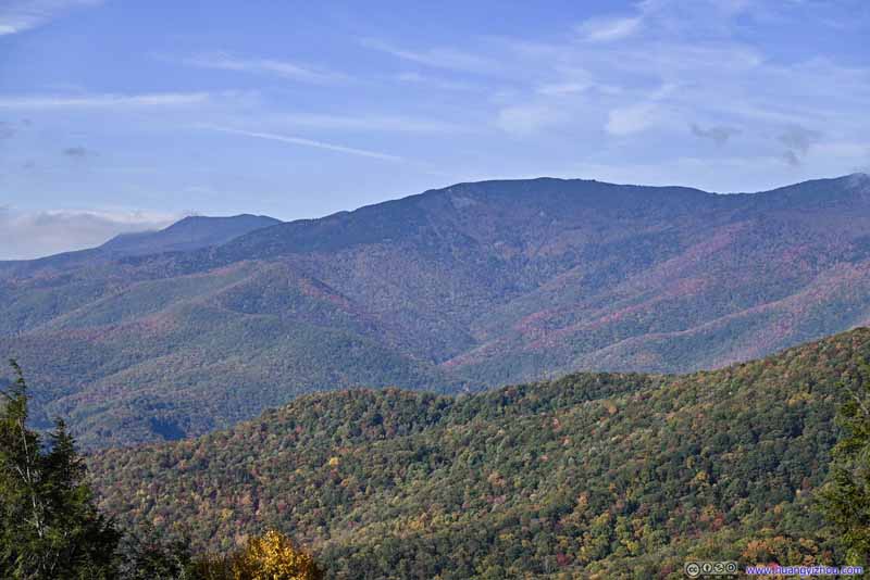 Mount MitchellThe highest mountain in eastern United States. Luckily it’s not covered in clouds.
 Mountains behind CloudsBalsam Cone and Cattail Peak.
Click here to display photos from Black Mountain Overlook.

 Mountains to the WestA few of them behind clouds.

Mountains to the SouthwestThese ones are clearly visible.
Distant MountainsBlue Ridge Parkway made its way behind these mountains.

Mount MitchellThe highest mountain in eastern United States. Luckily it’s not covered in clouds.
Mountains behind CloudsBalsam Cone and Cattail Peak.
View from Black Mountain Overlook
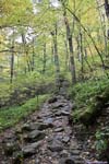
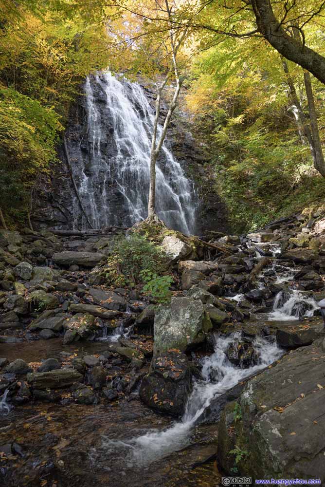
Crabtree Falls
At around 10:20am, I reached the parking lot of Crabtree Falls. This was a major waterfall along Blue Ridge Parkway. Coincidentally, there’s also a “Crabtree Falls” not far from the parkway in Virginia, which I visited earlier this year.
Crabtree Falls Campground
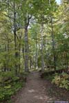
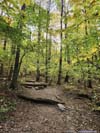
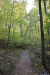
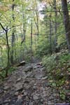
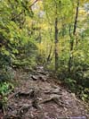
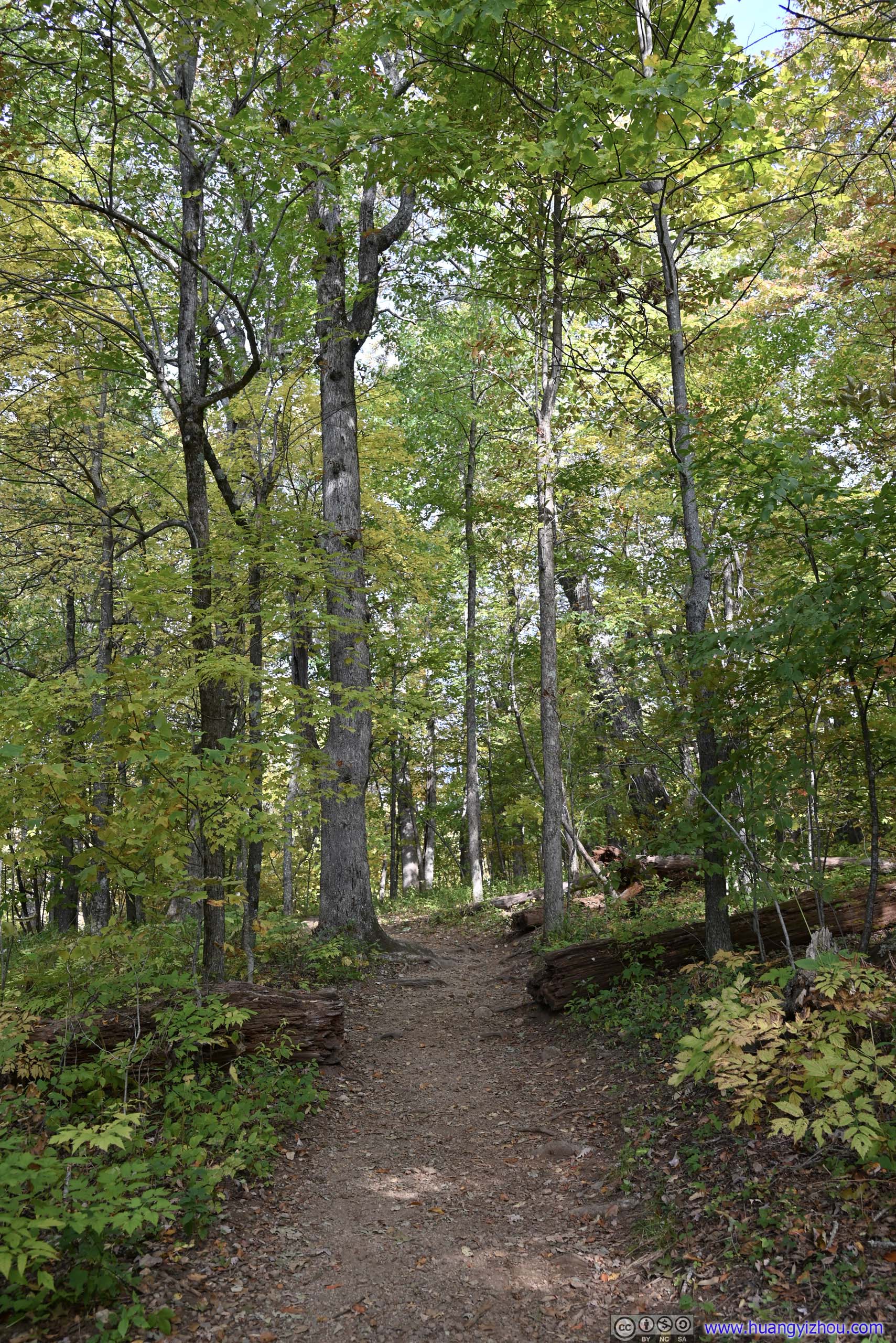
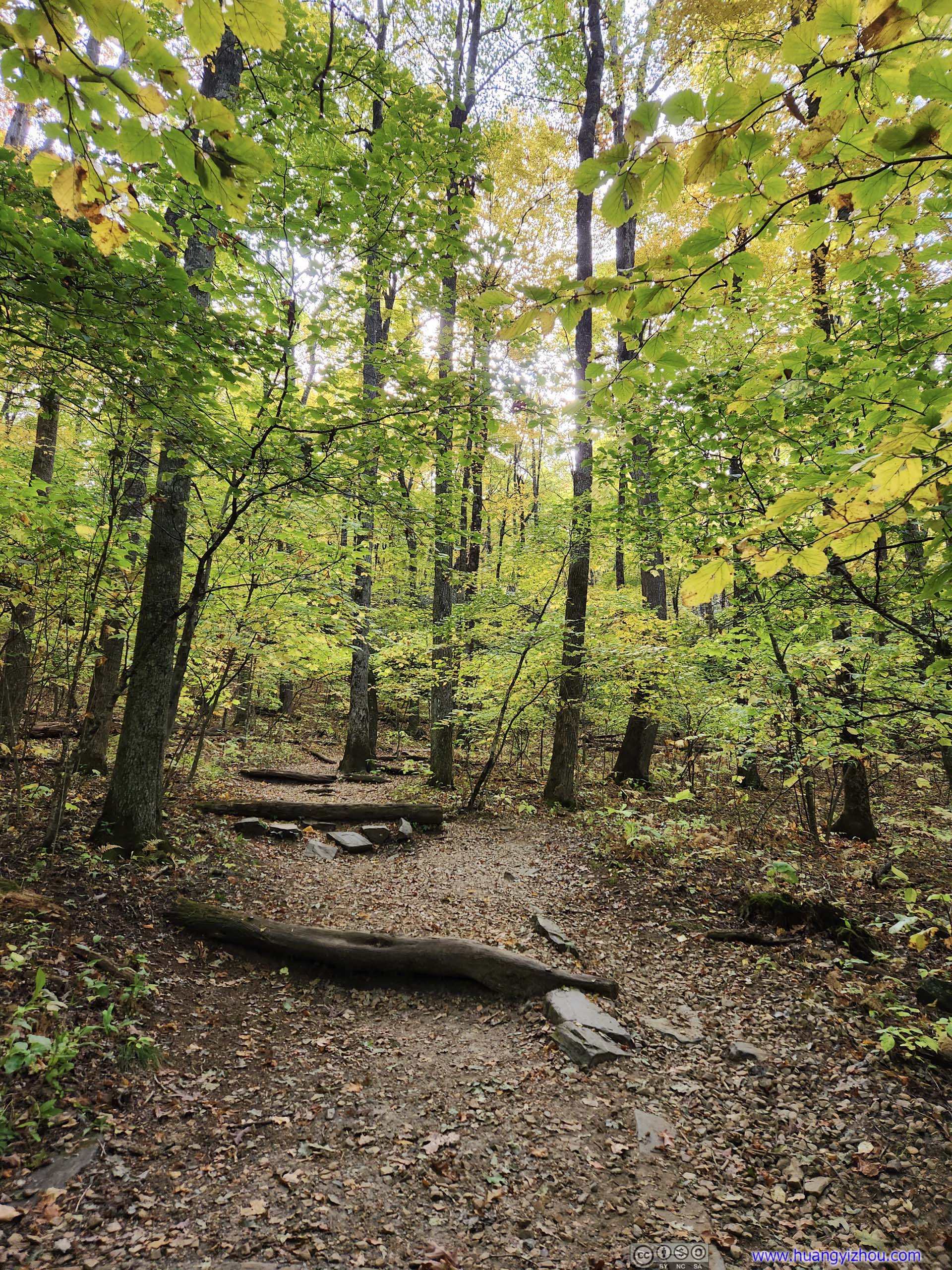
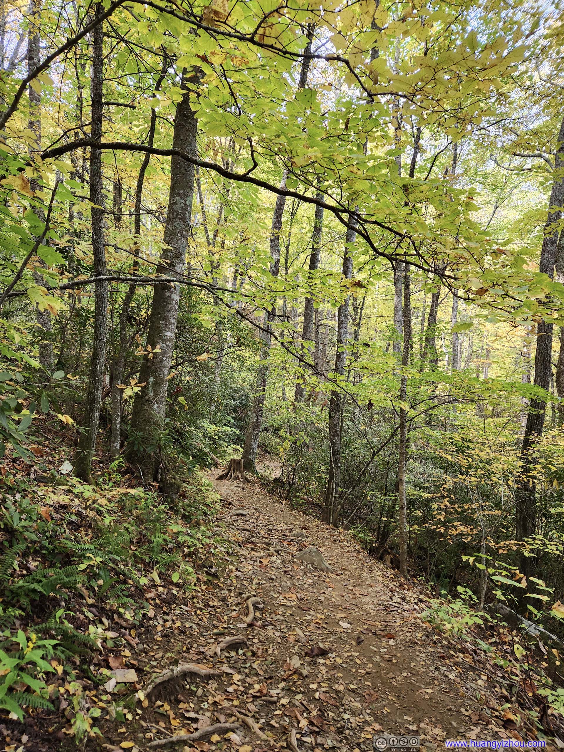
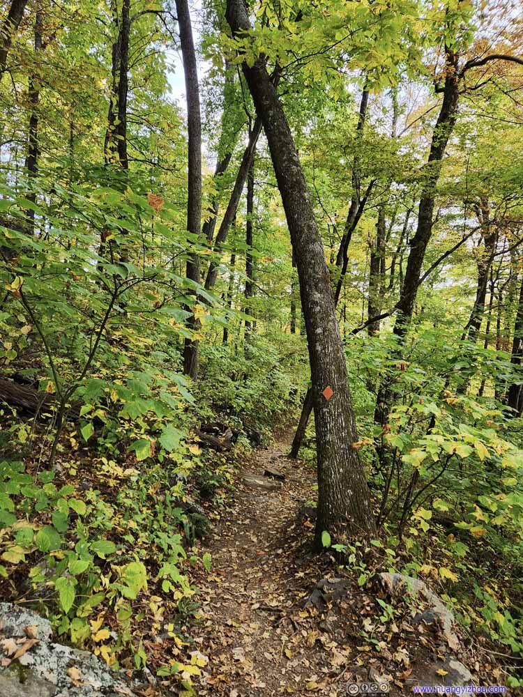
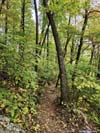
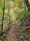
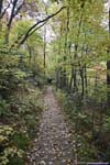
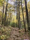
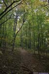
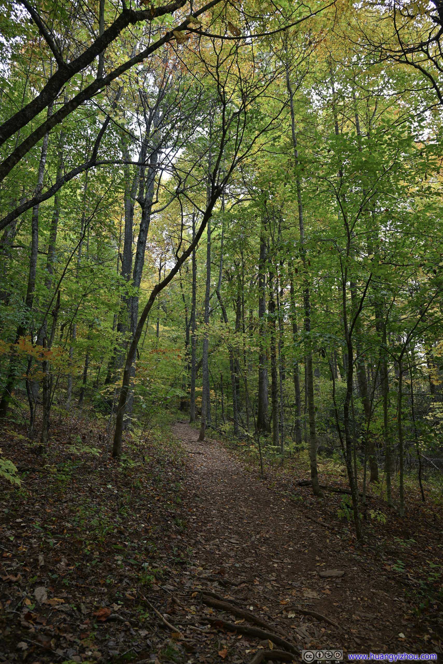
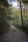
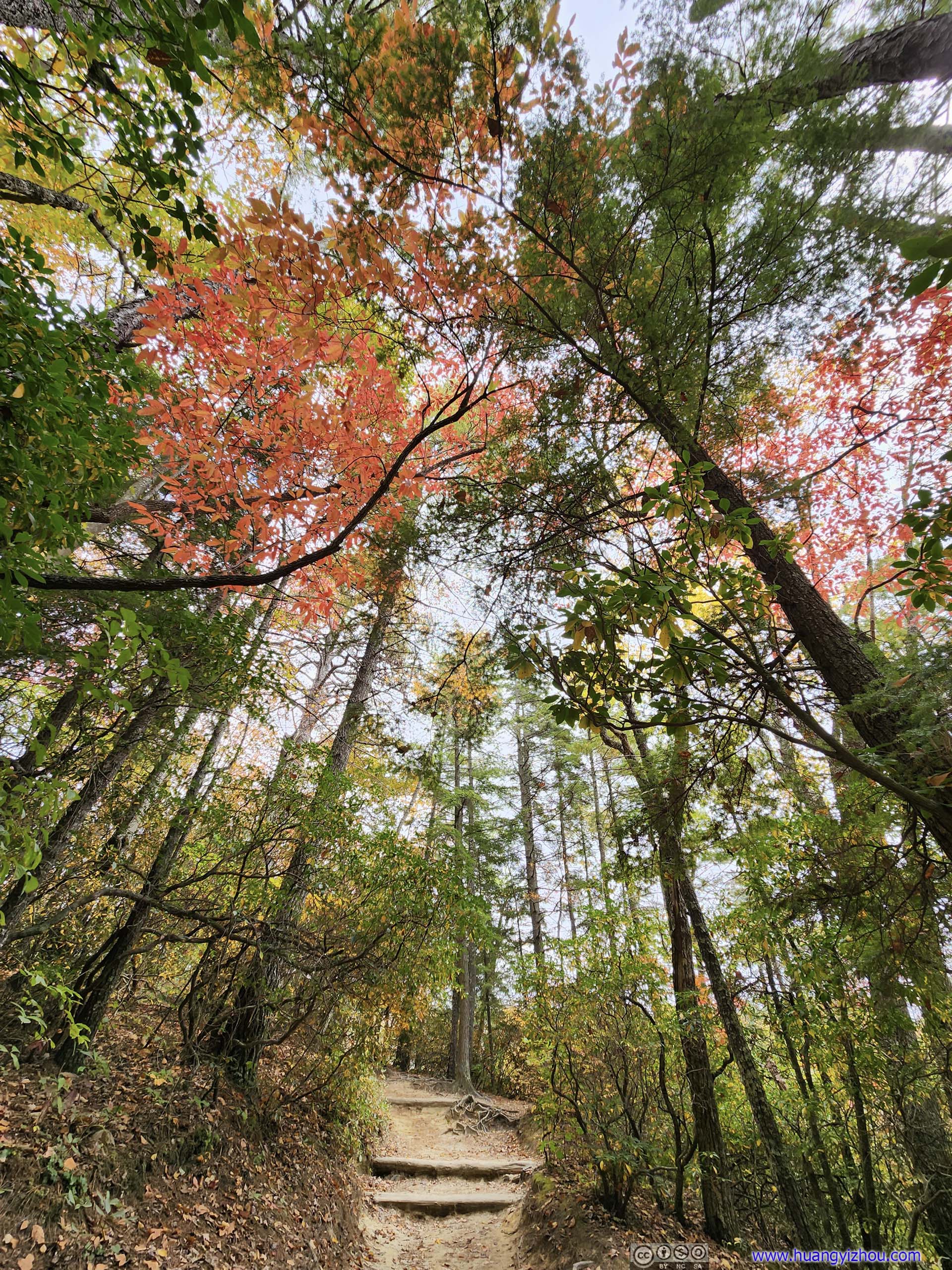
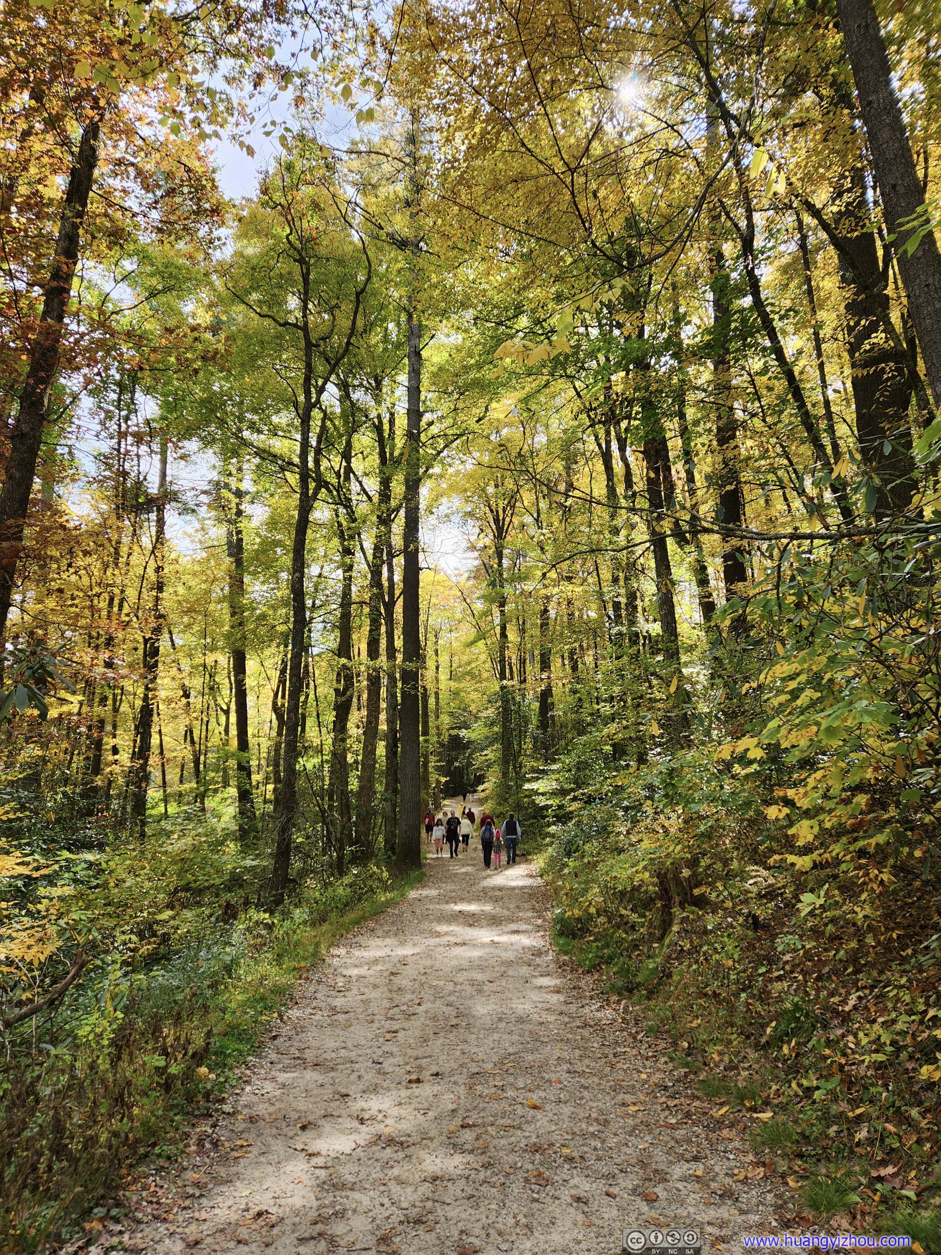
There were two separate trails leading up to the waterfall, forming a loop trail. From the parking lot next to the visitor center, it’s 4.2 km loop with 176m elevation gain. I decide to take the loop in the counter-clockwise direction.
 Trail
Trail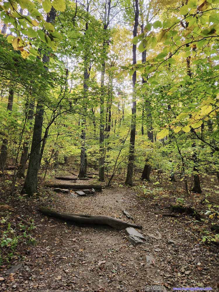 Trail
Trail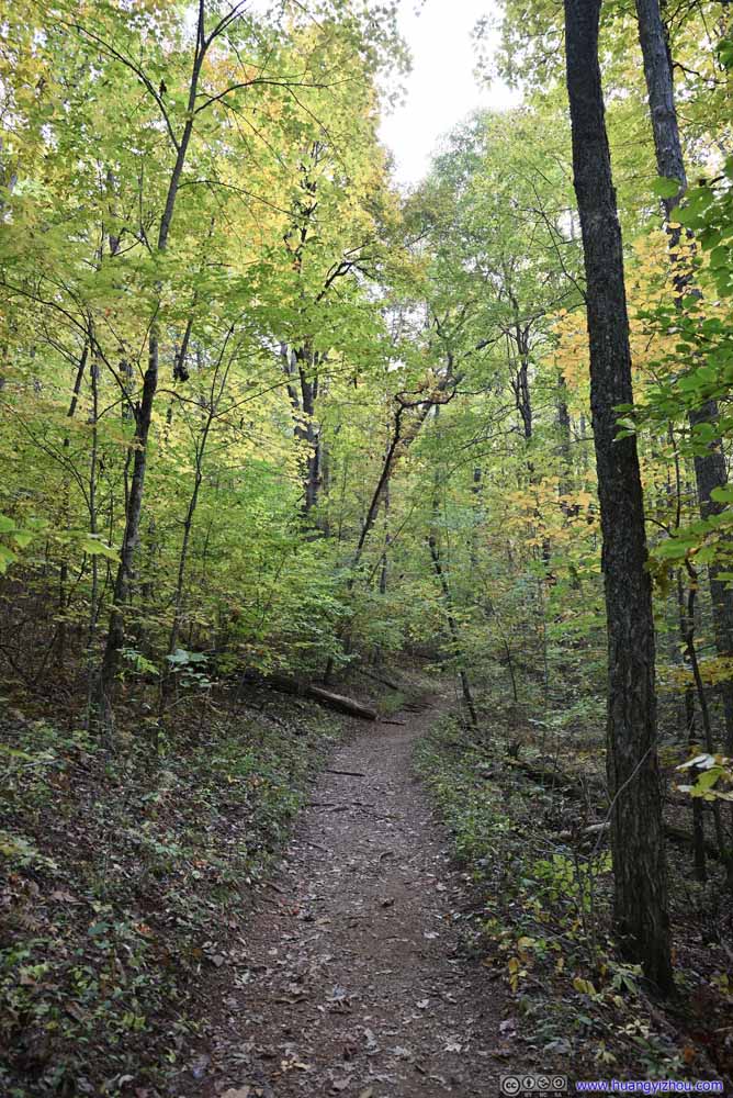 Trail
Trail Trail
Trail Trail
Trail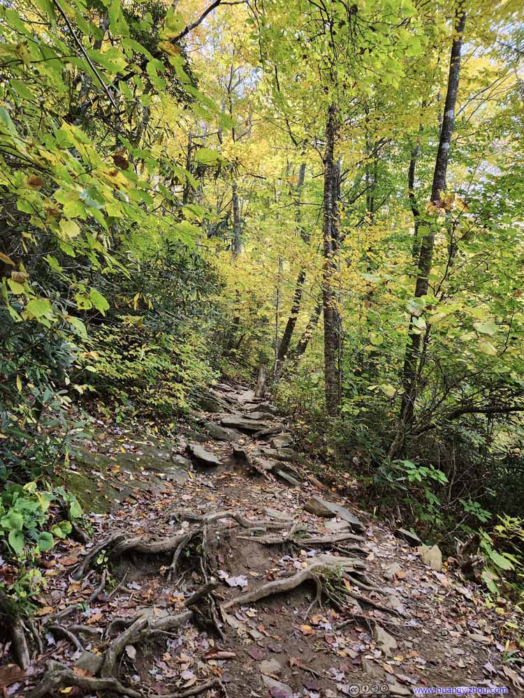 Trail
Trail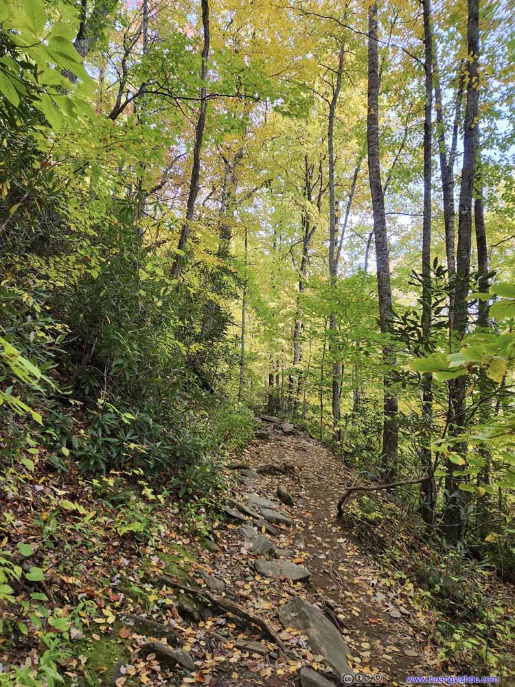 Trail
Trail Trail
Trail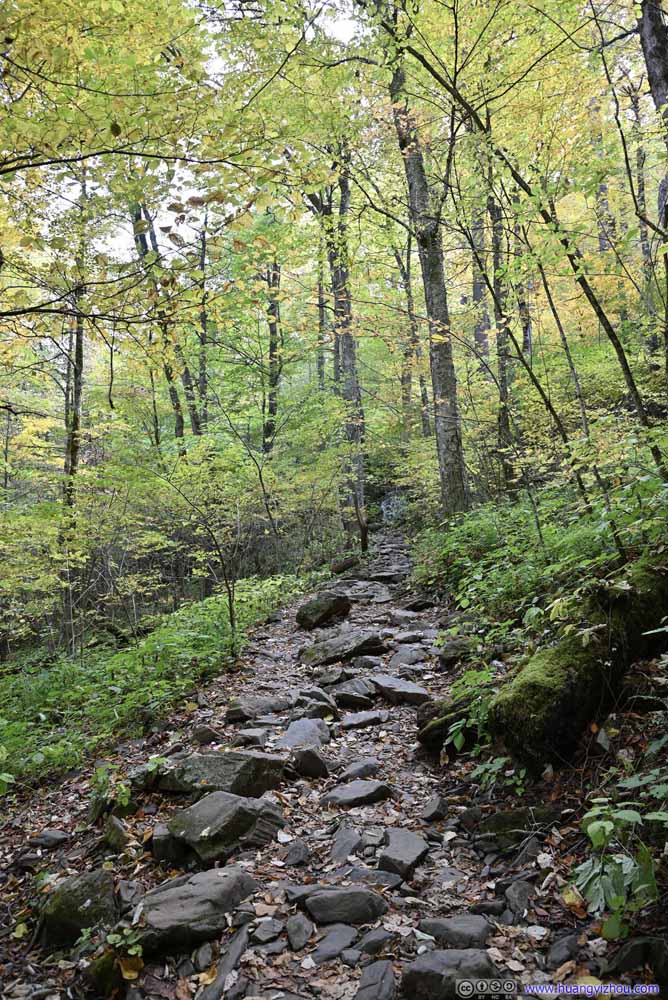 Trail
Trail

Click here to display photos of the trail to Crabtree Falls.
Trail
Trail
Trail
Trail
Trail

Trail

Trail
Trail

Trail
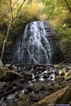
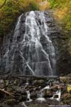
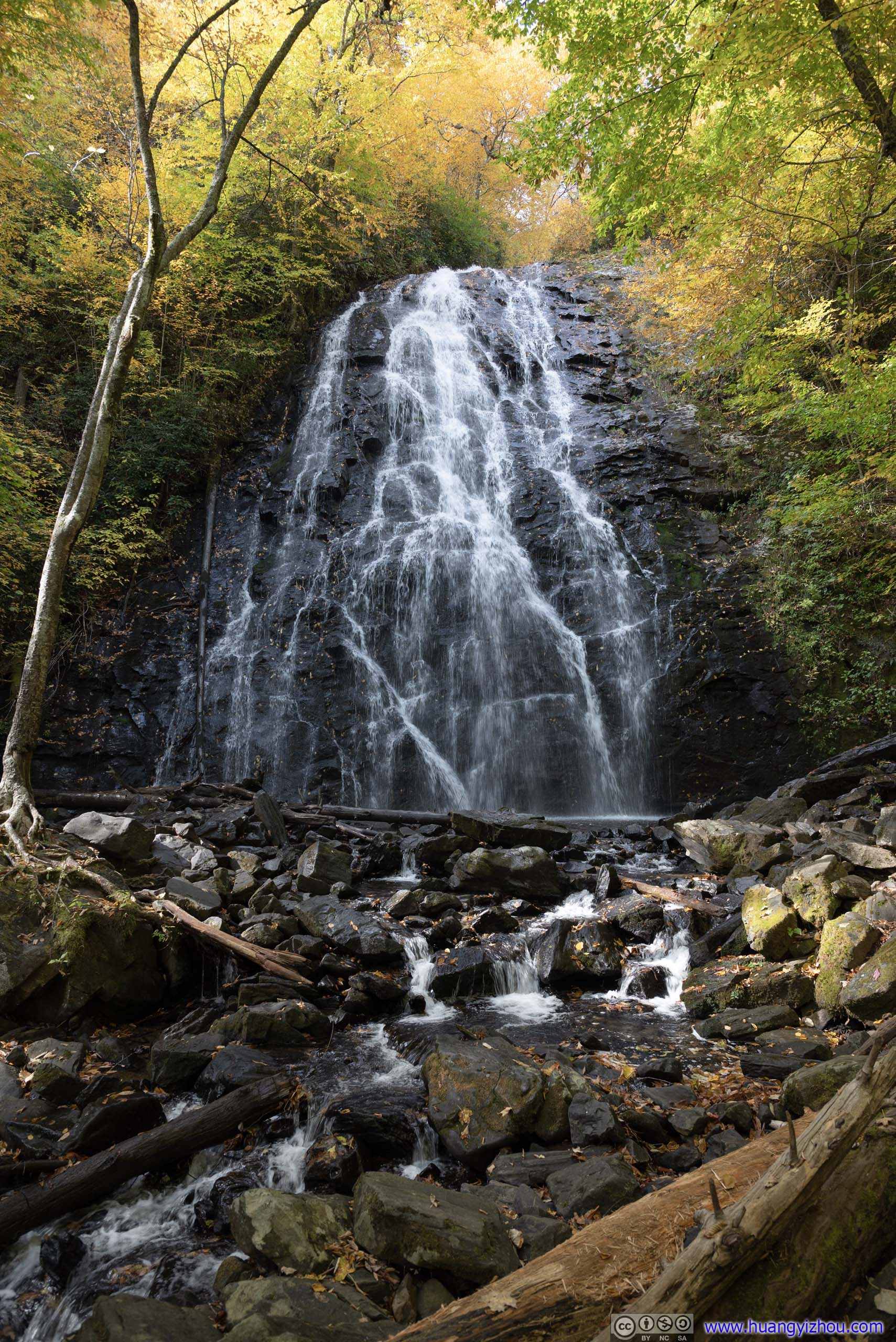
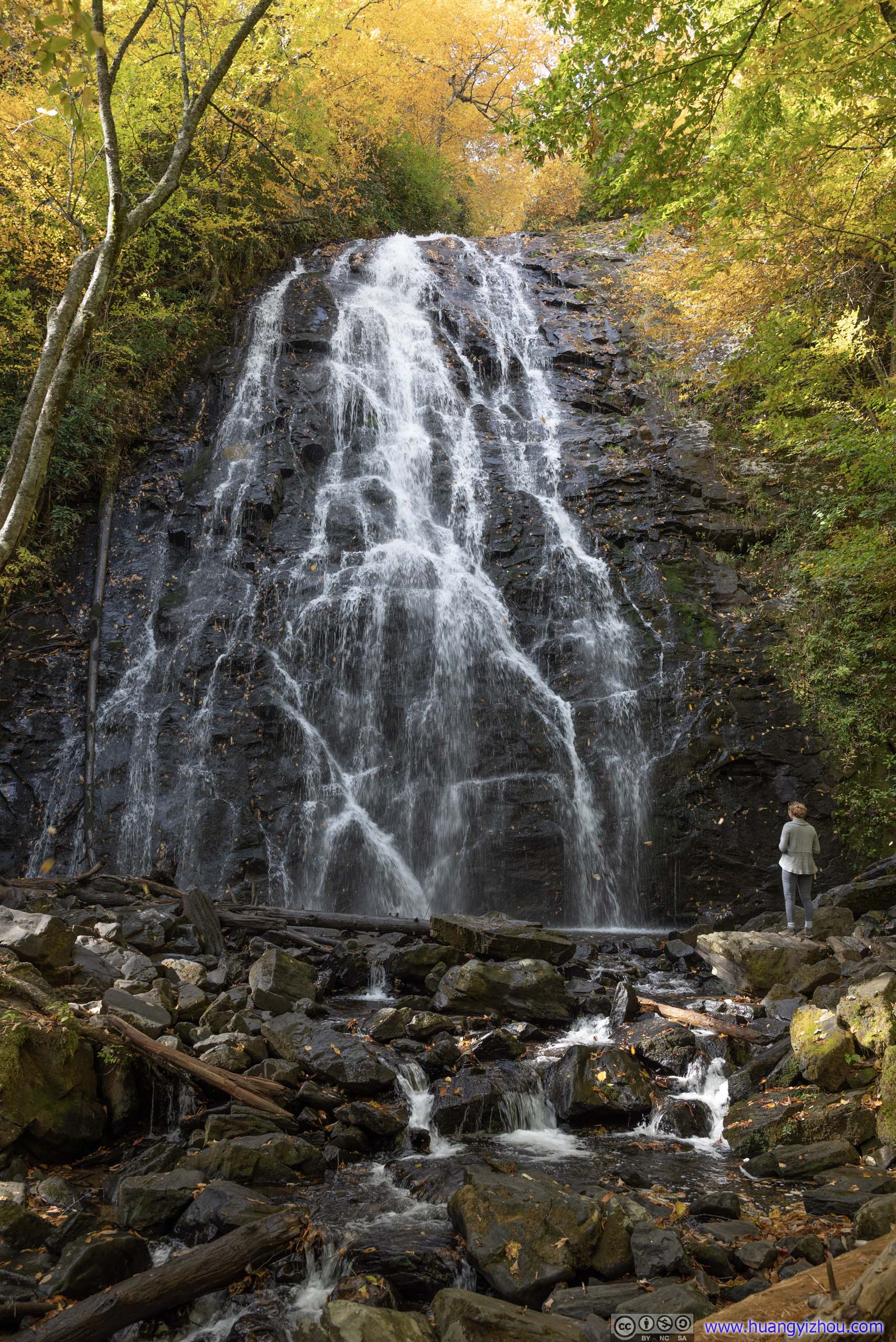
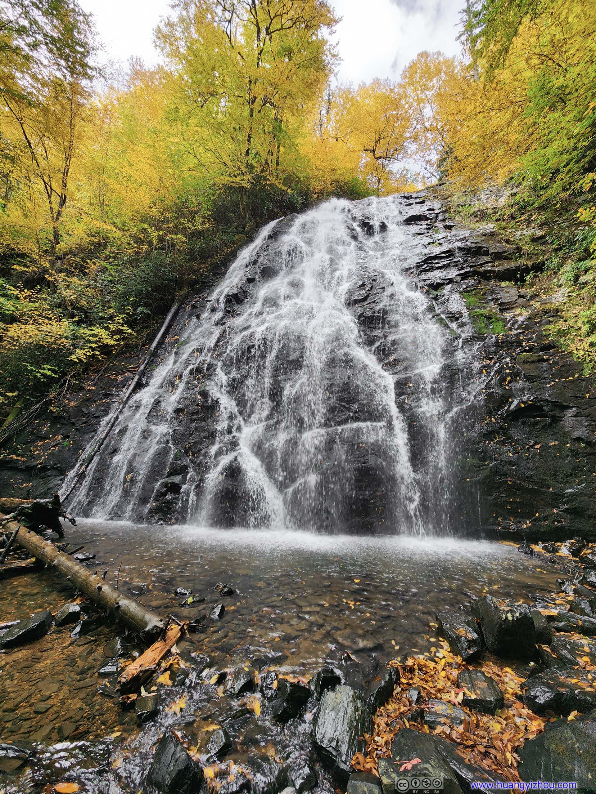
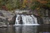
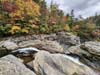
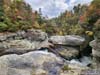
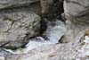
And it’s around 10:50am when I reached Crabtree Falls. It’s a bit like Mingo Falls which I visited the previous day, with higher flow rate and thus more audible roar (but unfortunately, a longer hiker to reach). Just like Mingo Falls, it could be viewed from a footbridge at a safe distance away, but one could also hop through the rocks and get up close to the waterfall, for which the pond immediately below the waterfall was a perfect place for meditation.
 Crabtree Falls
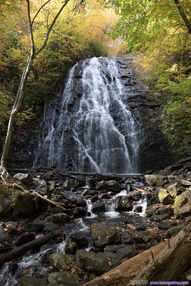 Crabtree Falls
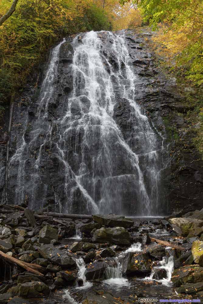 Crabtree Falls
 Crabtree FallsOne can get close to the waterfall, like the lady in this photo.
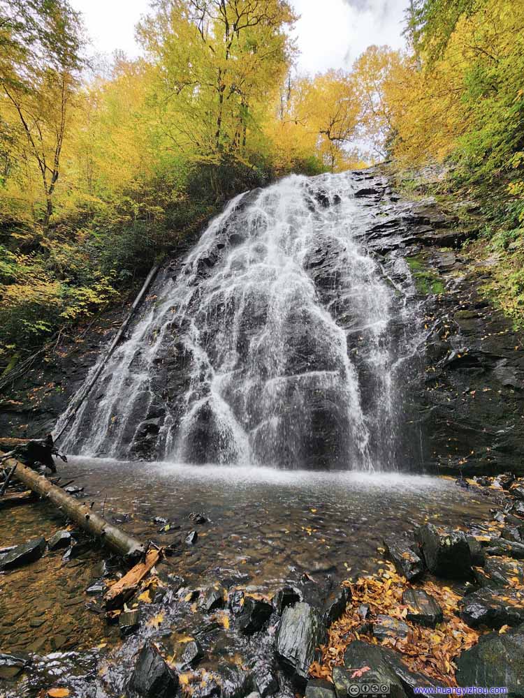 Crabtree FallsView close to the waterfall.
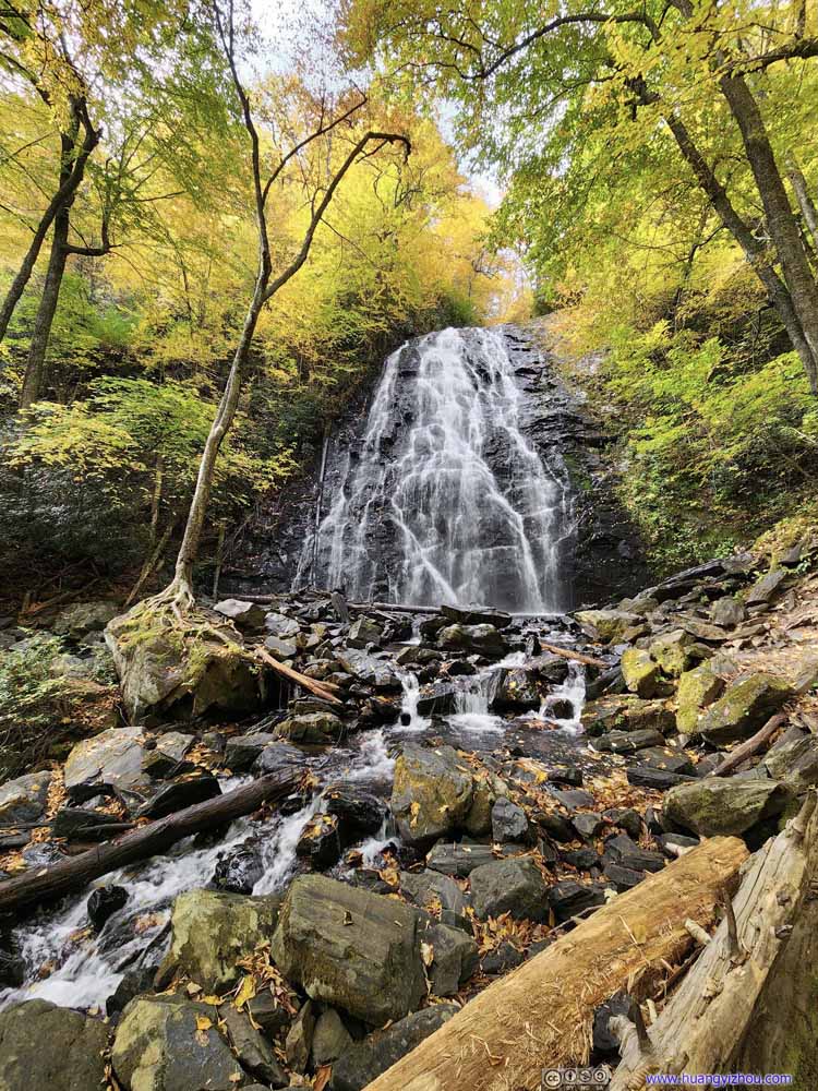 Crabtree Falls


Click here to display photos of the Crabtree Falls.

Crabtree Falls
Crabtree Falls

Crabtree Falls
Crabtree FallsOne can get close to the waterfall, like the lady in this photo.
Crabtree FallsView close to the waterfall.

Crabtree Falls
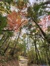
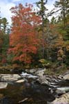
During my visit, gusts of wind brought out dancing leaves in the air, permeated by their tangible beauty if not magic. It felt surreal.
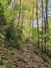
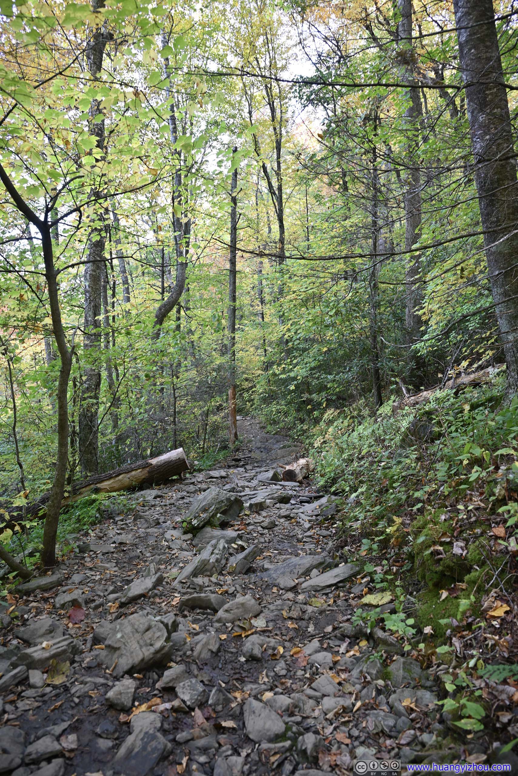
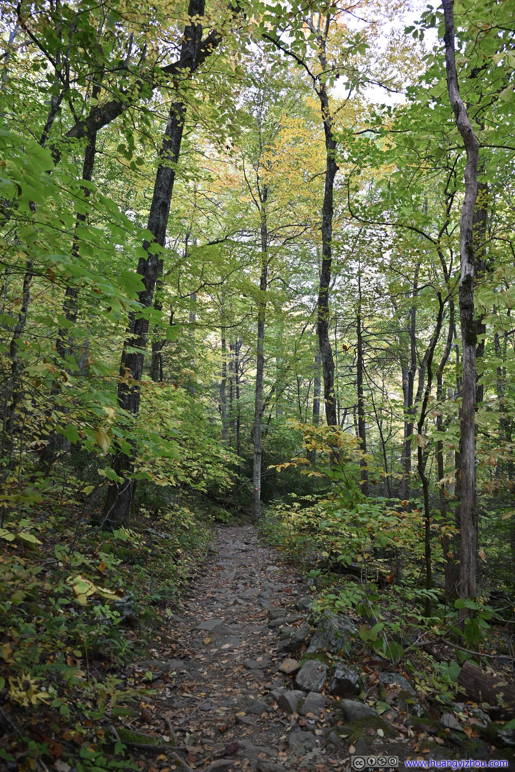
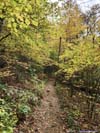
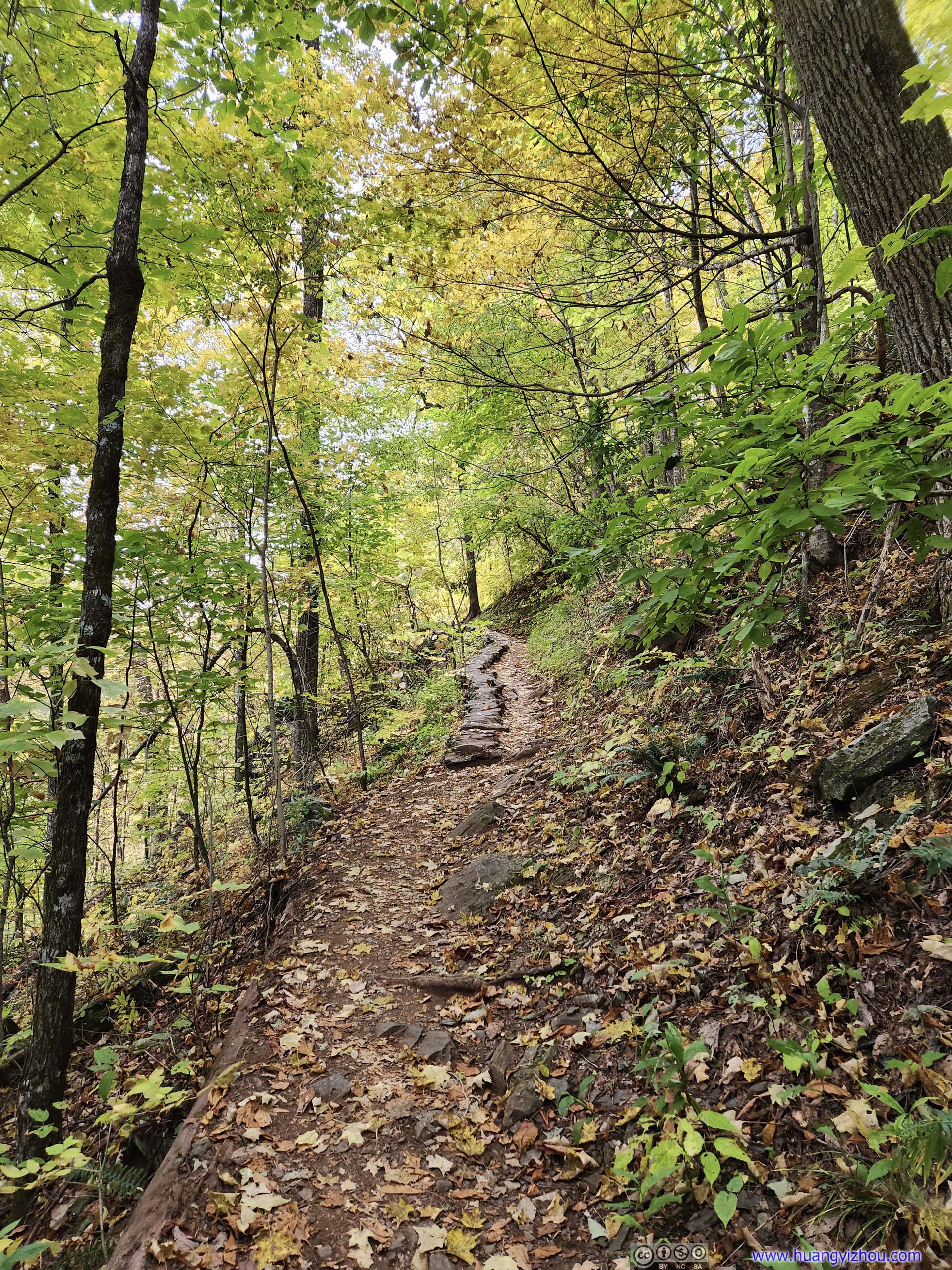
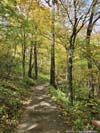
After about 15 minutes at Crabtree Falls, I continued onto the loop trail. The way back was longer and quieter, and followed Big Crabtree creek for some distance with sounds of the water as an encore for the magnificent waterfall.
 Trail
Trail Trail
Trail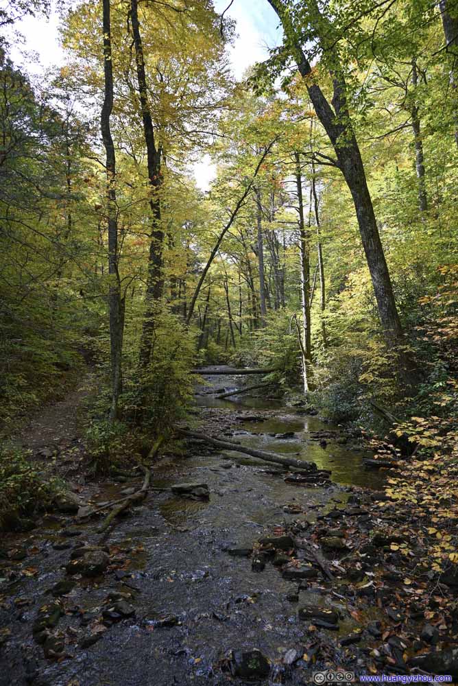 Water CrossingUpstream of Crabtree Falls.
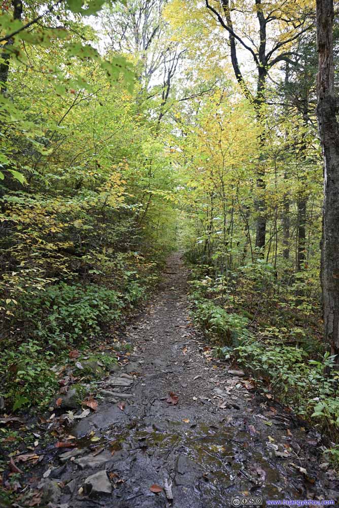 Trail
Trail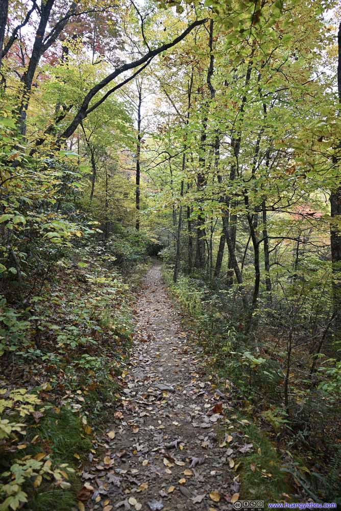 Trail
Trail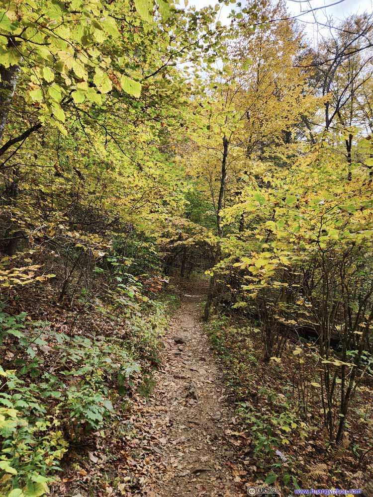 Trail
Trail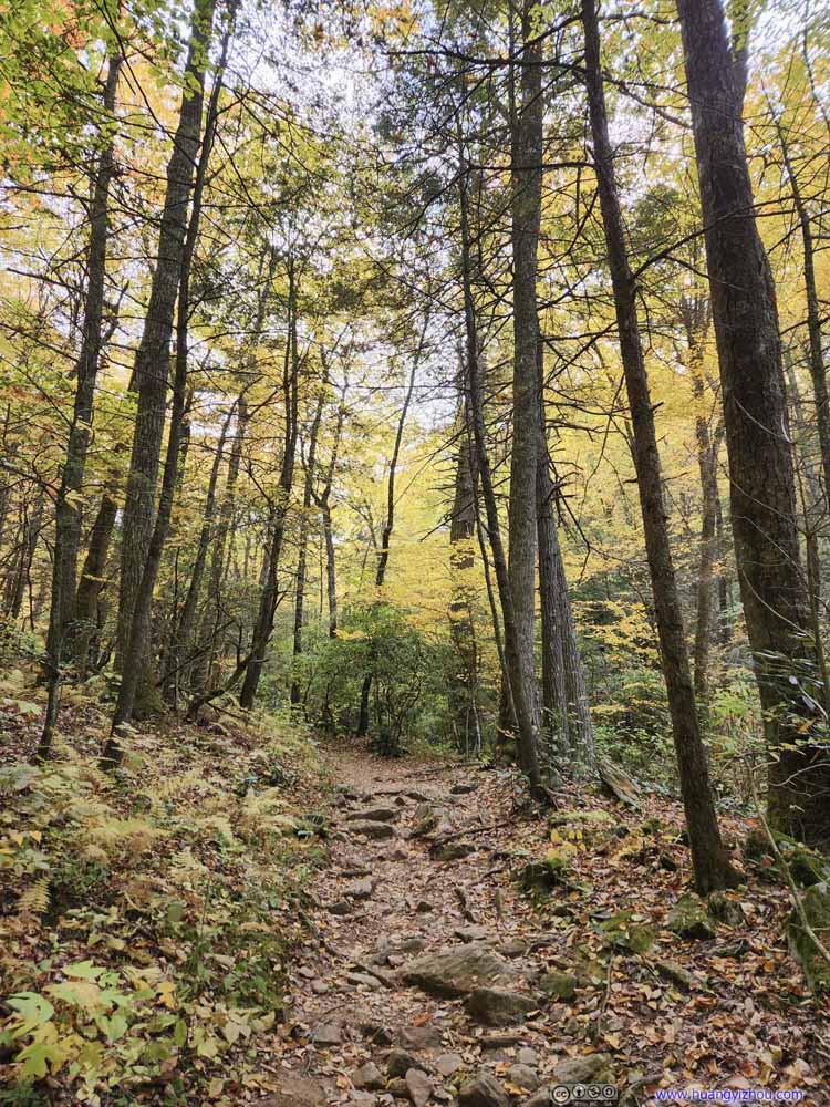 Trail
Trail Trail
Trail


Click here to display photos of the slideshow

Trail
Trail

Water CrossingUpstream of Crabtree Falls.

Trail
Trail

Trail

Trail
Trail
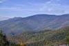
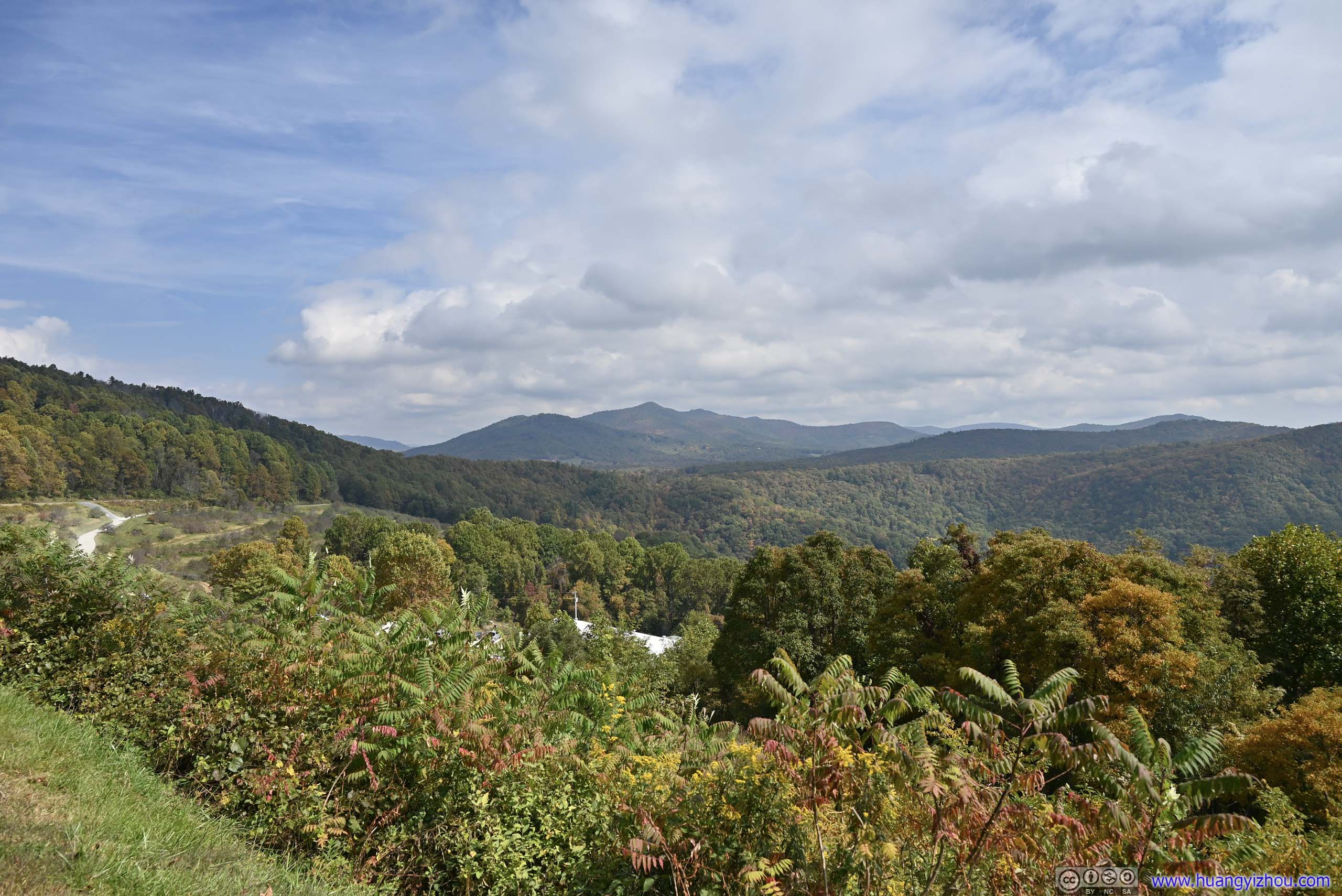
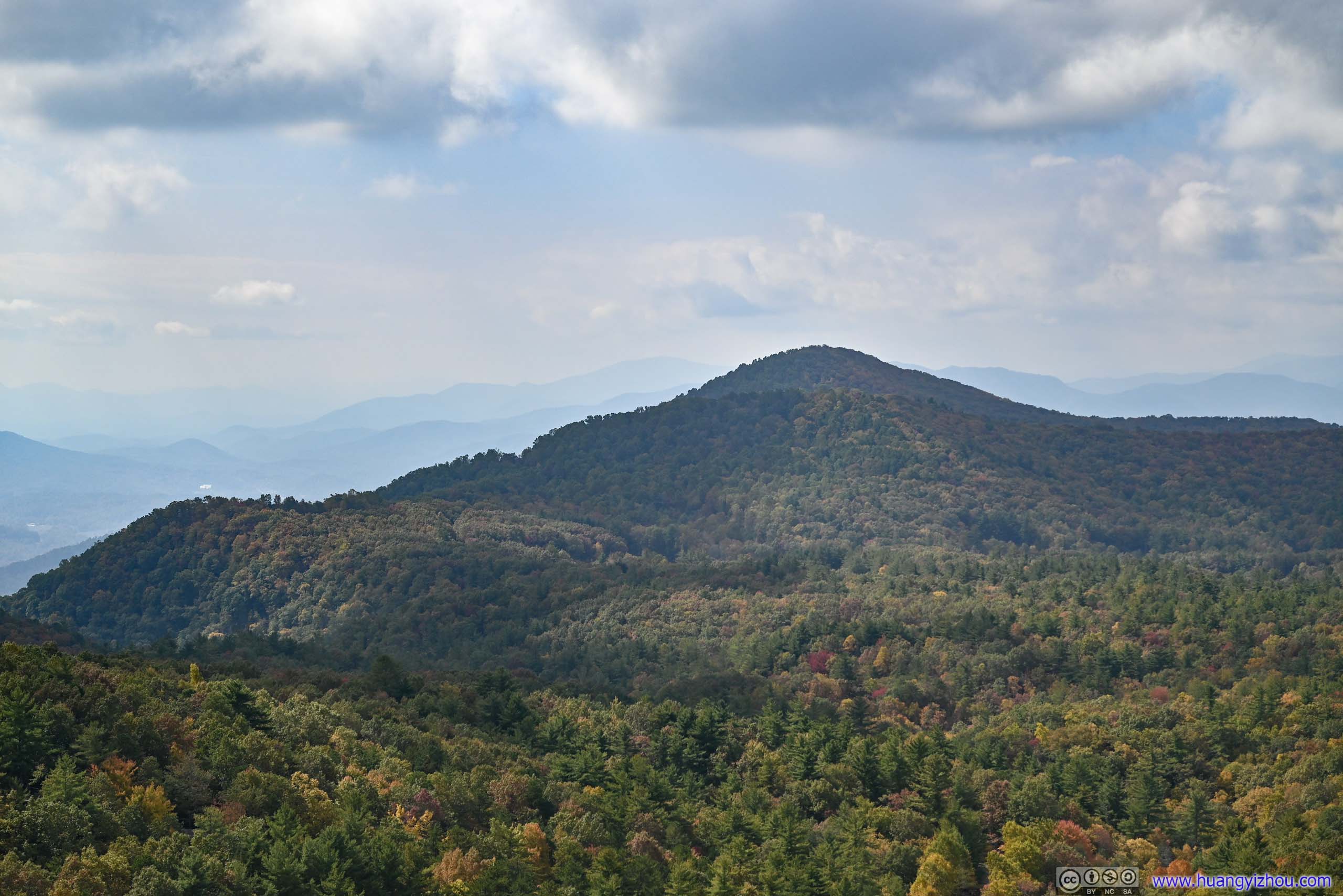
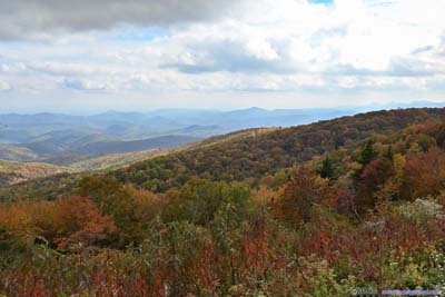
At about 11:45am, I got back to my car, and continued the drive north. Along the way, I stopped at a few overlooks, including the Loops Overlook, where Blue Ridge Subdivision railway (formerly Clinchfield Railroad) circled around the mountains to cross Altapass. If not for the information marker, the railway was hard to identify, but I spotted a prominent mountain, Jackson Knob, right across the overlook. Just like yesterday, later in Bear Den Overlook, I picked up a different face of Jackson Knob, like a new friend of mine.
 Mountains to the NortheastLittle Table Rock Mountain from The Loops Overlook.
 Little Table Rock MountainFrom The Loops Overlook.
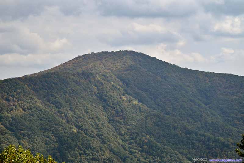 Jackson KnobFrom The Loops Overlook.
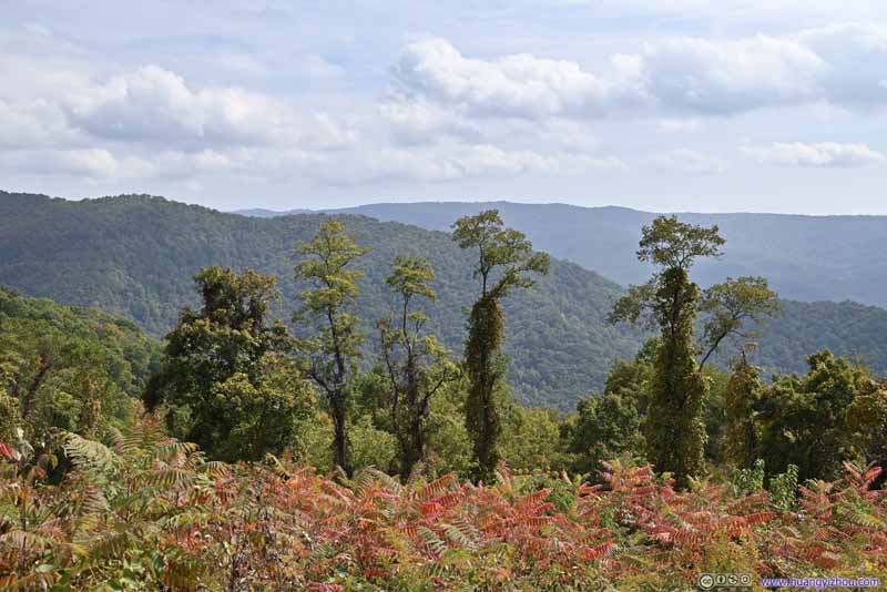 TreesFrom Heffner Gap Overlook. These striking trees reminded me of Beatle’s Abbey Road album cover.
 Mountains and ParkwayFrom Bear Den Overlook, looking back at The Loops Overlook where I stopped previously.
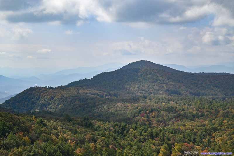 Jackson KnobFrom Bear Den Overlook. This was the same mountain that I picked up at The Loops Overlook.
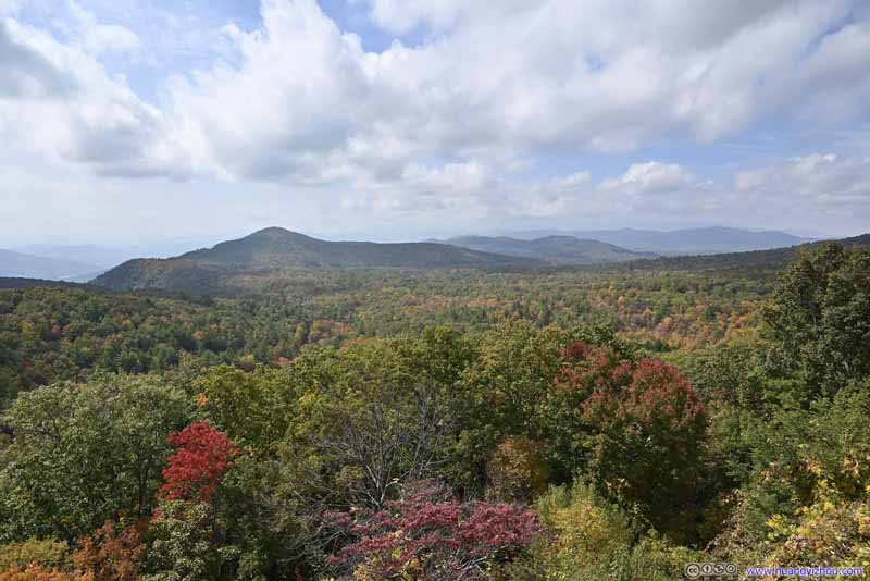 Field and MountainsFrom Bear Den Overlook.
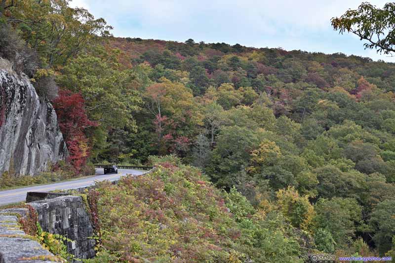 Autumn Colors along ParkwayFrom Bear Den Overlook.
 Autumn Colors along Parkway


Click here to display photos of the slideshow
Mountains to the NortheastLittle Table Rock Mountain from The Loops Overlook.
Little Table Rock MountainFrom The Loops Overlook.

Jackson KnobFrom The Loops Overlook.

TreesFrom Heffner Gap Overlook. These striking trees reminded me of Beatle’s Abbey Road album cover.
Mountains and ParkwayFrom Bear Den Overlook, looking back at The Loops Overlook where I stopped previously.
Jackson KnobFrom Bear Den Overlook. This was the same mountain that I picked up at The Loops Overlook.
Field and MountainsFrom Bear Den Overlook.
Autumn Colors along ParkwayFrom Bear Den Overlook.
Autumn Colors along Parkway
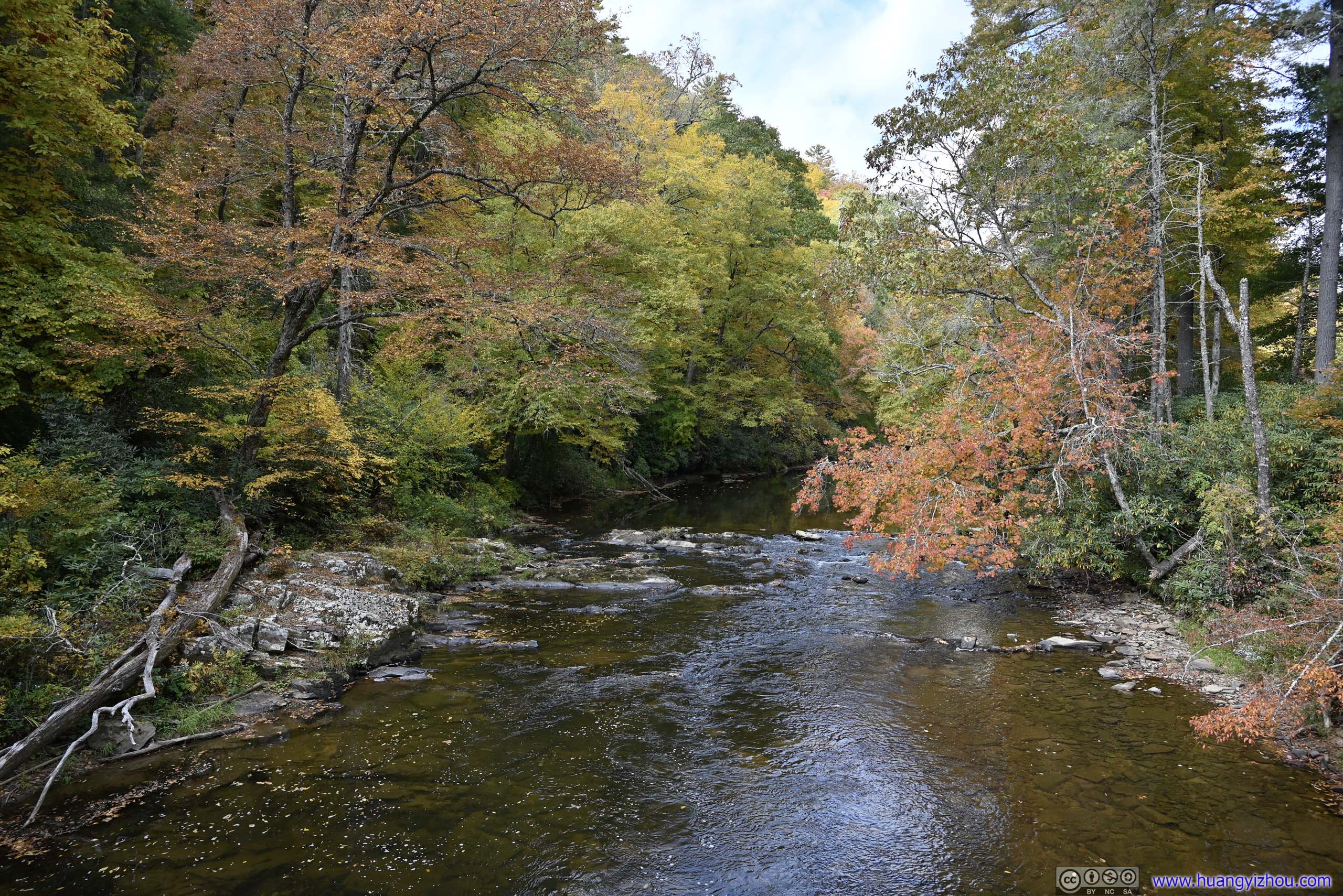
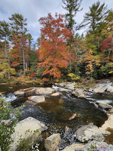
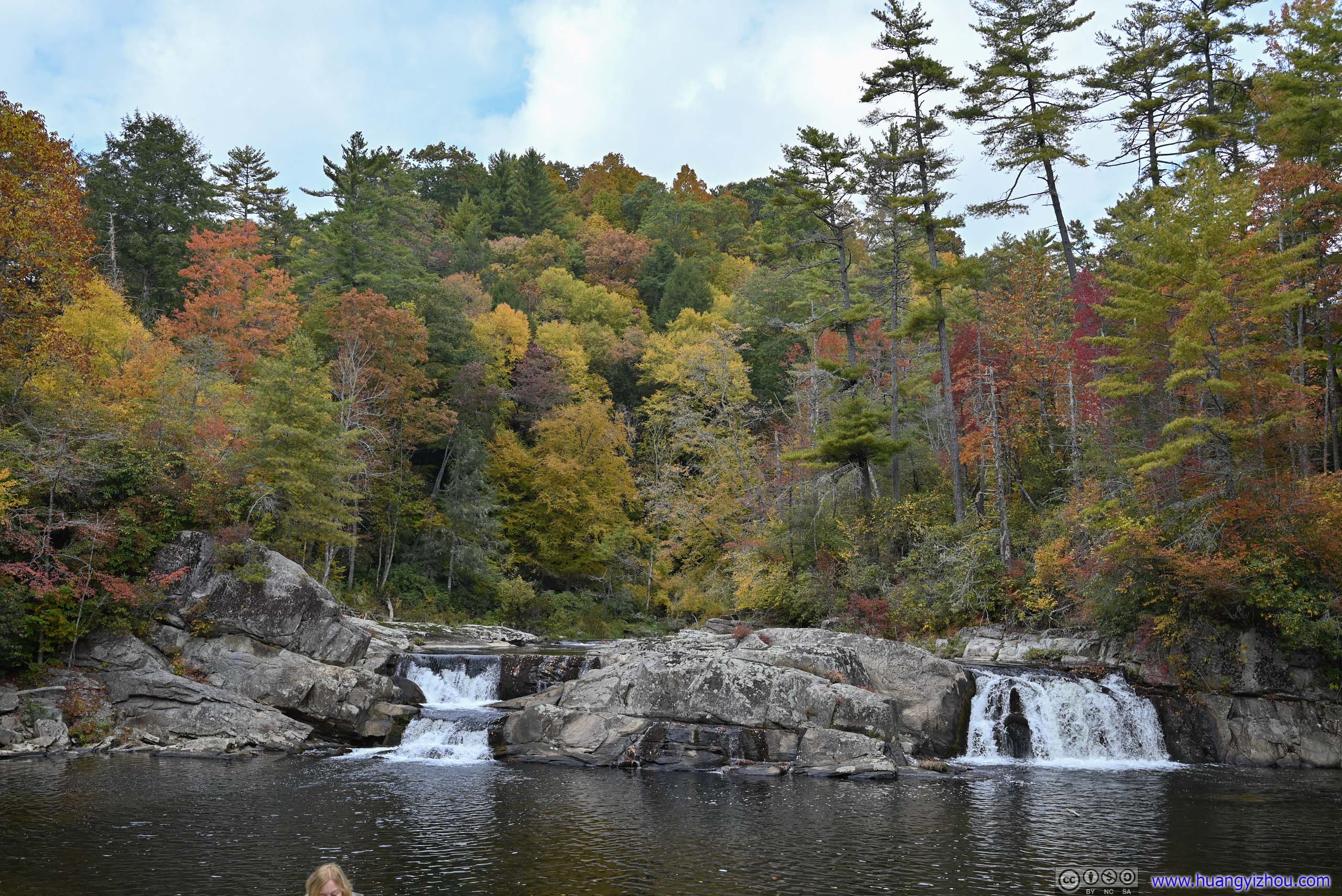
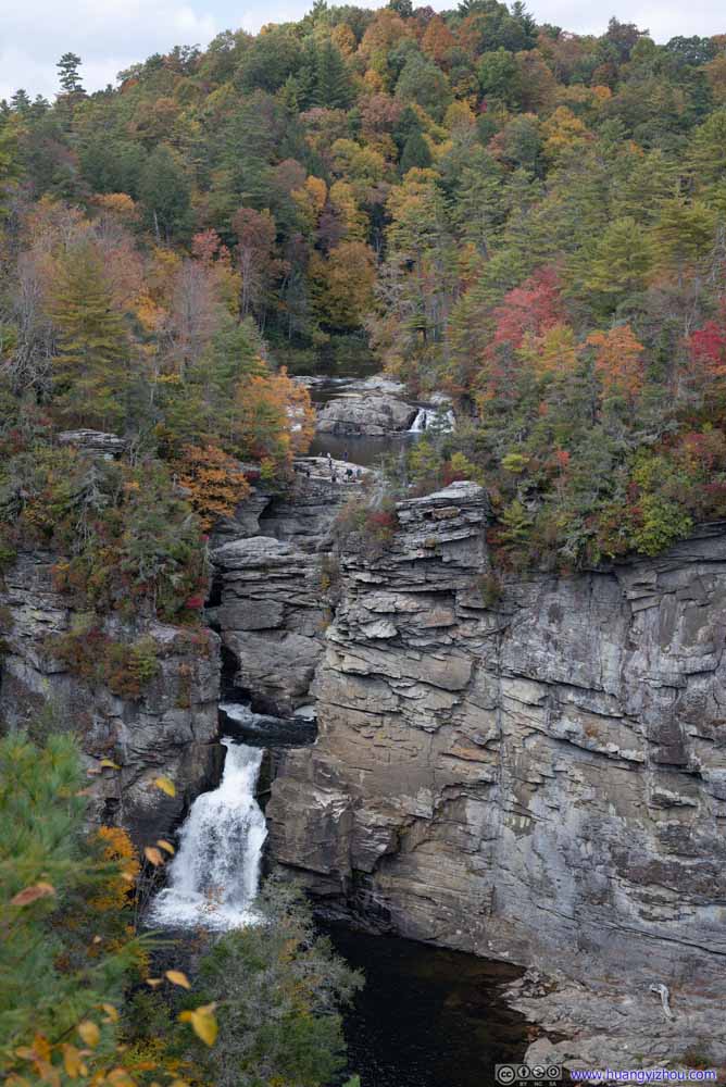
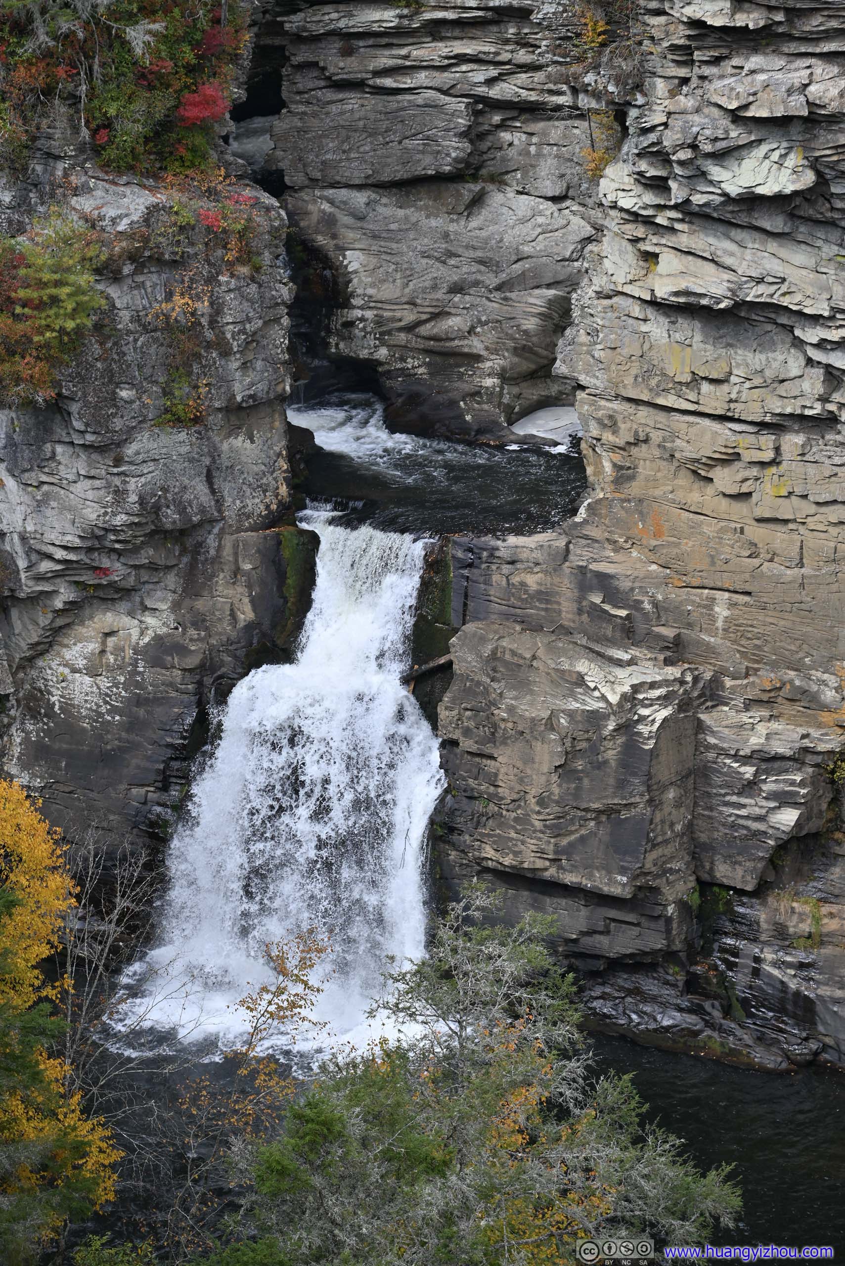
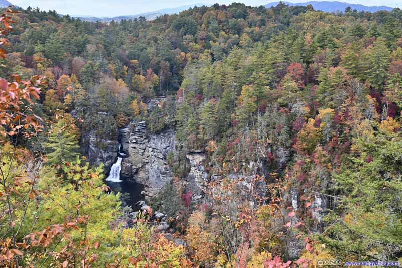
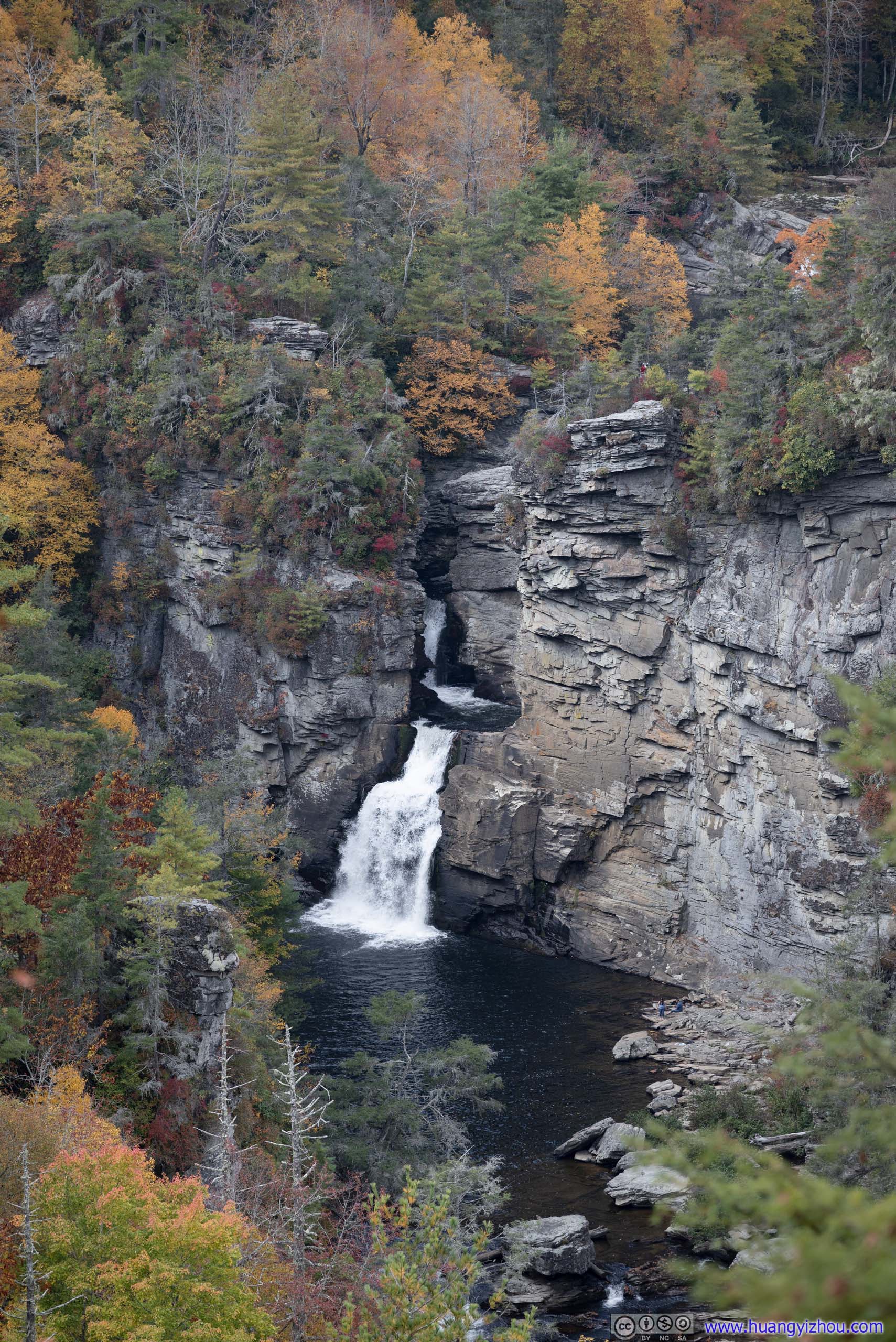
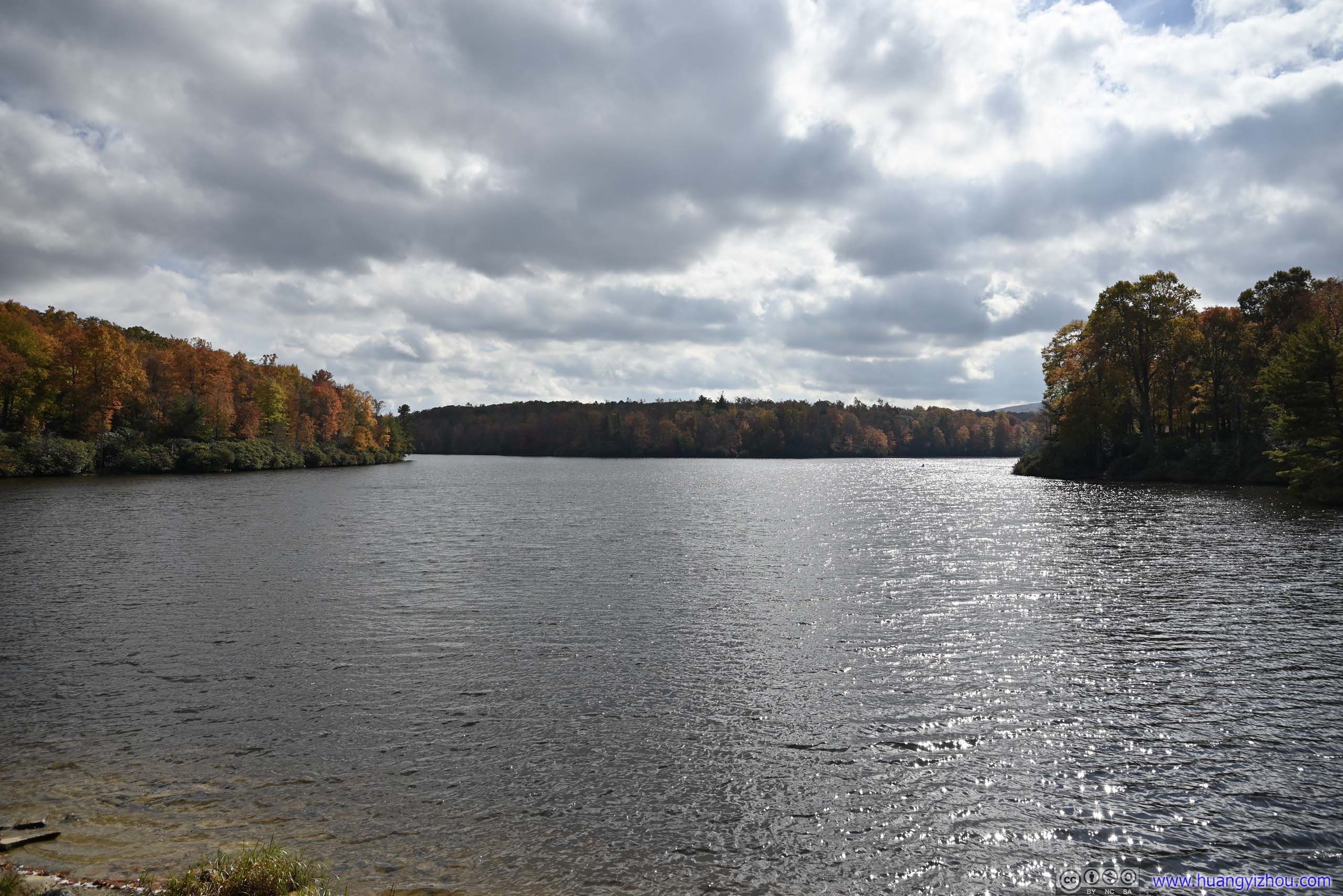
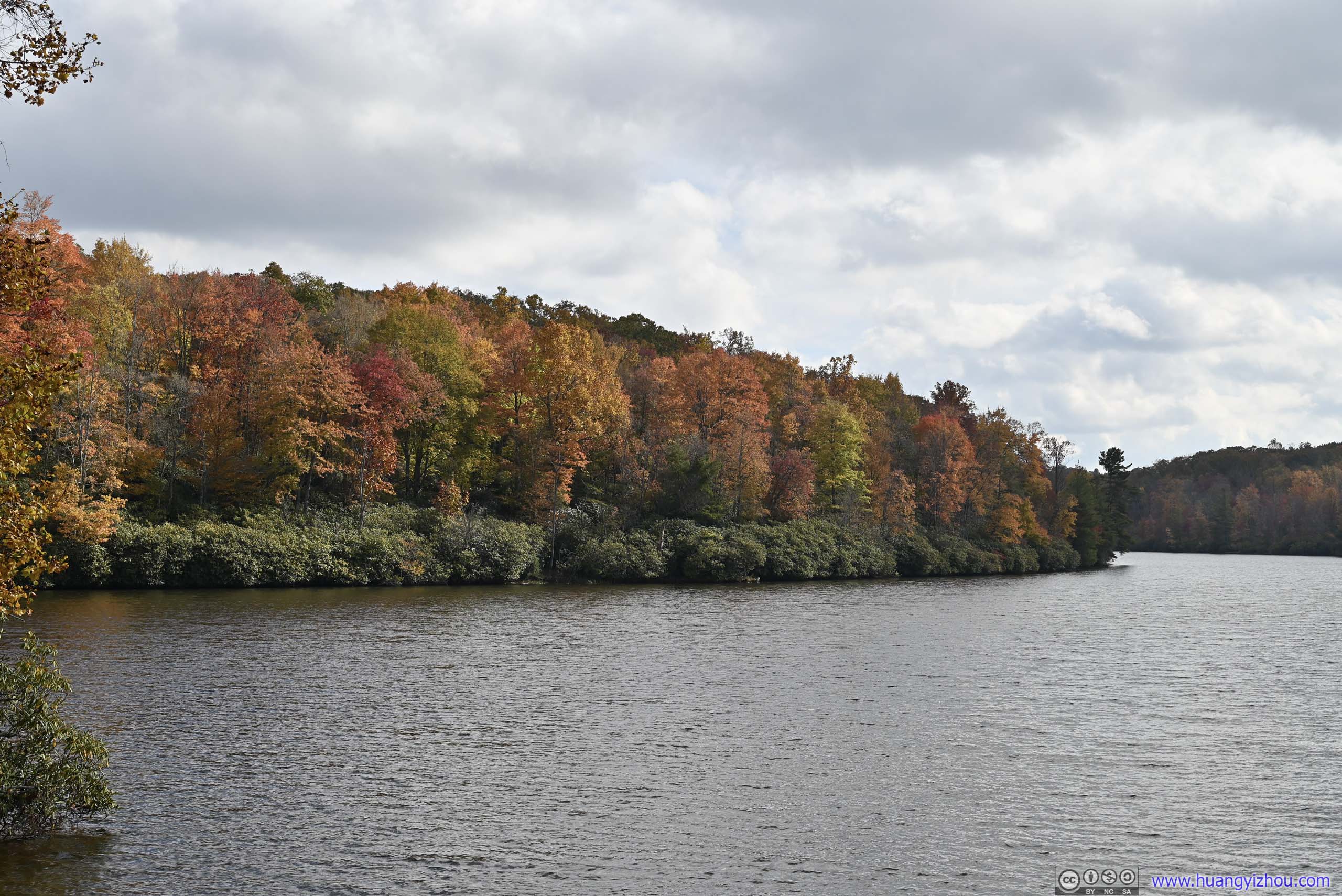
Linville Falls
Not too far down the road, Linville Falls were another major attraction of Blue Ridge Parkway. To its south, Linville Gorge offered miles of elongated canyon landscape for avid backpackers. As an unofficial northern terminus of such canyon, Linville Falls can be viewed from multiple viewpoints, against the most vivid colors of the season.
A paved parking lot was a short spur away from Blue Ridge Parkway. In addition, National Forest Services operated a gravel parking lot nearby. It’s peak foliage season so the parking lot was busy, but I didn’t have any trouble finding a spot.
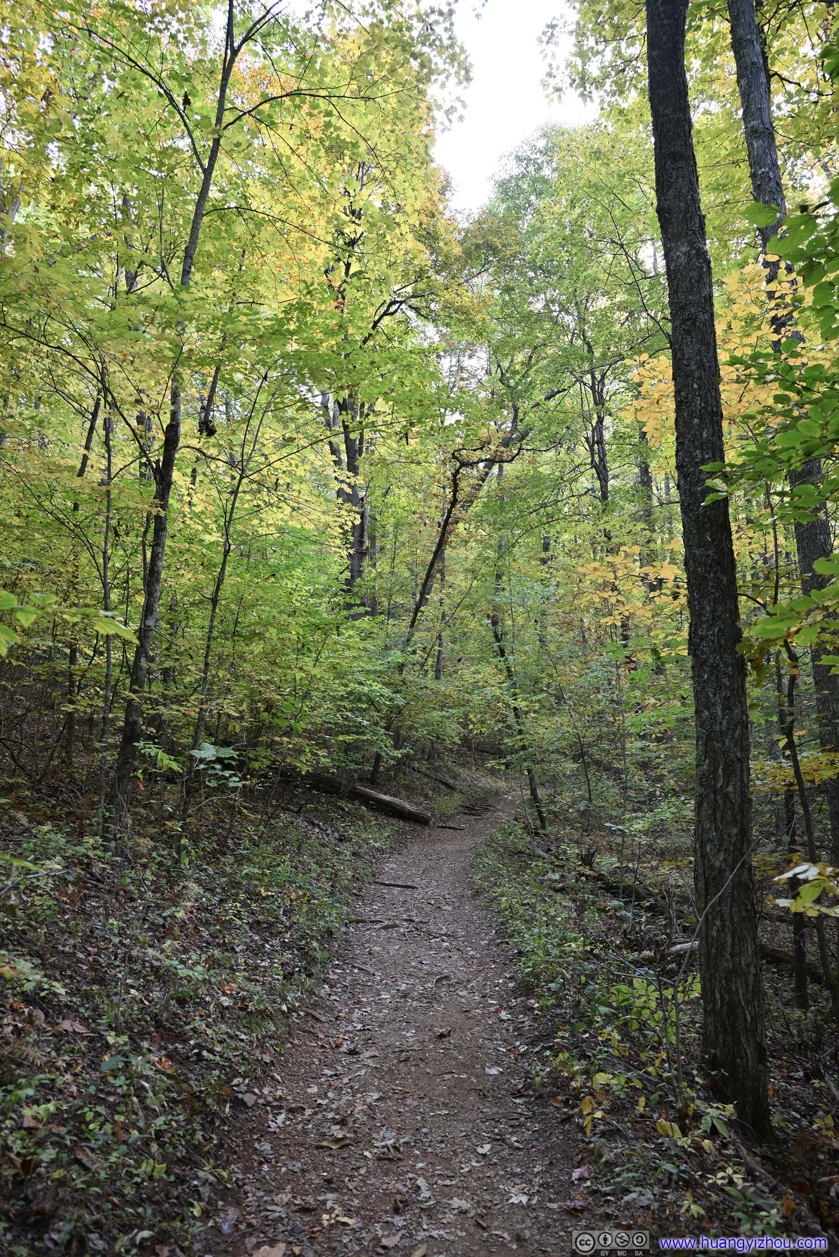
From the parking lot, there were a few trails to reach different viewpoints of the waterfall. I took the more popular trail, along the western side of Linville River. A less popular trail was on the eastern side of the river, with the option of going down to the bottom of the gorge.
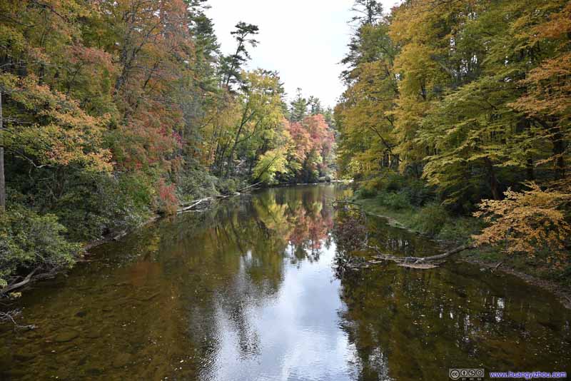
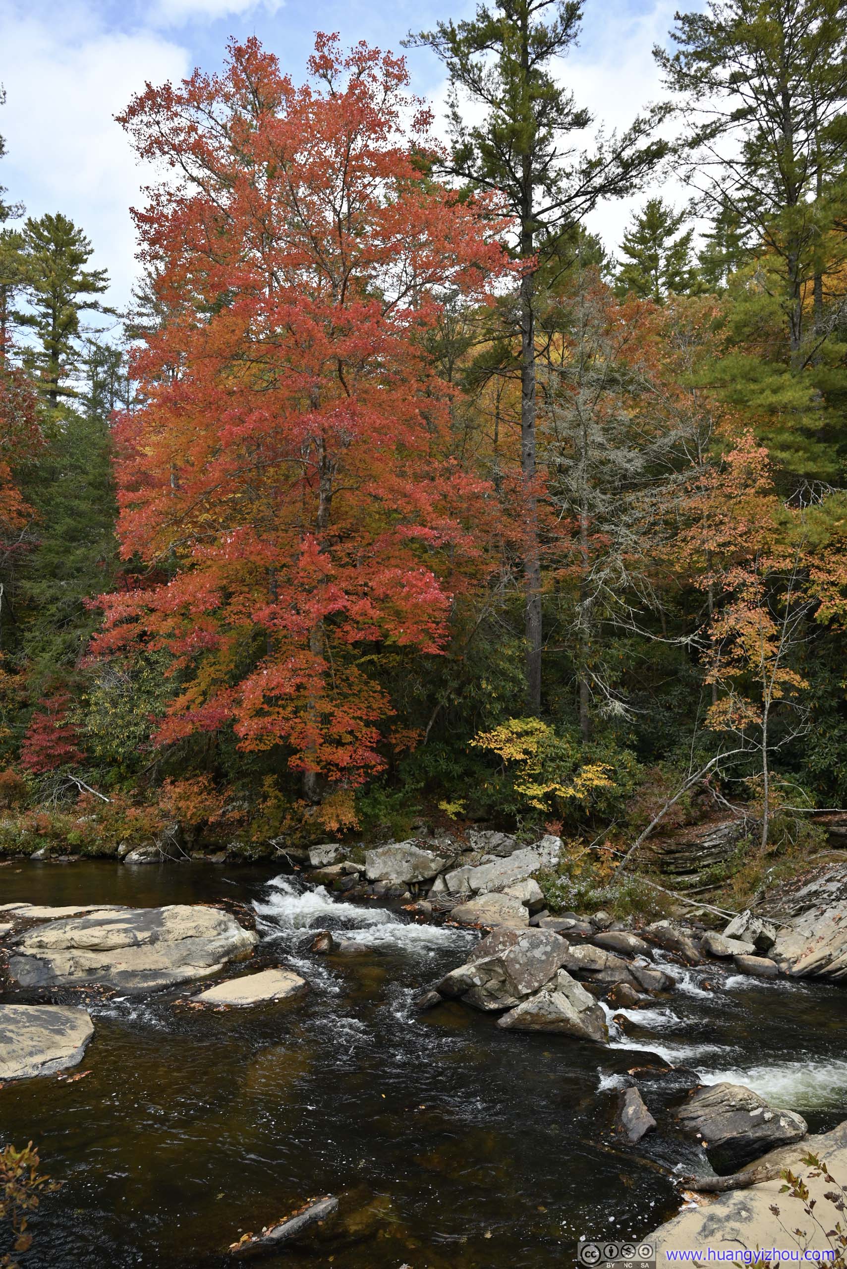
 Linville RiverNear the parking lot, upstream of the waterfalls, feeling quiet and peaceful here.
 Trail
Trail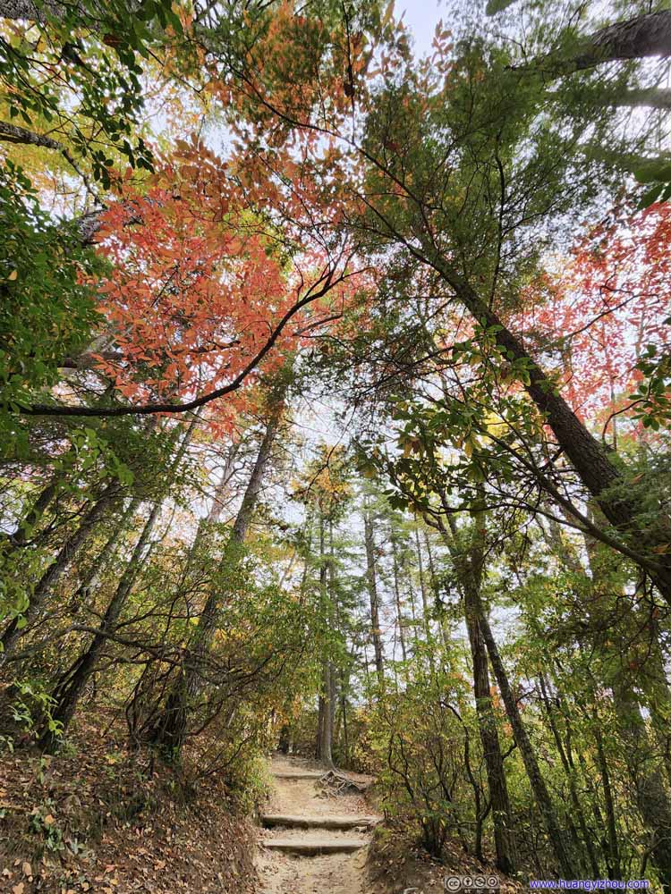 Foliage along Trail
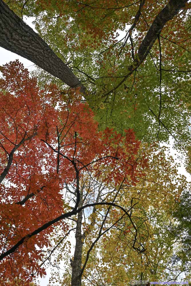 FoliageThis felt to me like three colors were battling each other.
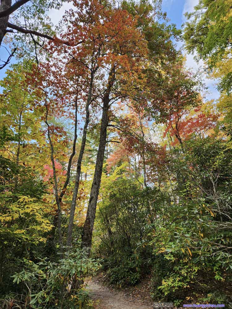 Trail
Trail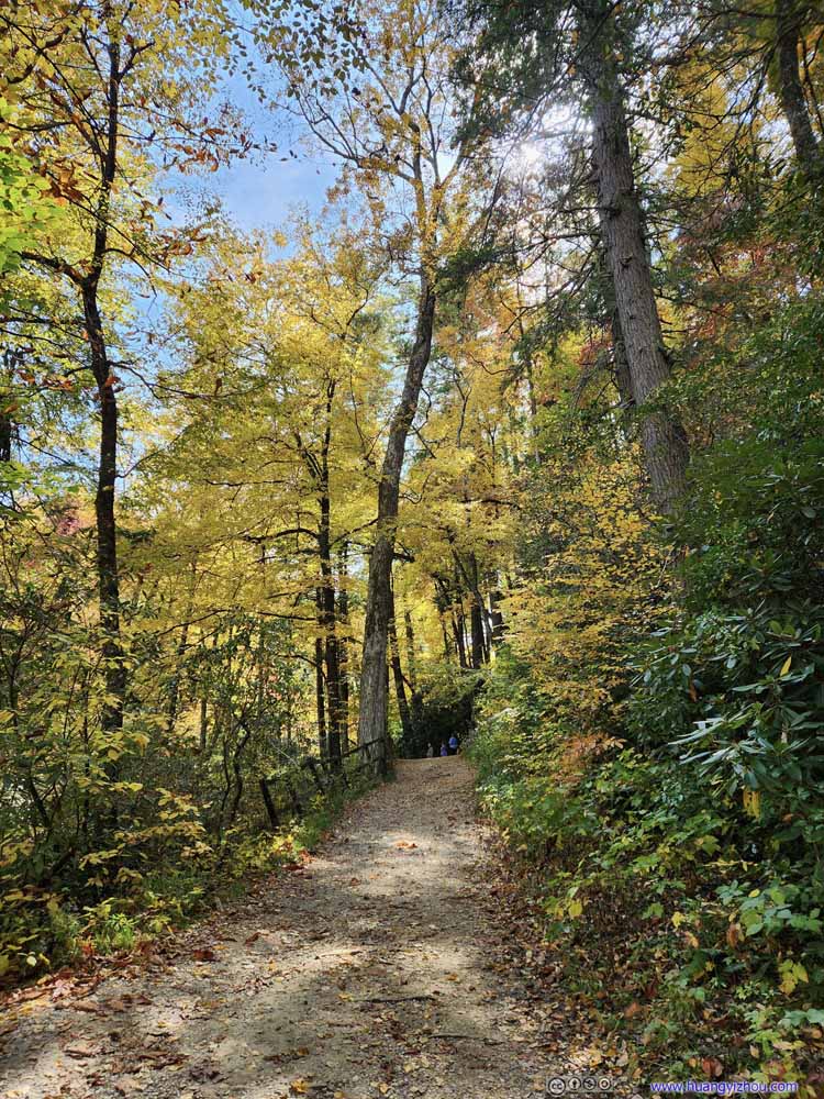 Trail
Trail Trail
Trail


Click here to display photos of the slideshow

 Linville RiverNear the parking lot, upstream of the waterfalls, feeling quiet and peaceful here.

Trail
Foliage along Trail

FoliageThis felt to me like three colors were battling each other.

Trail

Trail
Trail
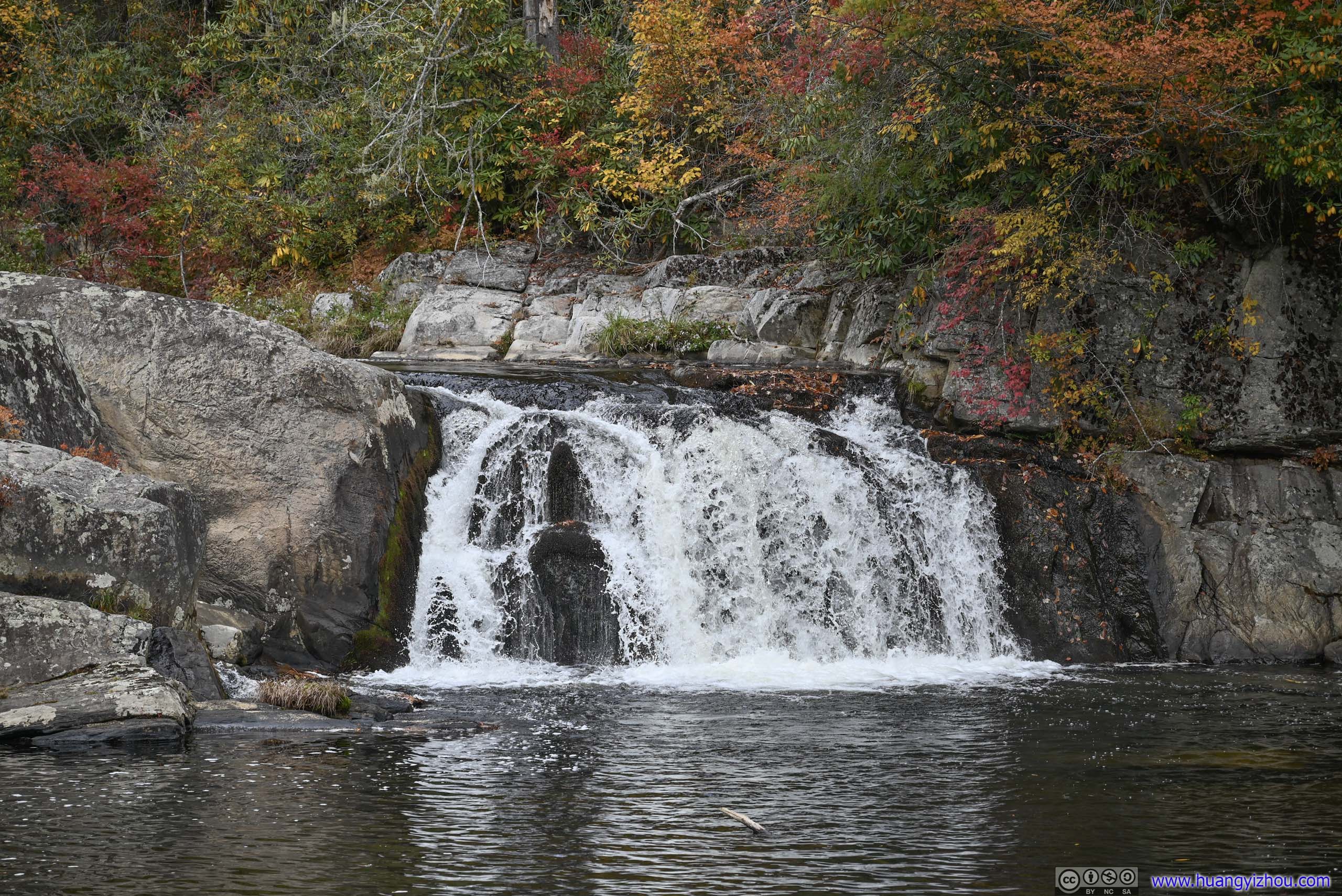
Upper Falls Overlook
The first viewpoint along the trail was Upper Falls Overlook, which was a patch of dry land on rocks, between upper and (lower) Linville Falls. The upper falls were two branches of smaller cascades, not very exciting. After that, the seemingly calm Linville River turned into a torrent when it went through some narrow swirling channels in Linville Falls, before exiting out of sight.
 Upper Linville Falls
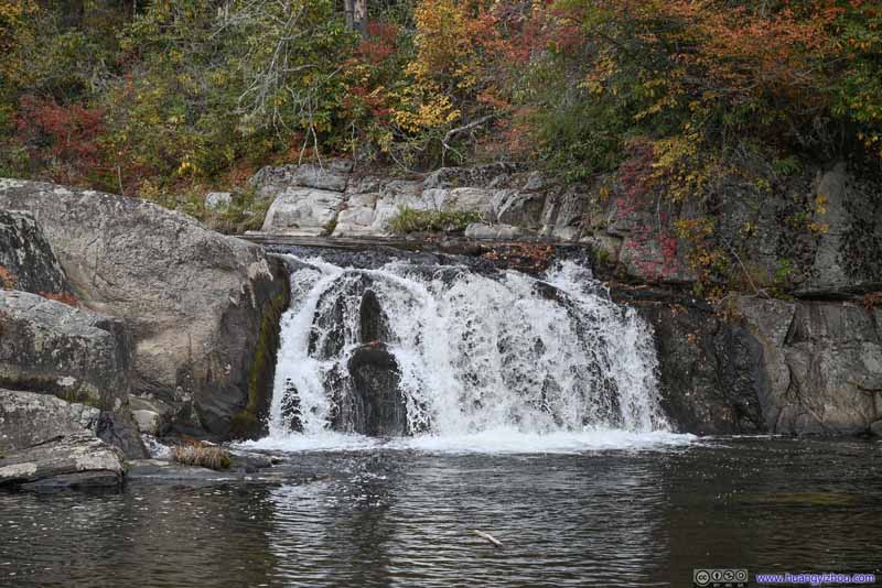 Upper Linville Falls
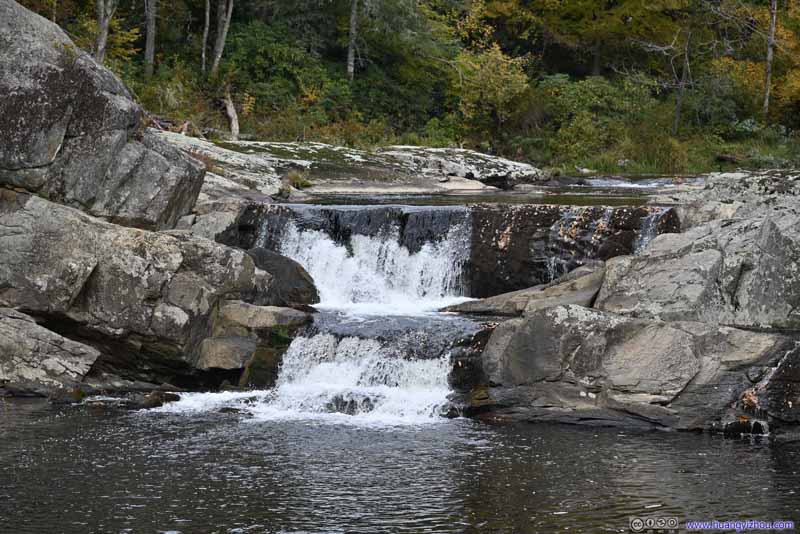 Upper Linville Falls
 Tree along WaterfallFlashy patches of red along the water.


Click here to display photos of Upper Linville Falls.
Upper Linville Falls
Upper Linville Falls
Upper Linville Falls
 Tree along WaterfallFlashy patches of red along the water.
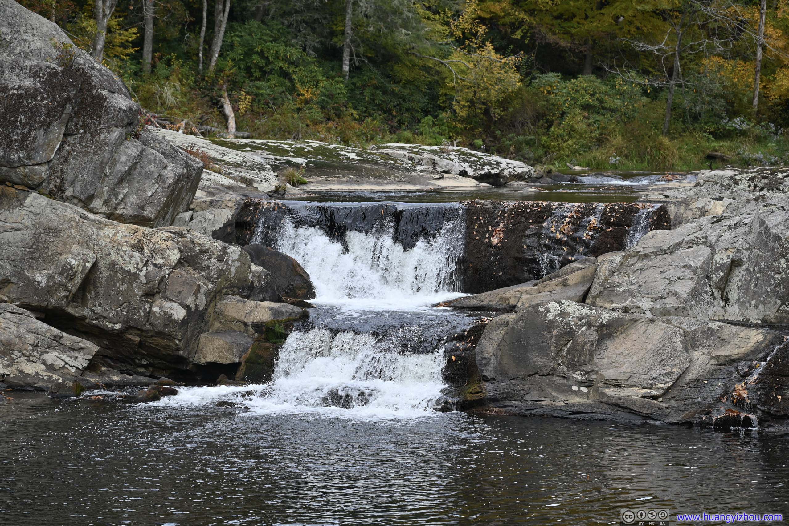
 Linville FallsTorrents from the left entered through a narrow channel between rocks.
 Linville FallsAfter lots of swirling, the torrents exited through the right.
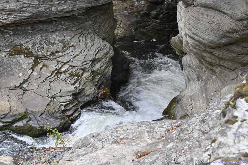 Linville Falls
A detailed look of the exit of the torrents. A subsequent waterfall at the exit of this pool can be viewed from Erwin’s View.
Linville Falls
A detailed look of the exit of the torrents. A subsequent waterfall at the exit of this pool can be viewed from Erwin’s View.
Click here to display photos of the slideshow

Linville FallsTorrents from the left entered through a narrow channel between rocks.

Linville FallsAfter lots of swirling, the torrents exited through the right.

Linville Falls
Chimney View
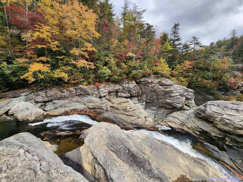
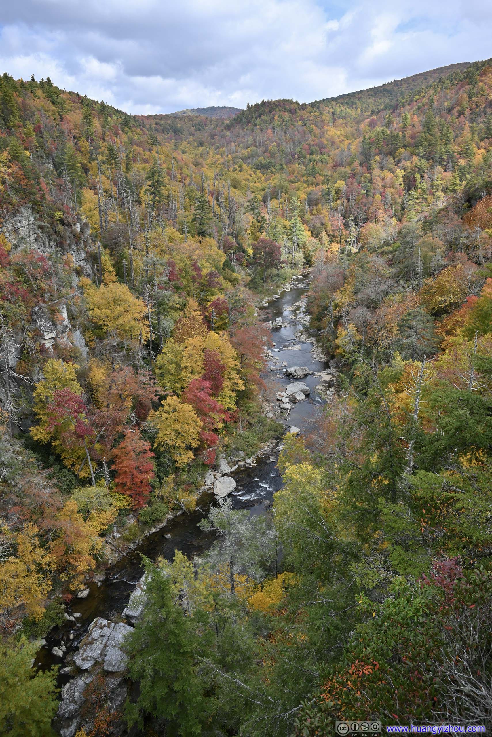
After that, the trail went on a steady incline before reaching Chimney View. This was probably the best viewpoint of Linville Falls. On one side, it’s facing the raging waters of (Lower) Linville Falls, appreciating how its might carved through solid rock, with the upper falls and the previous viewpoint in the background; on the other side, Linville River continued its journey downstream among patches of autumn colors. The relative high elevation (and likely thus the name “Chimney View”) meant one could appreciate the gorge landscape, spectacular beyond words.
The only downside was that, Chimney View was really limited in size, so it could get crowded.
 Linville Falls
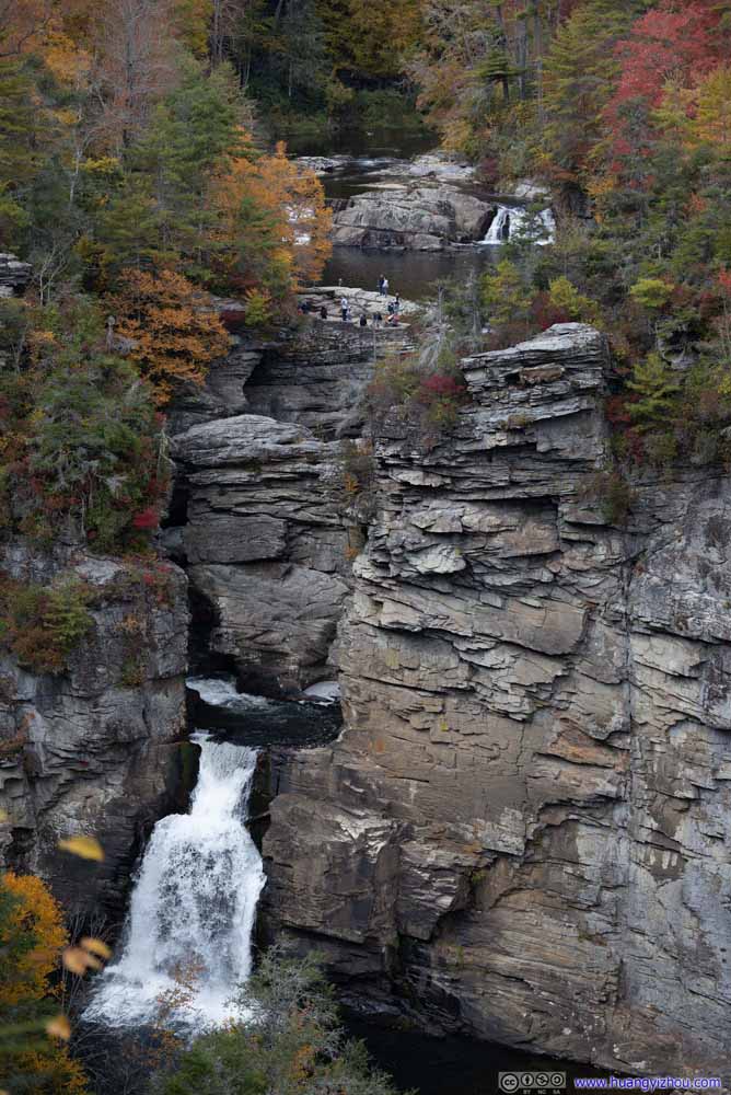 Linville Falls
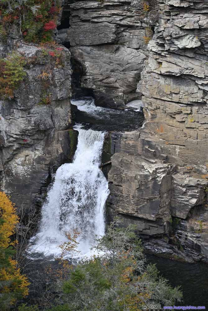 Linville Falls
 Linville River
 Linville River
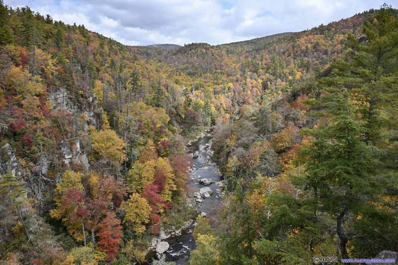
 Linville River


Click here to display photos from Chimney View.

Linville Falls

Linville Falls
Linville Falls
Linville River
Linville River
 Linville River
Linville River and Waterfalls from Chimney View
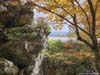
Erwin and Gorge View
After that, the trail continued uphill, to two overlooks that were really close to each other, Erwin and Gorge View. Erwin’s view was like a duplicate of Chimney View, with marginally better views of the waterfall, but much more obstructed views of the river, no views of the gorge. It’s larger and can accommodate more people though. Gorge view offered views of Linville River further downstream, but it’s also partly obstructed and didn’t have that much a gorge feeling.
A quick conclusion, Chimney View trumped them both.
 Linville Falls from Erwin’s View
Erwin’s View featured a larger viewing area, but unfortunately that meant during my visit it’s more crowded. In addition, the views of Linville River were largely obstructed, so I didn’t quite like it there.
Linville Falls from Erwin’s View
Erwin’s View featured a larger viewing area, but unfortunately that meant during my visit it’s more crowded. In addition, the views of Linville River were largely obstructed, so I didn’t quite like it there.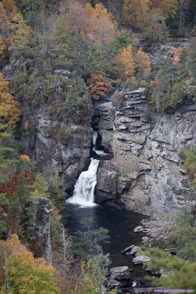 Linville Falls from Erwin’s View
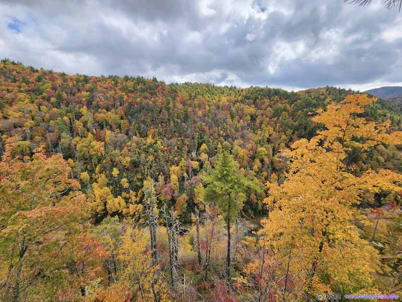 Linville Gorge from Gorge ViewGorge View, not far from Erwin’s View. Unfortunately, the river was barely visible.

Click here to display photos from Erwin and Gorge View.

Linville Falls from Erwin’s View
Linville Falls from Erwin’s View
Linville Gorge from Gorge ViewGorge View, not far from Erwin’s View. Unfortunately, the river was barely visible.
This visit to 4 overlooks of Linville Falls took me about an hour, though I was a bit rushed on the trails (since I still had lots to cover for the day).
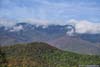
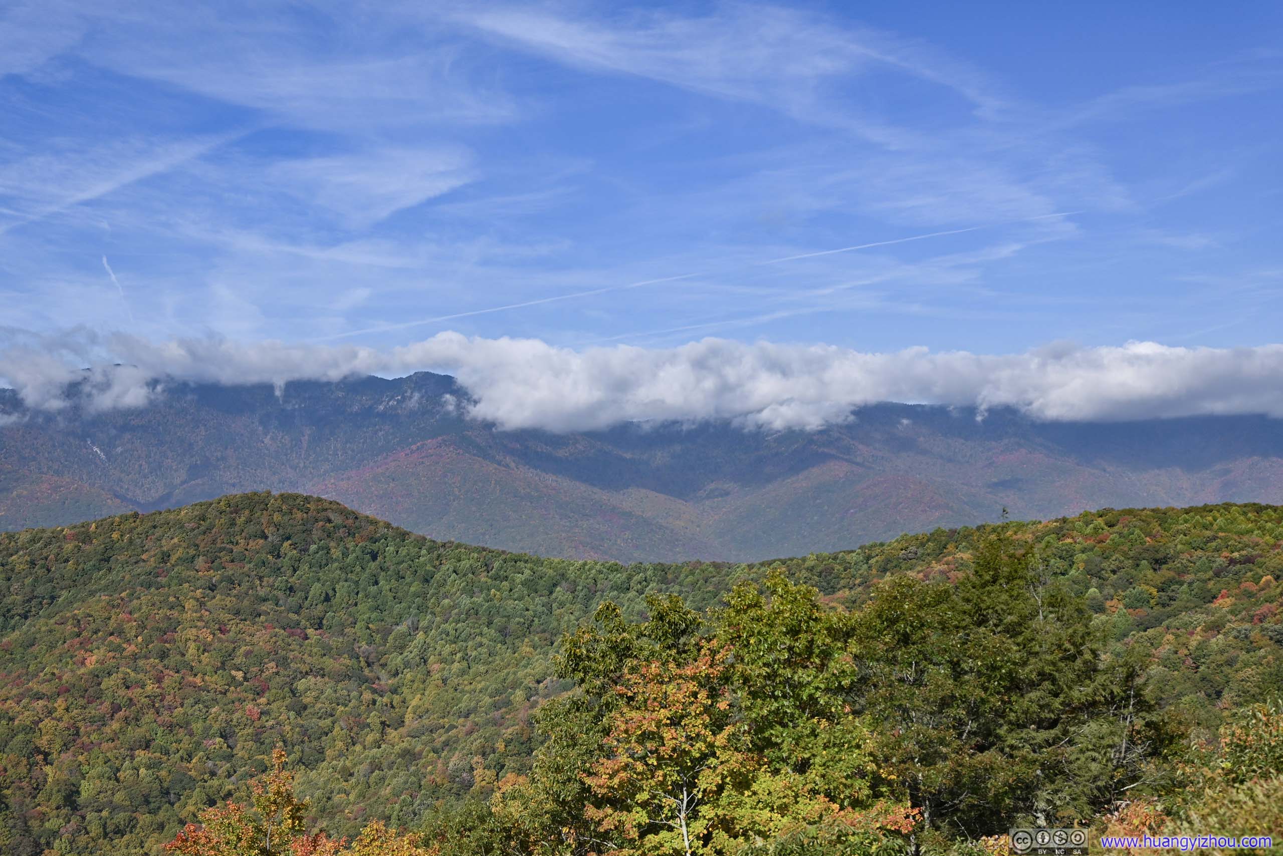
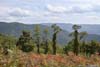
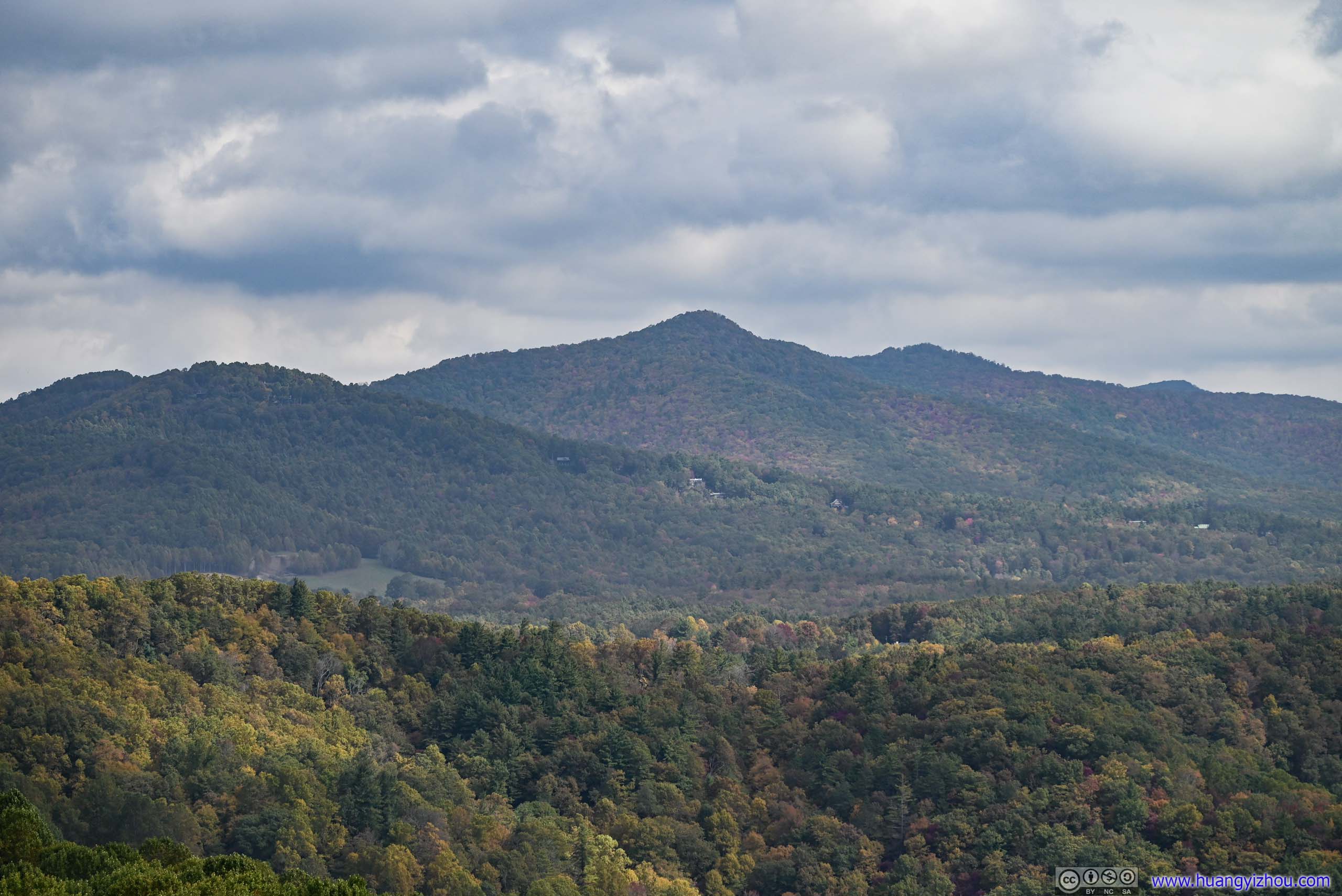
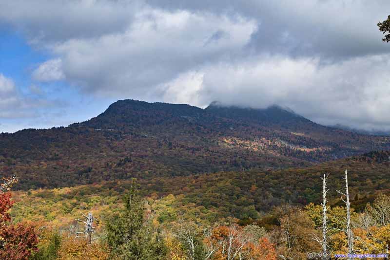
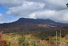
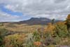
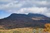
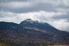
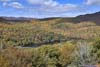
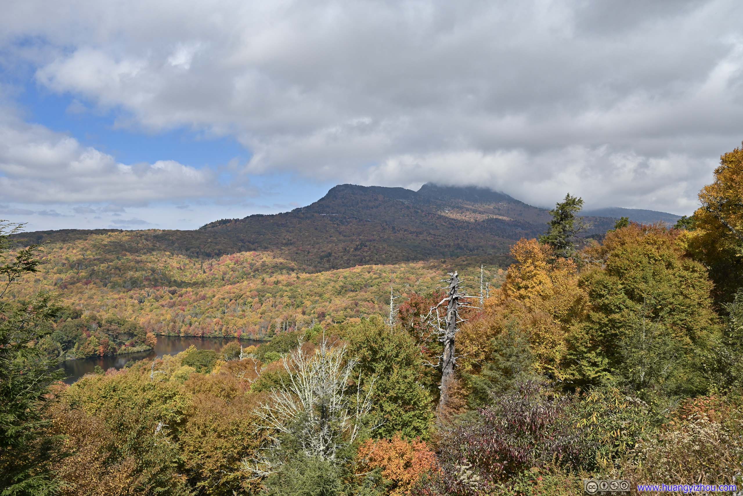
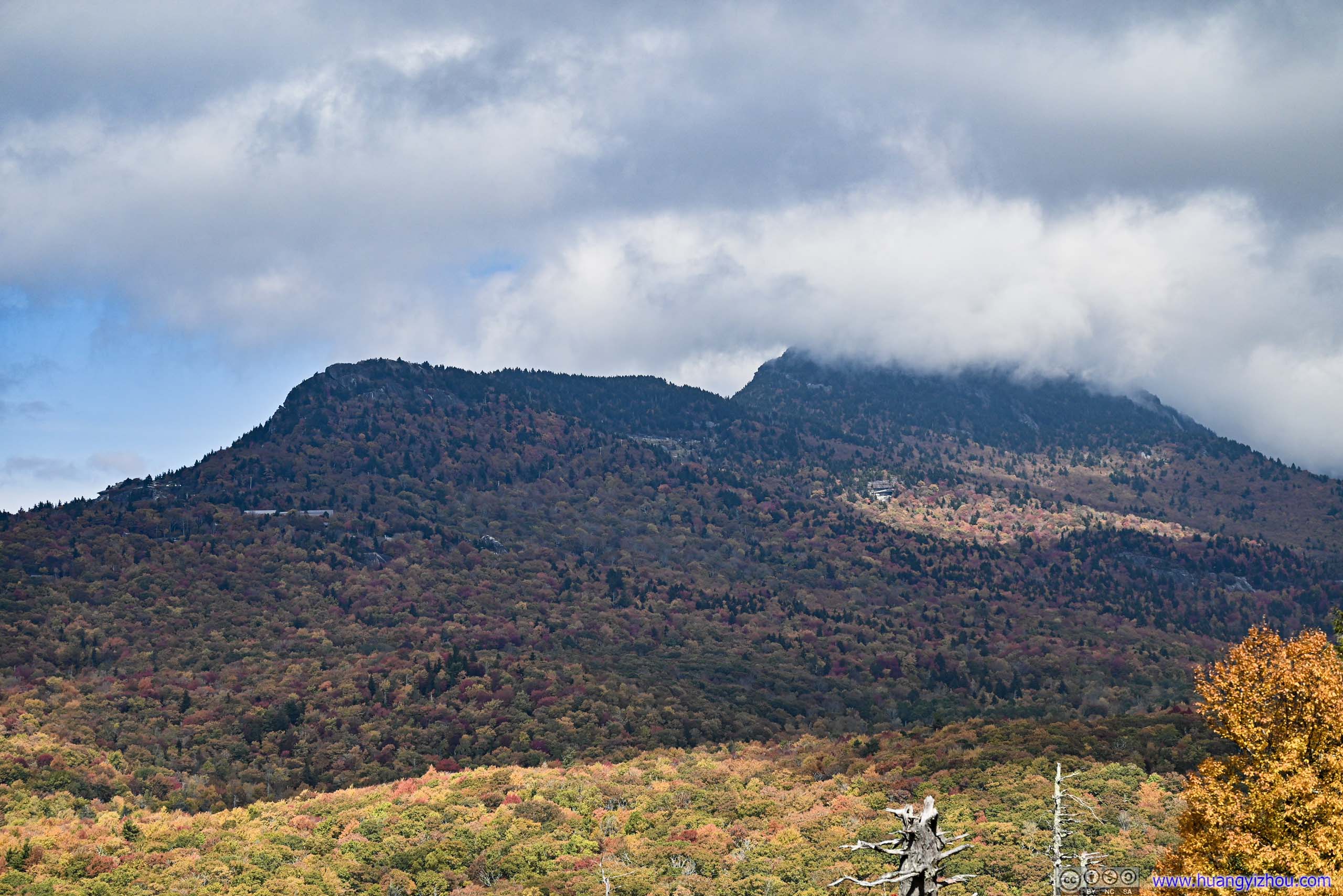
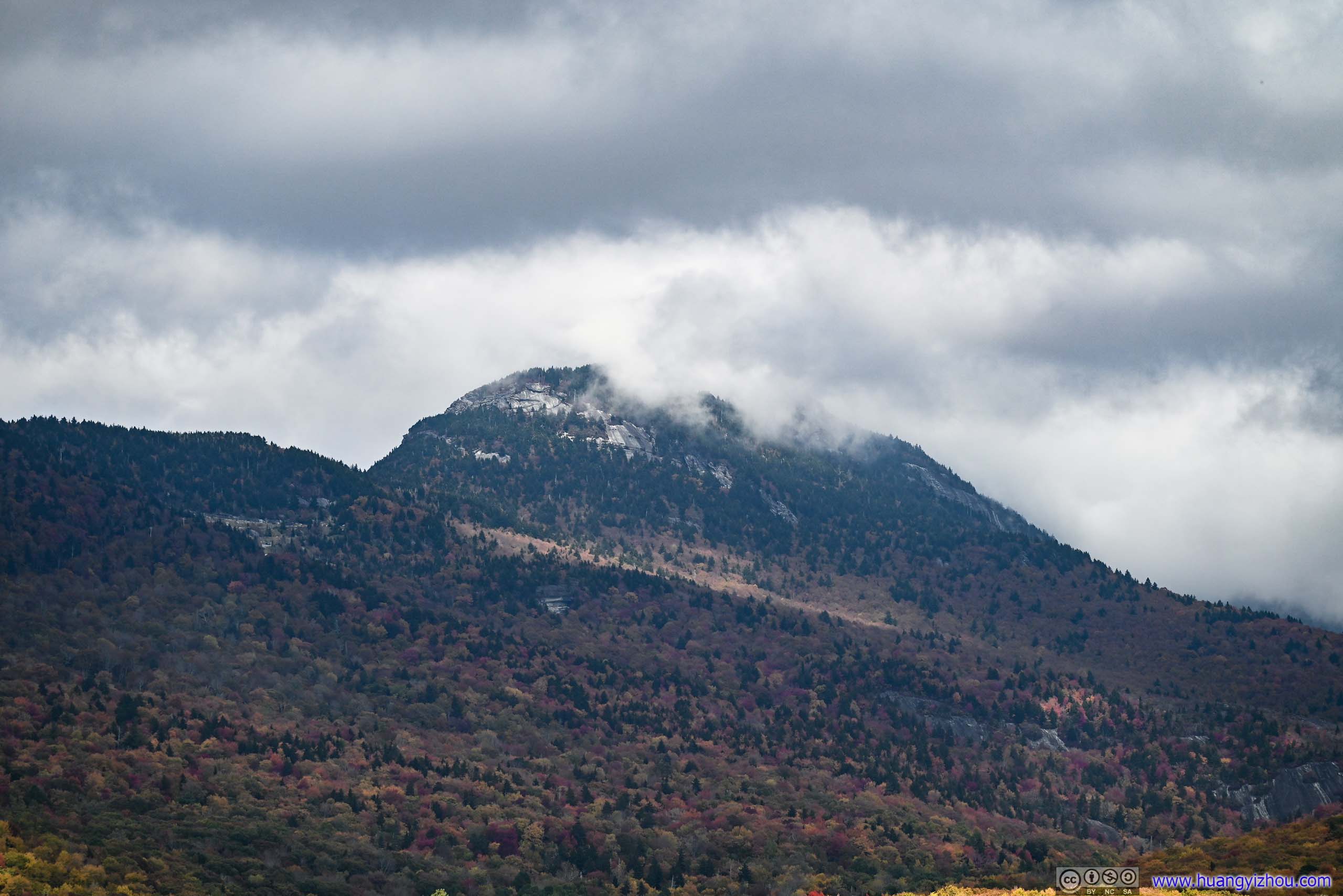
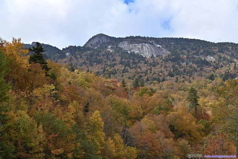
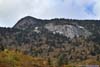
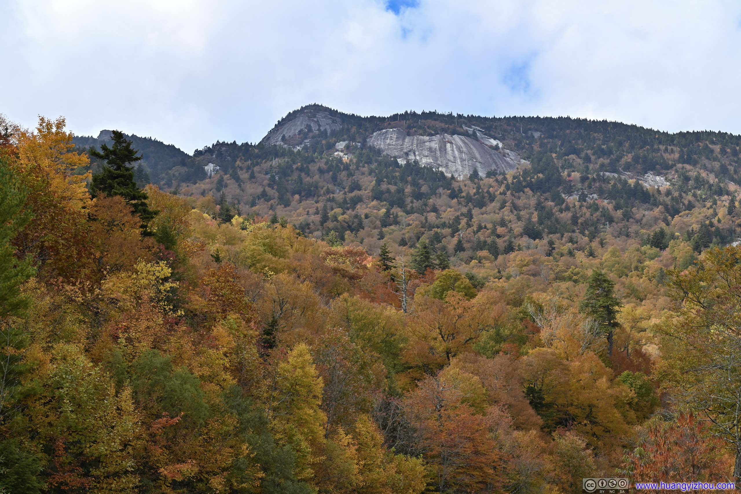
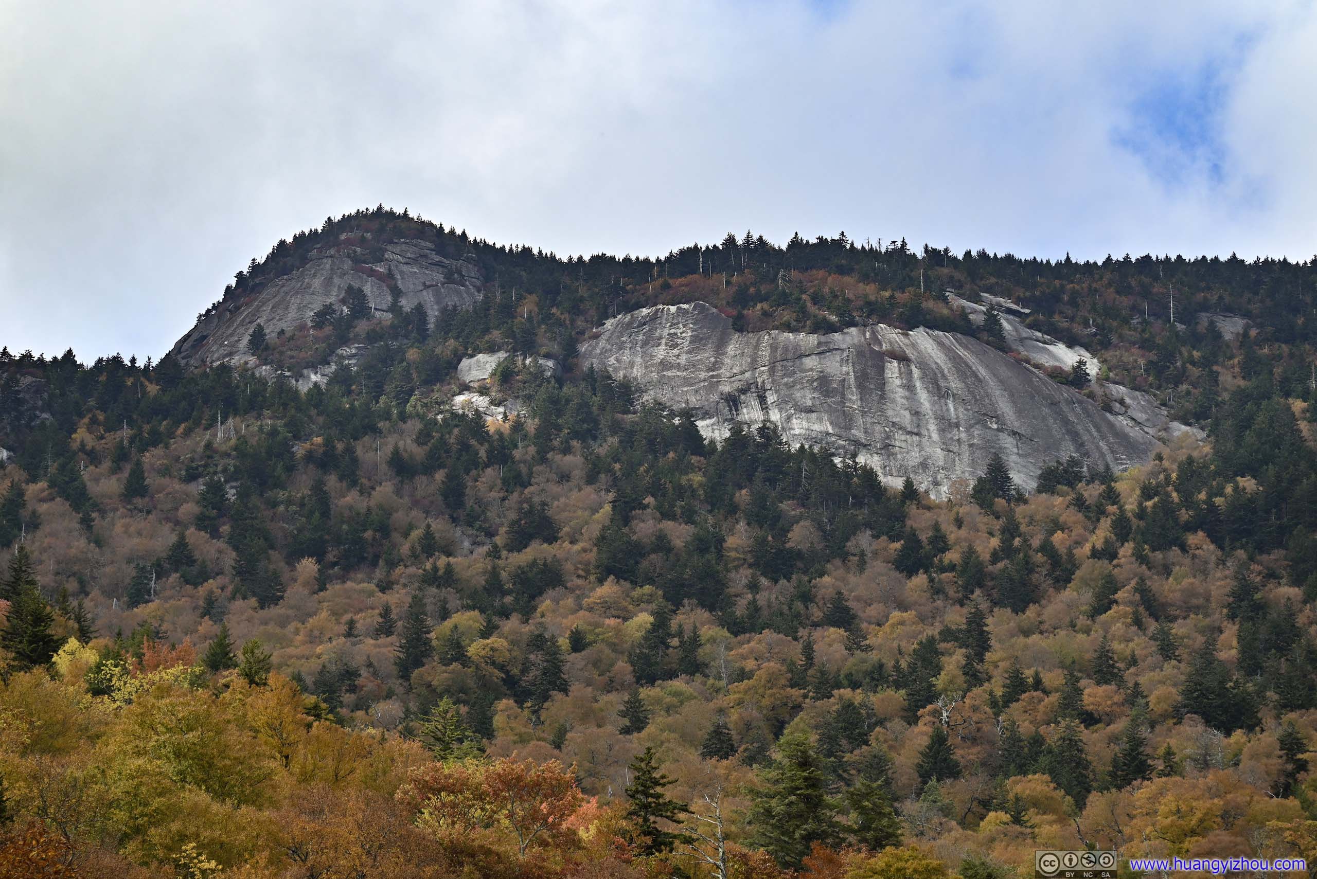
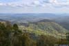
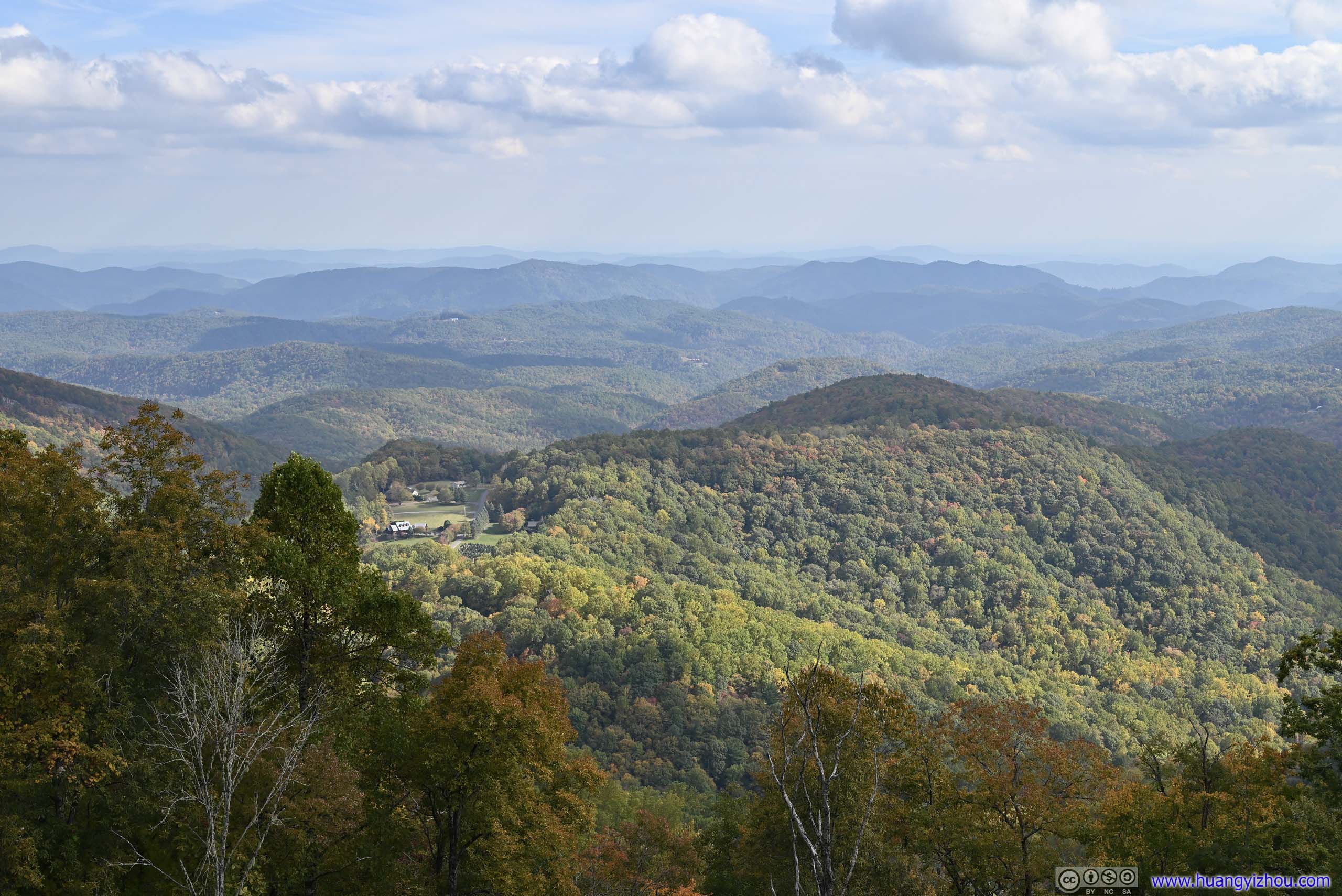
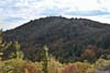
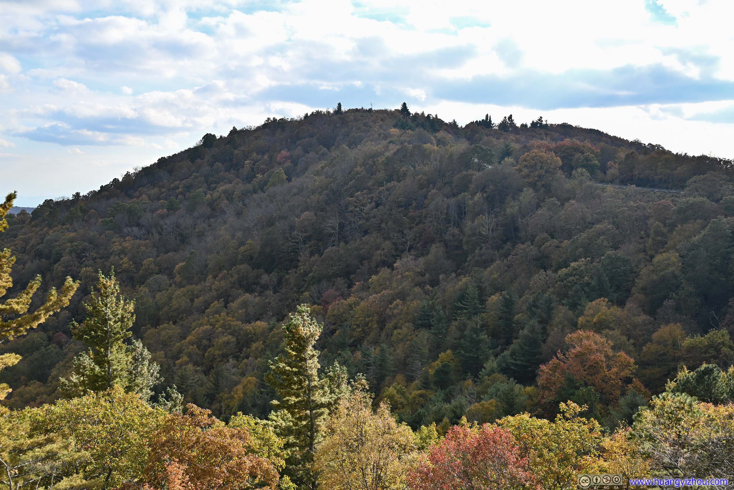
Grandfather Mountain Overlook
After leaving Linville Falls, I made another stop at Grandfather Mountain Overlook. It’s a prominent mountain with exposed rock faces as it flexed its harshness, a daunting sight made even more sovereign by the few passing clouds that thinly veiled its tallest peaks and cast somber shadows onto its slopes. It should be an exciting scramble to climb Grandfather Mountain, which I had to put off till another time.
 Grandfather Mountain
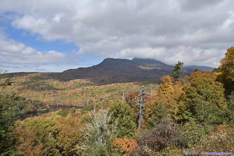 Grandfather Mountain
 Grandfather Mountain
 Grandfather Mountain
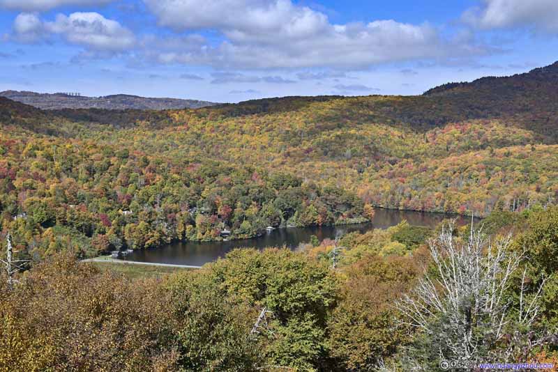 Grandfather Lake
Click here to display photos of the slideshow

Grandfather Mountain
Grandfather Mountain
Grandfather Mountain
Grandfather Mountain

Grandfather Lake
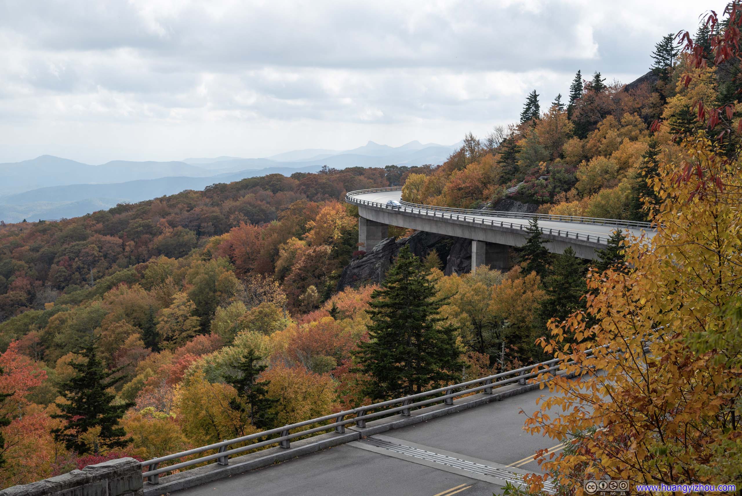
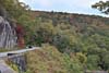
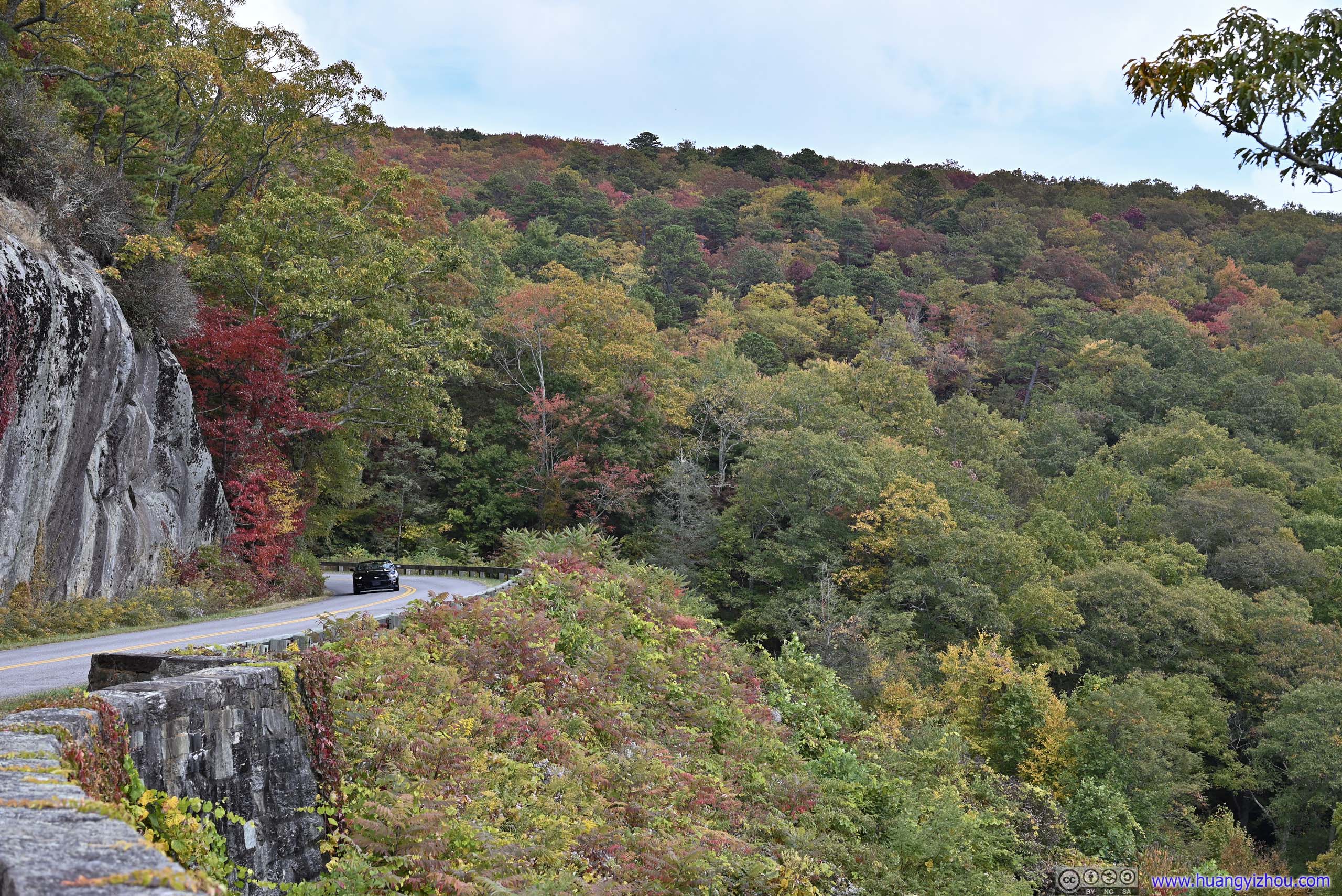
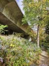
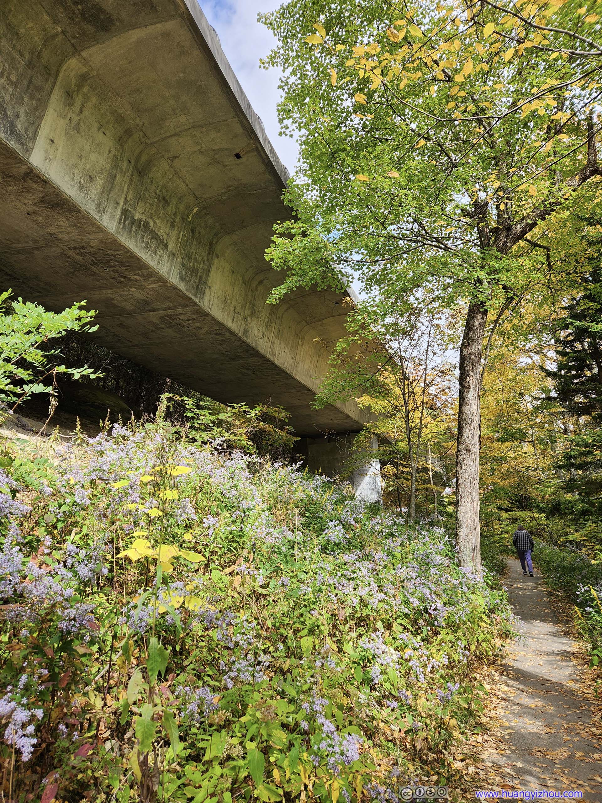
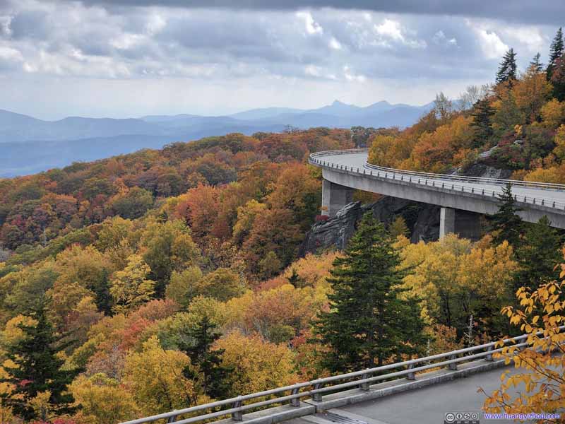
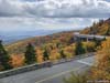
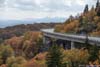
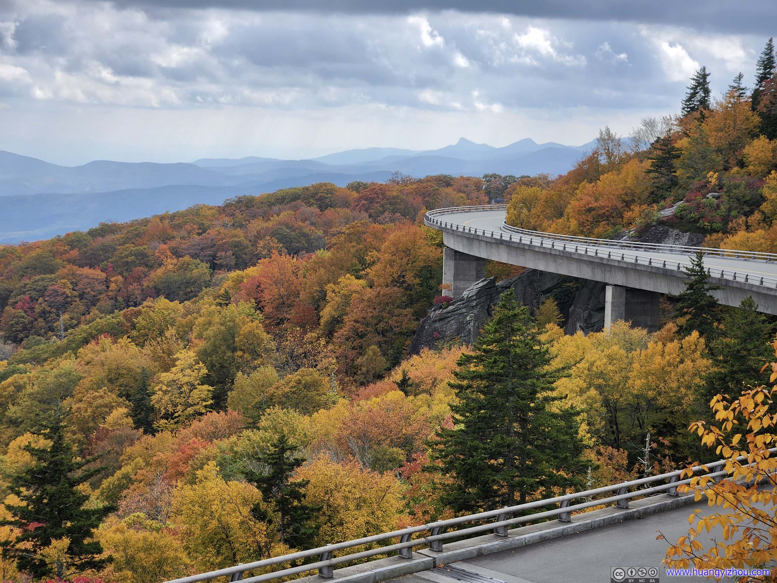
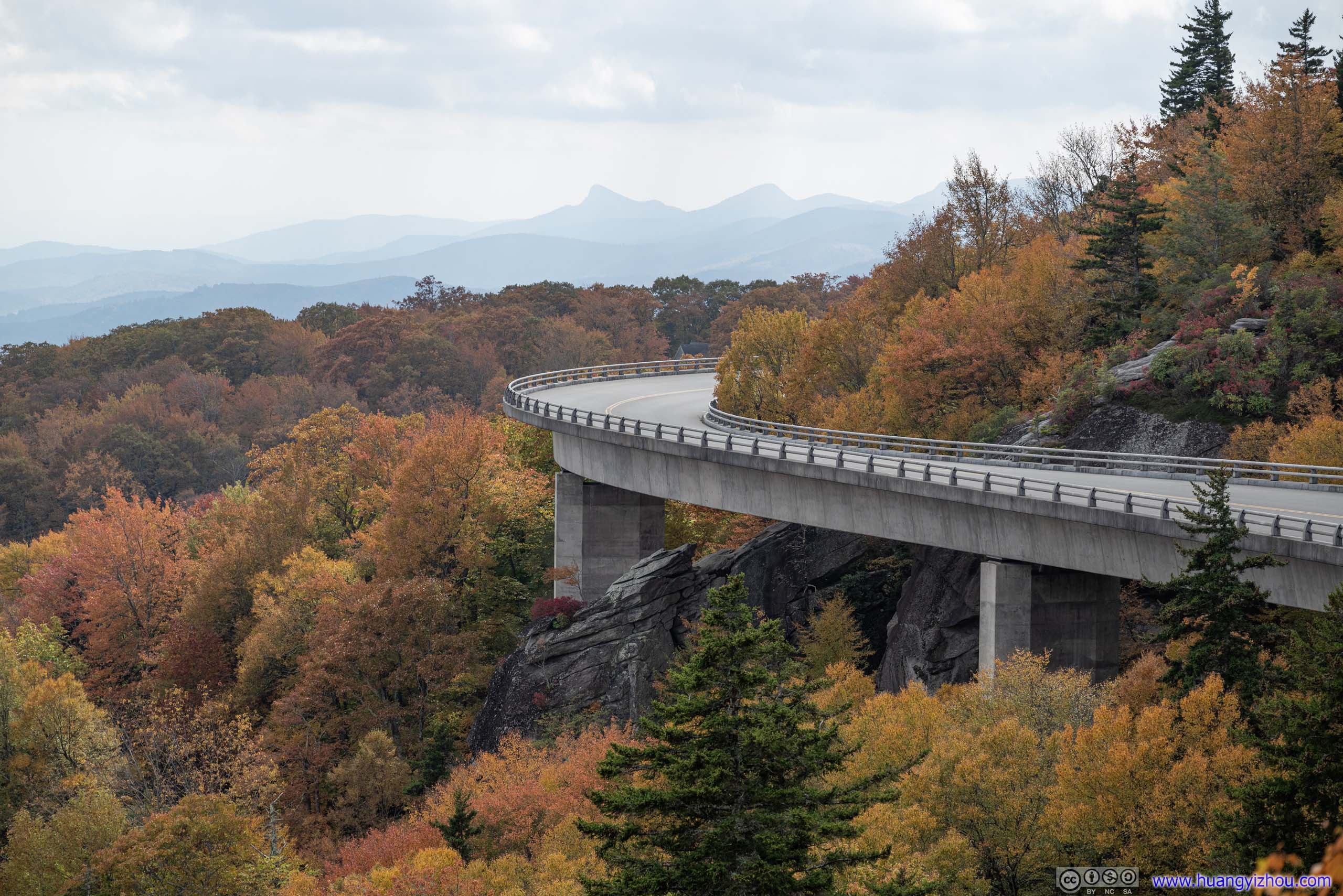
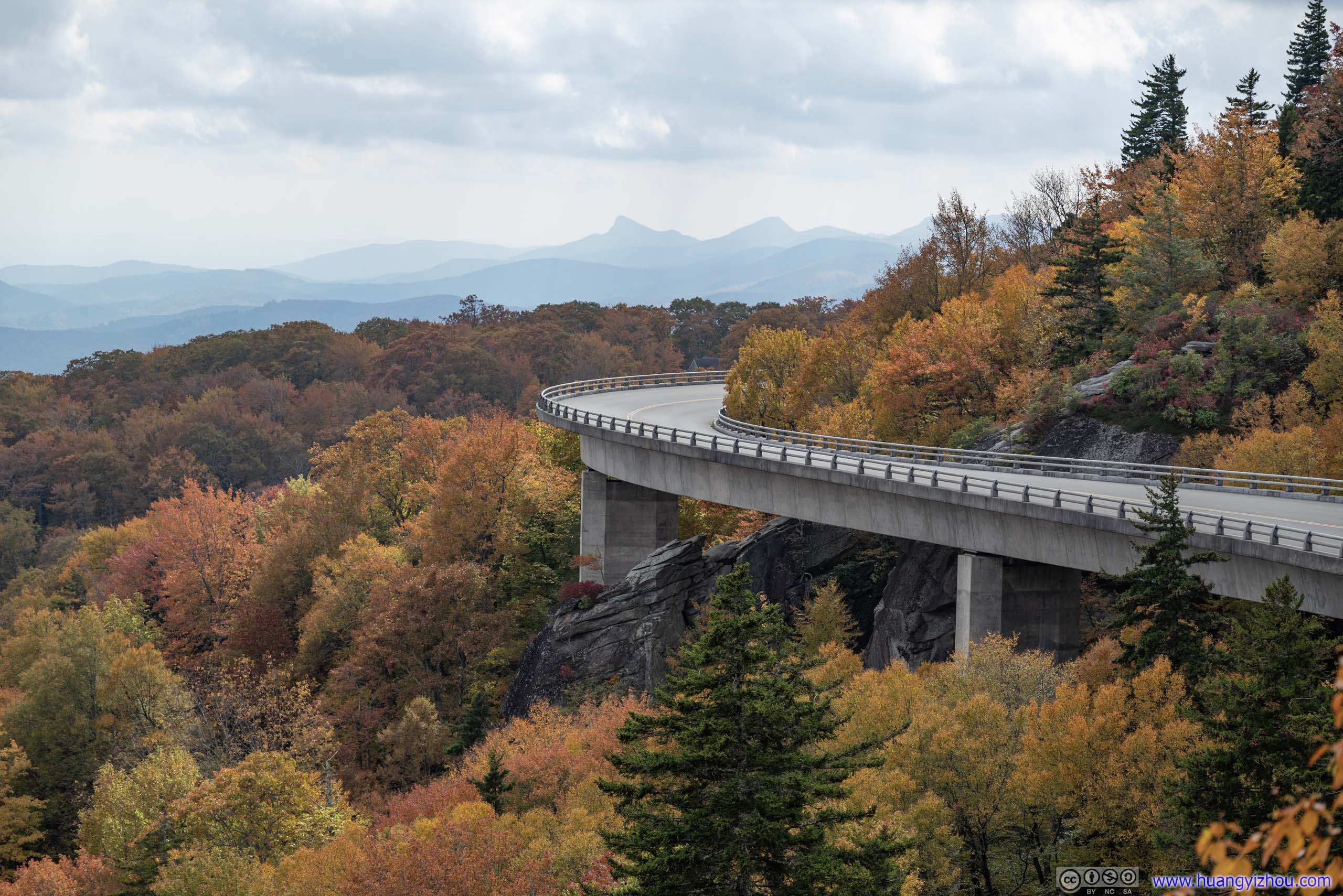
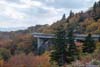
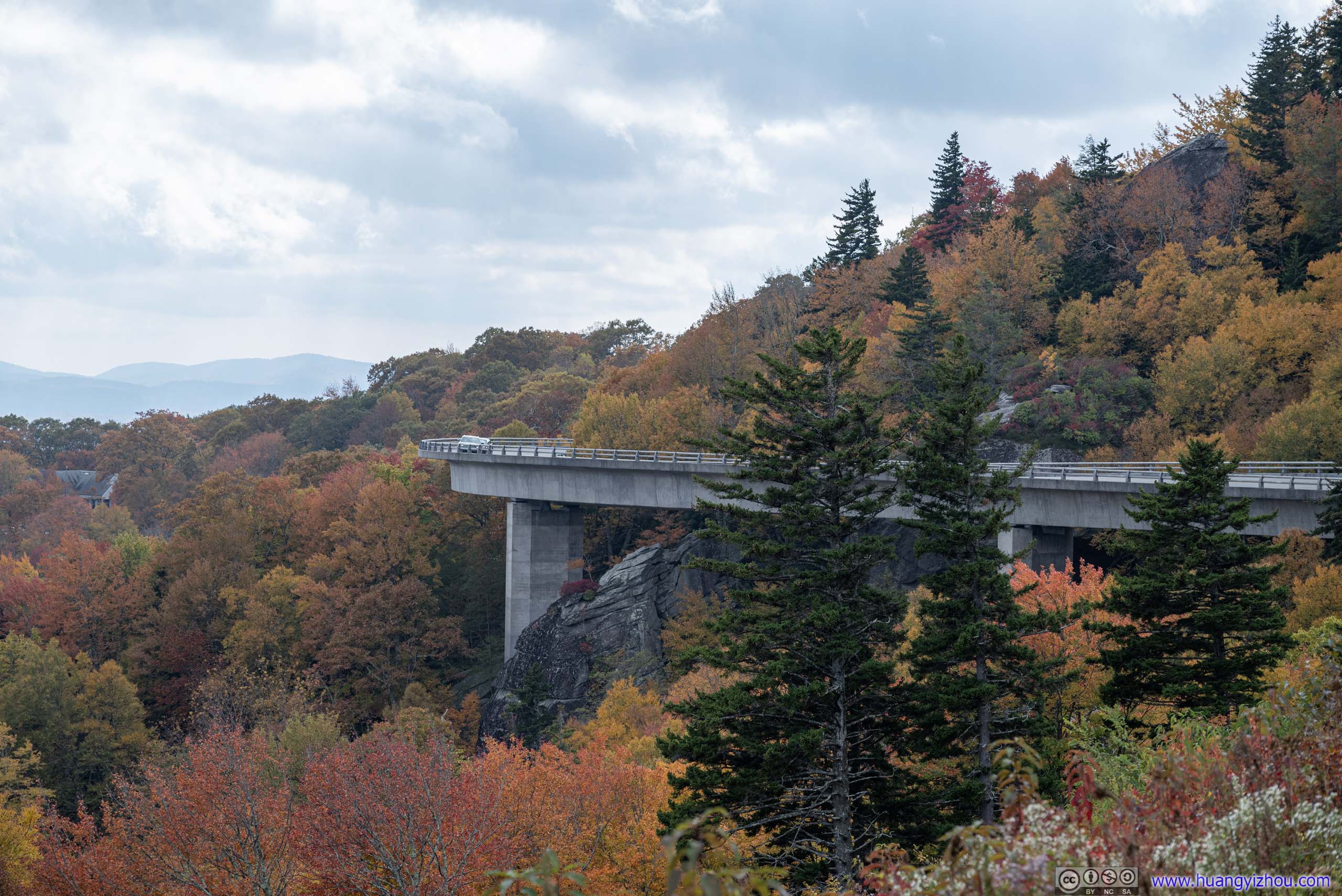
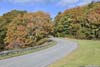
Linn Cove Viaduct
Then it’s the star of the day, the poster child of Blue Ridge Parkway, Linn Cove Viaduct.
Completed in 1983, it’s the last section of Blue Ridge Parkway to be completed. To avoid destroying the rock faces of the nearby Grandfather Mountain, engineers constructed a series of viaducts going around it. It’s where scenery and automobile culture came together, essentially what Blue Ridge Parkway stood for.
First I stopped at its visitor center, with the largest parking lot in the vicinity. Unfortunately, their flush toilets were closed 😒.
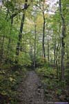
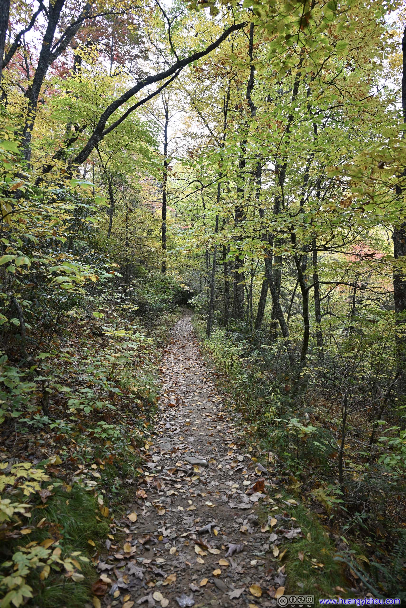
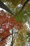
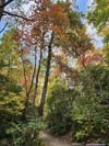
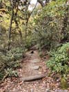
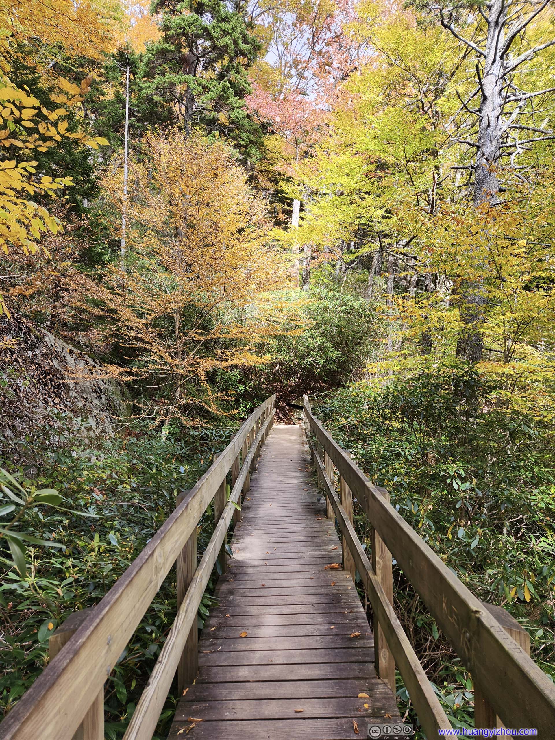
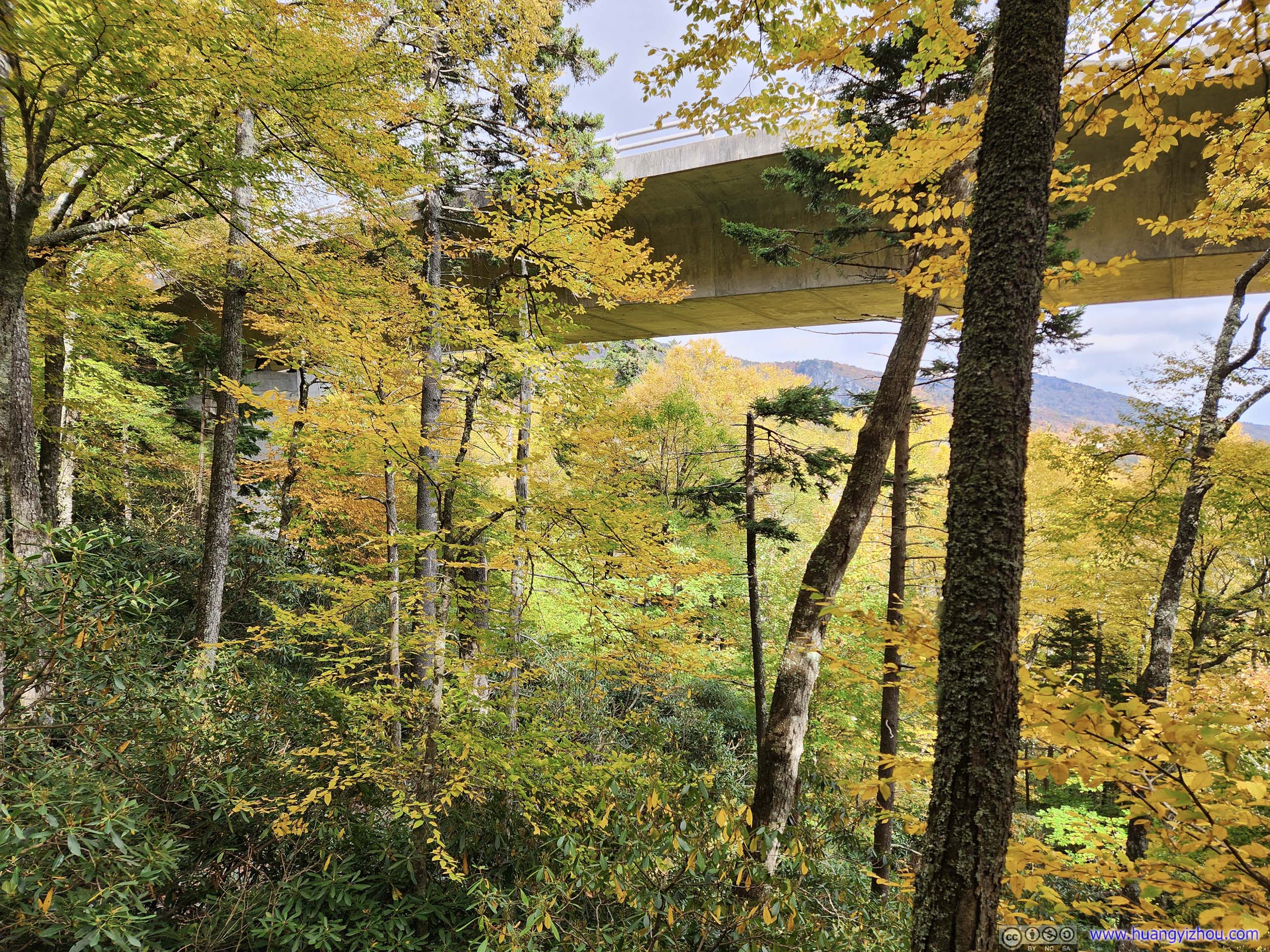
From the visitor center, a trail (Tanawha Trail) would ran parallel to the viaduct, allowing visitors to admire its engineering achievements. The trail started out paved to a viewpoint just below the viaduct, and then turned more primitive with some scramblings (mostly YDS class 1) on and around rocks.
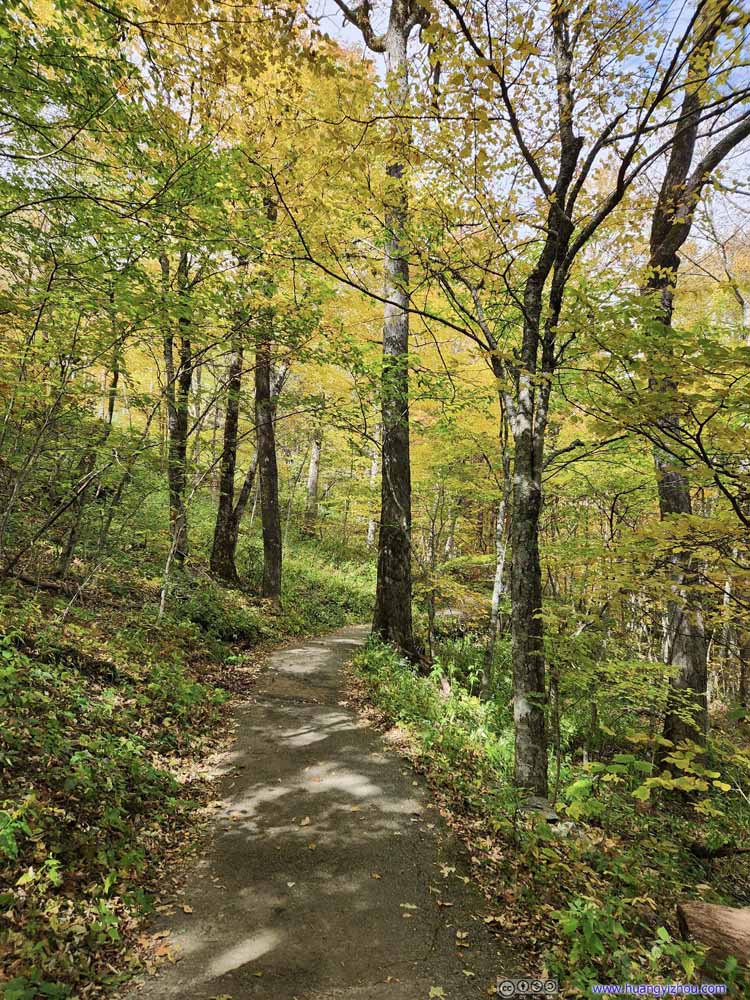 TrailThe initial part of the trail was paved, easily accessible.
 TrailPaved section, parallel to the parkway viaduct with last of the season’s blossoming flowers.
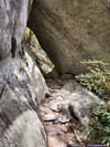
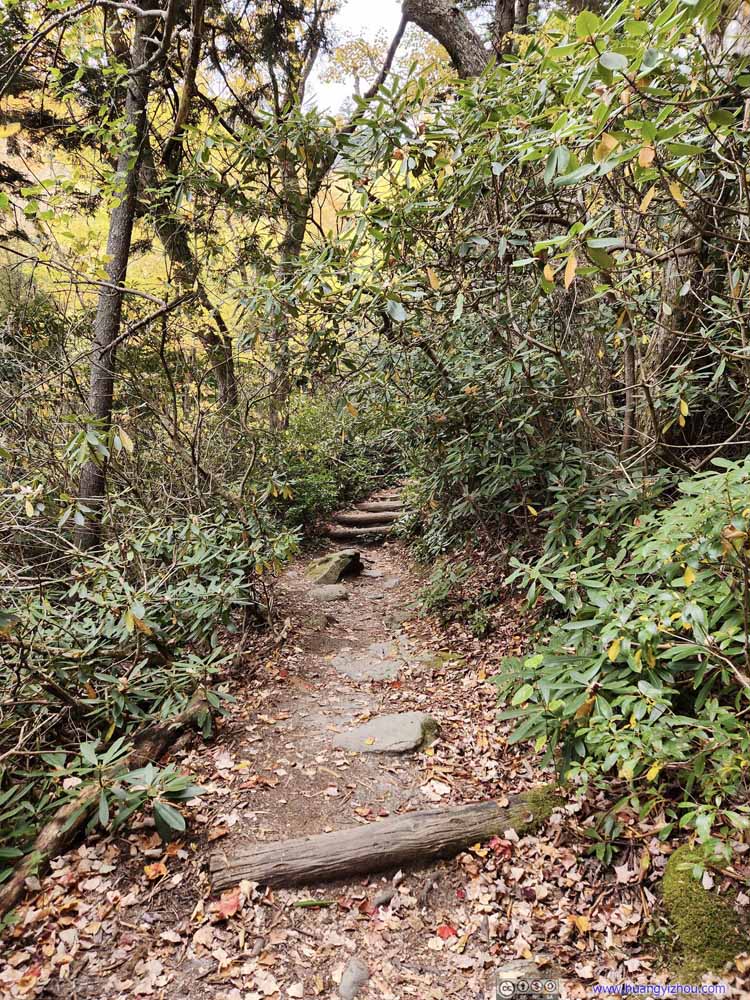 TrailAfter crossing underneath the viaduct, the trail pavement ended.
 TrailFrom time to time, one needed to navigate around some boulders.
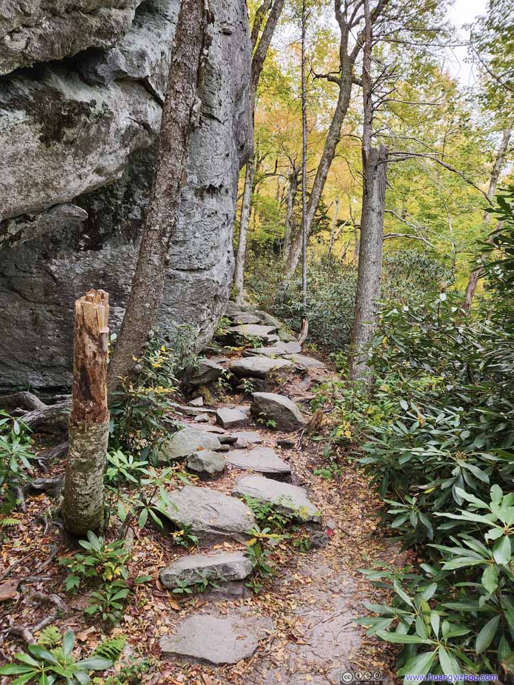 TrailTypical conditions.
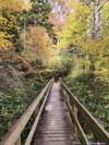
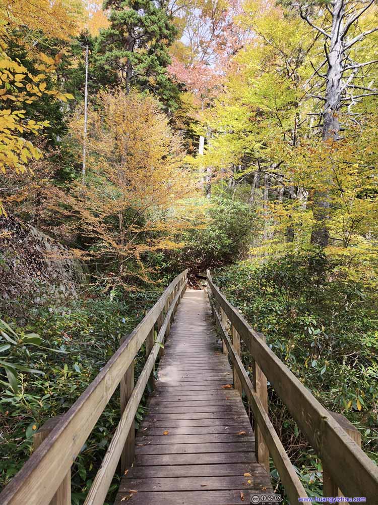 Trail on FootbridgeThe spur to the overlook was not far from this foot bridge.

Click here to display photos of the Tanawha Trail.

TrailThe initial part of the trail was paved, easily accessible.
TrailPaved section, parallel to the parkway viaduct with last of the season’s blossoming flowers.

TrailAfter crossing underneath the viaduct, the trail pavement ended.

TrailFrom time to time, one needed to navigate around some boulders.

TrailTypical conditions.
Trail on FootbridgeThe spur to the overlook was not far from this foot bridge.
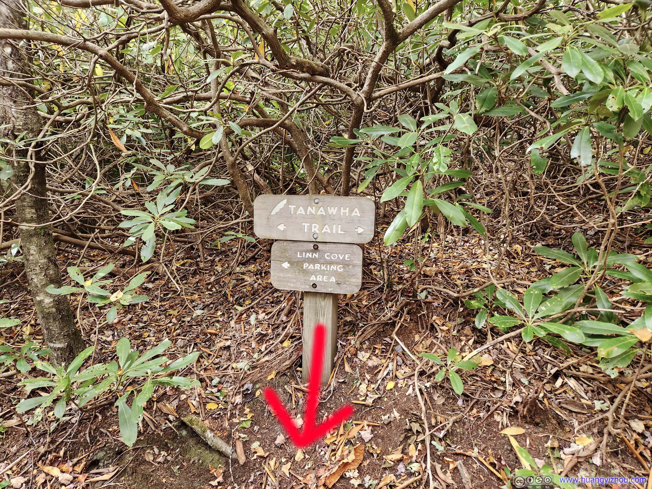
About 600m from the parking lot the trail reached an intersection. Just a few steps away were some boulders where the poster photo of Linn Cove Viaduct was taken.
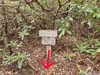
 Sign for Viewpoint
This sign was located on the northern side of the trail. It’s very hard to miss. The trail went east-west, and to the south of this sign, a short spur would lead to the iconic viewpoint of Linn Cove Viaduct (red arrow).
Sign for Viewpoint
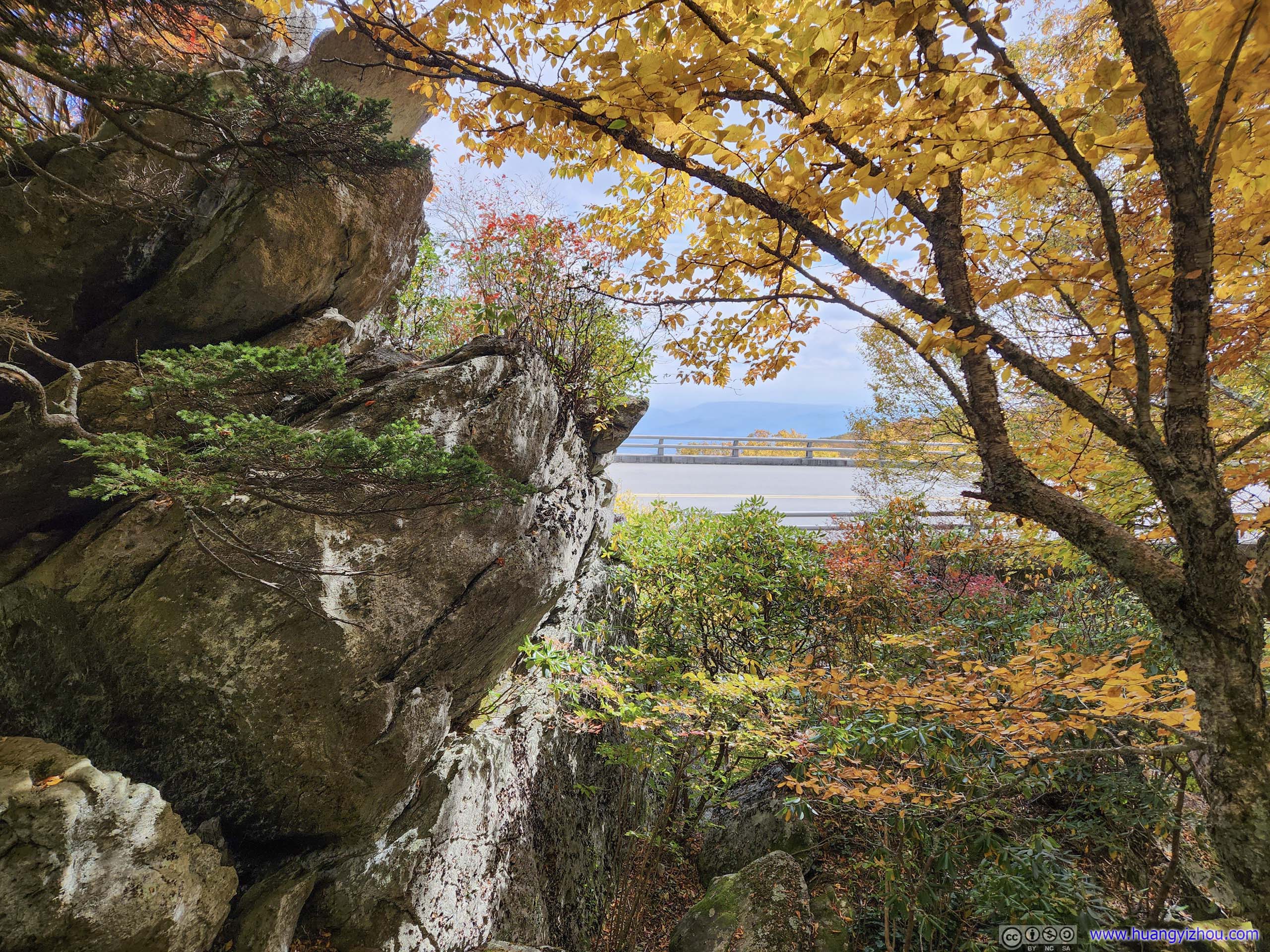
This sign was located on the northern side of the trail. It’s very hard to miss. The trail went east-west, and to the south of this sign, a short spur would lead to the iconic viewpoint of Linn Cove Viaduct (red arrow). Linn Cove Viaduct from Trail
For a moment I thought the viewpoint was on top of the boulder to the left. The scramble onto it seemed rather technical, so I search around and gladly learned it wasn’t.
Linn Cove Viaduct from Trail
For a moment I thought the viewpoint was on top of the boulder to the left. The scramble onto it seemed rather technical, so I search around and gladly learned it wasn’t.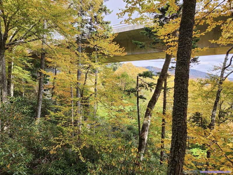 Linn Cove Viaduct from Trail
Click here to display photos of the slideshow
Sign for Viewpoint
Linn Cove Viaduct from Trail
Linn Cove Viaduct from Trail
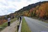
And a few steps away from the intersection, I had the most popular view along Blue Ridge Parkway to myself.
 Linn Cove Viaduct
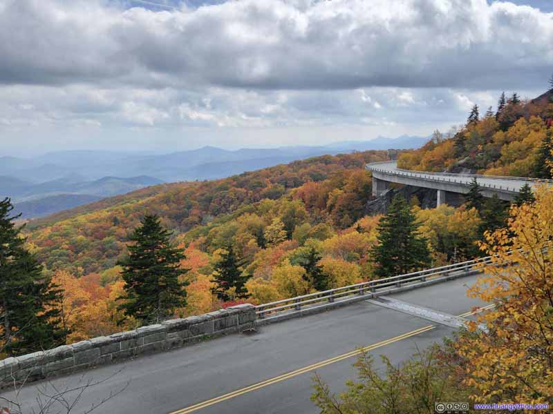 Linn Cove Viaduct
 Linn Cove Viaduct
 Linn Cove Viaduct
 Linn Cove Viaduct
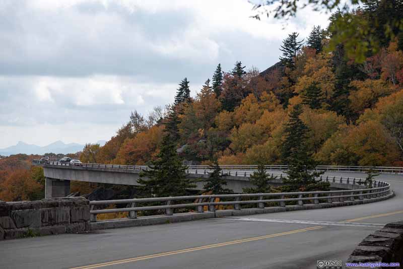 Linn Cove ViaductTaken from the street level.


Click here to display photos of Linn Cove Viaduct from viewpoint.
Linn Cove Viaduct

Linn Cove Viaduct
Linn Cove Viaduct
Linn Cove Viaduct

Linn Cove Viaduct
Linn Cove ViaductTaken from the street level.
With limited seating space at the overlook, I only stayed there for a few minutes, before the next visitor found out about this hidden treasure.
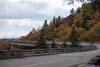
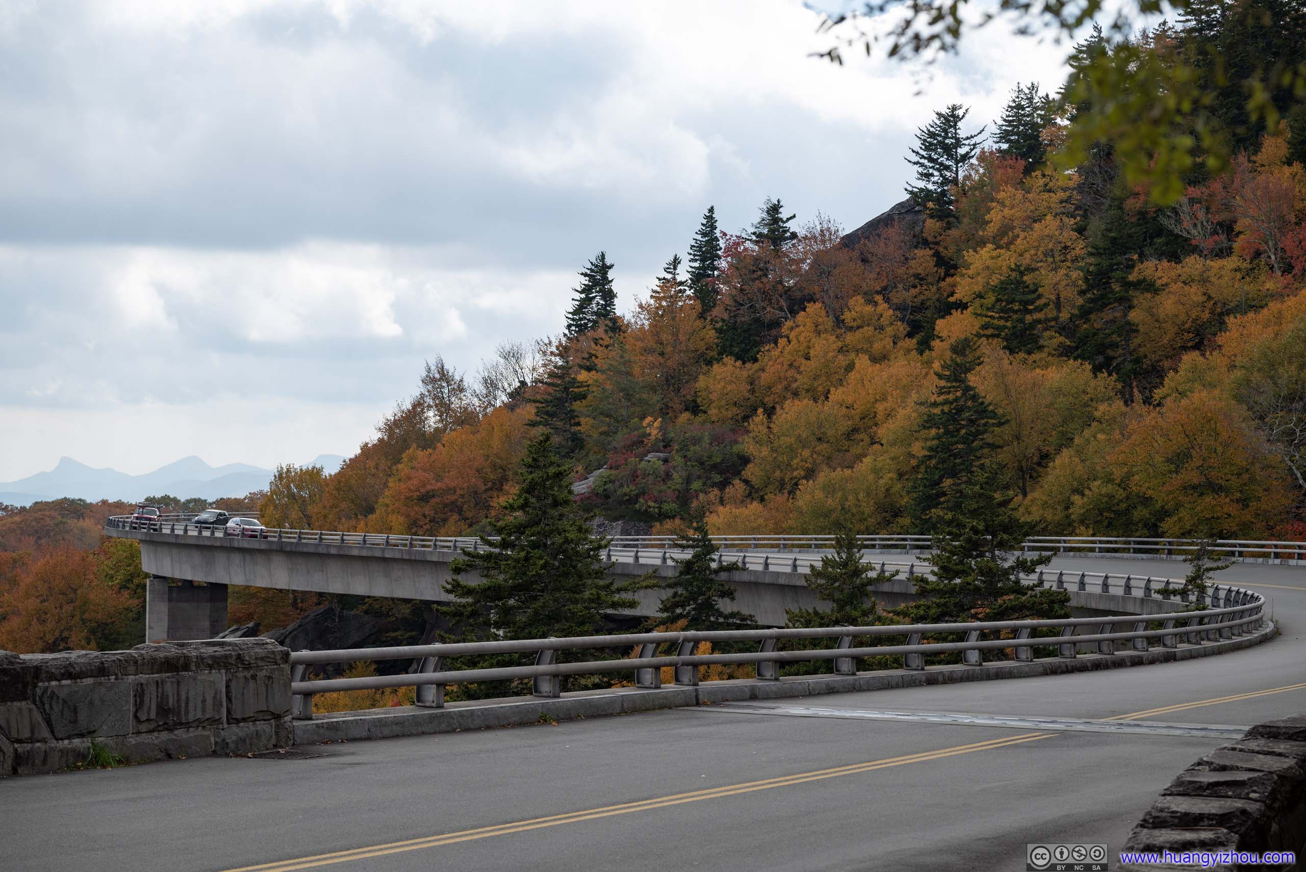
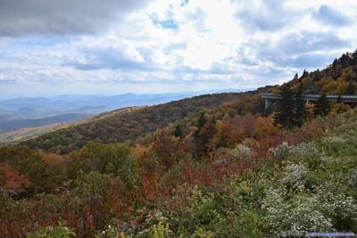
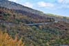
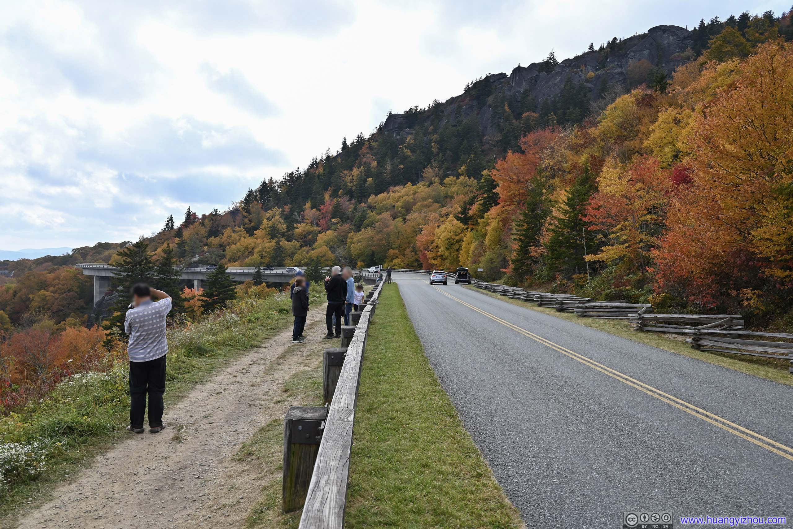
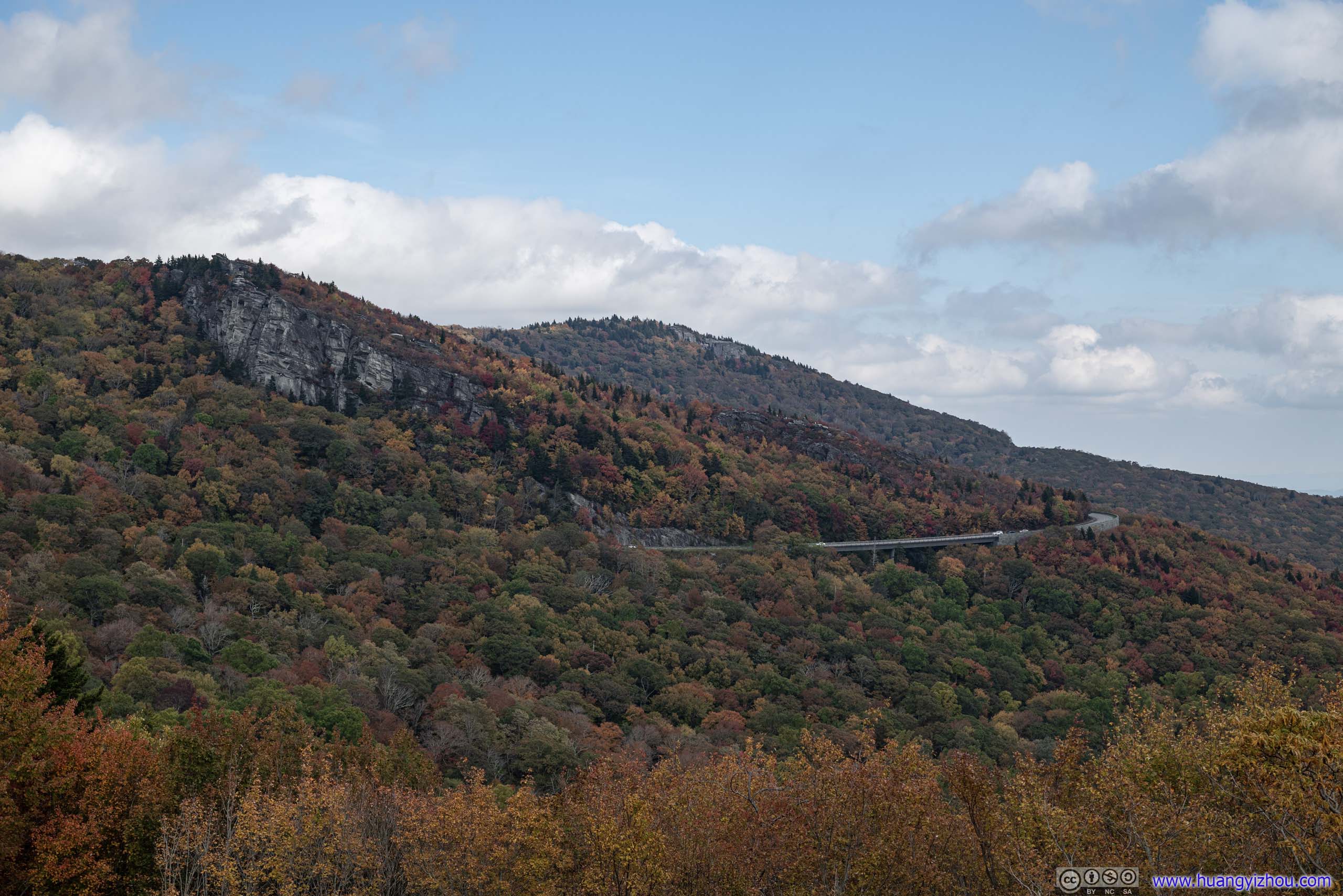
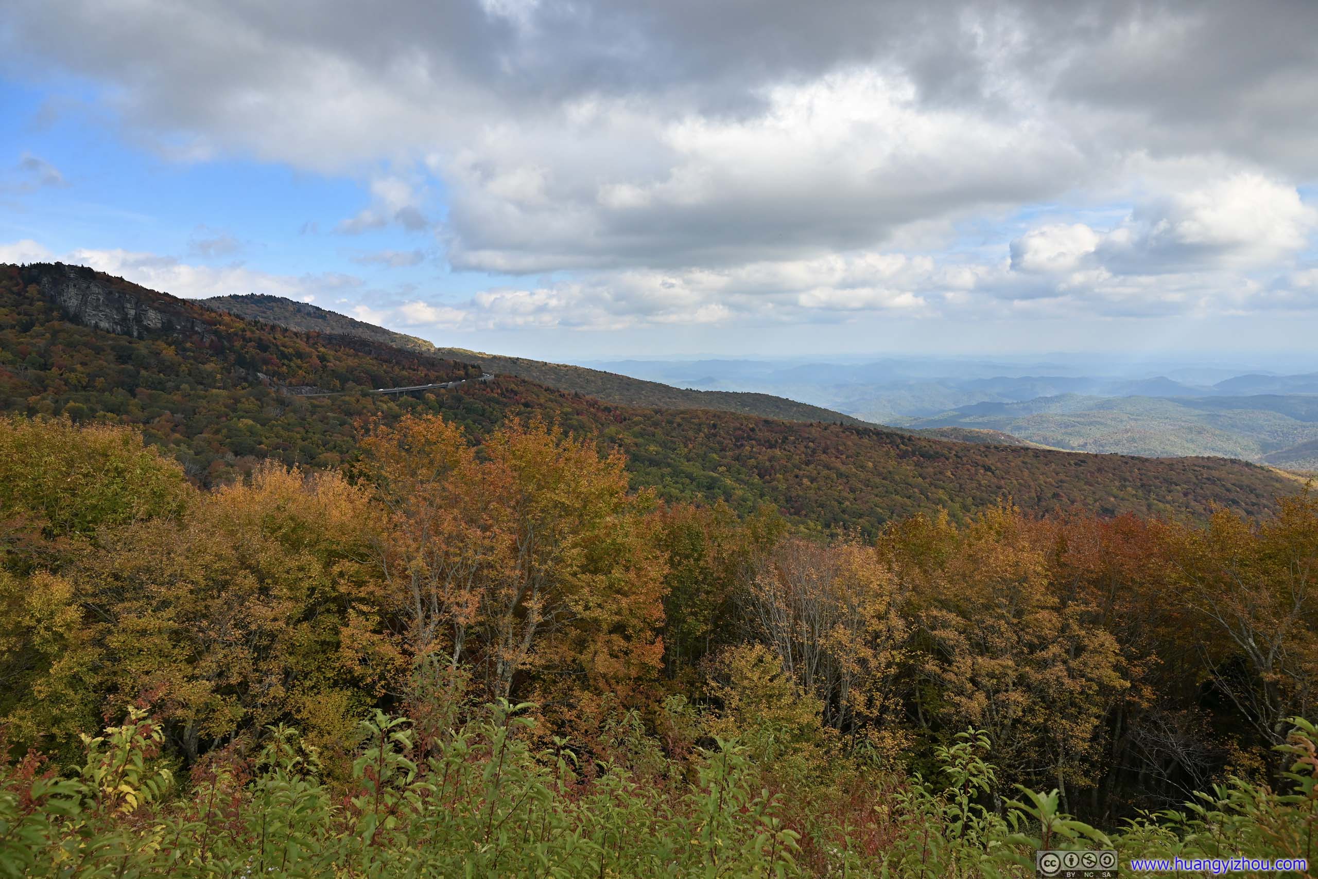
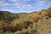
Yonahlossee Overlook
After getting back to the parking lot, I drove a short distance down the parkway before making another stop at Yonahlossee Overlook. This was the first overlook after Linn Cove Viaduct, and offered the best views of the viaduct for those not wanting to go on scrambling along Tanawha Trail. Parking was very limited. Luckily, I found a spot.
The overlook offered imposing views of MacRae Peak of Grandfather Mountain, but most people were interested in the engineering marvels of the viaduct instead. Behind the guardrails, an unofficial 200m walkway led the photo-seeking crowds to the edge of the viaduct.
 MacRae Peak
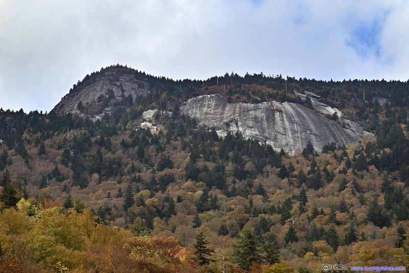 MacRae Peak
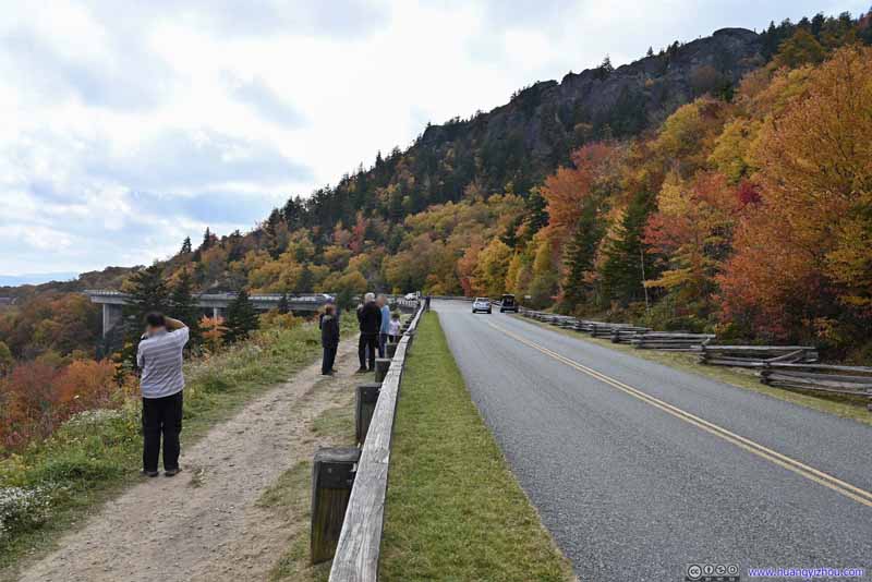 Walkway Along Blue Ridge Parkway
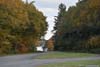
For people to photograph Linn Cove Viaduct. The “postcard” overlook is literally steps away from where the SUV (illegally) stopped on the right.
Walkway Along Blue Ridge Parkway
For people to photograph Linn Cove Viaduct. The “postcard” overlook is literally steps away from where the SUV (illegally) stopped on the right. Linn Cove ViaductThe view from the end of the unofficial walkway.
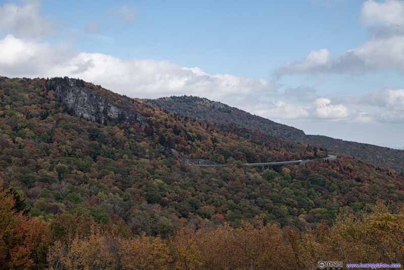 Blue Ridge Parkway around Rough RidgeAnother section of viaduct, towards the east.
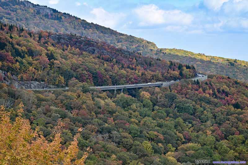 Blue Ridge Parkway to the East
 Fields and Mountains

Click here to display photos of the slideshow
MacRae Peak
MacRae Peak
Walkway Along Blue Ridge Parkway
Linn Cove ViaductThe view from the end of the unofficial walkway.
Blue Ridge Parkway around Rough RidgeAnother section of viaduct, towards the east.

Blue Ridge Parkway to the East

 Fields and Mountains
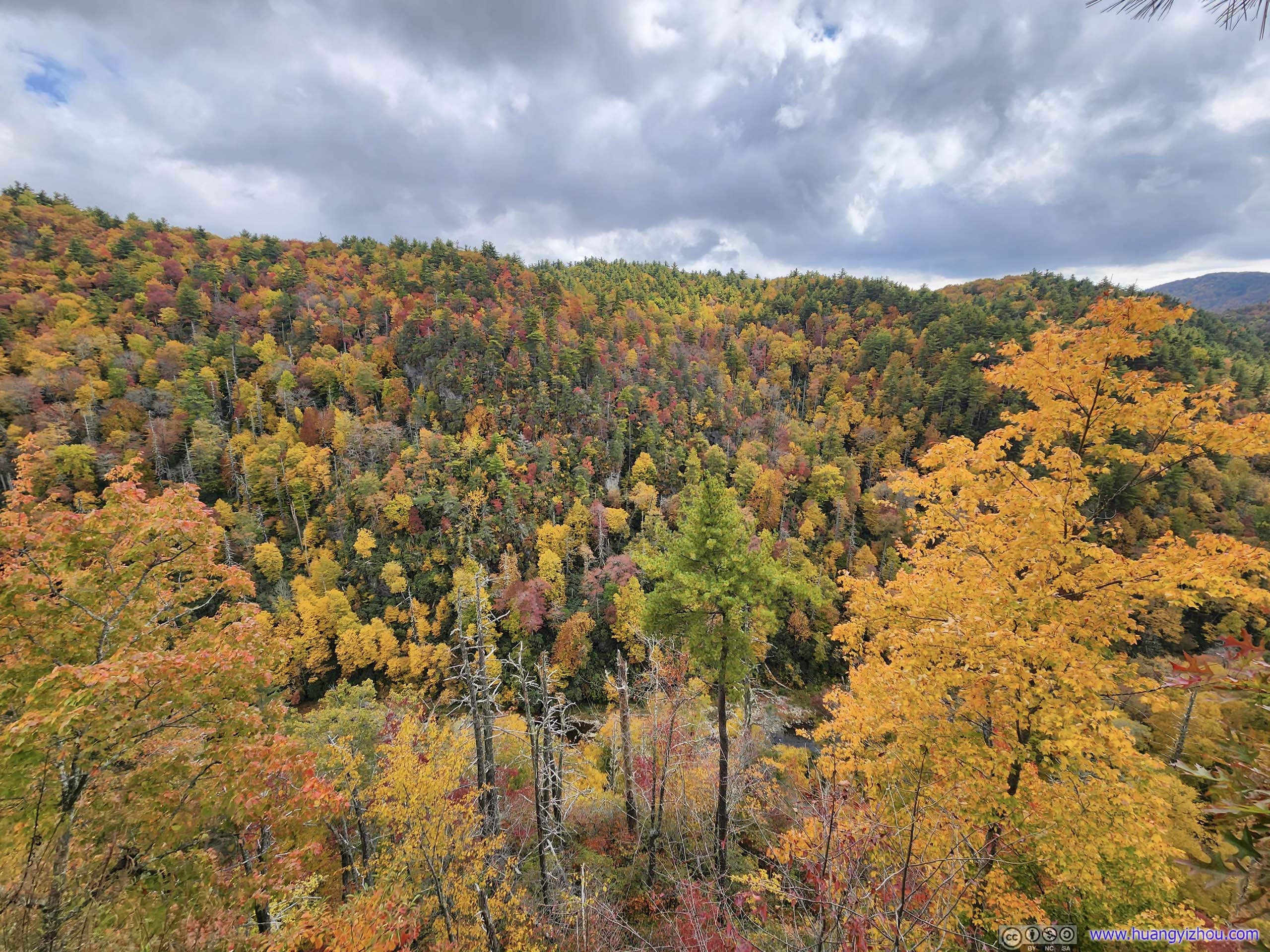
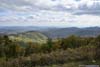
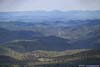
Remainder of Roadside Overlooks
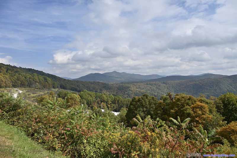
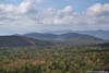
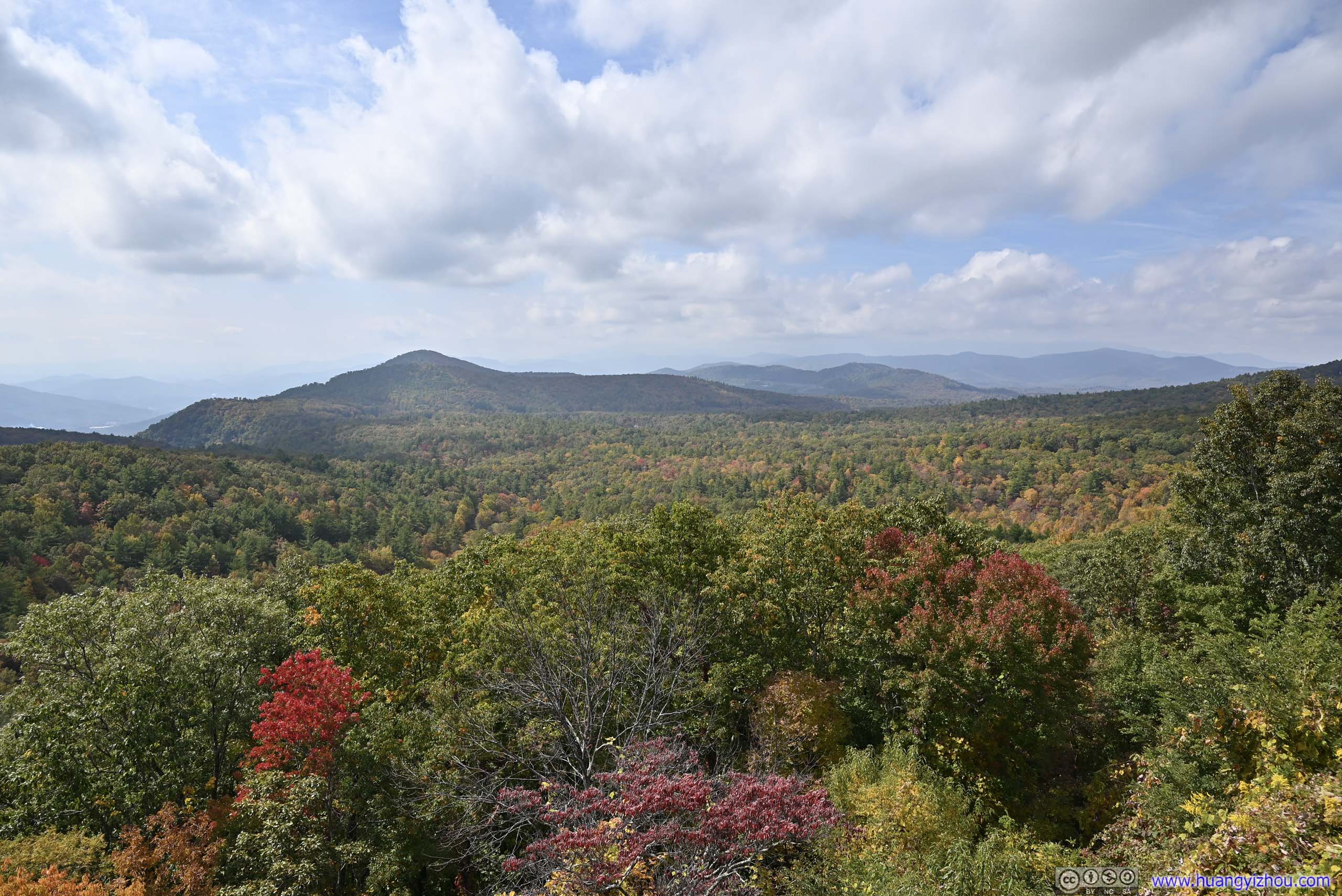
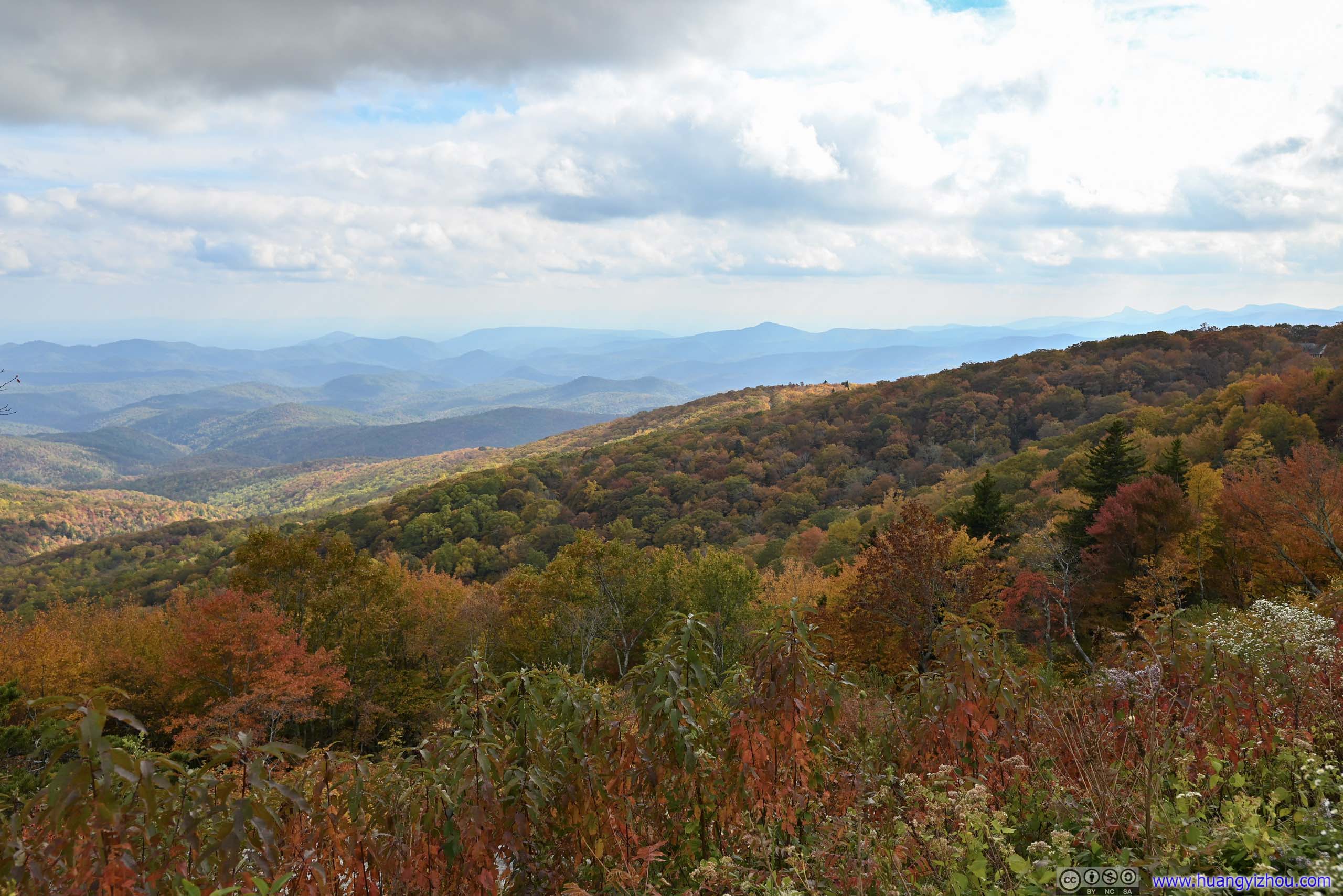
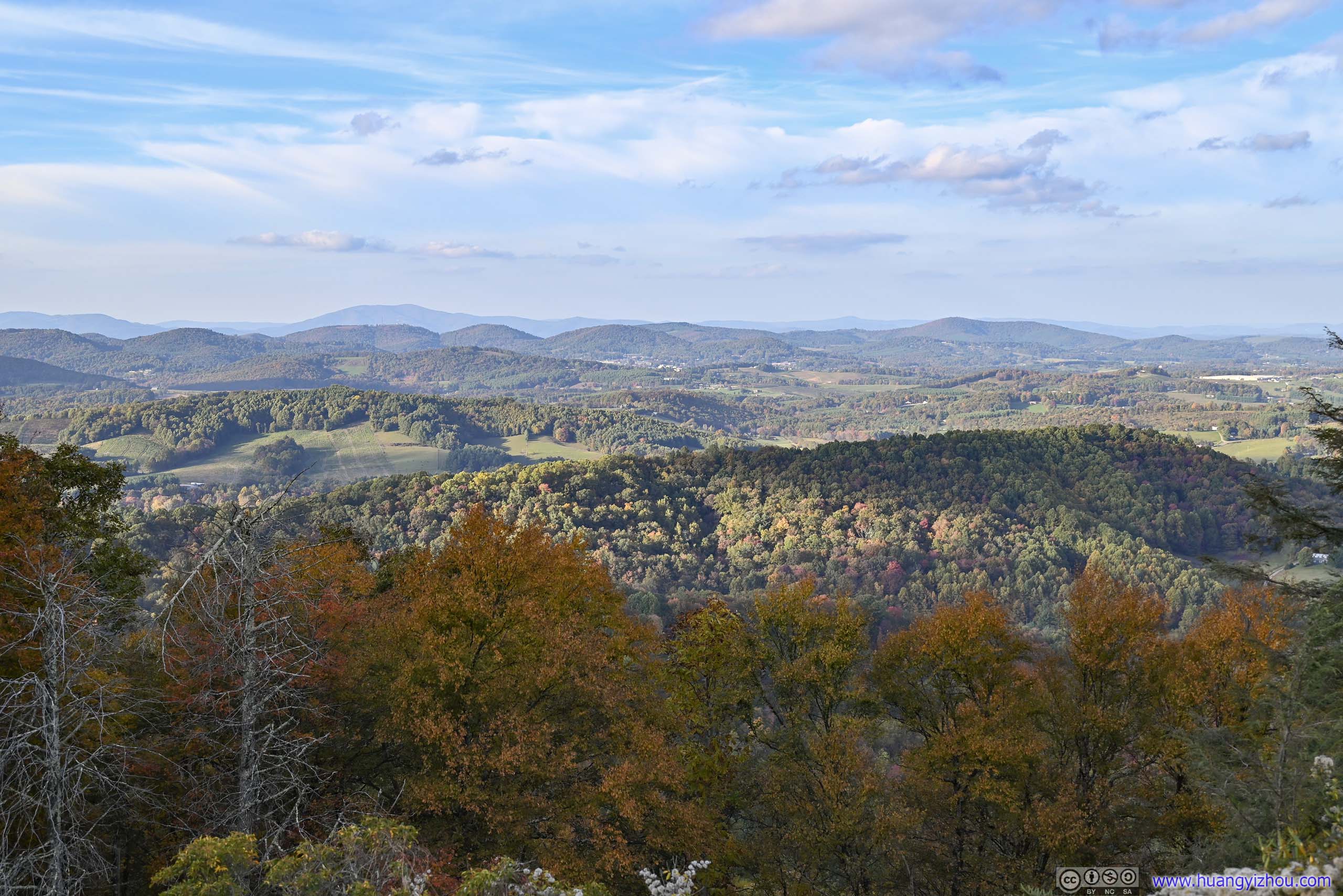
By the time I left Yonahlossee overlook, it’s 3:17pm in the afternoon. My plan for the rest of the day was to cover the remainder 104 miles of parkway to Fancy Gap, then the 330+ miles of interstate back home. It sounded like a daunting task, but at the same time, the most scenic sections of the parkway were behind me, so I didn’t make as frequent stops.
 Price LakeFrom Price Lake Overlook. This wasn’t the most ideal light conditions.
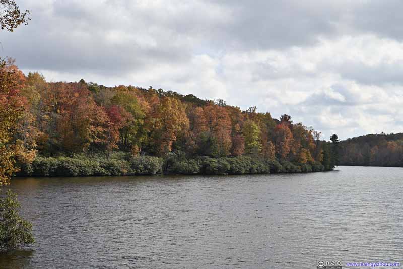 Price LakeFrom Price Lake Overlook.
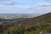
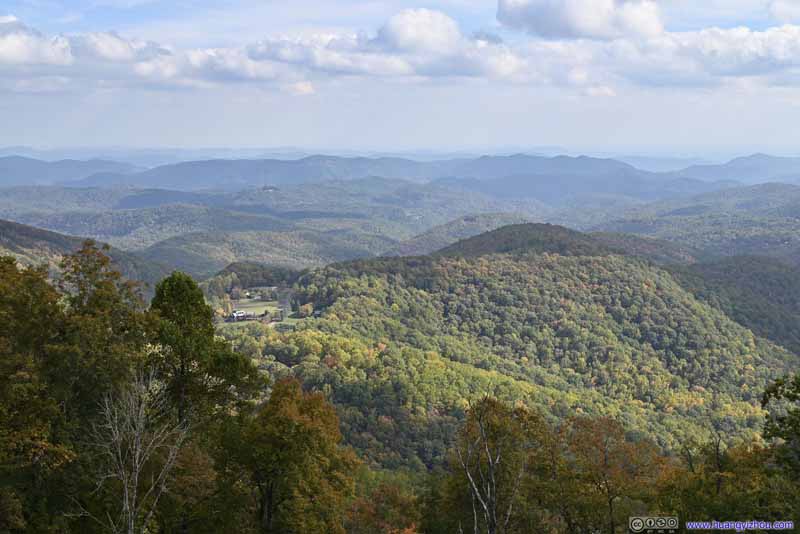 View of Yadkin ValleyFrom Yadkin Valley Overlook.
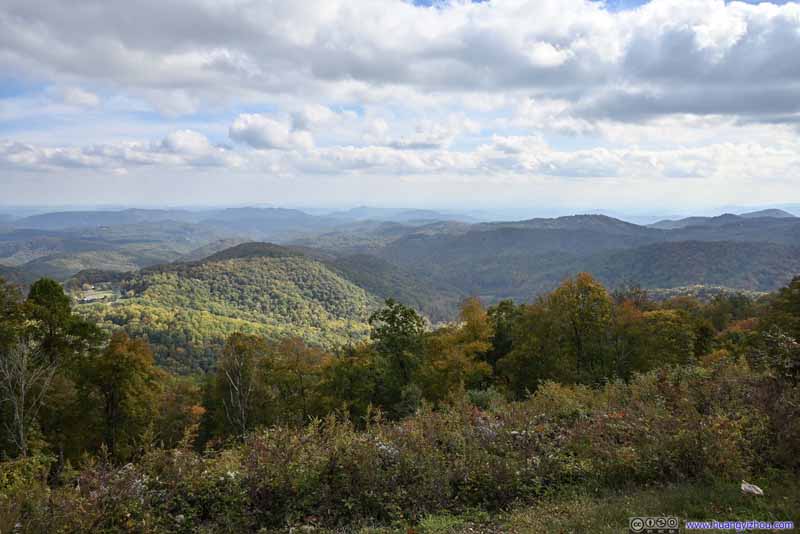 View of Yadkin ValleyFrom Yadkin Valley Overlook.
 MountainsFrom Elk Mountain Overlook. US Route 421 carved its way through the mountains.
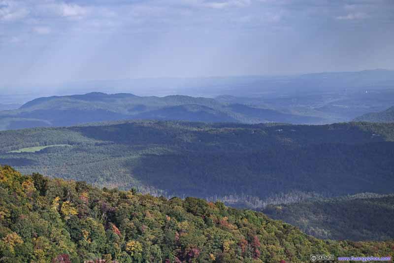 Mountains to the EastFrom Elk Mountain Overlook. Rendezvous Mountain, a NC State Park.

Click here to display photos of the slideshow
Price LakeFrom Price Lake Overlook. This wasn’t the most ideal light conditions.
Price LakeFrom Price Lake Overlook.
View of Yadkin ValleyFrom Yadkin Valley Overlook.
View of Yadkin ValleyFrom Yadkin Valley Overlook.

MountainsFrom Elk Mountain Overlook. US Route 421 carved its way through the mountains.

Mountains to the EastFrom Elk Mountain Overlook. Rendezvous Mountain, a NC State Park.

View from Yadkin Valley Overlook
View from Elk Mountain Overlook
Unfortunately, a section of the parkway was closed for renovation in Ashe County, NC, and the detour was a bit uneasy as I didn’t plan for that (in addition to the few minutes that it set me back).
 Blue Ridge ParkwayFrom Alligator Back Overlook.
 MountainFrom Alligator Back Overlook. This was probably part of the “alligator back”.
 MountainsFrom Alligator Back Overlook, on the opposite side of the road.
 Mountains and Villages
From Air Bellows Overlook. Mt Rogers, the highest point in the state of Virginia, in the background left.
Mountains and Villages
From Air Bellows Overlook. Mt Rogers, the highest point in the state of Virginia, in the background left.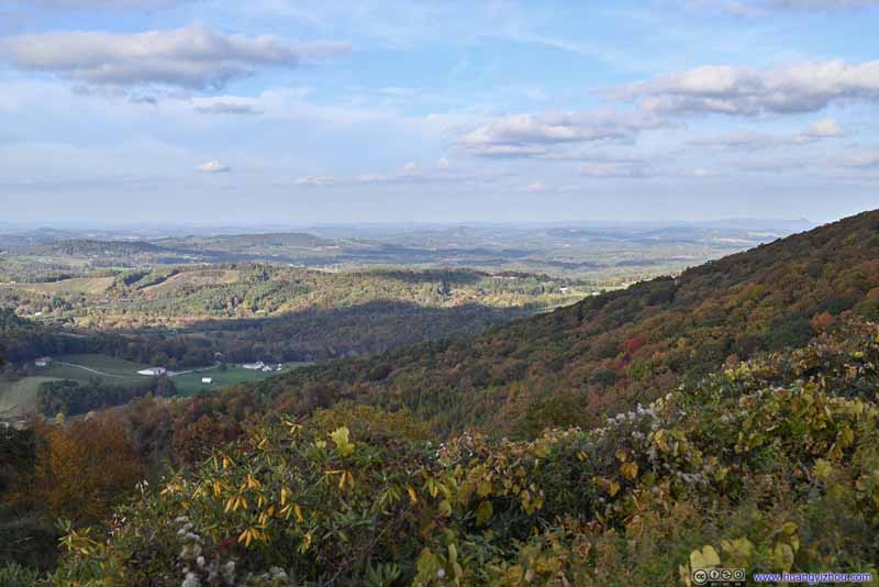 FieldsFrom Air Bellows Overlook.
 Blue Ridge ParkwayFrom Air Bellows Overlook.
Click here to display photos of the slideshow

Blue Ridge ParkwayFrom Alligator Back Overlook.
MountainFrom Alligator Back Overlook. This was probably part of the “alligator back”.
MountainsFrom Alligator Back Overlook, on the opposite side of the road.
Mountains and Villages

FieldsFrom Air Bellows Overlook.

Blue Ridge ParkwayFrom Air Bellows Overlook.
Finally, I concluded the day’s scenic views at Air Bellows Overlook, with views of Mount Rogers, Virginia’s highest peak, from well inside North Carolina. During my trip to Mount Rogers earlier in May, I drove along Blue Ridge Parkway from Fancy Gap all the way to the northern terminus of Rockfish Gap. Today I was about to exit at Fancy Gap. Who would have thought that I would finish such a relay in a mere few months.
Finally, I reached Fancy Gap at 6:12pm(, about 2 hours behind schedule). From there it was a mad dash along the interstate back home. Traffic was light along I81 in Virginia, and with a few errands on the way, I got home just past midnight, finishing this well-packed trip to the southern Blue Ridge Mountains.
END
![]() October 2022 Foliage, Blue Ridge Parkway from Marion to Fancy Gap by Huang's Site is licensed under a Creative Commons Attribution-NonCommercial-ShareAlike 4.0 International License.
October 2022 Foliage, Blue Ridge Parkway from Marion to Fancy Gap by Huang's Site is licensed under a Creative Commons Attribution-NonCommercial-ShareAlike 4.0 International License.