
Updated on October 7, 2023
Day 5 of 2022 Big Bend National Park Trip, Closed Canyon and More Driving
Thanksgiving day and fifth day of my 2022 Thanksgiving trip to Big Bend National Park. I would spend most of the day driving back to Odessa, TX, stopping at a few places along the way.
Closed Canyon
After spending three days touring Big Bend National Park (and more than enough bitter nights in Chisos Basin Campground), I would finally be leaving. I was scheduled to fly home from Midland/Odessa early next morning, so my plan for the entire day was just to make the drive back to Odessa, TX.
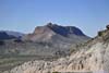
Unlike 4 days ago, I figured I would have more time on my way back to Odessa since I didn’t need to stock up on supplies along the way, nor did I have to arrive by sunset to set up a tent. So instead of the direct route of TX18/US385 which I took 4 days ago, I decided to take the detour by following Rio Grande to the town of Presidio, then US67/TX17. This route was longer (329mi vs 223mi), but it gave me the opportunity to visit the ghost town of Terlingua and Big Bend Ranch State Park.
However, it’s a formidable task packing up the tent and squeezing everything into the rental car. So it’s actually 10:30am by the time I left Chisos Basin Campground.
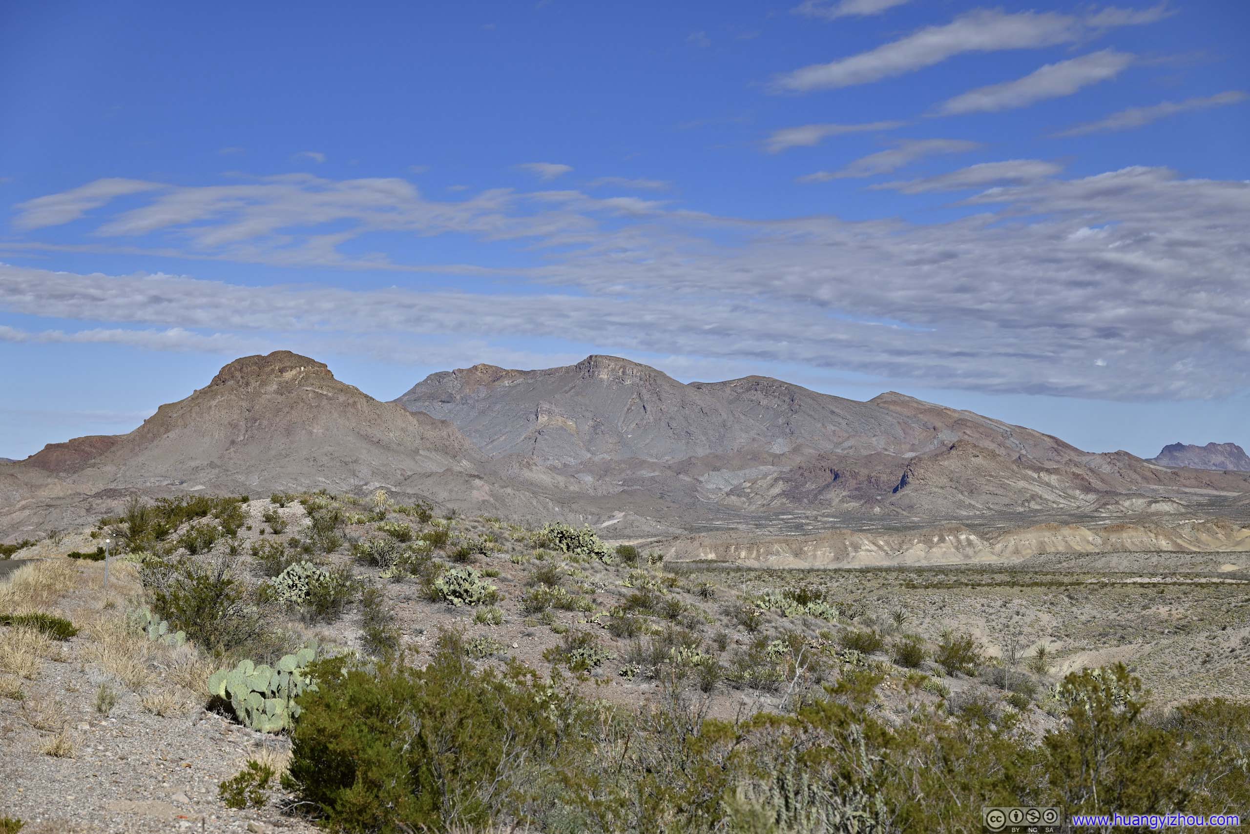
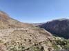
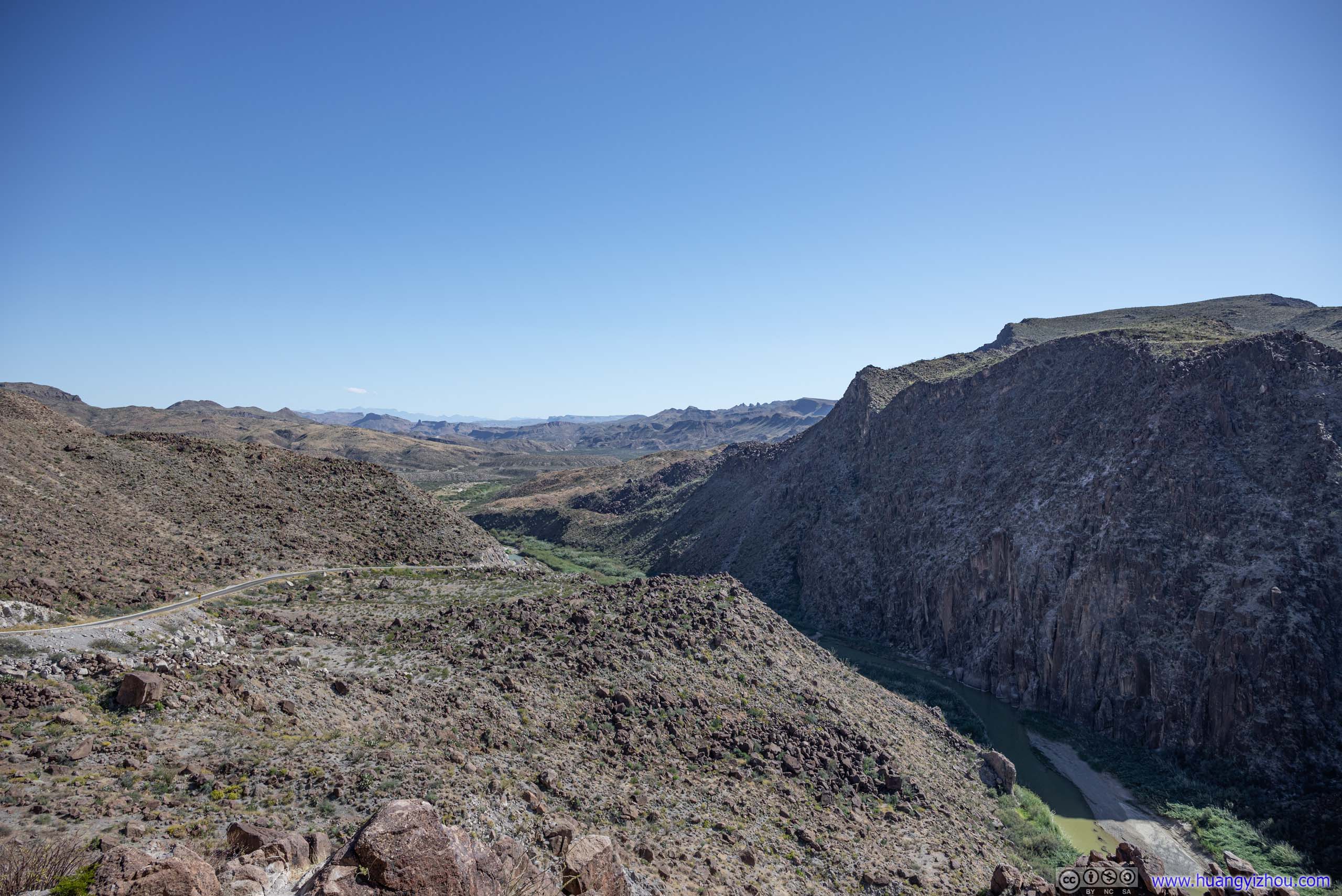
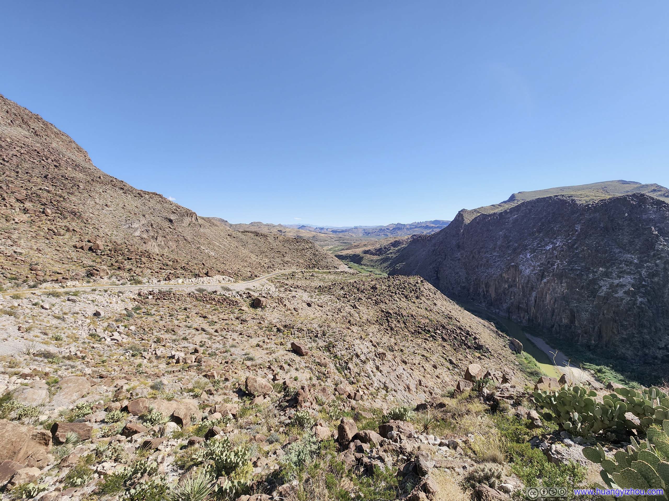
 Mountains around Big Bend National Park
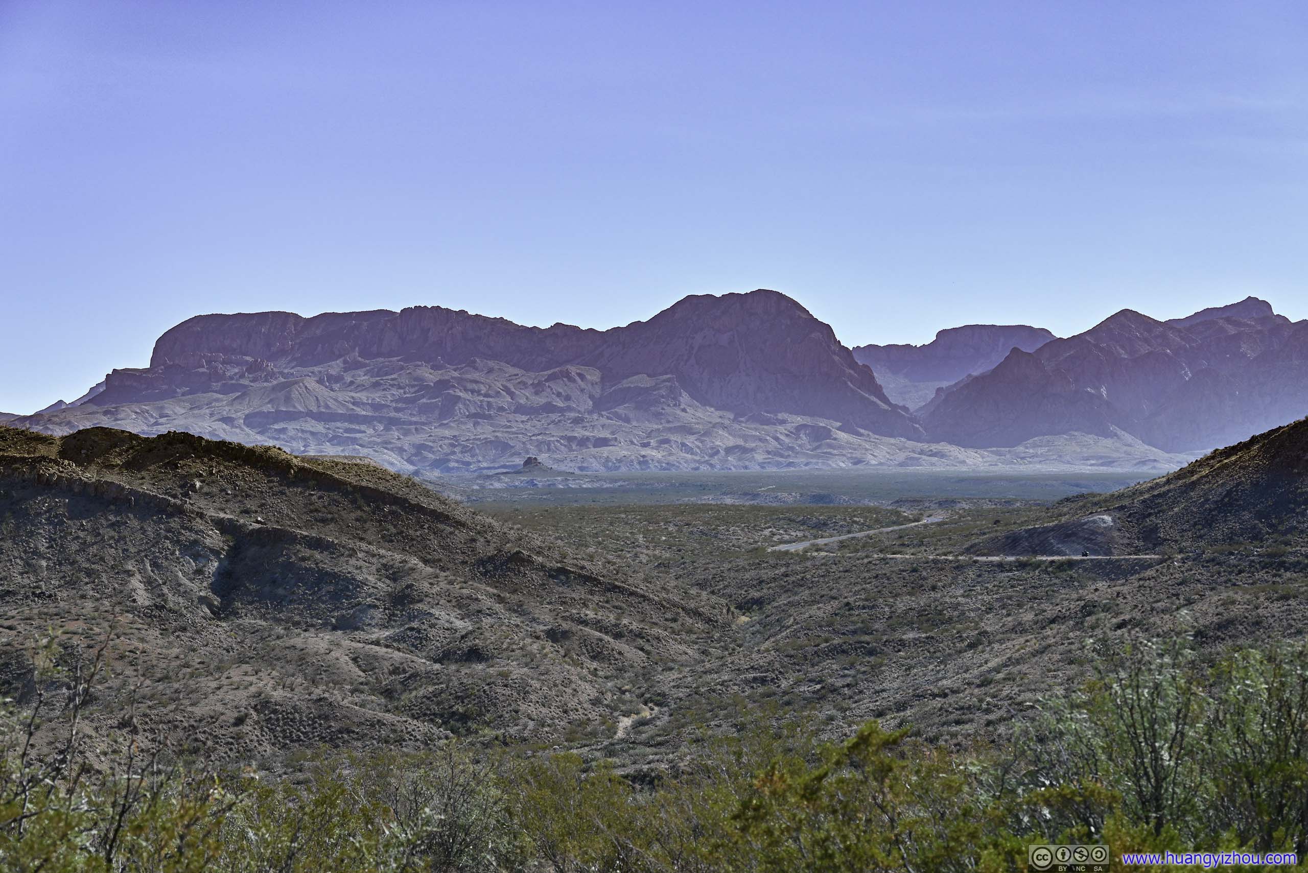
Just like 4 days ago, once I left the Chisos Mountains, I used a windshield-mounted GoPro to record a timelapse video of me driving between the national park and the state park. This video ended near Loma Pelona just before reaching Presidio.
- 0:00 Leaving a roadside turnout in Big Bend National Park.
- 0:58 Western entrance of Big Bend National Park
- 2:34 Entrance of Terlingua Ghost Town
- 3:26 Leaving Terlingua Ghost Town after a brief tour.
- 5:07 Town of Lajitas where I made a brief stop.
- 7:33 Fandango Dom Rock
- 8:48 Trailhead of Closed Canyon
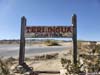
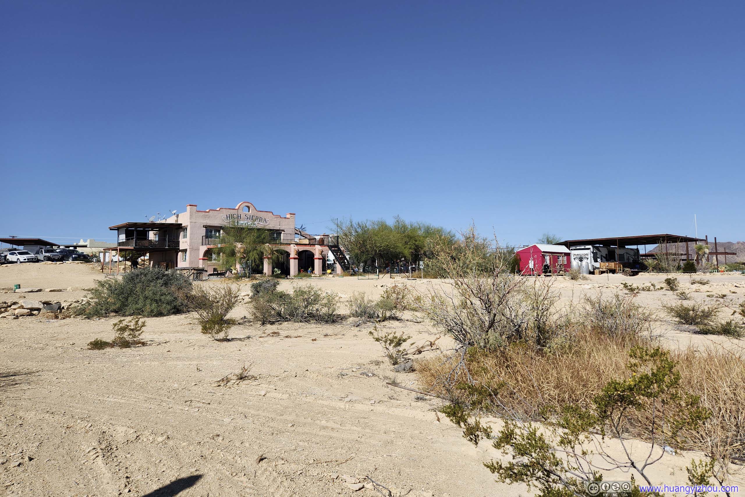
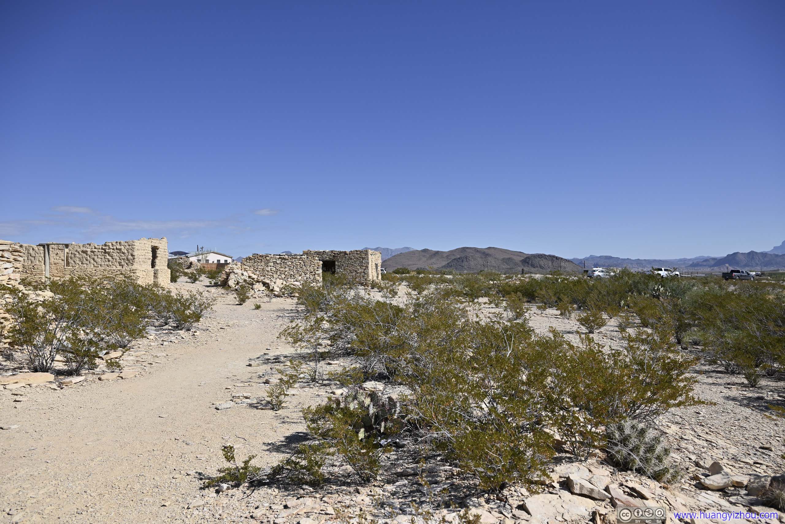
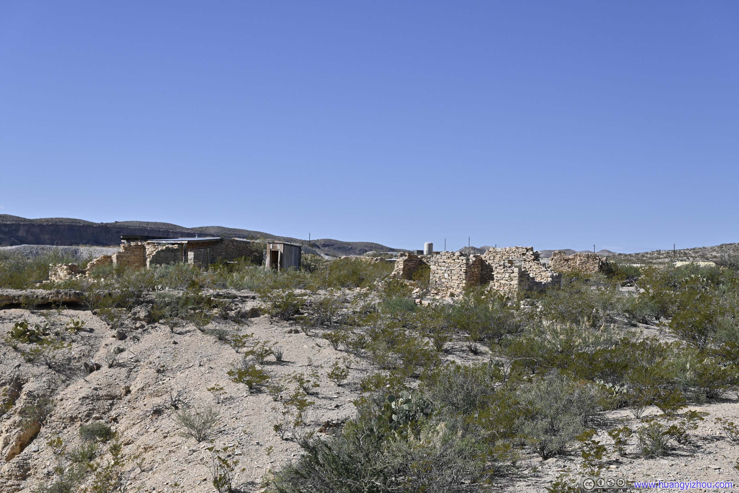
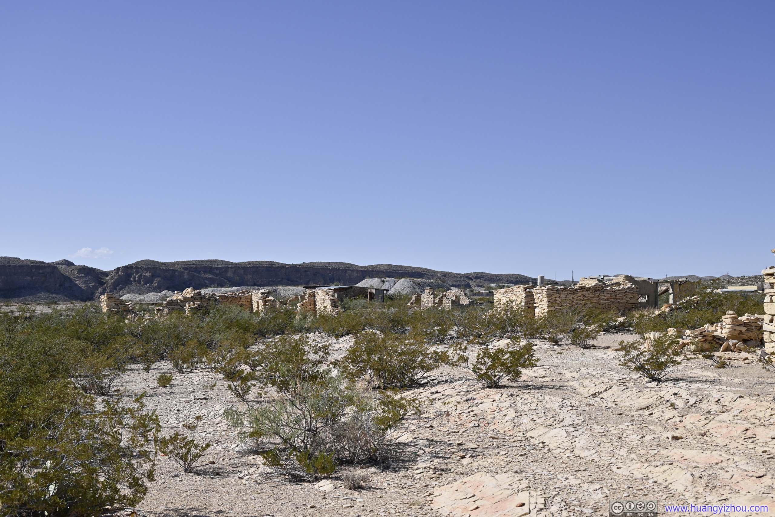
After leaving Big Bend National Park, I made a stop at the town of Terlingua.
Terlingua used to be a mining town at the turn of 19 and 20 century, once accounting for most of the quicksilver production in the US. However, after the mines were closed, the town was deserted into a “ghost town”.
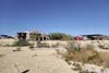
Even today, with it being the closest “town” to Big Bend National Park, only a handful of small-scale guesthouses (actually, there were more RV parks nearby) scattered around the town, with many of the ruins from the mining days still visible.
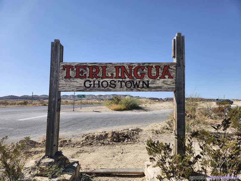 Sign of Terlingua Ghost Town
 Hotels in Terlingua
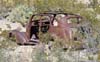
 Abandoned Car
It’s like one of those video games that I played, where finding enough wrecks among ruins would get one enough components to build a new car.
Abandoned Car
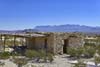
It’s like one of those video games that I played, where finding enough wrecks among ruins would get one enough components to build a new car.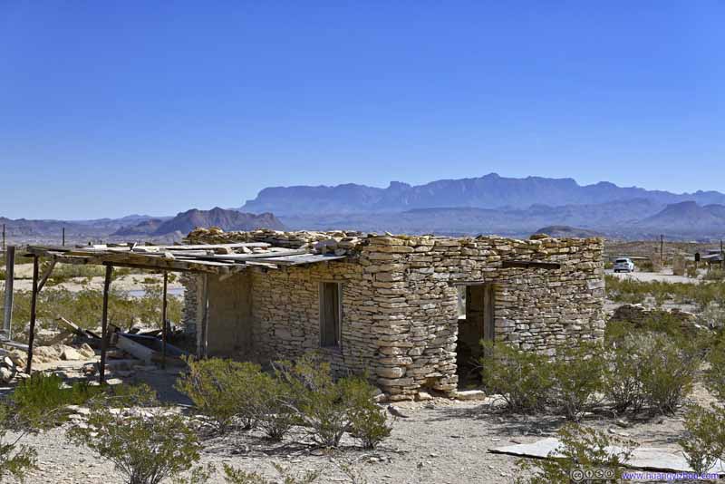 Ruin before Distant Chisos Mountains
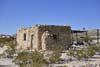
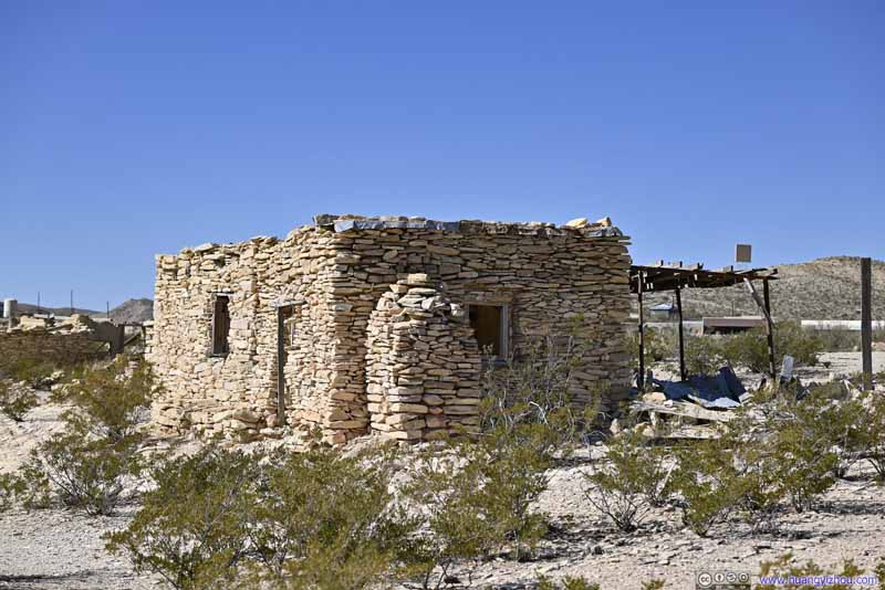 Ruin
Ruin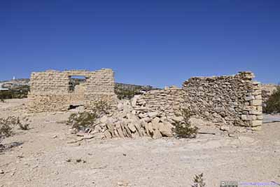
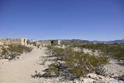
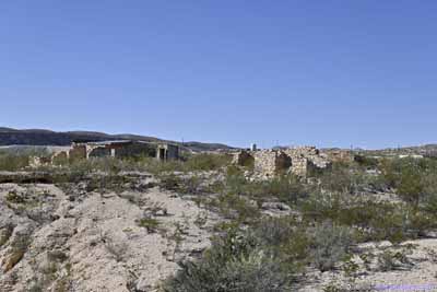
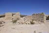
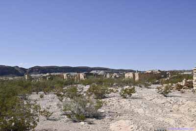 Ruins
Ruins
Click here to display photos from Terlingua.

Sign of Terlingua Ghost Town
Hotels in Terlingua
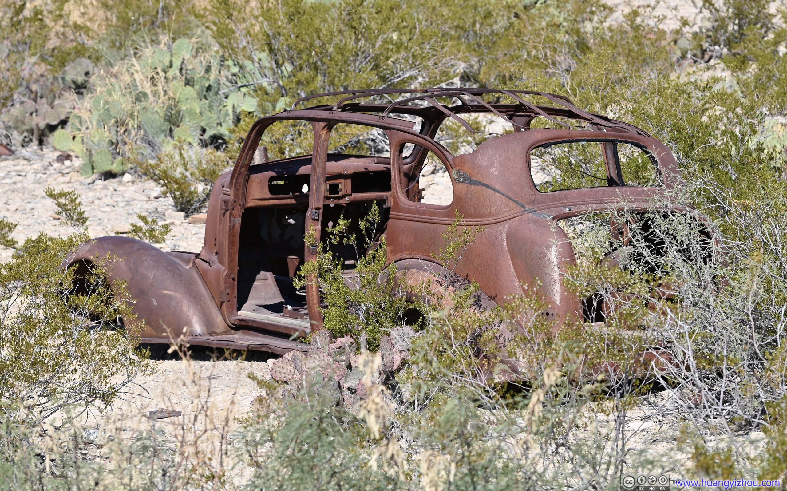
Abandoned Car

Ruin before Distant Chisos Mountains
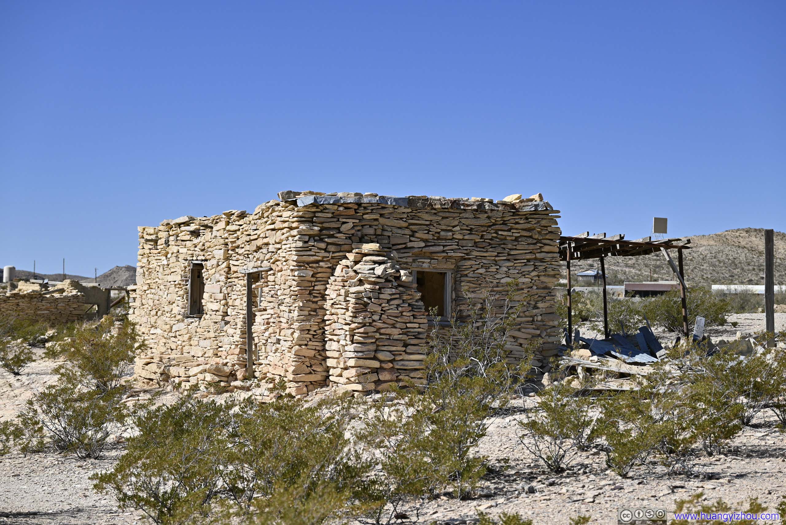
Ruin
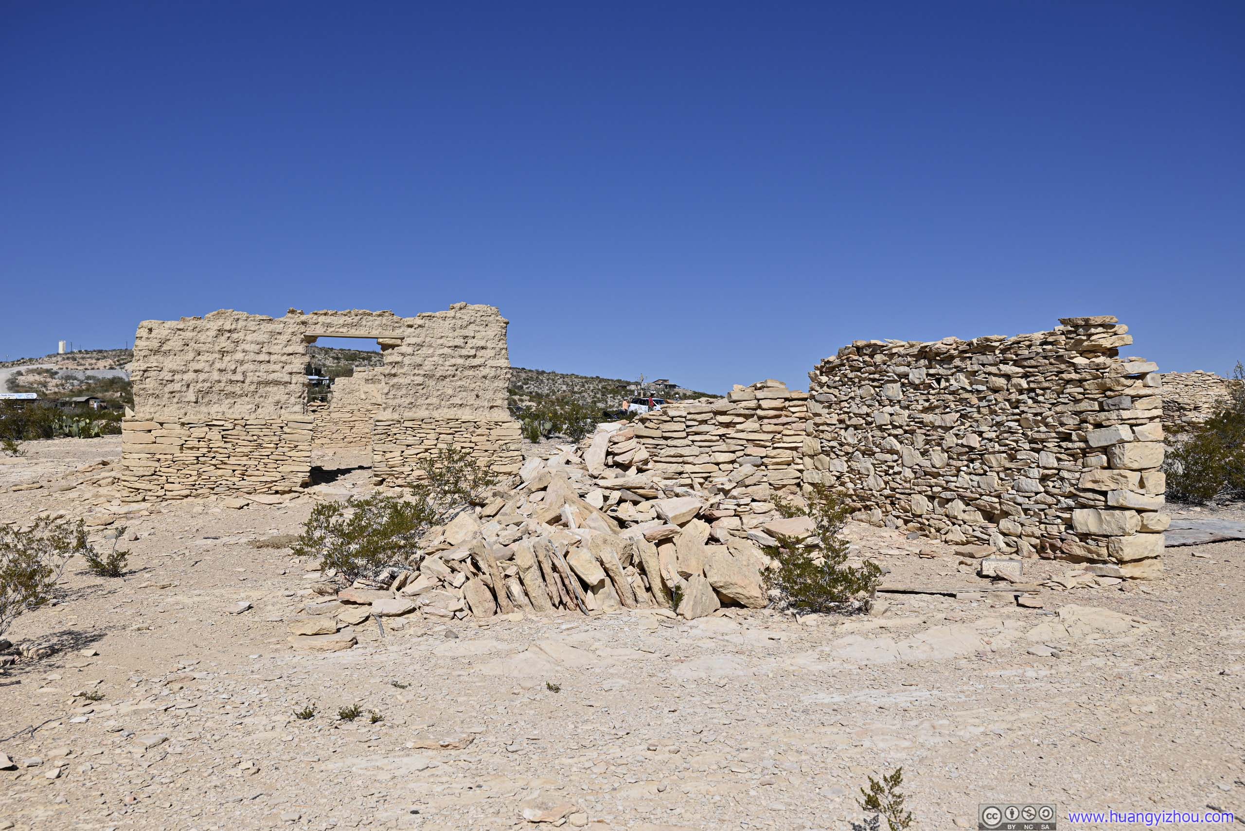
 Ruins
Ruins
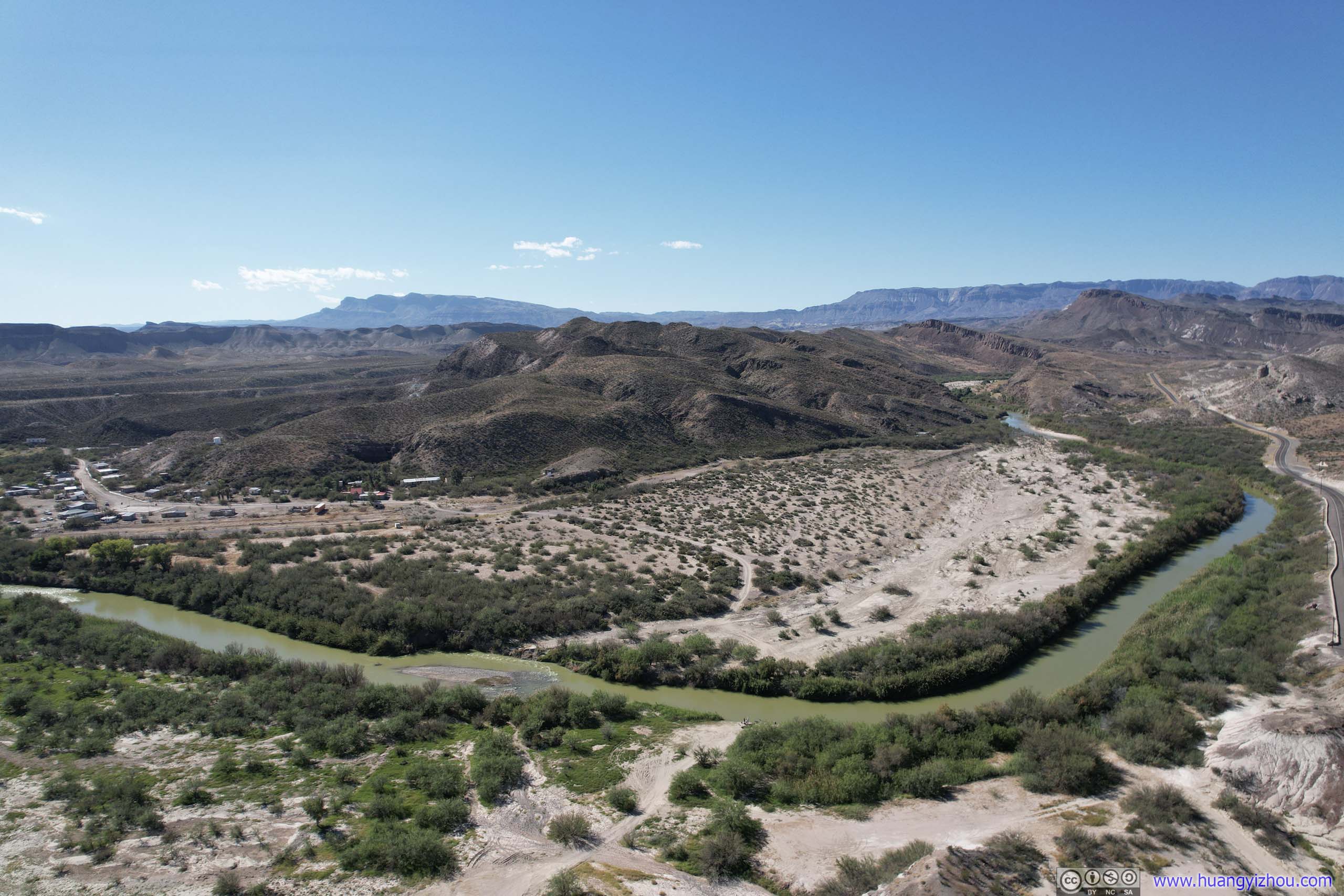
After that, I continued west. Near Lajitas, sandwiched between the national park and the state park, I found a spot to launch my drone and got an aerial tour of Rio Grande.
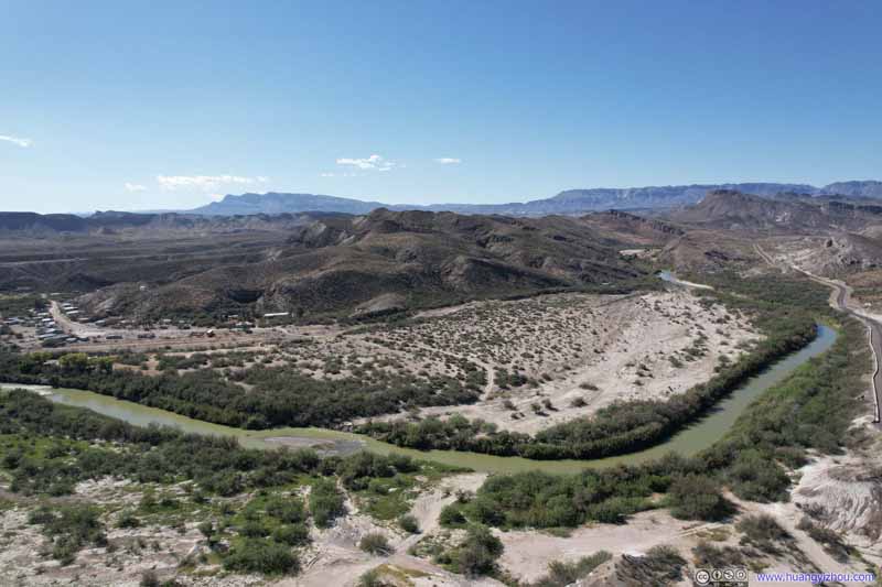 Overlooking Rio Grande
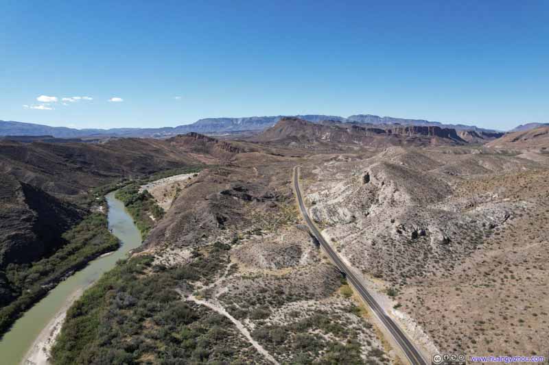 Overlooking Rio GrandeLooking west, towards Big Bend Ranch State Park.
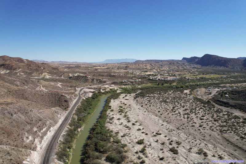 Overlooking Rio GrandeChisos Mountains were an obvious sight in the distance.
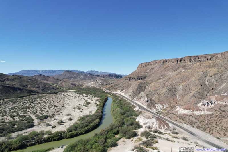 Overlooking Rio Grande
Click here to display photos of the Rio Grande.
Overlooking Rio Grande
Overlooking Rio GrandeLooking west, towards Big Bend Ranch State Park.
Overlooking Rio GrandeChisos Mountains were an obvious sight in the distance.
Overlooking Rio Grande
 Overlooking Rio Grande
And here’s a video of my drone flying along Rio Grande:
After that, I headed into Big Bend Ranch State Park.
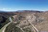
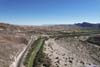
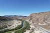
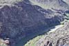
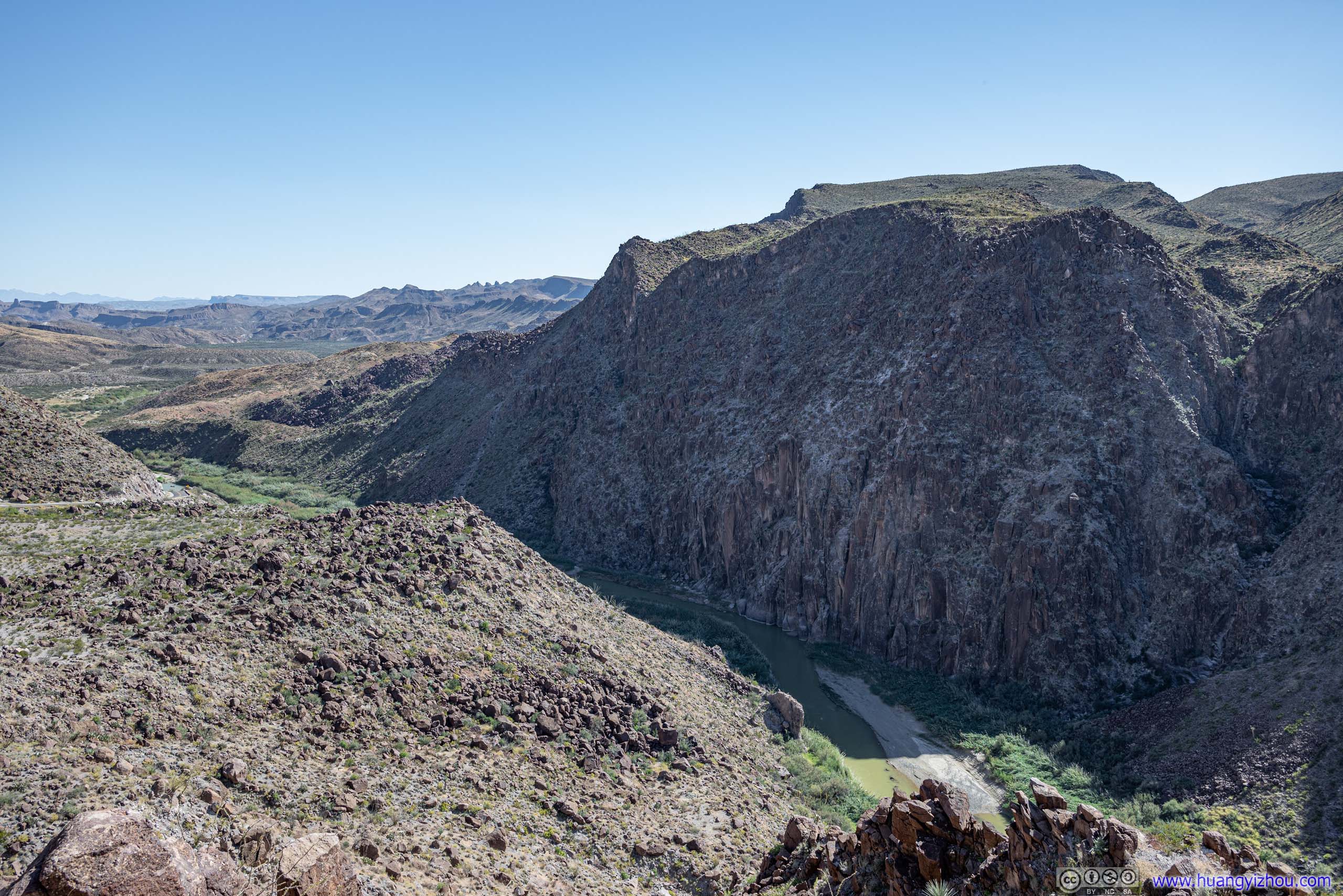
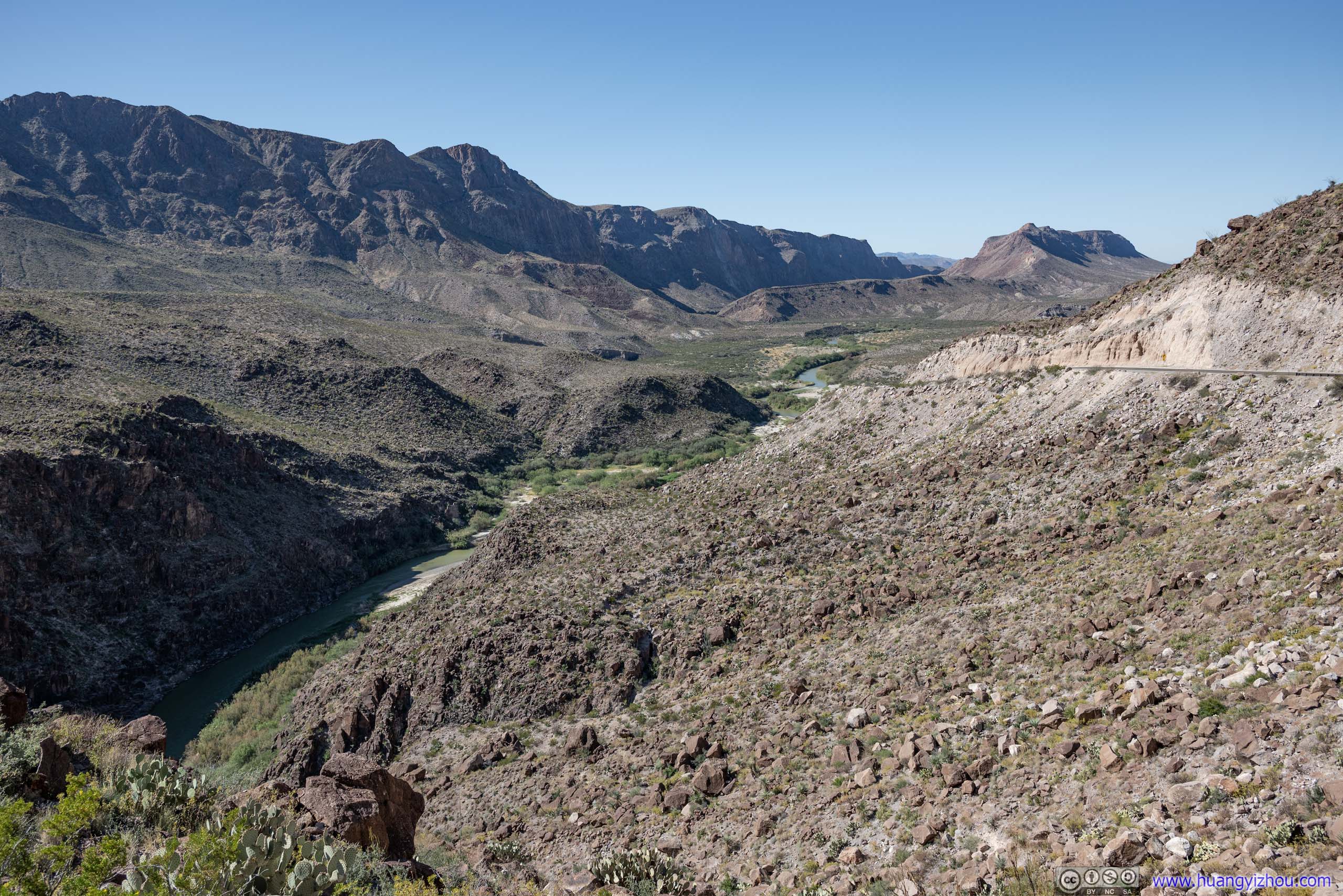
In the state park there’s a spot called “Fandango Dom Rock” on Google Maps. It happened to be on top of a hill that Rio Grande cut through, thus overlooking a short canyon. If there’s water access near the spot, it would certainly give a “Santa Elena Canyon” or “Boquillas Canyon” feeling. Along the road there was parking for a vista, with nonetheless great views.
 Rio Grande in Canyon
 Rio Grande in Canyon
 Rio Grande in Canyon
 Rio Grande Upstream
 Flattop Mountain AheadClosed Canyon, which I was about to visit, cut itself from this mountain.
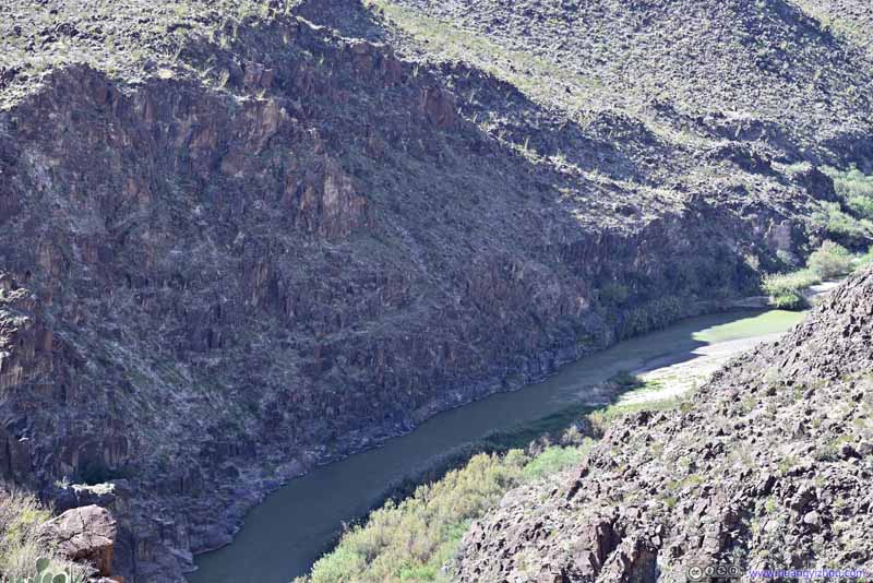 Rio Grande
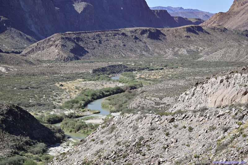 Rio Grande


Click here to display photos from Fandango Dom Rock.
Rio Grande in Canyon
Rio Grande in Canyon
Rio Grande in Canyon
Rio Grande Upstream

Flattop Mountain AheadClosed Canyon, which I was about to visit, cut itself from this mountain.

Rio Grande

Rio Grande
The rock got its name for being featured in the 1985 movie Fandango. At first I thought the “rock” was the giant hill that Rio Grande cut through. I wasn’t familiar with that movie so I didn’t check out the exact rock.
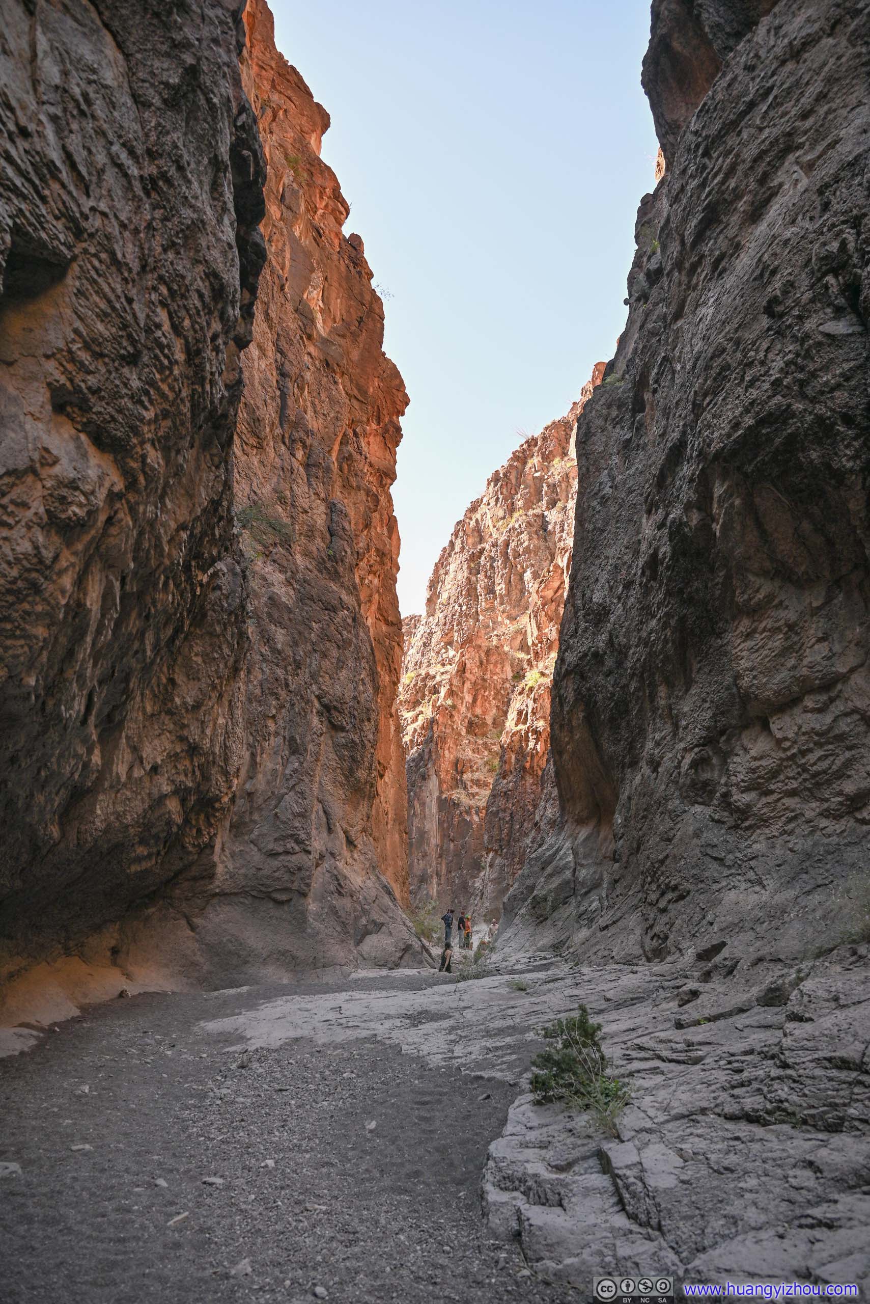
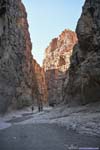
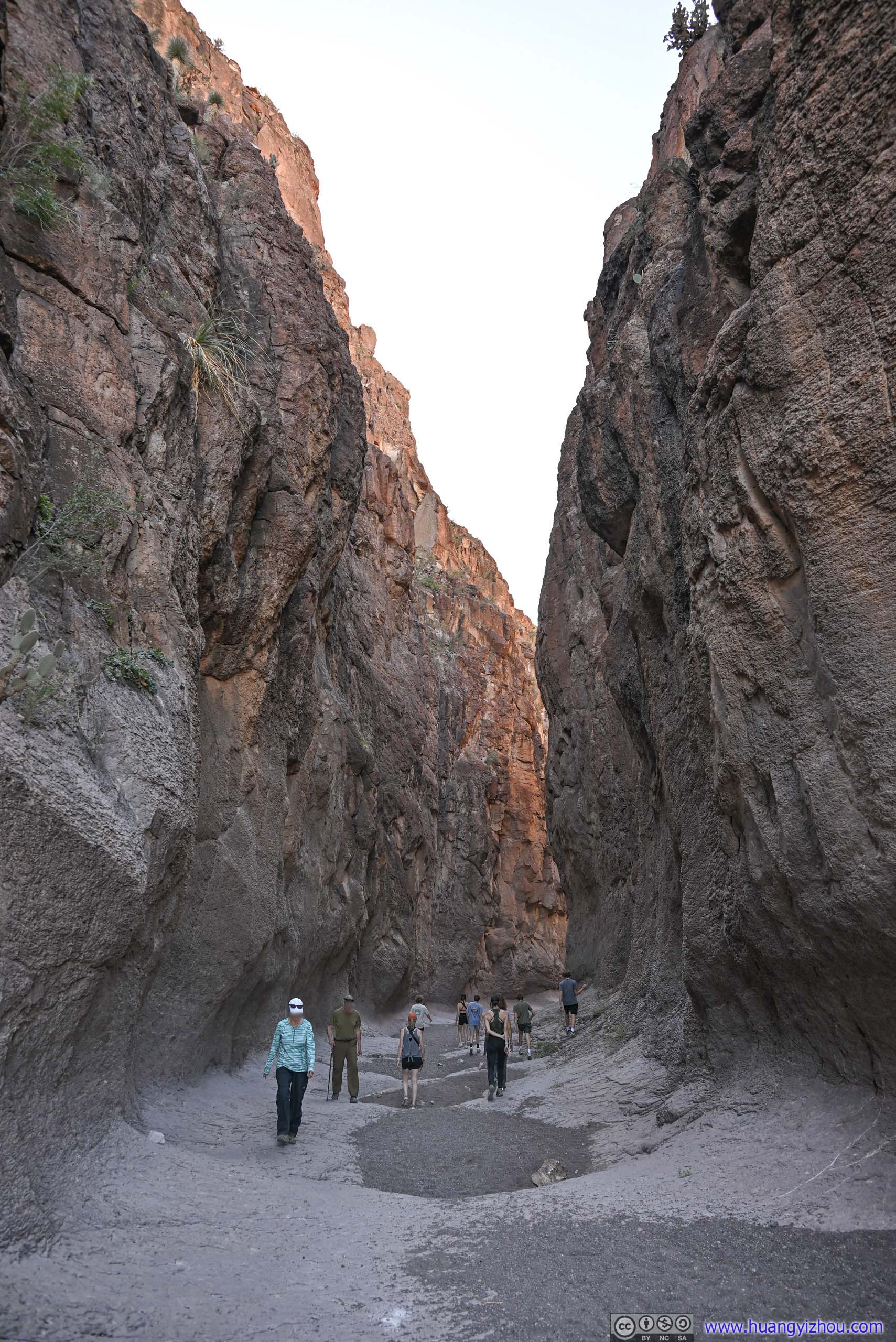
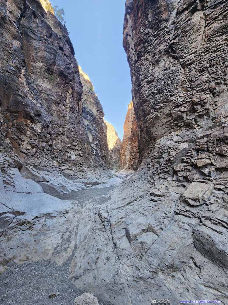
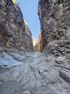
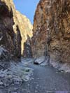
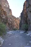
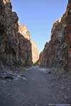
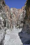
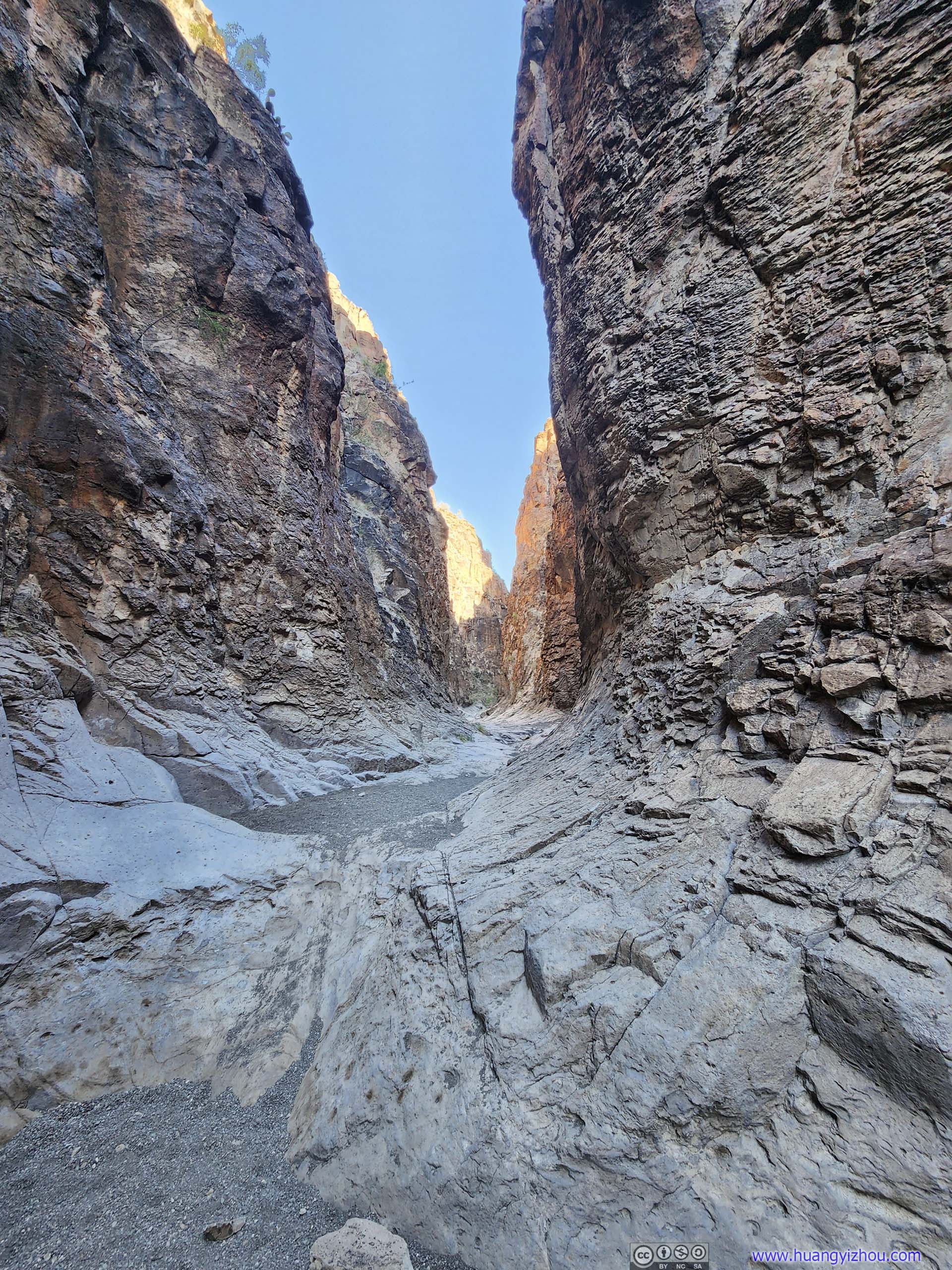
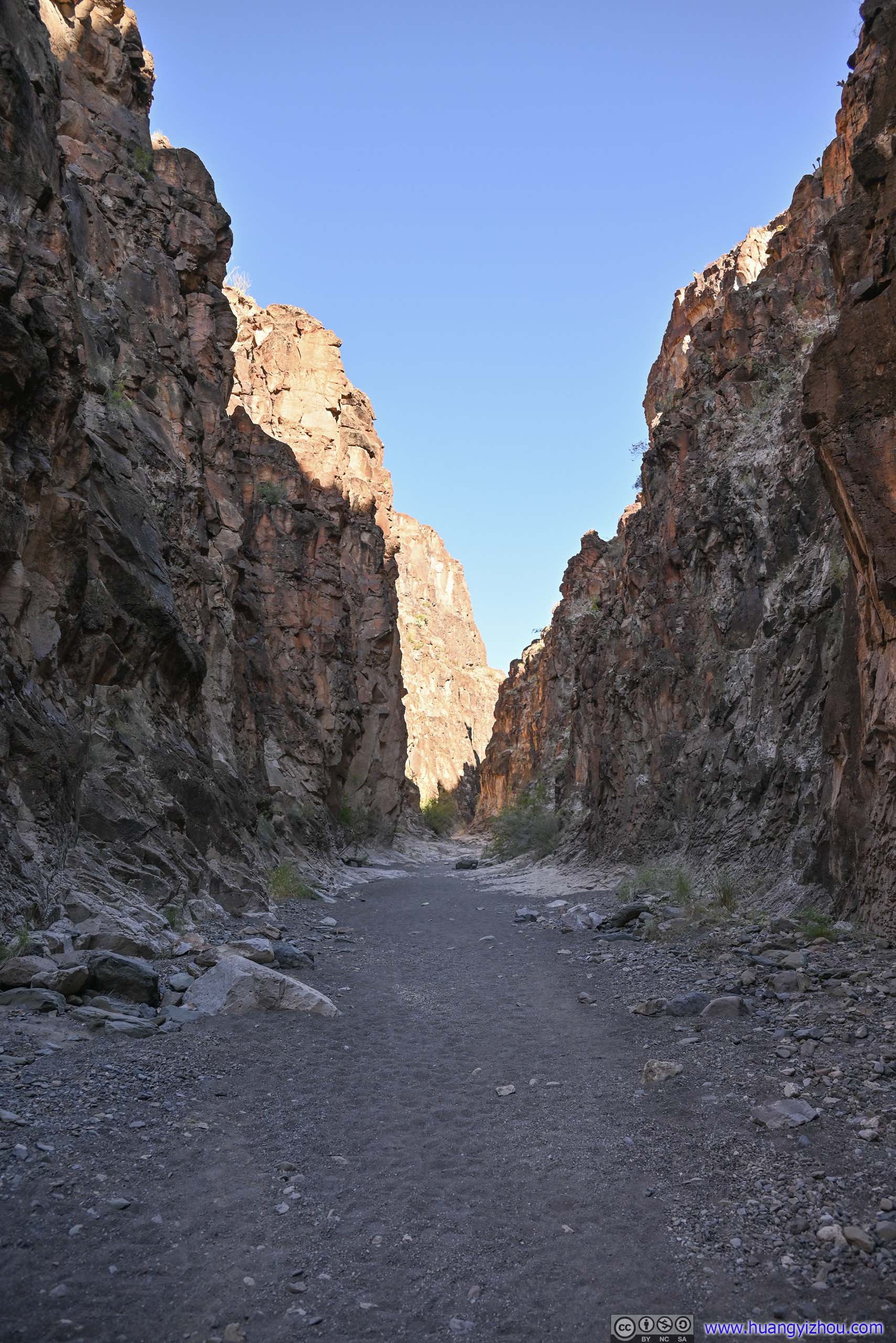
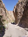
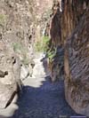
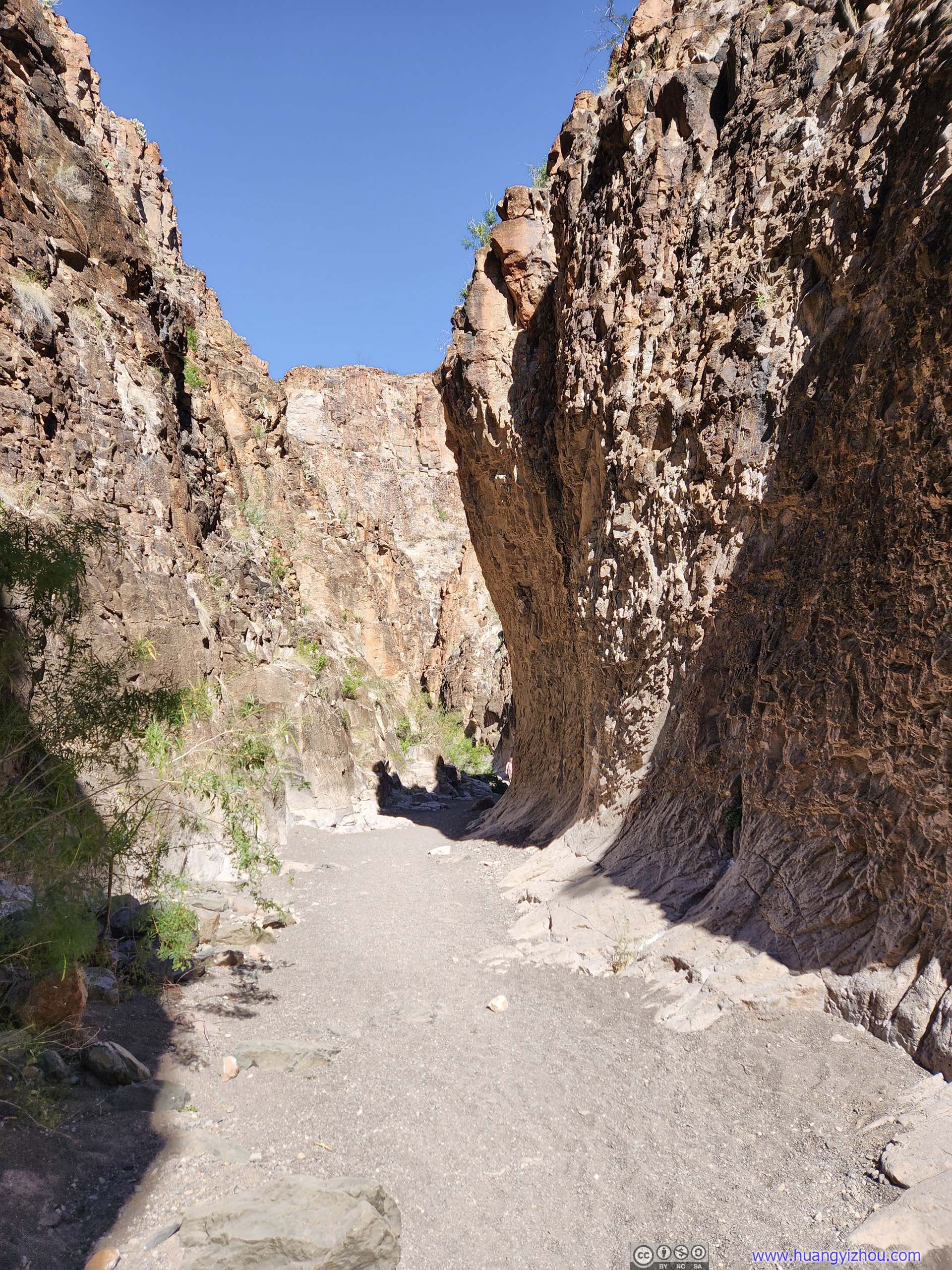
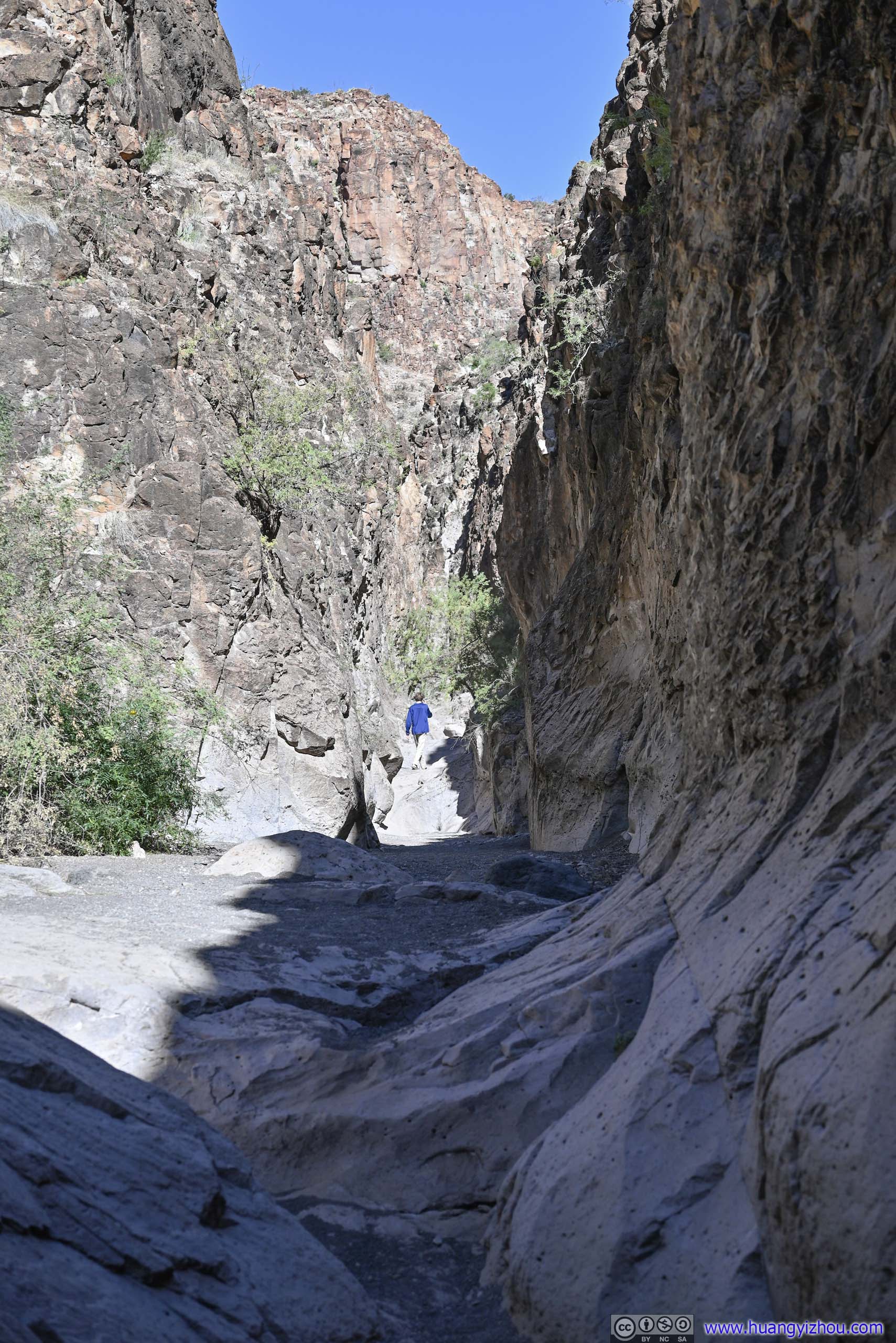
My next stop was Closed Canyon, probably the only remarkable attraction of Big Bend Ranch State Park. Closed Canyon was a slot canyon that cut Colorado Mesa into two. Only a few meters wide along most of its length, its high aspect ratio made for some stunning sights. The trail of Closed Canyon was about 2.5km roundtrip with minimal elevation change, portions of the trail, especially towards the end, were on slick rocks so some caution was needed (I would still rate it as YDS class 1).
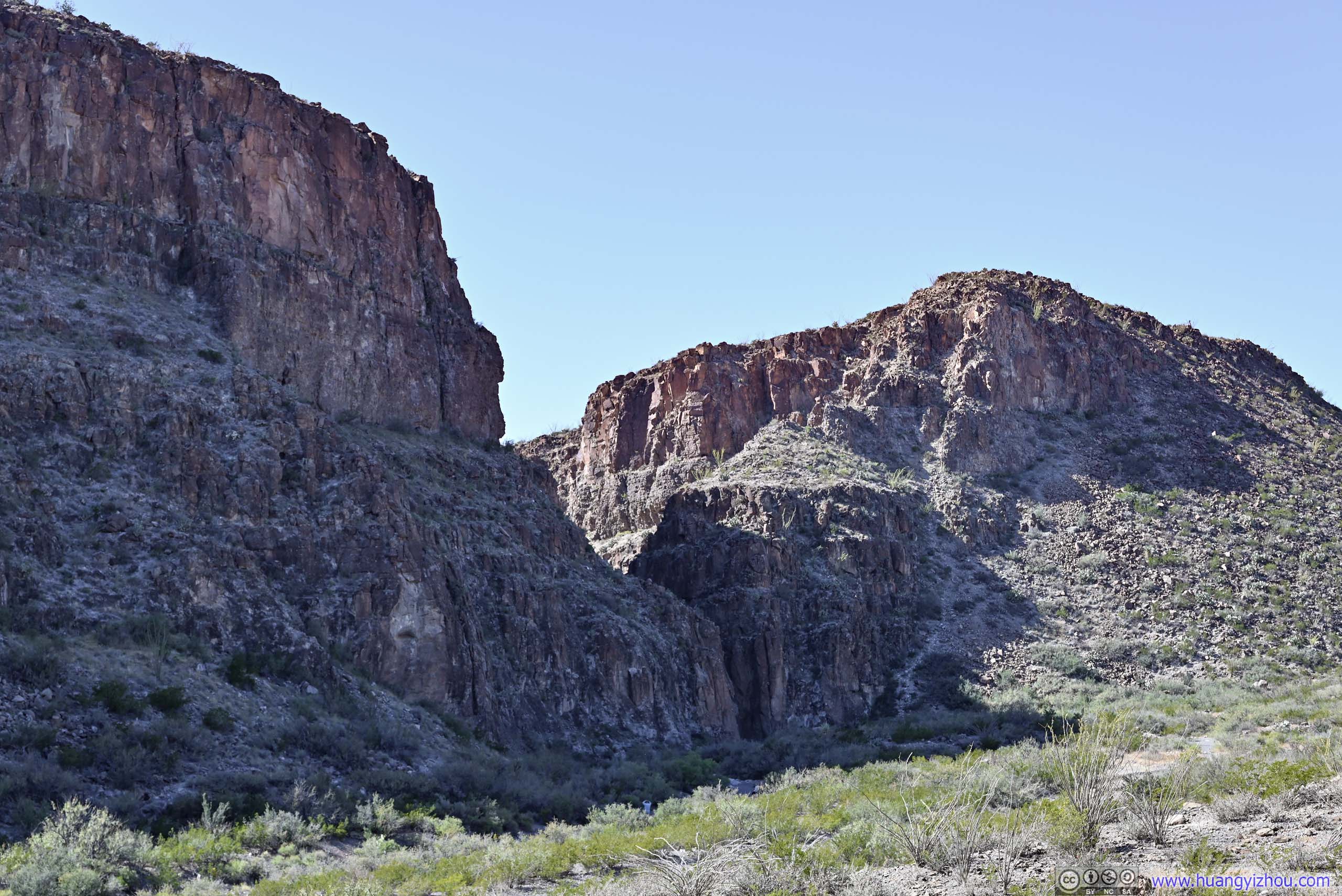
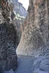
Entrance of Closed CanyonAs seen from the parking lot.
The parking lot for Closed Canyon held about 20 cars and wasn’t too crowded during my visit. There’s a self-pay station at the parking lot.
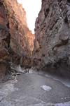
In my opinion, the beginning part of the canyon with the highest aspect ratios was the most spectacular. Its impressive size made it one of the grandest slot canyons that I’d been to (no doubt better than “The Window” two days ago). It might also have to do with the orientation of the canyon being in the shade, so the textures of the canyon walls looked more uniform and gentler.
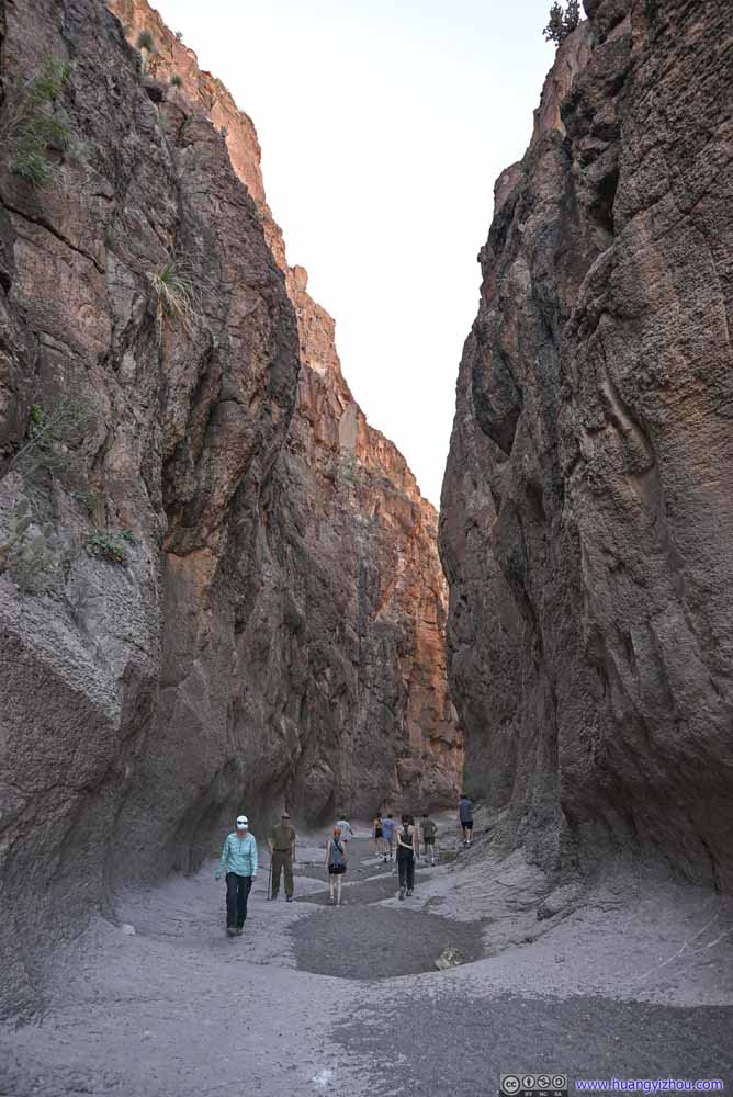 Closed Canyon
 Closed Canyon
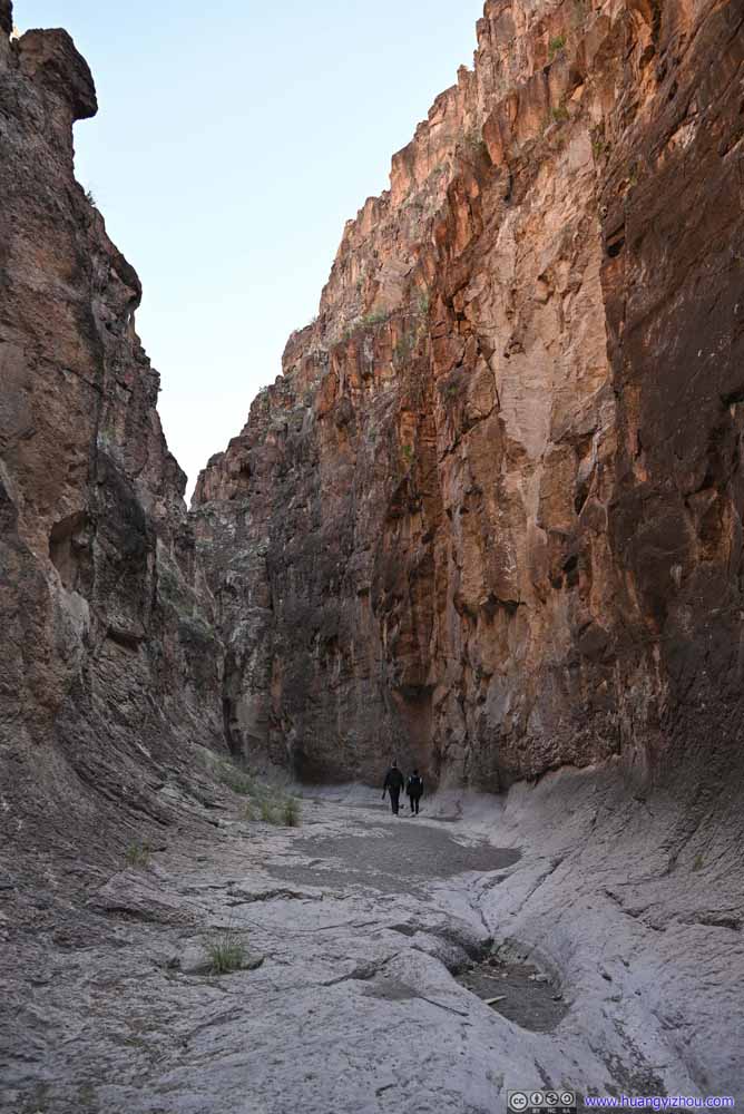 Closed Canyon
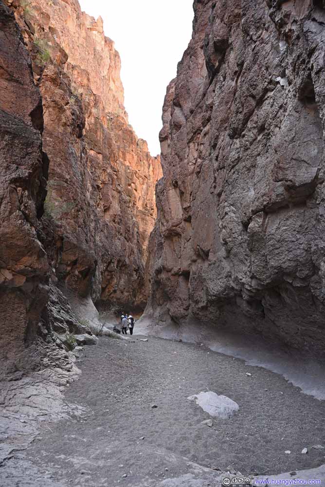 Closed Canyon

Click here to display photos of the closed canyon.
Closed Canyon
Closed Canyon

Closed Canyon

Closed Canyon
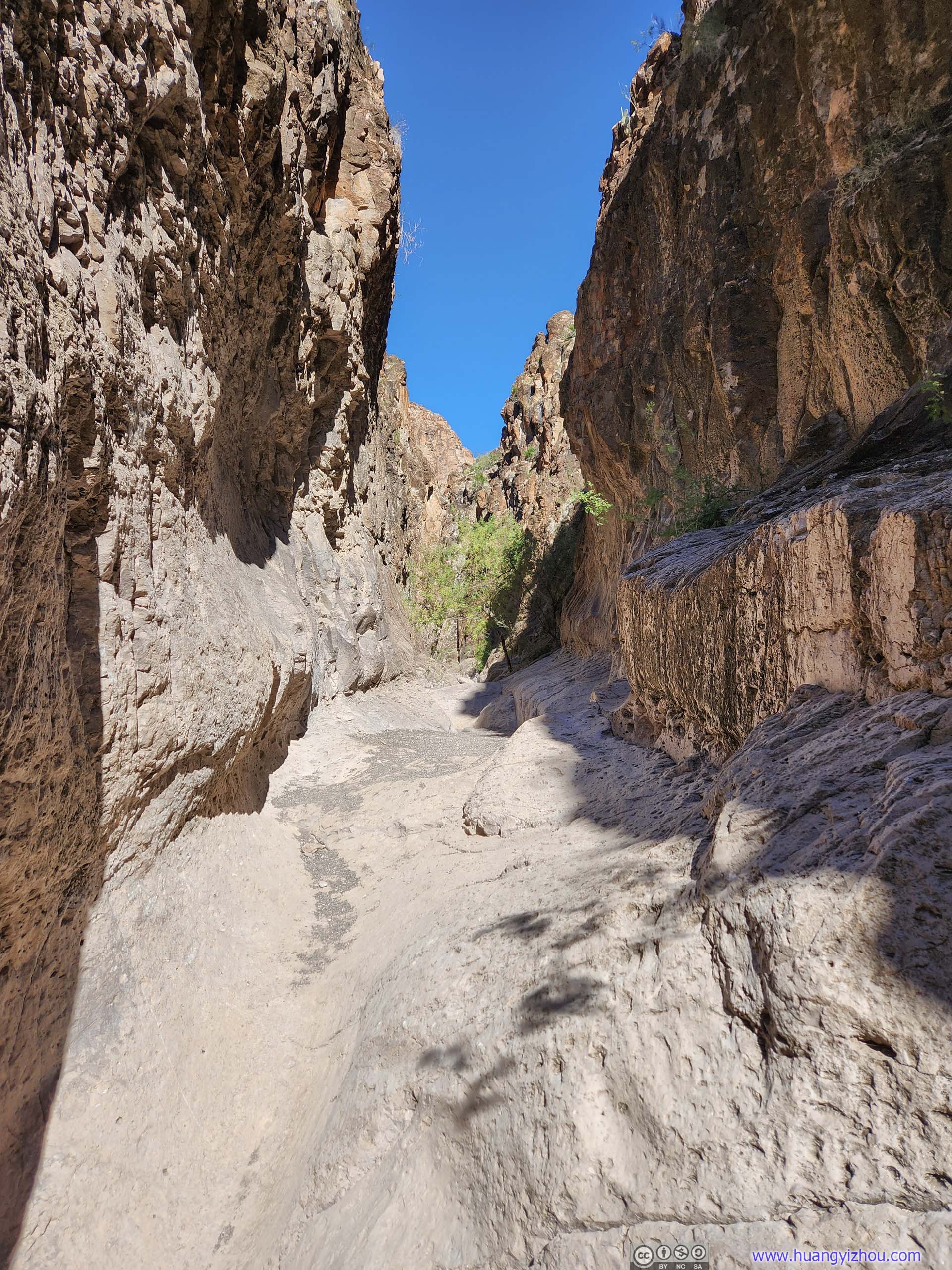
The canyon got narrower as one headed deeper inside.
 Closed Canyon
 Closed Canyon
 Closed Canyon
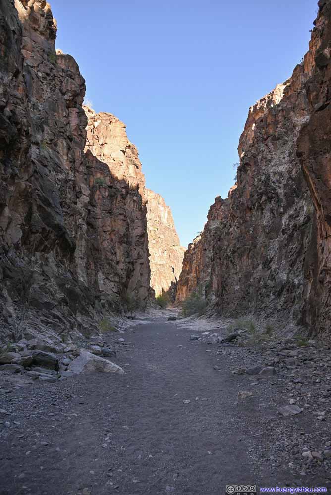 Closed Canyon
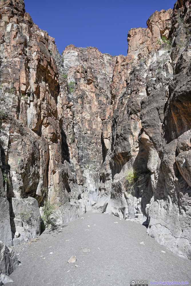 Closed Canyon
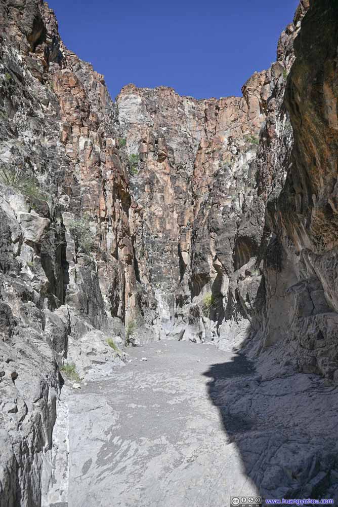 Closed Canyon

Click here to display photos of the closed canyon.
Closed Canyon

Closed Canyon

Closed Canyon
Closed Canyon

Closed Canyon

Closed Canyon
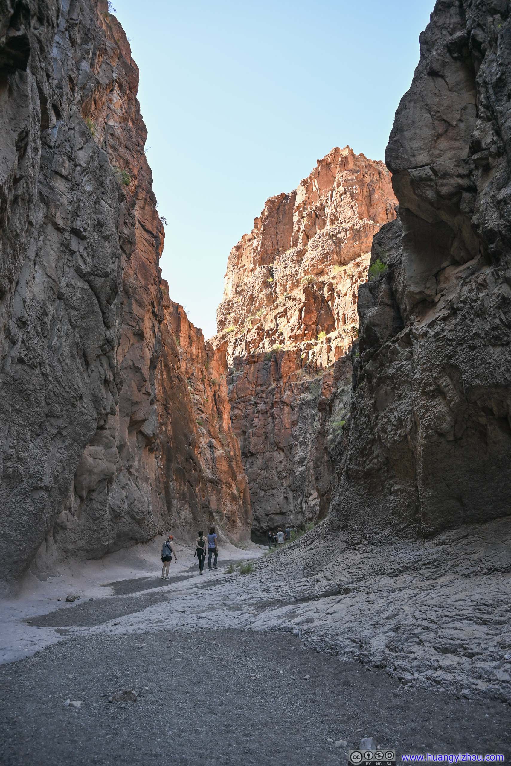
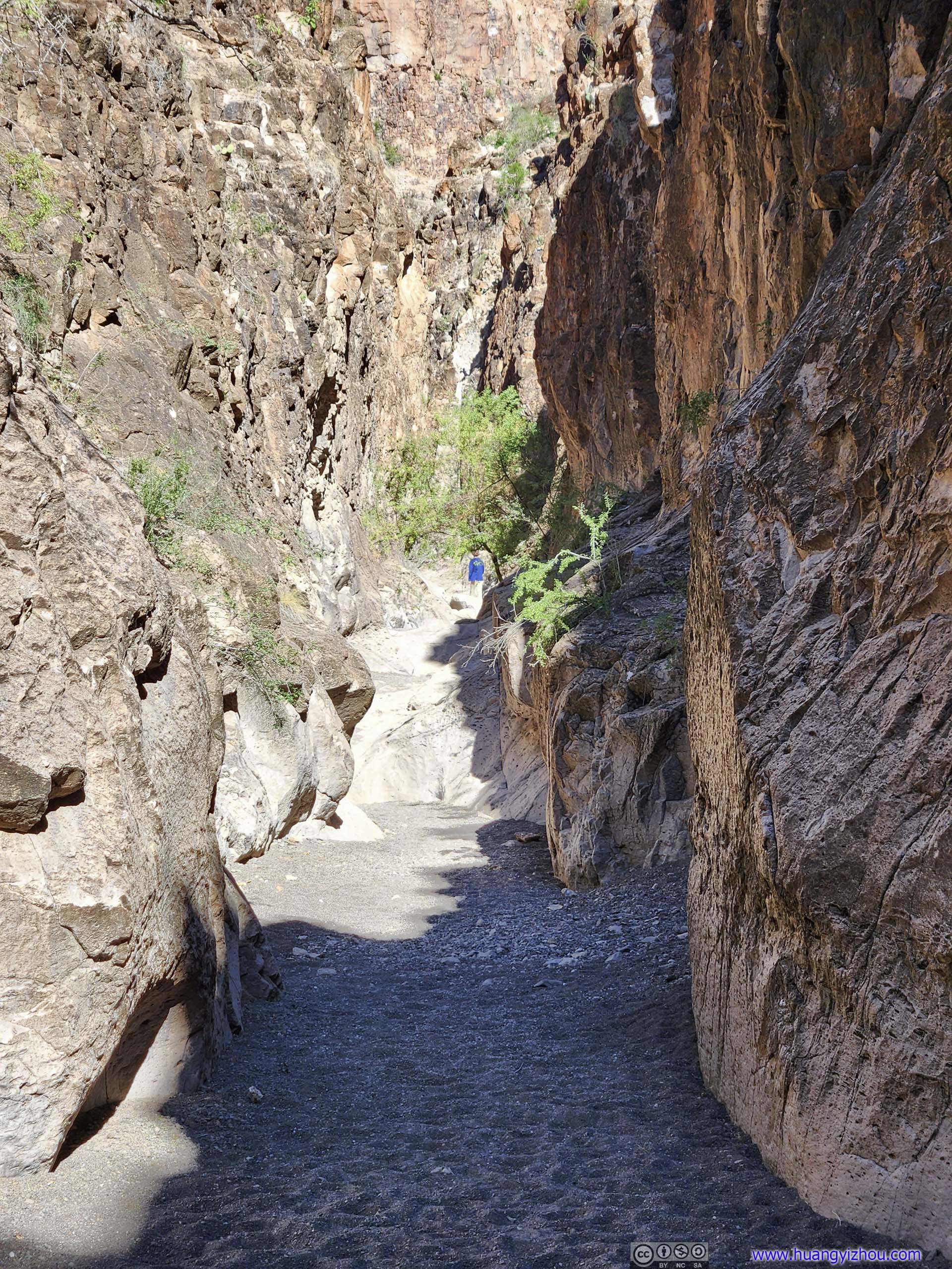
Apart from slick rocks that resembled “The Window” two days ago, the floor of the canyon was also characterized by gravel and sand from water deposits. As a result, the canyon was sort of dusty, which my camera certainly wasn’t fond of. During my visit the latter part of the canyon was mostly under direct sunshine, so it felt sort of hot. The occasional bugs that I ran into weren’t improving my experience either.
 Closed Canyon
 Closed Canyon
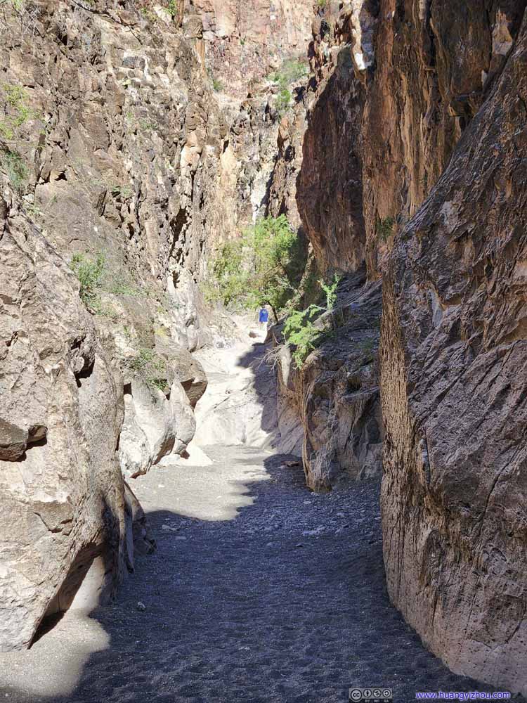 Closed Canyon
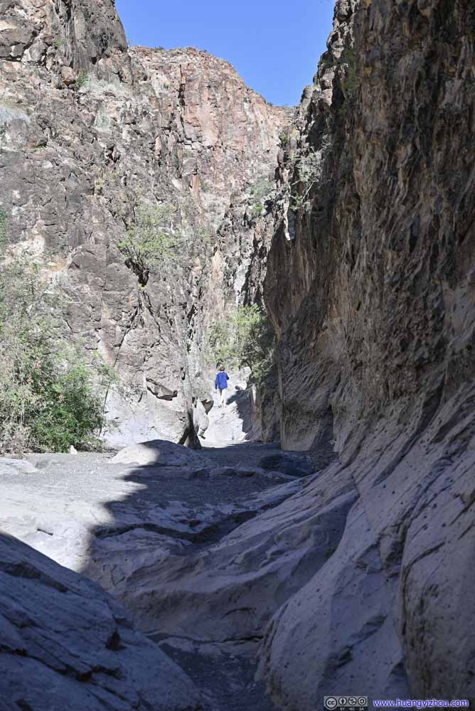 Closed Canyon
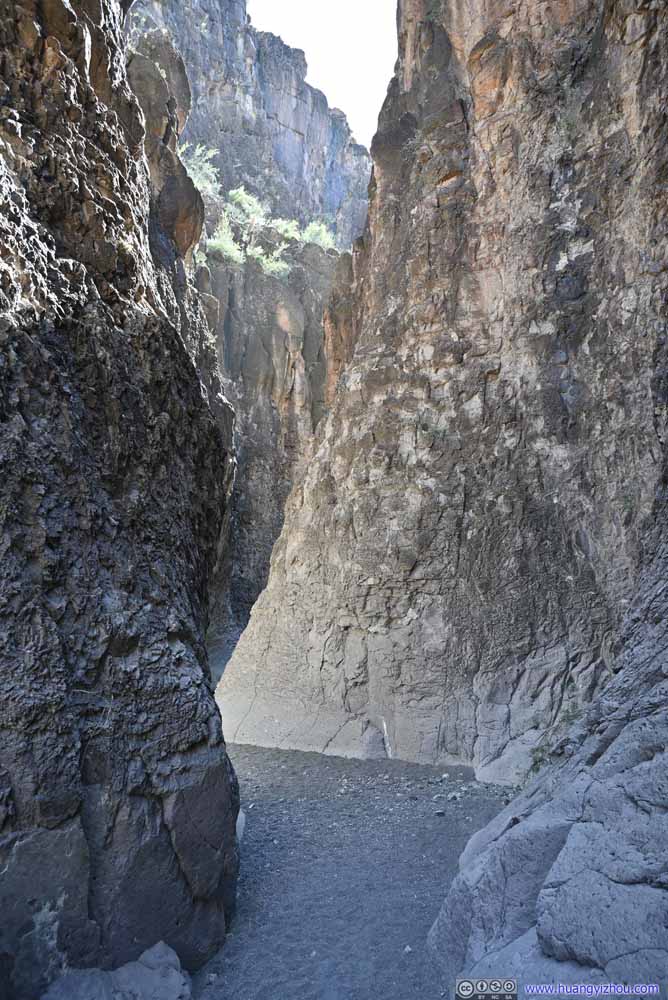 Closed Canyon


Click here to display photos of the slideshow
Closed Canyon
Closed Canyon
Closed Canyon
Closed Canyon

Closed Canyon
While I would love to follow the canyon down to Rio Grande, the trail stopped just short of the river at what looked like a steep (but not high) drop. It’s not hard to see the state park marked that end for visitor safety.
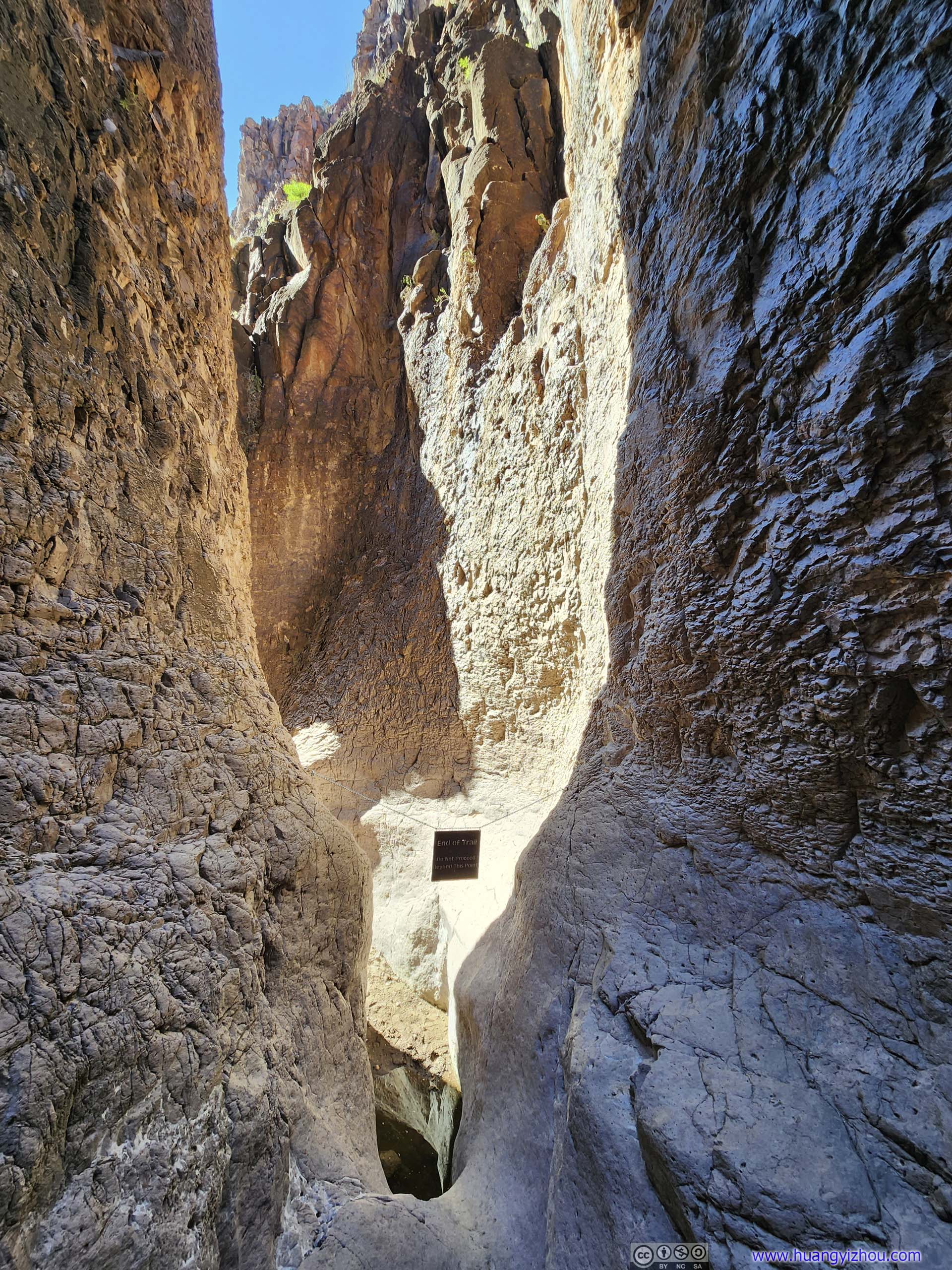
End of Closed Canyon Trail
In the end, I spent 45 minutes on the trail in Closed Canyon. After some snacks, I left Closed Canyon at 2:15pm, with the overnight hotel 260 miles away.
Along the way, I drove past Fort Davis, a military fort set up by the US government in the late 19th century to protect people along San Antonio-El Paso road from Indian tribes, now under NPS. I would love to pay it a visit, unfortunately, it’s Thanksgiving Day and it’s closed.
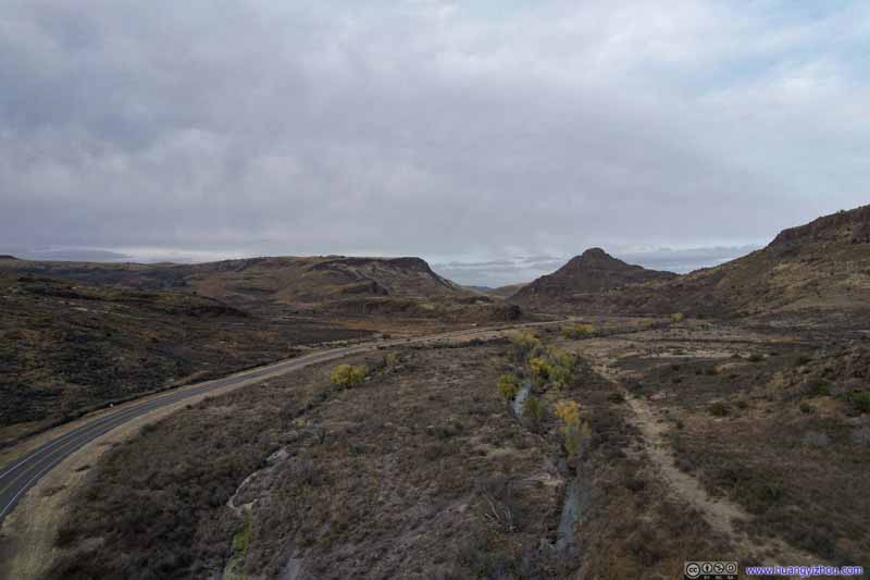
Leaving Fort Davis, TX17 followed Limpia Creek through some beautiful landscape with rolling hills and interestingly shaped rocks, some would certainly qualify as hoodoos. I made a brief stop at a roadside picnic area before Wild Rose Pass, launched my drone and got an aerial tour.
 Limpia Creek Flowing through FieldsThe last of autumn’s colors along the few trees by the creek.
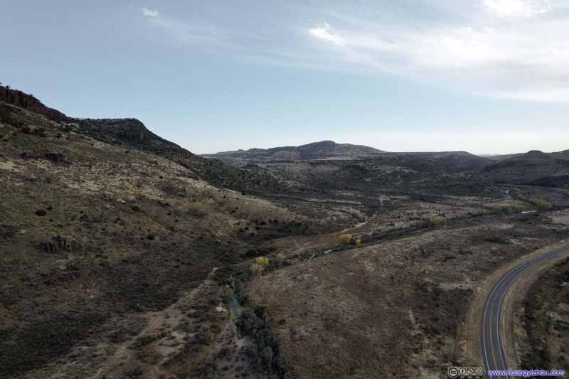 Limpia Creek Flowing through FieldsLooking back upstream.
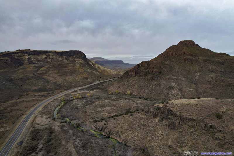 Wild Ross PassSurrounded by majestic mountains.
Click here to display photos of the slideshow
Limpia Creek Flowing through FieldsThe last of autumn’s colors along the few trees by the creek.
Limpia Creek Flowing through FieldsLooking back upstream.

Wild Ross PassSurrounded by majestic mountains.
Weather forecast indicated a (snow)storm was brewing in western Texas, on its way east. As a result, the area near Wild Rose Pass was very windy during my visit. Luckily, my drone handled that well.
It’s amazing to see the last of autumn’s colors hanging on at the few trees along Limpia Creek, while the rest of the fields seemed deprived of most signs of life. The harsh winds only made this contrast more tangible.
Limpia Canyon
Here’s a video of my drone flying along Limpia Creek:
I left the area at around 5pm. Knowing that I was running late, I hastened my pace and headed straight for the hotel in Odessa, which I reached just past 7pm.
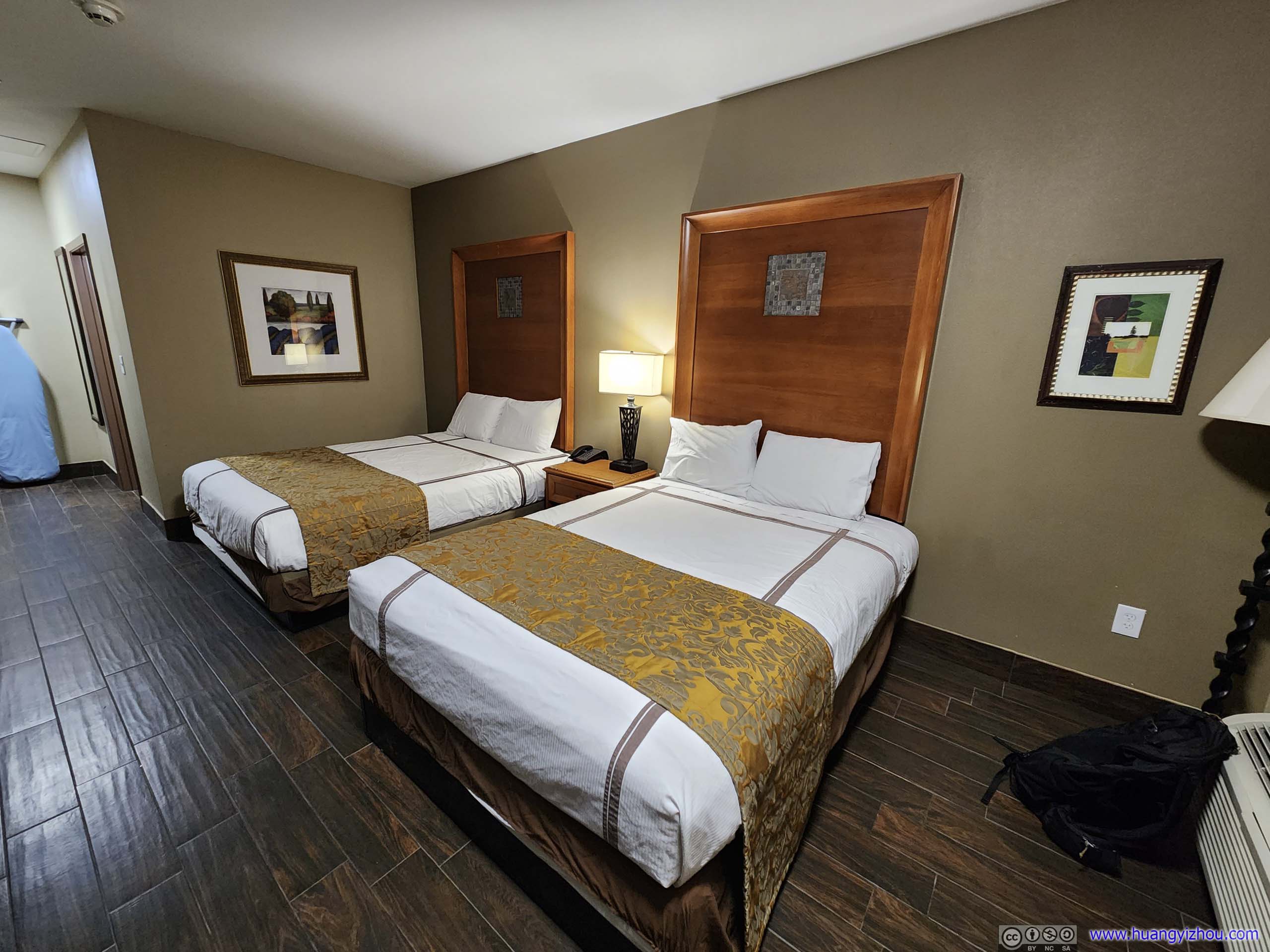 Hotel Room
Earlier this morning, I only managed to pack everything into the rental car, as I envisioned the hotel room tonight would be a better place to pack all my gear into the suitcases than the picnic table at the campsite. With the best of my talking skills a very cooperating hotel receptionist, I managed to get a room on the ground floor, only steps away from the rental car, so the few trips I took transporting my stuff from its back seat to my room weren’t that tedious. After finishing the audacious task of packing up the suitcases, I called it a day and headed to bed, trying to get some rest before my flight tomorrow morning at 6am.
END
![]() Day 5 of 2022 Big Bend National Park Trip, Closed Canyon and More Driving by Huang's Site is licensed under a Creative Commons Attribution-NonCommercial-ShareAlike 4.0 International License.
Day 5 of 2022 Big Bend National Park Trip, Closed Canyon and More Driving by Huang's Site is licensed under a Creative Commons Attribution-NonCommercial-ShareAlike 4.0 International License.