
Updated on October 7, 2023
Day 4 of 2022 Big Bend National Park Trip, South Rim of Chisos Mountains and Emory Peak
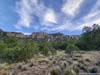
The fourth day of my 2022 Thanksgiving trip to Big Bend National Park. I planned an epic hike for the day, covering both Chisos South Rim and Emory Peak.
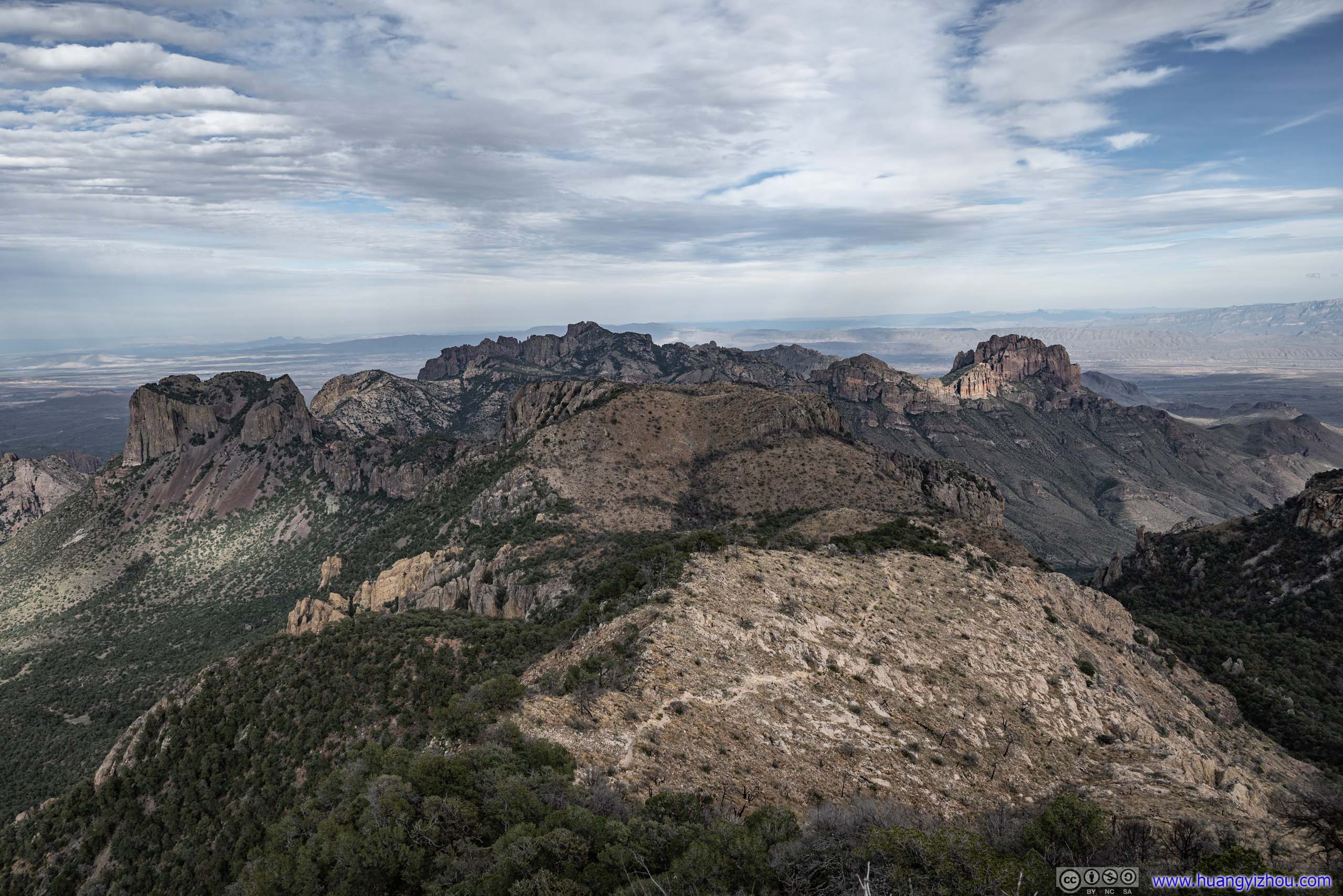
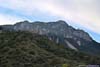
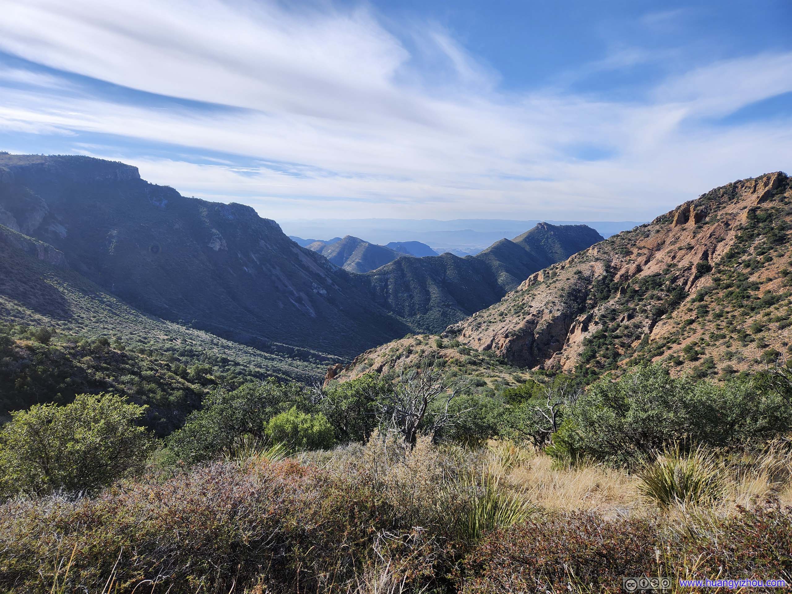
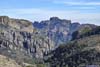
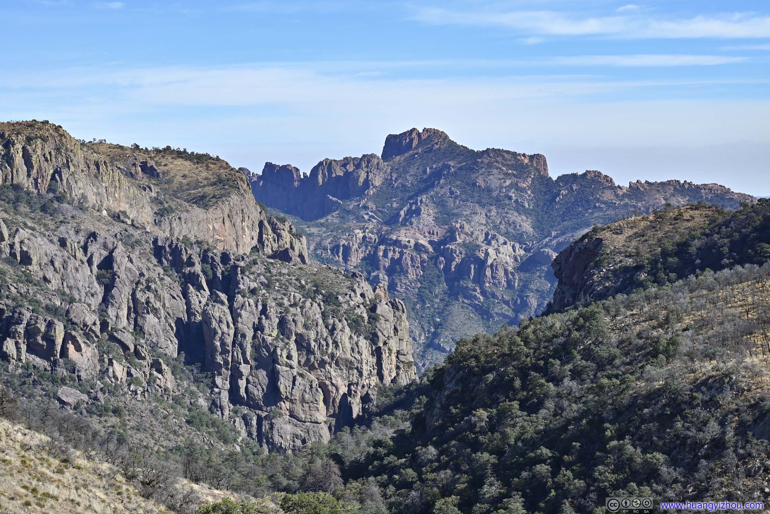
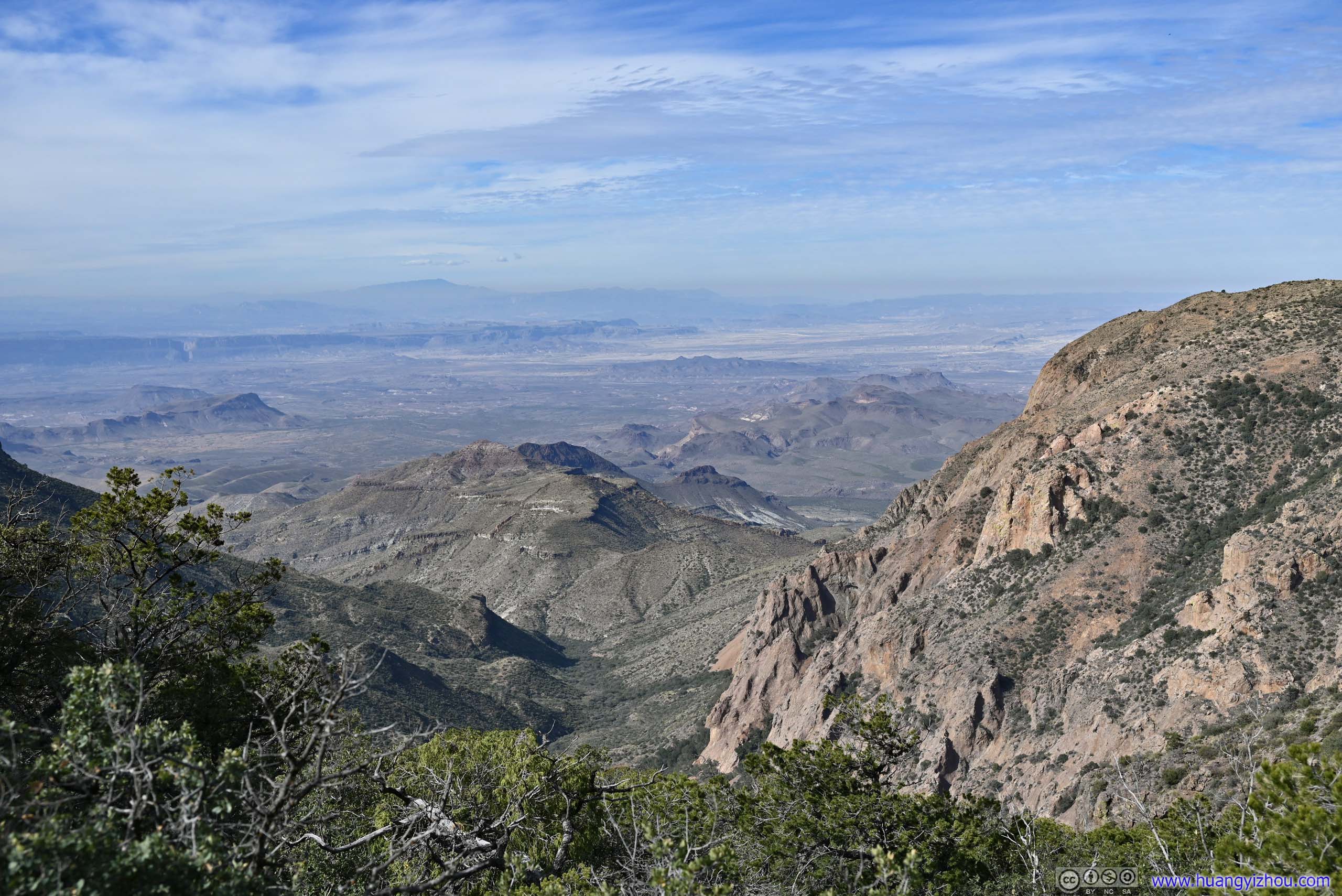
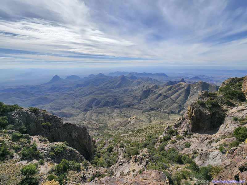
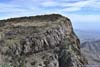
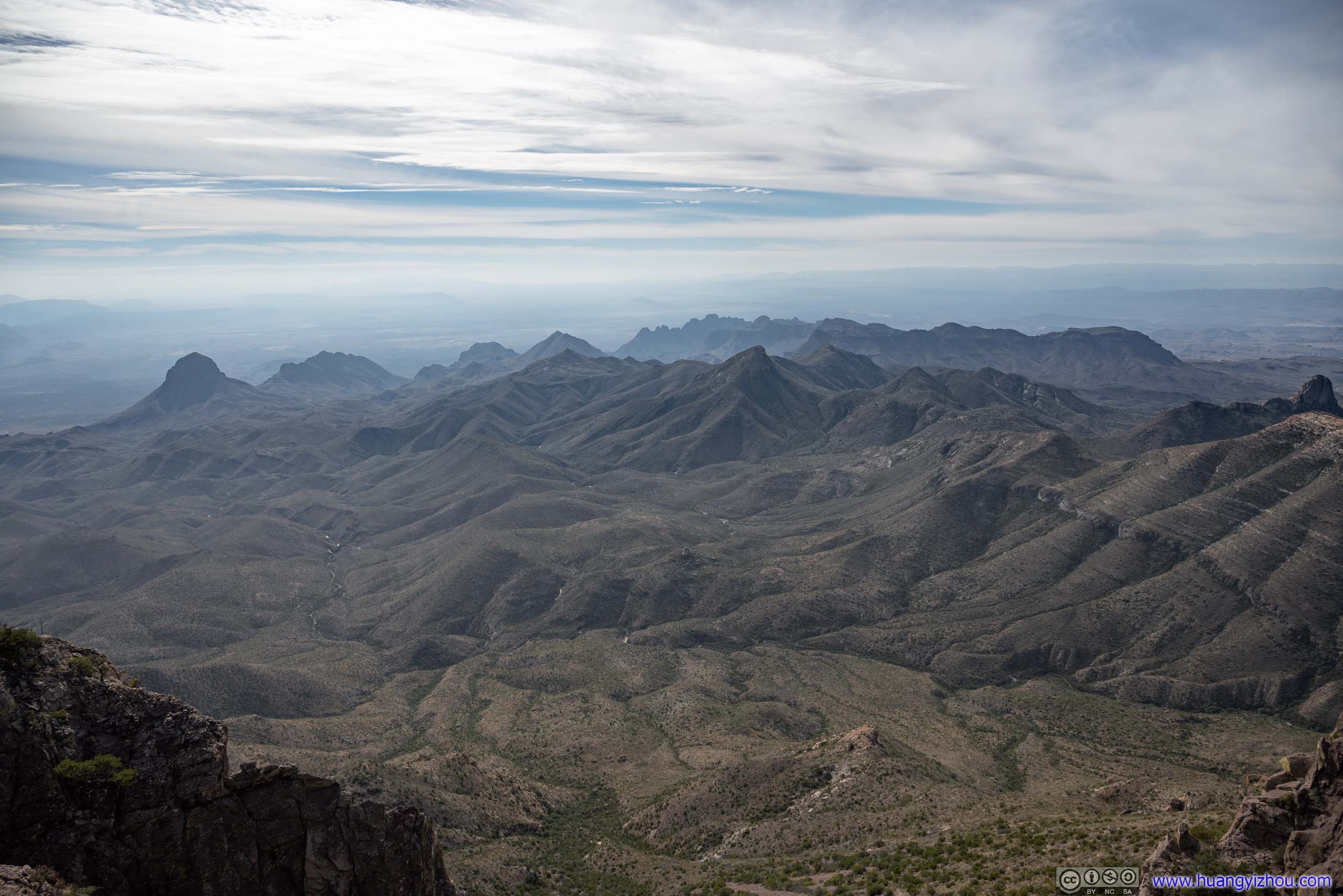
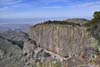
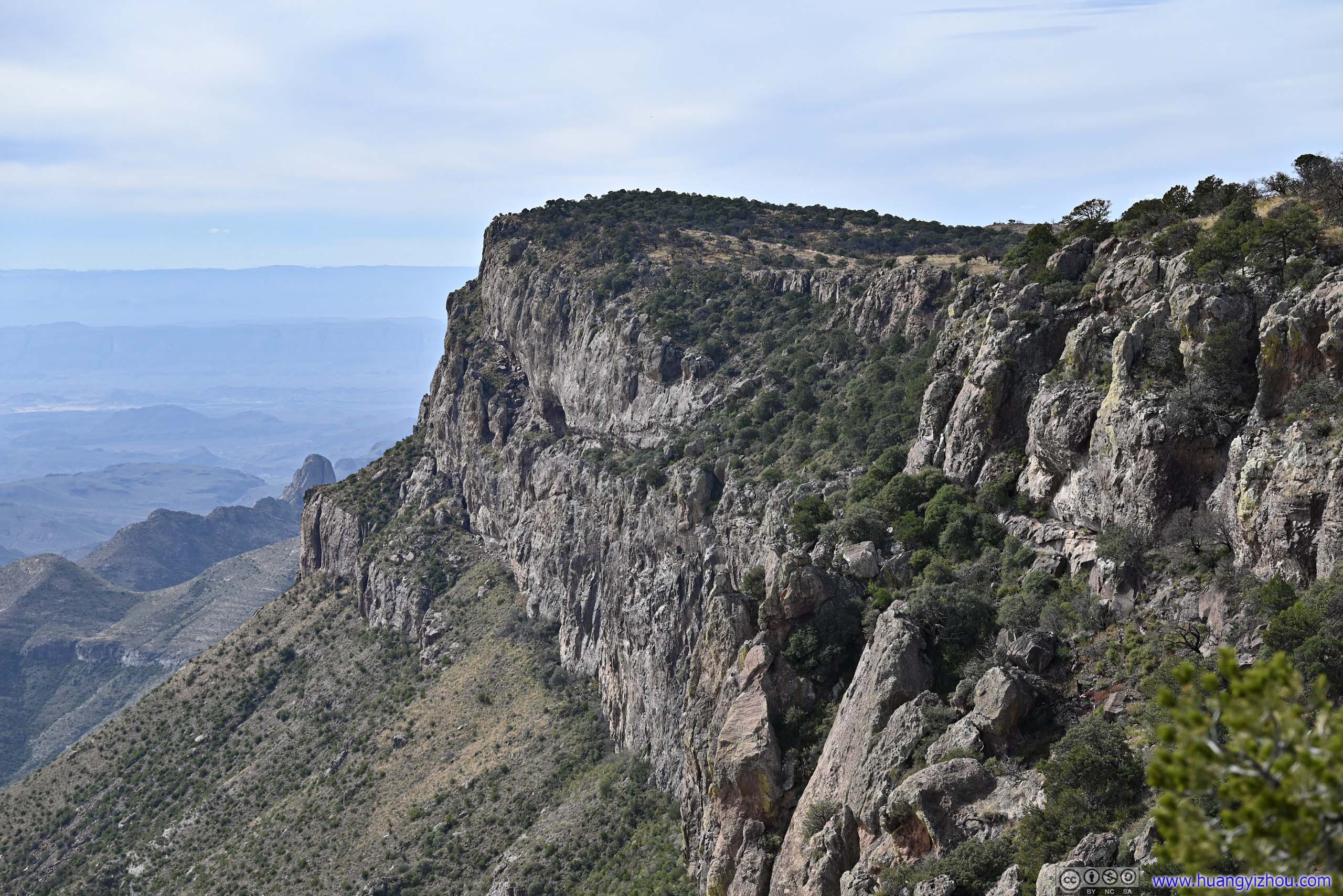
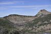
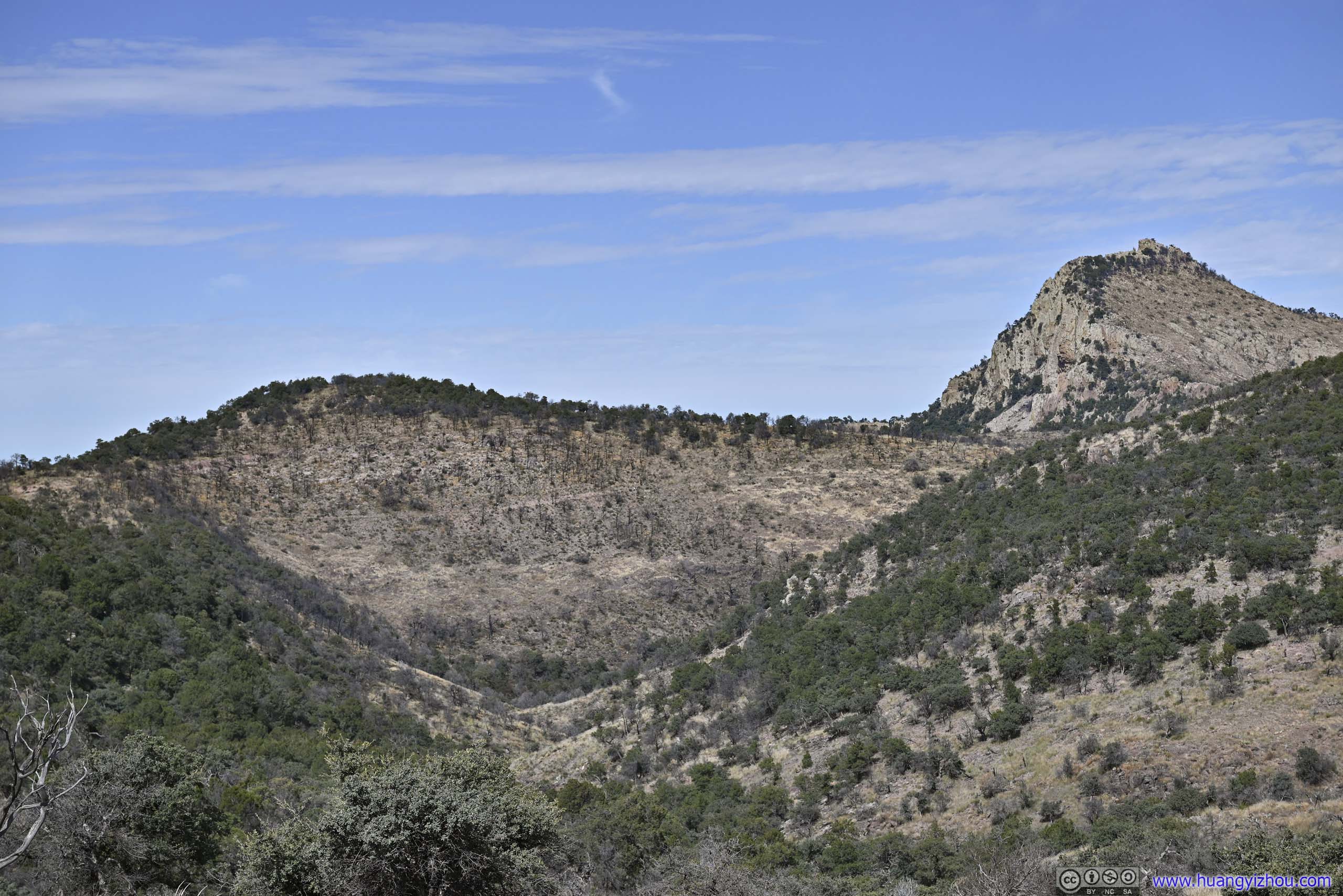
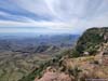
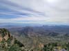
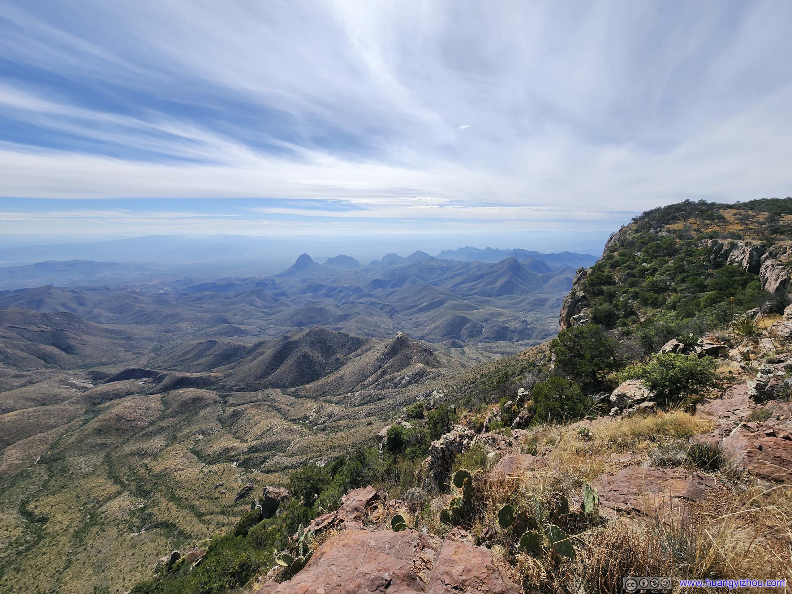
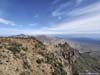
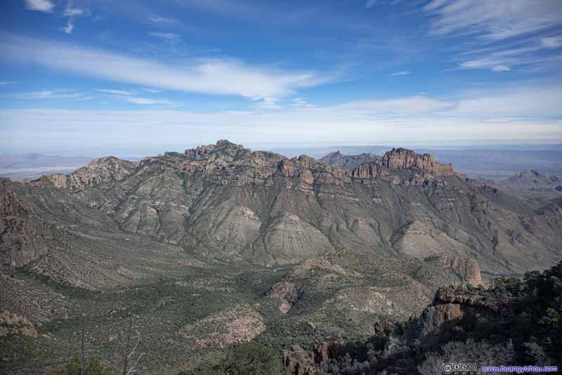
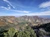
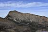
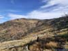
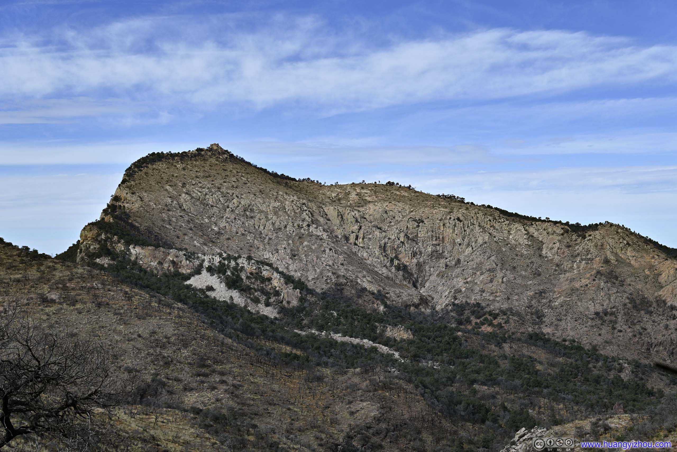
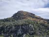
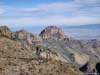
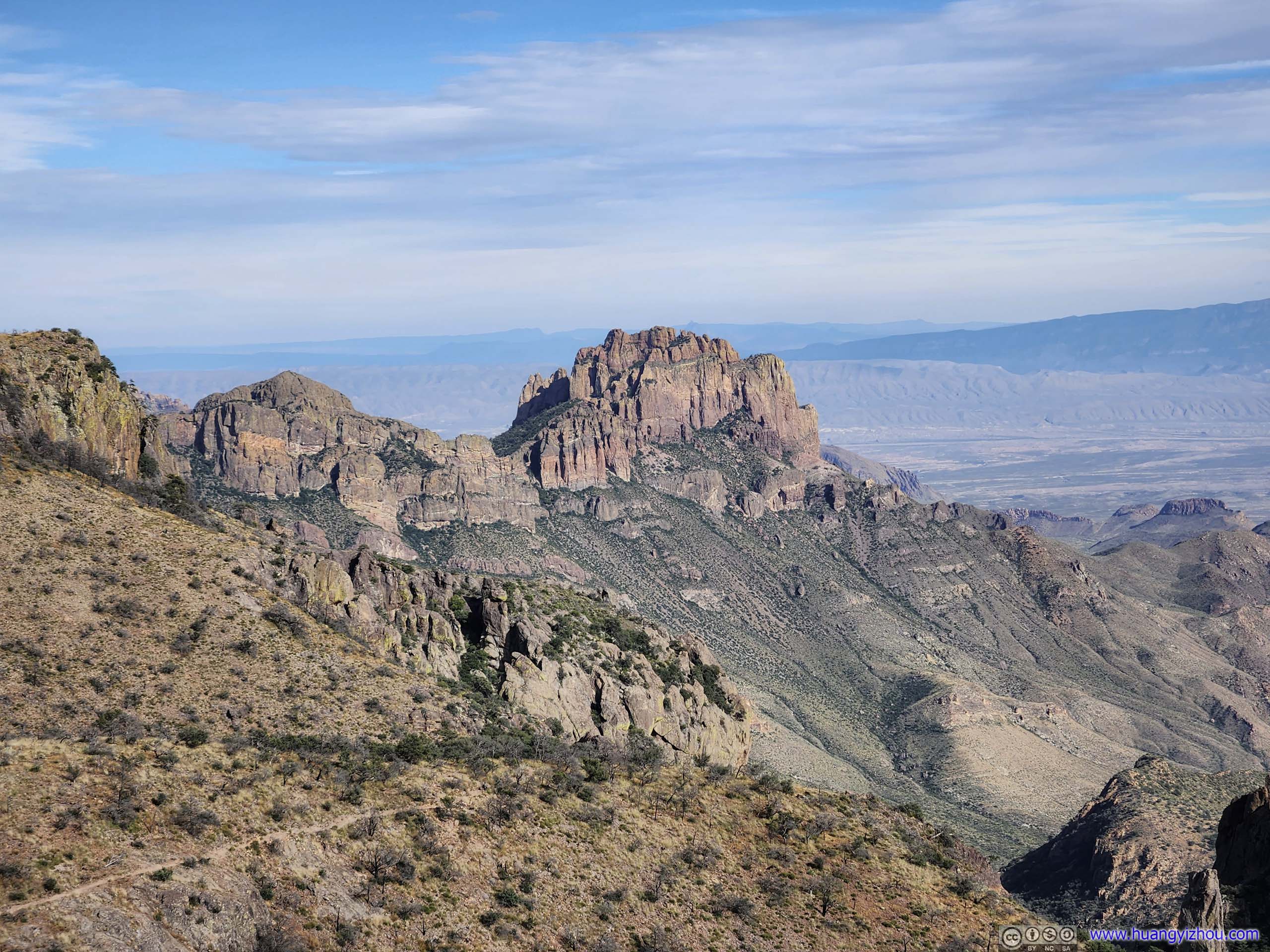
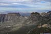
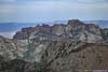
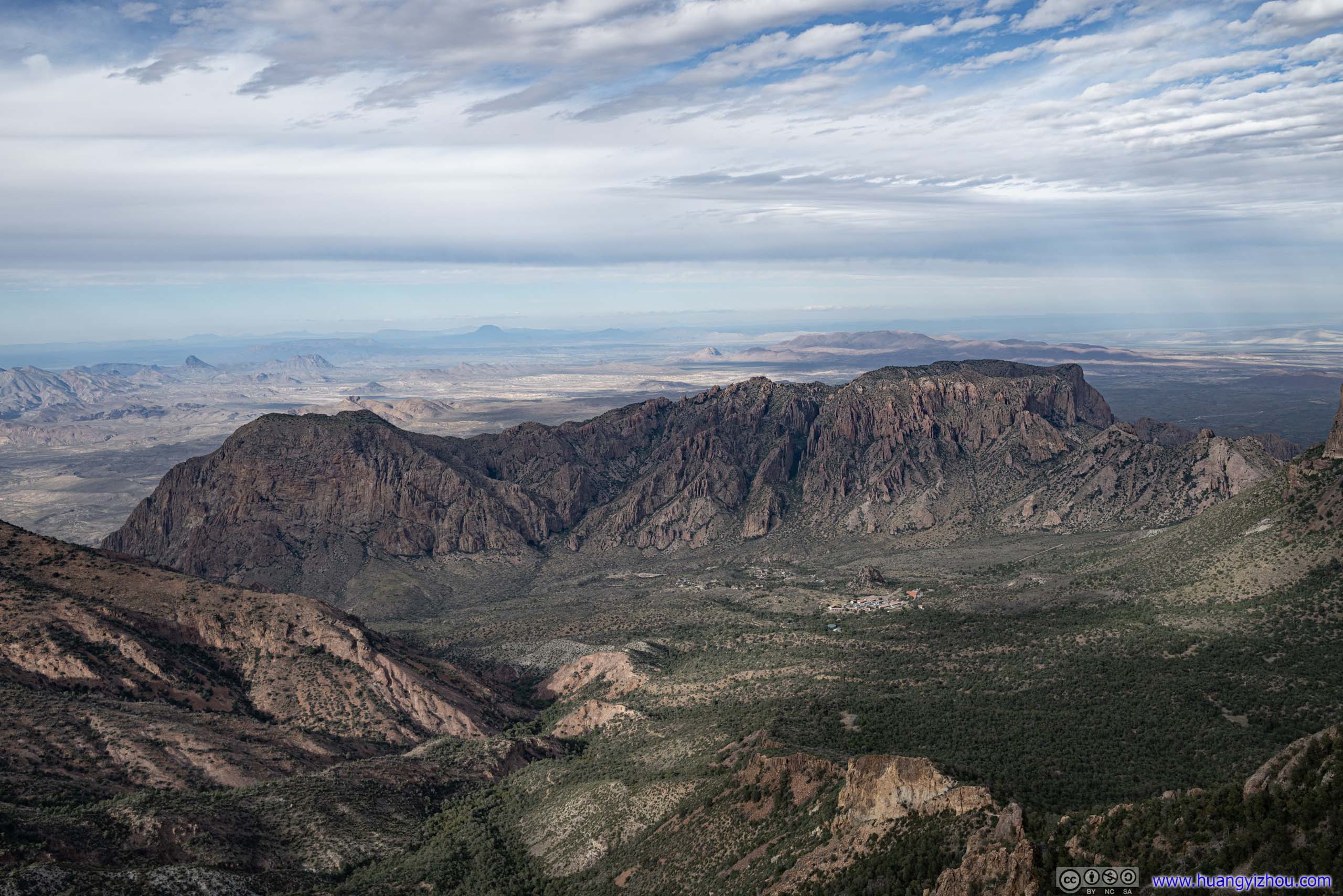
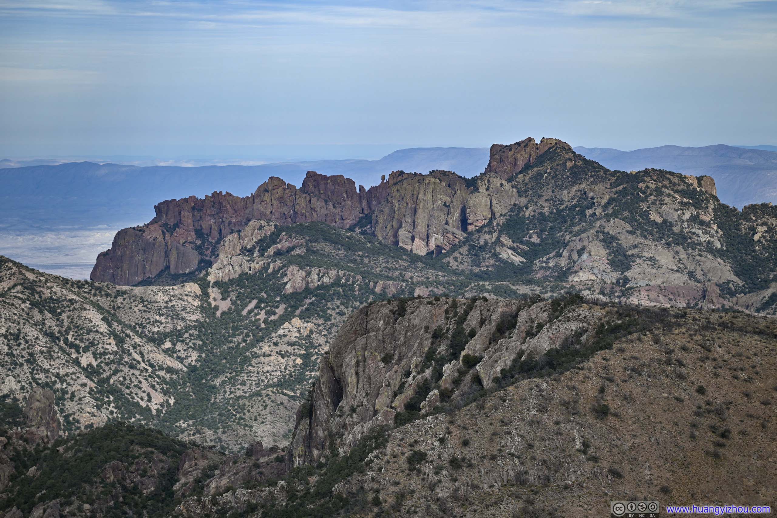
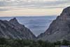
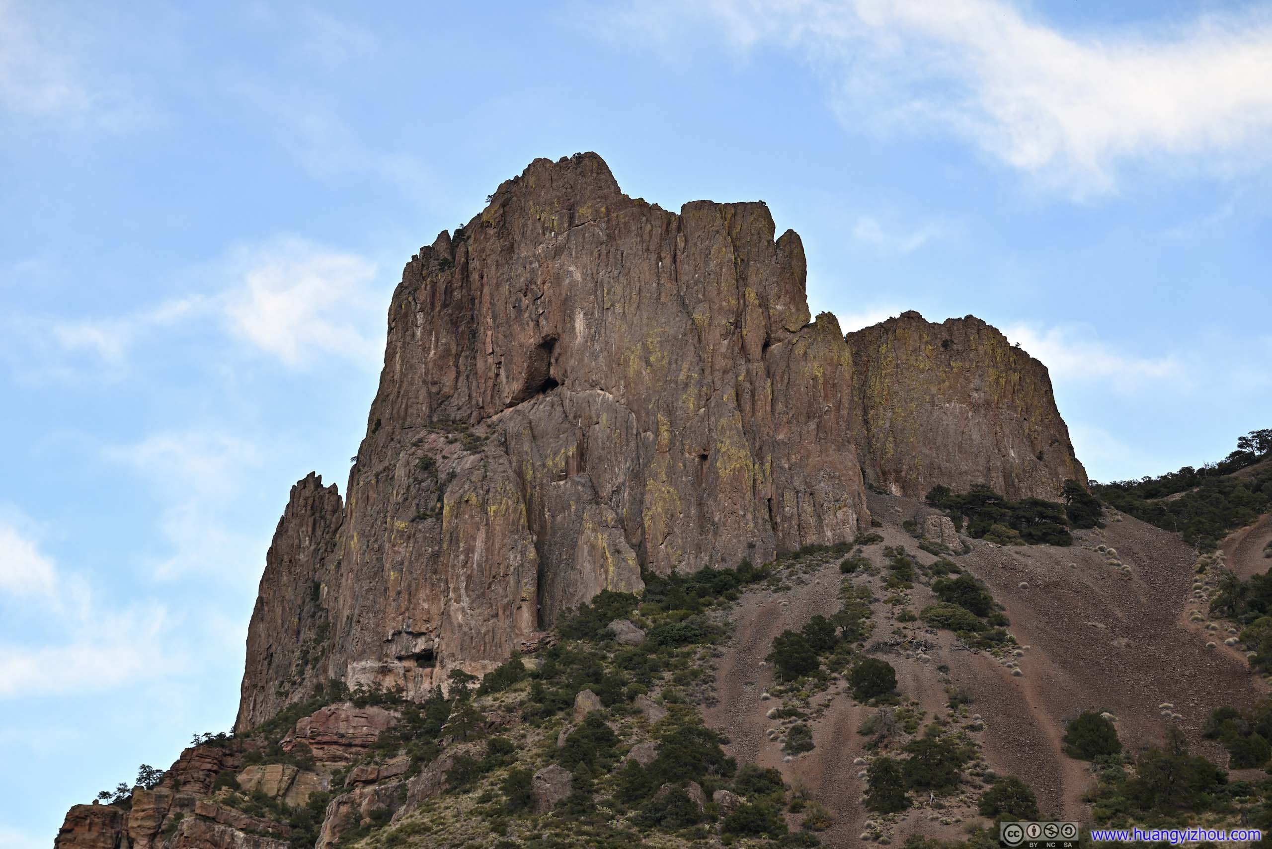
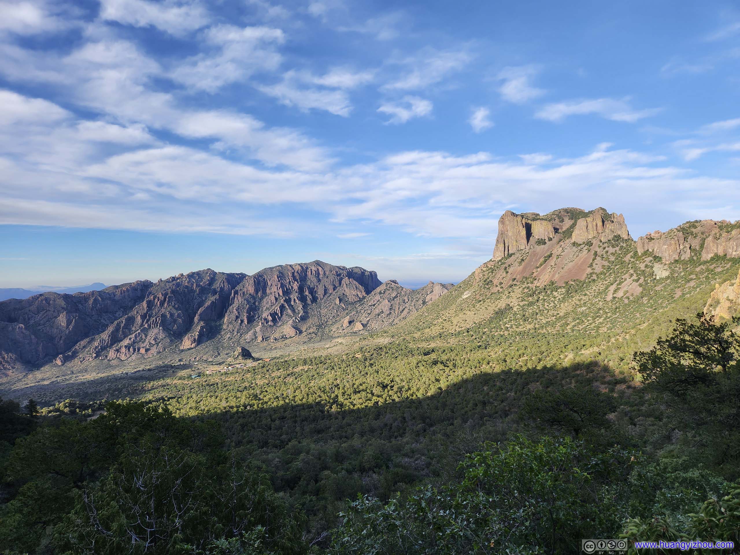
Chisos Mountains from Emory Peak
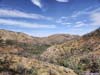
I planned for something epic, and I got it. According to AllTrails, this is a 26.6km loop trail with 1100m elevation gain (AllTrails shows 28km roundtrip, but it’s slightly shorter starting from Chisos Basin Visitor Center), covering both south and east rim of Chisos Mountains, together with Emory Peak, the highest peak in Big Bend National Park.
I decided to take the loop in the counterclockwise direction, trying to have sceneries (Lost Mine Mountains from East Rim, fields around Santa Elena Canyon from Laguna Meadow and South Rim) in the light as much as possible. It turned out to be a great choice, as I reached Emory Peak towards the end of the day when the Lost Mine Mountains to the east were a much more spectacular sight than the few nameless ones to the west, towards the sun. It would be the other way around if I took the clockwise direction and reached it in the morning.
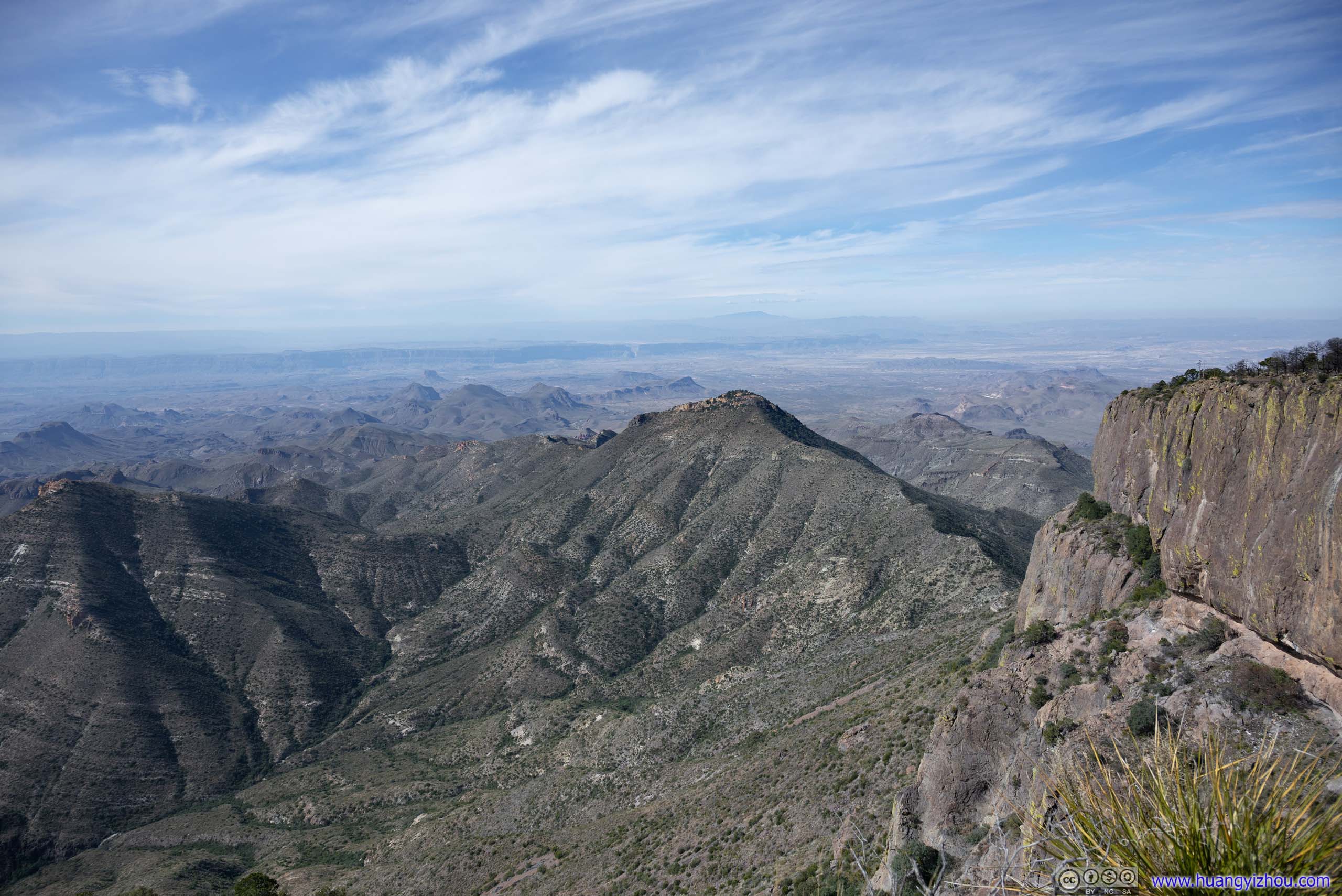
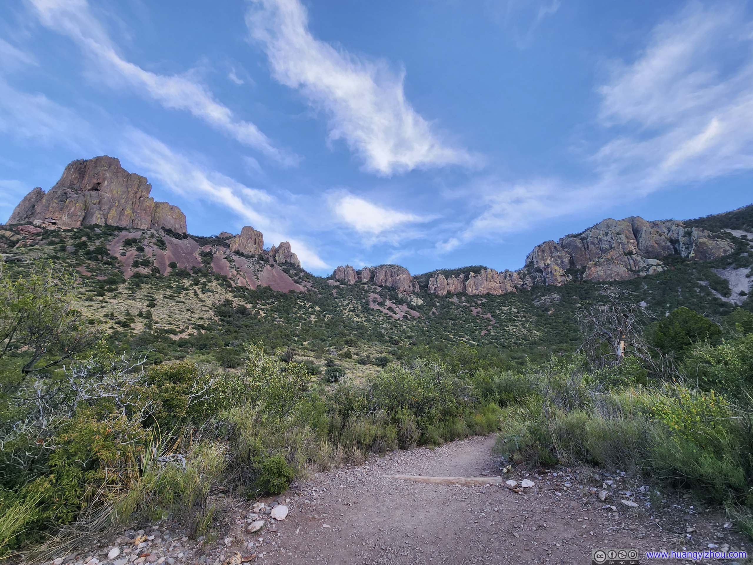
I broke down the trail into the different sections in the following photo.
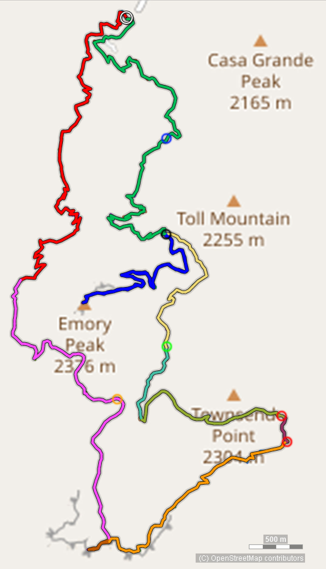
- From trailhead to Laguna Meadow (red), constant elevation gain.
- From Laguna Meadow to South Rim (purple), mostly flat, one viewpoint (orange circle) near campsite “South Rim 2” with views of Boot Canyon.
- My detour exploring around the first viewpoint at South Rim (brown), the end of which offered nice views of fields to the west, including Santa Elena Canyon.
- Trail along south rim (orange), with multiple overlooks along the way.
- A short section of trail along east rim (plum), the start and end (red circles) are probably the best views except from Emory Peak.
- East rim down to Boot Canyon (lime), no overlooks.
- Boot Canyon to Pinnacle Pass (aqua and yellow), passing Boot Cabin (green circle).
- The spur to the summit of Emory Peak (blue), from Pinnacle Pass (black circle).
- Pinnacle Pass back down to trailhead (green), passing Boulder Meadow (blue circle) with views of some rock formations.
After a short drive to the visitor center at Chisos Basin and some warmup, I started my hike at 8:20am.
Here’s GPS tracking:
Between Trailhead and Laguna Meadow
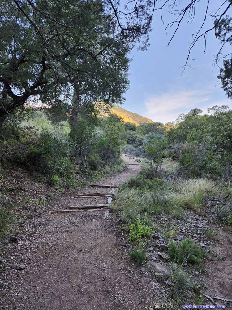
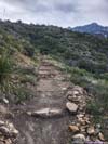
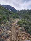
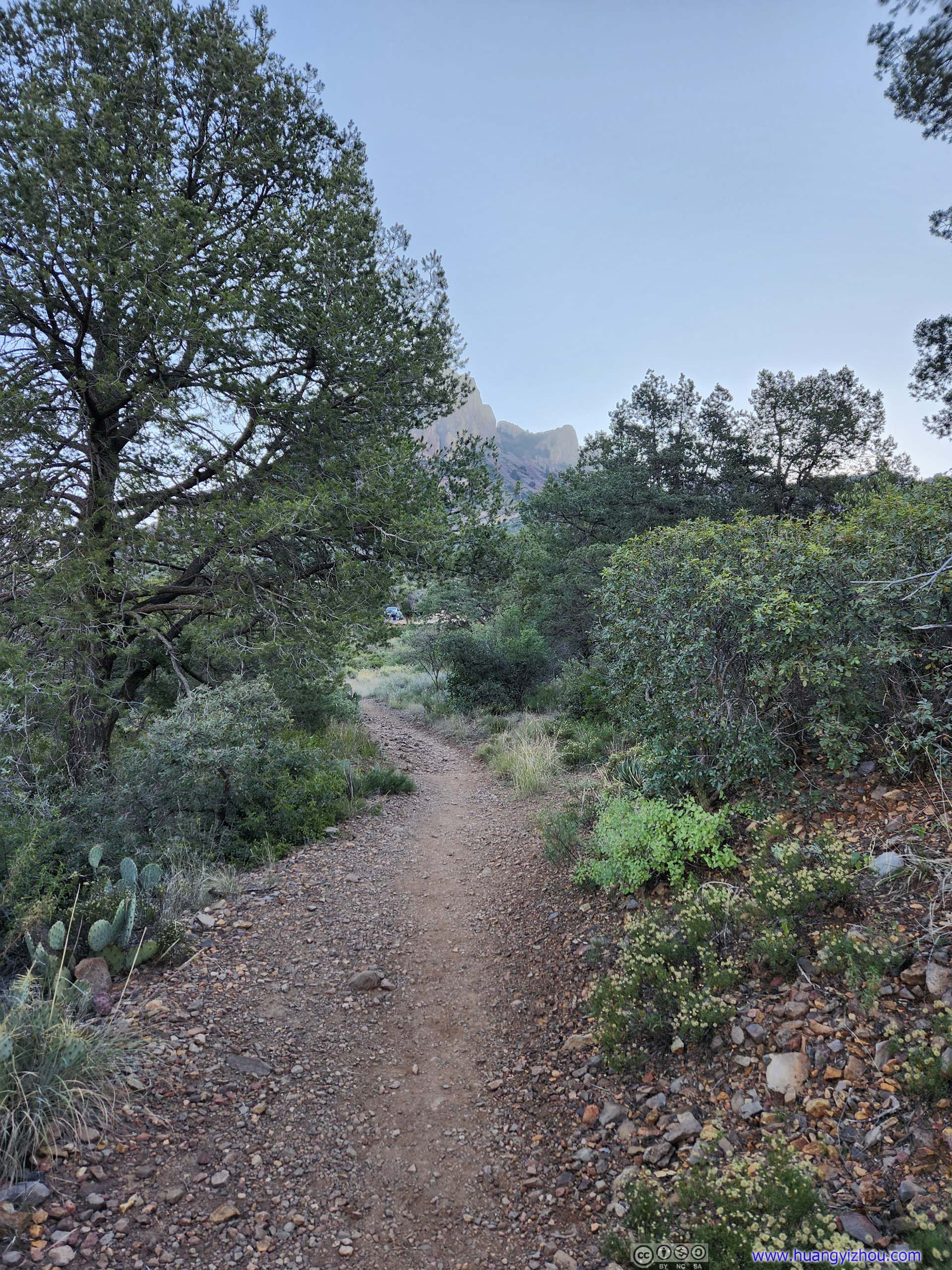
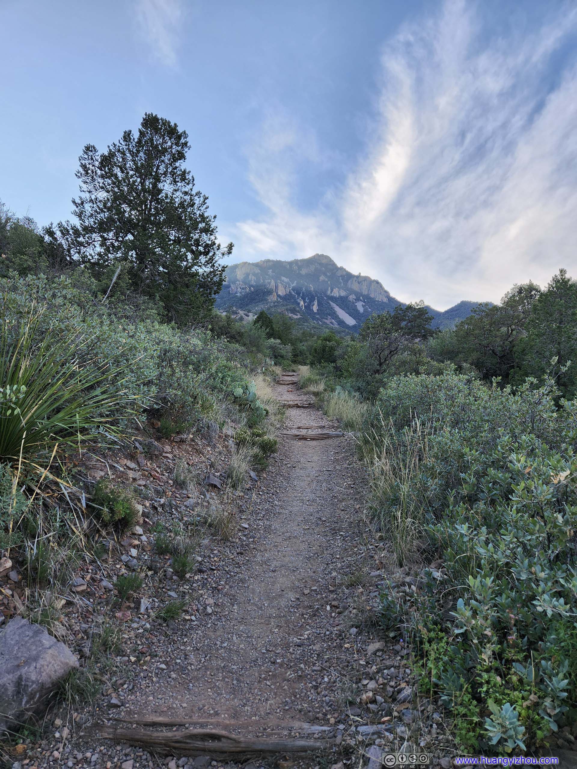
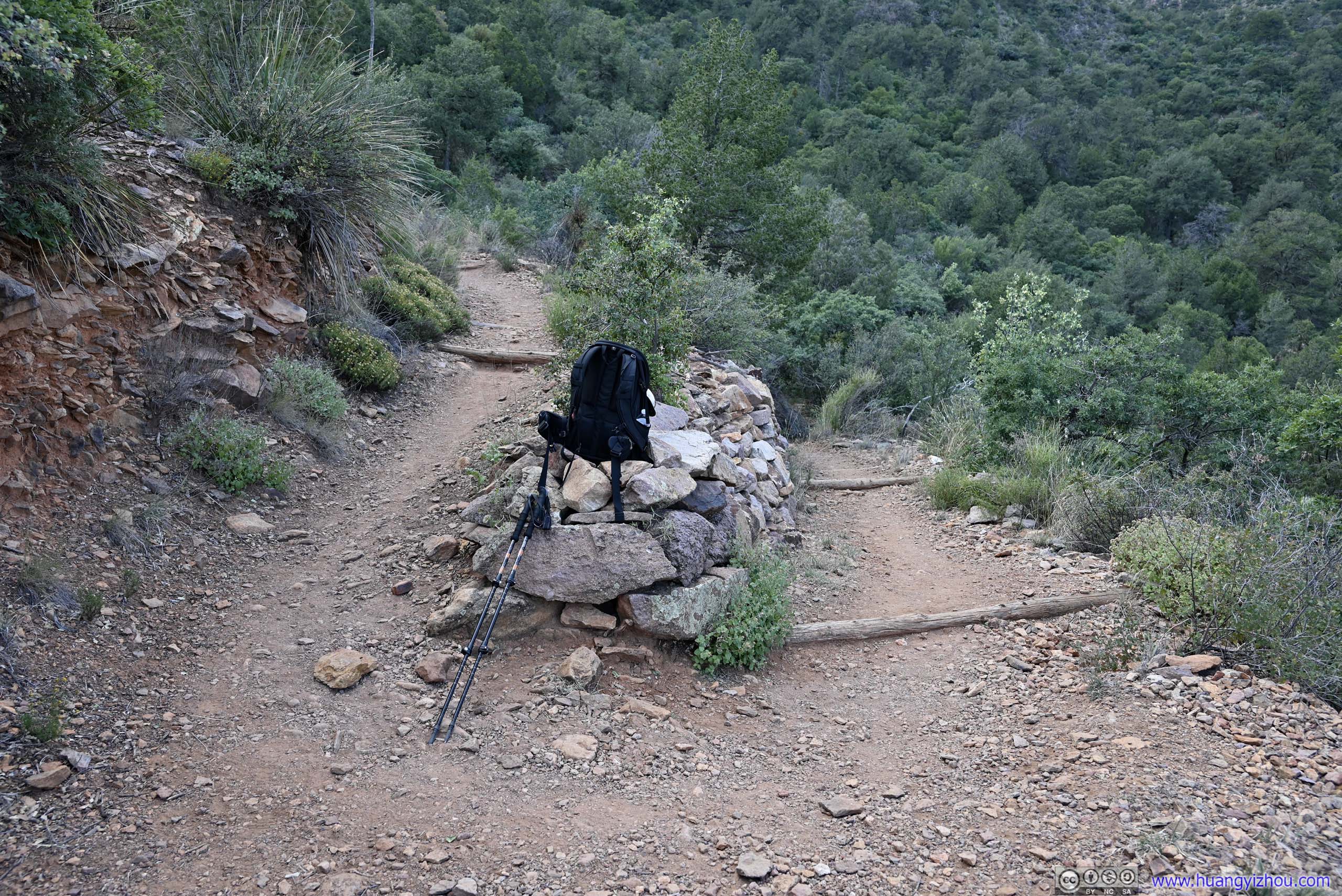
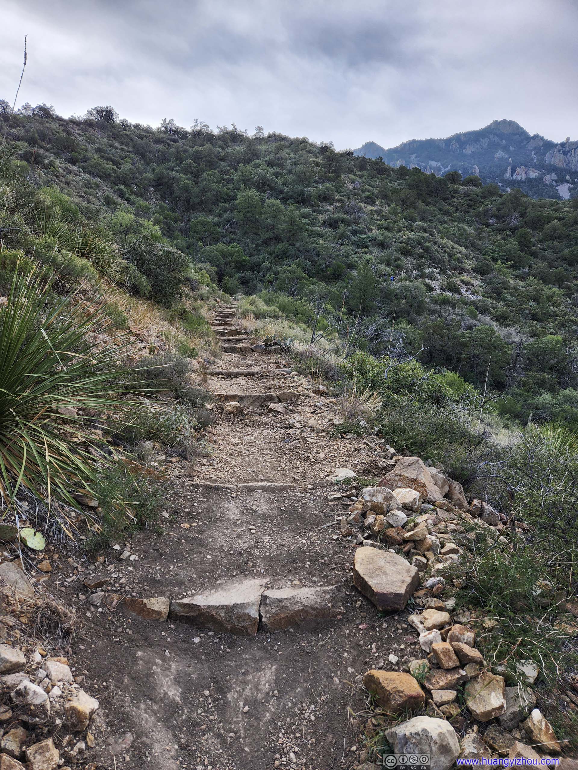
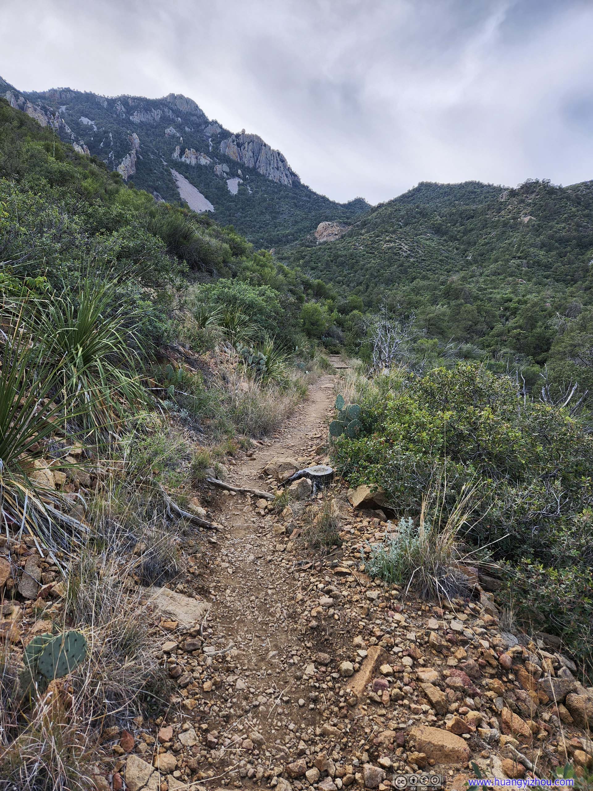
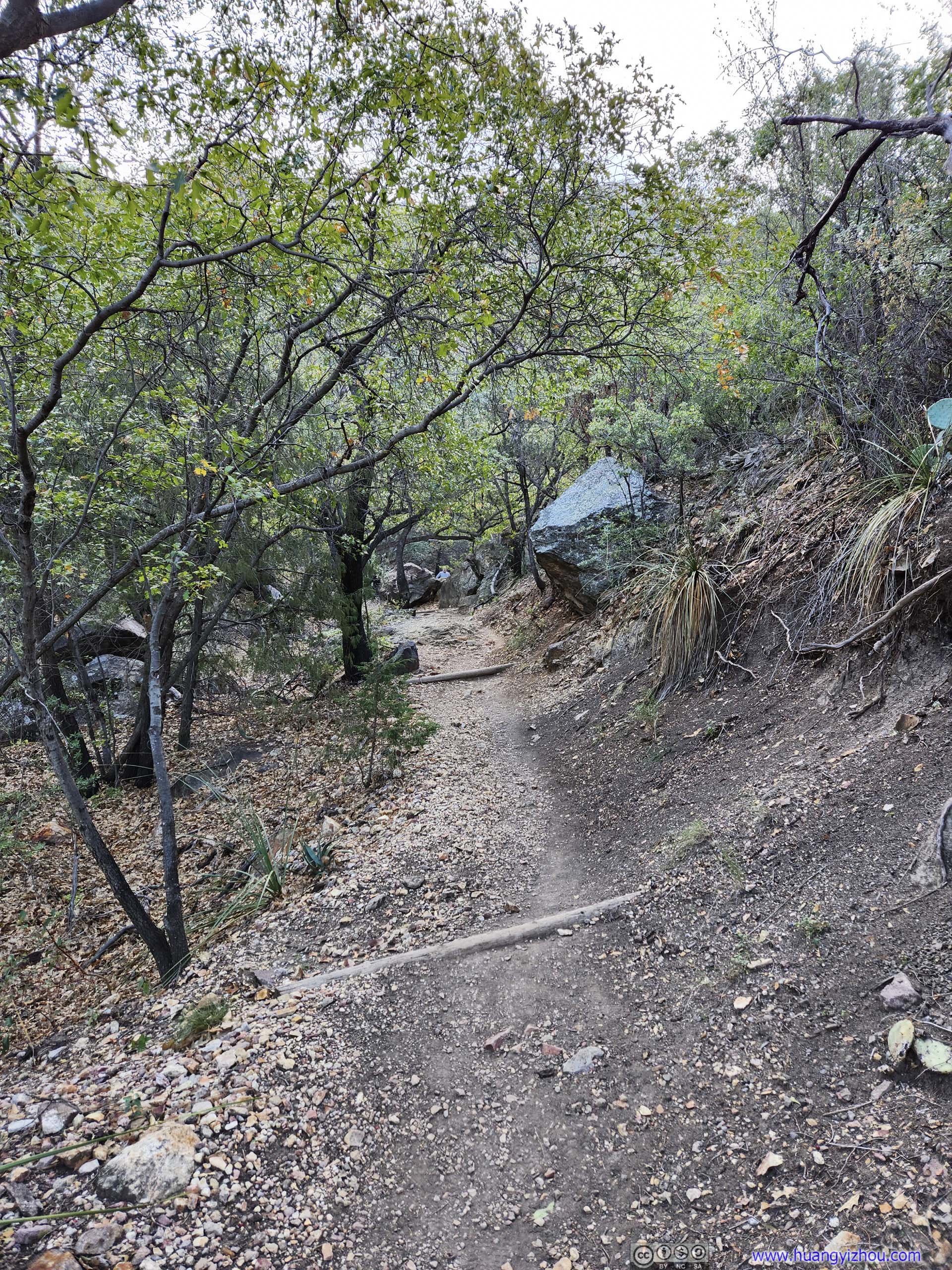
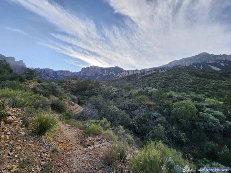
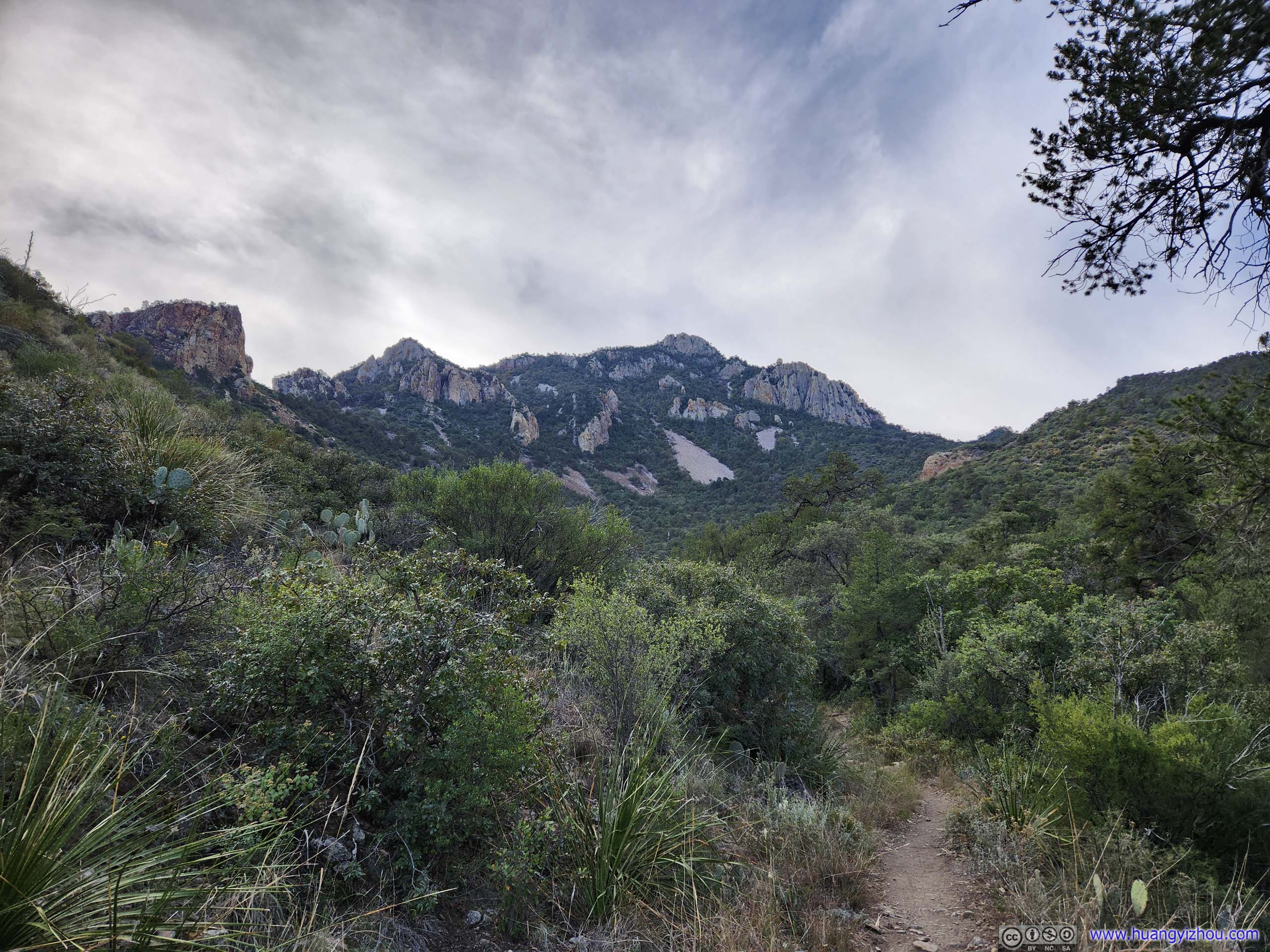
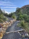
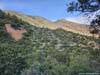
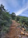
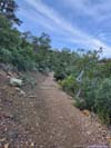
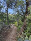
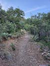
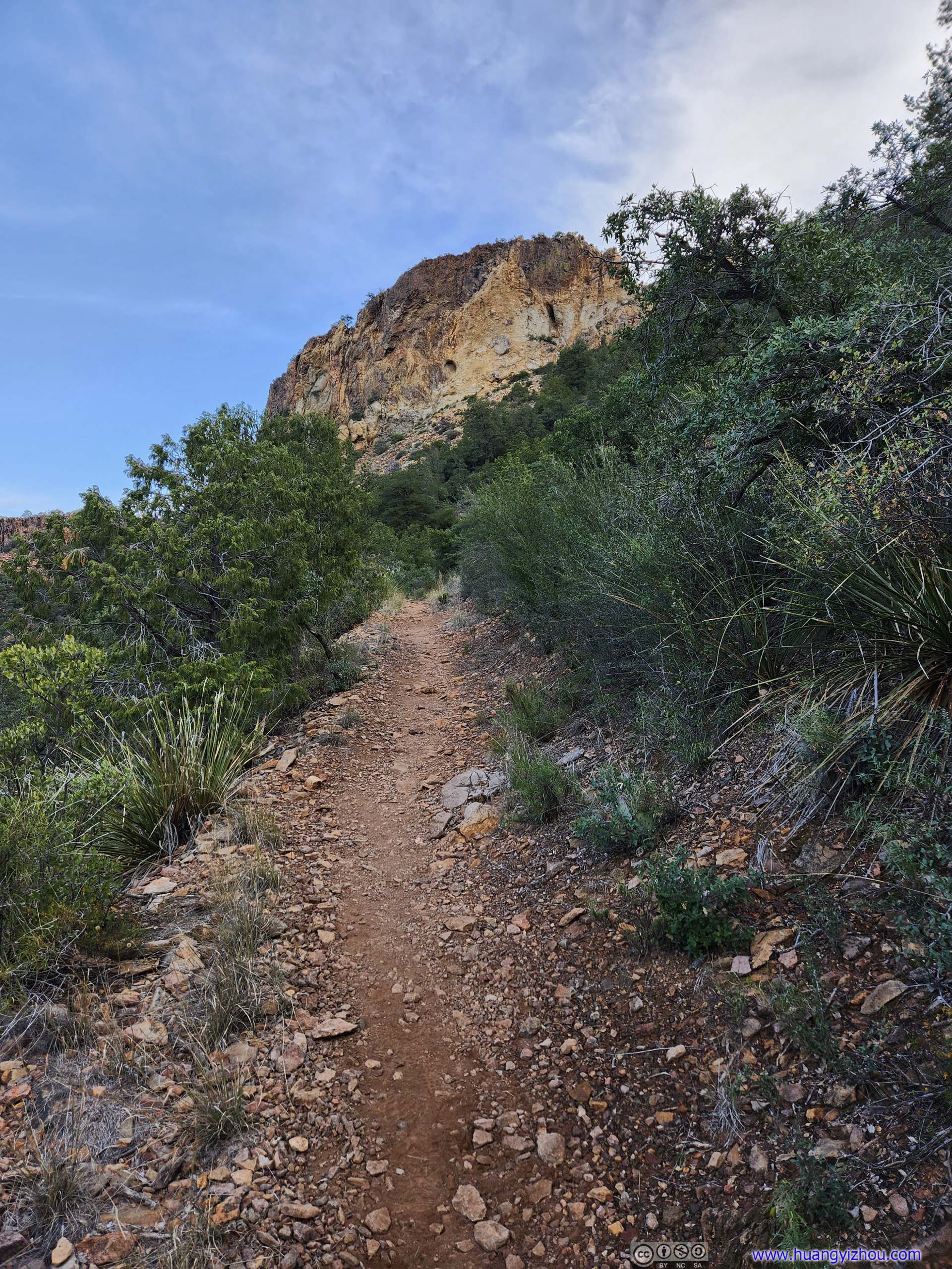
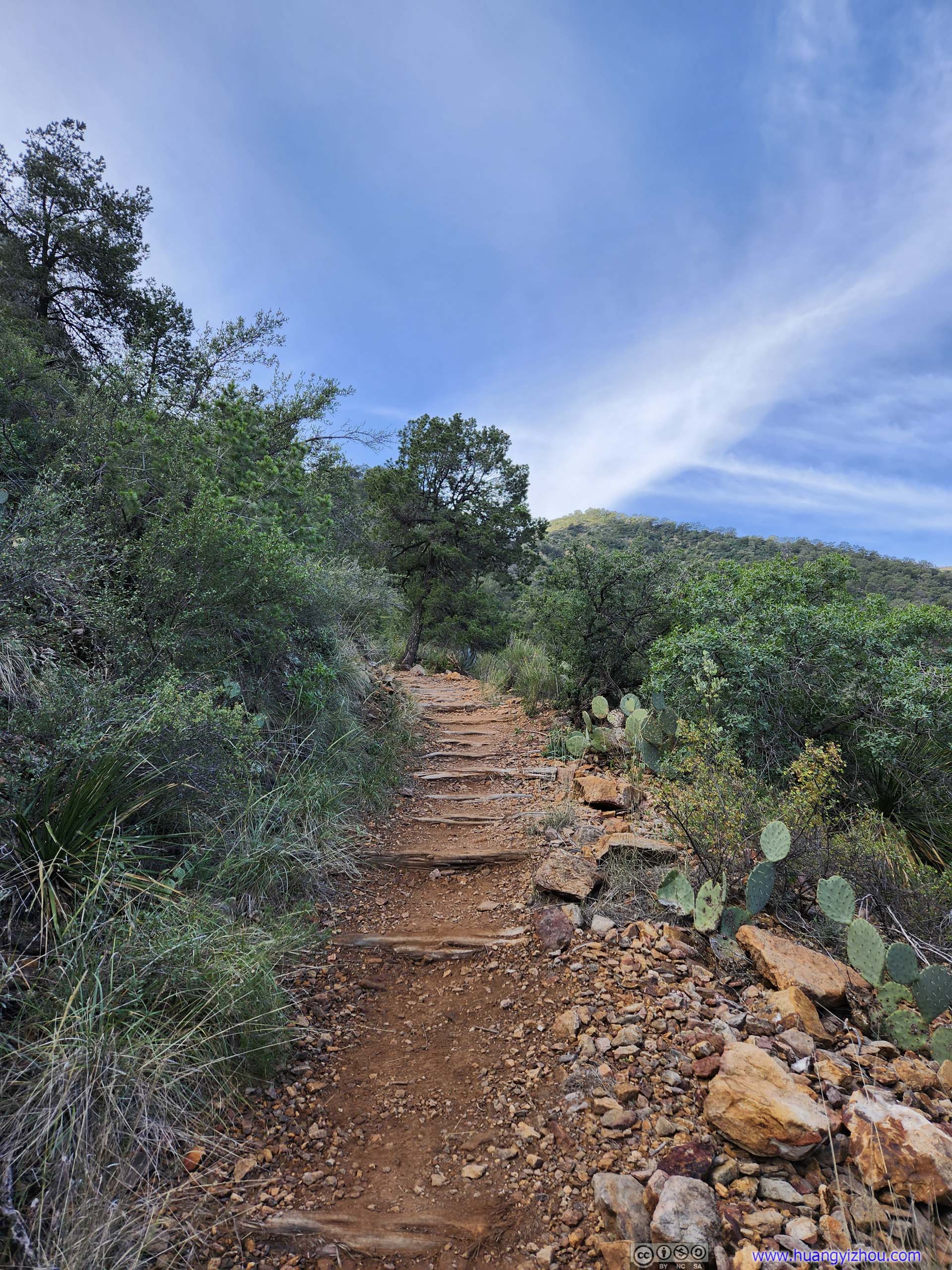
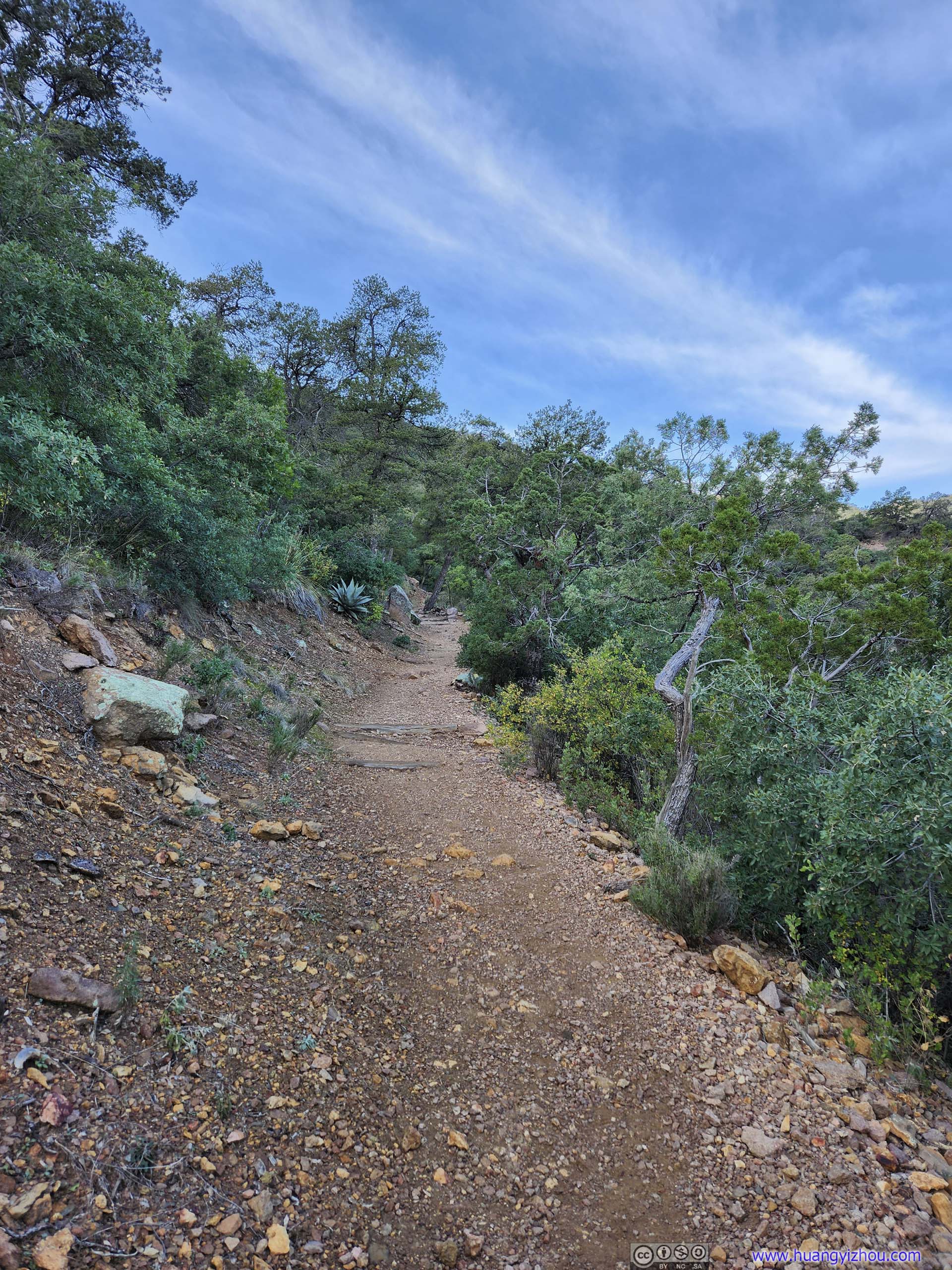
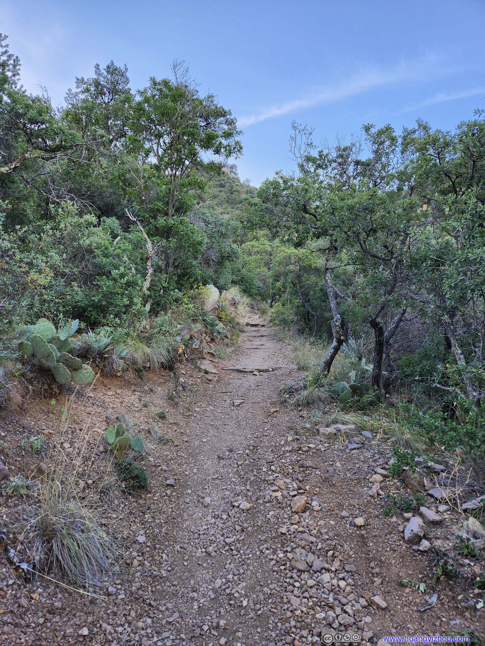
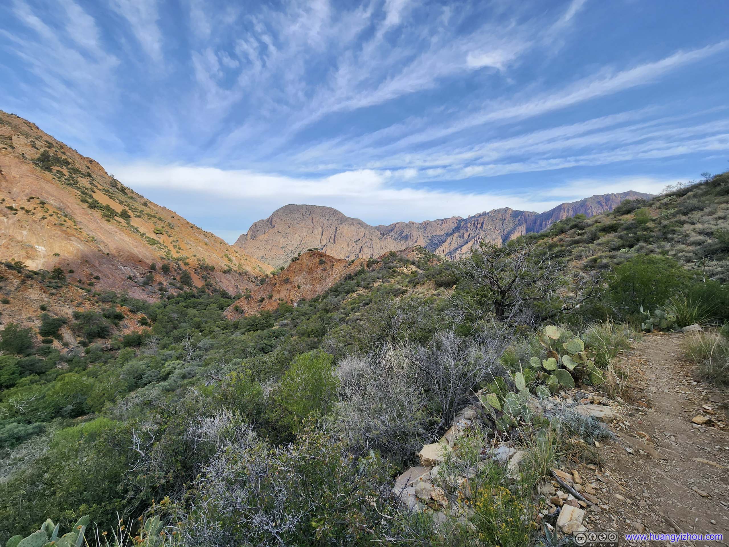
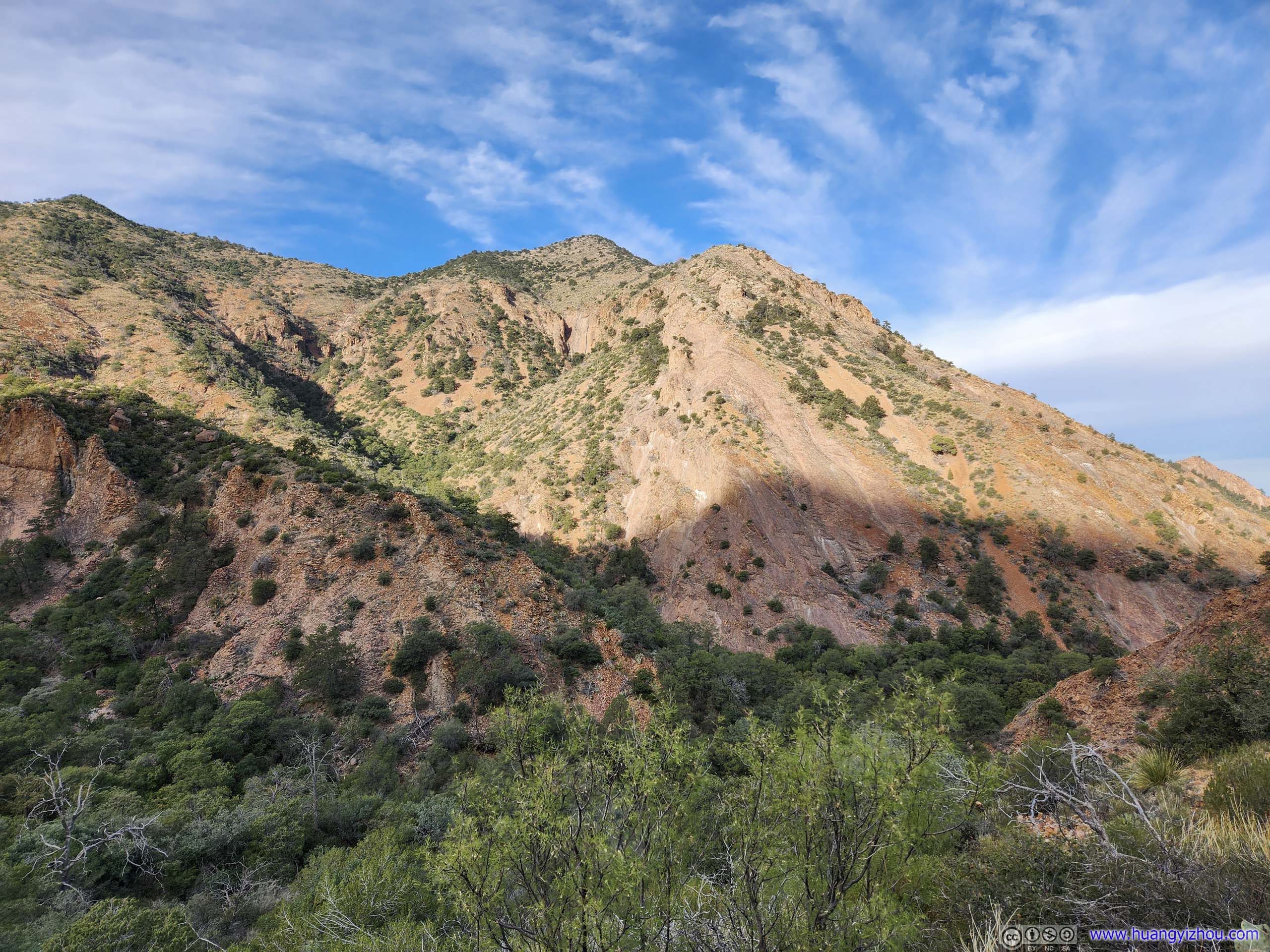
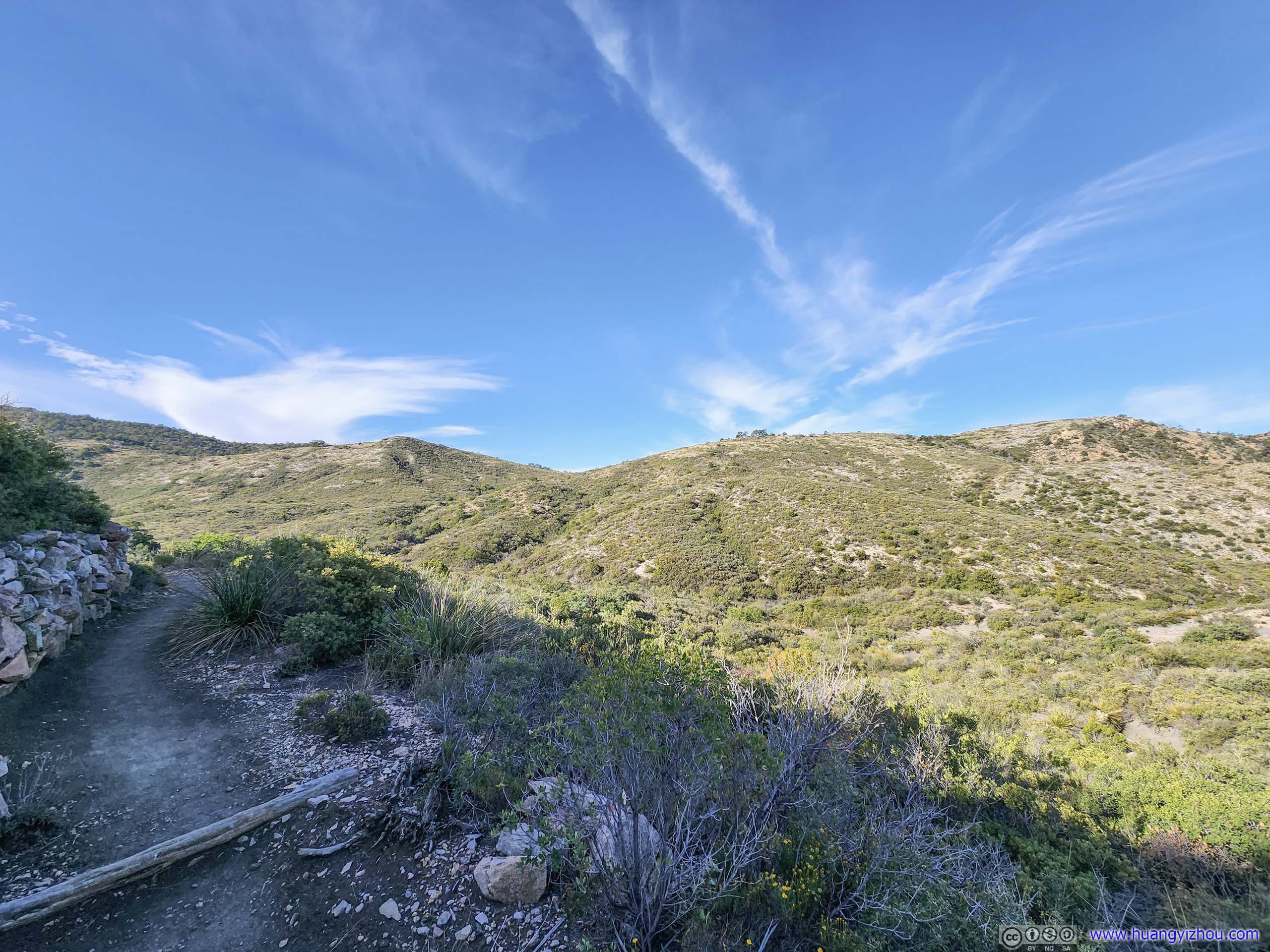
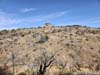
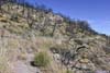
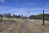
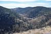
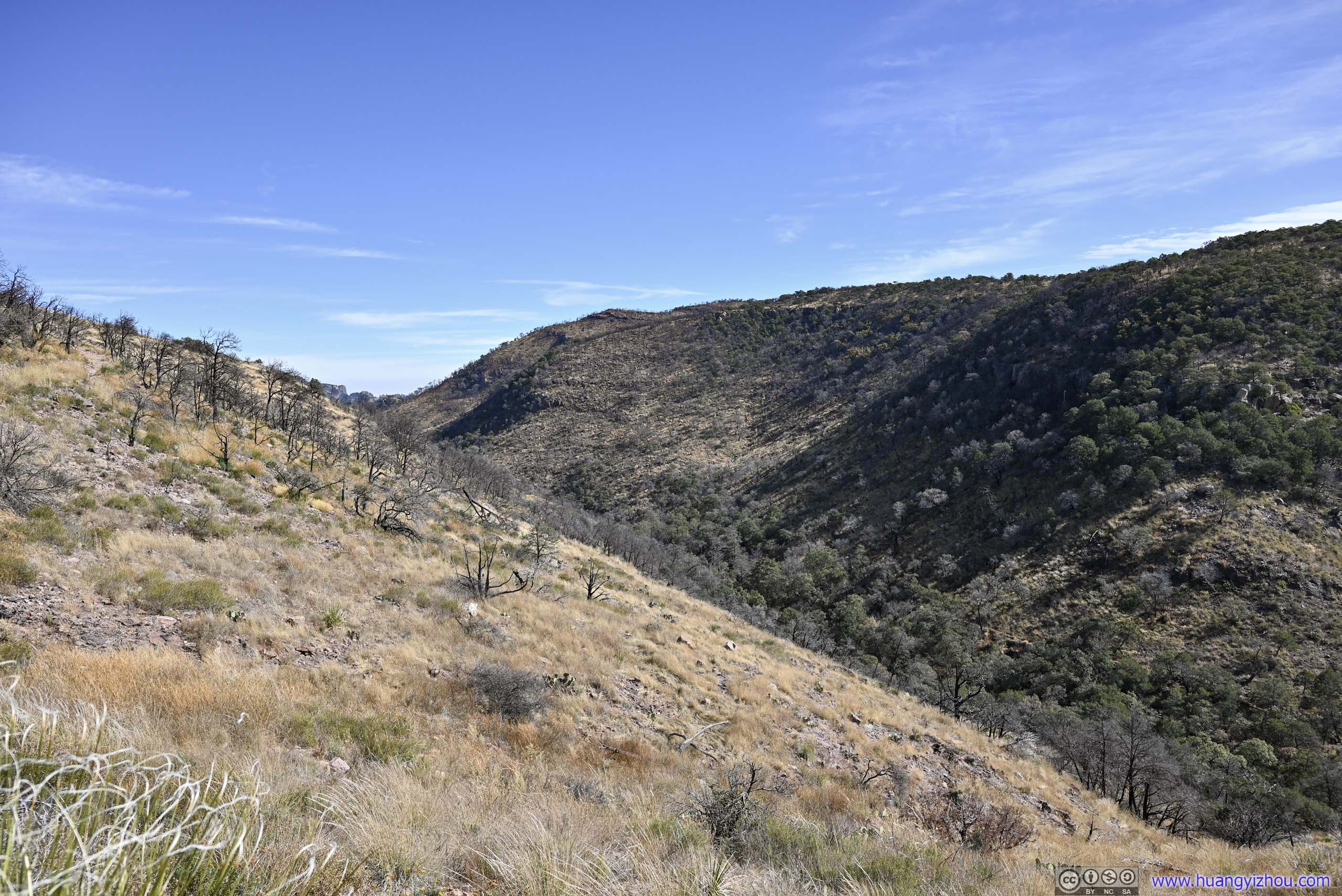
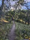
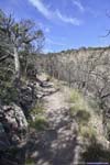
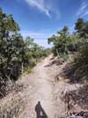
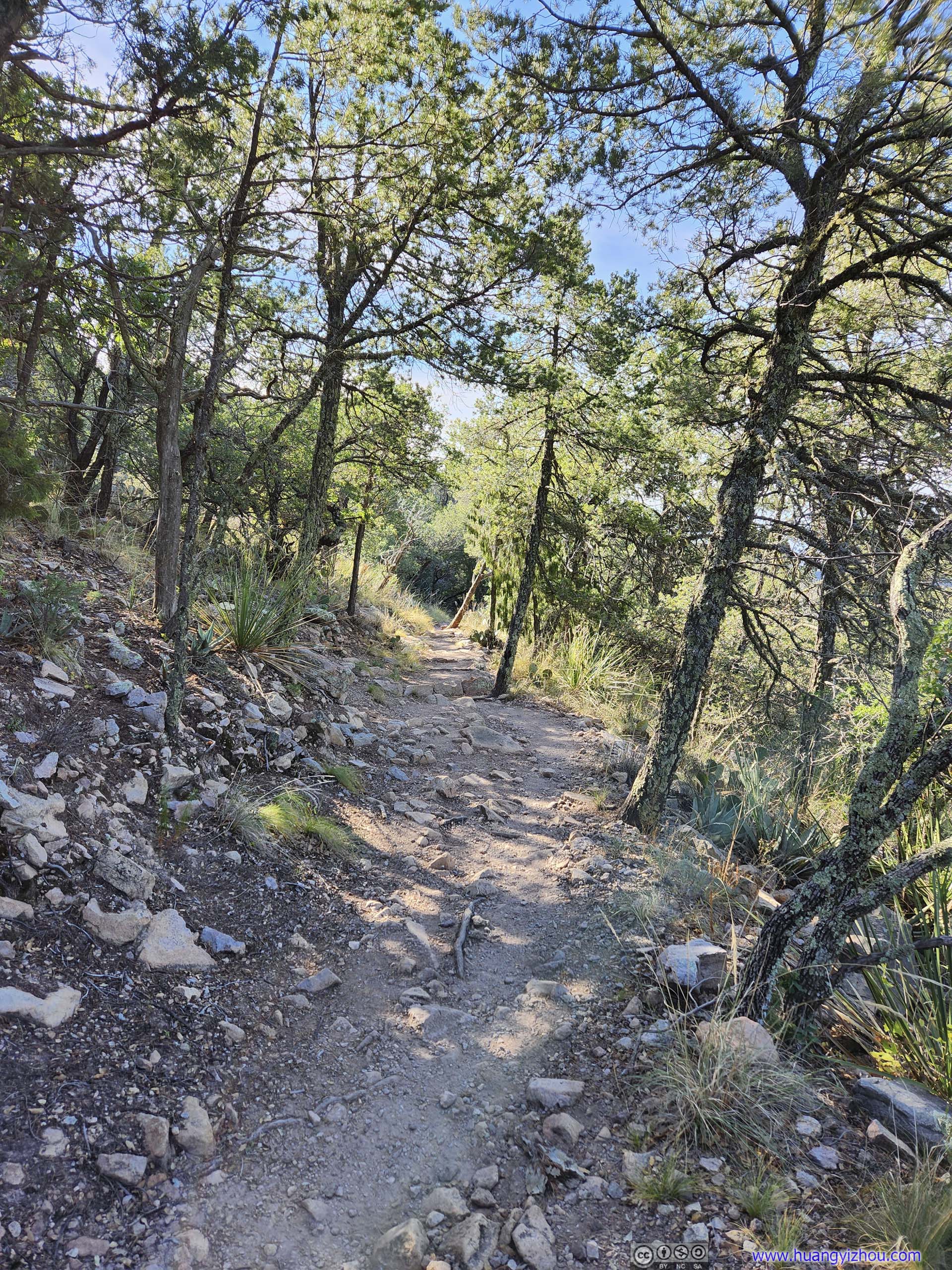
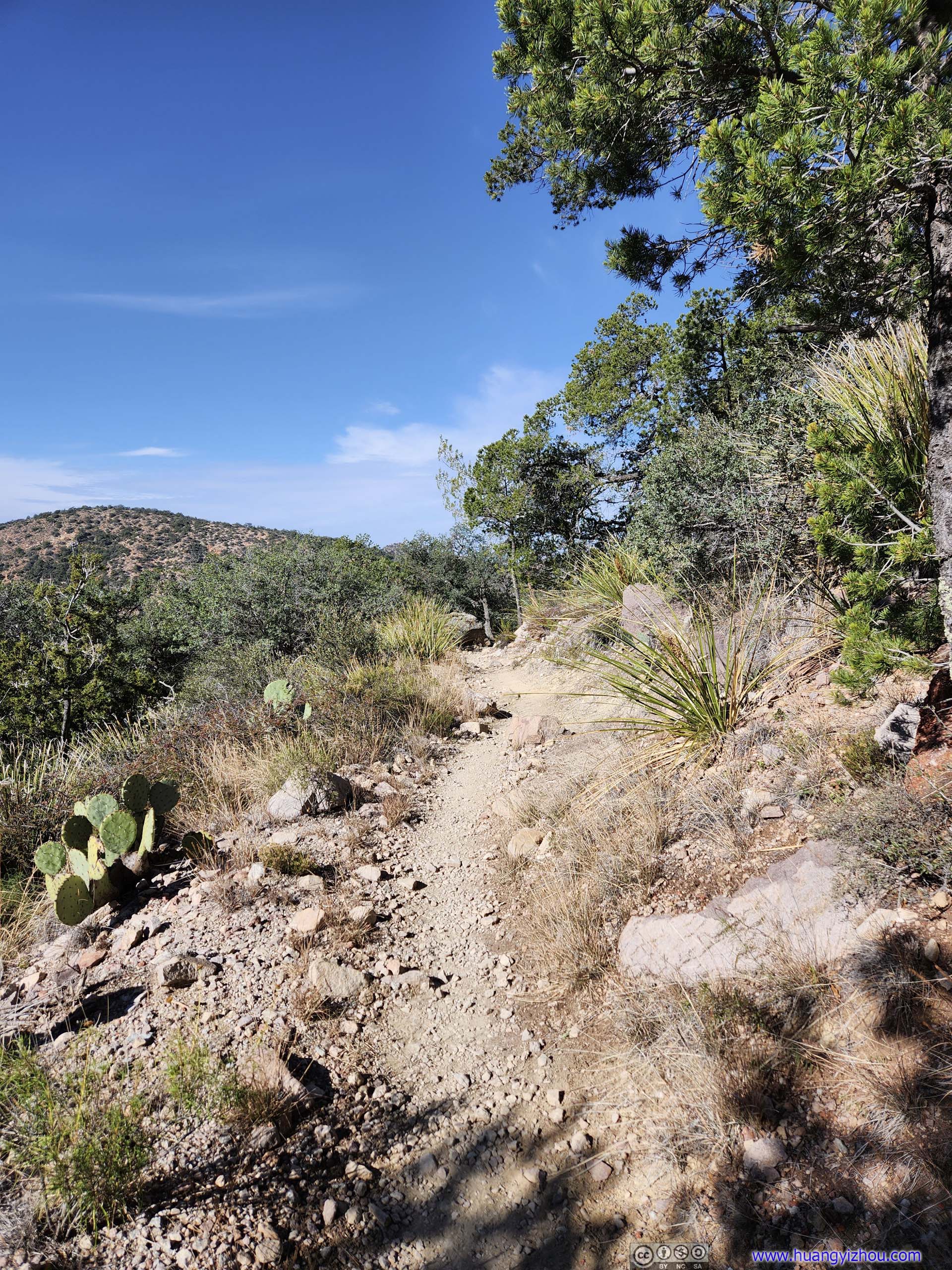
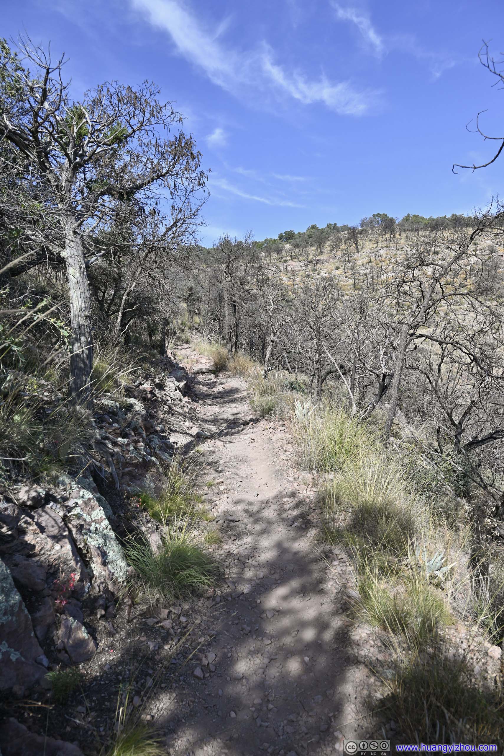
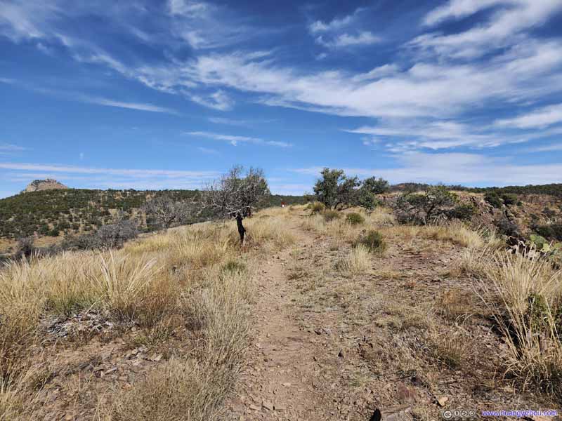
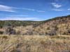
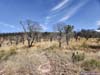
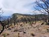
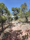
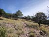
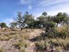
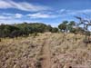
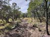
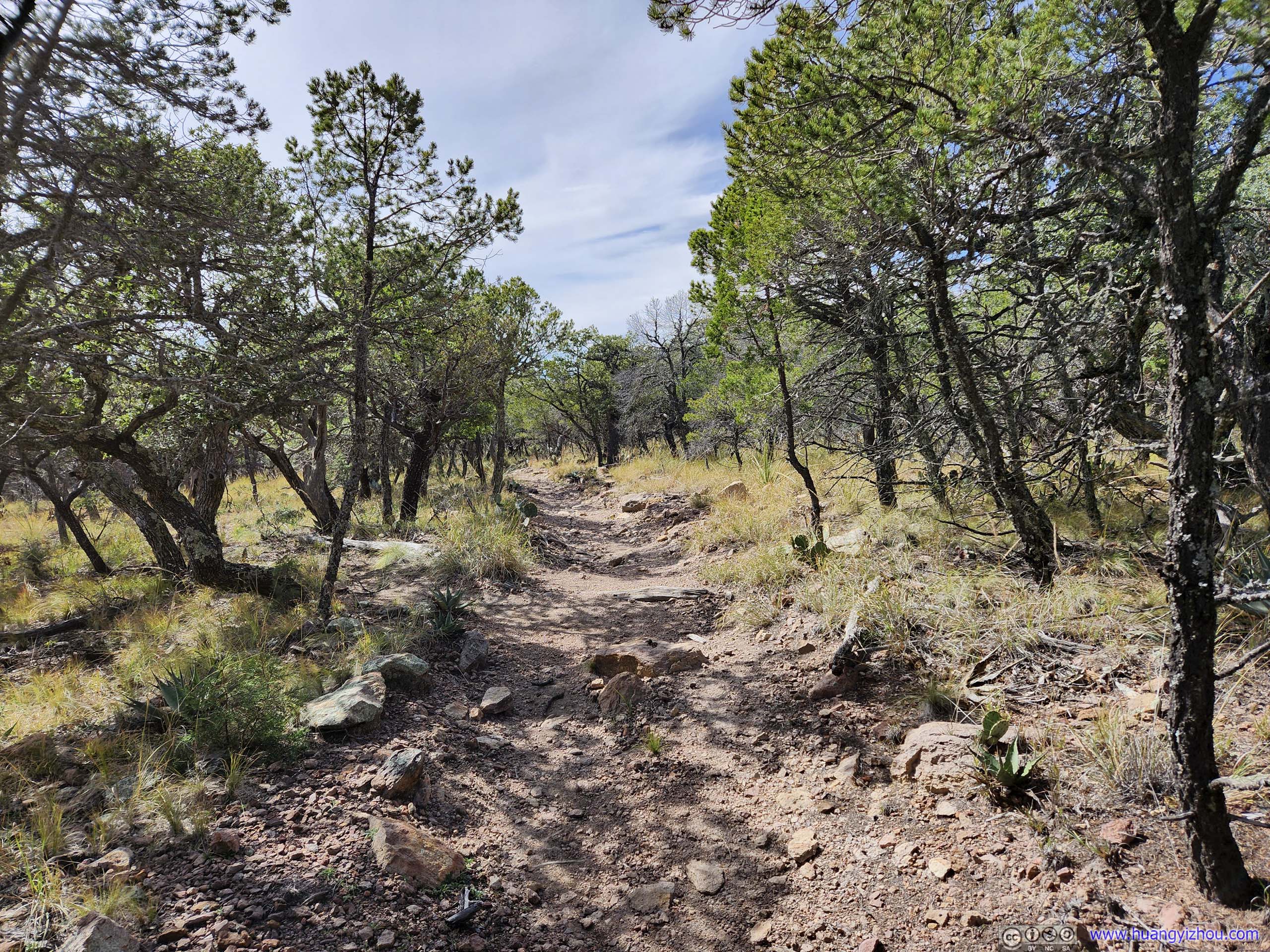
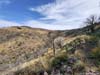
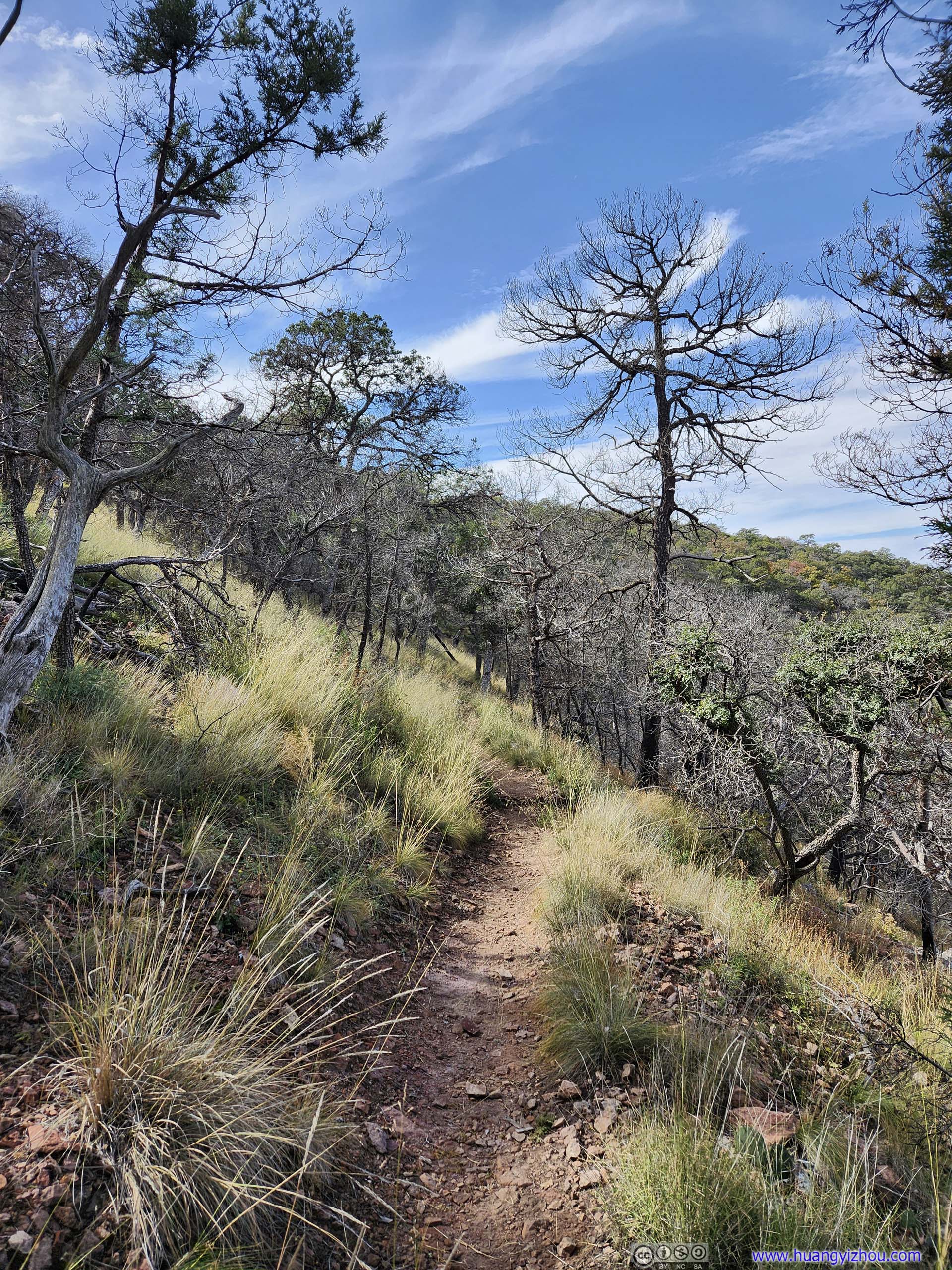
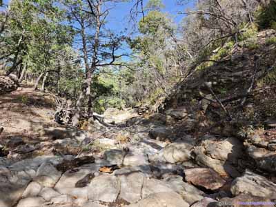
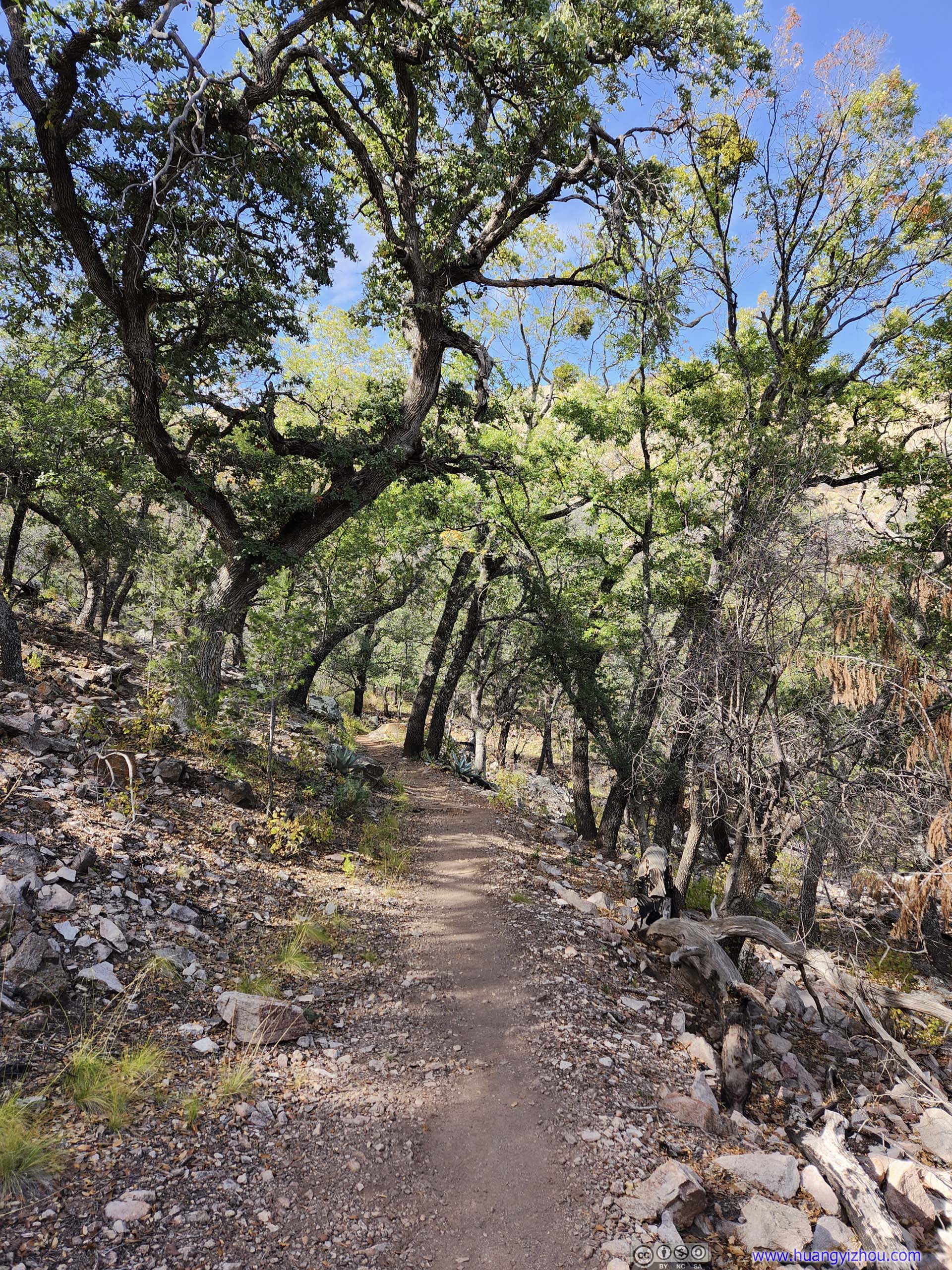
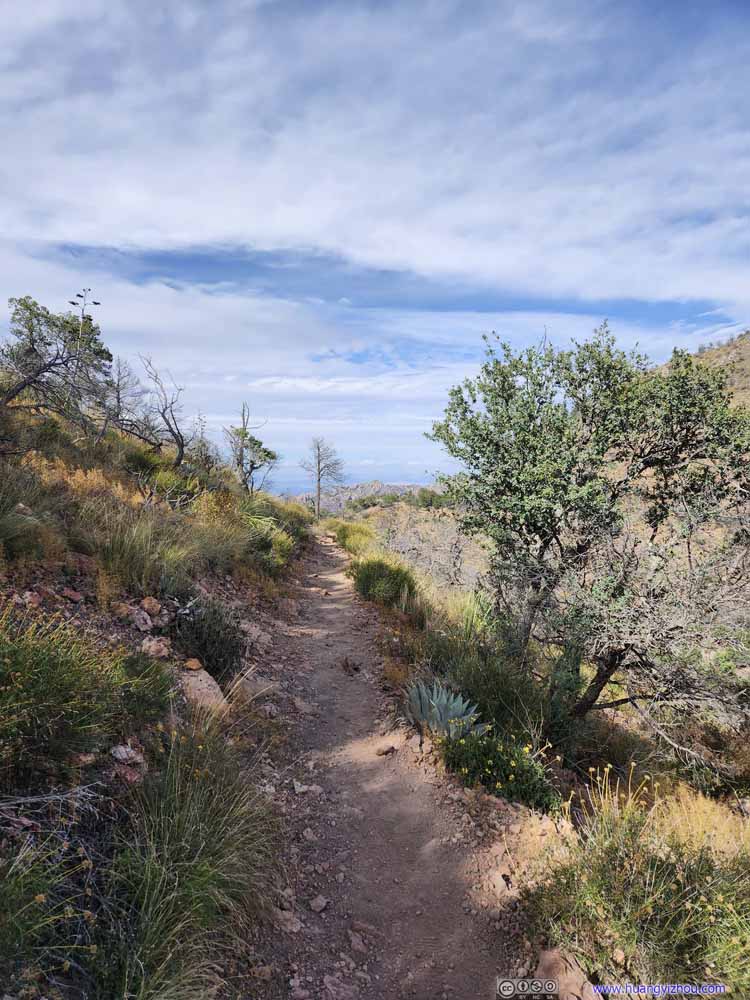
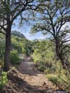
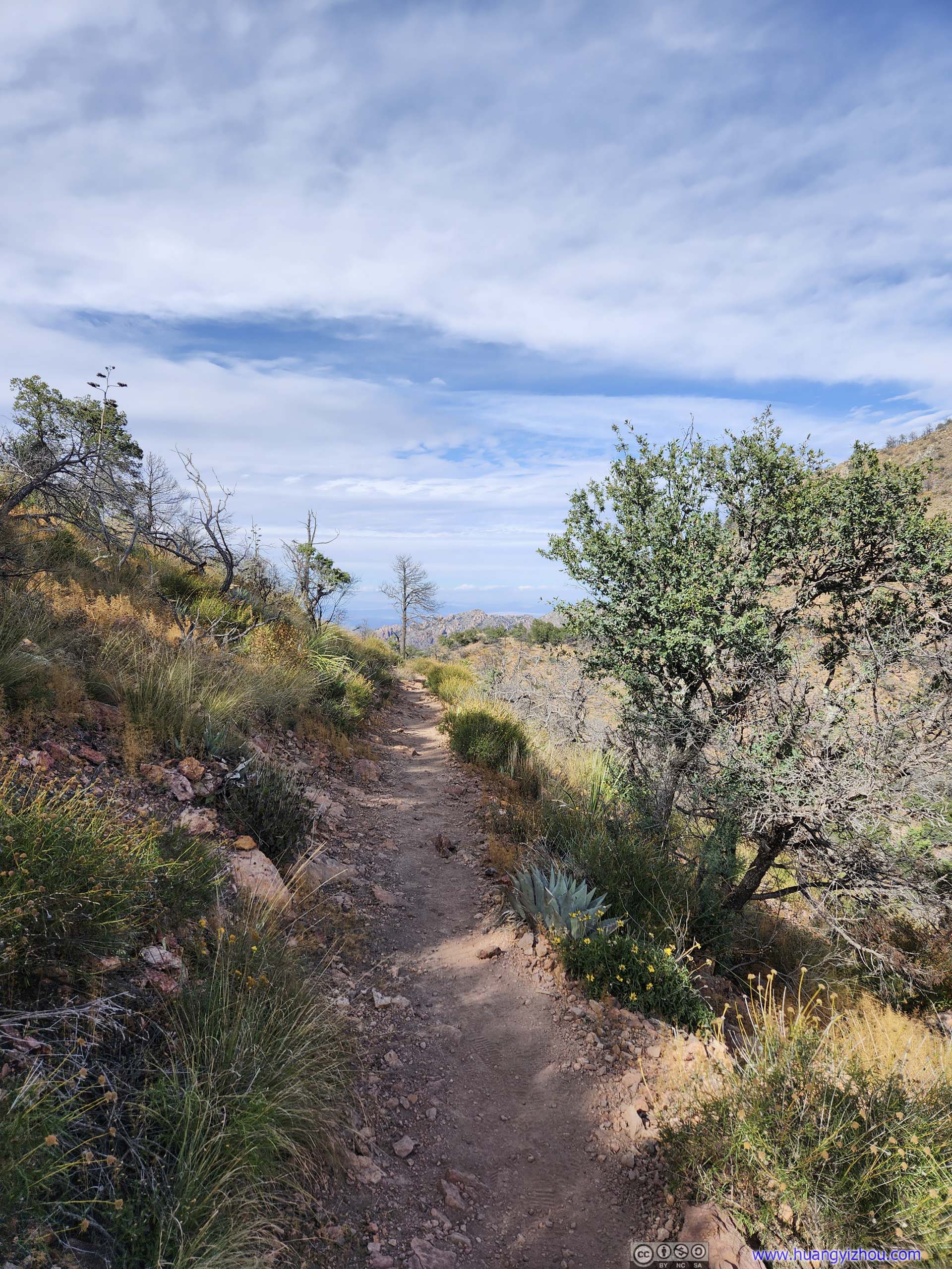
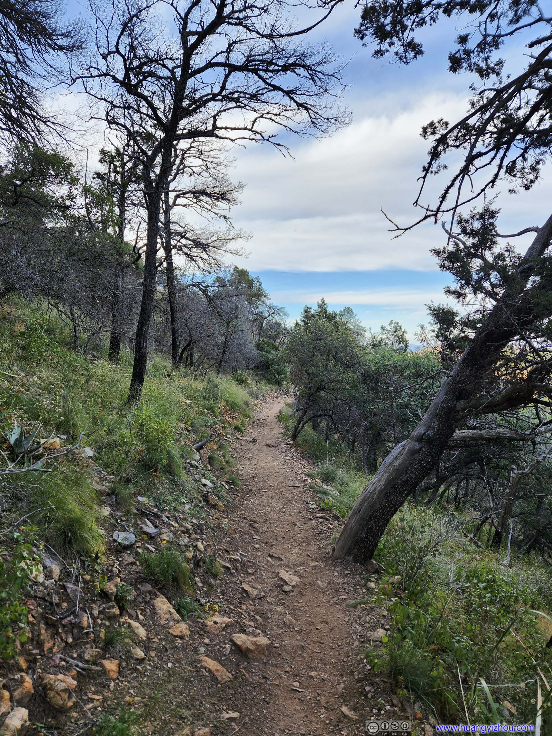
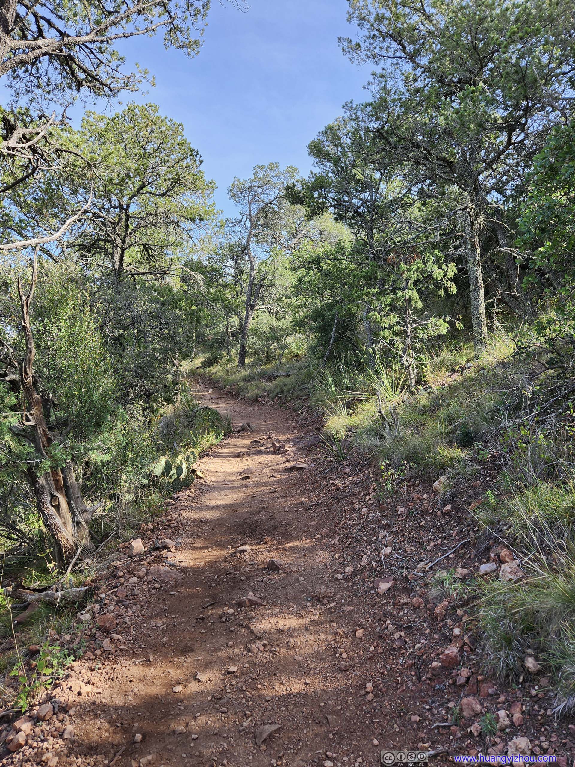
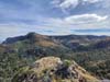
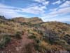
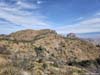
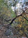
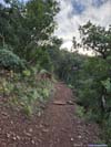
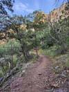
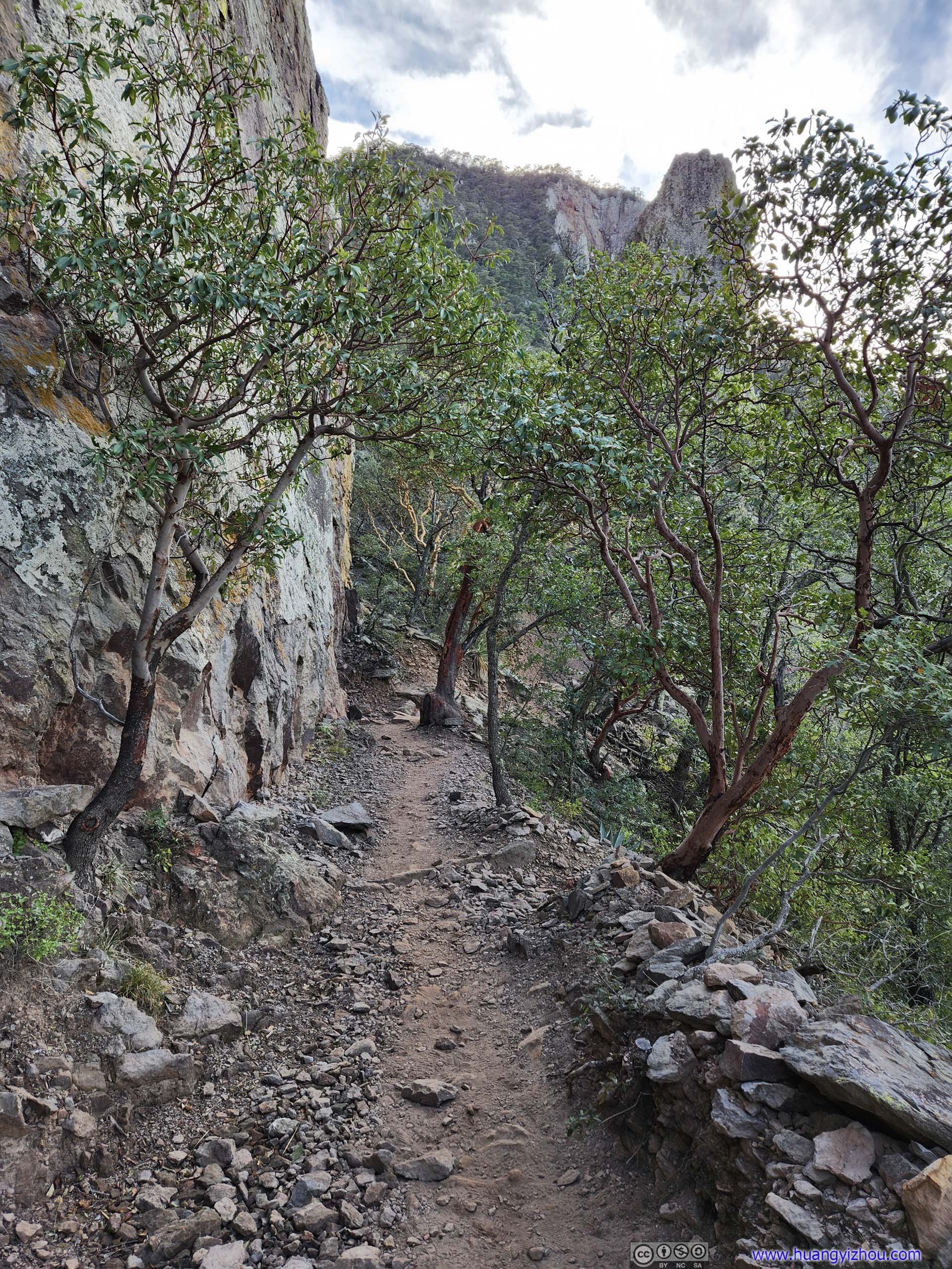
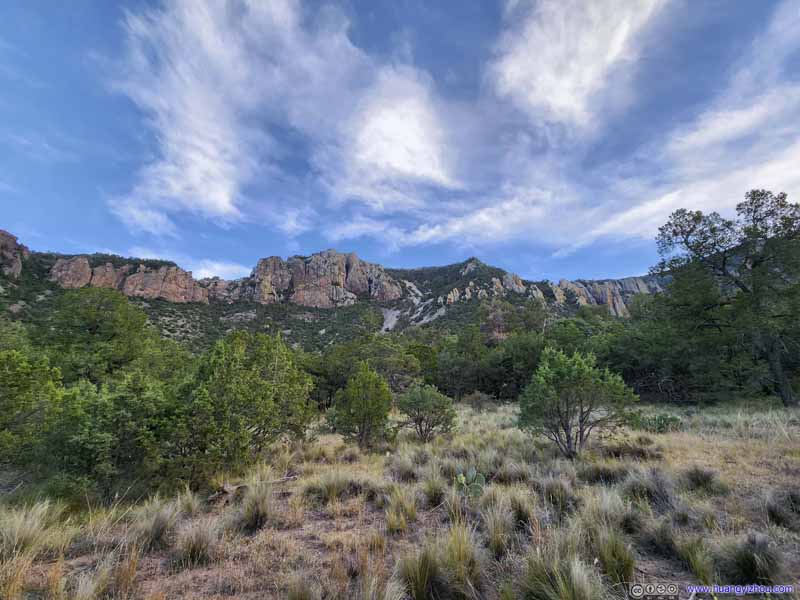
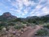
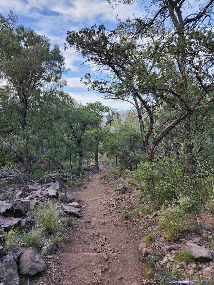
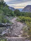
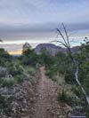
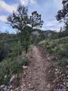
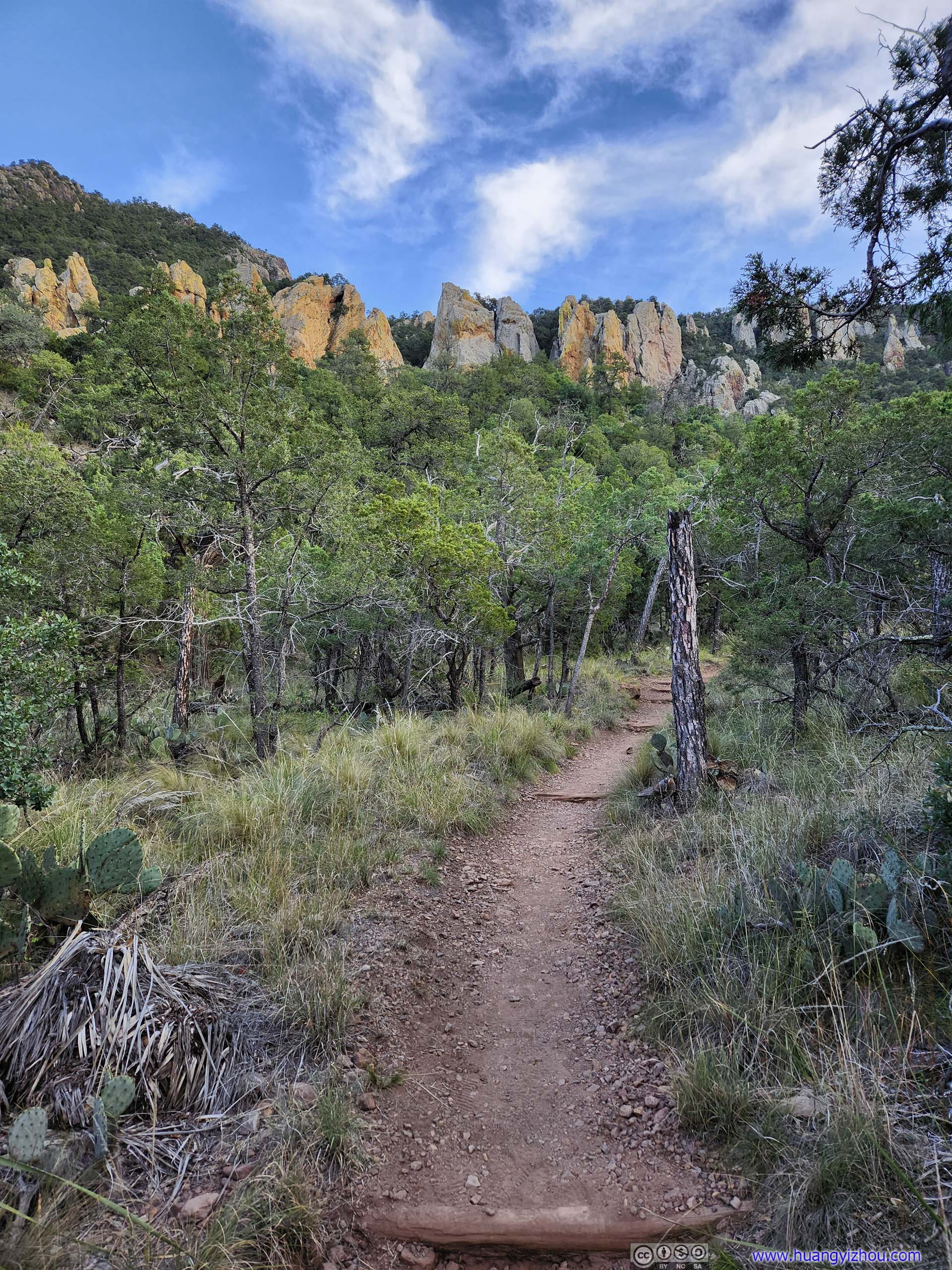
The first approximate 5km of the trail followed a valley between Emory Peak and Ward Mountain, reaching what felt to me like a mountain pass at the edge of Laguna Meadow. This section featured constant elevation gain, and many switchbacks. It’s still early in the day as the sun was behind the soaring Chisos Mountains. Apart from the physical workout, it felt like a chill morning stroll.
 Trail
Trail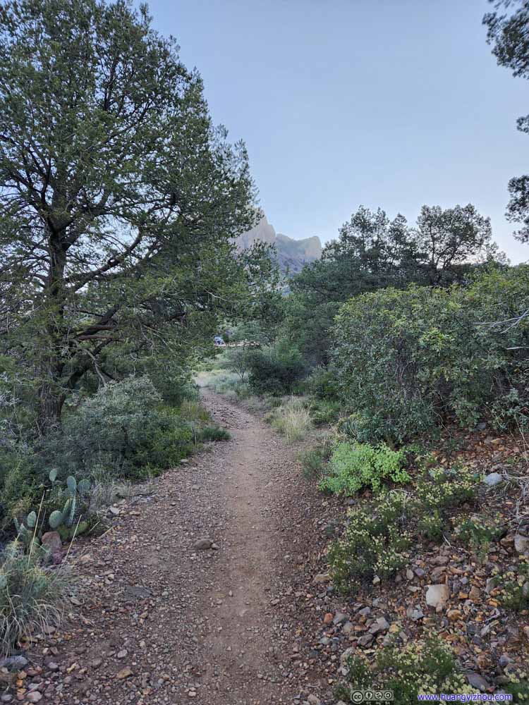 Trail
Trail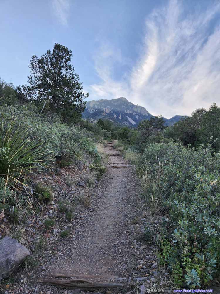 Trail
Trail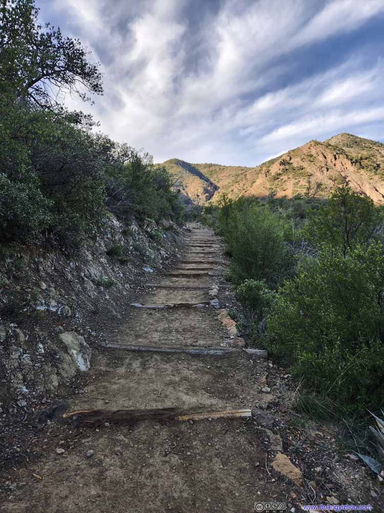 Trail
Trail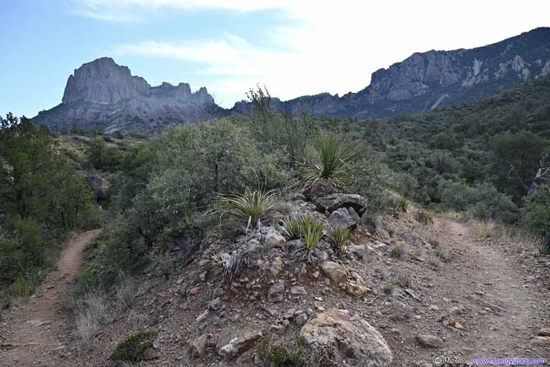
 Trail SwitchbackMany of the trail switchbacks were good places to rest and appreciate the views.
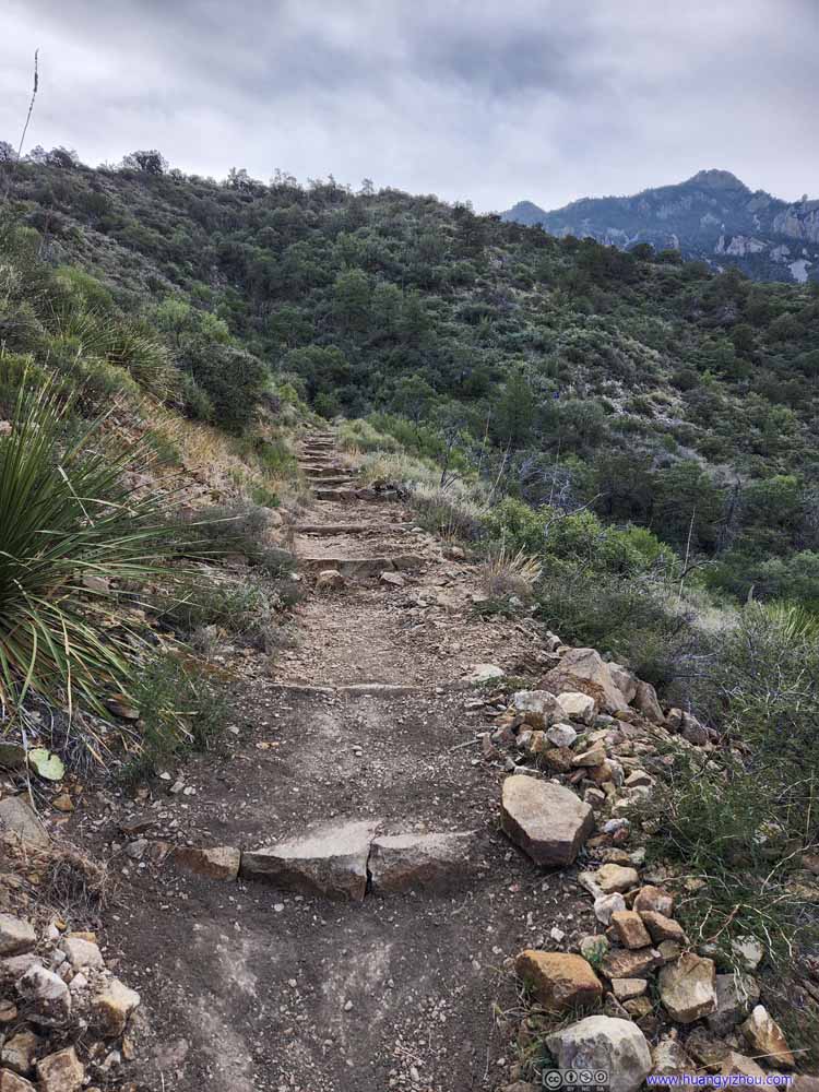 Trail
Trail Trail
Trail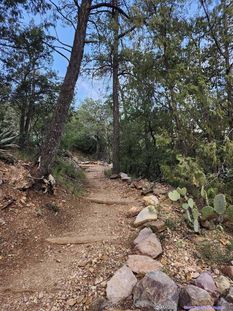 Trail
Trail Trail
Trail Trail
Trail


Click here to display photos of the trail.

Trail
Trail
Trail

Trail
 Trail SwitchbackMany of the trail switchbacks were good places to rest and appreciate the views.
Trail
Trail

Trail

Trail
Trail
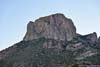
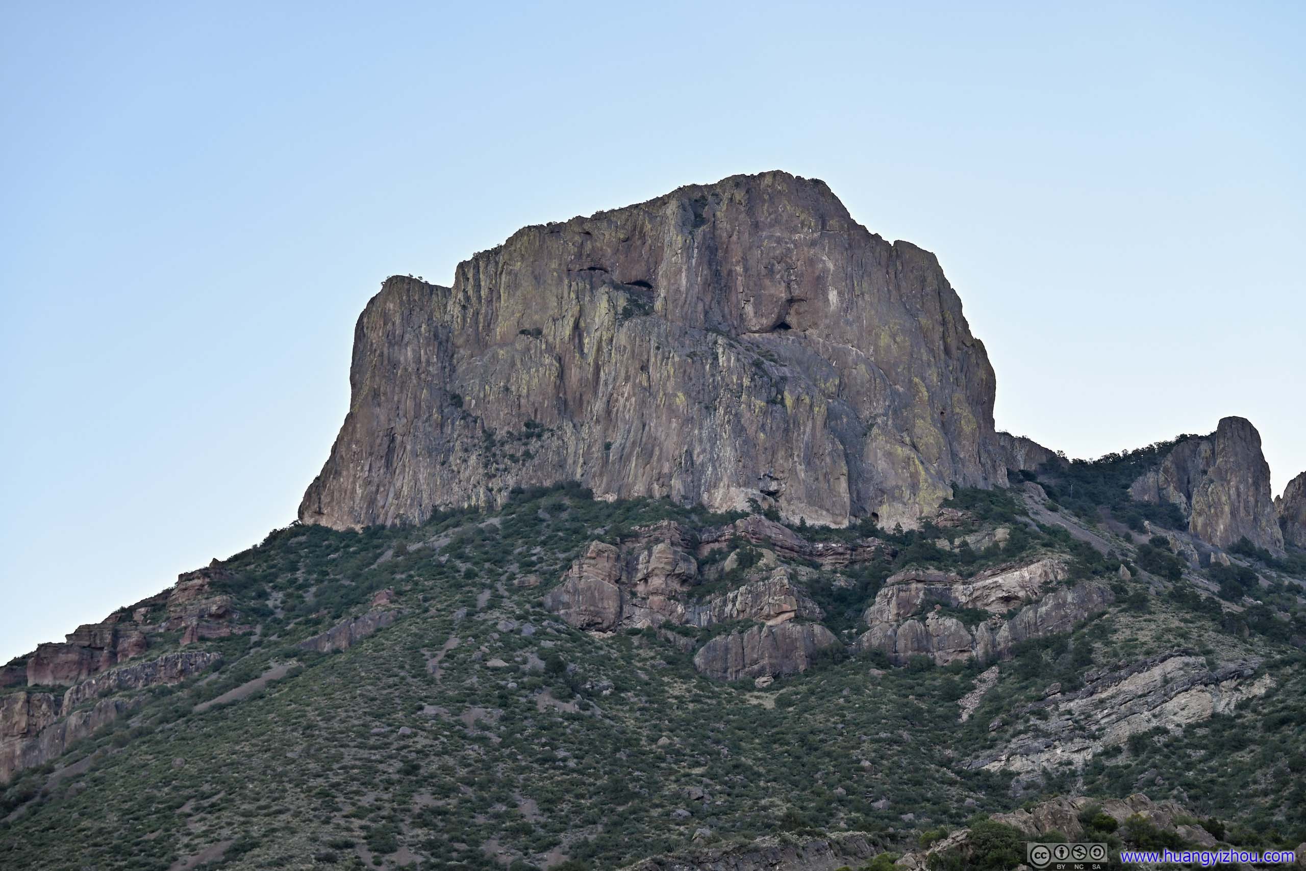
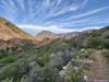
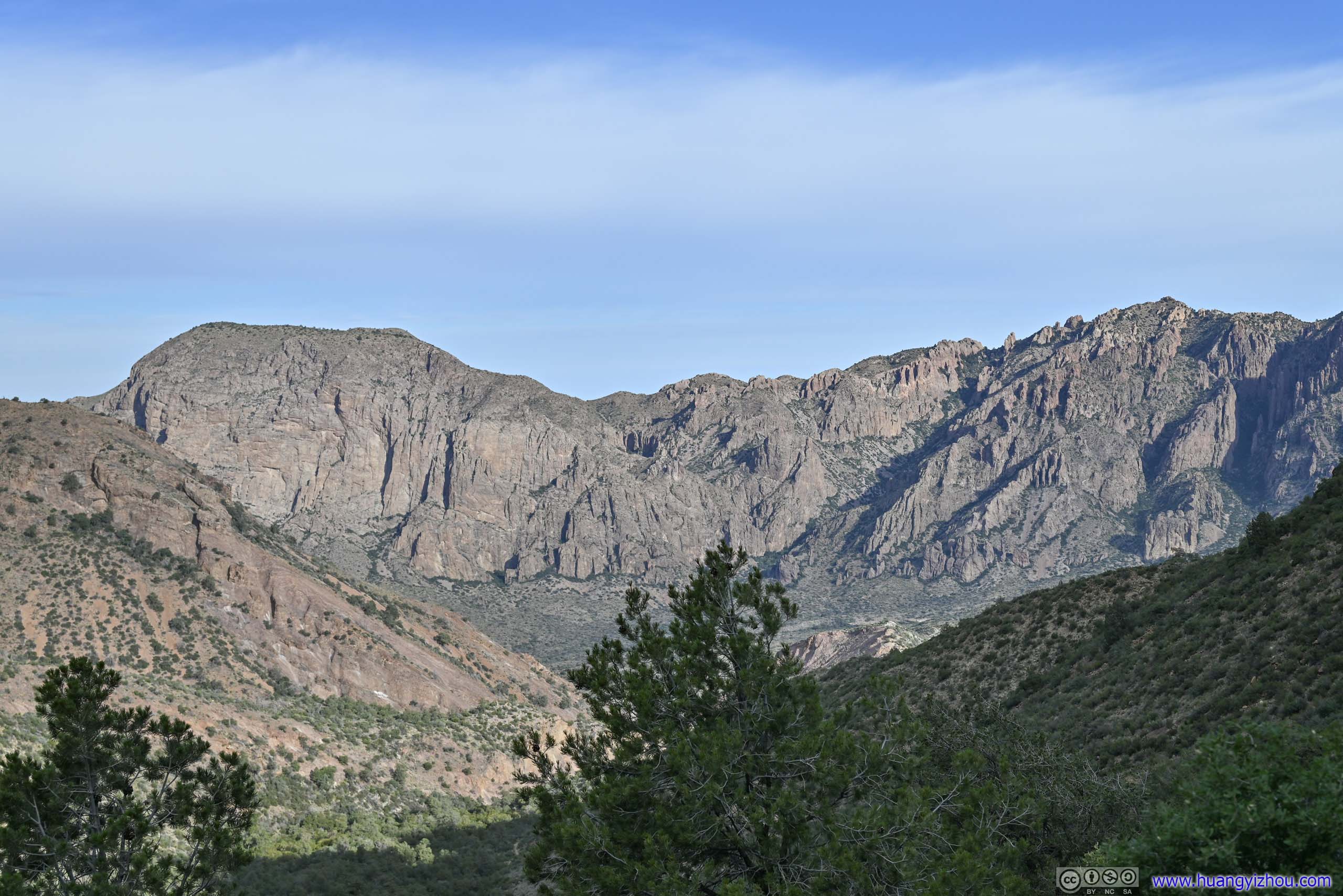
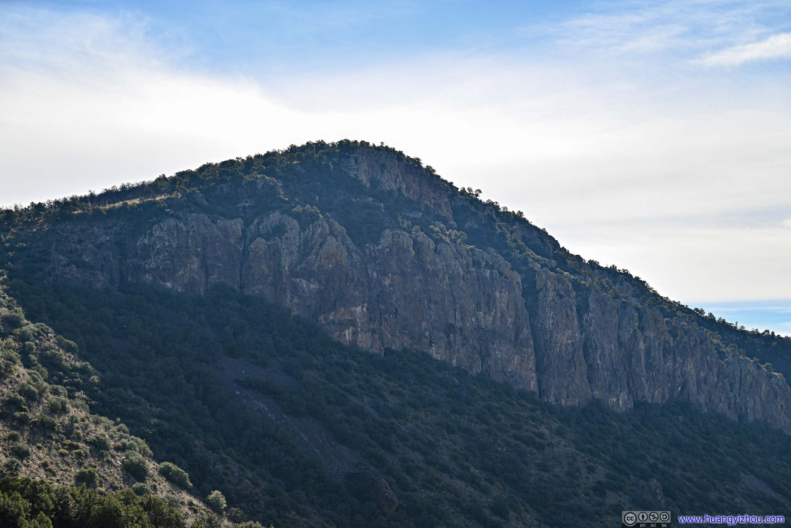
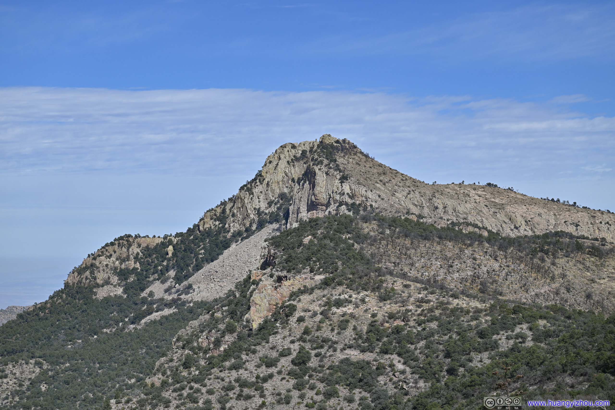
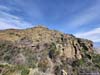
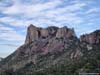
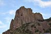
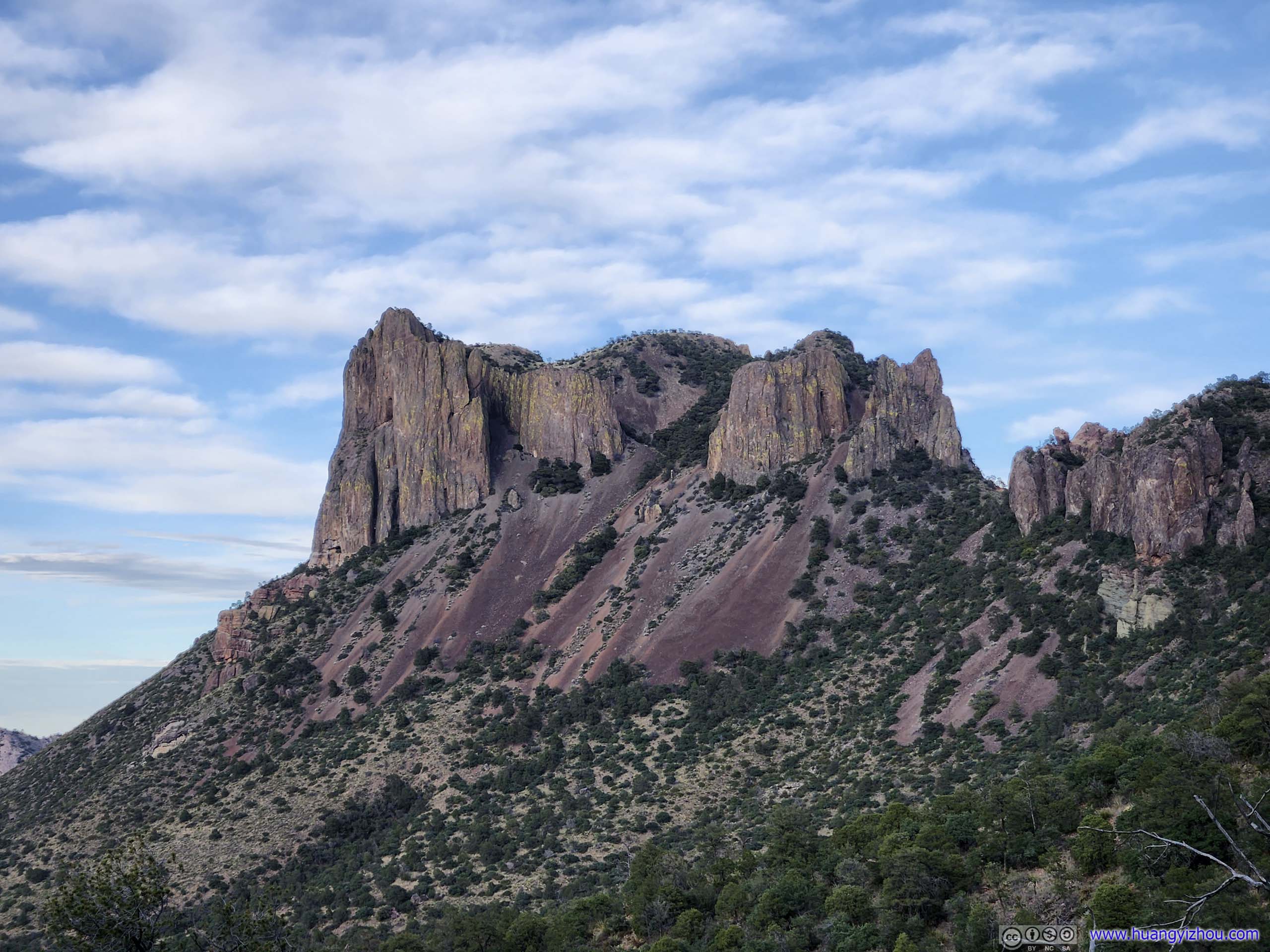
Before I headed deep into the canyon, the trail gave a preview of the few mountains that I would grow very familiar with throughout the day.
 Mountains
Toll Mountain and Emory Peak, with a tiny bit of Casa Grande Peak in the left. It’s a bit hard to get three major mountains into one shot.
Mountains
Toll Mountain and Emory Peak, with a tiny bit of Casa Grande Peak in the left. It’s a bit hard to get three major mountains into one shot.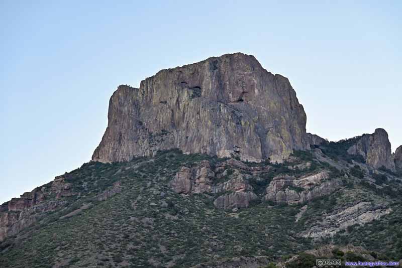 Casa Grande Peak
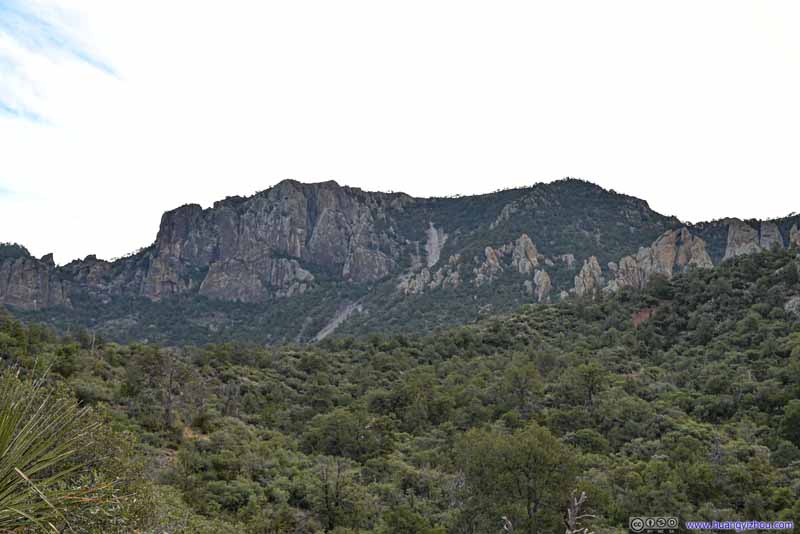 Toll Mountain
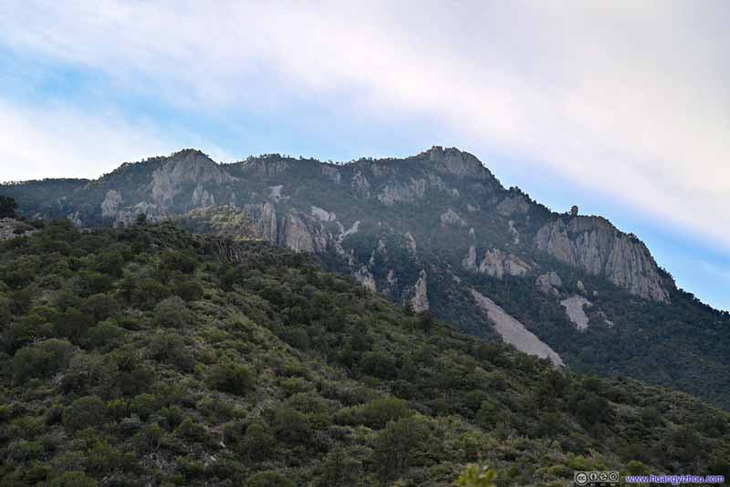 Emory Peak
 Trail towards Emory Peak
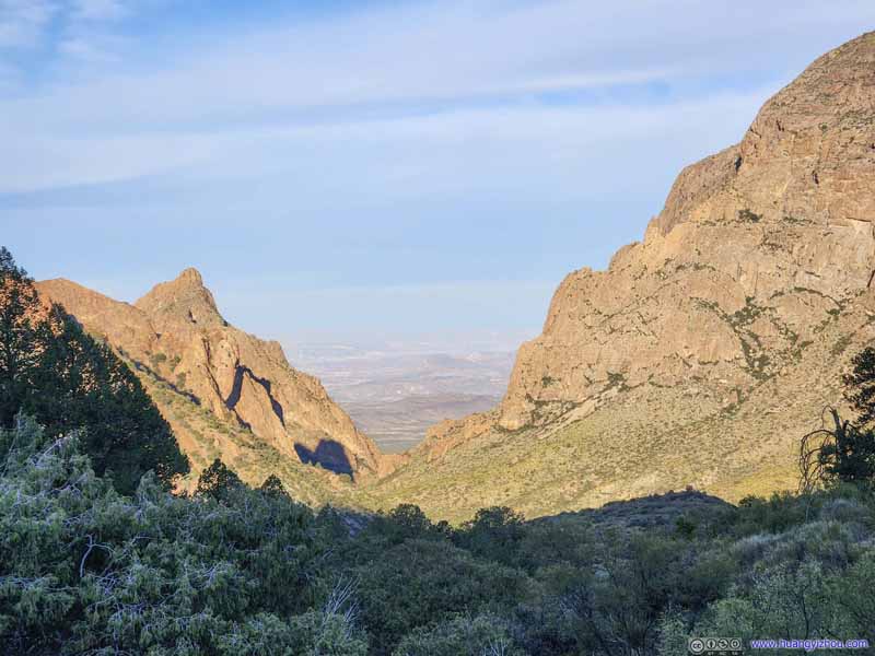 The WindowWhere I was the previous morning.

Click here to display photos of the mountains.

Mountains
Casa Grande Peak
Toll Mountain

Emory Peak
Trail towards Emory Peak

The WindowWhere I was the previous morning.
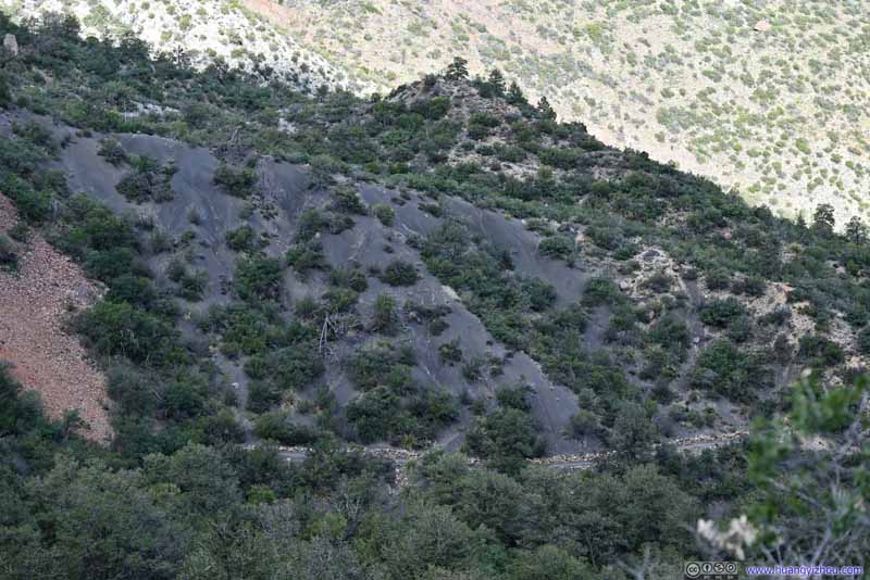
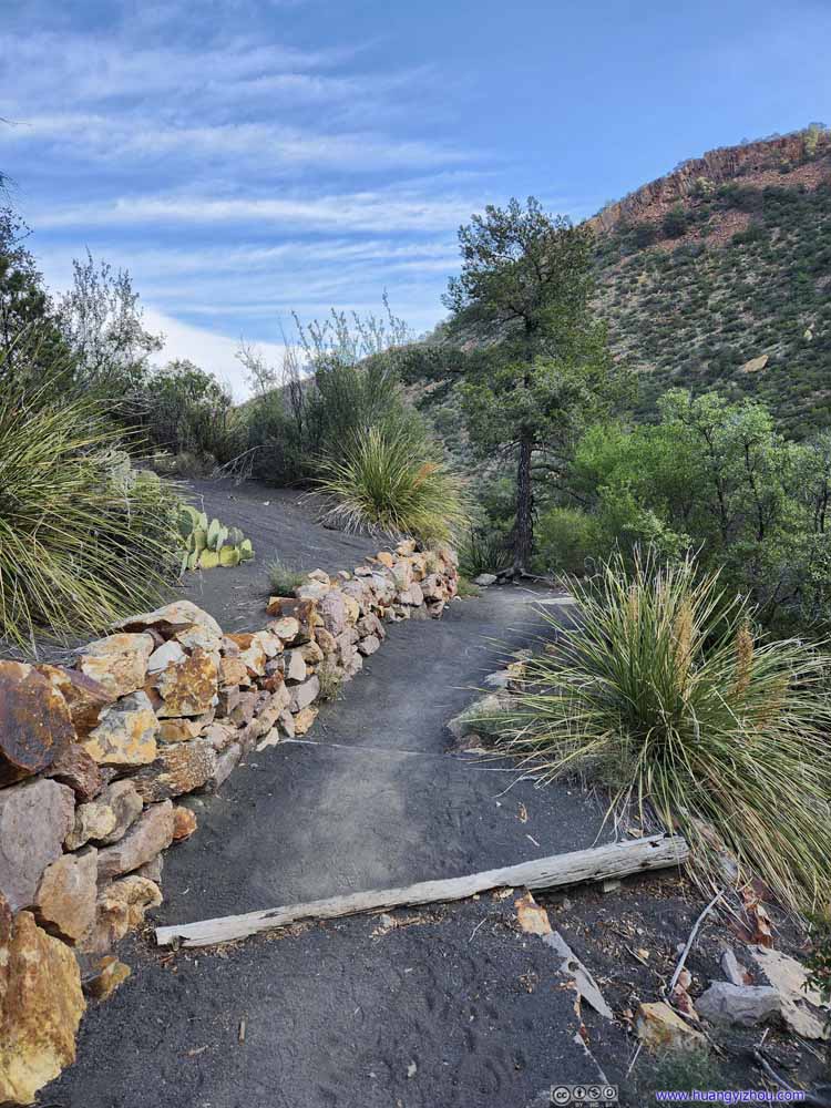 TrailA small portion of the trail was on blackish fine gravel, I guessed that’s some volcanic deposit.
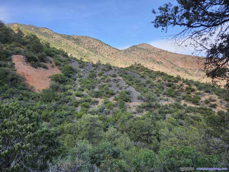
 Looking back at Trail
Looking back the pervious section of blackish trail, for what seemed like volcanic deposit that spanned some distance.
Looking back at Trail
Looking back the pervious section of blackish trail, for what seemed like volcanic deposit that spanned some distance. Trail
Trail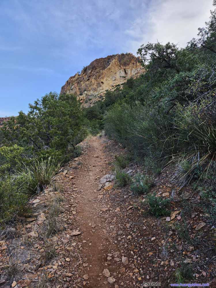 Trail
Trail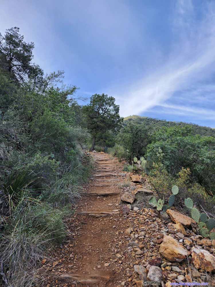 Trail
Trail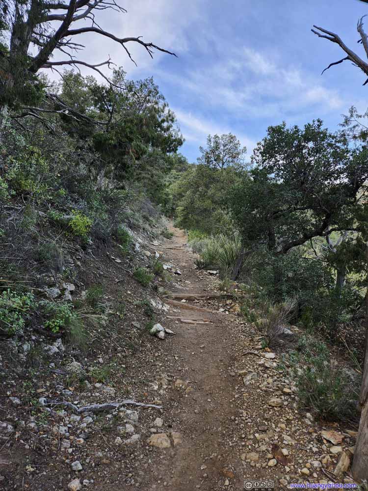 Trail
Trail Trail
Trail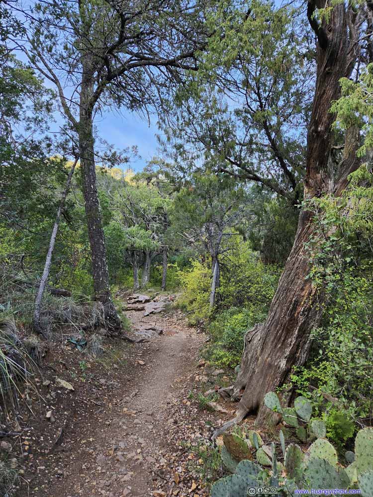 Trail
Trail Trail
Trail


Click here to display photos of the trail.
TrailA small portion of the trail was on blackish fine gravel, I guessed that’s some volcanic deposit.

 Looking back at Trail
Trail
Trail
Trail

Trail
Trail

Trail
Trail
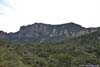
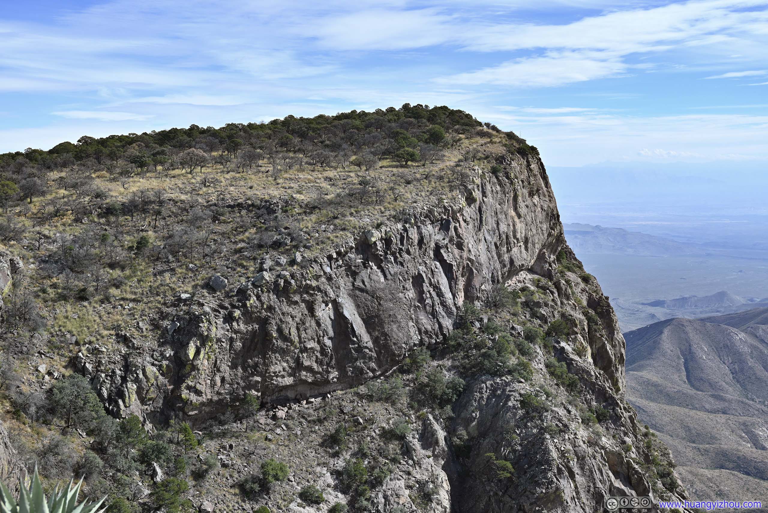
And here were some final glimpses of Vernon Bailey Peak before I reached Laguna Meadow. Laguna Meadow is a part of Chisos Mountains that isn’t visible from the basin.
 MountainsThe ones that I was rather familiar with from previous day’s hike to The Window.
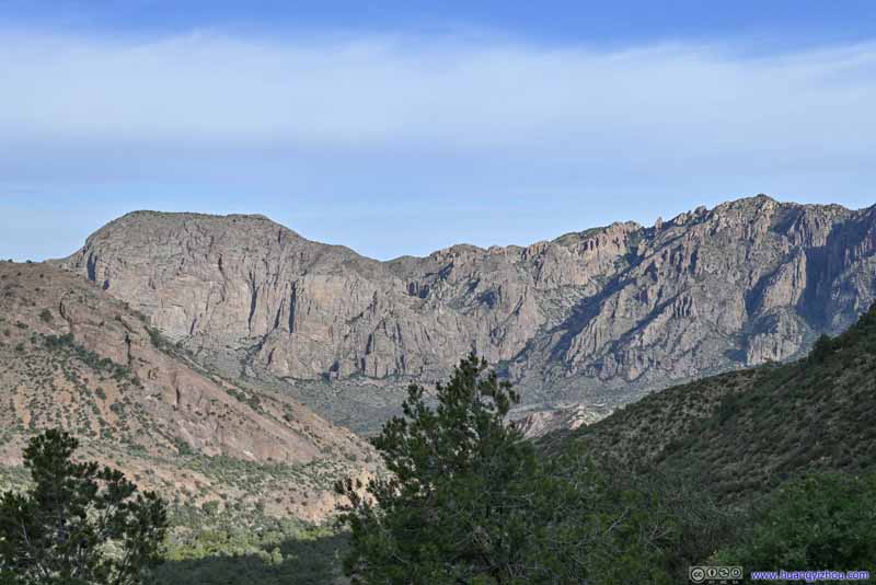 MountainsThe ones that I was rather familiar with from previous day’s hike to The Window.
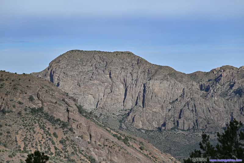 Vernon Bailey PeakIt would be later today at Pinnacles Pass that I next saw it.
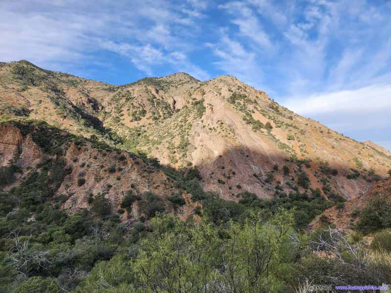 Eastern Slope of Ward Mountain
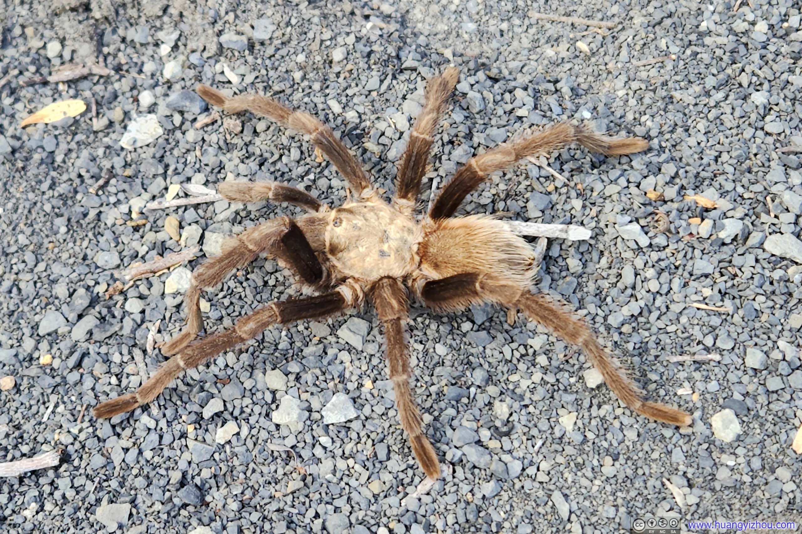
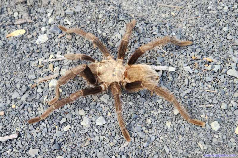 SpiderSpotted by some fellow hikers, my only encounter with animals today.

Click here to display photos of the slideshow
MountainsThe ones that I was rather familiar with from previous day’s hike to The Window.
MountainsThe ones that I was rather familiar with from previous day’s hike to The Window.

Vernon Bailey PeakIt would be later today at Pinnacles Pass that I next saw it.
Eastern Slope of Ward Mountain
SpiderSpotted by some fellow hikers, my only encounter with animals today.
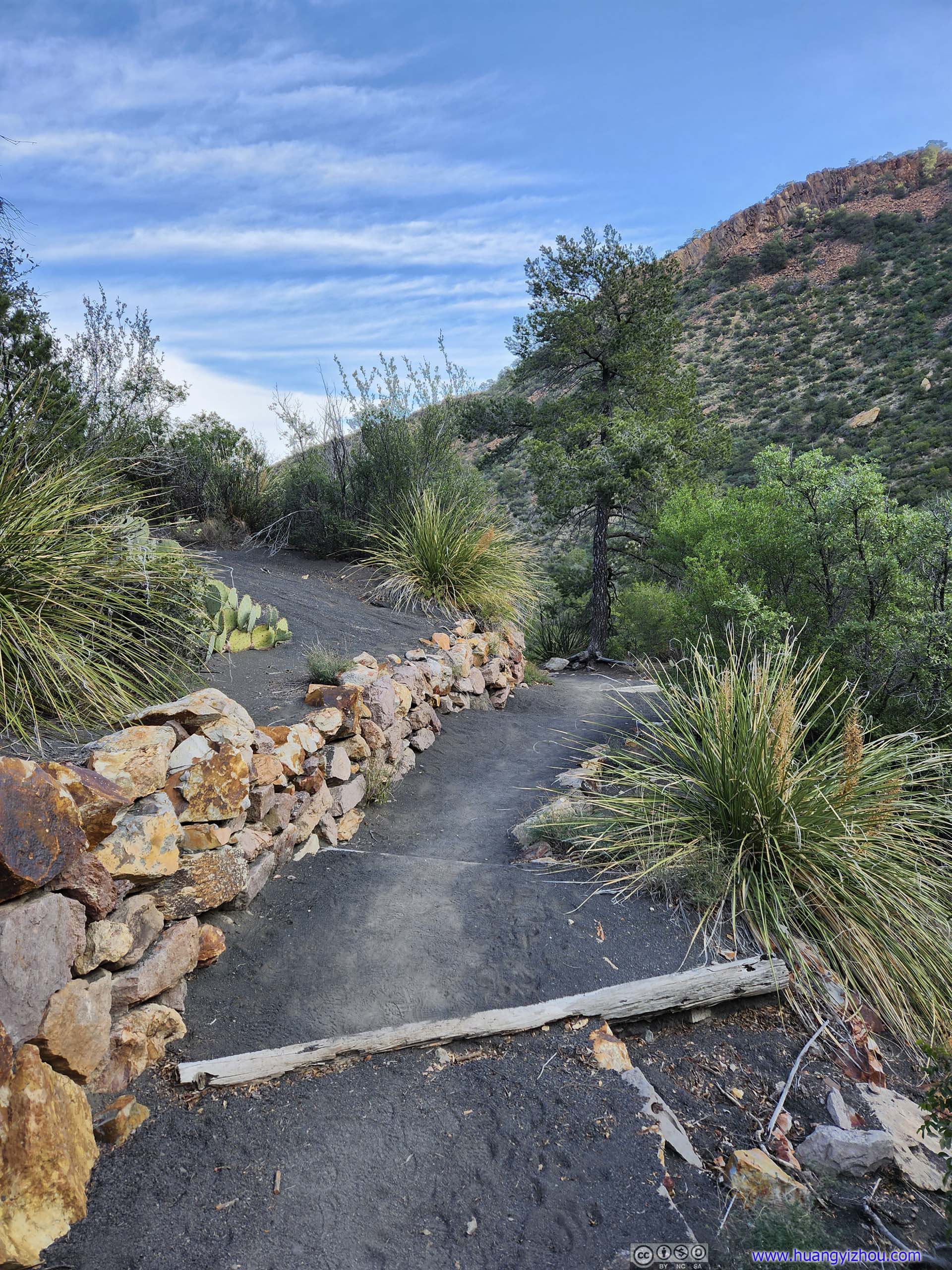
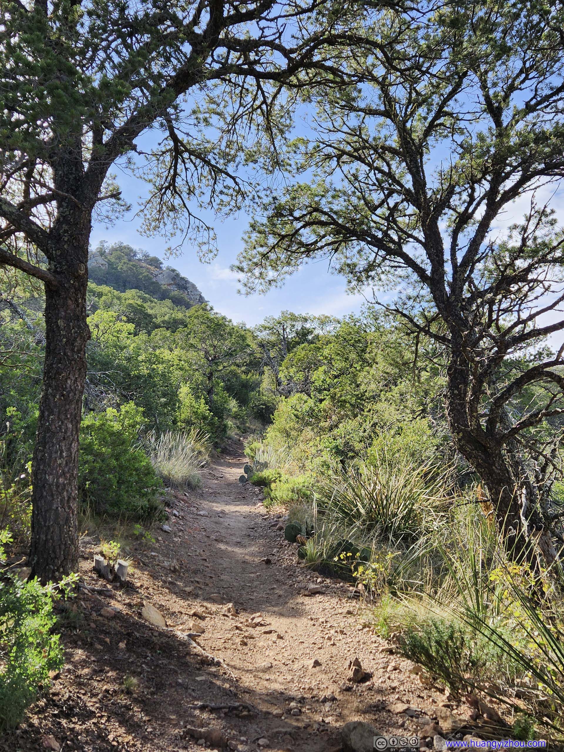
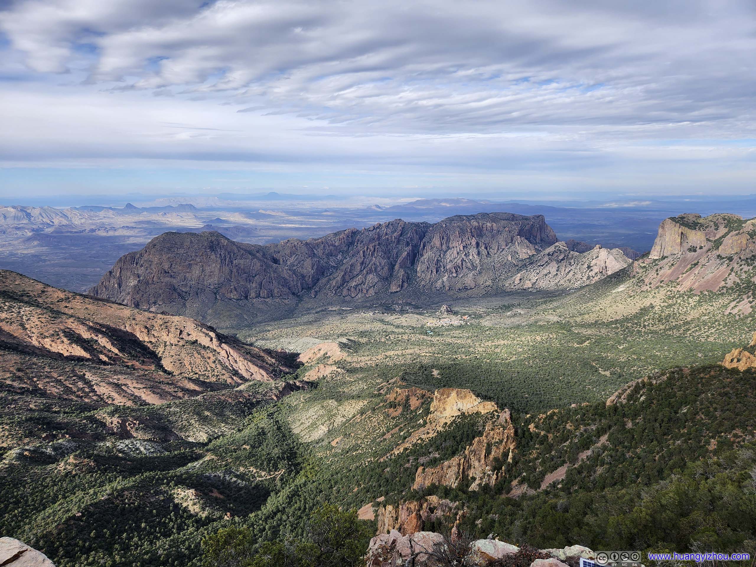
Laguna Meadow to South Rim
Finally, I reached Laguna Meadow at 10am, where the surrounding landscape opened up and the elevation gain eased. There was occasional bright sunshine since I left the valley behind.
Laguna Meadow
 TrailEmory Peak was tangibly close in the background.
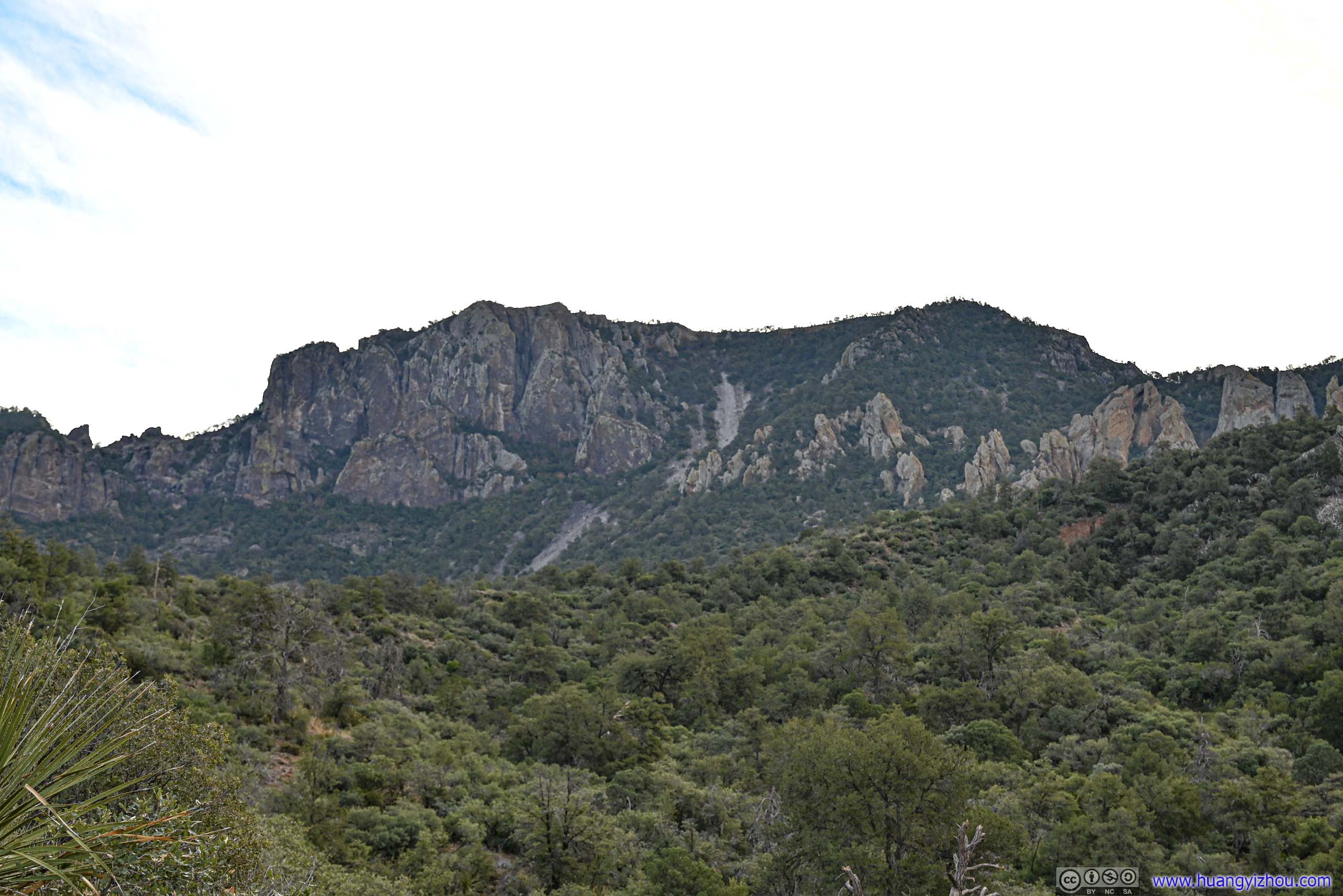
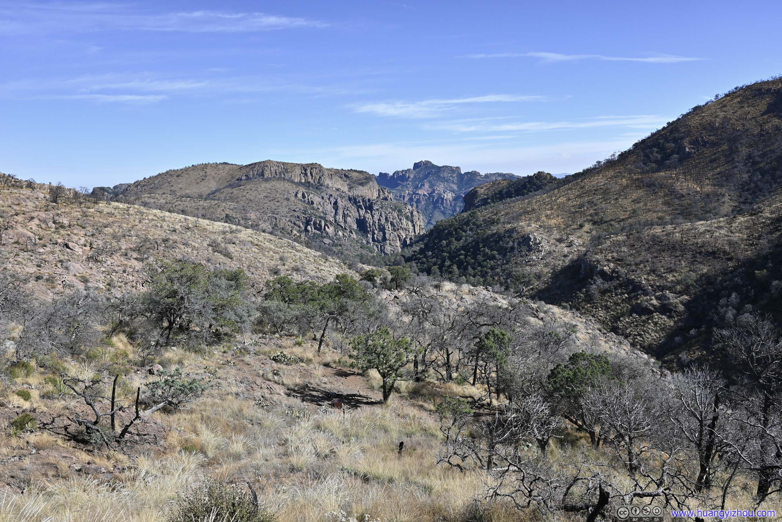
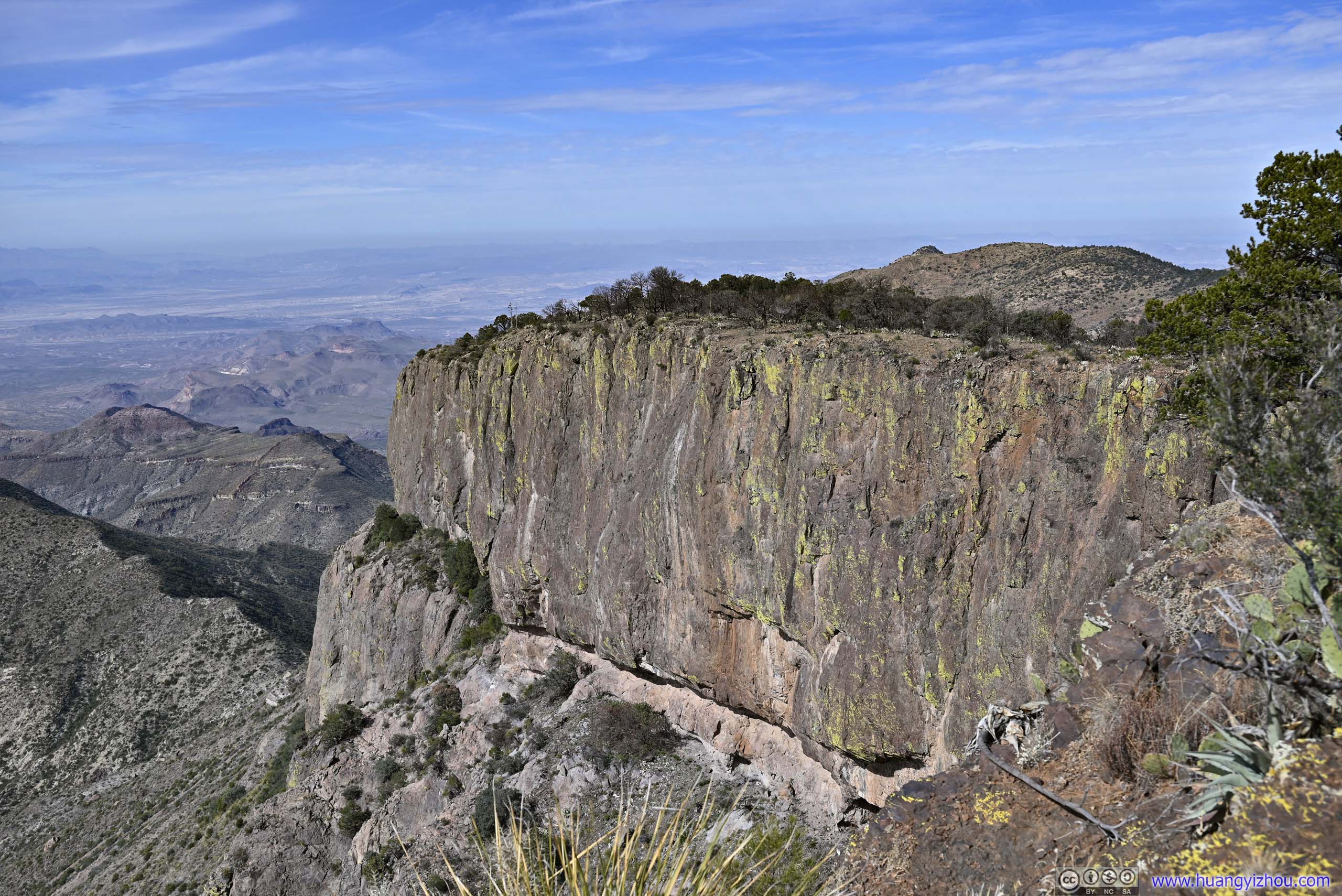
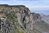
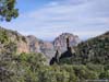
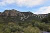
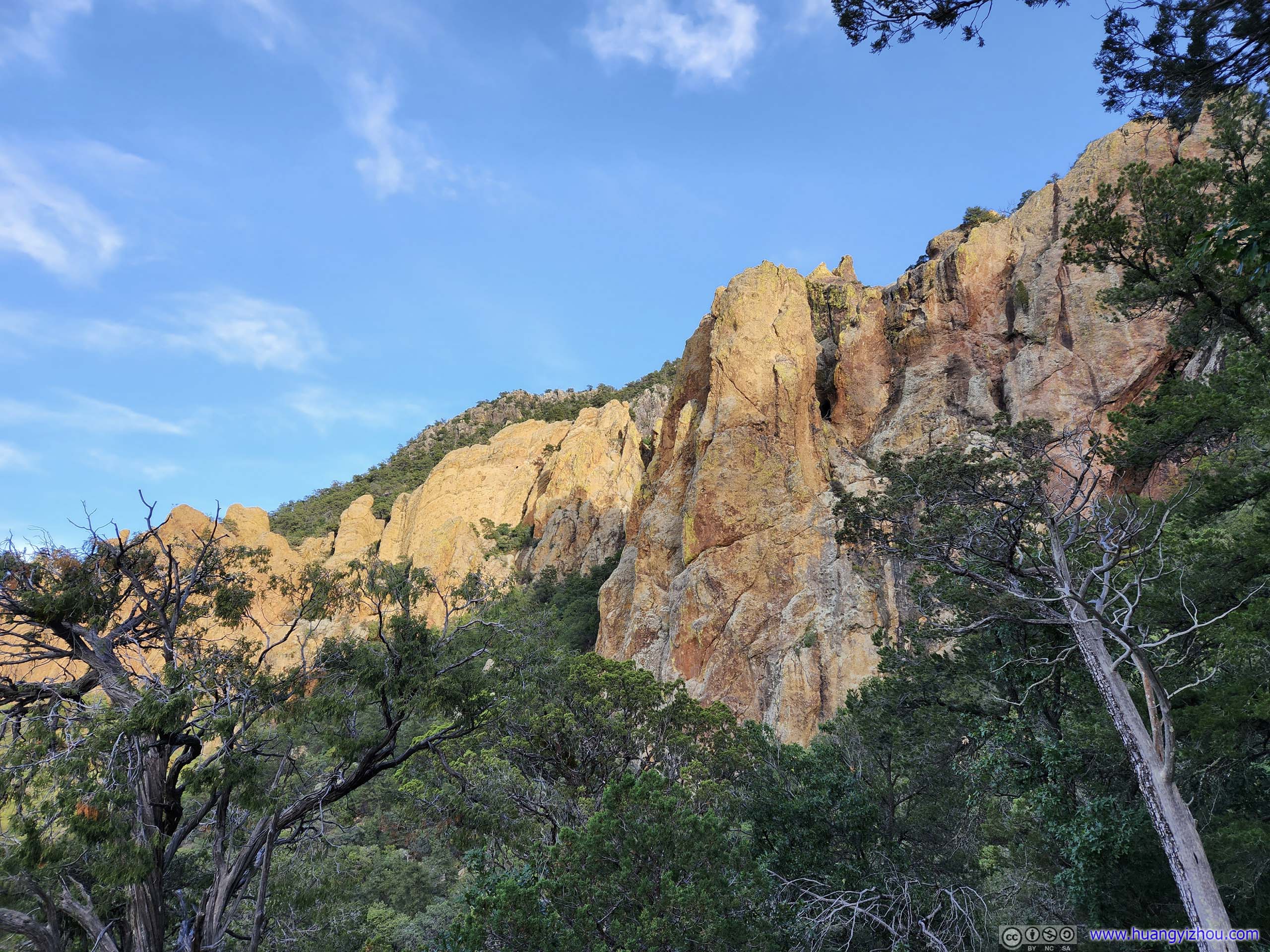
At a notable switchback of the trail, I got a preview of the towering cliffs that made up Chisos’ rims (slideshow below), where I was heading towards.
 Canyon
 CliffSort of like the northwest rim.
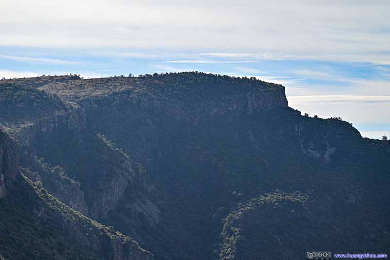 West RimAn unofficial name since it’s west of the first view point along the south rim.
Click here to display photos of the slideshow
Canyon
CliffSort of like the northwest rim.

West RimAn unofficial name since it’s west of the first view point along the south rim.
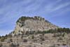
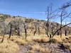
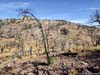
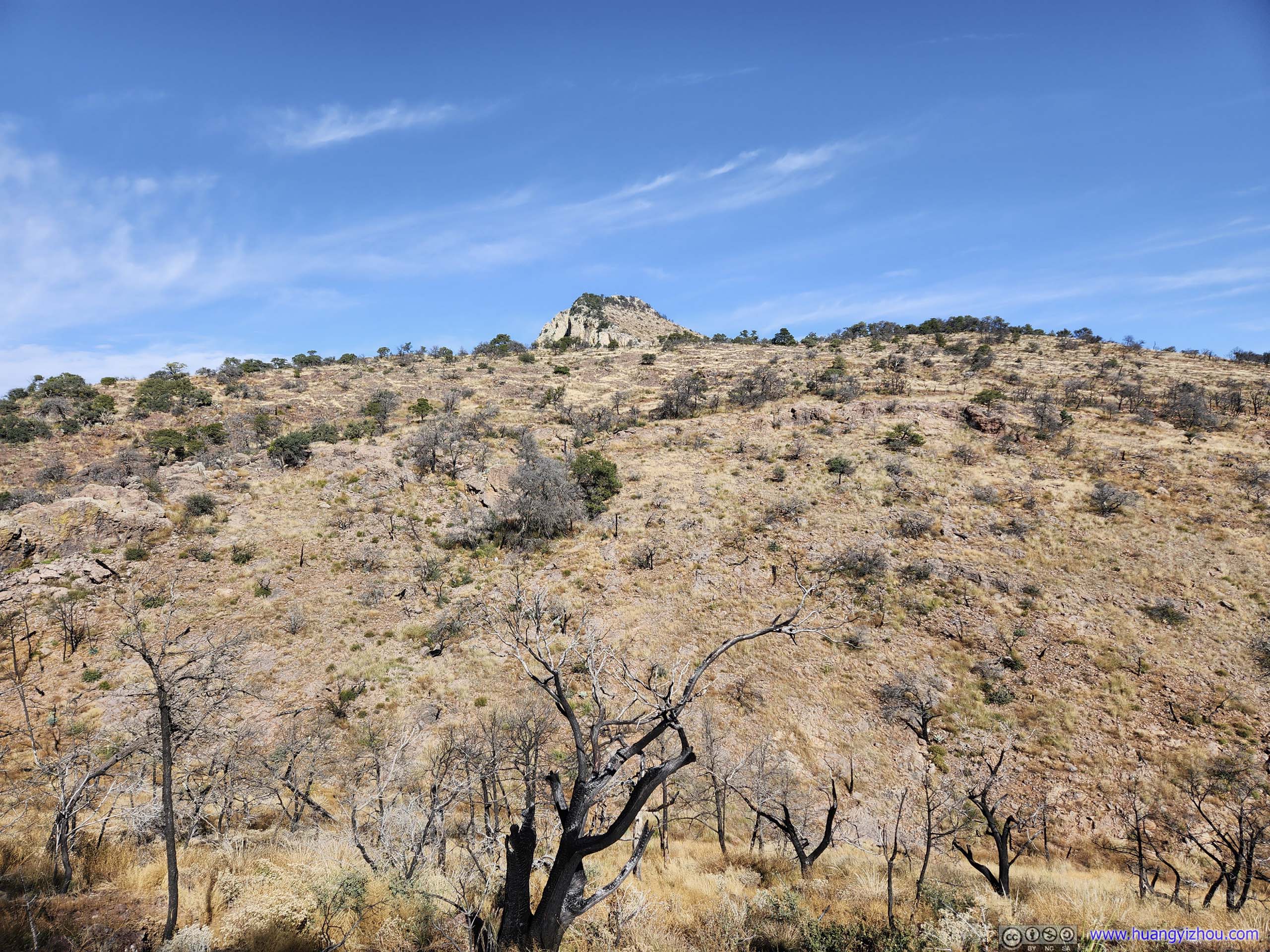
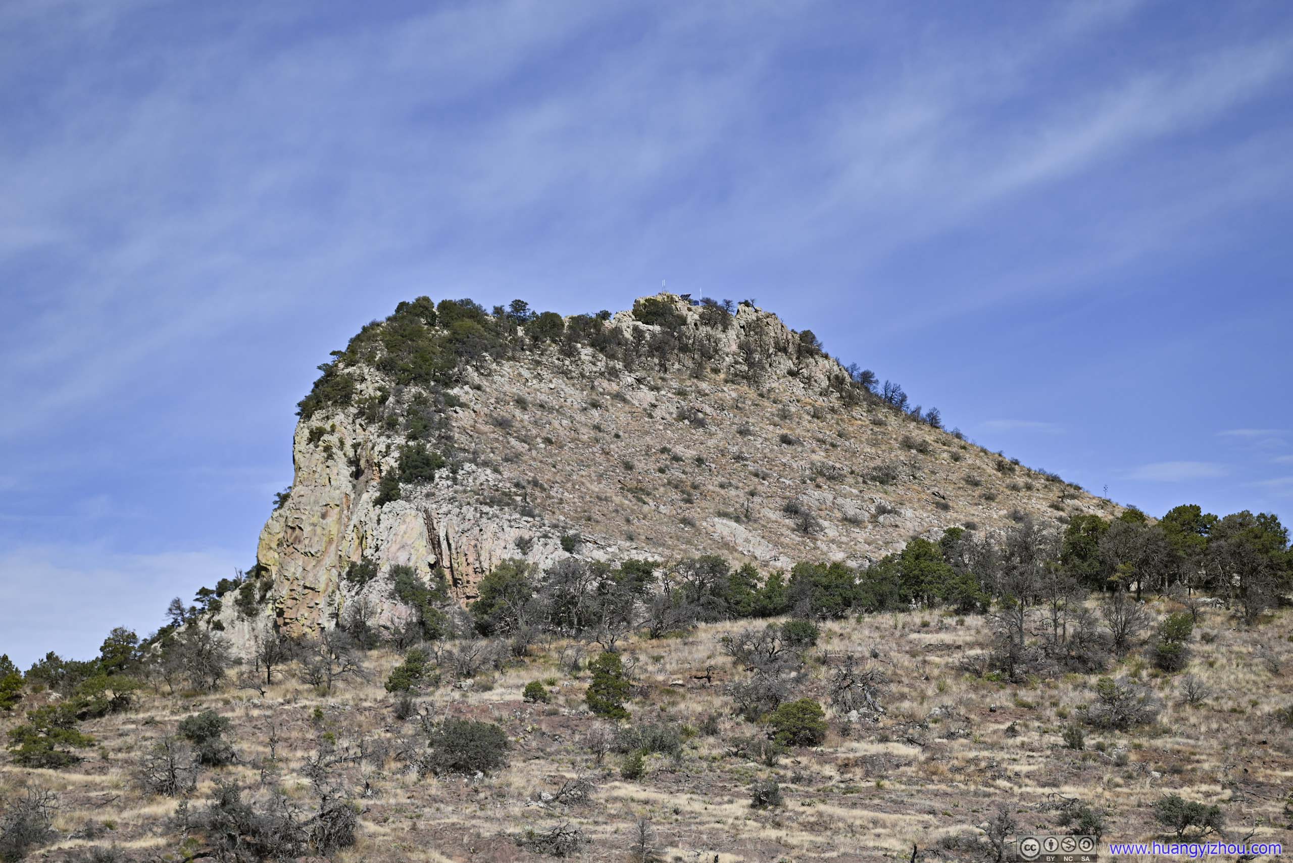
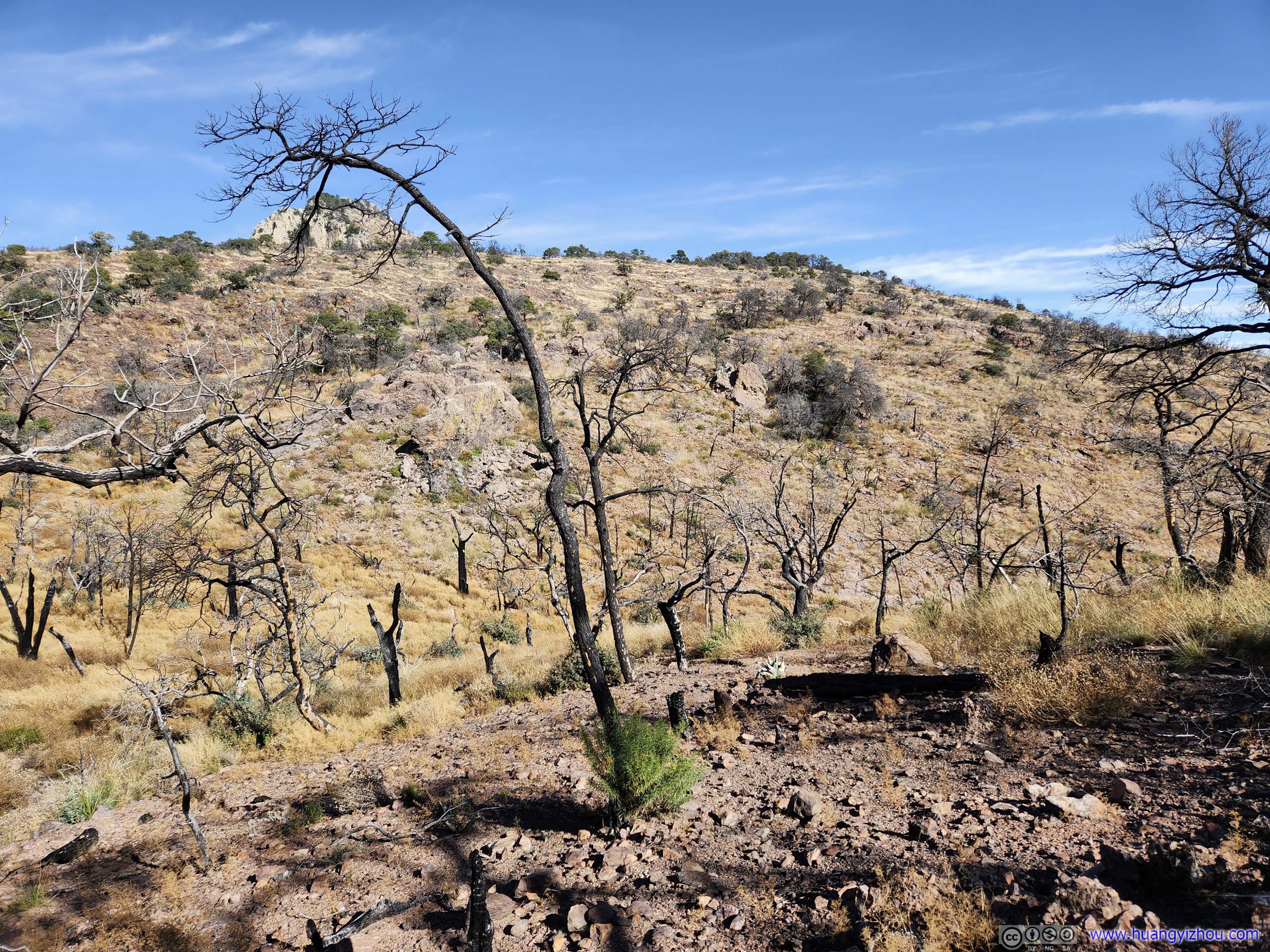
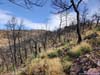
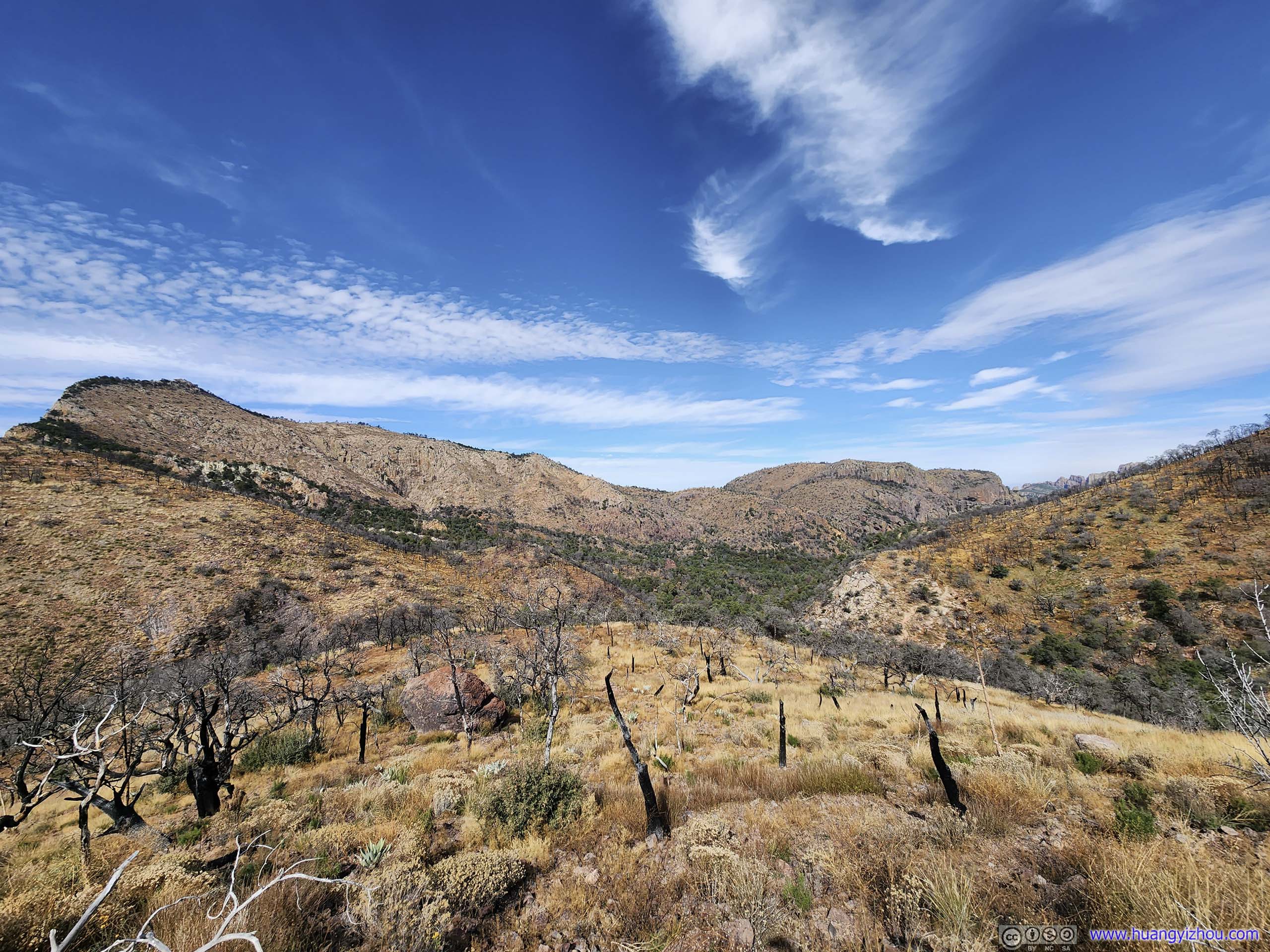
After that, the trail passed through a burned hillside, with the tip of Emory Peak popping up behind the hill in the foreground.
 Tip of Emory Peak beyond Scorched Fields
 Emory PeakThe weather station and solar panels were visible.
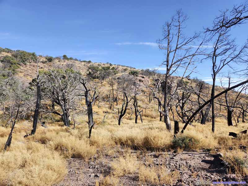 Scorched Fields
 Scorched Fields
 Trail through Scorched Fields
The scorched fields continued after the trail turned to the other side of the hill, but there were more signs of life here.
Trail through Scorched Fields
The scorched fields continued after the trail turned to the other side of the hill, but there were more signs of life here.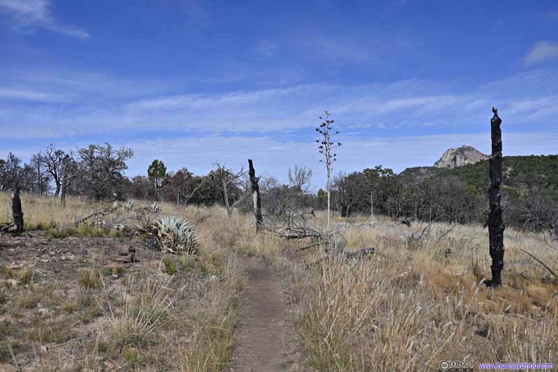 Trail through Scorched Fields
15 minutes later, as I approached the first view point along the south rim, the trail passed another patch of scorched land.
Trail through Scorched Fields
15 minutes later, as I approached the first view point along the south rim, the trail passed another patch of scorched land.
Click here to display photos of the slideshow
Tip of Emory Peak beyond Scorched Fields
Emory PeakThe weather station and solar panels were visible.

Scorched Fields
Scorched Fields
Trail through Scorched Fields
Trail through Scorched Fields
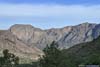
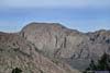
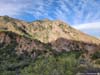
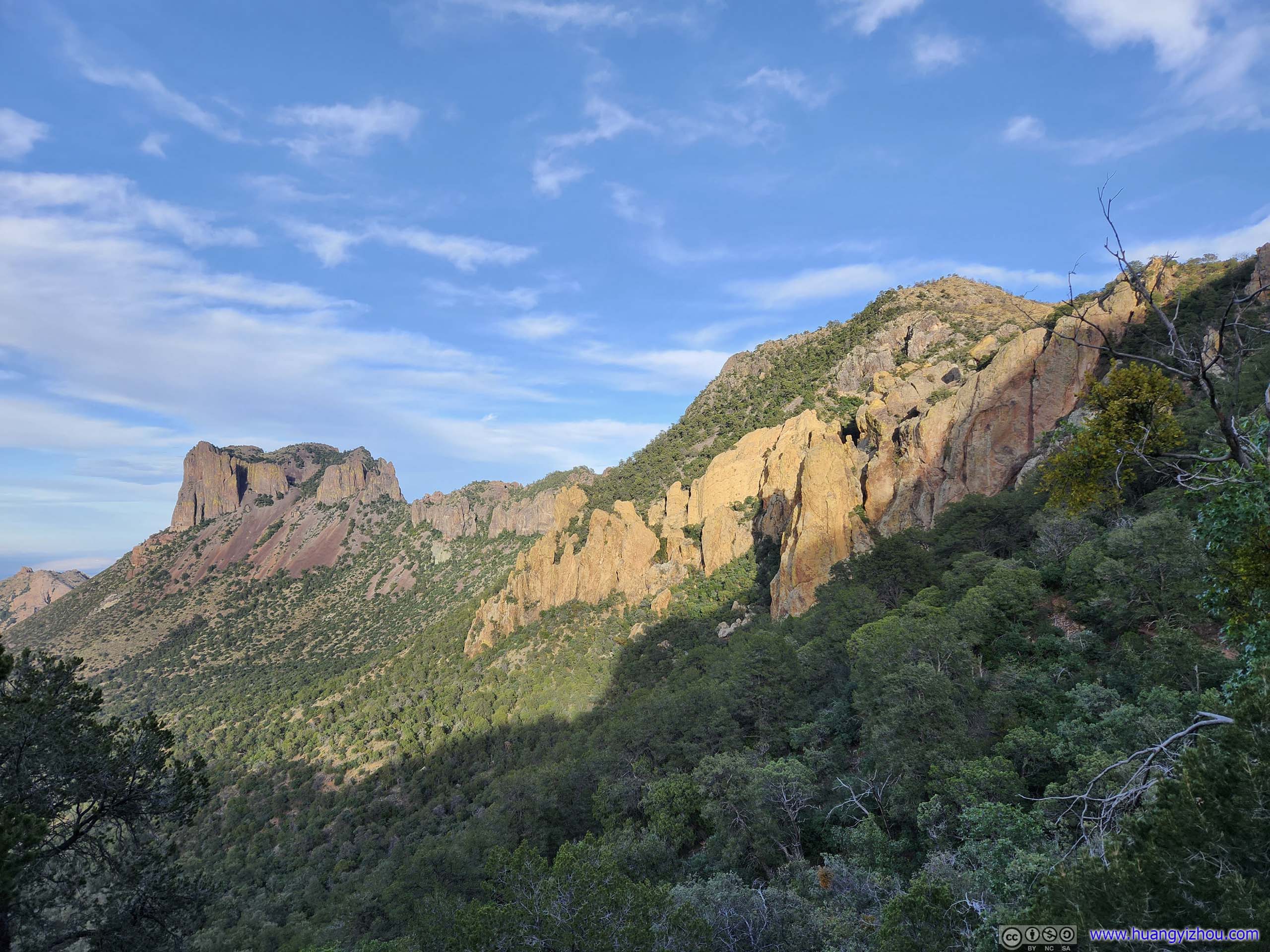
Then it reached Boot Canyon, but at some distance above it so I got the views of Lost Mine Peak in between its hillsides. It just felt that I never lost sight of rocks that were interestingly shaped. Later today I would be hiking in Boot Canyon on my way back, and I identified some of the trails that I was to take.
 Lost Mine Peak beyond Canyon
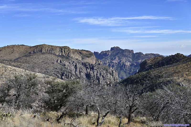 Lost Mine Peak beyond Canyon
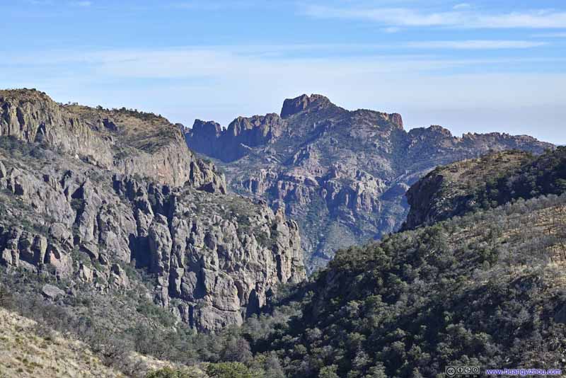 Lost Mine Peak beyond Canyon
 Boot Canyon
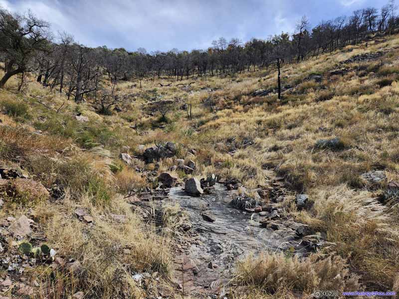
A creek originated upstream near the south rim, that wound through the mountains and formed Boot Canyon.
Boot Canyon
A creek originated upstream near the south rim, that wound through the mountains and formed Boot Canyon.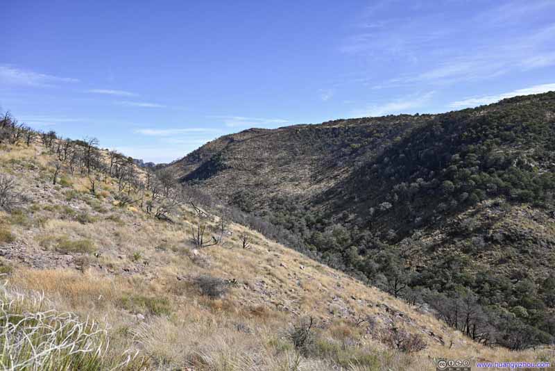 Boot Canyon
Click here to display photos above Boot Canyon.
Lost Mine Peak beyond Canyon

Lost Mine Peak beyond Canyon
Lost Mine Peak beyond Canyon

Boot Canyon
Boot Canyon
Then the trail continued, onto what felt like the “west rim” of Chisos, with views of distant fields to the west occasionally popping up between vegetation.
 Fields to the West
The southern end of Laguna Meadow where Blue Creek Trail followed the canyon to Ross Maxwell Scenic Drive.
Fields to the West
The southern end of Laguna Meadow where Blue Creek Trail followed the canyon to Ross Maxwell Scenic Drive.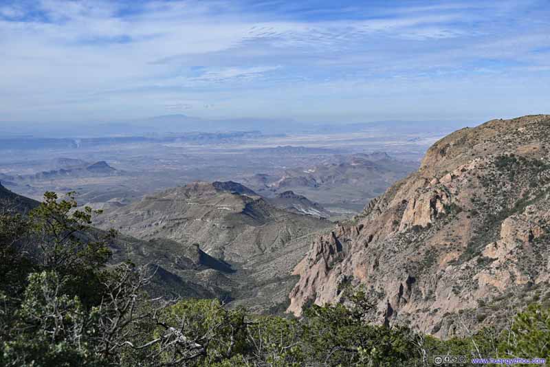 Fields to the West
Continuing on, magnificent sights of hills along Ross Maxwell Scenic Drive and distant canyons popped into view.
Fields to the West
Continuing on, magnificent sights of hills along Ross Maxwell Scenic Drive and distant canyons popped into view.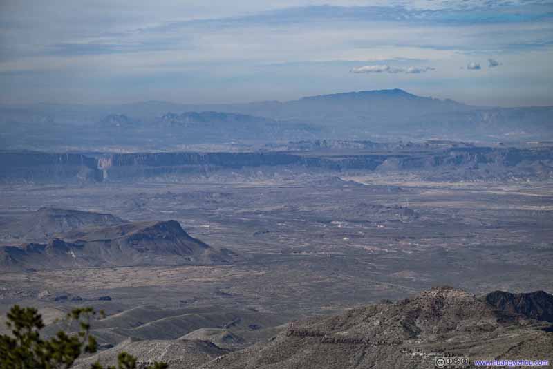 Distant FieldsSanta Elena Canyon, and mountains in Mexico.

Click here to display photos of the slideshow
Fields to the West
Fields to the West

Distant FieldsSanta Elena Canyon, and mountains in Mexico.
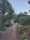
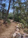
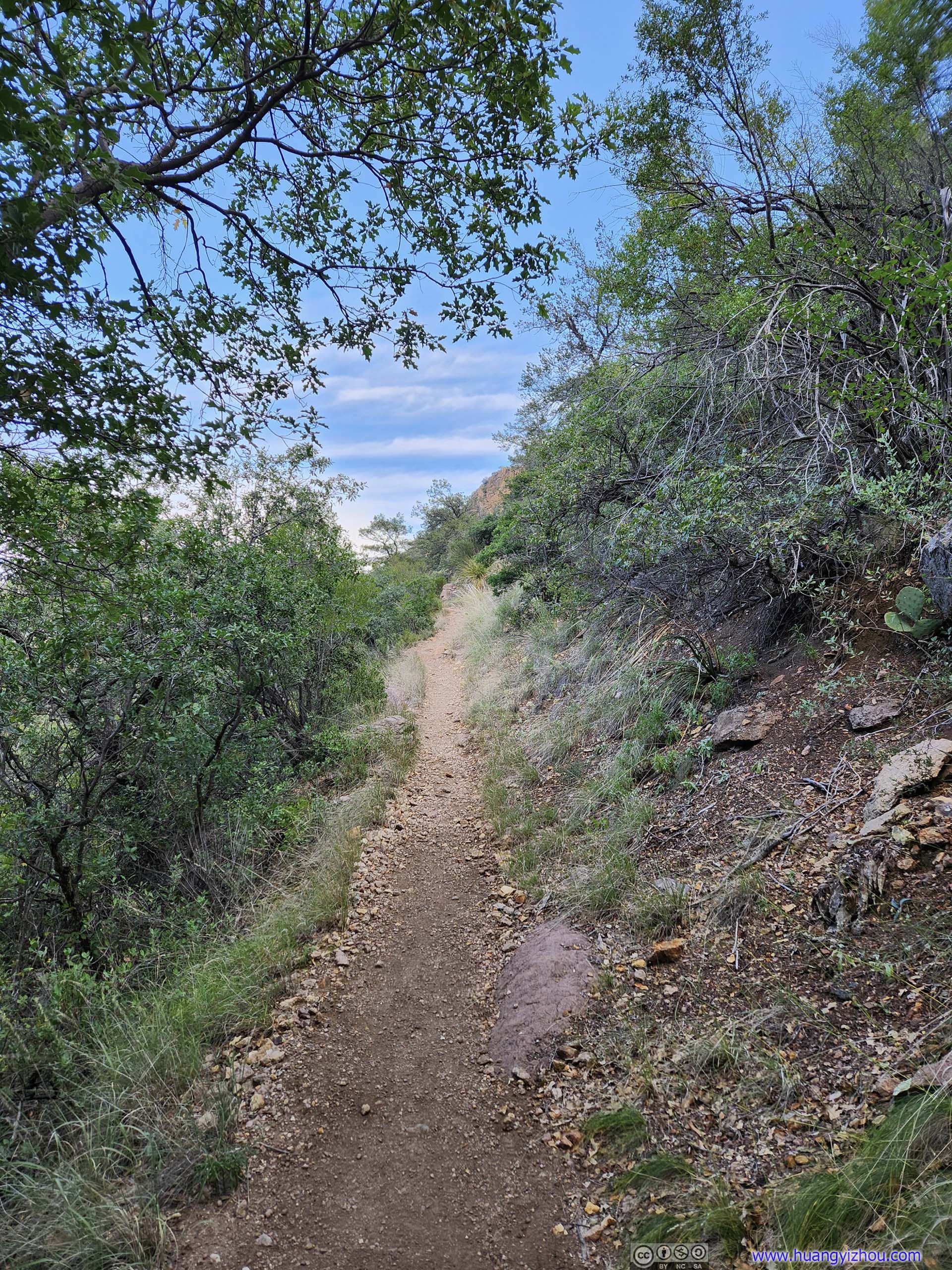
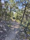
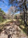
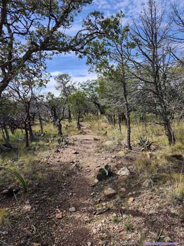
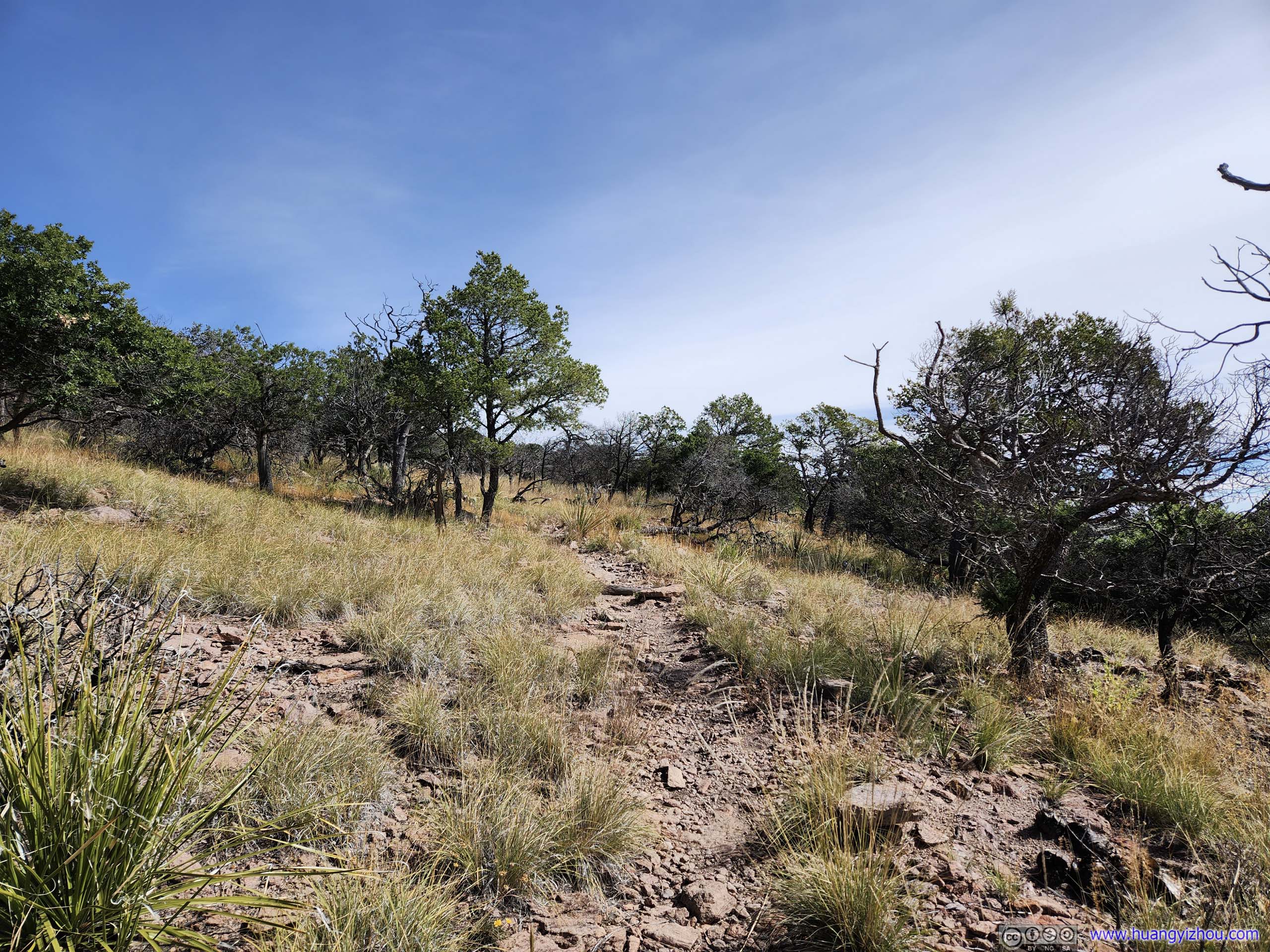
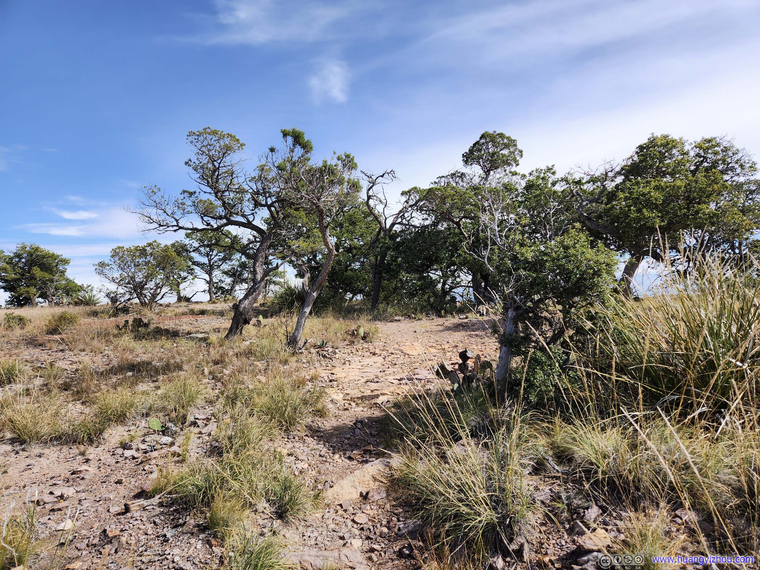
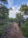
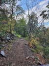
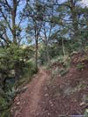
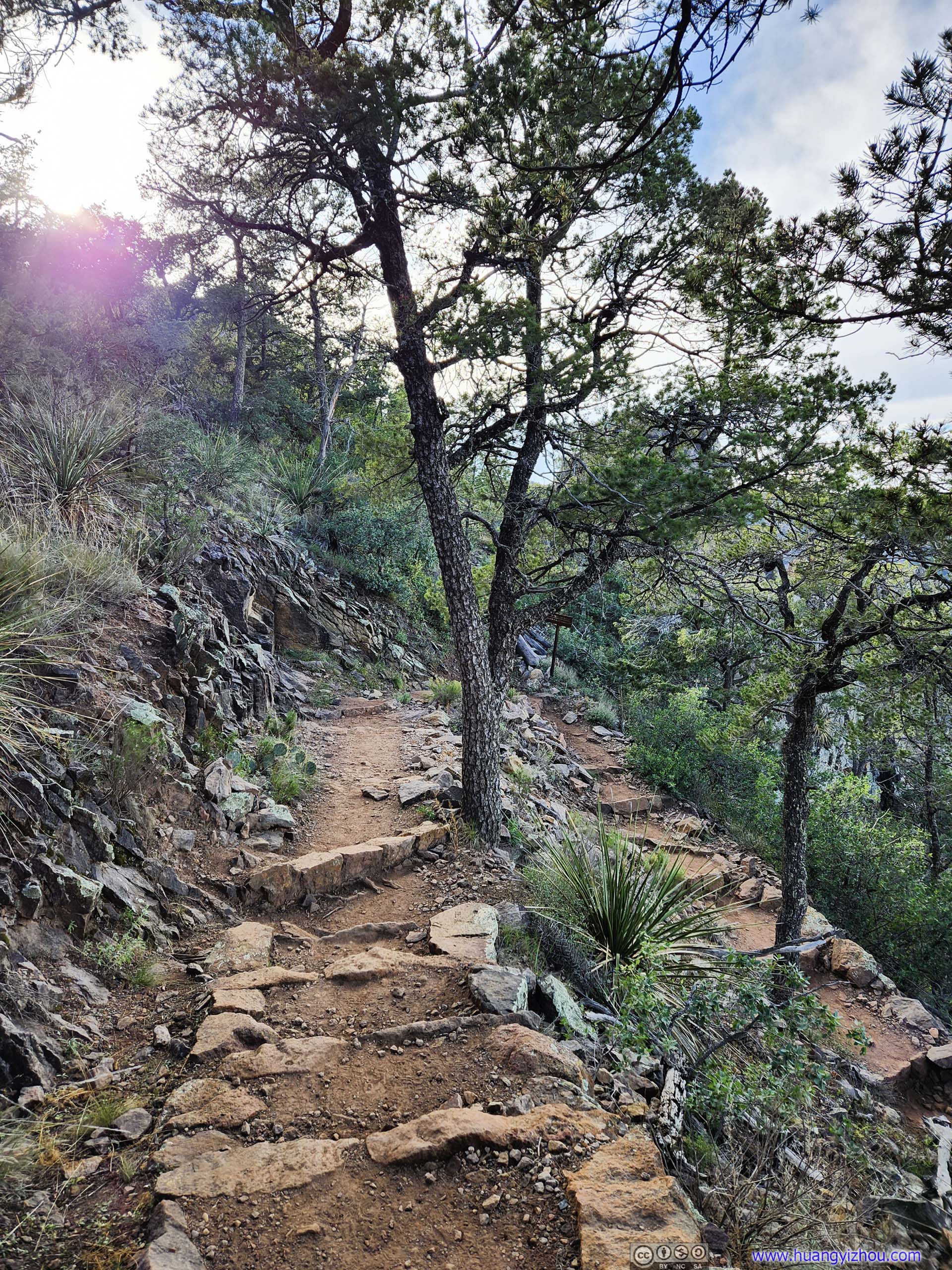
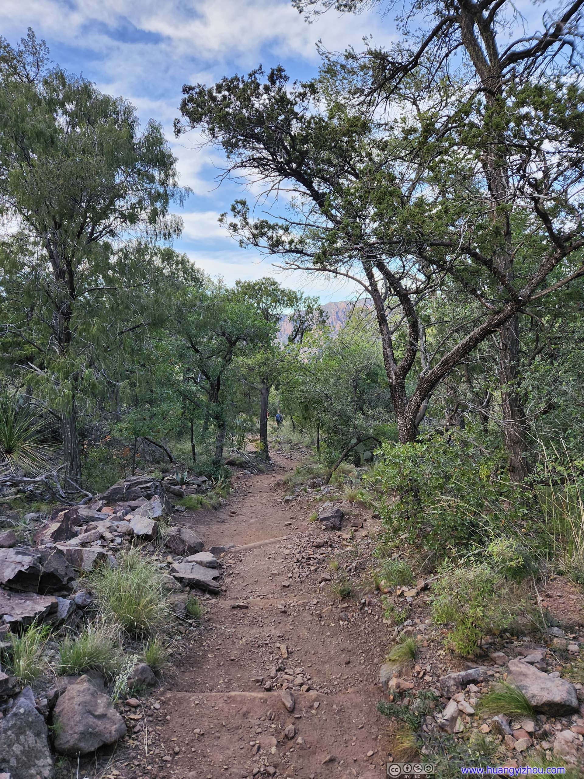
And here’s a slideshow of the typical trail conditions in this section.
 TrailThrough Laguna Meadow.
 TrailSome elevation gain, not very intense.
 TrailSome elevation gain, not very intense.
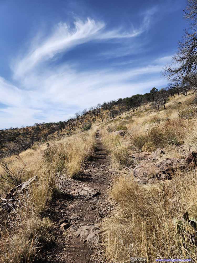 TrailThrough some burn area.
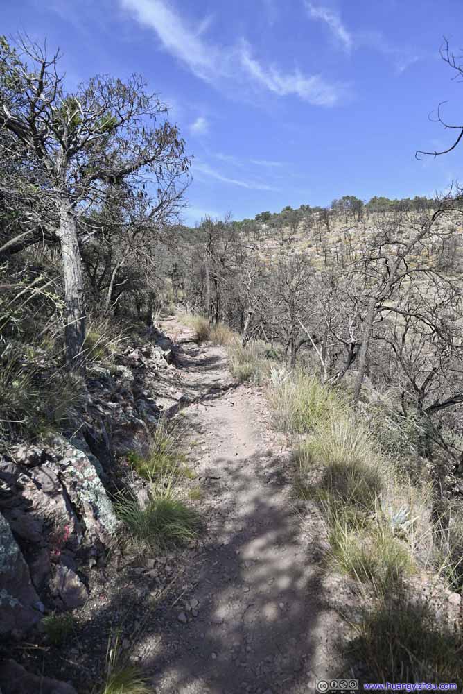 TrailThrough some burn area.
 TrailOccasional spectacular views would break free from the vegetation along the trail.
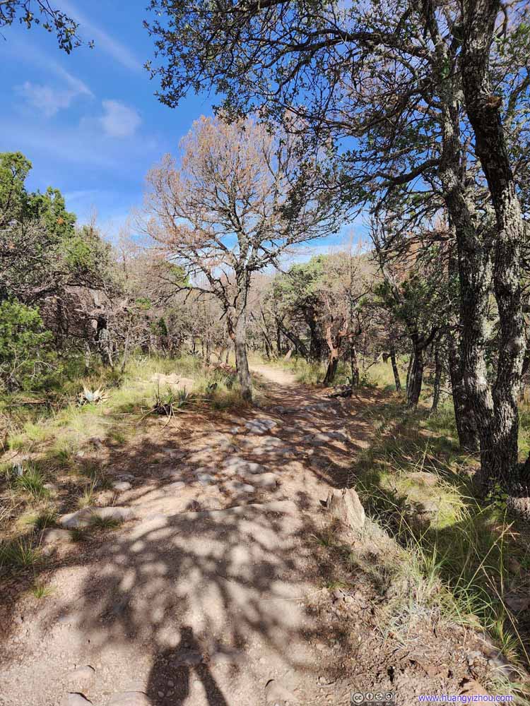 TrailNearing South Rim.
Click here to display photos of the trail.

TrailThrough Laguna Meadow.
TrailSome elevation gain, not very intense.
TrailSome elevation gain, not very intense.

TrailThrough some burn area.
TrailThrough some burn area.
TrailOccasional spectacular views would break free from the vegetation along the trail.

TrailNearing South Rim.
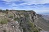
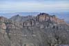
First Overlook at South Rim
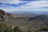
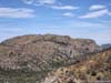
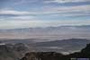
Finally, at 11:20am, I reached the first overlook along Chisos’s South Rim, called “South Rim Viewpoint” on OpenStreetMaps.
The viewpoint had some sort of “rim” view to the east, but nowhere as extensive as the South Rim for the next part of my hike. Nonetheless, it offered great views of numerous smaller hills to the south, albeit against the sun. I ran into another group of hikers that were taking snack breaks at the site. Since it offered the day’s first views of land farther south beyond Chisos Basin, we were nonetheless all excited.
 View from South Rim Overlook
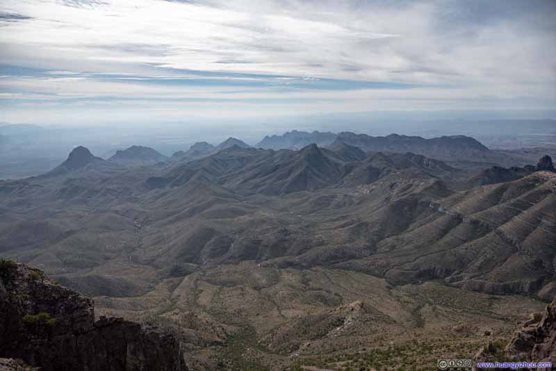 Mountains to the South
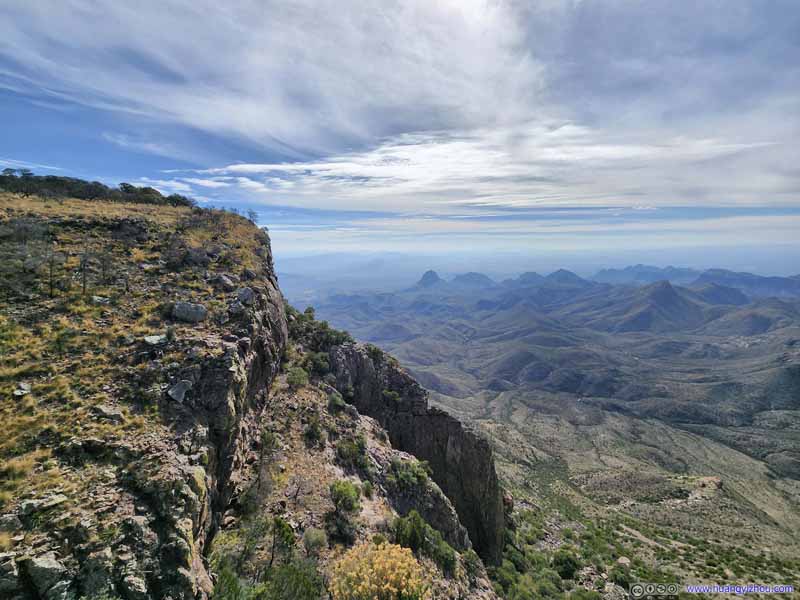 South Rim and Mountains
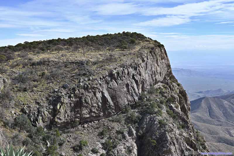 Cliff of South Rim
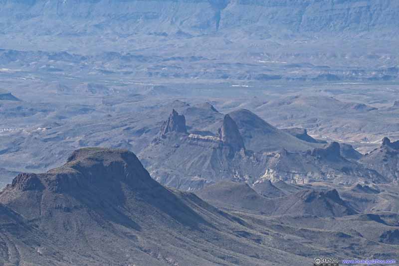 Mule Ears
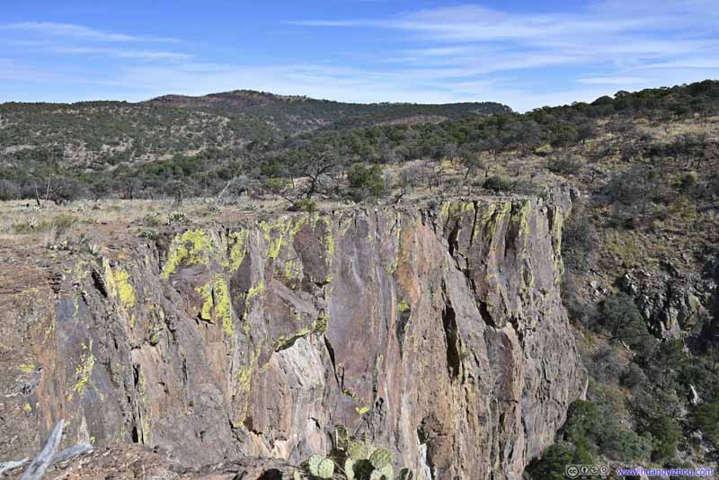 CliffFarther west from the viewpoint.
Click here to display photos from South Rim Viewpoint.
View from South Rim Overlook
Mountains to the South
South Rim and Mountains
Cliff of South Rim

Mule Ears
CliffFarther west from the viewpoint.
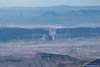
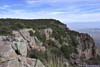
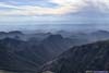
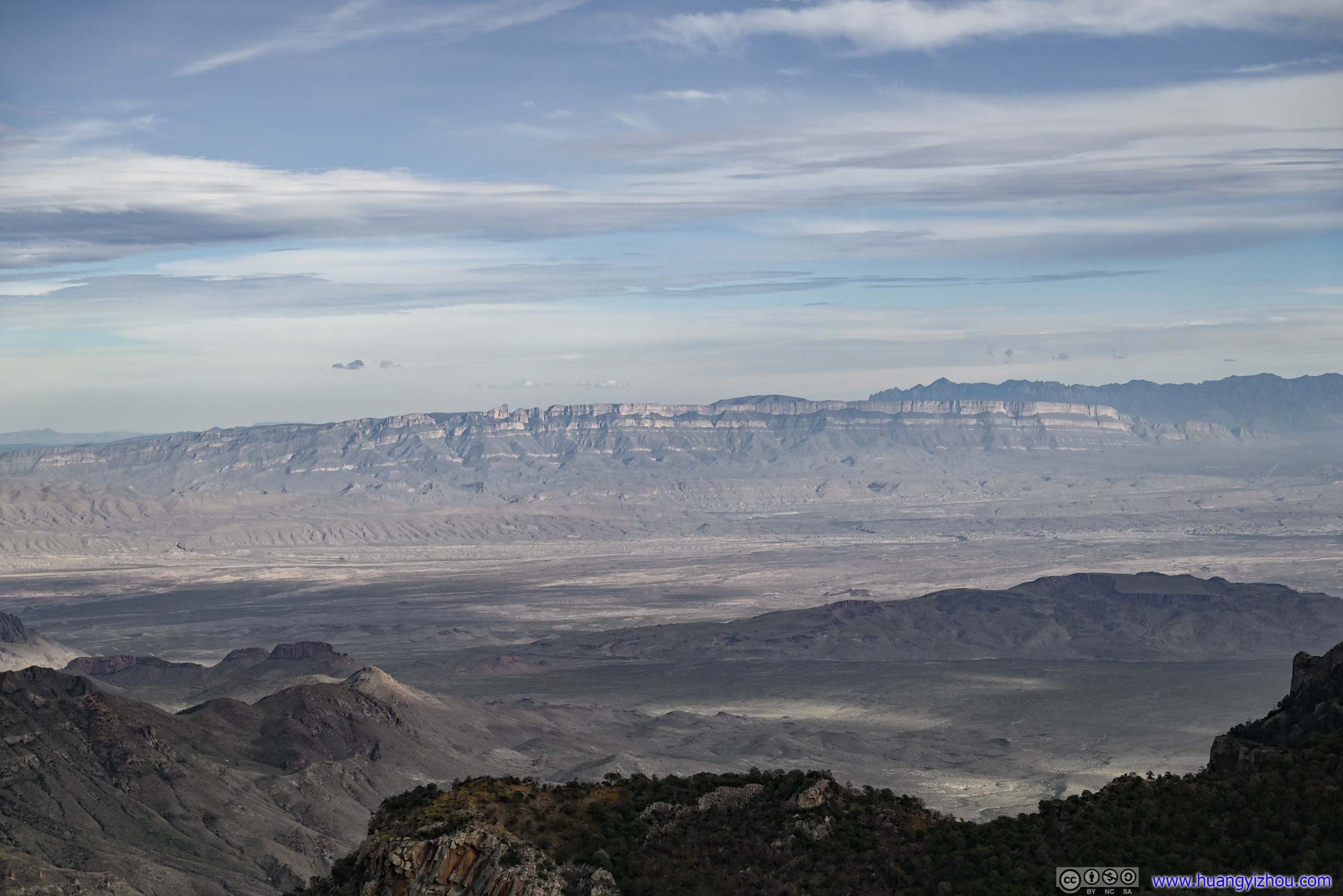
The viewpoint only offered views to the south, but since vegetation was sparse and there were more rocks than soil on the ground, I found a path (that existed on OpenStreetMaps) leading west for about 300m following the cliff, at the end of which the cliff was facing west, with views of familiar places that I visited two days ago (like the iconic Santa Elena Canyon, of which I got a preview of earlier along the trail). Since it’s west of the “South Rim Viewpoint”, I called that spot (and the cliffs around it) southwest rim, with some of the views in photos below.
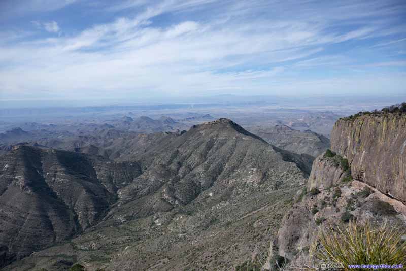 Mountains to the West
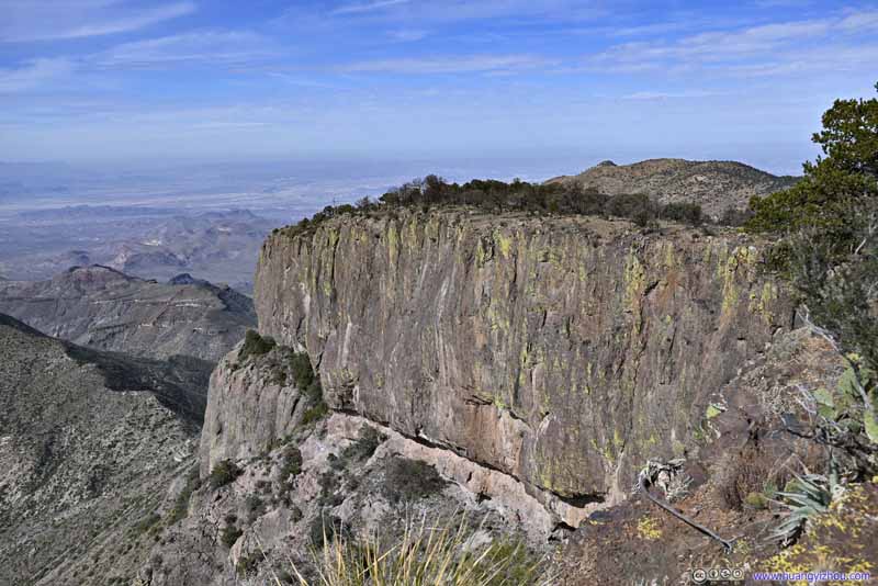 Cliff of Southwest RimLooks like one could head farther west, but it seemed far and I didn’t bother with that.
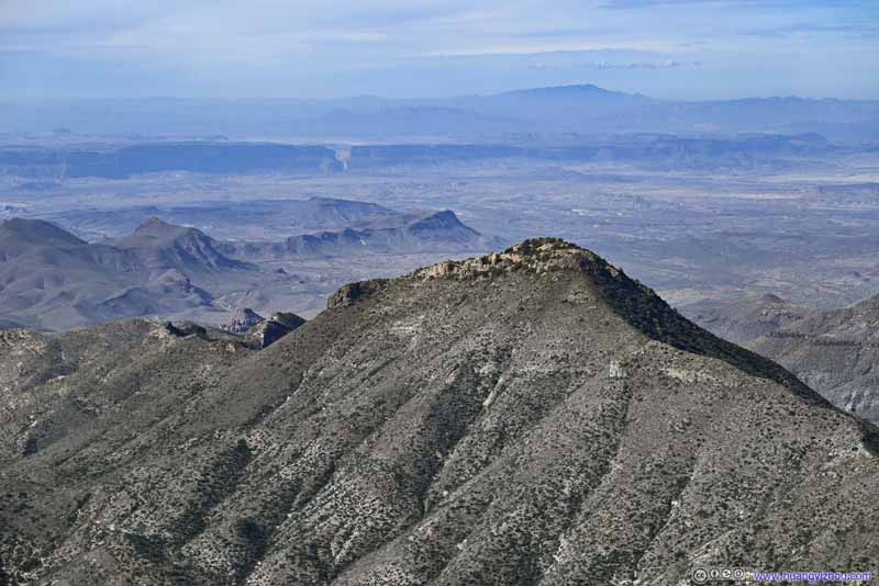 Mountains to the WestThis was a major mountain that I picked up two days ago at Sotol Overlook.
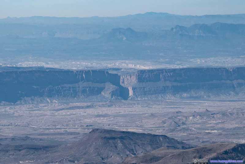 Distant Santa Elena Canyon
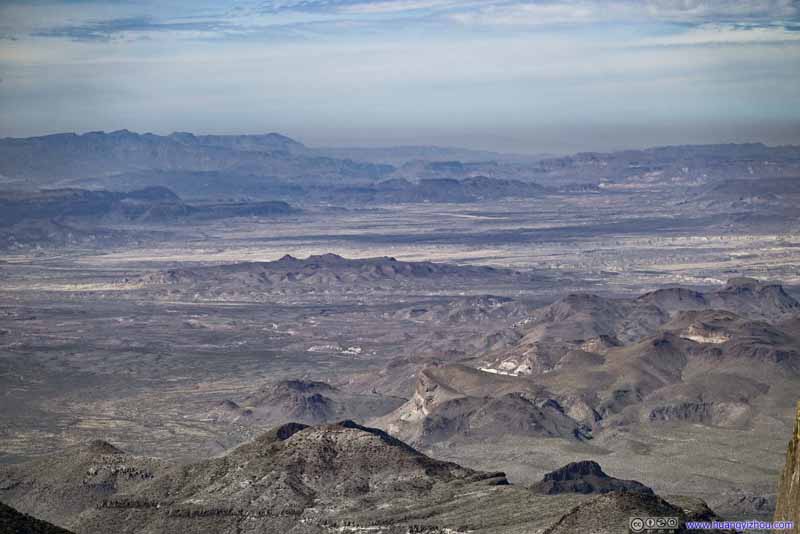 Fields to the NorthwestIn the center, Rattlesnake Mountains.
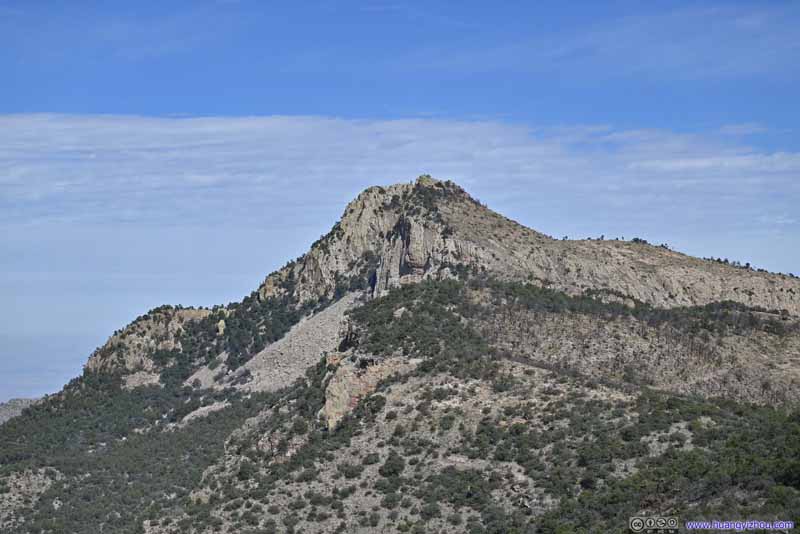 Emory Peak to the North
Looking spectacular under the mid-morning sun. Portions of the trail that I took can be faintly seen in the right.
Emory Peak to the North
Looking spectacular under the mid-morning sun. Portions of the trail that I took can be faintly seen in the right.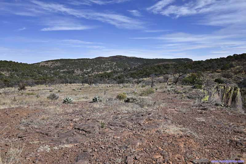 Fields
Lots of space between vegetation, hard to identify an established trail. I took a detour among these fields to reach a viewpoint farther west.
Fields
Lots of space between vegetation, hard to identify an established trail. I took a detour among these fields to reach a viewpoint farther west.


Click here to display photos of from southwest rim.
Mountains to the West
Cliff of Southwest RimLooks like one could head farther west, but it seemed far and I didn’t bother with that.
Mountains to the WestThis was a major mountain that I picked up two days ago at Sotol Overlook.

Distant Santa Elena Canyon

Fields to the NorthwestIn the center, Rattlesnake Mountains.
Emory Peak to the North
Fields
View from Southwest Rim
Since the trail leading up to the “South Rim Viewpoint” was largely flat, I wasn’t too tired nor hungry, so I only spent about 20 minutes between posing for photos and grabbing some snacks and rest at the viewpoint before continuing on.
South Rim to East Rim
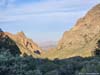
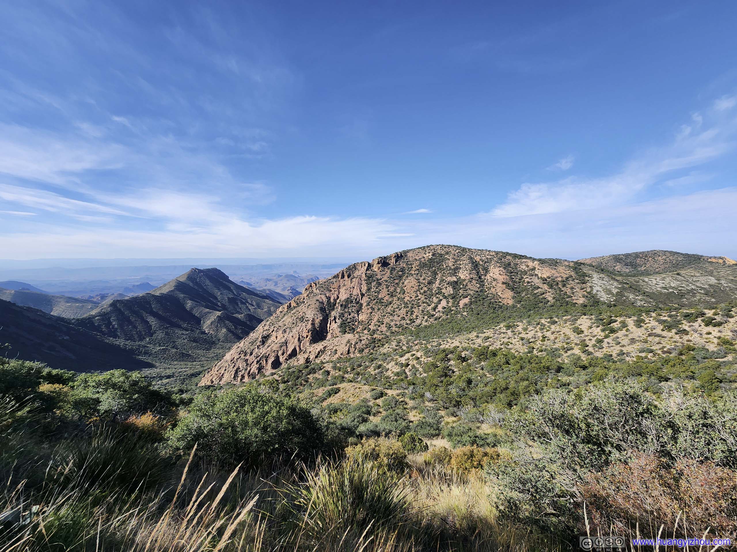
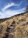
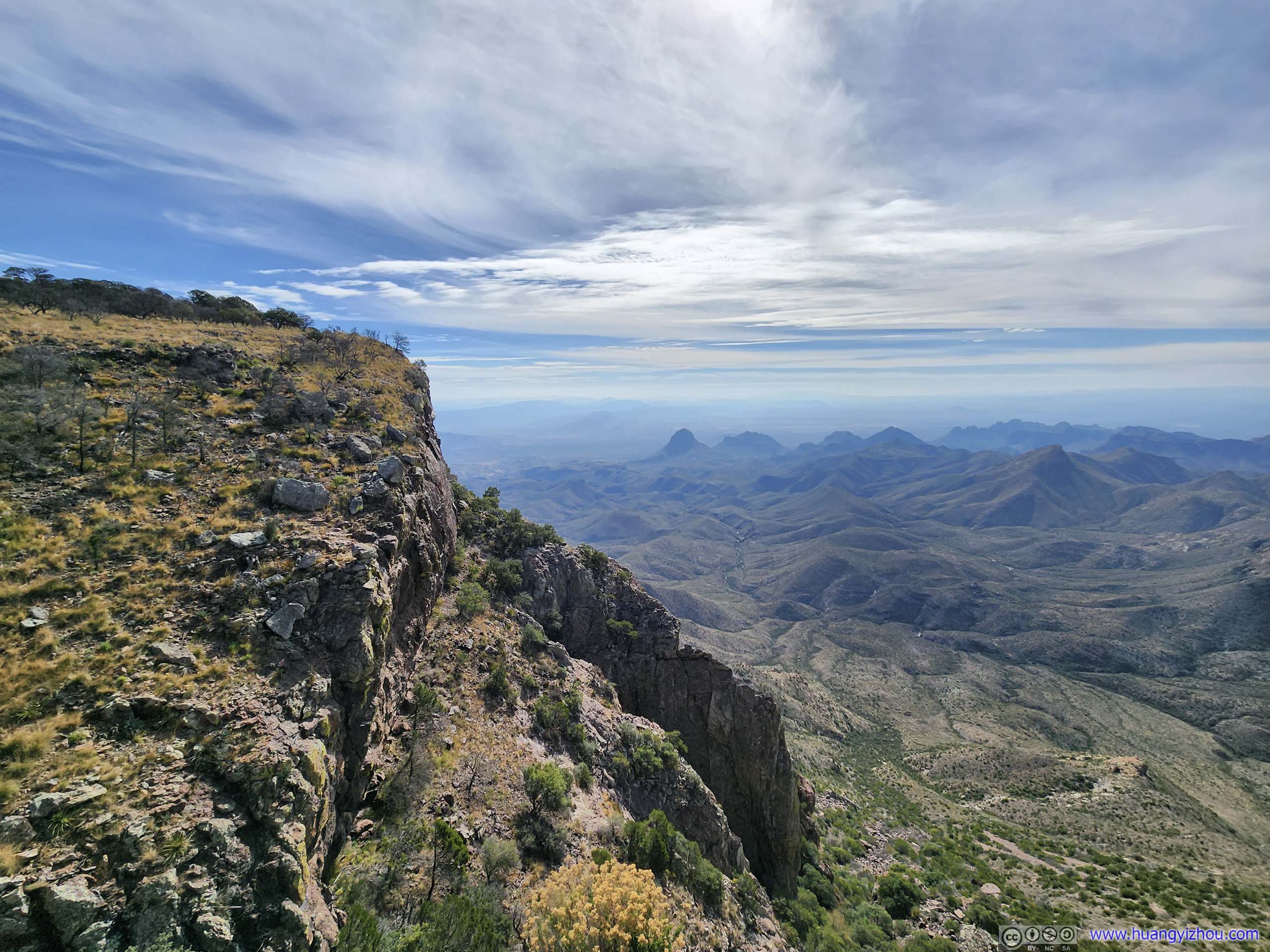
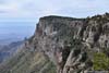
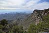
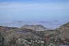
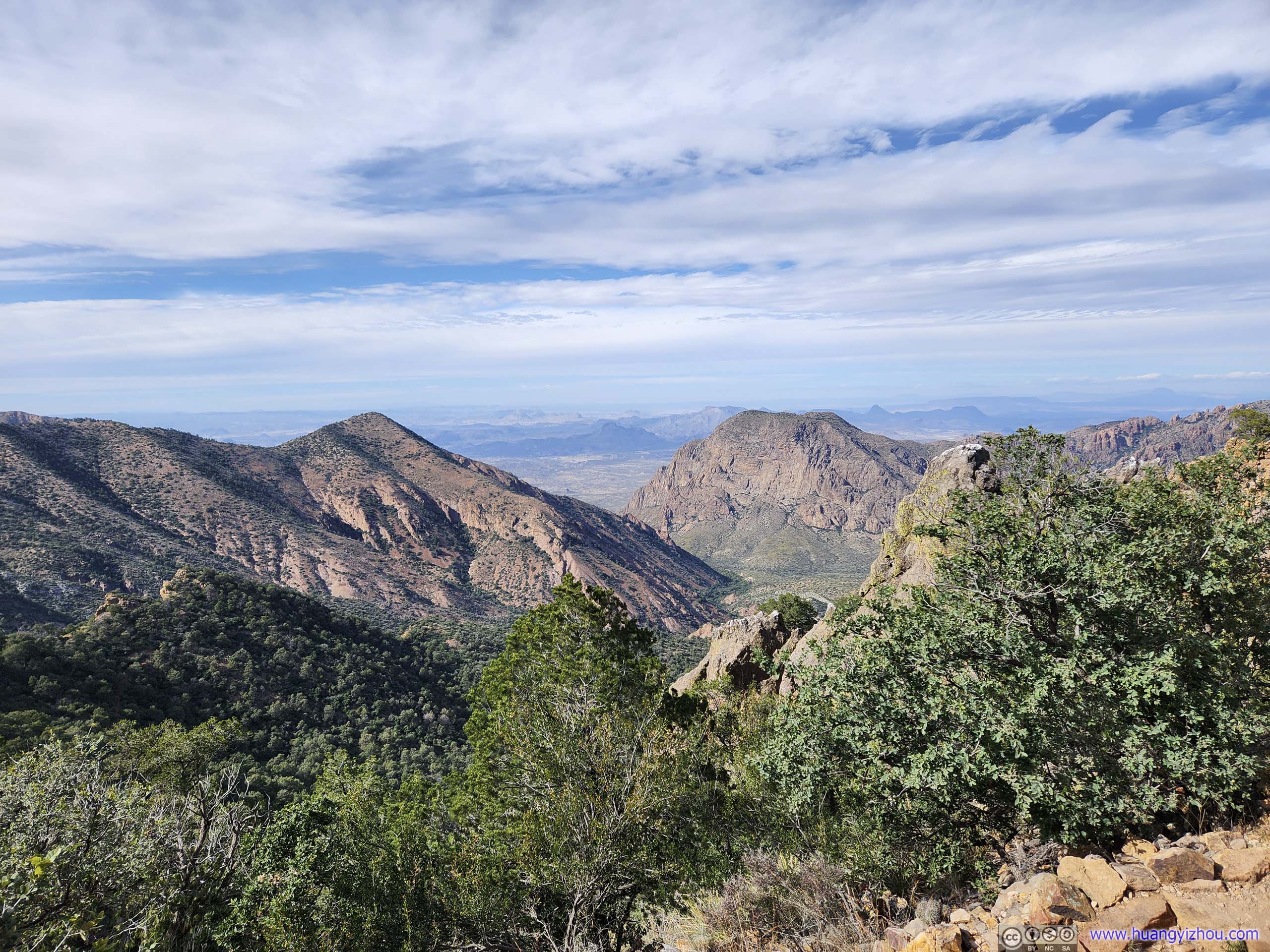
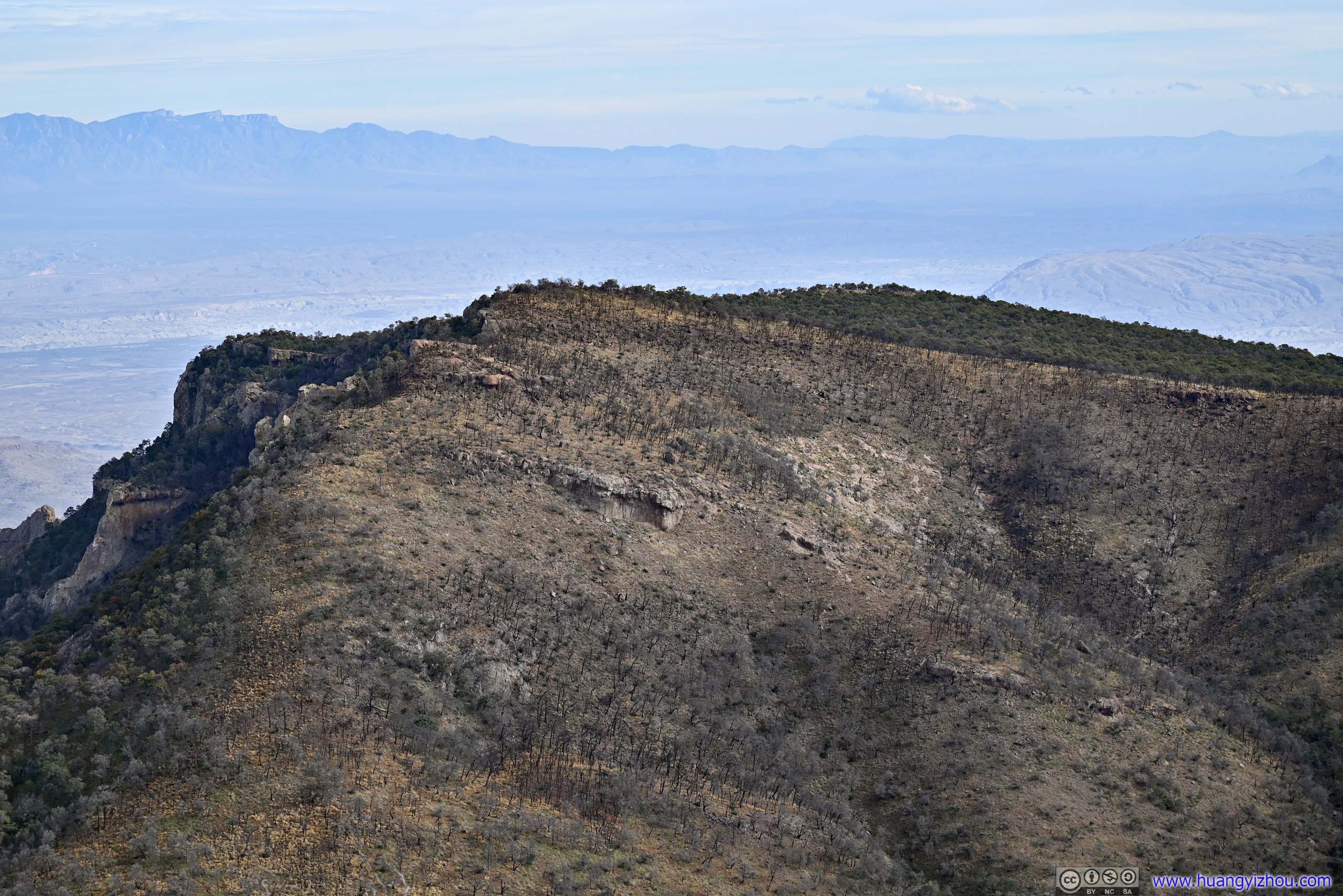
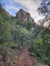
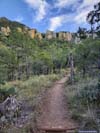
First South Rim View Point
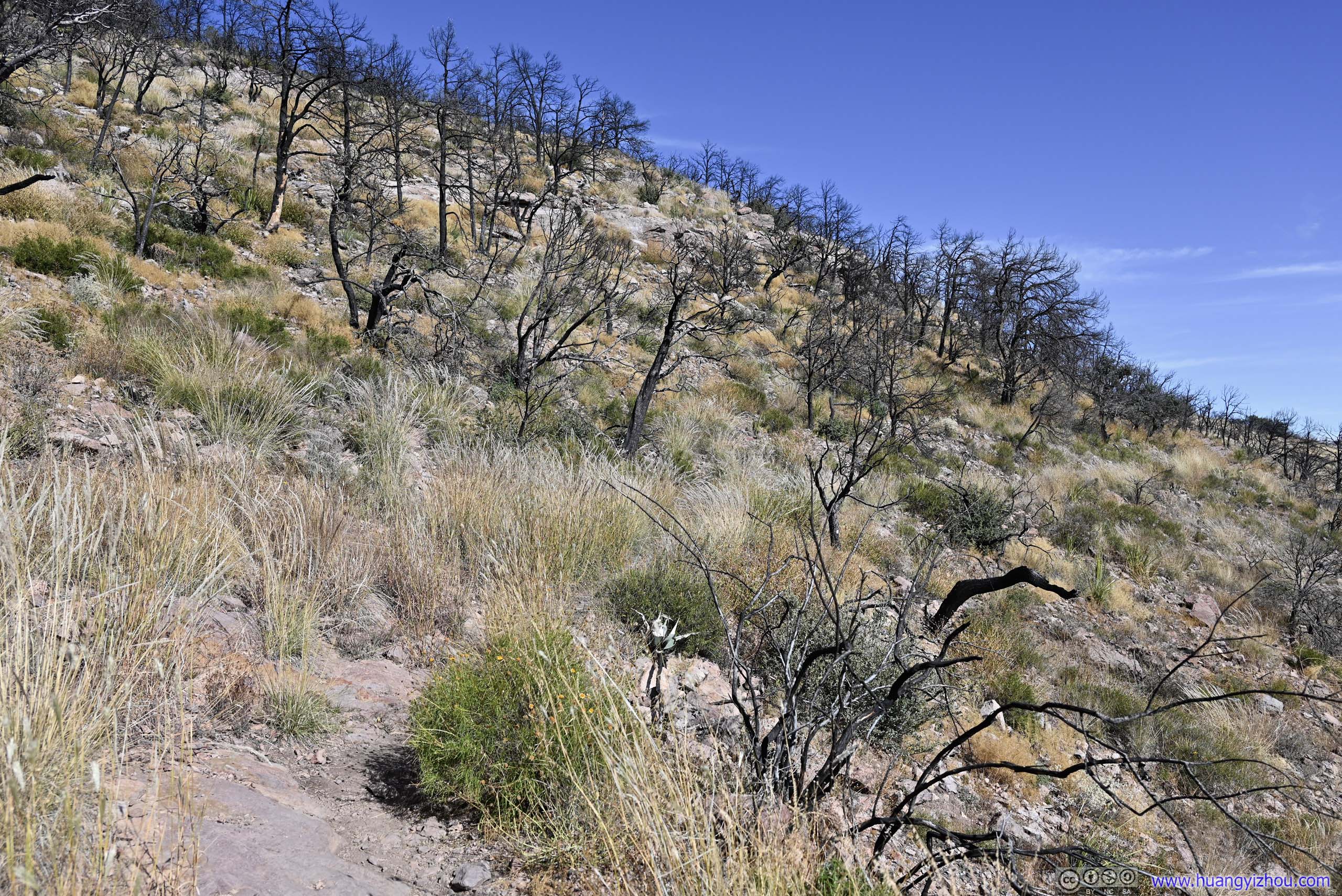
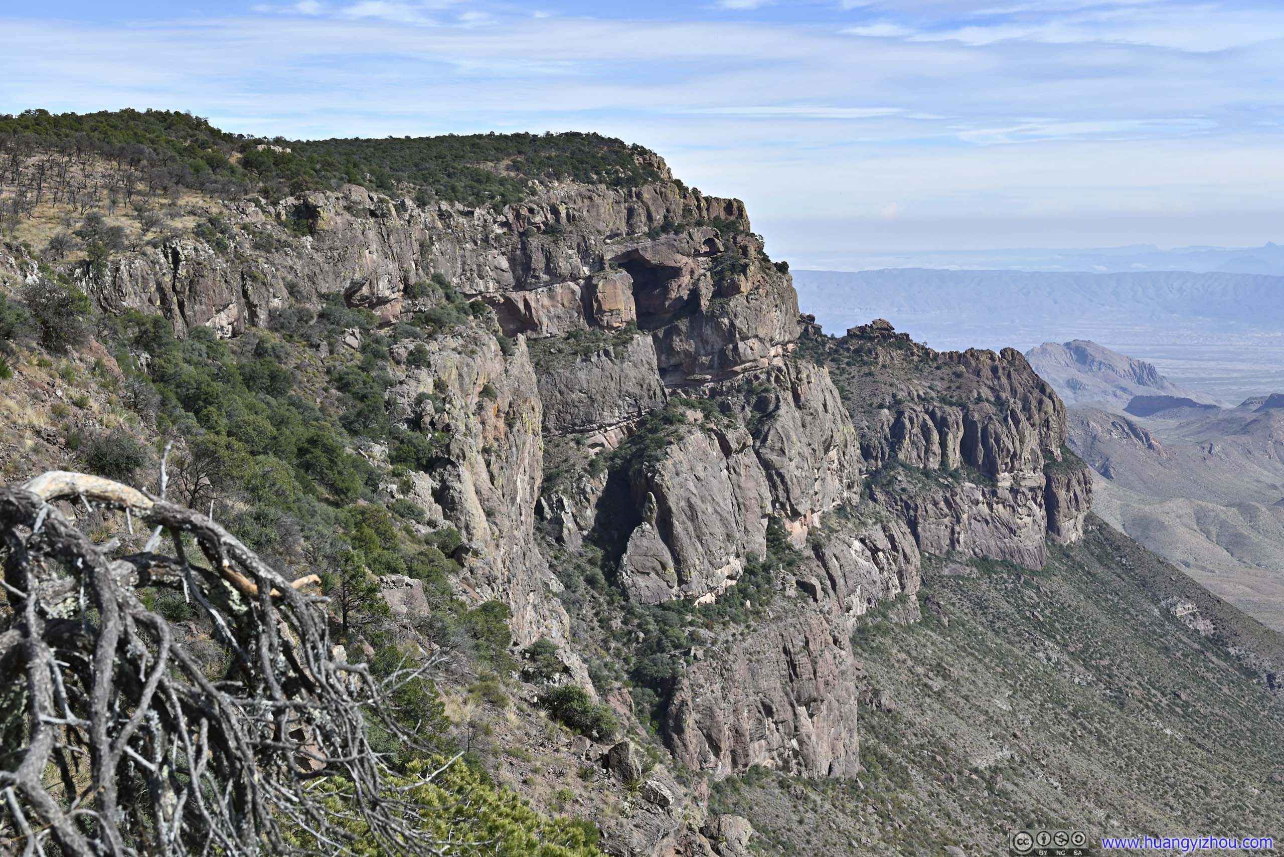
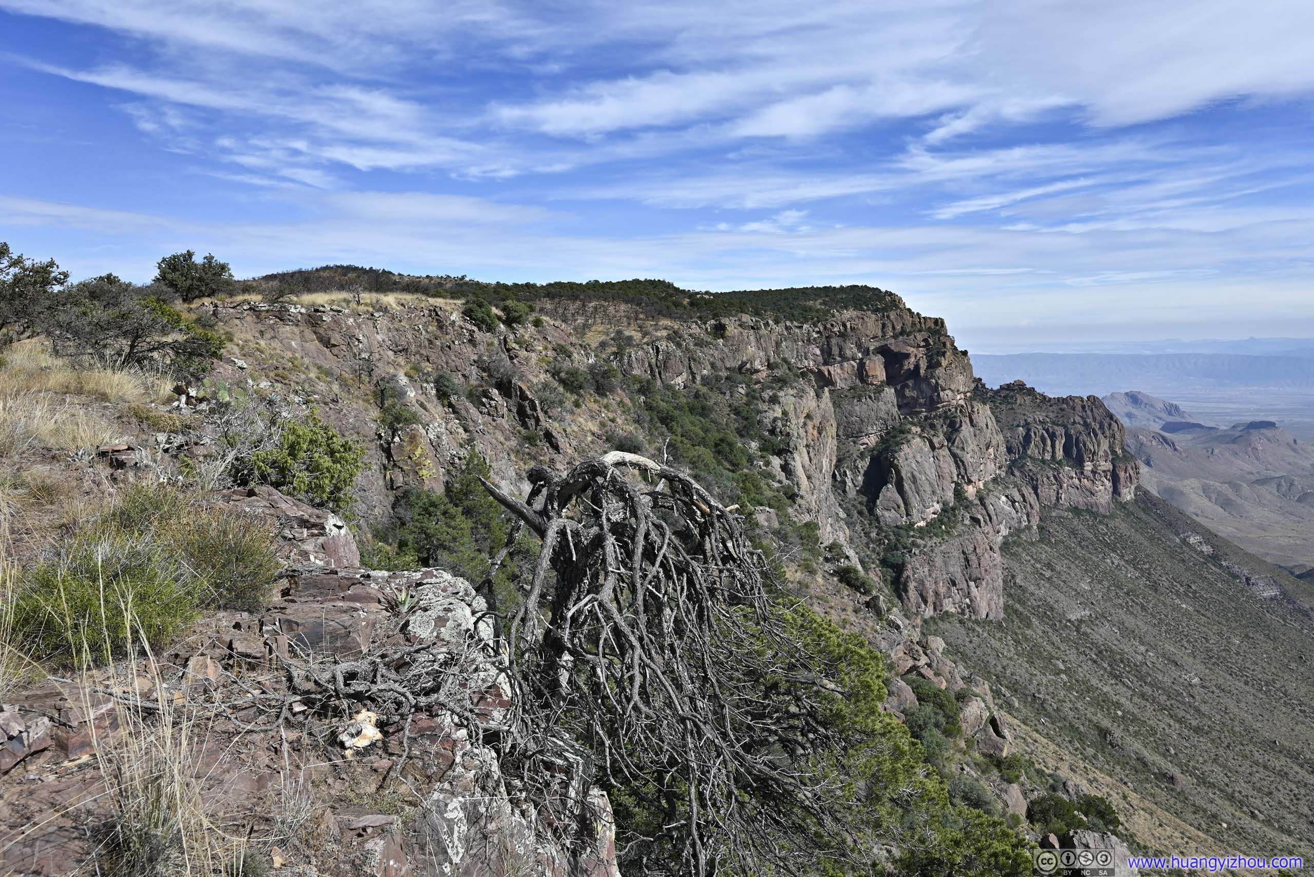
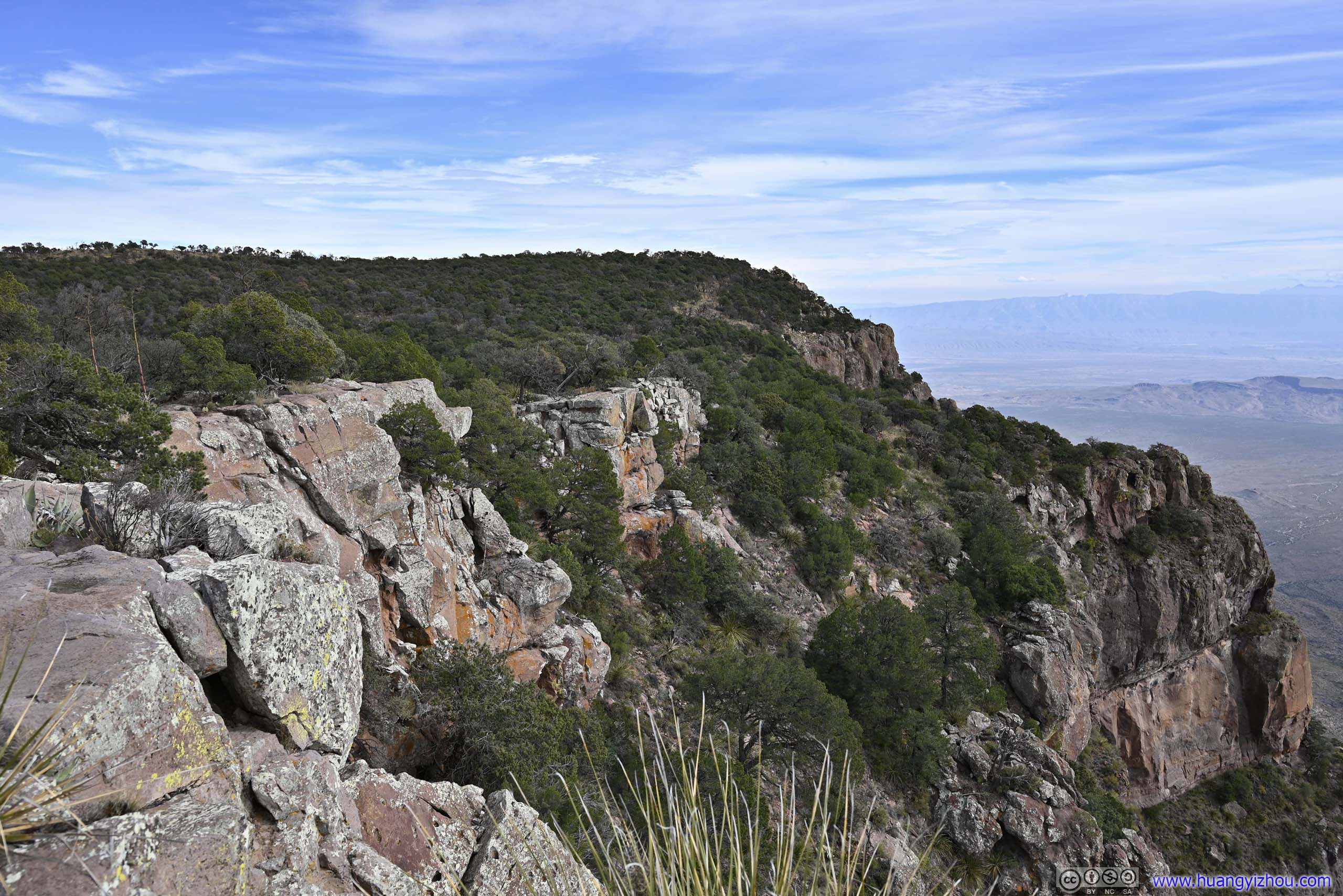
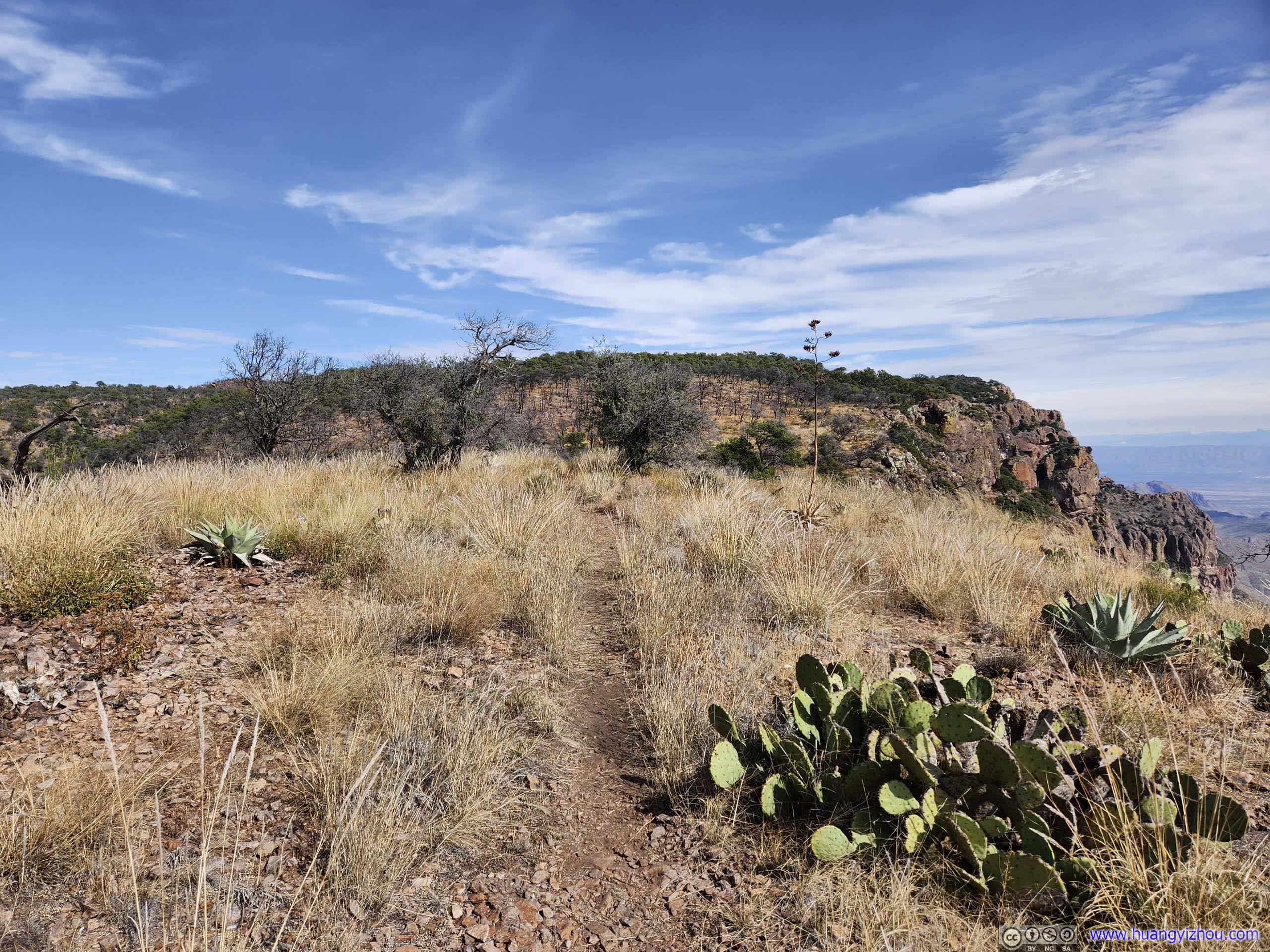
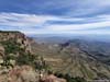
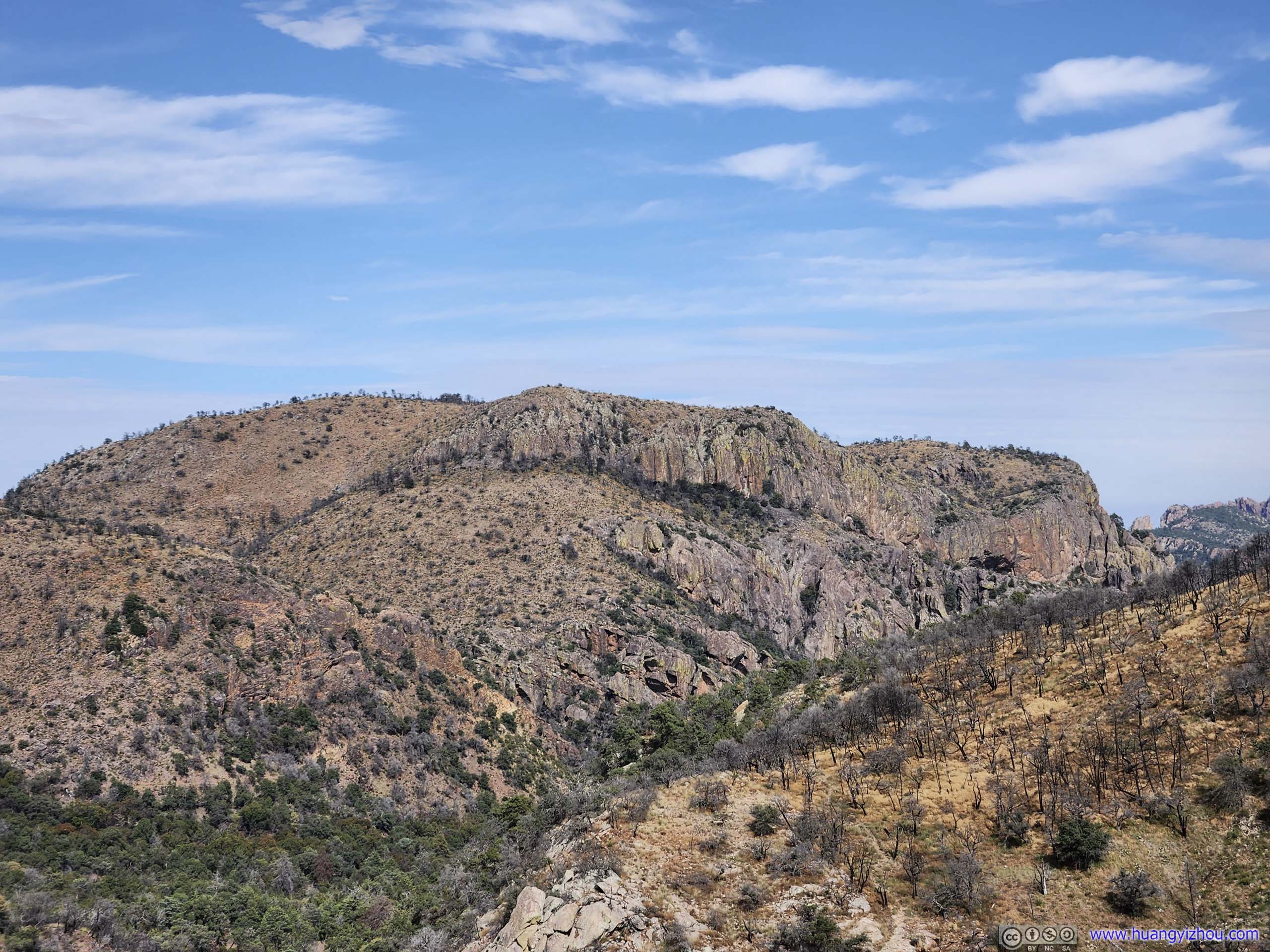
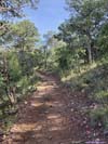
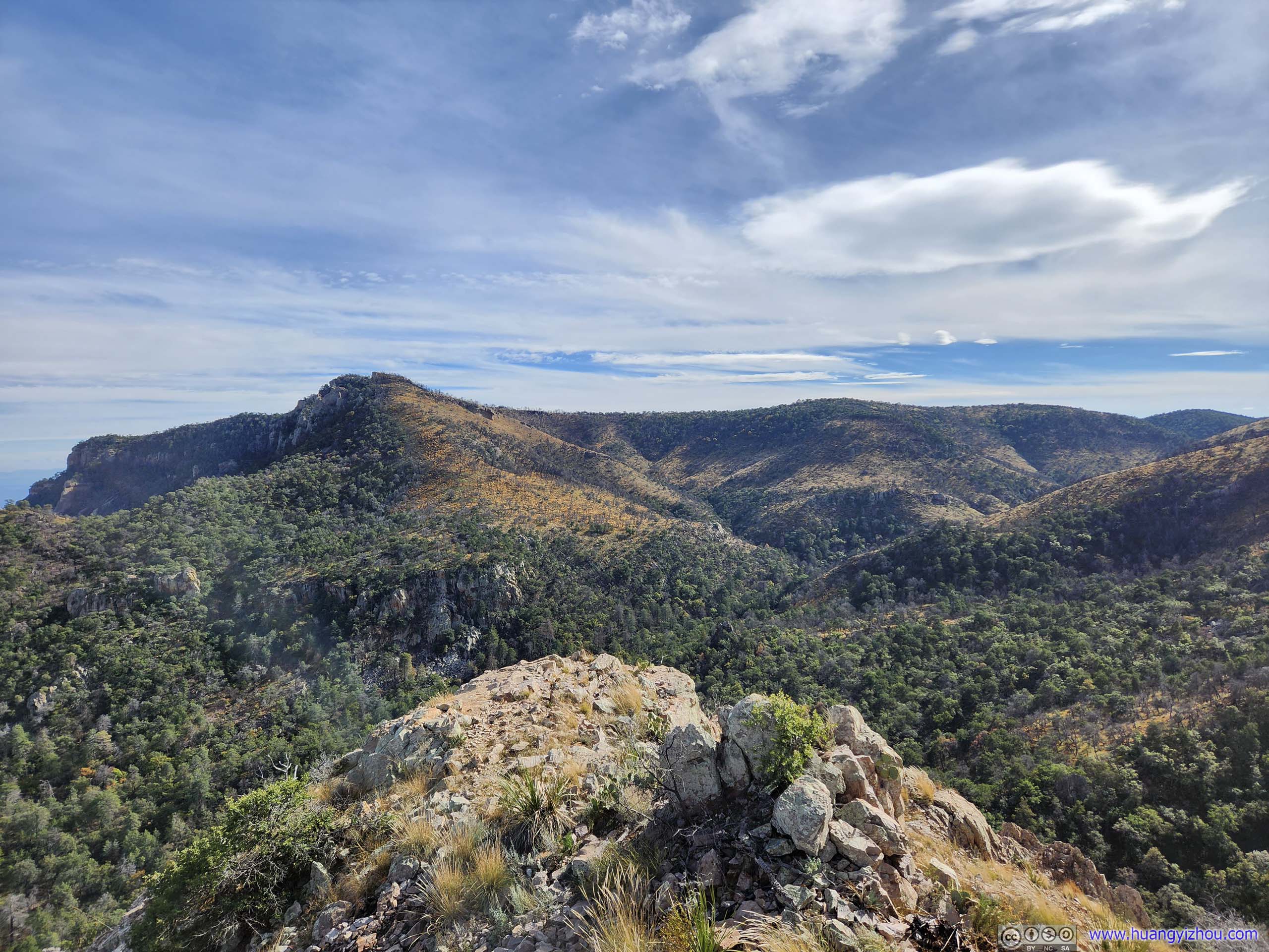
The next 2.5km of trail follows the South Rim of Chisos Mountains. It’s largely a comfortable stroll through open fields, and at times, scorched forests. It’s one of the most scenic sections of trail for the day, with vistas popping up from time to time for me to rest my legs against the breadth of open fields with gentle rolling hills to the south. Despite the trail never came with any exposure, from some of the overlooks, one could still appreciate the majesty of the cliffs.
 South Rim and Distant MountainsLooking back at the cliffs of my previous detour.
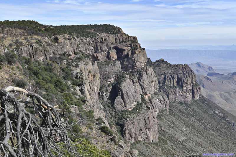 South RimIn the upper-center of this photo, the south rim had what looked like an arch structure.
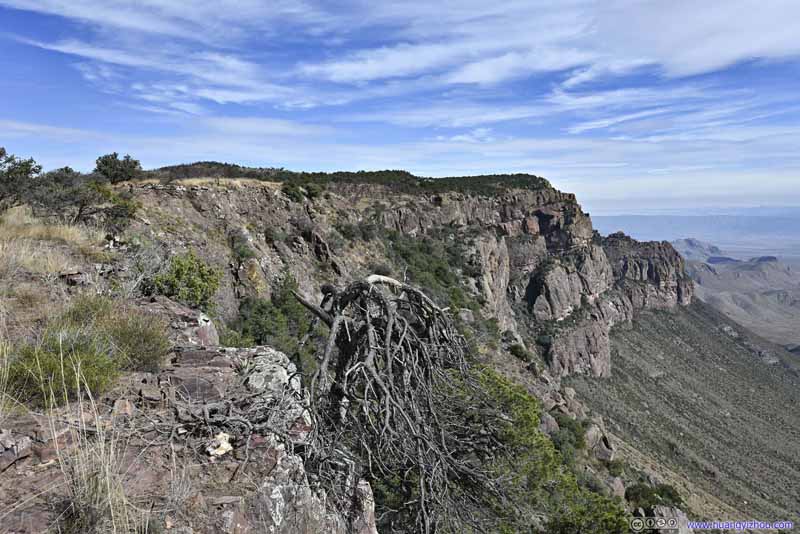 South RimLooking east, where I was heading.
 South RimNear its eastern end, where the cliffs transitioned into slopes.
 South RimLooking west, where I came from.
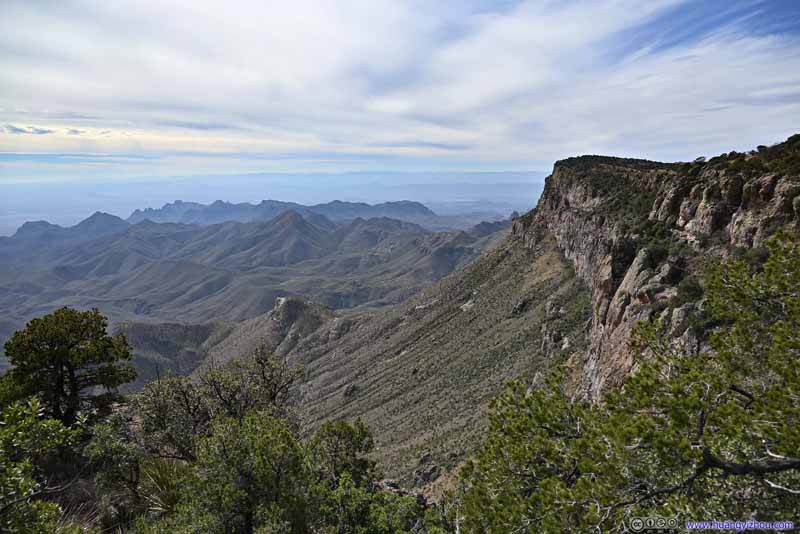 South Rim and MountainsThe last glimpses of South Rim for the day.
Click here to display photos of the slideshow

South Rim and Distant MountainsLooking back at the cliffs of my previous detour.
South RimIn the upper-center of this photo, the south rim had what looked like an arch structure.
South RimLooking east, where I was heading.
South RimNear its eastern end, where the cliffs transitioned into slopes.
South RimLooking west, where I came from.

South Rim and MountainsThe last glimpses of South Rim for the day.
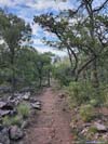
 Trail
Trail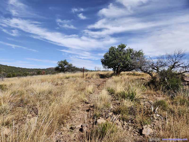 Trail
Trail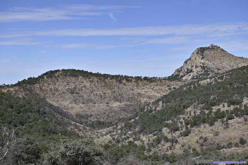 Boot Canyon and Emory PeakThe trail that I took earlier was clearly visible on the hillside.
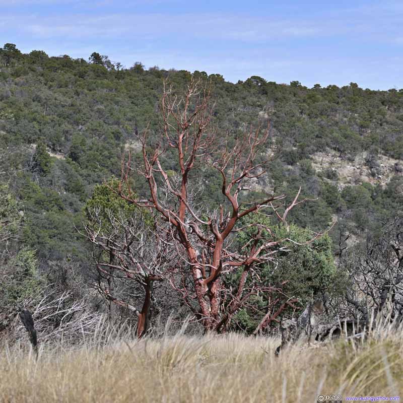 Tree in FieldIts branches seemed to be covered in what looked like red wax.
 TrailFor a considerable duration it’s never far from the cliff.
 FieldsA small valley between the two hillsides that stopped the fire from extending further left.
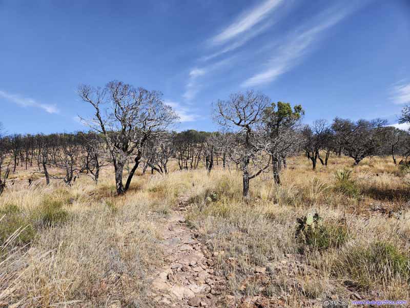 Trail through Scorched Fields

Click here to display photos of the slideshow

Trail

Trail
Boot Canyon and Emory PeakThe trail that I took earlier was clearly visible on the hillside.
Tree in FieldIts branches seemed to be covered in what looked like red wax.
TrailFor a considerable duration it’s never far from the cliff.
FieldsA small valley between the two hillsides that stopped the fire from extending further left.

Trail through Scorched Fields
 View from South RimFrom some overlooks along the way.
It’s worth noting that during certain times of the year, the section of south/east rim trail beyond the junction of Boot Canyon Trail was closed to provide habitat for hatching vultures.
 Mountains beyond South Rim
 Mountains to the West
 Fields beyond South Rim
 Fields beyond South Rim
 Fields beyond South Rim
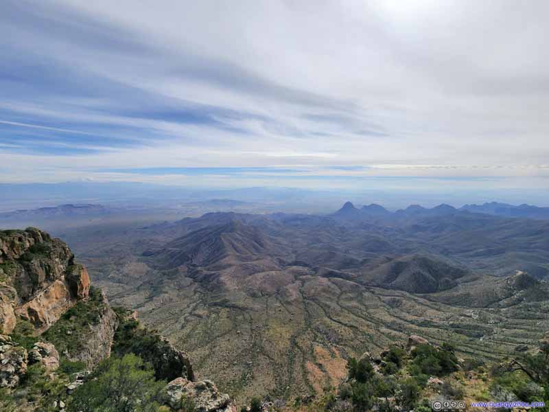 Mountains beyond South RimI liked how rivers were carving ribbons of green into the land.

Click here to display photos of the slideshow
Mountains beyond South Rim
Mountains to the West

Fields beyond South Rim

Fields beyond South Rim
Fields beyond South Rim

Mountains beyond South RimI liked how rivers were carving ribbons of green into the land.
East Rim to Boot Canyon
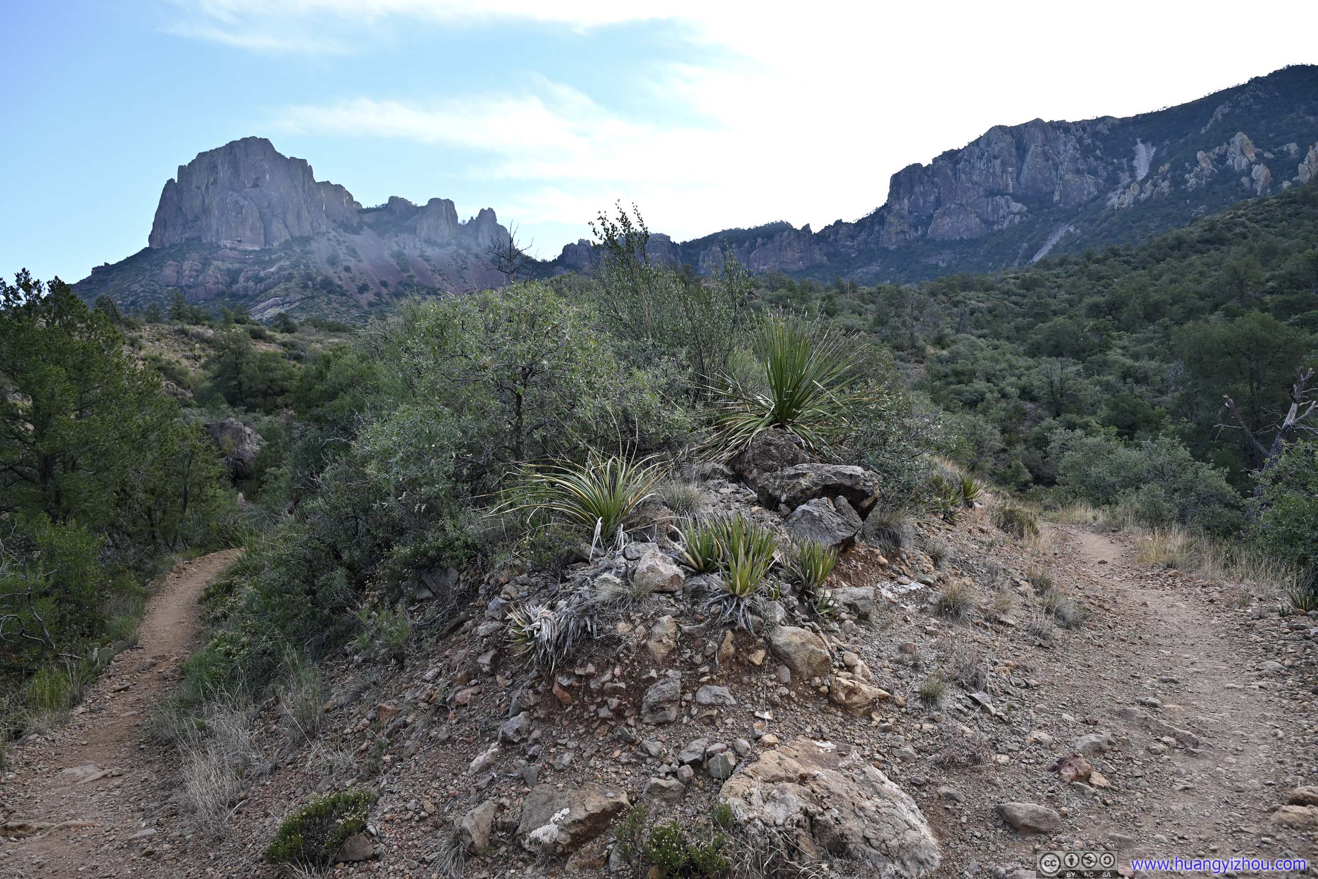
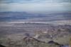
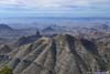
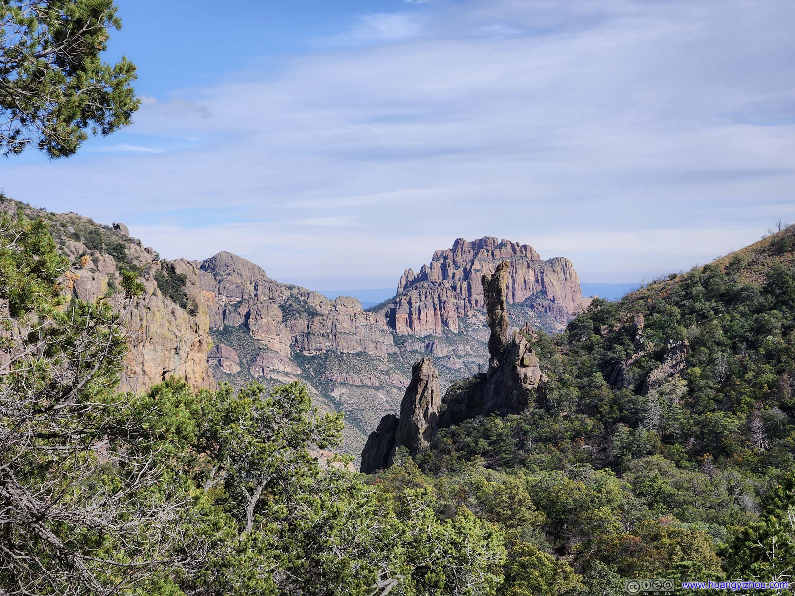
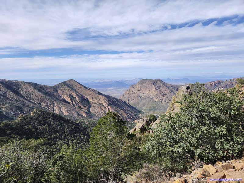
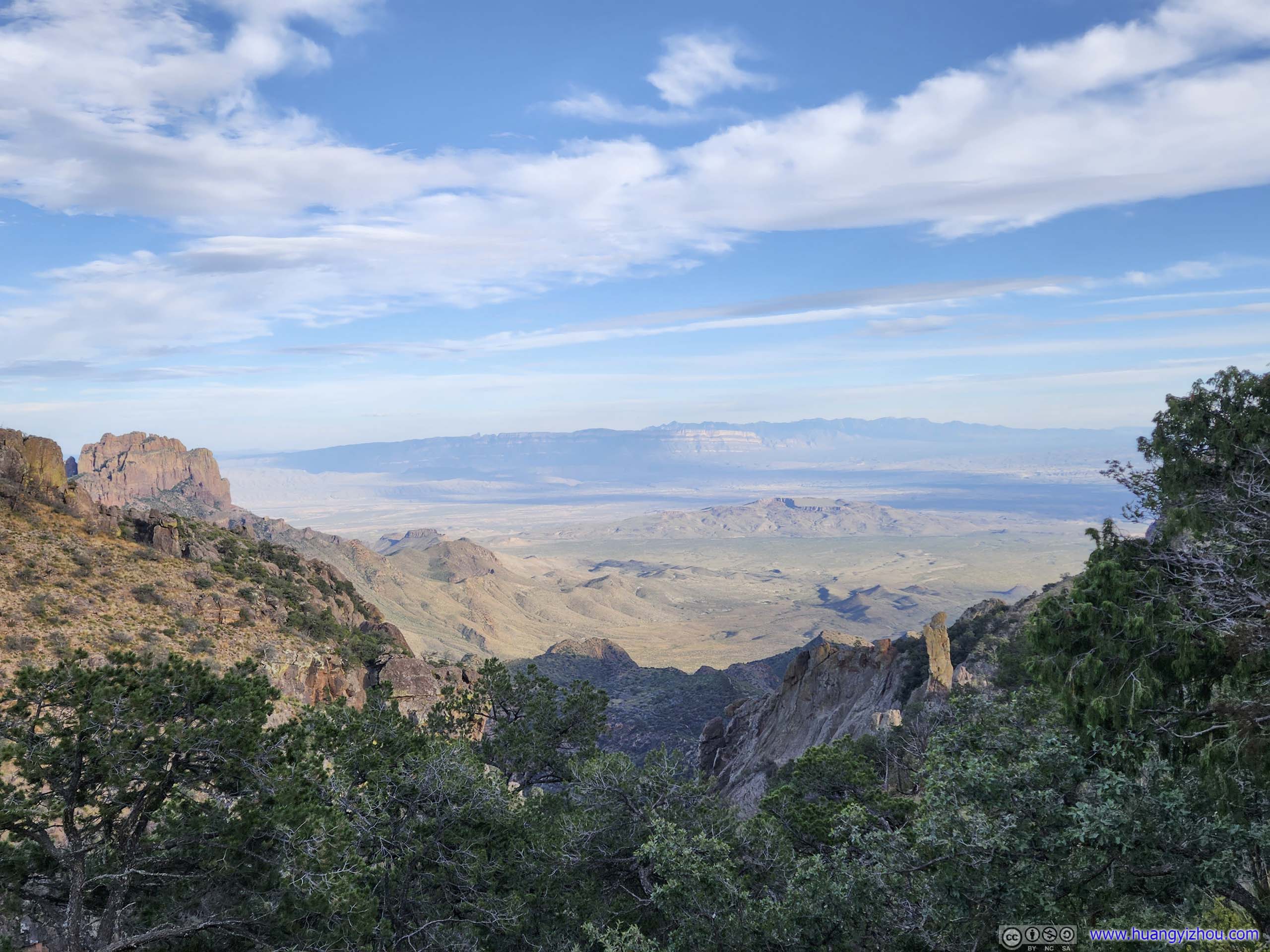
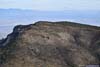
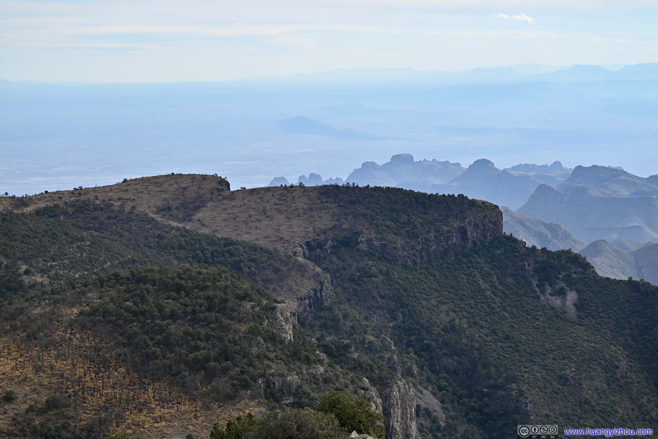
I reached the southeast corner of the entire loop at 12:45pm, which was an overlook with views of a ridgeline to the southeast. Together with another overlook 200m later, these were the two overlooks offering the best views of the day, apart from the summit of Emory Peak.
 Tip of East Rim and Fields beyond
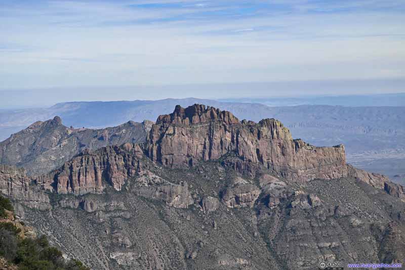 Mountains across Juniper Canyon
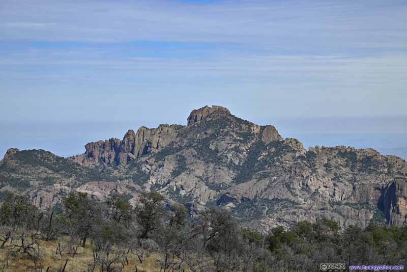 Lost Mine Peak
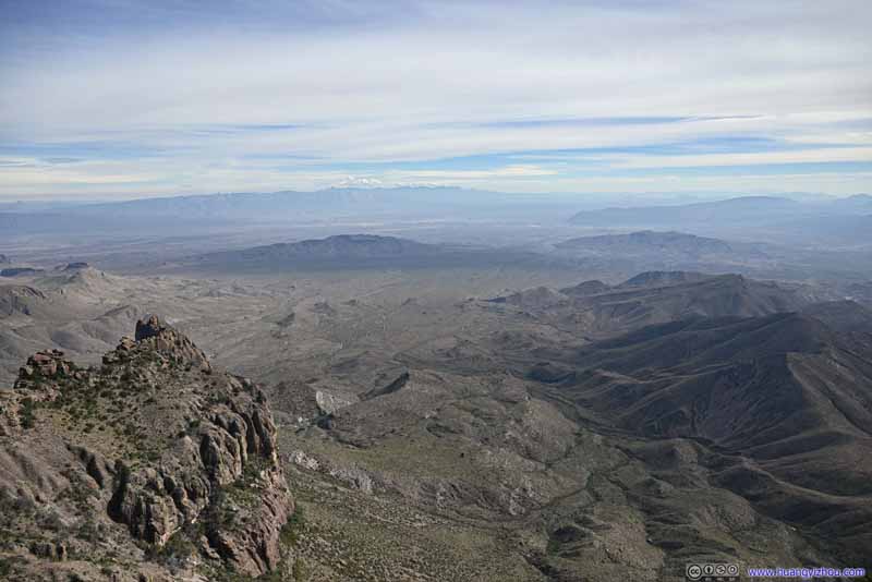 Fields to the SoutheastChilicotal Mountain and Talley Mountain in the center before Sierra del Carmen in the background.
Click here to display photos from an overlook along the east rim.
Tip of East Rim and Fields beyond

Mountains across Juniper Canyon
Lost Mine Peak
Fields to the SoutheastChilicotal Mountain and Talley Mountain in the center before Sierra del Carmen in the background.
View from Eastern Tip of South Rim
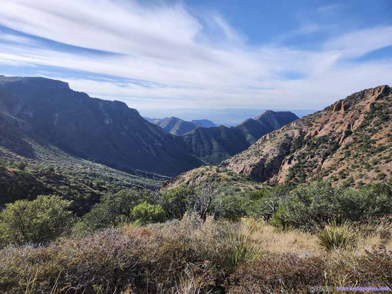
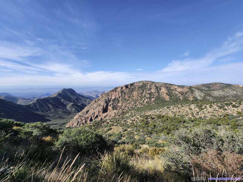
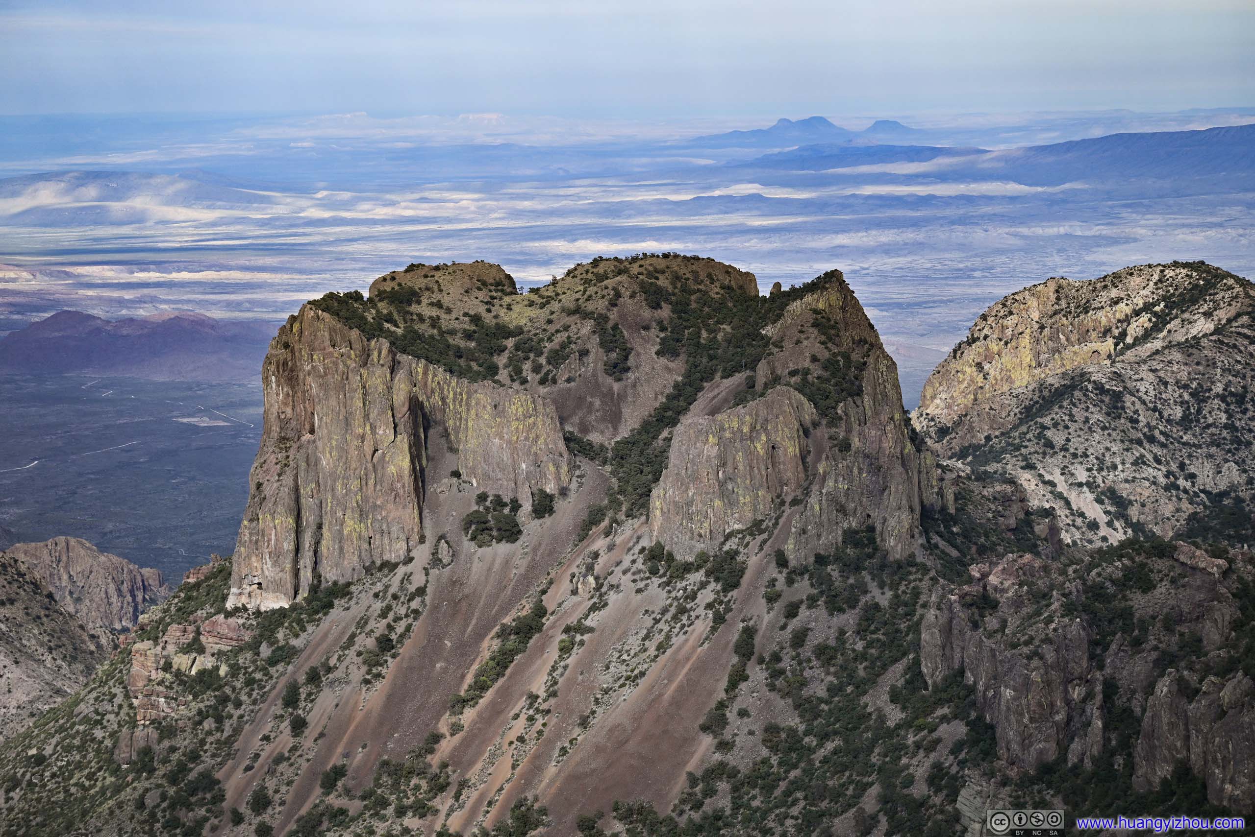
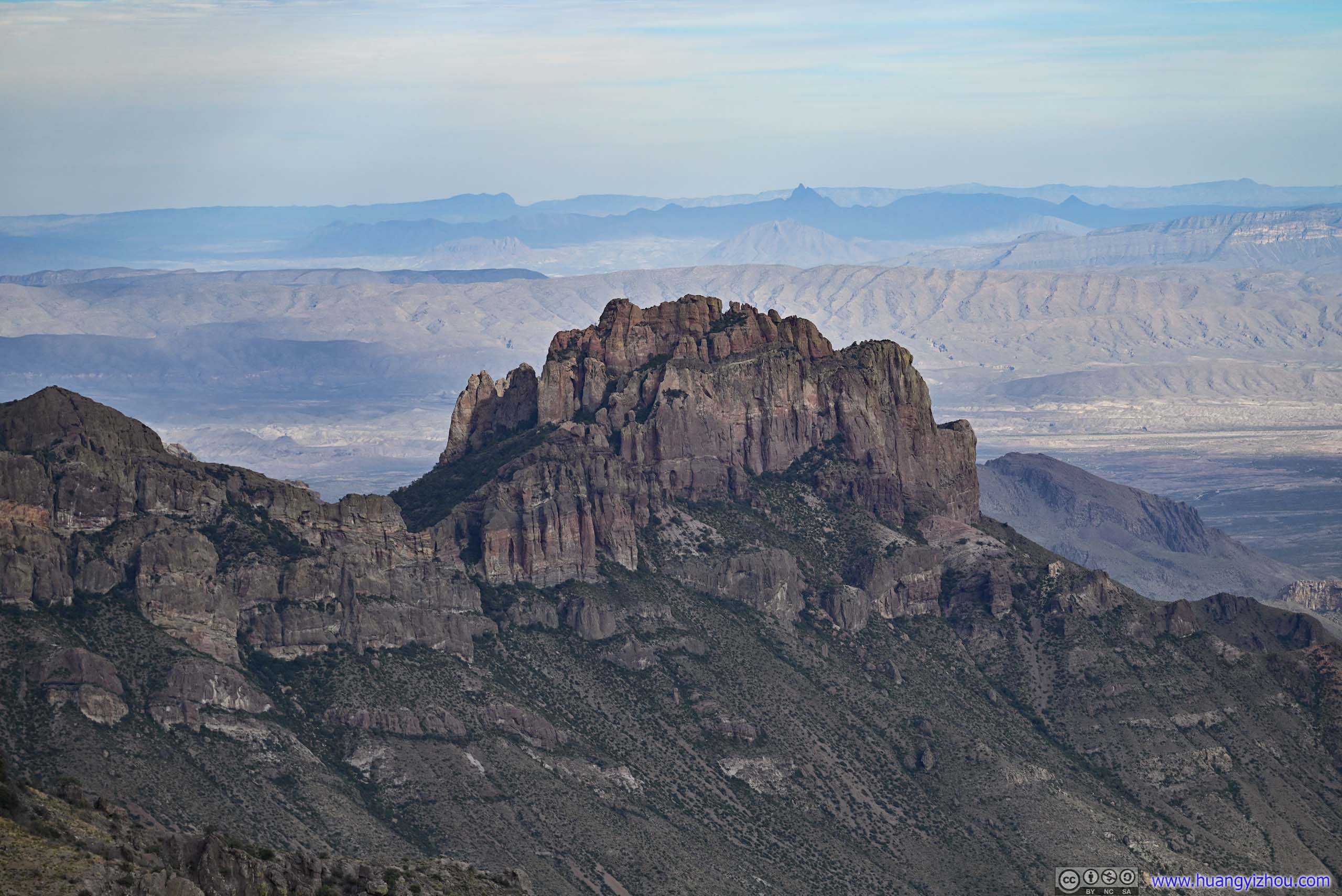
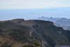
200m later(about 3km from the first overlook along the south rim), near the spur leading to “East Rim 3” campsite, there’s an overlook with probably better views, of Lost Mine Peak in its entirety, and the southern face of Toll Mountain, gorgeously lit by the early afternoon sun. It’s likely the only view of Juniper Canyon of the day, overlooking its entire length.
 Lost Mine PeakA front row seat to appreciate the mountain ranges of Lost Mine Peak in their entirety.
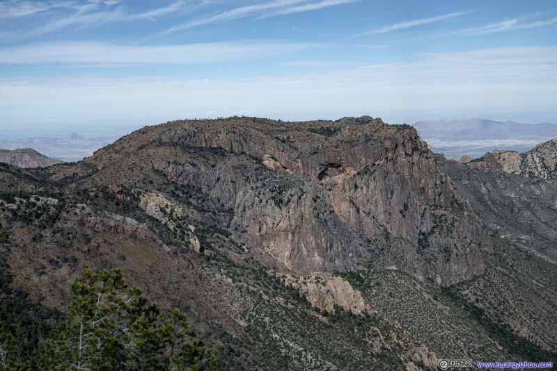 Toll Mountain
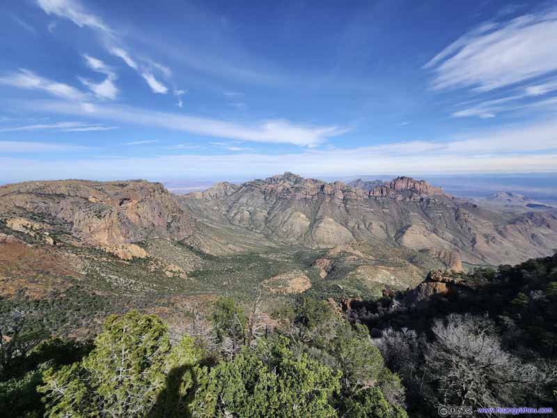 Juniper Canyon
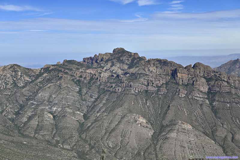 Lost Mine Peak
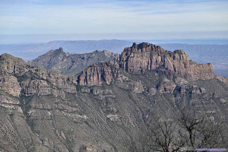 Mountains across Juniper CanyonAn extension of Lost Mine Peak.
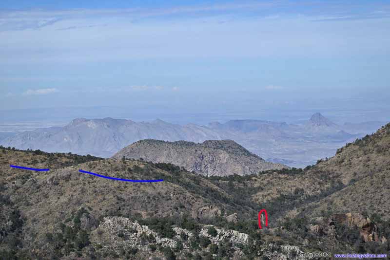 Mountains beyond Pinnacles Pass
Portions of Boot Canyon Trail (red) and Emory Peak Trail (blue) visible. Beyond Pinnacles Pass, tip of Vernon Bailey Peak, and Christmas Mountains beyond that.
Mountains beyond Pinnacles Pass
Portions of Boot Canyon Trail (red) and Emory Peak Trail (blue) visible. Beyond Pinnacles Pass, tip of Vernon Bailey Peak, and Christmas Mountains beyond that.
Click here to display photos from the east rim.
Lost Mine PeakA front row seat to appreciate the mountain ranges of Lost Mine Peak in their entirety.

Toll Mountain

Juniper Canyon

Lost Mine Peak
Mountains across Juniper CanyonAn extension of Lost Mine Peak.

Mountains beyond Pinnacles Pass
It’s a pity that overlooks had been so prevalent along the south and east rim, that I only stayed for 3 minutes at this spot, not knowing it’s the last overlook along the Chisos rim.
View from East Rim
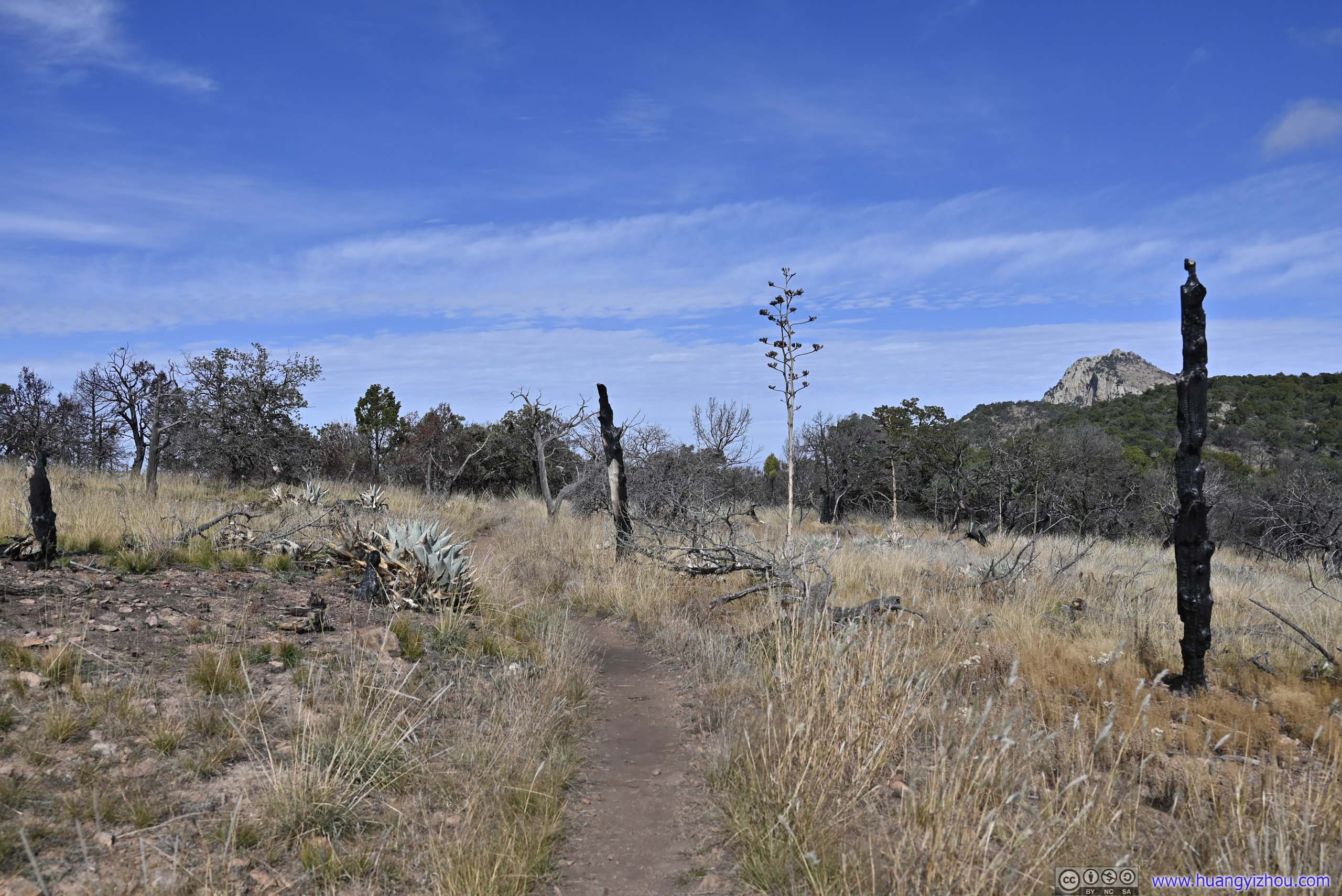
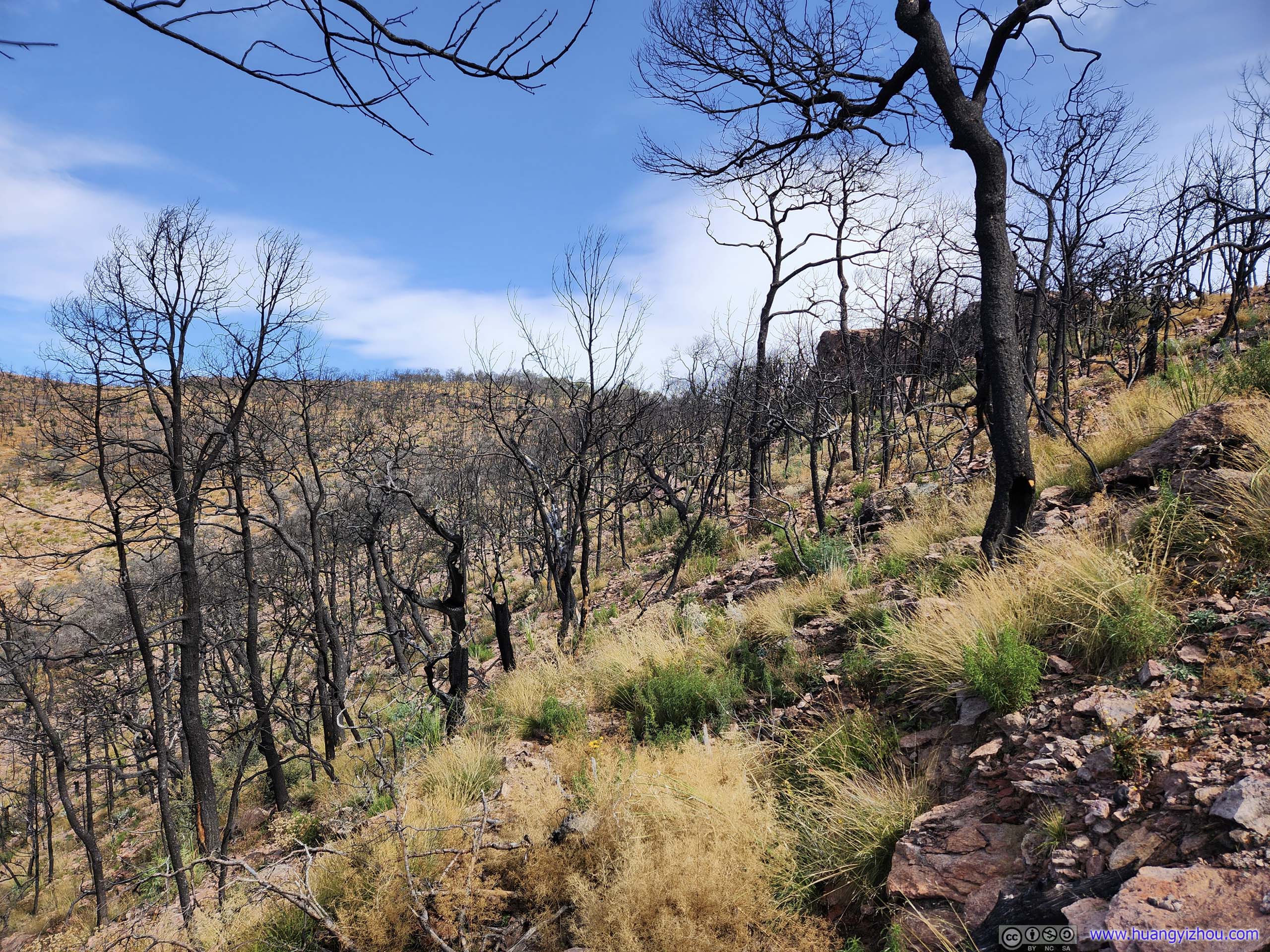
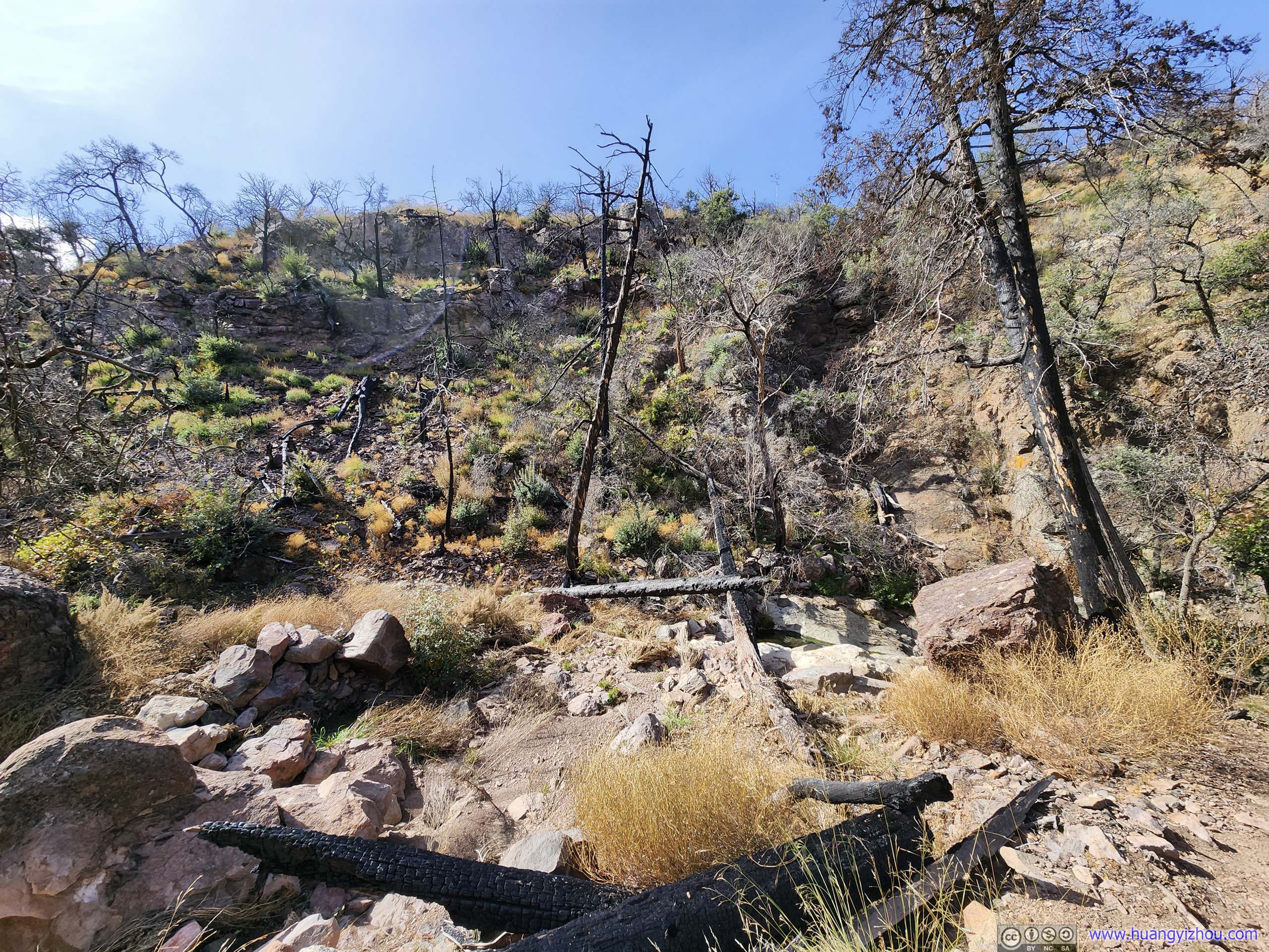
After that, the trail passed to the south of “Townsend Point” on maps (didn’t go to the actual point, so there were no views), through a partially burned forest back to Boot Canyon.
 Scorched FieldsLeaving South Rim behind.
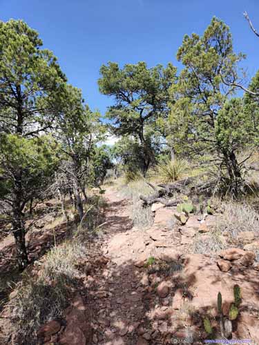
 Trail
Trail Trail
Trail Trail
Trail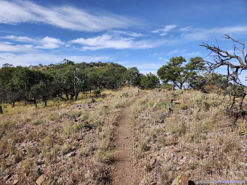 Trail
Trail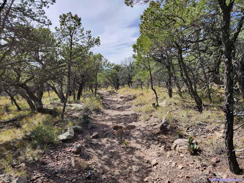 Trail
Trail
Click here to display photos of the trail.

Scorched FieldsLeaving South Rim behind.

 Trail
Trail
Trail
Trail

Trail
Trail
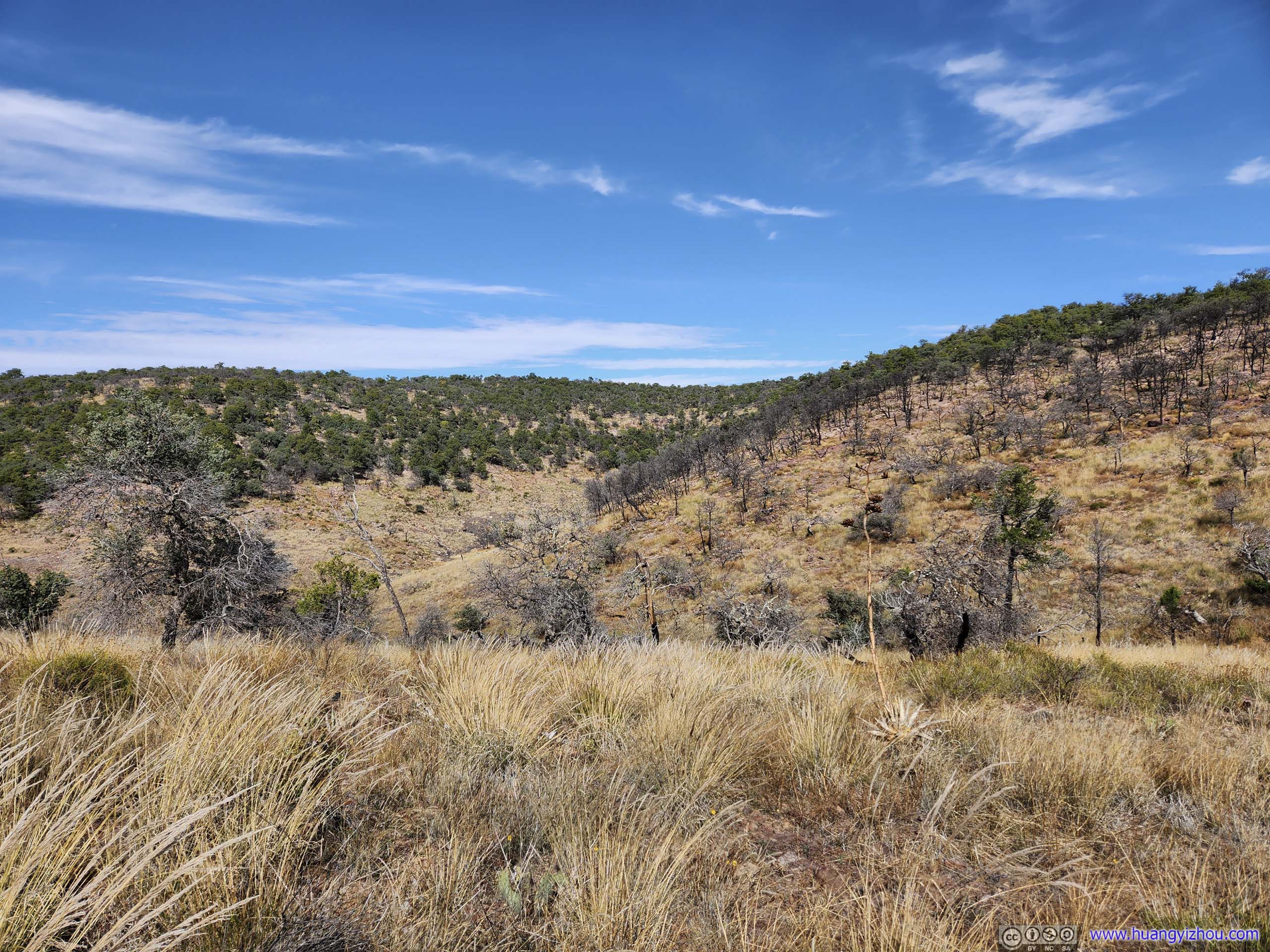
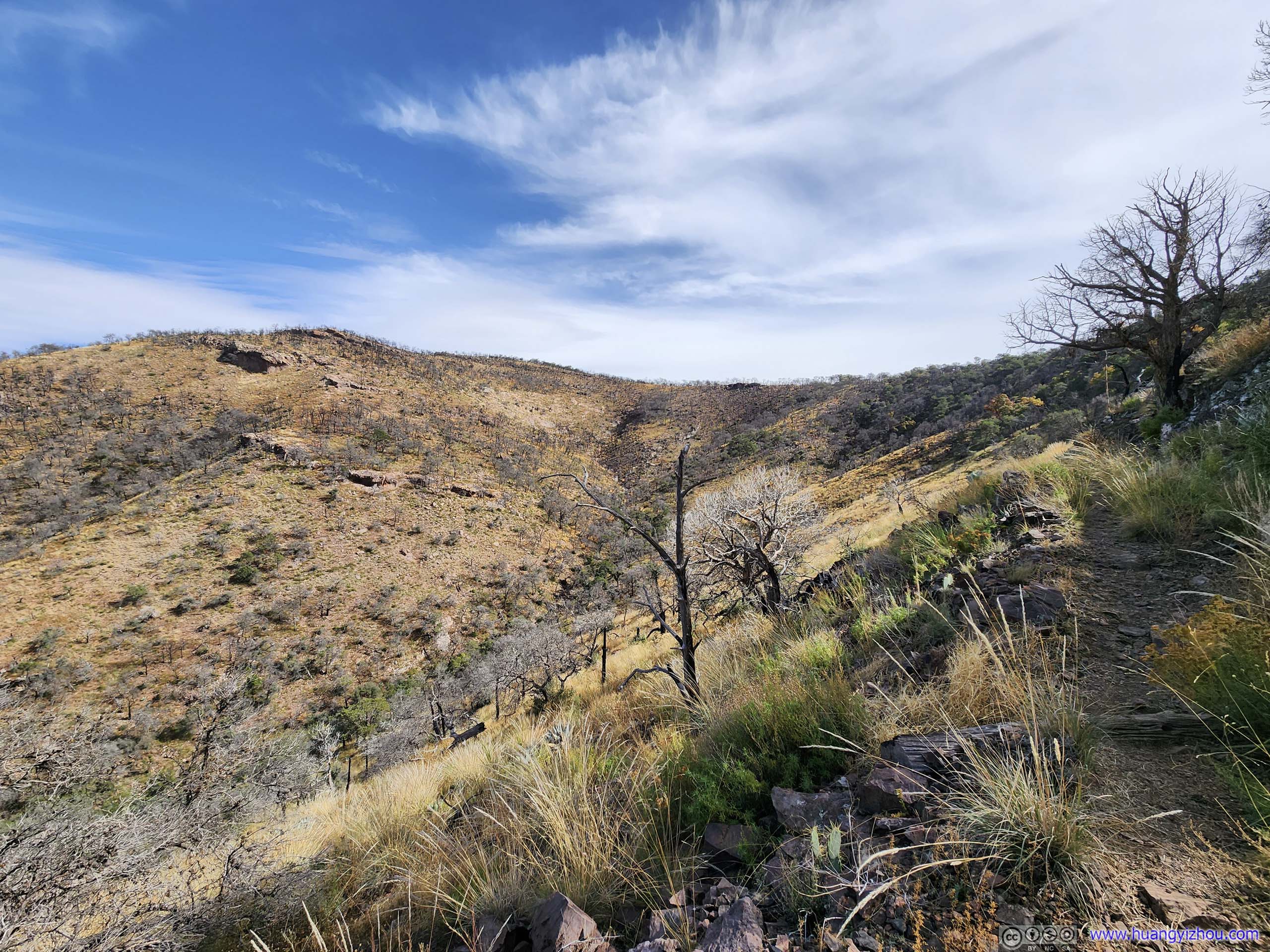
The trail between the last overlook of East Rim and Boot Canyon lasted about 1.7km. Emory Peak was a constant sight, but not as spectacular as Lost Mine Peak from the previous overlook. In addition, the trail was from time to time a bit overgrown. On the good side, the gentle downhill meant it didn’t take that much physical effort to cover. In addition, I identified parts of the trail I covered earlier on the opposite side of Boot Canyon.
 FieldsEmory Peak, Toll Mountain, and the forests in Boot Canyon behind a scorched field.
 Emory Peak
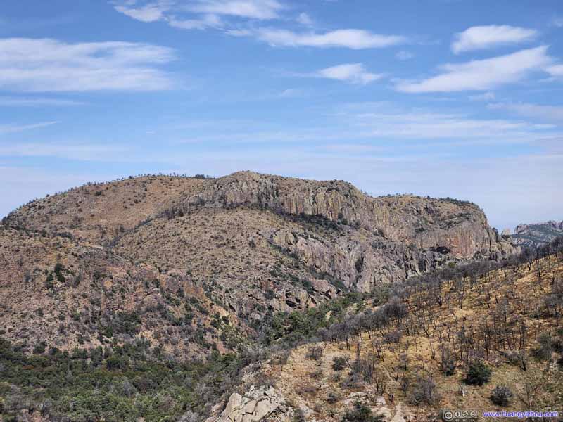 Toll Mountain
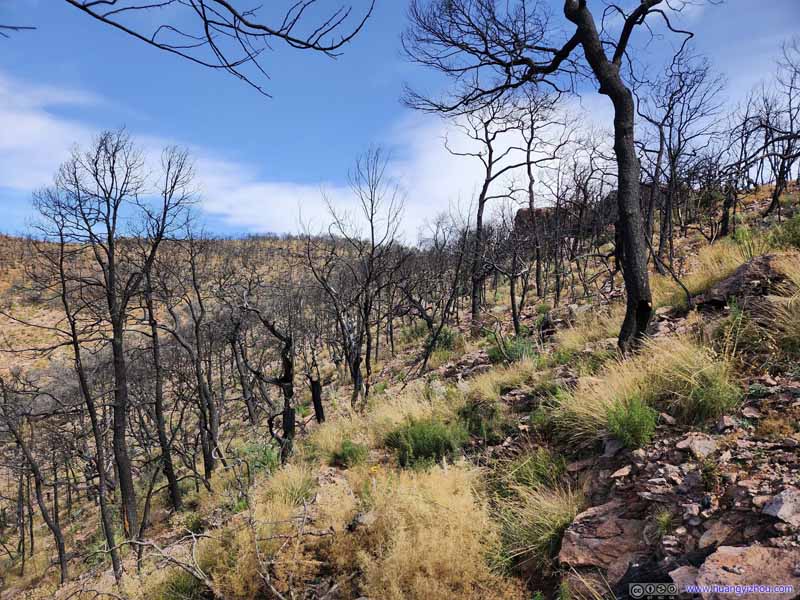 Scorched Field
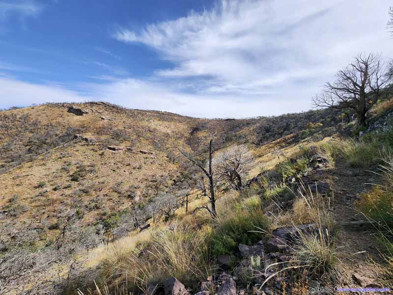 Trail through Scorched Fields
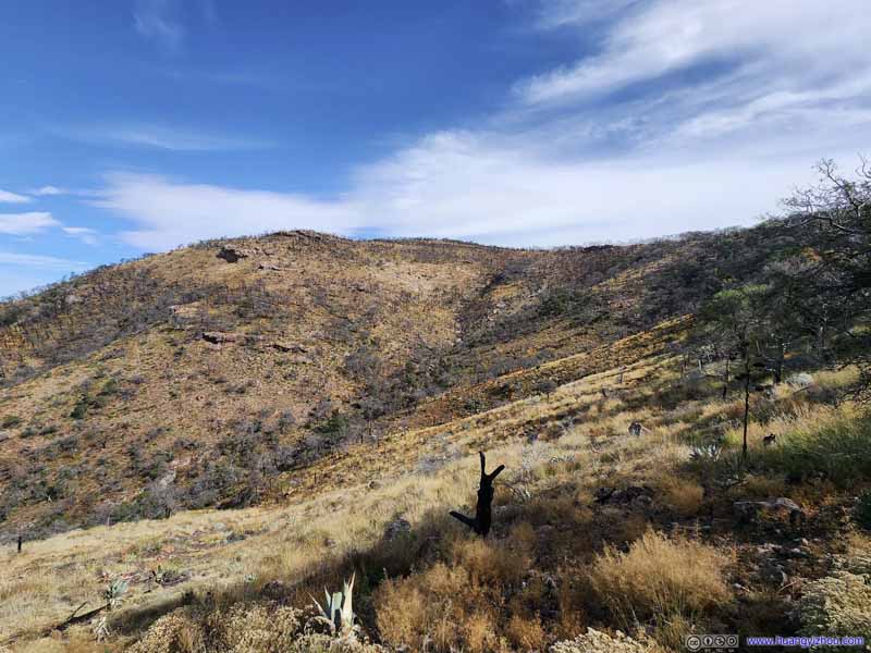 HillsideObvious signs of burn.
 Forests in Boot Canyon
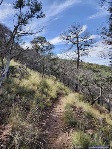
 Trail
Trail
Click here to display photos of the slideshow
FieldsEmory Peak, Toll Mountain, and the forests in Boot Canyon behind a scorched field.
Emory Peak
Toll Mountain
Scorched Field
Trail through Scorched Fields

HillsideObvious signs of burn.

Forests in Boot Canyon
 Trail
Trail
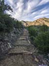
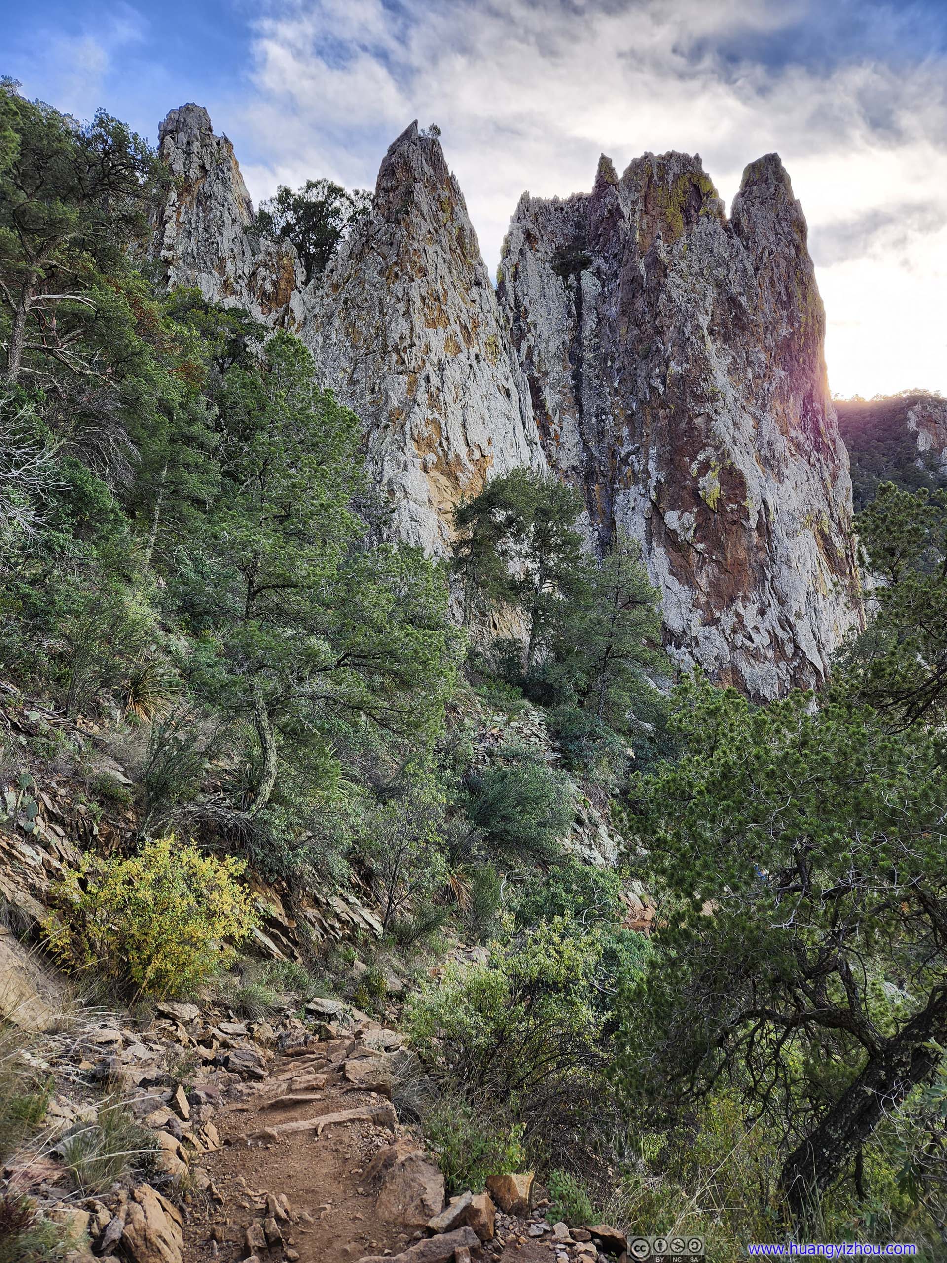
Boot Canyon to Pinnacle Pass
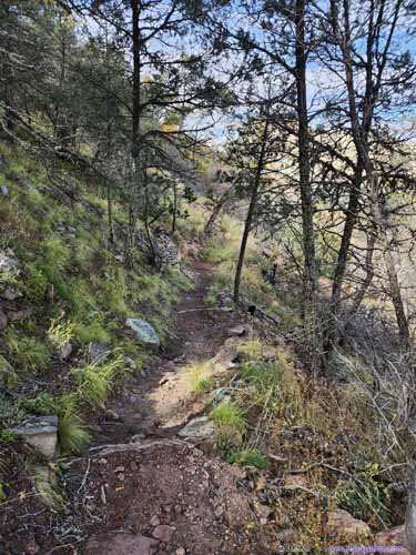
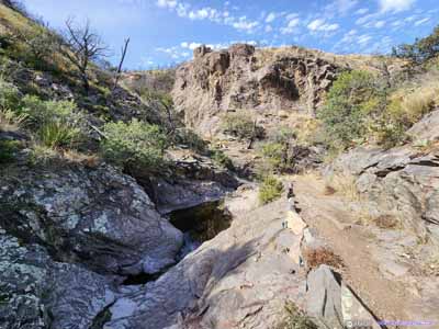
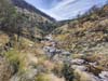
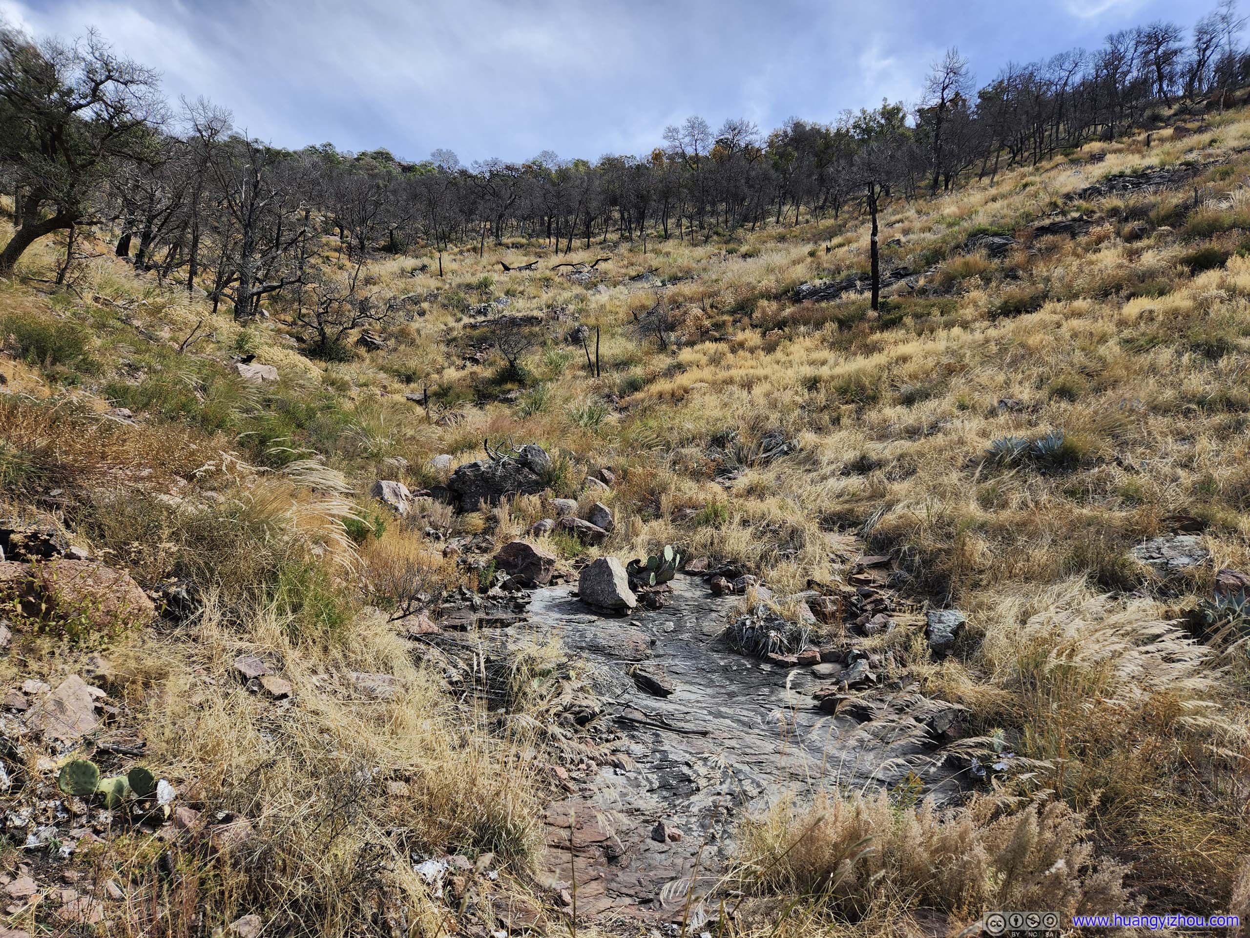
At 1:25pm, I joined Boot Canyon Trail. The trail followed a (mostly dry) creek that originated from Chisos South Rim down into Juniper Canyon. Most of the trail was near the canyon floor, with puddles of water visible, reminiscent of The Window the previous day.
 Boot CanyonUpstream, mostly dried river bed.
 Boot Canyon
The few puddles and ponds were the only signs of a creek that flew through this canyon when wet, just like the previous day at The Window.
Boot Canyon
The few puddles and ponds were the only signs of a creek that flew through this canyon when wet, just like the previous day at The Window.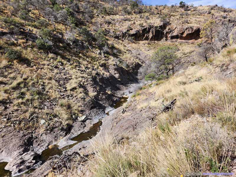 Boot Canyon
The few puddles and ponds were the only signs of a creek that flew through this canyon when wet, just like the previous day at The Window.
Boot Canyon
The few puddles and ponds were the only signs of a creek that flew through this canyon when wet, just like the previous day at The Window. TrailA section of reinforced trail in Boot Canyon.
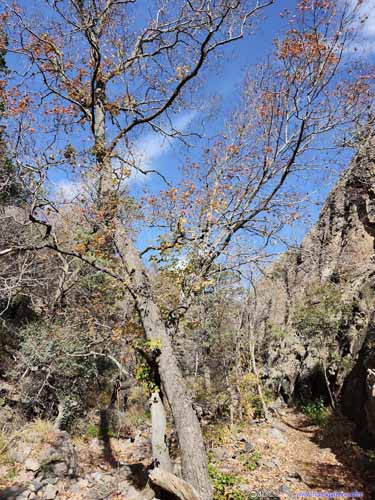
 Trail in Boot CanyonI was sort of surprised to find foliage this late in the season.
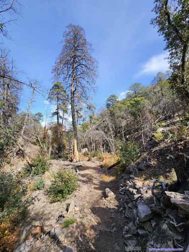
 Trail in Boot CanyonI was sort of surprised to find foliage this late in the season.

 Boot Canyon


Click here to display photos of the slideshow
Boot CanyonUpstream, mostly dried river bed.

Boot Canyon

Boot Canyon

TrailA section of reinforced trail in Boot Canyon.

 Trail in Boot CanyonI was sort of surprised to find foliage this late in the season.

 Trail in Boot CanyonI was sort of surprised to find foliage this late in the season.


 Boot Canyon
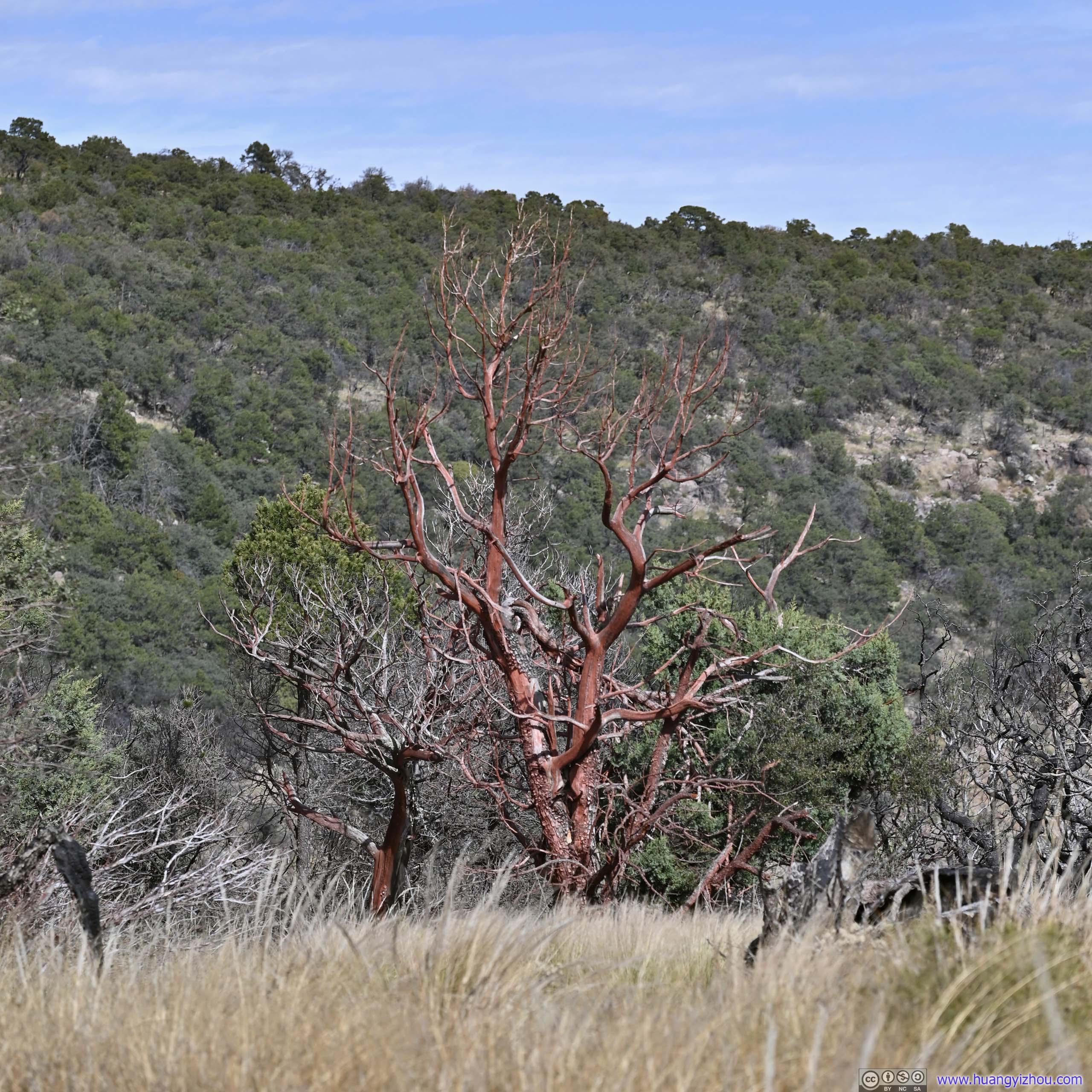
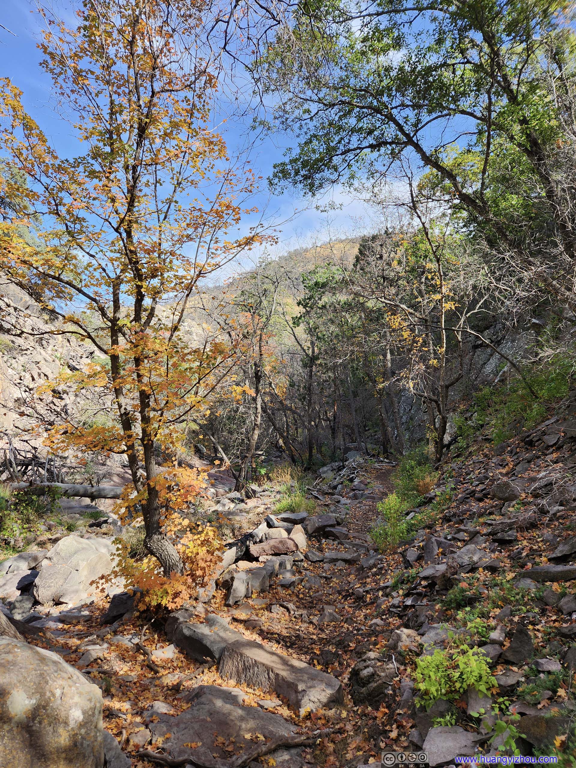
Deep in Boot Canyon, I was delightfully shocked to find autumn colors this late in the season.
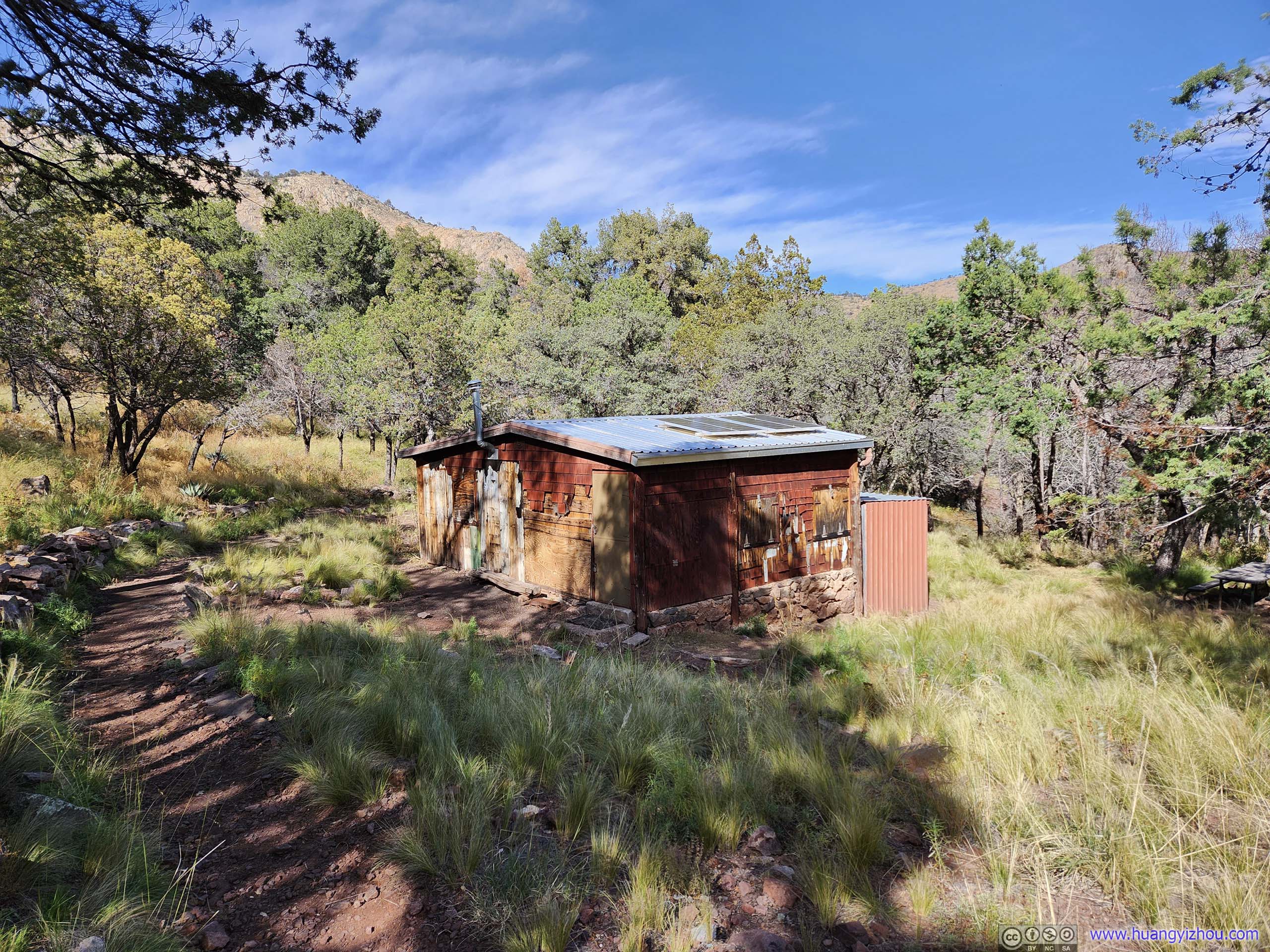
Boot Cabin
Surrounded by deep forests, Boot Cabin was approximately the lowest elevation point between East Rim and Pinnacles Pass. I left Boot Cabin at 1:50pm, making my way to Pinnacles Pass.
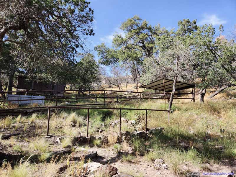 Empty Horse ShedsNear the intersection of Boot Canyon Trail and Colima Trail.
 Trail
Trail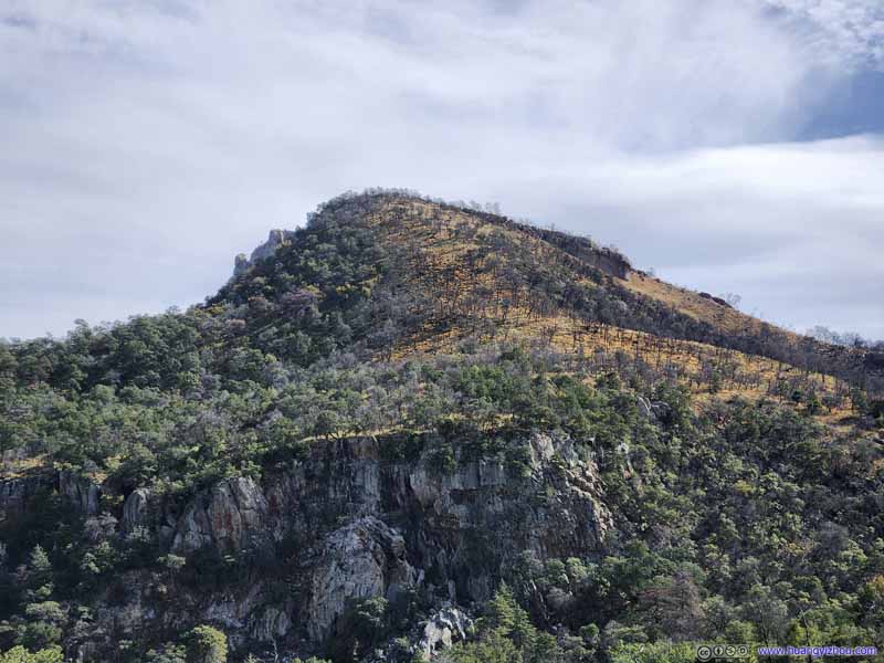 East RimWhere I descended from. The boundary of burn area was very obvious.
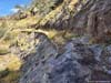
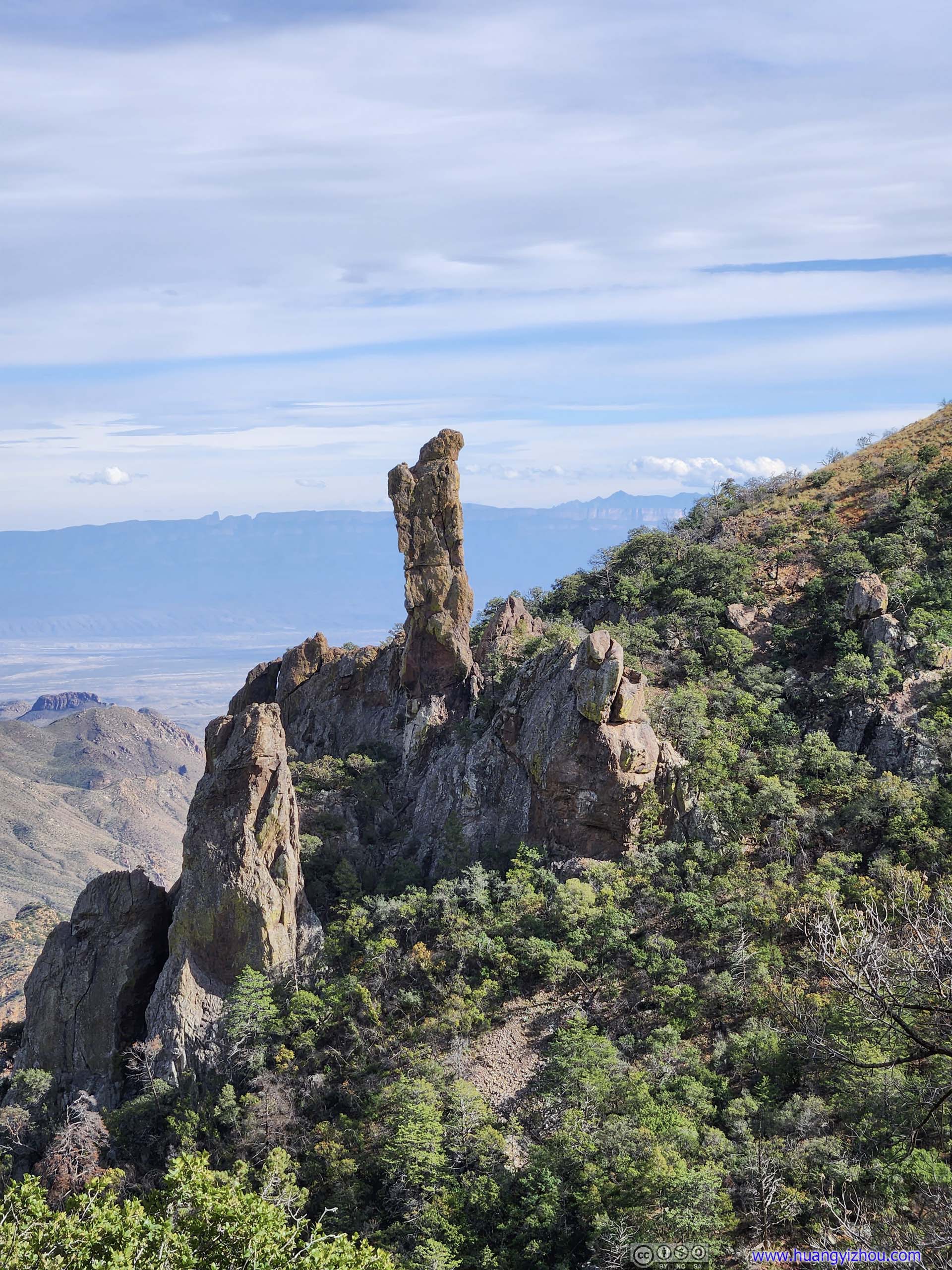
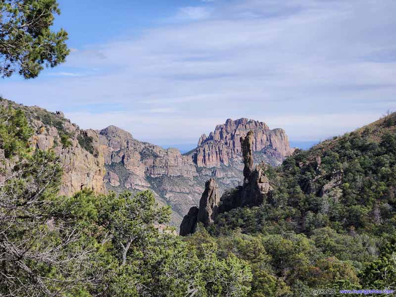 Boulders
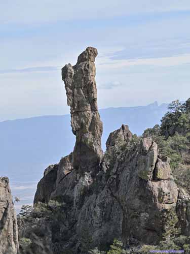
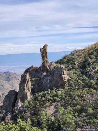 Boulders across Boot CanyonTo me, this felt like a poet, drinking from a cup.
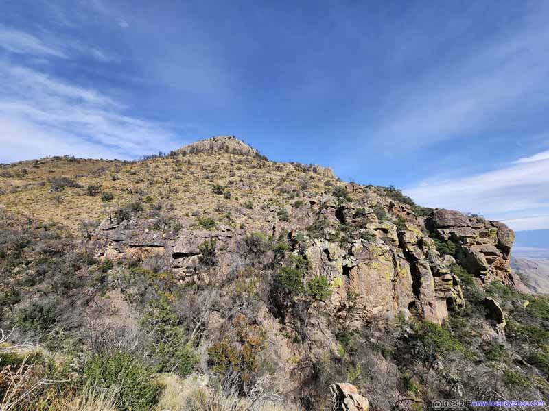 Side of Toll Mountain
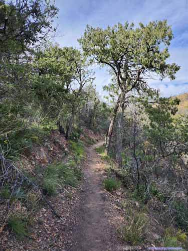
 TrailOnto Pinnacles Pass.


Click here to display photos of the slideshow

Empty Horse ShedsNear the intersection of Boot Canyon Trail and Colima Trail.

 Trail
Trail

East RimWhere I descended from. The boundary of burn area was very obvious.
Boulders

 Boulders across Boot CanyonBoulders across Boot CanyonTo me, this felt like a poet, drinking from a cup.

Side of Toll Mountain
 TrailOnto Pinnacles Pass.
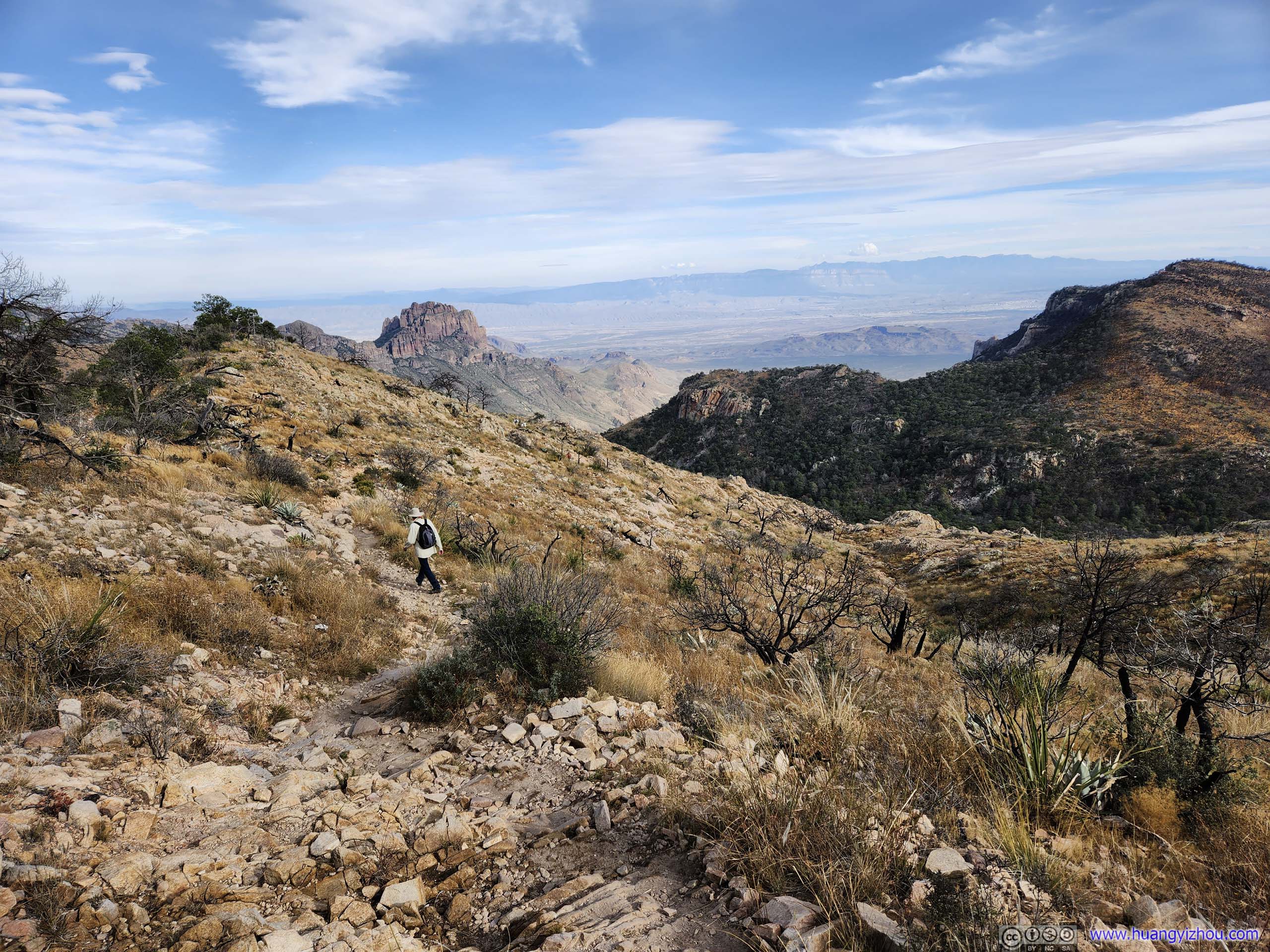
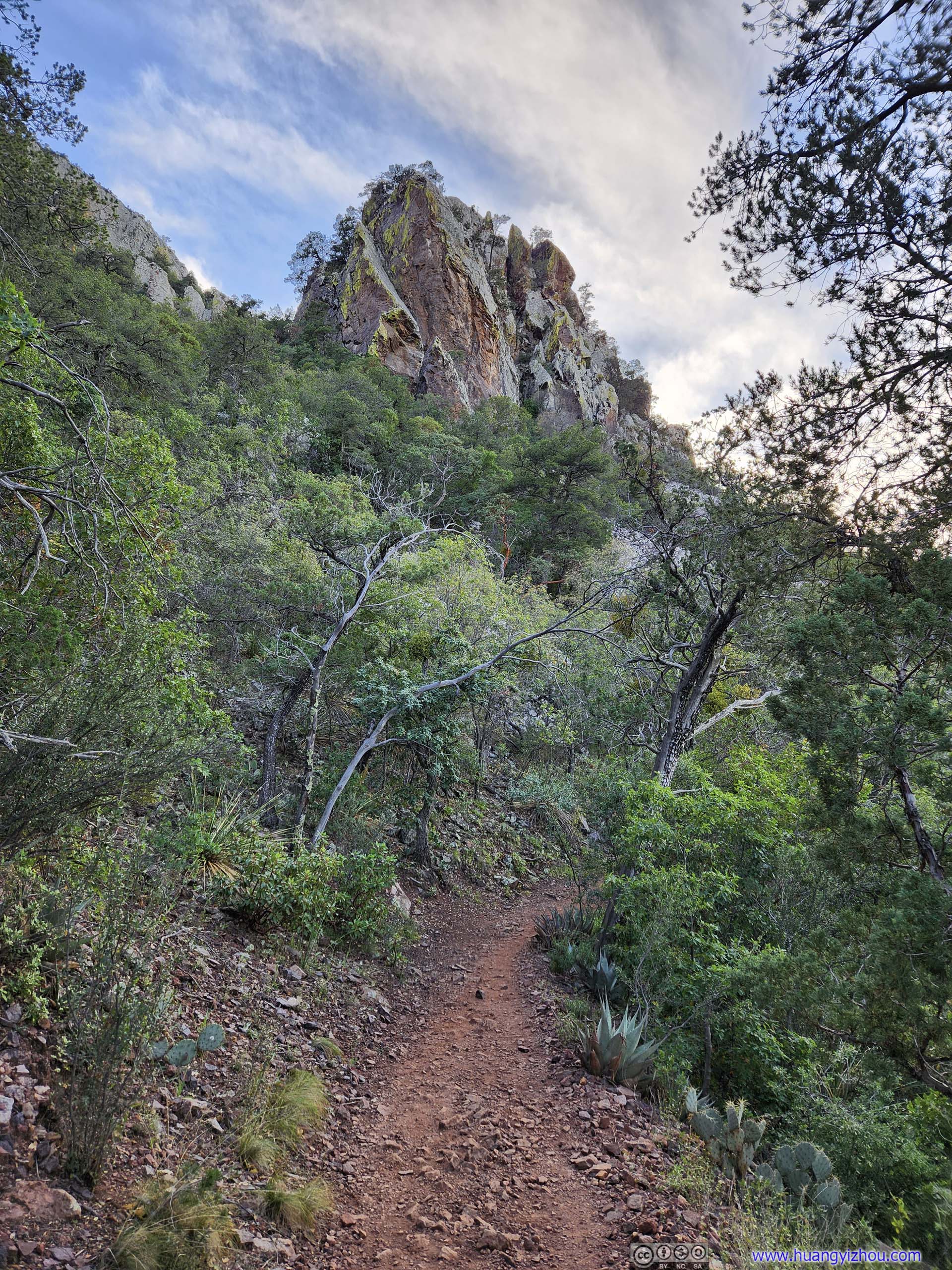
Spur to Emory Peak
I reached Pinnacles Pass at around 2:20pm, joining what later turned out to be the day’s last group of hikers heading towards Emory Peak. The spur towards Emory Peak was 2.3km one-way with about 240m elevation gain.
 Trail
Trail Trail
Trail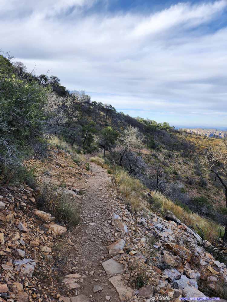 Trail
Trail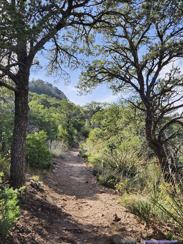 Trail
Trail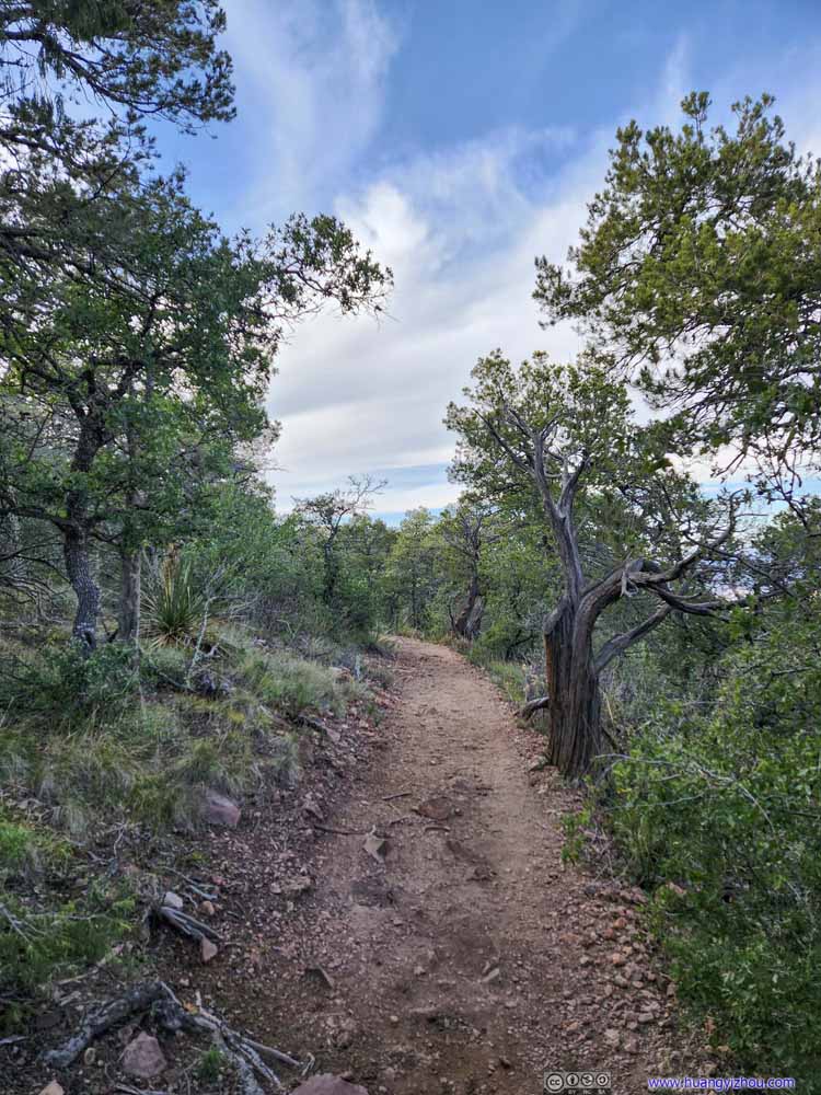 Trail
Trail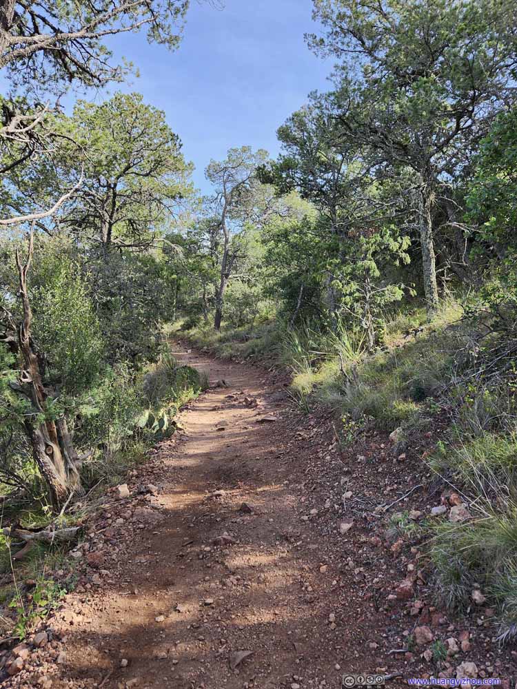 Trail
Trail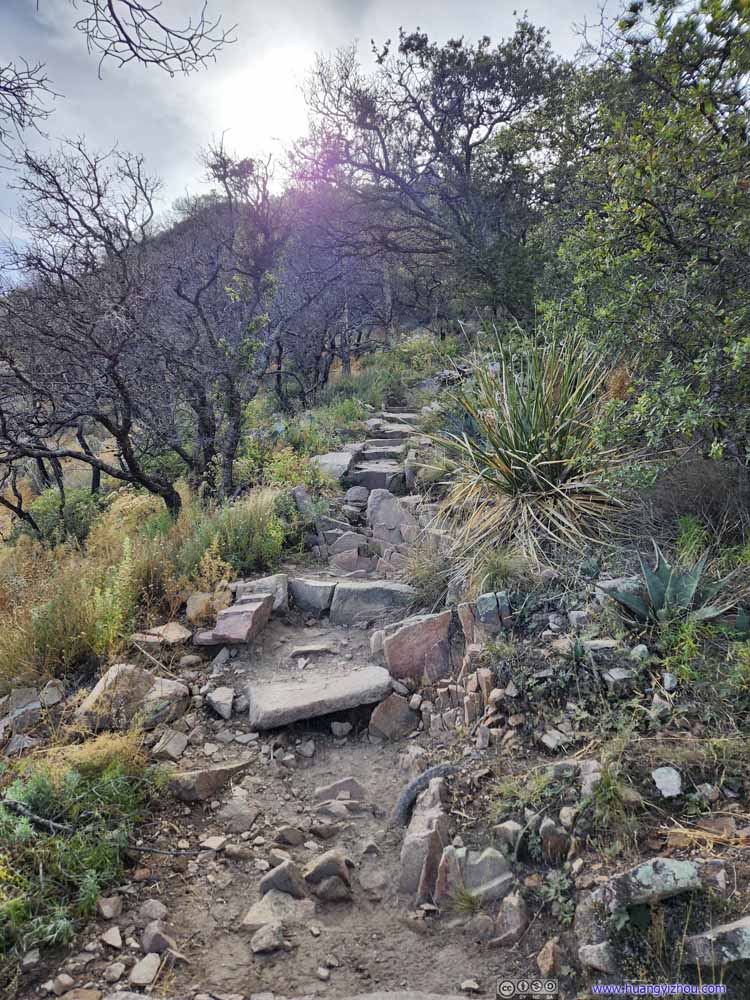 TrailThe final 100m where things started to get rocky.

Click here to display photos of the trail towards Emory Peak.
Trail
Trail

Trail
Trail
Trail
Trail

TrailThe final 100m where things started to get rocky.
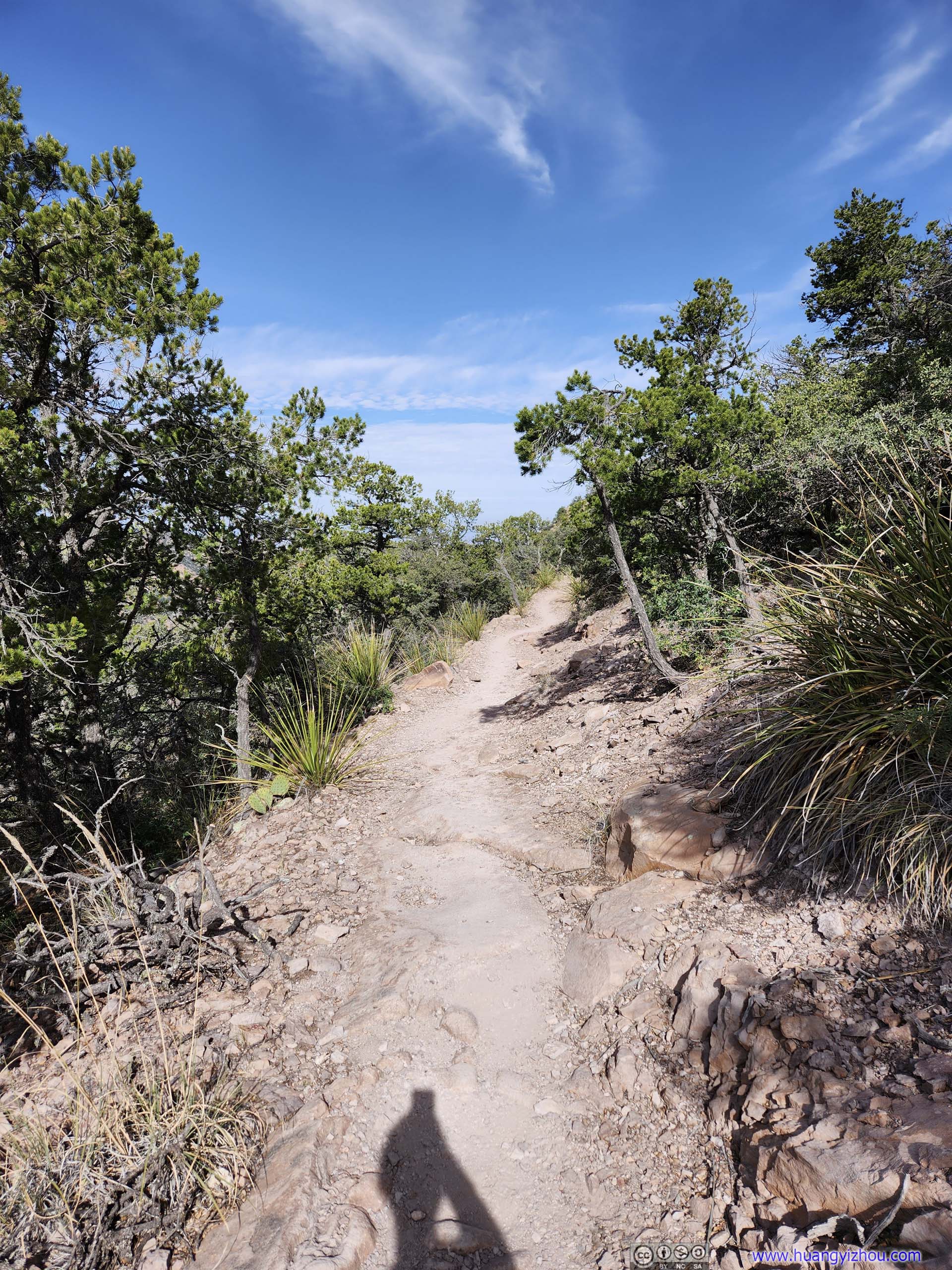
The trail towards Emory Peak was on a gentle incline with a few switchbacks, which seemed a bit unnecessary as I prefer a straighter and shorter path. If one can handle the rock scrambling at the end, then a slightly steeper trail shouldn’t post any problems.
On a different note, the views along the trail were stellar, a well-earned reprieve from the constant elevation gain.
 Vernon Bailey Peak and Ward MountainA glimpse of Chisos Basin at Pinnacles Pass, before I headed onto Emory Peak.
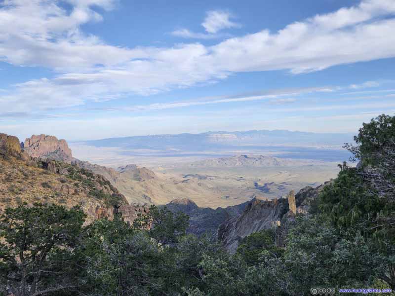 Fields to Southeast
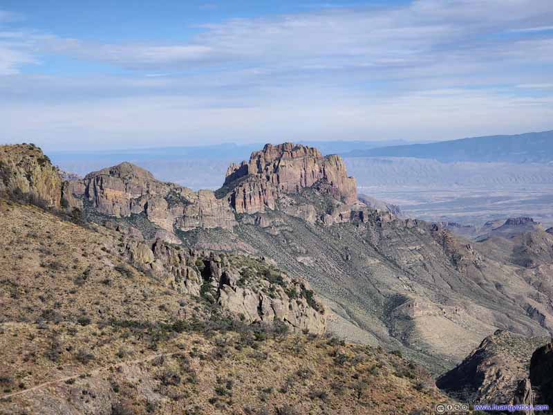 Mountains across Juniper CanyonPart of Lost Mine Mountains, a very familiar sight.
 South Rim of Chisos Mountains
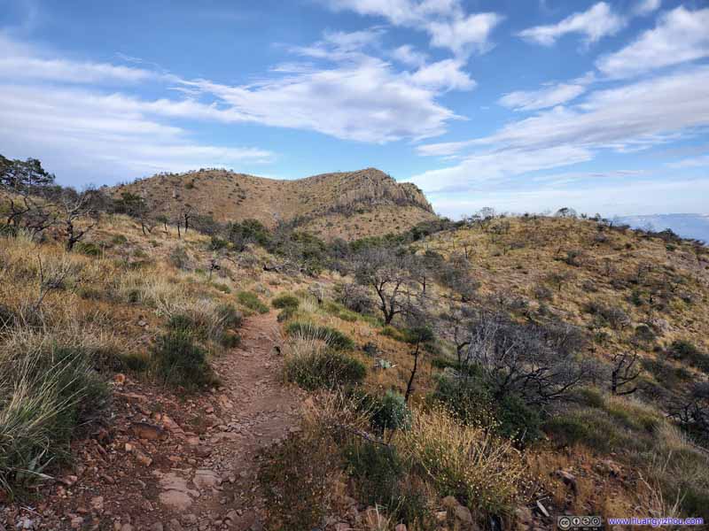 Trail
Trail Toll Mountain
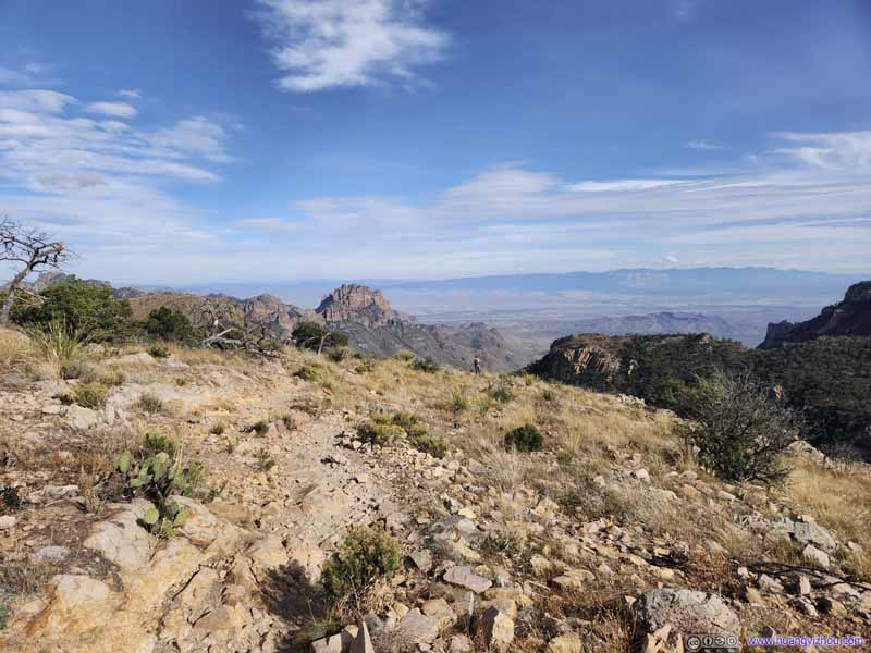 Trail
Trail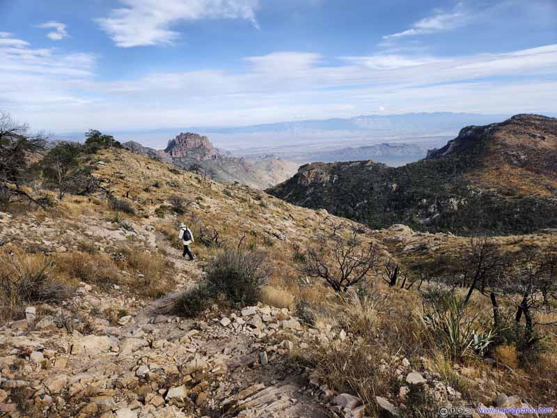 Trail
Trail

Click here to display photos of the slideshow
Vernon Bailey Peak and Ward MountainA glimpse of Chisos Basin at Pinnacles Pass, before I headed onto Emory Peak.
Fields to Southeast
Mountains across Juniper CanyonPart of Lost Mine Mountains, a very familiar sight.
South Rim of Chisos Mountains

Trail

Toll Mountain

Trail
Trail
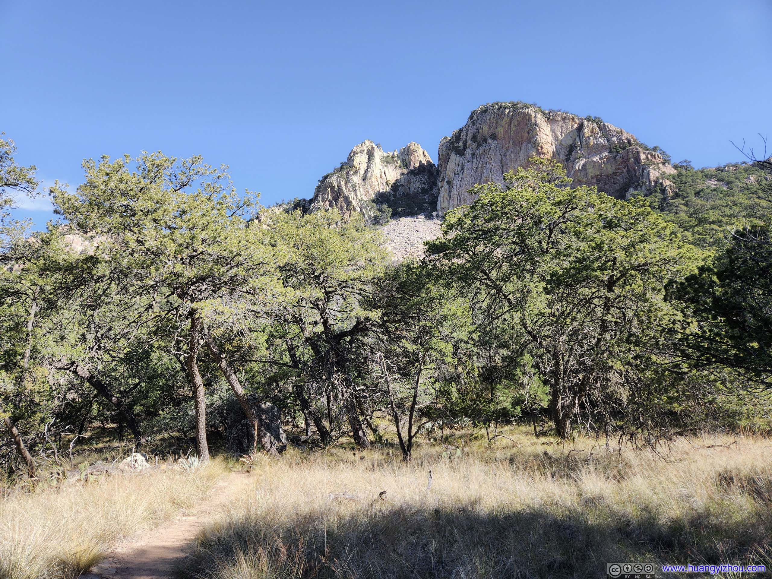
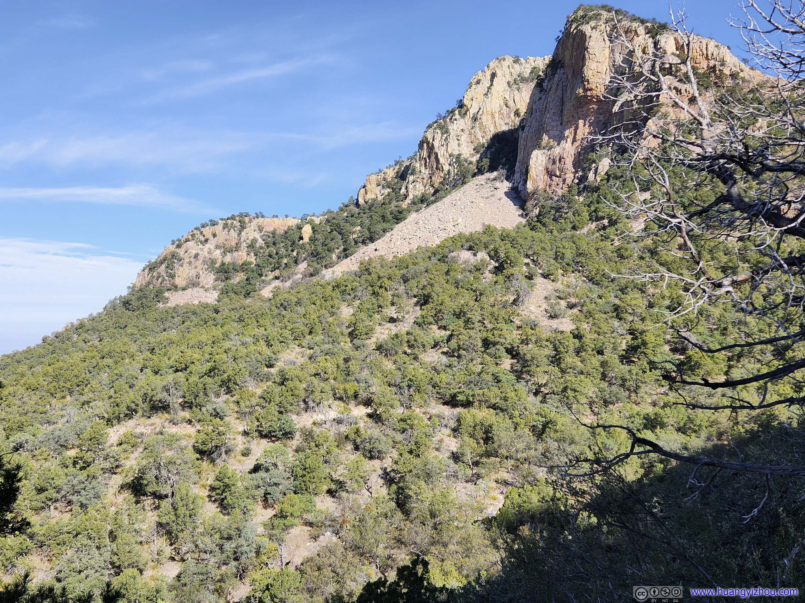
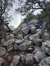
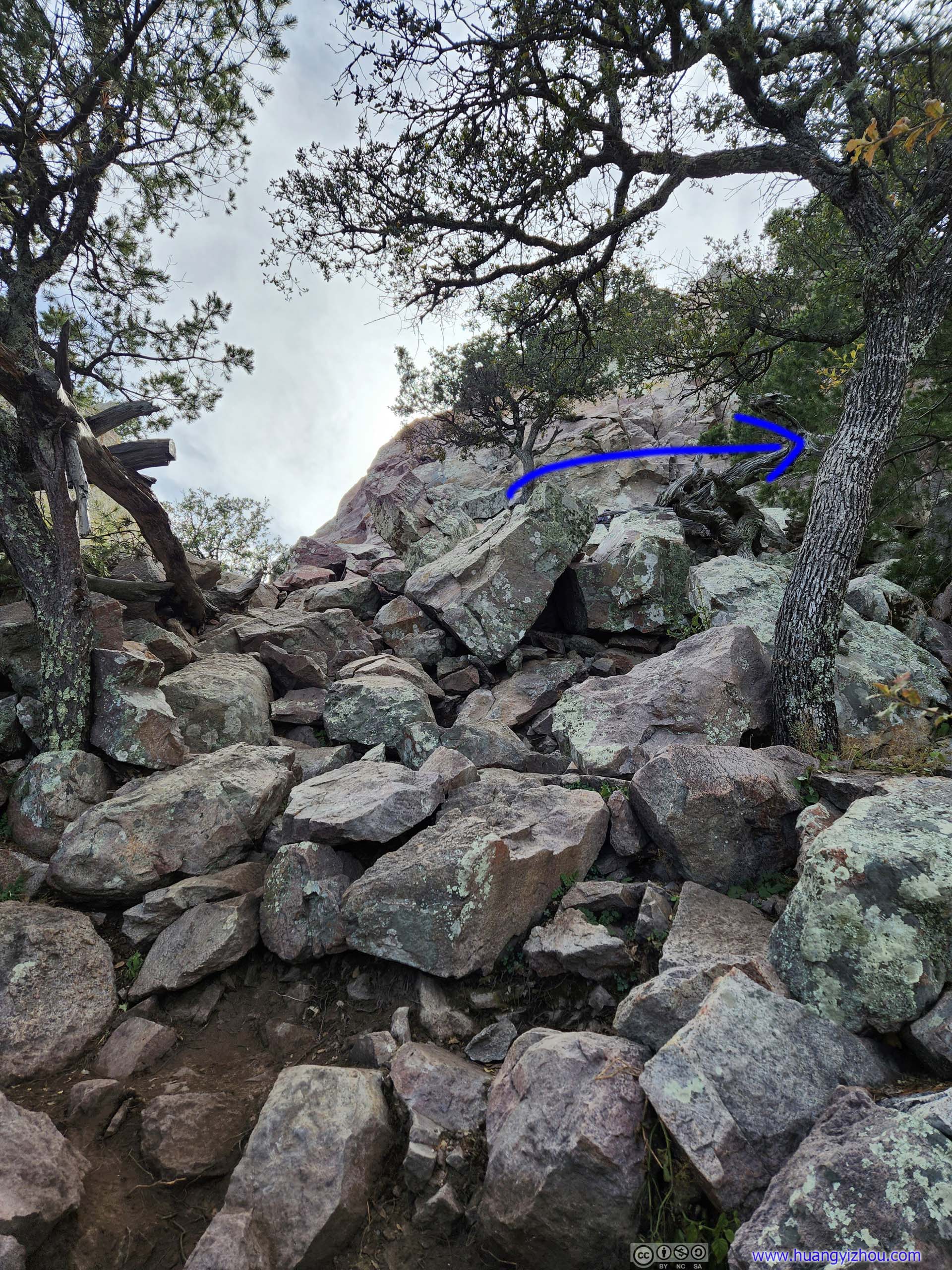
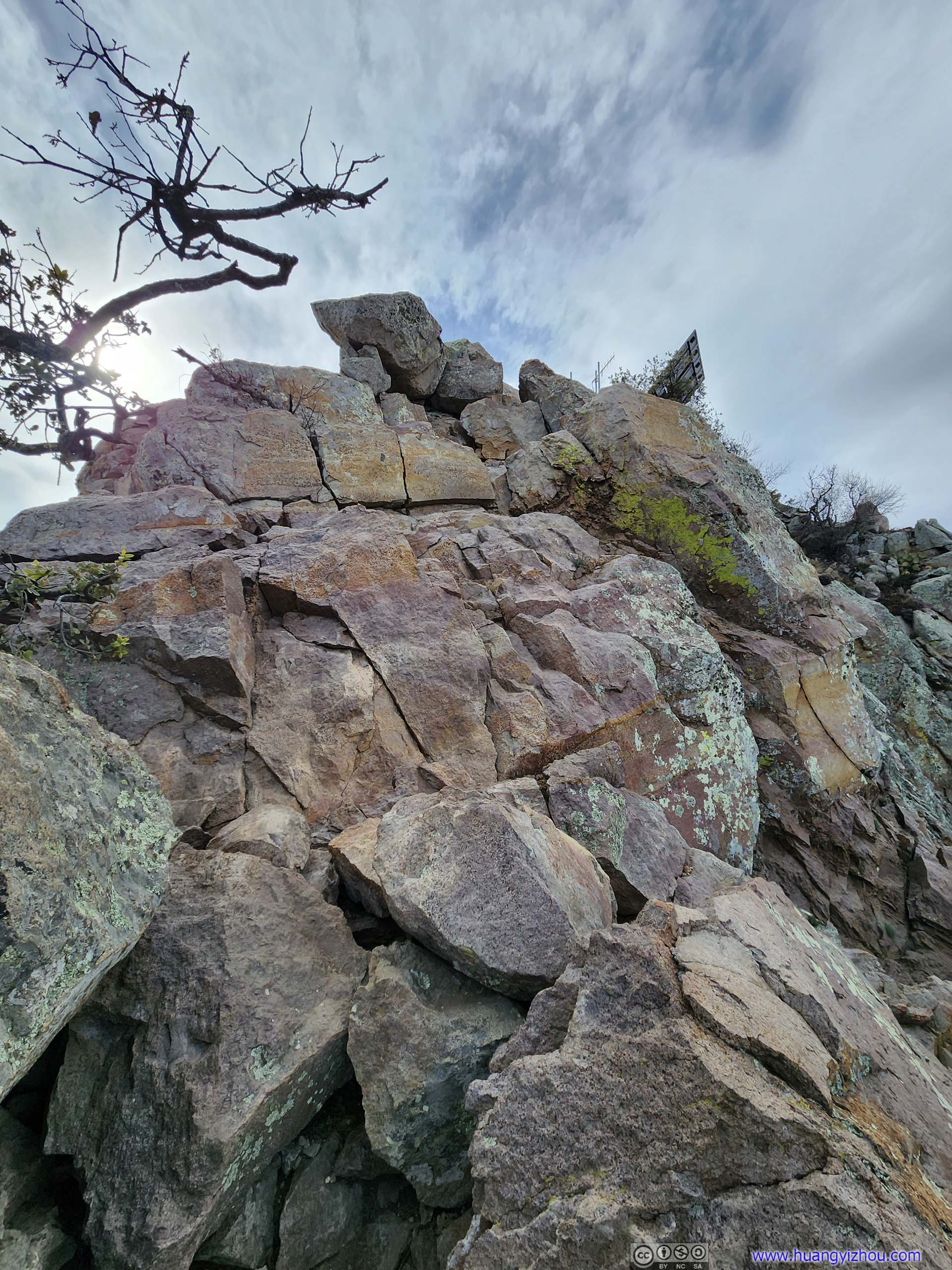
To reach the summit of Emory Peak there were, in my opinion, two short sections of YDS class 3 scrambling (with some possible class 4 variations). In my opinion they were very manageable, with some photos below:
 Path to Emory Peak
Navigating on some rocks, this part was only YDS class 2. At the foot of the wall in front, it’s recommended to take a right turn towards north and follow the blue arrow.
Path to Emory Peak
Navigating on some rocks, this part was only YDS class 2. At the foot of the wall in front, it’s recommended to take a right turn towards north and follow the blue arrow. Scrambling Section
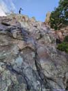
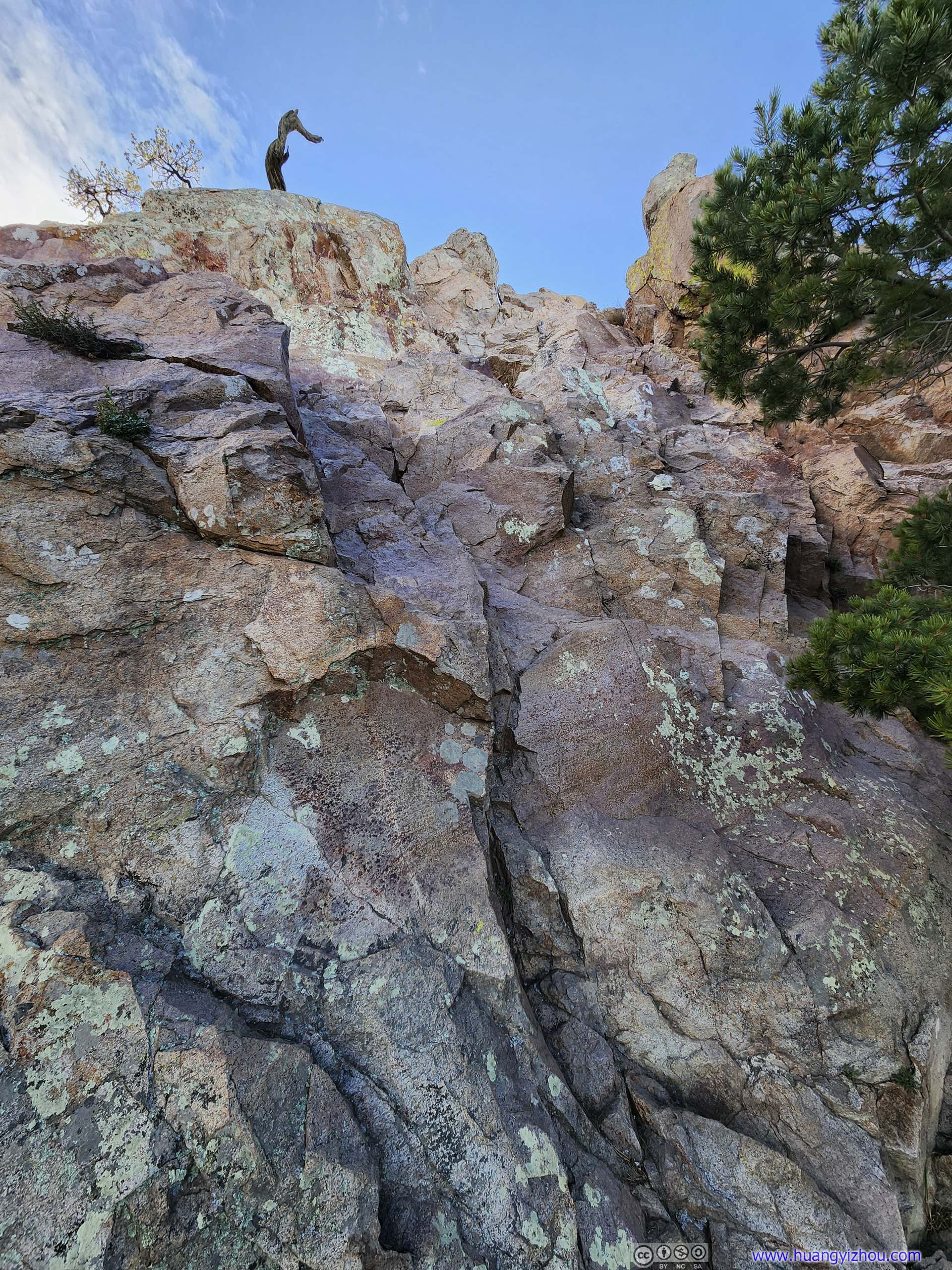
The giant wall at the end of the previous photo. I would rate this between YDS class 3-4. It is possible to tackle this wall head-on as I did during my descent. However, a turn north and there’s an easier path up and down.
Scrambling Section
The giant wall at the end of the previous photo. I would rate this between YDS class 3-4. It is possible to tackle this wall head-on as I did during my descent. However, a turn north and there’s an easier path up and down.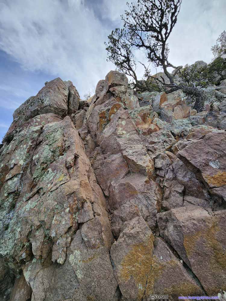 Scrambling Section
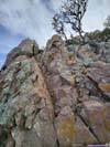
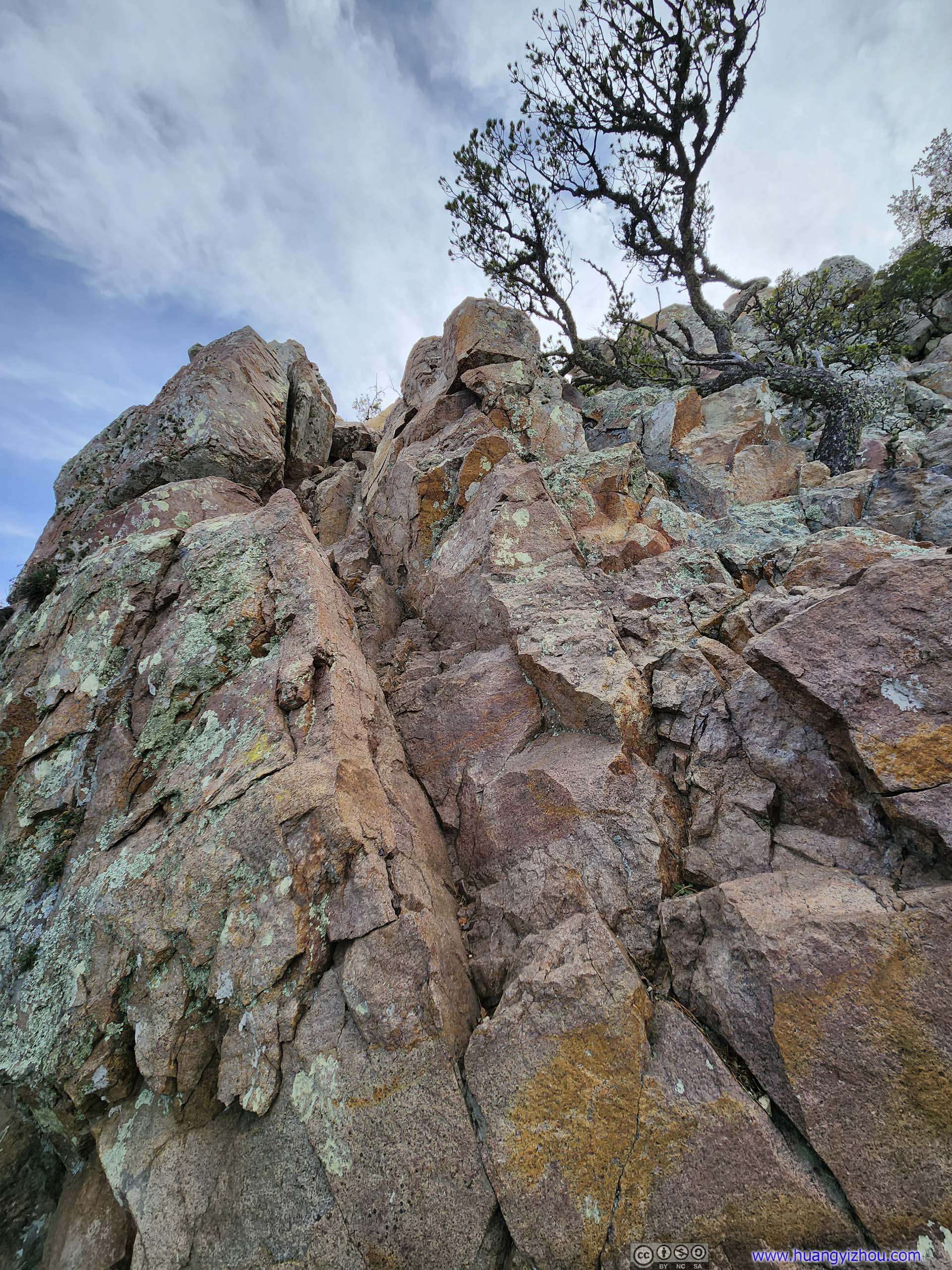
An easier path up and around the wall from the previous photo. The first of the two YDS class 3 section.
Scrambling Section
An easier path up and around the wall from the previous photo. The first of the two YDS class 3 section.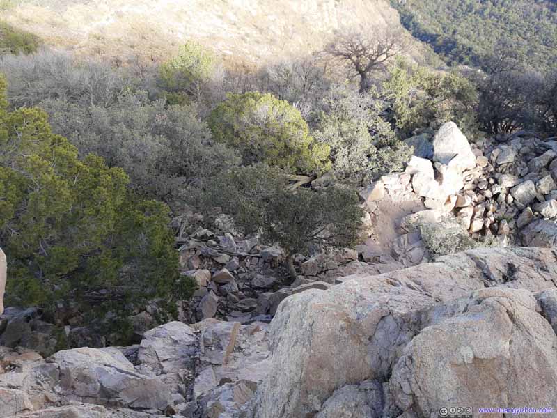 Scrambling SectionLooking back down at the giant wall two photos ago.
 Scrambling Section
The final scrambling section, rated as YDS class 3 with plenty of footholds and handholds. The solar screen on top of Emory Peak was partly visible.
Scrambling Section
The final scrambling section, rated as YDS class 3 with plenty of footholds and handholds. The solar screen on top of Emory Peak was partly visible.

Click here to display photos of the scrambling section before Emory Peak summit.
Path to Emory Peak
Scrambling Section
Scrambling Section

Scrambling SectionLooking back down at the giant wall two photos ago.
Scrambling Section
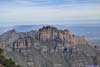
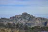
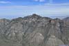
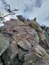
Emory Peak Summit
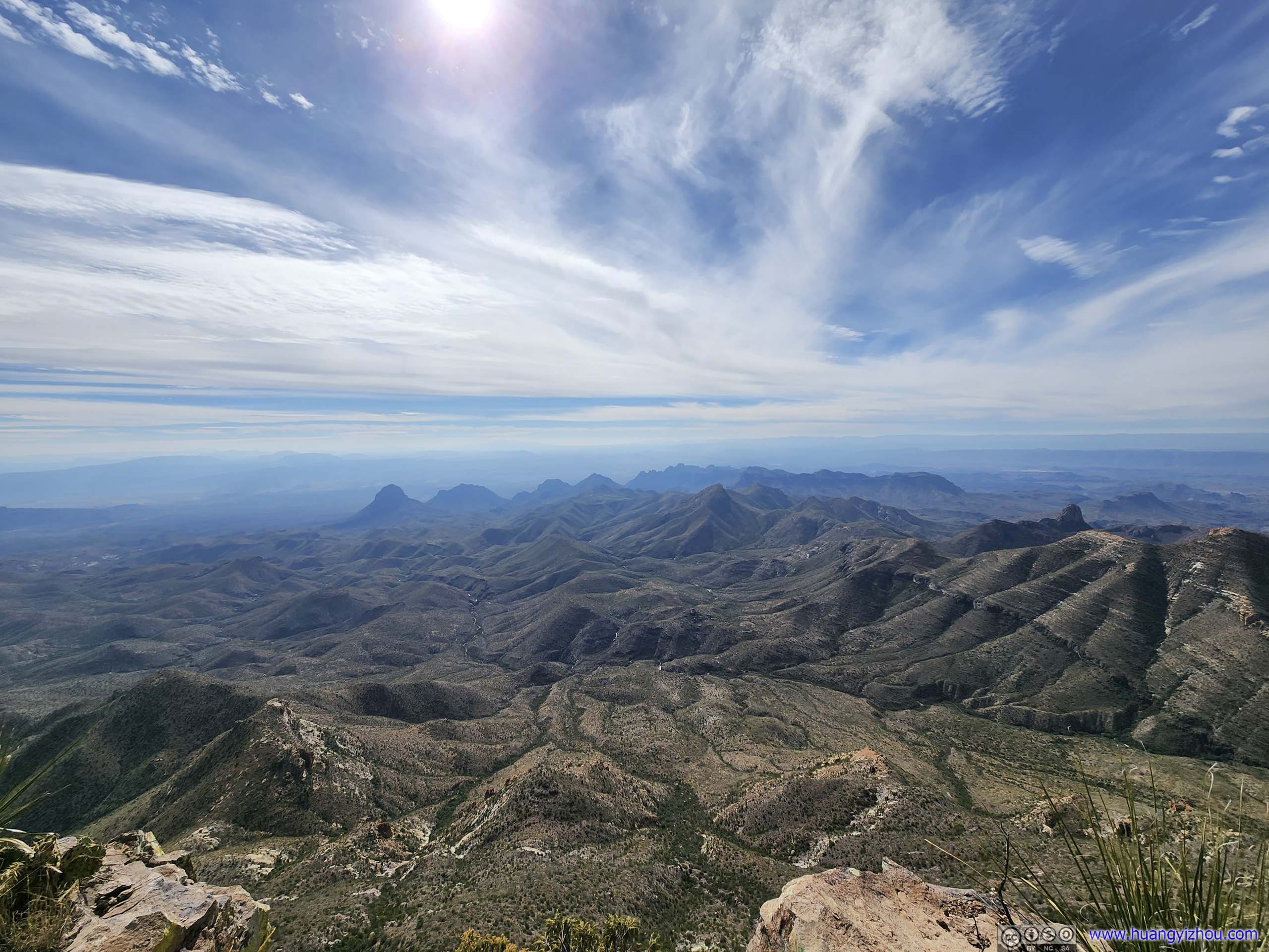
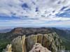
Finally, I reached the summit of Emory Peak just past 3pm.
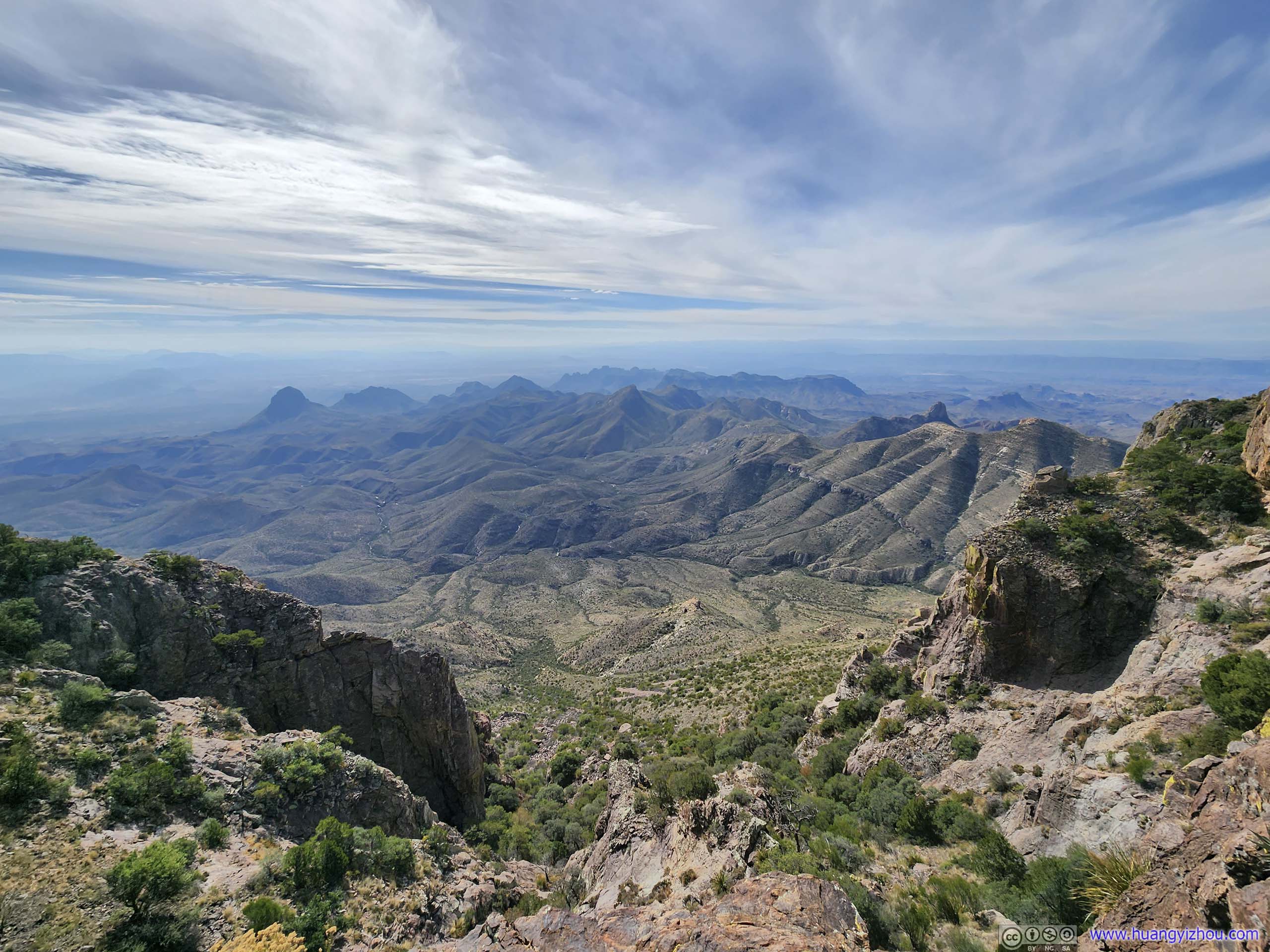
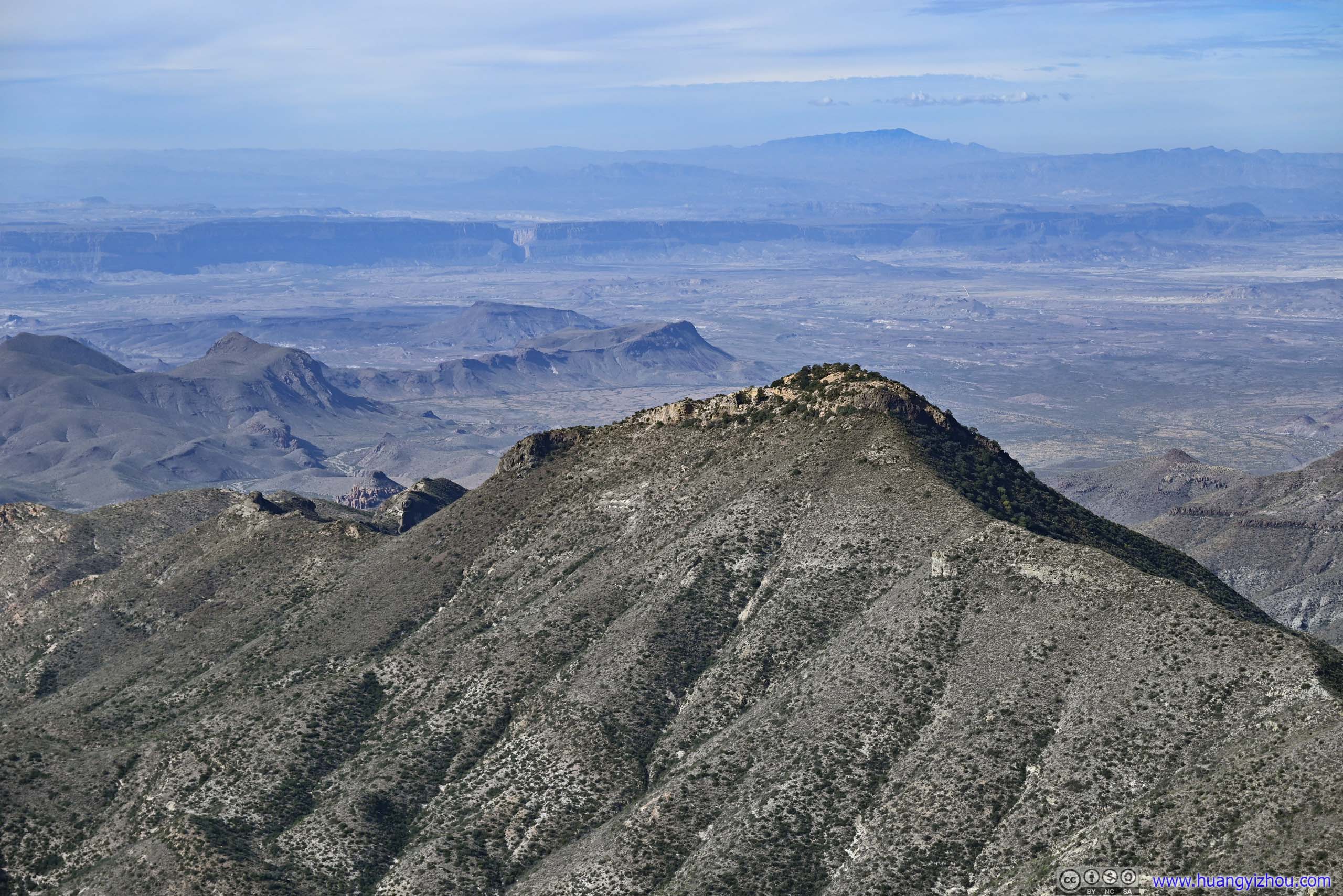
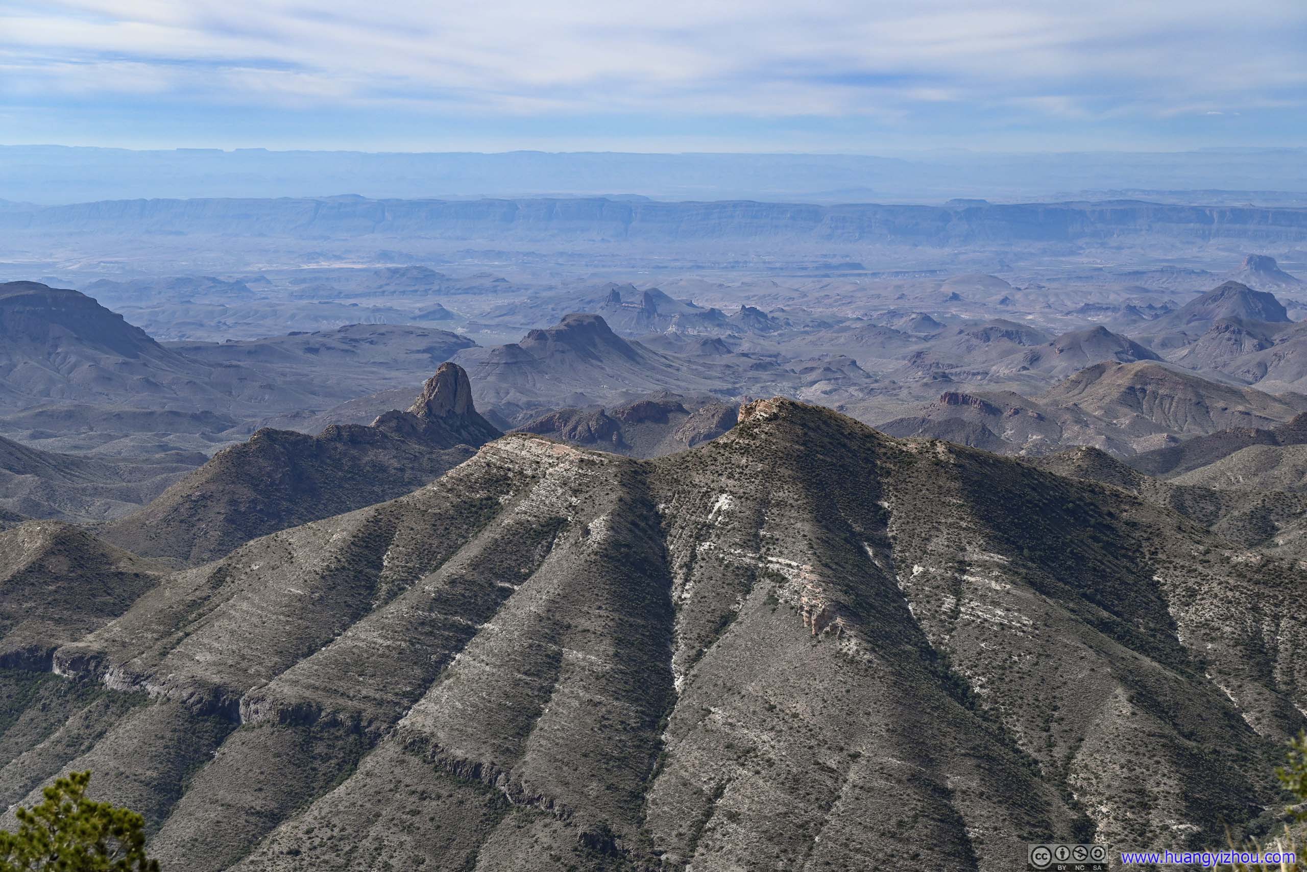
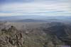
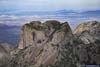
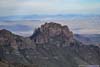
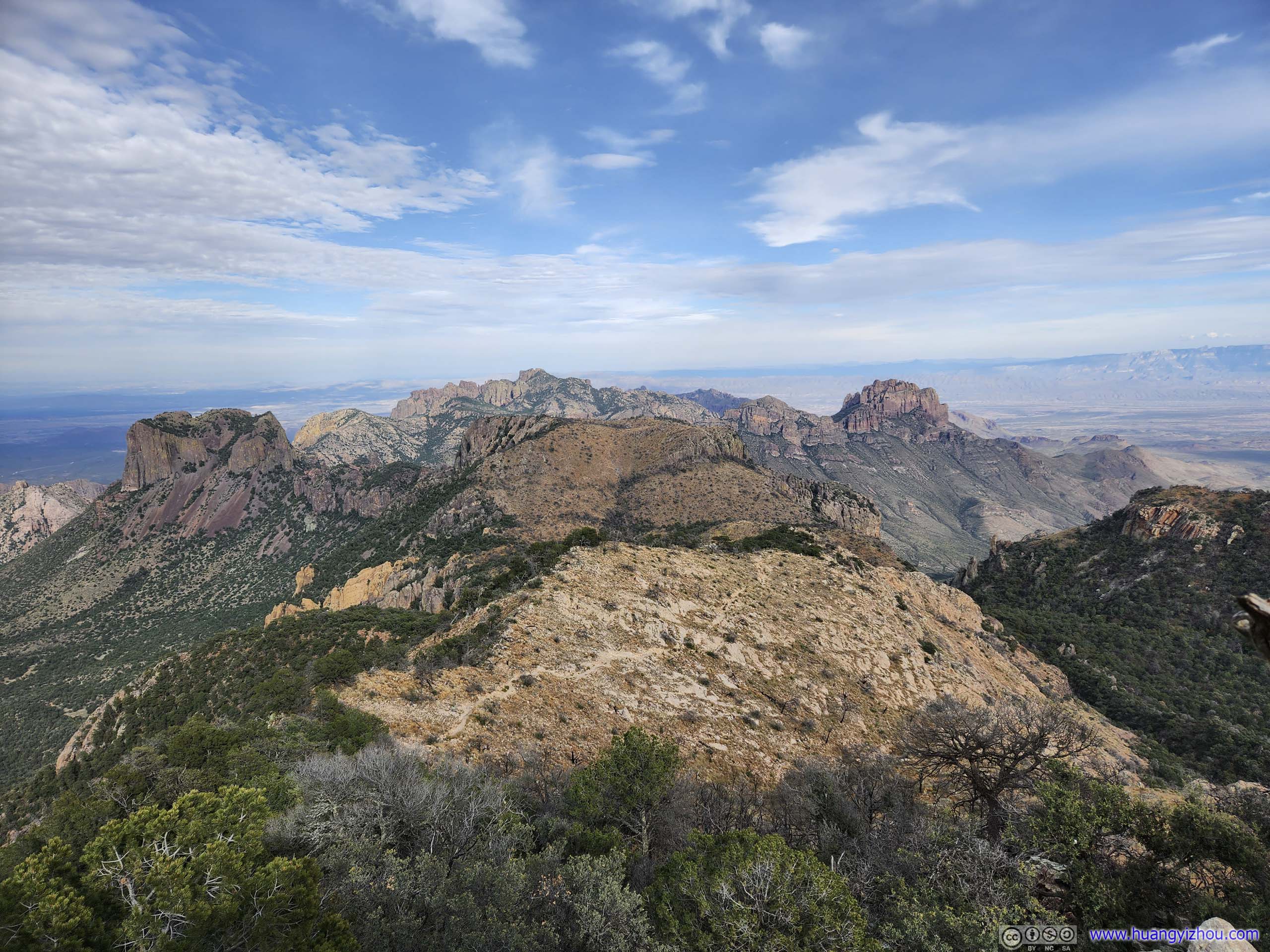
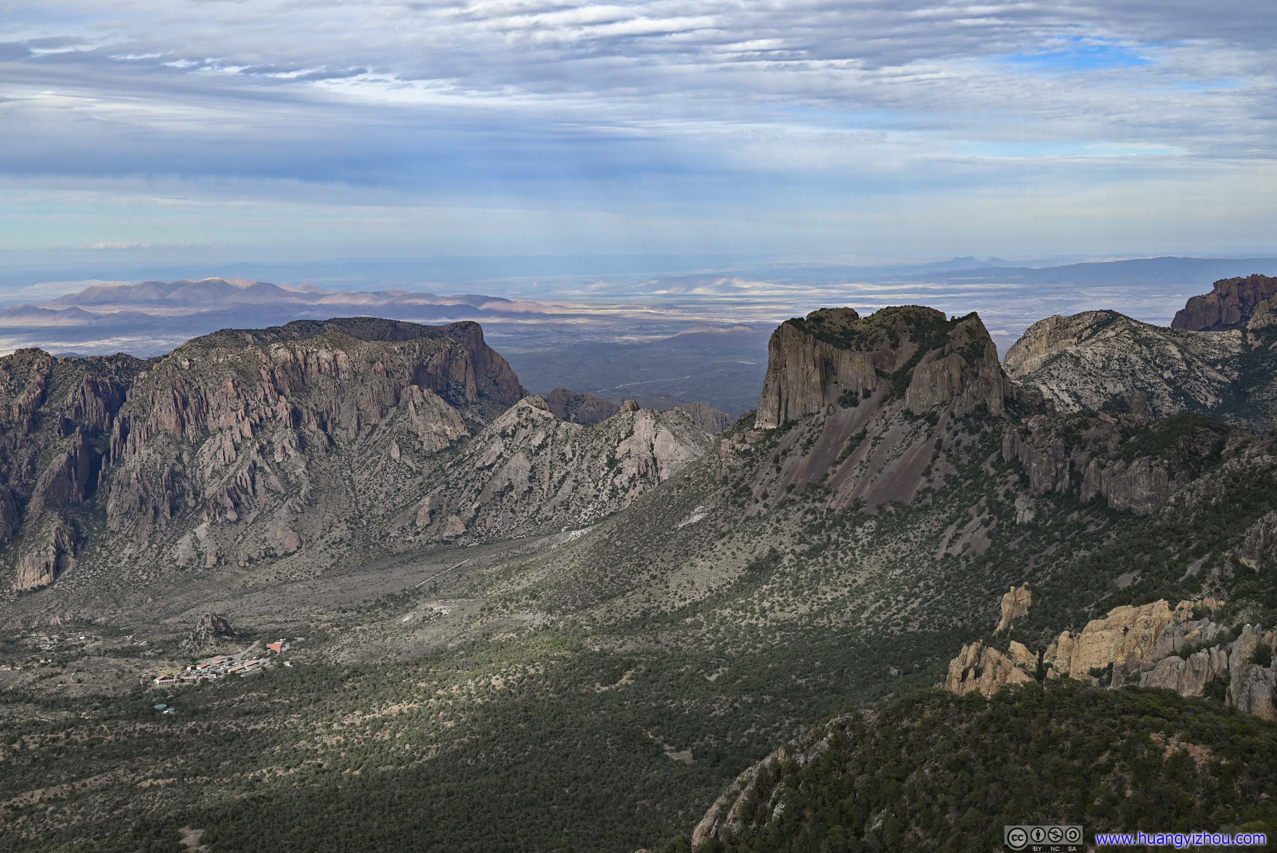
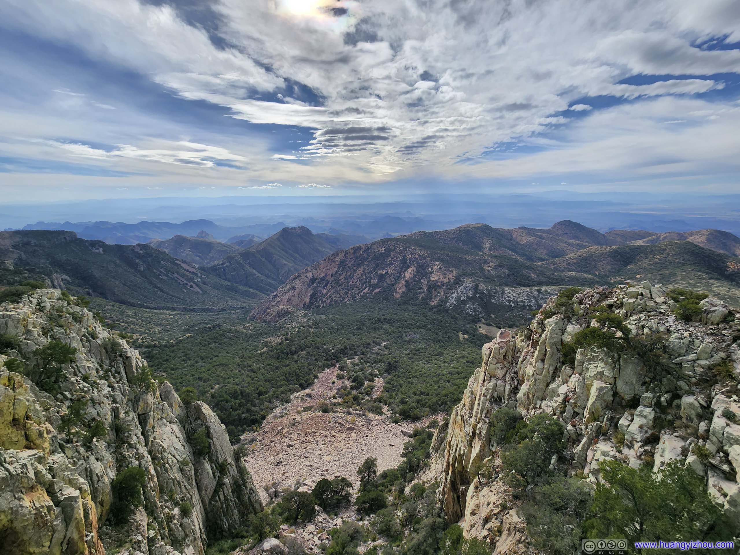
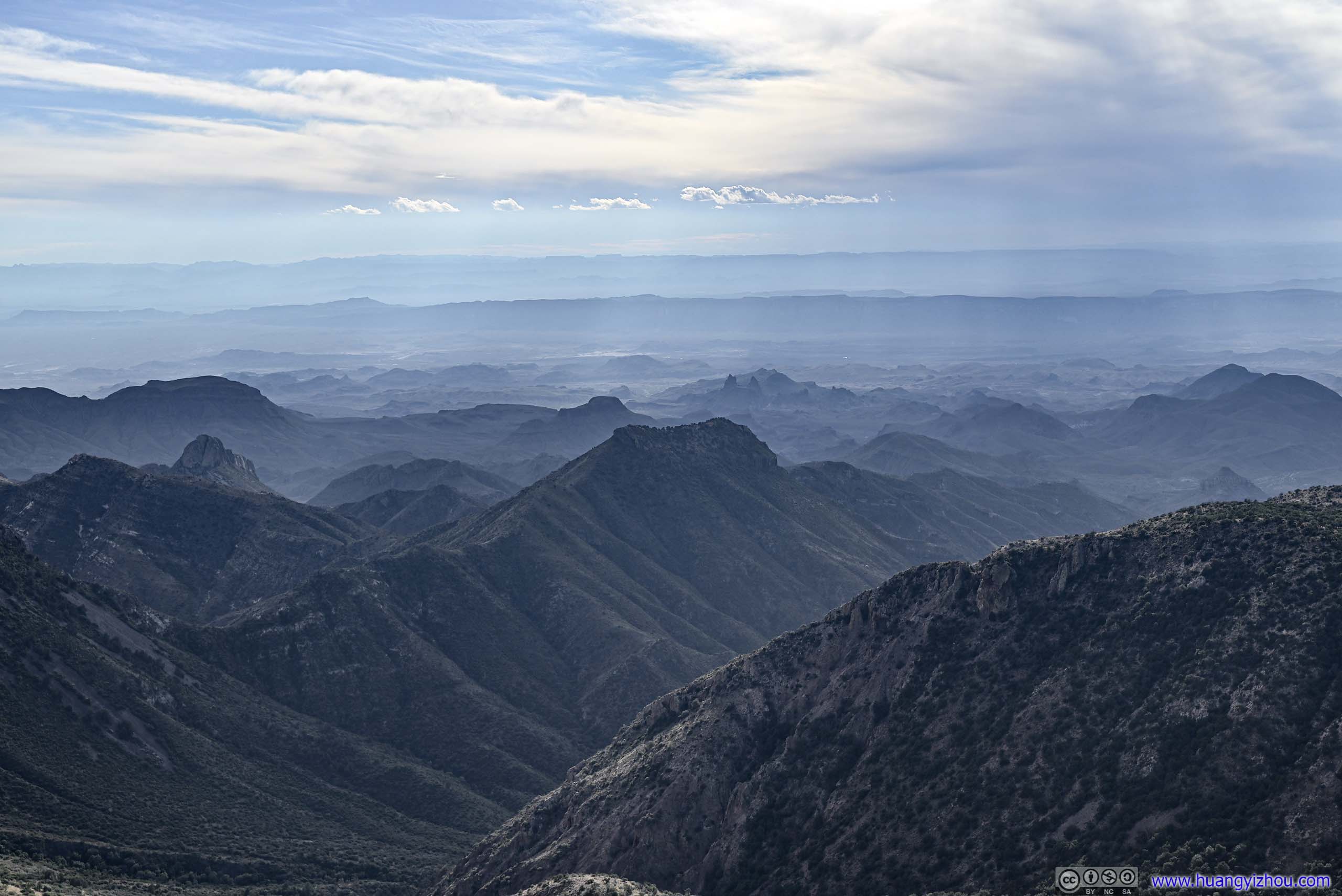
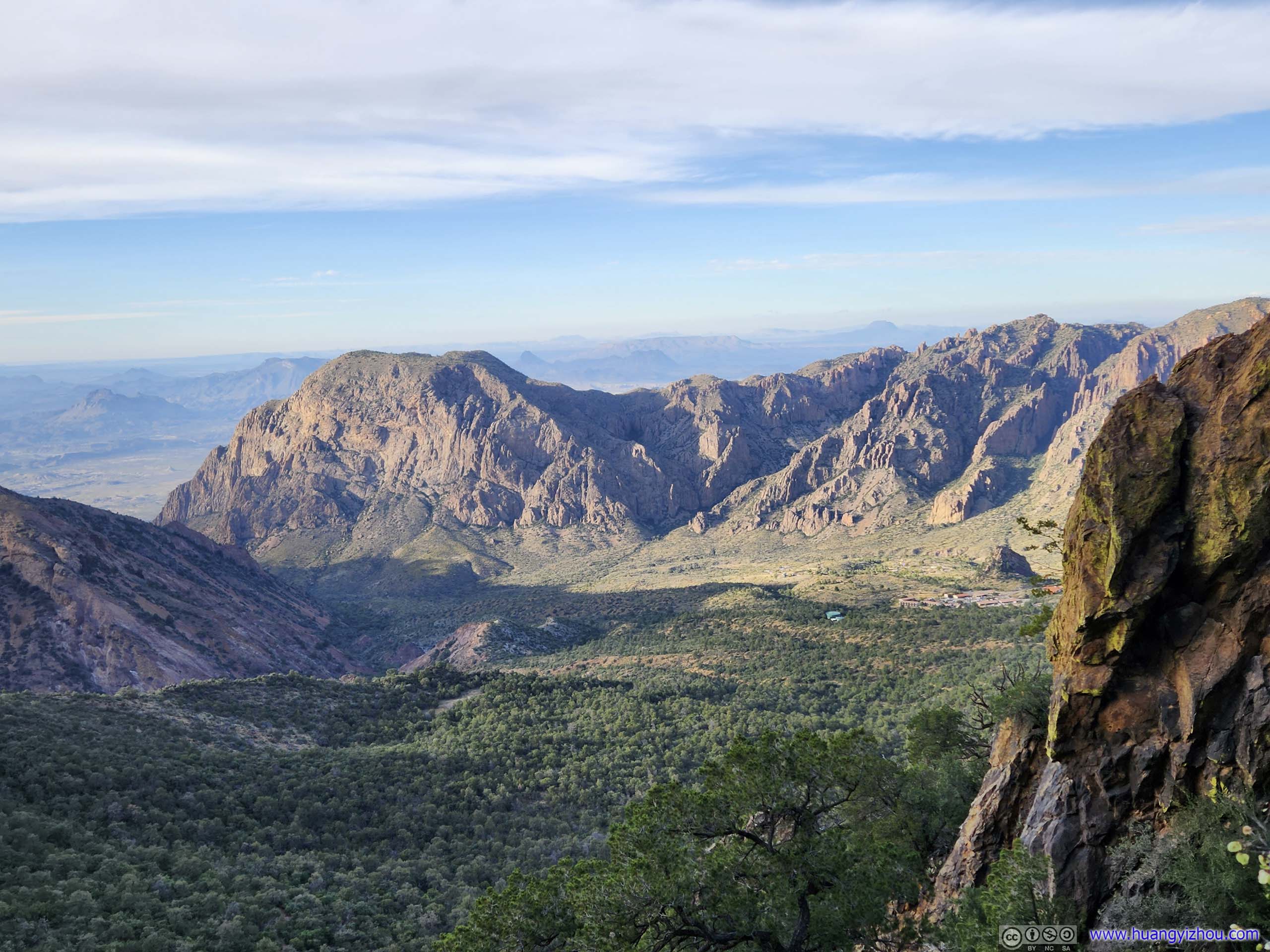
It’s the highest peak in Big Bend National Park, the views were extensive, from Chisos Basin and Vernon Bailey Peak to the north, to Casa Grande Peak with its towering walls, and the Lost Mine Mountain that rose above Toll Mountain in the foreground, to the south rim of Chisos (despite they didn’t have that “cliff” feeling from this angle), and the extensive fields to the southeast, backed by the impressive Sierra del Carmen mountains reflecting sunlight, to the various hills and cliffs to the west (that were unfortunately against the light).
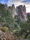
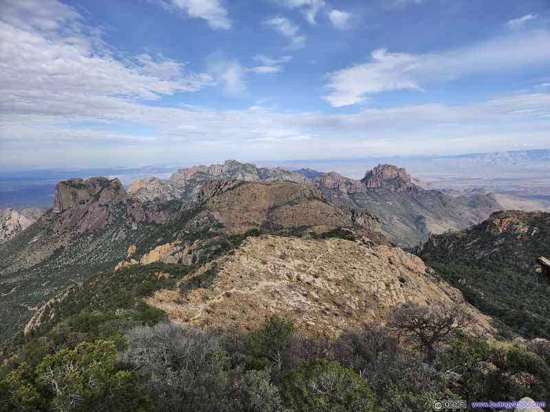 Chisos Mountains from Emory Peak
 Chisos Basin and Vernon Bailey Peak
 Vernon Bailey Peak
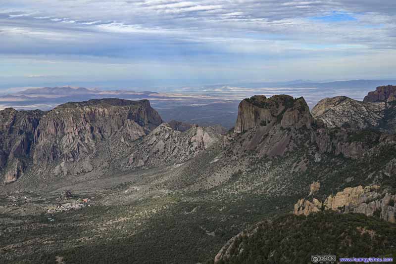 Casa Grande Peak and Mount HuffmanBetween which the road into and out of Chisos Basin passed through.
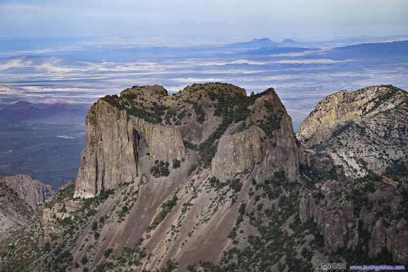 Casa Grande Peak
 Peak across Juniper CanyonAn extension of Lost Mine Peak.
 South RimLarge patches of land burned.
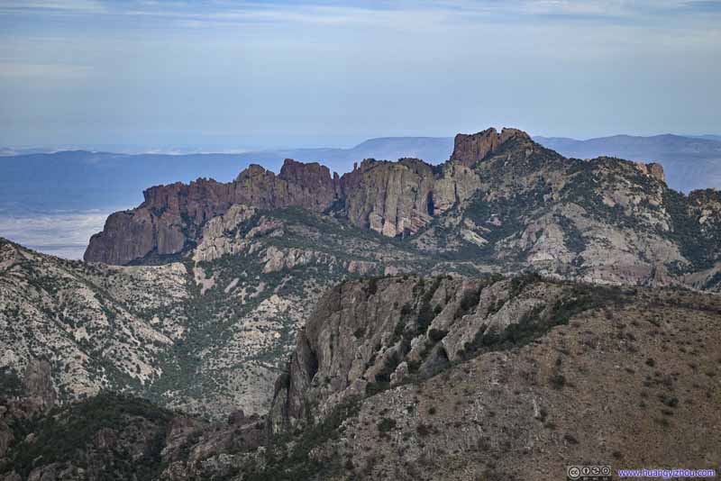 Lost Mine Peak
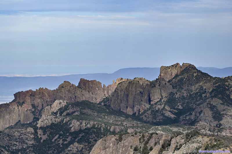 Lost Mine Peak

Click here to display photos from the summit of Emory Peak.
Chisos Mountains from Emory Peak
Chisos Basin and Vernon Bailey Peak
Vernon Bailey Peak
Casa Grande Peak and Mount HuffmanBetween which the road into and out of Chisos Basin passed through.
Casa Grande Peak
Peak across Juniper CanyonAn extension of Lost Mine Peak.

South RimLarge patches of land burned.
 Lost Mine Peak
Standing on top of Emory Peak, one couldn’t help but feel accomplished, reaching the paramount center stage upheld by throngs of mountains at its flanks. As if for a brief moment, that reigns supreme over the Chisos Mountains.
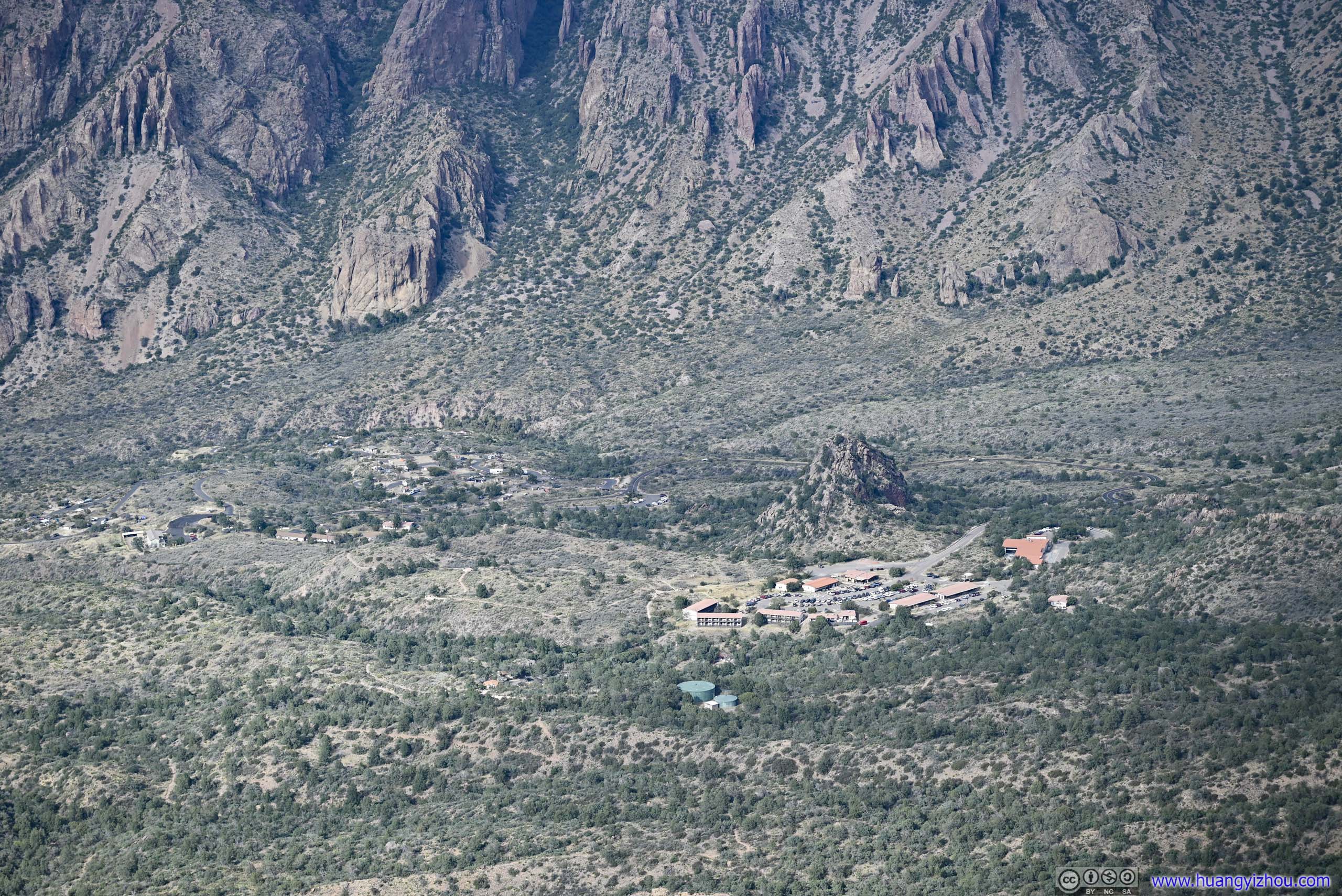
 Laguna Meadows and Mountains to the West
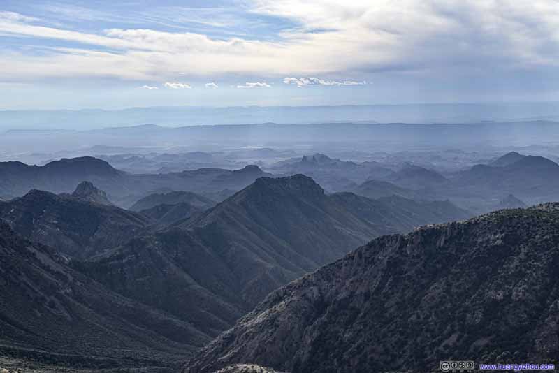 Mountains to the West
 Distant Sierra del Carmon Mountains
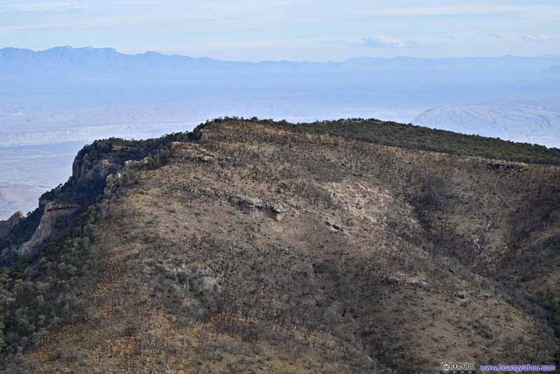 East Rim
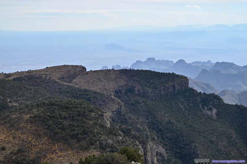 Southwest Rim
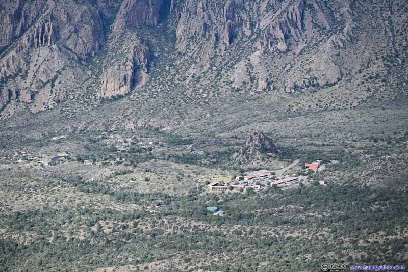 Chisos BasinVisitor Center, campground and lodge.
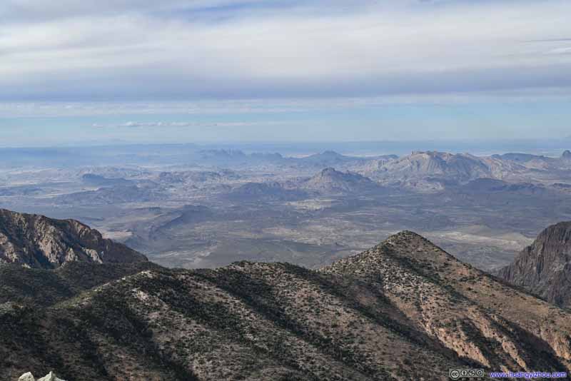 Mountains beyond Chisos Basin
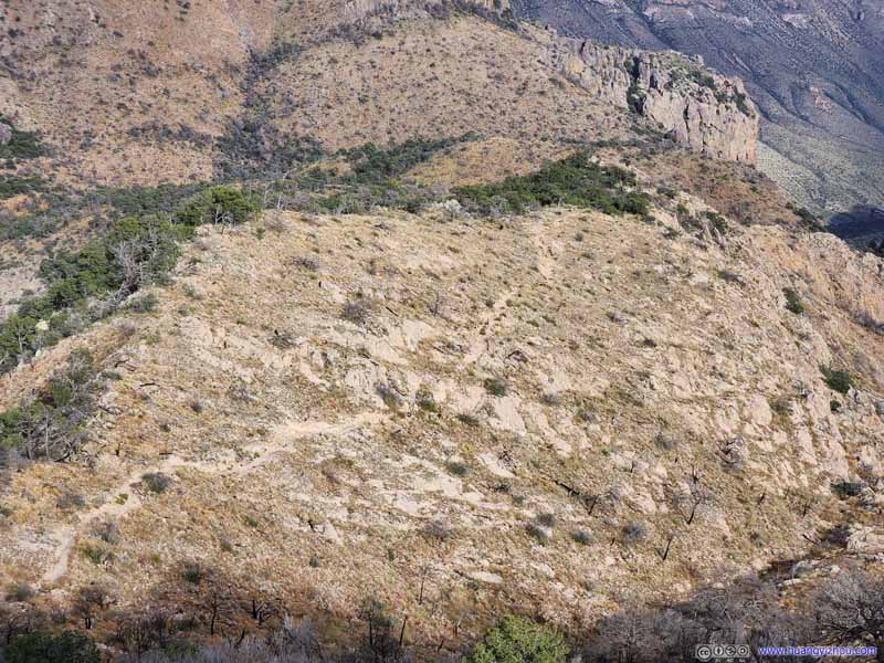 Overlooking Trail to Emory Peak

Click here to display photos from the summit of Emory Peak.
Laguna Meadows and Mountains to the West
Mountains to the West
Distant Sierra del Carmen Mountains
East Rim
Southwest Rim
Chisos BasinVisitor Center, campground and lodge.

Mountains beyond Chisos Basin

Overlooking Trail to Emory Peak
View from Emory Peak
Before leaving, I took the following video with panoramic views.
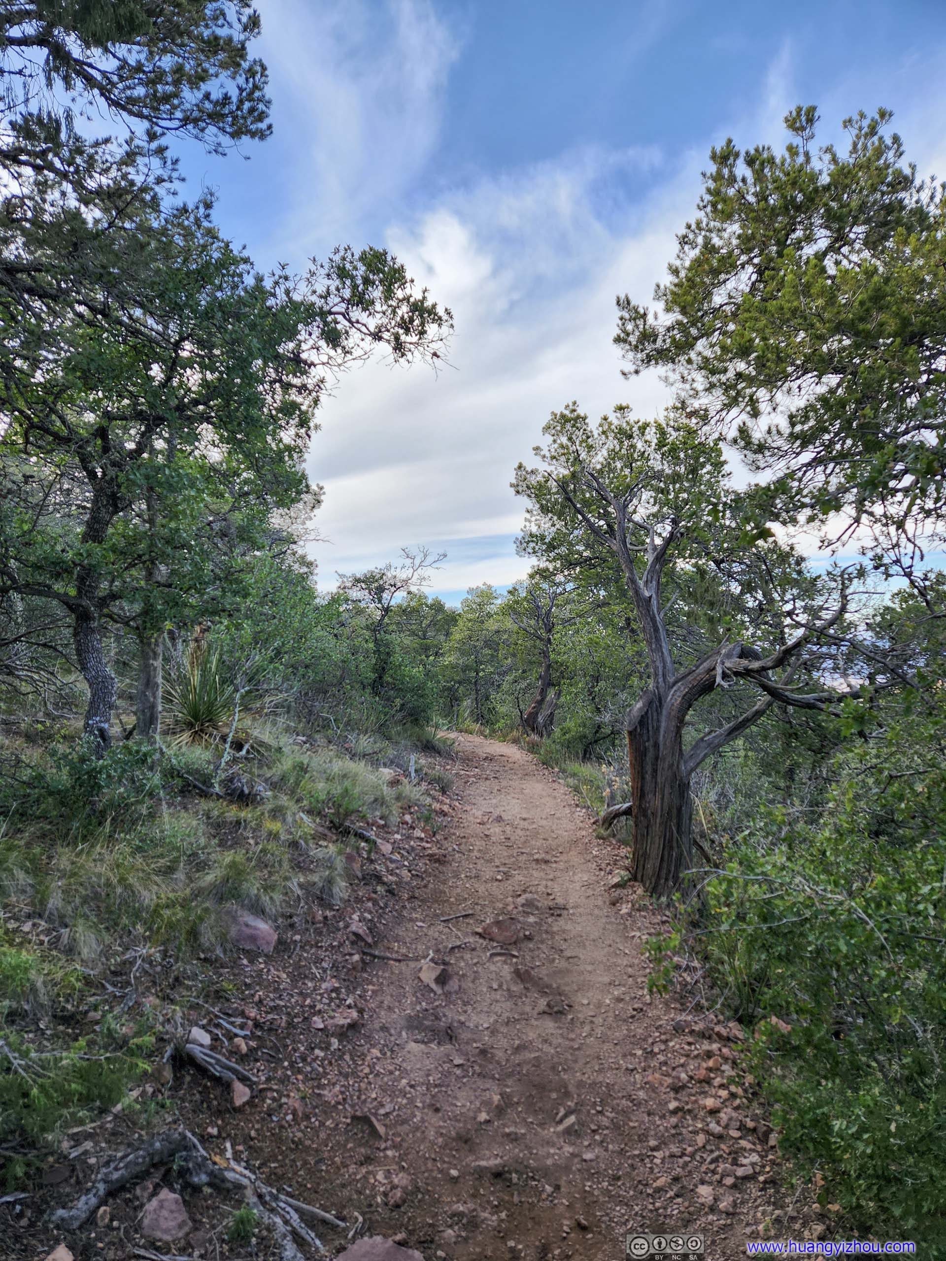
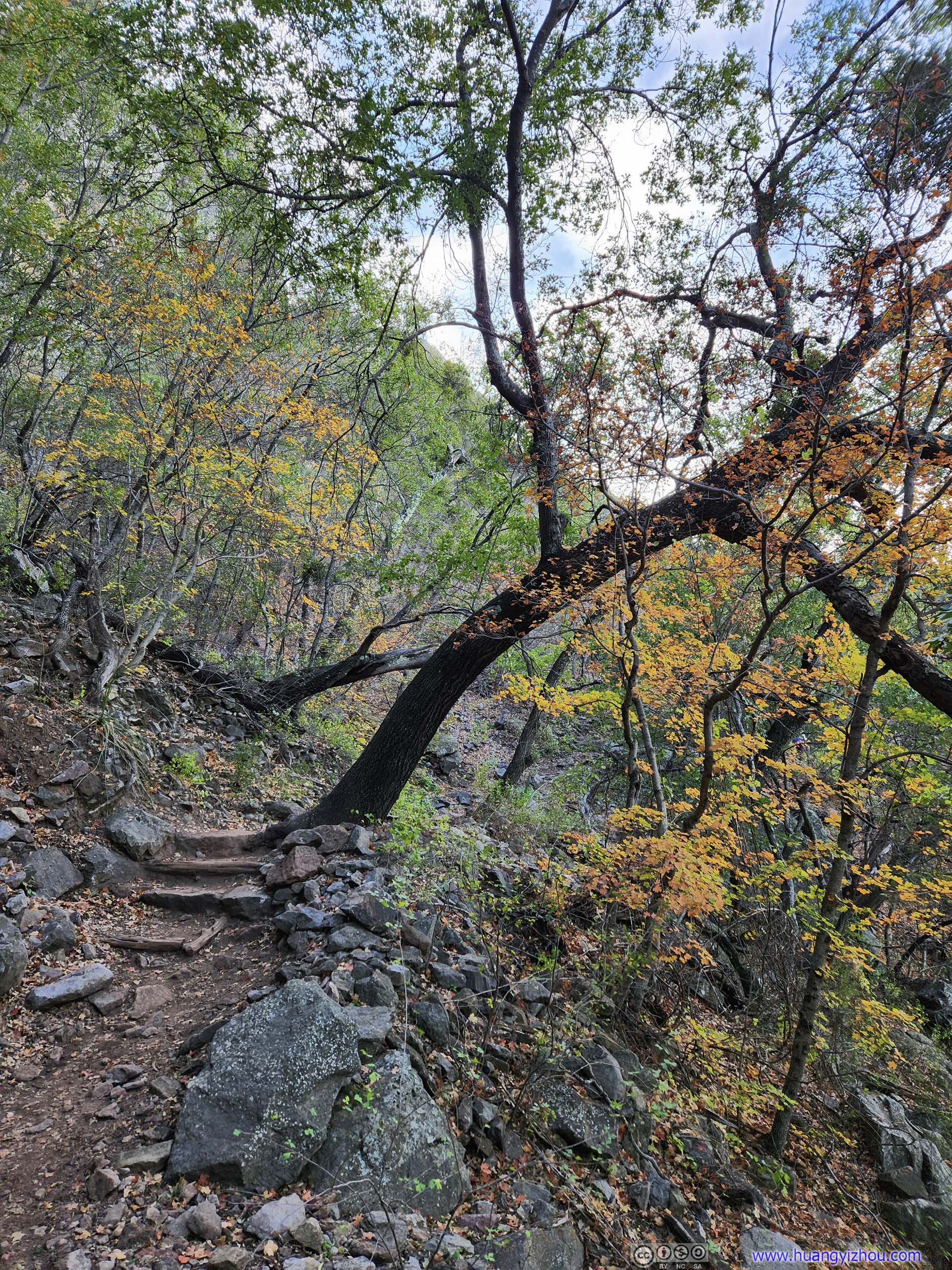
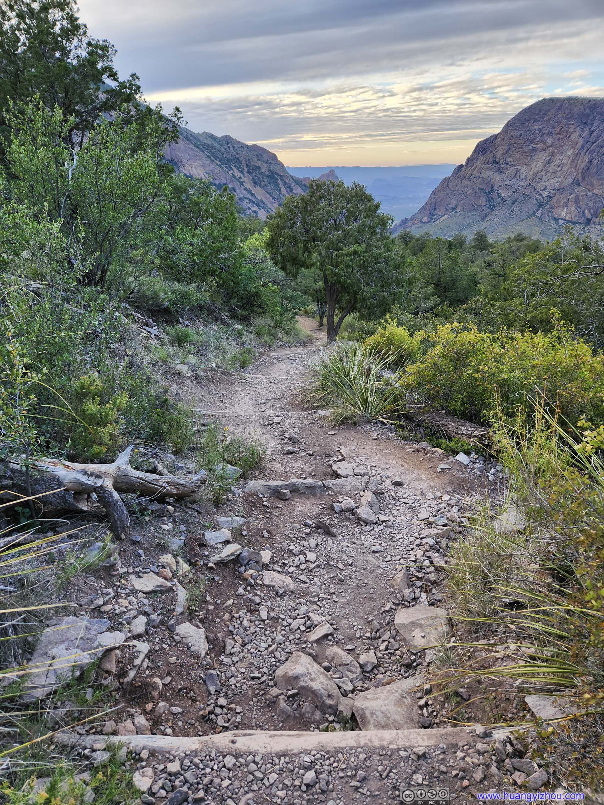
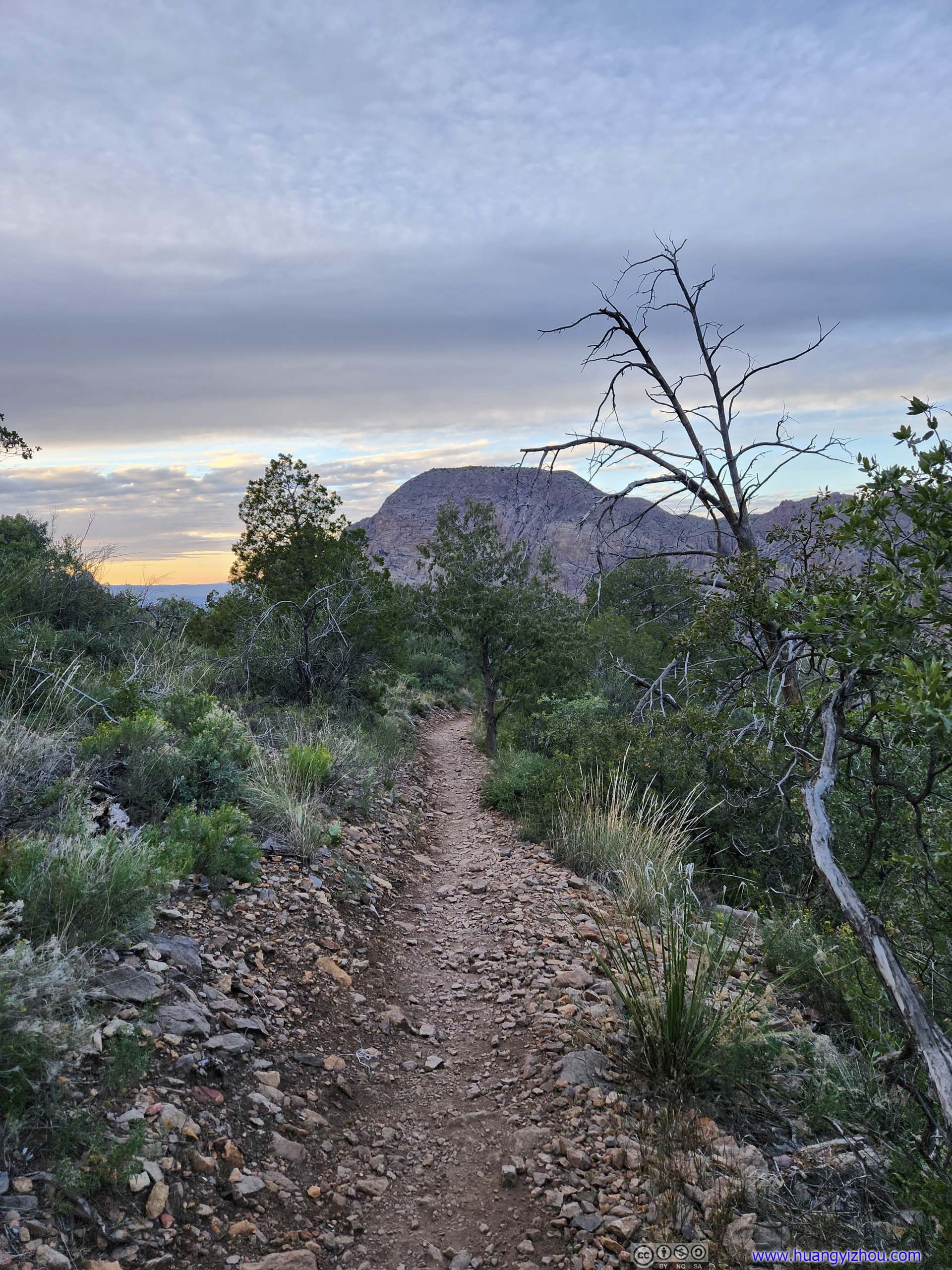
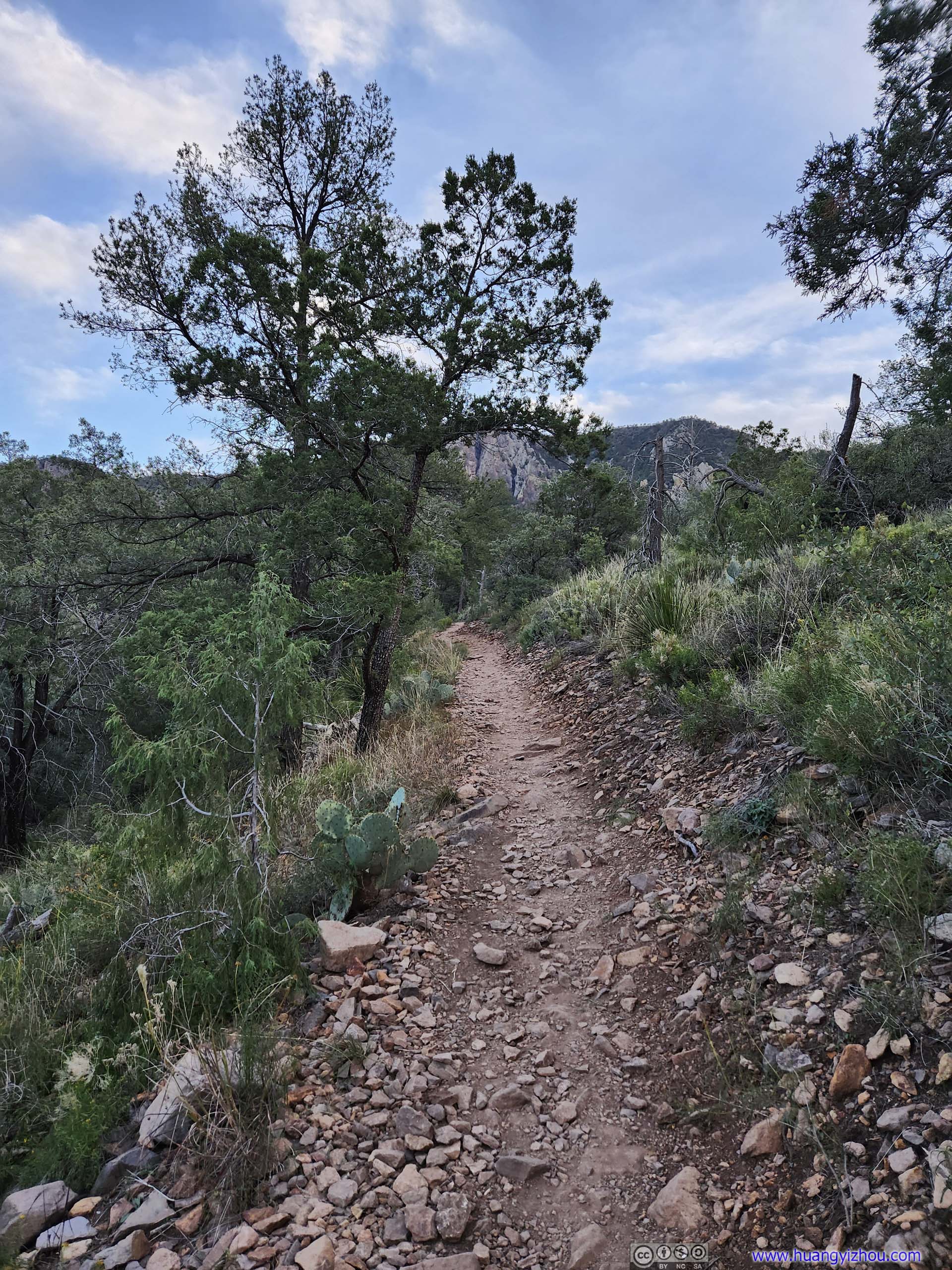
After staying about 45 minutes at the summit of Emory Peak, I started heading down at 3:50pm, reaching Pinnacles Pass at 4:25pm. After that, it’s 5.5km of continuous downhill back to the trailhead in Chisos Basin.
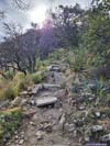
Pinnacles Pass to Trailhead
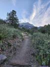
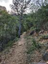
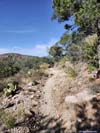
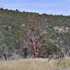
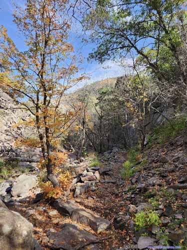
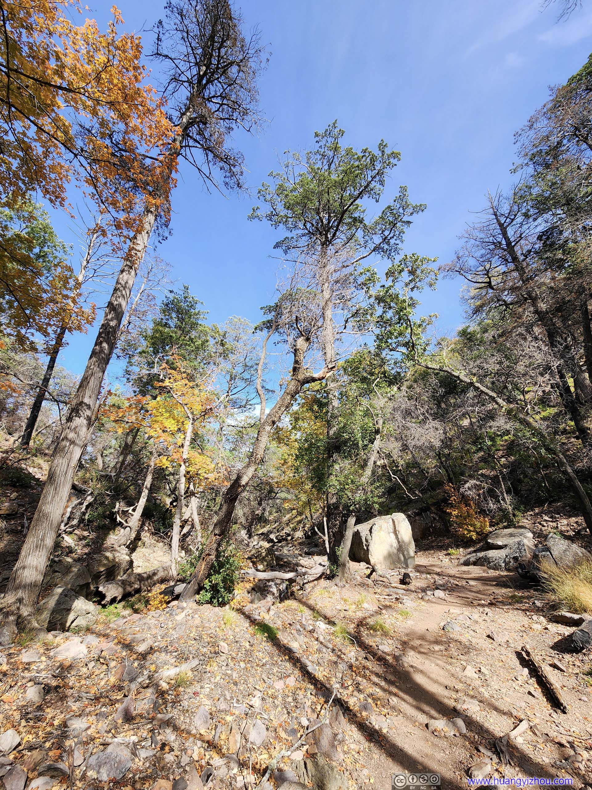
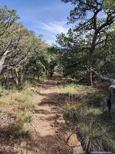
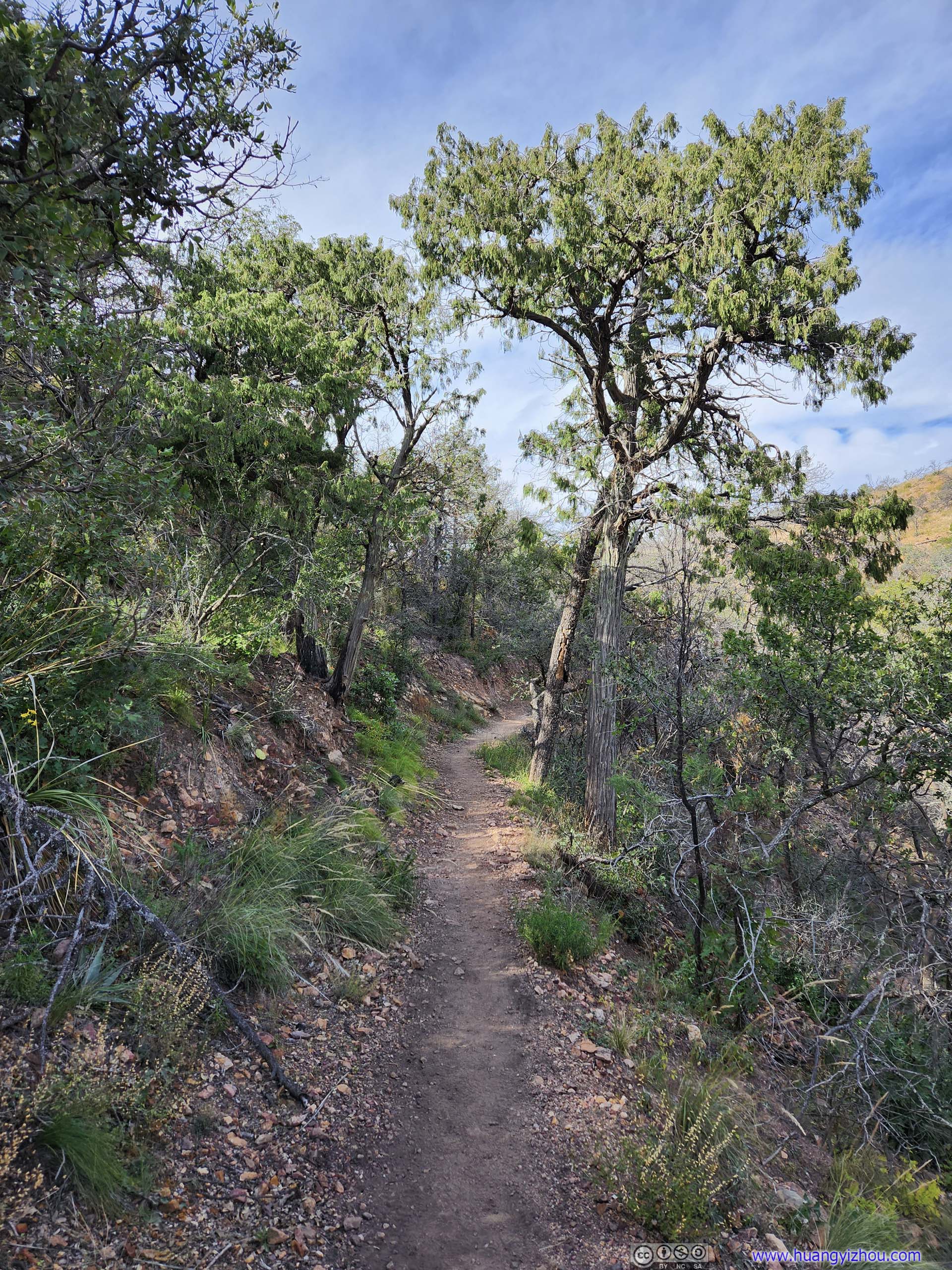
Despite next to seemingly steep cliffs, the trail somehow managed to find a series of switchbacks and make its way down from Pinnacles Pass. Even more amazingly, there’s no shortage of trees along the trail, some even in full foliage colors.
 Trail
Trail Trail and Boulders
 Trail
Trail Trail around Foliage ColorsJust like in Boot Canyon, I didn’t expect to see them this late in season.
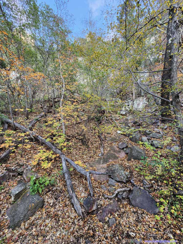 Foliage Colors
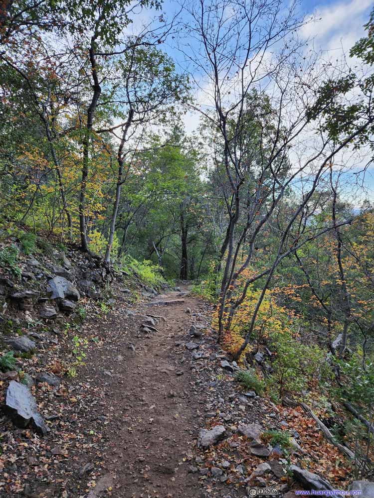 Trail around Foliage ColorsJust like in Boot Canyon, I didn’t expect to see them this late in season.
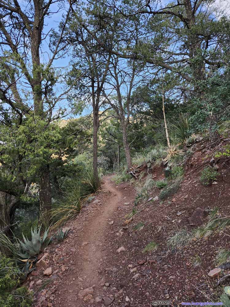 Trail
Trail Trail
Trail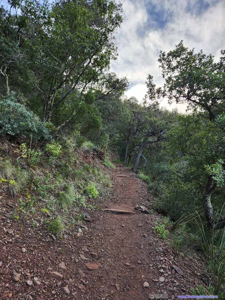 Trail
Trail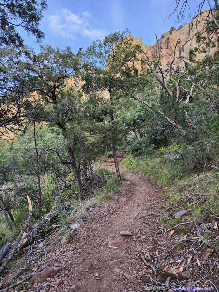 Trail
Trail

Click here to display photos of the trail.
Trail
Trail and Boulders
Trail
Trail around Foliage ColorsJust like in Boot Canyon, I didn’t expect to see them this late in season.

Foliage Colors

Trail around Foliage ColorsJust like in Boot Canyon, I didn’t expect to see them this late in season.

Trail
Trail
Trail

Trail
About 2.7km from the trailhead, the trail reached a place called “Boulder Meadow”. It’s where elevation change eased, and one entered a relatively open field with views of some striking boulders up the Chisos Mountains, ranging from Casa Grande Peak to the east and Emory Peak to the west. It’s getting late and dark, so despite being against the light, the views were actually pretty good.
There were a series of campsites at Boulder Meadow, where I ran into a group that somehow recognized me from earlier today. They camped at Boulder Meadow, took the same loop as me but in opposite directions. I quite admired their outdoor spirit.
 View of Rocks from Boulder Meadow
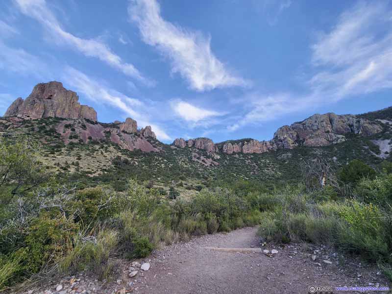 View of Rocks from Boulder Meadow
 View of Rocks from Boulder Meadow
 Casa Grande Peak
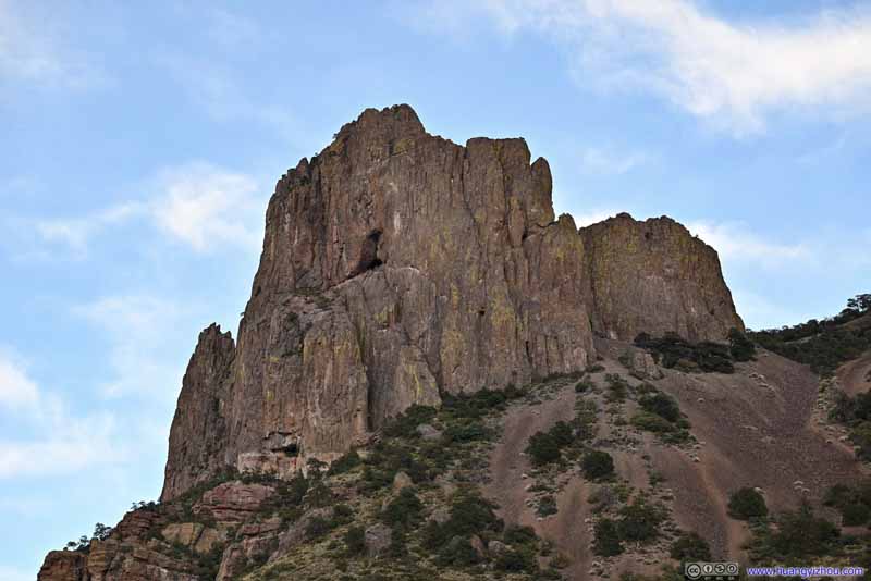 Casa Grande Peak
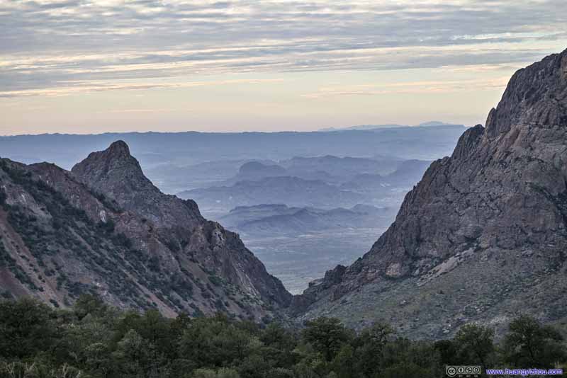 The Window in the Distance
 Looking back at Chisos Mountains

Click here to display photos from Boulder Meadow.

View of Rocks from Boulder Meadow
View of Rocks from Boulder Meadow

View of Rocks from Boulder Meadow
 Casa Grande Peak

The Window in the Distance
Looking back at Chisos Mountains
 Mountains and Boulders around Chisos Basin at Sunset
 Trail
Trail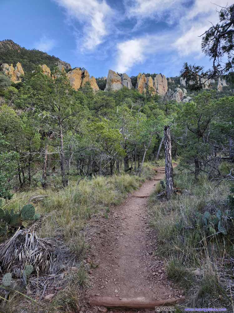 Trail and Boulders
 Trail
Trail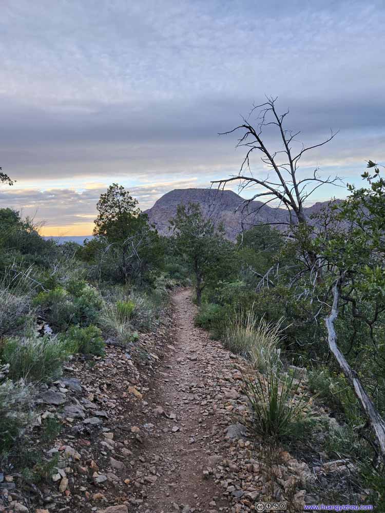 Trail
Trail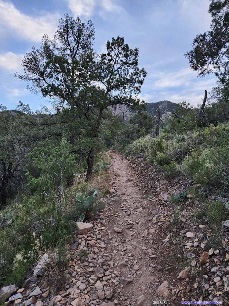 Trail
Trail
Click here to display photos of the trail.
Trail
Trail and Boulders
Trail
Trail
Trail
The remainder of the trail wasn’t that remarkable. It’s getting dark and the colors started to get vivid. I decided to take a shortcut at Roosevelt Stone Cottages. And with that, I got back to my car just before 6pm, about 9.5 hours after I left it, concluding an epic day.
END
![]() Day 4 of 2022 Big Bend National Park Trip, South Rim of Chisos Mountains and Emory Peak by Huang's Site is licensed under a Creative Commons Attribution-NonCommercial-ShareAlike 4.0 International License.
Day 4 of 2022 Big Bend National Park Trip, South Rim of Chisos Mountains and Emory Peak by Huang's Site is licensed under a Creative Commons Attribution-NonCommercial-ShareAlike 4.0 International License.