
Updated on June 14, 2024
January 2023 Visit to New York
It’s the first week of 2023, just after New Year’s Day, I made a trip to New York City between Jan 2-4 to run some errands. Along the way, I stopped at a few places of interest, of a few hiking trails near Lehigh River and Paterson Great Falls, which would be the focus of this post.
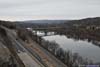
View from Tank Hollow
I left home at about 10am on the morning of Jan 2. I only needed to reach the outskirts of New York City by the end of the day, which gave me plenty of time to visit a few places along the way. For that, I picked two short hiking trails along Lehigh River, those being “Lehigh Gap East Loop” and “Tank Hollow”.
Lehigh Gap East Loop
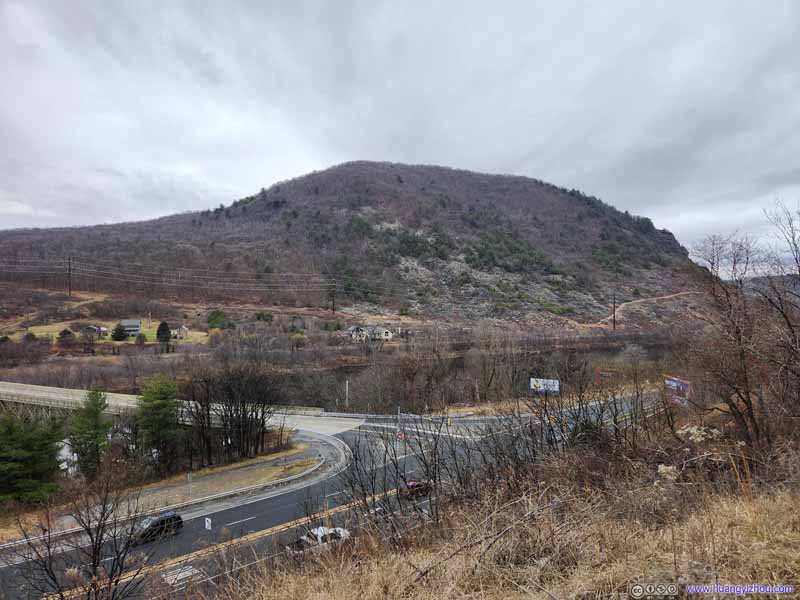
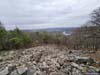
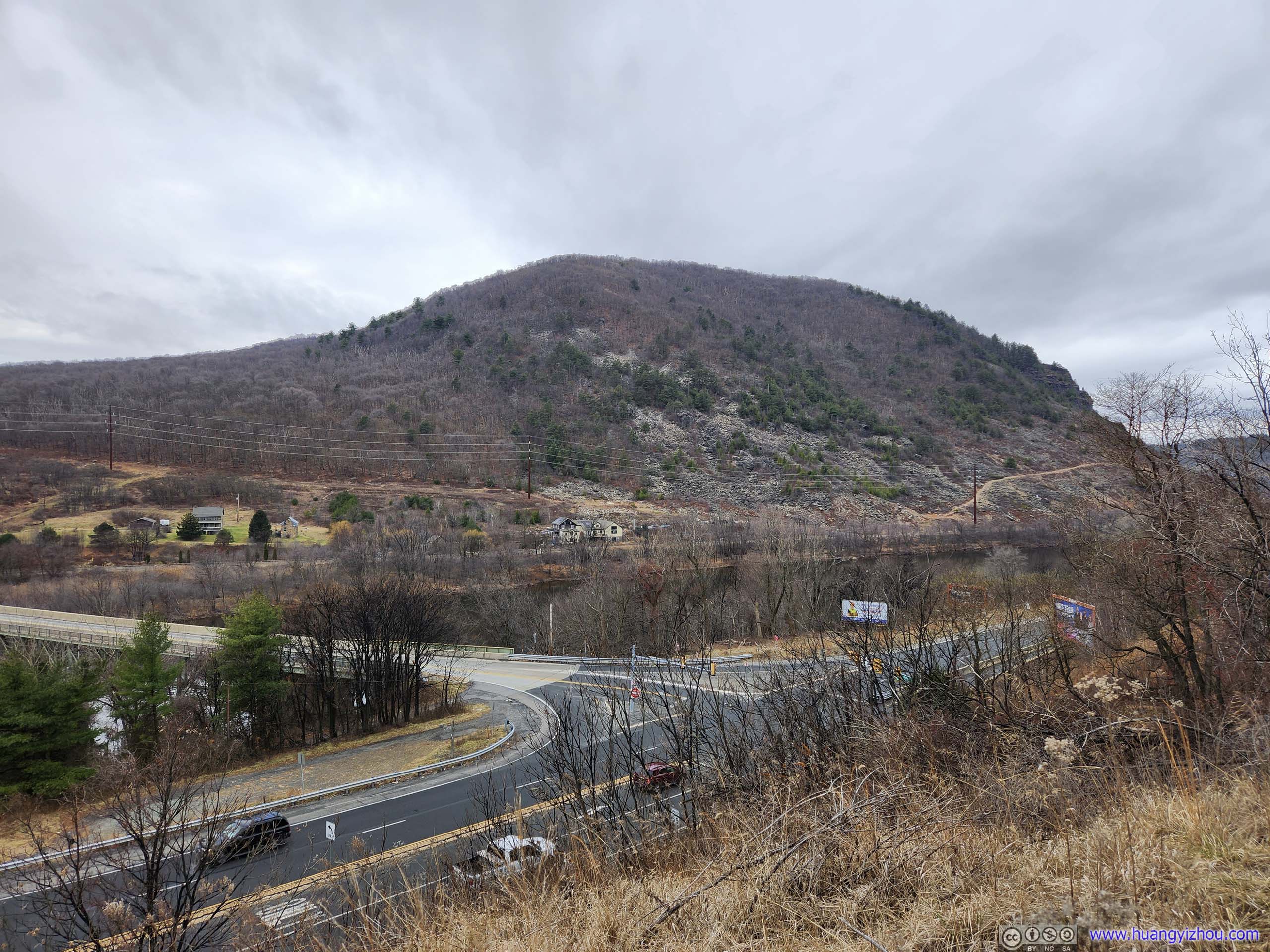
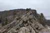
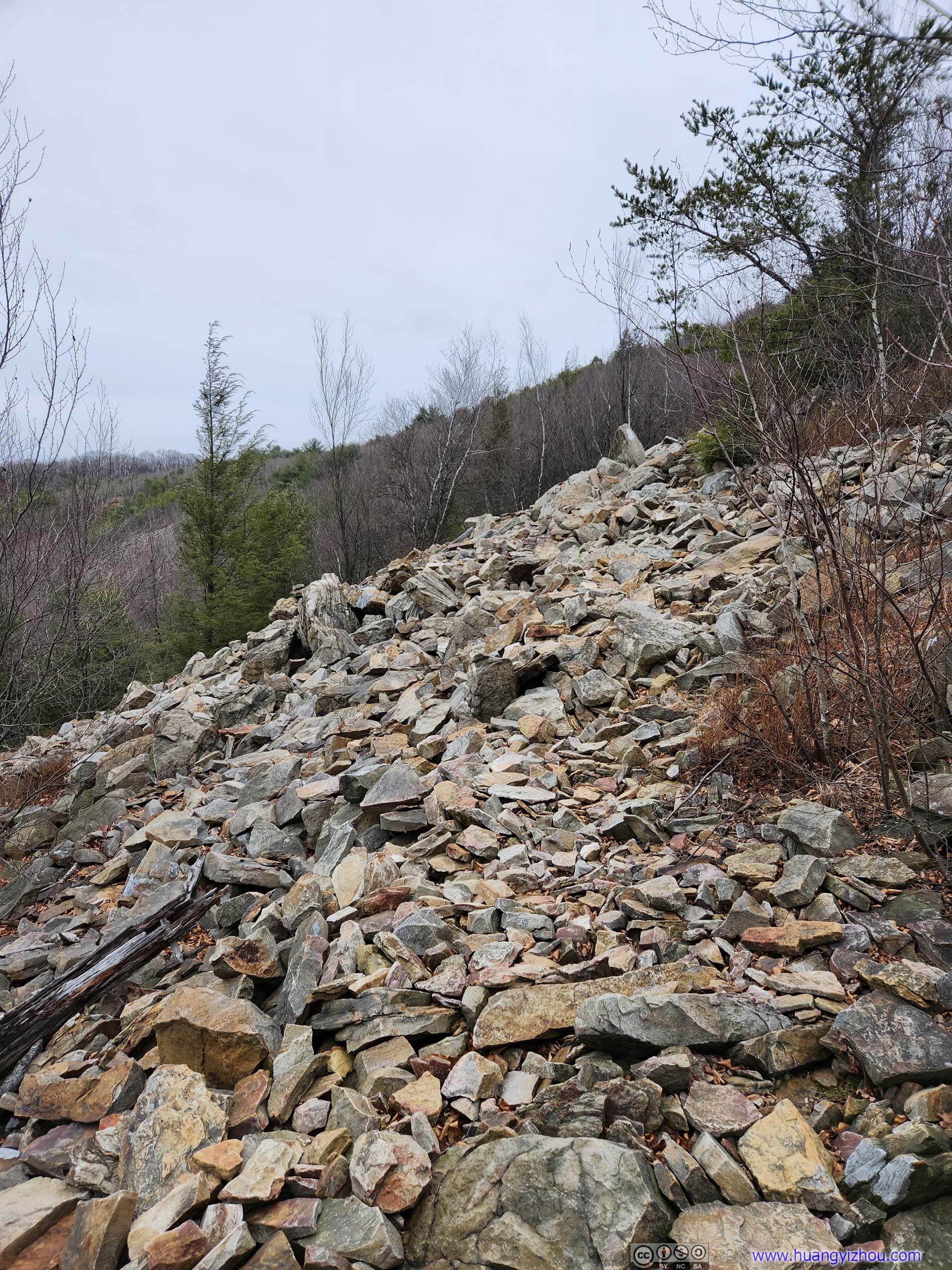
According to AllTrails, this is a 4.3km loop with 291m elevation gain. As its name suggested, this trail was at “Lehigh Gap” where the Appalachian Trail crossed the Lehigh River. A portion of the trail was through fields of talus. In my opinion this trail featured two spots for YDS class 3 scrambling (which was rare along the east coast), and hence its “difficult” rating.
The parking lot for this hike was just off PA Route 248, after a 100m-long gravel road that’s riddled with potholes that required some caution to avoid. On the good side, it’s fairly empty.
I started my hike around 1:30pm, taking the loop in the counterclockwise direction so as to scramble uphill. Here’s GPS tracking:
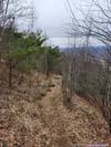
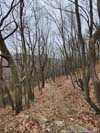
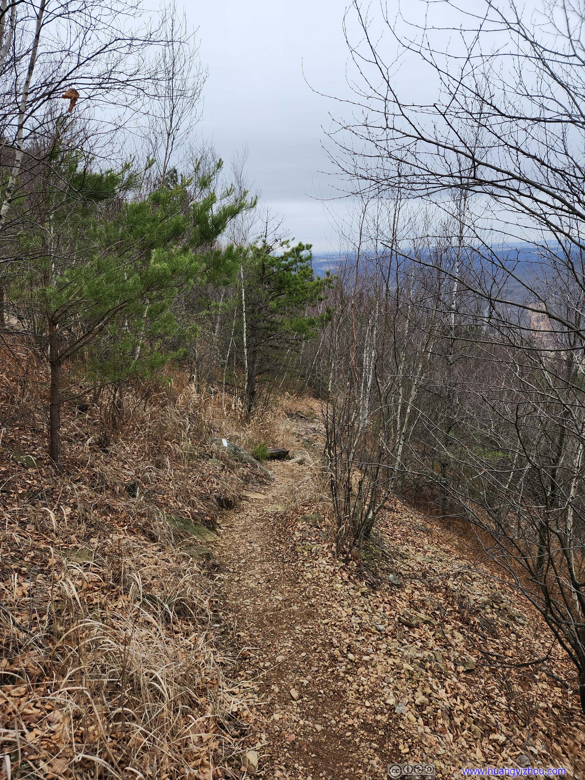
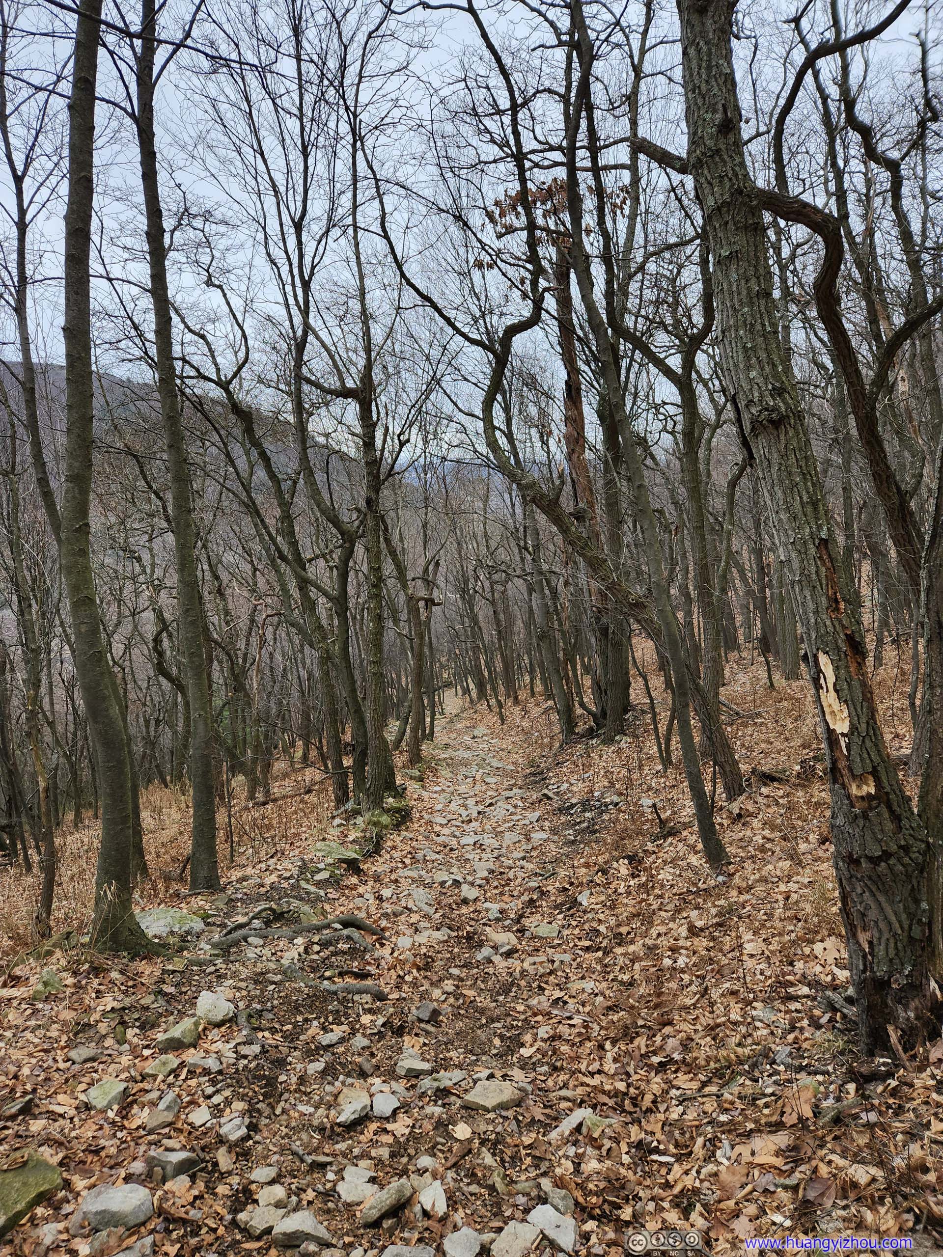
 TrailNot long after leaving trailhead, the trail went on a relatively steep ascent.
 Parking Lot overlooking Road
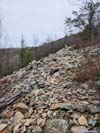
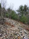
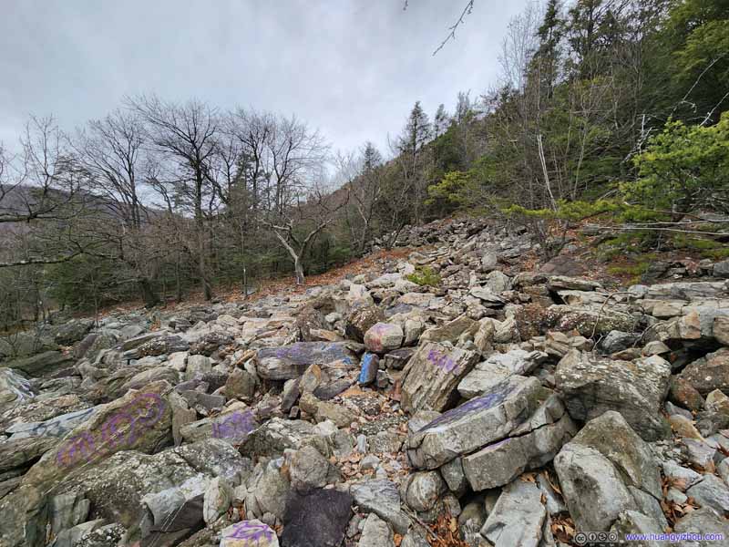 Rocky Hillside
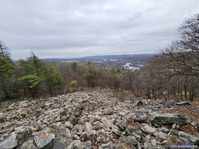 Rocky Hillside
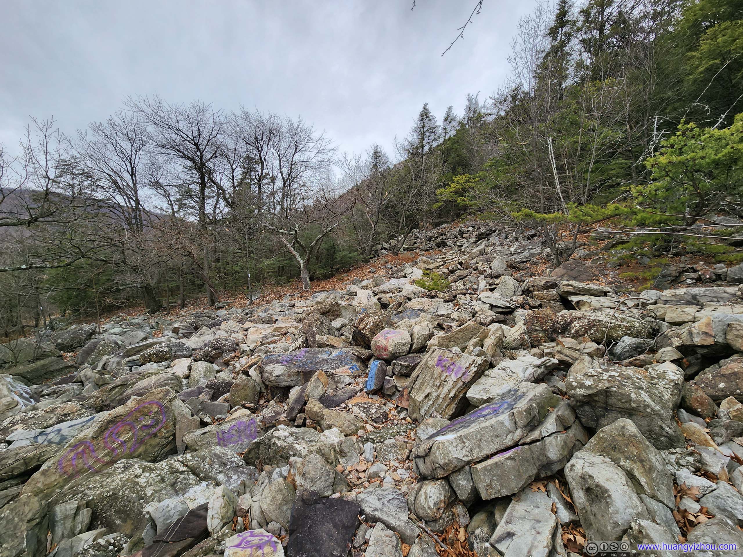
On the map, there’s a path from the parking lot, through this field of rocks directly up the hill to where I was resting. That didn’t look enjoyable from this angle.
Rocky Hillside
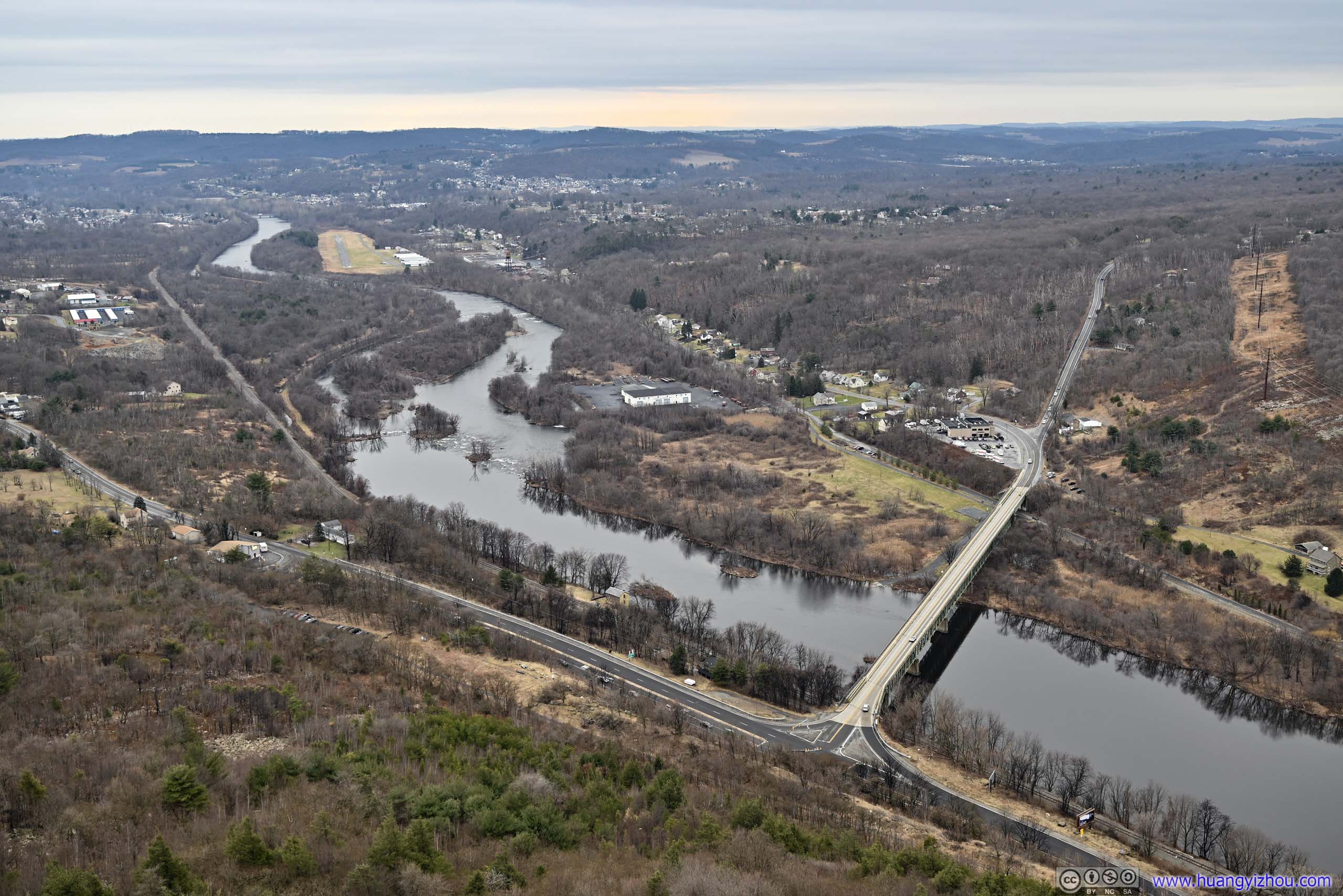
On the map, there’s a path from the parking lot, through this field of rocks directly up the hill to where I was resting. That didn’t look enjoyable from this angle.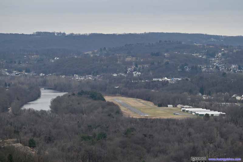 Slatington AirportA small plane was taking off.
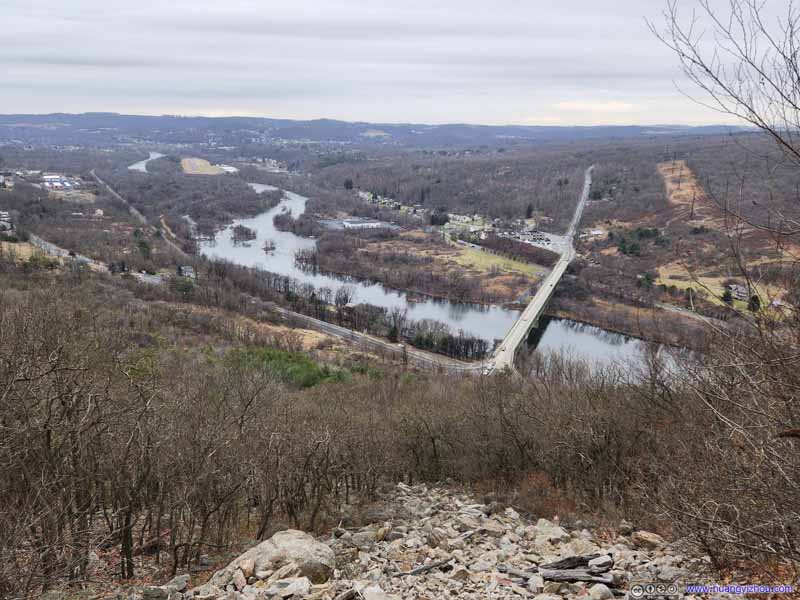 Overlooking Lehigh RiverHere’s roughly the start of the scrambling section.

Click here to display photos of the slideshow
Parking Lot overlooking Road
Rocky Hillside
Rocky Hillside

Slatington AirportA small plane was taking off.
Overlooking Lehigh RiverHere’s roughly the start of the scrambling section.
The scrambling started roughly 700m from trailhead for a total of 100m, through which I took the following video:
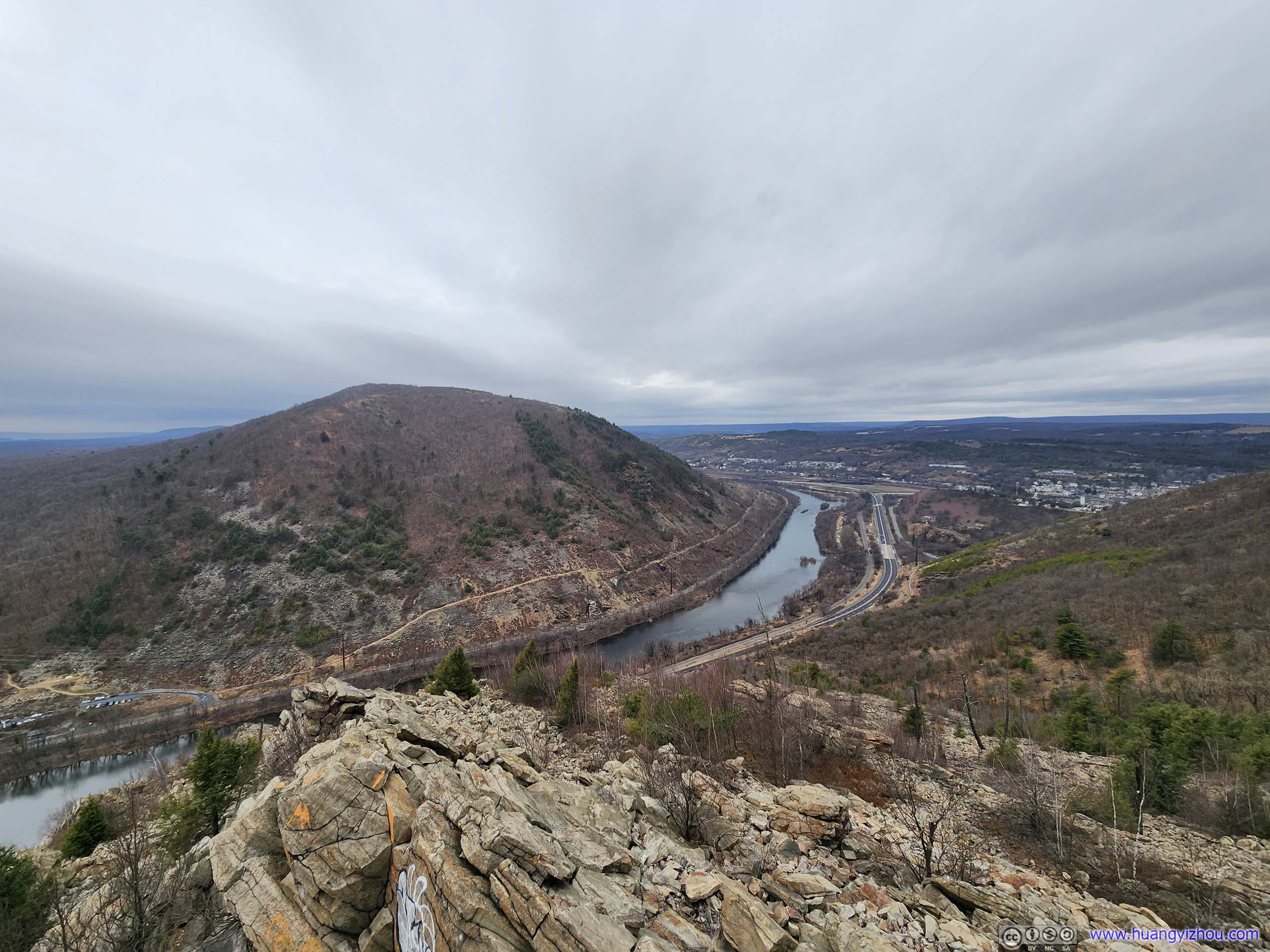
The two YDS class 3 spots are around 2:00 and 3:15 of the video above. In my opinion they were well marked so it’s hard to get lost, and they didn’t involve much exposure. After the second spot, the trail followed a ridge and continued uphill. I took a small detour from the marked trail and found an unofficial overlook (jusr a large boulder, there were many) where I took a rest and appreciated the views.
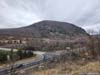
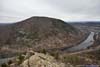
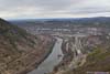
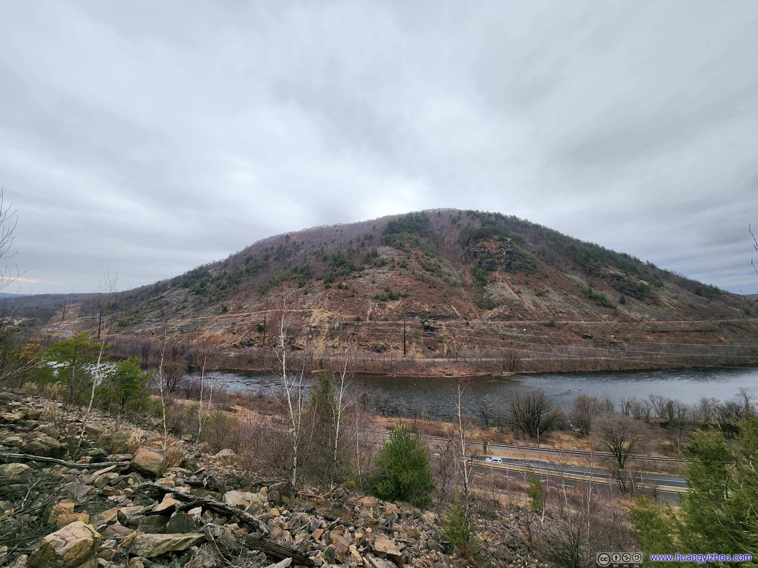
 Lehigh Gap
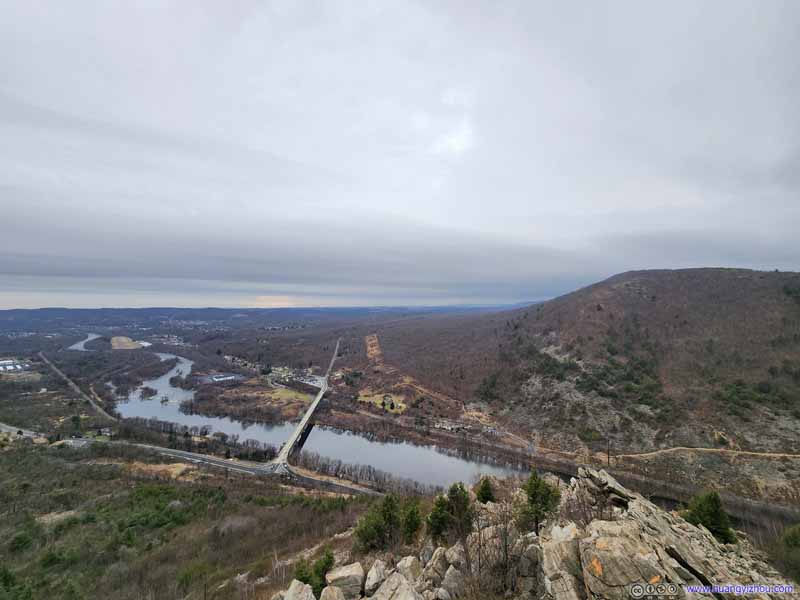 Lehigh Gap
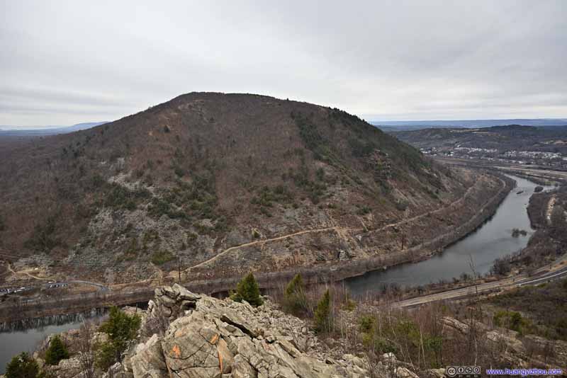 Hill across Lehigh Gap
 Lehigh River Upstream
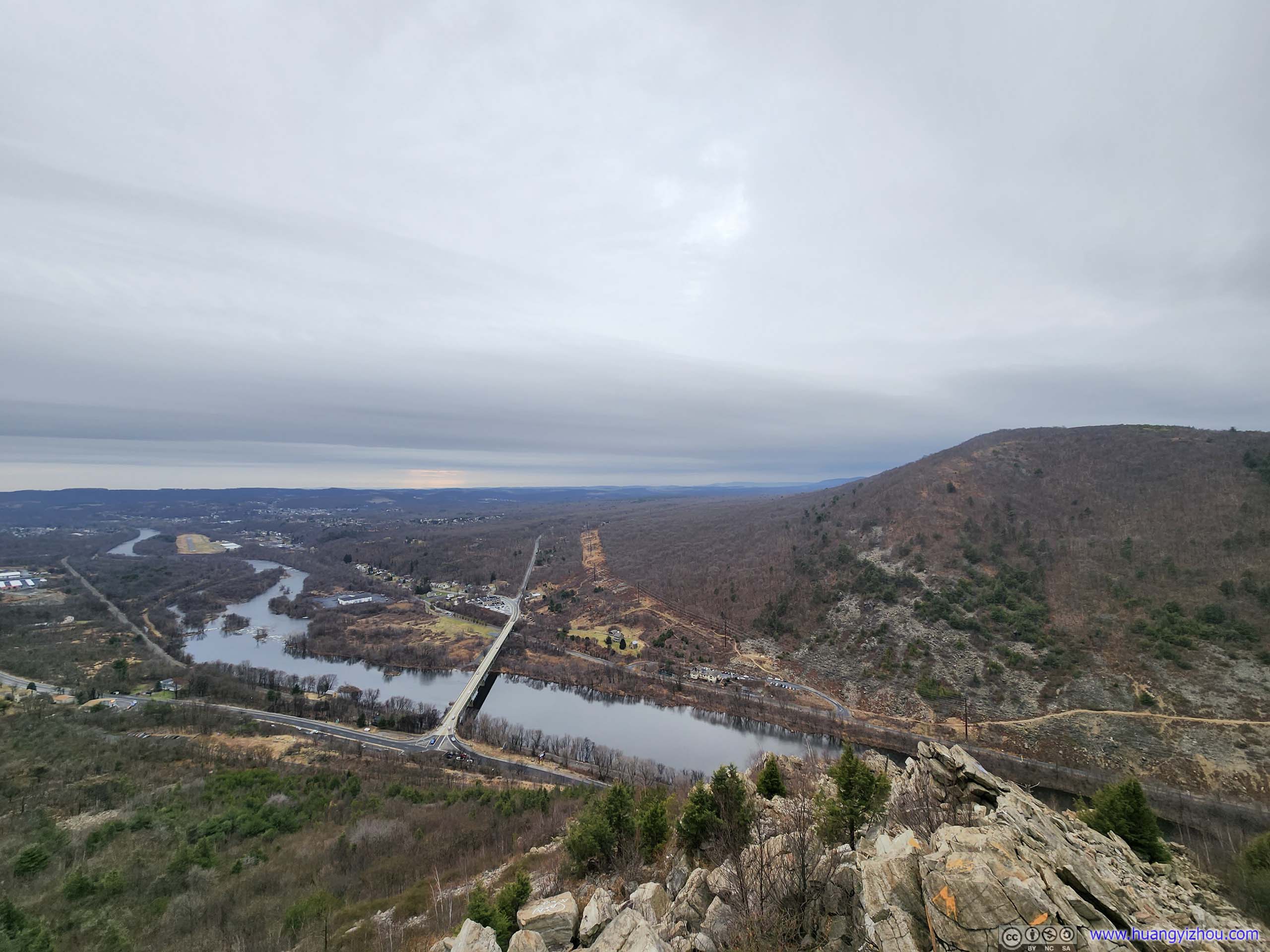
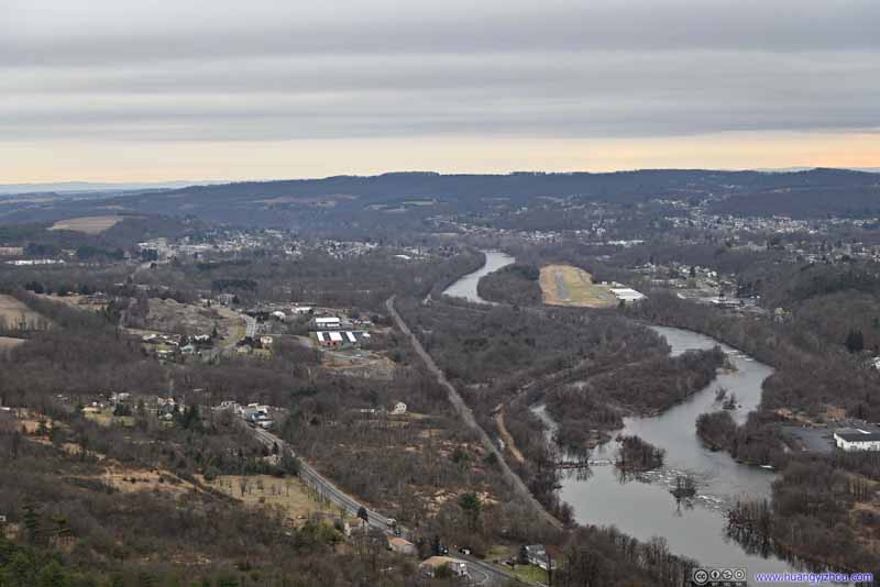 Lehigh River DownstreamSlatington Airport by the river.
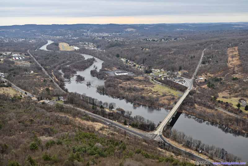 Lehigh River
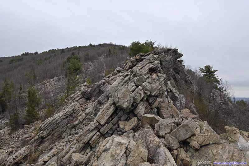 Rocky Ridge
Click here to display photos of the Lehigh Gap
Lehigh Gap
Lehigh Gap
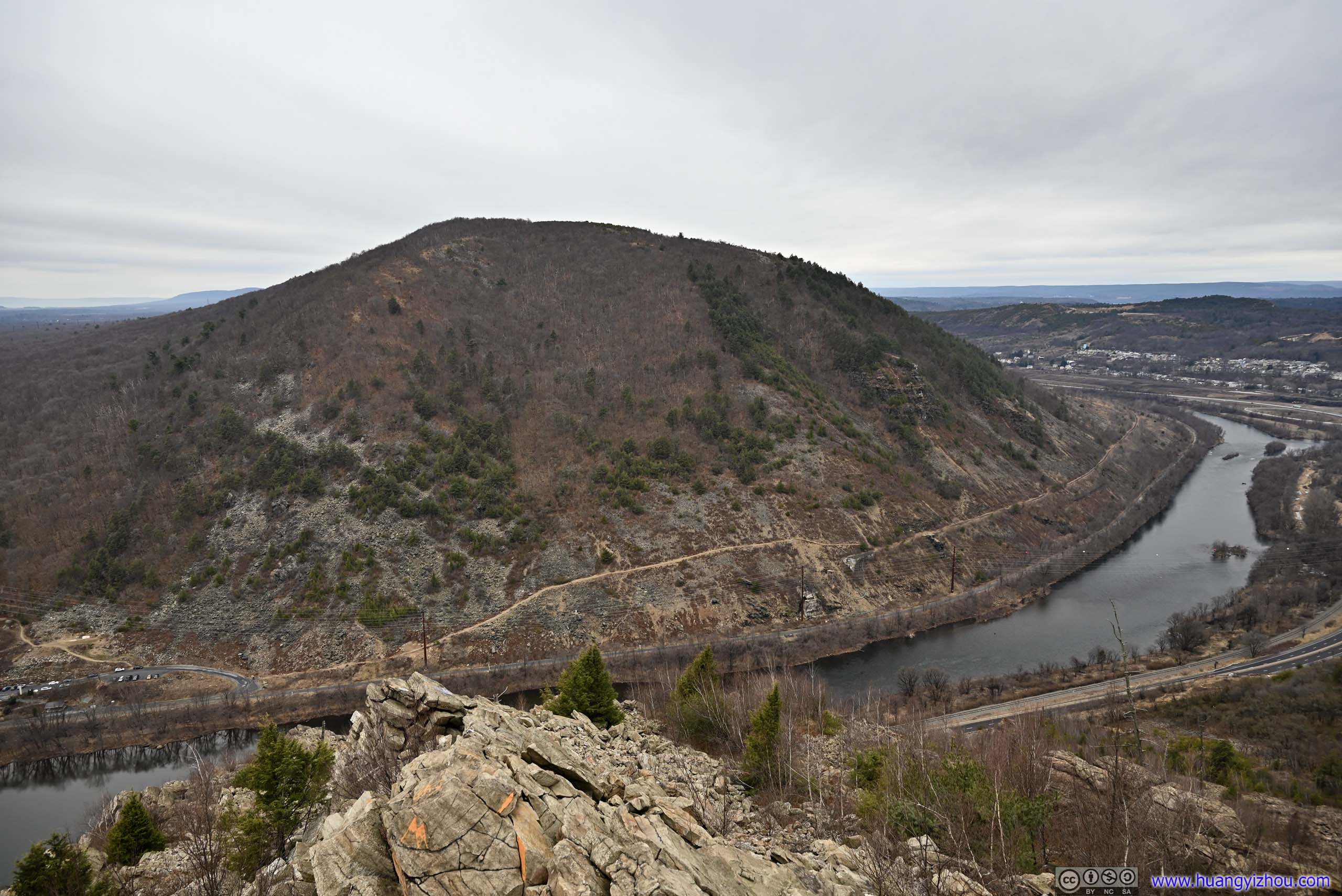
Hill across Lehigh Gap

Lehigh River Upstream

Lehigh River DownstreamSlatington Airport by the river.
Lehigh River
Rocky Ridge
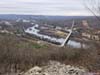
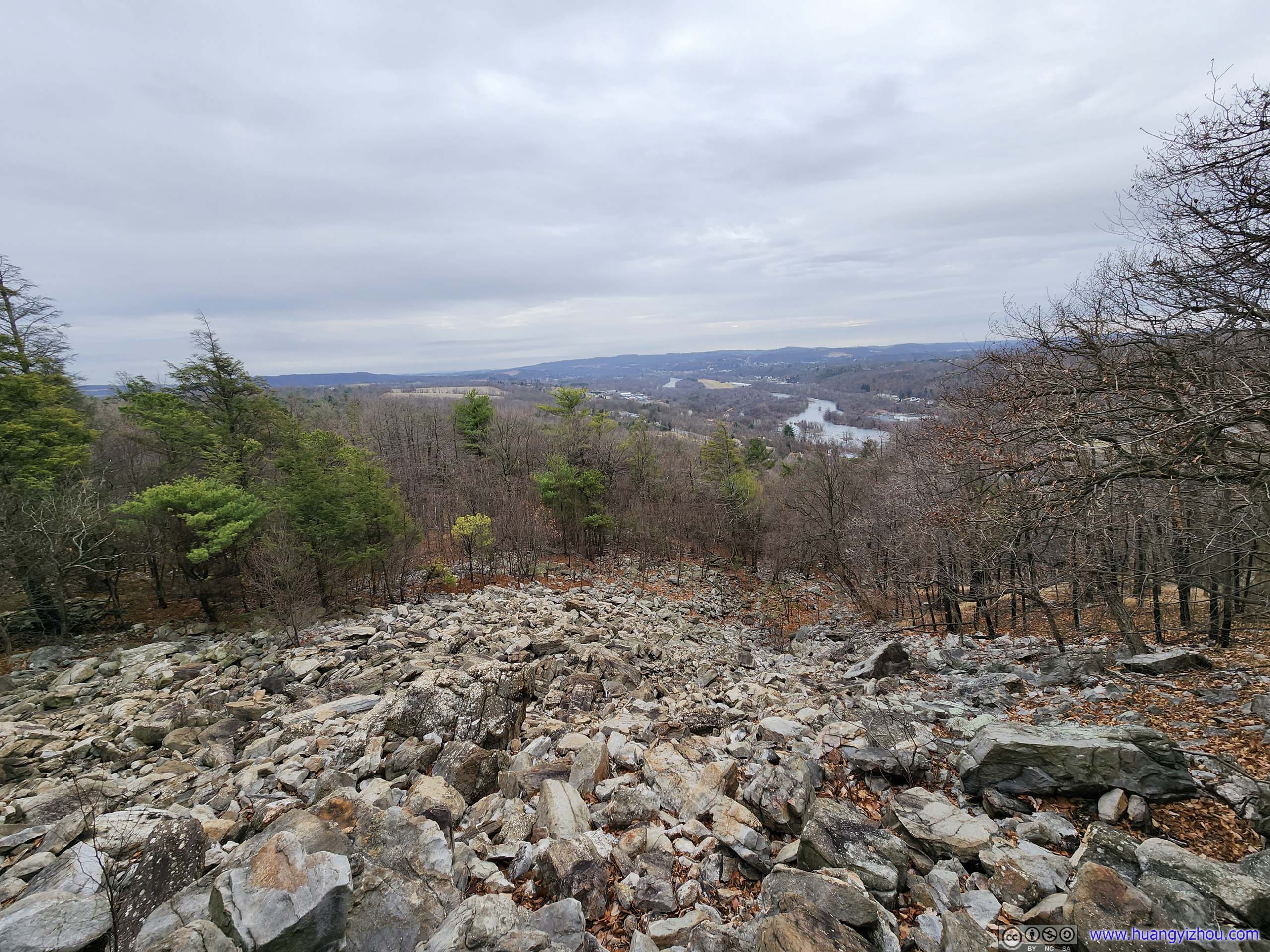
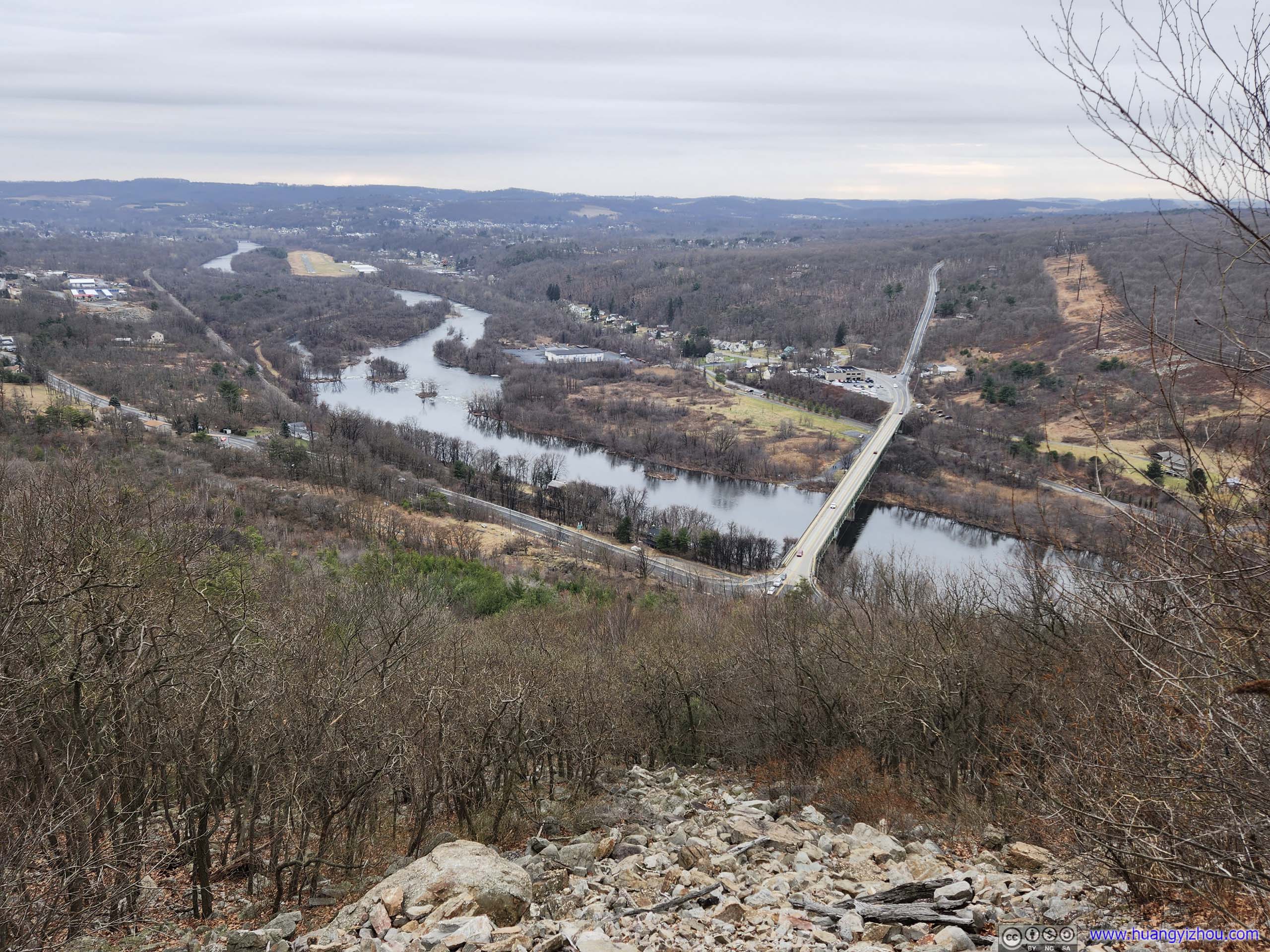
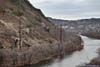
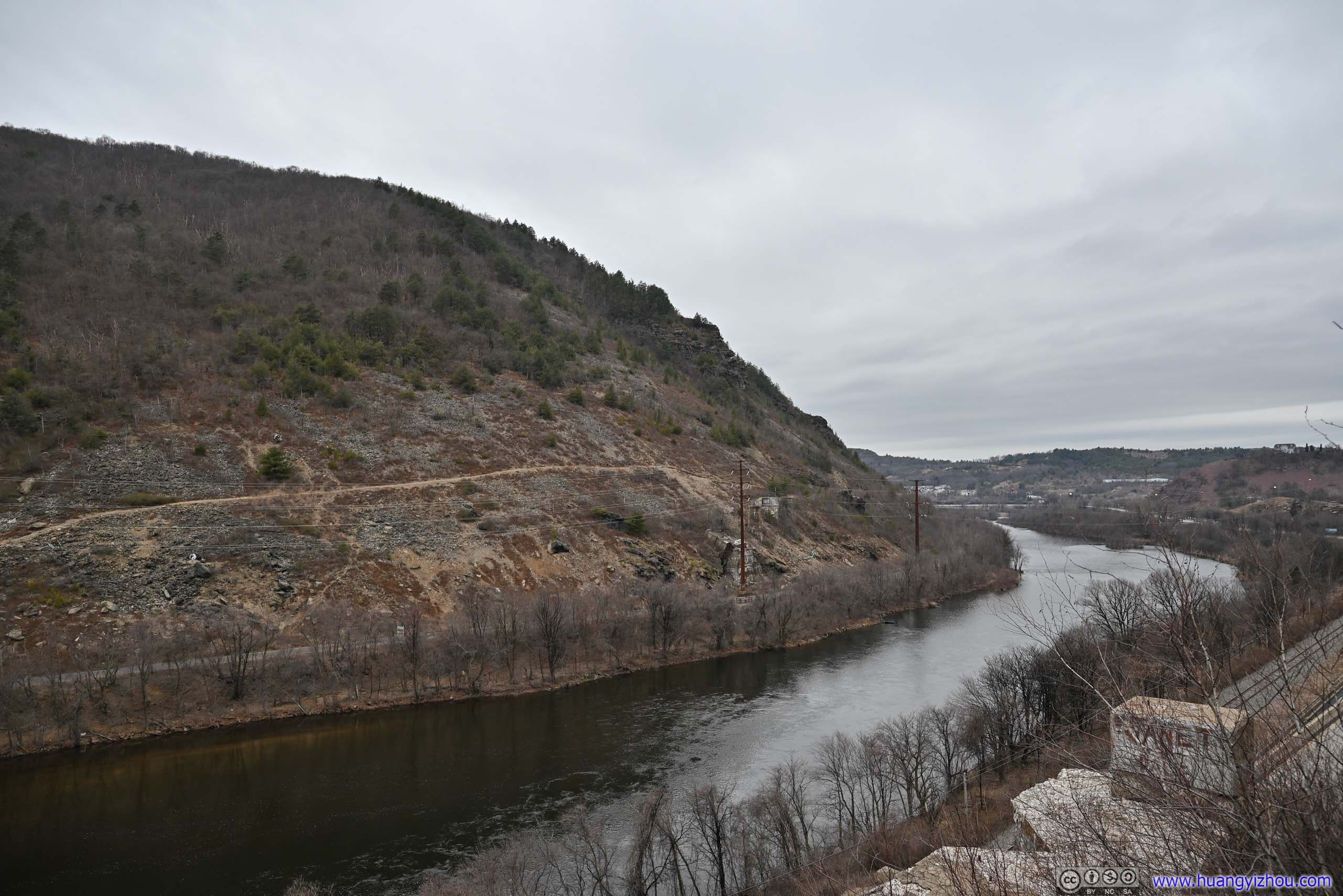
Immediately after the class 3 scramble were arguably the best views of the entire hike, overlooking the Lehigh River cutting its way through the mountains on its way south. It’s also a vintage point offering distant views down the horizon.
View of Lehigh River
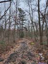
After about 15 minutes, I continued on my way. The Appalachian Trail remained rocky for a short distance before turning into a typical trail in the woods.
To finish the loop, I needed to turn left onto “Winter Trail” at an intersection (picture below). It’s worth noting that on Google Maps, this intersection was marked 100m earlier, leading to some tense moments as I suspected I had missed the intersection, which was finally resolved after I cross-checked with some other maps.
Intersection of Trails
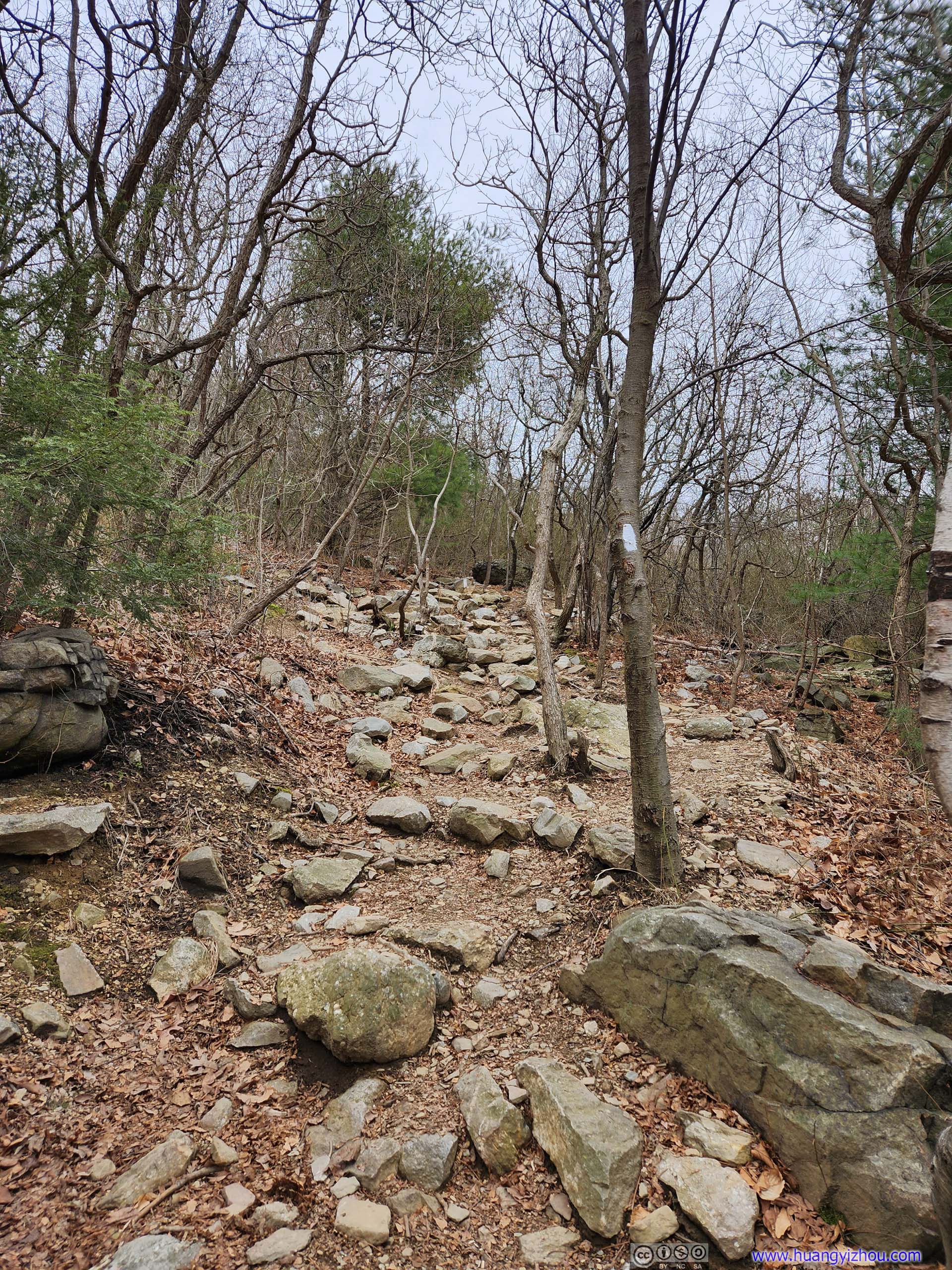
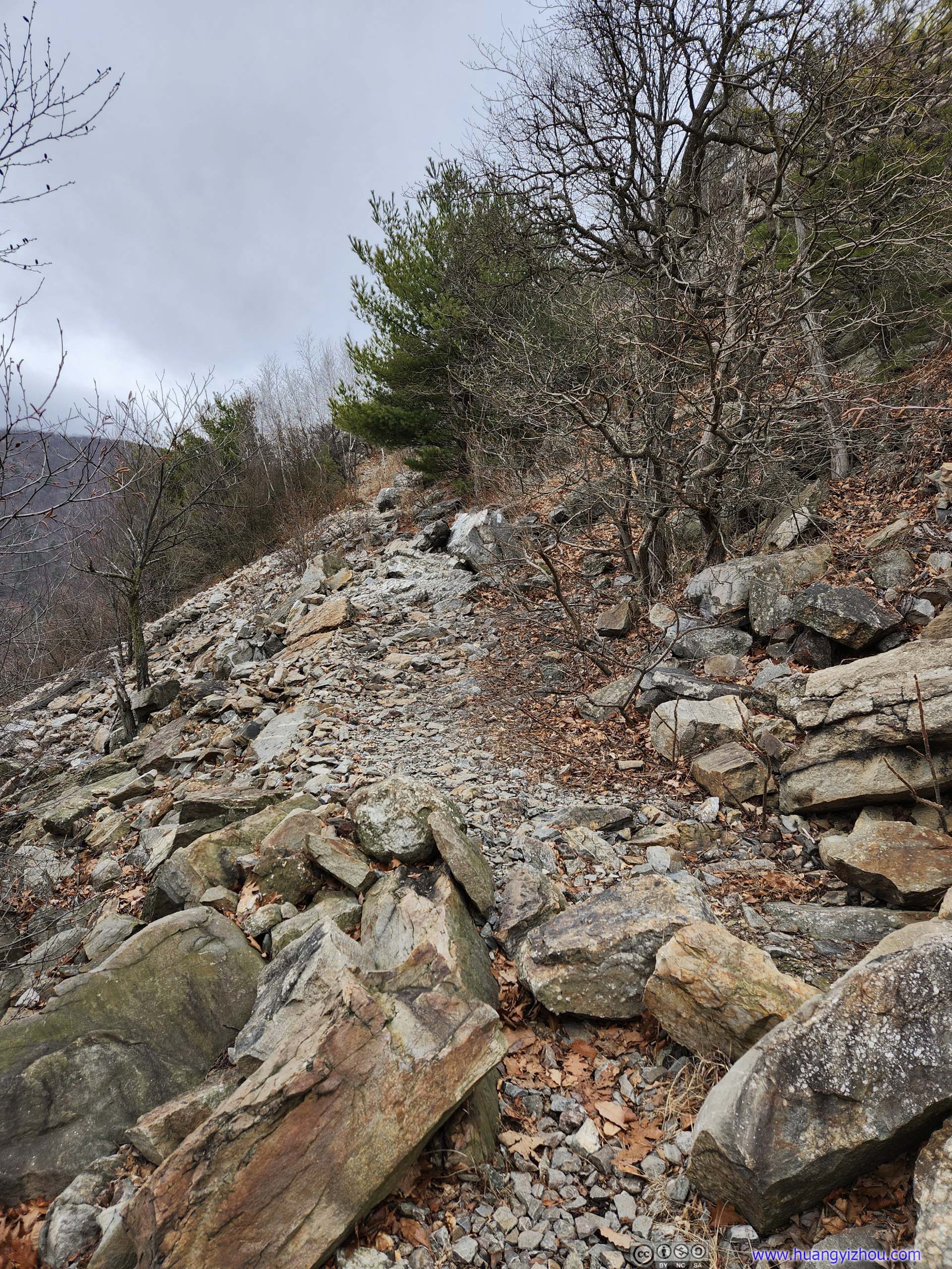
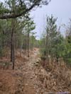
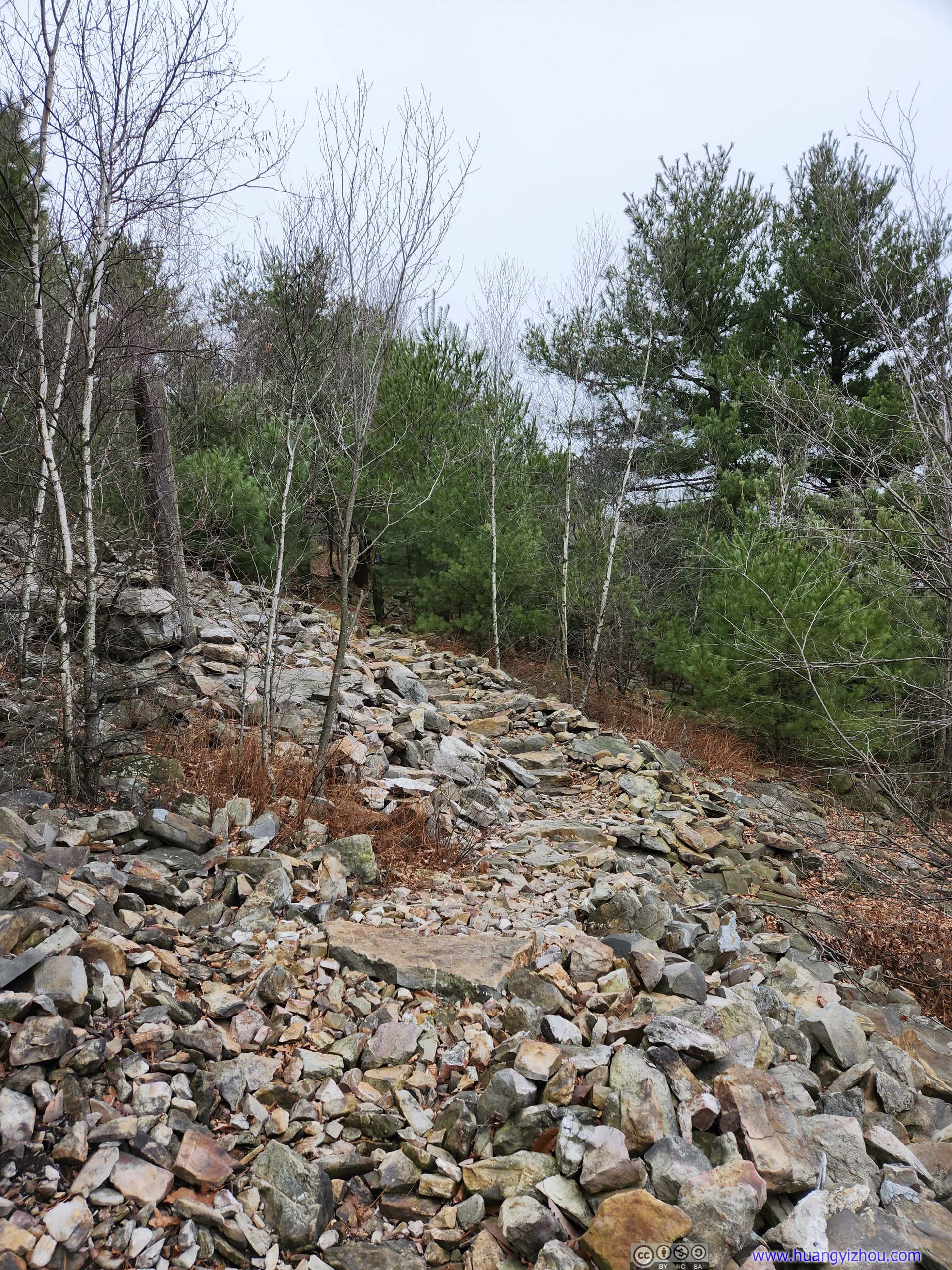
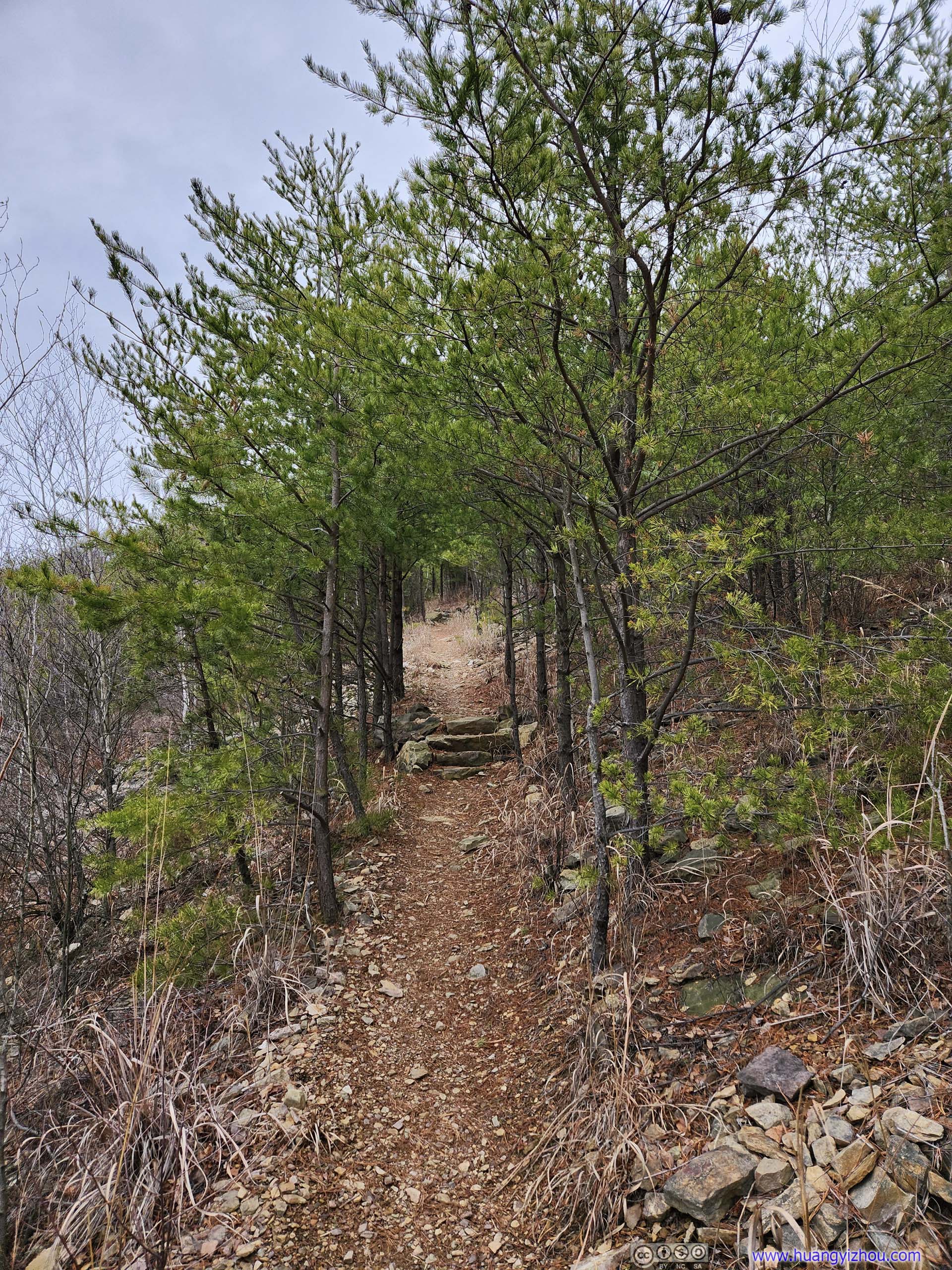
 TrailThe Appalachian trail continued on loose rocks for some distance.
 Trail
Trail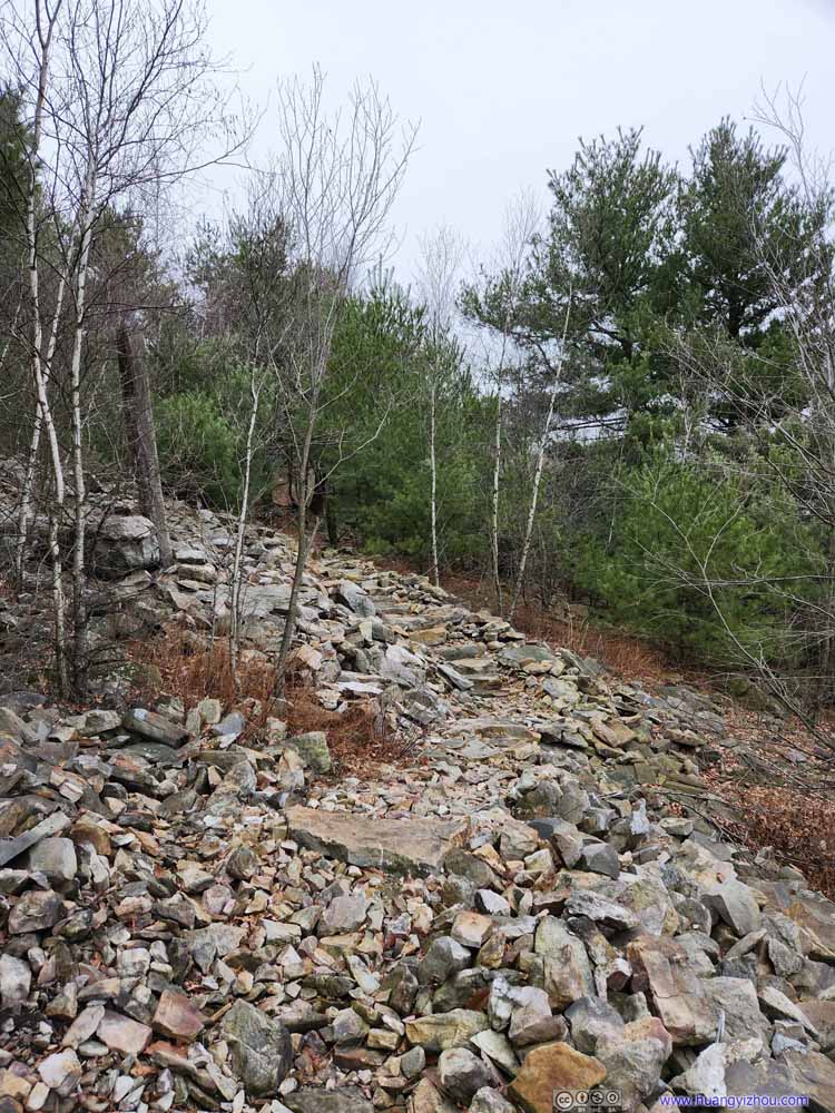 TrailOne of the few sections on rock during descent, where the rock was artificially arranged.
 Trail
Trail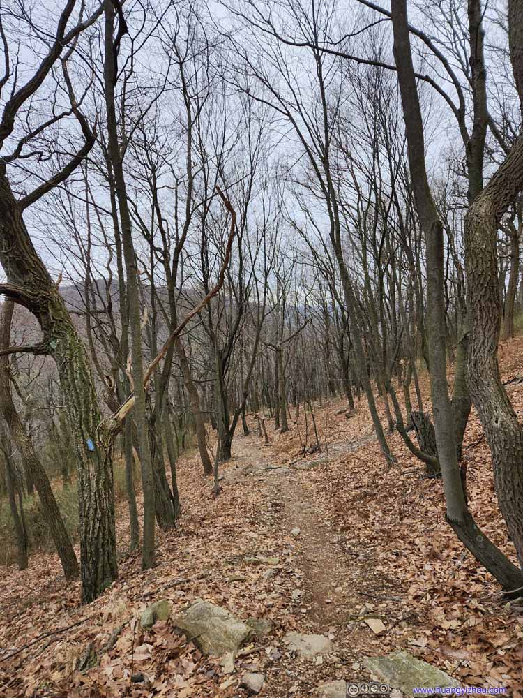 Trail
Trail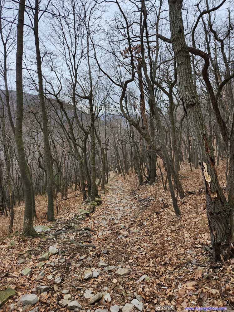 Trail
Trail Trail
Trail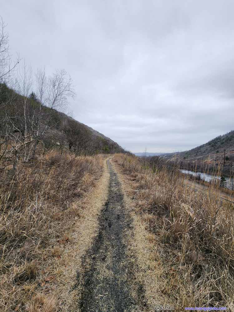 TrailThe final part following the highway back.
 TrailThe final part following the highway back.

Click here to display photos of the trail.
TrailThe Appalachian trail continued on loose rocks for some distance.
Trail
TrailOne of the few sections on rock during descent, where the rock was artificially arranged.
Trail

Trail
Trail
Trail
TrailThe final part following the highway back.

TrailThe final part following the highway back.
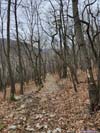
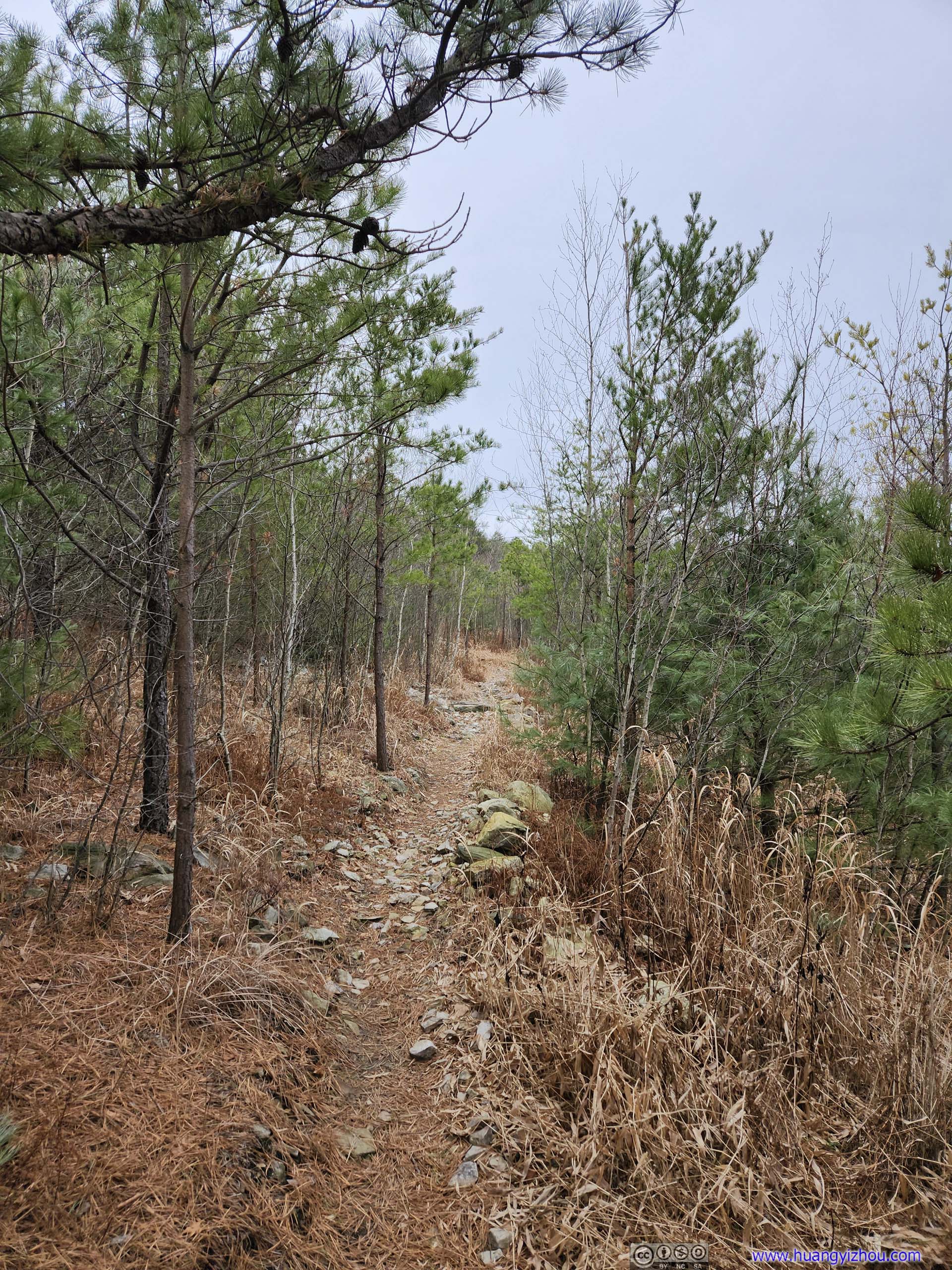
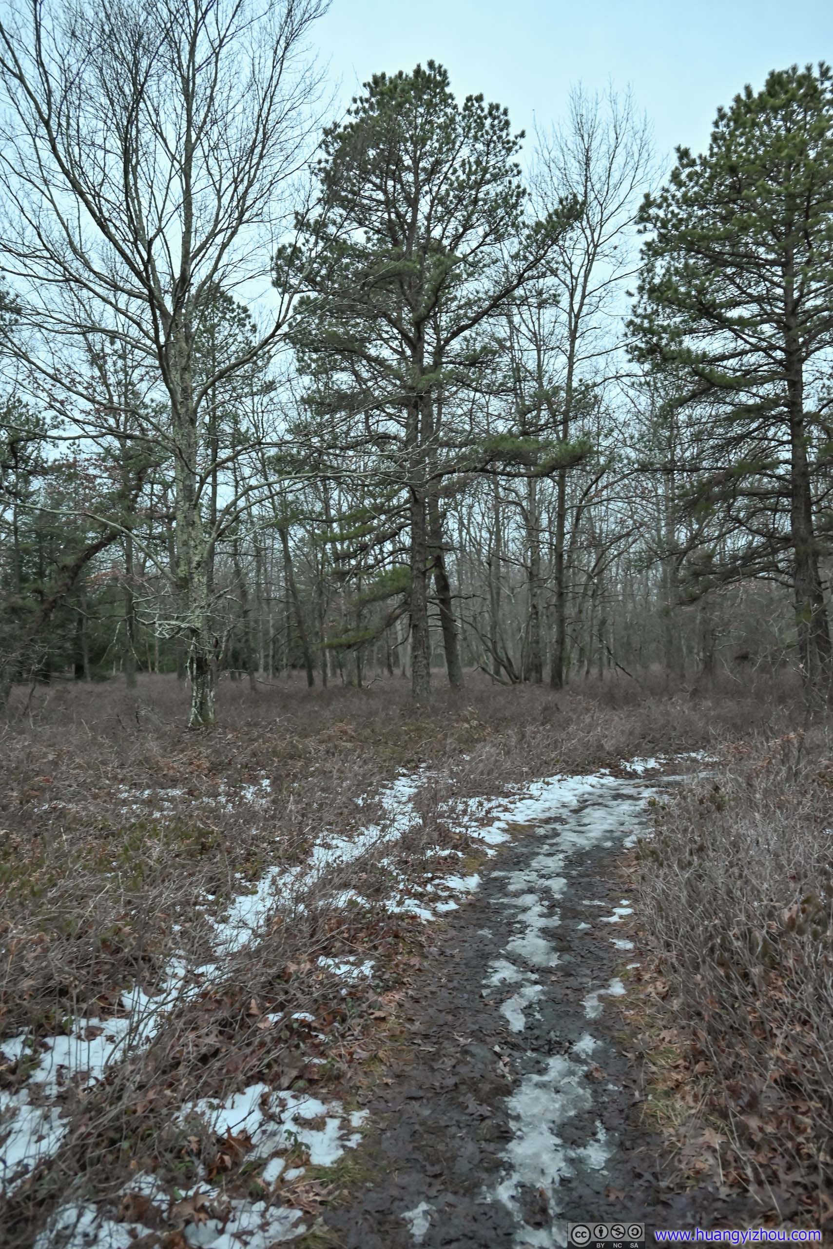
“Winter Trail” was an unremarkable stroll in the woods. I couldn’t make sense of the name as I assumed the trail would certainly look more interesting in the summer. After 1.3km of downhill, the final 1km back to the trailhead followed the Lehigh River on level ground. Except for one muddy spot that I had to navigate around, it’s a pleasant finish.
 Hill across Lehigh Gap
 Lehigh River
 Lehigh River
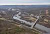
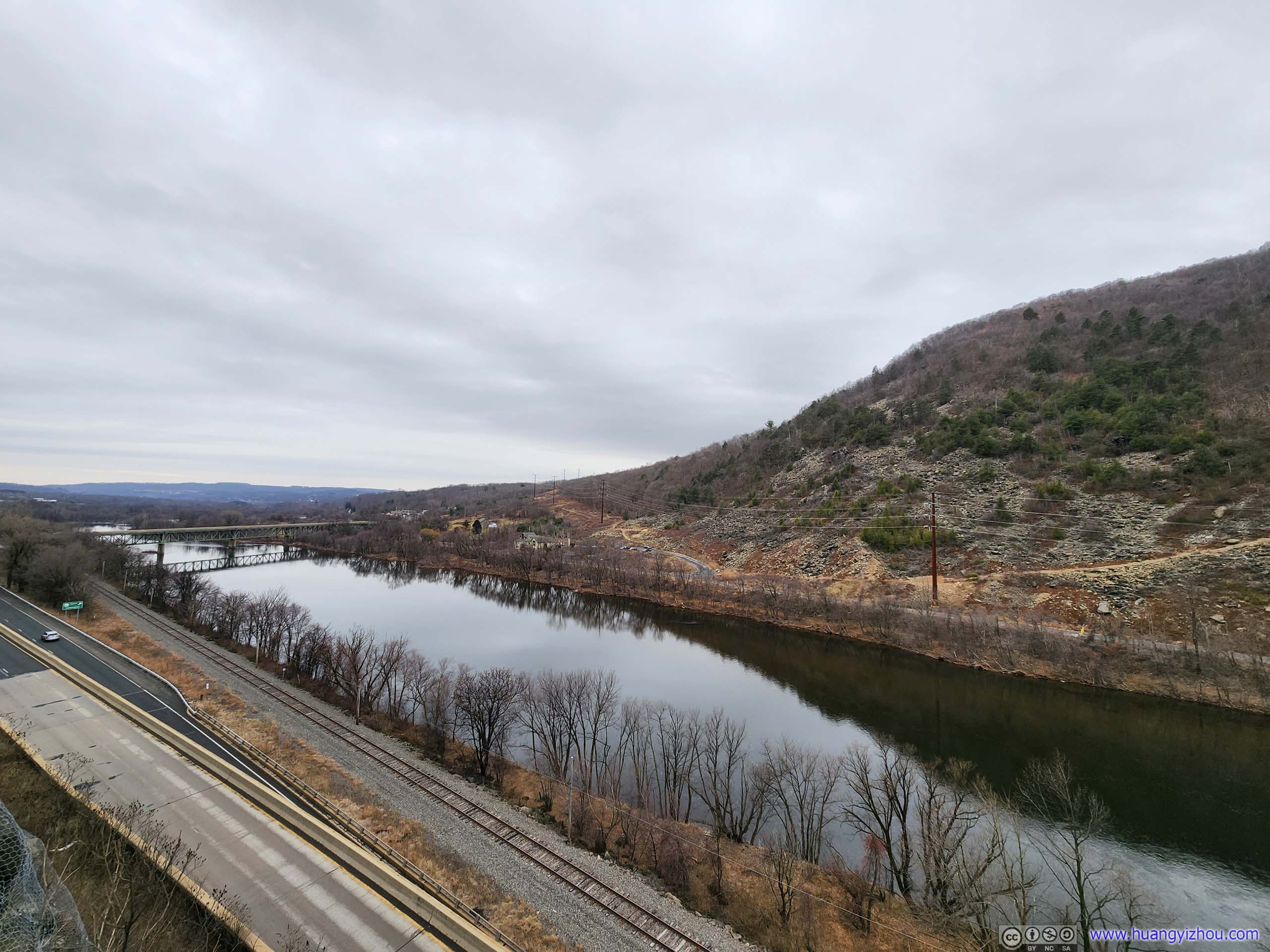
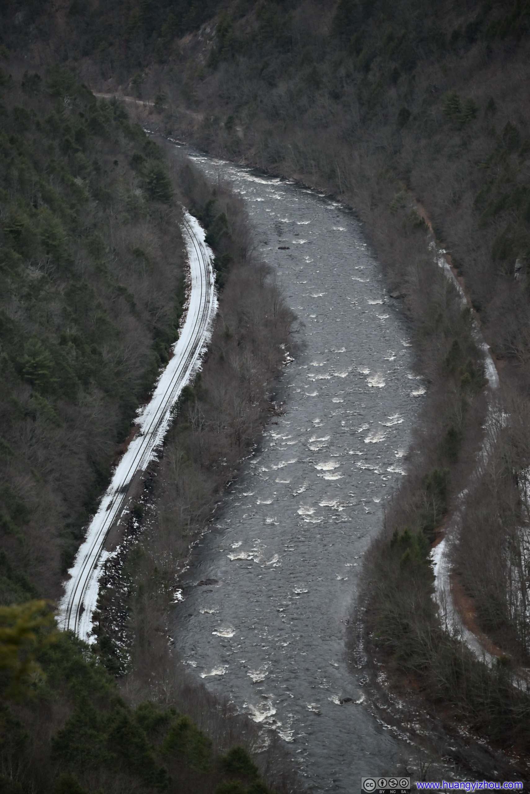
 Overlooking Lehigh RiverPA Route 248 and Norfolk Southern Lehigh Line Railway.
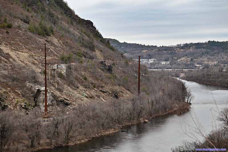 Foundations along Lehigh River
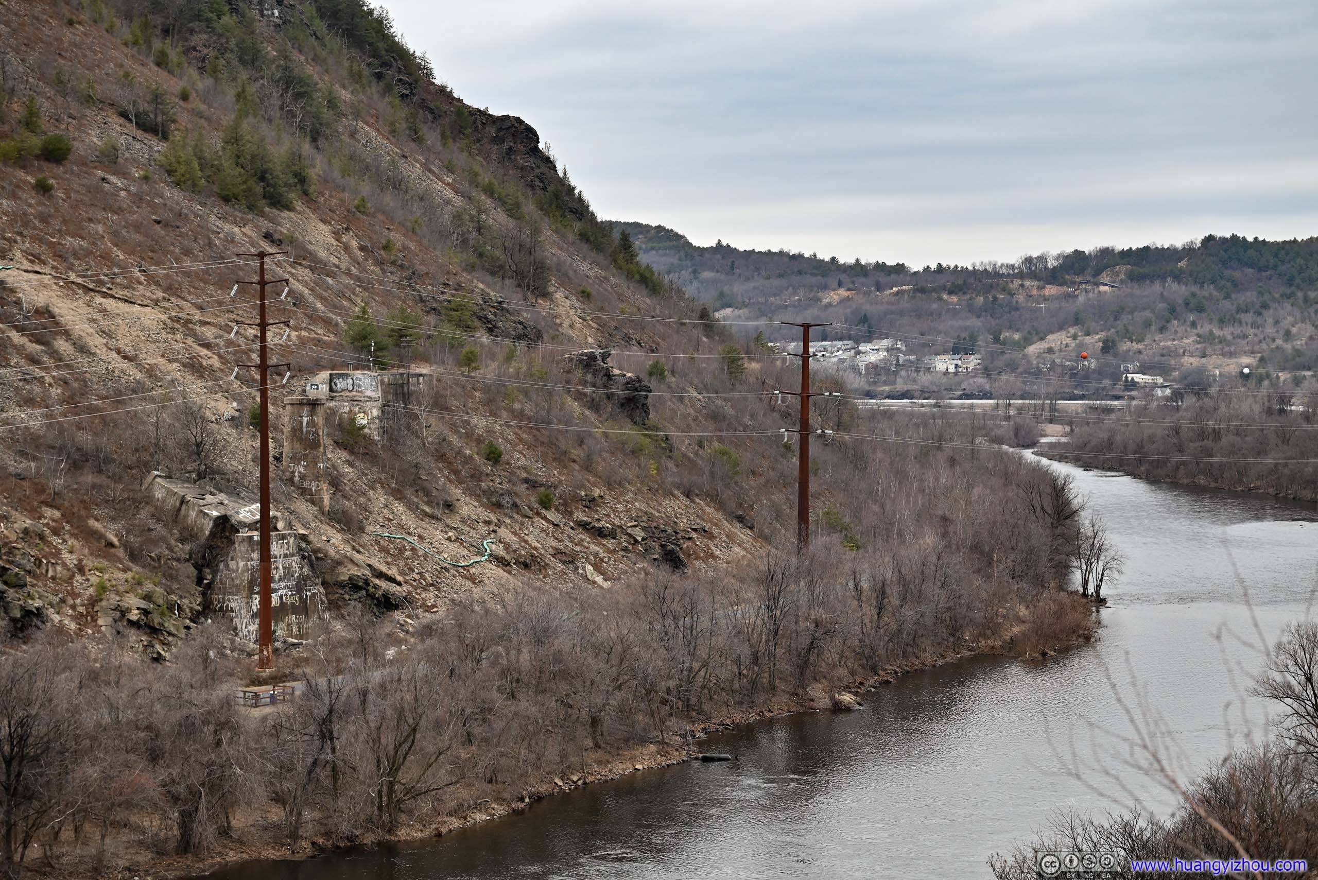
Across the river, there were what looked like foundations of a railway bridge that once crossed the river. From satellite image, it’s not hard to see that the final section of the trail seemed to run along some old railway.
Foundations along Lehigh River
Across the river, there were what looked like foundations of a railway bridge that once crossed the river. From satellite image, it’s not hard to see that the final section of the trail seemed to run along some old railway.
Click here to display photos of the slideshow
Hill across Lehigh Gap
Lehigh River
Lehigh River
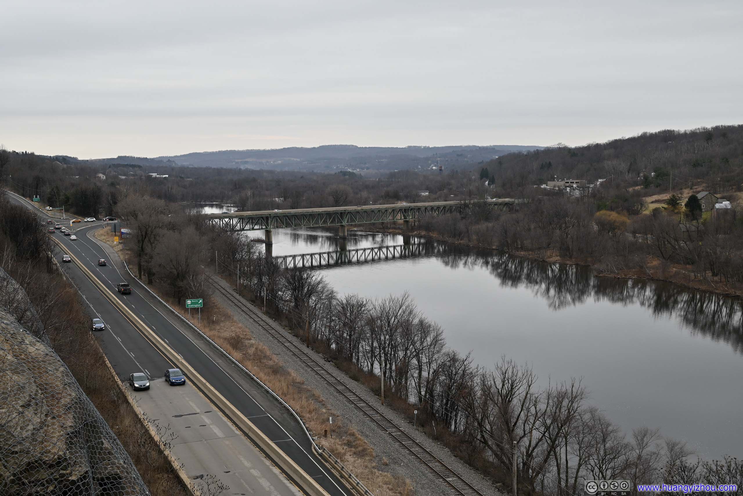
Overlooking Lehigh RiverPA Route 248 and Norfolk Southern Lehigh Line Railway.
Foundations along Lehigh River
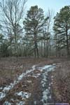
Tank Hollow
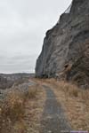
Located less than half an hour away by driving, Tank Hollow was another popular trail next to Lehigh River, located within Pennsylvania State Game Lands. According to AllTrails, this is a 5.5km out-and-back with minimal elevation change. However, the first (and last) 1.9km are both unpaved roads, so it’s only 1.7km as I drove into the state game lands and parked near the “trailhead”. The road condition was okay for an unpaved road. There were some potholes but they were not hard to avoid.
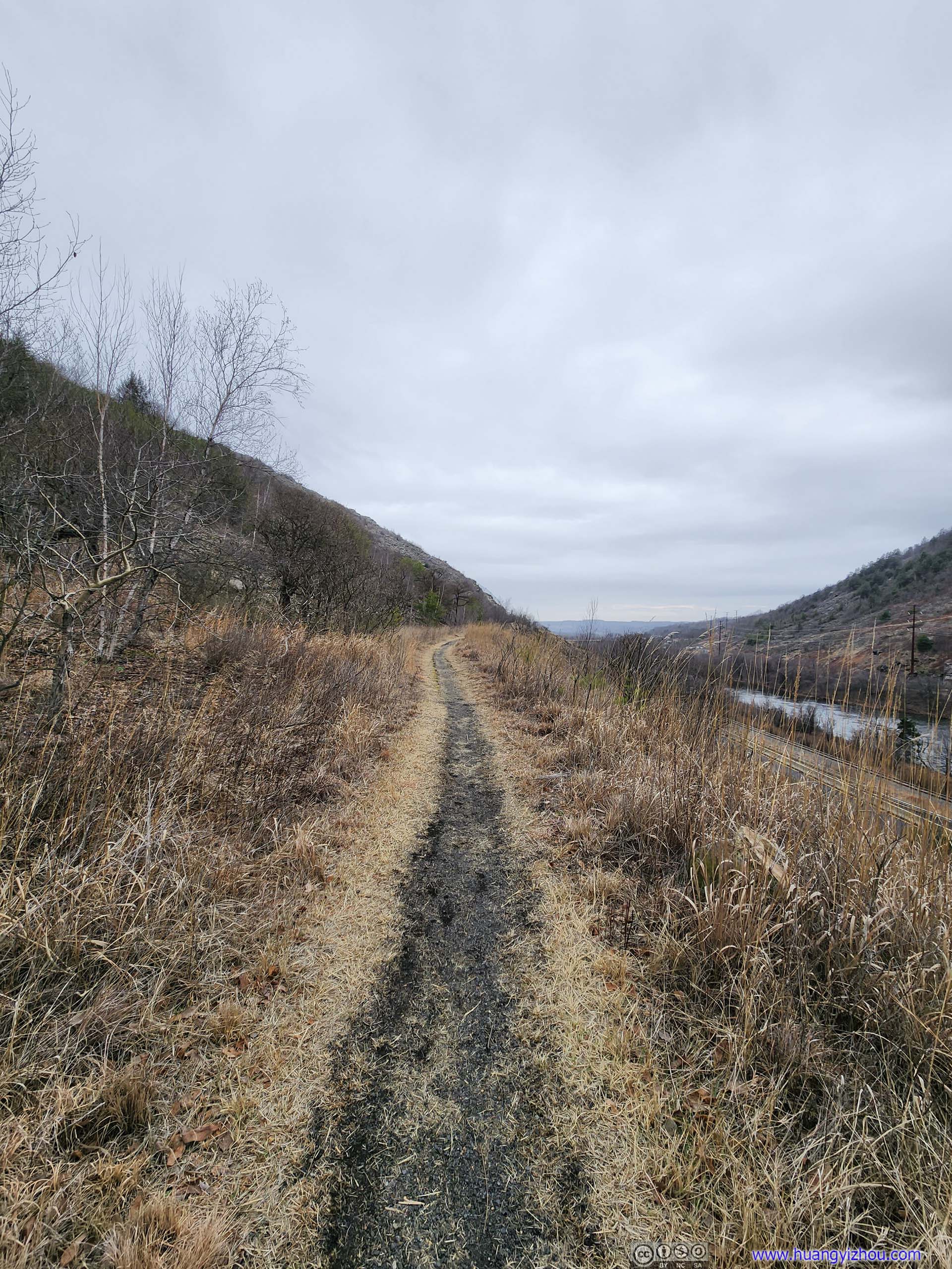
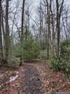
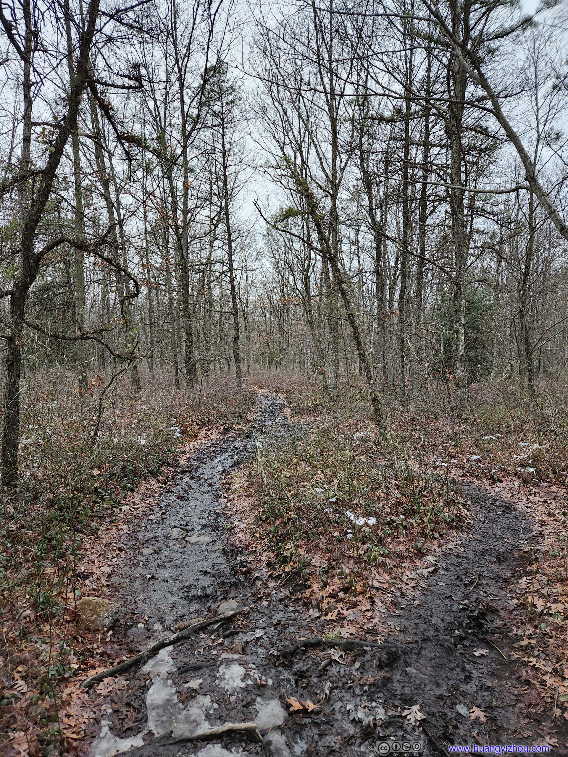
 TrailIn the beginning the trail was muddy at many places.
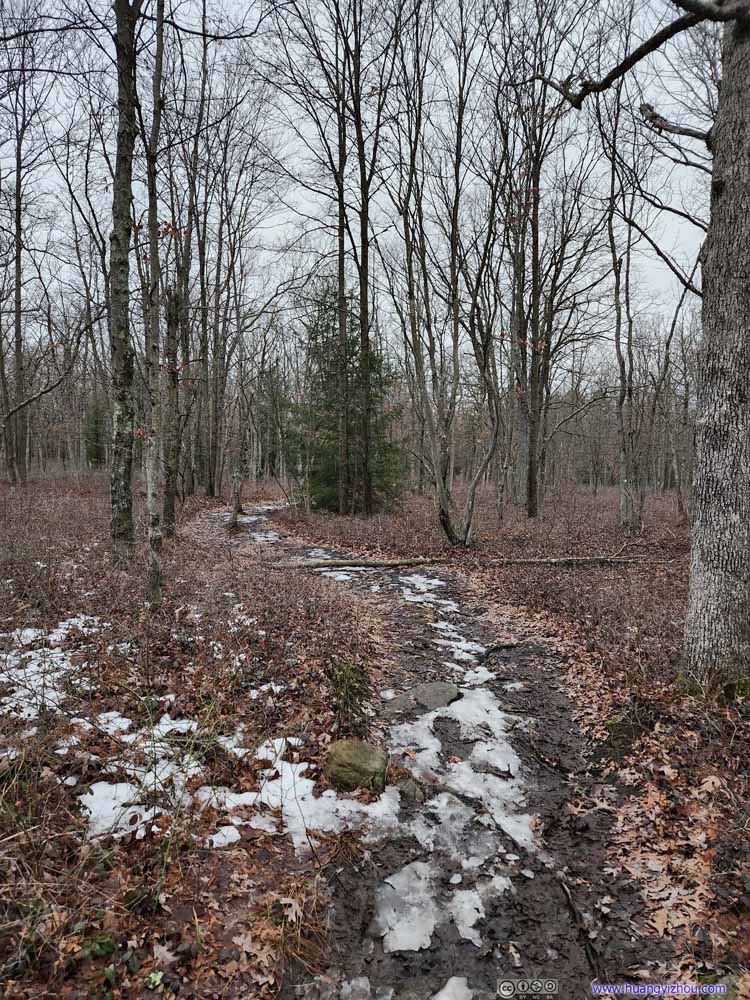 TrailIn the beginning the trail was muddy at many places.
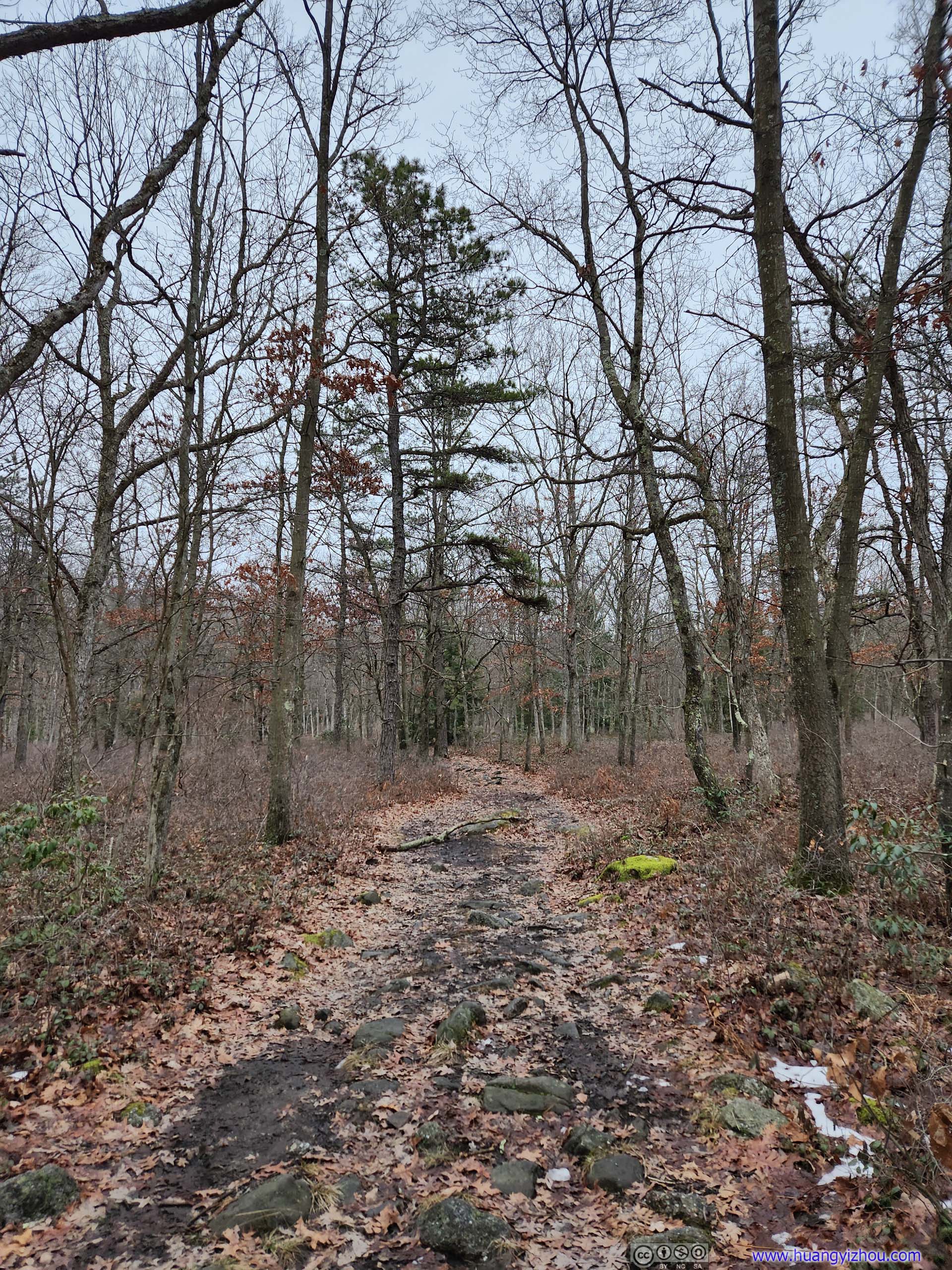
 TrailThe mud situation improved further into the trail.
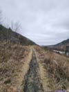
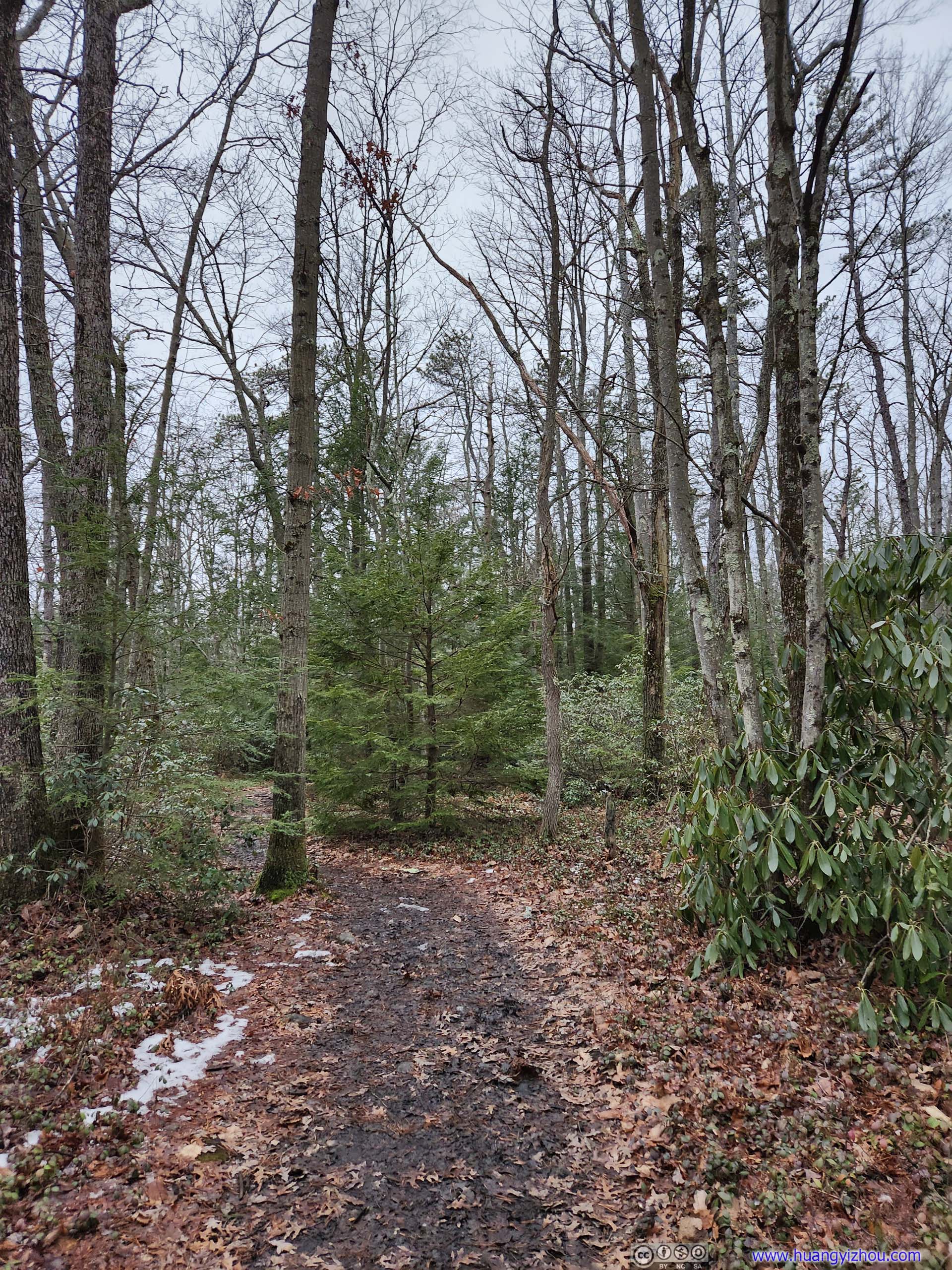
 TrailTowards the end, the trail was in better condition, with more colors from the evergreen bushes.
 TrailTowards the end, the trail was in better condition, with more colors from the evergreen bushes.
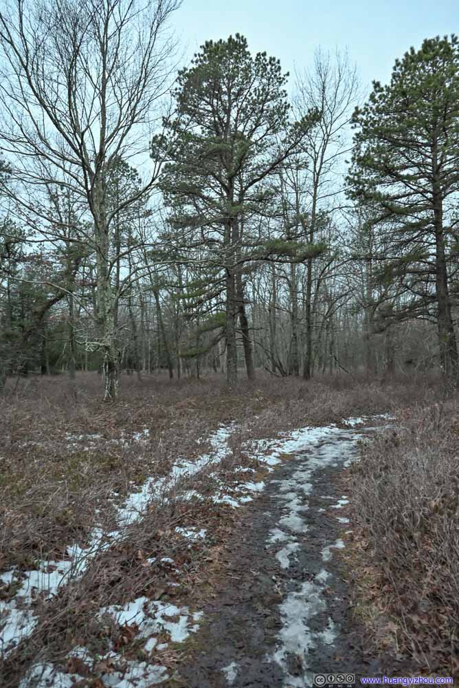 TrailDuring my return it’s getting dark.


Click here to display photos of the trail.
TrailIn the beginning the trail was muddy at many places.

TrailIn the beginning the trail was muddy at many places.
TrailThe mud situation improved further into the trail.
TrailTowards the end, the trail was in better condition, with more colors from the evergreen bushes.

TrailTowards the end, the trail was in better condition, with more colors from the evergreen bushes.
TrailDuring my return it’s getting dark.
During my visit, there was some mud/ice issue towards the beginning of the trail, which slowed me down but luckily not too much. Once they were behind me, it’s a refreshing walk among crisp winter air to Tank Hollow.
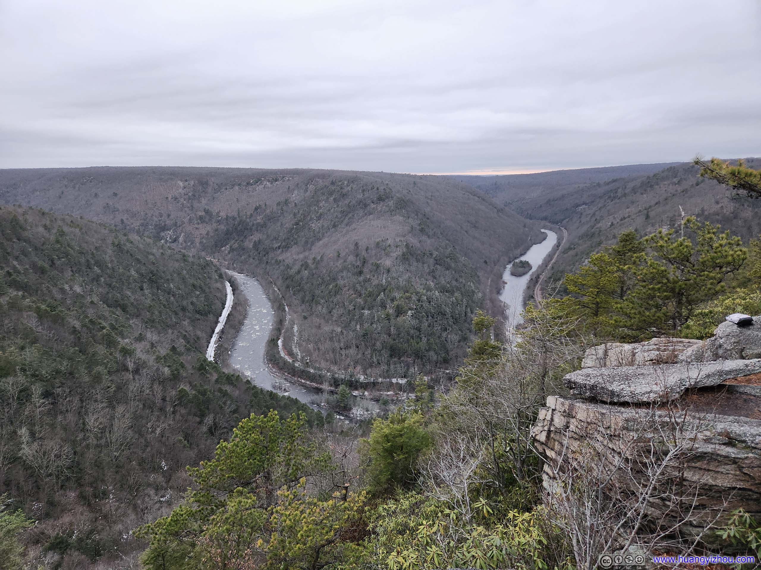
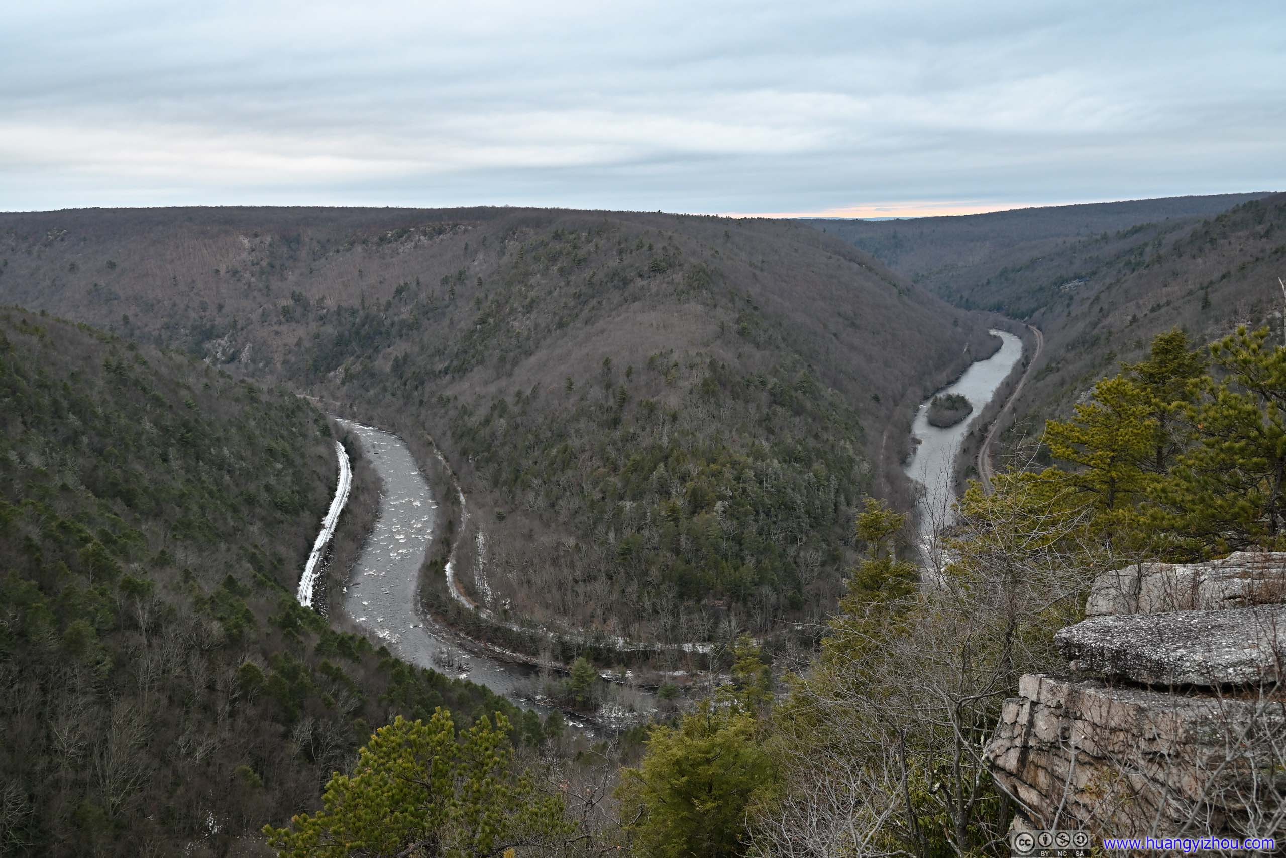
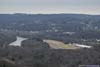
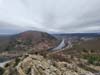
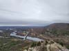
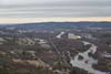
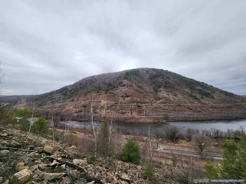
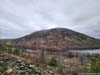
View from Tank Hollow
Tank Hollow overlooked the Lehigh River where it made a U-turn. The layers of mountains of Lehigh Gorge gave it a certain seclusion feeling. It’s getting late in the day and the setting sun lit up a tiny patch of the distant horizon beneath the thick gloomy clouds, a proper finishing touch for the day.
 Lehigh River
City of Paterson
Fast forward to Jan 4, I finished my errands at around 2pm. On my way back, I figured I can use a stop at the historic city of Paterson NJ so as to avoid evening traffic while passing Philadelphia.
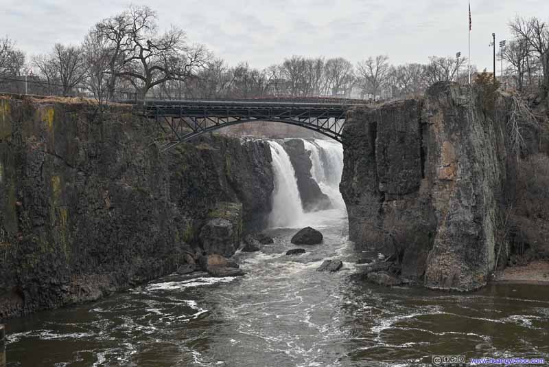
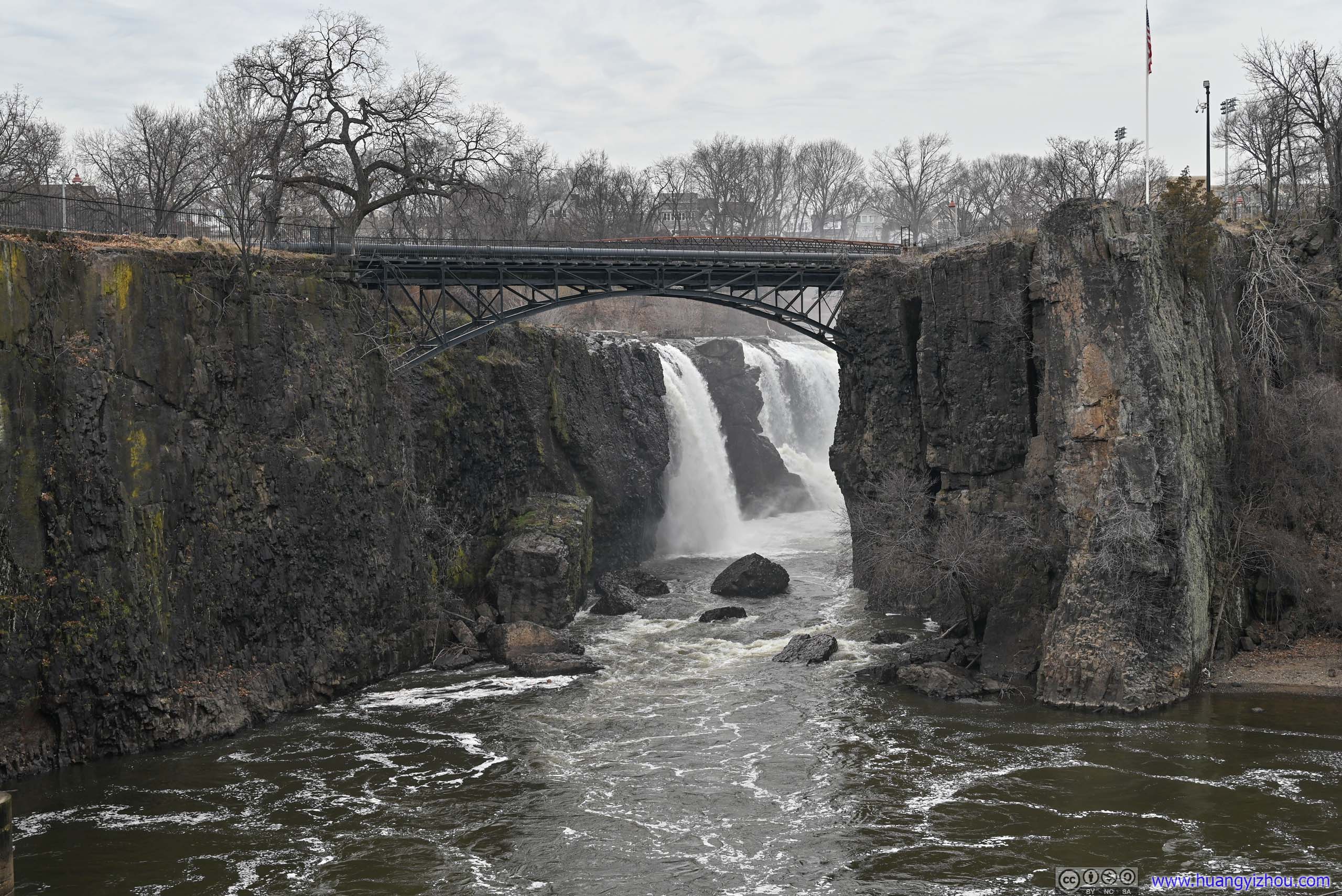
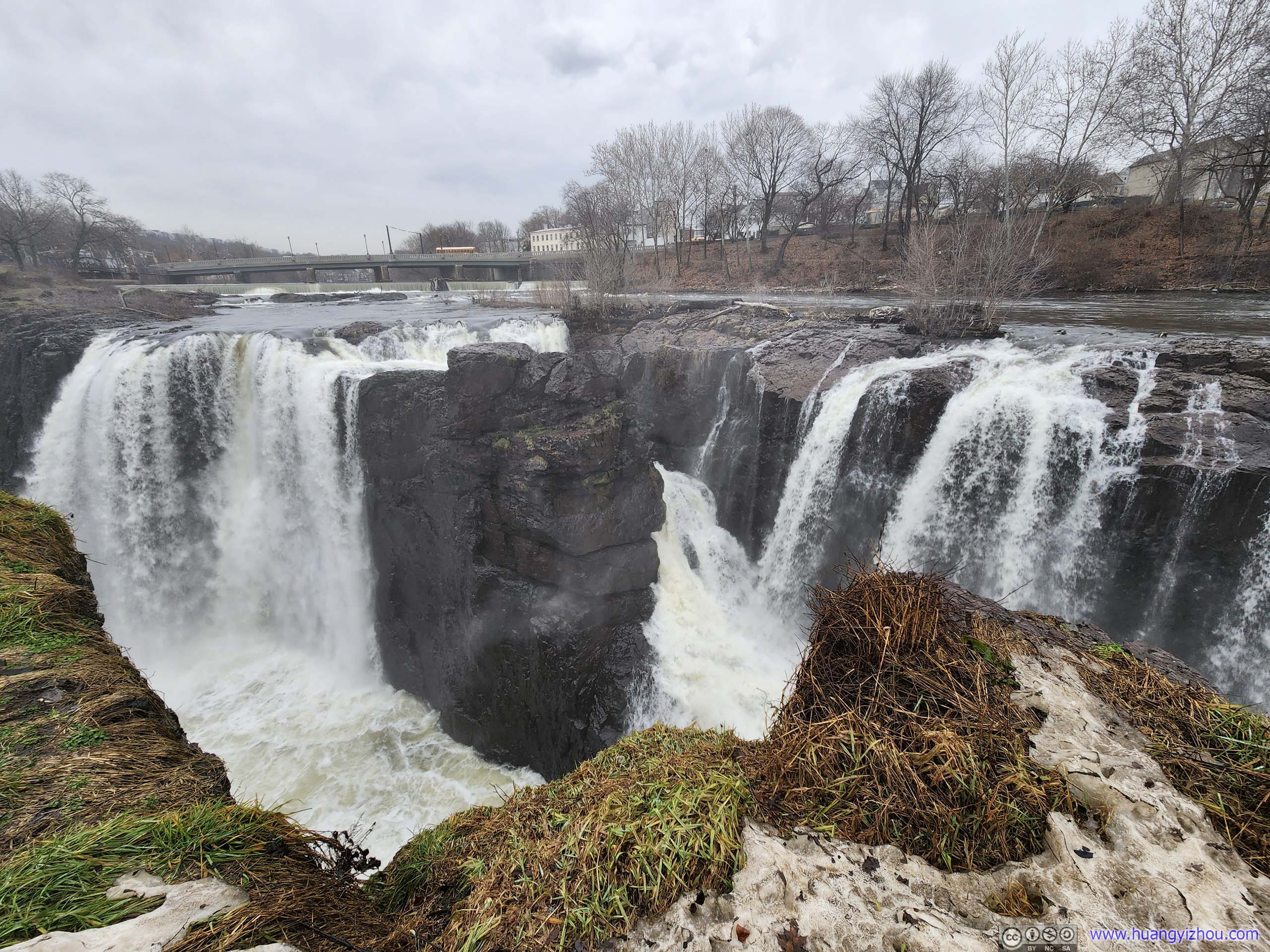
Paterson was the site where the Passaic River made a 23m-high waterfall. The power of the water was harnessed, resulting in America’s first planned industrial city.
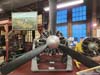
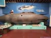
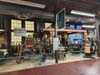
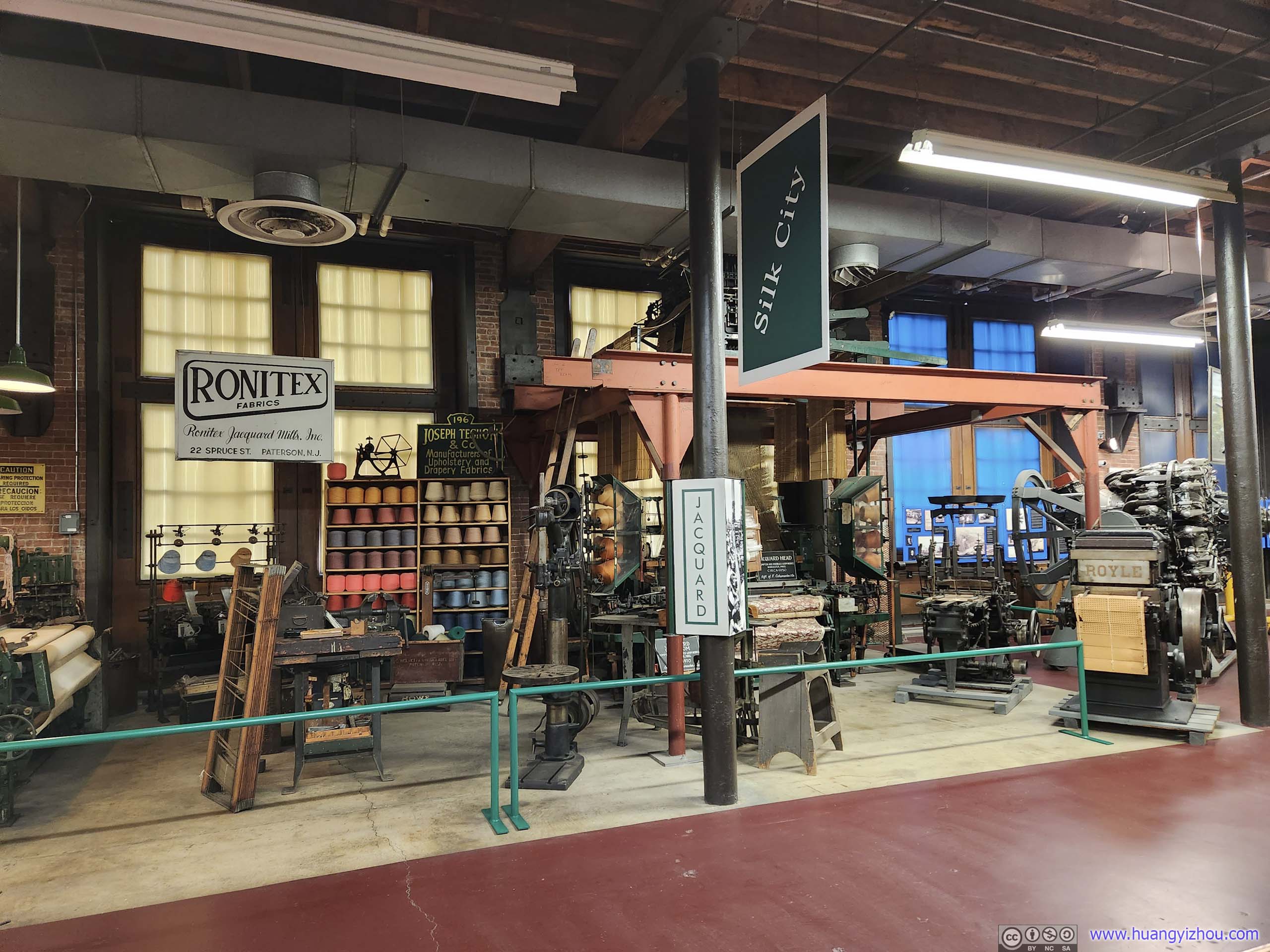
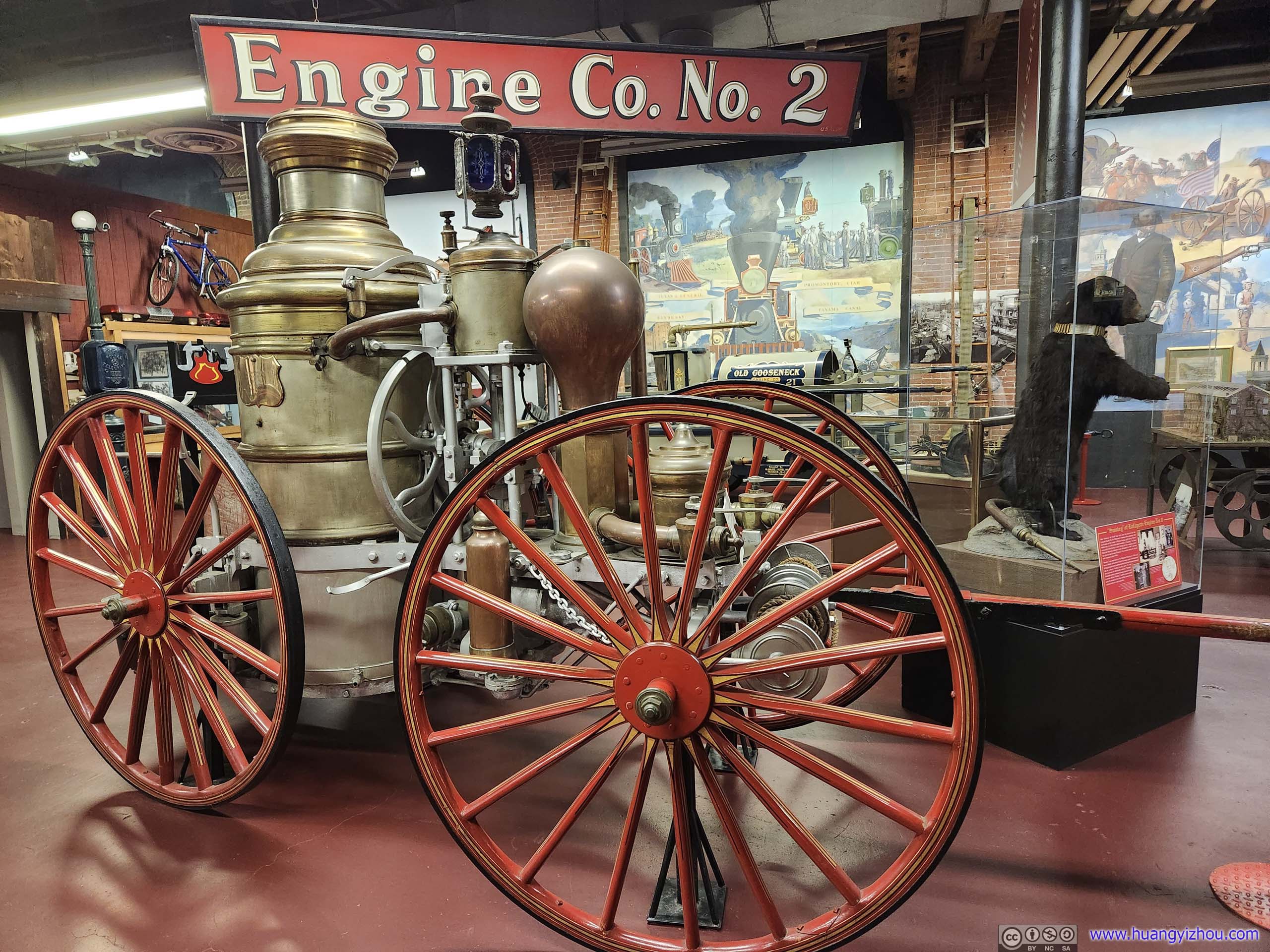
First, I took a brief tour of Paterson Museum, showcasing the city’s industrial past. Some notable exhibits included the engine that supported the first plane flight across the Atlantic, and John Holland’s first submarines that were commonly considered as the first modern submarines. The submarine part was particularly interesting as the creator, John Holland, started out as a Catholic school teacher in Paterson. His interest in submarines and various funding sources eventually led him to the various submarines displayed in the museum (and finally, Holland VI, in the United States Navy).
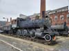
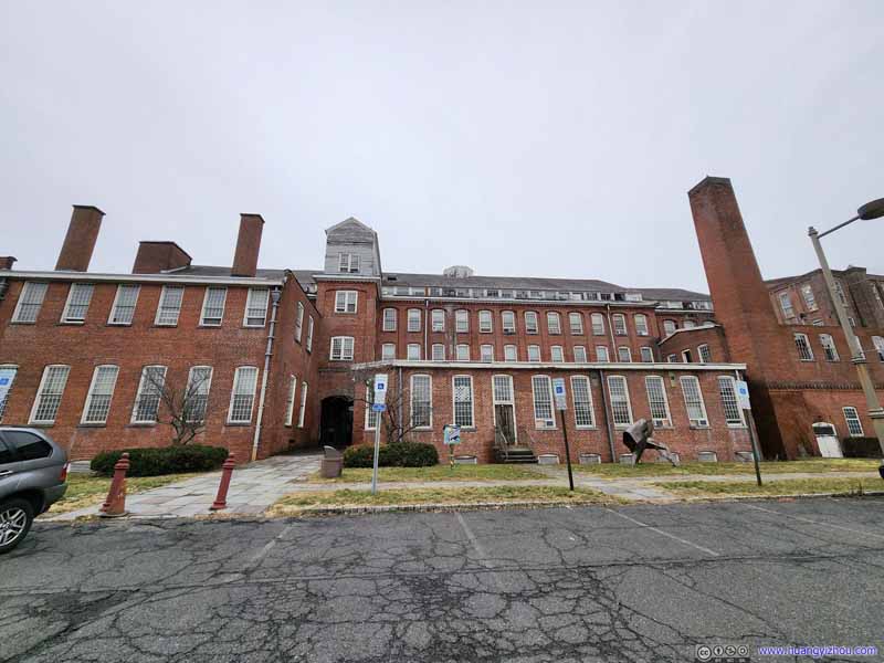 Paterson Museum ExteriorFormer erecting shop of Rogers Locomotive Company
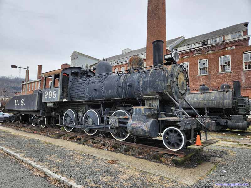 Locomotive on DisplayNo. 299 by Rogers Locomotive Company, one of many used in the construction of Panama Canal.
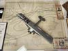
 Model of Wrights Whirlwind J-5 EngineOne that powered Lindbergh’s flight from New York to Paris
 Holland I Submarine
 Holland II Submarine
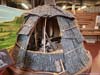
 Model of WigwamAccommodation built by the Lenape people that once lived in Passaic Valley.
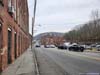
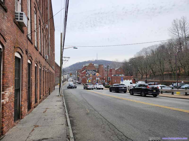 Streets of PatersonThe brick buildings as a sign of the city’s industry past.
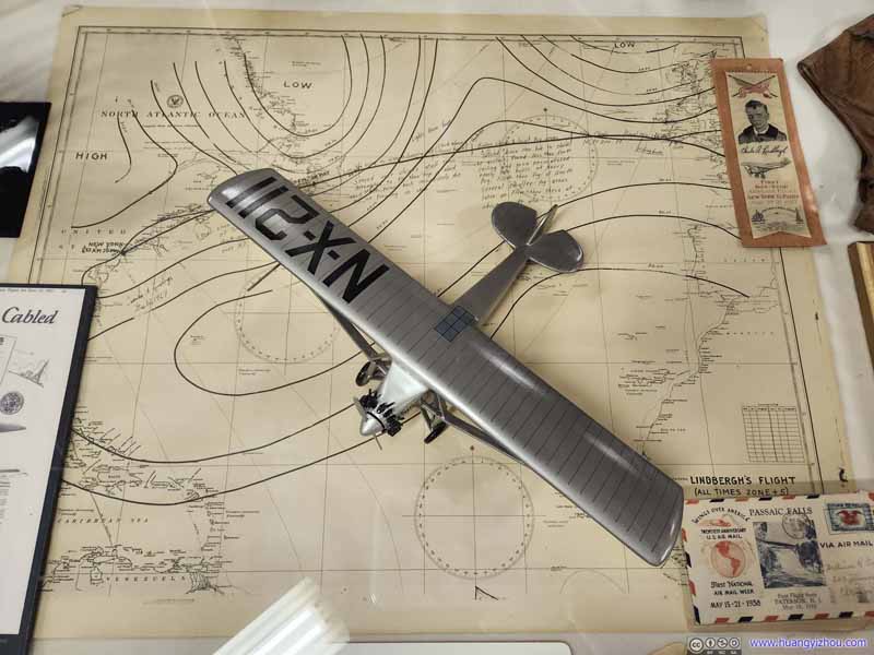 Model and Map of Lindbergh’s Flight from New York to Paris
 Textile Works
 Fire Engine


Click here to display photos from and around Paterson Museum.
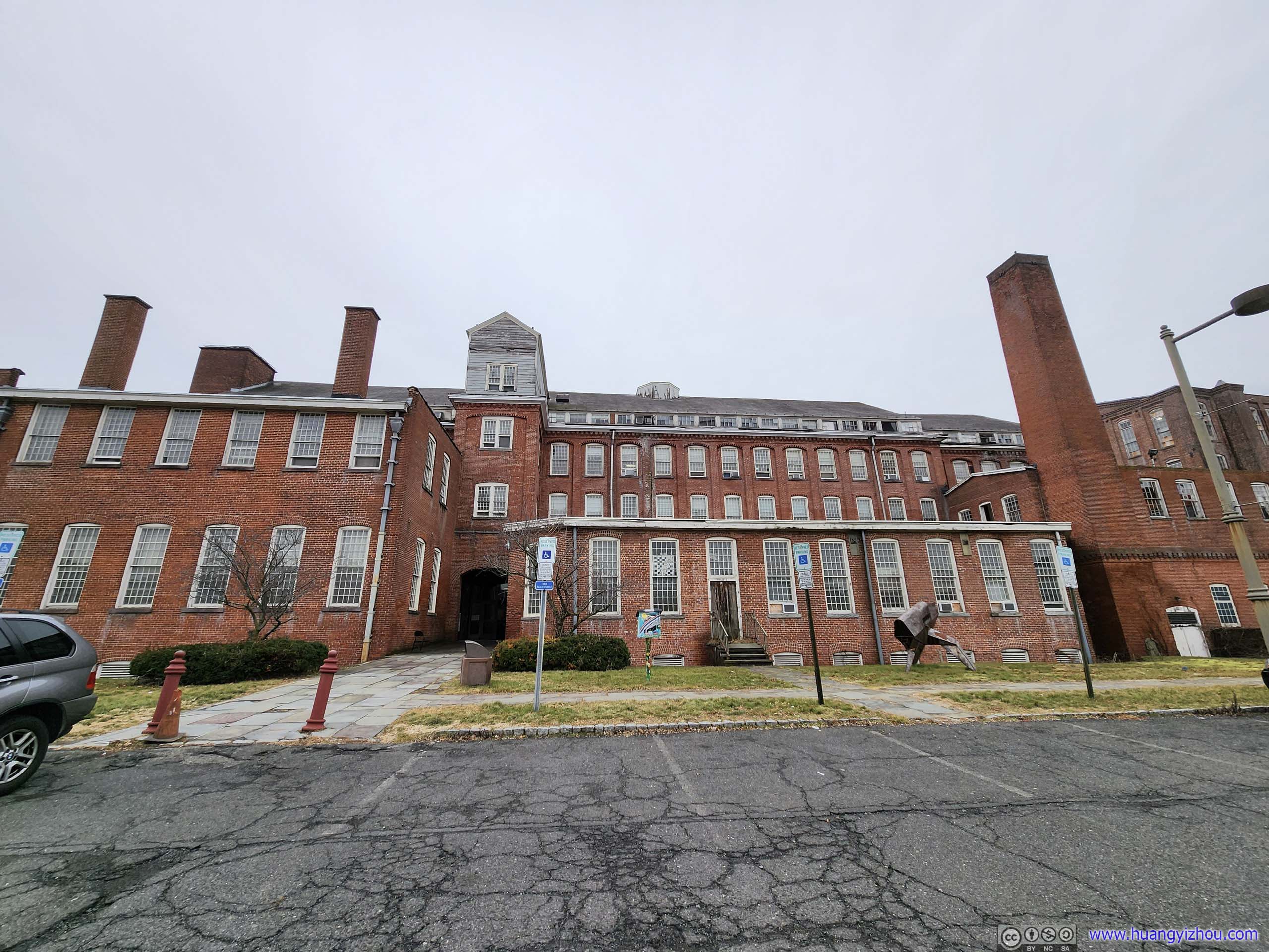
Paterson Museum ExteriorFormer erecting shop of Rogers Locomotive Company

Locomotive on DisplayNo. 299 by Rogers Locomotive Company, one of many used in the construction of Panama Canal.

Model of Wrights Whirlwind J-5 EngineOne that powered Lindbergh’s flight from New York to Paris
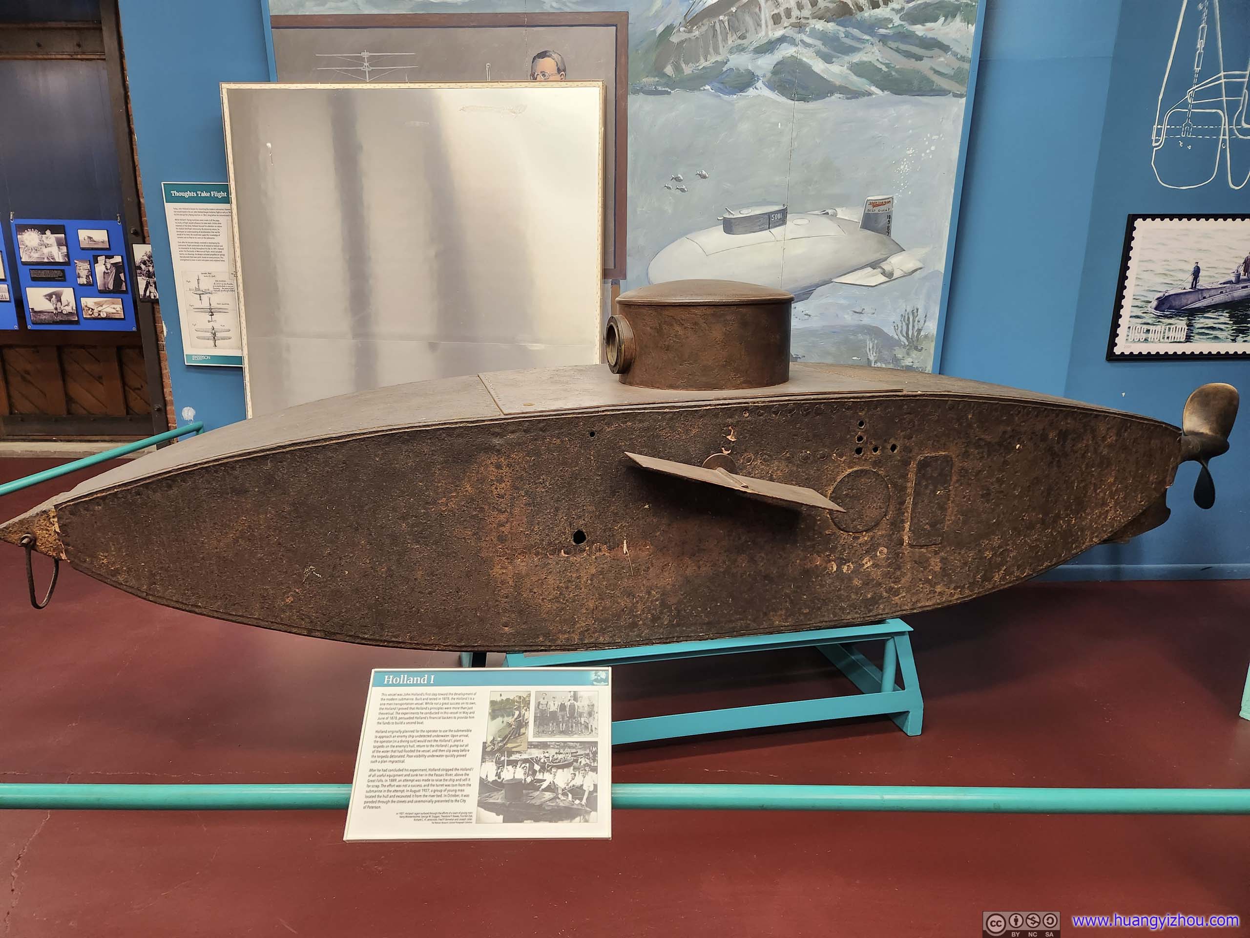
Holland I Submarine

Holland II Submarine
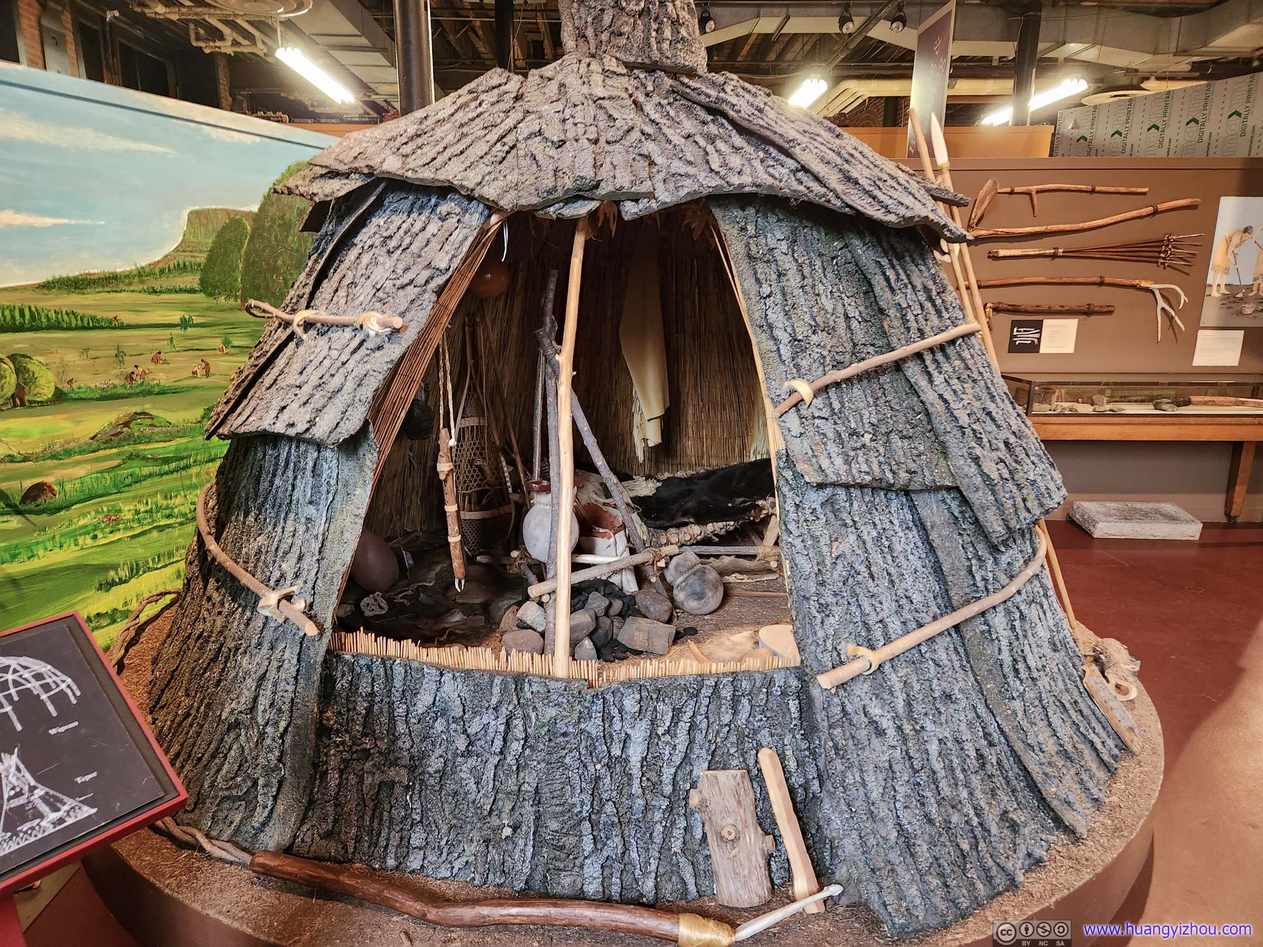
Model of WigwamAccommodation built by the Lenape people that once lived in Passaic Valley.
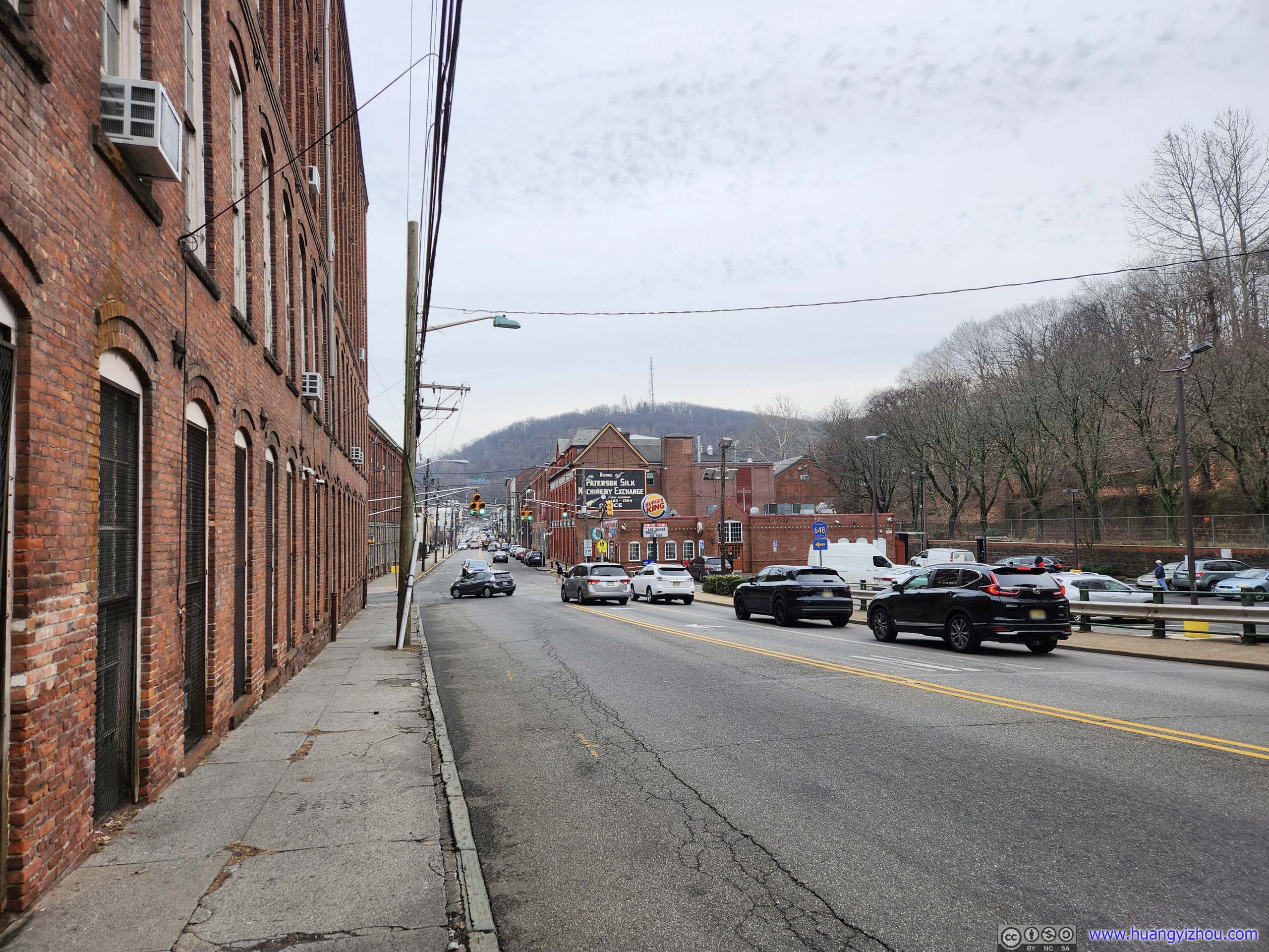
Streets of PatersonThe brick buildings as a sign of the city’s industry past.
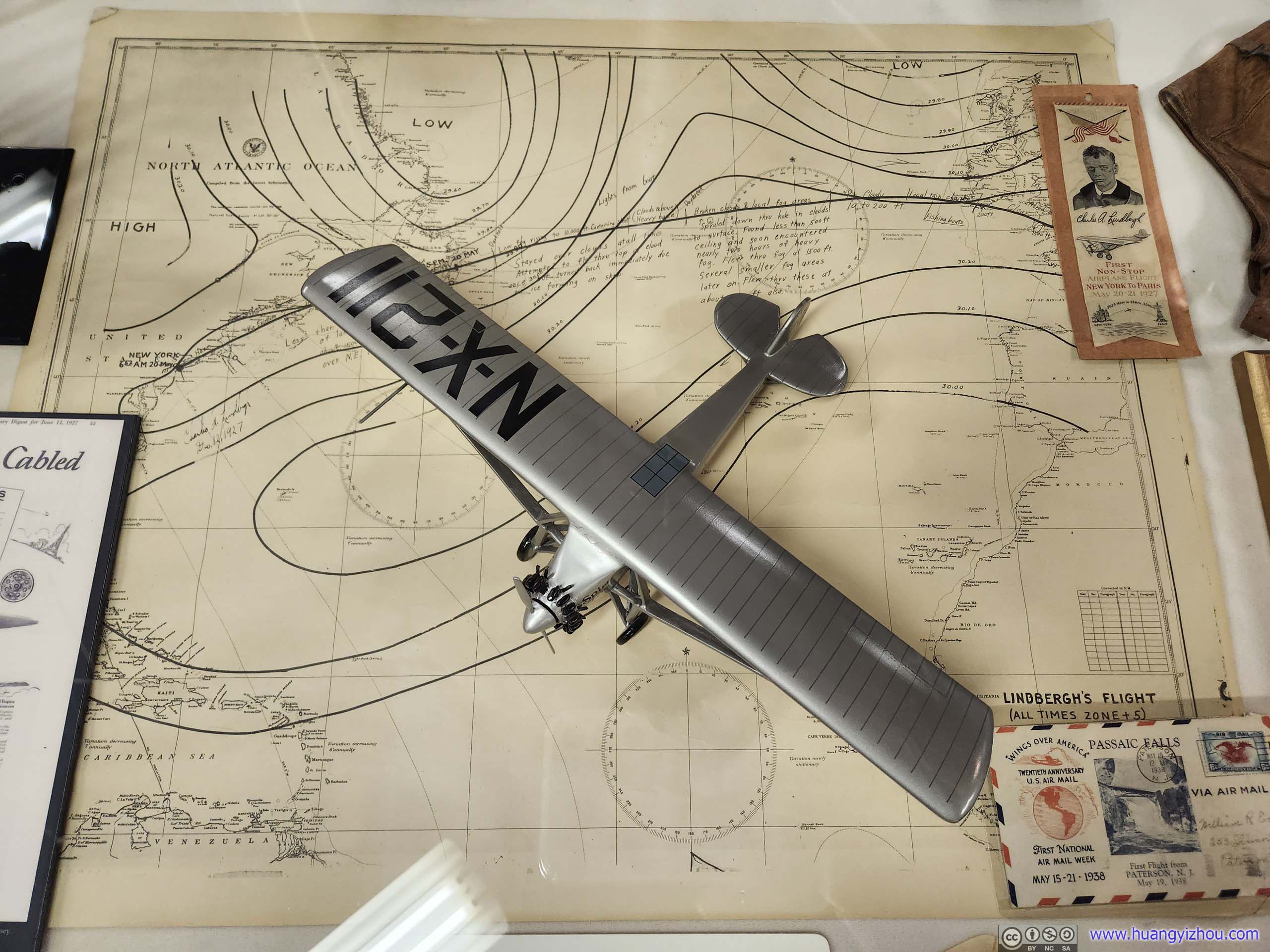
Model and Map of Lindbergh’s Flight from New York to Paris
Textile Works
Fire Engine
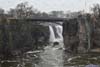
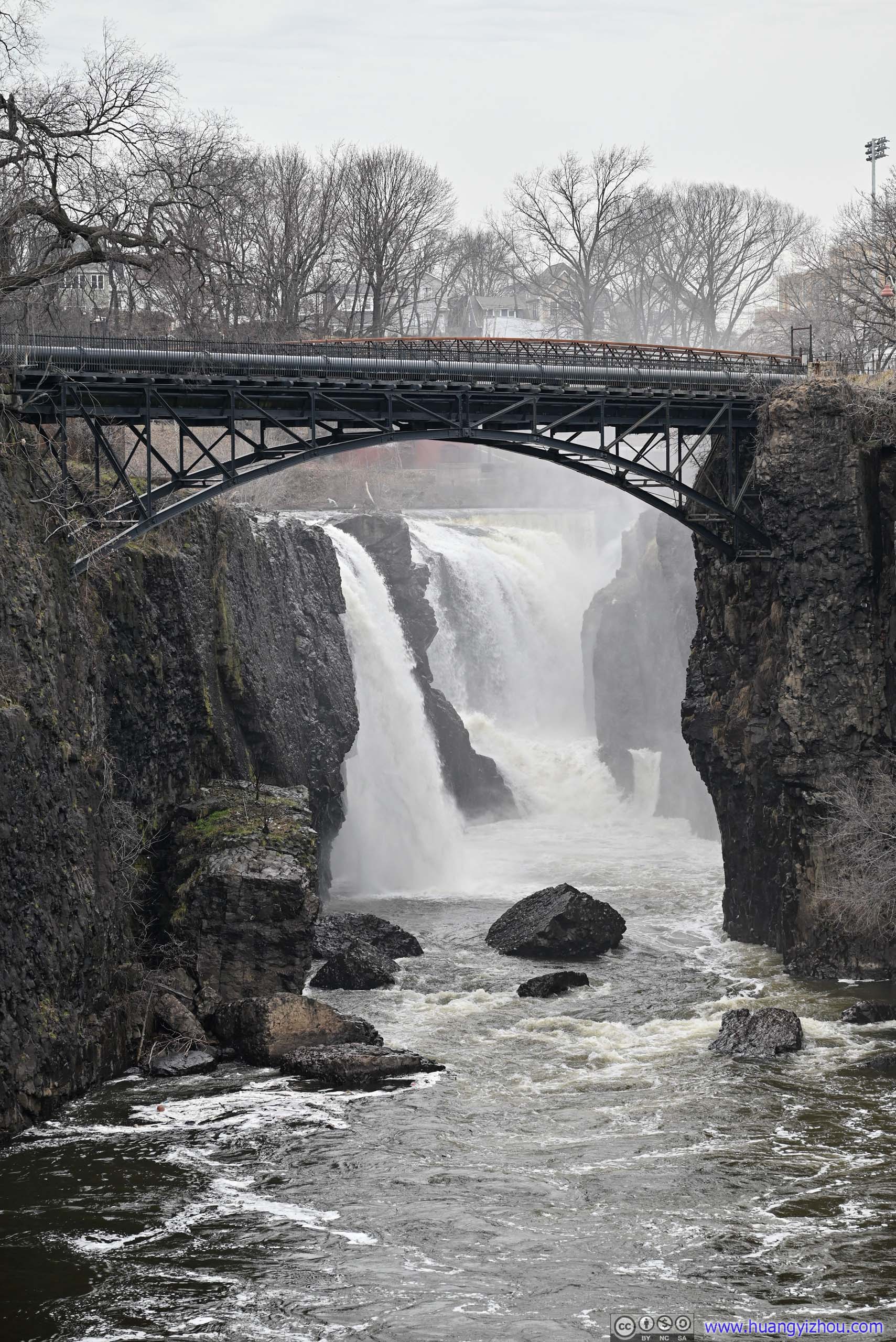
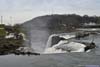
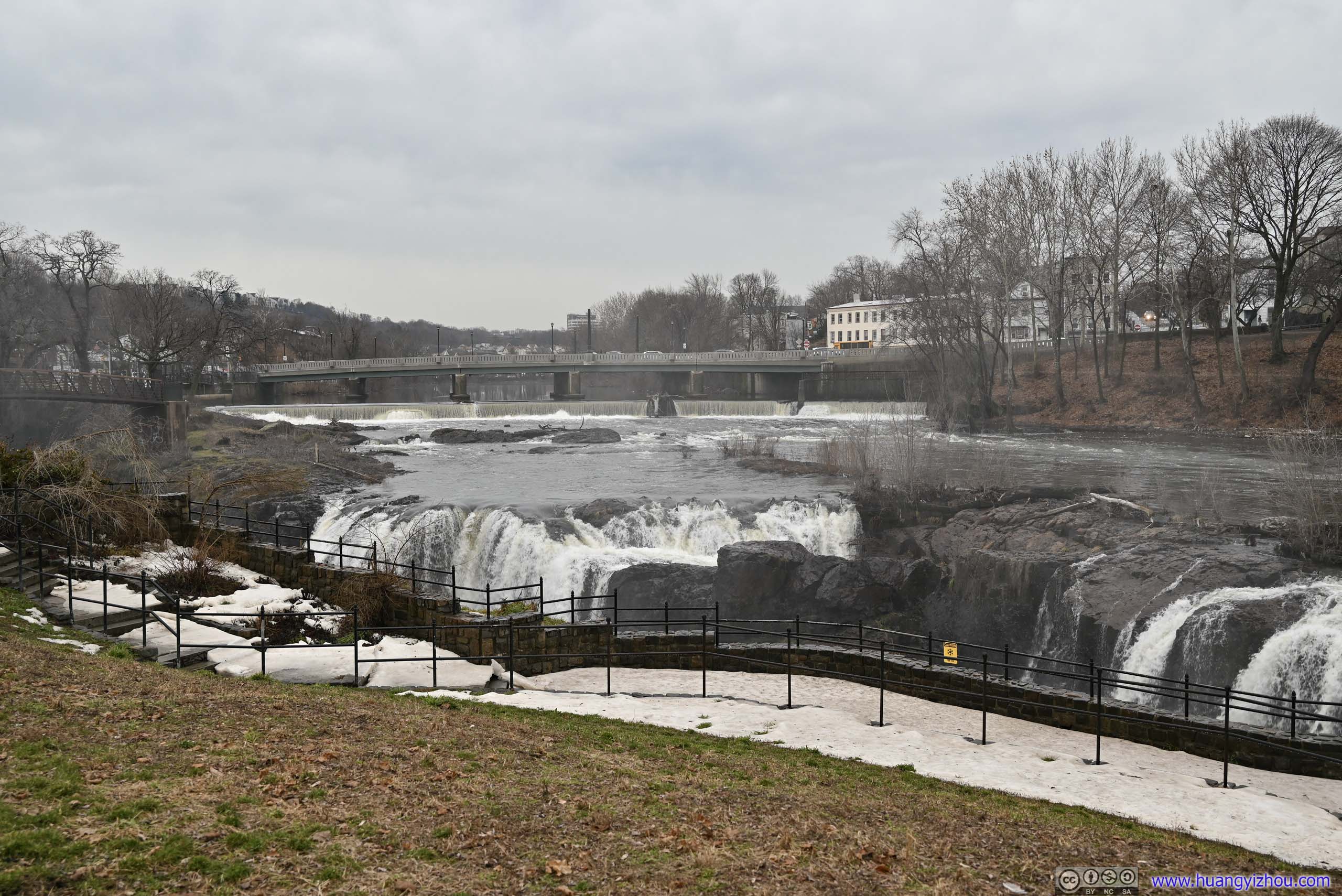
Not far from Paterson Museum was the waterfall. A magnificent sight with roaring sounds.
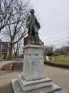
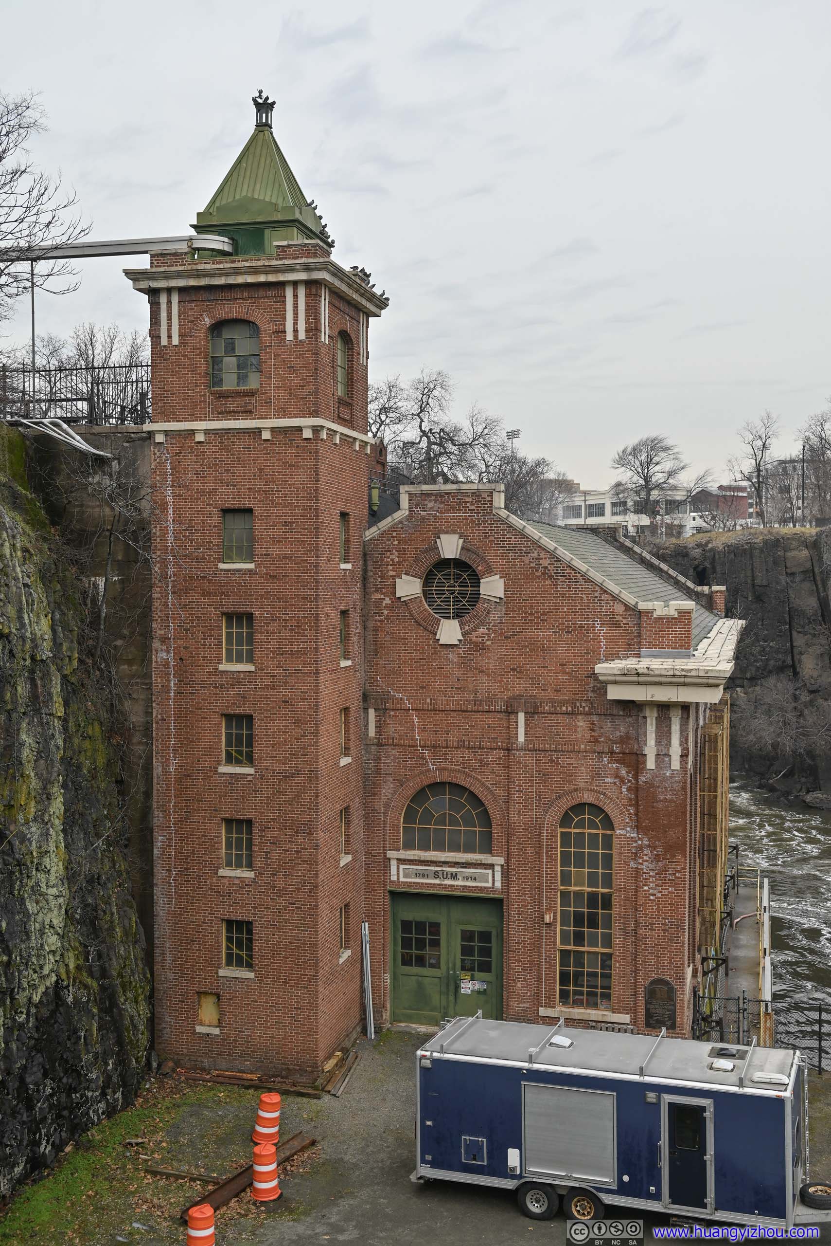
Here Alexander Hamilton, one of the founding fathers of the United States, helped start the Society for Establishing Useful Manufactures (SUM) and envisioned using the waterfall to power various mills in the region, establishing Paterson as an industrial city. SUM’s building still stood today right downstream of the waterfalls.
 Paterson Great Falls
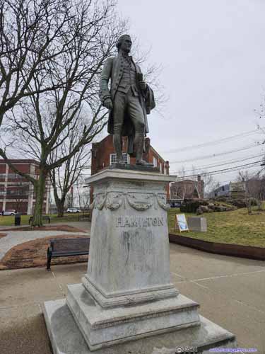
 Statue of Alexander Hamilton (left) and SUM Building (right)The person that envisioned Paterson as an industrial town and helped created SUM.
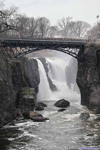
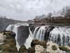
 Paterson Great Falls
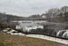
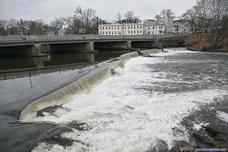 SUM Dam
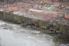
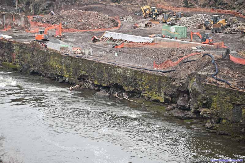 Construction SiteReinforcing river banks downstream, which were obviously eroded.
Click here to display photos of Paterson Great Falls.
Paterson Great Falls
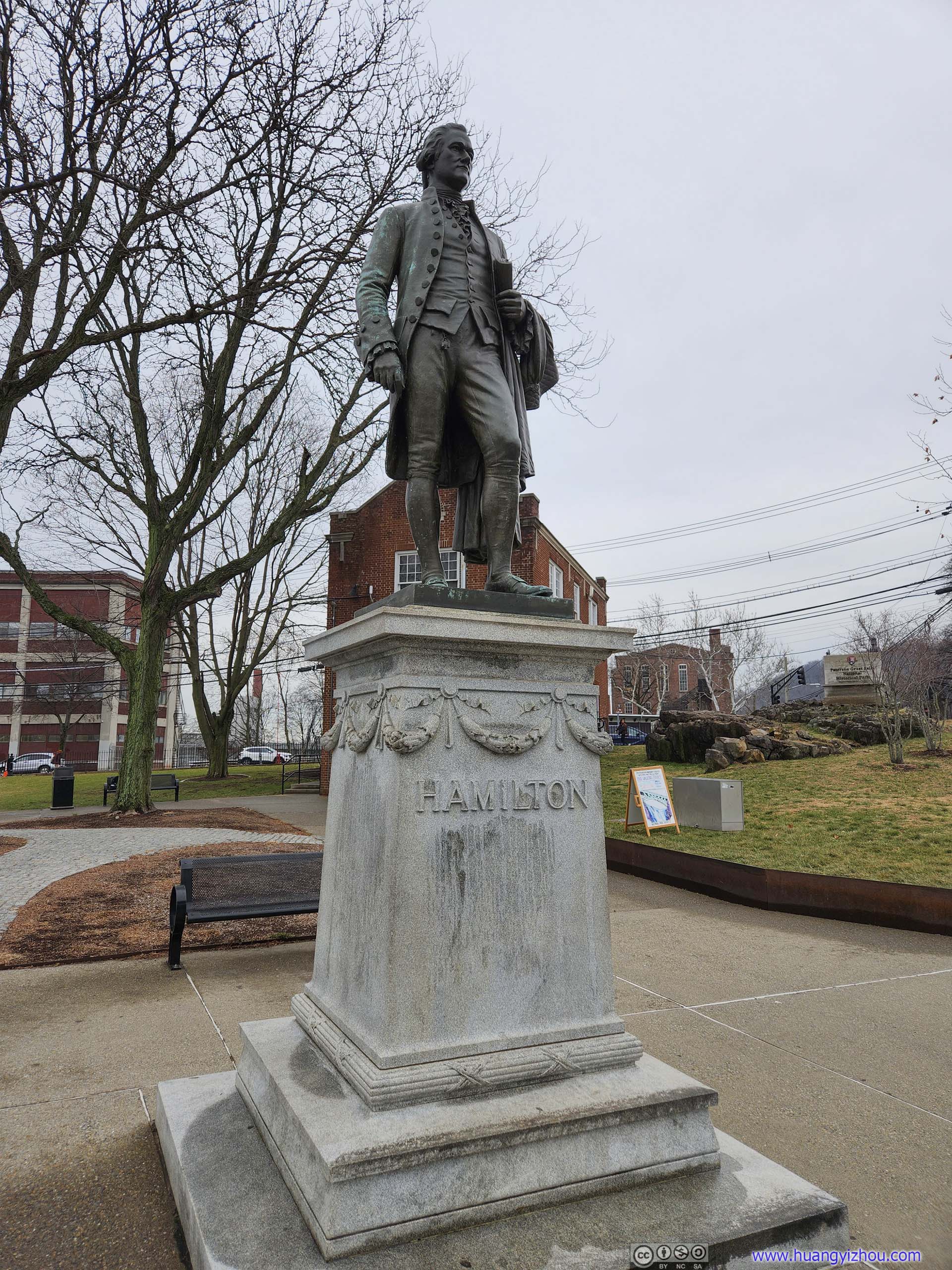
 Statue of Alexander Hamilton (left) and SUM Building (right)The person that envisioned Paterson as an industrial town and helped created SUM.
 Paterson Great Falls
SUM Dam

Construction SiteReinforcing river banks downstream, which were obviously eroded.
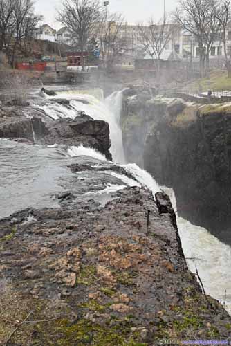
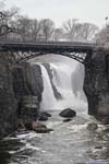
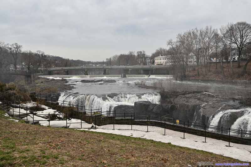
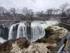
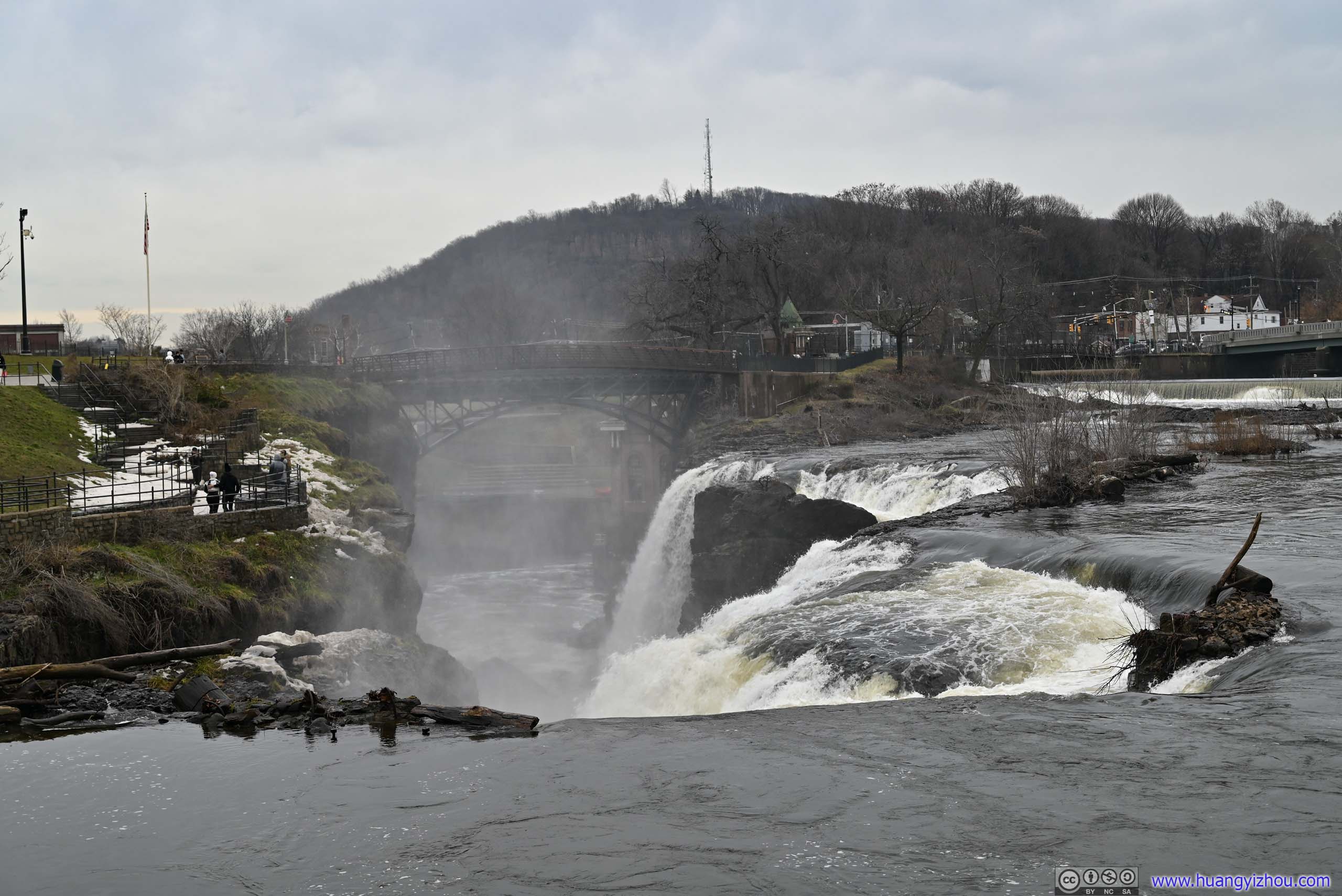
The closest overlook of the waterfall was across the river from the parking lot. Unfortunately, the footbridge was closed for renovation during my visit, requiring a longer detour.
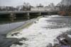
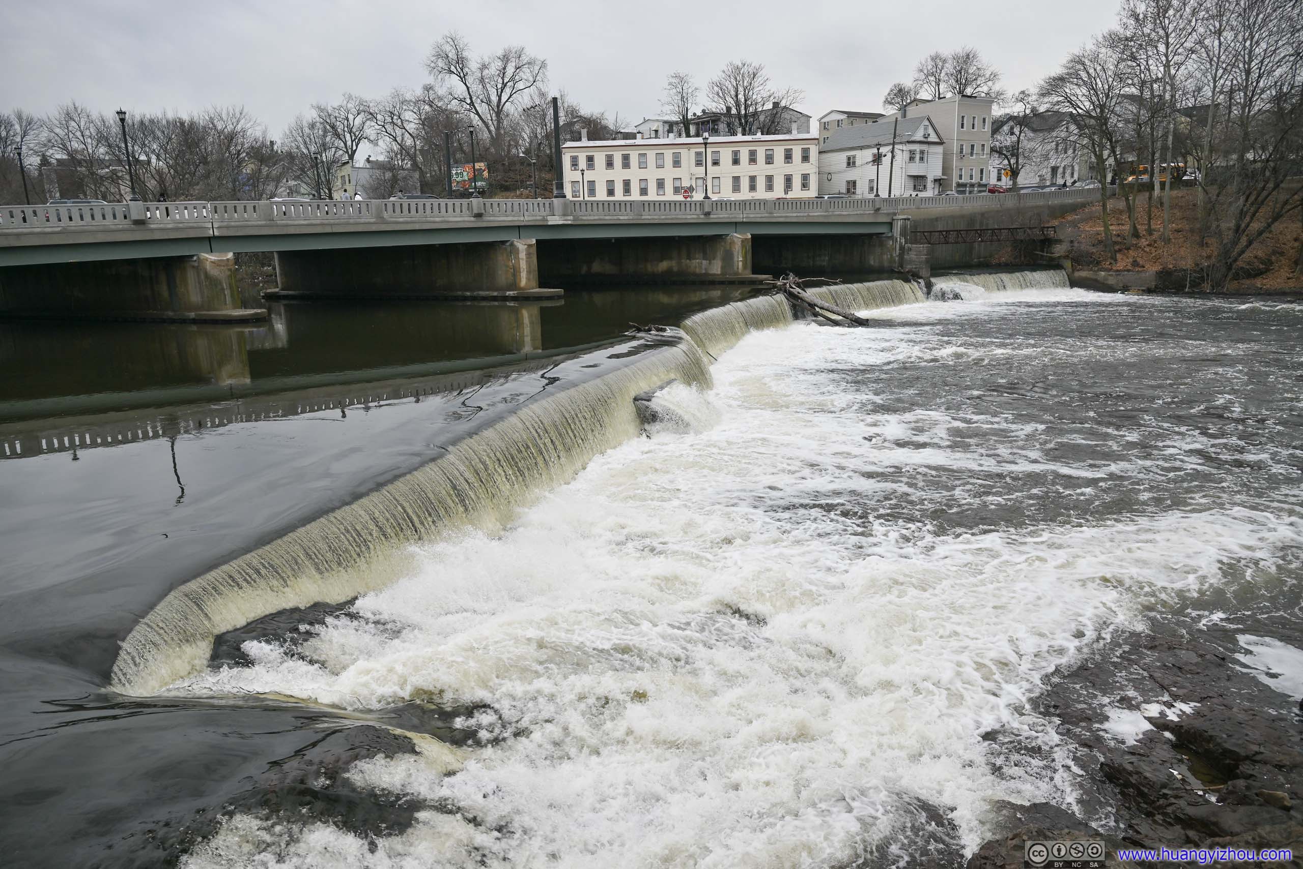
Along the way, I passed by SUM’s small dam slightly upstream of the waterfalls, which was used to channel water to its hydroelectric plant and various raceways around the city (that were no longer in use).
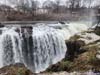
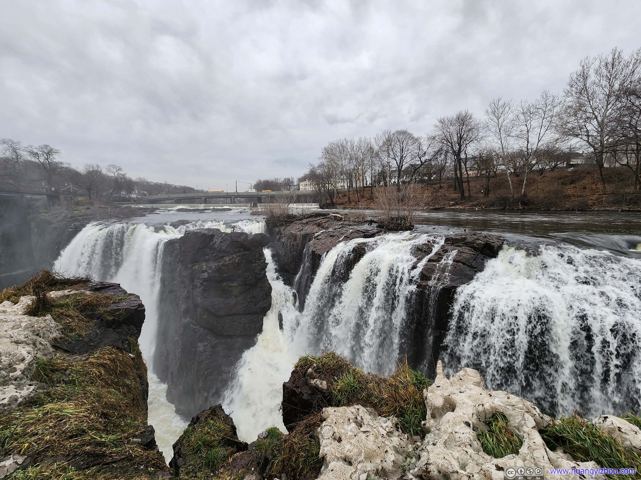
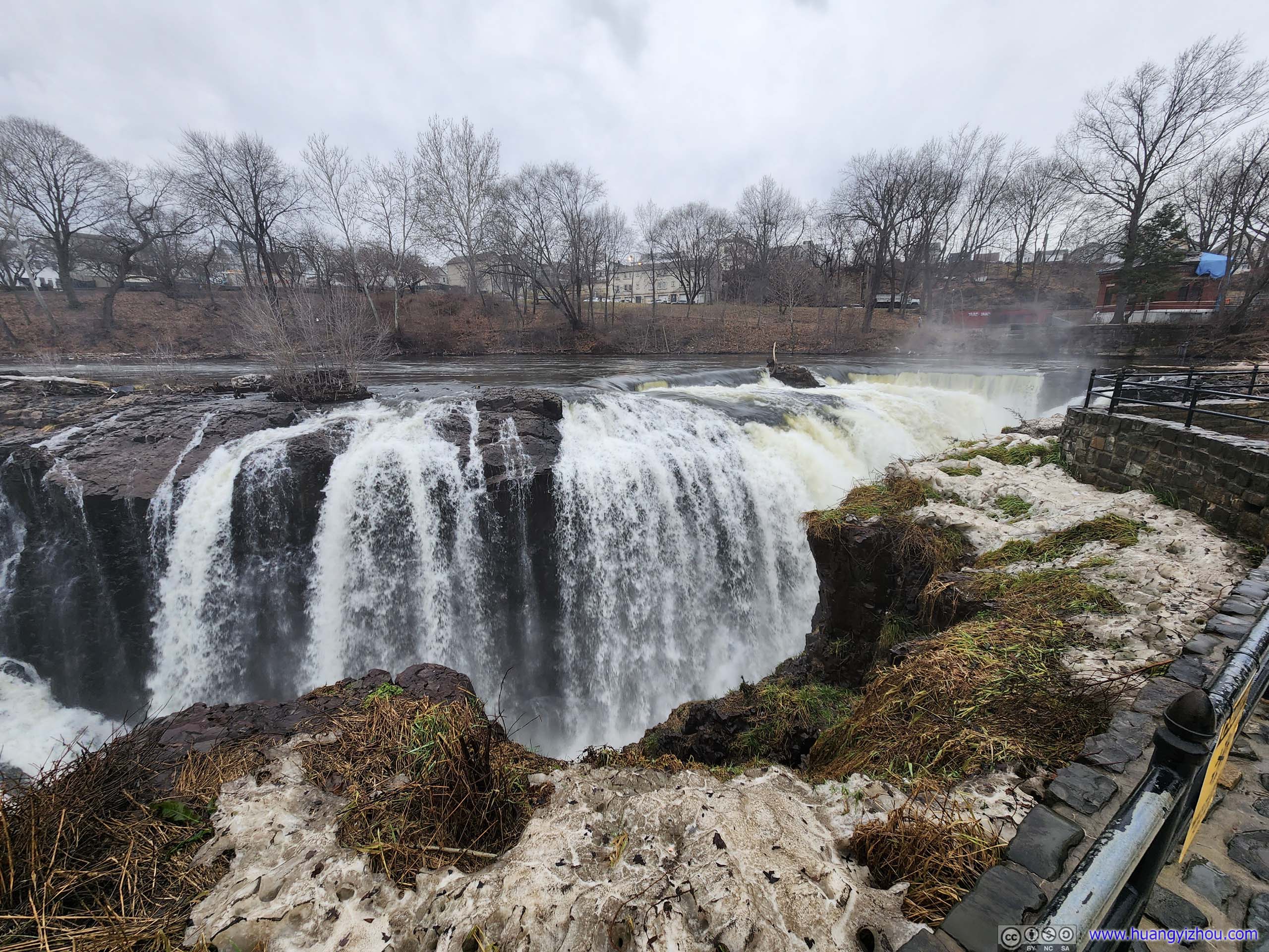
Part of the overlook closest to the waterfall was covered in ice from water splashed by the waterfall. However, I didn’t experience any traction issues. The proximity to the roaring waters made it a spectacular sight to behold.
 Paterson Great FallsIts northern overlook which was covered in ice by the water from the waterfalls.
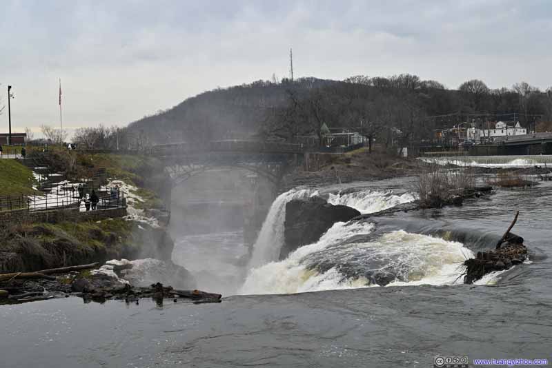 Paterson Great FallsThe northern overlook on the left of this photo.
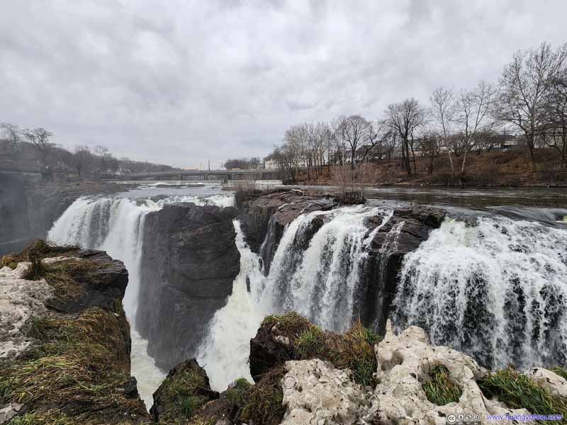 Paterson Great Falls
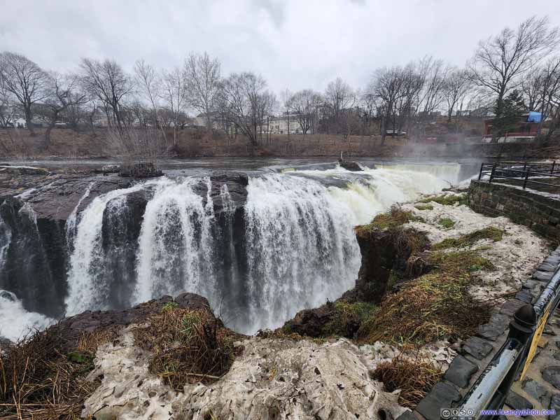 Paterson Great Falls
 Paterson Great Falls
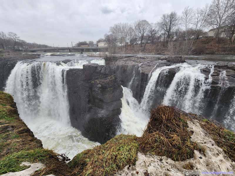 Paterson Great Falls

Click here to display photos of Paterson Great Falls.
Paterson Great FallsIts northern overlook which was covered in ice by the water from the waterfalls.
Paterson Great FallsThe northern overlook on the left of this photo.
Paterson Great Falls
Paterson Great Falls

Paterson Great Falls
Paterson Great Falls
I left the city of Paterson at around 4pm. Traffic was starting to pick up but still manageable on the outskirts of New York. After some errands along the way (and some traffic near Philadelphia from an accident), I got home just after 10pm, concluding this trip to New York.
END
![]() January 2023 Visit to New York by Huang's Site is licensed under a Creative Commons Attribution-NonCommercial-ShareAlike 4.0 International License.
January 2023 Visit to New York by Huang's Site is licensed under a Creative Commons Attribution-NonCommercial-ShareAlike 4.0 International License.