
Updated on June 8, 2023
Failed Hiking to Pinnacle Shelter via Tuscarora trail
After a minor winter storm, I decided on a final hike of the year of following Tuscarora Trail to Pinnacle Shelter. Unfortunately, the storm created more ice than snow on the trail, with a high number of fallen trees that I had to bail out half way.
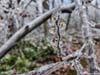
Frozen Flowers
With a week to go before Christmas, work was winding down and I was looking for some outdoor activities. “Tuscarora Trail to Pinnacle Shelter” was one of the few popular trails (as rated by AllTrails) that I haven’t been to “near” my home, so I decided to check it out.
The trailhead was located near “Shawnee Land” community just west of Winchester, Virginia. Despite narrow, the roads up to the trailhead was paved and in decent shape. At the trailhead, there was parallel parking for about 10 cars’ space. My car was the only one during my visit.
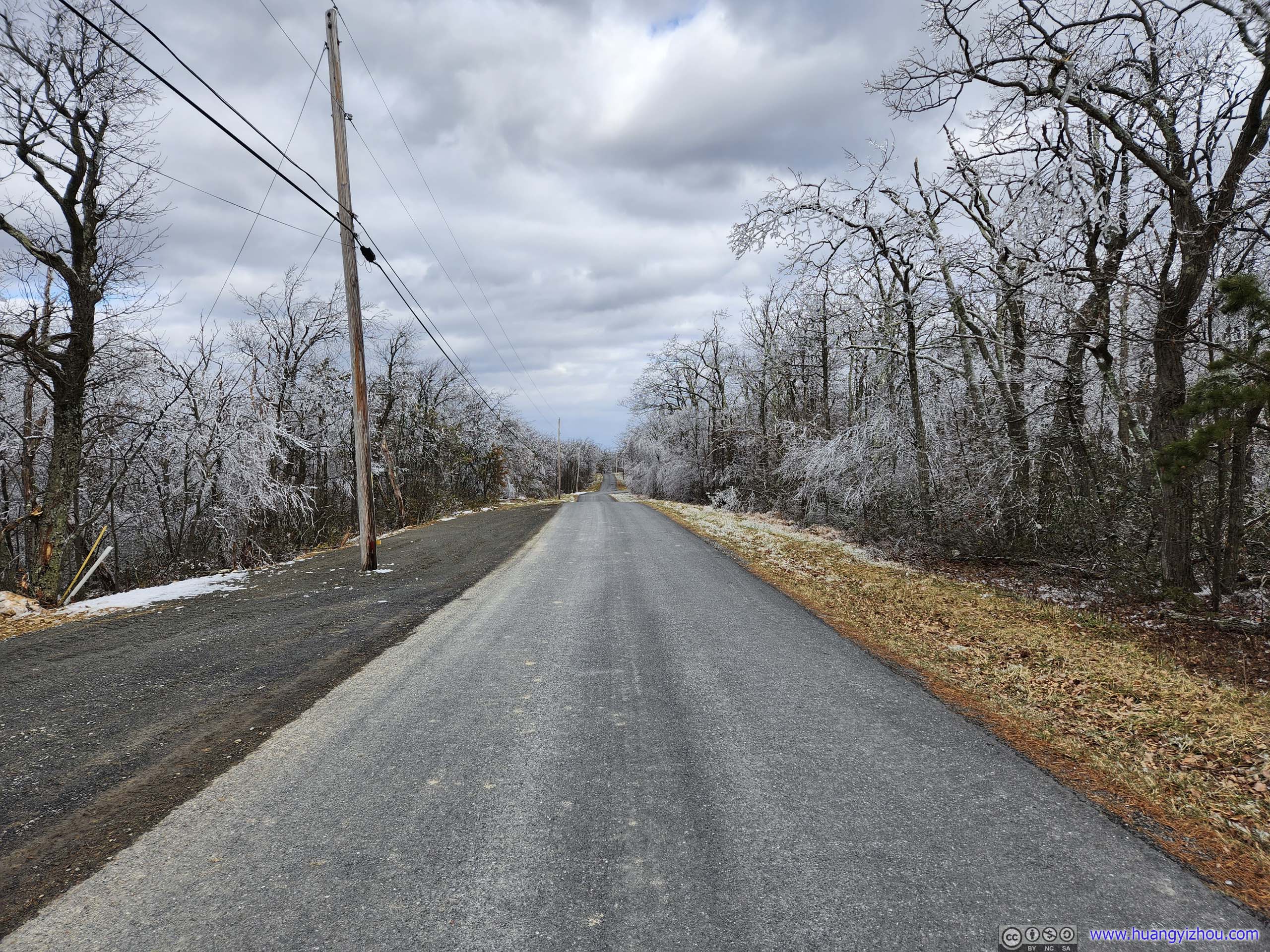
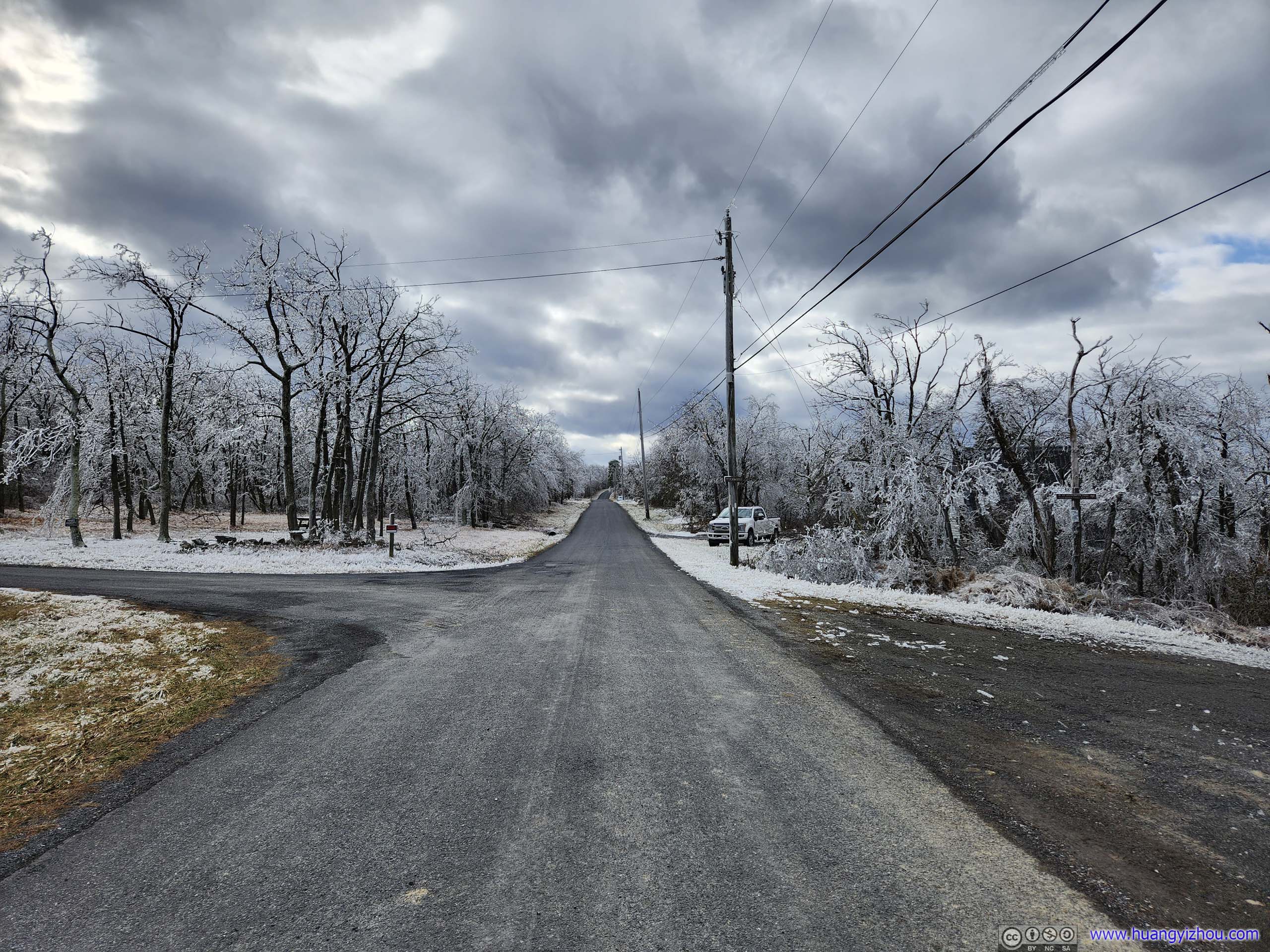 Timber Ridge TrailThe road leading up to the trailhead. Trailhead parking was on the left of the left photo.
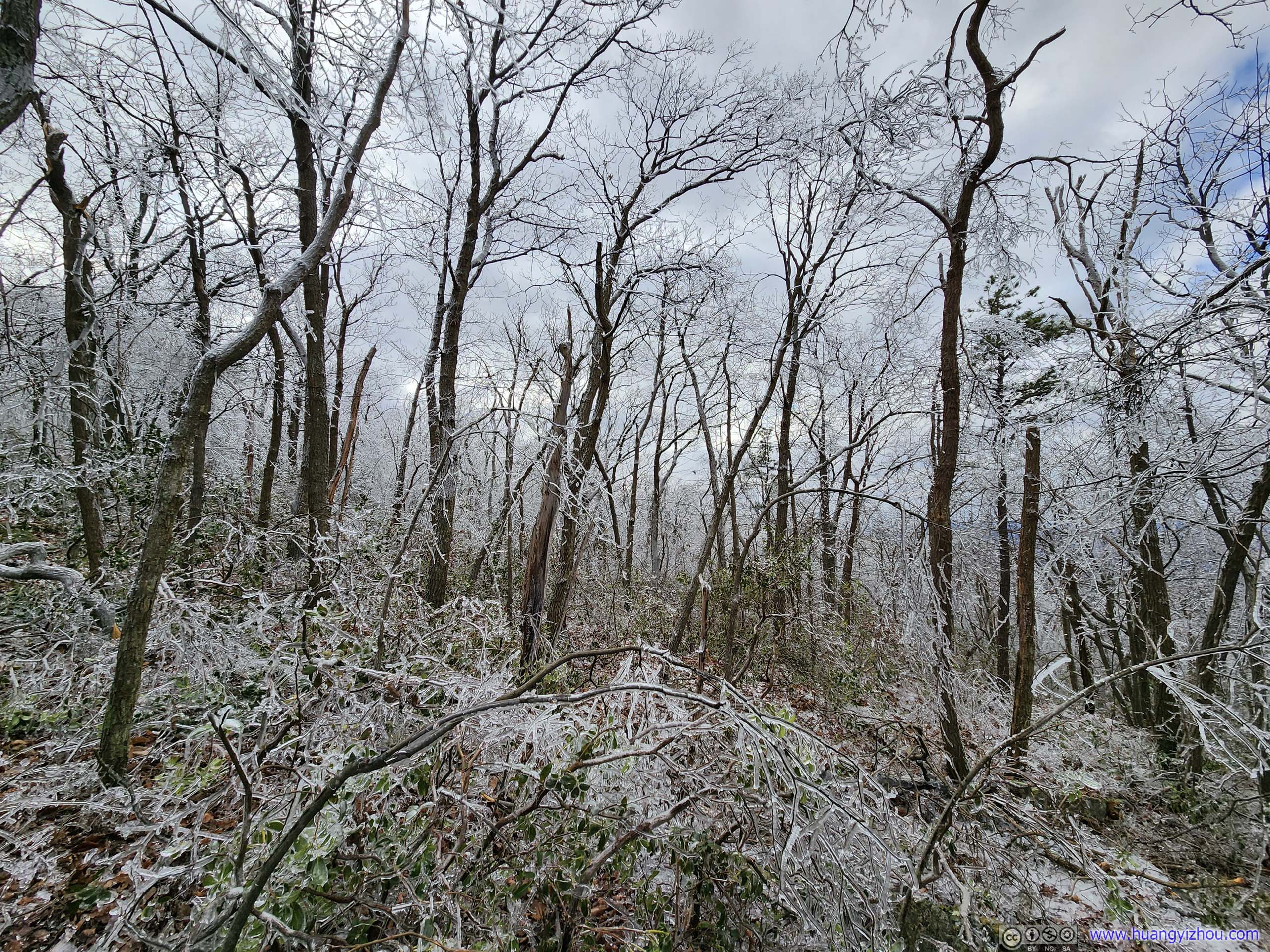
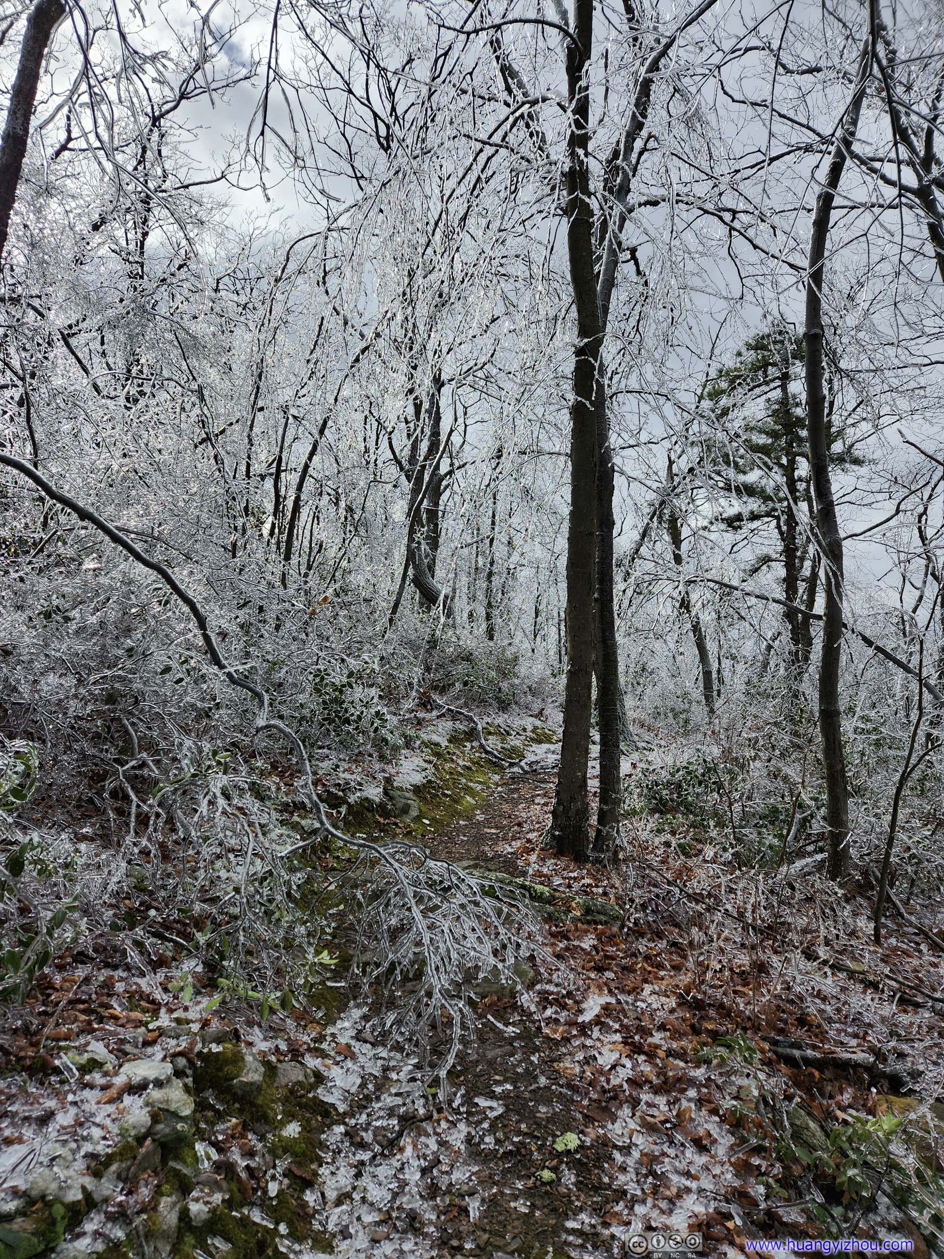
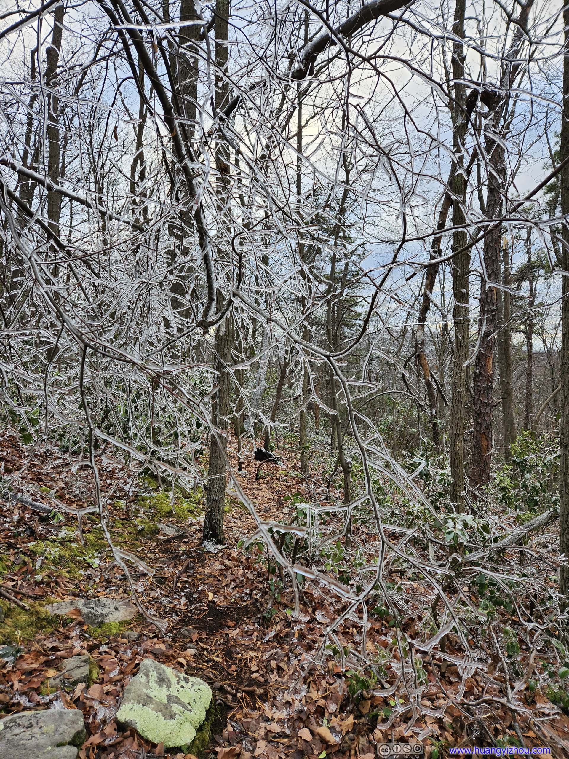
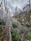
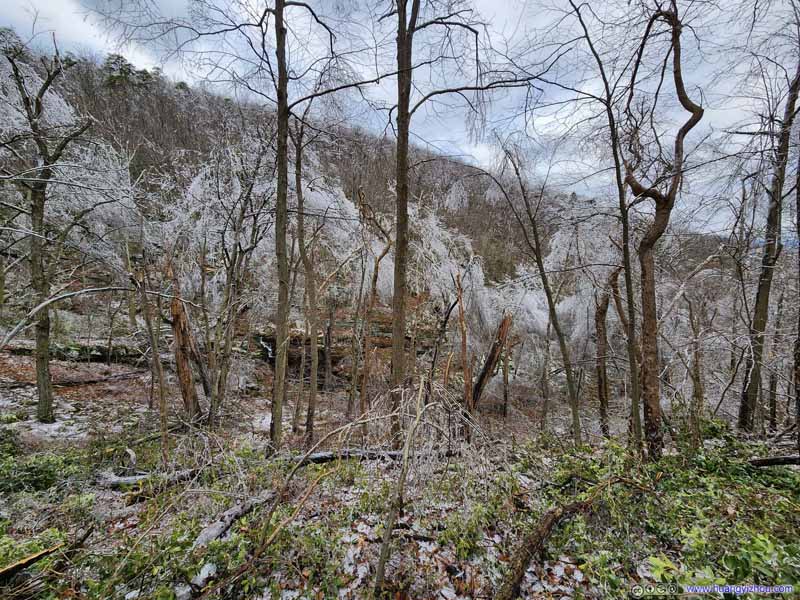
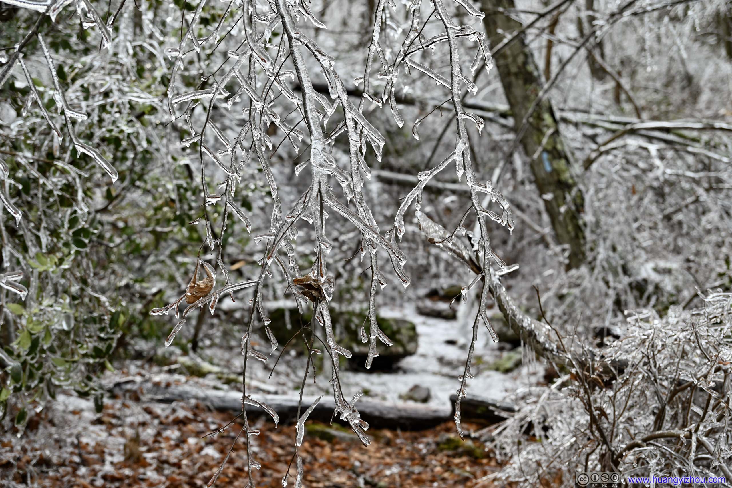
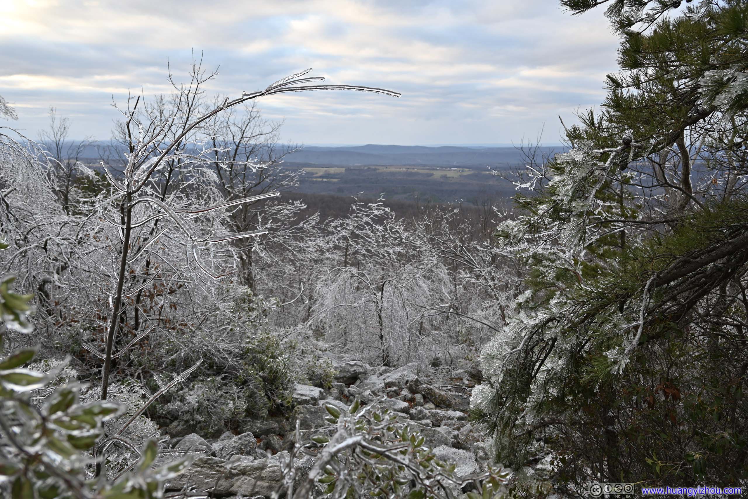
Much of the trail was following Great North Mountains. A winter storm hit the area a few days ago, dumping a significantly higher amount of freezing rain on top of the mountain as air rose up the mountain and cooled down. As a result, while no signs of the storm remained at the foot of the mountain, trees on top of it were largely covered in icicles, looking like a magical place as I drove up the mountain to the trailhead. Unfortunately, that also gave me huge challenges for the hike.
Speaking of which, I ran into some technical issues at a fuel station on my way to the trailhead. Maybe that’s a sign of ominous things to come for the rest of the day.
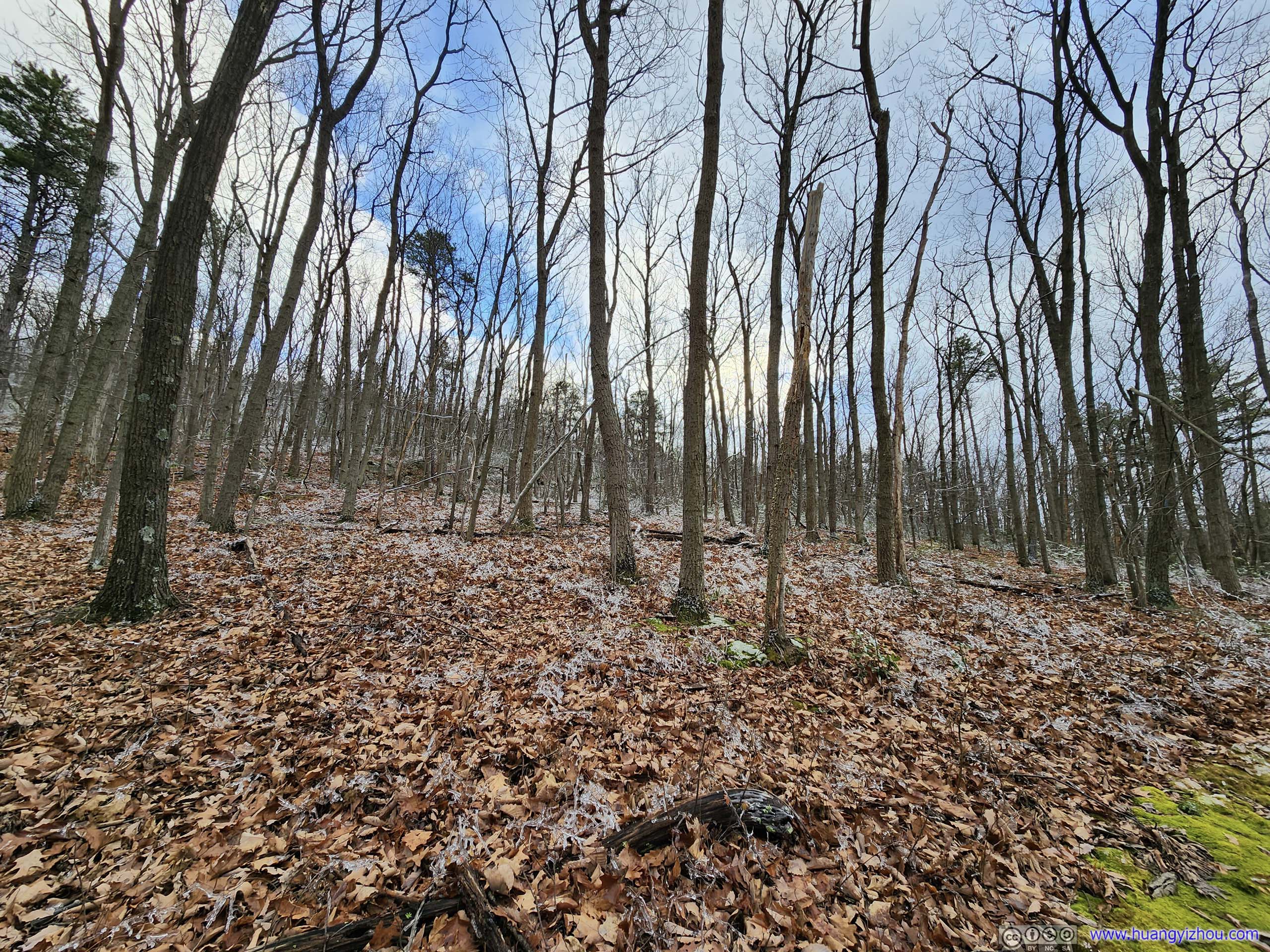
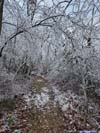
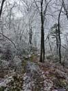
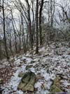
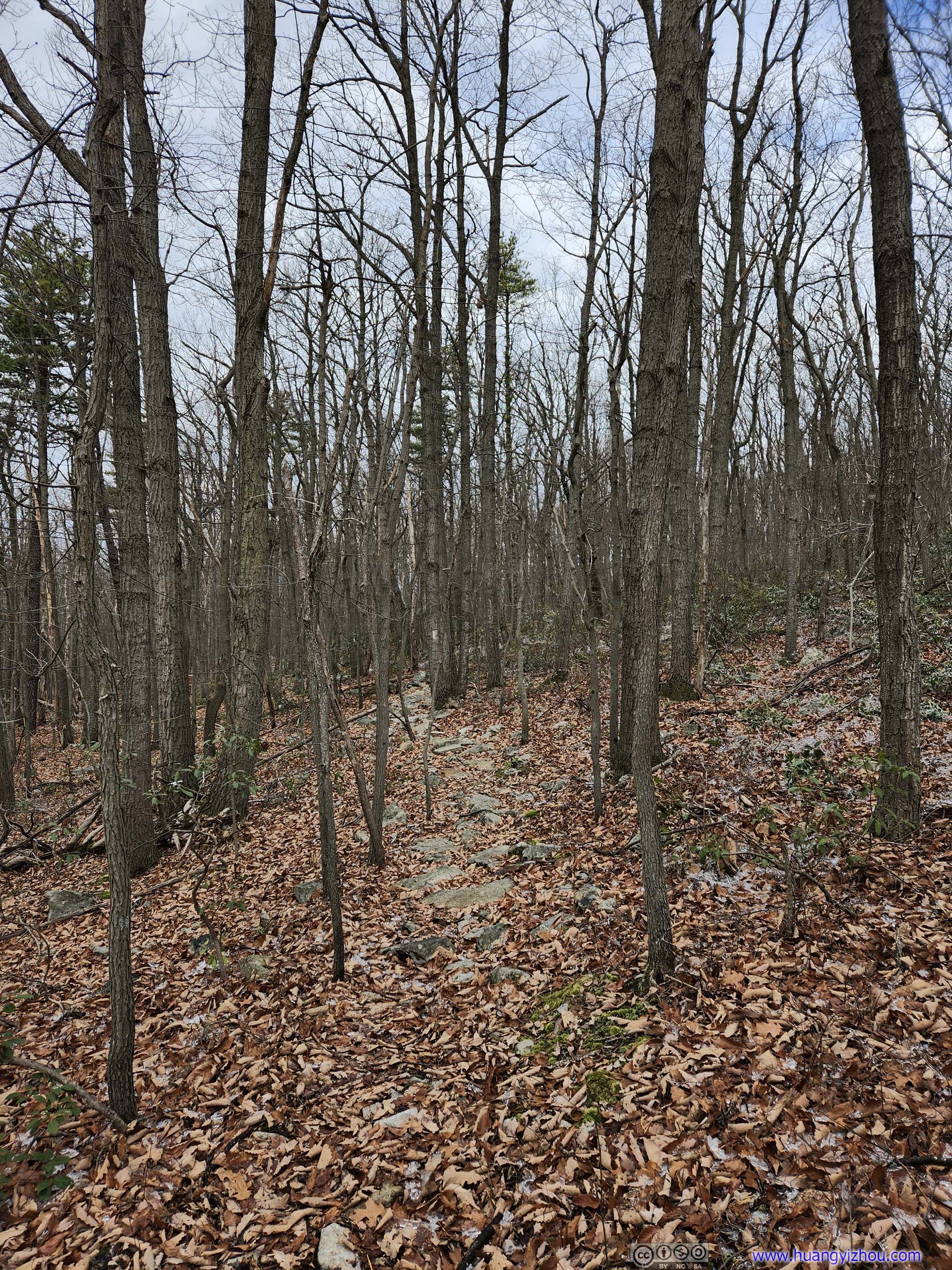
 Initial Trail
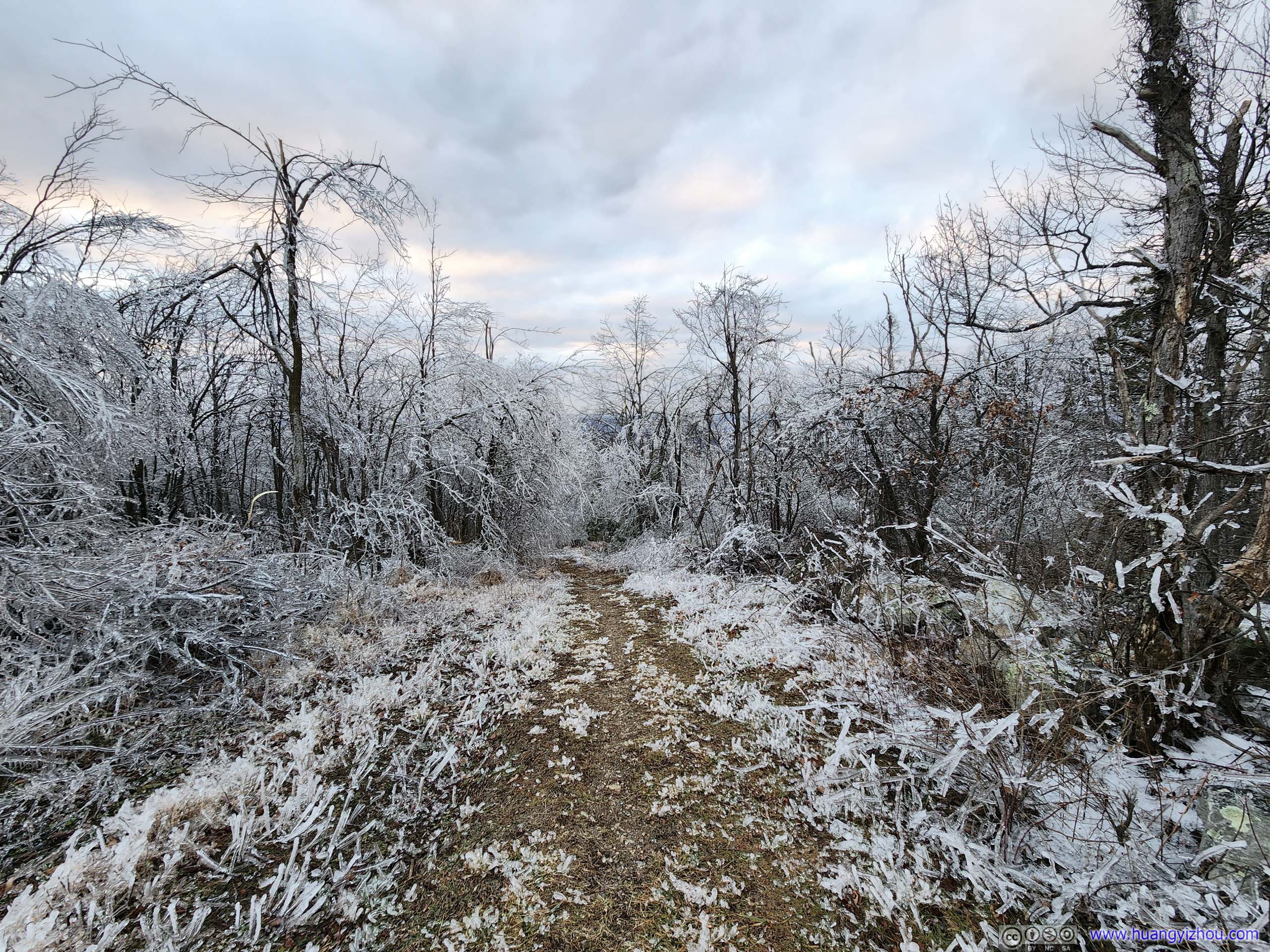
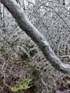
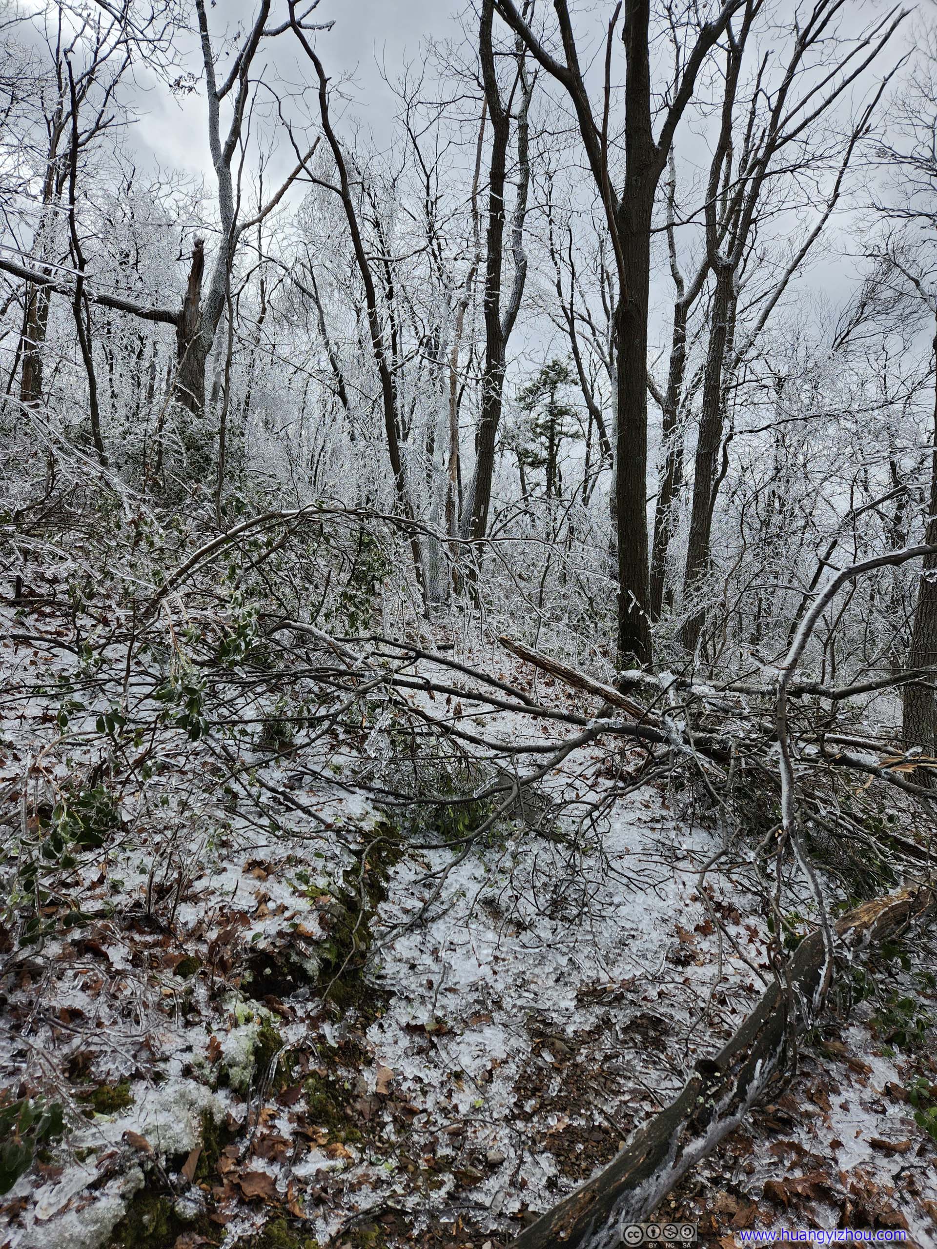
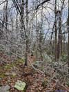
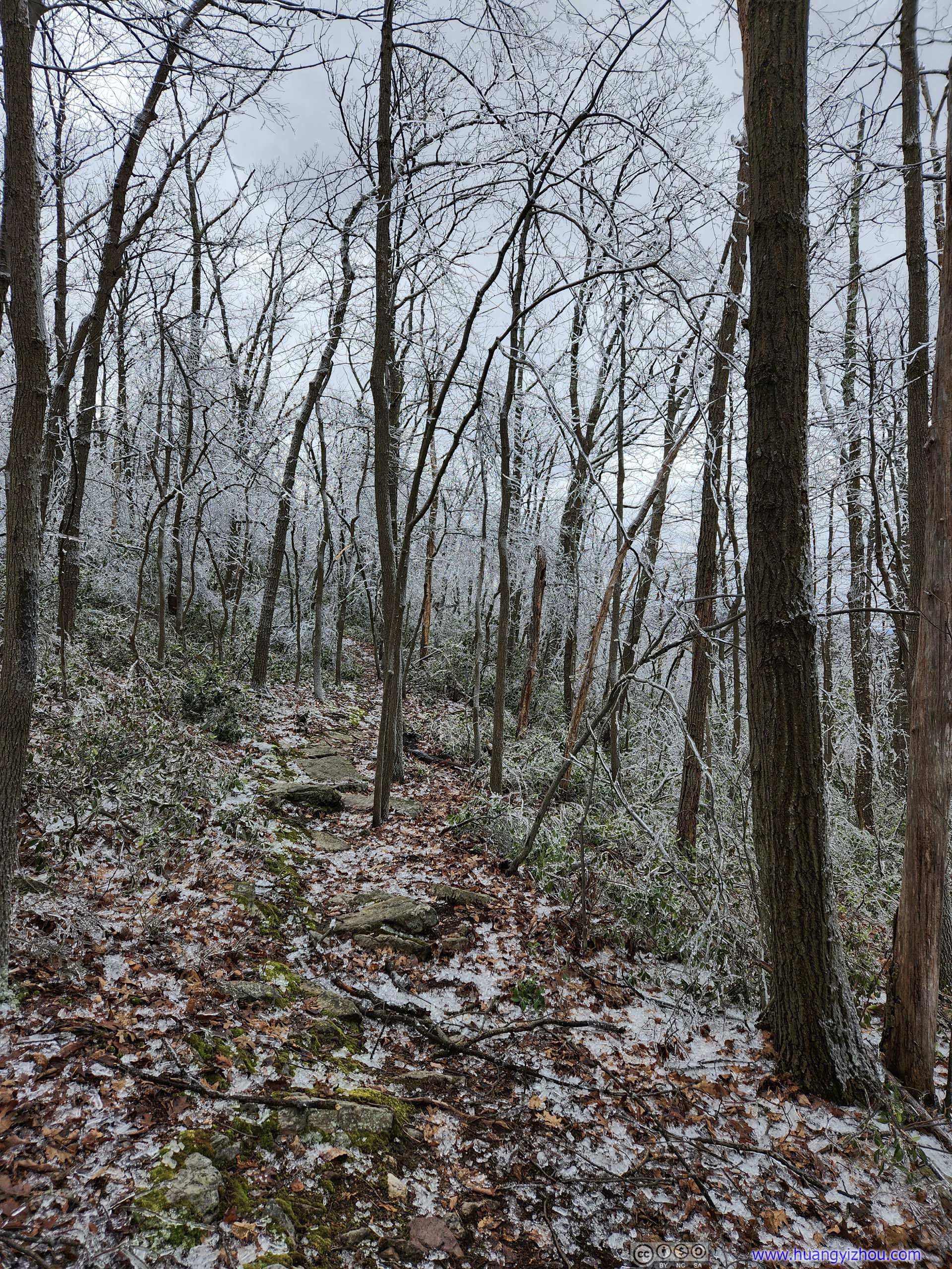
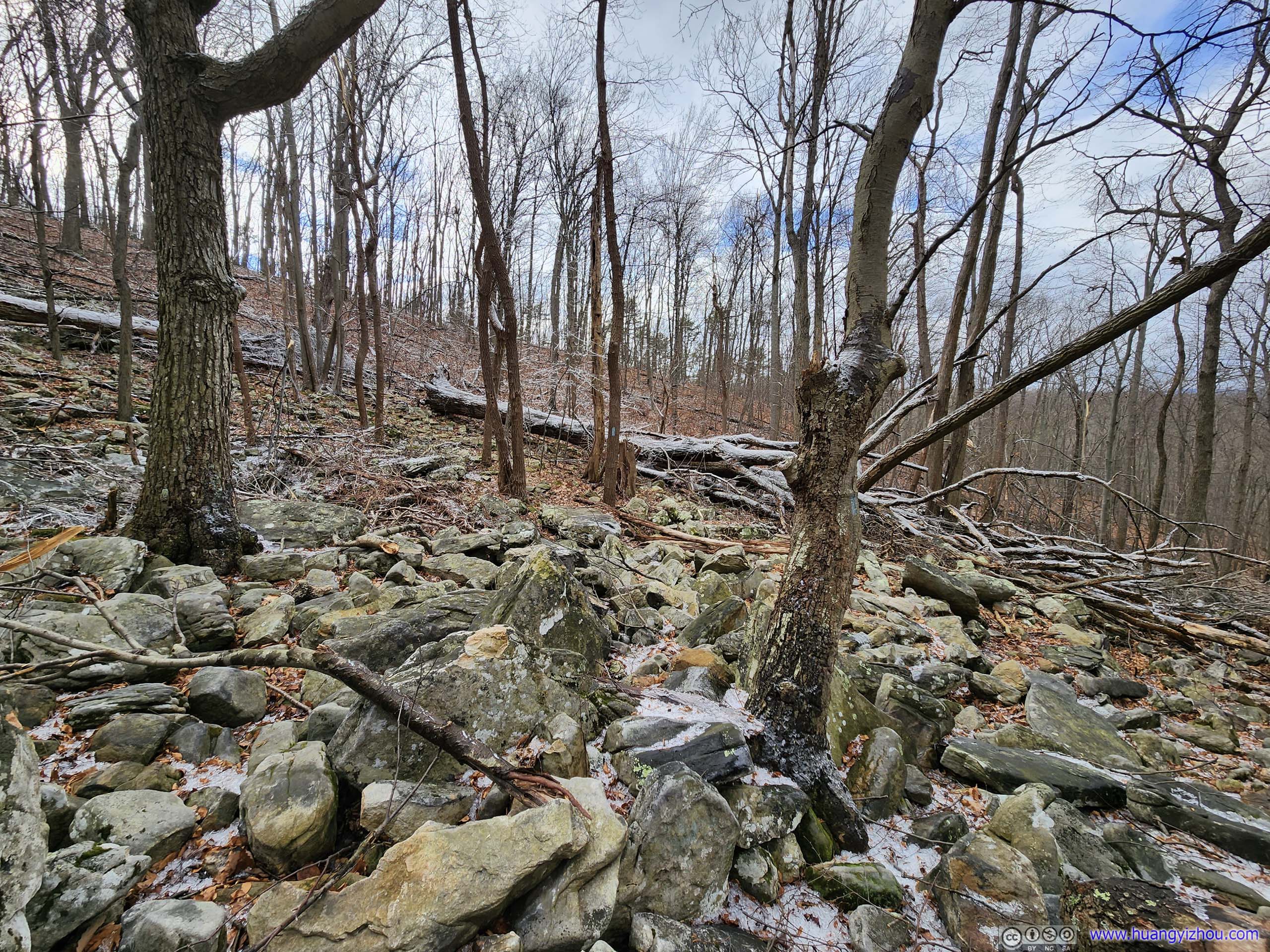
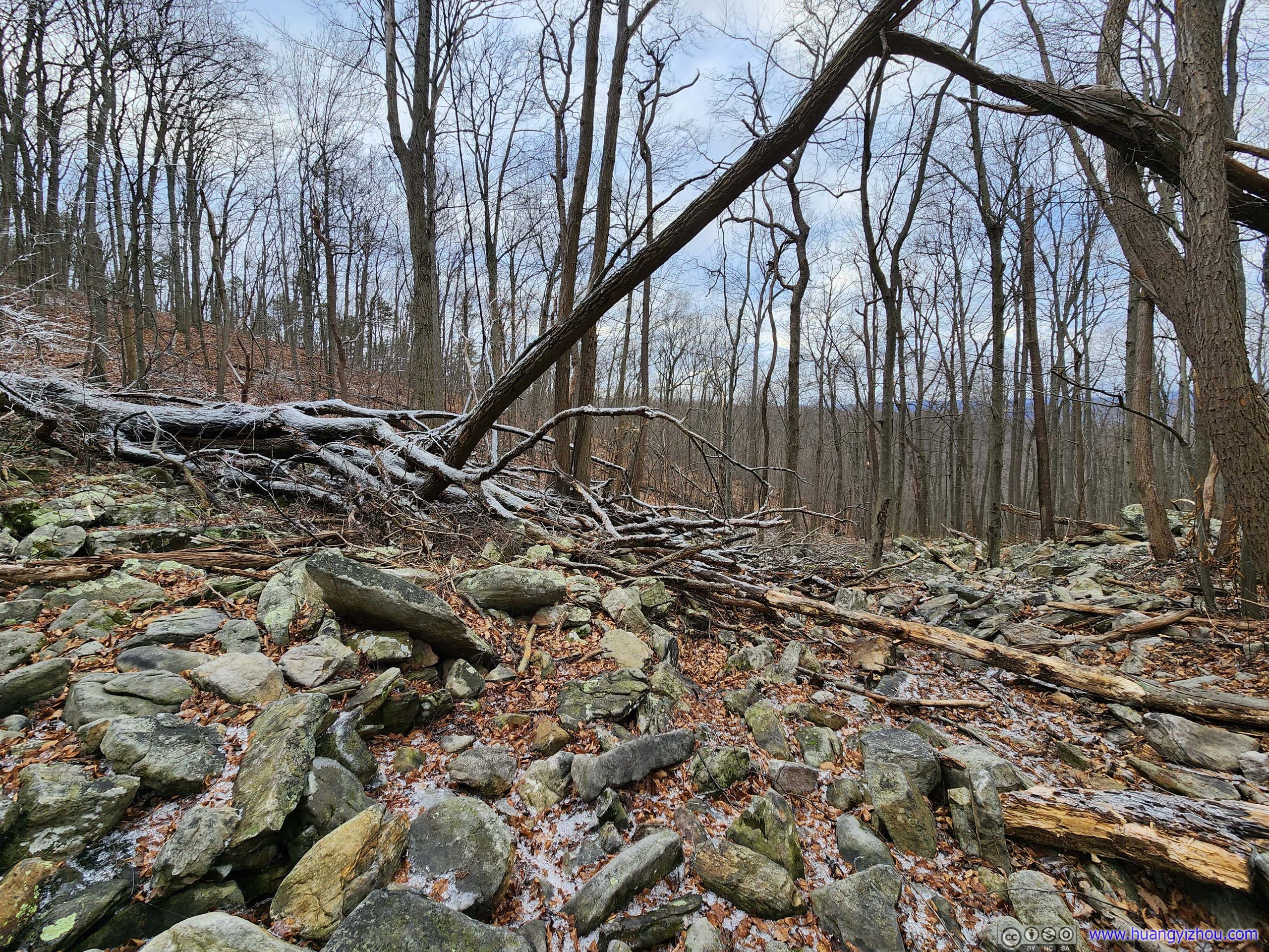
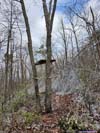
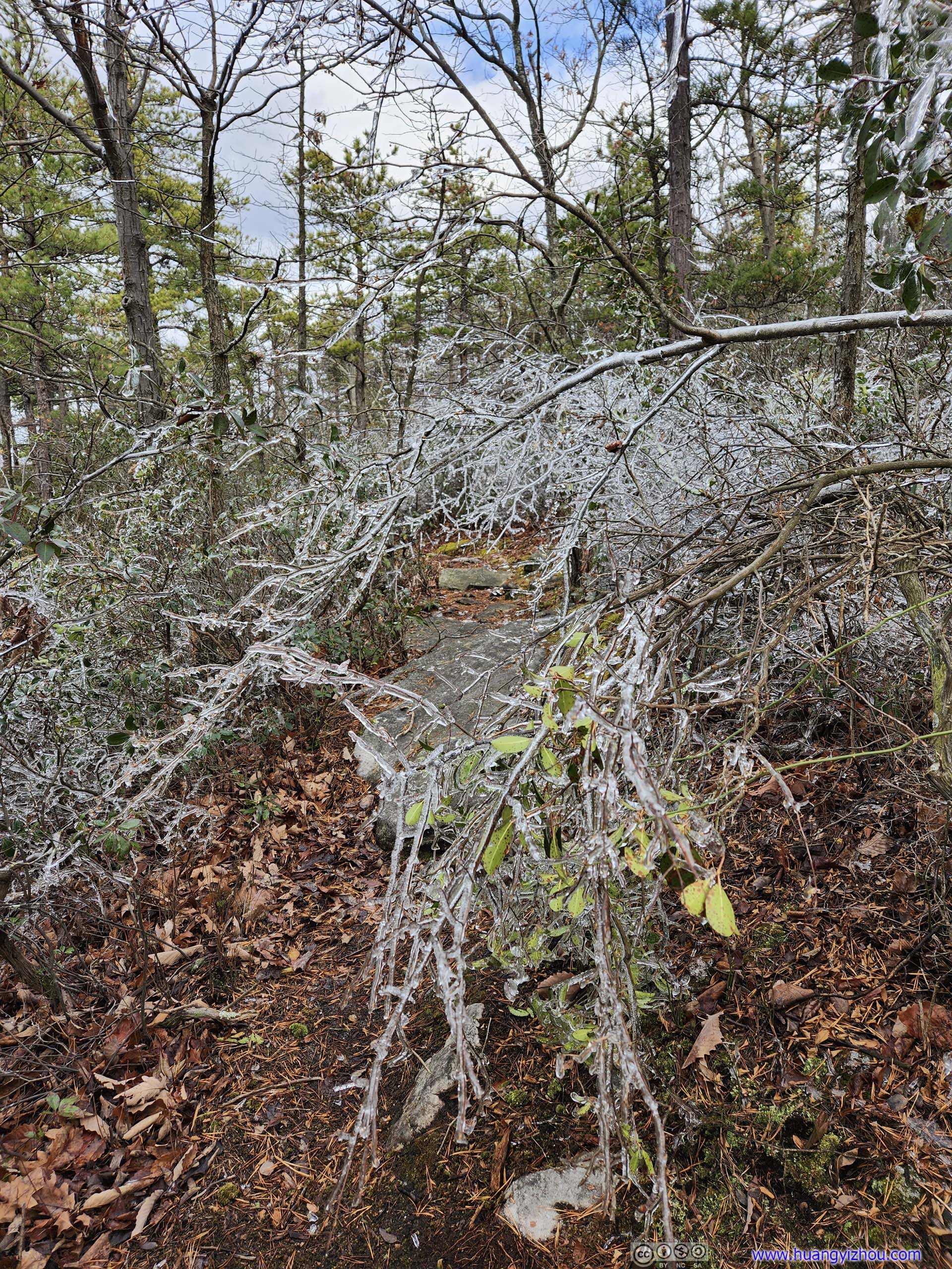
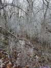
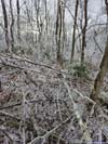
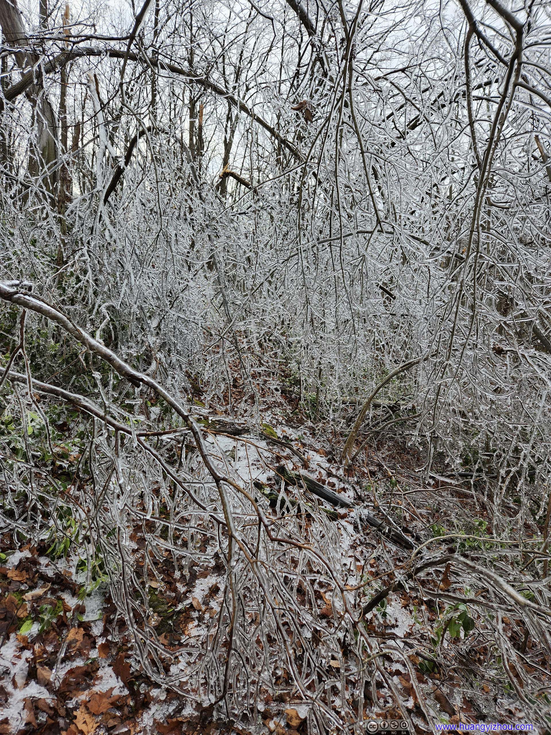
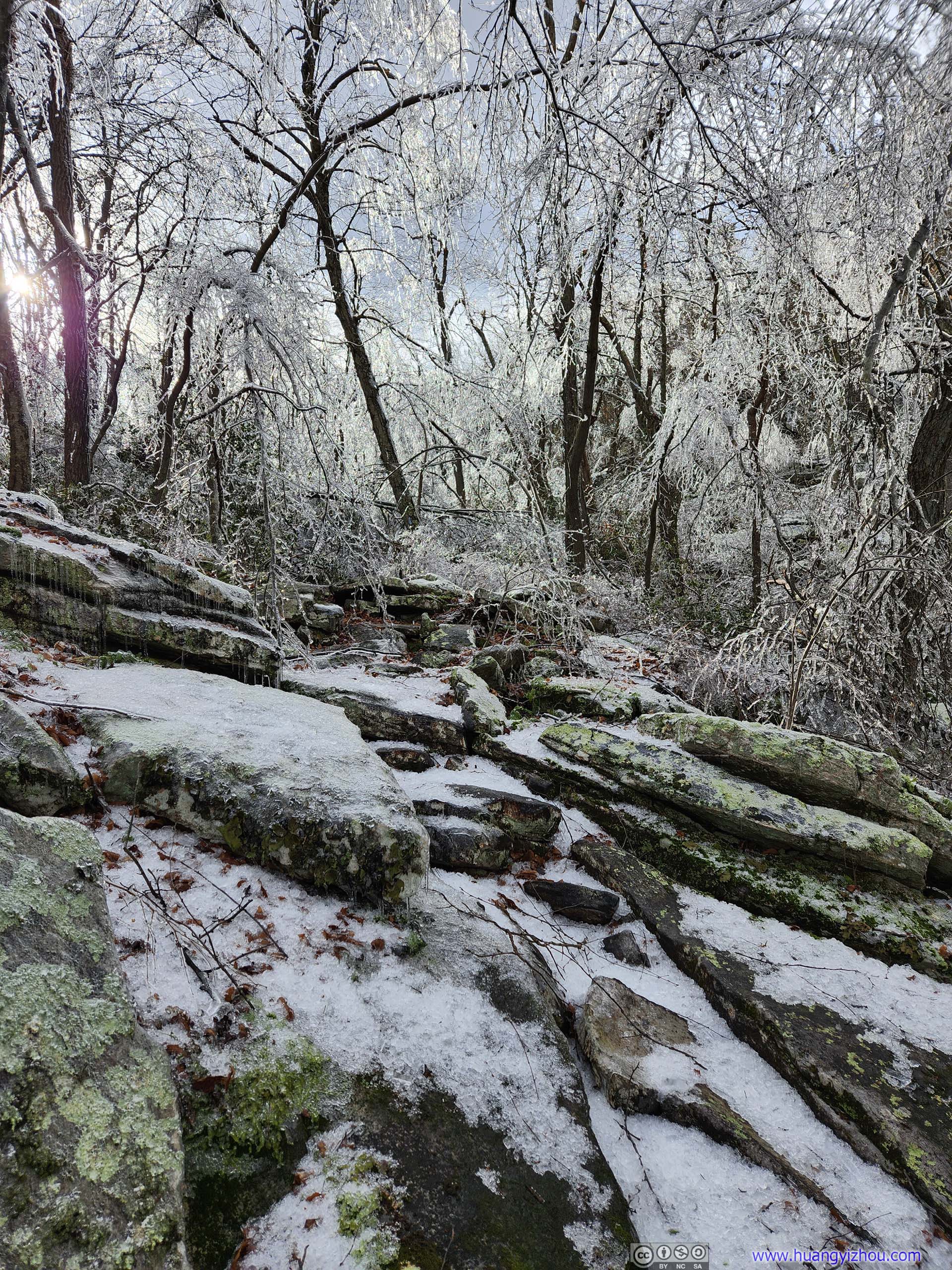
The planned path of my hike would take me along Biby Trail down the mountain for 1km, before I joined Tuscarora Trail for another 1.9km, then there’s a 1.8km loop after which I would trace my way back. The initial part of Biby Trail was surrounded by ice. Apart from the initial slope (photos above) there’s not much traction issue. However, the freezing rain created ice covers, some inches thick, onto the trees. Many trees crumbled under such additional weight and fell onto the trail. It’s not a very pleasant experience navigating around them.
 TrailA fallen tree presented some obstacles. Obstacles like this were very typical along the trail.
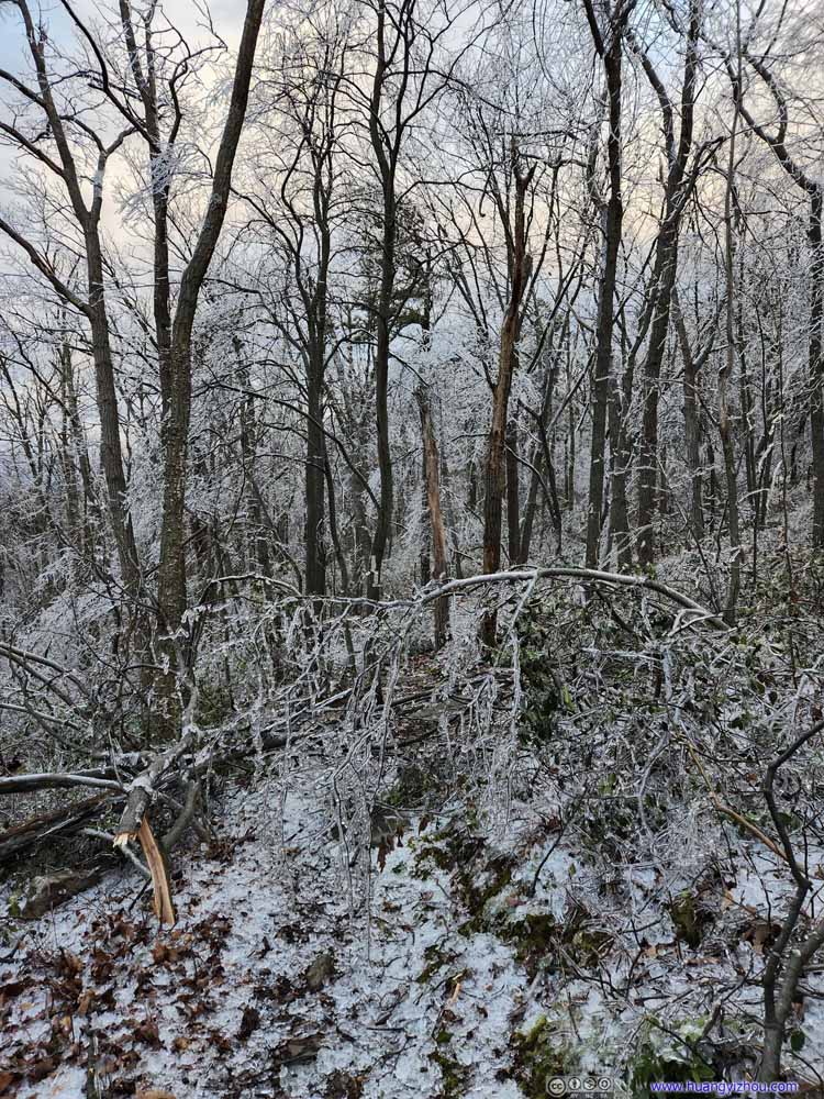 TrailA typical obstacle.
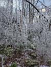
 Icicles on Tree
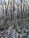
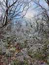
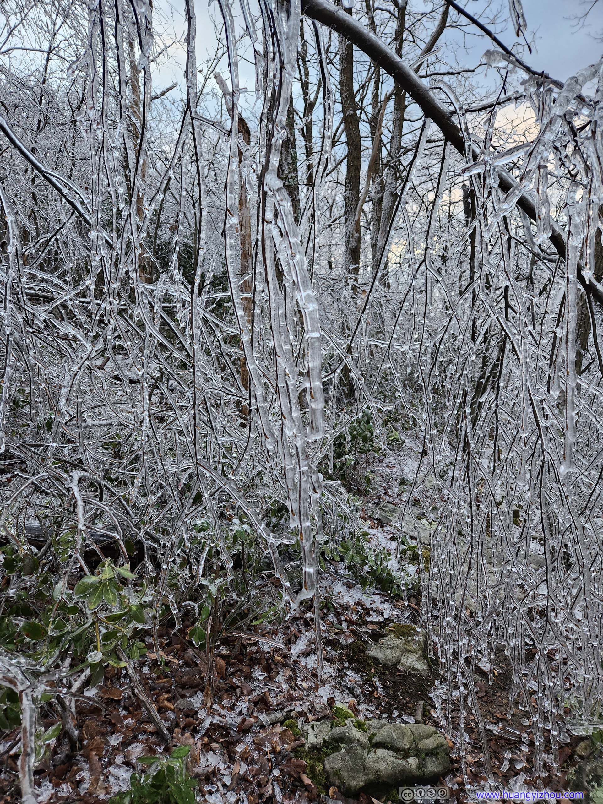
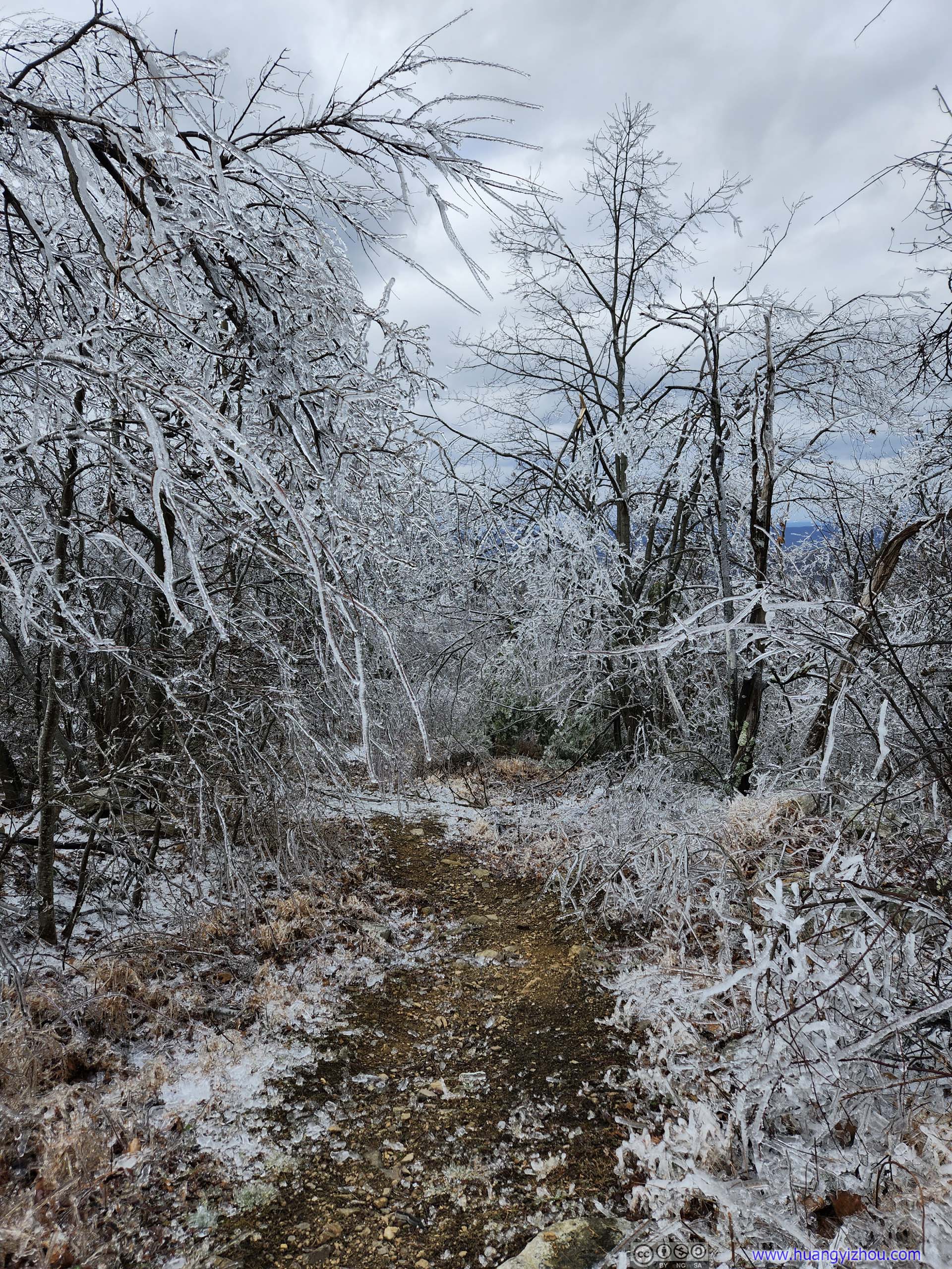
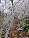
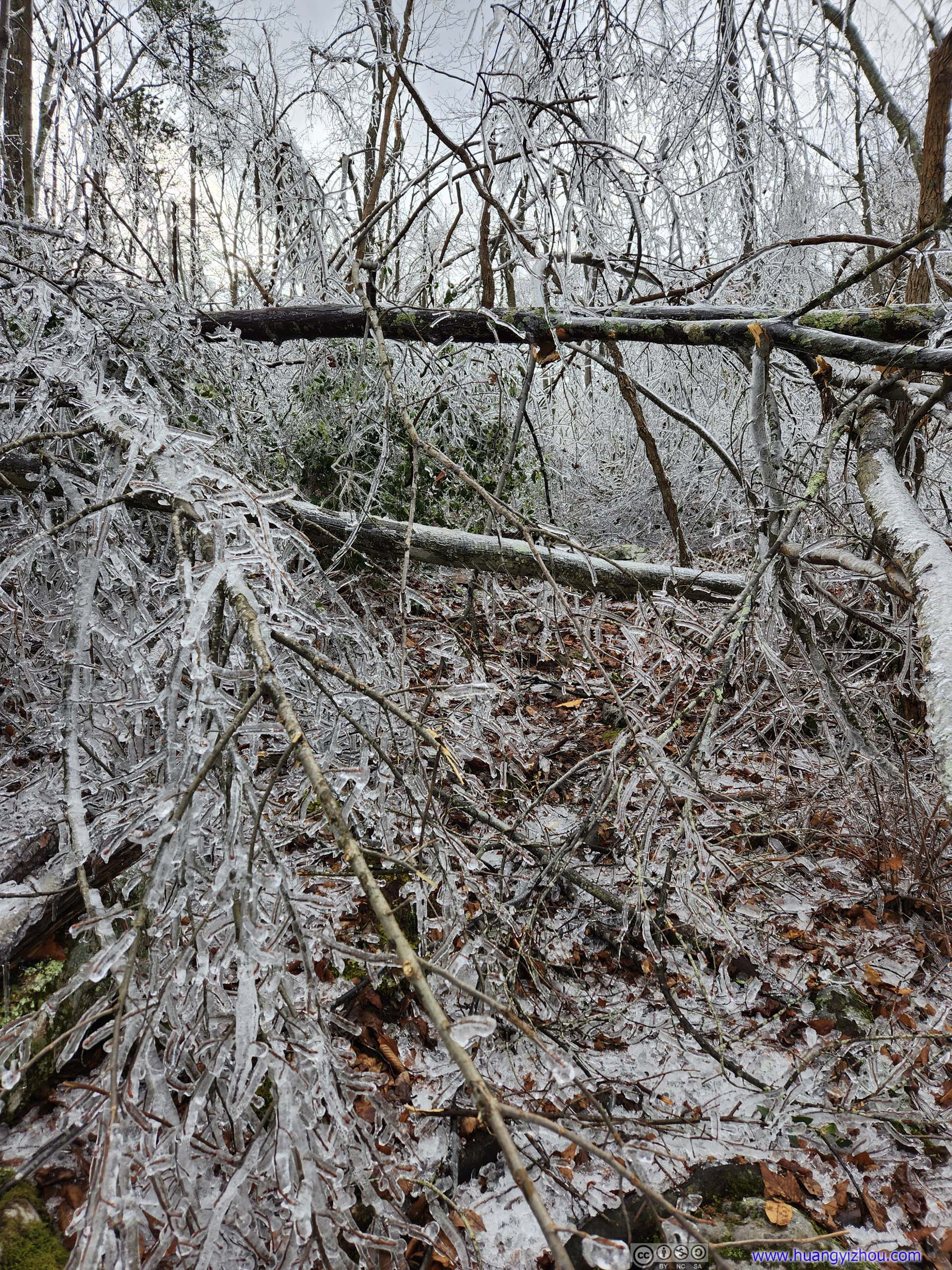
 Forest in Ice
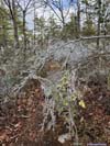
 Dangling BranchesIn many cases, they felt like a bead curtain to me.
Click here to display photos of the initial part of the trail.
TrailA fallen tree presented some obstacles. Obstacles like this were very typical along the trail.
TrailA typical obstacle.
Icicles on Tree
Forest in Ice
Dangling BranchesIn many cases, they felt like a bead curtain to me.
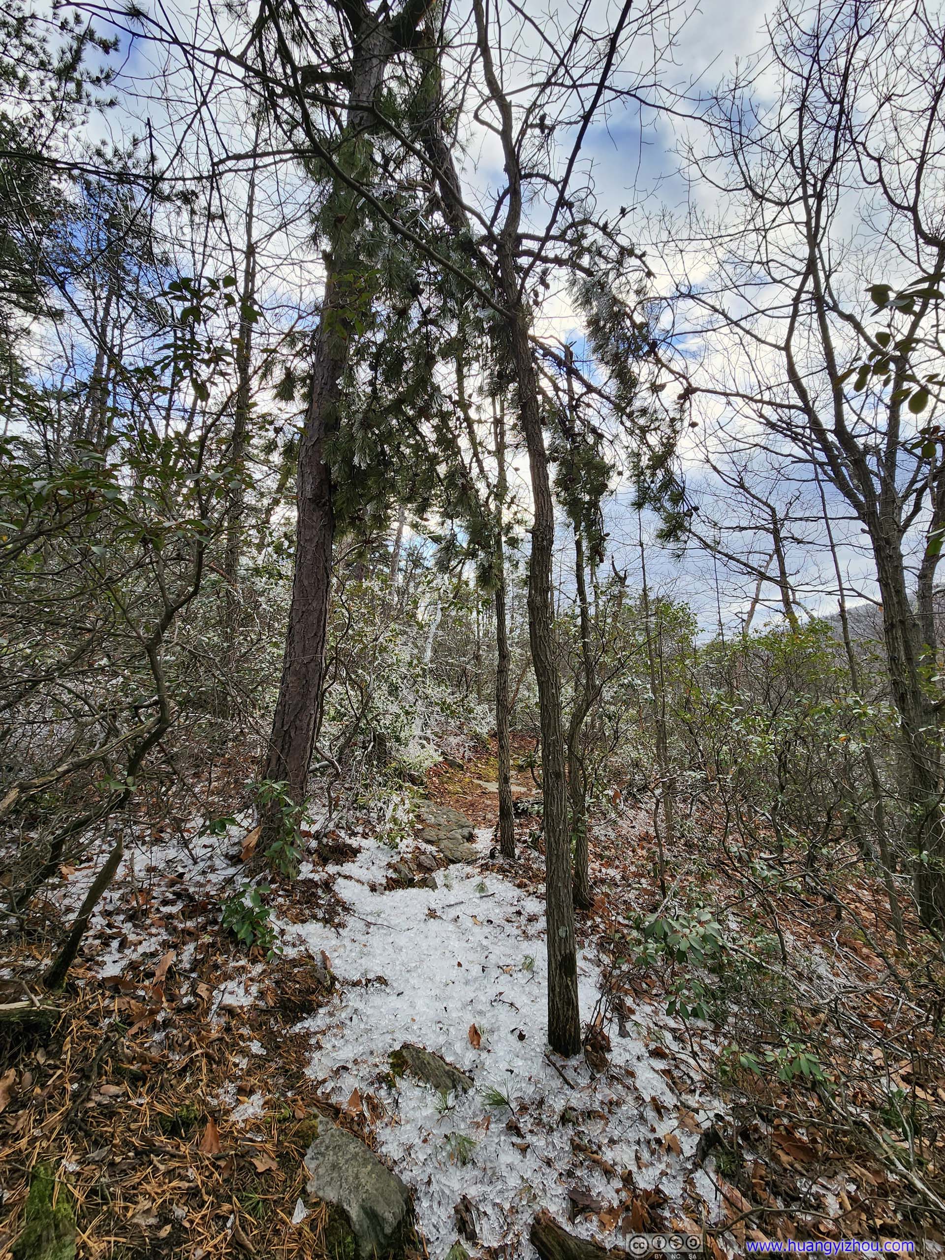
Not wanting to give up this easily, I persuaded myself that the ice situation would improve as I headed down the mountain onto Tuscarora Trail. It did, but only very slowly. To give a perspective, it took me 40 minutes to cover the 1km of Biby Trail.
 Forest
 Trail
Trail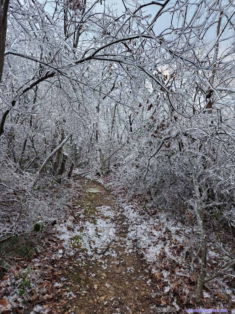 Trail
Trail Trail
Trail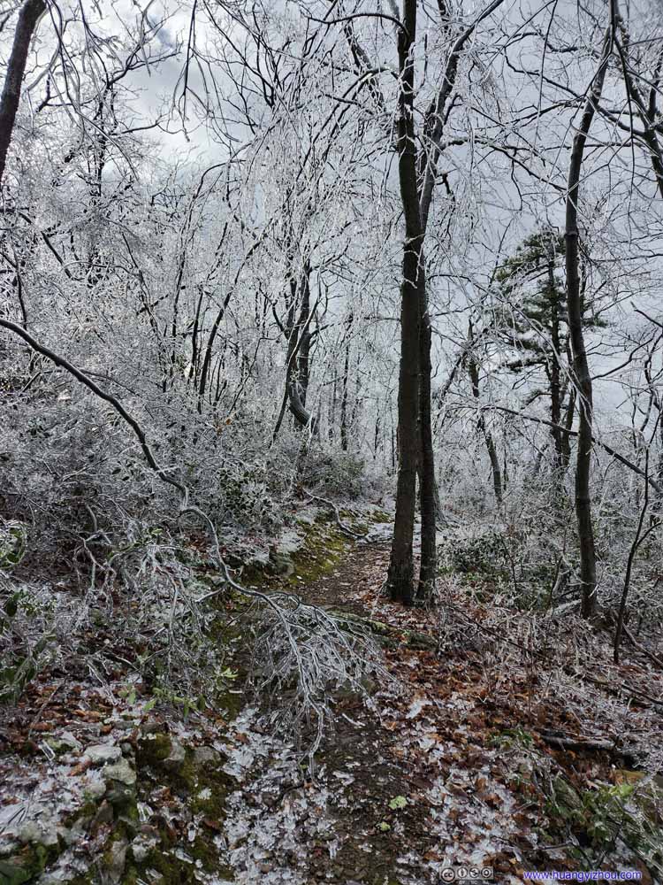 Trail
Trail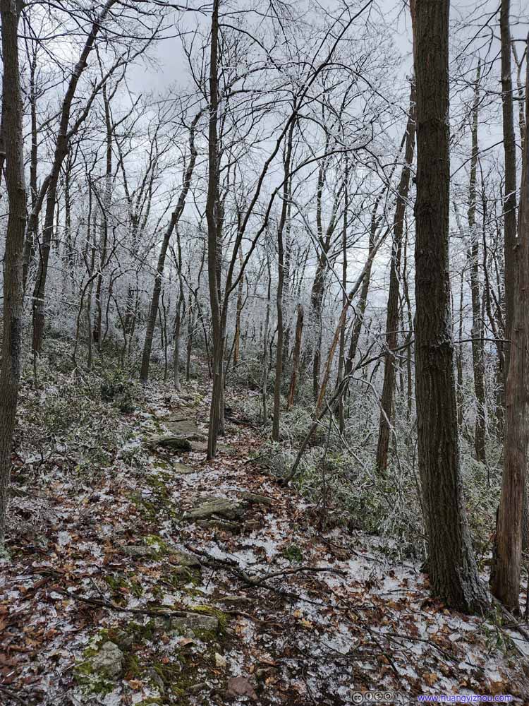 Trail
Trail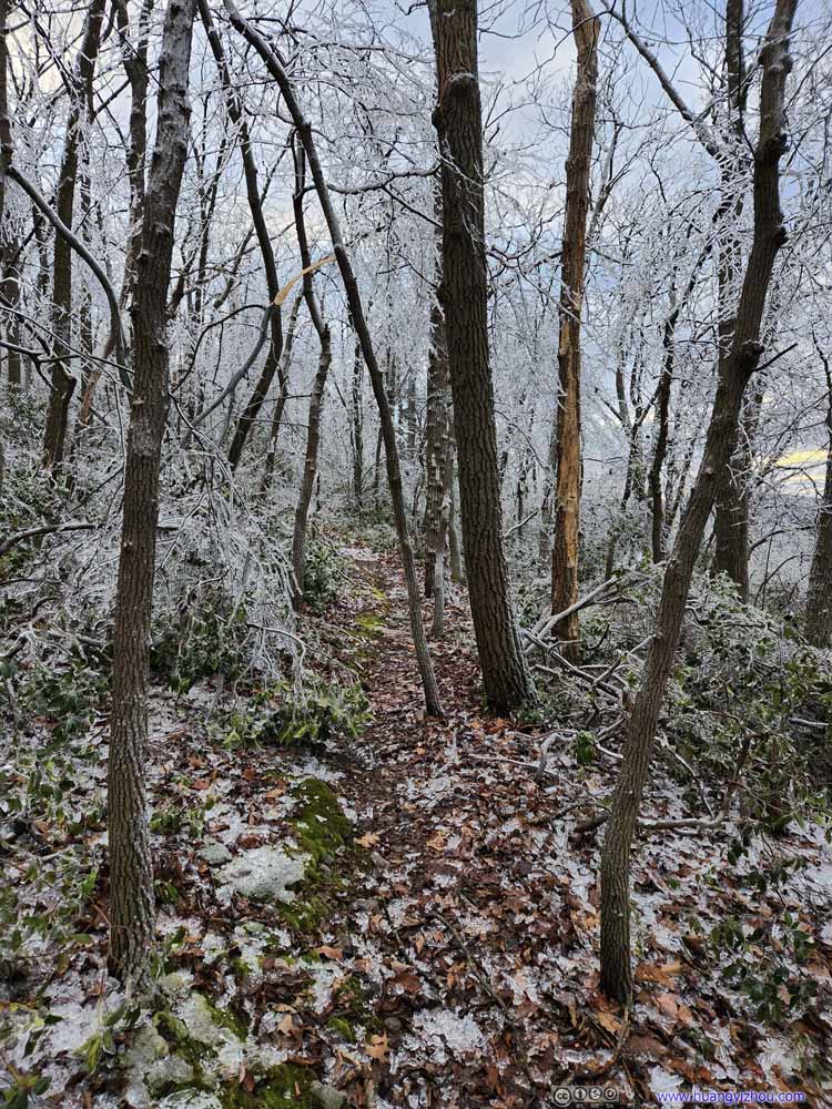 Trail
Trail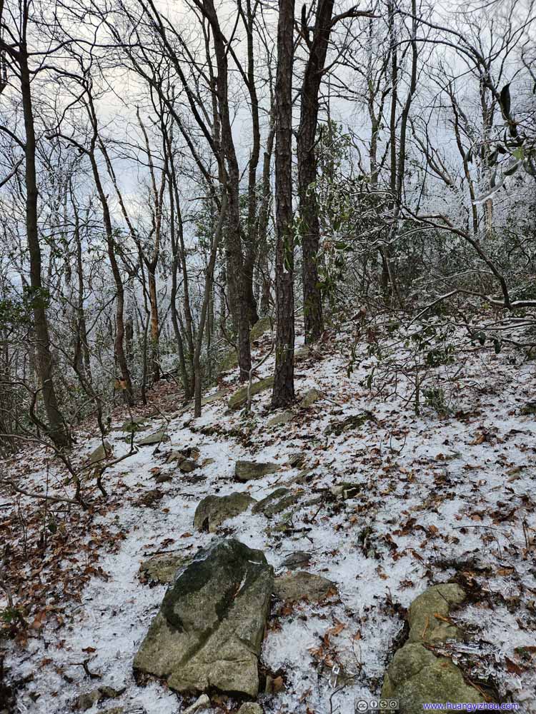 Trail
Trail Trail
Trail

Click here to display photos of the slideshow
Trail

Trail
Trail
Trail
Trail
Trail
Trail
Trail
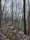
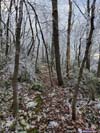
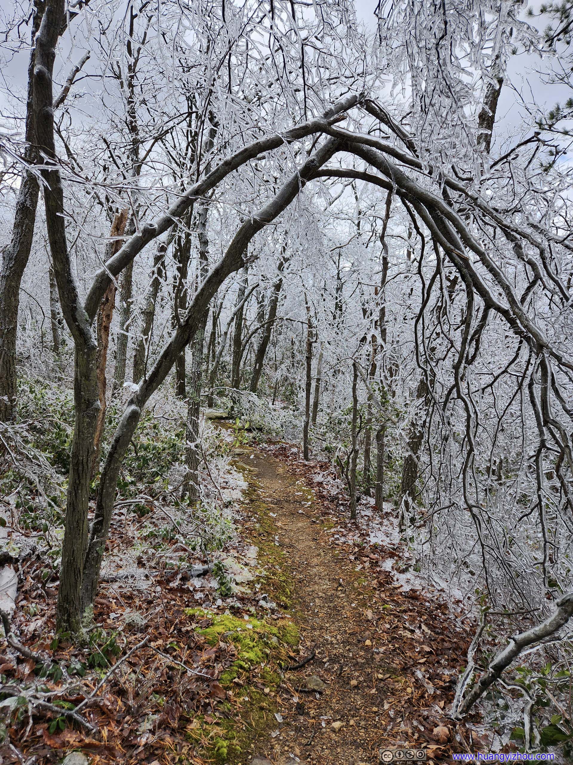
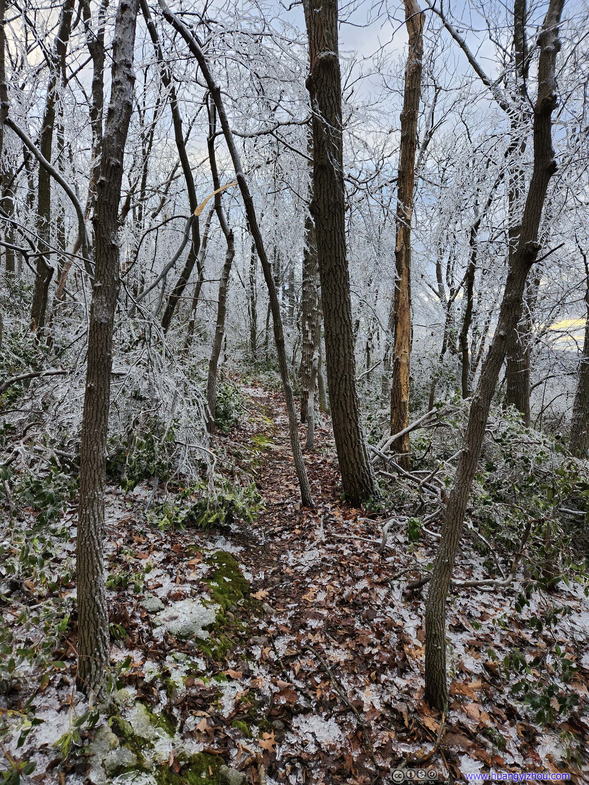
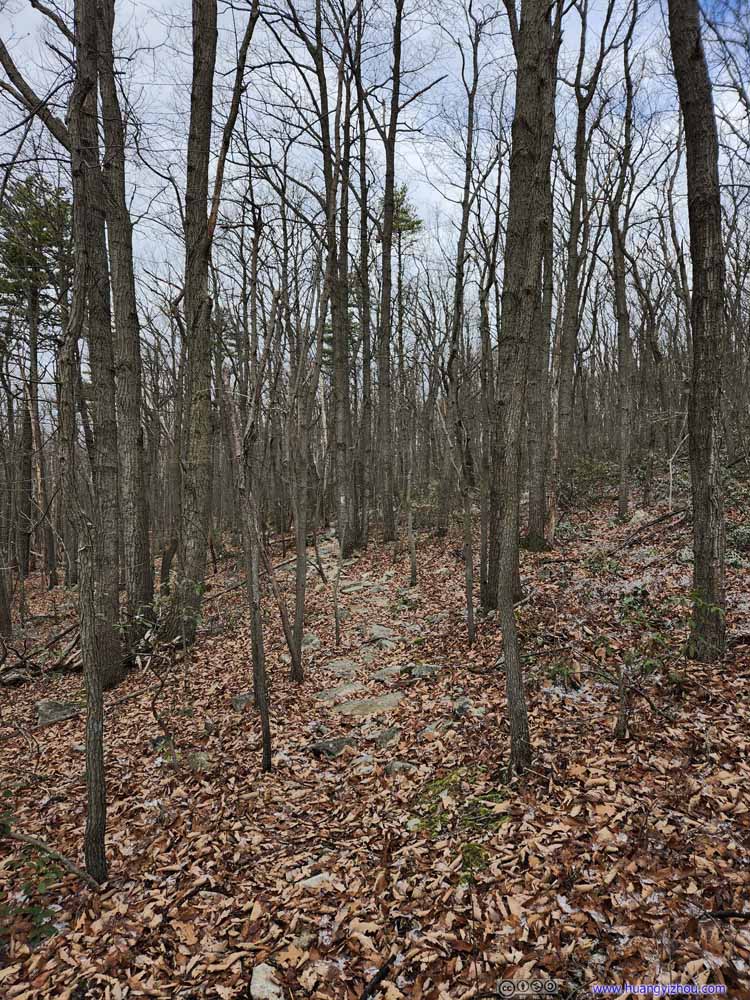
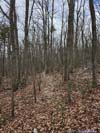
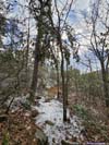
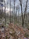
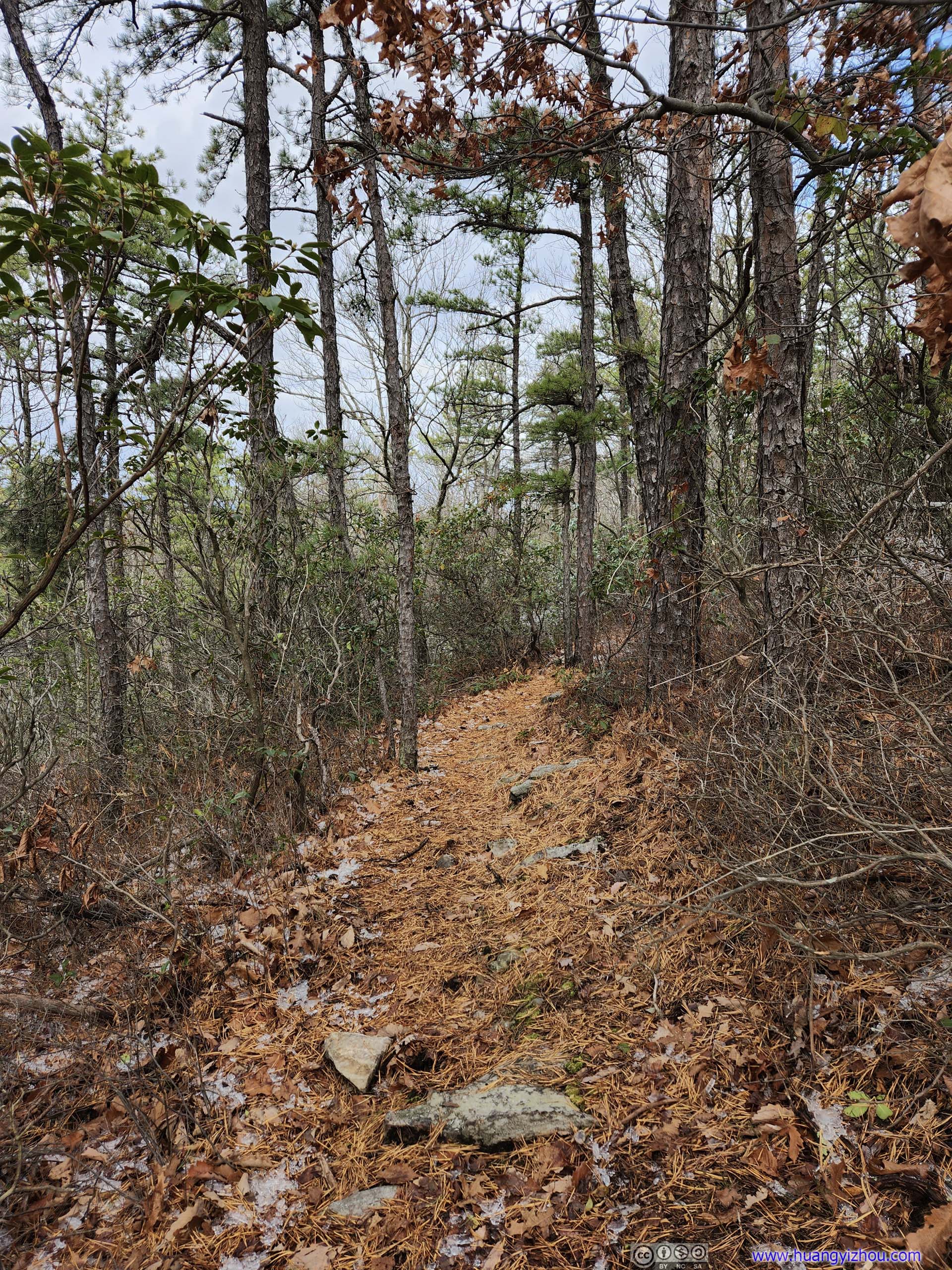
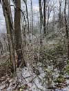
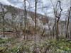
After getting onto Tuscarora Trail, it started snow-free, which was great as I had an enjoyable time strolling through the woods.
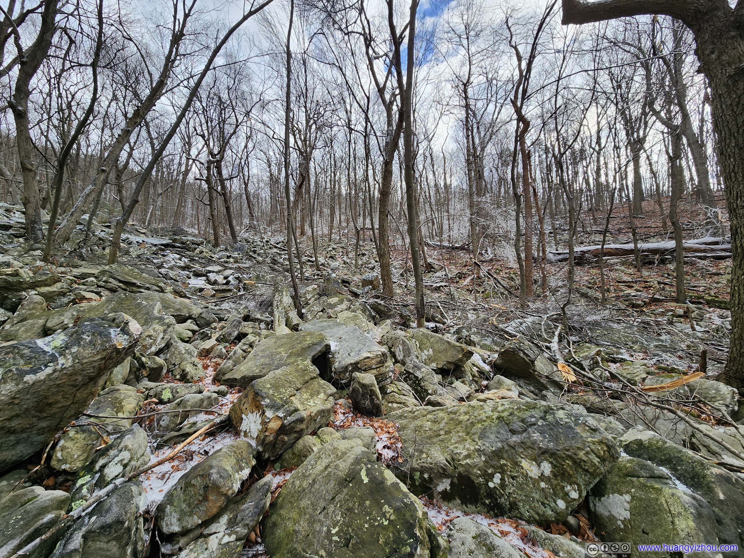
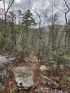
 Boulder Field
 Trail
Trail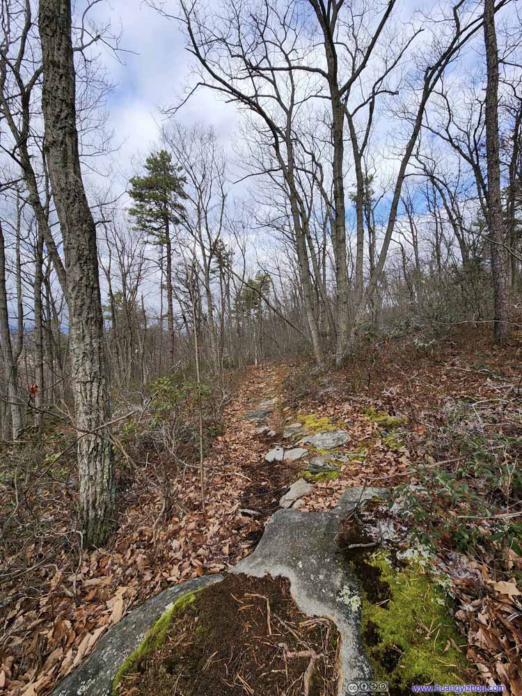 Trail
Trail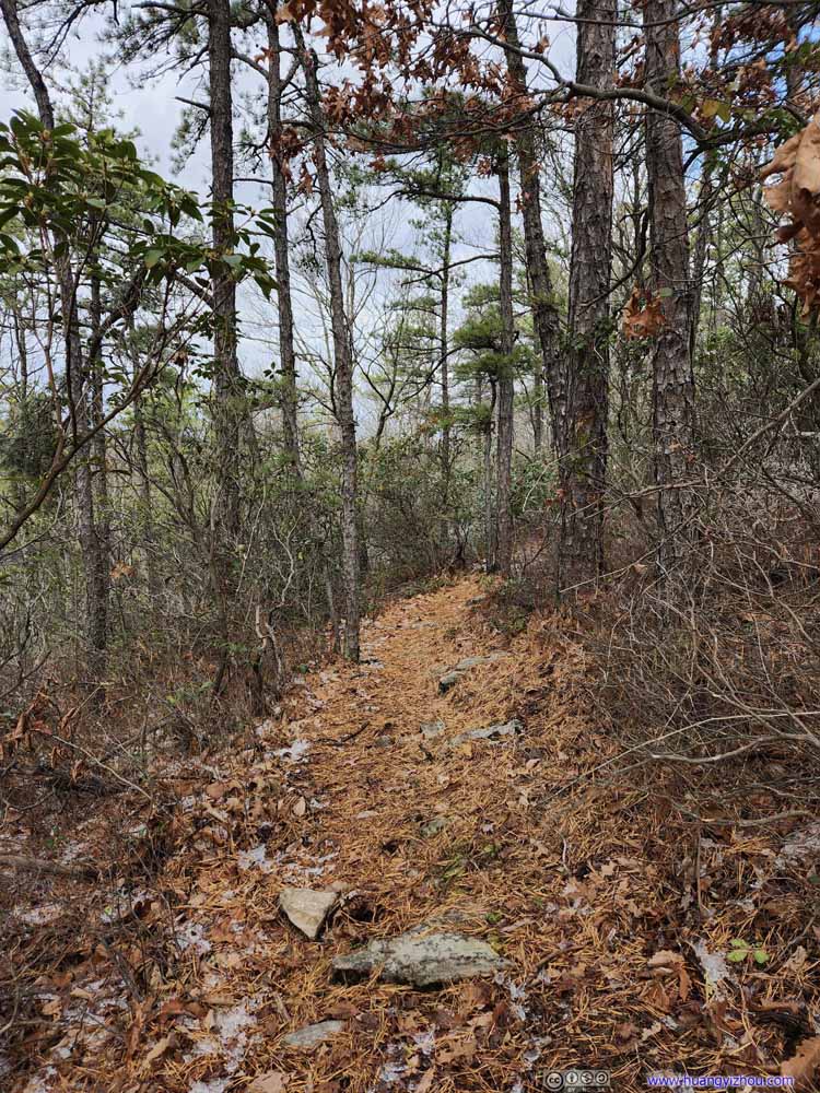 Trail
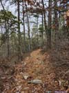
There were portions of the trail that felt like a relaxing stroll through pine forests, with some colors left.
Trail
There were portions of the trail that felt like a relaxing stroll through pine forests, with some colors left.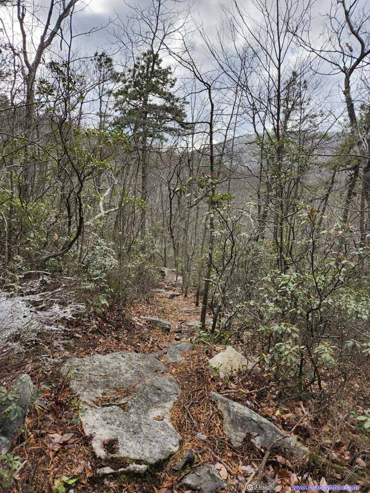 Trail
Trail Trail
Trail TrailA patch of ice fallen from this pine tree.
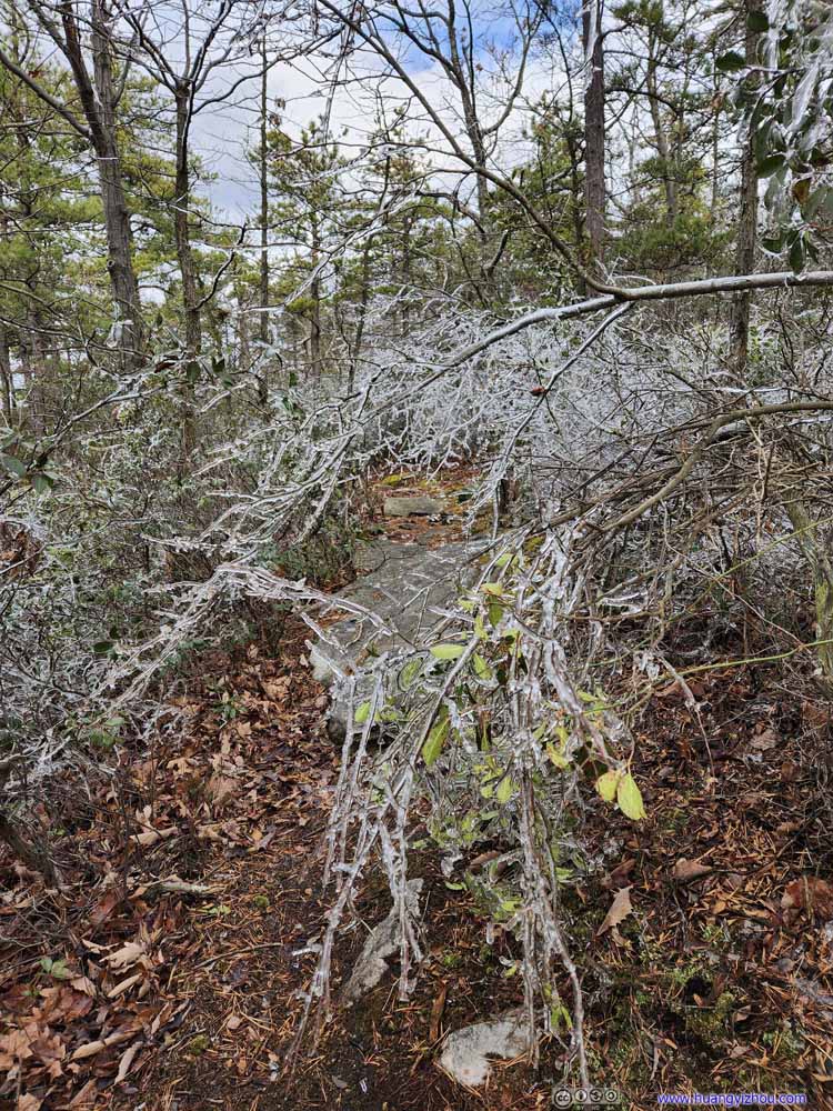 TrailSome obstacles to navigate around.
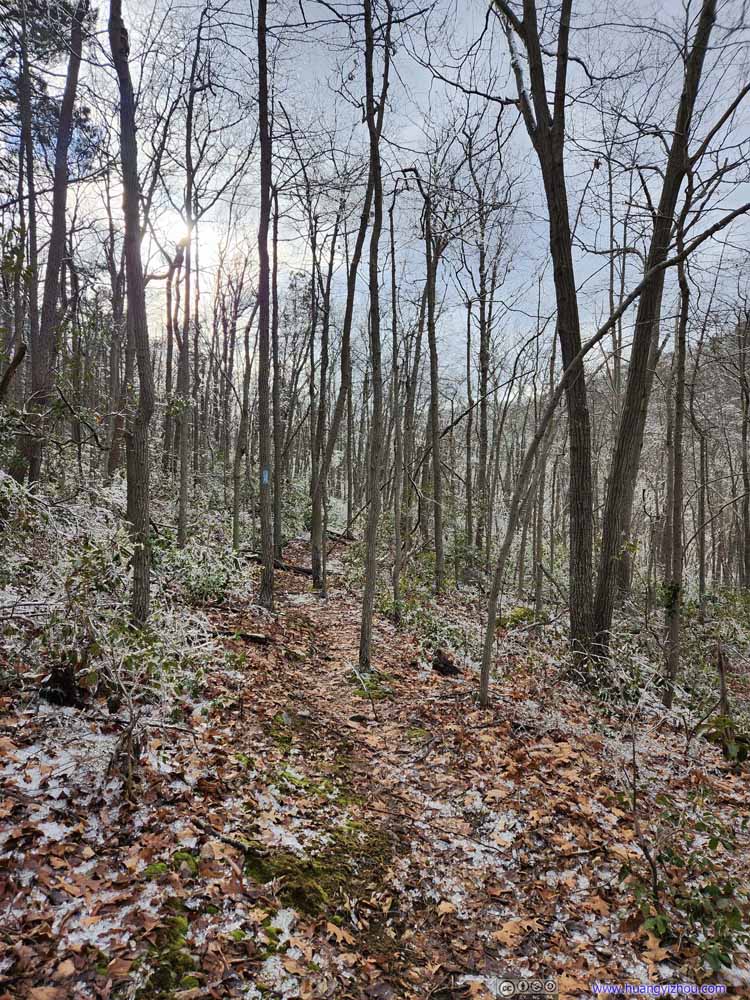 Trail
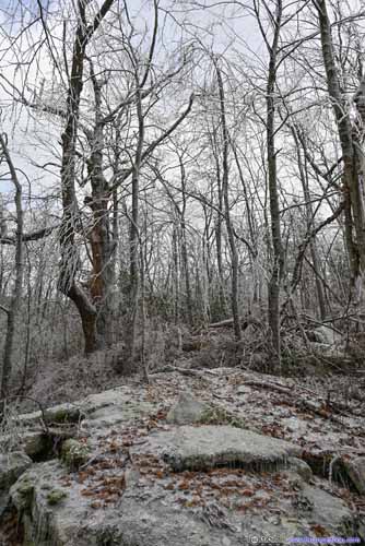
Trail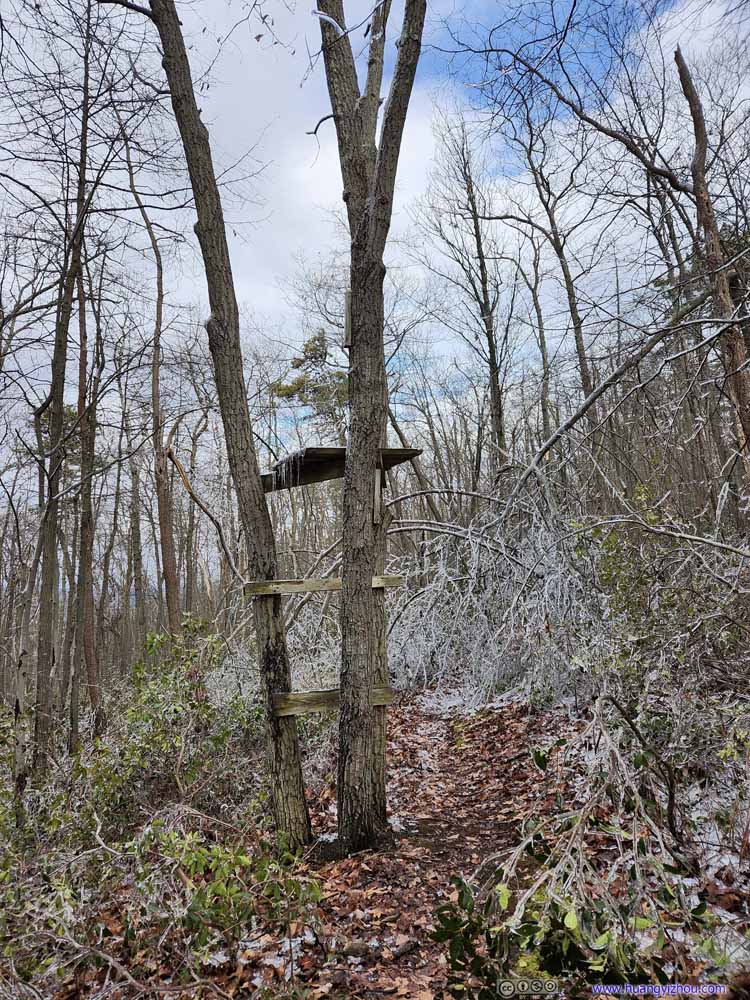 Observation TowerWhere three trunks happened to grow next to each other. However, I couldn’t figure out its purpose.

Click here to display photos of the trail.
Trail

Trail
Trail

Trail
Trail
TrailA patch of ice fallen from this pine tree.
TrailSome obstacles to navigate around.

Trail

Observation TowerWhere three trunks happened to grow next to each other. However, I couldn’t figure out its purpose.
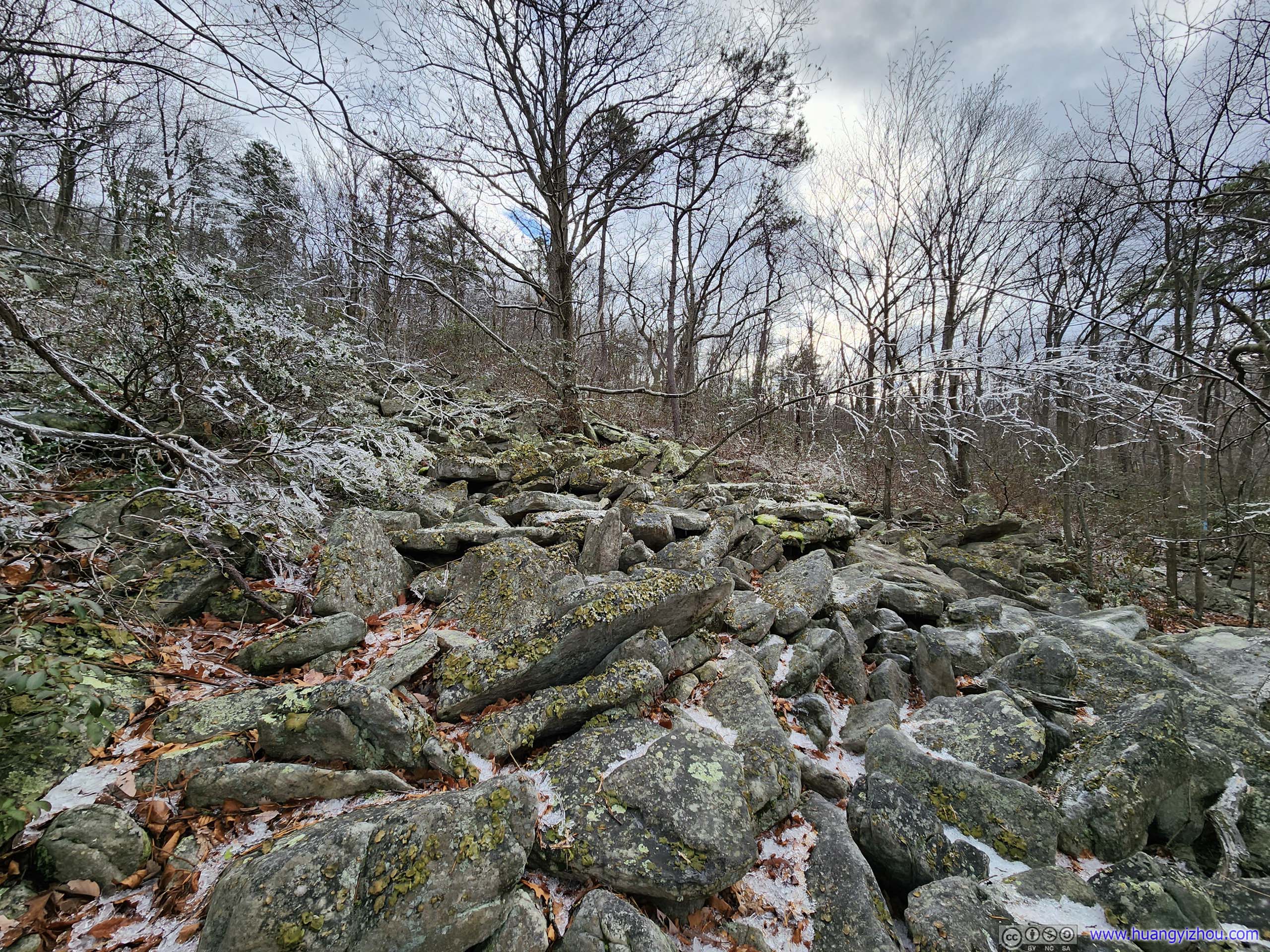
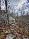
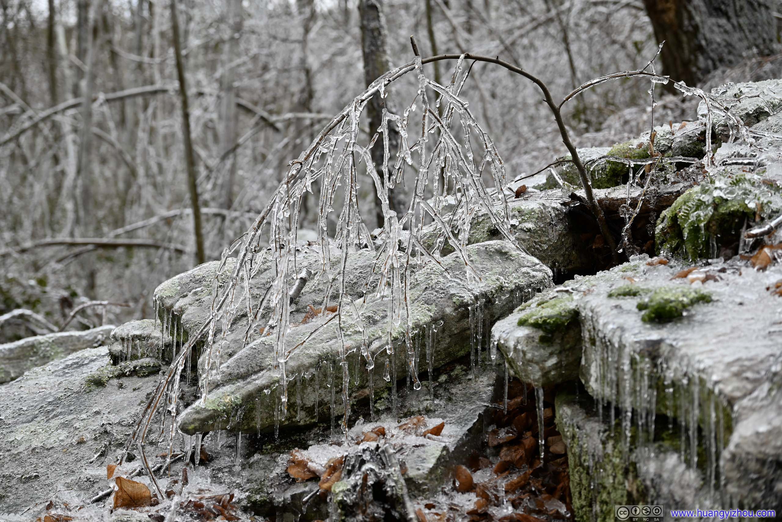
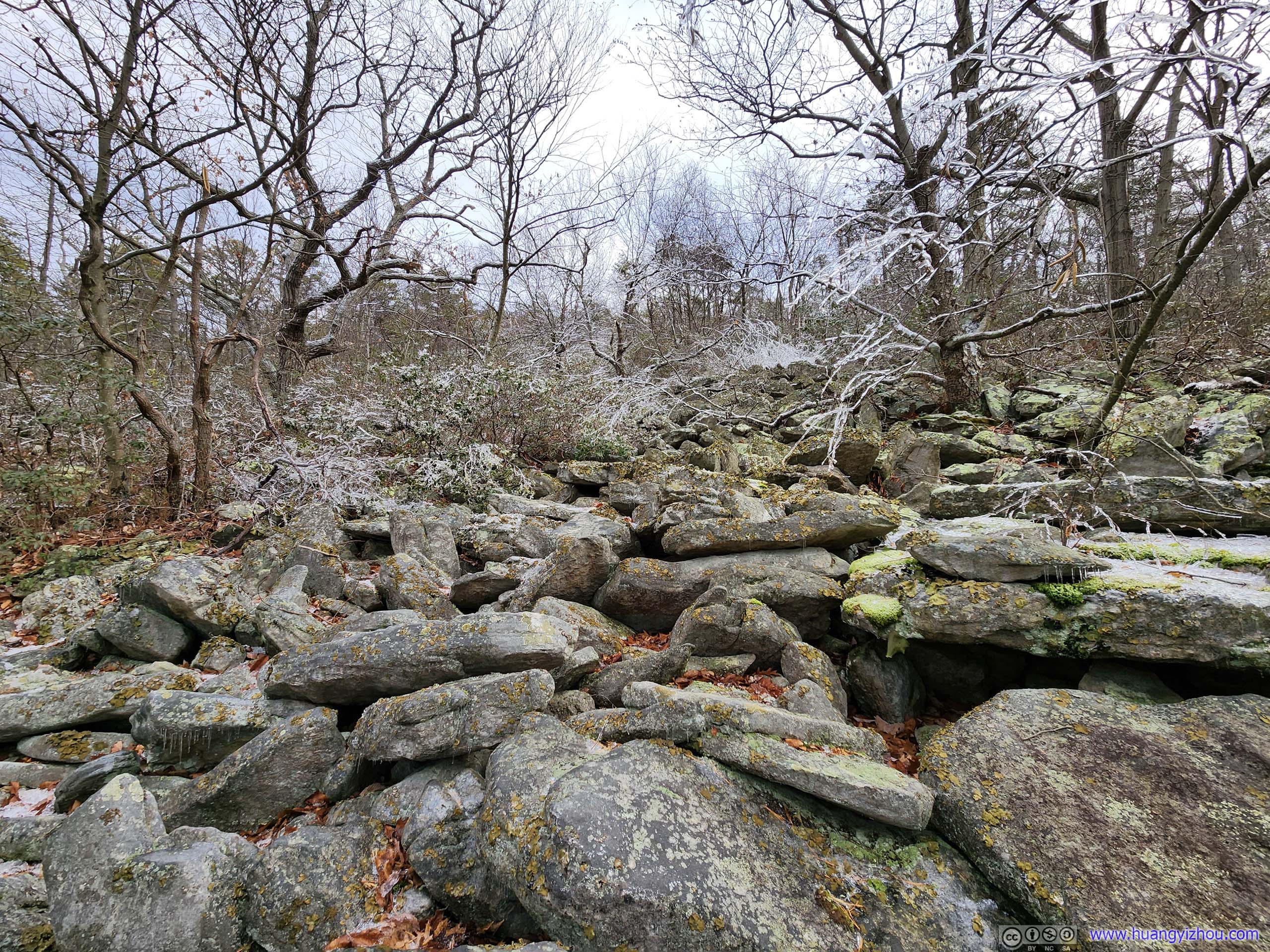 Boulder FieldTowards the end there’s another boulder field that’s smaller and easier to navigate through.
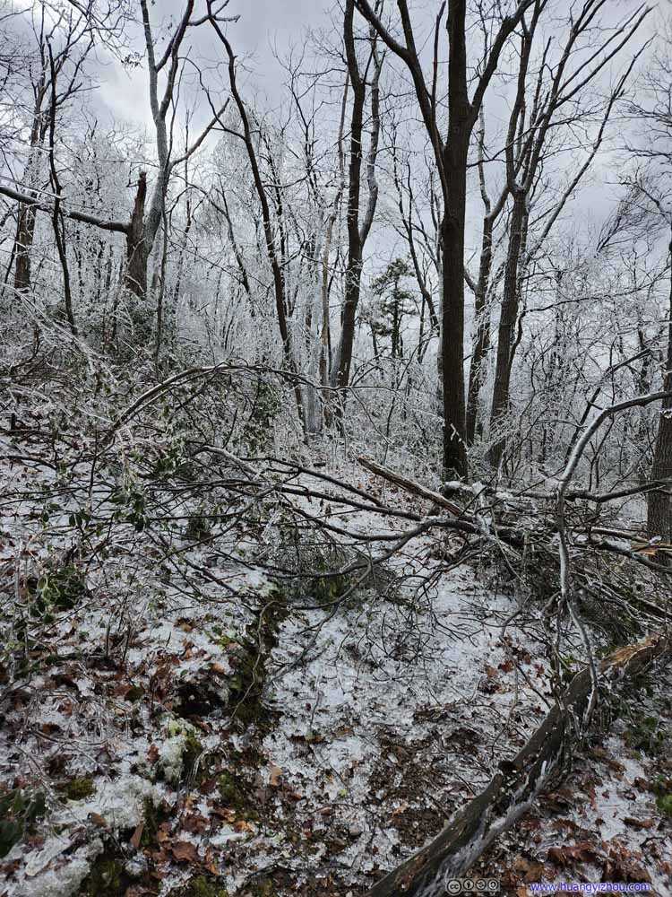
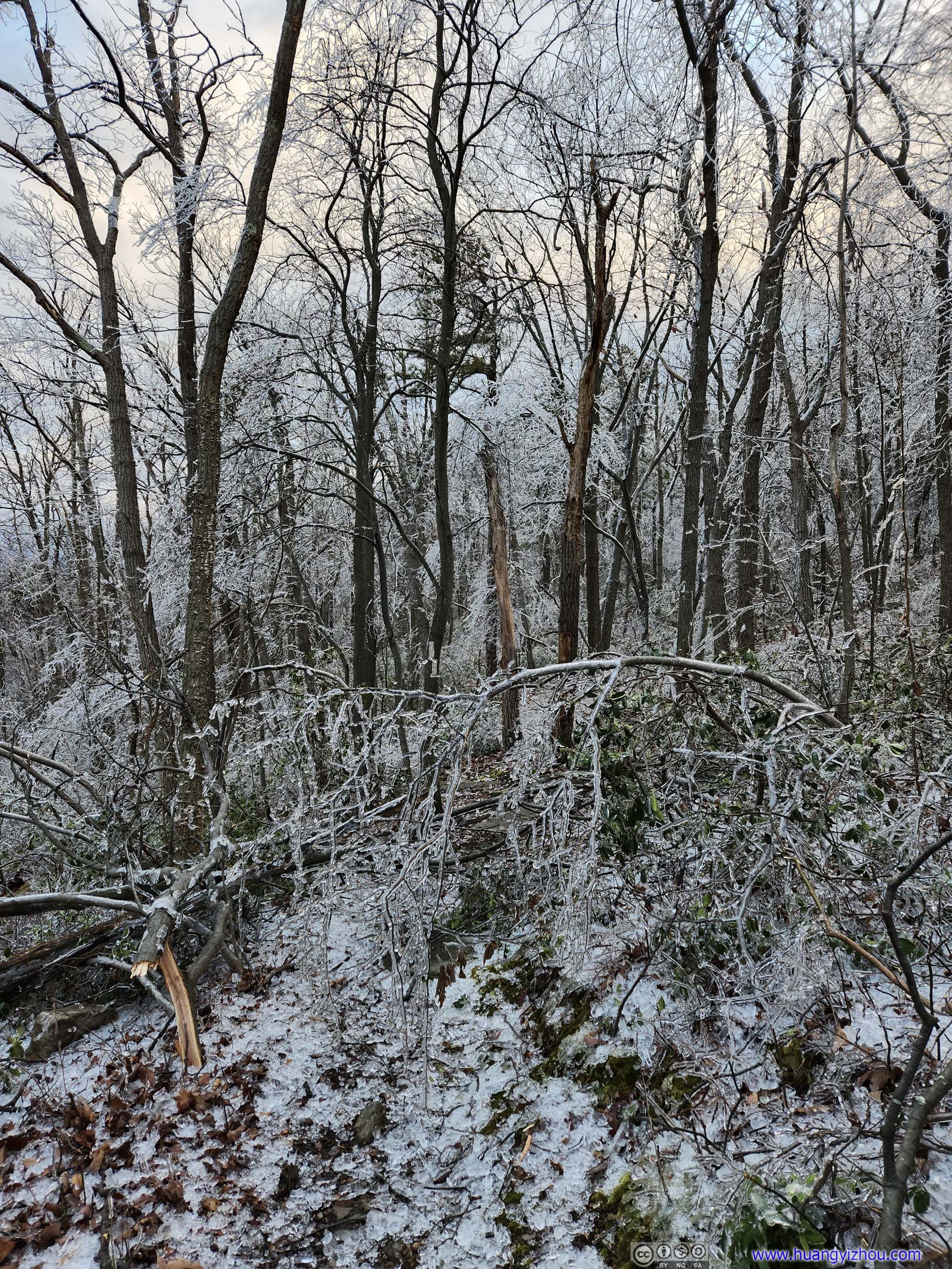
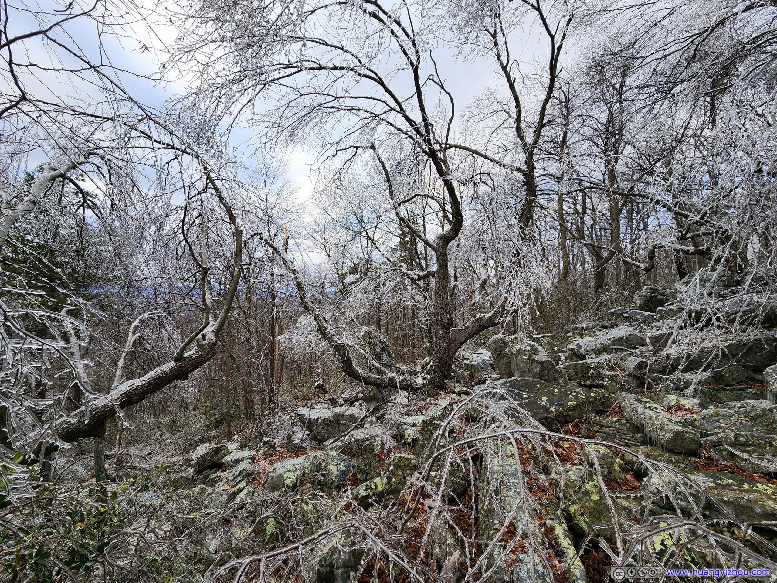
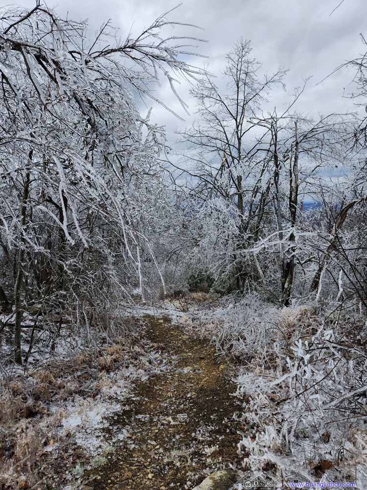
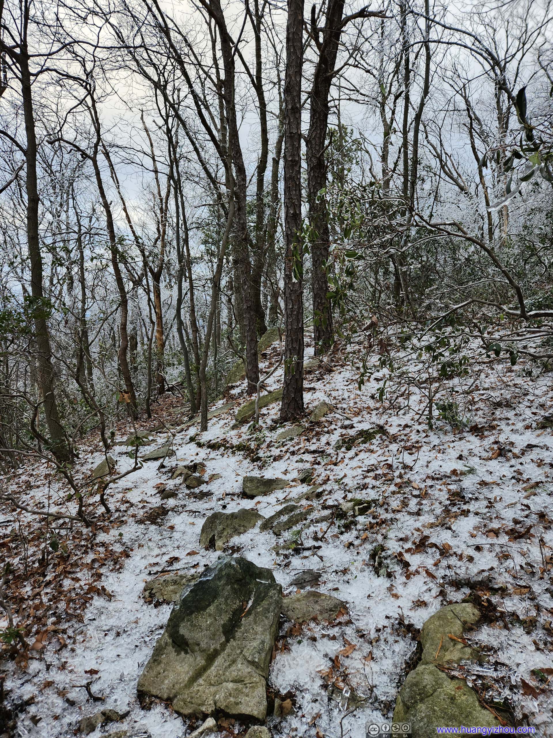
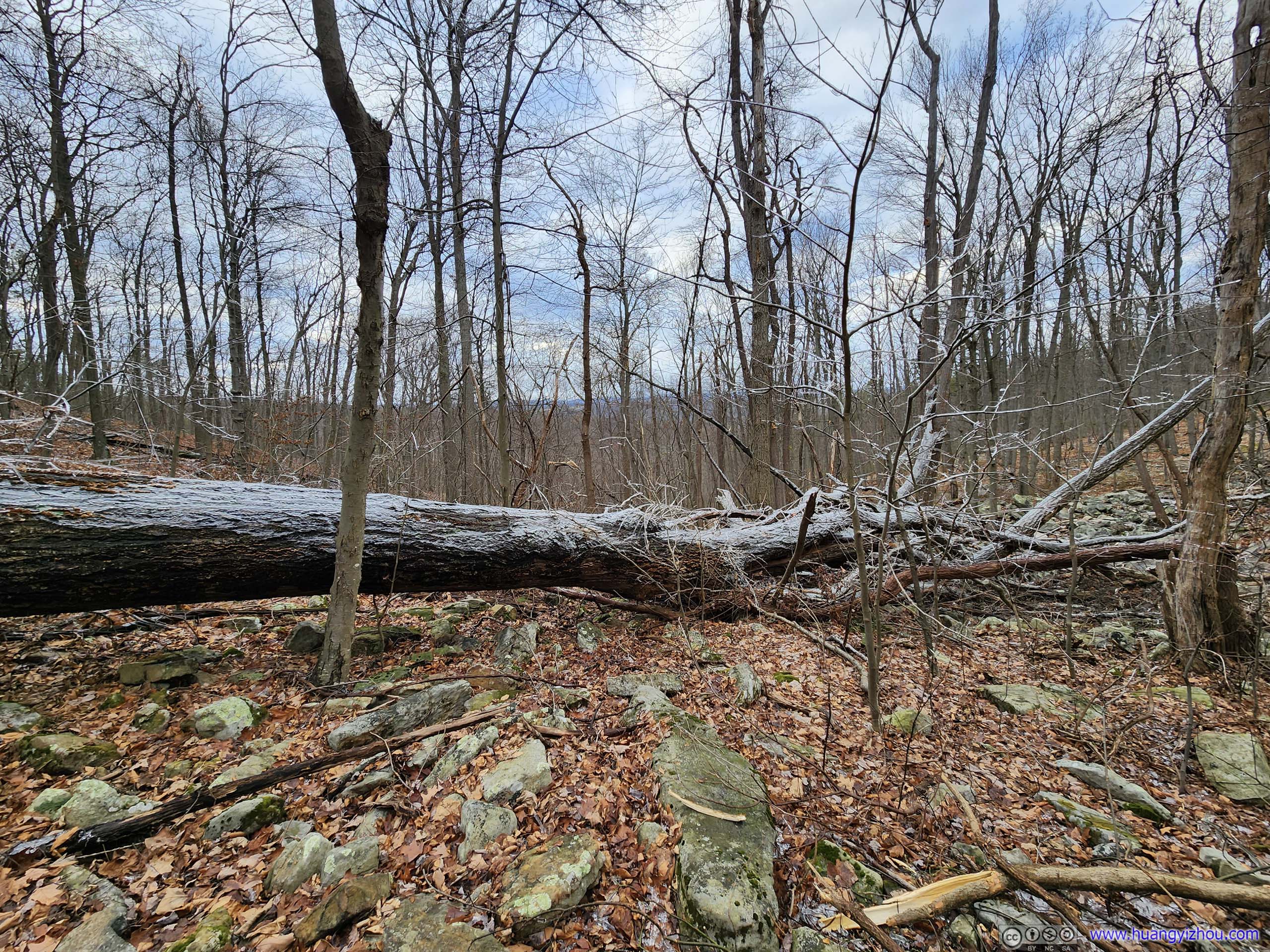
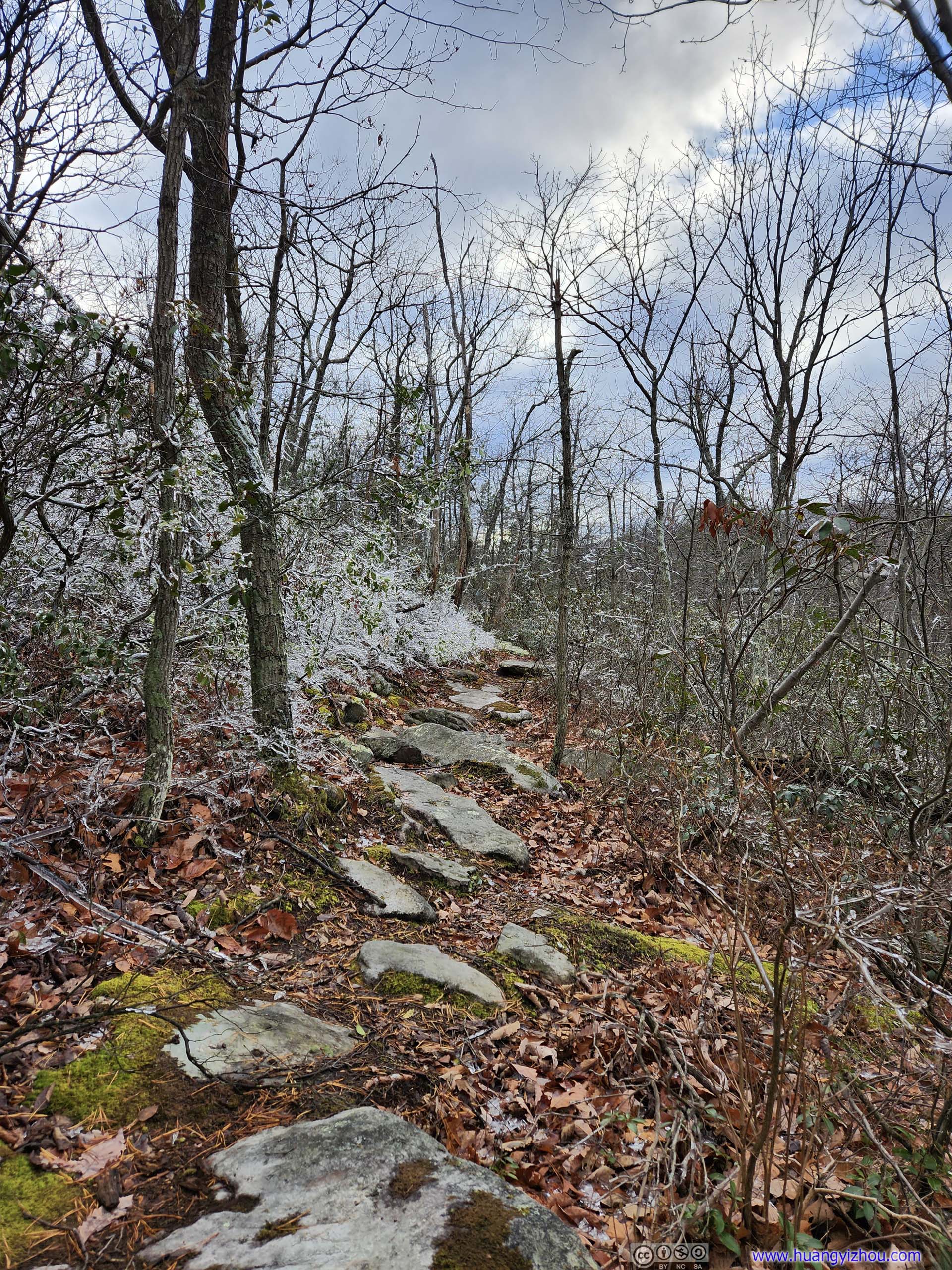
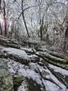
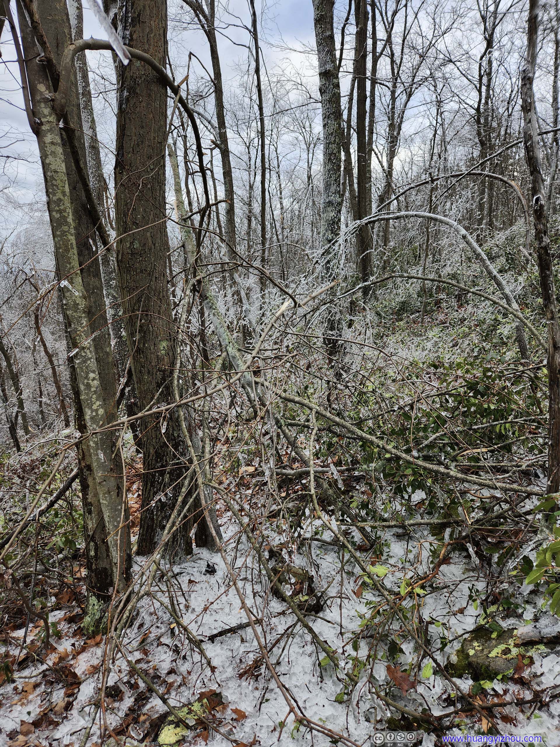
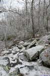
Further into Tuscarora Trail, the trail was getting more and more rocky, which slowed me down. It’s also gaining elevation, that meant icicles had their growing presence on the trees. The “observation tower”(last photo of the previous slideshow), roughly 1.5km into Tuscarora Trail, was approximately the boundary between the good and the bad part of Tuscarora Trail. After which there were occasions where a fallen tree completely blocked the trail. I had to balance myself on its frozen branches to make my way through.
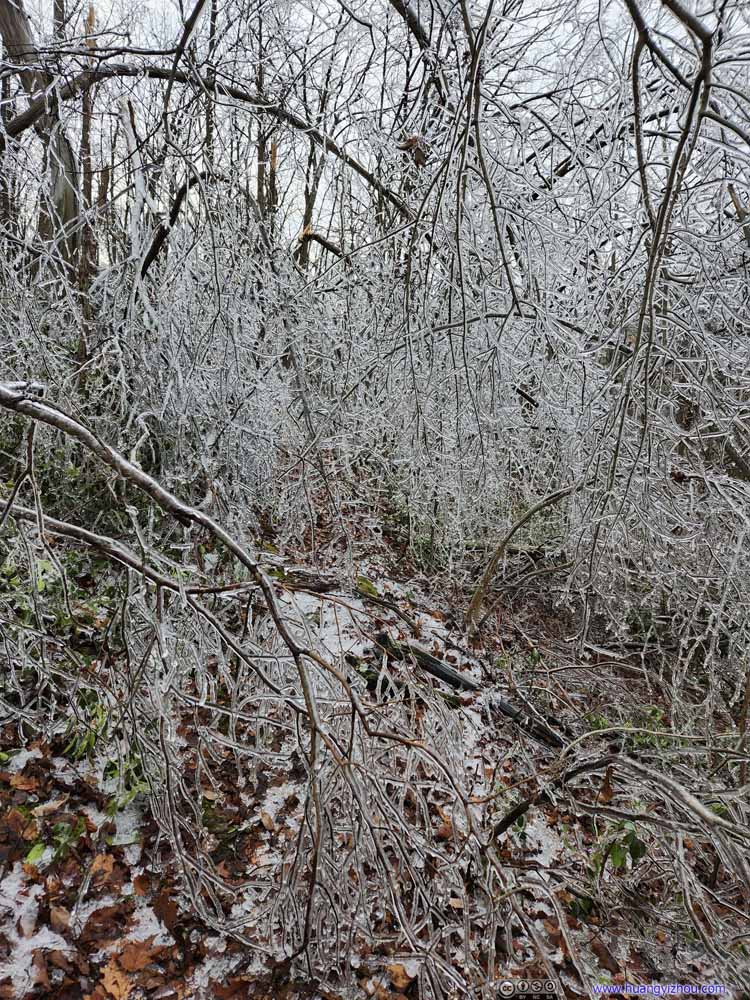 Obstacle
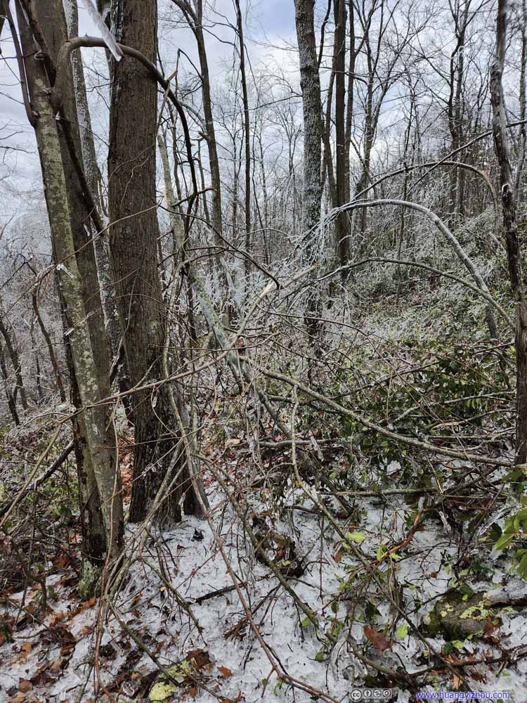 Obstacle
 Obstacle
 TrailThe condition was only marginally acceptable when there weren’t obstacles to navigate through.
 Trail
Trail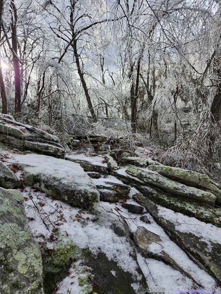 TrailNear the place where I took my rest before heading back.
Click here to display photos of the trail condition.
Obstacle
Obstacle
Obstacle

TrailThe condition was only marginally acceptable when there weren’t obstacles to navigate through.
Trail
TrailNear the place where I took my rest before heading back.
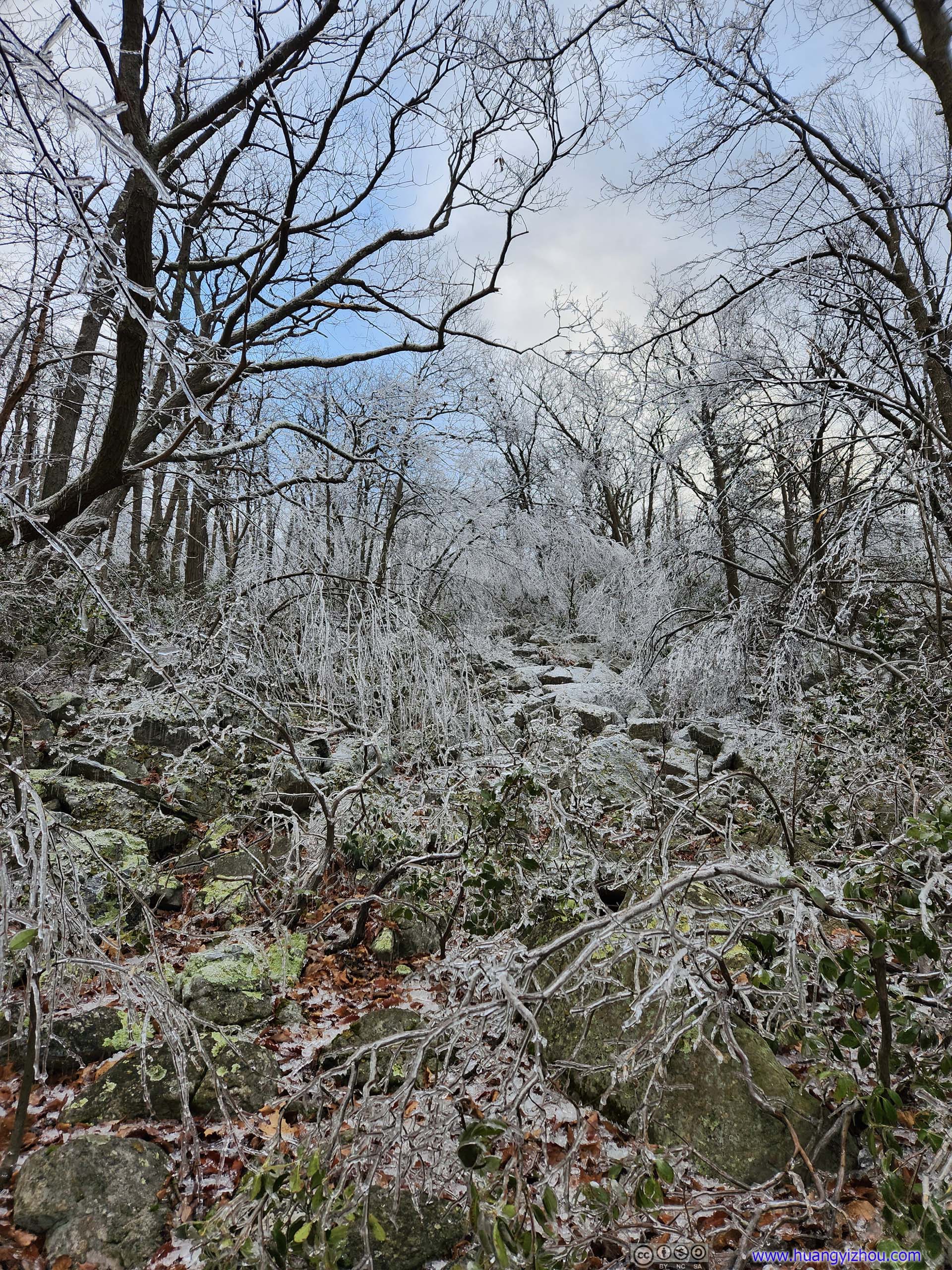
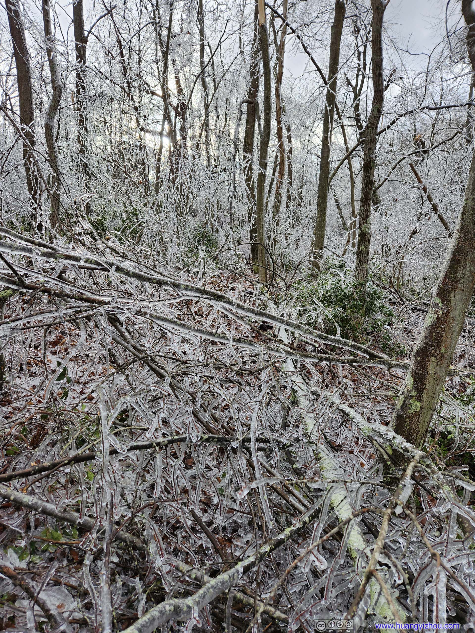
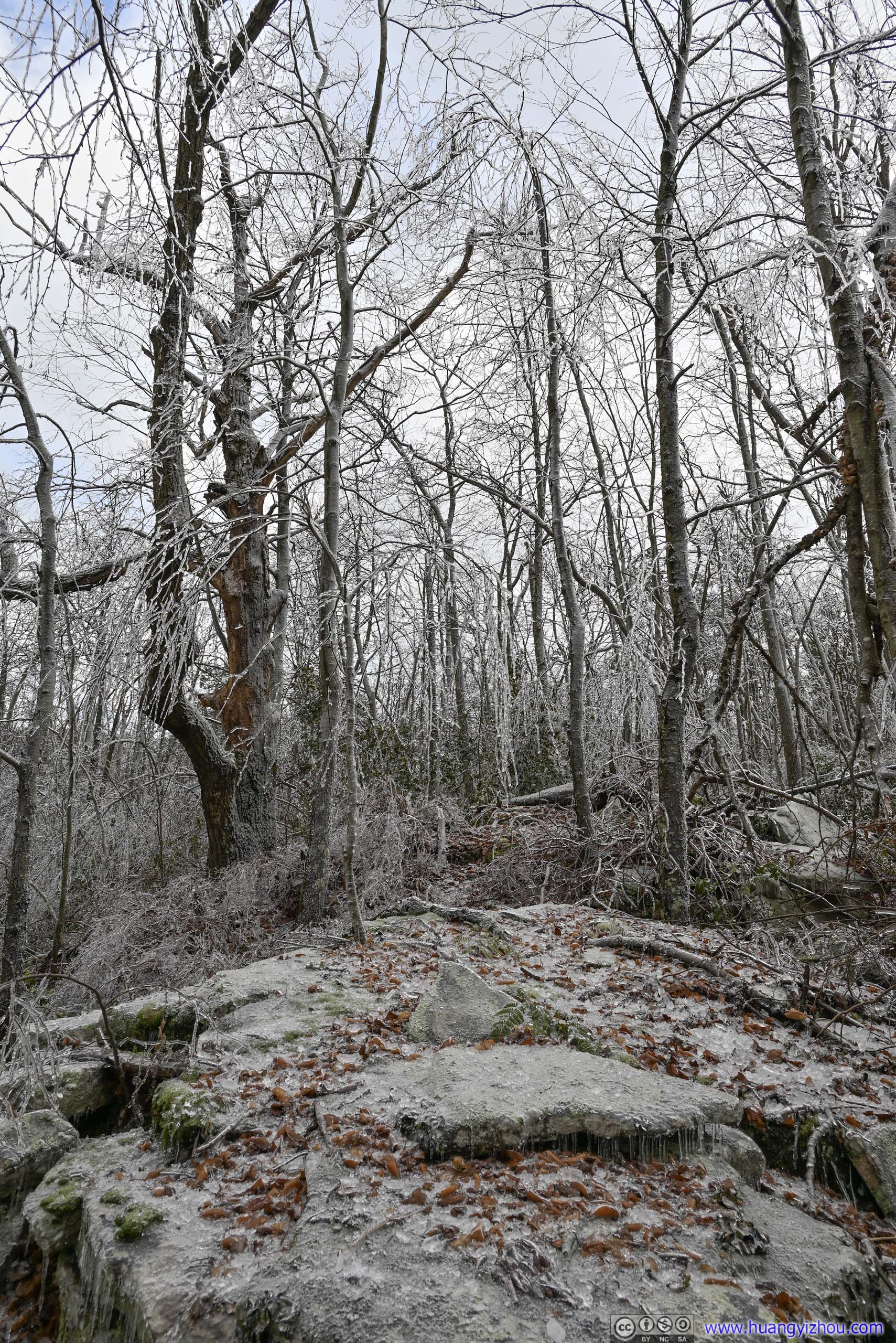
Navigating through the fallen trees turned out to be too much effort for too little fun to me, and I was running late. With a seemingly impassable obstacle (picture below), I decided I had had enough for the day, and bailed out about 150m from the loop trail after about 1 hour on Tuscarora Trail.
End of Path
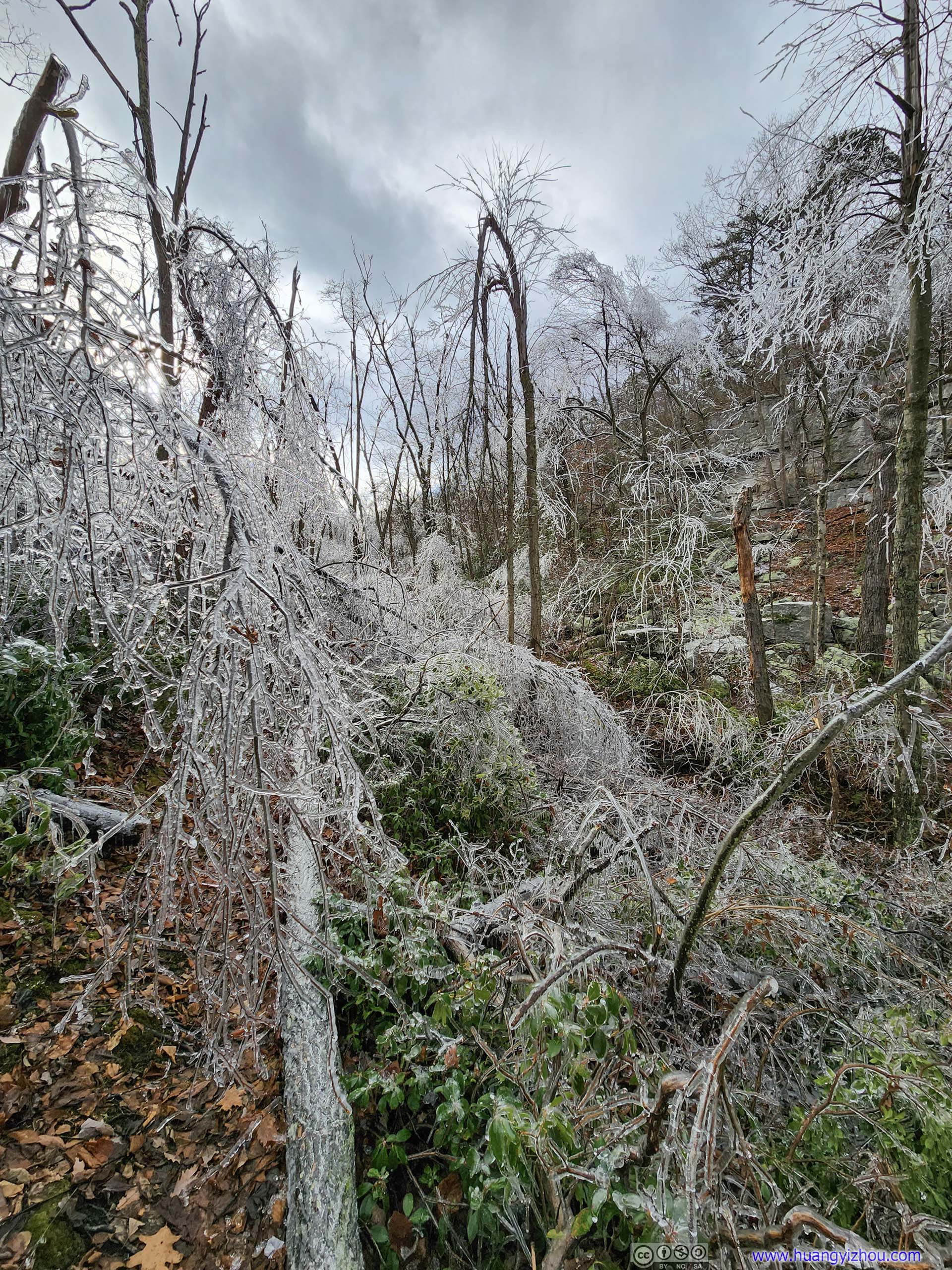
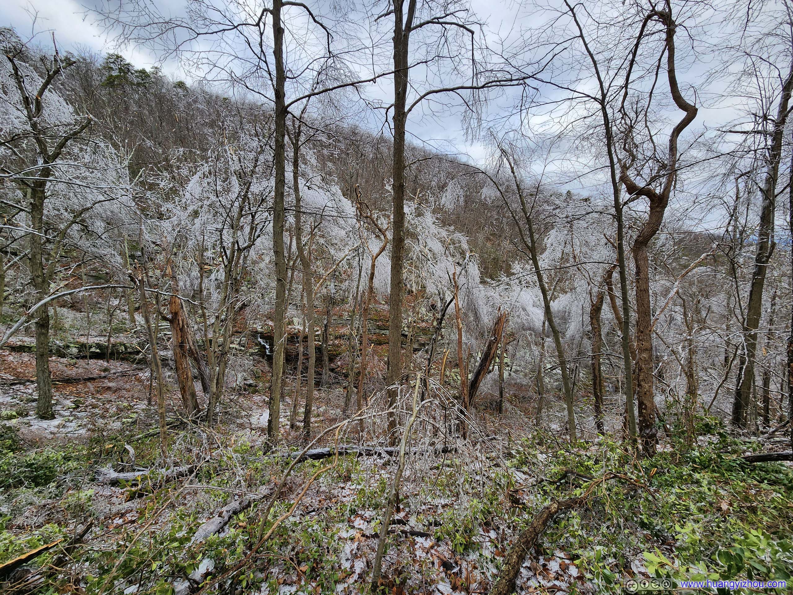
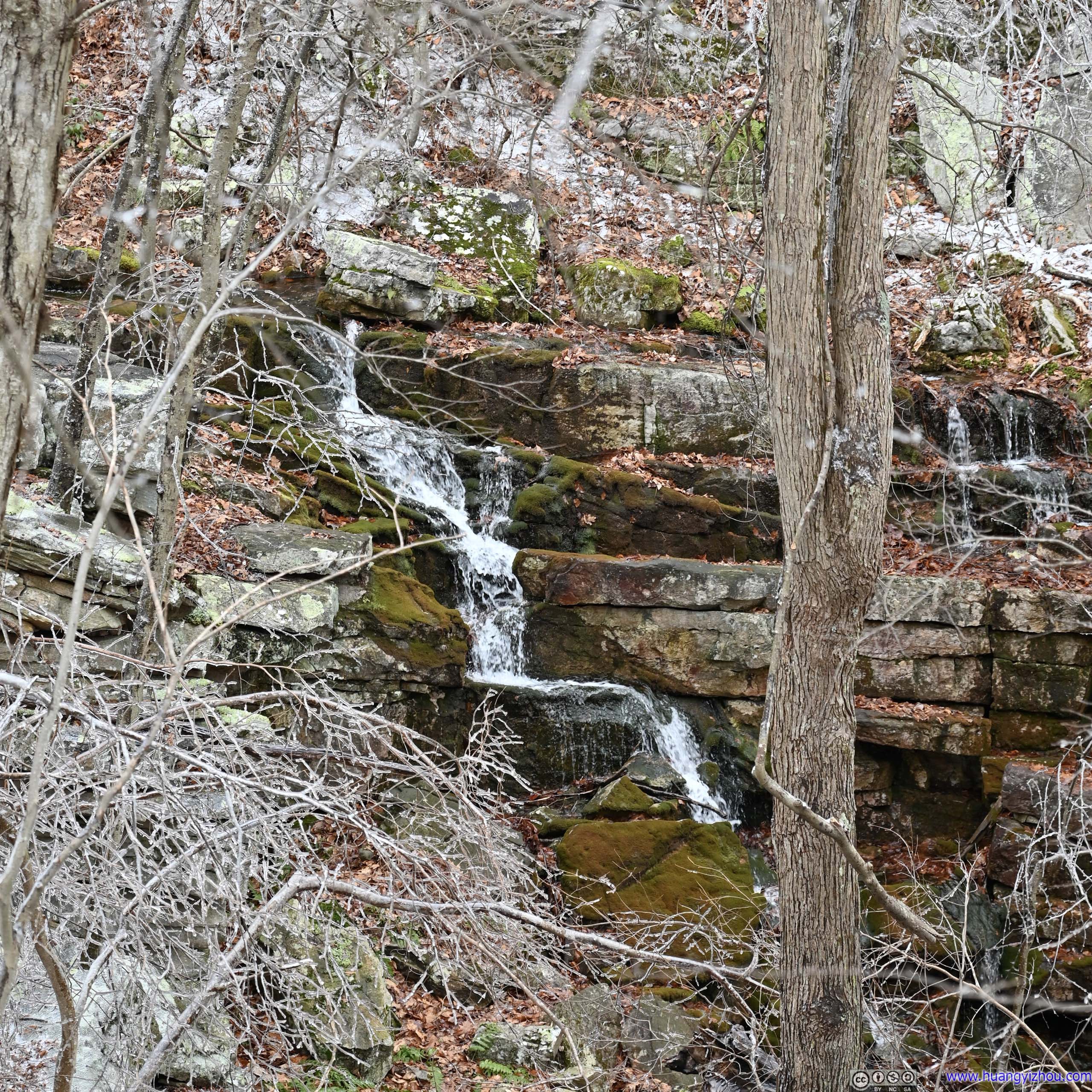
Instead, I decided to take a moment to appreciate the sceneries around me, of what looked like a magical world with the glittering reflections of ice.
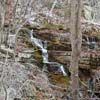
 Valley
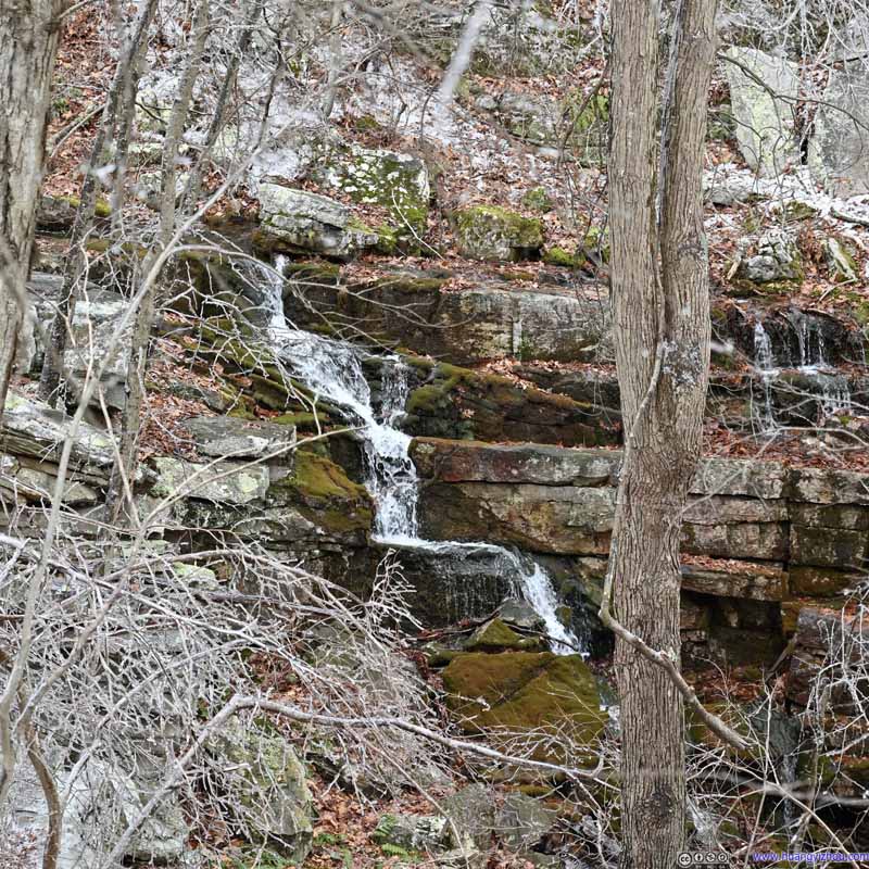 Waterfall across ValleyThe soothing sound of which was actually quite enjoyable to listen to.
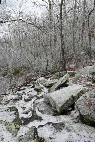
 Forest
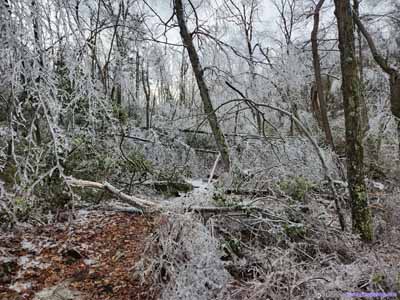

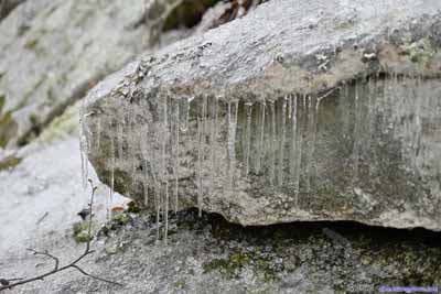
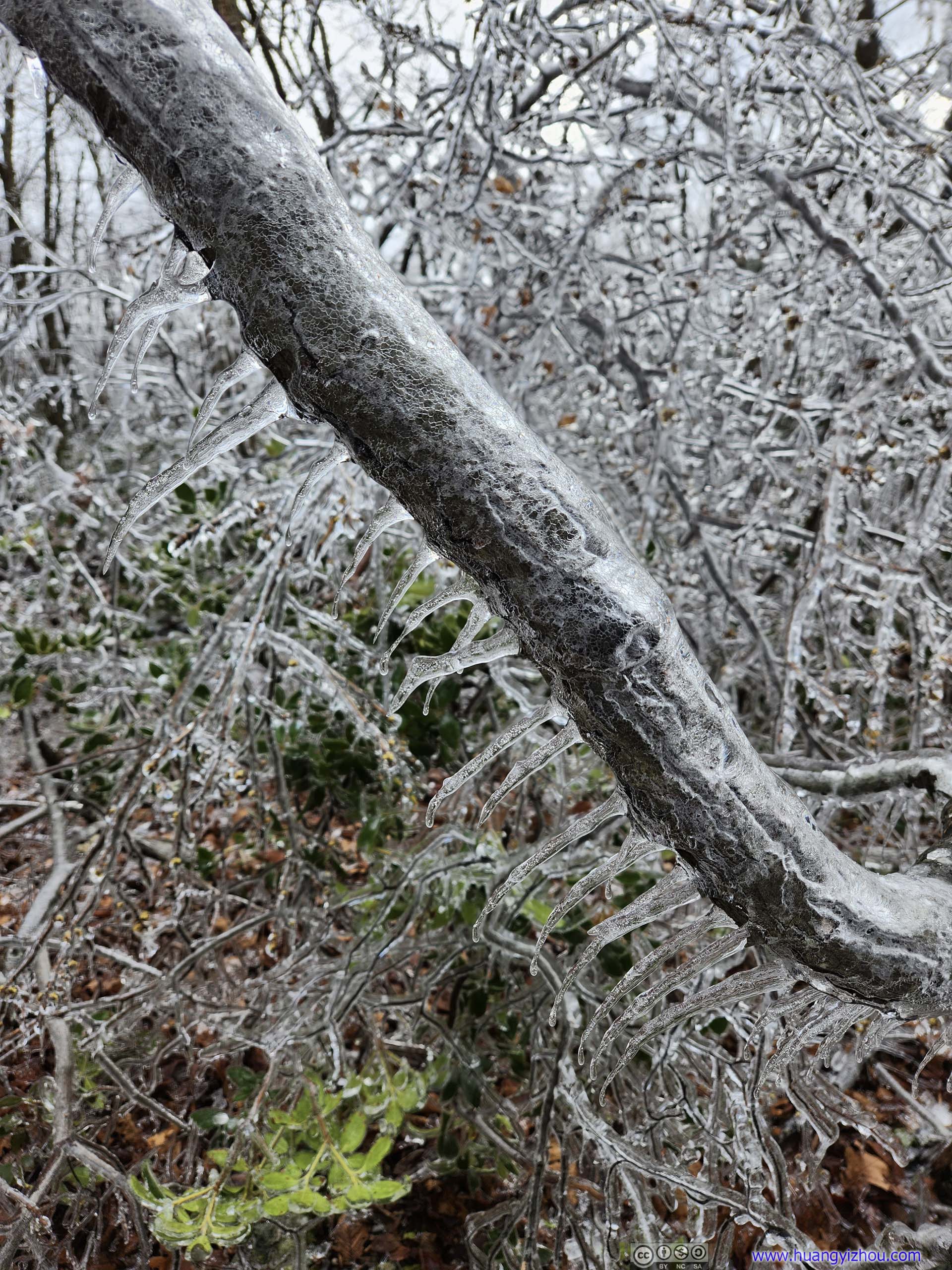
 Icicle
Click here to display photos of the slideshow
Valley
Waterfall across ValleyThe soothing sound of which was actually quite enjoyable to listen to.

 Forest

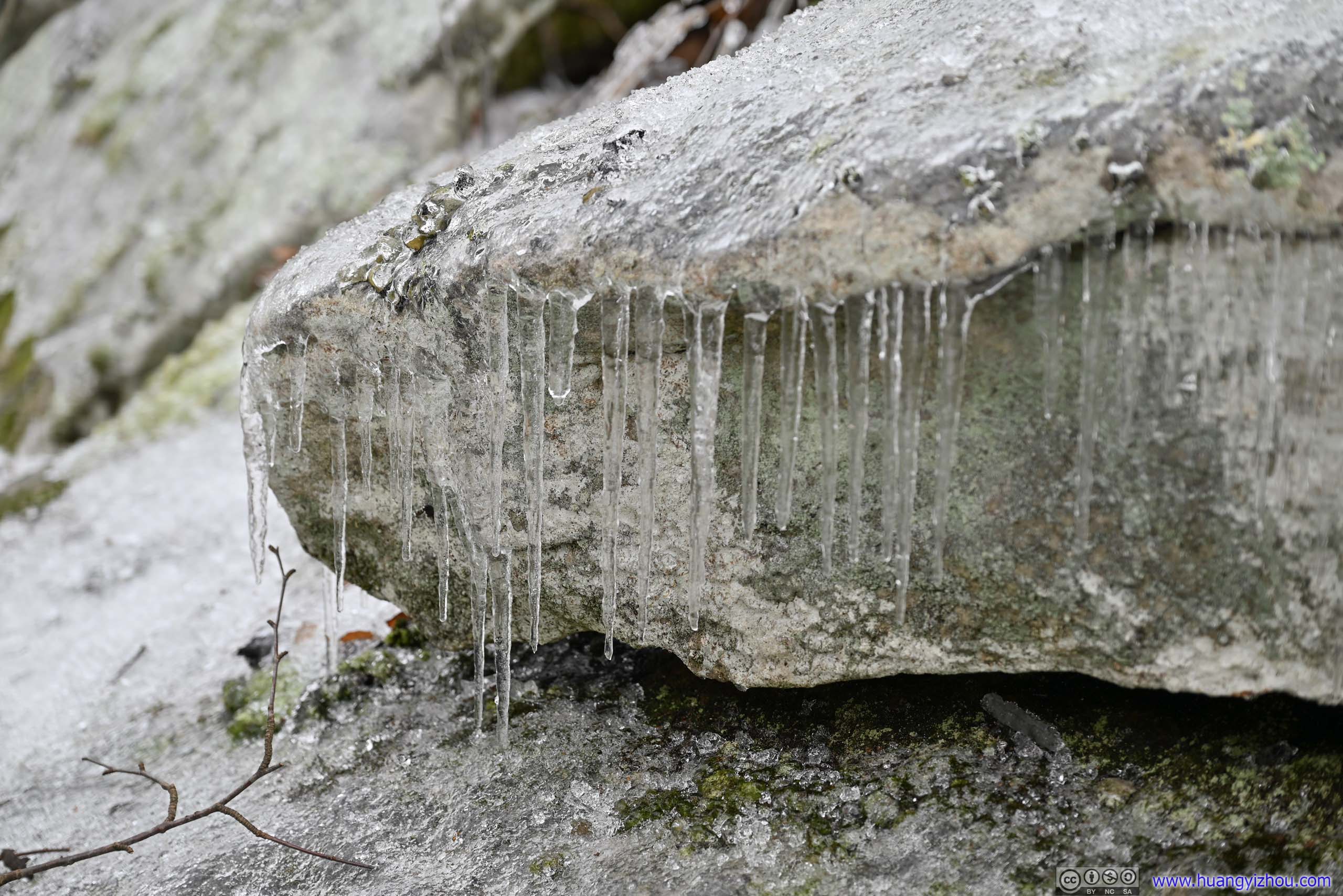
 Icicle
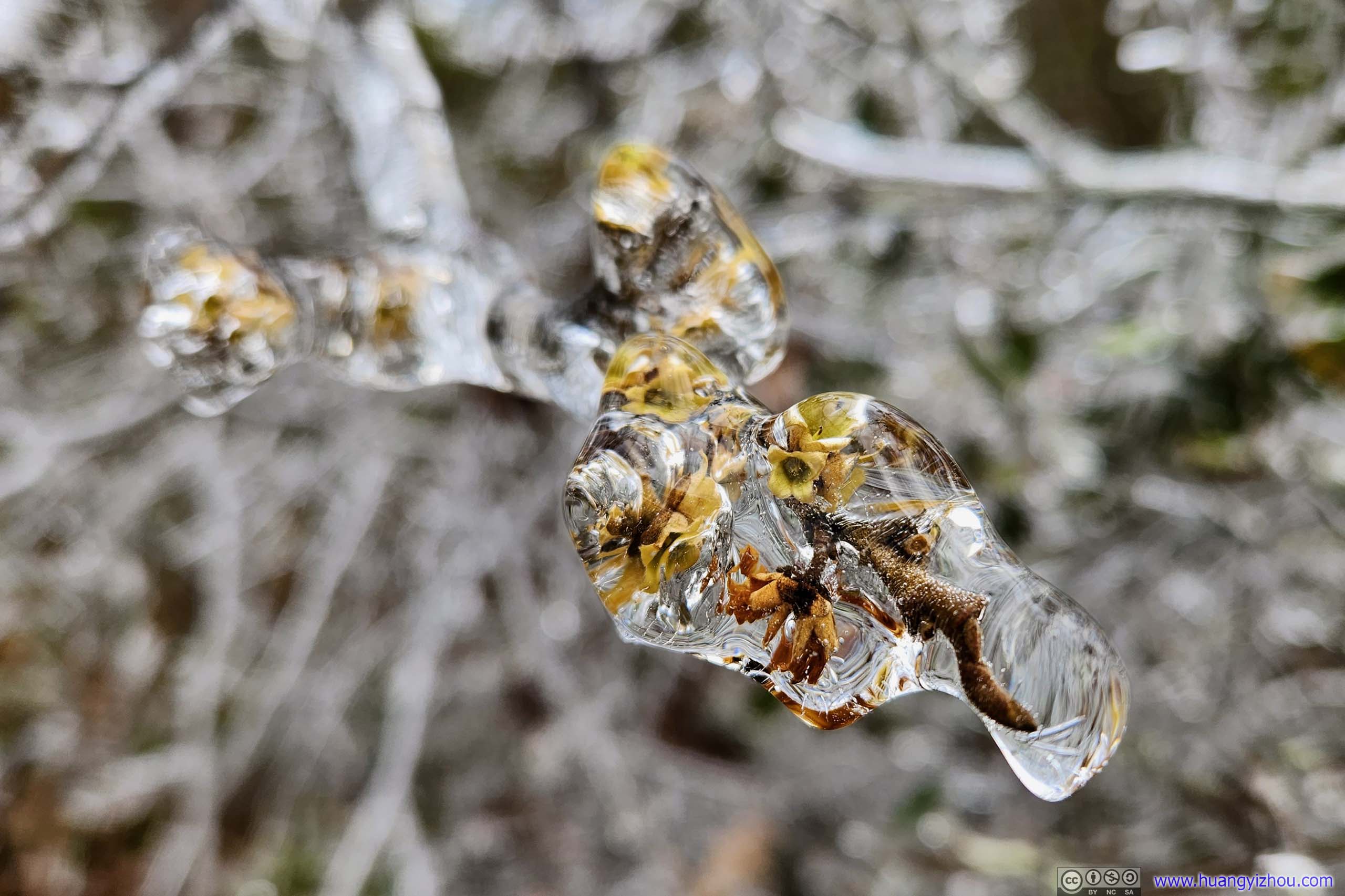
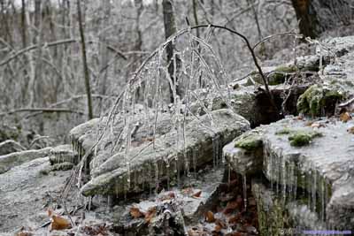
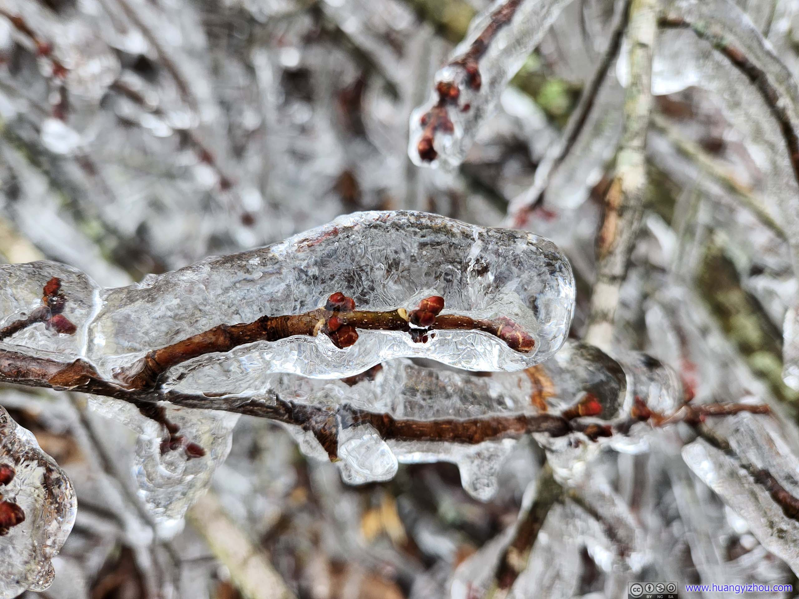
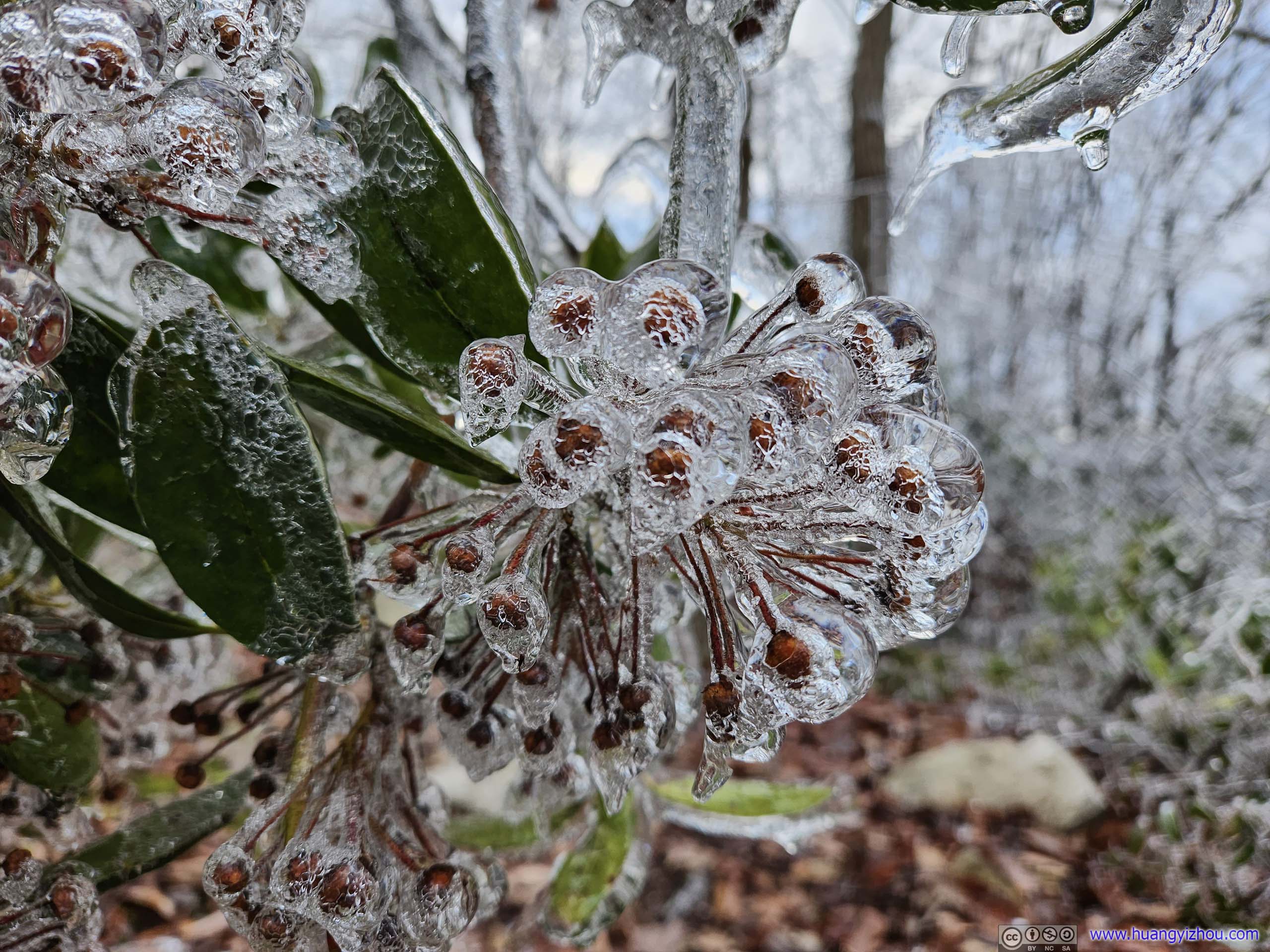
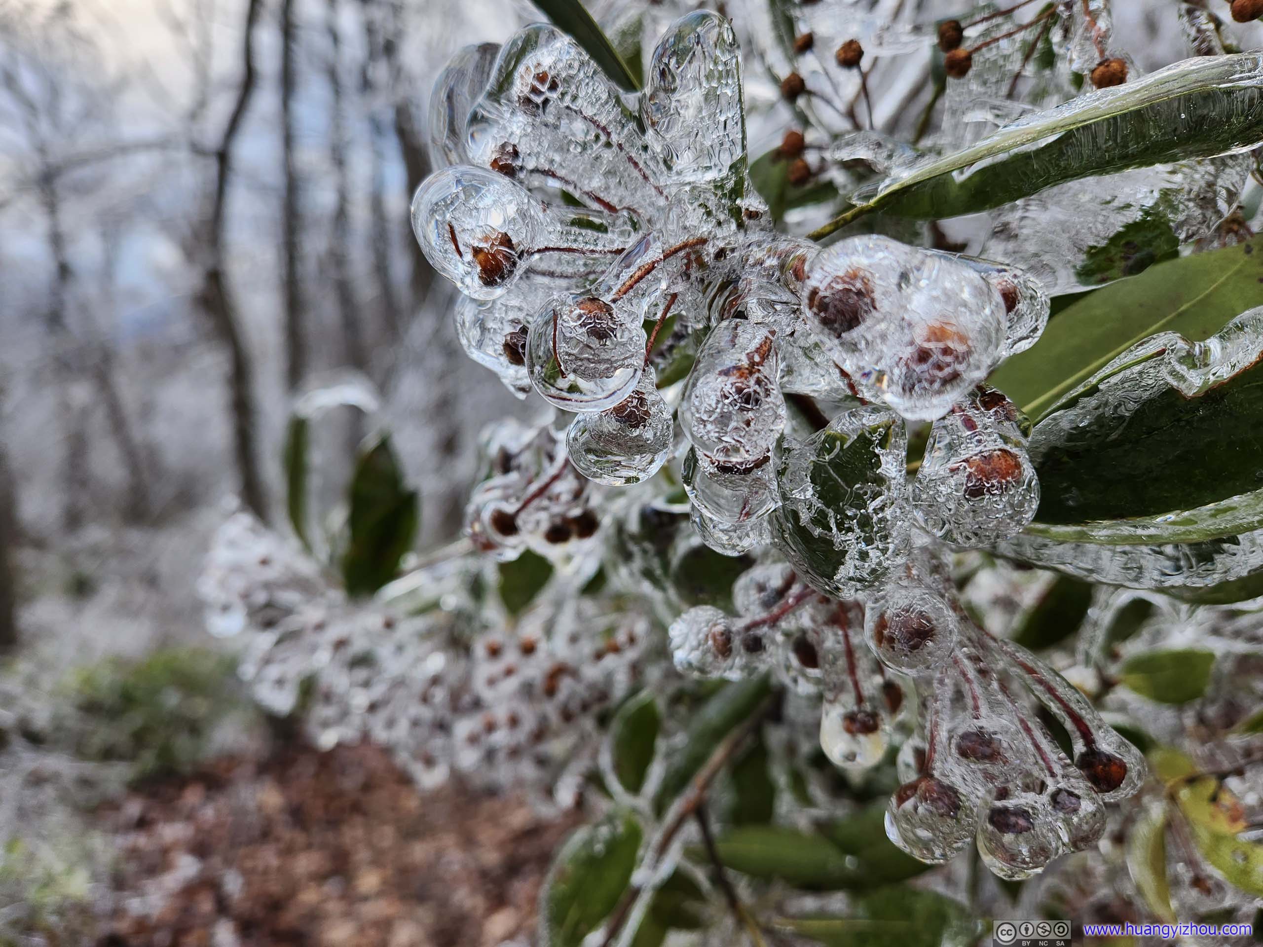
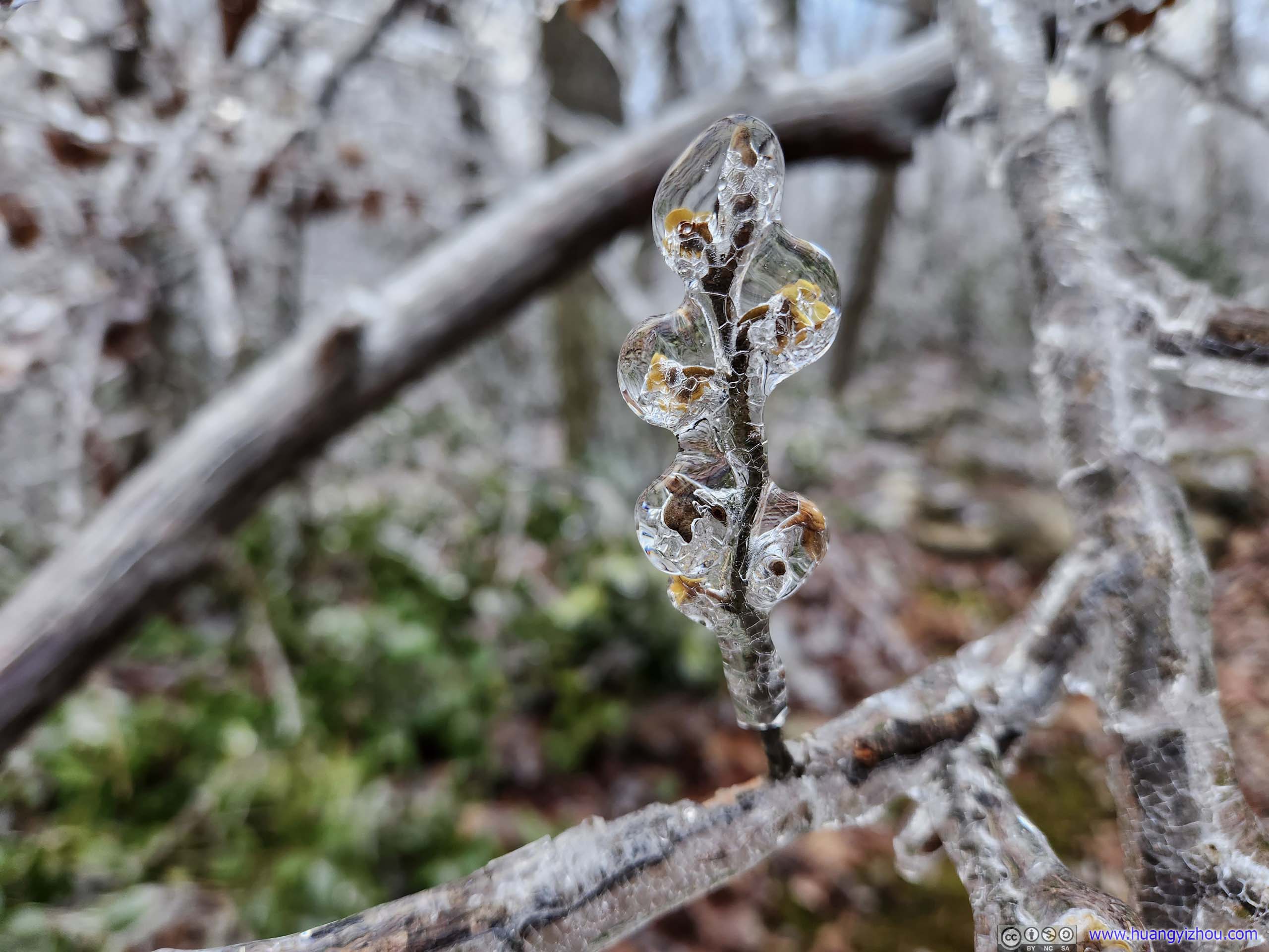
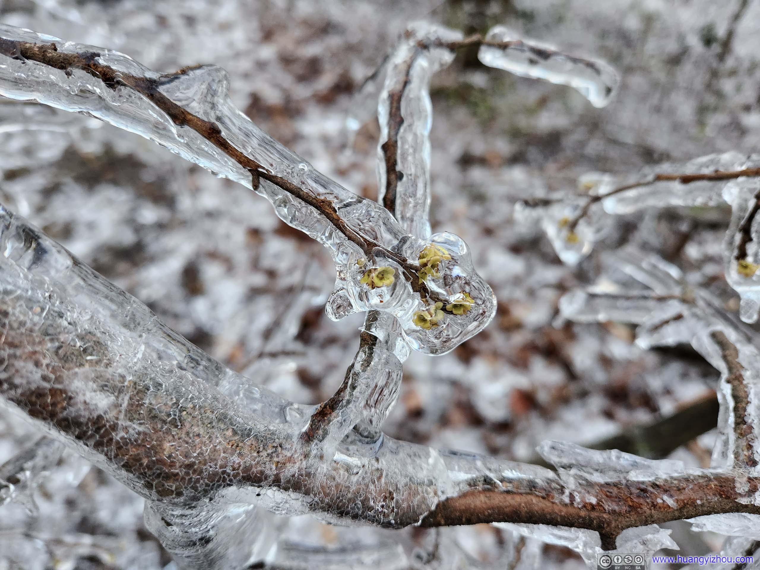
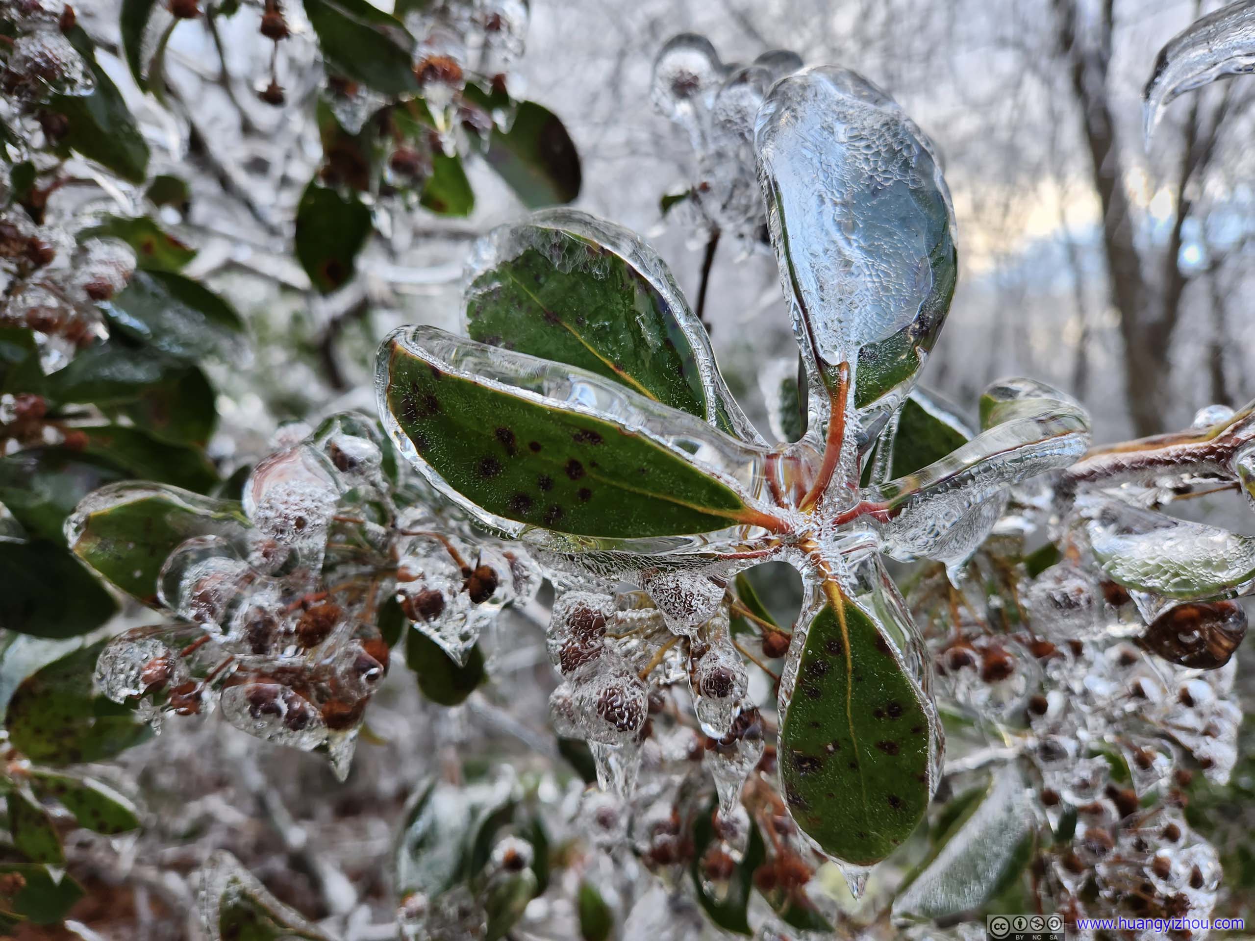
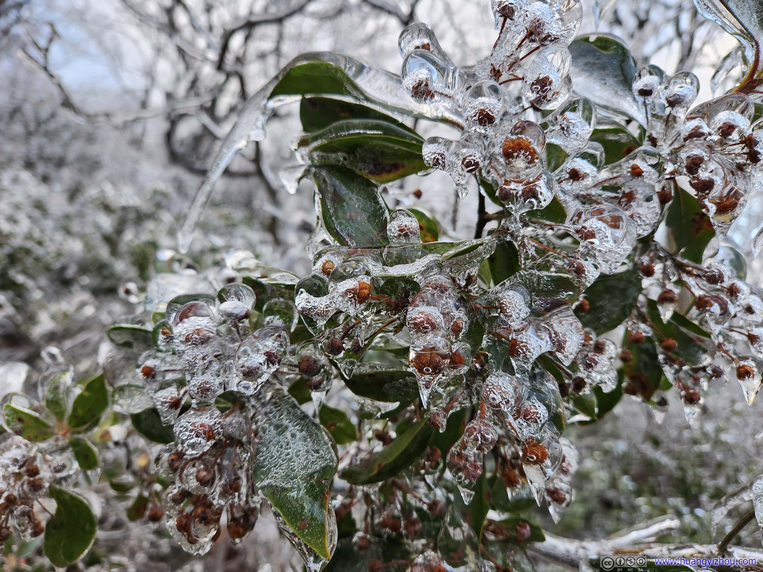
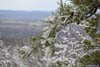
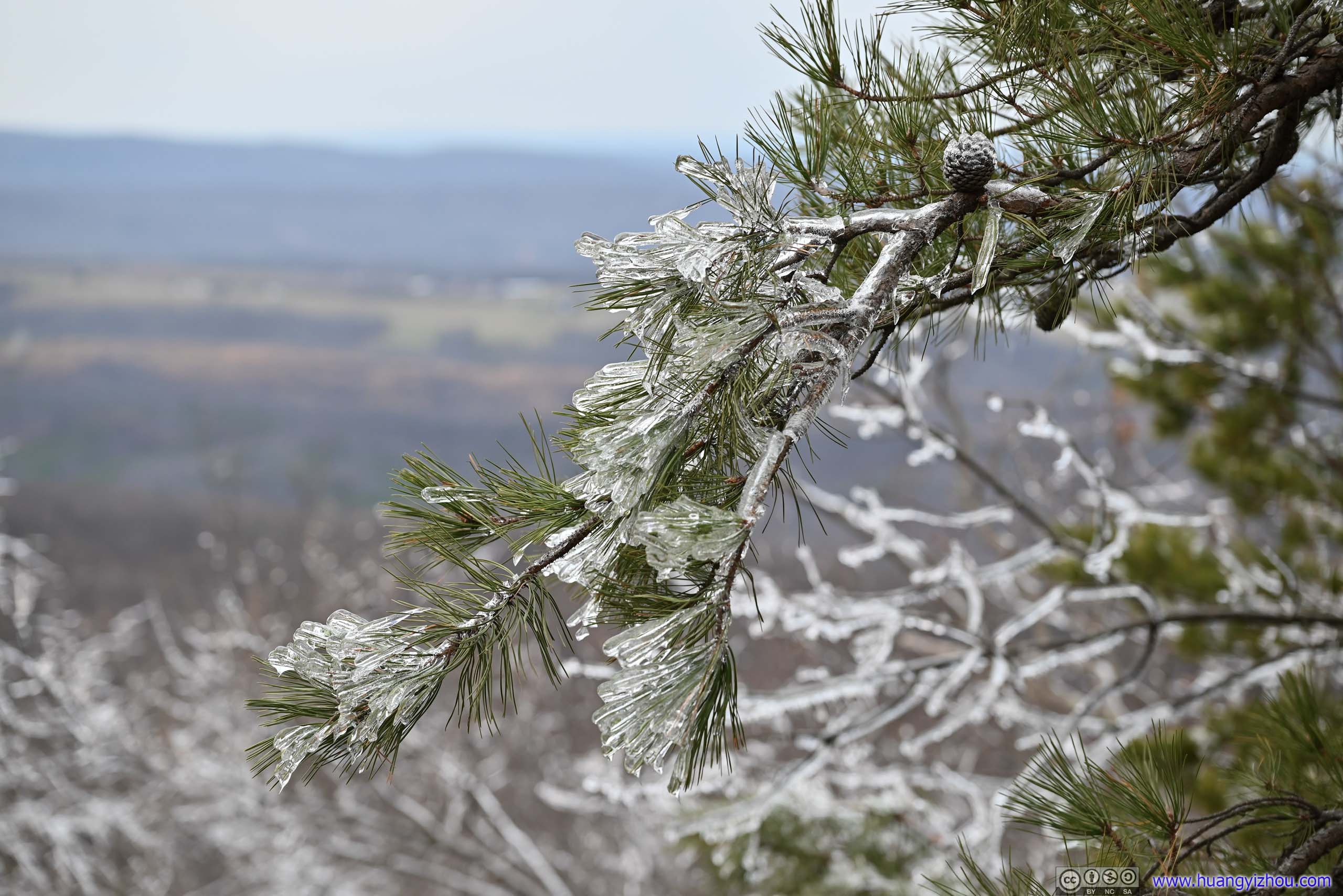
I took a 20-minute rest before tracing my way back. To cheer myself up, I found many of the icicles were covering what looked like flower buds on the trees, and they were looking lovely under the crystal grains of the ice. It’s like peeking into a snow globe and appreciating the beauty within.
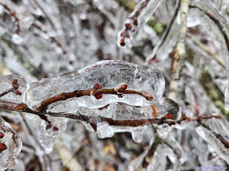 Frozen Flower Bud
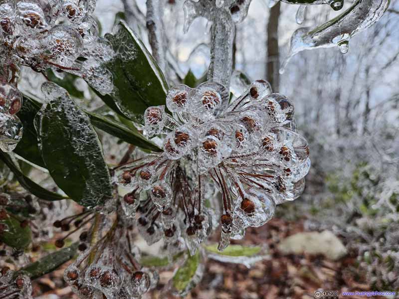 Frozen Flowers and Leaves
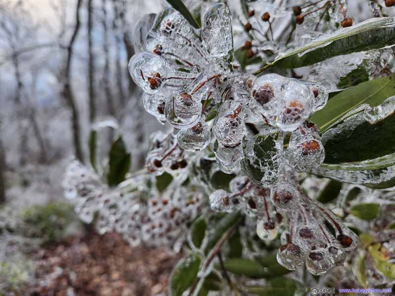 Frozen Flowers and Leaves
 Frozen Flowers
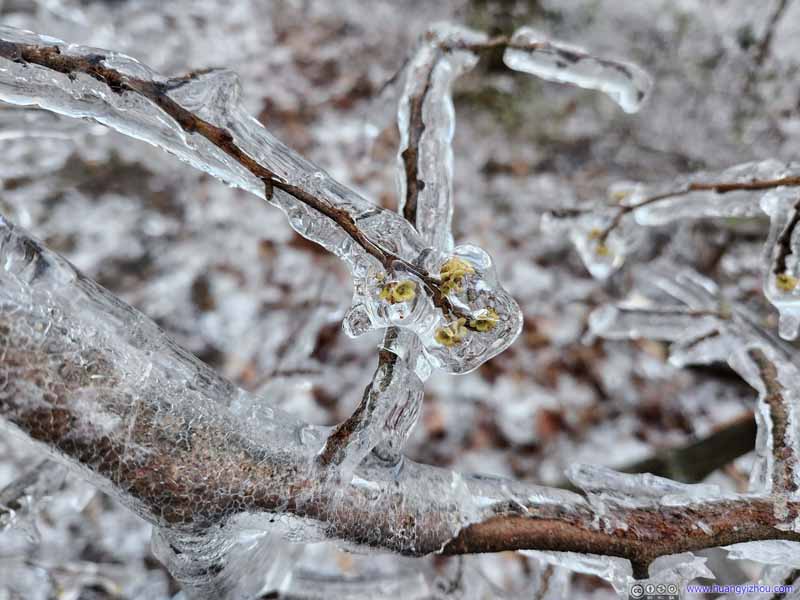 Frozen Flowers
 Frozen Flowers and Leaves
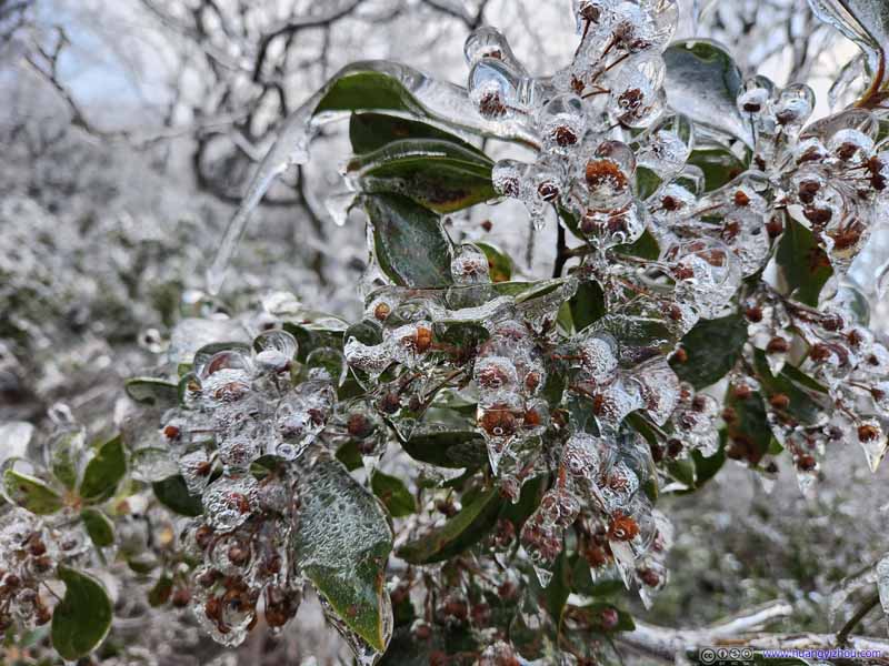 Frozen Flowers and Leaves


Click here to display photos of the slideshow
Frozen Flower Bud
Frozen Flowers and Leaves
Frozen Flowers and Leaves
Frozen Flowers
Frozen Flowers
Frozen Flowers and Leaves
Frozen Flowers and Leaves
Since I cut short the planned hike, I was no longer in a hurry on my way back, and the many sculpture-like icicles that I explored along the trail certainly cheered me up.
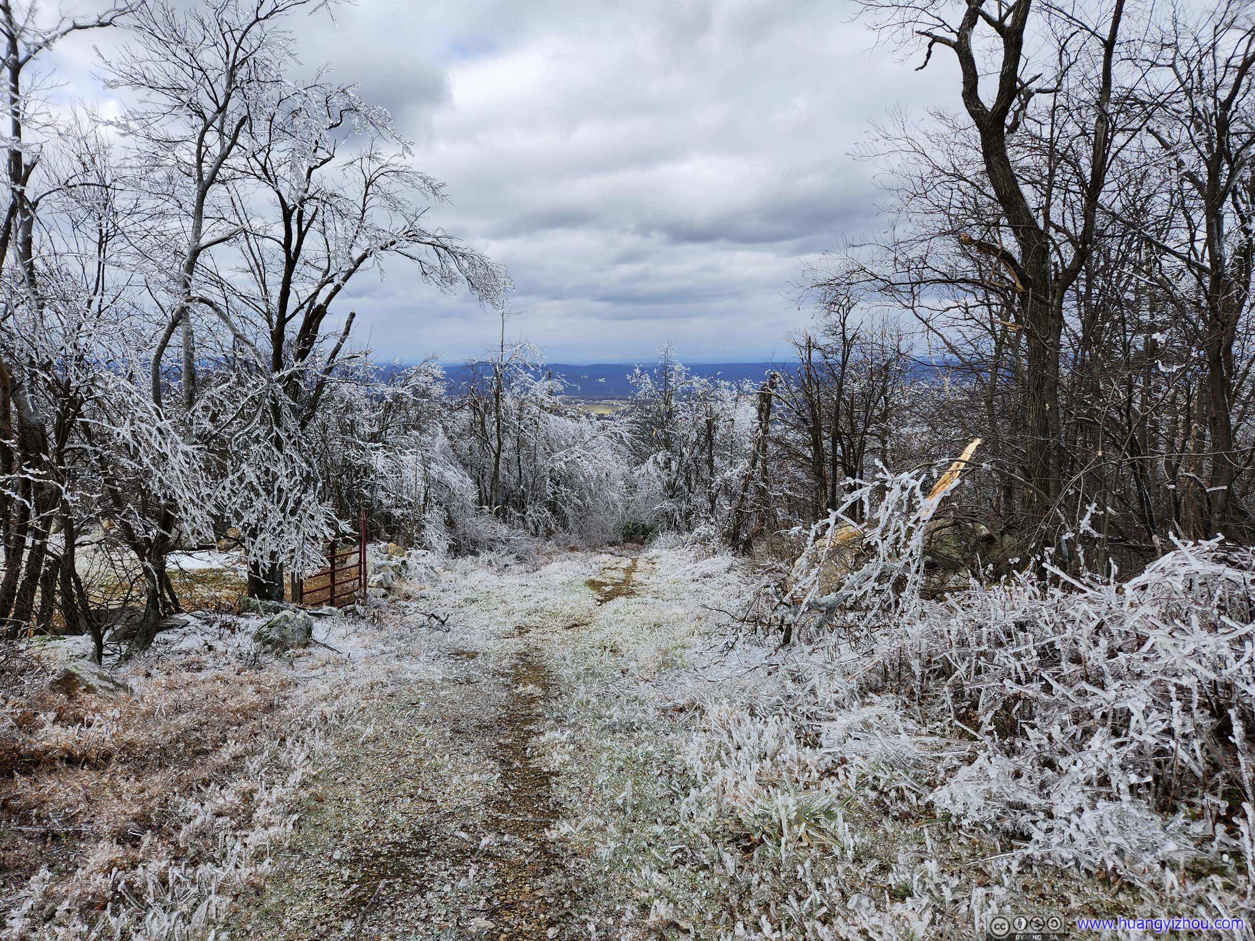
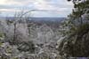
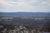
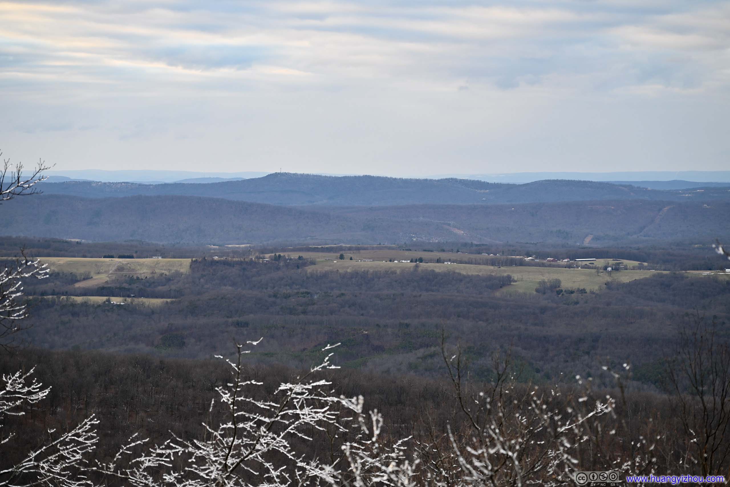
Along Biby Trail, about 400m from trailhead, there was a short spur leading to “Allegheny View”, which was the best vista of the day, but the views were hardly exciting compared to the other hikes in the region.
Just that I could appreciate how the frozen rain only seemed to befall the ridge that I was on, while distant Allegheny mountains mostly stayed dry.
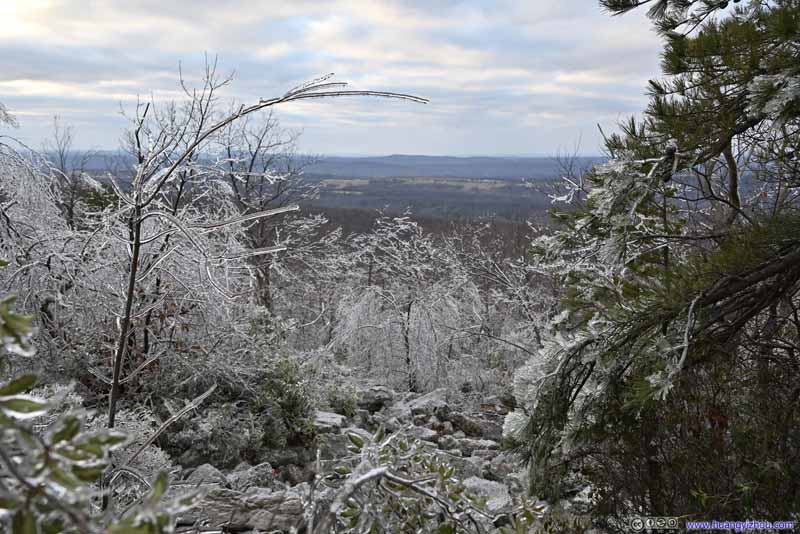 Allegheny View
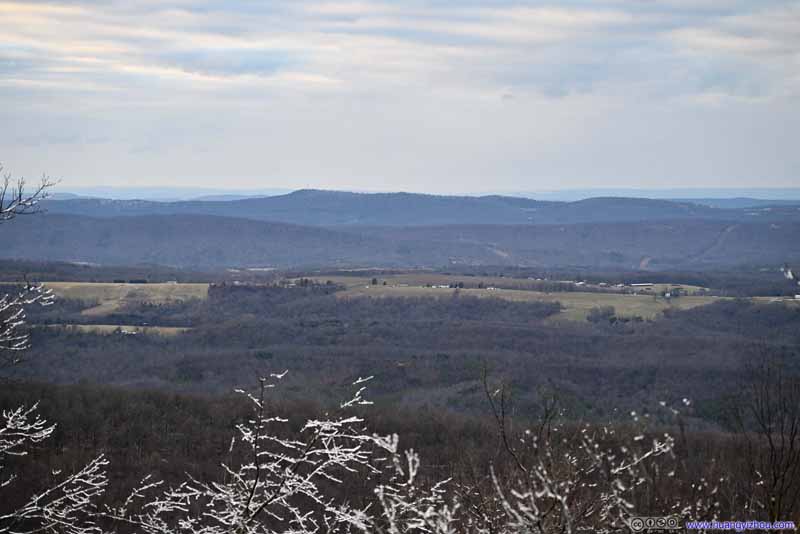 Allegheny View
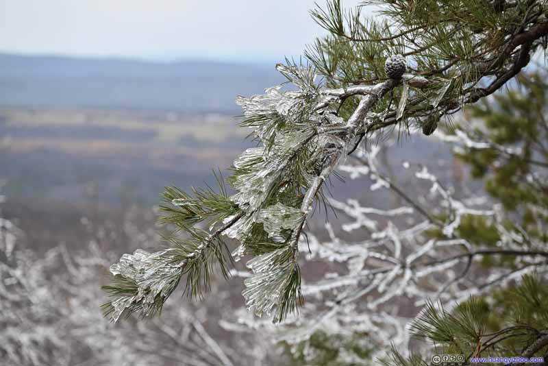 Icicle on Tree
Click here to display photos of Allegheny View.
Allegheny View
Allegheny View
Icicle on Tree
Wind picked up slightly as I was near the end of this hike, and the icicles on tree branches were hitting each other, making crystal-clear music. If not for the difficulties navigating around them, I felt myself in a winter wonderland that should only exist in fairytale stories. So I took a brief video to record the moment.
18 seconds, 2160p30fps, 28MB for H265, 32MB for H264.
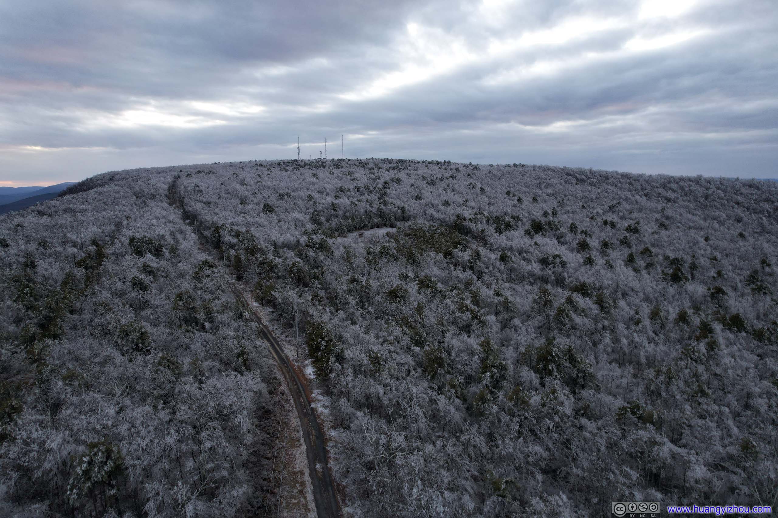
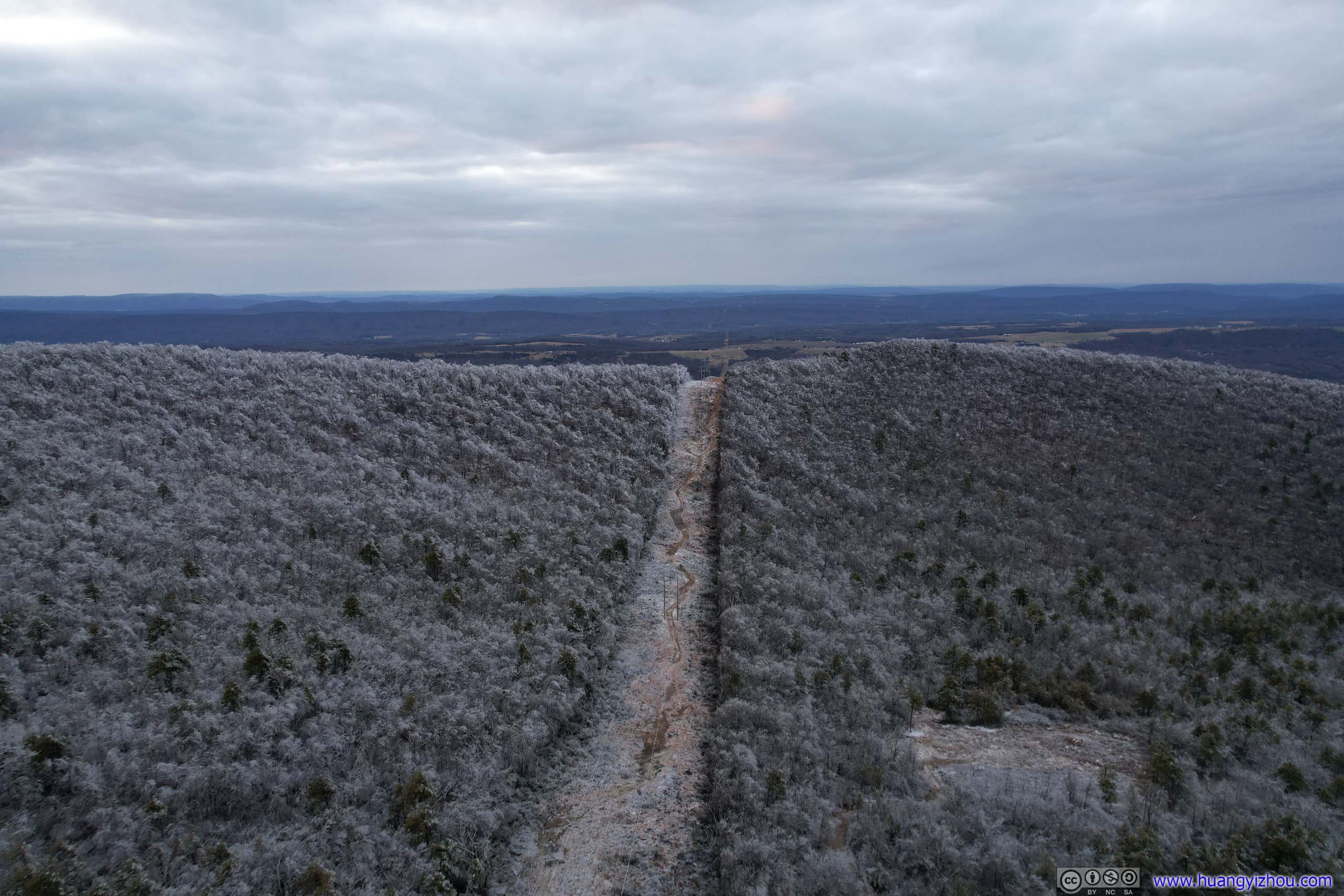
Finally, I was back in my car after 4 hours of hike, covering only 6km in distance. Trying to salvage the day, I noted that on the map, Pinnacle Overlook was only 900m away from the paved road called Timber Ridge Trail, with a path underneath some powerlines that could potentially serve as a shortcut (only that the path was on private property). I carried my drone with me and thought with enough daylight left, I could do an aerial tour instead. So I drove down the road, parked by the powerlines, and launched my drone.
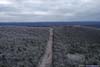
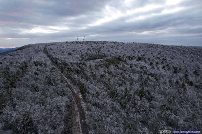 Road in ForestA dirt road leading to some signal towers.
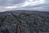
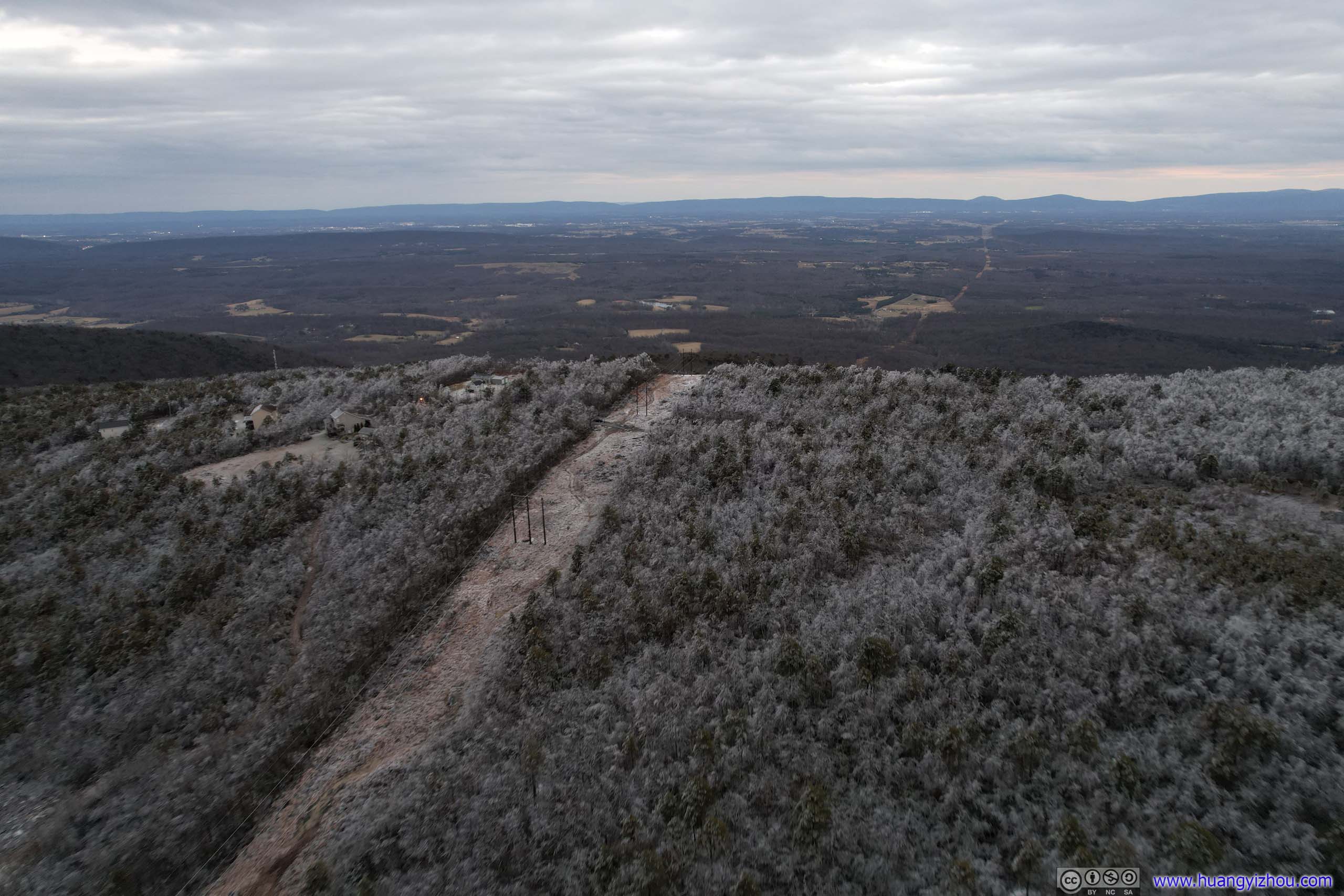
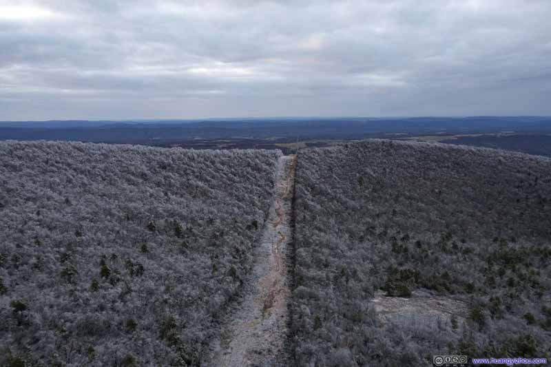 Clearing for Power LineThere’s a path underneath the power lines. Unfortunately, that’s not a public trail.
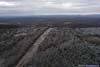
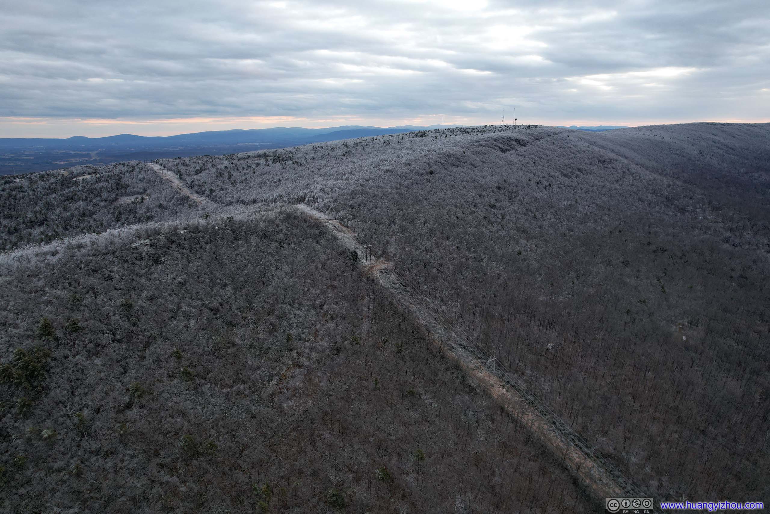
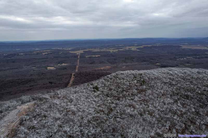 HillPinnacle, the end of my planned hike, was roughly the mountaintop in the center of this photo.
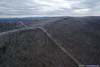
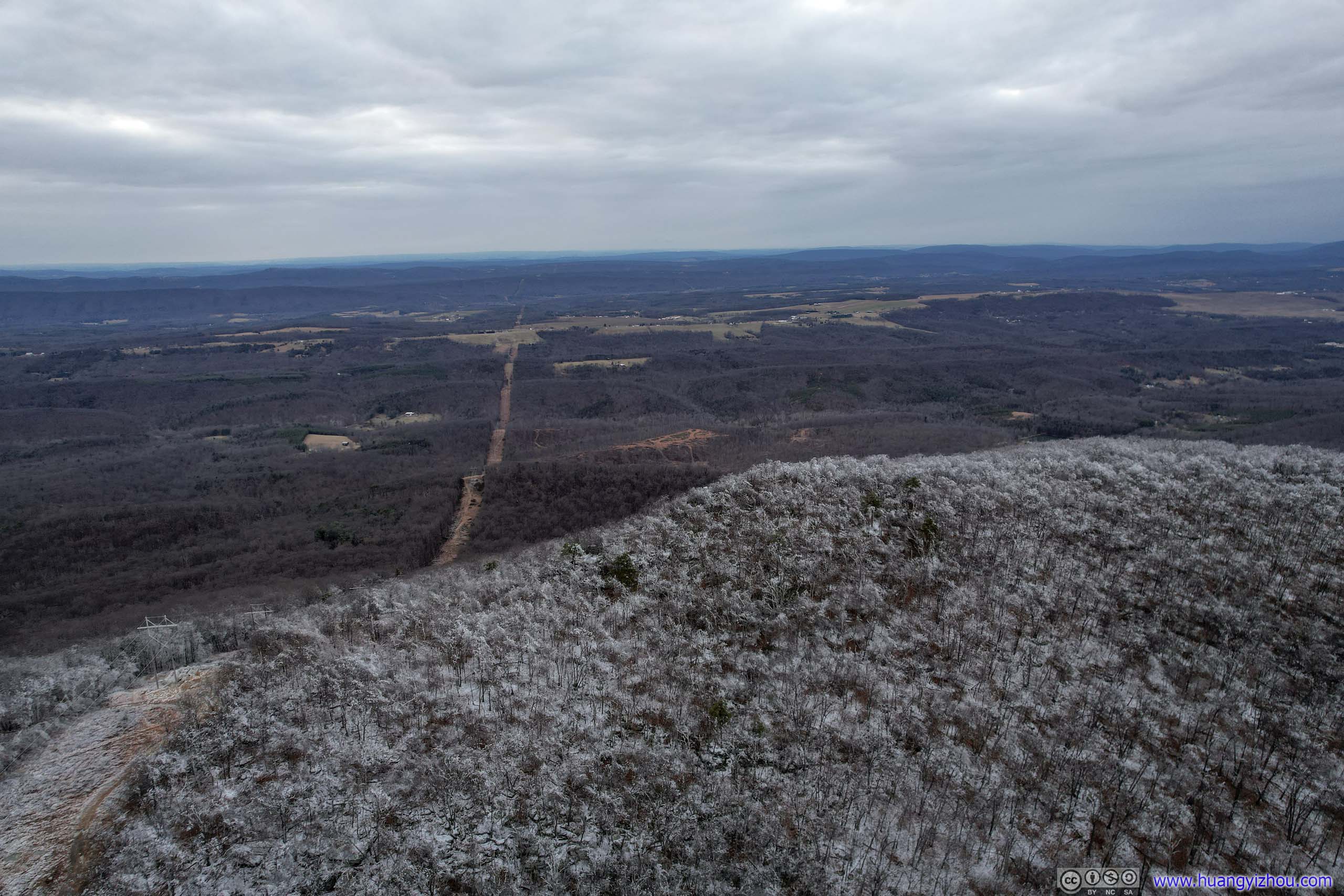
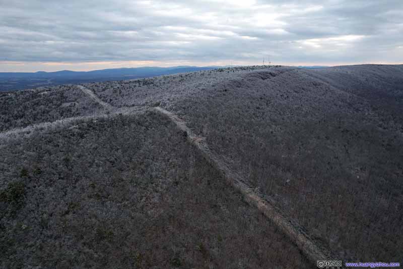 HillsideA clear sign that ice was only present at higher elevations.
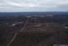
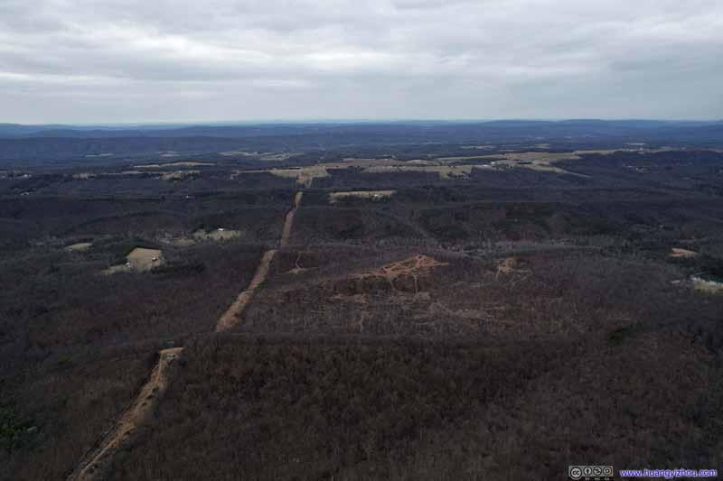 Fields to the WestClearing for the power lines clearly visible. No signs of ice.
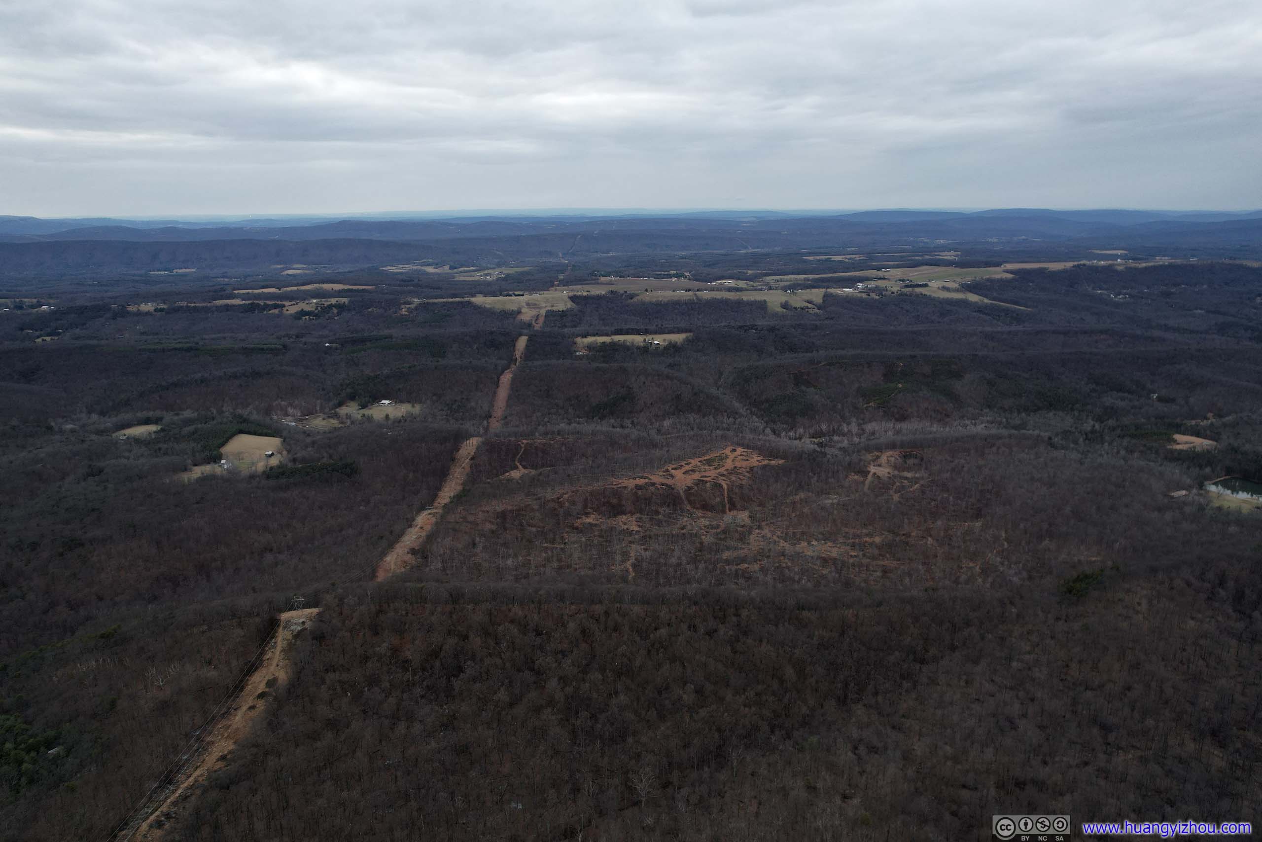
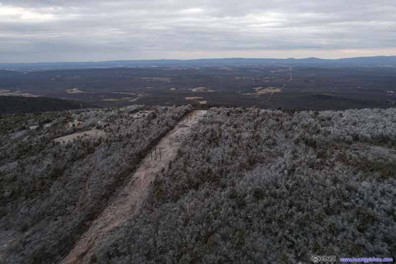 Fields to the EastClearing for the power lines extended towards the Appalachian Mountains.
Click here to display photos of the slideshow
Road in ForestA dirt road leading to some signal towers.
Clearing for Power LineThere’s a path underneath the power lines. Unfortunately, that’s not a public trail.
HillPinnacle, the end of my planned hike, was roughly the mountaintop in the center of this photo.
HillsideA clear sign that ice was only present at higher elevations.
Fields to the WestClearing for the power lines clearly visible. No signs of ice.
Fields to the EastClearing for the power lines extended towards the Appalachian Mountains.
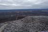
From the drone photos, it’s clear that ice was only present on top of ridge/hill. If not for my struggles with ice this would be a rather pleasing sight.
 Icy Hill
And here’s a video from my drone:
And this pretty much concluded my day.
END
![]() Failed Hiking to Pinnacle Shelter via Tuscarora trail by Huang's Site is licensed under a Creative Commons Attribution-NonCommercial-ShareAlike 4.0 International License.
Failed Hiking to Pinnacle Shelter via Tuscarora trail by Huang's Site is licensed under a Creative Commons Attribution-NonCommercial-ShareAlike 4.0 International License.