
Updated on November 6, 2023
Day 1 of May 2023 Trip to West Virginia, Blackwater Falls
For 2023’s Memorial Day weekend, I made a trip to West Virginia, checking out the country’s newest National Park, New River Gorge. This post was about the Friday before the weekend, when I made the drive from Washington DC to Summersville, WV, while stopping at Davis, WV along the way to check out Blackwater Falls State Park.
Blackwater Falls
Trying to avoid the typical Memorial Day Weekend traffic, I decided to set off on the Friday before. After an uneventful 3-hour drive, I reached Davis, WV at just after 2pm.
With my school’s outdoor club, I passed the town a few times, but this was the first time I had the opportunity to check out the town itself. The town was known for the various outdoor activities that its surrounding mountains provided. With a population of around 600, it had a few restaurants and artisan shops that spanned one block of its main street. This time, I checked one of them out.

Lunch
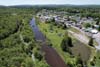
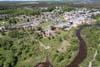
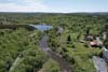
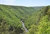
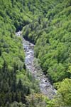
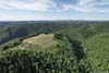
After lunch, I headed out of town and found a spot to launch my drone for an aerial tour of Blackwater River that flew past the town. Downstream, the river created some impressive waterfalls (Blackwater Falls) before entering a canyon landscape, part of Blackwater Falls State Park.
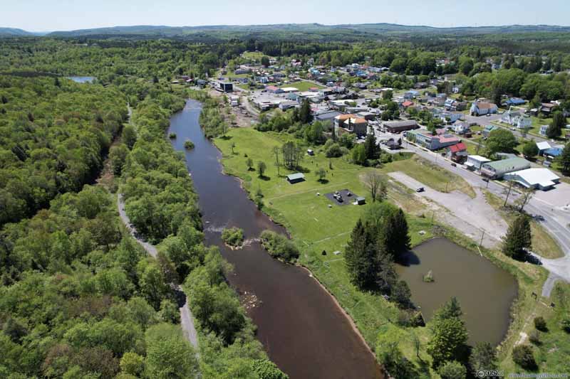 Overlooking Town of Davis
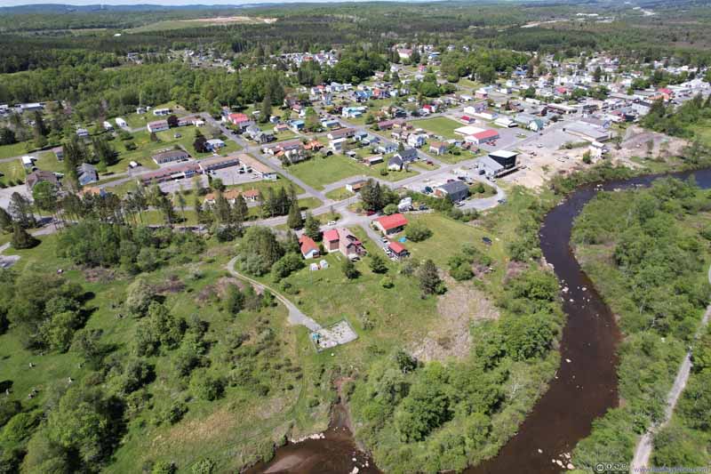 Overlooking Town of Davis
 Blackwater River Downstream of Davis
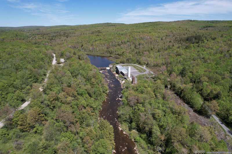 Davis City Water Plant Upstream of Blackwater River
Click here to display photos overlooking Town of Davis and Blackwater River.

Overlooking Town of Davis

Overlooking Town of Davis
Blackwater River Downstream of Davis

Davis City Water Plant Upstream of Blackwater River
Overlooking Town of Davis
And here’s a video:
Blackwater Falls State Park
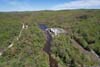
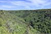
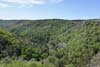
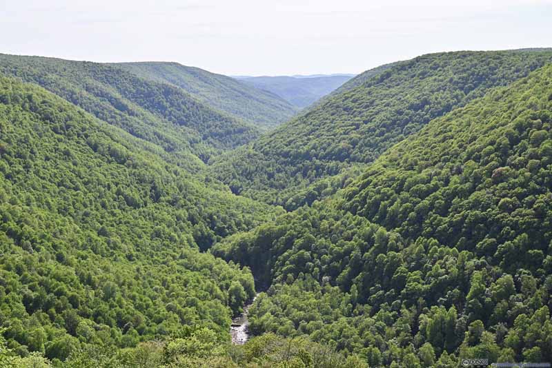
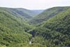
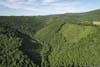
After that, I made my way to the state park. Unfortunately, I took a wrong turn inside the park; so while I wanted to check out Blackwater Falls first, I ended up at Pendleton Point Overlook.
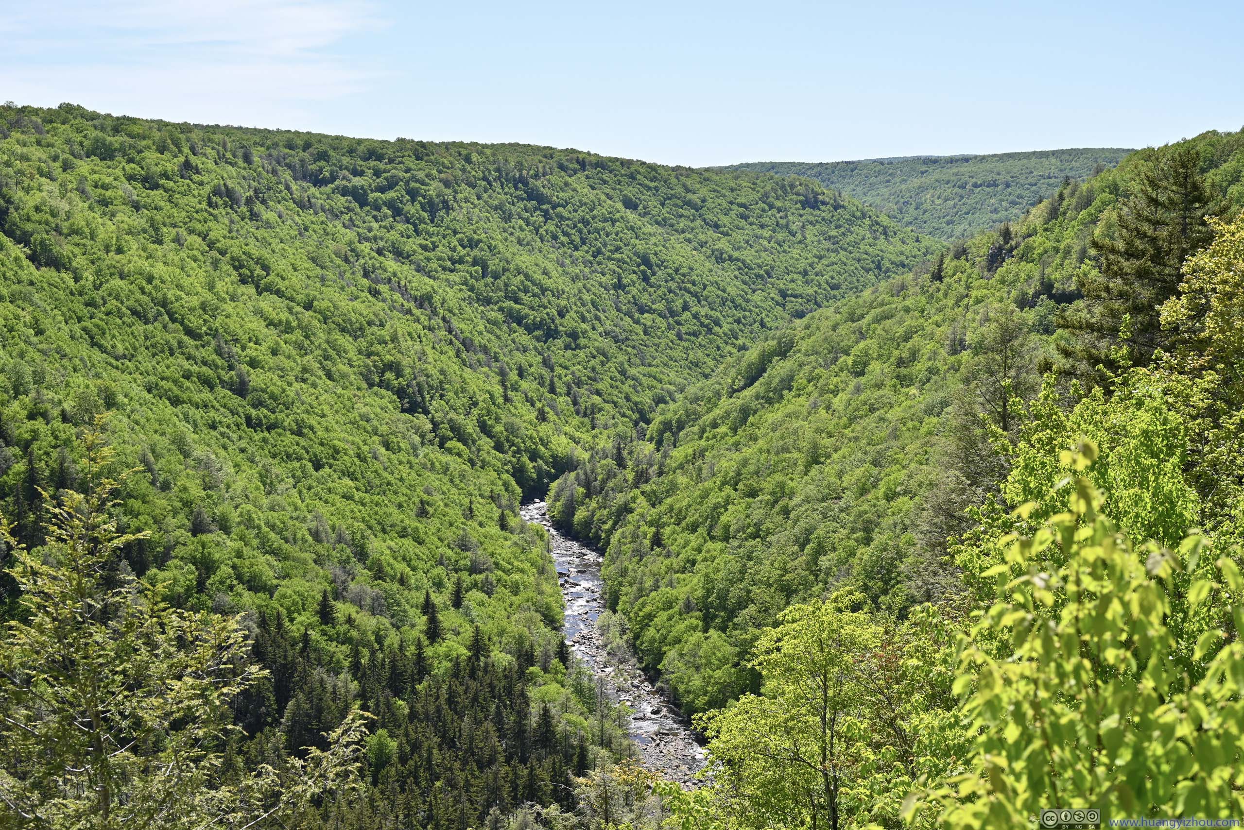
This was the best (if not the only) overlook of Blackwater Canyon from the north. It’s a typical canyon view that I would get very used to in the coming few days.
 Blackwater Canyon
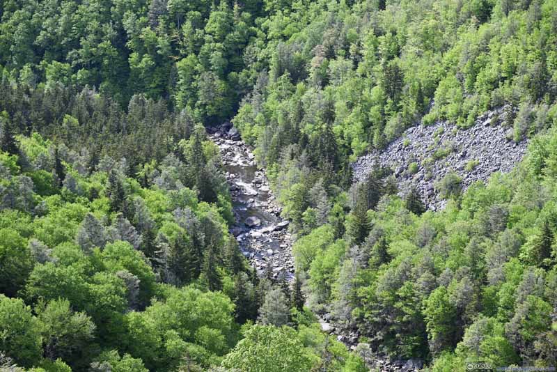
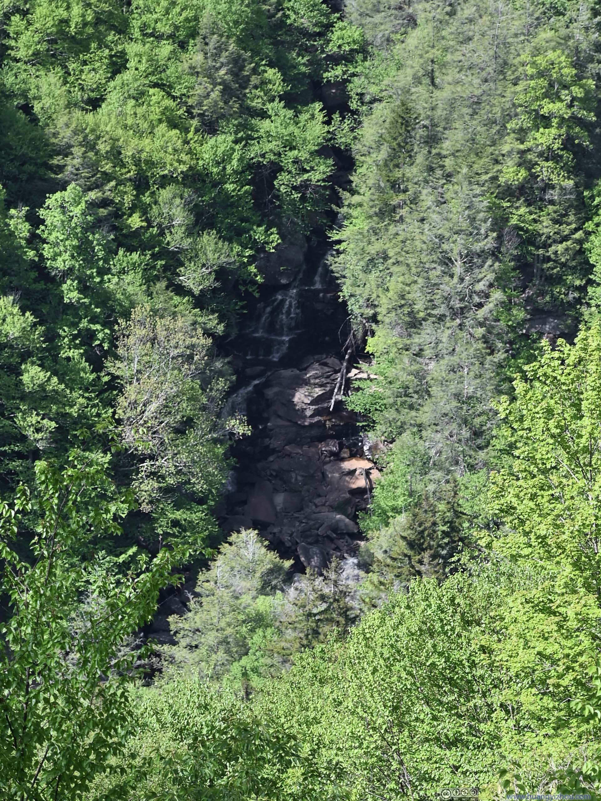
 Blackwater River and Elakala Falls across Canyon
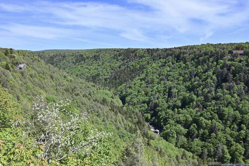 Blackwater Canyon
Click here to display photos of the slideshow
Blackwater Canyon
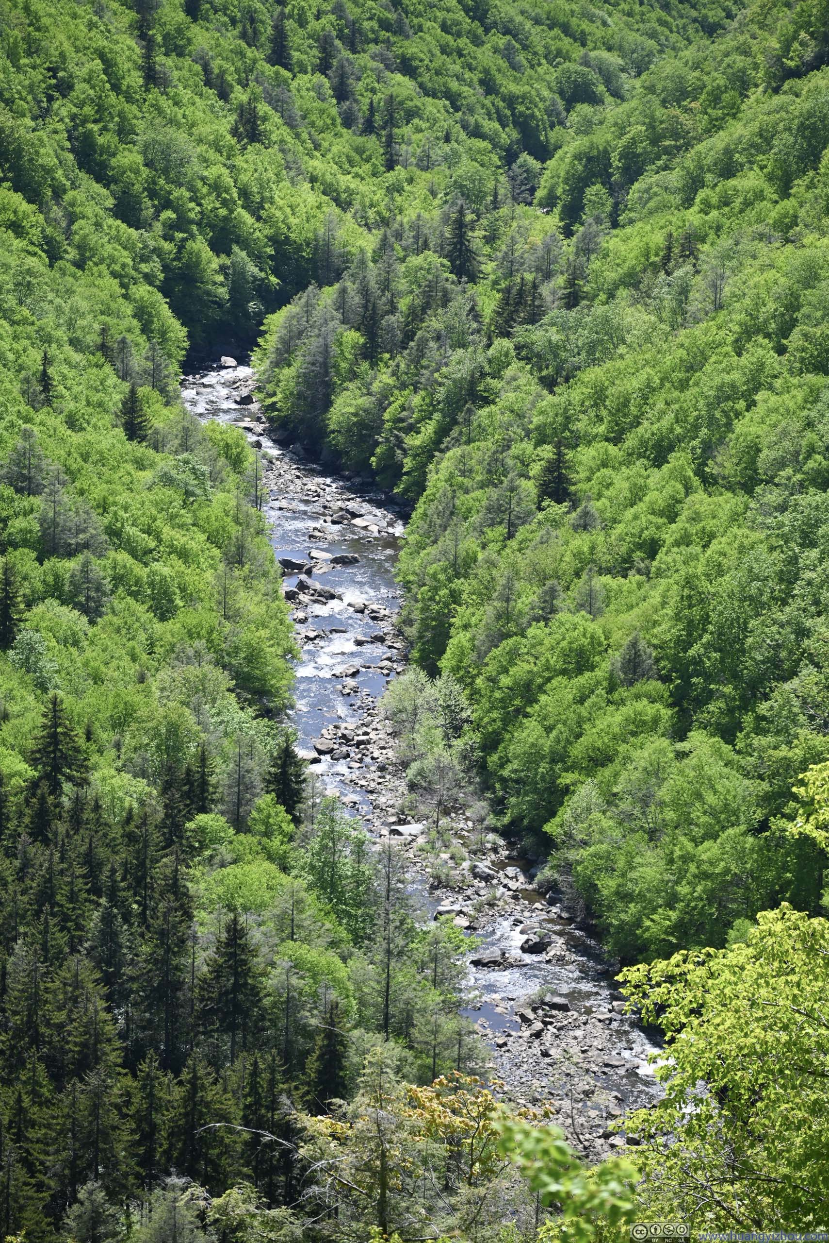
 Blackwater River and Elakala Falls across Canyon

Blackwater Canyon
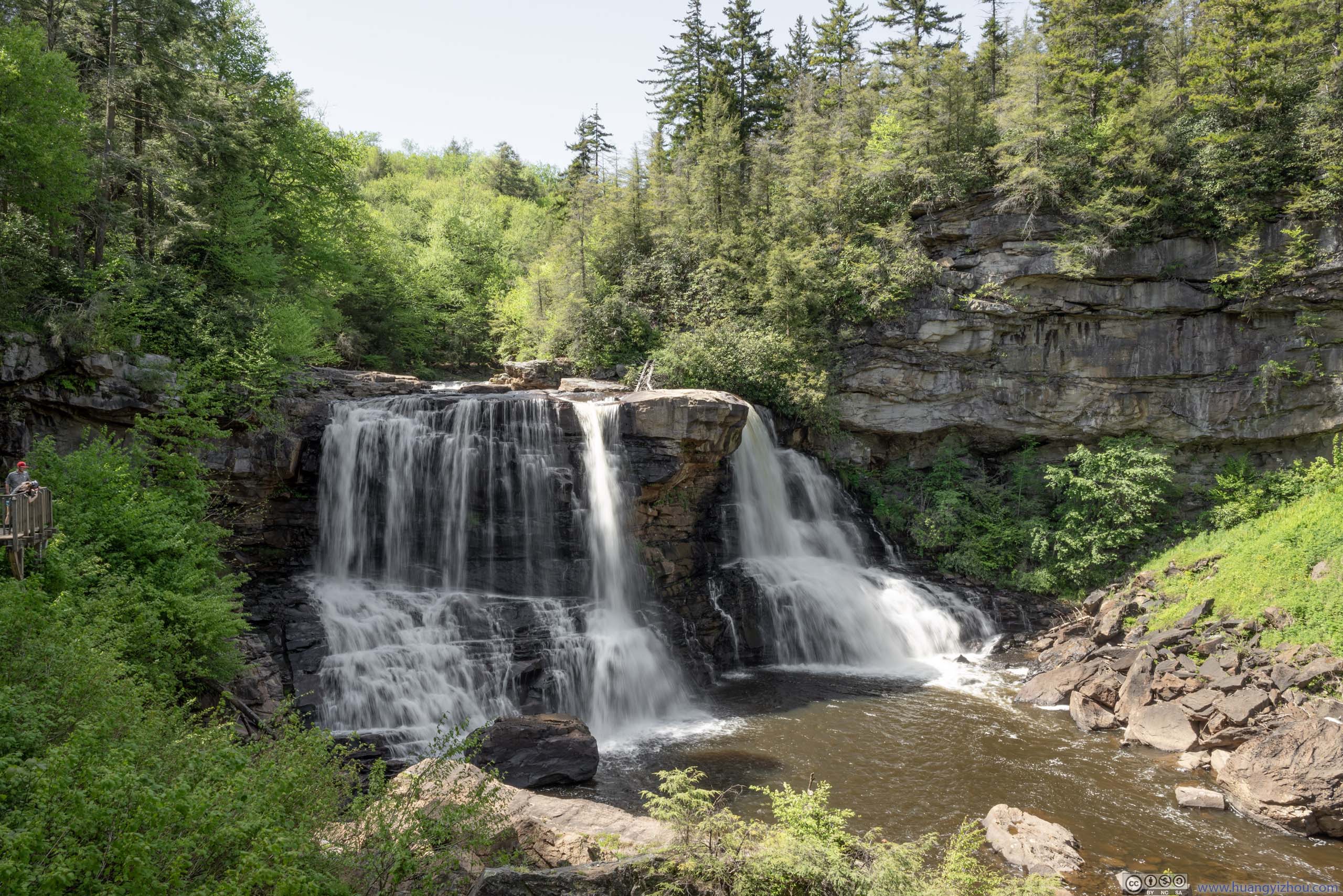
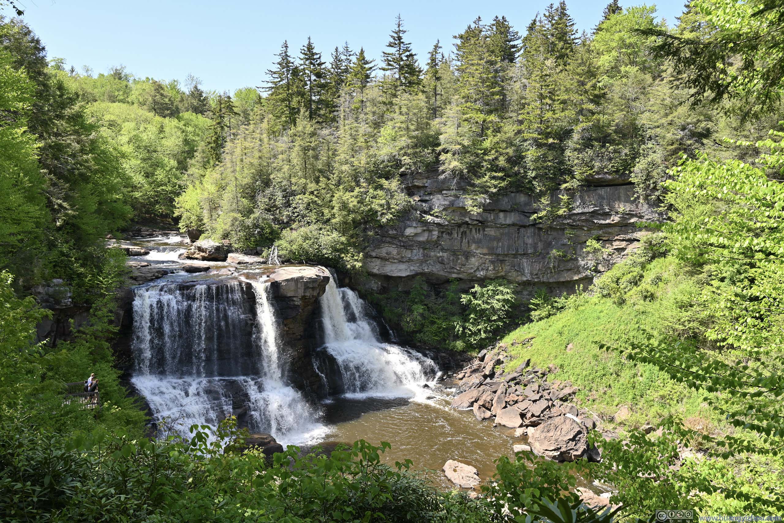
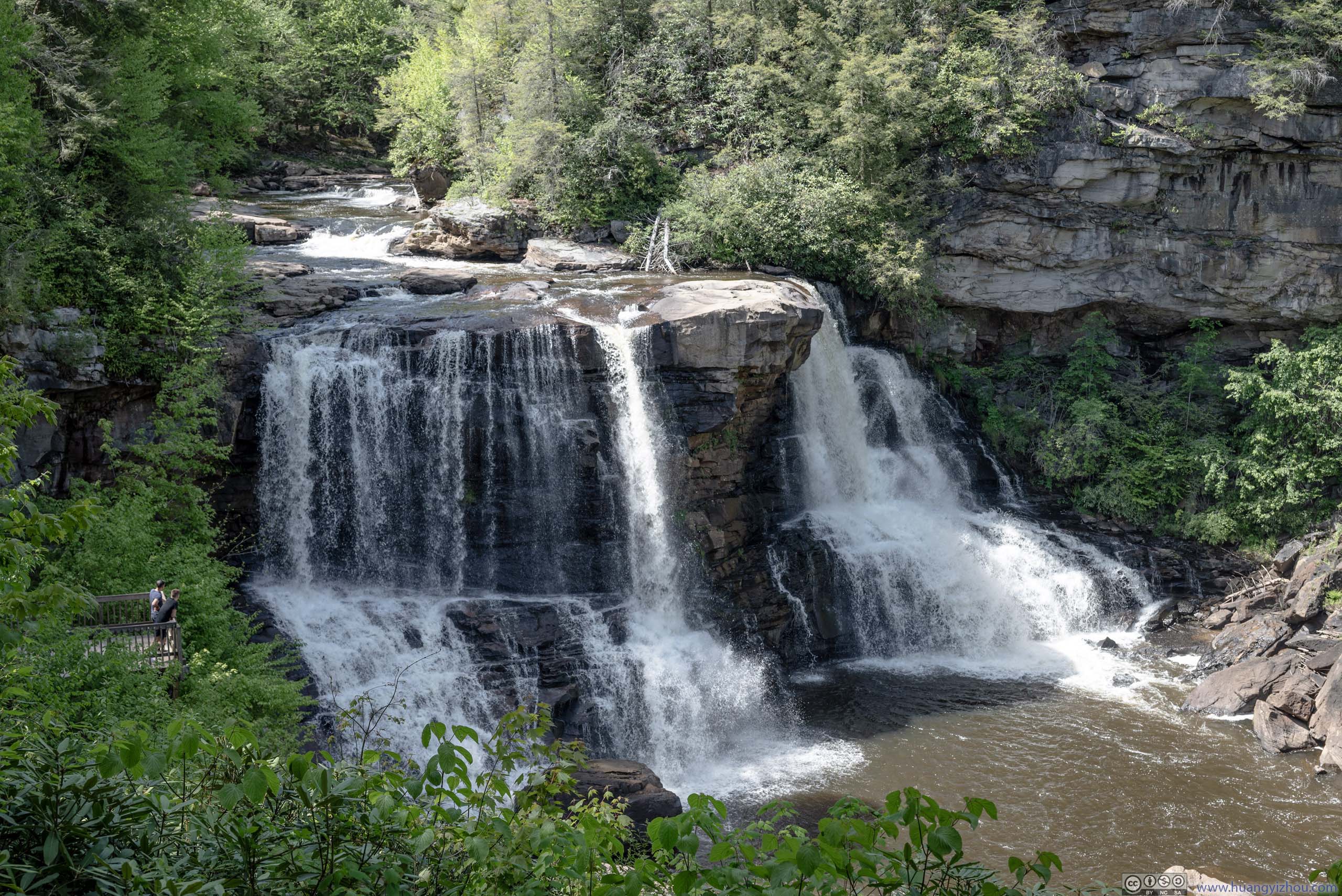
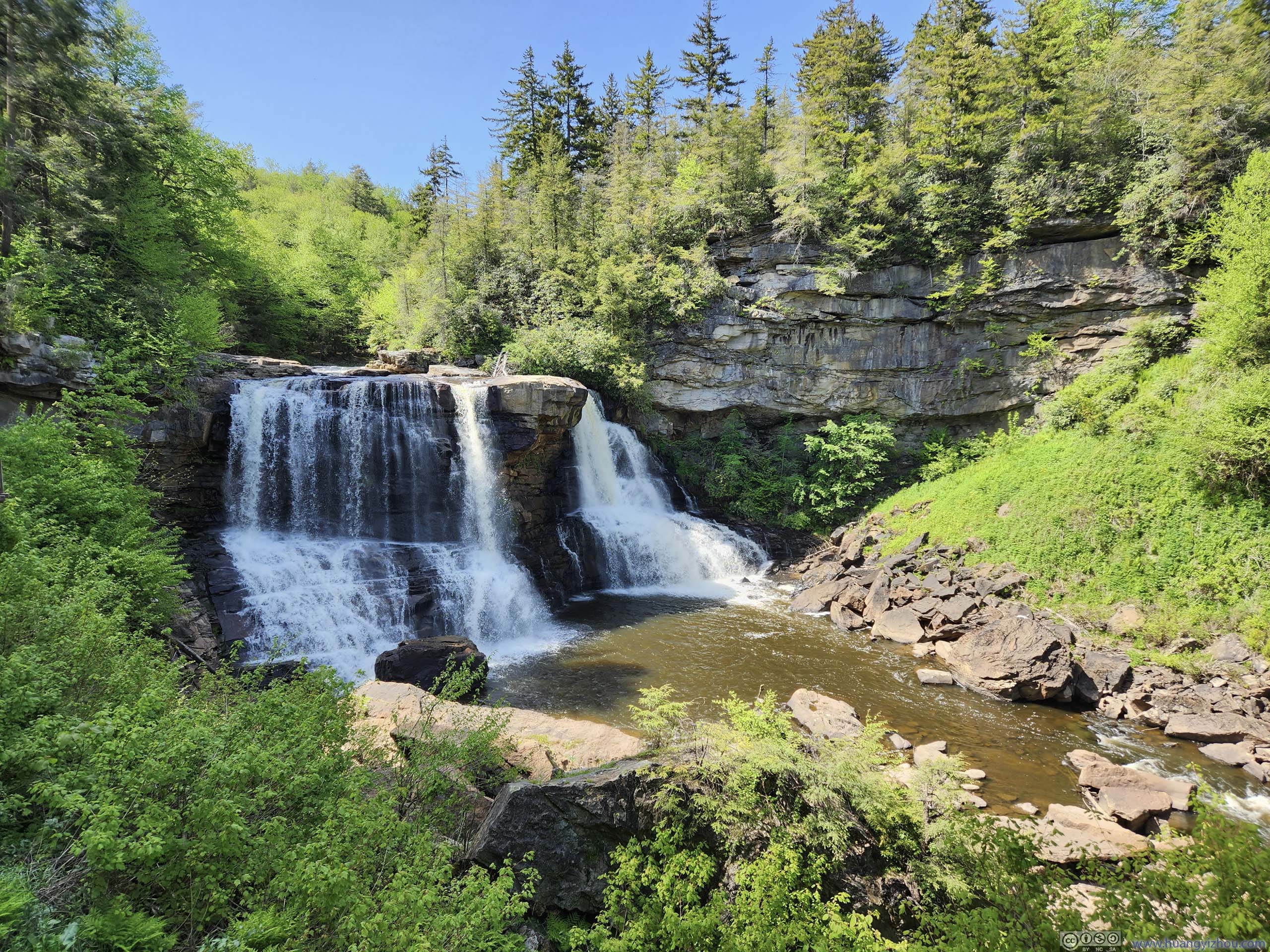
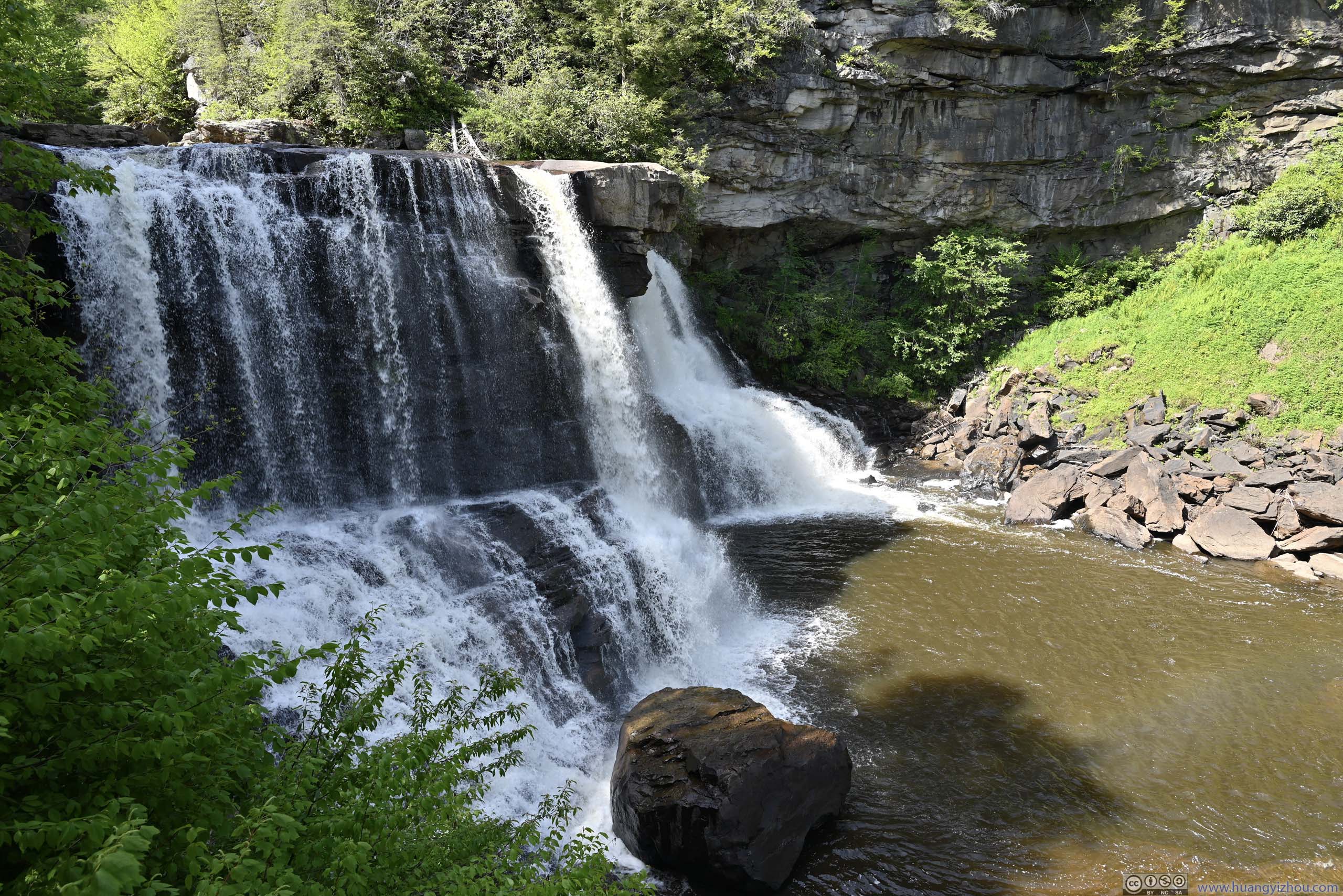
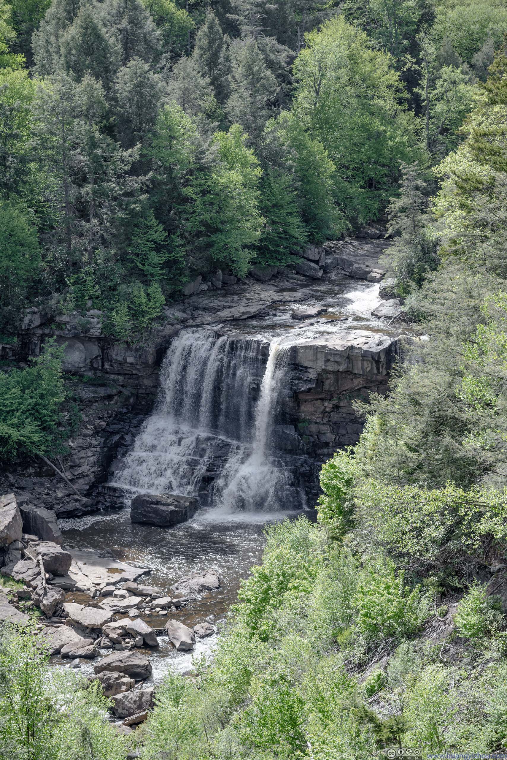
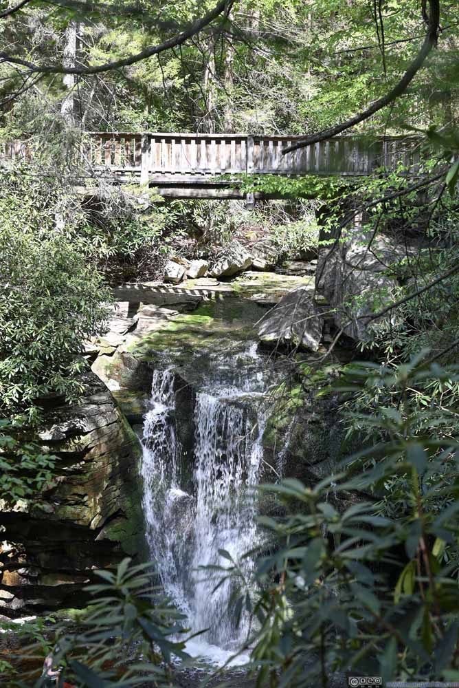
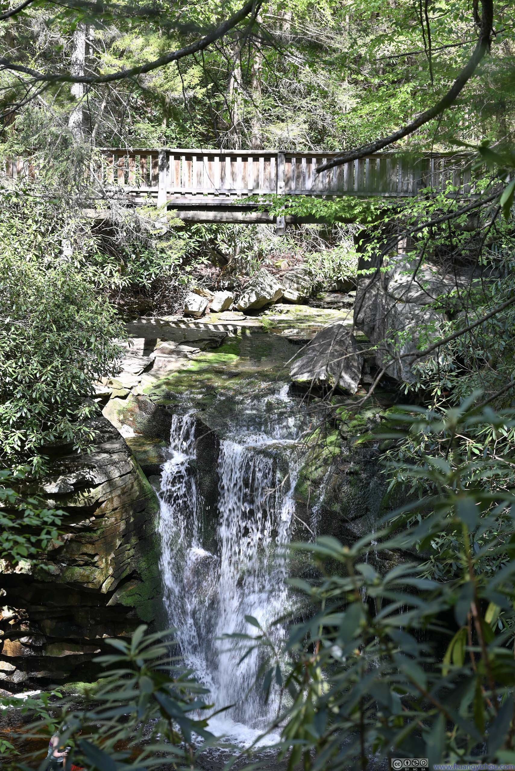
The Waterfall
After that, I checked out Blackwater Falls. From a visitor center / trading post, it’s a short trail made of stairs and a boardwalk in a gentle incline to the waterfall.
It’s believed to be the highest above-ground waterfall in the state of West Virginia. From the boardwalk, the waterfalls could be appreciated from multiple angles.
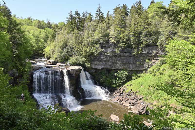 Blackwater Falls
 Blackwater Falls
 Blackwater Falls
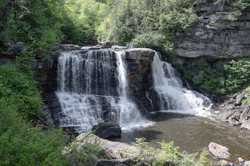 Blackwater Falls
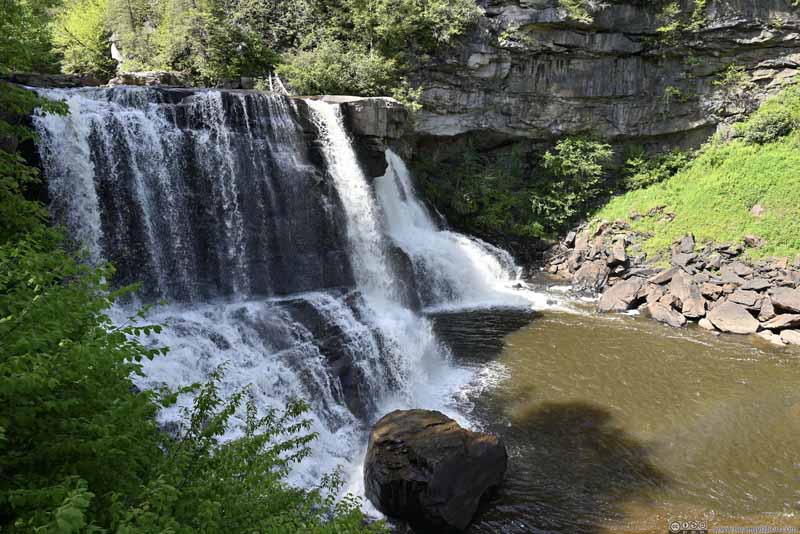 Blackwater Falls
 Rock Outcrop at Blackwater Falls


Click here to display photos of Blackwater Falls.
Blackwater Falls
Blackwater Falls
Blackwater Falls

Blackwater Falls
Blackwater Falls
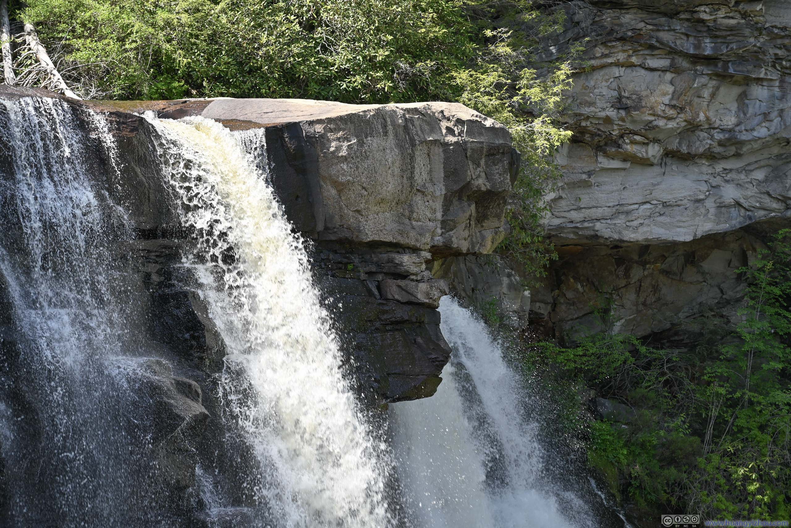
Rock Outcrop at Blackwater Falls
After that, I drove across Blackwater River to its south/east side.
Blackwater Falls
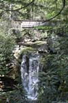
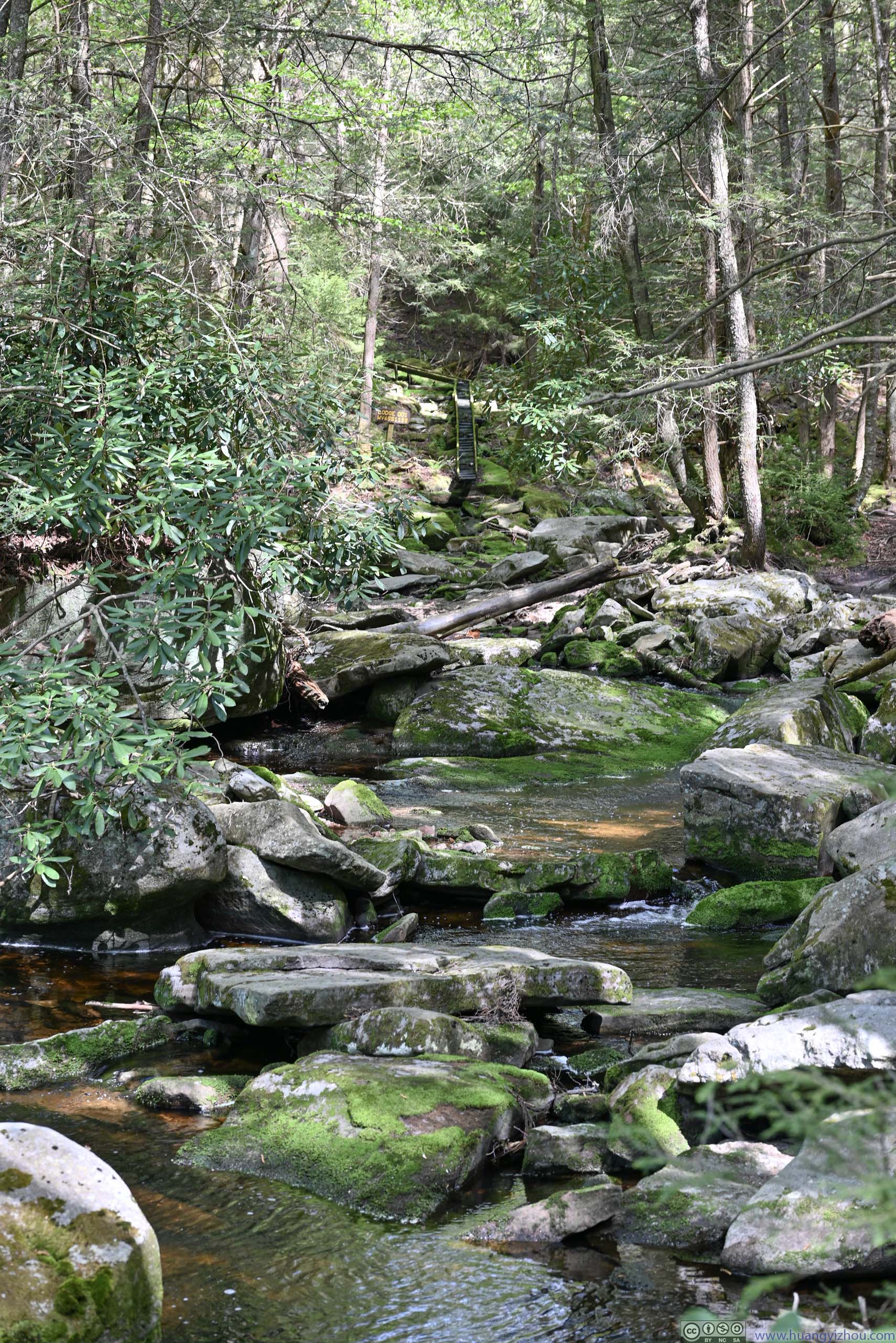
After that, I decided to check out Elakala Falls, which was just a short walk away from Blackwater Lodge.
Elakala Falls were a series of waterfalls (along Shays Run). A hiking trail passed right above the first falls, with each subsequent falls down the hill harder and harder to access. There was a pond beneath the first waterfall where some visitors were taking a splash. I wasn’t wearing my outdoor shoes and it’s a steep slope to access the waterfalls from the trail, adding that the waterfall wasn’t nearly as impressive as Blackwater Falls, I didn’t stay there for long.
 Elakala FallsThe first waterfall underneath the footbridge.
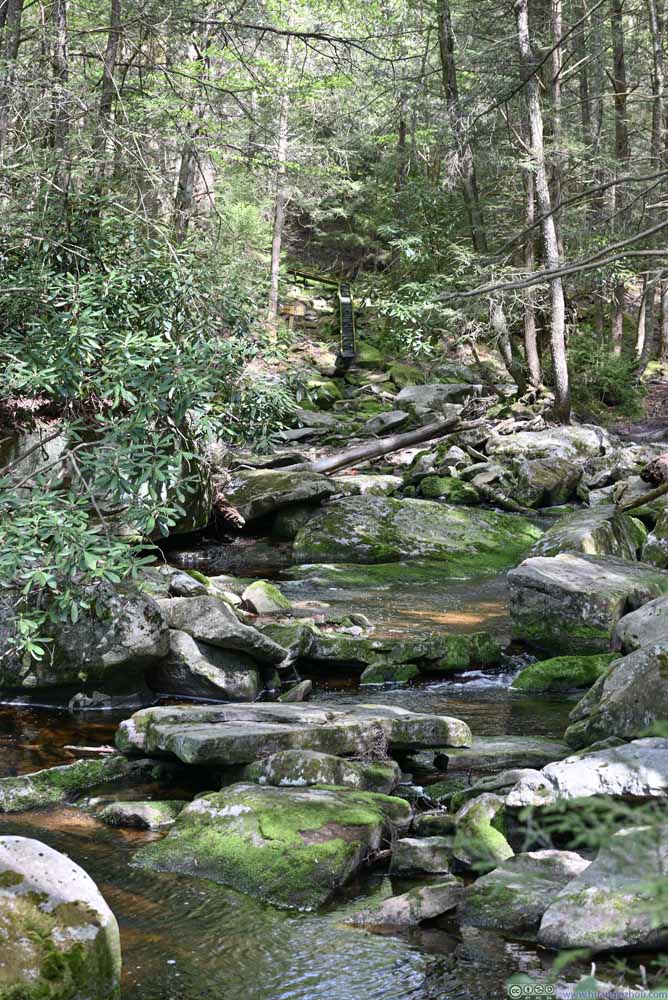 Shays RunUpstream of the footbridge.
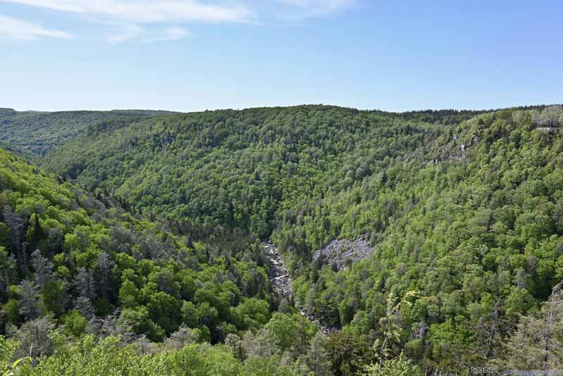
 Blackwater CanyonA rocky field just underneath Pendleton Point Overlook.
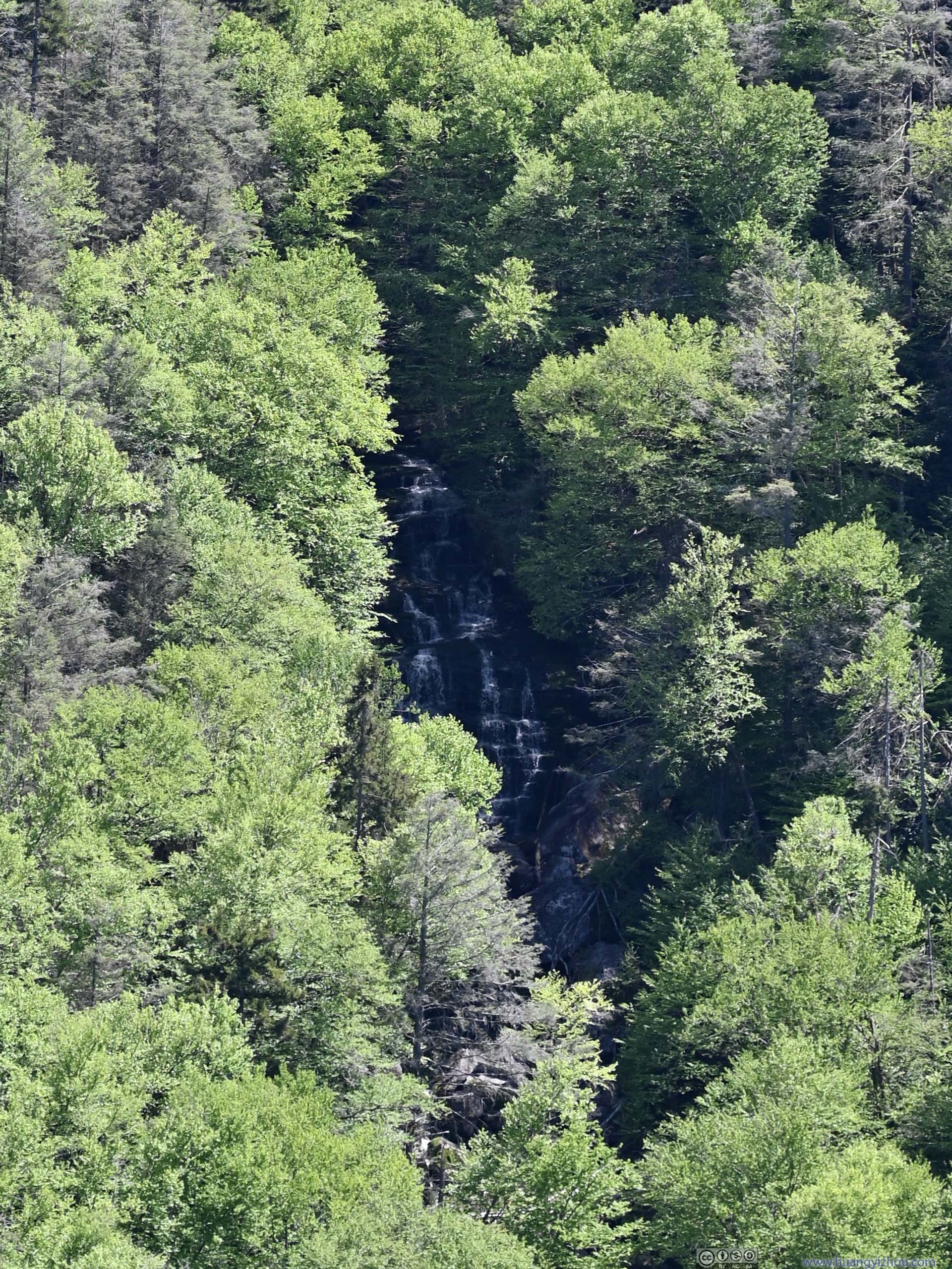
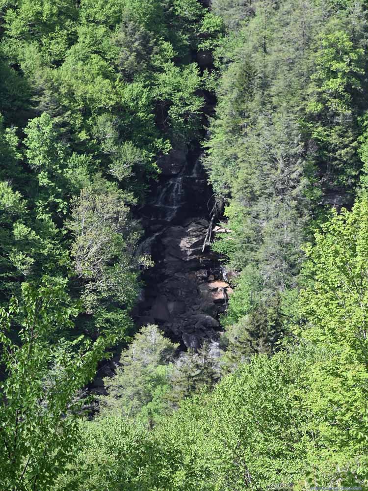 Waterfalls along Pendleton RunAcross Blackwater Canyon. Captured from an overlook after leaving Blackwater Lodge.

Click here to display photos of the slideshow
Elakala FallsThe first waterfall underneath the footbridge.
Shays RunUpstream of the footbridge.
 Blackwater CanyonA rocky field just underneath Pendleton Point Overlook.
Waterfalls along Pendleton RunAcross Blackwater Canyon. Captured from an overlook after leaving Blackwater Lodge.
After that, I checked out Blackwater Lodge, featuring posh interior and an overlook on its doorsteps, with views that could rival the Pendleton Point Overlook across the canyon.
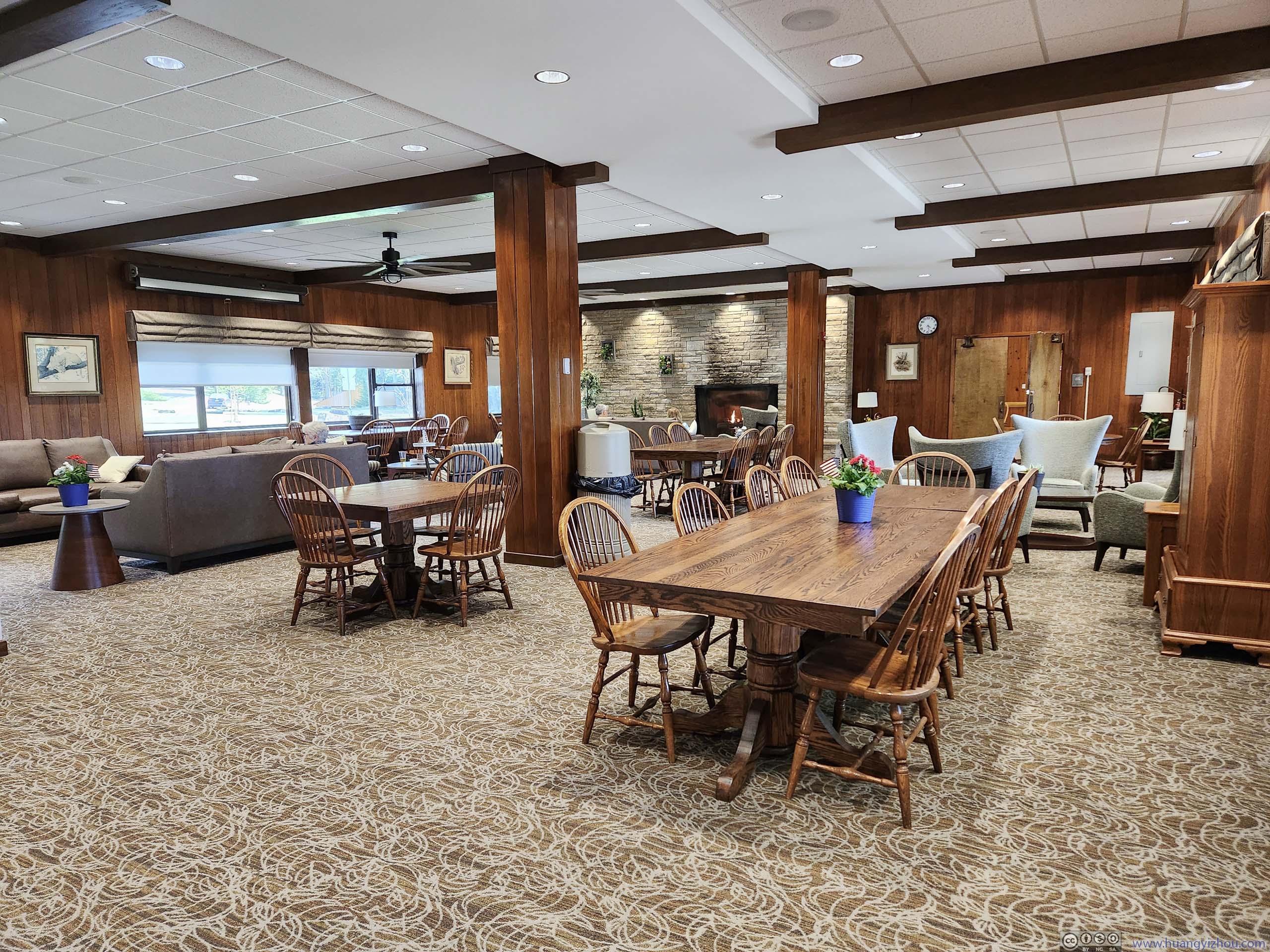
Blackwater Lodge Public Area
Lindy Point
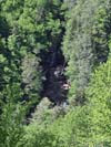
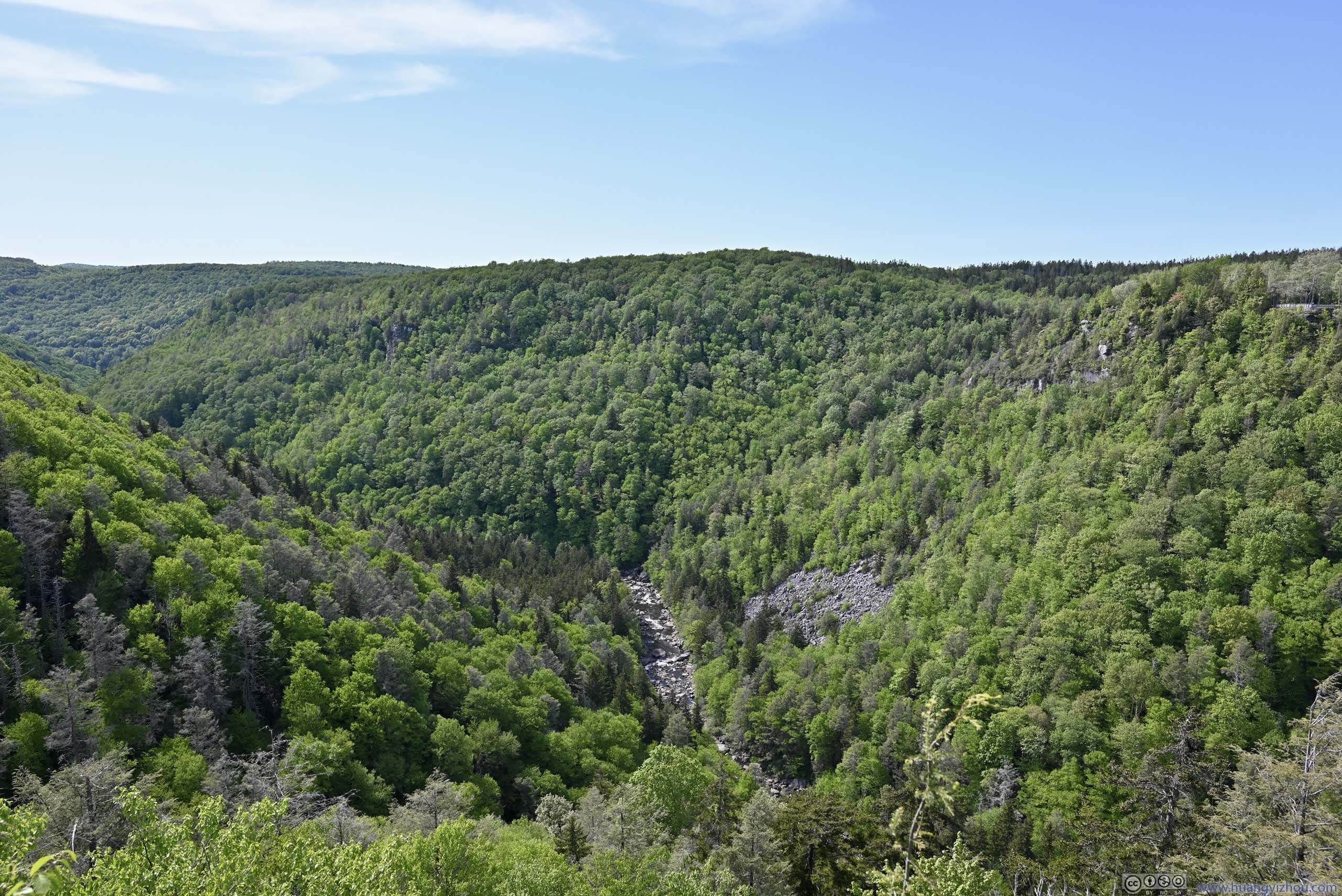
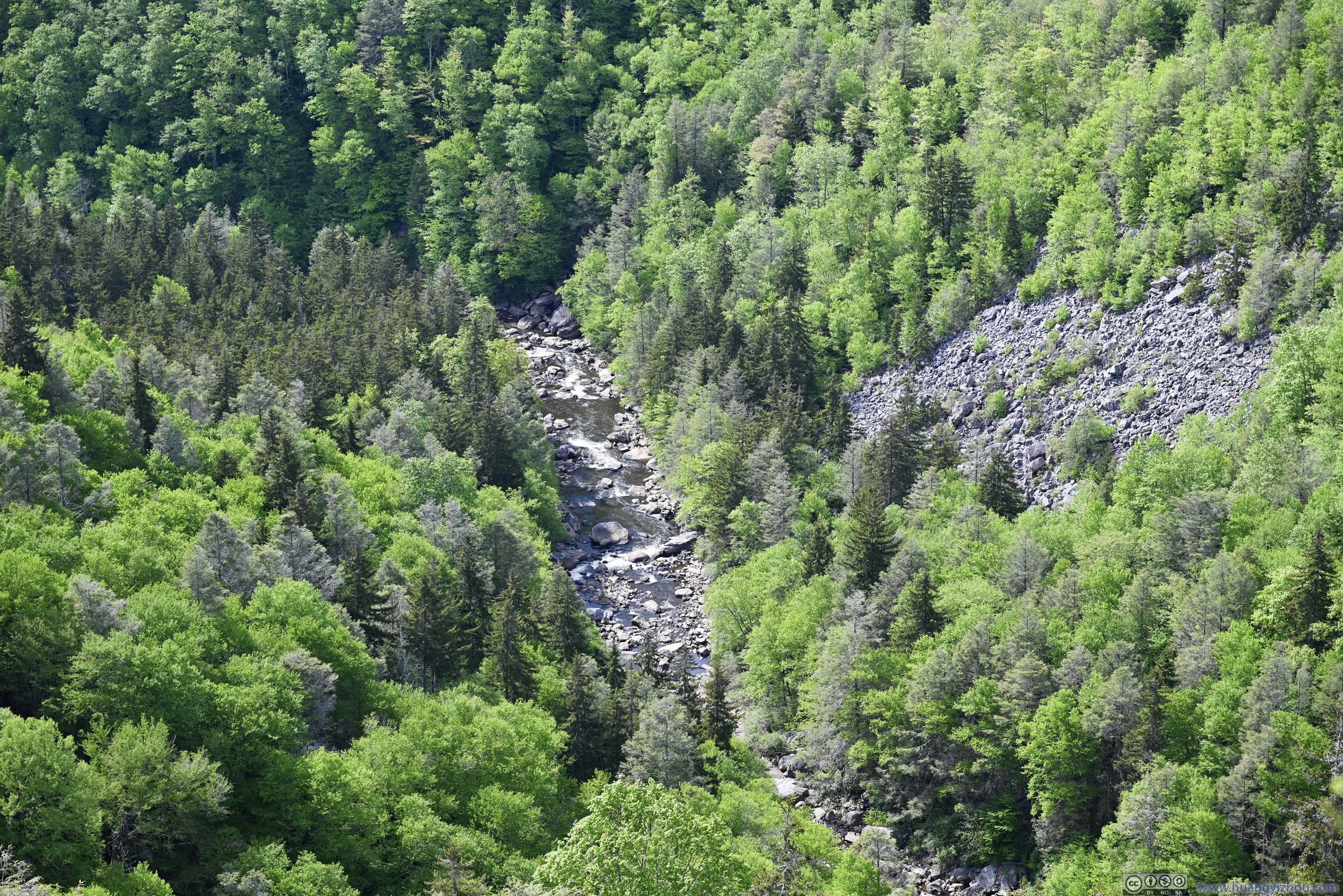
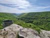
After leaving Blackwater Lodge, my final stop in the park was Lindy Point.
After the campgrounds, the park road (Canaan Loop Road) became narrow (one-lane, but still paved and in good condition), and after Lindy Point Trailhead, it’s unpaved and in poor condition.
“Lindy Point Trailhead” had parking space for about 5 cars, which was more than enough during my visit. The trail was 1.1km out-and-back with negligible elevation change. At its end, an overlook offered views of Blackwater Canyon far down the horizon.
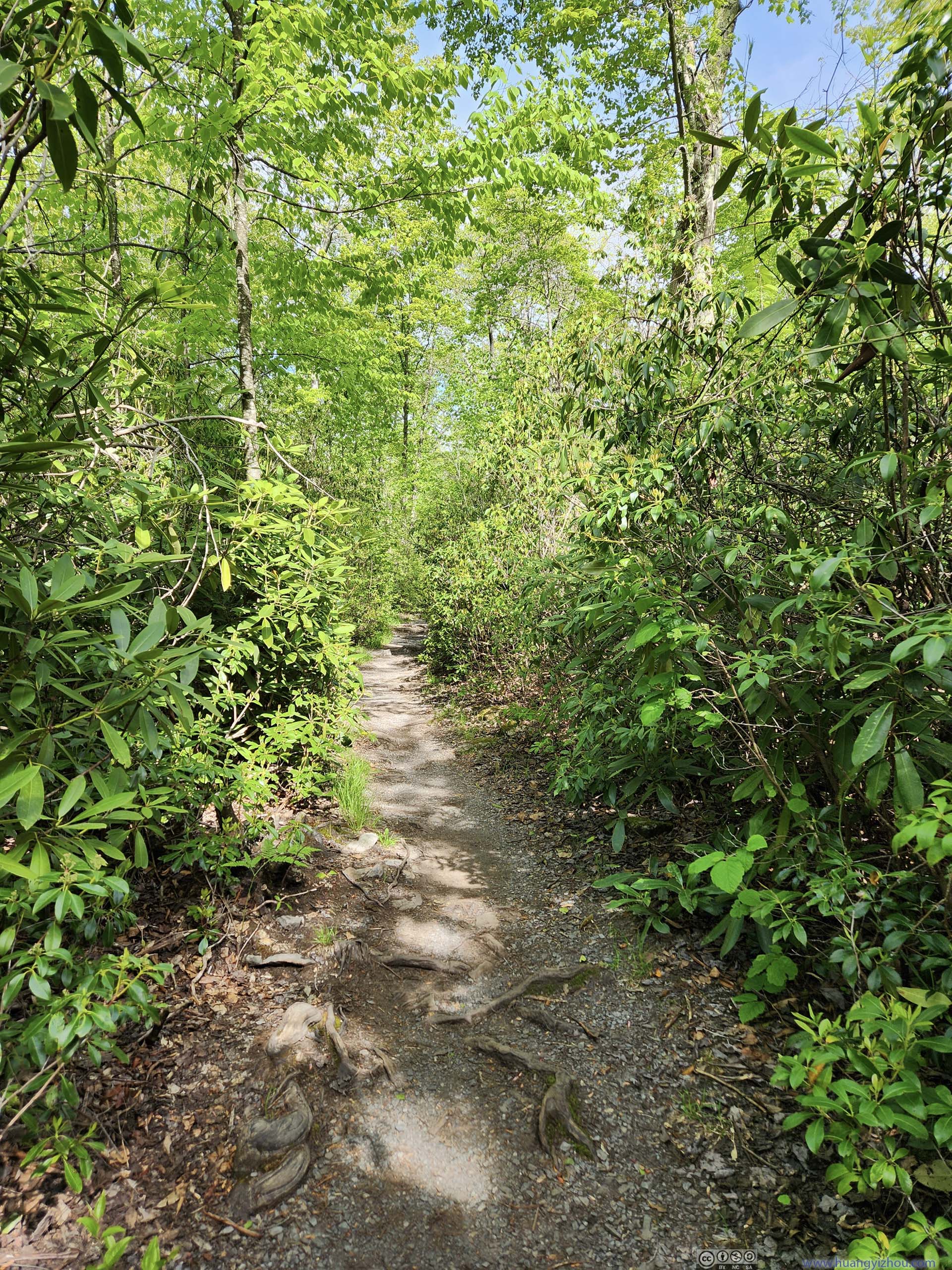
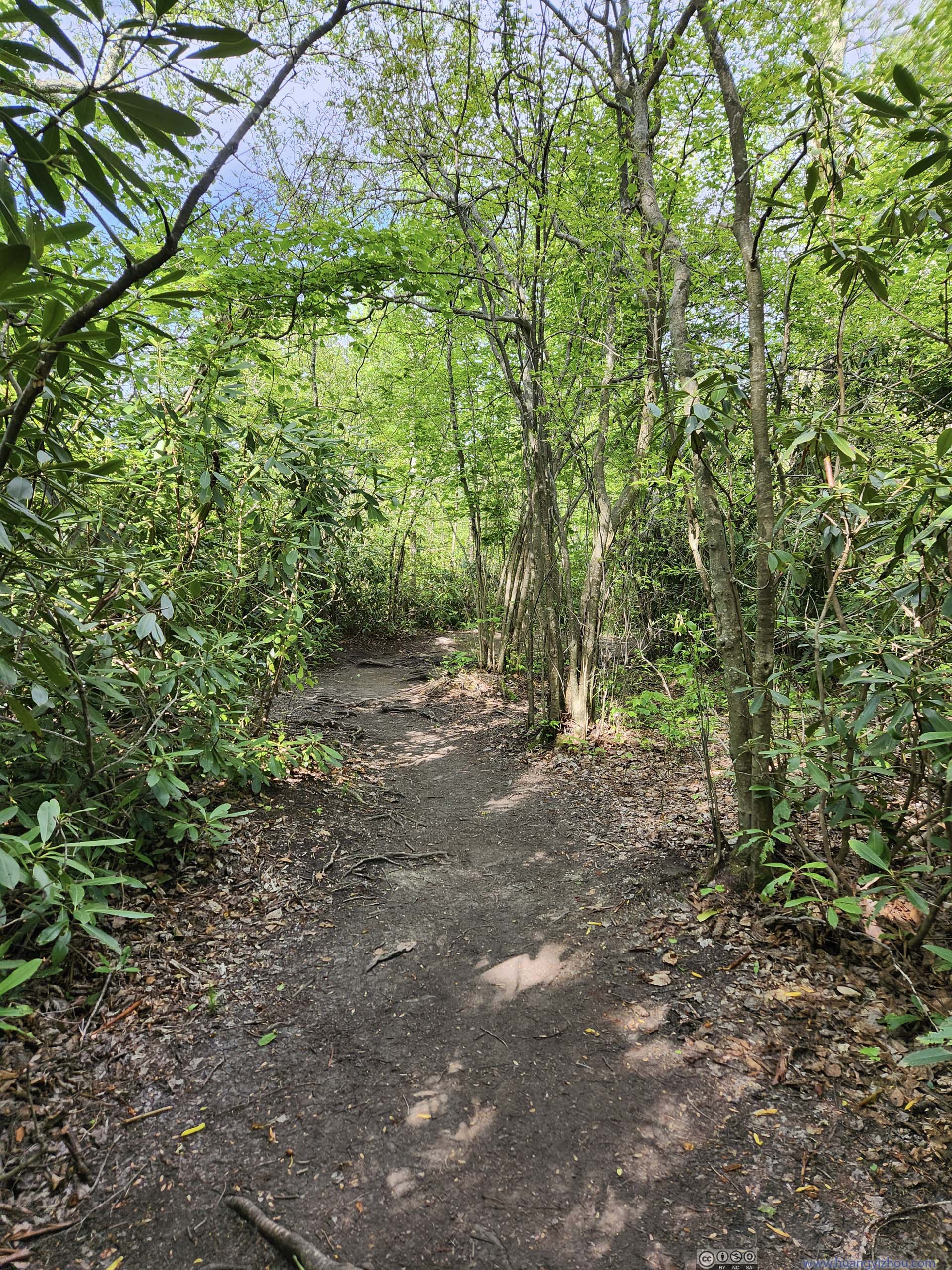 Trail to Lindy PointTypical condition, wide and flat.
 Blackwater Canyon
 Blackwater Canyon from Lindy Point
 Blackwater Canyon from Lindy Point
Click here to display photos from Lindy Point Overlook.

Blackwater Canyon
Blackwater Canyon from Lindy Point
Blackwater Canyon from Lindy Point
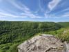
During my visit, I had the entire overlook to myself, allowing me to unwind and appreciate the surrounding with all my senses, like the gentle rolling sound of water down the canyon, the smooth wind washing my face, the eagles that soared above the canyon, and the layers of hills as the river wound its way down the stream. It’s one of those moments that I could set my imagination loose, guessing what kind of kingdom would lie down the canyon beyond sight.
Blackwater Canyon from Lindy Point
I left Lindy Point just past 5pm. There were almost 3 hours of driving between Blackwater Falls and Summersville, where I would spend the night.
This portion of the drive would have me through some twisty mountain roads of West Virginia. I was in the mood of using a windshield-mounted GoPro to record most of it. Here’s the video:
10 minutes and 59 seconds, 2160p30fps, minimum playback speed 10x, compressed aggressively to 10Mbps for a total size of 834MB, H265 only.
- 0:00 Starting off at Lindy Point parking lot.
- 1:21 Town of Thomas, WV.
- 2:01 Fred Long Centennial Park
- 5:23 Entering Corridor H outside Elkins, WV.
- 7:50 Onto Interstate 79.
- 10:03 Leaving I79 and onto US19.
- The video ends when I reached the “scenic view” along US19.
That’s when I learned a bit history of Corridor H, West Virginia’s plan to connect Interstate 79 and 81. Most of the constructed Corridor H was 4-lane divided highway, with only a few traffic lights in its western part. The only part of Corridor H pending construction was between Davis and Elkins, and from Wardensville to Virginia state line. It’s not hard to tell how much an improvement that would be compared to West Virginia’s twisty mountain roads from the previous video (before and after 5:23).
While I saw signs of construction along the way between Davis and Elkins, my understanding was that Virginia was hardly on board with the plan. I had been critical about Virginia’s infrastructure (for I81 in particular), and this time with local nimbyism on its back, it’s unfortunate the status quo will remain for the foreseeable future.
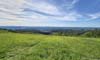
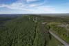
Not long after leaving Thomas, WV, I made a stop at Fred Long Centennial Park (so that a faster car could pass). I happened to like the views from the park since it sat on top of a ridge, overlooking rolling hills to the west. I launched my drone and did an aerial tour.
 Fields to the WestCaptured on the ground.
 Fields to the West
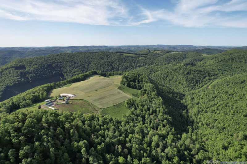 Farmland on HilltopA pretty striking sight among the forest landscape.
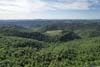
 Valley of Maxwell Run
 Valley of Maxwell Run
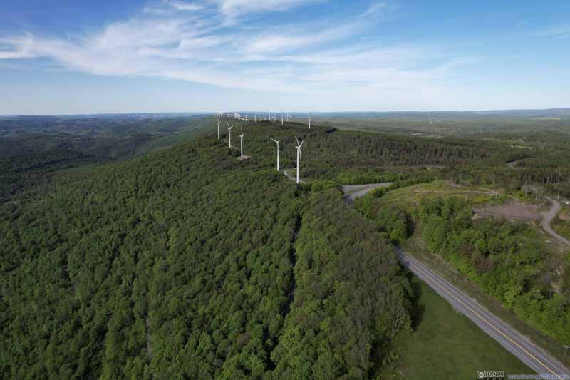 Wind Farm

Click here to display photos of the slideshow
Fields to the WestCaptured on the ground.
Fields to the West

Farmland on HilltopA pretty striking sight among the forest landscape.
Valley of Maxwell Run
Valley of Maxwell Run

Wind Farm
In particular, I found a piece of interestingly shaped farmland sitting on top of a small hill, among rolling hills of dense forest.
Farmland among Valley
Overlooking Fred Long Centennial Park
And here’s a video:
1 minute and 49 seconds, 2160p60fps, 13Mbps/188MB for H265, 14Mbps/190MB for H264.
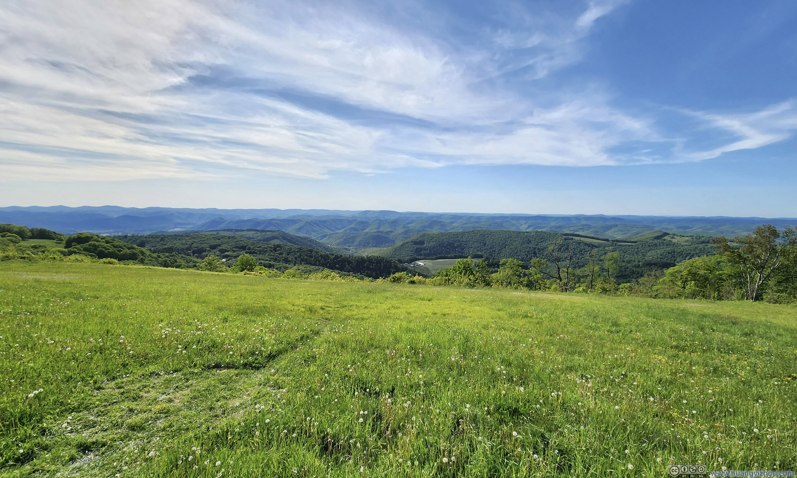
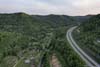
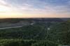
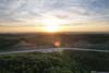
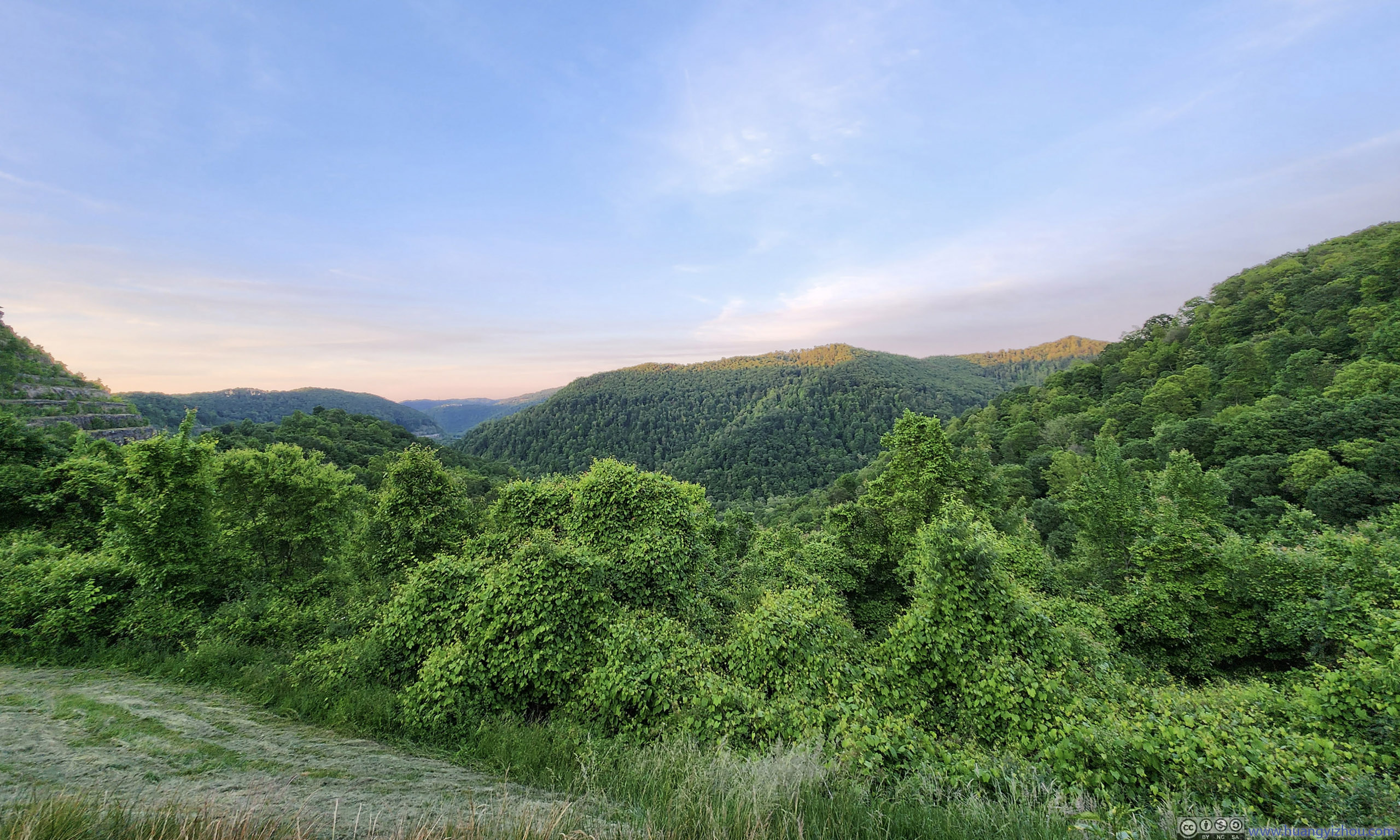
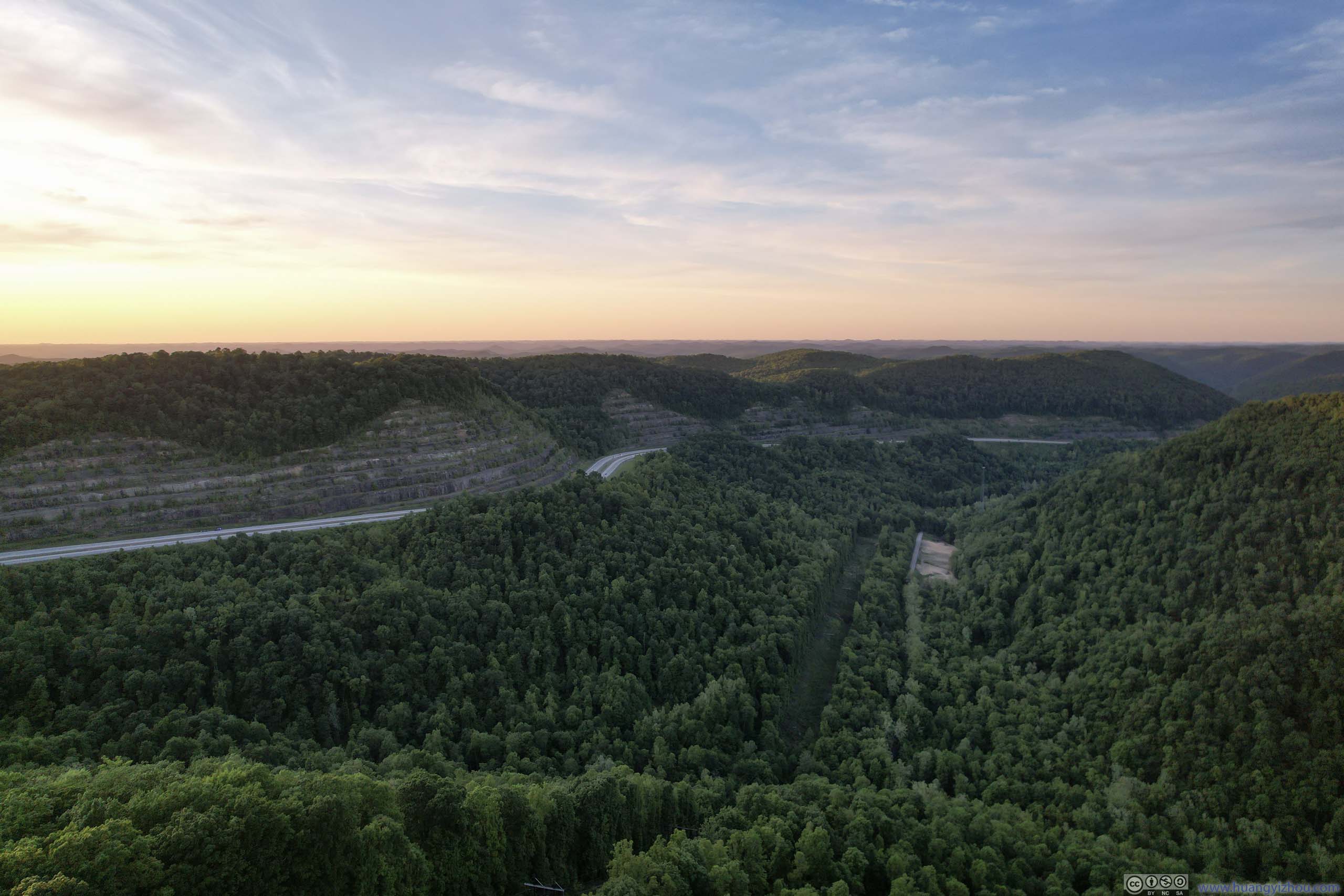
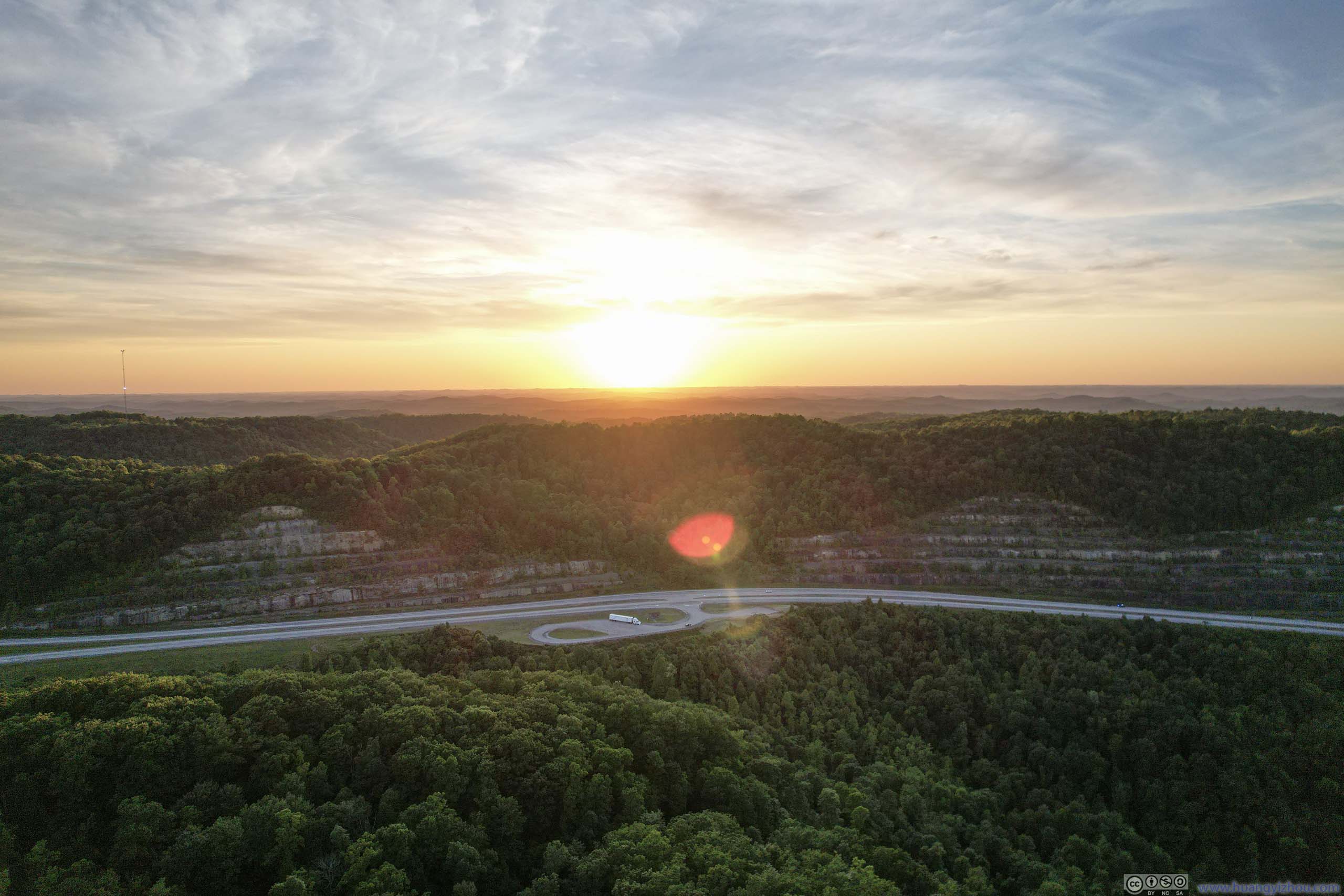
Later in the day, while travelling south along US Route 19, I checked out another “scenic view”. Here the highway wound along a valley while climbing uphill. While the scenery at the overlook itself wasn’t that impressive, I launched my drone which allowed me to tour the surrounding valley, together with views of the sunset beyond the ridge.
 Mountains to the NorthCaptured on the ground.
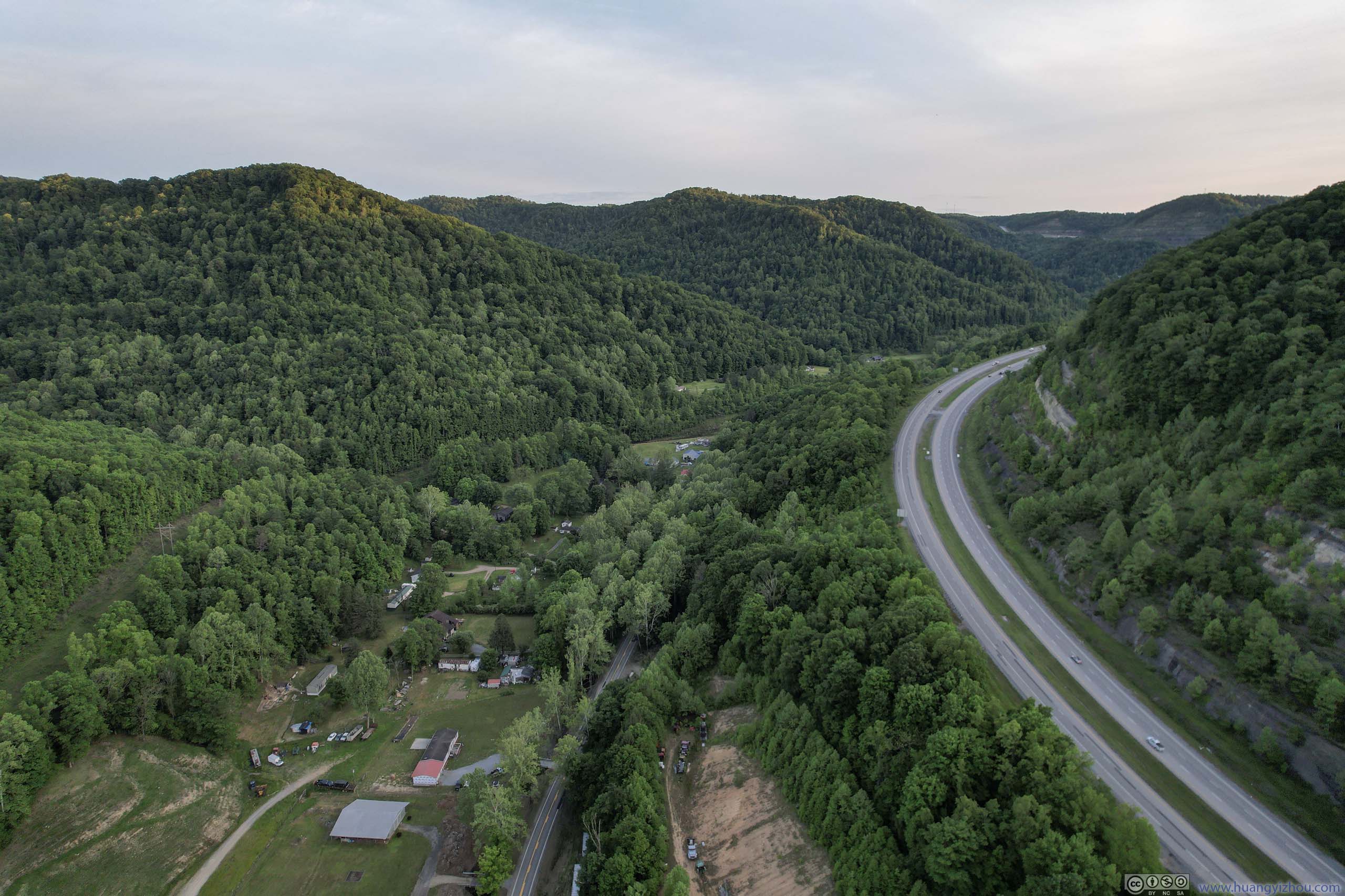
 US 19 through Mountains
 US 19 through Mountains
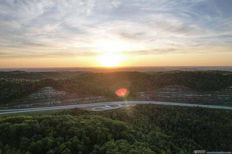 Setting Sun over Distant Mountains
 Setting Sun over Distant Mountains


Click here to display photos of the slideshow
Mountains to the NorthCaptured on the ground.
US 19 through Mountains
US 19 through Mountains
Setting Sun over Distant Mountains
Setting Sun over Distant Mountains
Overlooking US Route 19 at Sunset
And here’s a video:
3 minutes and 37 seconds, 2160p60fps, 13Mbps/375MB for H265, 14Mbps/379MB for H264.
Finally, I arrived at the overnight hotel in Summersville at 9pm, not long after sunset, concluding the day.
END
![]() Day 1 of May 2023 Trip to West Virginia, Blackwater Falls by Huang's Site is licensed under a Creative Commons Attribution-NonCommercial-ShareAlike 4.0 International License.
Day 1 of May 2023 Trip to West Virginia, Blackwater Falls by Huang's Site is licensed under a Creative Commons Attribution-NonCommercial-ShareAlike 4.0 International License.