
Updated on November 8, 2023
Day 2 of May 2023 Trip to West Virginia, New River Gorge
Second day of my 2023 Memorial Day trip to West Virginia as I reached New River Gorge National Park. The weather forecast indicated rain for the next day, so I decided to check out most of the park’s popular hiking trails today, together with the nearby Hawks Nest State Park of West Virginia.
New River Gorge Bridge
After much driving the previous day, I spent the night in Summersville, WV, just a short 20-minute drive away from New River Gorge National Park.
Summersville Lake
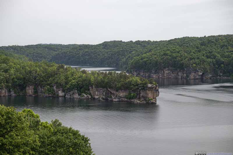
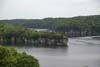
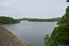
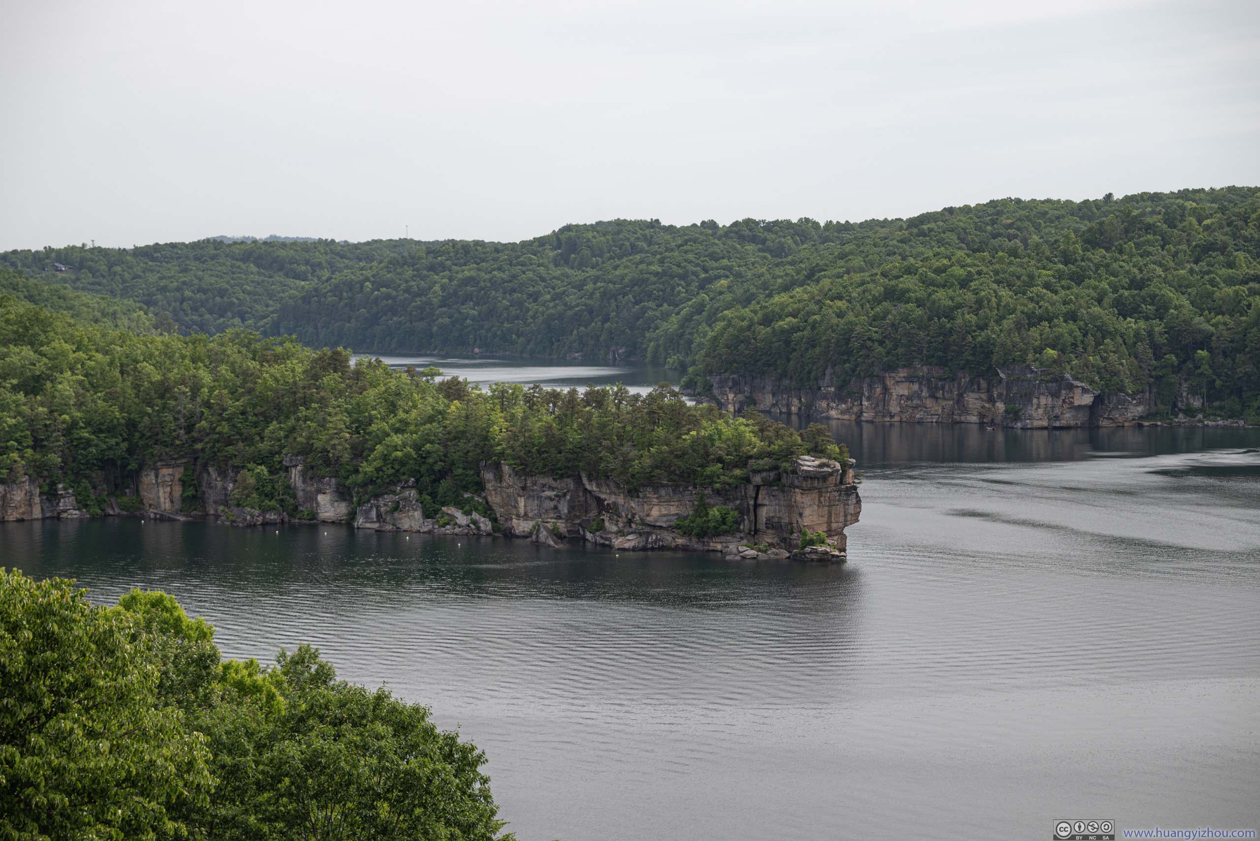
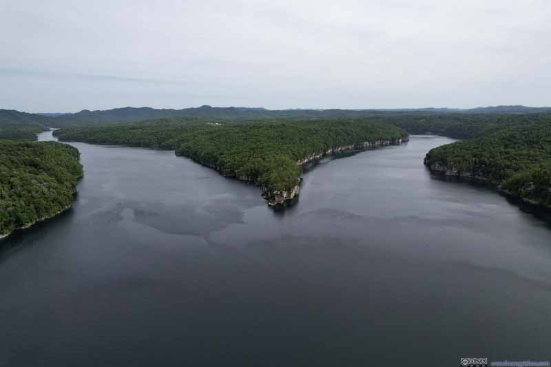
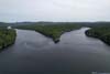
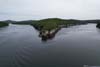
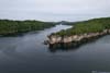
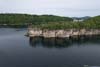
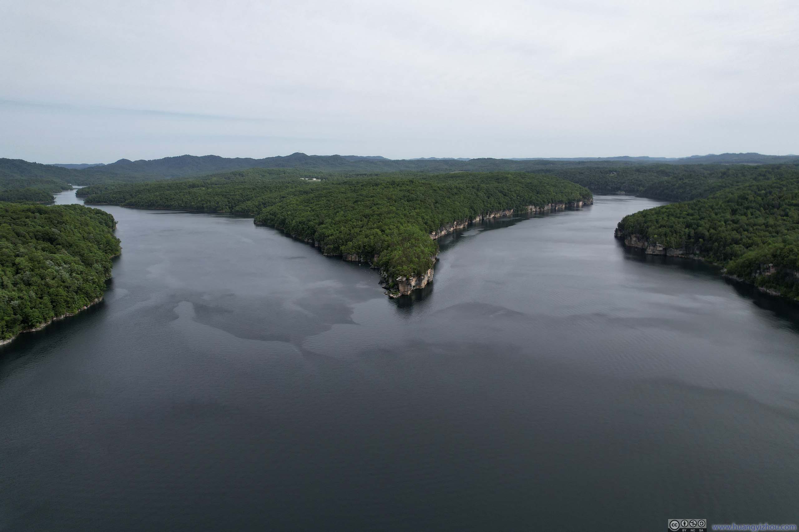
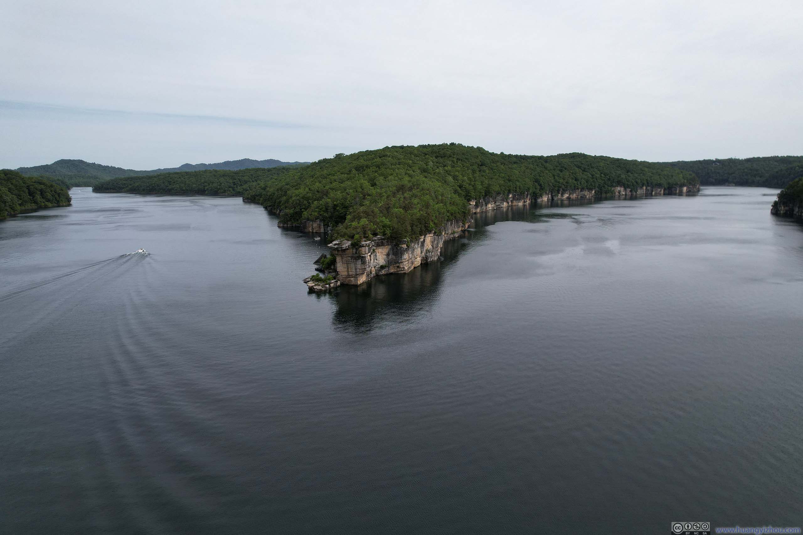
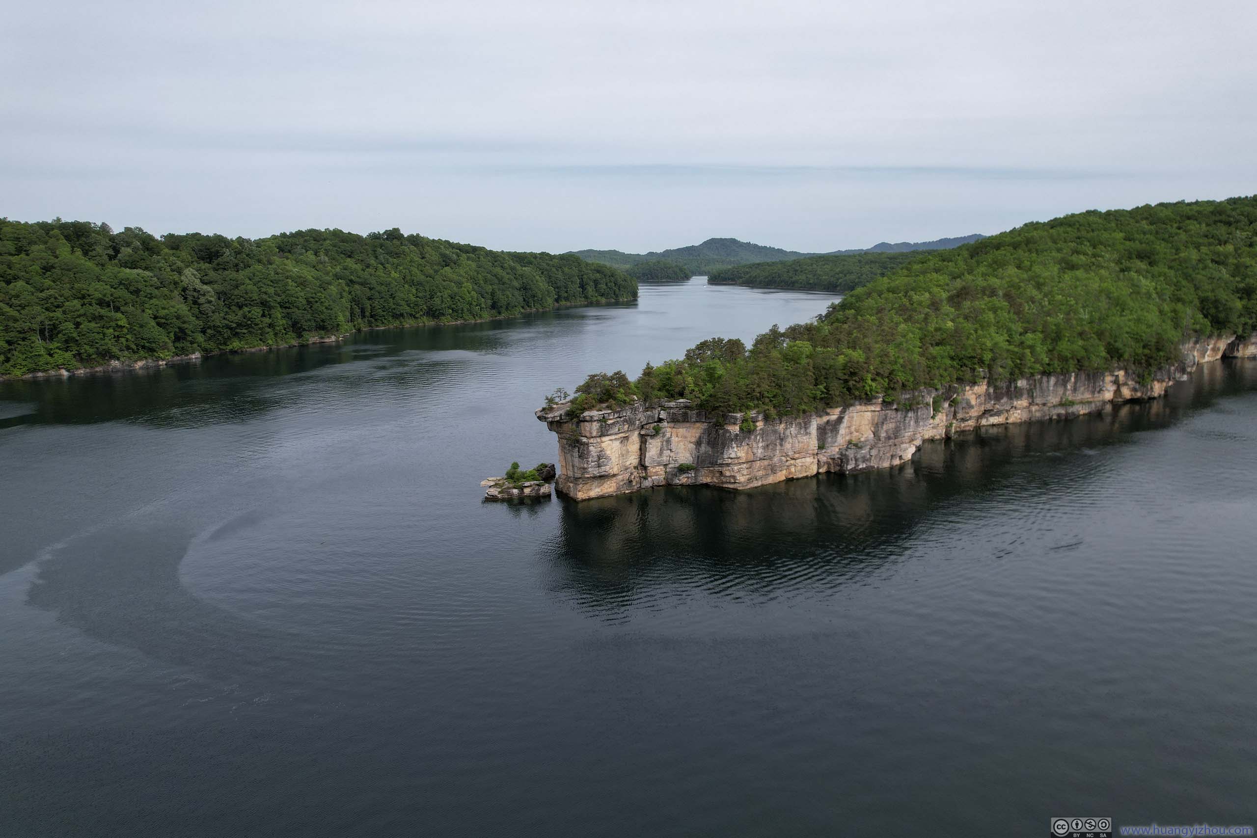
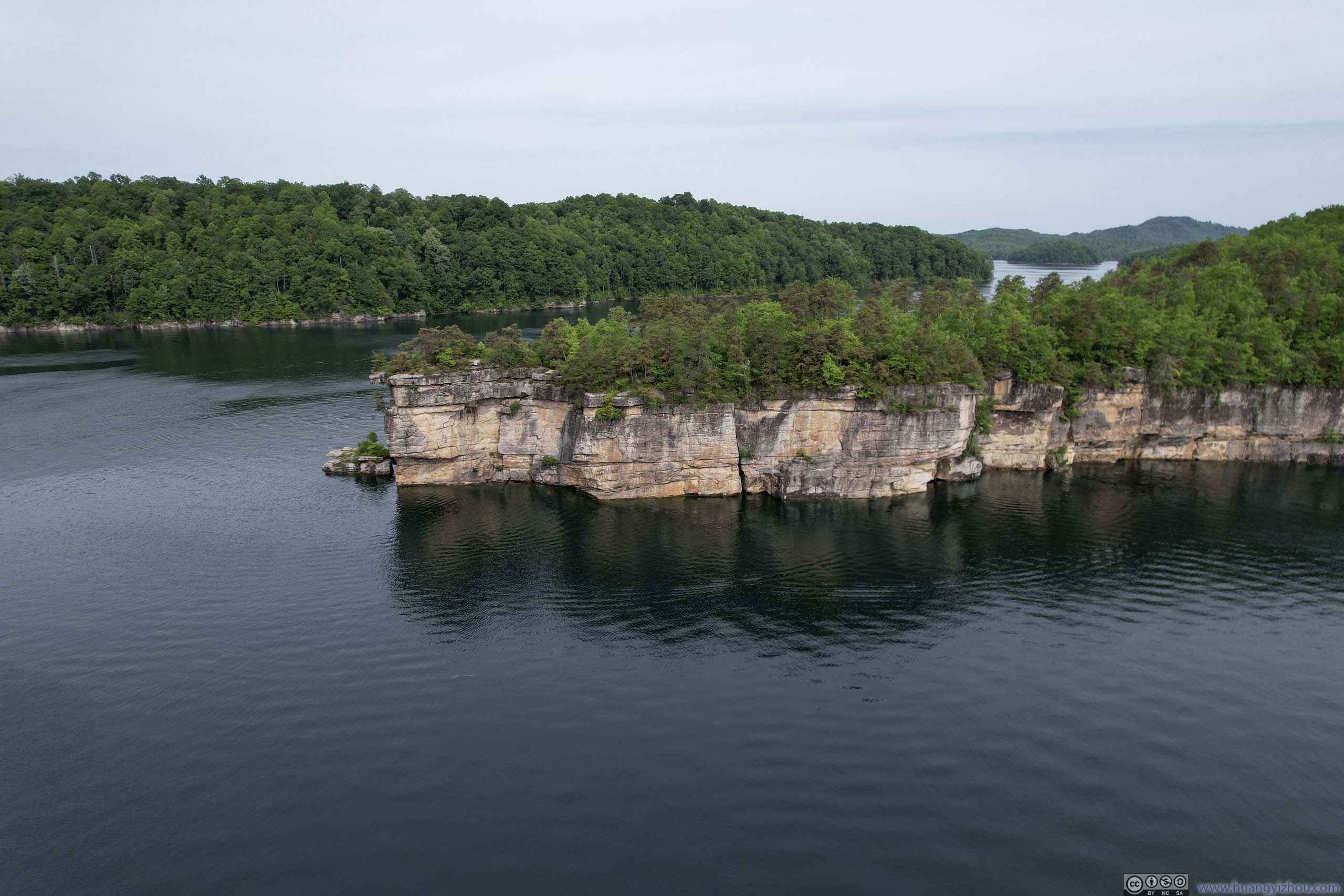
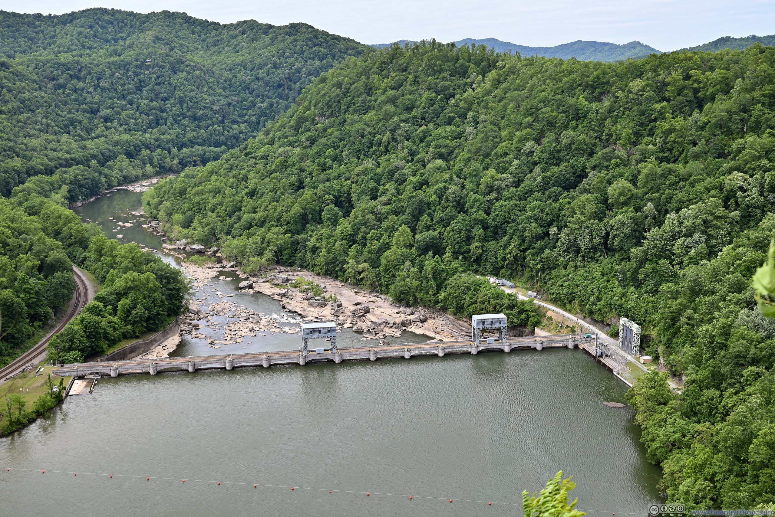
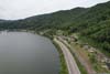
After leaving the hotel and along the way to the national park, I passed Summersville Lake, the largest lake in the state. The lake was also known as “The Little Bahamas of the East” for its water clarity for scuba divers.
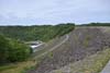
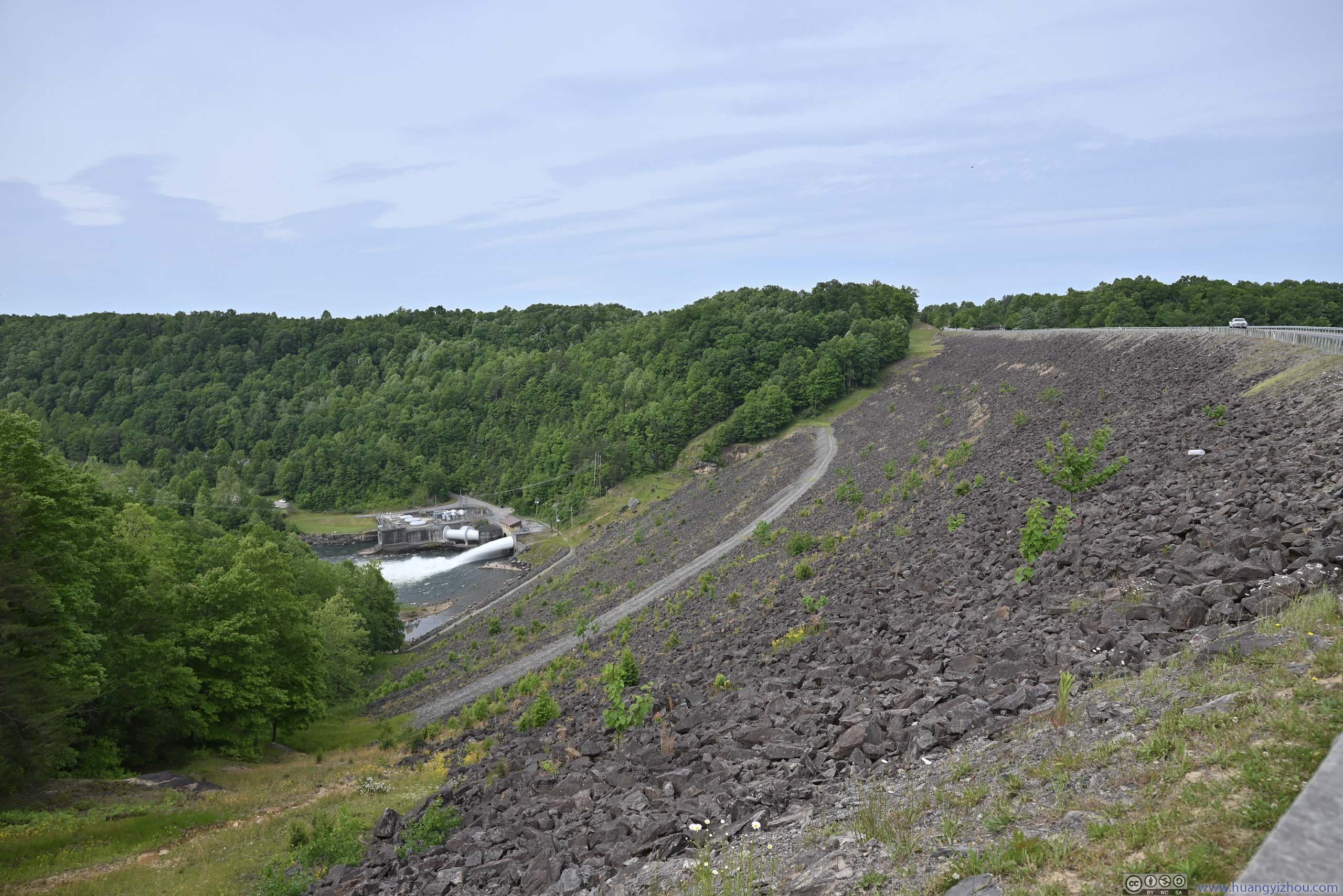
While I couldn’t dive, I sure checked out the lake’s major attraction, Long Point, which was a long and thin peninsula with rocky cliffs. (On this aspect I was a bit disappointed with West Virginia’s lack of ingenuity in naming things. The most popular trail in New River Gorge National Park also led to a place called “Long Point”.) While the lake’s marina offered kayak rentals in the summer, I didn’t have that much time so I viewed it both from an overlook across the lake, and from my drone. In addition, I also checked out the nearby Summersville Dam which created the lake, from an overlook.
 Long Point
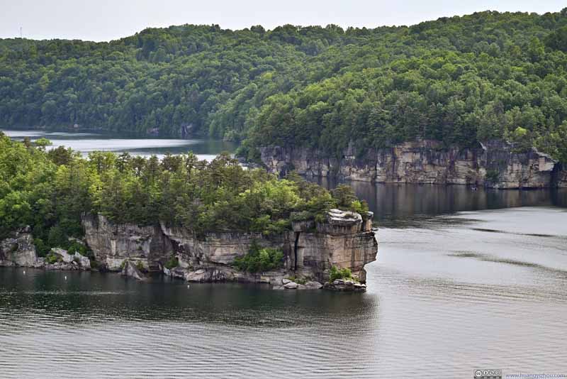 Long Point
 Summersville Lake
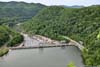
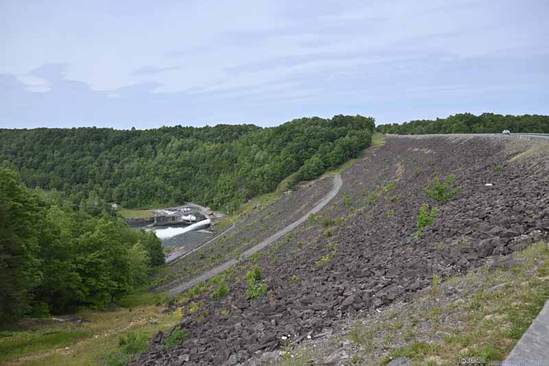 Summersville Dam
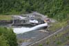
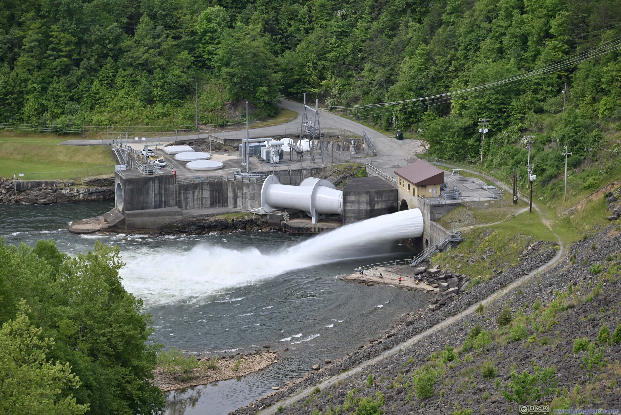
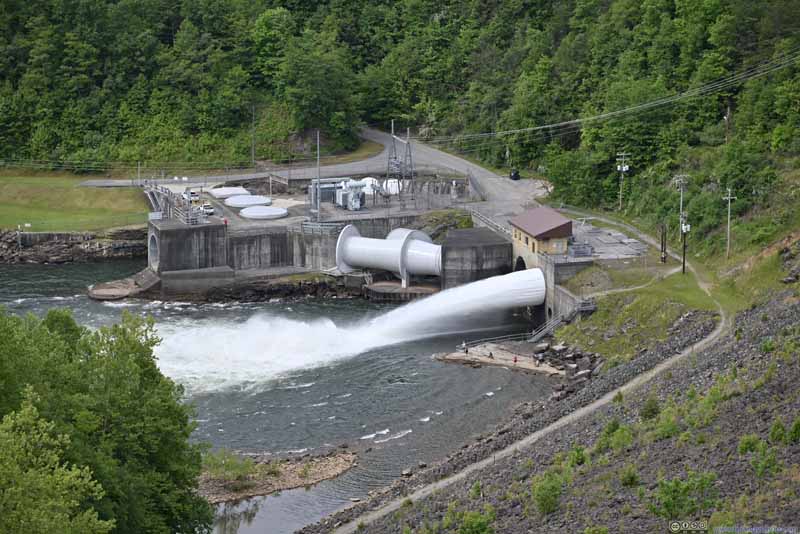 Summersville Dam Releasing Water

Click here to display photos around Summersville Lake.
Long Point

Long Point

Summersville Lake
Summersville Dam
Summersville Dam Releasing Water
And here were photos from my drone, which allowed me to get an up-close look of the rock formations along the cliffs.
 Long Point
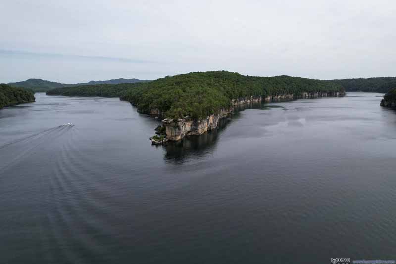 Long Point
 Long Point
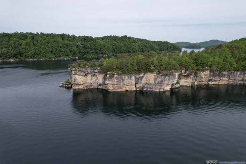 Long Point
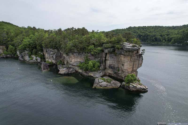 Long Point
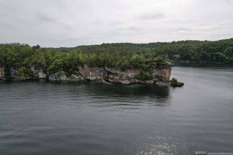 Long Point
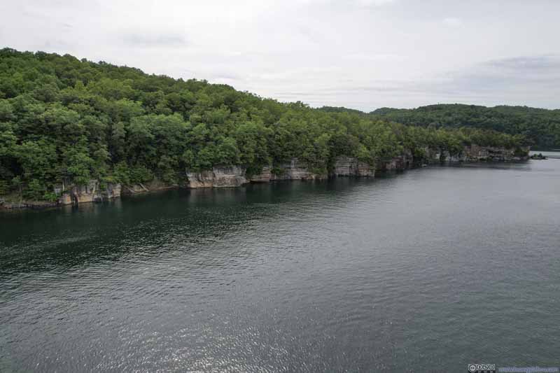 Summersville Lake
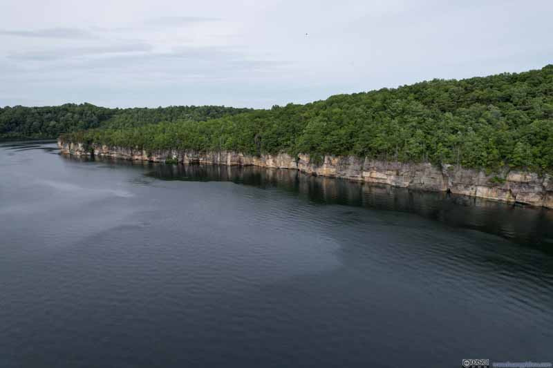 Cliffs along Summersville Lake
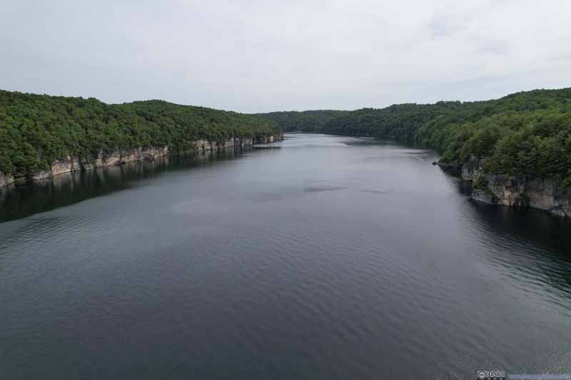 Summersville Lake

Click here to display photos of Summersville Lake from my drone.
 Long Point

 Long Point

Summersville Lake
Cliffs along Summersville Lake
Summersville Lake
Long Point at Summersville Lake
And here are some videos from my drone:
Long Point and surrounding Summersville Lake. 1 minute and 18 seconds, 2160p60fps, 12Mbps/126MB for H265, 14Mbps/137MB for H264.
Ascent from Long Point. 25 seconds, 2160p60fps, 12Mbps/39MB for H265, 14Mbps/43MB for H264.
After leaving Summersville Lake, I decided to check out the rivers downstream of the national park, next to which was Hawk’s Nest State Park.
Along the way, I had a close call with a deer along US19, attesting to the state’s wilderness character while shocking me that such an incident could happen on a four-lane highway with median.
Hawk’s Nest State Park
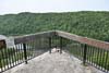
Lover’s Leap
Lover’s Leap overlook was one of two overlooks in the park, next to the park’s lodge (and visitor center?), overlooking where a small creek (Mill Creek) joined New River.
 Lover’s Leap LookoutNow fenced off so that no one can take the leap, no matter how faithful the love.
 Boulders along Cliff
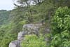
The rims of New River Gorge weren’t short of cliffs like this. Maybe this one would become the new “Lover’s Leap”.
Boulders along Cliff
The rims of New River Gorge weren’t short of cliffs like this. Maybe this one would become the new “Lover’s Leap”.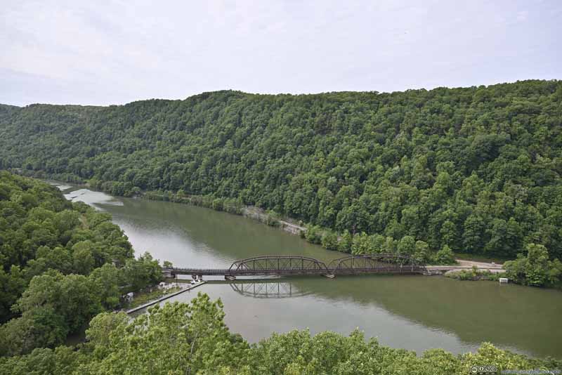 Railway Bridge across New River
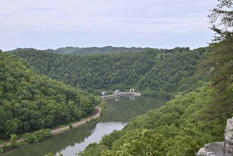 Hawks Nest Dam Downstream
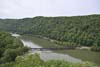
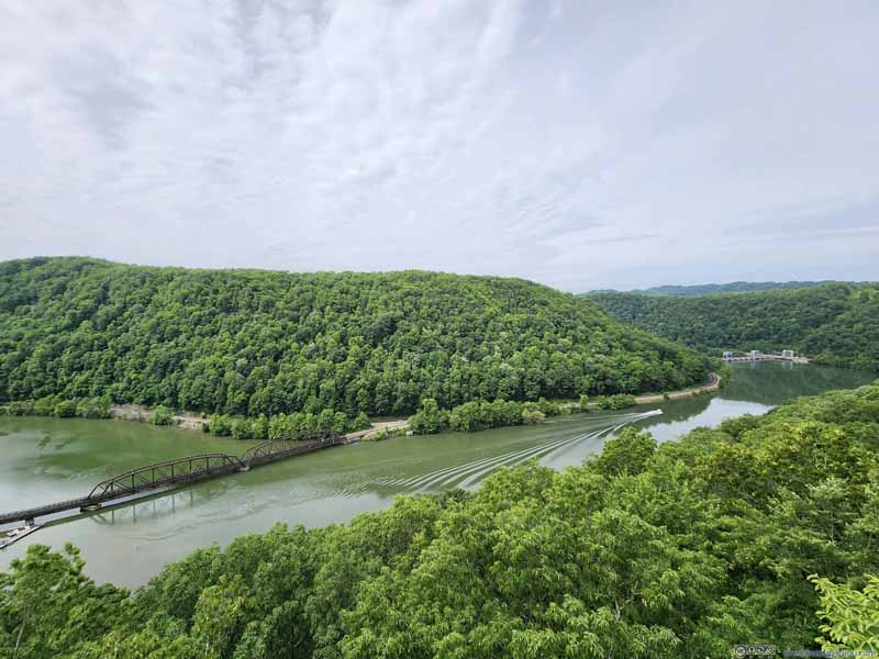 New River from Lover’s Leap
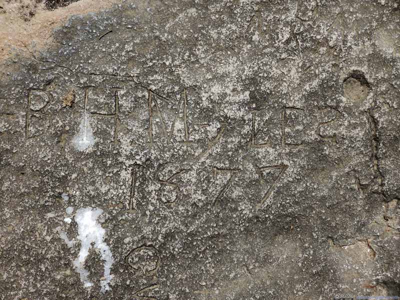 Graffiti by Early Visitors
 Mountain Laurels


Click here to display photos from Lover’s Leap Overlook.
Lover’s Leap LookoutNow fenced off so that no one can take the leap, no matter how faithful the love.
Boulders along Cliff
Railway Bridge across New River

Hawks Nest Dam Downstream
New River from Lover’s Leap

Graffiti by Early Visitors
Mountain Laurels
View from Lover’s Leap at Hawk’s Nest State Park
Hawk’s Nest Overlook
Just a short distance down the road was Hawk’s Nest Overlook. Both of the overlooks were accessed through a short trail from their parking lots, the one to Hawk’s Nest wasn’t as steep. In my opinion the views from Hawk’s Nest were better.
 New River from Hawk’s Nest
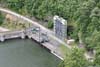
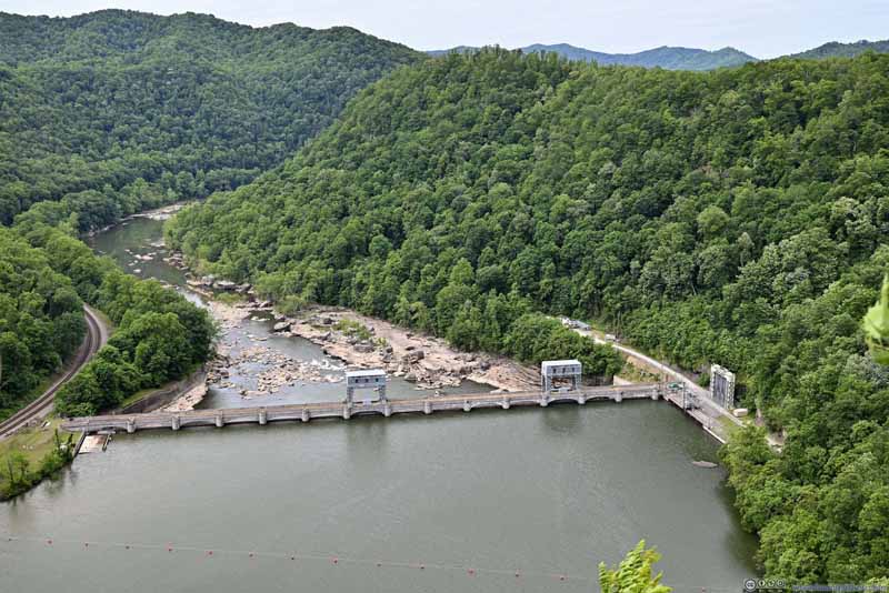 Hawk’s Nest Dam
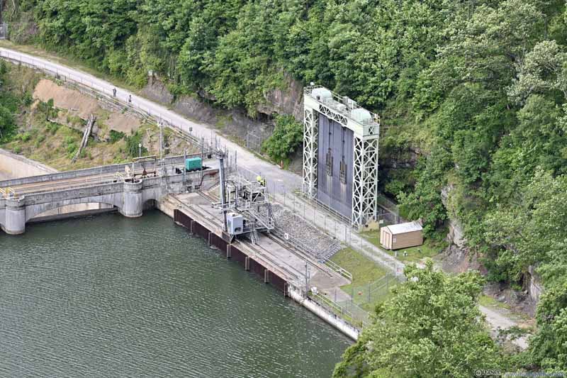 Water Intake for Hawk’s Nest Tunnel
A nearby information marker mentioned that during its construction in 1930-35, hundreds of workers died from silica rock dust.
Water Intake for Hawk’s Nest Tunnel
A nearby information marker mentioned that during its construction in 1930-35, hundreds of workers died from silica rock dust.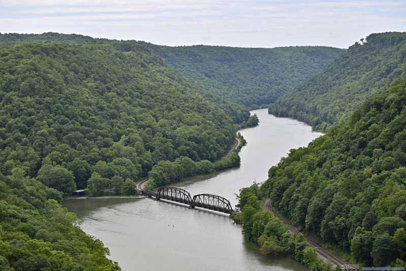 New River
Click here to display photos from Hawk’s Nest Overlook.

New River from Hawk’s Nest
Hawk’s Nest Dam
Water Intake for Hawk’s Nest Tunnel

New River
In addition, Hawk’s Nest State Park featured a “Cliffside Trail”, which I didn’t have enough time for (I bet the views would be similar to the two overlooks). After that, I headed further west, checking out a few waterfalls along the way.
Further Downstream
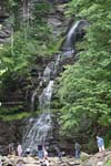
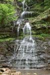
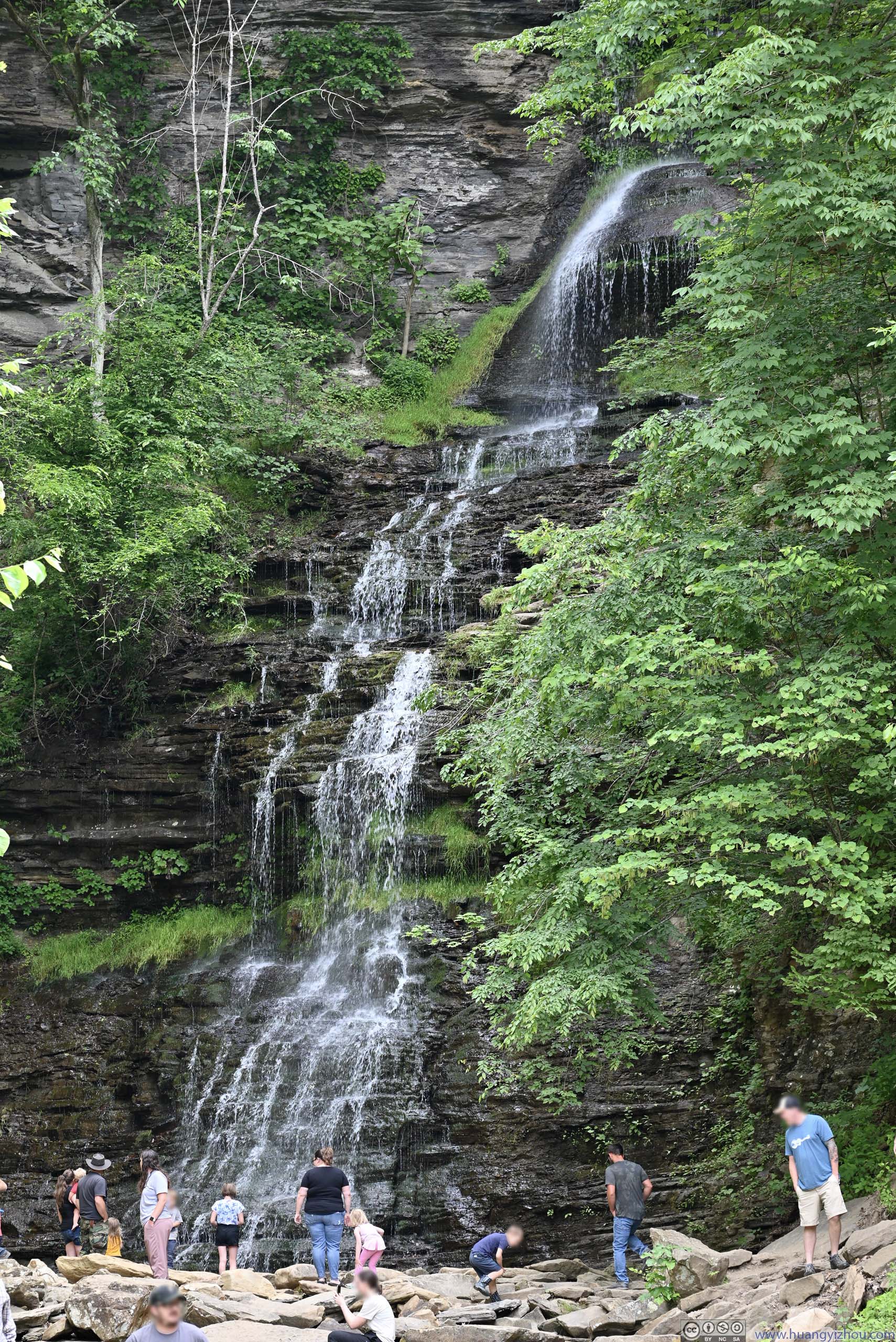
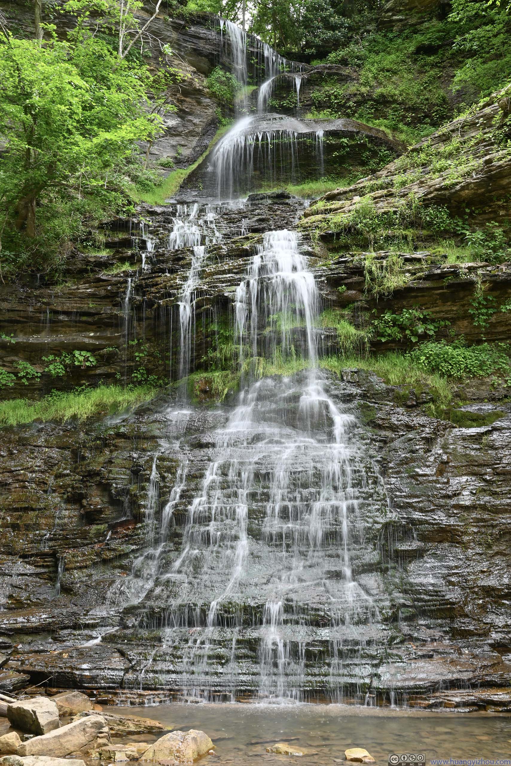
The first one was “Cathedral Falls”, located right along US60 where Cane Branch fell over 60 feet before joining New River. It parking lot was limited in size, so I didn’t stay there for long.
 Cathedral FallsTaken from the parking lot.
 Cathedral FallsTaken up close.
Click here to display photos of Cathedral Falls.
Cathedral FallsTaken from the parking lot.
Cathedral FallsTaken up close.
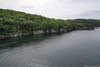
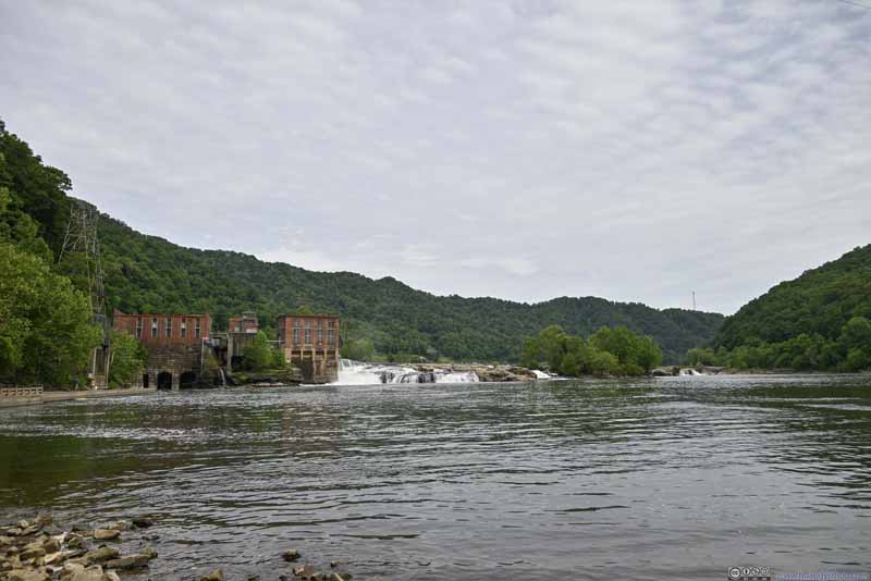
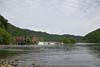
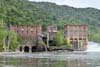
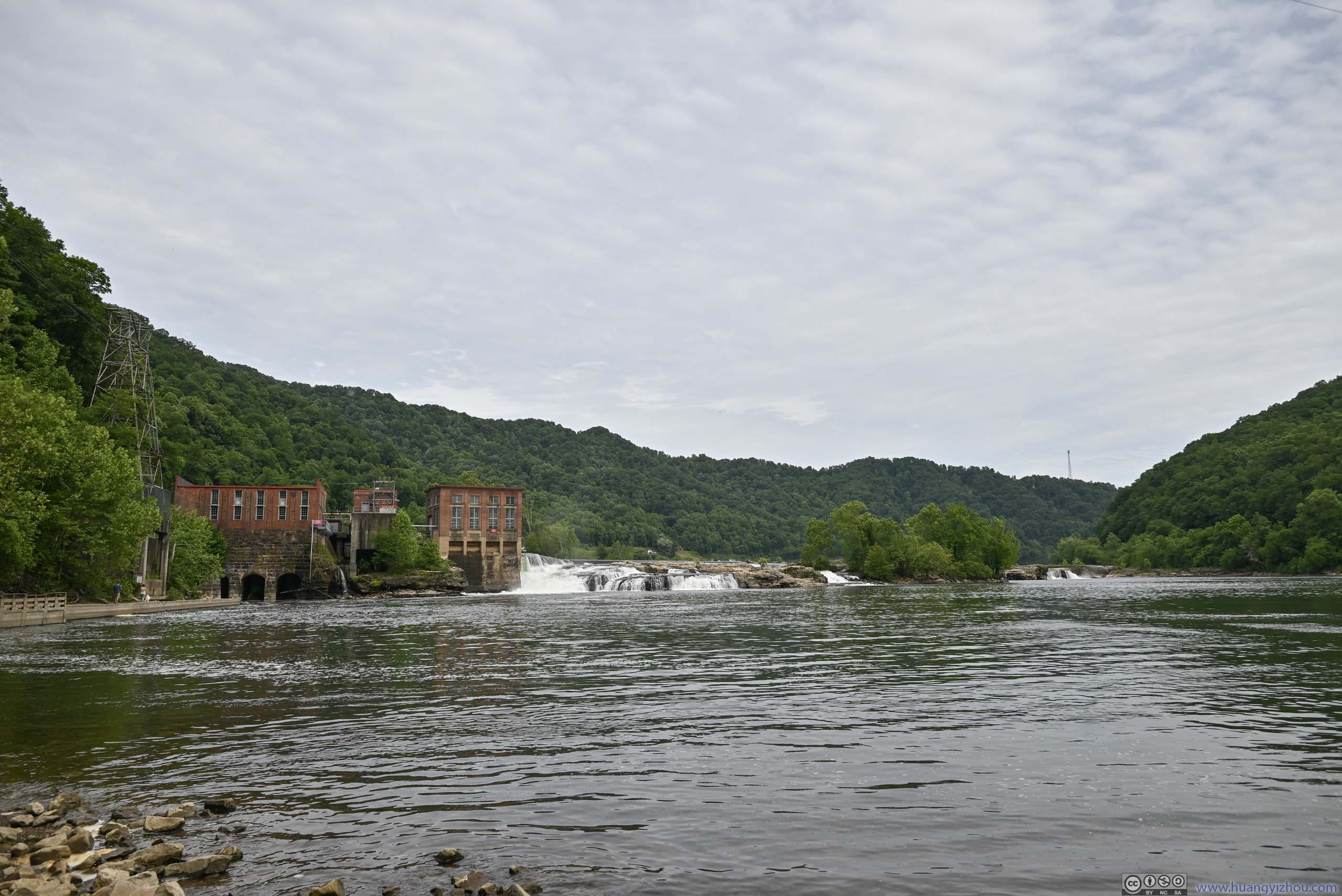
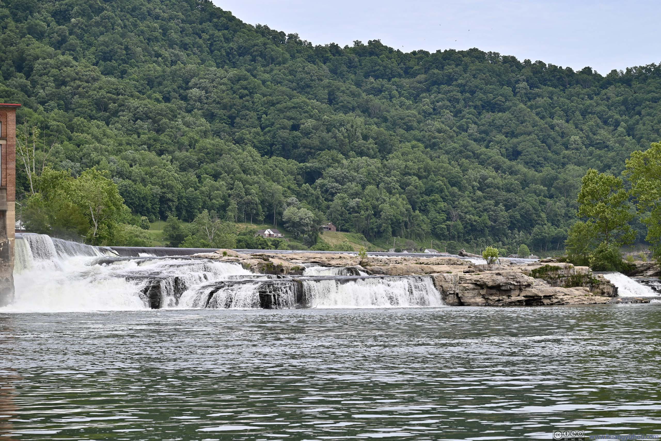
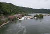
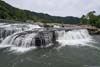
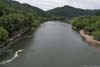
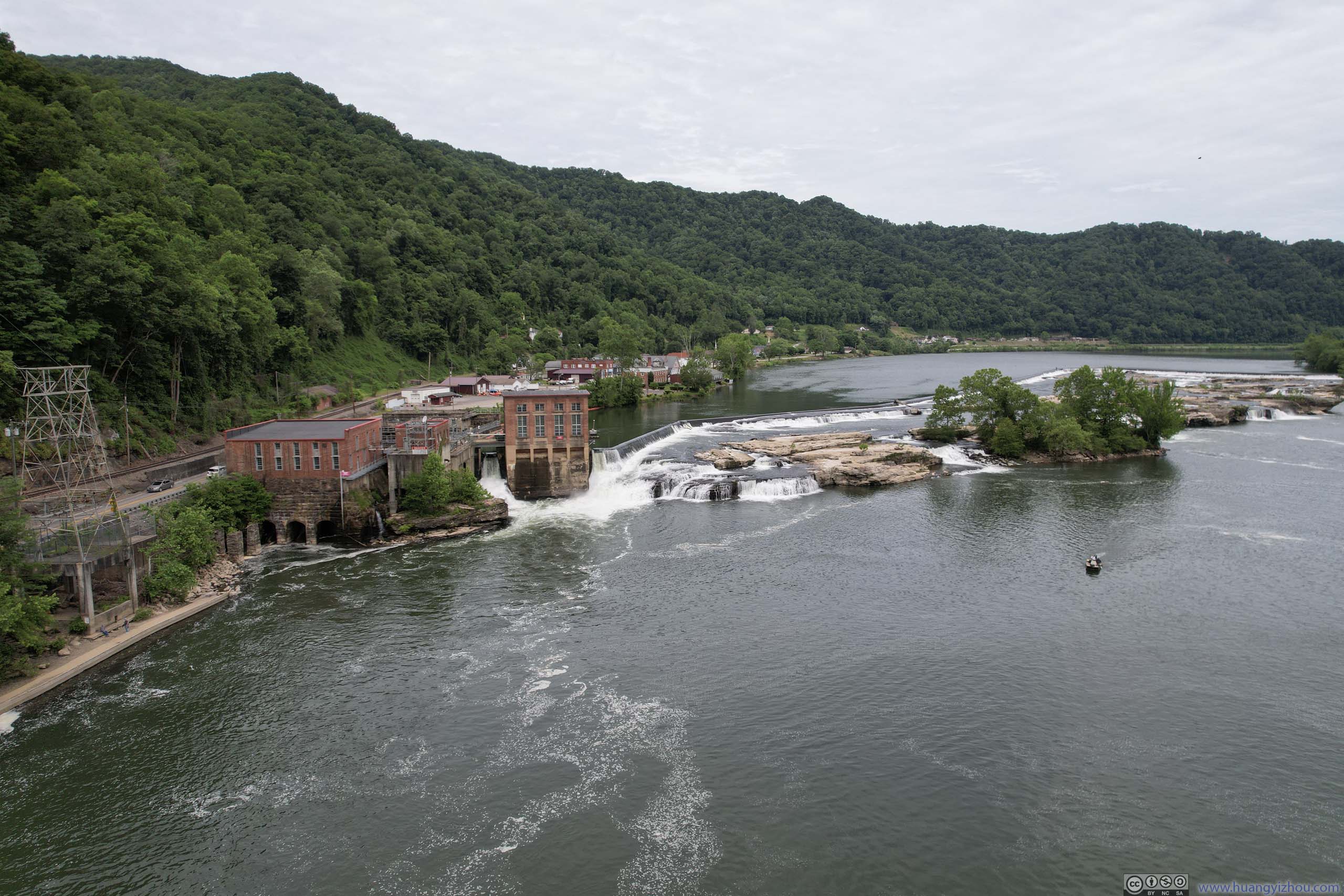
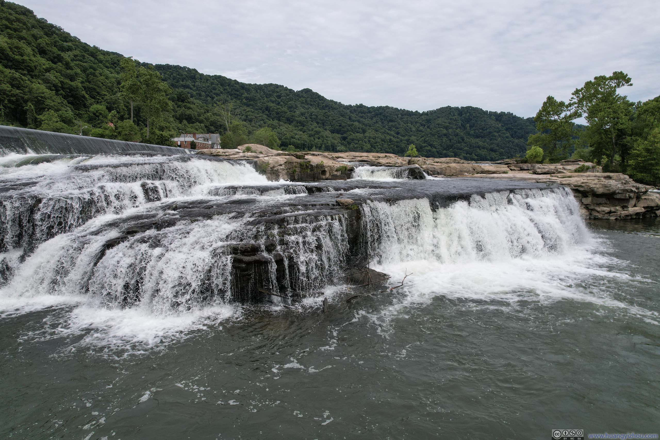
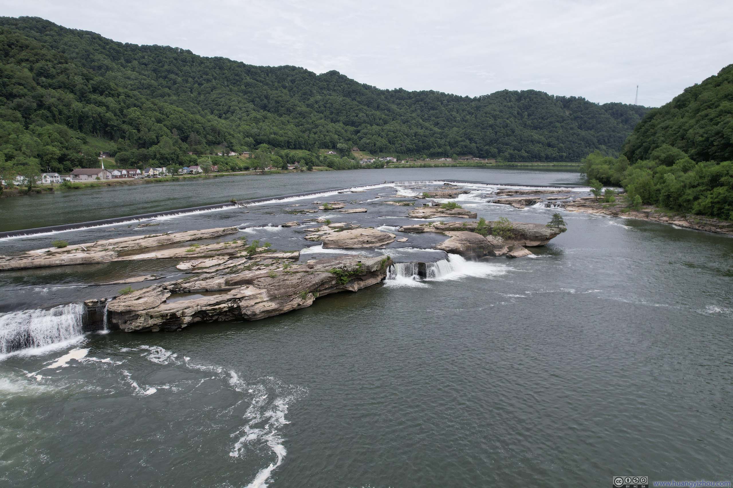
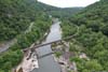
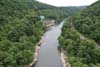
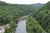
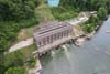
Next I checked out Kanawha Falls, next to “Glen Ferris Hydroelectric Project” while I parked at the “Fishing Area”. Gauley River (which flew through Summersville Lake) and New River merged a short distance upstream to form Kanawha River, which went through some cascades here.
It turned out the “Fishing Area” where I parked was popular for launching kayaks, with some brave kayakers getting up close to the waterfalls.
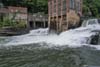
 Kanawha Falls
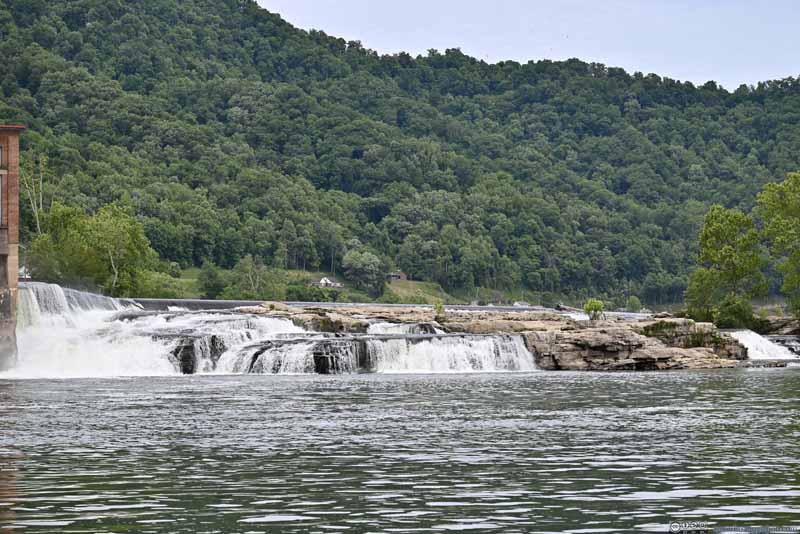 Kanawha Falls
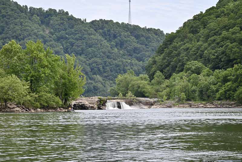 Kanawha Falls
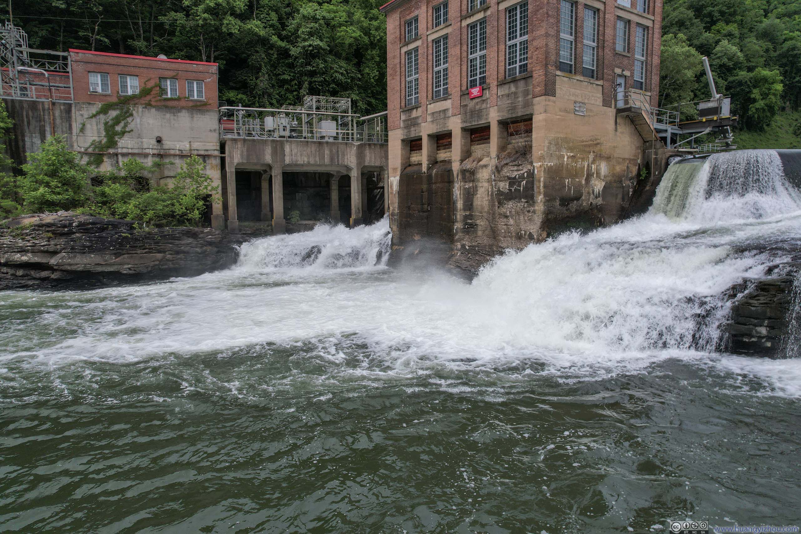
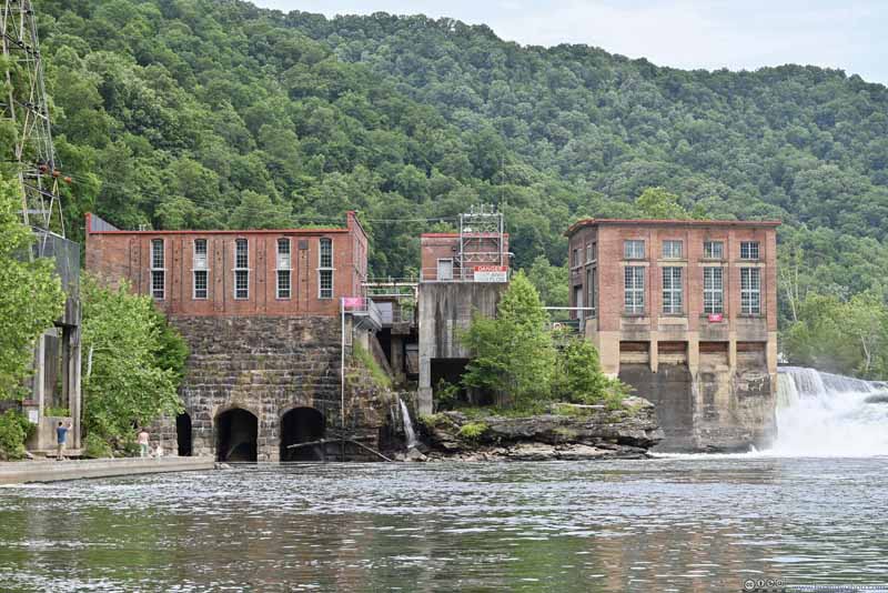 Glen Ferris Hydroelectric Project Building


Click here to display photos of the slideshow
Kanawha Falls
Kanawha Falls

Kanawha Falls

Glen Ferris Hydroelectric Project Building
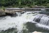
Since there was some distance between the parking lot and the waterfalls, I decided the waterfalls were best viewed from my drone. Here were some photos:
 Overlooking Kanawha Falls
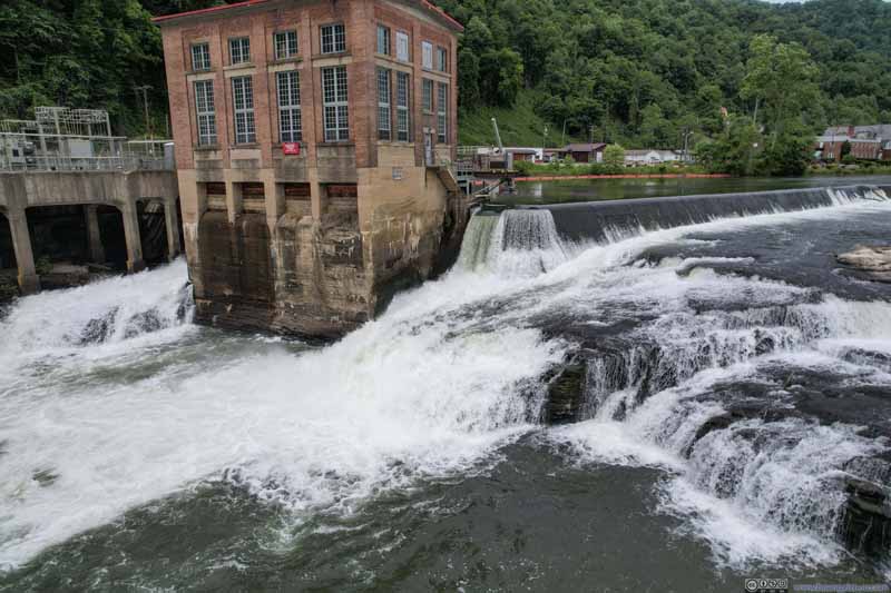 Kanawha Falls near Hydropower Building
 Kanawha Falls near Hydropower Building
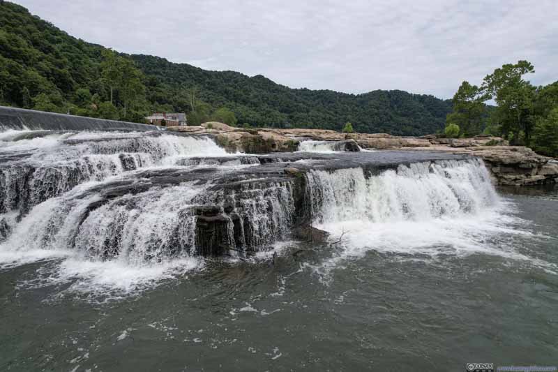 Kanawha Falls
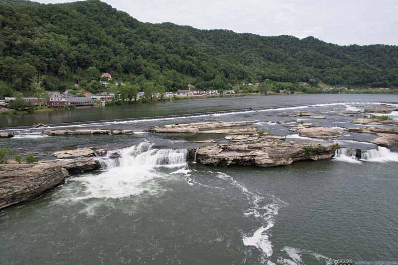 Kanawha Falls
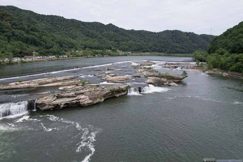 Kanawha Falls
 Kanawha Falls
 US Route 60 along Kanawha River
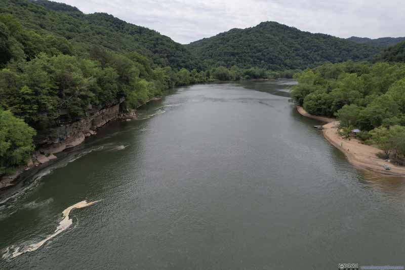 Kanawha River Downstream


Click here to display photos of the slideshow
Overlooking Kanawha Falls

Kanawha Falls near Hydropower Building
Kanawha Falls near Hydropower Building
Kanawha Falls

Kanawha Falls
Kanawha Falls
Kanawha Falls

US Route 60 along Kanawha River

Kanawha River Downstream
Kanawha Falls
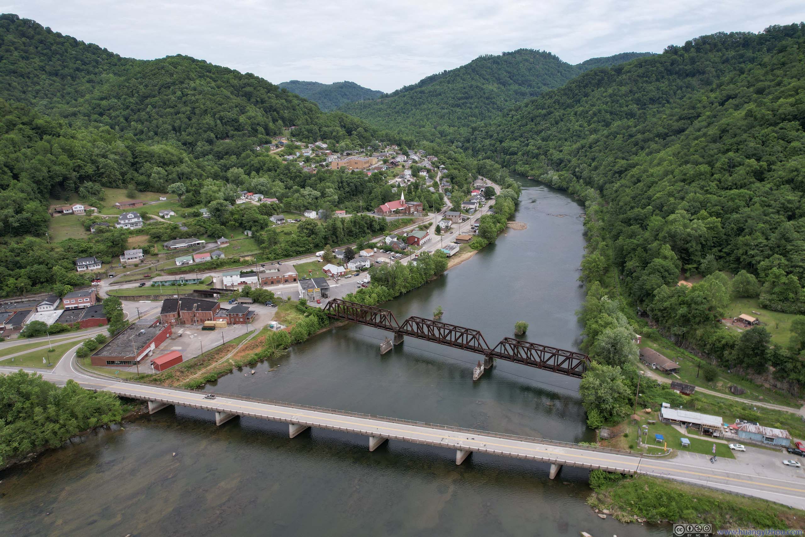
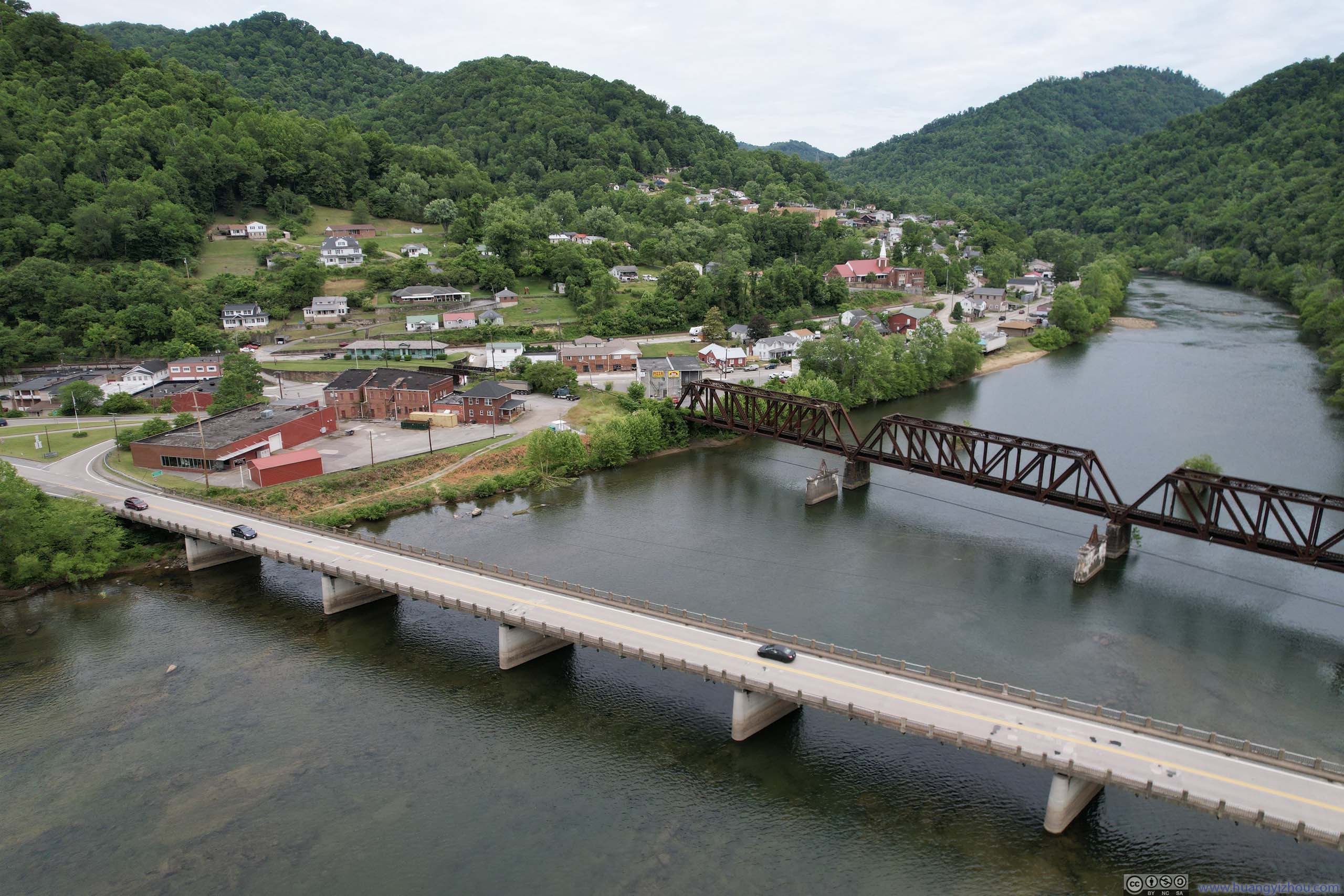
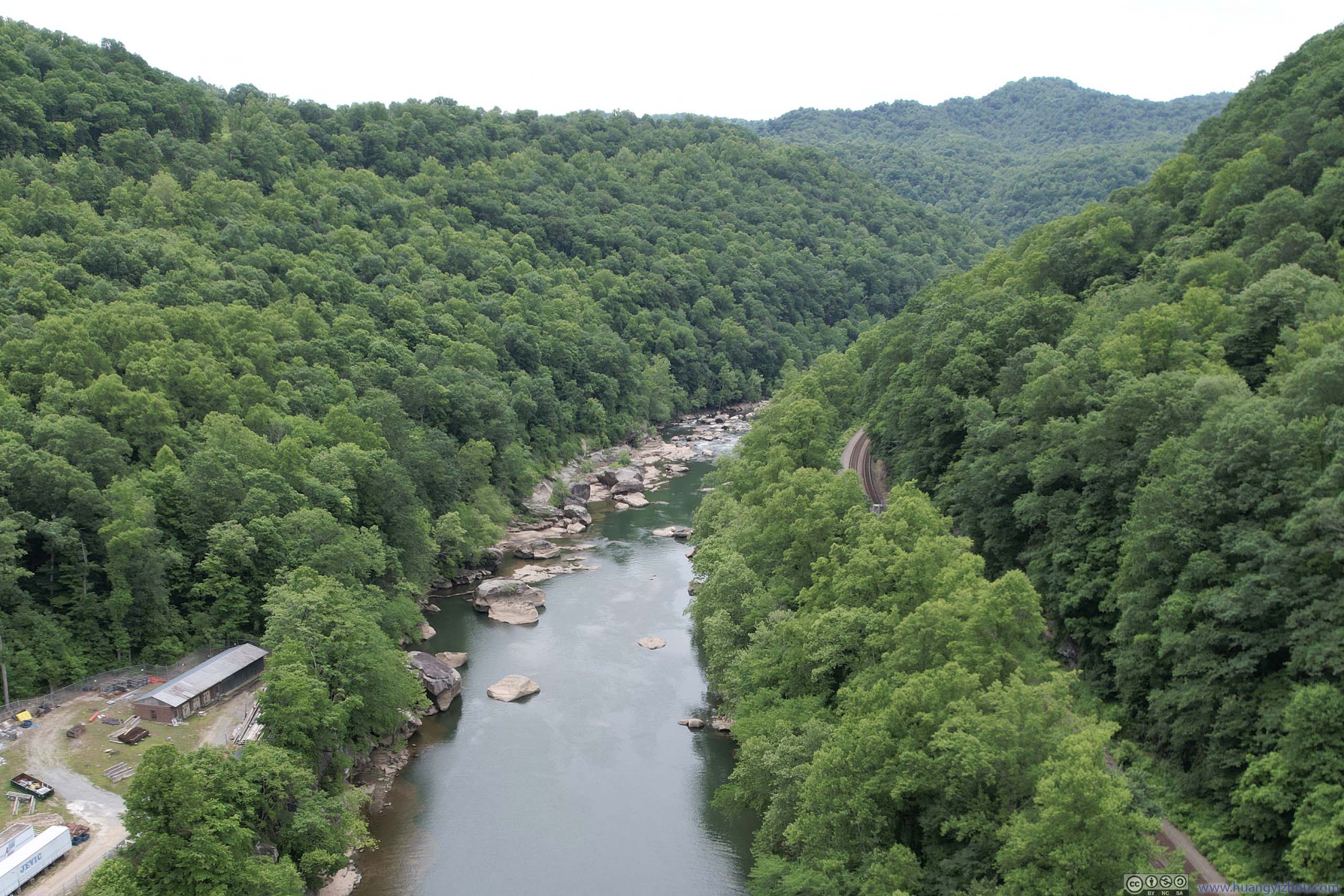
After Kanawha Falls, I headed back to the confluence of Gauley and New River and took more drone shots.
Here’s a compilation of the drone videos from both spots:
And here were some photos:
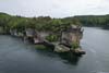
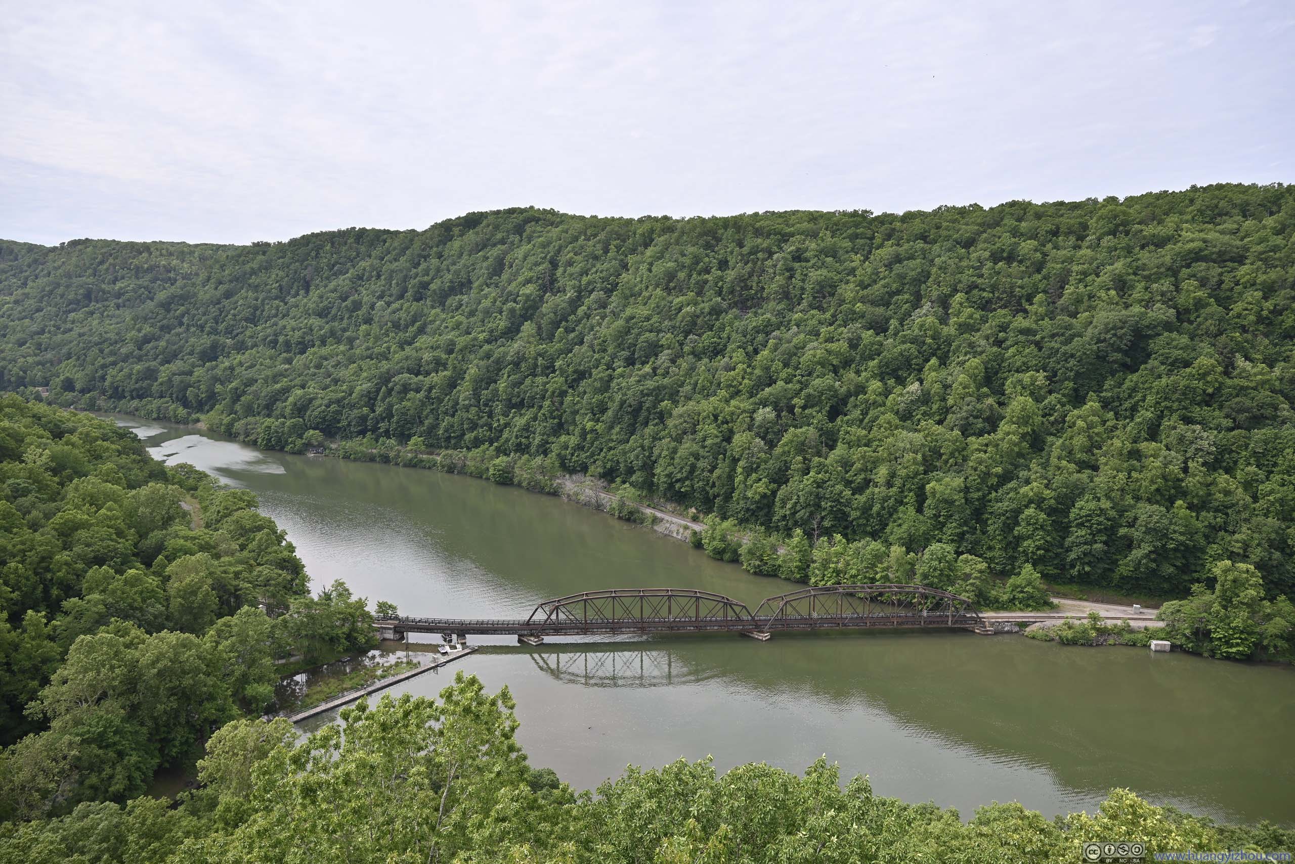
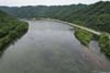
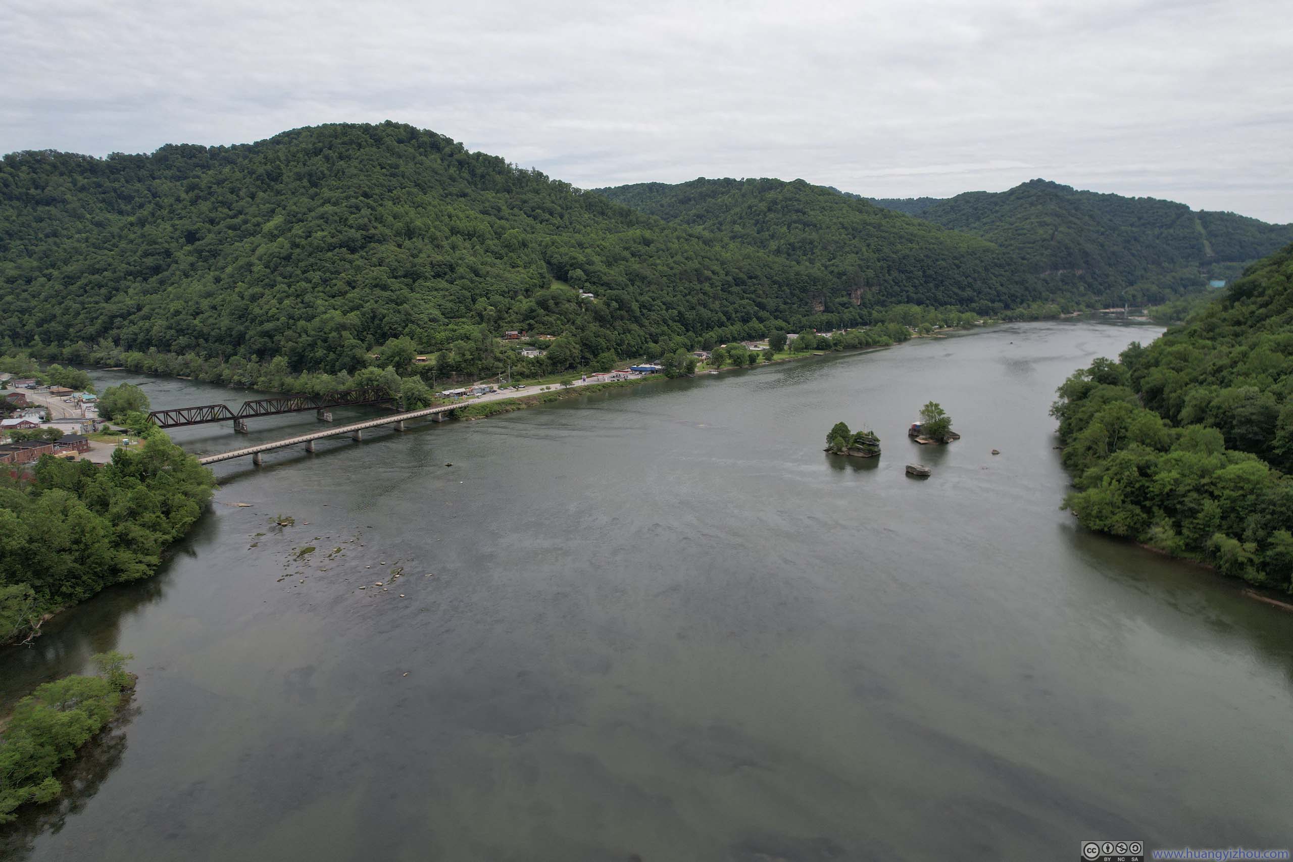
 Confluence of New River and Gauley River into Kanawha River
 Bridges across Gauley River
 Bridges across Gauley River
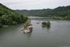
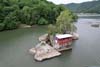
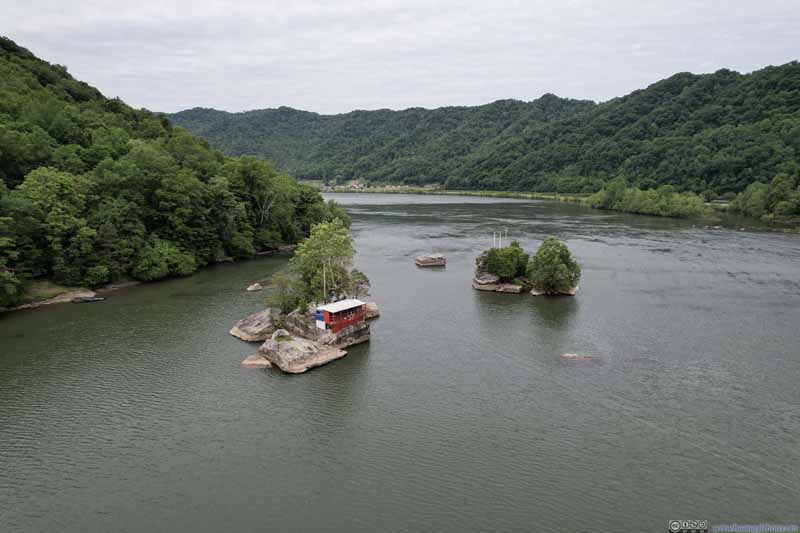 Islands in New RiverI wasn’t sure what these islands were for.
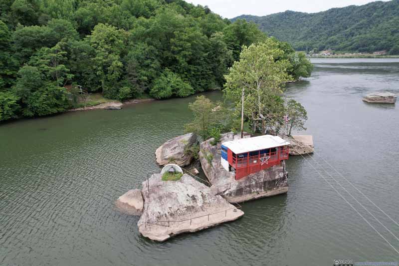 Island in New RiverThis one felt like a diner to me, requiring a boat ride to reach though.
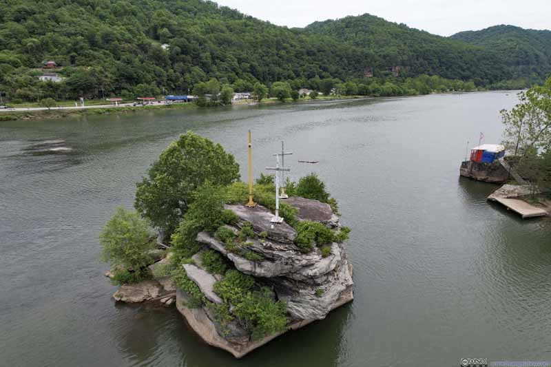 Islands in New RiverCross on another island.
 Kanawha RiverDownstream towards Kanawha Falls.


Click here to display photos of the slideshow
Confluence of New River and Gauley River into Kanawha River
Bridges across Gauley River
Bridges across Gauley River
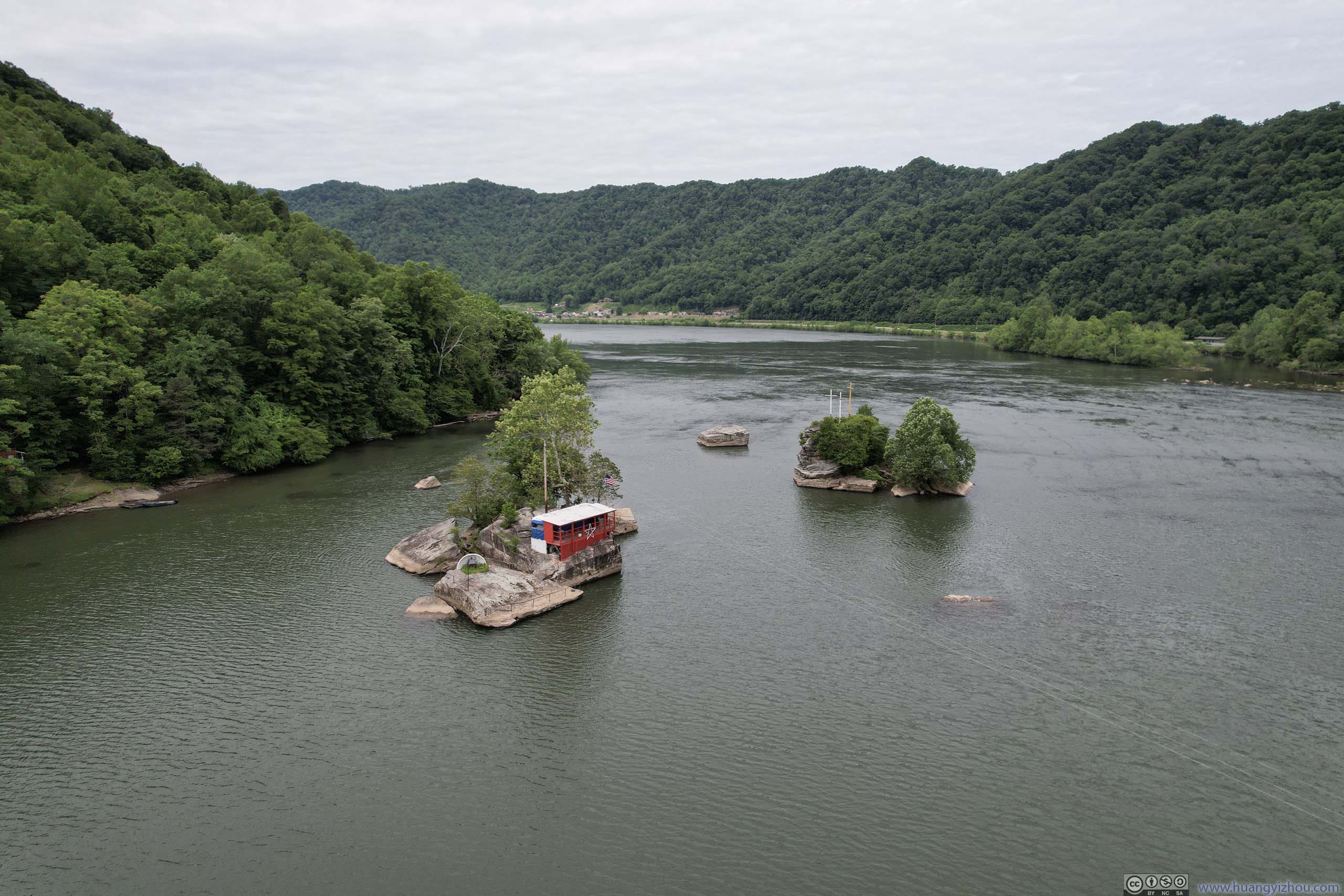
Islands in New RiverI wasn’t sure what these islands were for.
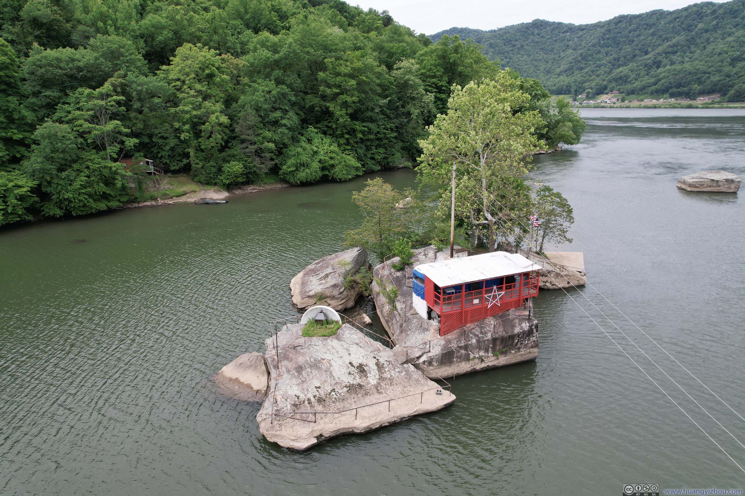
Island in New RiverThis one felt like a diner to me, requiring a boat ride to reach though.
Islands in New RiverCross on another island.
Kanawha RiverDownstream towards Kanawha Falls.
Overlooking Confluence of New River (right) and Gauley River (middle) into Kanawha River (left)
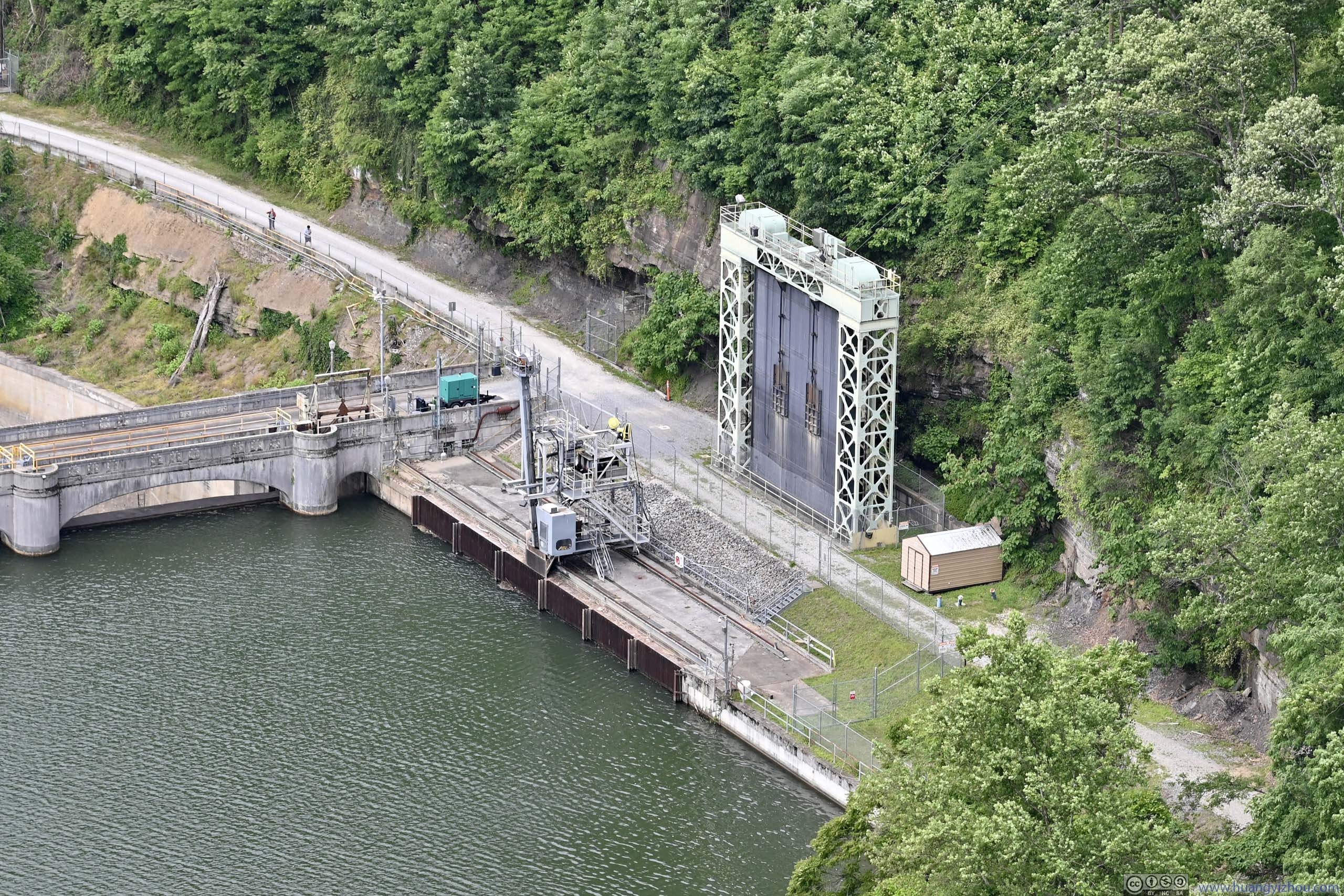
This extended to Hawk’s Nest Hydroelectric Plant, just upstream from Cathedral Falls. A tunnel connects this plant to Gauley Junction Dam, visible from Hawk’s Nest Overlook earlier today, which channeled water and generated electricity.
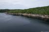
 New River
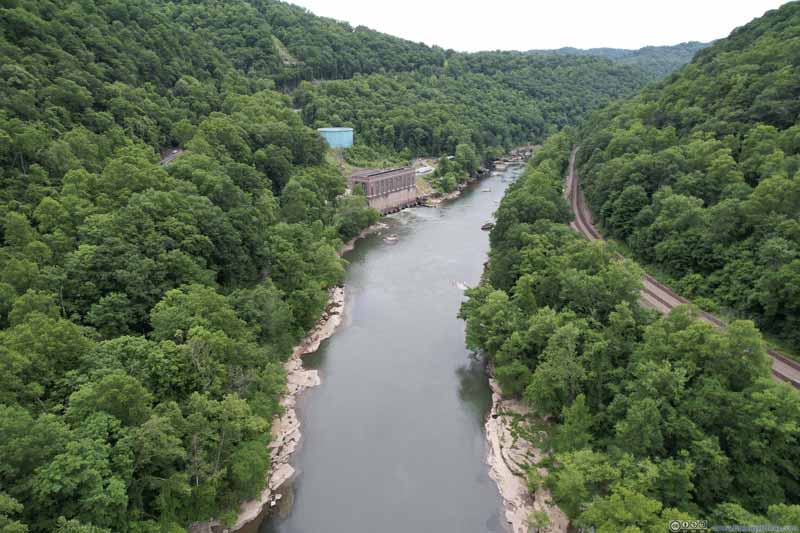 New River
 New River
 Hawk’s Nest Hydroelectric Plant
Click here to display photos of the slideshow

New River

New River
New River

Hawk’s Nest Hydroelectric Plant
After that, it’s approaching 1pm. I headed for the town of Fayetteville for a quick lunch before beginning my tour of New River Gorge National Park in the afternoon.
New River Gorge National Park
Long Point Trail
This was the most popular trail in the park, sharing the same name as the rocky peninsula from Summersville Lake earlier today. From “Long Point Trailhead”, it’s a 4.8km out-and-back with 105m elevation gain. Unfortunately, by the time I arrived at the parking lot at 1:40pm, it’s fully packed. It’s either private property or roads with “no-parking” signs around the parking lot, so I had to bail out.
Luckily, Long Point could also be accessed from “Kaymoor Miners Trailhead” not far away, which made it a 4.7km out-and-back with 167m elevation gain. That would be the same trailhead to access Kaymoor Mine down the valley. It’s a steep descent to Kaymoor Mine, probably the reason it’s not as popular, as a result of which I managed to find a spot there.
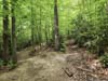
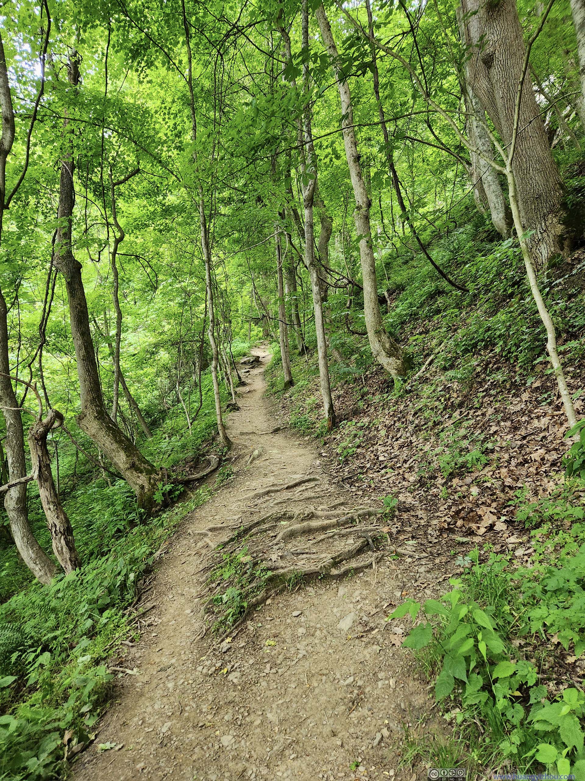
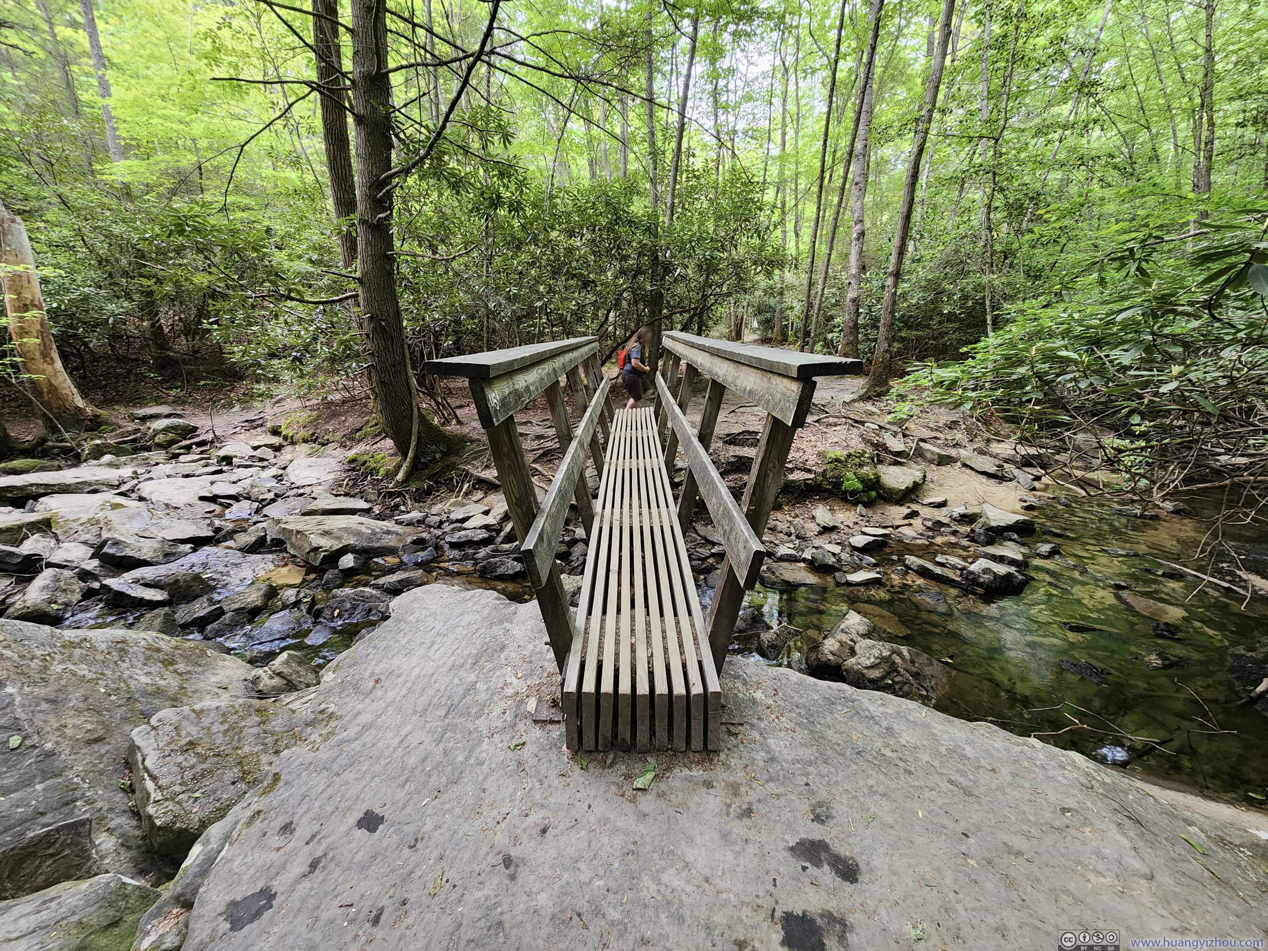
I set off onto the trail just before 2pm. There were a few unpleasant/muddy spots along Butcher Branch Trail but largely it’s in good condition. Here’s GPS tracking:
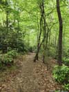
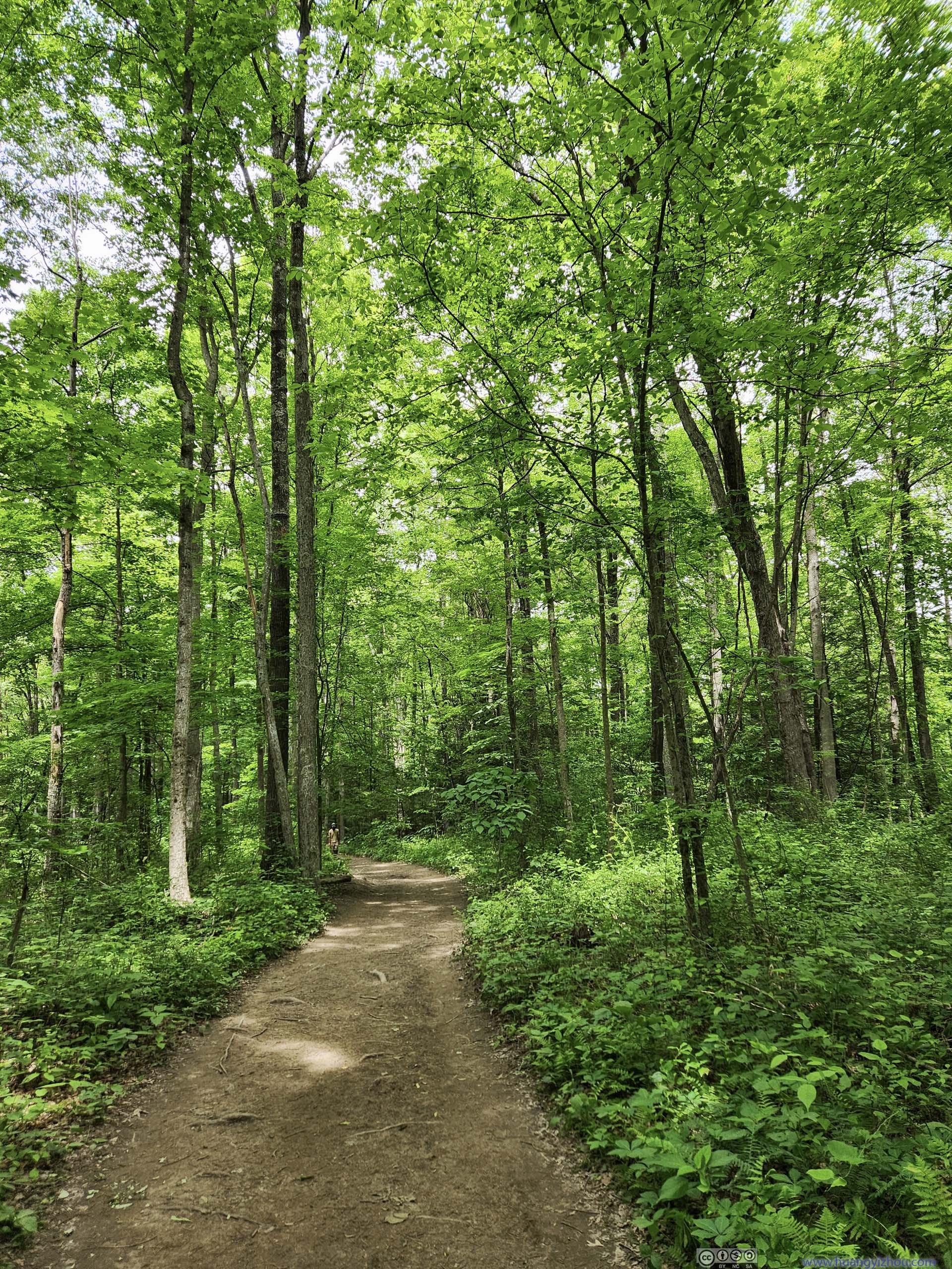
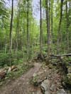
 Butcher Branch Trail
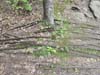
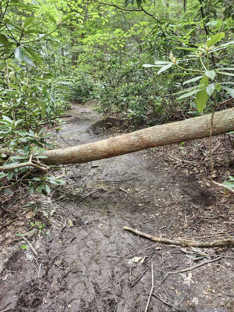 Muddy Trail and ObstacleMost of the trail was in good condition, this was one of the few muddy patches.
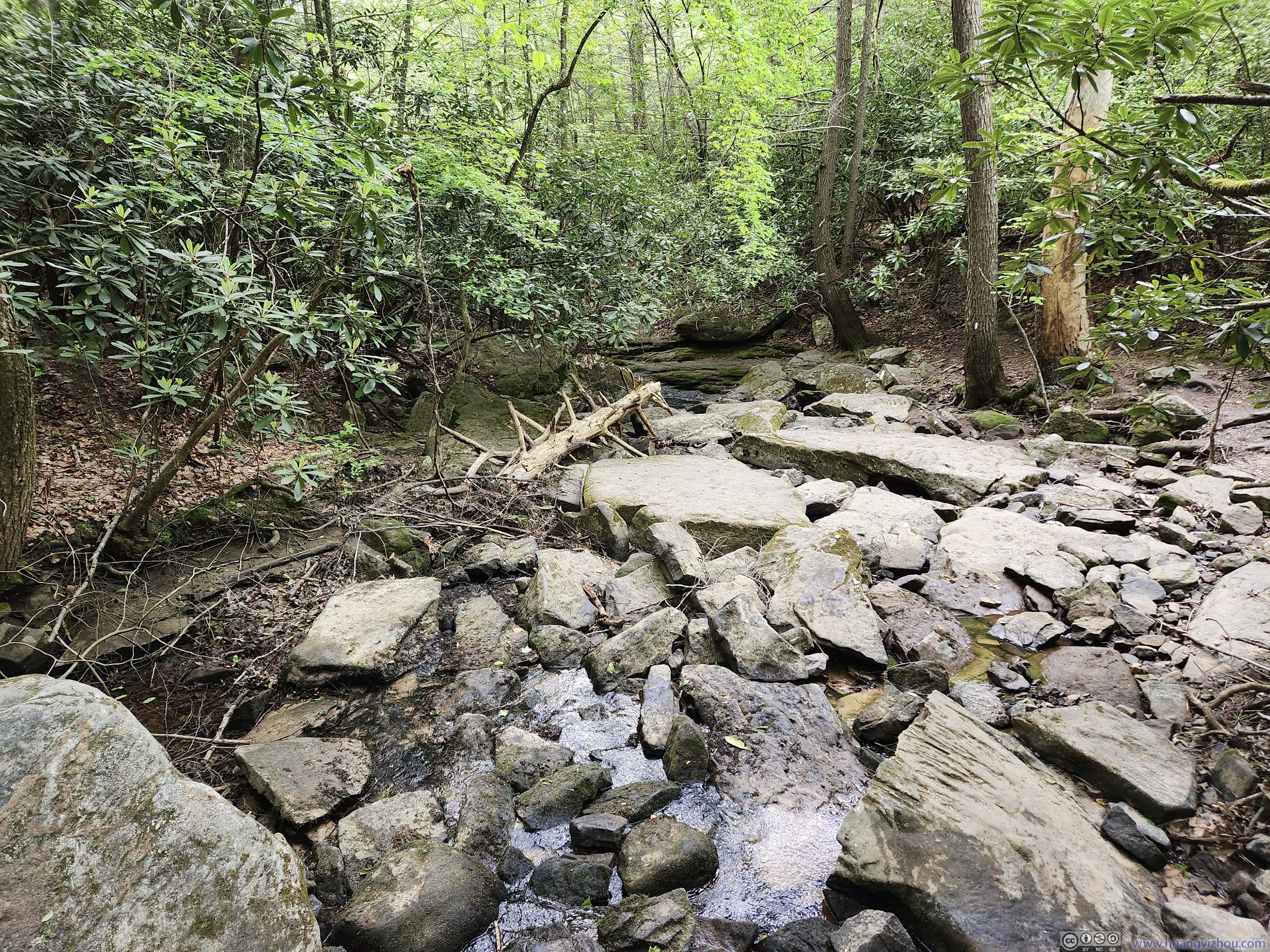
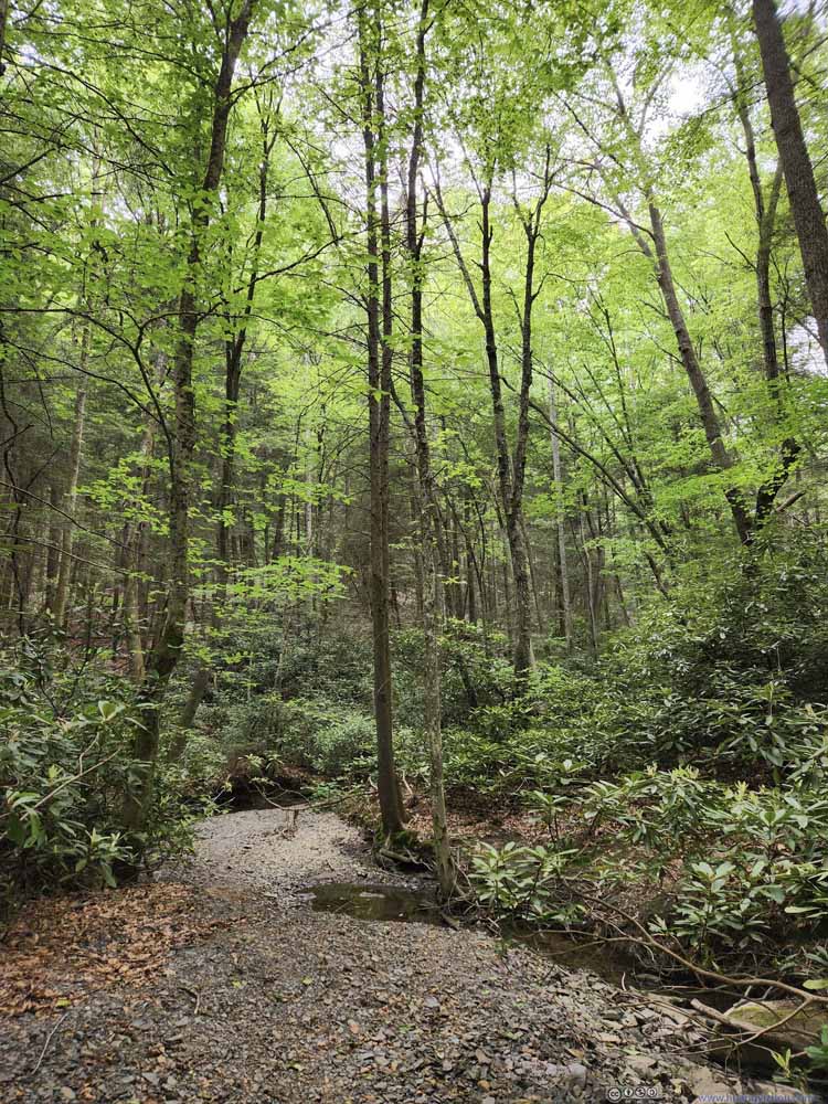 WoodsA small creek that flew across the trail.
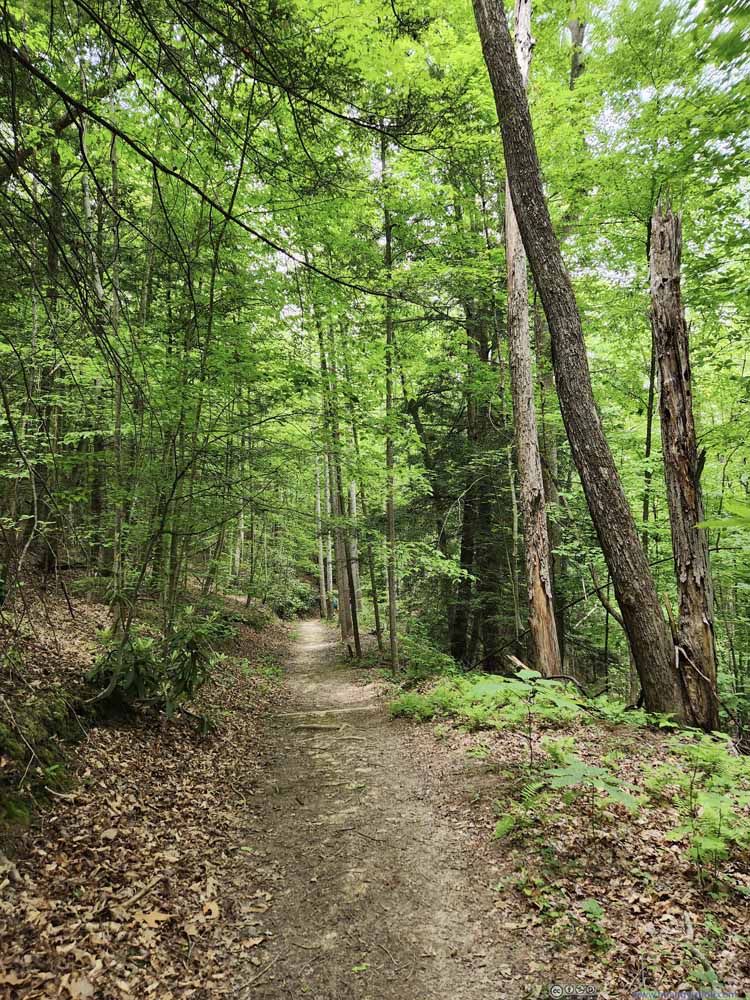 Butcher Branch Trail
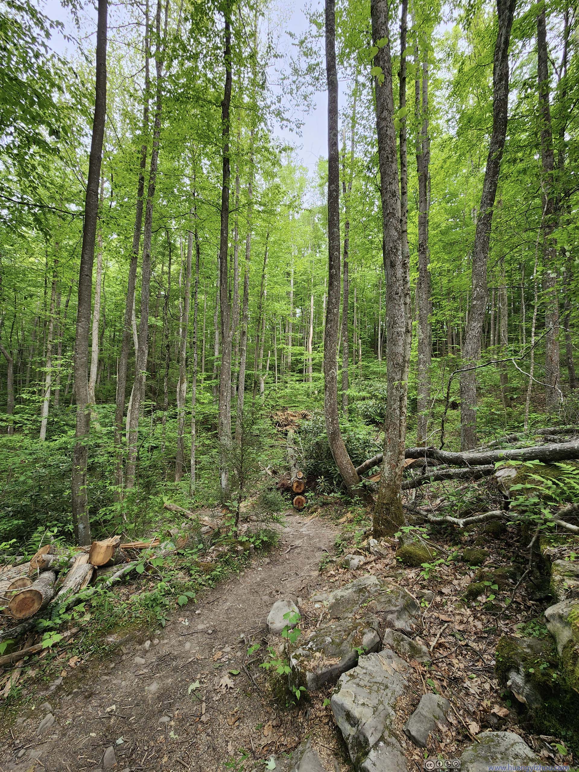
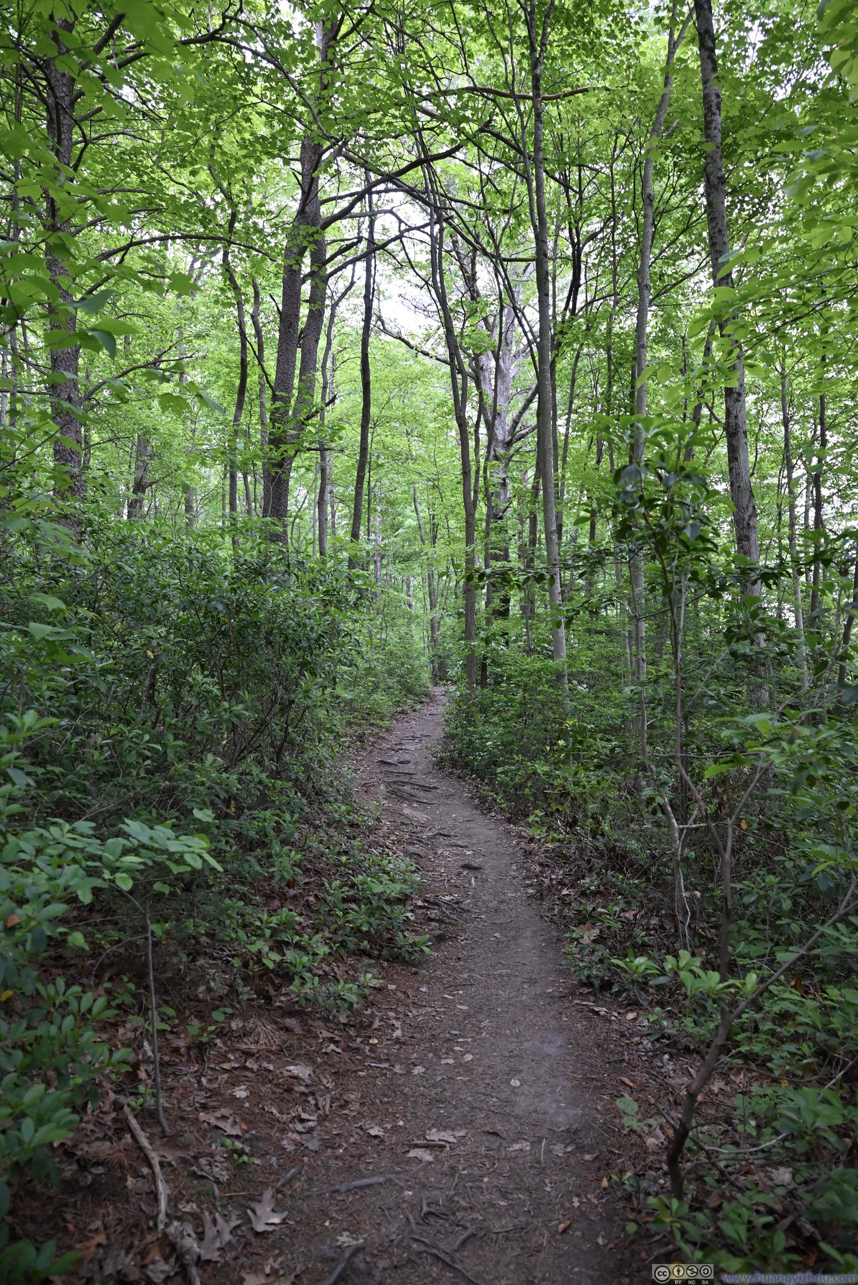
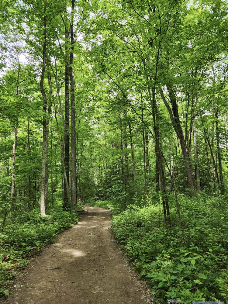 Long Point Trail
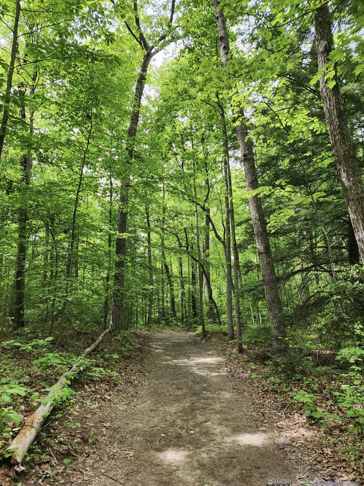 Long Point Trail
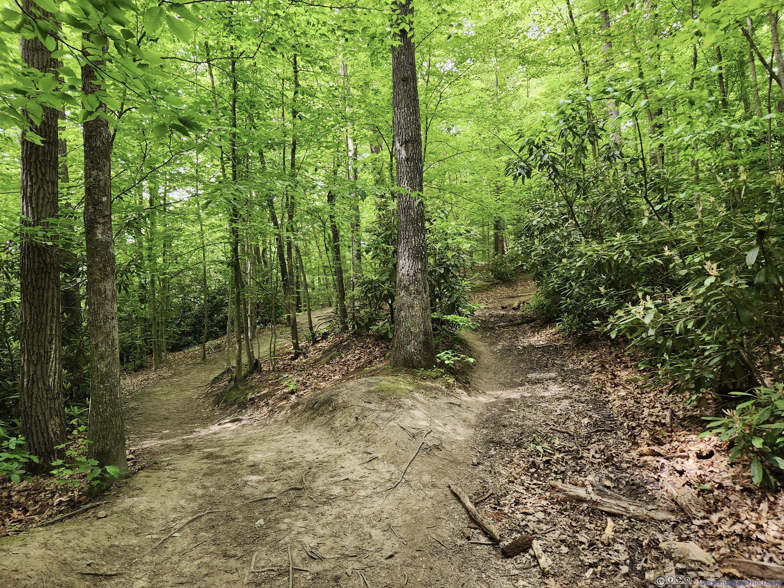
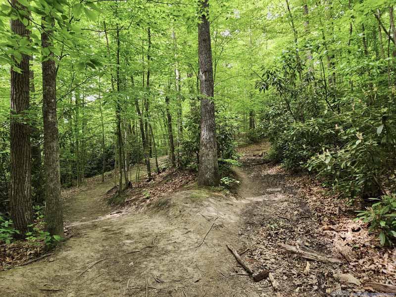 Long Point Trails
Not long after leaving the intersection with Butcher Branch Trail, there were these two trails. They converged about 100m later. The one on the left seemed to be the official trail, the one on the right was probably a shortcut that was surprisingly still in good shape.
Long Point Trails
Not long after leaving the intersection with Butcher Branch Trail, there were these two trails. They converged about 100m later. The one on the left seemed to be the official trail, the one on the right was probably a shortcut that was surprisingly still in good shape.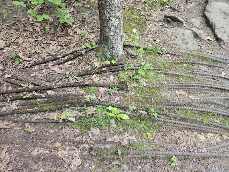 Ropes along Trail
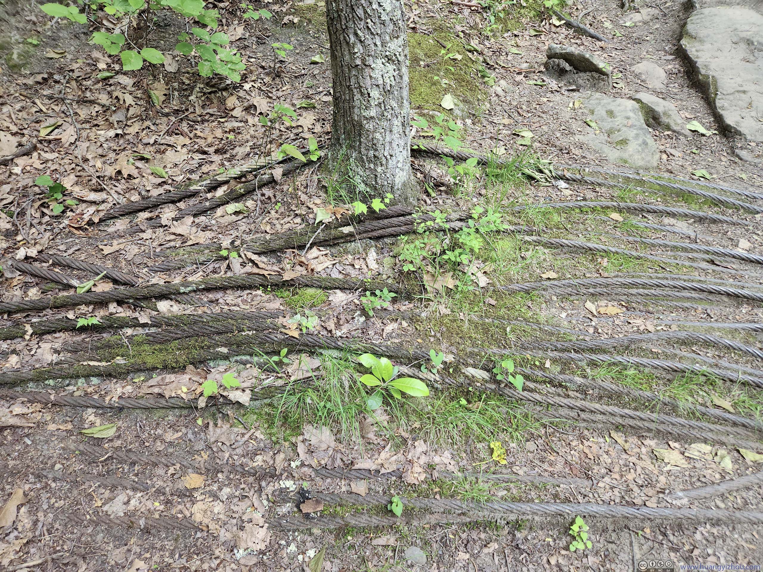
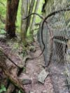
These ropes were placed laterally along the trail. It looked like they had been set there for quite a while. I had no clue about their utilities. My best guess was to provide traction (since the slope was slightly steep).
Ropes along Trail
These ropes were placed laterally along the trail. It looked like they had been set there for quite a while. I had no clue about their utilities. My best guess was to provide traction (since the slope was slightly steep).


Click here to display photos of the trail.
Butcher Branch Trail

Muddy Trail and ObstacleMost of the trail was in good condition, this was one of the few muddy patches.

WoodsA small creek that flew across the trail.

Butcher Branch Trail
Long Point Trail

Long Point Trail
Long Point Trails
Ropes along Trail
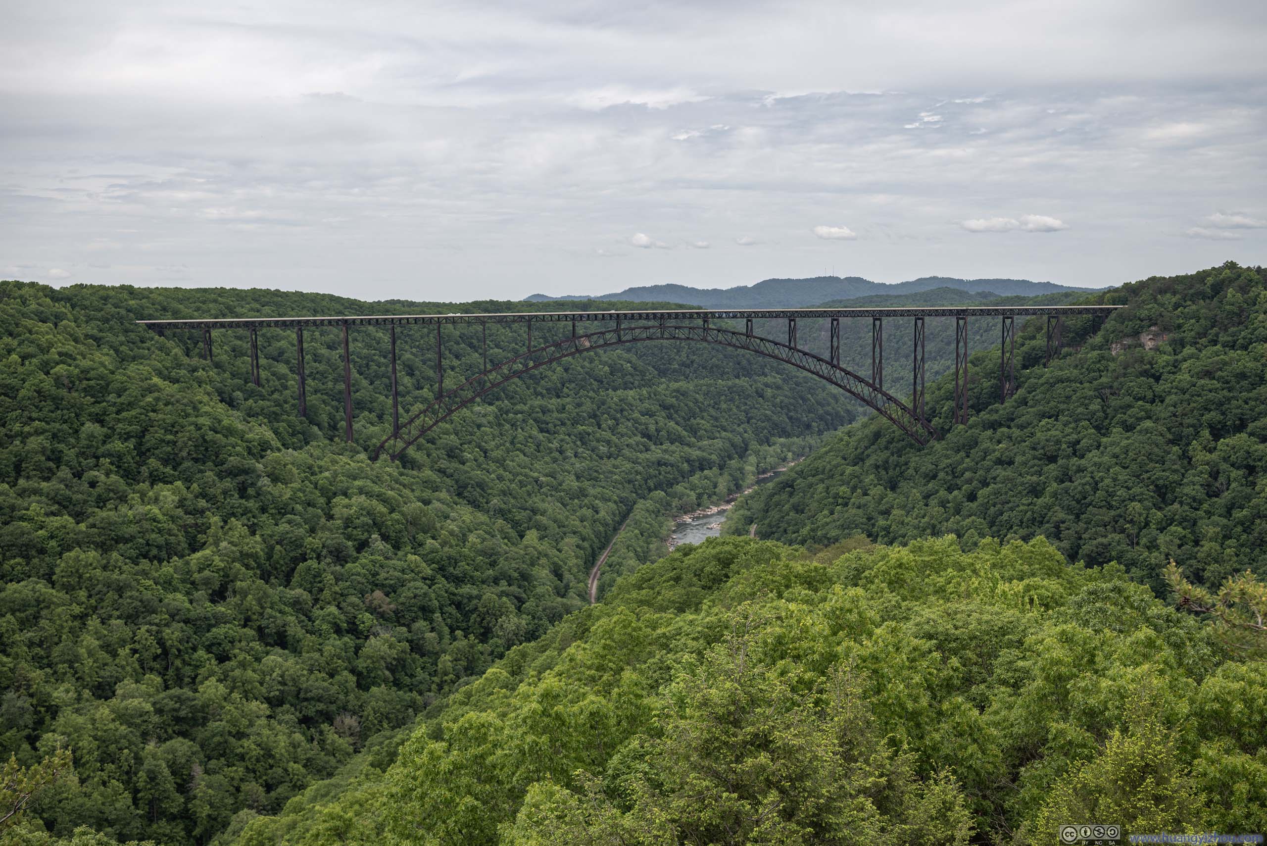
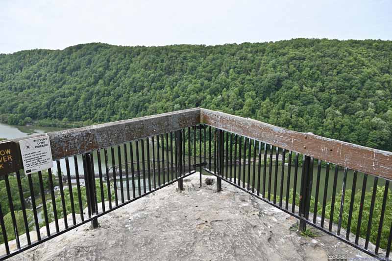
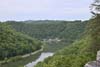
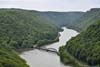
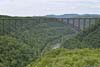
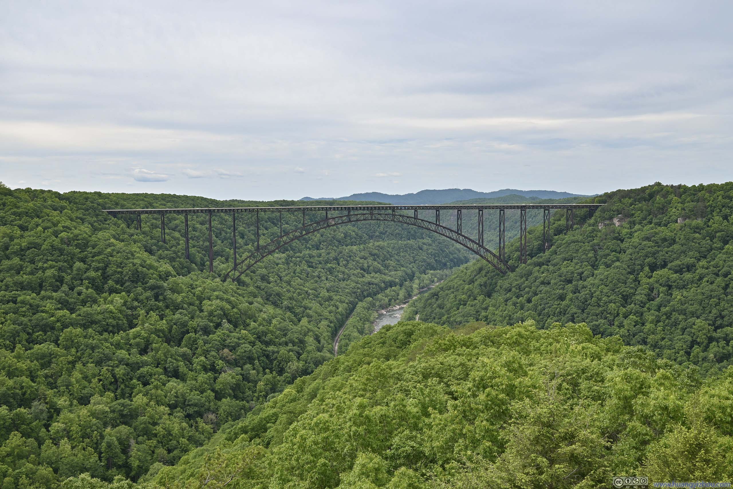
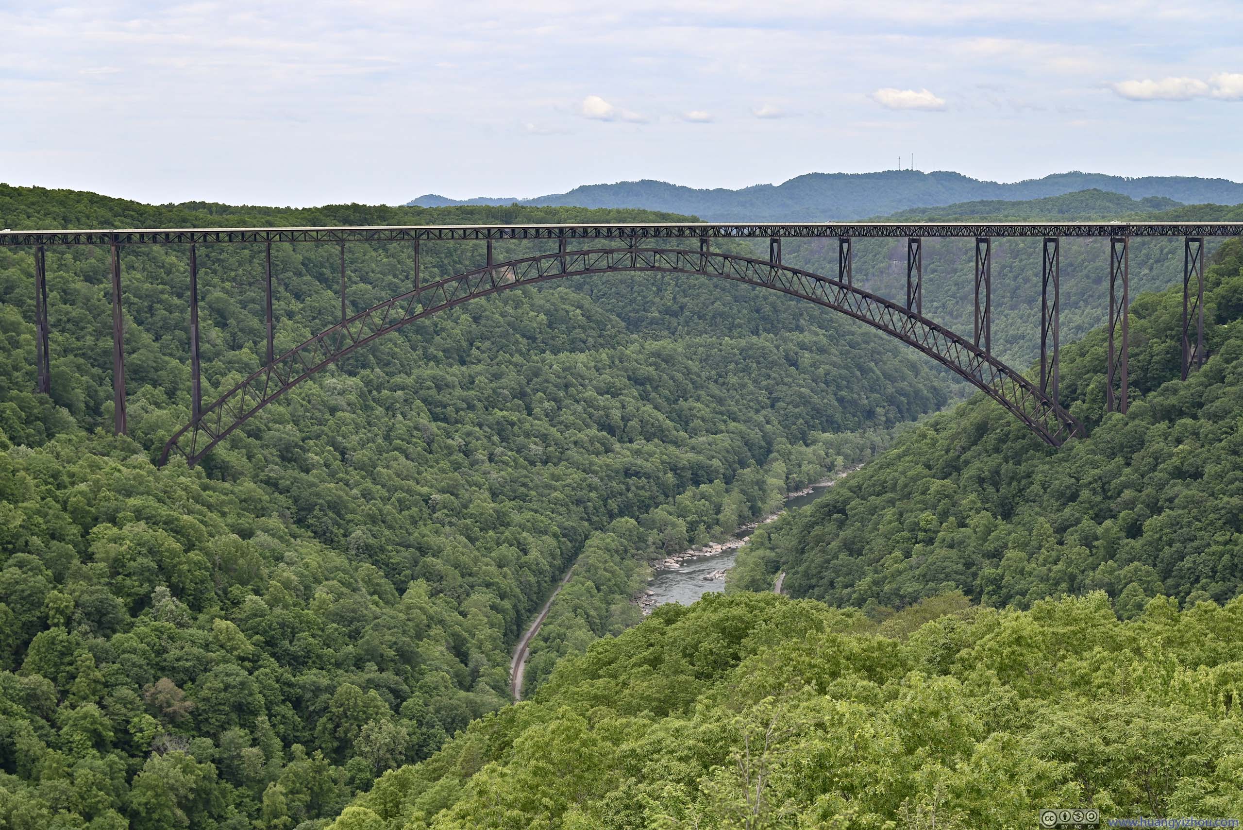
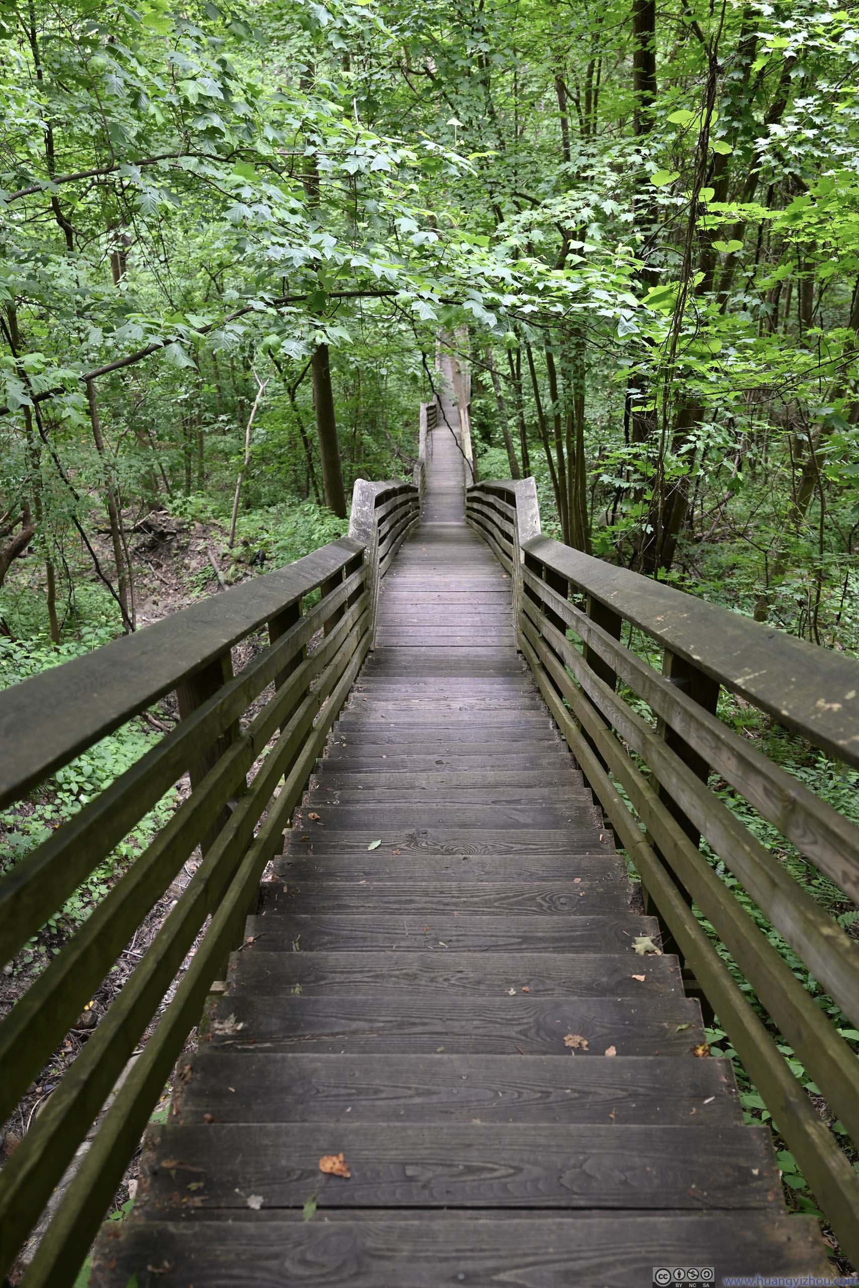
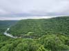
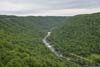
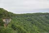
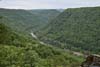
40 minutes later, I was at Long Point. The main (if not the only view) from here was the New River Gorge Bridge. Constructed in 1977, it was once the world’s longest arch bridge and highest vehicular bridge, spanning graciously across New River Gorge.
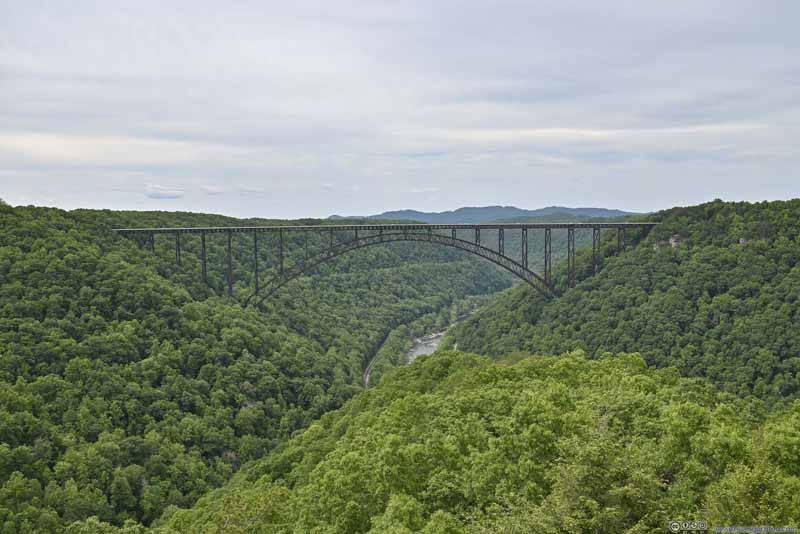 New River Gorge Bridge
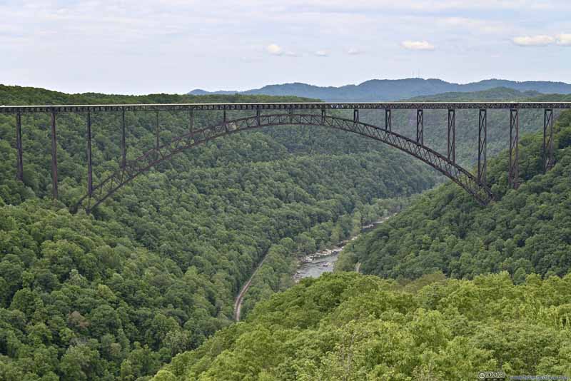 New River Gorge Bridge
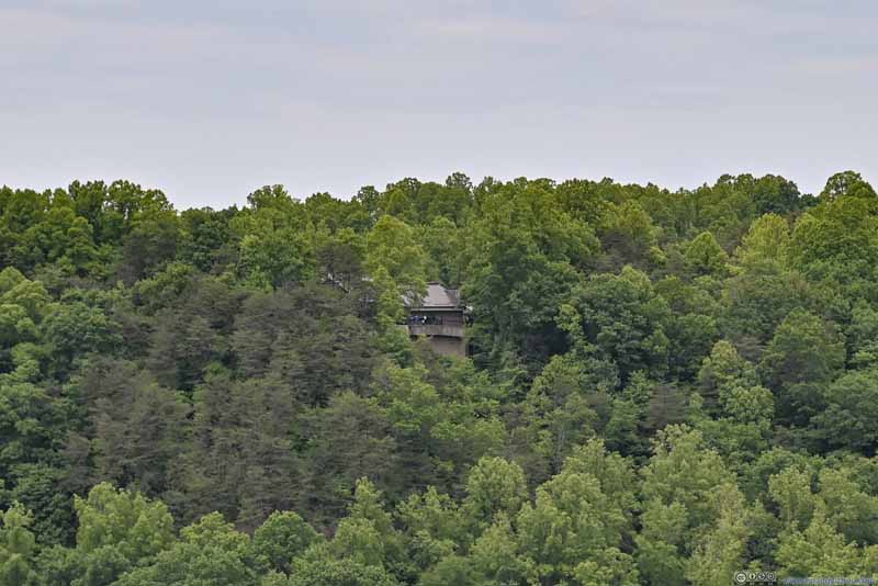 Visitor Center on North Rim of New River Gorge
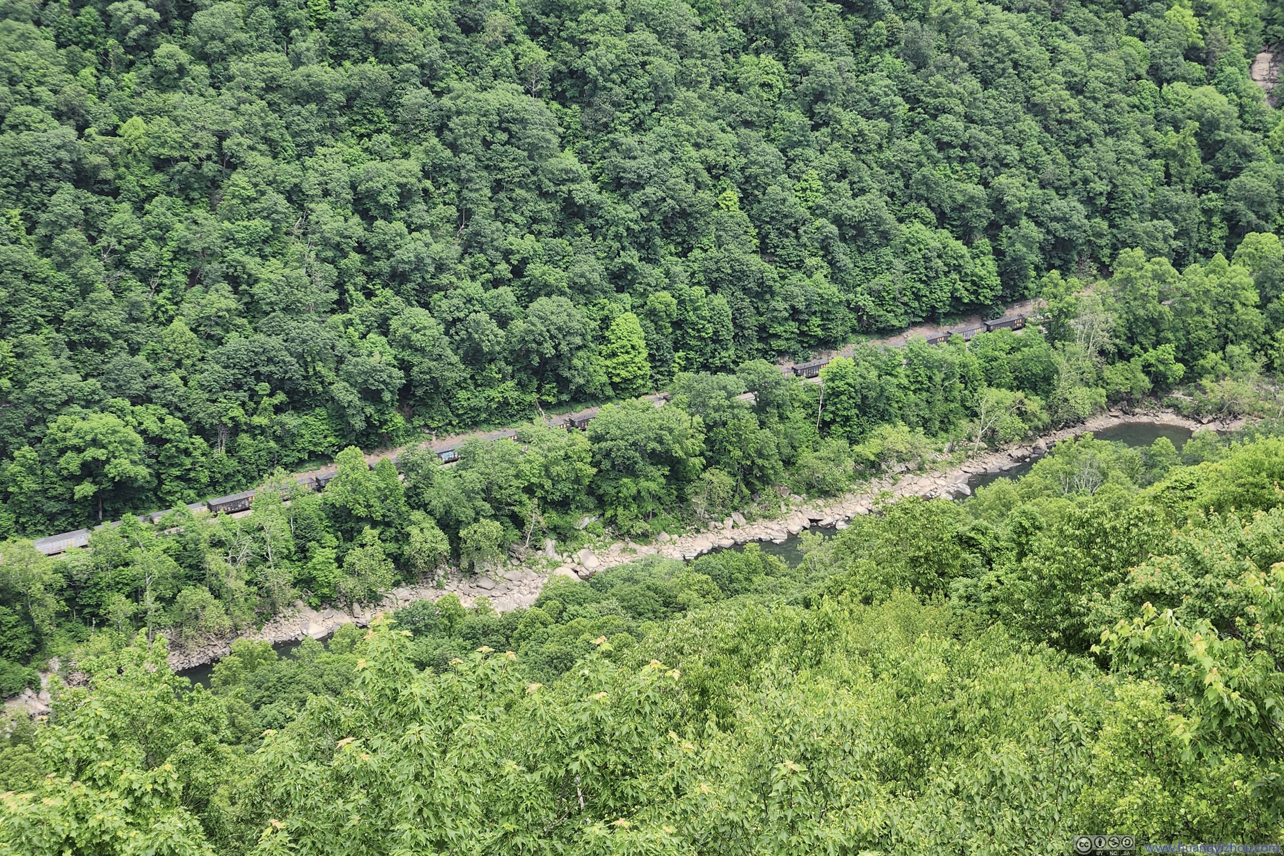
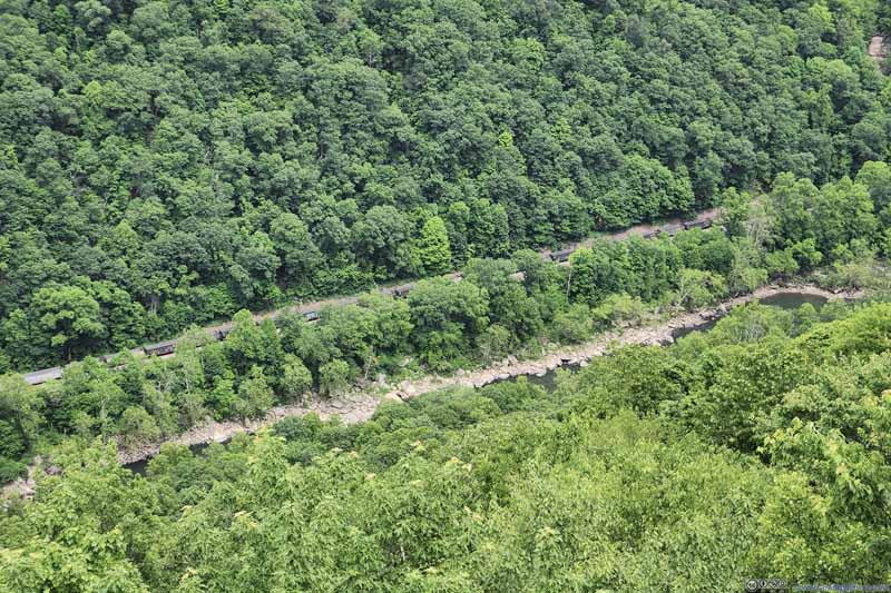 Railway in New River GorgeCarrying coal carts that were infinitely long.


Click here to display photos of the slideshow
New River Gorge Bridge
New River Gorge Bridge

Visitor Center on North Rim of New River Gorge
Railway in New River GorgeCarrying coal carts that were infinitely long.
“Long Point” was some exposed boulders that stood out from the surrounding forest landscape. The end of those boulders towards the bridge, where people pose for photos, were crowded during my visit. Apart from that, there was enough room around for people to spread out, where I picked my spot and had some snacks, while watching an endless freight train travelling through the valley down below.
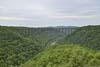
View from Long Point along New River Gorge
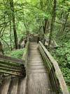
After spending 35 minutes at Long Point, I traced my way back, and reached my car just before 4pm. After a brief rest, I started descending down Kaymoor Miners Trail at 4pm.
Kaymoor Mine
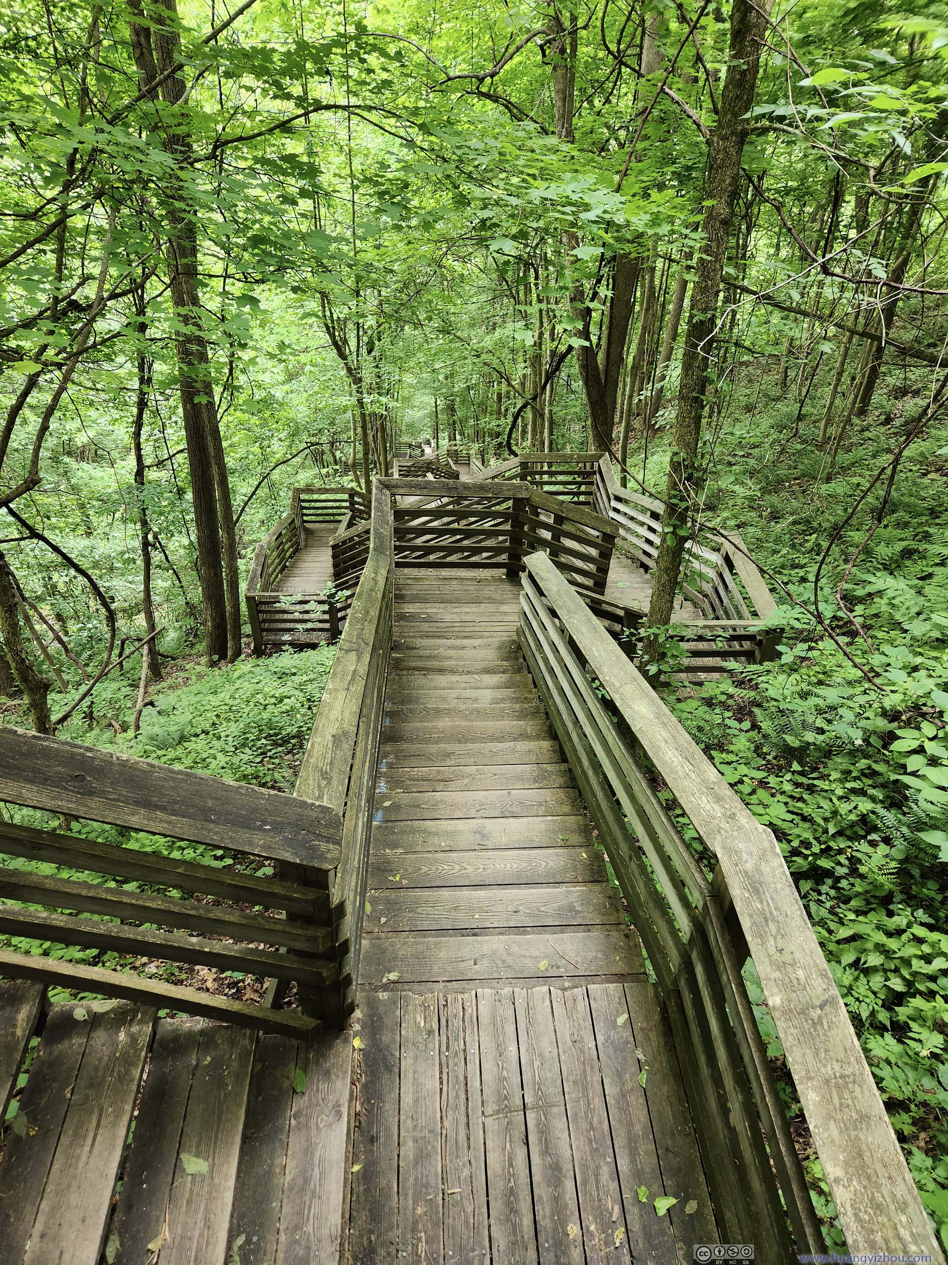
This is a 2.4km out-and-back trail with 290m of elevation gain. Half of the elevation change was through a series of stairs (821 steps) towards the former mining site at Kaymoor Bottom.
 Trail
Trail Trail
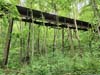
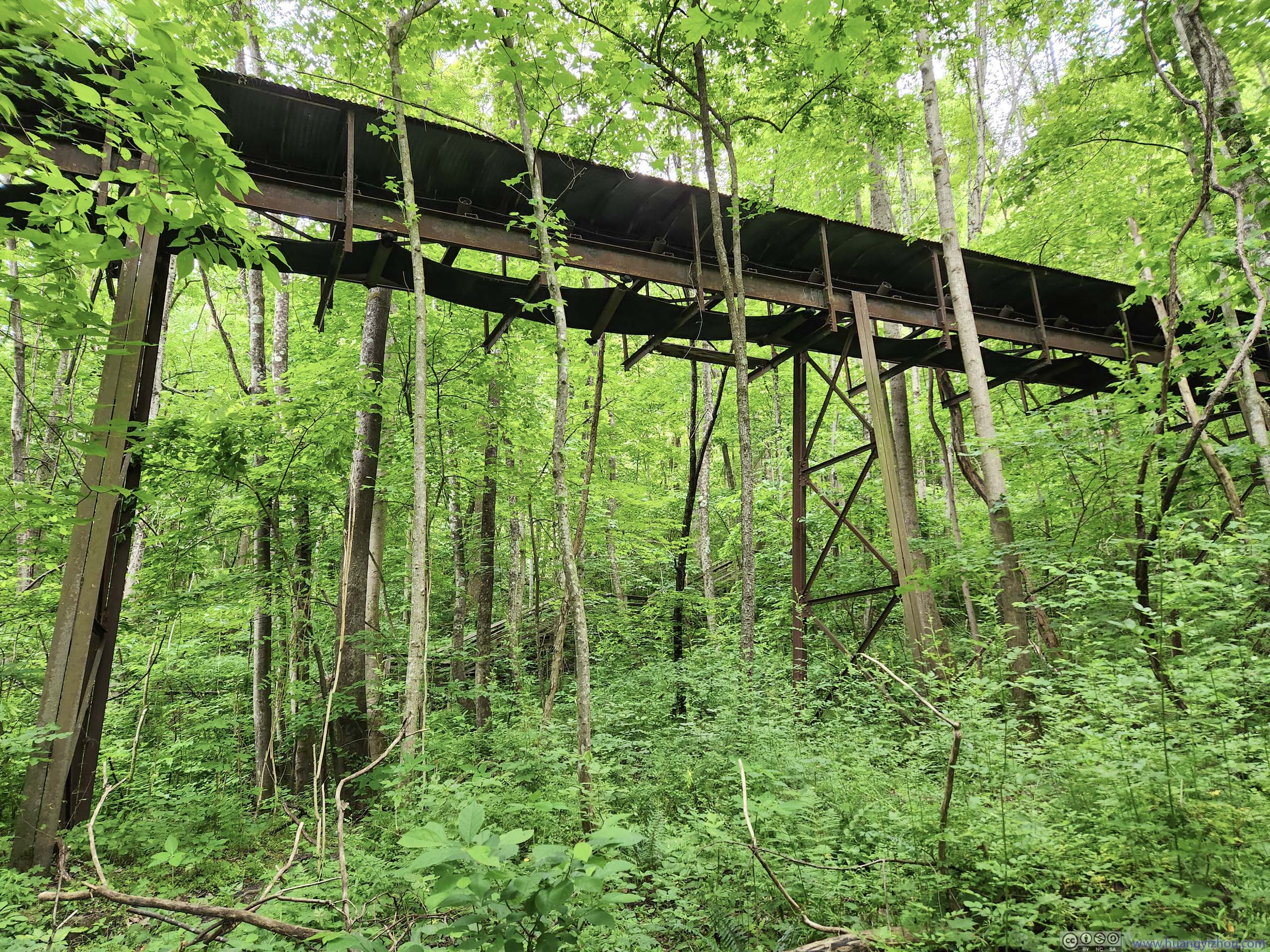
Trail Steel StructureLikely to support conveyor belts.


Click here to display photos of the slideshow
Trail
Trail

Steel StructureLikely to support conveyor belts.
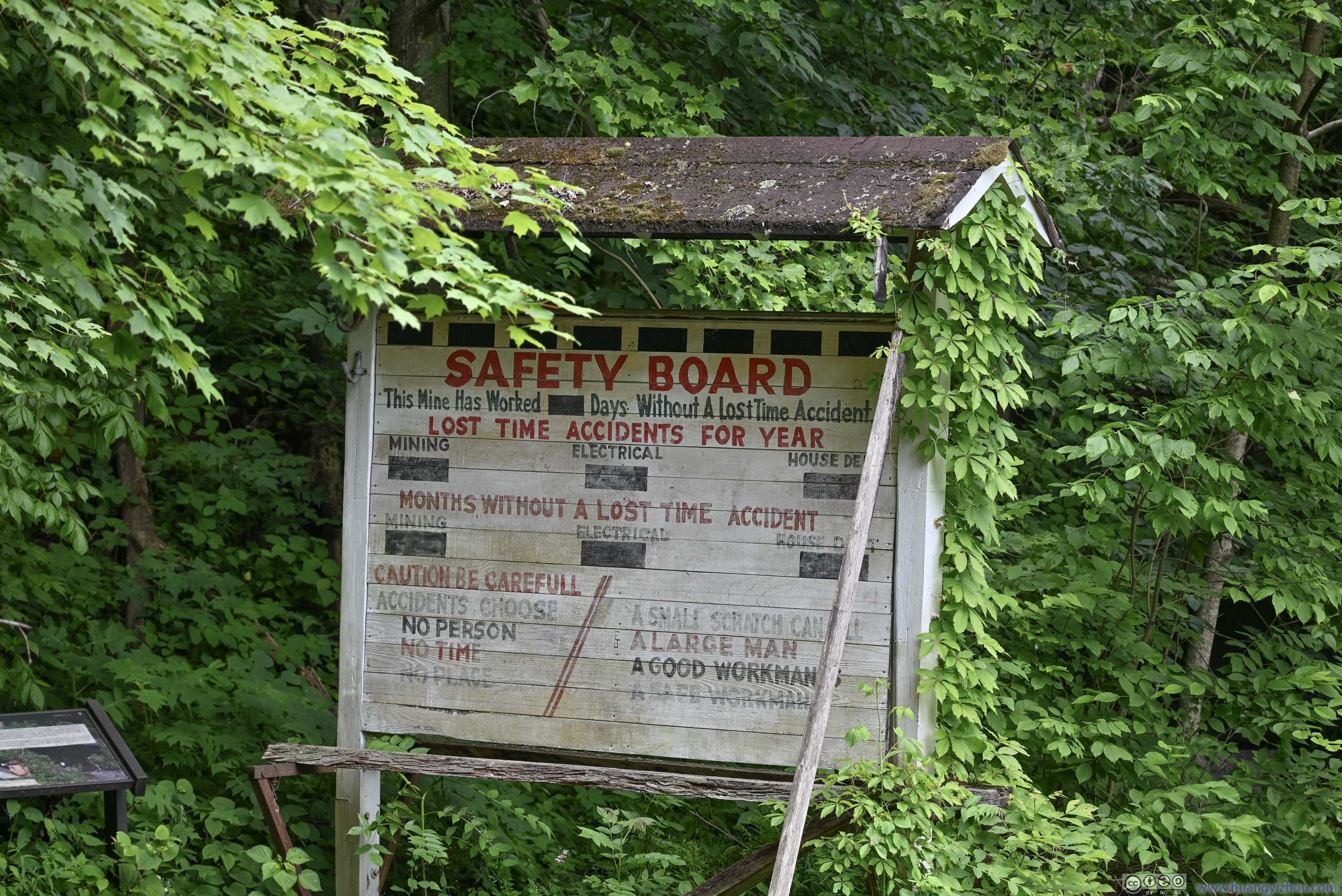
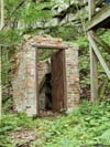
Halfway down the valley the trail intersected the longer Kaymoor Trail (which traversed the gorge). Near the intersection were some remains of the mine like safety slogans and abandoned houses. The seemingly endless stairs started from this intersection.
 Safety Sign
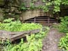
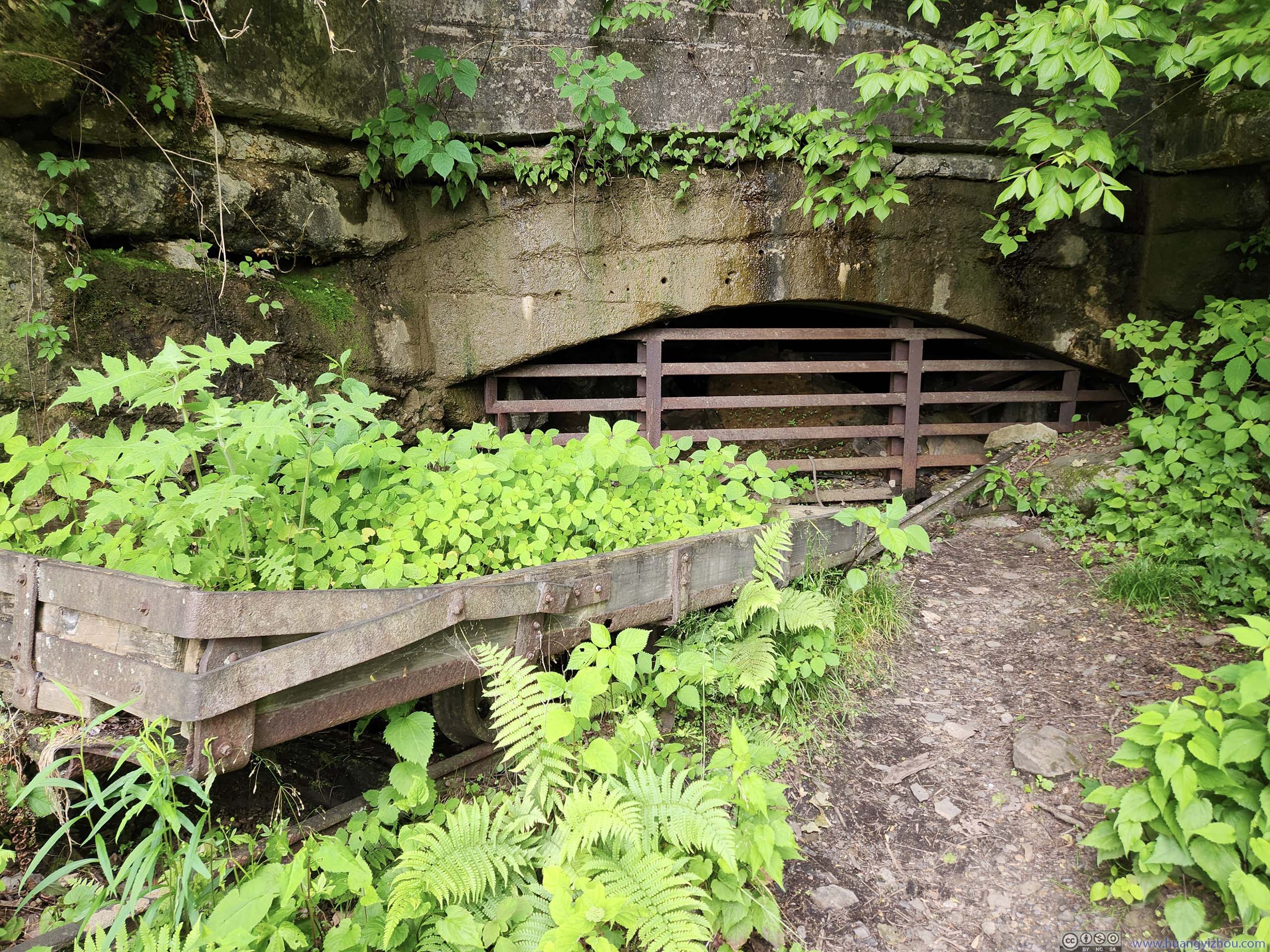
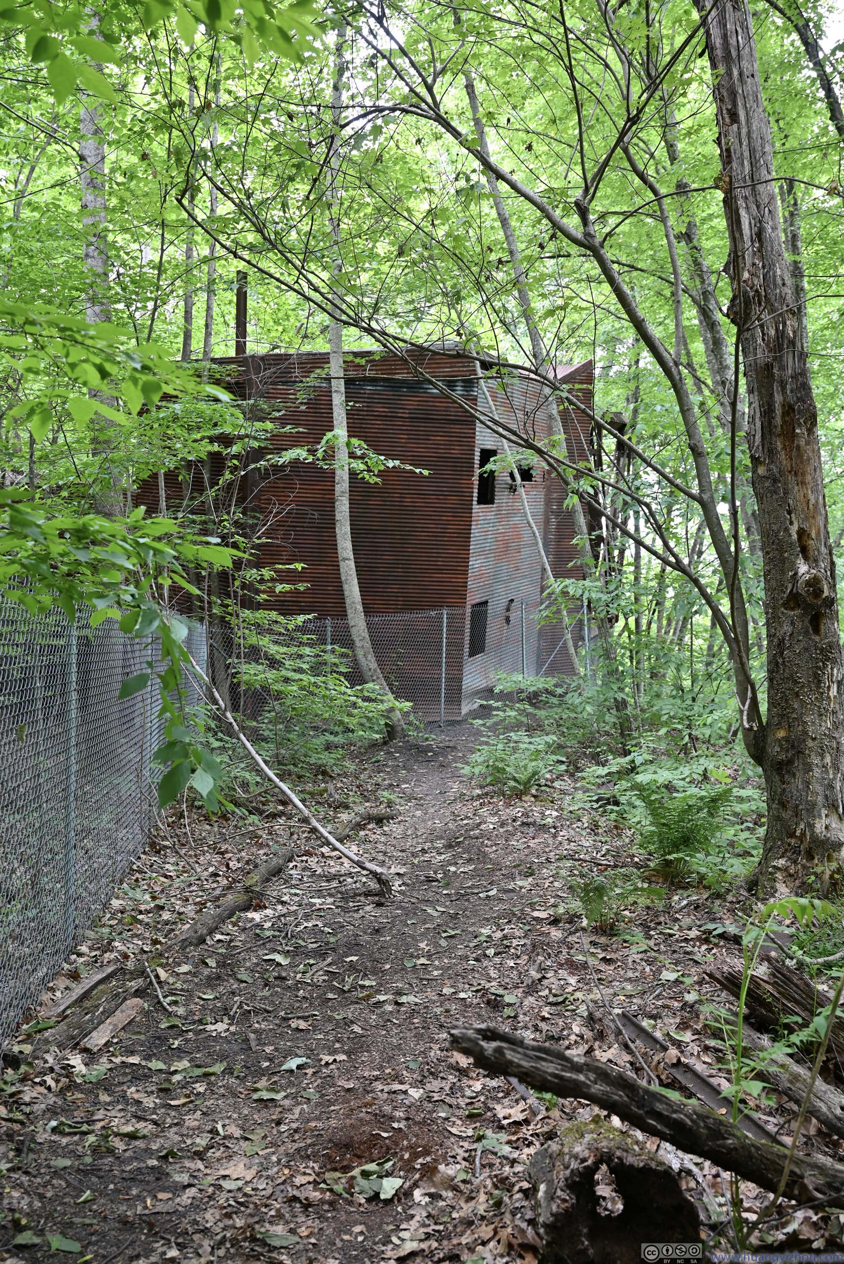
 Tracks into CaveMaybe an abandoned mine was inside the sealed gates.
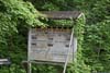
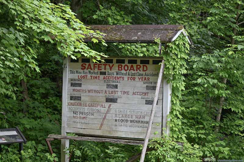 Safety Information Board
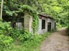
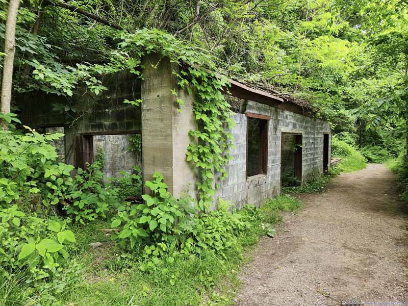 Building
Click here to display photos of the slideshow

Safety Sign
Tracks into CaveMaybe an abandoned mine was inside the sealed gates.
Safety Information Board

Building
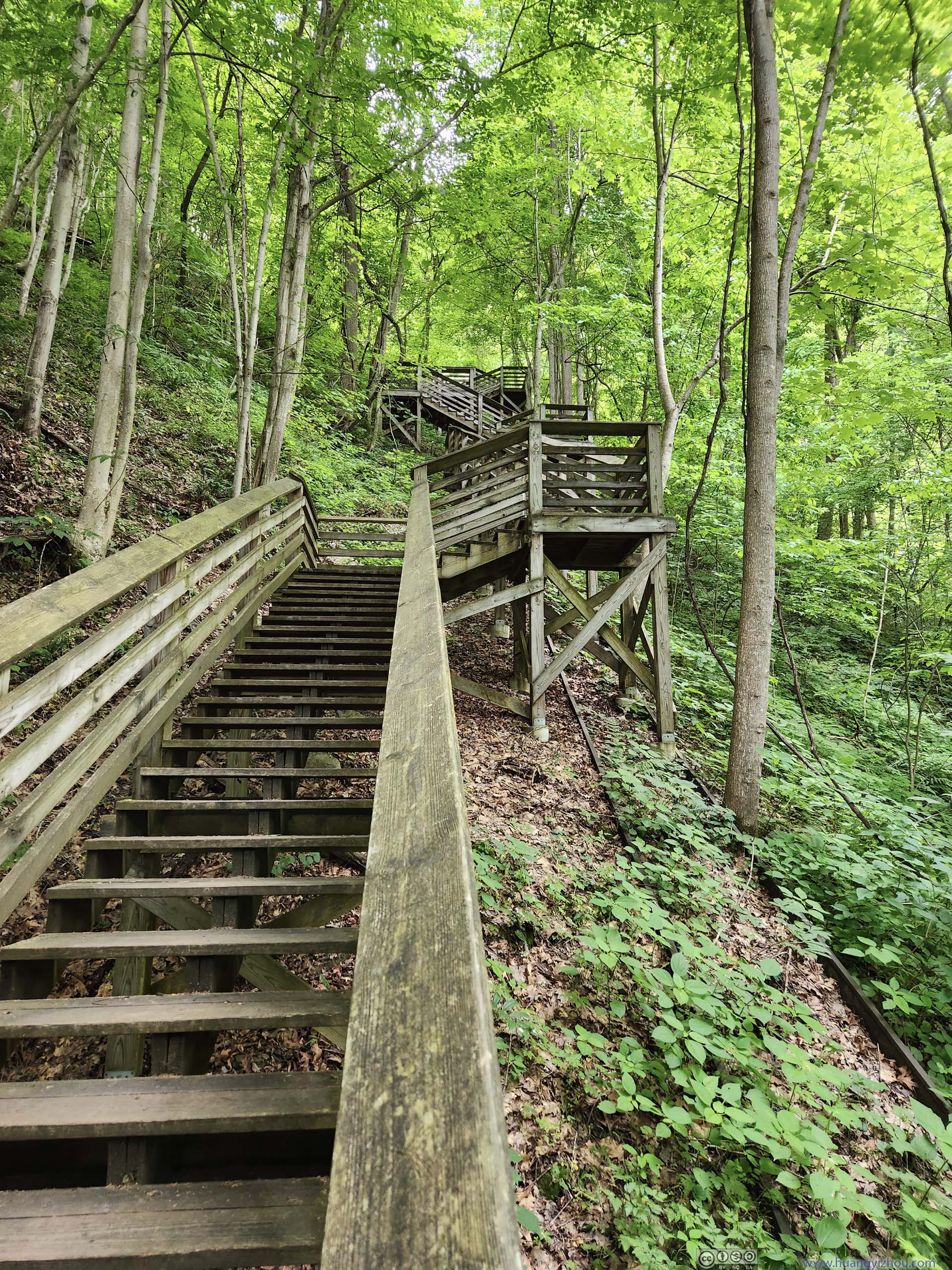
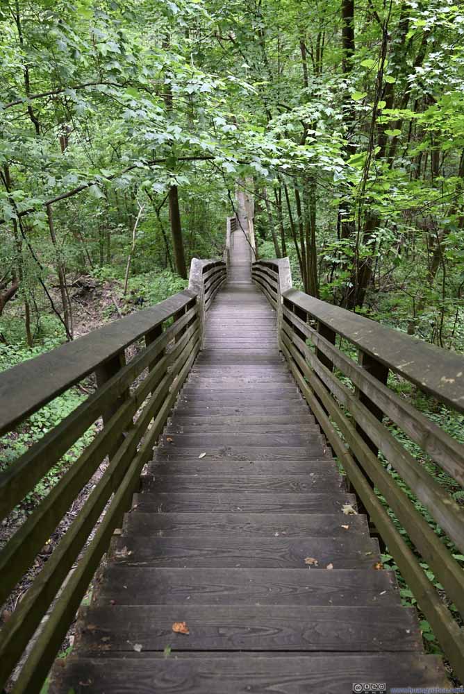 StairsAt certain places, these stairs appeared infinitely long.
 Stairs
A few switches were built into the stairs so that it’s not a long straight line, allowing visitors to rest and preventing a slip to turn into an endless tumble down the bottom.
Stairs
A few switches were built into the stairs so that it’s not a long straight line, allowing visitors to rest and preventing a slip to turn into an endless tumble down the bottom.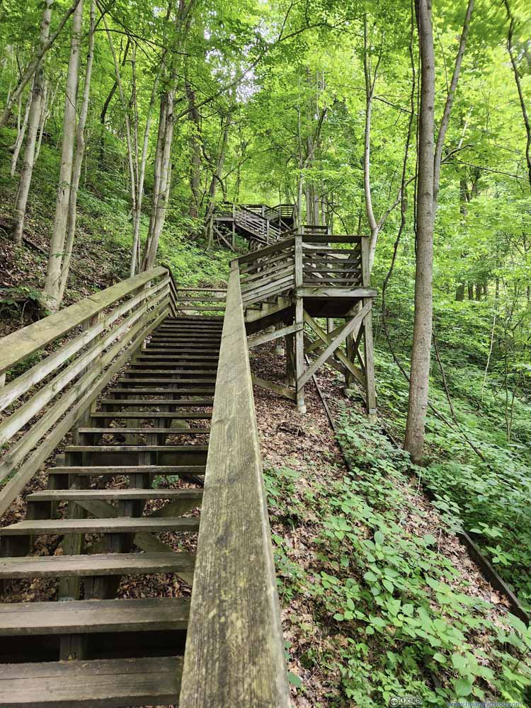 Stairs
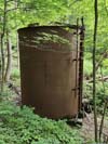
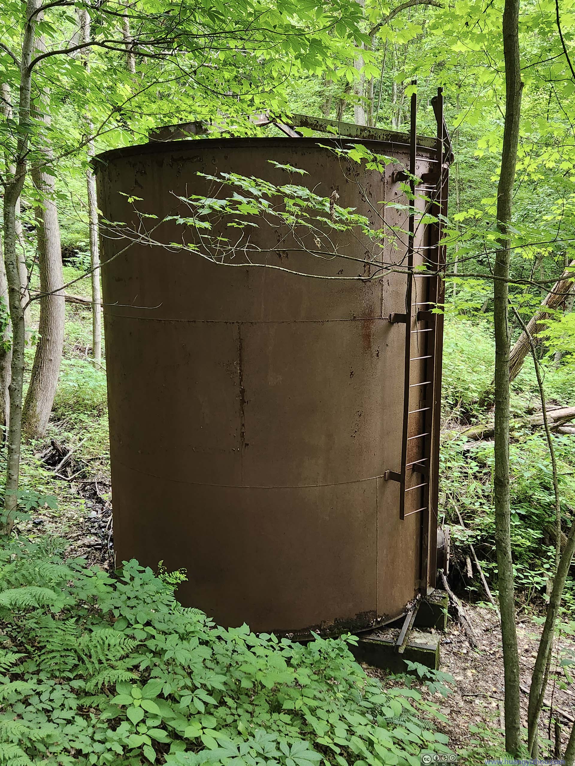
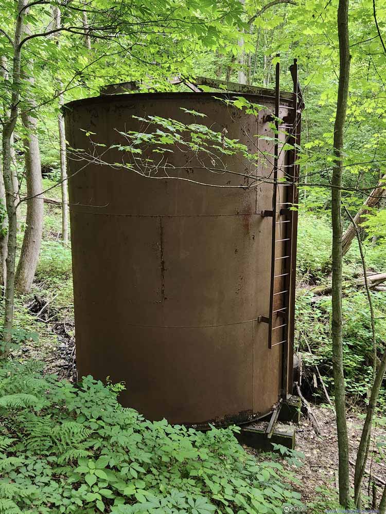 Water Tank
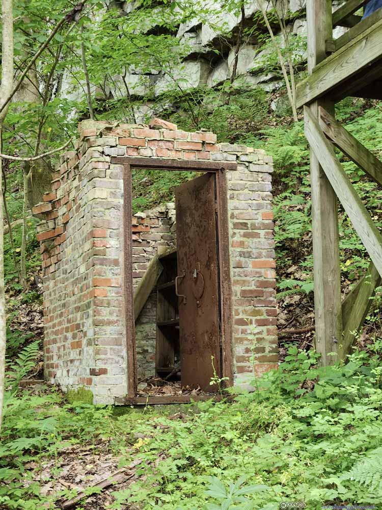 Cap HouseStoring blasting caps.


Click here to display photos of the stairs leading to Kaymoor Bottom.
StairsAt certain places, these stairs appeared infinitely long.
Stairs
Stairs
Water Tank

Cap HouseStoring blasting caps.
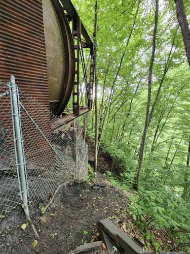
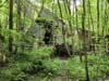
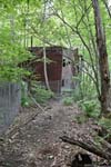
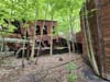
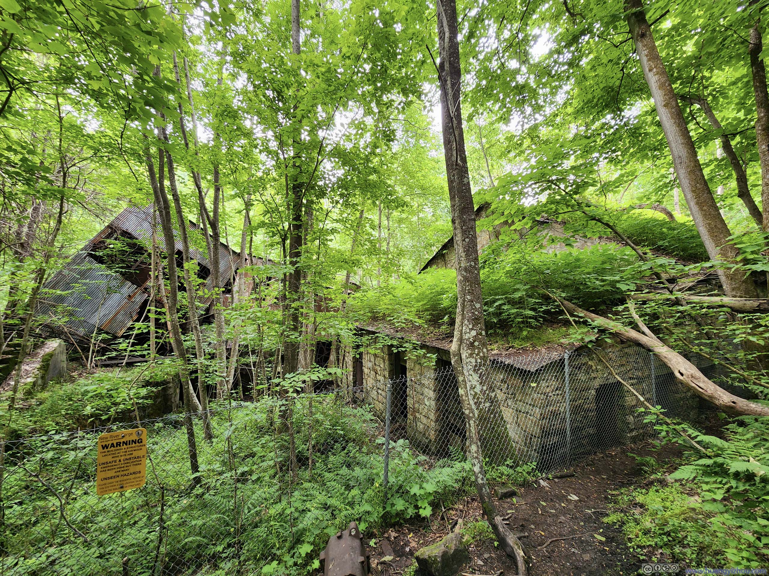
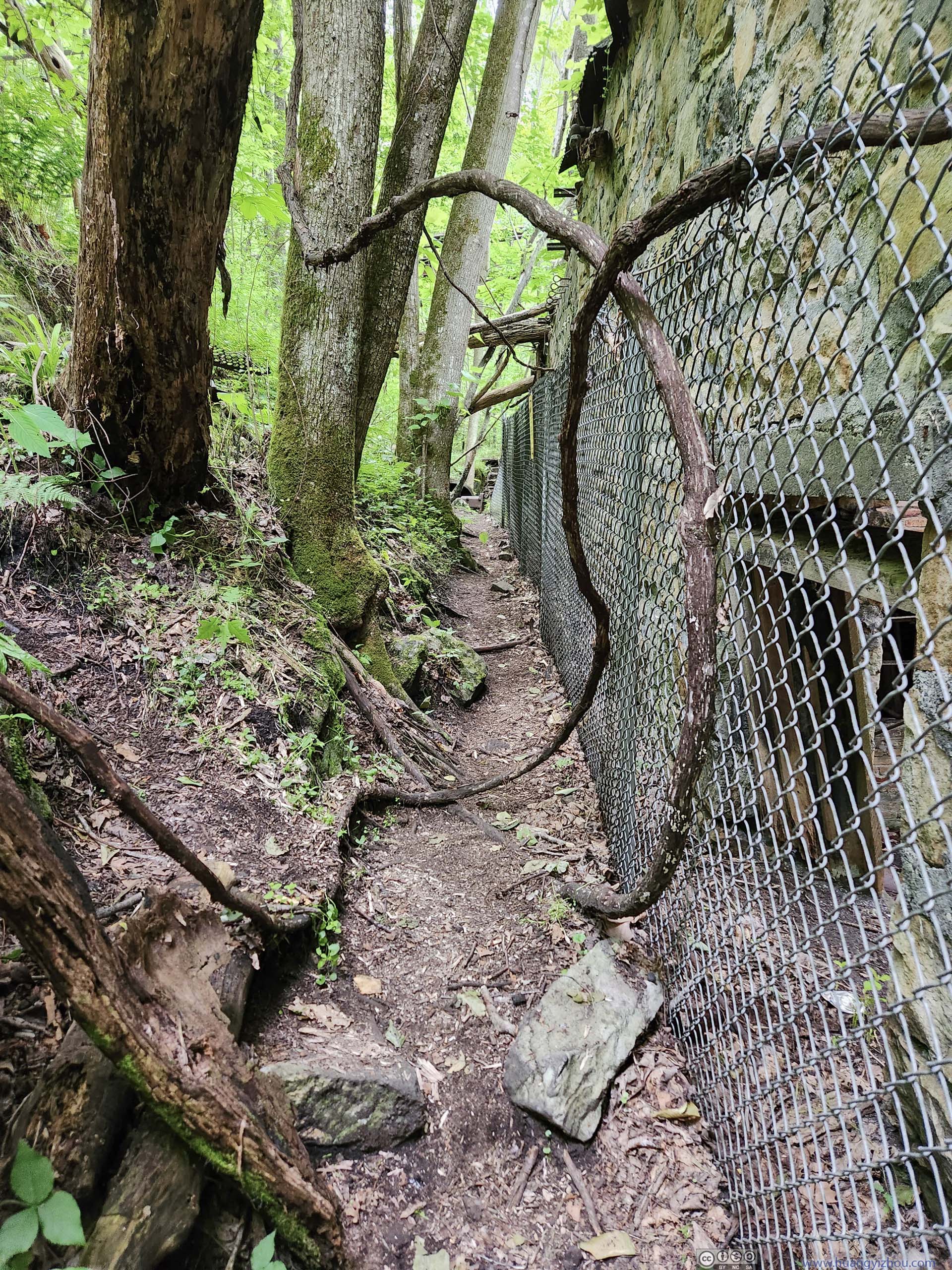
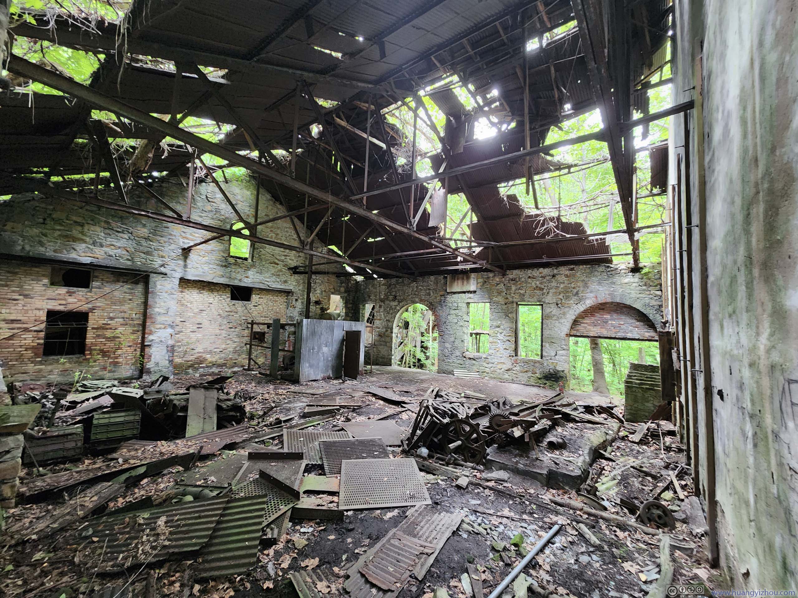
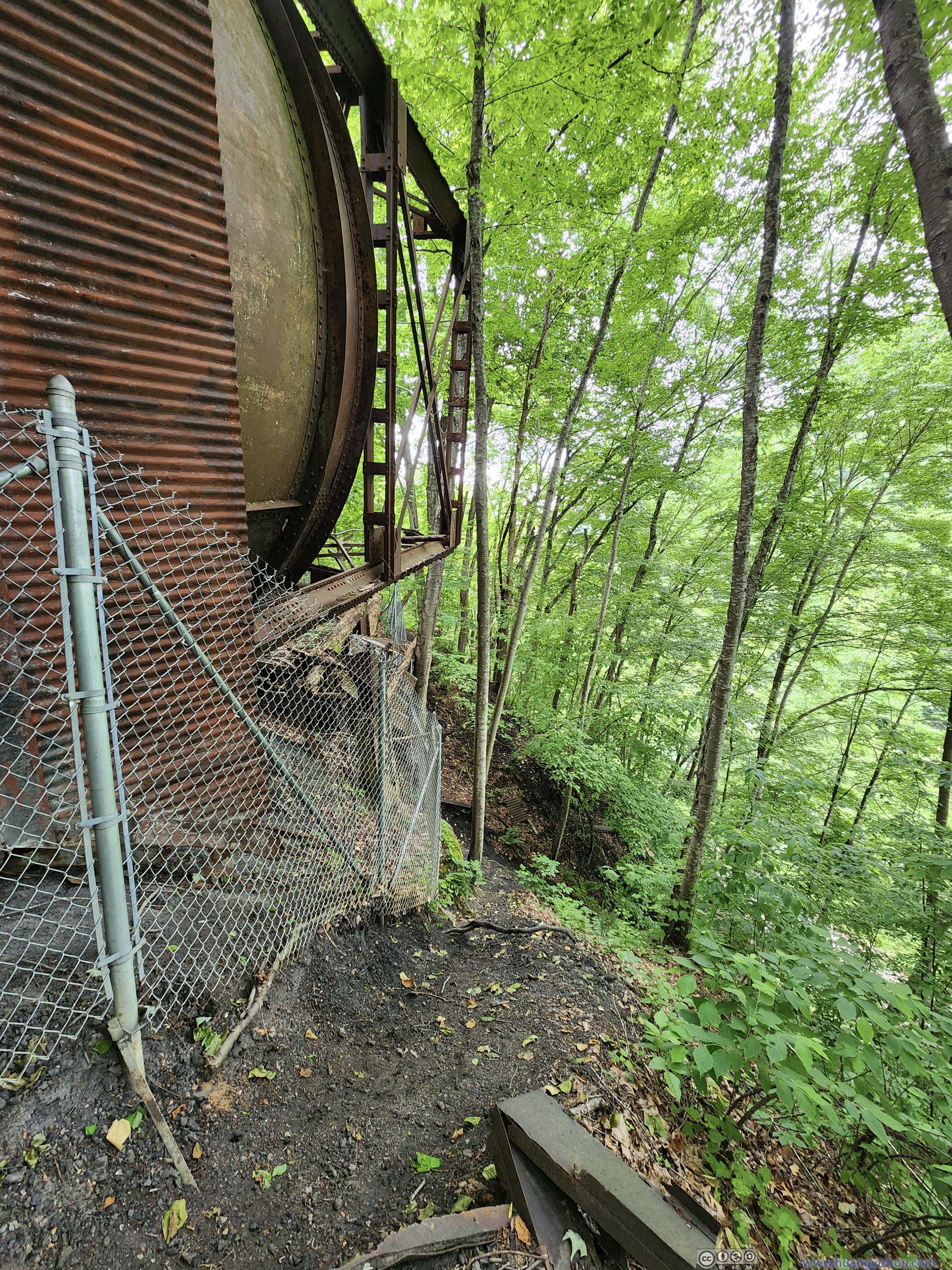
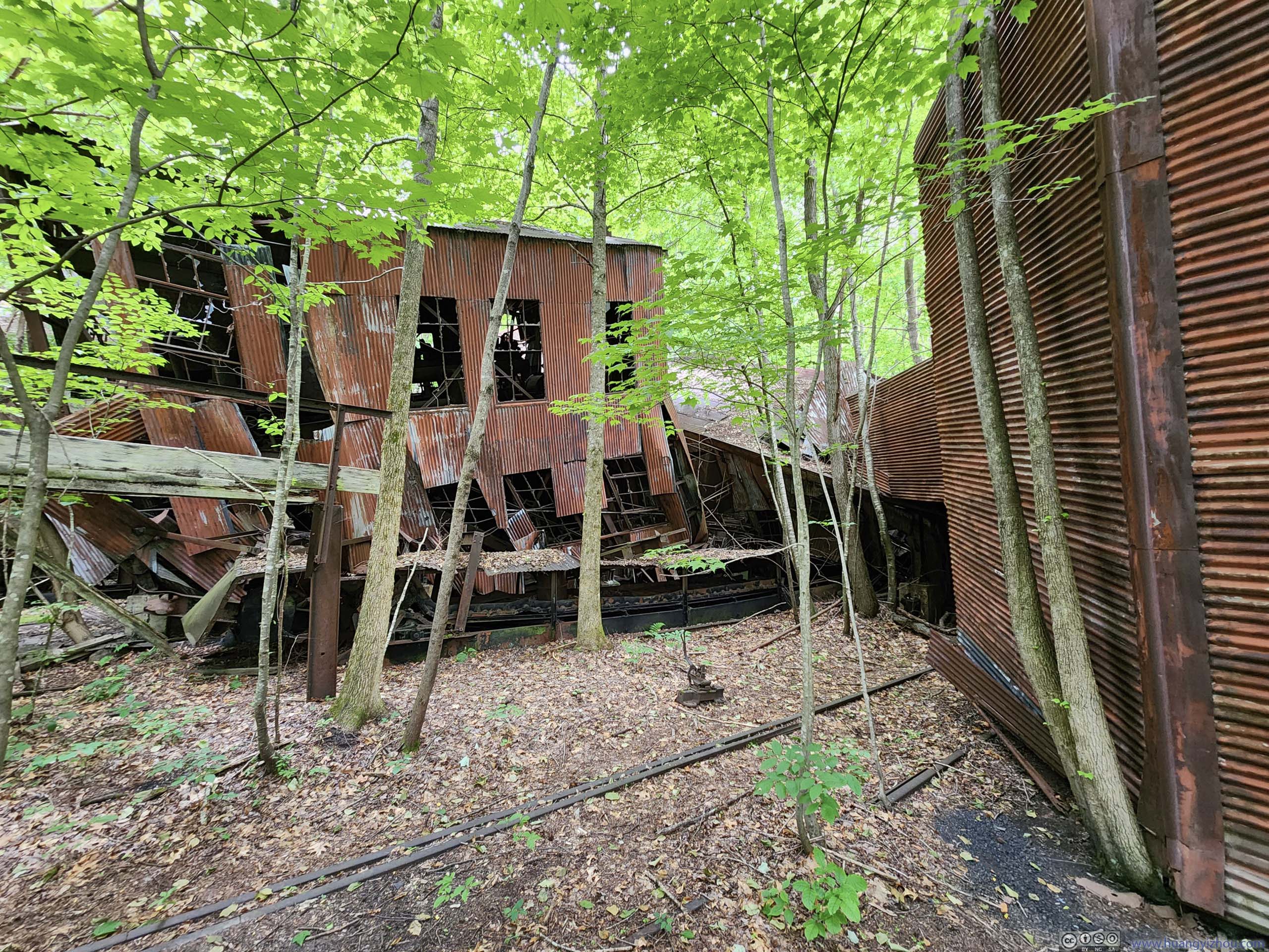
Once at the bottom, a majority of the ruins were fenced off, obviously for safety reasons. Through the fence, one could still catch some sights of the building ruins. The ones outside the fence were mostly low structures that didn’t pose falling risks. While most visitors remained close to the end of the wooden platform/stairs, a gentleman informed me that the fence formed a rectangular shape, and it’s possible to walk around it. I made an attempt doing that, and was stopped by a steep drop-off (p6 below).
 Ruins at Kaymoor Bottom
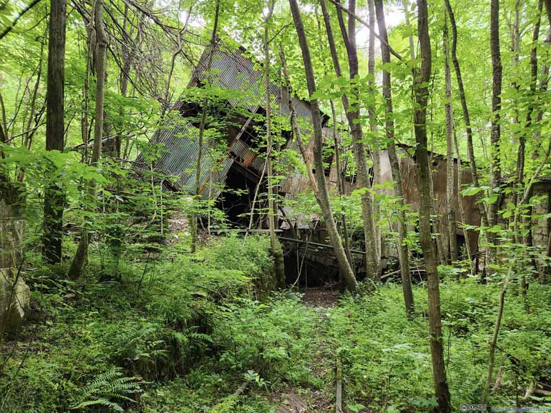 Ruins at Kaymoor Bottom
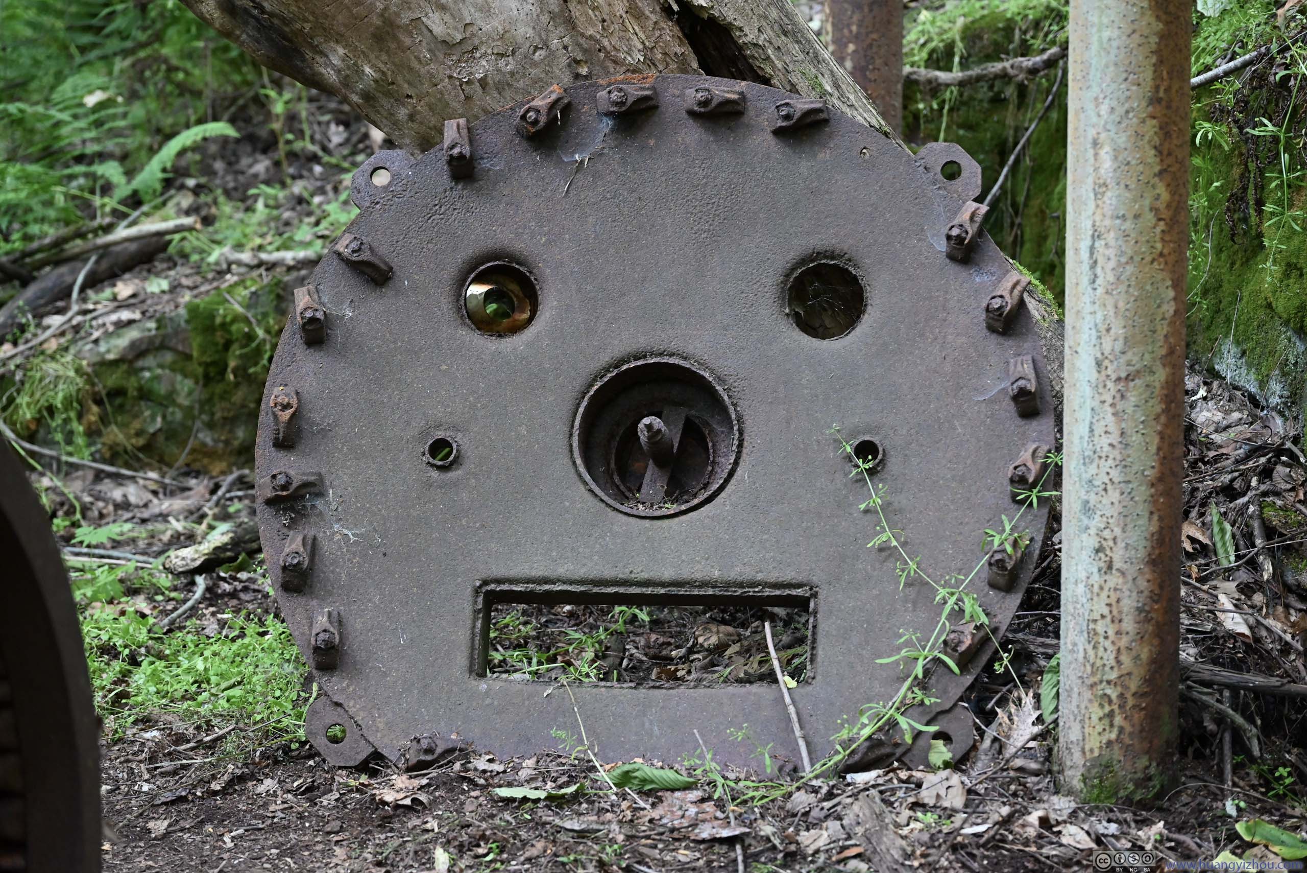
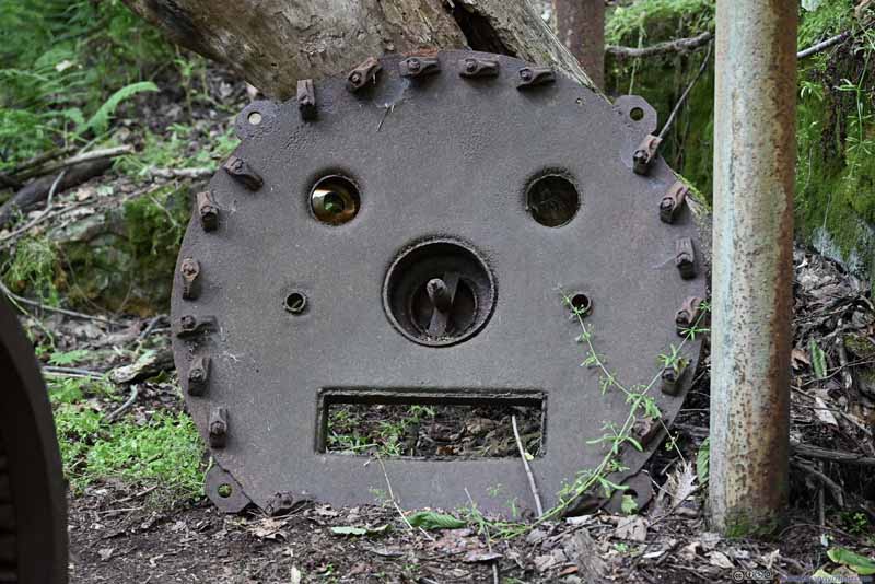 Steel PieceThis felt like a component of a transformer. Despite now it looked really like the face of a pig.
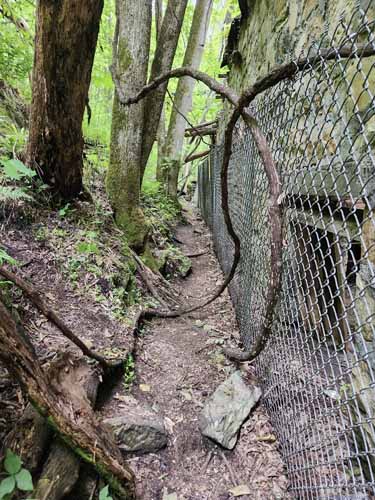
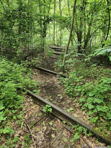 Passage and Rail Tracks
The passage was along the southern perimeter of the fence, just wide enough for people to pass. After the passage, the railway tracks were along the eastern perimeter of the fence, used to transport coal.
Passage and Rail Tracks
The passage was along the southern perimeter of the fence, just wide enough for people to pass. After the passage, the railway tracks were along the eastern perimeter of the fence, used to transport coal.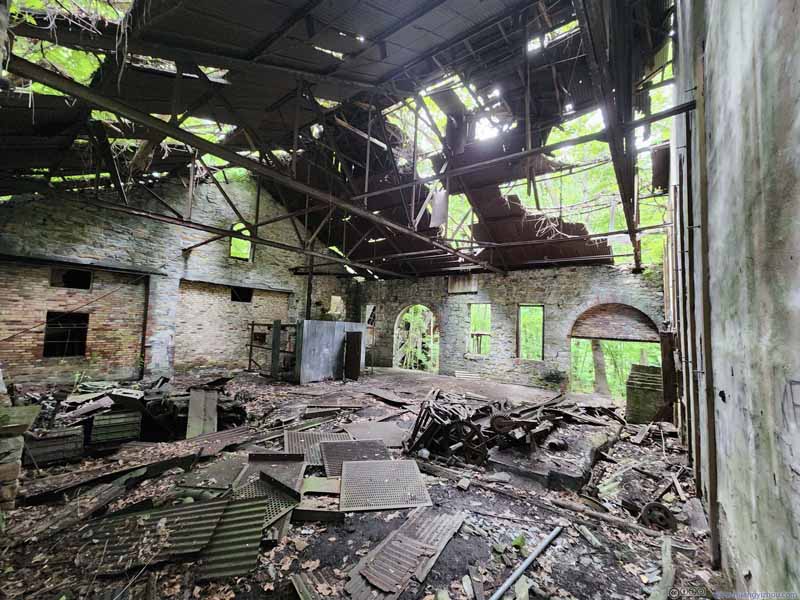 Building Interior
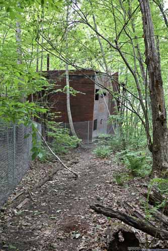
 Passage
Along the southern perimeter of the fence. In the right photo, there’s a steep drop-off so I didn’t continue.
Passage
Along the southern perimeter of the fence. In the right photo, there’s a steep drop-off so I didn’t continue. Ruins at Kaymoor Bottom
 Conveyor


Click here to display photos from Kaymoor Bottom.
Ruins at Kaymoor Bottom

Ruins at Kaymoor Bottom
Steel PieceThis felt like a component of a transformer. Despite now it looked really like the face of a pig.
 Passage and Rail Tracks
Building Interior
 PassageAlong the southern perimeter of the fence. In the right photo, there’s a steep drop-off so I didn’t continue.
Ruins at Kaymoor Bottom
Conveyor
After 20 minutes at Kaymoor Bottom, I started the strenuous ascent back to the car, which took about 25 minutes.
Compared to other trails in New River Gorge National Park, this was certainly a strenuous one. But apart from the ruins of the mine at the bottom, it offered few views. And even the ruins at the bottom were largely fenced off, so I didn’t feel they were that different from looking at the photos. Given the physical efforts required to reach the mine site, I didn’t feel it’s worthwhile.
By the time I got back to my car, it’s 5:20pm. This had been a long day, but the weather forecast indicated chances of rain for the next day, so my plan was to finish as many hikes, especially longer ones, today, and leave the shorter hikes and overlooks to the next day. I still had 3 hours of daylight left, and for that, I decided to check out Diamond Point / Endless Wall Trail, another popular trail in the park across the gorge.
Diamond Point / Endless Wall
Endless Wall Trail
“Endless Wall Trail” followed the cliff of New River Gorge for some distance, where occasional clifftop overlooks towered above the New River below. Among the clifftop overlooks, “Diamond Point” was the largest and most prominent. From the (Fern Creek) trailhead, “Diamond Point” was reached by either a 3.2km out-and-back or a 5km loop, which I opted for the latter.
I saw from online reviews that this was a very popular trail with limited parking spaces. Probably because I arrived late in the day, I didn’t have trouble parking, after which I started my hike just before 6pm, in counterclockwise direction.
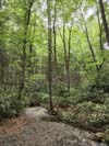
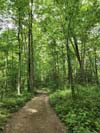
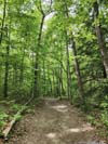
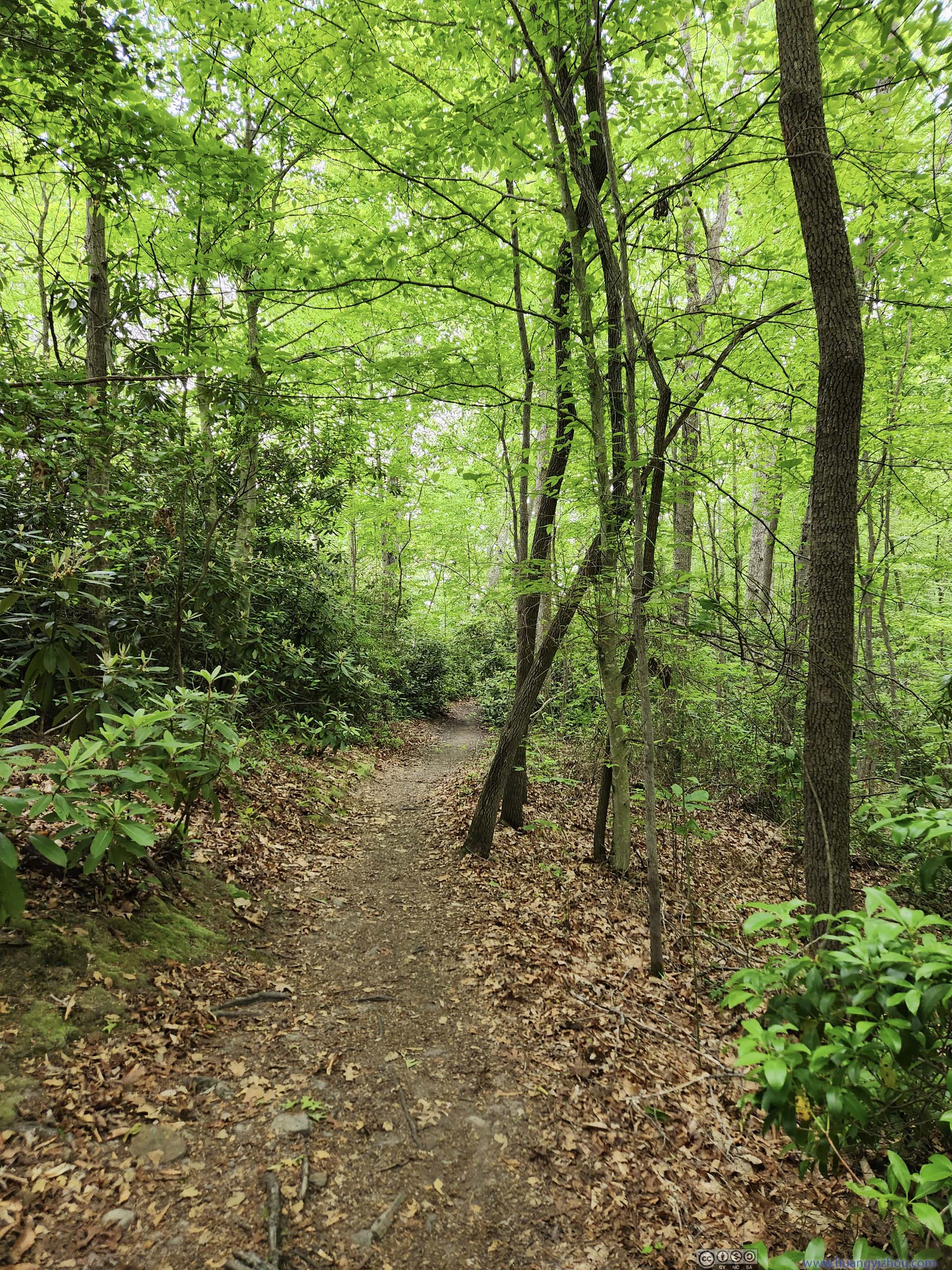
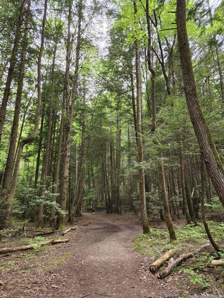
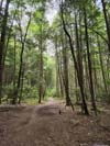
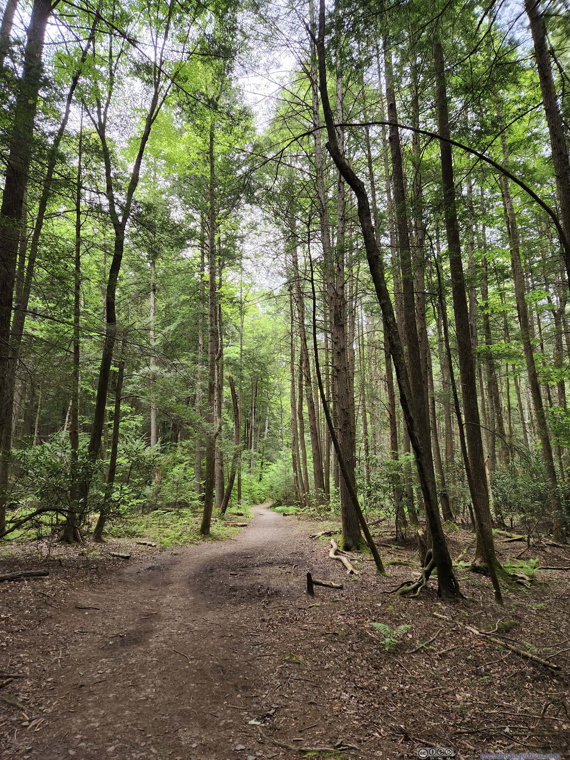
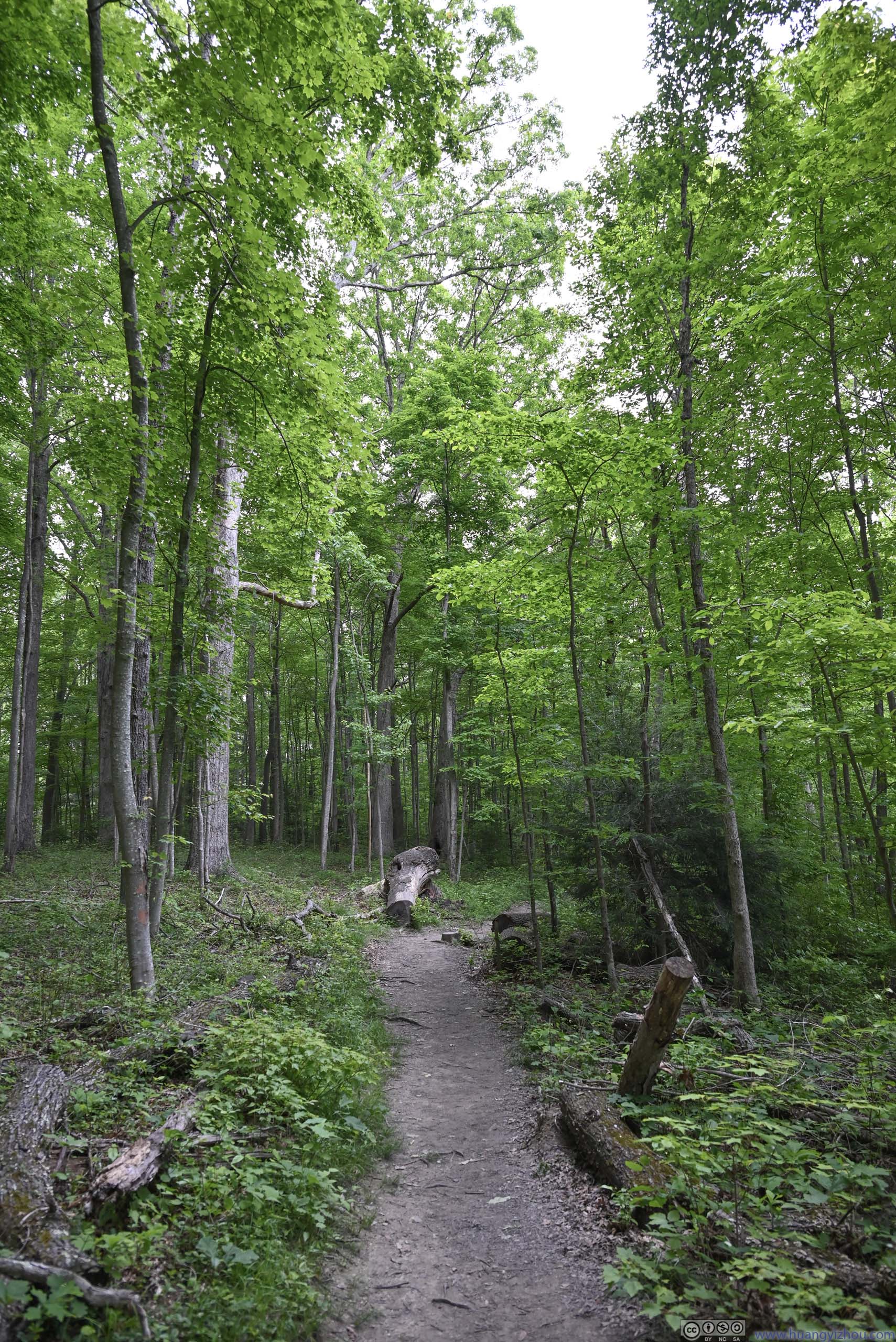
The trail started out in an enjoyable walk among fresh fragrance of dense forest.
 Trail
The initial part of the trail was a comfortable stroll through soaring trees. The trail was wide and comfortable.
Trail
The initial part of the trail was a comfortable stroll through soaring trees. The trail was wide and comfortable.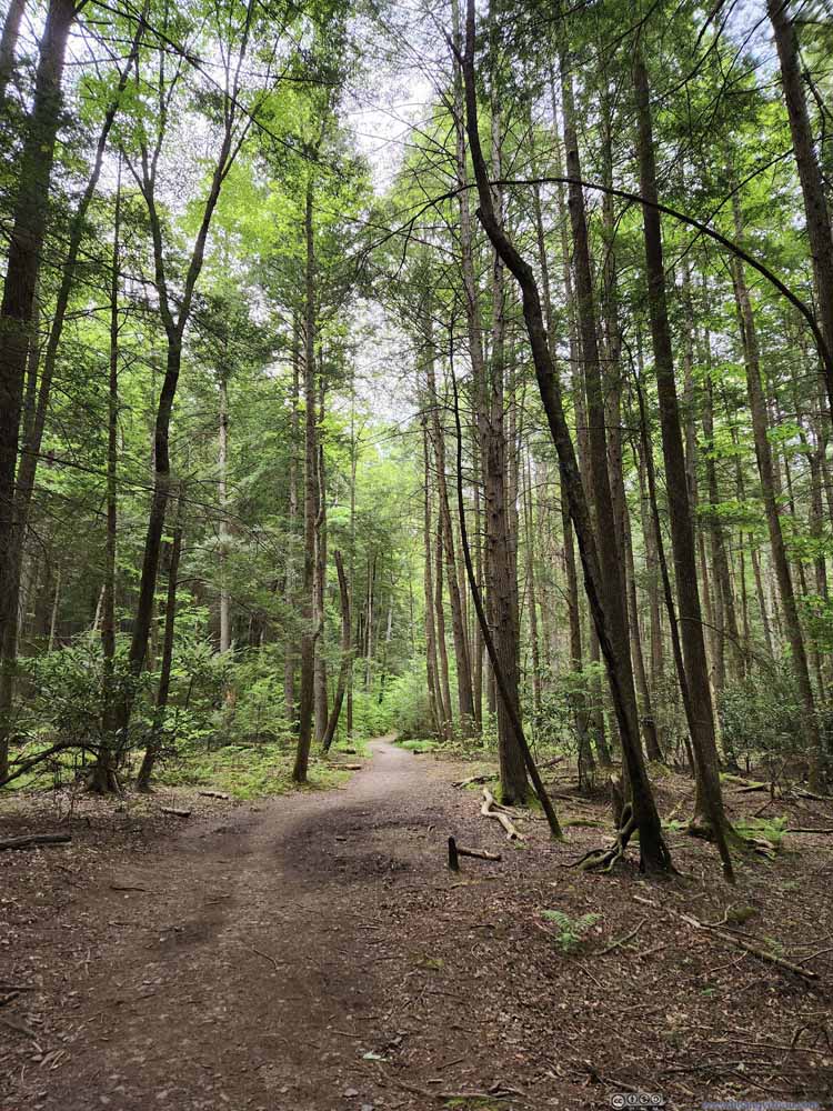 Trail
The initial part of the trail was a comfortable stroll through soaring trees. The trail was wide and comfortable.
Trail
The initial part of the trail was a comfortable stroll through soaring trees. The trail was wide and comfortable.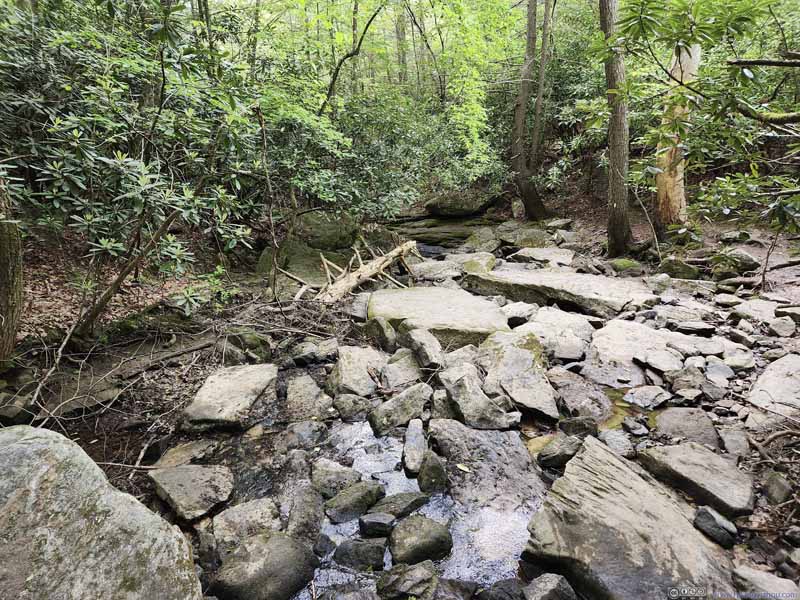
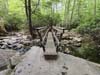
 Footbridge Across Creek
 Trail
Trail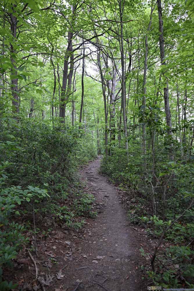 TrailAfter Diamond Point Overlook, the trail was much quieter.
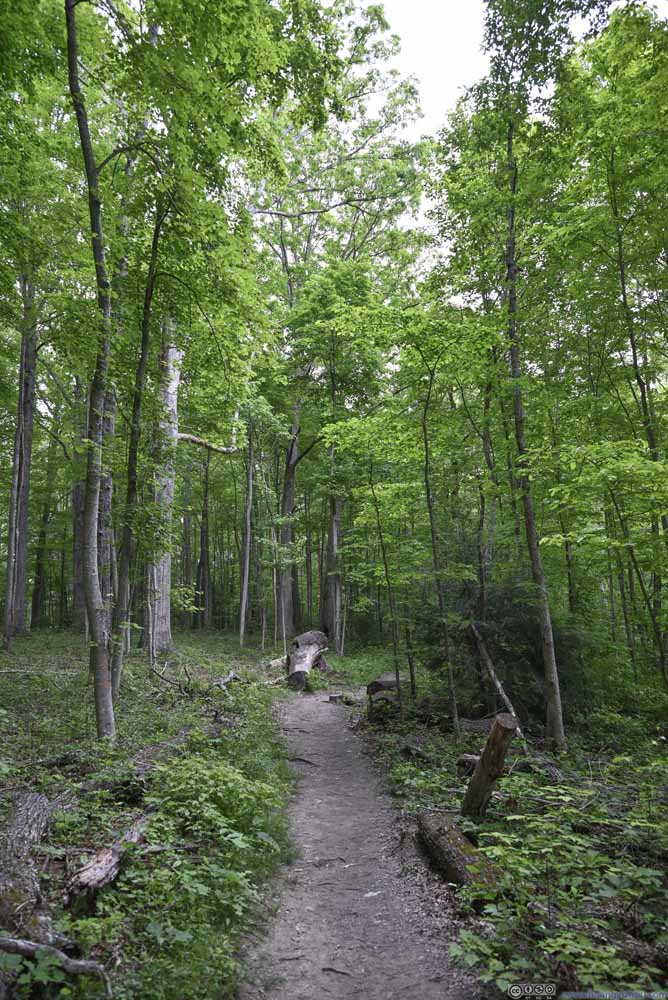 TrailAfter Diamond Point Overlook, the trail was much quieter.


Click here to display photos of the slideshow

Trail
Trail
 Footbridge Across Creek
Trail
TrailAfter Diamond Point Overlook, the trail was much quieter.
TrailAfter Diamond Point Overlook, the trail was much quieter.
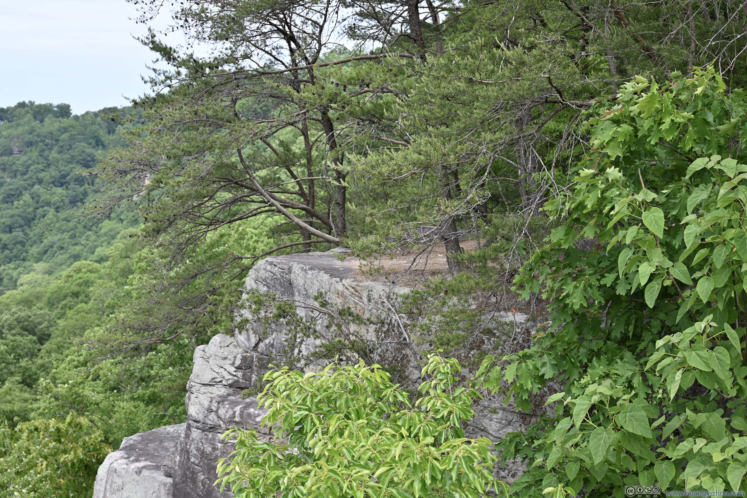
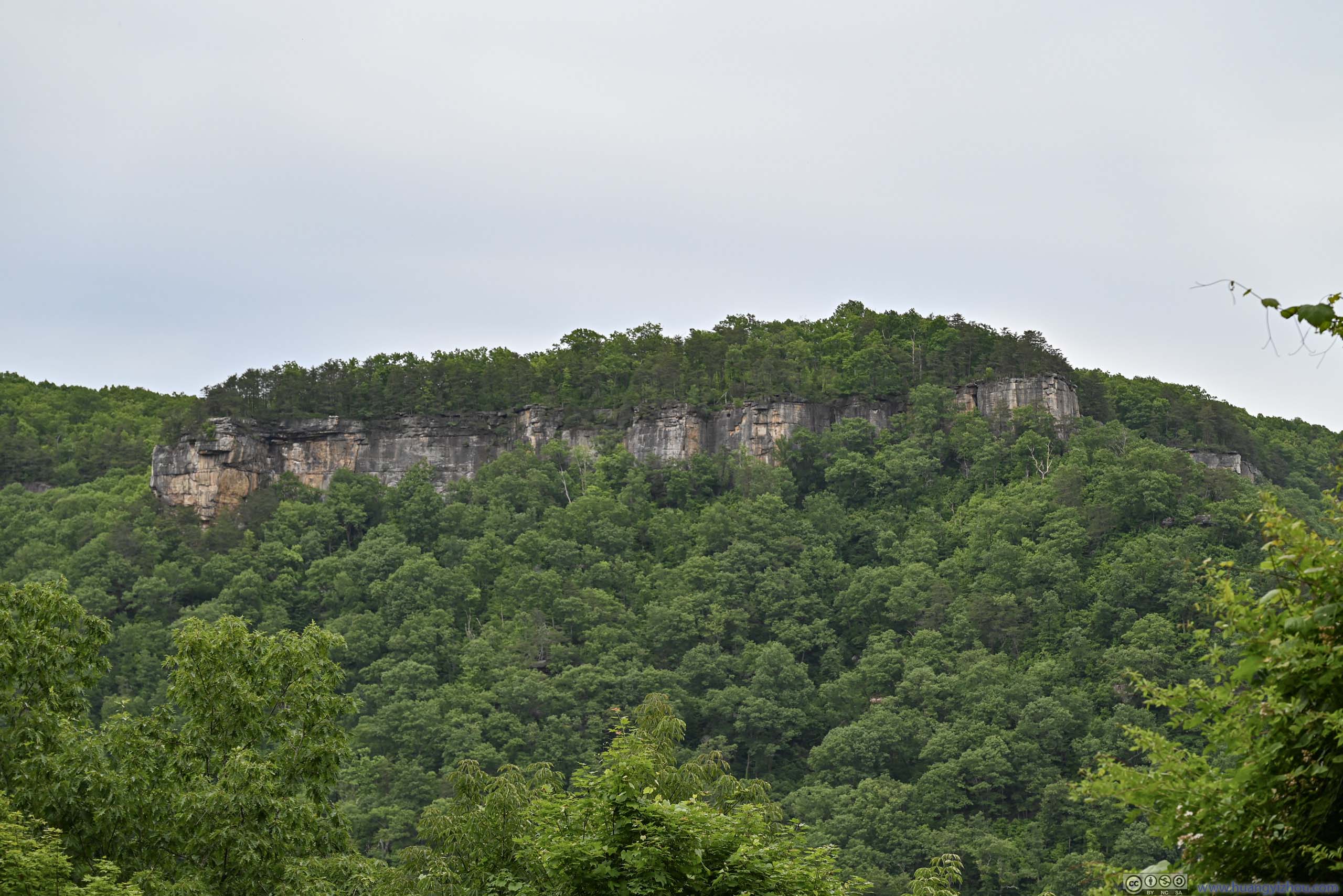
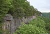
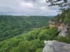
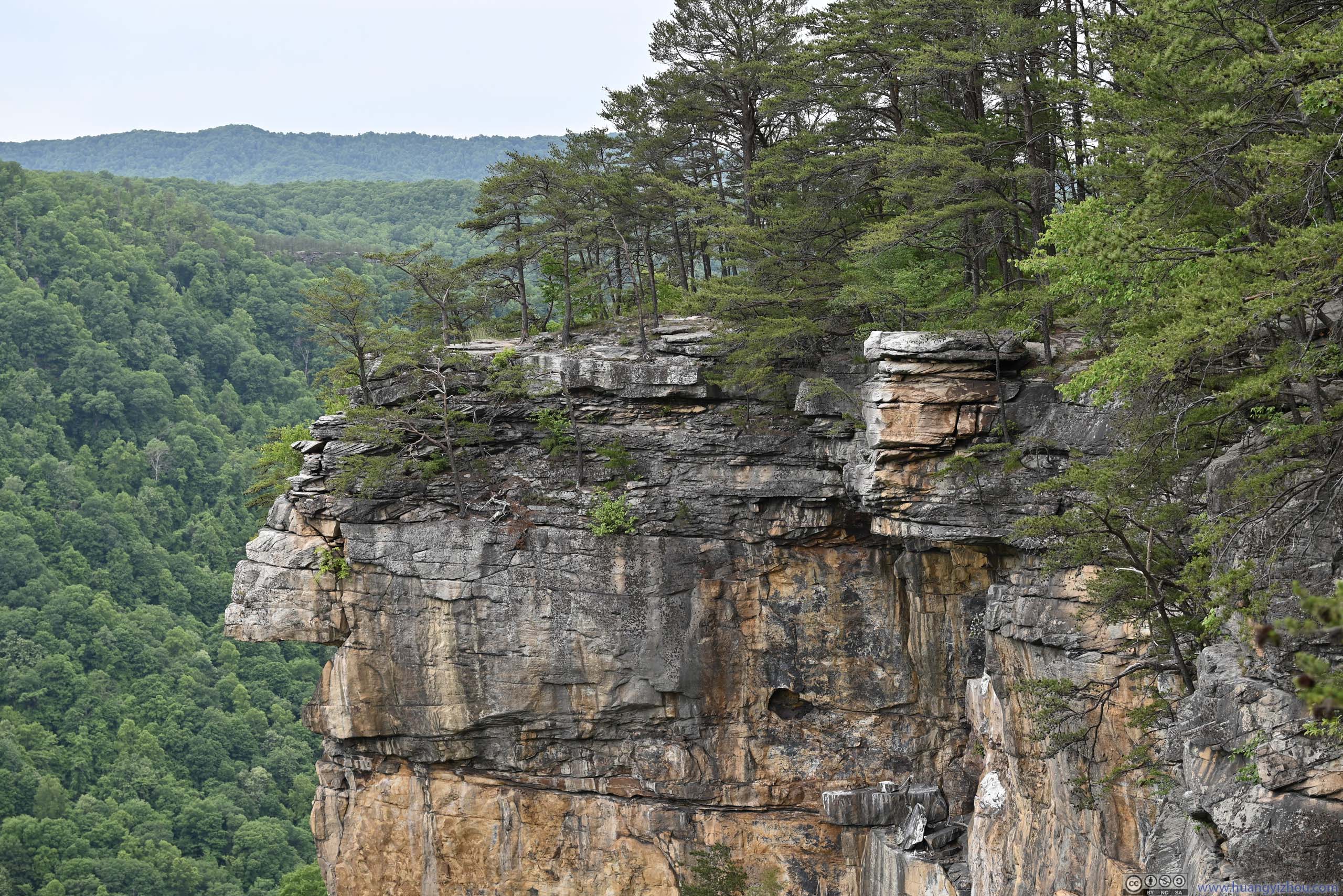
In just 18 minutes, I reached the first (of two) overlooks marked on OpenStreetMap, located at the end of a spur from the main trail. Living up to the name “Endless Wall Trail”, it offered close-up views of rocky cliffs along the New River Gorge.
 Overlooking New River
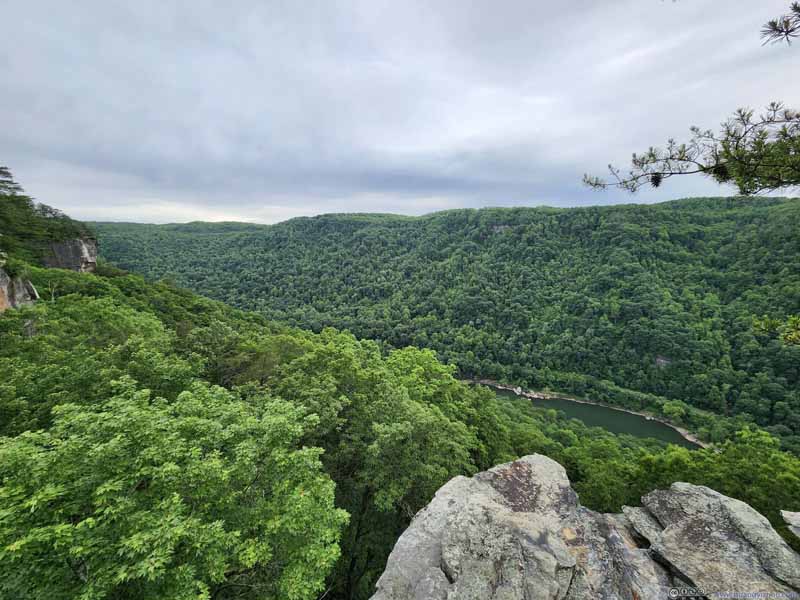 Overlooking New River
 Rock Cliffs along New River Gorge
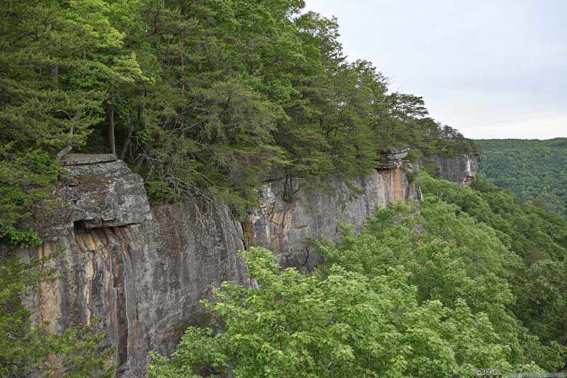 Rock Cliffs along New River Gorge
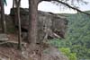
 BoulderPart of the first overlook, looked a bit scary from this angle.
 Climber Access
At a few places along the trail there were ladders like this, allowing climbers to reach the bottom of the cliff wall.
Climber Access
At a few places along the trail there were ladders like this, allowing climbers to reach the bottom of the cliff wall.


Click here to display photos of the slideshow
Overlooking New River

Overlooking New River

Rock Cliffs along New River Gorge

Rock Cliffs along New River Gorge
BoulderPart of the first overlook, looked a bit scary from this angle.
Climber Access
View along Endless Wall Trail
Leaving the first overlook, “Endless Wall Trail” stayed a safe distance from the cliffs, but for adventurous souls like me, one could follow the cliffs up close (for certain portions) through a community trail, or more appropriately, openings in the bushes. By doing this, I found a piece of boulder which I named “New Lover’s Leap”.
New Lover’s Leap
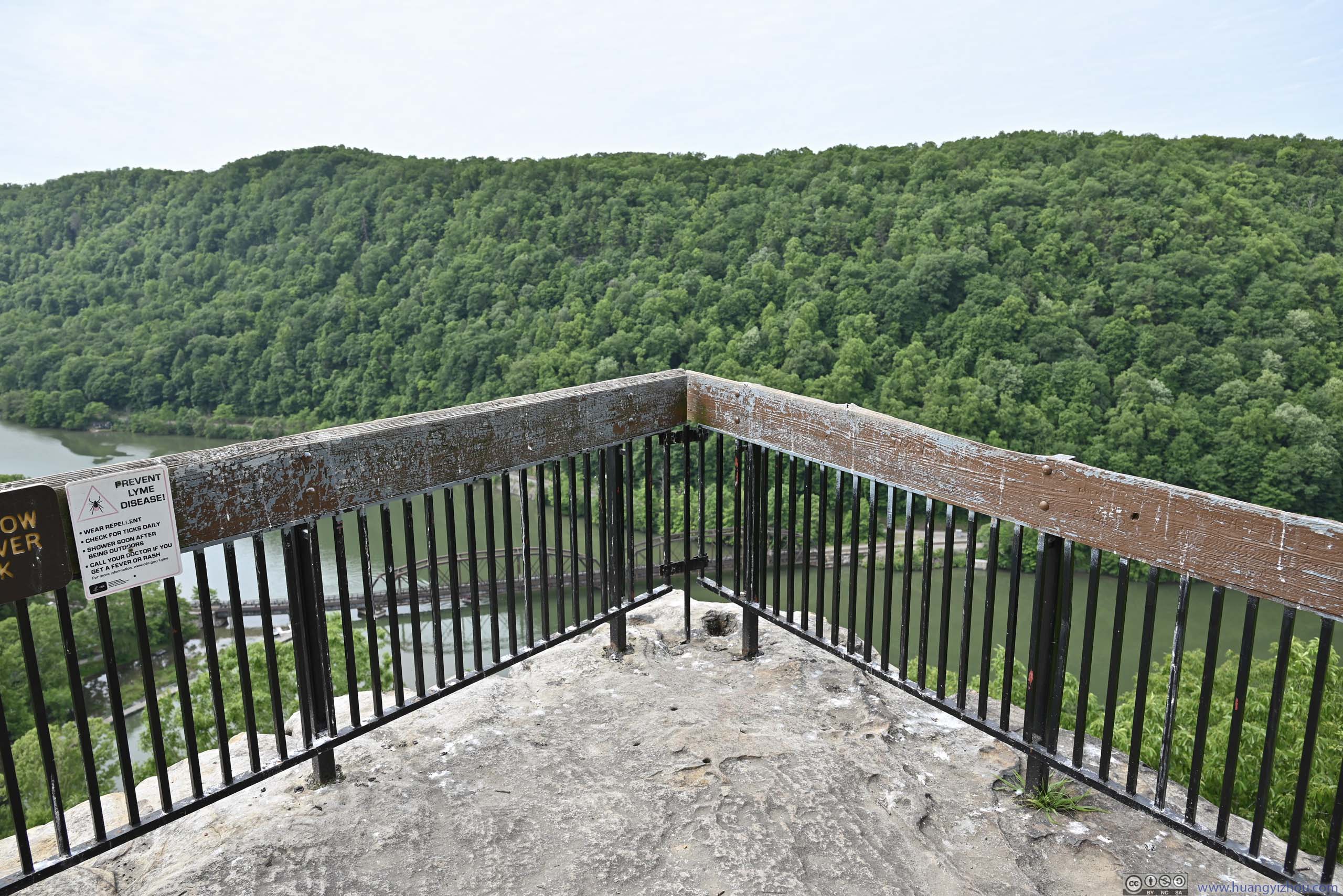
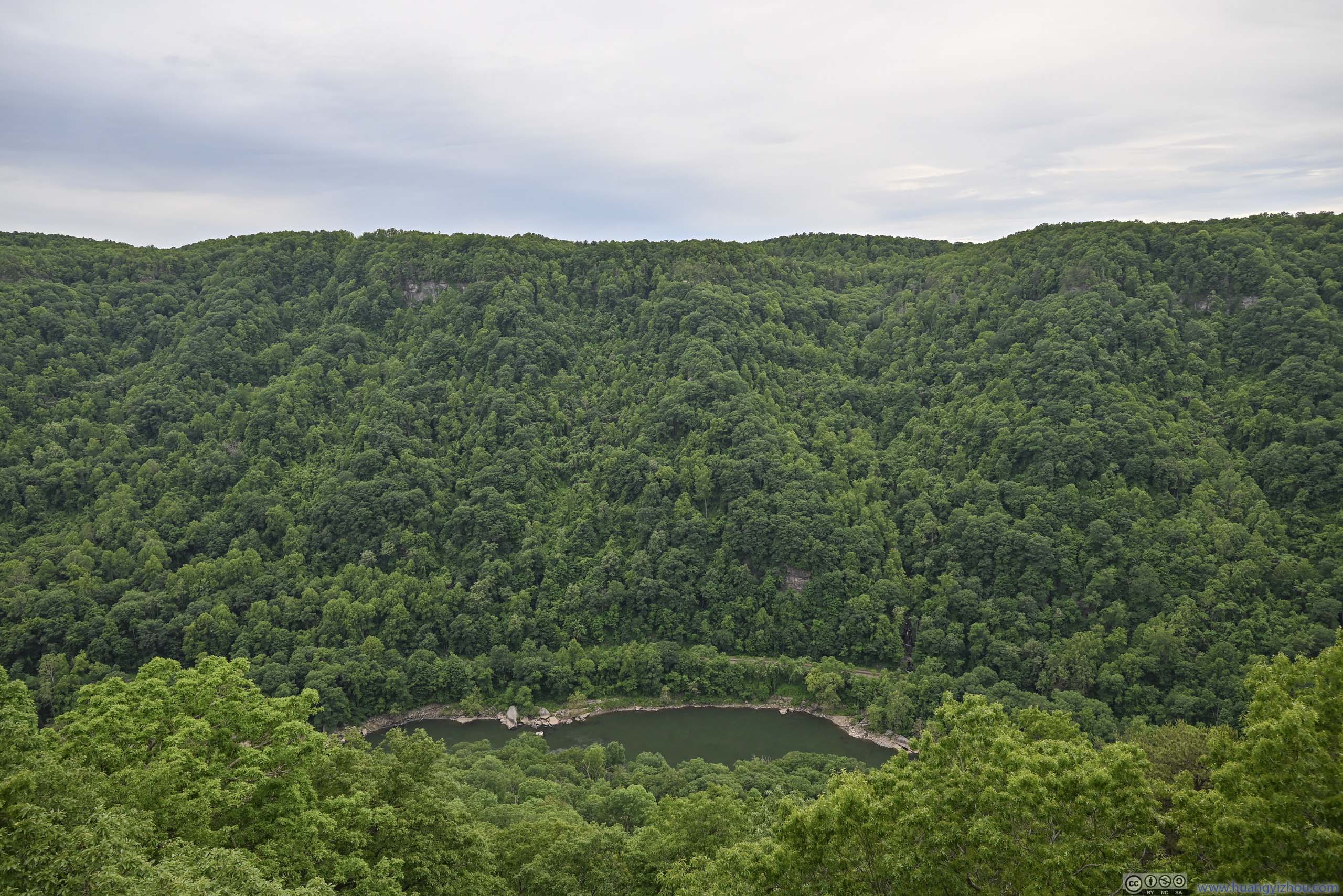
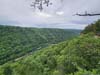
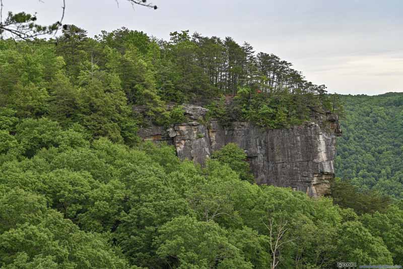
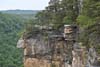
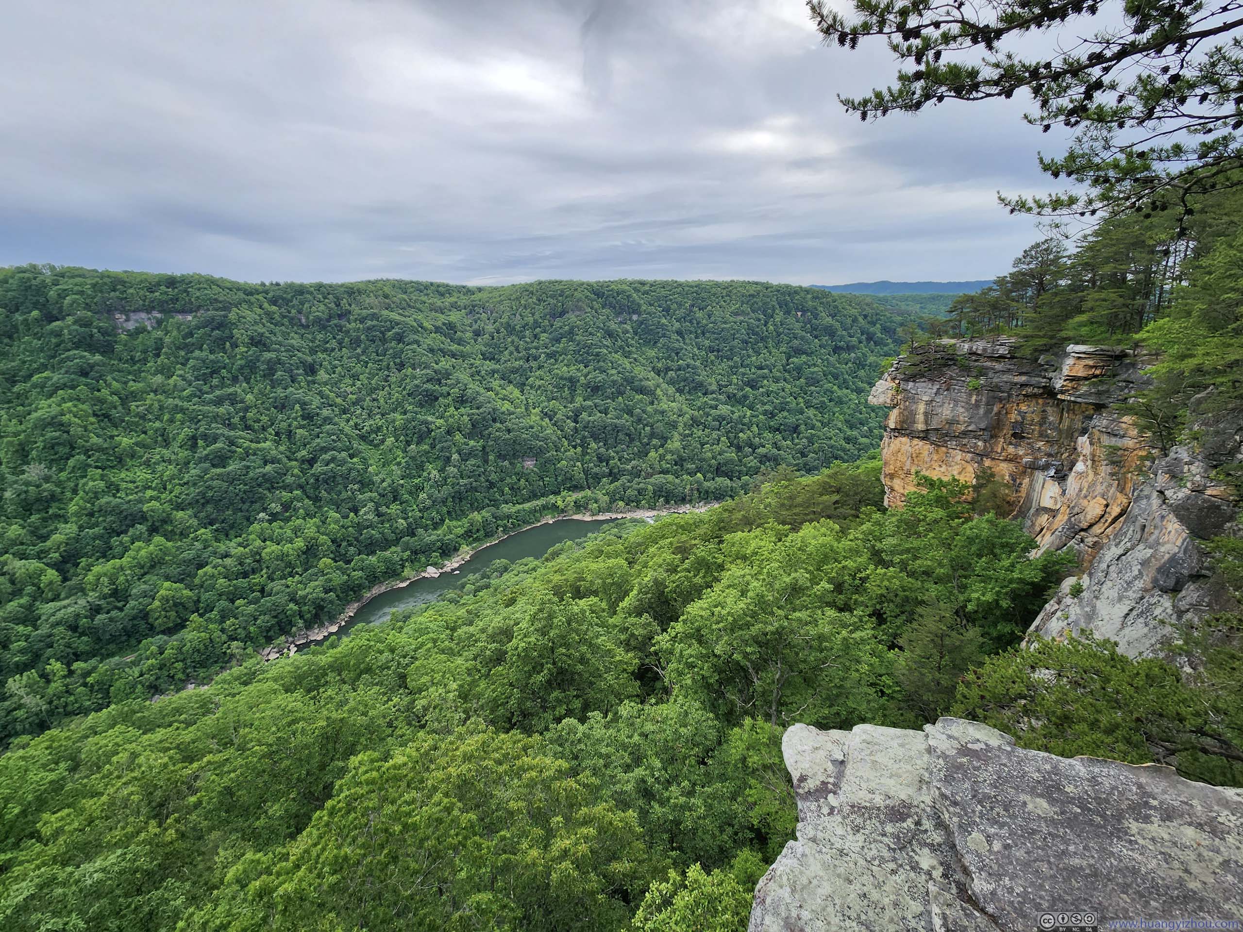
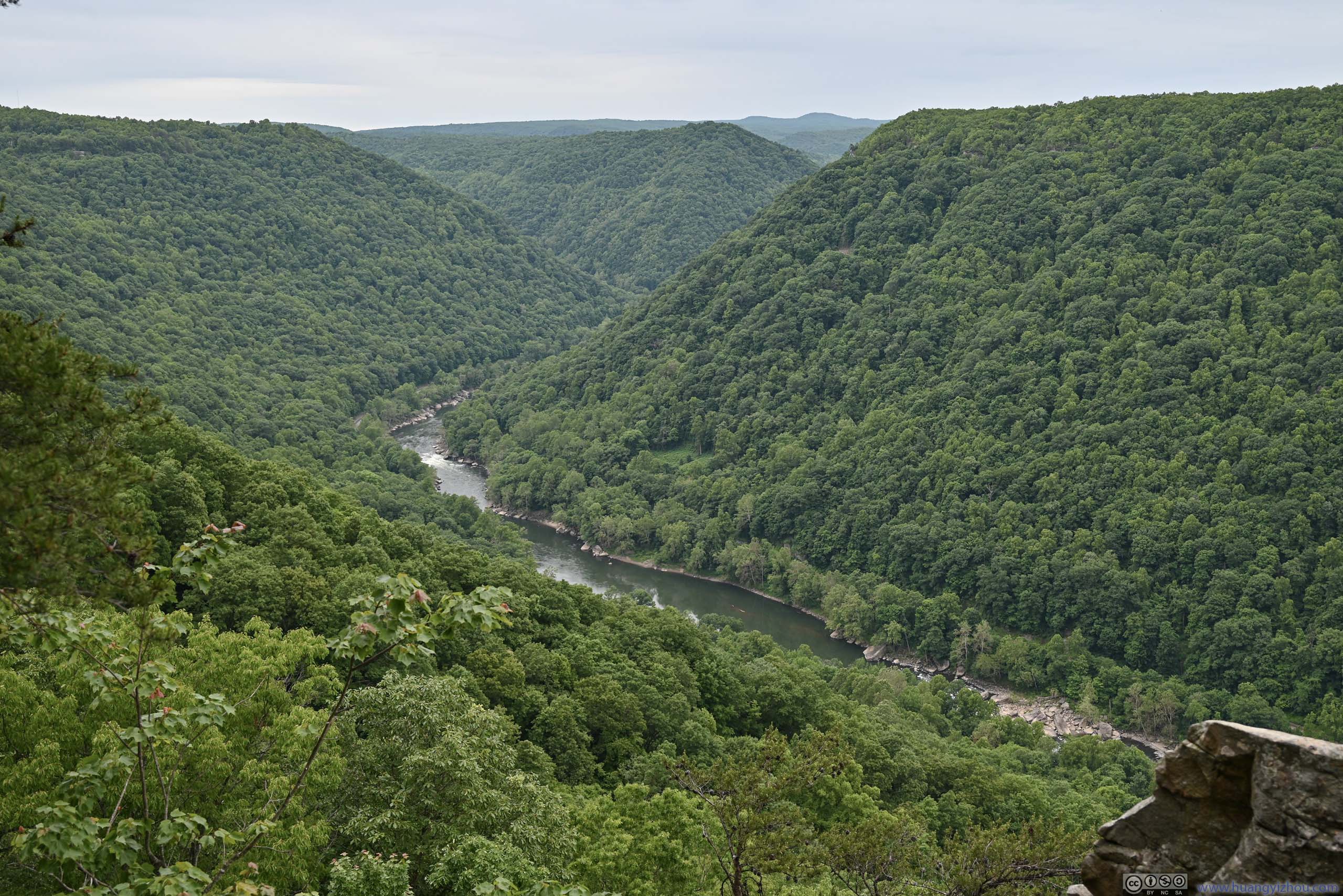
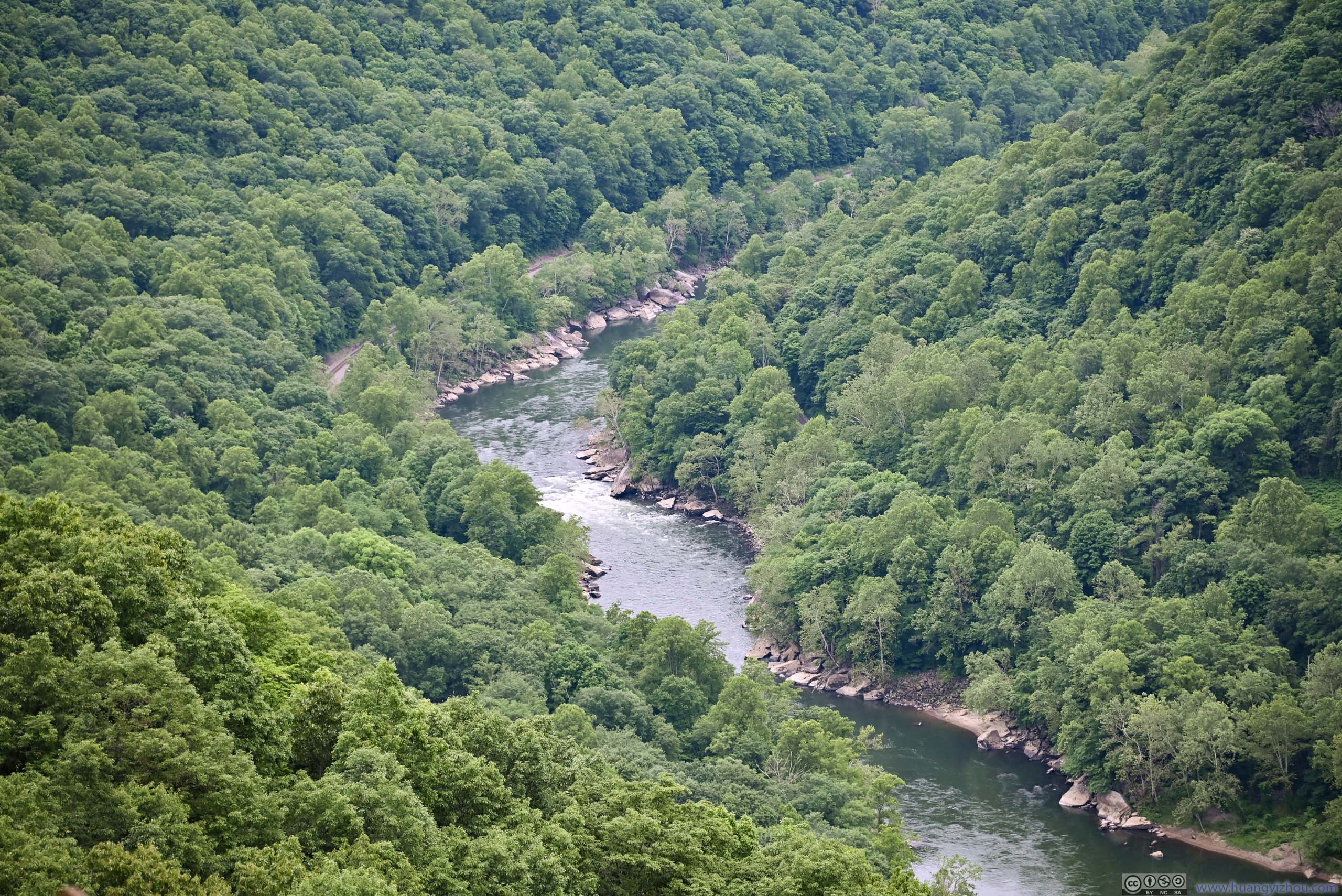
Soon after that, I reached Diamond Point, which was the largest clifftop overlook along the trail. It was also at a prominent location, extending into a bend of New River down below, offering vantage views.
From there, one could easily see how the rocky cliffs extended for a seemingly endless distance upstream, and hence the name “endless wall”.
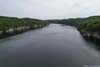
 New River
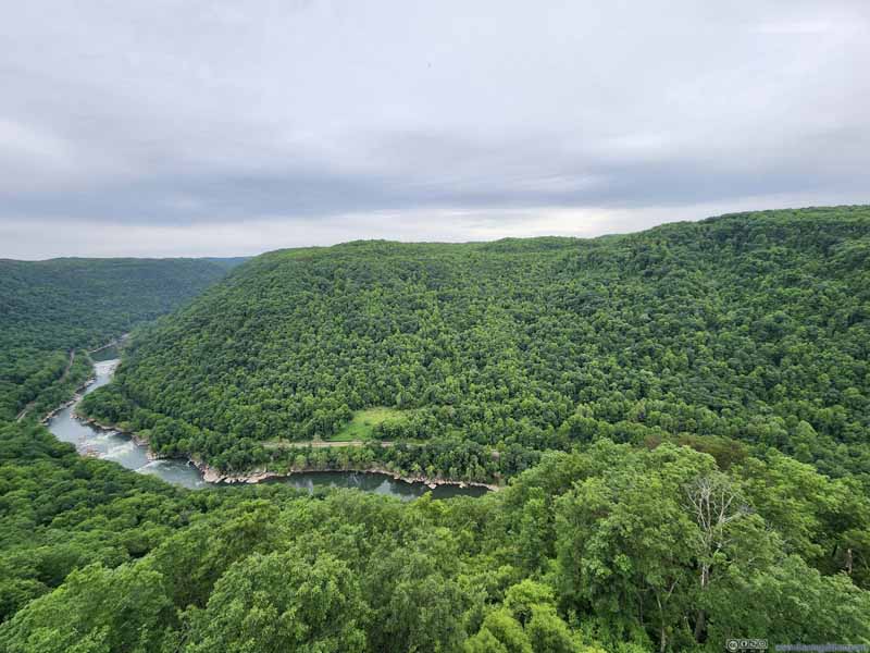 New River
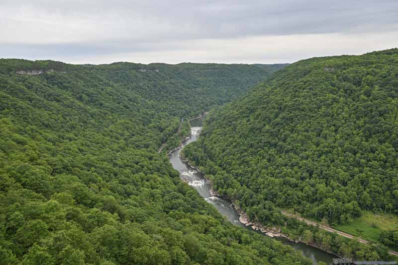 New River
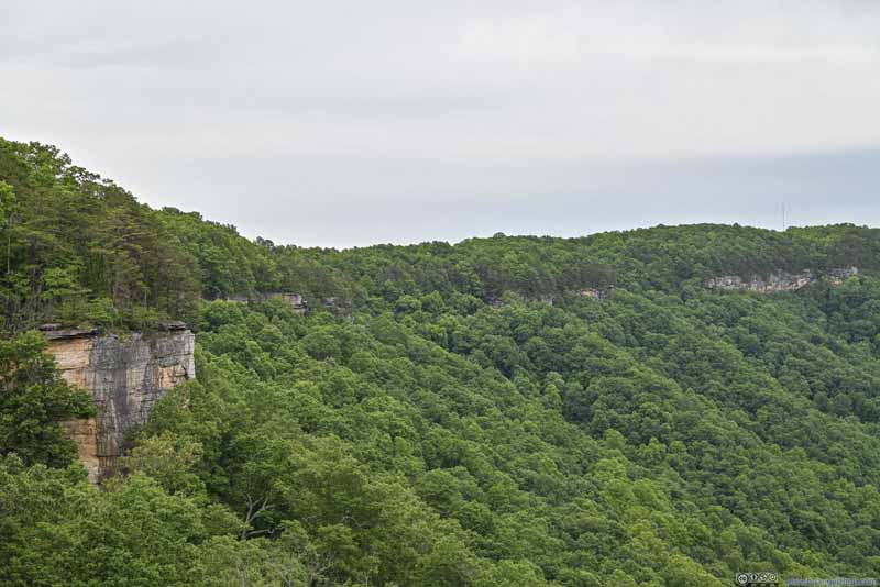 Cliffs along New River GorgeLike the name of the trail suggested, they went on seemingly without end.
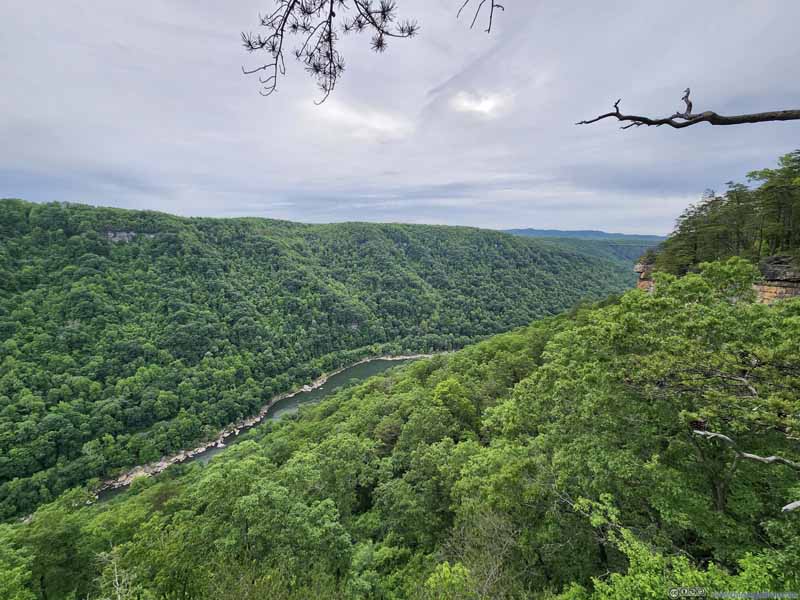 New River Downstream

Click here to display photos from Diamond Point.

New River

New River
New River
Cliffs along New River GorgeLike the name of the trail suggested, they went on seemingly without end.
New River Downstream
View from Diamond Point
After spending about 20 minutes at Diamond Point, I continued along the loop.
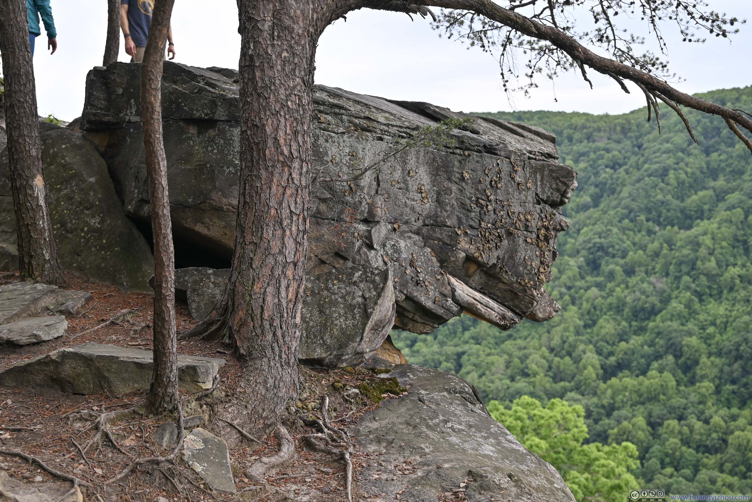
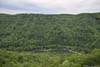
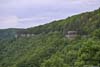
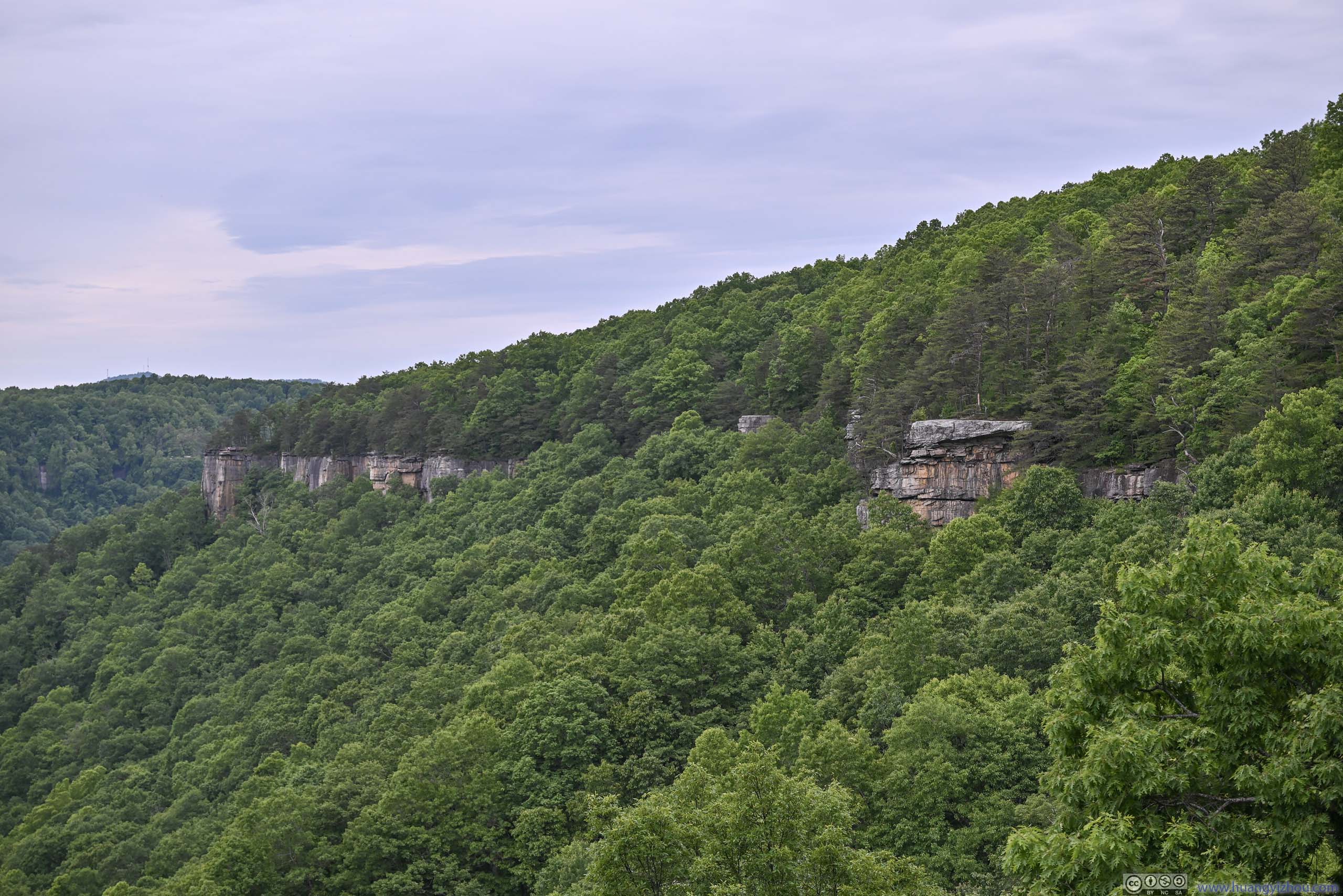
Beyond Diamond Point, the trail saw much less foot traffic, so I got to enjoy the mountain laurels and the songs of the birds. But on the flip side, there were only a few overlooks along this remaining 1.7km of Endless Wall Trail, where the views were hardly exciting compared to the overlooks earlier (slideshow below). On this aspect, I sort of prefer the shorter out-and-back trail to Diamond Point, instead of the loop that I took.
 Rock Cliffs along New River Gorge
 Rock Cliffs along New River Gorge
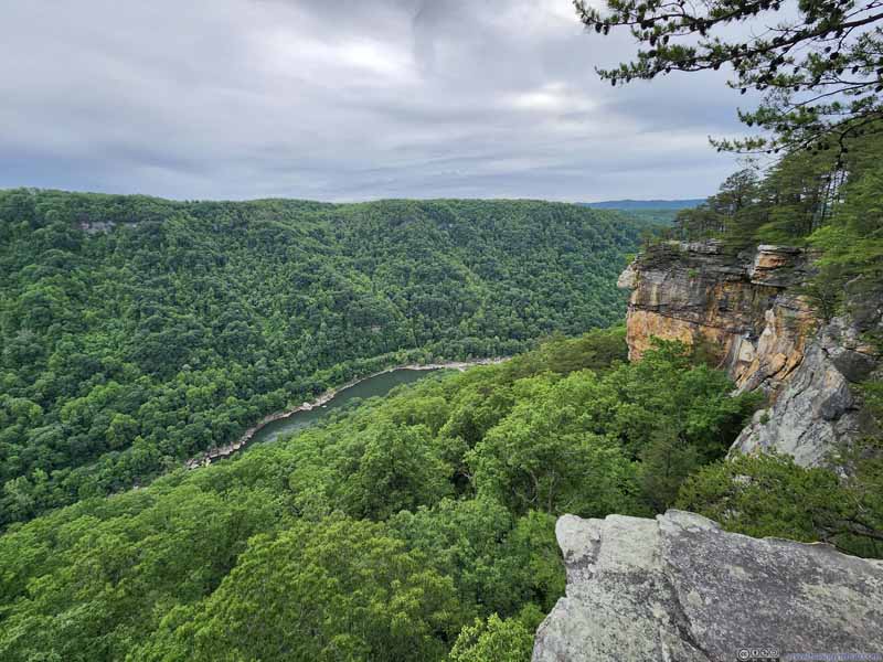 New River Gorge
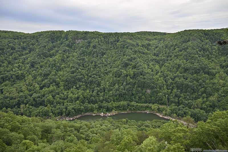 Overlooking New River
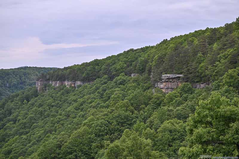 Rock Cliffs along New River Gorge
 Overlooking New River
 Overlooking New River


Click here to display photos of the slideshow

Rock Cliffs along New River Gorge
Rock Cliffs along New River Gorge
New River Gorge

Overlooking New River
Rock Cliffs along New River Gorge
Overlooking New River
Overlooking New River
Until the last overlook (p6-7 above), where the layered mountains and another turn of the river brought some refreshing sights.
After a short walk along a country road, I was back at my car just before 8pm, finishing the loop trail in 2 hours. After that, I drove to my overnight hotel in the town of Beckley and called it a day.
End
![]() Day 2 of May 2023 Trip to West Virginia, New River Gorge by Huang's Site is licensed under a Creative Commons Attribution-NonCommercial-ShareAlike 4.0 International License.
Day 2 of May 2023 Trip to West Virginia, New River Gorge by Huang's Site is licensed under a Creative Commons Attribution-NonCommercial-ShareAlike 4.0 International License.