
Updated on December 28, 2023
Day 4 of 2023 Independence Day Trip, Hanging Rock of North Carolina
Final day of my July 2023 trip to North Carolina. Today I drove from Asheville back to my home near Washington DC, while checking out Hanging Rock State Park along the way.
Hanging Rock
Google Maps predicted it would take me just over 7 hours to drive from Asheville to my home in Washington DC, that meant I could do a little bit of sightseeing along the way. The two possible routes that I could take were I26-I81-I64 and I40-I85-I95. I figured I was pretty acquainted with the mountains along the former route (I wasn’t into more driving along Blue Ridge Parkway this time). There weren’t many attractions along the latter route, but I found “Hanging Rock State Park” not too far from it.
It turned out the state park was part of Sauratown Mountains, which were isolated remnants of the Blue Ridge Mountains but located further east than Blue Ridge. These mountains rose sharply from the surrounding terrain, so they didn’t lack prominence.
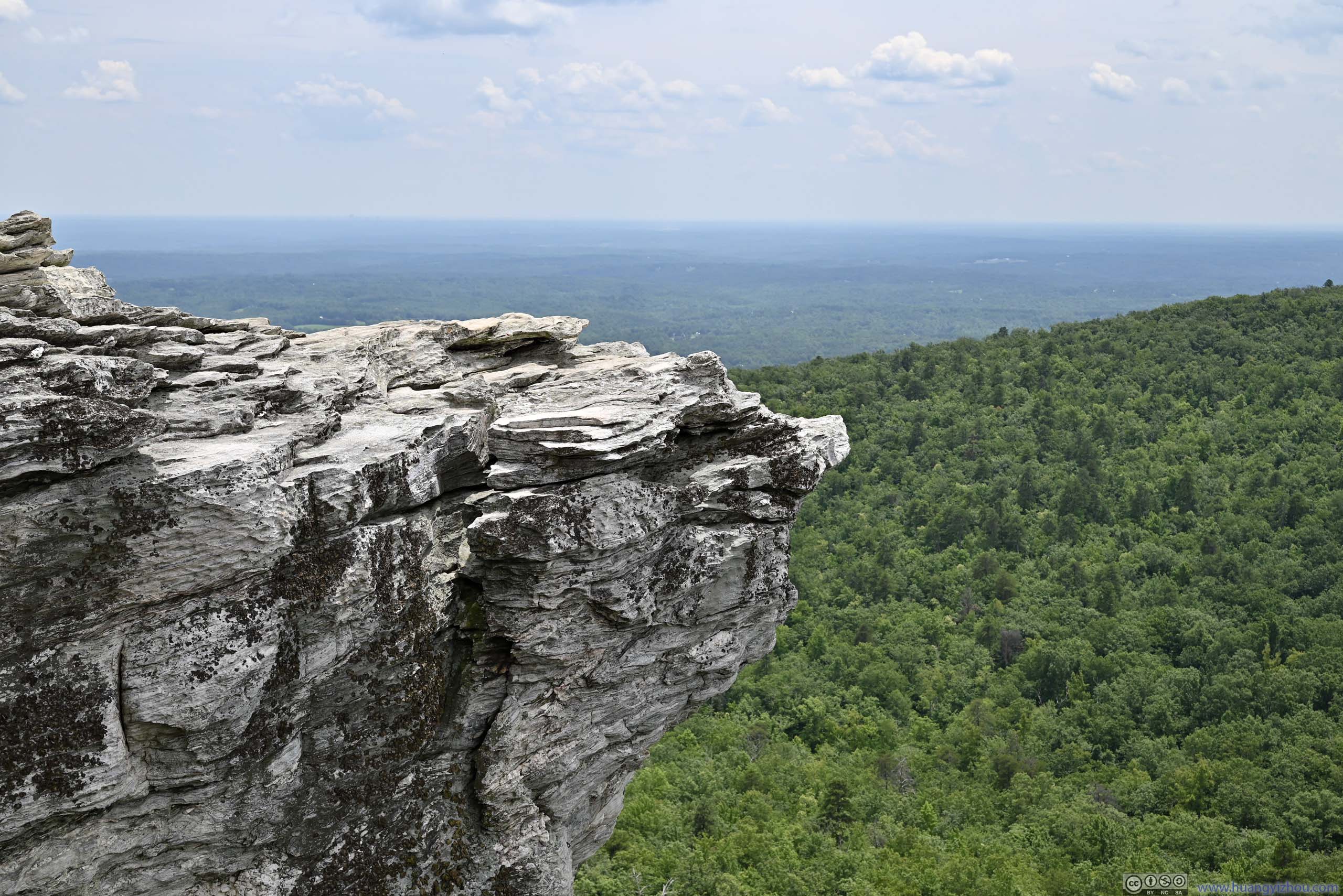
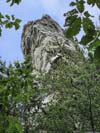
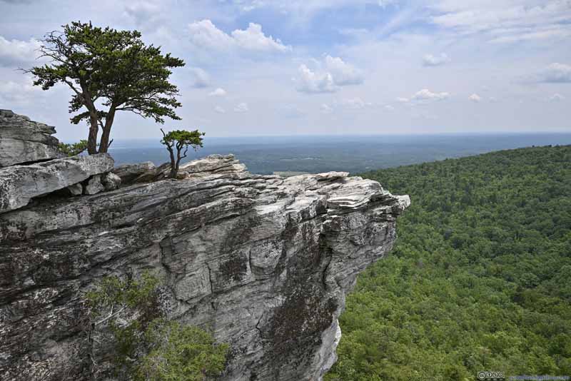
As the name suggested, the state park was known for a piece of rock that overhung the cliff below. In my opinion that piece of rock was too thick, and the angle at which it overhung wasn’t that impressive. In comparison, I thought McAfee Knob in Virginia was the better “hanging rock”.
After having lunch in Winston-Salem, I reached the parking lot of Hanging Rock just after 1pm. After a visit to the nearby visitor center, I started my hike at 1:30pm.
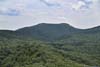
Hanging Rock from Parking LotNear the middle of the parking lot was an observation platform to view the Hanging Rock.
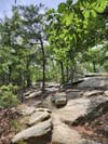
To reach Hanging Rock, it was a 4km out-and-back trail with 182m elevation gain. The trail condition was the greatest of all the hikes I did for this July 2023 trip, most portions of it were wide, some even paved.
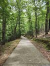
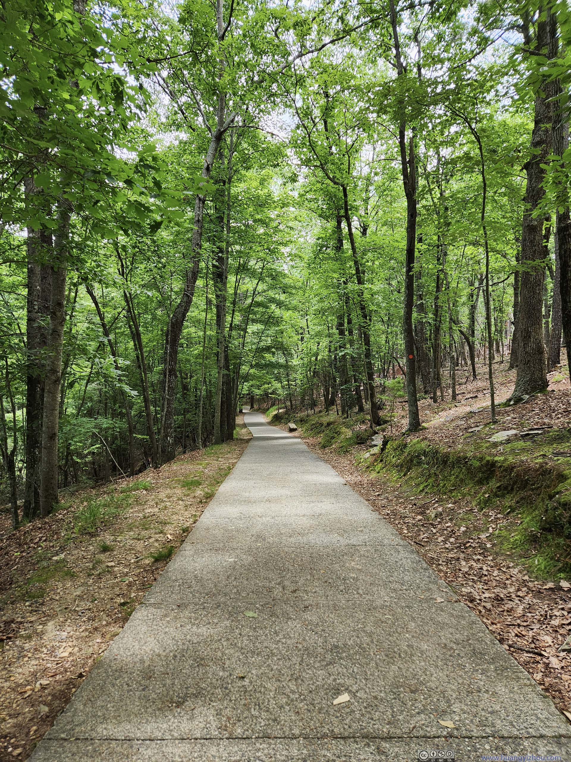
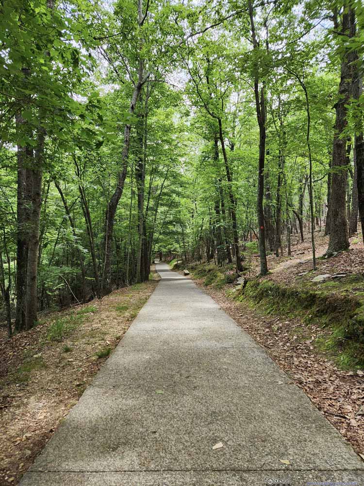 TrailFirst the trail started out paved.
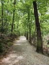
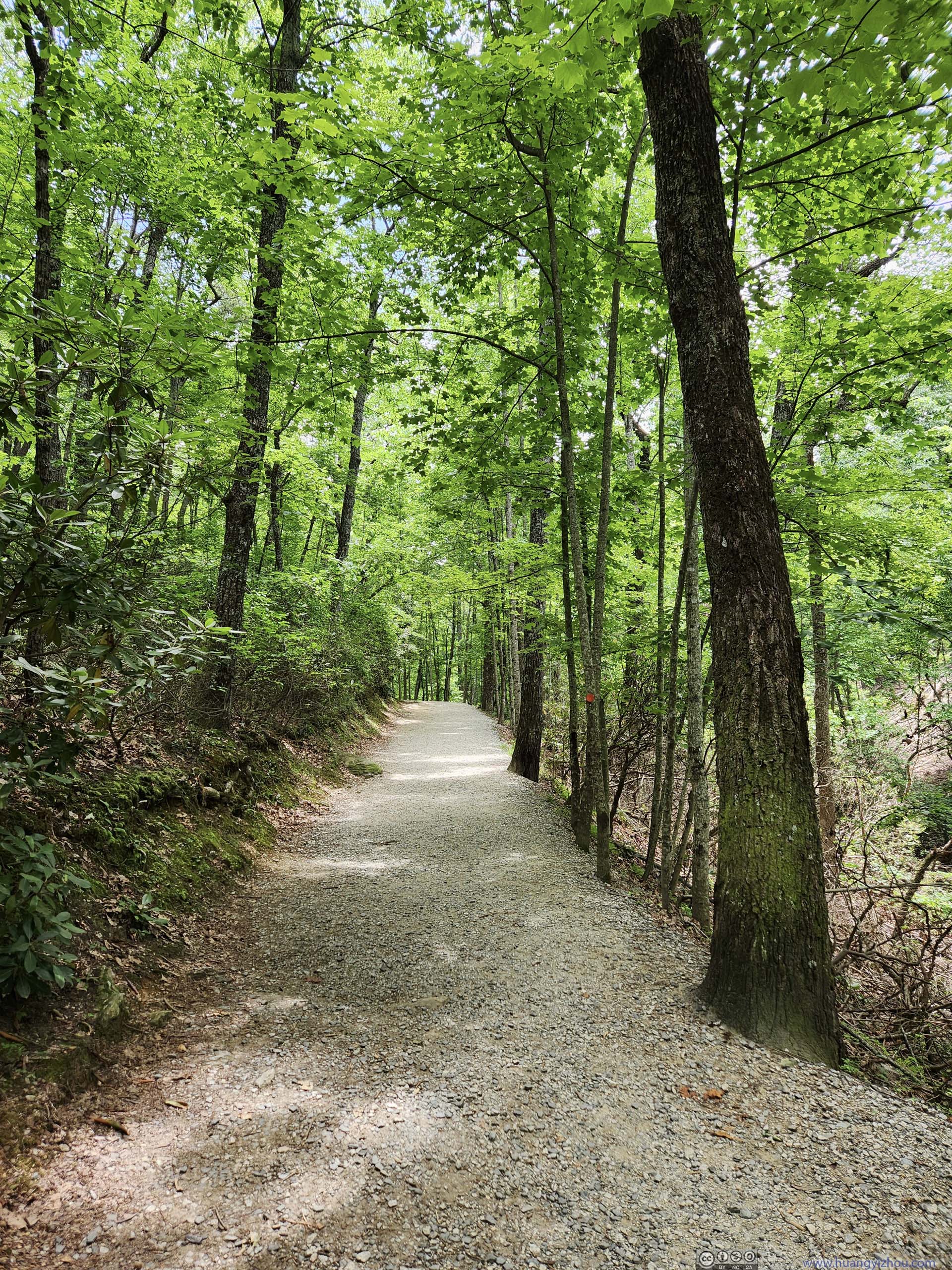
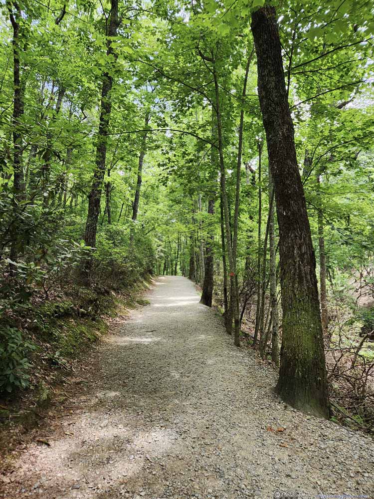 TrailA wide trail made of dirt and gravel in the forest, typical condition of the trail.
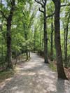
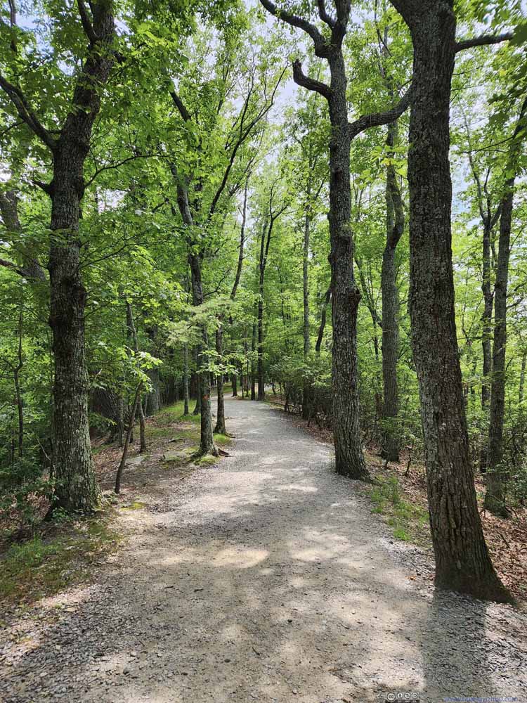 TrailA wide trail made of dirt and gravel in the forest, typical condition of the trail.
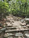
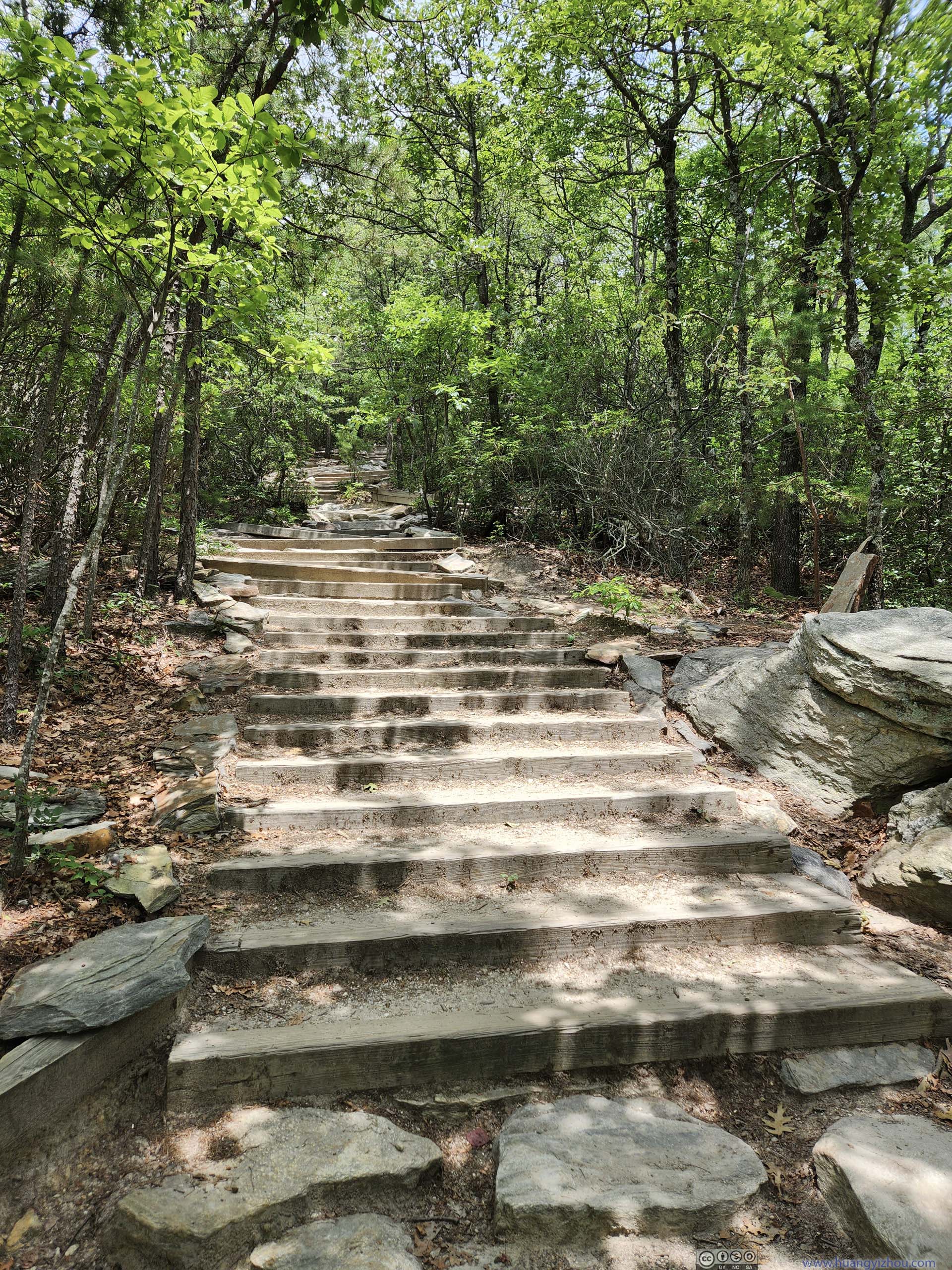
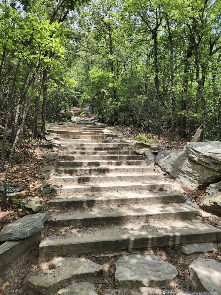 TrailRight below Hanging Rock, there were some stairs.
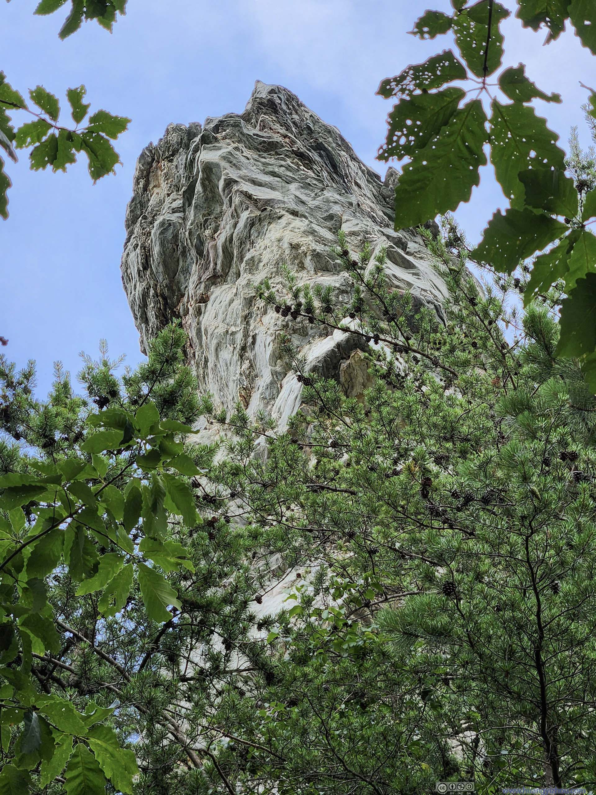
 Hanging Rock from BelowDidn’t have that much the feeling of overhanging from this angle.
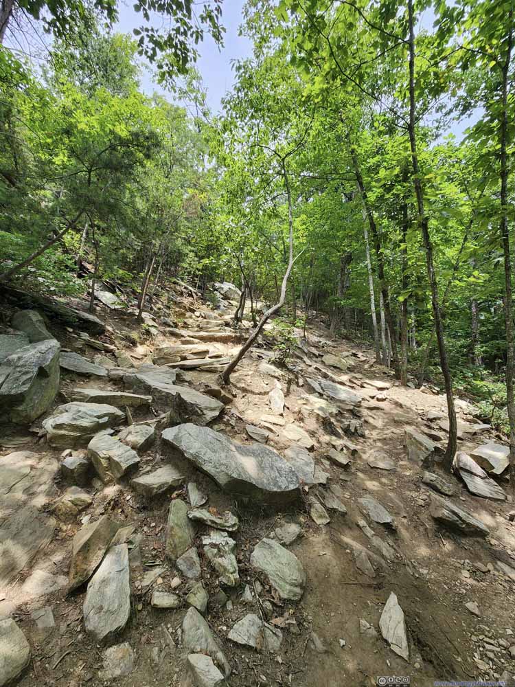 Trail
The final part of the trail wrapped around Hanging Rock. This was the steepest part of the trail, somewhat rocky.
Trail
The final part of the trail wrapped around Hanging Rock. This was the steepest part of the trail, somewhat rocky.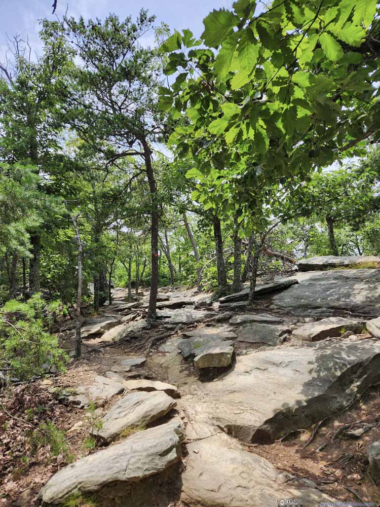 TrailAfter ascending onto the summit plateau, the trail was rocky but flat.

Click here to display photos of the trail.
TrailFirst the trail started out paved.
TrailA wide trail made of dirt and gravel in the forest, typical condition of the trail.

TrailA wide trail made of dirt and gravel in the forest, typical condition of the trail.
TrailRight below Hanging Rock, there were some stairs.
Hanging Rock from BelowDidn’t have that much the feeling of overhanging from this angle.

Trail

TrailAfter ascending onto the summit plateau, the trail was rocky but flat.
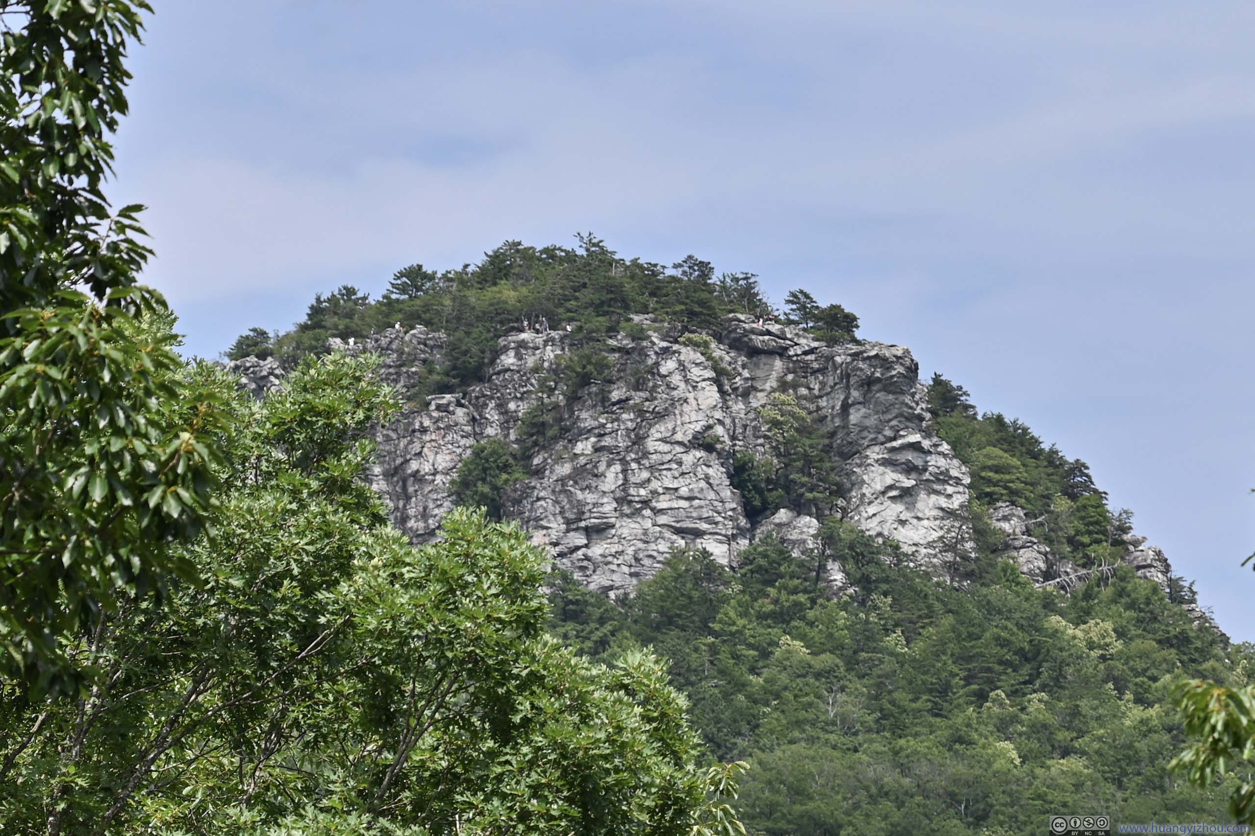
1.5km into the hike, I reached the foot of Hanging Rock. From which point Hanging Rock could be seen in between the trees (p5 above). For the remaining 0.5km, the trail wrapped around Hanging Rock as it found its way up the rocky hill in front.
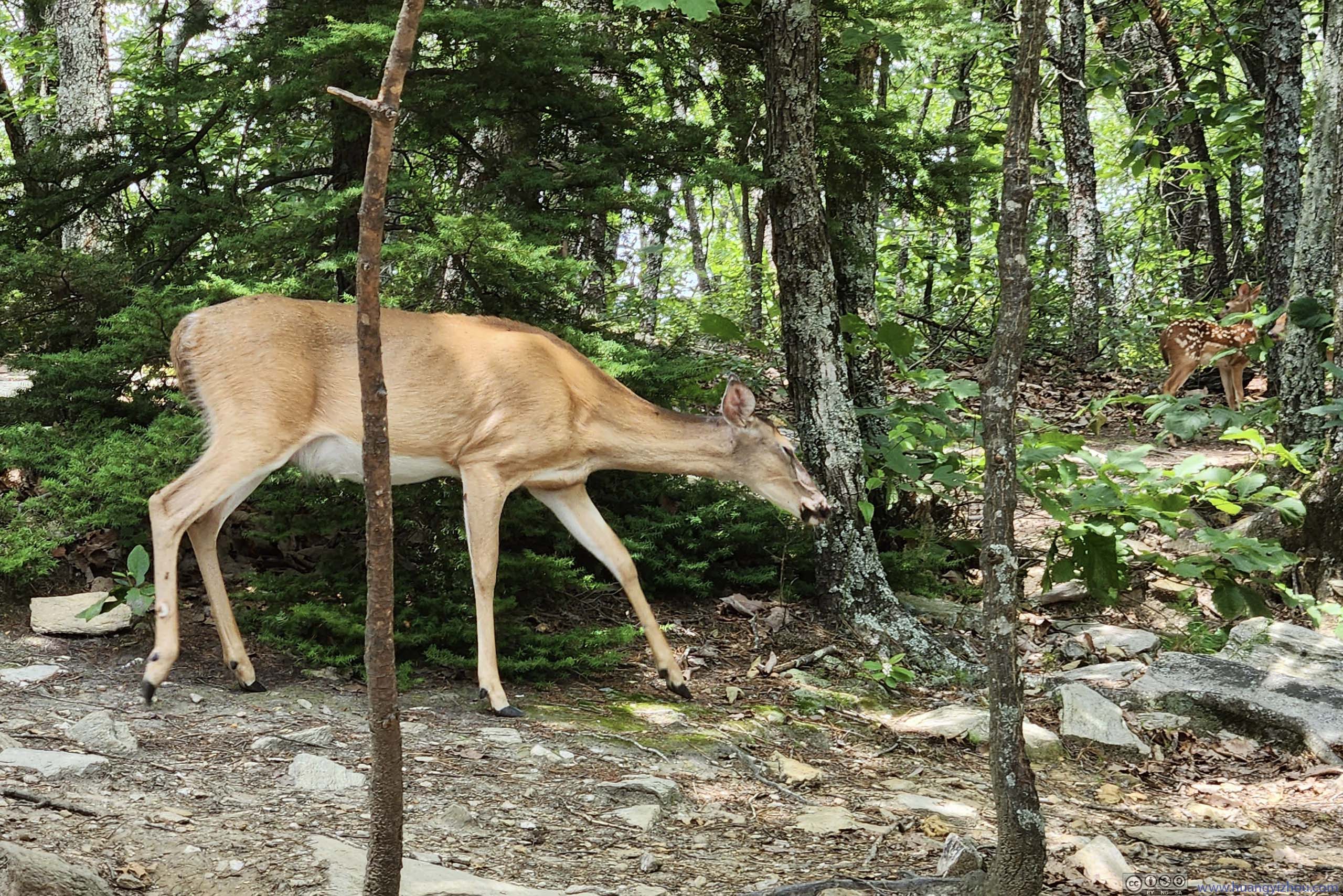
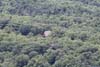
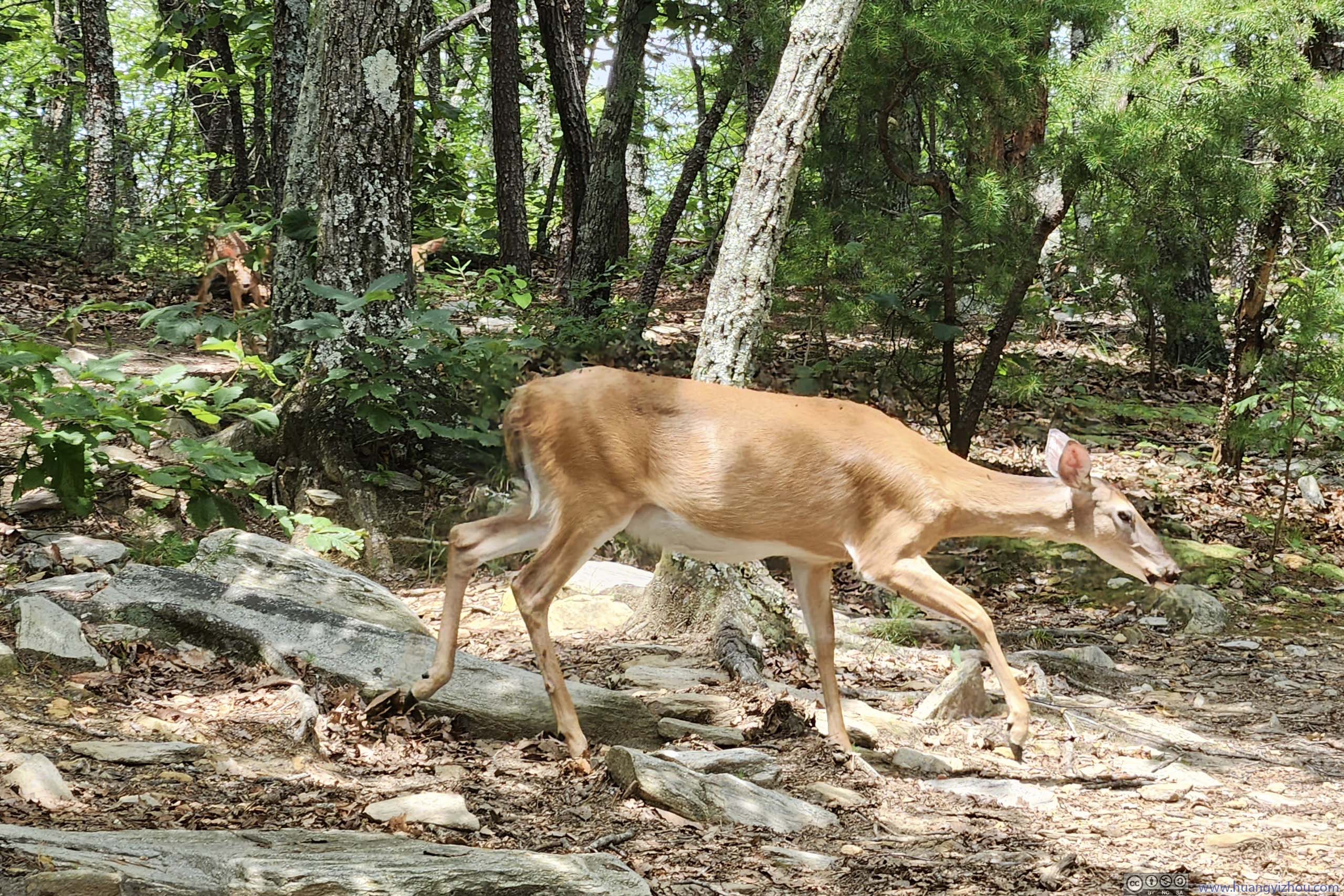 Deer in Woods
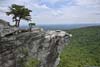
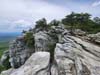
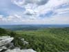
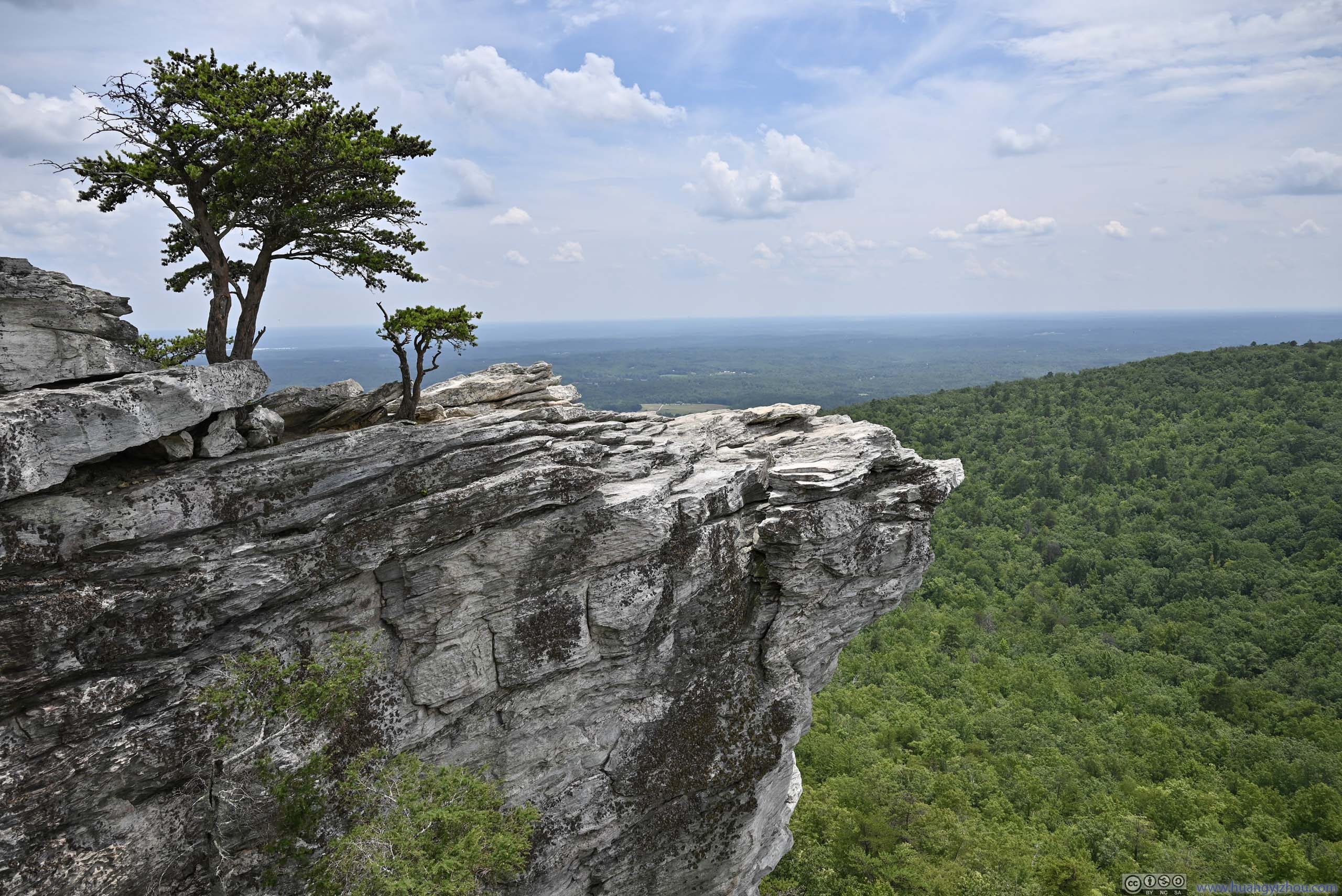
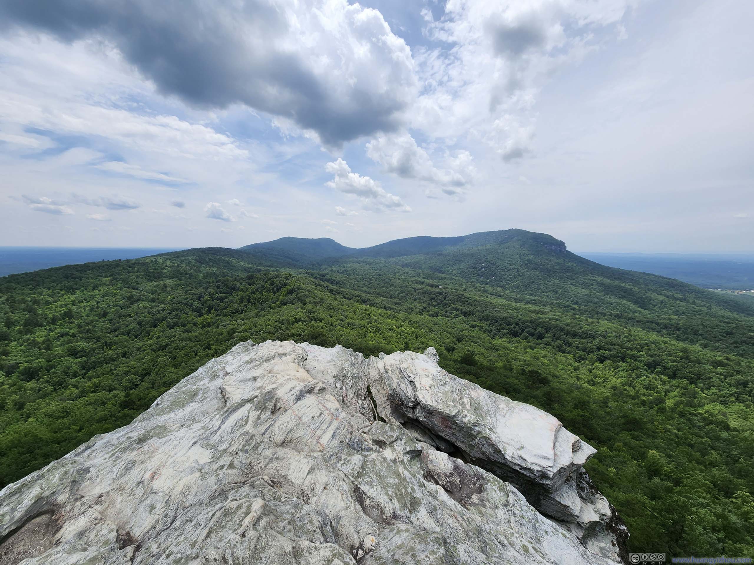
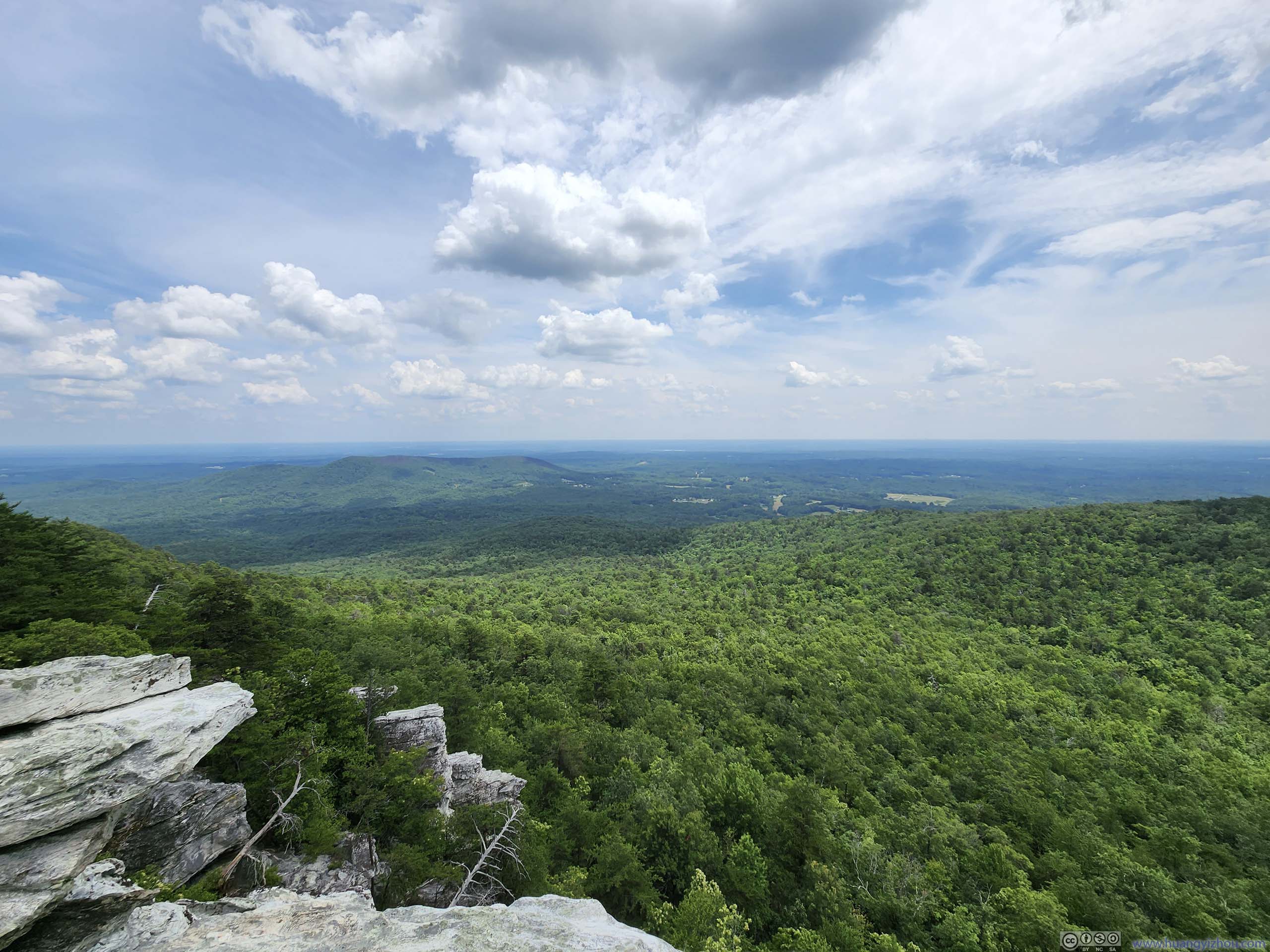
The top of Hanging Rock was a field wide enough for people to spread out. At the actual Hanging Rock (p2), I stayed a safe distance from the edge so there was hardly that overhanging feel. Nearby there were some boulders to the north (p3), where one could appreciate the overhanging shape of the rock. To the west, other parts of Sauratown Mountains provided some views to contrast the extensive farmlands to the north and south.
 Hanging Rock
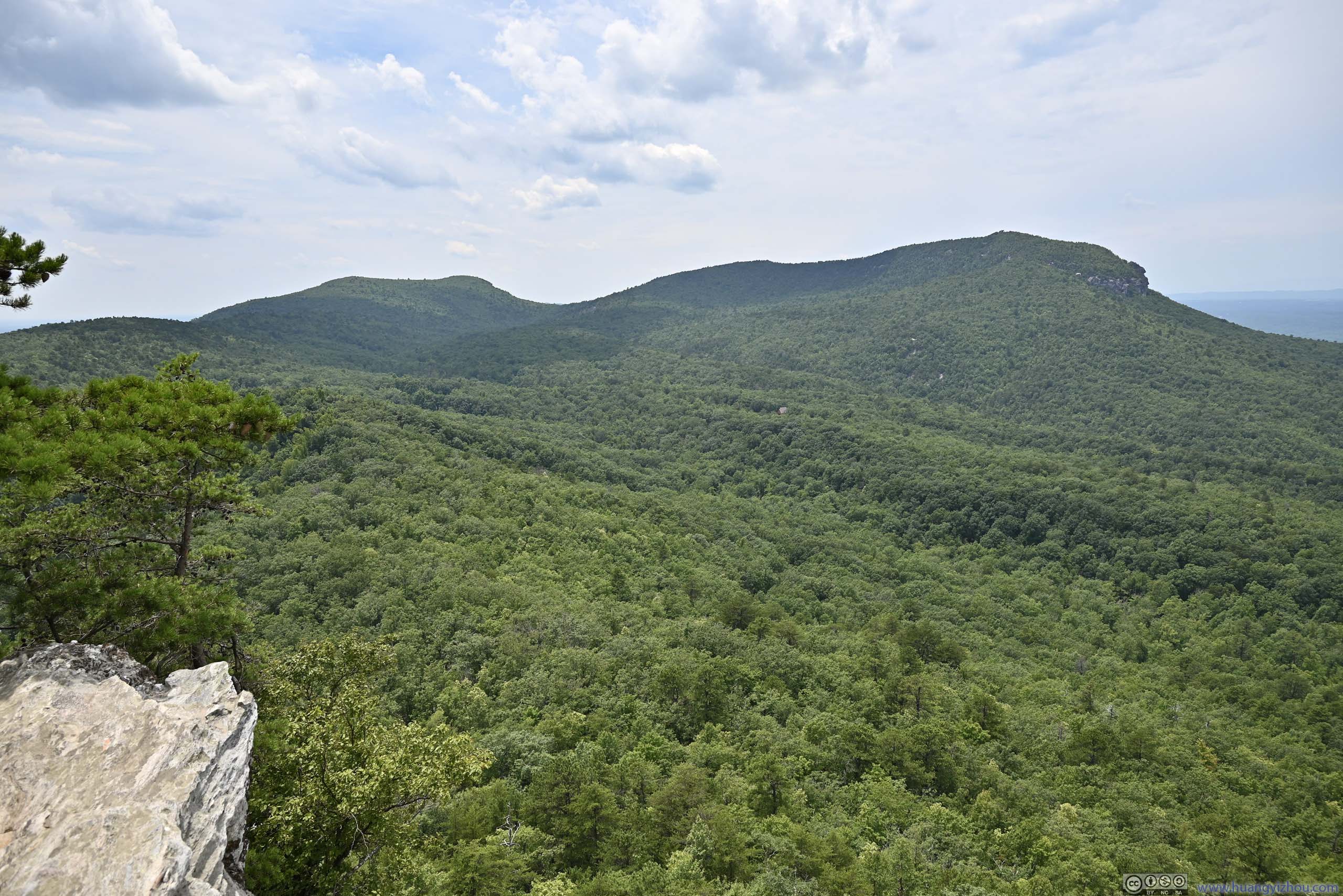
 Mountains beyond Hanging Rock
 Area around Hanging RockLots of boulders around.
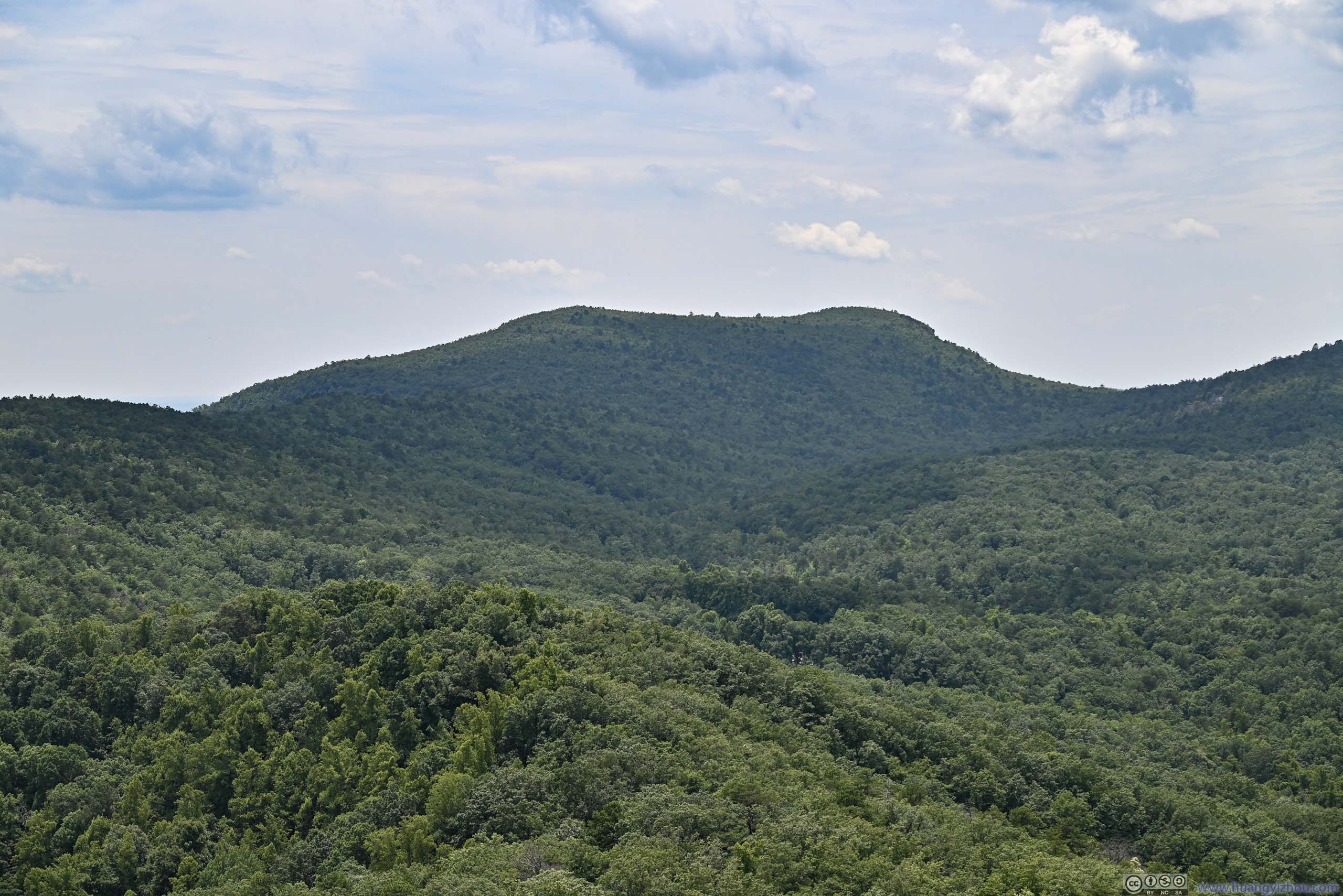
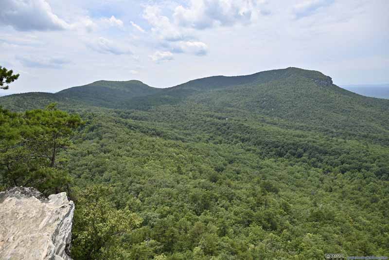 Mountains to the West
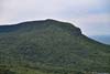
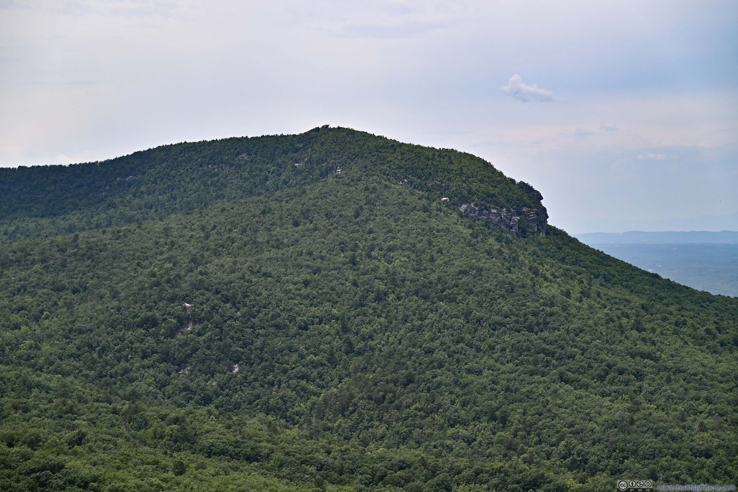
 Moore’s Knob
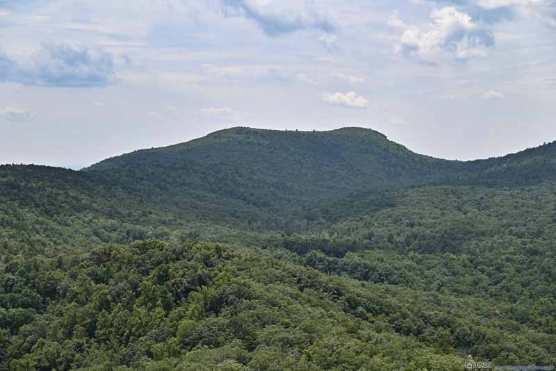 Cooks Wall Mountain
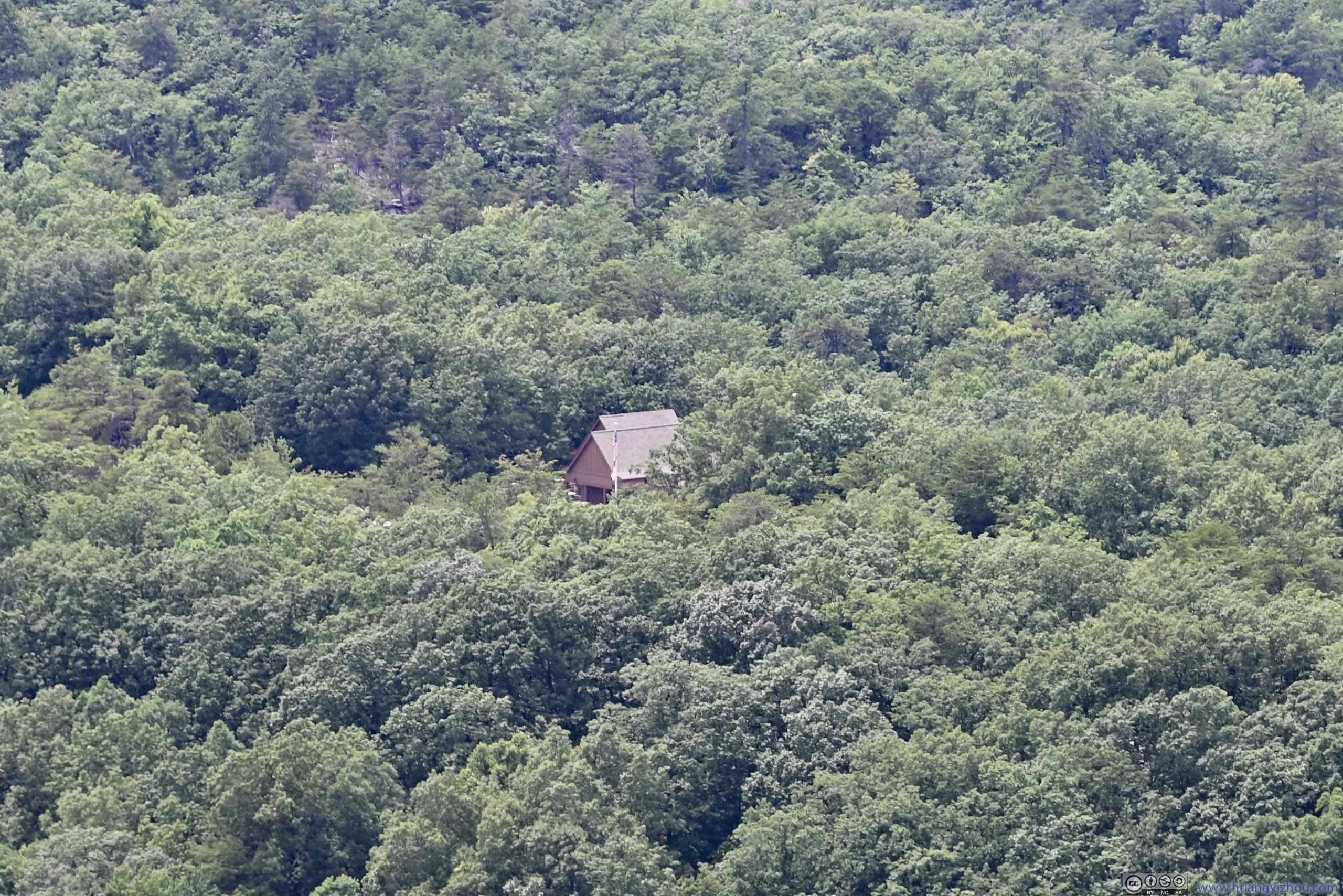
 Visitor CenterThe surrounding parking lot was behind the trees.
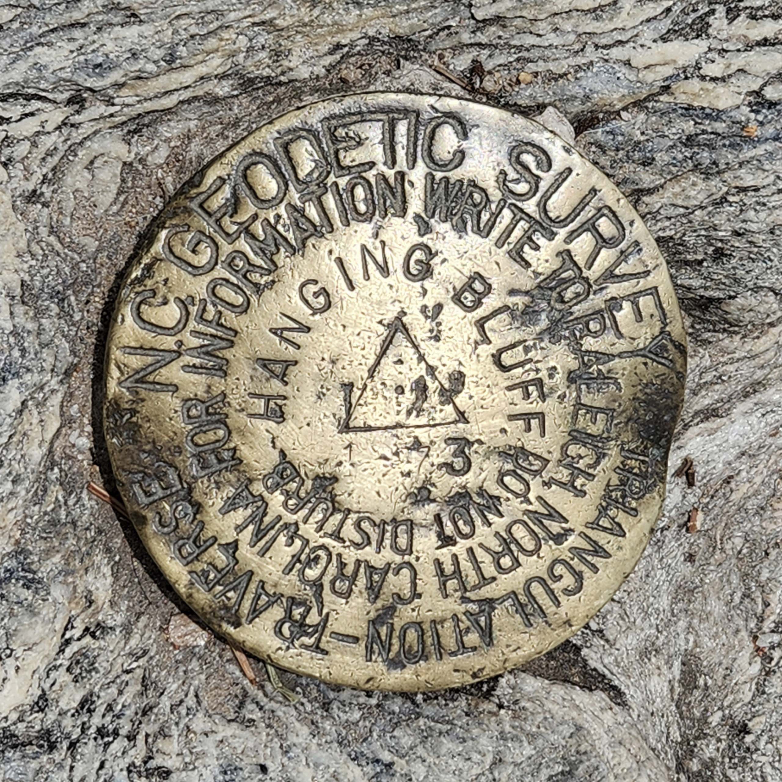
 Geological Survey Mark
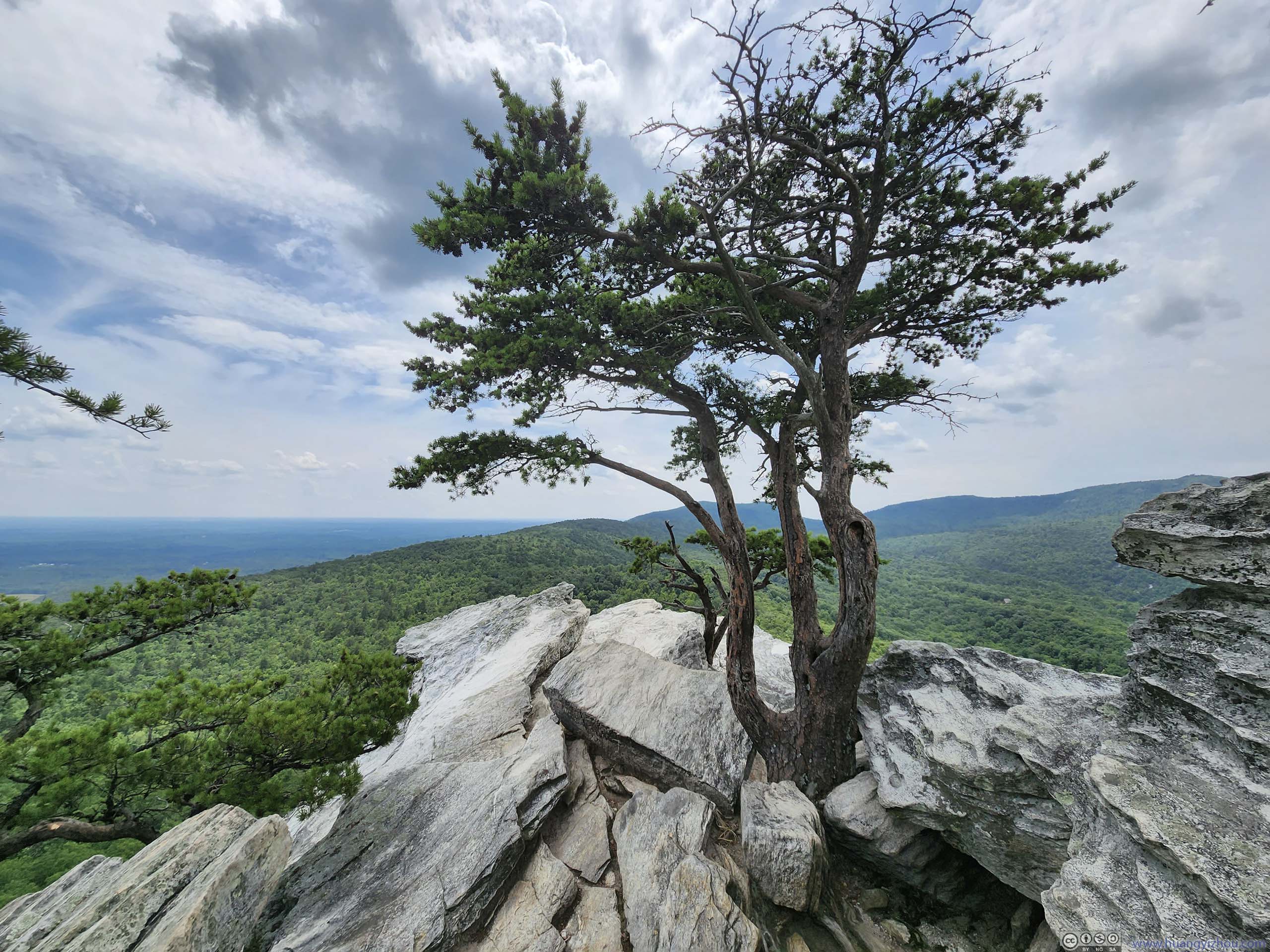
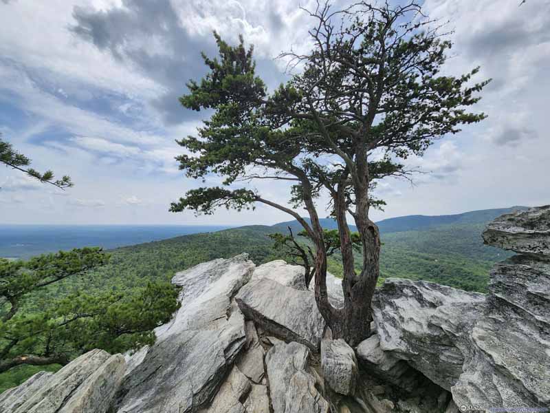 Tree near Hanging RockThis one seemed to sprout from the rocks.
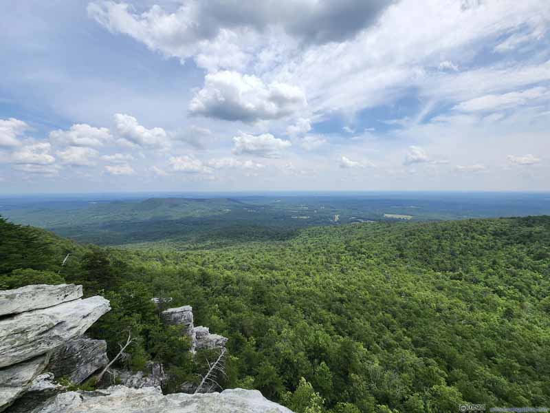 Fields to the South


Click here to display photos of the slideshow
Hanging Rock
Mountains beyond Hanging Rock

Area around Hanging RockLots of boulders around.
Mountains to the West
Moore’s Knob
Cooks Wall Mountain
Visitor CenterThe surrounding parking lot was behind the trees.
Geological Survey Mark
Tree near Hanging RockThis one seemed to sprout from the rocks.
Fields to the South
View from Hanging Rock Towards the West
While on top of Hanging Rock, a constant background music was the sound of cicadas. I didn’t see any of them but their presence was hard to ignore.
TreeThe two branches that grow around the rock.
View from Hanging Rock Towards the Northwest
Towards the north of the summit plateau there was also an overlook, made of many exposed rocks, one of which featured a rather unique shape (below).
Rock
In the end, I spent about 40 minutes on top of Hanging Rock, before tracing my way back down.
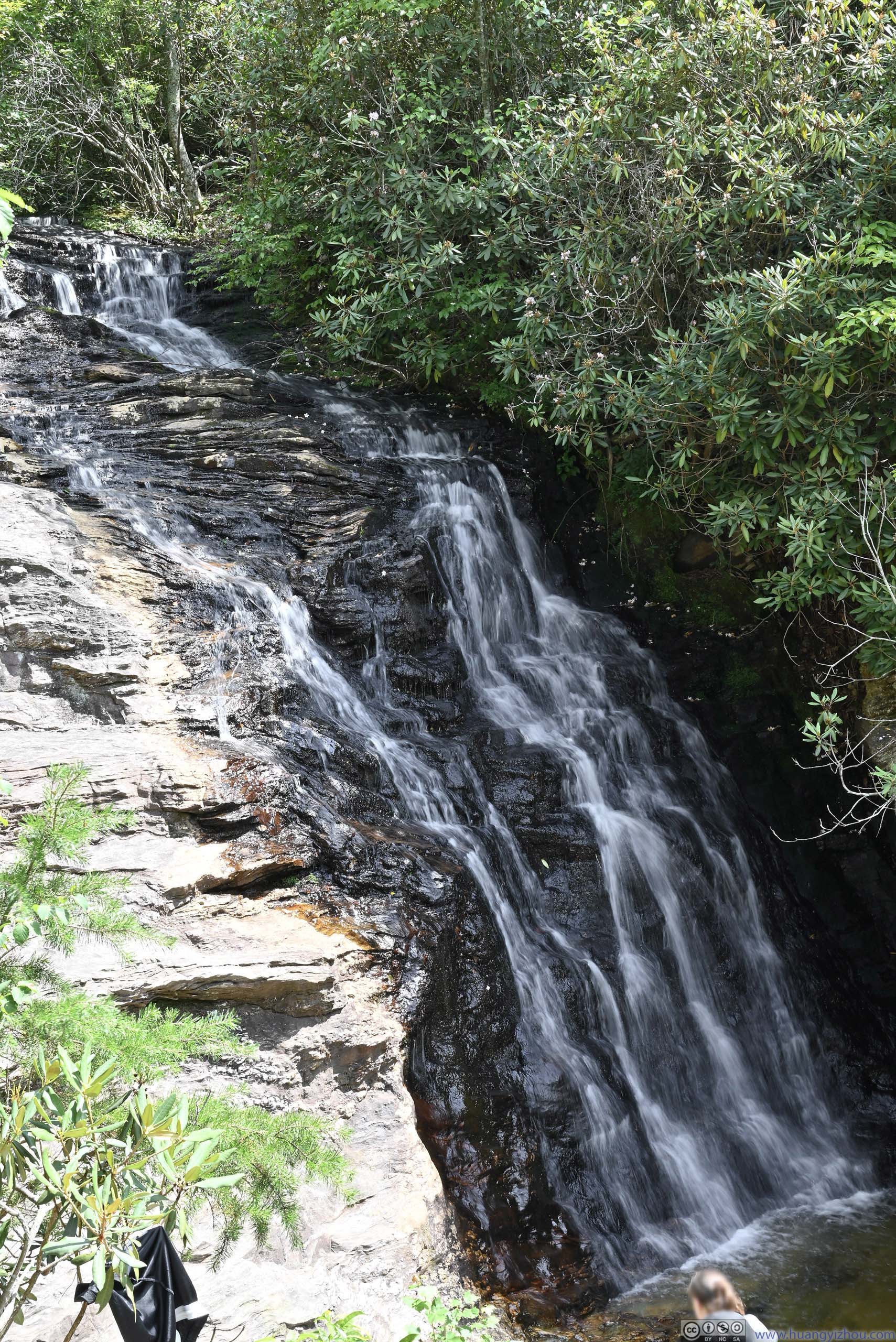
Before leaving the park, I also checked out Upper Cascades Falls, located a short walk from the parking lot.
While the flow volume wasn’t huge, it’s easily the steepest waterfalls that I visited along this trip.
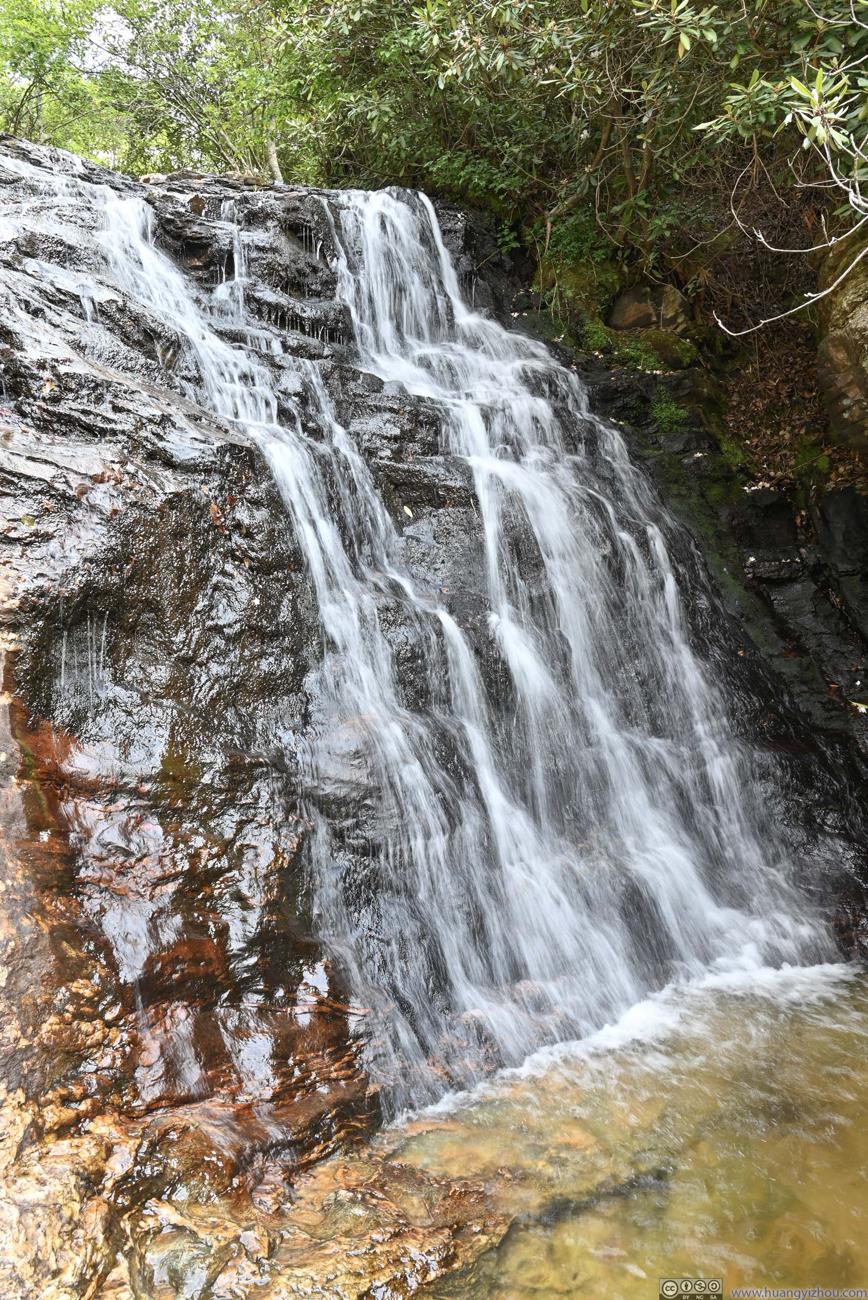
 Upper Cascades Falls
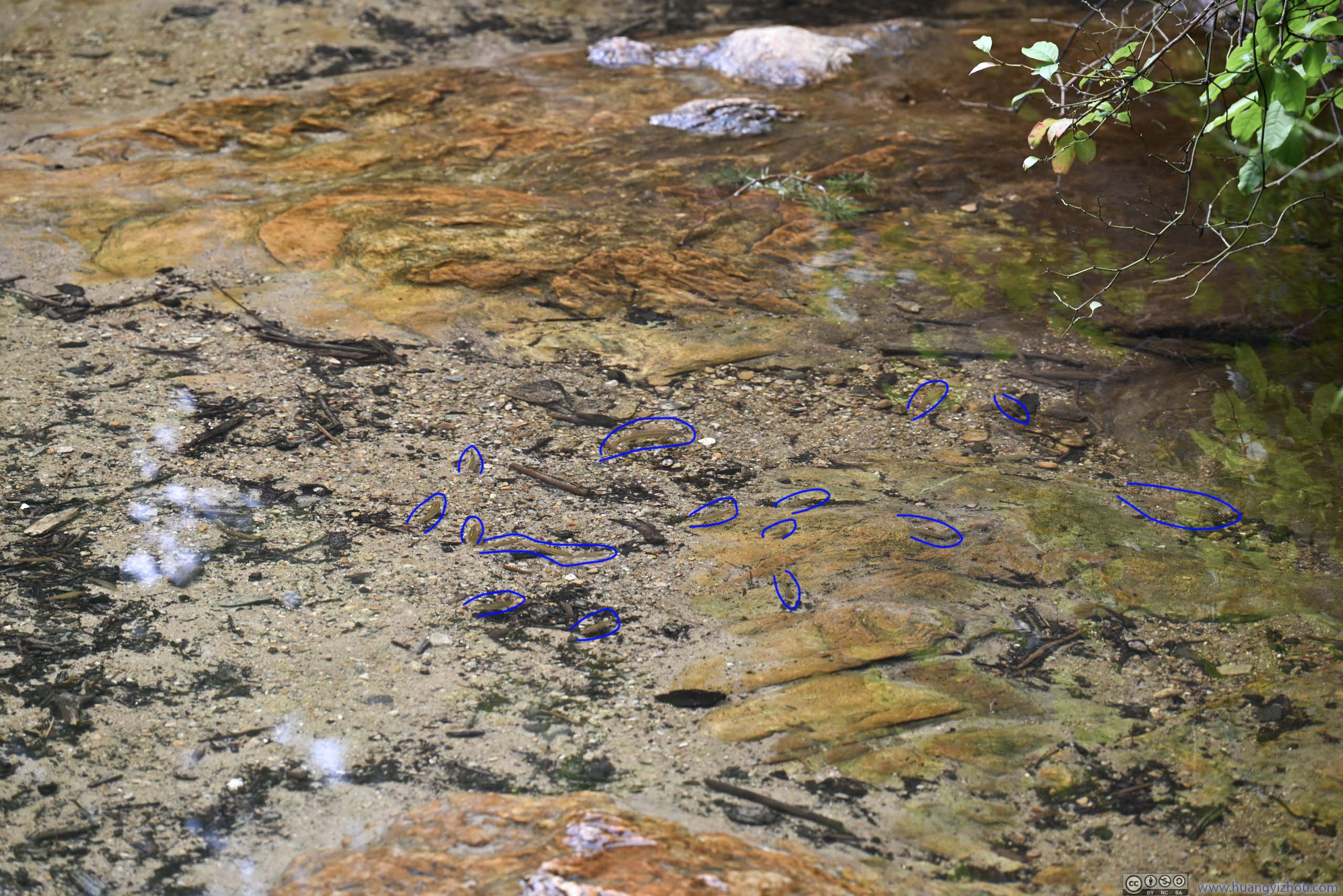
Fish in Water
After that, I left the park just over 4pm, following mostly US29 back home. With dinner along the way, I got home at around 10:30pm, concluding this trip to North Carolina.
END
![]() Day 4 of 2023 Independence Day Trip, Hanging Rock of North Carolina by Huang's Site is licensed under a Creative Commons Attribution-NonCommercial-ShareAlike 4.0 International License.
Day 4 of 2023 Independence Day Trip, Hanging Rock of North Carolina by Huang's Site is licensed under a Creative Commons Attribution-NonCommercial-ShareAlike 4.0 International License.
hey i very much enjoyed your alaska glacier trail description – felt like i was there … almost :).
what kind of drone do you have – ours keeps being taken too far by the wind and wondering what to upgrade to that works and actually returns 🙂
thanks for the travel logs!
DJI’s Air 2 and later Air 2S, they were basically the same with a minor camera upgrade.
Regarding the wind, whenever try to fly a long distance (say, above half a mile) it always makes sense to check the wind direction beforehand, and take into consideration if the drone needs to return facing headwind.