
Updated on December 27, 2023
Day 3 of 2023 Independence Day Trip, Drenched at Black Balsem Knob
Third day of my July 2023 trip to North Carolina. Today I checked out the portion of Blue Ridge Parkway between Beech Gap and Asheville, including some great hiking trails around Black Balsam Knob. Unfortunately, some unexpected events meant I was caught in a late-afternoon rain.
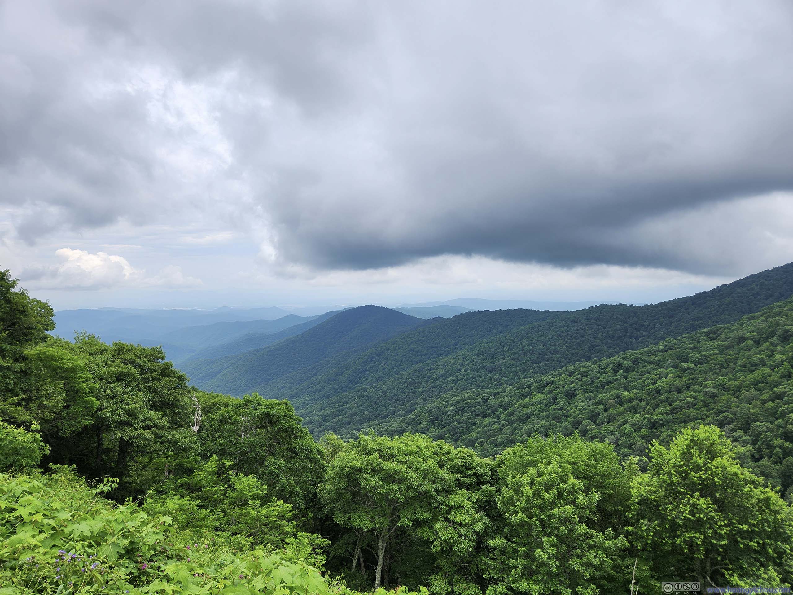
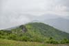
Clouds Reaching over Tennent Mountain
Independence Day, 2023.
Last October while I road tripped along southern Blue Ridge Parkway, I was on a rushed itinerary as I reached Marion from Pigeon Forge in one day. This meant I blasted past some of the attractions in the area. However, I had a feeling that the portions of Blue Ridge Parkway around Asheville (and all the way up to Linn Cove Viaduct) were the best, so today, I went back and checked out some hikes in the region that I missed last year.
My plan of the day was to hike Mount Pisgah in the morning, then check out the area near Black Balsam Knob, which featured a network of trails of various lengths that I could pick flexibly. As the title suggested, unfortunately my day ended in dismay in some unexpected rain.
Mount Pisgah
After breakfast, I left the hotel just before 10am. After getting onto Blue Ridge Parkway from NC-151, I reached the trailhead of Mount Pisgah at 10:45 and started my hike.
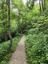
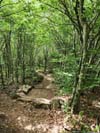
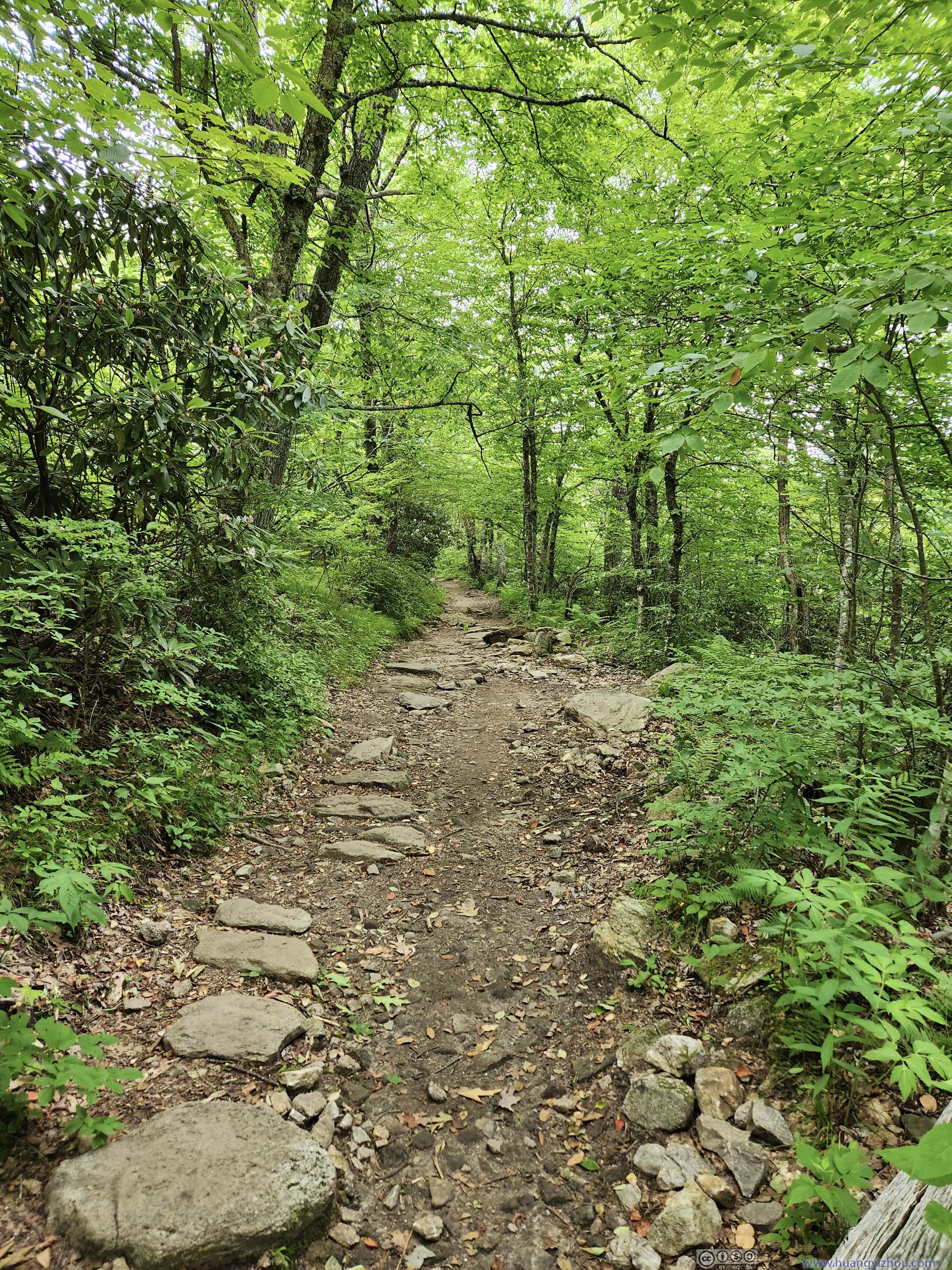
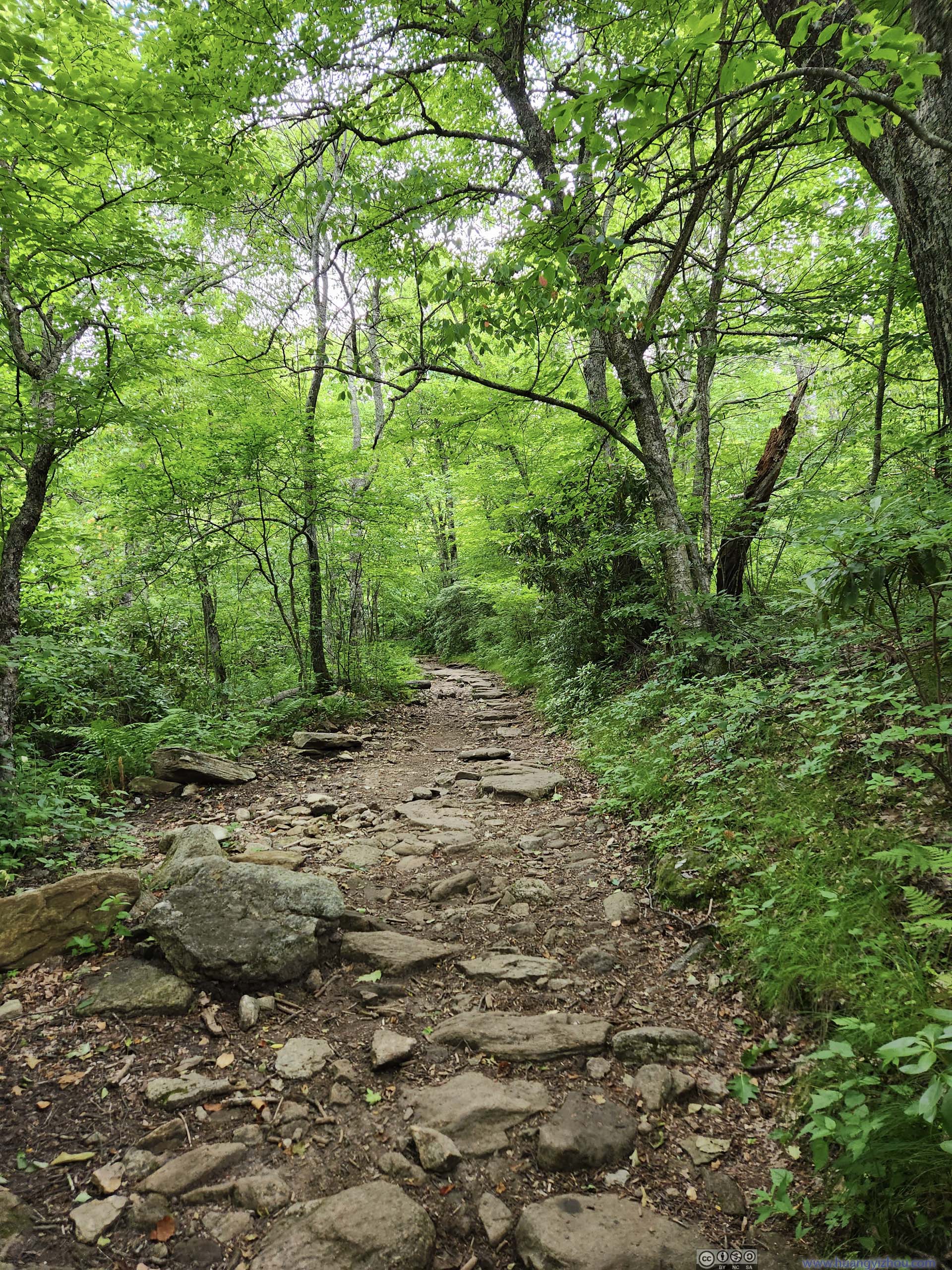
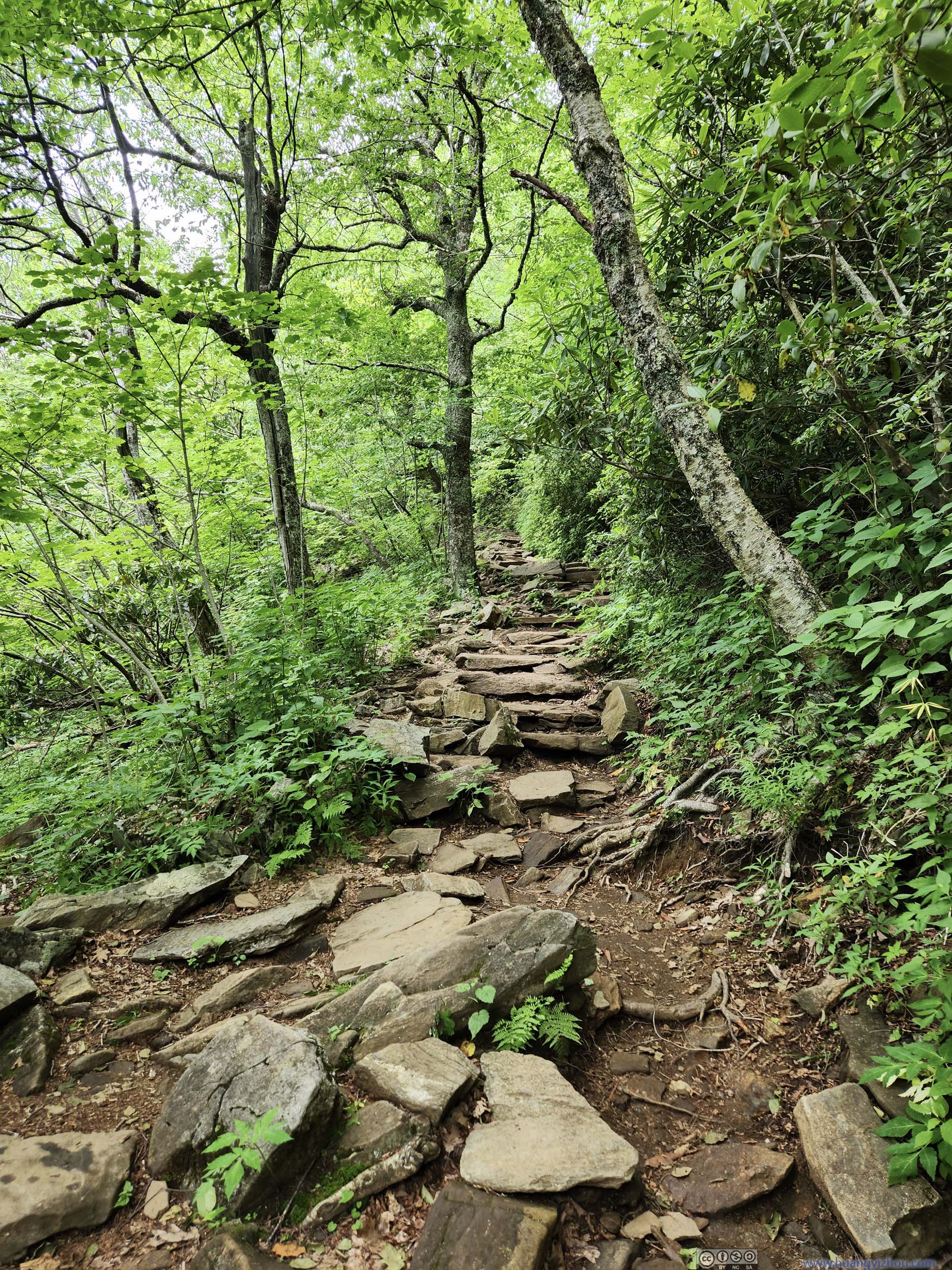
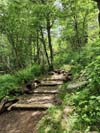
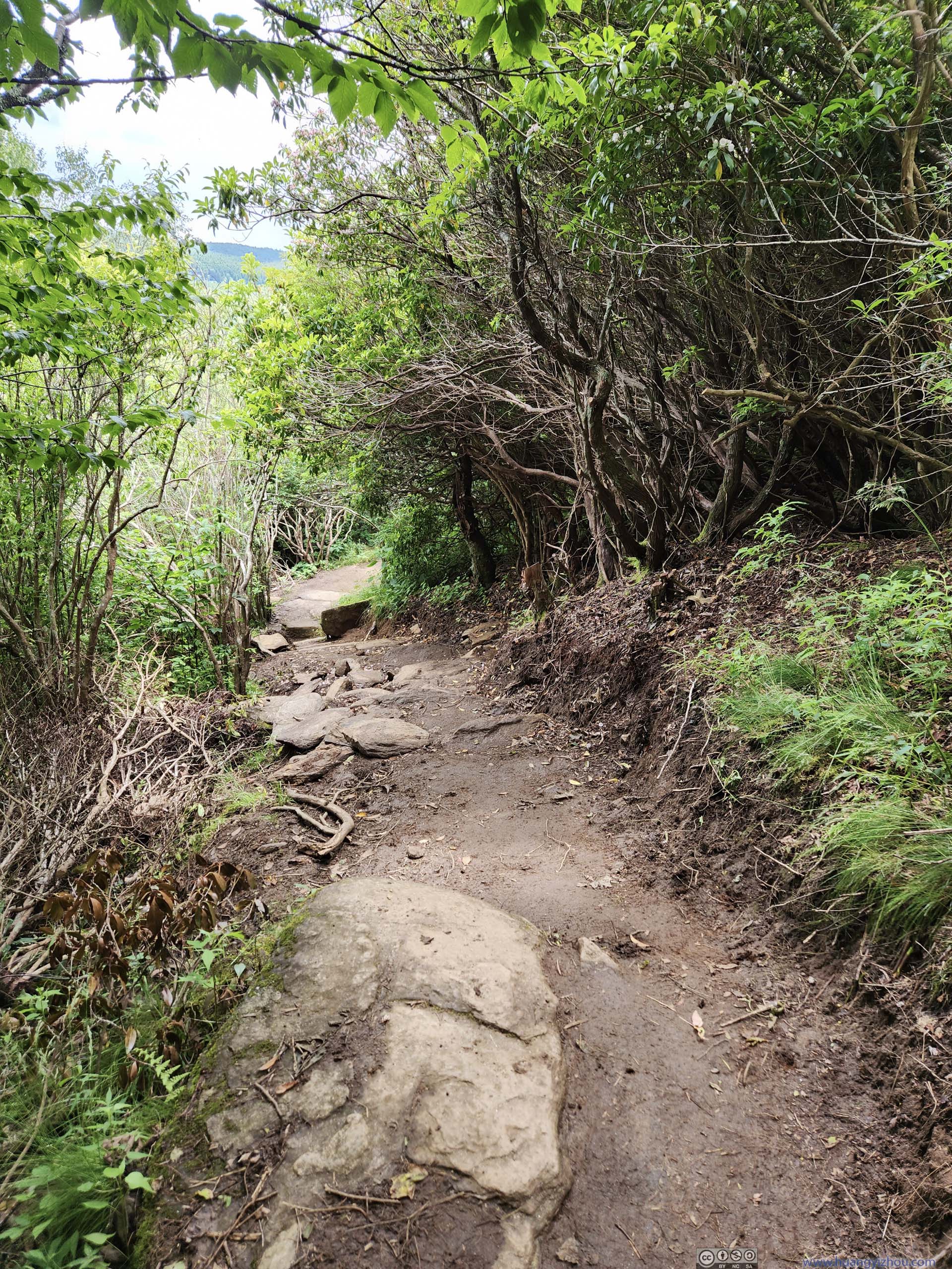
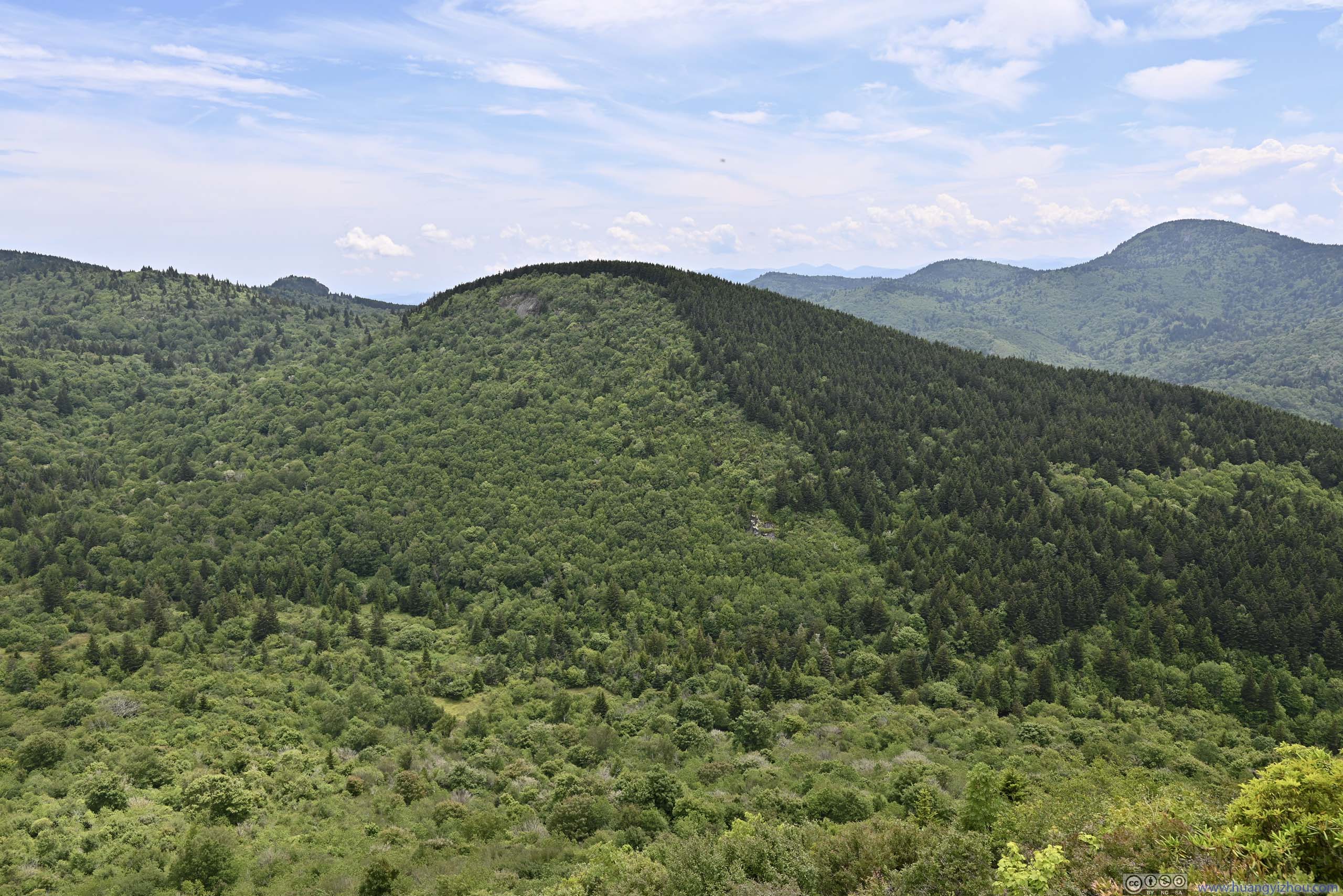
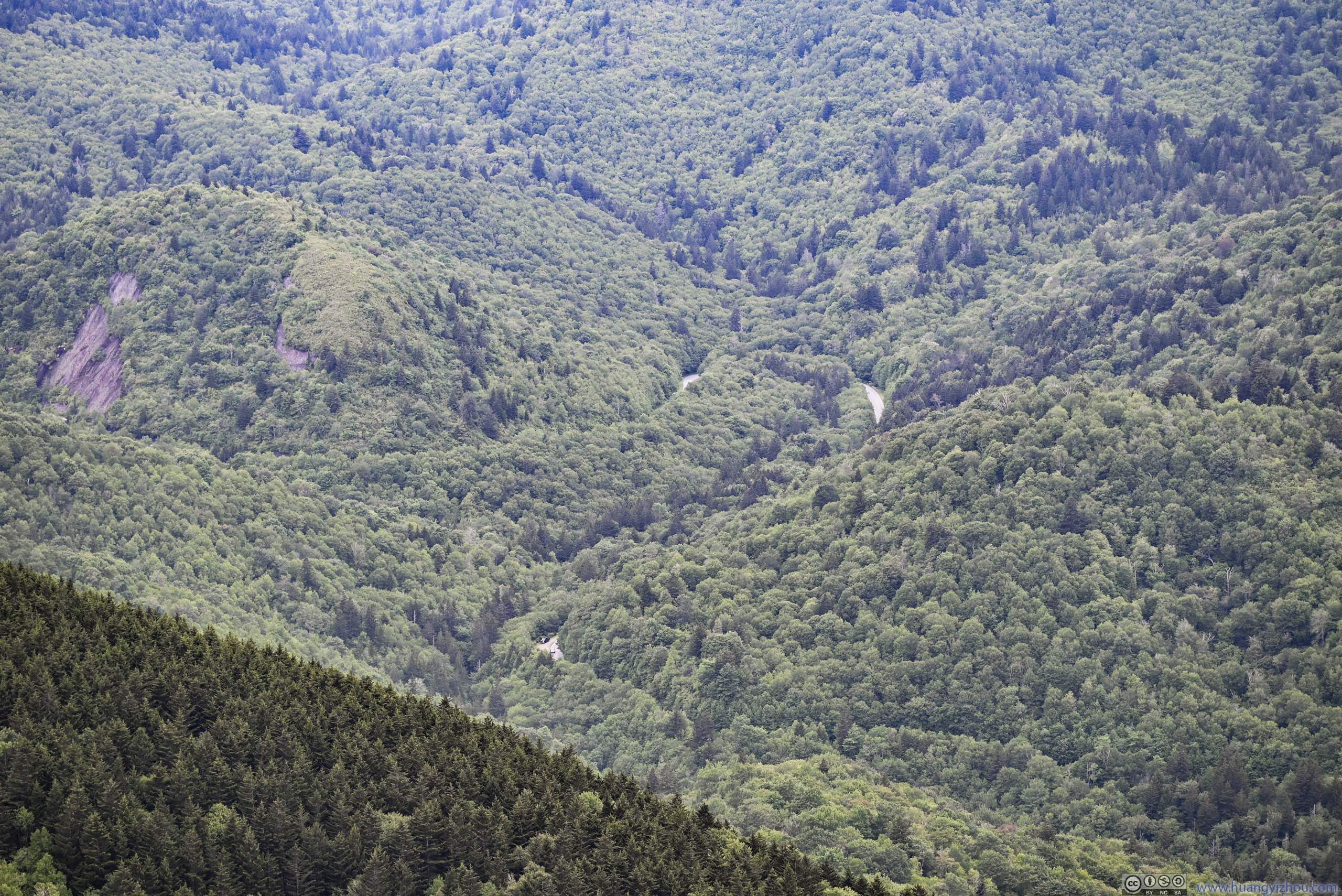
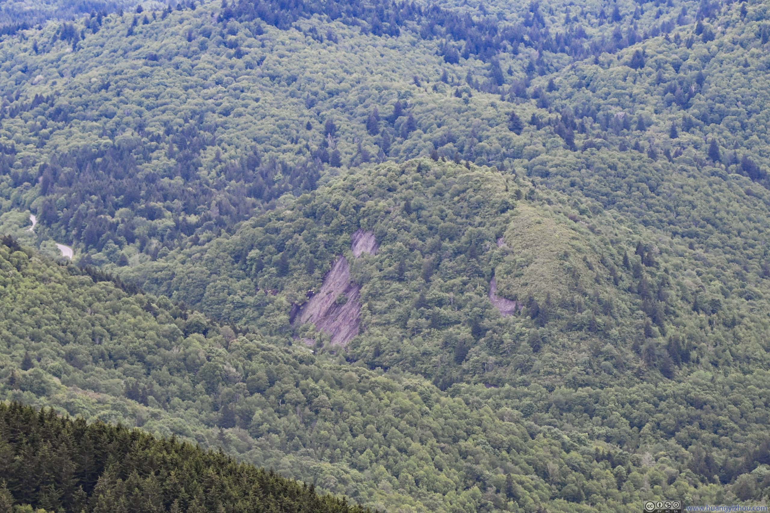
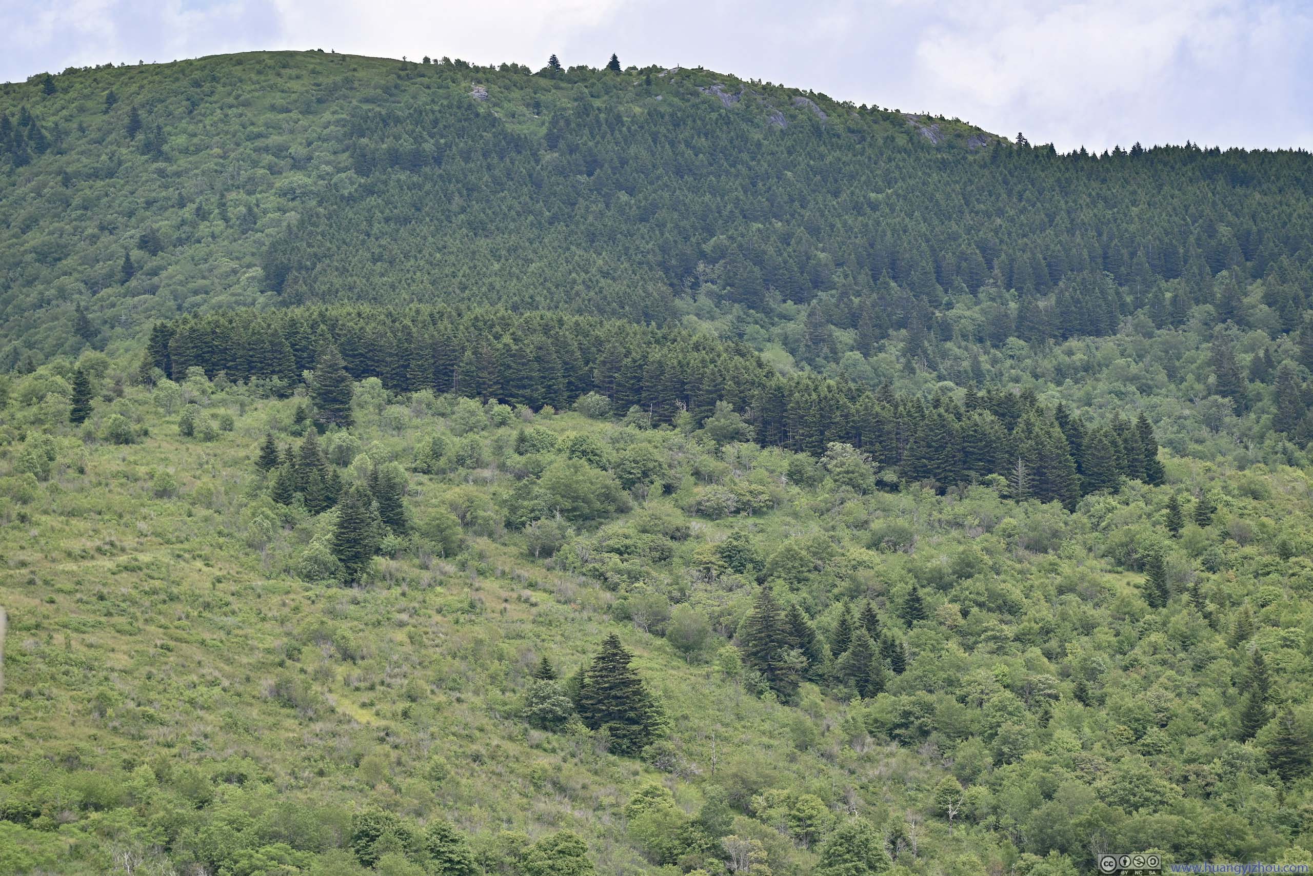
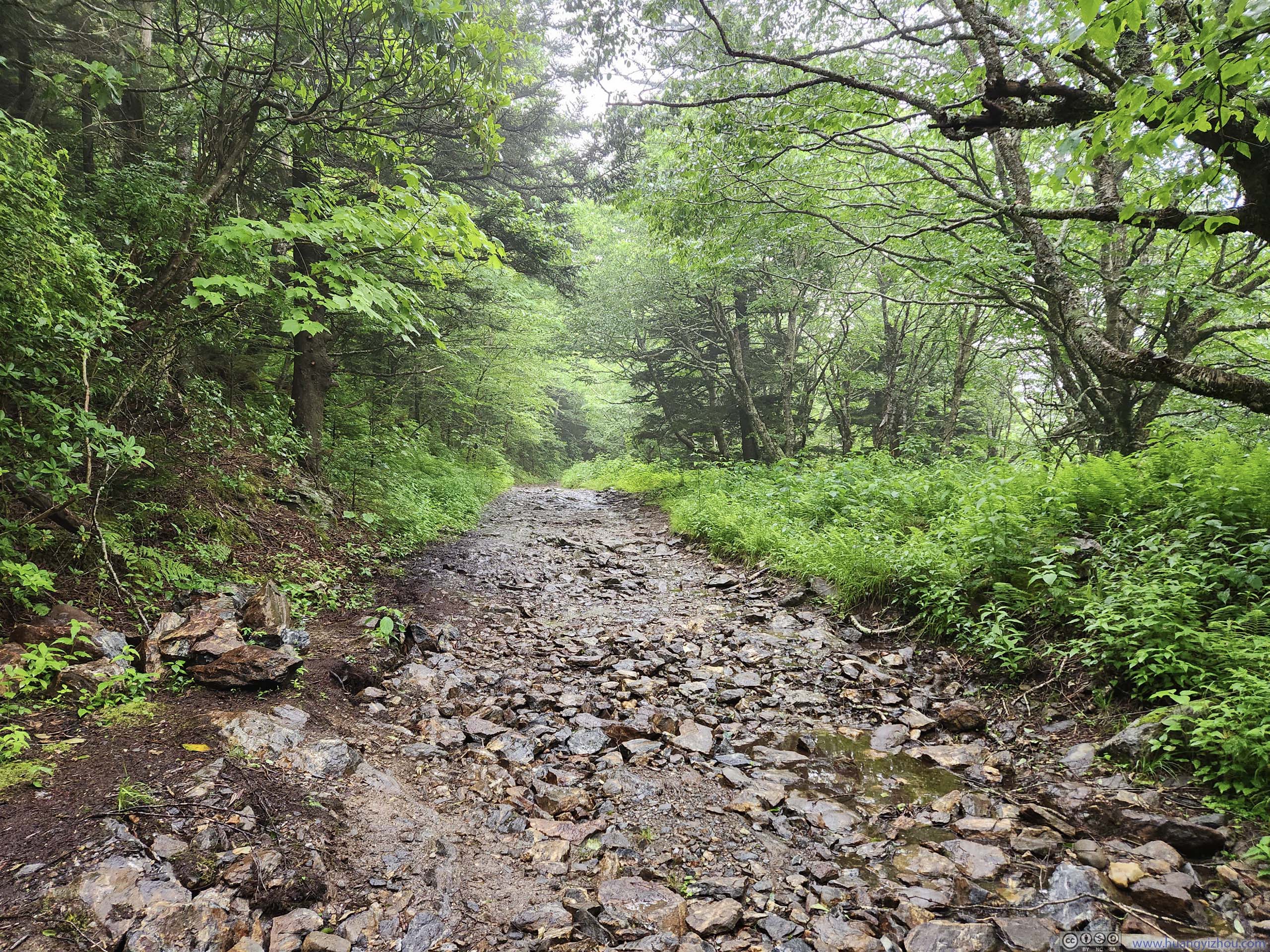
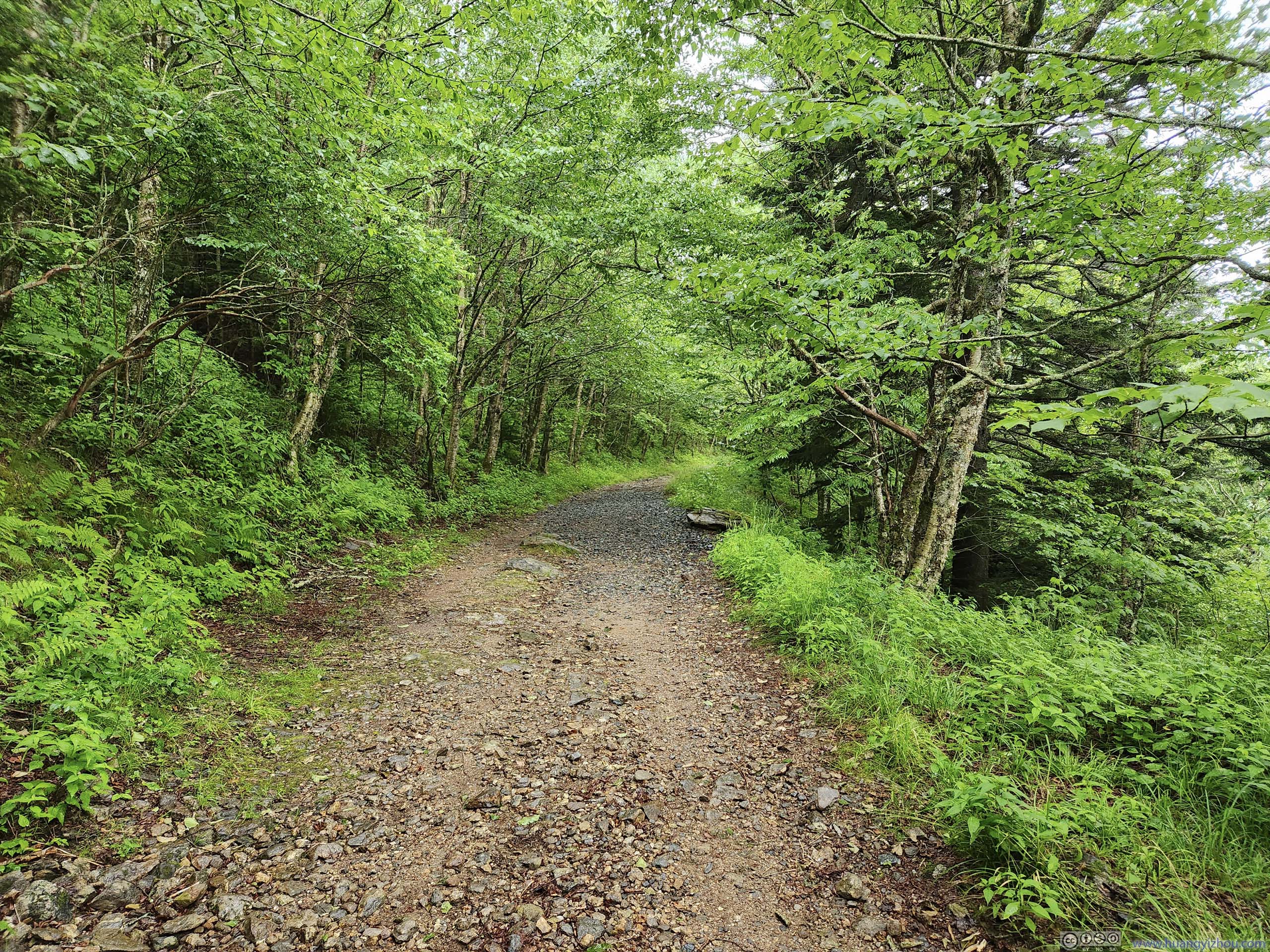
The trail to Mount Pisgah was a 3.6km out-and-back with 220m of elevation gain. It started out flat for the first half, before getting steep during the latter half, which was rocky but maintained. It was mostly (if not completely) in the woods.
 Trail to Mount Pisgah
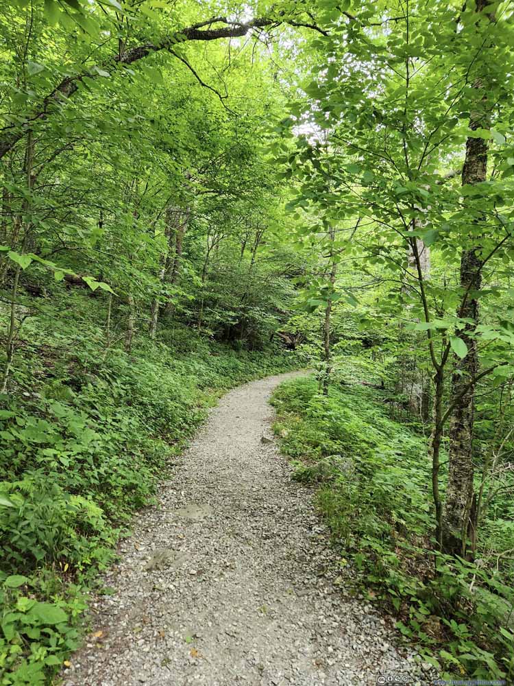 Trail to Mount Pisgah
 Trail to Mount Pisgah
 Trail to Mount Pisgah
 Trail to Mount Pisgah
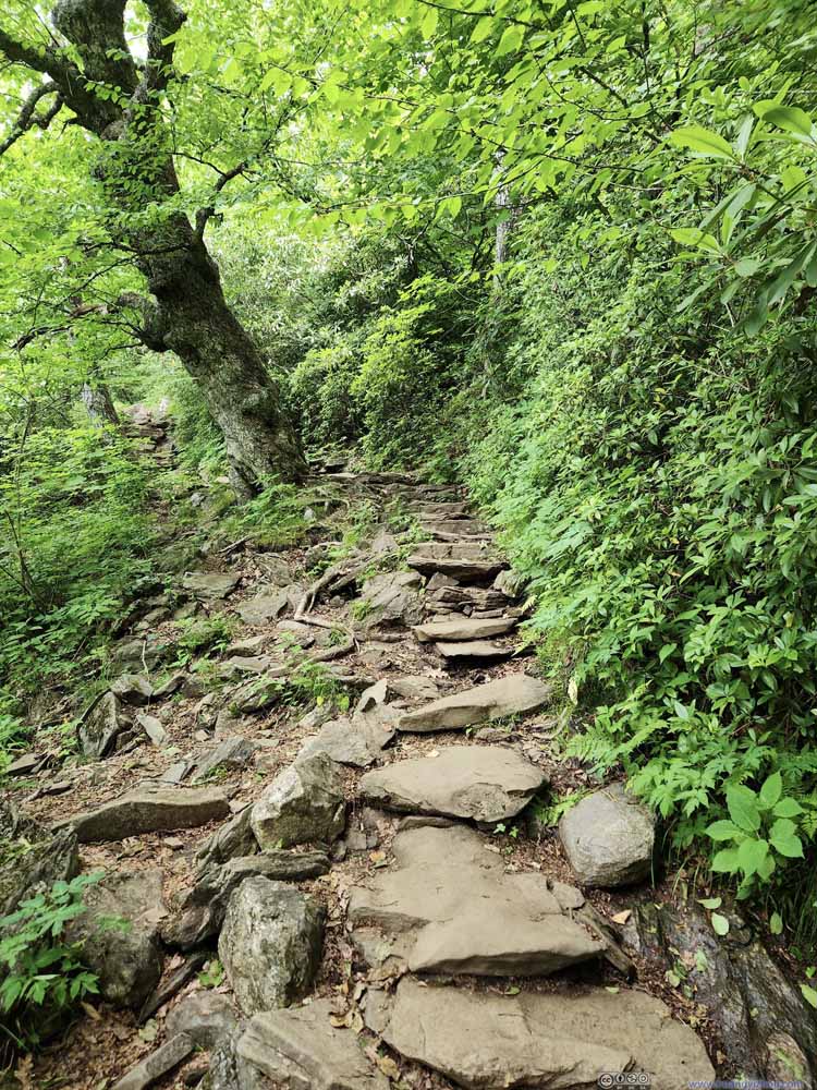 Trail to Mount Pisgah
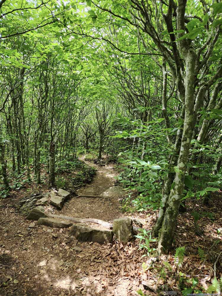 Trail to Mount Pisgah


Click here to display photos of the trail to Mount Pisgah.

Trail to Mount Pisgah

Trail to Mount Pisgah
Trail to Mount Pisgah
Trail to Mount Pisgah
Trail to Mount Pisgah

Trail to Mount Pisgah
Trail to Mount Pisgah
Disappointedly, once at the top, I found the views obstructed. There was a wooden viewing platform but it was barely above the surrounding trees. In between the trees I caught some sights of mountains and towns but they were very limited.
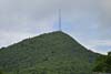
In addition, the summit of Mount Pisgah featured a television broadcast tower that was the highest in eastern US. It’s just that I didn’t find anything aesthetic of the tower.
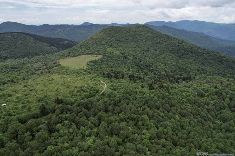
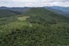
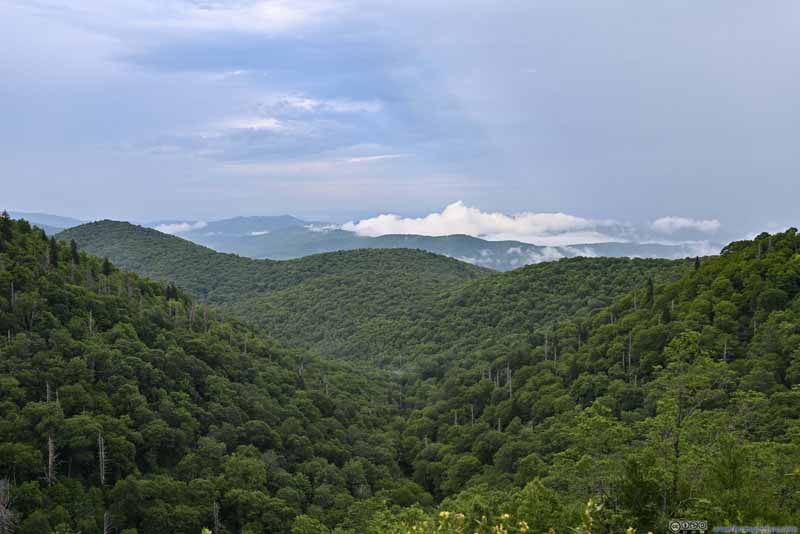
In comparison, my drone brought some redemption to the views.
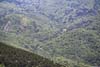
Hills Surrounding Mount Pisgah
And here’s a video with the television broadcast tower in the center stage.
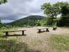
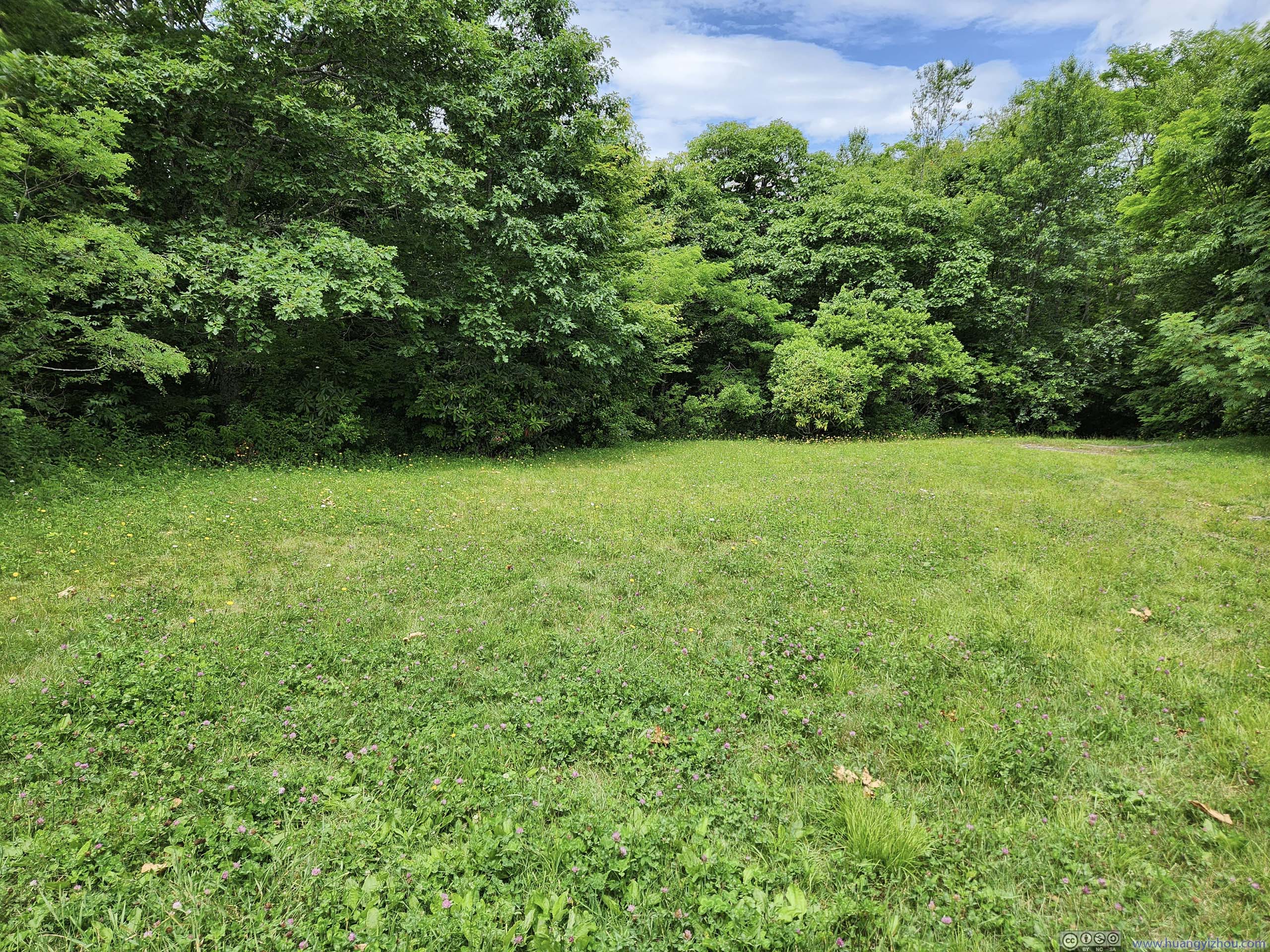
Once back at trailhead, I felt a bit hungry and decided to have some snacks. There were no picnic tables around the parking lot, so I did some exploration heading south along Mountains-to-Sea Trail. Much to my surprise/delight, 200m later I found an overlook at the site of the former Buck Spring Lodge, with benches that I could comfortably sit on while enjoying some food.
 Benches at the Site of Buck Spring LodgeI was looking for a place for a quick picnic and I found it.
 Site of Buck Spring Lodge
 Mountains
 Mount PisgahFrom the trailhead parking lot.
Click here to display photos of the slideshow

Benches at the Site of Buck Spring LodgeI was looking for a place for a quick picnic and I found it.
Site of Buck Spring Lodge
Mountains

Mount PisgahFrom the trailhead parking lot.
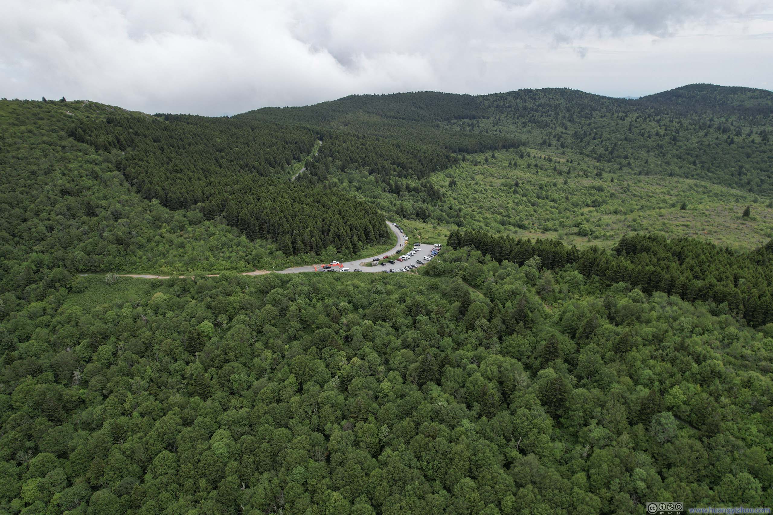
After that, I made my way to the Black Balsam area. It’s Independence Day Holiday and Black Balsam Knob road was packed with parked cars. As a result, I didn’t find any spots at Art Loeb trailhead. So instead, I headed further along the road, and pulled into the last spot at Sam Knob Trailhead.
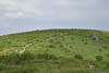
Sam Knob
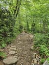
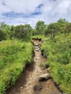
Sam Knob was a (somewhat prominent, compared to its neighbors) hill with views of rolling hills and valleys surrounding it. The trail to its top was 4km out-and-back with 172m elevation gain.
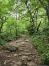
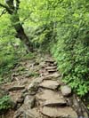
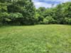
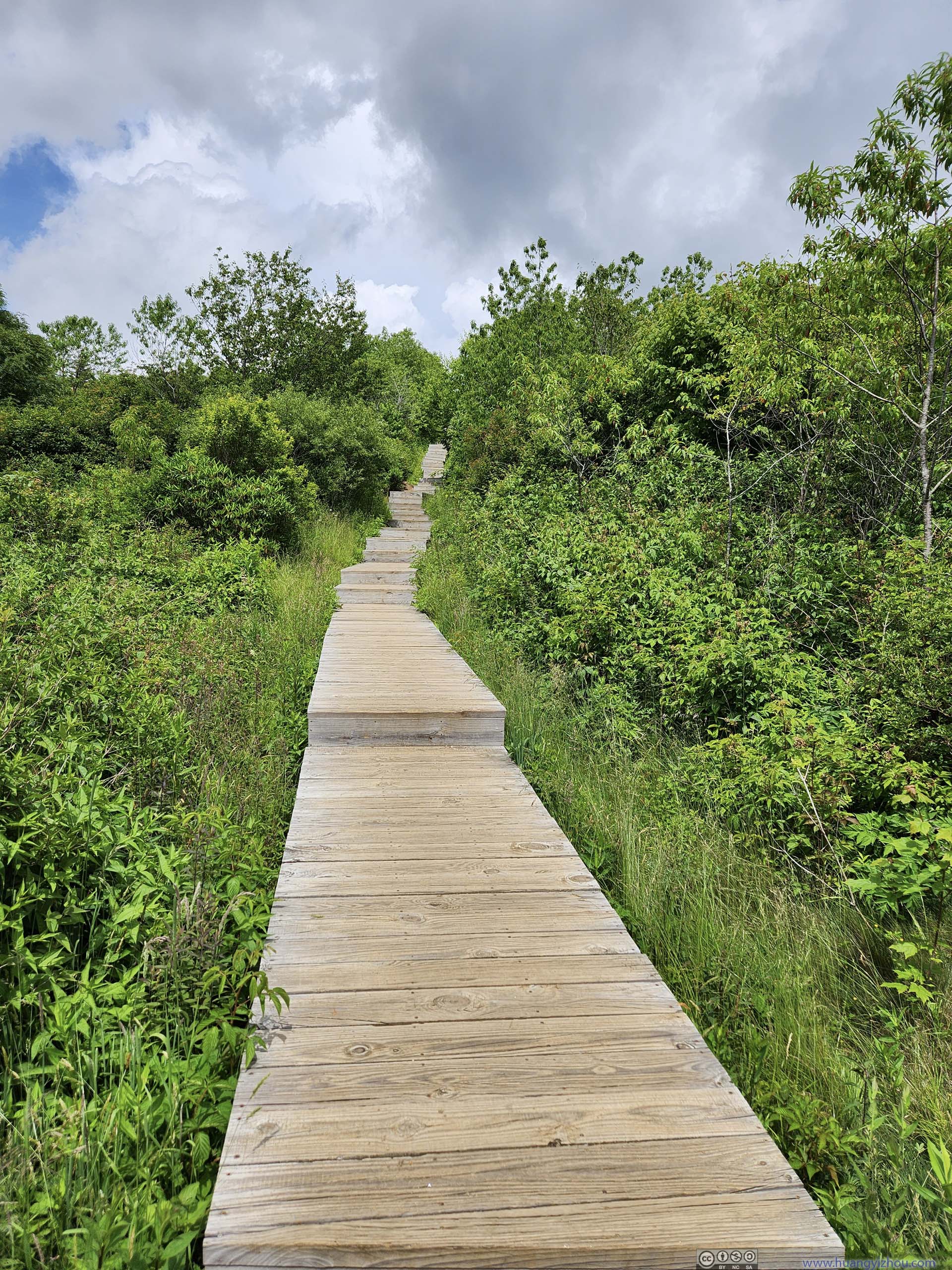
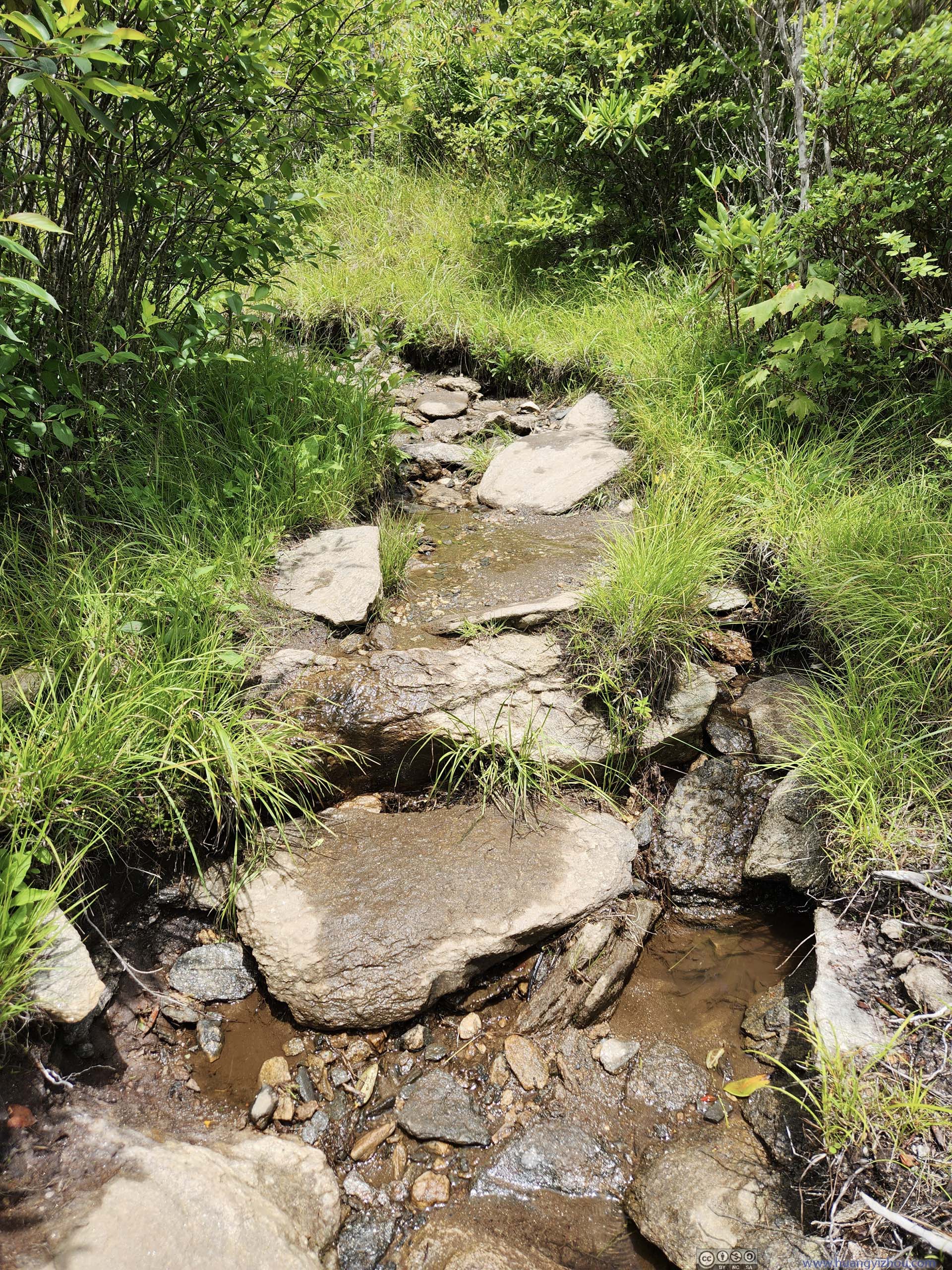
The trail started out on gravel, before descending through a series of boardwalks (surprise!) and crossing a wide-open meadow. After that, it entered the woods that spanned the side of Sam Knob, and climbed on top of it through a series of switchbacks.

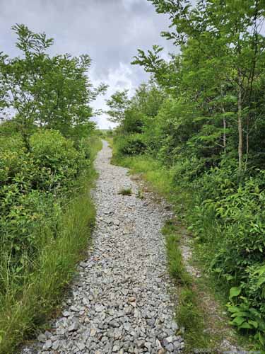 TrailFirs the trail started out as gravel, which was obviously maintained.
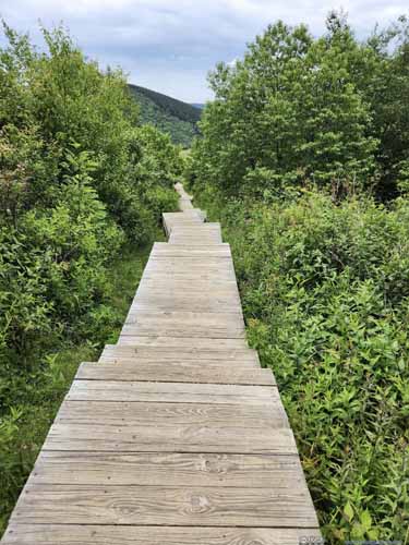
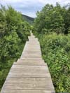
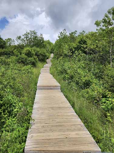 BoardwalkA bit to my surprise as such improvement wasn’t usual for trails in United States.
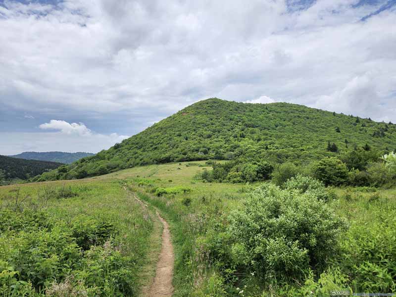 Trail to Sam Knob through Open Field
 Trail to Sam Knob through Open Field
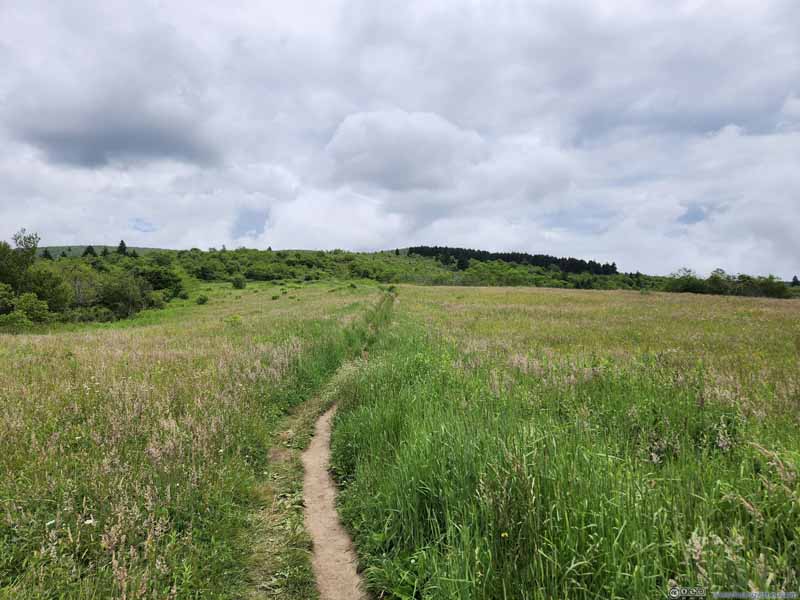 Trail through Open Field
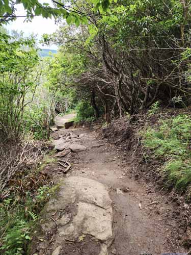
 Trail Leading up to Sam KnobTypical trail condition during the climb, through a few switchbacks.
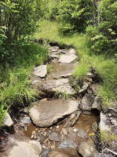 Trail on Top of Sam Knob
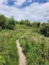
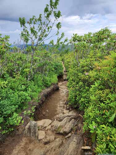
For some portions it felt like walking in a ditch as the trail was lower than the surrounding bushes. In addition, there was a few wet spots.
Trail on Top of Sam Knob
For some portions it felt like walking in a ditch as the trail was lower than the surrounding bushes. In addition, there was a few wet spots.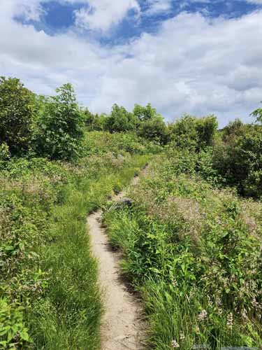
 Trail on Top of Sam KnobThe typical condition once on top of Sam Knob. There was a network of trails like this to explore.
Click here to display photos of the trail to Sam Knob.

 TrailFirs the trail started out as gravel, which was obviously maintained.

 BoardwalkA bit to my surprise as such improvement wasn’t usual for trails in United States.

Trail to Sam Knob through Open Field
Trail to Sam Knob through Open Field
Trail through Open Field
 Trail Leading up to Sam KnobTypical trail condition during the climb, through a few switchbacks.
Trail on Top of Sam Knob

 Trail on Top of Sam KnobThe typical condition once on top of Sam Knob. There was a network of trails like this to explore.
The meadow was a refreshing sight as the area should be home to coniferous forest. In addition, from the top of Sam Knob I found some clear boundaries of different types of trees. I bet that had something to do with development before the area came under National Forest management.
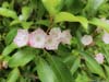
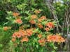
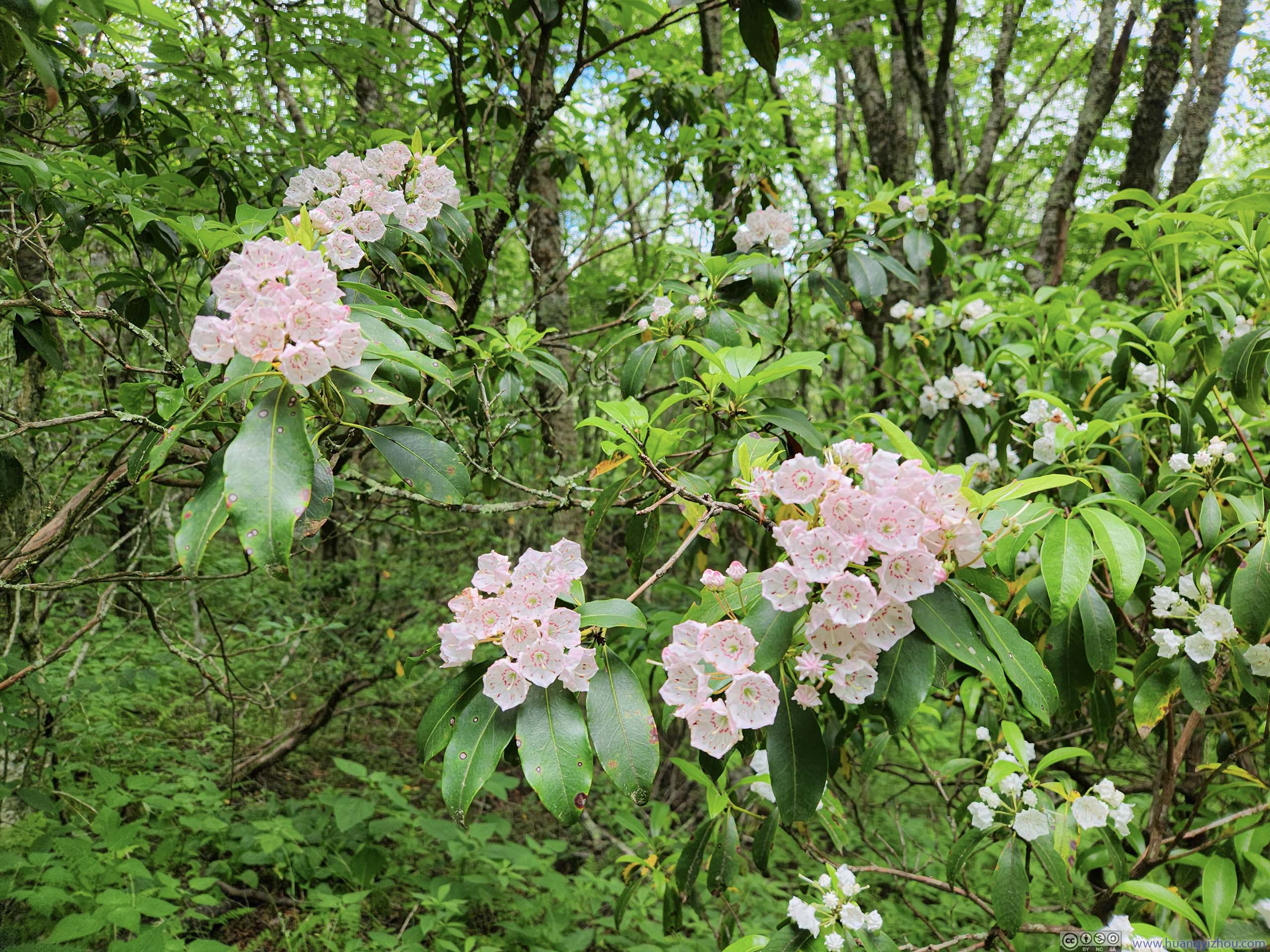
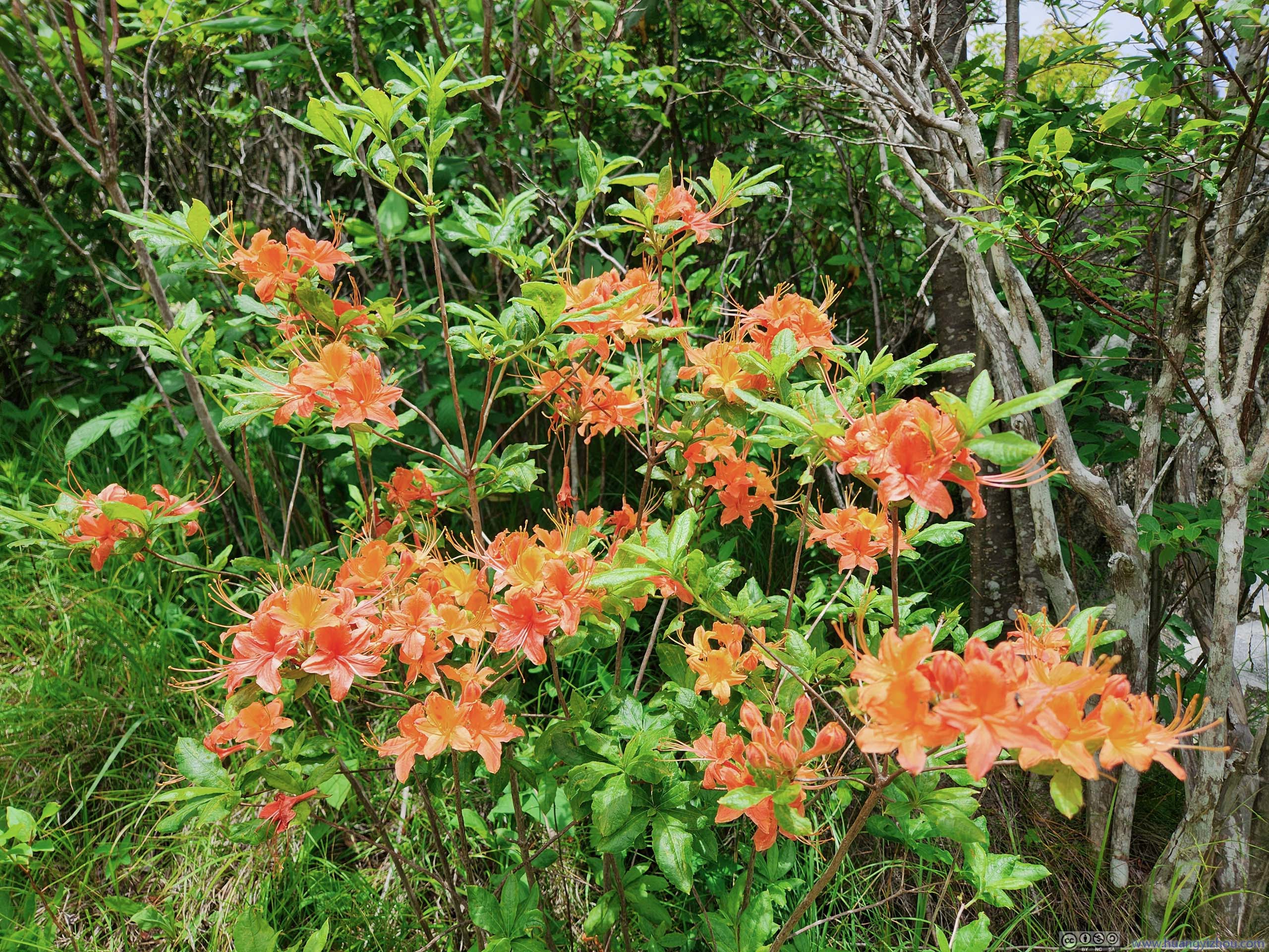
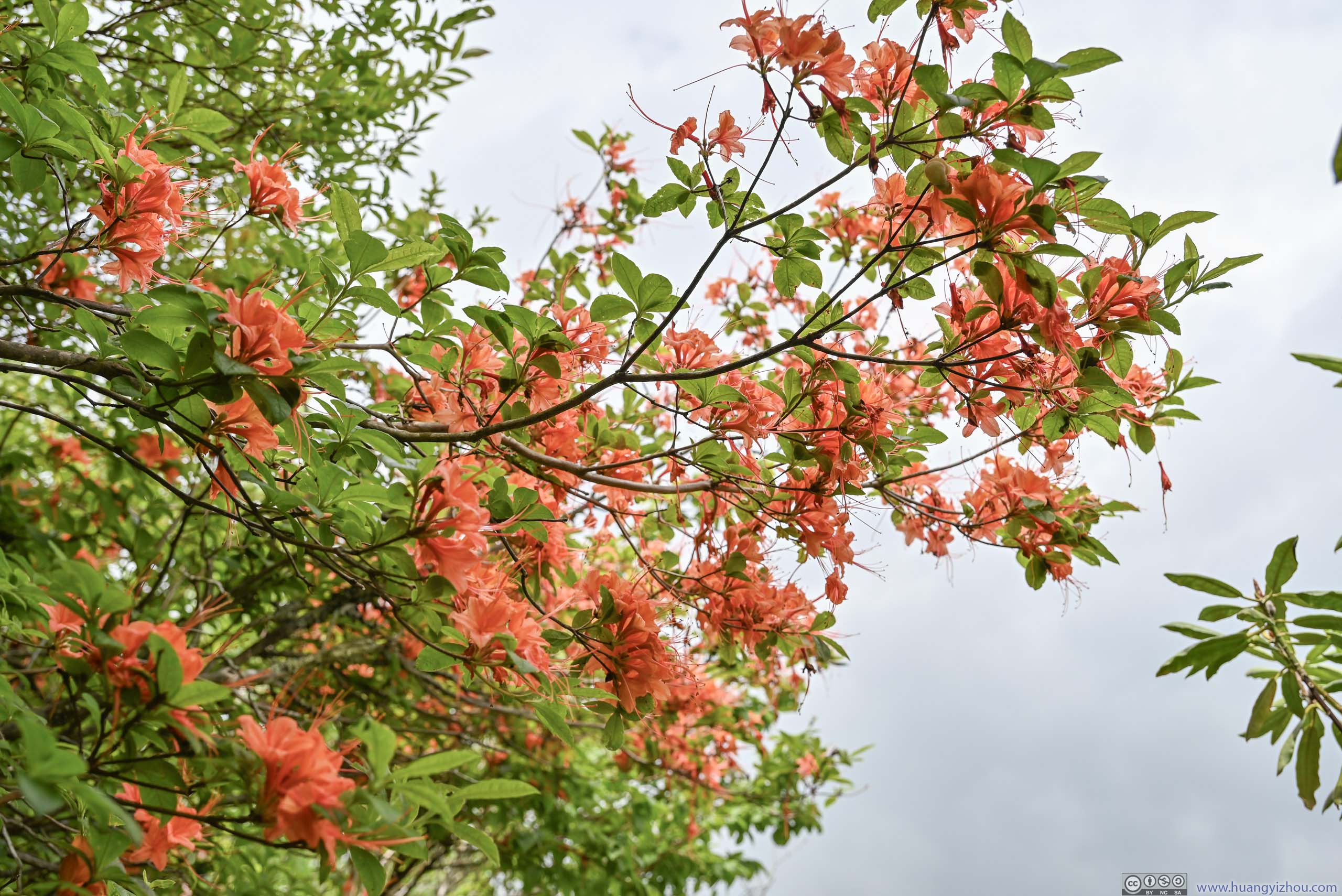
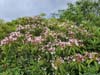
A highlight along the trail was the variety of wildflowers I ran into, from the daisies in the meadow to mountain laurels while ascending Sam Knob.
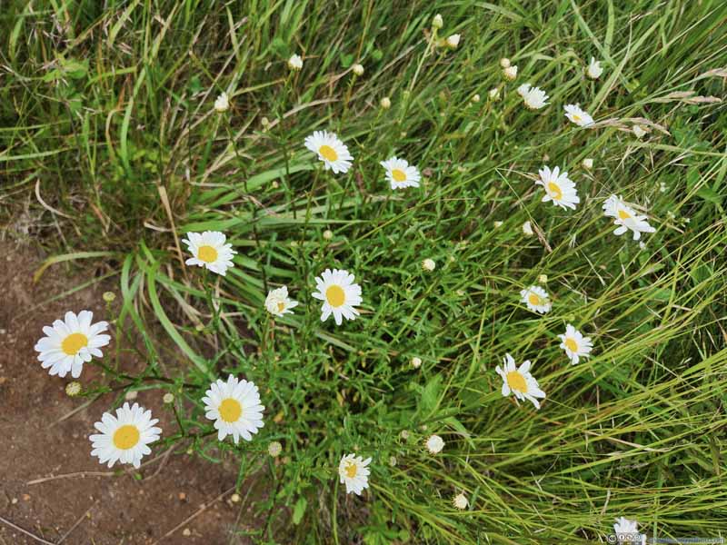 Flowers along Trail in Open Field
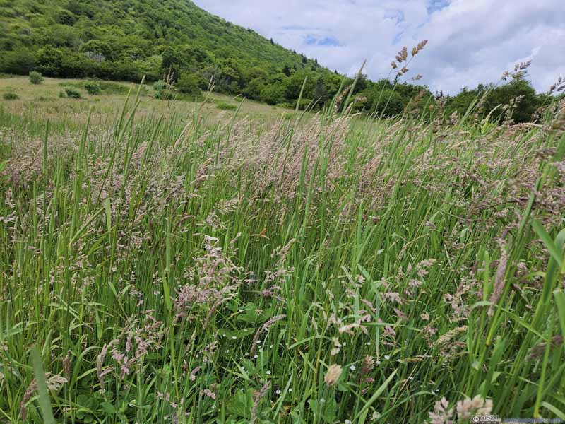 Weeds in Open Field
 Mountain Laurel along Trail in Woods
 Mountain Laurel along Trail in Woods
 Flowers along Trail up Sam Knob
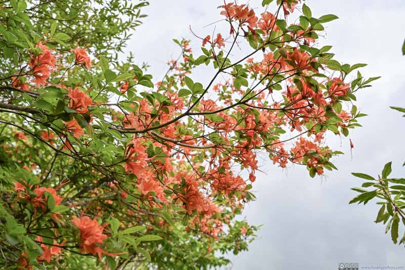 Flowers up Sam KnobUp on trees and blooming beautifully.


Click here to display photos of the flowers.

Flowers along Trail in Open Field

Weeds in Open Field

Mountain Laurel along Trail in Woods
Mountain Laurel along Trail in Woods
Flowers along Trail up Sam Knob
Flowers up Sam KnobUp on trees and blooming beautifully.
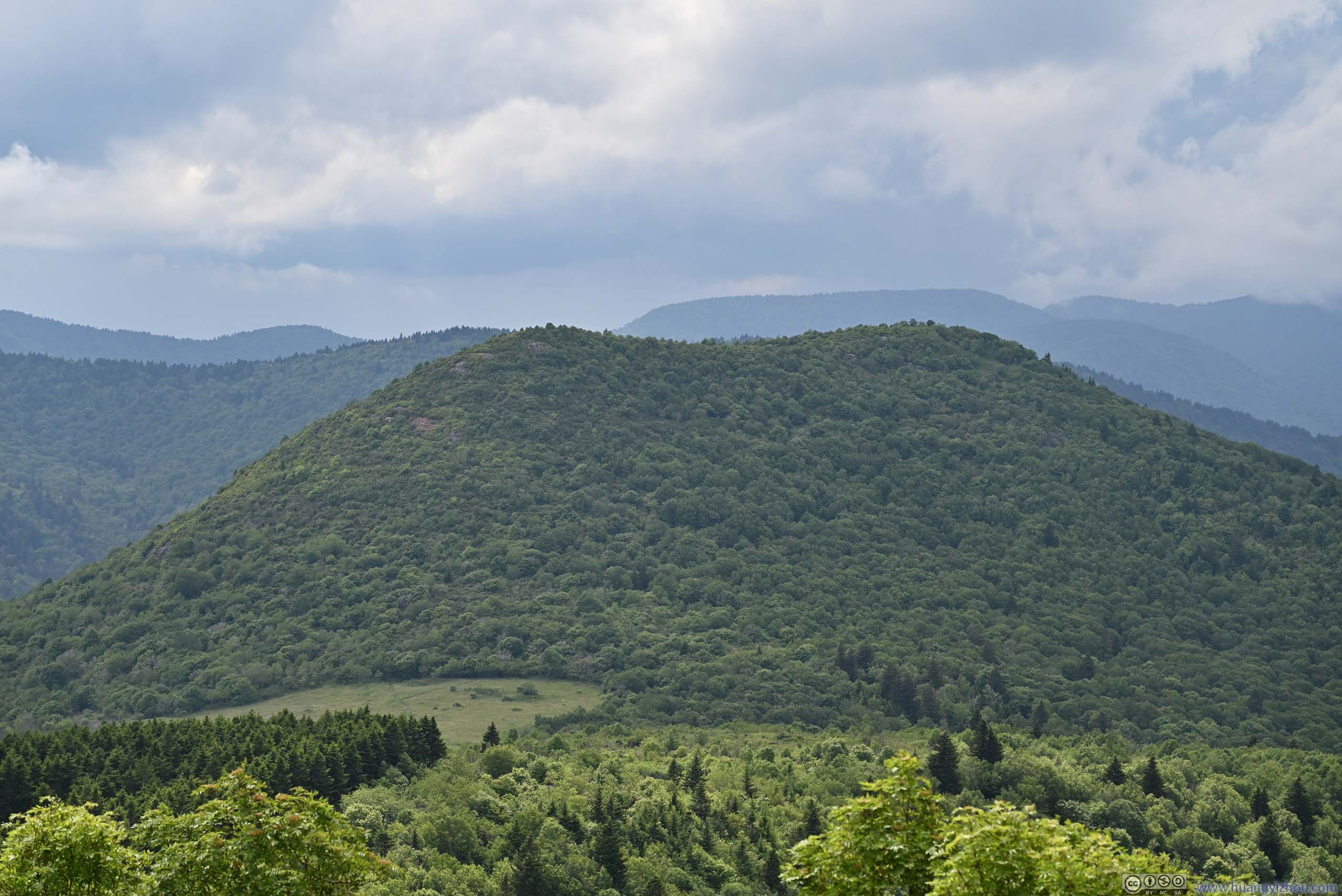
On top of Sam Knob, the trail branched off into various overlooks towards different directions. I didn’t pre-load maps this time, so it was confusing at first. In the end, I checked out the overlooks towards the east and north.
 Overlooking Trail to Sam Knob
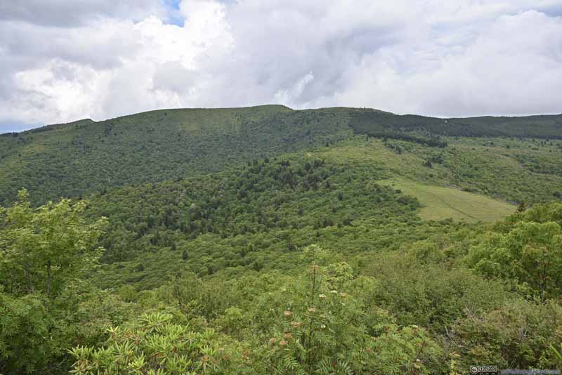 Mountains to the East
 Mountains to the North
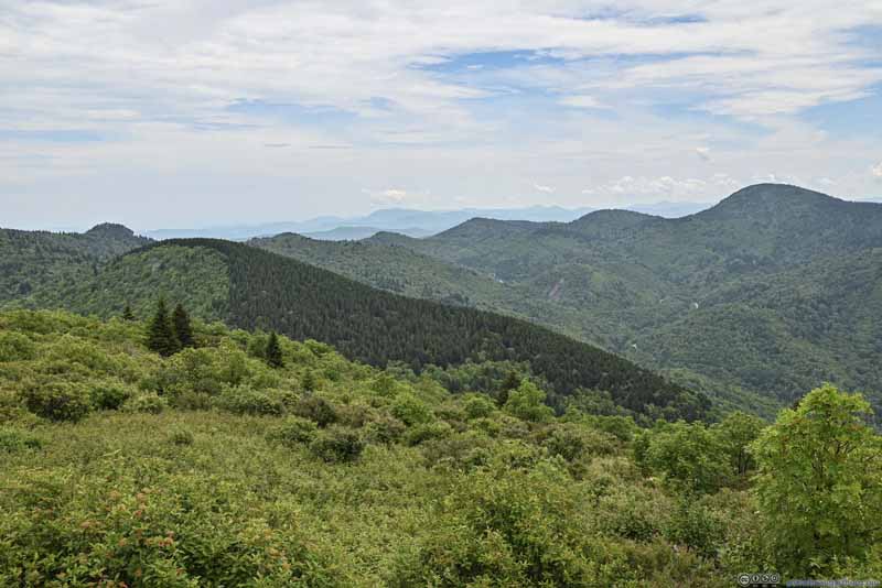 Mountains to the South
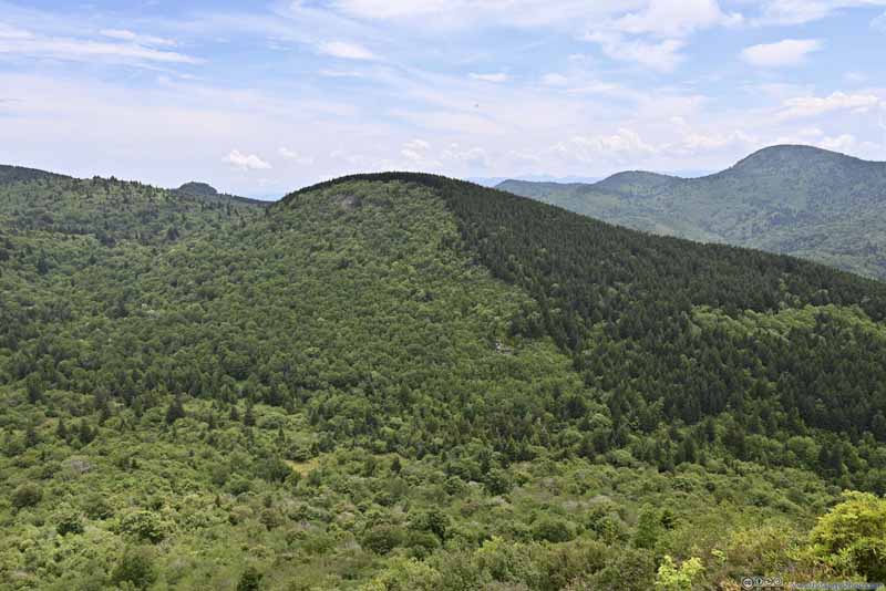 Little Sam’s KnobA well-defined boundary of pine trees, occupying only its western slope.
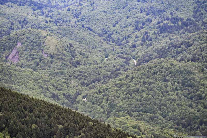 Switchback of NC Route 215Between which were Bubbling Spring Falls, which I checked out next.
 Exposed Rock Face along NC Route 215
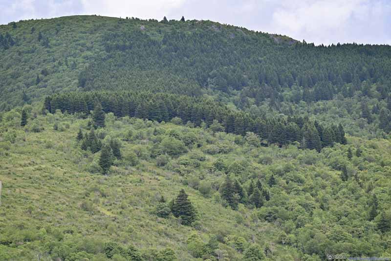 Patch of Pine TreesBehind which was the trailhead parking for Sam Knob. These trees had such a well-defined boundary.
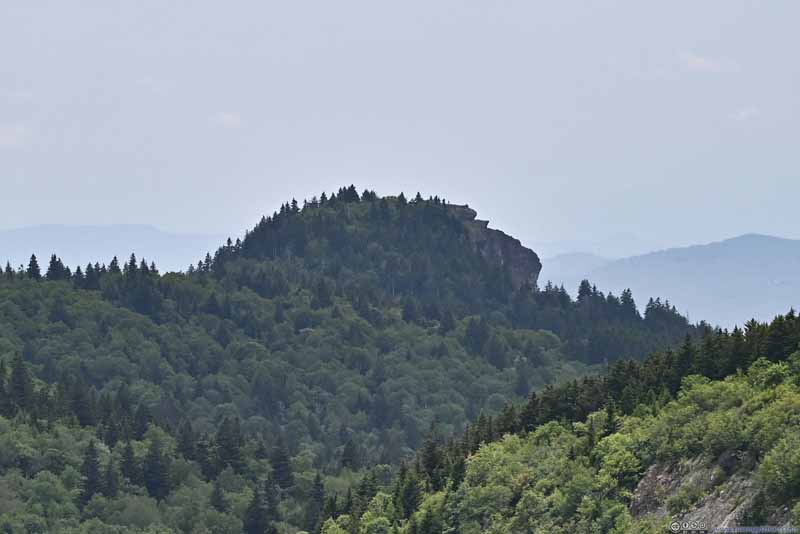 Devil’s Courthouse in the Distance


Click here to display photos from the top of Sam Knob.
Overlooking Trail to Sam Knob
Mountains to the East
Mountains to the North
Mountains to the South
Little Sam’s KnobA well-defined boundary of pine trees, occupying only its western slope.
Switchback of NC Route 215Between which were Bubbling Spring Falls, which I checked out next.
Exposed Rock Face along NC Route 215
Patch of Pine TreesBehind which was the trailhead parking for Sam Knob. These trees had such a well-defined boundary.
Devil’s Courthouse in the Distance
In addition, the top of Sam Knob was a great place to launch a drone to tour the rolling mountains nearby.
 Overlooking Trail to Sam Knob
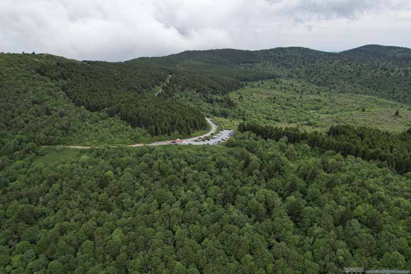 Parking Lot for Sam Knob
 Overlooking Sam Knob from the West
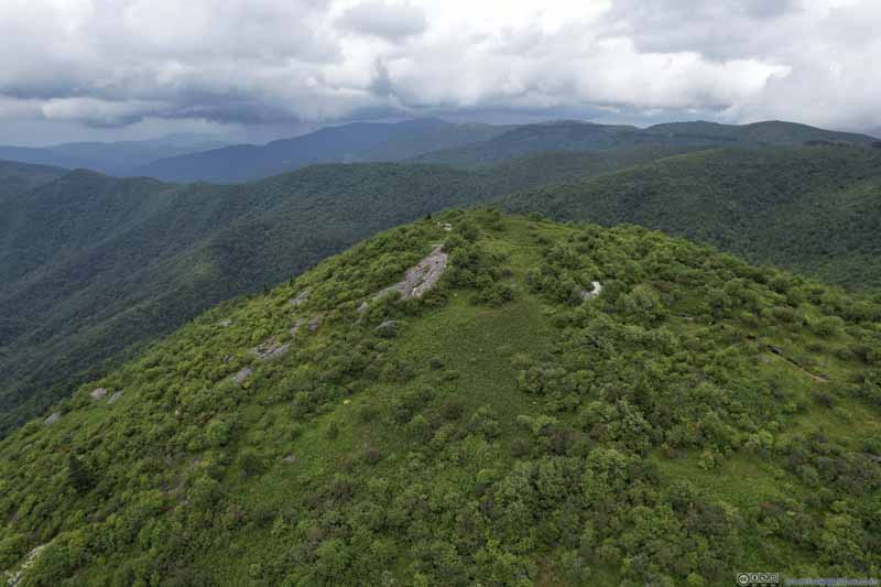 Overlooking Sam Knob from the South
 Devil’s Courthouse
Click here to display photos from the drone.

Overlooking Trail to Sam Knob
Parking Lot for Sam Knob

Overlooking Sam Knob from the West
Overlooking Sam Knob from the South
Devil’s Courthouse
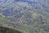
 Rolling Hills around Sam Knob
And here’s a video from the drone:
- 0:00 Back to trailhead of Sam Knob
- 0:31 Starting at trailhead, overflying Sam Knob and continued West.
- 1:18 A more ambitious flight, towards the South, crossing Blue Ridge Parkway, ending at Devil’s Courthouse, a unique hill/boulder and a popular attraction along the parkway.
- 2:19 Flying back, taking a small detour towards a valley (NC Route 215).
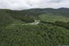
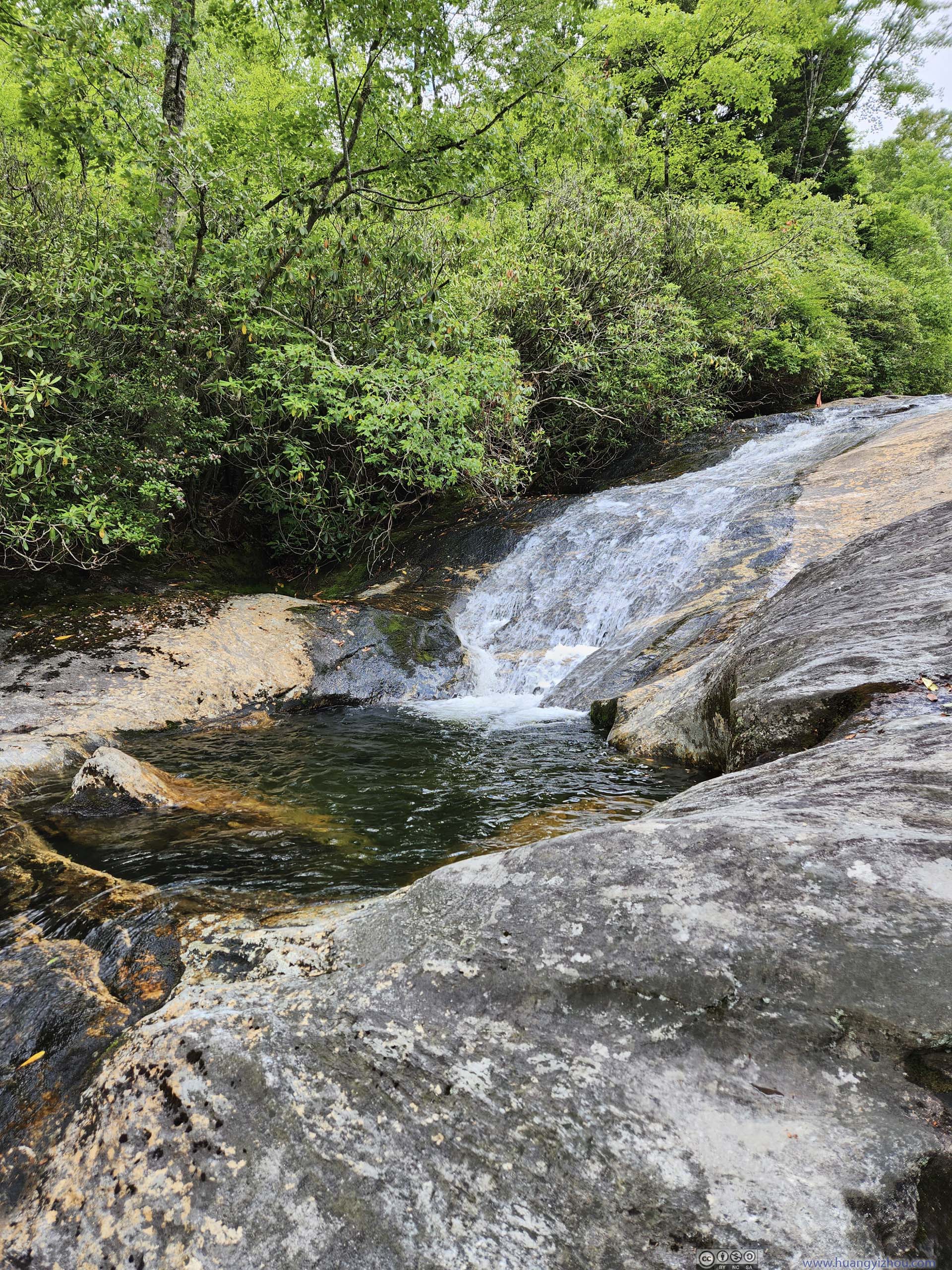
After hiking to Sam Knob, I got back to my car at 3:15pm. Next, I made an unplanned visit to Bubbling Spring Falls, located along NC Route 215 off Blue Ridge Parkway.
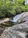
Bubbling Spring Falls
Despite the name “falls”, it was more like a series of cascades along a creek. A few (small) parking lots along NC Route 215 provided access to the waterfalls, through some steep paths down the ravine.
It turned out that the area was most popular with swimmers (just like two days ago at Upper Creek Falls, only that these waterfalls were more accessible). The cascades were steeper here, so I didn’t see anyone watersliding. Since I didn’t bring any swimwear, I quickly moved on.
 Bubbling Spring Falls
 Bubbling Spring Falls
 Bubbling Spring Falls
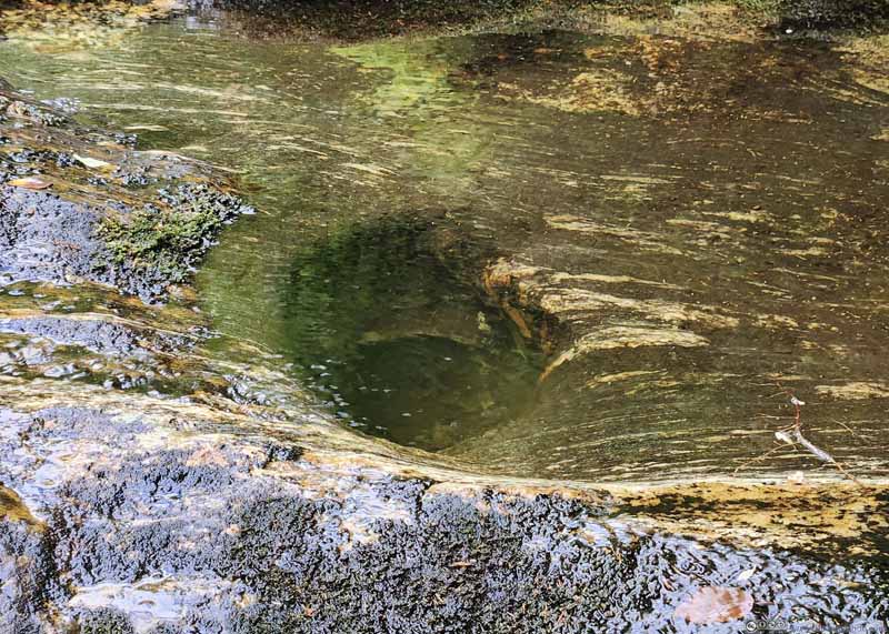 Hole in PondI guessed this could be a perfect bathtub?
Click here to display photos from Bubbling Spring Falls.
Bubbling Spring Falls

Bubbling Spring Falls

Bubbling Spring Falls

Hole in PondI guessed this could be a perfect bathtub?
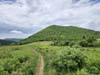
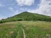
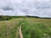
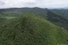
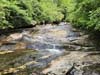
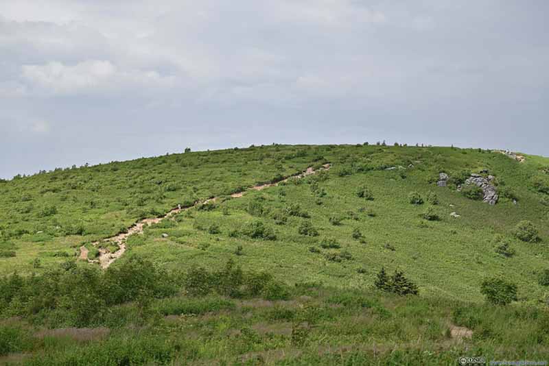
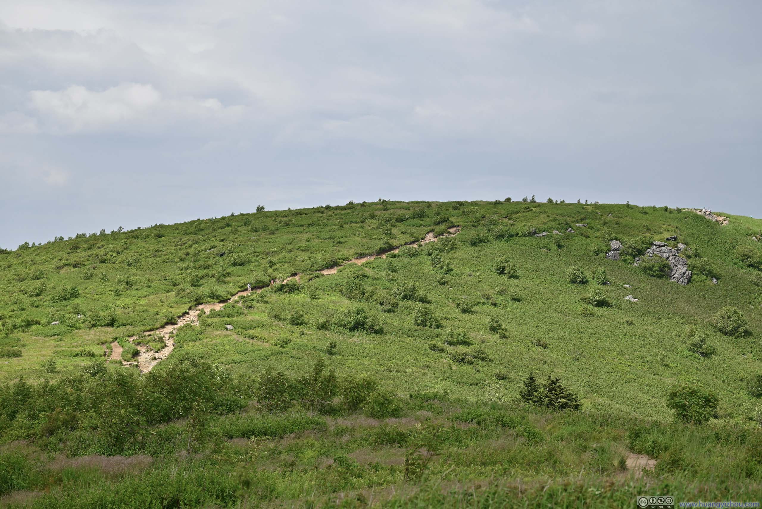
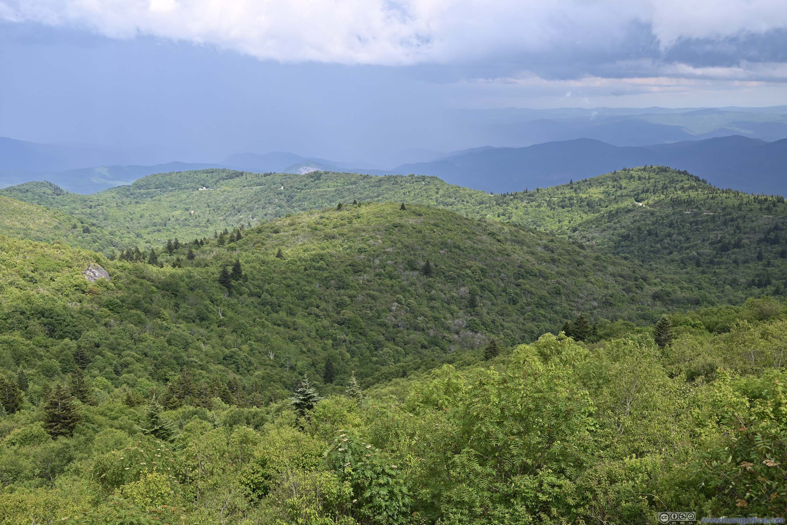
Black Balsam Knob
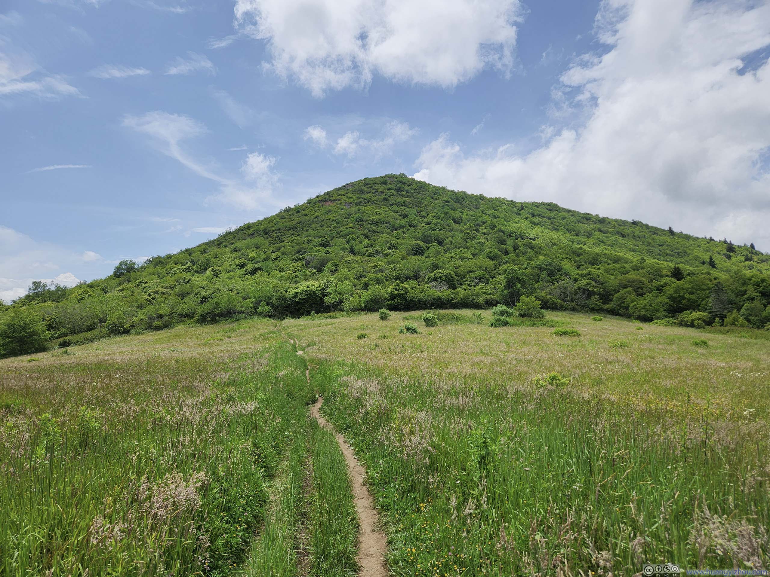
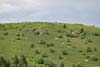
I returned to the Black Balsam Knob area and it’s past 4pm, so parking at Art Loeb Trailhead eased up. After some warmup, I headed towards Black Balsam Knob.
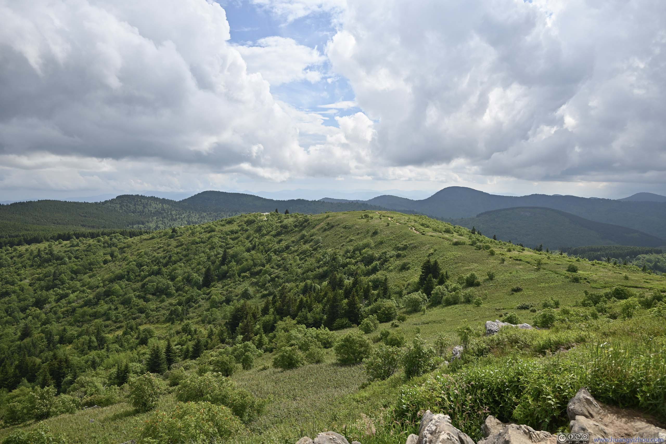
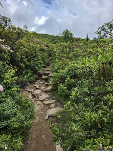
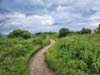
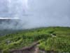
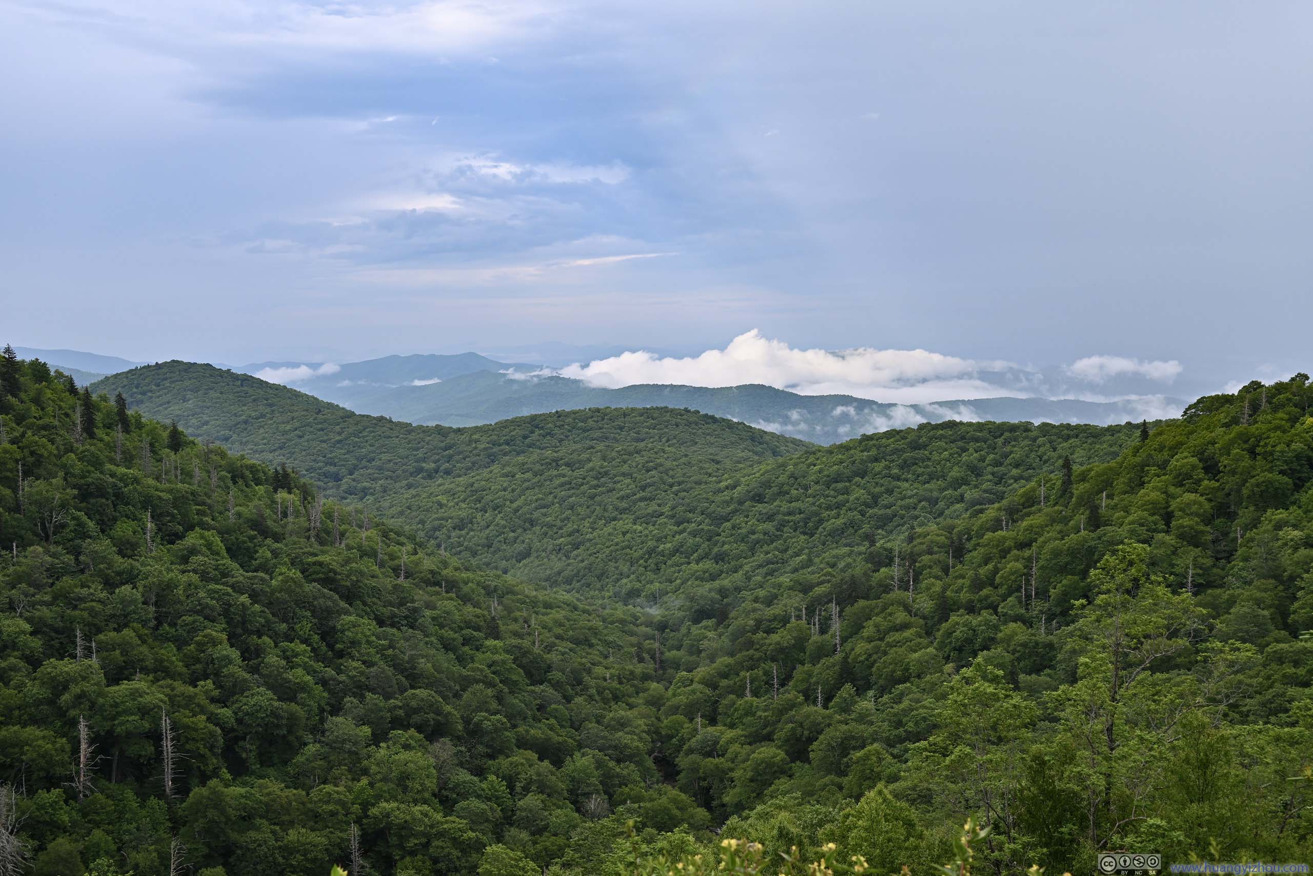
Not long after getting onto the trail, I could appreciate the trail’s popularity. Just like last year at Grayson Highlands, the trail was among a landscape in between meadow and shallow bushes, which was novel for the area and allowed idyllic views of rolling hills all around. It’s constant enjoyment every step of the way till Black Balsam Knob.
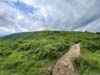
 Trail to Black Balsam Knob
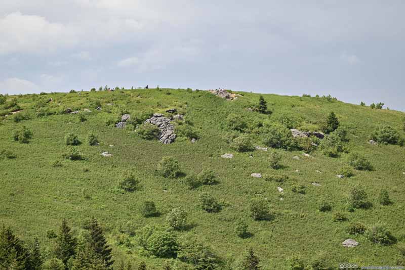 Black Balsam Knob
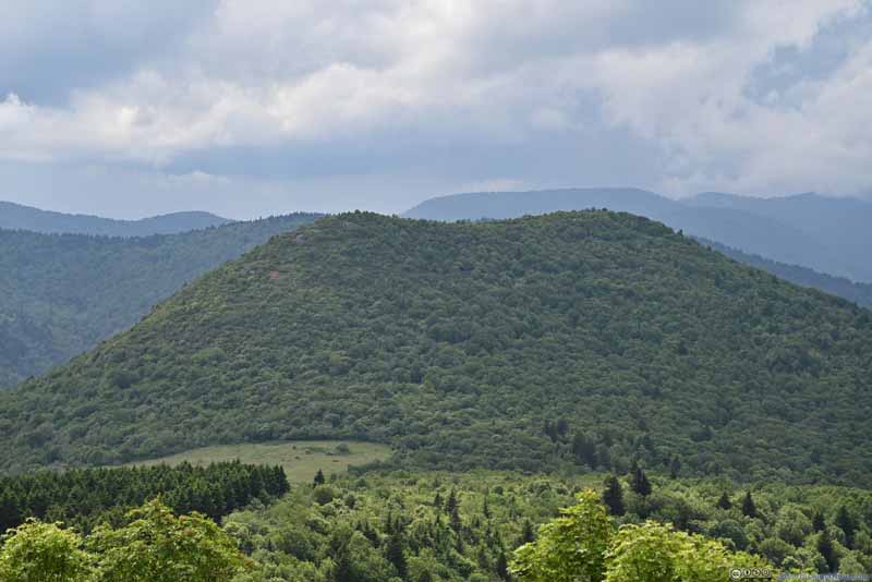 Sams KnobWhich I visited hours earlier.
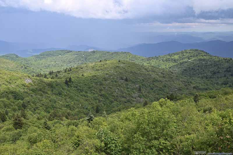 Rolling HillsBlue Ridge Parkway across the background.
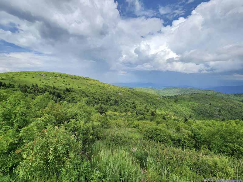 Rolling Hills
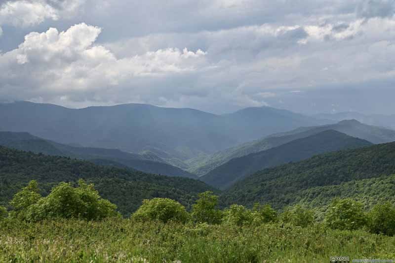 Mountains to the West
Click here to display photos along the trail.
Trail to Black Balsam Knob
Black Balsam Knob
Sams KnobWhich I visited hours earlier.
Rolling HillsBlue Ridge Parkway across the background.
Rolling Hills

Mountains to the West
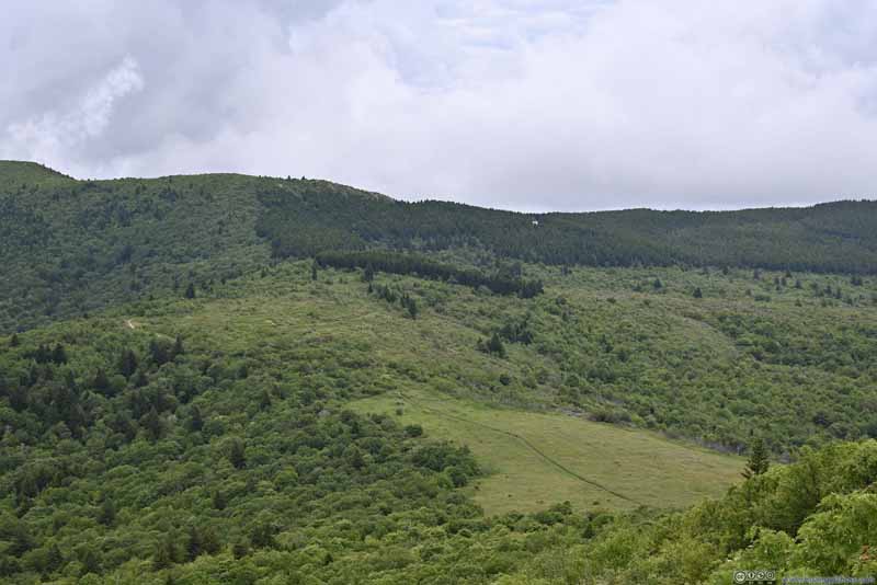
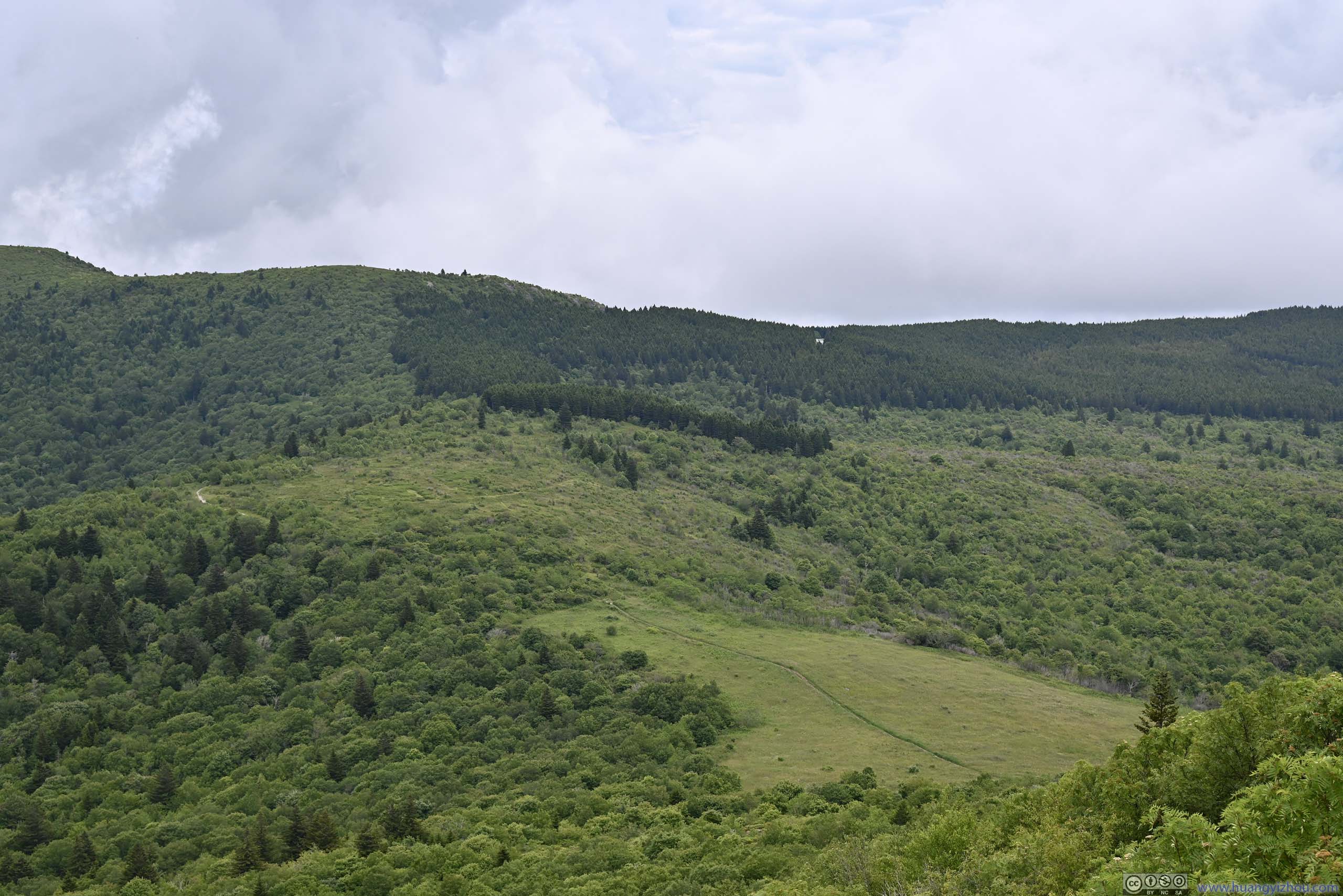
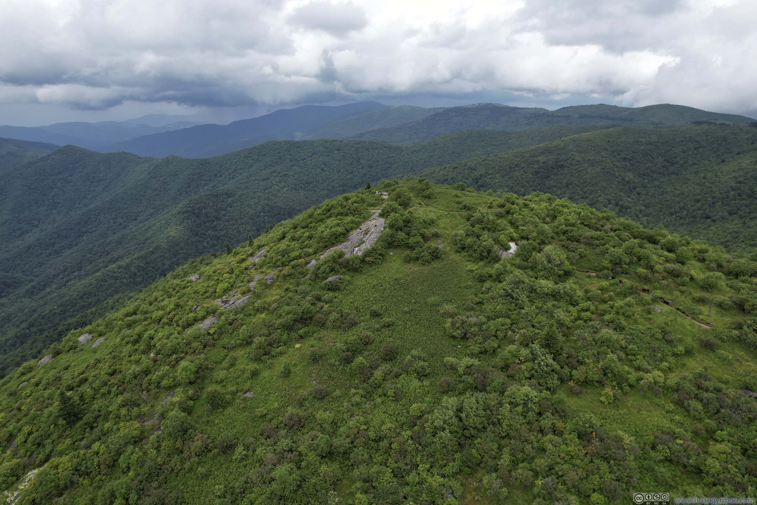
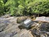
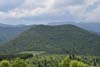
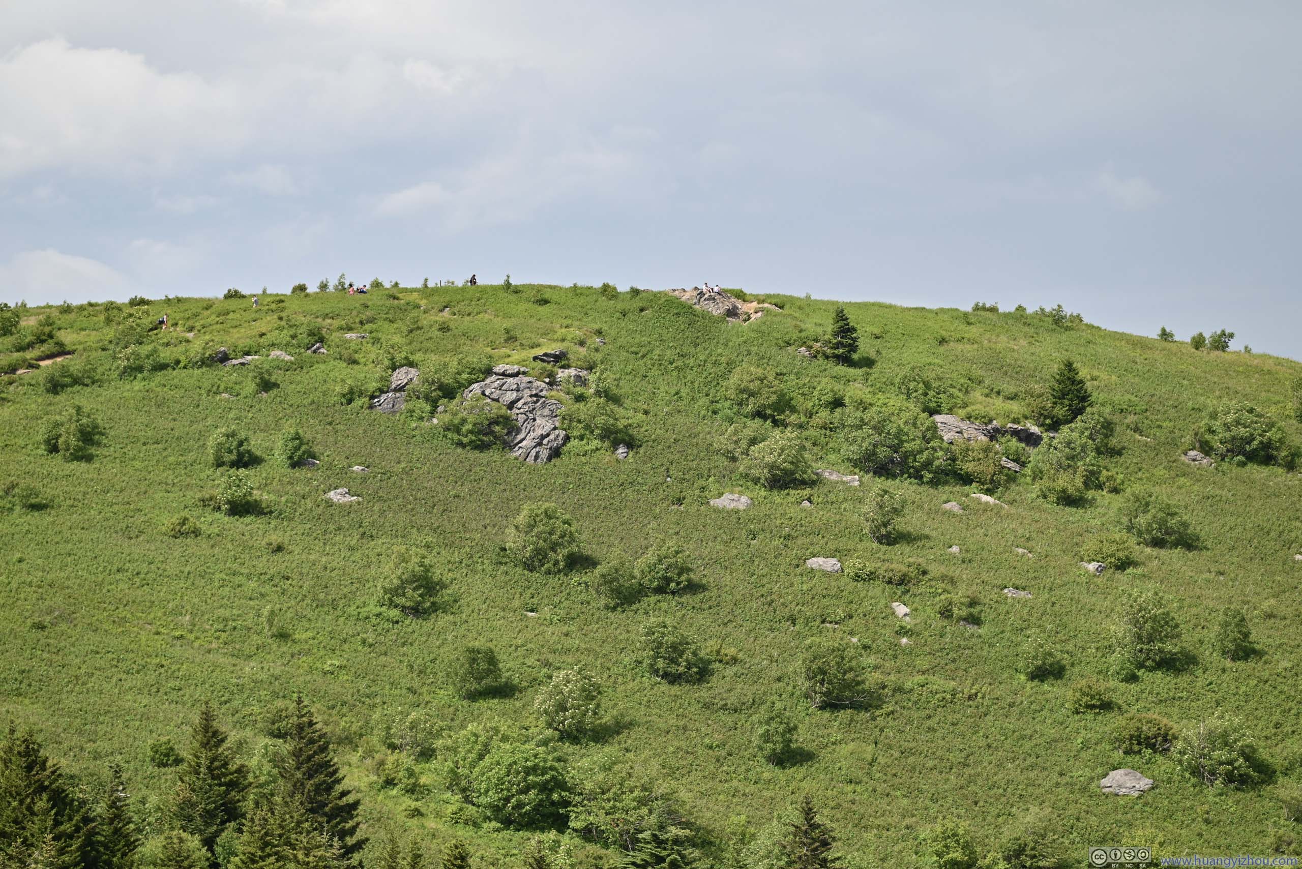
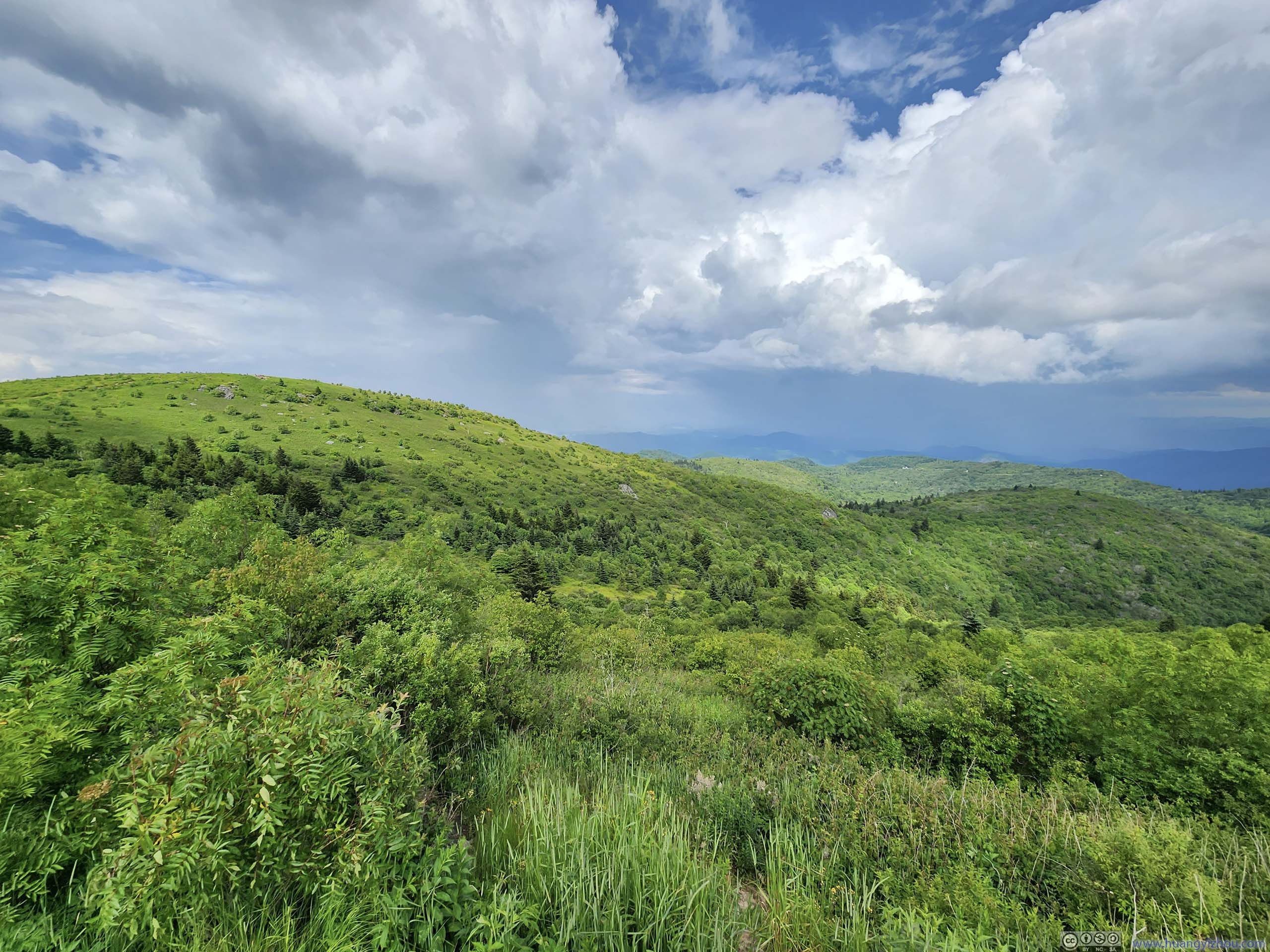
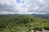
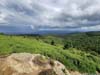
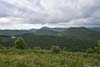
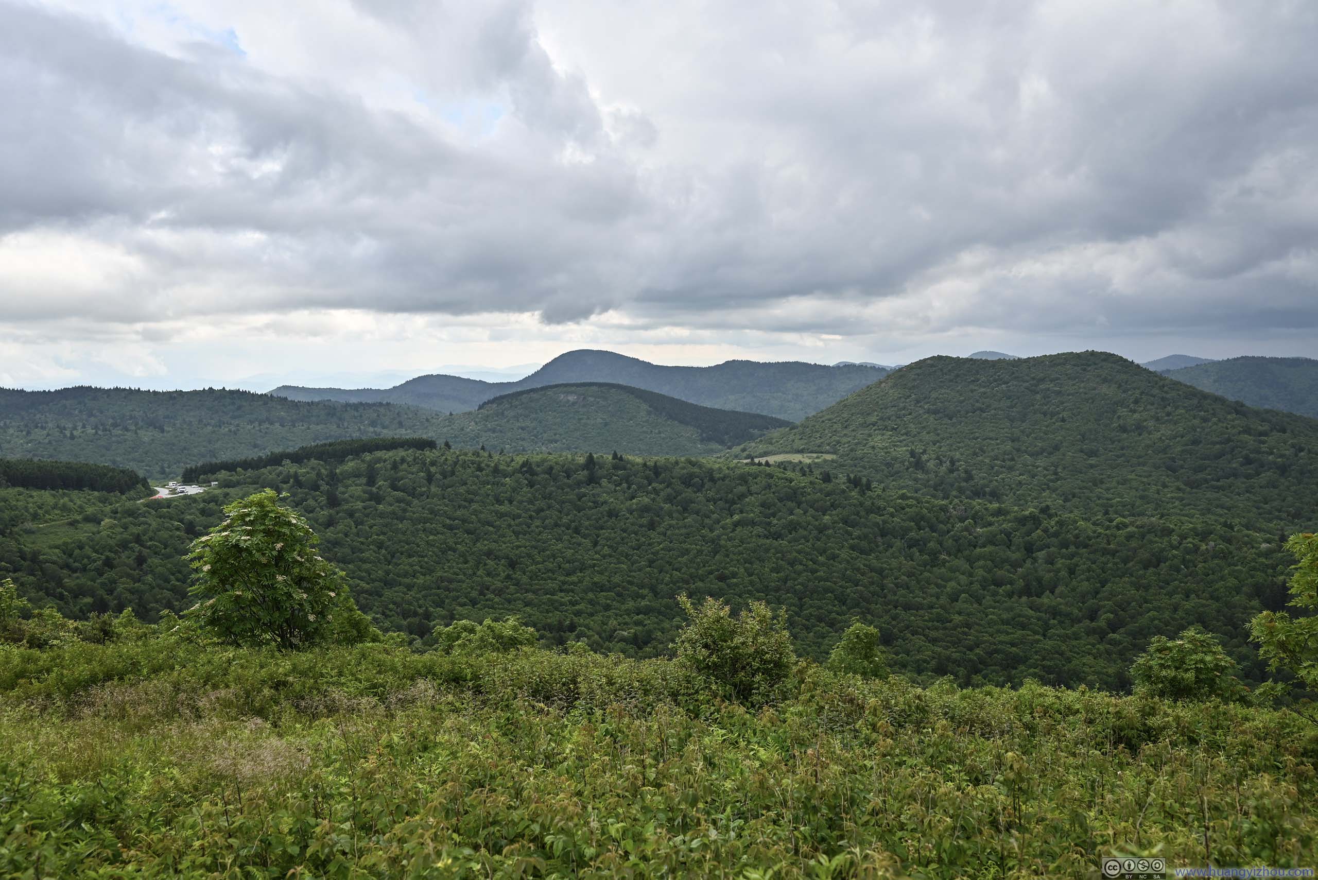
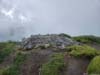
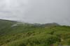
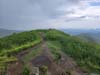
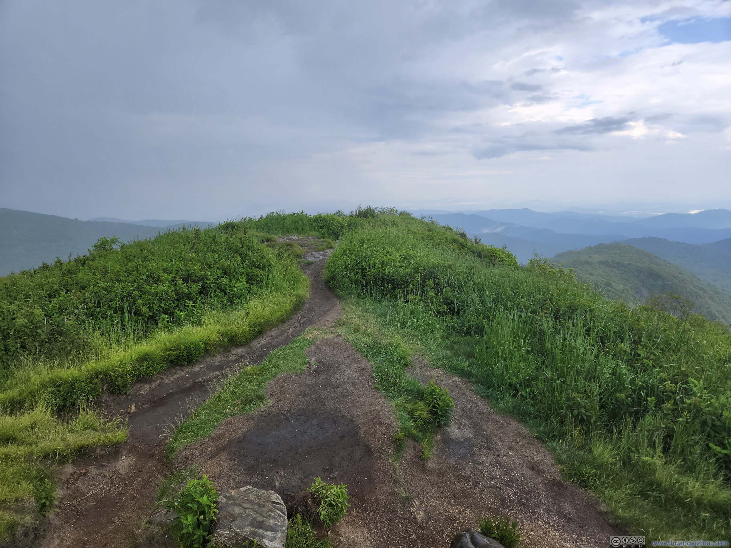
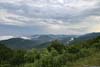
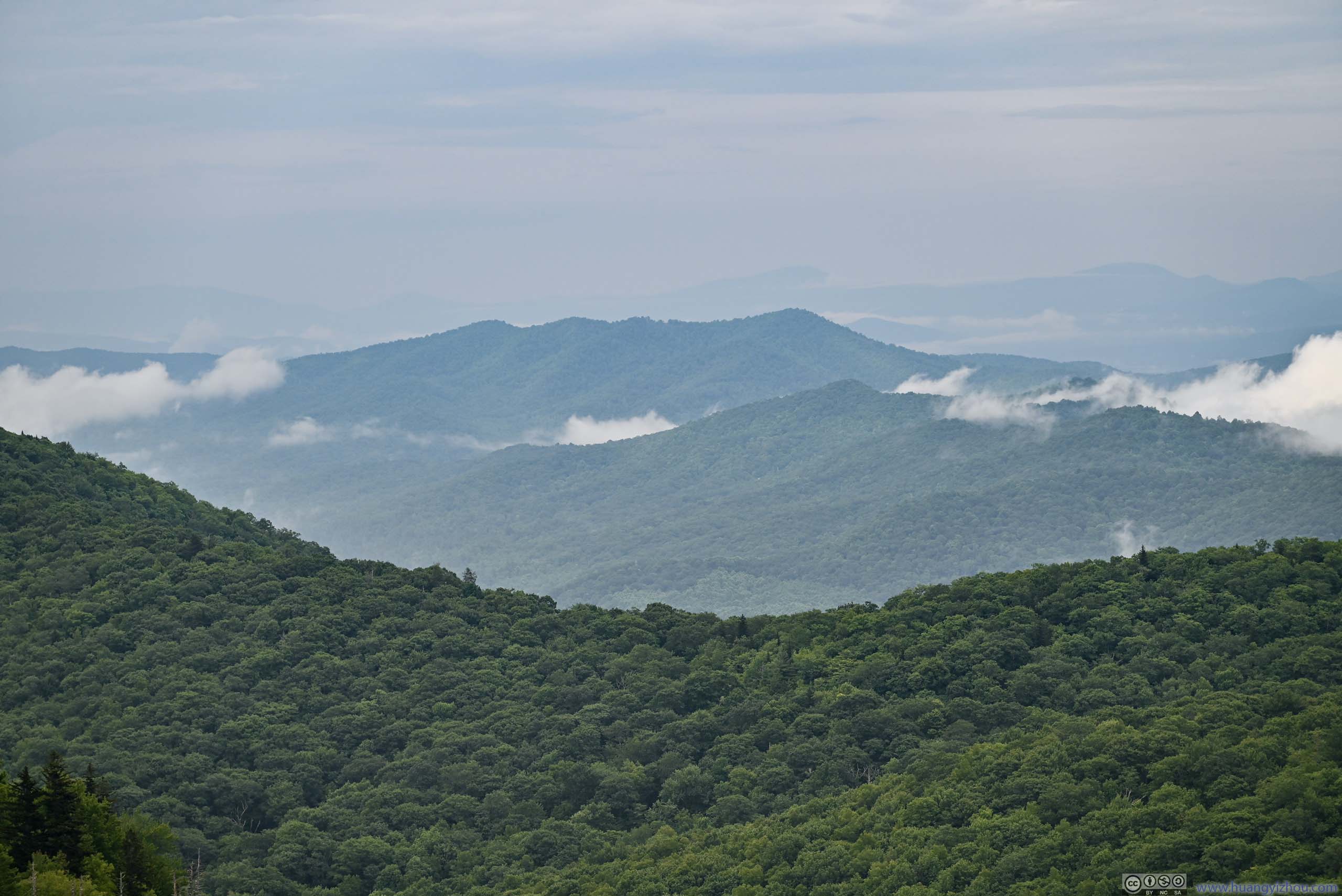
At 4:40pm, I reached Black Balsam Knob, which was an overlook made of some scattered boulders. It’s not prominent (hence accessible), but nonetheless offered great views of the landscape, characterized by shallow bushes and open valleys.
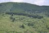
 Mountainous Landscape
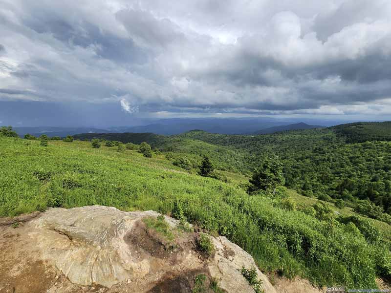 Mountainous Landscape
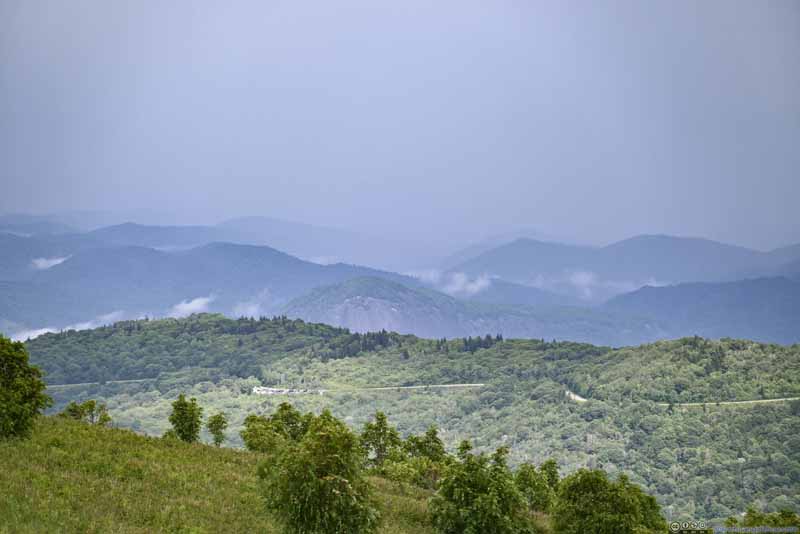 Blue Ridge ParkwayParking Lot for Graveyard Falls, and just behind it, Looking Glass Rock.
 Blue Ridge Parkway

Click here to display photos from Black Balsam Knob.
Mountainous Landscape
Mountainous Landscape
Blue Ridge ParkwayParking Lot for Graveyard Falls, and just behind it, Looking Glass Rock.
Blue Ridge Parkway
View from Black Balsam Knob
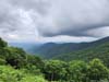
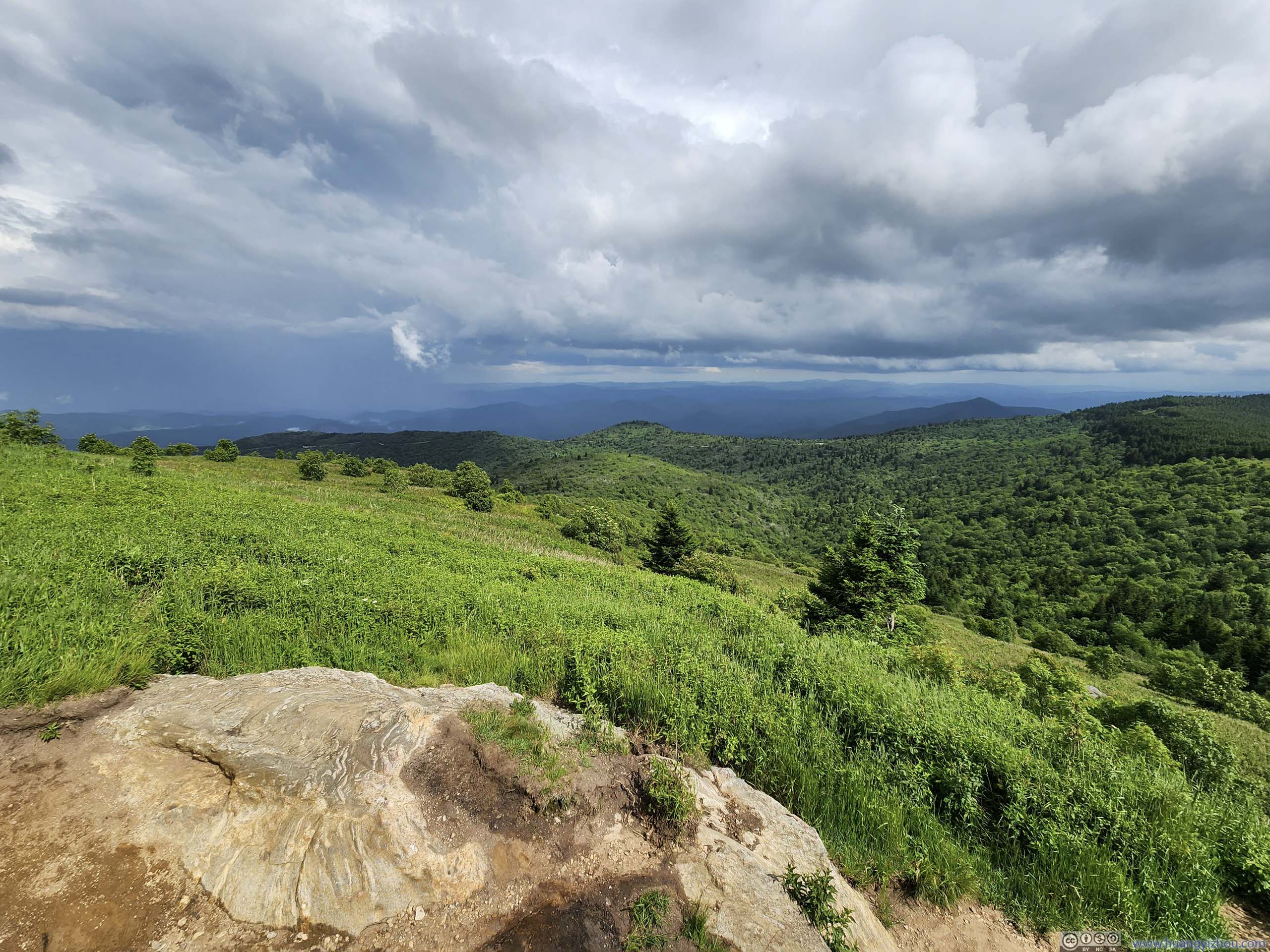
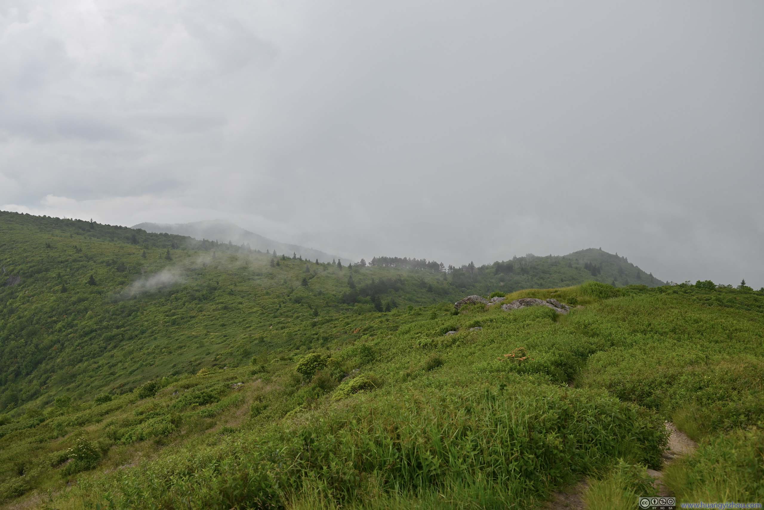
At this time, some raindrops were hitting my face. I didn’t have cellular coverage at Black Balsam Knob so I couldn’t check the radar maps. Captivated by the sceneries, I was in some sort of willful ignorance of the weather, my first mistake. I decided to continue on towards Tennent Mountain, which was just like Black Balsam Knob, a small hill above the surrounding landscape offering views.
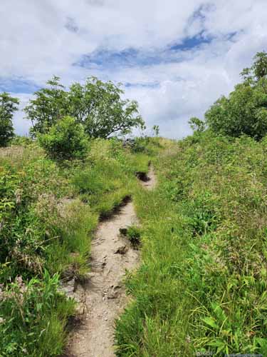
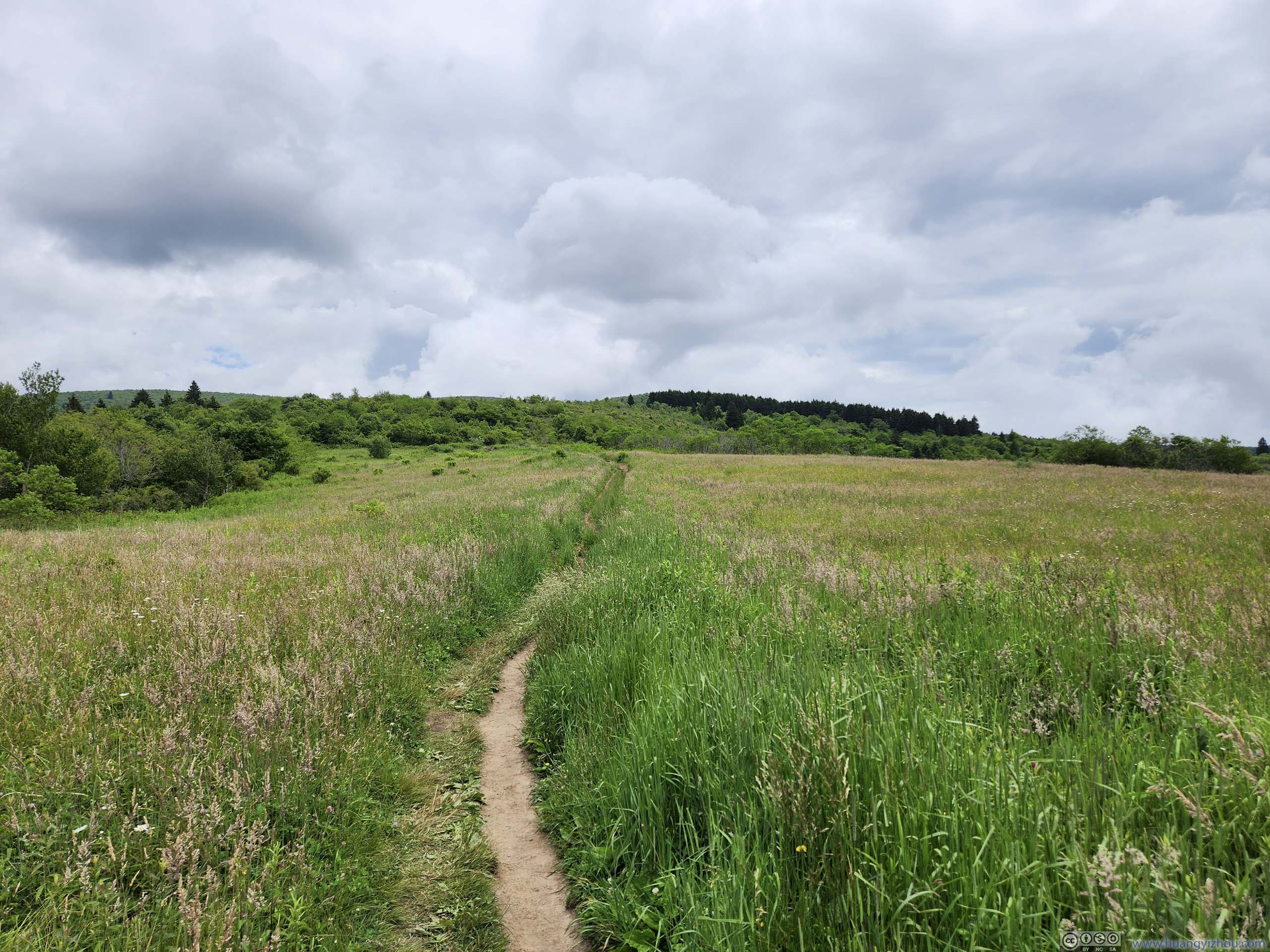
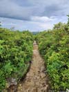
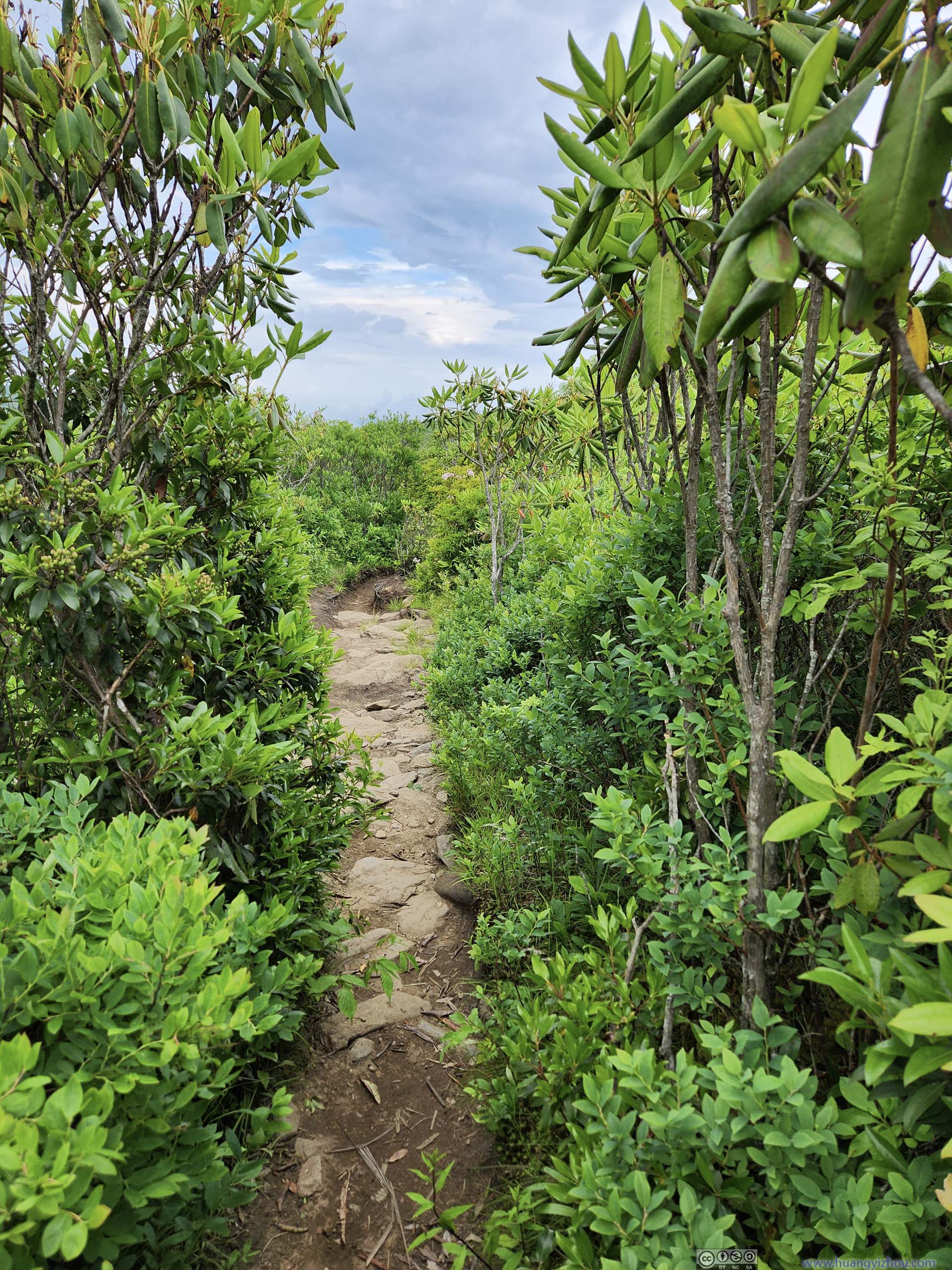
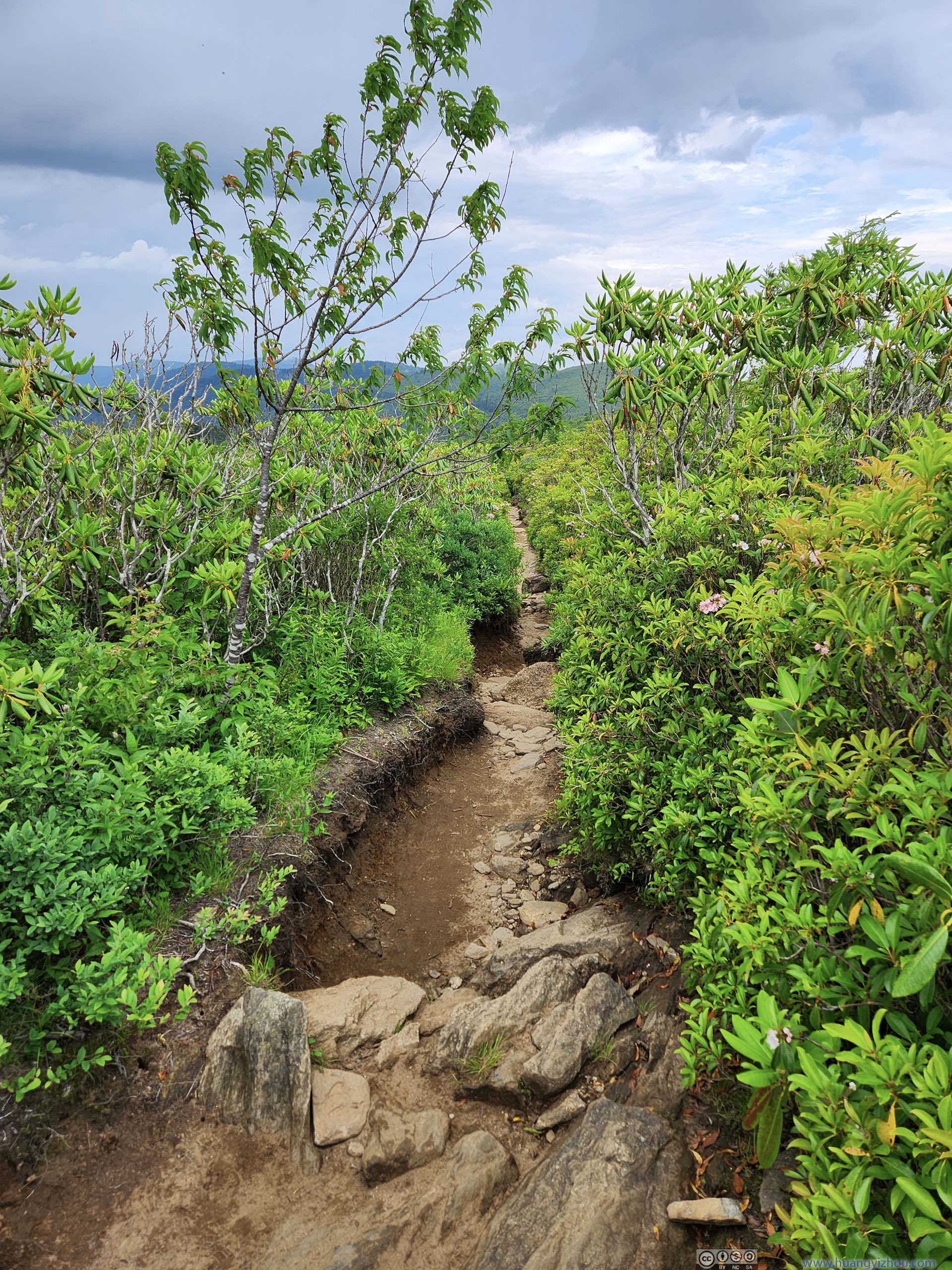
Then I made my second mistake. With a network of trails in the region, I should have chosen “Black Balsam Summit Trail” between Black Balsam Knob and Tennent Mountain. Instead, I continued along Art Loeb Trail, which ran parallel to the west and was longer in distance (!). While the section of Art Loeb Trail before Black Balsam Knob was laden with stunning scenery, for the section from Black Balsam Knob to Tennent Mountain, swarms of bugs replaced the scenery. They didn’t bite, but the quantities were just shocking.
 Trail
Trail Mountains to the WestSam Knob, Little Sam’s Knob, and Mount Hardy in the background.
 Trail
Trail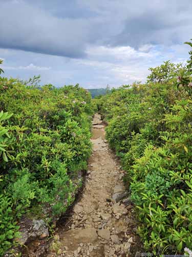
 Trail
Trail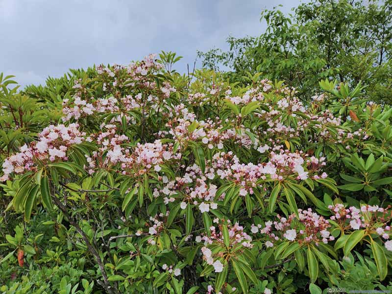 Mountain Laurel
 Trail to Tennent MountainI wasn’t sure why some ropes were buried into the trail.

Click here to display photos from Art Loeb Trail between Black Balsam Knob and Tennent Mountain.

Trail
Mountains to the WestSam Knob, Little Sam’s Knob, and Mount Hardy in the background.
 Trail
Trail
 Trail
Trail
Mountain Laurel
Trail to Tennent MountainI wasn’t sure why some ropes were buried into the trail.
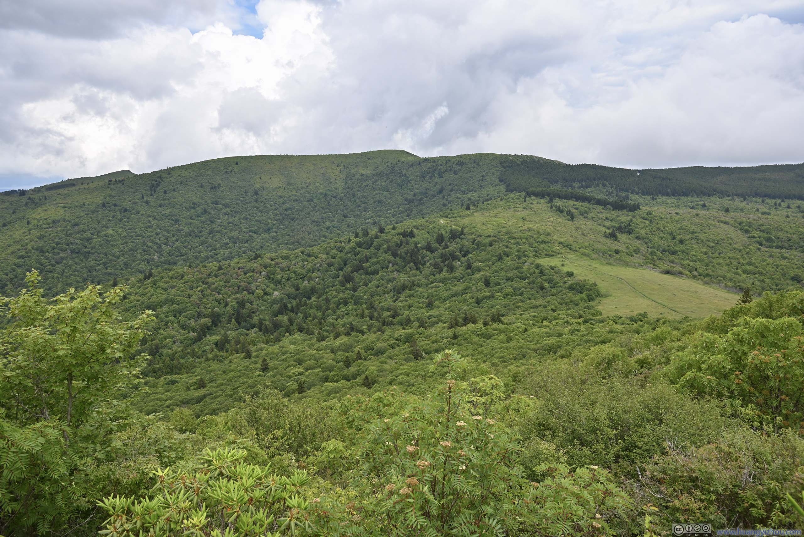
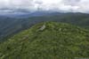
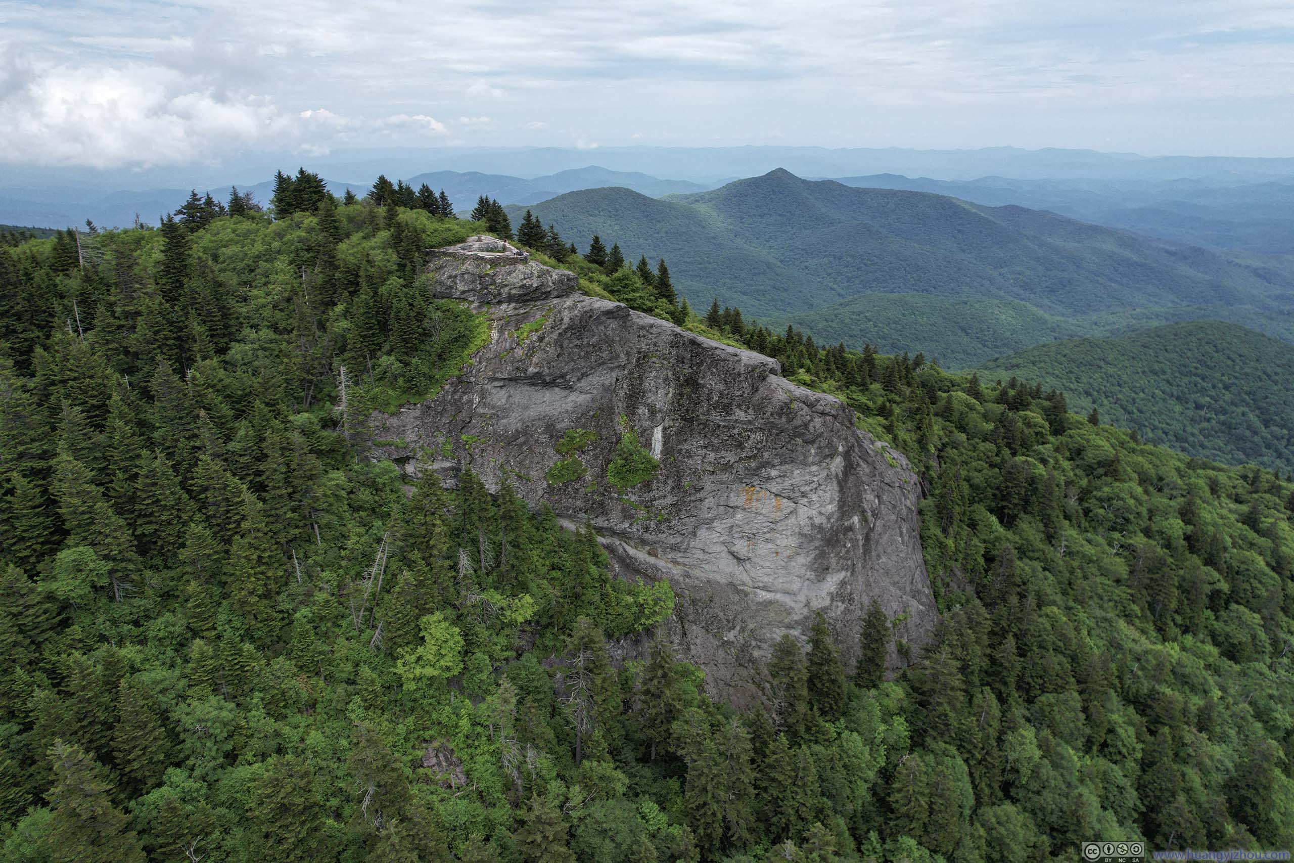
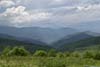
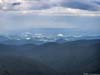
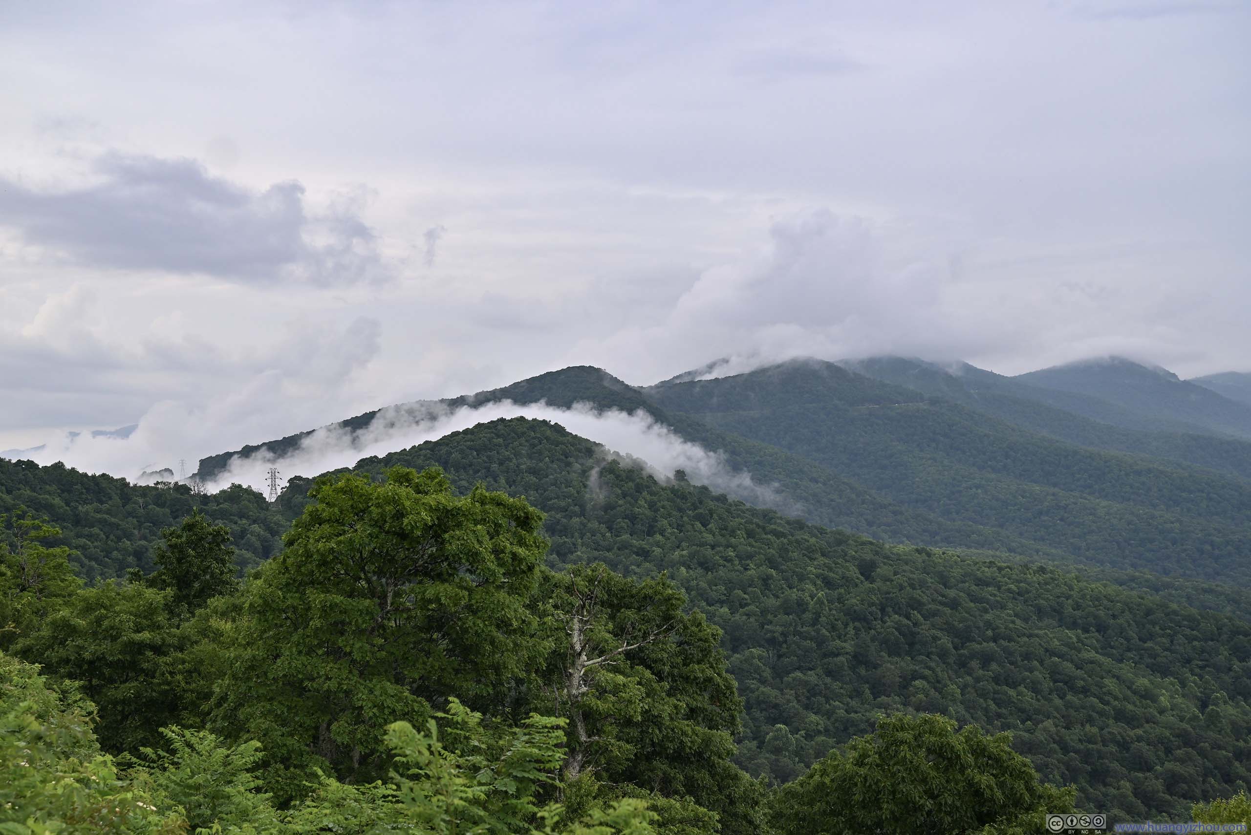
It’s 5:20pm by the time I reached Tennent Mountain. It’s like a smaller version of Black Balsam Knob, the boulders weren’t as spread out, the views not as broad.
View from Tennent Mountain
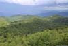
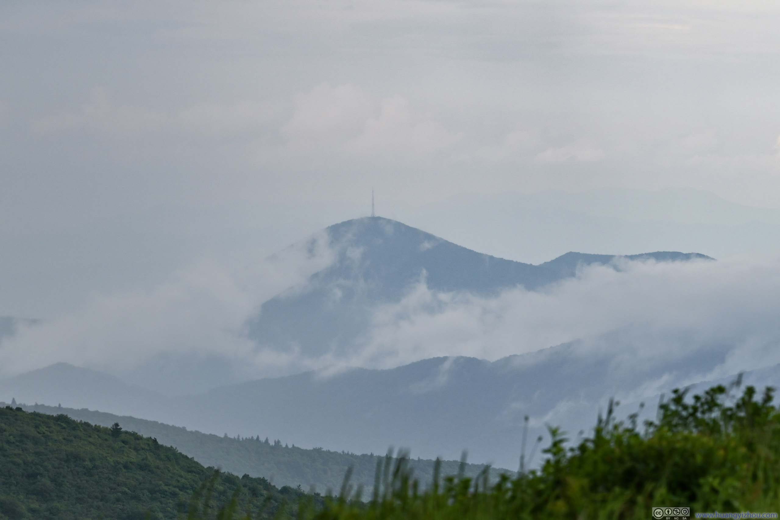
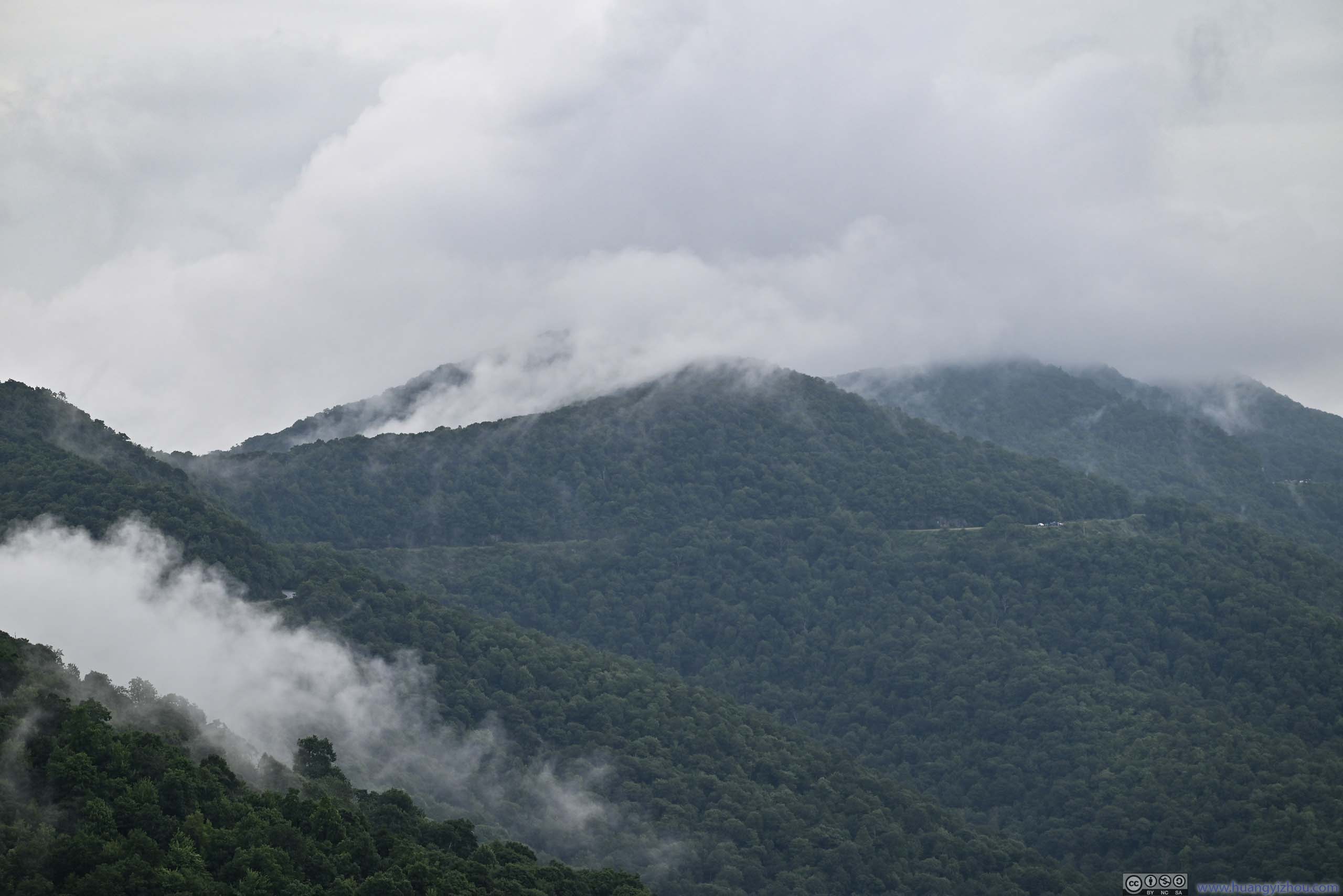
But I faced a bigger issue. Just as I was snapping the photos, I was hit with rain, this time it’s a proper downpour. The wind and rain came from the north. Earlier along the trail, I could see the mountains and valleys to the north were getting blurred by the incoming mist, and I was overly optimistic hoping the rain wouldn’t hit me.
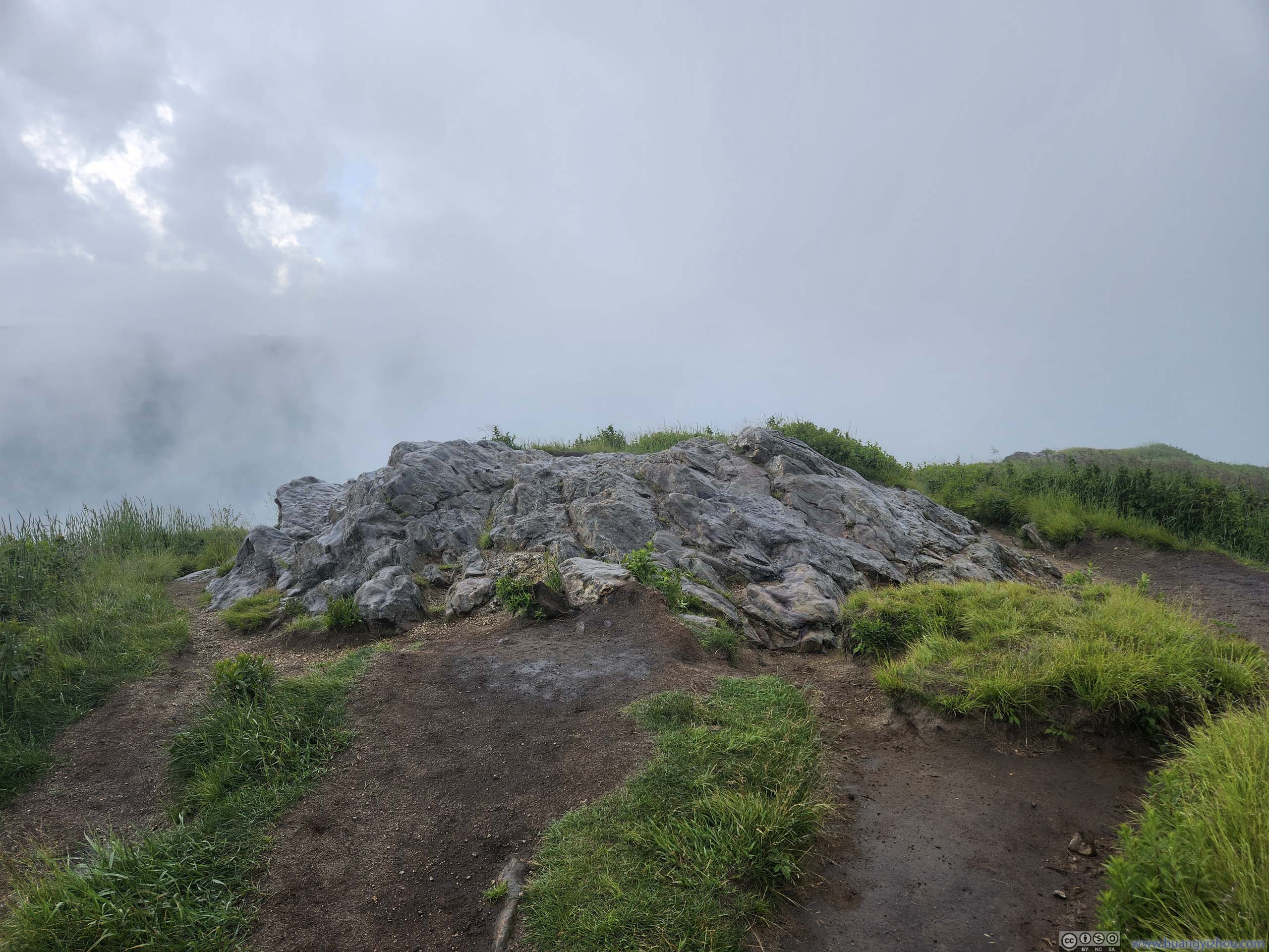
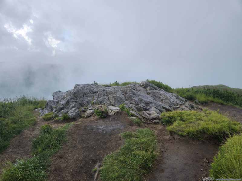 Top of Tennent MountainSome exposed rocks above the surrounding landscape, marking the inconspicuous summit.
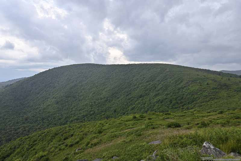 Black Balsam Knob
Where I was earlier. This side of Black Balsam Knob was covered in trees, like most other mountains in the region.
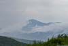
Black Balsam Knob
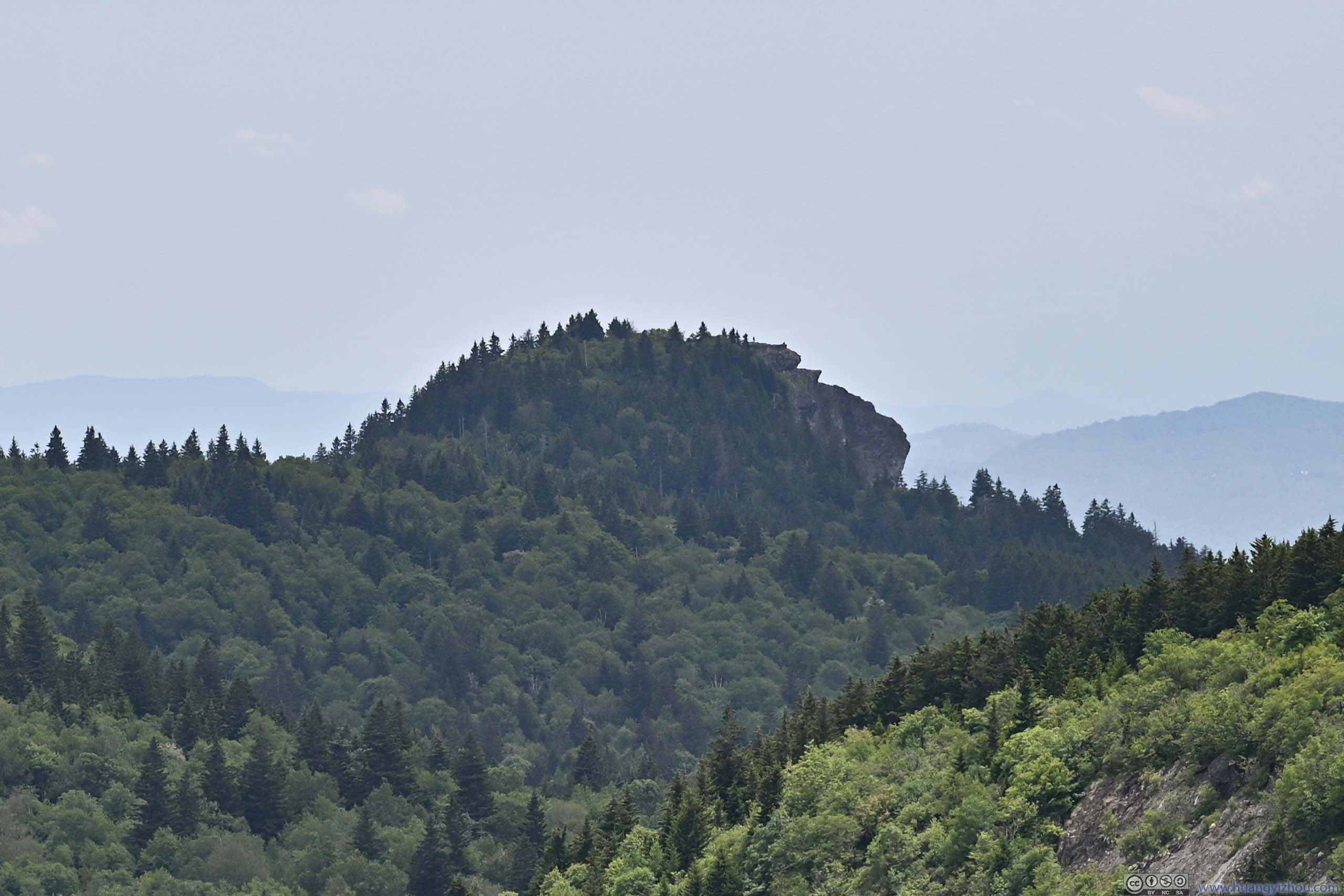
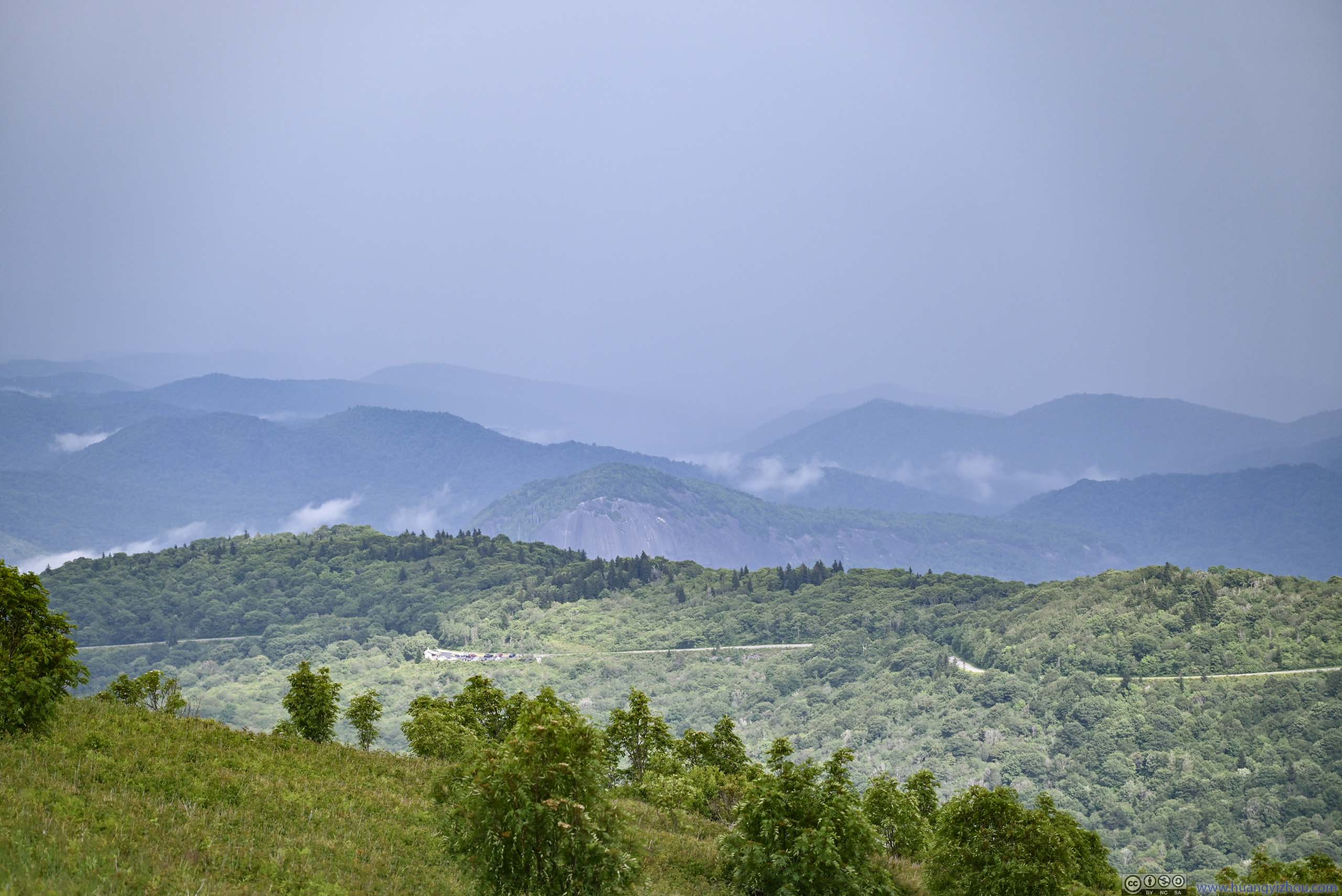
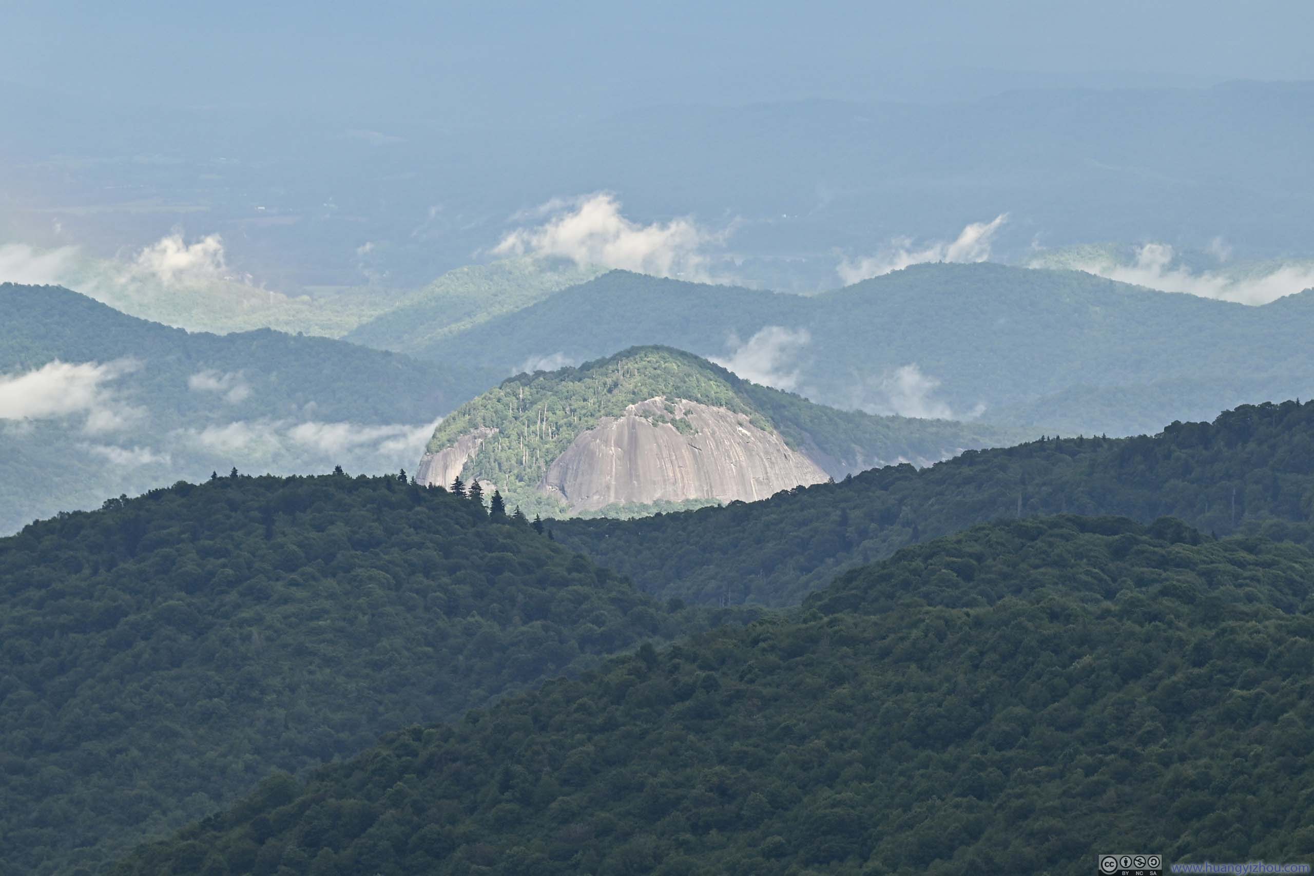
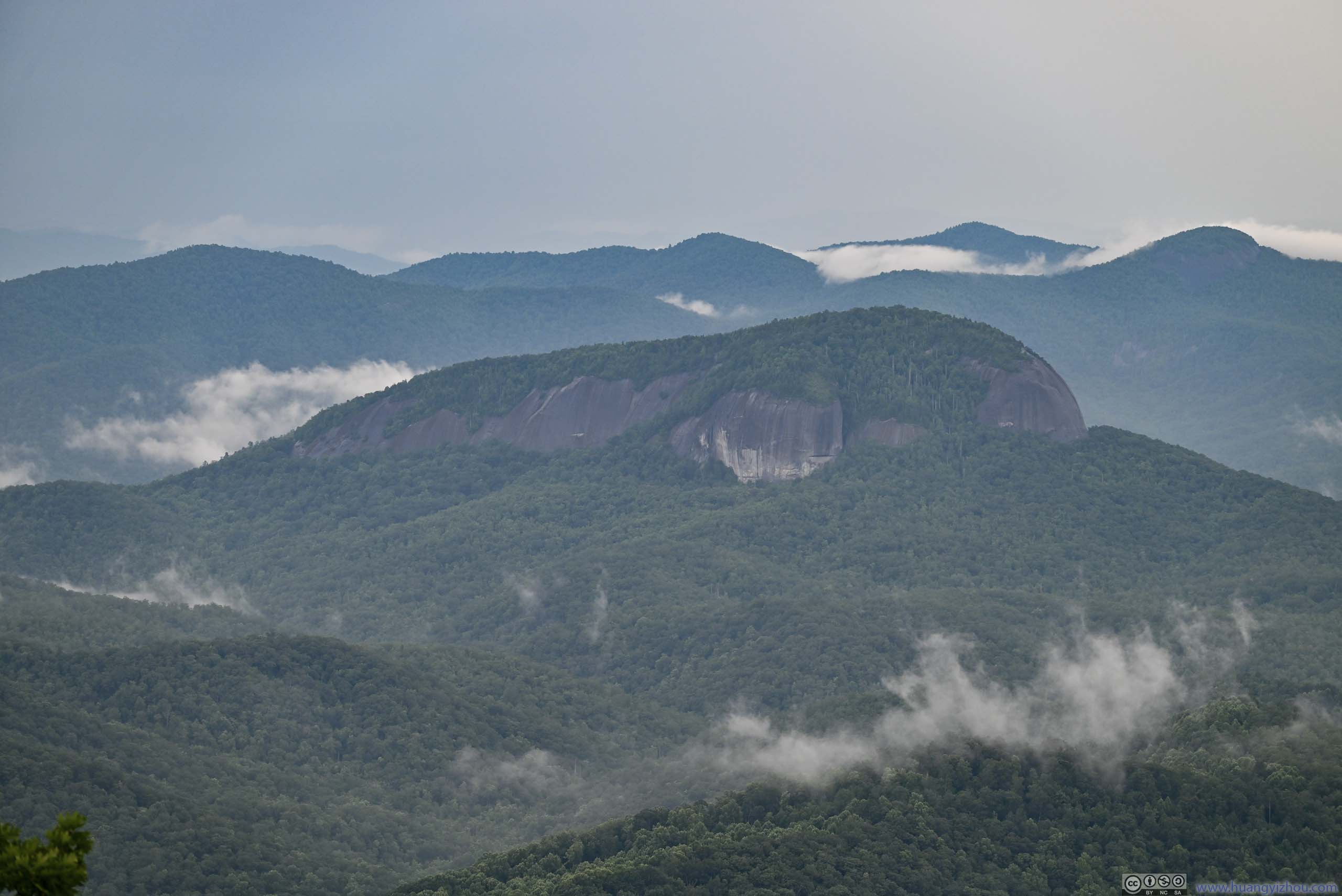
Where I was earlier. This side of Black Balsam Knob was covered in trees, like most other mountains in the region.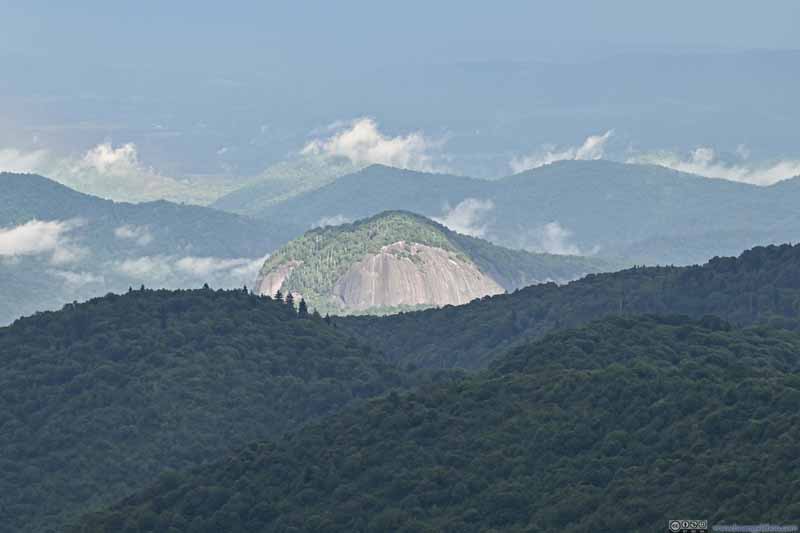 Looking Glass RockIlluminated by the sun, contrasted by the forests in the foreground that were under clouds.
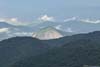
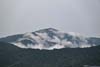
 Distant Mount PisgahWhich I visited earlier today, now partly covered in clouds.
Click here to display photos of the slideshow
Top of Tennent MountainSome exposed rocks above the surrounding landscape, marking the inconspicuous summit.
Black Balsam Knob
Looking Glass RockIlluminated by the sun, contrasted by the forests in the foreground that were under clouds.
Distant Mount PisgahWhich I visited earlier today, now partly covered in clouds.
 Mountains to the North
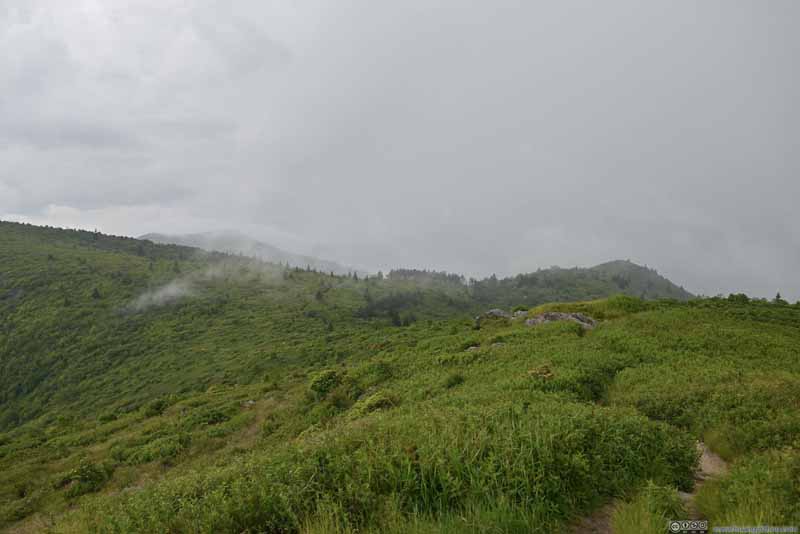 Mountains to the West
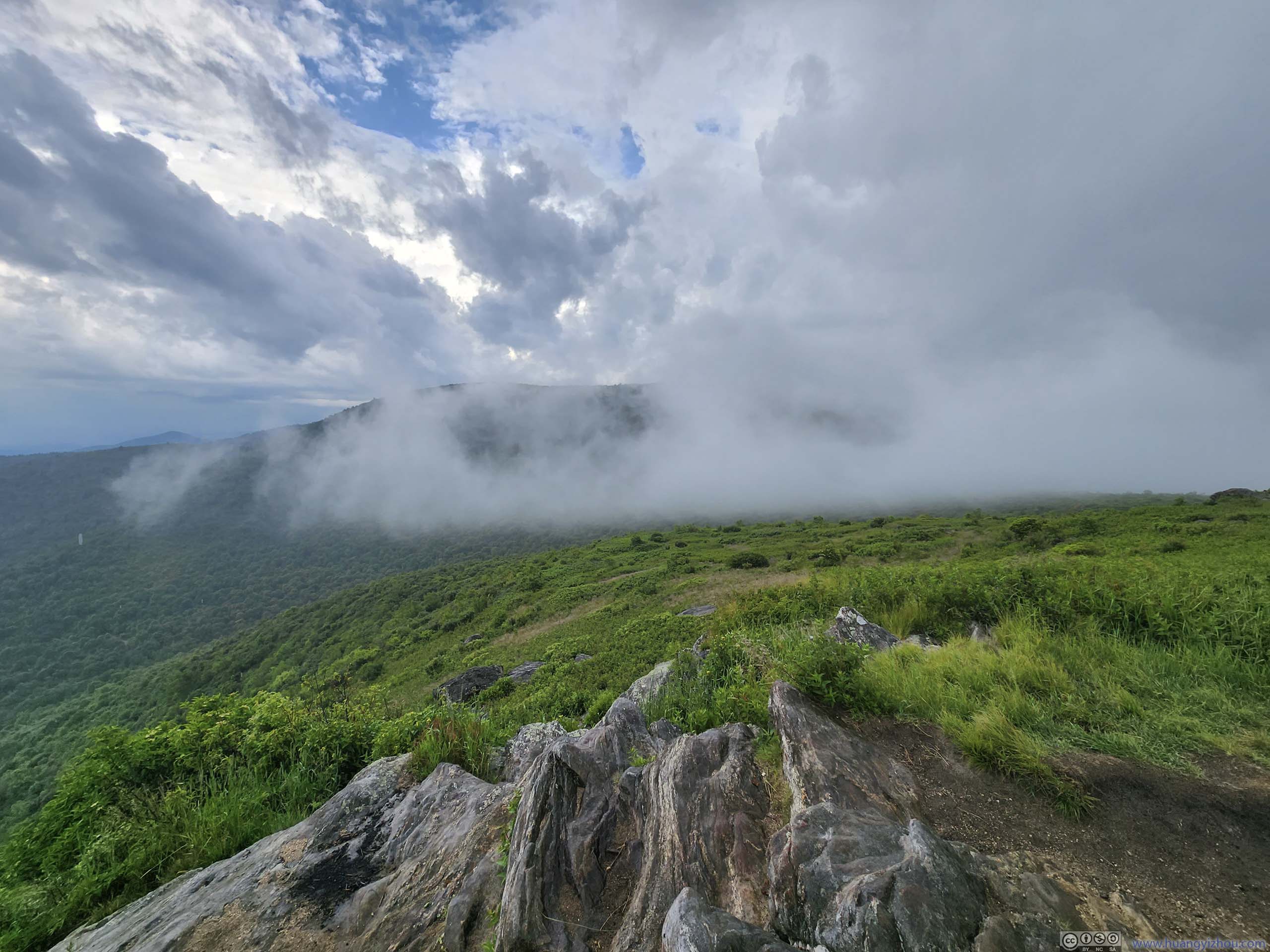
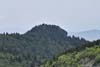
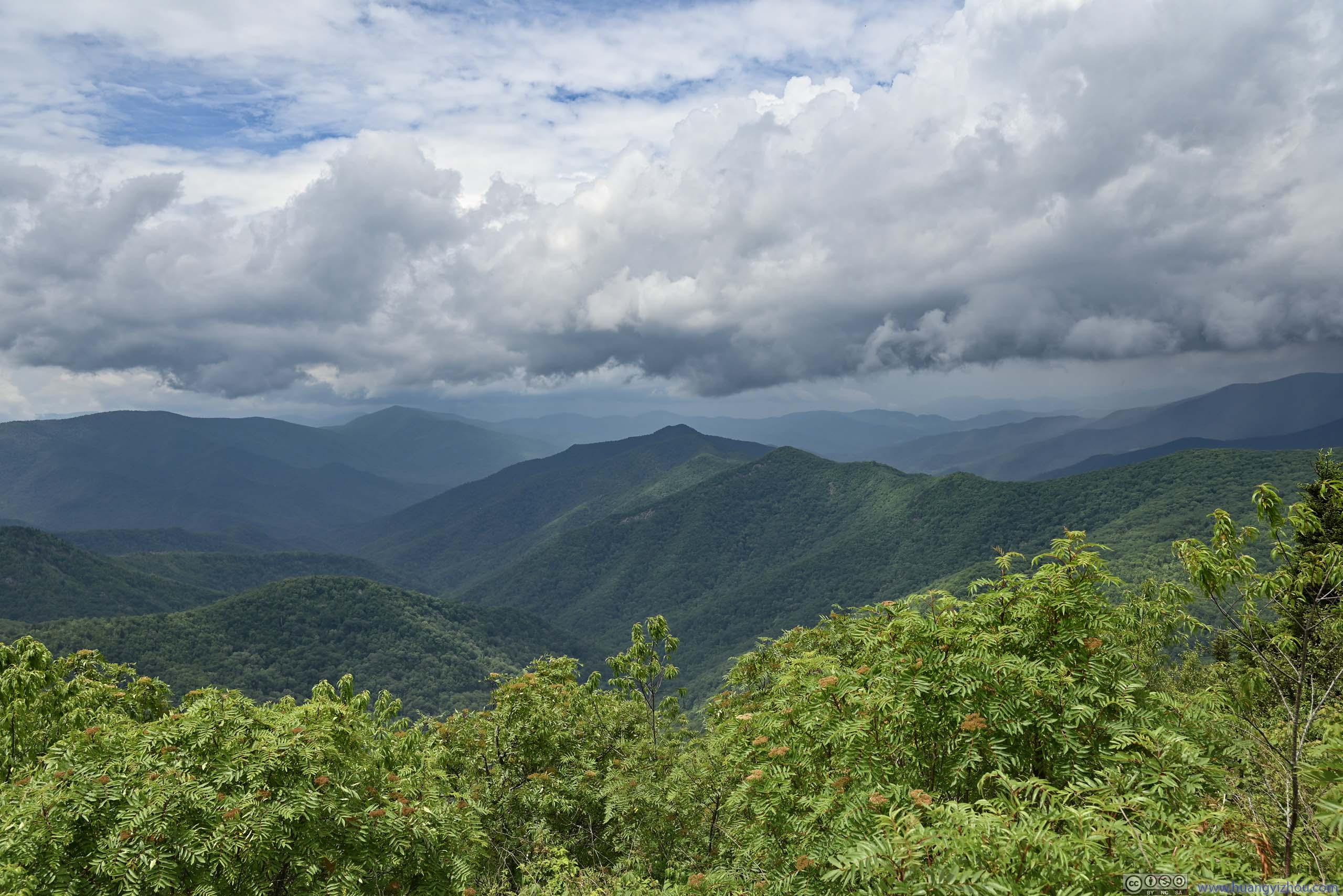
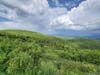
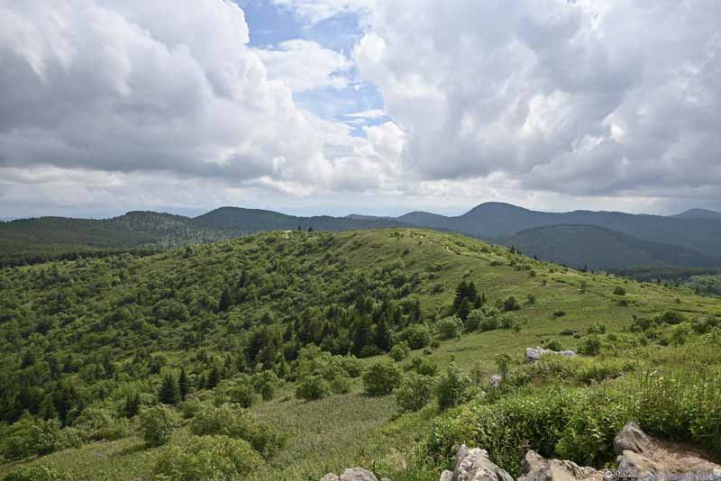
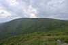
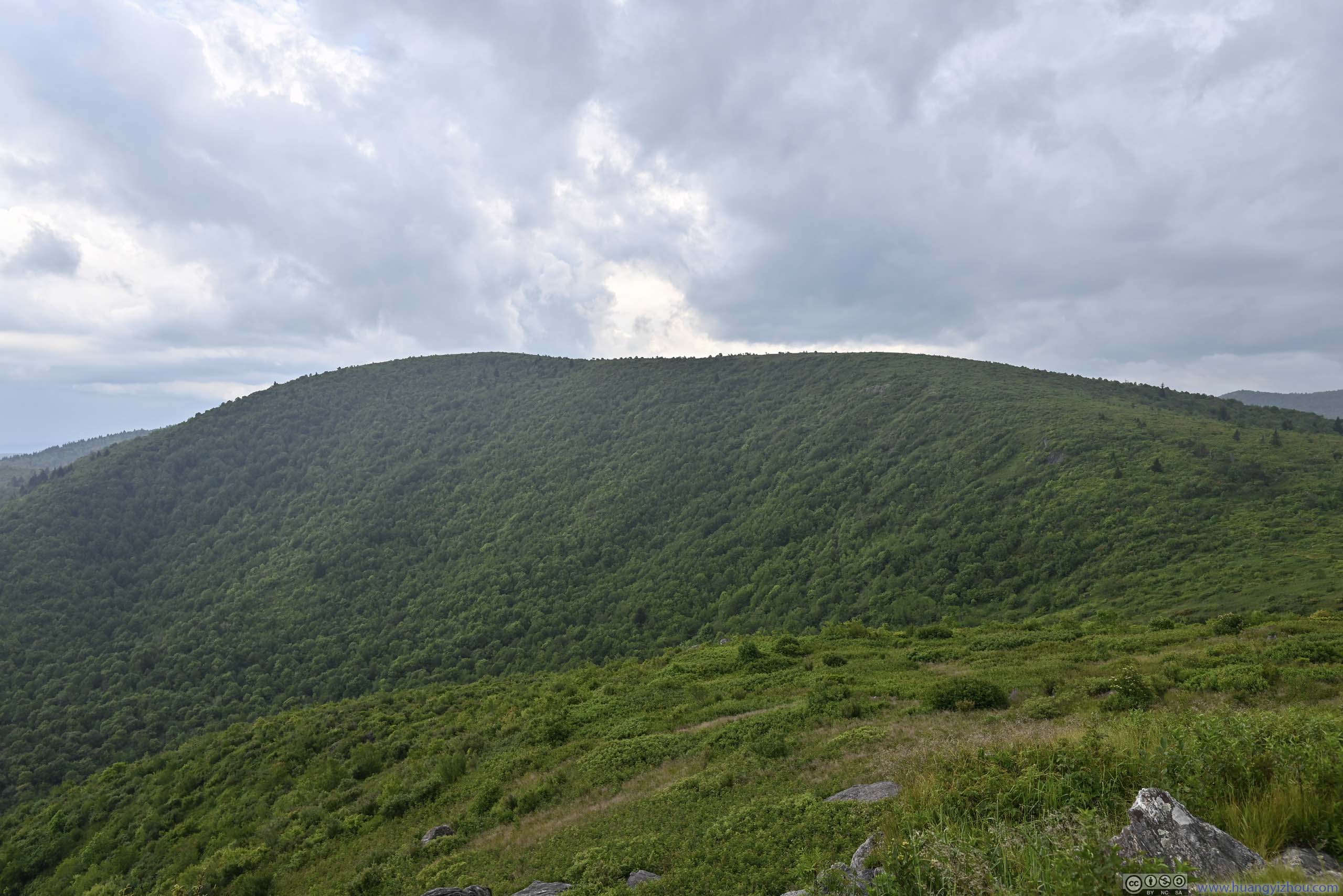
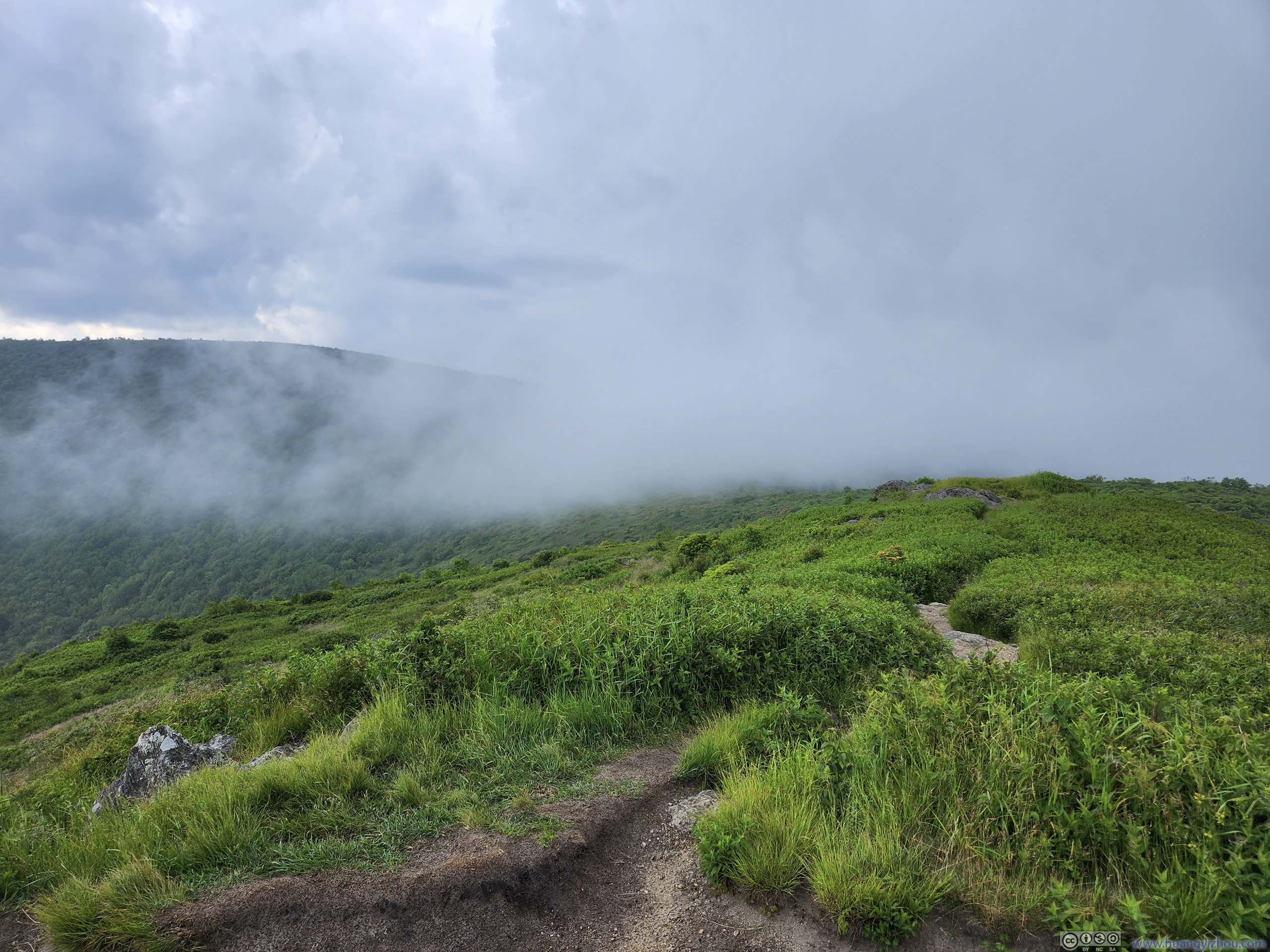
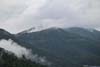
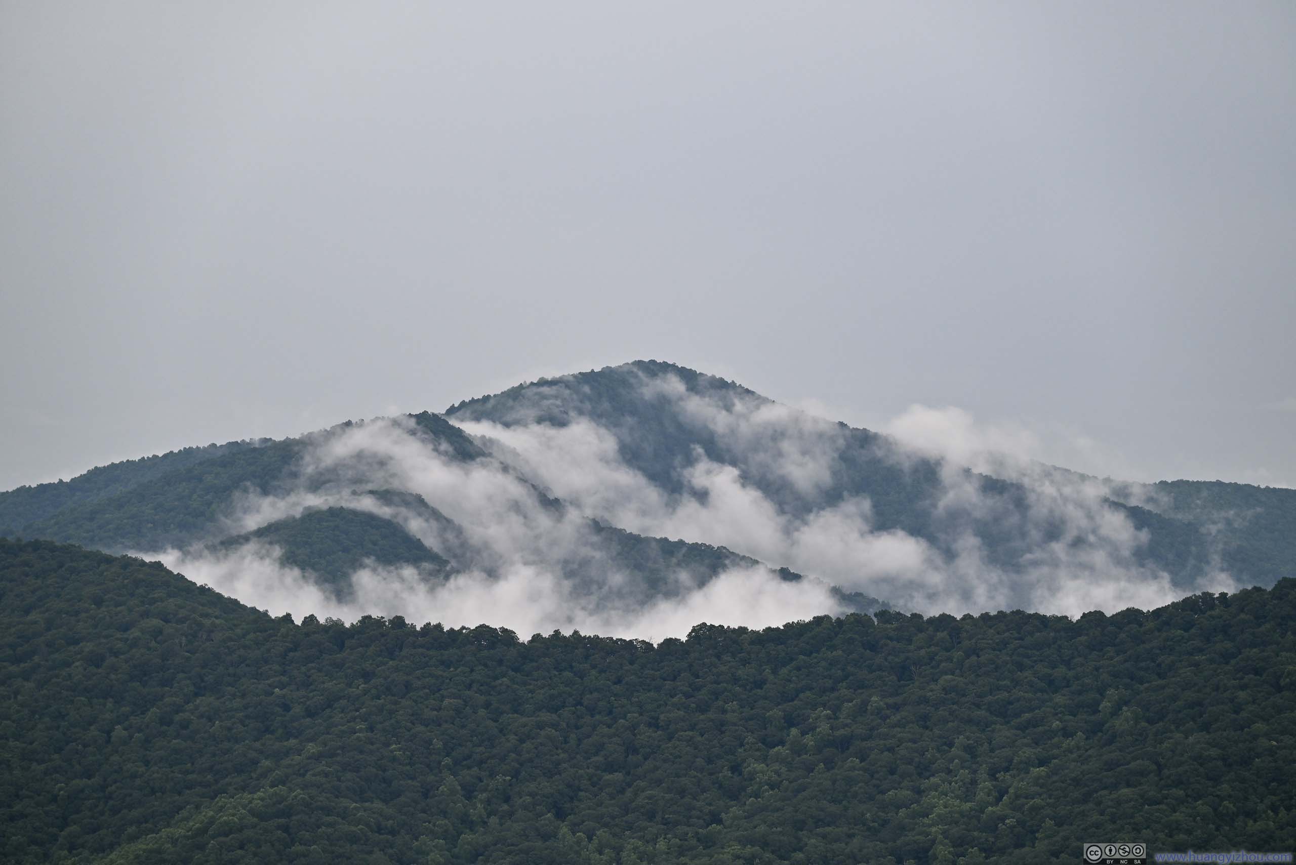
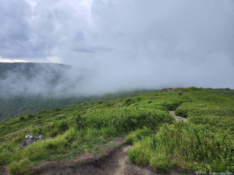 Clouds Reaching over Tennent Mountain
Taken over 1 minute after the previous photo. Now I lost sight of some of the hills in the background.
Clouds Reaching over Tennent Mountain
Taken over 1 minute after the previous photo. Now I lost sight of some of the hills in the background.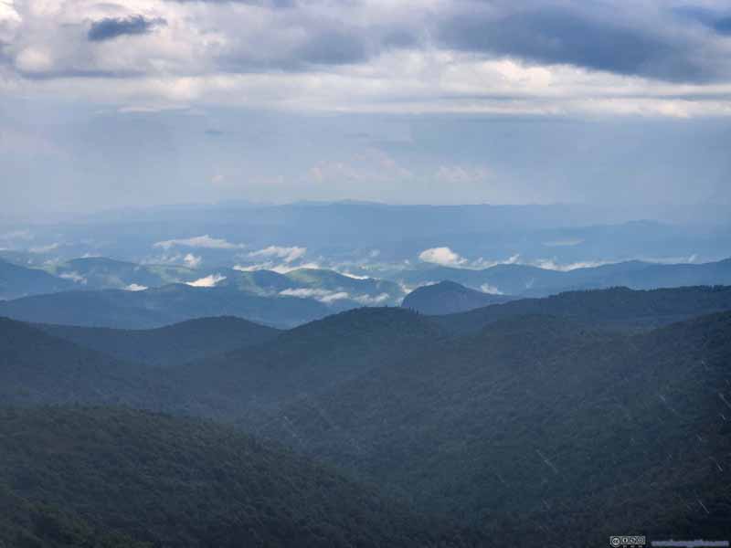 Mountains to the SoutheastIncluding Looking Glass Rock. Now the mountains were amid patches of mist, with rain coming.
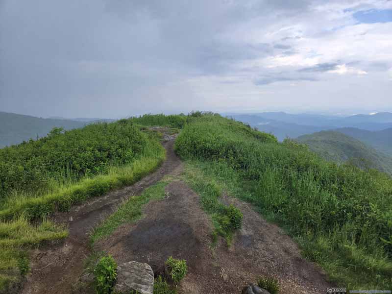 Art Loeb TrailContinuing east. I thought this was my fastest way back to the parking lot.
Click here to display photos of the slideshow

Mountains to the North
Mountains to the West
Clouds Reaching over Tennent Mountain
Mountains to the SoutheastIncluding Looking Glass Rock. Now the mountains were amid patches of mist, with rain coming.
Art Loeb TrailContinuing east. I thought this was my fastest way back to the parking lot.
Below is a video that I took from Tennent Mountain, the raindrops were very visible.
27 seconds, 2160p30fps, H265only, 10Mbps for a total size of 36MB.
Luckily, I didn’t come unprepared for the rain. My jacket was rain-resistant and I quickly put on a rain cover for my backpack. All that remains was for me to retreat to the car quickly.
That’s when I made a third mistake. Had I preload maps for the area, I should have known there’s a trail leading west from Tennent Mountain that connected to Ivestor Gap Trail. Instead, I relied on offline Google Maps, which only displayed Art Loeb Trail continuing east as the fastest way to Ivestor Gap Trail.
In the end, Art Loeb Trail beyond Tennent Mountain was not in great condition. It was narrow and very much overgrown. And this choice of trails meant I walked an additional 1.5km in the rain.
 Ivestor Gap Trail
In the end, I got back to the car at around 6:40pm, more than an hour after the rain started (by which time the rain almost stopped). And I was completely drenched, a rather unpleasant end on this Independence Day.
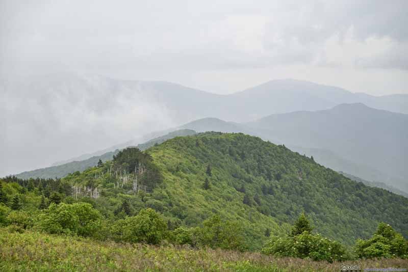
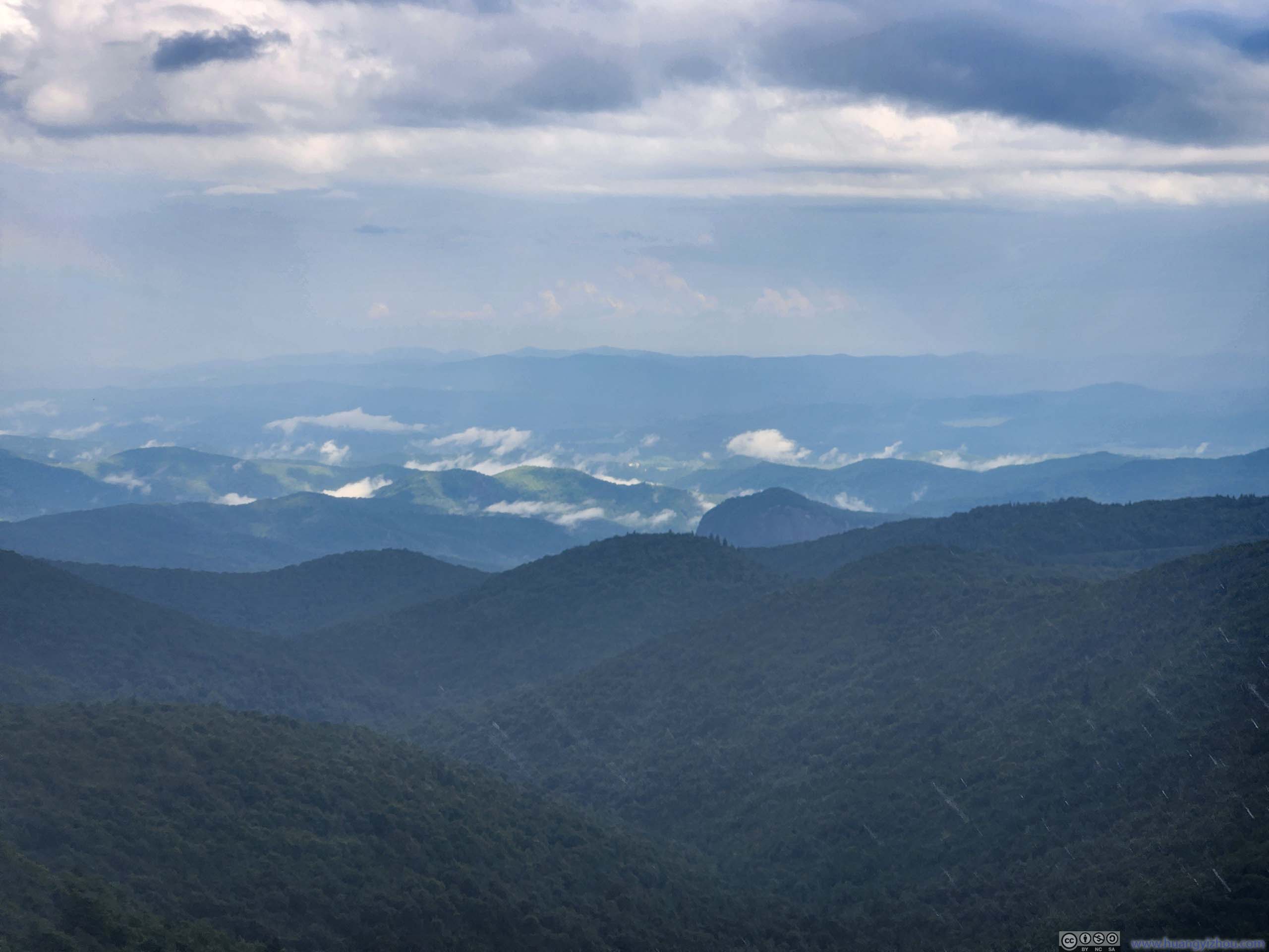
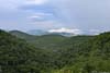
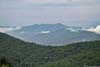
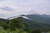
After my best attempts at drying my clothes up, I started driving back towards my hotel in Asheville. The mountains along the way looked splendid as they were dressed by patches of clouds from the previous rain. It’s just that I wasn’t in the mood of appreciating them, having suffered tremendously in the rain myself.
 View of Mountainsfrom East Fork Overlook
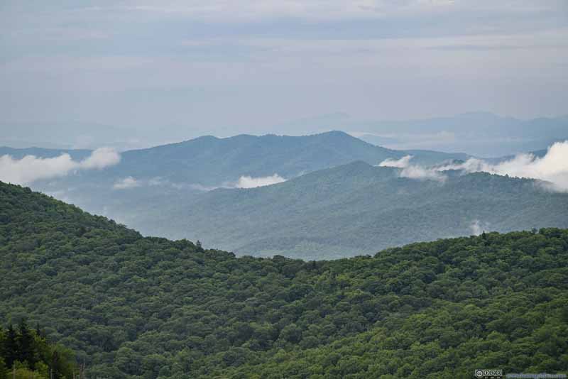 Funneltop Mountainfrom East Fork Overlook
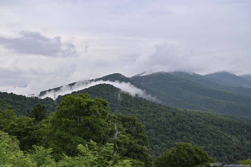 Mountains in Mistfrom Pounding Mill Overlook
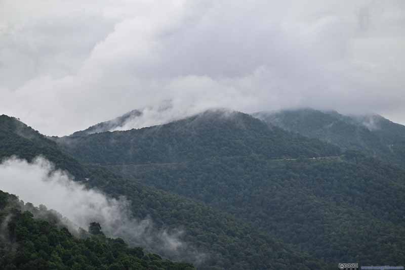 Blue Ridge Parkway among Mistfrom Pounding Mill Overlook
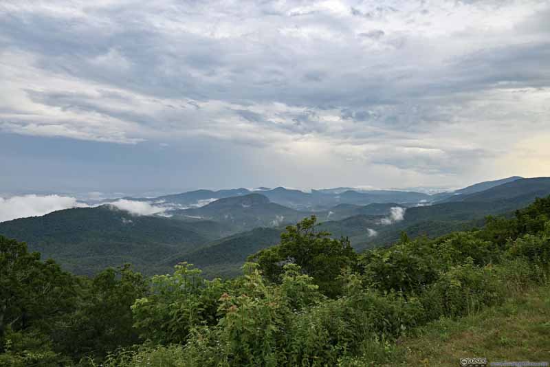 Mountains to the Southfrom Pounding Mill Overlook
 Looking Glass Rock amid Mistfrom Pounding Mill Overlook
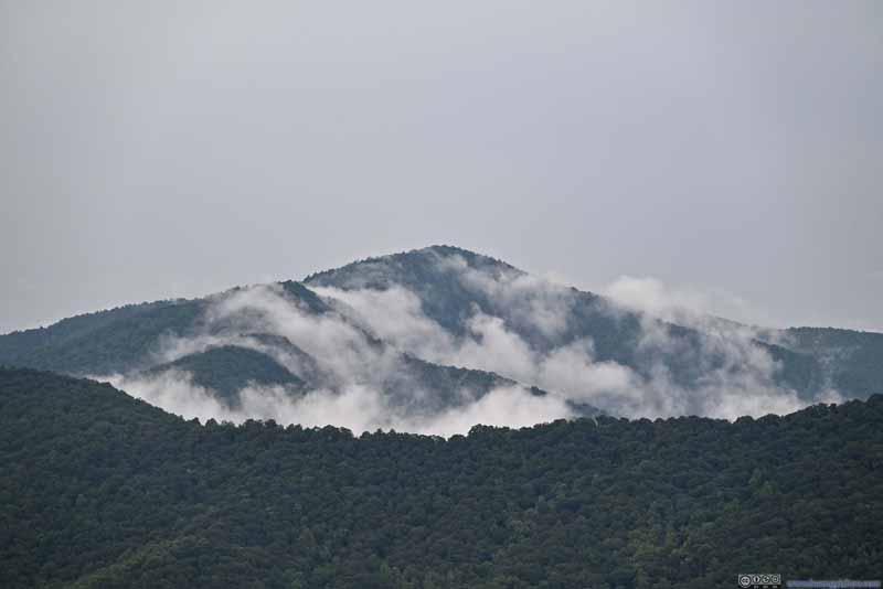 Black Mountain Surrounded by Mistfrom Pounding Mill Overlook. The rolling clouds felt very dynamic from this shot.

Click here to display photos of the slideshow
View of Mountainsfrom East Fork Overlook
Funneltop Mountainfrom East Fork Overlook
Mountains in Mistfrom Pounding Mill Overlook
Blue Ridge Parkway among Mistfrom Pounding Mill Overlook
Mountains to the Southfrom Pounding Mill Overlook
Looking Glass Rock amid Mistfrom Pounding Mill Overlook
Black Mountain Surrounded by Mistfrom Pounding Mill Overlook. The rolling clouds felt very dynamic from this shot.
END
![]() Day 3 of 2023 Independence Day Trip, Drenched at Black Balsem Knob by Huang's Site is licensed under a Creative Commons Attribution-NonCommercial-ShareAlike 4.0 International License.
Day 3 of 2023 Independence Day Trip, Drenched at Black Balsem Knob by Huang's Site is licensed under a Creative Commons Attribution-NonCommercial-ShareAlike 4.0 International License.