
Updated on April 28, 2024
Day 13 of Autumn 2023 Trip to Mountain States, Chimney Rock and Attempt at Alberta Peak
The thirteenth day of my autumn 2023 trip to the mountain states. Today I started driving back east, checking out Chimney Rock National Monument and Alberta Peak along the way.
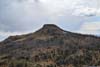
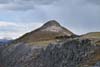
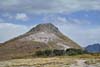
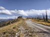
Alberta Peak
Plans for the Next Few Days
It’s Sunday the 1st as the calendar turned into October, which meant I had spent the last two weeks on the road, now ending up in Durango, CO. From here, a natural next step was to check out the nearby Mesa Verde National Park for its cliff houses and Puebloan history. Unfortunately, I couldn’t find open slots for the tours (as I only checked two days in advance). In addition, a situation developed requiring me to be back in Chicago by the end of this Friday. So I decided to start driving back east today.
I only planned to reach Monte Vista, CO by the end of this day, which was a relatively short drive, since I wanted to check out Great Sand Dunes National Park along the way, which was best visited in the morning (so I planned for it the next morning). Between Durango and Monte Vista, I would check out Chimney Rock (which was also a Puebloan relic site), and did a relatively short hike from Wolf Creek Pass (Alberta Peak).
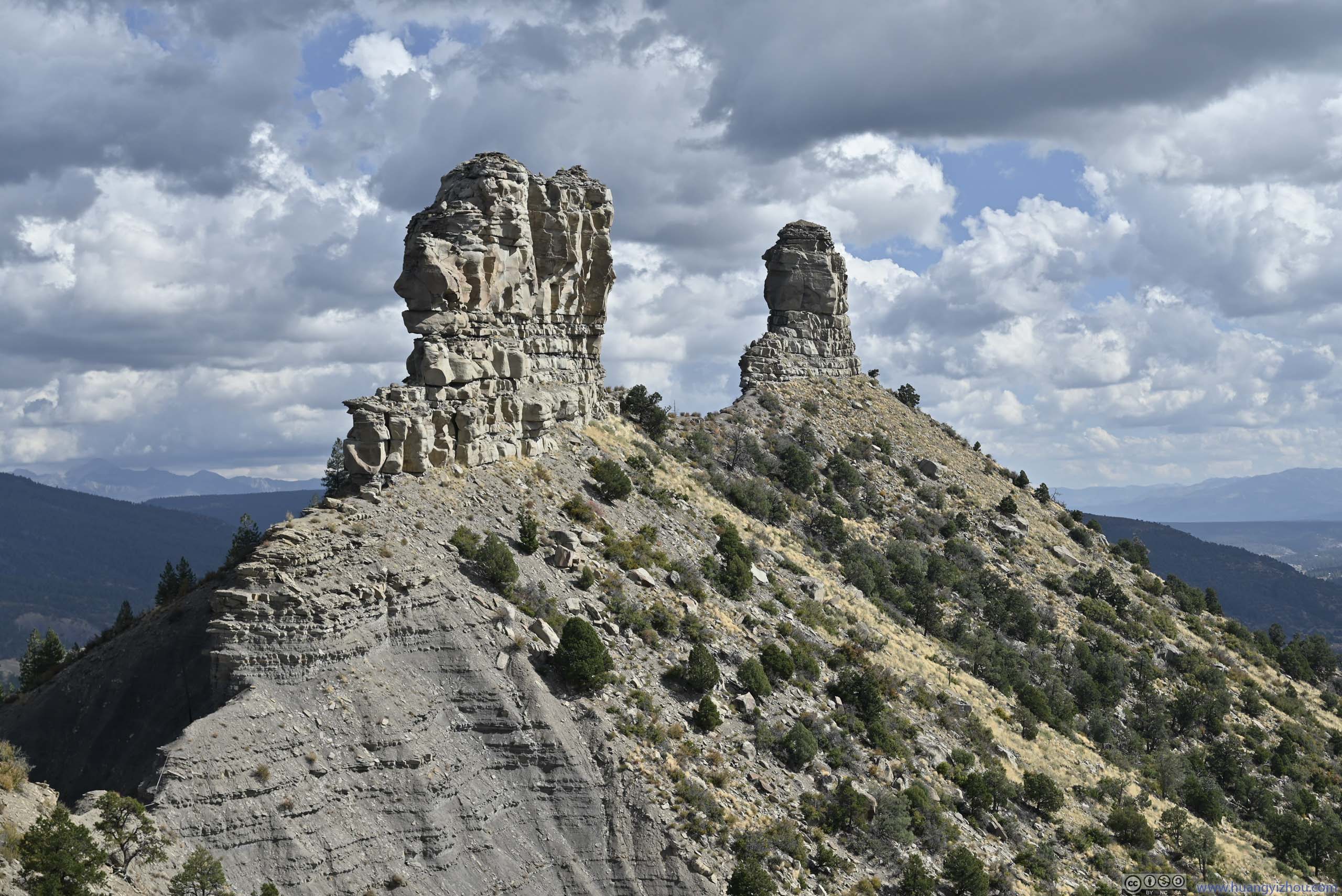
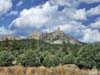
Chimney Rock
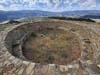
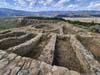
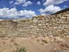
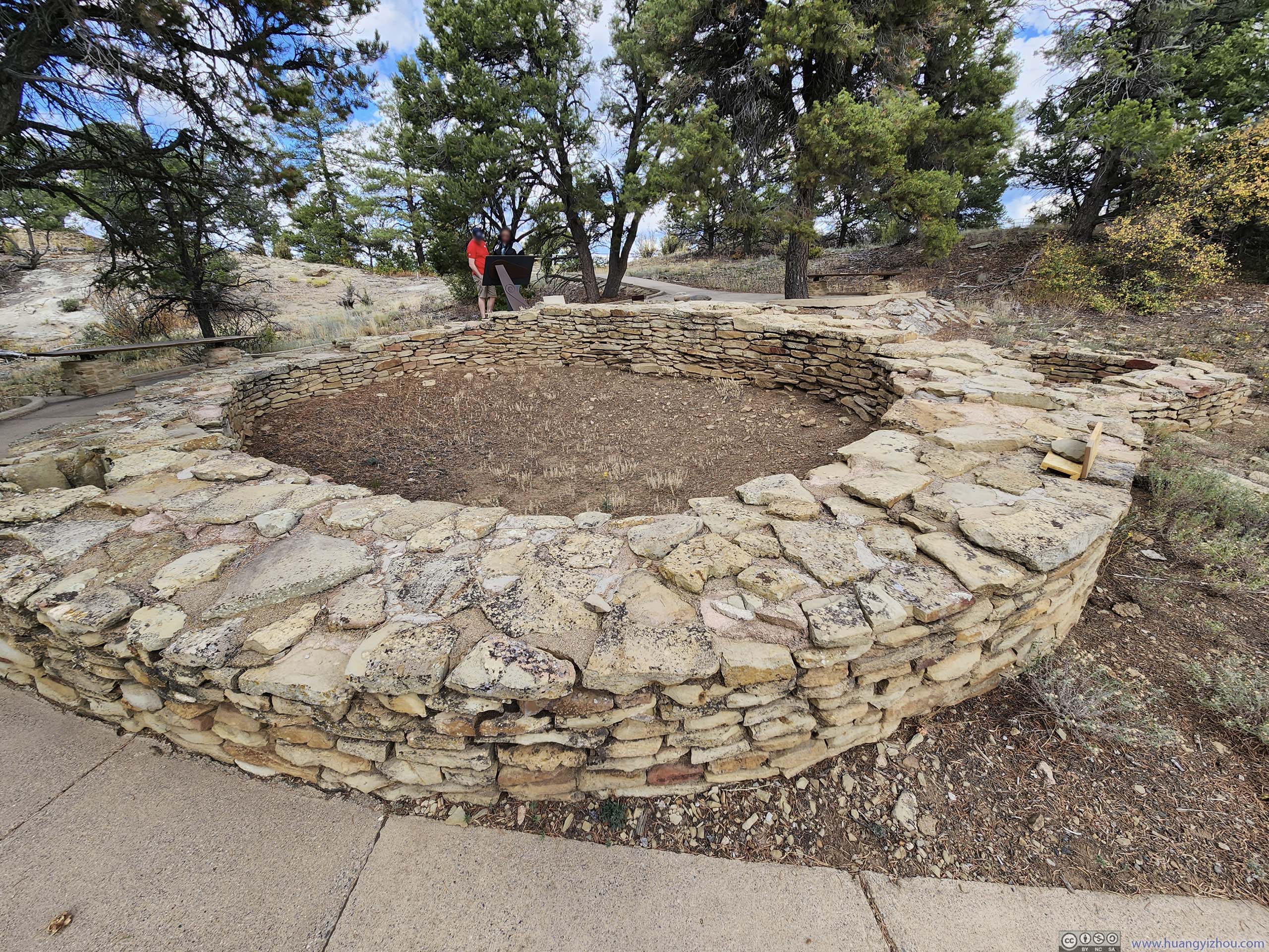
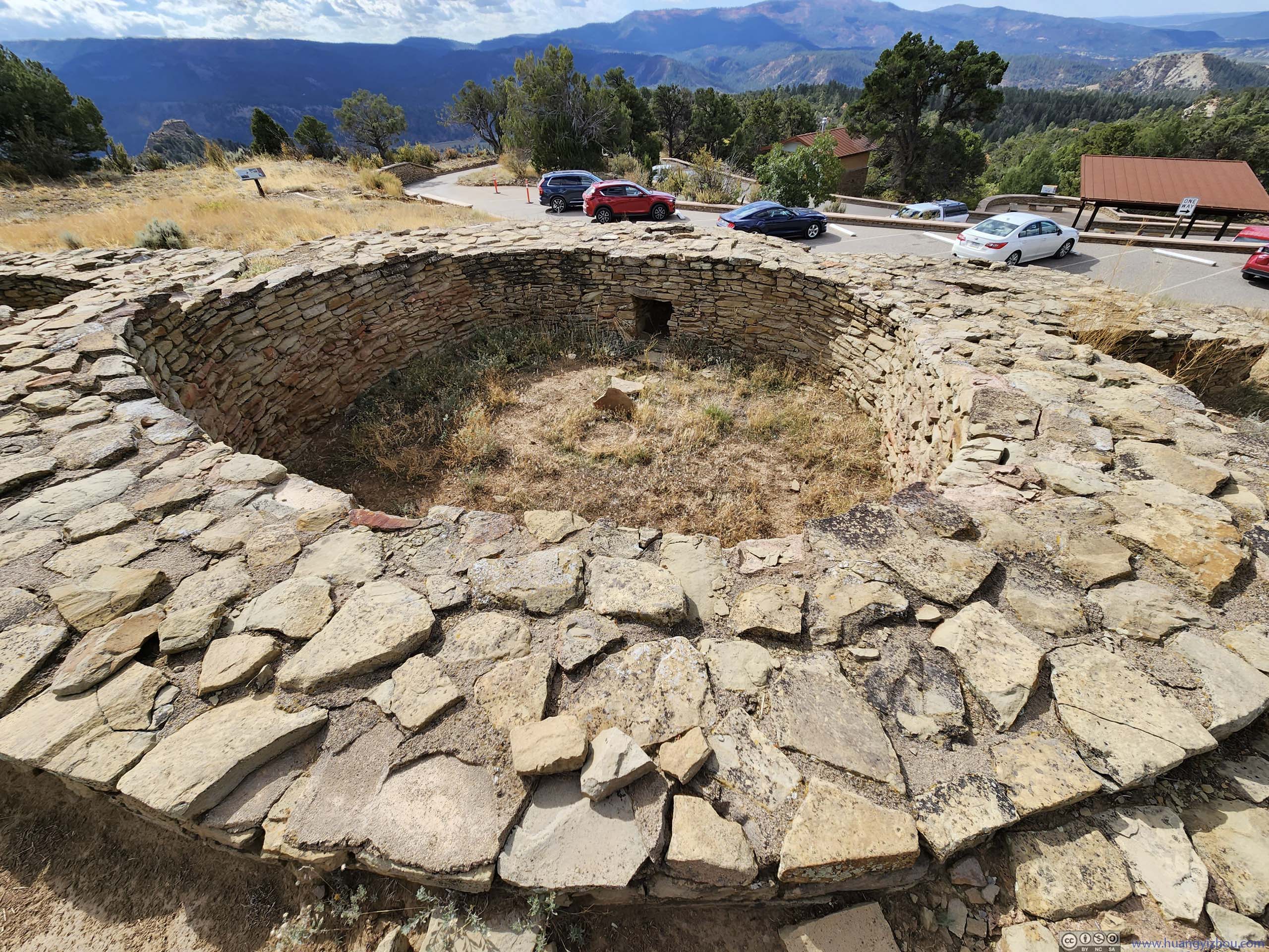
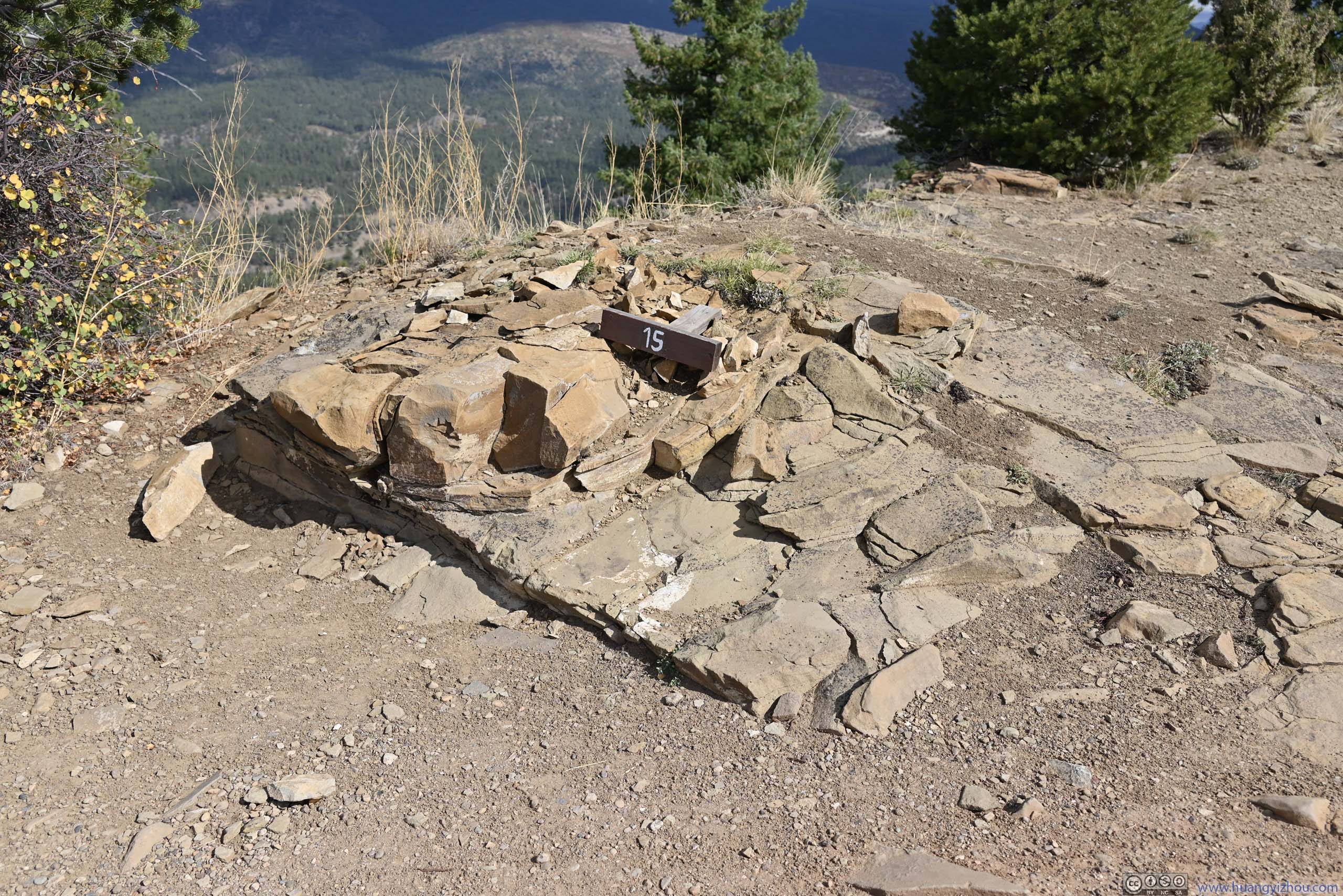
This was an Ancestral Puebloan site, a geological outlier compared to other Chacoan settlements around the Four Corners region. The settlement featured many rooms/kivas, located on a hill, far from water sources and crops. “Chimney Rock” was two rock pillars to the east, where during “Northern Lunar Standstill”, the moon rose from the horizon in between the pillars. (Unlike the sun, the location/angle of moon rise/set followed a longer period of 18.6 years.) It’s believed the settlement’s relatively inaccessible location was to observe this “Northern Lunar Standstill” (from a hill), hence the rooms/kivas were likely for “ceremonial” purposes, showcasing the advanced degree of civilization.
One thing I didn’t quite like about Chimney Rock: it’s a 3-mile (one-way) gravel road from its entrance to the kivas on top of a hill. While the road didn’t require ground clearance, it’s heavily washboarded. In contrast, the parking lot and one of the two trails on top of the hill were paved.
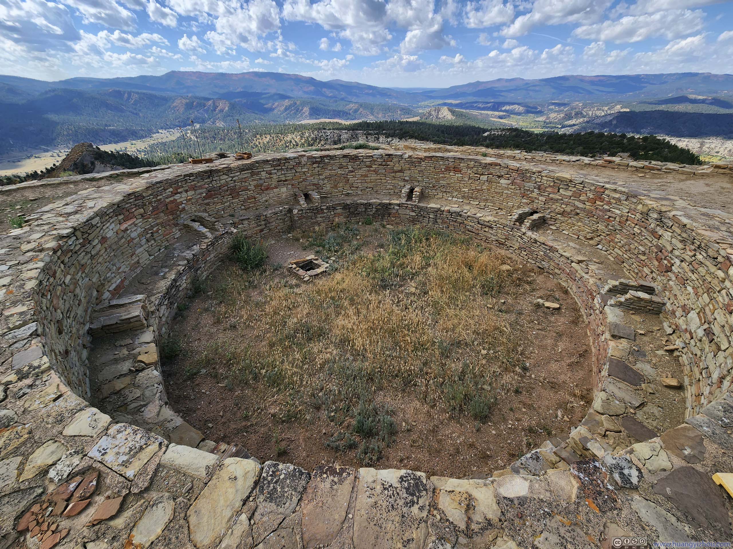
 Pit House
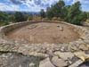
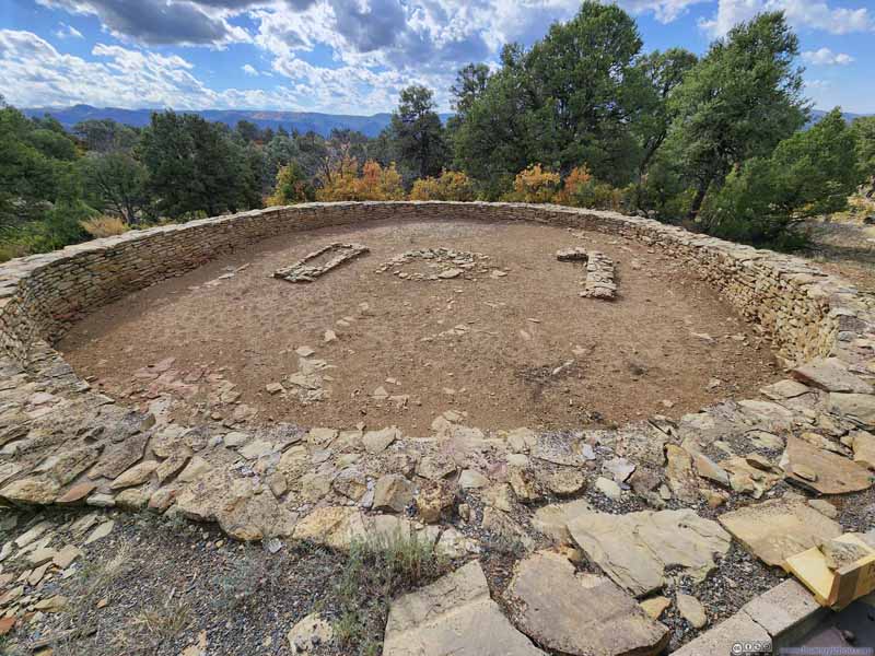 Great Kiva
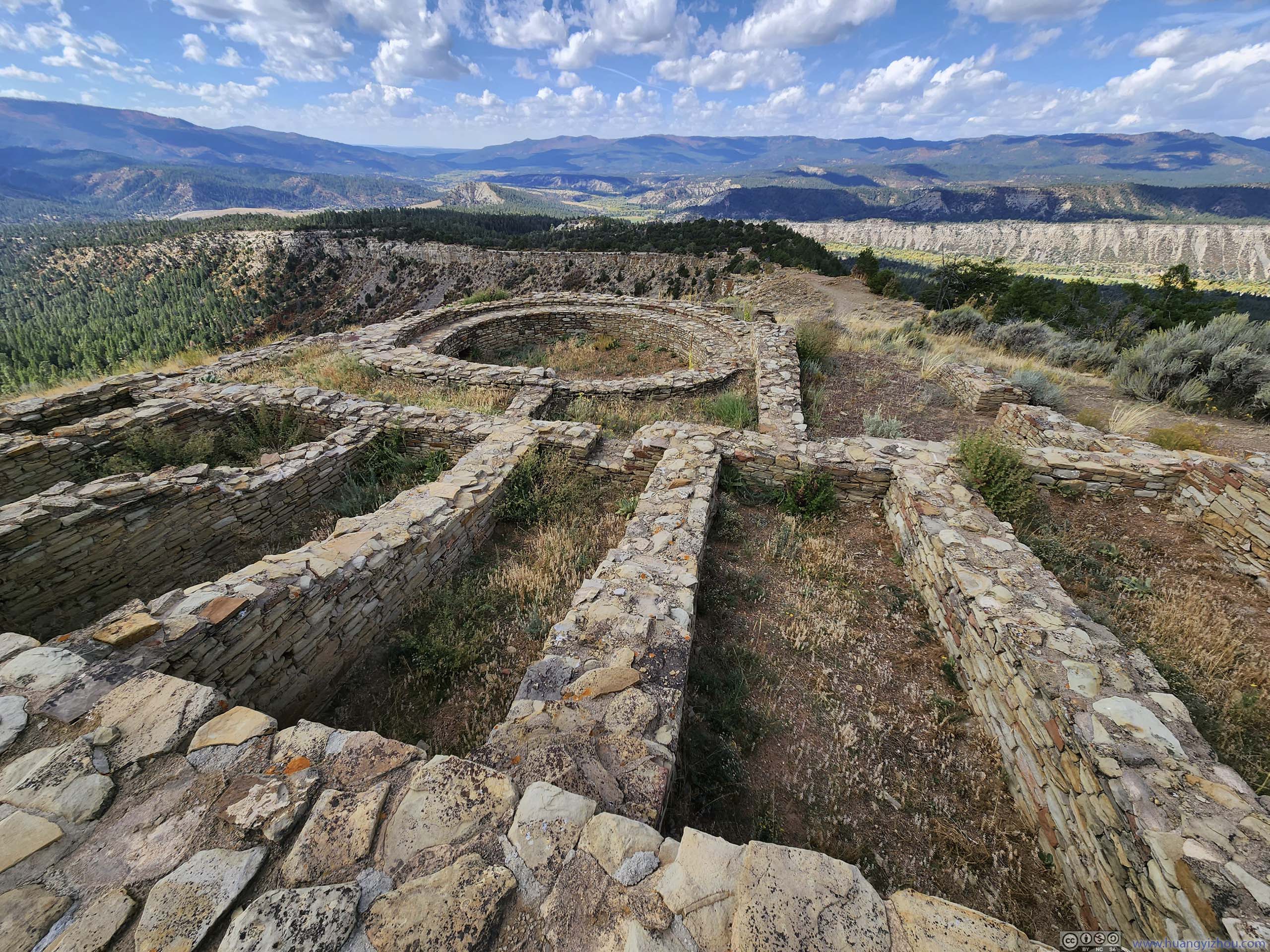
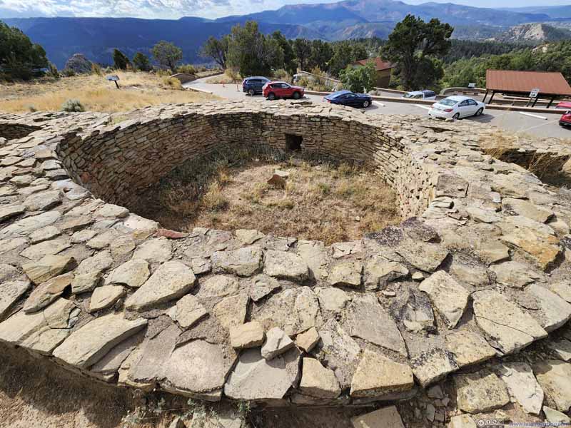 Ridge House
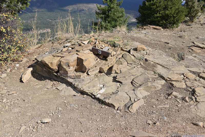 Guard House
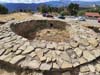
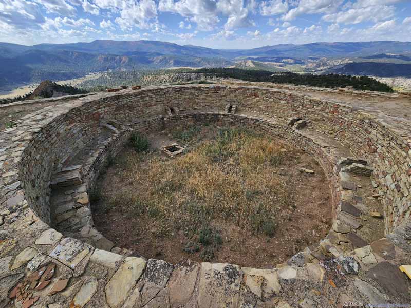 Great House
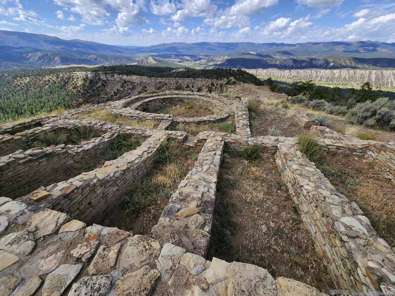 Great House
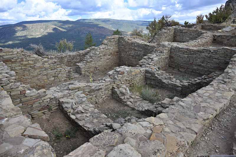 Great House
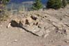
 Distinct Wall SectionsCould indicate two periods of constructions, or built by two groups of people.

Click here to display photos of the slideshow
Pit House

Great Kiva
Ridge House
Guard House
Great House
Great House

Great House
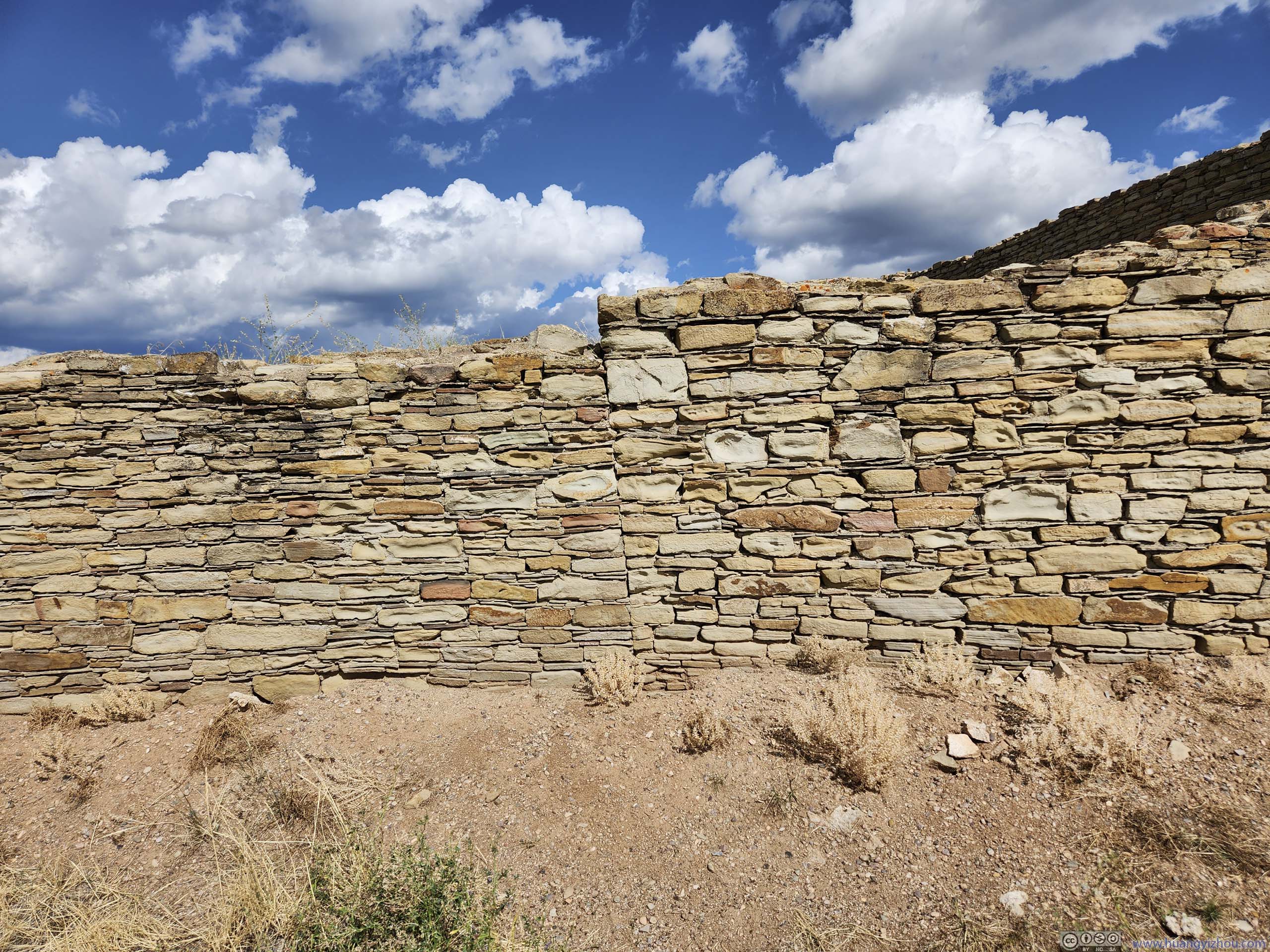
Distinct Wall SectionsCould indicate two periods of constructions, or built by two groups of people.
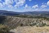
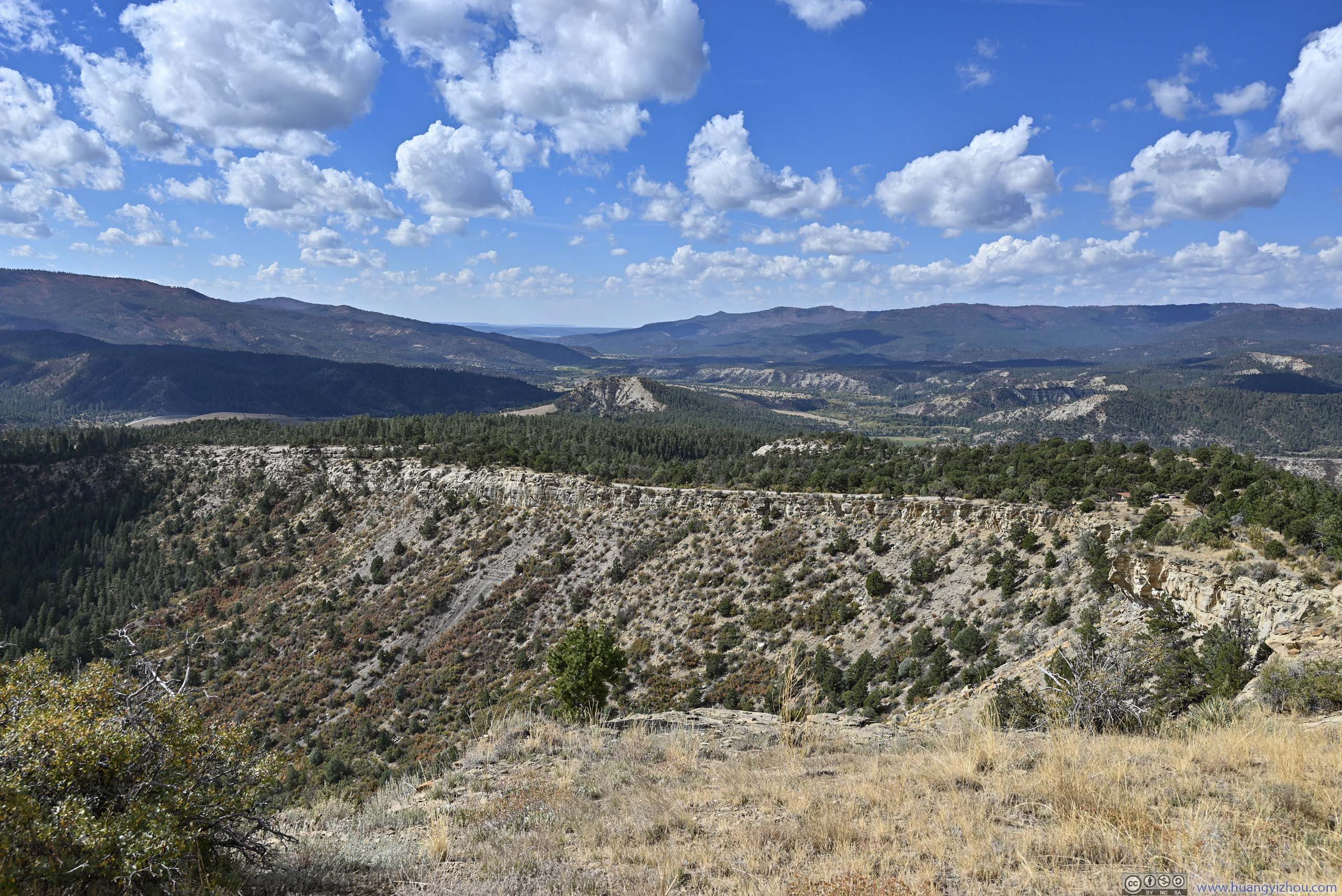
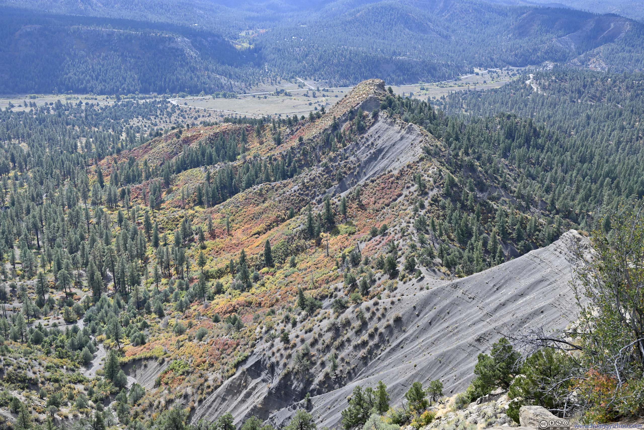
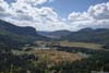
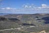
On top of the hill, there’s a 500m loop trail and 1km out-and-back trail, passing various kivas (above). At the end of the longer trail was an overlook of Chimney Rock (p1 below), together with the surrounding landscape. A few workers/volunteers on top of the hill were both knowledgeable and helpful.
 Chimney Rock
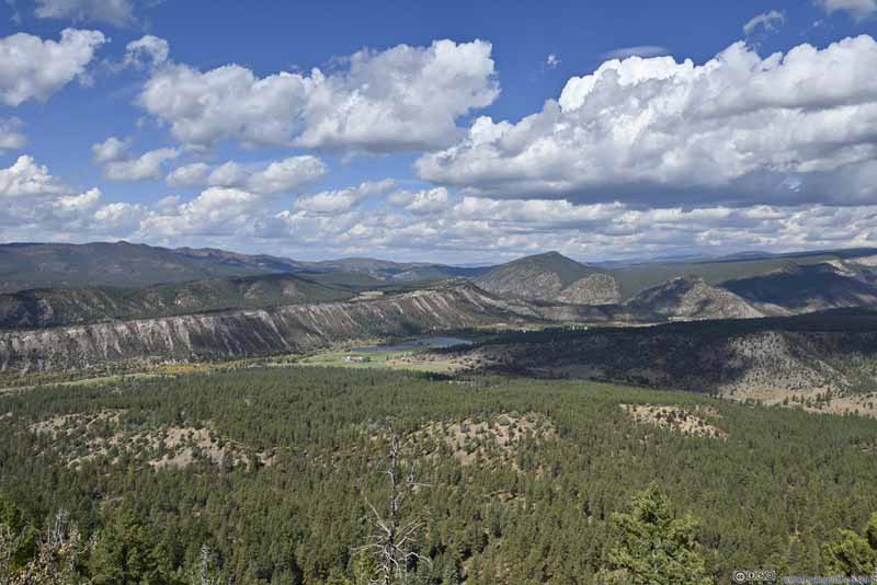 Fields to the North
 Mountains to the West
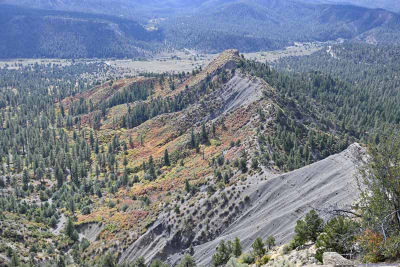 Hills with Foliage
Click here to display photos of the slideshow
Chimney Rock
Fields to the North
Mountains to the West
Hills with Foliage
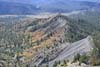
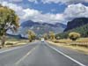
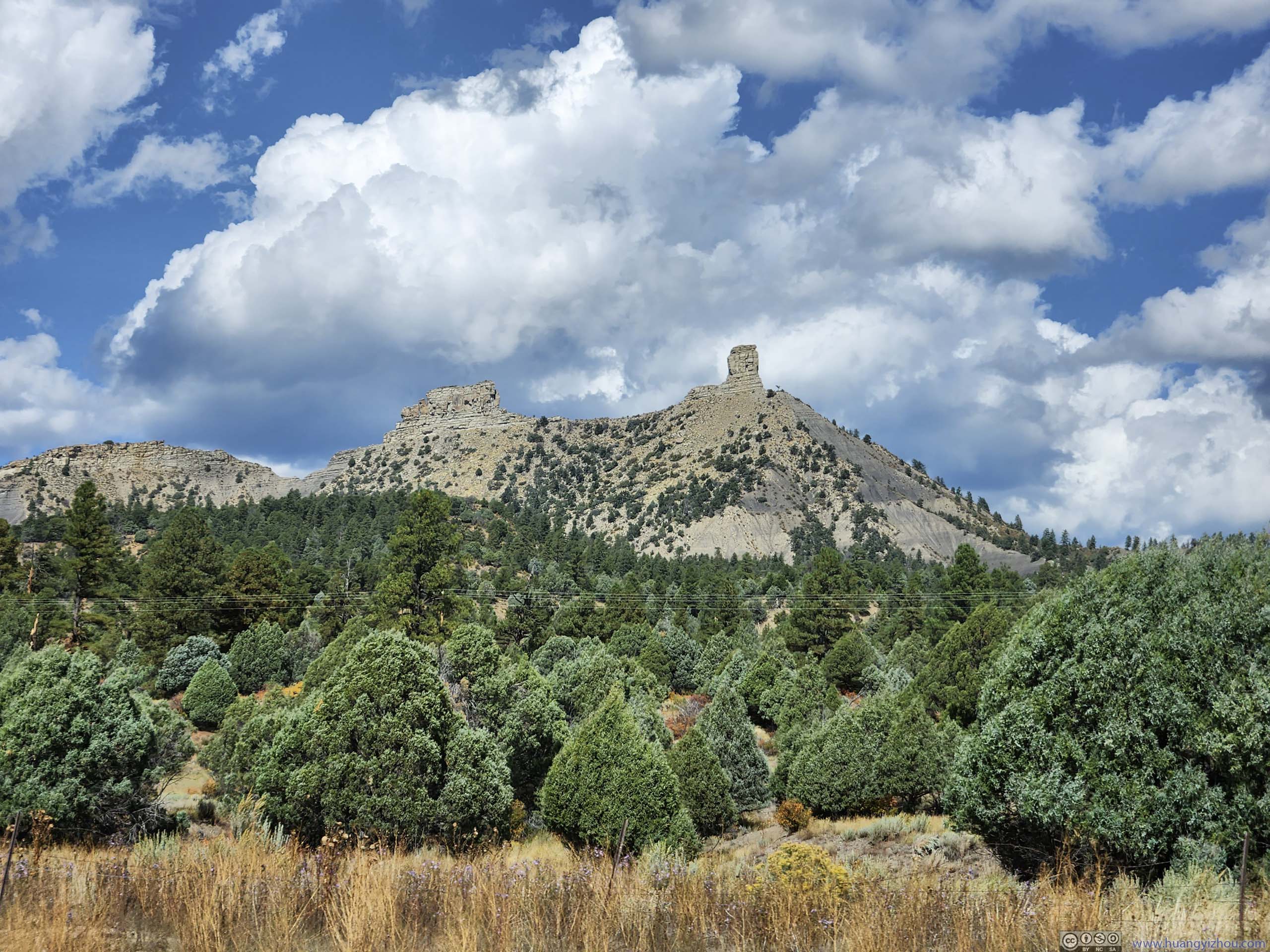
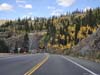
After that, I continued east along US 160.
 Chimney Rock from Road
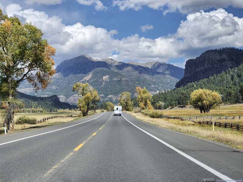 Country Road
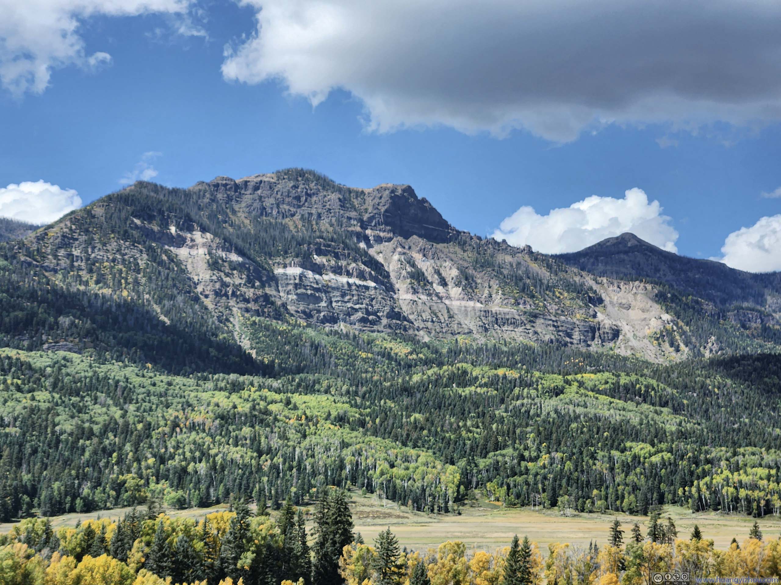
 Saddle Mountain
 Foliage along Fall CreekFrom the trailhead to Treasure Falls.
 Country Road
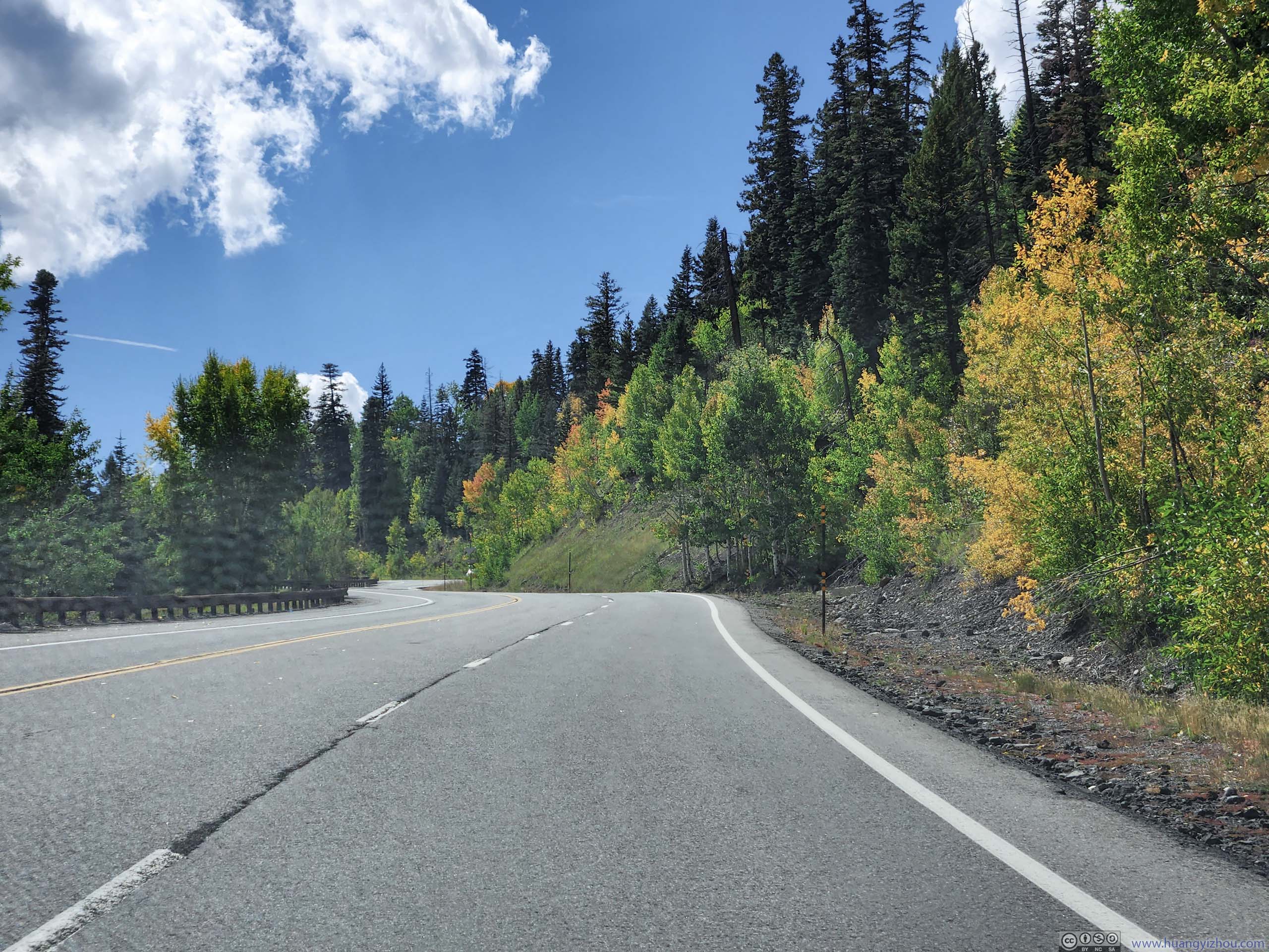
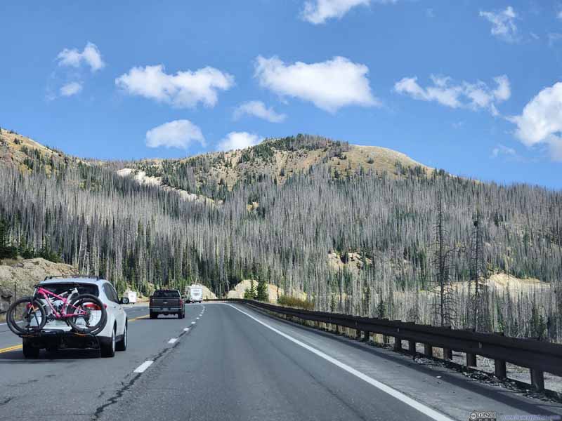 Climbing up to Wolf Creek PassHill with LOBO Overlook in the background.


Click here to display photos along the road.
Chimney Rock from Road

Country Road
Saddle Mountain
Foliage along Fall CreekFrom the trailhead to Treasure Falls.
Country Road

Climbing up to Wolf Creek PassHill with LOBO Overlook in the background.
Along the way, I passed Pagosa Springs, where I grabbed my lunch. The city was known for its hot springs along San Juan River, a few of which were open to the public for free. I didn’t bring towels, so I skipped it.
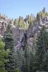
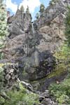
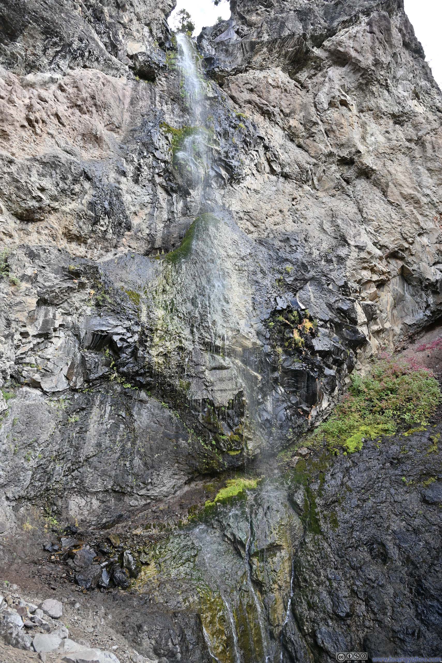
Treasure Falls
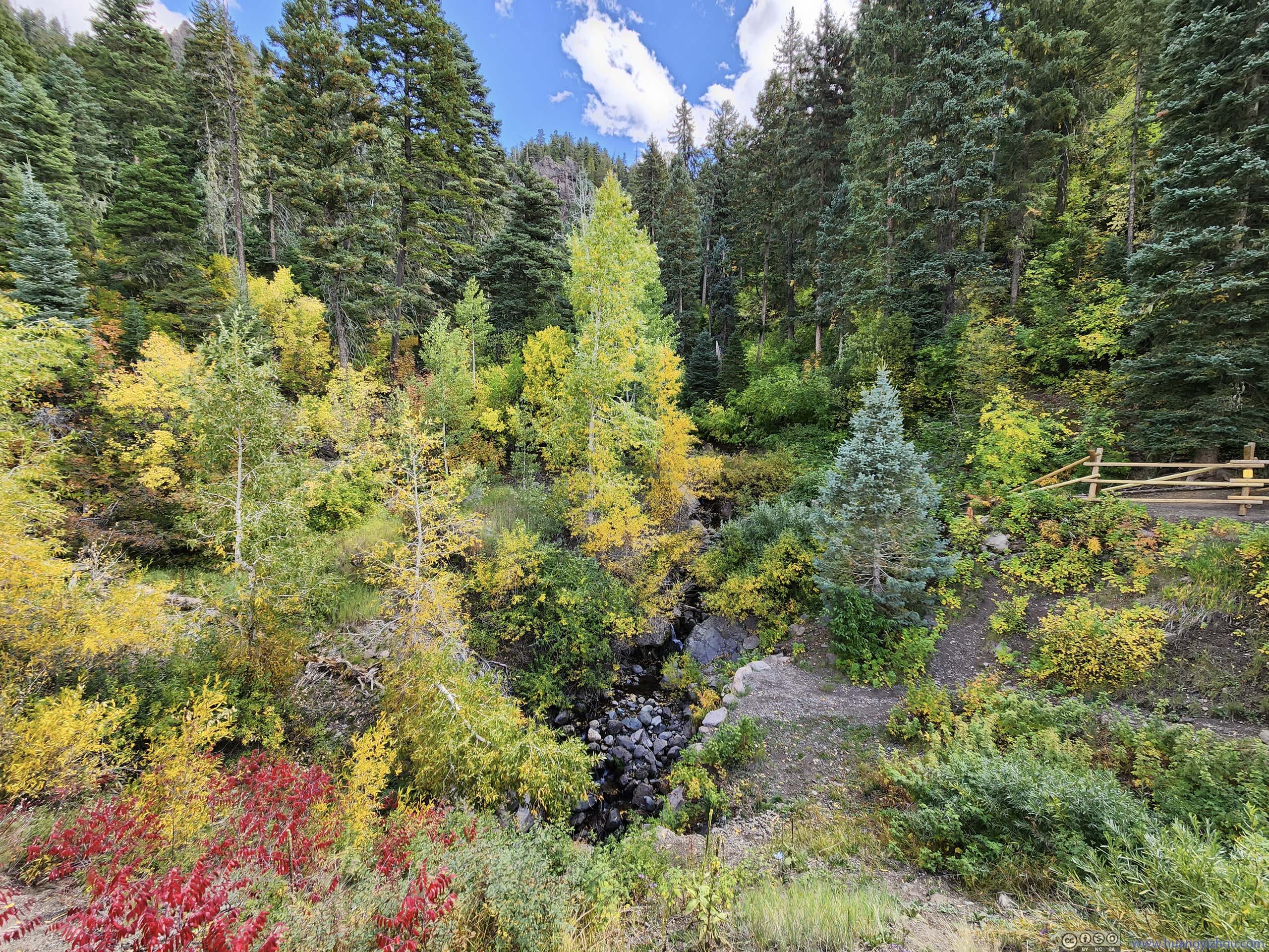
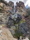
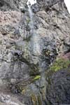
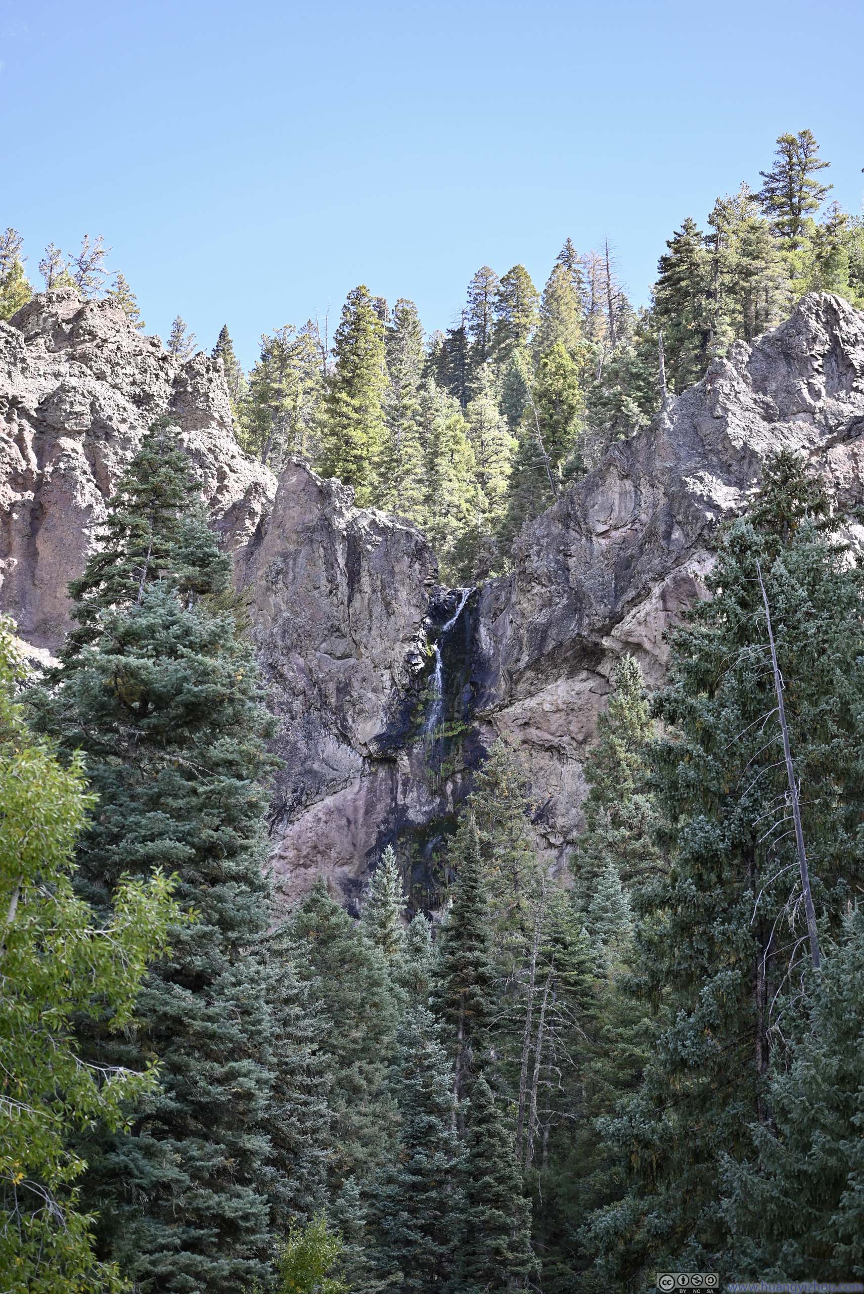
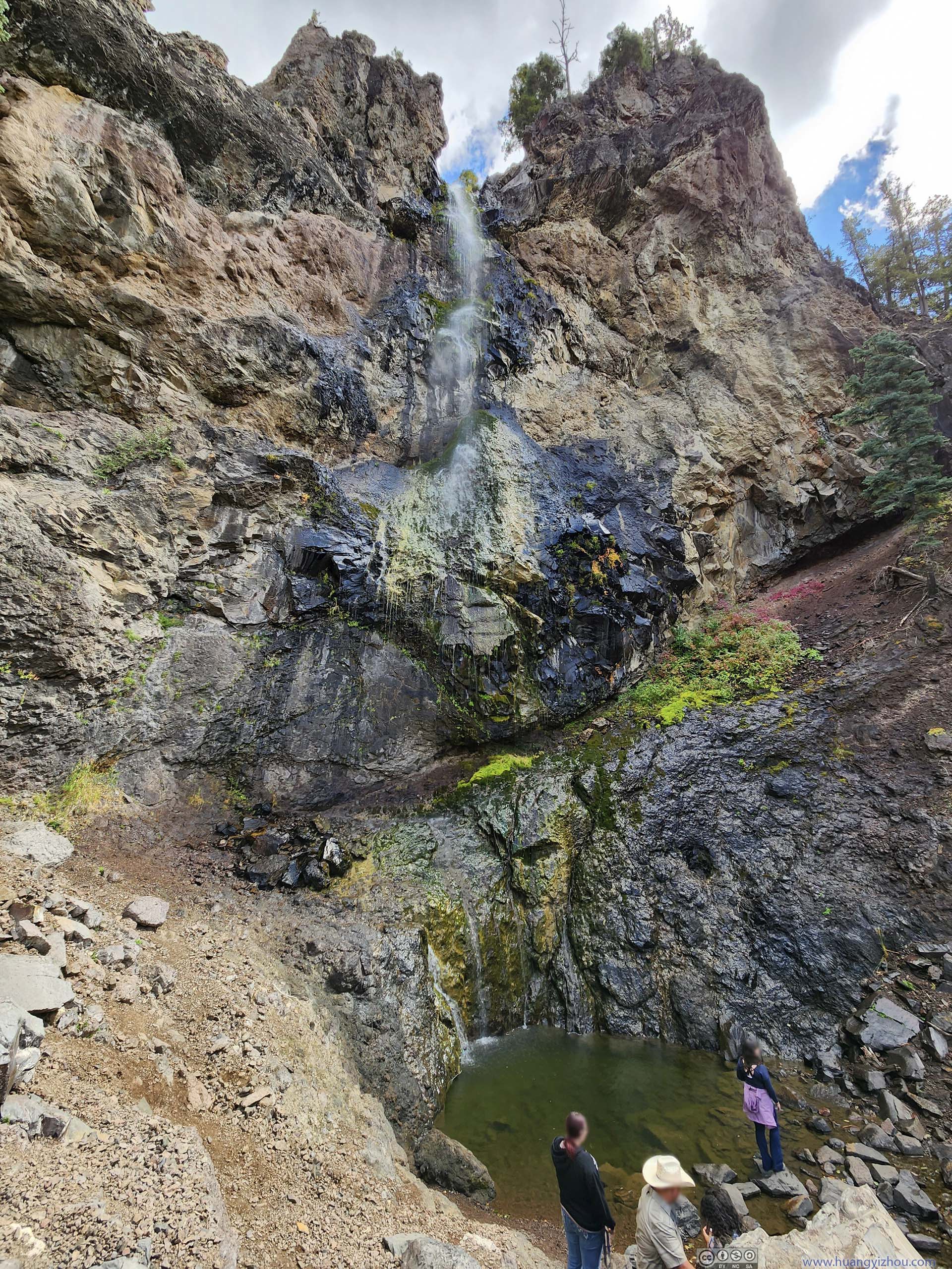
Next along the road was Treasure Falls, a waterfall that can be seen either from the parking lot, or through a short trail up-close. The trail involved a few switchbacks so it was very gradual. Unfortunately, like other waterfalls I ran into earlier this trip, the water flow was rather meager.
 Treasure Falls from Parking Lot
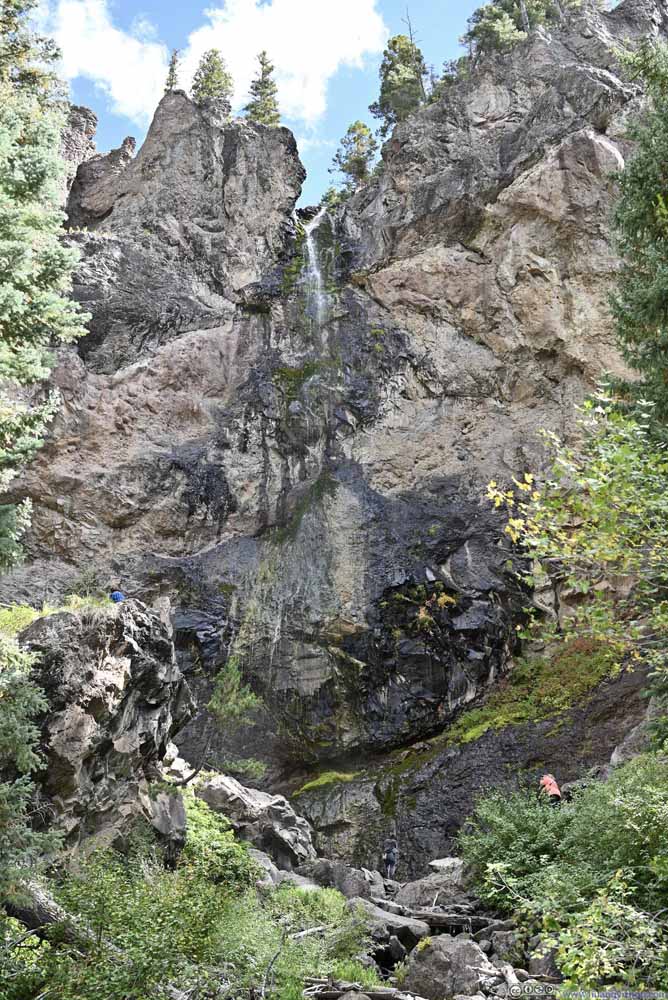 Treasure Falls
 Treasure Falls
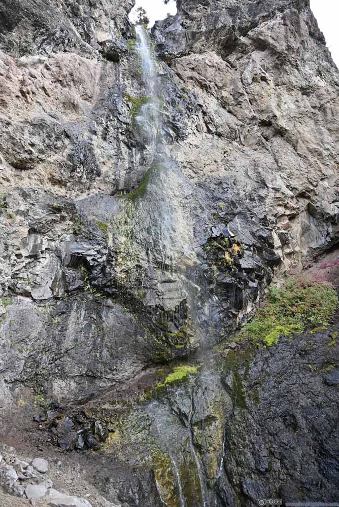 Treasure Falls
Click here to display photos of the Treasure Falls.
Treasure Falls from Parking Lot

Treasure Falls
Treasure Falls
Treasure Falls
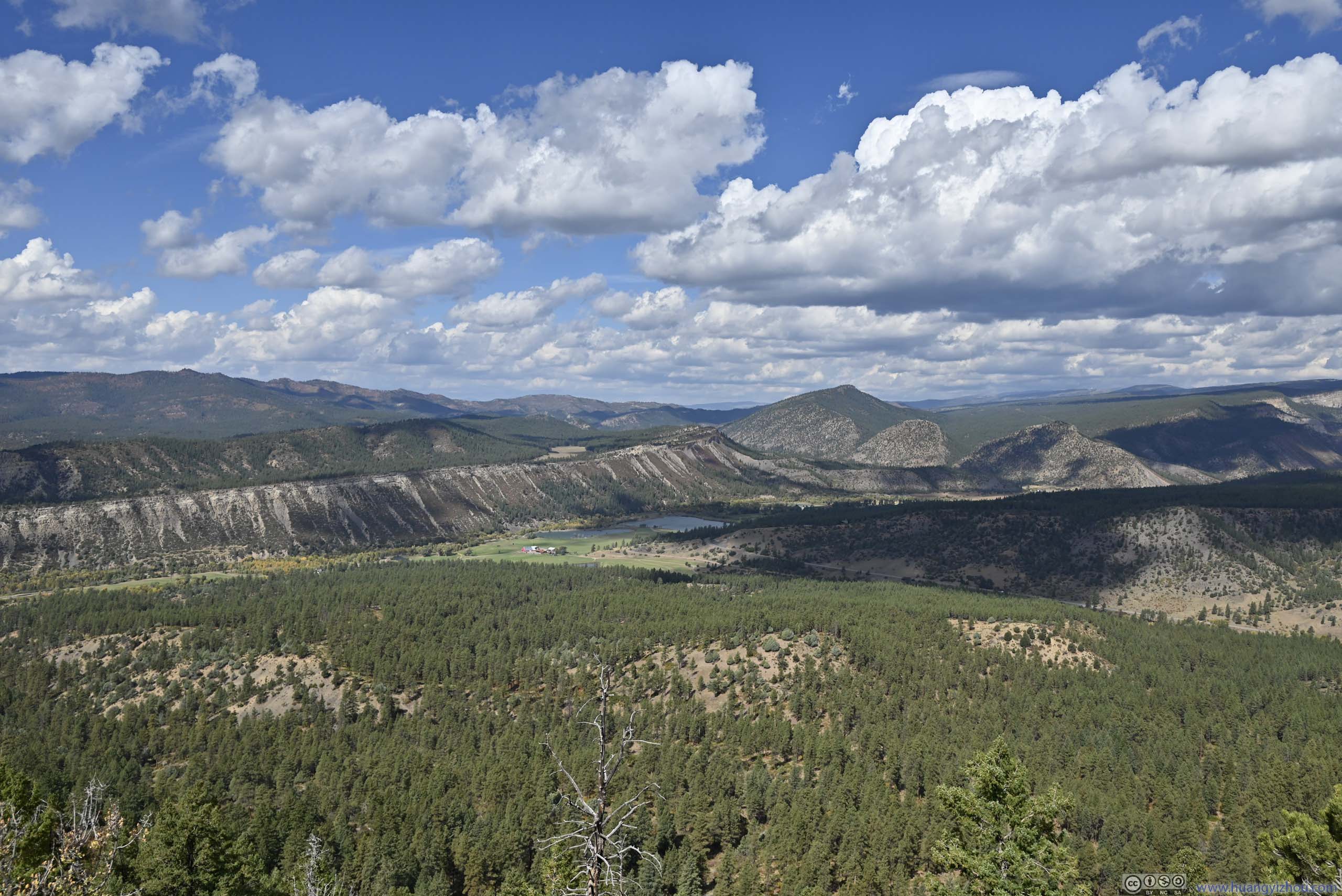
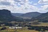
Wolf Creek Valley Overlook
Slightly up the hill was a roadside scenic overlook, “Wolf Creek Valley Overlook”. It’s still early for foliage in this part of Colorado, and its view was to the south, against the sun. So the view was okay, but not stunning.
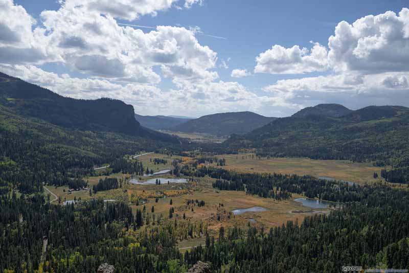 Overlooking Wolf Creek Valley
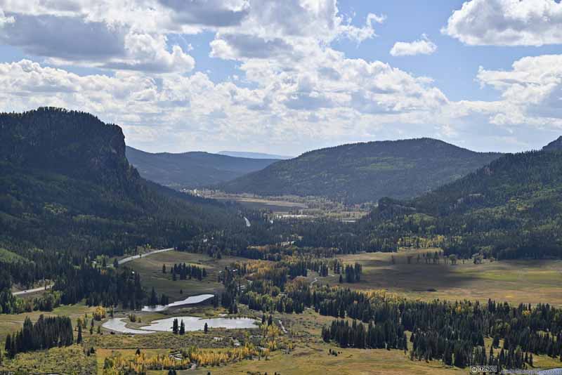 Overlooking Wolf Creek Valley
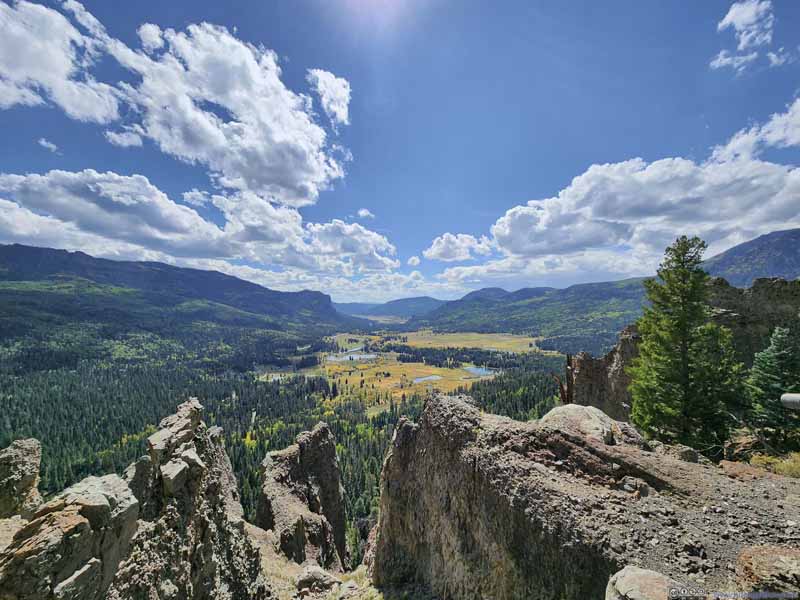 Overlooking Wolf Creek Valley

Click here to display photos of the slideshow

Overlooking Wolf Creek Valley

Overlooking Wolf Creek Valley

Overlooking Wolf Creek Valley
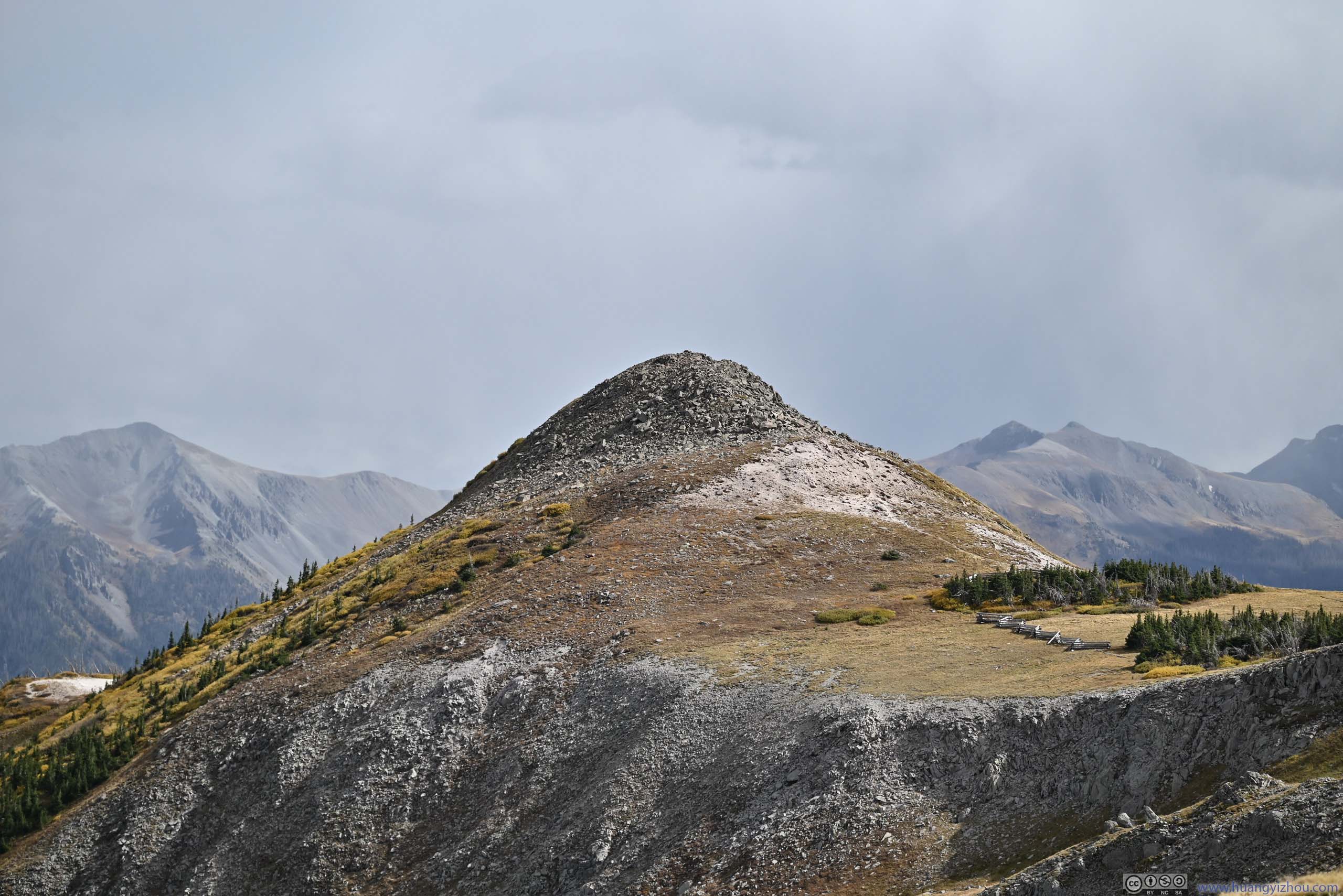
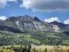
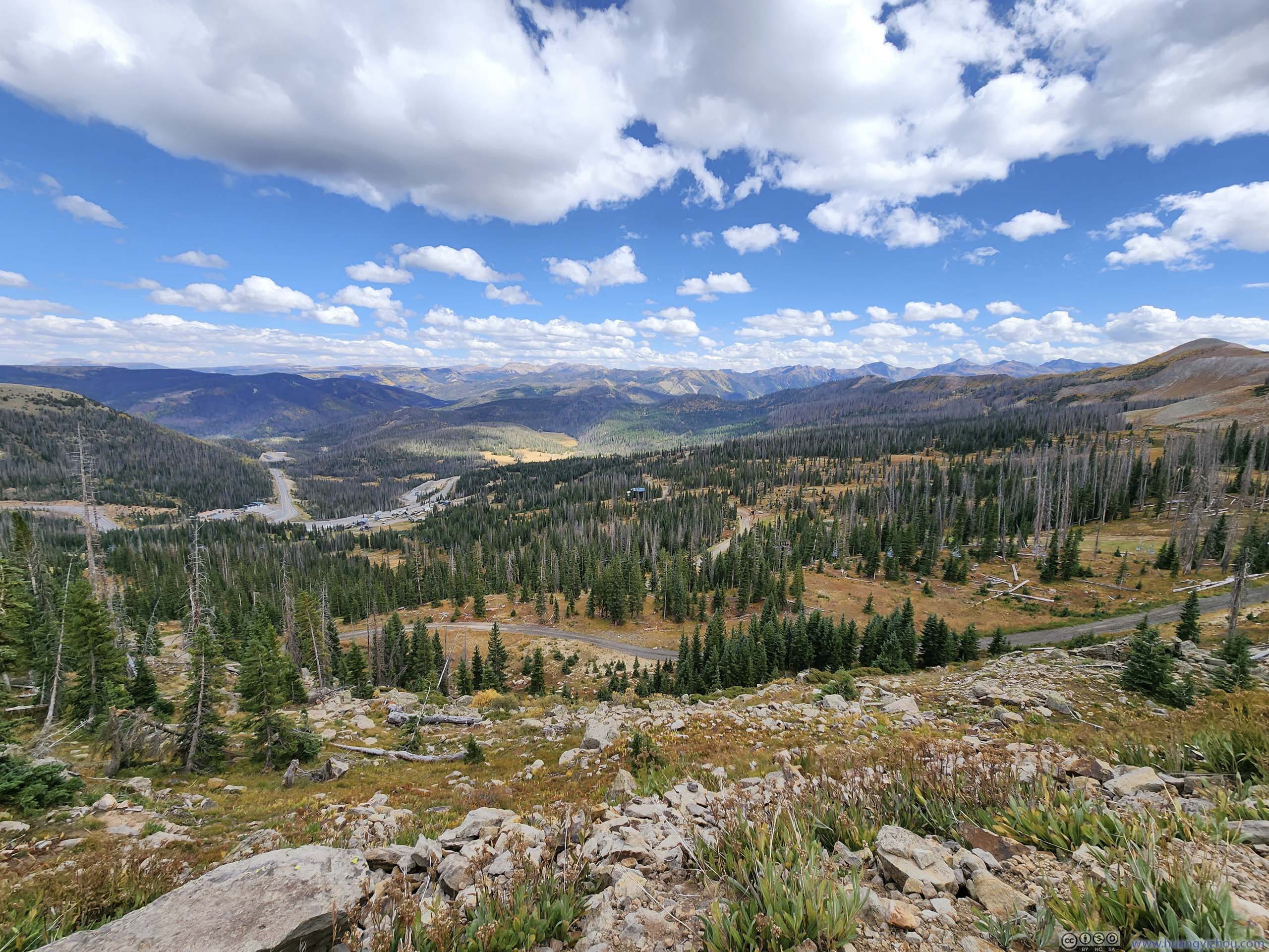
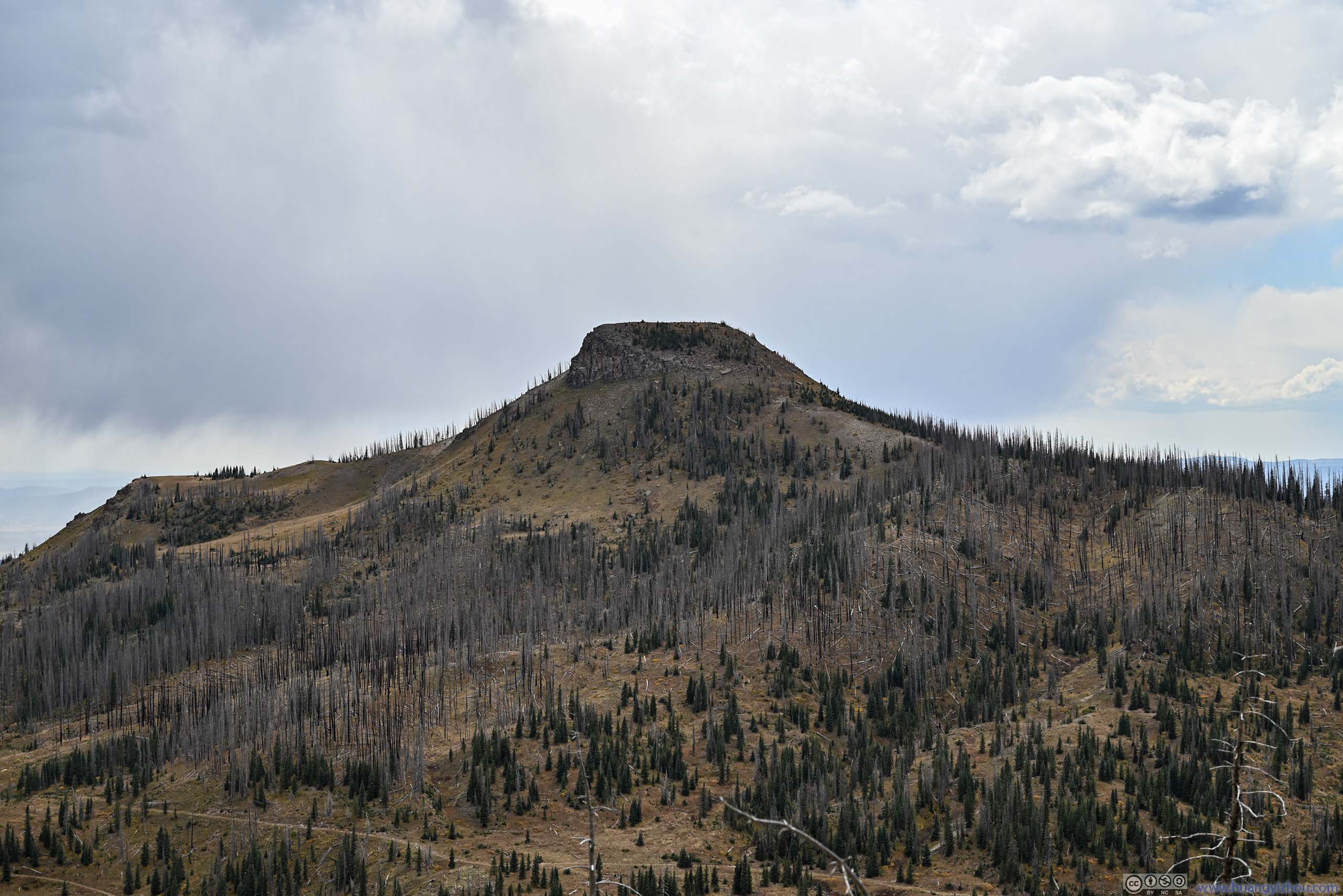
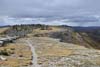
Further up the hill, I reached Wolf Creek Pass, which was a mountain pass along the Continental Divide. From here, Alberta Peak could be reached via a 9.3km out-and-back trail with 360m of elevation gain. Among South San Juan mountains with paved access roads, Alberta Peak was probably the most exciting, hence I picked it.
Alberta Peak Attempt
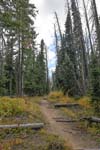
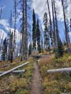
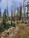
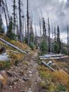
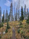
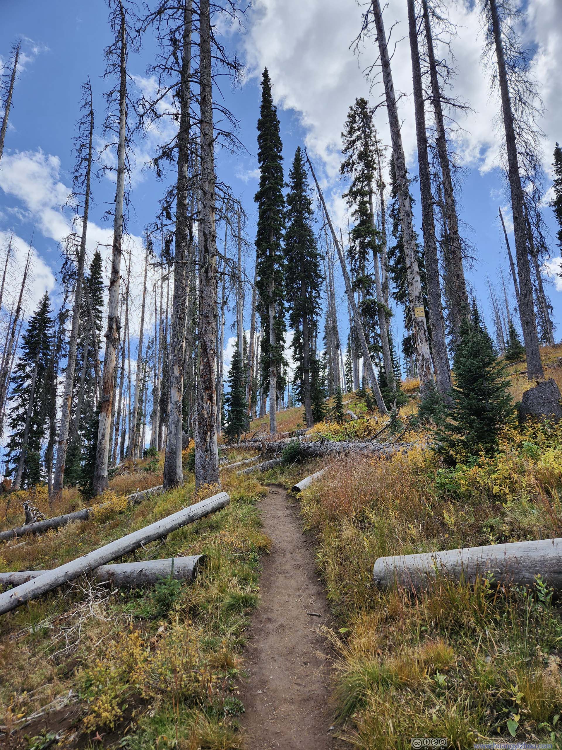
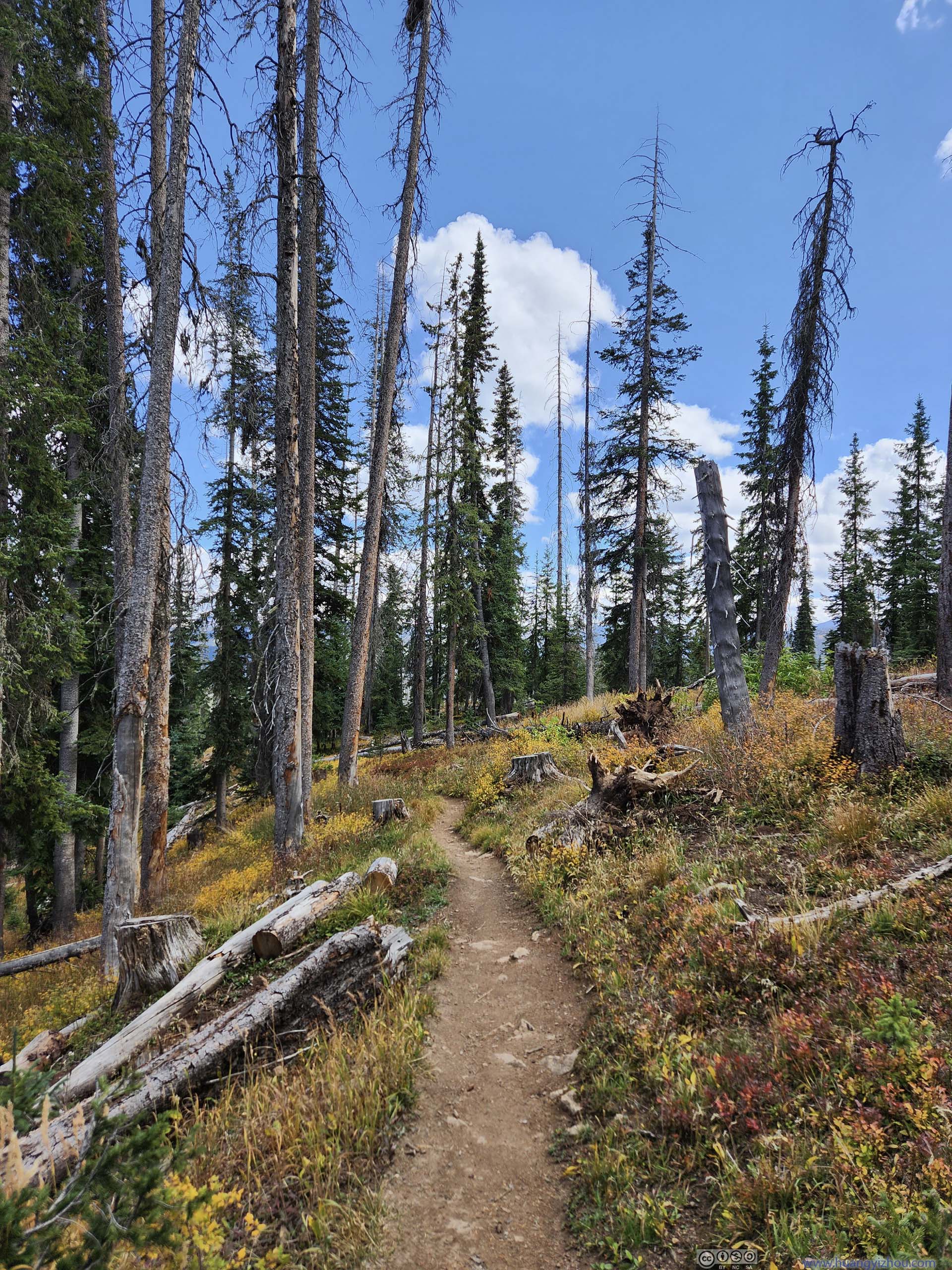
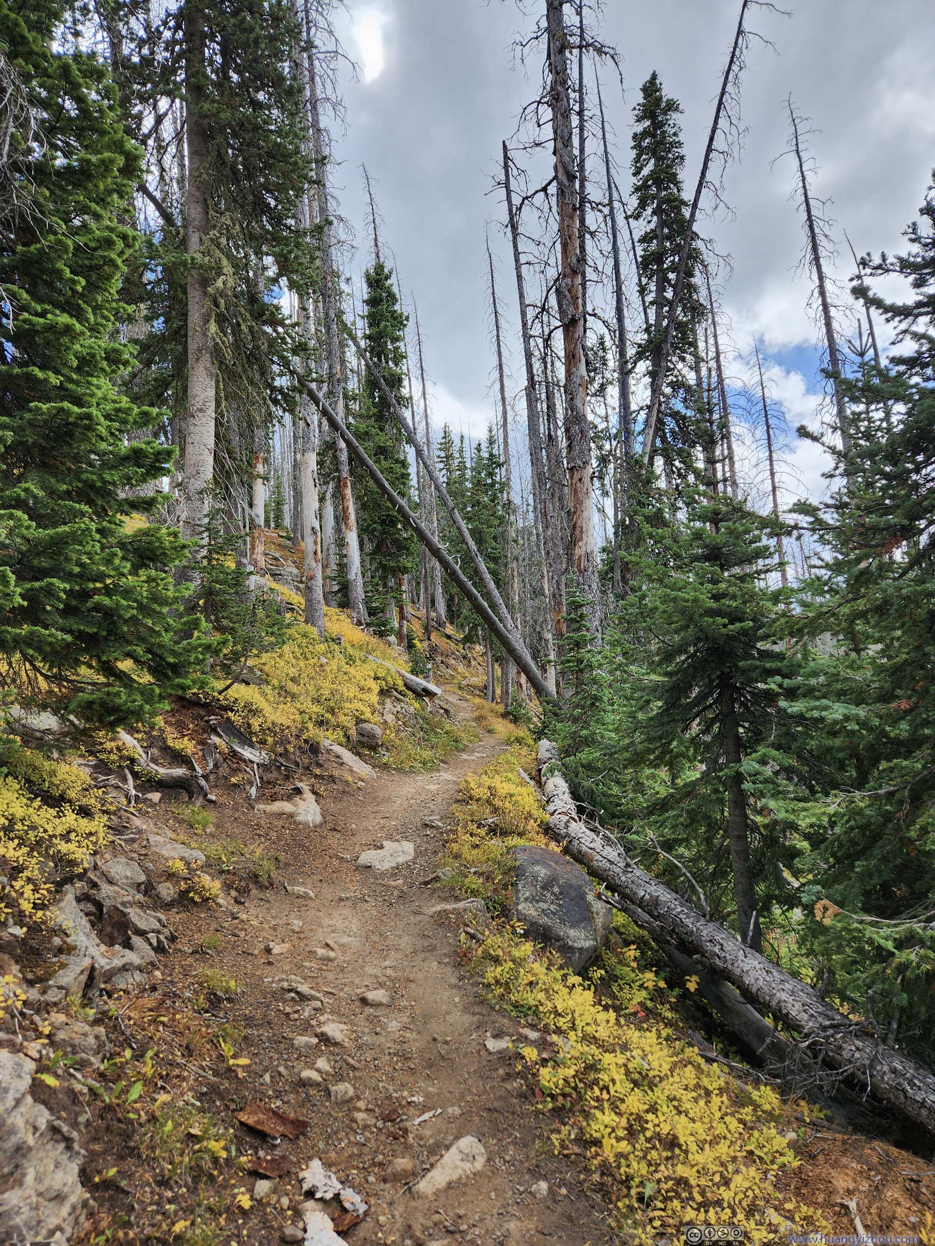
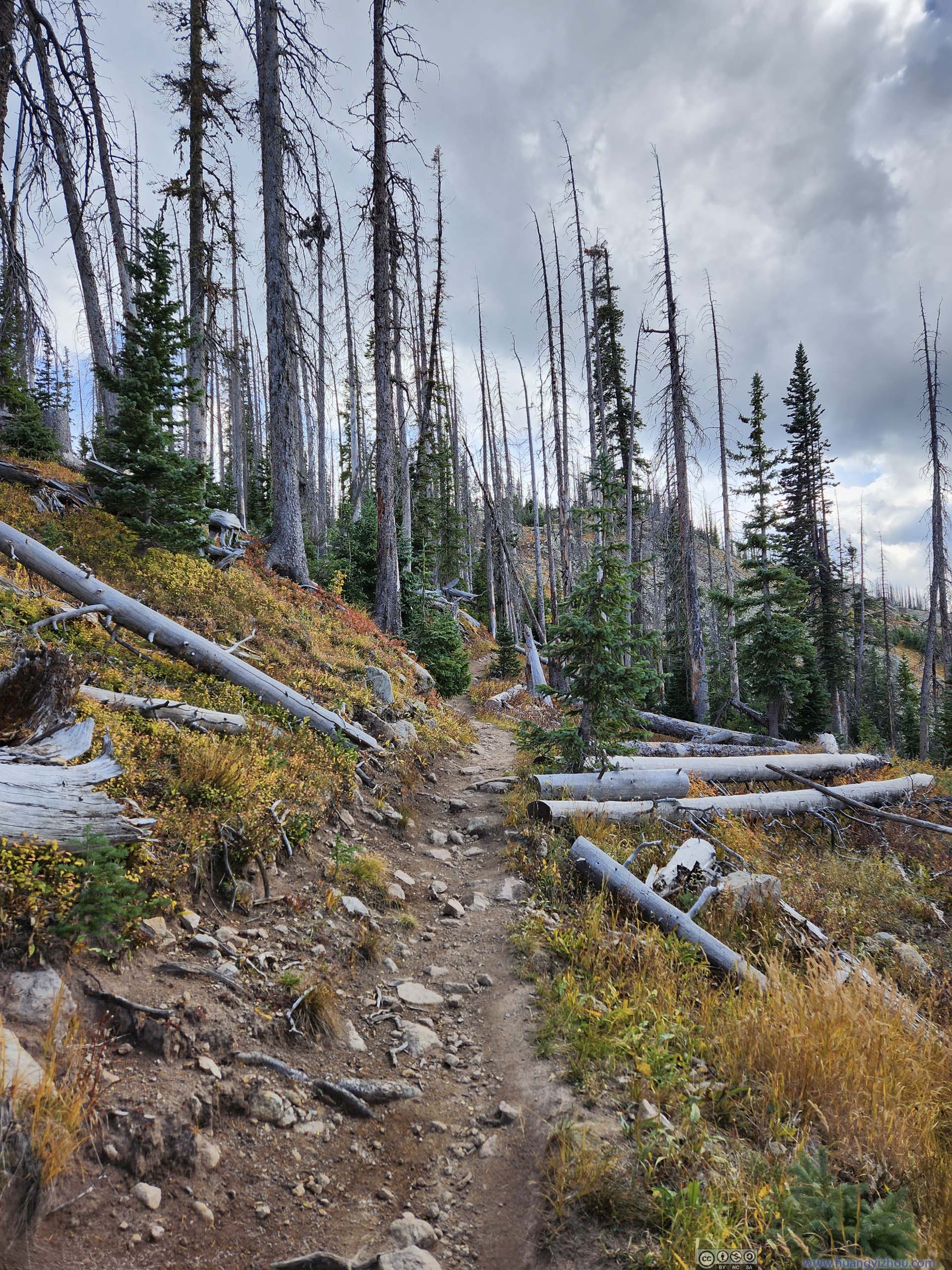
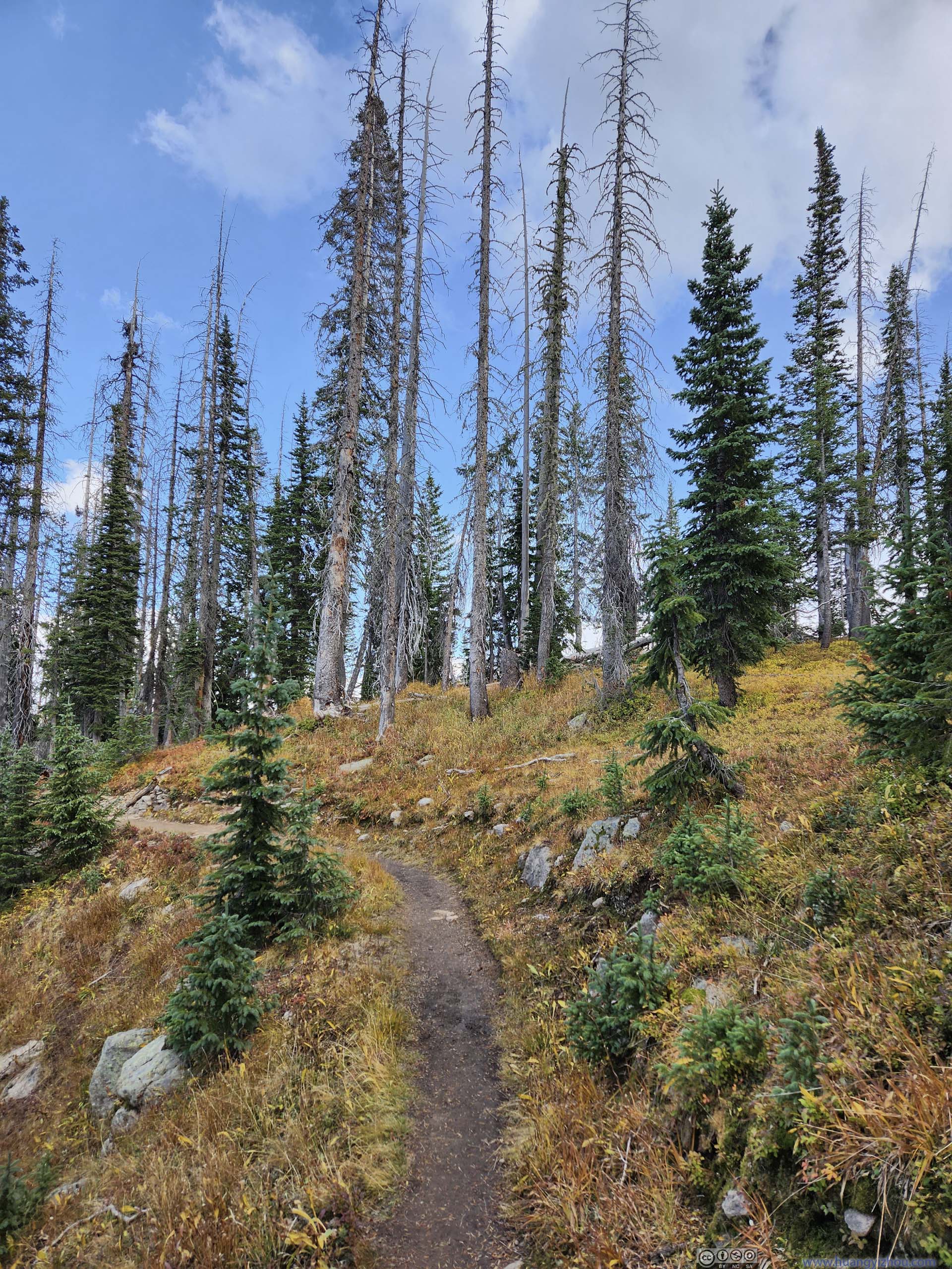
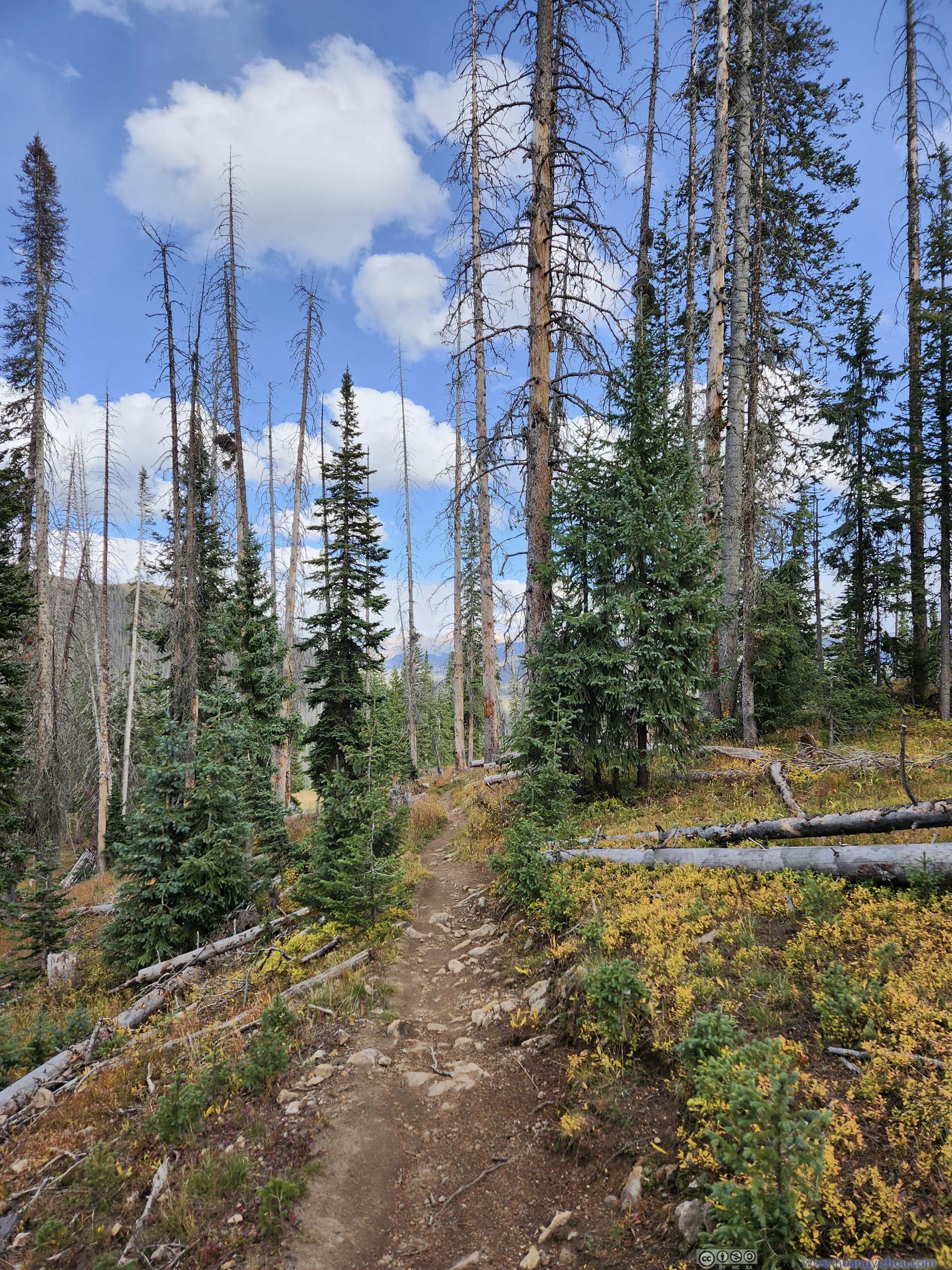
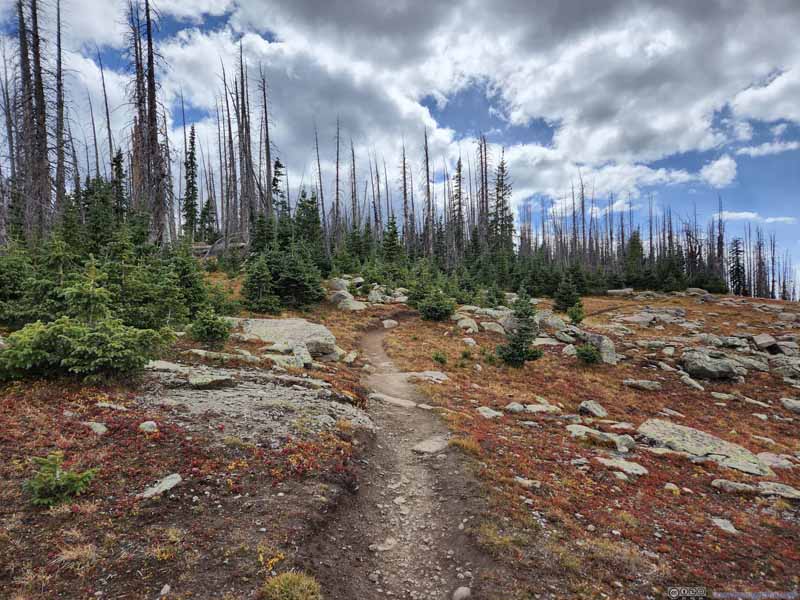
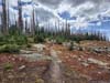
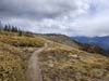
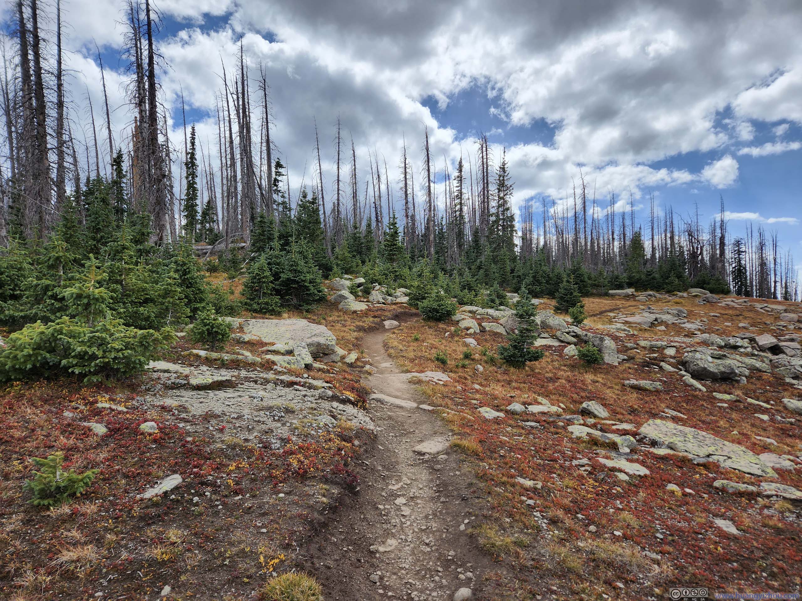
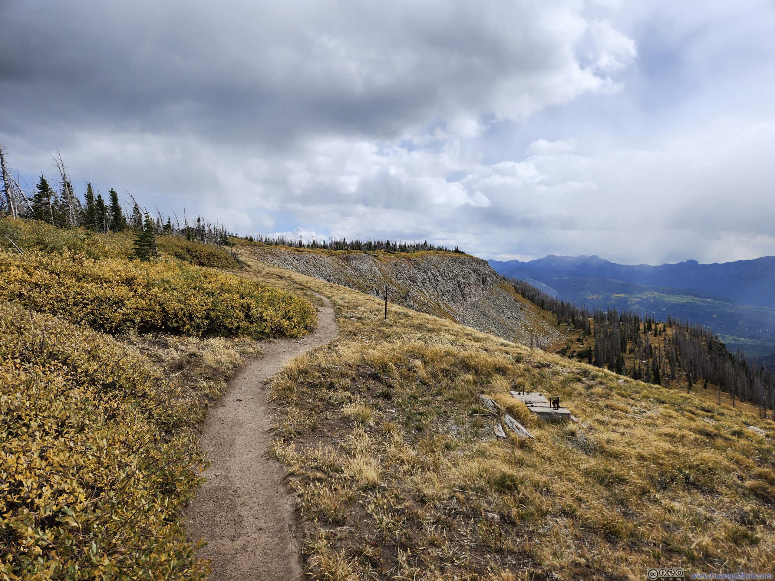
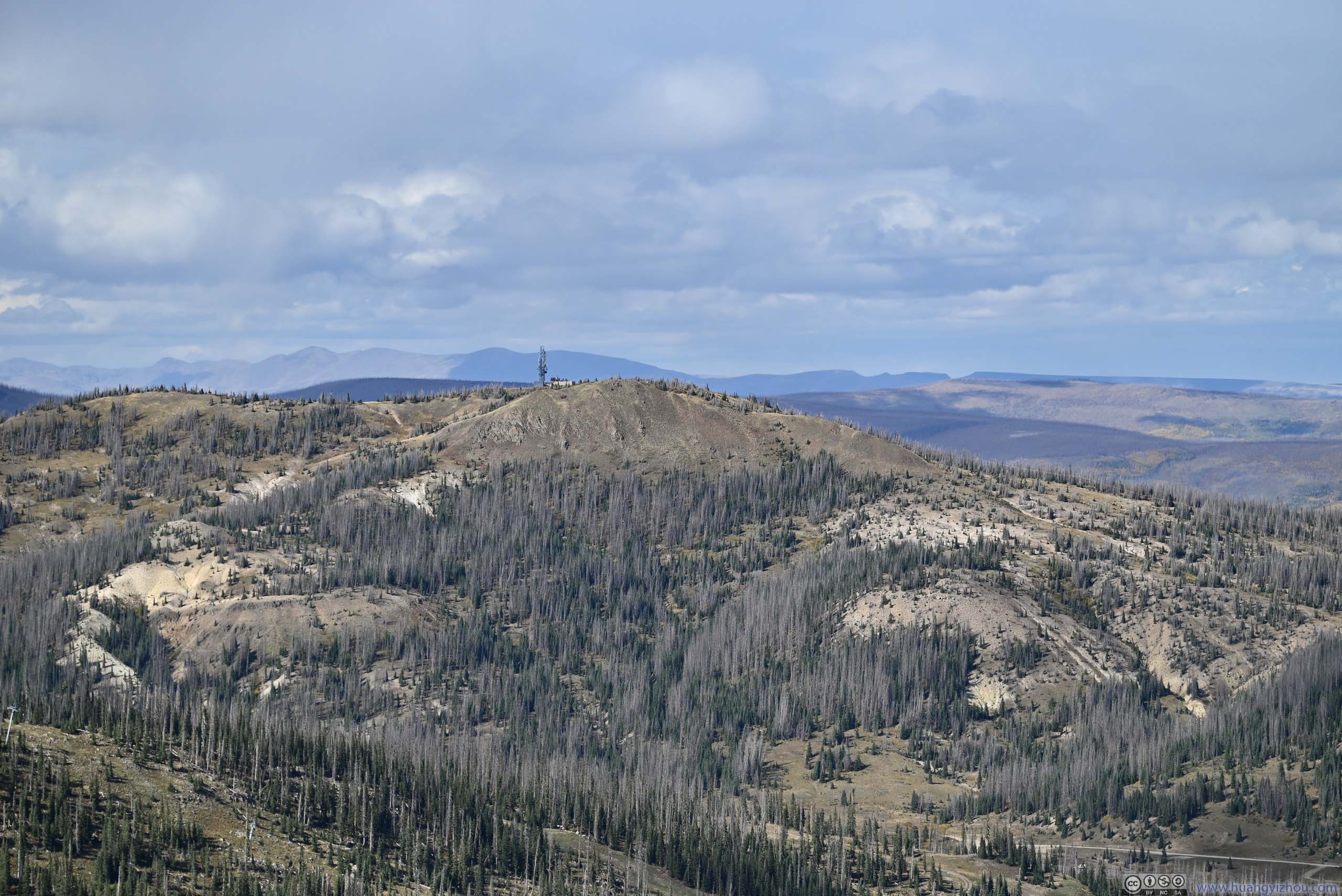
The trail largely overlapped with the Continental Divide Trail, with the first half in woods. It seemed like the pine forest was still recovering from an inferno not too long ago.
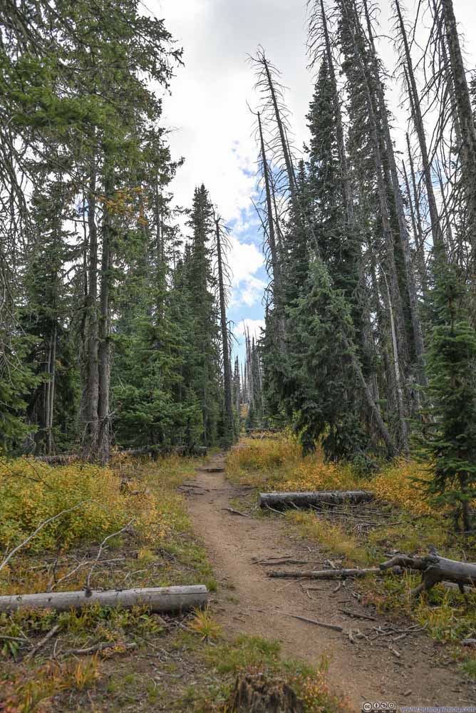 Trail
Trail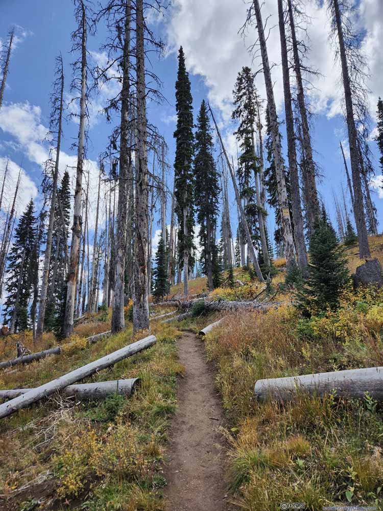 Trail
Trail Trail
Trail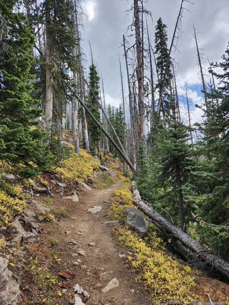 Trail
Trail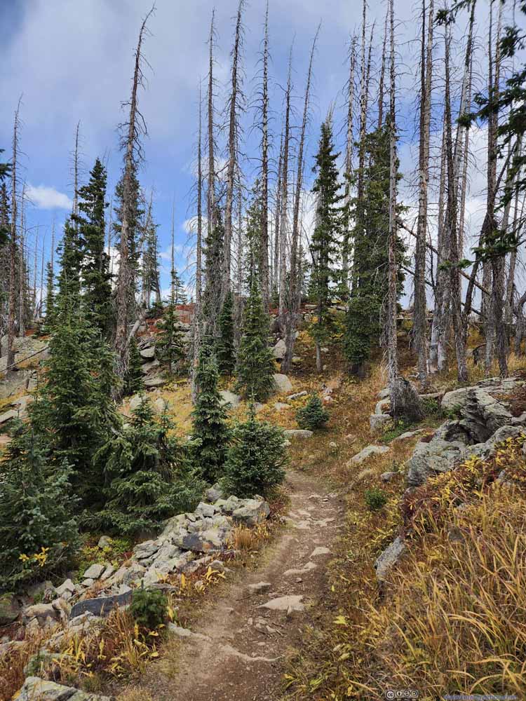 Trail
Trail Trail
Trail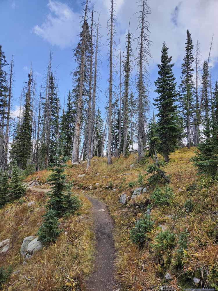 Trail
Trail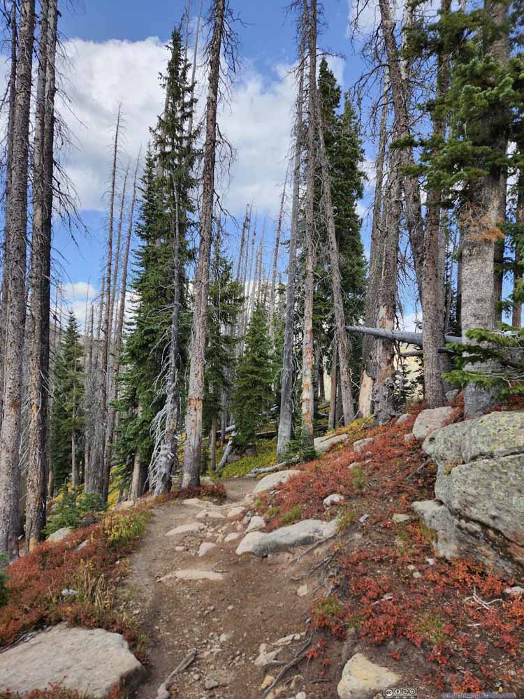 Trail
Trail Trail
Trail


Click here to display photos of the trail.

Trail
Trail
Trail
Trail

Trail
Trail
Trail

Trail
Trail
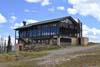
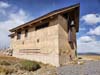
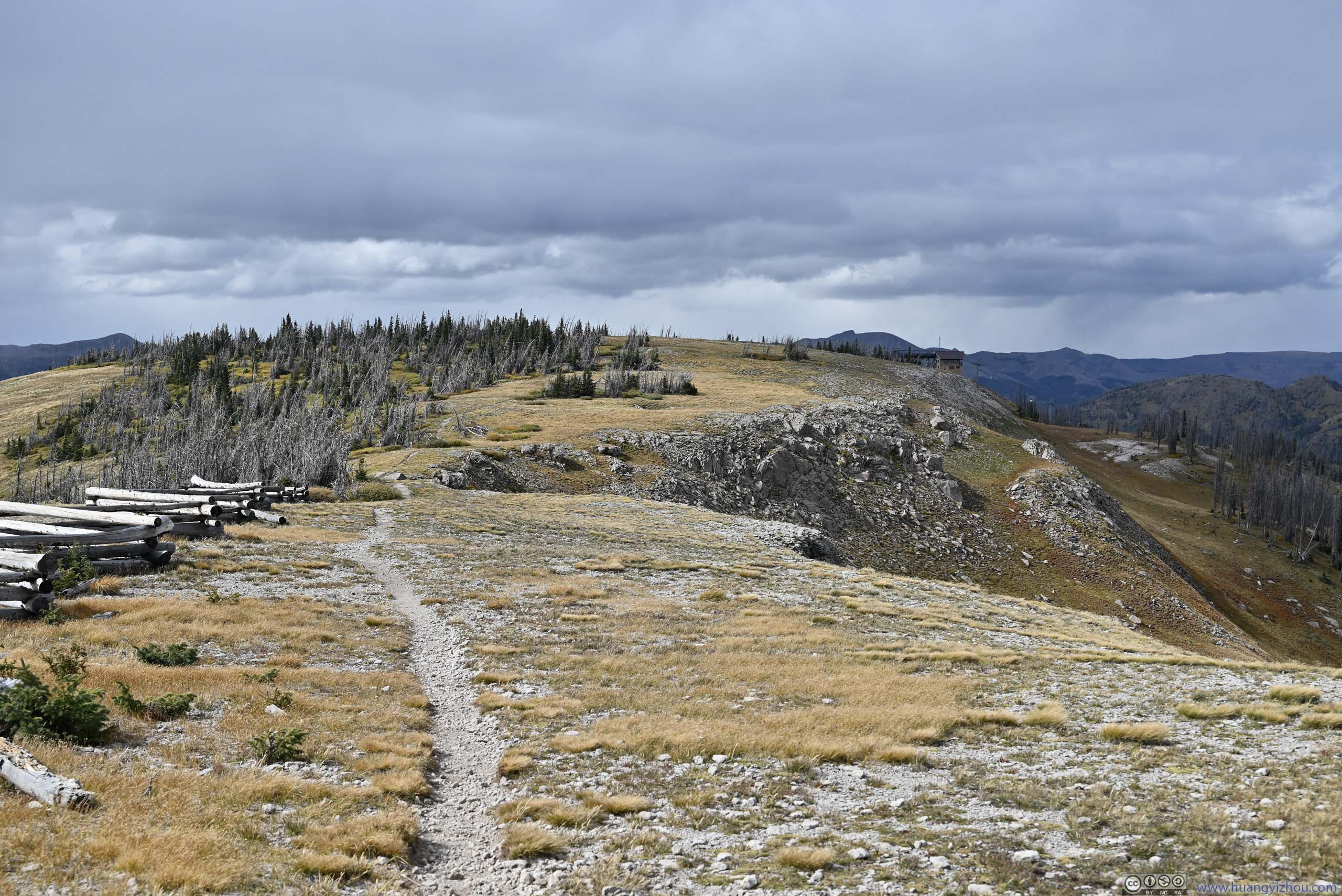
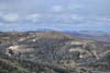
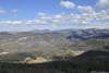
About one-third into the hike, I found a building (p1 below) not too far from the trail. It turned out to be a cafe / ski lift station (closed for the season), and much of the northern/eastern slope of Alberta Peak was a ski resort. From this point on, a ski track ran parallel to the Continental Divide Trail towards Alberta Peak. Later, I would find the ski track/road very useful.
 Raven’s NestA cafe for the ski resort.
 Rolling HillsThe tracks of Wolf Creek Ski Area weaved through the forest in the foreground.
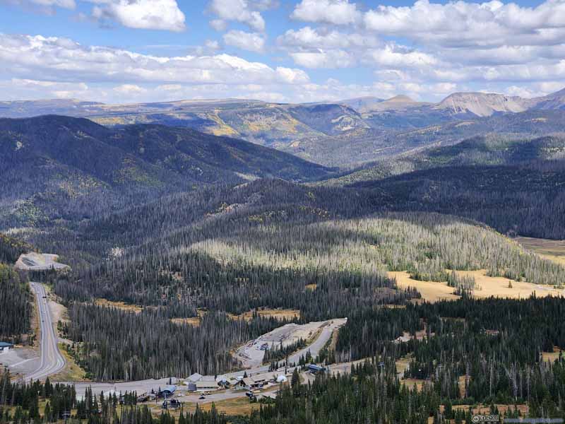 Rolling Hills
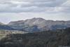
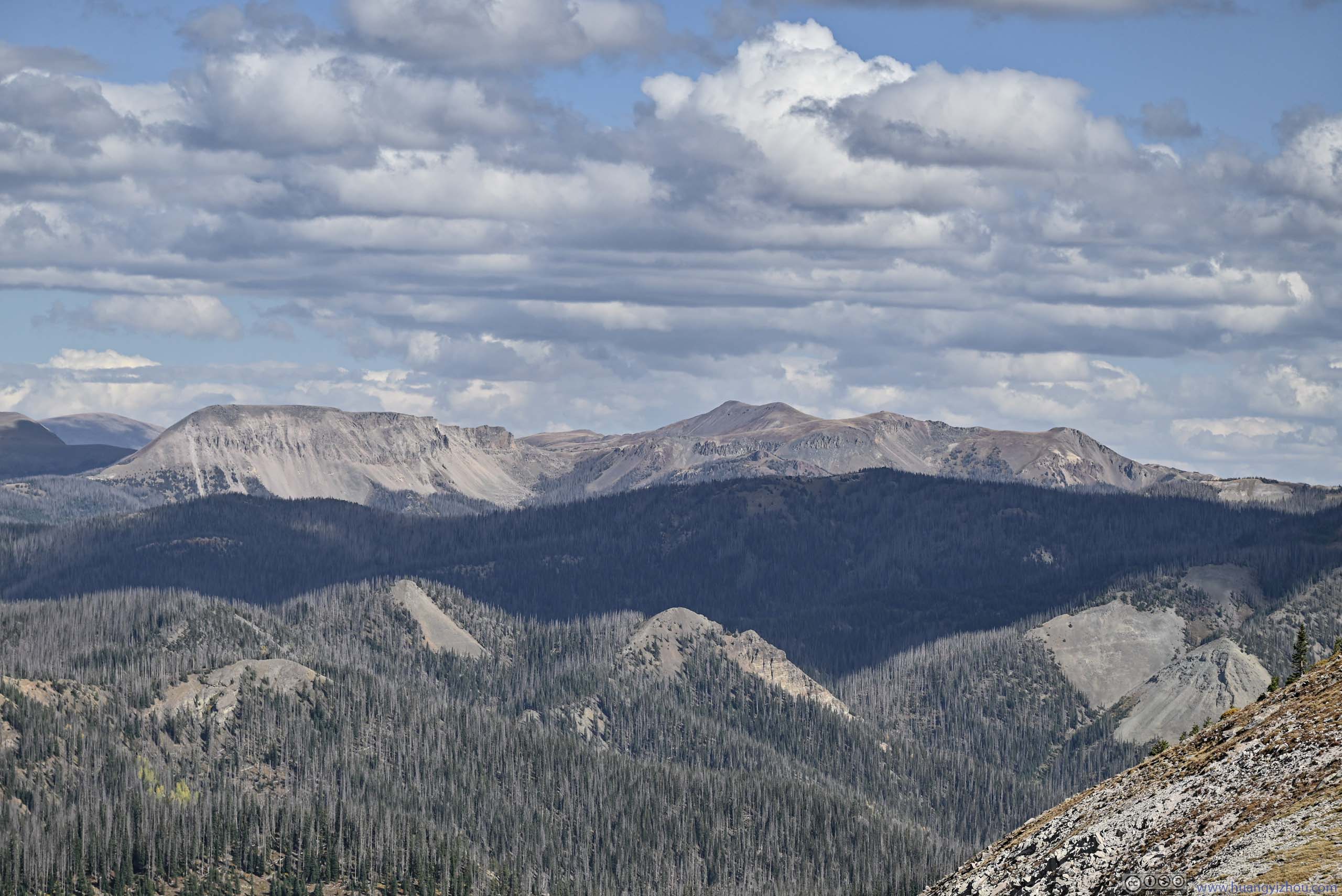
 Mount Hope
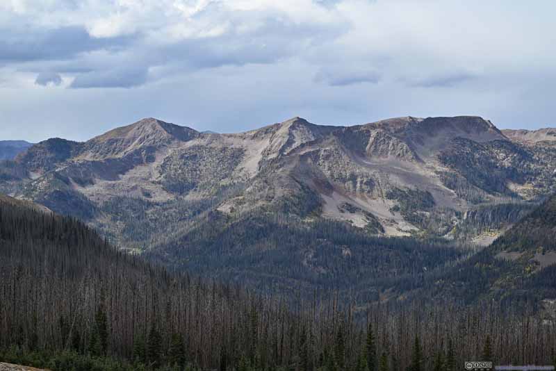 Sheep Mountain
 Mountains to the Northwest
Click here to display photos of the slideshow
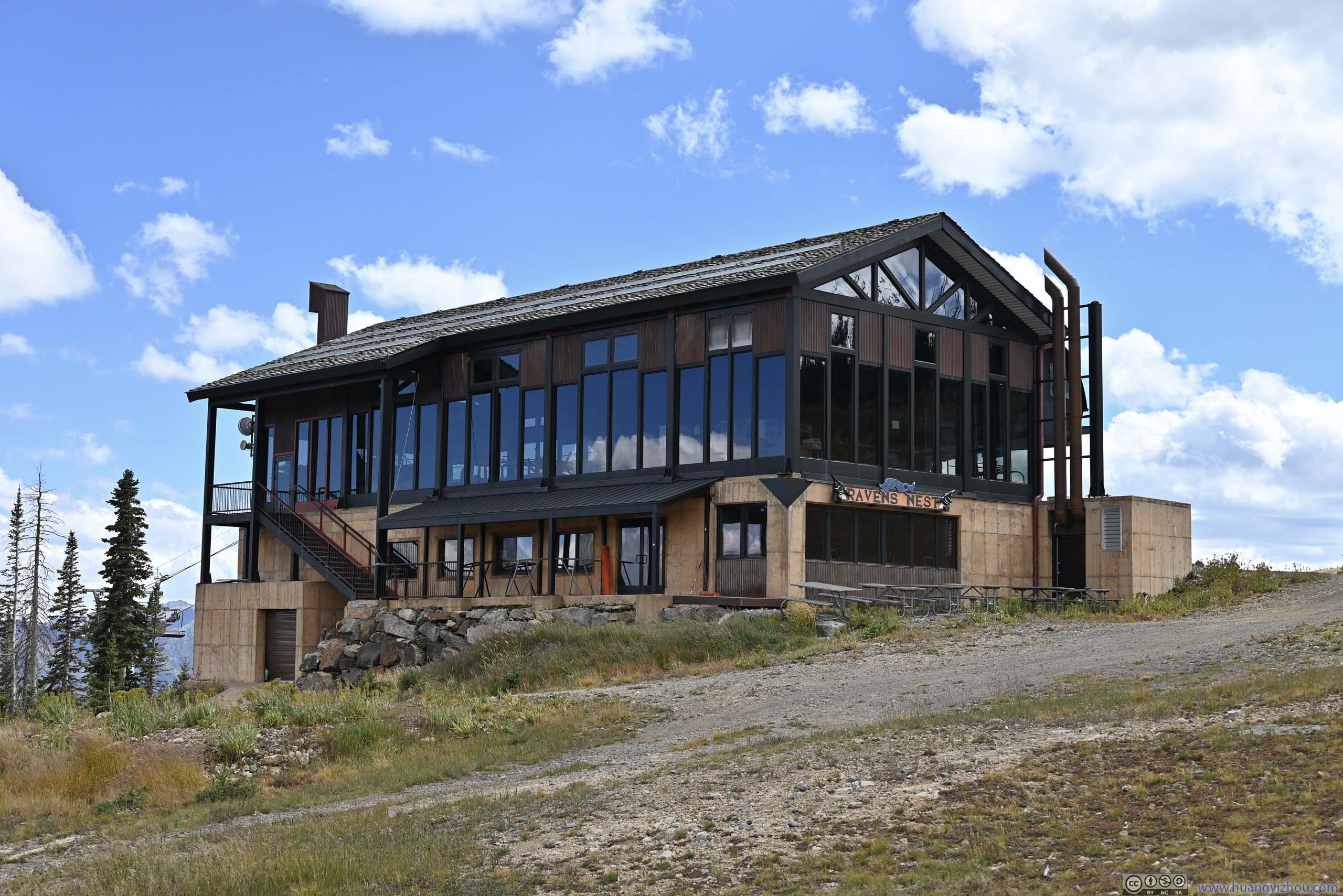
Raven’s NestA cafe for the ski resort.
Rolling HillsThe tracks of Wolf Creek Ski Area weaved through the forest in the foreground.

Rolling Hills
Mount Hope
Sheep Mountain

Mountains to the Northwest
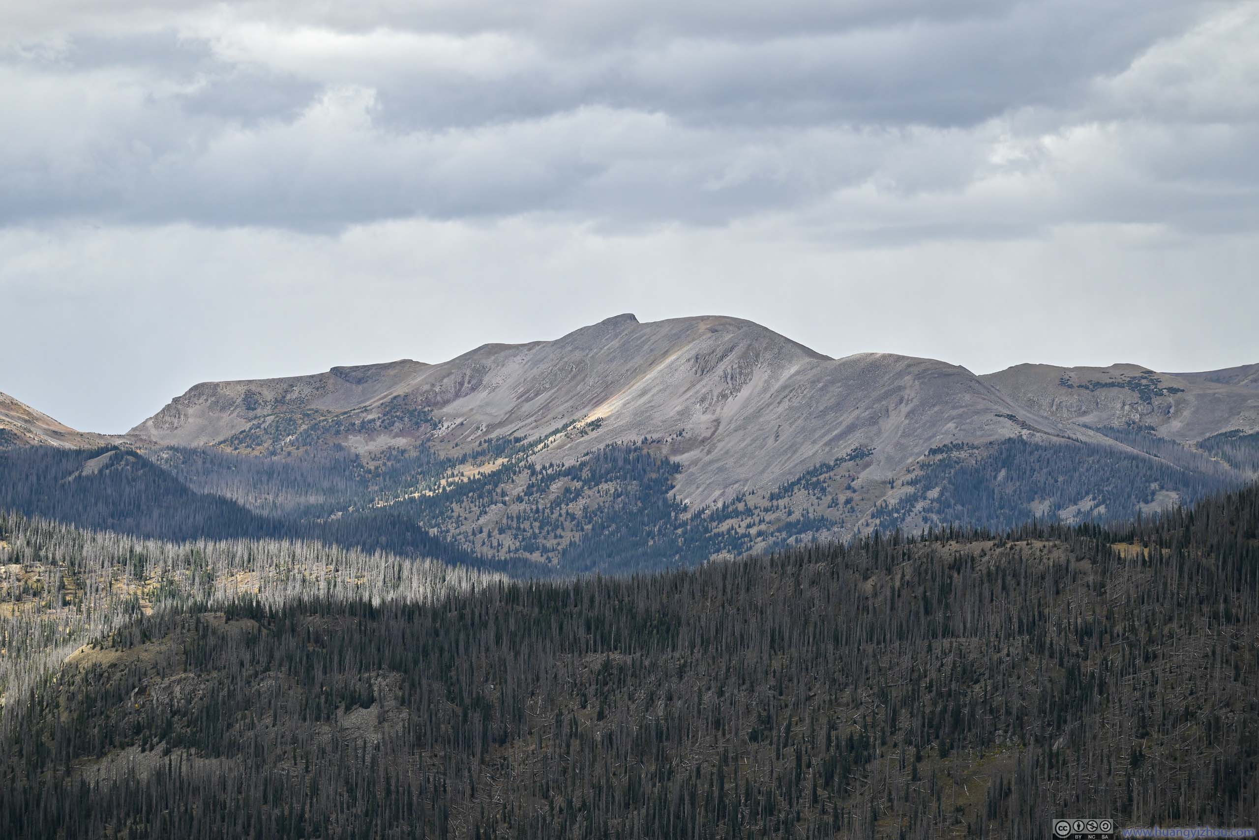
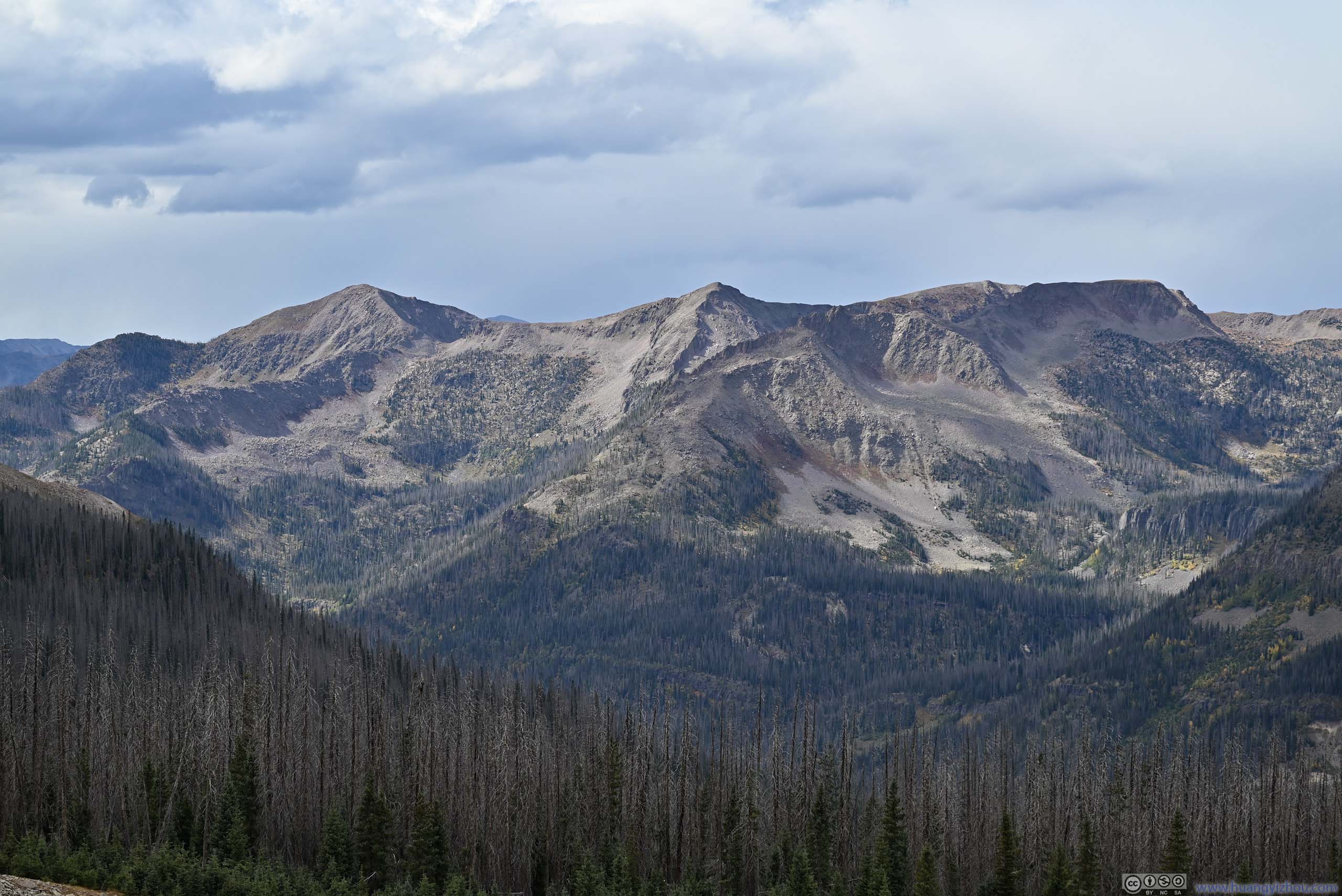
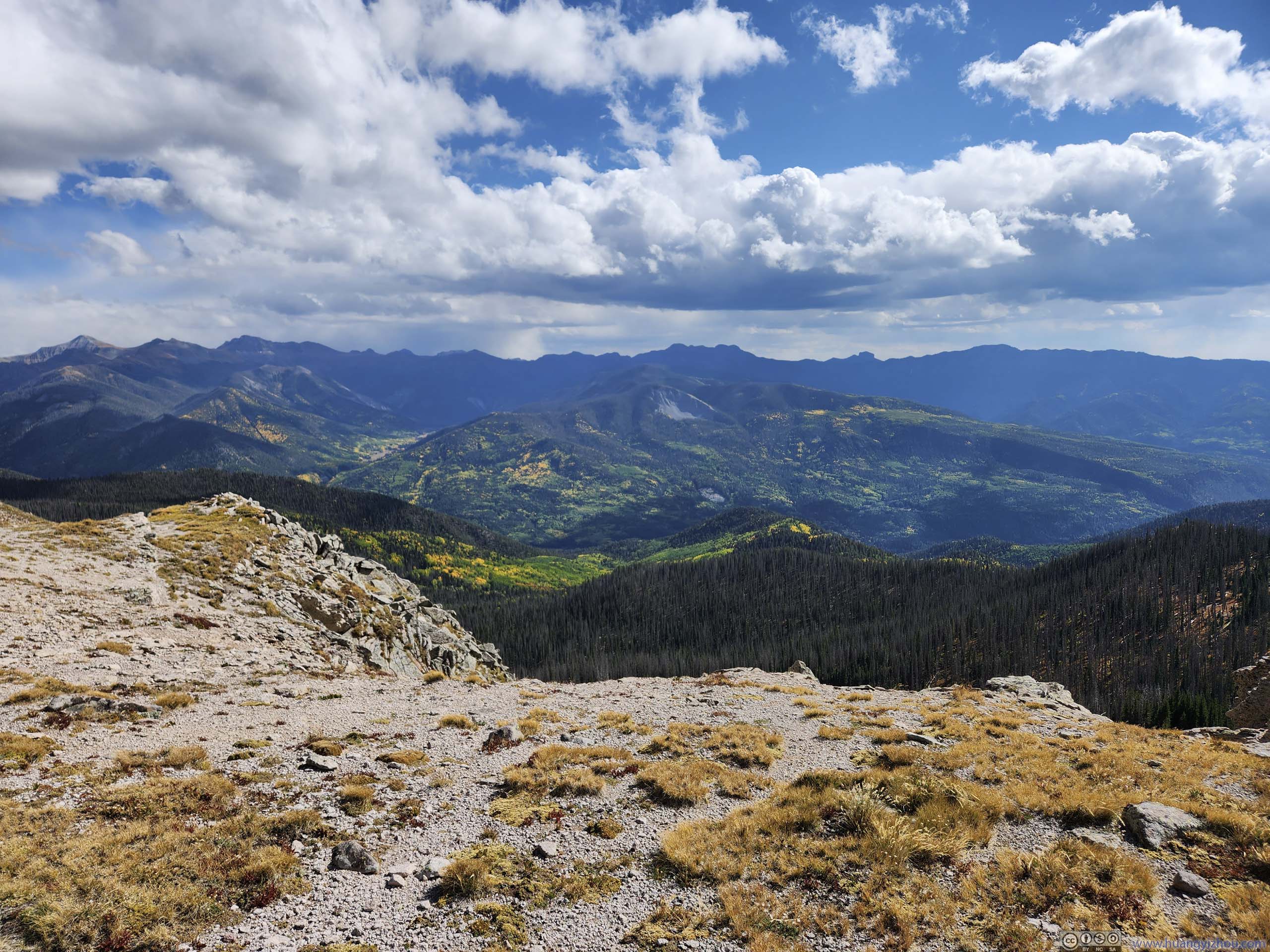
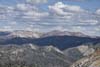
After catching views of mountains to the west (p4-6 above), the trail made a turn towards the southeast. That’s when I started to battle the worst enemy of the day: wind.
Strong wind was in the forecast for today. With experience yesterday at Red Mountain 3 I thought it couldn’t get worse, unfortunately, it did. A section of the trail was on top of a cliff facing the wind (p4 below), and the strong wind was pounding my body with my jacket. It’s so unpleasant that I cut through the bushes and used a closed ski hut (p5 below) next to a ski lift station as shelter.
 Trail
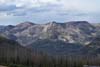
Trail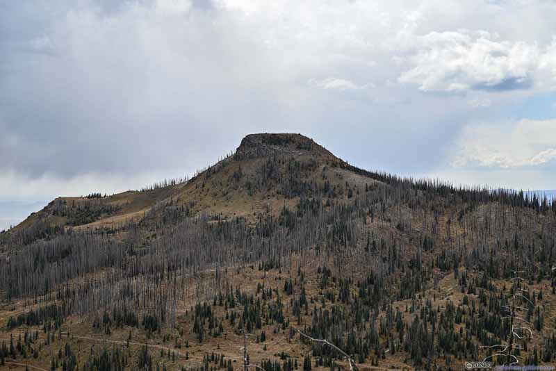 Treasure MountainA mountain to the west.
 East San Juan Mountains
 TrailThis part of the trail was facing strong winds from the south (right) head on.
 Ski Hut
The wind became so overwhelming that I decided to cut through the bushes and used this ski hut as a shelter.
Ski Hut
The wind became so overwhelming that I decided to cut through the bushes and used this ski hut as a shelter.

Click here to display photos of the slideshow
Trail
Treasure MountainA mountain to the west.
East San Juan Mountains
TrailThis part of the trail was facing strong winds from the south (right) head on.

Ski Hut
At this time, the gale was mixed with drizzle, so the walls of this ski hut afforded me shelter from both. The drizzle was very light and ended in a few minutes. At this time, Alberta Peak was tentatively close (~1km). I didn’t want to be a quitter, so after warming myself up, I continued on. This time, I tried to deliberately stay off trail so that the bushes could provide me some shelter from the wind.
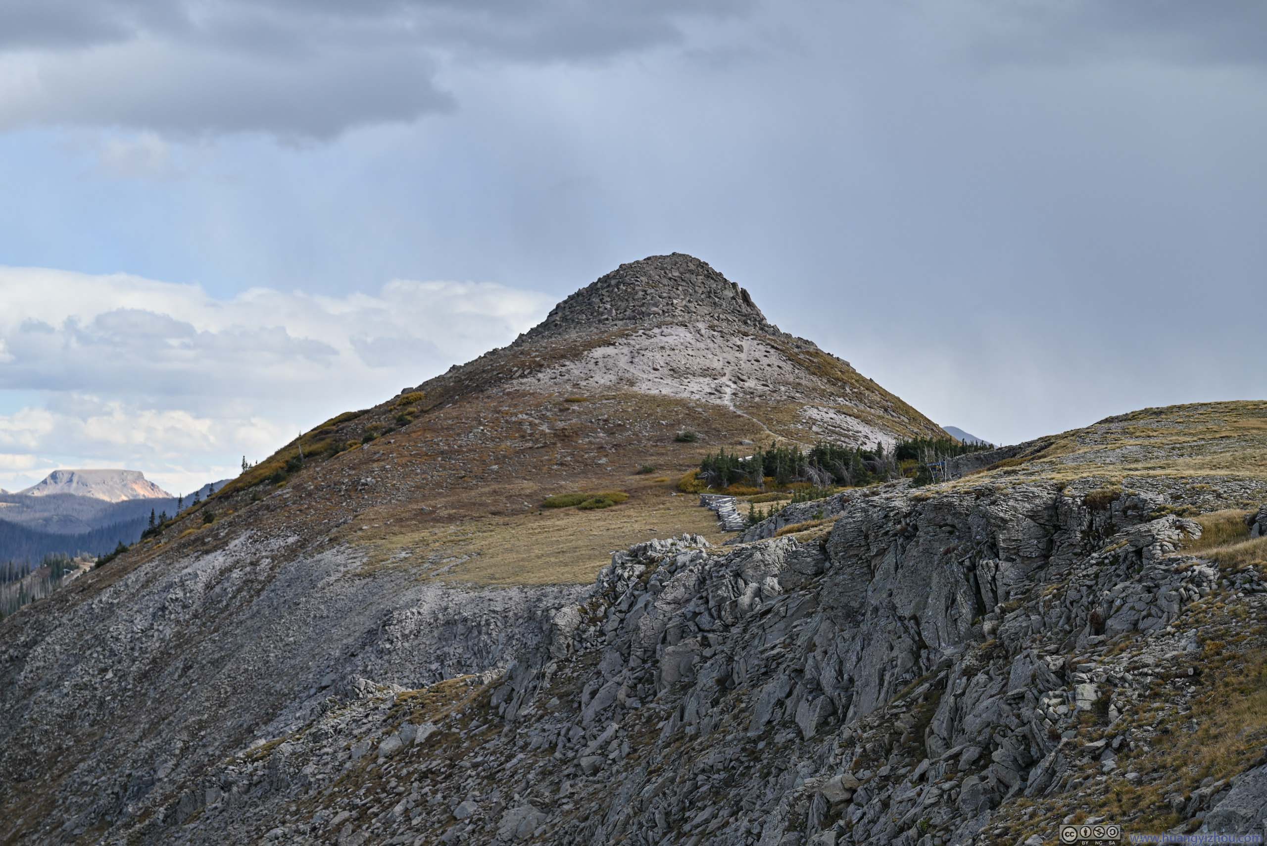
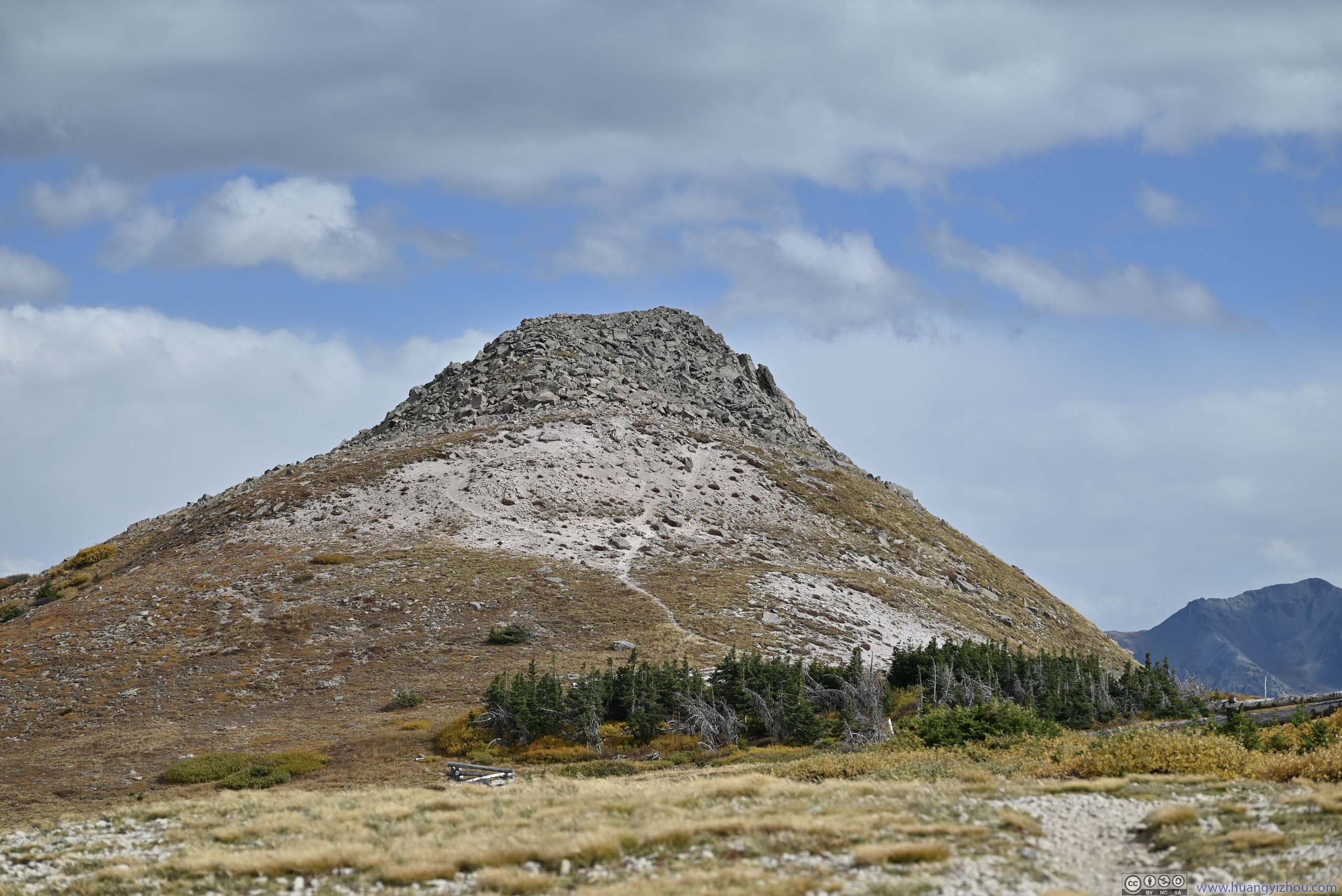
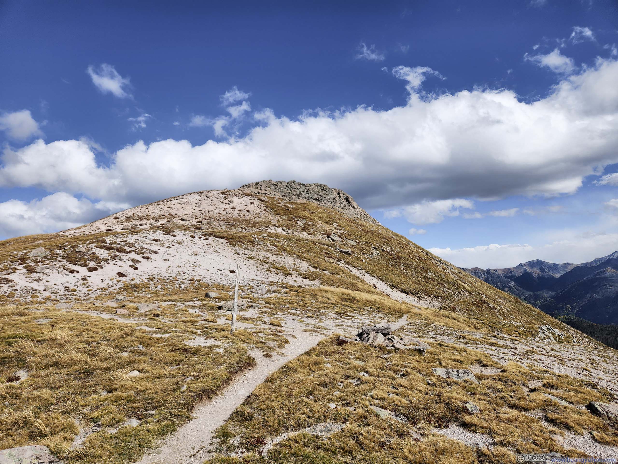
Unfortunately, the final few steps before reaching Alberta Peak crossed through a wind gap. While trying to make my way across, the wind was so strong that I had difficulties standing. I tried kneeing down but was overwhelmed by the sand that was dusted off the ground. That left me no other option but to retreat. In the end, I made it about 100m from the summit (a few steps after p4 below).
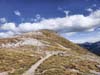
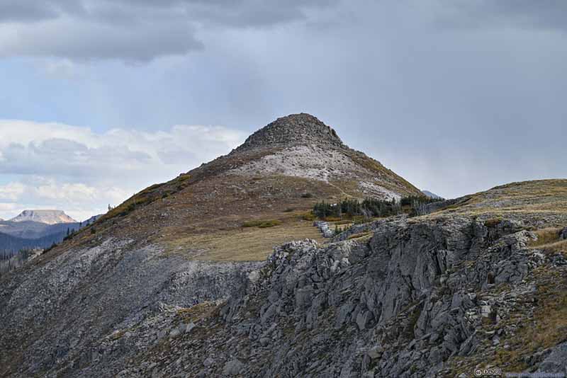 Alberta Peak
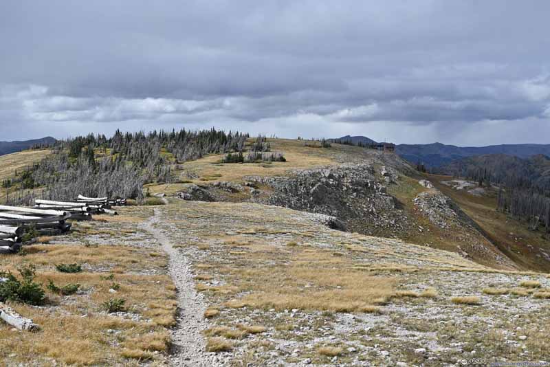 Trail
Trail Alberta Peak
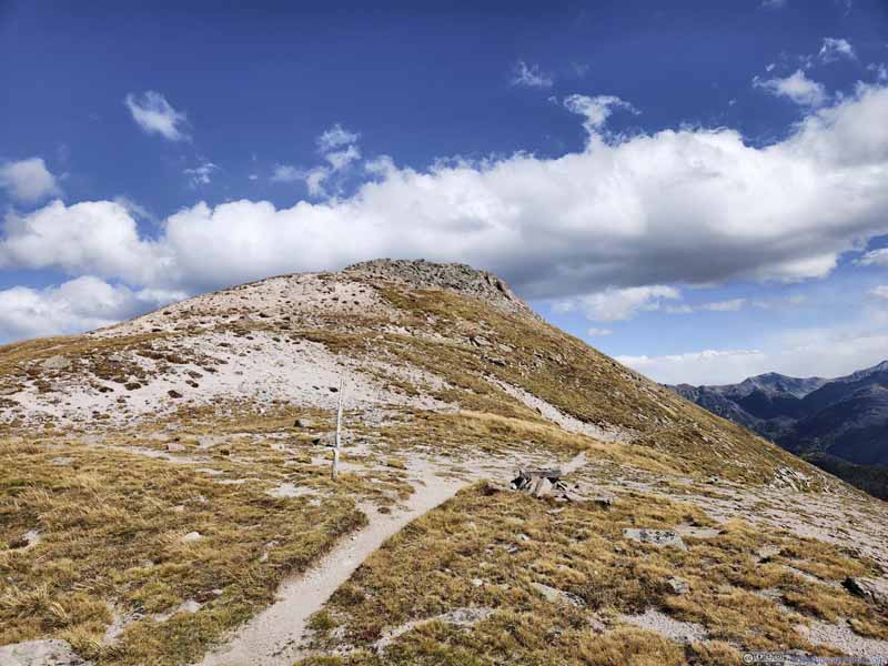 Trail to Alberta PeakContinental Divide Trail continued south on the right, the spur to Alberta Peak on the left.
 Treasure Pass Road
Click here to display photos of Alberta Peak.
Alberta Peak
Trail
Alberta Peak
Trail to Alberta PeakContinental Divide Trail continued south on the right, the spur to Alberta Peak on the left.

Treasure Pass Road
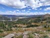
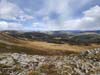
To make sure this excursion didn’t go in vain, while sheltered from the wind, I grabbed some photos of the rolling hills that accompanied me.
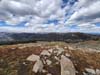
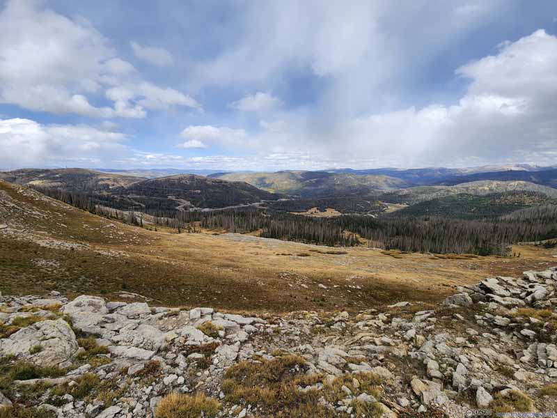 Hills
Hills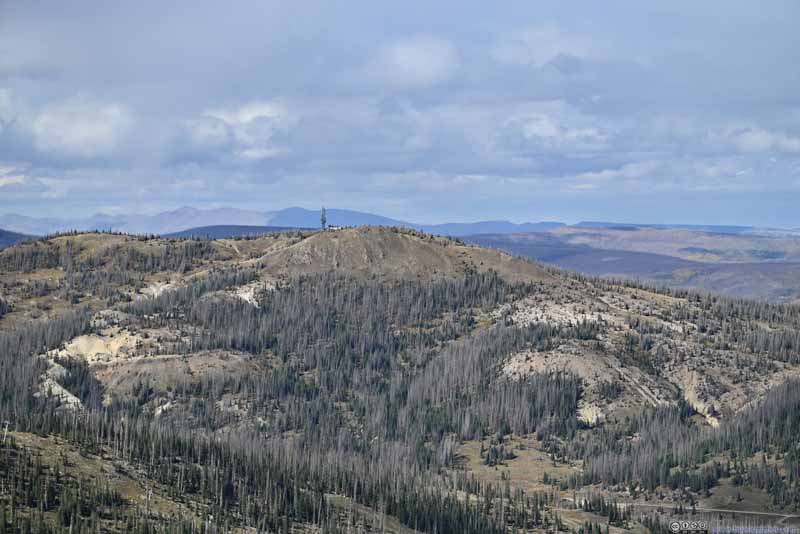 Hill across ValleyLobo Overlook on its top.
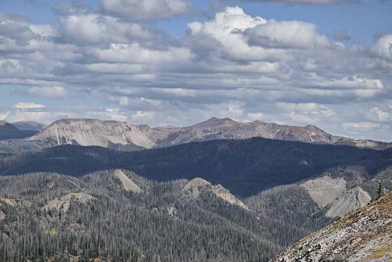 Grayback Mountain and North MountainTwo mountains to the east.
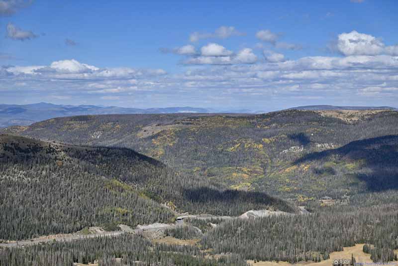 Rolling Hills
 Hills
Hills
Click here to display photos of the slideshow

Hills
Hill across ValleyLobo Overlook on its top.
Grayback Mountain and North MountainTwo mountains to the east.

Rolling Hills
Hills
Rolling Hills to the North
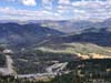
And since the wind was so overwhelming along the Continental Divide Trail, I tried sticking to Treasure Pass Road as much as possible during my descent.
After getting back to my car, it’s an uneventful drive to the town of Monte Vista, where I spent the night.
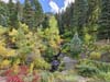
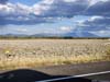
 Foliage along Road
 Foliage along Road
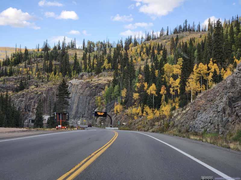 Foliage along Road
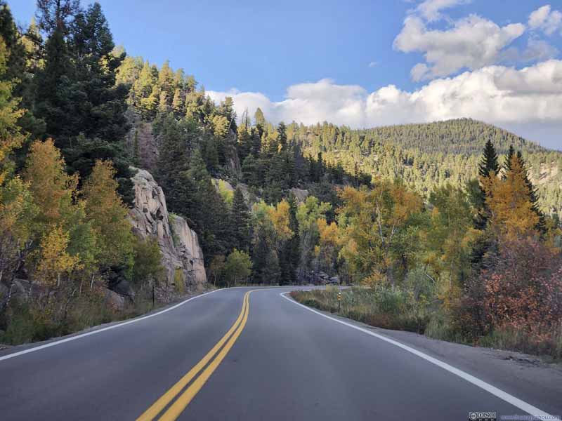 Foliage along Road
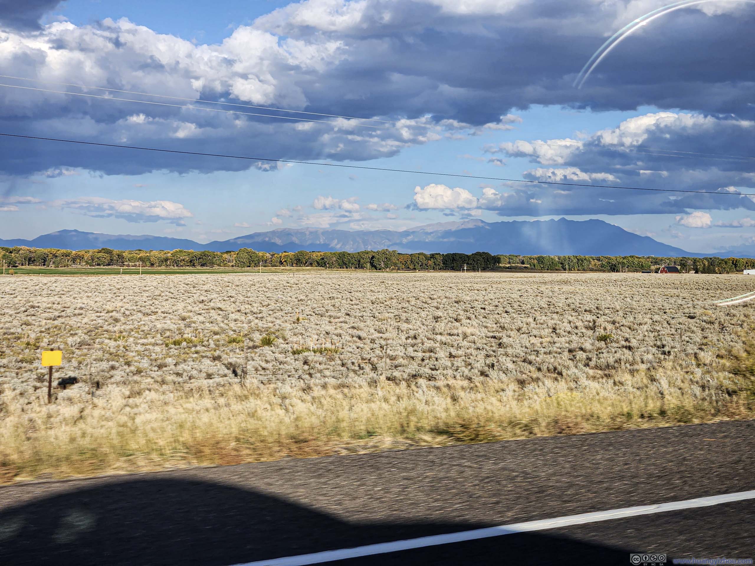
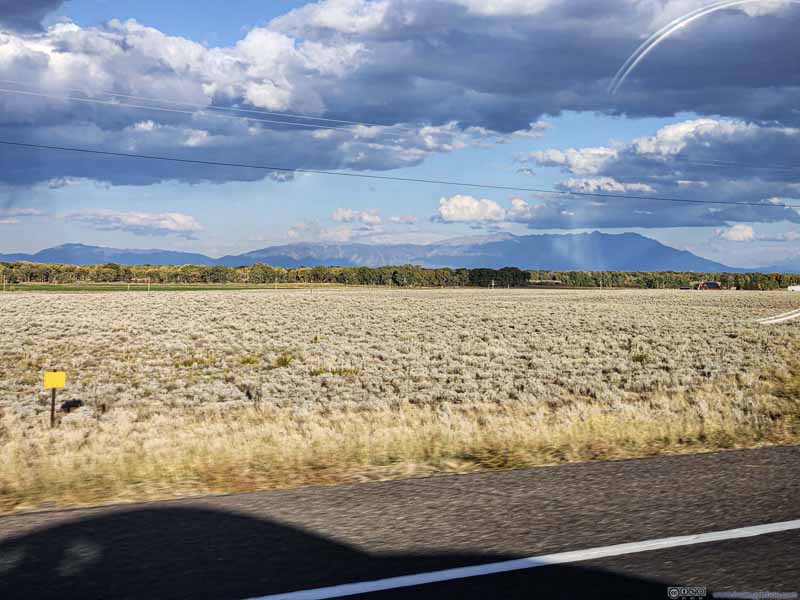 Distant Sangre de Cristo Mountains


Click here to display photos of the slideshow

Foliage along Road

Foliage along Road

Foliage along Road

Foliage along Road
Distant Sangre de Cristo Mountains
END
![]() Day 13 of Autumn 2023 Trip to Mountain States, Chimney Rock and Attempt at Alberta Peak by Huang's Site is licensed under a Creative Commons Attribution-NonCommercial-ShareAlike 4.0 International License.
Day 13 of Autumn 2023 Trip to Mountain States, Chimney Rock and Attempt at Alberta Peak by Huang's Site is licensed under a Creative Commons Attribution-NonCommercial-ShareAlike 4.0 International License.