
Updated on April 29, 2024
Day 14 of Autumn 2023 Trip to Mountain States, Great Sand Dunes and Bent’s Old Fort
The fourteenth day of my autumn 2023 trip to the mountain states. After checking out a very windy Great Sand Dunes in the morning, I took a long drive into Central Kansas on my way back east.
Great Sand Dunes
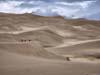
Heading east from Durango, CO, Great Sand Dunes National Park was only a short detour away from US160. The sand dunes provided sandboarding opportunities, potentially making it one of the more “fun” national parks while not requiring much physical efforts to enjoy. Considering the hours of sandboard rentals (and some other factors), I only covered a short distance of driving the previous day, and planned to leave Great Sand Dunes (together with lots of driving) for today.
Great Sand Dunes National Park
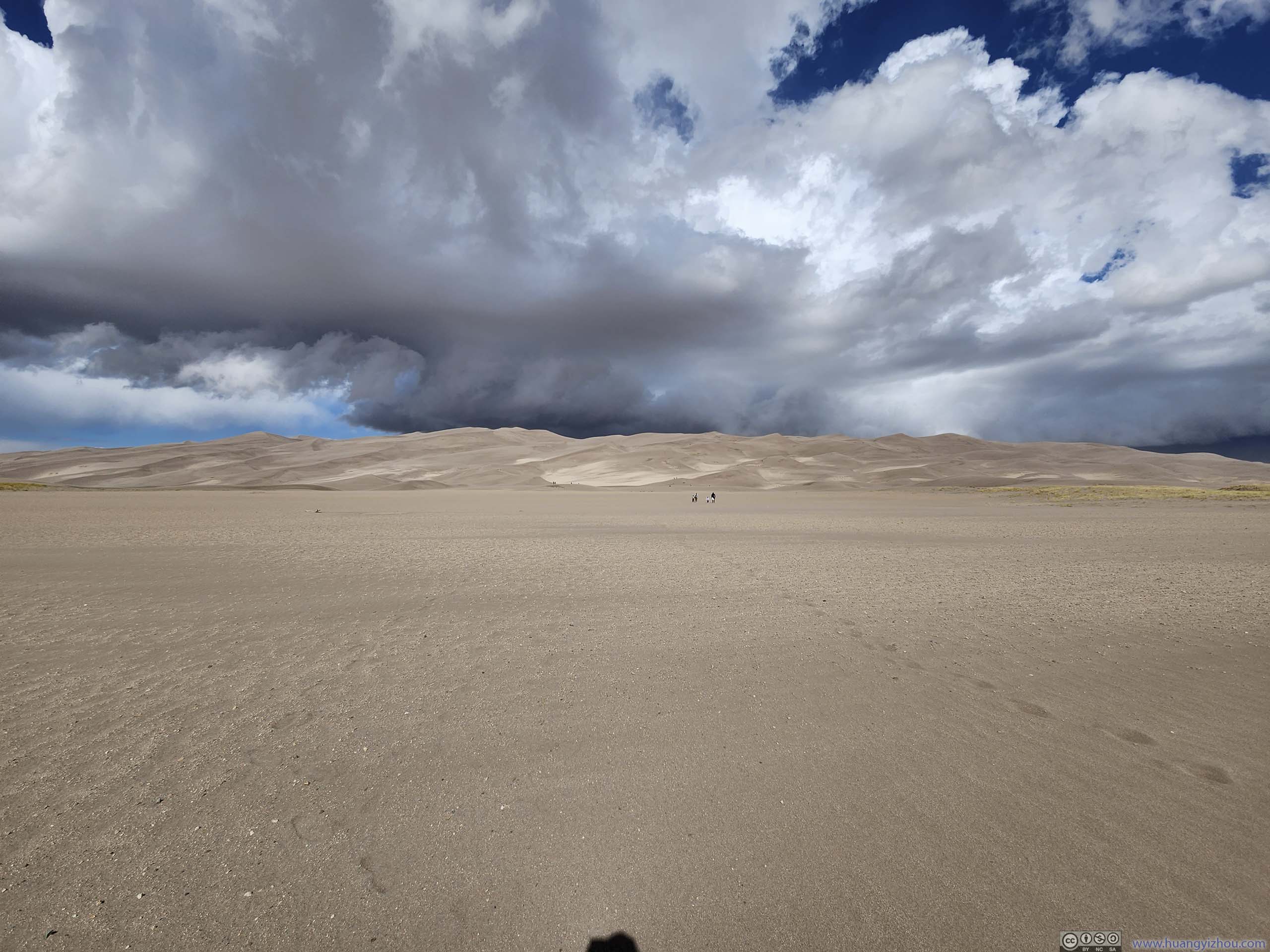
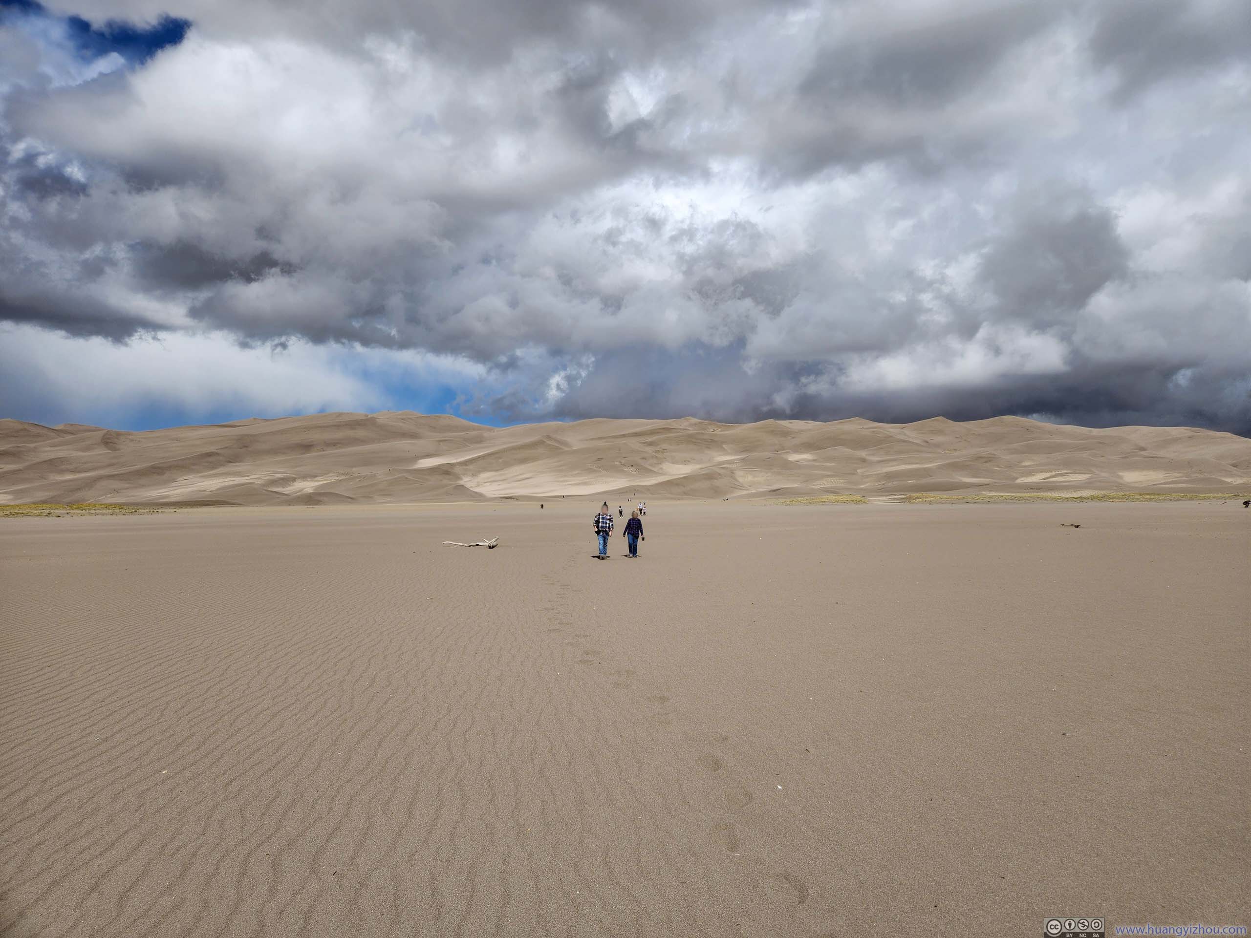
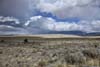
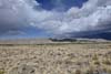
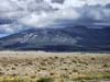
Unfortunately, weather wasn’t as cooperative today. Leaving Monte Vista, I drove through some intense storms on my way to Great Sand Dunes. But once I got there, there were only low-hanging clouds, no signs of rainfall. (Maybe the nearby Sangre de Cristo Mountains were just immune to rainfall.)
Nonetheless, just like the previous day, wind was strong at Great Sand Dunes. I was trying to rent a sandboard at “Oasis resort”, and the gentleman at the rental shop kindly reminded me that the wind would make it a “different experience” and suggested me to “cover up”. After some hesitancy, I decided to check out the sand dunes first and decided later, which saved me 20 bucks.
At the parking lot for accessing sand dunes, I changed into sandals, but made a mistake by also removing my socks. It turned out that to reach the sand dunes, one had to cross a dry river bed (Medano Creek), made of not only sand, but also gravels. The gravels made their way between my feet and my sandals, making it quite an uncomfortable walk.
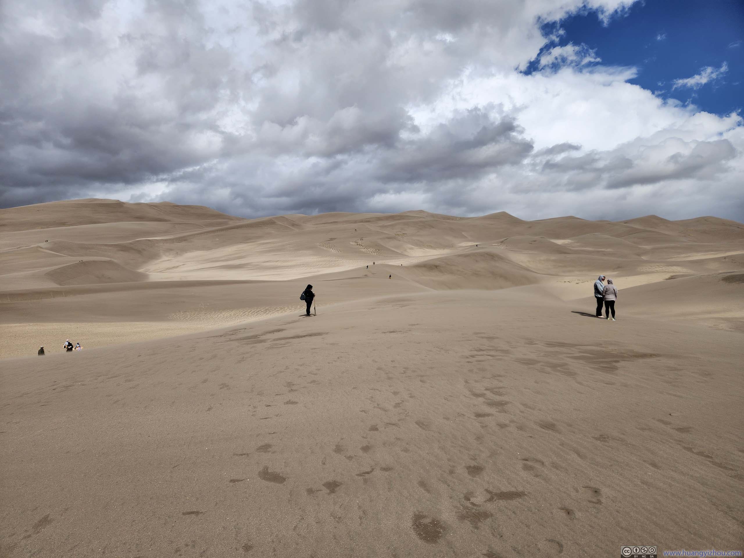
 Great Sand Dunes
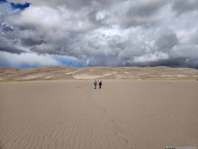 Great Sand Dunes
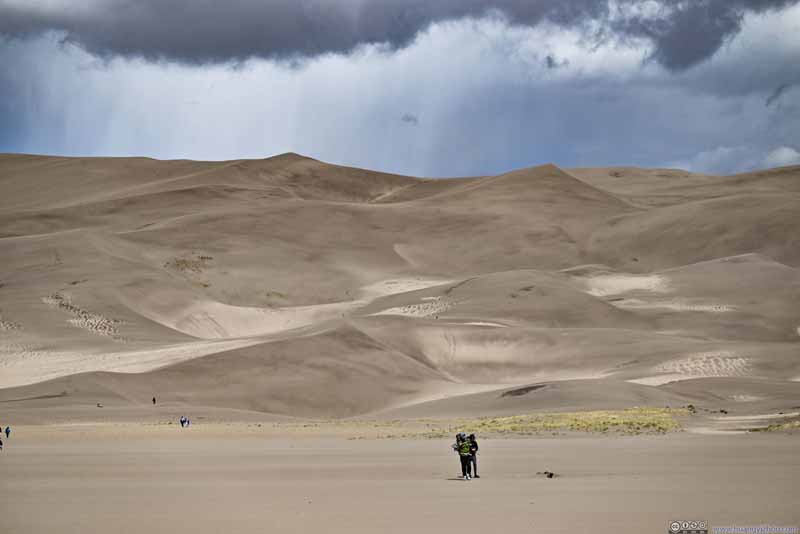 Great Sand Dunes
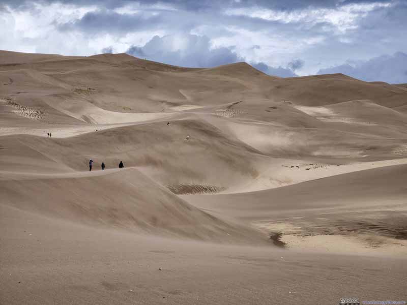 Great Sand Dunes
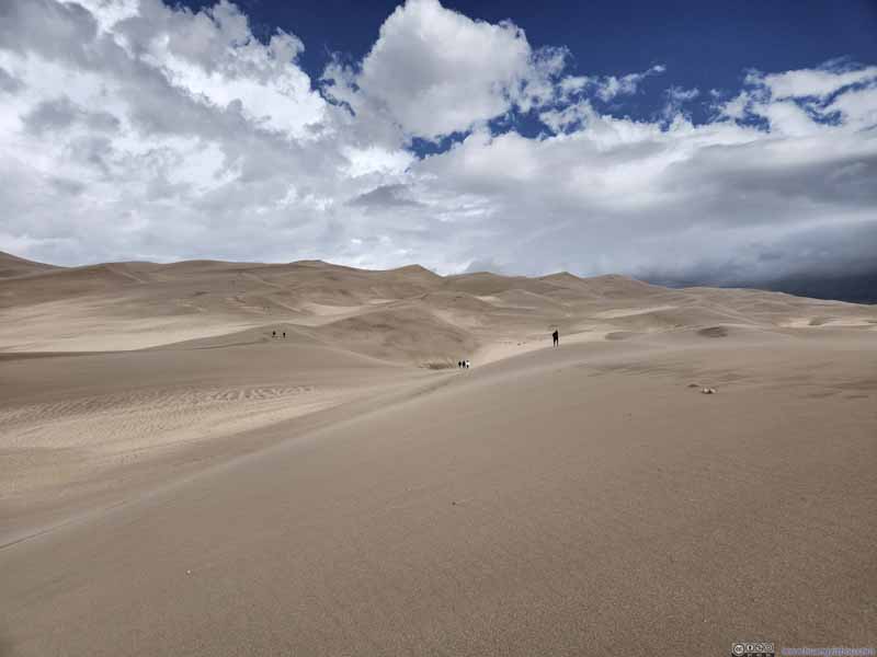 Great Sand Dunes
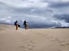
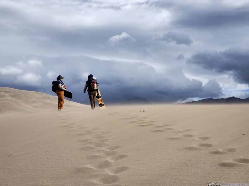 Sandboarders
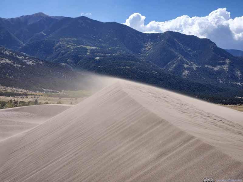 Drifting Sand
 Great Sand Dunes
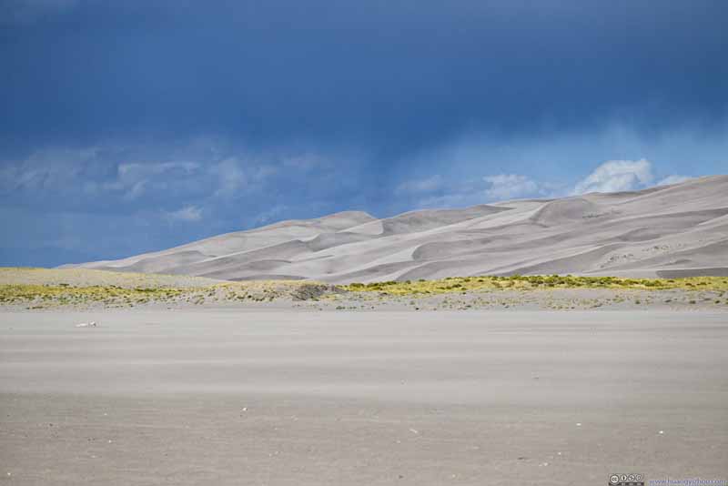
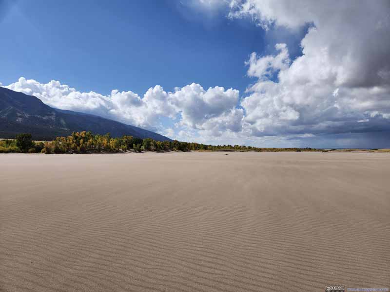 Plants next to Great Sand Dunes
Click here to display photos of the Great Sand Dunes.
 Great Sand Dunes

 Great Sand Dunes
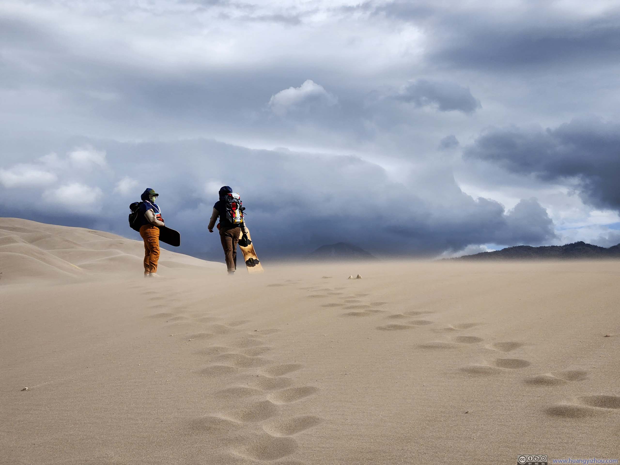
Sandboarders
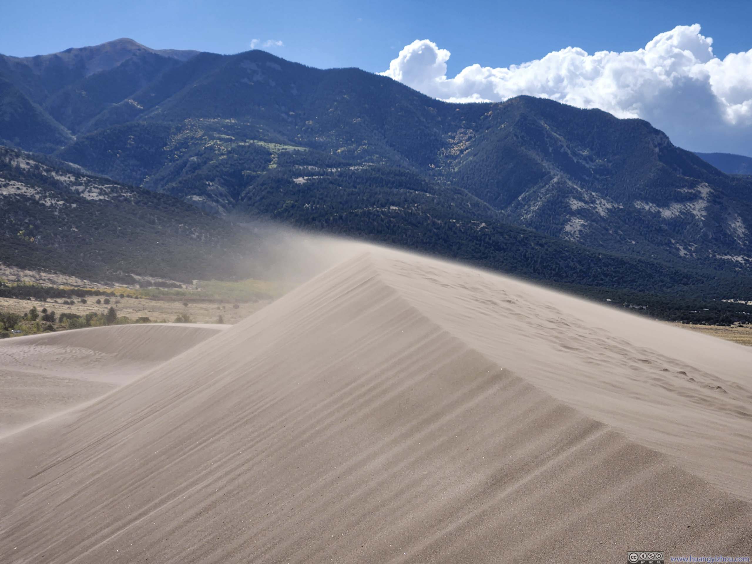
Drifting Sand
Great Sand Dunes

Plants next to Great Sand Dunes
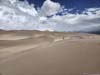
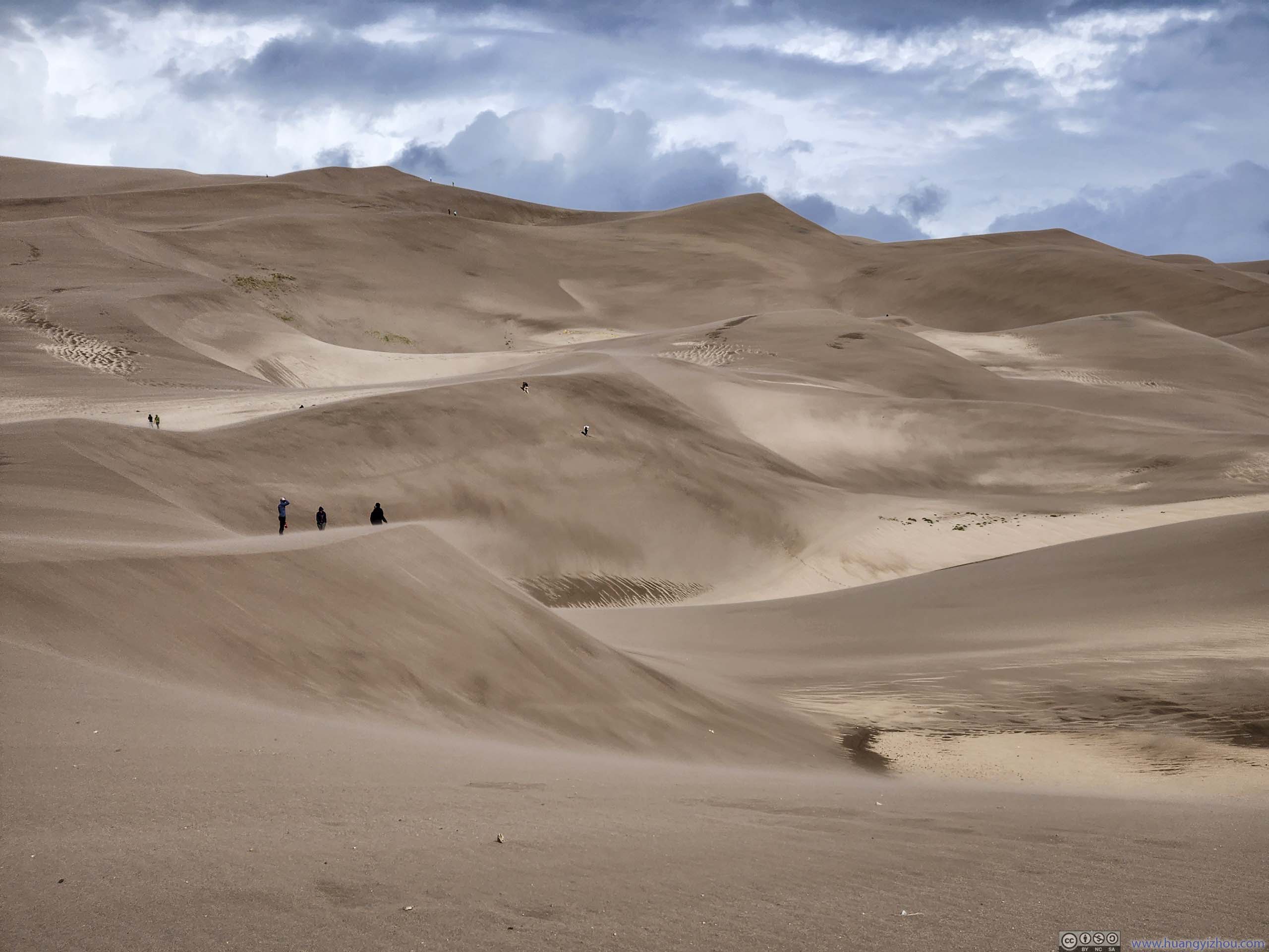
Once on the sand dunes, the strong winds were visible from the drifting sand on top of the ridges. Even while standing, my pockets were slowly being filled with sand. I found a few people sandboarding but most others weren’t. At this time, I could see I wouldn’t enjoying being battered by sand and wind while sandboarding.
Below is a short video that I captured of the drifting sands uphill, just to give a sense.
20 seconds, 2160p30fps, 5.5Mbps/15MB for H265, 6Mbps/16MB for H264.
In addition, here’s a panoramic video.
18 seconds, 2160p30fps, 7.5Mbps/18MB for H265, 8.5Mbps/19MB for H264.
Great Sand Dunes
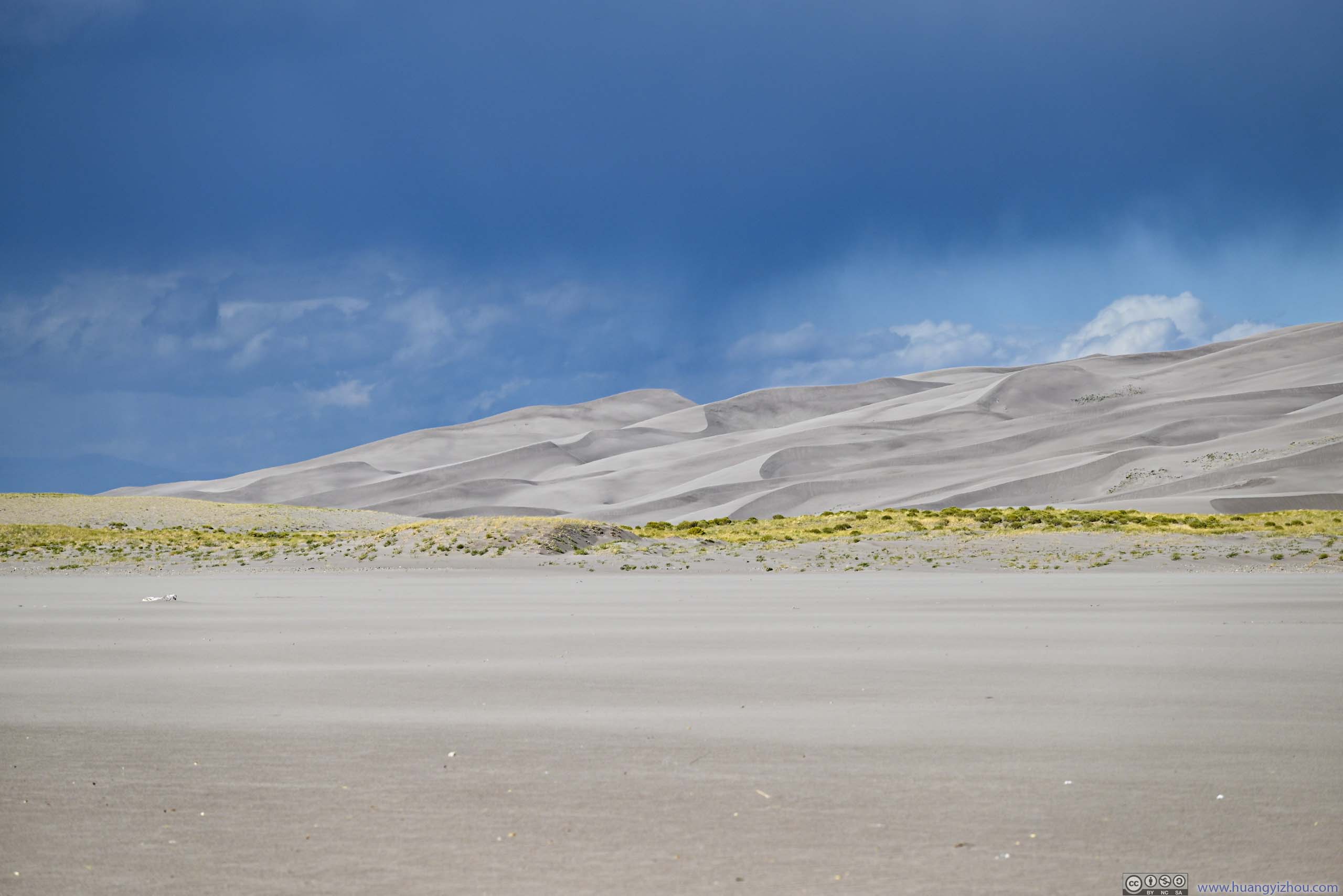
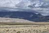
Before I left the park, I checked out the visitor center, which showed the formation of such sand dunes. In short, the San Luis Valley between San Juan Mountains to the west and Sangre de Cristo Mountains to the east was once flowing with water rich in sediments. The water dried up, and the sediments were blown by the prevalent wind to the current location, forming the sand dunes. The strong winds I experienced today sort of showcased its force in transporting the sands over large distances.
 Great Sand Dunes
 Great Sand Dunes
 Mt Herard behind Clouds
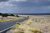
 Road
Road
Click here to display photos of the Great Sand Dunes.
 Great Sand Dunes

Mt Herard behind Clouds
Road
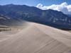
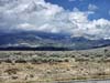
In fact, the winds were so strong that I could watch the patterns of clouds dashing across the sand dunes.
Great Sand Dunes from Road
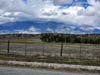
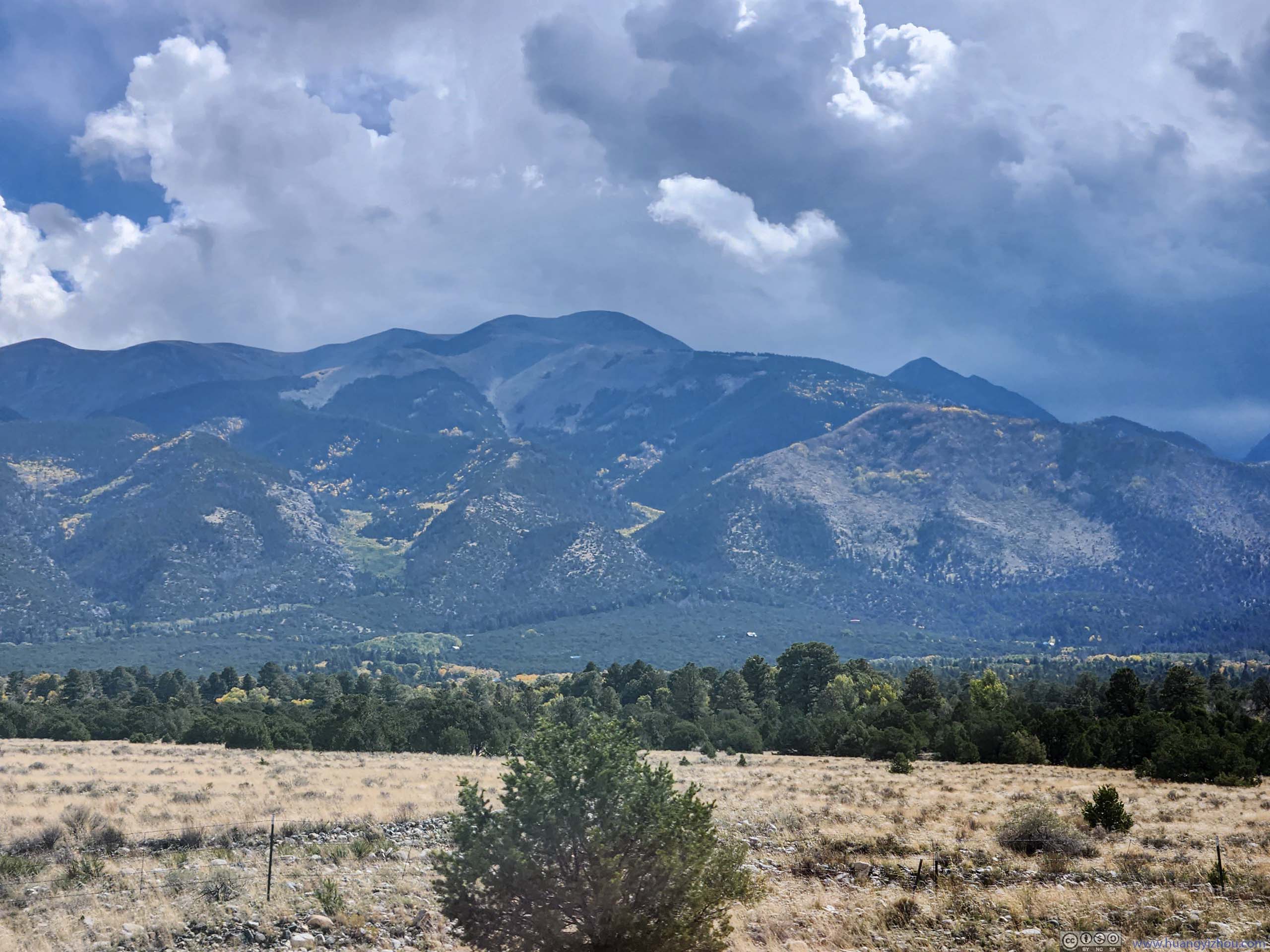
Once out of the park, I drove east along CO-150/US-160, circling around the southernmost part of Sangre de Cristo Mountains. I knew Blanca Peak and Little Bear Peak were among this group, which were 2 of Colorado’s 53 14ers with a challenging traverse in between them.
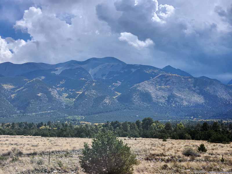 California Peak
 California Peak and Twin Peaks
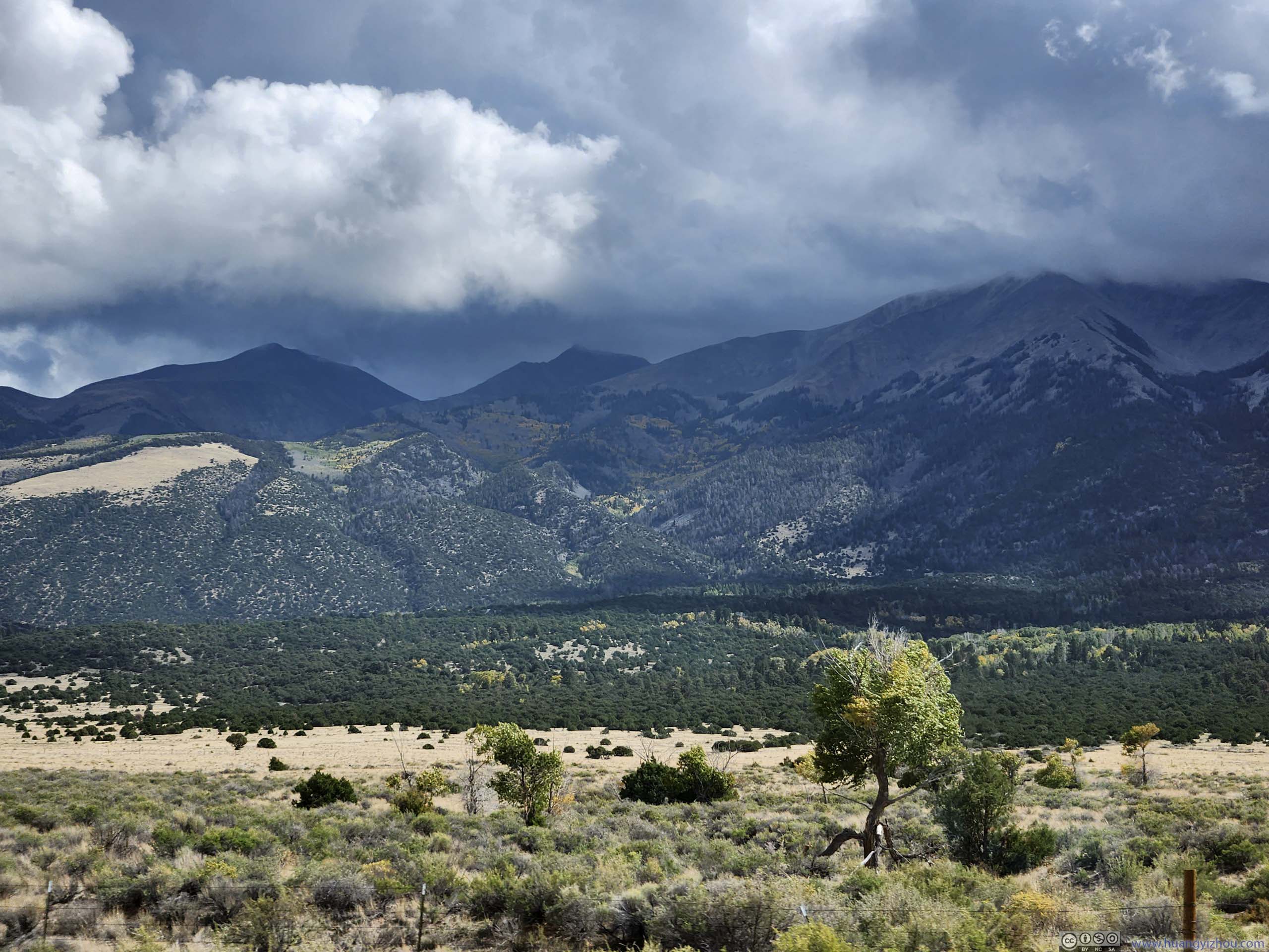
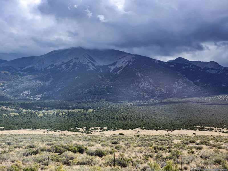 Twin Peaks in Clouds
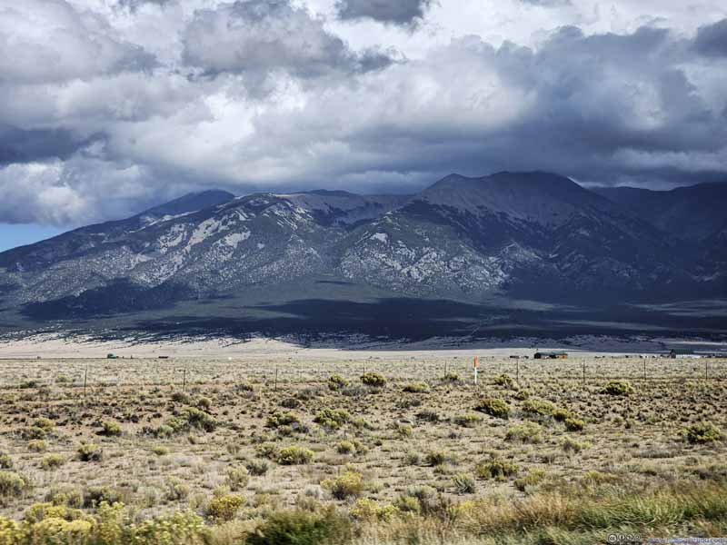 Sangre de Cristo MountainsThe summit of Little Bear Peak thinly covered by clouds in the central-right.
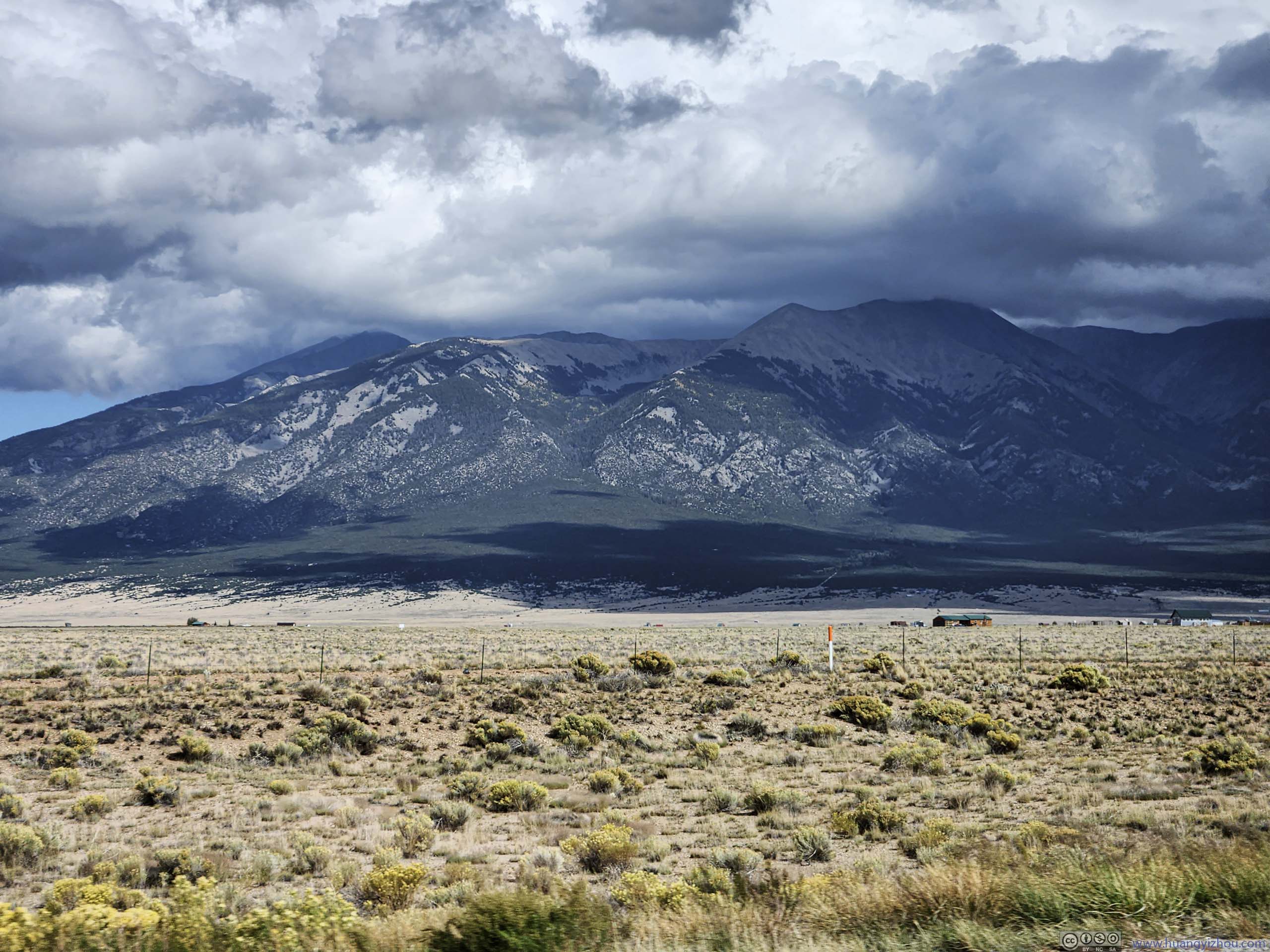
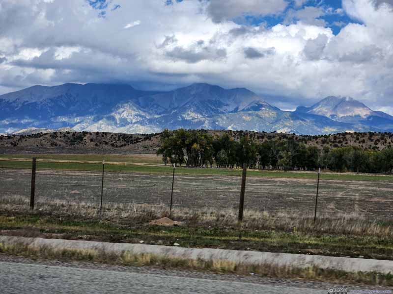 Sangre de Cristo MountainsFrom left to right: Little Bear Peak, Blanca Peak, Hamilton Peak, Mount Lindsey.
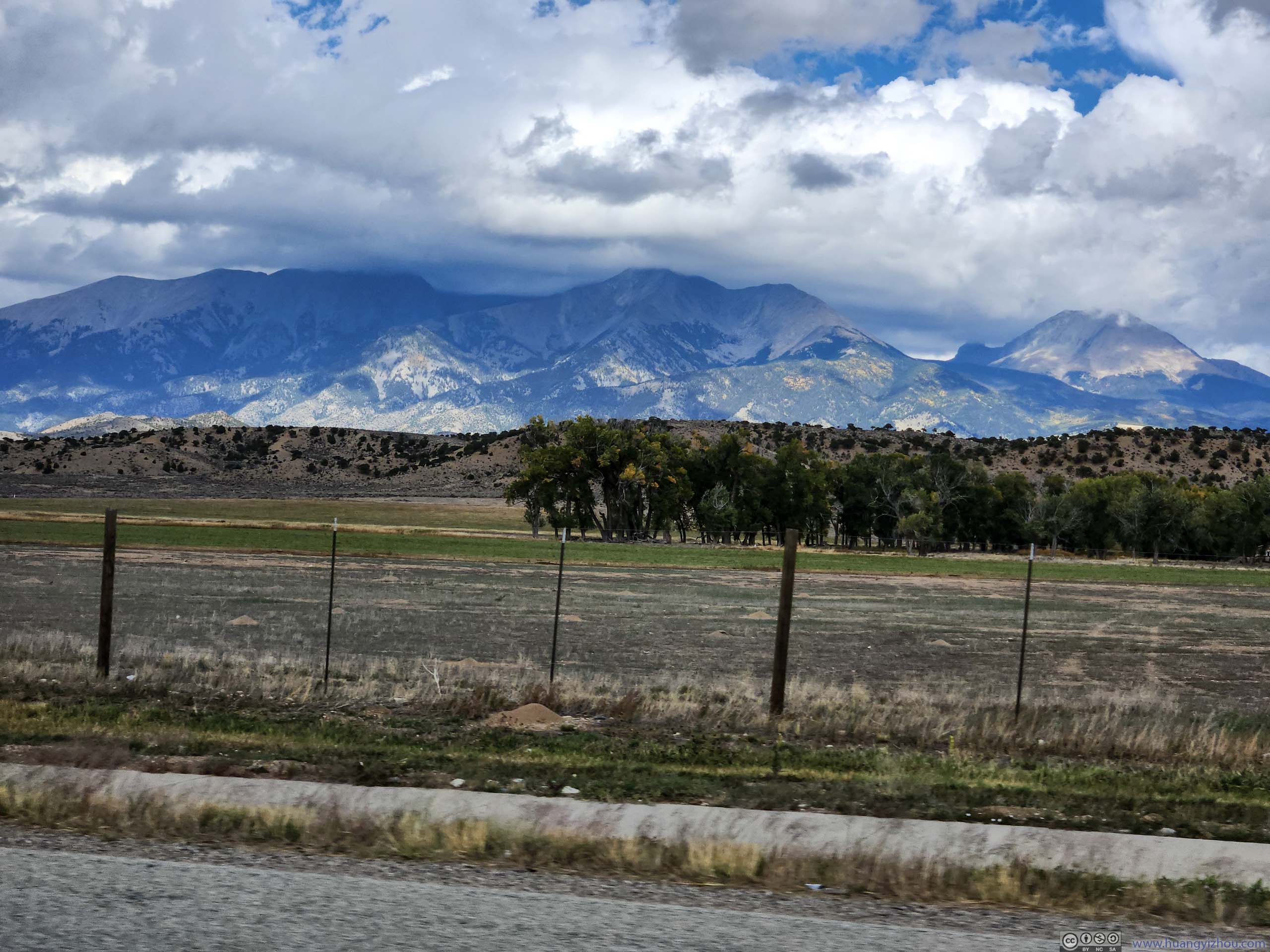
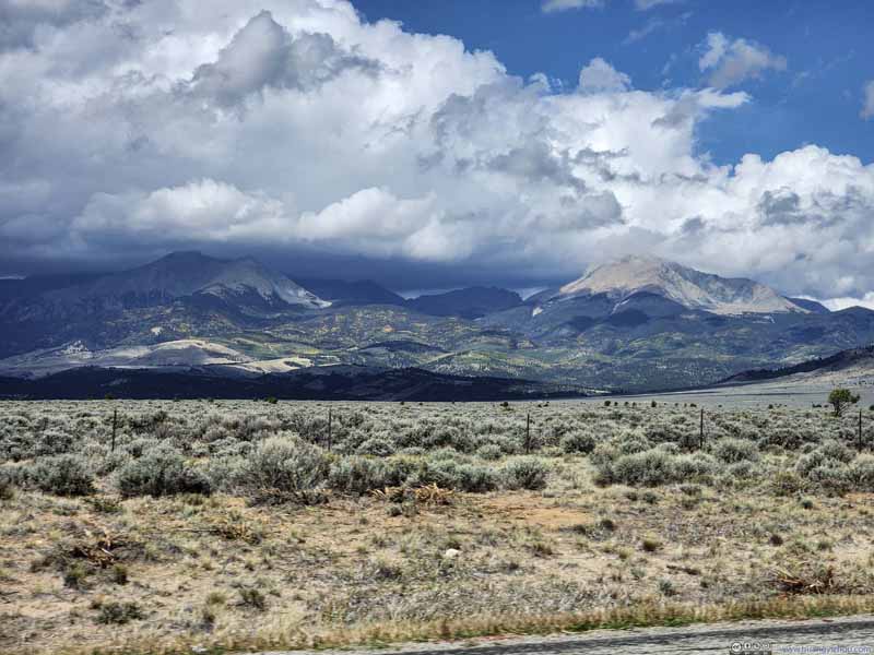 Sangre de Cristo MountainsBlanca Peak and Mount Lindsey in clouds.
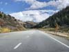
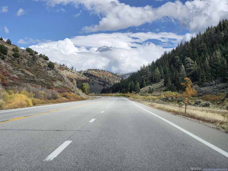 Road onto La Veta Pass

Click here to display photos of the slideshow
California Peak
California Peak and Twin Peaks

Twin Peaks in Clouds
Sangre de Cristo MountainsThe summit of Little Bear Peak thinly covered by clouds in the central-right.
Sangre de Cristo MountainsFrom left to right: Little Bear Peak, Blanca Peak, Hamilton Peak, Mount Lindsey.

Sangre de Cristo MountainsBlanca Peak and Mount Lindsey in clouds.

Road onto La Veta Pass
I planned to spend the night in central Kansas, which meant there’s a long drive ahead of me. I didn’t want to keep driving for the entire day, so I stopped and checked out “Bent’s Old Fort National Historic Site” outside La Junta, CO.
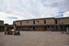
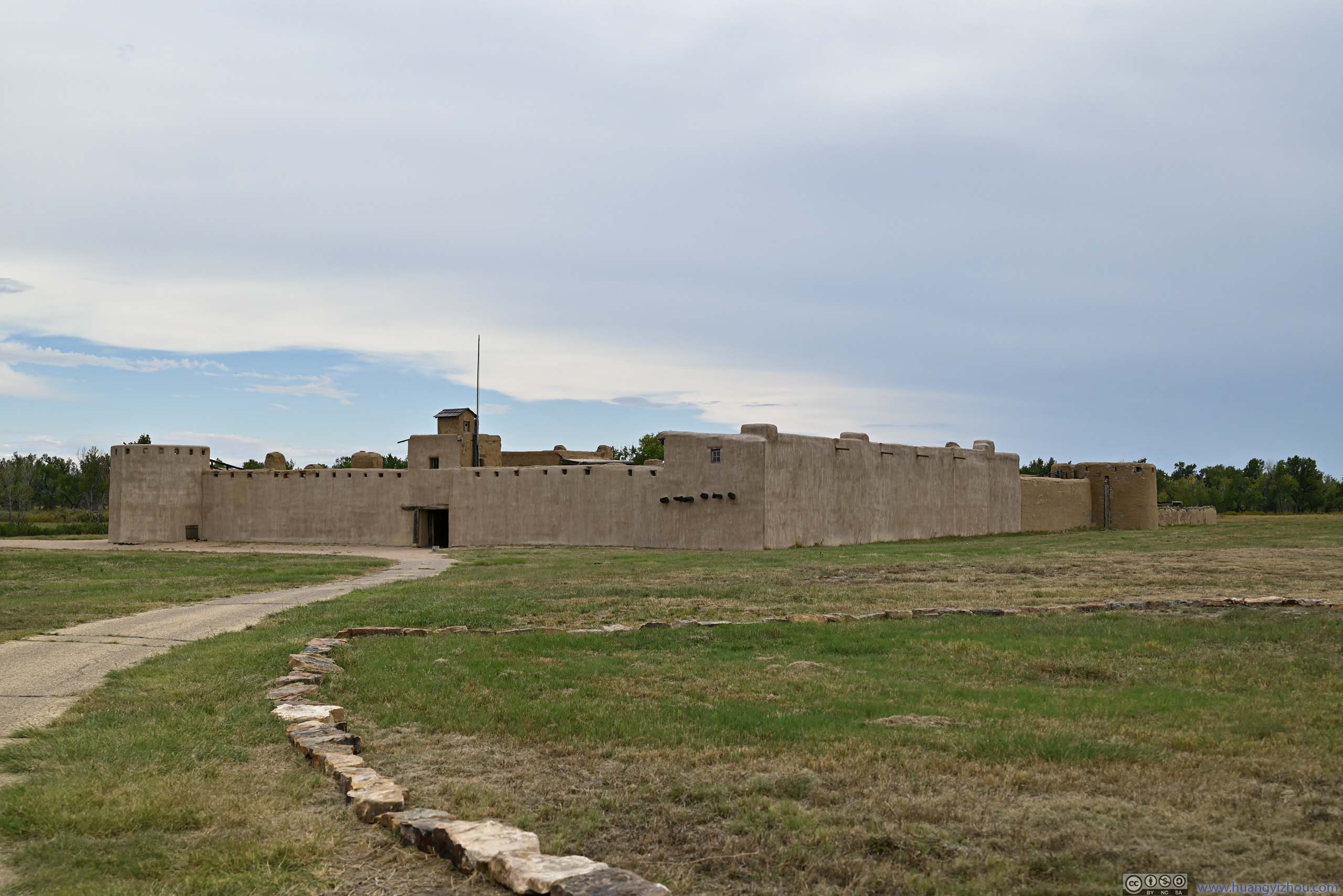
Bent’s Old Fort
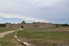
This fort was located along the shores of Arkansas River, which was back then the border between United States and Mexico. Along Santa Fe Trail, it was the only permanent settlement not under the jurisdiction and control of Native Americans or Mexicans. The fort facilitated trade (mostly fur) with native American tribes, while providing shelter and supply for travelers on the Santa Fe Trail.
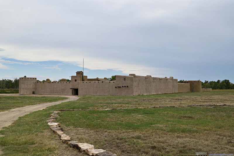 Bent’s Old Fort
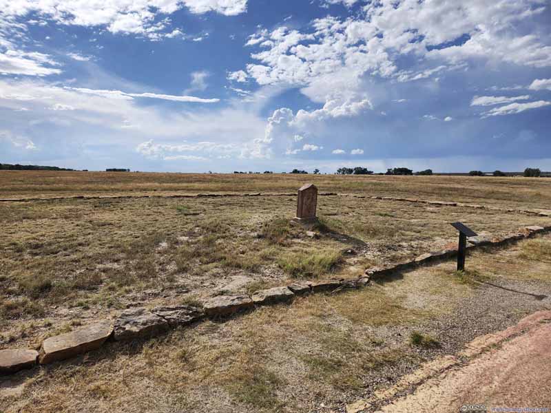 GraveyardThe marked stone for Edward Dorris, a stagecoach driver.
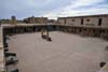
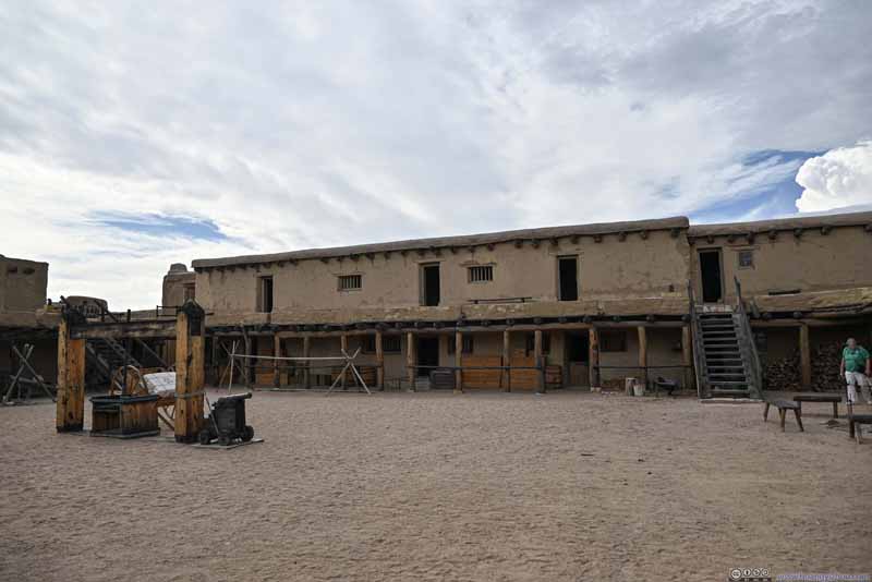 Courtyard
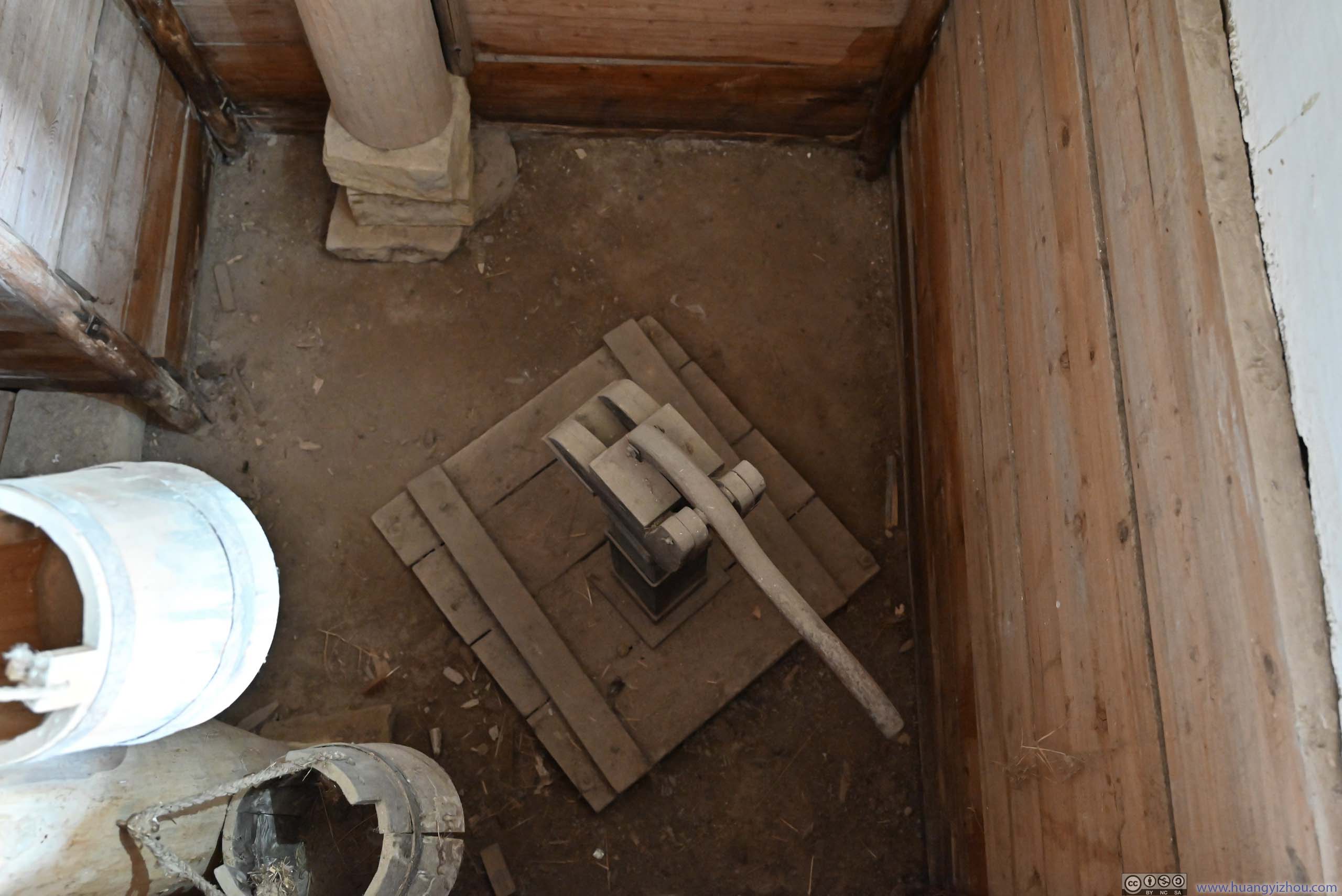
 Fur Packaging Machine in Courtyard
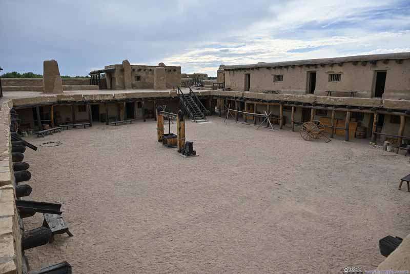 Overlooking Courtyard
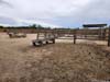
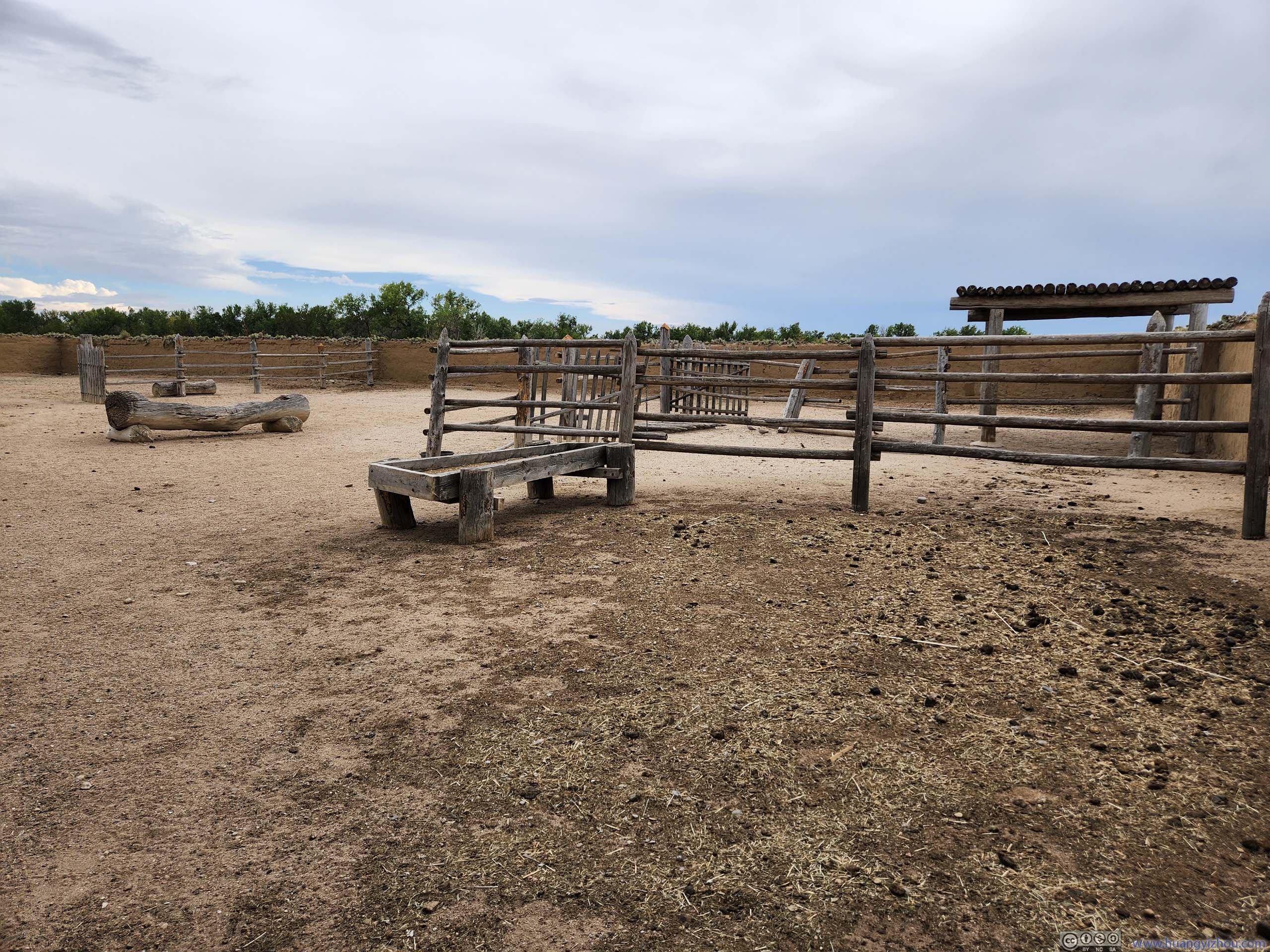
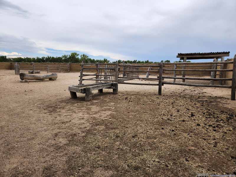 CorralThe park raise some chicken here, just like the old days of the fort.
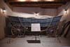
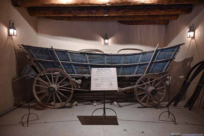 Wagon Display
An original Conestoga wagon that was popular along Santa Fe Trail. The curved box shape kept loads from shifting on rough trails.
Wagon Display
An original Conestoga wagon that was popular along Santa Fe Trail. The curved box shape kept loads from shifting on rough trails.

Click here to display photos of the slideshow
Bent’s Old Fort
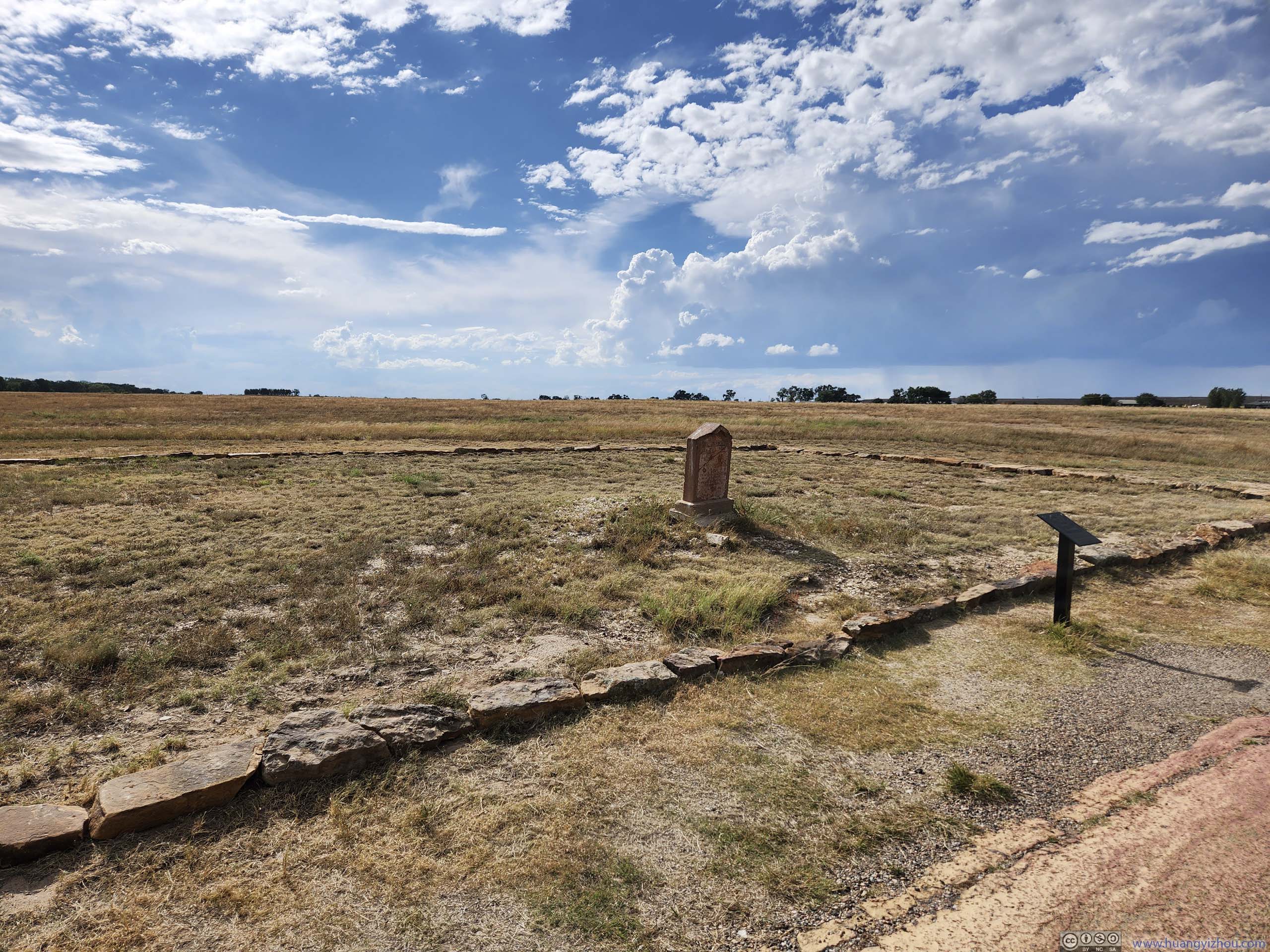
GraveyardThe marked stone for Edward Dorris, a stagecoach driver.
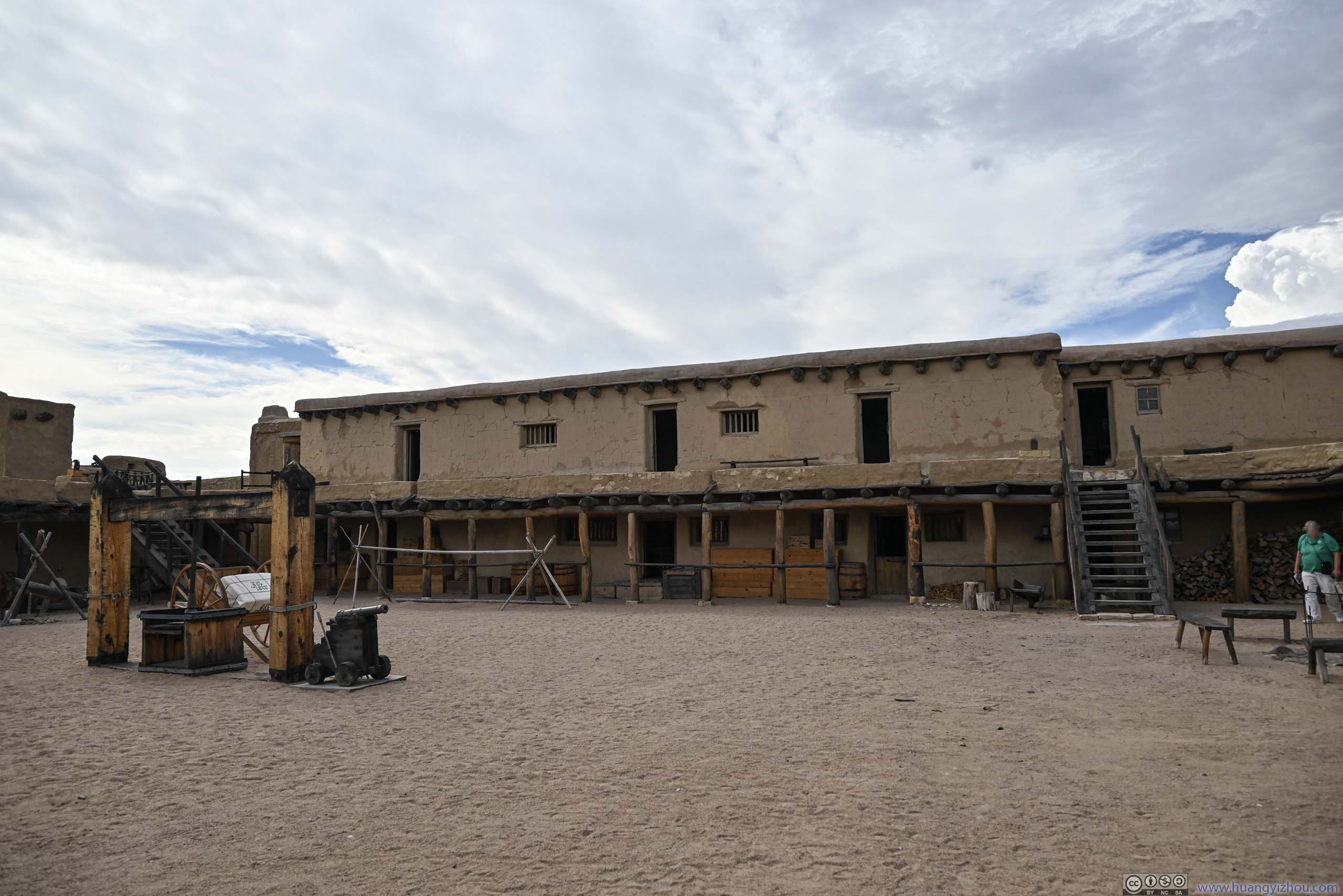
Courtyard
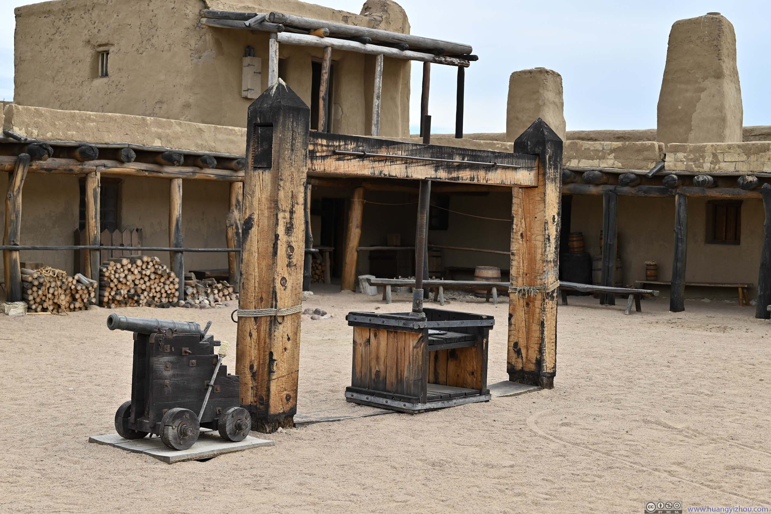
Fur Packaging Machine in Courtyard
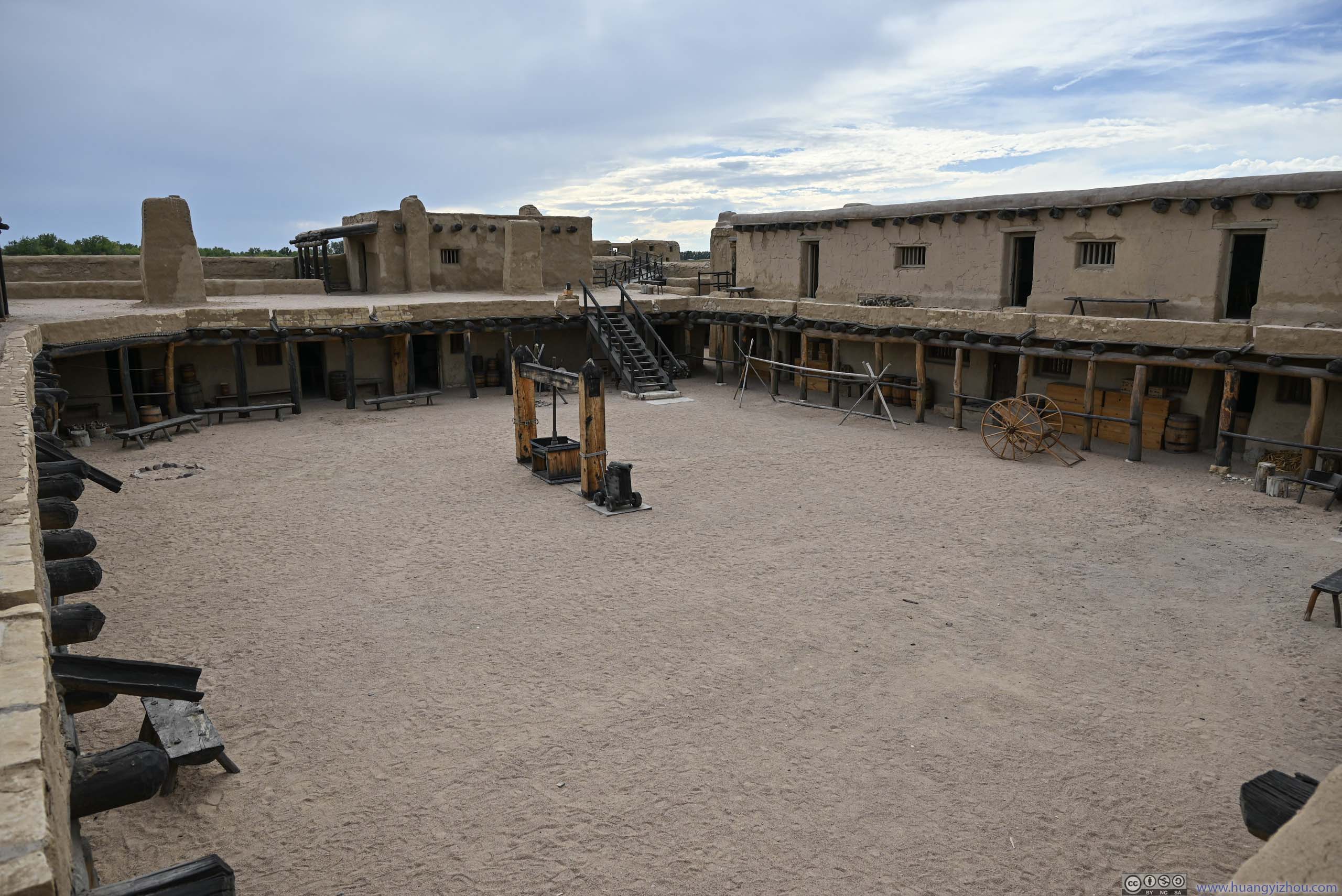
Overlooking Courtyard
CorralThe park raise some chicken here, just like the old days of the fort.

Wagon Display
While the fort was abandoned in 1849 due to disease among native American tribes (and hence declining trade), the layout of the fort was carefully documented by Army Topographical Engineer Lt. James Abert, which contributed to the reconstruction of the fort as seen nowadays.
 Council RoomWhere tribal people negotiated prices and terms with traders.
 Trading Room
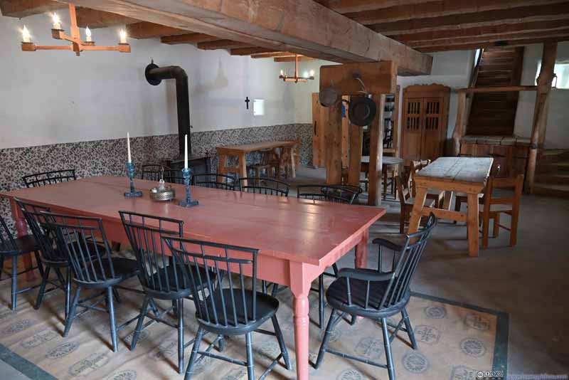 Dining Room
 Kitchen
While most of the fort nowadays was restored, the stone floors in the center of this photo were original.
Kitchen
While most of the fort nowadays was restored, the stone floors in the center of this photo were original.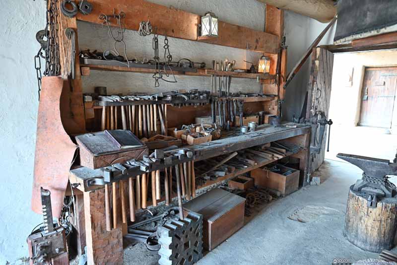 Blacksmith Workshop
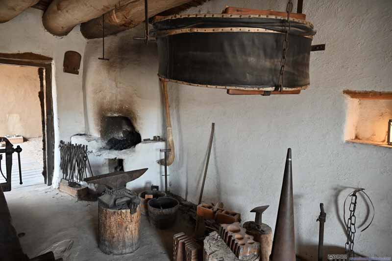 Blacksmith Workshop
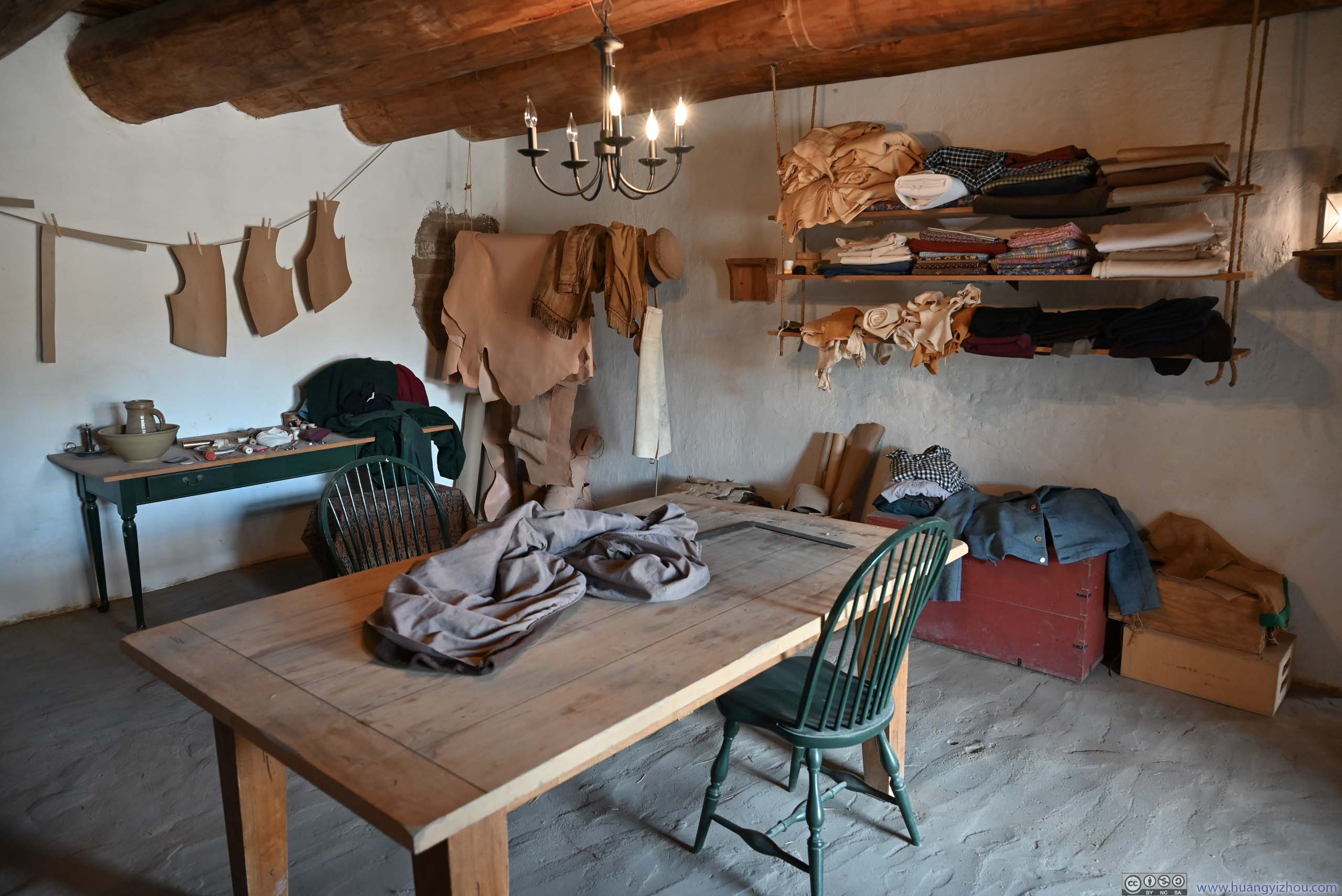
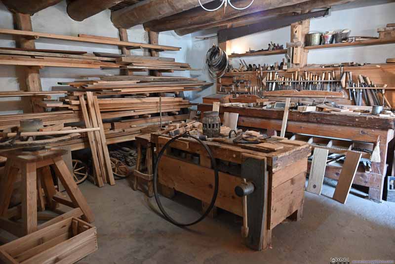 Carpenter Workshop


Click here to display photos of the slideshow

Council RoomWhere tribal people negotiated prices and terms with traders.
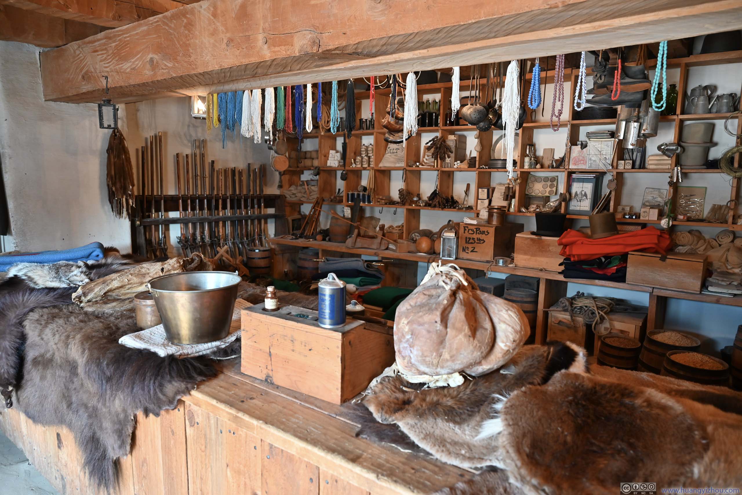
Trading Room

Dining Room
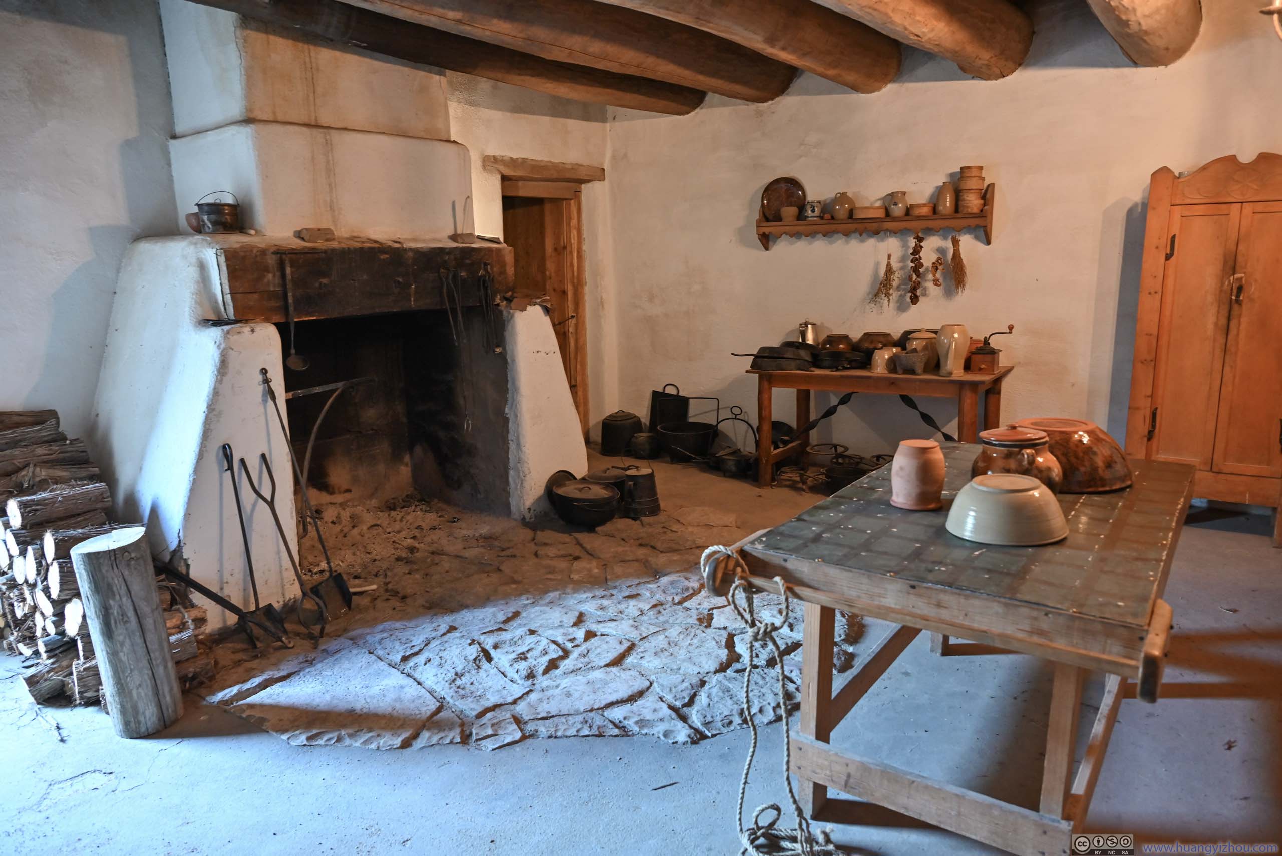
Kitchen

Blacksmith Workshop

Blacksmith Workshop

Carpenter Workshop
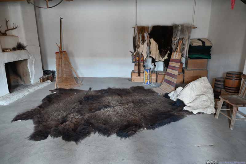
 Fur Storage Room
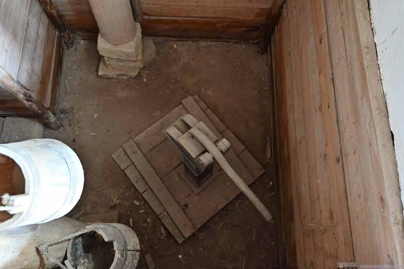 Water Pump Room
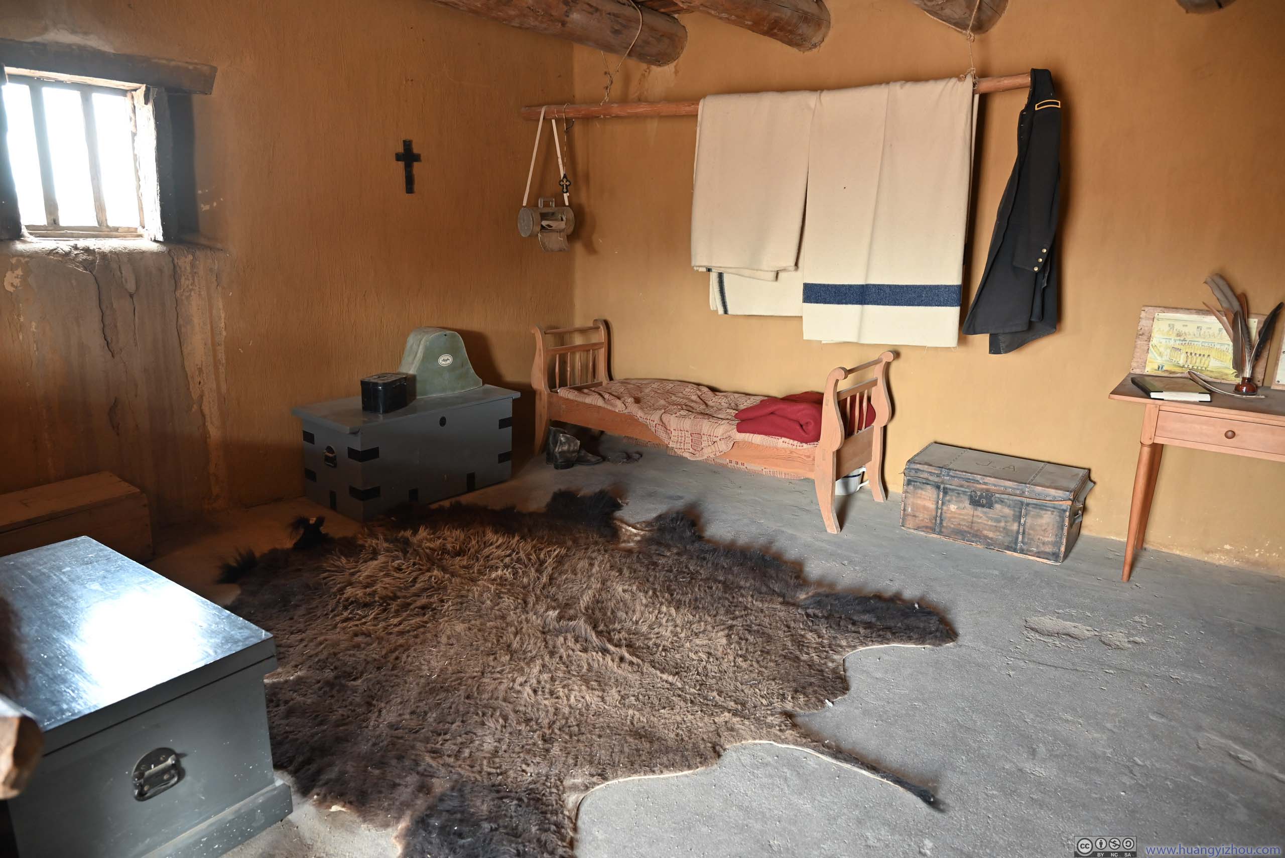
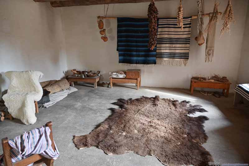 Laborer Quarter
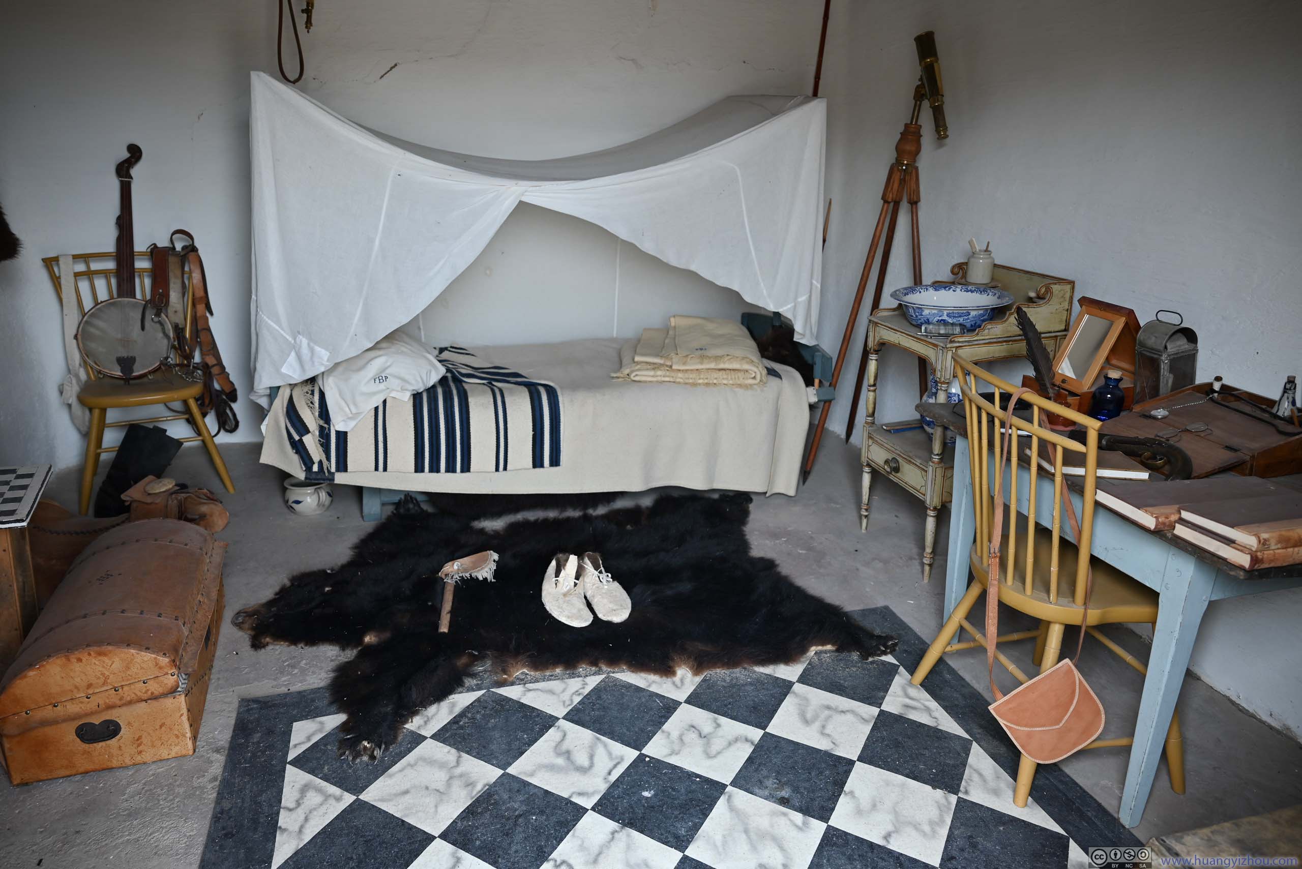
 Room for Susan MagoffinThe wife of a wealthy trader that suffered a miscarriage here.
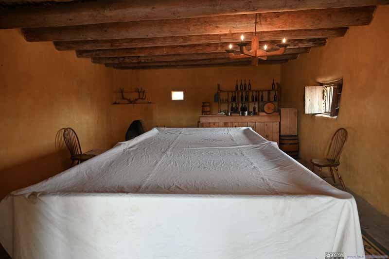 Billiard Room
 Sr Vrain’s Quarter
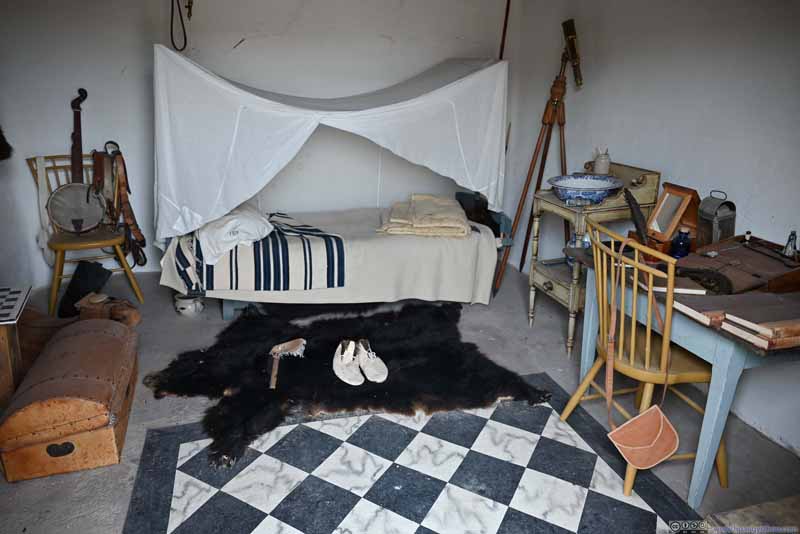 Room
Room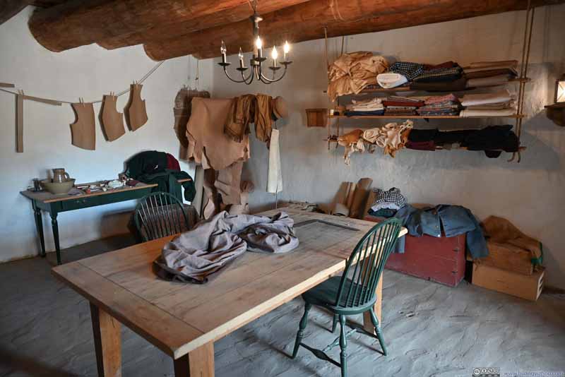 Room
Room


Click here to display photos of the slideshow
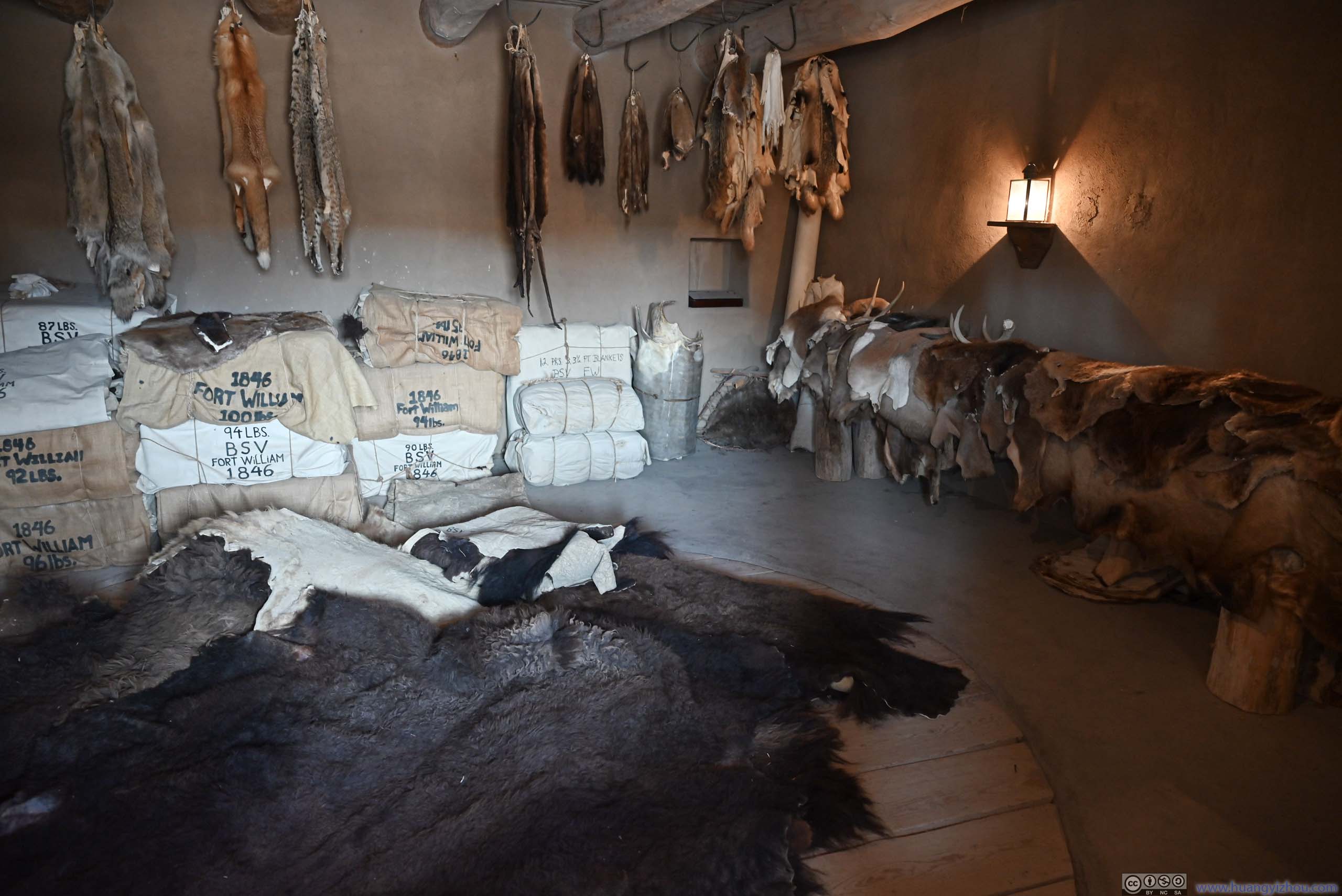
Fur Storage Room
Water Pump Room
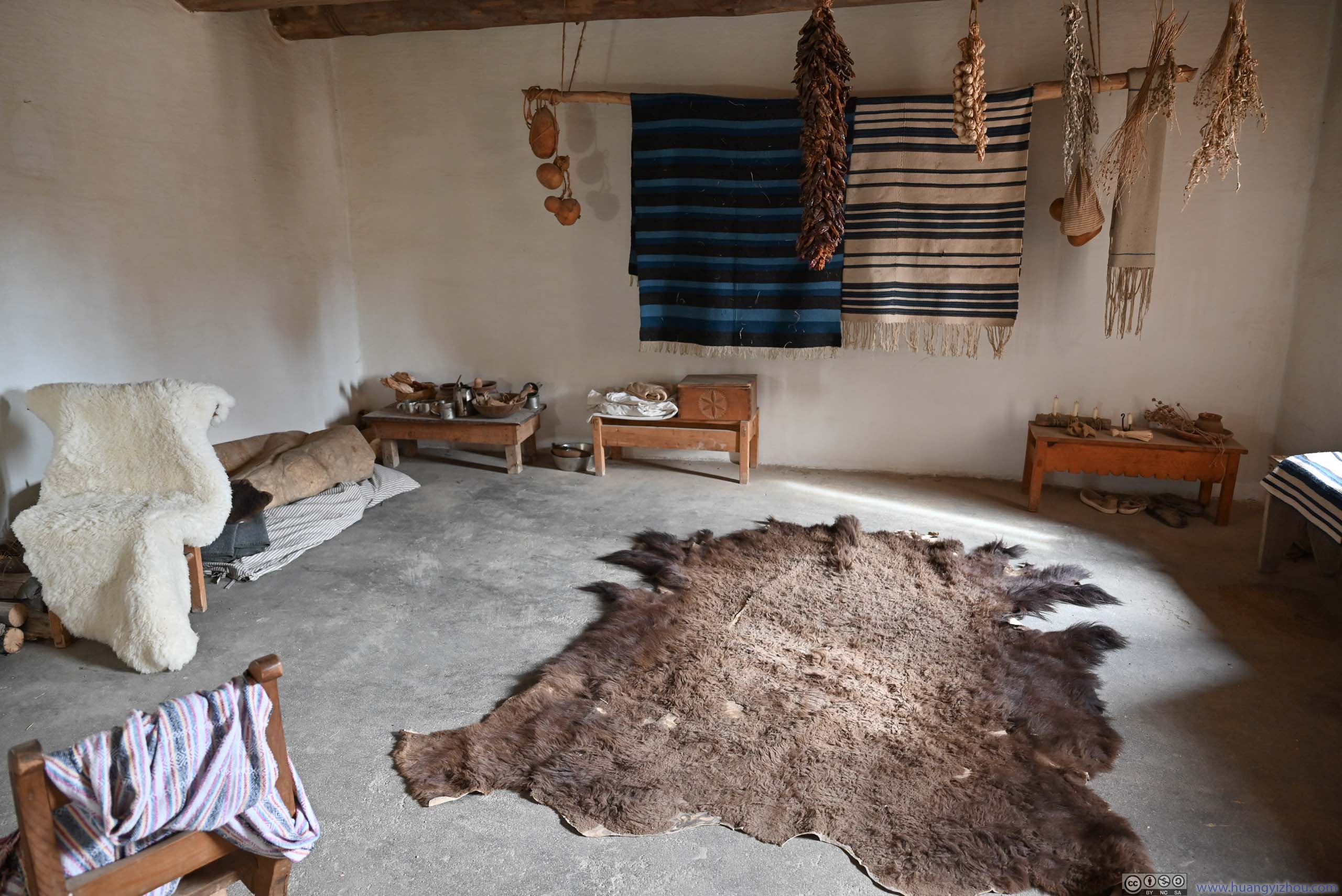
Laborer Quarter
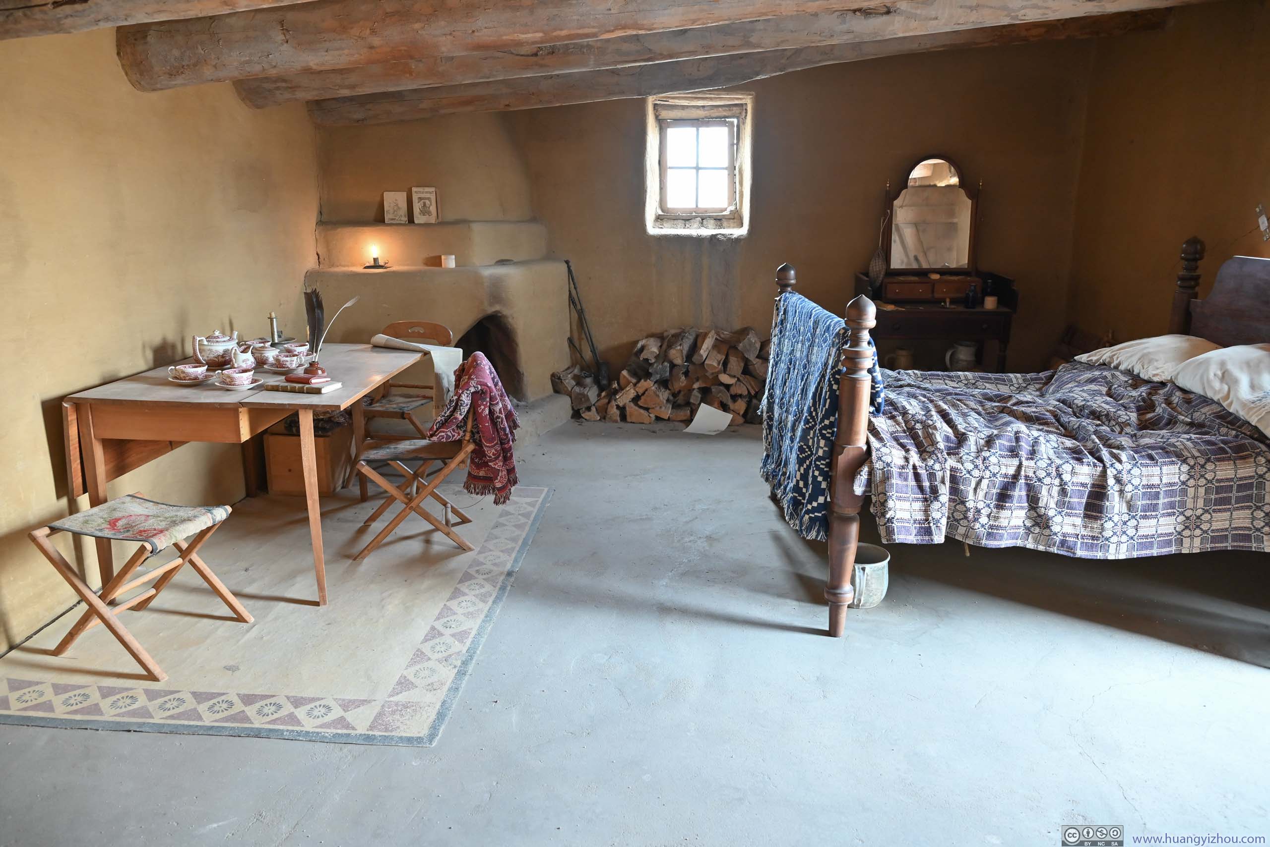
Room for Susan MagoffinThe wife of a wealthy trader that suffered a miscarriage here.
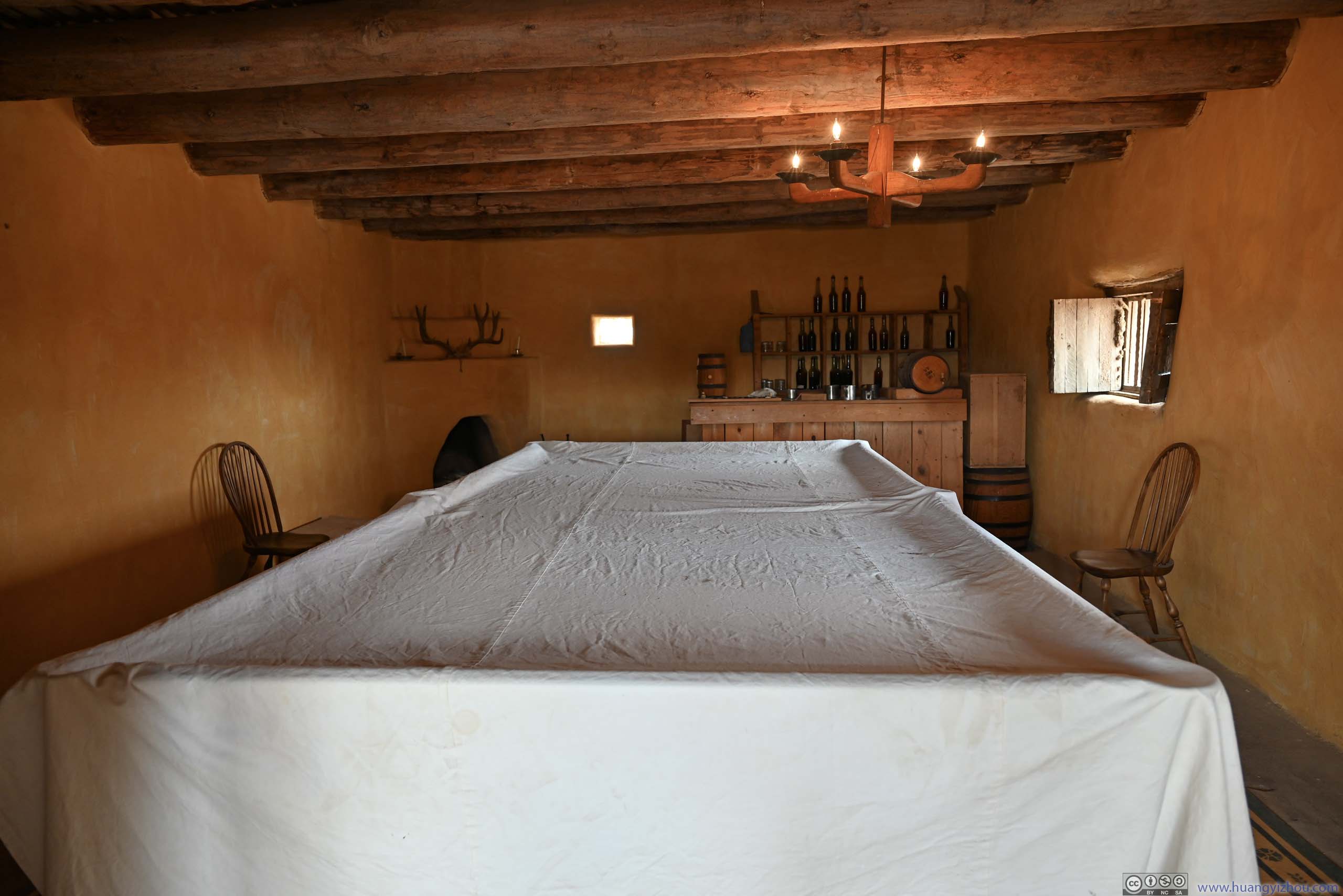
Billiard Room
Sr Vrain’s Quarter
Room
Room
After leaving Bent’s Old Fort as it closed at 4pm, I continued east. The highway passed a few cattle plants on the Eastern Plains of Colorado, with an unpleasant smell.
After dinner in Garden City, KS, it’s a 2-hour dash in the dark to my overnight hotel around Great Bend, KS. For a final disappointment of the day, the high density of bugs along KS-156 was not a pleasant sight.
END
![]() Day 14 of Autumn 2023 Trip to Mountain States, Great Sand Dunes and Bent’s Old Fort by Huang's Site is licensed under a Creative Commons Attribution-NonCommercial-ShareAlike 4.0 International License.
Day 14 of Autumn 2023 Trip to Mountain States, Great Sand Dunes and Bent’s Old Fort by Huang's Site is licensed under a Creative Commons Attribution-NonCommercial-ShareAlike 4.0 International License.