
Updated on July 16, 2025
Hiking Jennings Peak in Winter
A brief post about my not-so-pleasant hike to Jennings Peak in February 2025.
Vista on Jennings Peak
Following a remarkably promising hike to Kearsarge North a month prior (which would have been flawless if the cloud covers were as high as predicted), I found another window of favorable weather in mid-February 2025. This time, my sights were set on Jennings Peak, nestled in the Waterville Valley region of New Hampshire’s White Mountains.
On paper, it’s an 8.6km out-and-back trail to Jennings Peak with 630m of elevation gain (5.4mi and 2060ft respectively). These figures were more modest than the ones of Kearsarge North, offering me the option to extend my hike to Sandwich Mountain, adding 3.2km of distance and 210m of elevation gain (2mi and 700ft respectively).
The higher elevation and later winter season meant there was deeper snow cover on the trail this time than Kearsarge North a month ago. I saw most recent comments online suggesting snowshoes, but a few mentioned microspikes alone were still sufficient. Since I no longer had snowshoes, I decided to go with microspikes, which led to considerable postholing. TLDR: Microspikes alone were marginally feasible on Sandwich Mountain Trail to Jennings Peak, but that would result in substantial postholing especially past Noon Peak where the trail was less compacted. Snowshoes were the better option throughout. Drakes Brook Trail wasn’t broken hence only accessible to snowshoes.
And so, on the morning of February 22, I made it to the trailhead at 10:30am, and started my hike at 10:50am. Here’s GPS tracking:
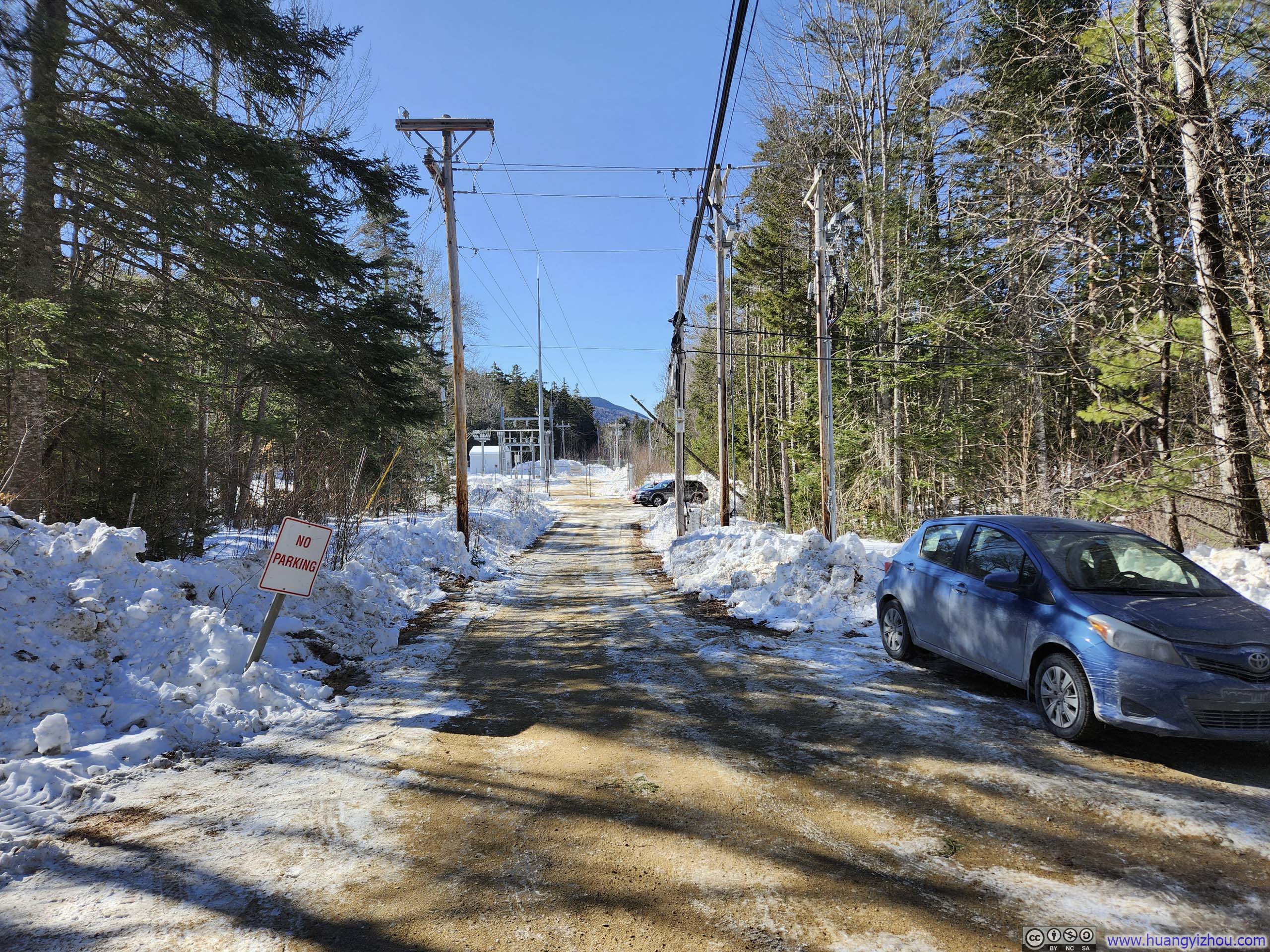
 Main Parking LotWhich was not plowed in winter.
 Road/Parking Situation
At the end of this photo there was a second parking lot with spaces for about 5 cars. Towards the right of this photo, another 5 cars parallel parked along a road.
Road/Parking Situation
At the end of this photo there was a second parking lot with spaces for about 5 cars. Towards the right of this photo, another 5 cars parallel parked along a road.

Click here to display photos of the parking situation.
Main Parking LotWhich was not plowed in winter.
Road/Parking Situation
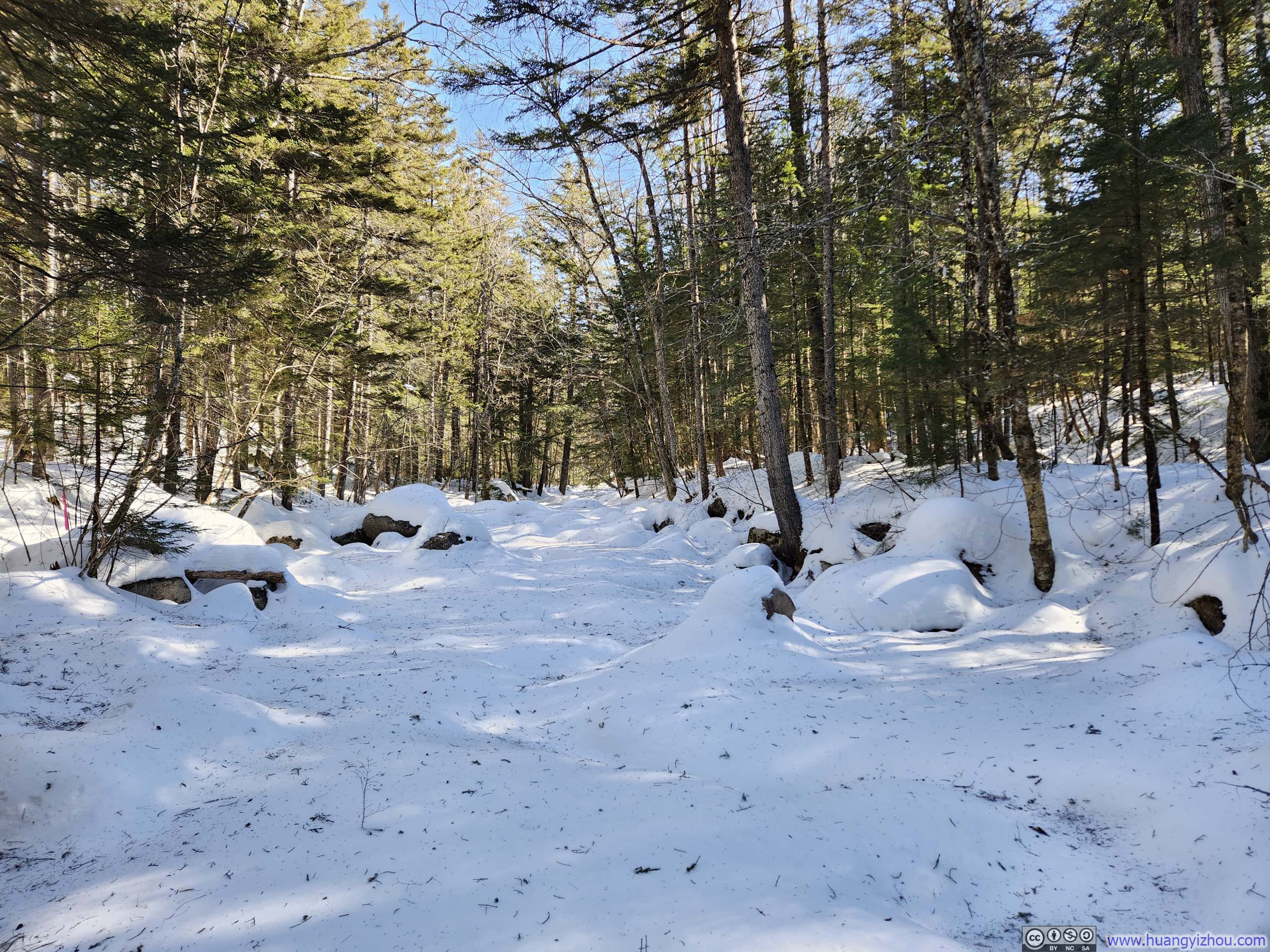
 Snow Covered Creek
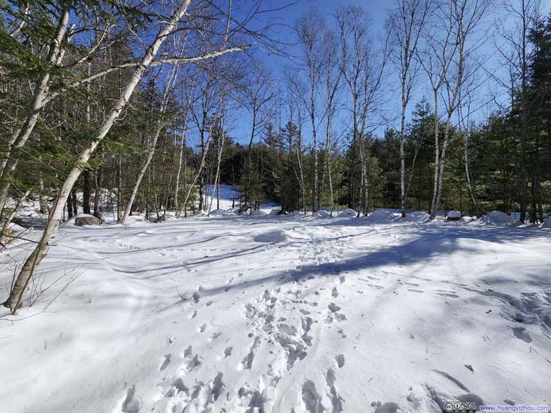
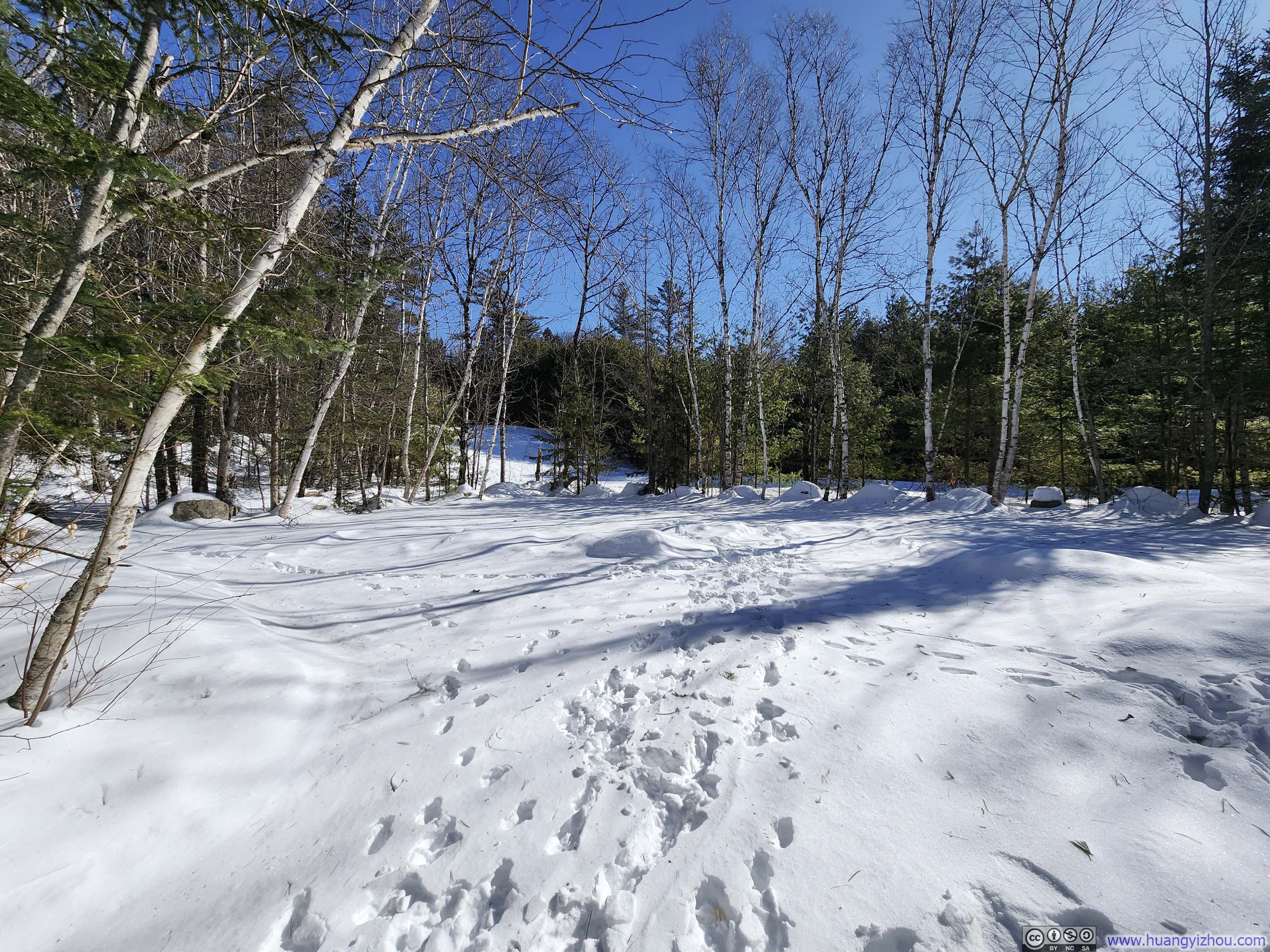
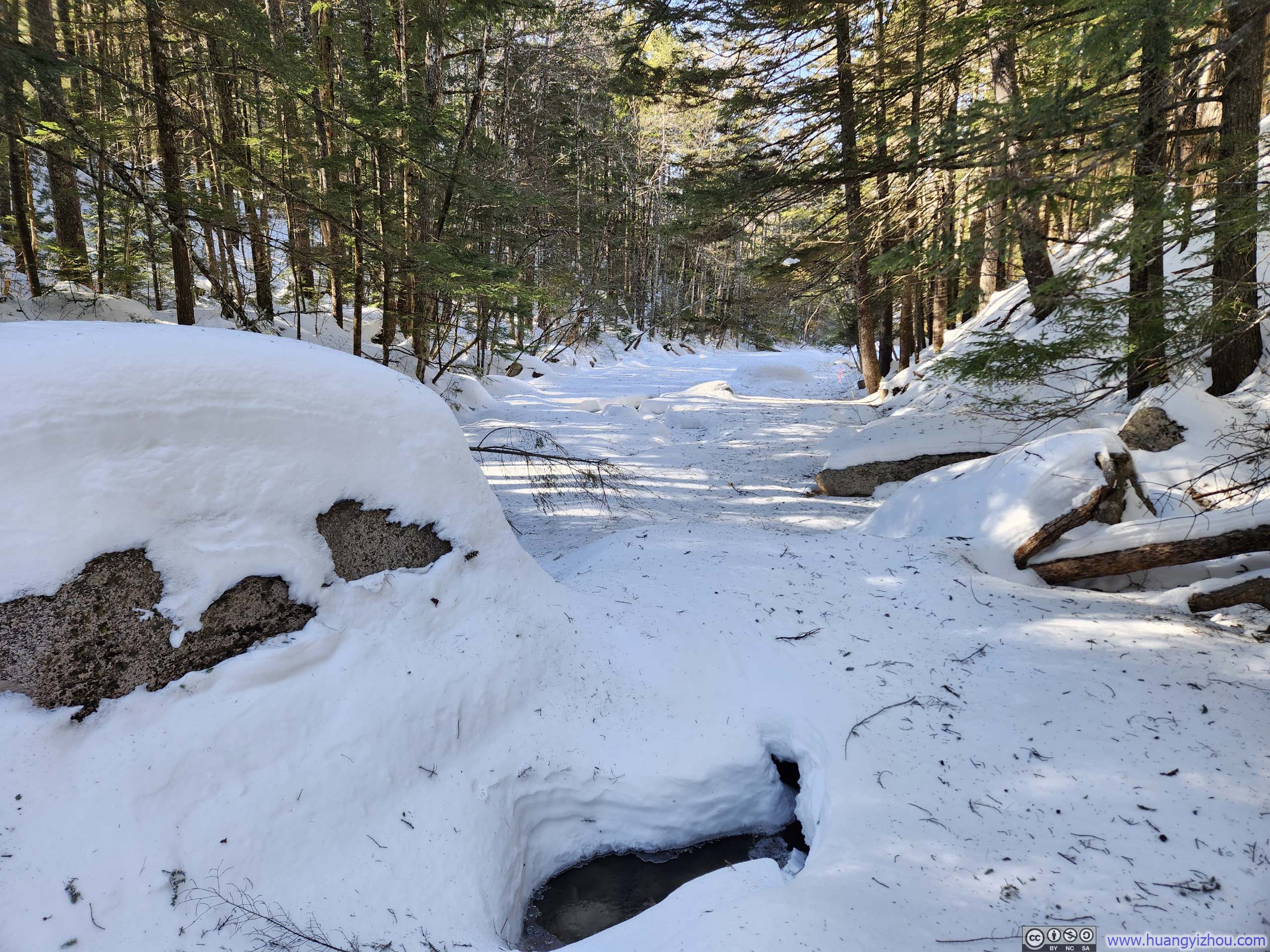
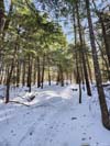
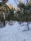
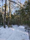
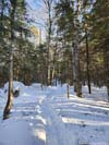
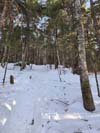
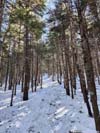
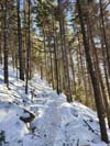
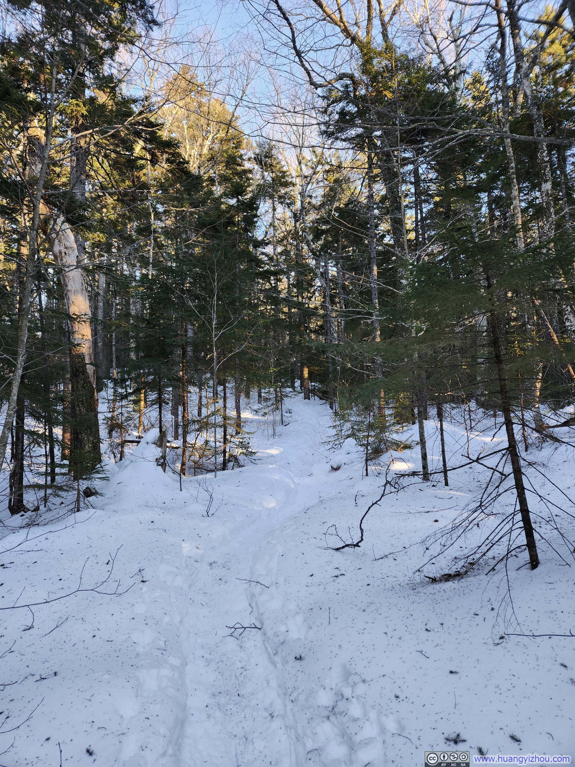
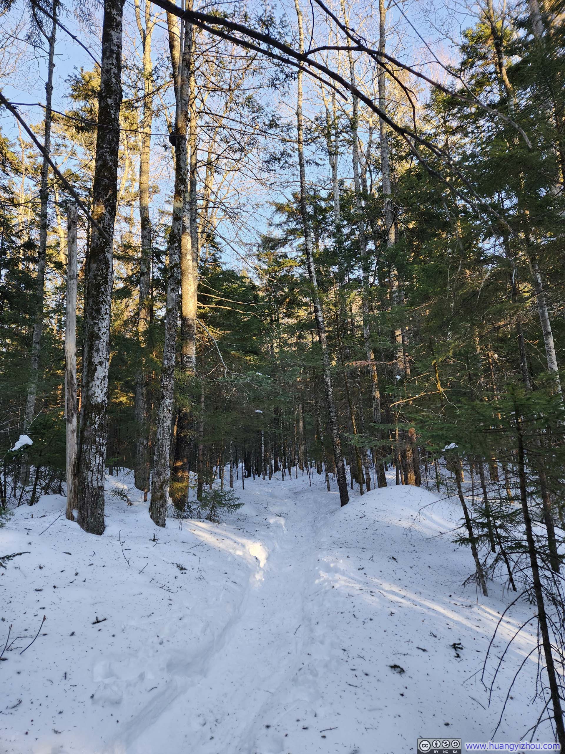
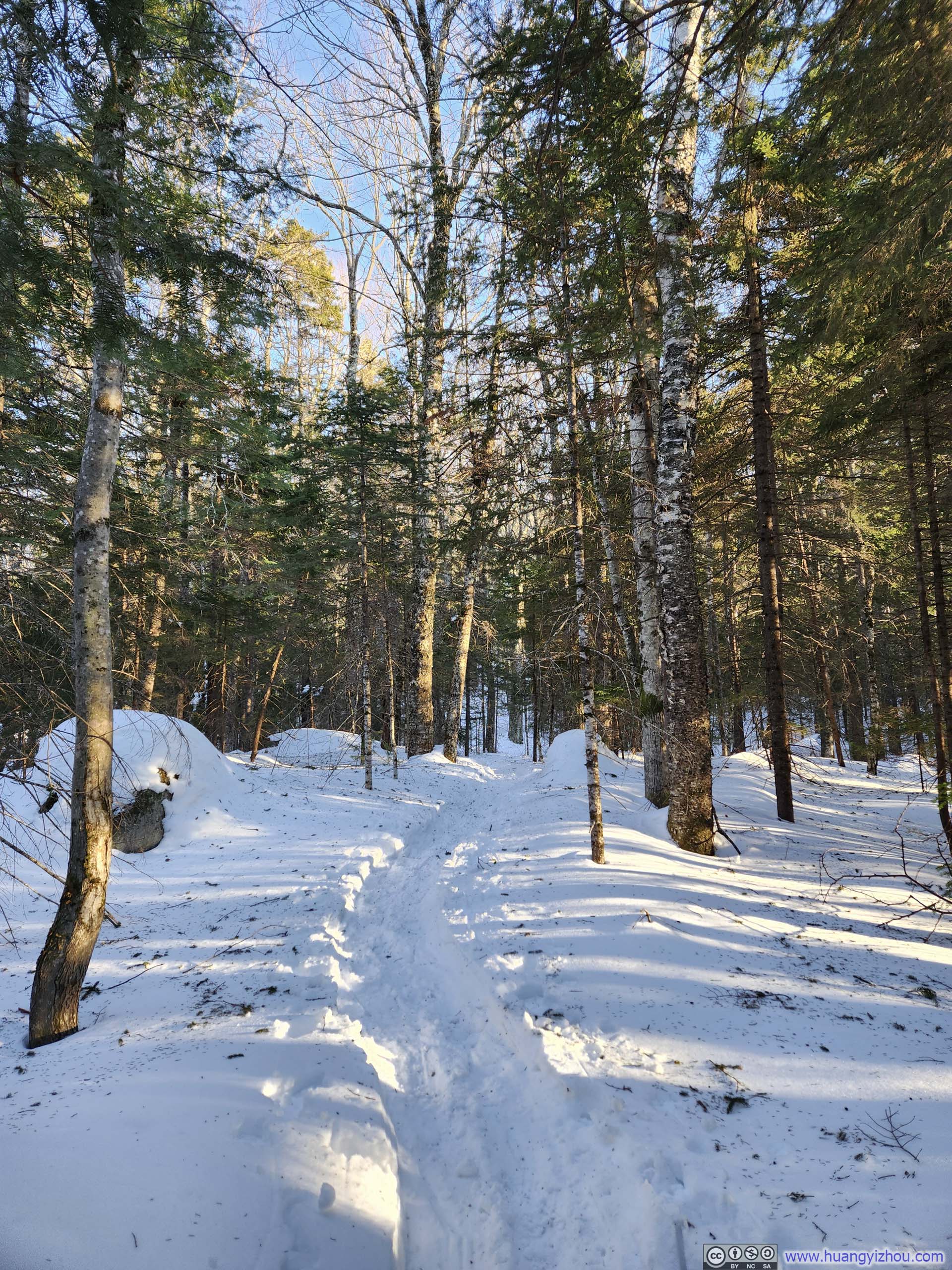
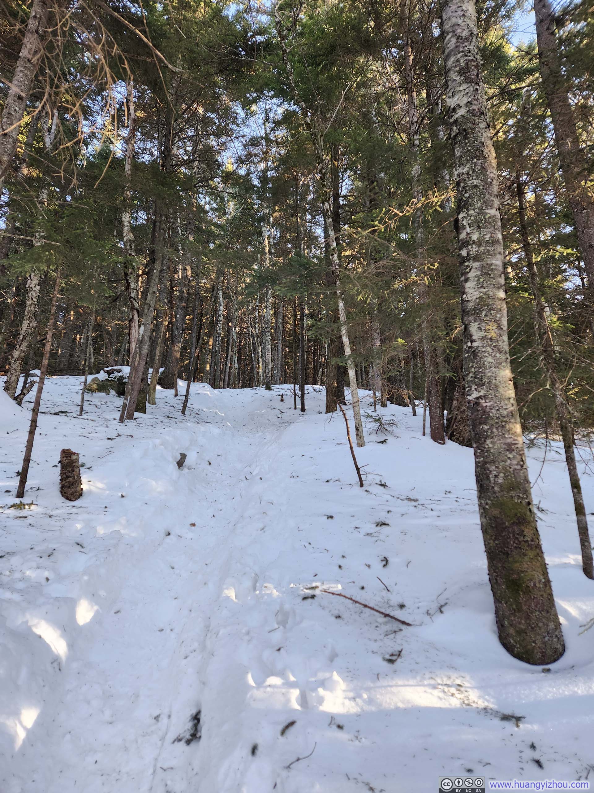
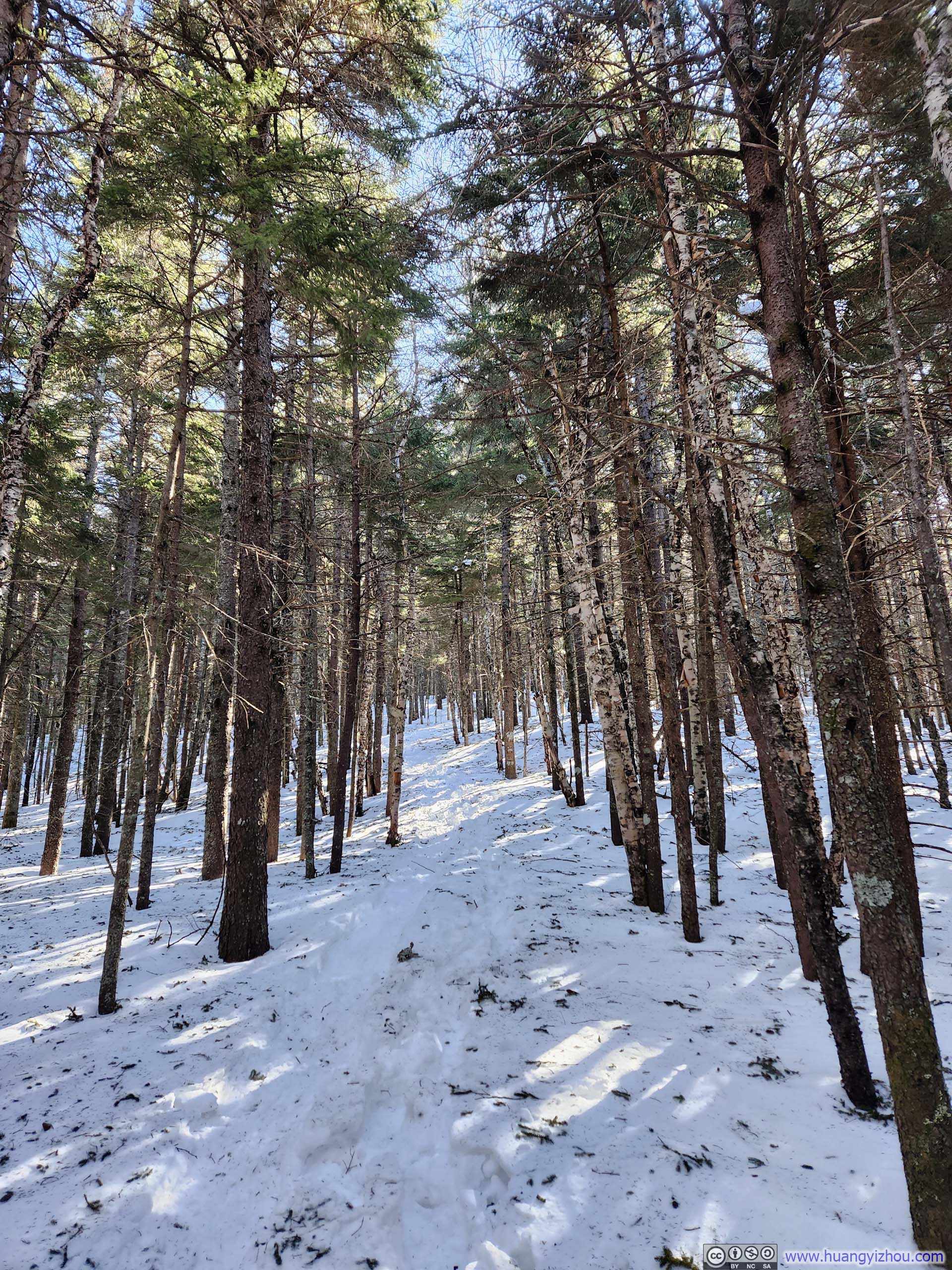
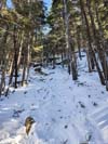
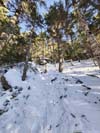
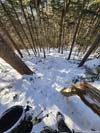
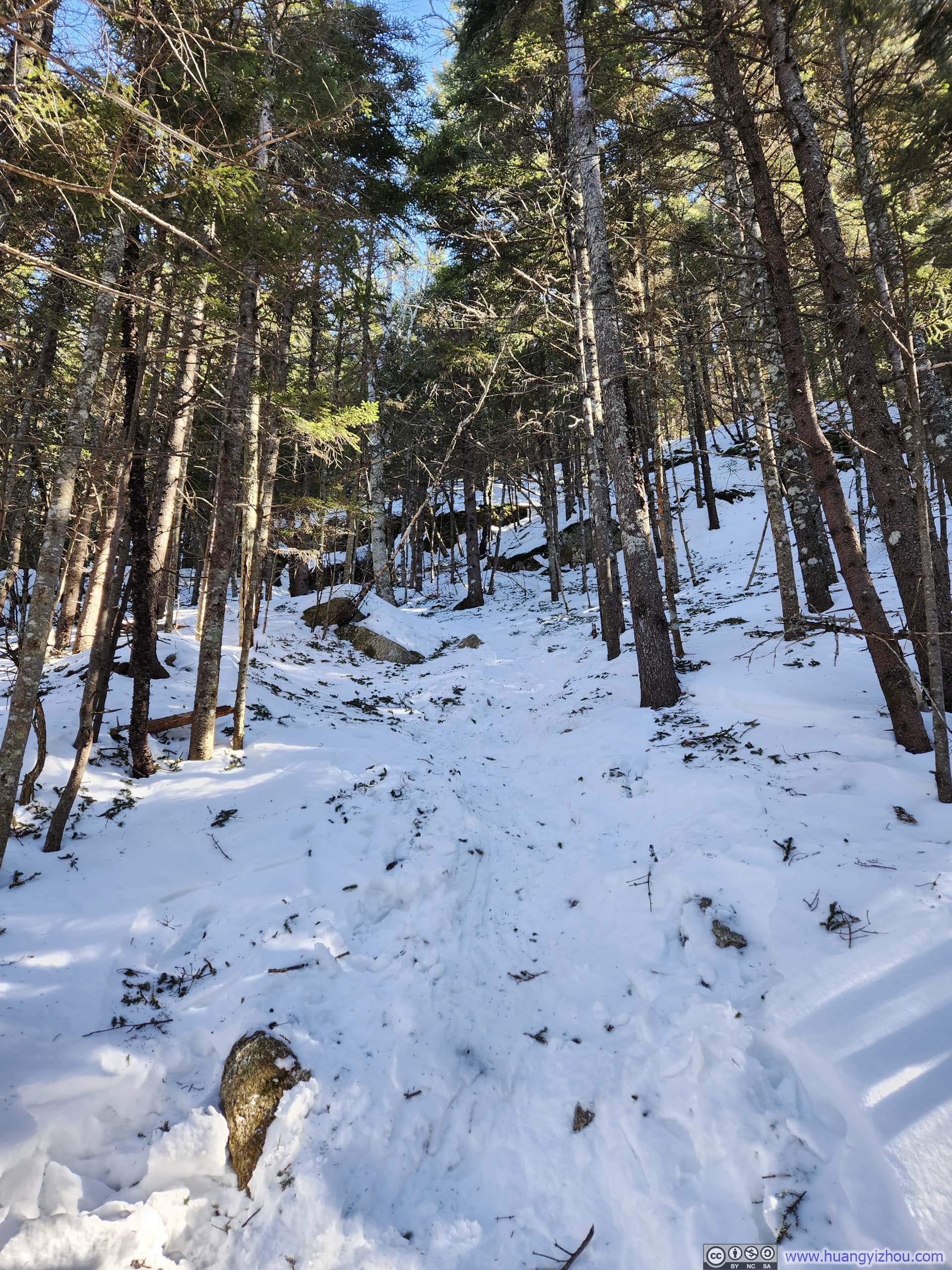
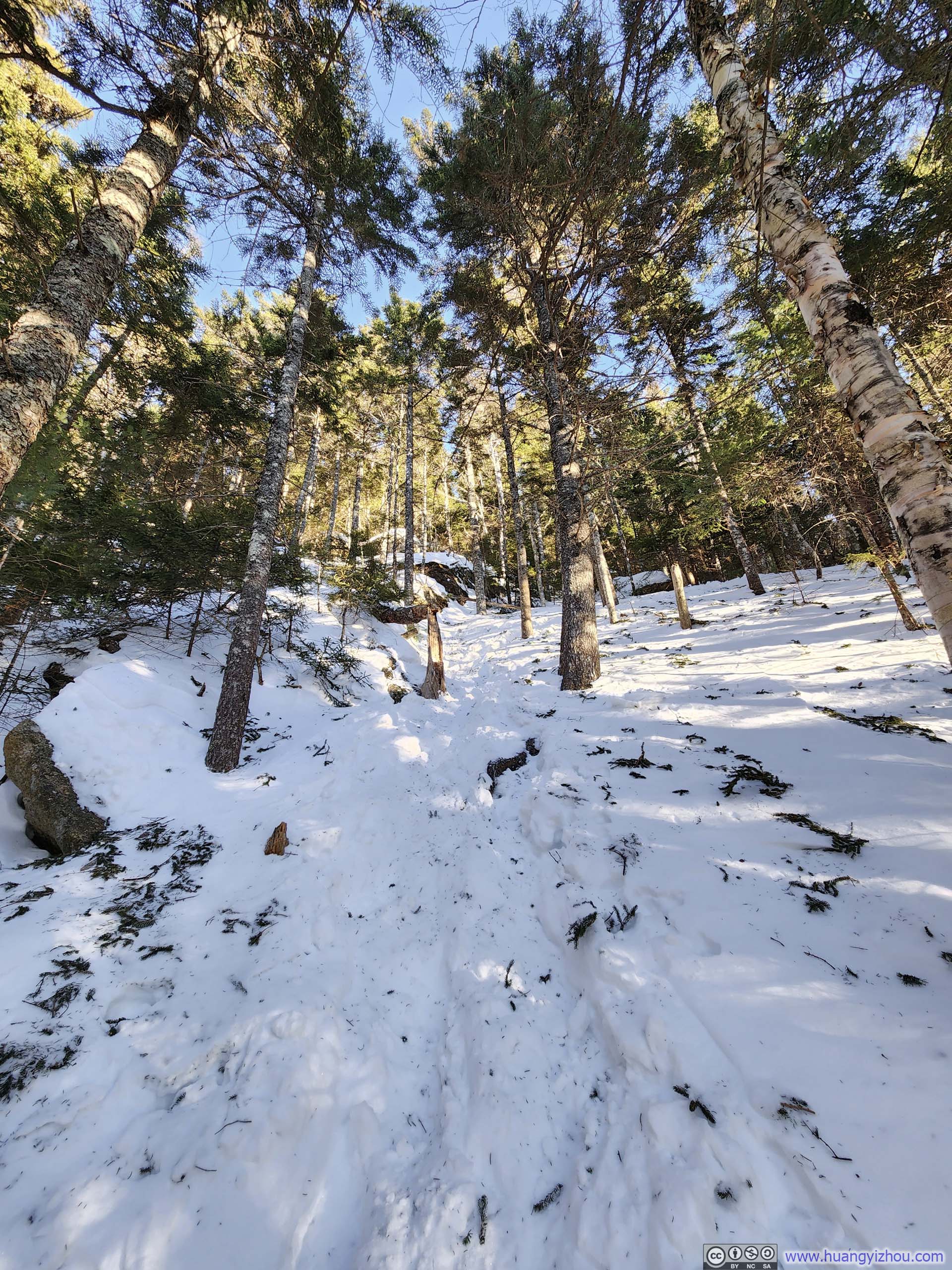
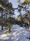
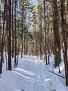
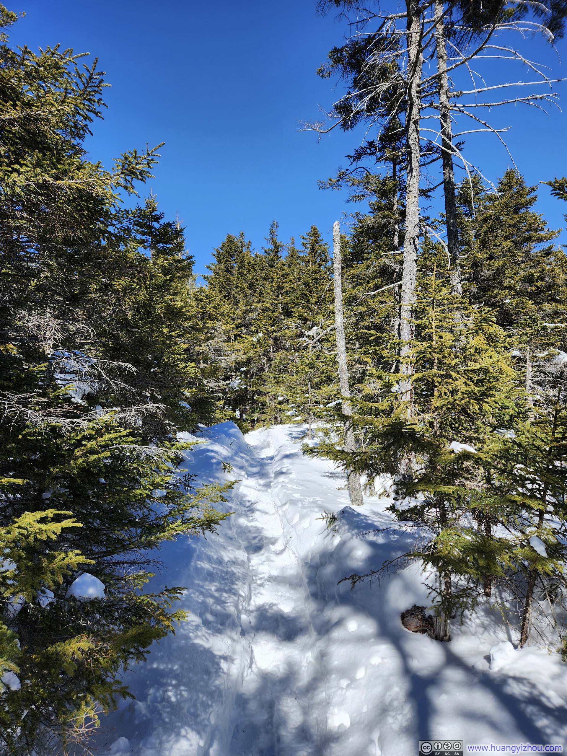
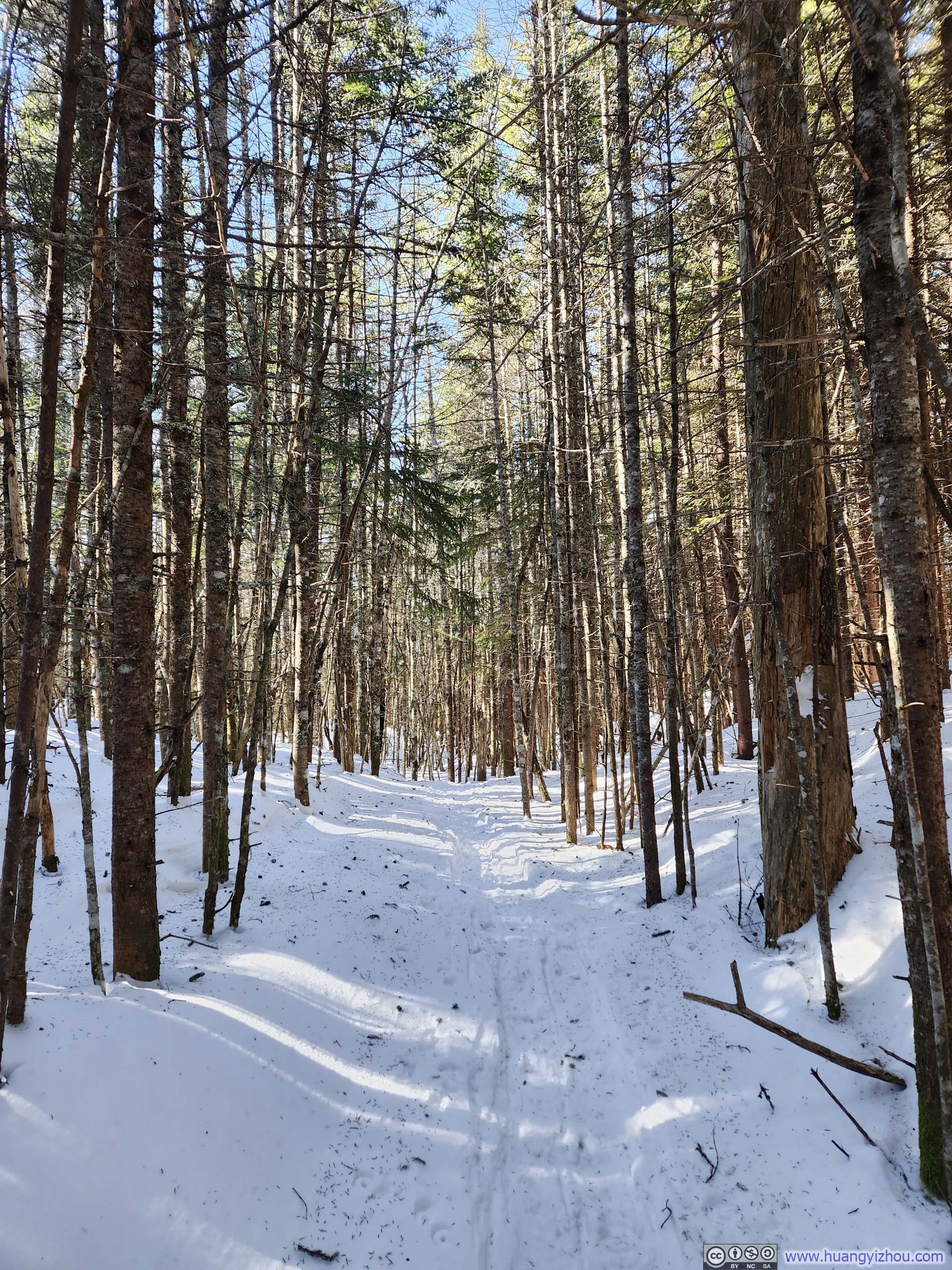
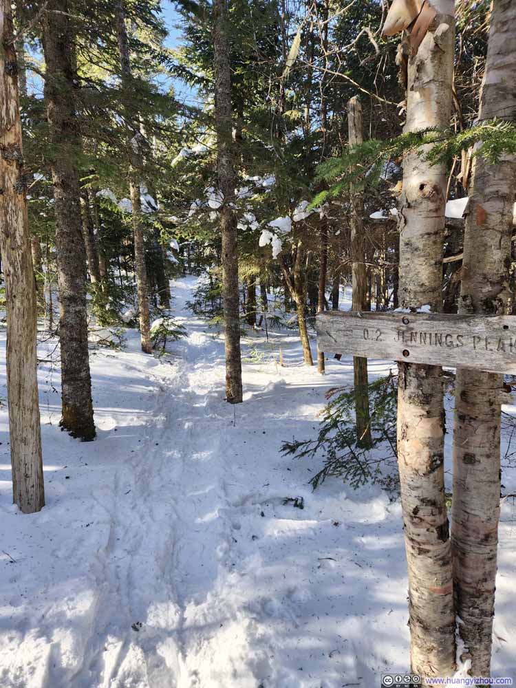
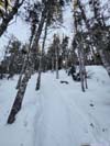
The trail wasn’t that remarkable, a steady incline in the woods for most of the first half, with occasional postholing.
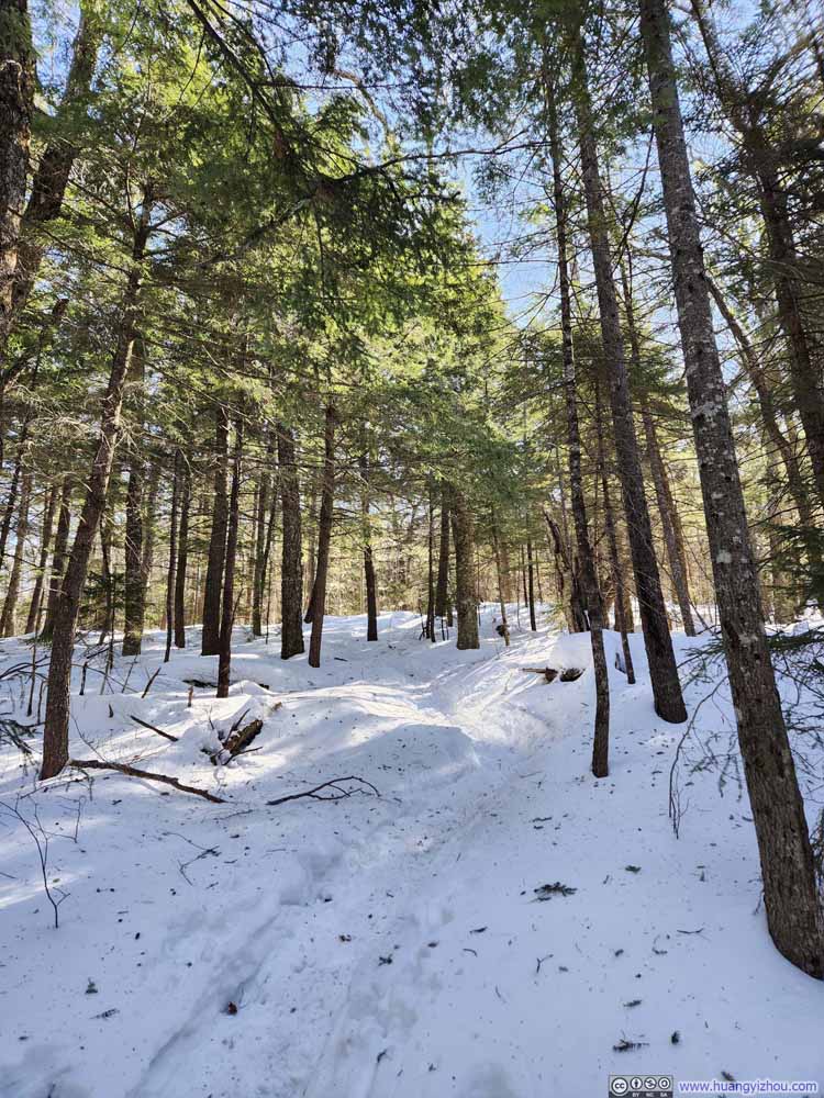 Trail
Trail Trail
Trail Trail
Trail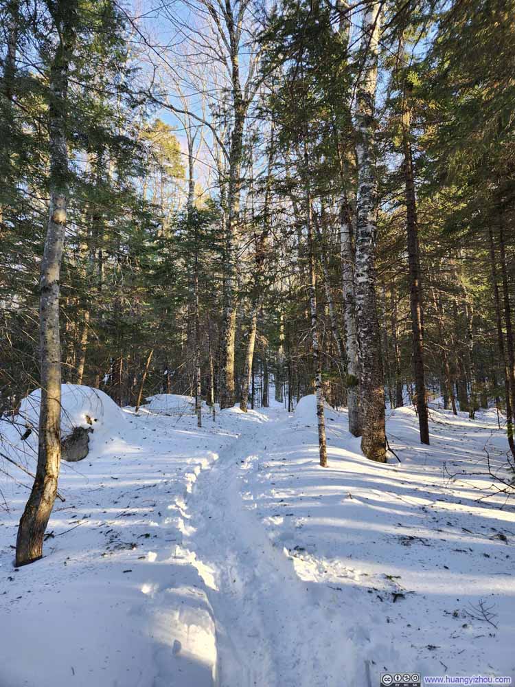 Trail
Trail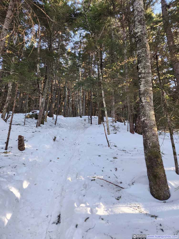 Trail
Trail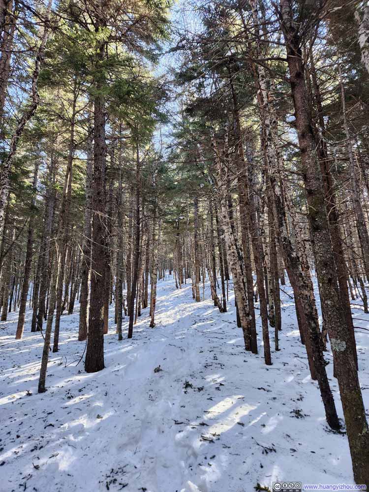 Trail
Trail Trail
Trail
Click here to display photos of the trail.

Trail
Trail
Trail
Trail
Trail
Trail
Trail
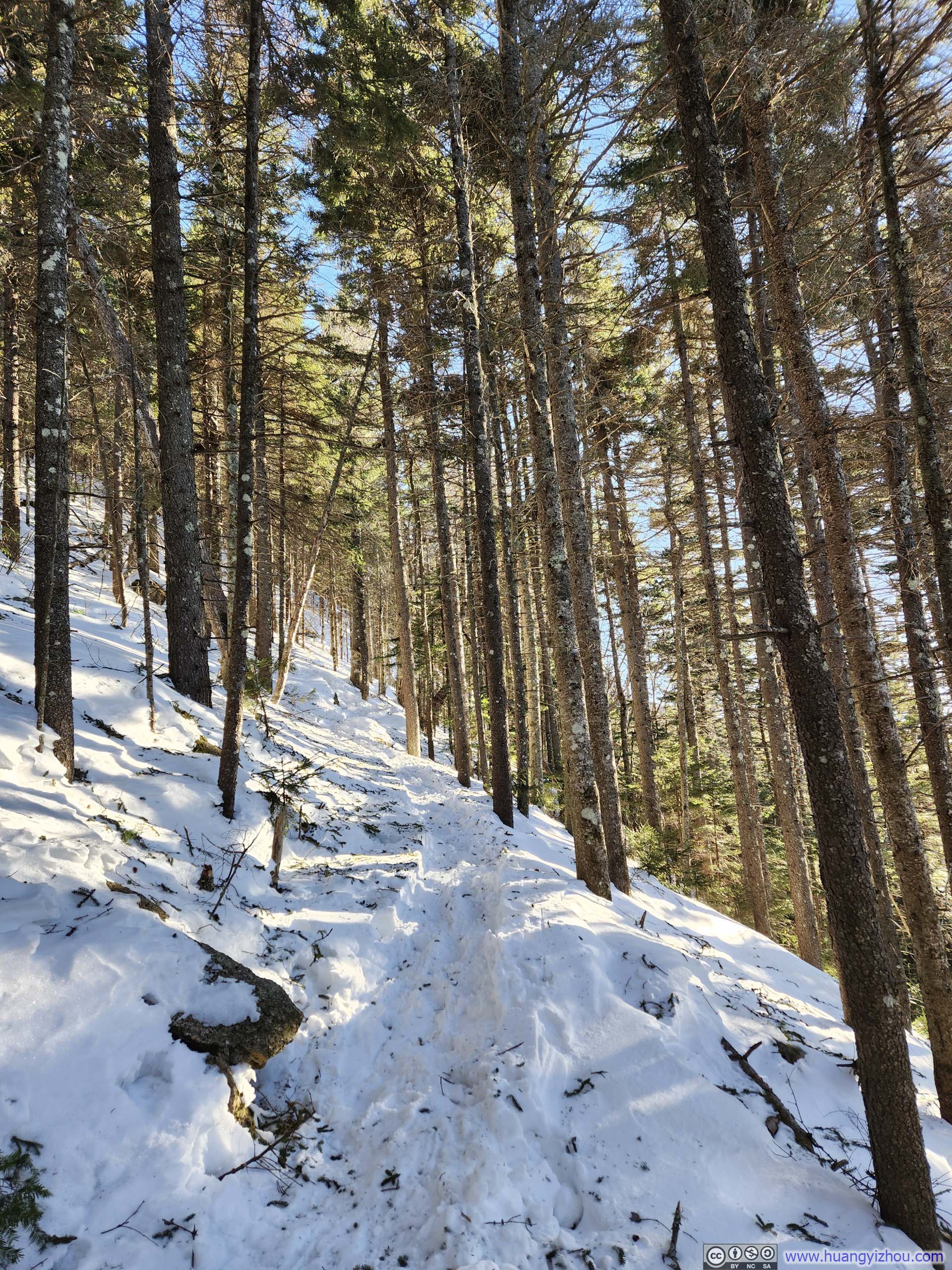
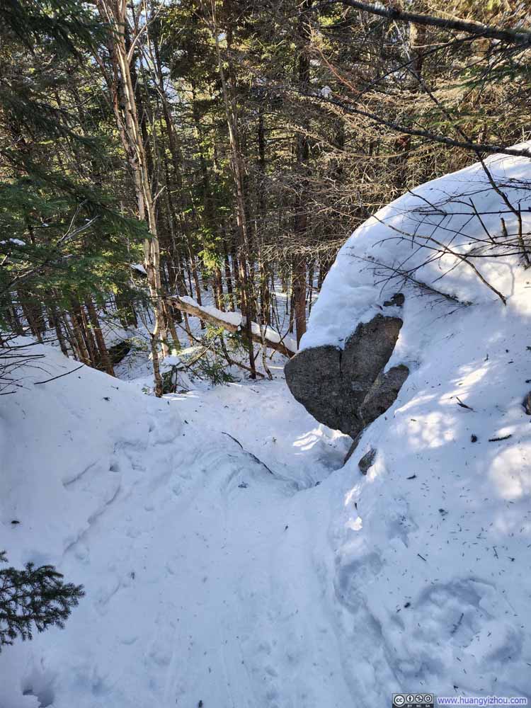
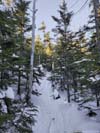
About 1.9km (1.2mi) into the hike, there was a short but steep section, nothing unmanageable.
 Steep Trail
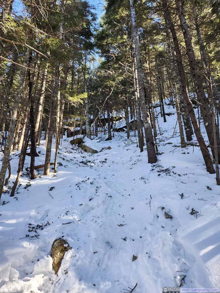 Steep Trail
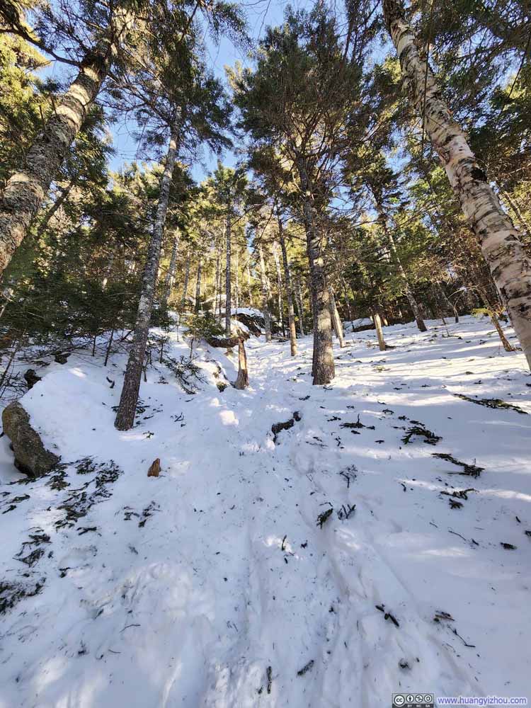 Steep Trail
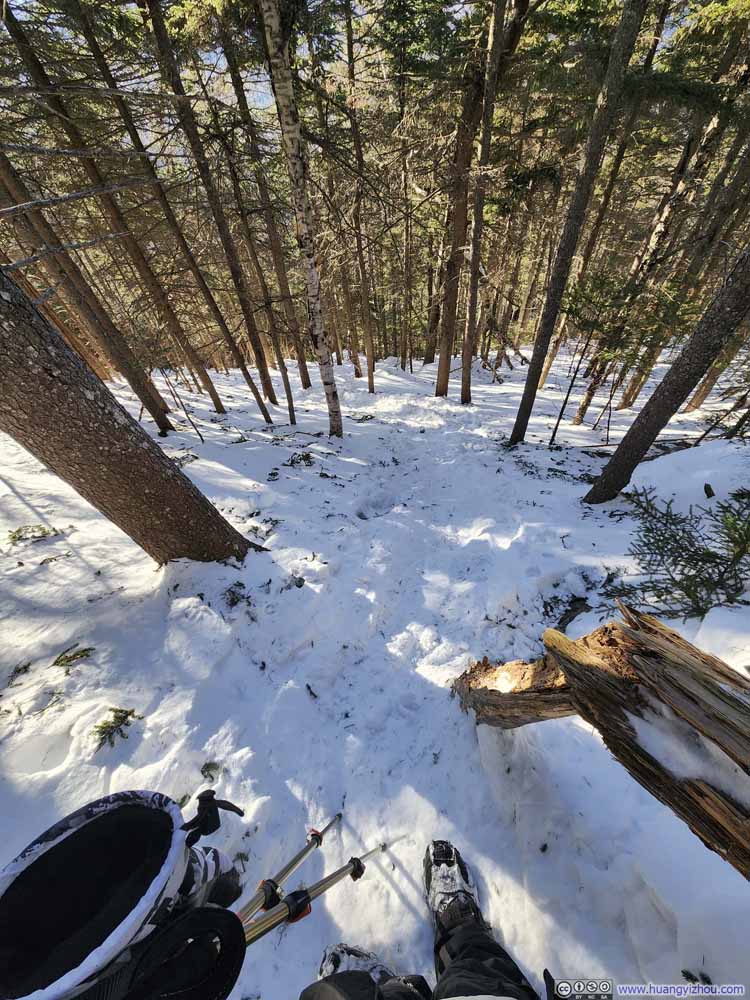 Steep Trail
Click here to display photos of the trail.

Steep Trail
Steep Trail
Steep Trail

Steep Trail
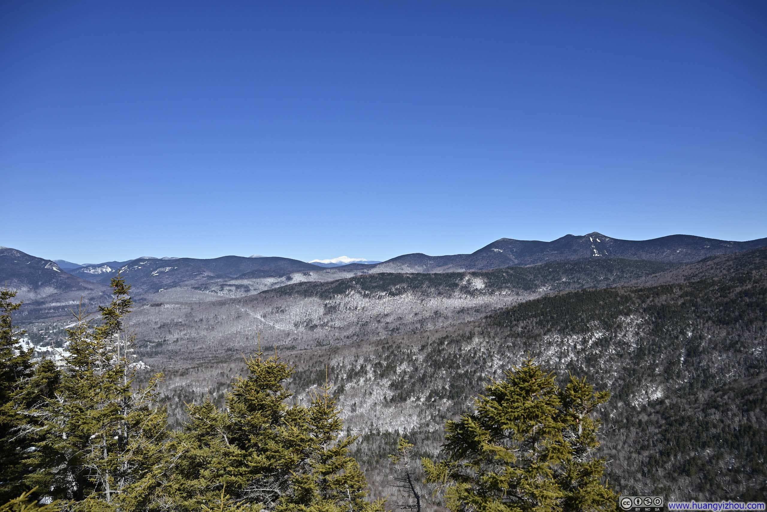
 White Mountains from a Small Overlook
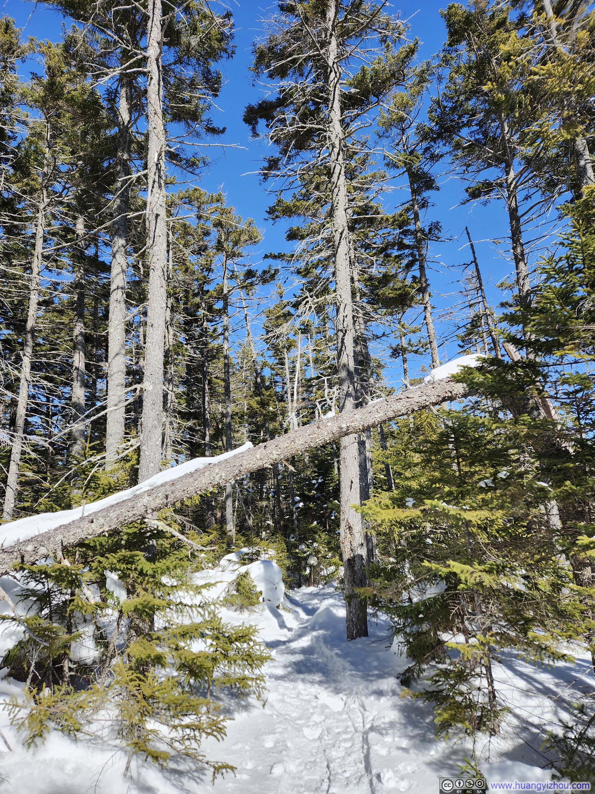
Continuing on, the pace of elevation gain along the trail eased up a bit as I walked past Noon Peak. There weren’t any views from near Noon Peak though.
 TrailA not-so-steep dropoff along some rocks.
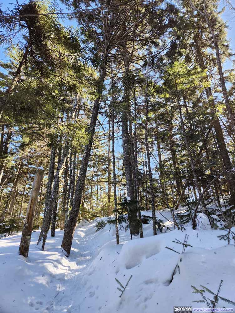 Trail
Trail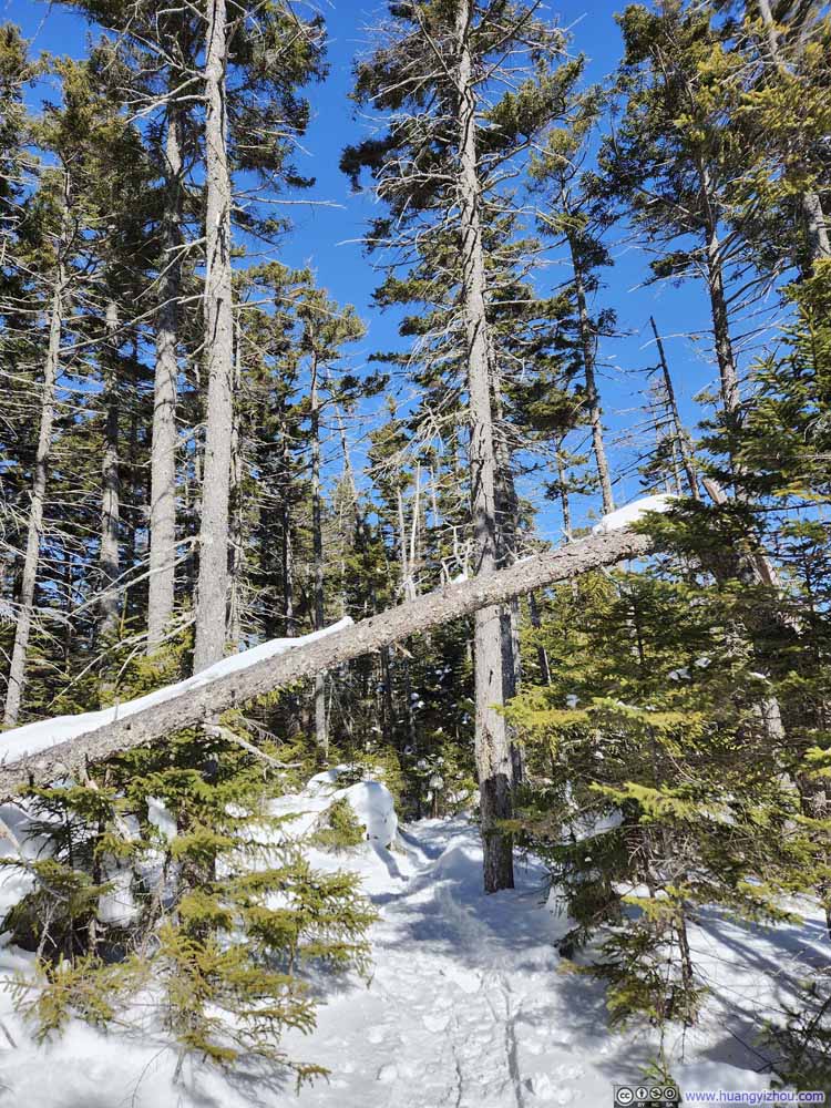 Trail
Trail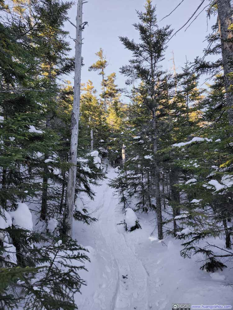 Trail
Trail Trail
Trail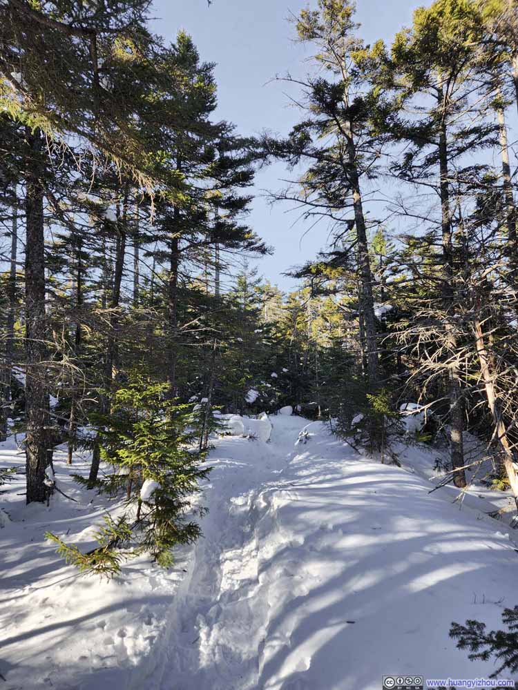 Trail
Trail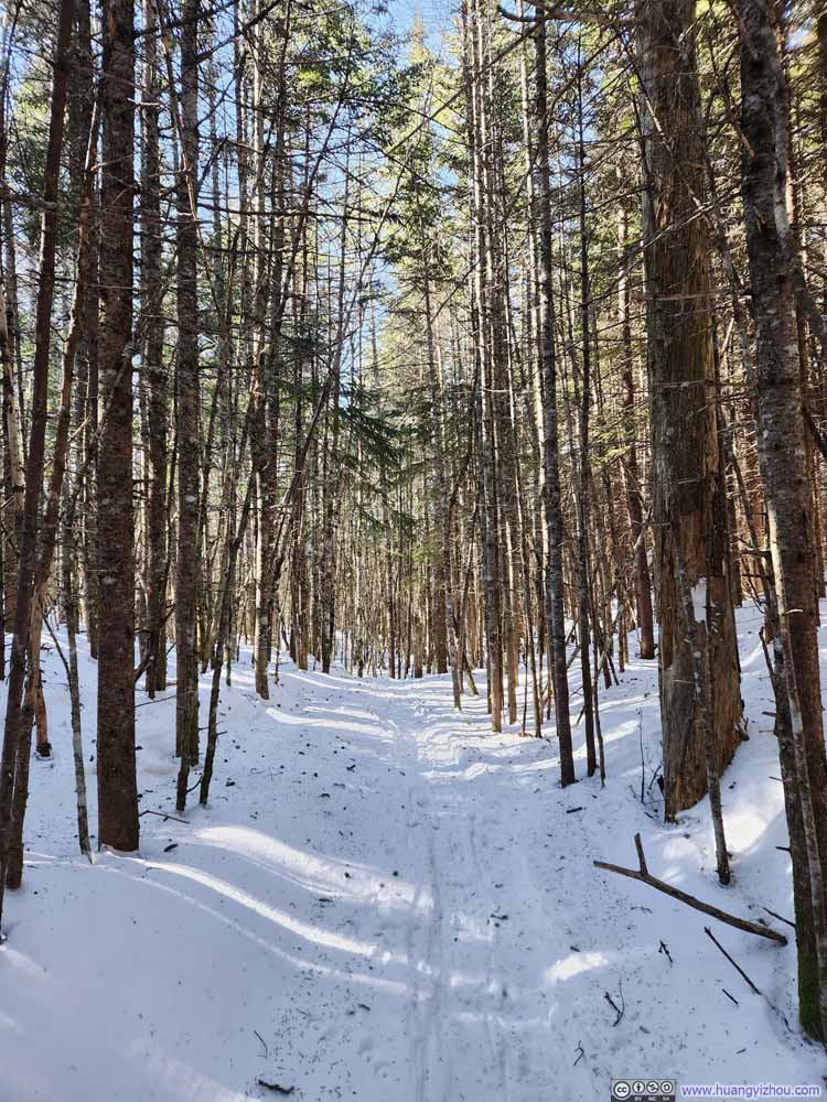 Trail
Trail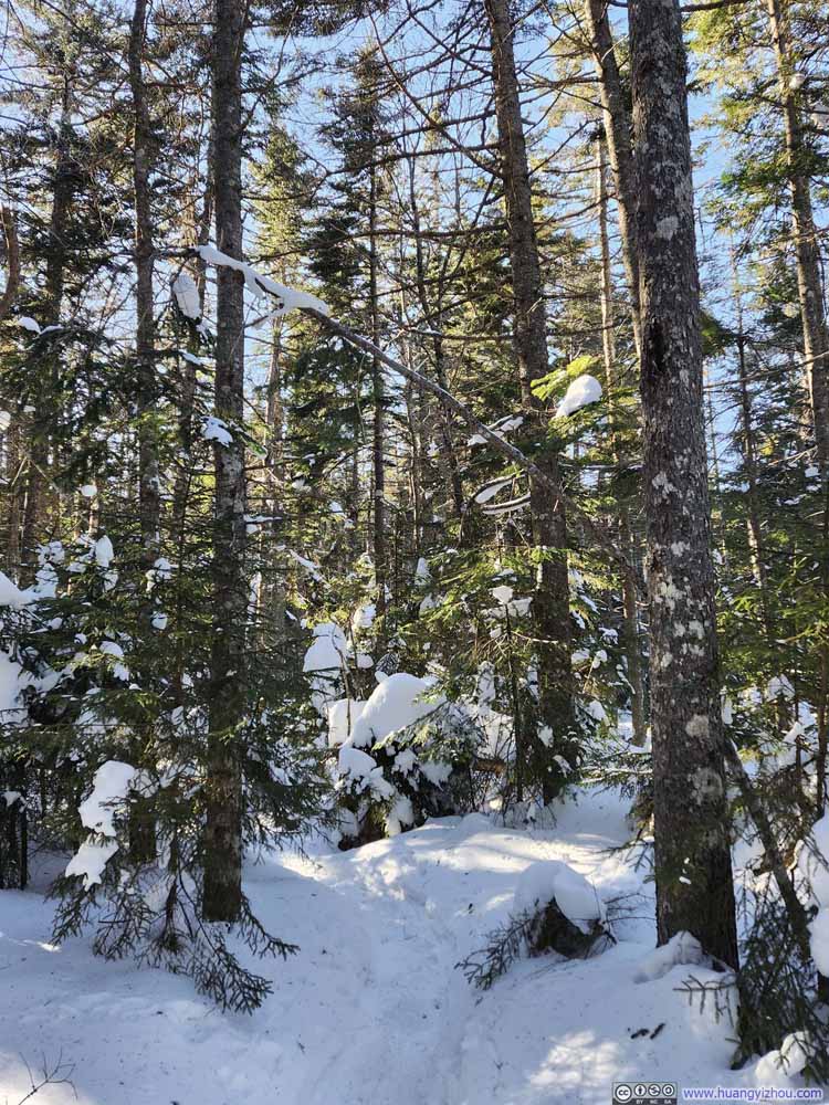 Trail
Trail


Click here to display photos of the trail.

TrailA not-so-steep dropoff along some rocks.

Trail
Trail
Trail
Trail

Trail
Trail

Trail
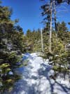
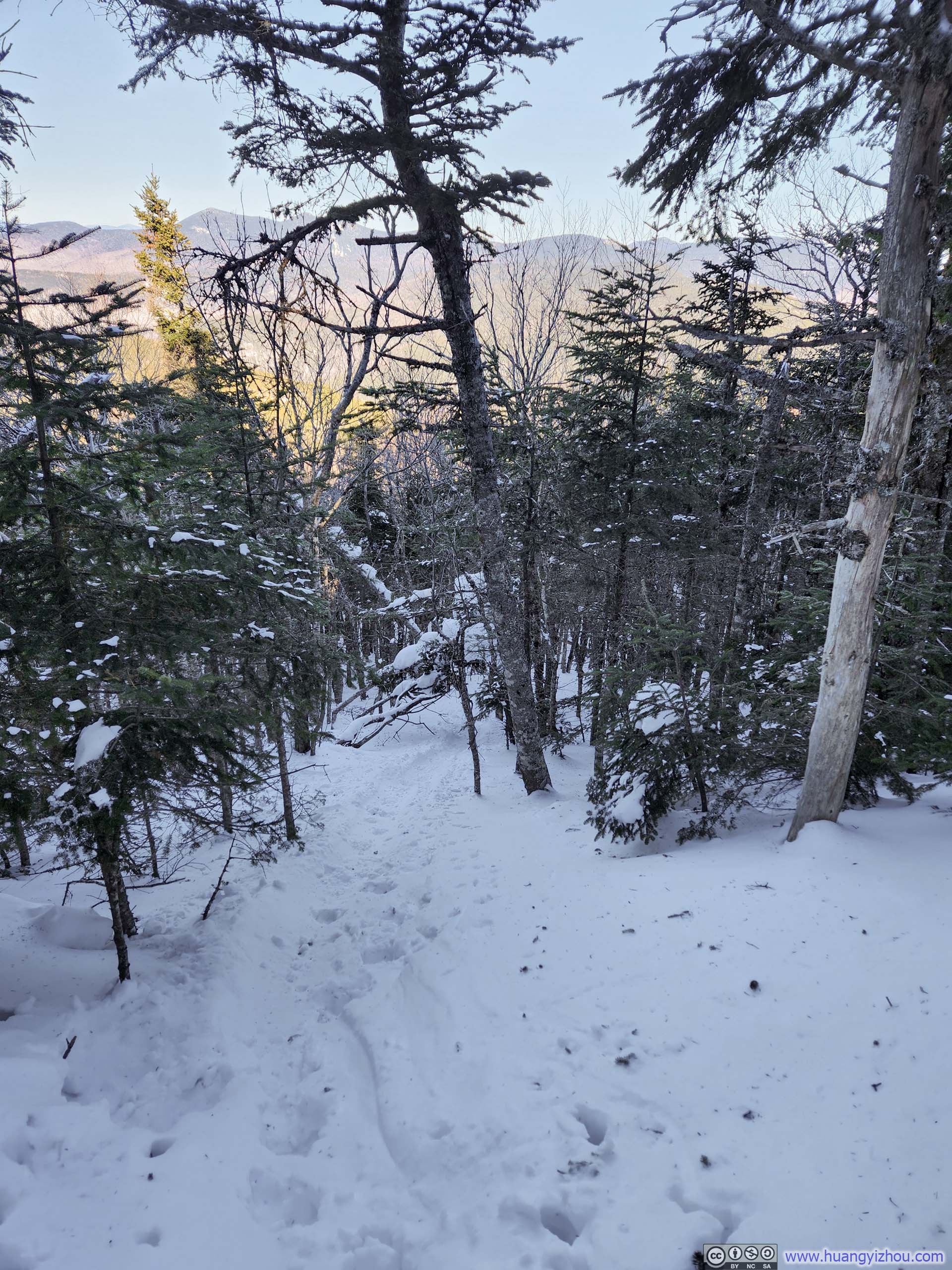
Past Noon Peak, the snow cover was noticeably becoming less compacted and the frequency of my postholing increased. Nonetheless, I soldiered on.
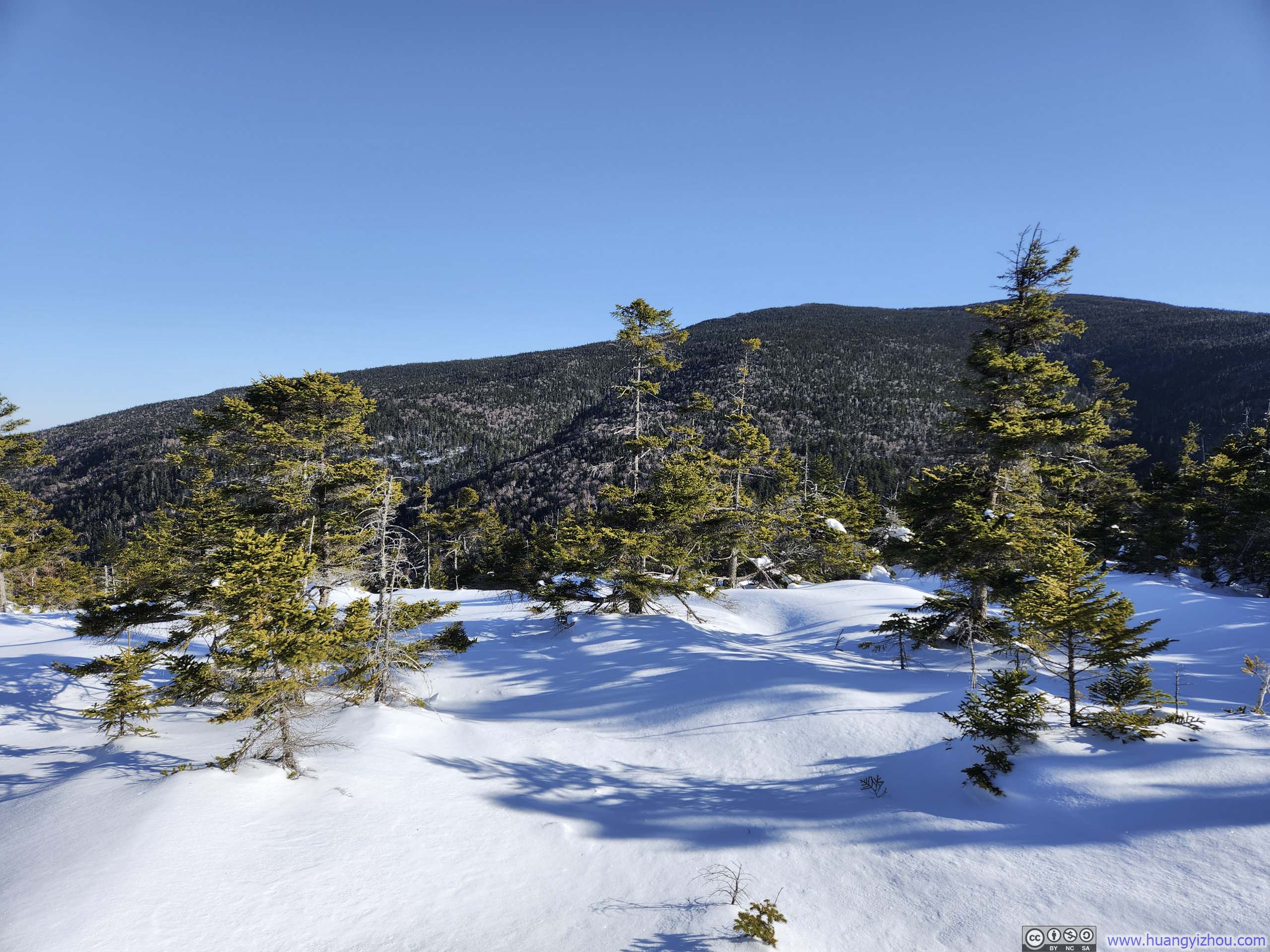
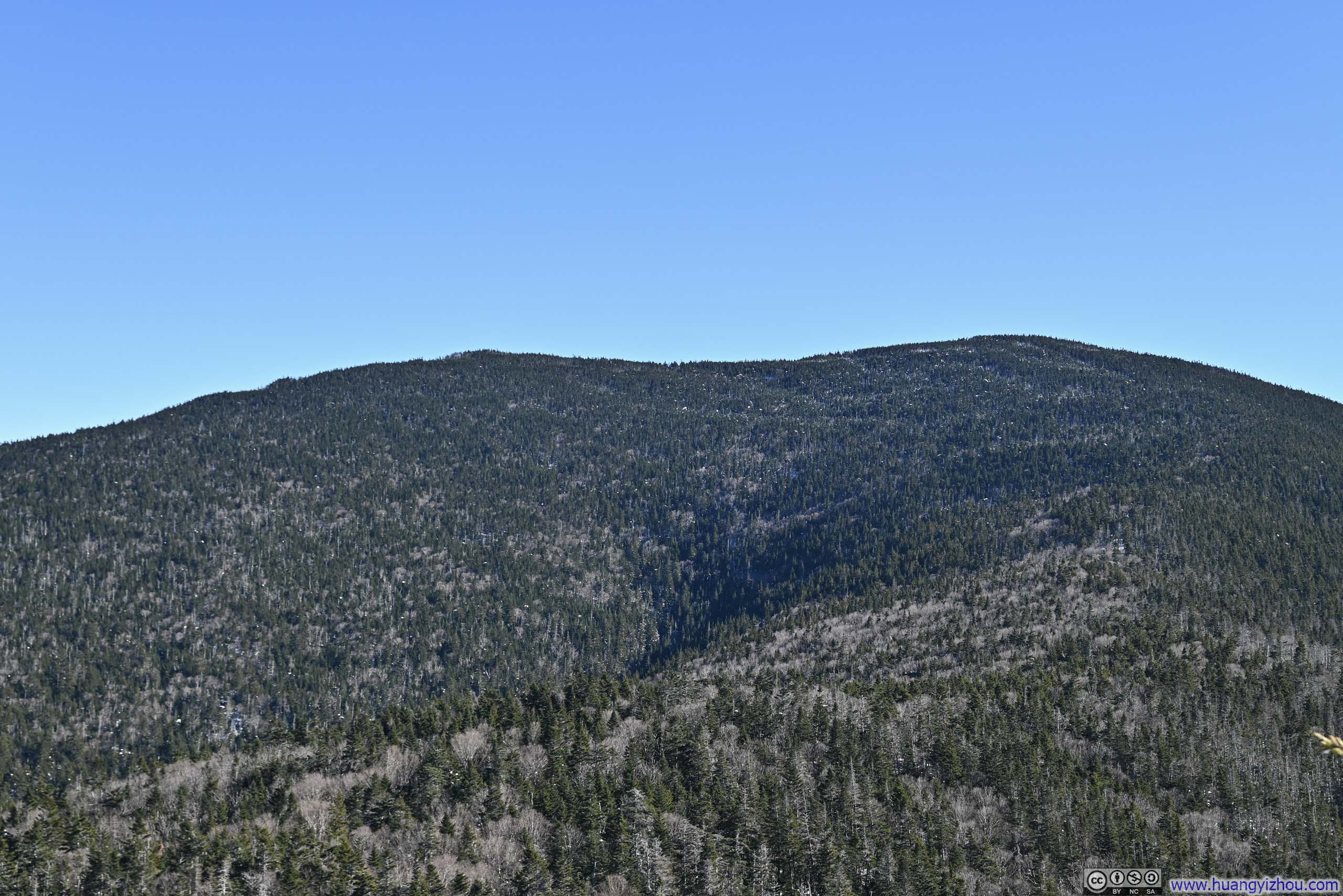
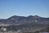
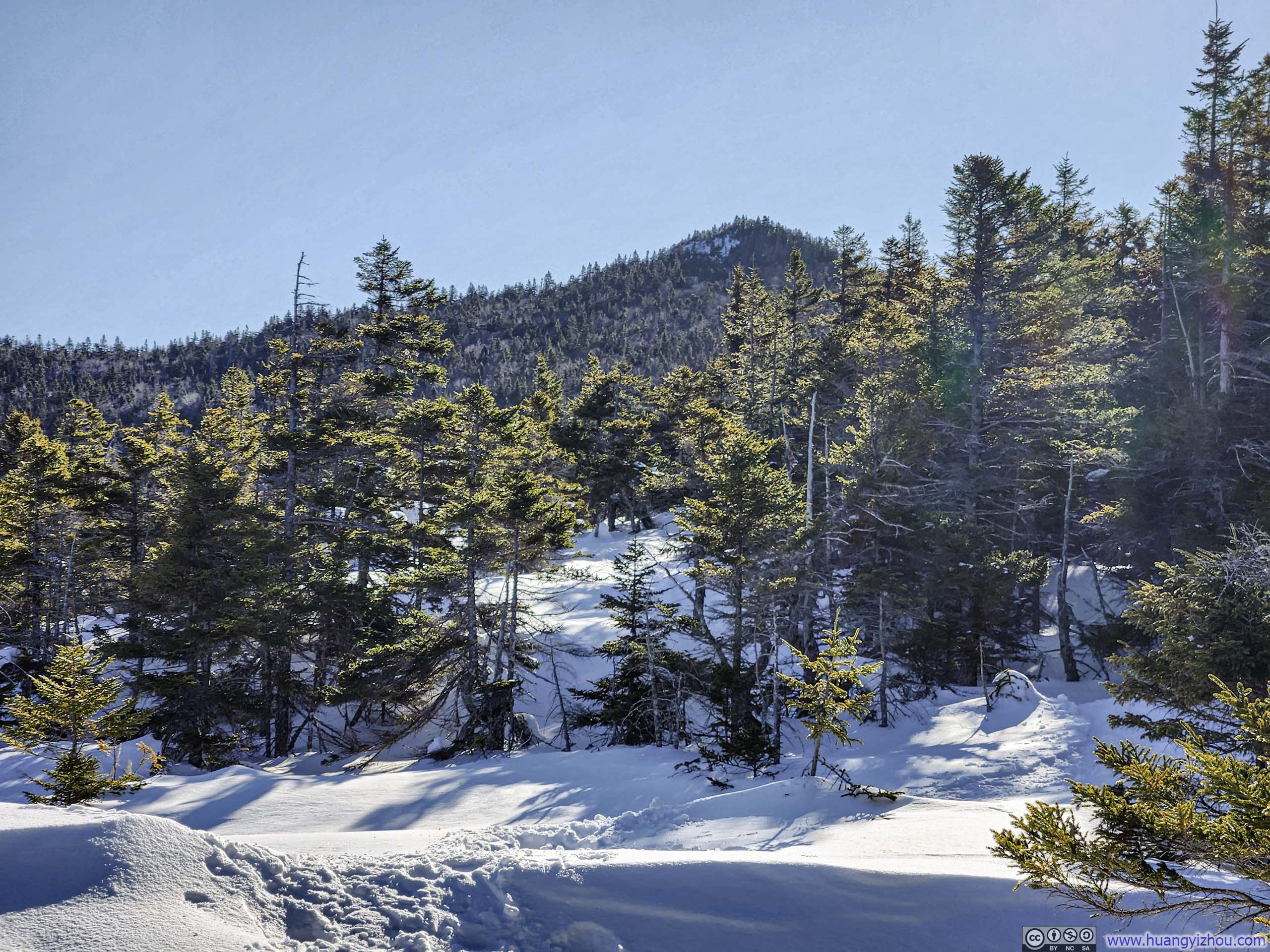 Sandwich Mountain (left) and Jennings Peak (right) from Trail
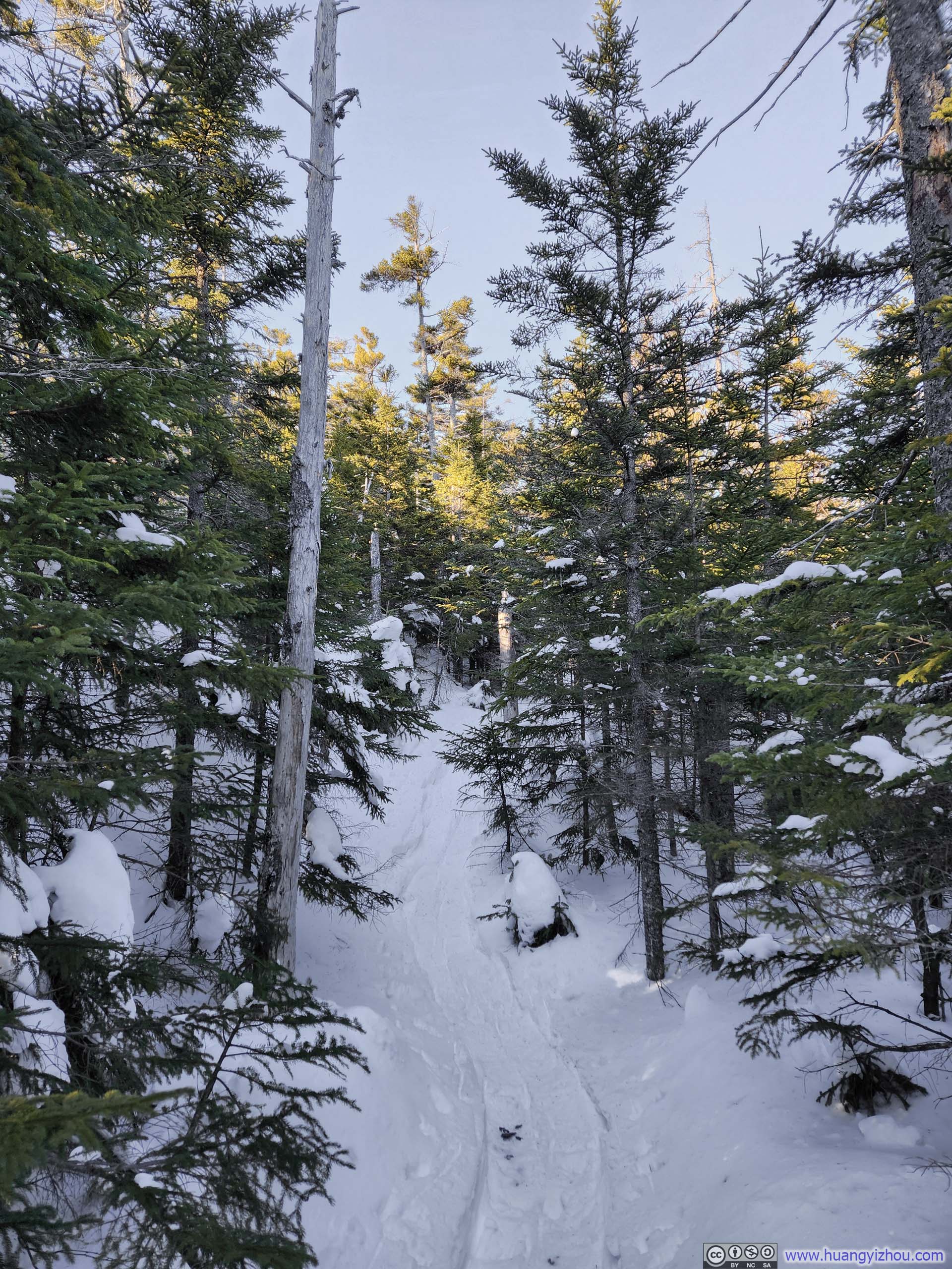
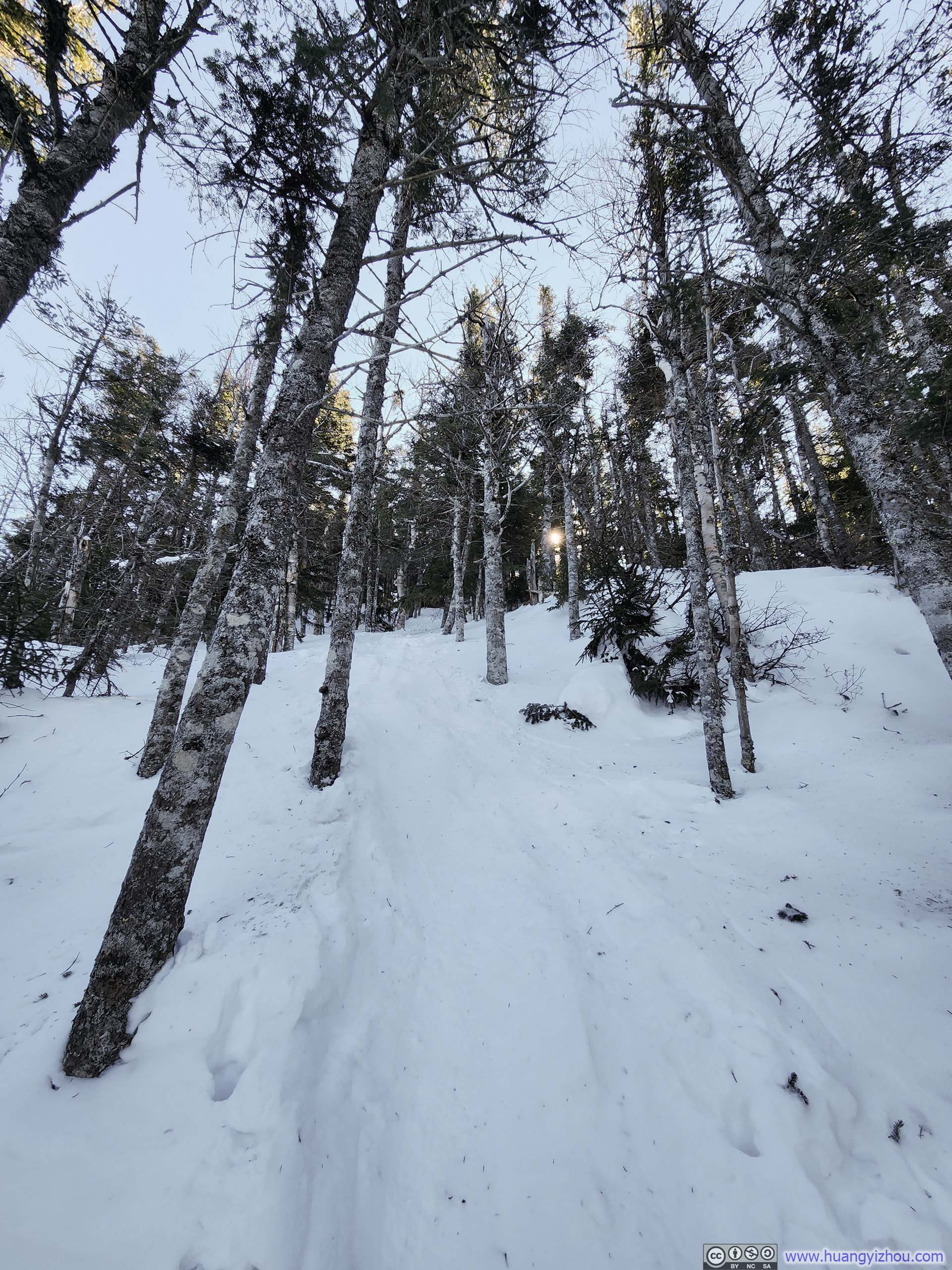
Shortly before the junction of Jennings Peak and Sandwich Mountain trails, Drakes Brook Trail merged with the main trail I was hiking on. Looking at its undisturbed snow from the intersection, it seemed that nobody had walked on it for quite some time. After that, I reached the junction at 1:30pm, more than 2.5 hours after leaving parking lot. With fewer than 4 hours of daylight left, I realized Sandwich Mountain would have to wait for another day. Heading towards Jennings Peak, there was one short section of steep trail.
 Trail to Jennings Peak
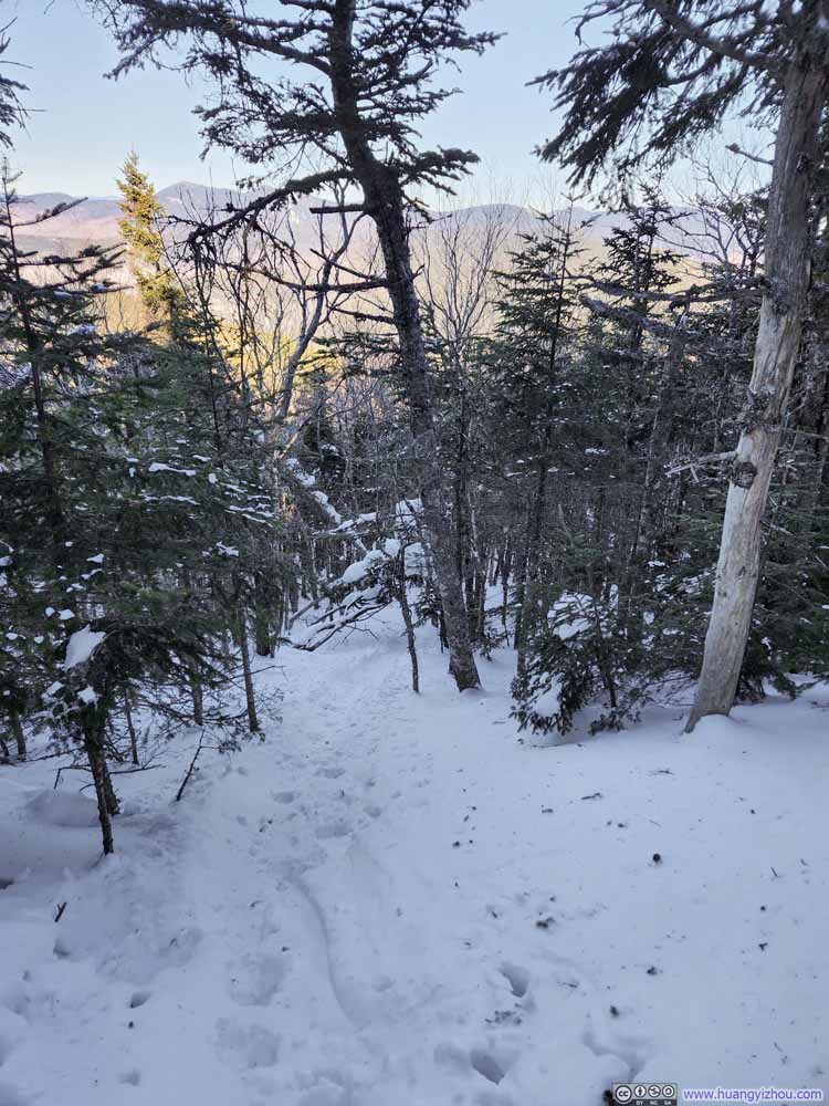 Steep Trail before Jennings Peak
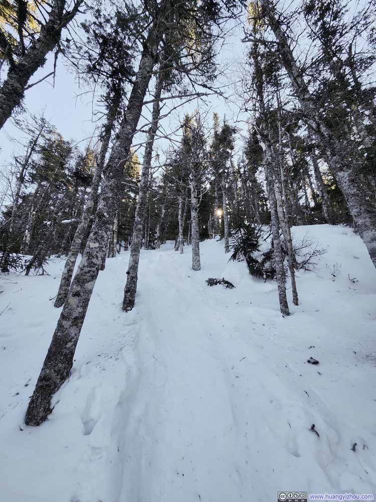 Steep Trail before Jennings Peak

Click here to display photos of the trail.

Trail to Jennings Peak
Steep Trail before Jennings Peak
Steep Trail before Jennings Peak
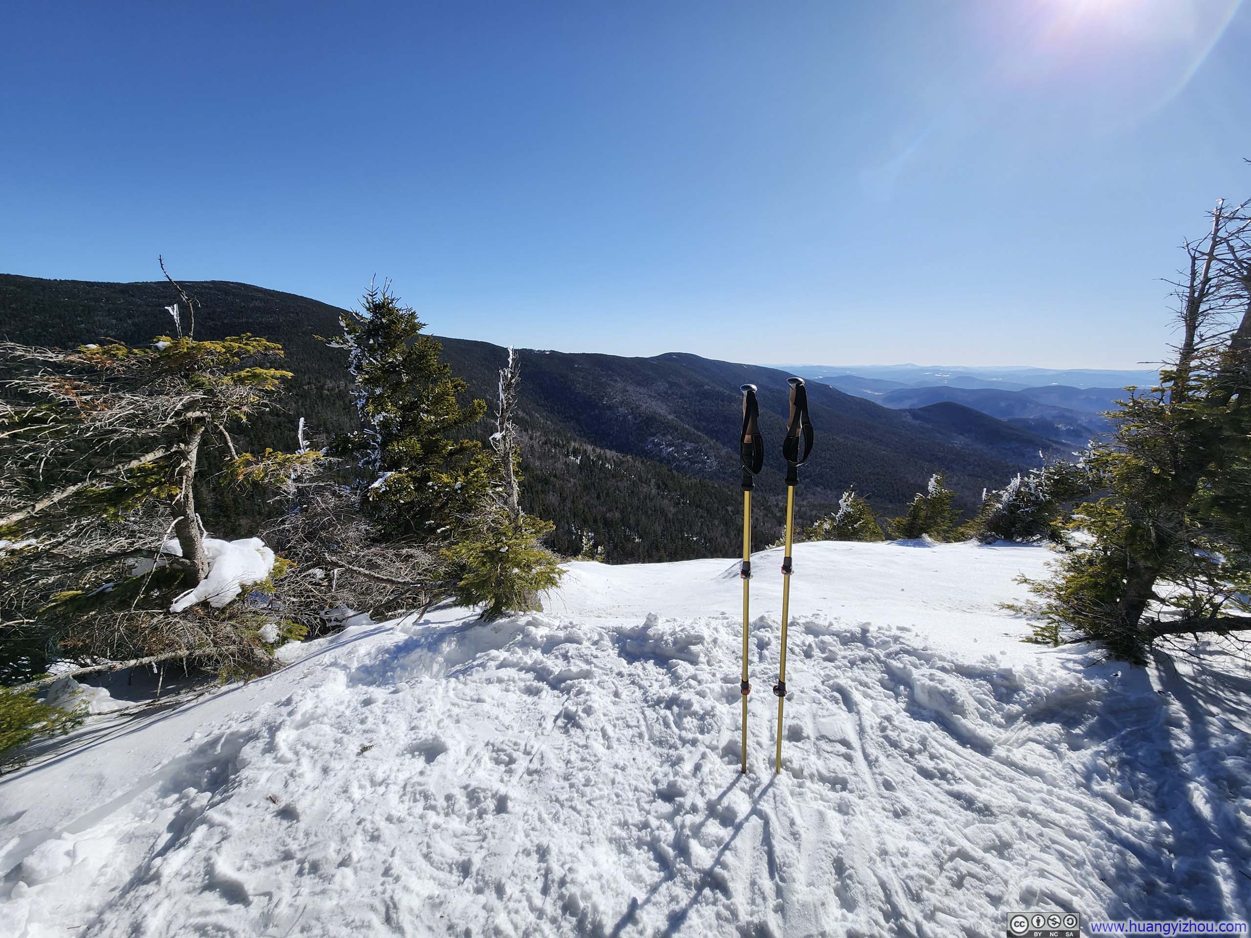
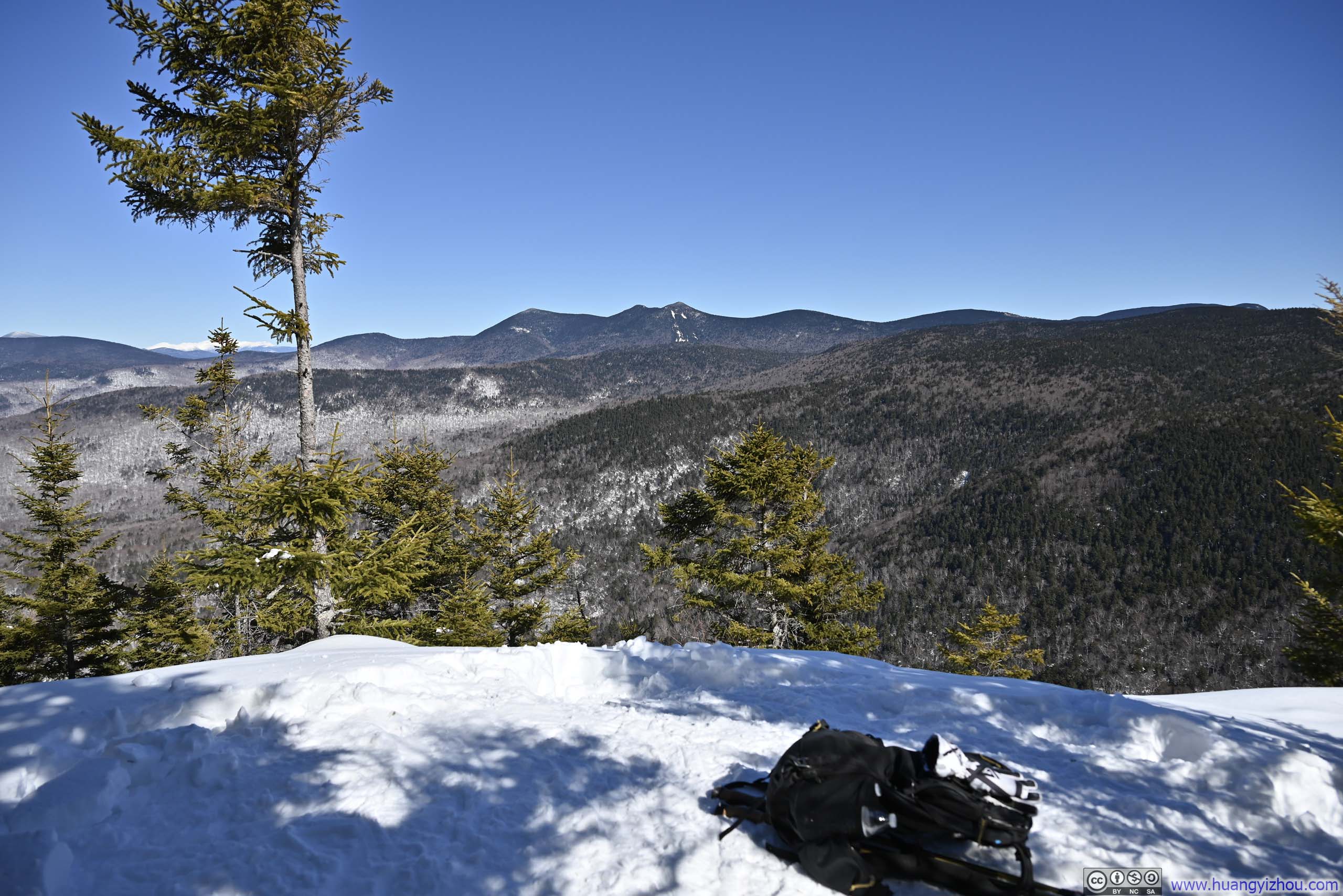
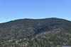
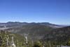
Finally, I reached Jennings Peak at 1:45pm. There was one small opening at the top, facing southward. Though pleasant, the views lacked the dramatic impact I had hoped for—the true majesty of the White Mountains was to the north, hidden from my gaze.
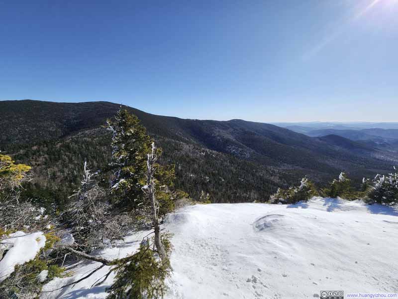 Vista on Jennings Peak
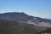
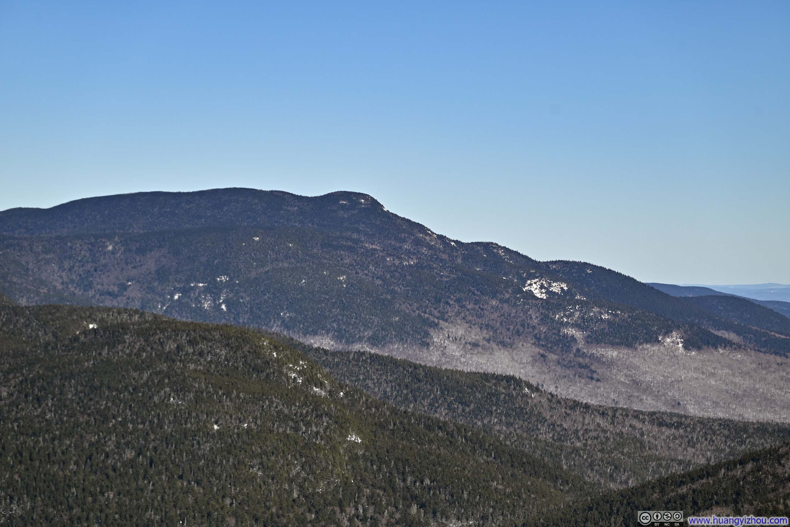
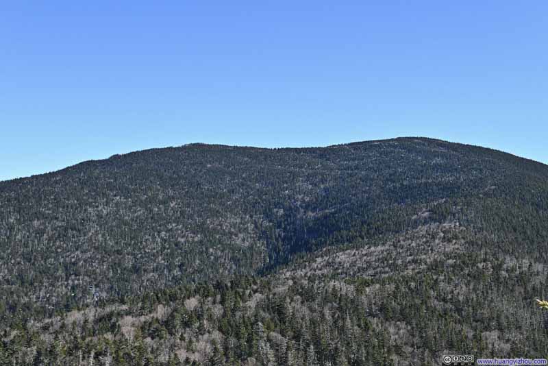 Sandwich Mountain
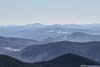
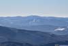
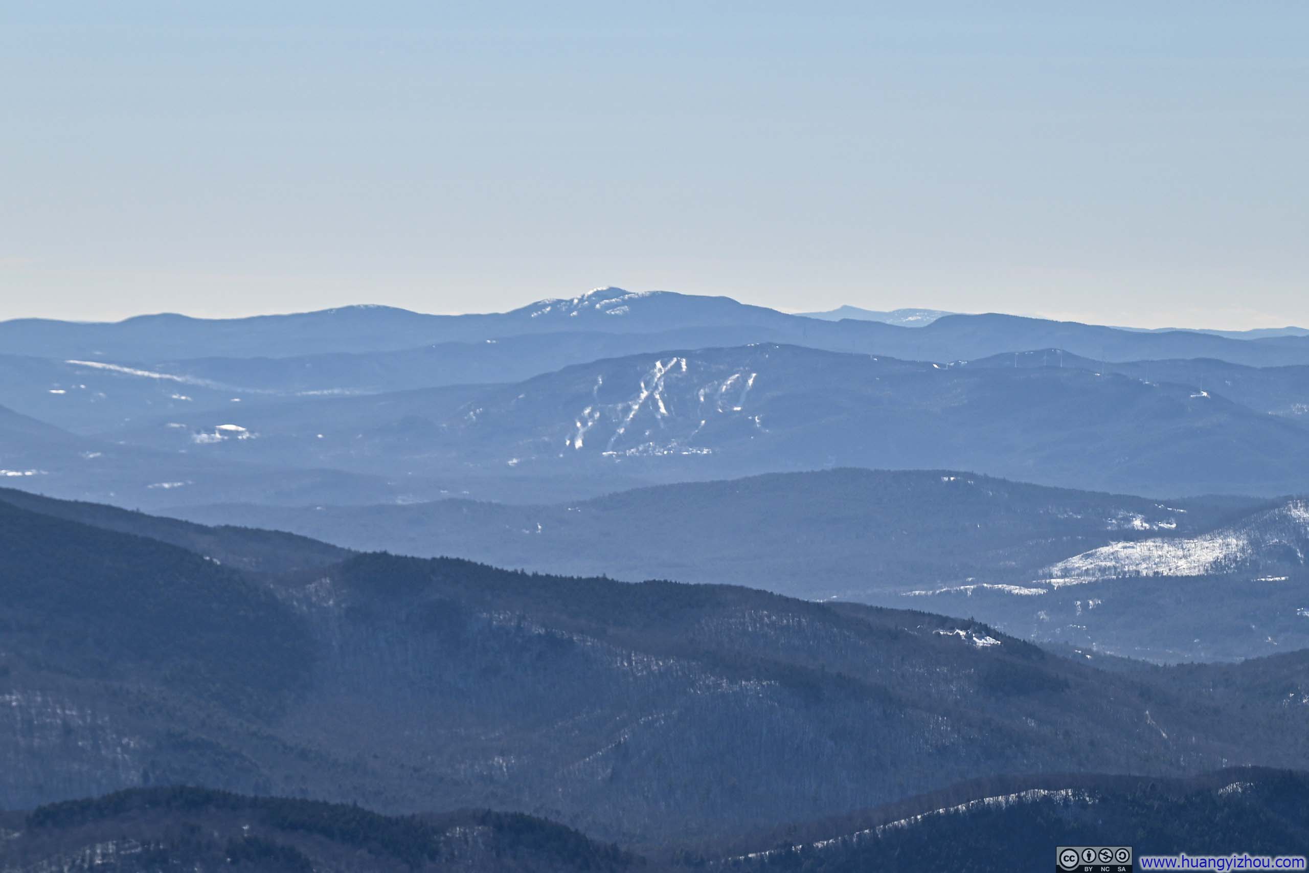
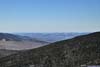
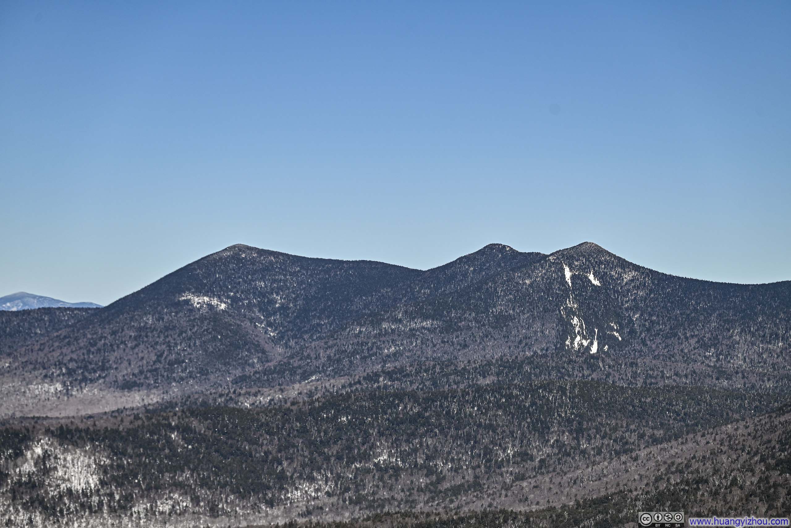
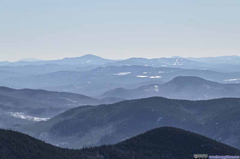 Distant MountainsMount Kearsarge in the background.
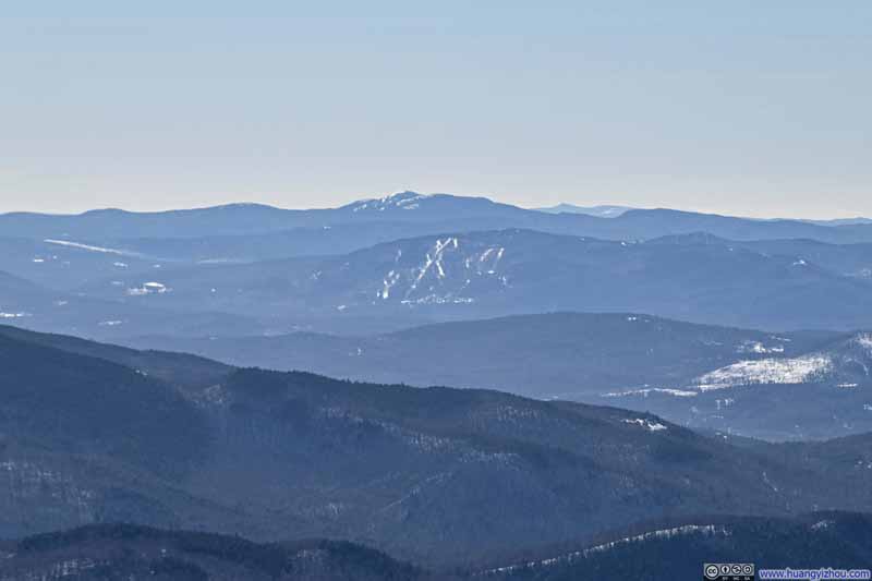 Distant MountainsMount Cardigan in the background center.

Click here to display photos from the summit of Jennings Peak.

Vista on Jennings Peak
Sandwich Mountain
Distant MountainsMount Kearsarge in the background.
Distant MountainsMount Cardigan in the background center.
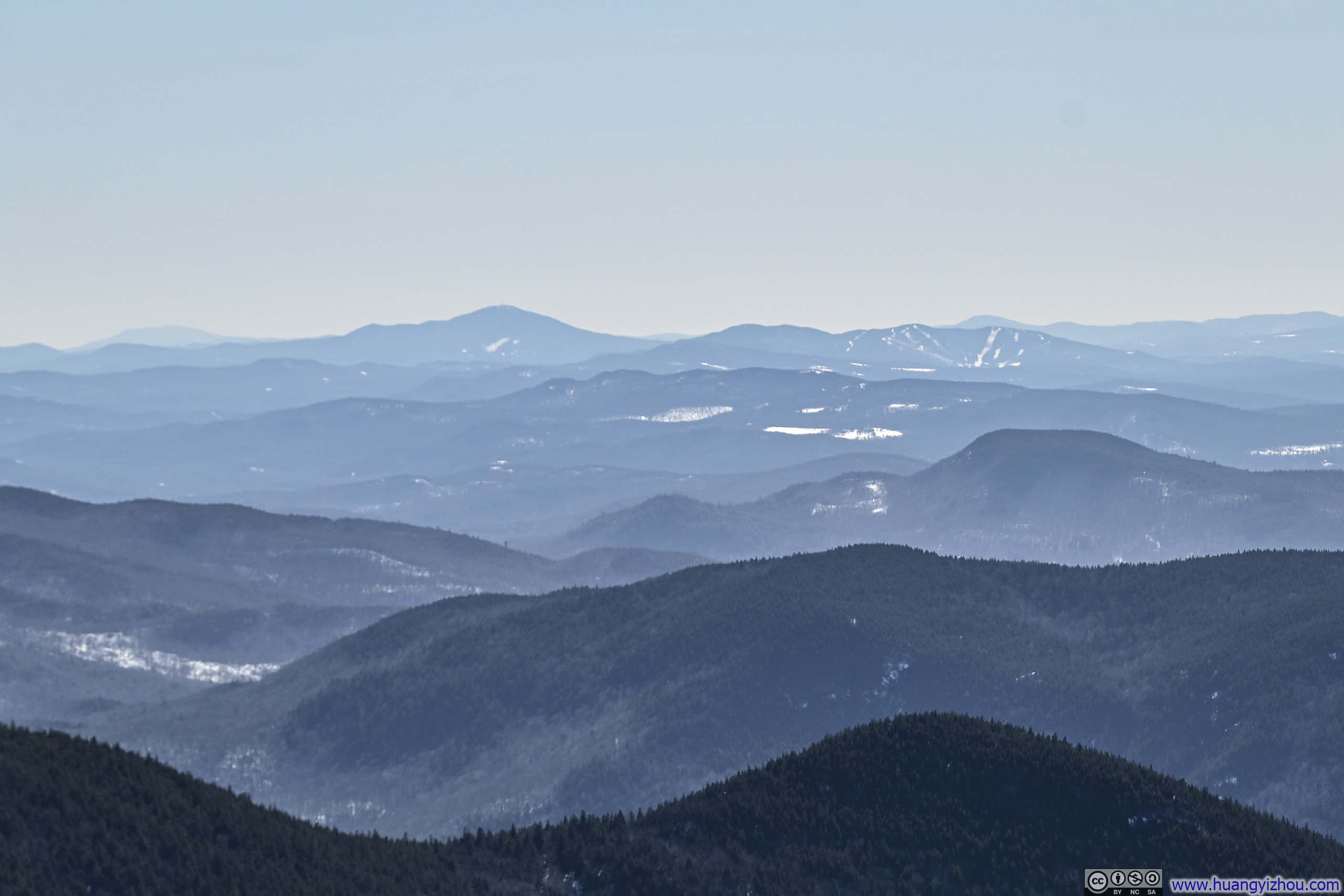
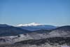
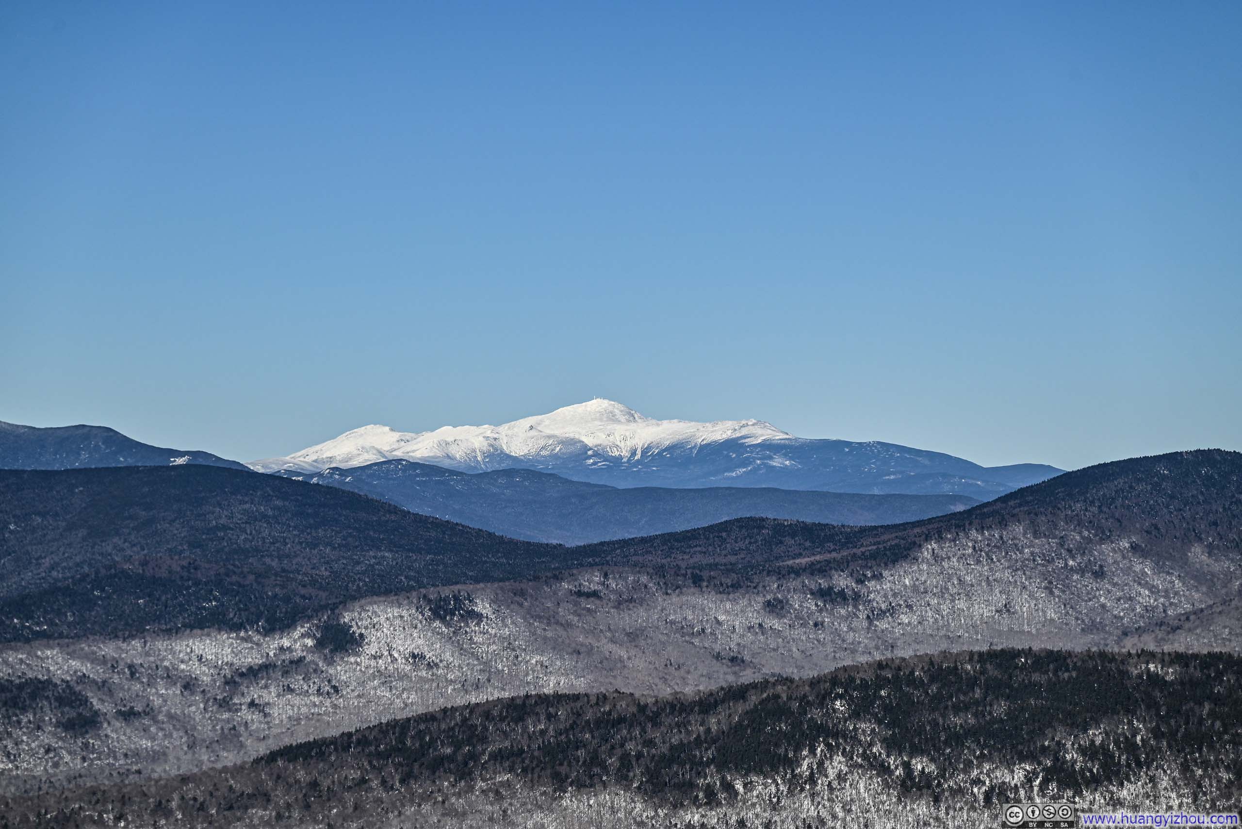
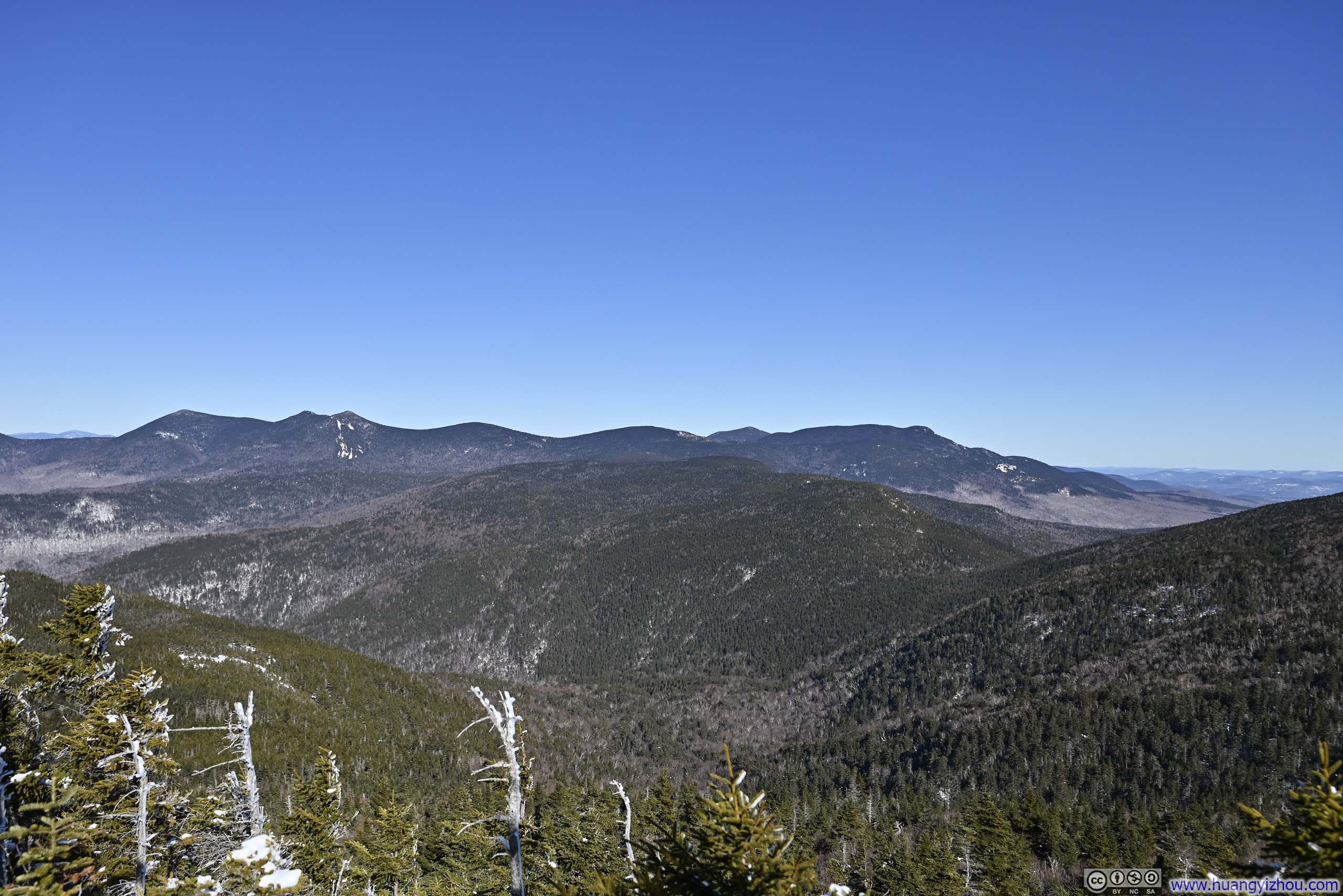
Instead, I backtracked a few steps from the summit and discovered a modest clearing facing eastward. There, at last, the landscape revealed some of its splendor, with the Tripyramid group and distant snow-capped Mt Washington clearly in view, some proper reward for all the exertion and the countless postholes I had sunk into along the way.
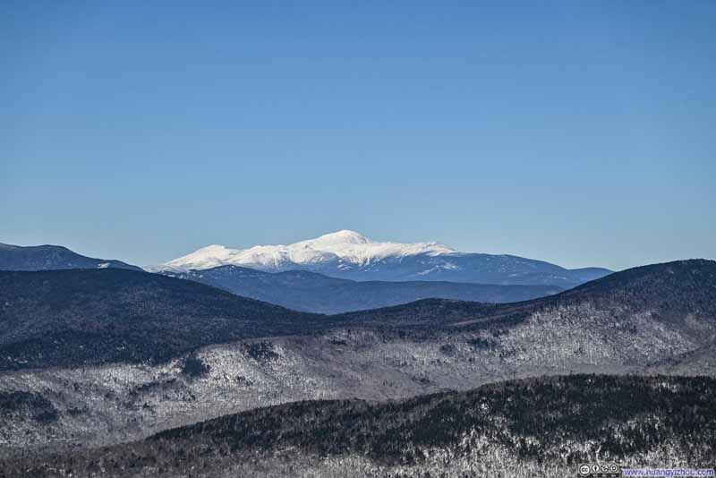 Distant Mt Washington
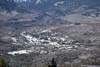
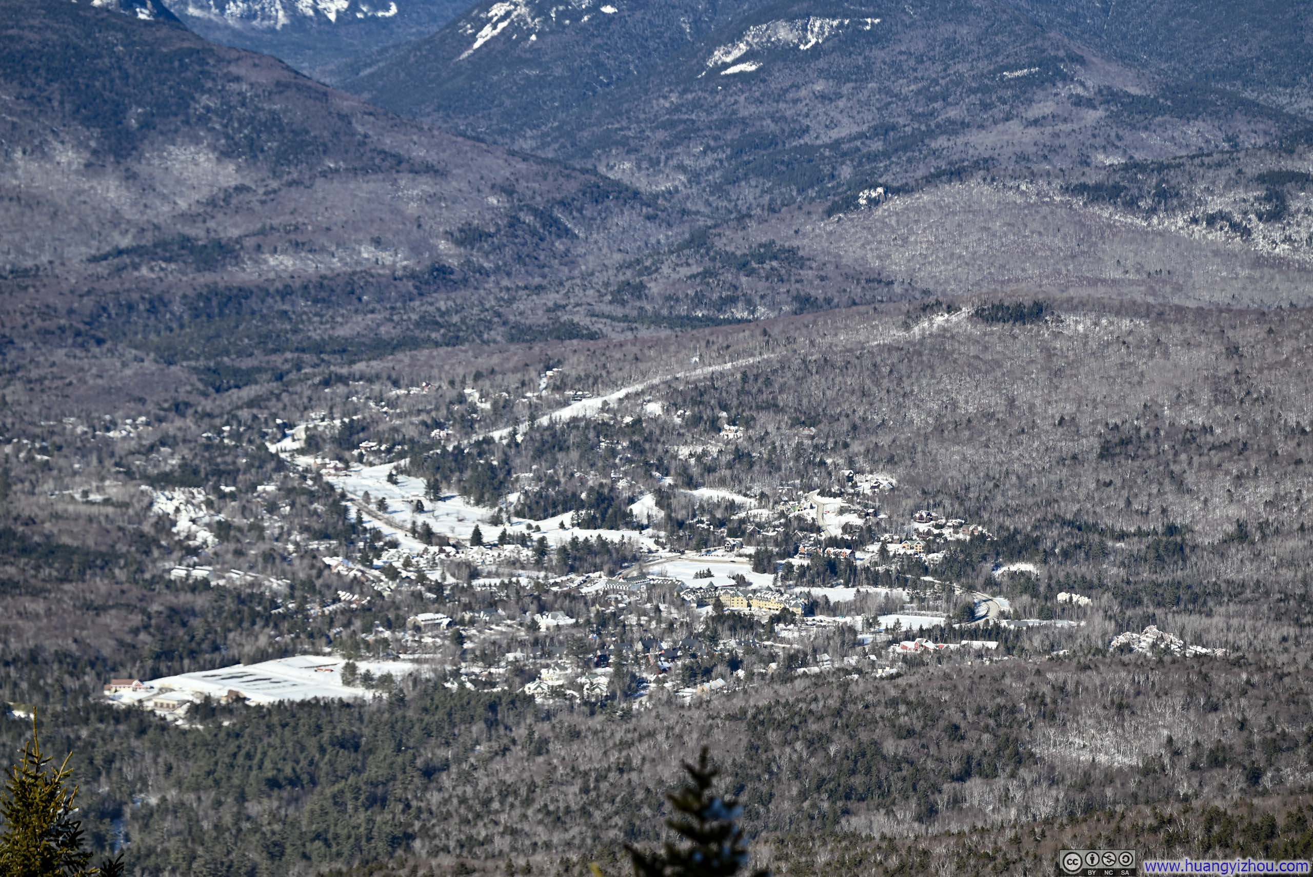
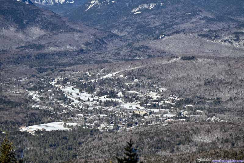 Waterville Valley
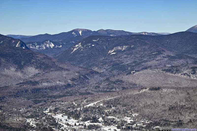 Mountains beyond Waterville ValleyMount Hancock in the background center.
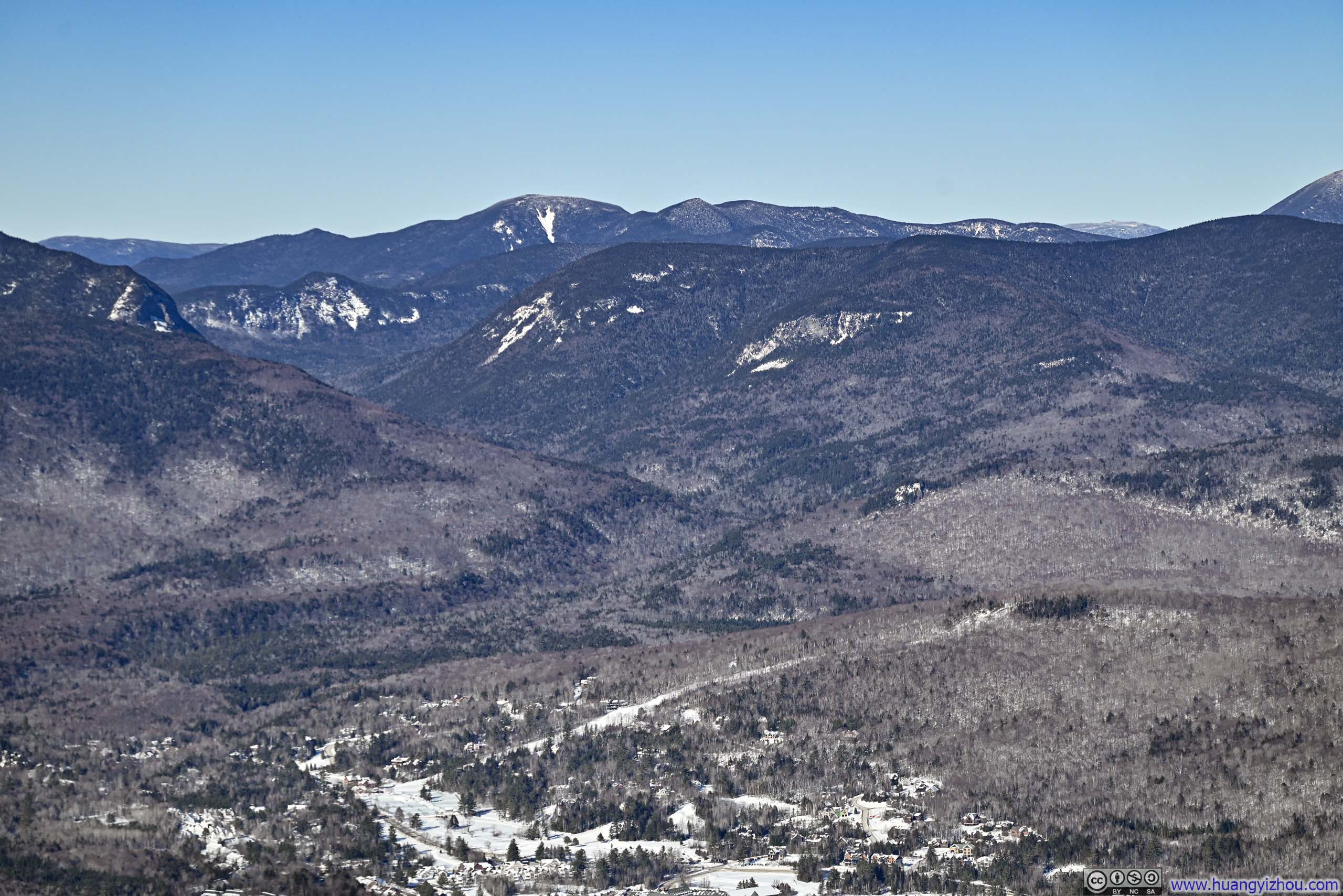
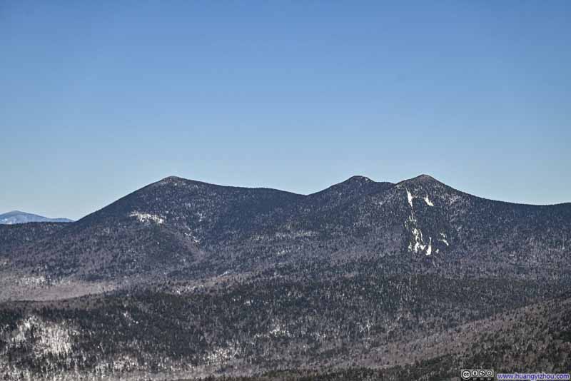 Tripyramid Mountains
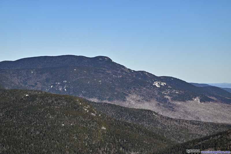 Mount Whiteface
 Mountains to the EastBeyond the gap between Mount Whiteface and Sandwich Mountain, distant ones in Maine.
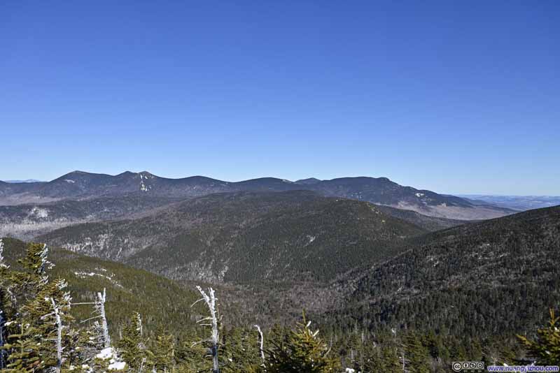 Mountains to the EastTripyramid and Mount Whitefacet

Click here to display photos of the slideshow
Distant Mt Washington
Waterville Valley
Mountains beyond Waterville ValleyMount Hancock in the background center.
Tripyramid Mountains
Mount Whiteface
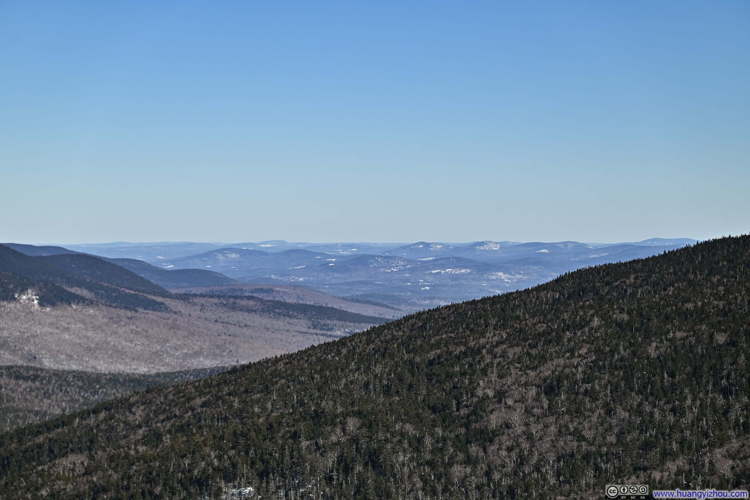
Mountains to the EastBeyond the gap between Mount Whiteface and Sandwich Mountain, distant ones in Maine.
Mountains to the EastTripyramid and Mount Whitefacet
I left the summit area of Jennings Peak at 2:30pm, and made it to the parking lot shortly after 5pm. On my way back, I encountered another hiker returning from Sandwich Mountain (with only microspikes), who informed me that the postholing situation beyond the junction was “even worse”. I guessed that made it a smart choice for me to conclude at Jennings Peak.
END
![]() Hiking Jennings Peak in Winter by Huang's Site is licensed under a Creative Commons Attribution-NonCommercial-ShareAlike 4.0 International License.
Hiking Jennings Peak in Winter by Huang's Site is licensed under a Creative Commons Attribution-NonCommercial-ShareAlike 4.0 International License.