
Updated on February 9, 2021
Hiking Strickler Knob and Duncan Knob in George Washington National Forest
Aug 2nd, 2020, I headed towards the northern district of George Washington National Forest and hiked two of its most popular trails, Strickler Knob and Duncan Knob. Both trails started from a country road deep in the forest and led to a cluster of boulders towering above surrounding trees with panoramic views.

Strickler Knob
I left home at 9:30am, and took I66-US340 to Luray where I picked up some supplies from its rural Walmart. So by the time I reached the trailhead of Strickler Knob, it was already noon.
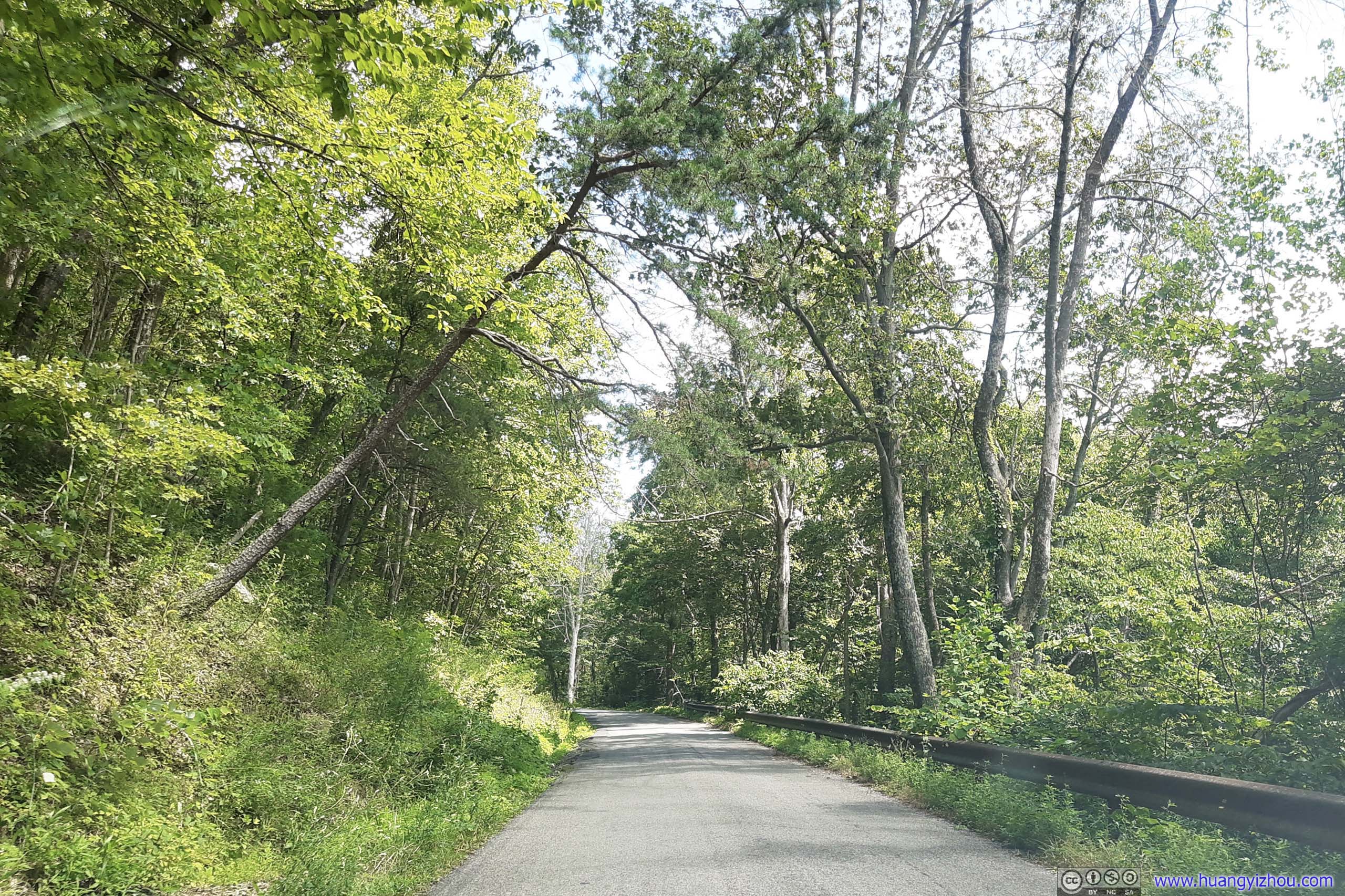
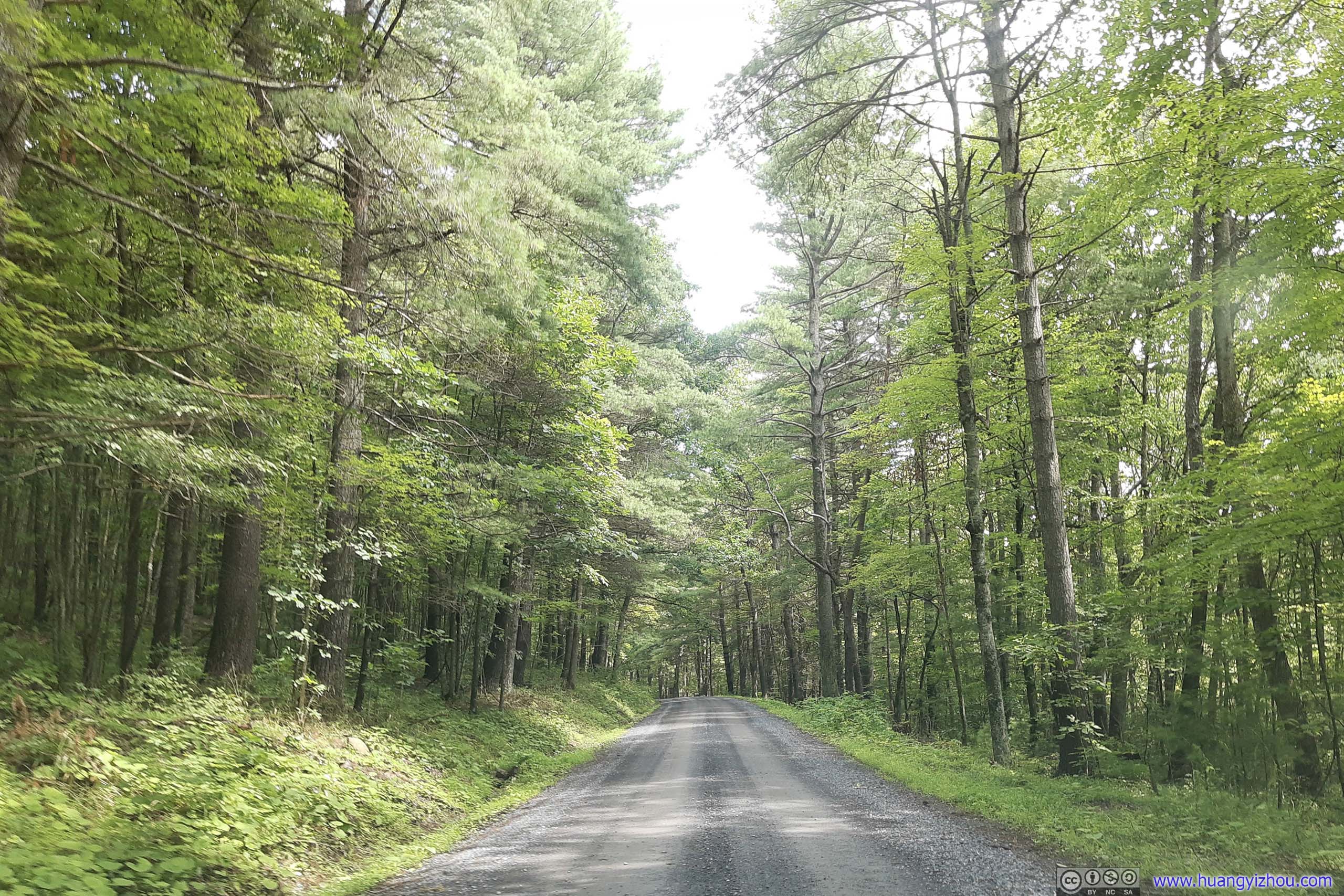 Road
Road
Strickler Knob
Here’s GPS tracking:
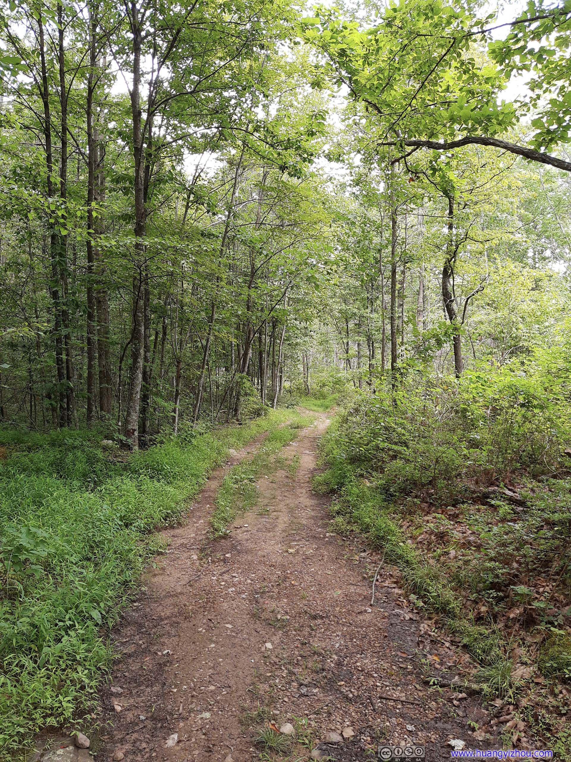
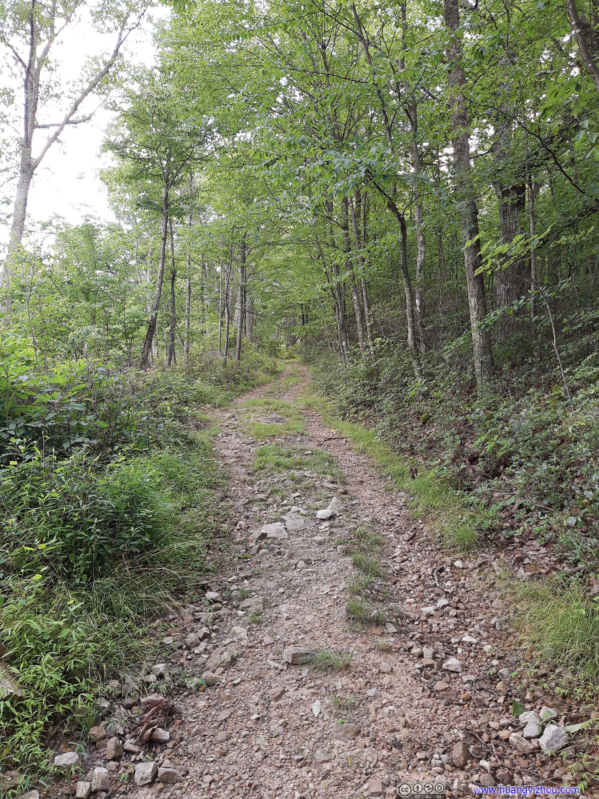

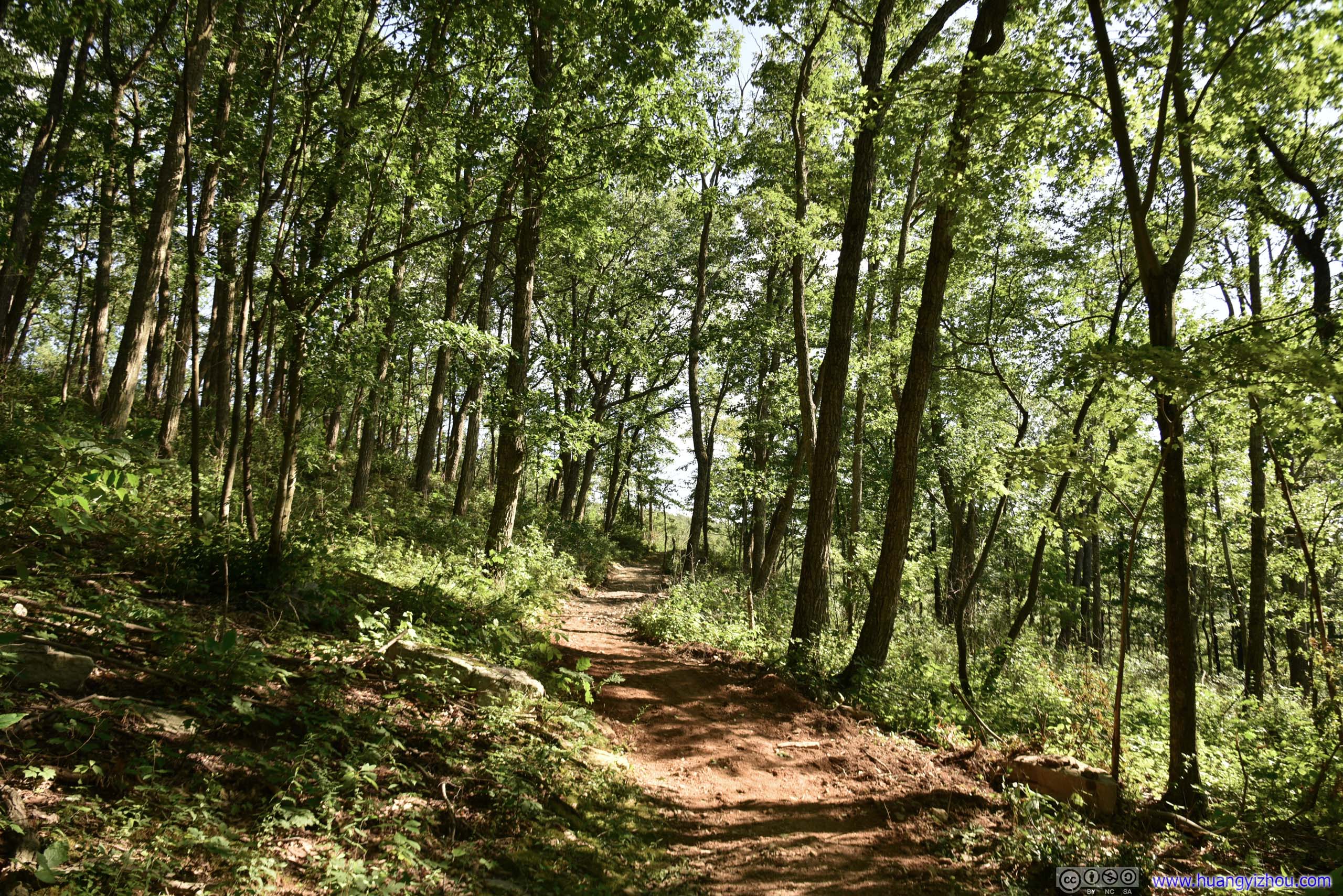
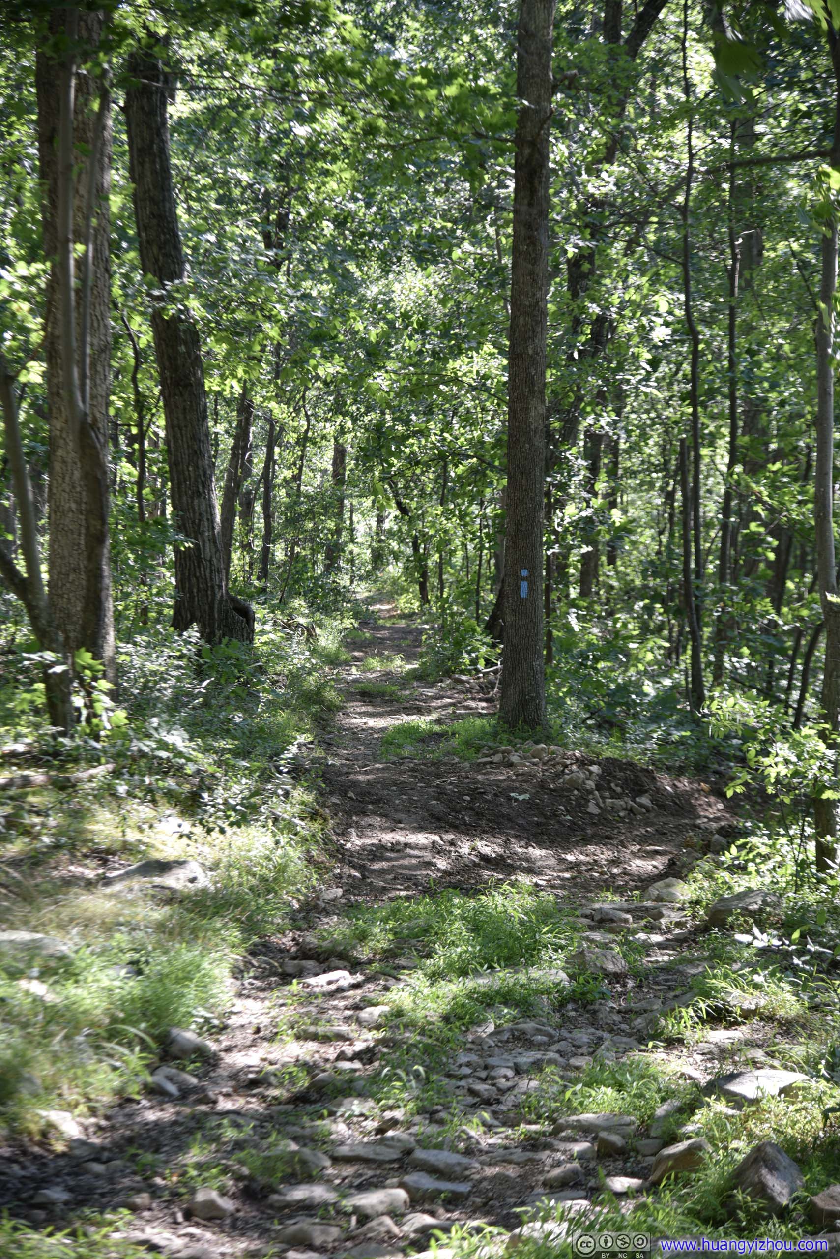
 Trail
Trail
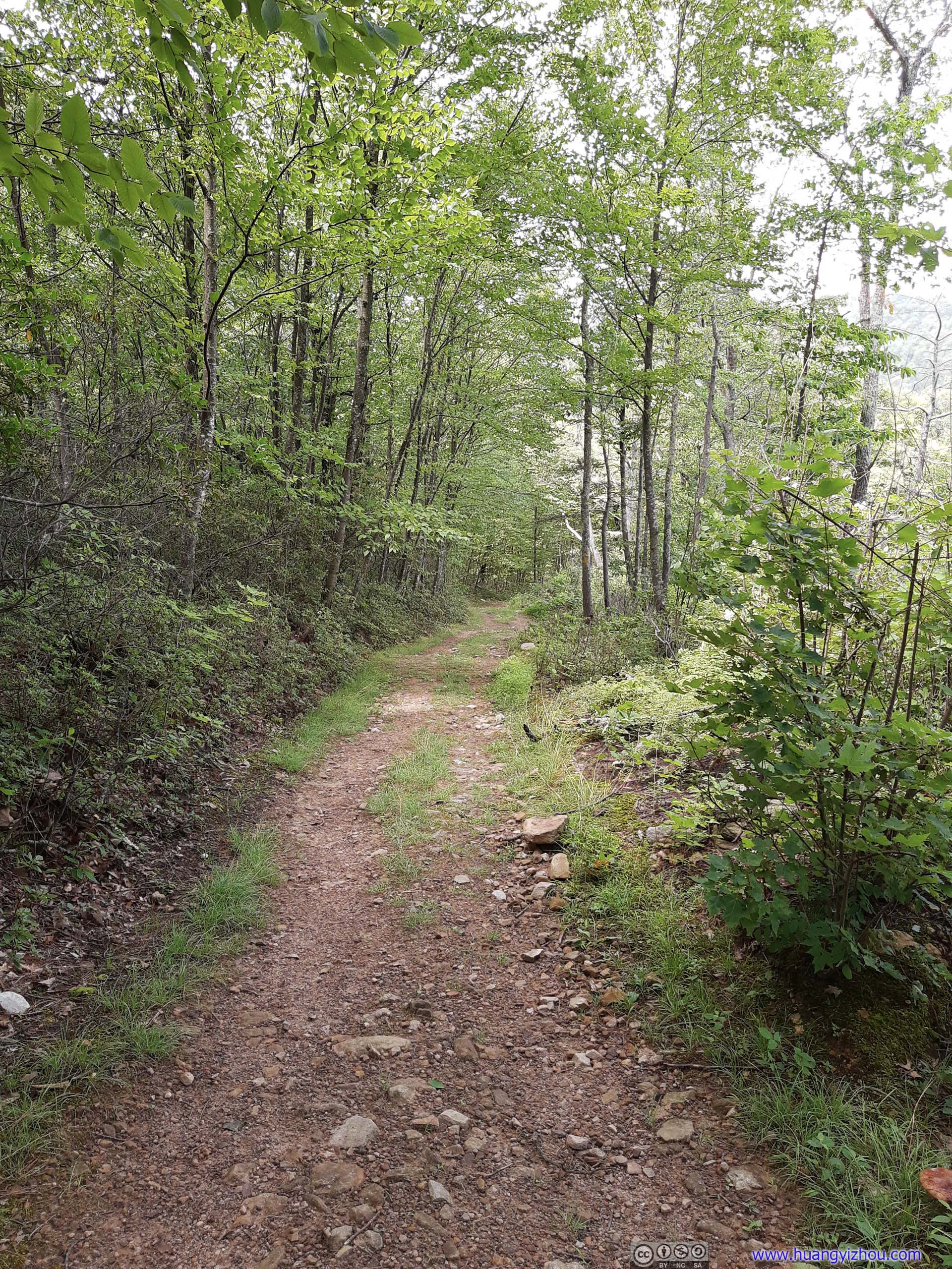
After crossing a small creek, half of the trail’s 300m elevation gain took place in the first quarter of its 4.4km distance, making it a decent workout. The trial had a cushy double-track width for this part, but it was a bit overgrown and from time to time grass was uncomfortably ticking my calves. Adding to my headache, there were quite some small but annoying flies in the woods, not as atrocious as my visit to Utah two months ago, but still they took away some of the fun and forced me to be constantly on the move.
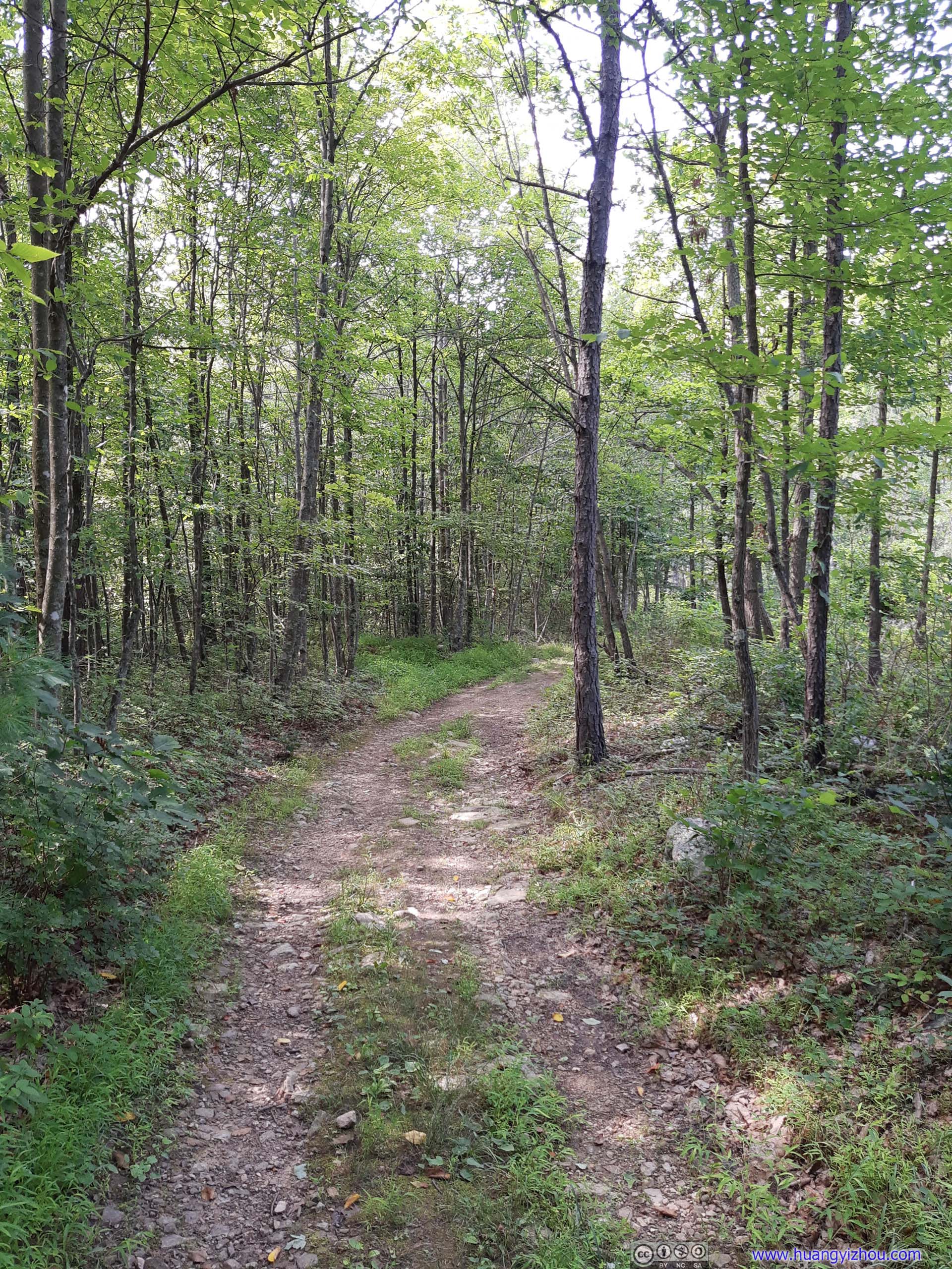

 Trail
Trail
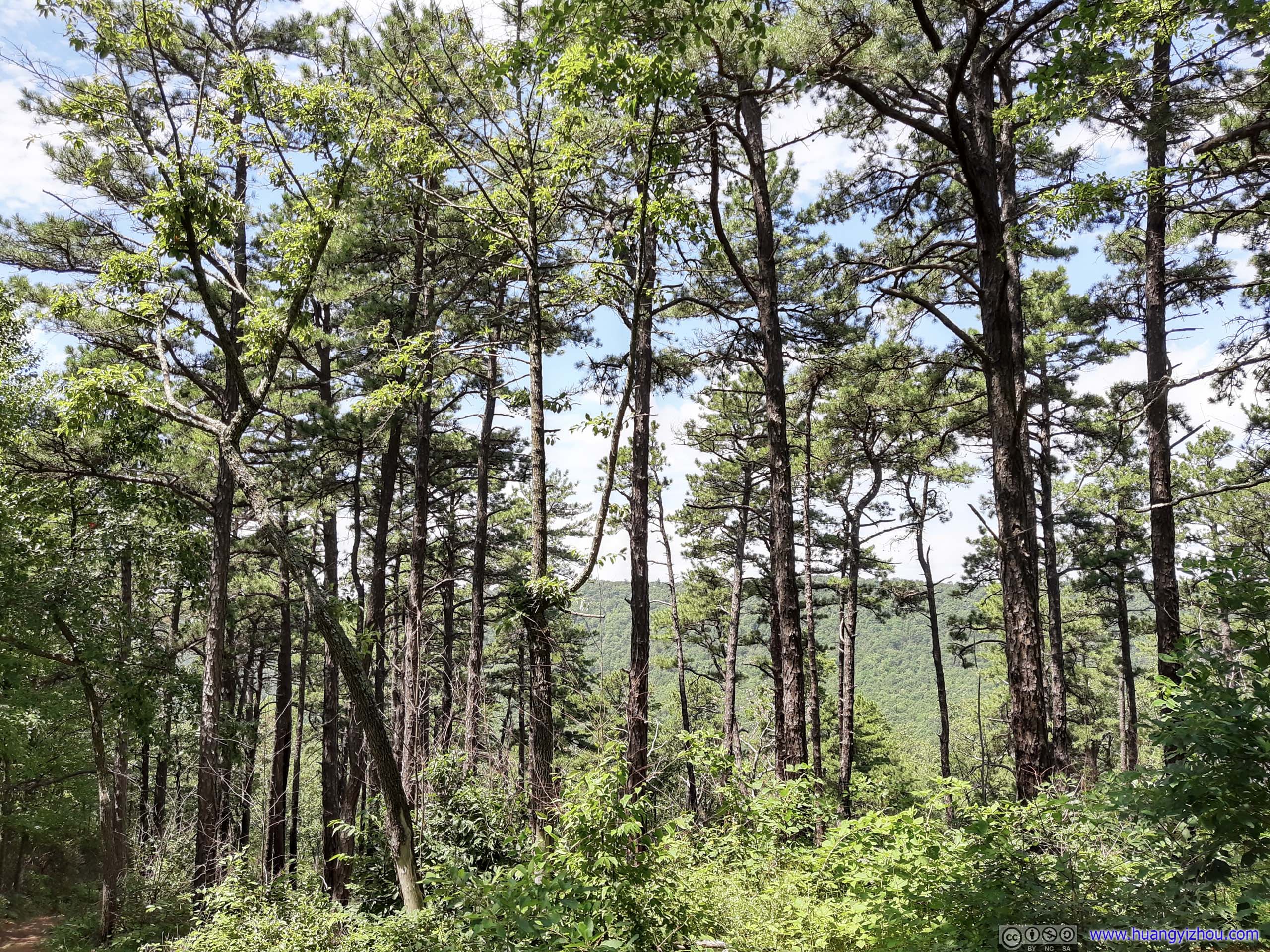
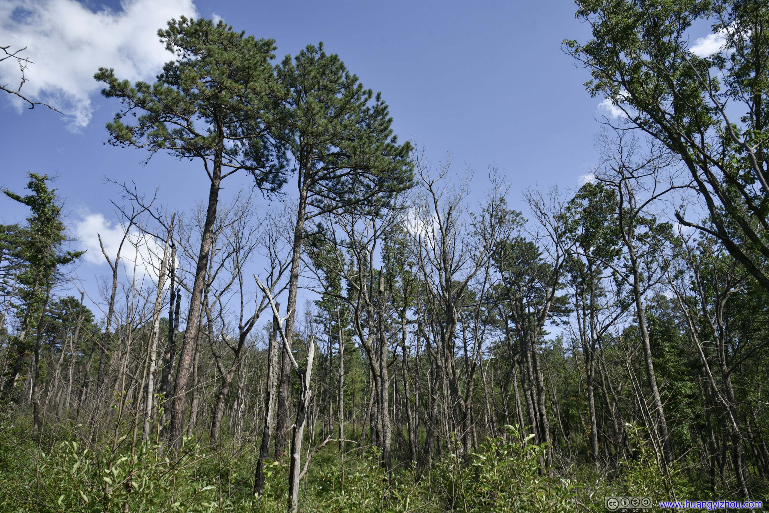
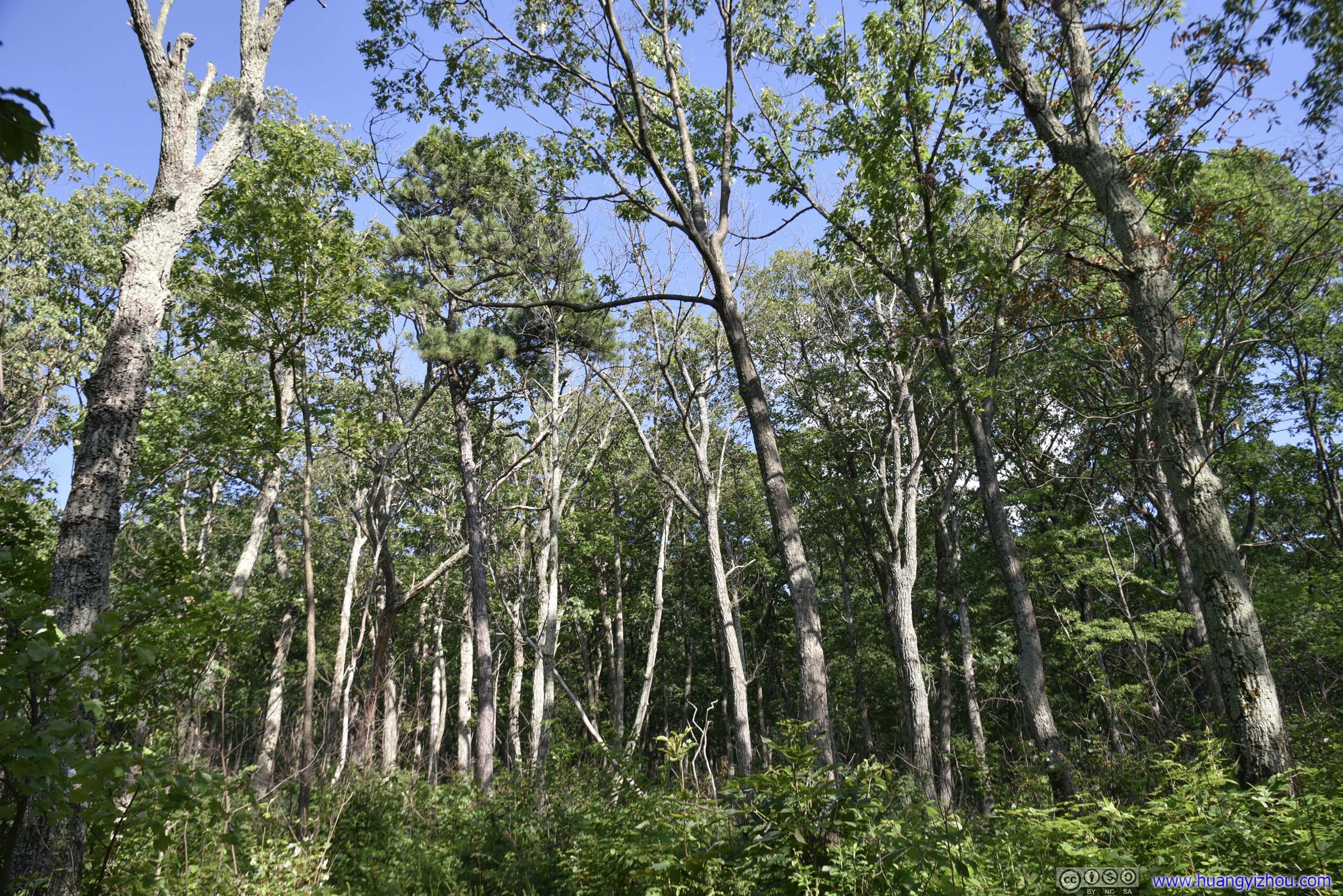
 Trees
Trees
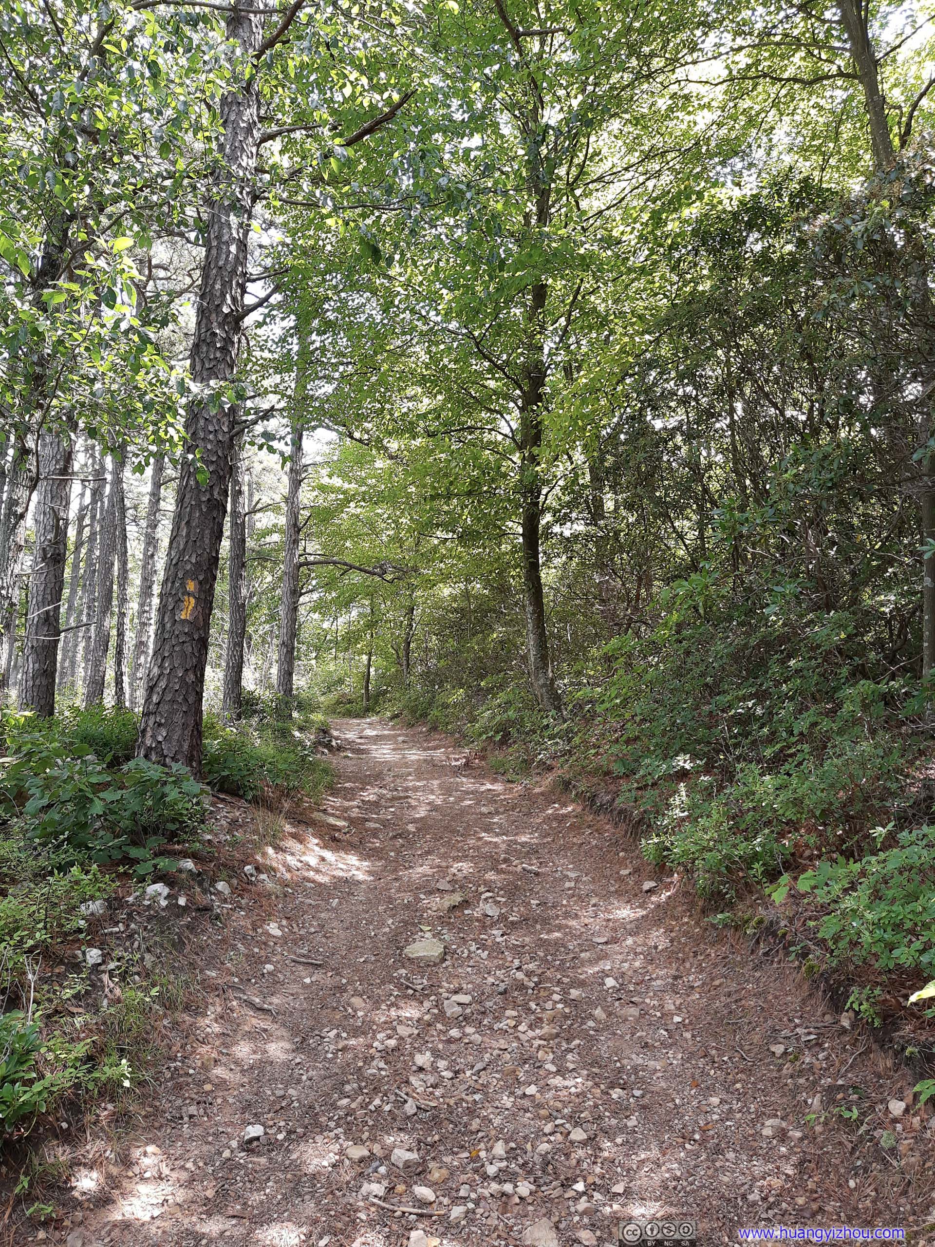
About half the distance to Strickler Knob, the trail entered an intersection with Scothorn Gap Trail. I didn’t recall the different trails at the intersection to be well-marked, just that it’s a four-way intersection, and Strickler Knob Trail was the most traveled one heading straight there.

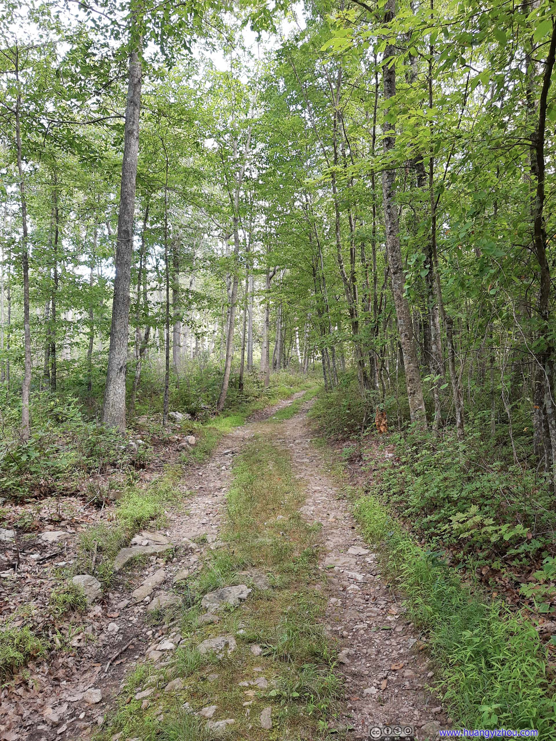
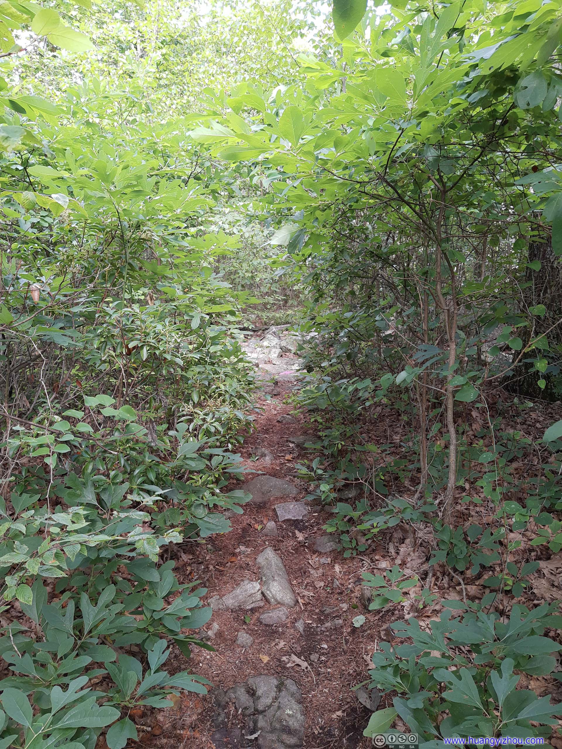
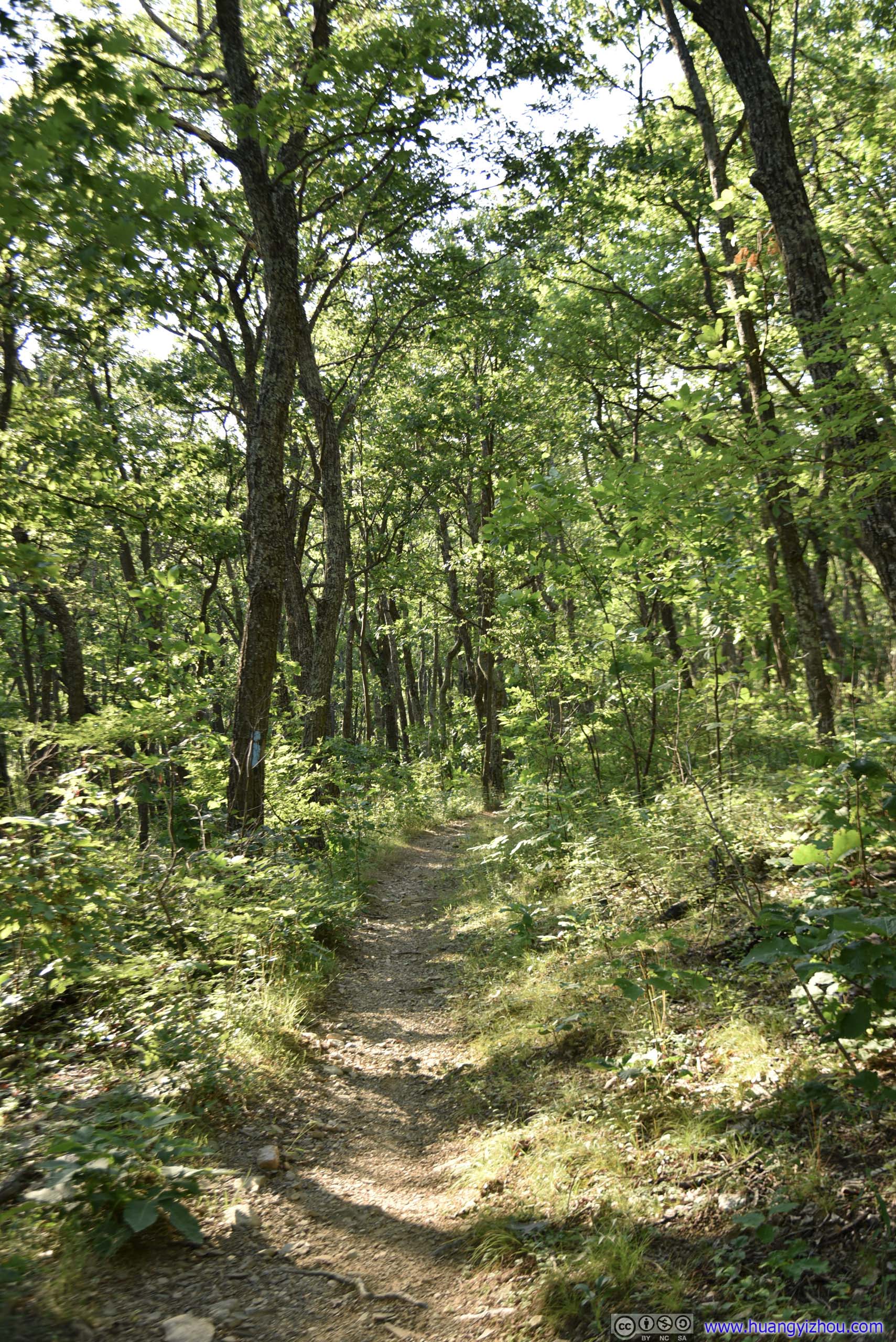
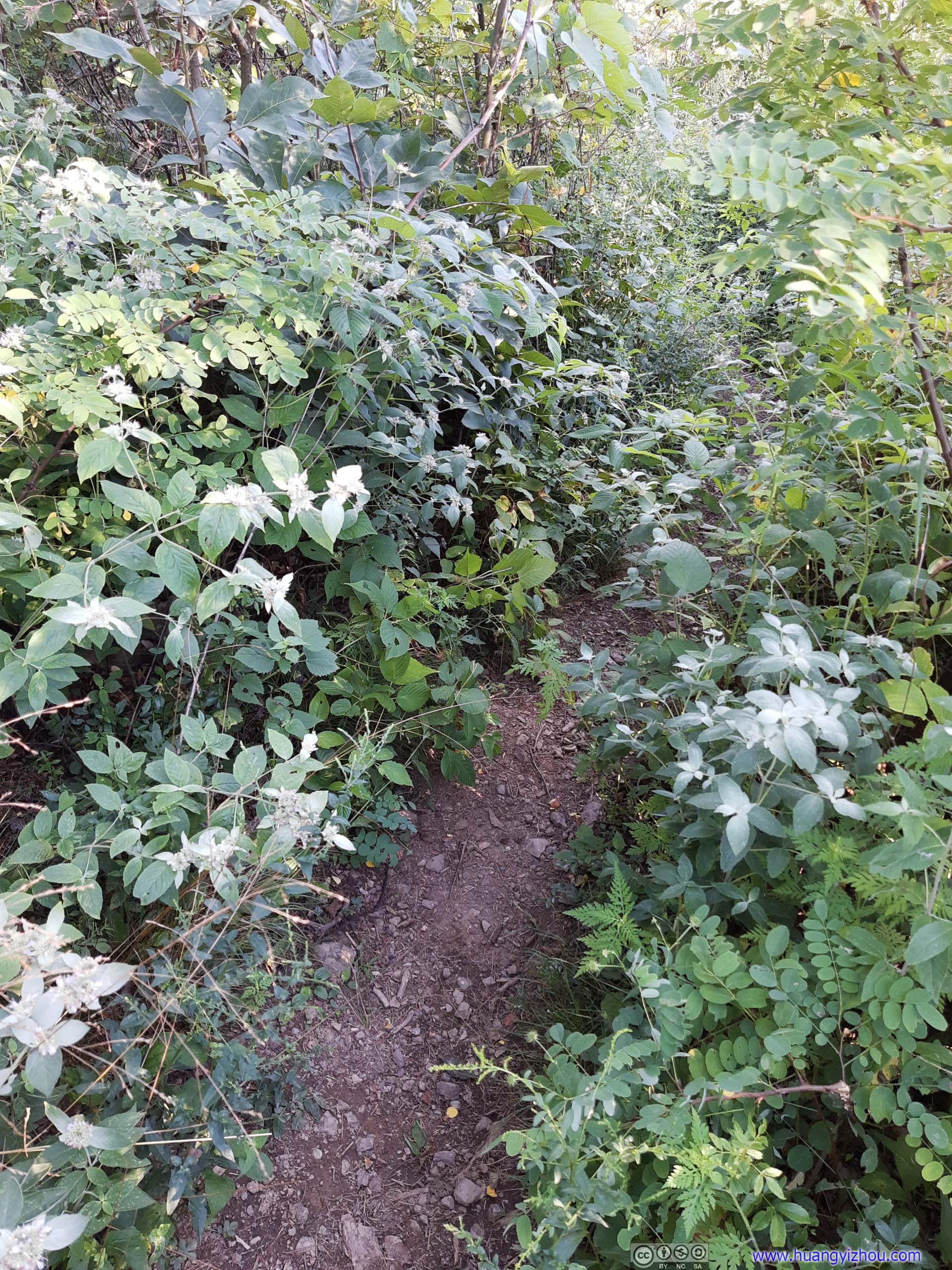
 TrailThe trail also grew narrower after the intersection.
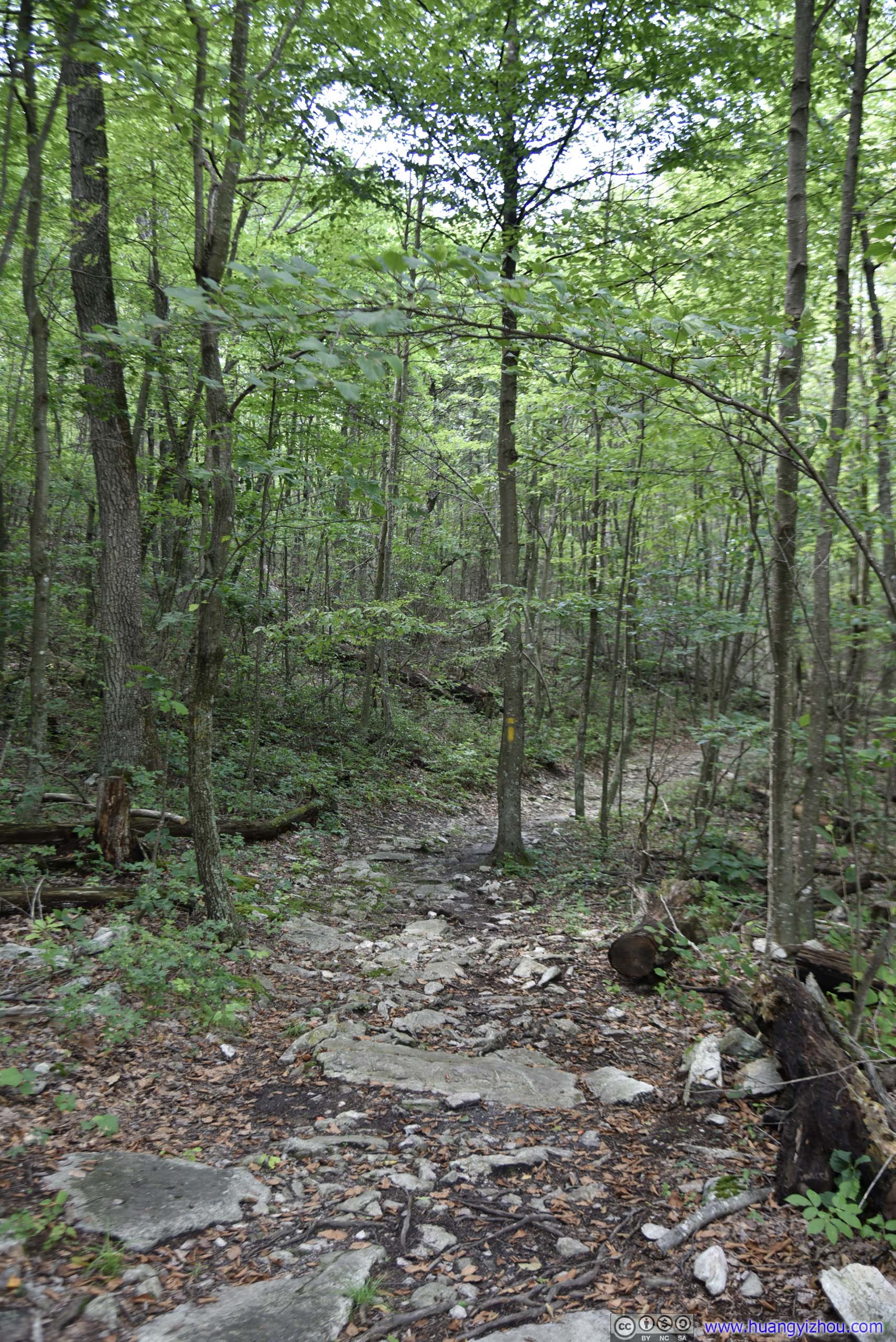
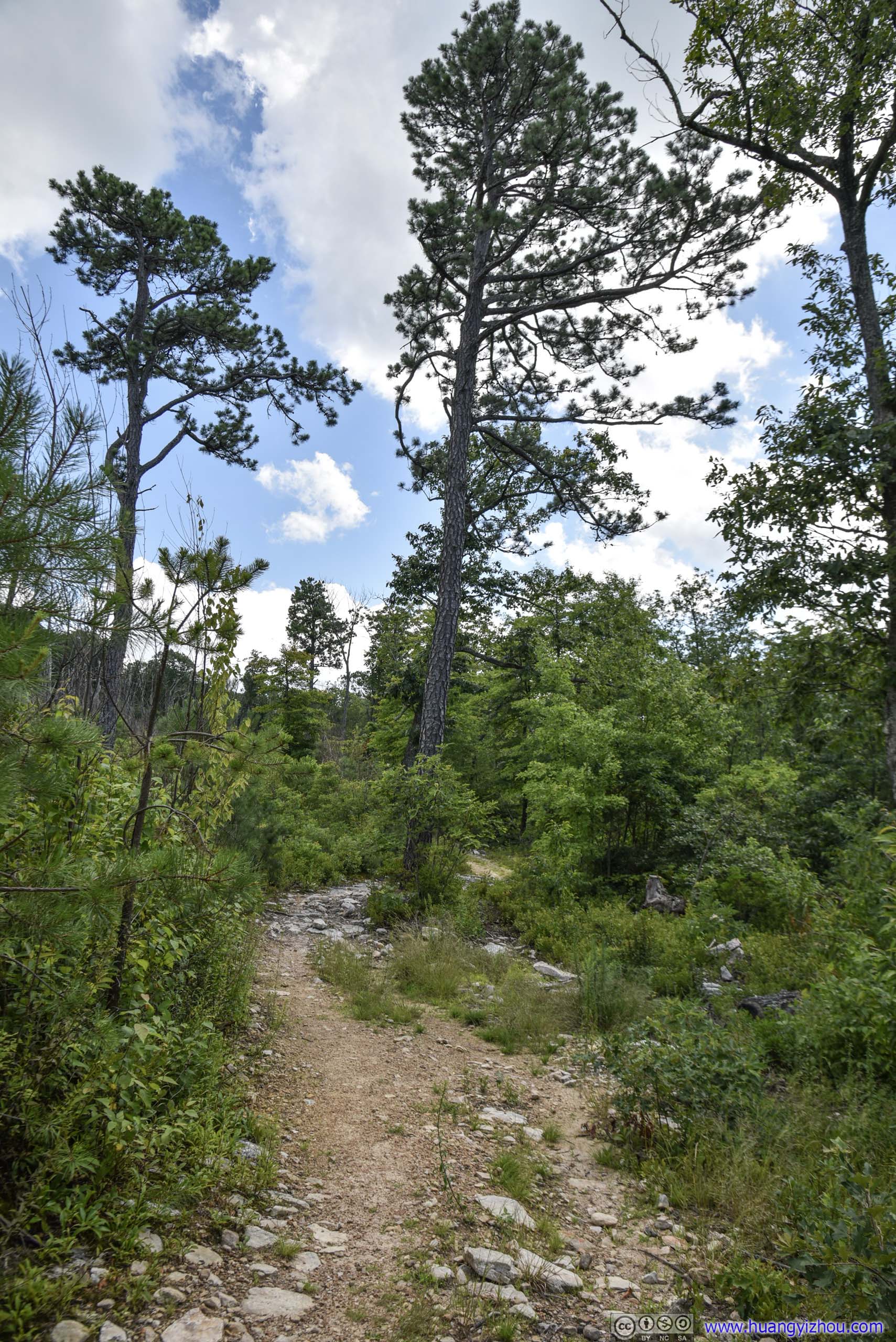
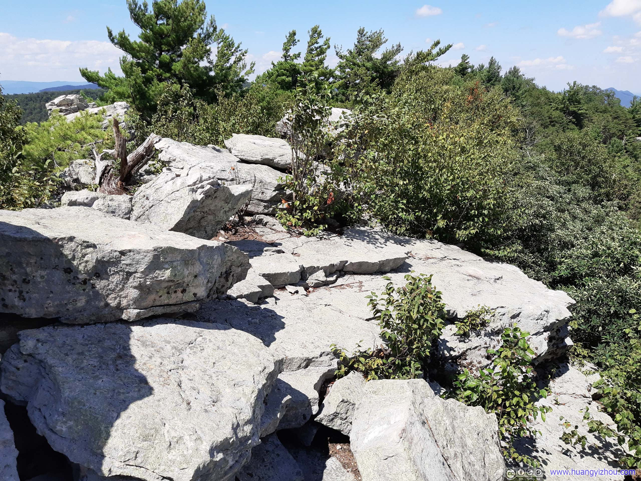
Another kilometer after that, the trail reached another intersection/open area. From here on the remaining 1.1km to Strickler Knob was described as “rocky and narrow” by a sign.
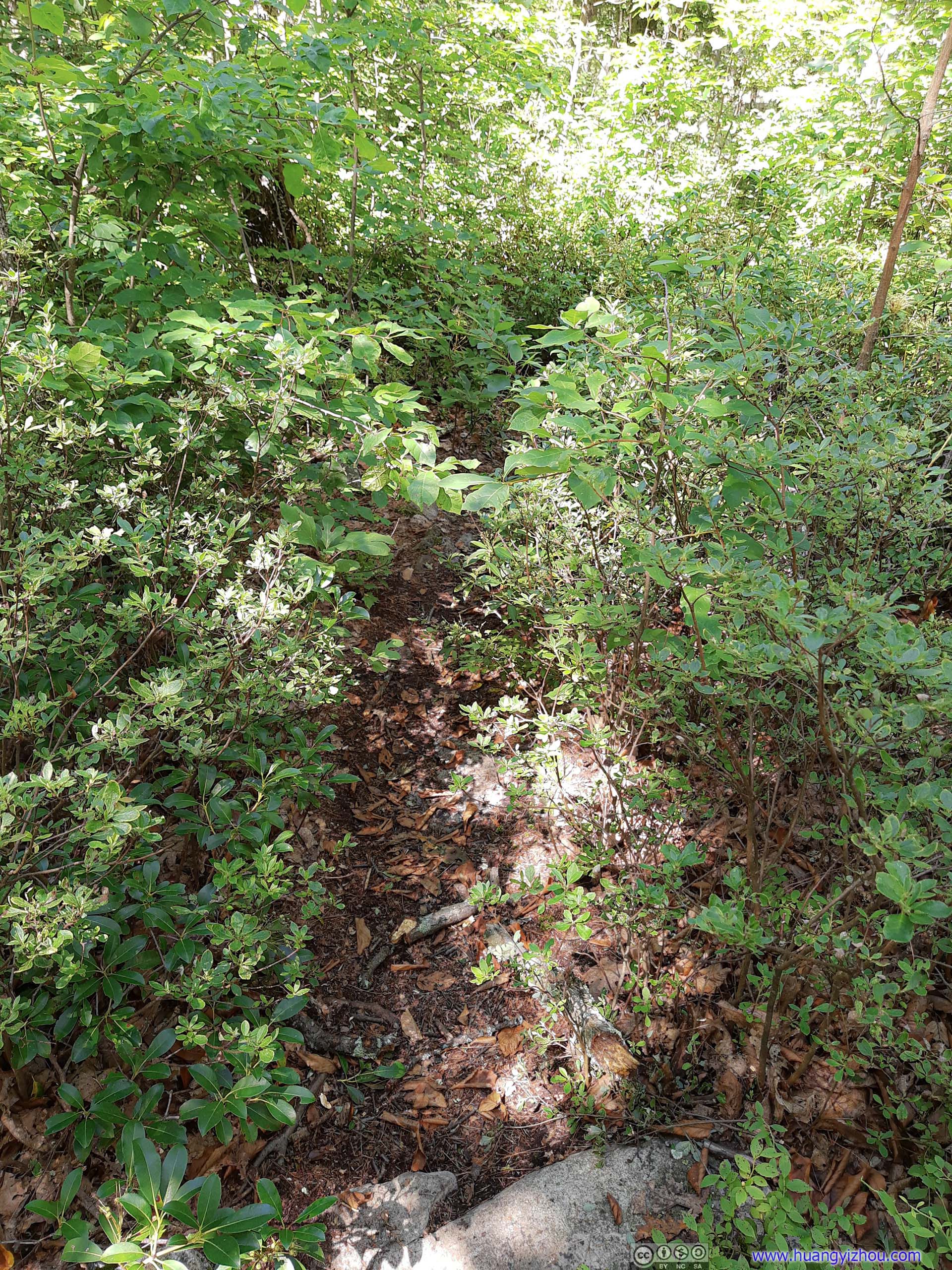
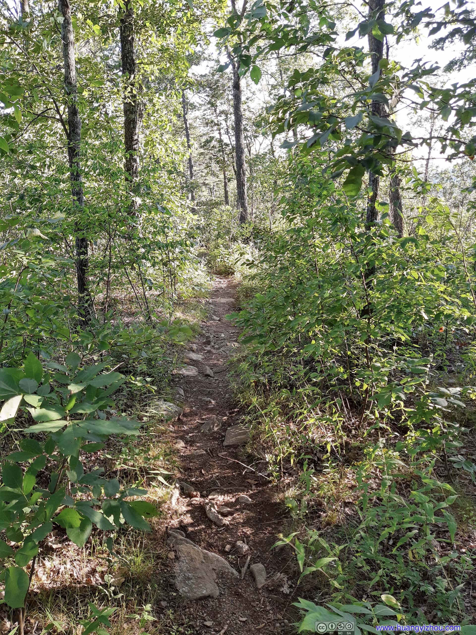
 TrailThe narrowest of the trail. There were a few sections like this where one was literally pushing away the tree branches and blazing out the trail.
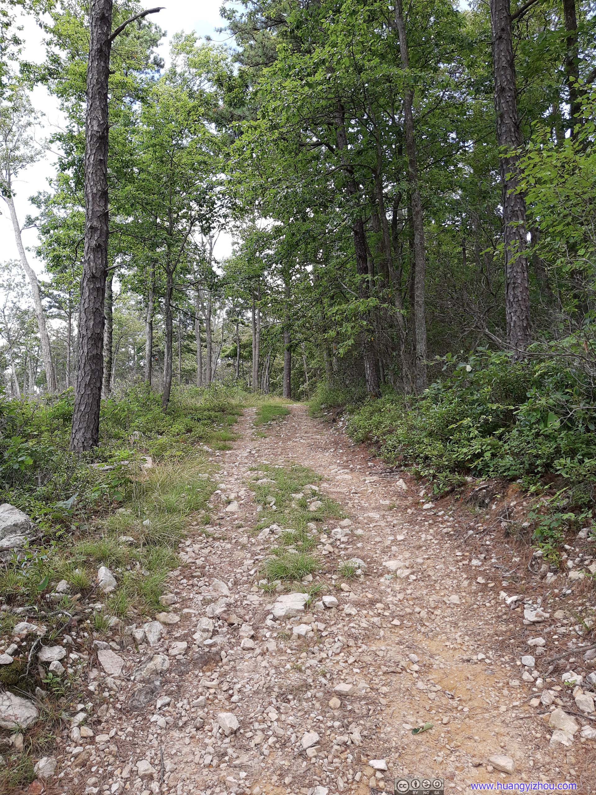
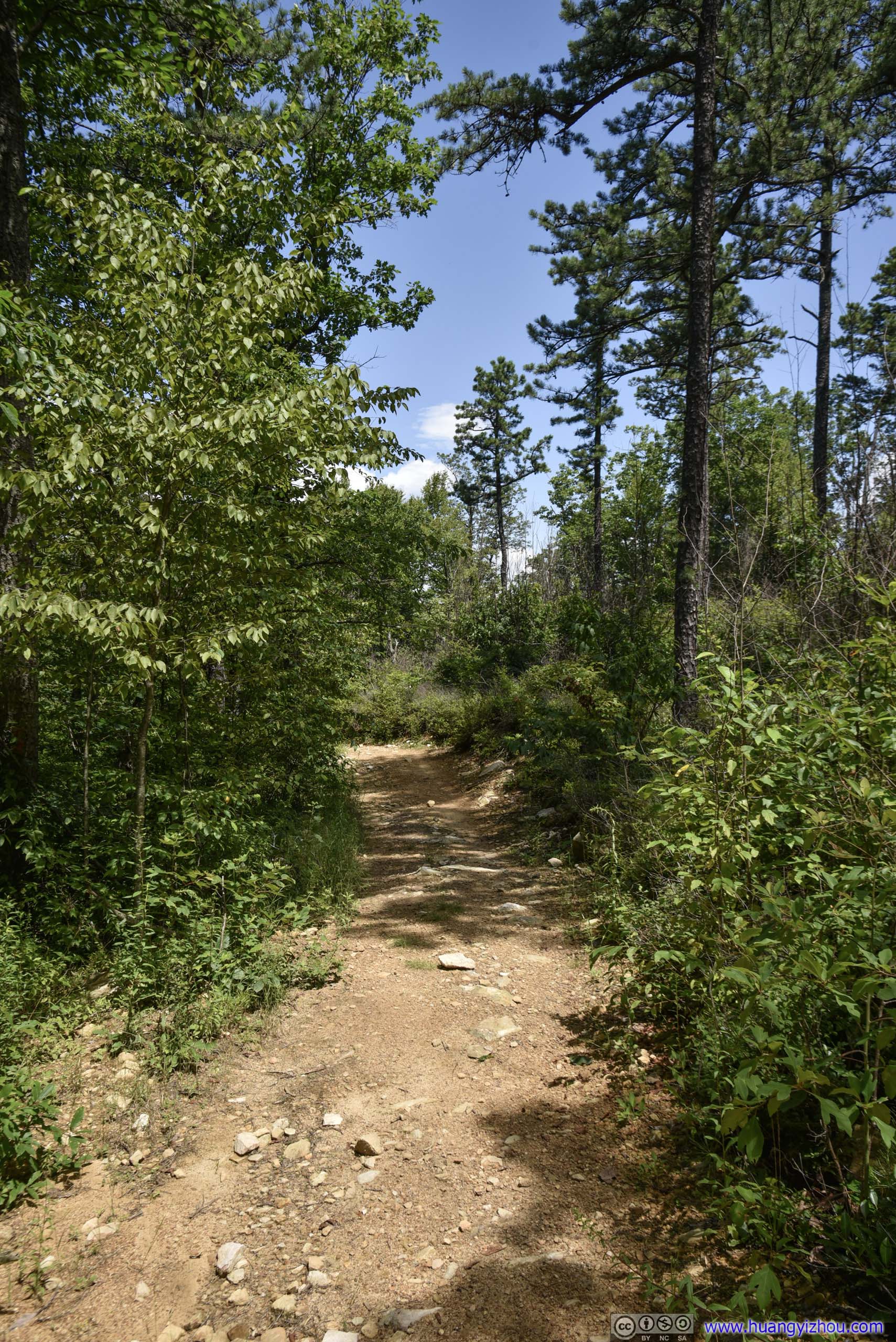
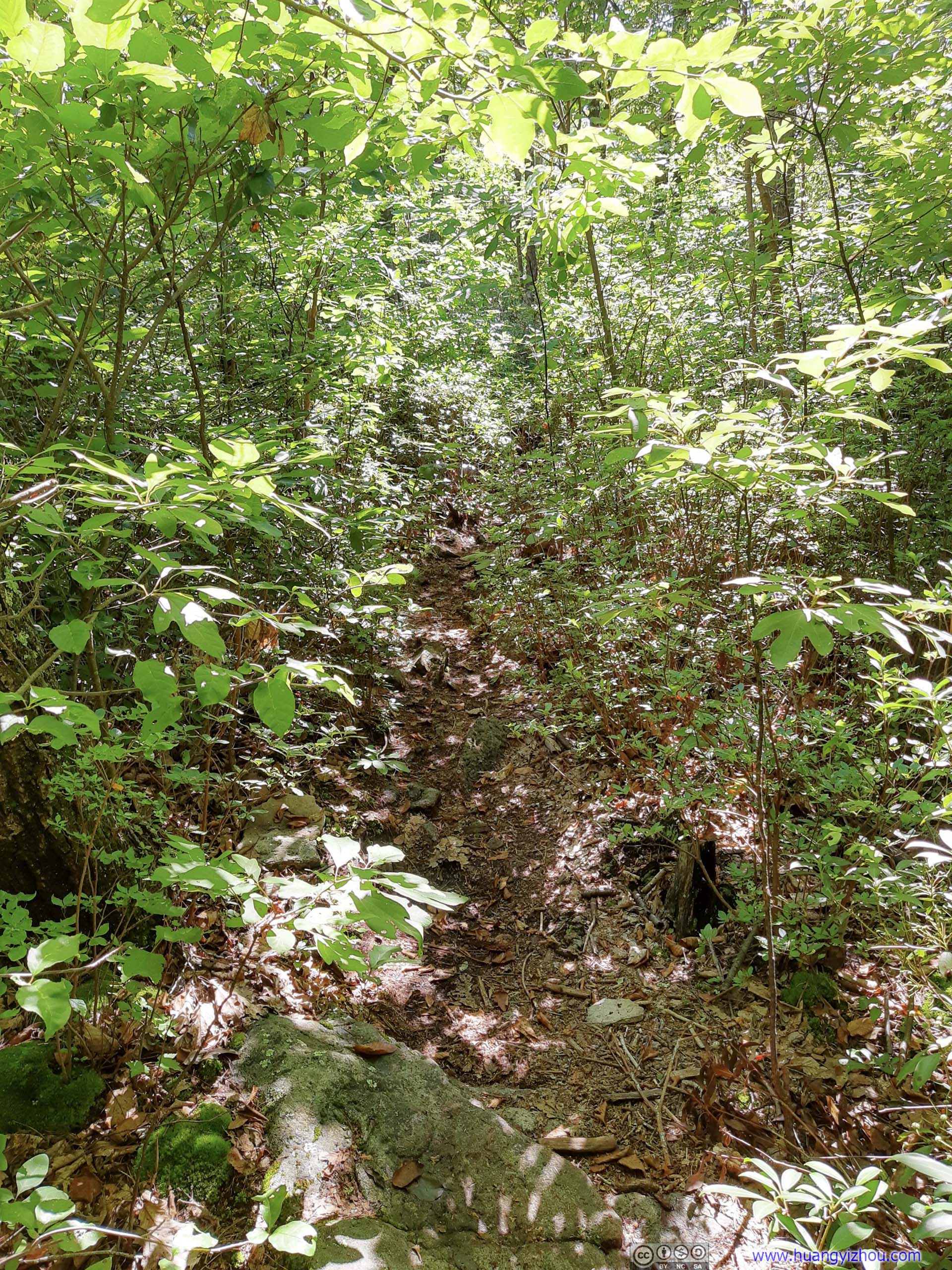
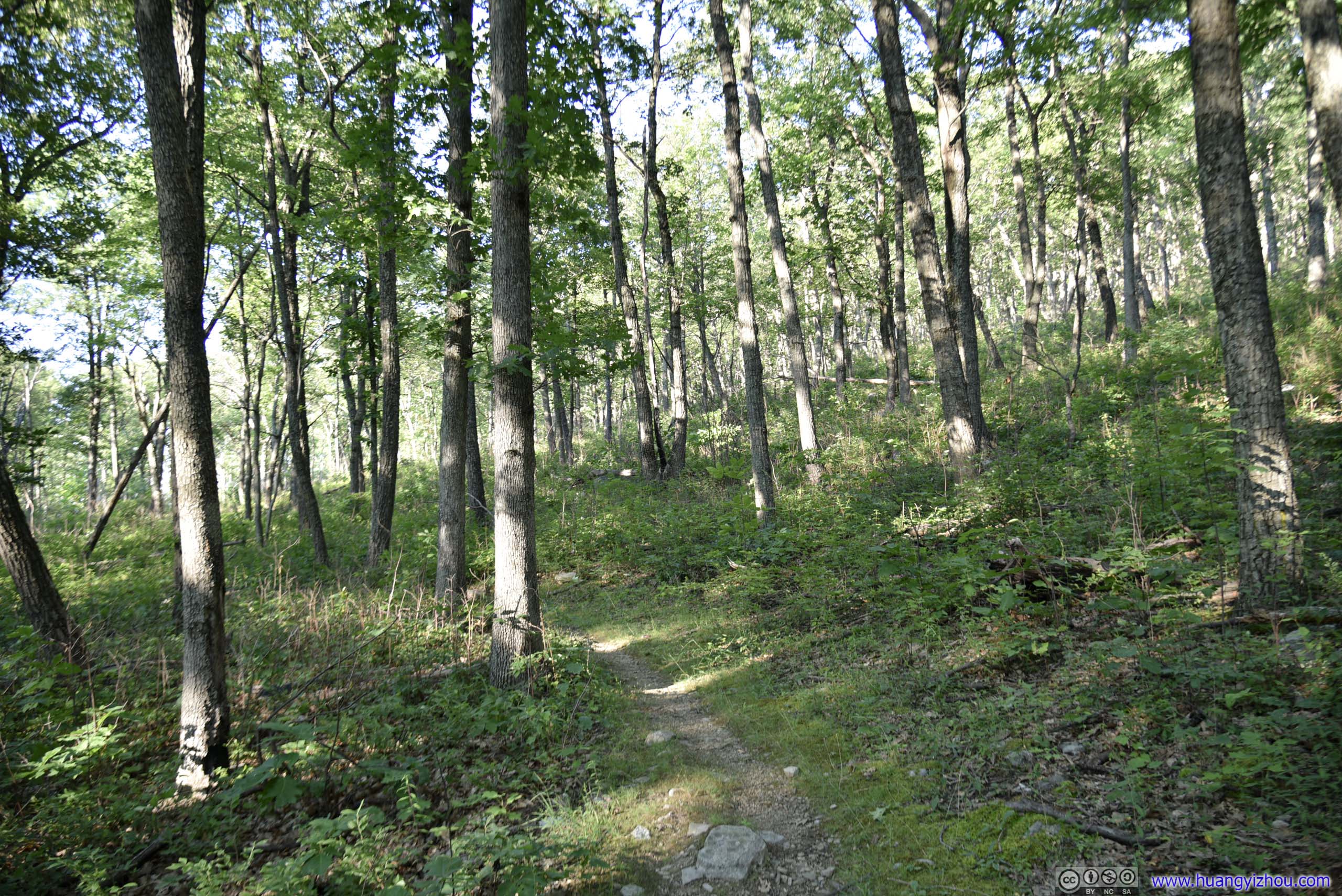
 TrailOf course, there were wider portions.
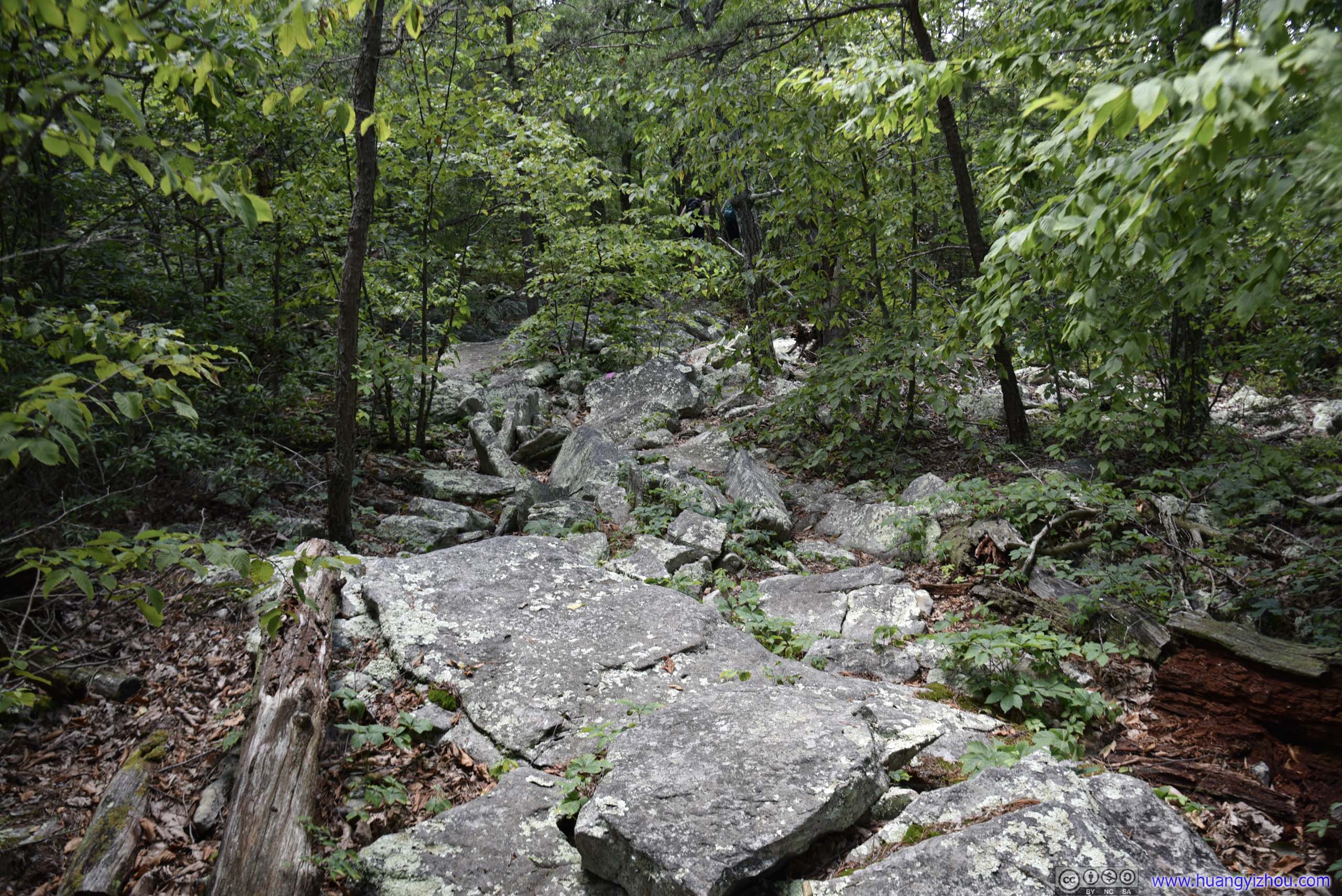
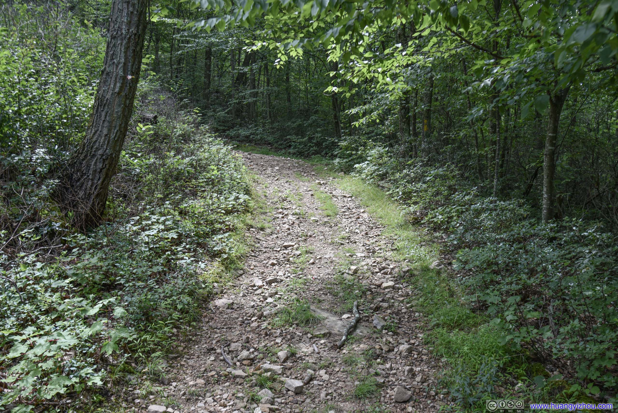
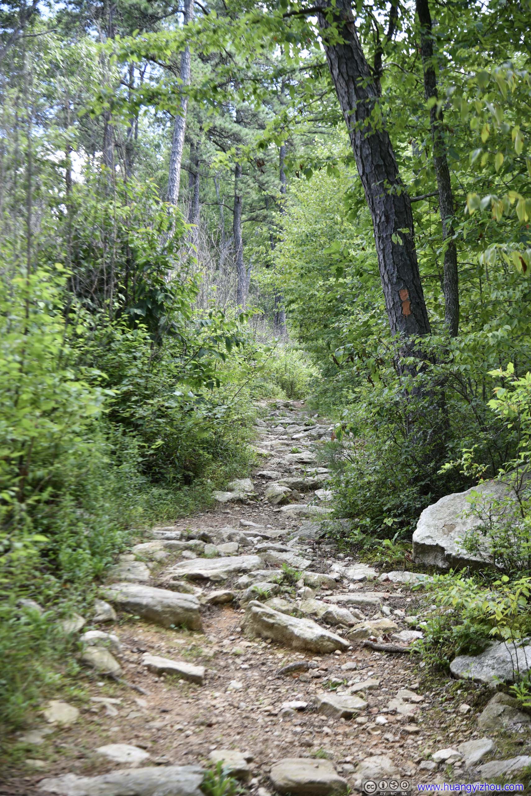
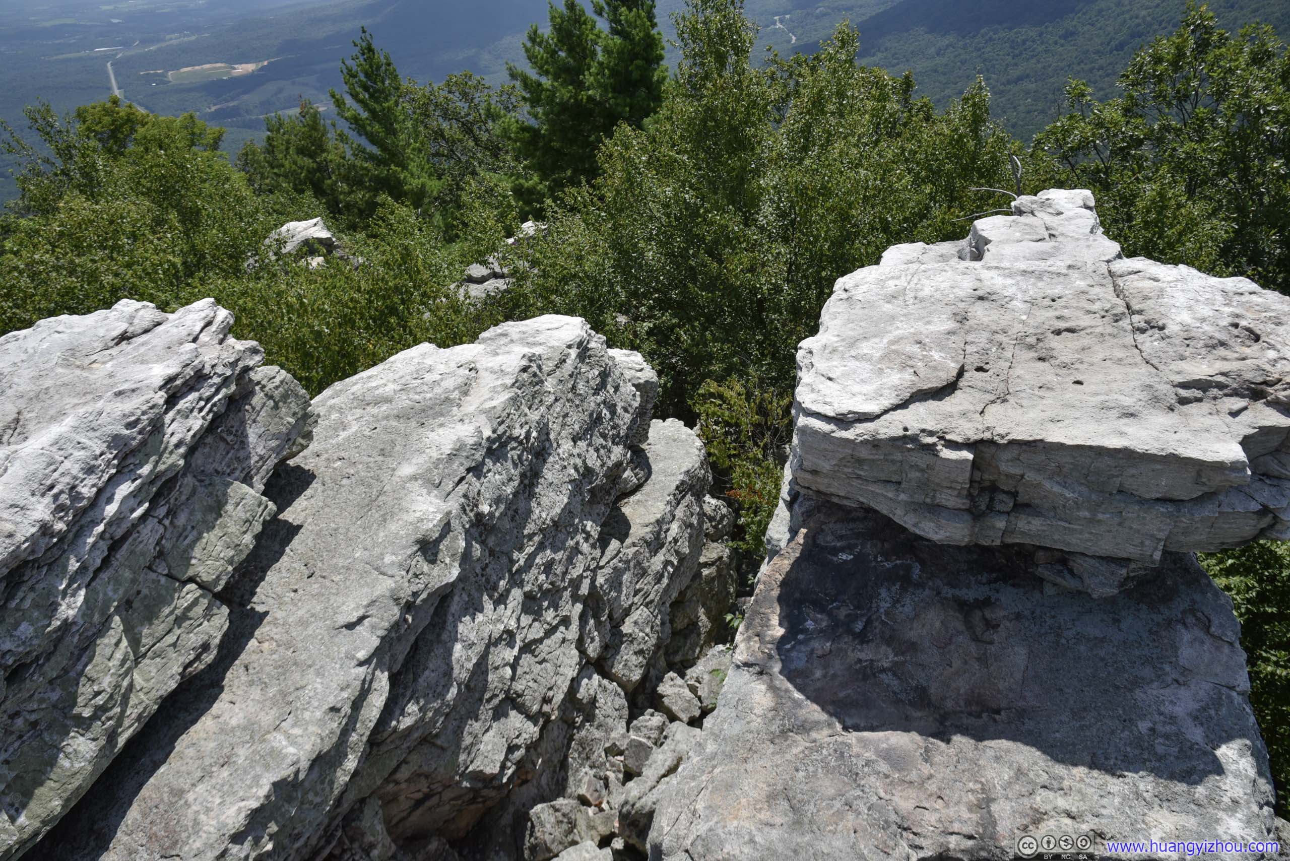
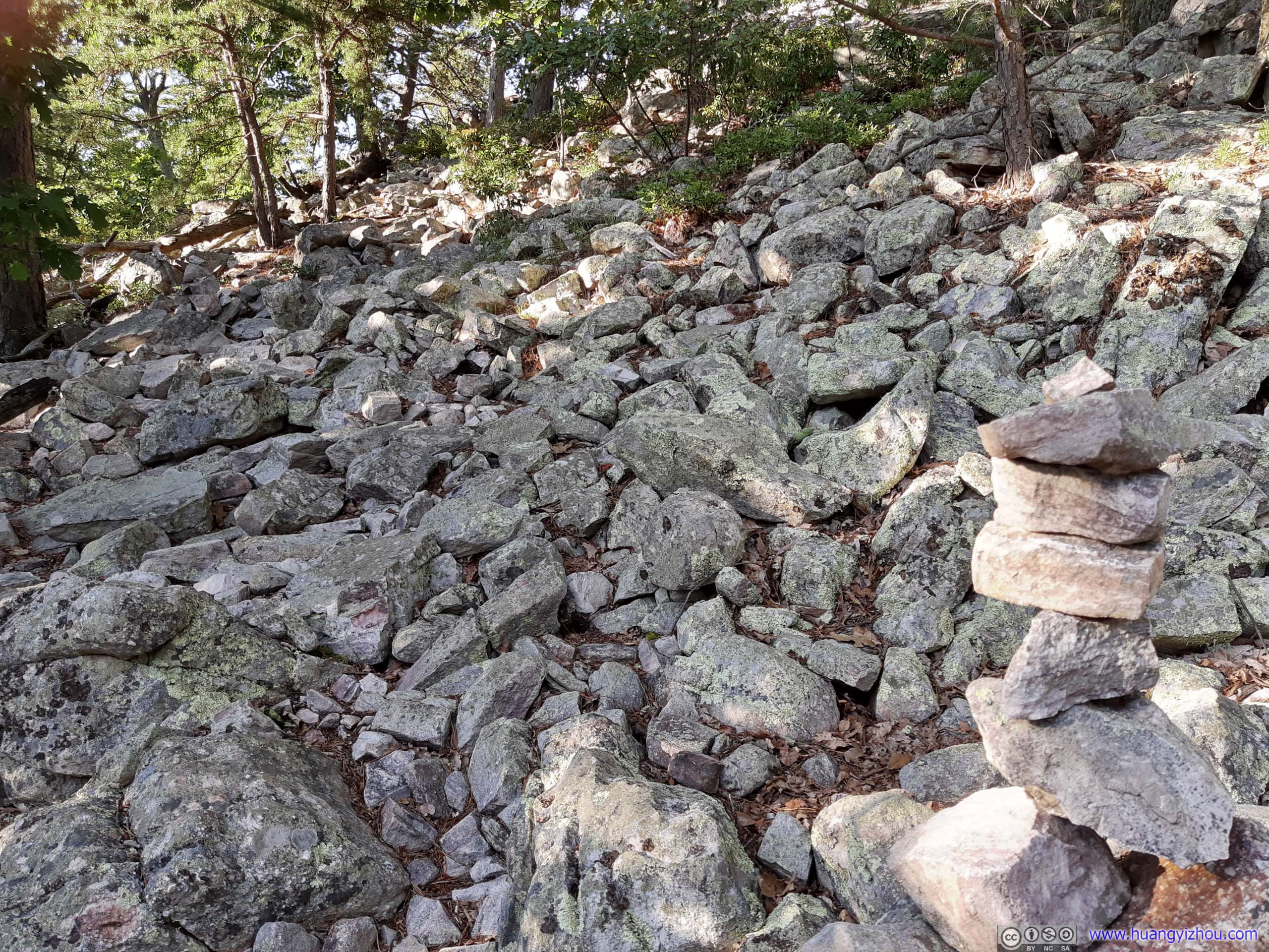
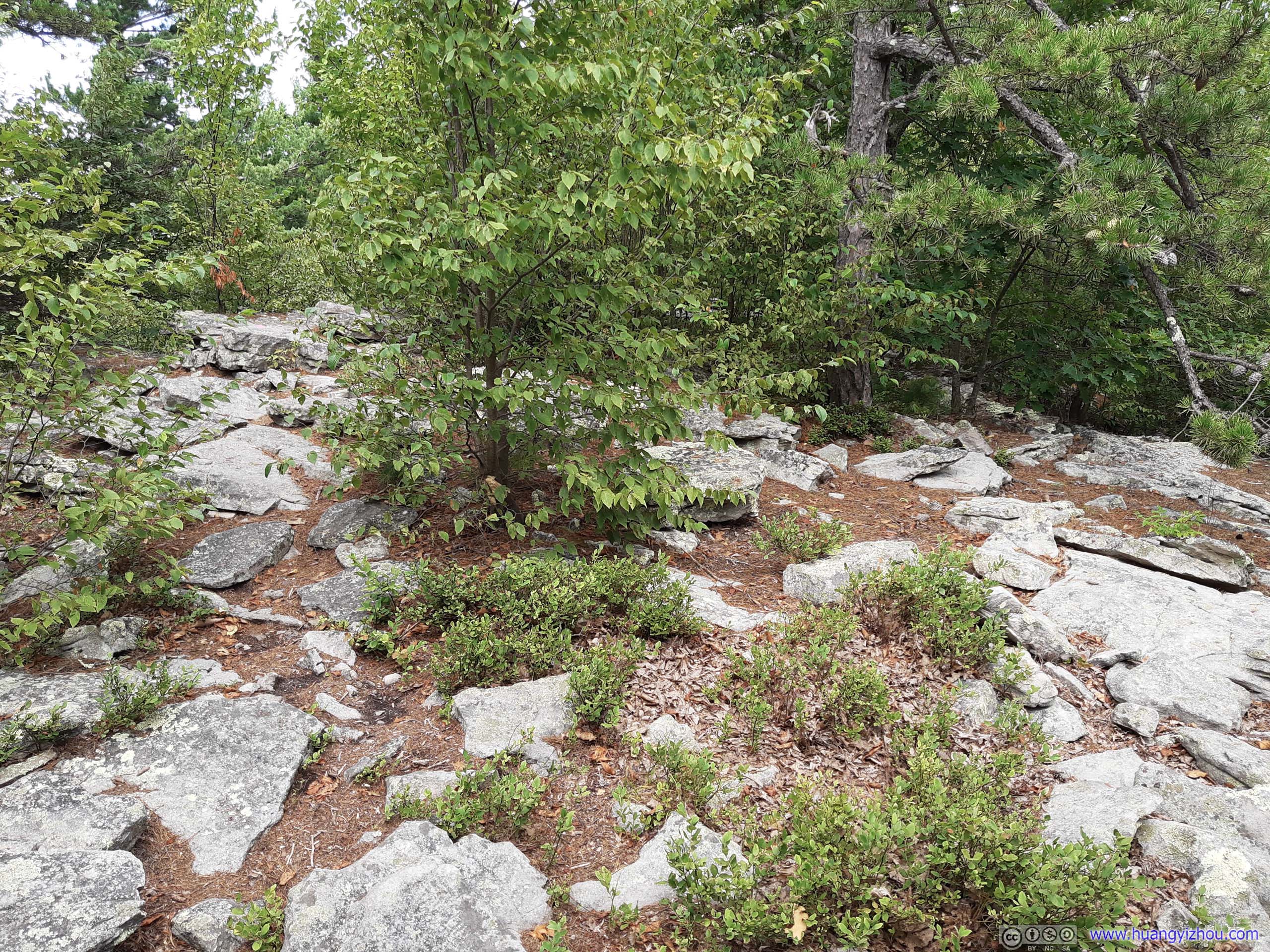 Rocky TerrainAnd this was how rocky the trail got (not very rocky), till right before Strickler Knob where it picked up some scrambling.
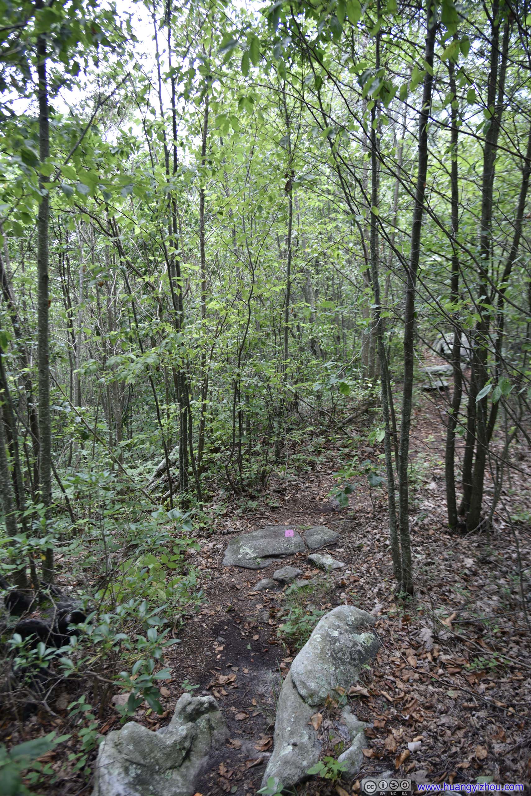
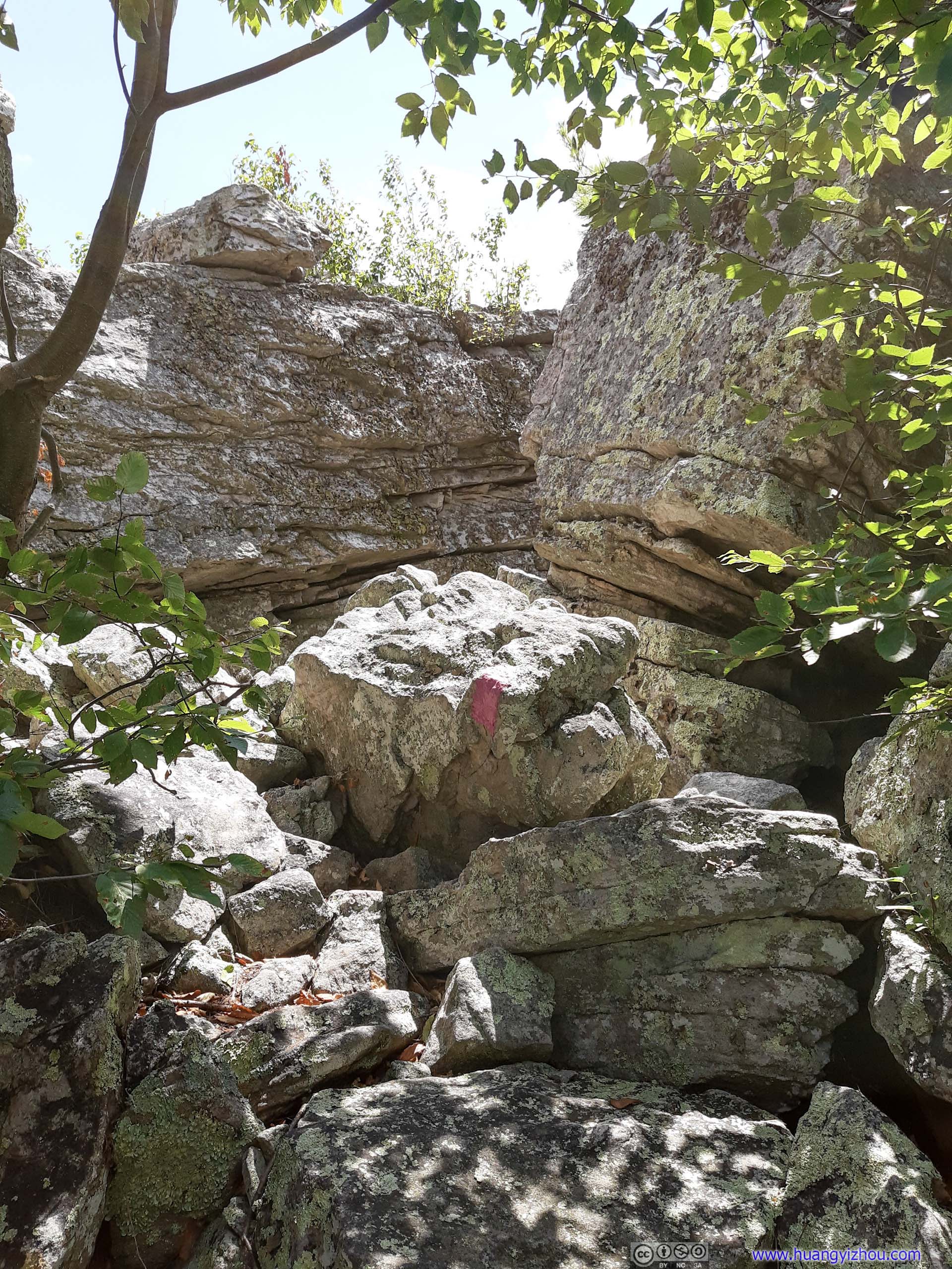
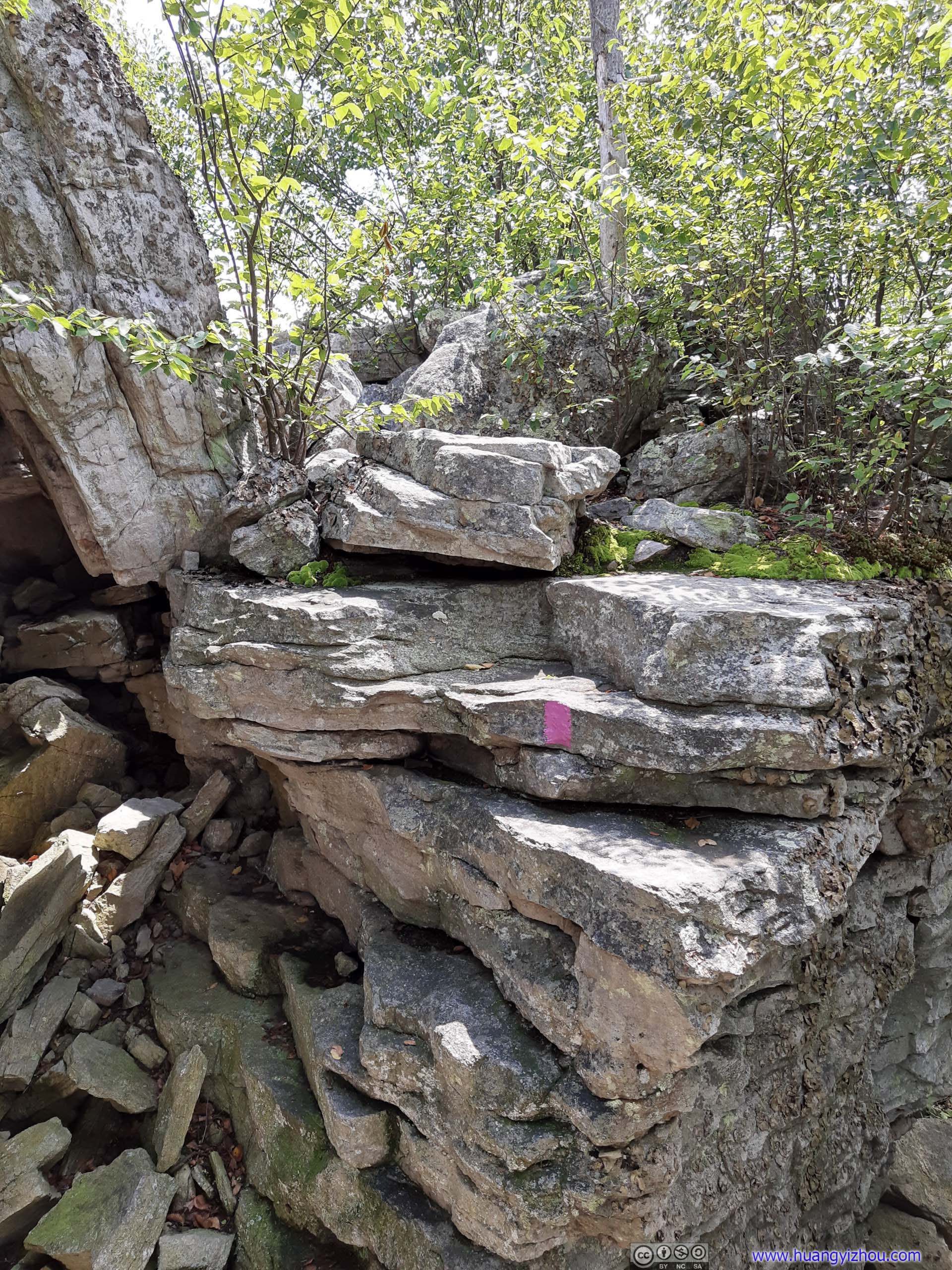
The undergrowth was thick throughout, and in some areas the trail wasn’t very obvious. Thankfully the trail was marked by an abundance of pink marks on the ground, making it hard to lose.
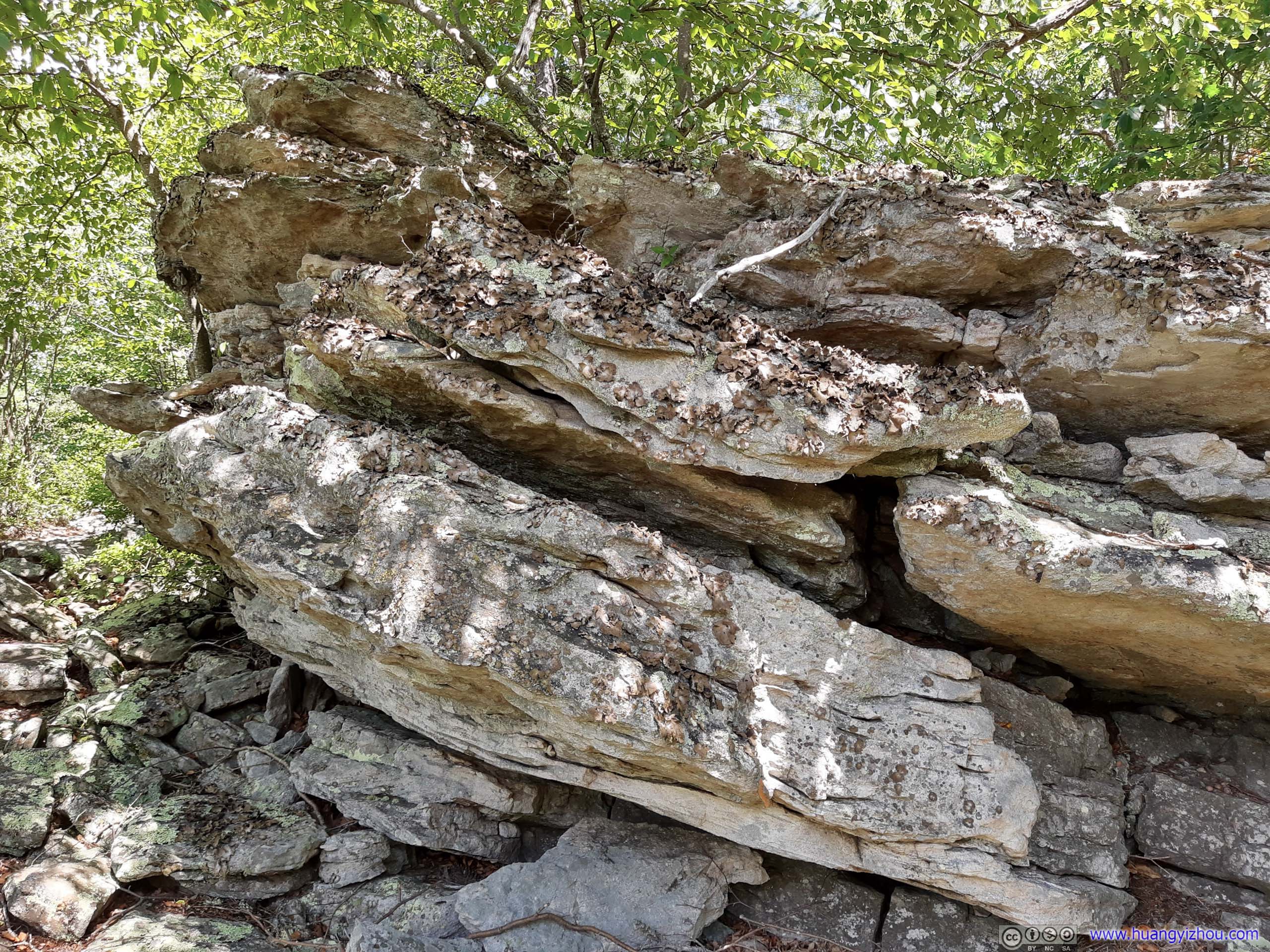
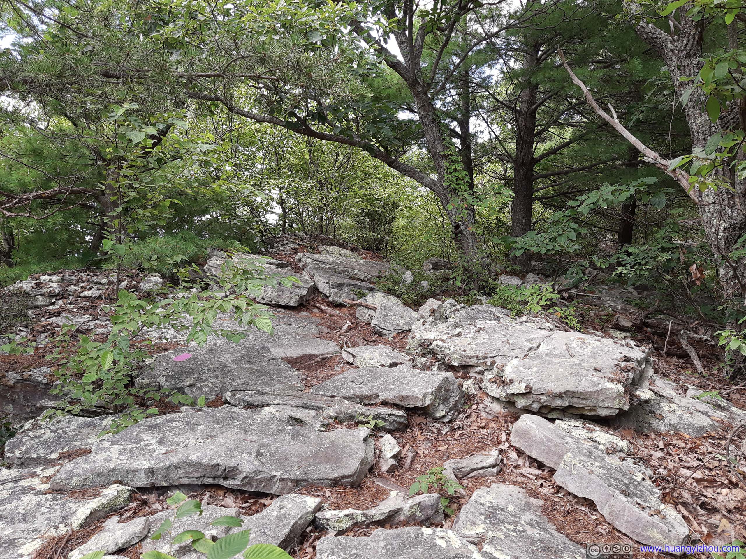
 RocksApproaching the end of trail, there were a few rocks along the way, giving a teaser of what the end had to offer.
Before reaching Strickler Knob, there were a few overlooks, pointing west along the trail, that didn’t require rock scrambling, adding to the teaser of sceneries.
New Market Gap
 Mountain Ridge
Mountains
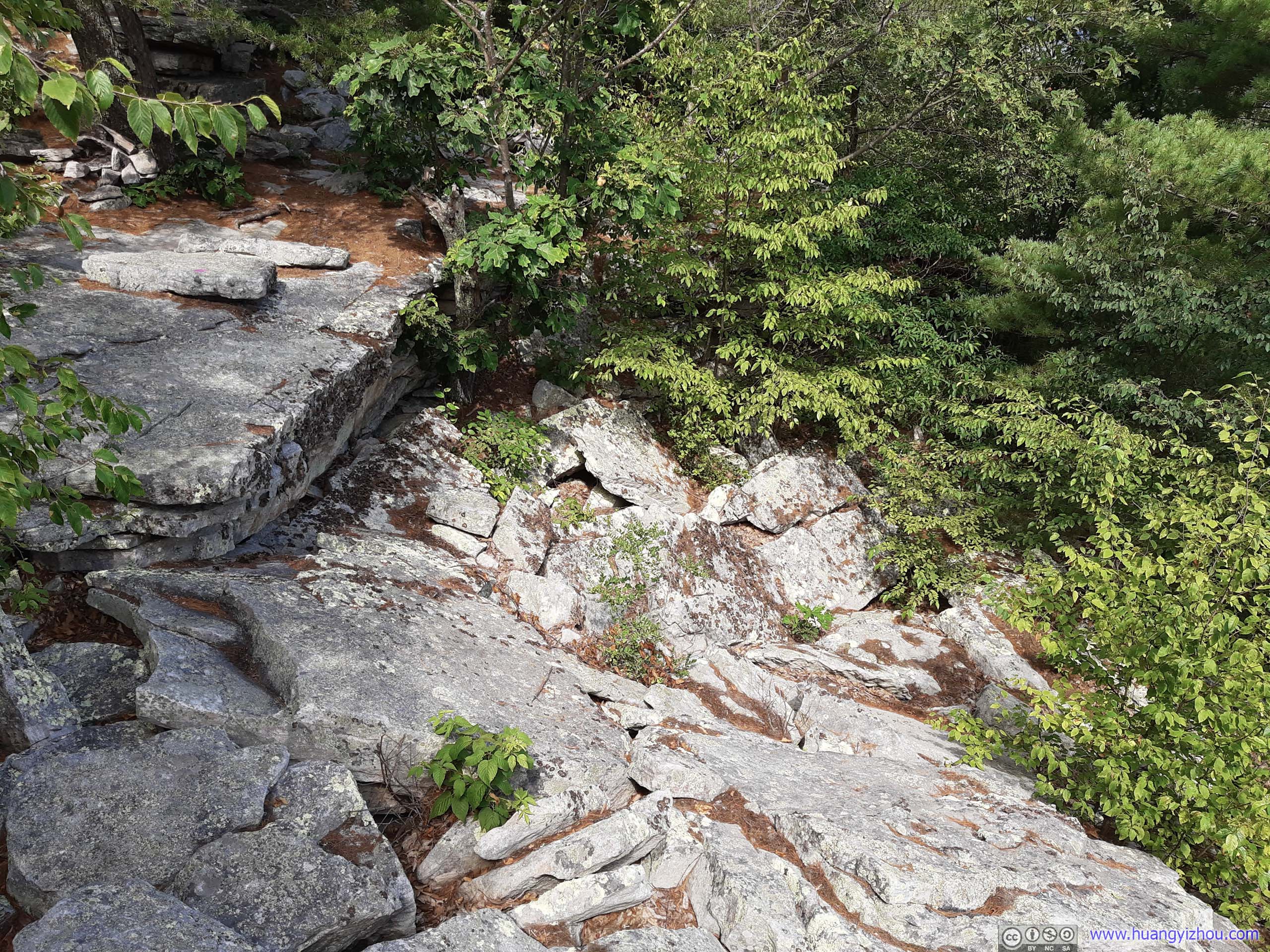
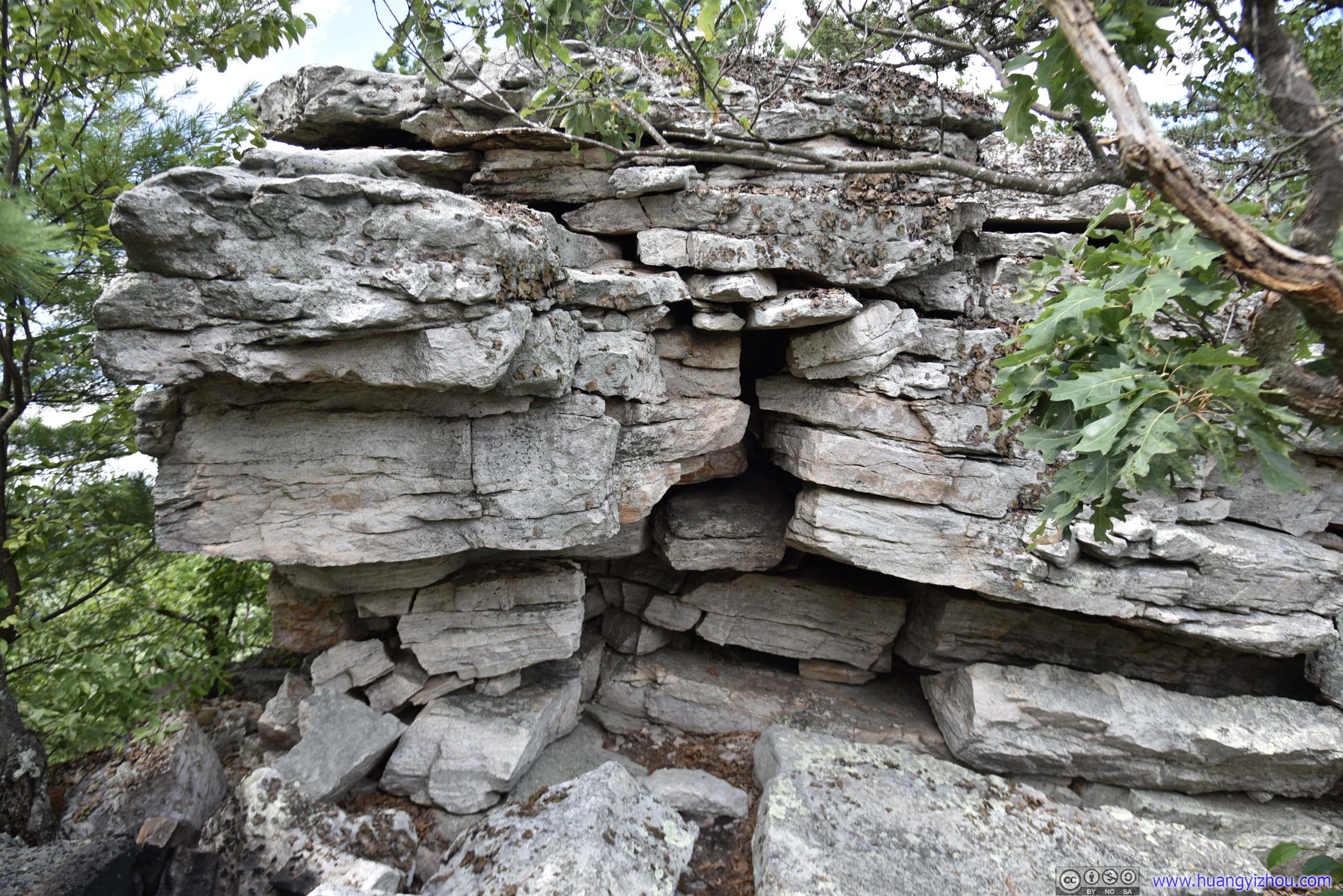
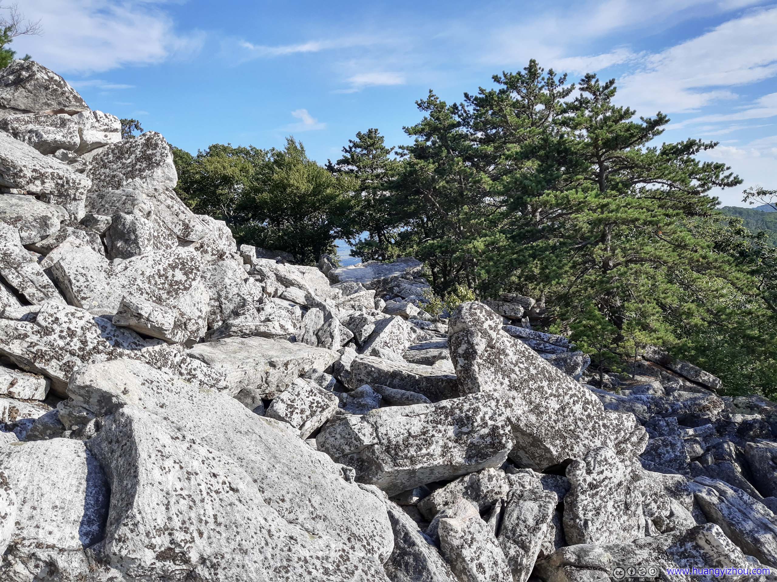
 RocksTowards the end there was some rock scrambling, with a well-marked trail and not too difficult to me.
Finally, at about 2:30pm, I arrived at Strickler Knob.

 Strickler Knob
Strickler Knob
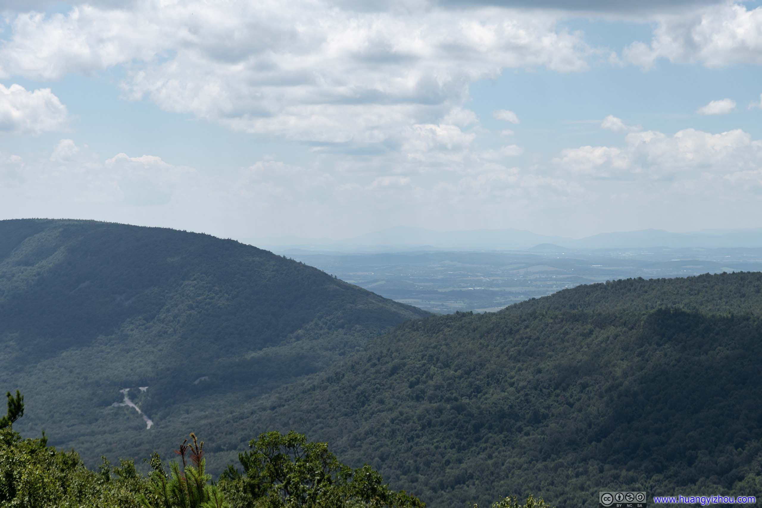
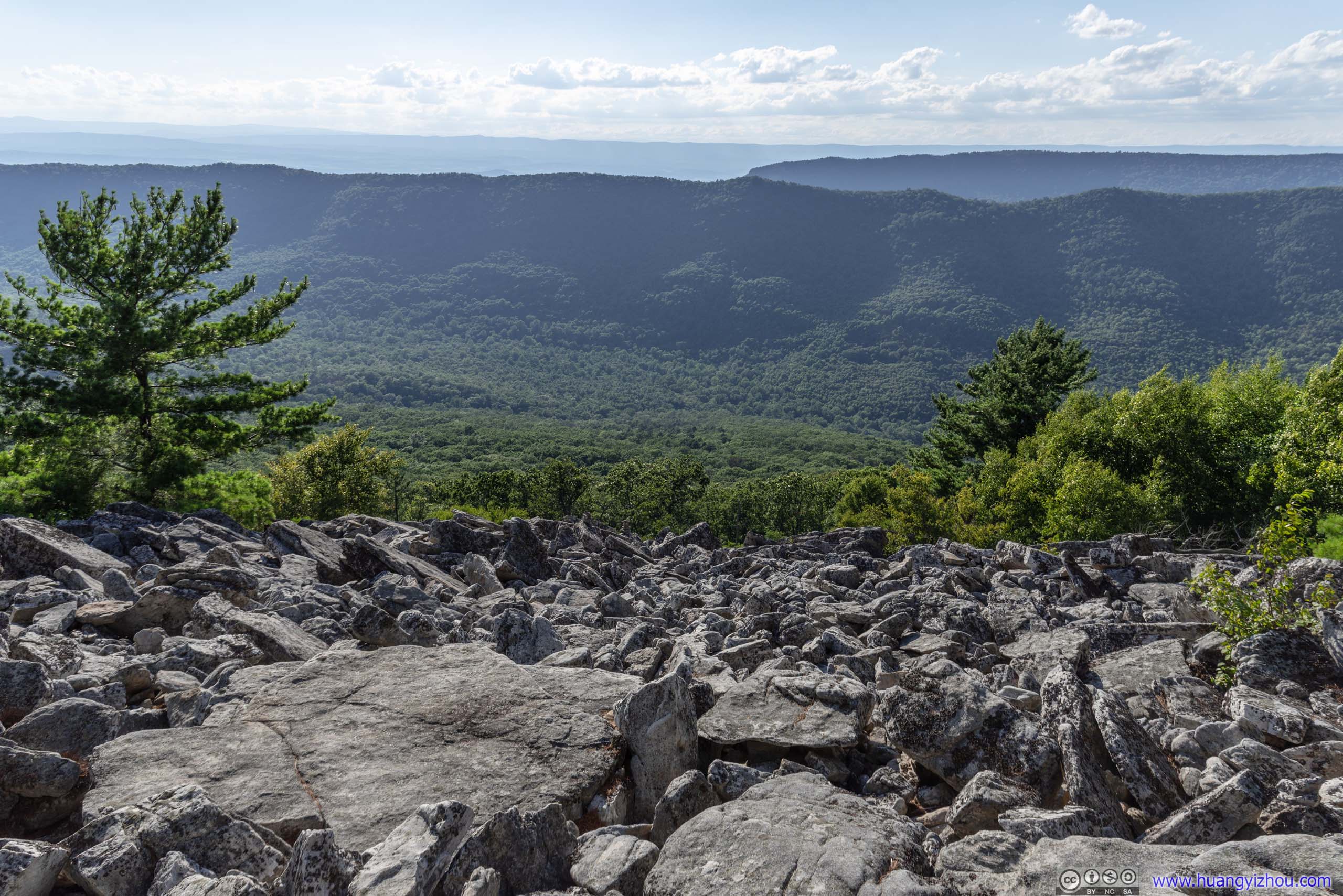
At Strickler Knob, I took some time to appreciate the scenery nearby.

Villages
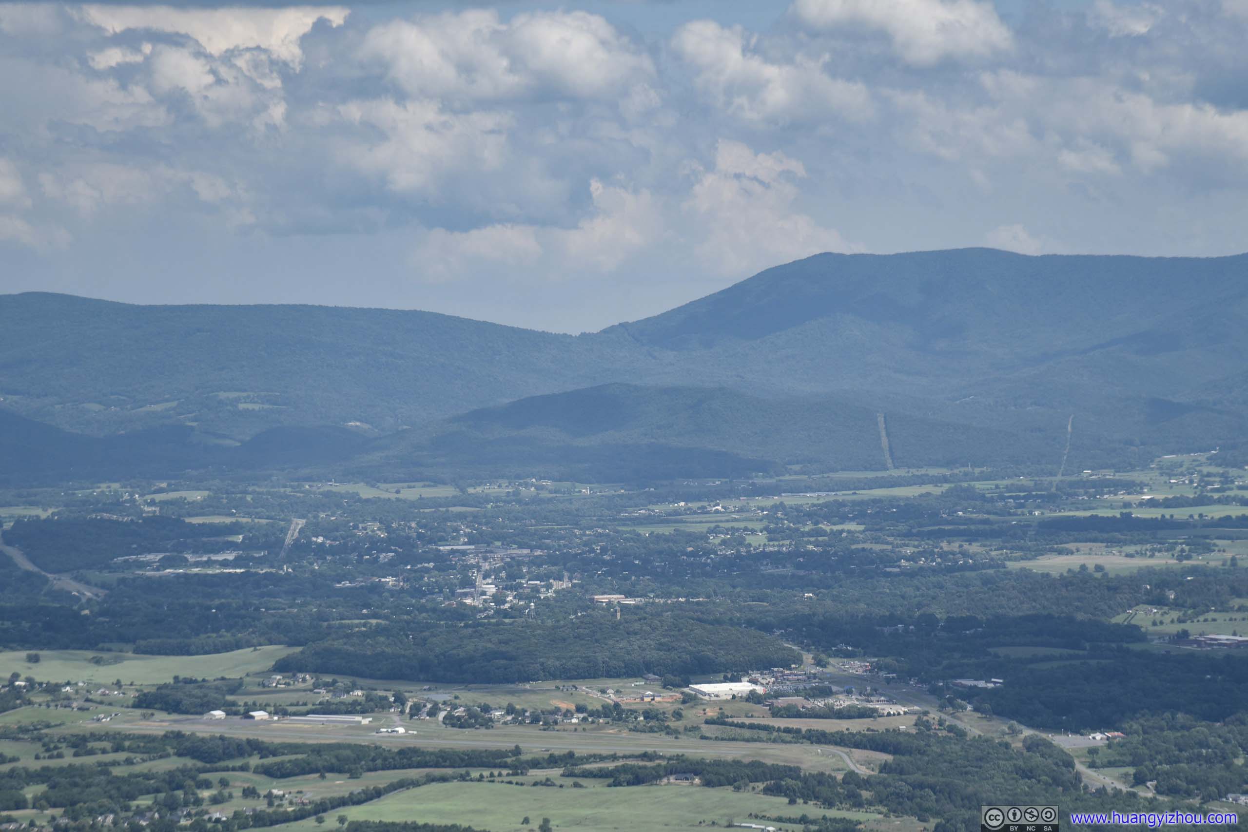
Distant Thornton Gap
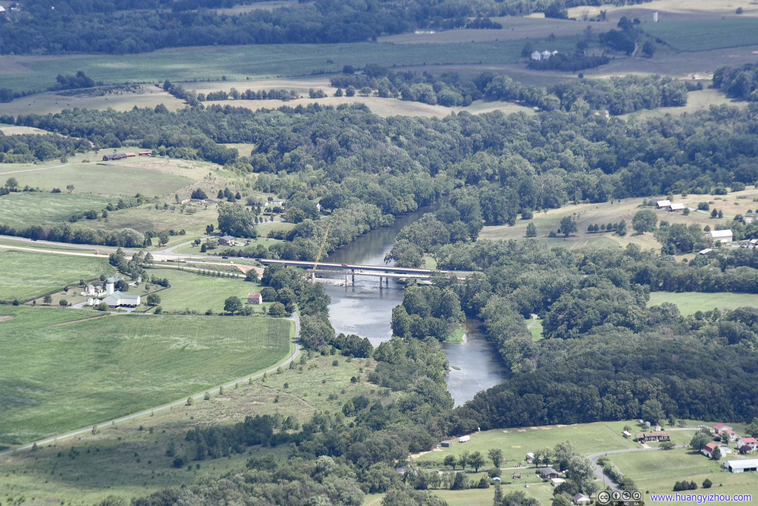
Bridge over Shenandoah RiverThe one I drove through this morning. One of the bridges was shut down for renovation.
Shenandoah River before Shenandoah National Park

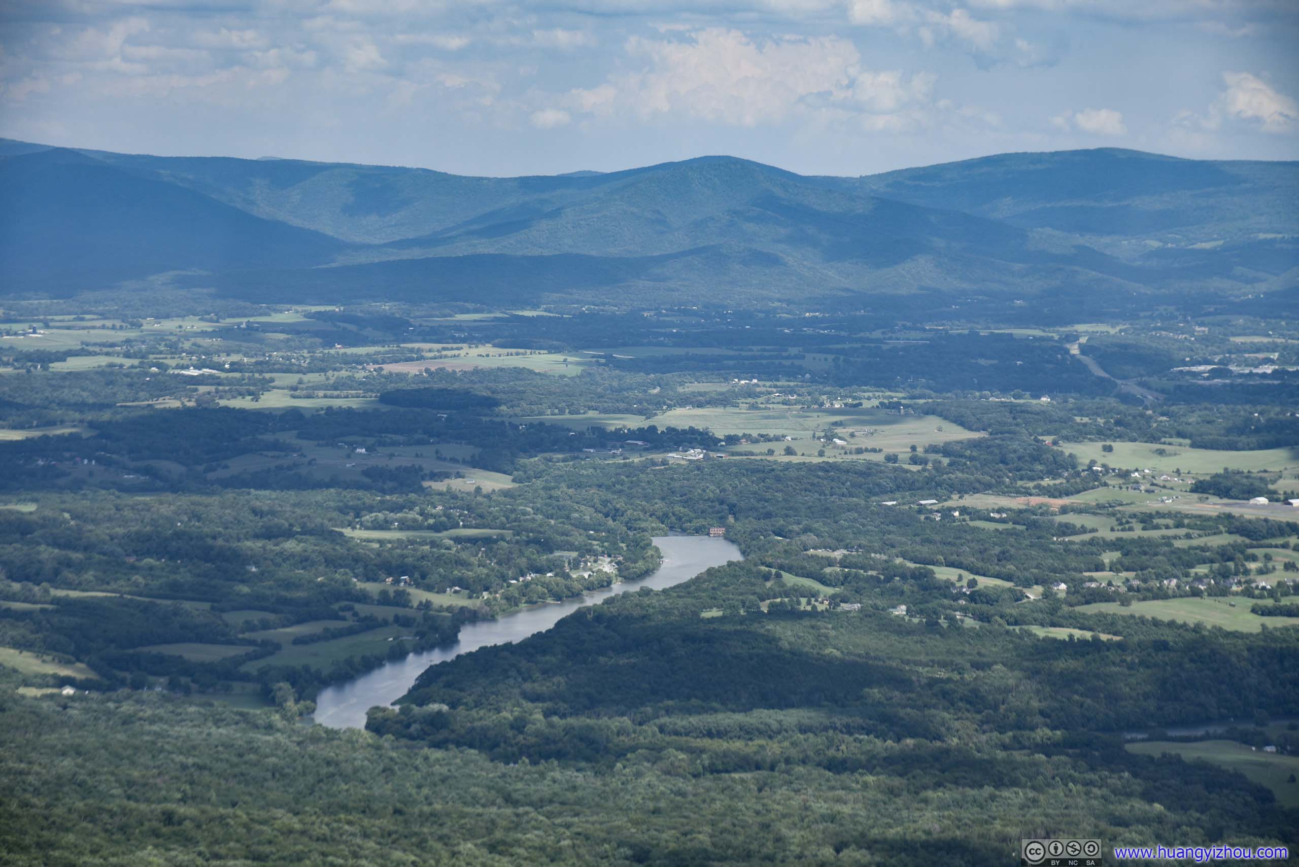
 Fields and Mountains from Strickler Knob
 Fields and Mountains
And of course, I had some fun with my drone on Strickler Knob.
Overlooking Fields and Villages

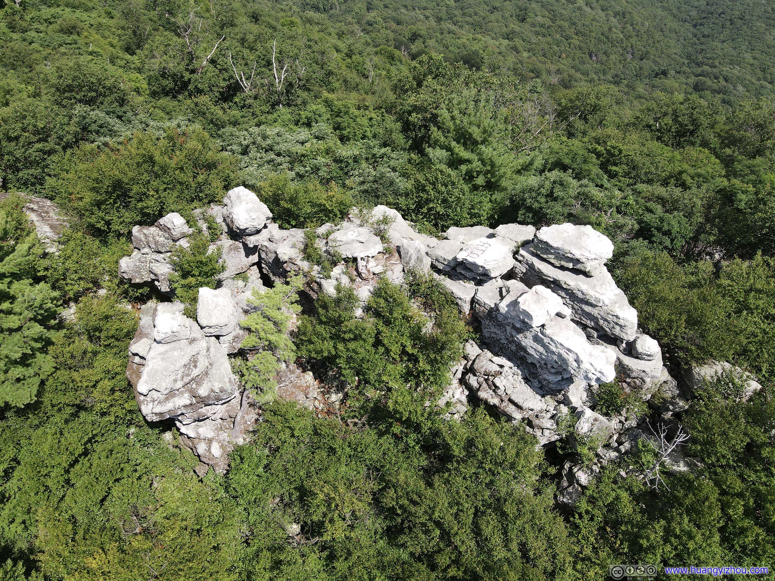
Overlooking Strickler Knob
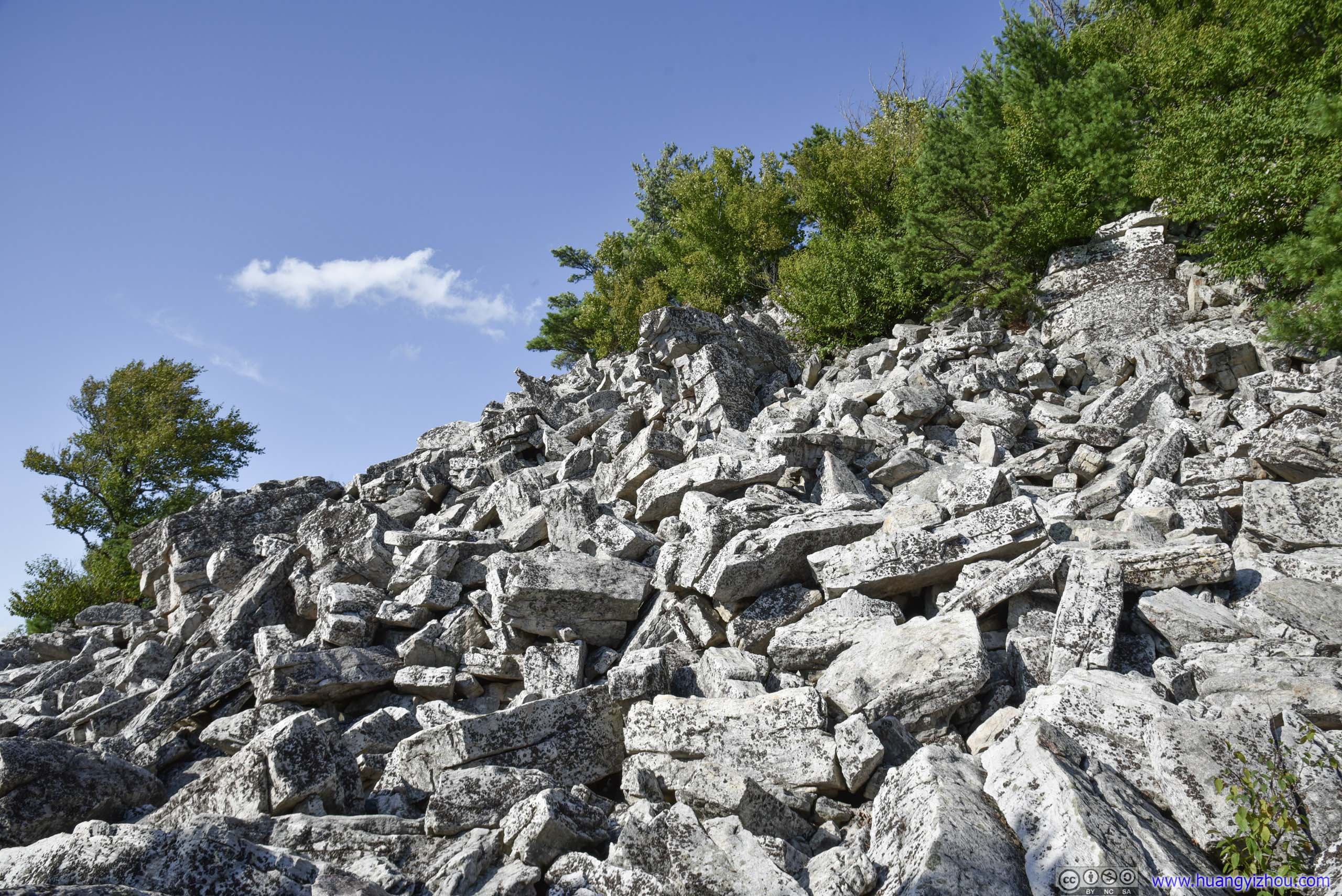
 Rocks on Mountain Side
And by the time I headed back down, it was 3pm.

 Trail
Trail
A brief conclusion about other forms of life I encountered today, apart from annoying bugs of course.

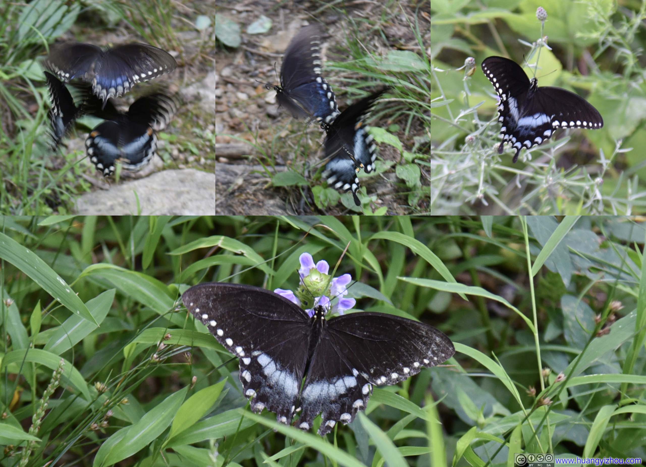
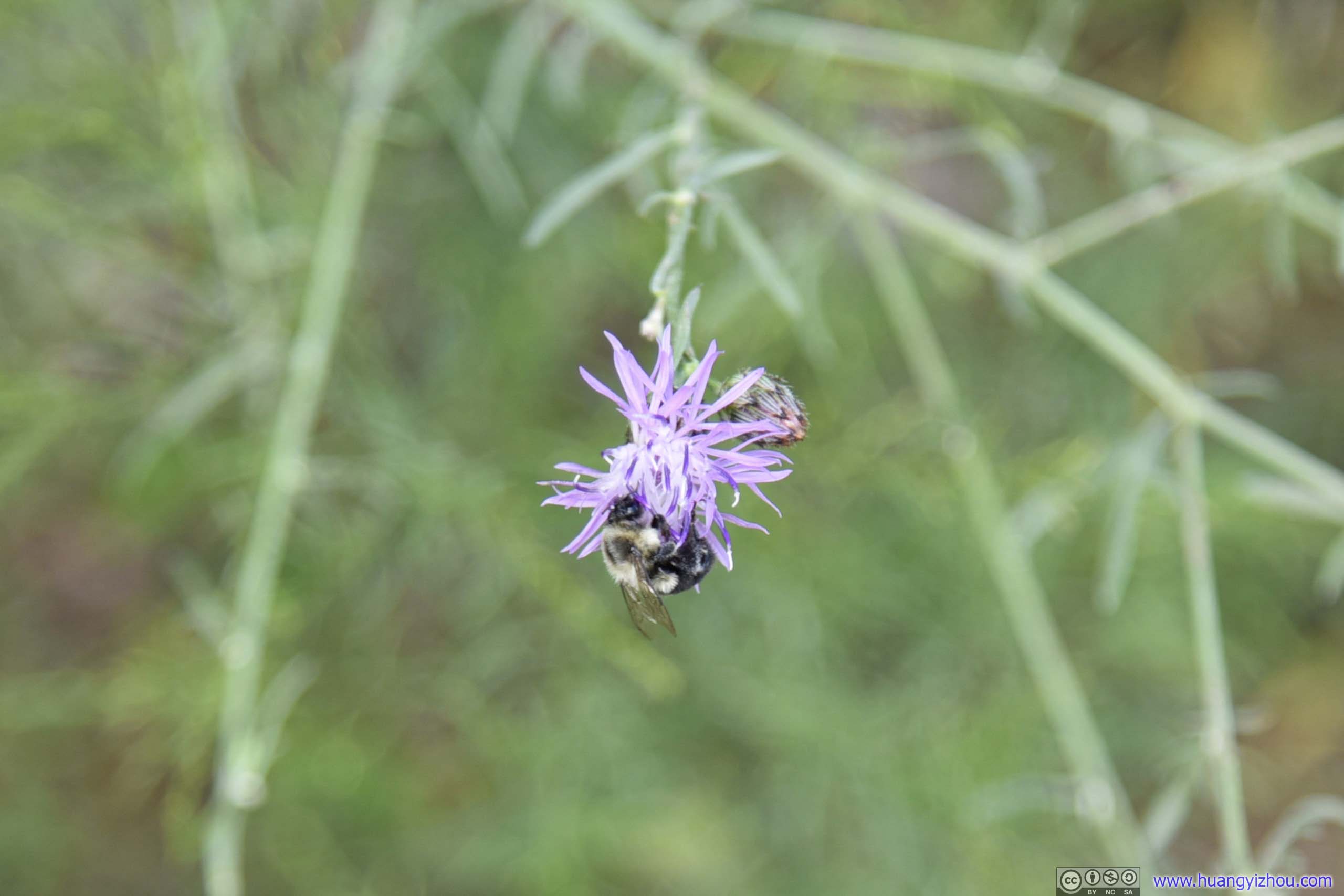 Flowers
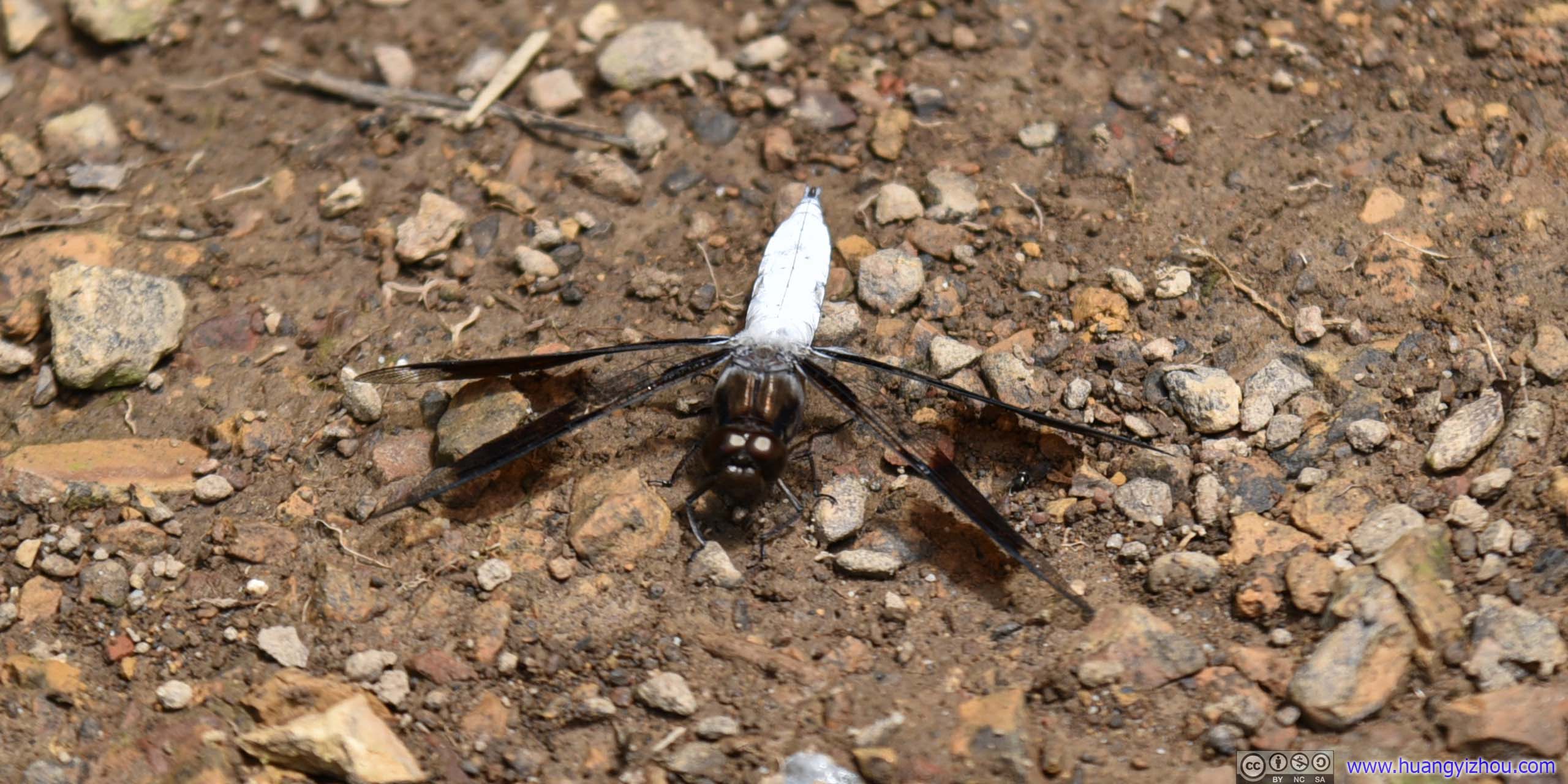
Dragonfly(I thought it’s a dragonfly?) Unlike moths, it’s much less afraid of people, so my camera could get a closer shot. I only spotted it once along the trail.
MothsI spotted quite a lot of moths along the trail. Unfortunately, they were generally shy of people.
I hastened my pace going downhill, and reached the trailhead parking lot at 4:20pm. After some brief snacks, I continued on Crisman Hollow Road for 2.7km and reached the trailhead of Duncan Knob / Gap Creek.
Duncan Knob
Just like Strickler Knob, Duncan Knob Trail took about 300m in elevation gain to some soaring rocks. But its shorter 5.3km roundtrip distance meant it’s steeper from start to finish.
Here’s GPS tracking:
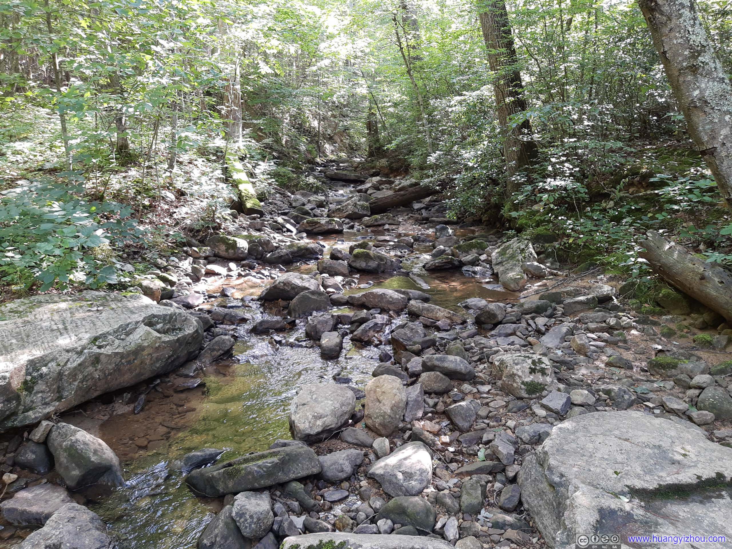
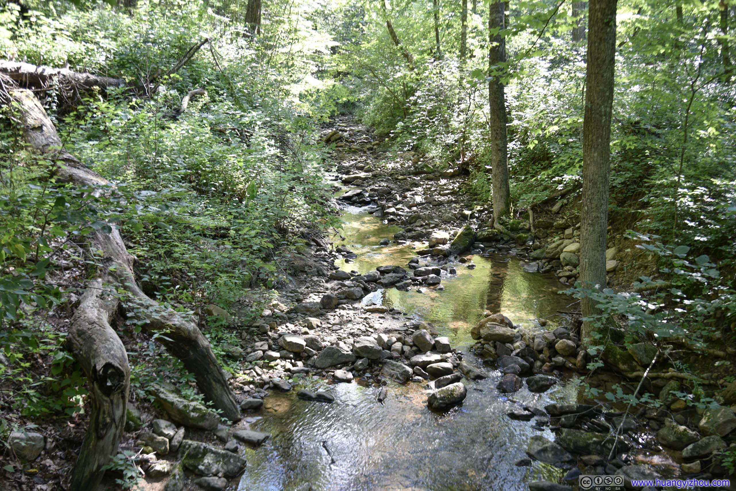 Creek
Creek
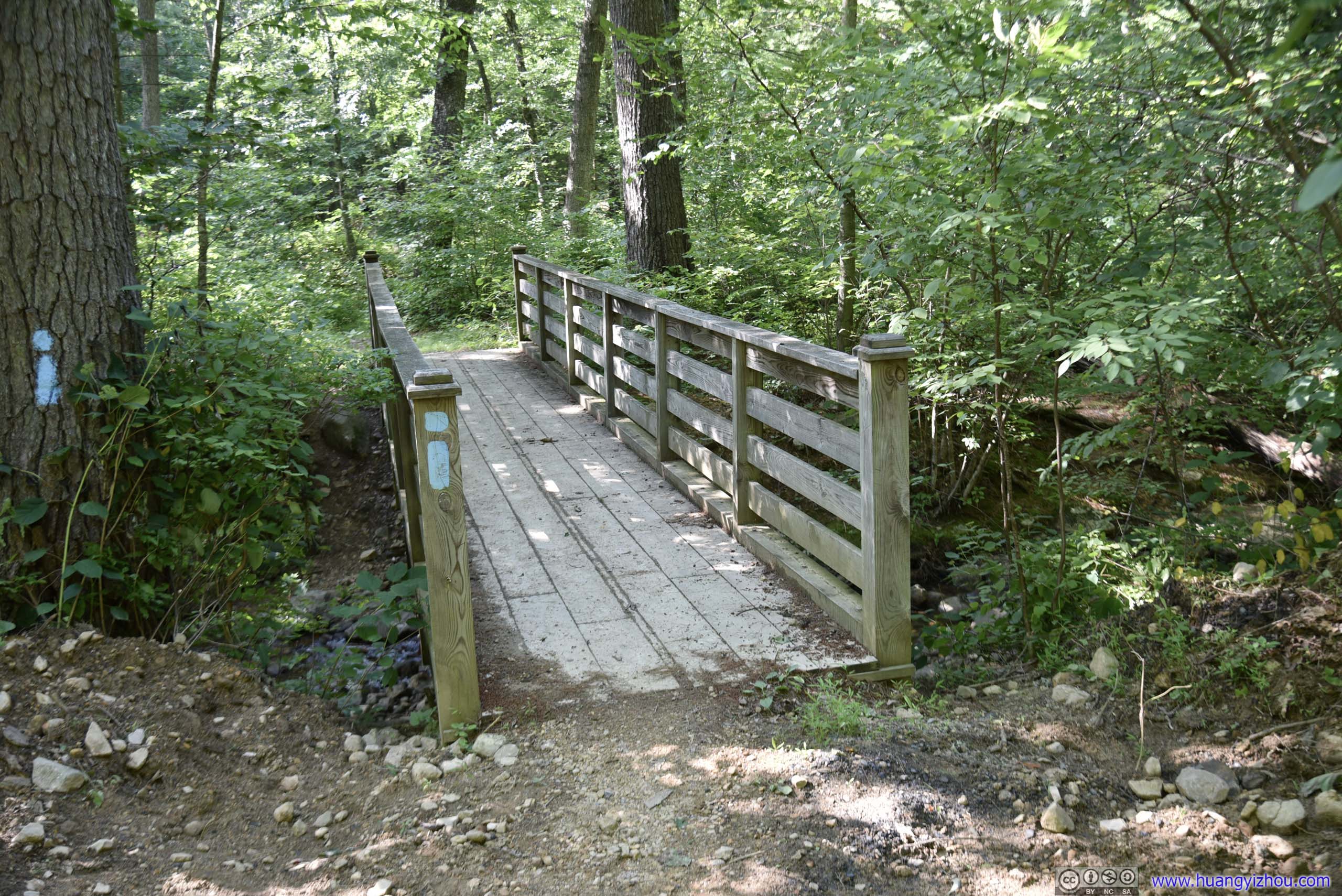
FootbridgeAt first I didn’t find this bridge, tucked behind one of the campsites.
It’s probably not as famous as Strickler Knob. While I ran into a few other groups at Strickler Knob, I only met one at Duncan Knob. And soon, I seemed to understand why.

Muddy Trail
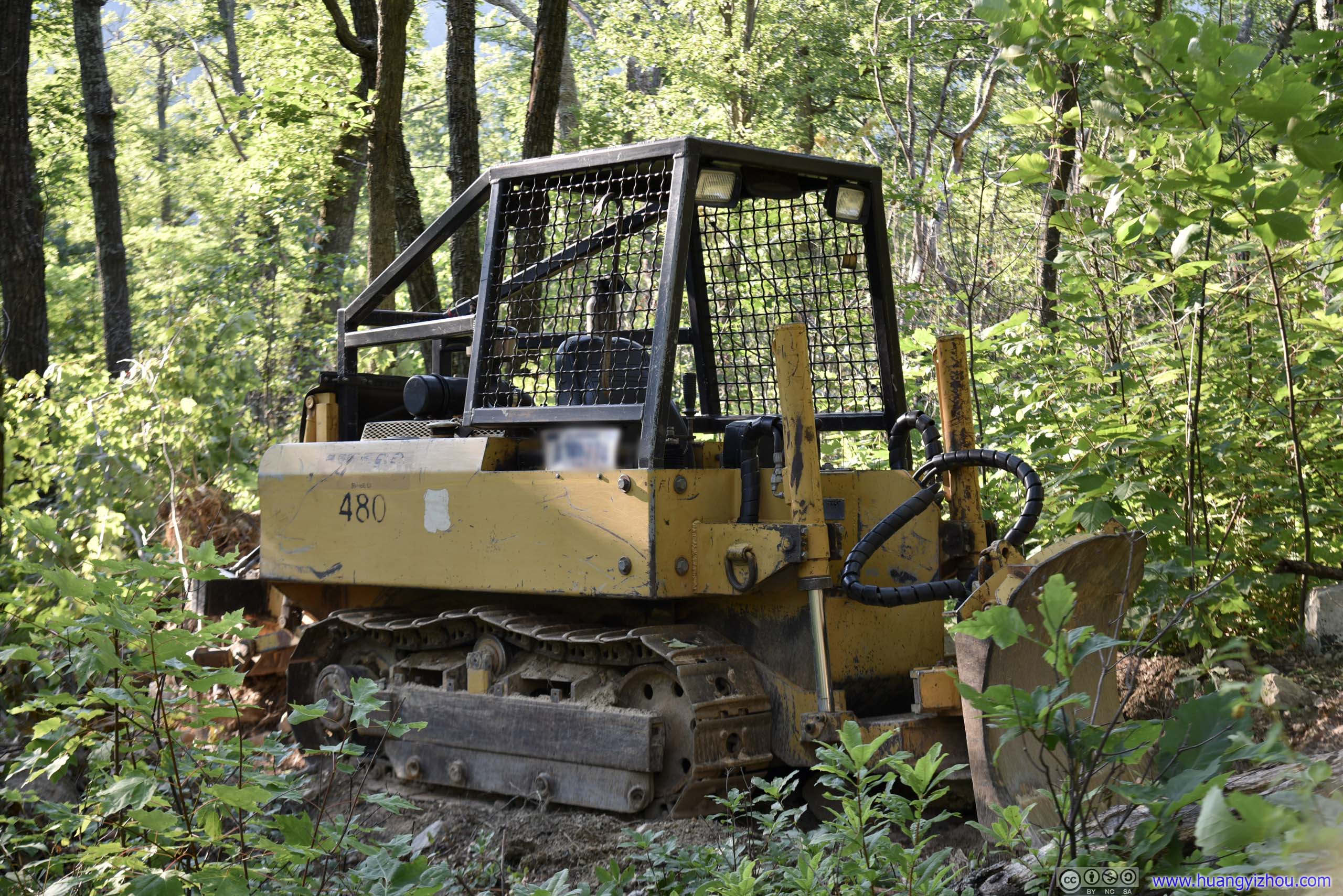
BulldozerI had no idea why this dozer was sitting 1.3km from trailhead, which was probably the culprit of this muddy trail.

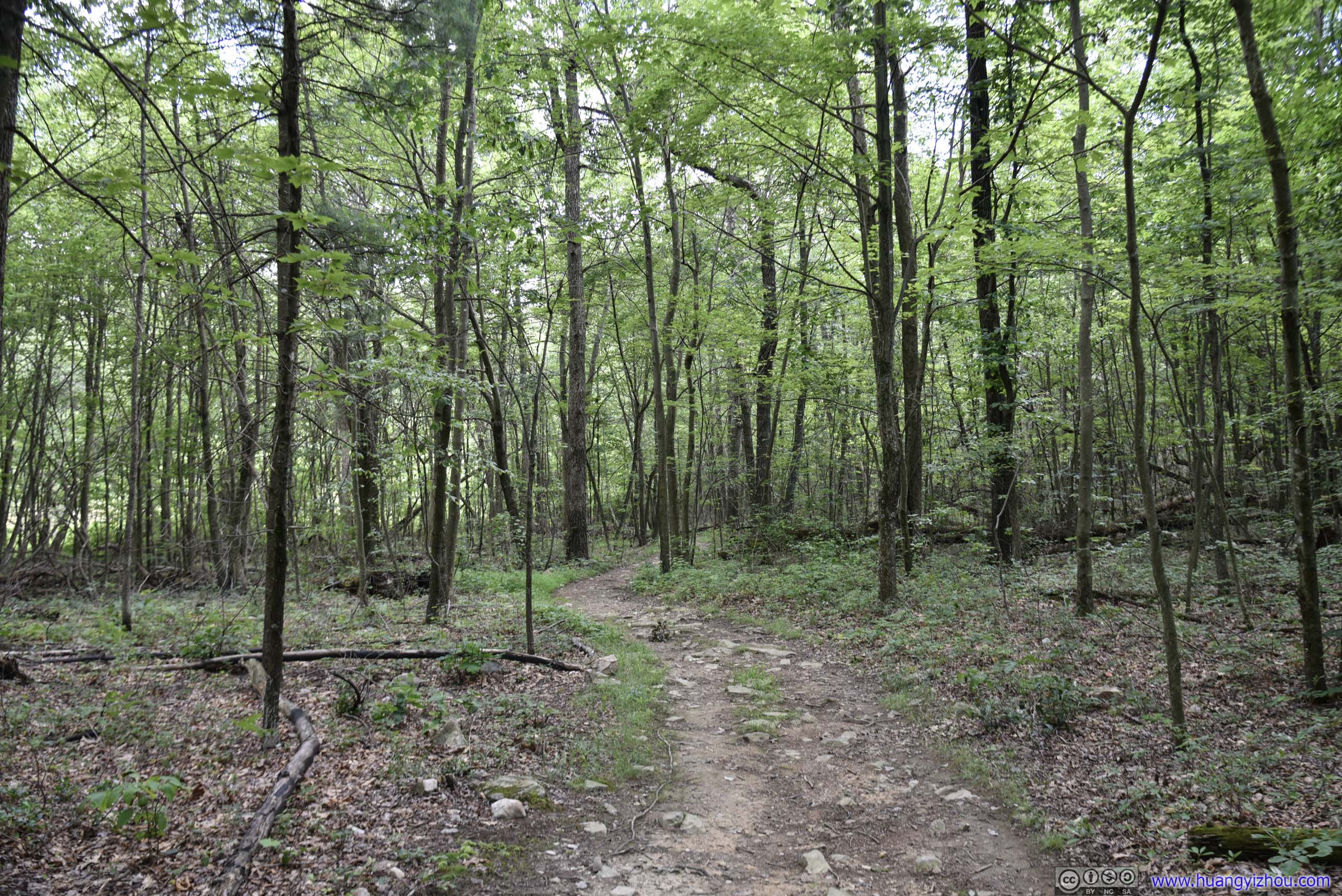
 TrailWhere it’s not buddy, the trail was in sort of decent shape.
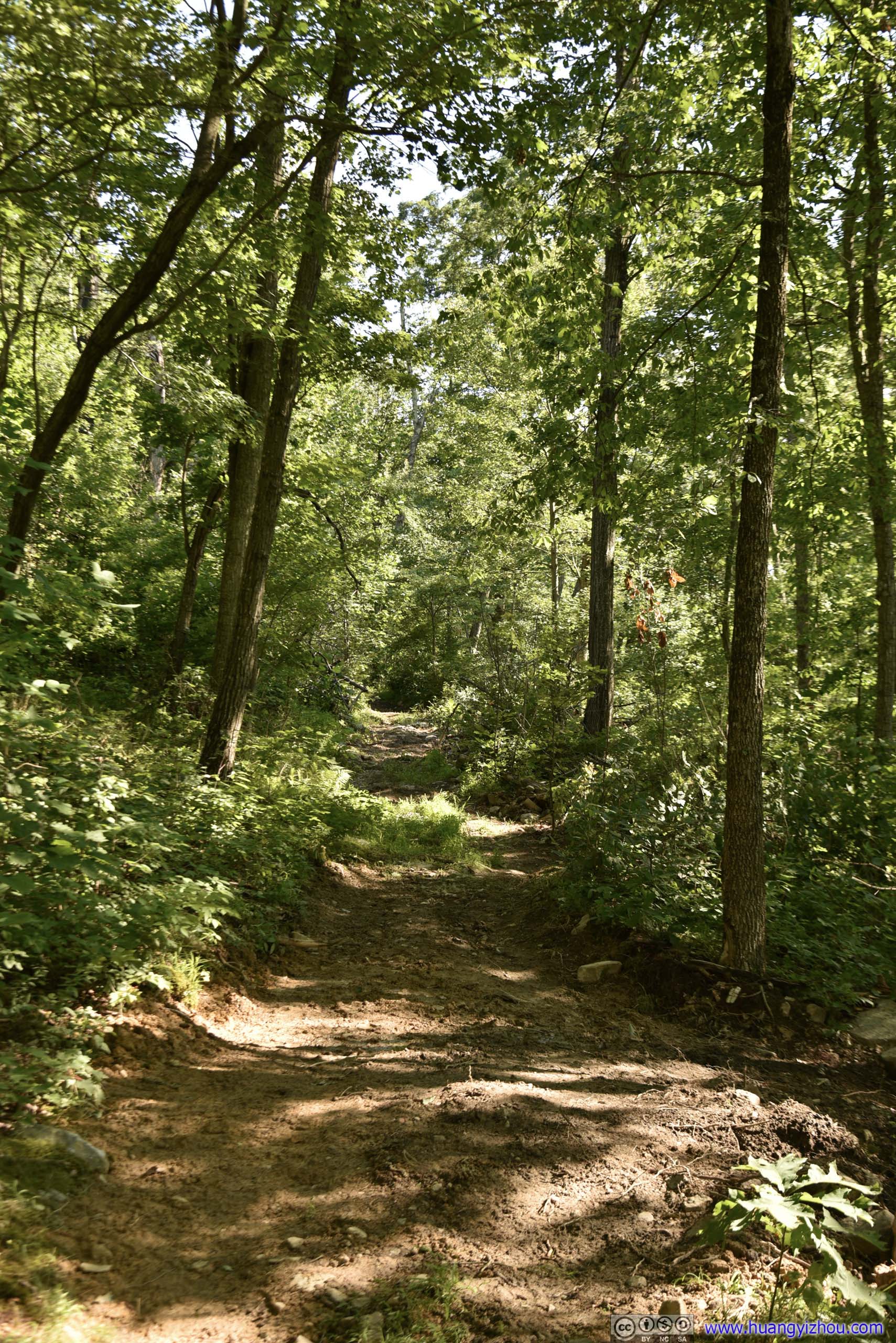
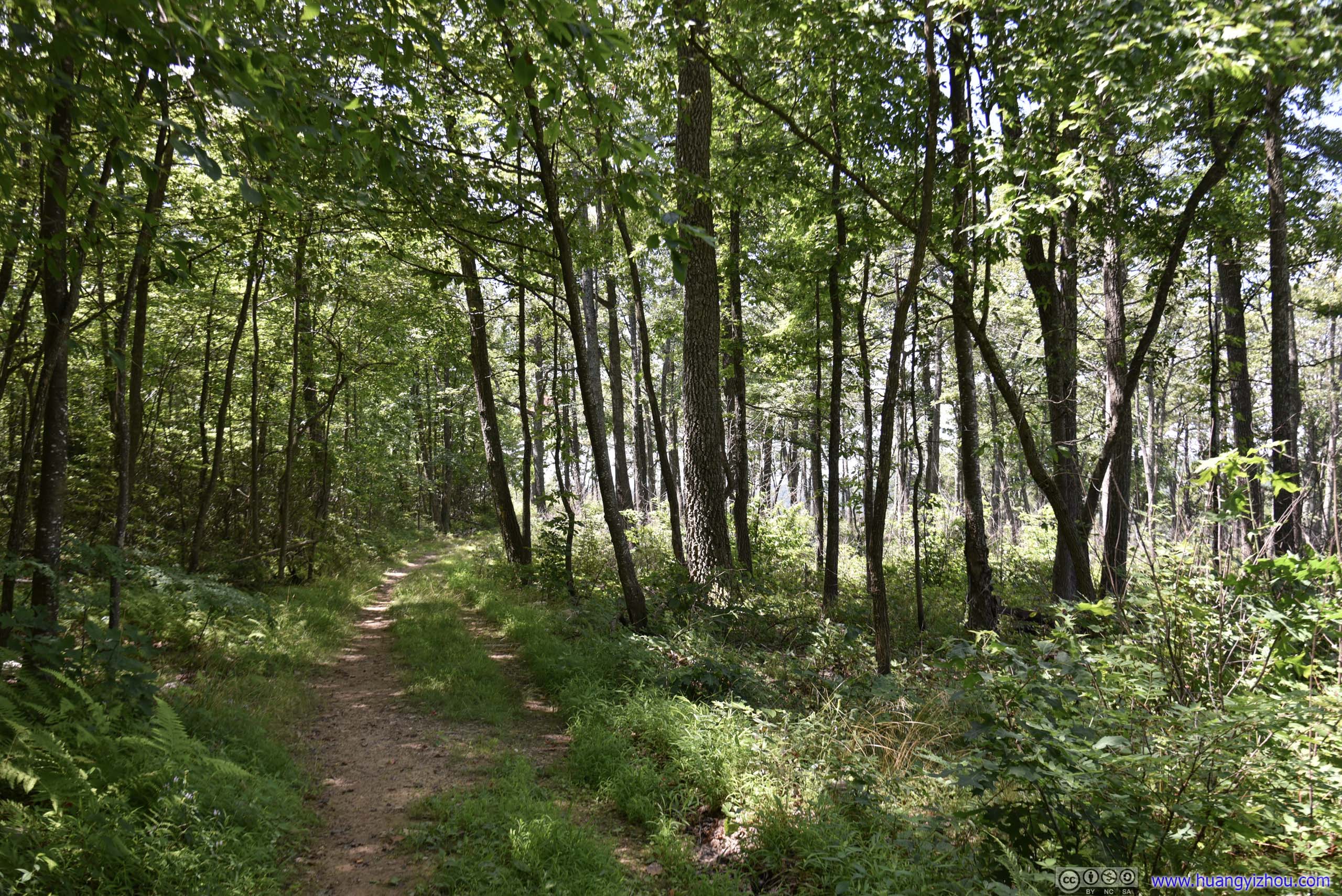
 TrailAt places it’s even enjoyable to watch the warm shadows of the sun scattered around in the woods.

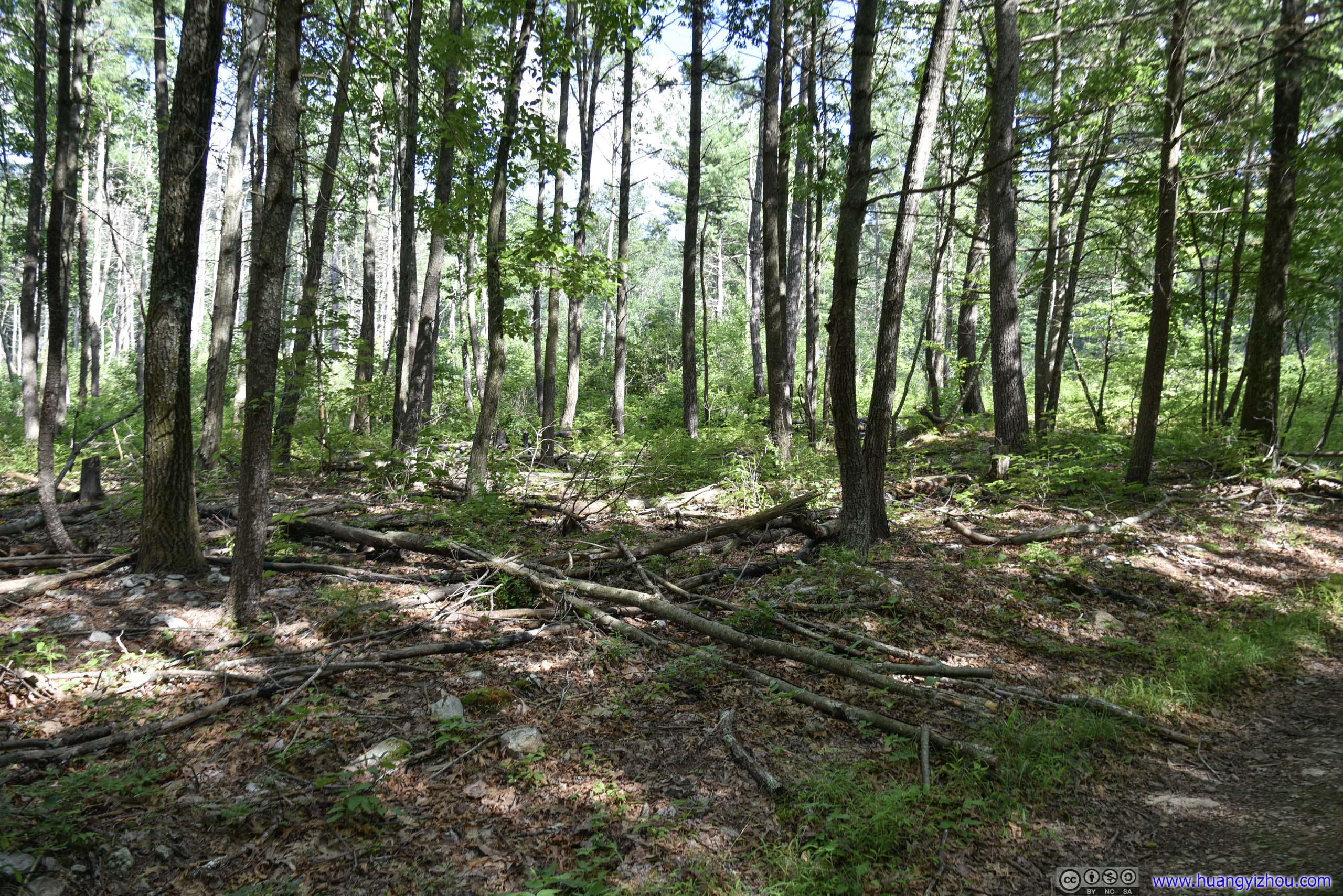
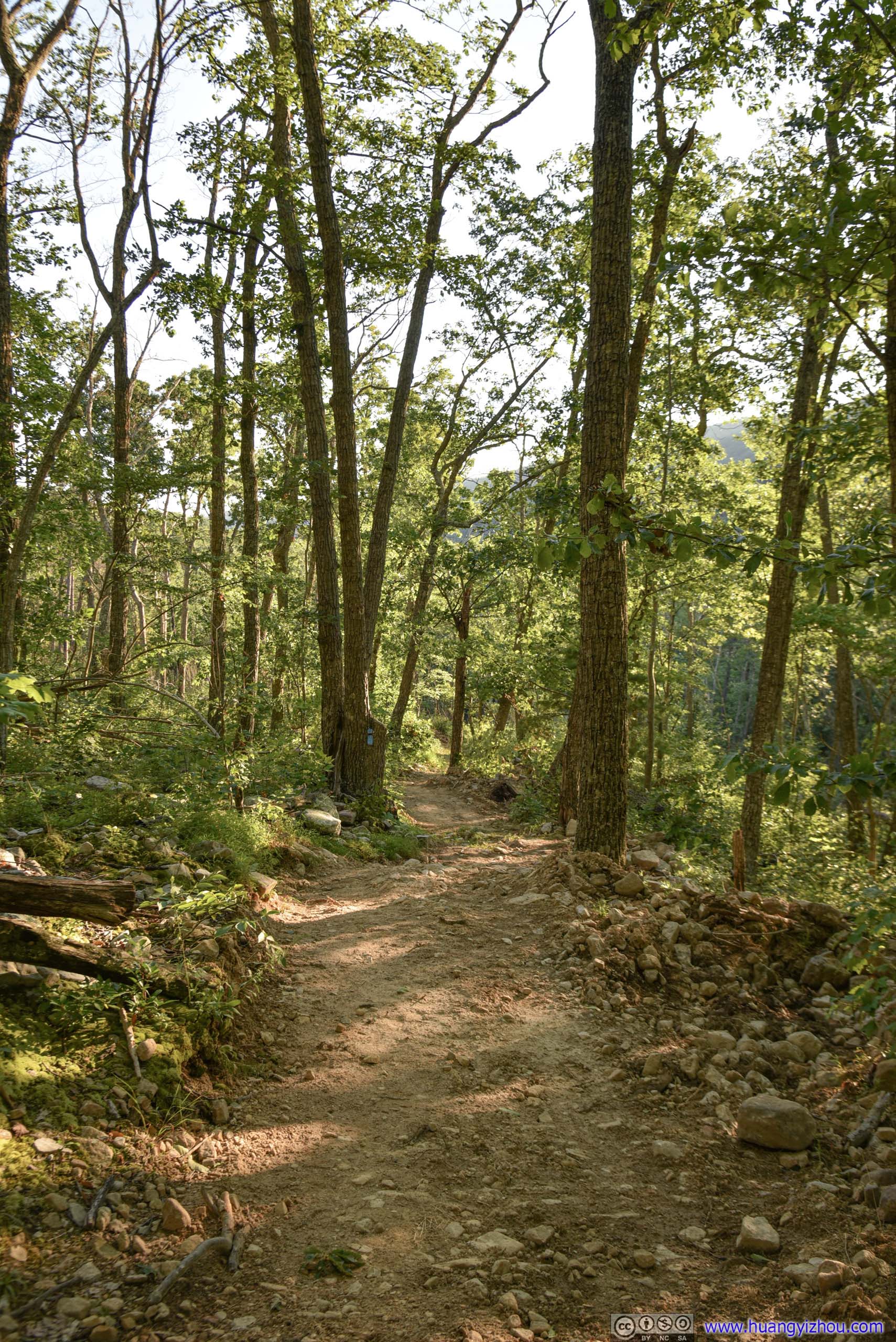
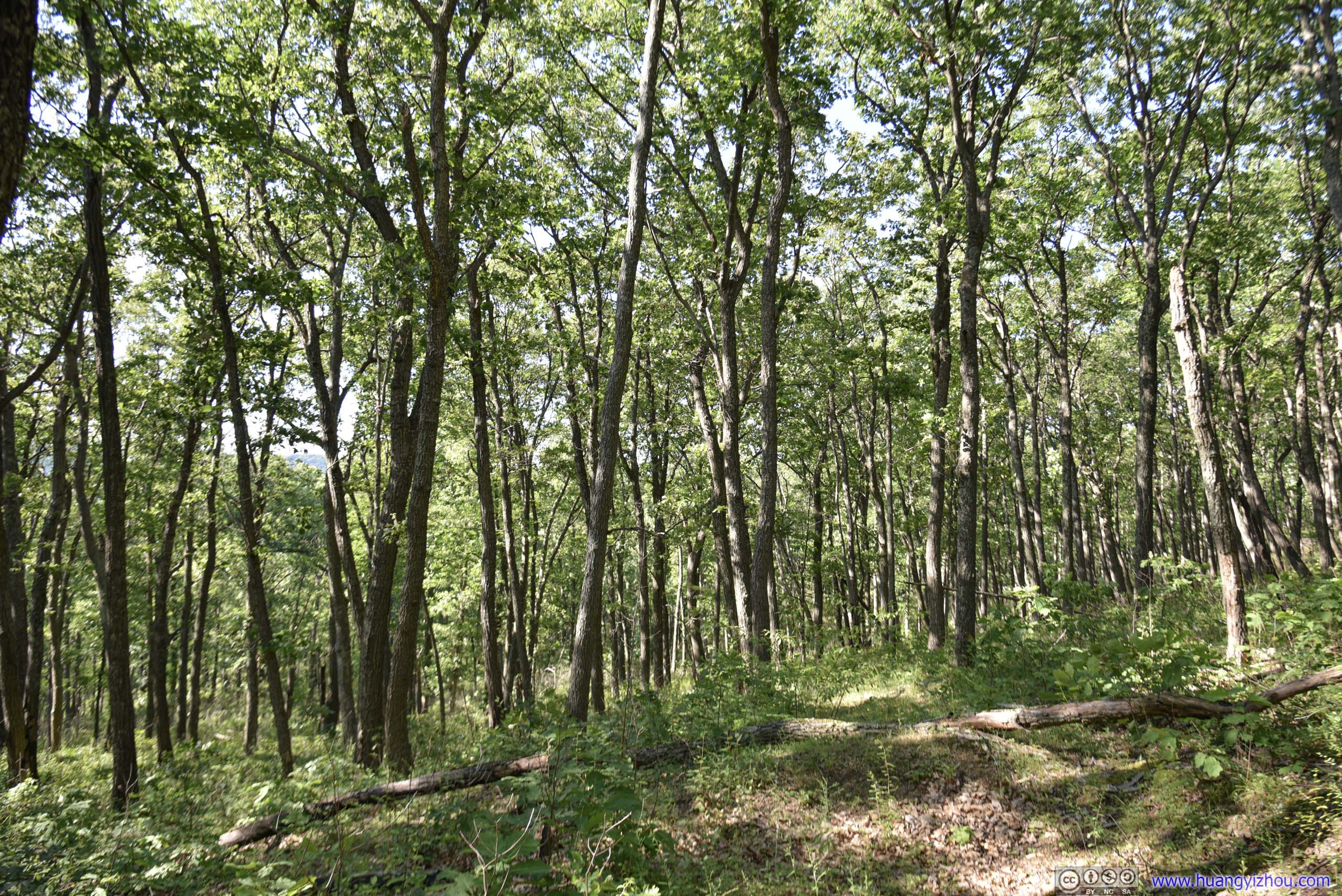 ForestThe trail started in sparse forests at the parking lot (top). As one proceed farther into the woods, the forests grew denser (bottom).

 Trail
Trail
At about 1.7km, the trail reached a three-way intersection, with the other direction being a 2.6km trail leading back to Strickler Knob Trail. And at 2.1km, the trail reached a final intersection, with an open campground nearby.

Fire RingAt the intersection between Duncan Knob Spur and main trail, the only open space for camping along the way.
 TrailAfter that, the spur trail to Duncan Knob had some narrow sections like this.
 TrailAnd some really narrow sections like this, where I had to push the bushes aside and make my way through.
Approaching Duncan Knob, the ground started to get rocky.

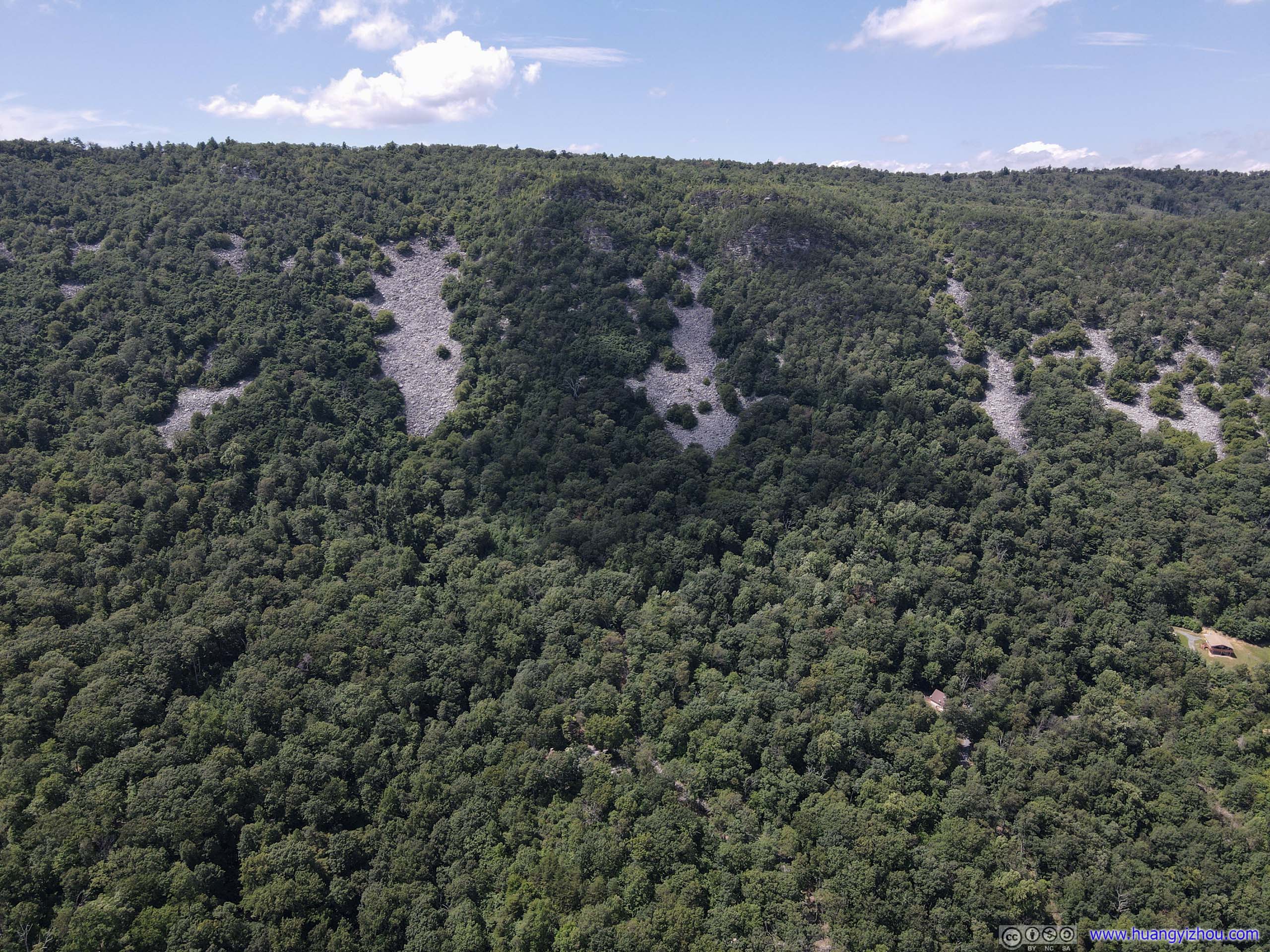
 Rock Fields
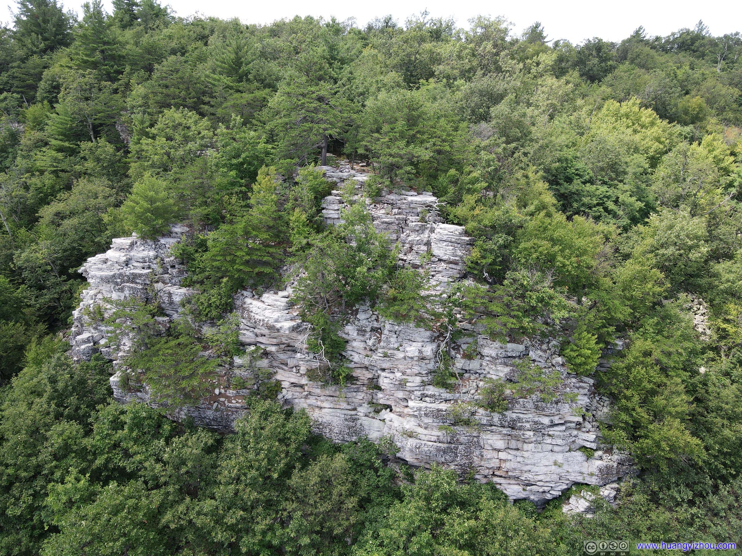
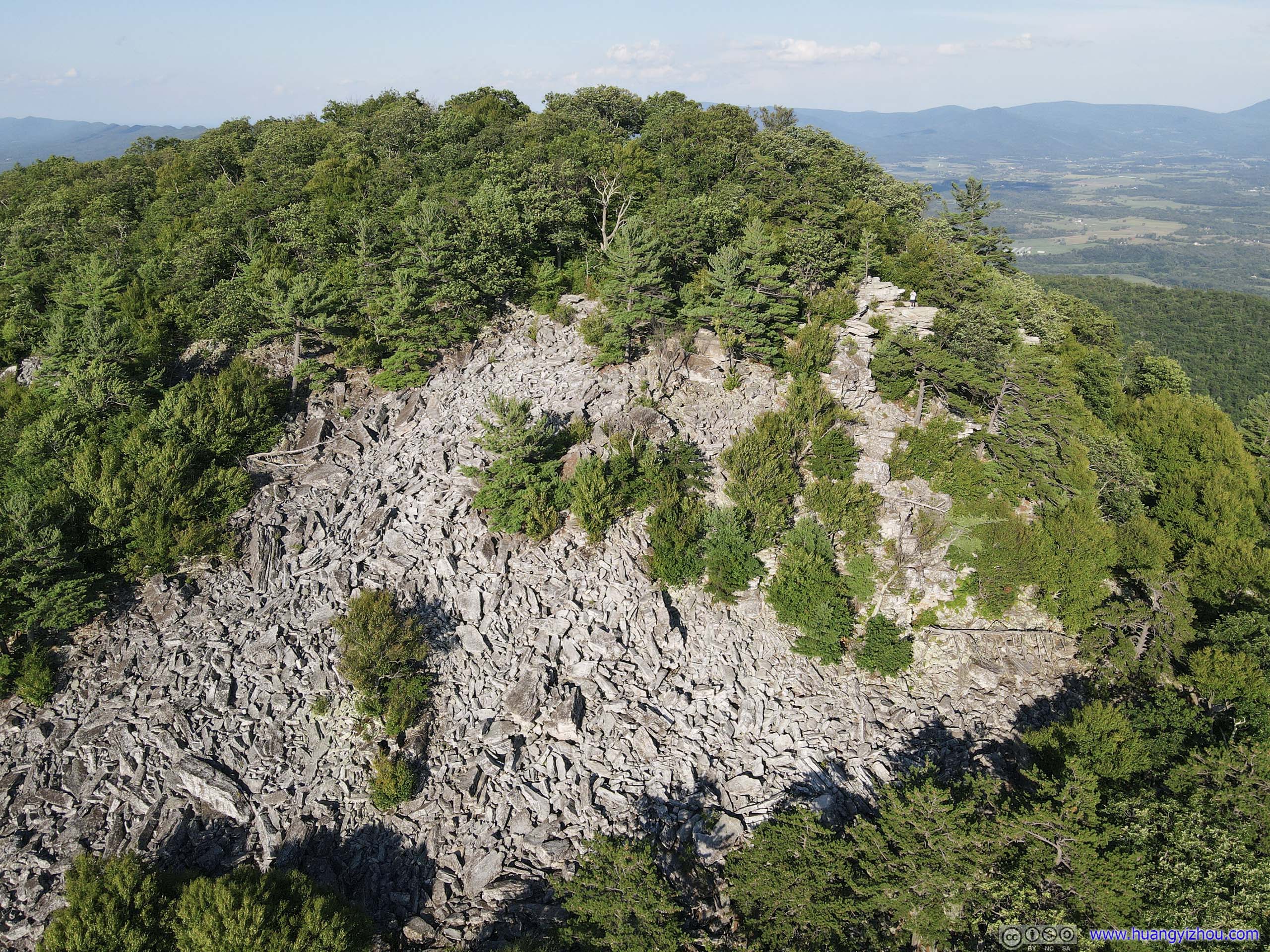
Finally, it became so rocky that trees could no longer grow on them. That’s the final 100m or so, where I scrambled across an exposed rocky field to the top of Duncan Knob.
 Rock Fields
While on rocks, the trail wasn’t well marked, but the scrambling itself (about class 2) wasn’t too technical, and I did one direction of it without gloves.
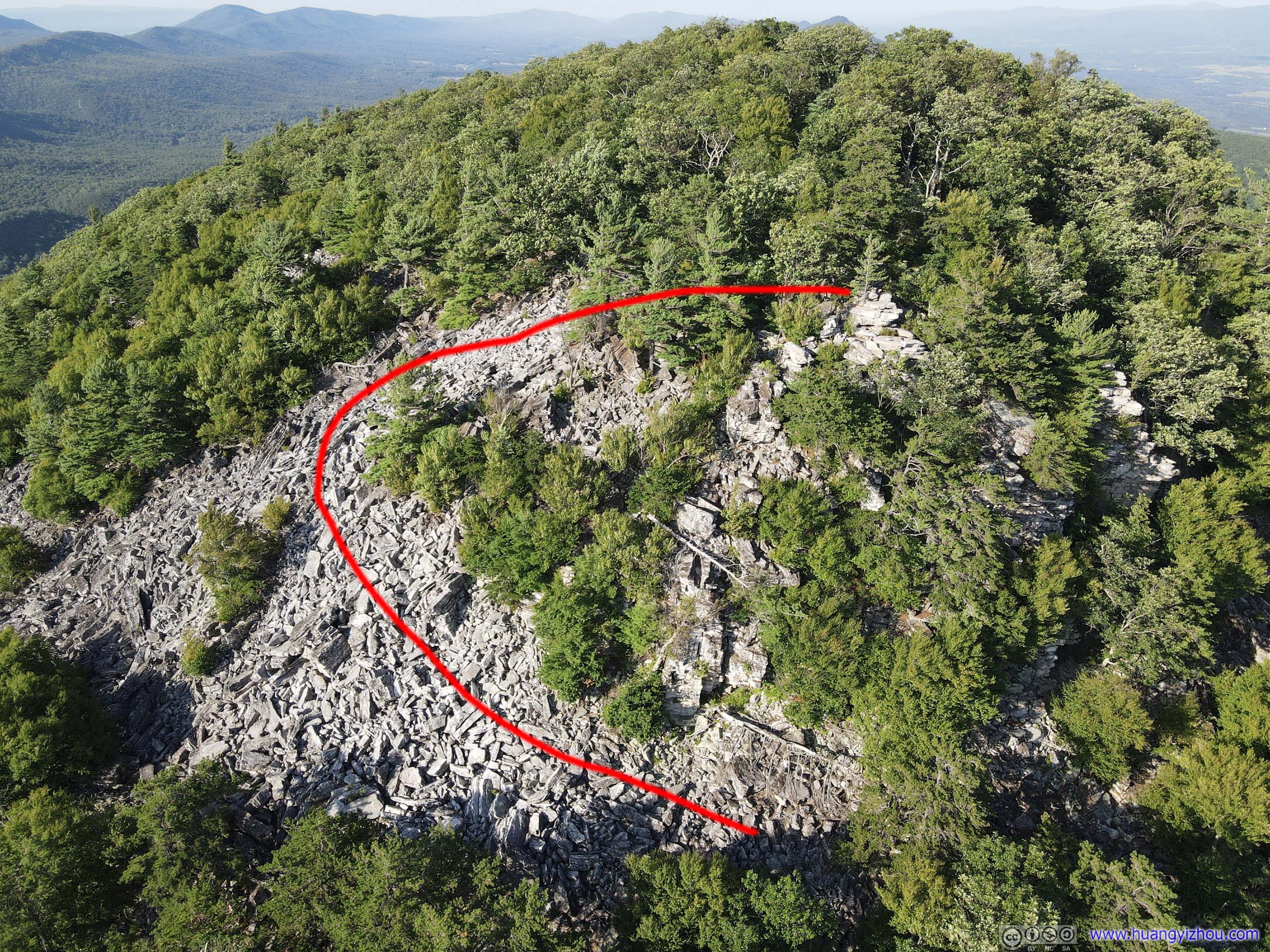 Field of RocksTaken from my drone, the red line marked the approximate scrambling route.
Once on top of Duncan Knob, I enjoyed soothing breeze with views of various mountain ranges.
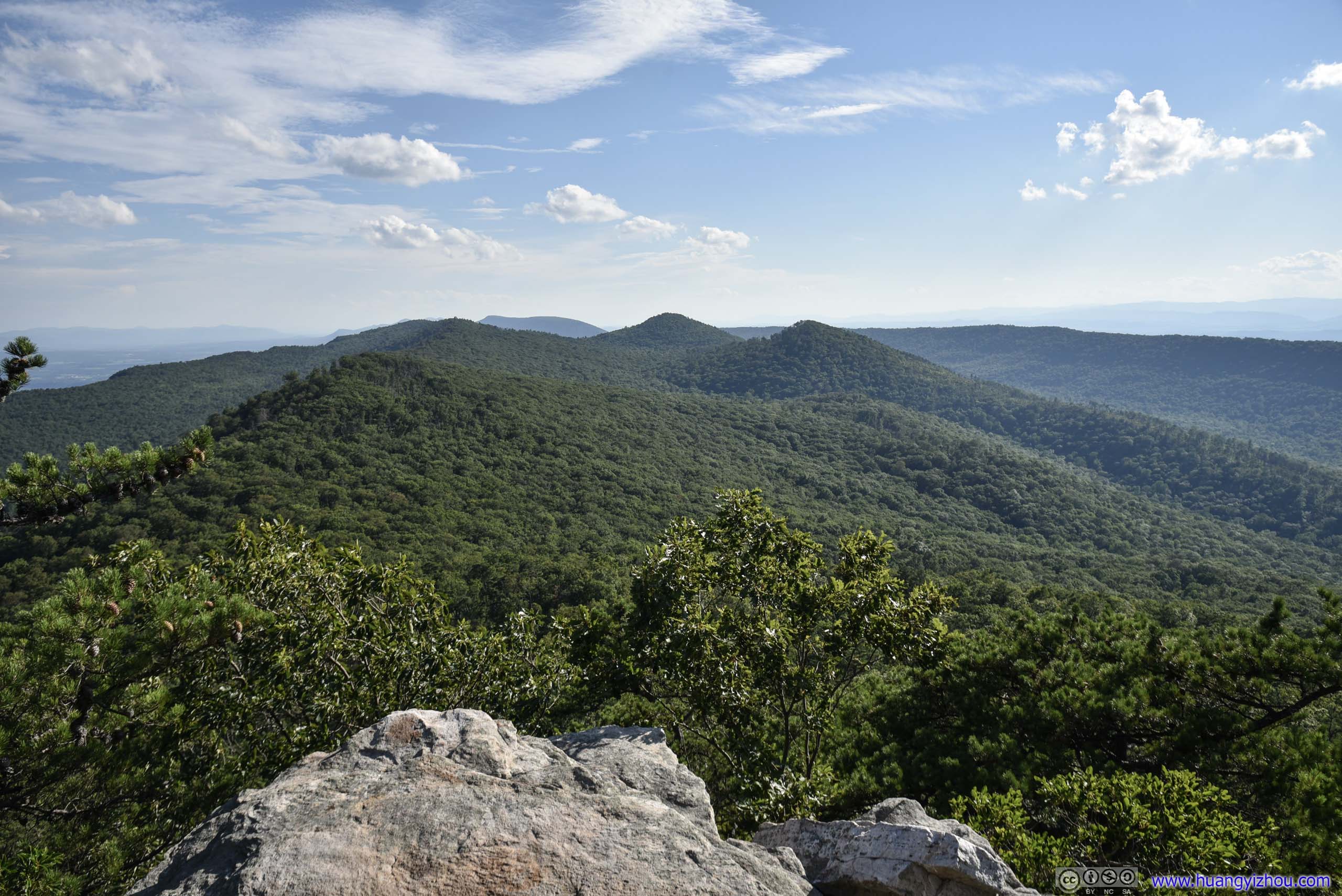
 Mountains
Unlike Strickler Knob, which offered panoramic views, views from Duncan Knob were mostly to the south and west. This probably explained its unpopularity.
If one had to find a plus side, the villages in Shenandoah Valley were farther off and partly blocked by trees, giving it a more secluded feeling.
 RocksMaybe one of these was the official “Duncan Knob”.
And I shall conclude with two photos from my drone.
Mountains by Duncan Knob
Hillside by Duncan Knob
After about 25 minutes on Duncan Knob, I headed back downhills, and was back with my car 2.5 hours after starting my hike.
END
![]() Hiking Strickler Knob and Duncan Knob in George Washington National Forest by Huang's Site is licensed under a Creative Commons Attribution-NonCommercial-ShareAlike 4.0 International License.
Hiking Strickler Knob and Duncan Knob in George Washington National Forest by Huang's Site is licensed under a Creative Commons Attribution-NonCommercial-ShareAlike 4.0 International License.