
Updated on February 4, 2021
Day 3 of 2020 Alaska Trip, Harding Ice Field
Third day of our Alaska trip. I would be hiking Harding Ice Field Trail, the most popular hiking trail near Seward, that ended with me stepping onto the expansive ice field.

Harding Ice Field
Unfortunately, my friend wasn’t feeling very well after previous day’s boat trip, so I would be doing this hike alone while he rested in the Airbnb room.
The day started with a constant drizzle, not the most ideal condition for hiking. I had been counting on the weather forecast that the rain would abate in the afternoon. On the other hand, the trail wasn’t very demanding, so I chose to hold an umbrella for most of the hike, despite wearing rain-repellent jackets.
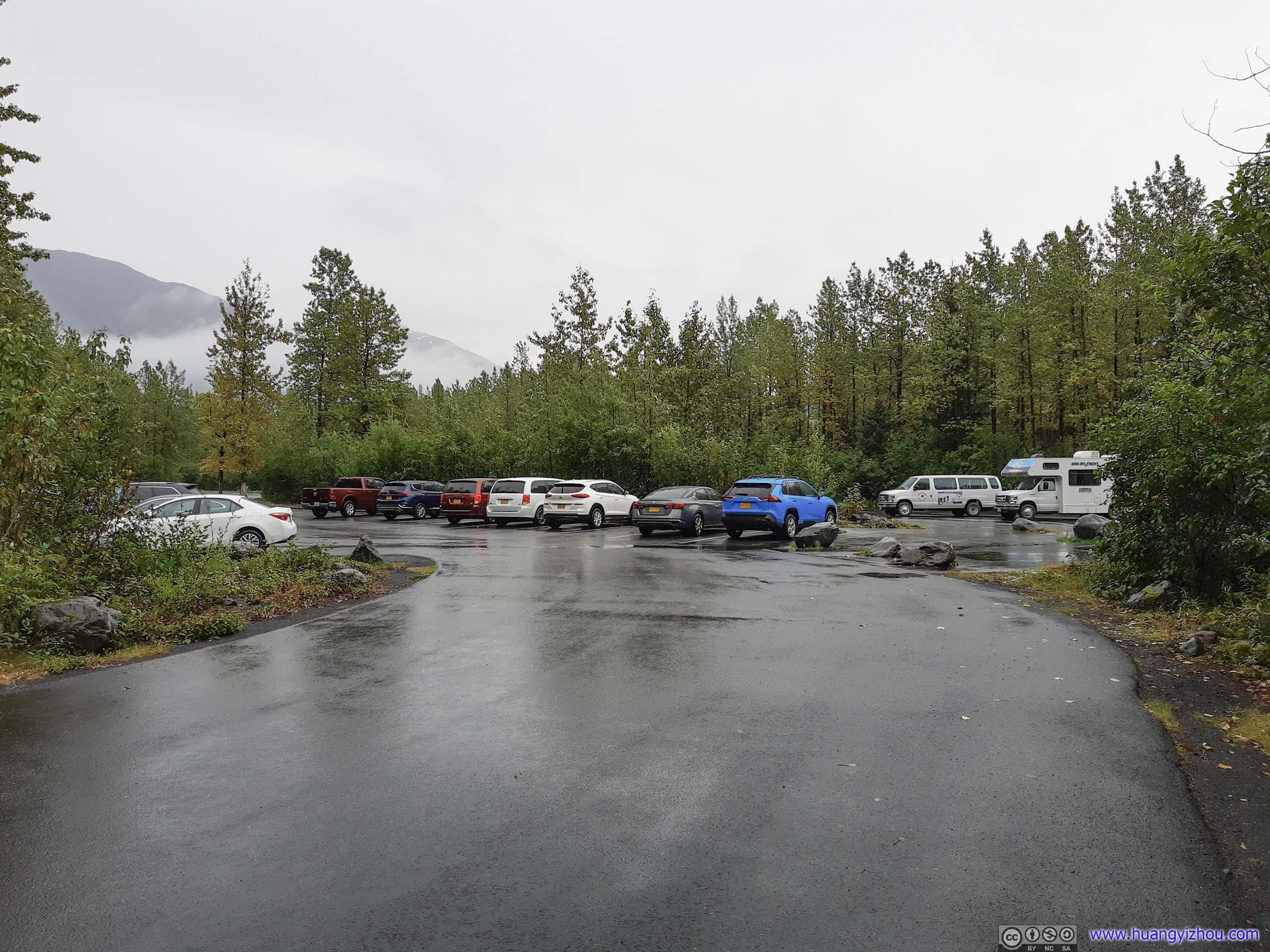
Trailhead Parking LotDespite the drizzly weather, there were quite some people setting off for the glaciers today.
At 9:45 in the morning, I left the parking lot and started my hike.
Here’s GPS tracking of the day:

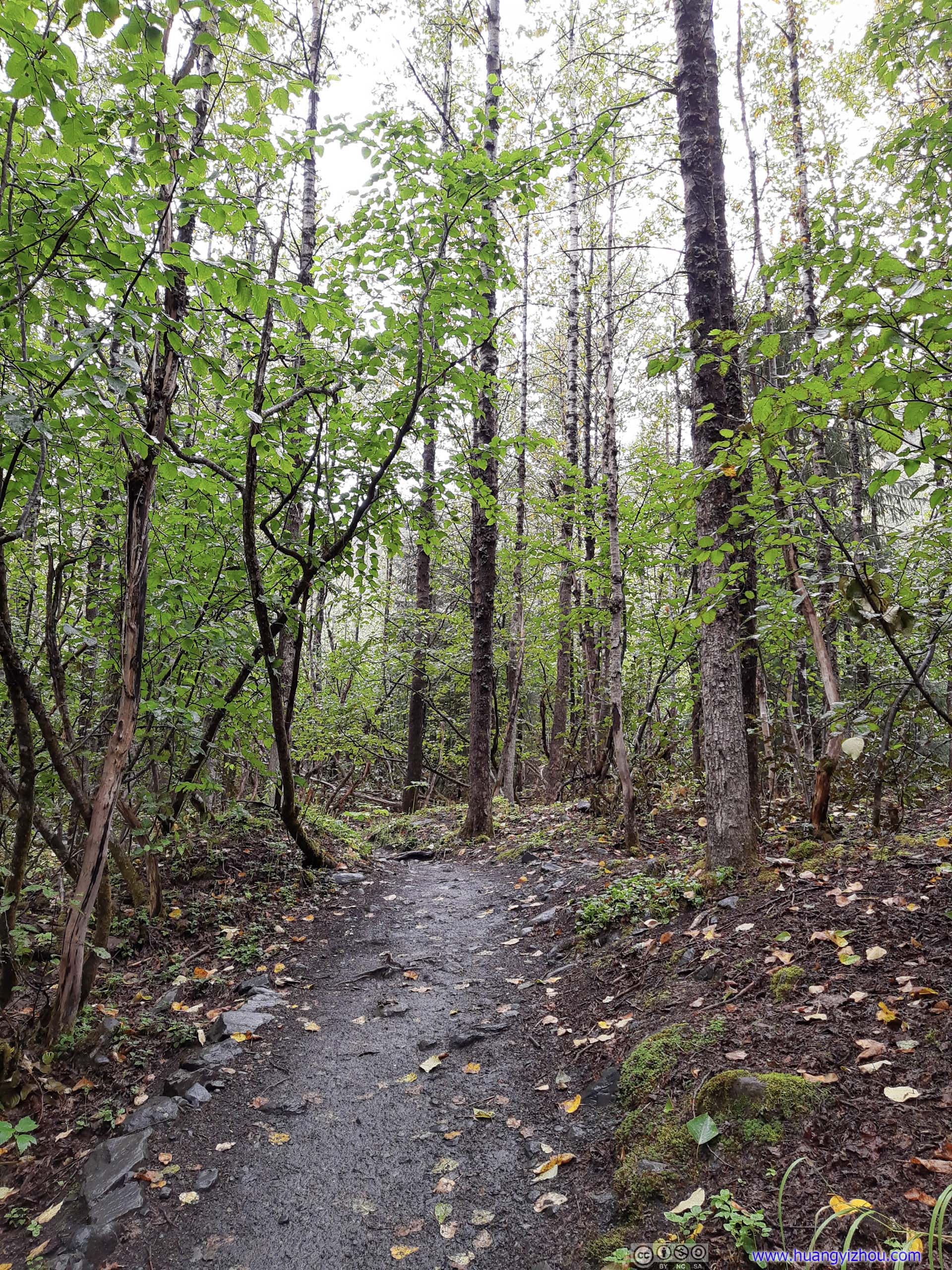
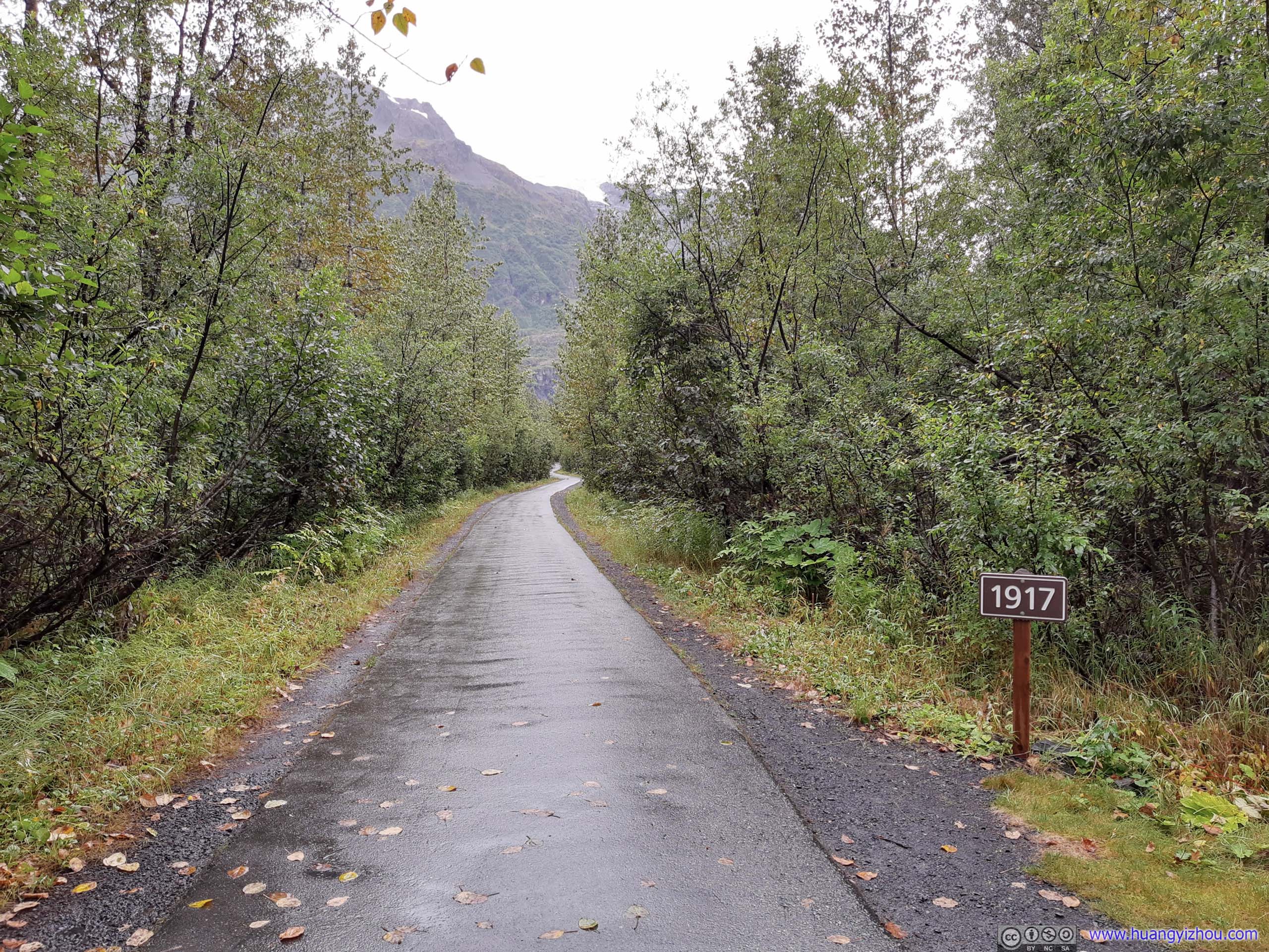 Trail
Trail
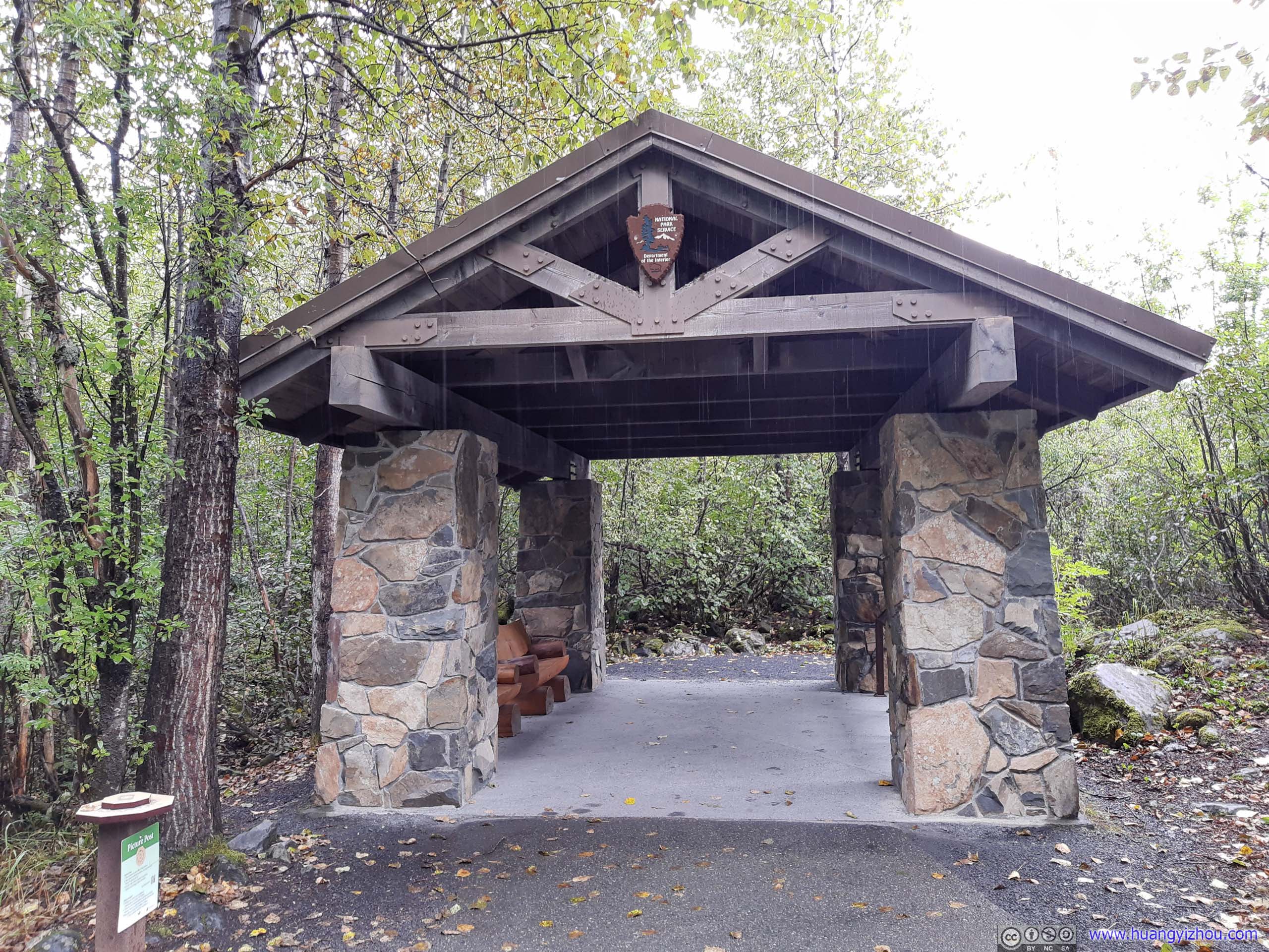
PavilionAt the end of paved trail, for people to rest. Despite it’s only 600m from trailhead.
At the fork of trails towards the end of pavement, I opted for a 1.5km roundtrip detour to an overlook of Exit Glacier.
 Trail to Exit Glacier
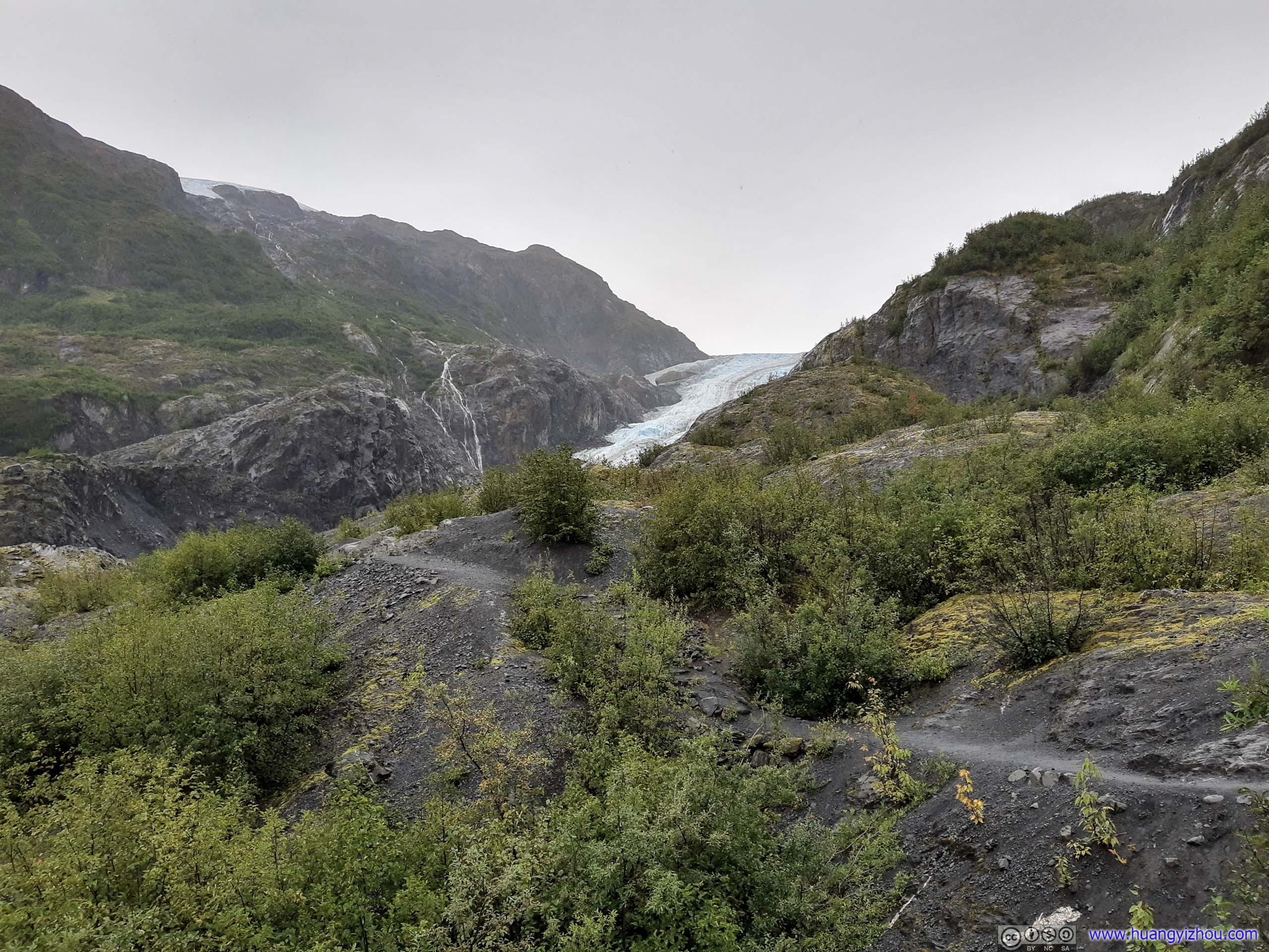
Exit Glacier
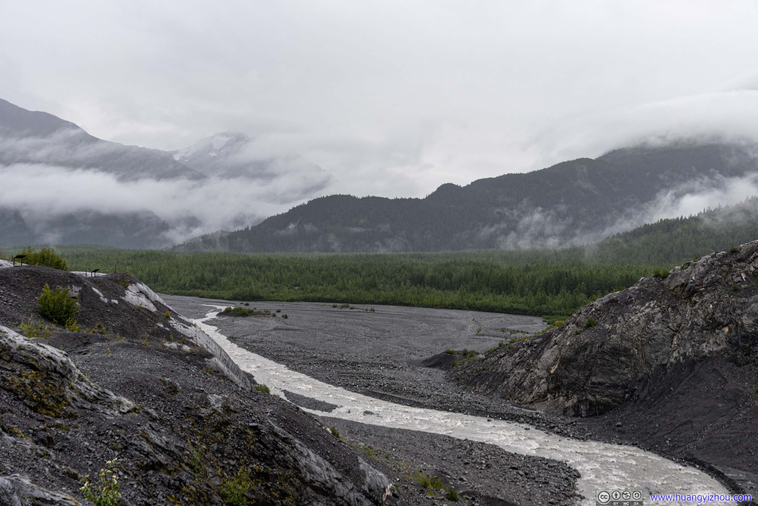
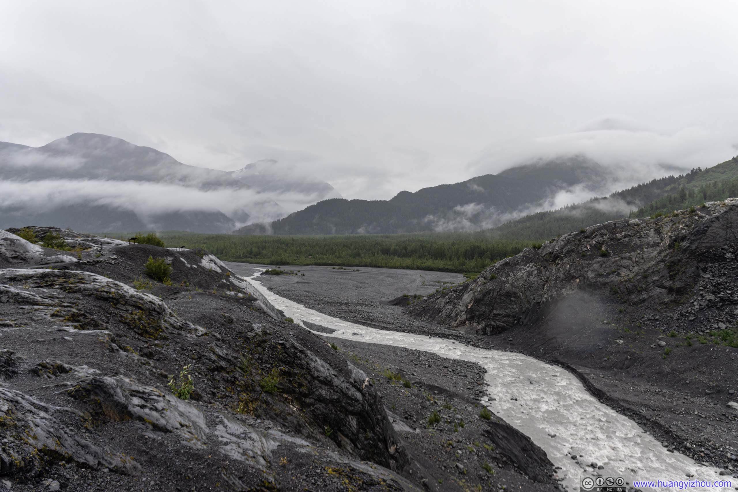
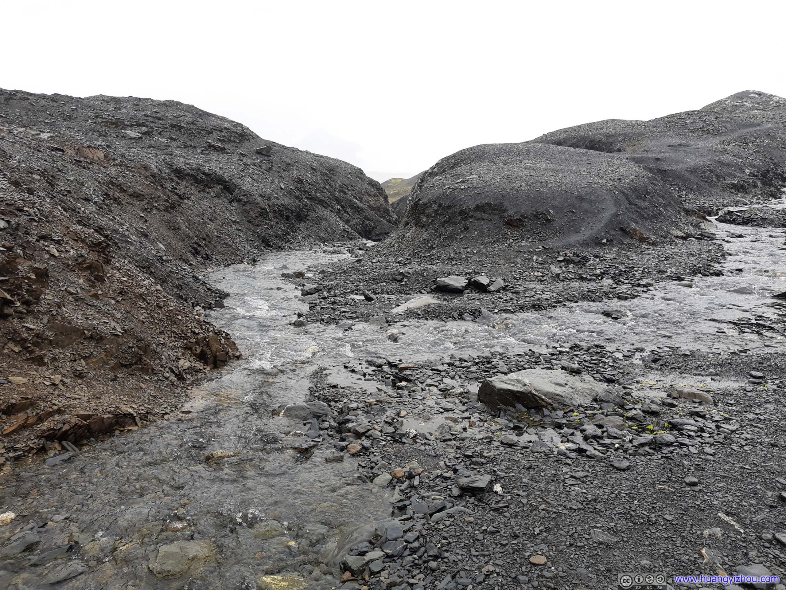
 Outwash PlainWhere water from Exit Glacier flows into.
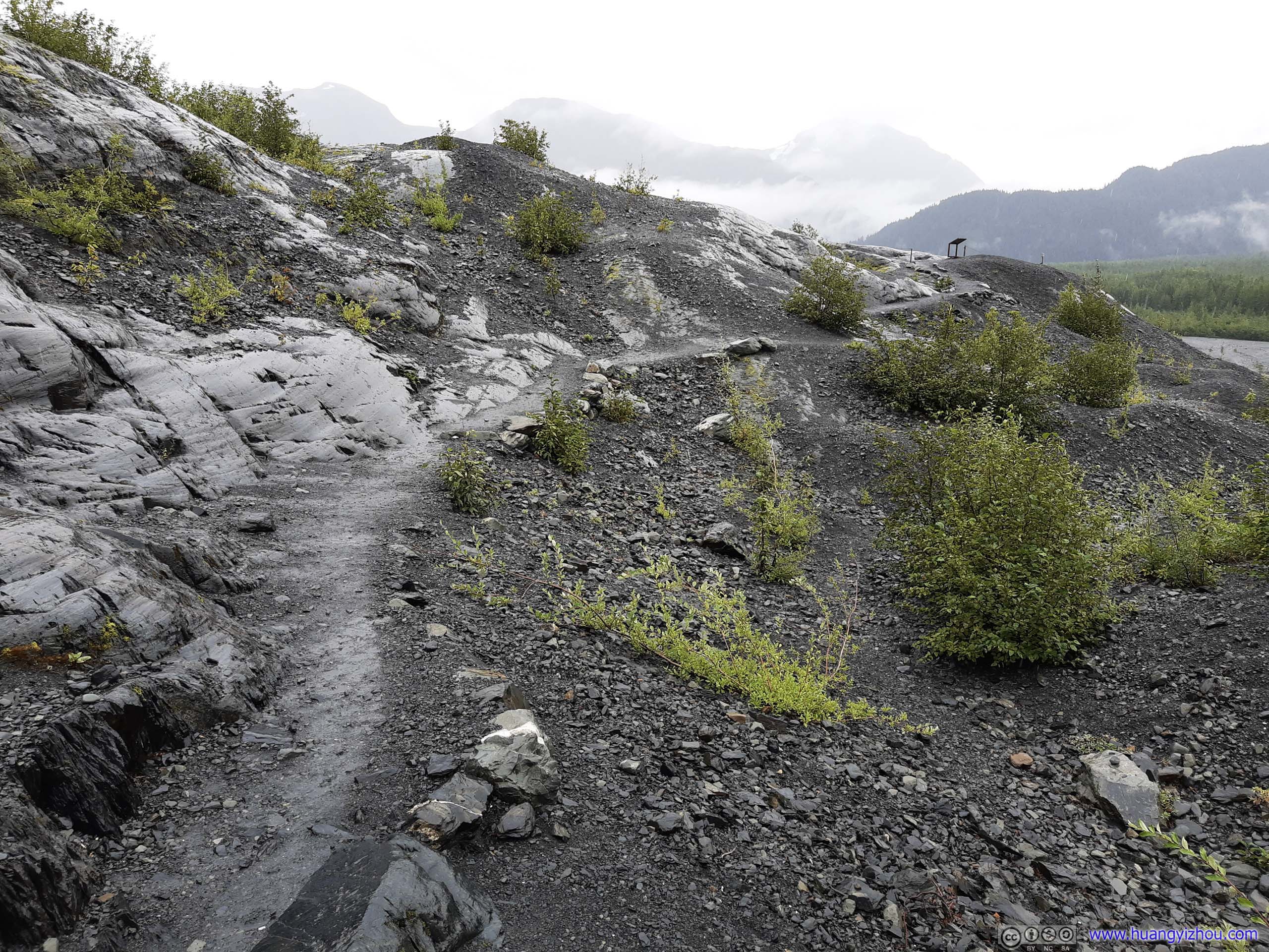 Trail at Exit GlacierMuch narrower. This led to a different overlook slightly uphill.
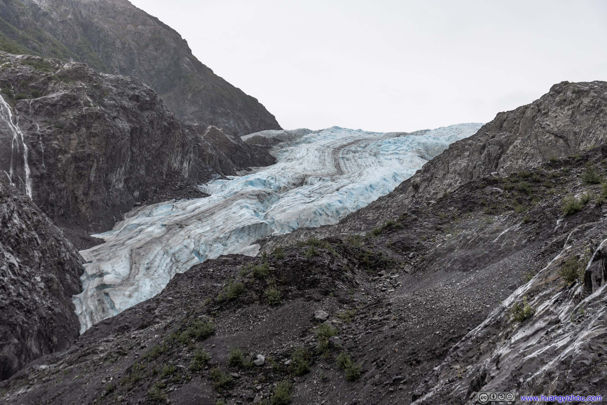
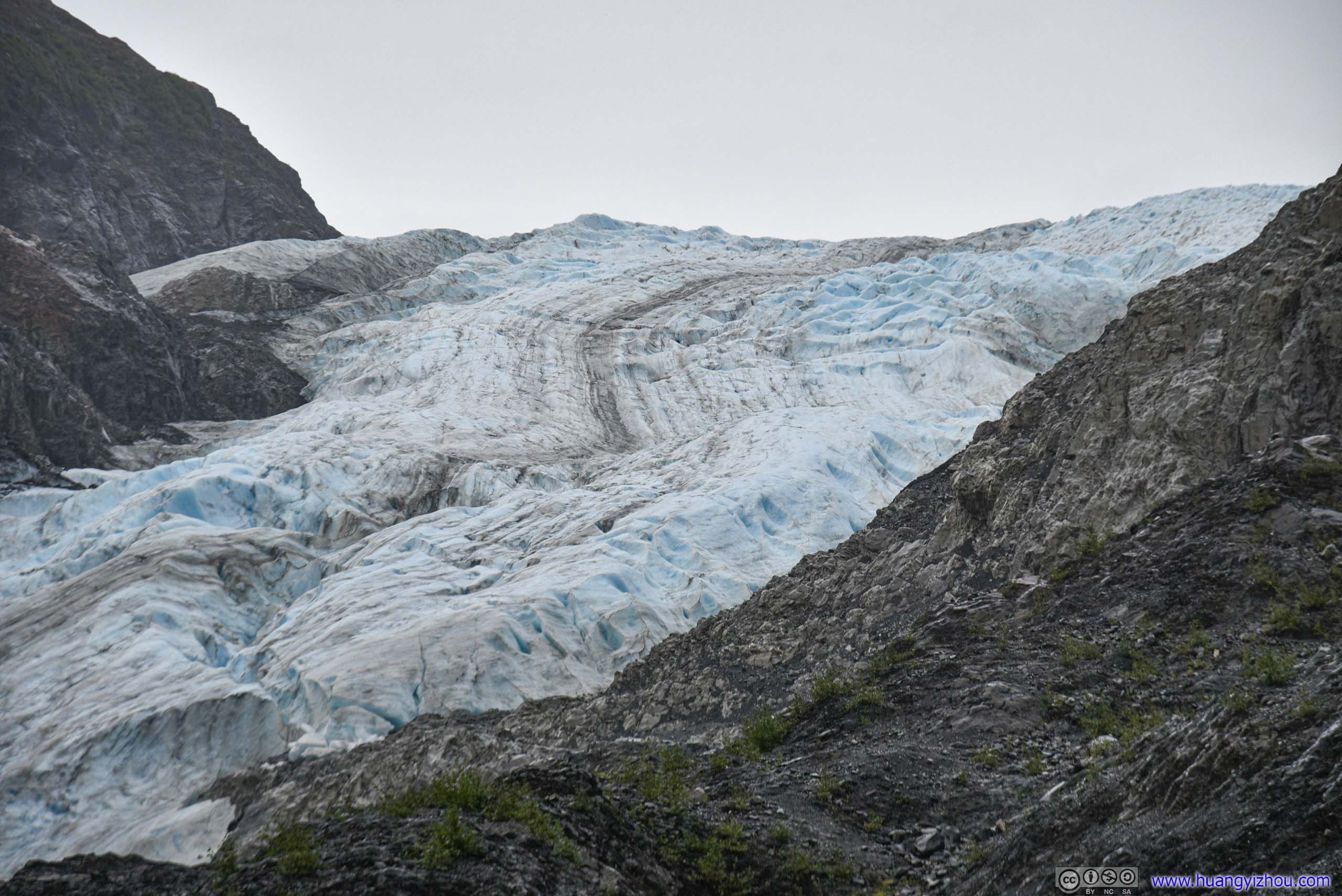
 Exit Glacier
After that, I headed back to the fork of trails, for Harding Ice Field.
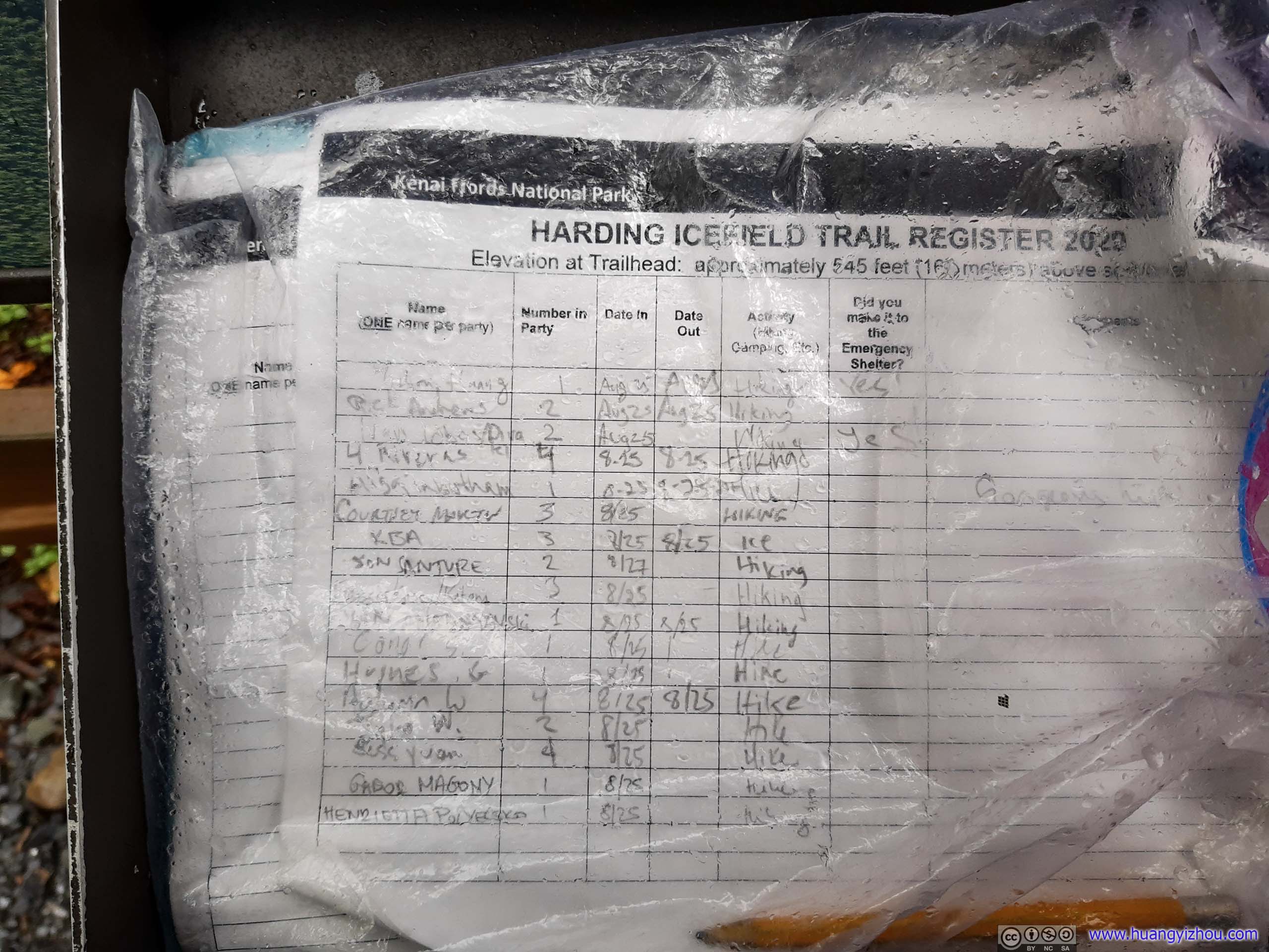
Harding Icefield Trail Registration

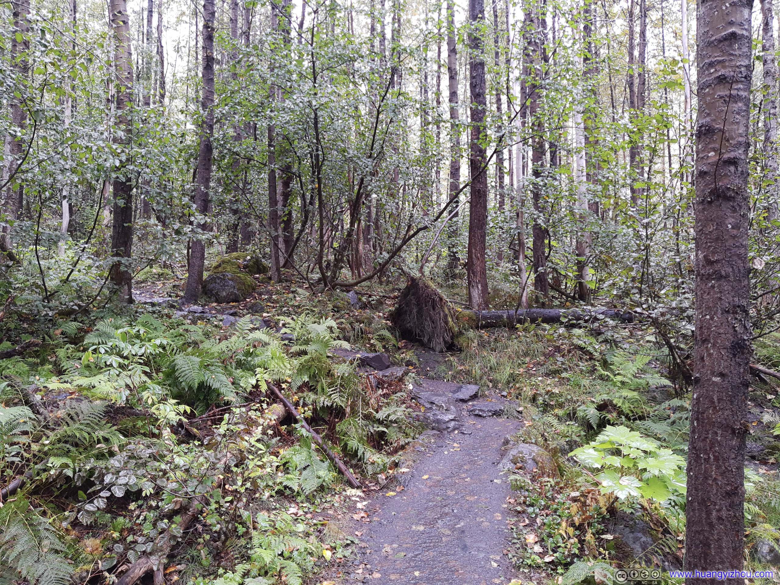

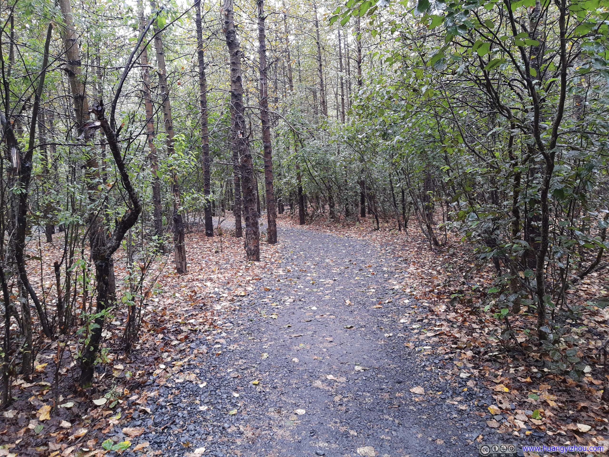
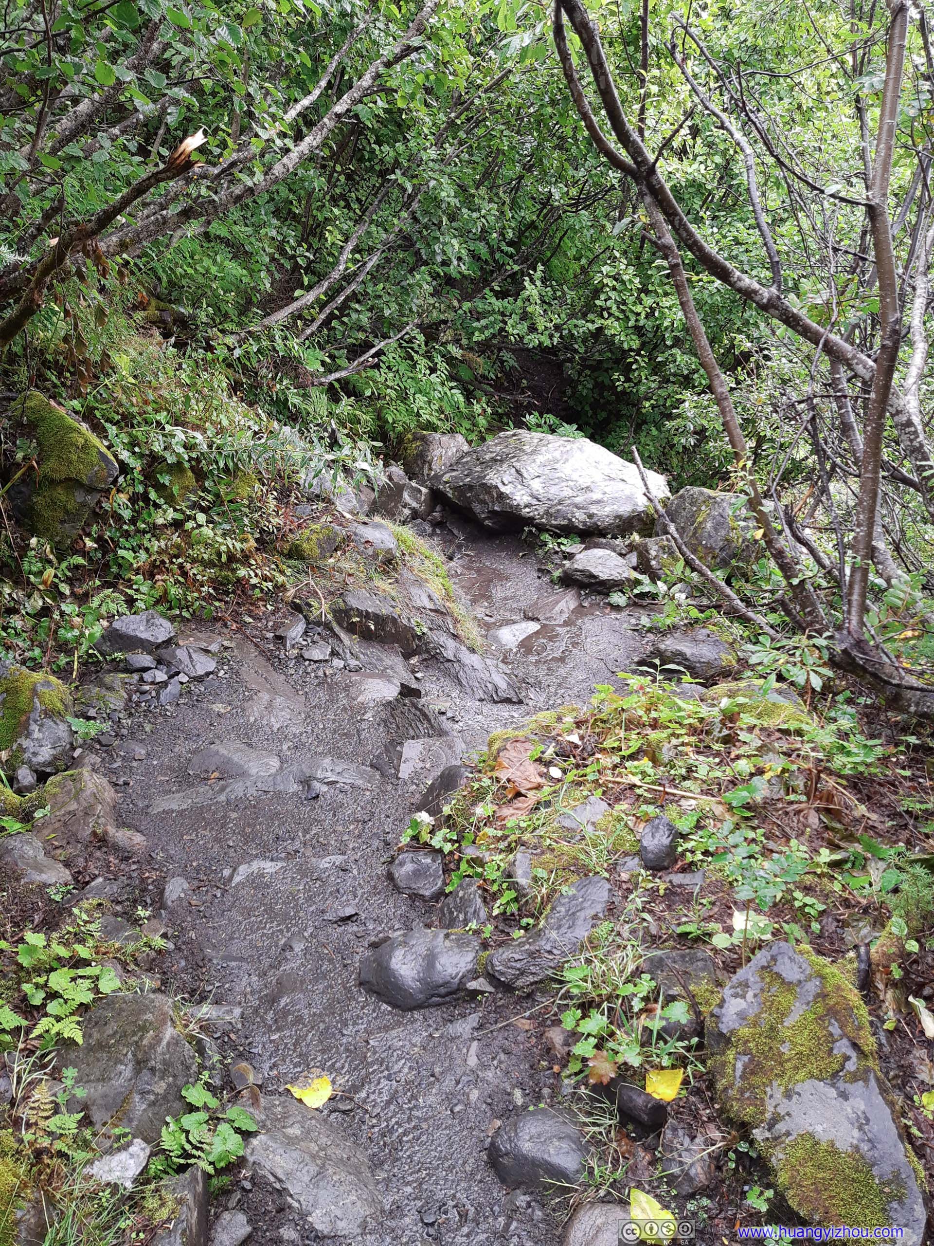
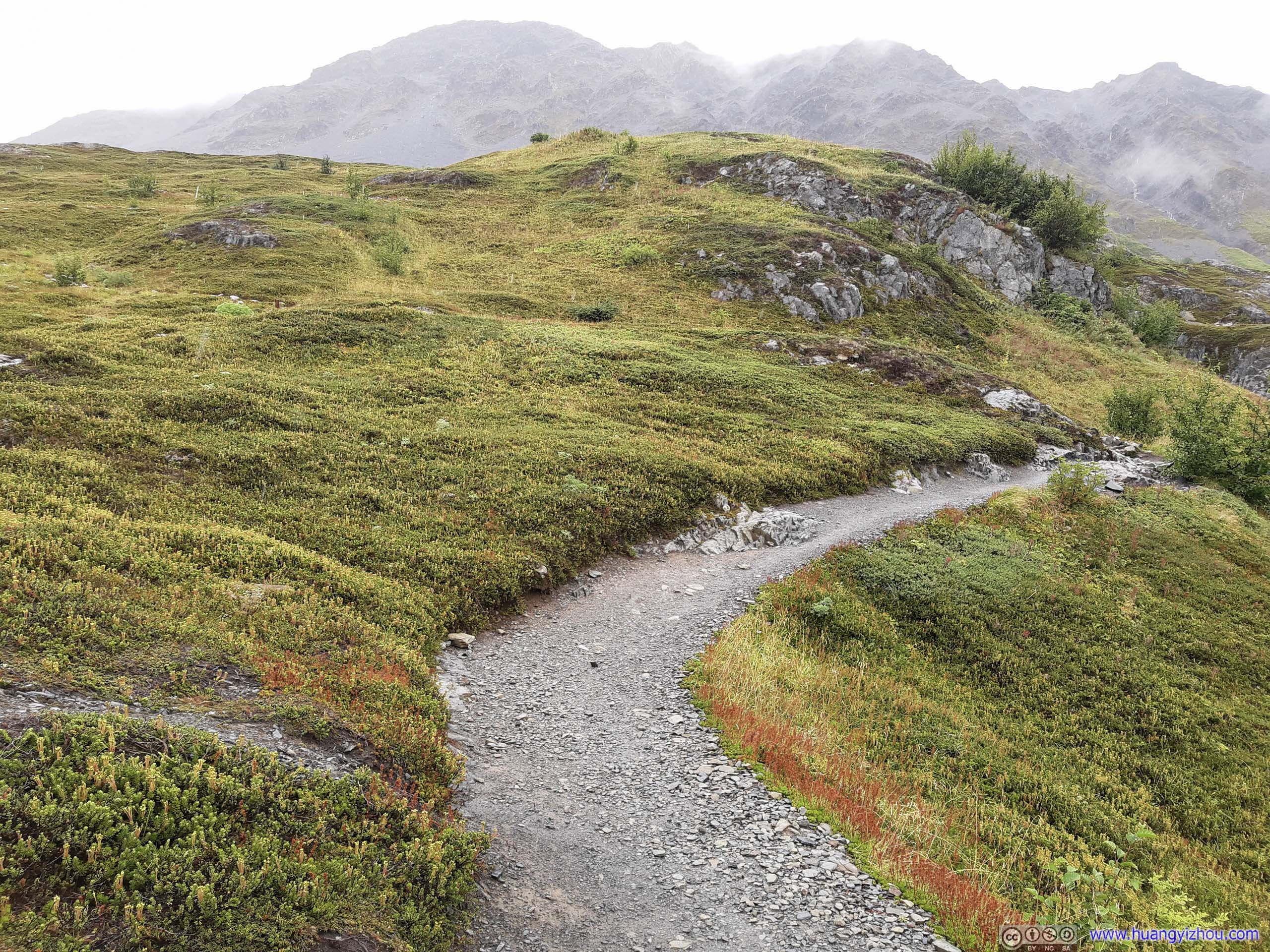
 Trail
Trail

Mushrooms
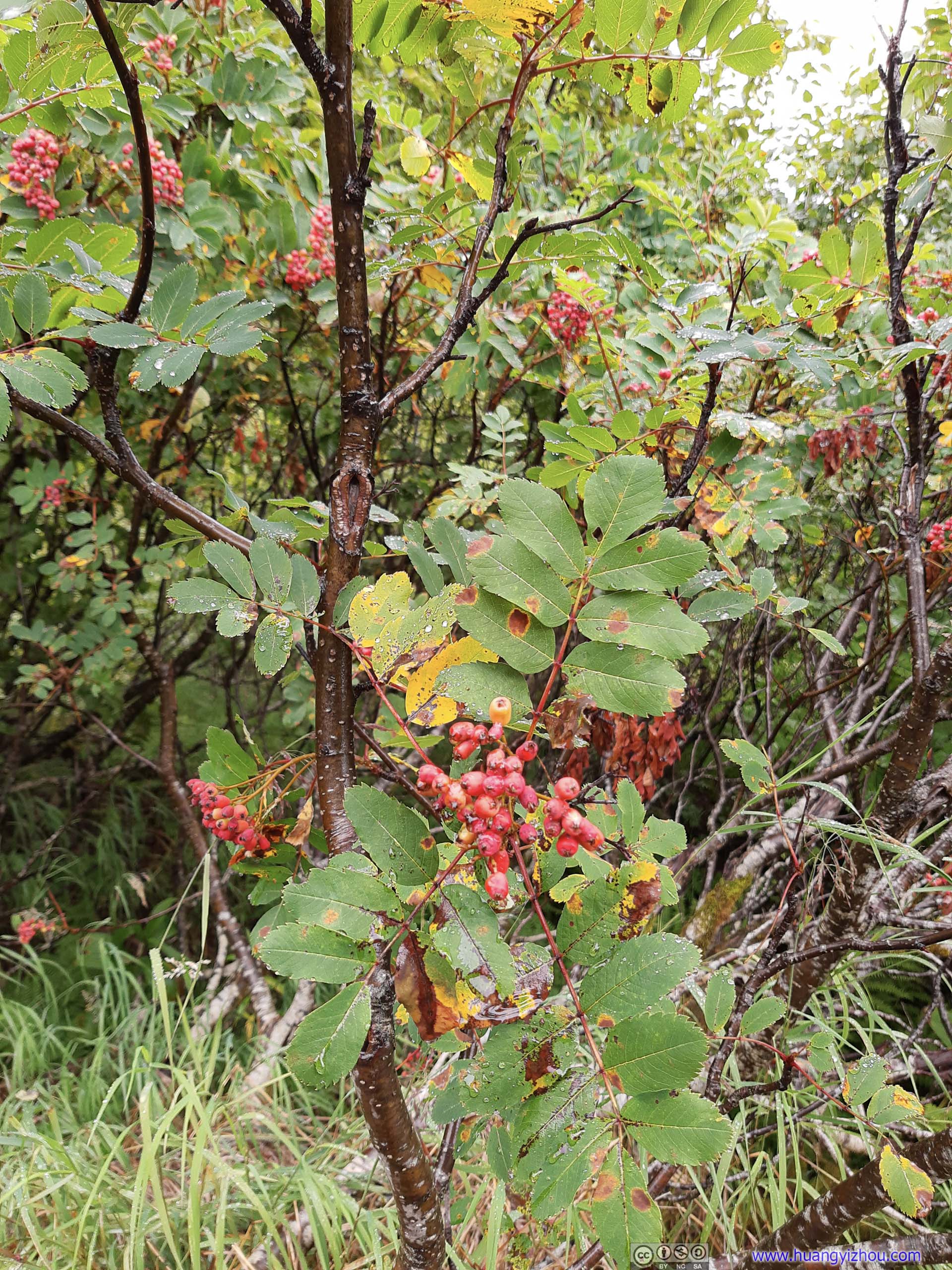
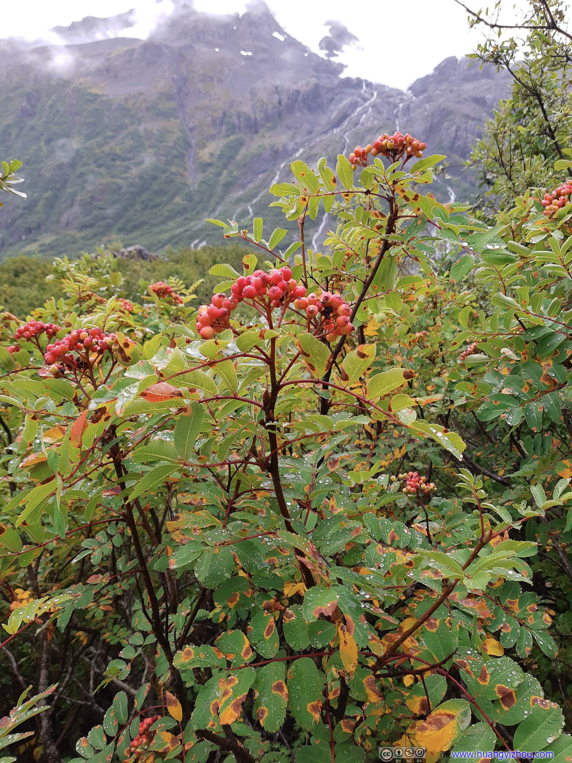
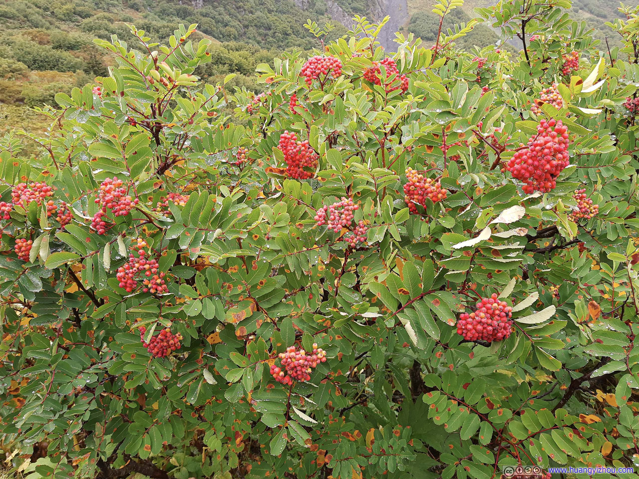
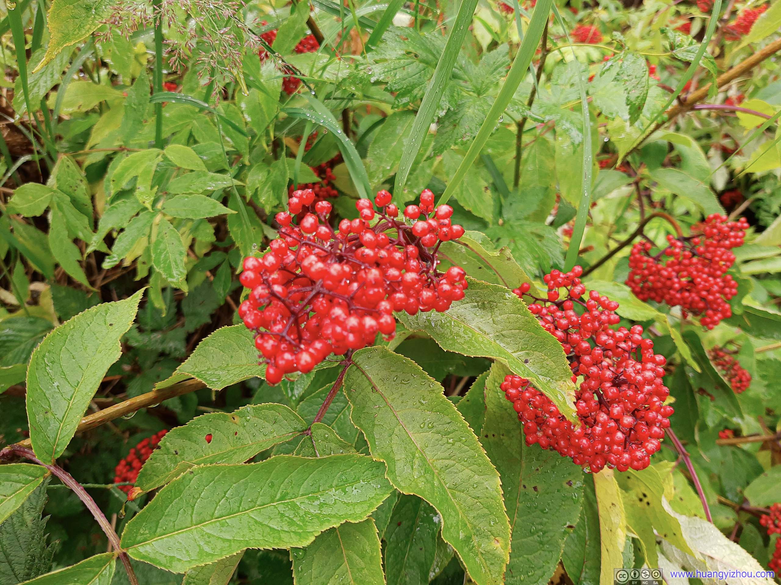 Berries
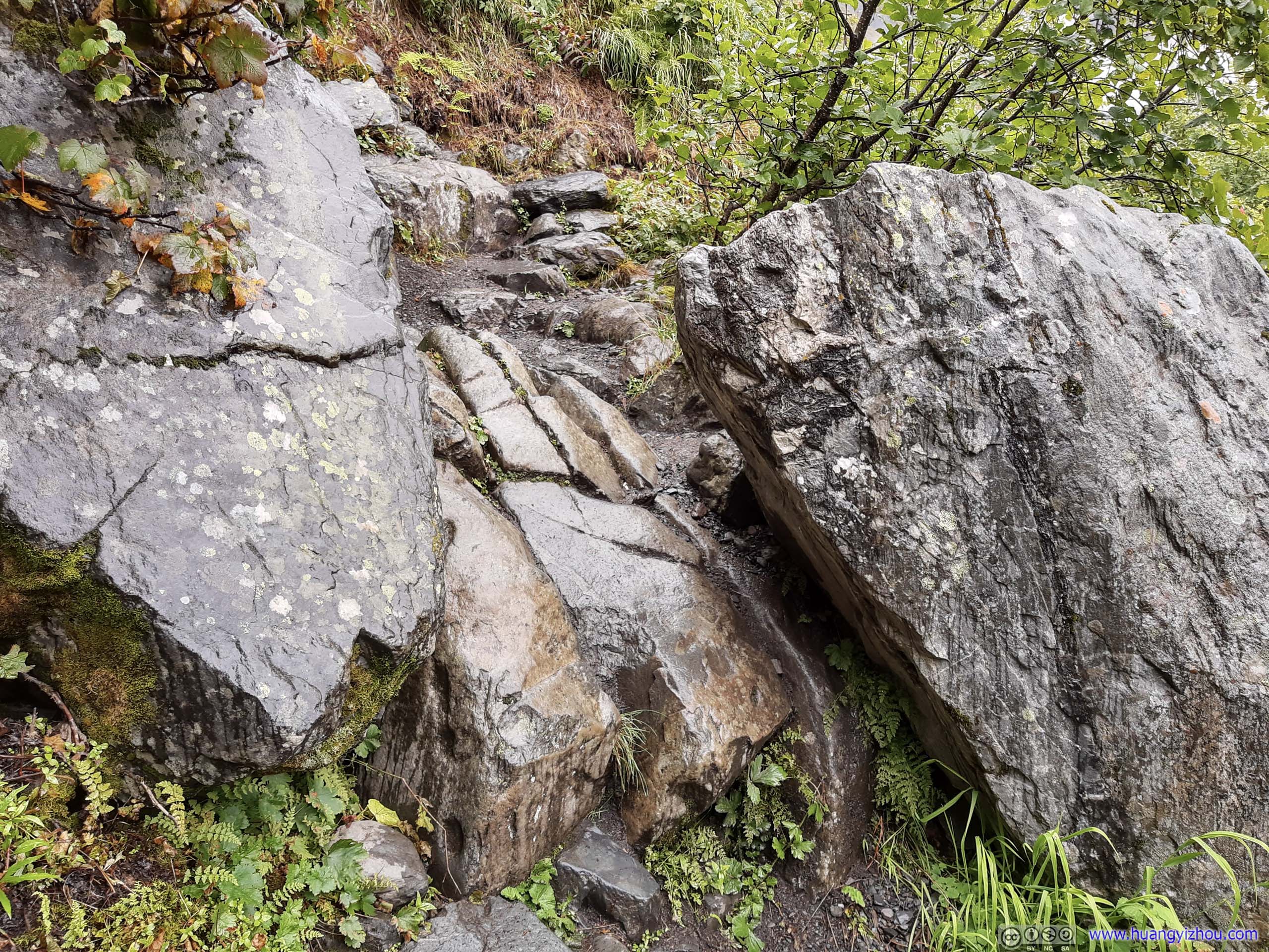
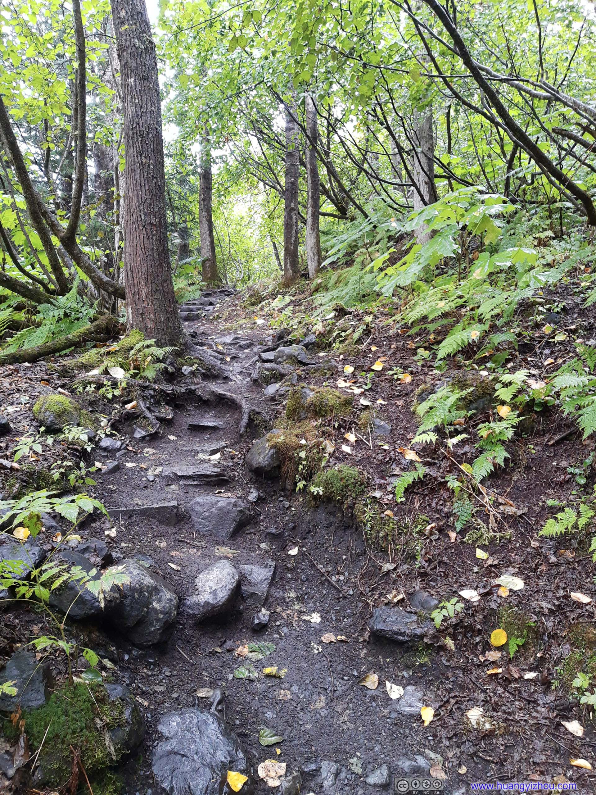
Trail on Rocks


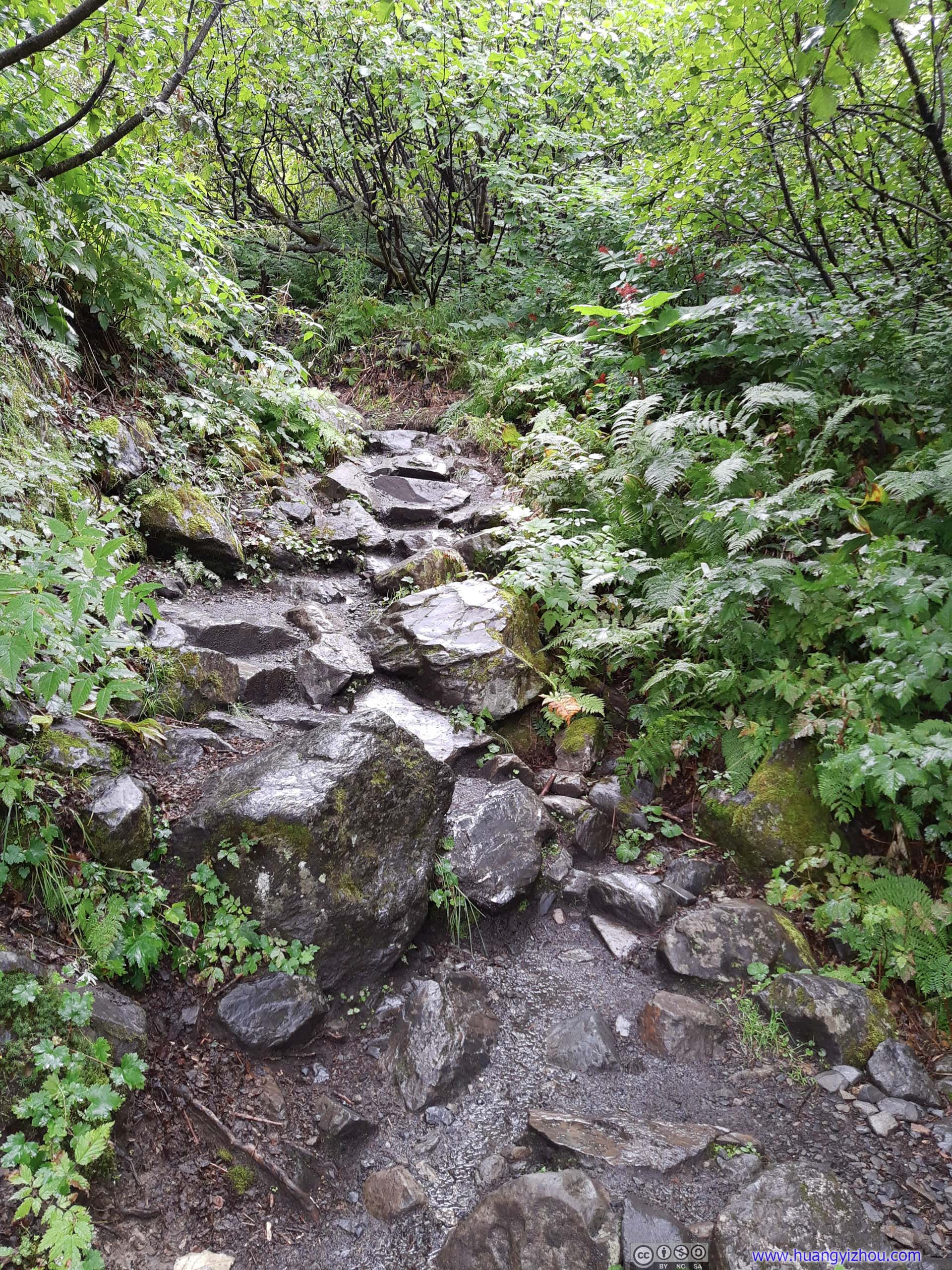
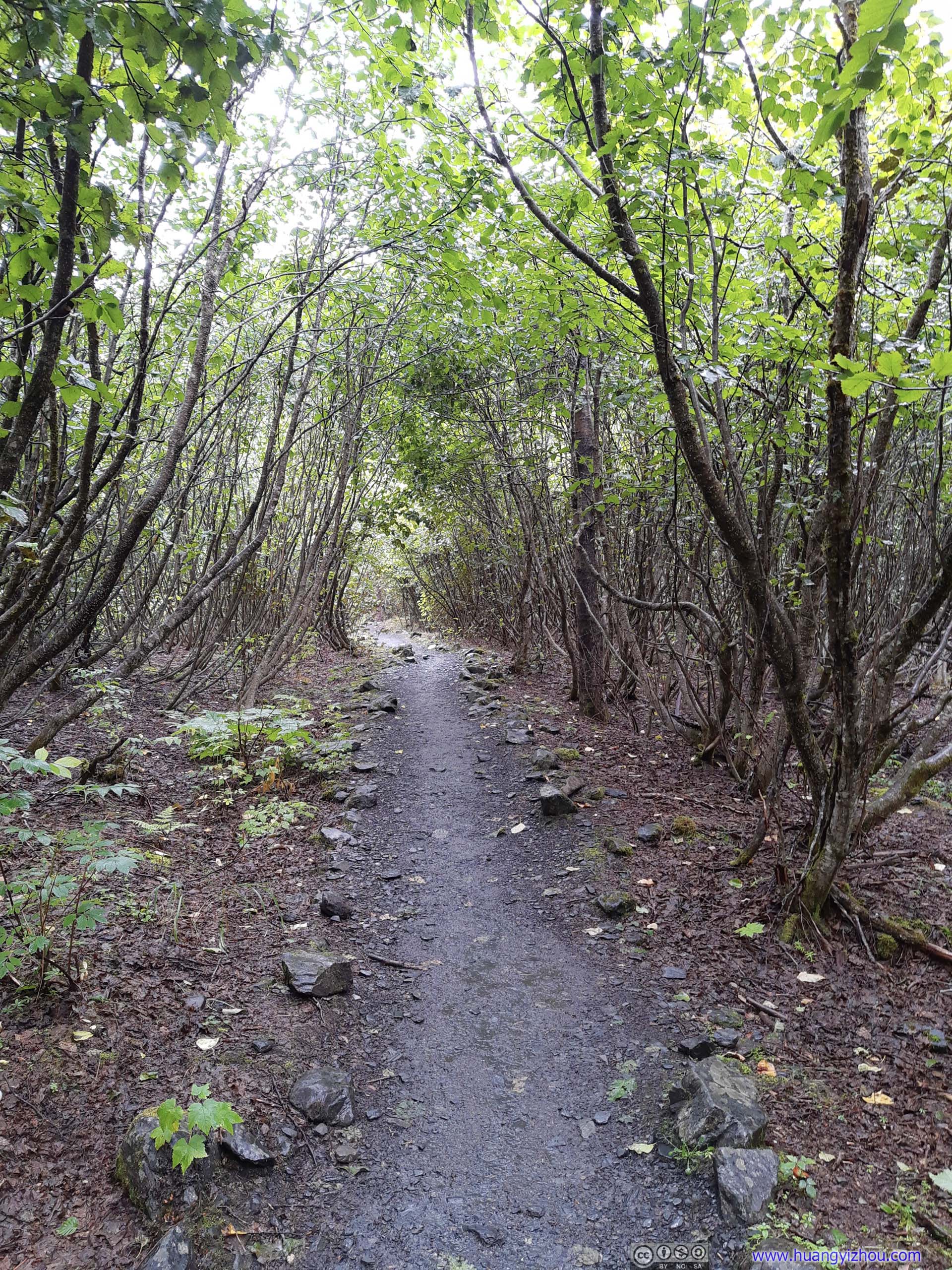
 Trail
Trail
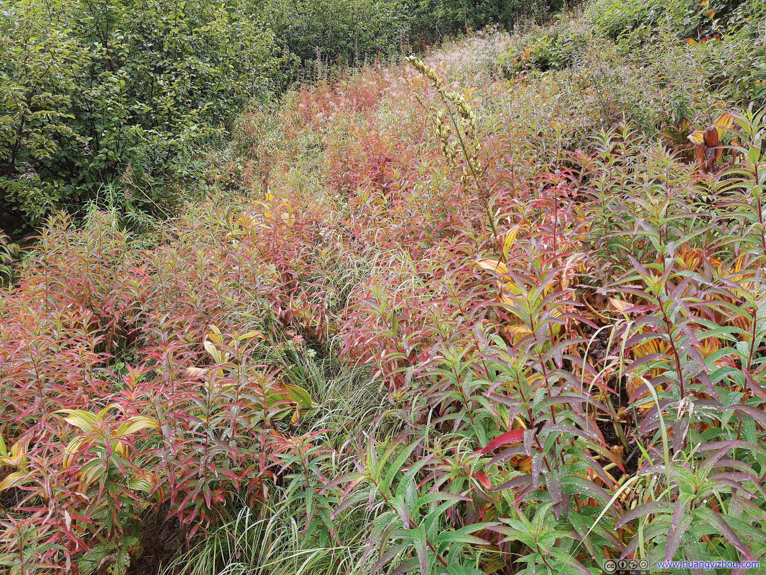
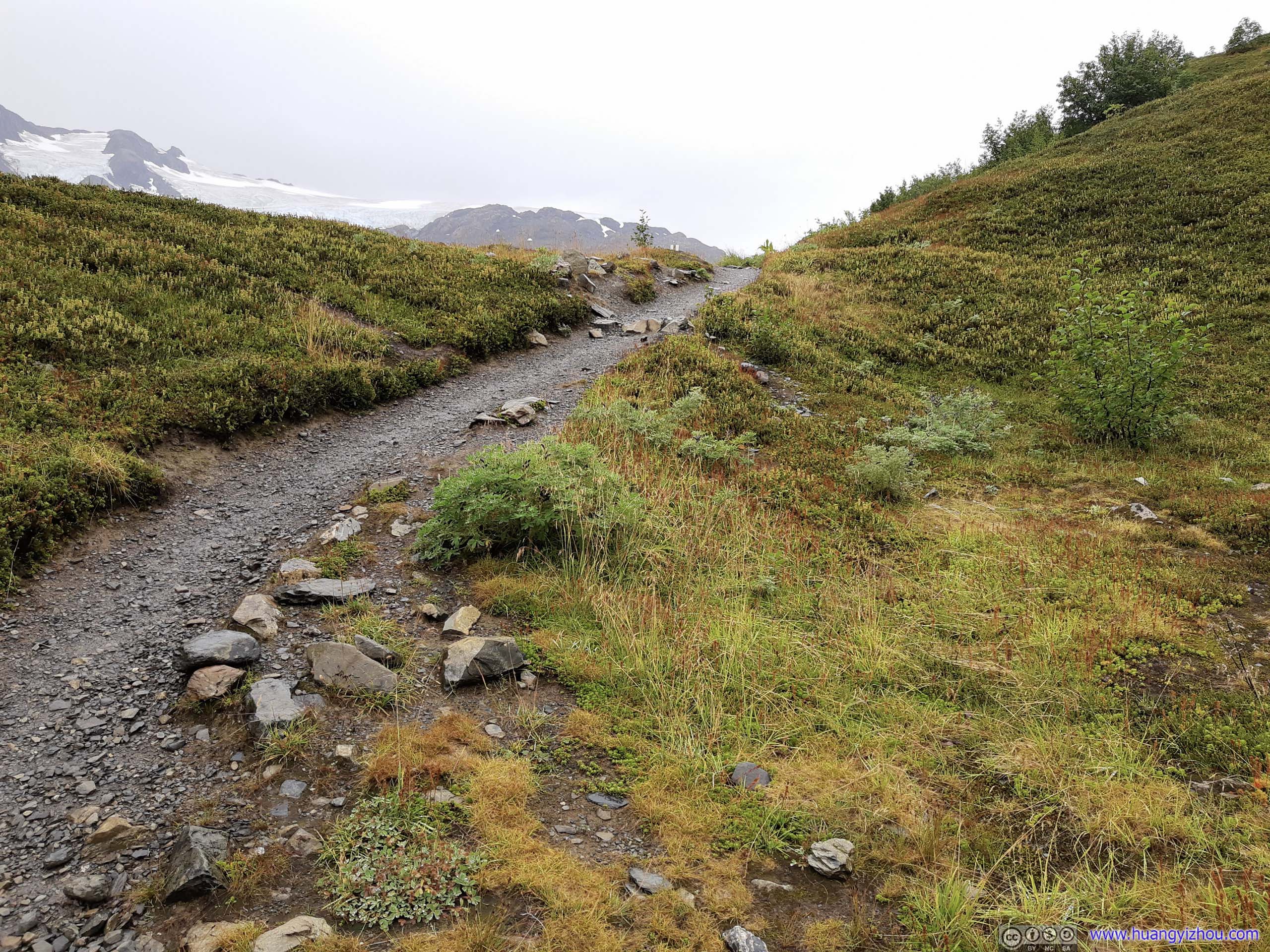
At about 2.9km from trailhead (ignoring the Exit Glacier detour), one emerged from the tree line. From now on, only shallow bushes could survive on this mountainous terrain.
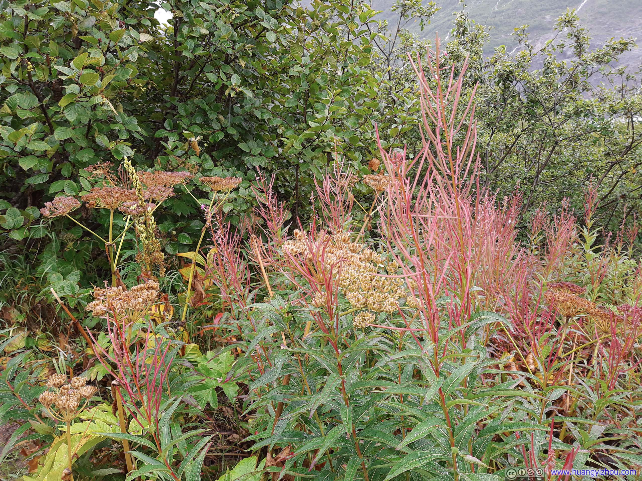
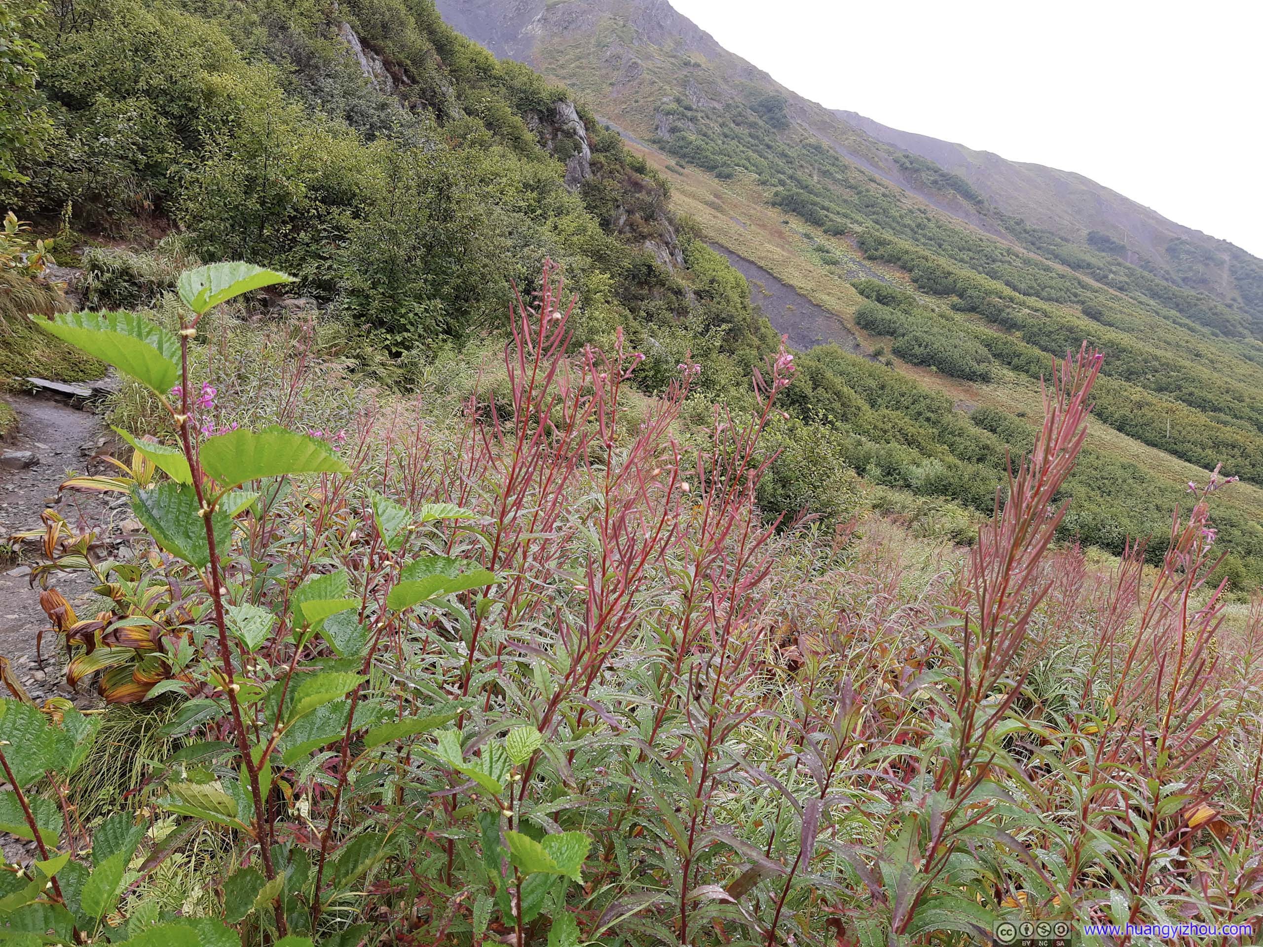
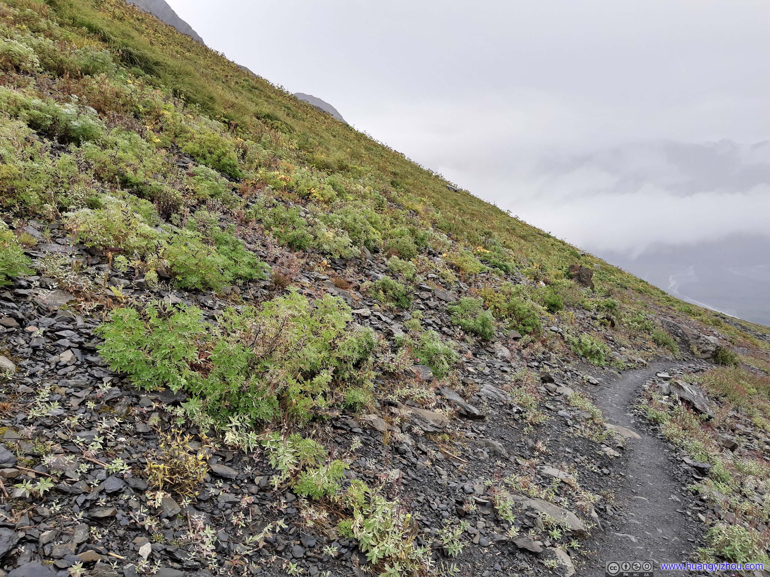
 Plants
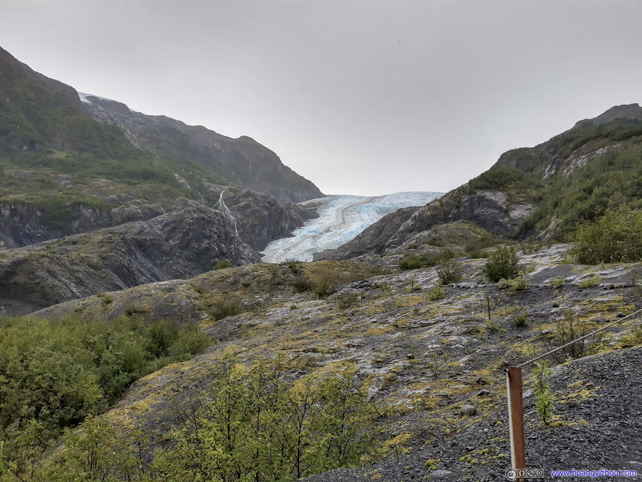
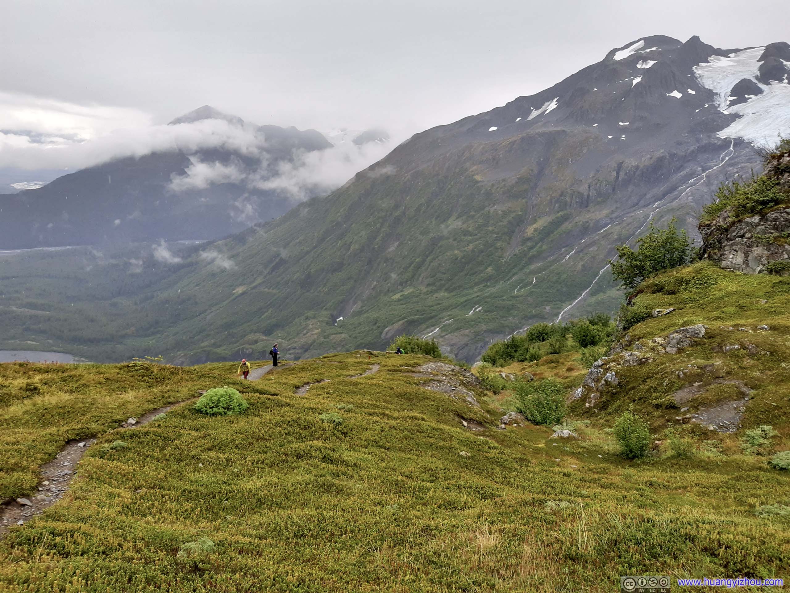
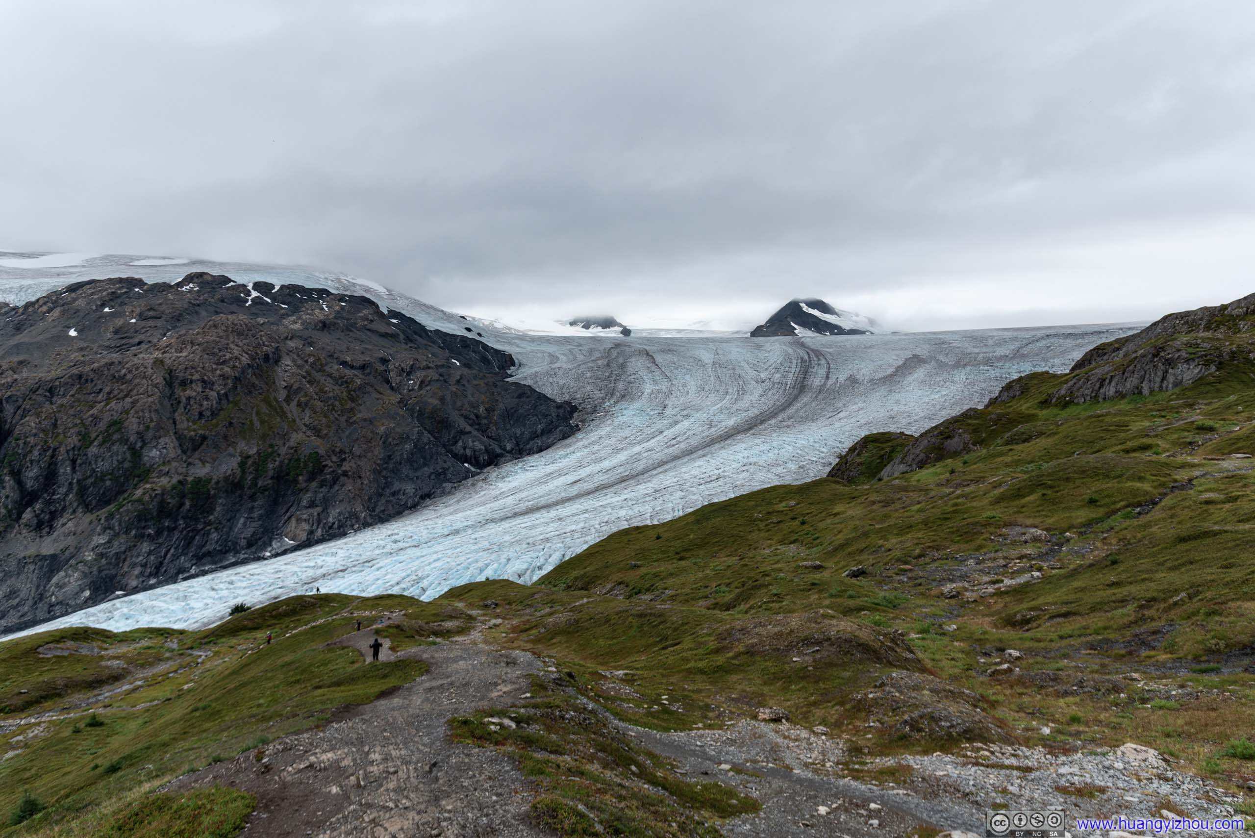
That’s where things got exciting as one got the first glimpse of Harding Ice Field along the trail.
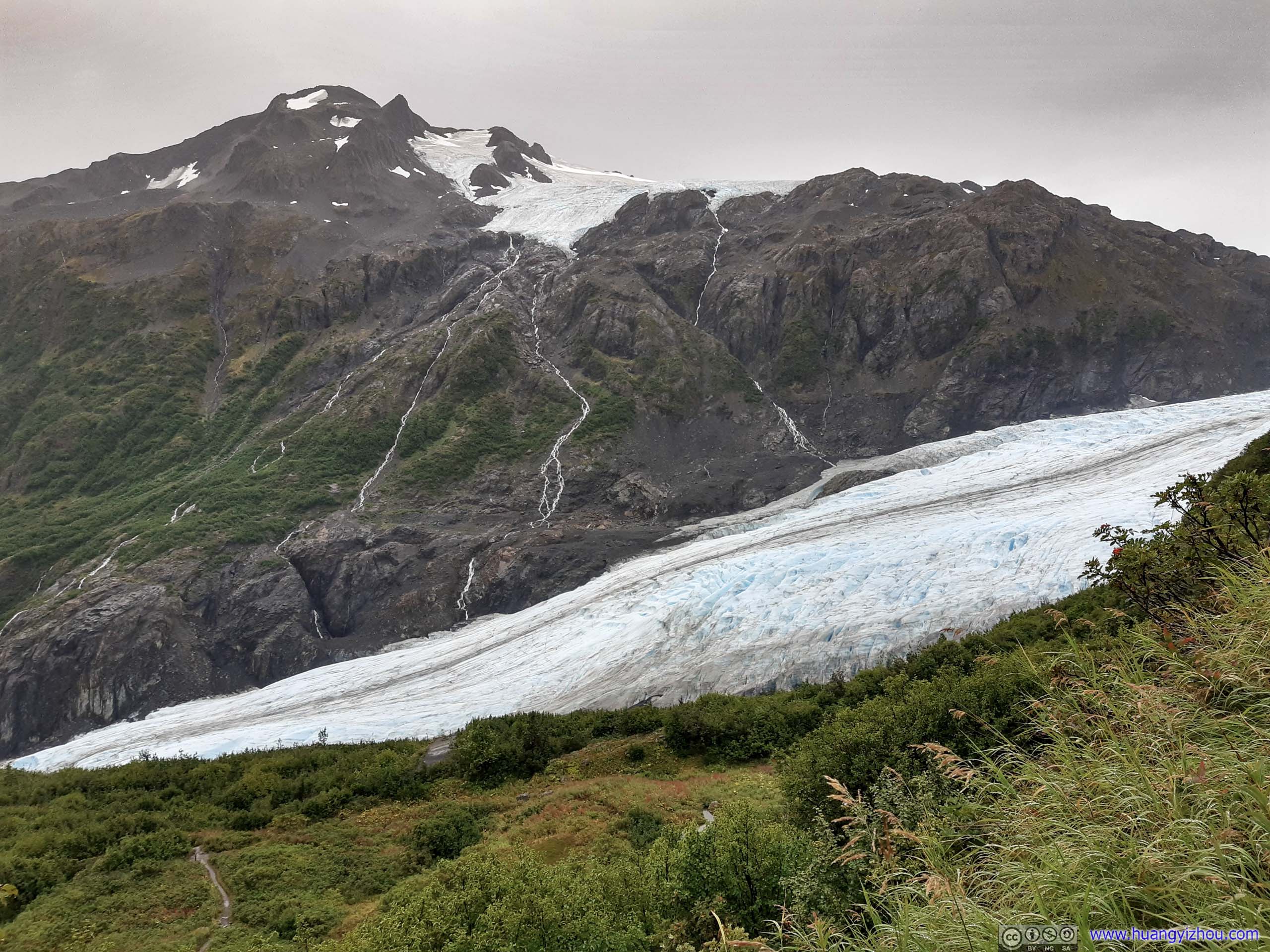
 Harding Ice Field
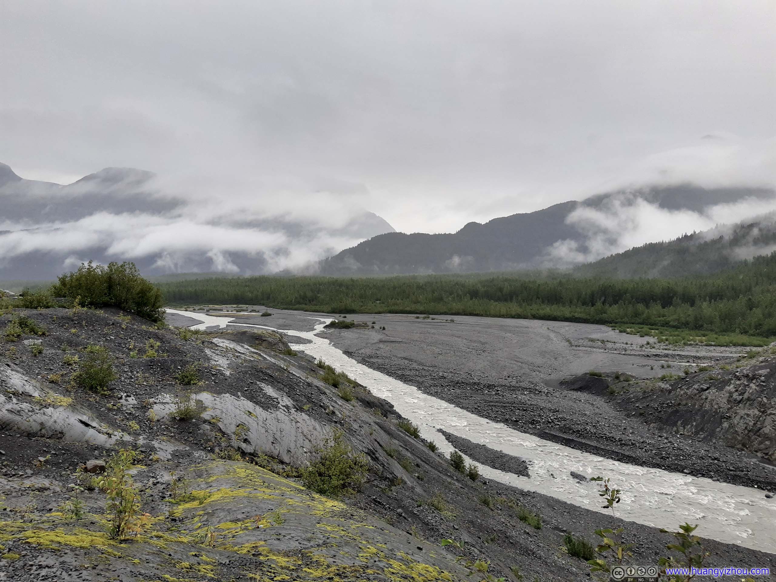
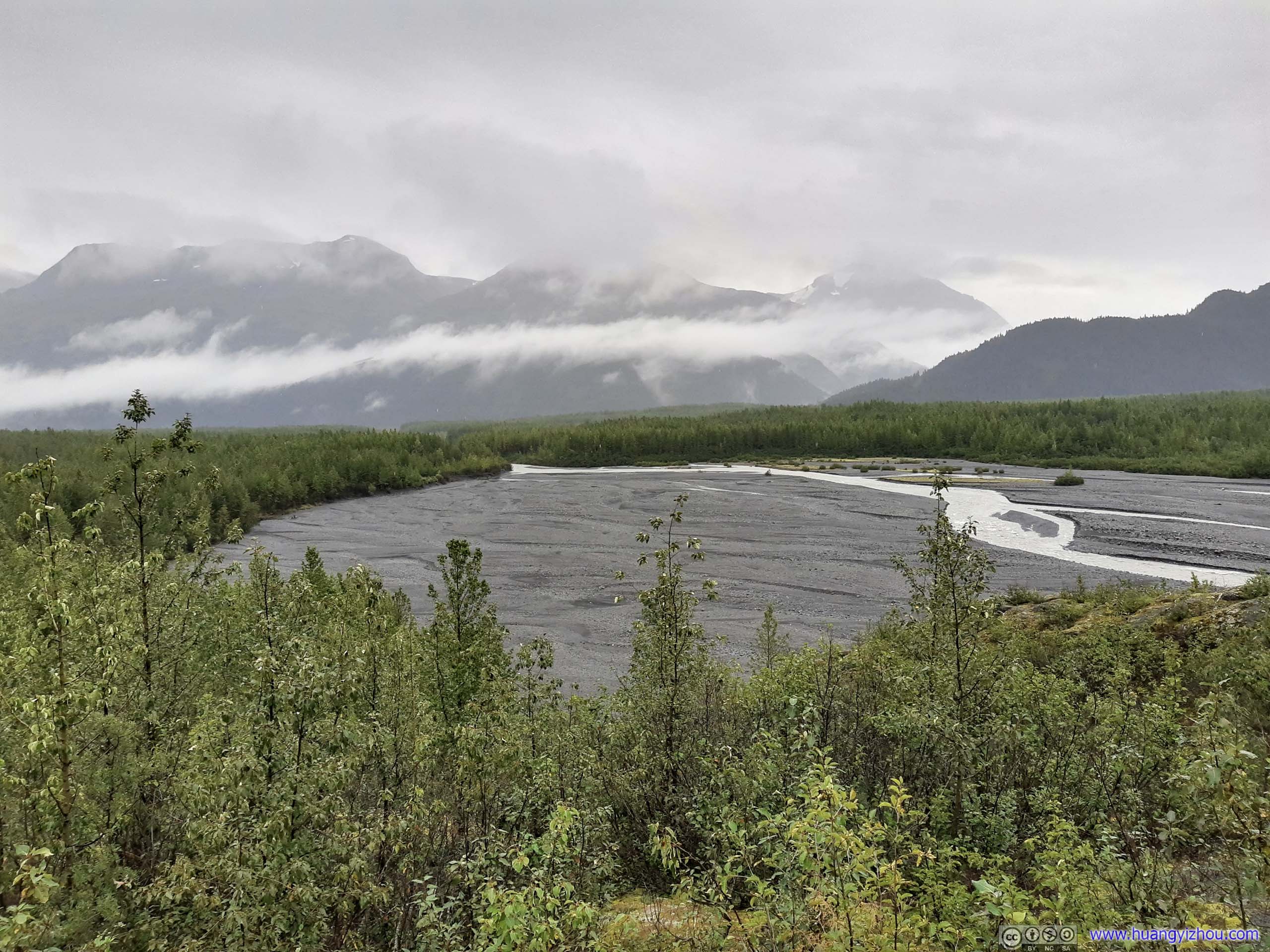
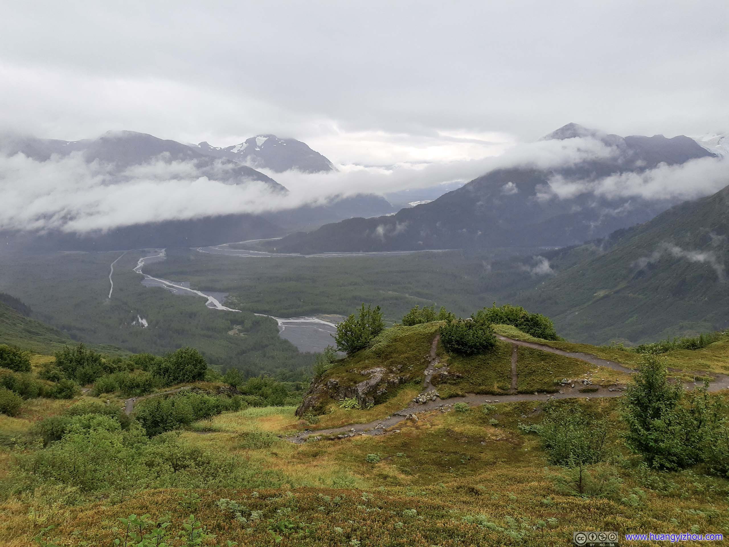
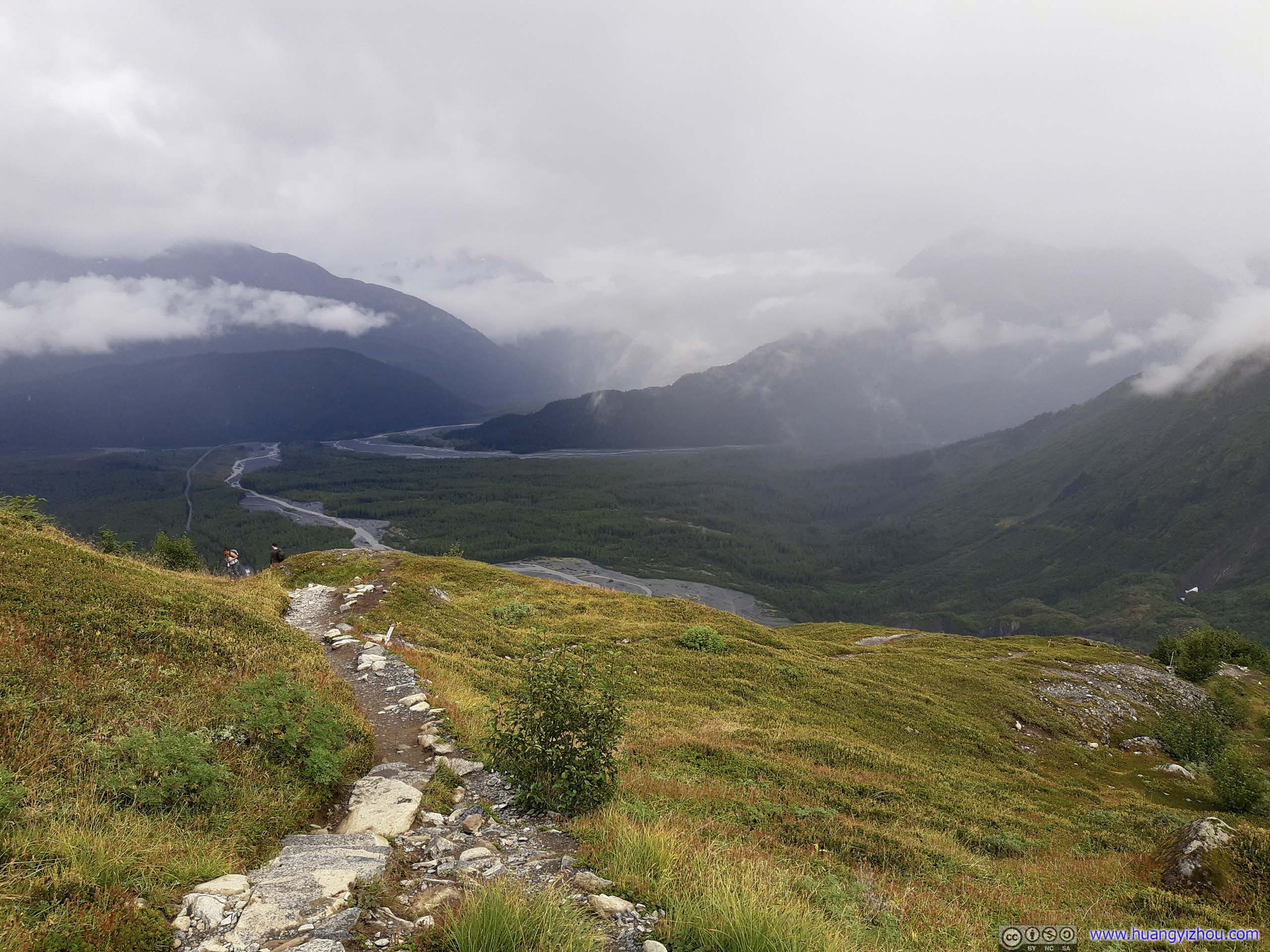
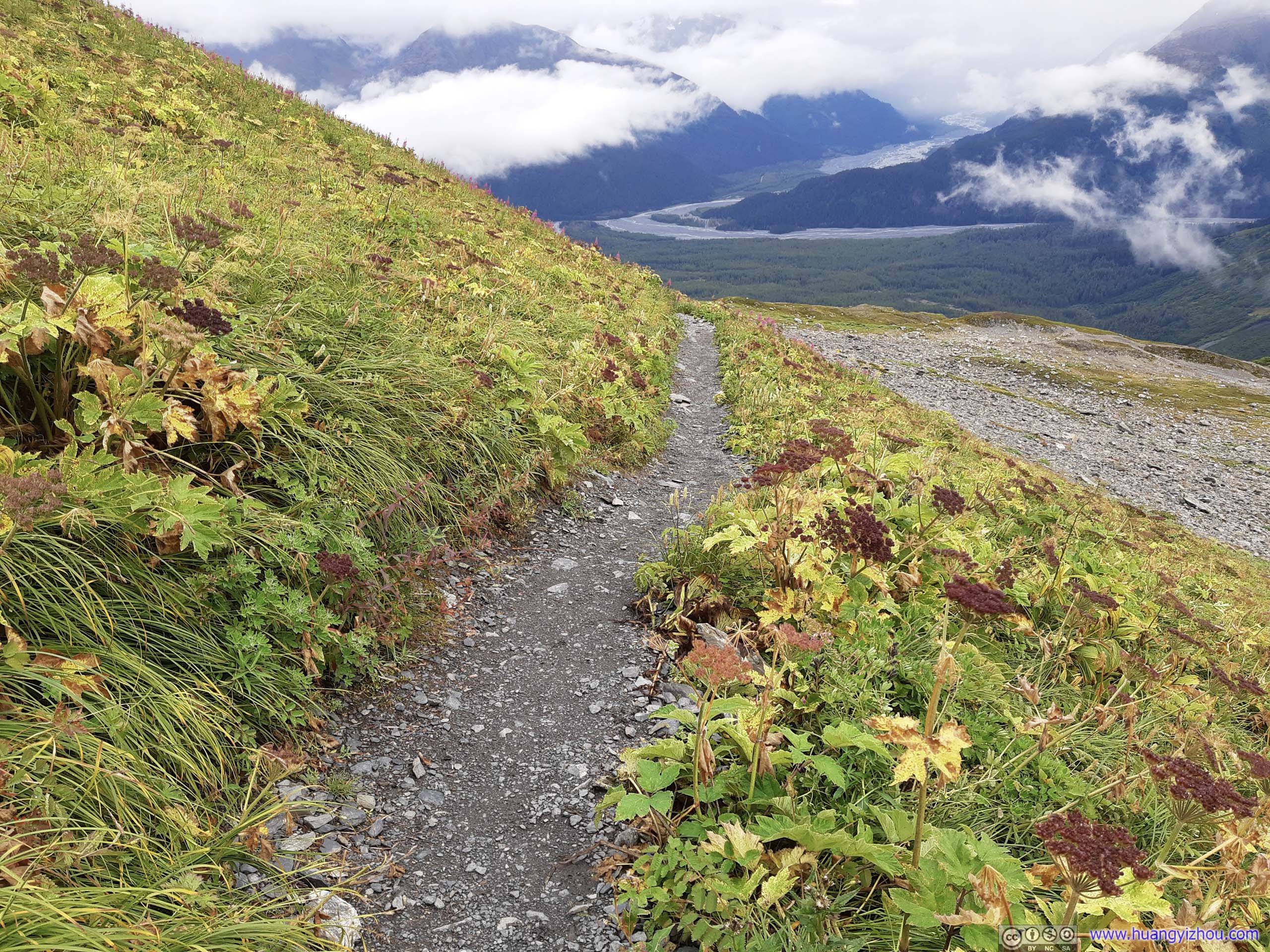
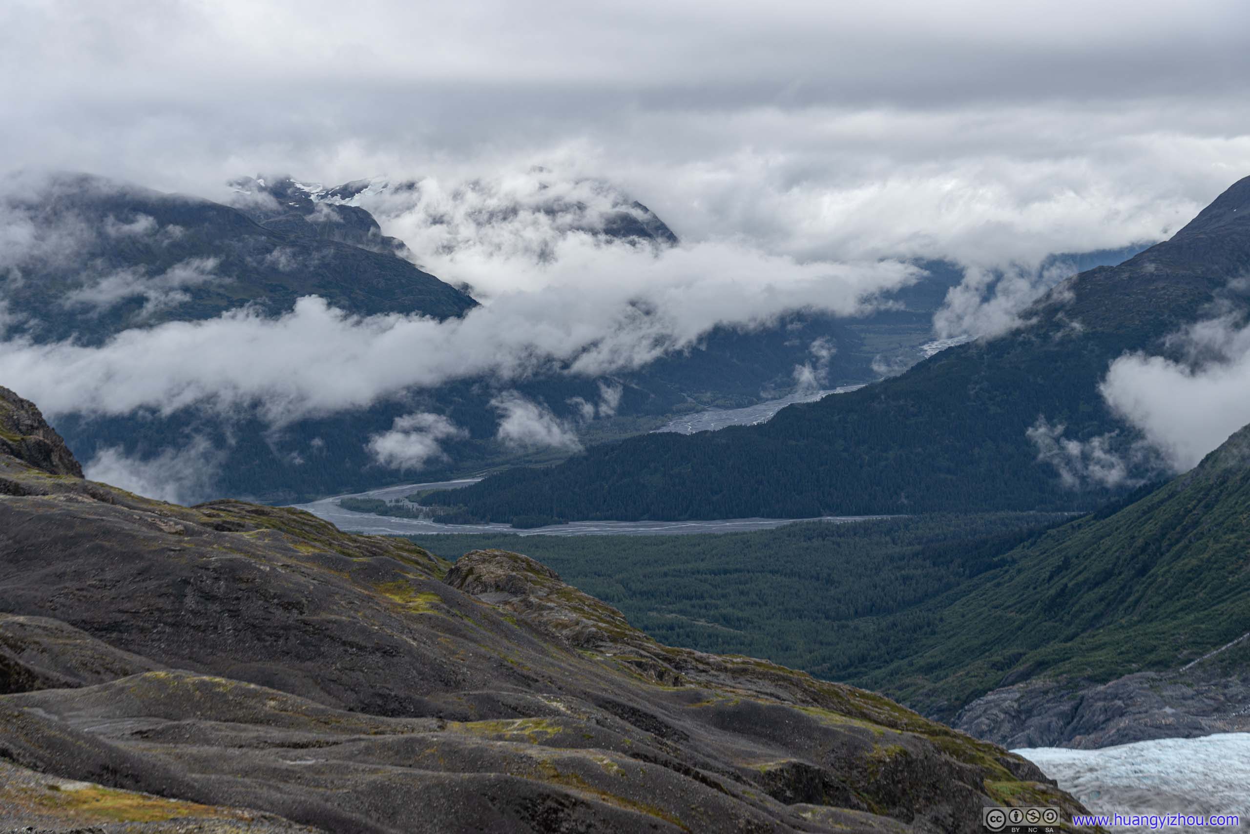
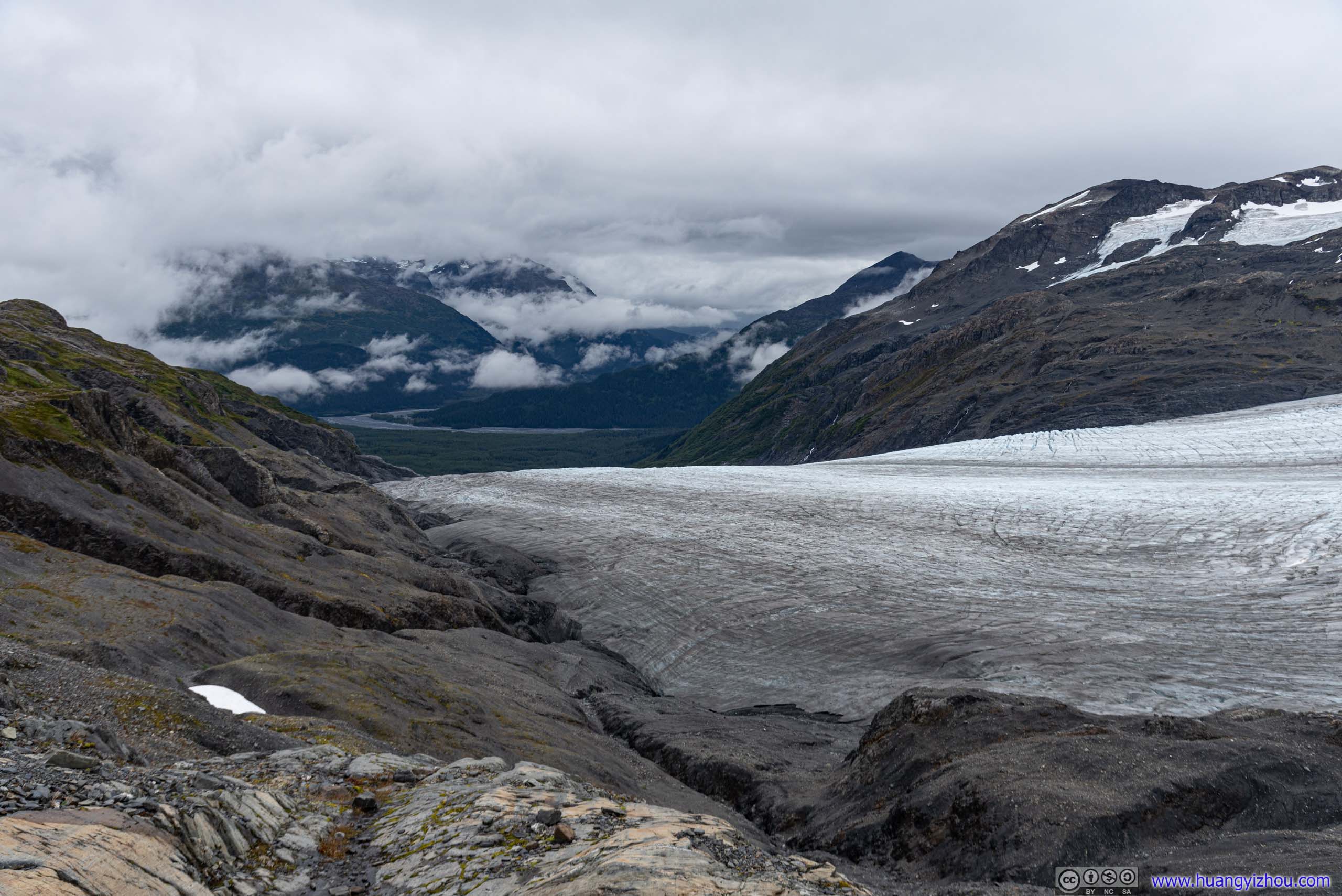
Together with views of outwash plains and distant mountains, that’s where one came from.
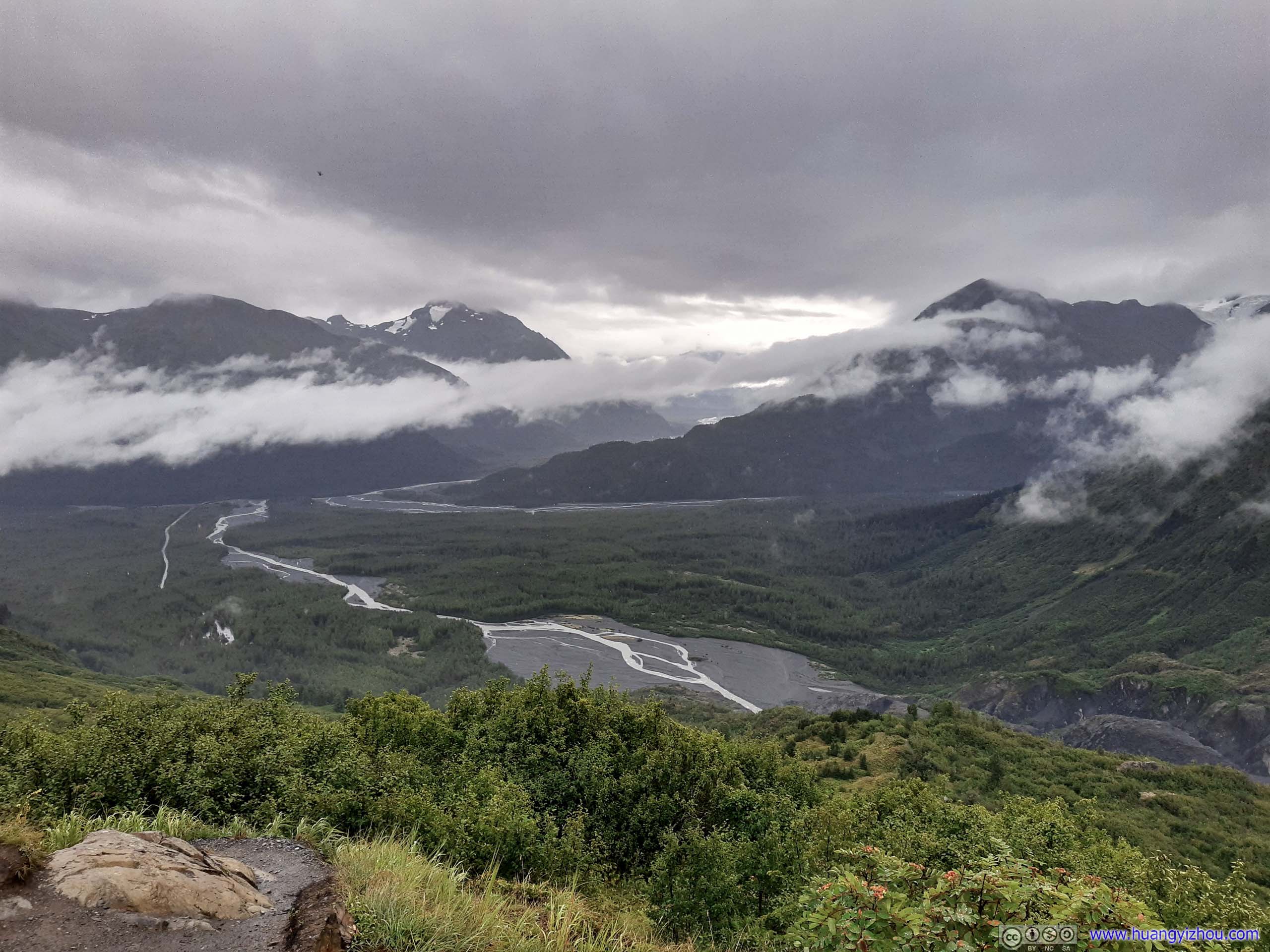
 Outwash Plains and Distant Mountains

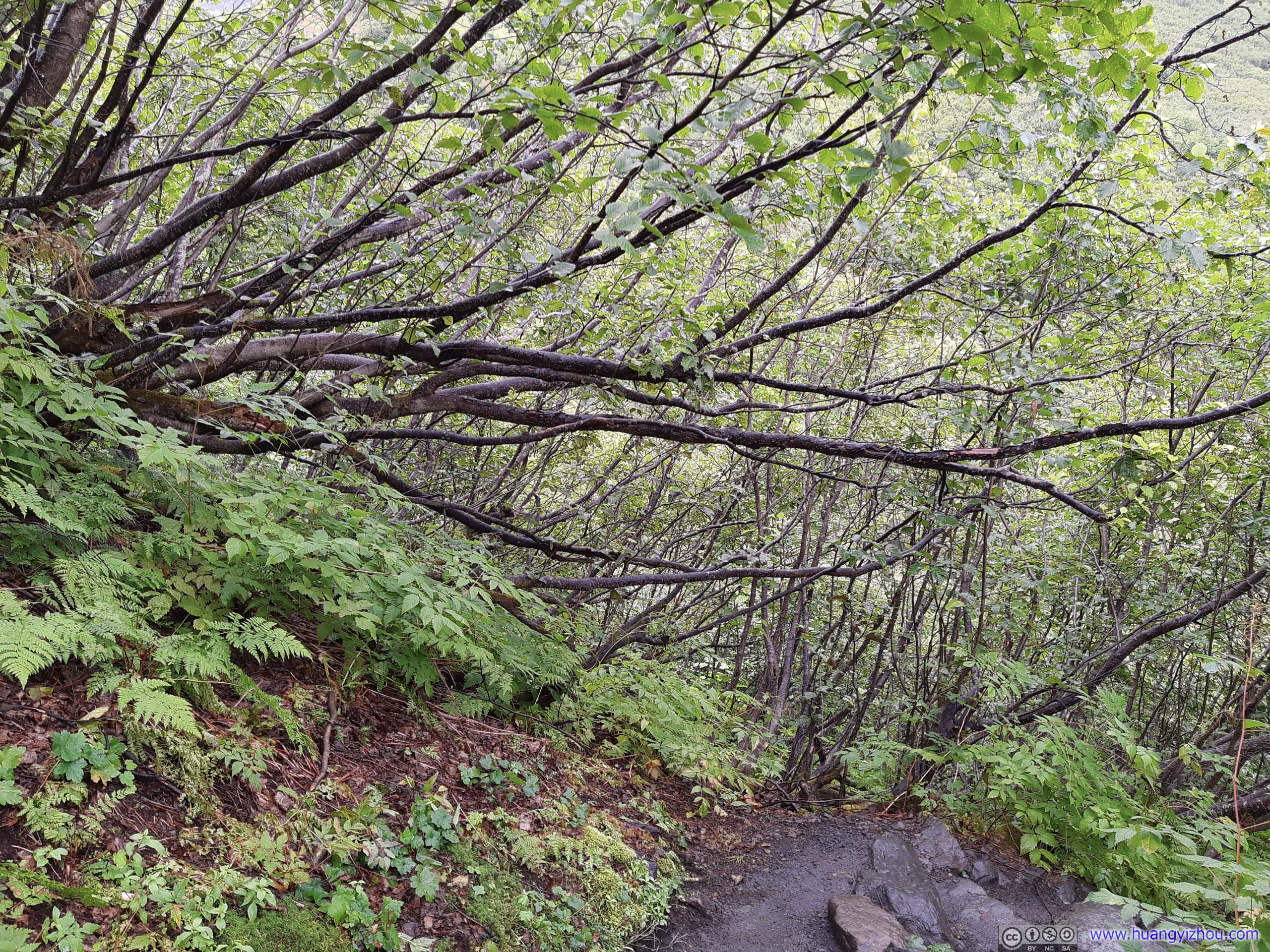
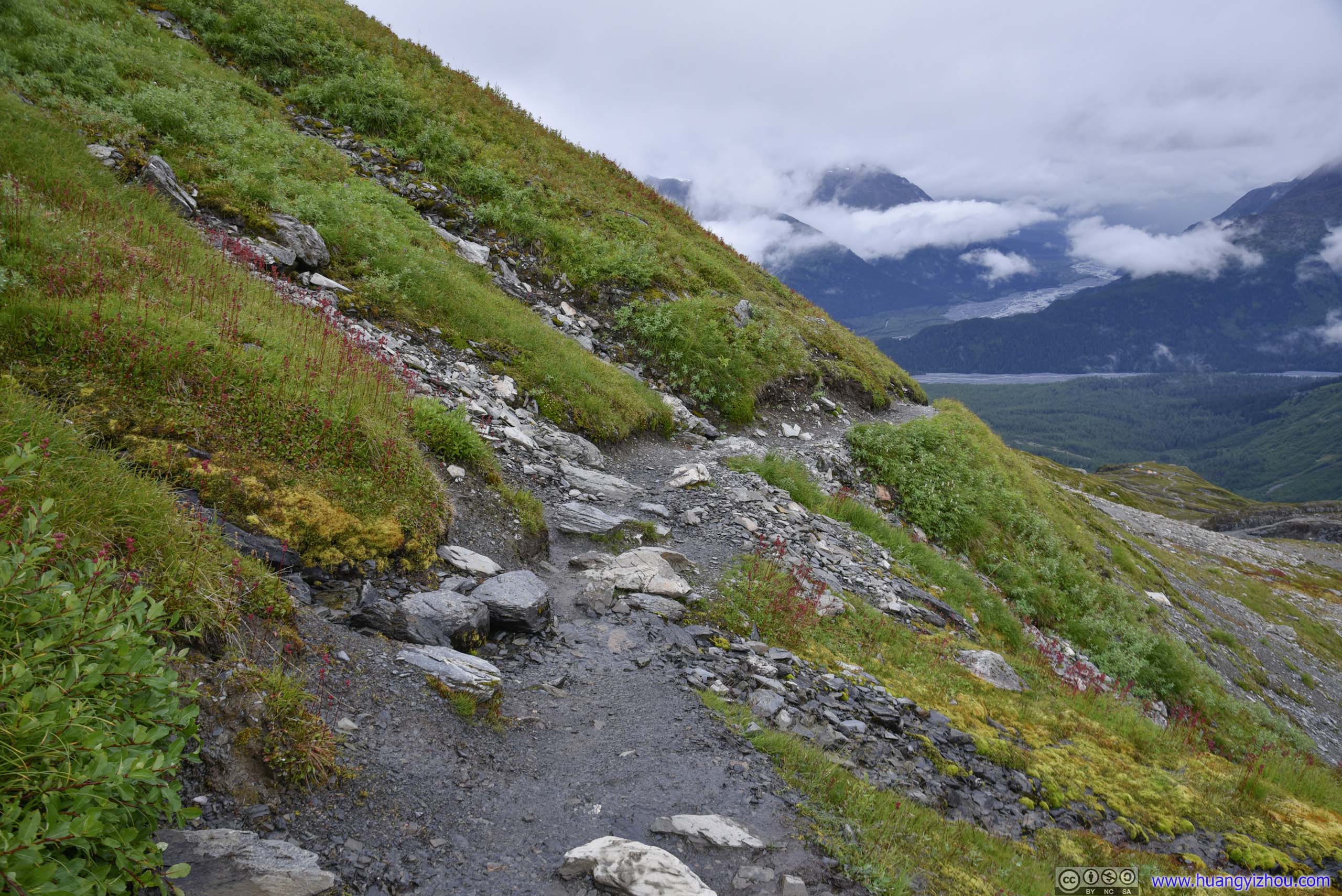
 Trail
Trail
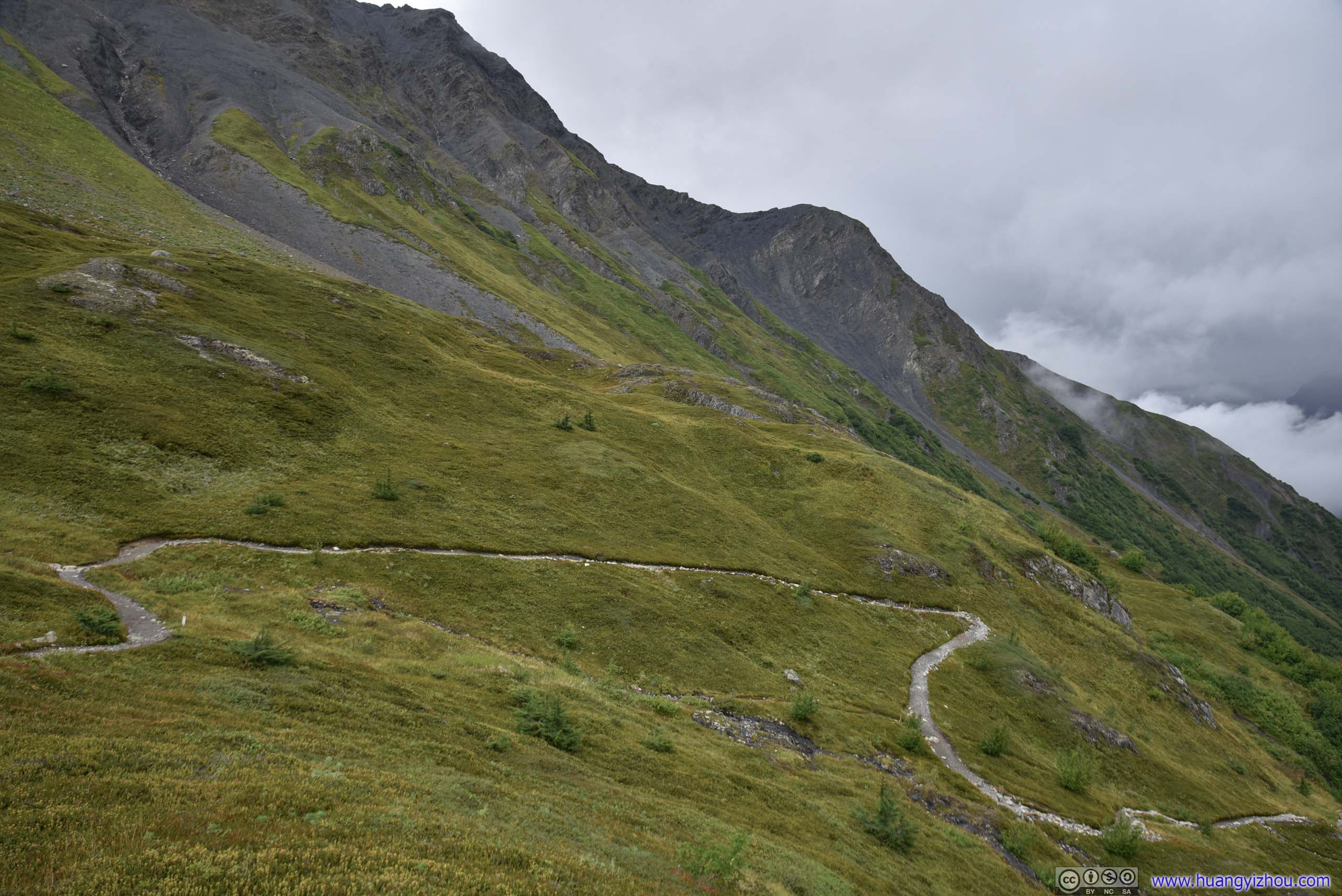 TrailWinding its way through a series of switchbacks.
At the vantage point (“top of cliff”) just after the series of switchback, a group of tents were overlooking the valley of Exit Glacier. Later I learned there were a group of Texans making their annual visit to national parks. This year due to COVID, flights were cheap and they got to come here to Alaska.
That’s also the group scouting out the way beyond emergency shelter, following the footsteps of whom I would come down to Harding Ice Field later.

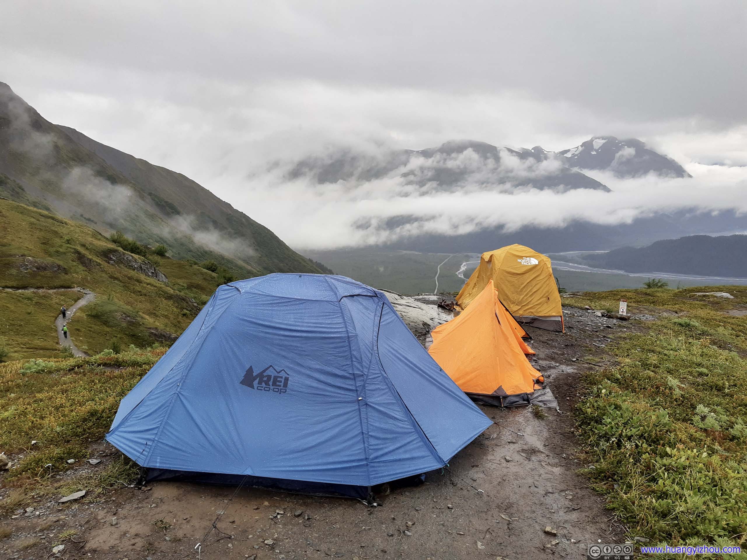
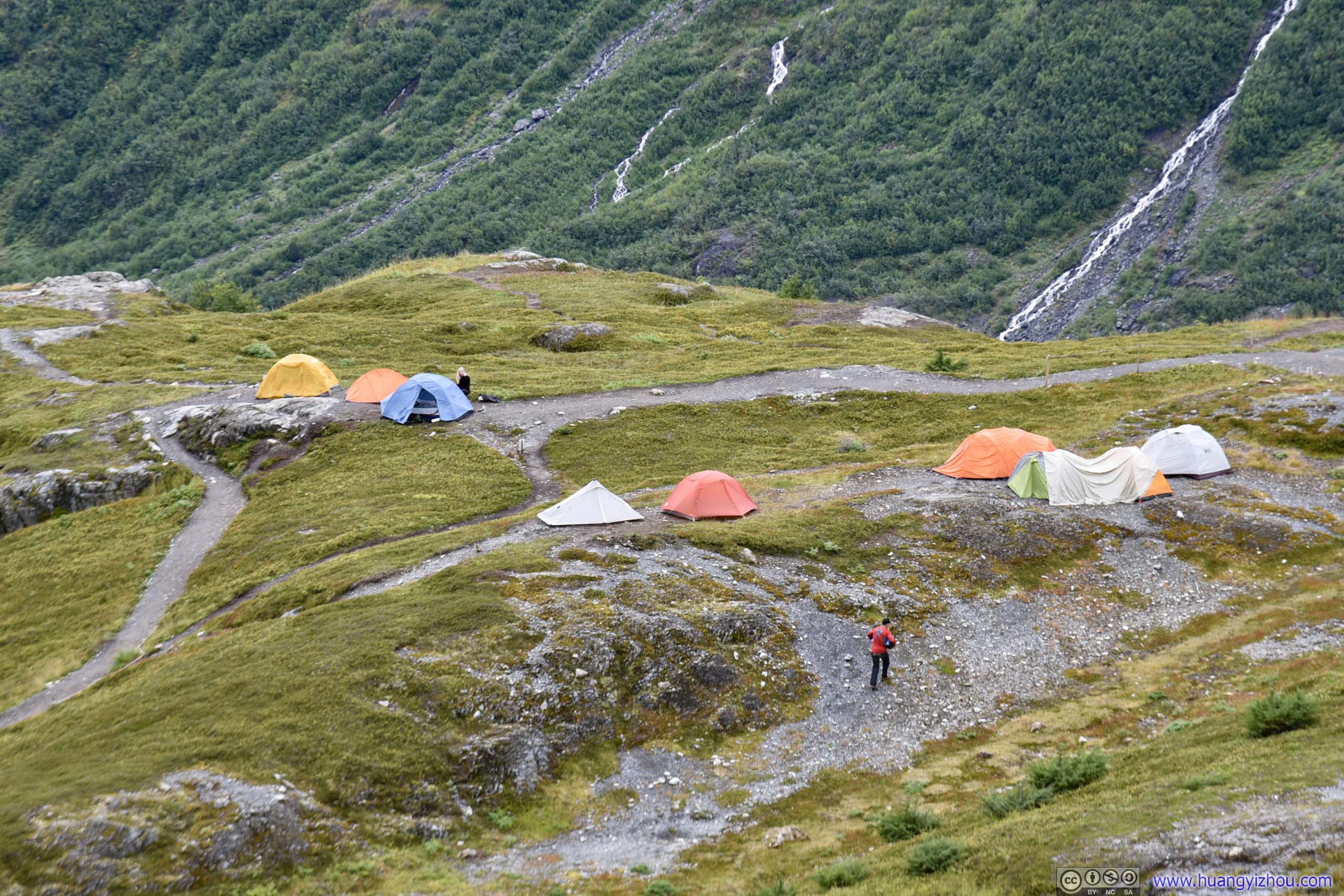 Tents
Tents
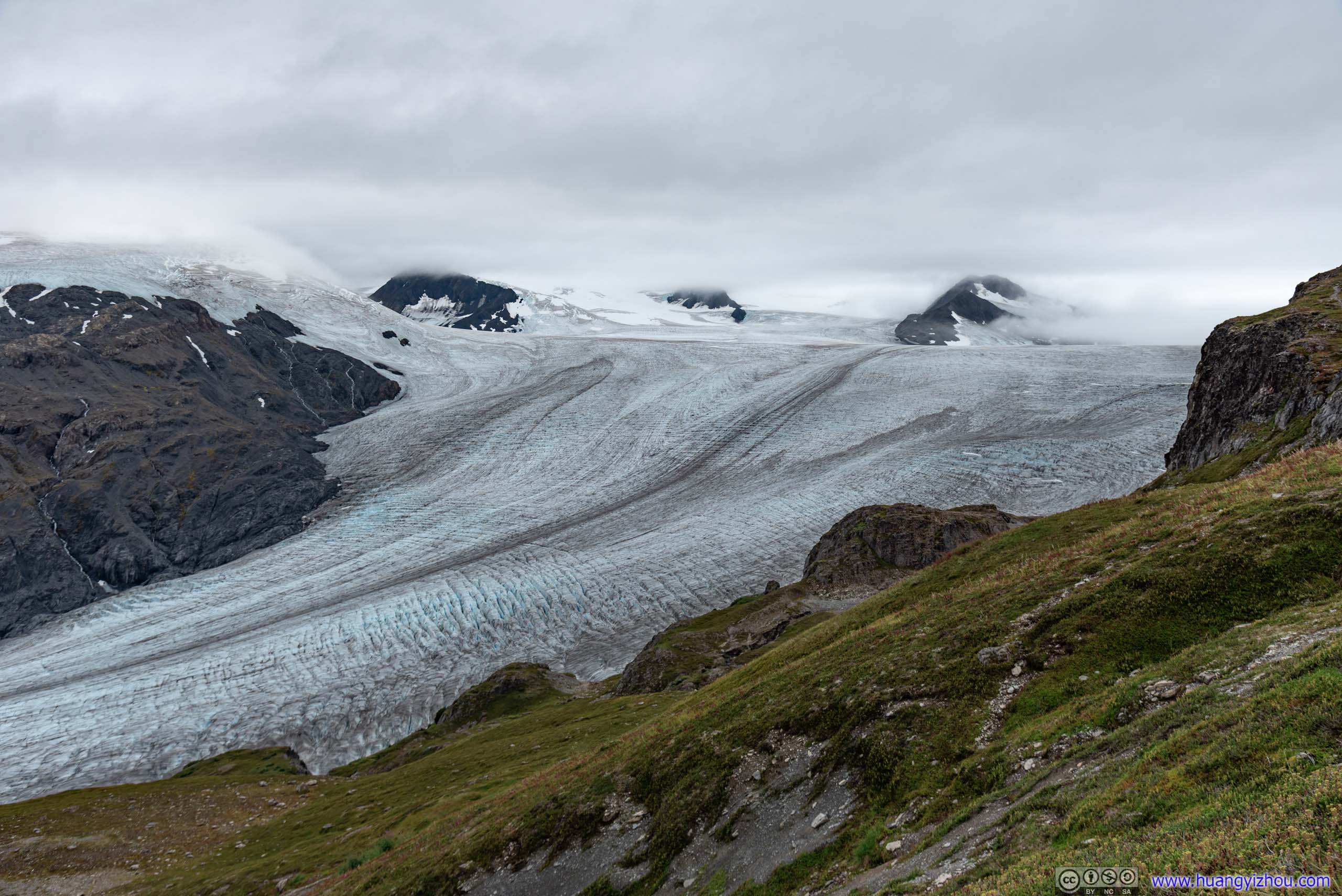
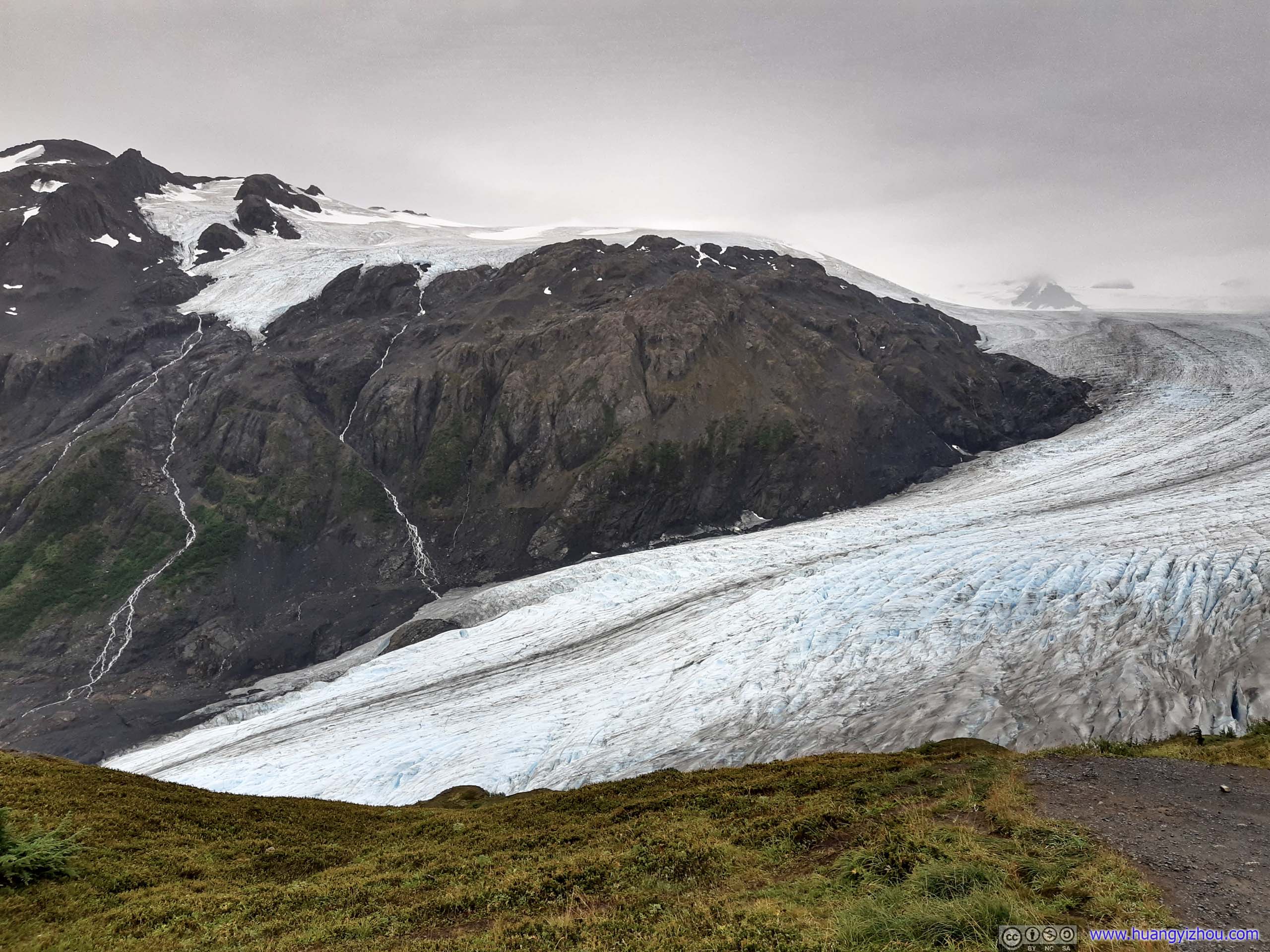
 Harding Ice Field

 Trail
Trail
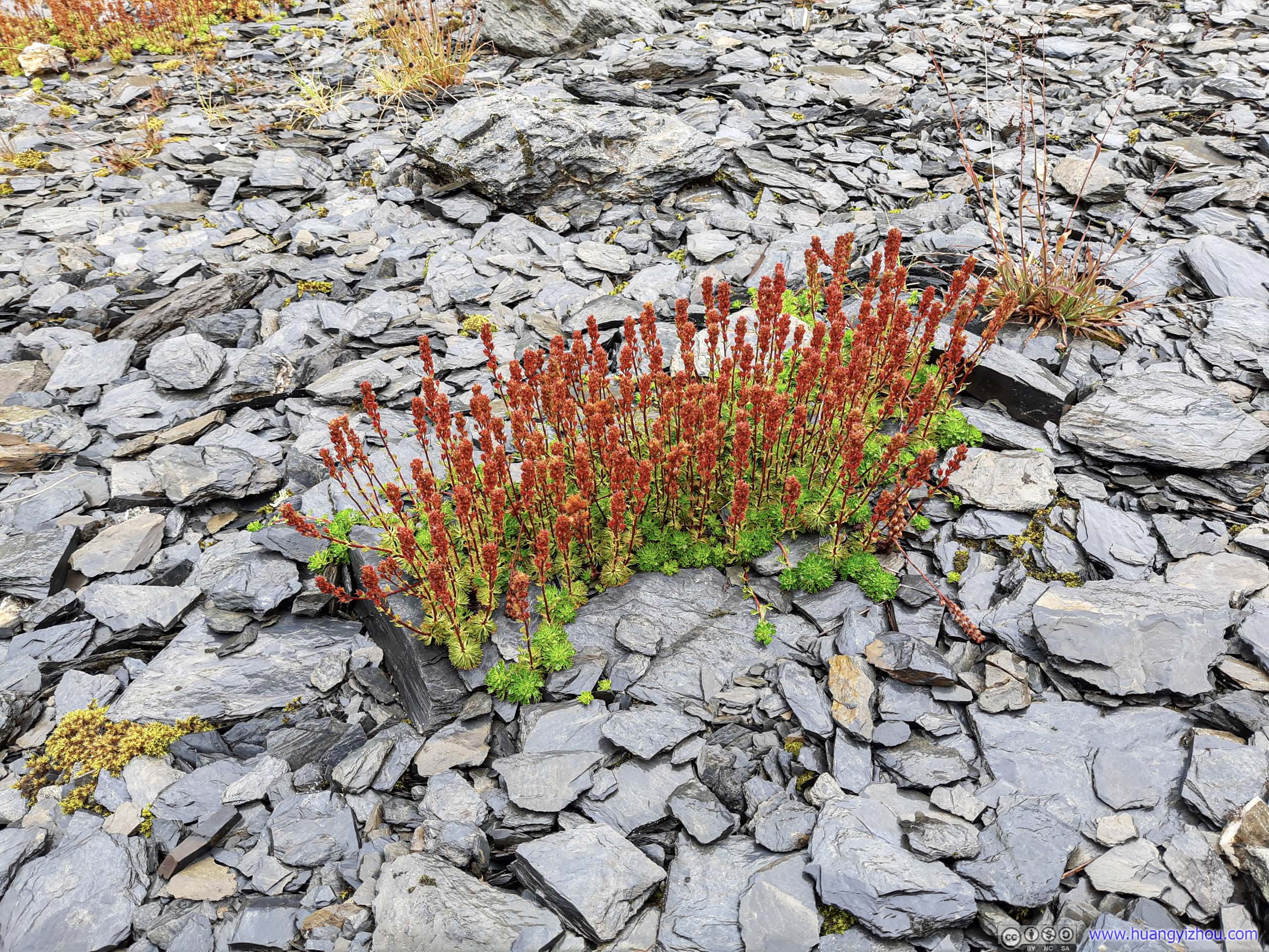
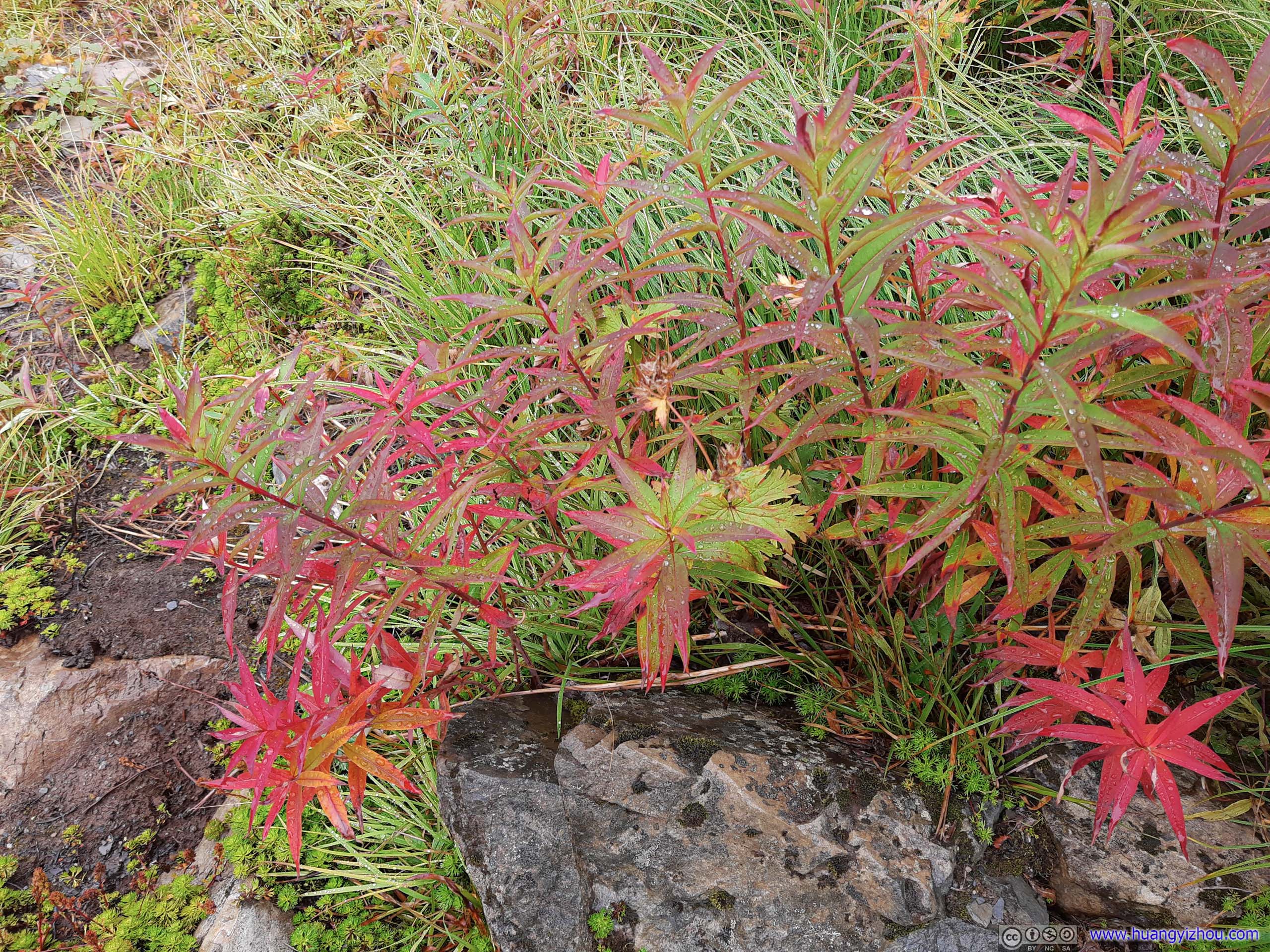
PlantsSeemingly growing out of nowhere from the rocks.
Luckily, weather had been on my side. Since coming out of tree line, rain had been dwindling down, so I packed my umbrella and had one less thing to worry about while enjoying this scenery.
 Trail
Trail
 Flowers
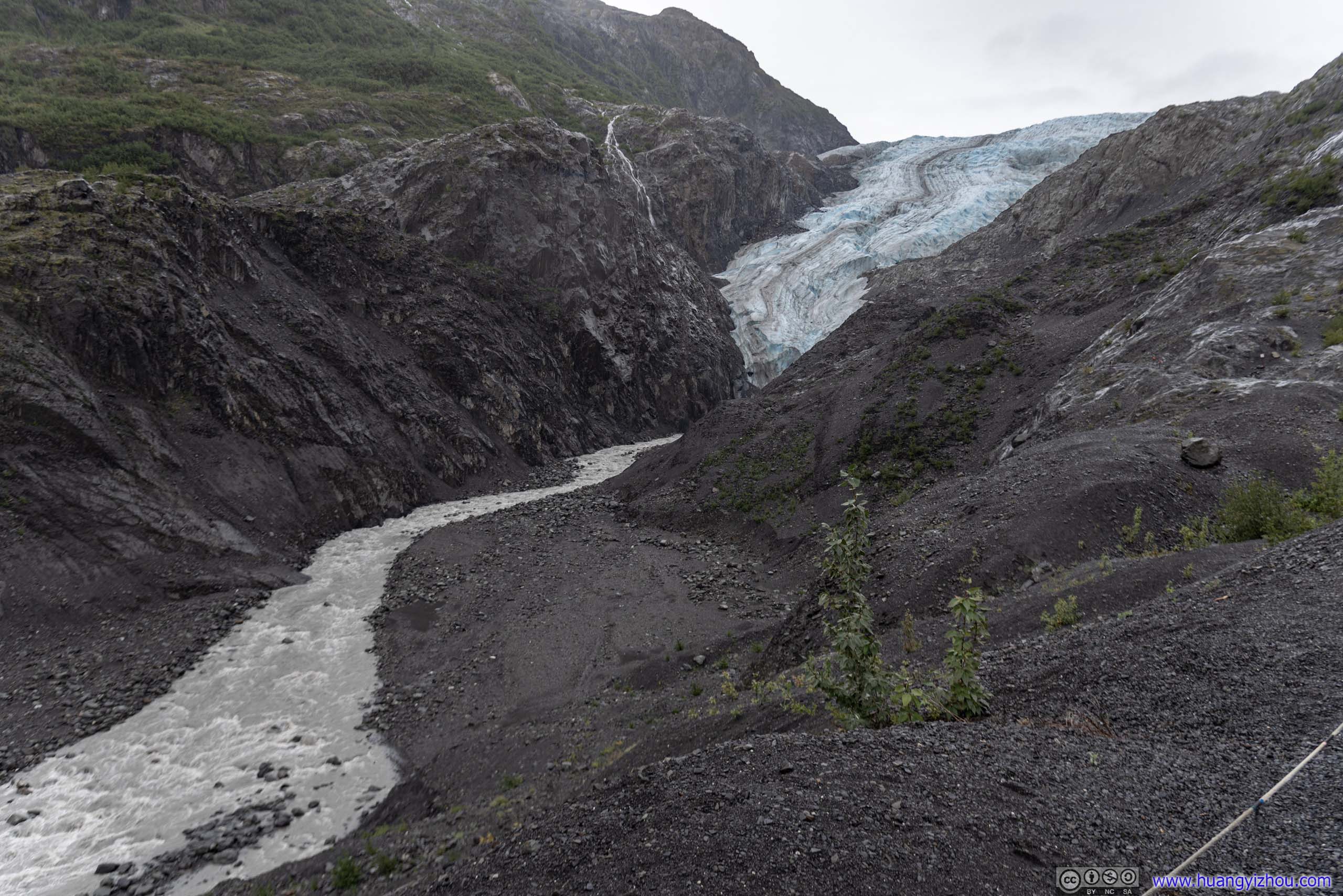
Exit Glacier from Trail
 Creek
Creek
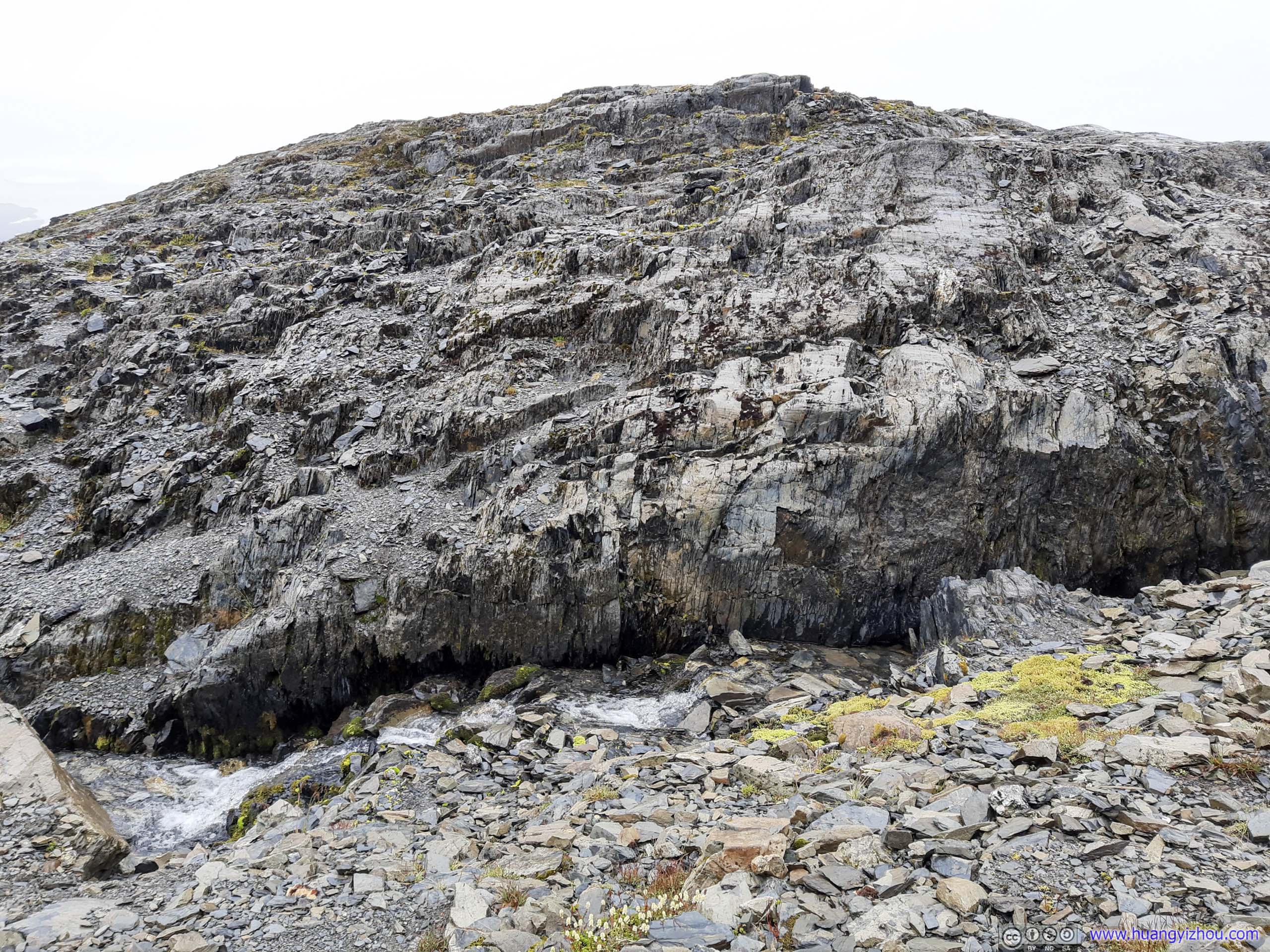
RocksA creek flowing underneath this amazing texture.
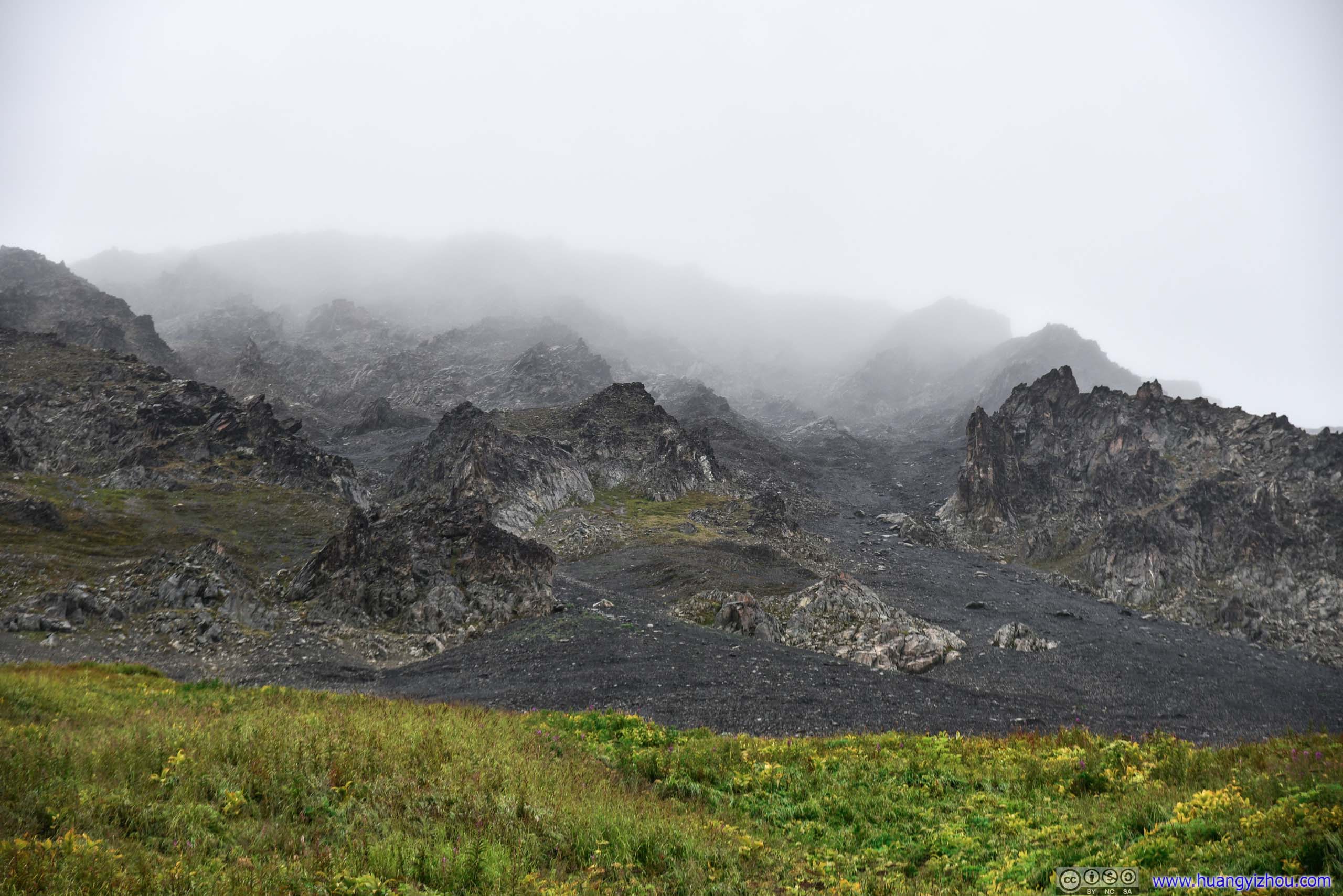
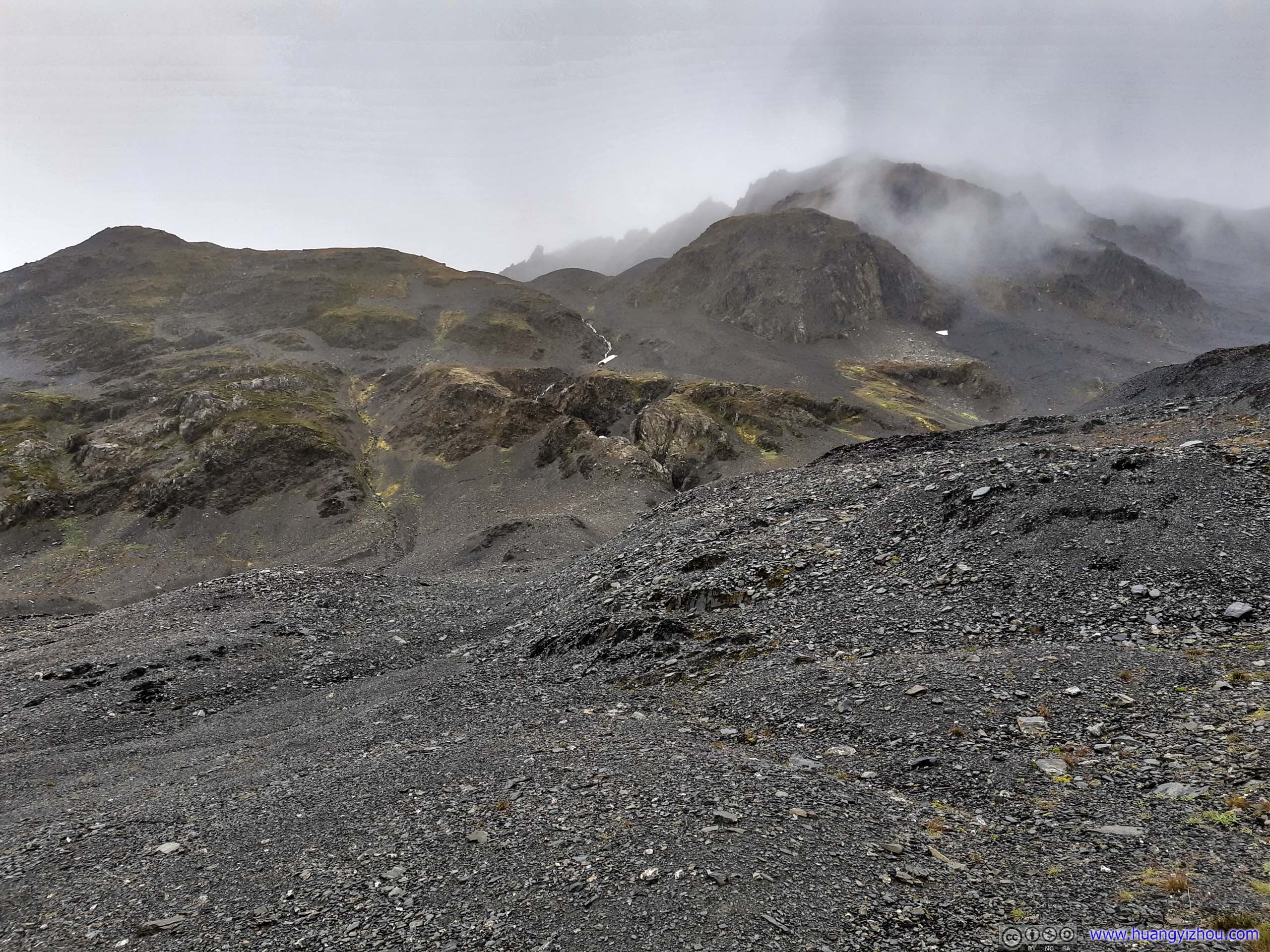
Misty Mountains

 Trail
Trail
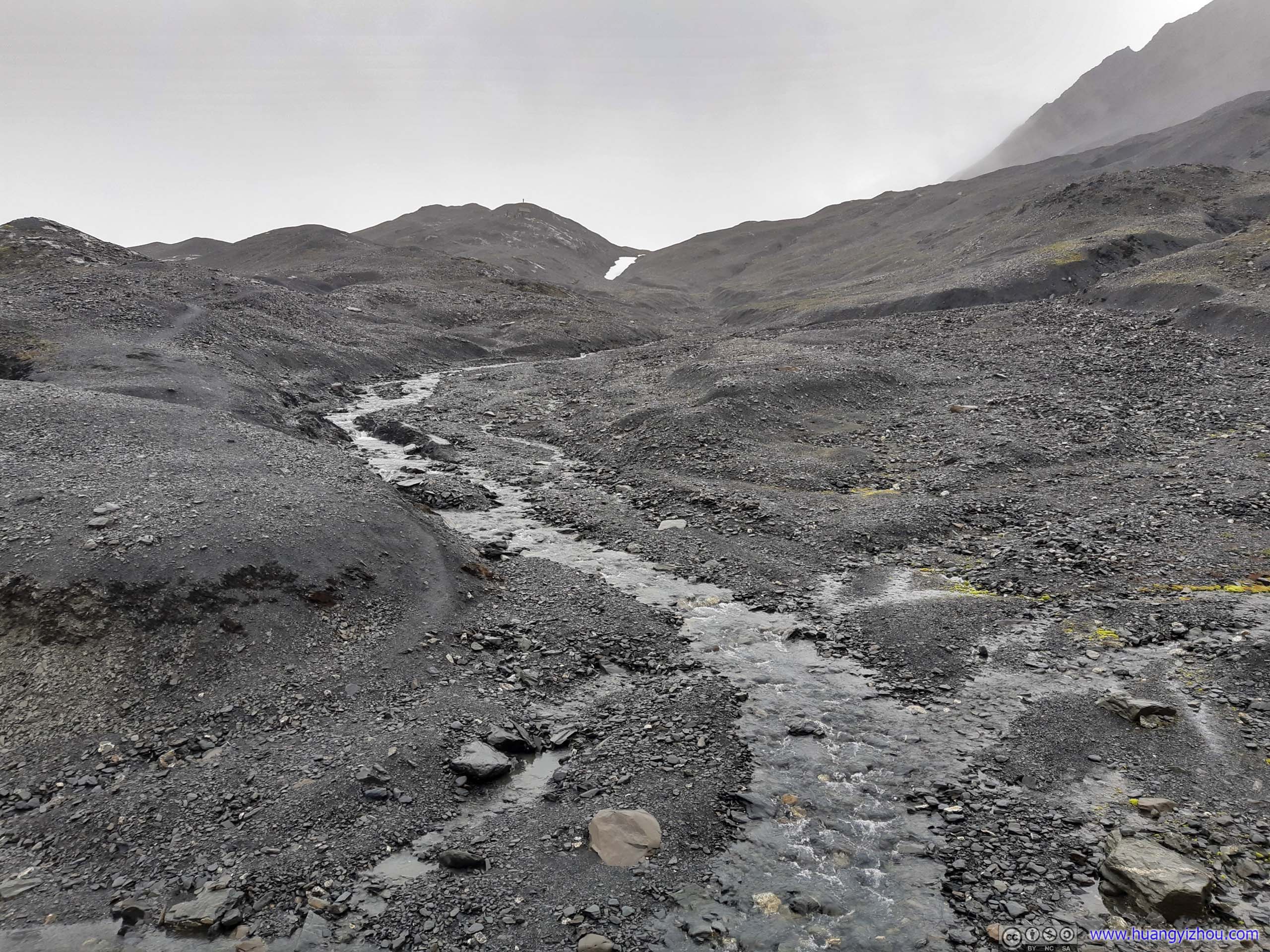
 Creek
Creek
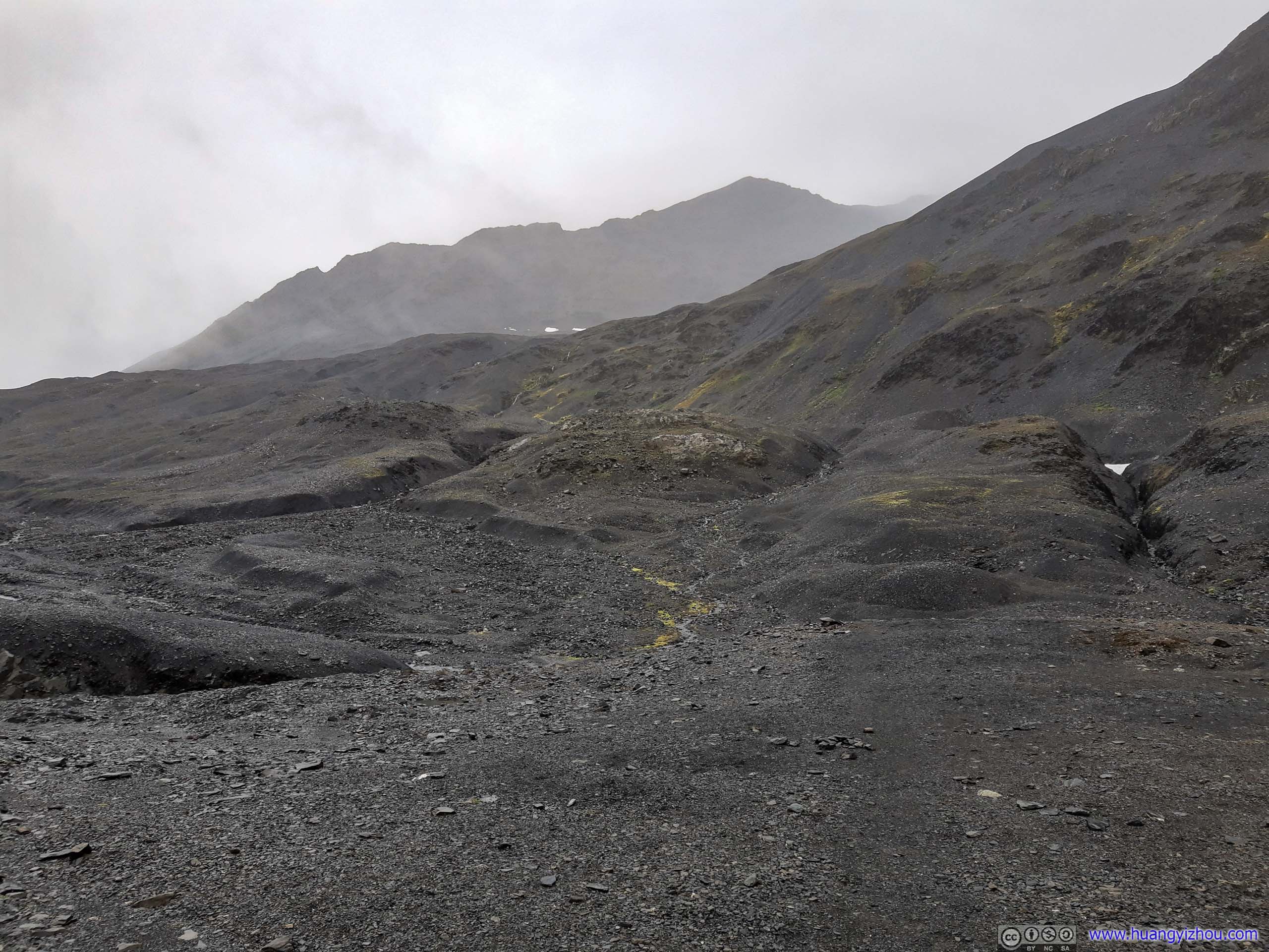
 Barren Landscape
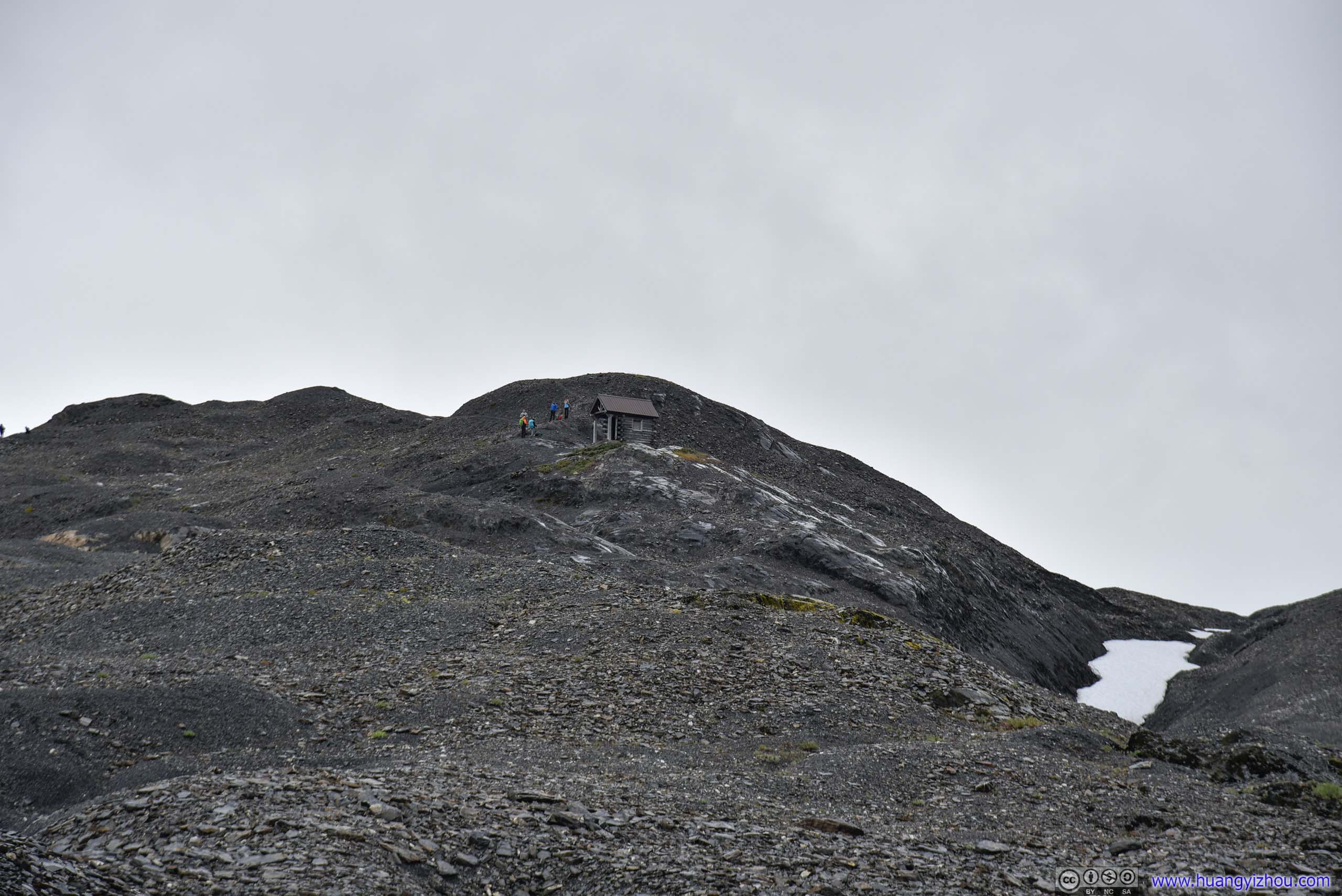
Final Stretch to Emergency Shelter
Finally, at 1pm, 6.5km and 2.5 hours from trailhead (excluding Exit Glacier detour), I was at the emergency shelter, end of trail on the map. That’s where I caught up with the group of aforementioned Texans.
After a field lunch, I followed them down to Harding Ice Field.
Distant Outwash Plain

Hello Glaciers

 Exit Glacier on Mountain
 Harding Ice Field
Trail to Harding Ice Field
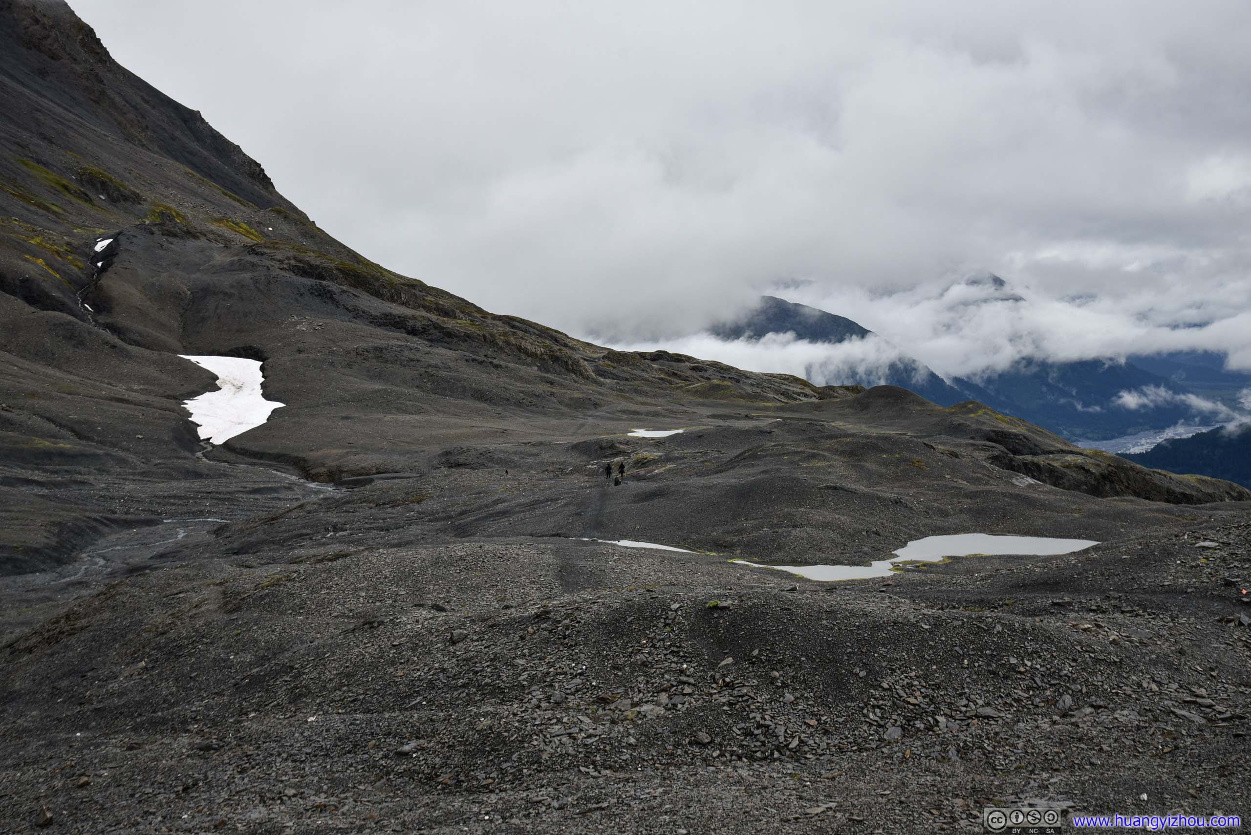
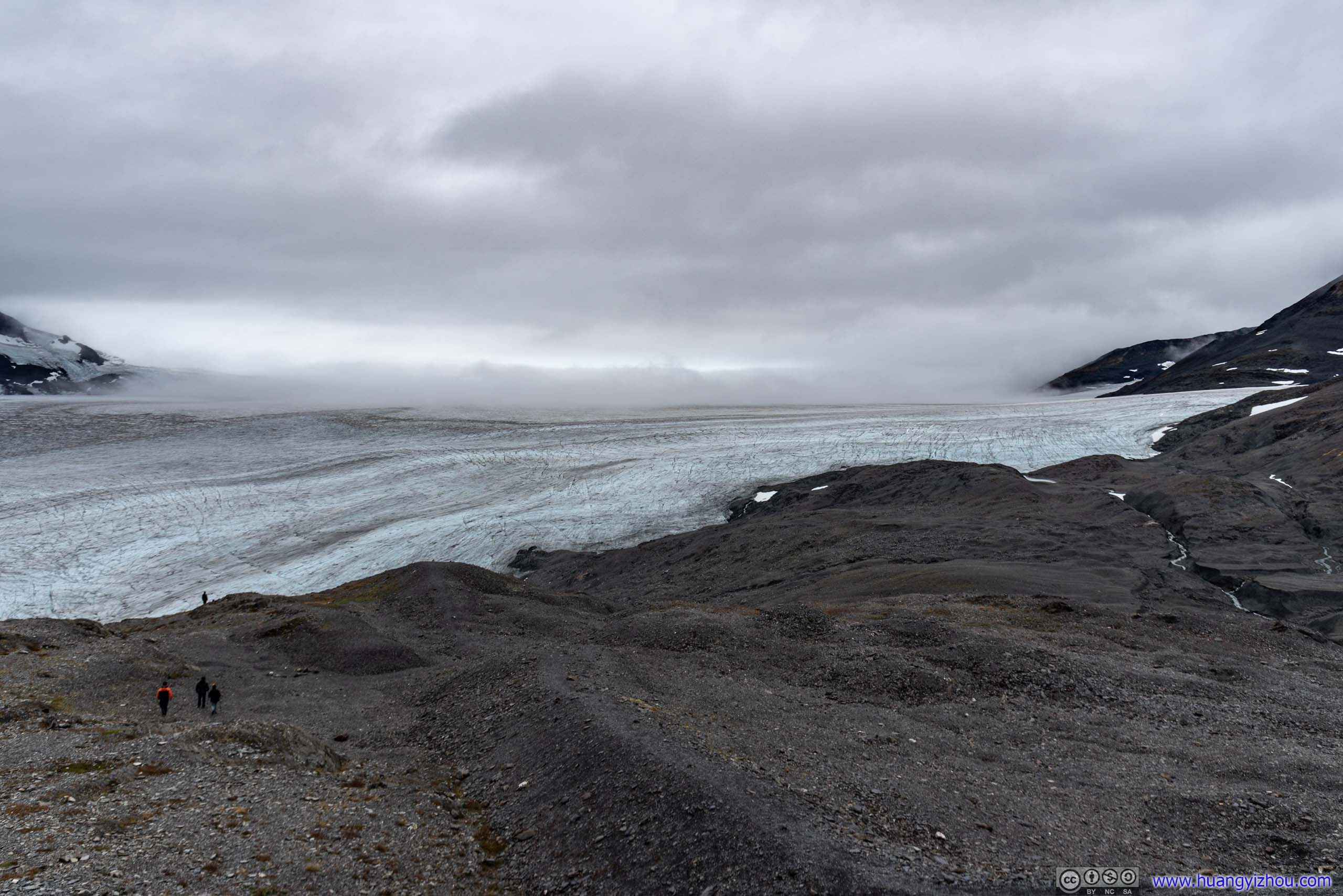
After the emergency shelter, there’s a 1.2km downhill to the edge of Harding Ice Field. This was the most technical/difficult section of the trail, with steep declines on loose gravel (below). In addition, wind was strong near the ice field due to temperature gradient. Still, nothing I couldn’t handle.
 Hill before Harding Ice Field

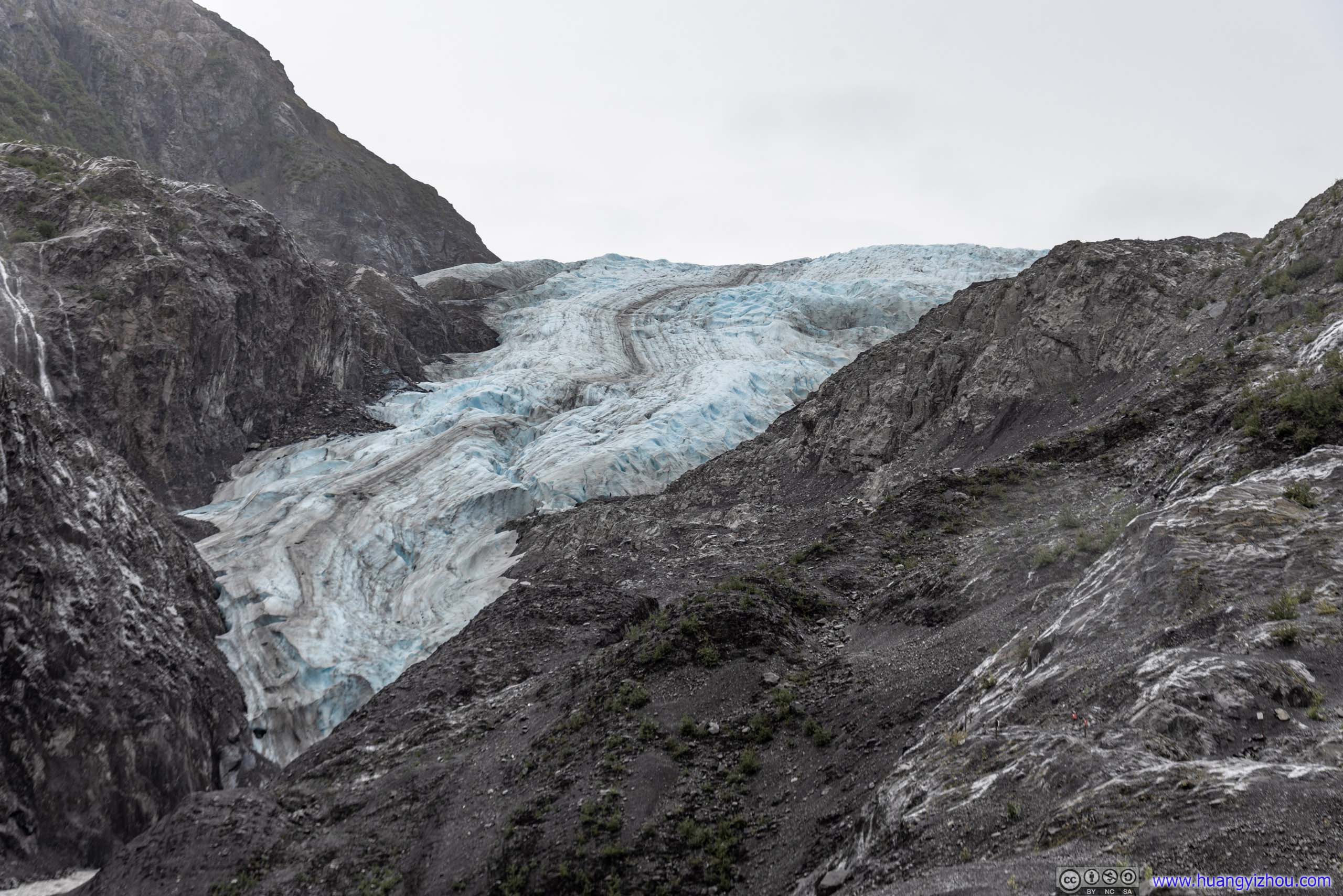
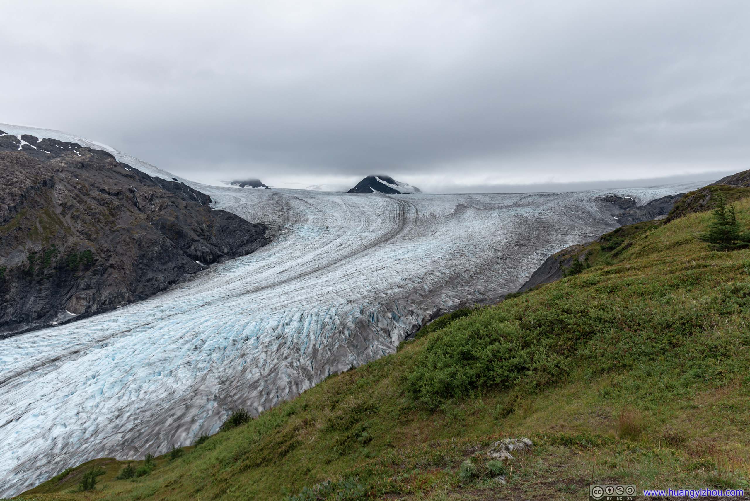
 Harding Ice Field

 Mountains beyond Harding Ice Field
 Harding Ice Field
Edge of Ice FieldWhere ice meets rock.
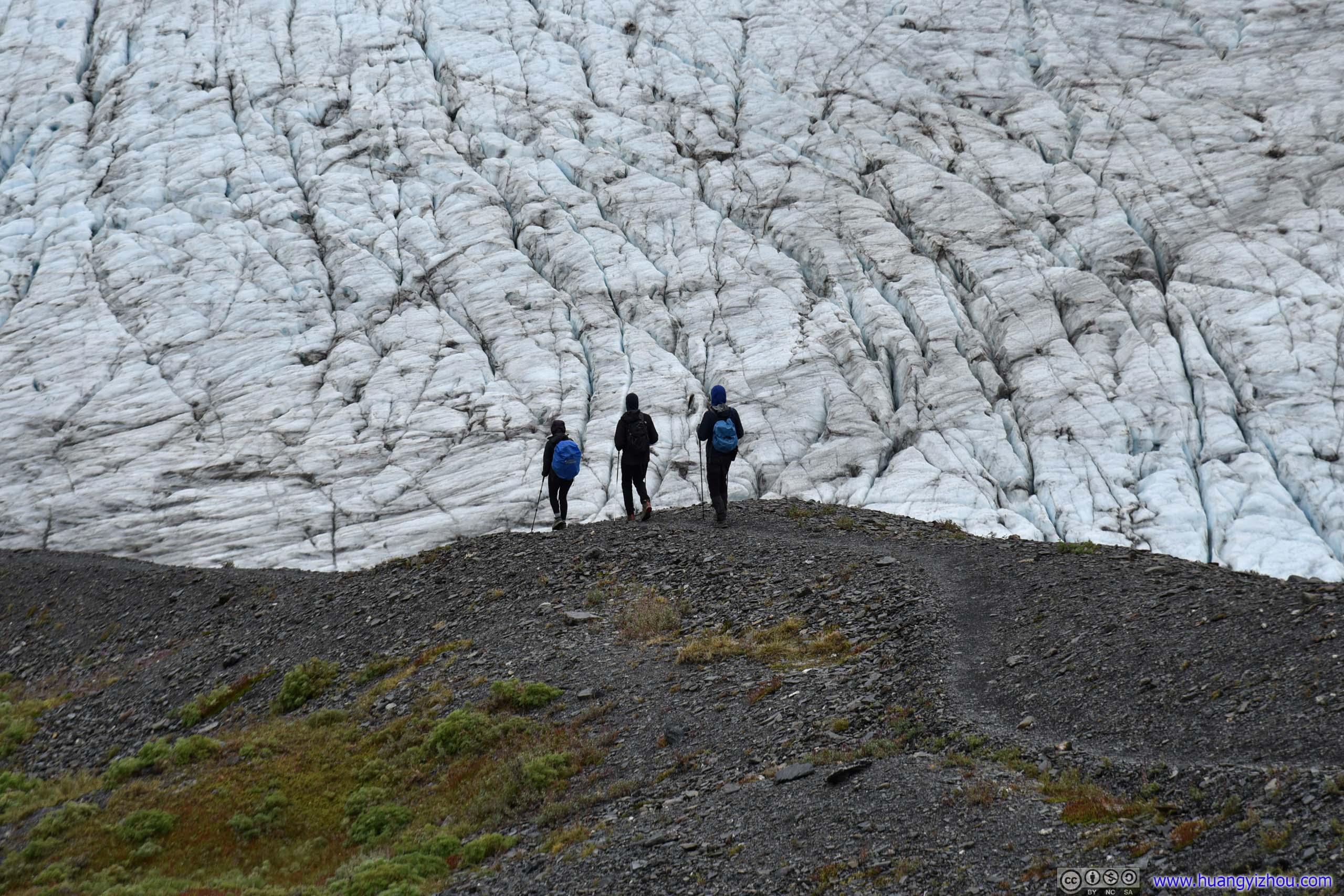
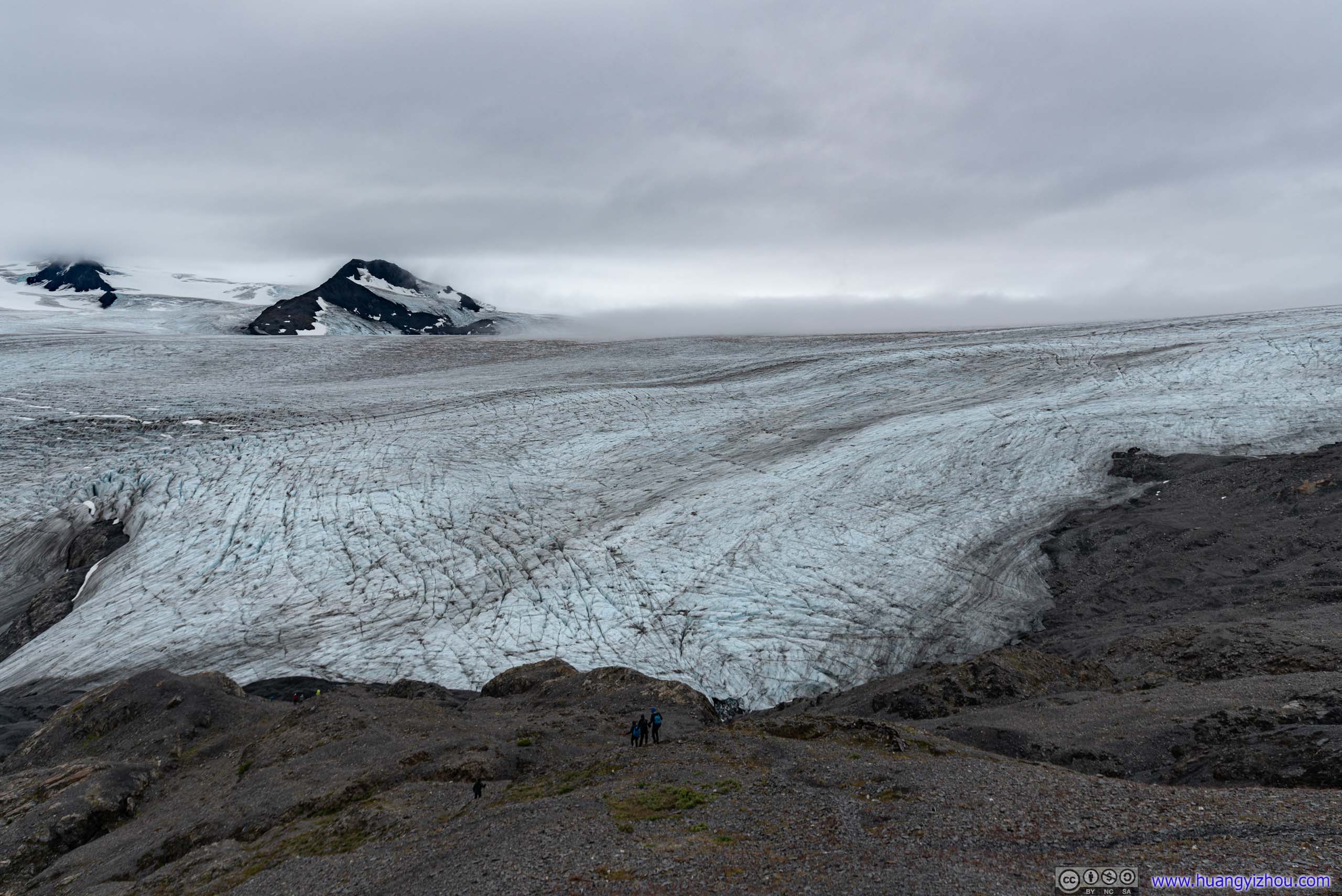
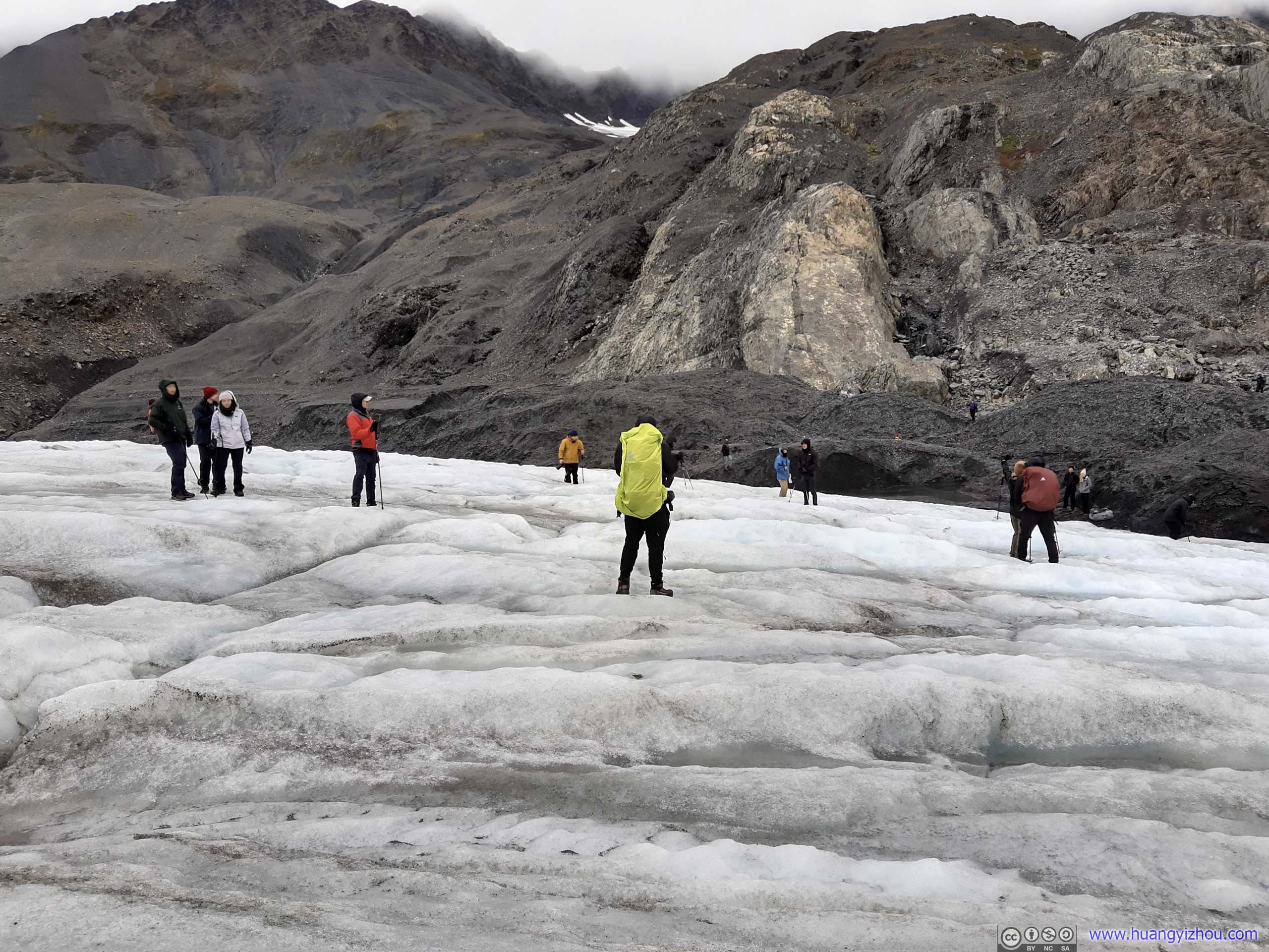
At 2pm, I followed the group of Texans and made my way onto Harding Ice Field.
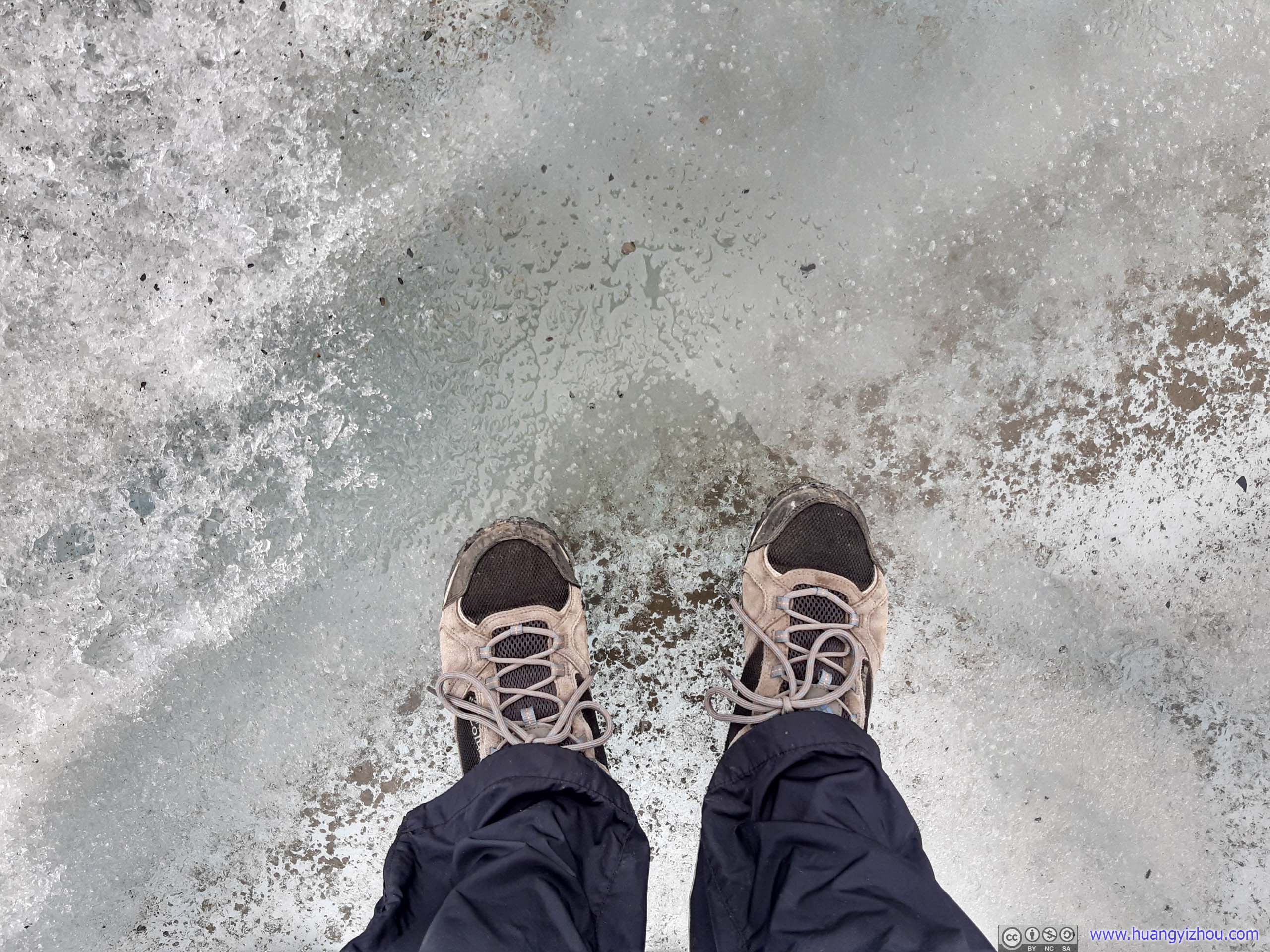
Standing on Ice
Without microspikes, the ice surface was extremely slippery. Quite a lot of us slipped on the ice, me included.

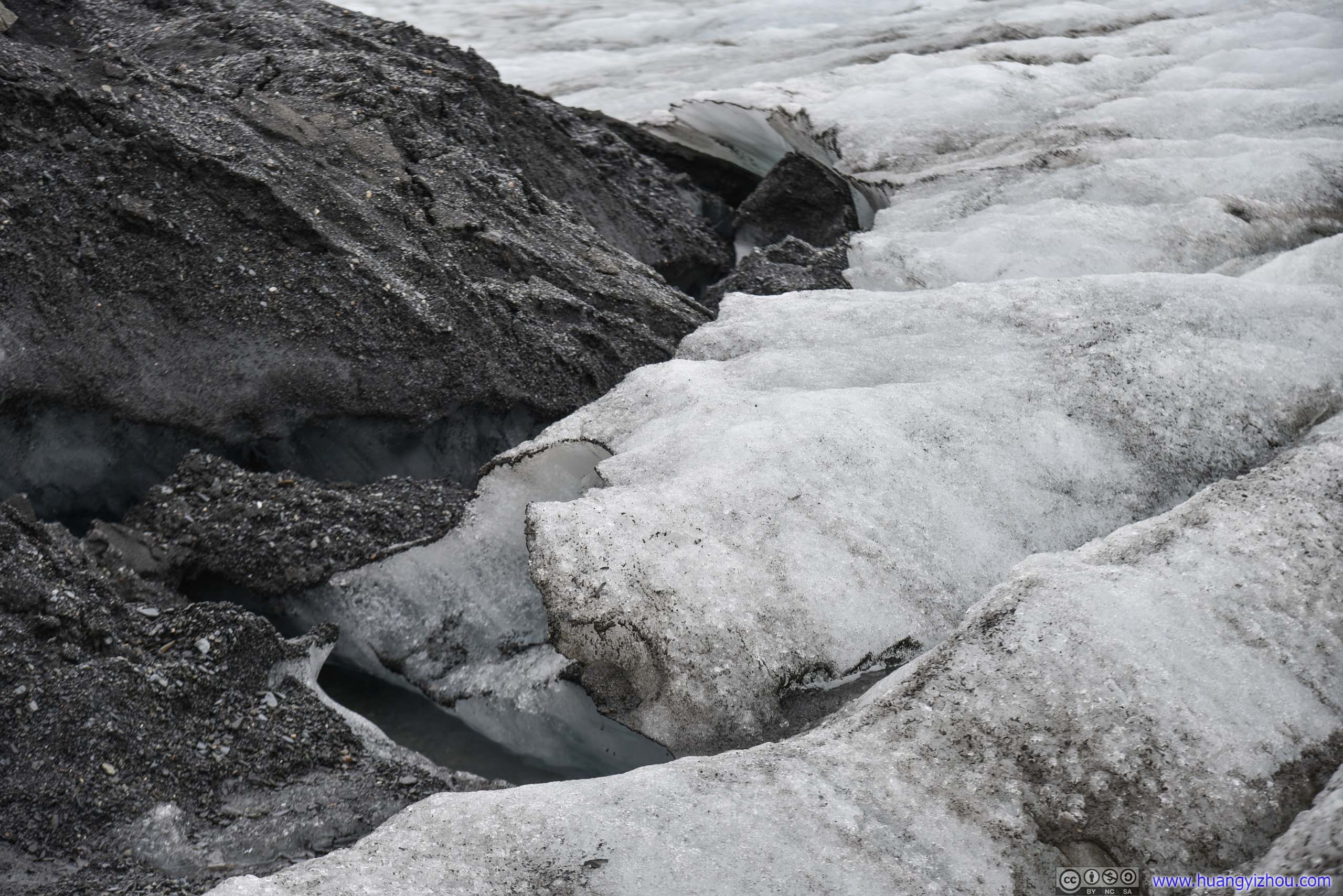
Hole in IceCreated by some unlucky guy.
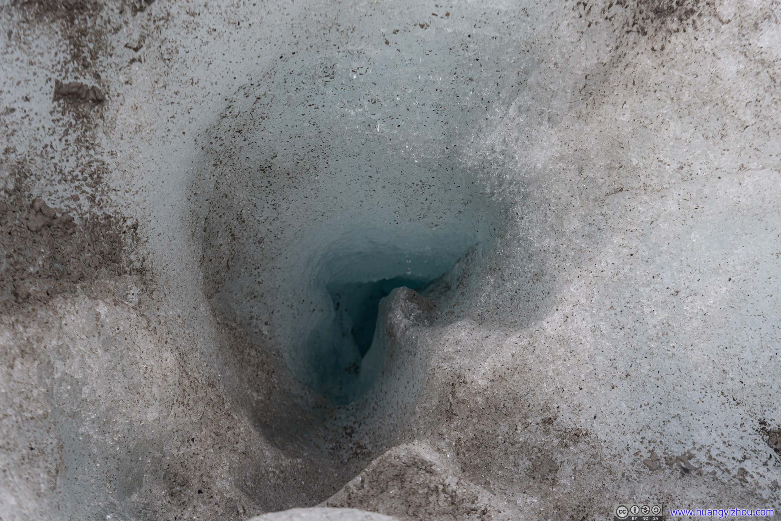
AbyssI couldn’t see the whole depth of it.
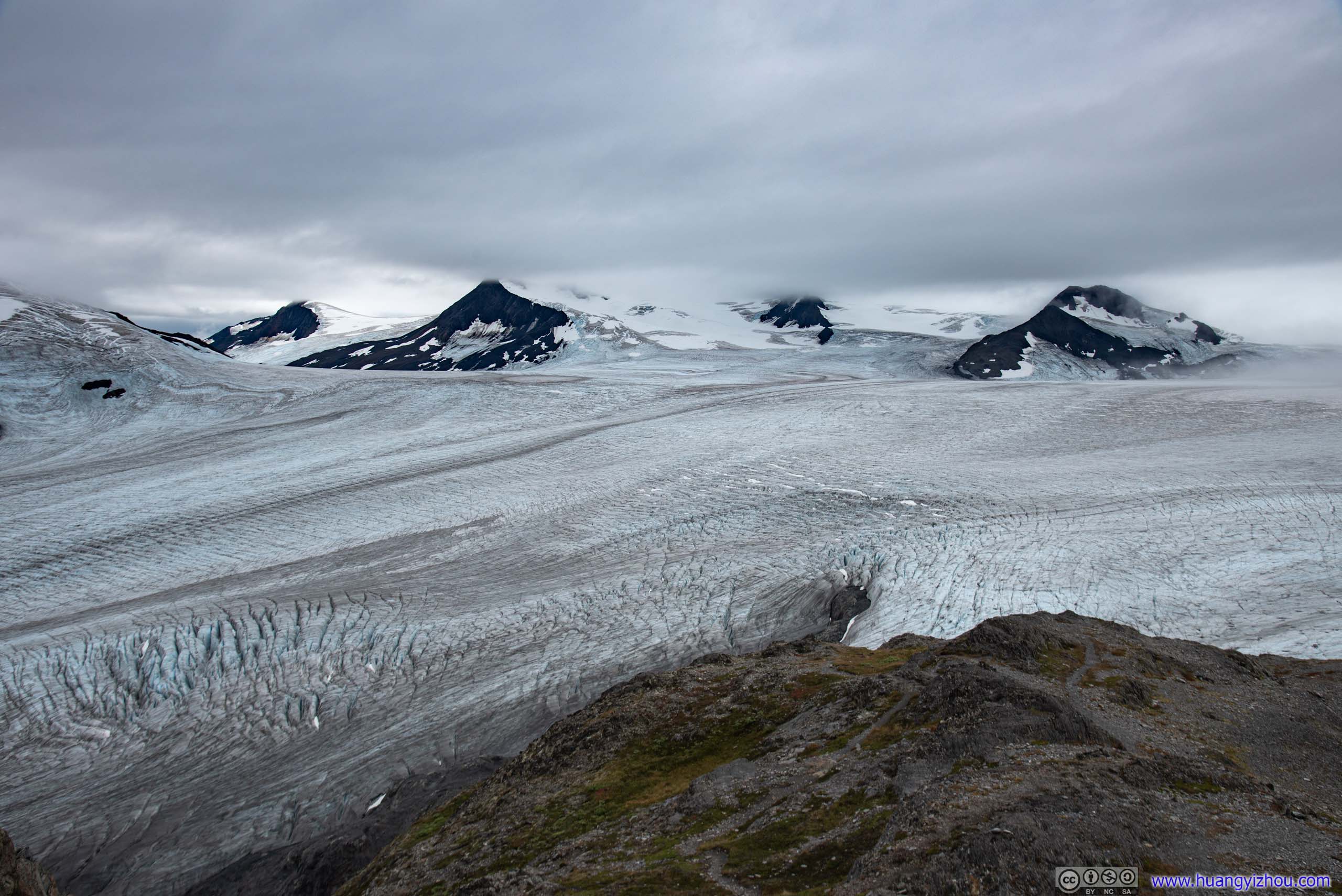
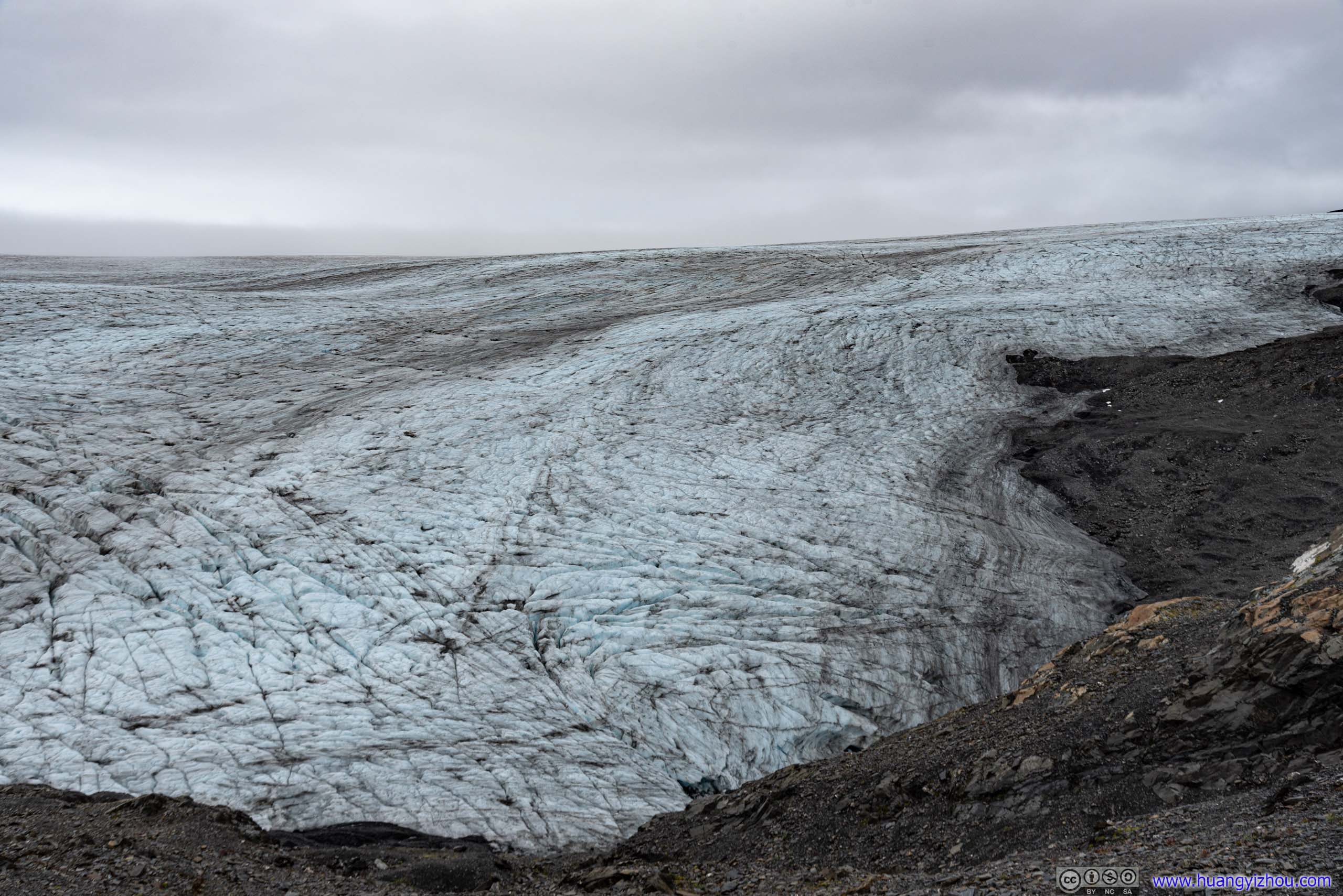
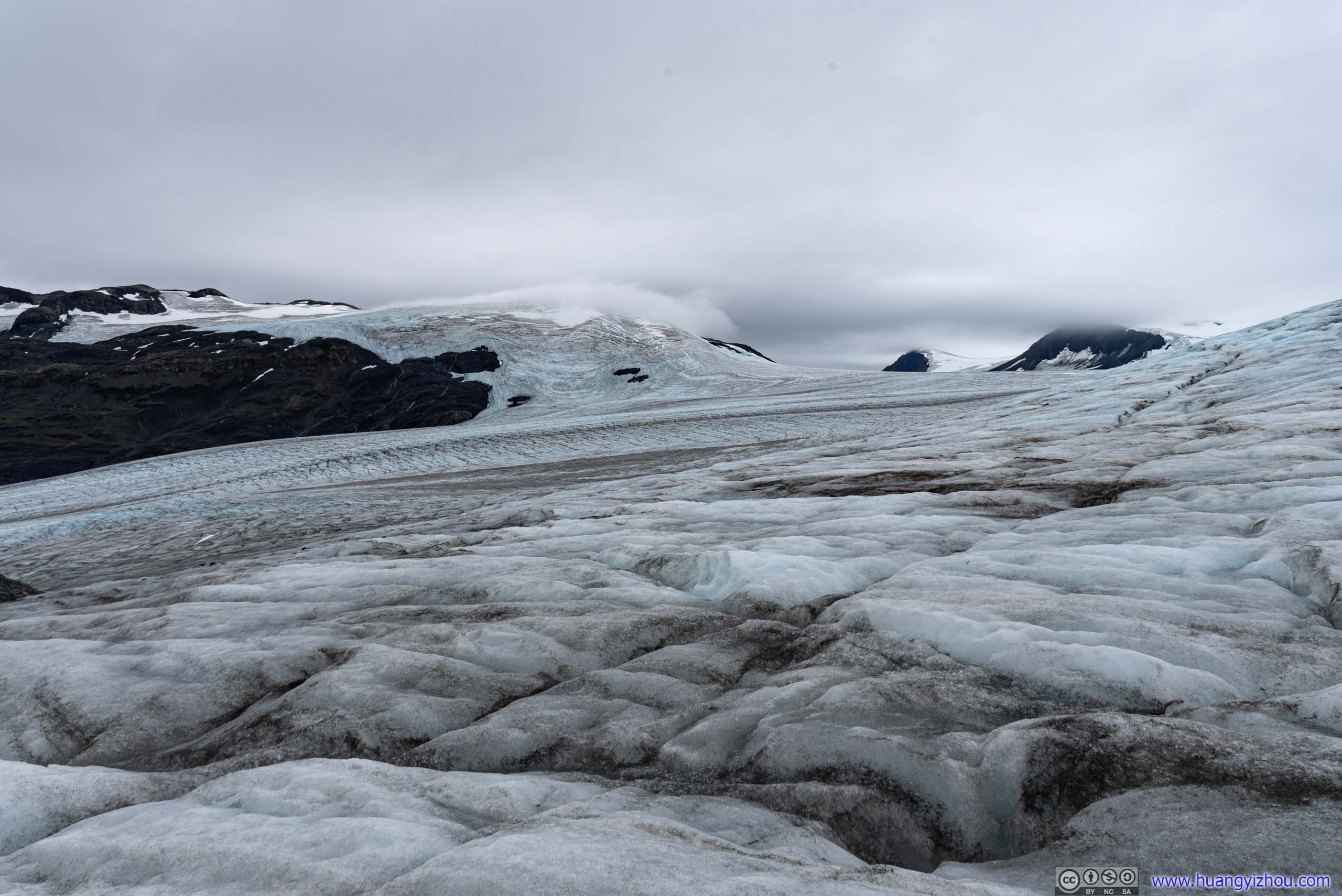
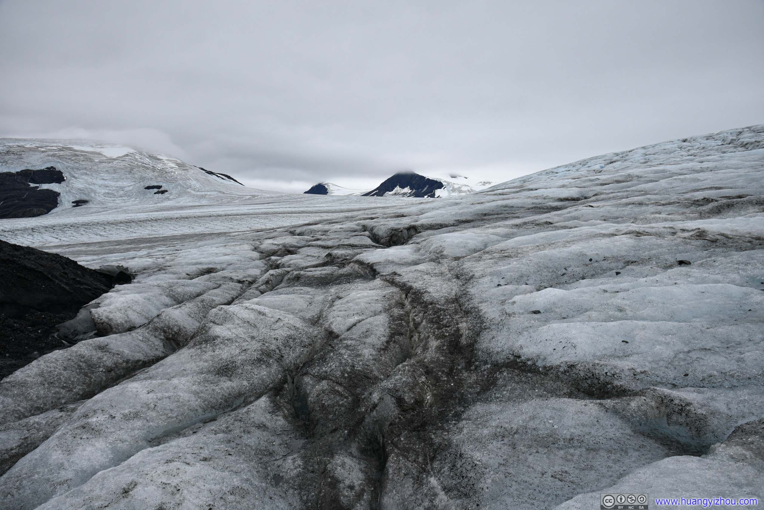
On the plus side, it’s a sensational feeling to be part of such expansive ice field, to experience its breadth, despite low-lying clouds that day limiting visibility.

Harding Ice Field
 Wrinkles on Ice

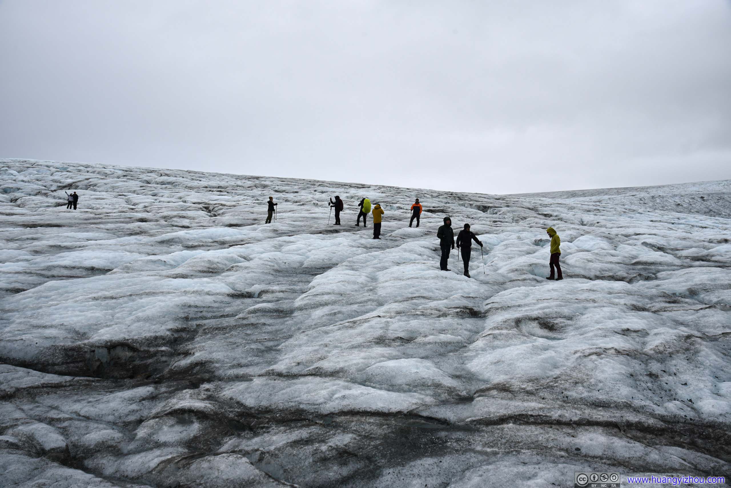
 People on Harding Ice Field
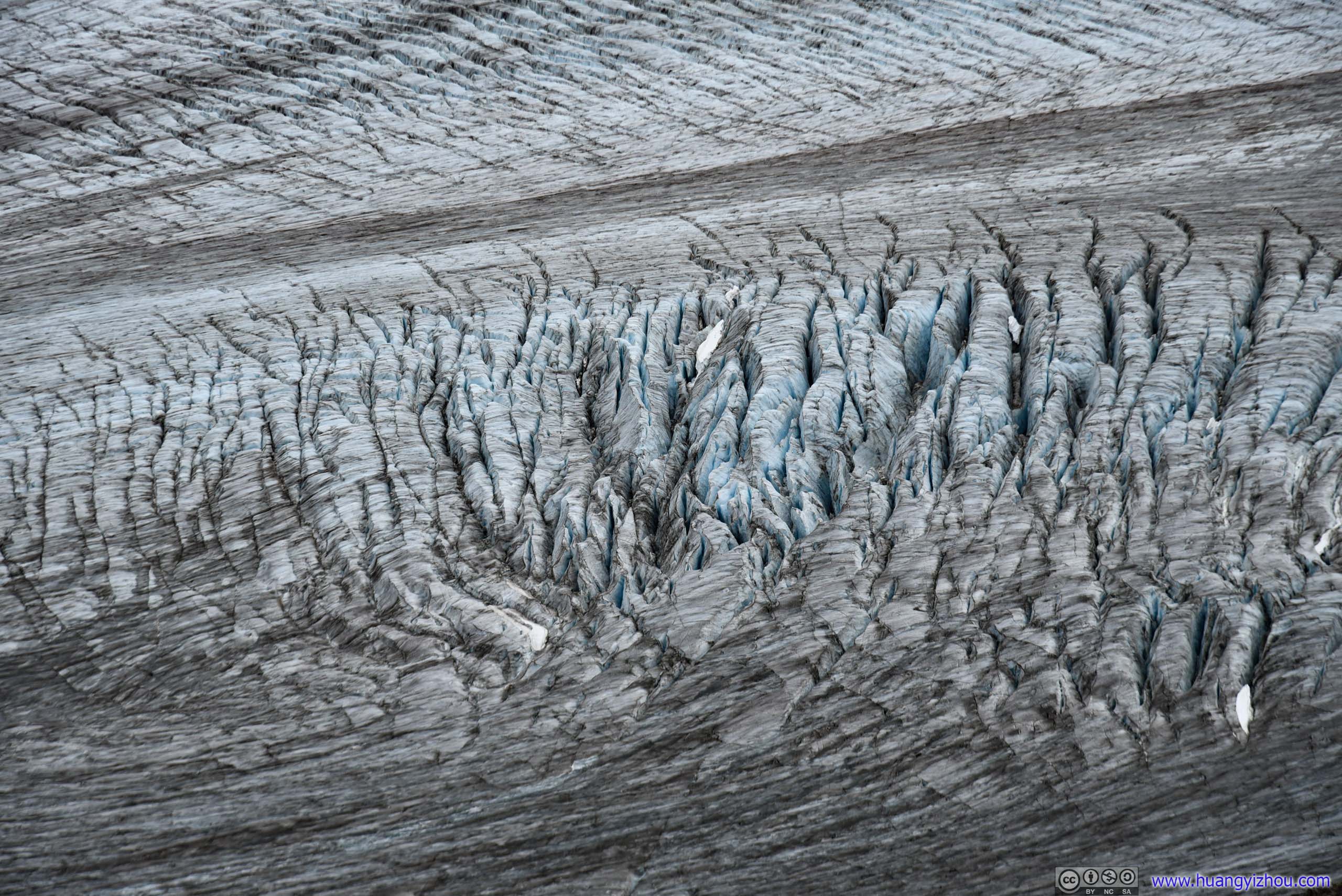 Crevasses
However, after two slips in a mere 20 minutes on the ice, I decided the ice field was too dangerous for me, and headed back onto solid rocks.


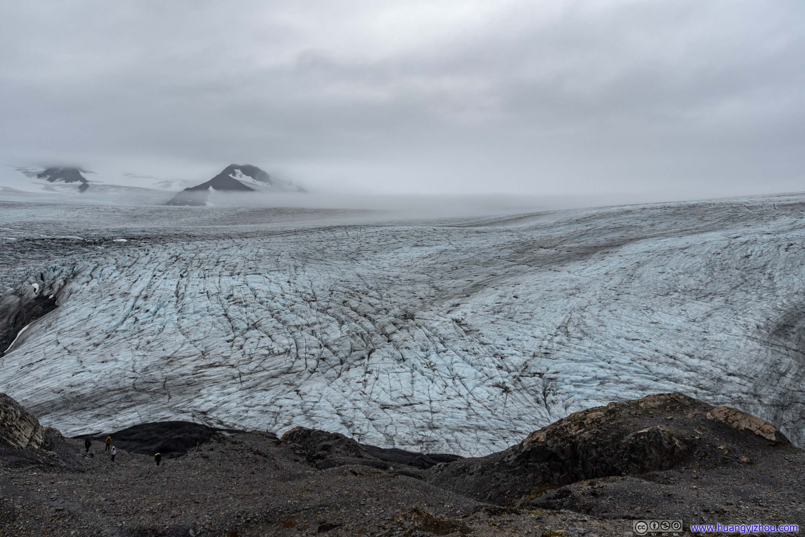 Harding Ice Field
Sole Explorer
Harding Ice Field

 Ice on Mountains
By the time I got back to the emergency shelter, it was 3pm. Not bad that I had a lunch, went to the ice field, snapped lots of photos and came back, in a total of 2 hours.
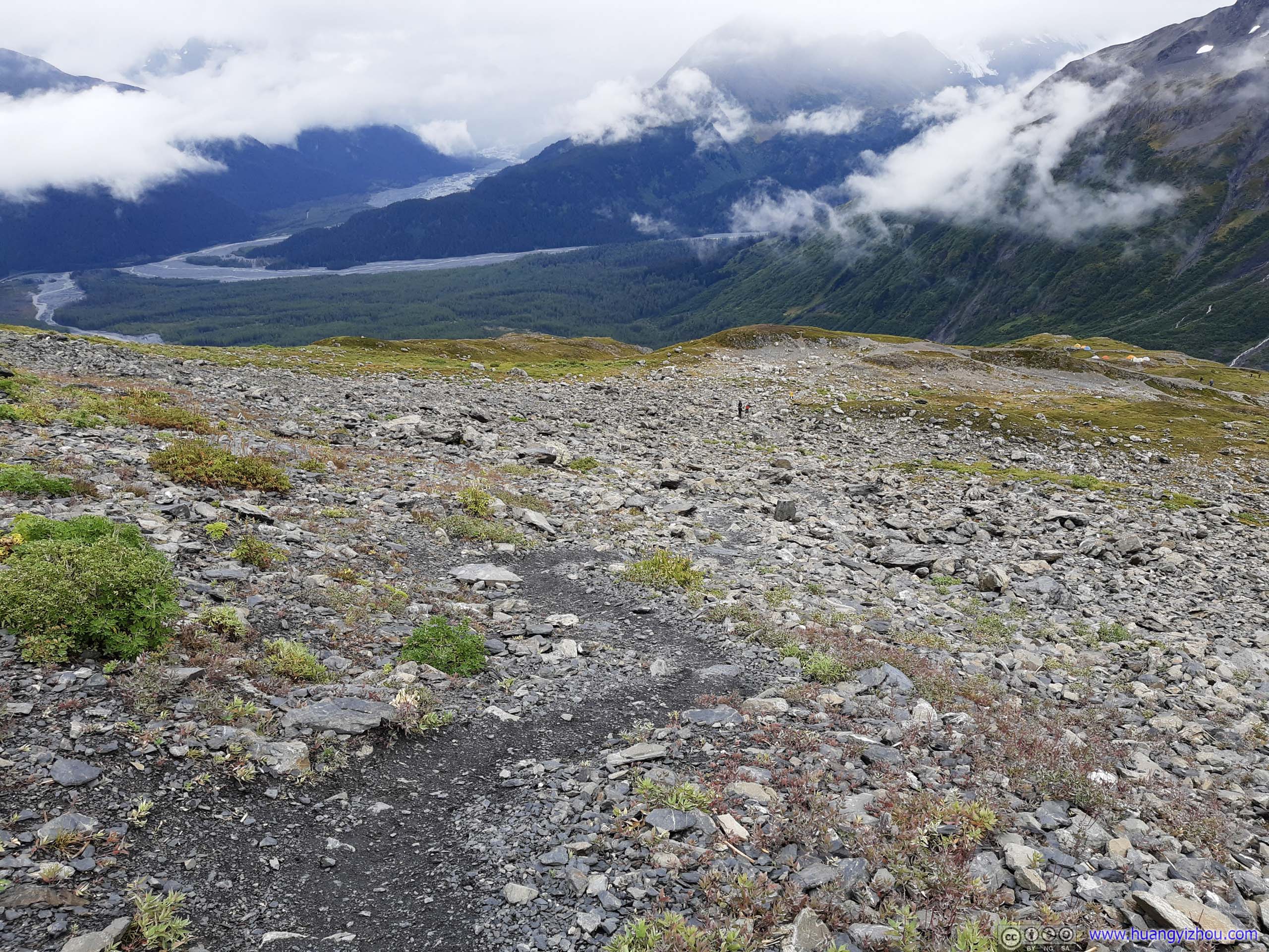
After that, I traced my footsteps back downhill.

 Marmot
As I was making my way back, the morning continuous drizzle turned into periods of stronger showers, making the trip unpleasant at times. But overall, since the rain could be handled by an umbrella, afternoon’s better as that umbrella wasn’t needed all the time. Probably that’s the reason why I ran into lots of people on my descent, but not many during ascent.
I didn’t know whether that’s correlated with the rain, but I seemed to run into many more bugs in the woods during my descent, which certainly spoiled the experience a bit.
And finally, I was back at the trailhead parking lot at 5:40pm.
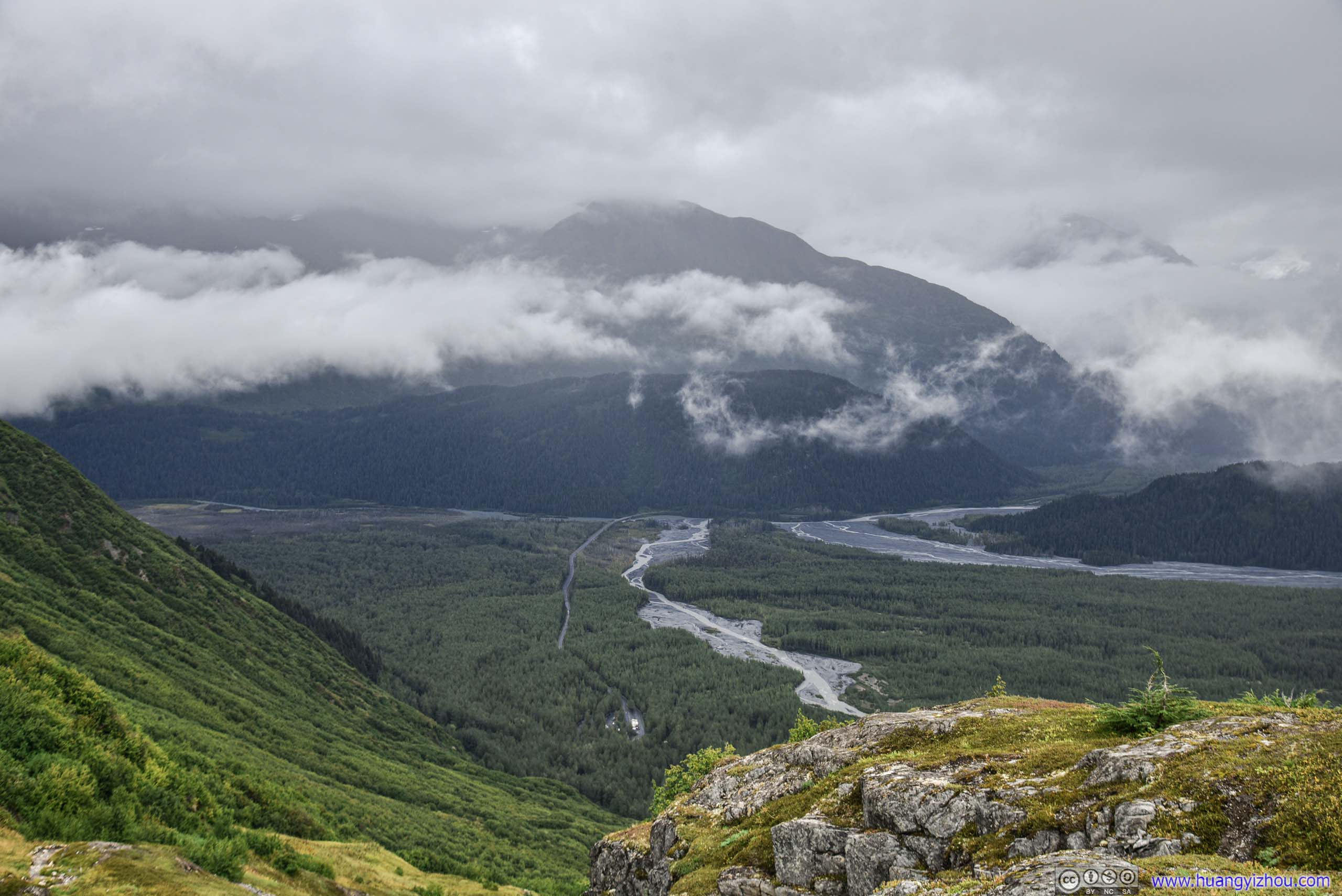
Since it’s still early in the day, after leaving Kenai Fjords National Park boundary, I stopped at a roadside turnout with views of distant Exit Glacier, and snapped a few photos there.

Exit Glacier
Resurrection River and Outwash Plains
And here’s a video of my drone travelling up and down Resurrection River.
Finally, after picking up my friend at Airbnb house, we headed for downtown Seward for dinner. Rain had stopped by then, so we could afford to sit outside while enjoying the breeze.
DinnerFish and chips, seafood was a constant theme at this port city.
END
![]() Day 3 of 2020 Alaska Trip, Harding Ice Field by Huang's Site is licensed under a Creative Commons Attribution-NonCommercial-ShareAlike 4.0 International License.
Day 3 of 2020 Alaska Trip, Harding Ice Field by Huang's Site is licensed under a Creative Commons Attribution-NonCommercial-ShareAlike 4.0 International License.