
Updated on March 5, 2021
Day 7 of 2020 Alaska Trip, Lazy Mountain
Seventh and last day of our Alaska trip. I would be hiking Lazy Mountain Trail near Palmer, Alaska before hopping onto a 7pm flight to Seattle.
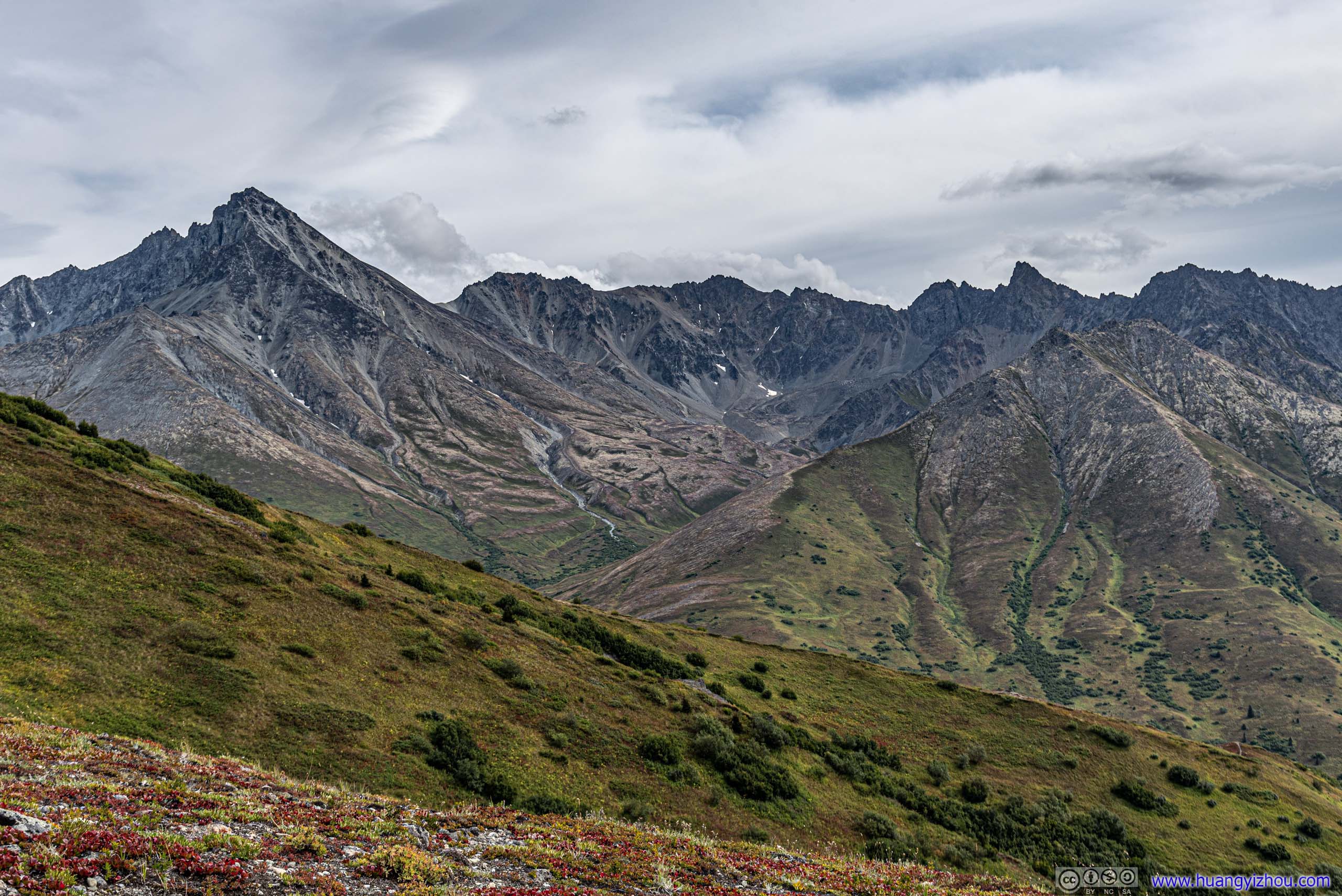
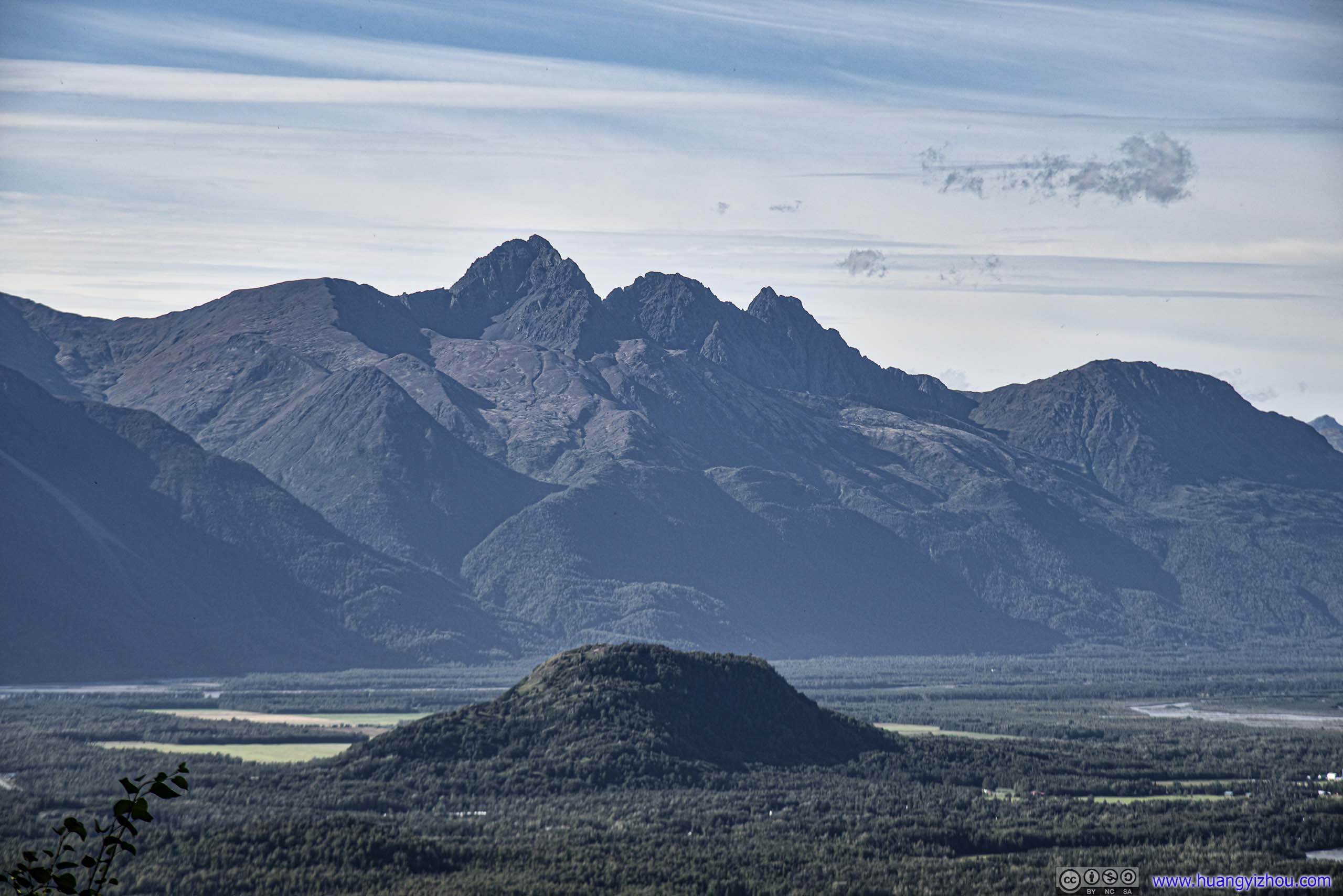
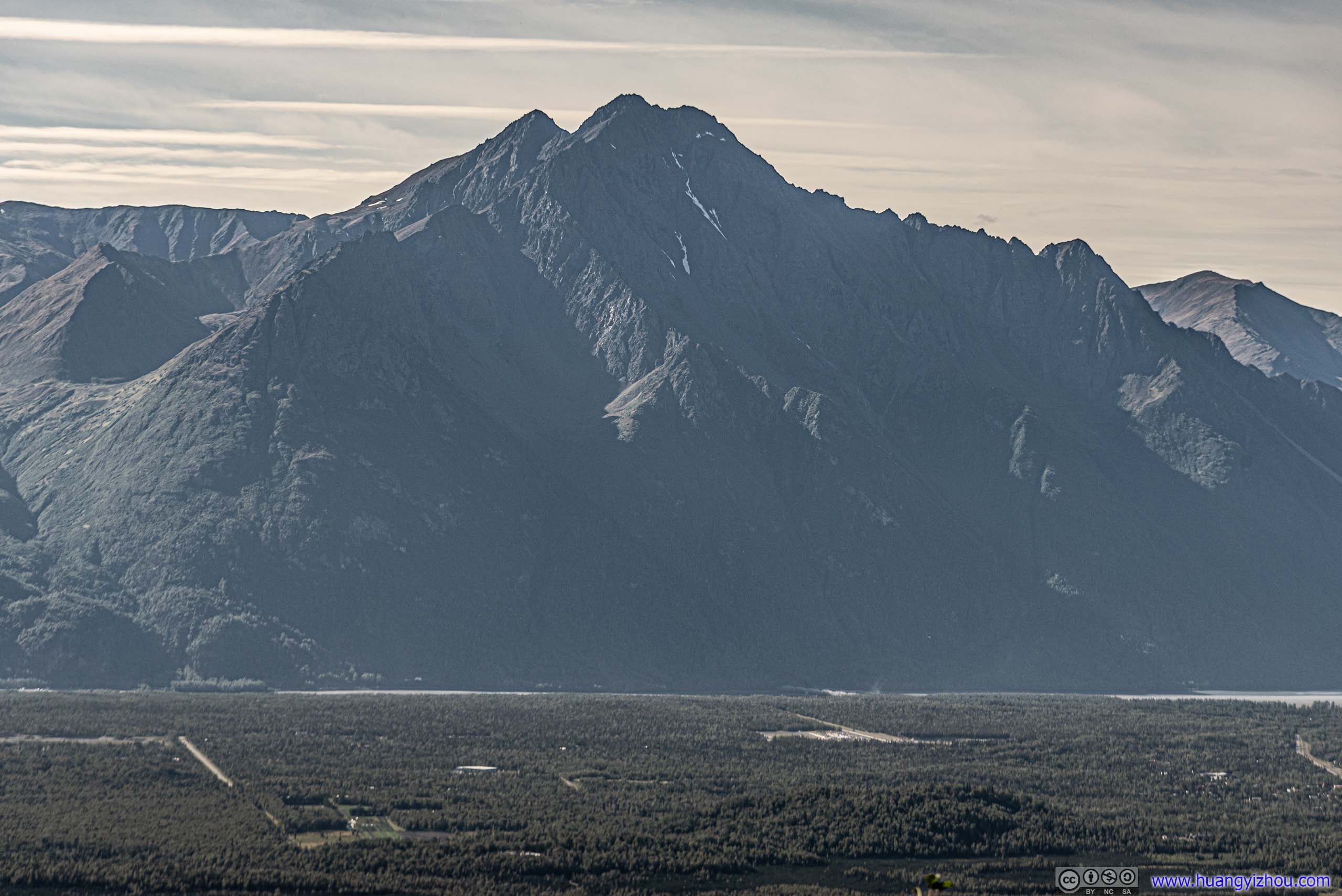
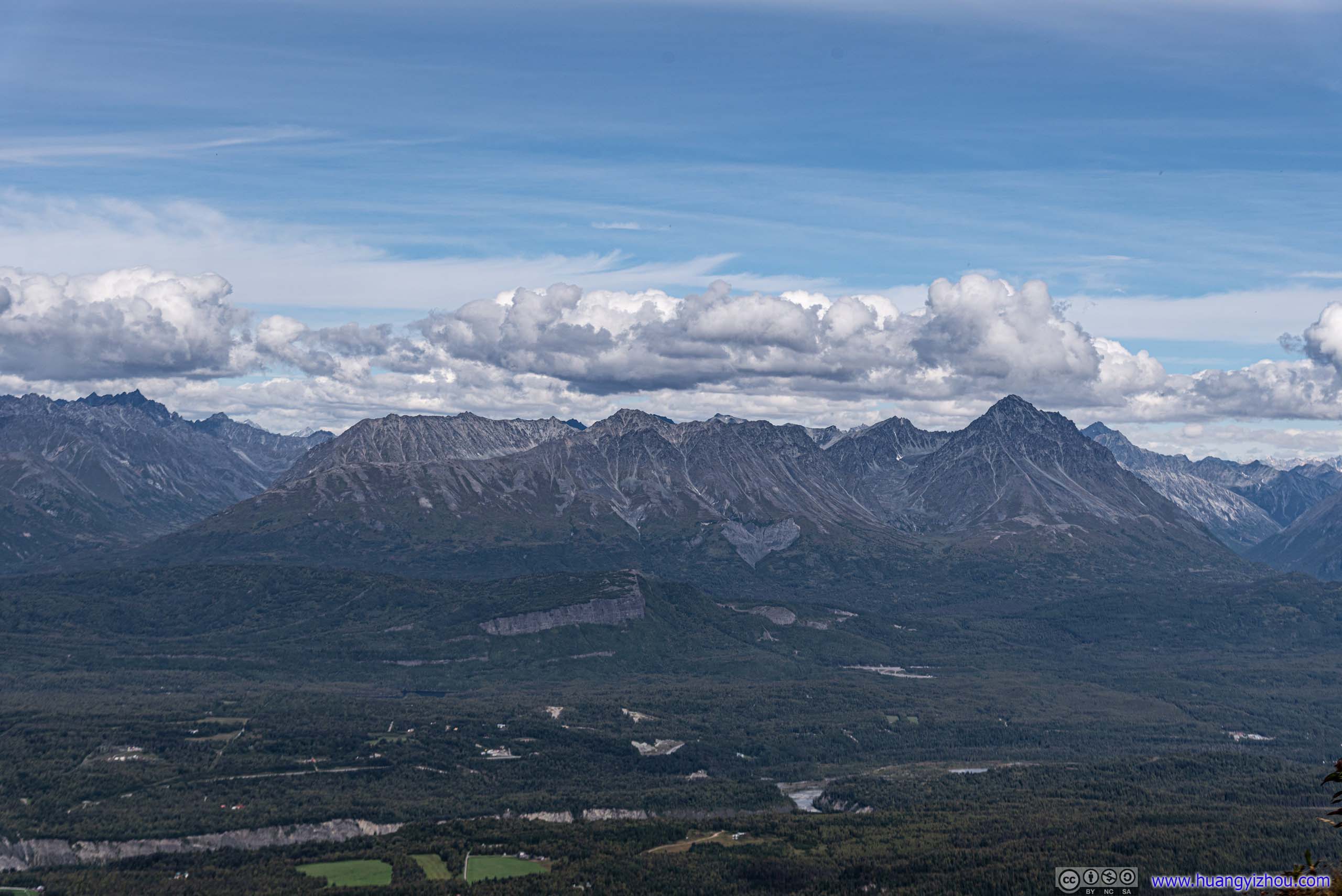
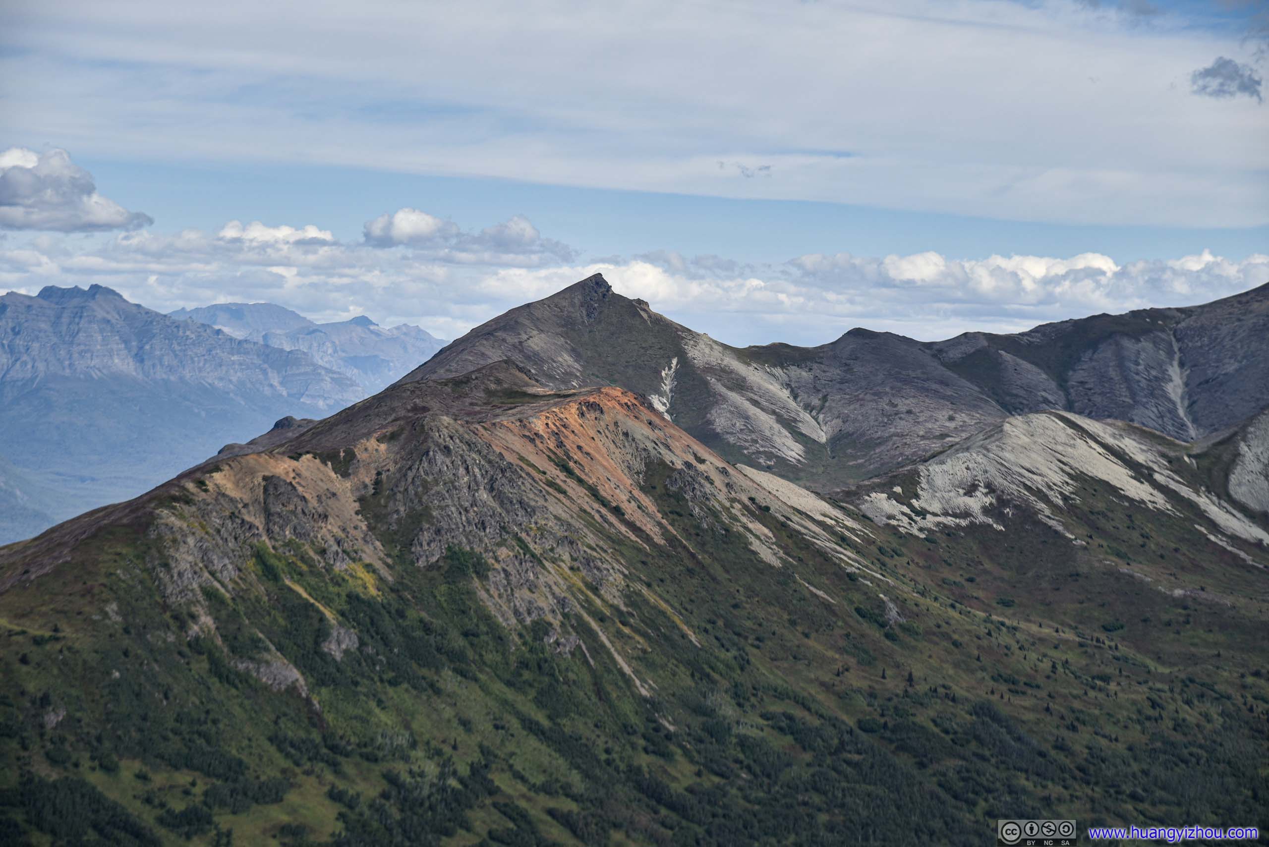
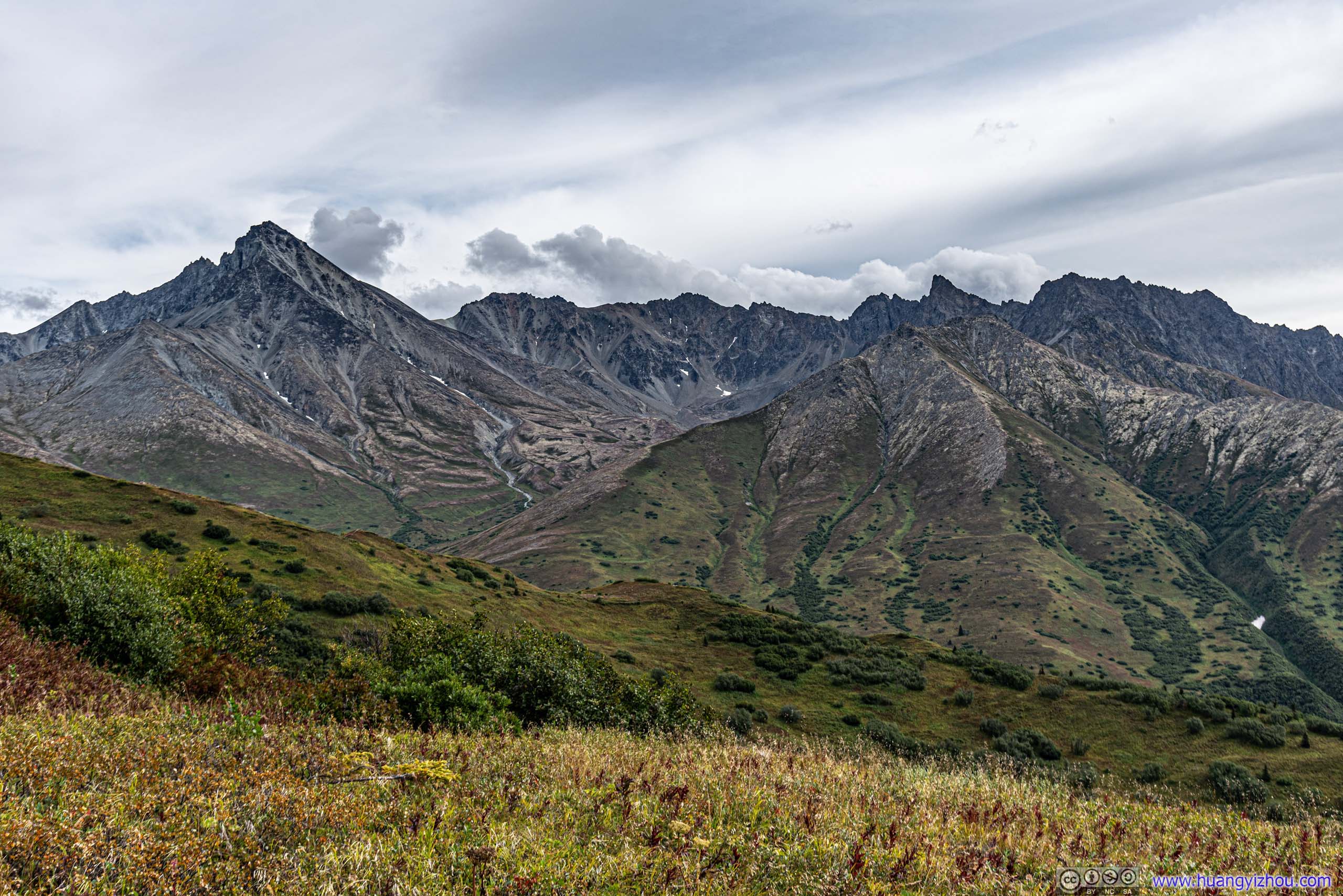
Matanuska Mountain
It’s our last day in Alaska, I figured it would be nice to conclude this Alaska trip with my favorite activity of hiking. There were quite some hiking trails at the mouth of Knik River, near the town of Palmer. With a flight to catch in the evening, I picked Lazy Mountain Trail for the day, a short 9km trip with 900m elevation gain but nonetheless stunning views at the summit.
I left Airbnb in Palmer at 10am, and started my hike at 10:25. By the time I got to trailhead, the parking lot was about half-full (and it pretty much stayed that way for the reminder of day). There’s 5 dollar parking charge, and since this was a popular trail, I had some struggle pushing the fee envelope into an overflowing box.
Here’s GPS tracking:
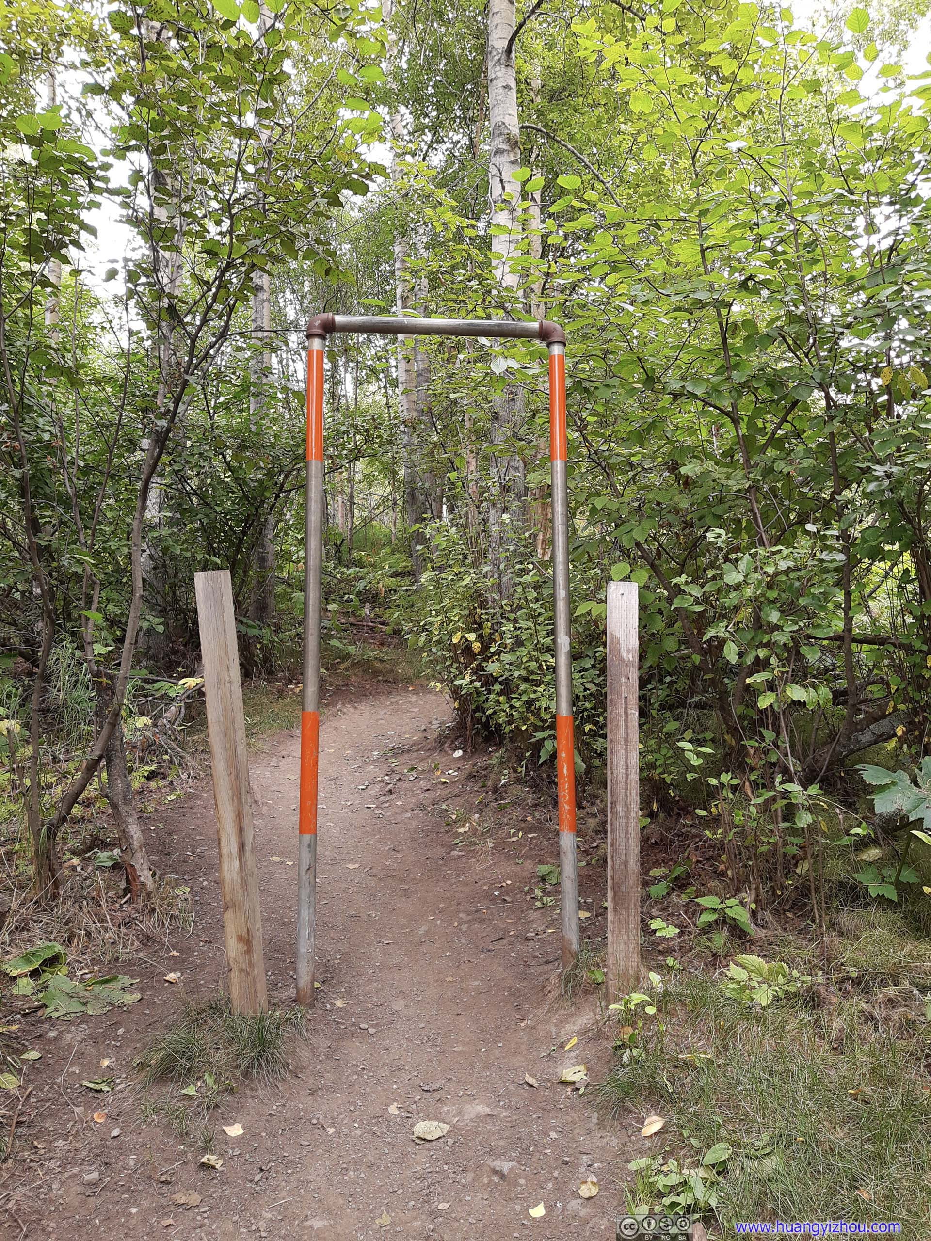
Height LimiterDoes anyone have ideas what this structure was for? Setting up a height limiter at trailhead didn’t make sense to me.
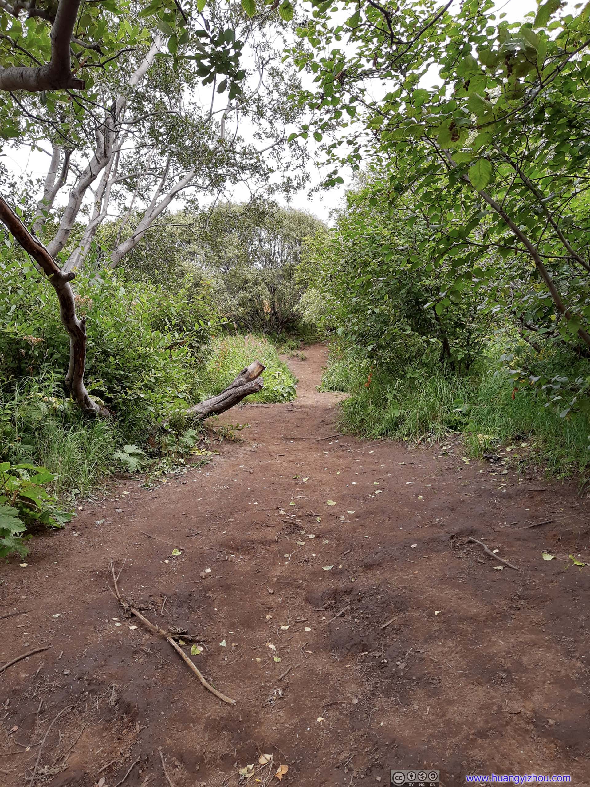
Fork of Trail
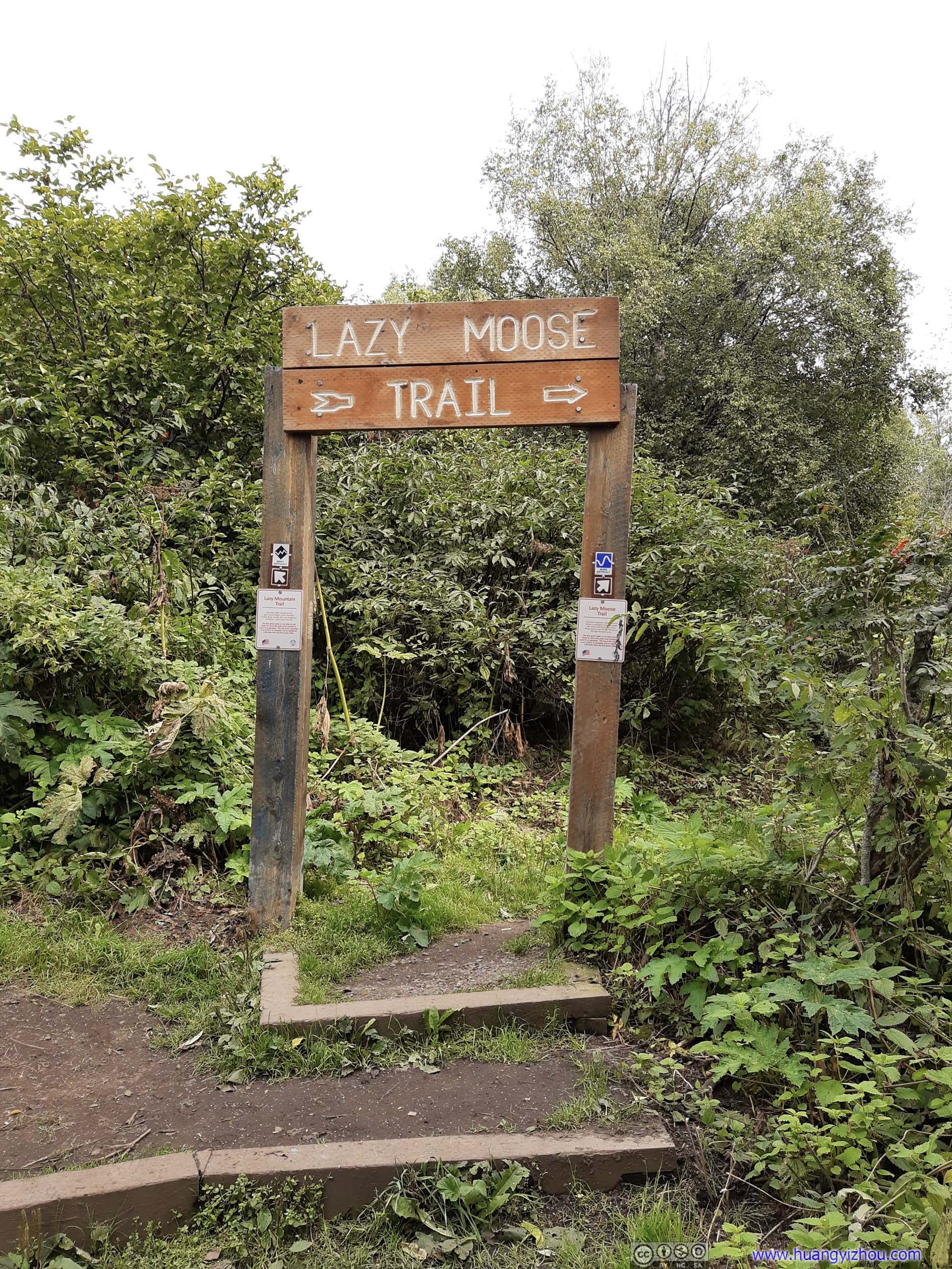
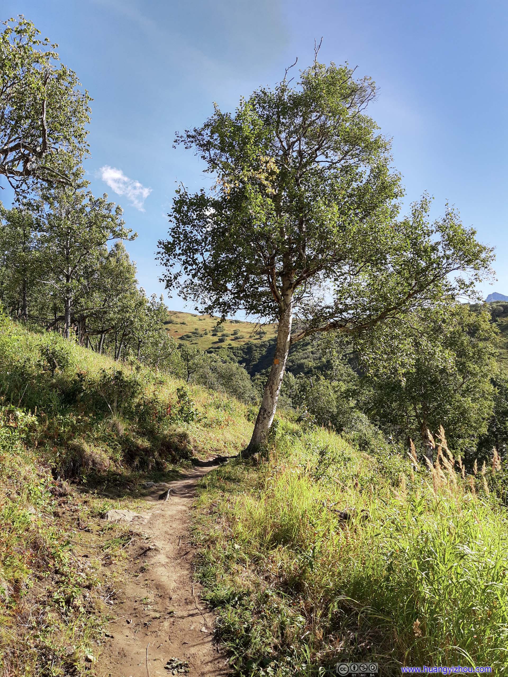
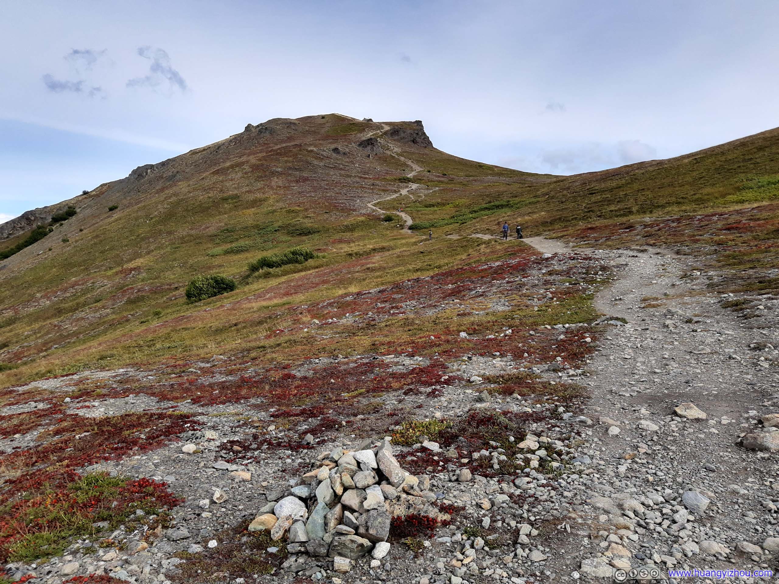
The entire trail could be broken up into three parts, from trailhead it’s either the 3.6km Lazy Moose Trail on a gentle incline to an intersection, which could also be reached via the steep 1.8km Lazy Mountain Trail. After the intersection where the previous two trails met, it’s another 1.8km to the summit of Lazy Mountain.
I took the Lazy Moose Trail uphill, and Lazy Mountain Trail down.
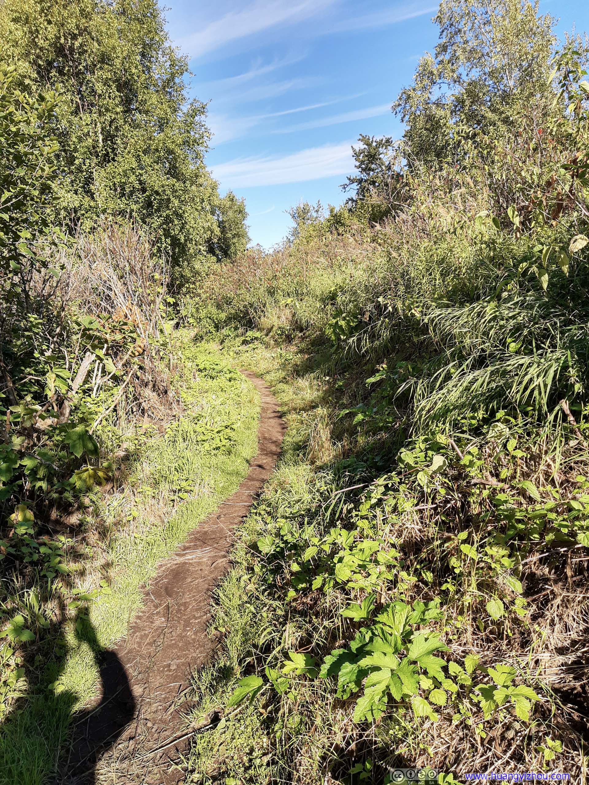
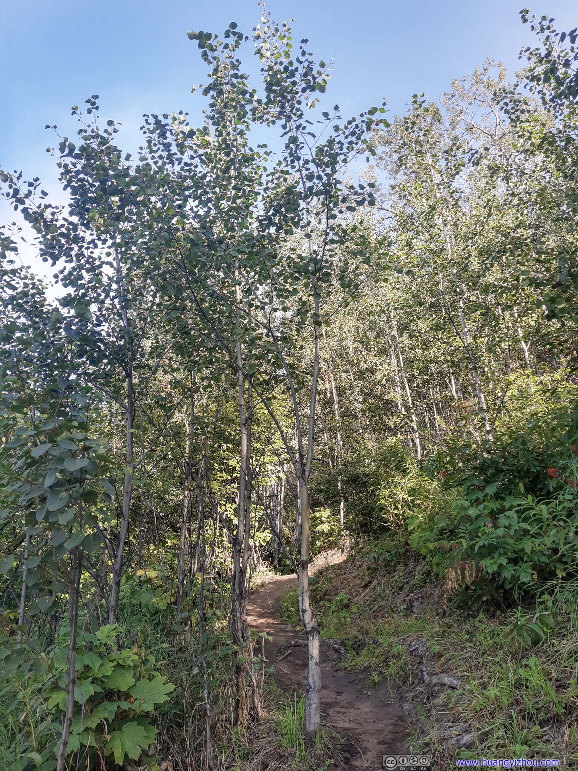
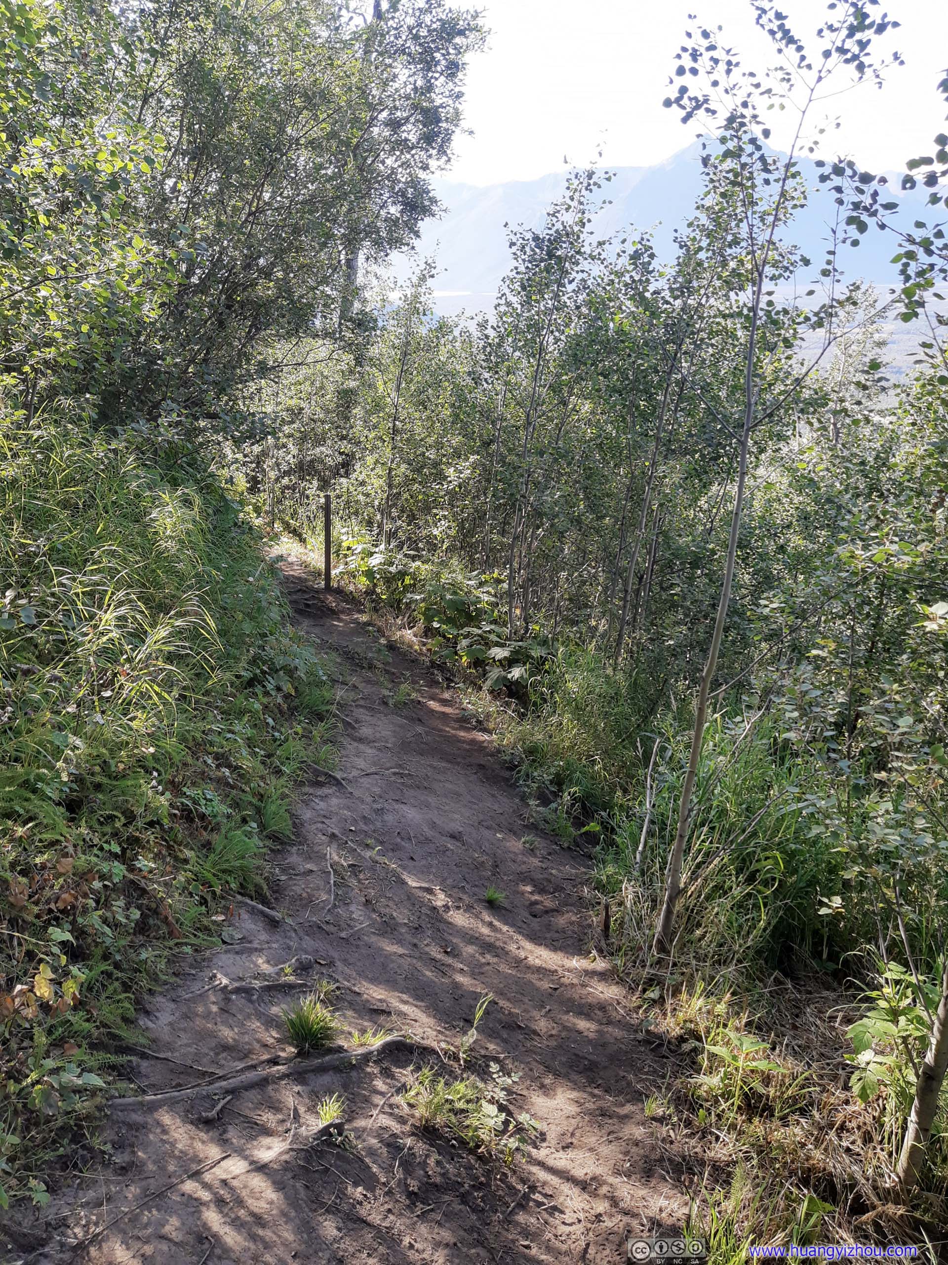
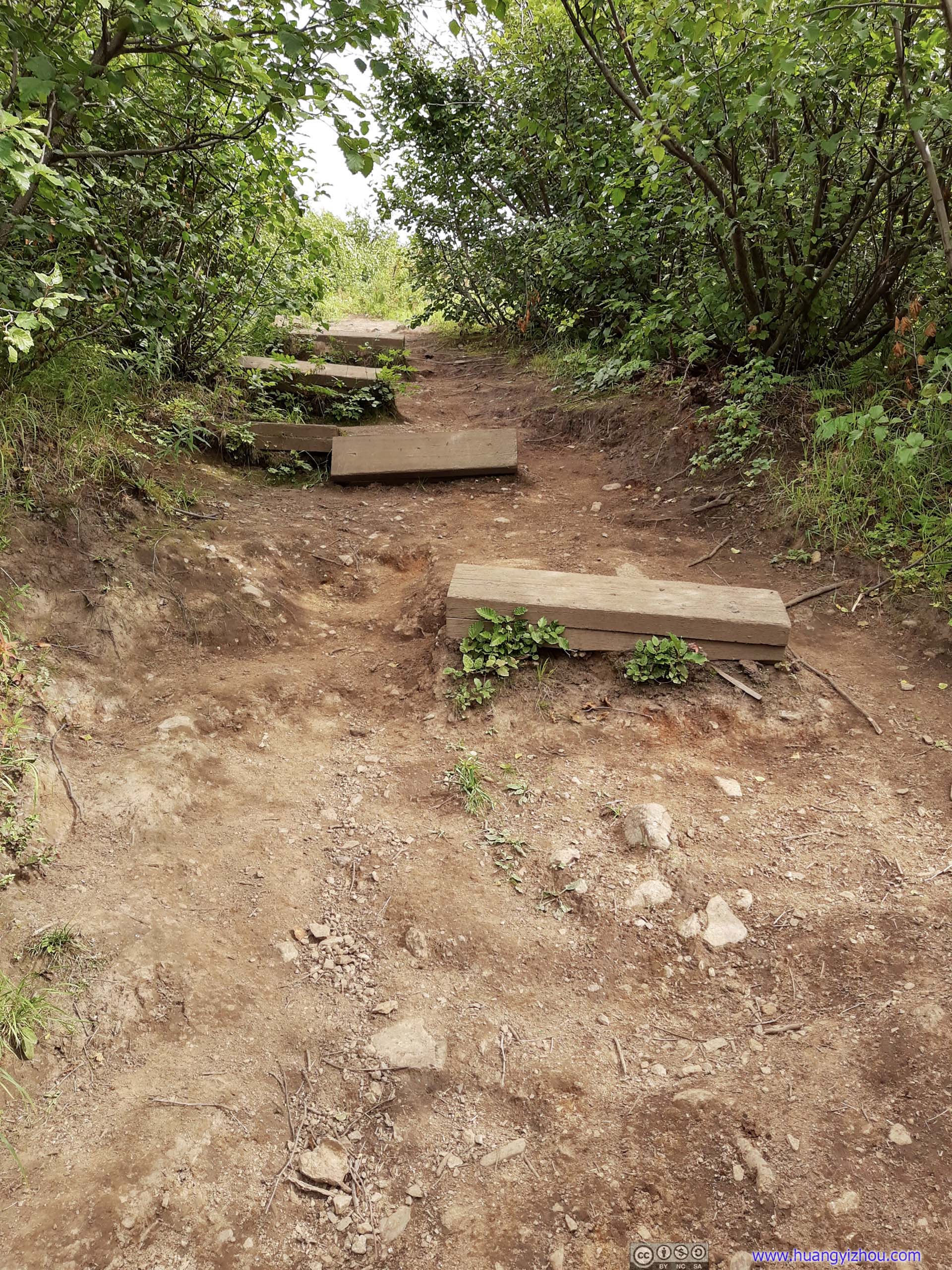
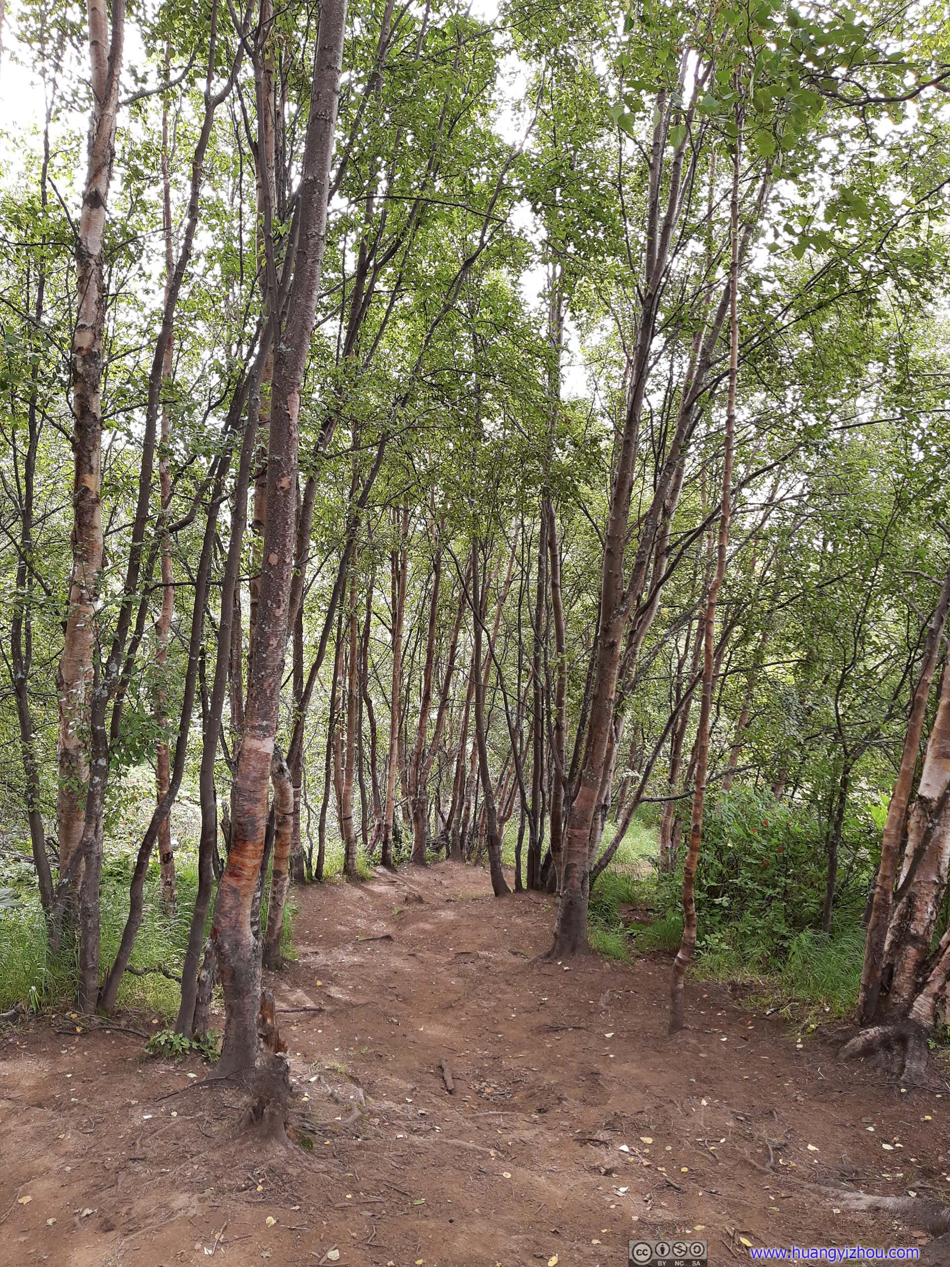
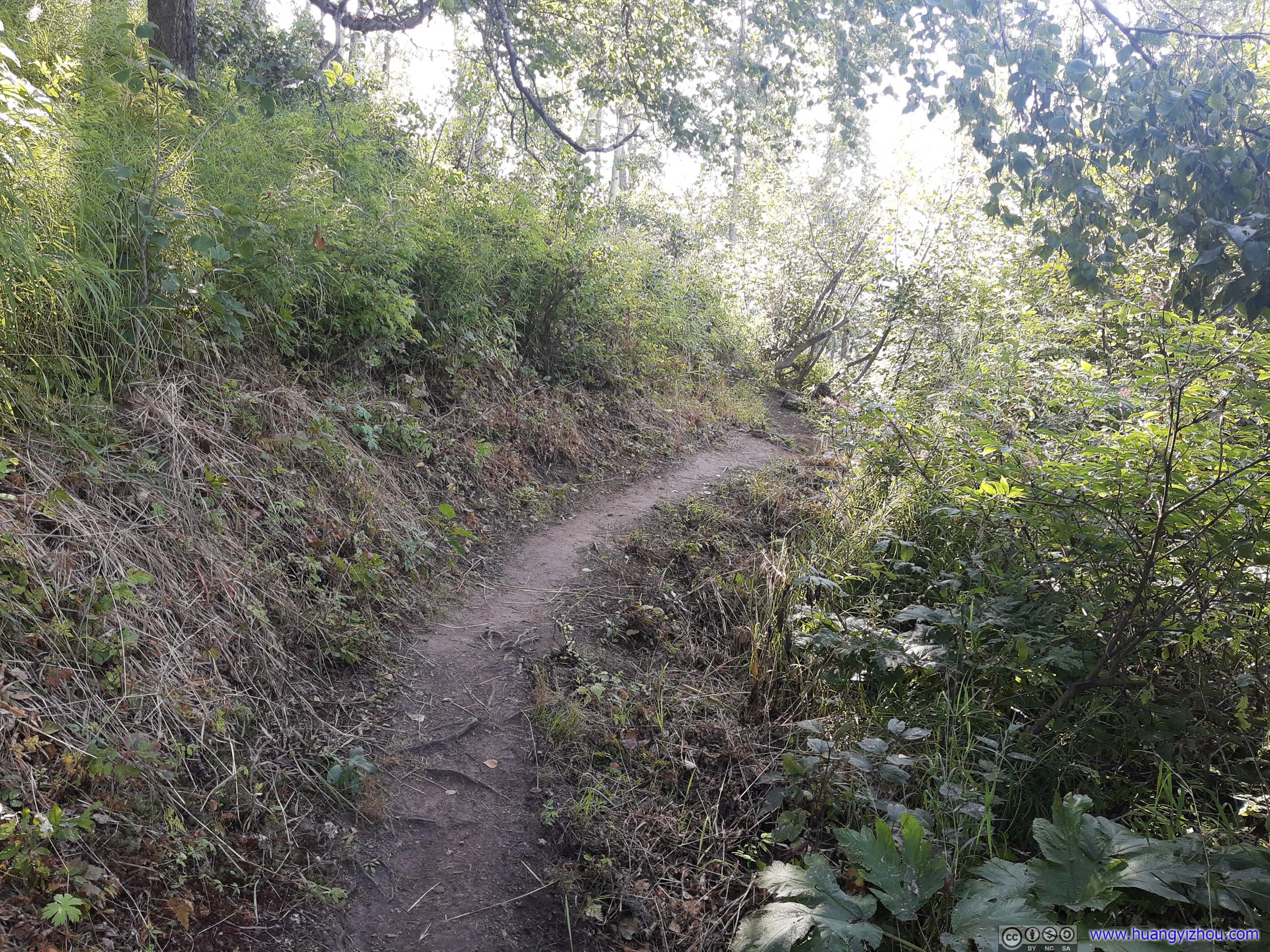 Trail
Trail
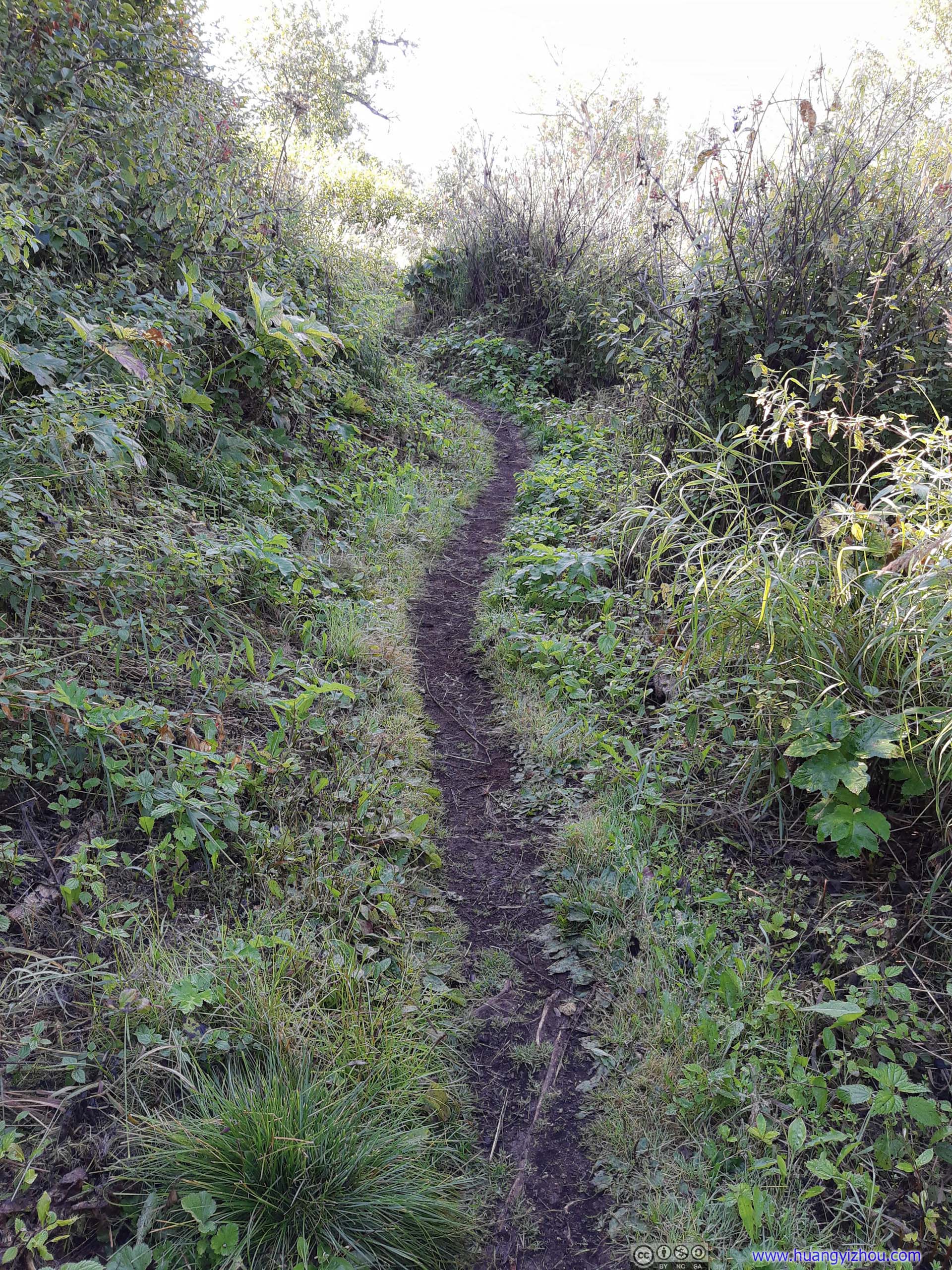
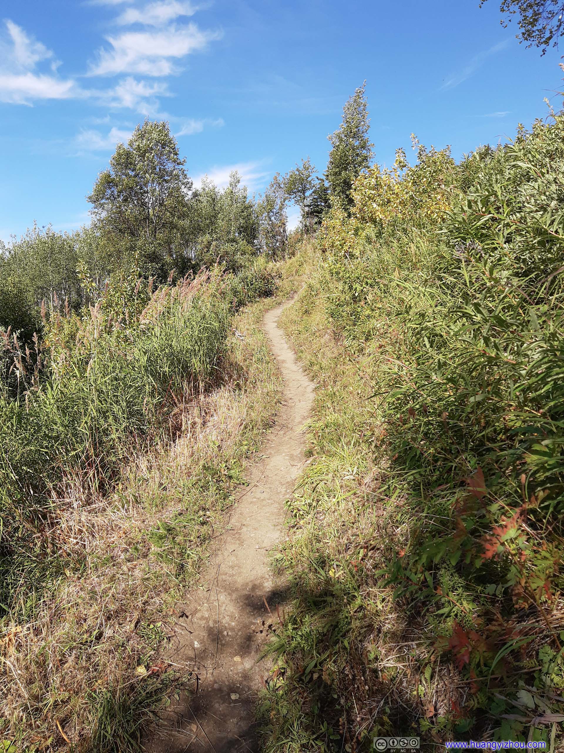
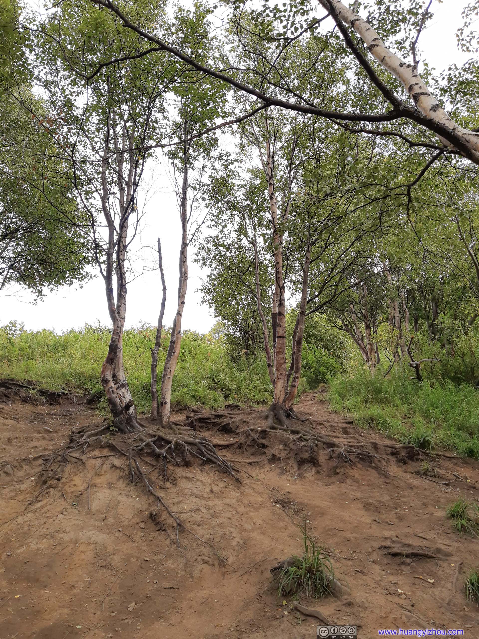
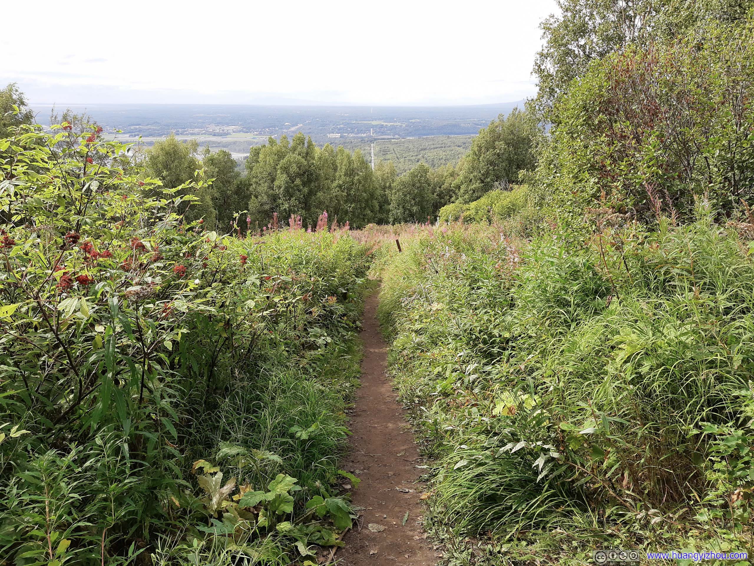
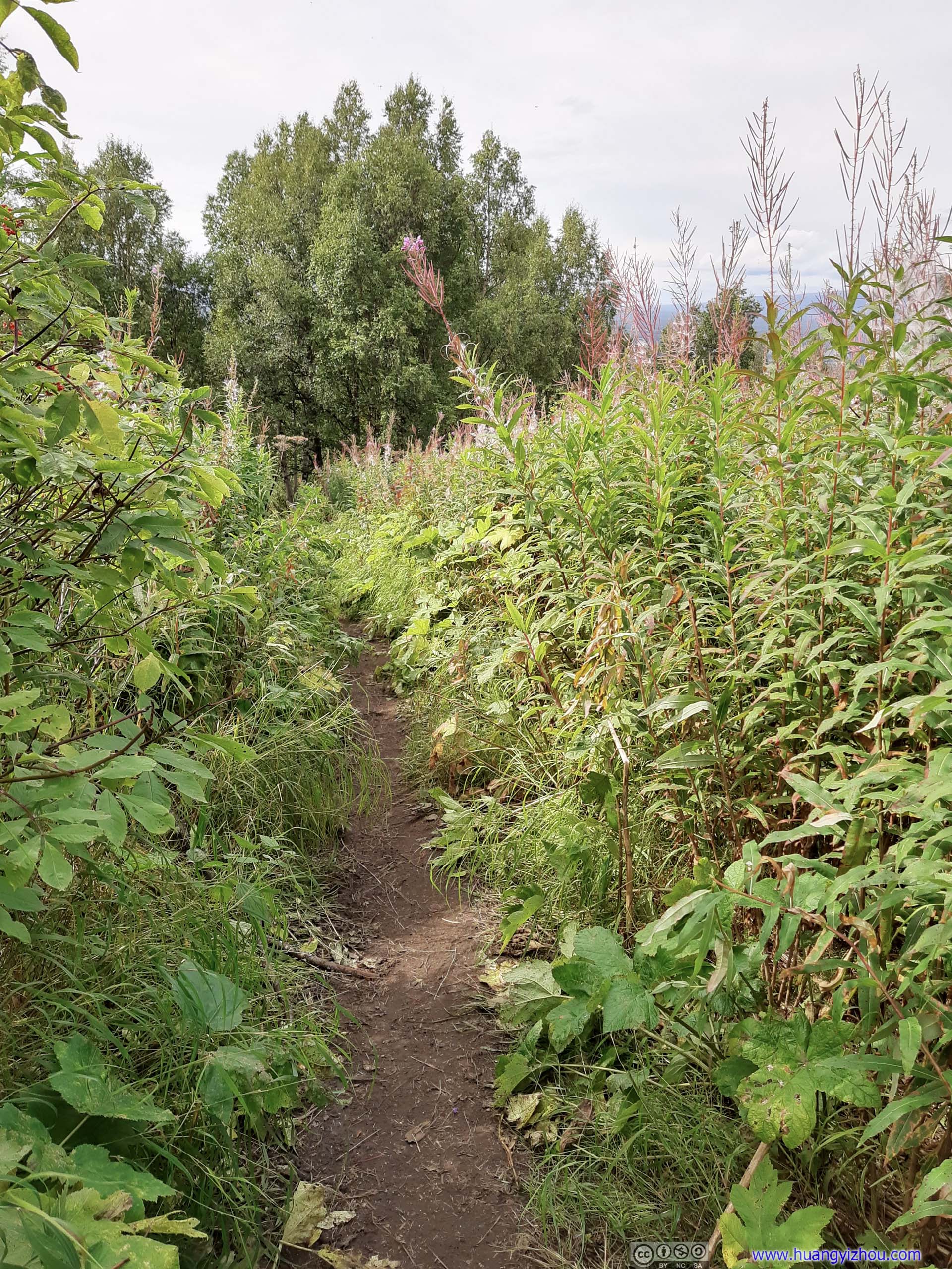
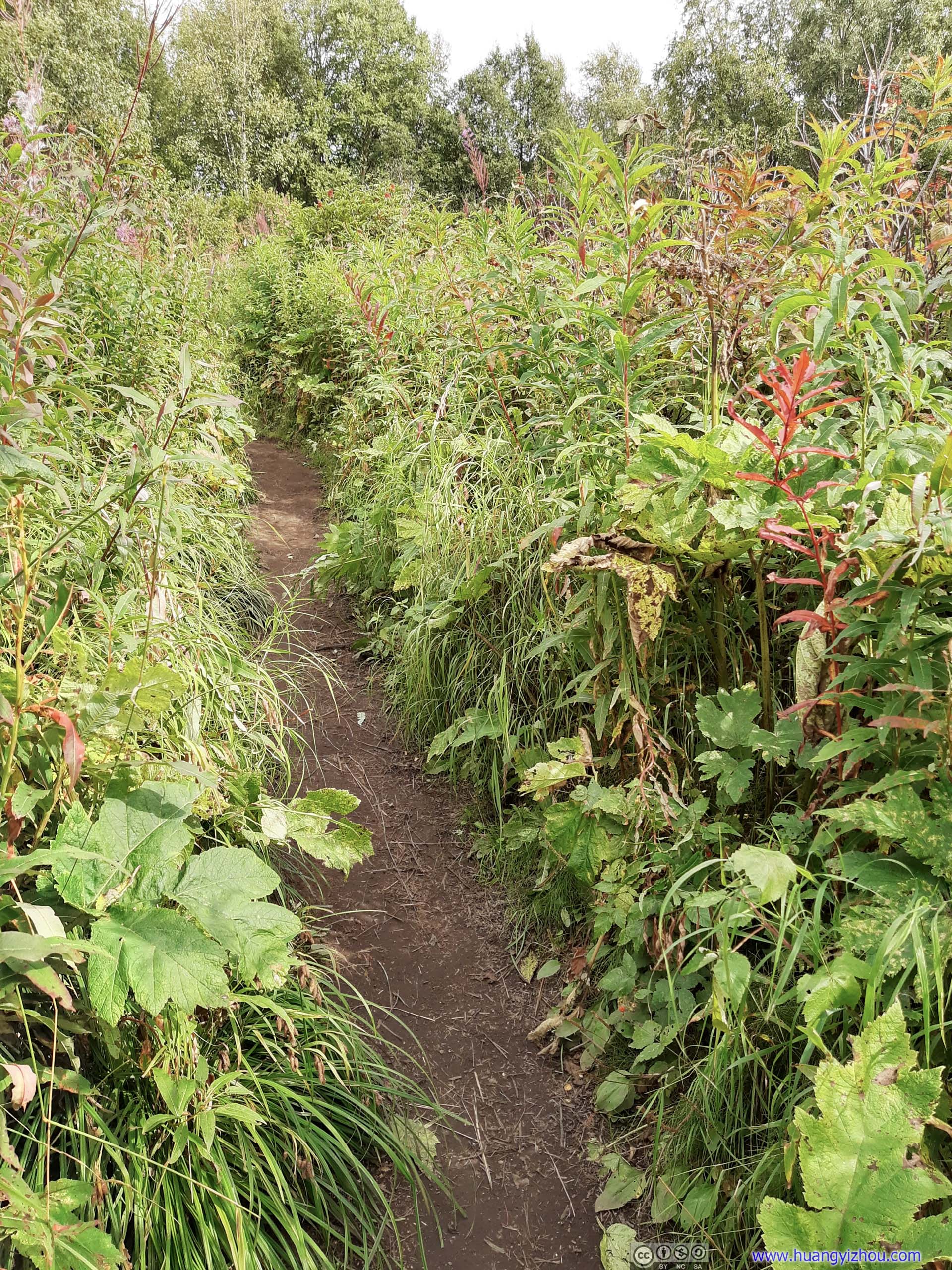
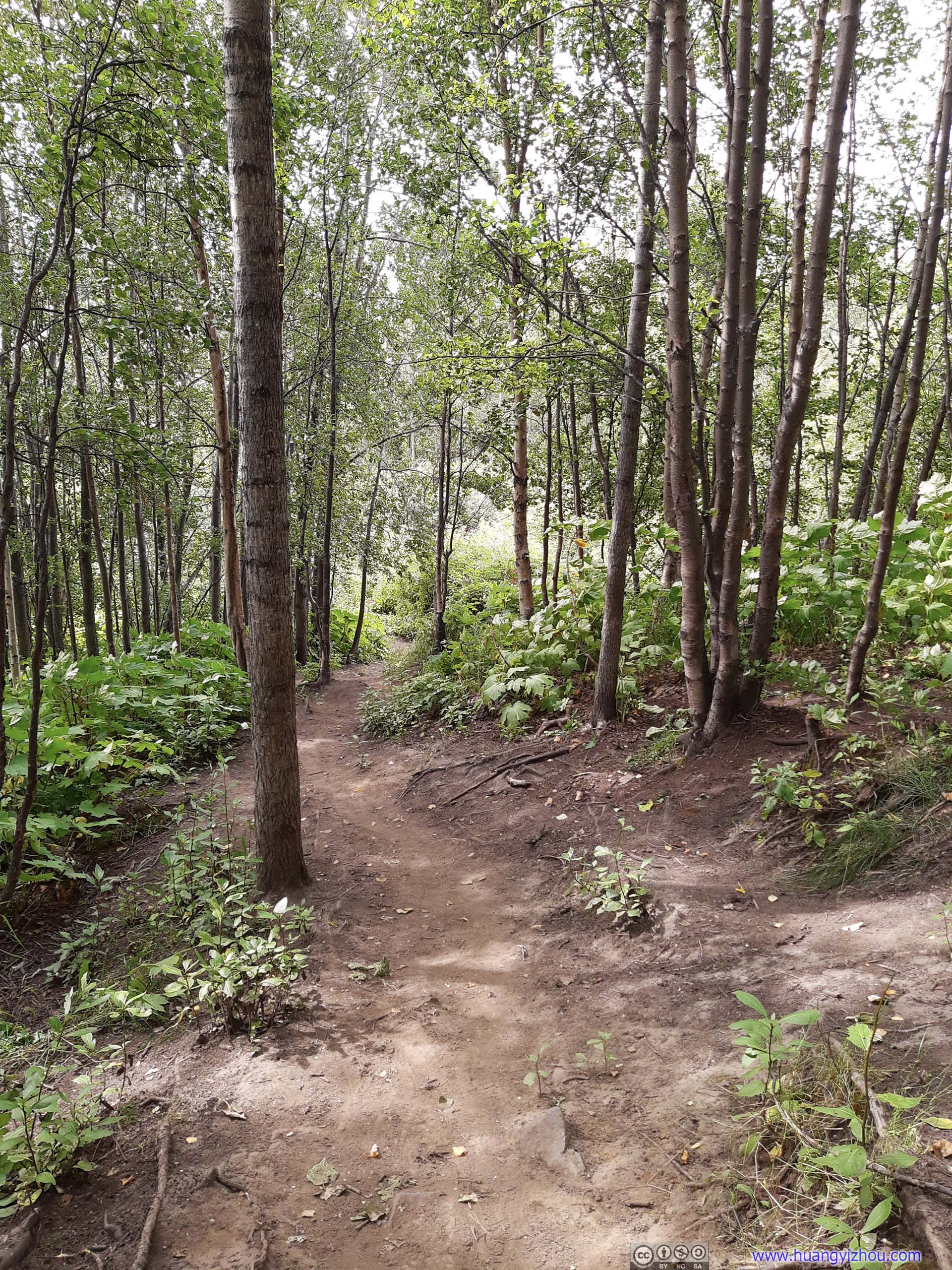
Immediately after start, the trail felt different than what I normally ran into in the States. The soil was soft (but thankfully not muddy), plants along were tall, it felt more like hiking among paddy fields in South Asia than rugged mountains in Alaska.
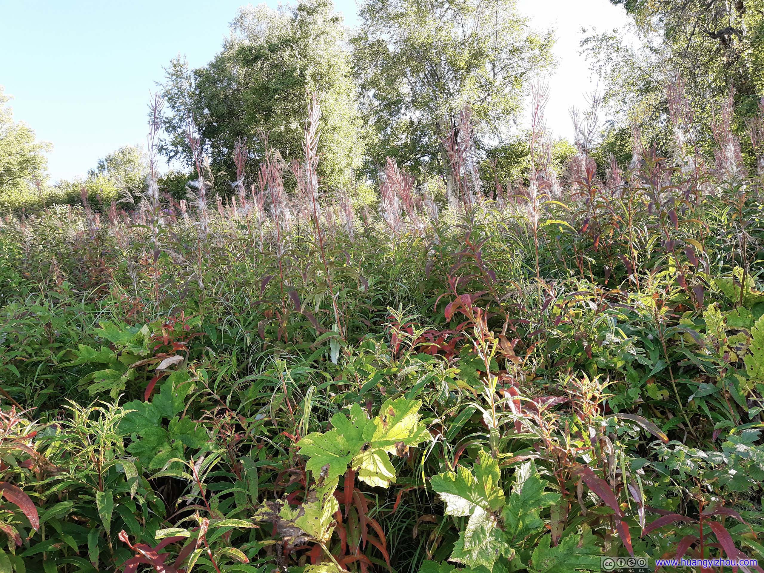
 Plants
Bench
In addition, both trails before the junction had frequent distance marks, which wasn’t a usual sight along hiking trails in US. Though I had been used to checking distances from cell phone GPS.
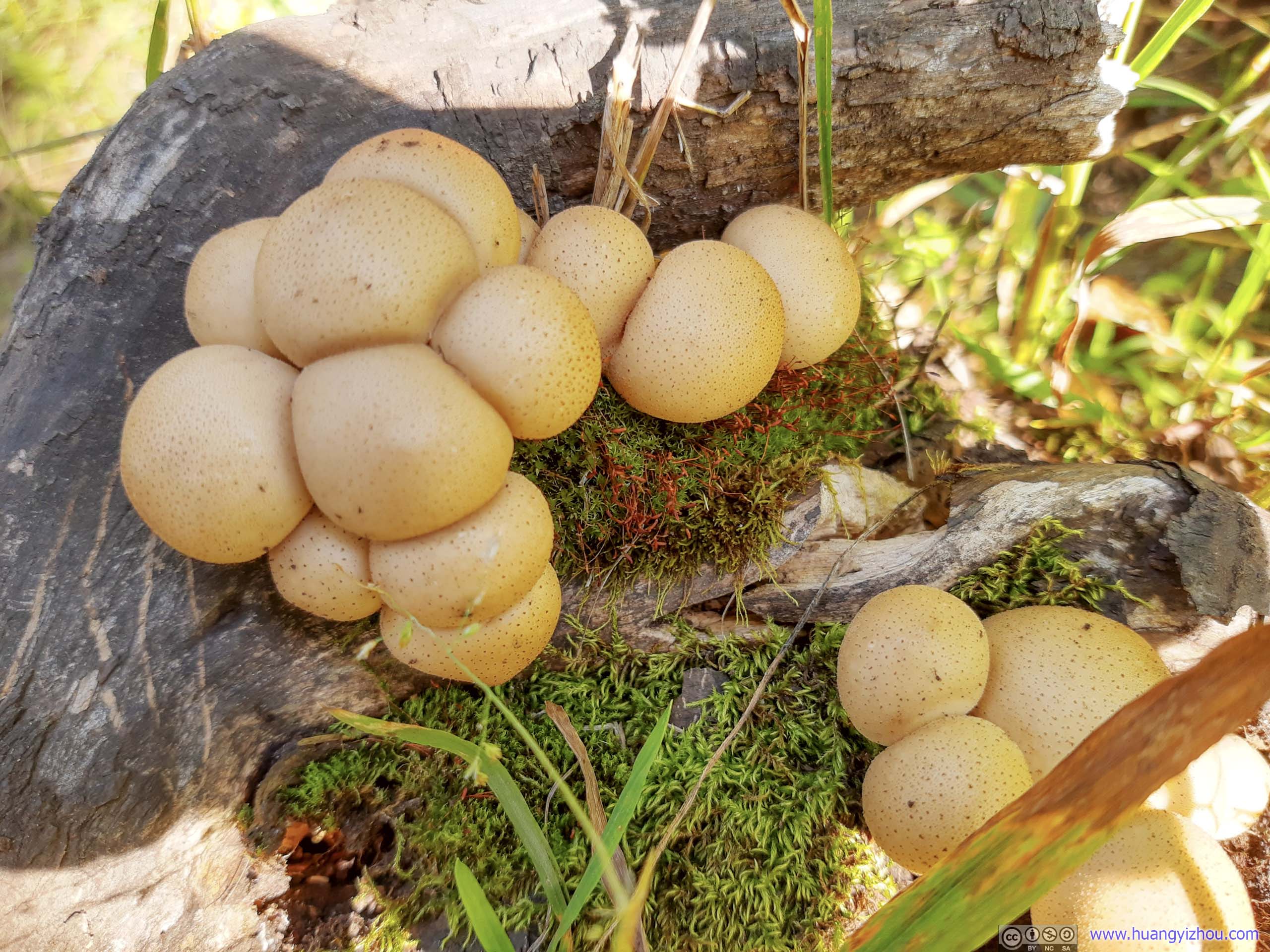
MushroomPretty sizable ones.

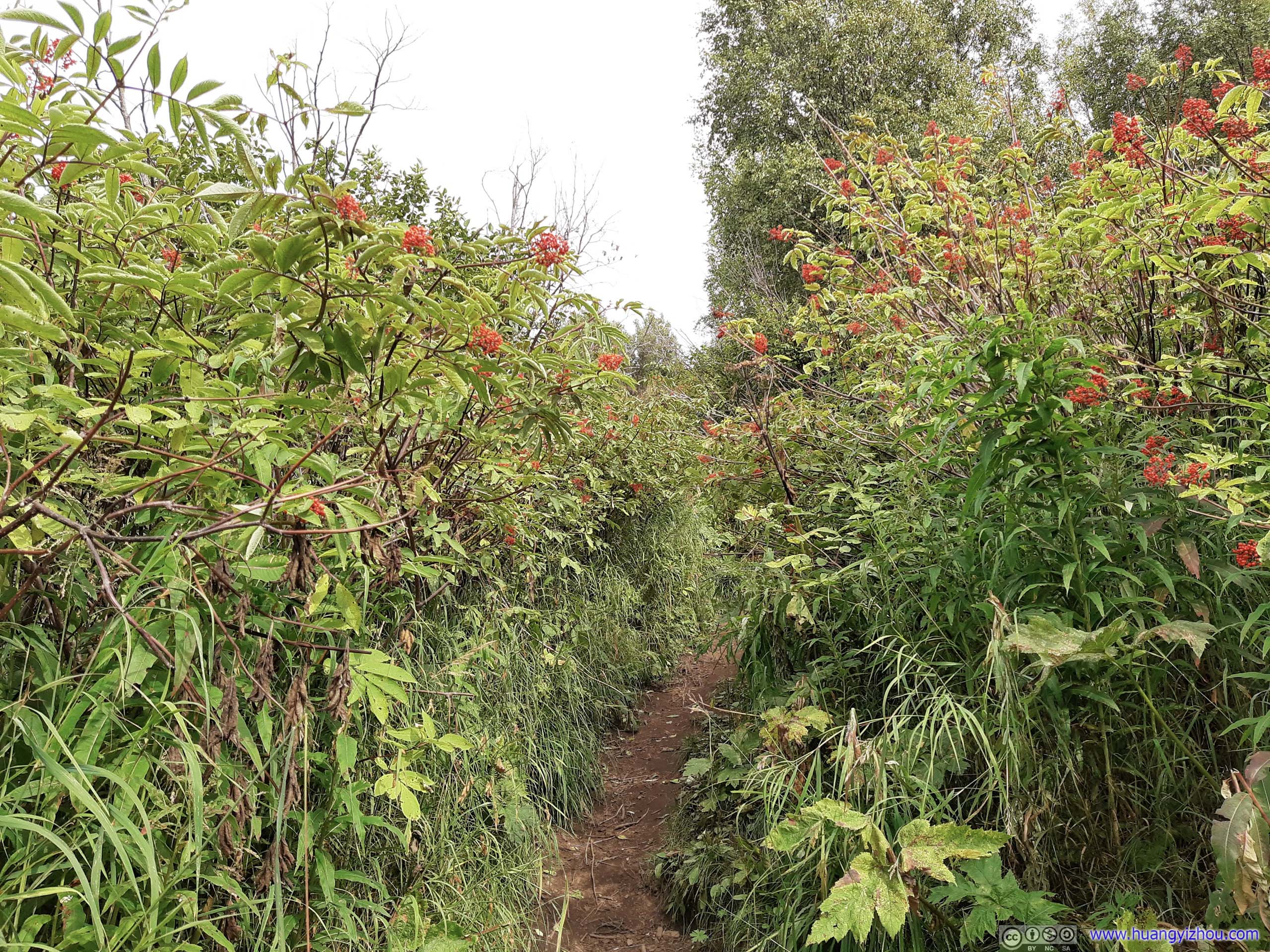
Berries

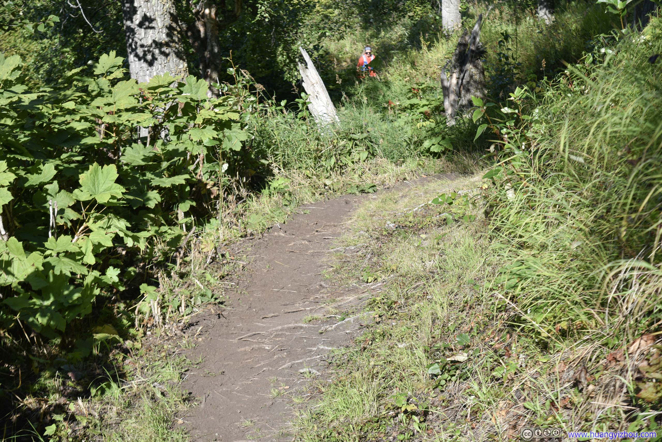
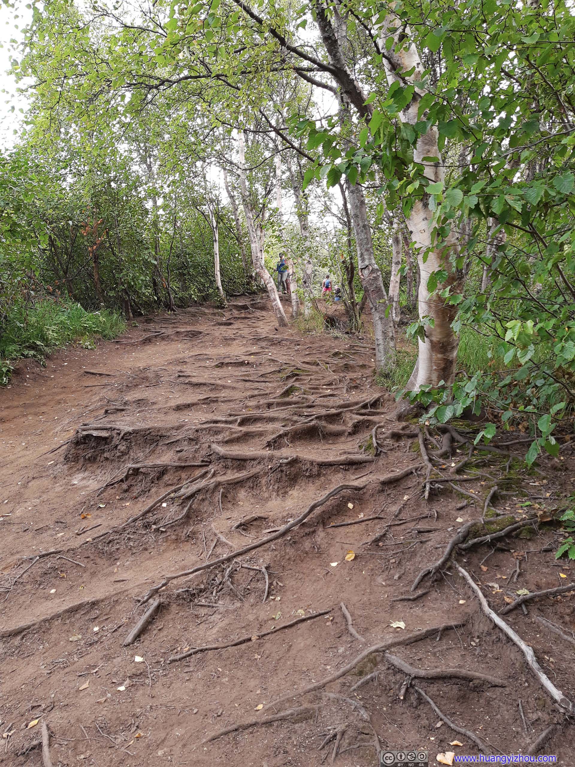
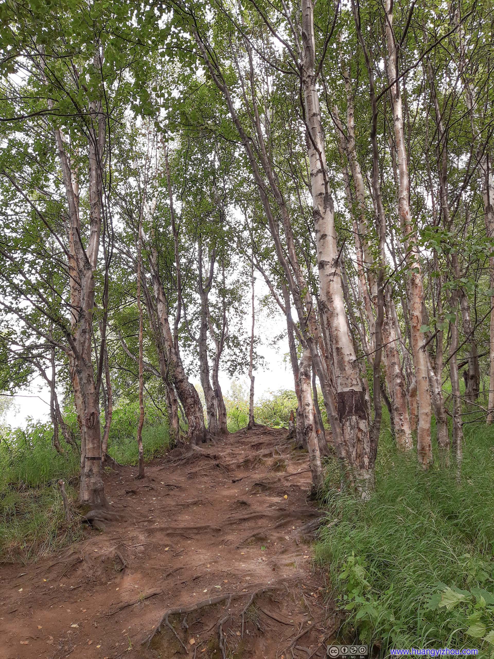
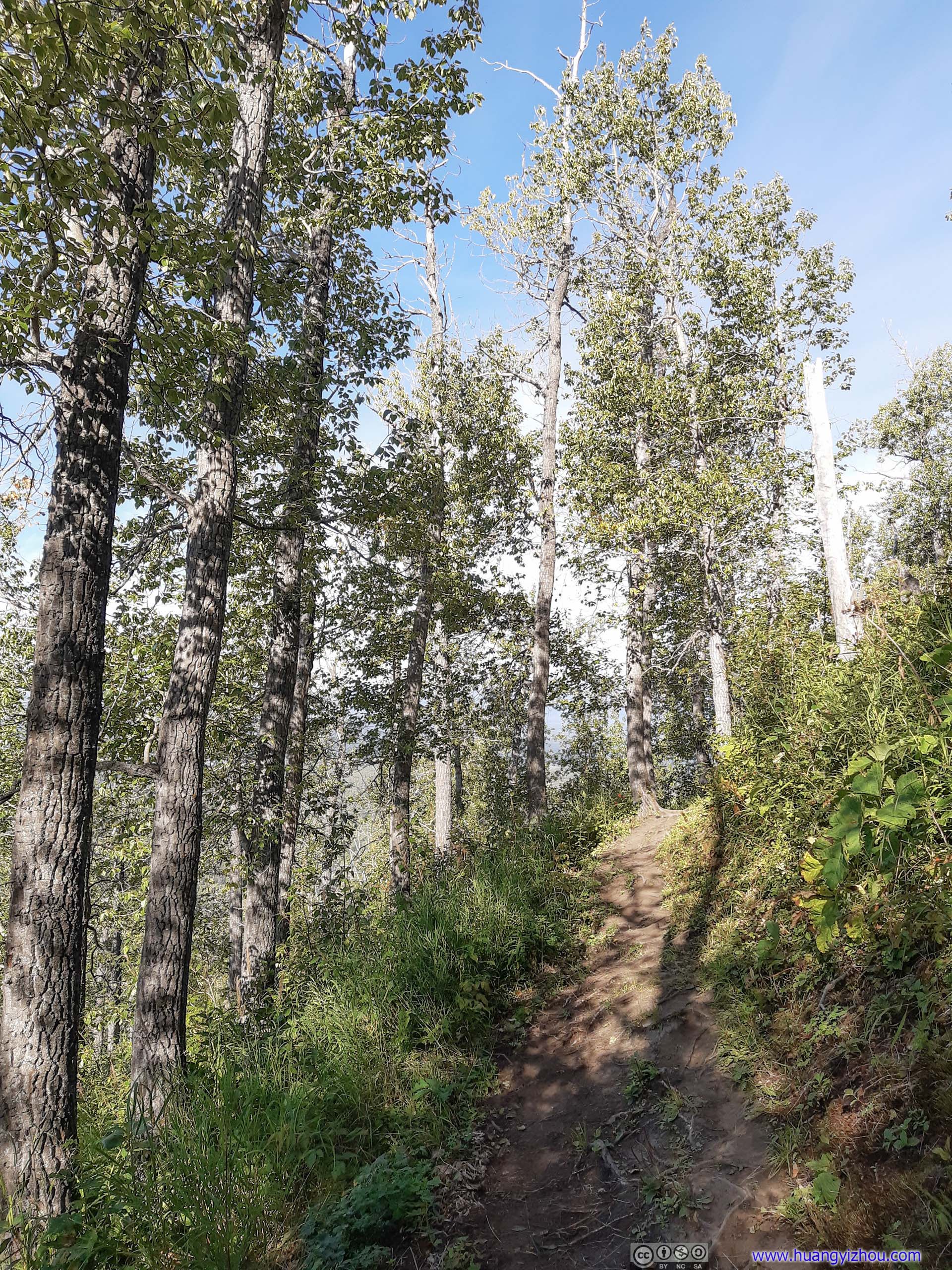 Trail
Trail
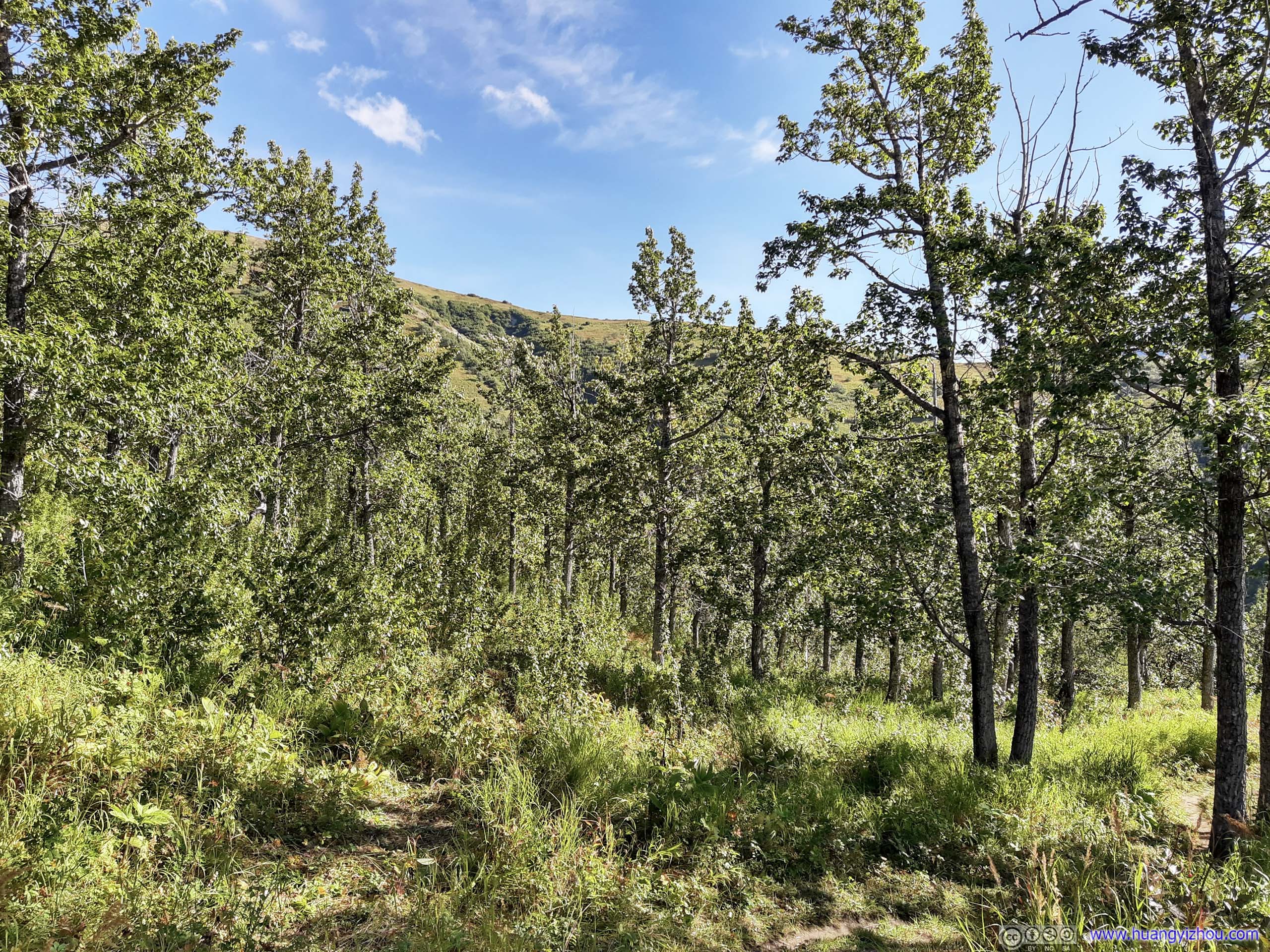
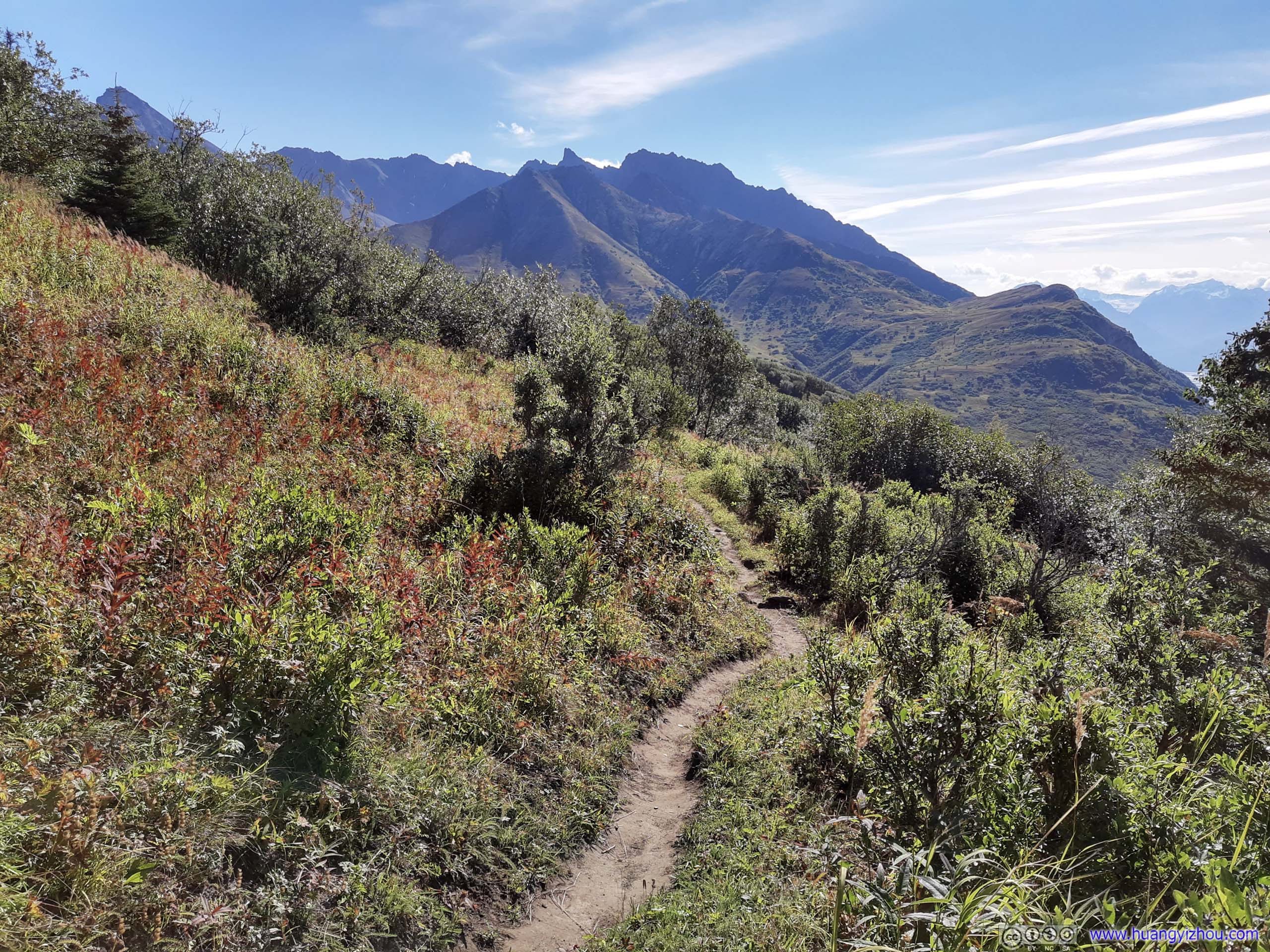
One aspect of Lazy Moose Trail that I didn’t quite appreciate was its numerous (and I believed, unnecessary) switchbacks with an incline that’s too smooth. It’s so tempting to cut around them making a more direct ascent that’s not difficult at all.
In addition to that, the forest was doing a good job at keeping out the wind, which meant it’s a pretty hot ascent with lots of sweats. A huge contrast to later in the day when I experienced furious winds up top.
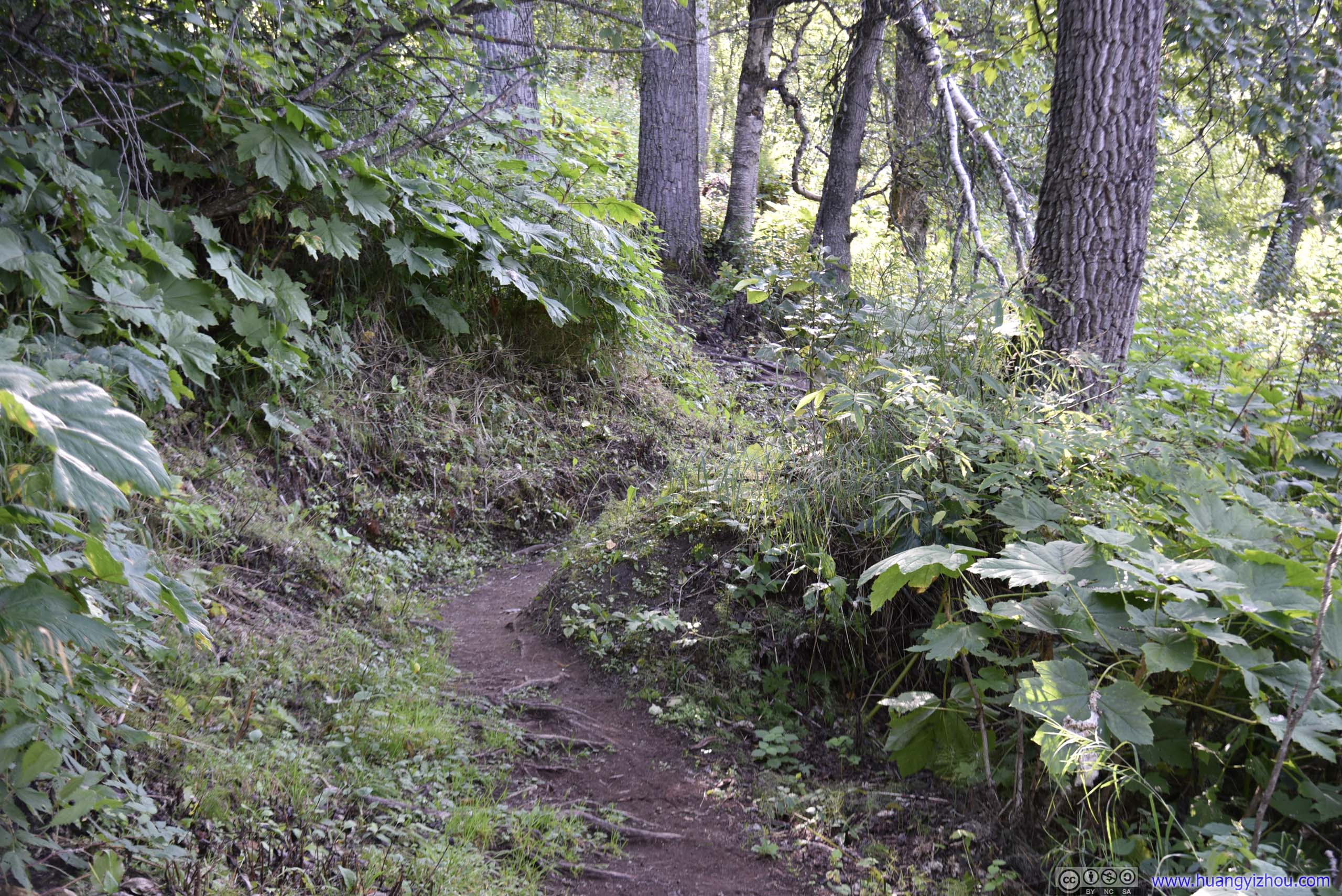
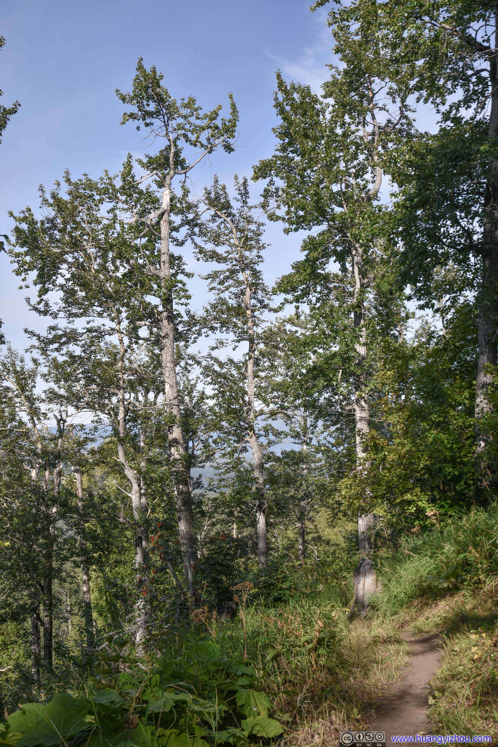
 Trail
Trail
And as one made his way up the hill, various mountains to the South emerged above the tree line.
Twin Peaks
Pioneer Peak

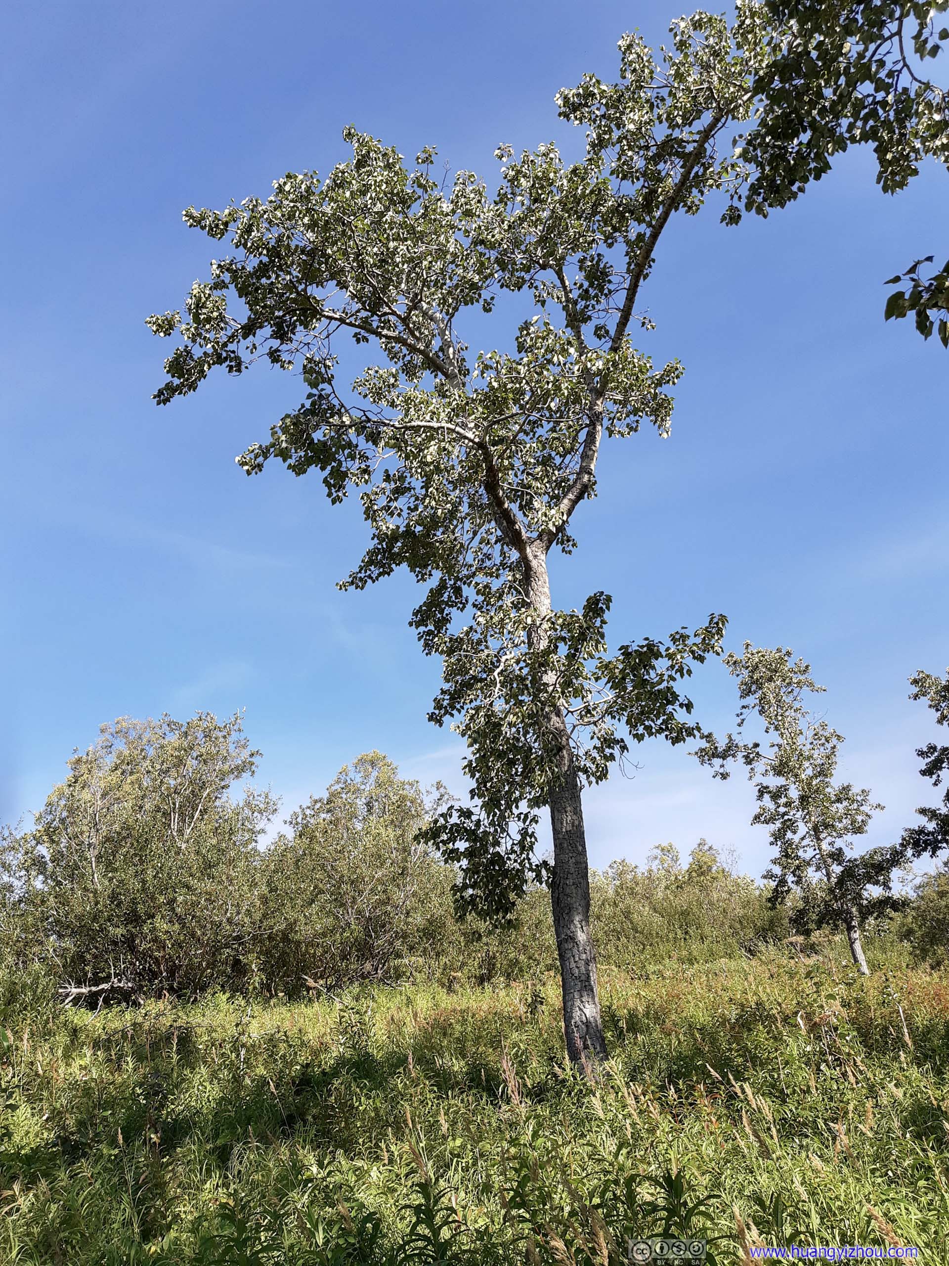
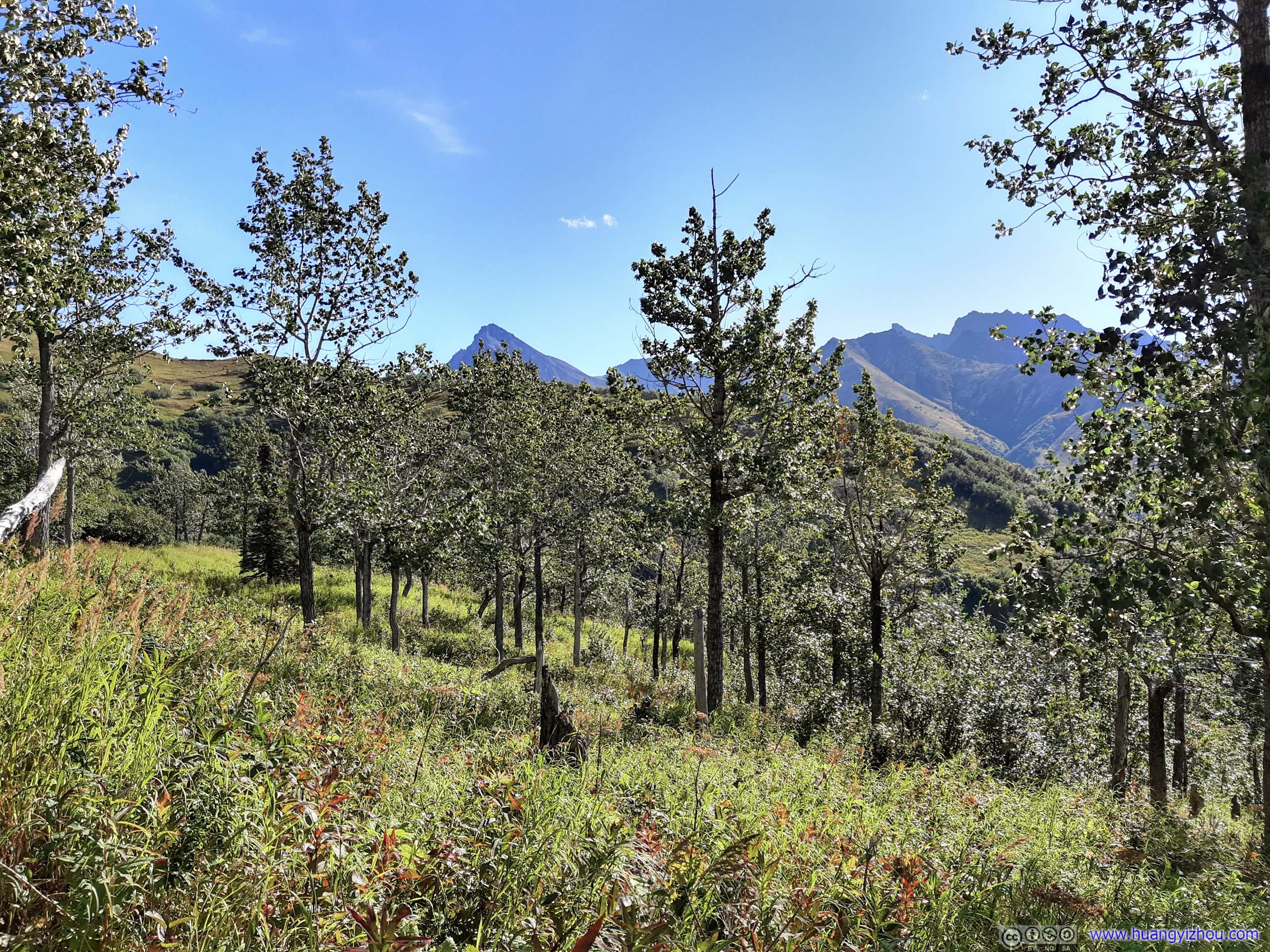
 TreesApproaching the junction, trees got sparser so one could enjoy more sunshine.

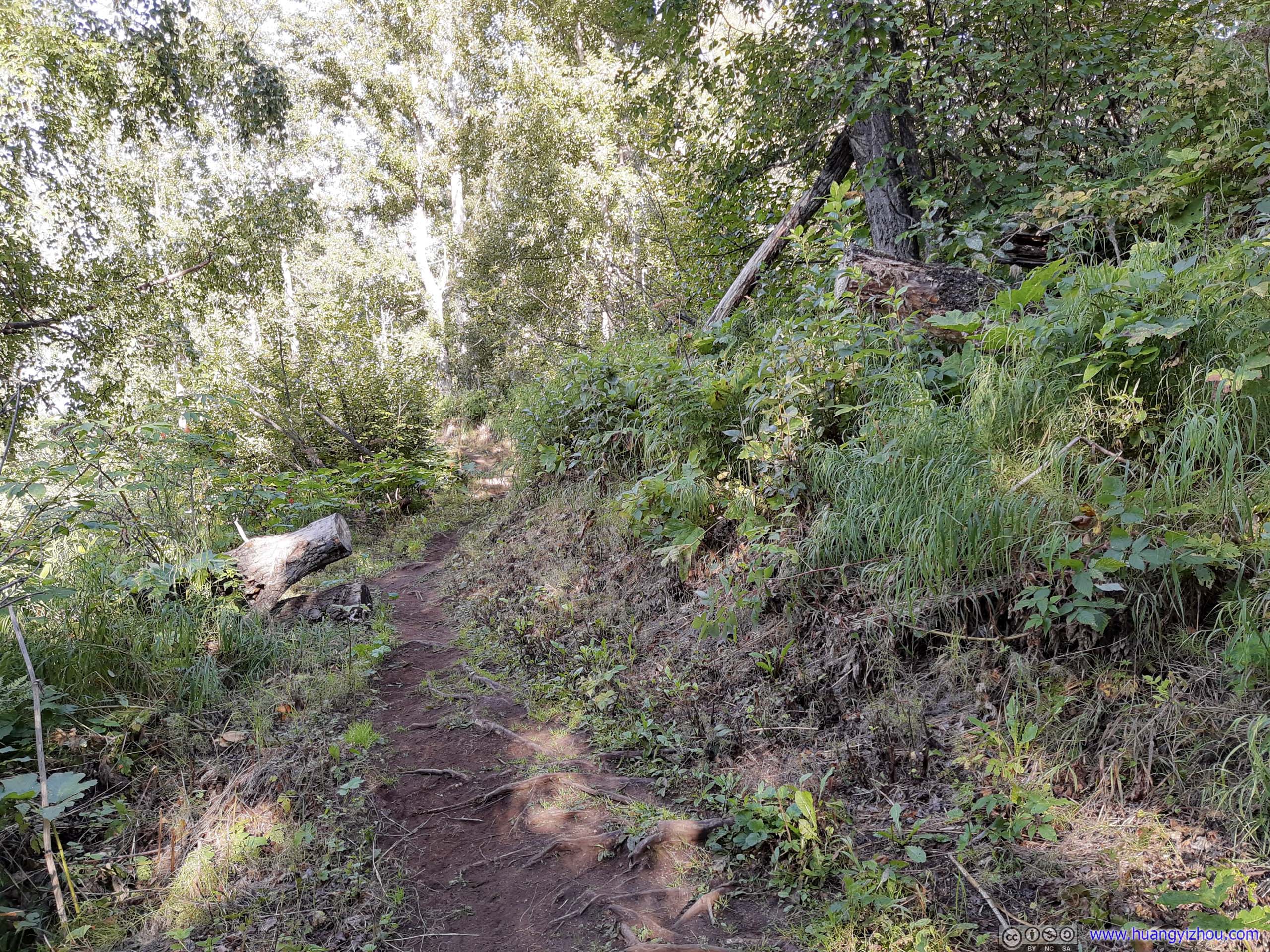
 Trail
Trail
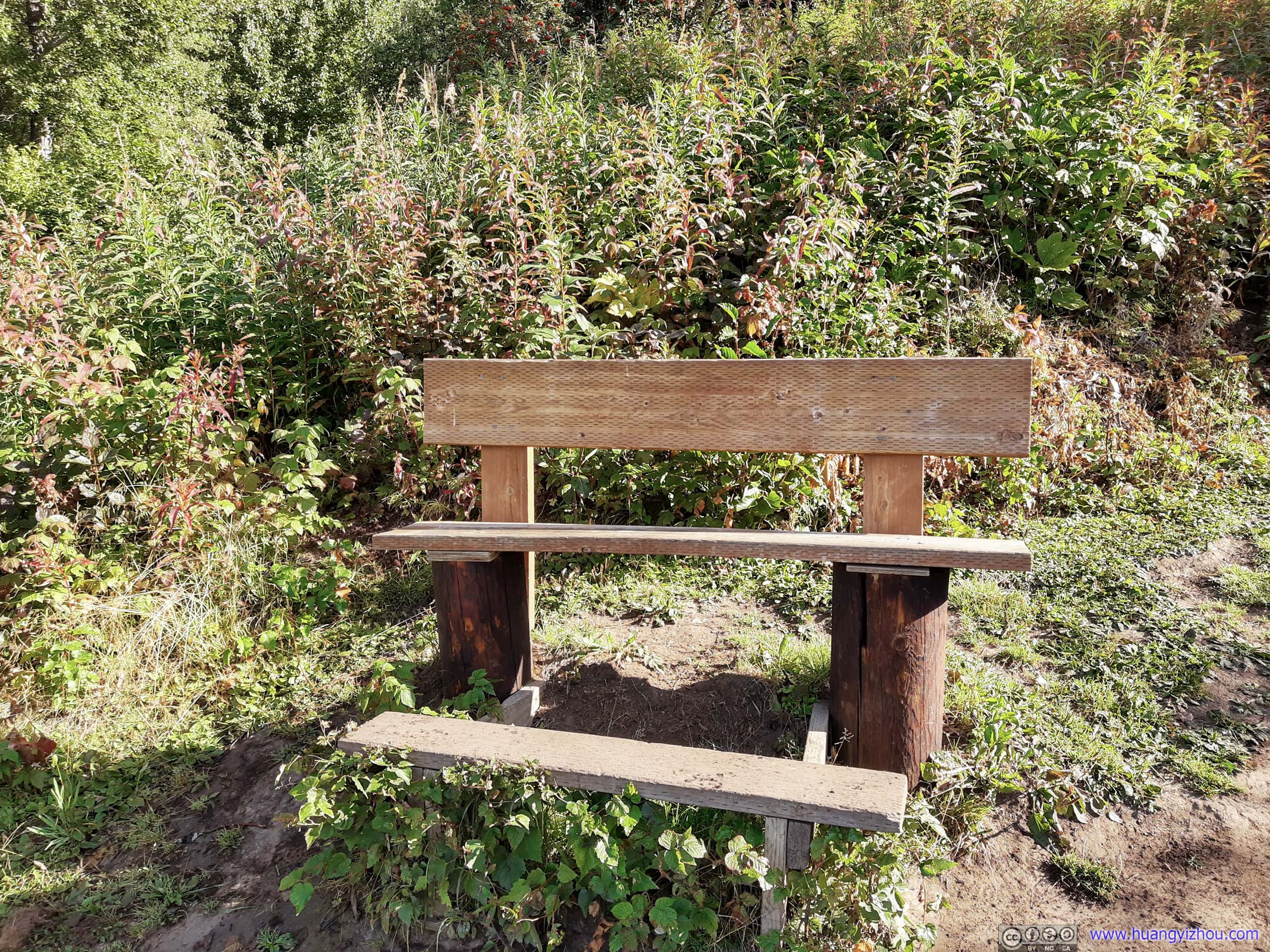
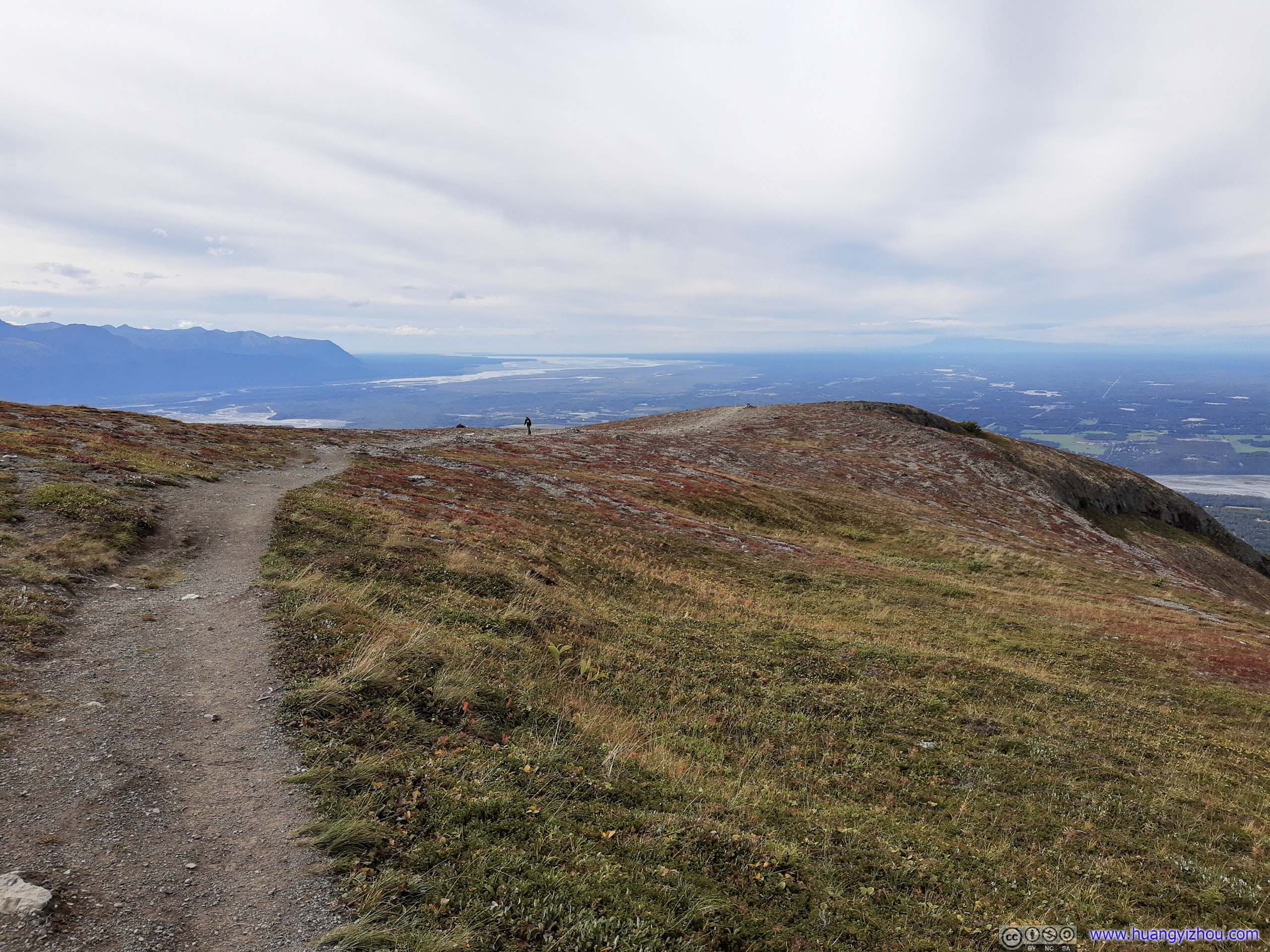
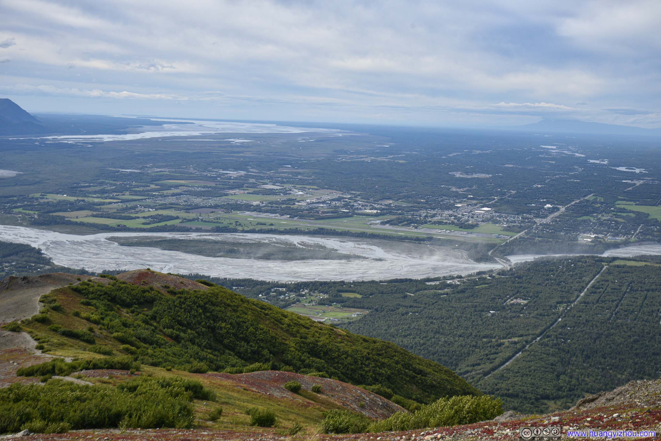
90 minutes after I started, I reached the intersection of trails. Soon after that there was a picnic table, where I took some rest while enjoying the view below.
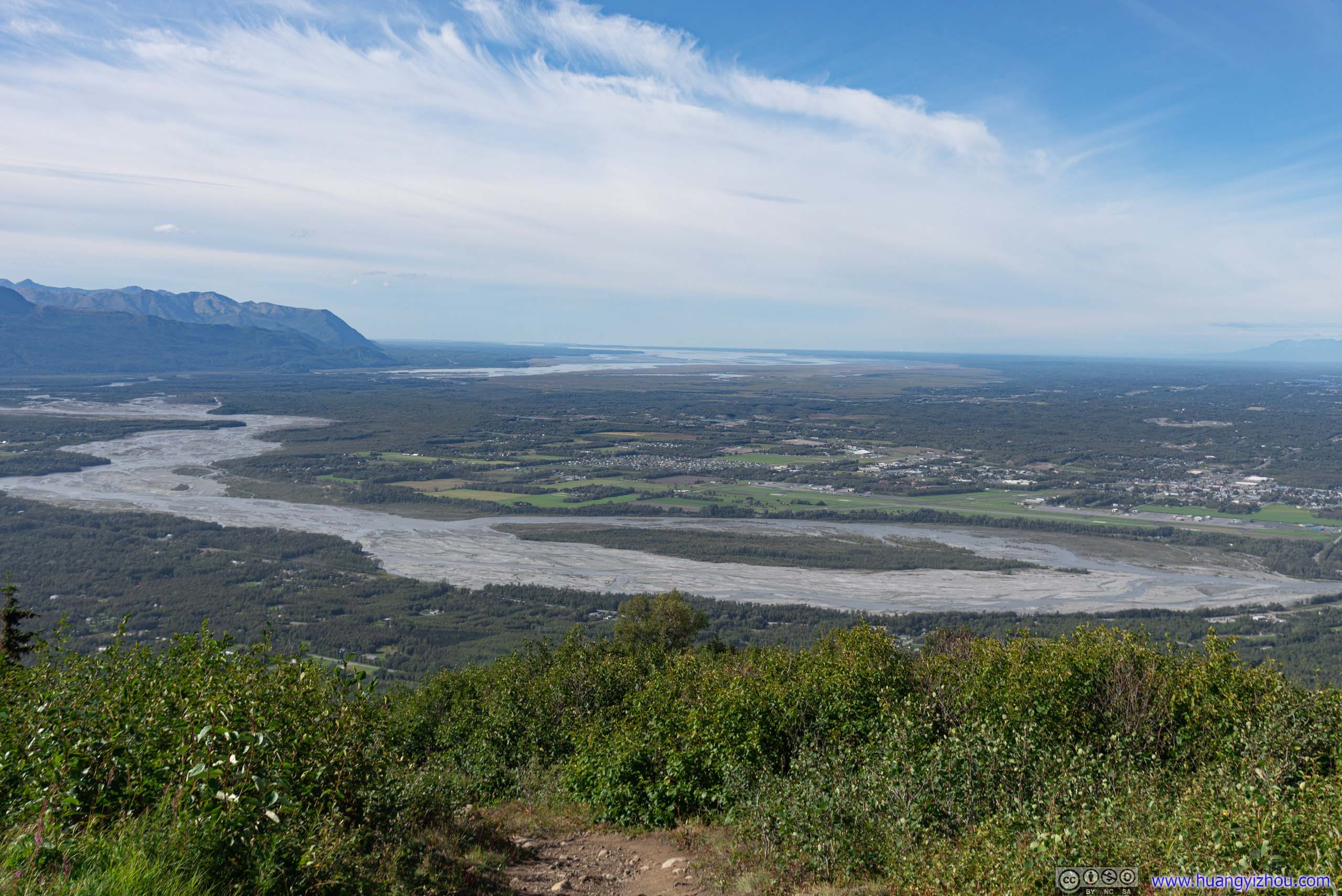
Matanuska River

Palmer Municipal Airport before Downtown Palmer
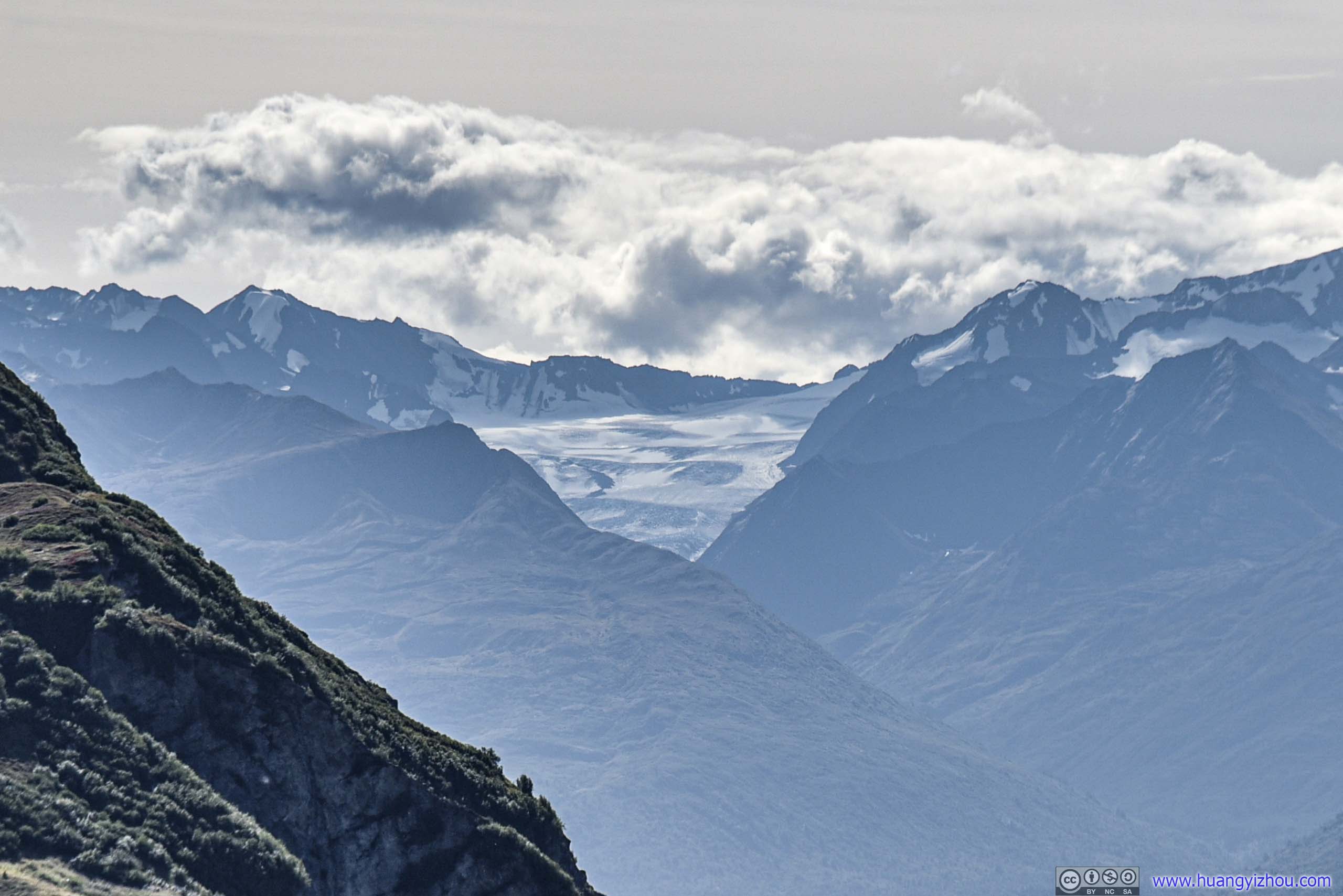
Distant Hunter Creek Glacier

Distant Tordrillo MountainsMore than 100 miles of visibility.
Road
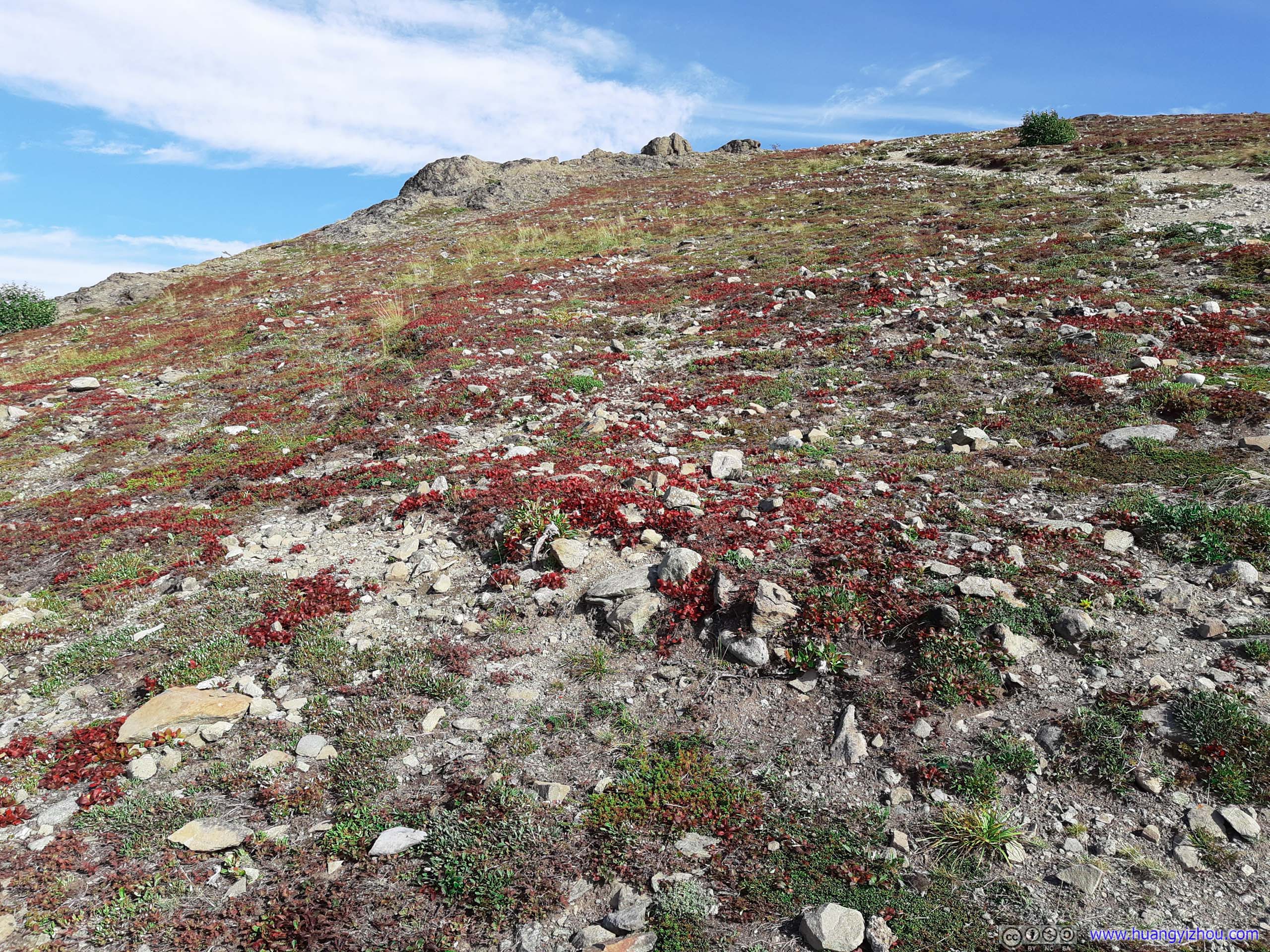
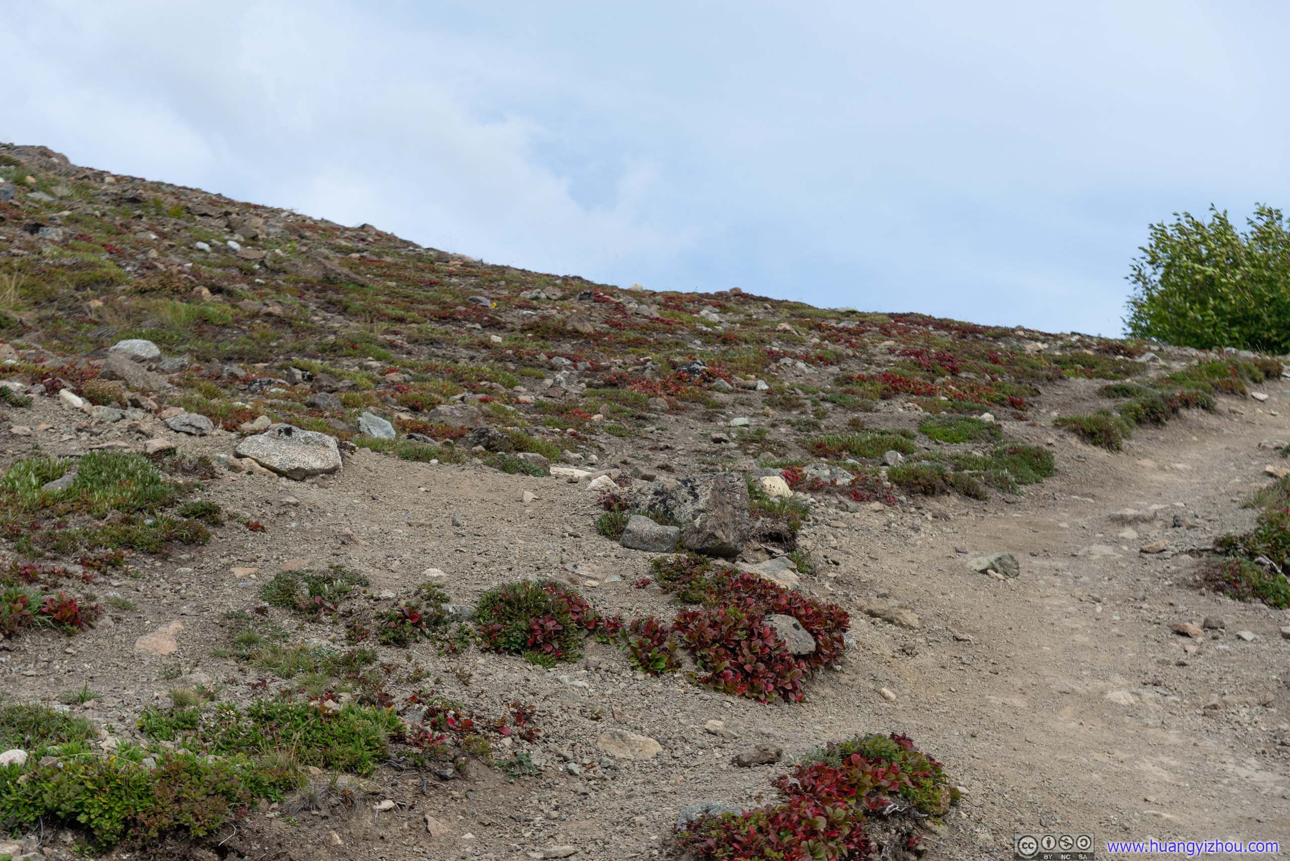
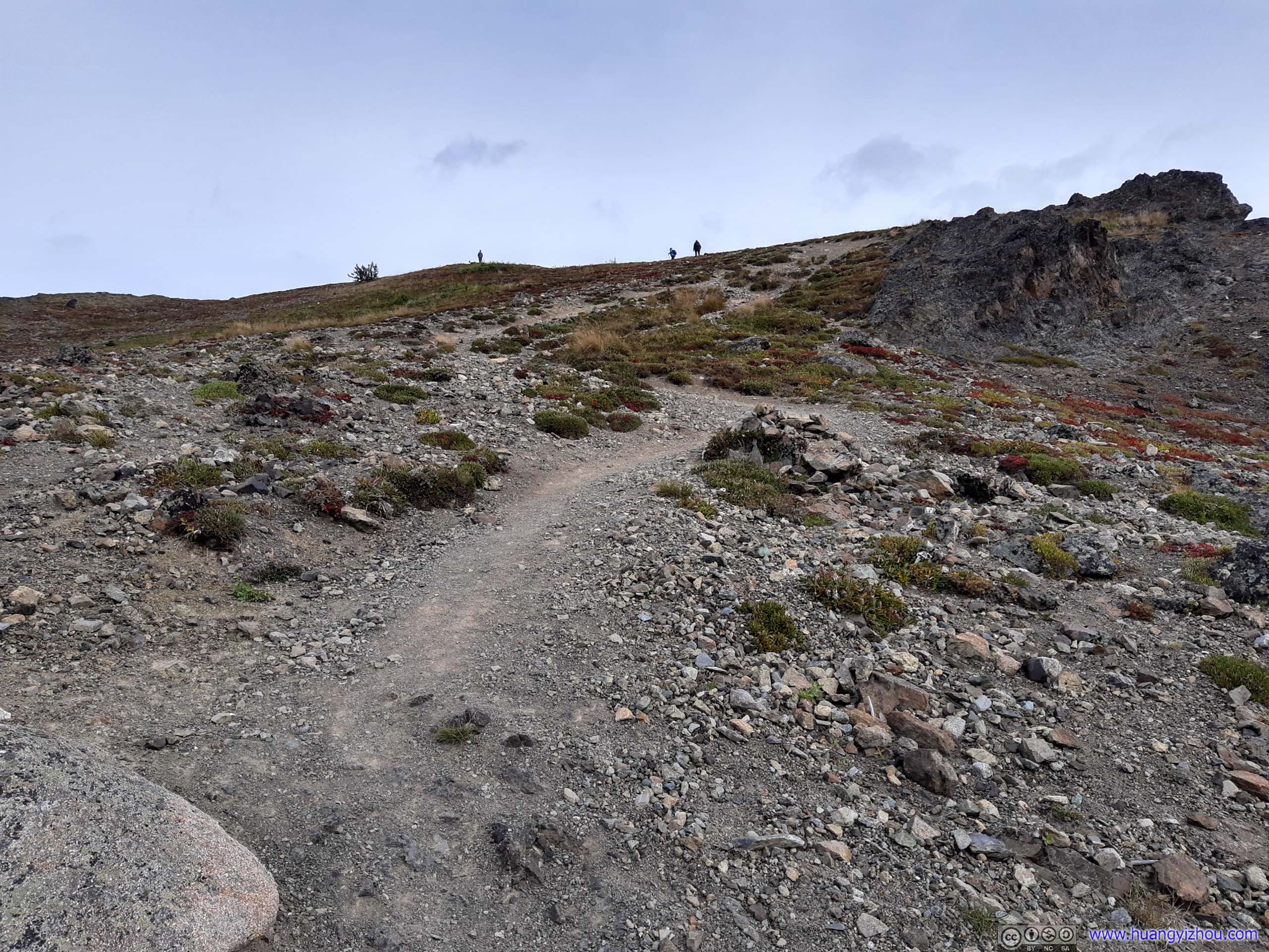
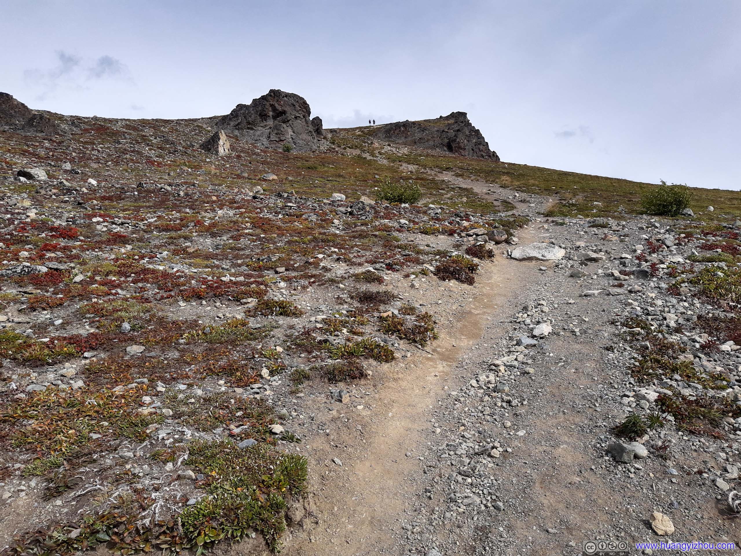
Soon after leaving picnic table, there was some steep ascent in the bushes, after which rocks began to dominate the landscape.
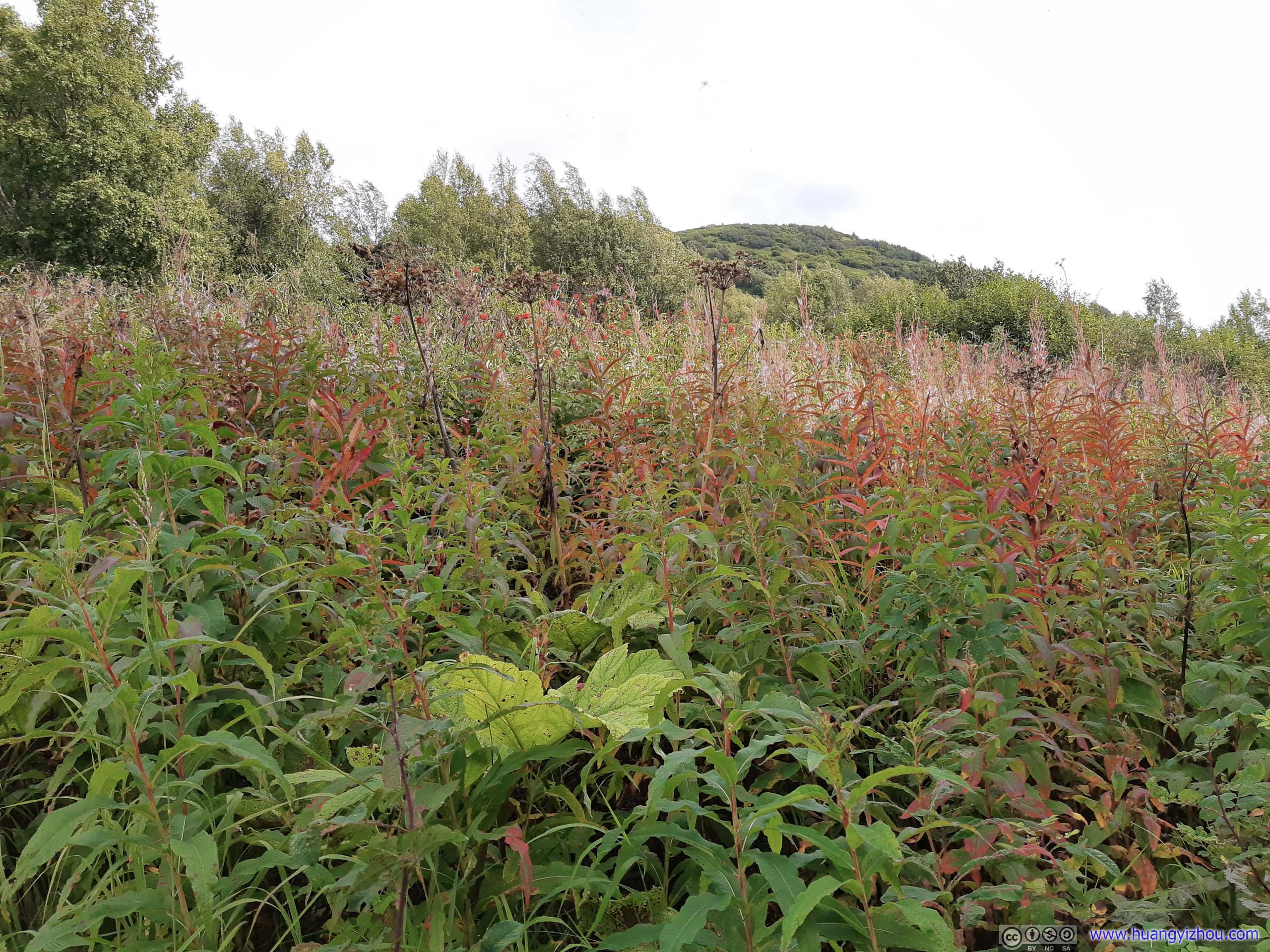
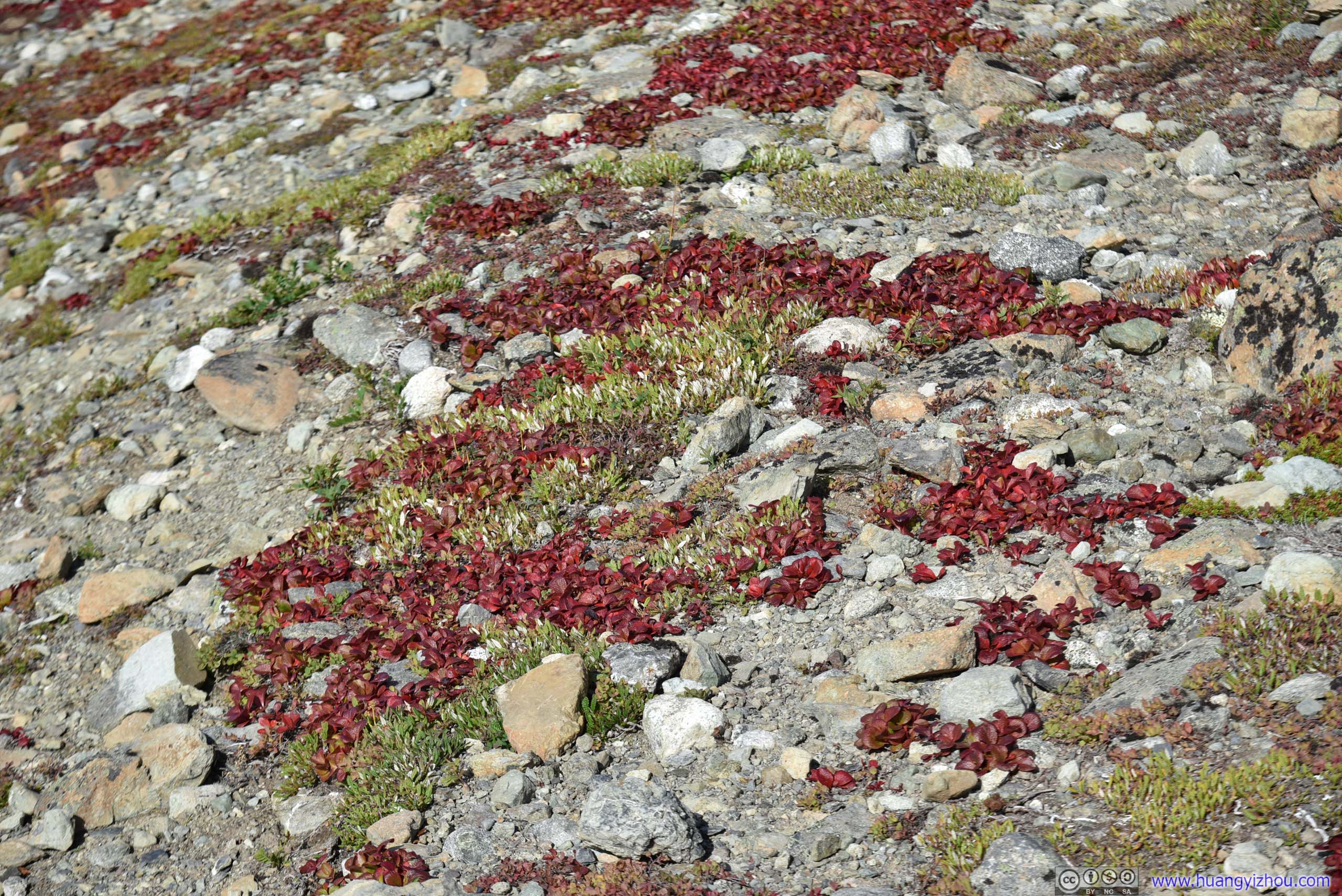
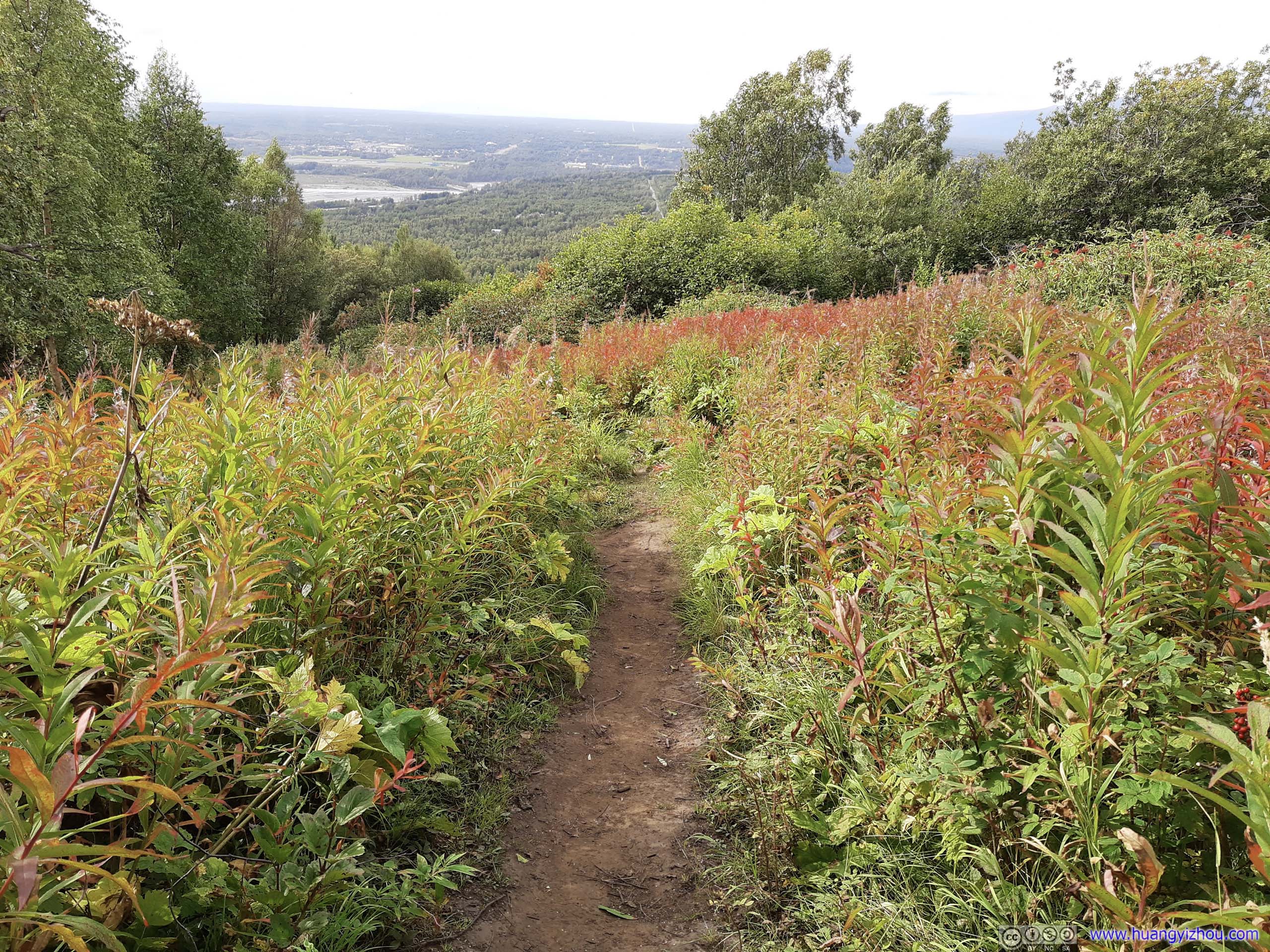
That’s when I started to notice the rocky ground was decorated with patches of grass, the most alluring and mesmerizing being these wearing crimson red. It’s end of August it’s sensational watching cycle of their life ended in such dramatic colors.
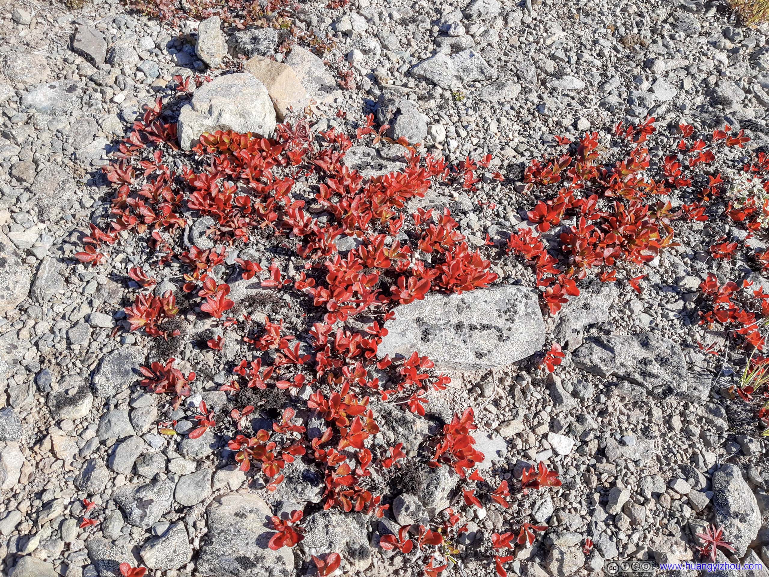

 Grass
Grass
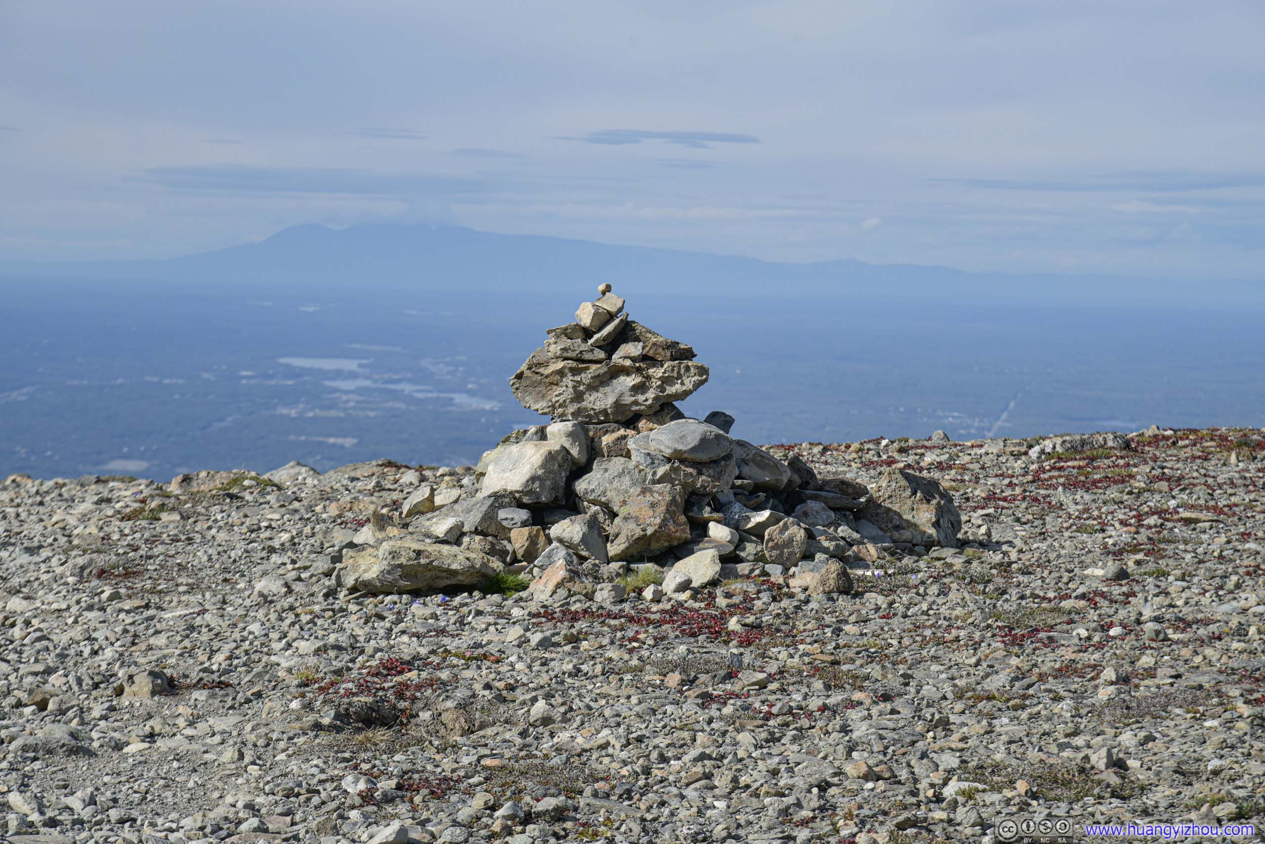
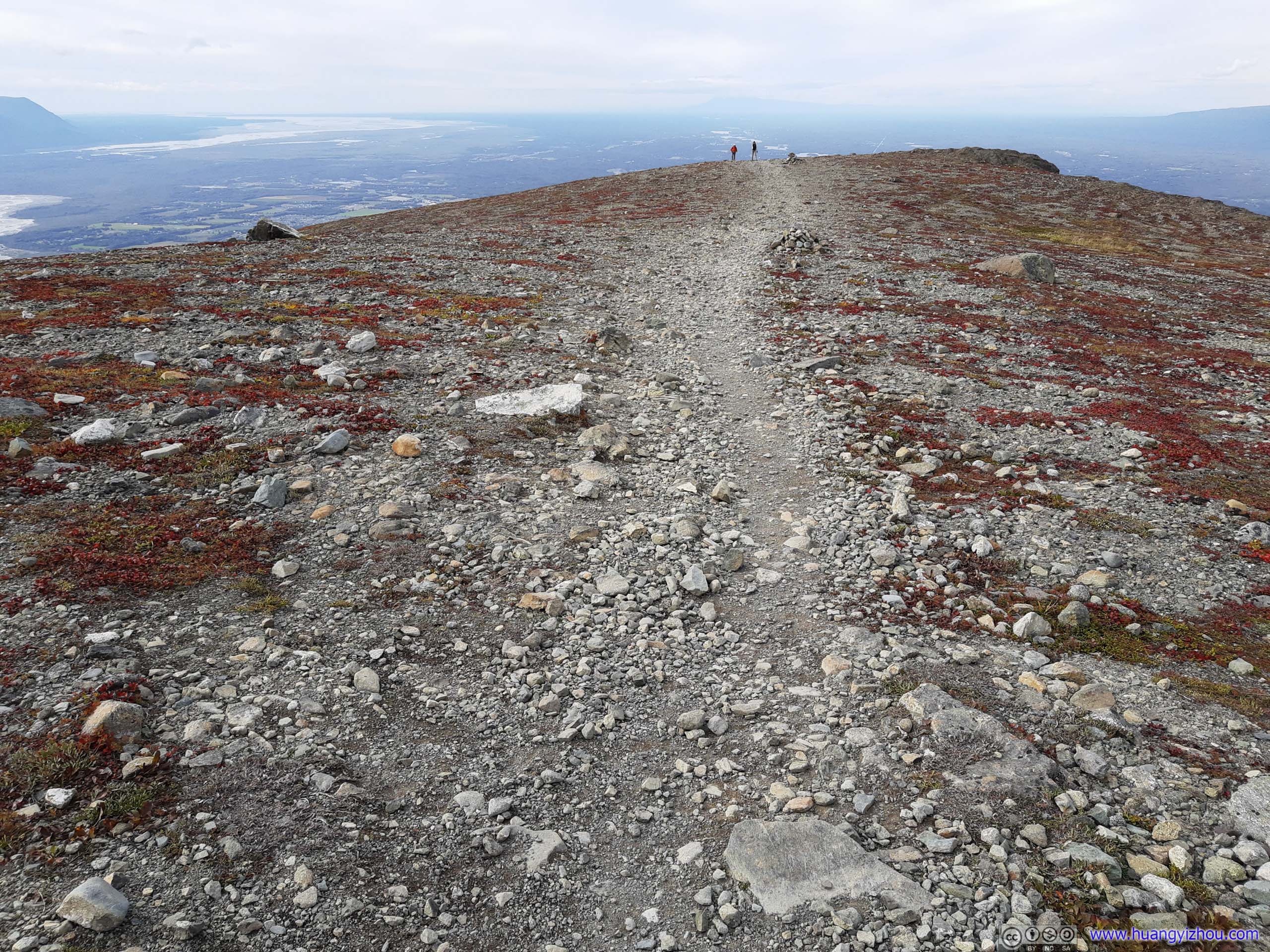
 Cairn
Cairn
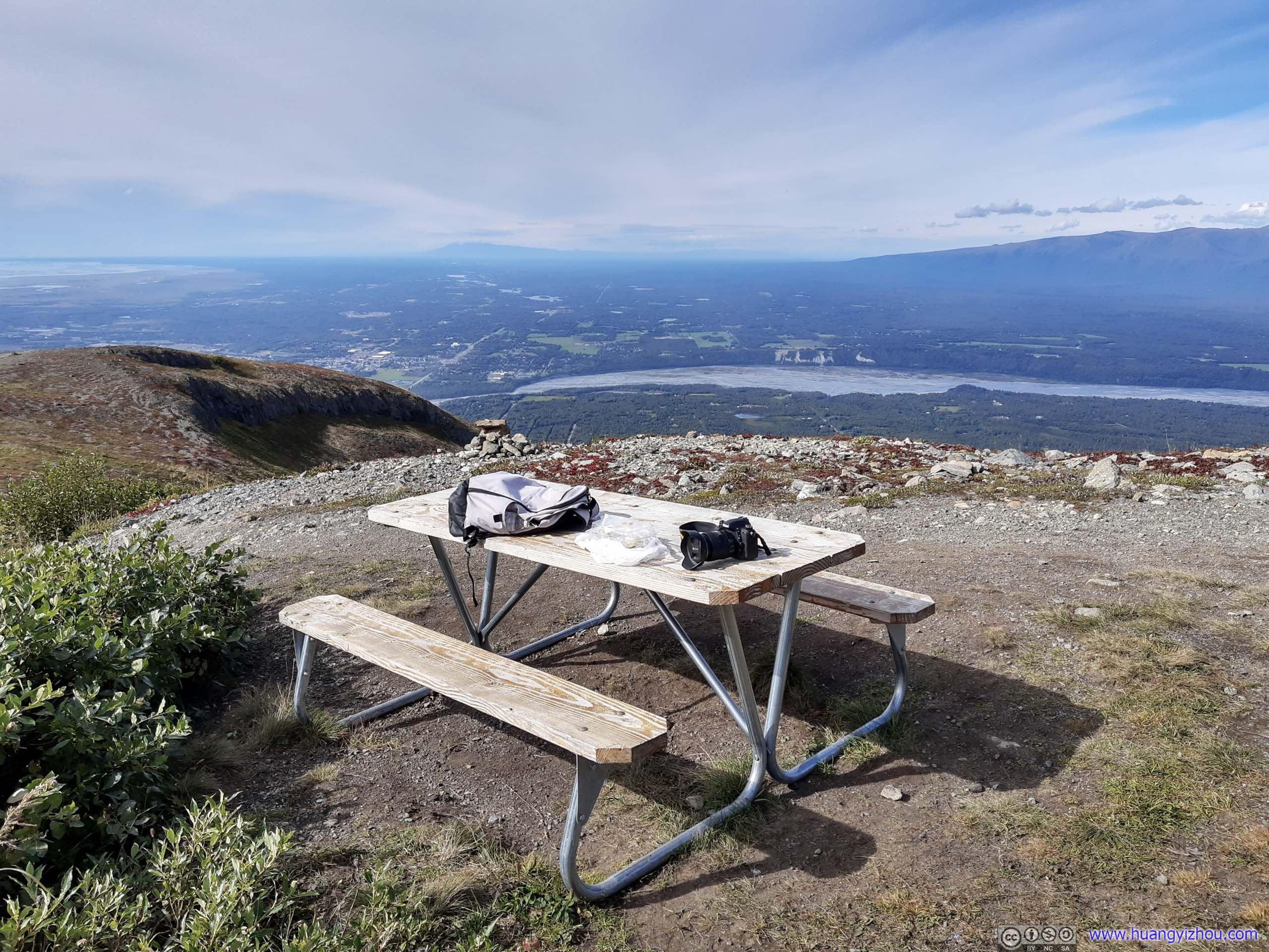
Picnic Table
 Trail
Trail
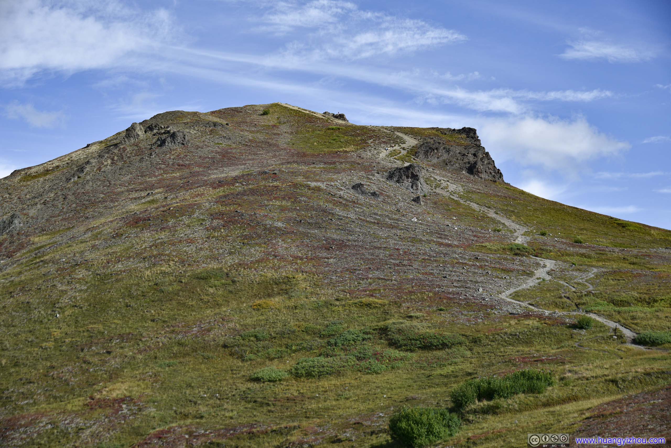
Summit of Lazy Mountain
Finally, 2.5 hours after I started, I reached the summit of Lazy Mountain at 1pm.
Final Stretch
Flag at Lazy Mountain Summit
Overlooking Lazy Mountain
And in line with my tradition, I commemorated the moment with a video shot from my drone.
1.04x playback speed, 17 seconds, 2160p25fps, 14Mbps/29MB for H265, 17Mbps/35MB for H264.
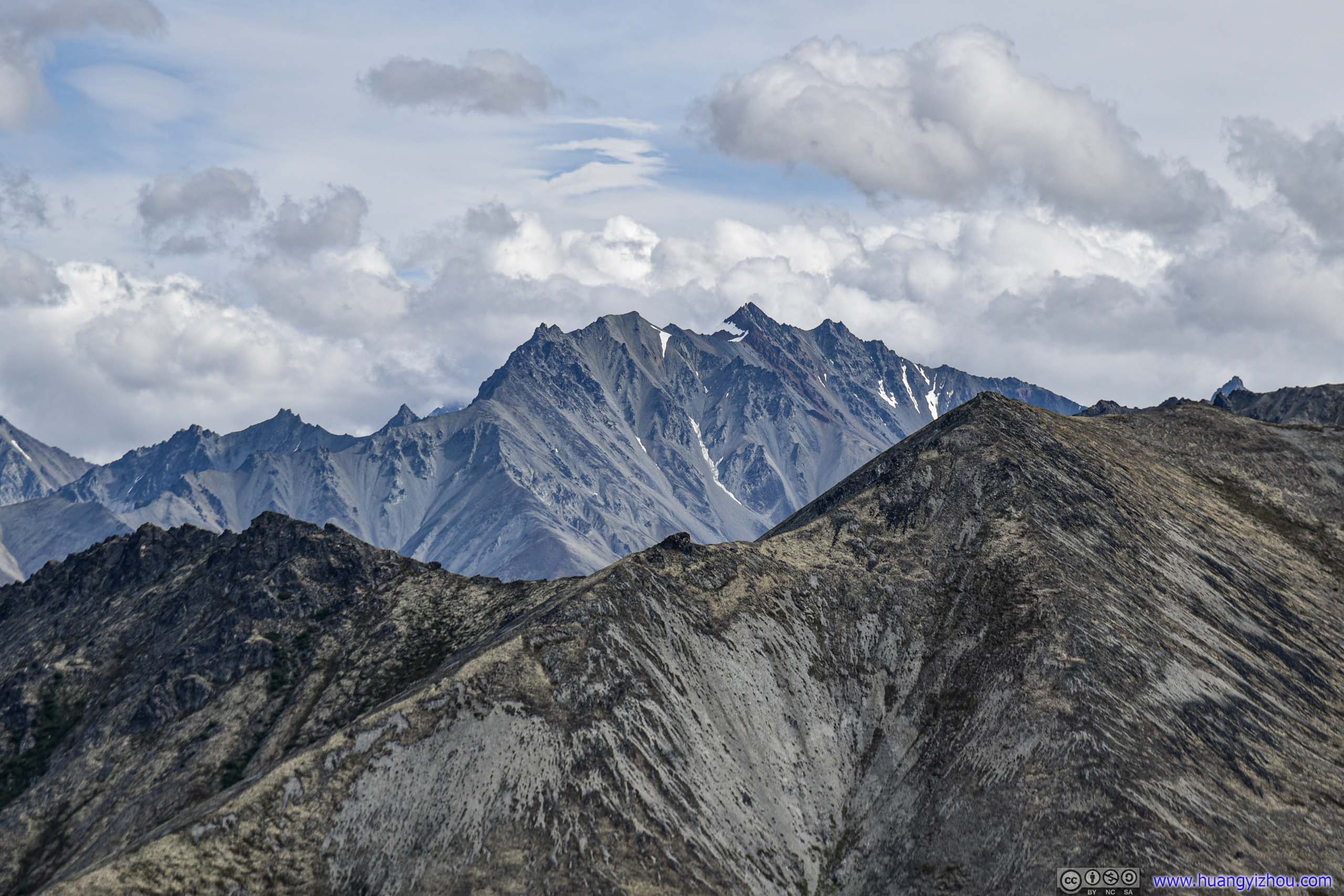
Mountains surrounding Lazy Mountain
Lazy Mountain SummitTaken from my drone.
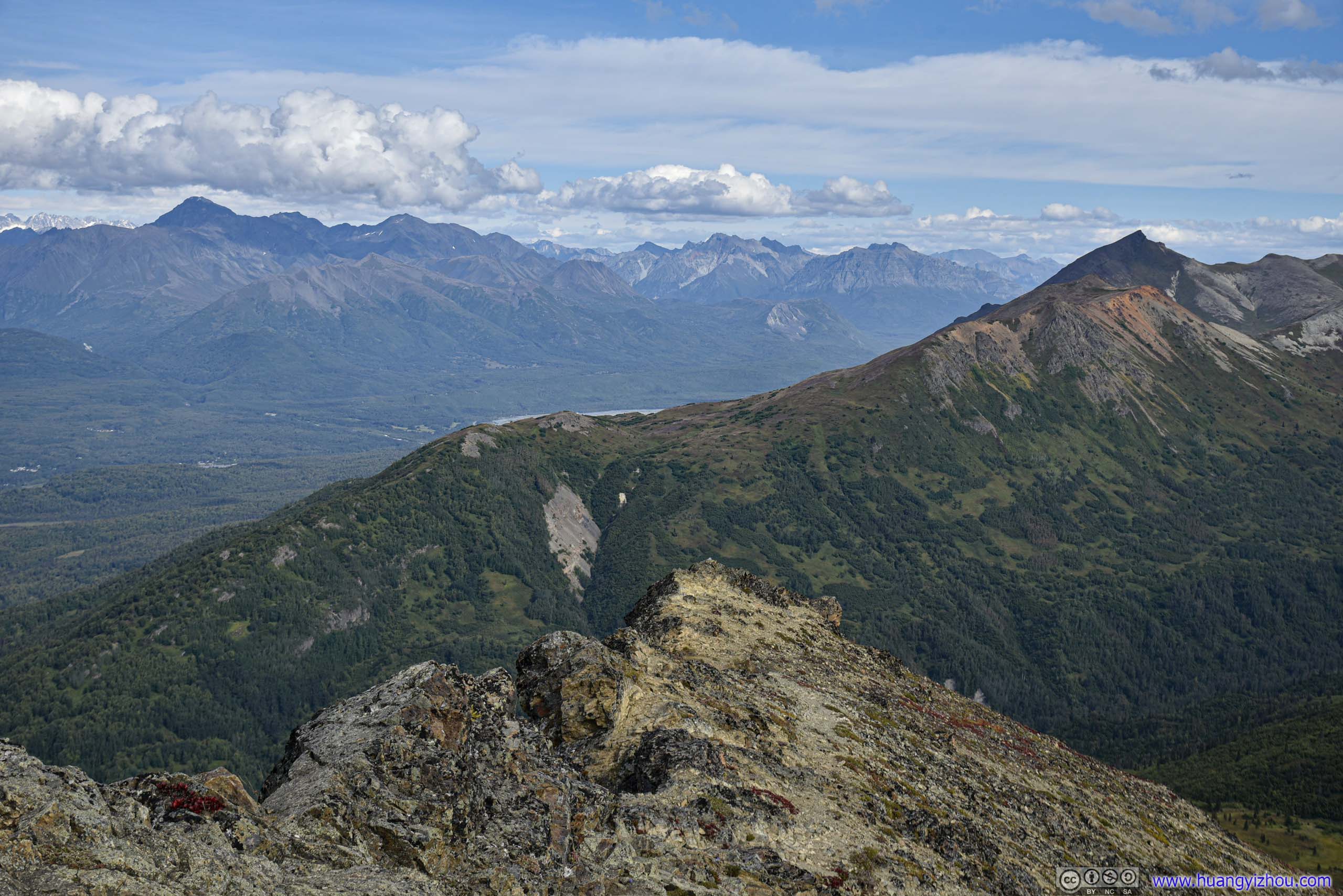
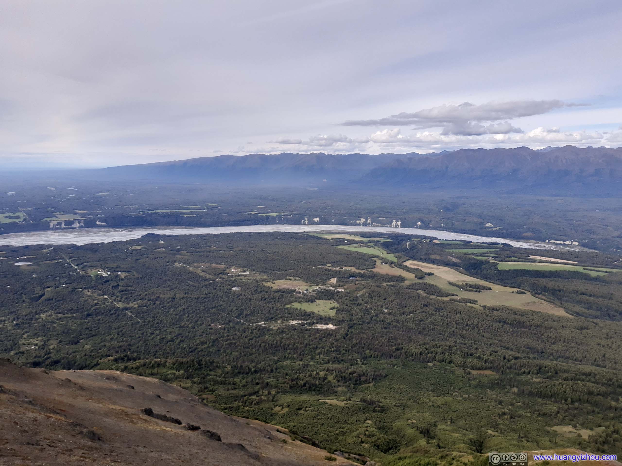
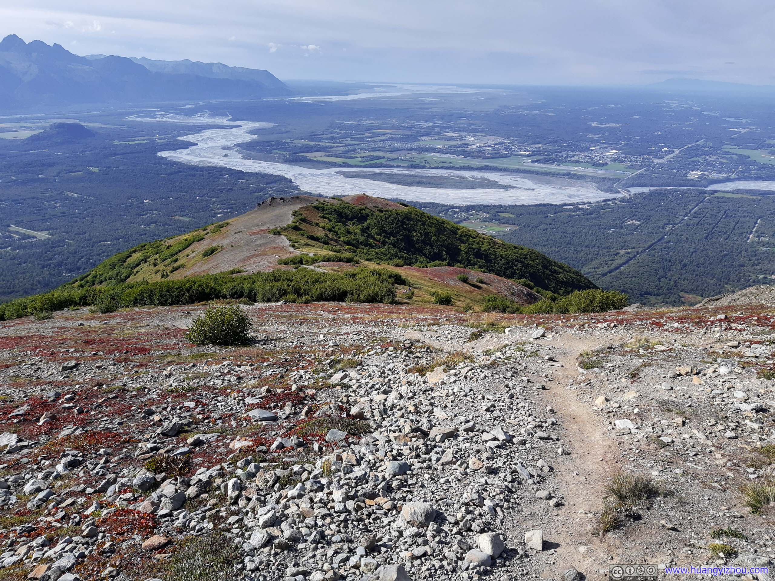
The views were spectacular from the summit of Lazy Mountain, with Matanuska Mountain among others in Chugach Range to the South and East, Talkeetna Range to the North, and the plains along Knik Arm to the West.
Matanuska Mountain
Chugach Mountains from Lazy Mountain
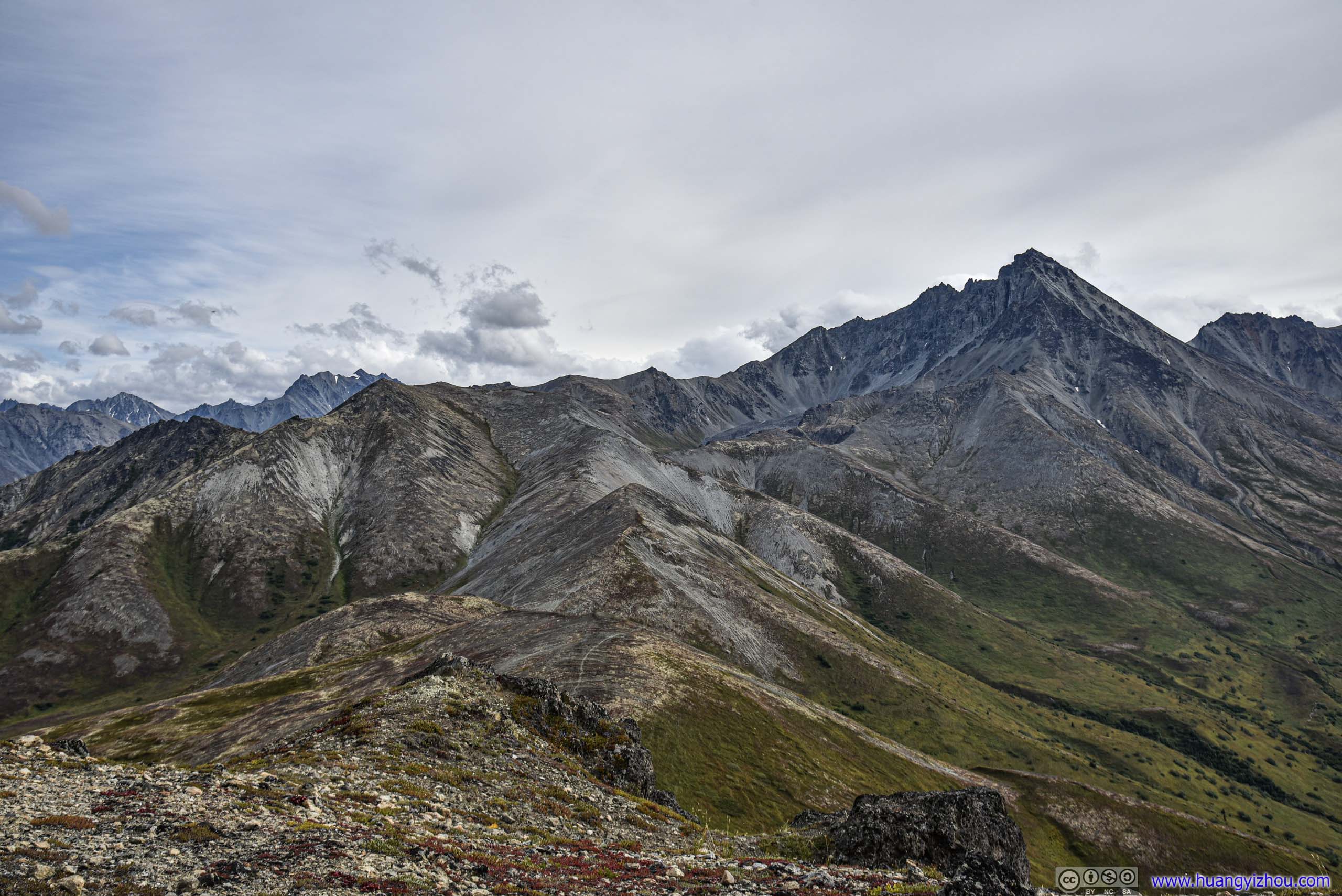
Eska MountainThe magnificent Talkeetna Ranges to the North.
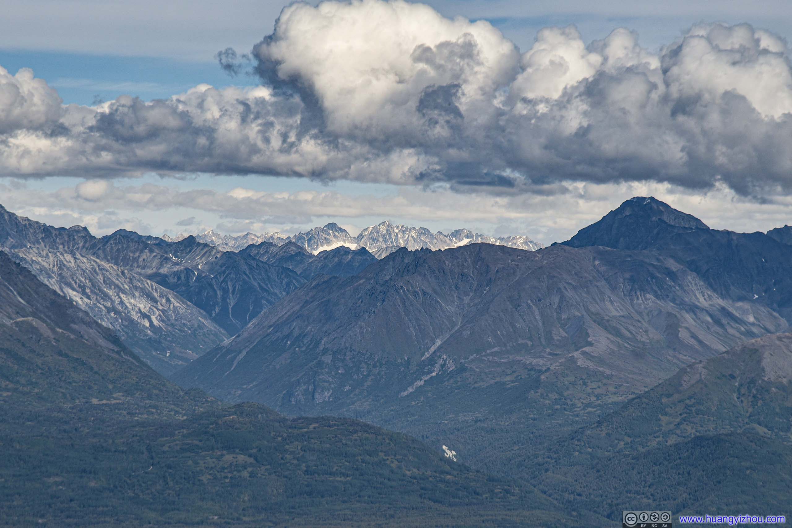
 Distant MountainsAt the heart (left) and perimeter (right) of Talkeetna Ranges.
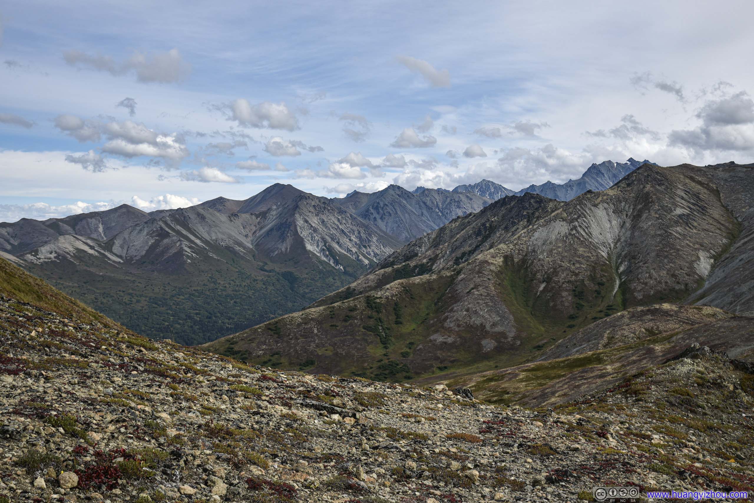 Mountains
Wolverine LakeEven a lake in this region was elongated like carved from the mountains.
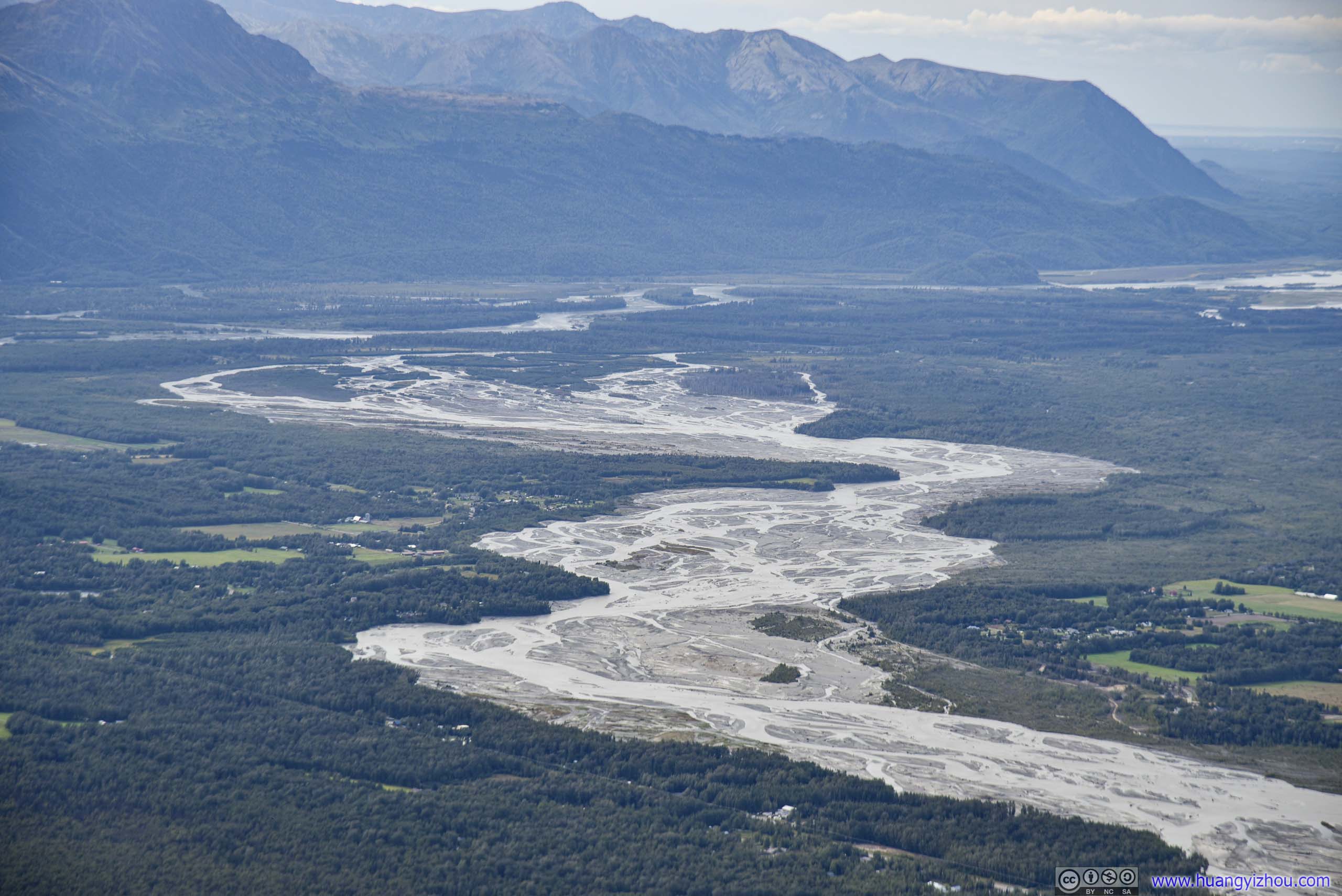
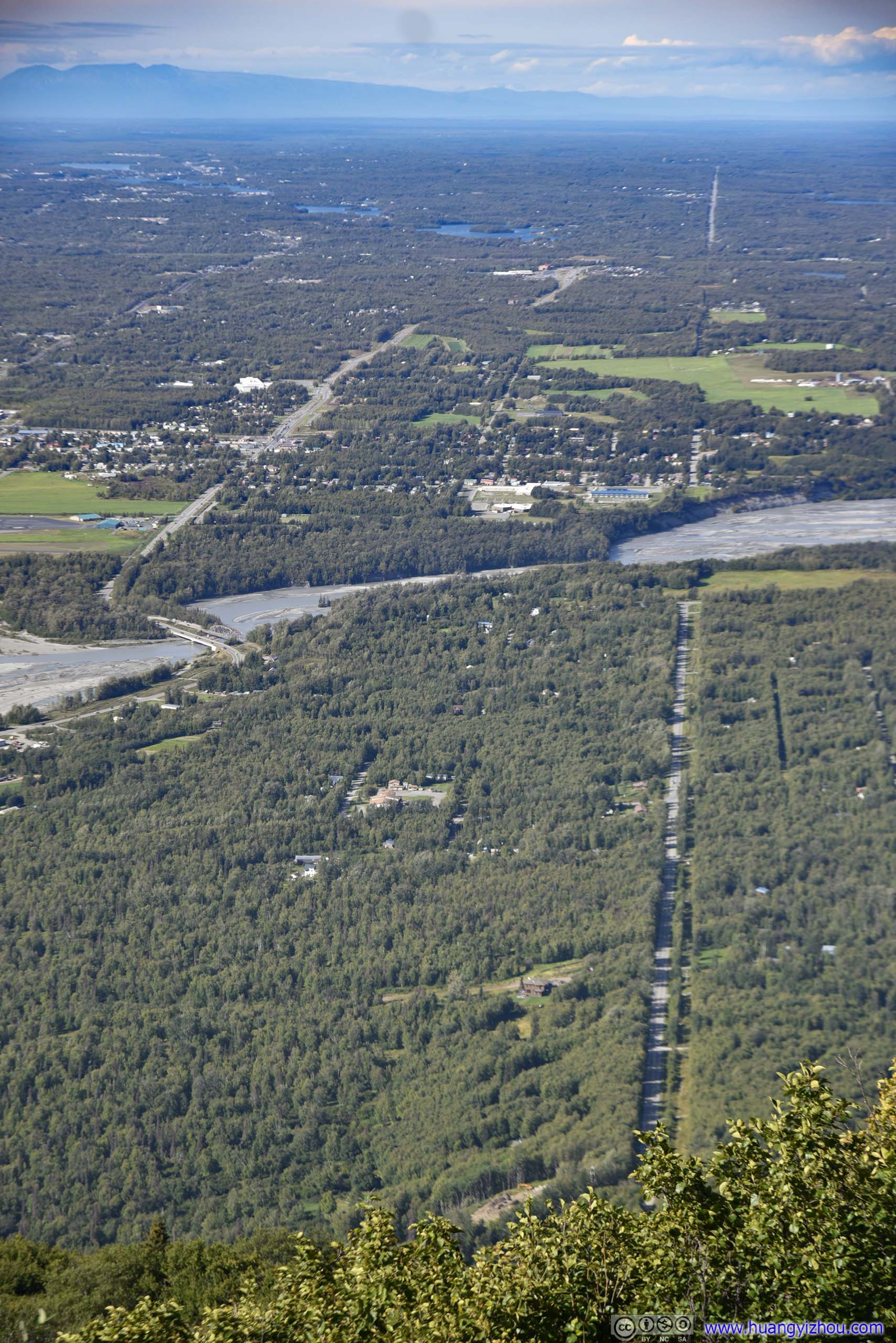
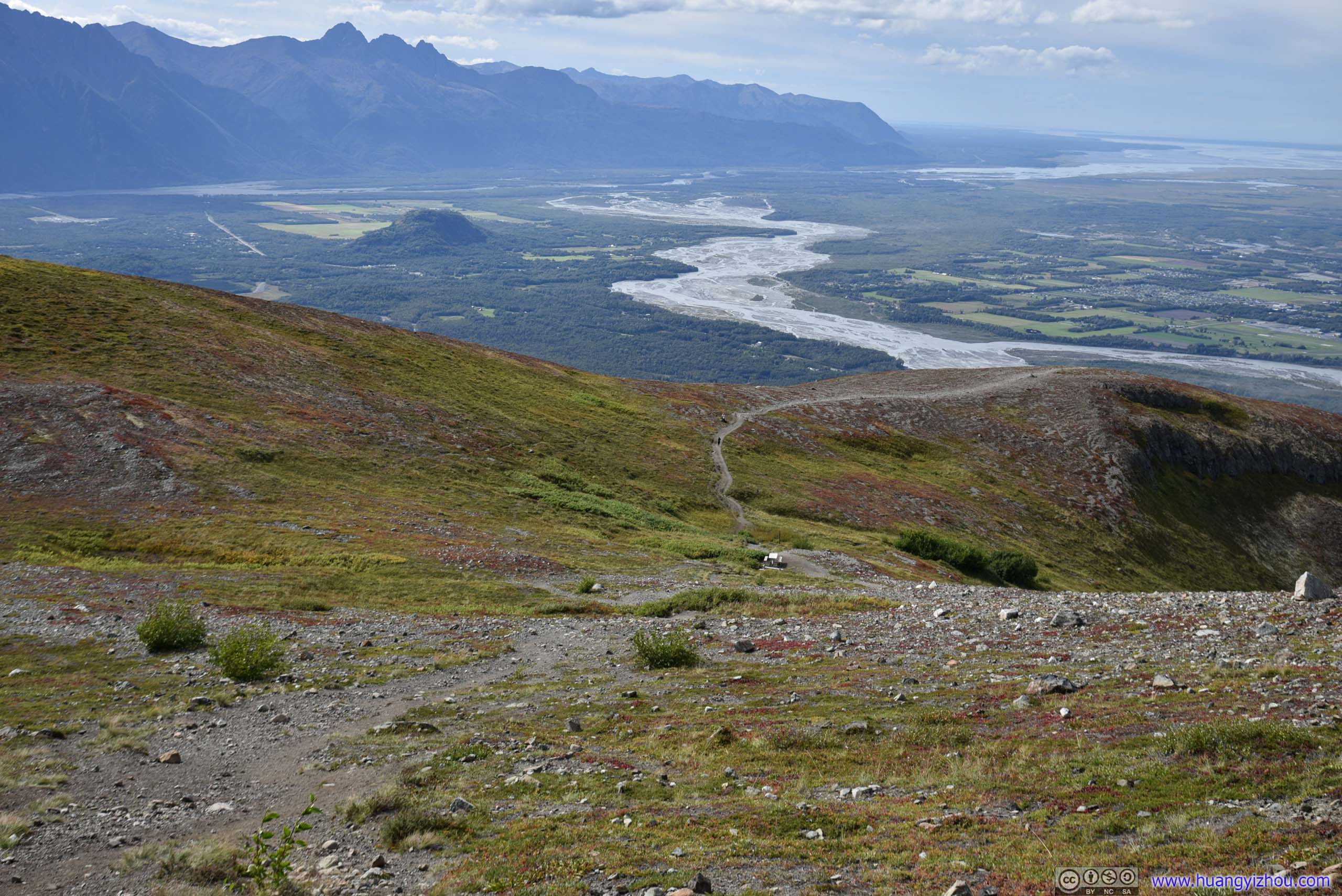
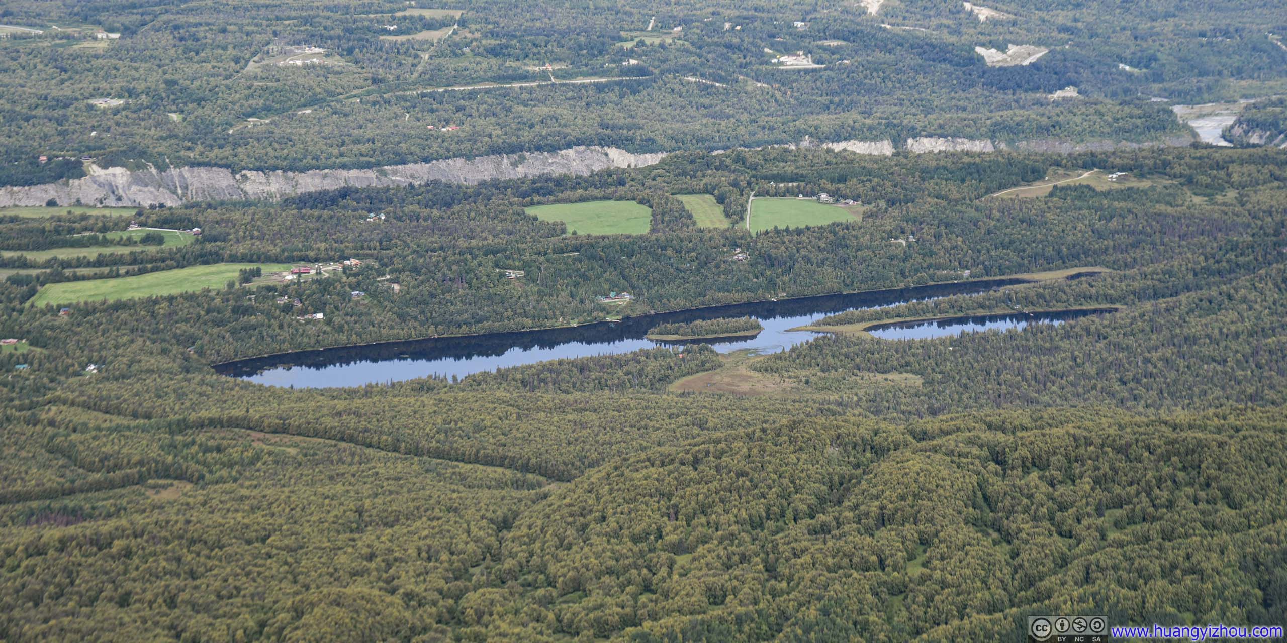
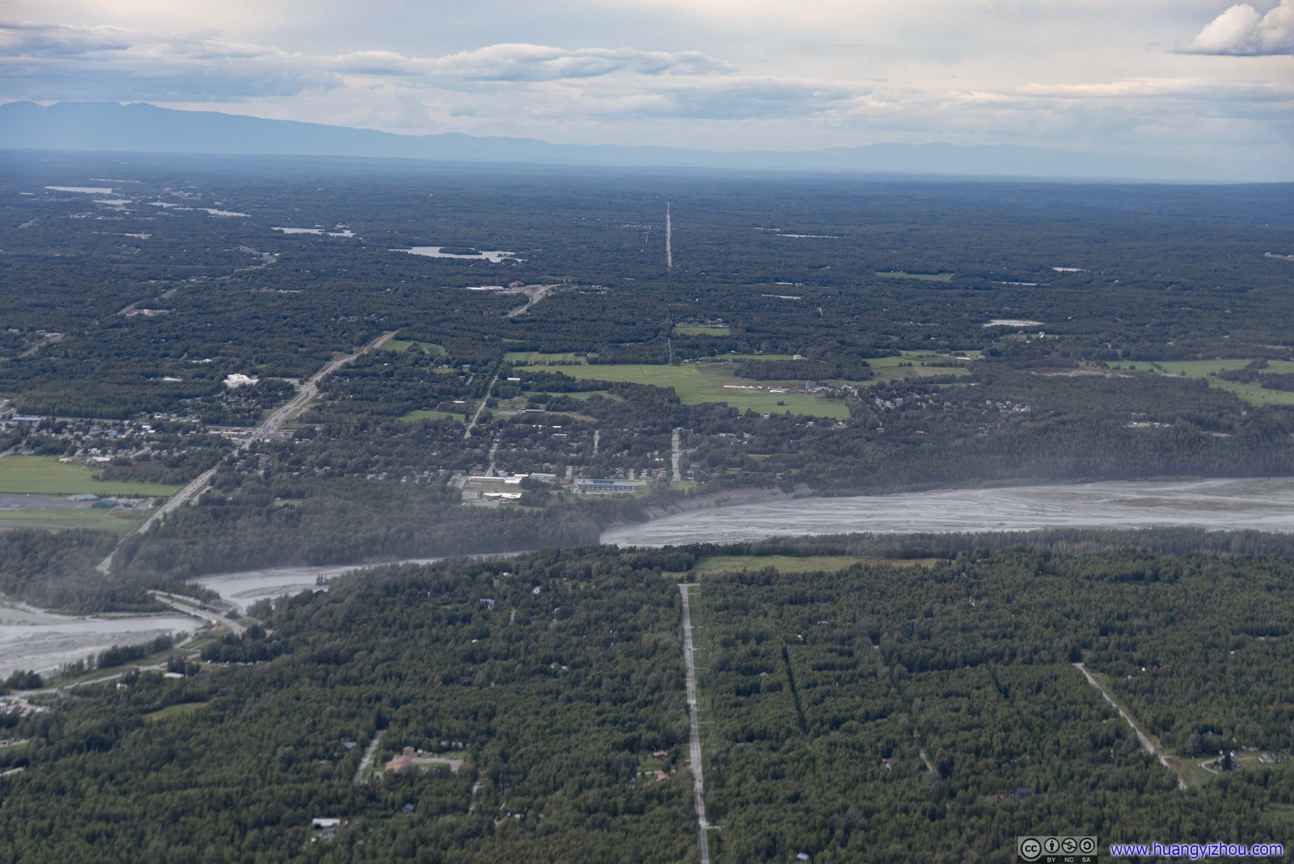
Matanuska RiverThe river widened up as it made its way pass Palmer, and finally joined Knik River.
 Field
Field

View around Lazy Mountain

Trail to Matanuska PeakMatanuska Peak was another trail that I considered hiking. It’s higher and longer, and with limited time today I opted for the shorter and easier Lazy Mountain.
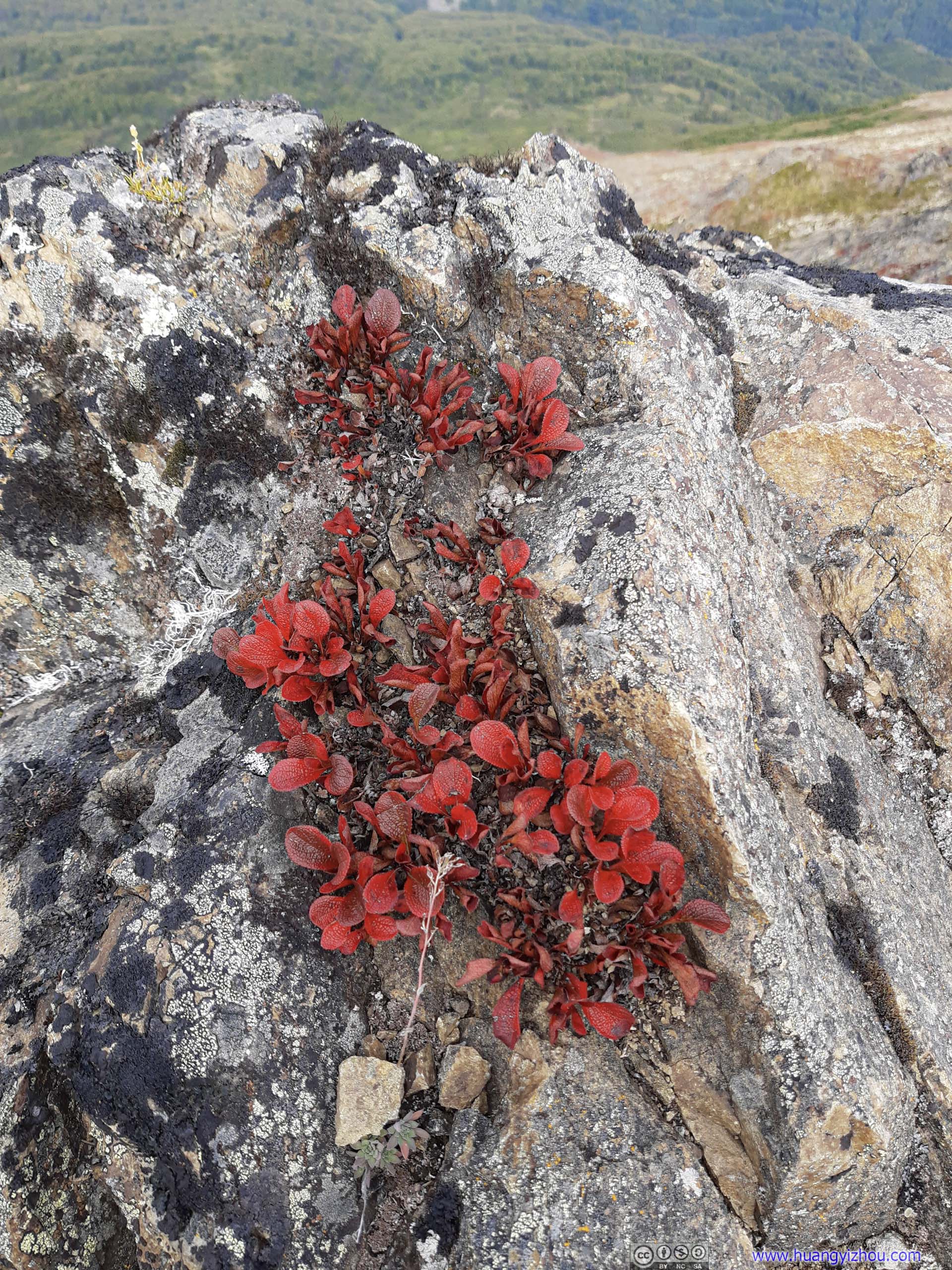
Grass at Lazy Mountain SummitThey seemingly sprouted out of nowhere from these rocks at the summit.
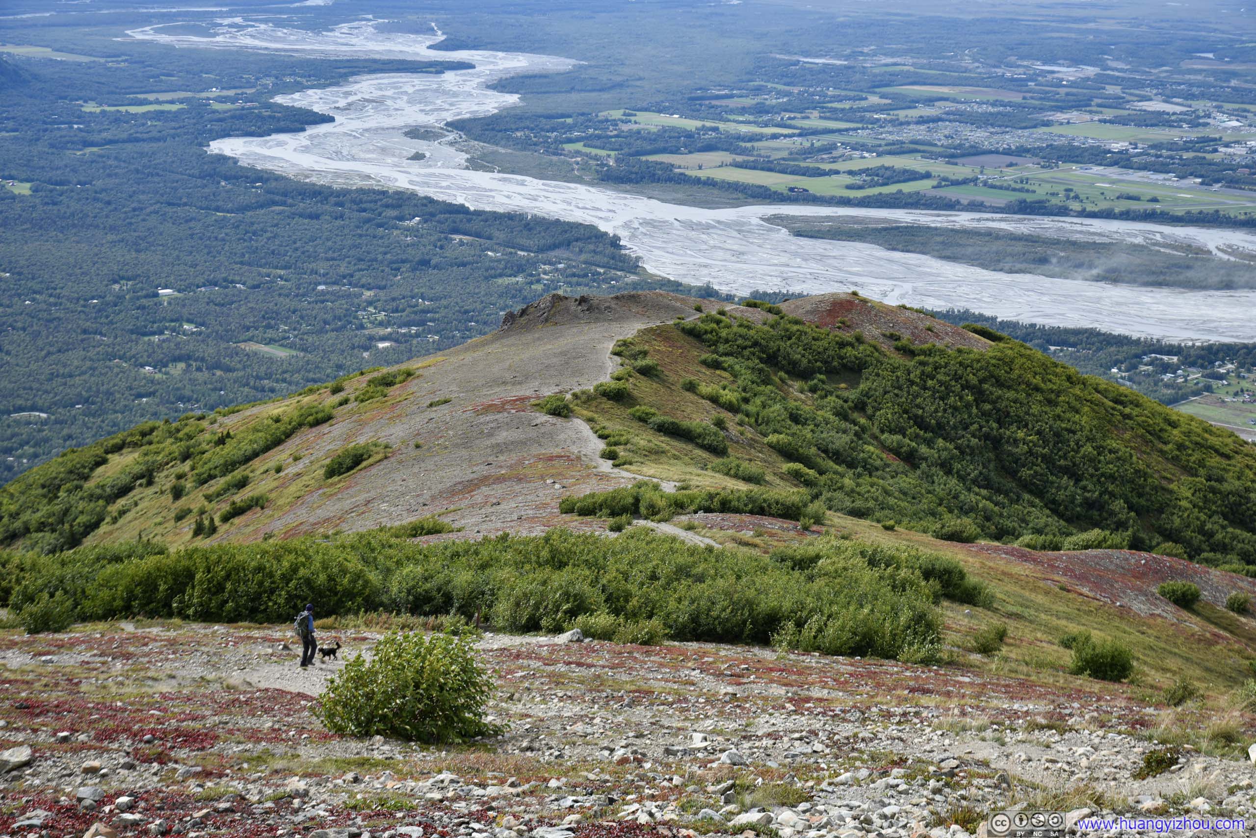
After spending about 30 minutes at the summit, I made my way back.
The final stretch to summit was steep and on loose rocks, so it’s a test to one’s patience, balance and knees walking downhill.
 Trail
Trail
Cloud had been gathering, wind had been picking up since I started. While the wind was strong at the summit, it wasn’t that bad as Matanuska Mountain to the south stood in its way (my drone still flew). Now that I was making my way down, it turned into a gale. And there’s no plants nearby where I could seek shelter from.
 Matanuska RiverIt was a windy day, the mists over Matanuska River could attest to that.
 Trail
Trail
Matanuska Mountain
Finally, at 2:40pm I got past the trail intersection, taking the shorter Lazy Mountain Trail back to parking lot while back to the embrace of trees shielding out wind.
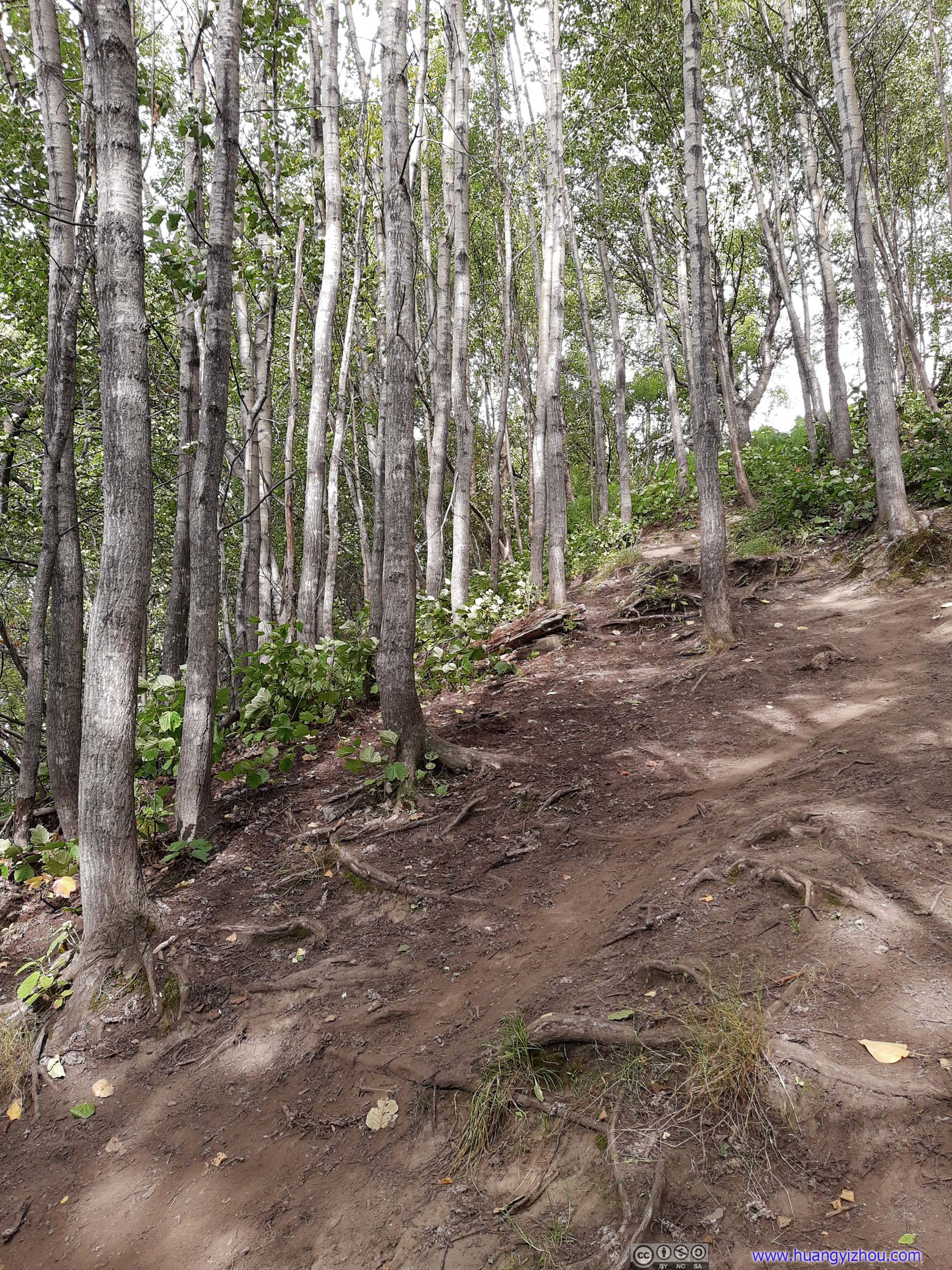
Unfortunately, the remaining trail presented another challenge, its steepness. Its initial part averaged 40% gradient, that must be trod with extreme caution as the trail’s mostly uniform dirt without stairs. I wisely stowed my camera, despite that, I still slipped once.

 Trail
Trail

 Trail
Trail
 Trail in Field
I encountered lots of bugs on my way down, presumably because they found the woods a perfect harbor against hauling winds above. Luckily, they didn’t turn out to bother me too much.
 Trail
Trail
Finally, 4 hours and 40 minutes since I left, I was back at the parking lot. After that, I drove to Anchorage, returned the rental car and caught up with my friend. We made our way to the airport, and readied ourselves for the flight to Seattle.
END
![]() Day 7 of 2020 Alaska Trip, Lazy Mountain by Huang's Site is licensed under a Creative Commons Attribution-NonCommercial-ShareAlike 4.0 International License.
Day 7 of 2020 Alaska Trip, Lazy Mountain by Huang's Site is licensed under a Creative Commons Attribution-NonCommercial-ShareAlike 4.0 International License.