Updated on March 25, 2021
Hiking Meneka Peak in George Washington National Forest
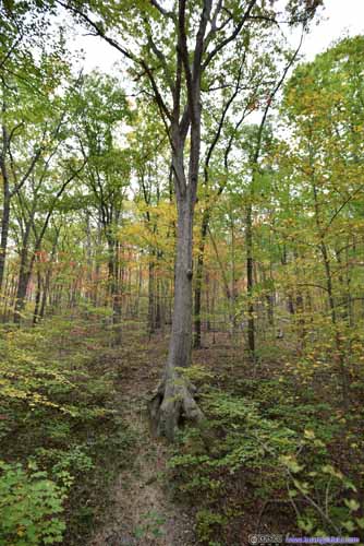
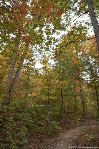
October 10, a beautiful autumn weekend when the mountain colors were the most dramatic of the year. My friend and I headed to Northern George Washington National Forest for a feast of this vibrant autumn scene.
It’s the time of year when foliage was at its peak for mountains in the mid-Atlantic region. Last year, I had a great experience hiking Buzzard Rock Trail in George Washington National Forest, with all the splendid colors around. This time, my friend and I settled on Meneka Peak Loop Trail, just across Fort Valley from Buzzard Rock.
My friend and I left home at 10am in the morning. With construction and heavy traffic along I66 in Virginia (I’m almost getting used to it) and a few stops along the way for supplies, we only made it to the trailhead at 12:30. By which time we were sort of hungry, so we decided to have lunch first, and started our hike at 1pm.
By the way, compared with the trailhead of Buzzard Rock, where I was last year, the parking lot for Signal Knob / Meneka Peak was larger and much better maintained.
Meneka Peak Trail was a 13.2km loop with 550m elevation gain. Following the direction on AllTrails, we decided to take the trail counter-clockwise, taking the steep ascent first. (Despite later we found out difference wasn’t that huge.)
Here’s GPS tracking:
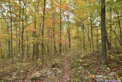
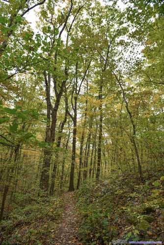
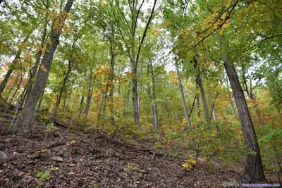
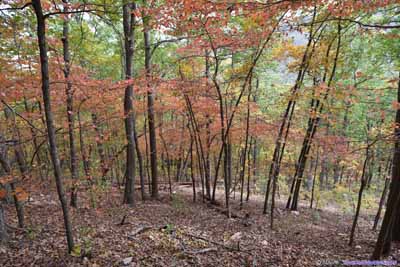
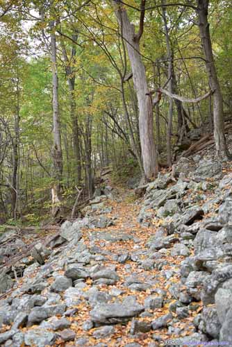
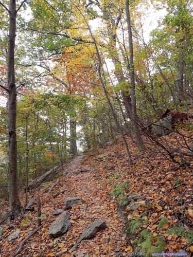
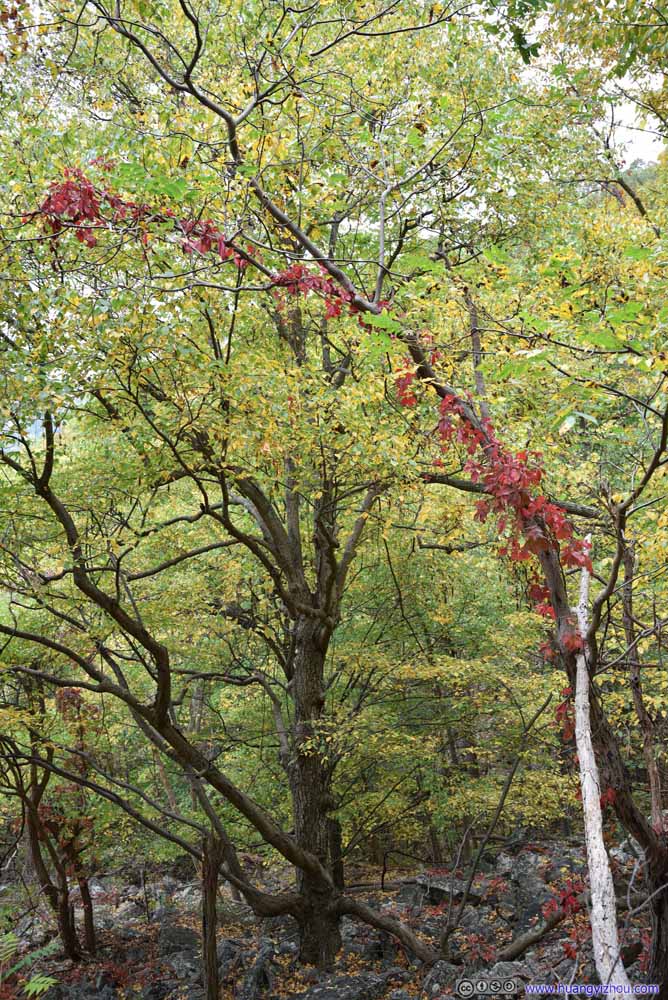
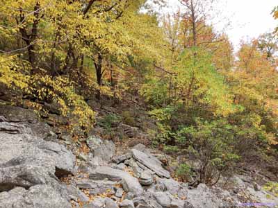
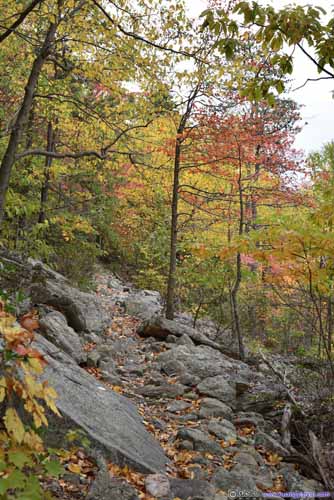
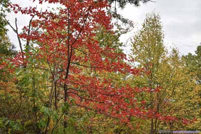
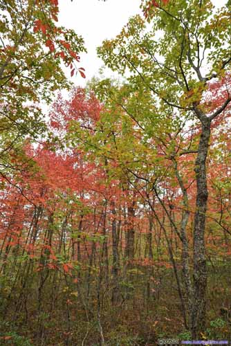
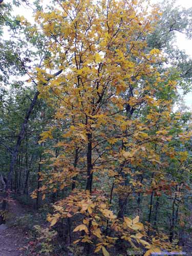
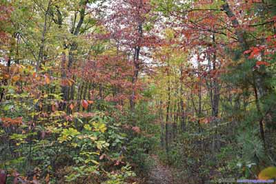
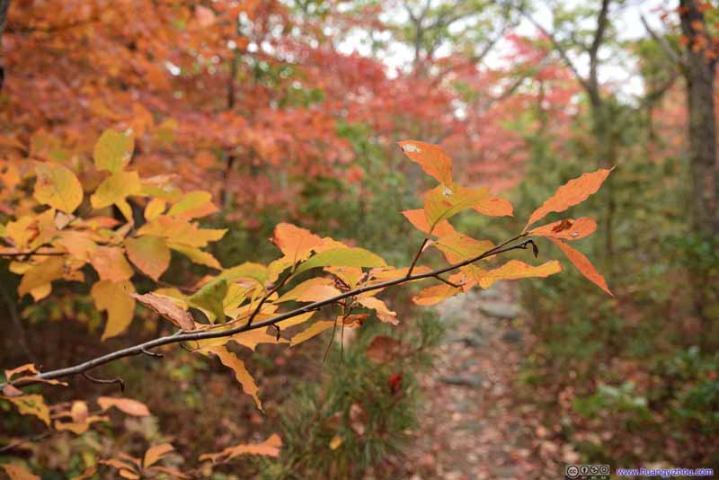
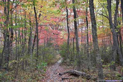
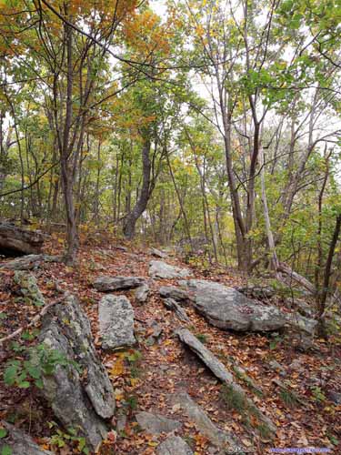
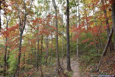
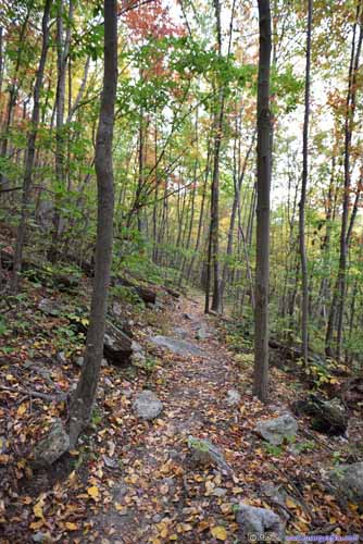
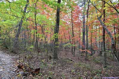
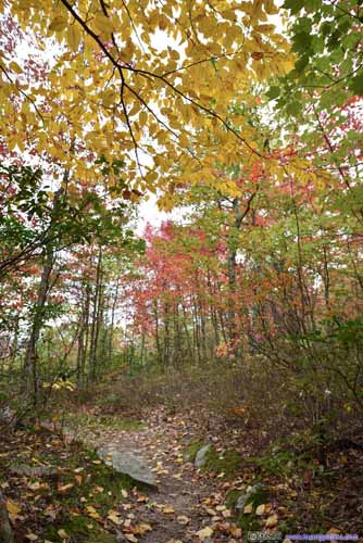
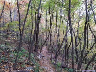
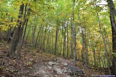
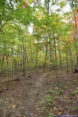
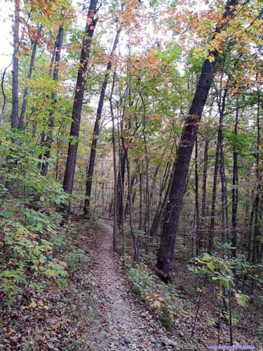
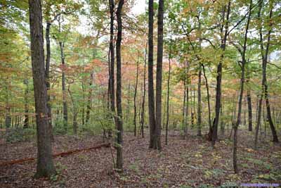
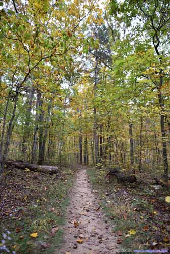
Soon after leaving trailhead, we found ourselves surrounded by autumn colors.
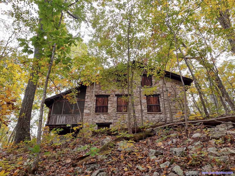
House
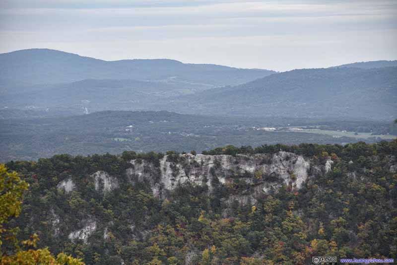
An hour after we started, we were at Buzzard Rock Overlook, which was basically the only overlook along the entire loop. There was an opening in the trees, providing view to another ridgeline across Fort Valley, and the distant mountains beyond it.
It’s also a popular picnic spot, with a few other groups resting and chatting in this not-so-large space. We rested there for about 5 minutes before moving on.
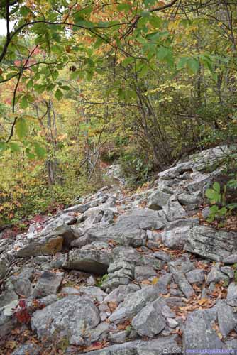
Another 20 minutes after that, we were at Fort Valley Overlook.
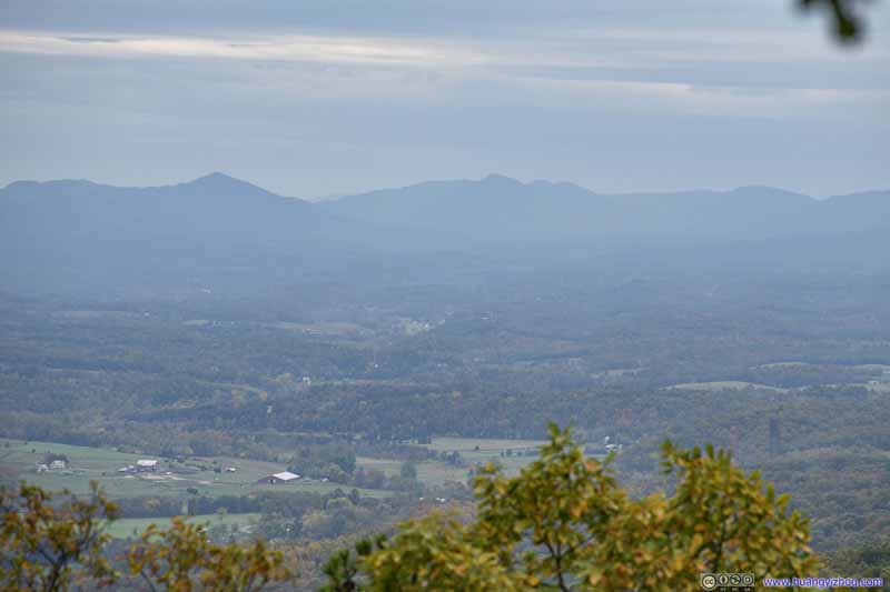
Villages to the South
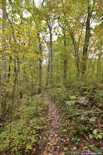
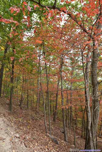
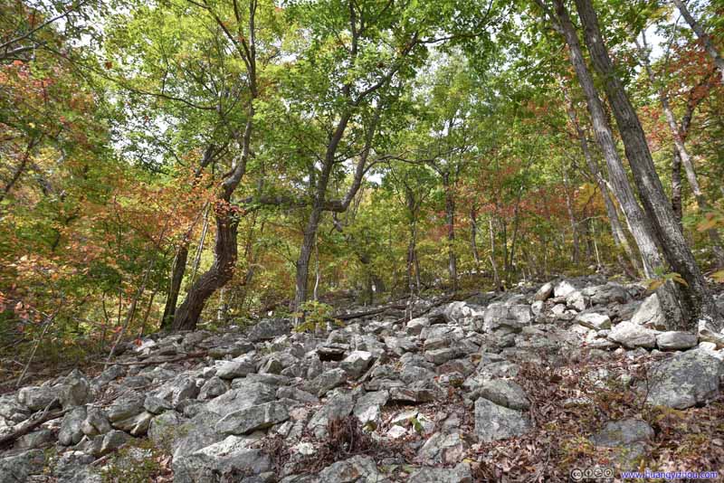
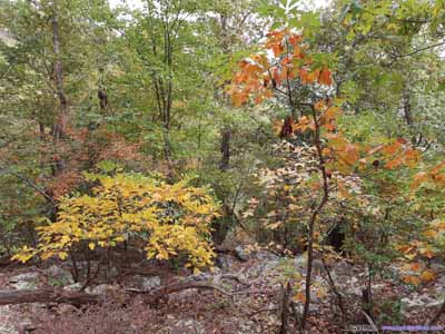
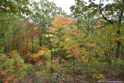
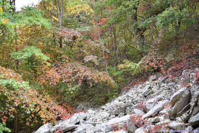
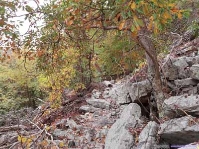
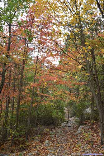
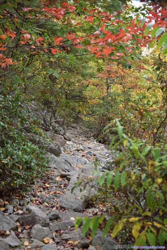
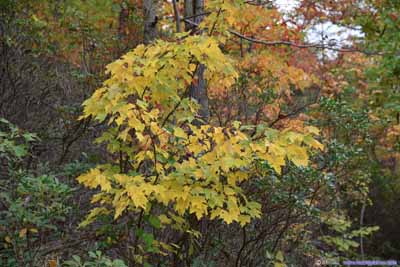
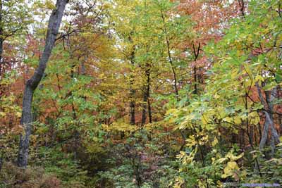
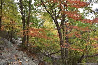
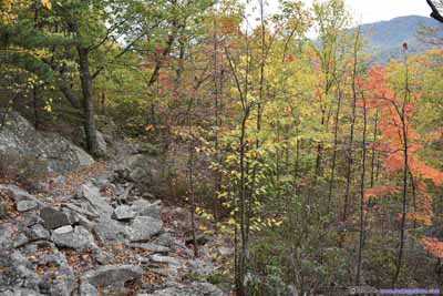
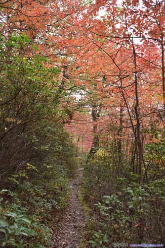
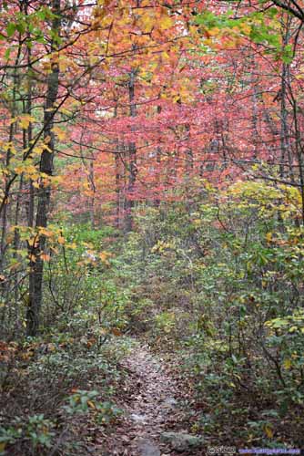
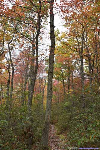
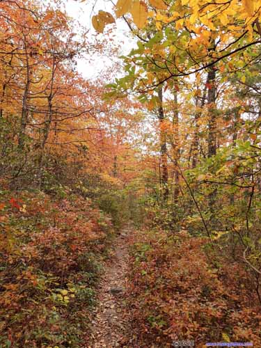
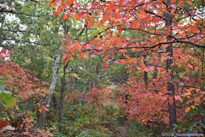
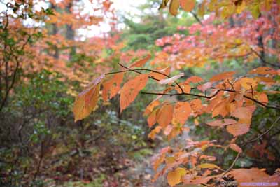
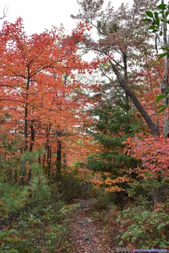
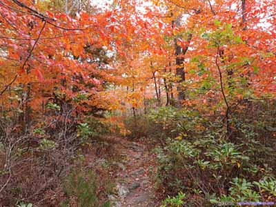
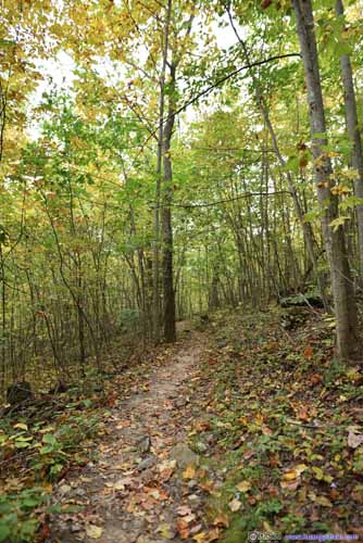
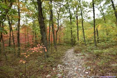
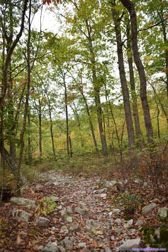
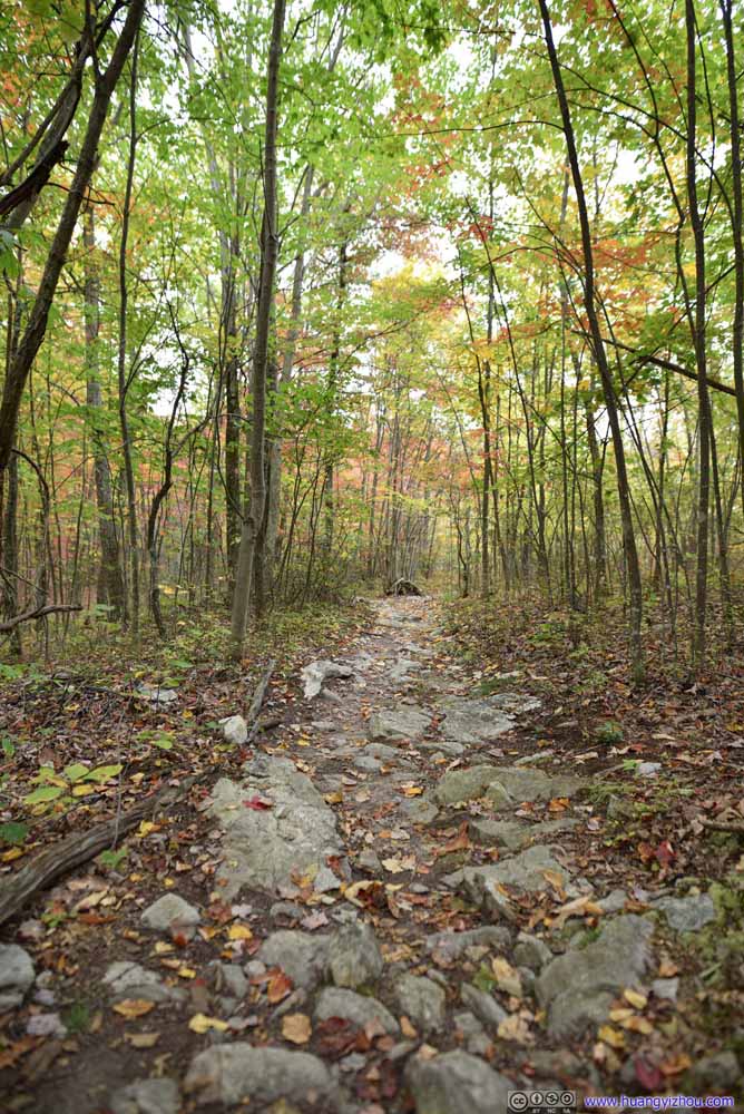
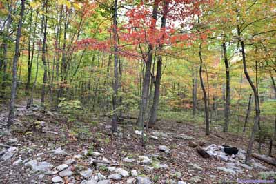
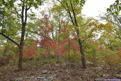
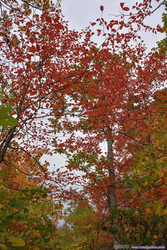
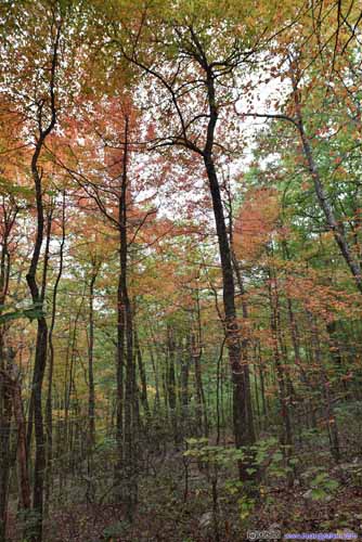
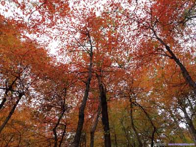
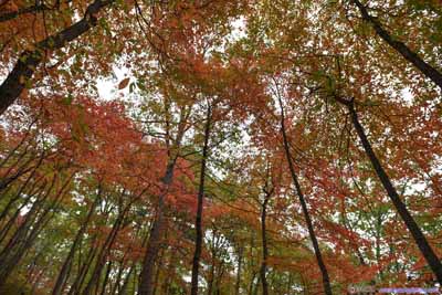
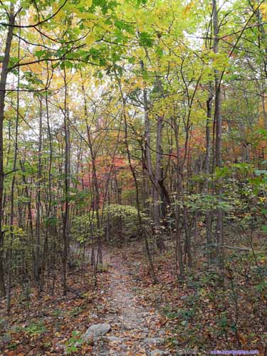
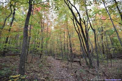
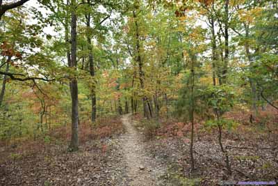
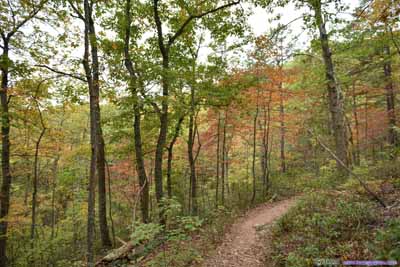
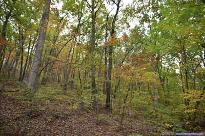
After leaving Fort Valley Overlook, the next section of trail had the most enchanting autumn colors of the day. It felt like hiking through an artist’s palette, with an abundance of colors for the season.
At about 3pm in the afternoon and 5km since we started, we reached the intersection of Massanuten Trail and Meneka Peak Trail. At this point, one could proceed straight along the former, which leads to Signal Knob, as its name suggested, has a cell phone tower. In addition there is an overlook at Signal Knob, at least that’s what the map says (after Fort Valley Overlook we were no longer sure about overlooks on the map). This would add 2.8km distance and 200m elevation gain to the hike, although 2km of which would be a fire road in good condition.
It’s starting to get late, and we weren’t halfway yet. So my friend and I decided to turn left and take the “shortcut” of Meneka Peak.
About 400m from the intersection, we were at Meneka Peak, the highest point of the trail.
Despite its name, the peak’s barely visible if not for the campground nearby. And despite it being a geological high point, slope was gentle and forests were dense, so there was really no view at the peak, not at all.
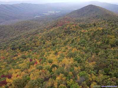
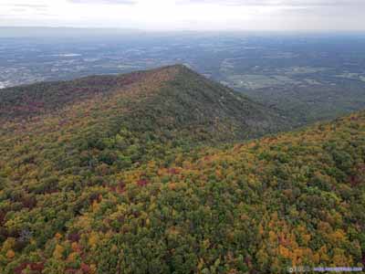
But my friend and I still felt like taking a rest here, so I unleashed my drone and took an aerial tour of surrounding mountains. To do this, I actually had to launch the drone in the nearby campground, fly it for 20 meters among constant beeping of obstacle detection while avoiding tree branches, before finally finding an opening in the trees where it could ascend through.
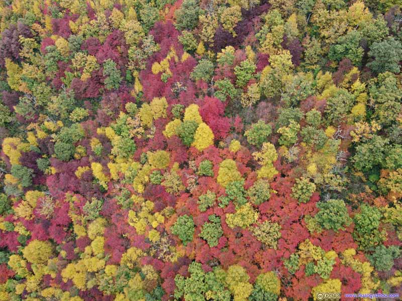
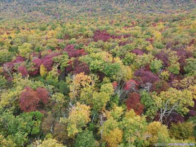
But once in open sky, the views of vibrant forest colors were simply awesome.
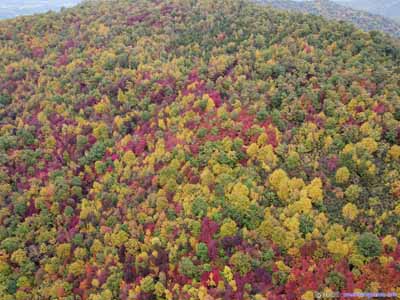
Since we forwent hiking to Signal Knob, I used my drone to take the tour for me. Here are some drone footages:
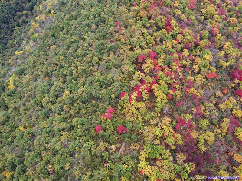
Color Divide
By the time we set off from Meneka Peak, it’s almost 4pm.
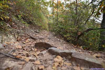
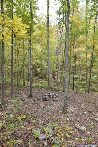
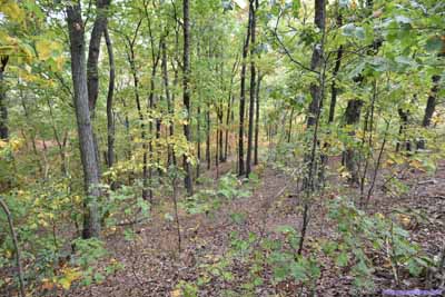
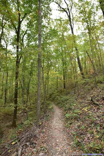
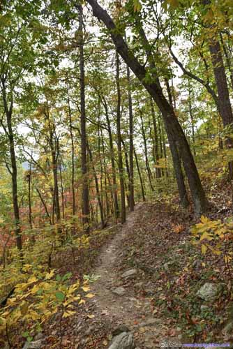
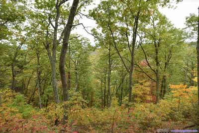
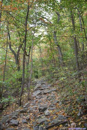
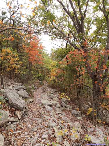
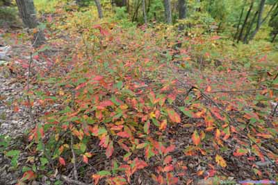
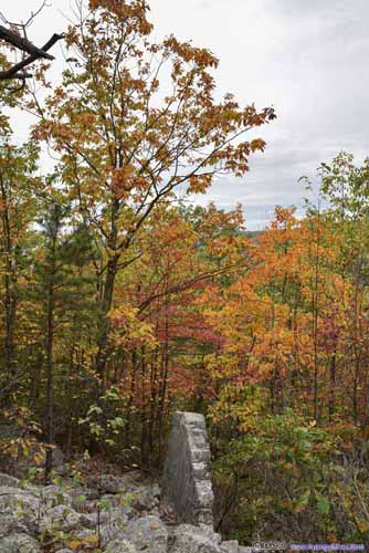
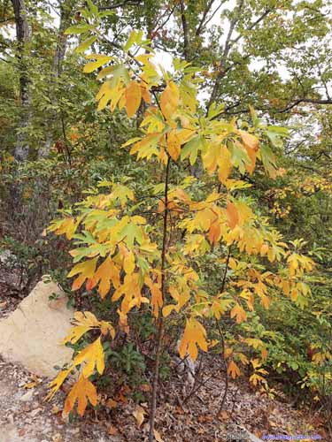
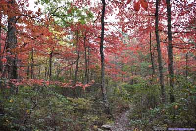
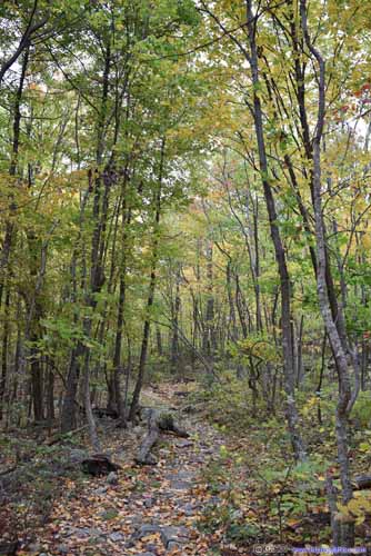
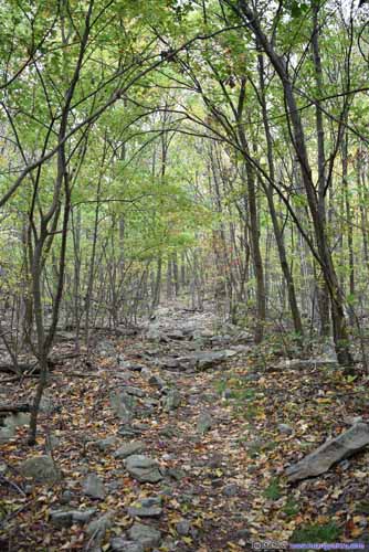
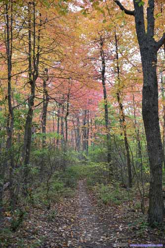
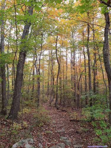
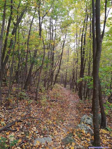
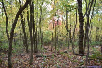
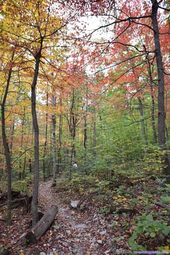
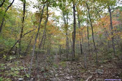
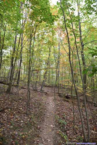
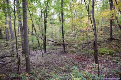
1.2km from Meneka Peak, the trail to parking lot took a hairpin left, which we nearly missed. After that, there were some scenic sections with colorful leaves.
At about 5:10pm and 3.3km from parking lot, we reached another three-way intersection, between Tuscarora Trail and Sidewind Trail. Heading for parking lot, we should have stayed on Tuscarora Trail, but unfortunately I misinterpreted the signage and turned right towards Sidewind Trail.
We continued on Sidewind Trail for about 300m, before we realized things didn’t look right, and we turned back for a closer look at the road sign.
Finally, we reached parking lot at 6:23pm, just in time for sunset while it’s already getting dark in the woods. After that, we headed for Front Royal for dinner. It was smooth sailing driving back home, even along the dreadful I66 in DC suburb, capping all the splendors of the day.
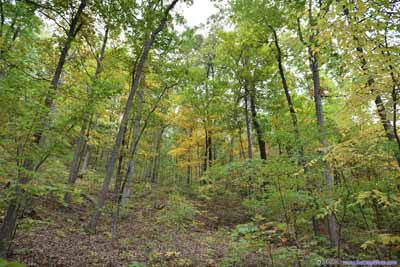
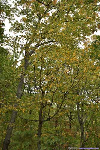
A quick conclusion of the day. I bet on an average day of year, Meneka Peak Loop Trail was probably mundane and boring, with just one overlook (Buzzard Rock, where views were hardly spectacular) along the entire 13+km loop in the woods. But we happened to visit at the right time of year, with perfect foliage providing impeccable blend of colors on the trees, that I witnessed the most spectacular autumn colors in my life. The trail itself made for a moderate workout, with multiple campsites along the way for those looking for seclusion. I was attracted here by views from Buzzard Rock the previous year, and it sure didn’t disappoint.
As a side note. For this trip I carried both my new Tamron 35-150mm F2.8-4 lens, and the Sigma 20mm F1.4 lens, with the former I mostly shot at 35mm (and the latter never got below F2.8 except approaching end of day). I interchanged lens a couple of times along the way, and during the trip I could barely notice any difference in composition between 35mm and 20mm. However, once I got home and processed through the photos, it did occur to me that the more appealing photos tended to come from 20mm, where the image’s breadth could be really impressive with the right configuration. Maybe for future trips I would consider carrying 20mm more?
END
![]() Hiking Meneka Peak in George Washington National Forest by Huang's Site is licensed under a Creative Commons Attribution-NonCommercial-ShareAlike 4.0 International License.
Hiking Meneka Peak in George Washington National Forest by Huang's Site is licensed under a Creative Commons Attribution-NonCommercial-ShareAlike 4.0 International License.

