
Updated on March 31, 2021
Weekend Trip to West Virginia, Hiking Chimney Top, High Knob, Sun and Stars from Spruce Knob
Another beautiful autumn weekend when I set off to West Virginia in search of nature colors. I opted to hike Chimney Top on Saturday, spent the night camping around Spruce Knob where I star-gazed with the darkest sky in the mid-Atlantic region. On my return Sunday, I hiked High Knob that straddles West Virginia and Virginia.
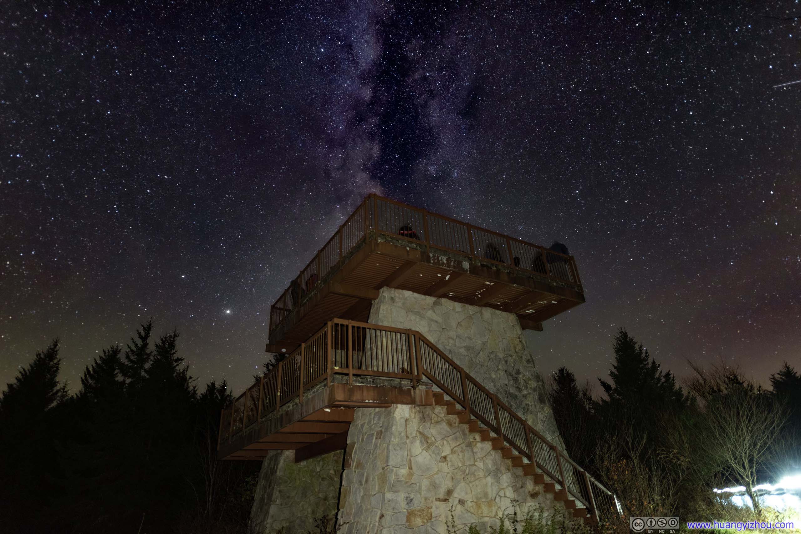
Starry Sky over Fire Tower
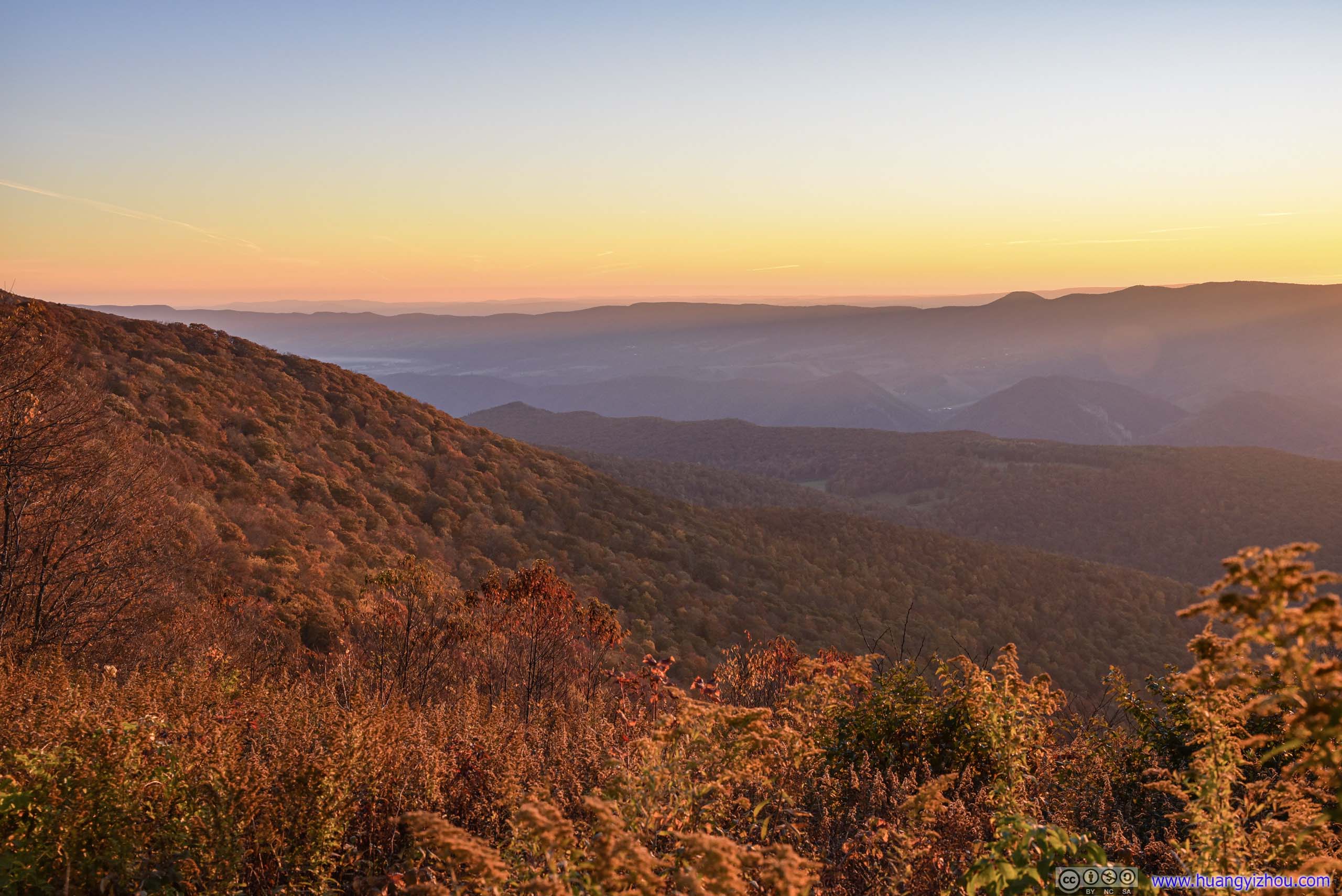
Since last week’s spectacular autumn colors at Meneka Peak / Fort Valley, I had been yearning for more before the season passed. Since it’s new moon this weekend, I had my sight set on Spruce Knob, the highest point of West Virginia, a perfect star-gazing location with the darkest skies in the mid-Atlantic region. As it’s 3.5 hours of driving from where I lived, I decided to spend the night at a campsite nearby. On the way to and from there, I also decided to try out some popular hiking trails, which ended up being Chimney Top and High Knob.
At 8:30am on the morning of Oct 17, I left home for West Virginia. It’s 1.5 hours earlier than my trip to Meneka Peak a week ago and traffic was much better on I66 near Fairfax (still heavy, but everyone was moving at highway speed). After that, it was smooth sailing into West Virginia.
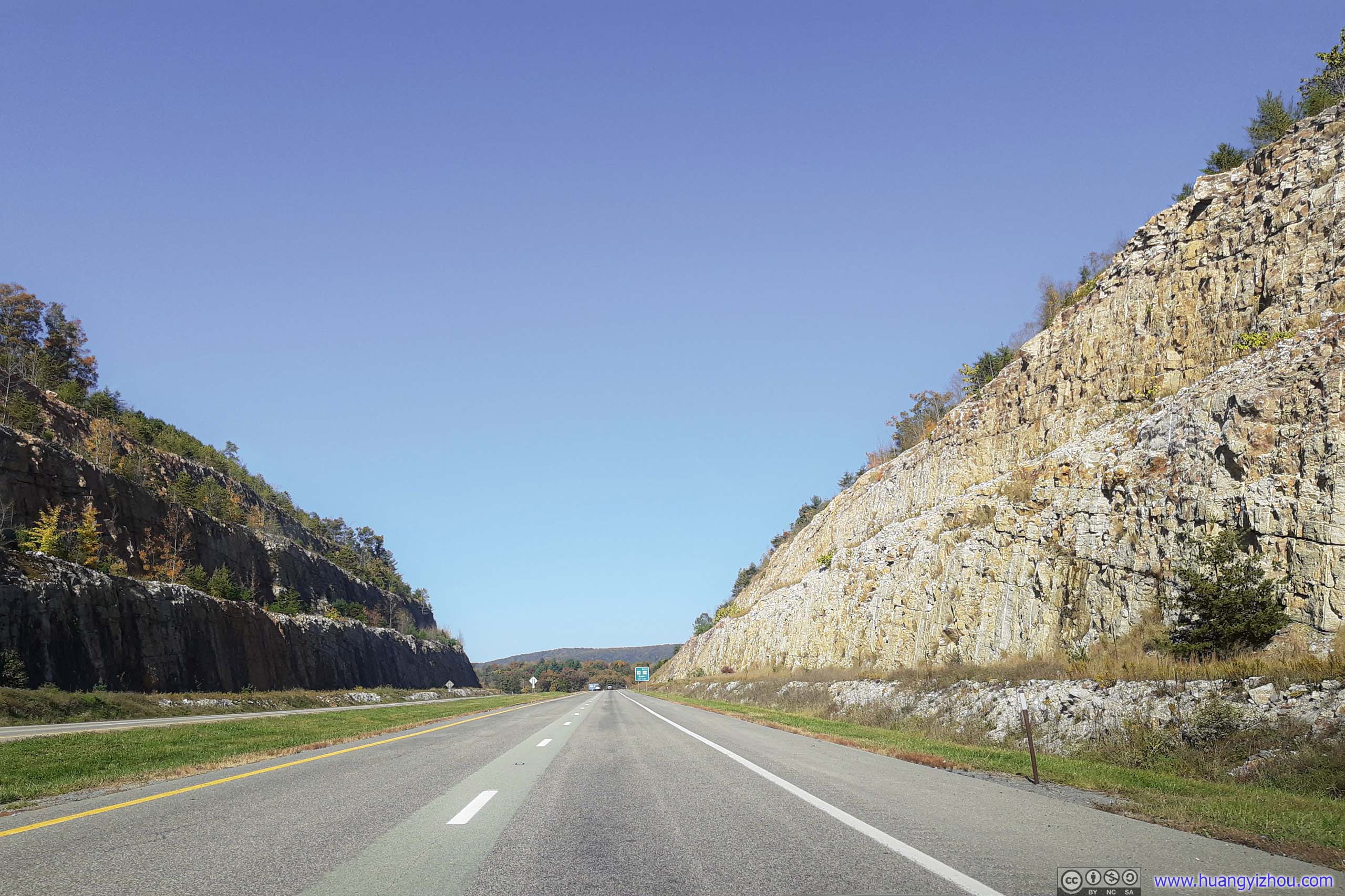
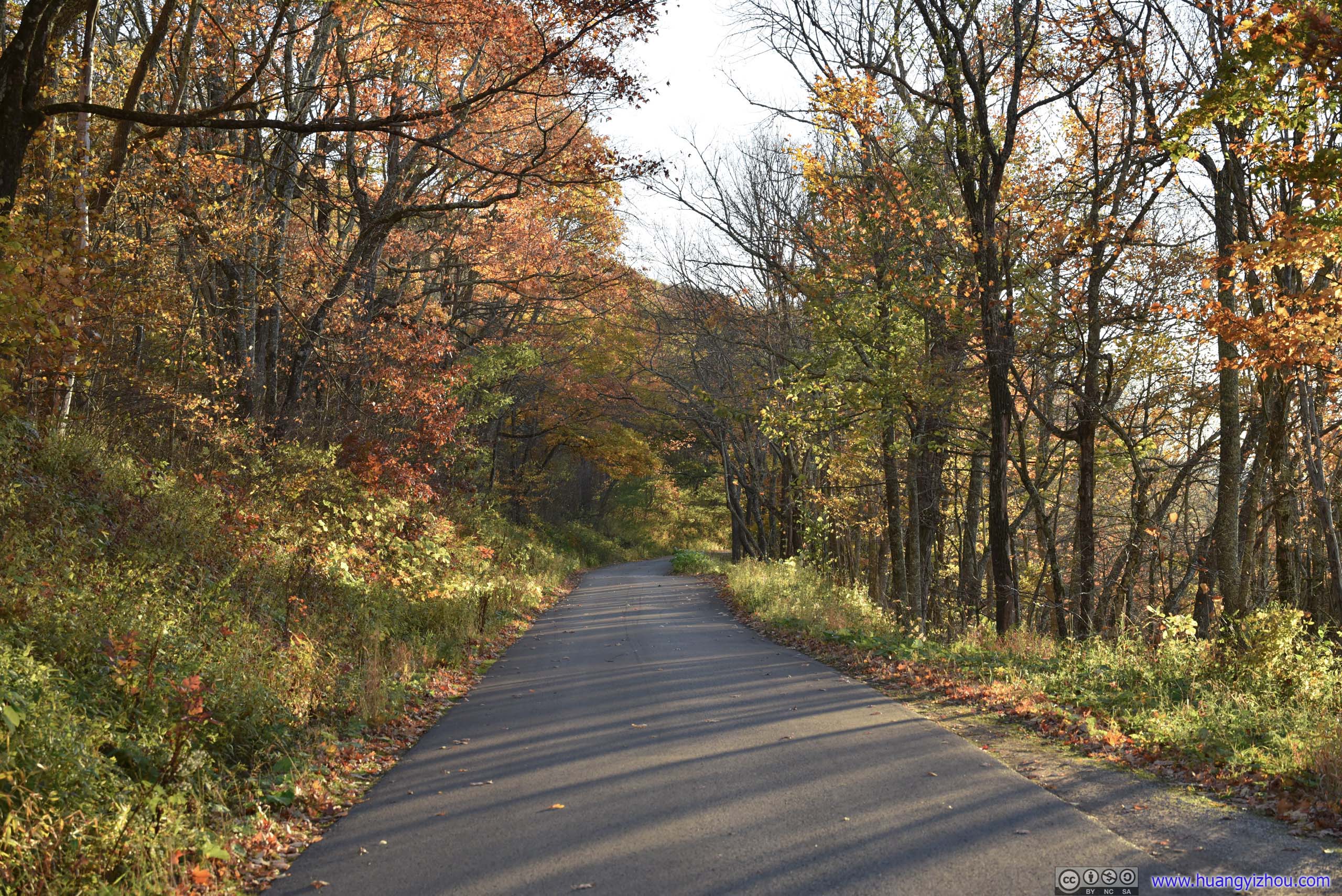
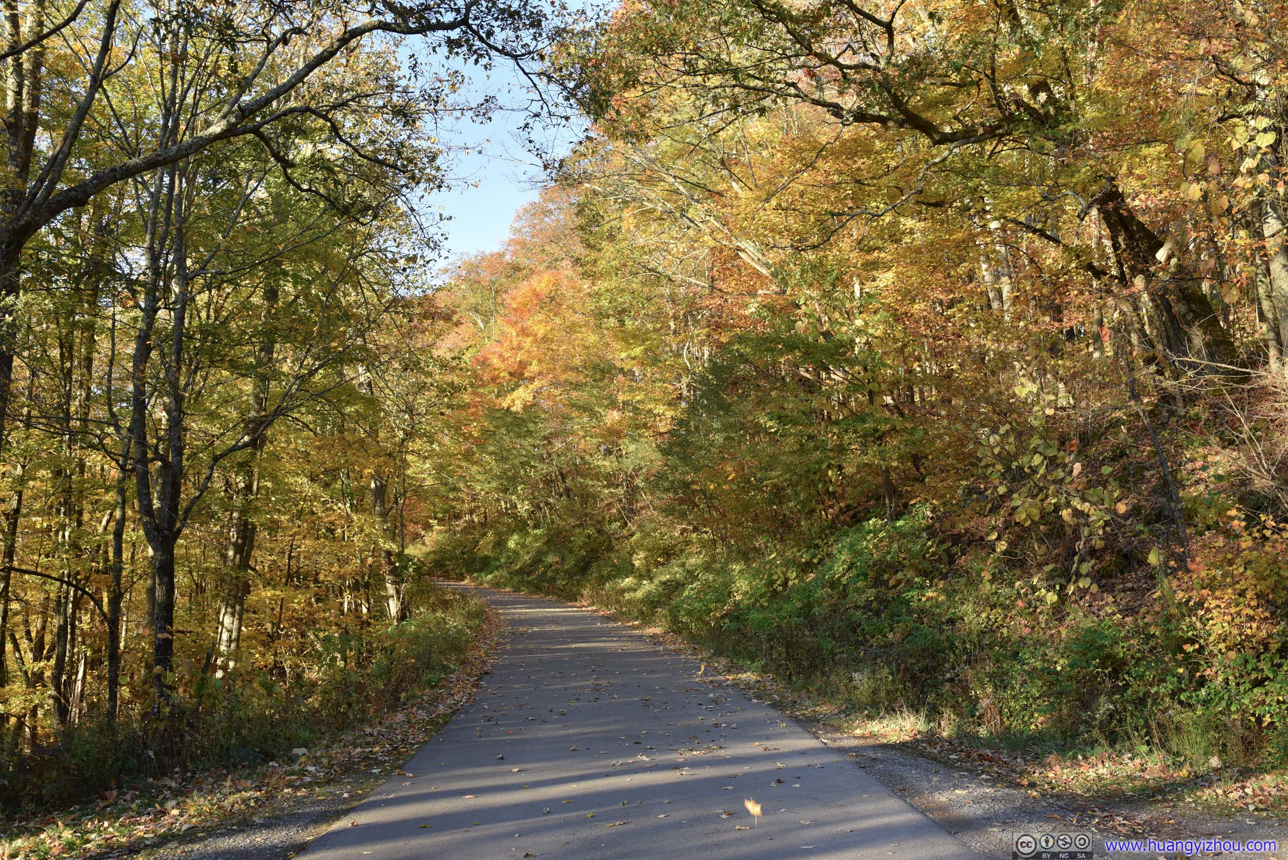
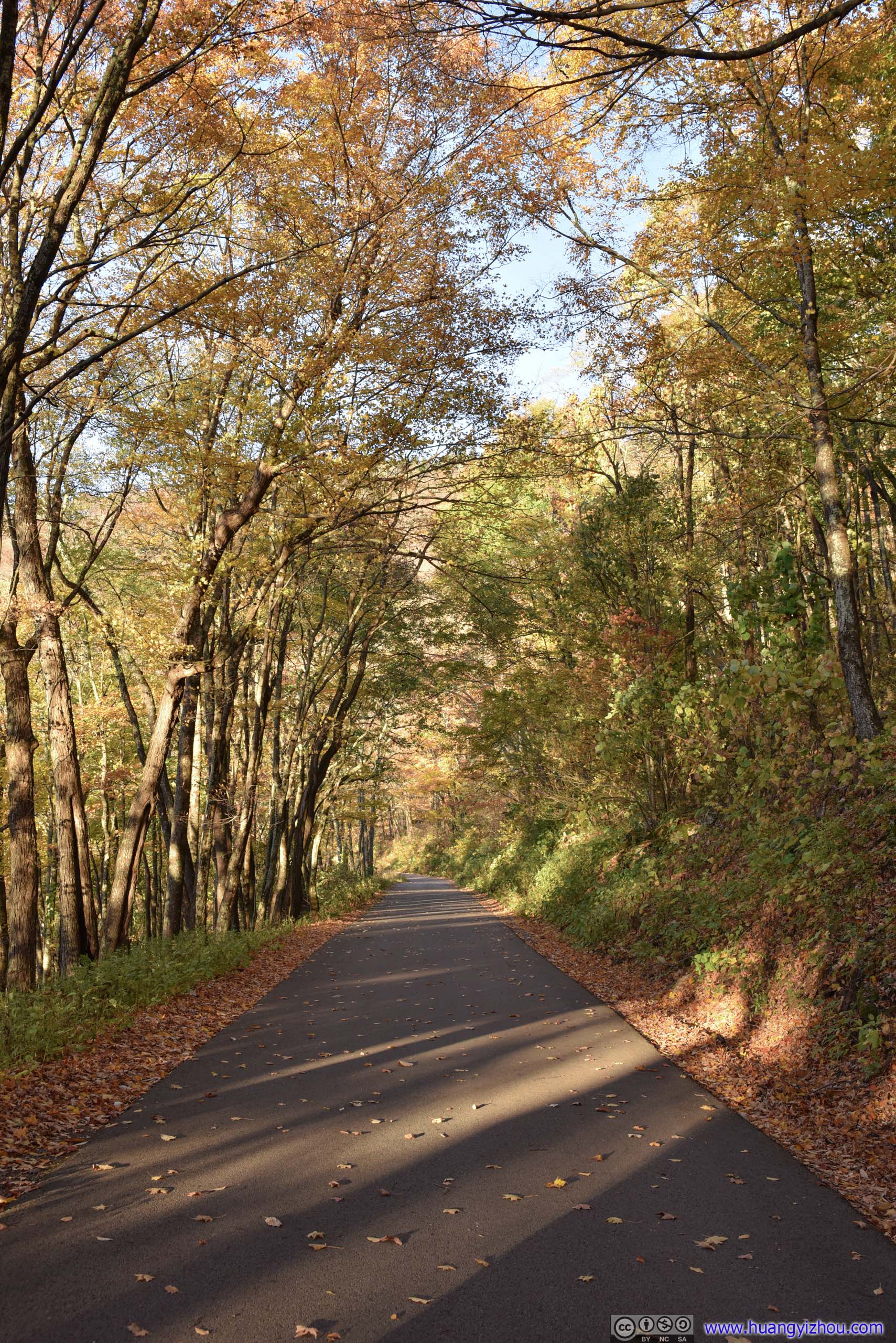
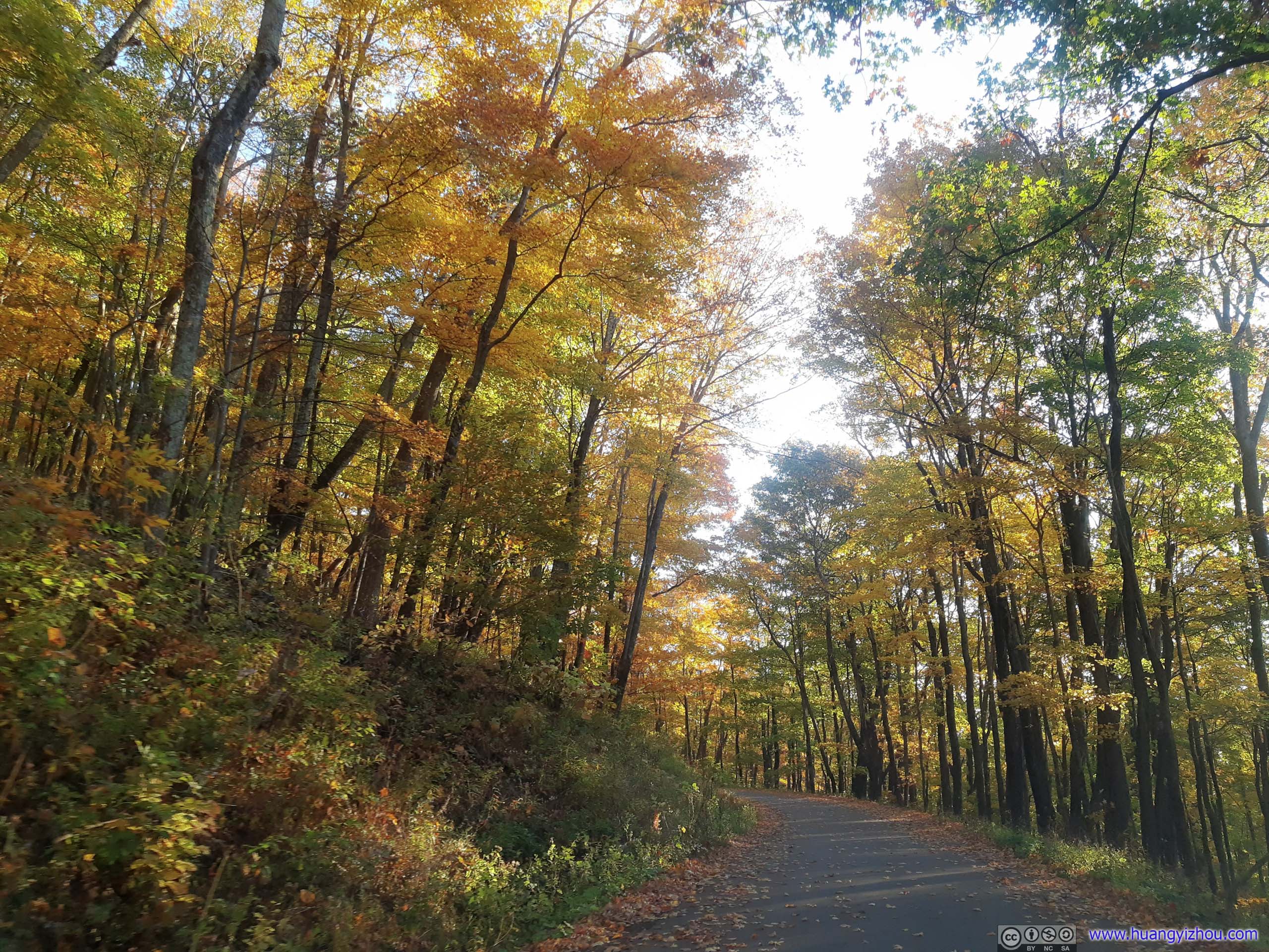
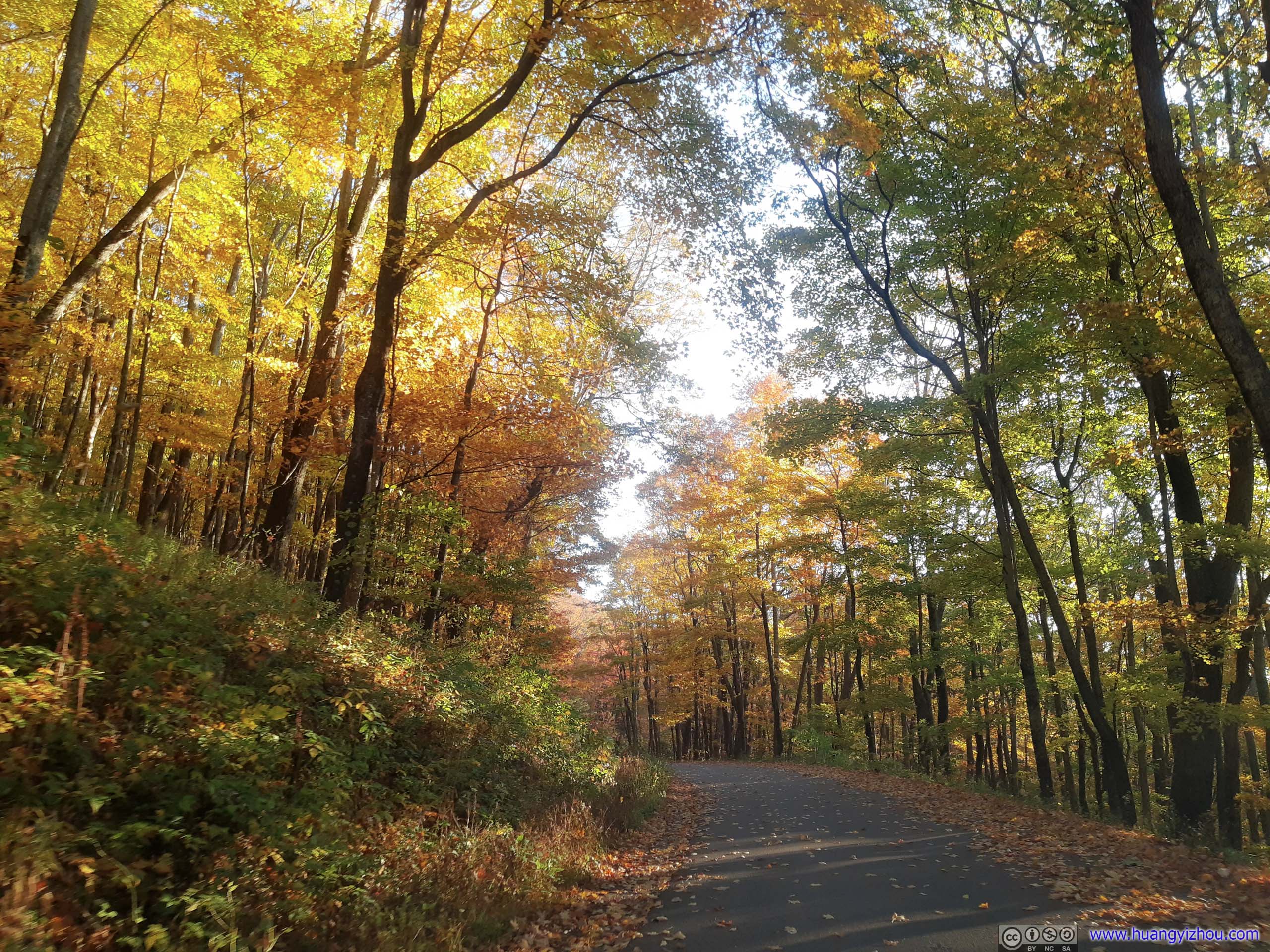
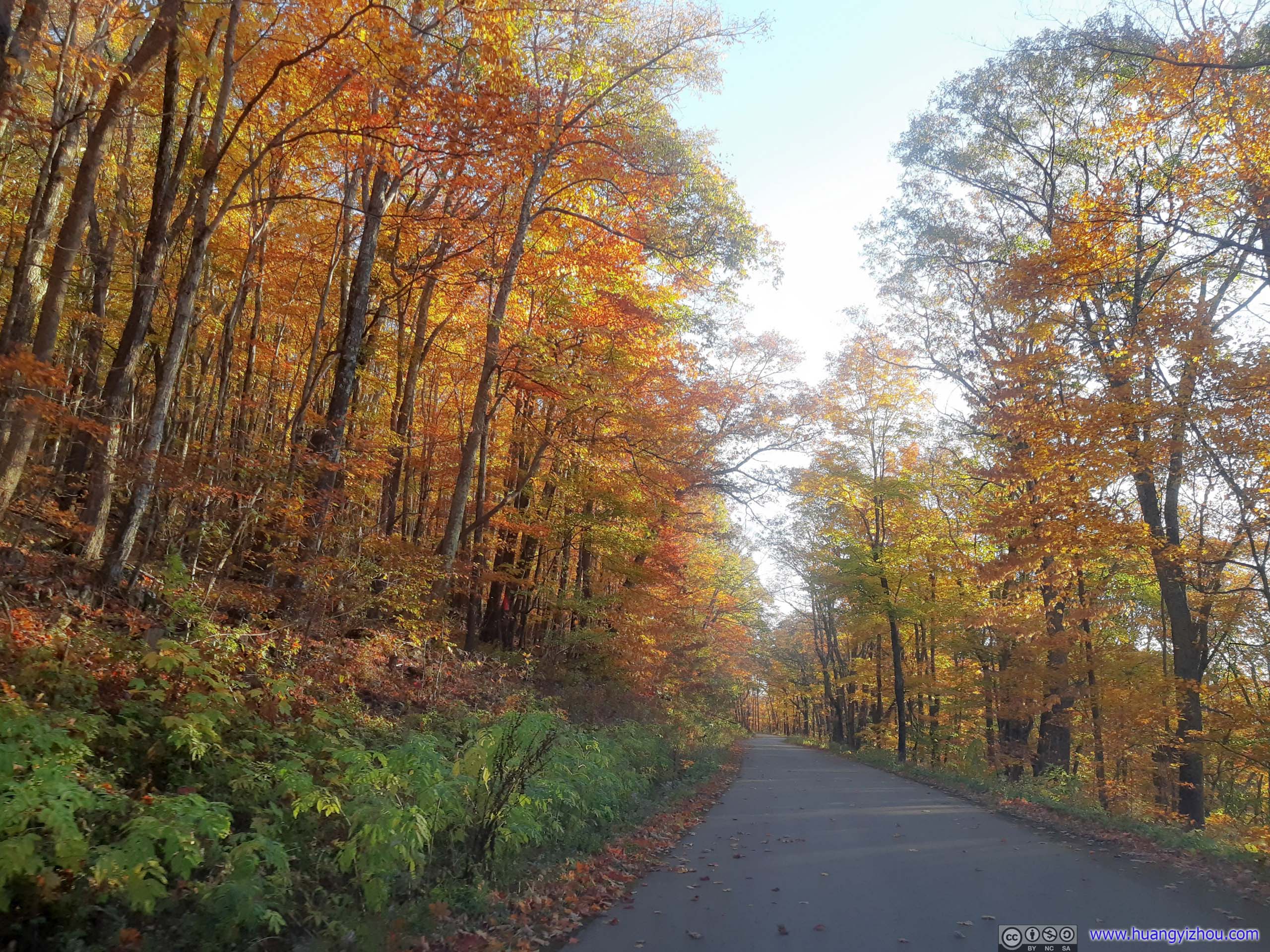
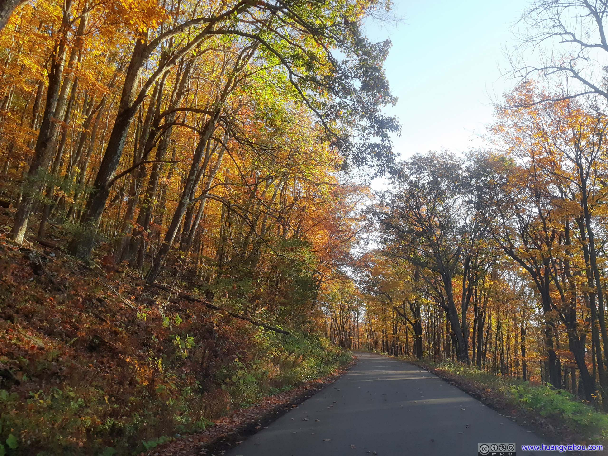
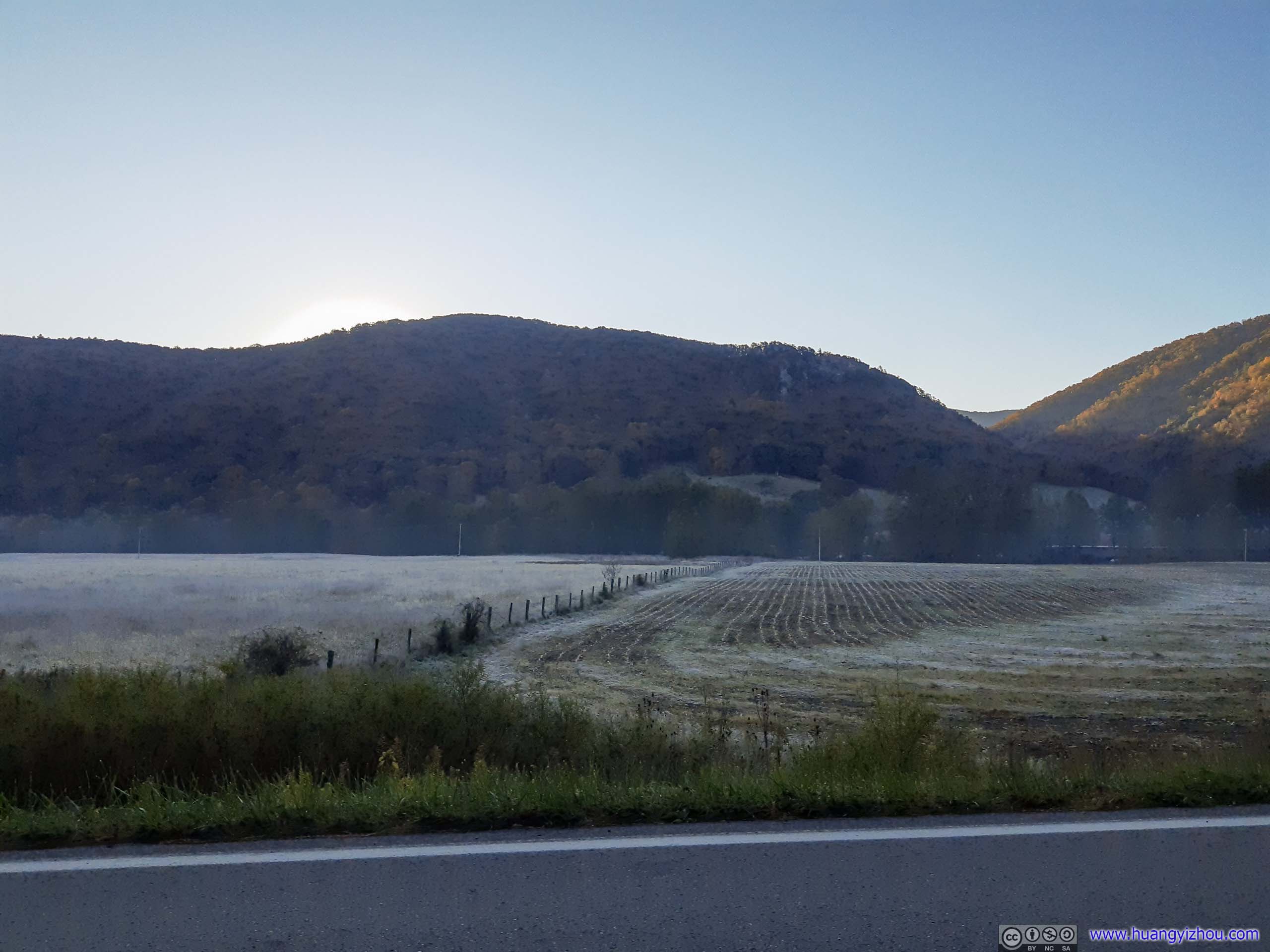
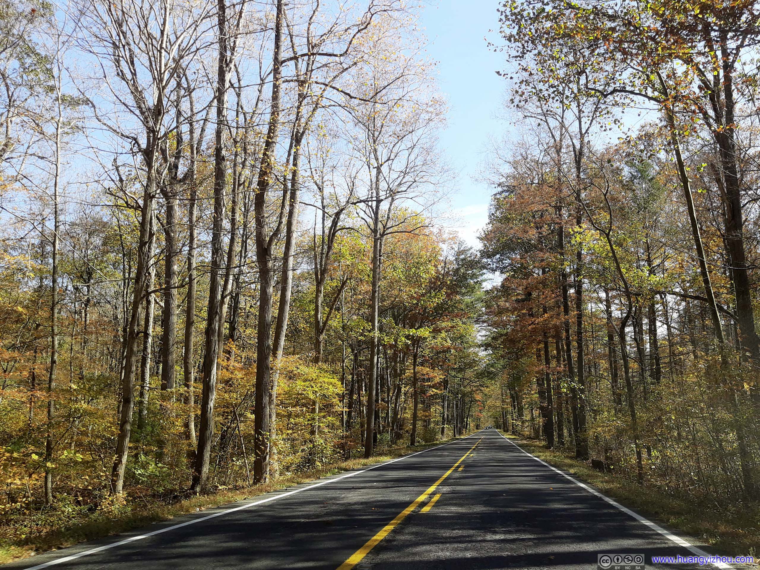
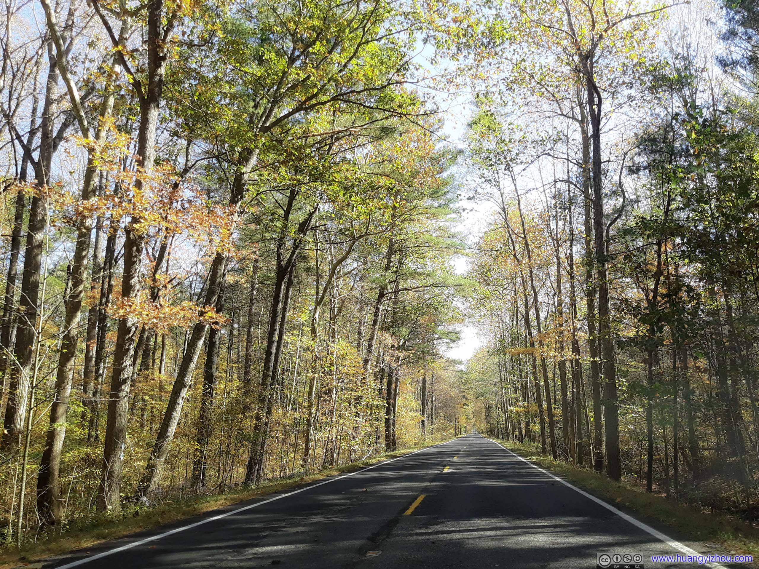
 Country Road
After running a few errands along the way, it’s 12:20pm by the time I reached the trailhead of Chimney Top.
Chimney Top Trail
A trail along some soaring cliffs that extended over great distance.
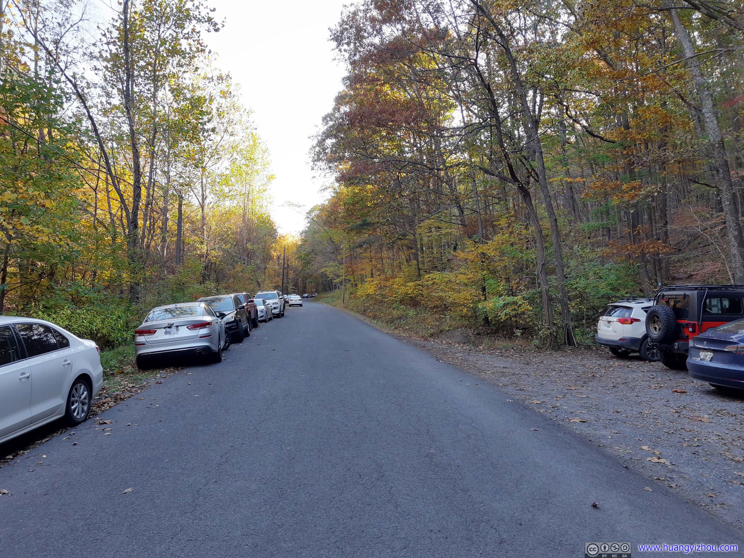
Trailhead Parking Lot
There were two trailheads for Chimney Top, both along Smoke Hole Road: the “North Fork Trailhead” to the north and “Landis Trailhead” to the south. Both involved climbing up a ridge and then travelling along it, reaching Chimney Top from different directions. The former was slightly longer (8.5 vs 8 km roundtrip) and had a bit more elevation gain (601 vs 533m), but involved 2 fewer miles of driving. That’s where I decided to start my hike.
Here’s GPS tracking:
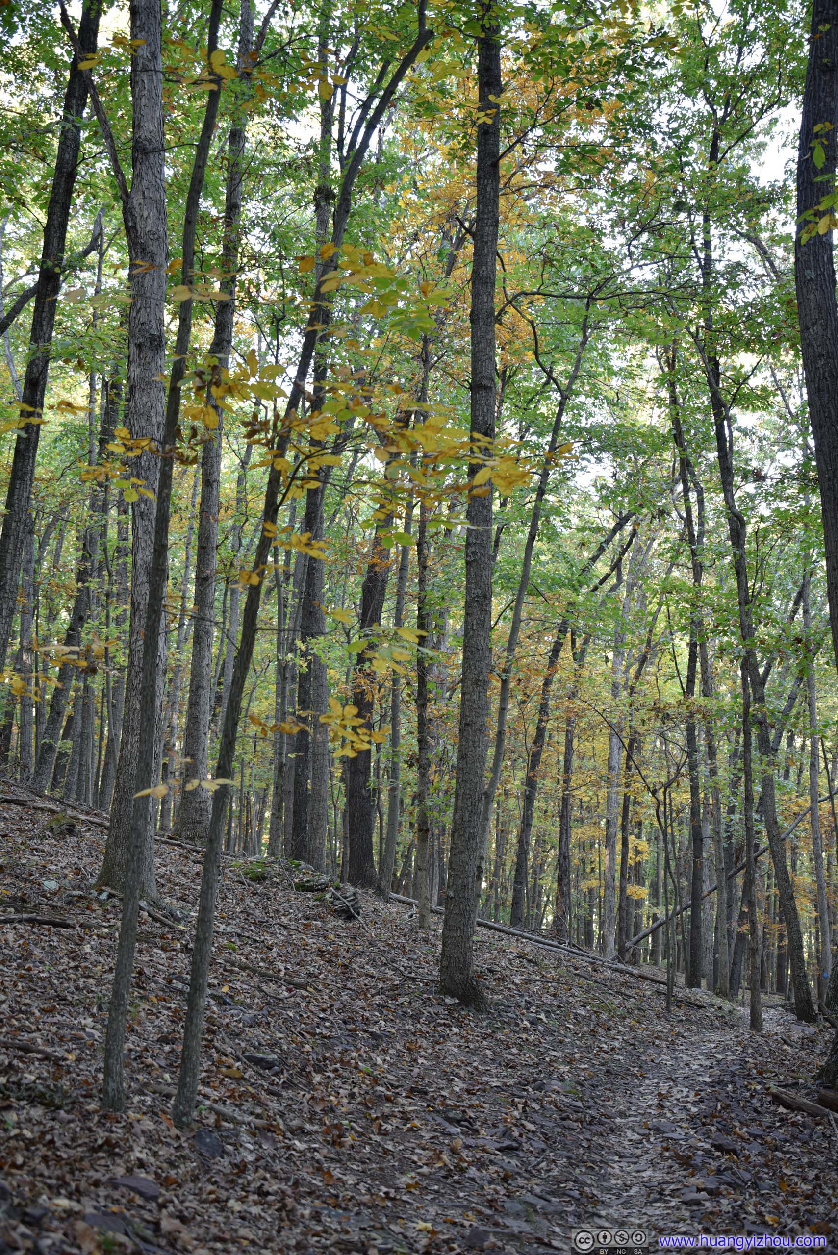

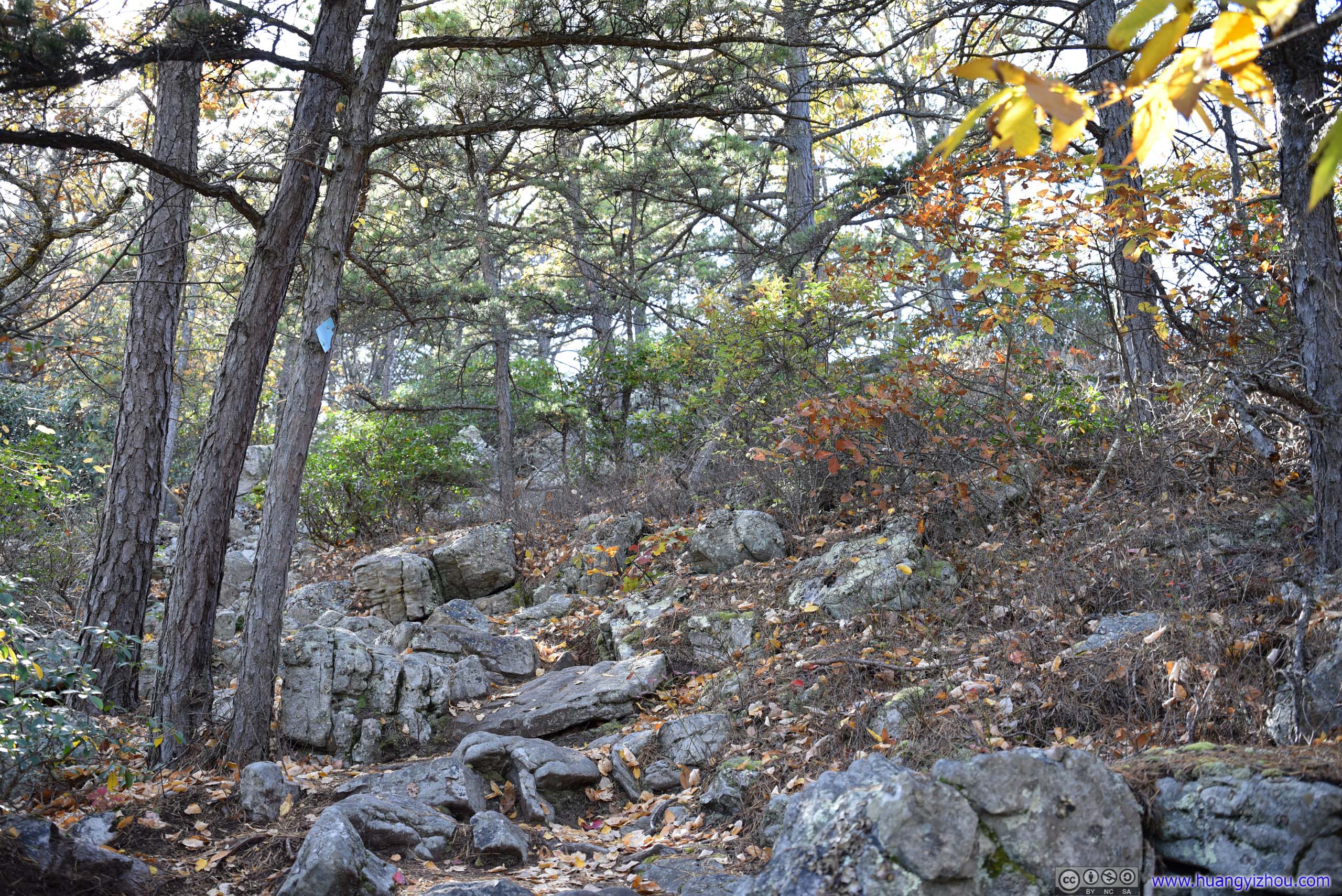
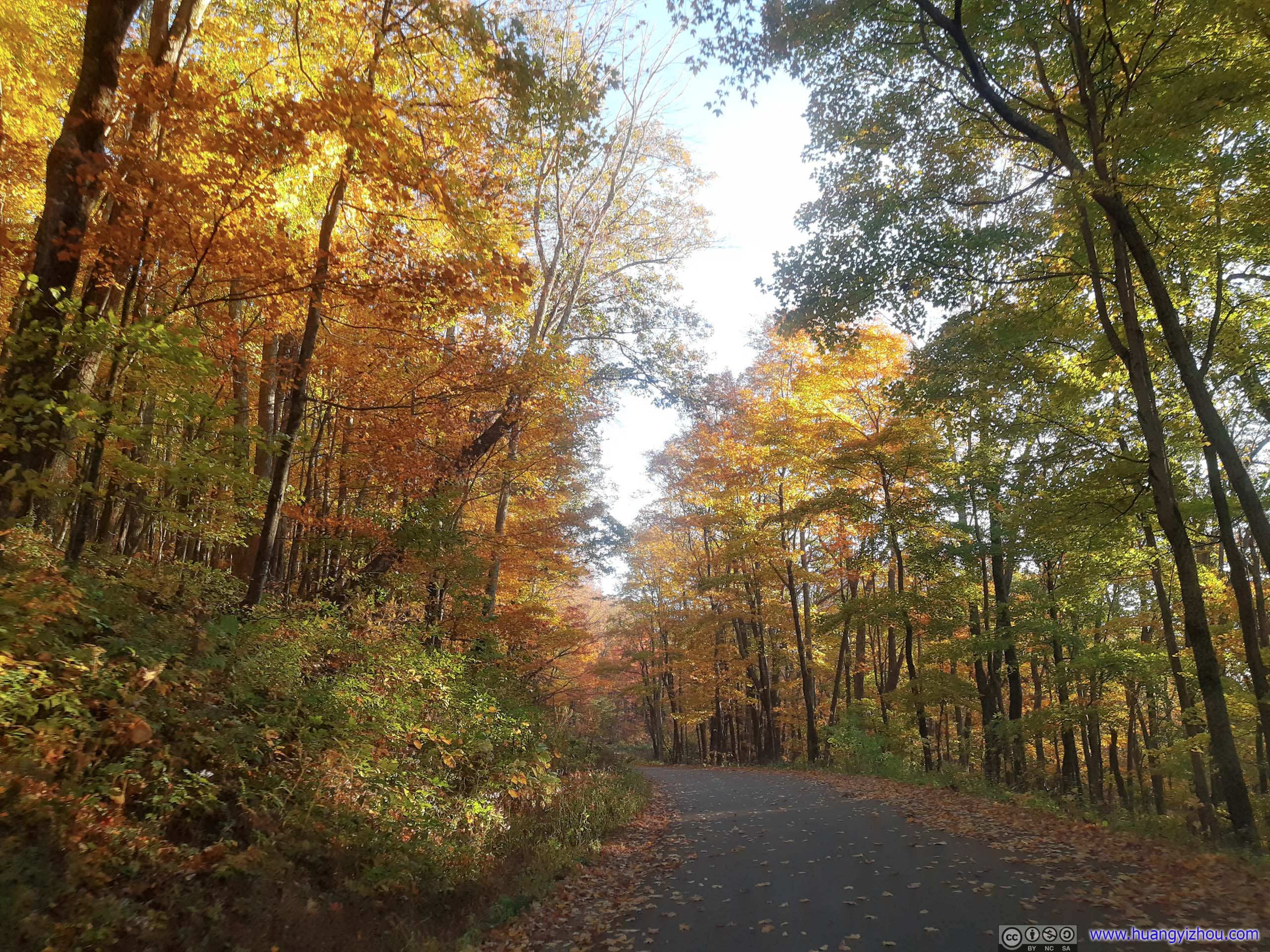
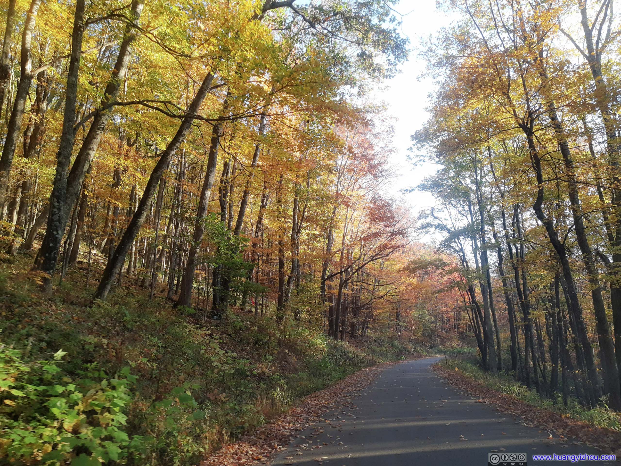
 Trail
Trail
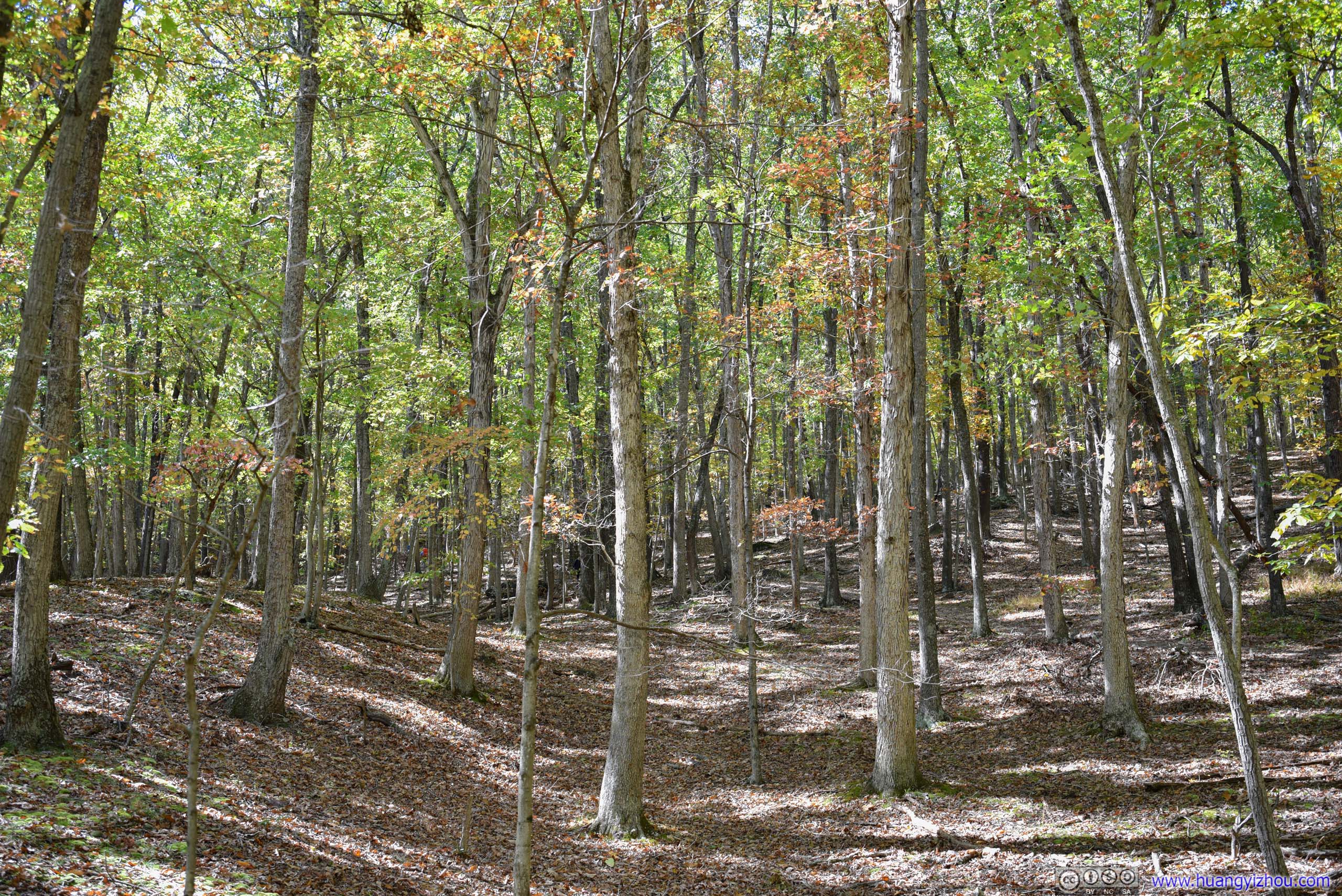

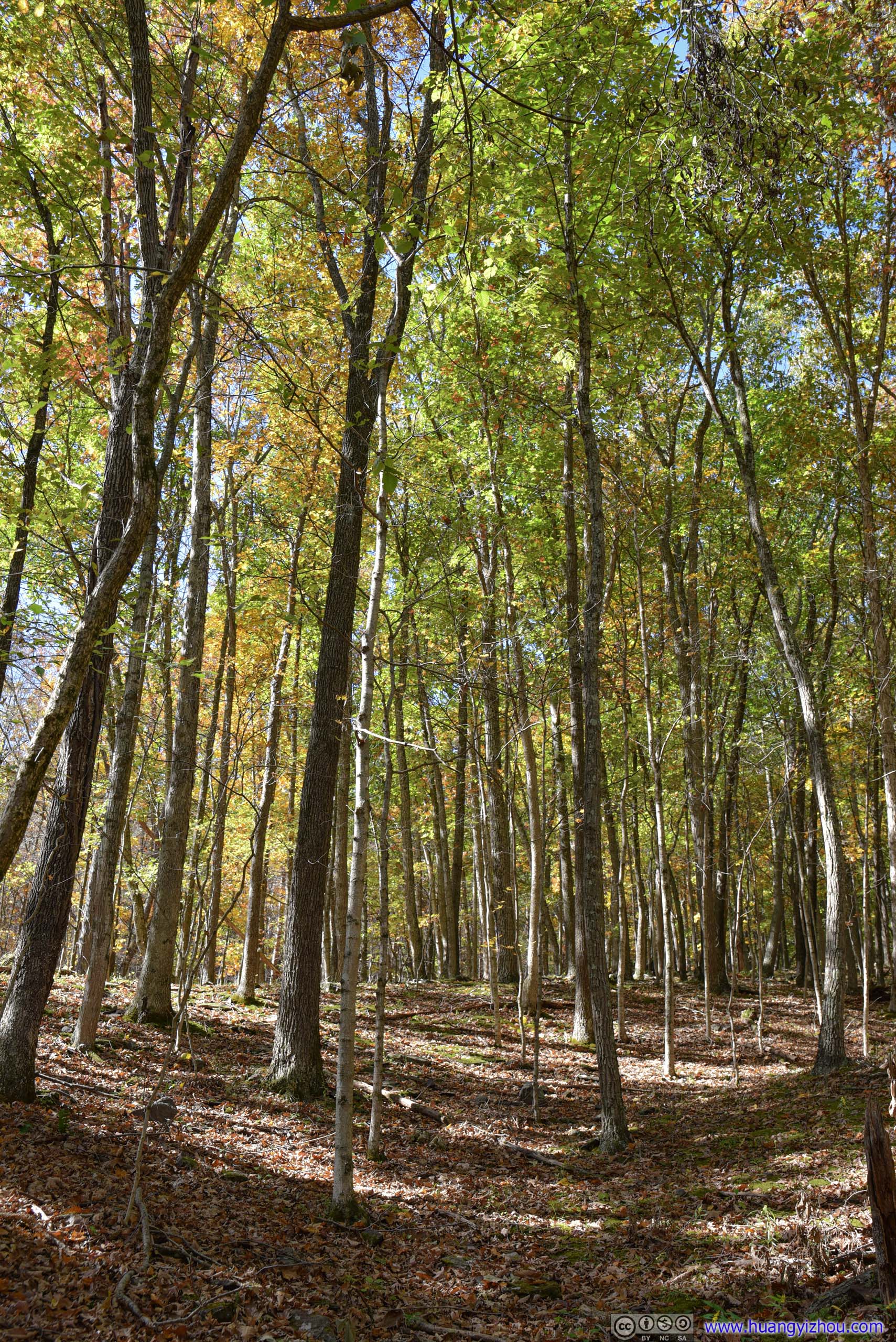
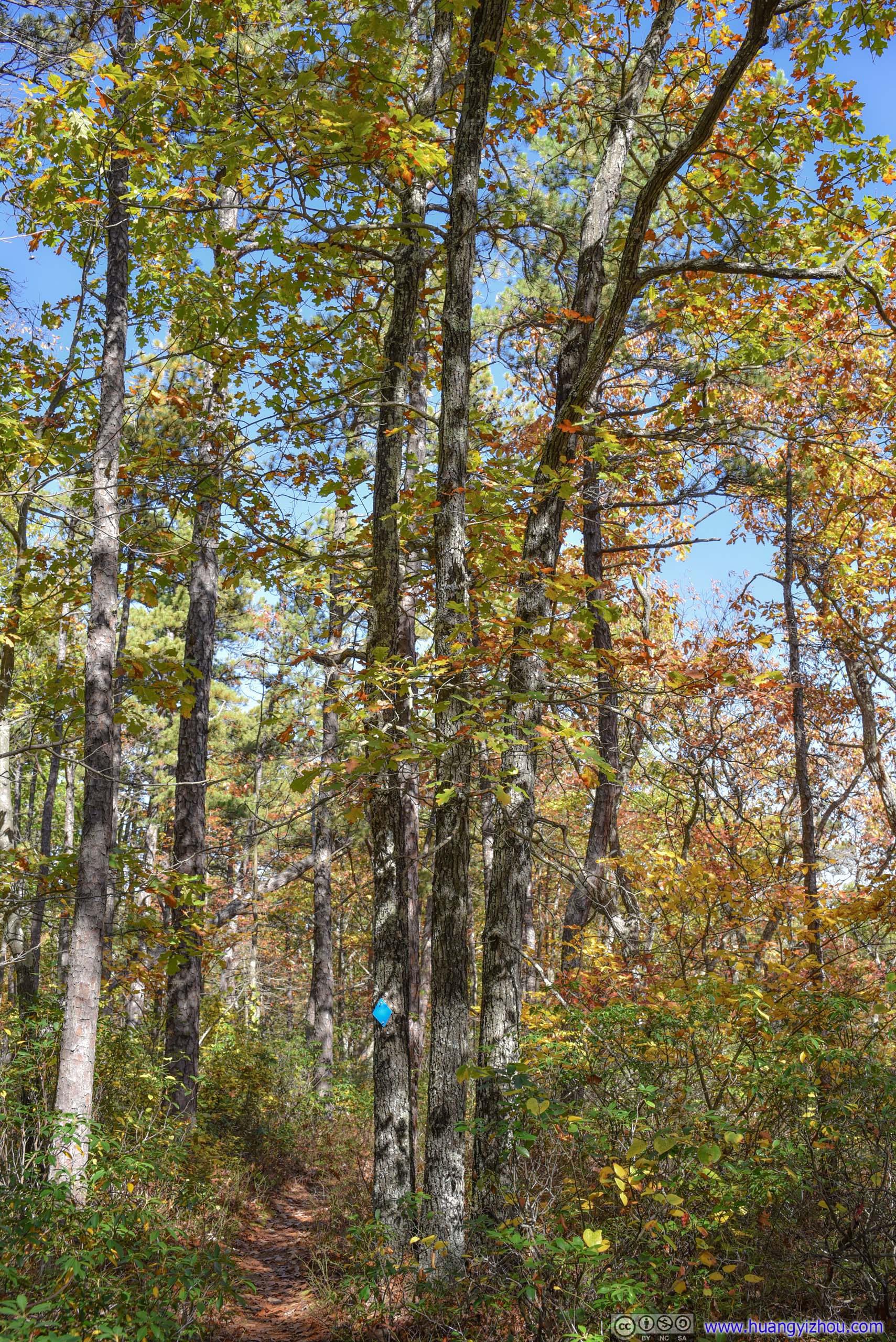
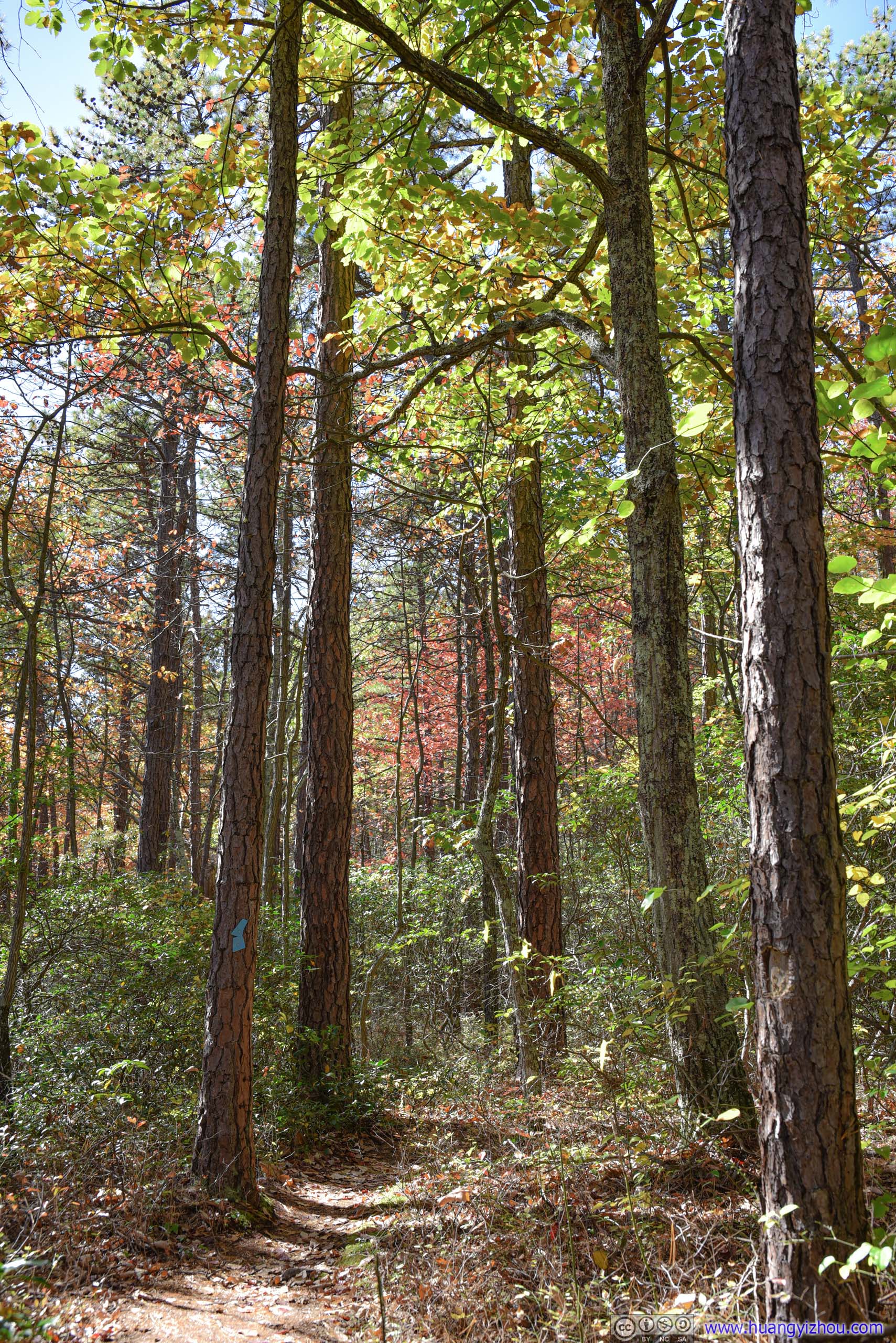
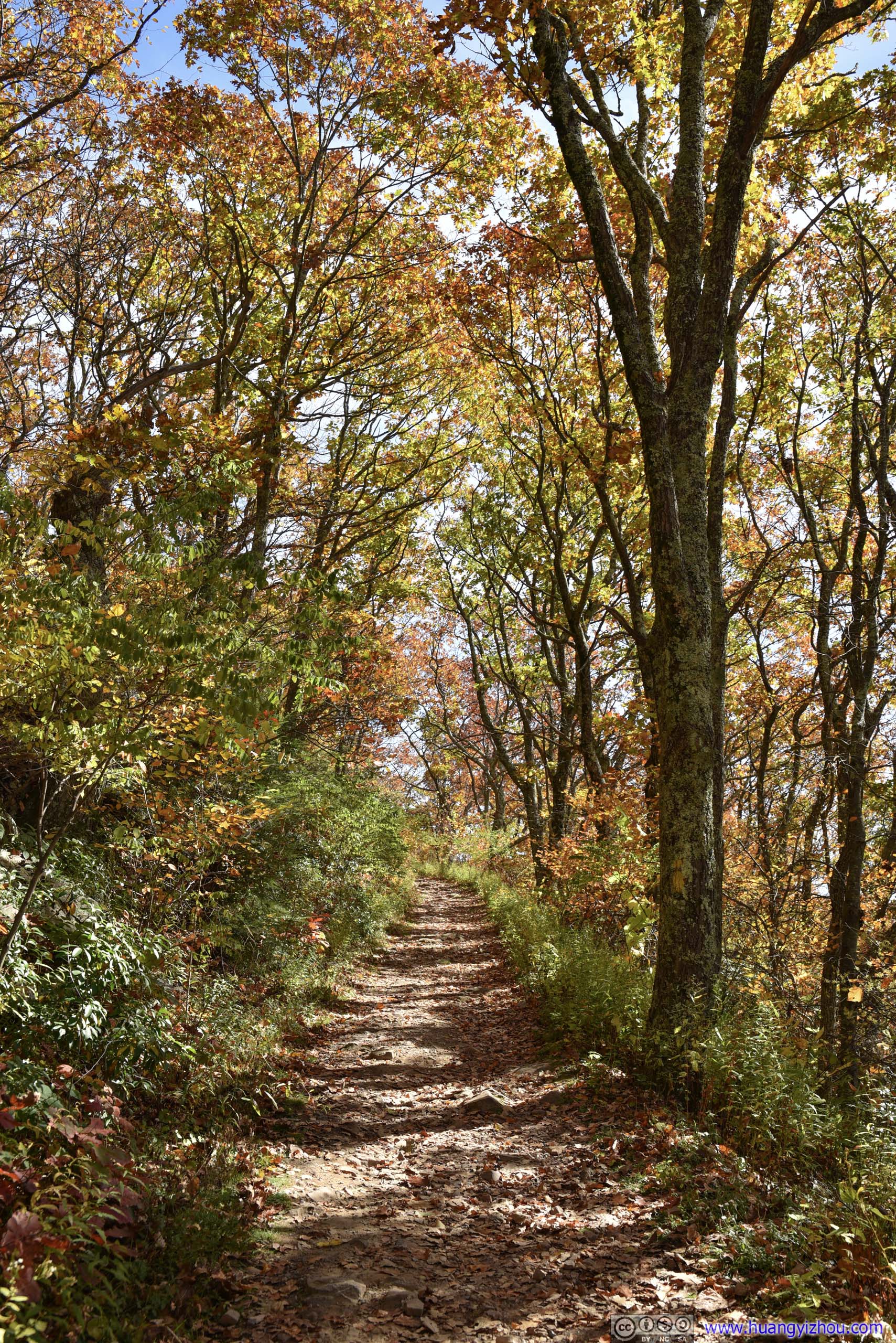
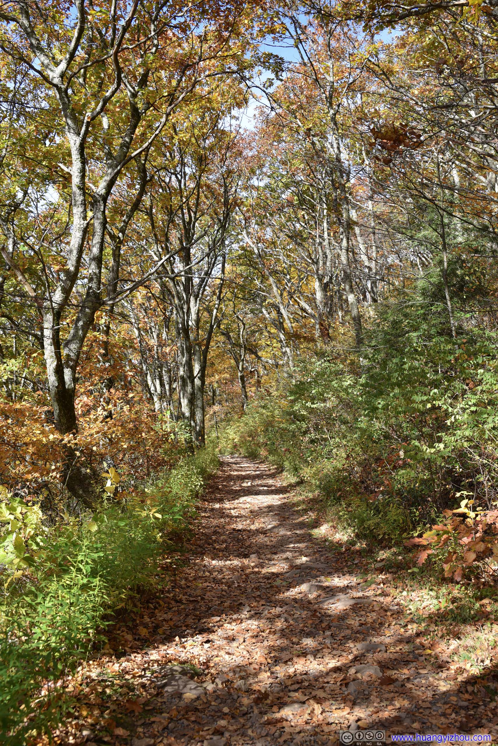
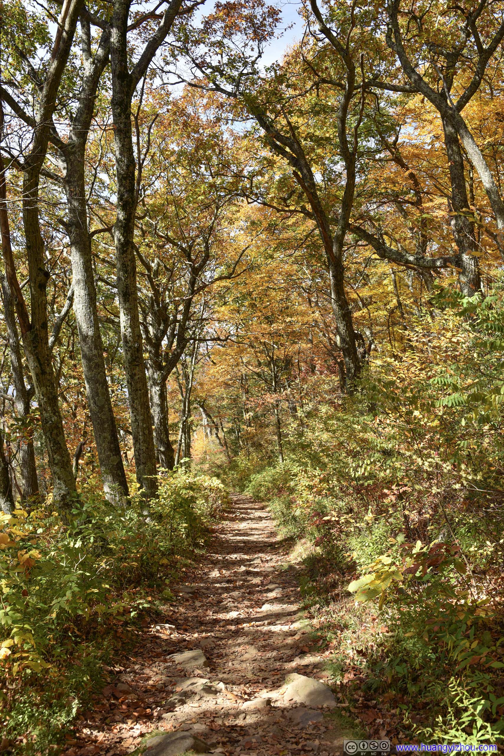
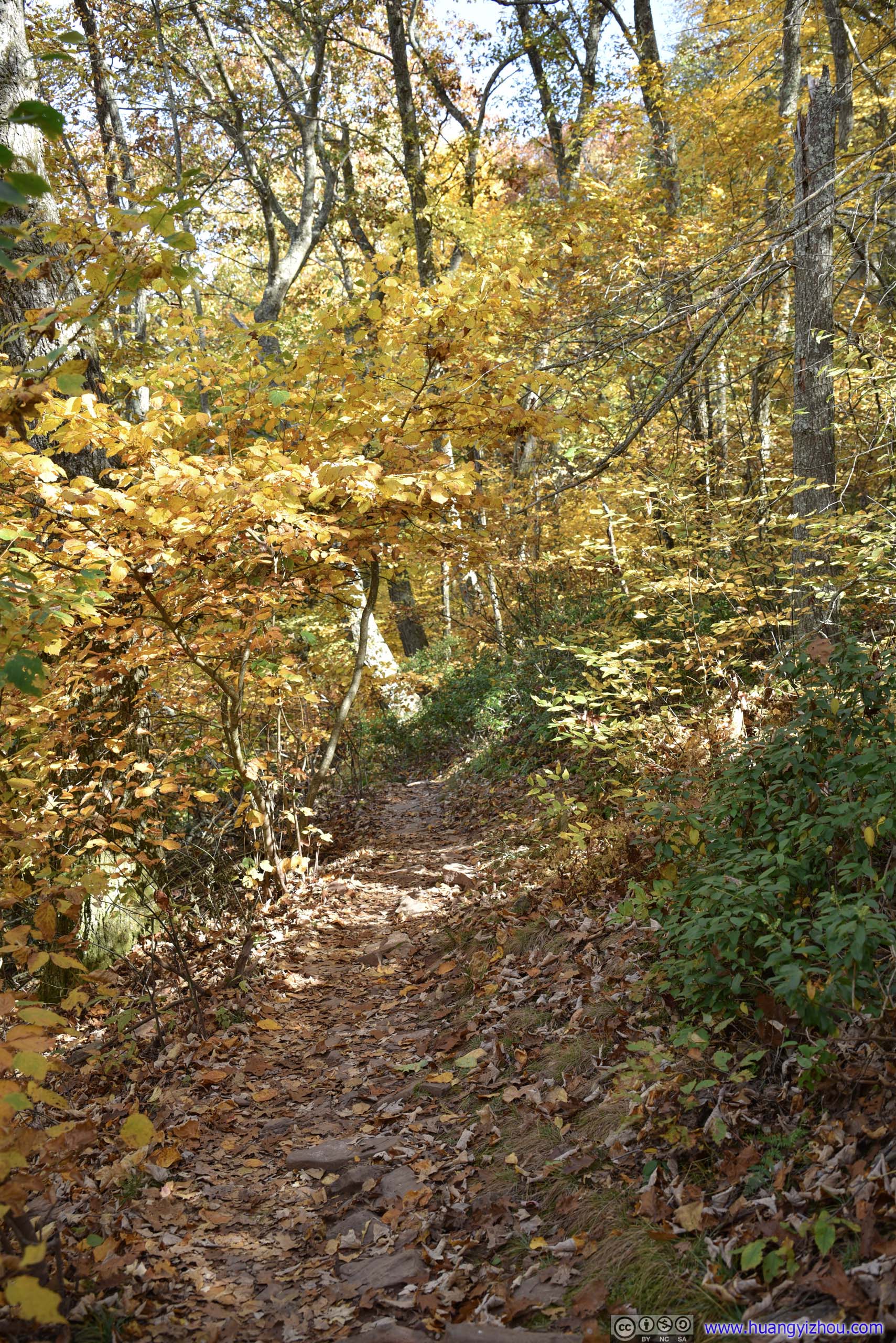
 Forest
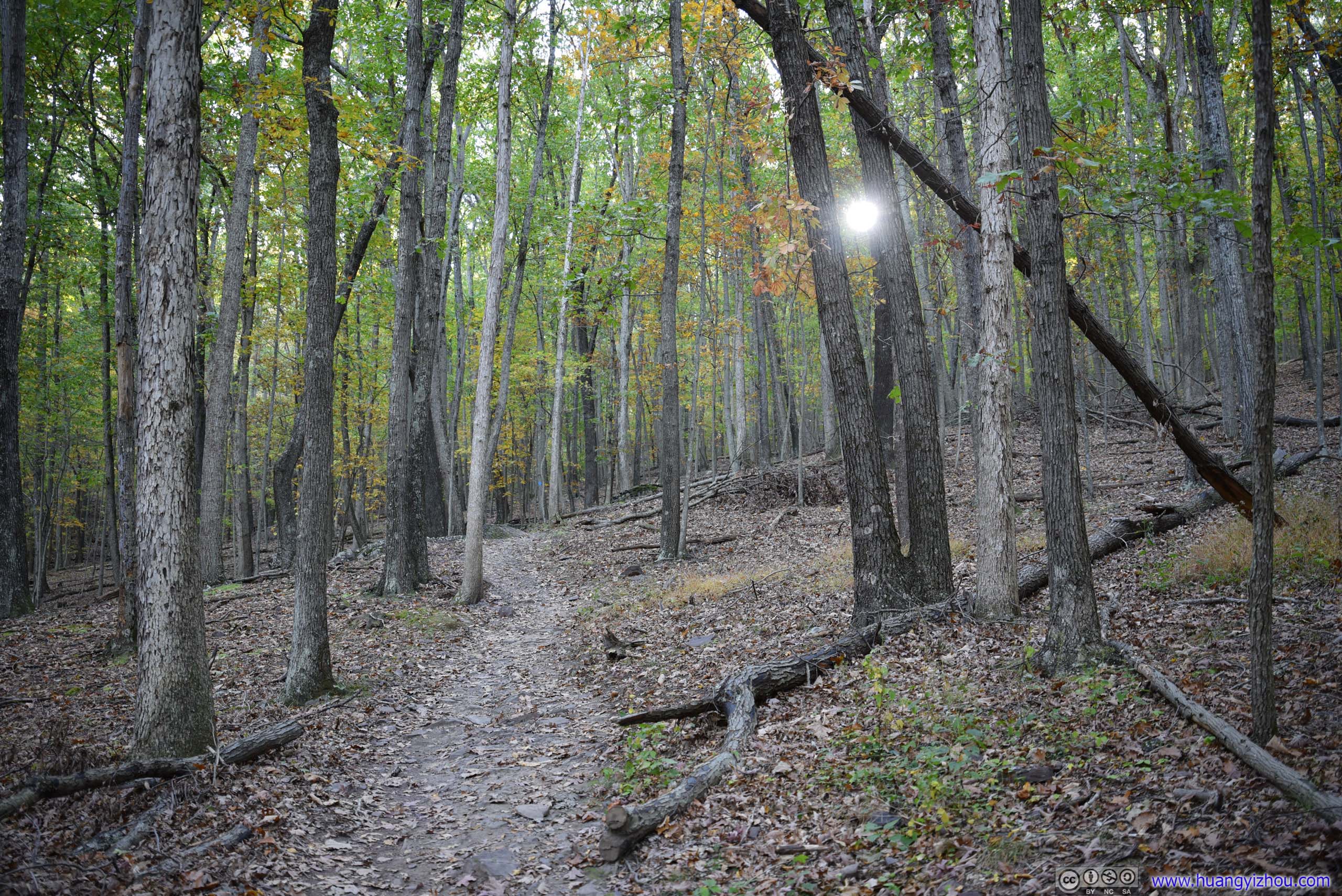
 Trail
Trail
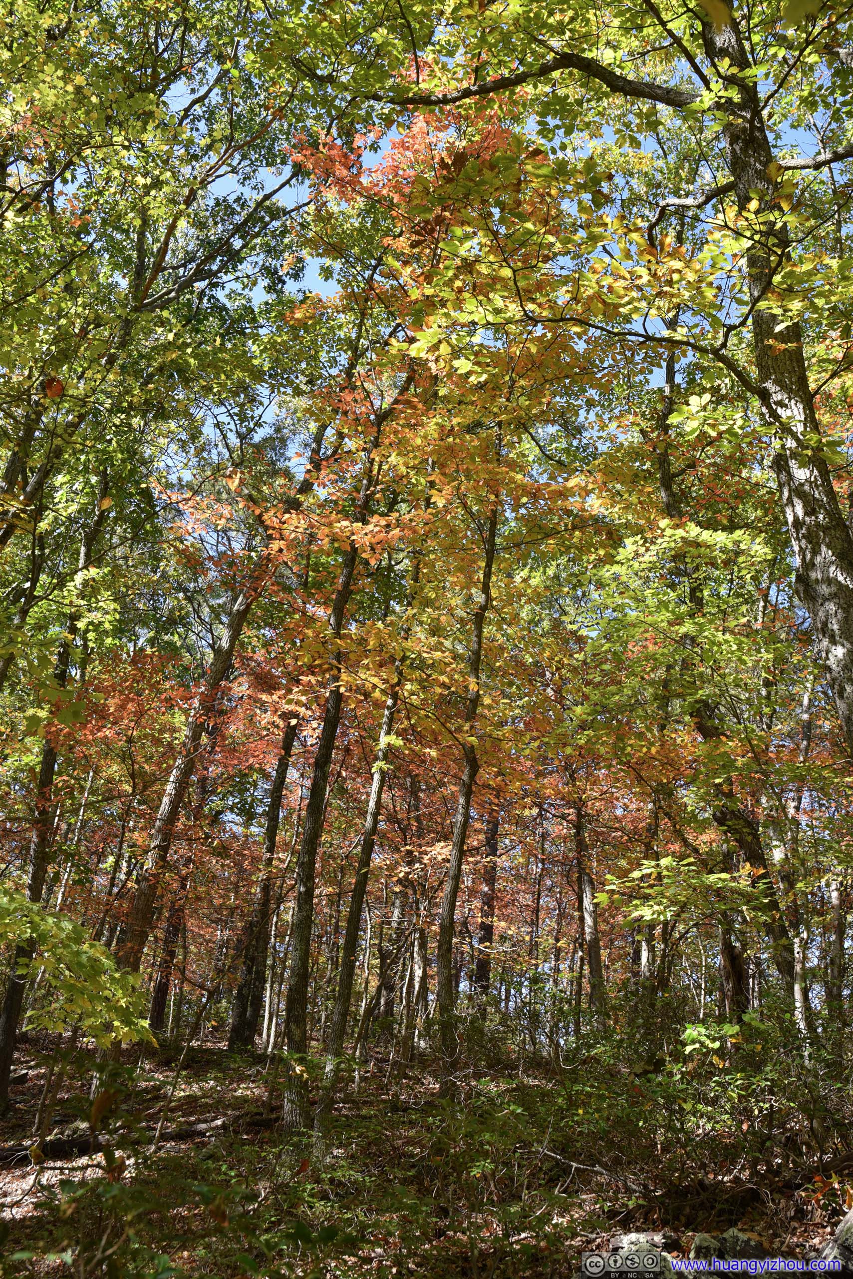
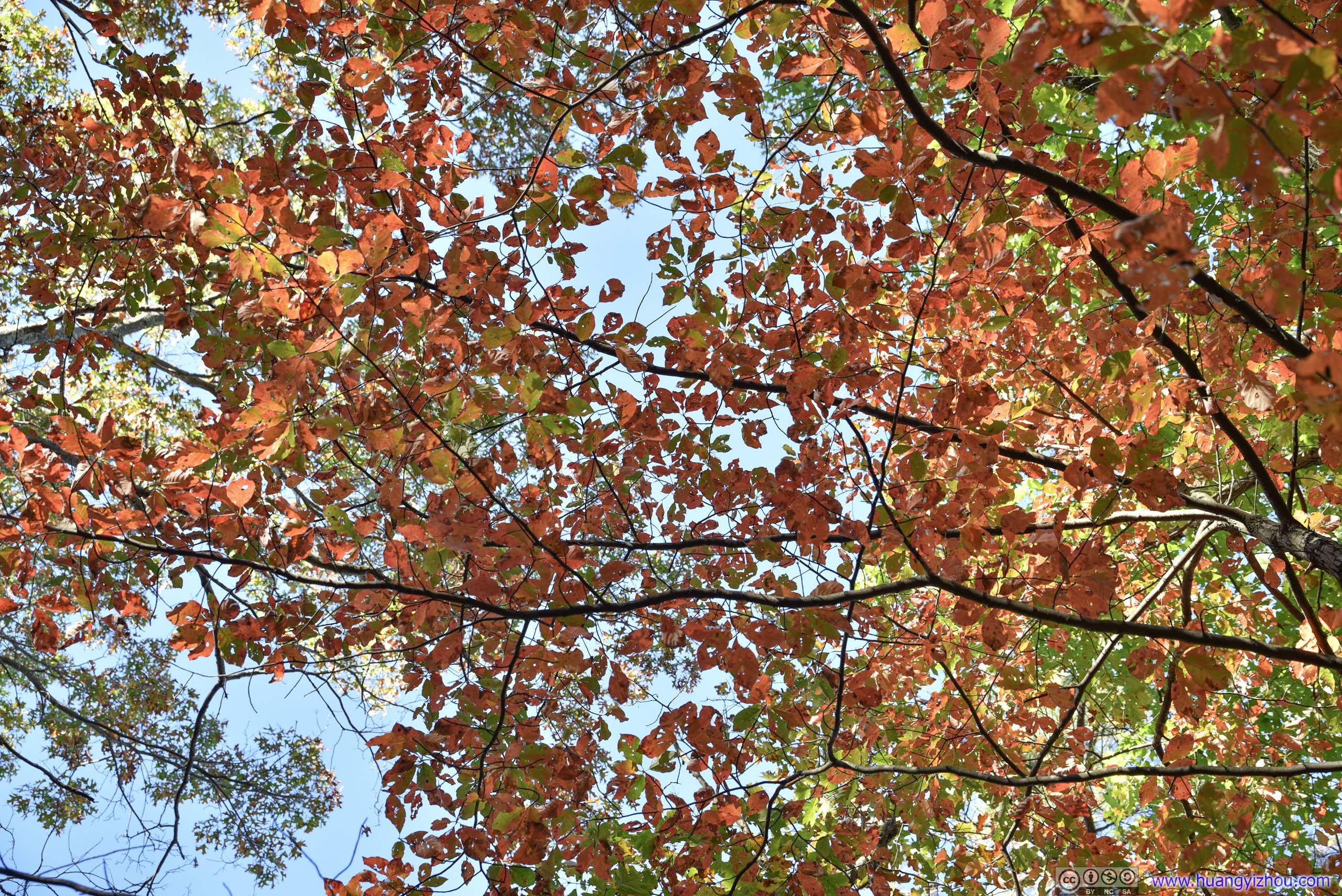
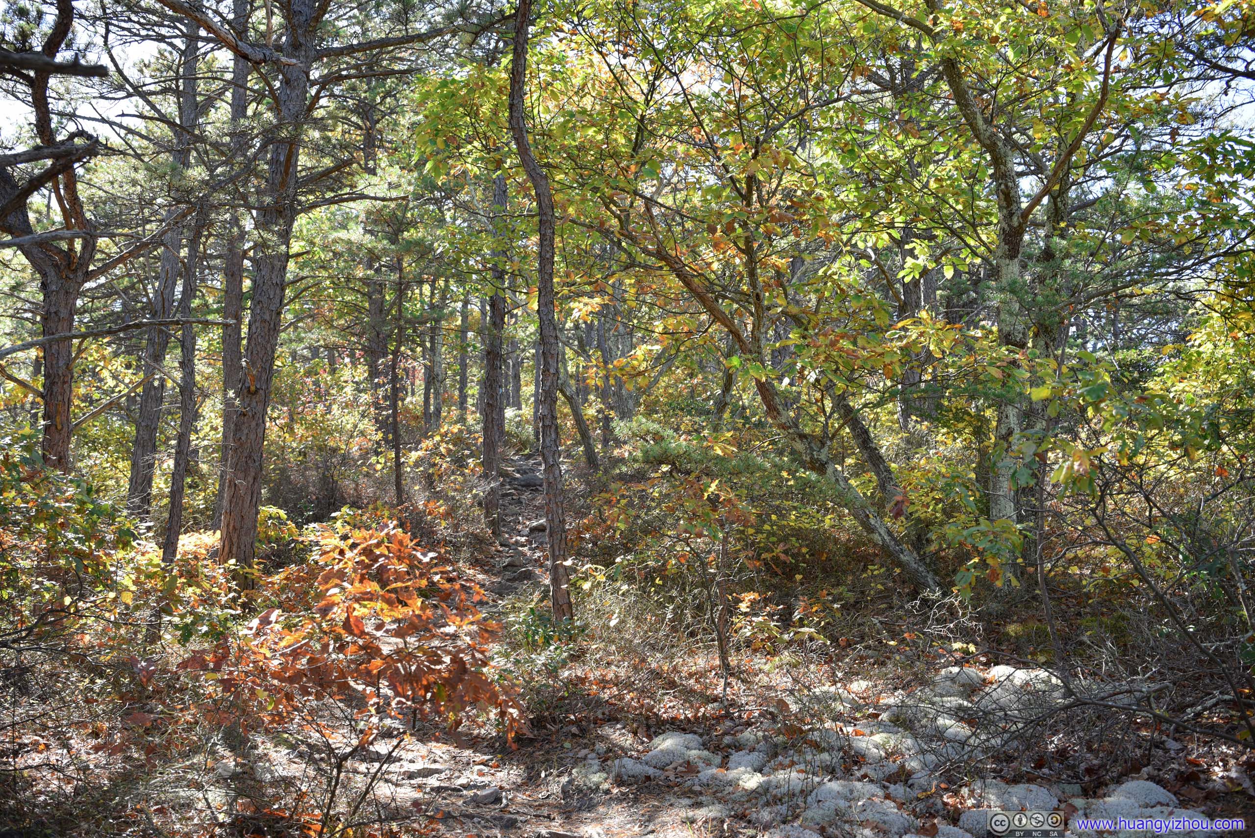
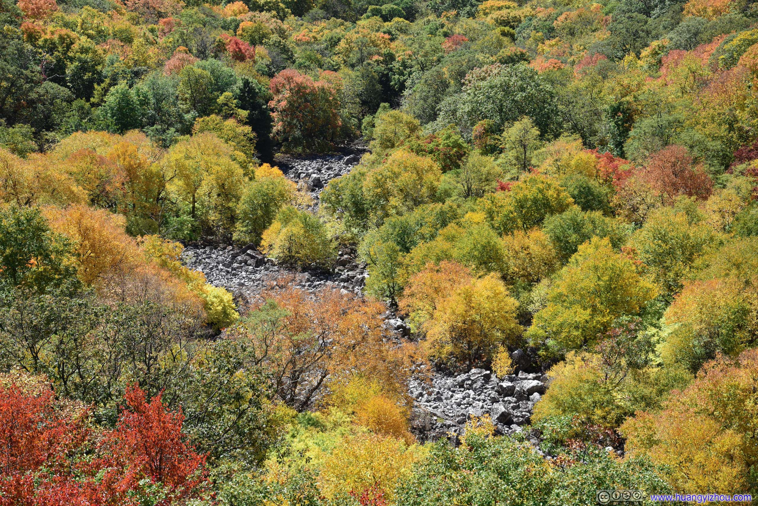
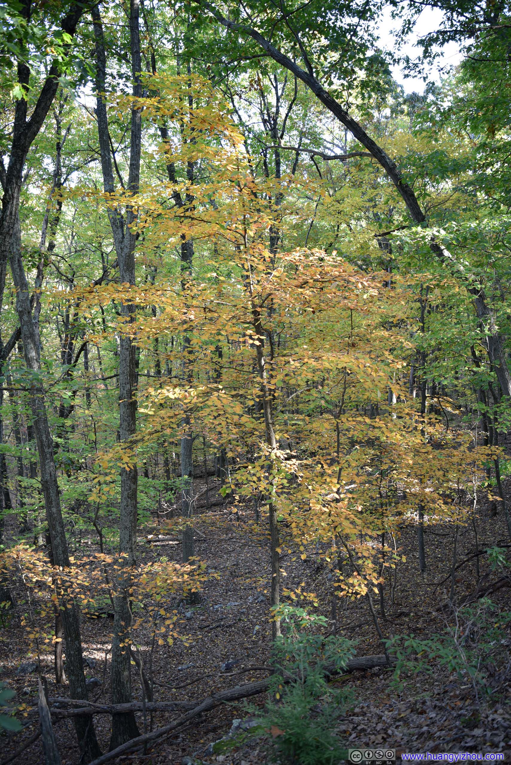
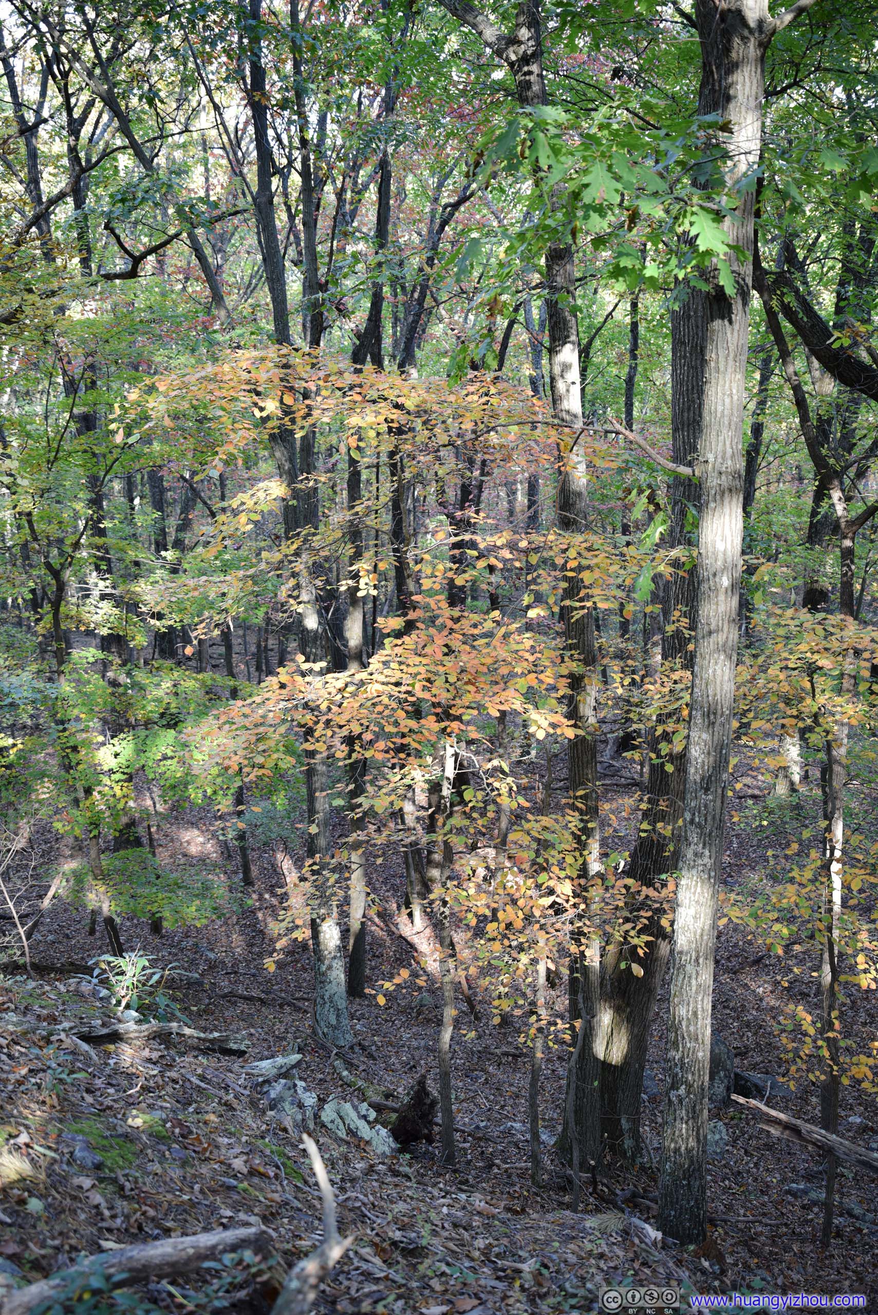
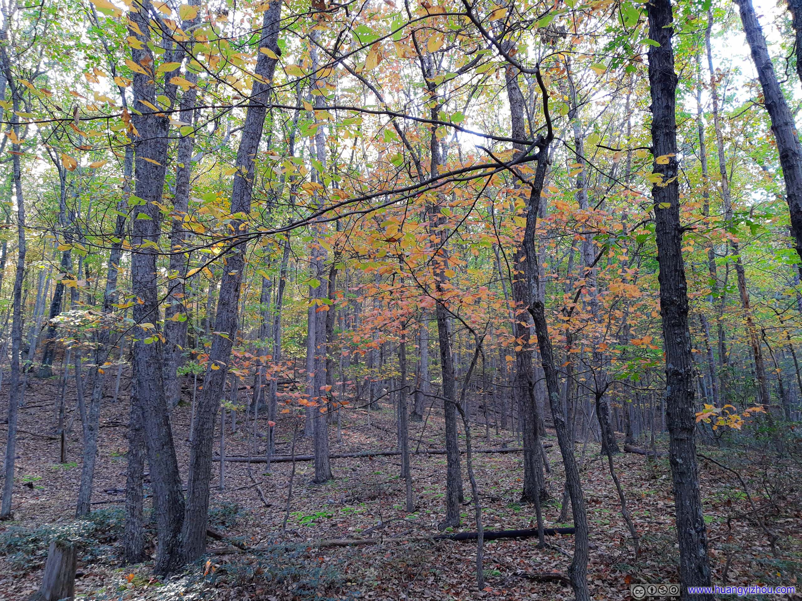
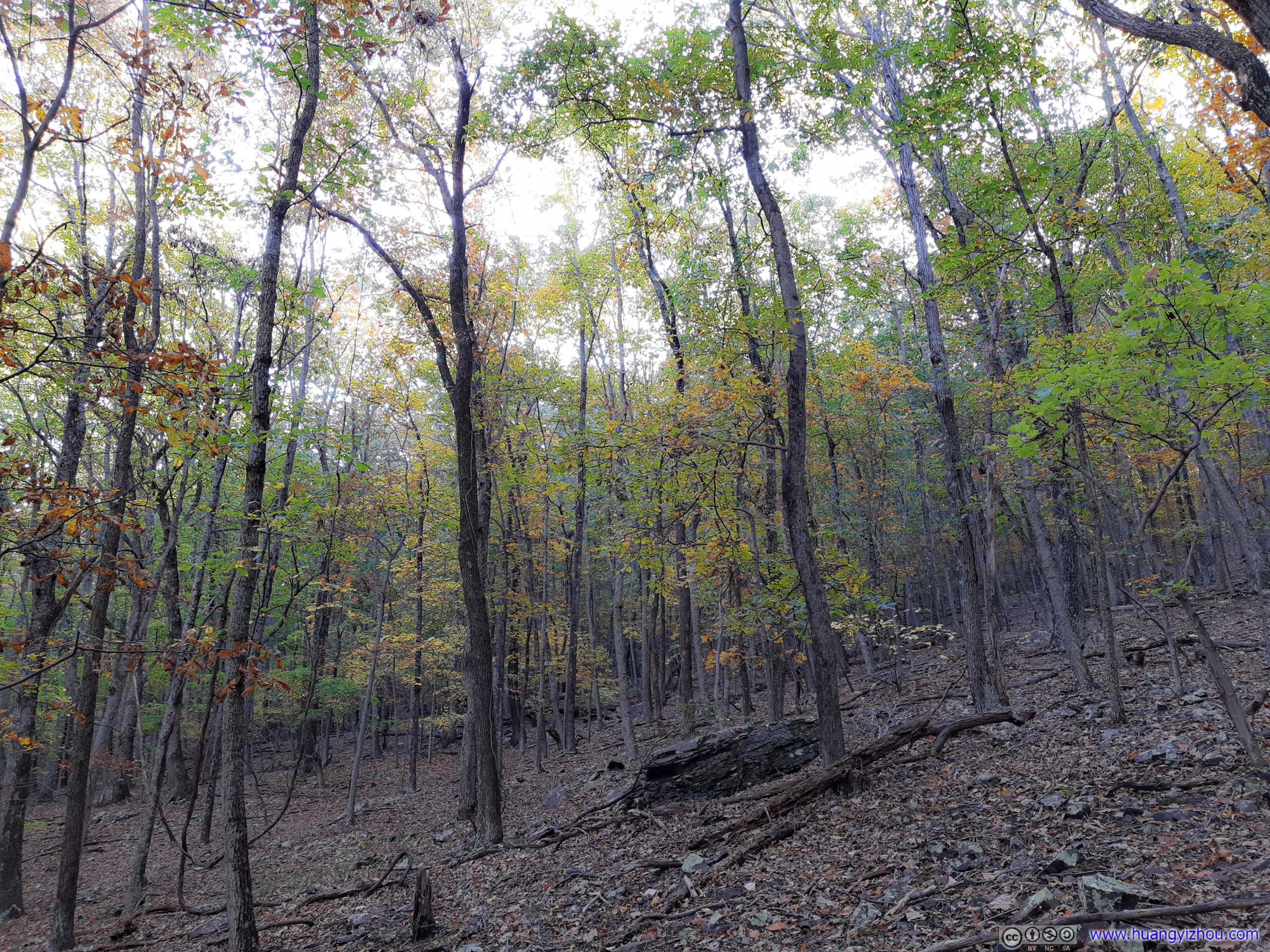
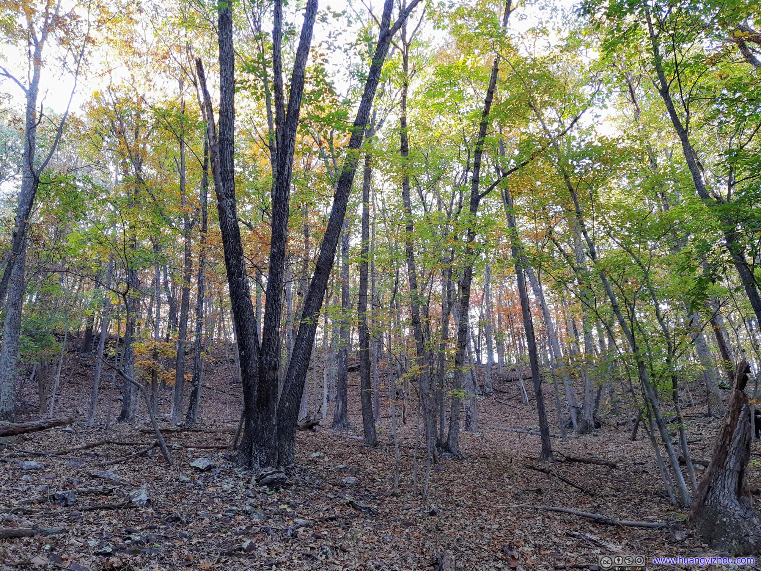
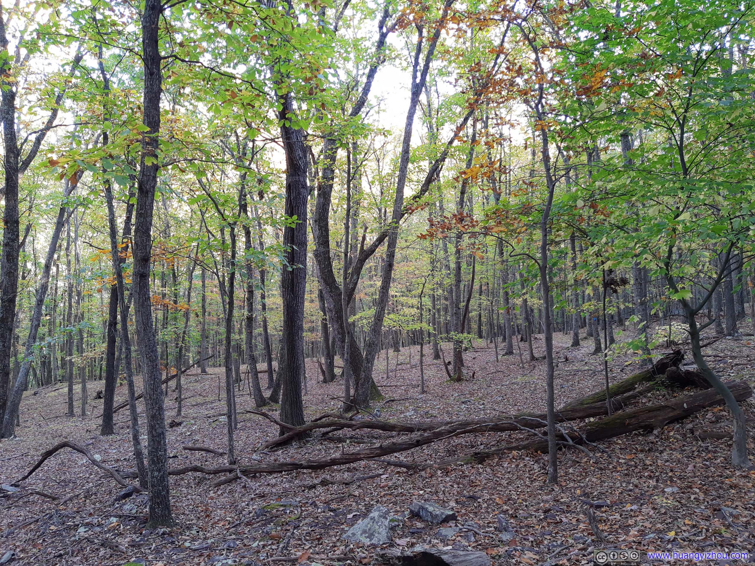
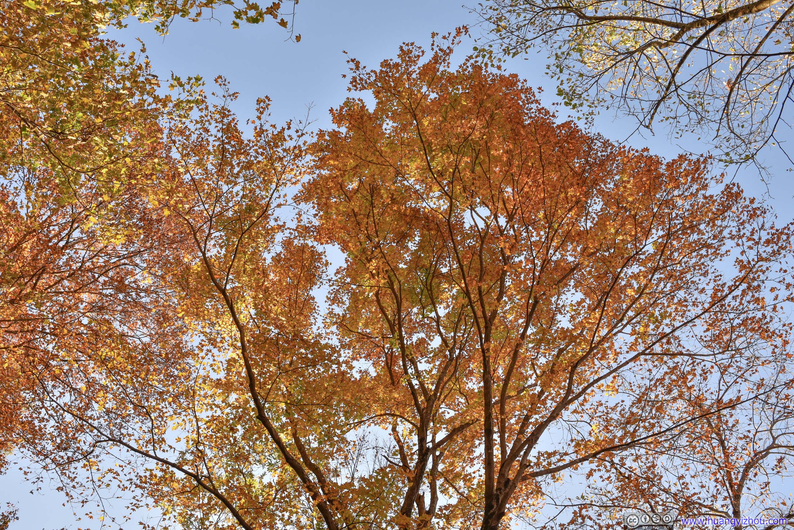
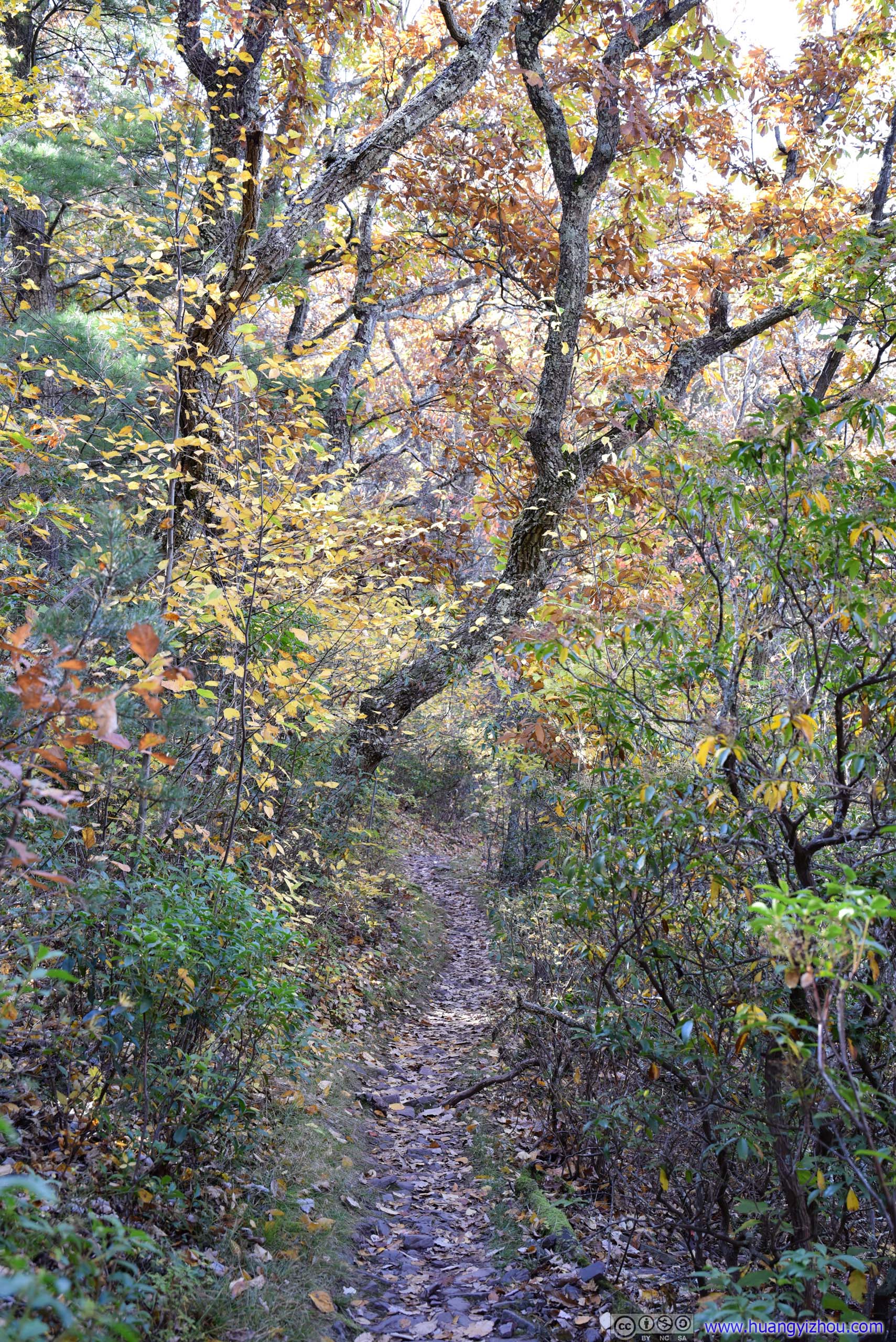
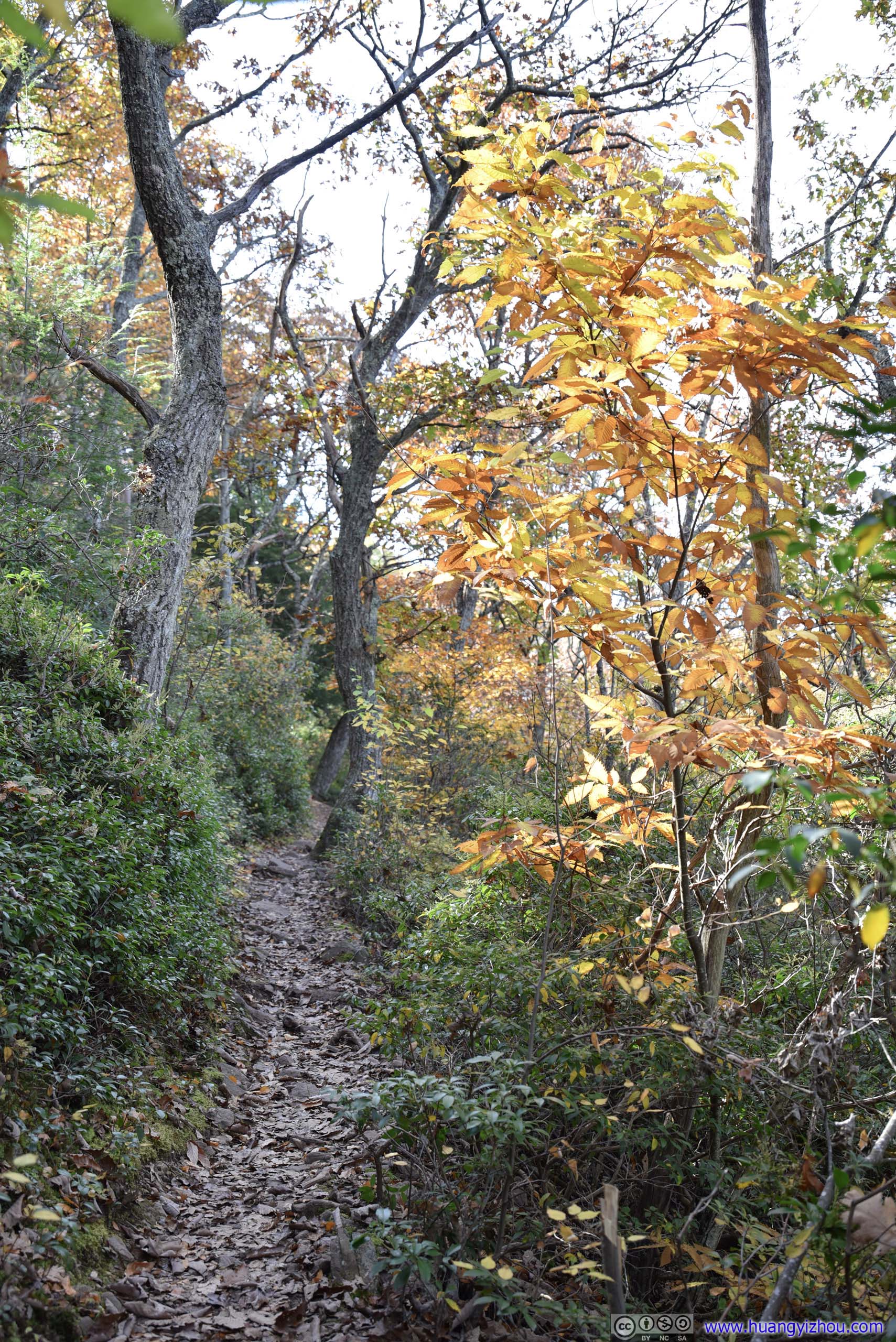
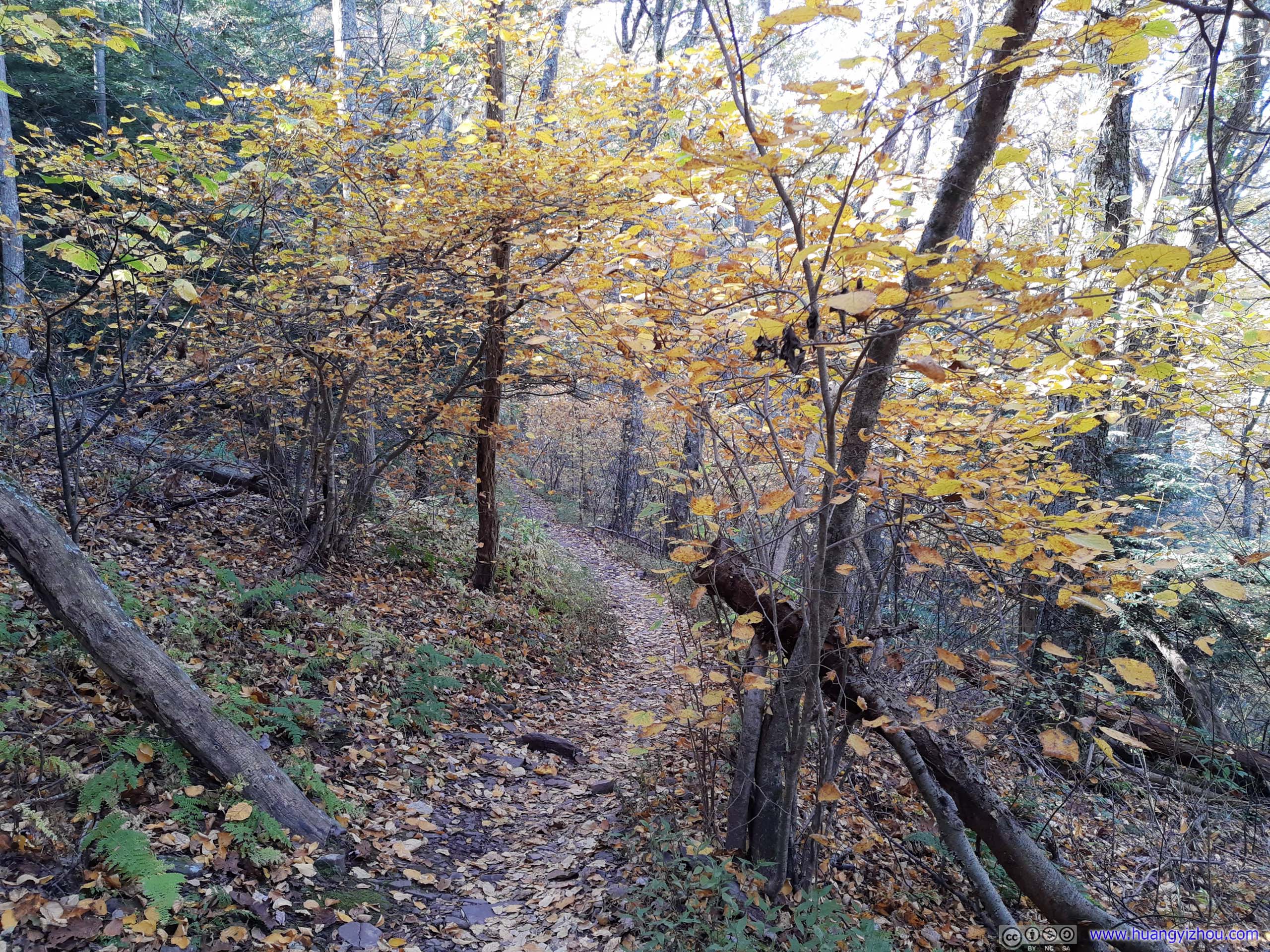
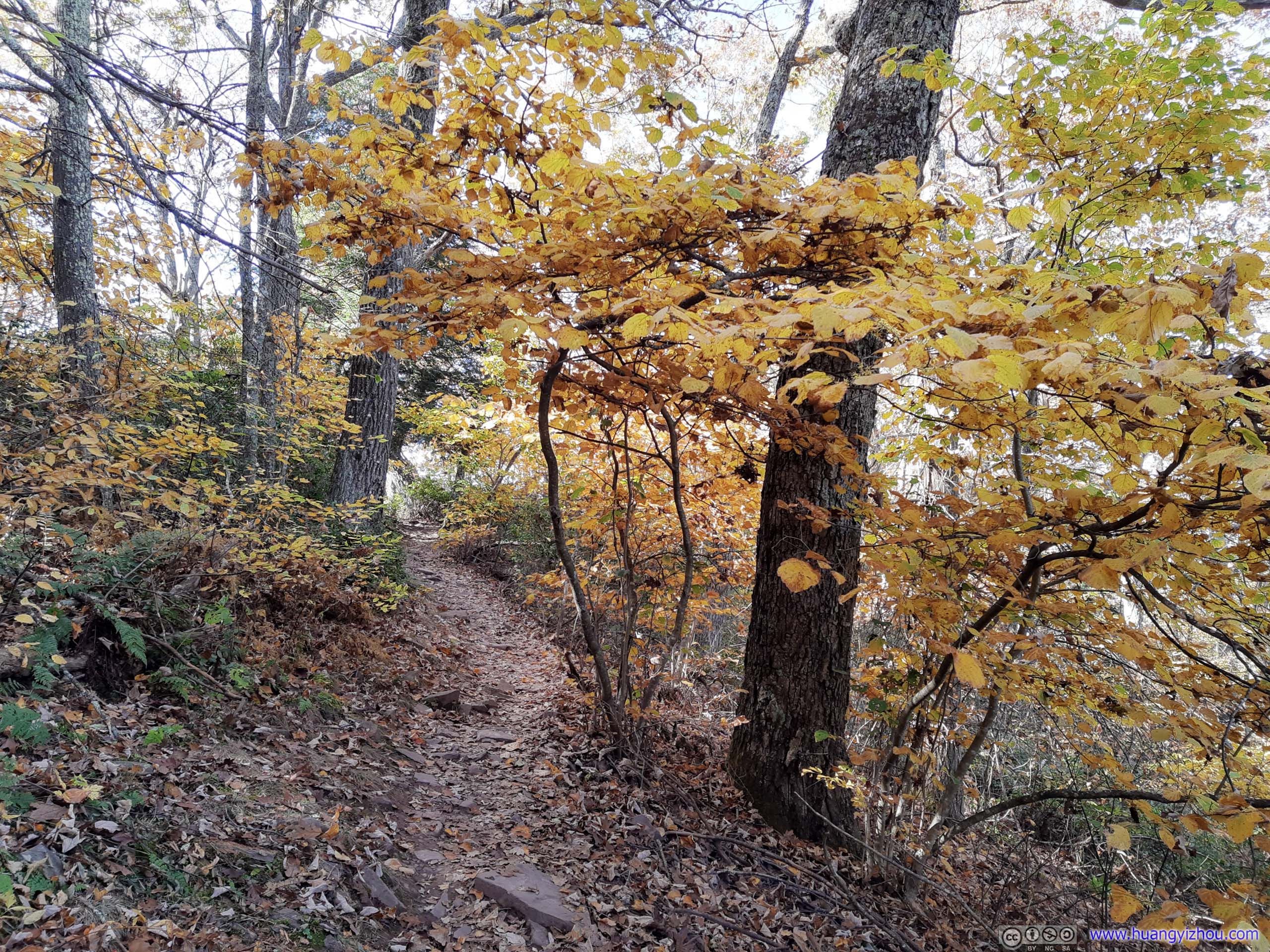
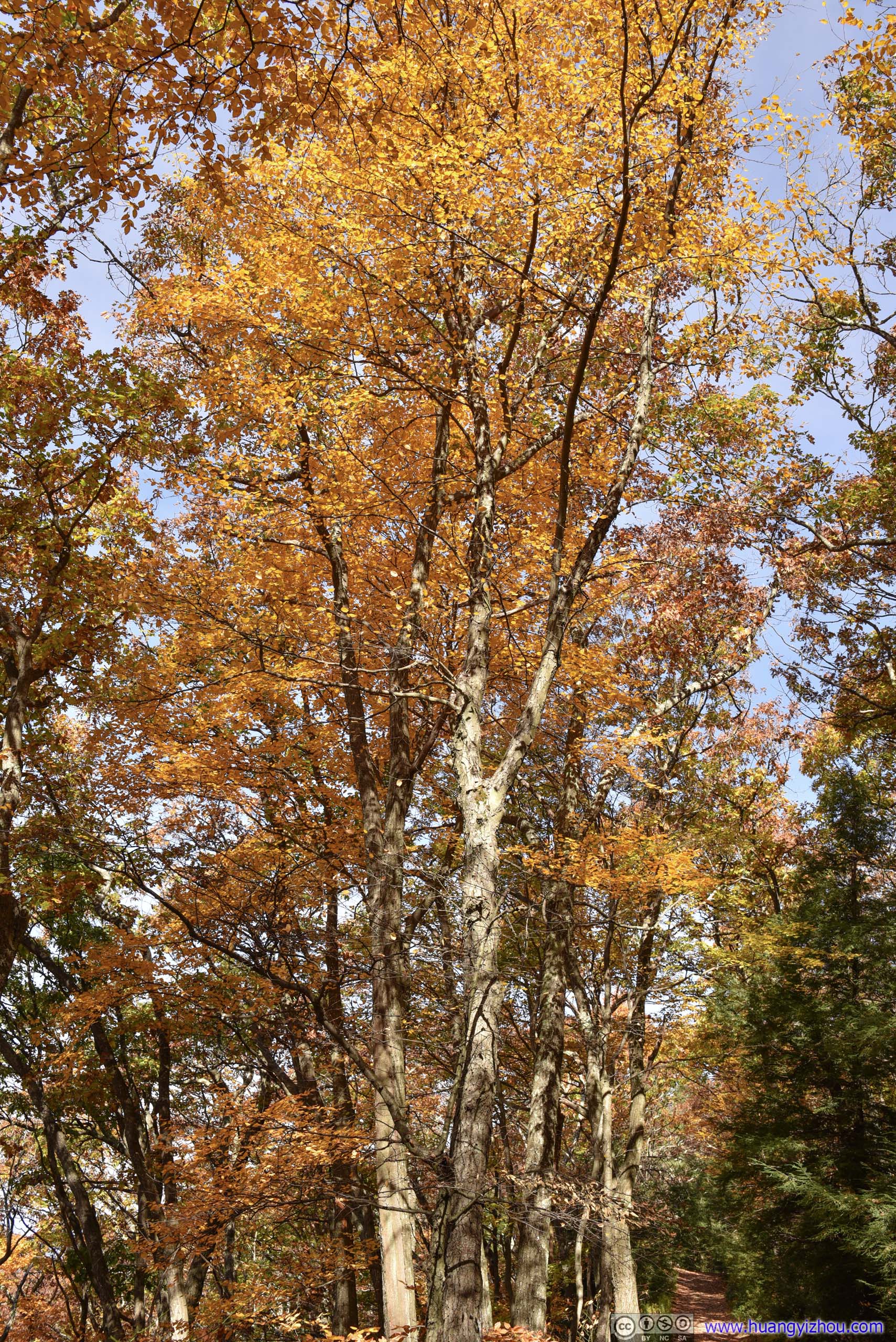
As the trail went deeper into forest, the colors got more vibrant, so was the variety of plants.
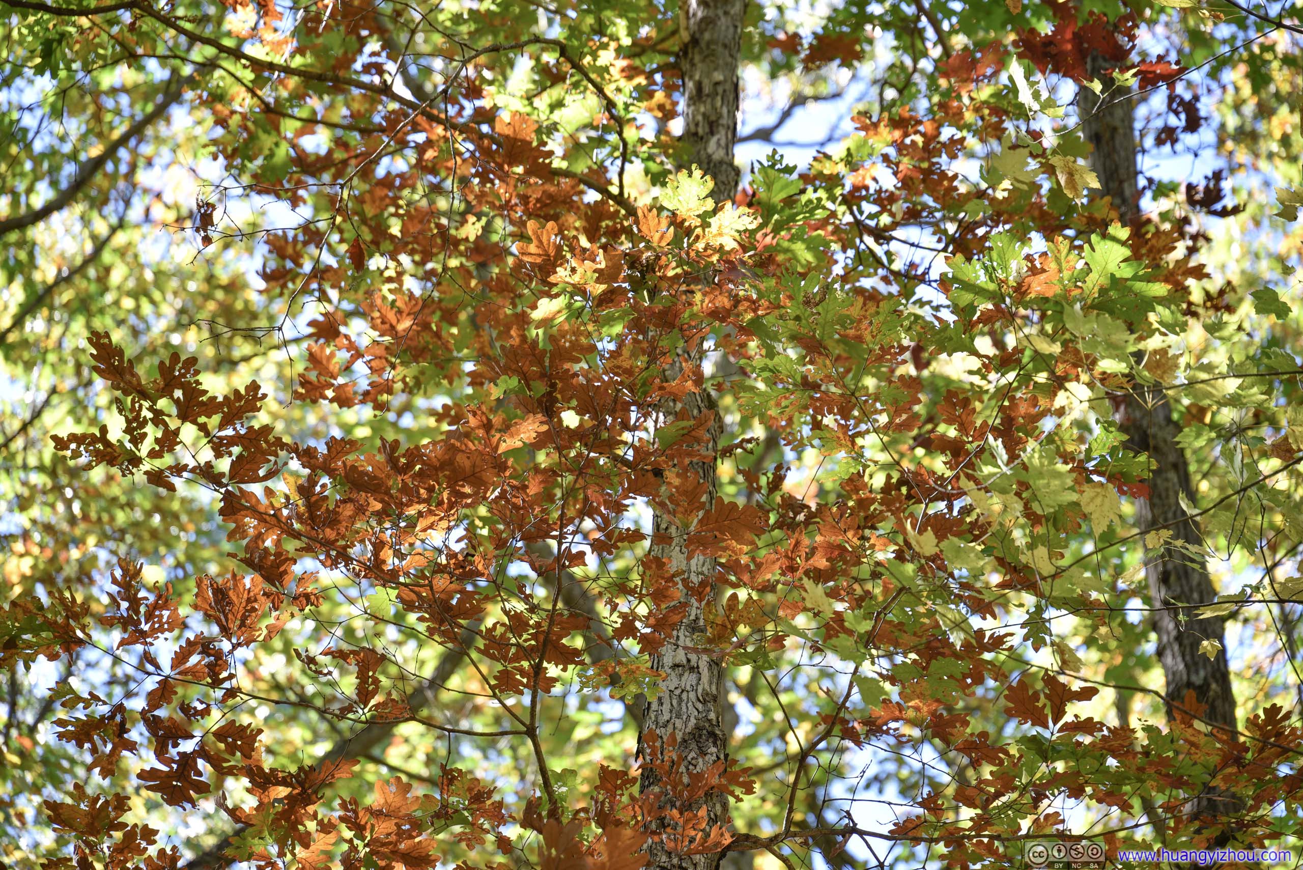
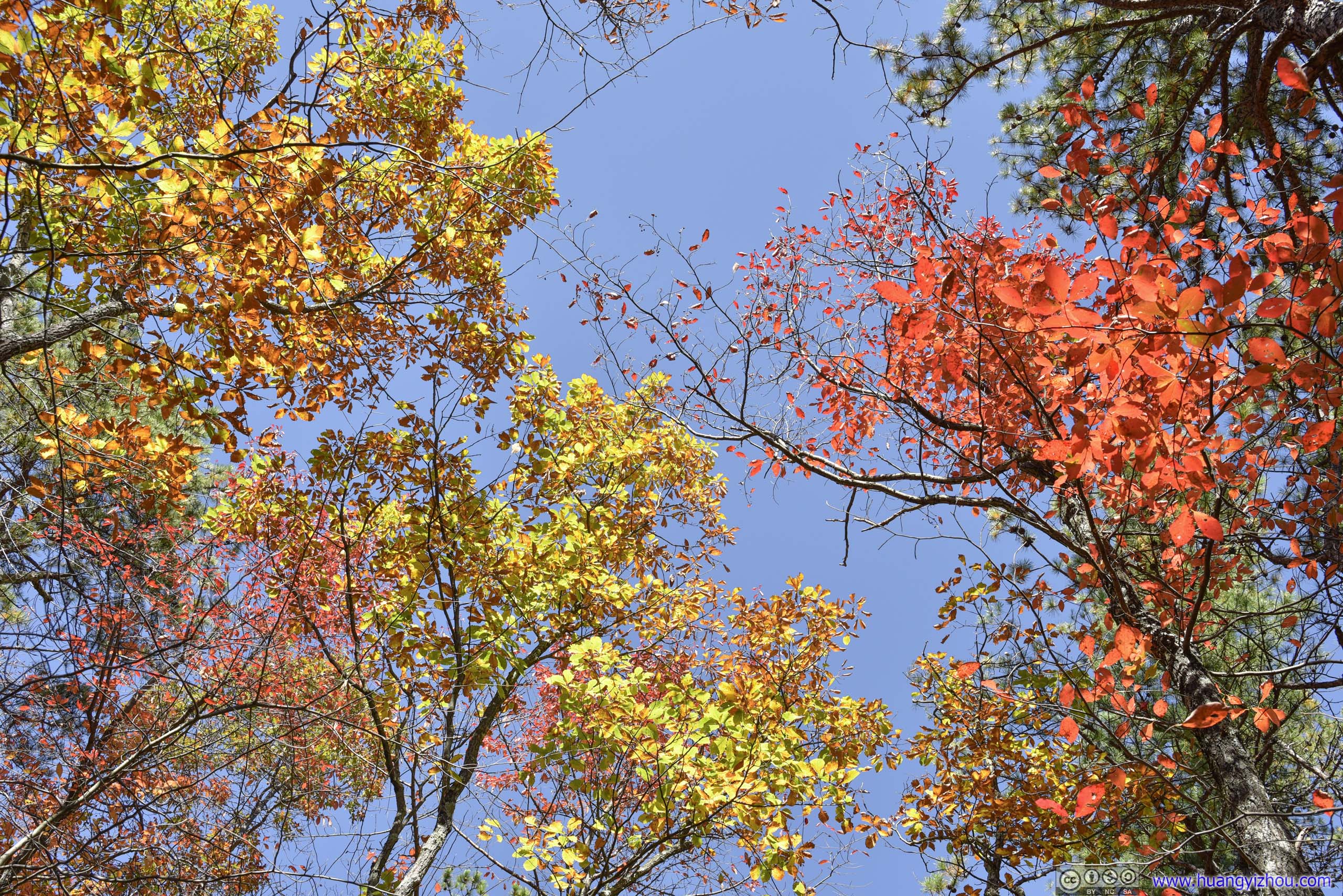

 Leaves
 Forest
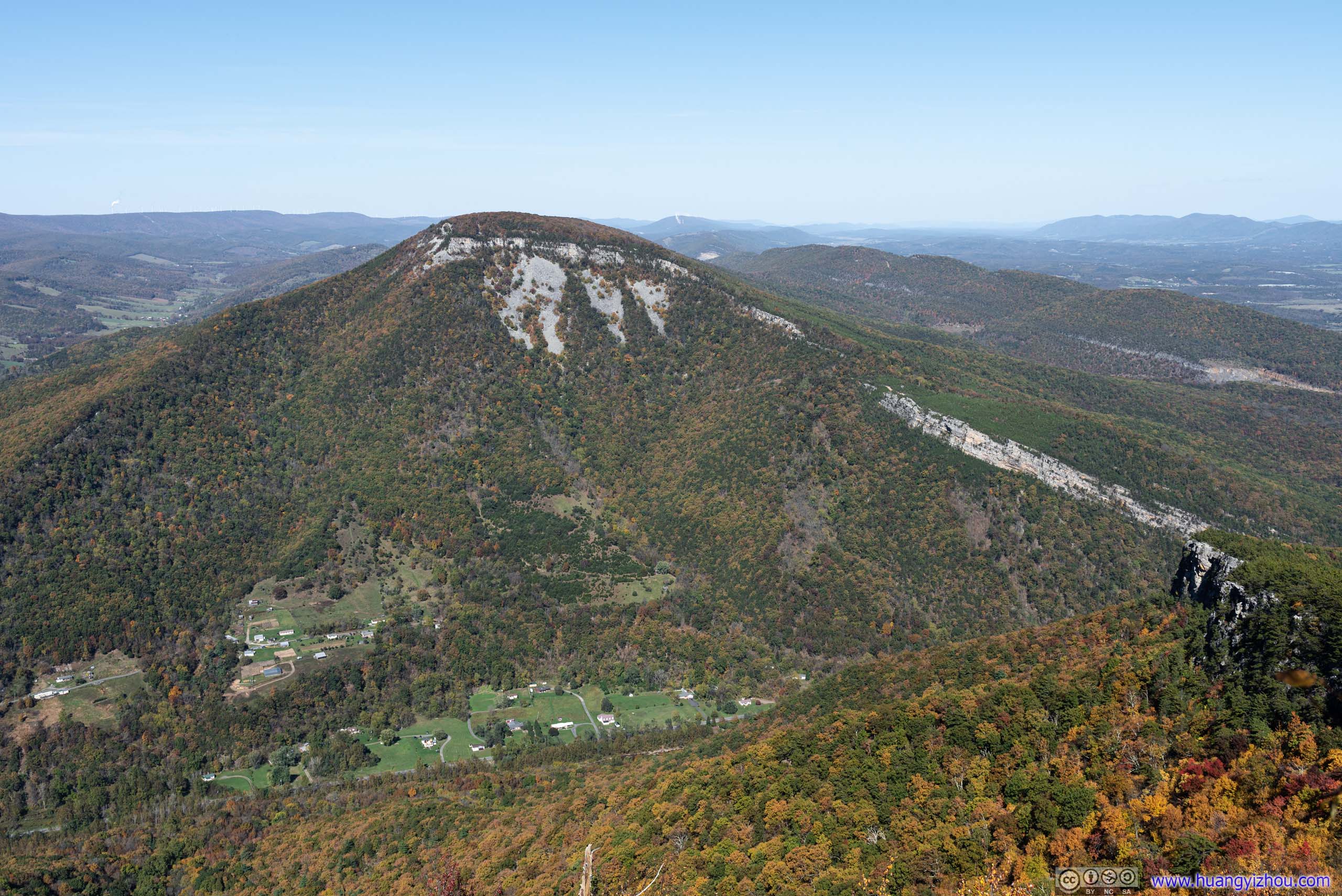
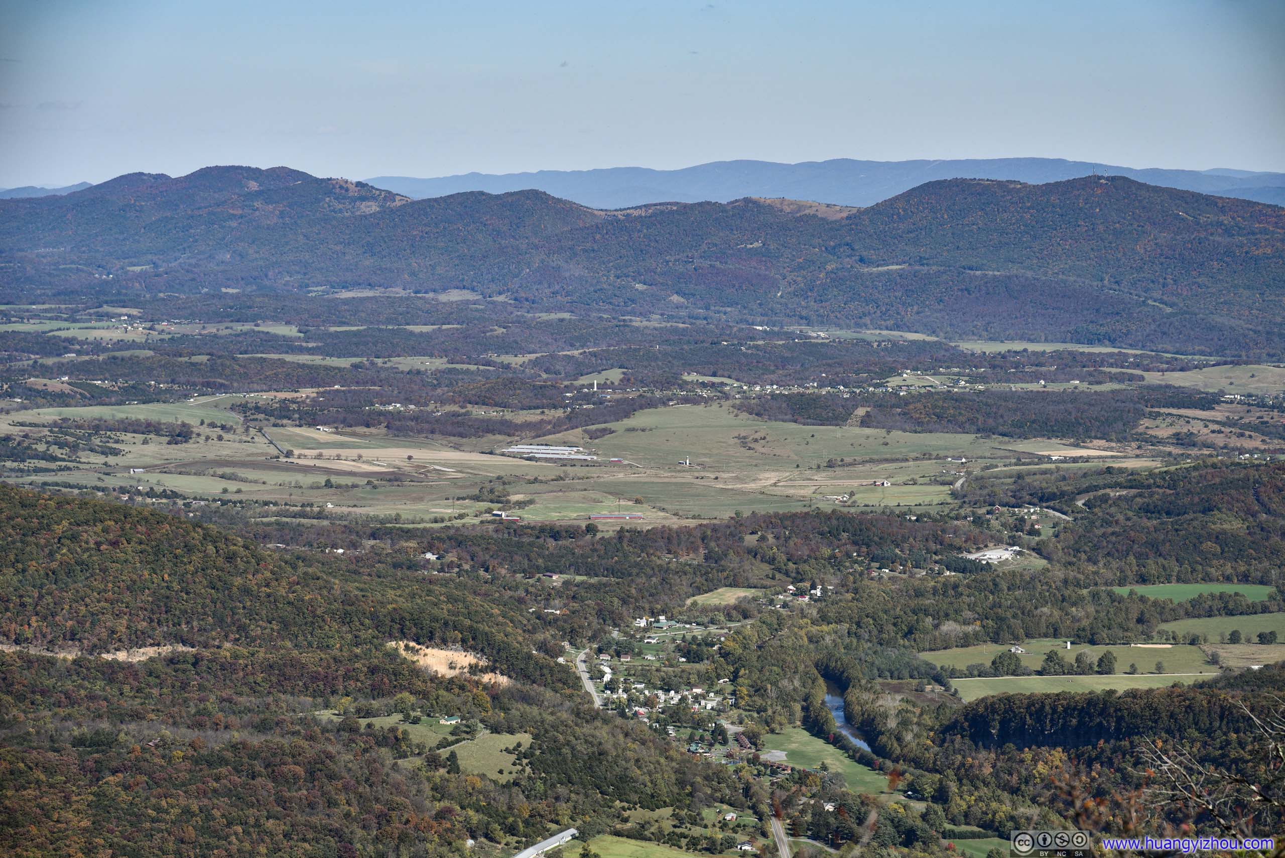
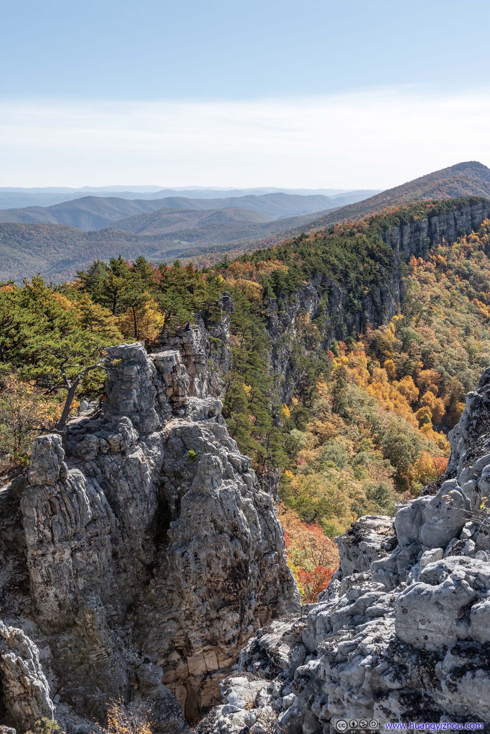
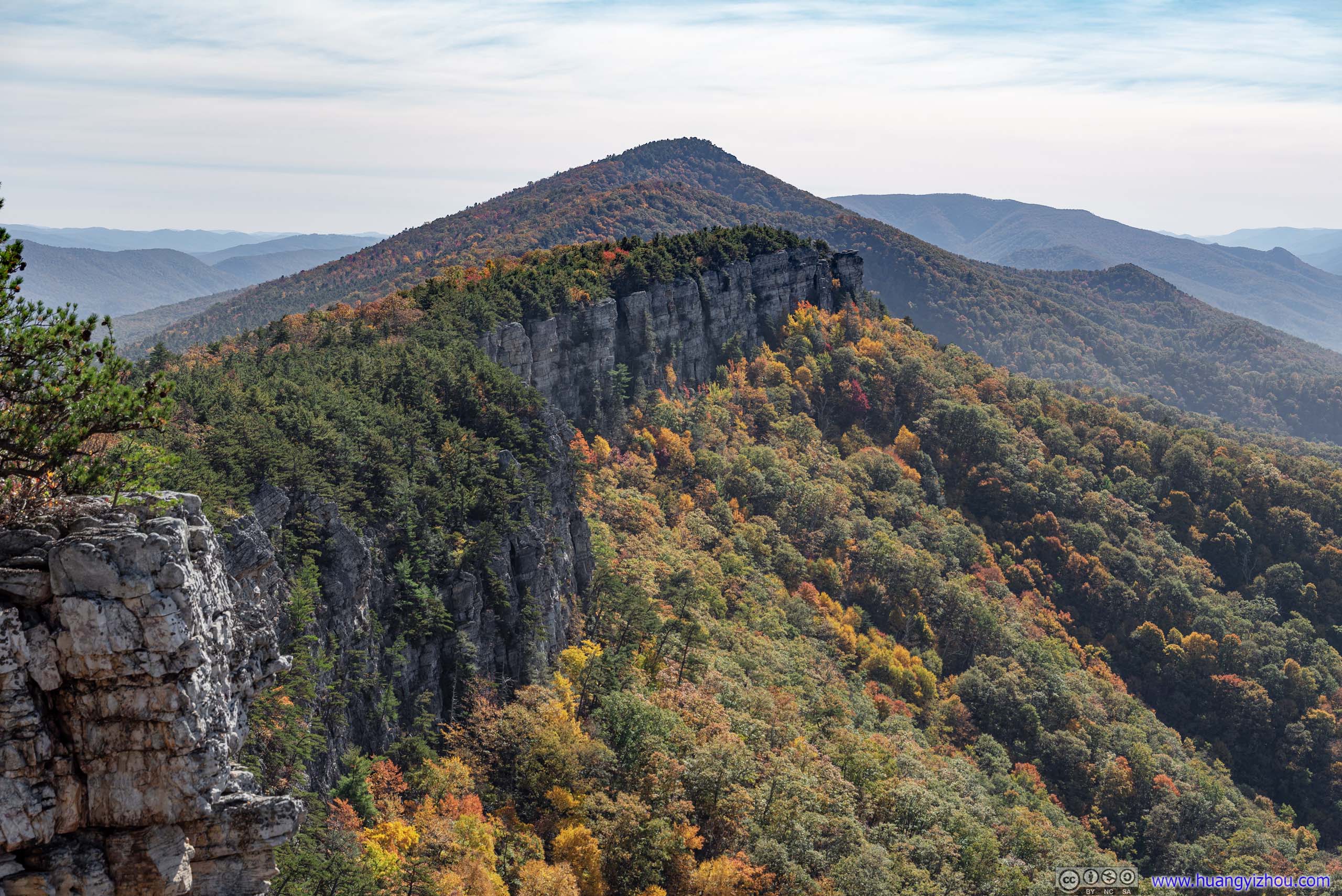
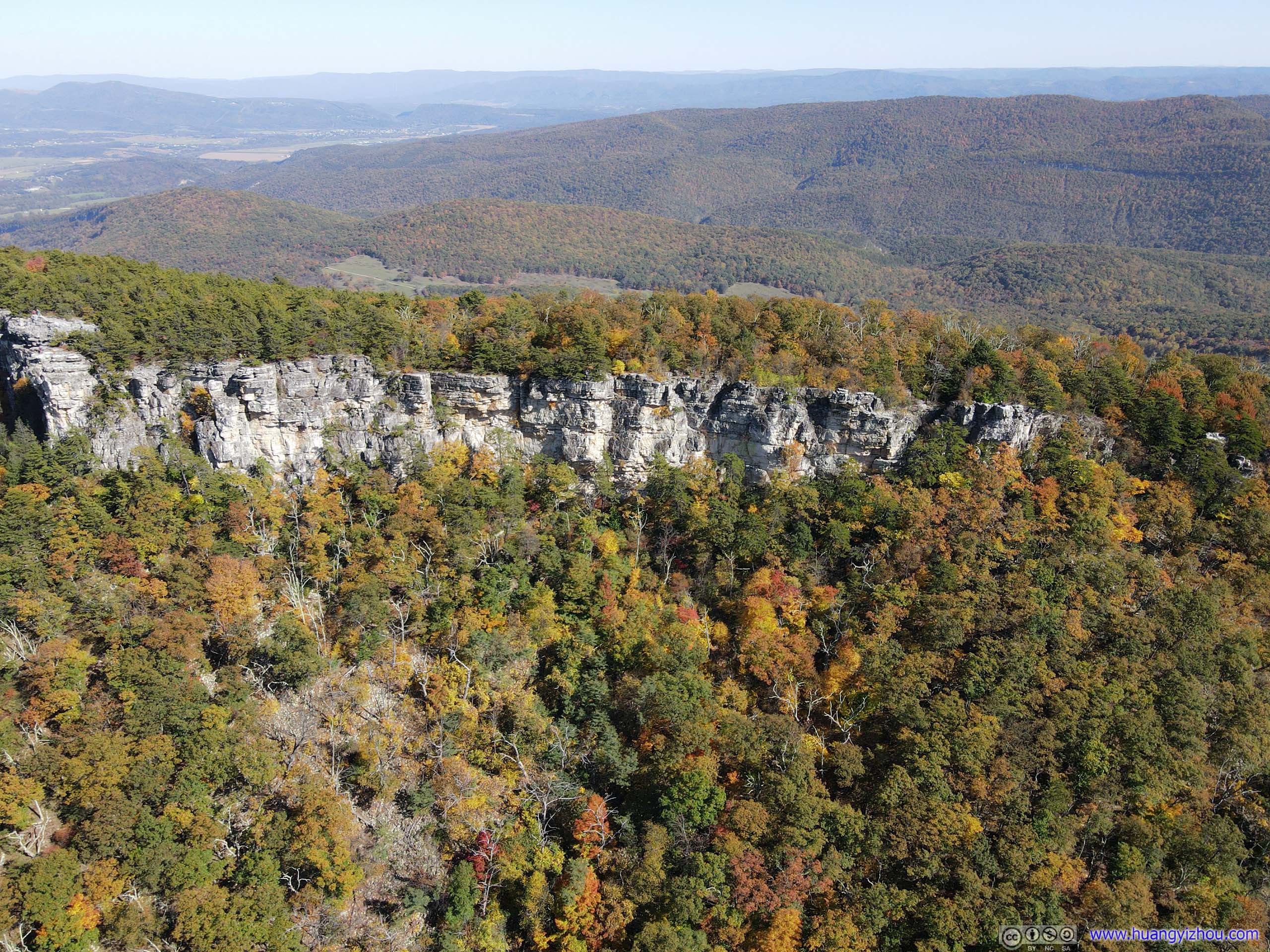
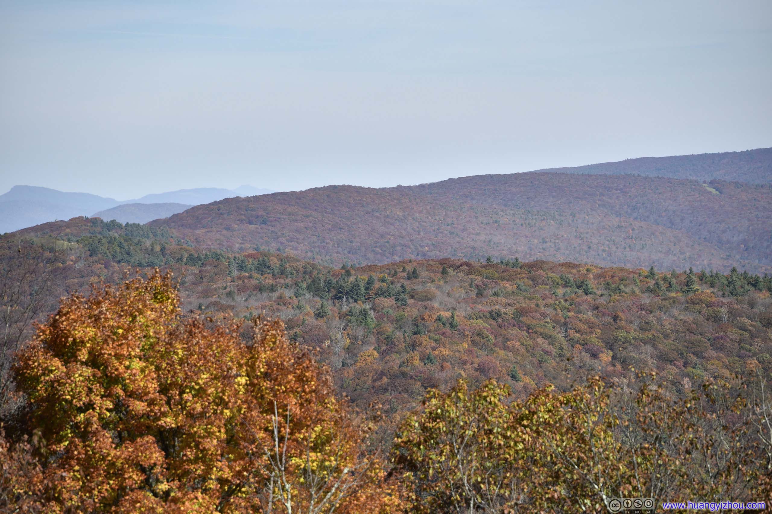
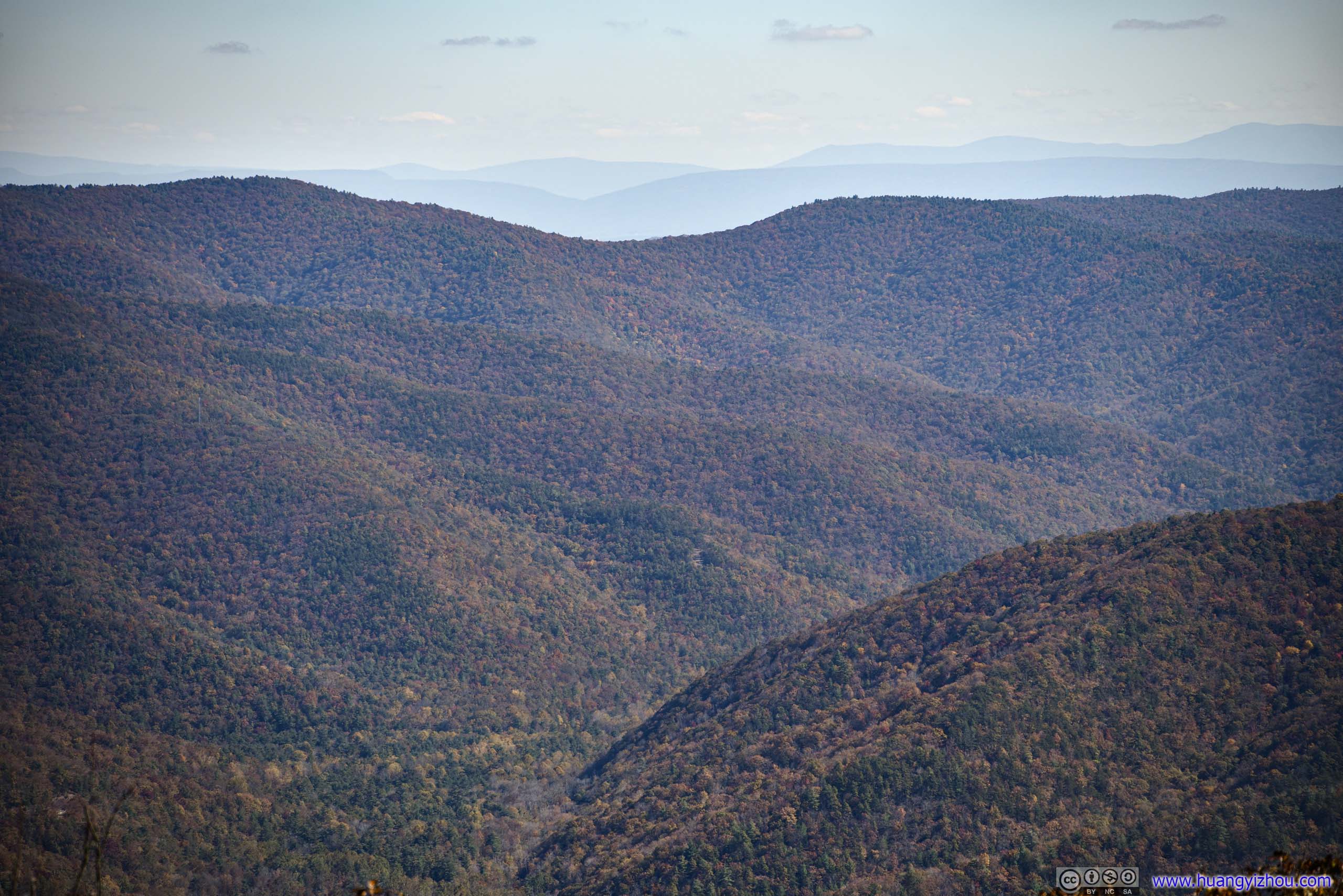
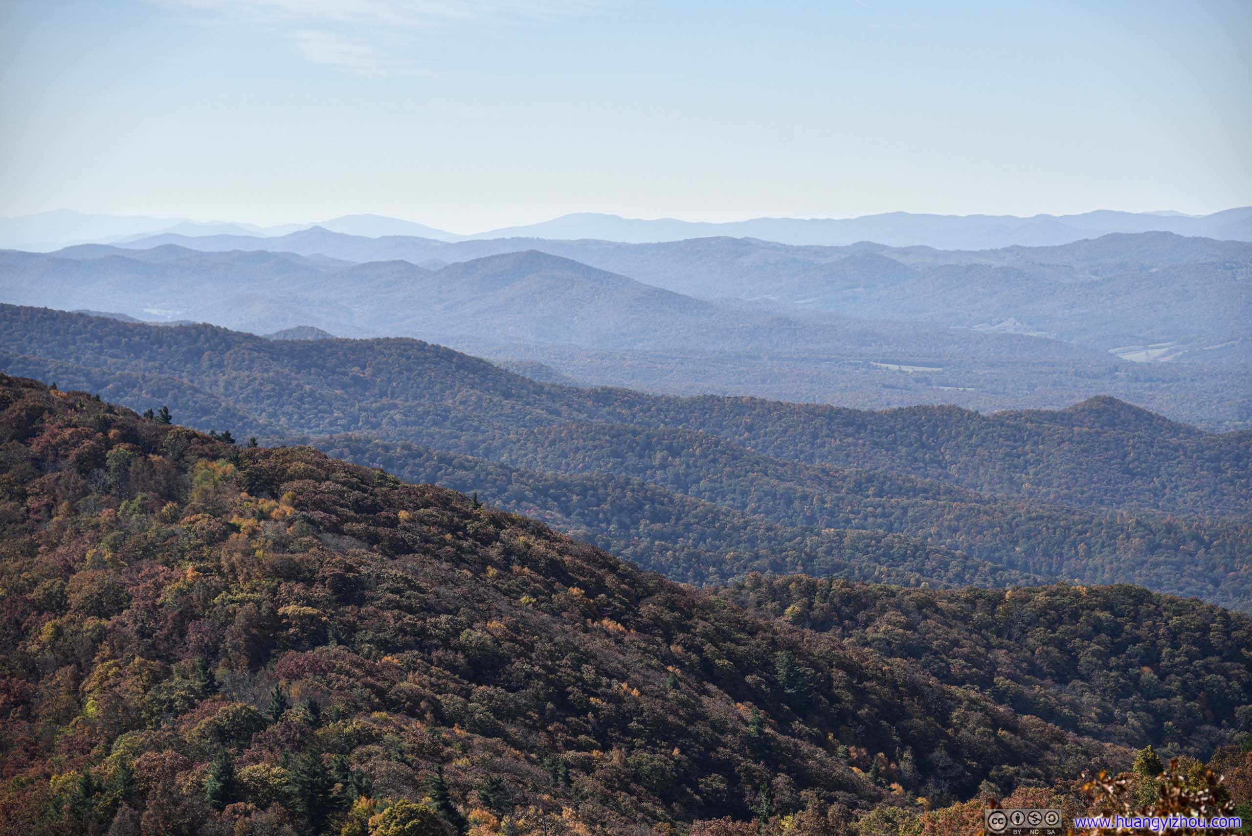
About 2.7km from trailhead, I reached the cliff that overlooked valleys and mountains to the West. North Fork of South Branch of Potomac River flew just beneath the cliff.

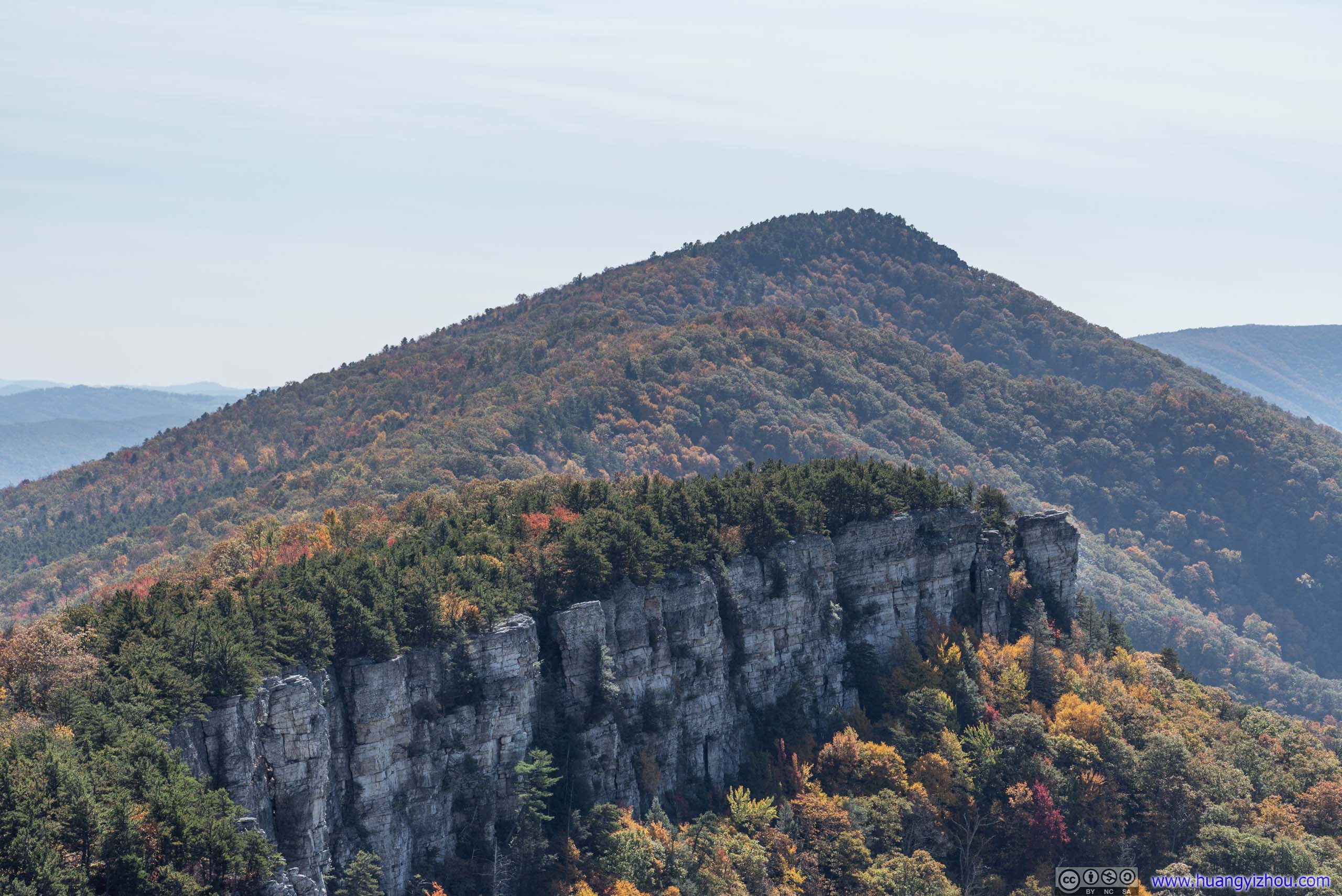
CliffFrom here on the trail to Chimney Top went mostly along this cliff upwards.
New Creek MountainA daunting presence across the valley.
New Creek Mountain across Valley
 Villages in Valley
 CliffTaken from the ground (left) and from my drone (right).
 Trail
Trail
After that, there’s an additional 150m spur in the woods before reaching Chimney Top, which I reached at 2pm, 100 minutes after I started.
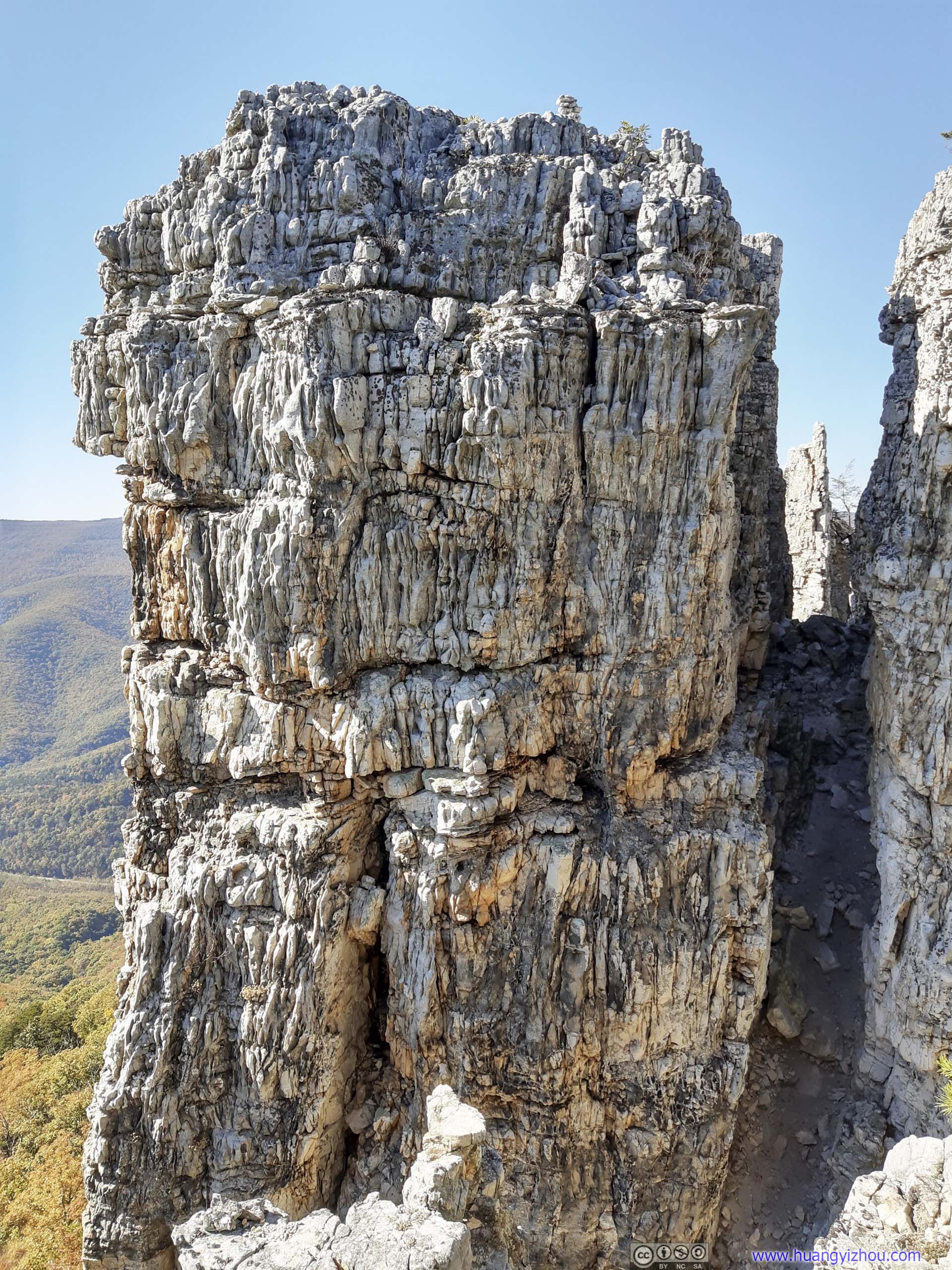
 Chimney Top
At first sight, it’s hard for me to appreciate the name “Chimney Top”, since there were two boulders of similar size (below) at the end of trail. Maybe “townhouse” was a more appropriate name?
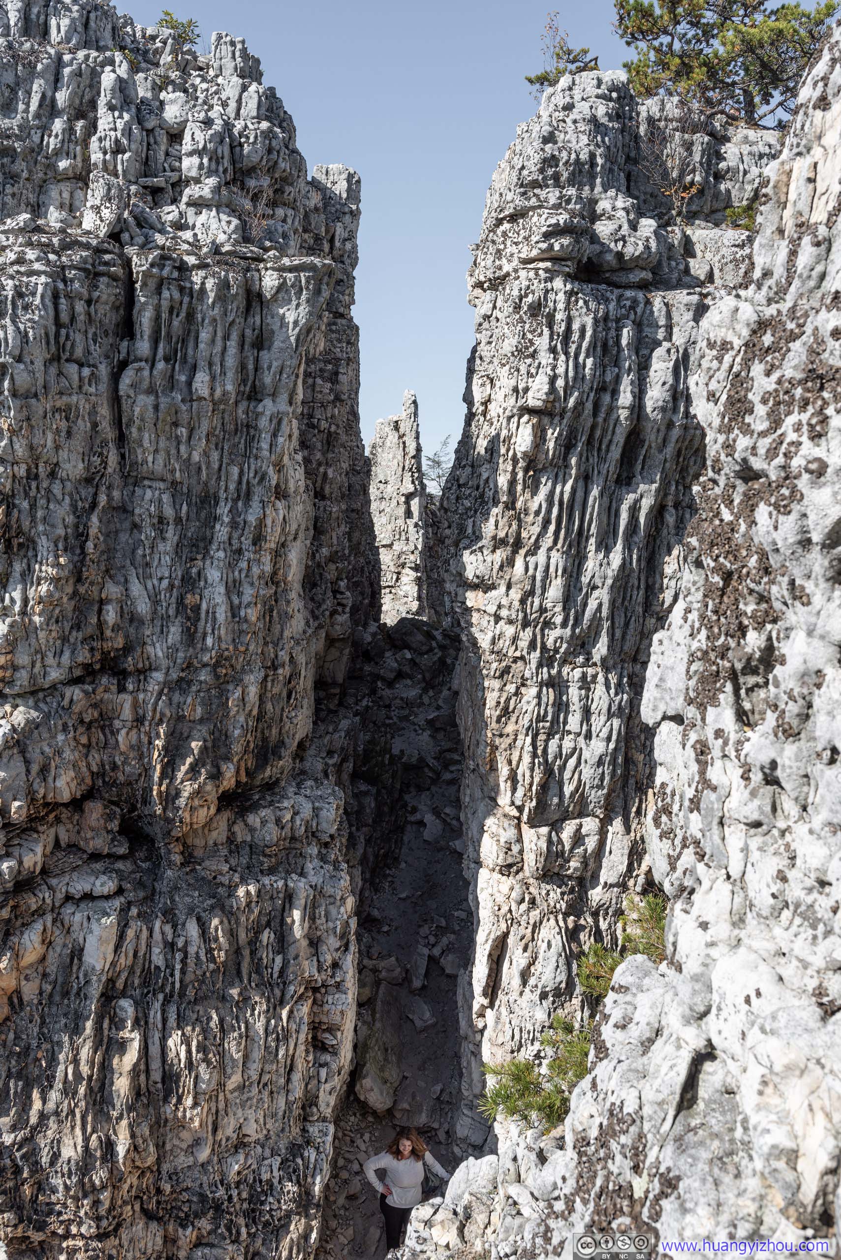
Passage
First, I scouted out this narrow passage between the two boulders, and found it sort of lead to nowhere. There were some rocks (below) beyond them, yet they seemed hard to reach without ropes.
 Rocks beyond Chimney TopThese slabs of rocks were beyond Chimney Top. Nobody seemed bothered to visit them.
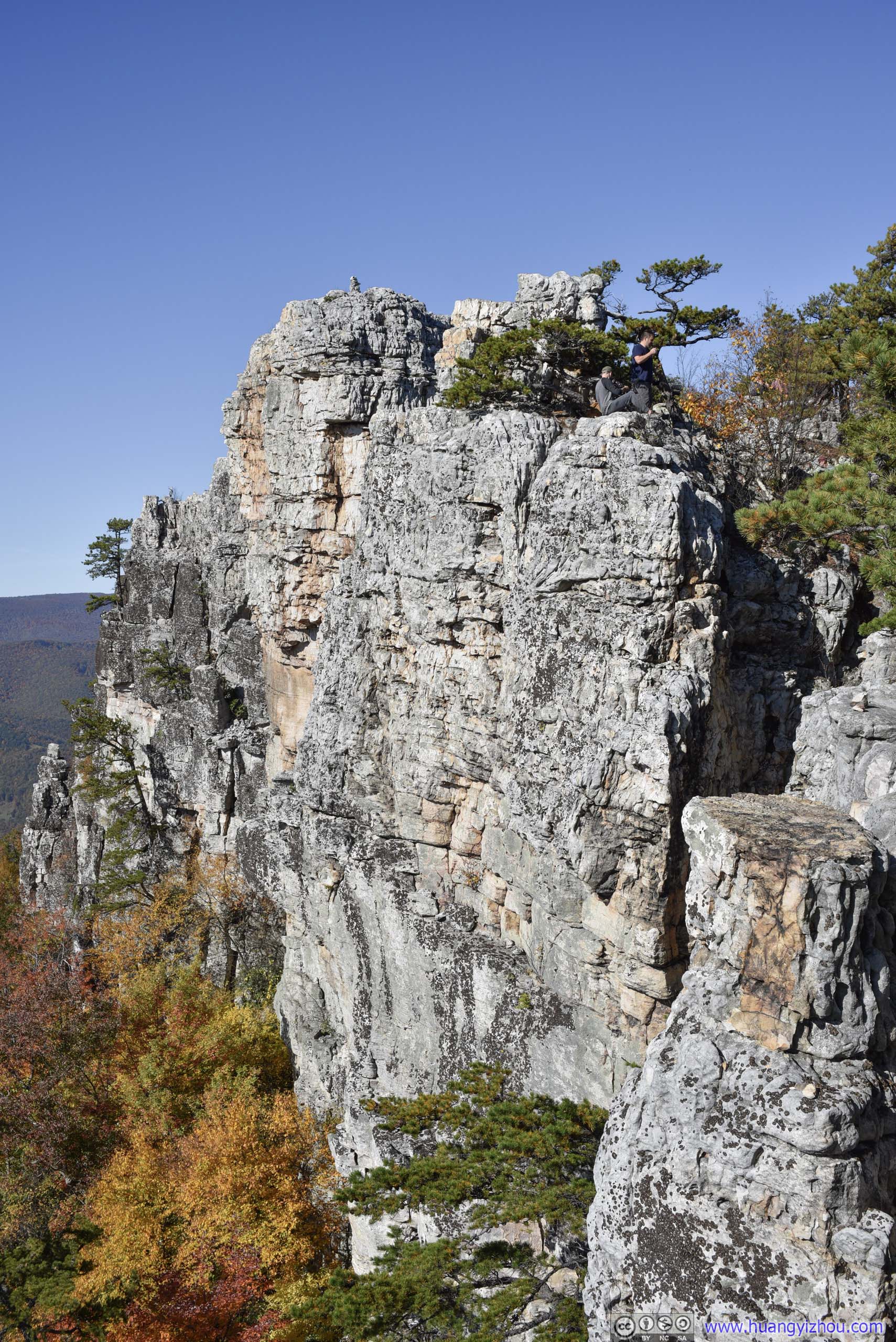
So I joined the crowd in summitting the boulder to the right/north, and soaked in the views.
 Cliff
Cliff
New Creek Mountain
Amazingly, there was solid T-Mobile cellular signal at the top, despite it’s officially marked as “poor coverage”. Before this I thought my carrier was extinct in West Virginia.
 Distant Fields and MountainsLooking east towards Cabins, WV (top) and looking north towards Mount Storm (bottom).
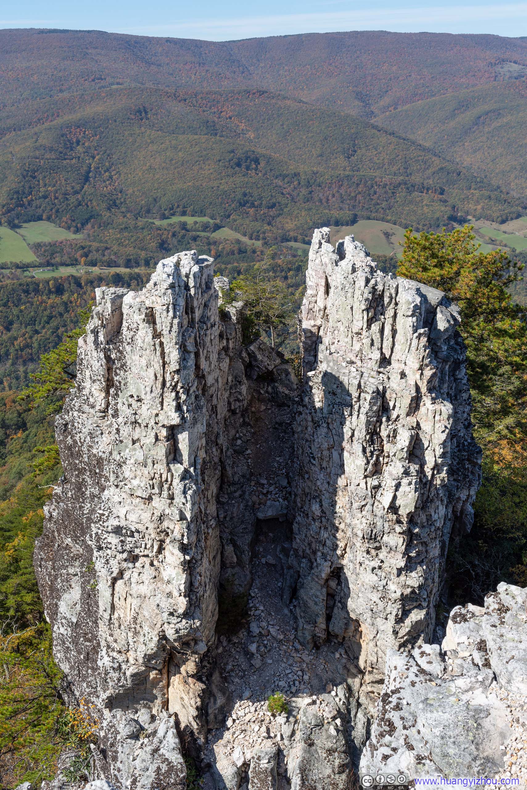
On the other boulder across the small gap, some climbers set up a cairn, a trophy for their achievements.
Cairn
Cairn and Distant Cliff
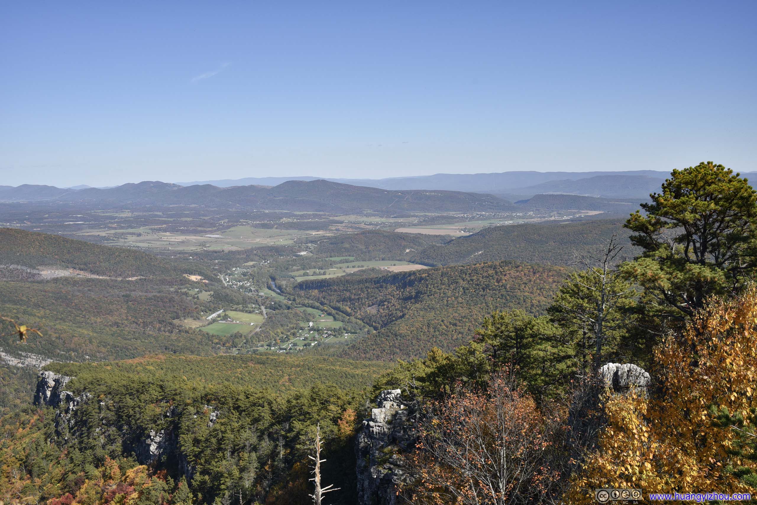
Valley from Chimney Top
 Cliff
Cliff
Overlooking Forests in Vivid ColorsPatches of loose rocks as the mountain’s roughness amount its beauty.
Finally, I concluded my stay at Chimney Top with a drone tour of this extensive cliff.
 Cliff
Cliff
Overlooking Cliff of Chimney Top
And here’s a video clip of my flight:
In particular, I found it interesting to fly my drone through the narrow passage between the two boulders of Chimney Top. The passage wasn’t that much wider than the width of my drone, but with amazingly stability algorithm from DJI, I managed to fly it through both ways without hitting the walls:
With all these activities, I spent about an hour at Chimney Top before heading back downhill.
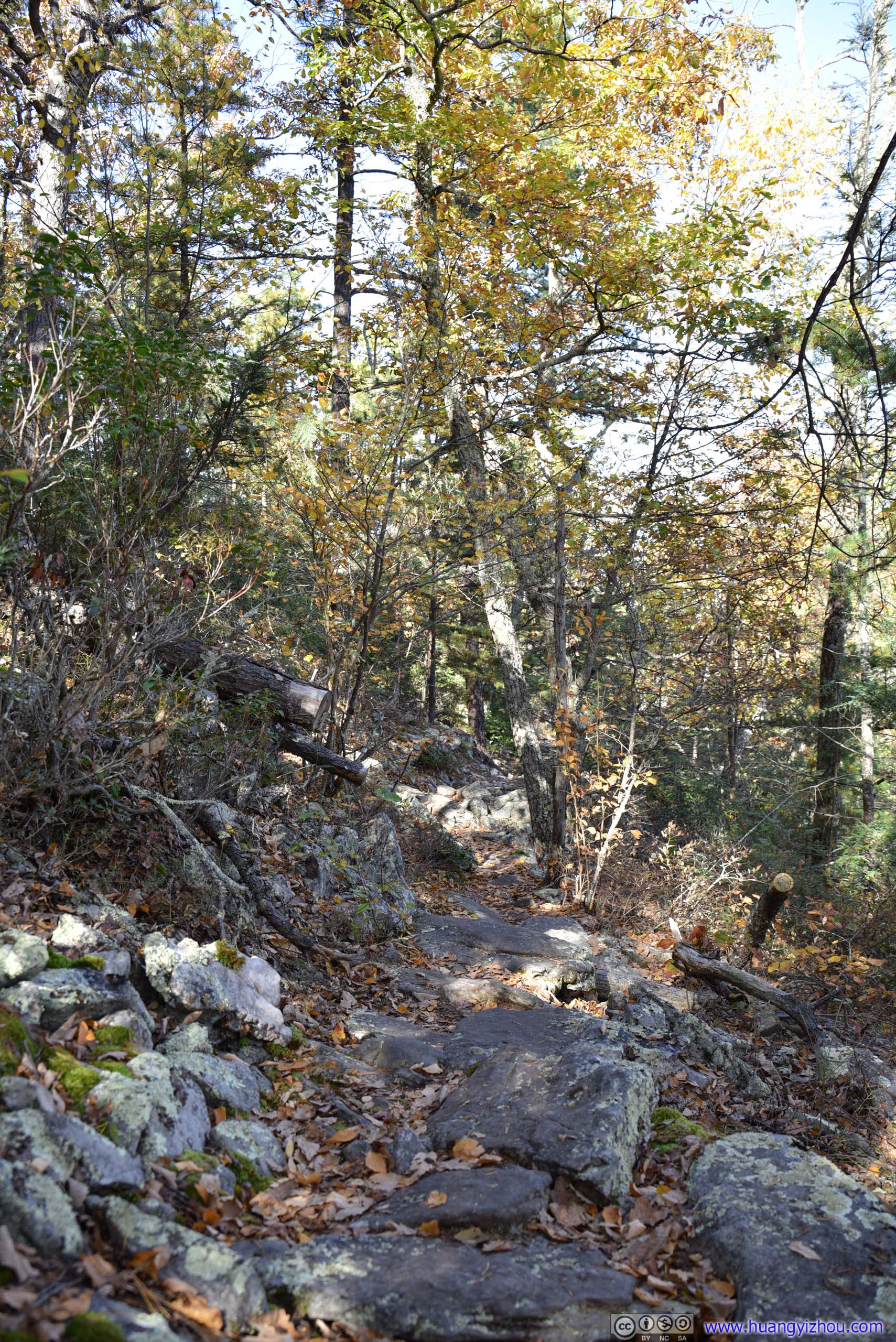
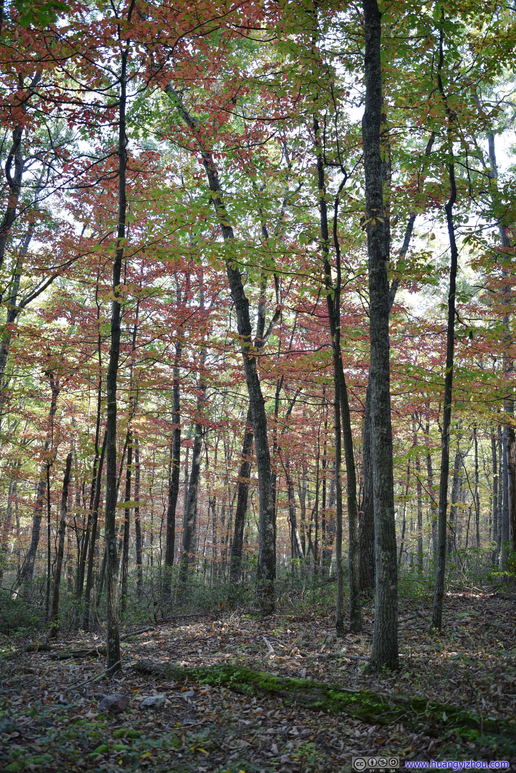
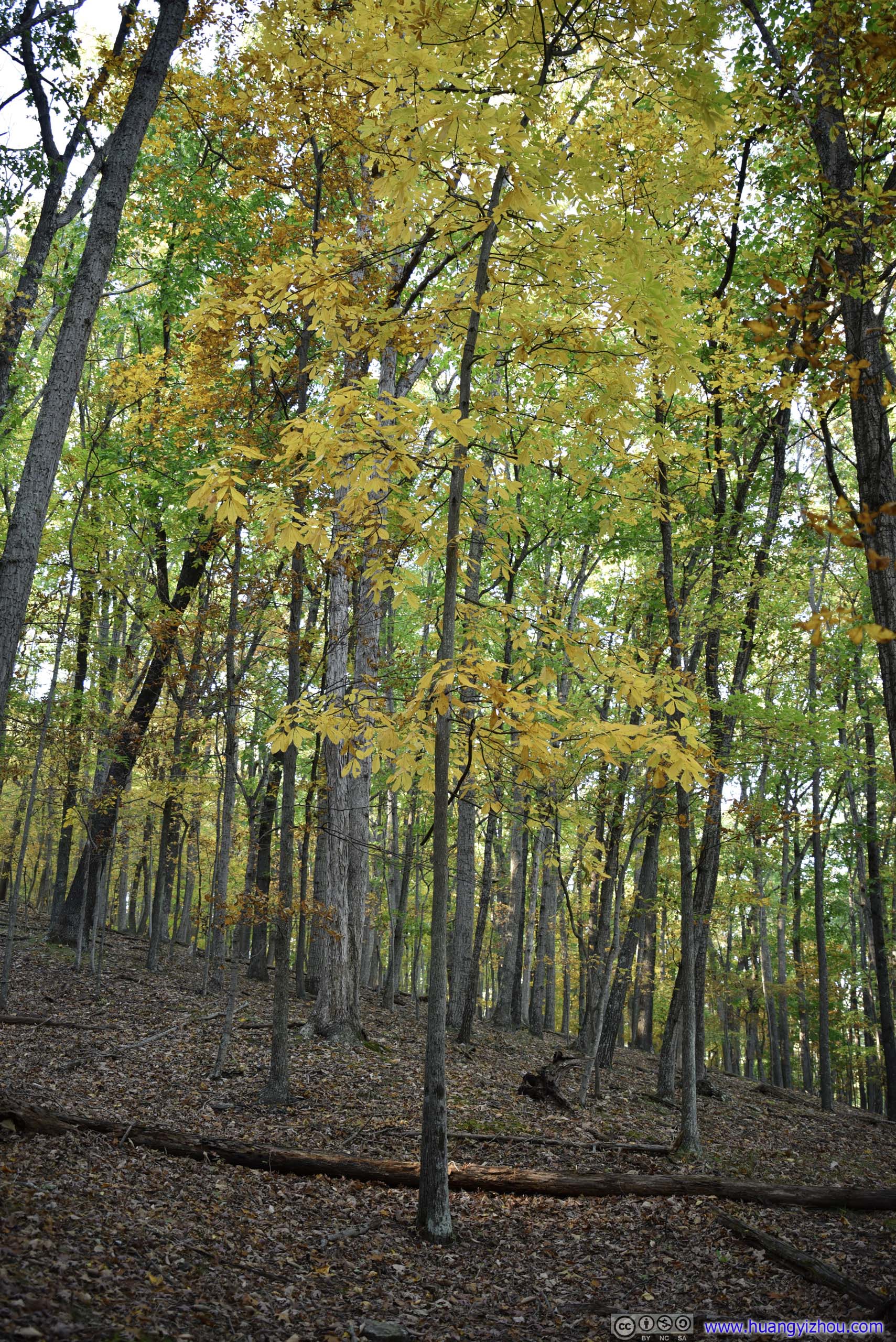
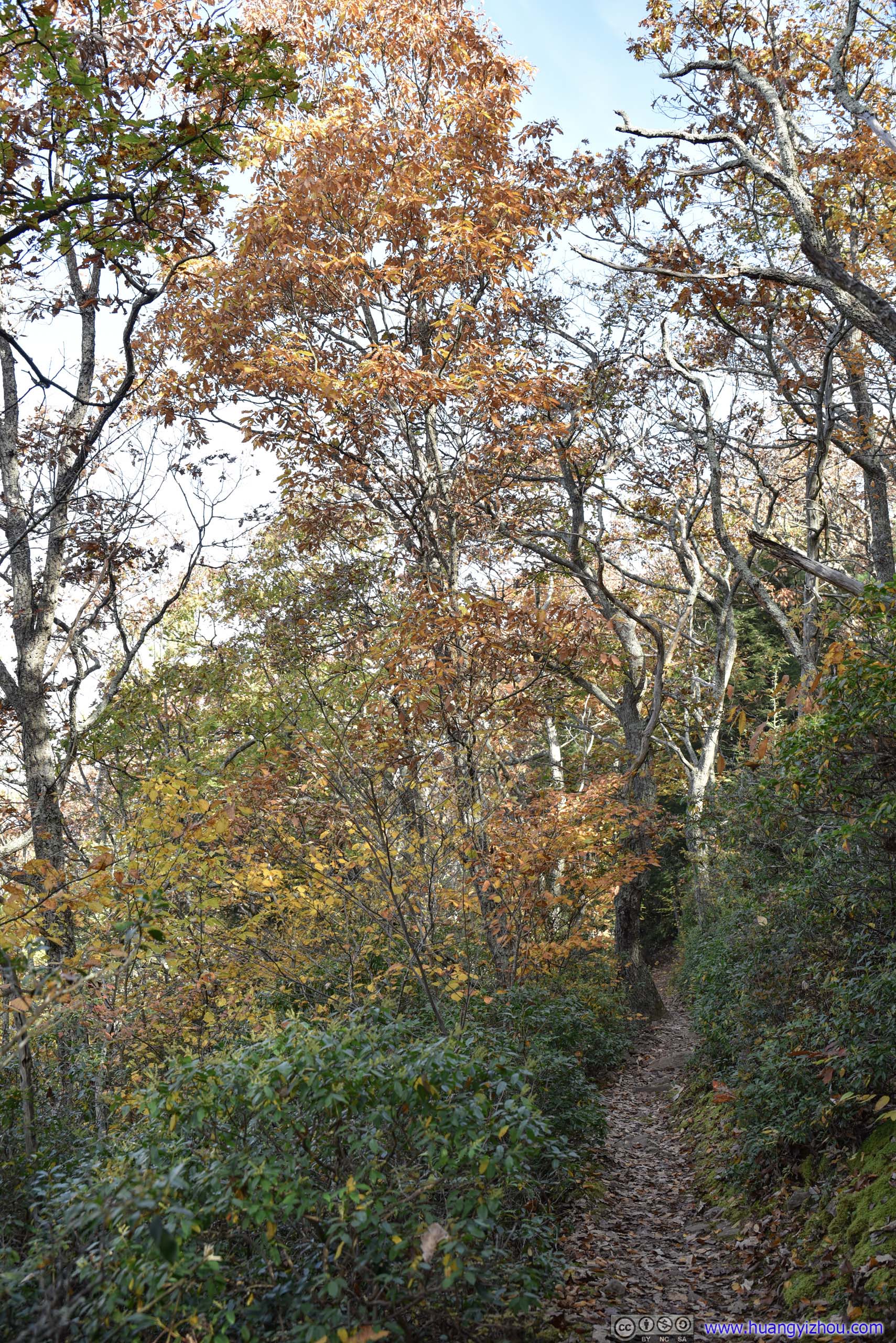
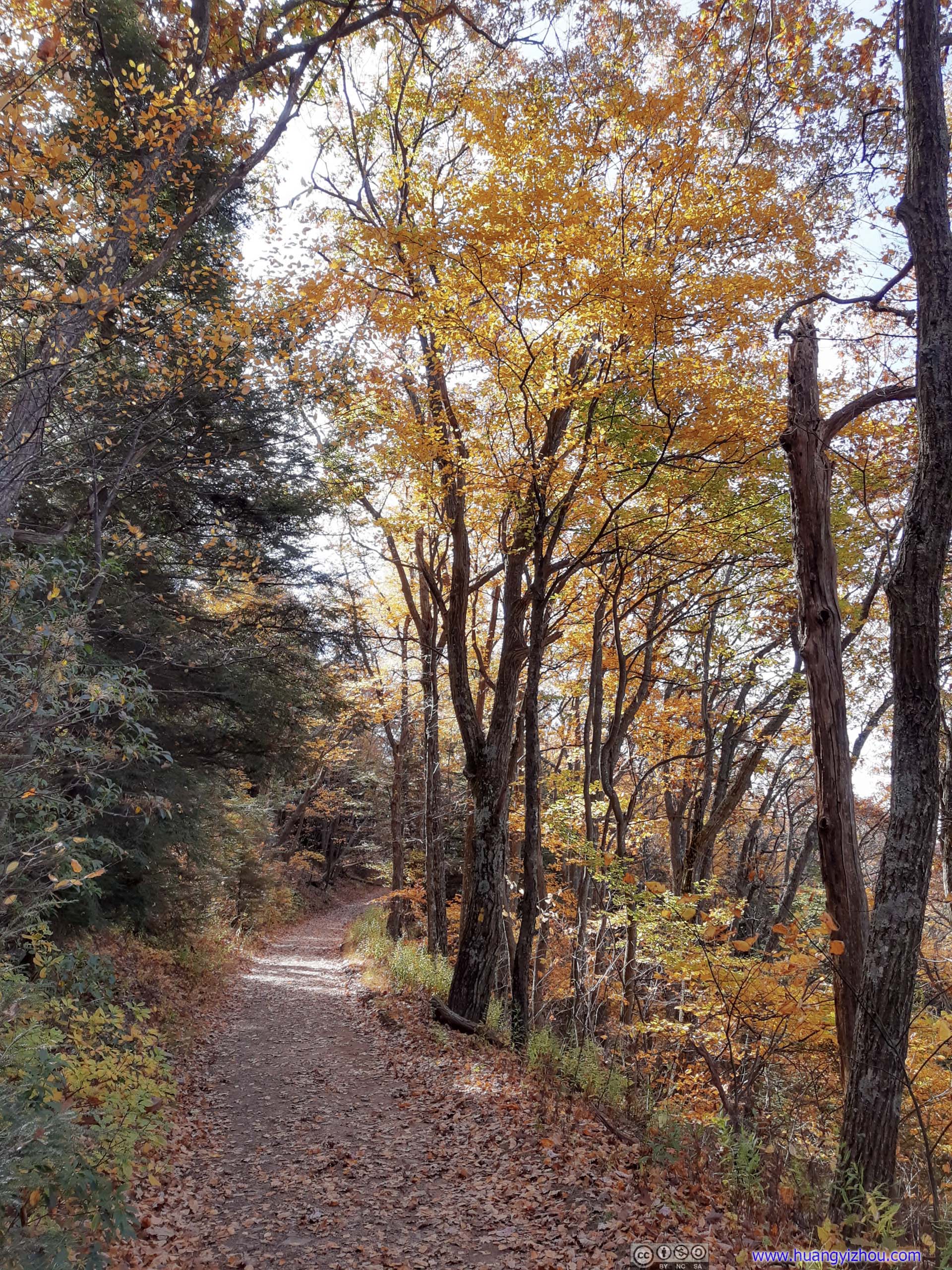
 Colors along Trail

 Leaves
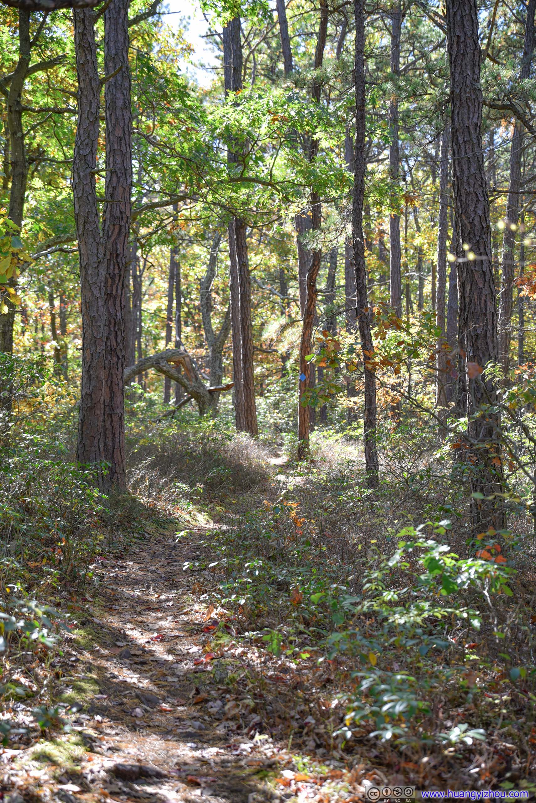
 Trail
Trail
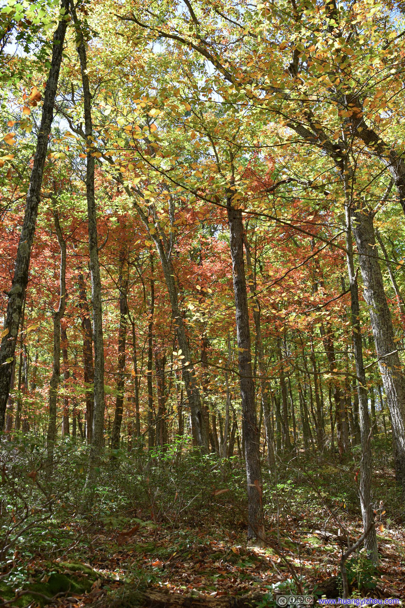
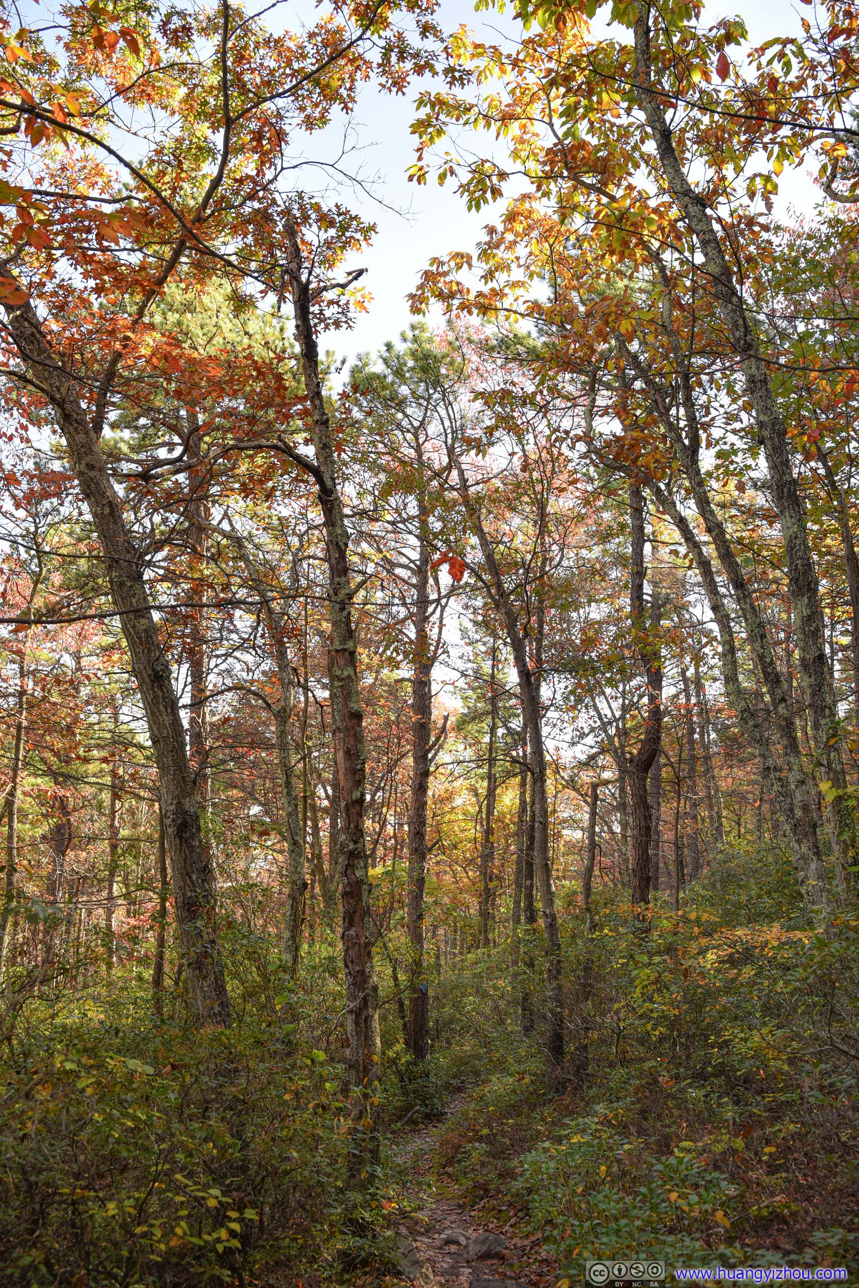
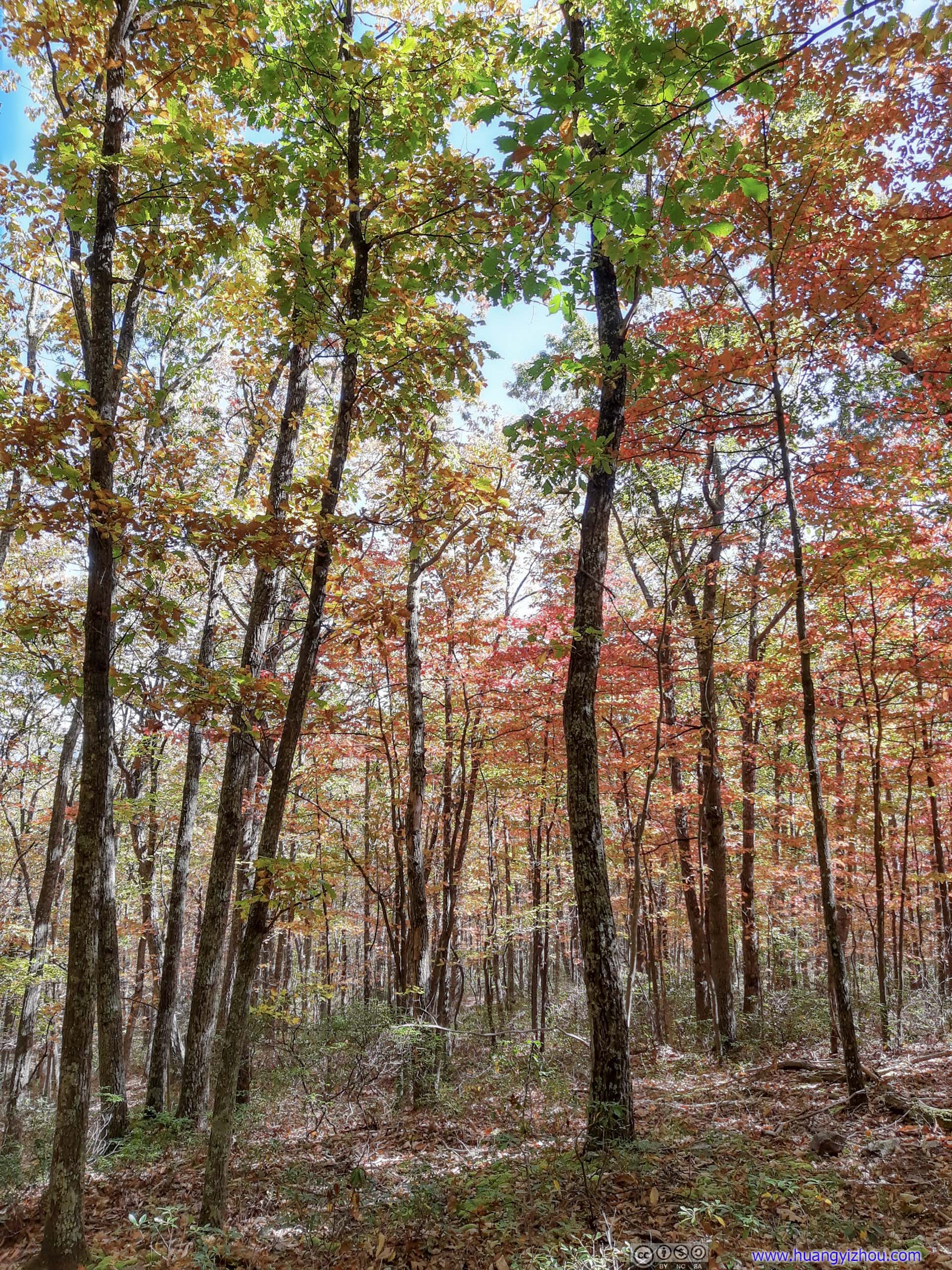
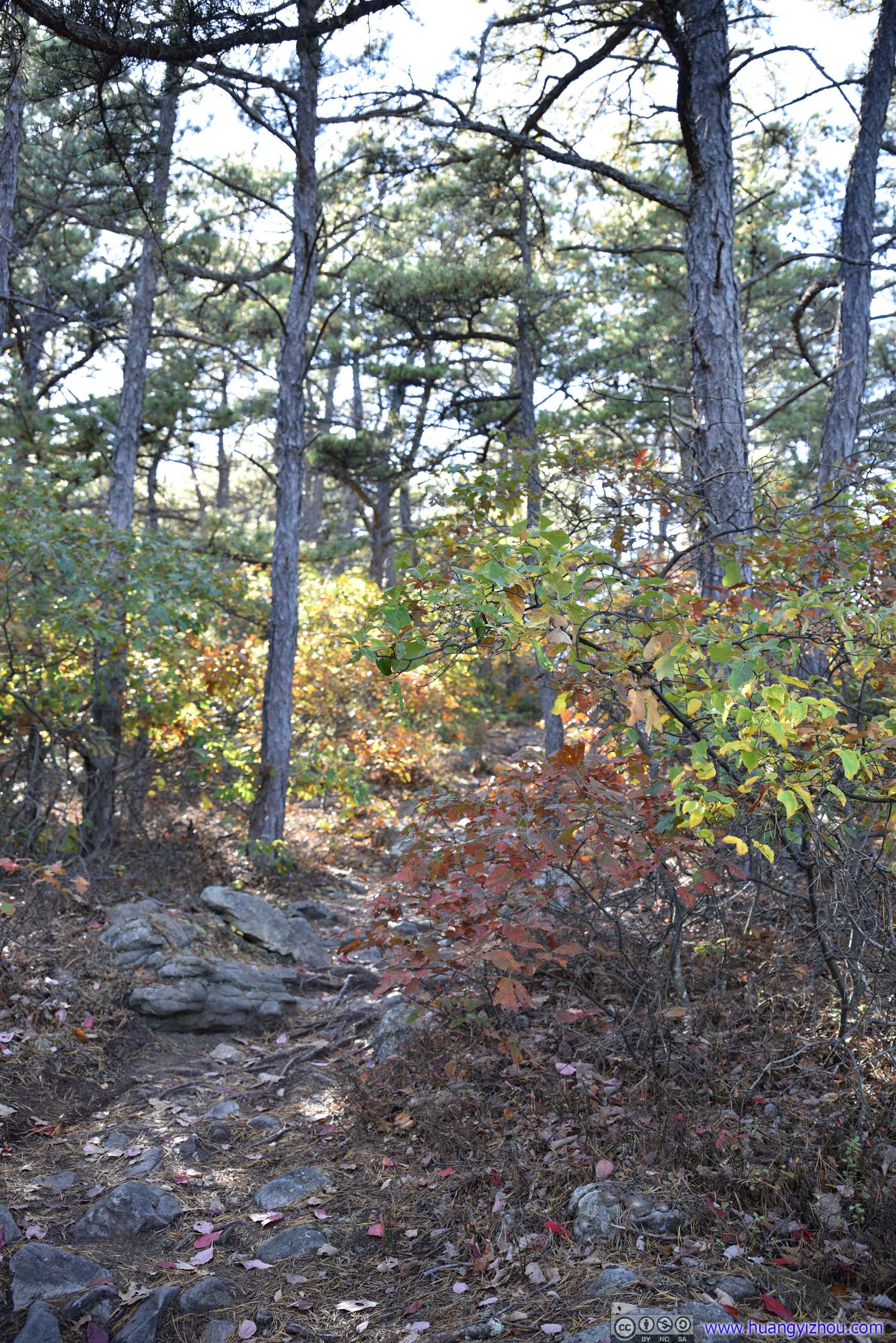
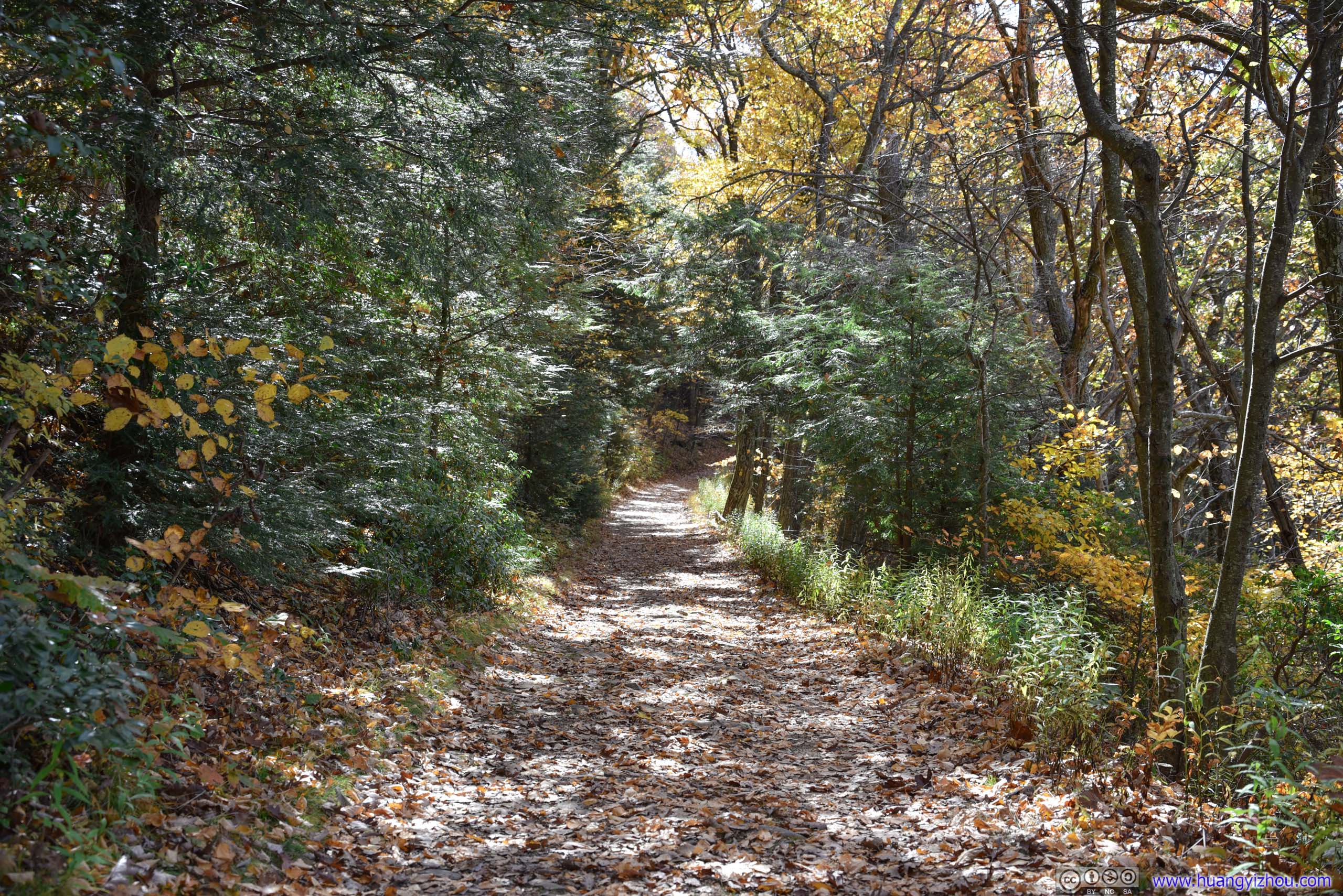
 Forest
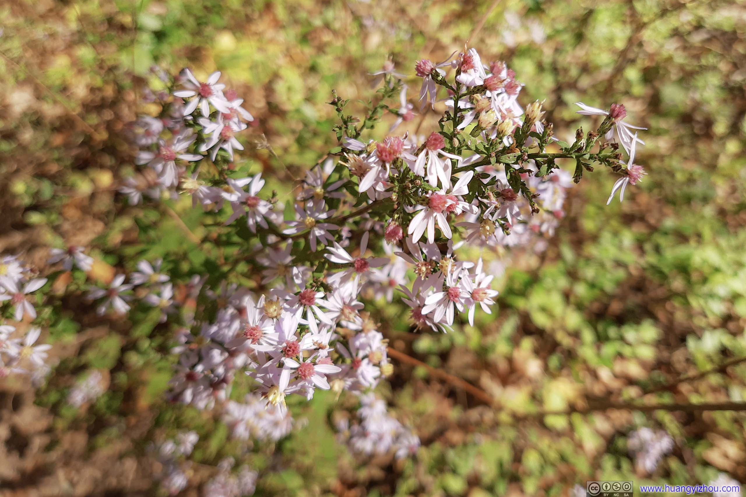
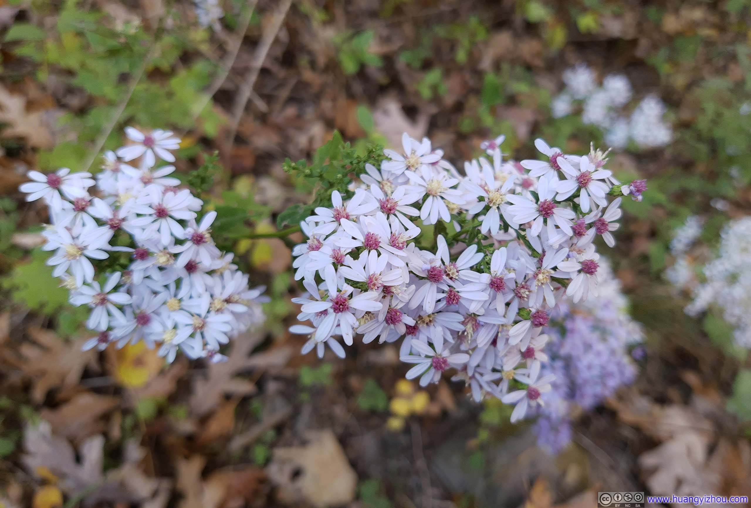 Flowers

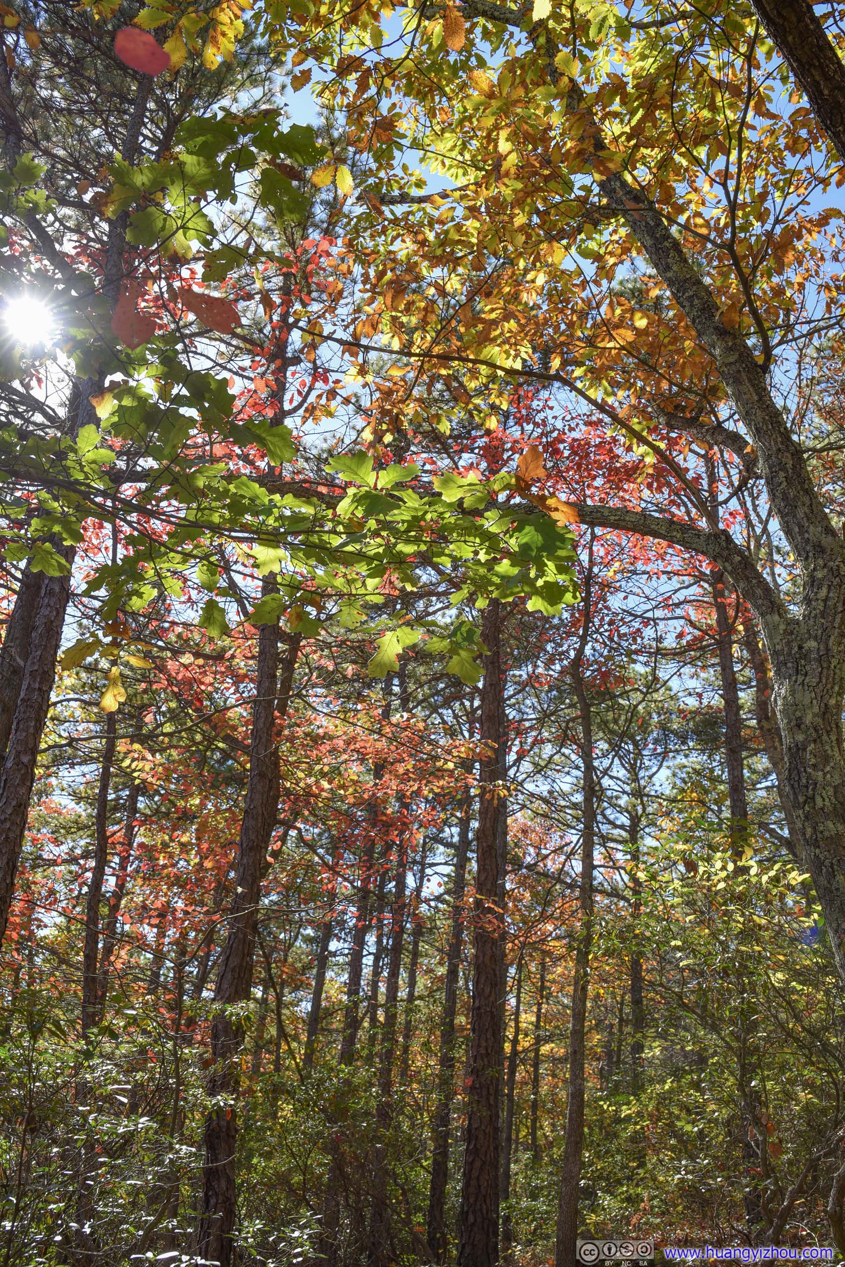
 Forest
Finally, by the time I got back to the trailhead, it’s 4:30pm, 2 hours to sunset.
My plan for the rest of the day was to drive to the campground near Spruce Knob, set up tent while there’s still daylight left, then head up the mountain to Spruce Knob to watch sunset, wait till it’s dark then watch the night skies.
Unfortunately, the preferred campground, “Spruce Knob Lake Campground”, managed by “recreation.gov”, was fully booked for the night, so I stayed at a private site “Camping at the Grove”. This back and forth was supposed to take 80 minutes of driving by Google Maps. Yet with my superb driving skills and tent setting, I made it to Spruce Knob with a few minutes to spare.
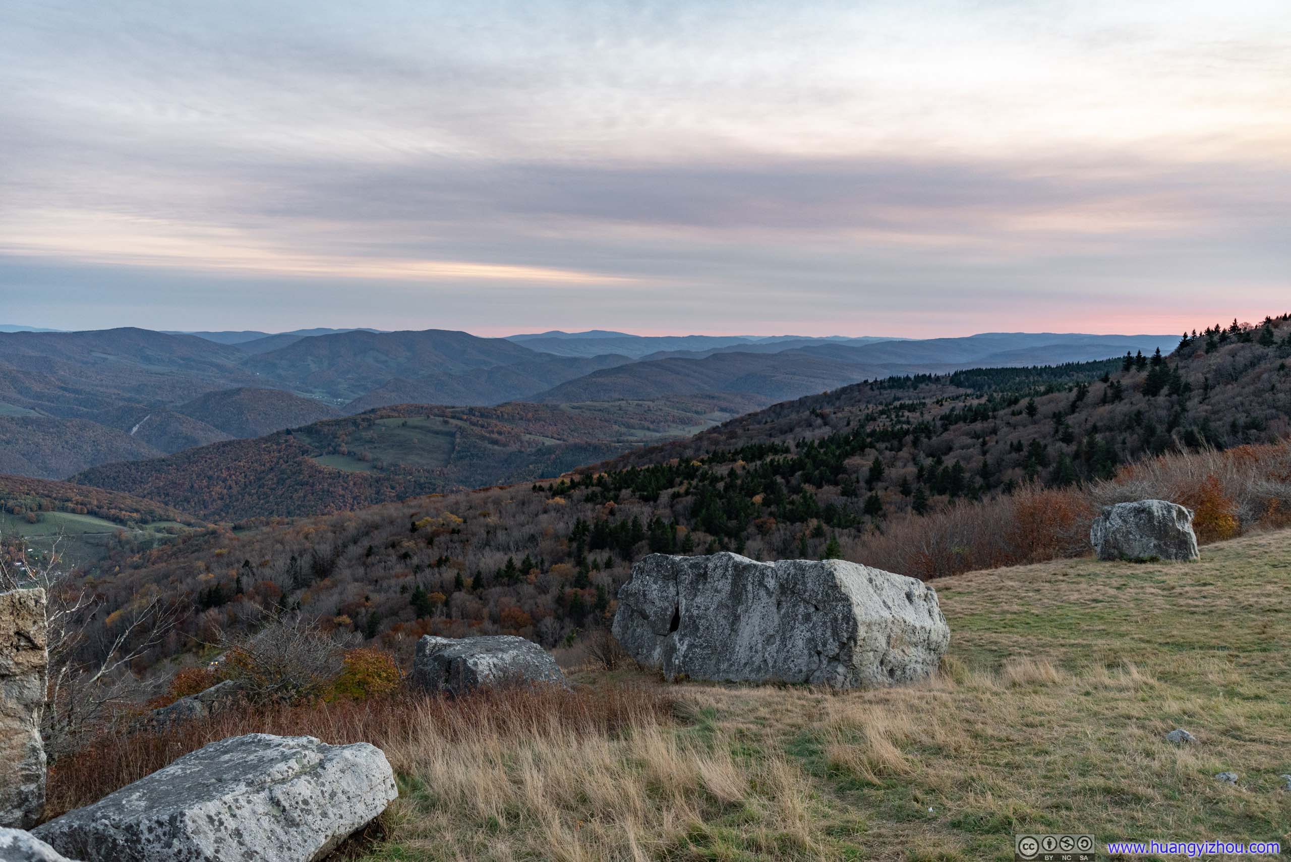
Spruce Knob
With an abundance of hiking trails nearby and fame as West Virginia’s highest point, Spruce Knob was popular on this autumn weekend. However, the parking lot on top was huge and parking wasn’t an issue.
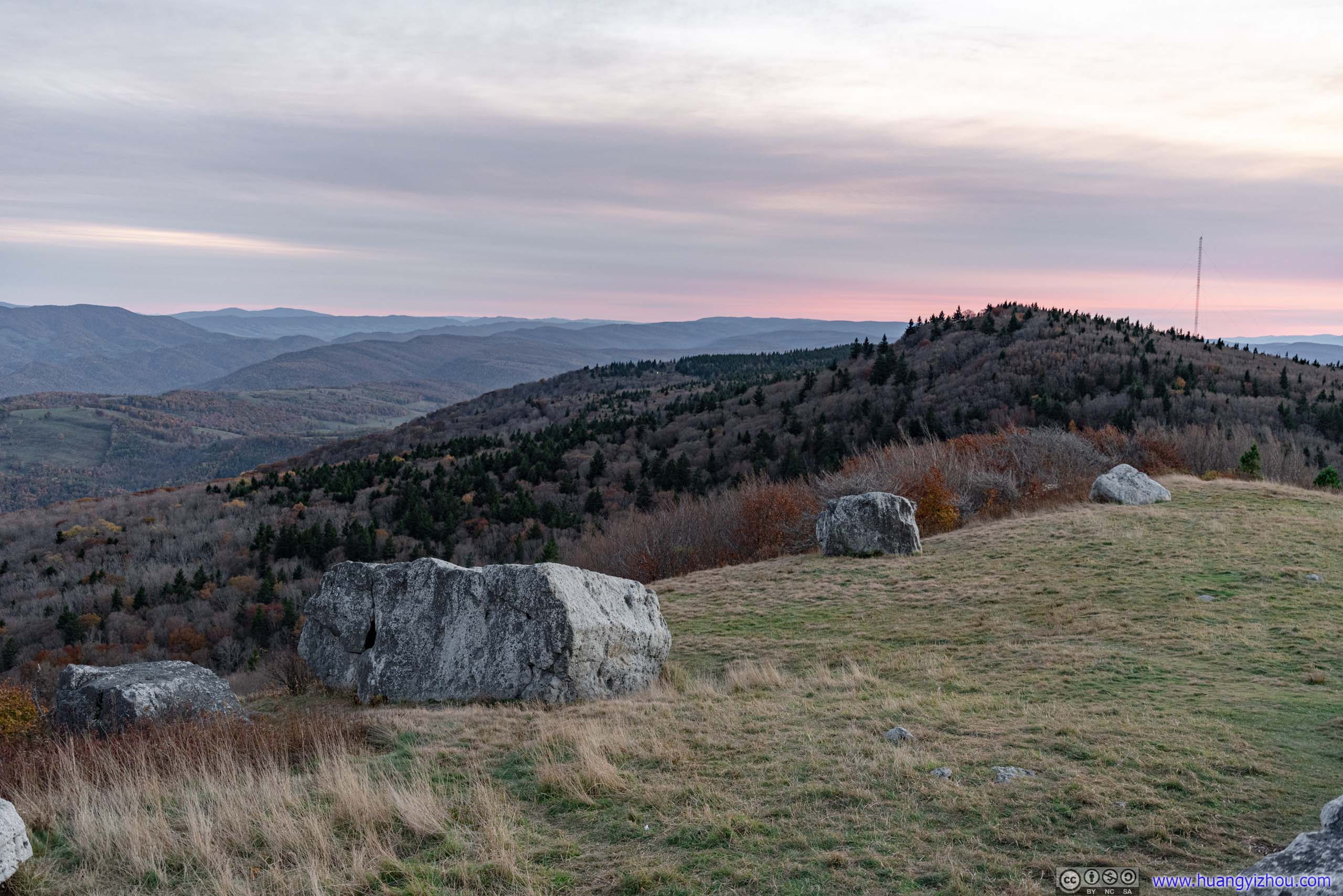
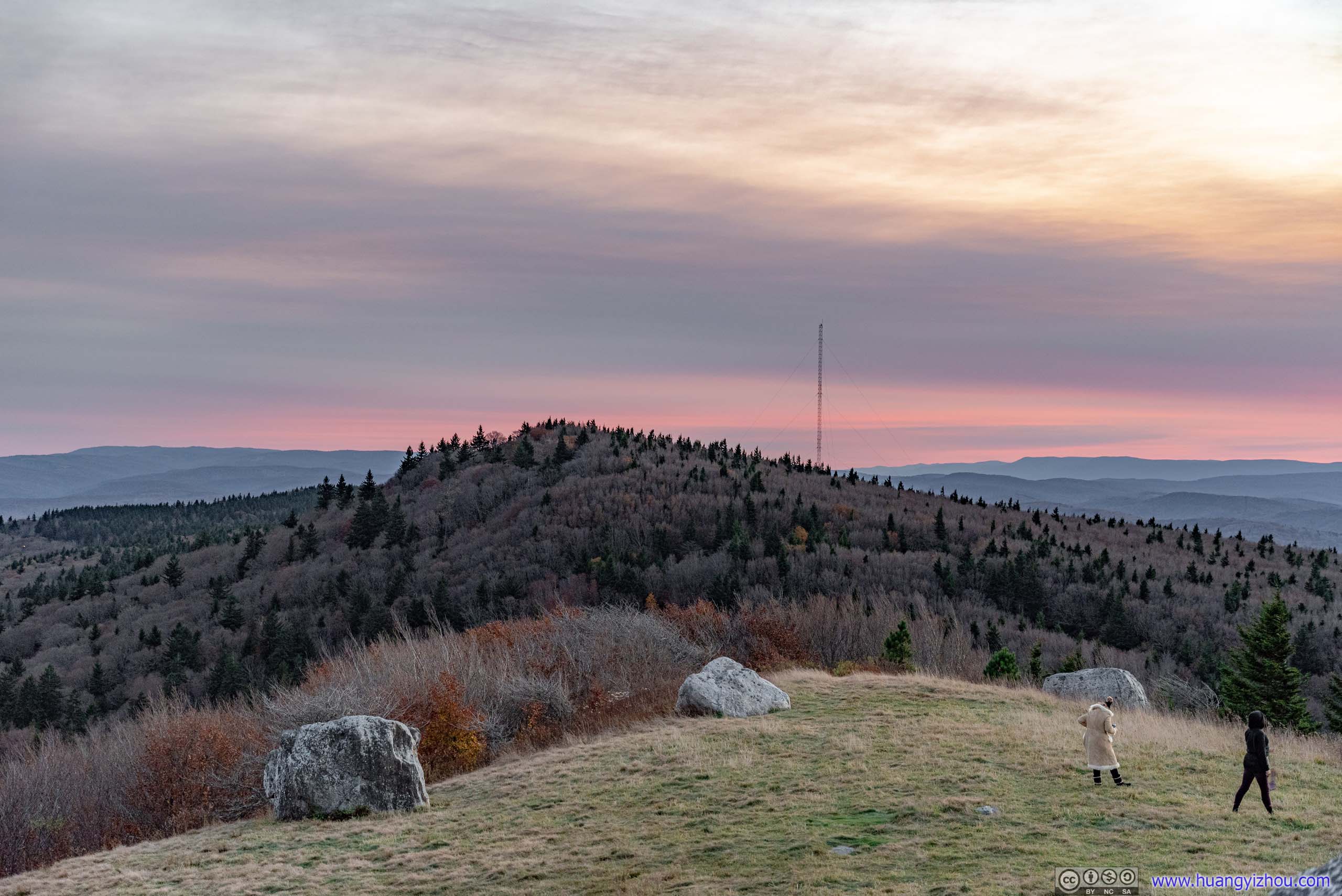
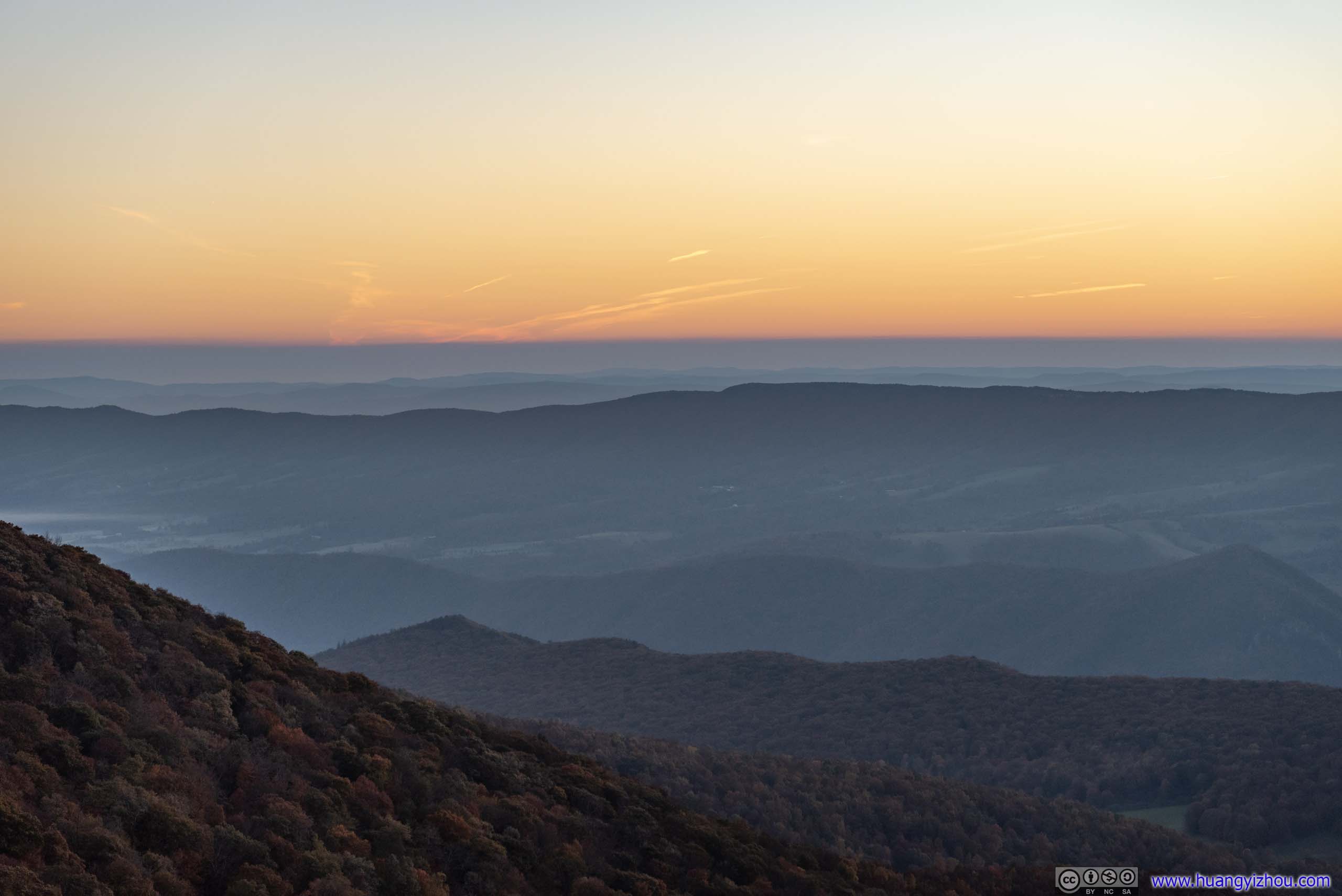
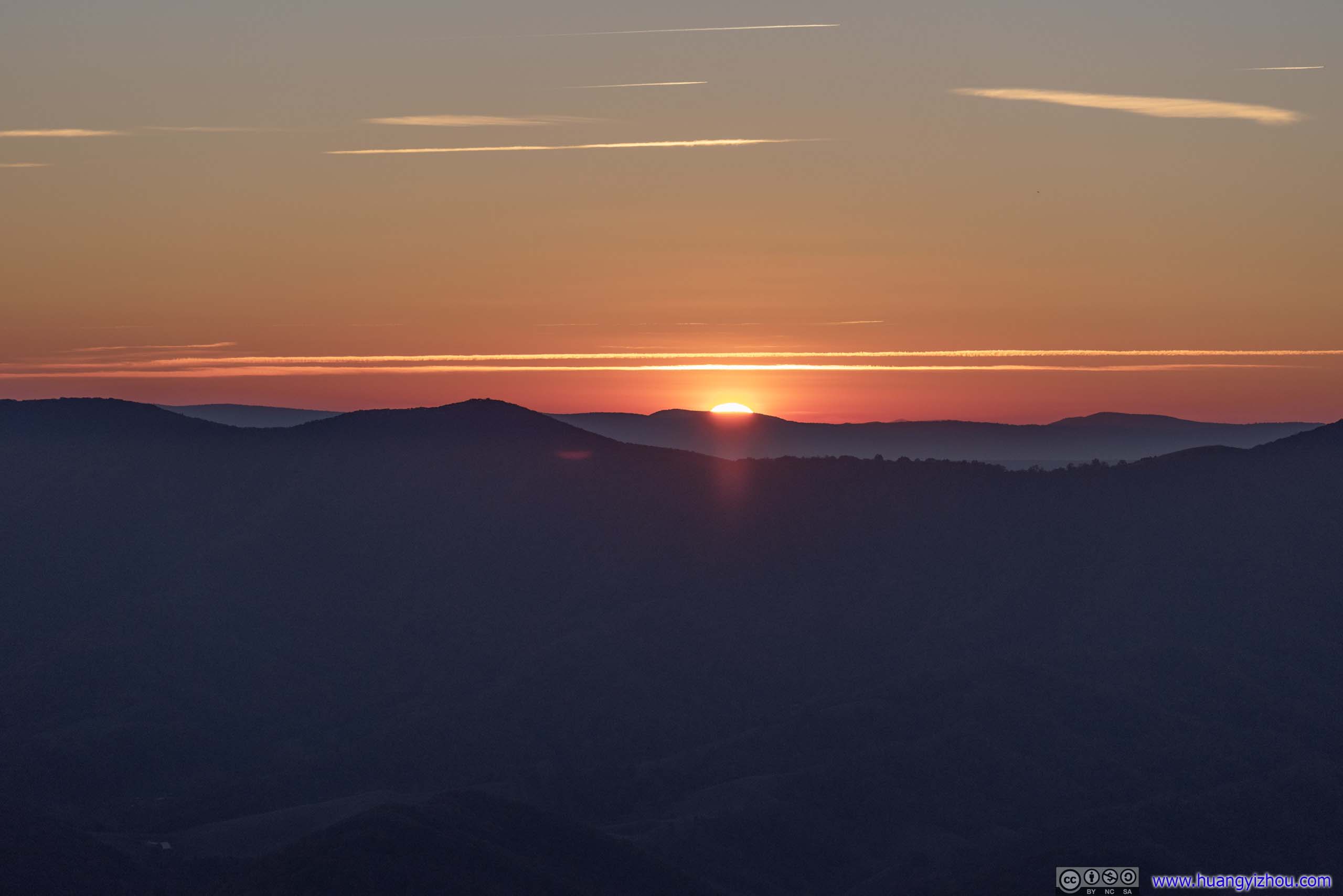
Sunset
The fire tower was popular, so I watched sunset at an overlook halfway along Whispering Spruce Trail. There weren’t many clouds per my stargazing forecast and it’s impressively awesome.
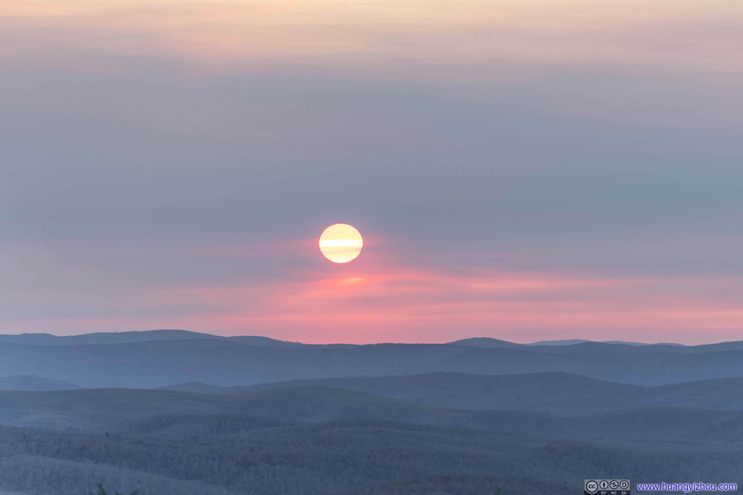
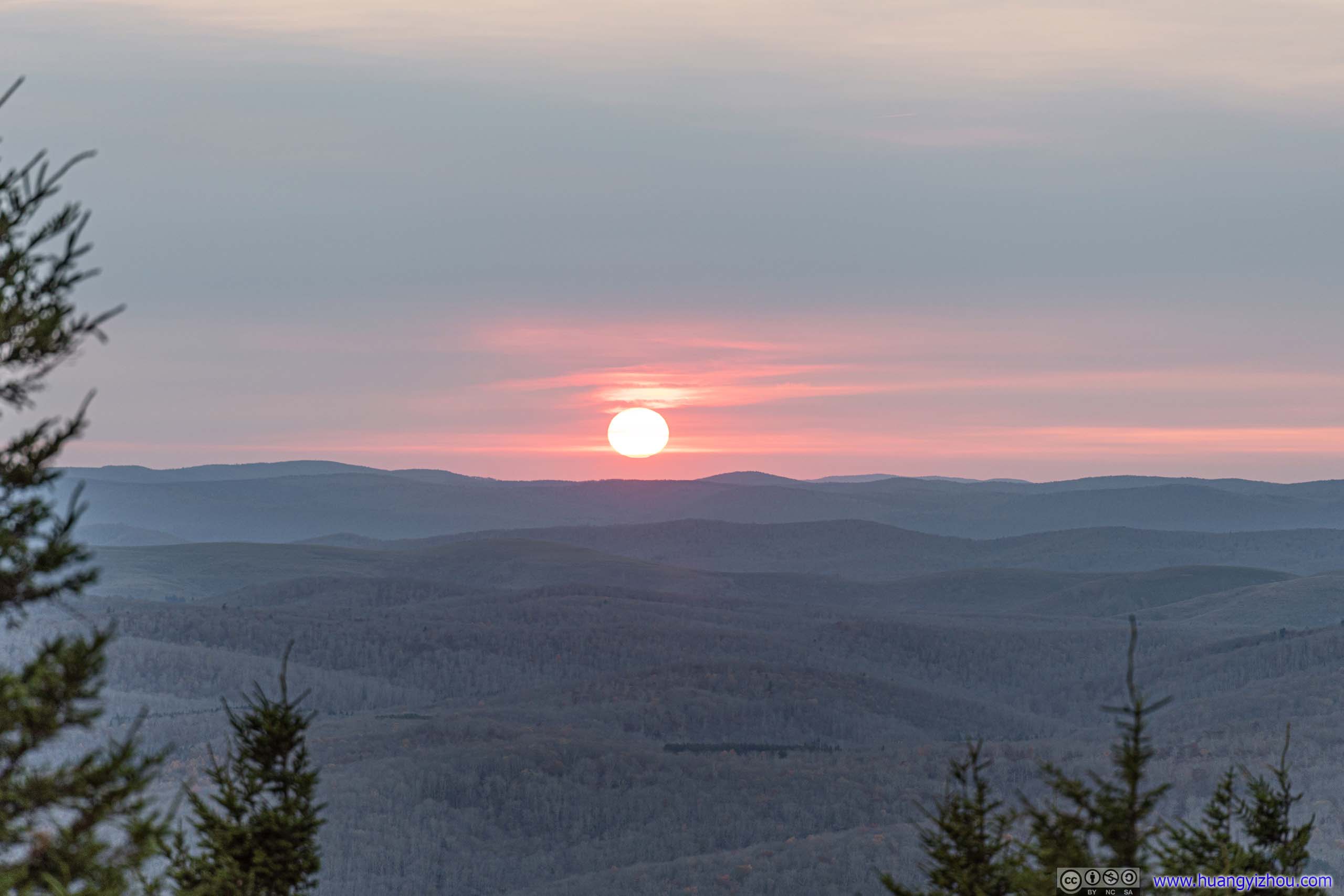 Setting Sun
 Sunset
And while I took the previous photos on the ground, I set off my drone to take the following timelapse video at the same time. Just that the image sensor had limited dynamic range, which really hindered video quality here.
14 seconds, 1080p30fps, 3Mbps/5.3MB for H265, 3.5Mbps/6.3MB for H264.
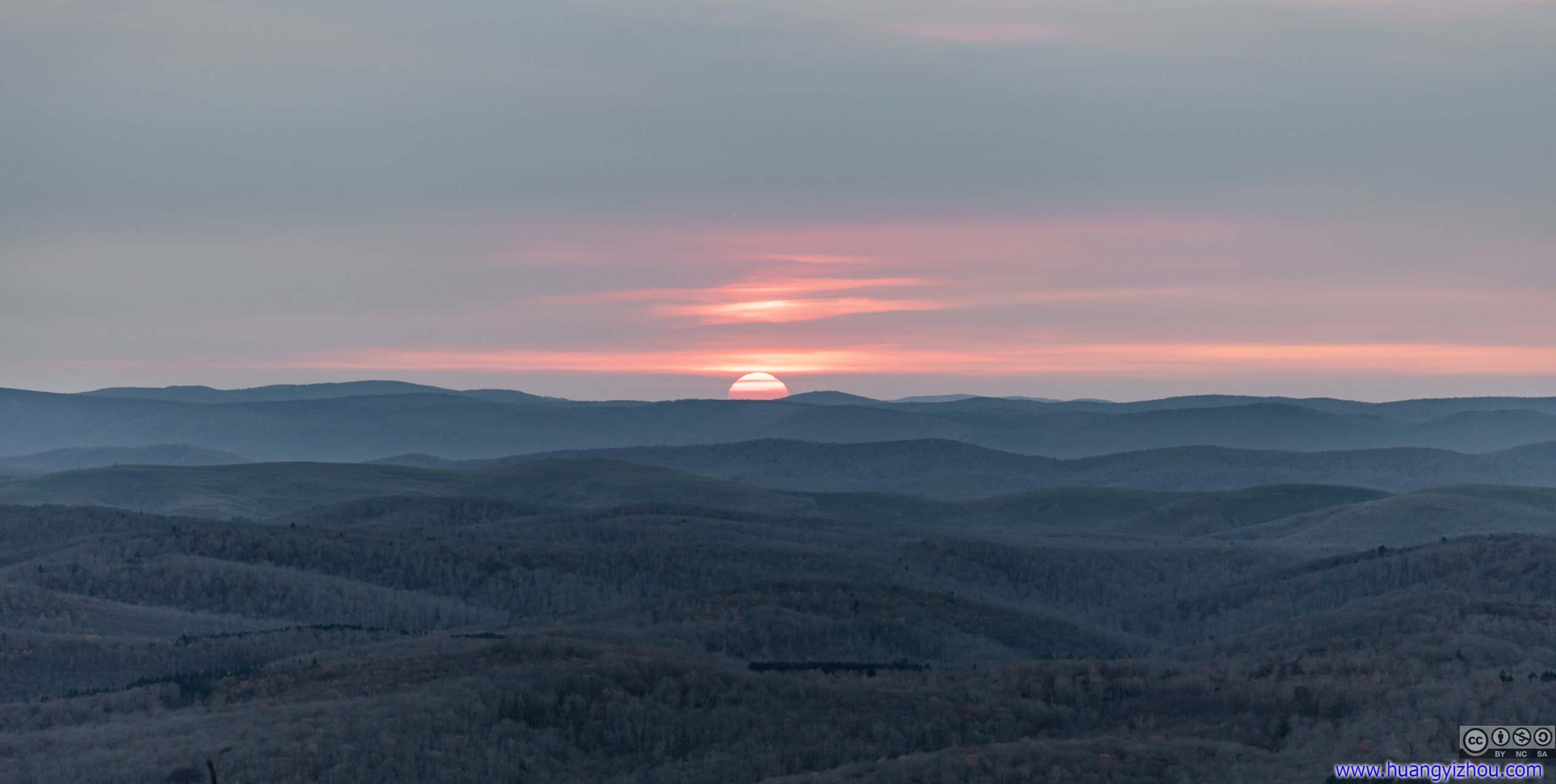
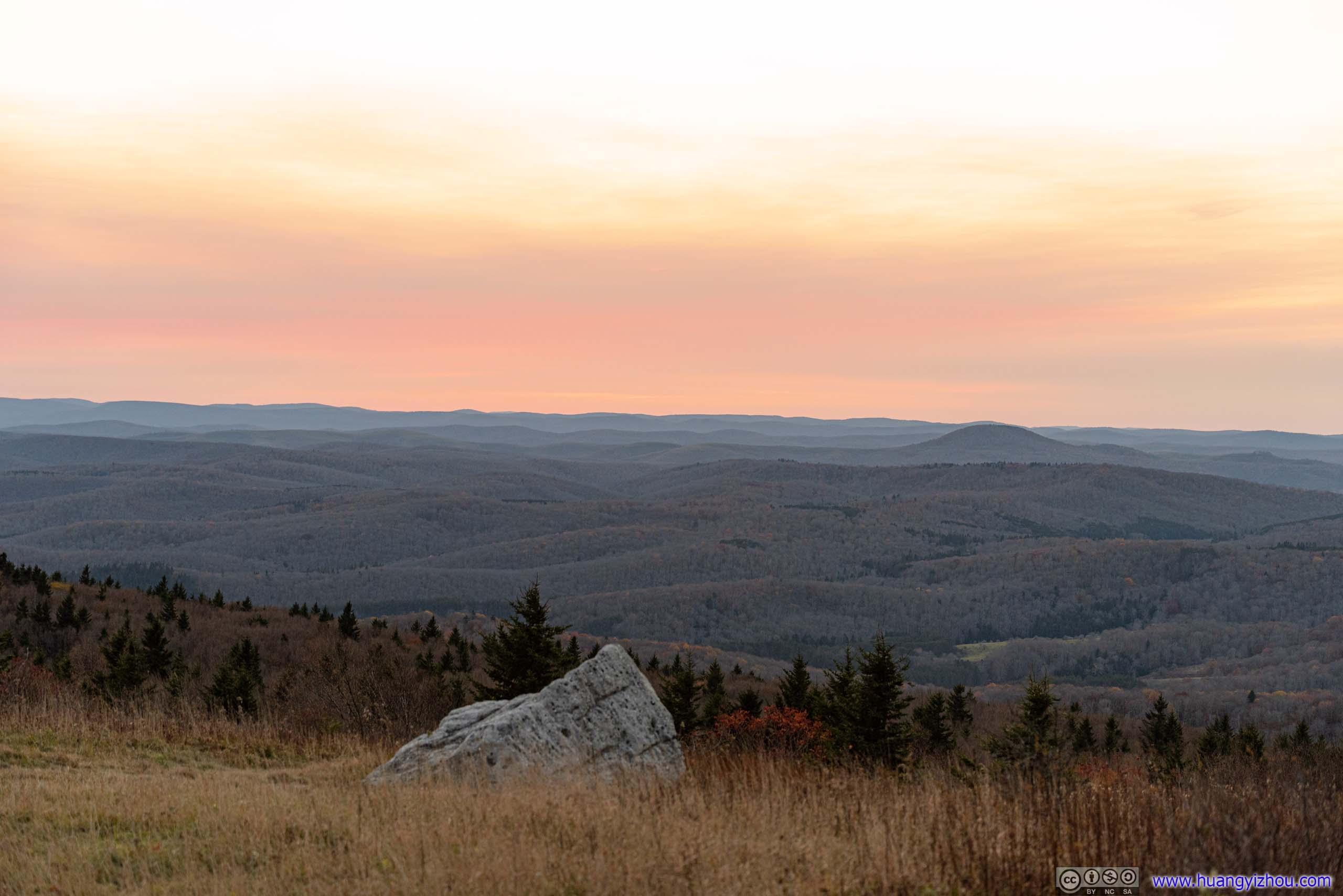
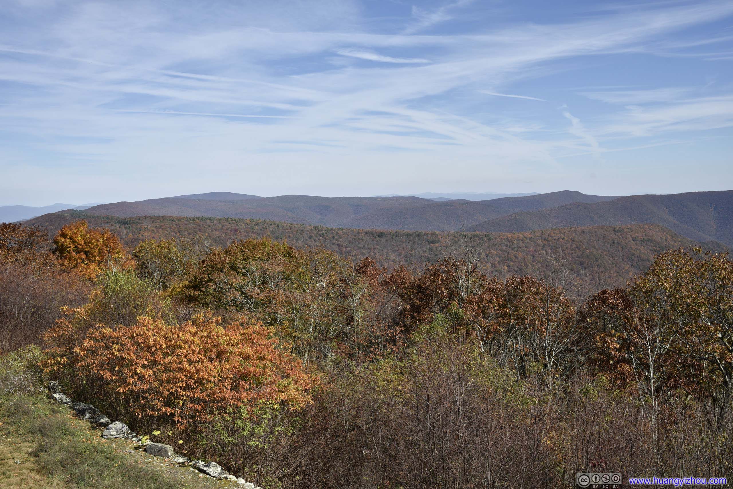
After the sun had fully set, I reached the end of Whispering Spruce Trail, where there was a small open field with less obstructed views of glows over distant horizons.

Overlooking Spruce Knob


 Fields and Mountains
 Sunset Glow over Horizon
Overlooking Spruce Knob
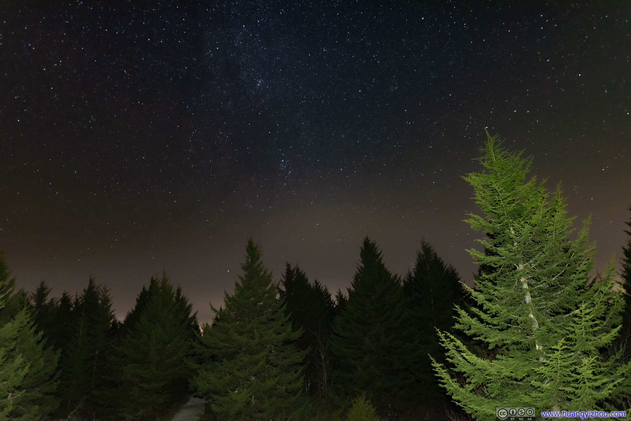
After that, I headed back to my car, finished my dinner, and waited for about an hour till darkness had completely fallen. Then, it’s time for star-gazing.
Star Gazing
After nightfall temperature was frigid at Spruce Knob. (Somehow, clear autumn skies seemed always come with cold temperatures.) I headed back to the end of Whispering Spruce Trail and joined two other people photographing the distant stars.
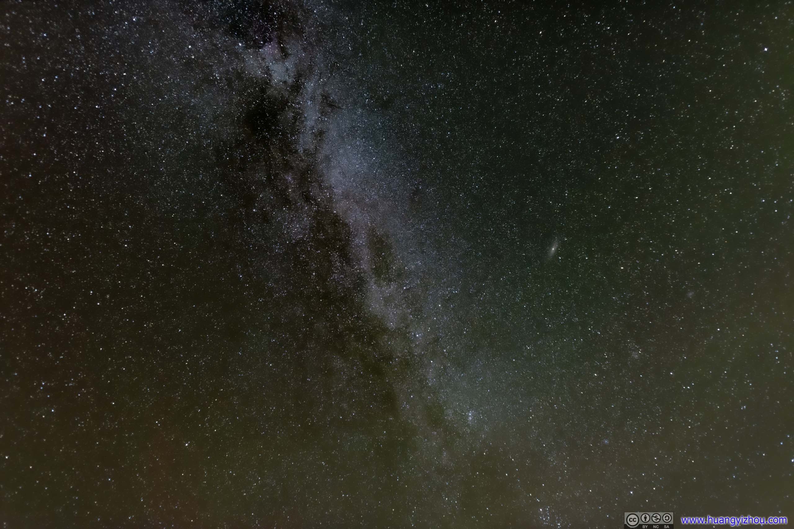
Stars

 Stars
Stars
 Starry Night
After that, I retreated to the fire tower, which was more popular with telescope-wielding astronomy fans. The milky way extending beyond the fire tower made my most favorite shot for the weekend.
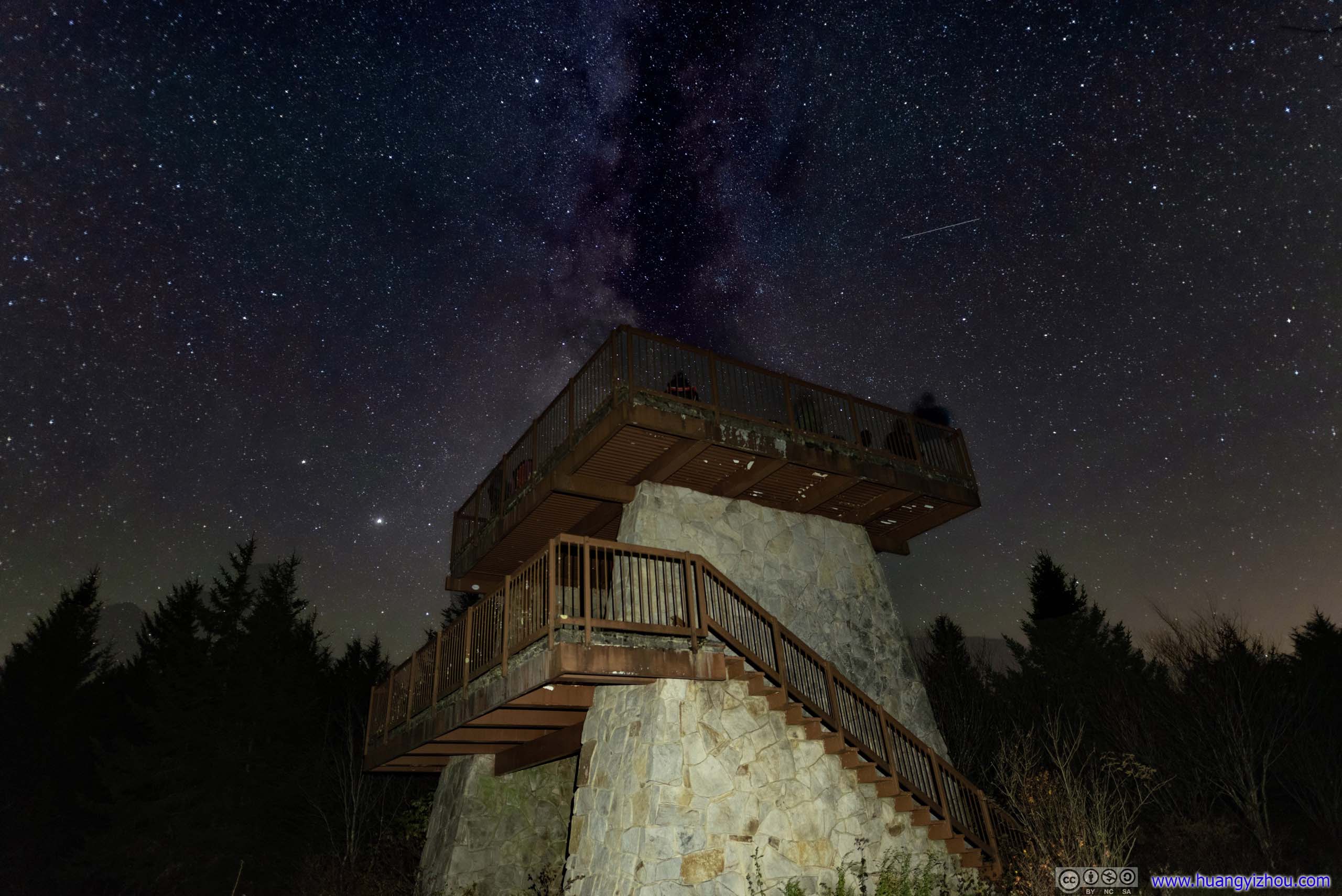
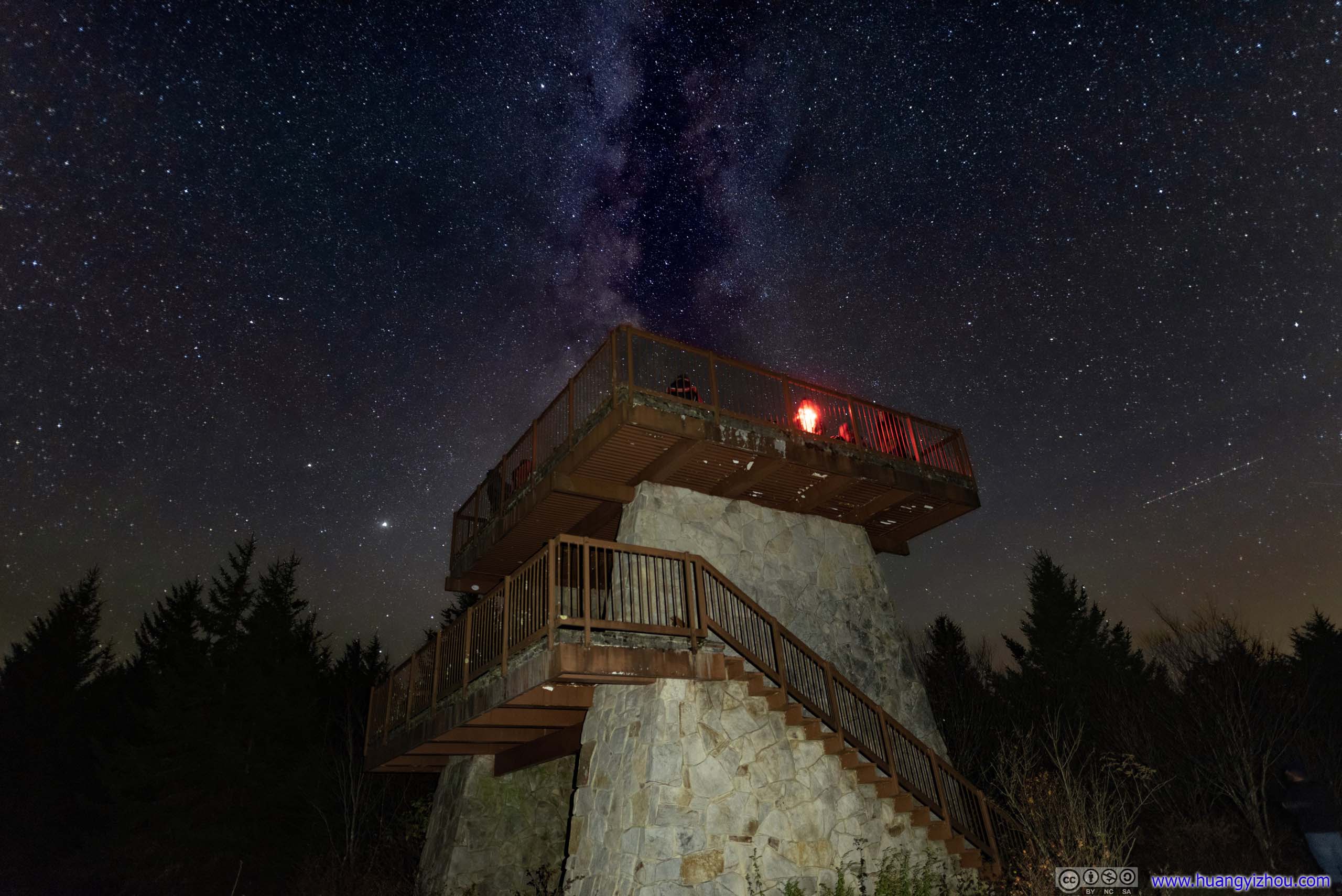 Starry Sky over Fire Tower
Stars
After staying outside in freezing temperature for about an hour, I ended up with a few satisfying shots, and retreated back to my car before it’s too much for my body.
A brief note about the campground where I stayed the night. The federally managed “Spruce Knob Lake Campground” was certainly the best option in the region. Otherwise, “Seneca Shadows Campground” and “Island Campground” were solid backup options. The former two were listed on “recreation.gov” (unfortunately, they were both full during this weekend). The latter was managed by National Forest Service, with non-reservable sites located right along WV28. For tonight, I stayed at “Camping at the Grove”, the only private campground in the region, charging 7 dollar per person which is very reasonably for smaller groups. It took 500m of gravel/dirt/meadow road to reach the campsites, which my sporty coupe was barely managing. It’s equipped with flush toilets and running hot(!) water (despite the hot water also came with a strange odor). Technically it also had showers, but the shower stall seemed hadn’t been cleaned for ages. It felt a bit weird to me that while the two “recreation.gov” sites were full, there were only a handful of groups at “Camping at the Grove”.
Anyway, despite the cold weather, watching starry skies to sleep was quite some experience.
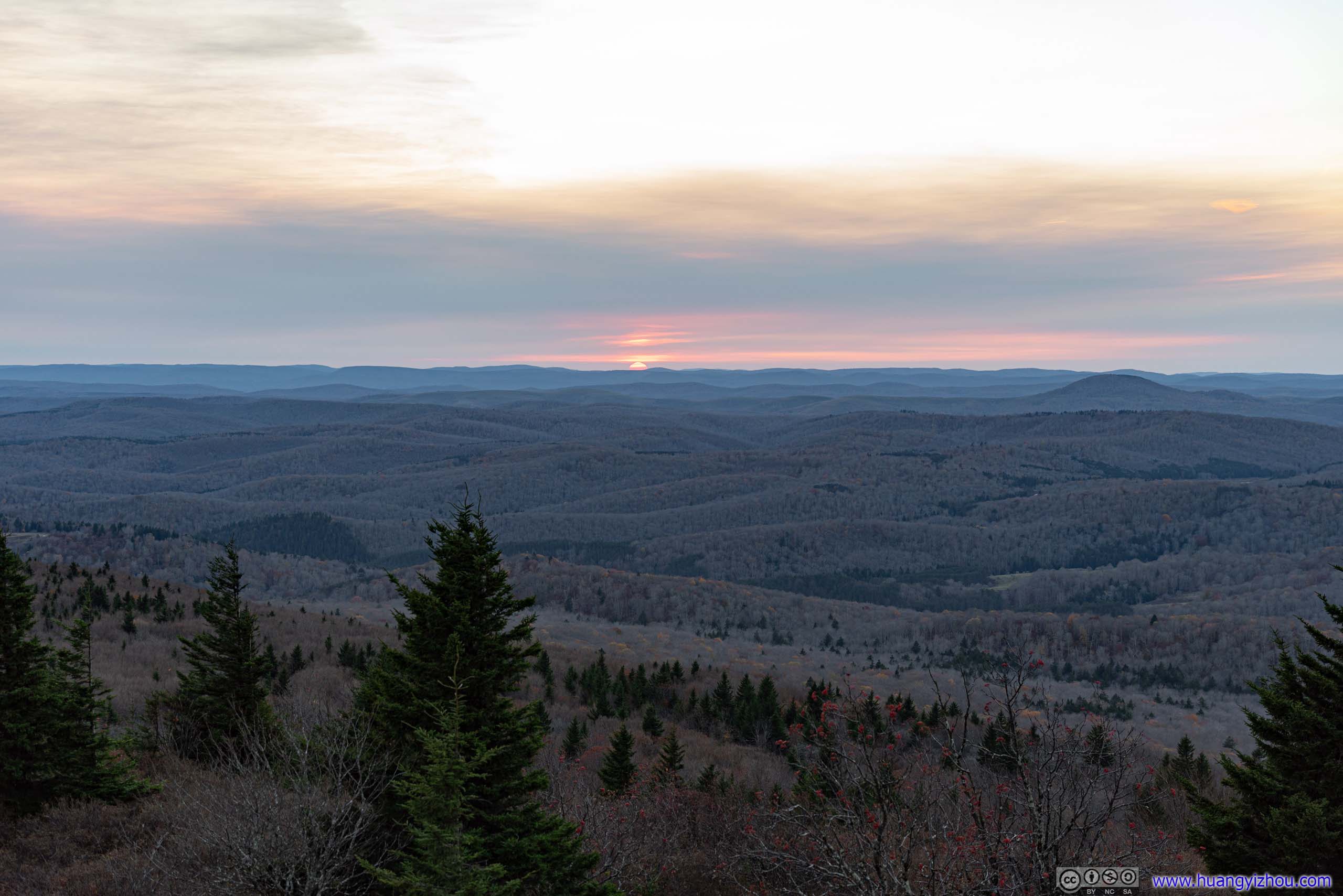
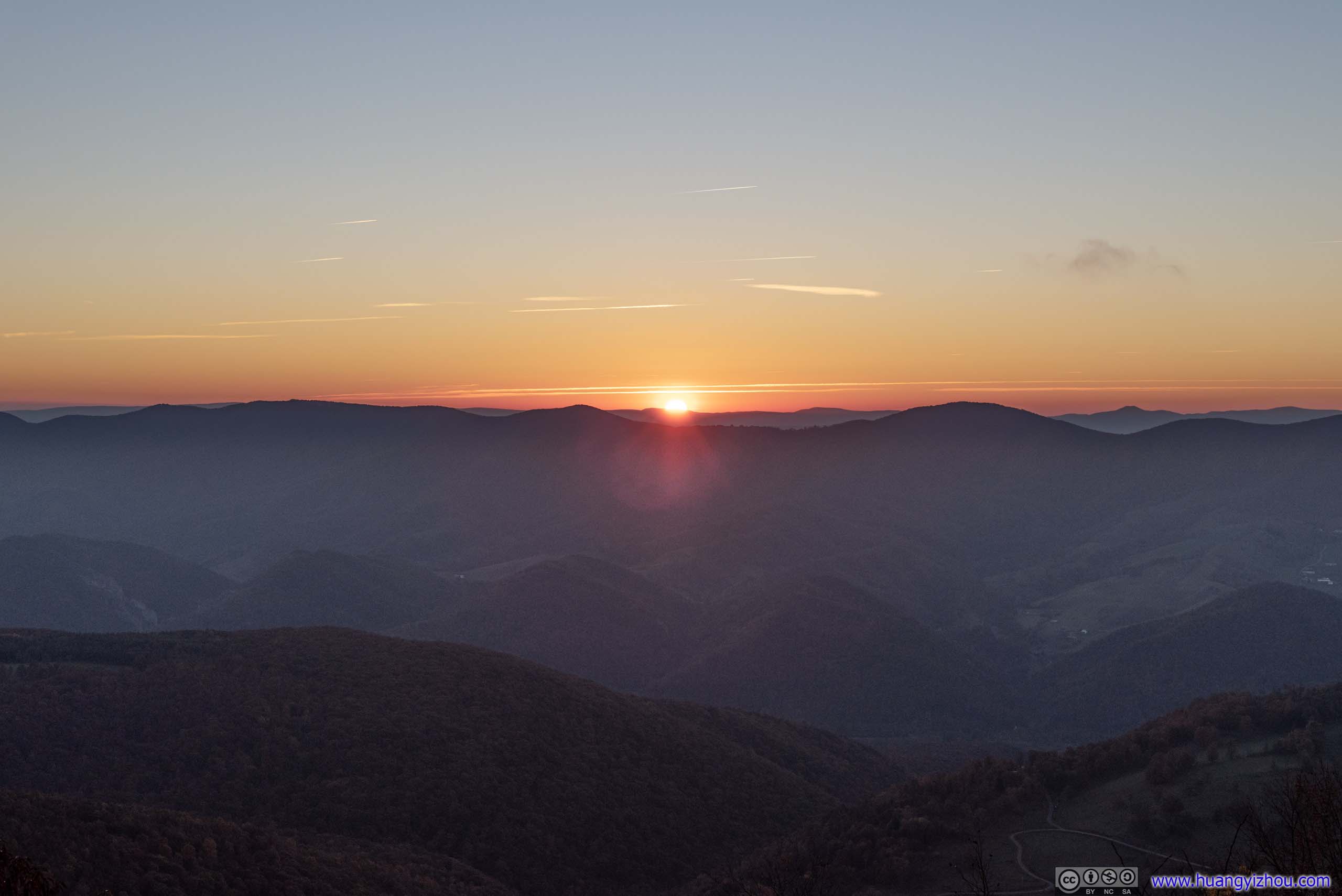
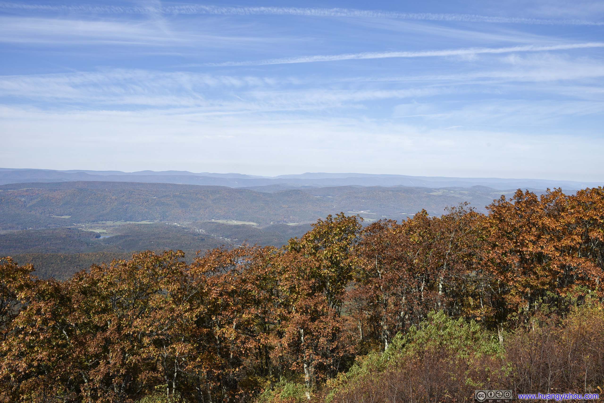
Sunrise
The next morning, I got up early and headed for Spruce Knob again to watch the sunrise. This time, instead of driving all the way up Spruce Knob, I stopped at an overlook 3 miles from top.
Sunrise Glow over Distant Horizon
 Sunrise
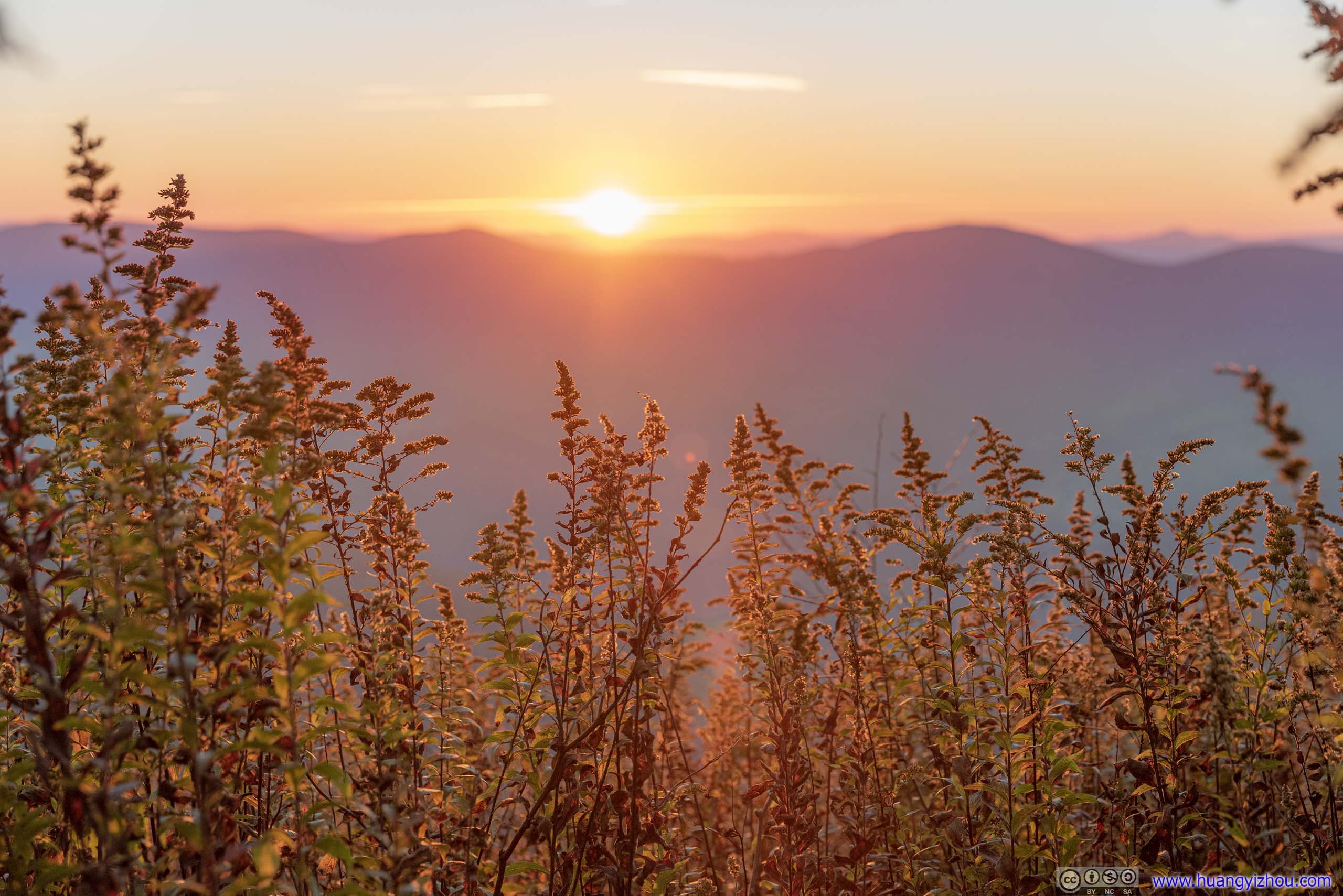
 Bushes Bathing in Sunrise
Since I had my drone with me, I launched it for an aerial tour.

 Sunrise
 Mountains in Sunrise
Plants in Sunrise
Sunrise
Fields
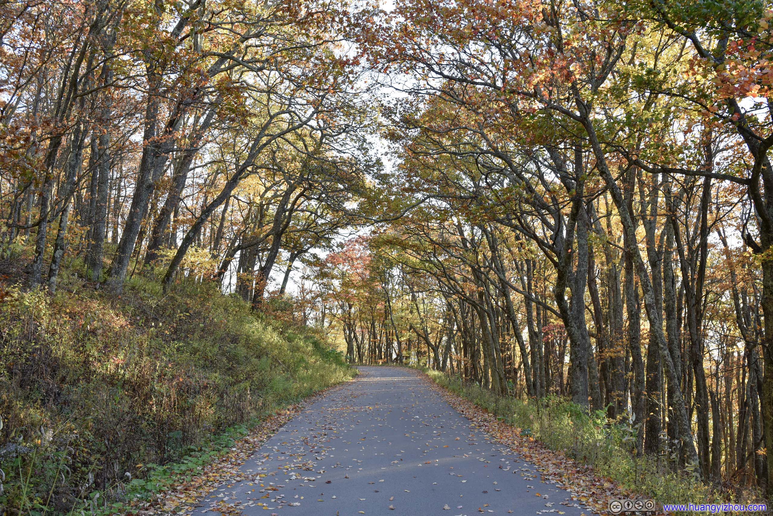
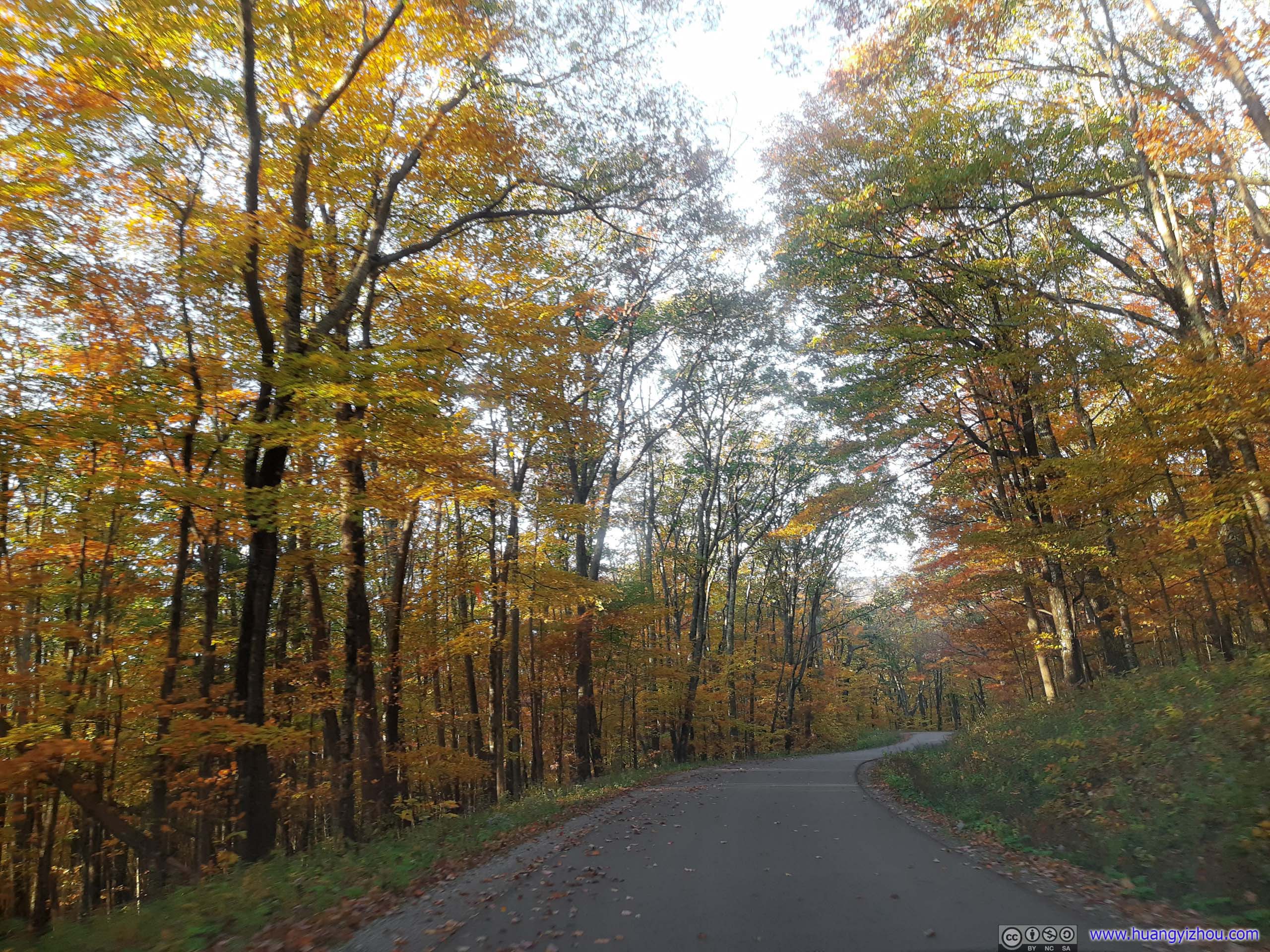
Mountain Road
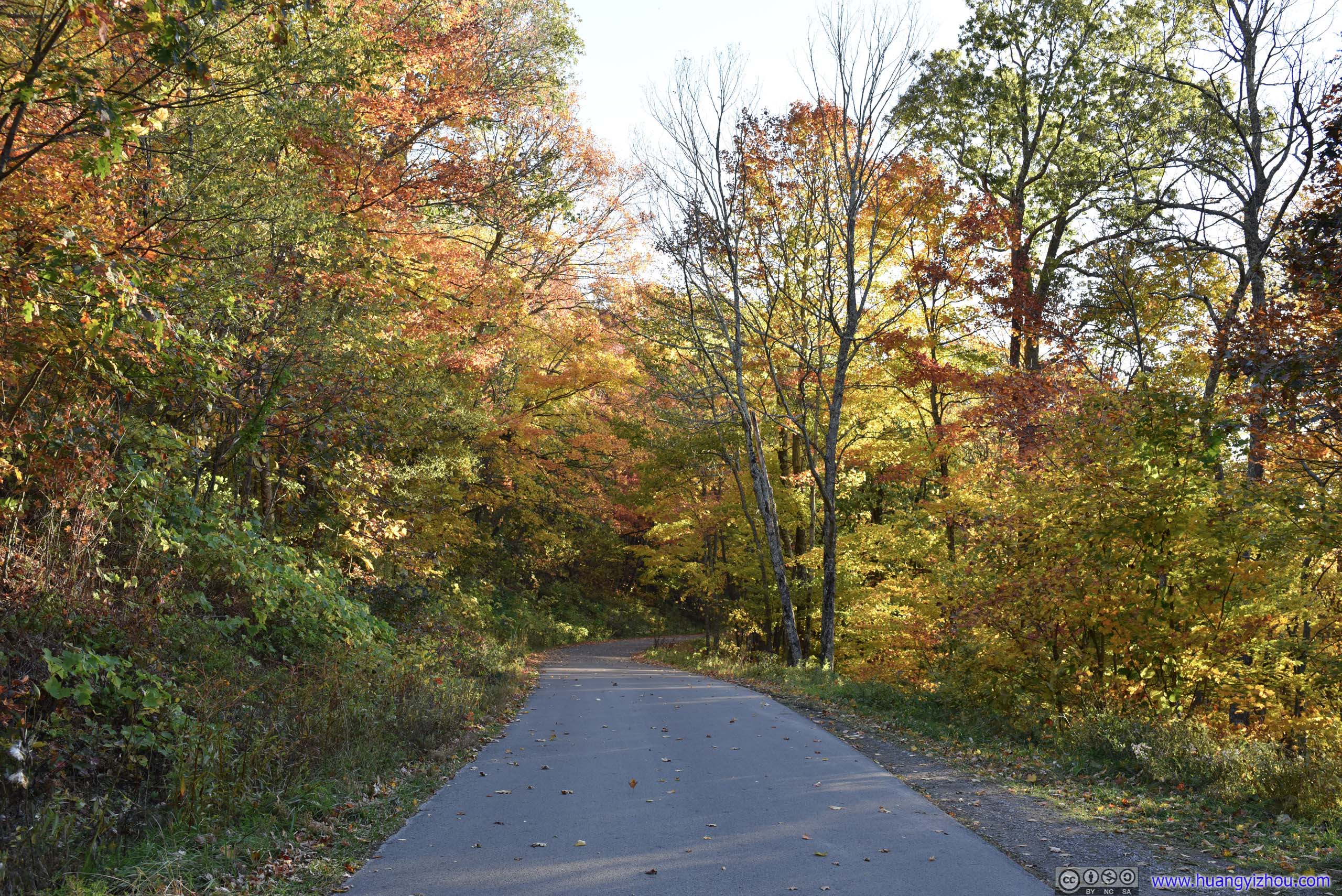
I stayed at the overlook for 20 minutes past sunrise, before heading back downhill. That’s when the trees along the road were fully brightened by the sun to display the last of autumn’s animated colors. Add a few dancing leaves in the air, it’s almost wonderland.
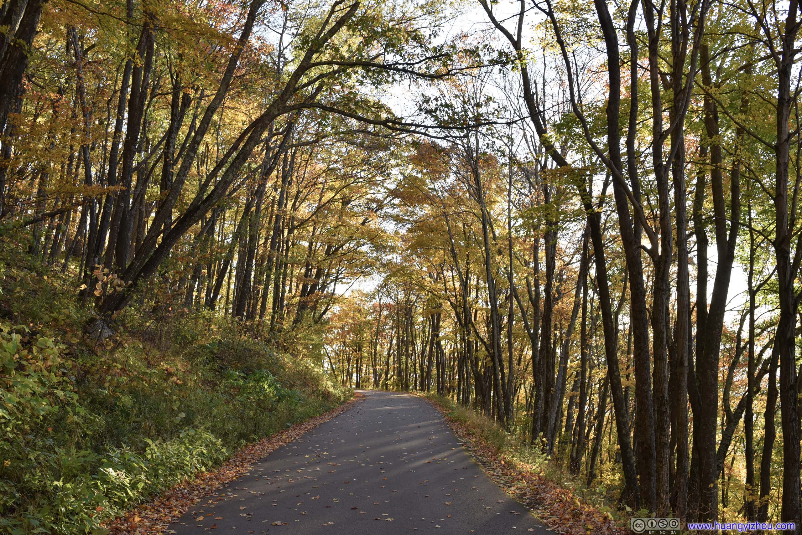
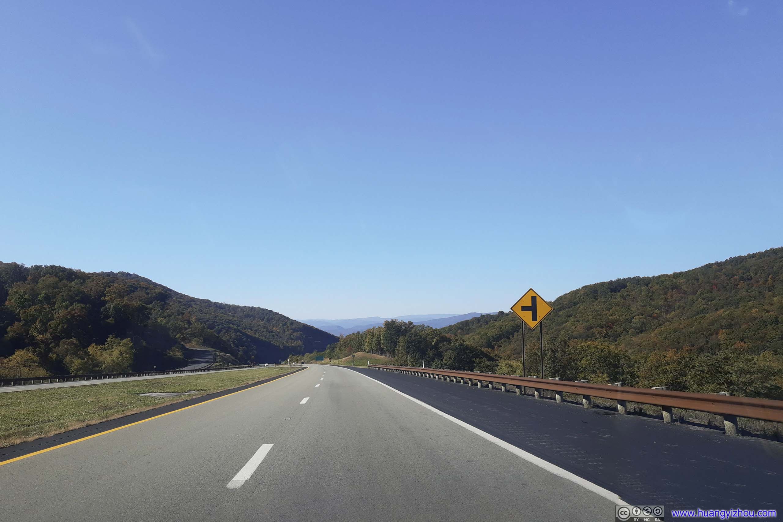
 Road
Road
Autumn Leaves


 Road
Road
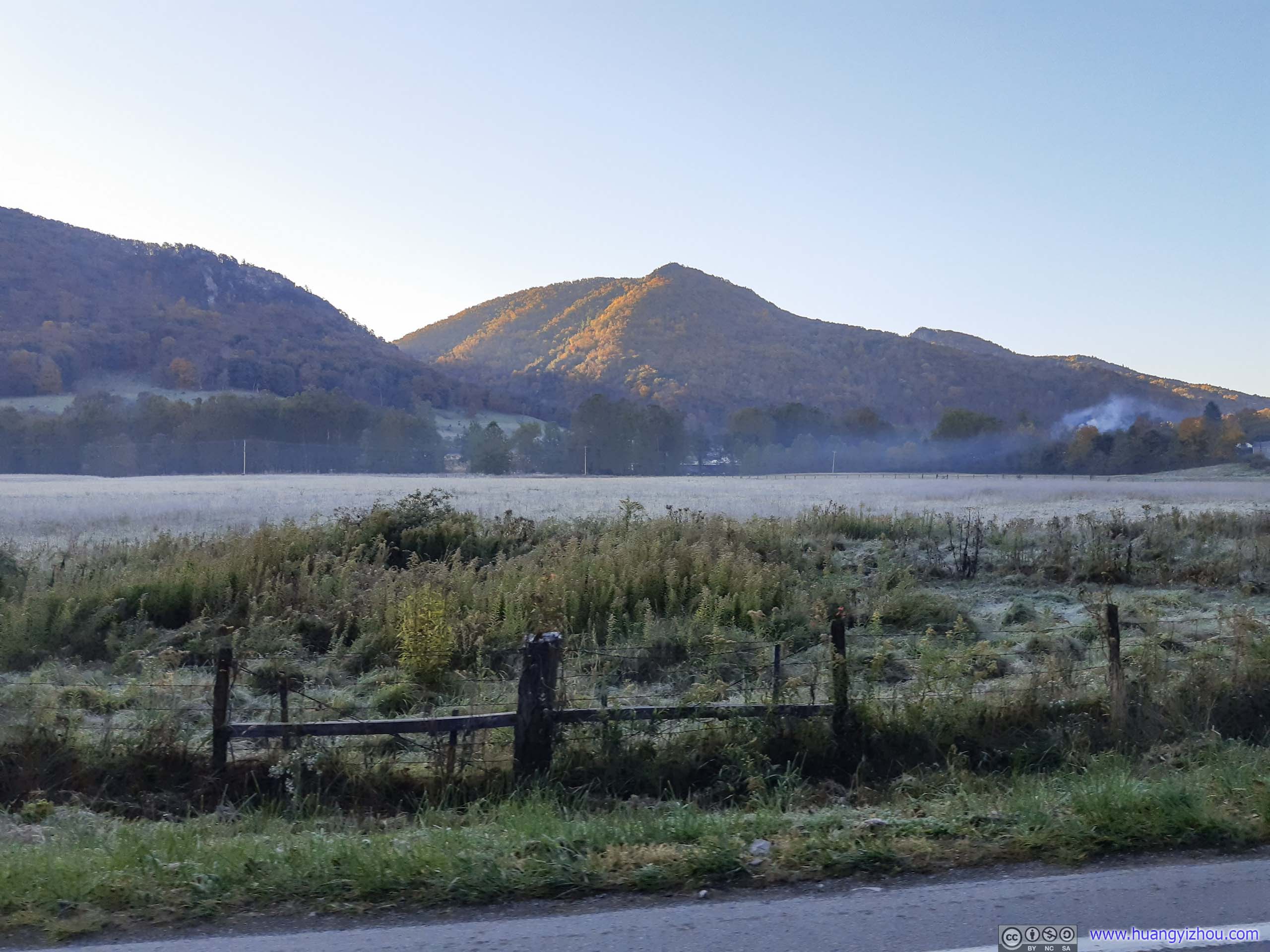
 Frost over Farmland

Road out of Campground
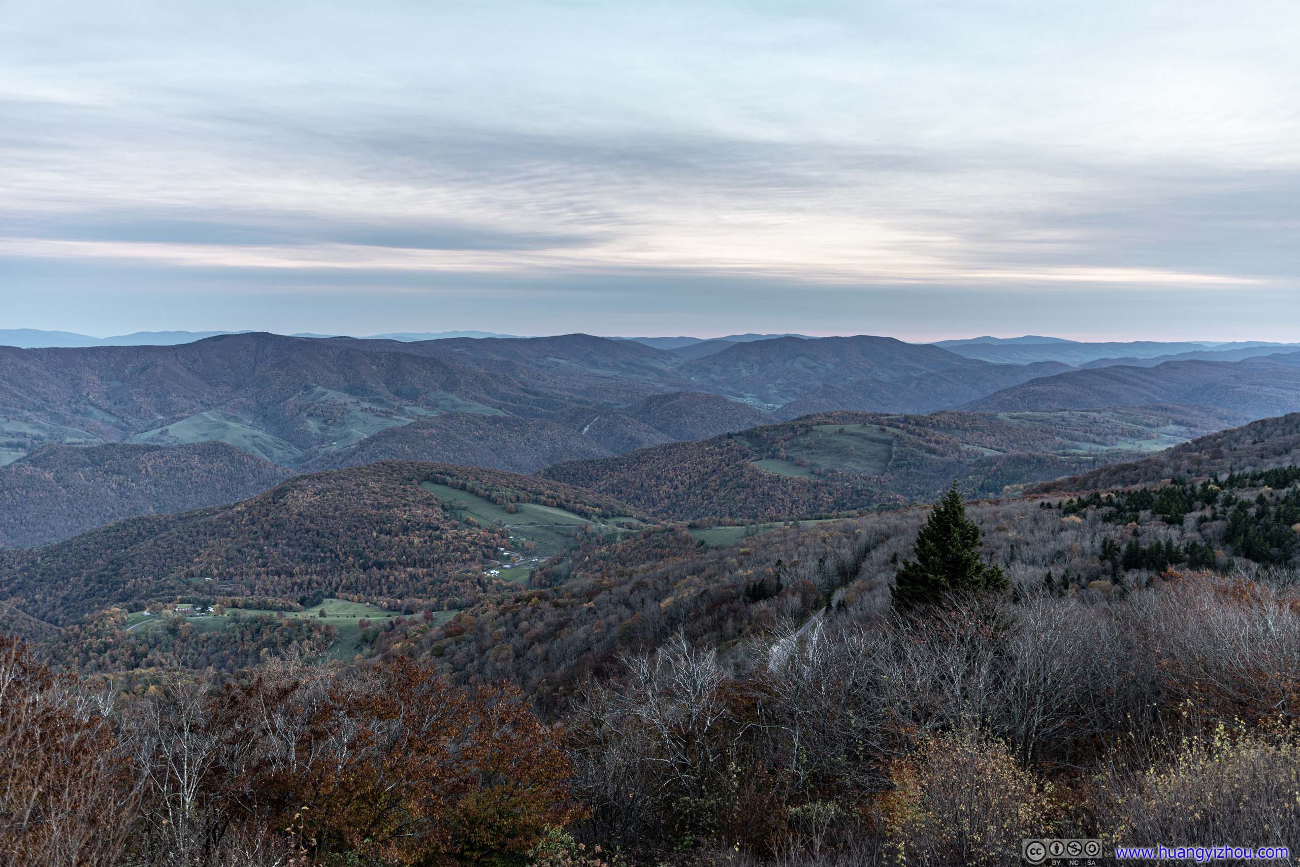
My plan for this Sunday is to hike High Knob Trail, located along the border of West Virginia and Virginia, and conveniently on my way home.
The country road to High Knob crossed a few mountains dressed in golden leaves, with few traffic on a Sunday morning. It’s an enjoyable ride till I reached High Knob’s parking lot before 11am.
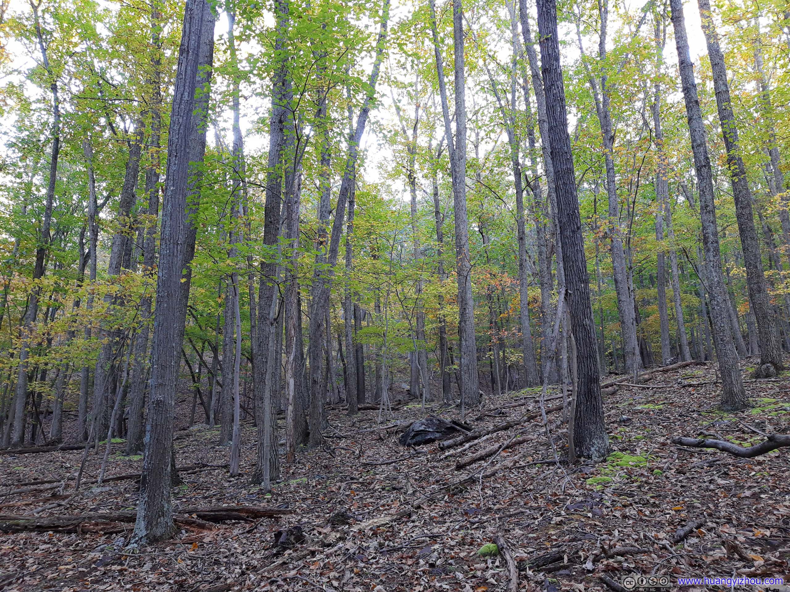
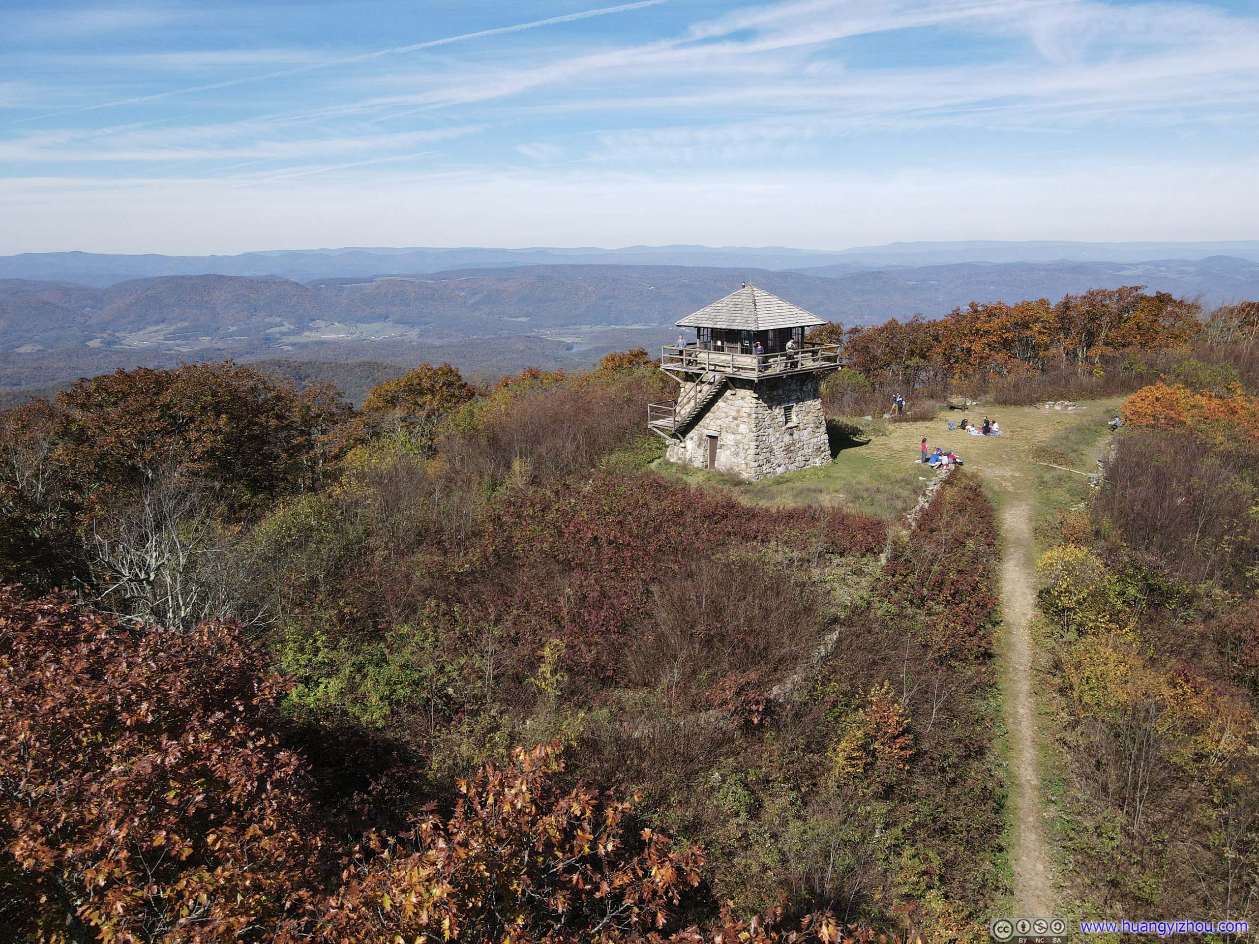
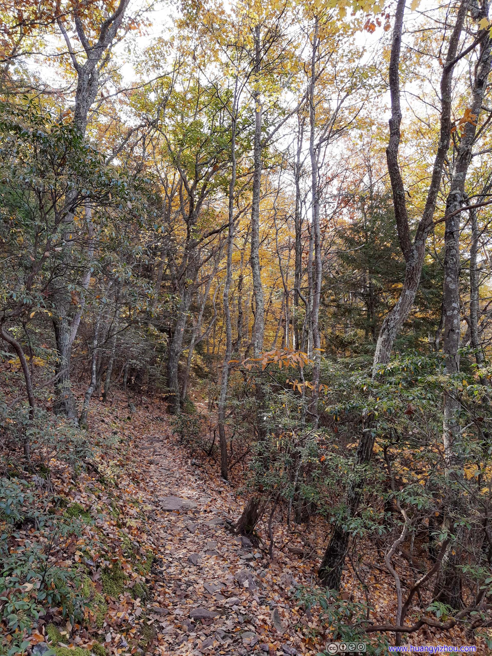
High Knob Trail
The parking lot at High Knob was pretty full on this Sunday morning, with most of the visitors seemingly came from nearby Harrisonburg. From parking lot, it’s a 2.1km one-way trail in the woods to High Knob, a popular picnic spot with a fire tower offering panoramic views.
Here’s GPS tracking:

 Trail
Trail

 Trail
Trail


 TrailFinal stretch before summit.

Fire Tower
On top of High Knob, there’s a (now defunct) fire watch tower, a piece of meadow for some family’s Sunday picnic.
Overlooking High Knob Firetower
 Mountains
But it’s a great spot to launch a drone for an aerial tour of surrounding mountains.

Mountains near High Knob
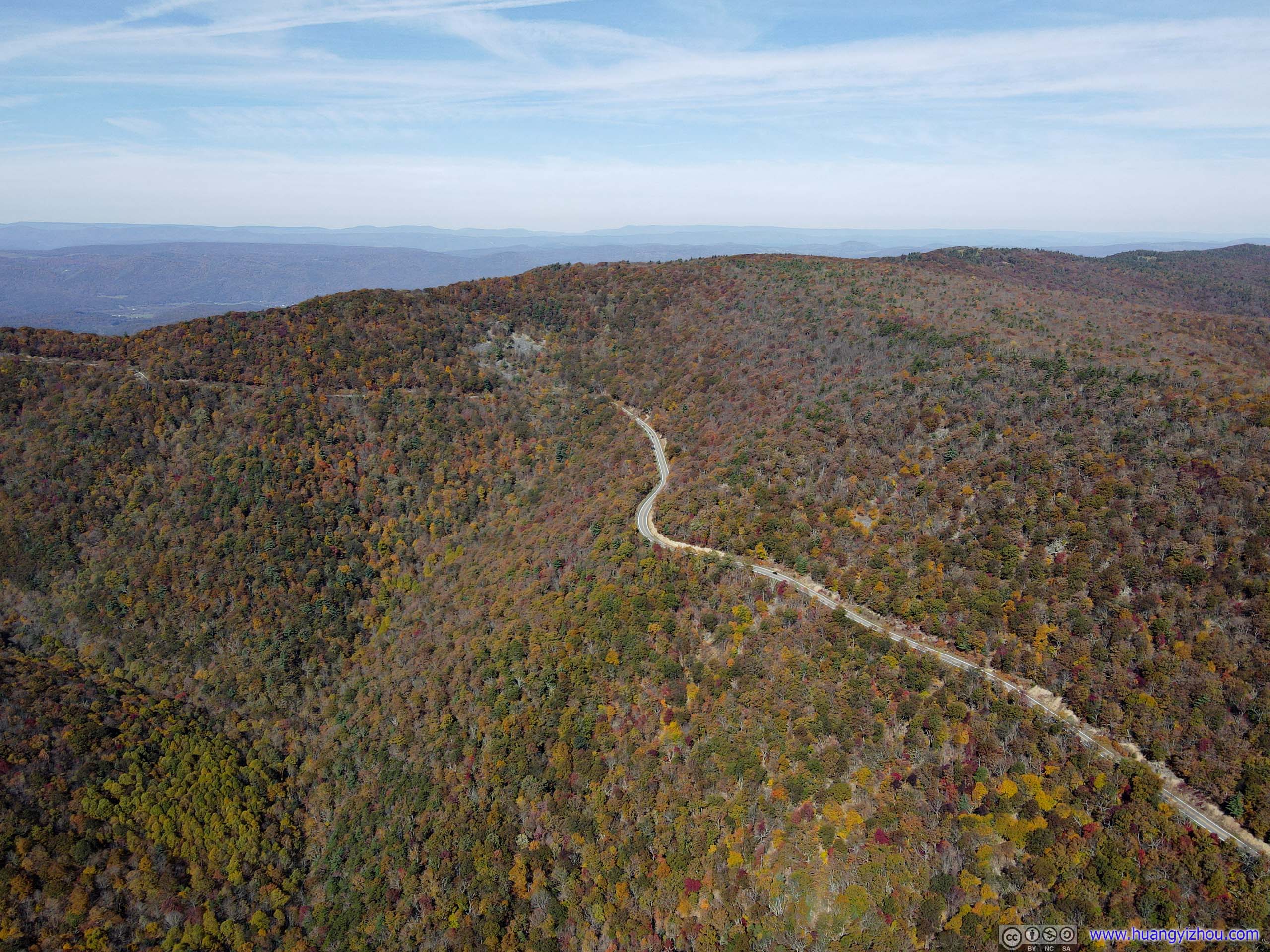
Rawley PikeWinding its way up the mountain. That’s the road to Harrisonburg which I was about to take.
After about 45 minutes at High Knob, I headed back.
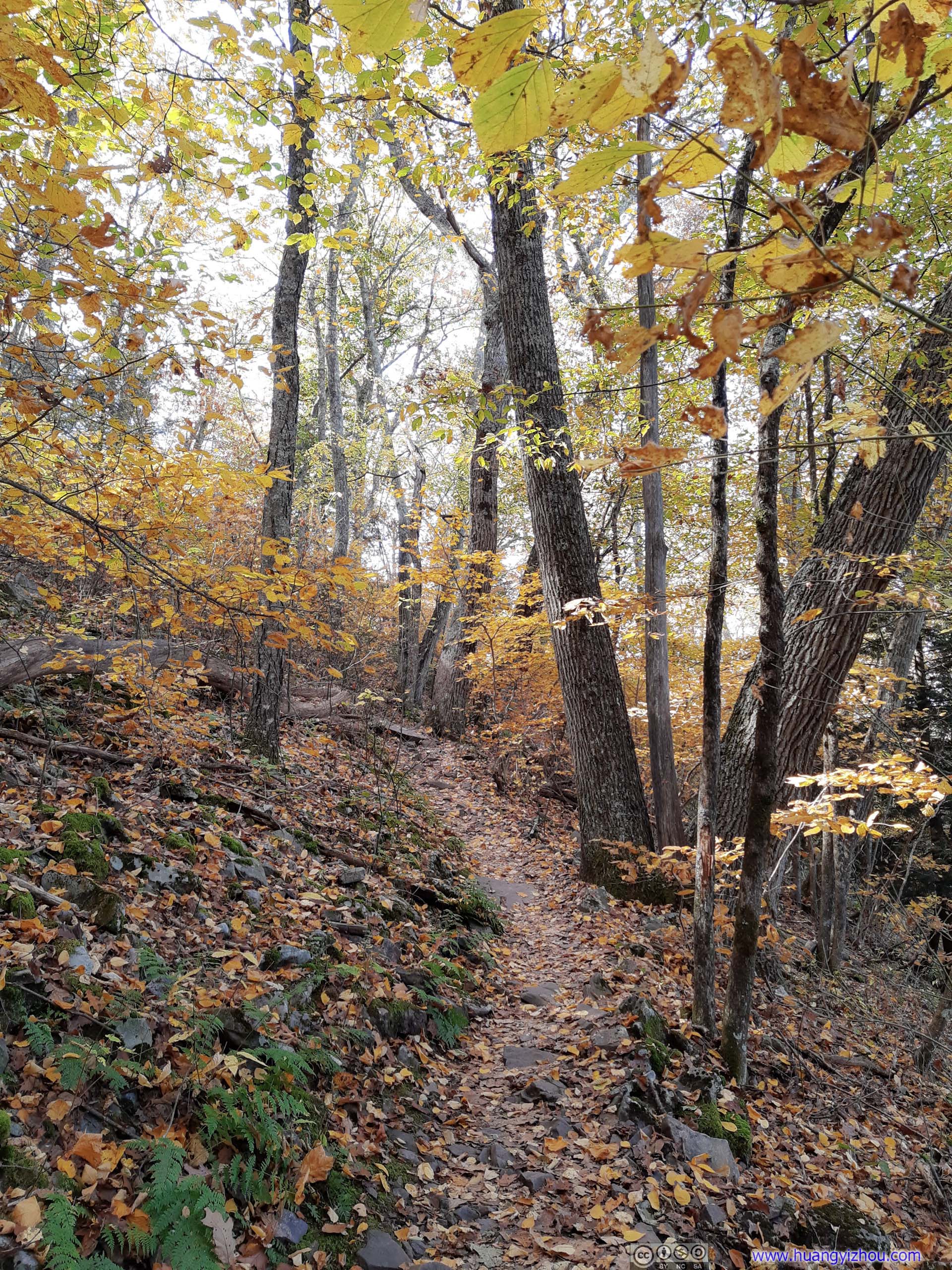
 Trees
Trees
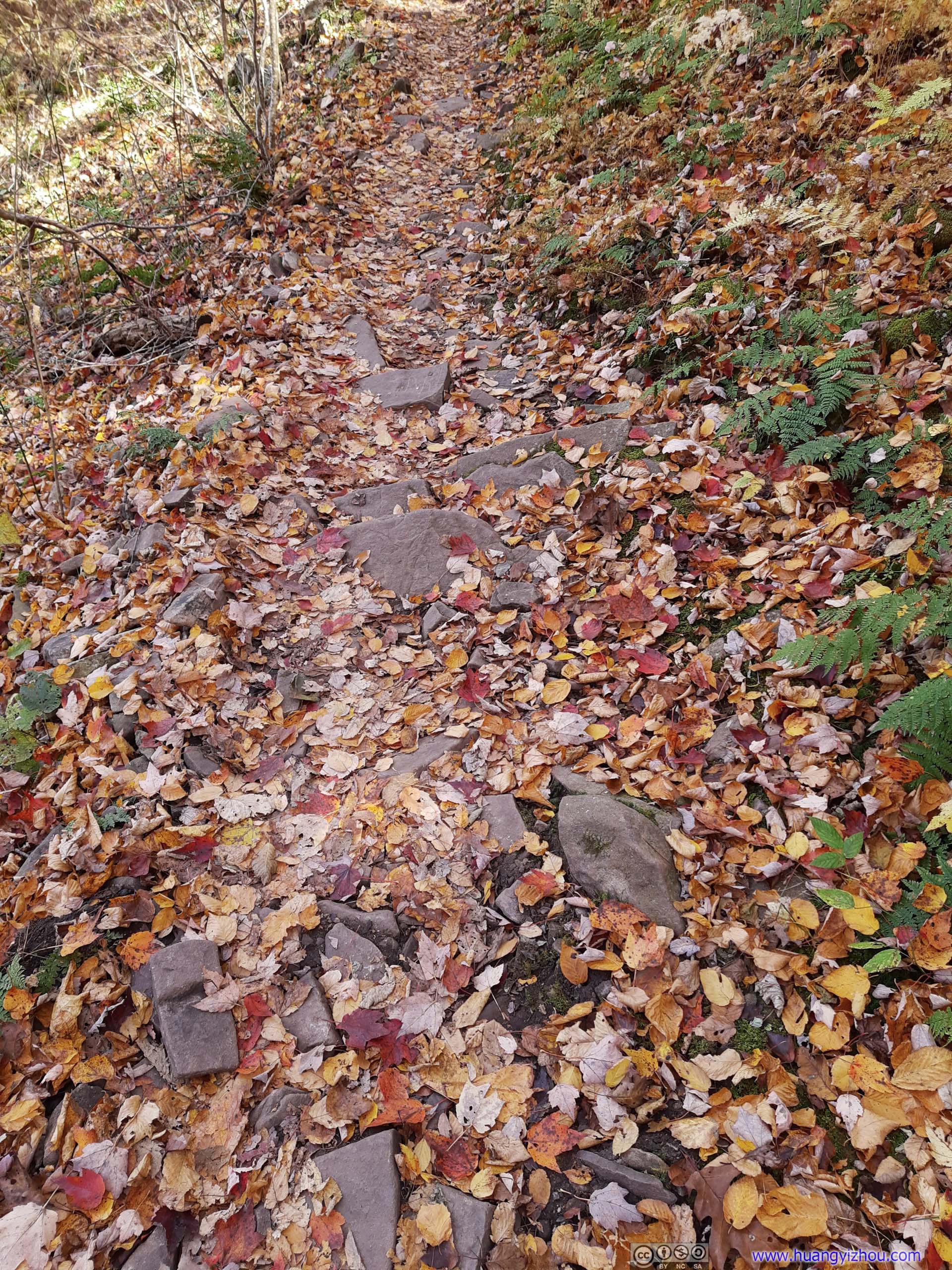
Fallen Leaves on Trail

 Trail
Trail

 Trees
Trees
Finally, it’s 1pm by the time I got back to the busy trailhead parking lot, after which I took US33-I81-I66 back to Washington DC.
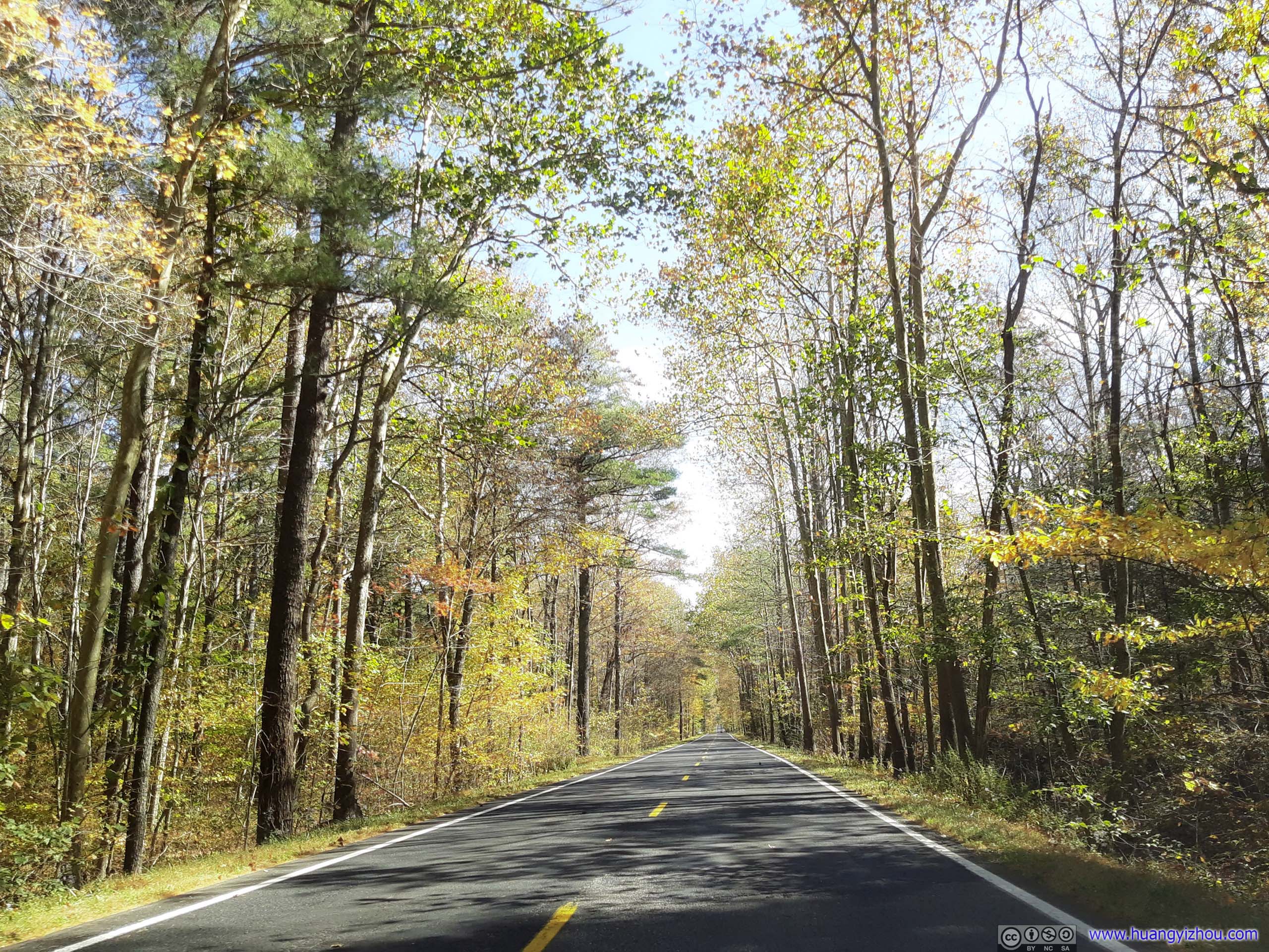
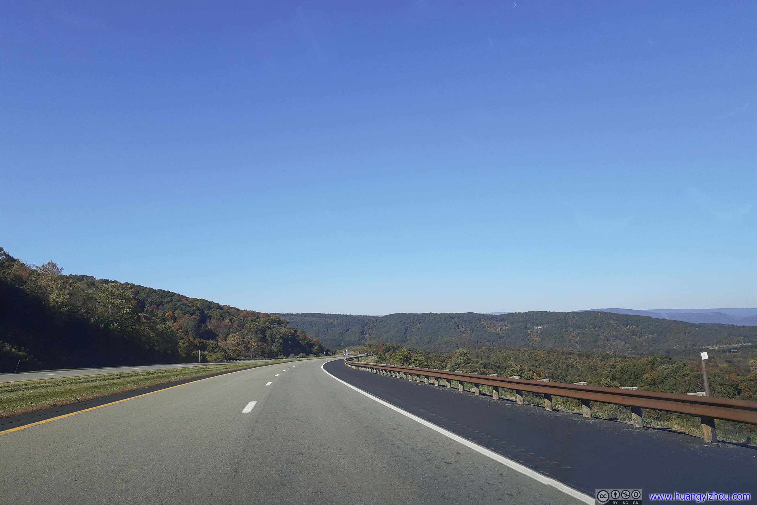
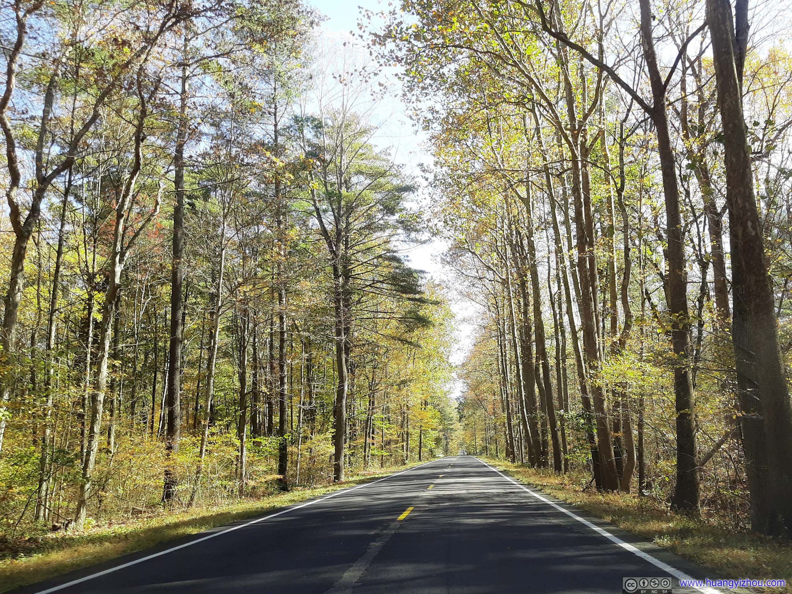 Road
Road
It was mostly smooth sailing back to DC, except there was a crash along I81 near Woodstock, closing all northbound lanes. I was lucky to have the chance to get off at the previous exit, but the 13-mile stretch of country road still set me back about 30 minutes. (which was almost as bad as I66 in Northern VA on a different perspective.)
END
![]() Weekend Trip to West Virginia, Hiking Chimney Top, High Knob, Sun and Stars from Spruce Knob by Huang's Site is licensed under a Creative Commons Attribution-NonCommercial-ShareAlike 4.0 International License.
Weekend Trip to West Virginia, Hiking Chimney Top, High Knob, Sun and Stars from Spruce Knob by Huang's Site is licensed under a Creative Commons Attribution-NonCommercial-ShareAlike 4.0 International License.