
Updated on June 1, 2021
Day 1 of 2020 Lake Tahoe Trip, Snowshoing to Roundtop in Eldorado National Forest
The first day of my 2020 Lake Tahoe trip, I chose to snowshoe to Roundtop Peak from Kit Carson Pass. While I had hoped this to be a warmup for the next few days of exploration, it turned out to be much more physically demanding.
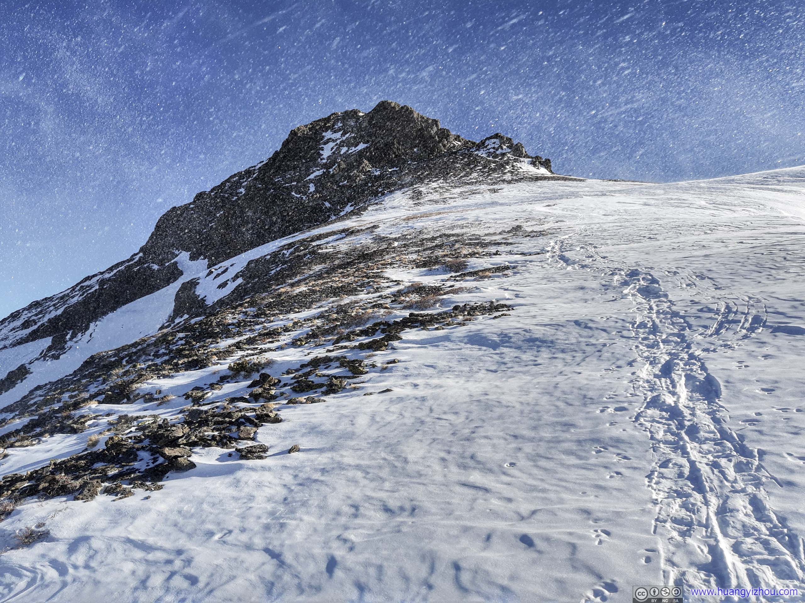
Drifting Snow
The Route
For hiking, backcountry skiing and snowshoeing in Lake Tahoe region (and probably everywhere else in US) in winter, a major issue was that the trailheads / access roads once taken granted in summer were likely closed for the season, limiting options. In addition, information for such closures were hard to find online, and if not for a few online forums there’s really no way of knowing in advance.
This too applied to the case of Roundtop Peak. The more popular summer route (that’s also closer) started from Woods Lake Campground / Picnic Area, where one could combine Roundtop Lake Trail and Winnemucca Trail to make a loop. Road to Woods Lake was closed for winter, leaving Carson Pass as the only available trailhead in winter.
From Carson Pass, the summer trail to Roundtop passed along Frog Lake and Roundtop Lake, measuring 13.2km and has 639m elevation gain. In winter, one could cut into the woods and save some distance. At the end of day I tracked 10km with my GPS. It’s described as one of the more popular snowshoeing trails around Lake Tahoe, so I decided to try it out on the first day.
Sno-Park Permits
Here are a few rants about the parking permit at Carson Pass.
I appreciated that maintaining trails and parking lots cost money and charging for parking could recoup some of that cost. In the case of Carson Pass in winter, the program was called SNO-PARKS, where a day permit cost 5 dollars and a season one cost 25.
To begin with, Carson Pass was located in Eldorado National Forest but the SNO-PARKS was managed by California State Parks. I tried to think of this on the bright side that it’s California state park that was plowing the parking lot in winter, rather than some collusion between government agencies.
Next, hateful of credit card fees, the state of California attempted to charge a 1.95 dollar “convenience fee” for each online permit purchases, displayed only at the checkout page. Despite an abundance of tales of swipe fees burdening merchants, it should cost much less than that to process a 5 (or even 25 for a season pass) dollar transaction. Well, unless there was corruption involved.
Of course for the die-hard anti-government rabble (if they weren’t already extinct from the liberal California), there was an option to purchase from a vendor (Amazingly vendors seemed immune from swipe fees.). Yet as of December 20, 2020, the only vendor list available online was of season 2019/20, in pdf format. Even worse, to make sure the feelings of those vision impaired (but anyhow still with internet access!) weren’t hurt, the state of California wouldn’t publish that file, without speech-enabled features, online. Instead, one was asked to enter his or her email address, and wait for that as an attachment to arrive. I tried not to resent ADA, but burdening able-bodied people like this was certainly testing my limits. Even worse, after I got off the plane the previous day, I tried to pick up a permit from a vendor, along the way driving from Reno to Lake Tahoe. Unfortunately, the two vendors I visited (on 2019/20 list) were no longer selling those, and I ended up making a huge detour into California to sort it out.
To be fair, as of writing, they did put up a website for 2020/21 permit vendors, the list was dated Jan 21, 2021, in html format.
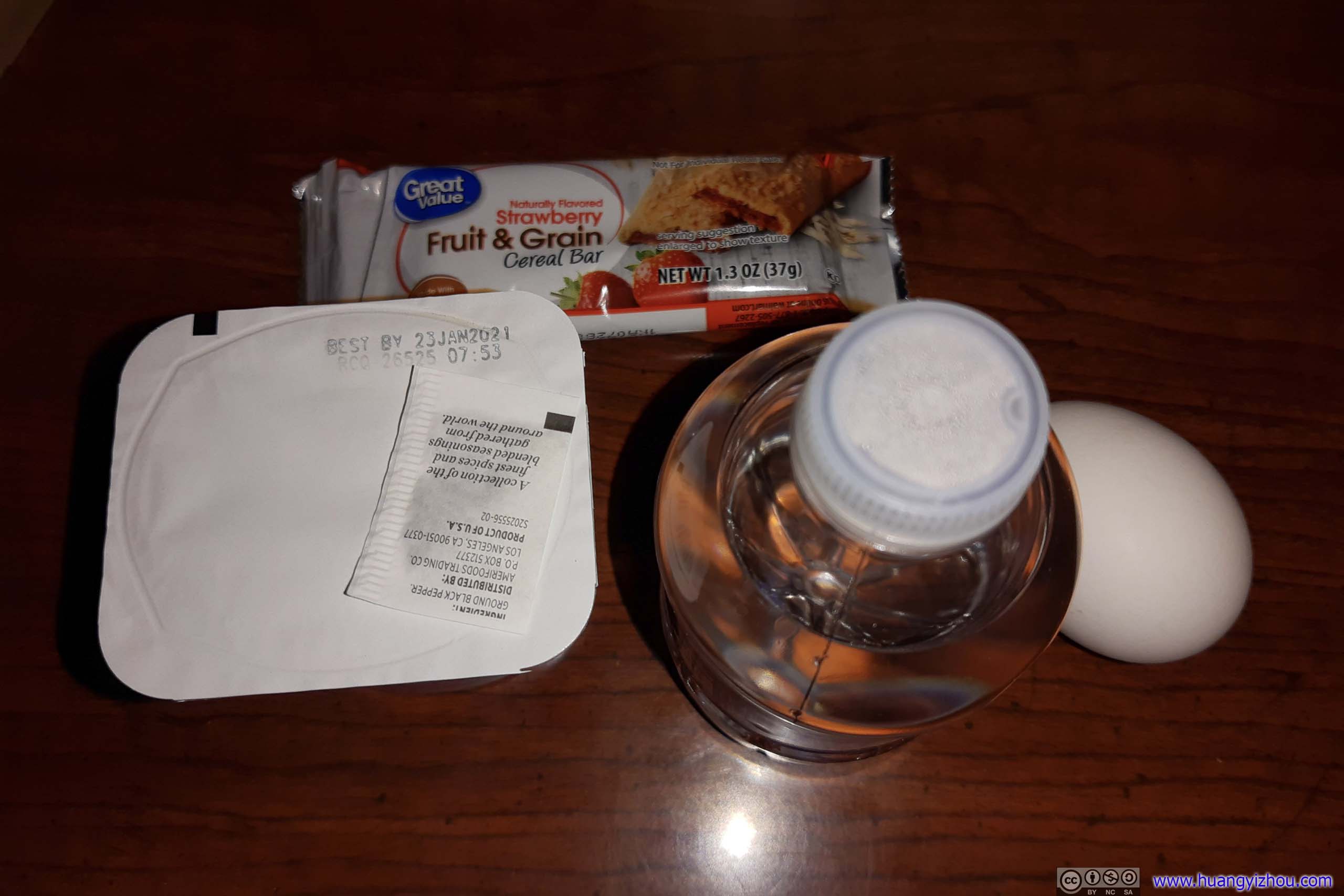
Hotel Breakfast
The Trip
So on the morning of Dec 21, I left my hotel at Carson City at 7:20am, and reached the trailhead in 50 minutes. After packing up gear for the day, I started my journey at 8:20am.
Here’s GPS tracking:
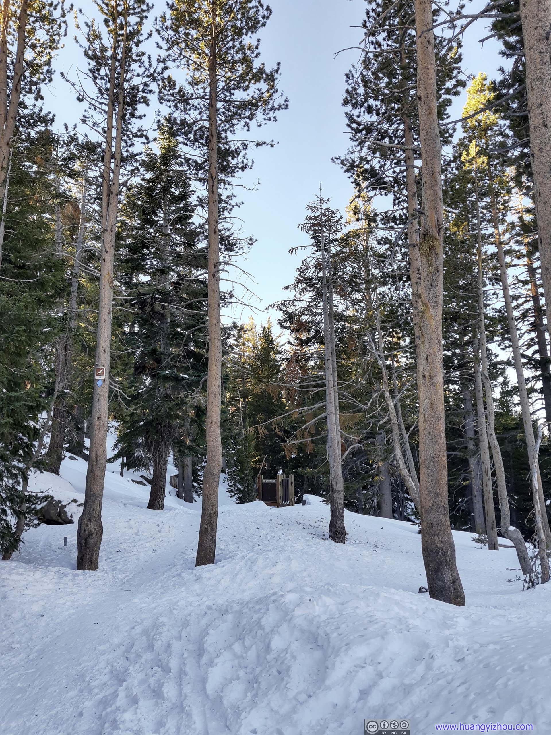
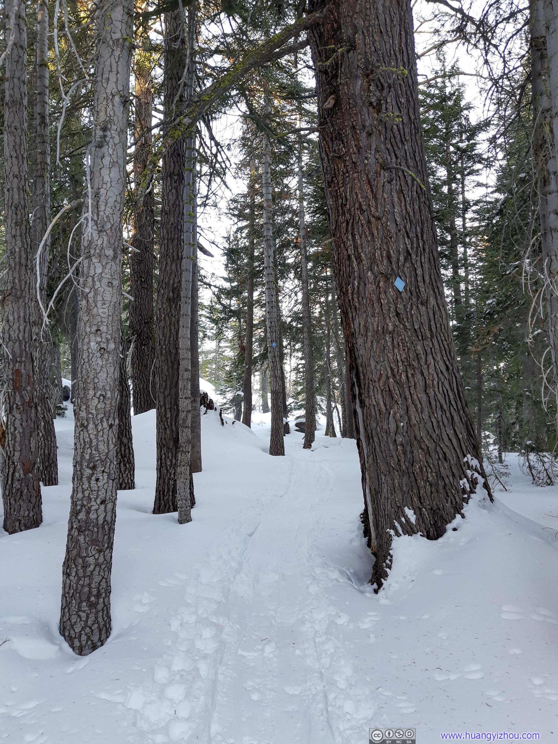
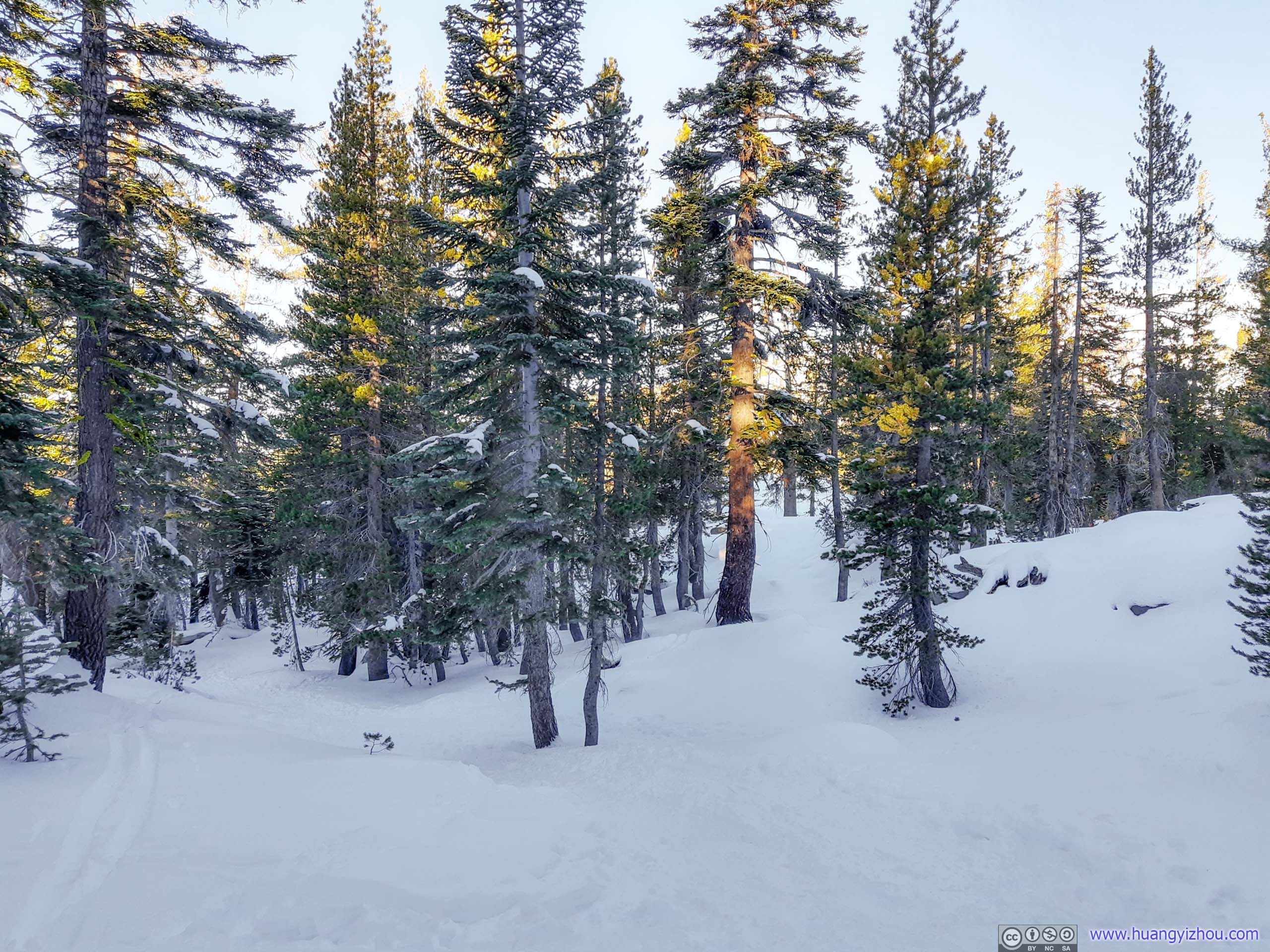
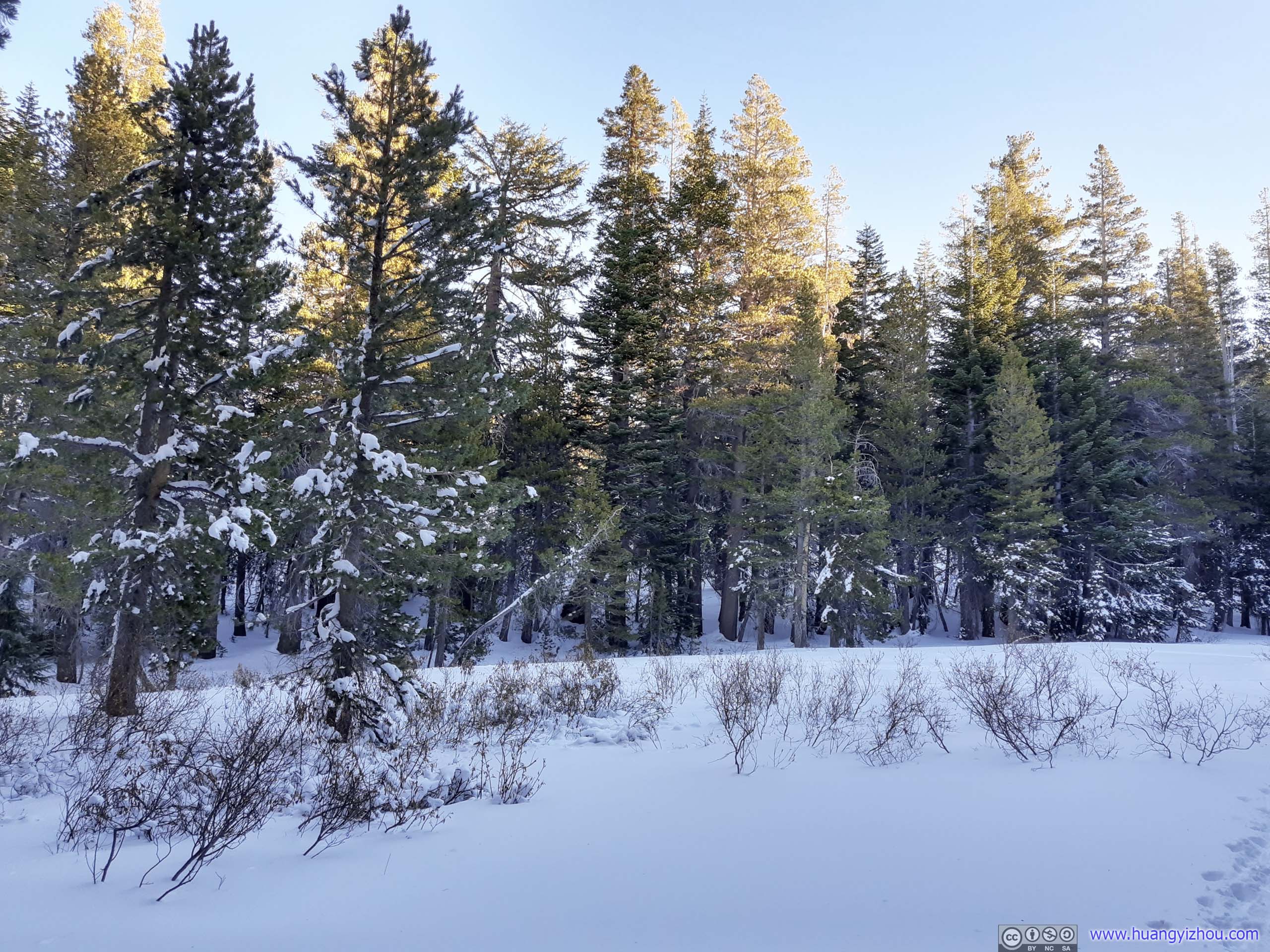
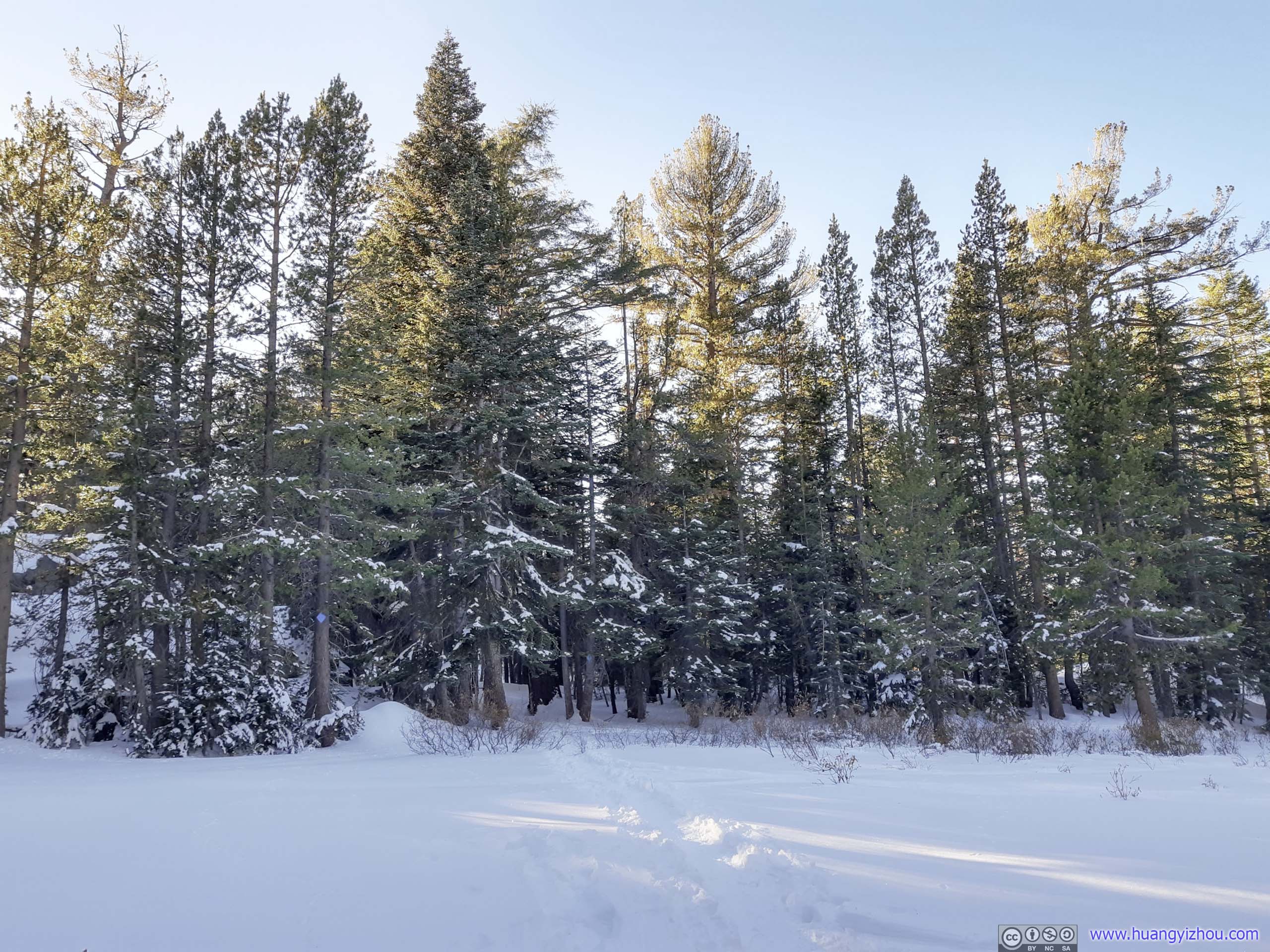
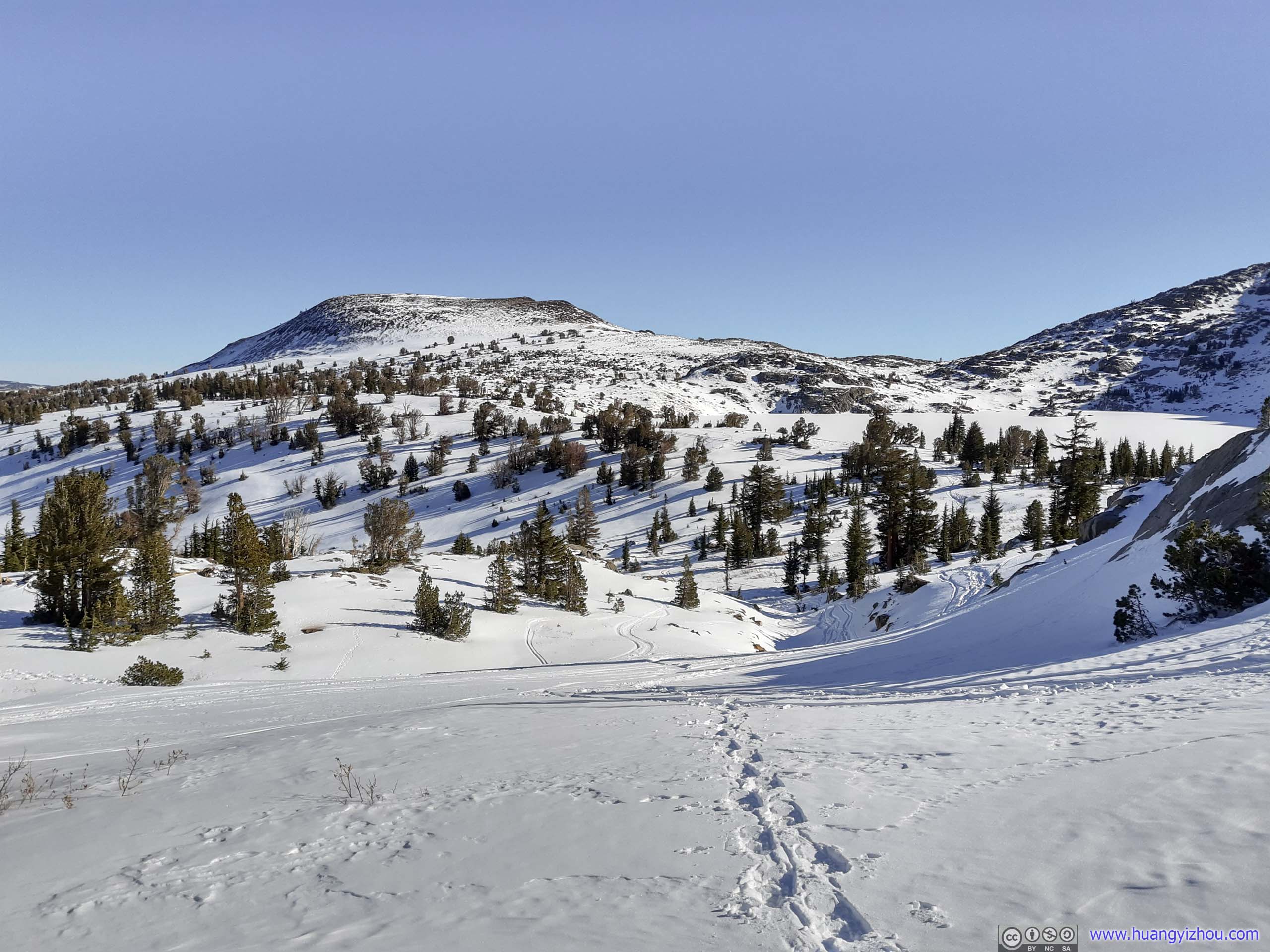
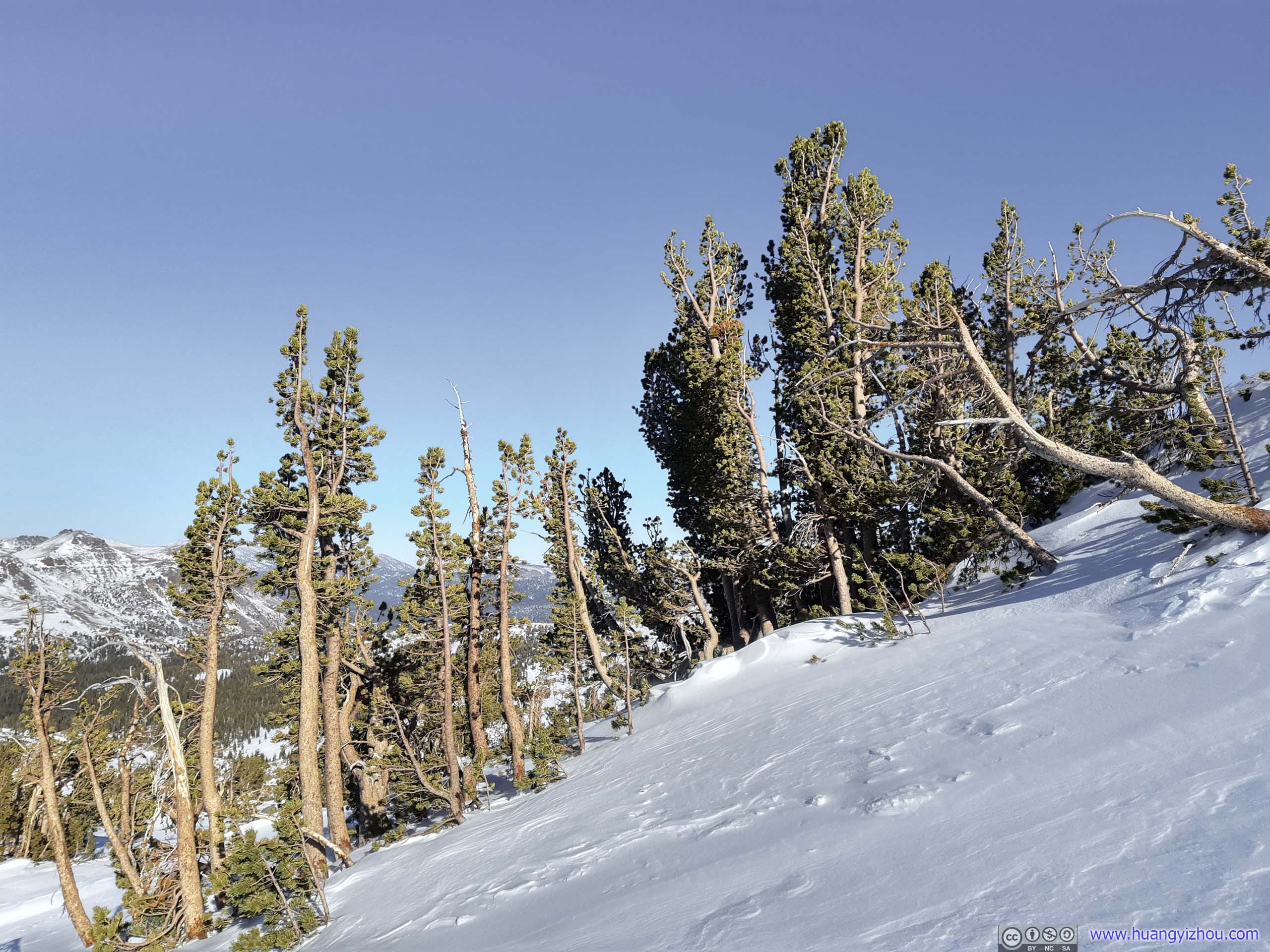
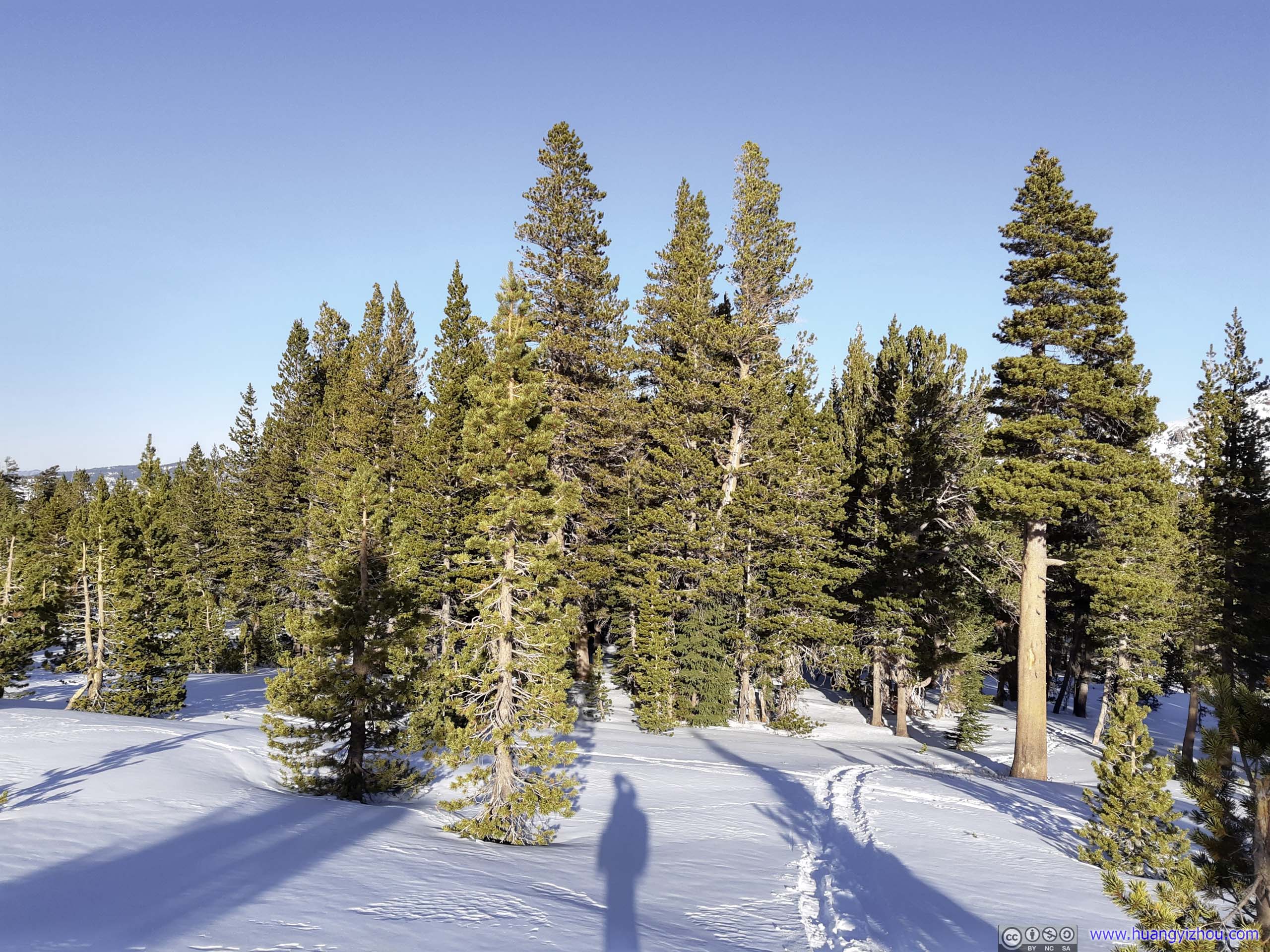
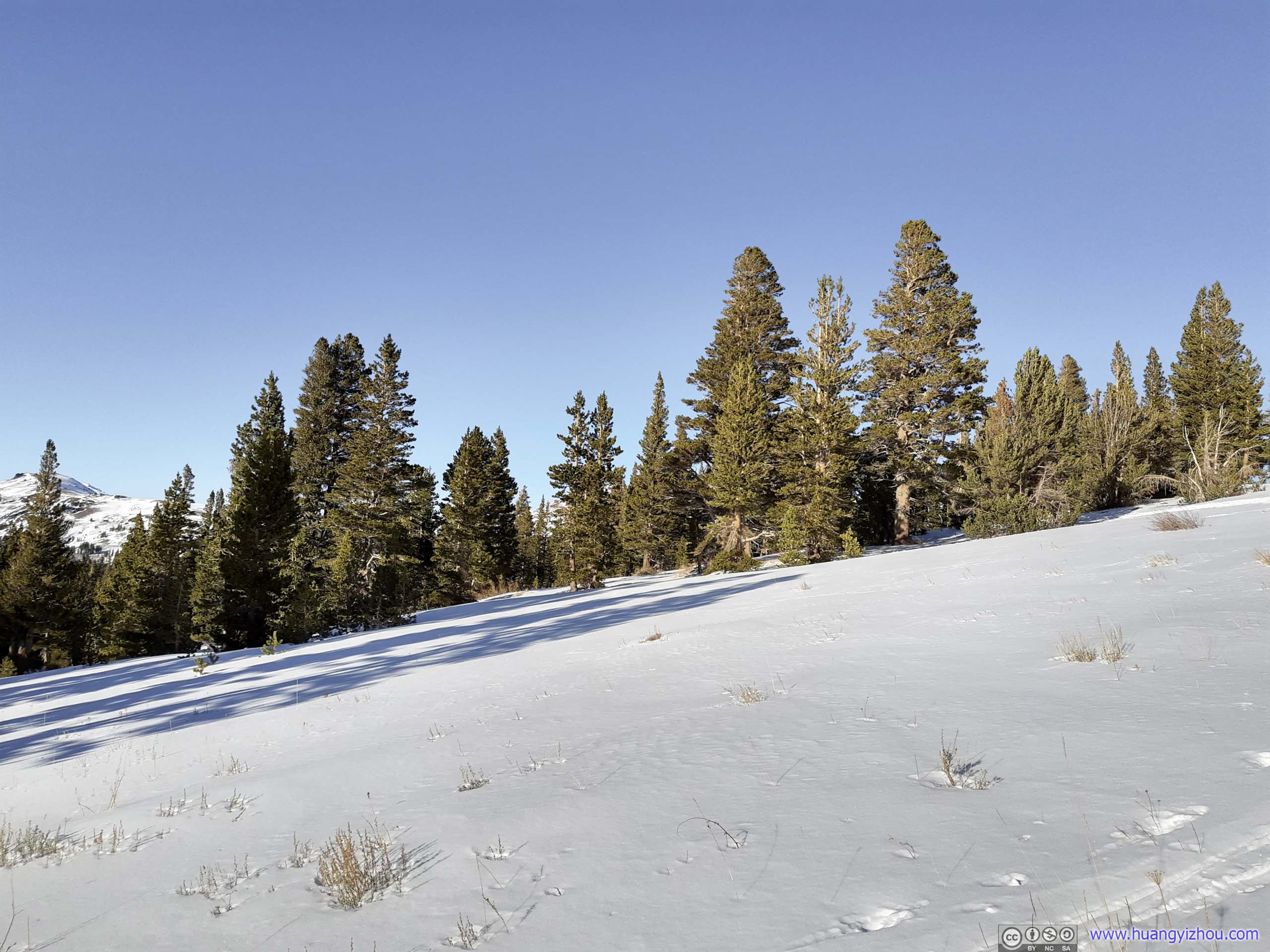
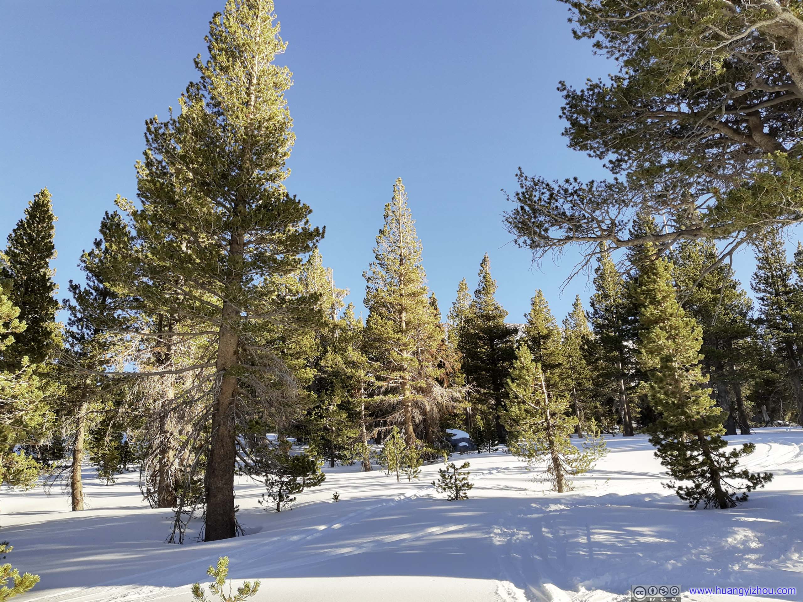
 Forest
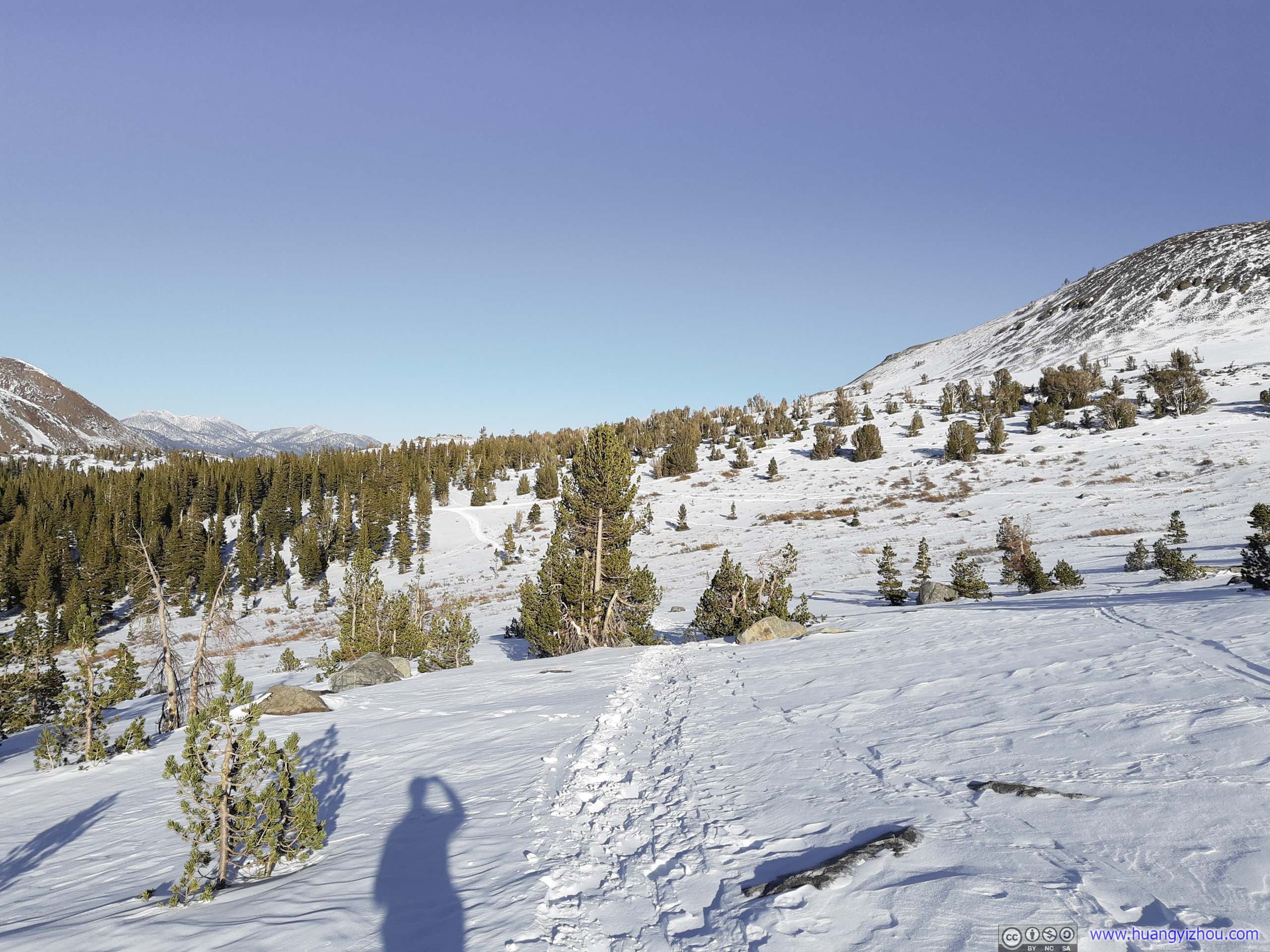
The winter route to Winnemucca Lake / Roundtop deviated from the summer trail that it didn’t visit Frog Lake and took a more direct line through the woods. After trying to follow some beaten but twisted tracks for a while, I decided to put my snowshoes to test and make my own direct track in the woods.
And that’s wonderful.
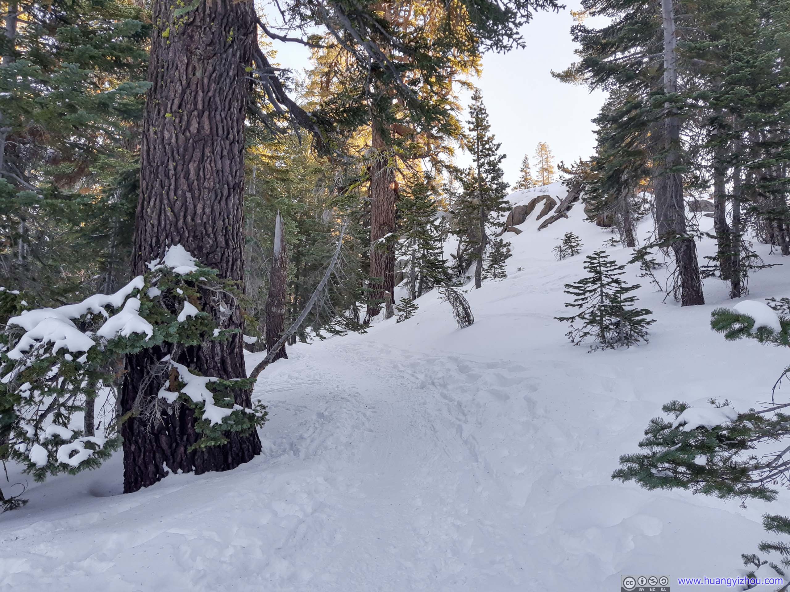
 Forest
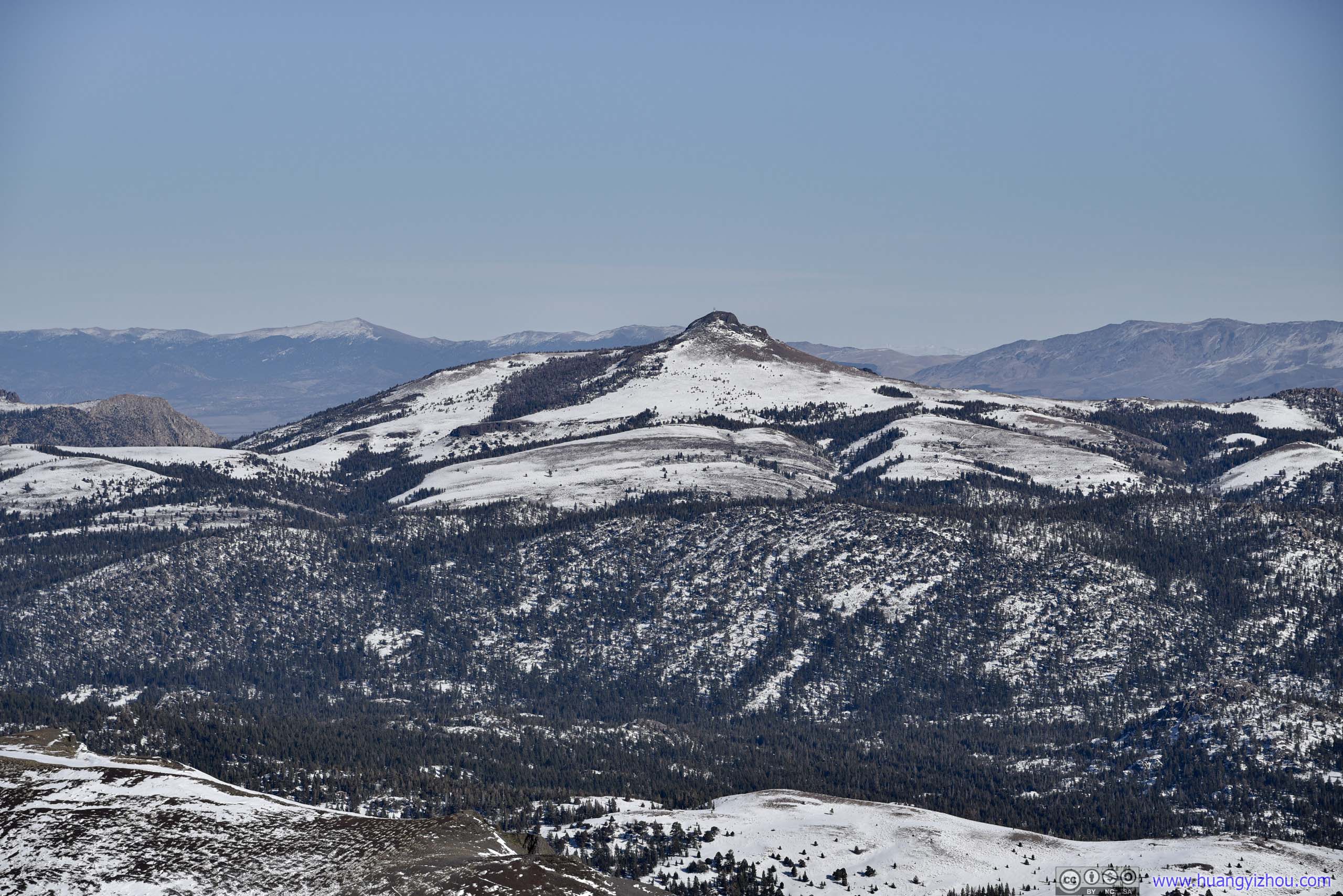
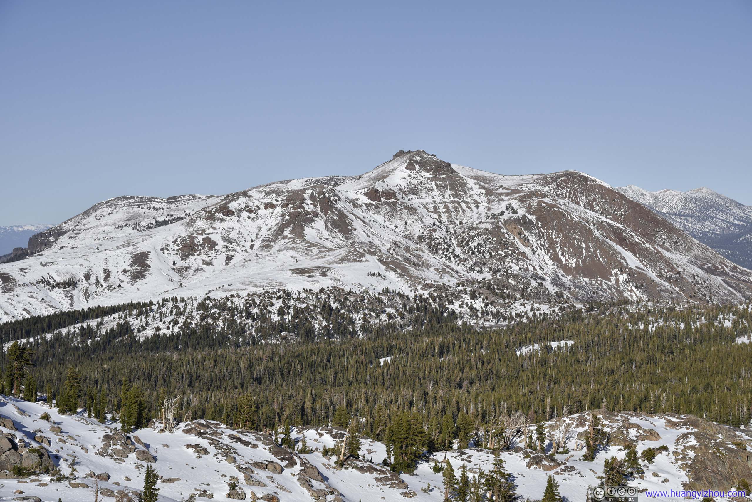
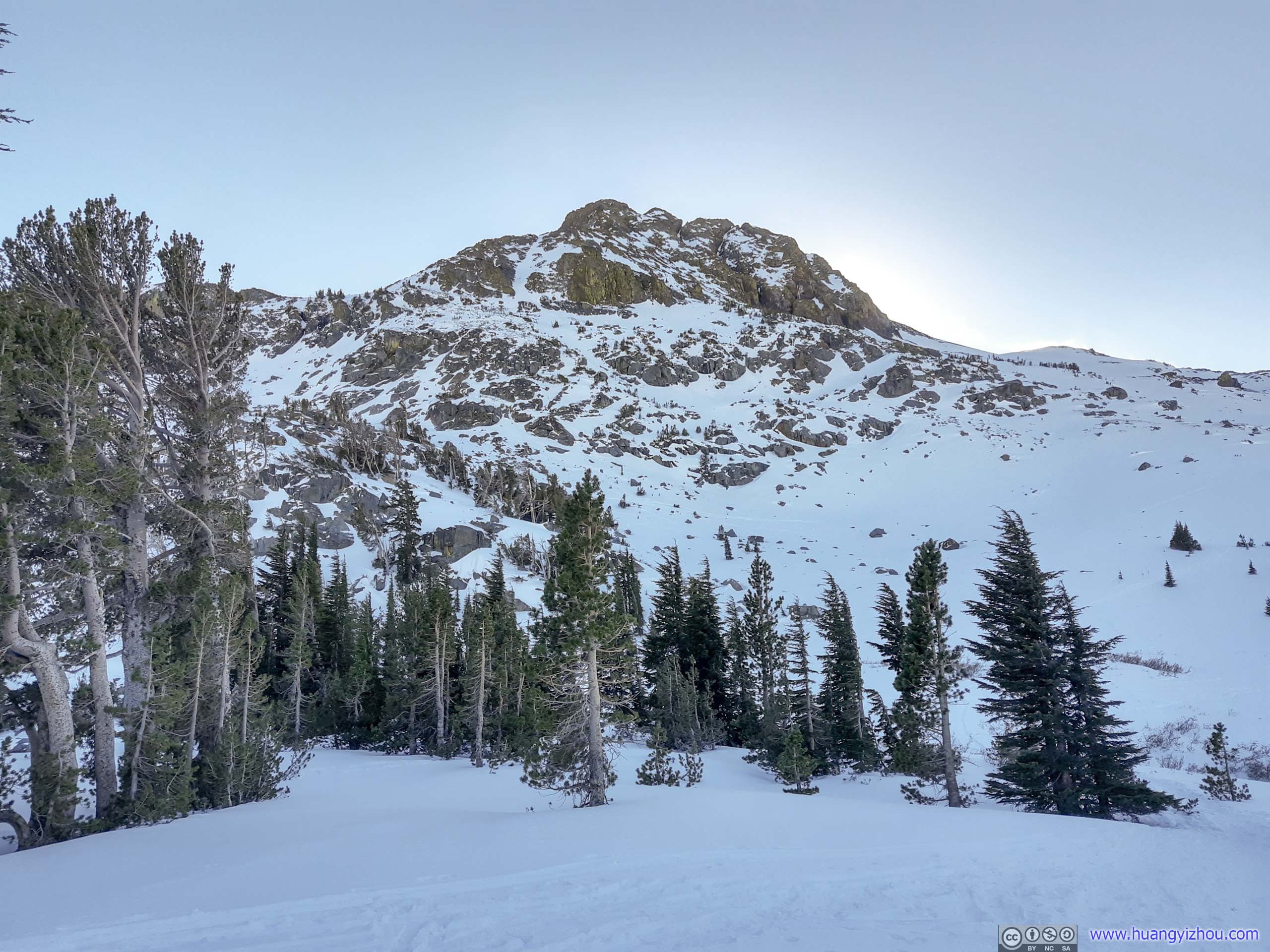
About an hour after I started, I was out of the woods in an open field, where Roundtop Peak as my destination made its soaring presence ahead.
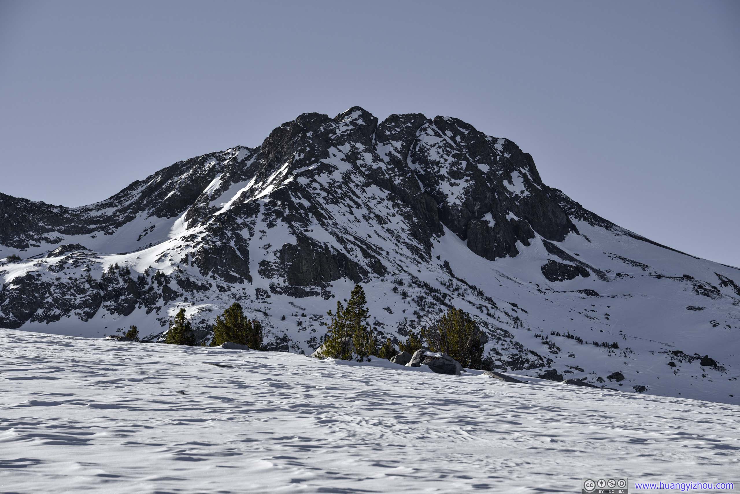
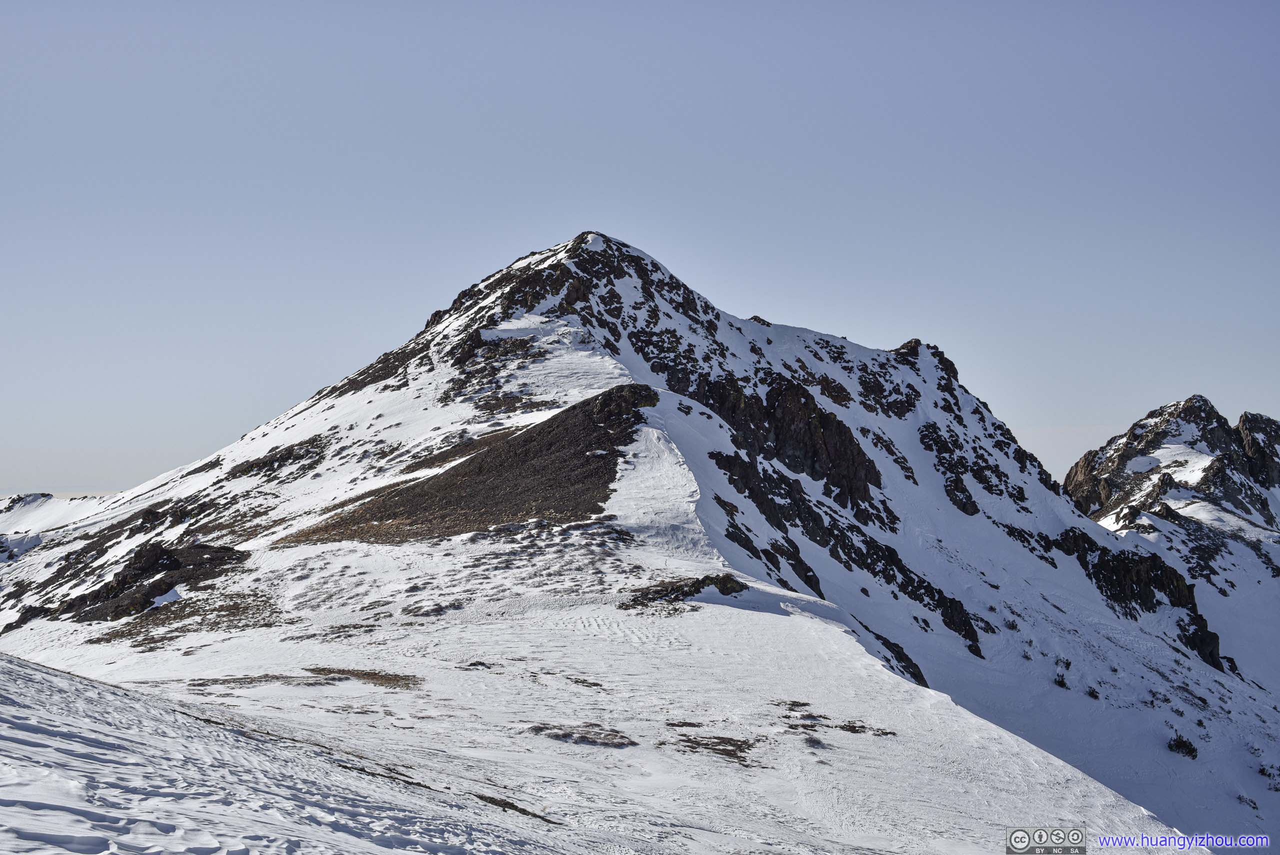
Roundtop
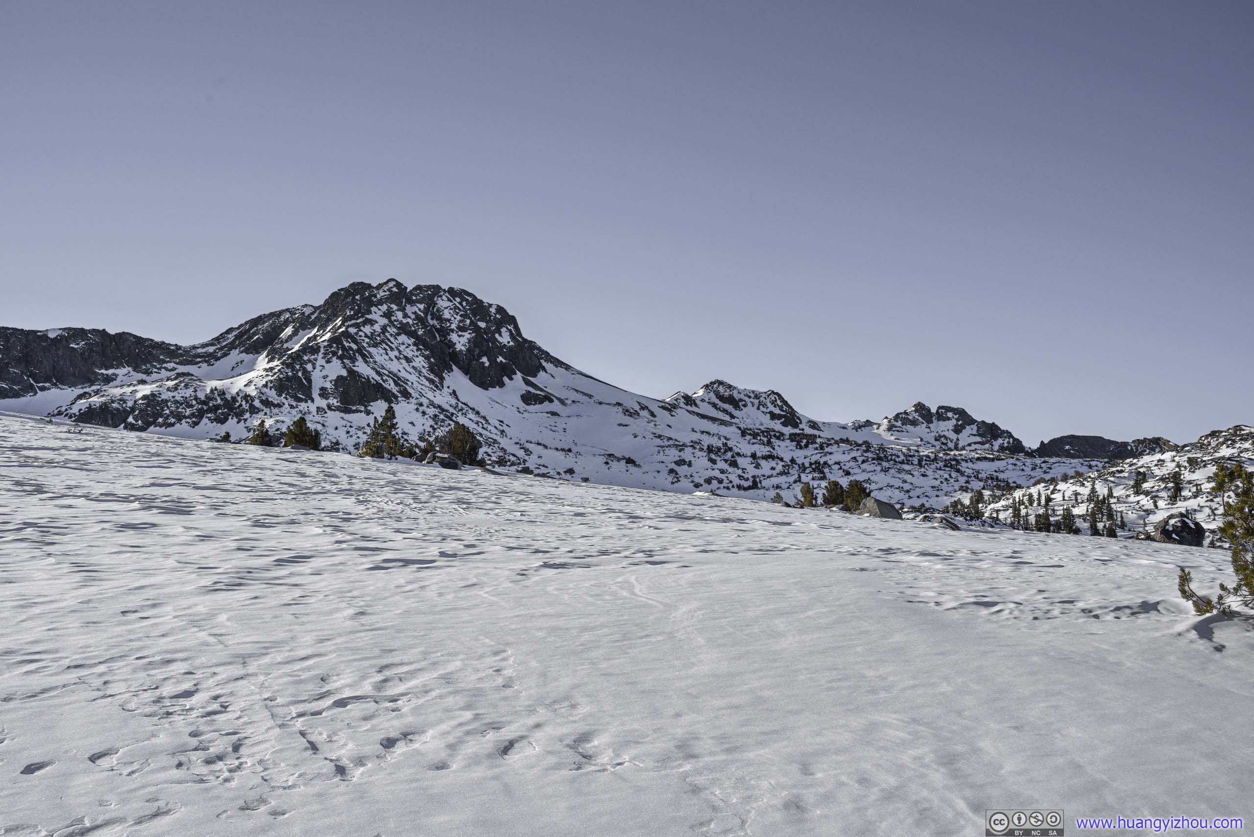
Roundtop and Three Sisters
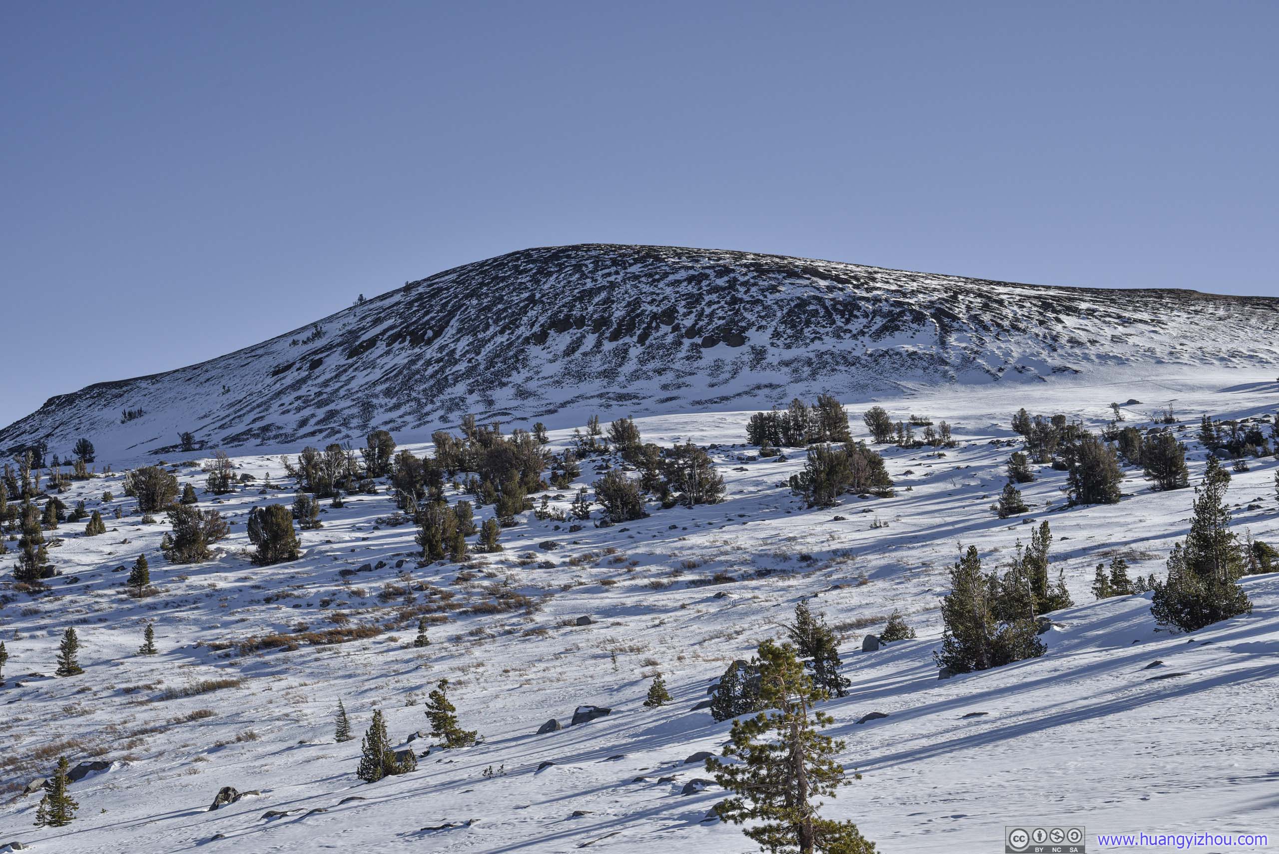
 Elephants Back
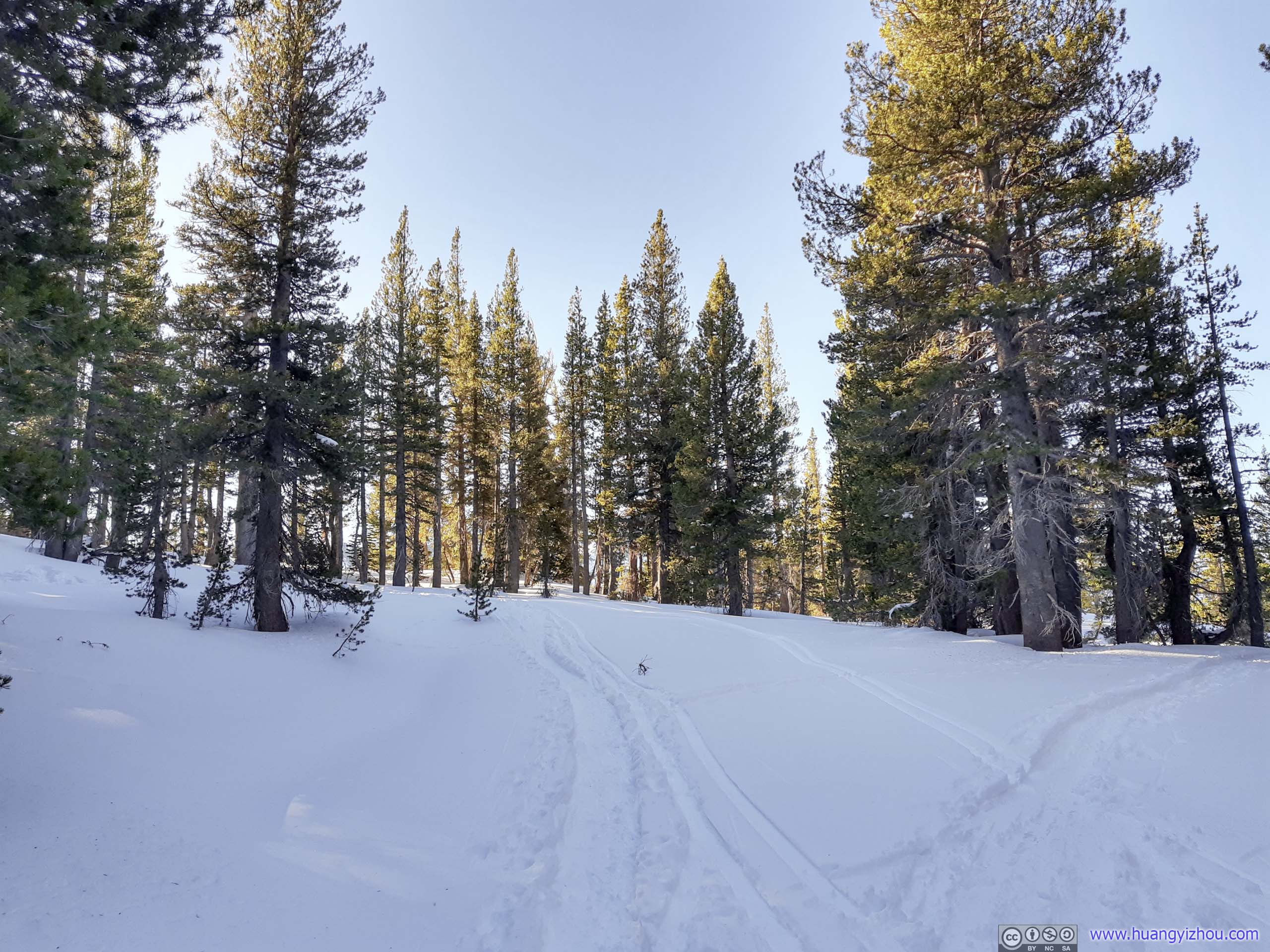
 Trail
Trail
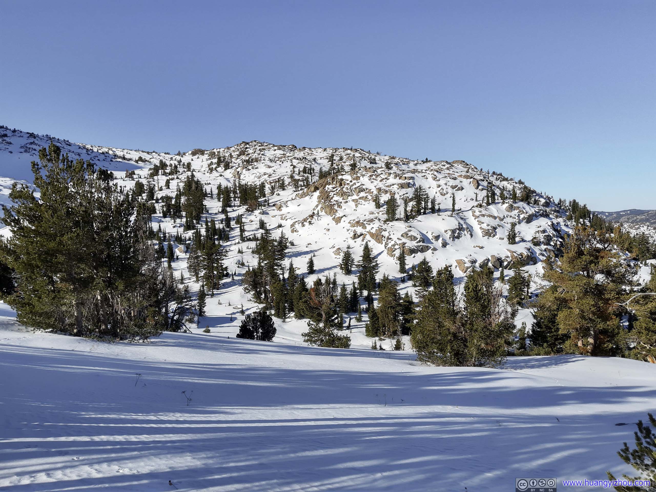
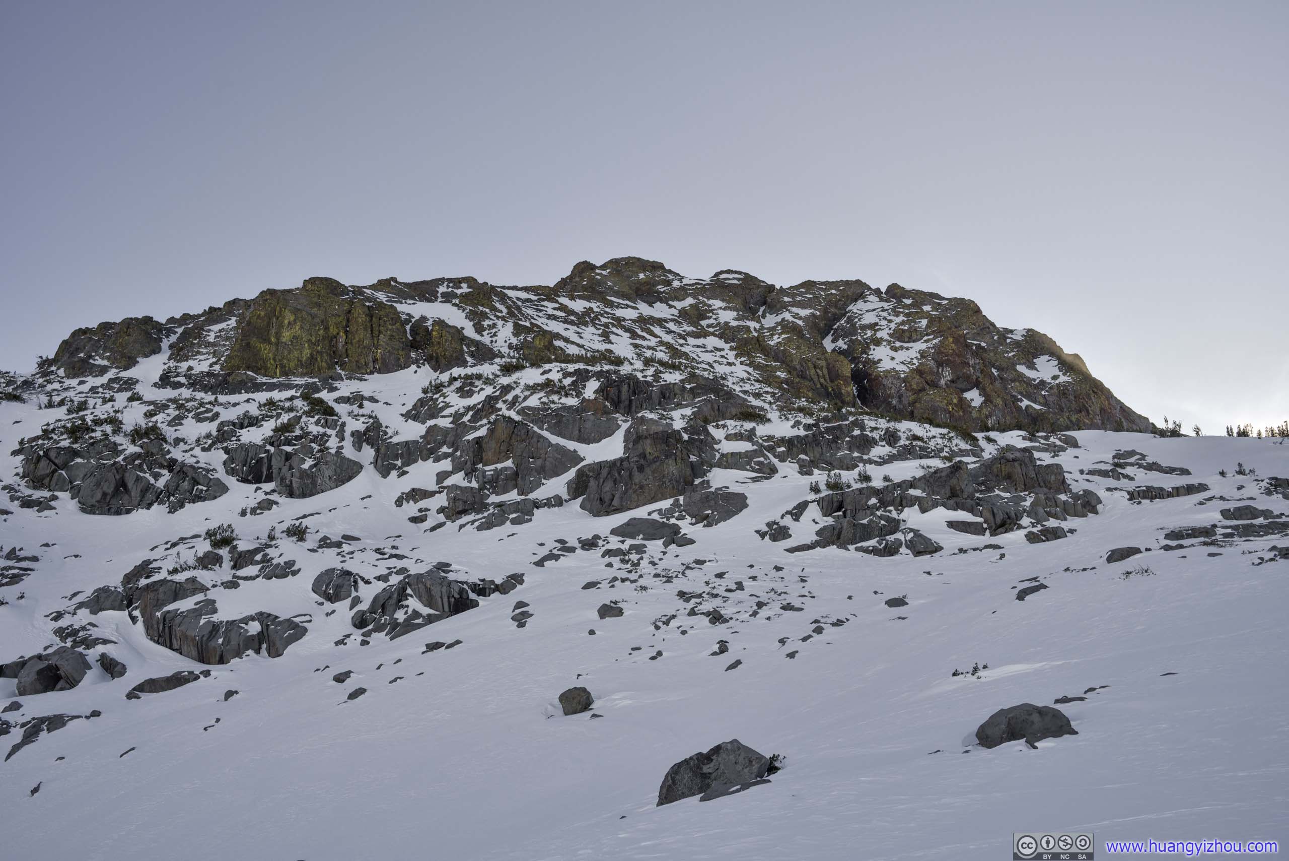
 Rocks
Rocks
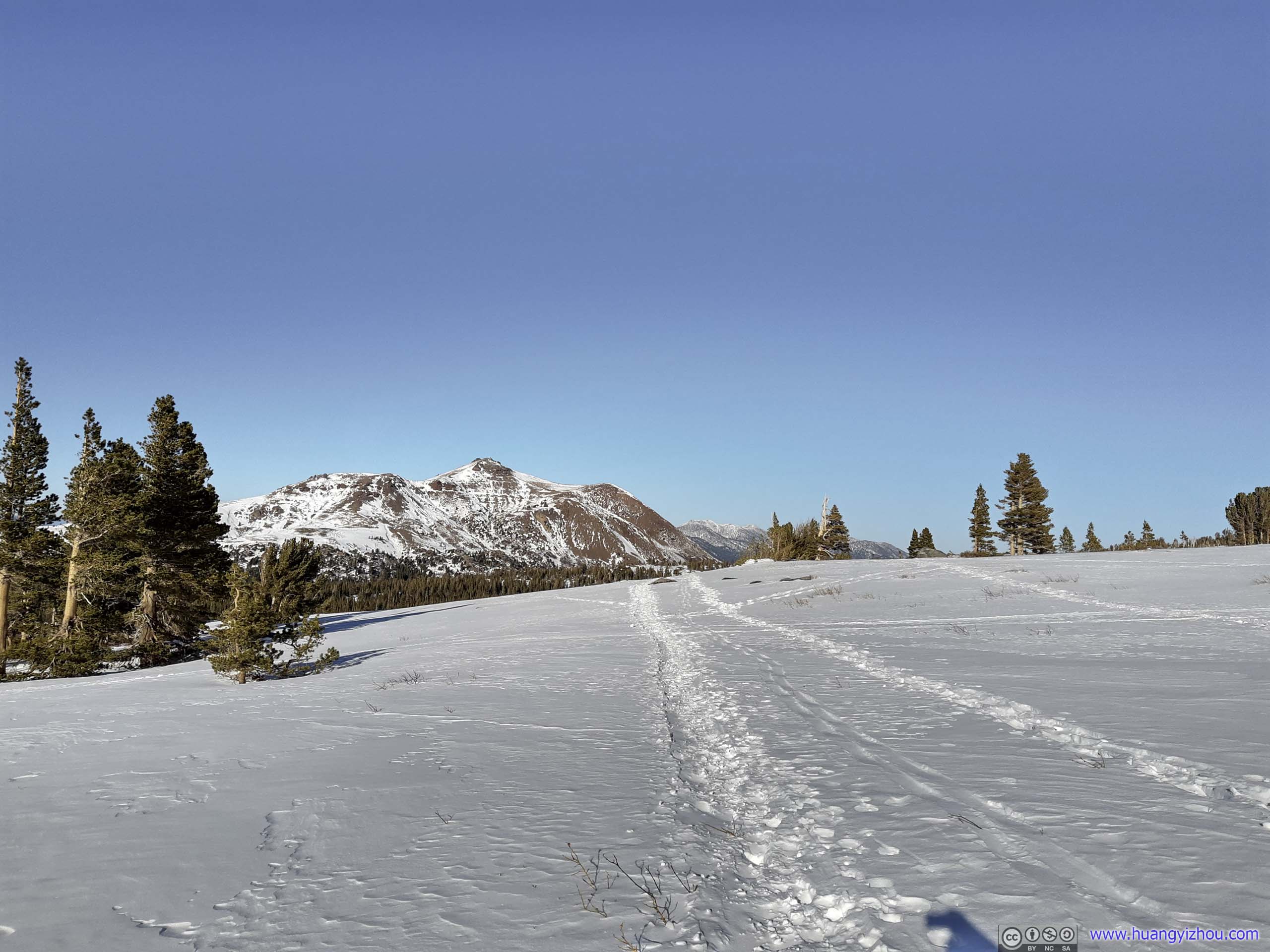
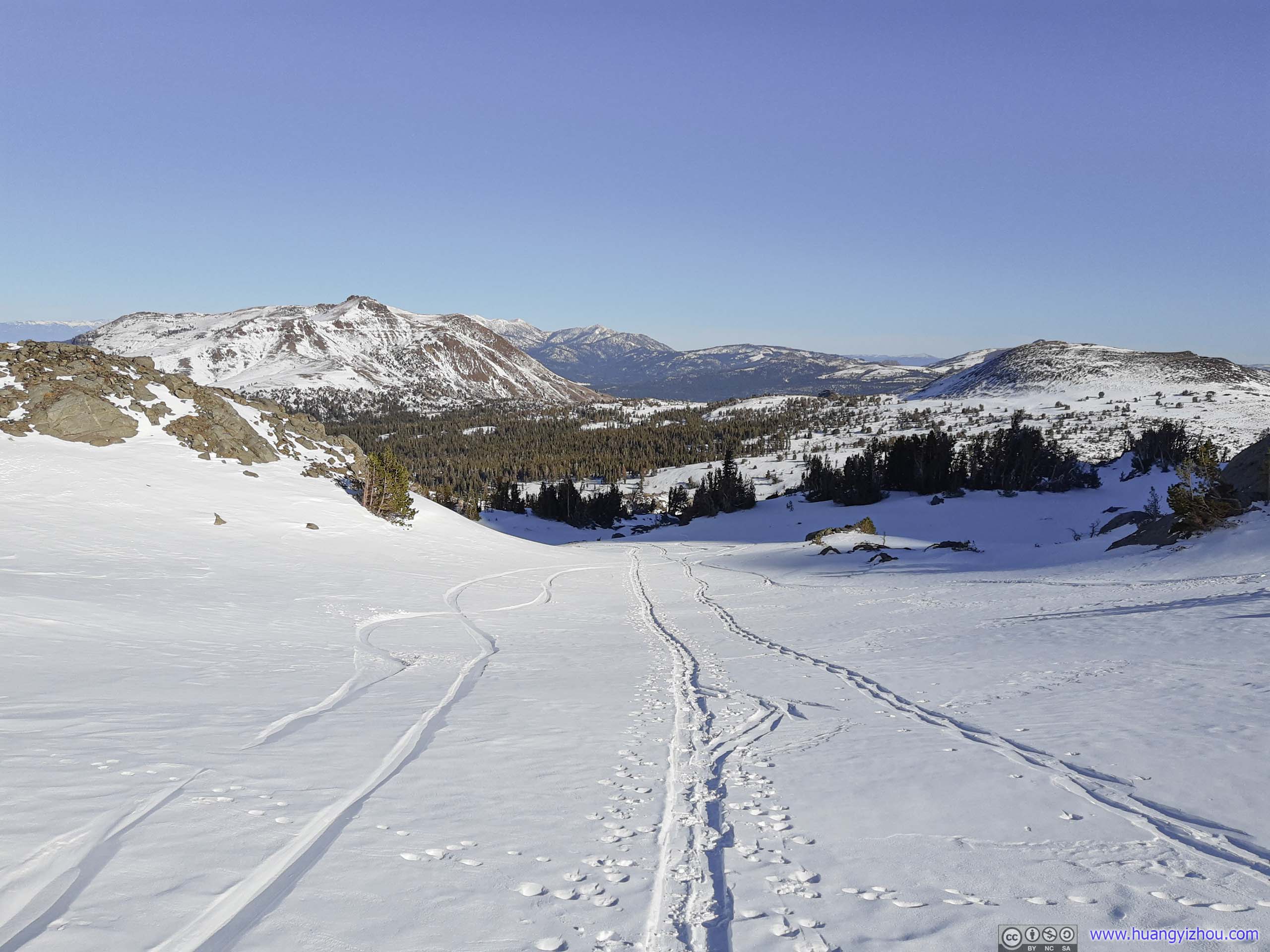
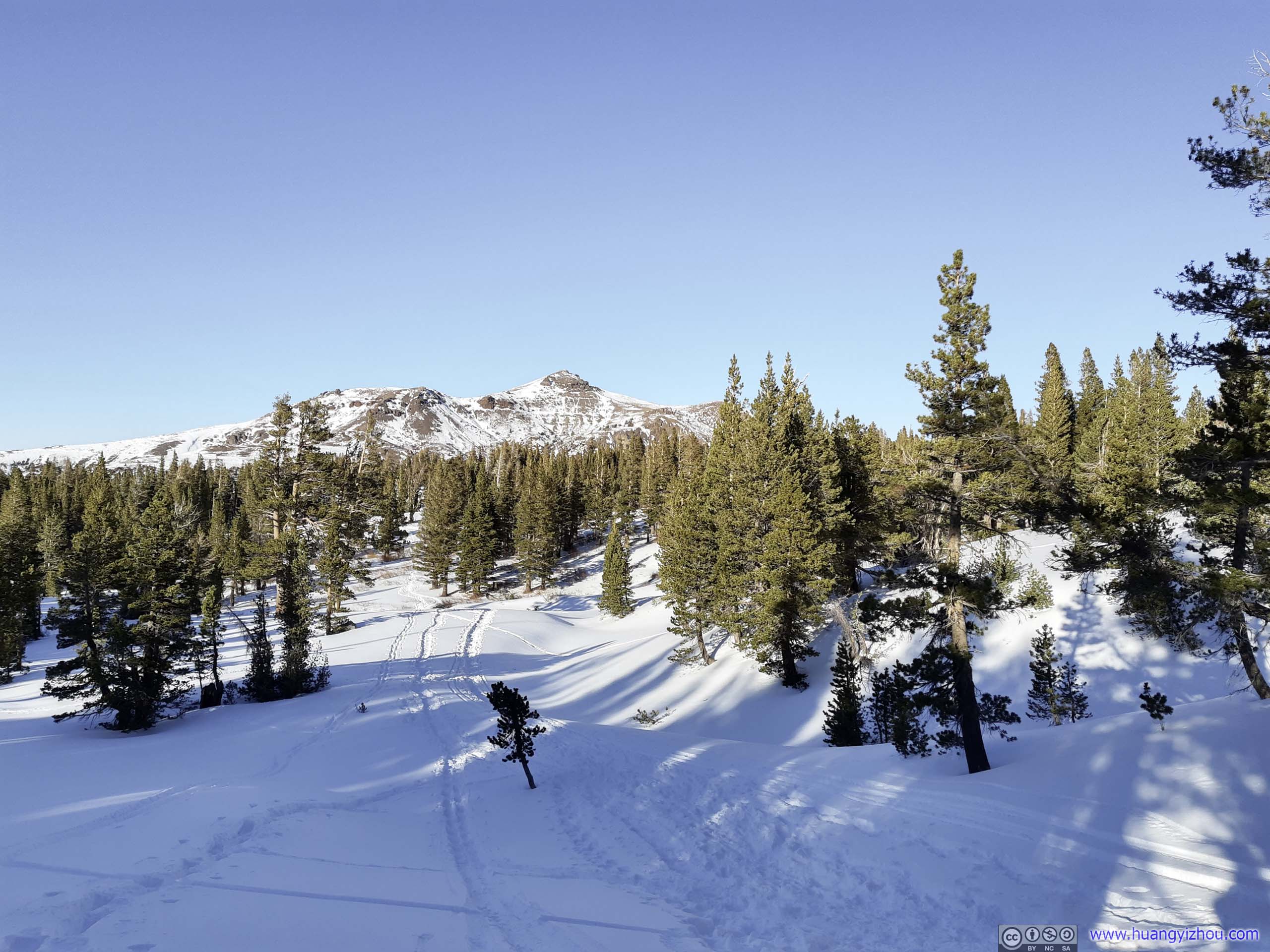
With quite some rests along the way, I passed Winnemucca 2 hours after I started. The winter track was about 40 meters from the shores of the lake (by map). With most of the elevation gain still ahead, I decided to press forward.
 Trail
Trail
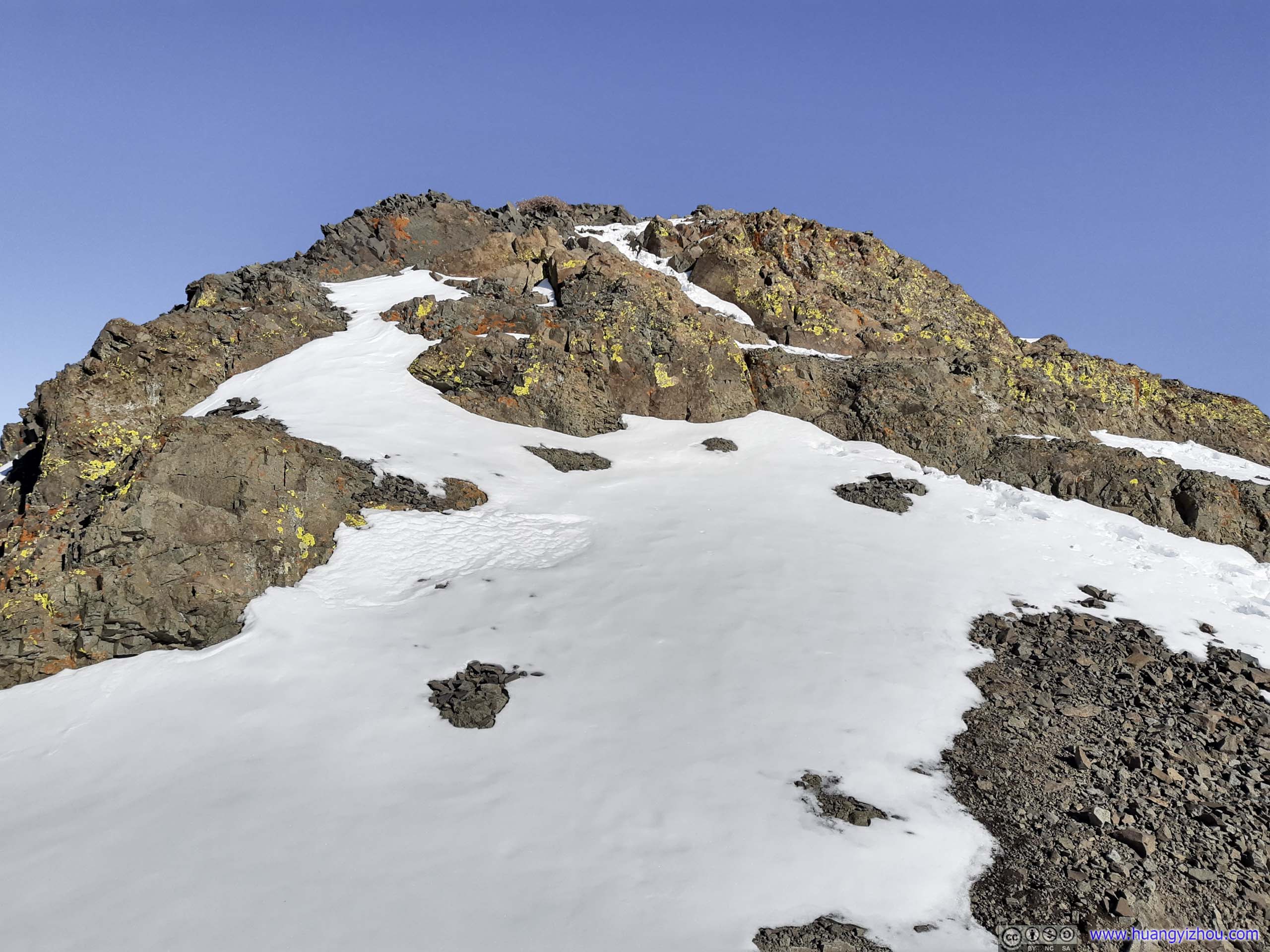
In summer, the trail to Roundtop Peak reached Roundtop Lake first before making a sharp left turn. In winter with all the fields covered in white, I followed some tracks and took a more directed (and thus stepper) route.
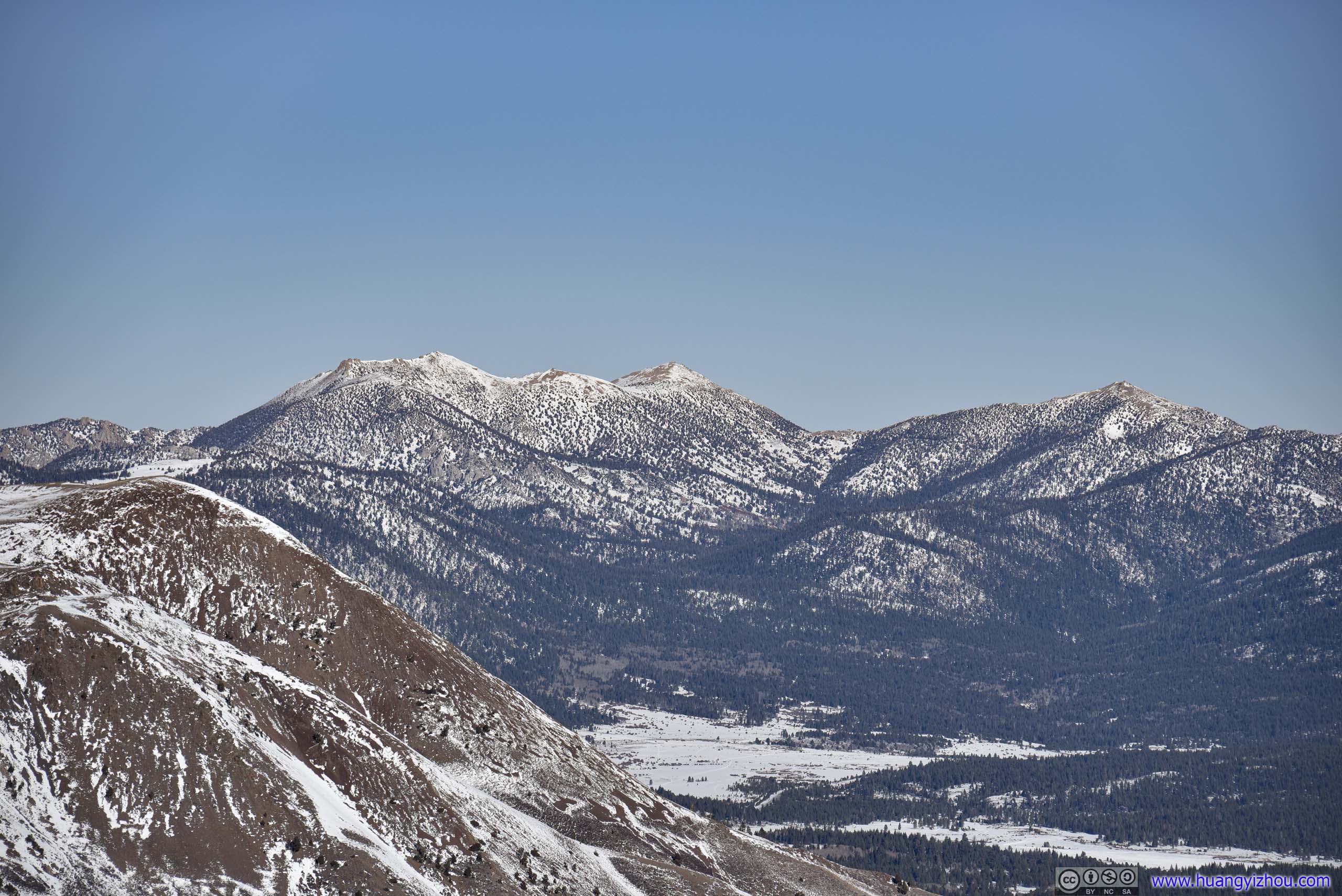
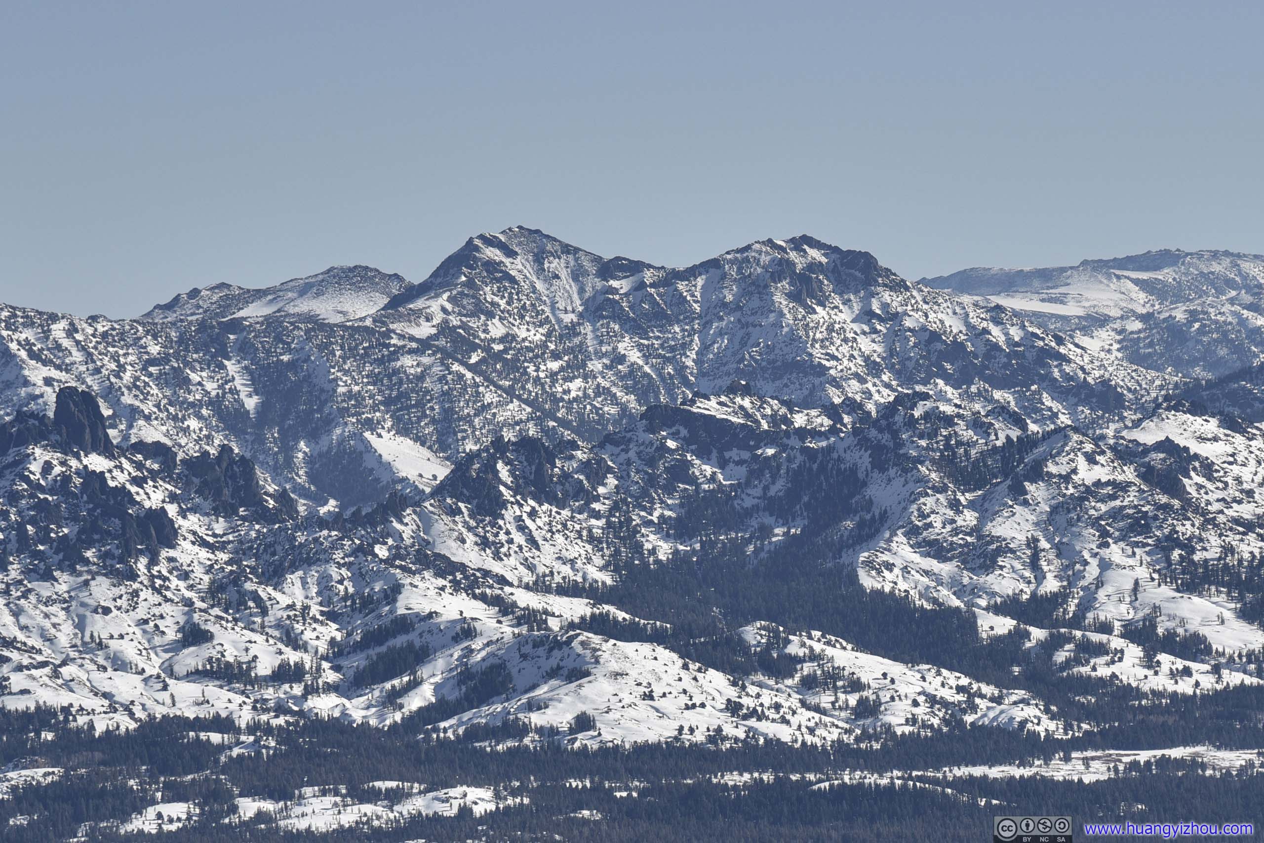
Mountains to the NortheastFrom left to right: Freel Peak, Jobs Sister and Jobs Peak.
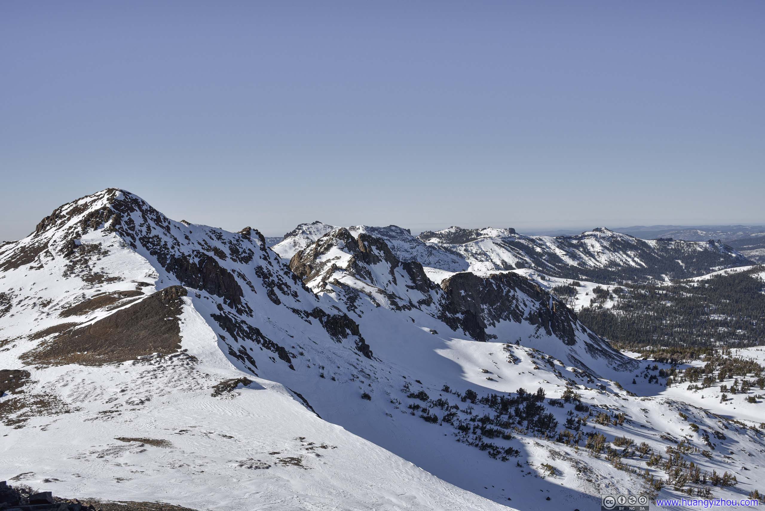
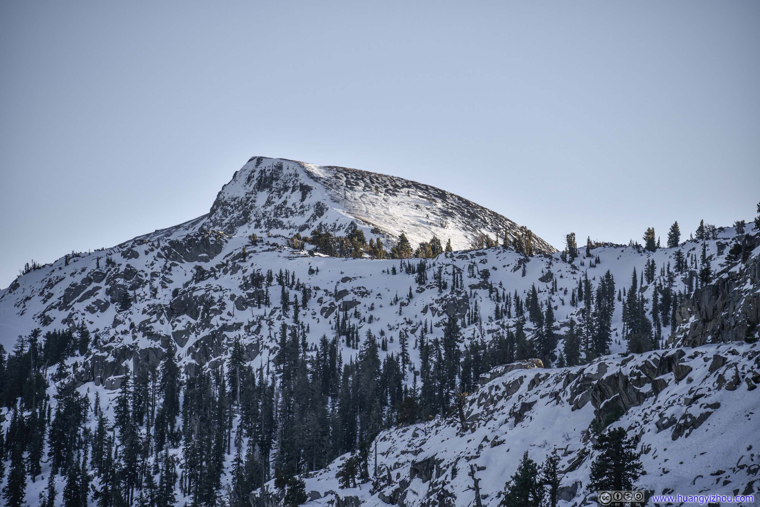
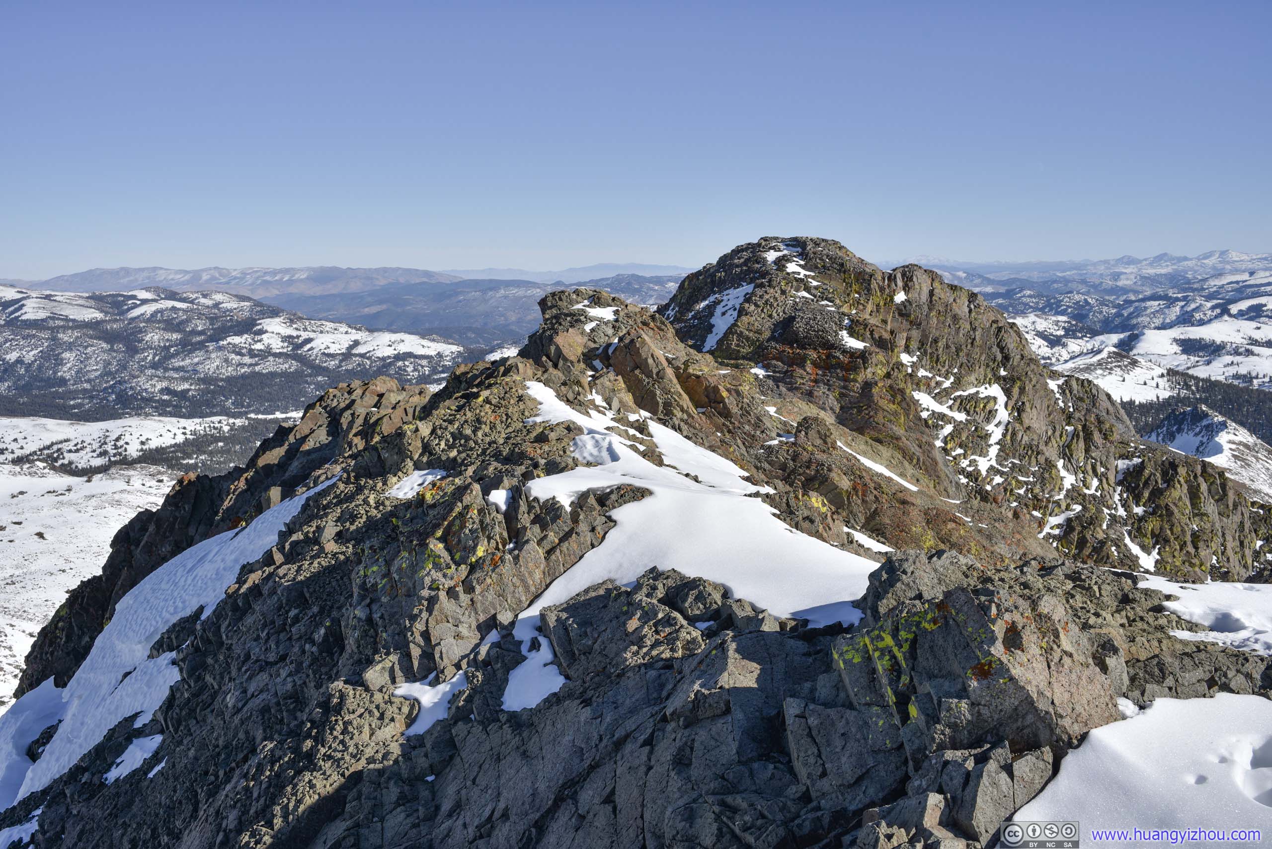
 Three Sisters
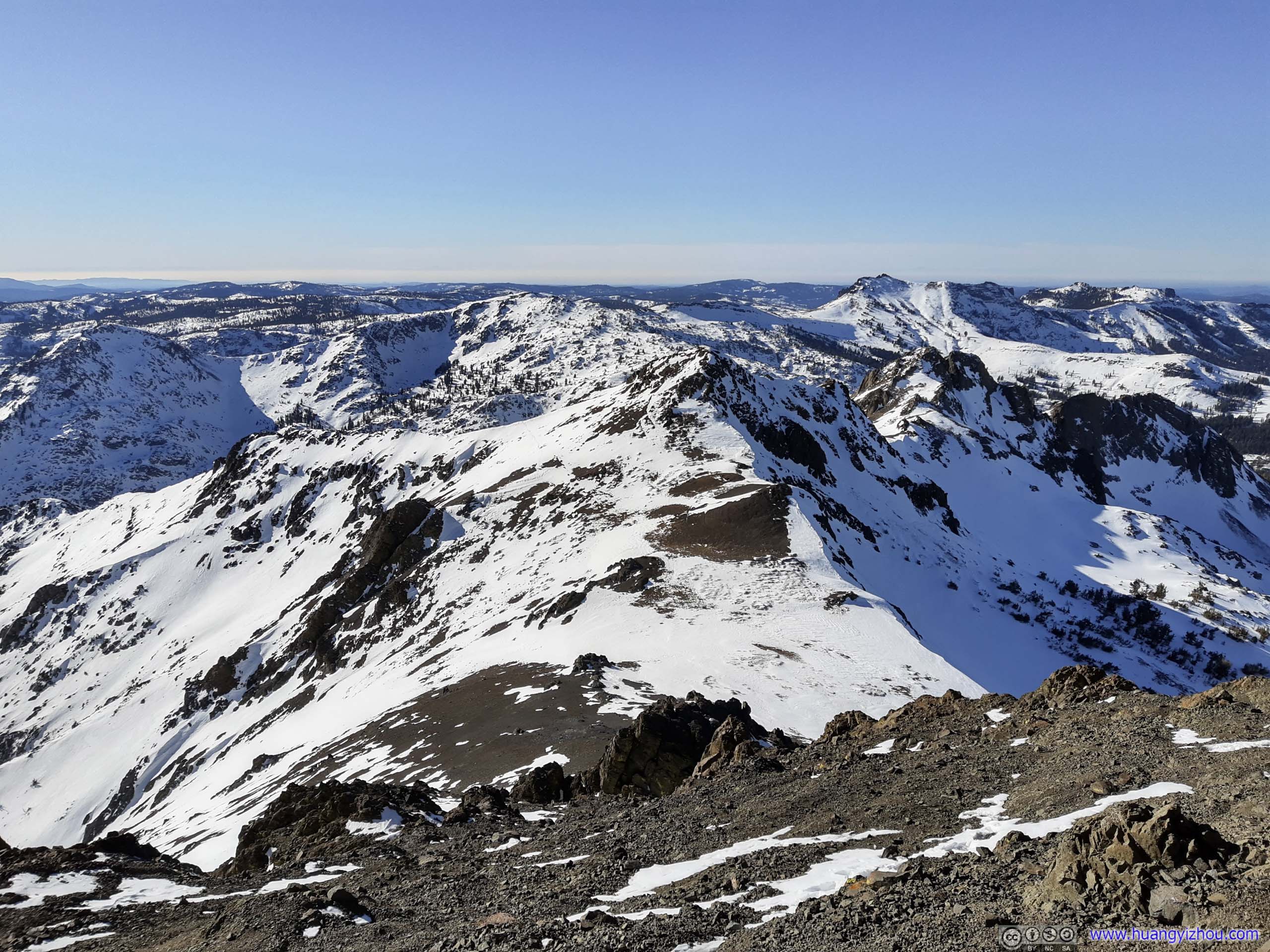
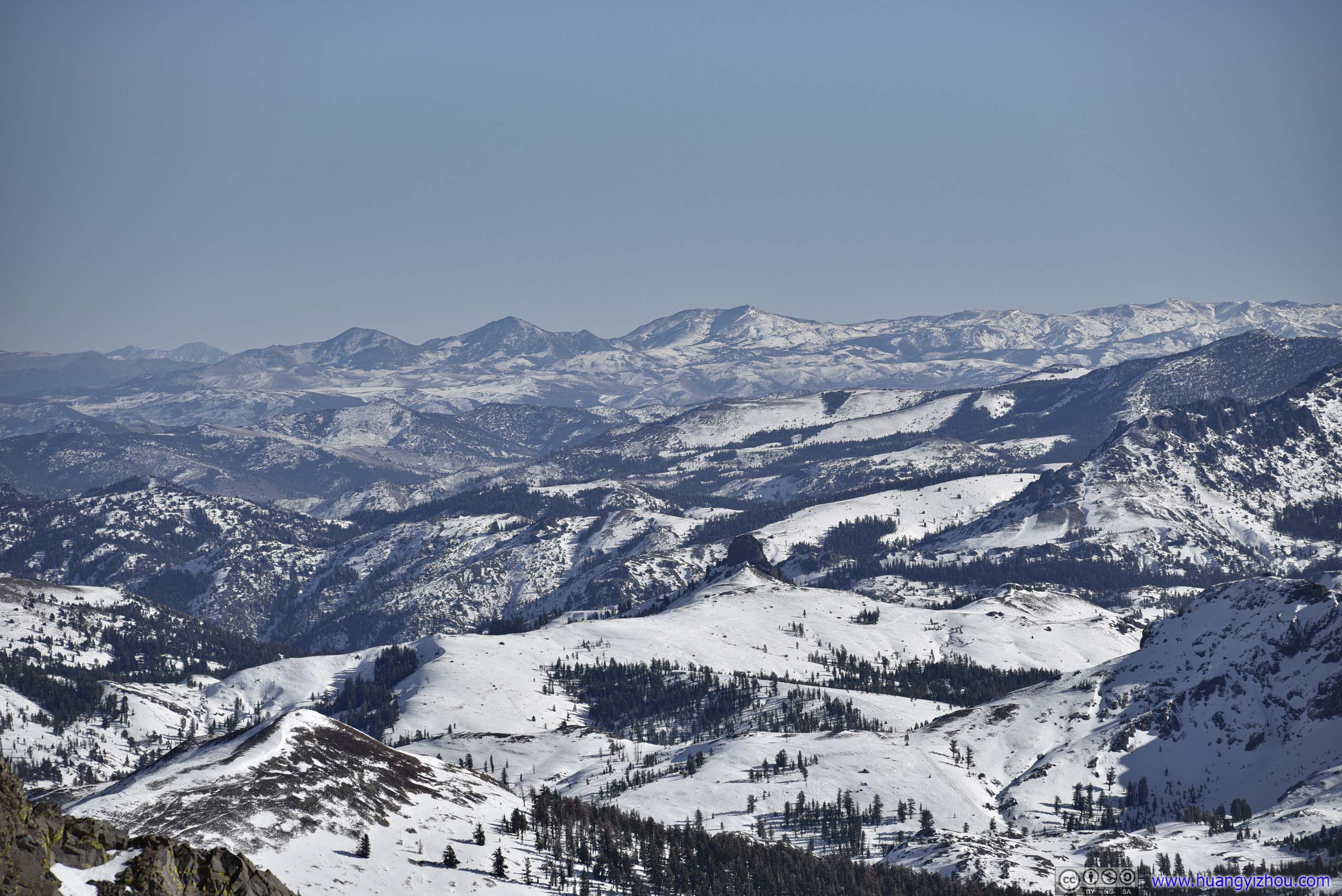
To the west of Roundtop Peak there were “Three Sisters”, a series of mountains slightly lower in elevation. A valley/gully runs from the saddle point between Three Sisters and Roundtop Peak, down to Roundtop Lake, climbing on top of which took some really steep ascent that could be difficult in the snow.
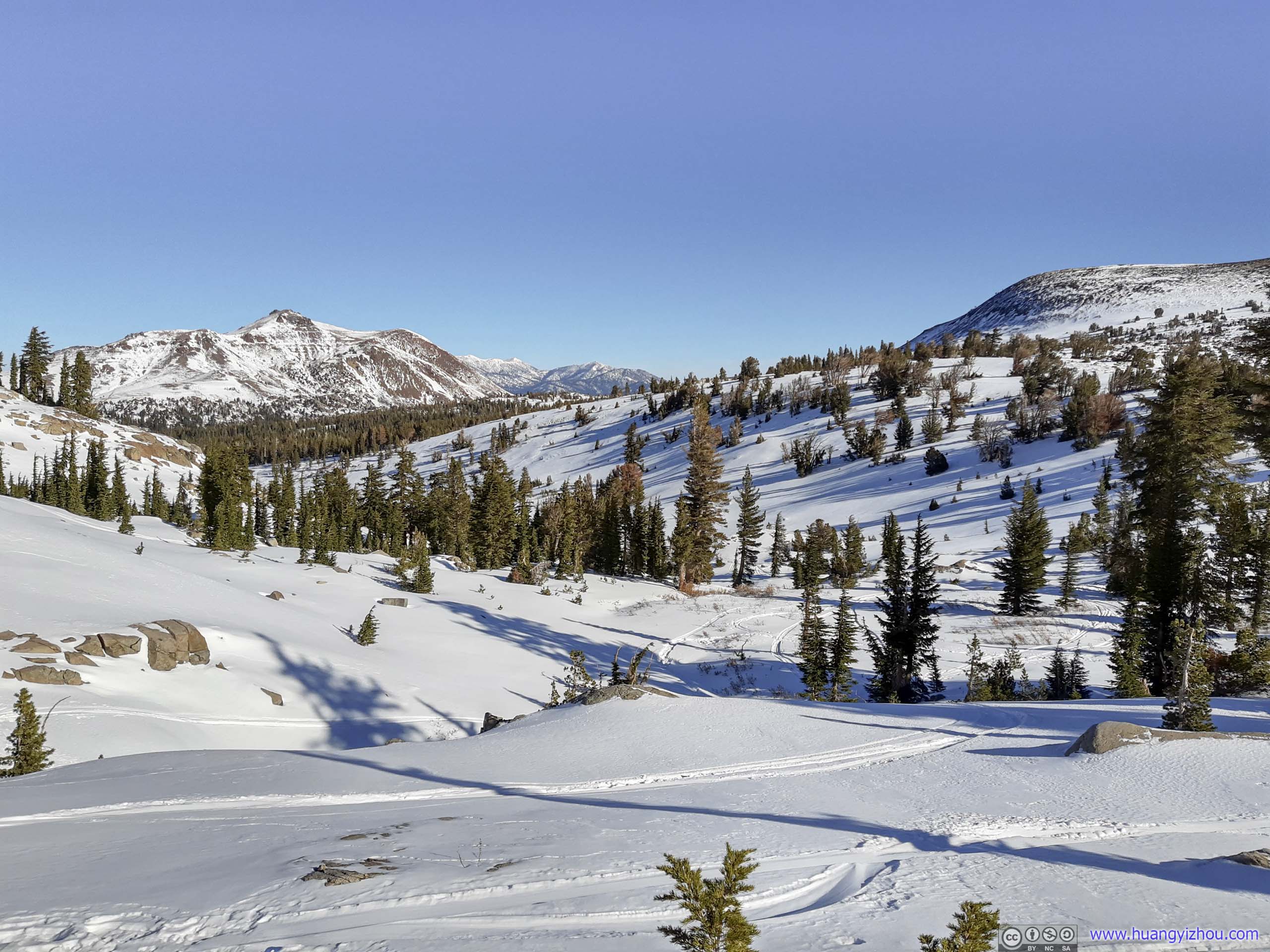
 Fields
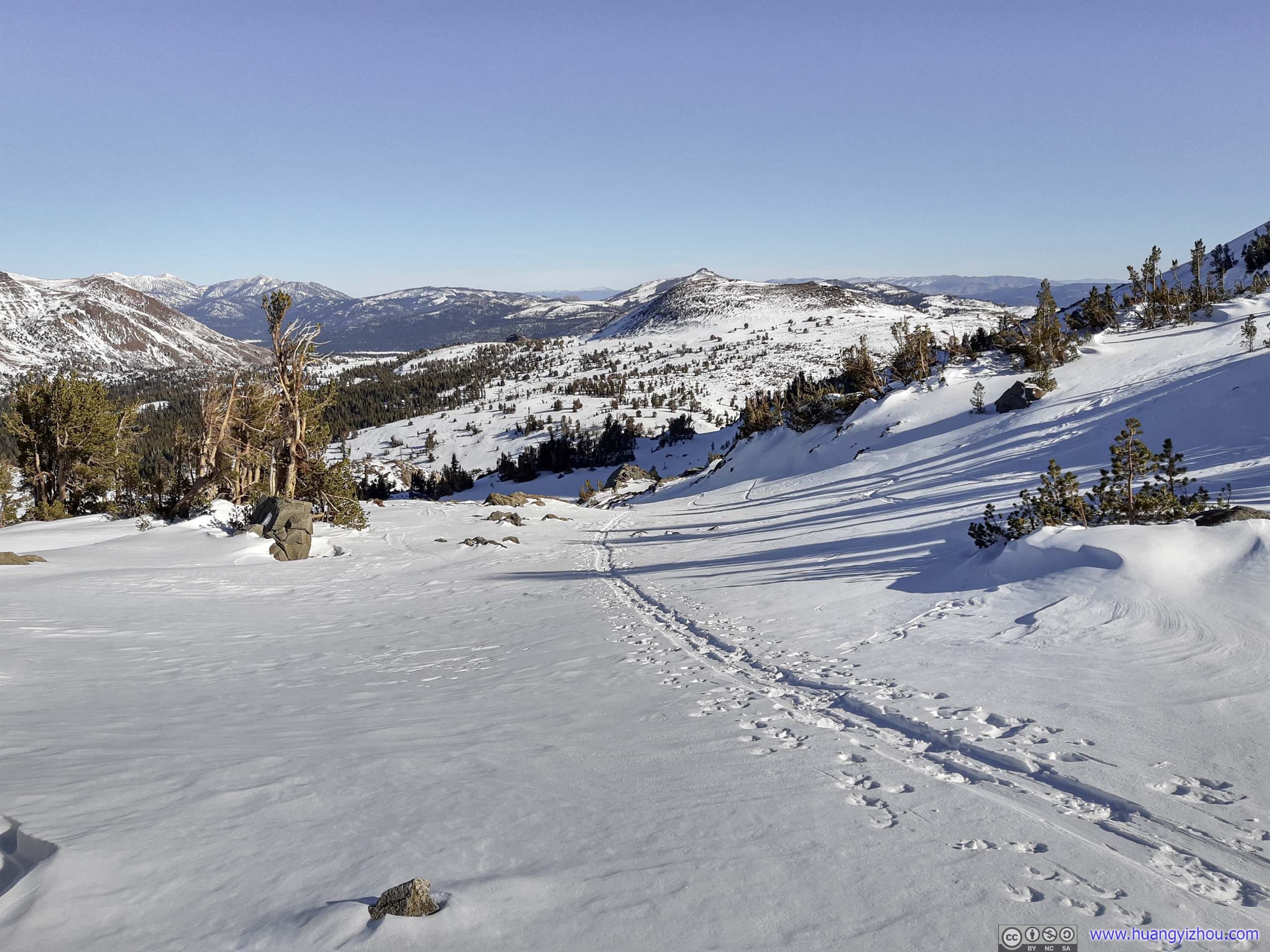
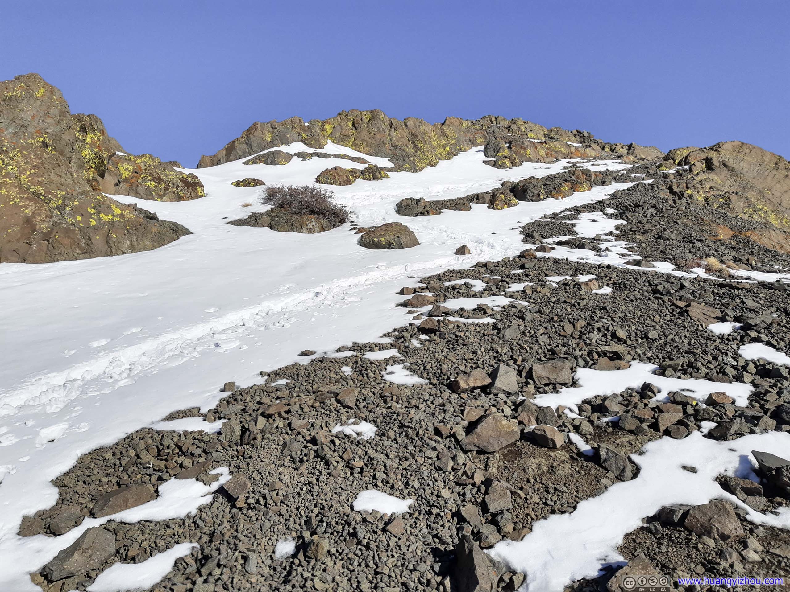
Approaching the saddle point between Roundtop and Three Sisters, I turned left and continued towards summit.
WrinklesI began to feel the howling wind from South that had been blocked for most of the trip by the mountain I planned to summit. The avatar photo at the beginning and these harden wrinkles on the snow could attest to that.
 Trail up Roundtop
It’s approaching noon and I began to feel hungry. So I found a spot as sheltered from the brutal wind as possible, and finished a quick lunch before my fingers were frozen. With about 200m to the summit, I took off my snowshoes as snow faded away above 3050-3100m elevation.

Roundtop
Mountains to the NorthTaken from my lunch point.

Fields
After that, I continued the final leg to the summit.
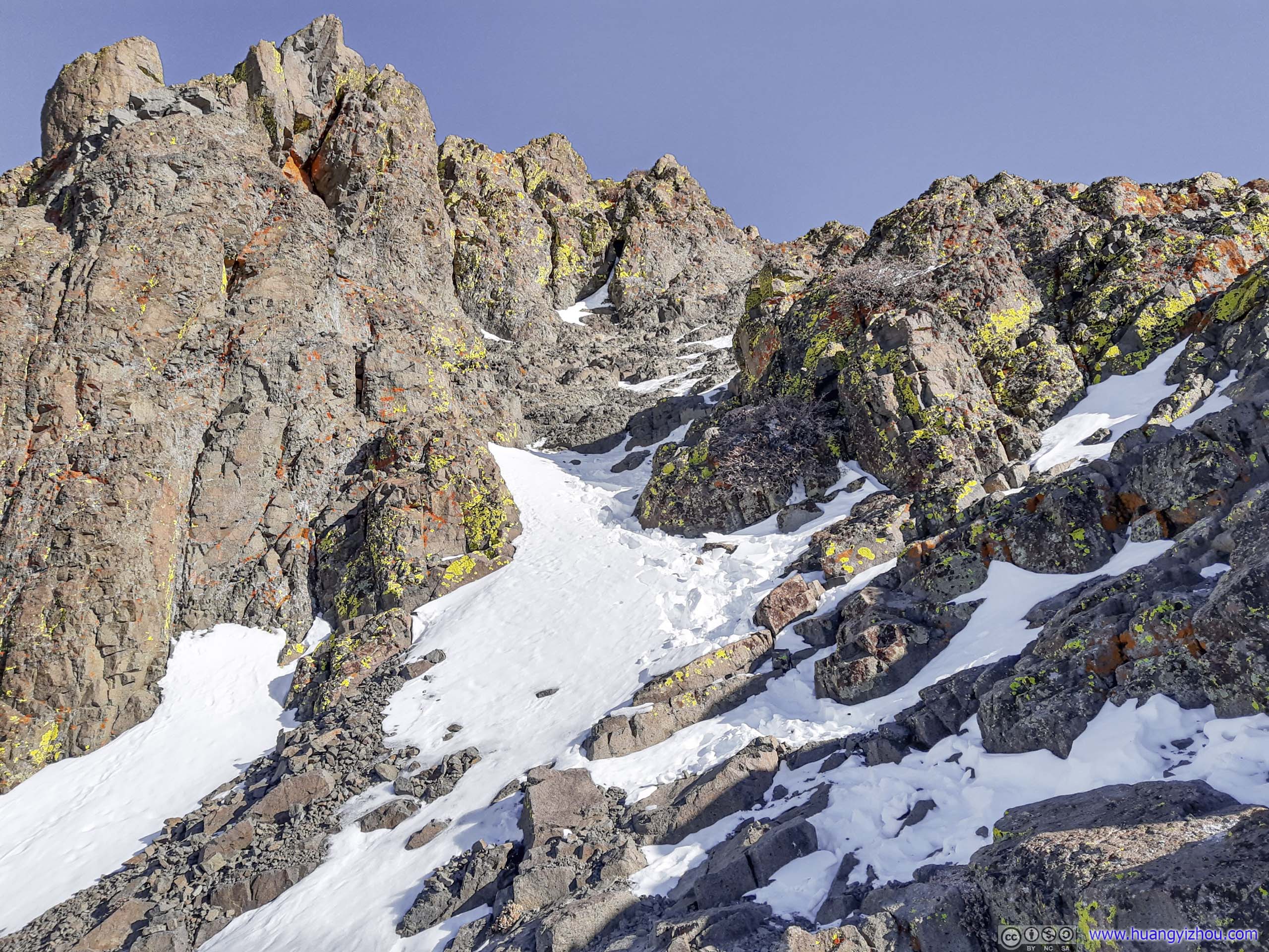 Trail up Roundtop
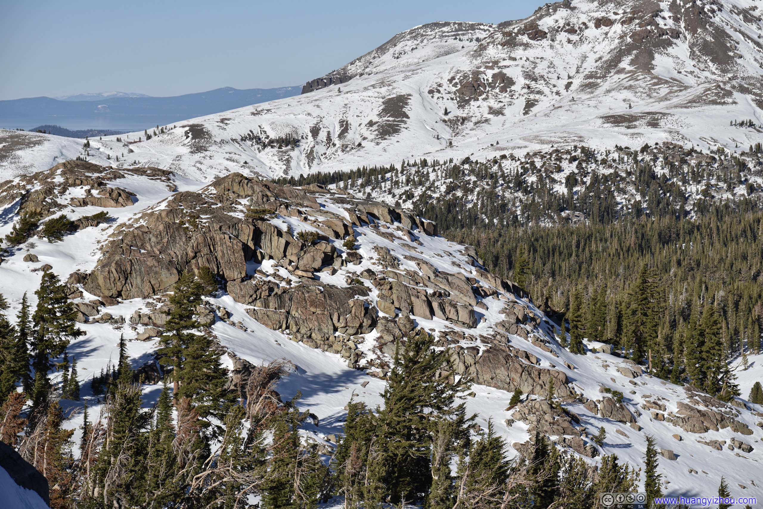
 Valley and Mountains
Summit
Finally, at about 12:15, I reached the top of the mountain.
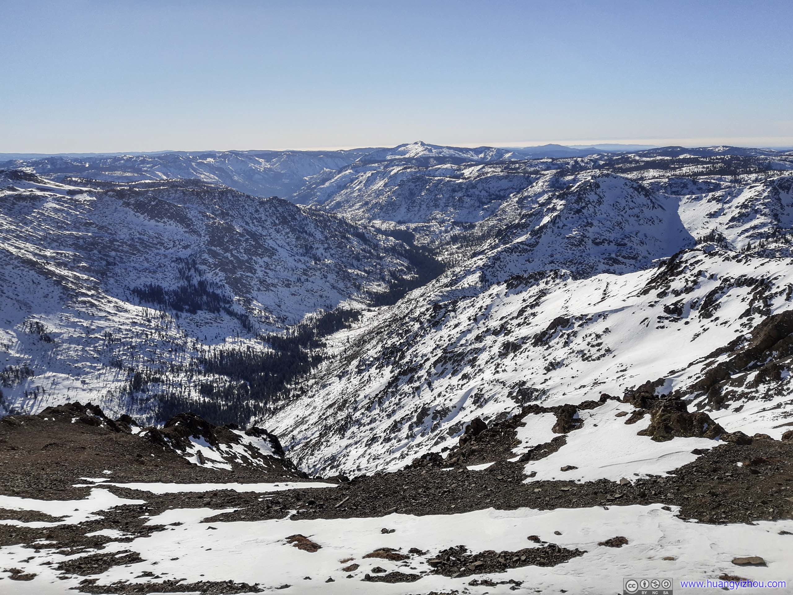
To the south, Sierra Nevada mountains covered in snow extended as far as the eye can see. It’s a humbling feeling to watch these pristine mountains ranges, untainted by civilization. The brutal gale coming at my face was a reminder of nature’s raw power.
Valley and MountainsHighland Peak (3342m) in the distance.
Valley and MountainsDeadwood Peak (2987m)
Valley and MountainsMokelumne Peak (2845m) in the background.
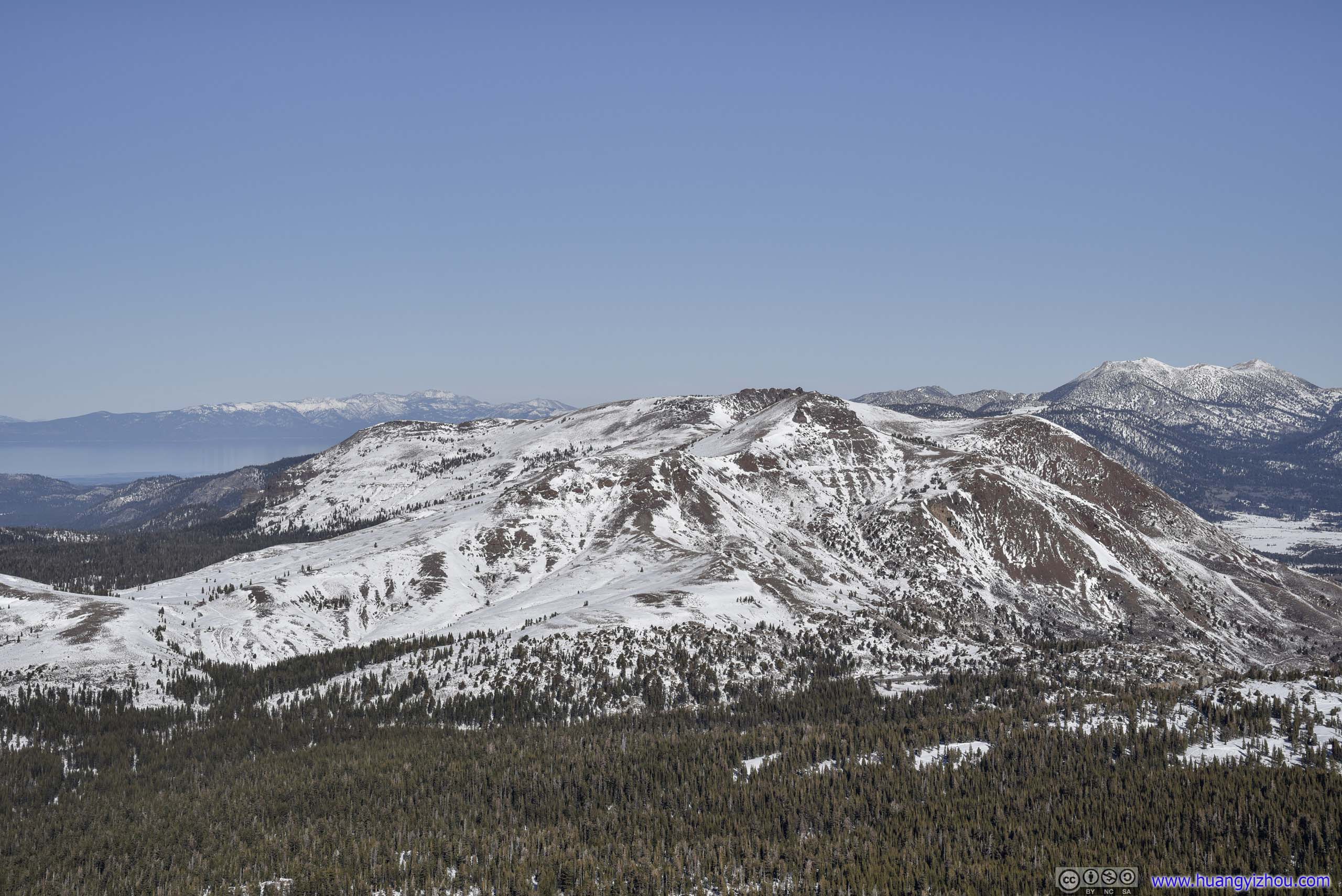
And to the north, Lake Tahoe emerged from the gap of mountains in the distance.

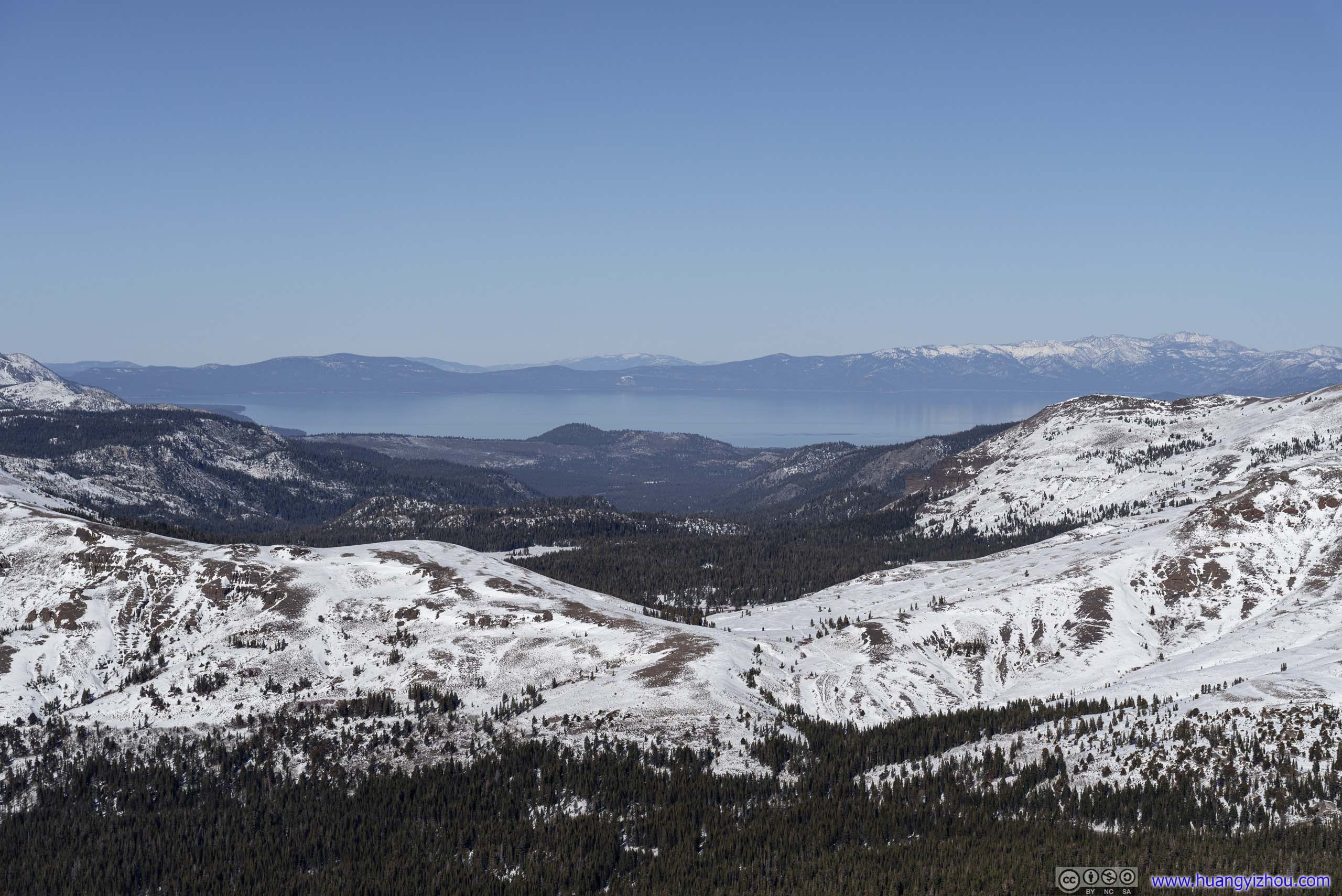 Distant Lake Tahoe

View from Roundtop
In line with my tradition, I commemorated the moment with a drone video.
2x playback speed, 17 seconds, 2160p60fps, 17Mbps/36MB for H265, 20Mbps/43MB for H264.
Unfortunately, only after I got home did I realized that I stopped about 100m short of the official summit.
Roundtop Summit
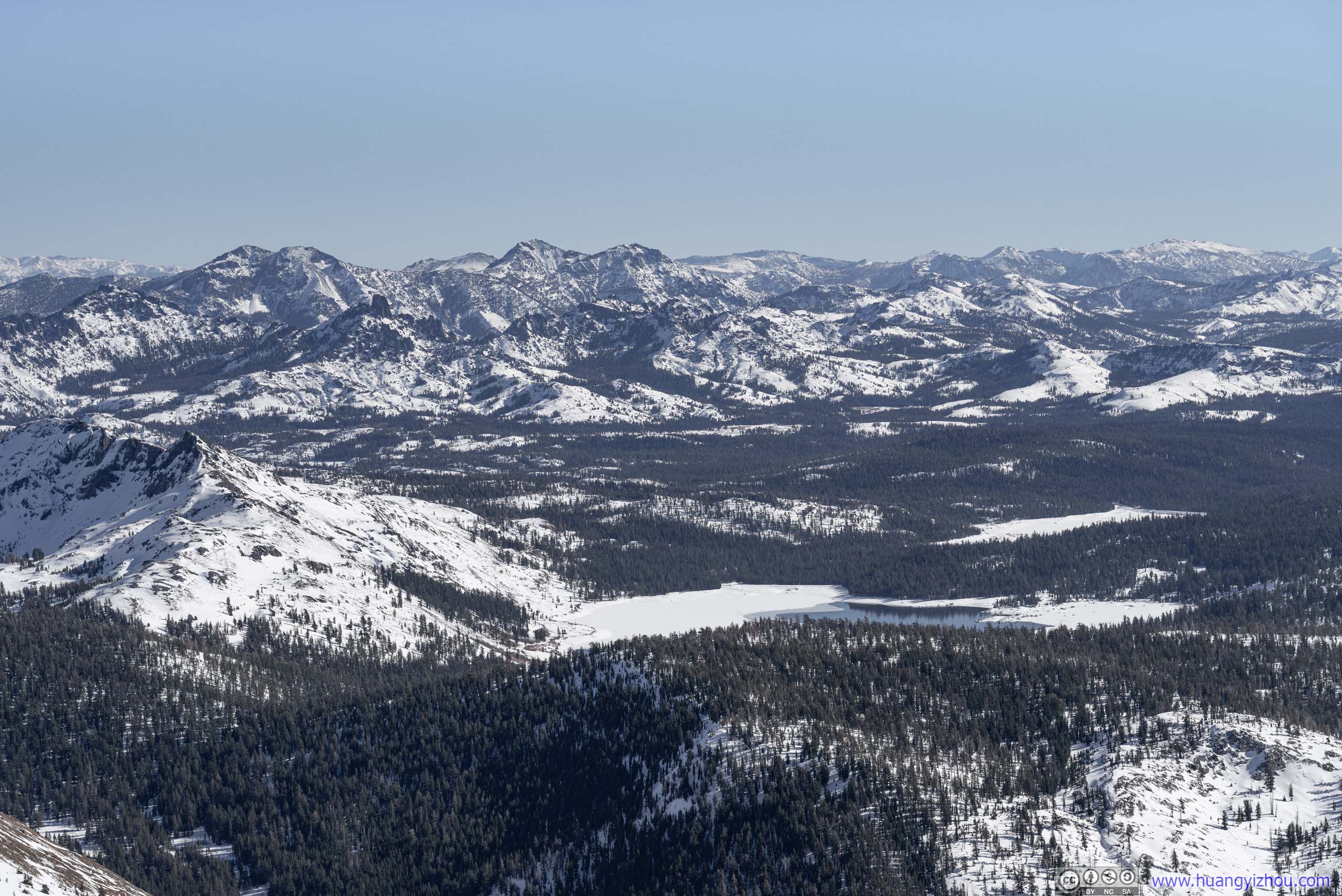
 Caples Lake and Upper Blue LakeTwo lakes in sight that were yet to be covered by snow/ice.
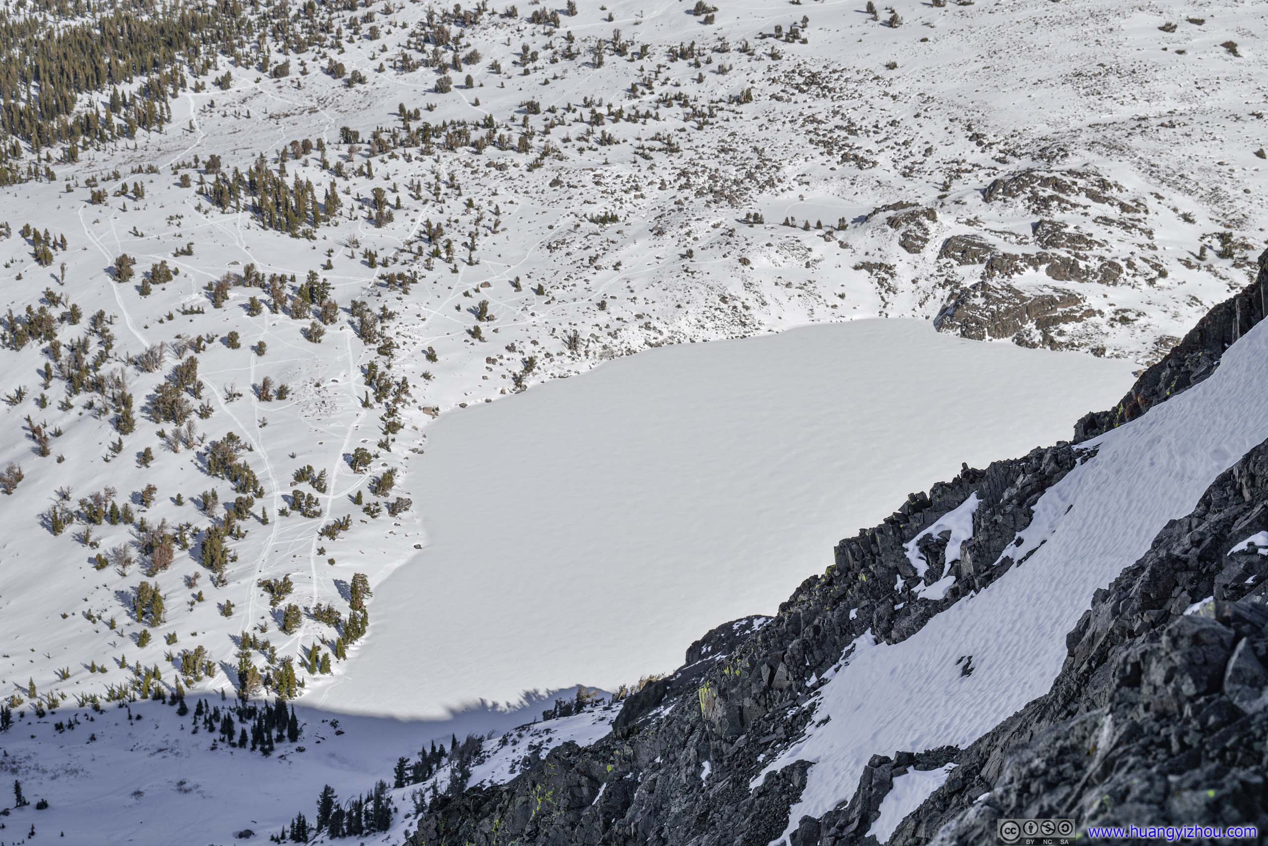
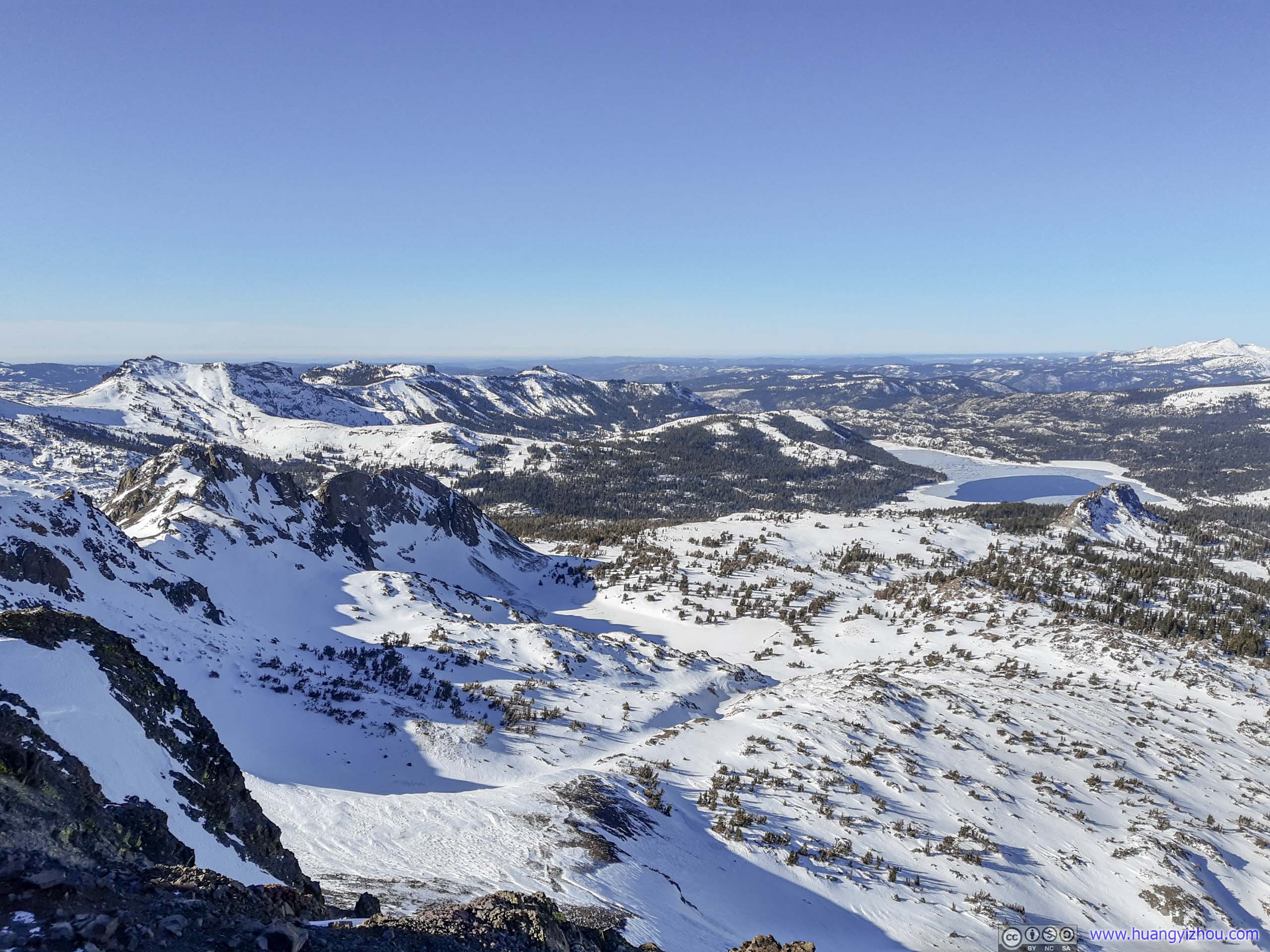
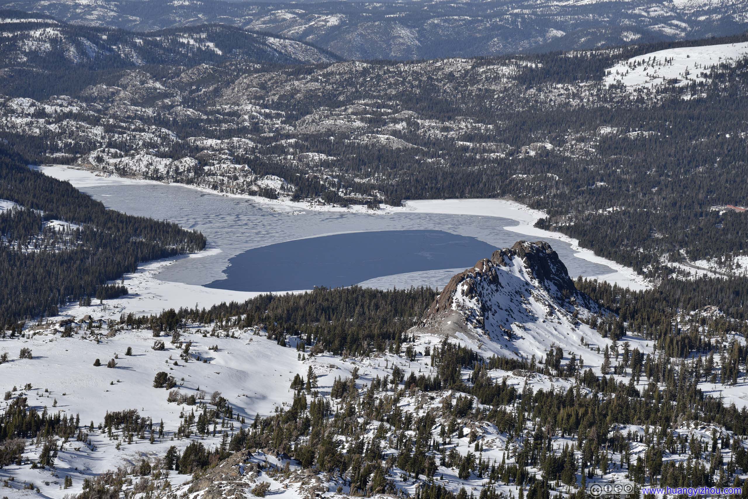
Overlooking Winnemucca LakeA lake right below Roundtop Peak to the north. In winter it’s covered in snow/ice.
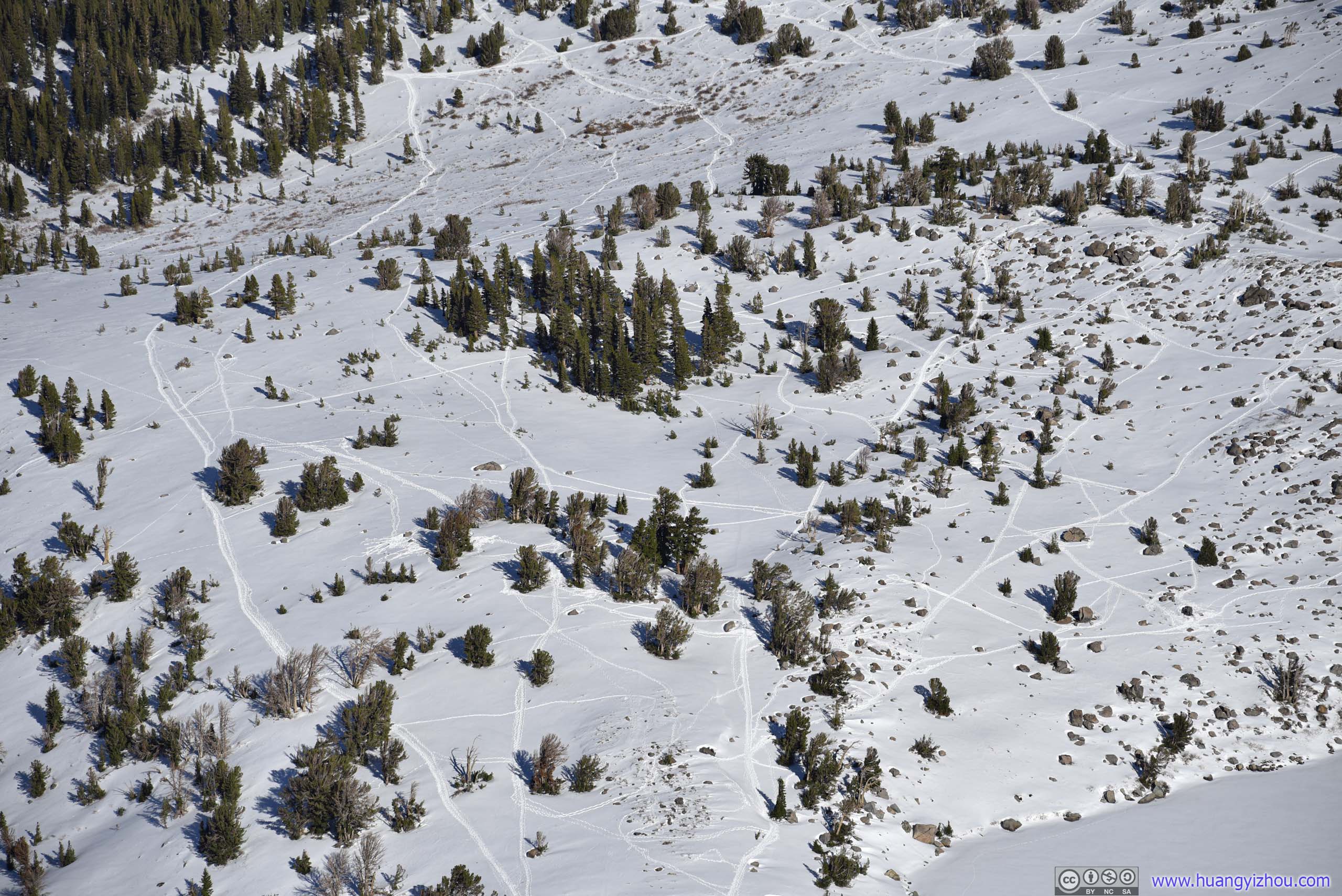
Tracks in SnowIn open fields like this there weren’t any trails to follow in winter.
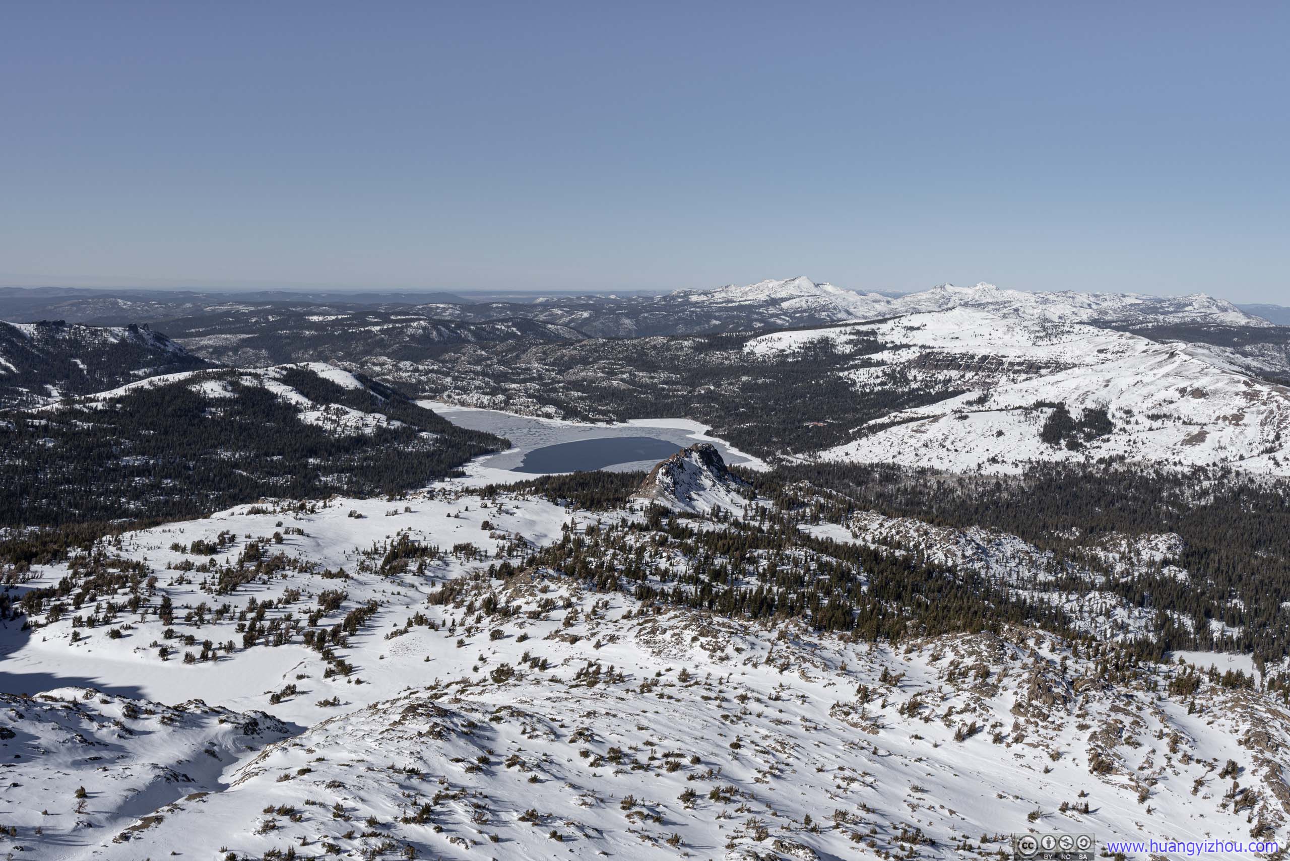
FieldsCaples Lake and mountains in Desolation Wilderness in the background.

FieldsHope Valley and distant Freel Peak (3305m), the highest peak around Lake Tahoe.
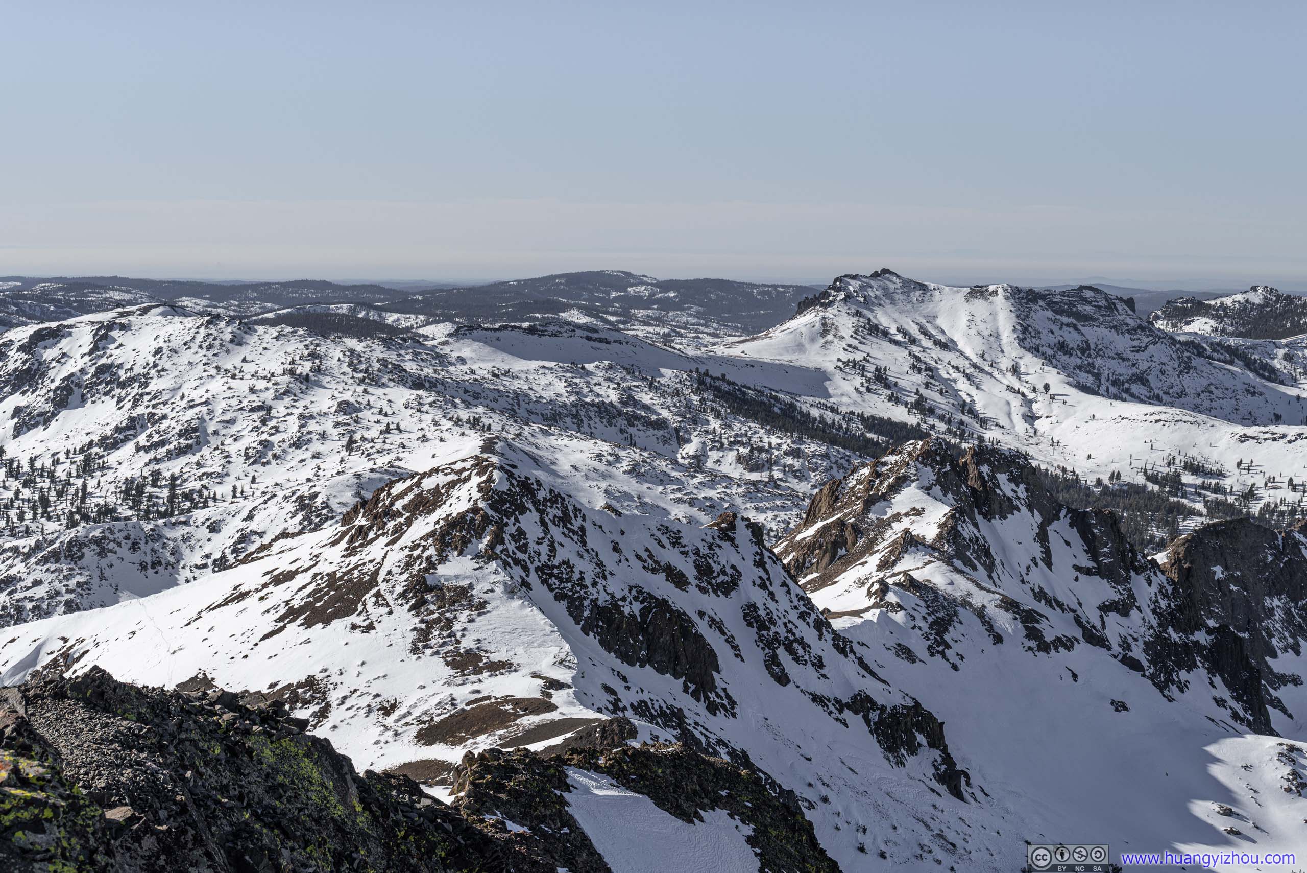
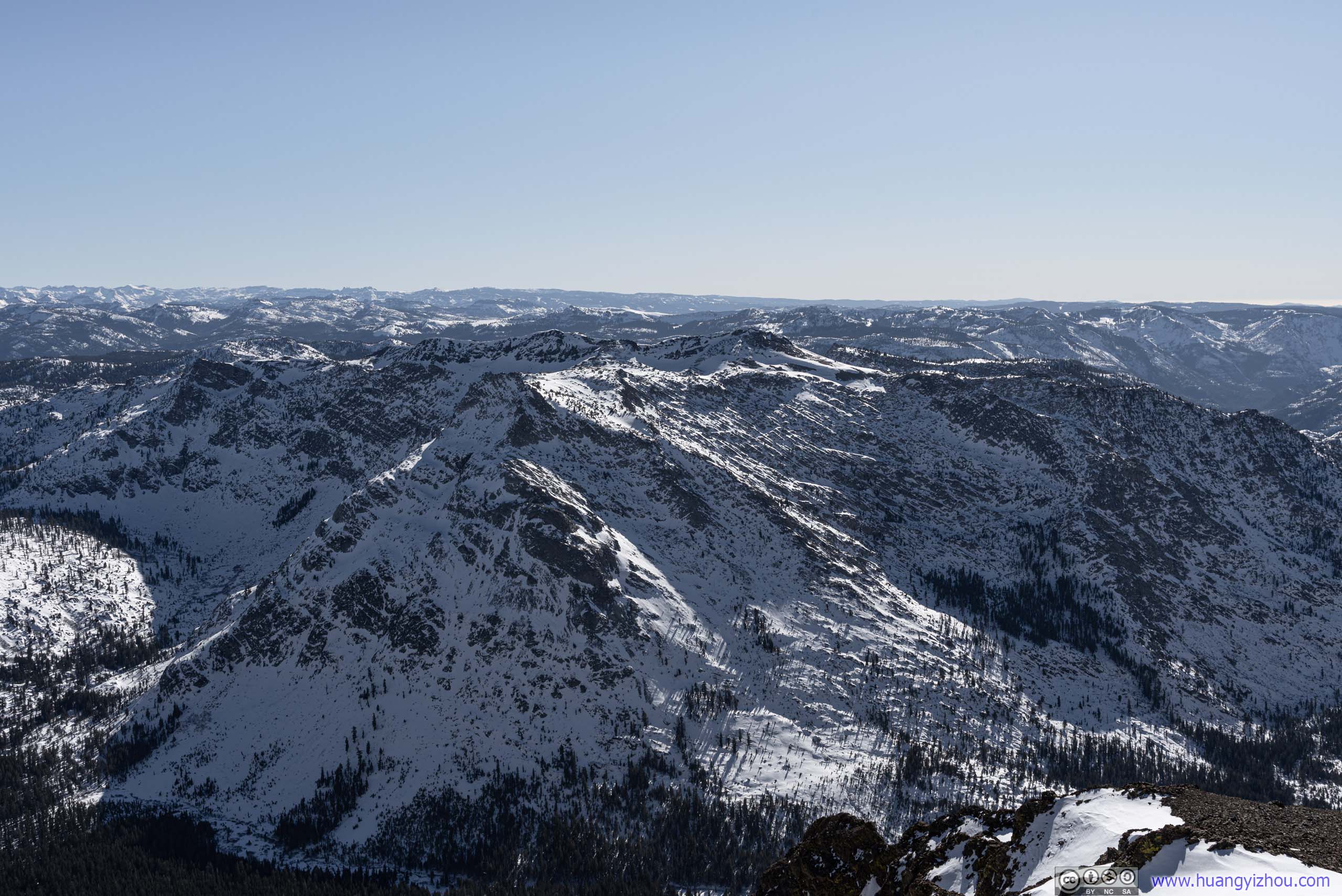
MountainsThree sisters in the foreground, Thimble Peak in the background.
 Mountains to the EastHawkins Peak (3055m) on the left.
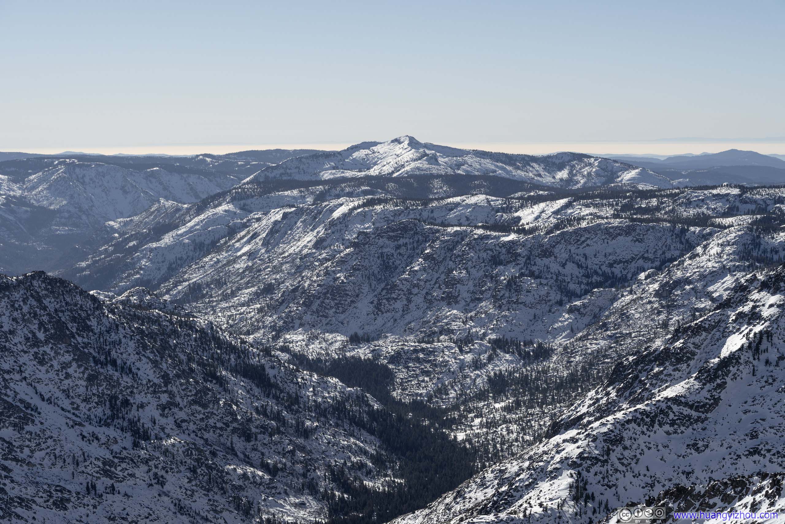
Mountains to the SoutheastHighland Peak (3305m)
 Red Lake Peak
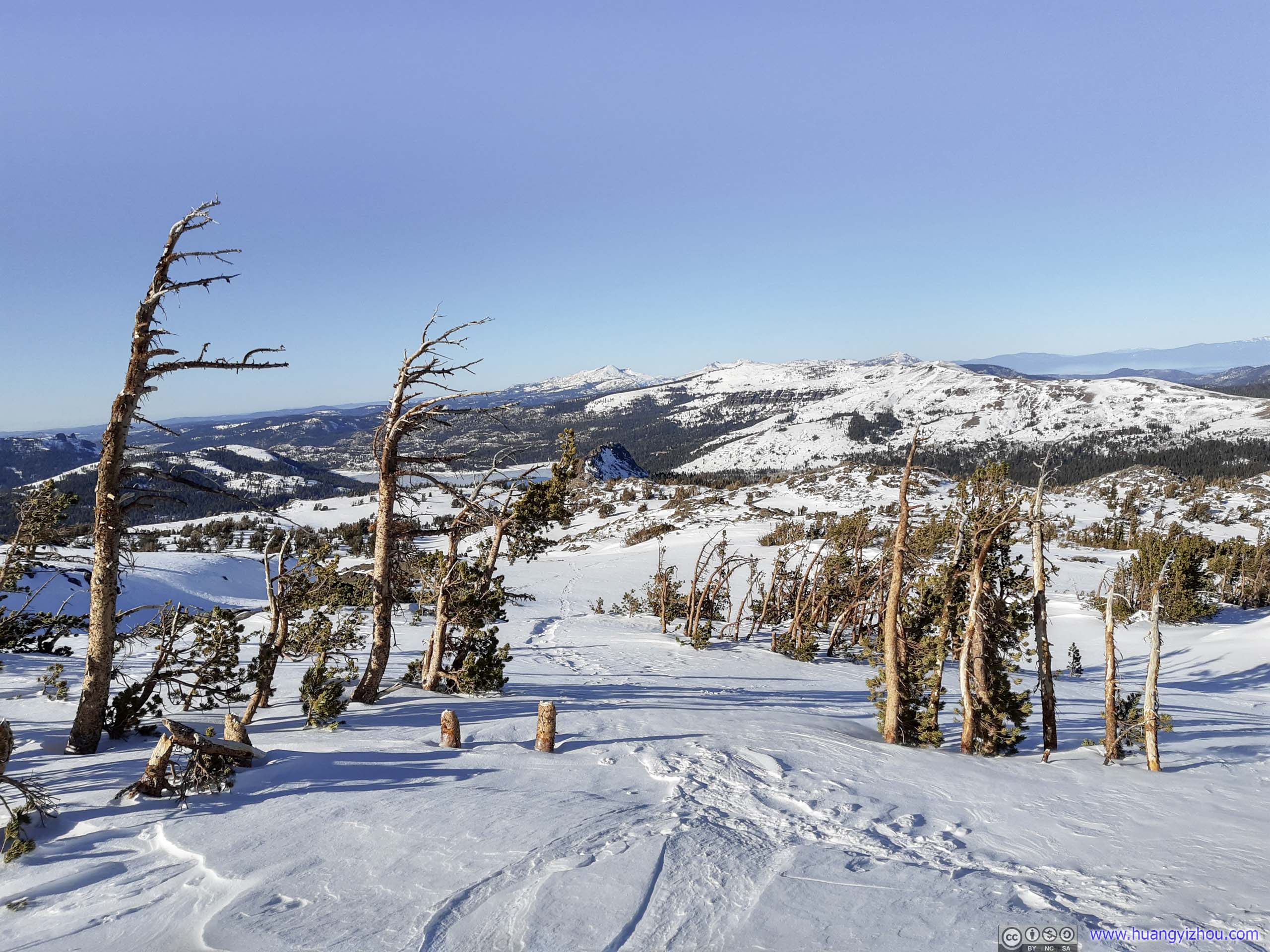
After braving the wind for 30 minutes at the summit, I headed back.
Once back on the snow field, it’s a lot easier (and more fun) to be heading downhill. I assumed even more so had I knew how to ski brought the skis.
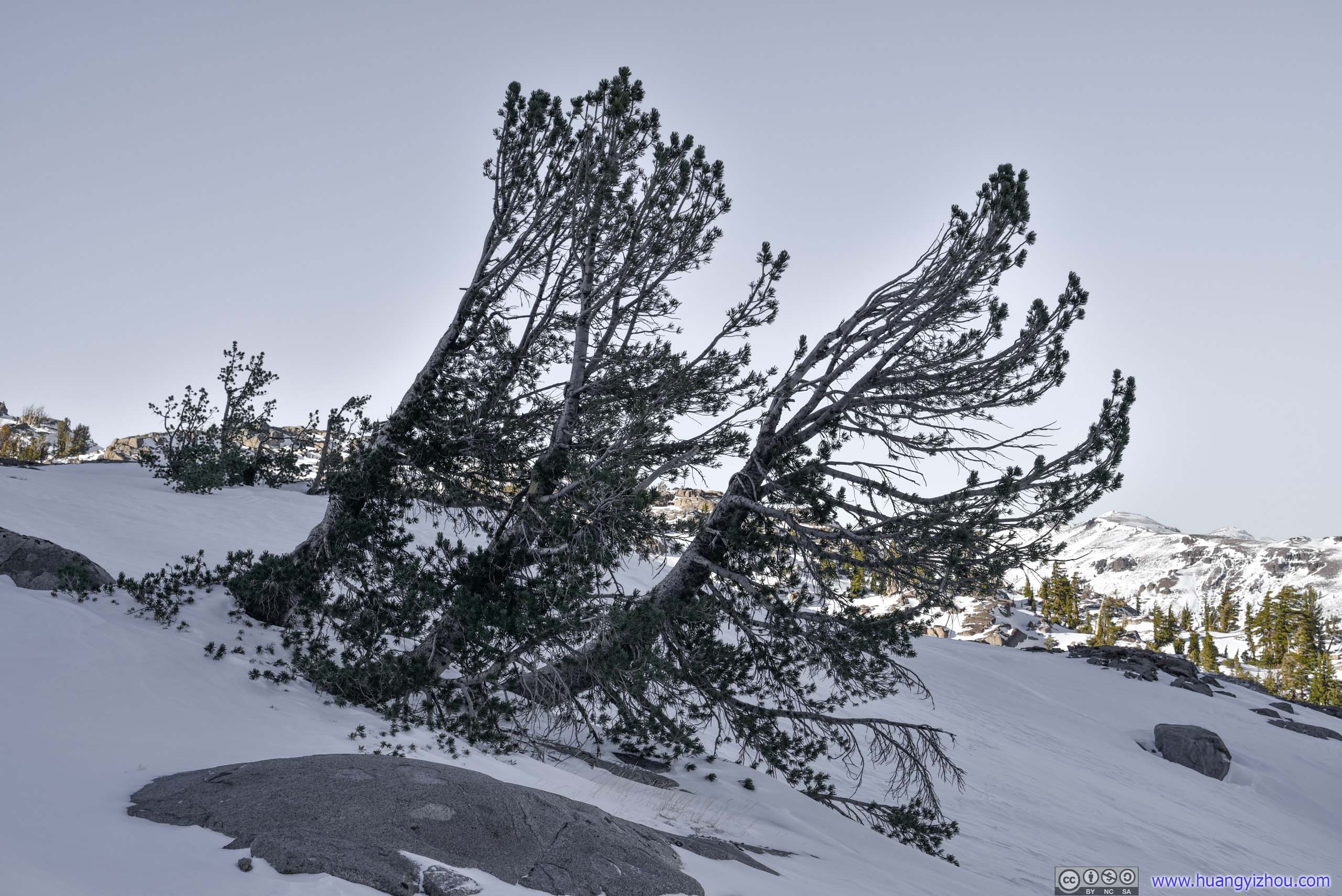 PlantsA few patches of pine trees along the way, seemingly twisted by the wind.

Mountains to the North
 Roundtop from Trail
As I was coming down from Roundtop, I ran into 2 other groups of people, heading for Roundtop Lake and Winnemucca Lake respectively. Not many people ventured into snowy backcountry in winter and they were the only other souls I saw for the day.
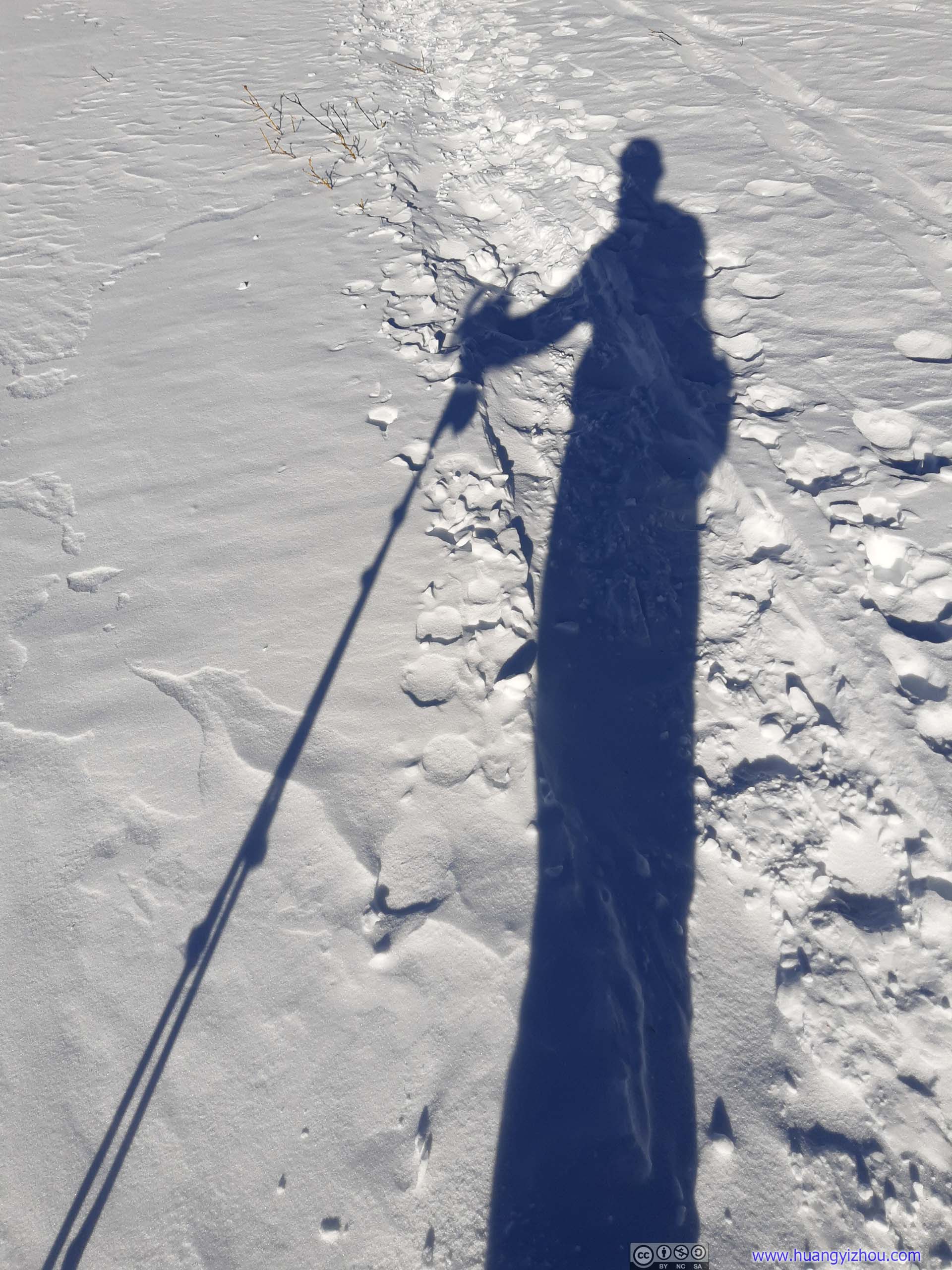
Self Portrait
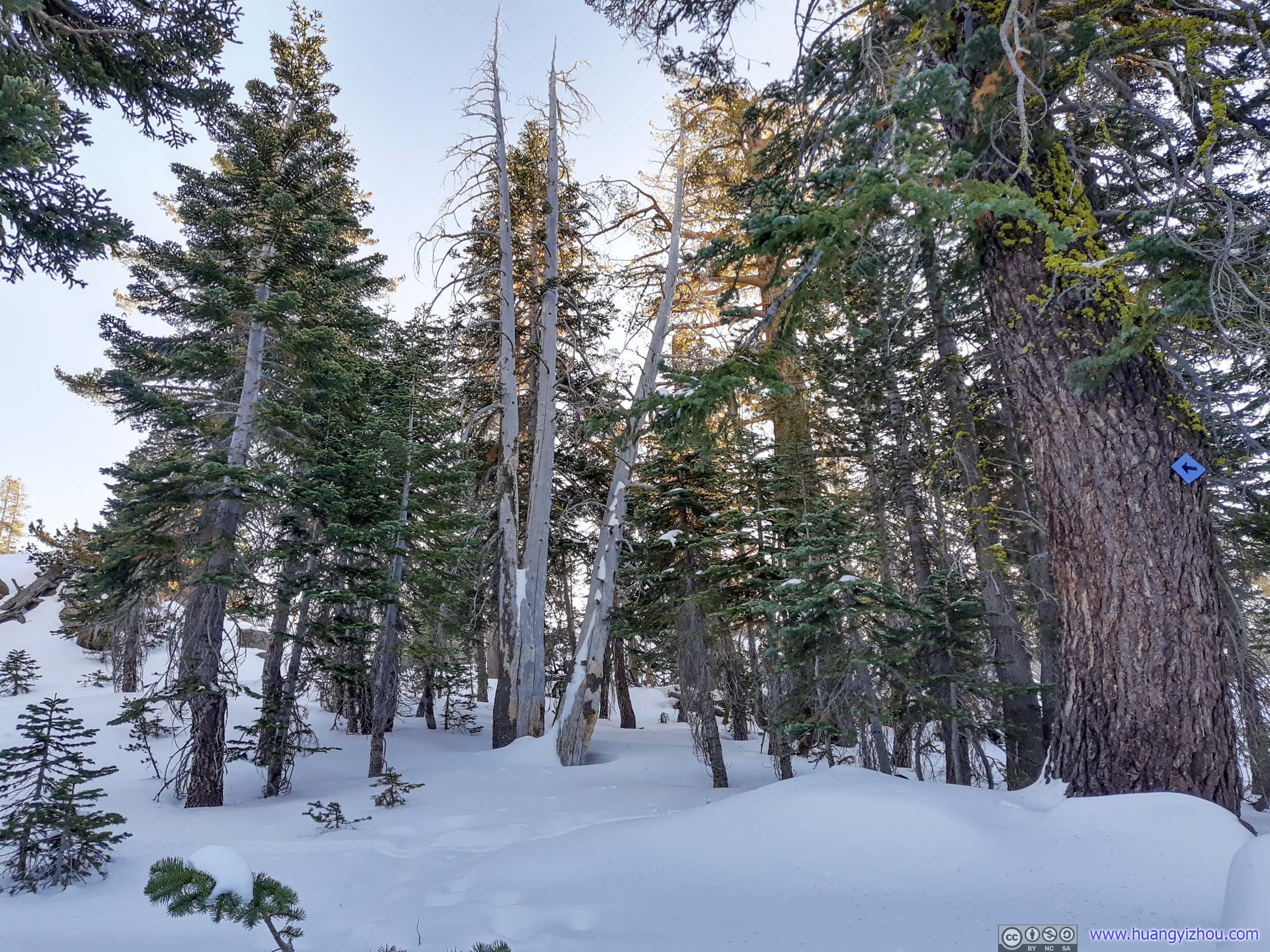
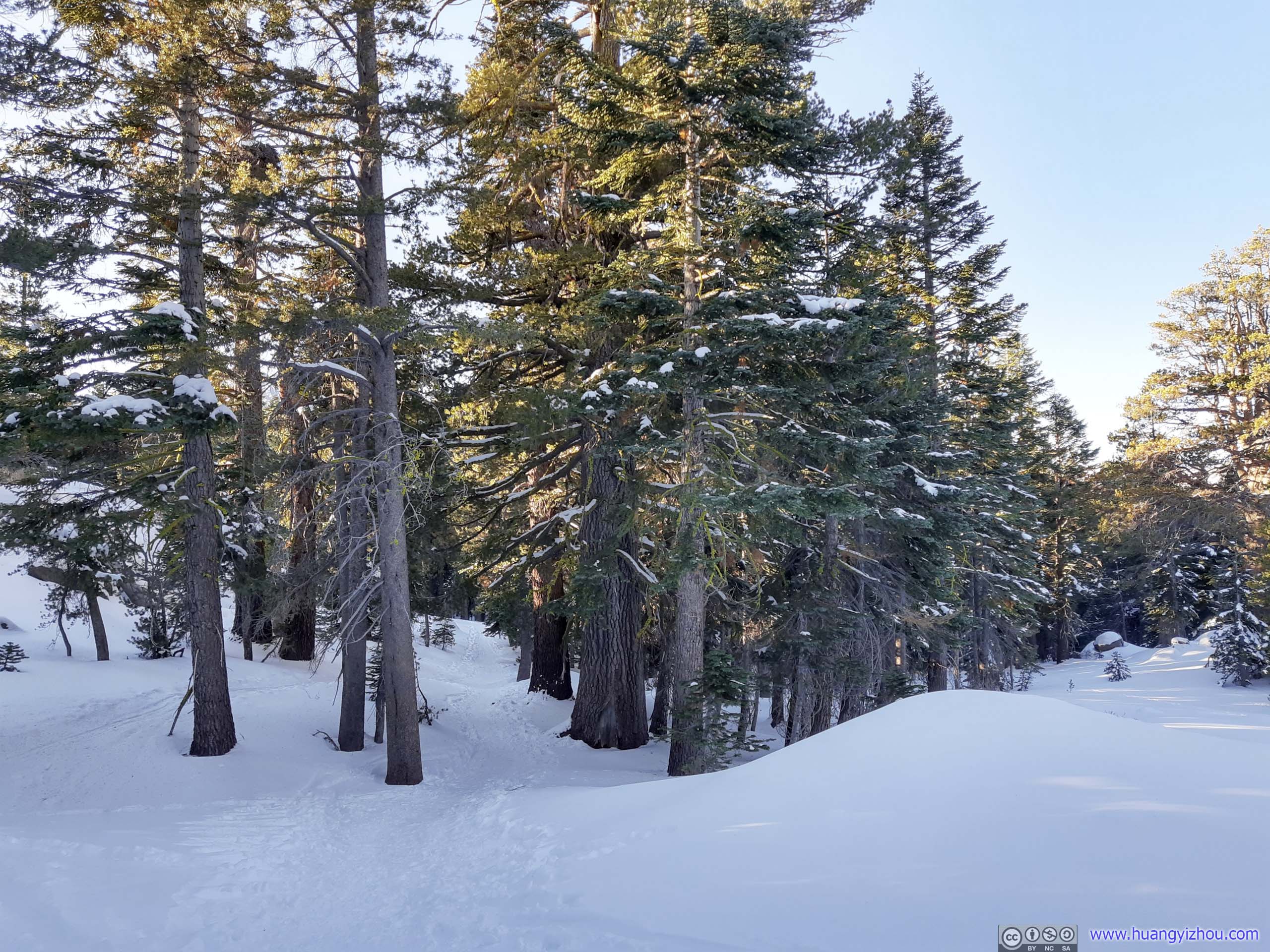
On my way back, I attempted to follow the beaten tracks as much as possible in the woods, which, compared with my morning route in the wild, was slightly less strenuous but certainly not as fun.
 Forest
Finally, I returned to the trailhead parking lot, 7 hours after I started, concluding my first snowshoeing trip.

Red LakeA lake near Carson Pass. I stopped along CA-88 on the way back and snapped this photo.
END
![]() Day 1 of 2020 Lake Tahoe Trip, Snowshoing to Roundtop in Eldorado National Forest by Huang's Site is licensed under a Creative Commons Attribution-NonCommercial-ShareAlike 4.0 International License.
Day 1 of 2020 Lake Tahoe Trip, Snowshoing to Roundtop in Eldorado National Forest by Huang's Site is licensed under a Creative Commons Attribution-NonCommercial-ShareAlike 4.0 International License.