
Updated on June 4, 2021
Day 2 of 2020 Lake Tahoe Trip, Snowshoing to Maggies Peak in Desolation Wilderness
The second day of my 2021 Lake Tahoe trip, I ended up snowshoeing to Maggies Peak, followed by a brief tour of Emerald Bay State Park.
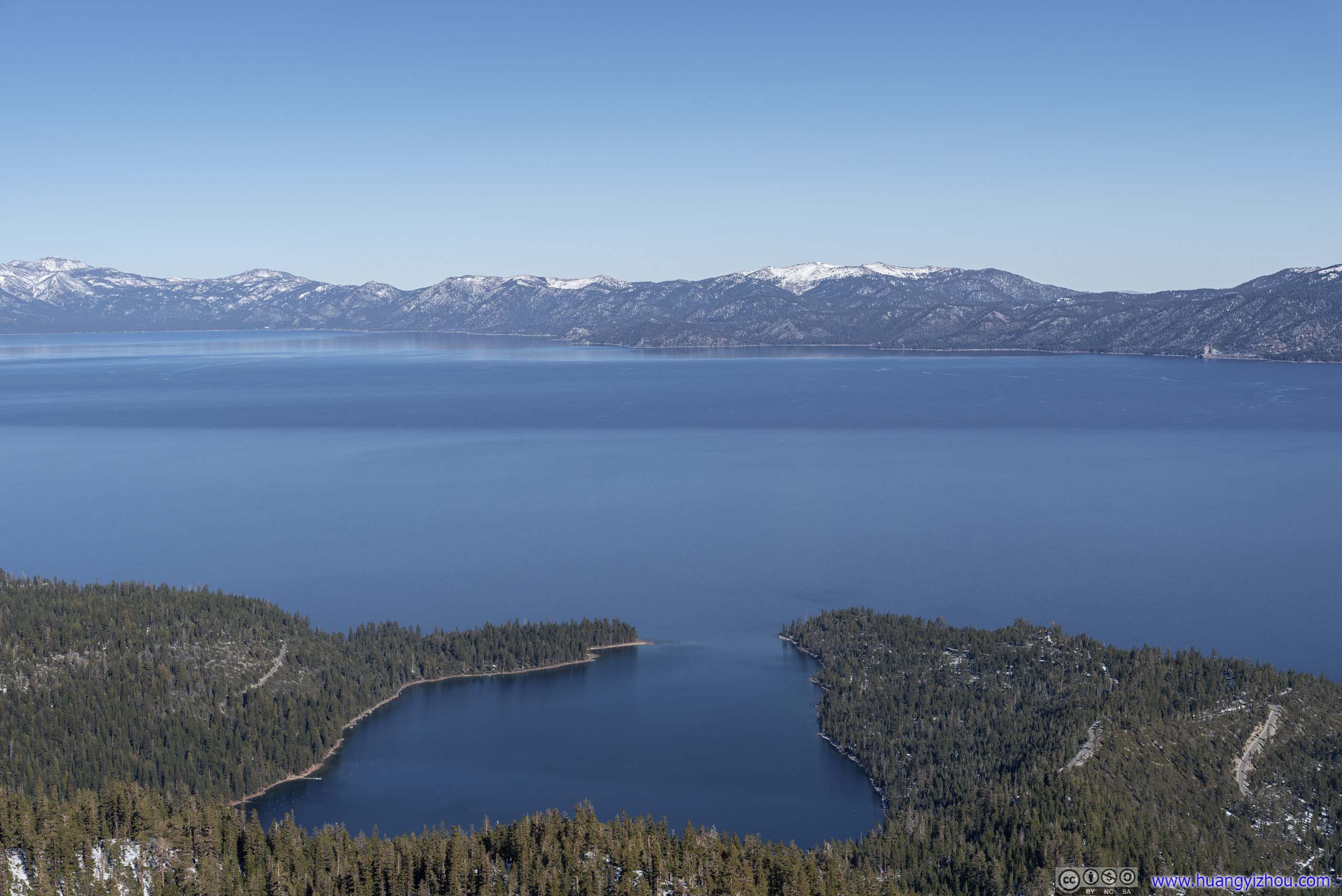
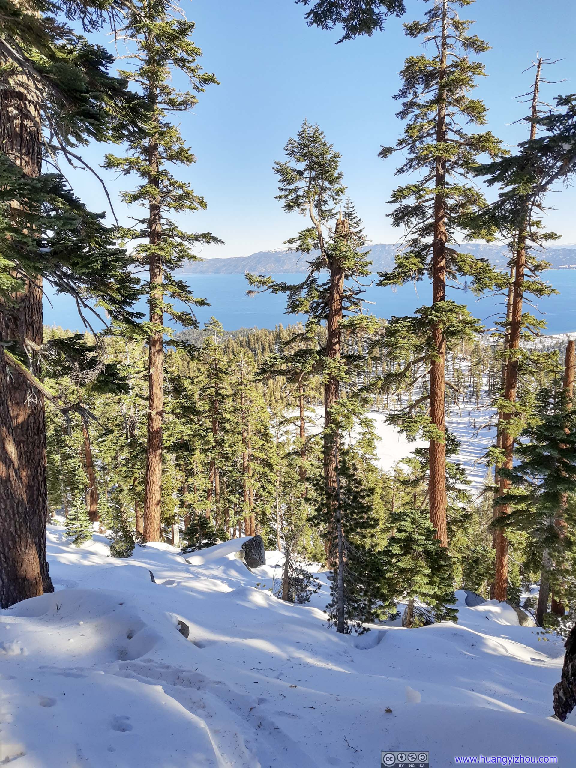
Lake Tahoe beyond Emerald BaySnow Valley Peak in the background.
Initial Plan: Ralston Peak
Following the previous day’s successful summitting of Roundtop Peak, my initial plan for the day was to hike Ralston Peak, a seemingly more magnificent mountain tucked in Desolation Wilderness that’s closer to Lake Tahoe. The 10.6km roundtrip distance would be similar to that of the previous day, but this one had more elevation gain, which I thought would be a suitable next level for my snowshoeing.
However, Ralston Peak’s trailhead parking lot wasn’t plowed in winter, which I was well aware of from some online comments. Despite that, it seemed to me that people still hiked the trail in winter as fine. With not much information around, I drove up to the trailhead in the morning to find out myself. And it turned out that the entire parking lot was covered in about 10inch/30cm of snow. (Unfortunately I couldn’t present any photos here.) Worse off, the field of snow was lower than the road shoulders (if it’s the other way around, I could try driving up, and in case I got stuck gravity would pull me back to the road). In addition, the snow field wasn’t very even with lots of “snow potholes”, which was probably too much for my rental 2WD Honda Fit.
I saw some online comments mentioned somewhere along “Sierra Pines Road” as winter trailhead, I didn’t find any parking spots along that residential road, nor did I find any along Tamarack Pines Road. Tamarack Park Trail and Camp Sacramento were not plowed in winter. With no parking spots around, I had to abandon the plan to hike Ralston Peak.
Backup: Maggies Peak
With Ralston Peak unavailable due to parking, I quickly resorted to backup plan of the day by heading for Maggies Peak. It’s a shorter 6km roundtrip trail with 550m elevation gain, ideal for the day since I took the detour to Ralston and didn’t have that much day time left.
Parking
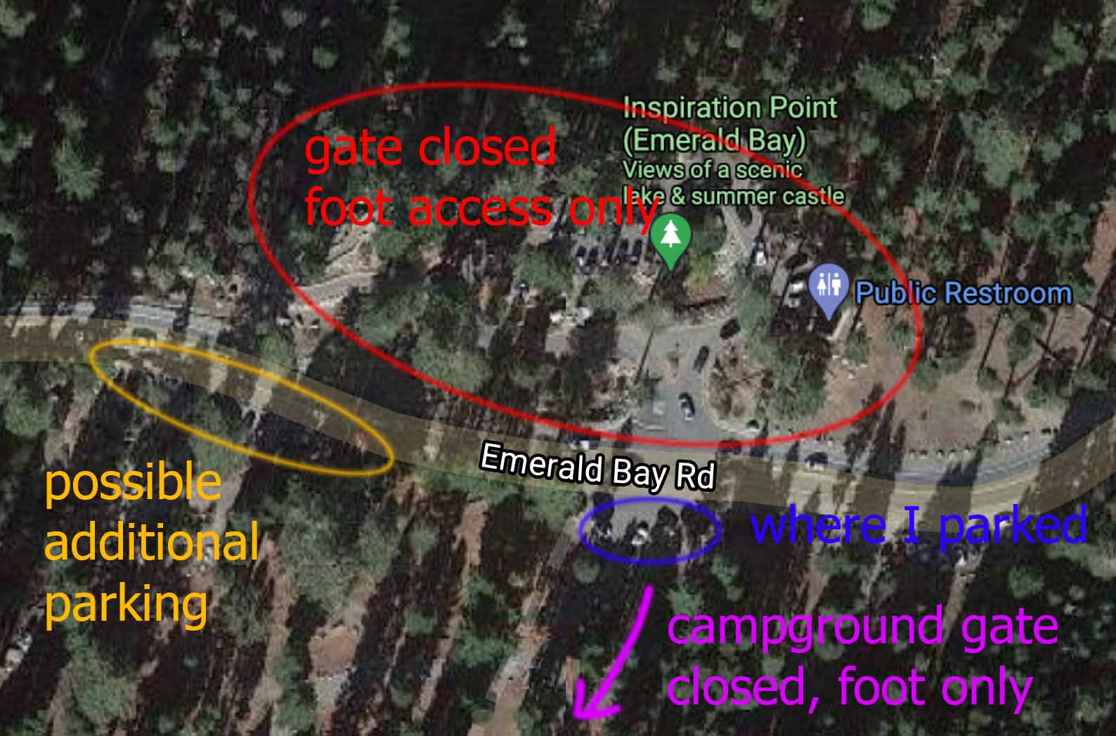
Parking for Maggies Peak
Trail
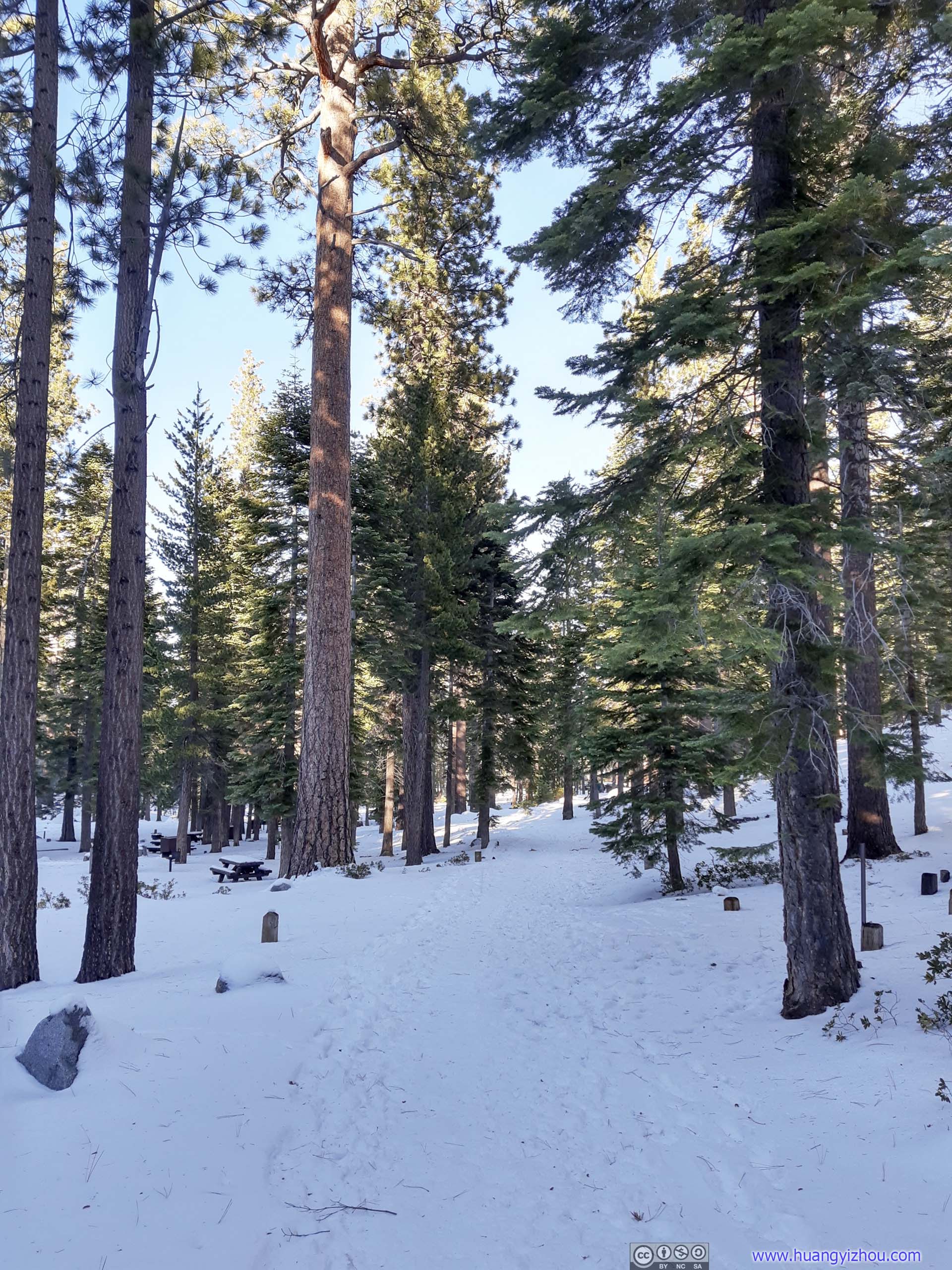
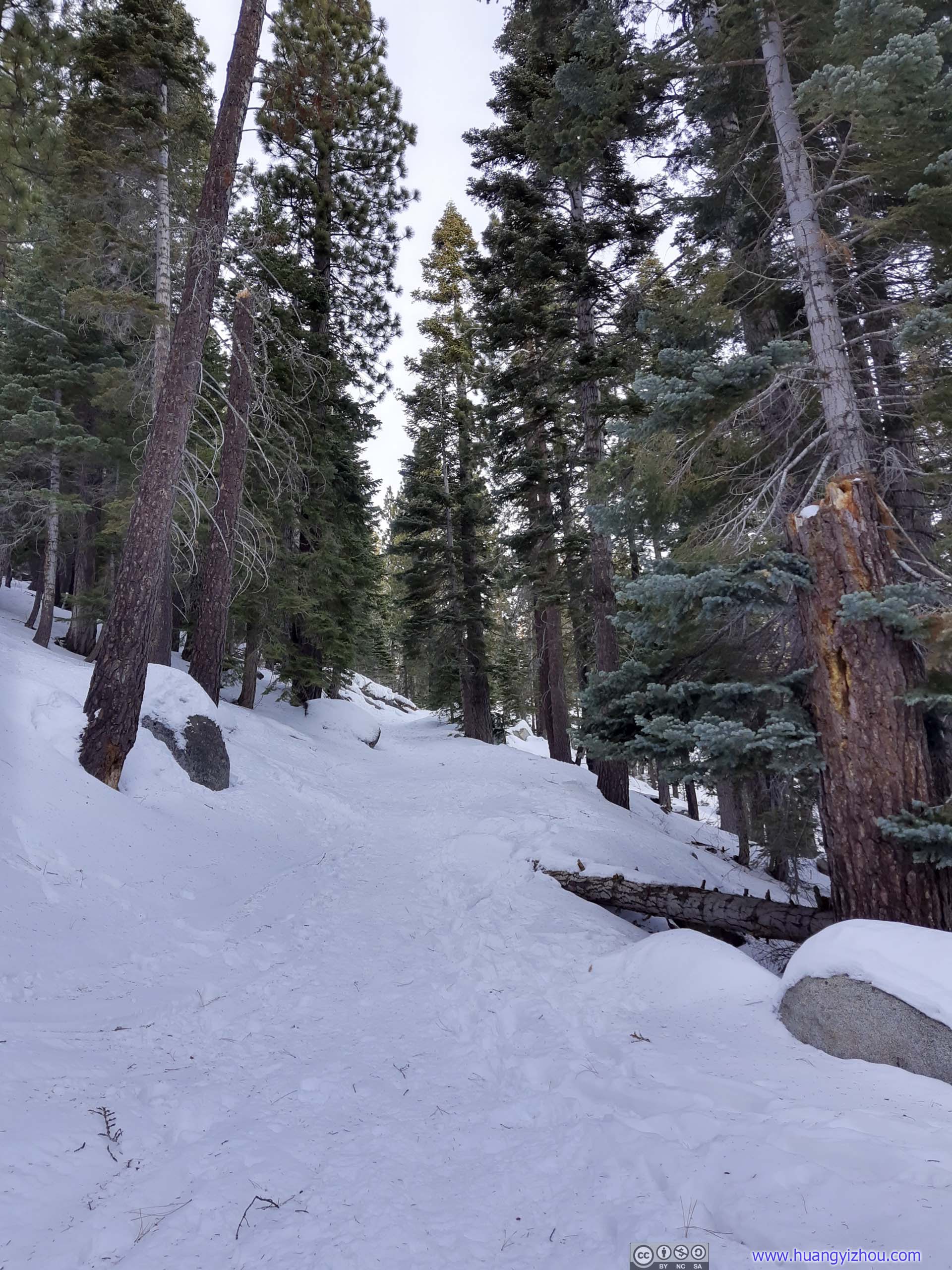
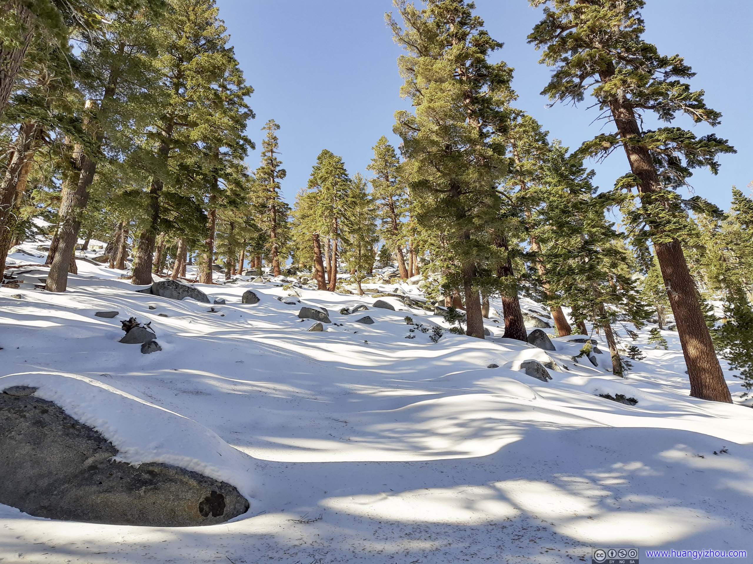
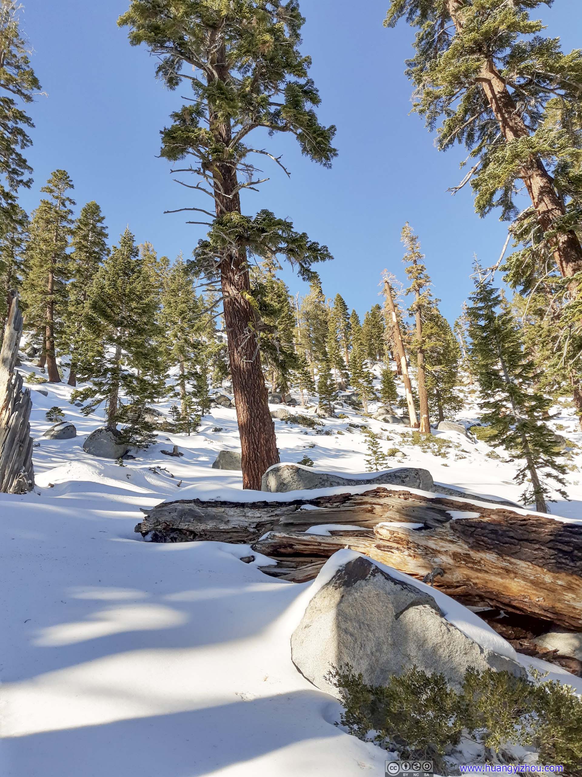
In summer the trail to Maggies Peak / Cascade Falls started inside Bayview Campground. The campground’s winter closure added about 600m of roundtrip distance.
Here’s GPS tracking:
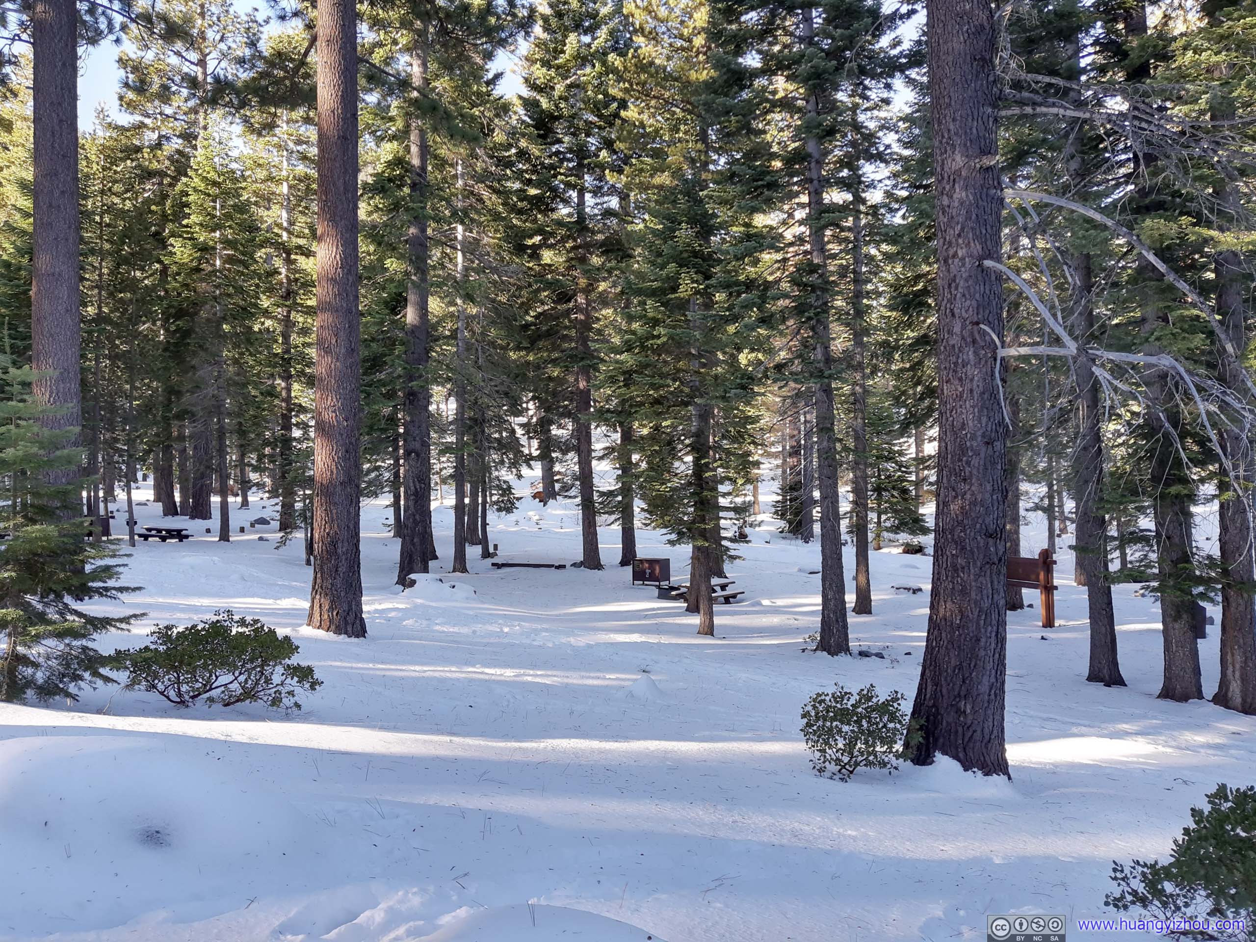
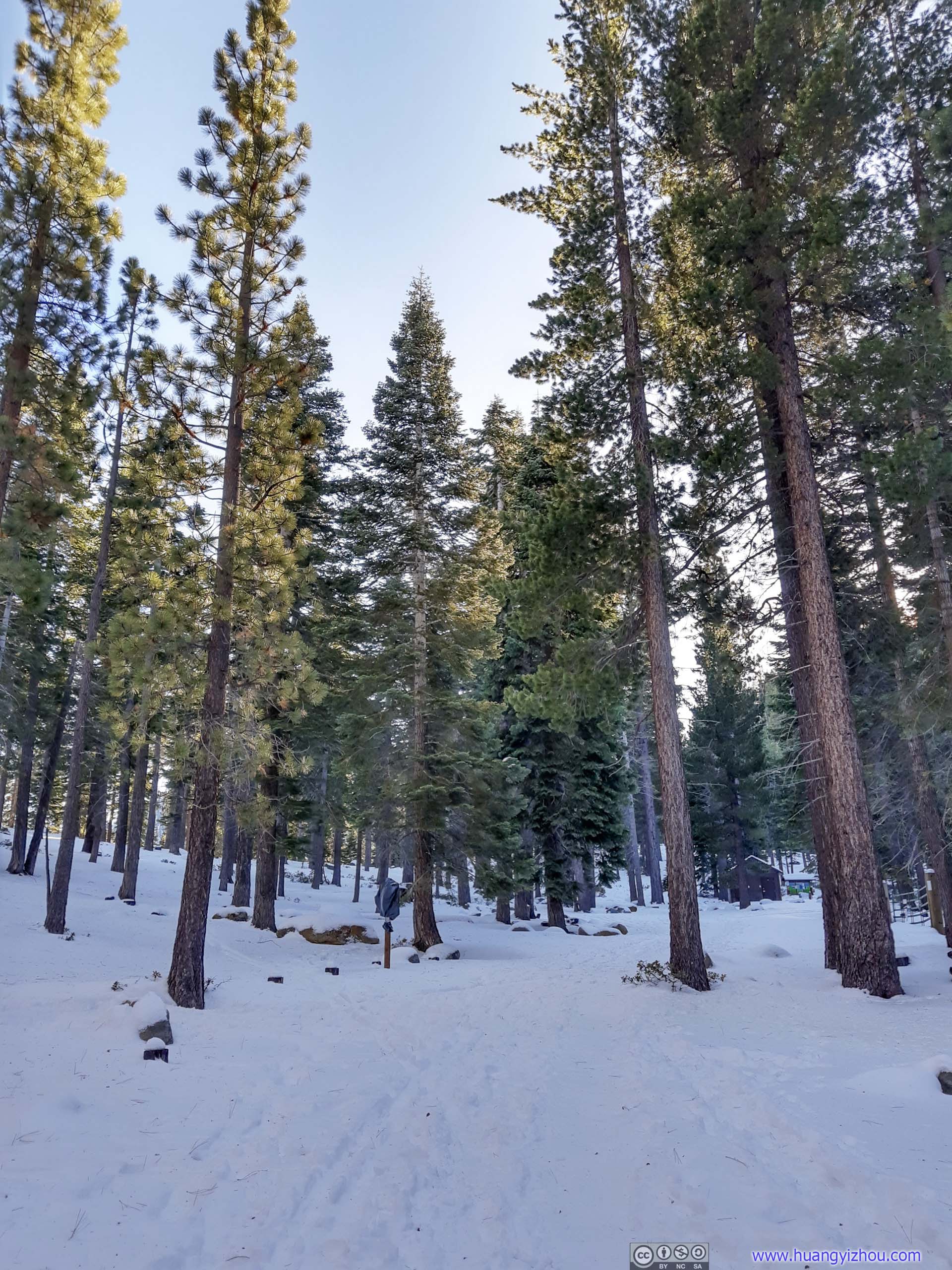
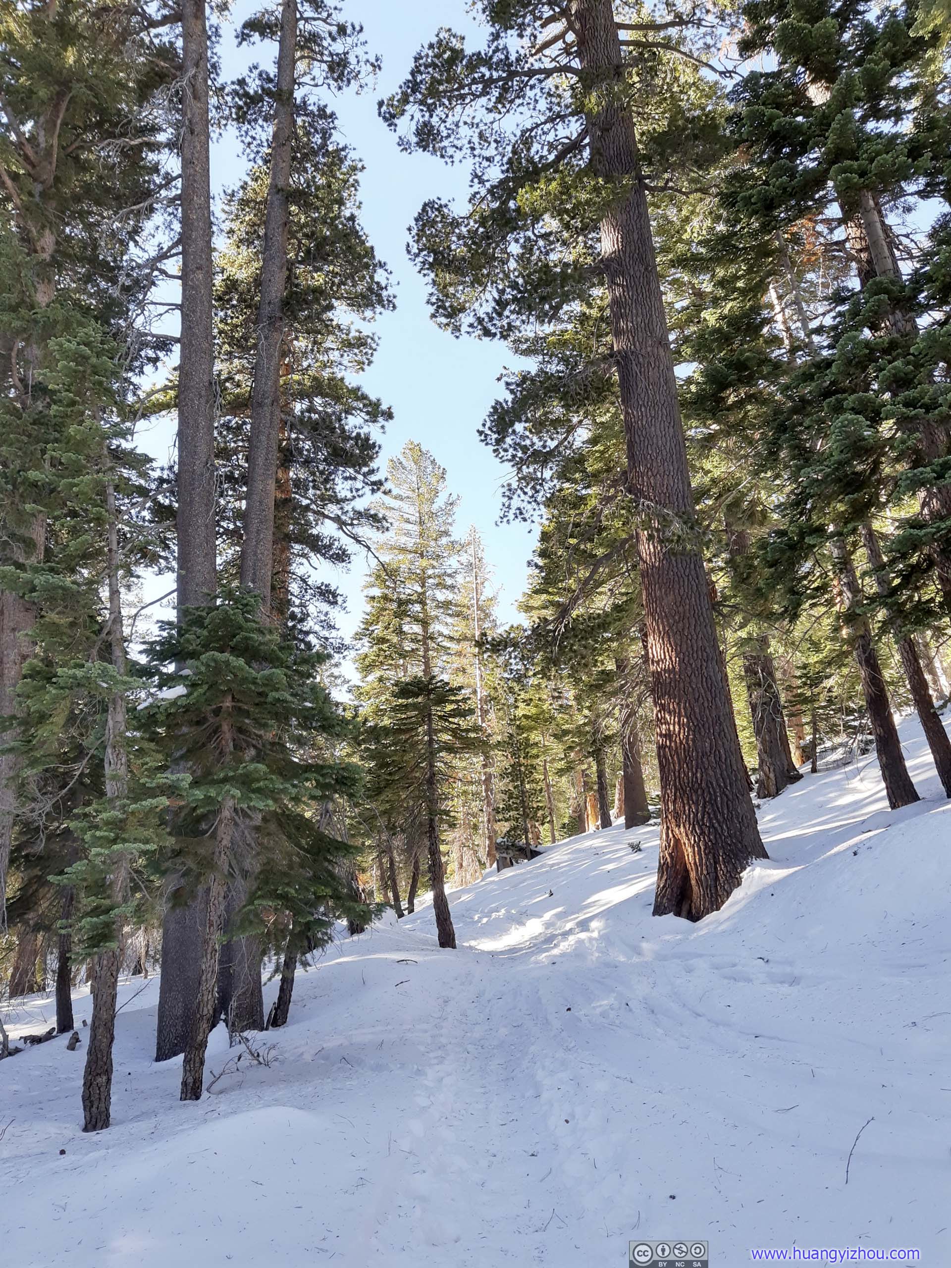
 TrailThe campground shadowed by soaring pine trees.
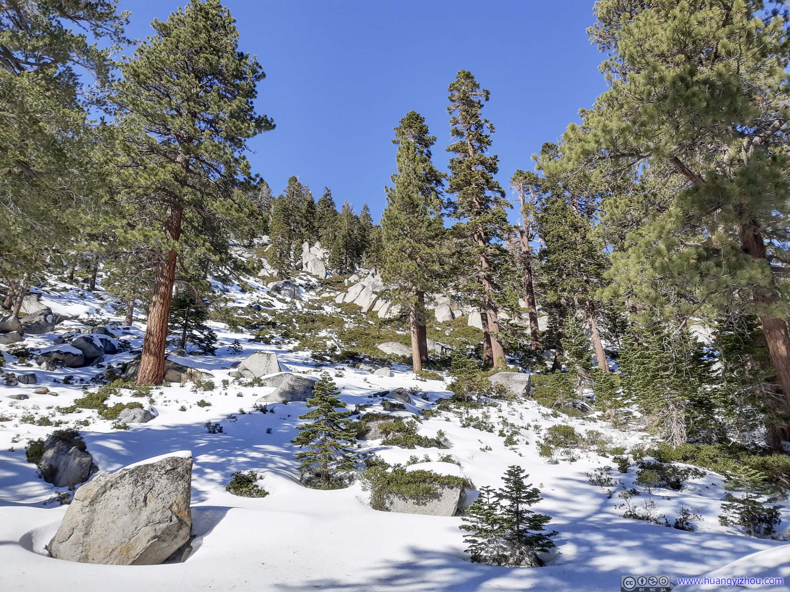
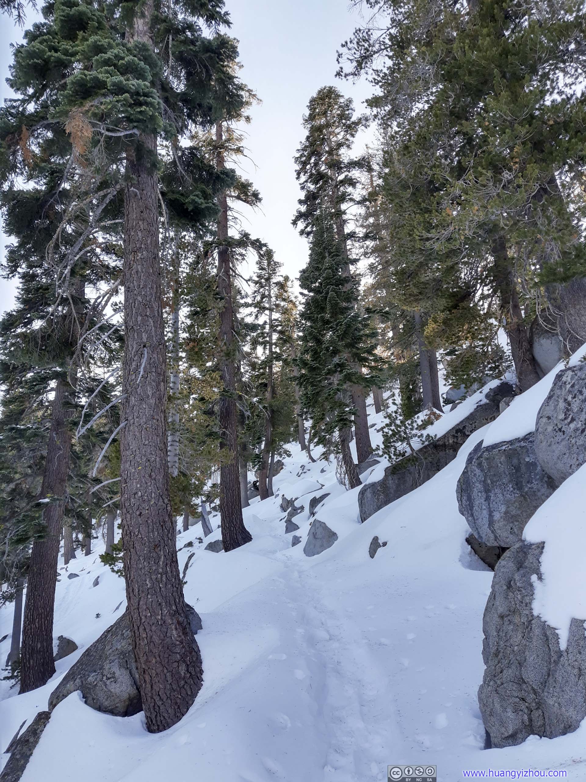
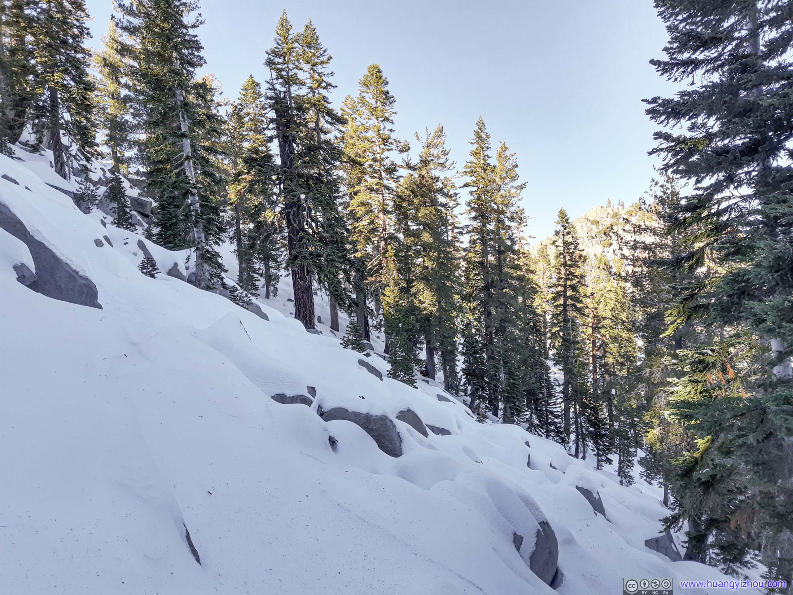
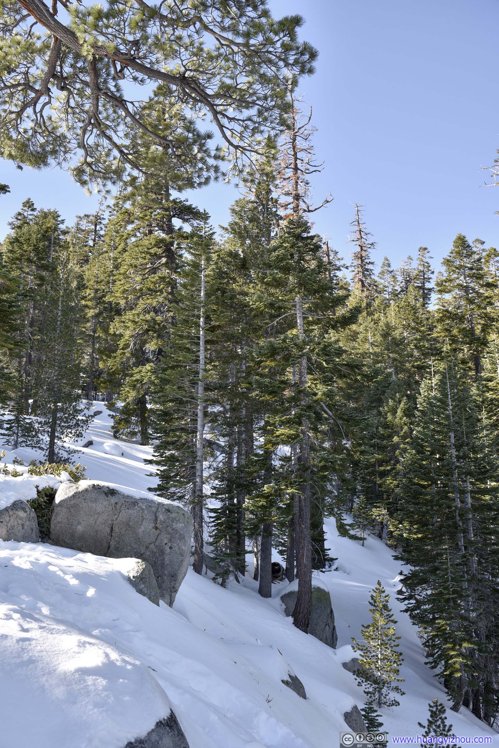
After that, it took the trail 1.5km to reach Granite Lake, an alpine lake near Lake Tahoe. This section of the trail was well packed down, and except for a few patches of ice, didn’t require any winter gear (out of caution I still wore microspikes).
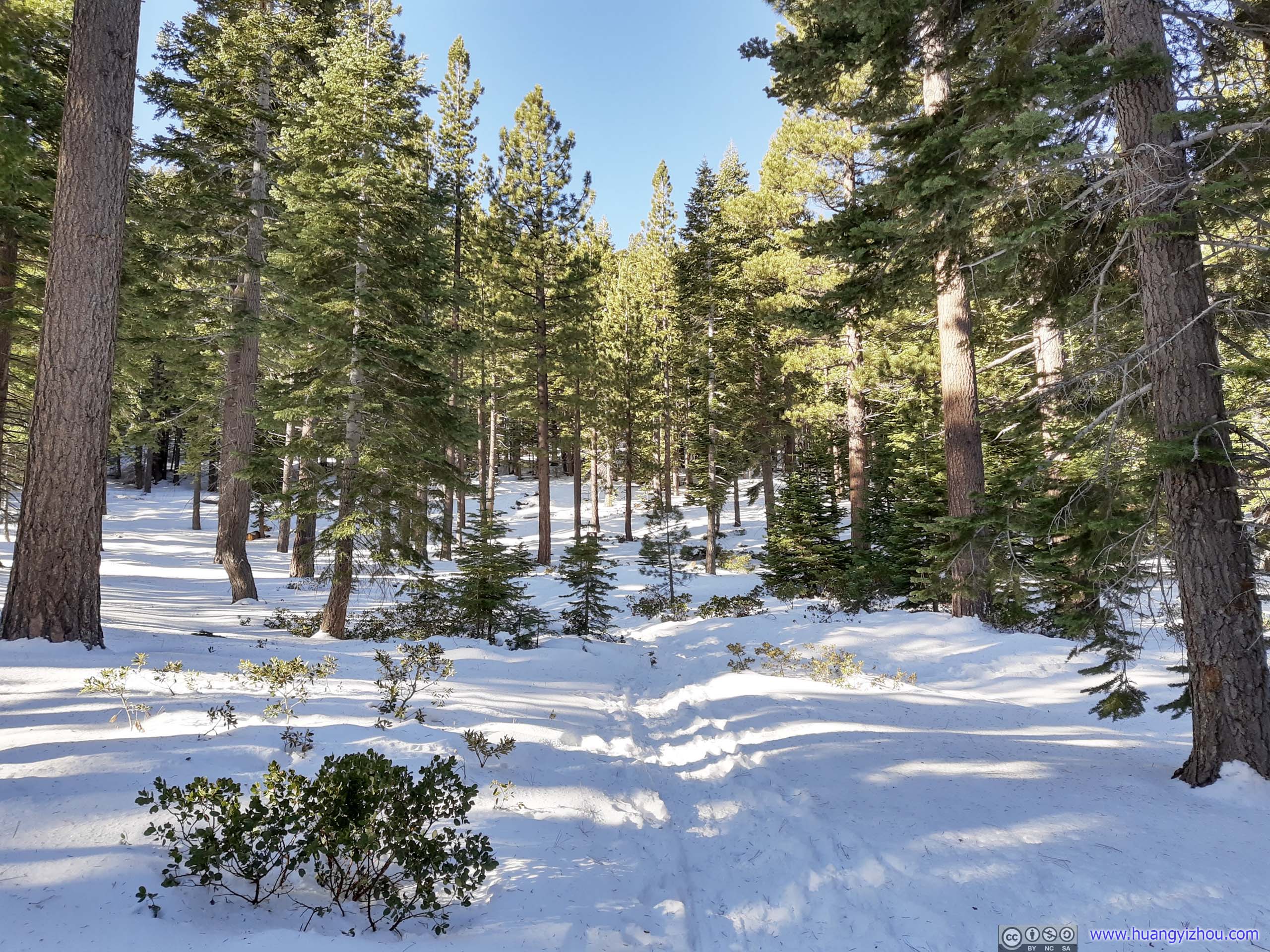

 Trail
Trail
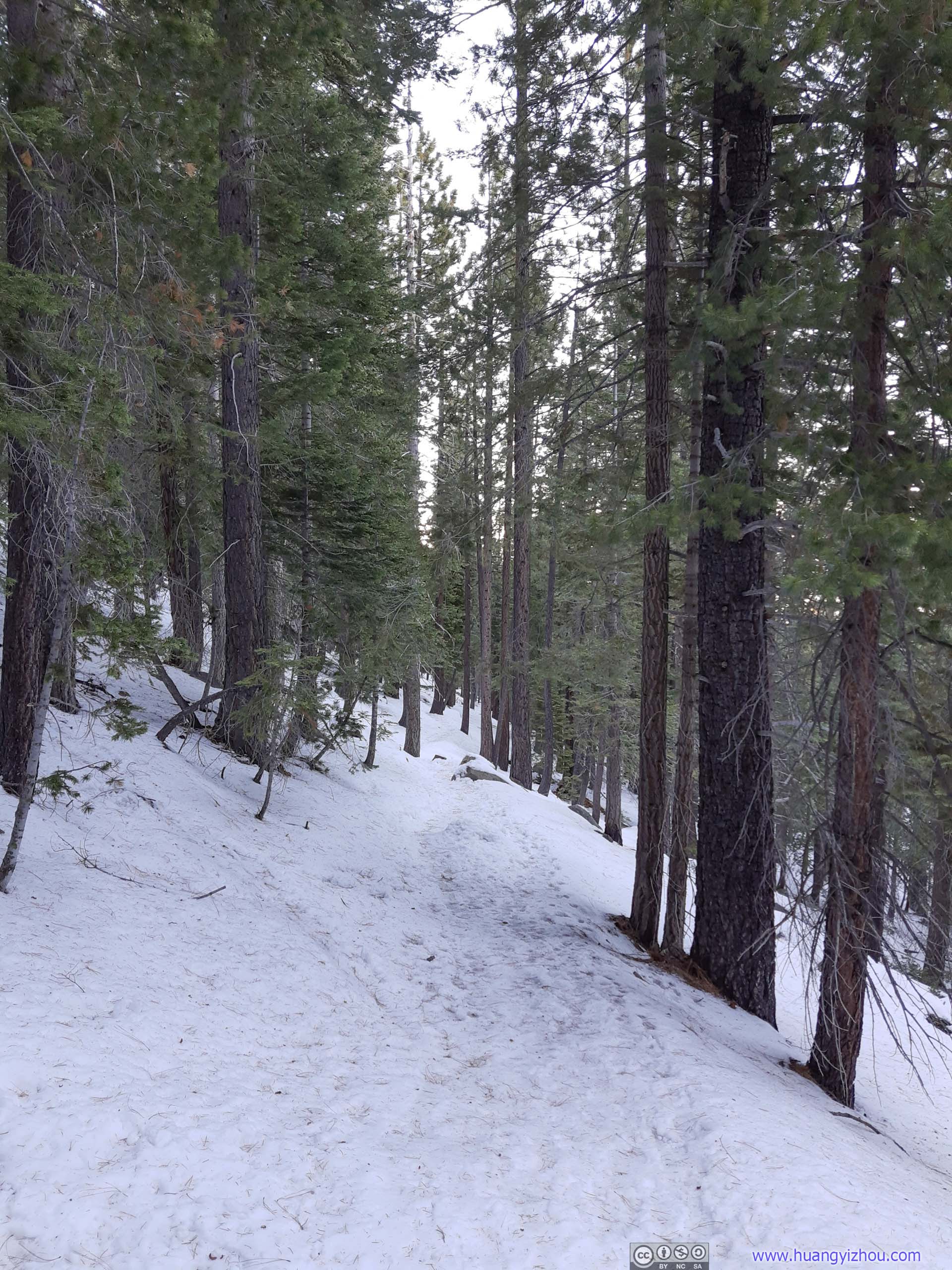
 Trail
Trail

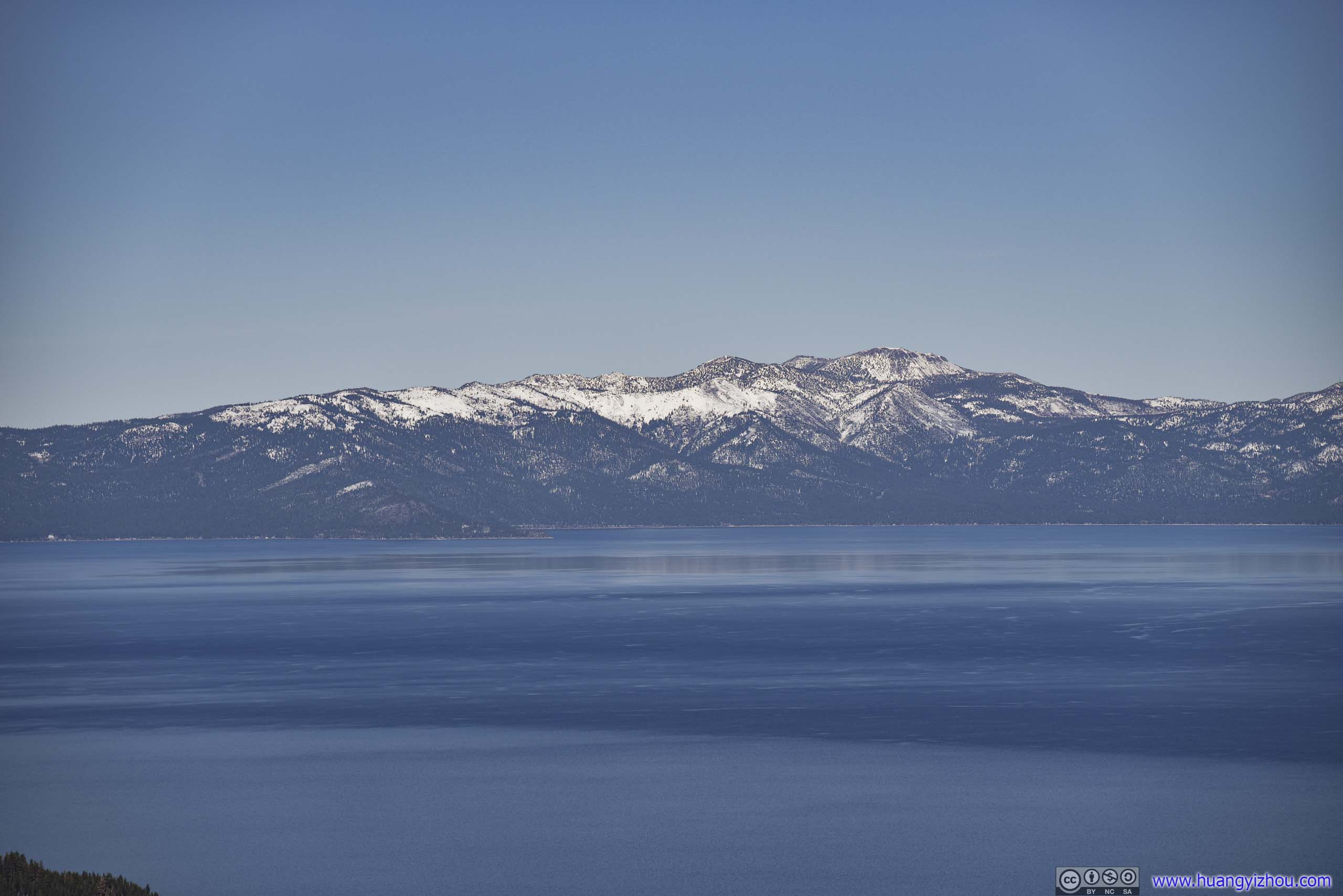
Emerald Bay
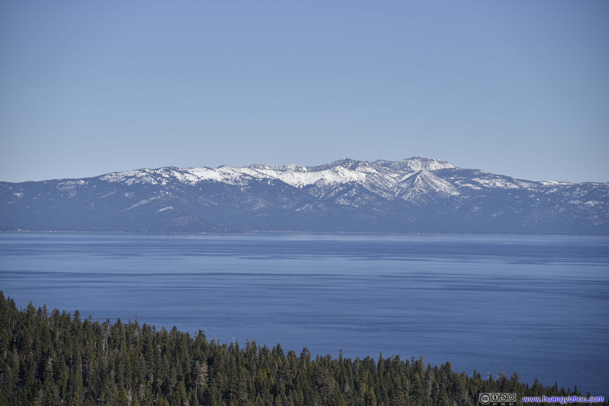
 Distant Mount Rose across Lake Tahoe
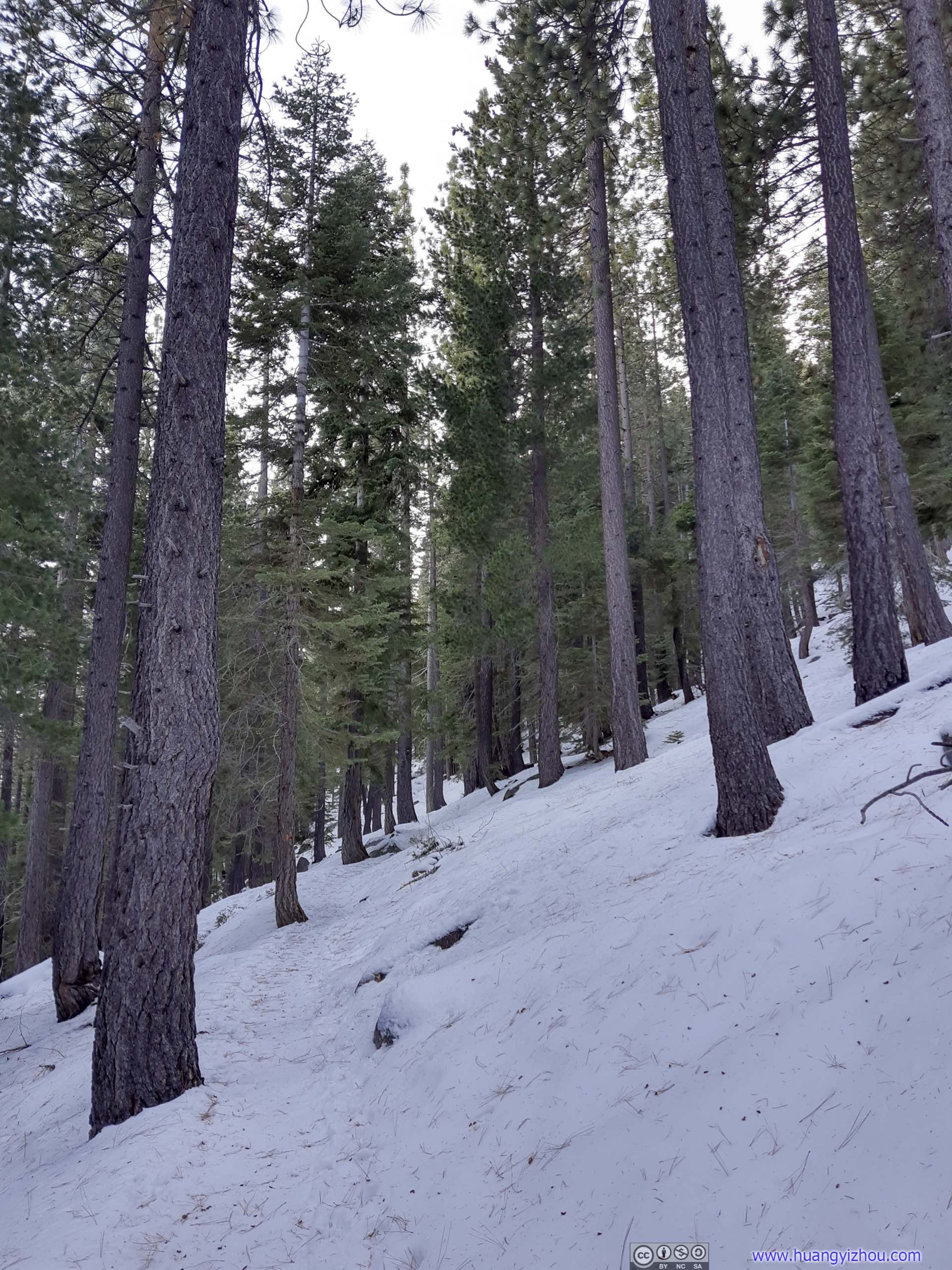
 Trail
Trail
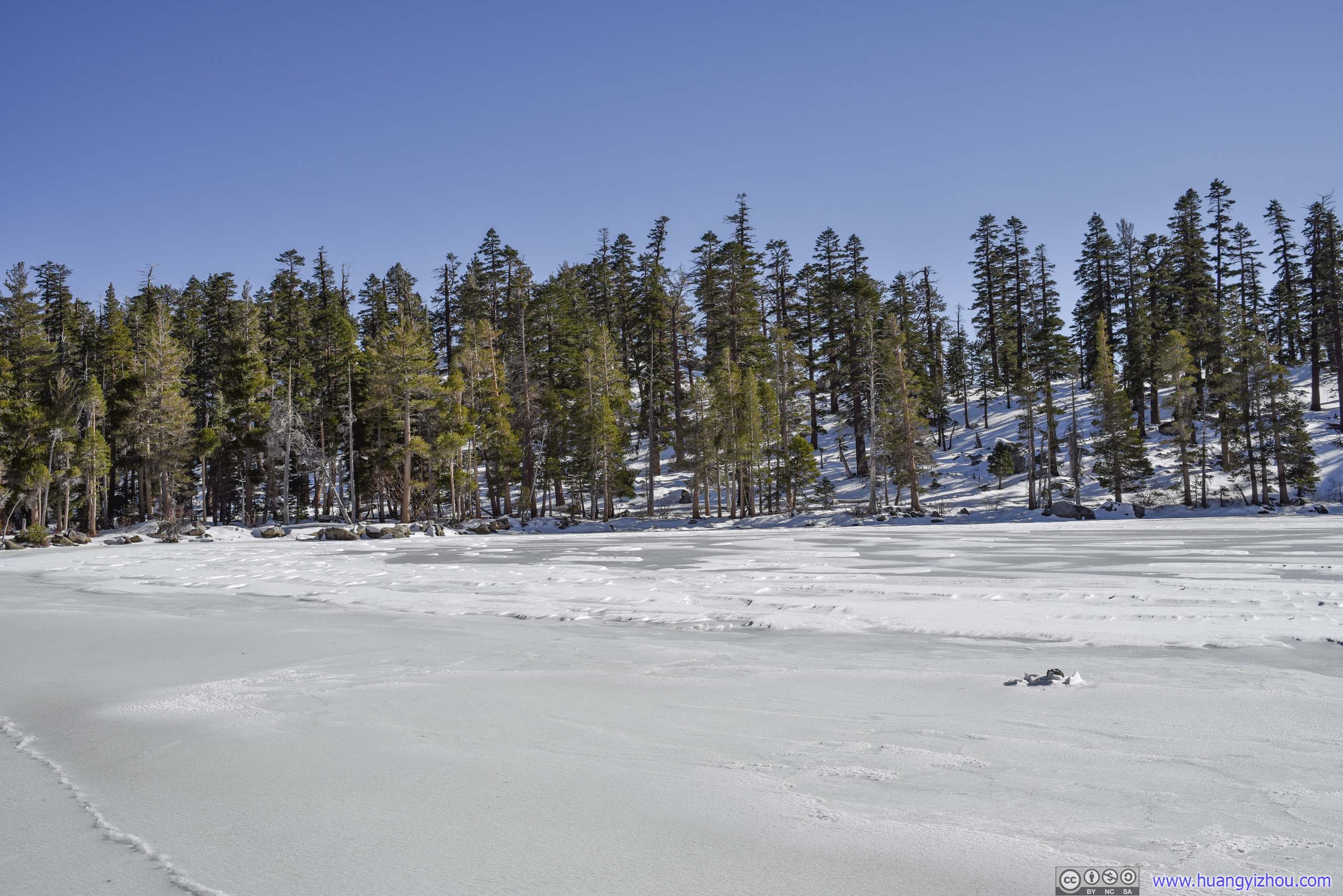
Just before Granite Lake, the well-packed trail started to fork into many not-so-well-packed branches as the forest grew sparser, that’s when I switched onto my snowshoes.
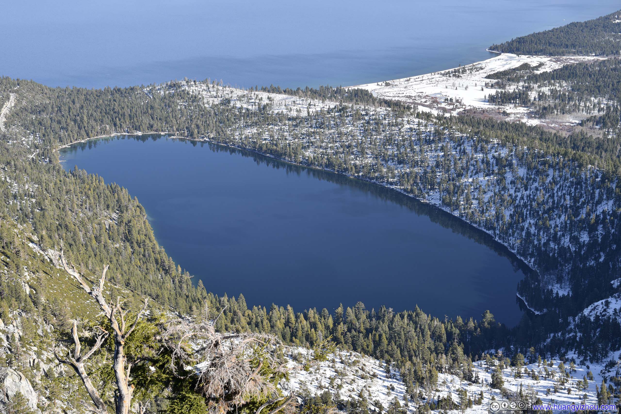
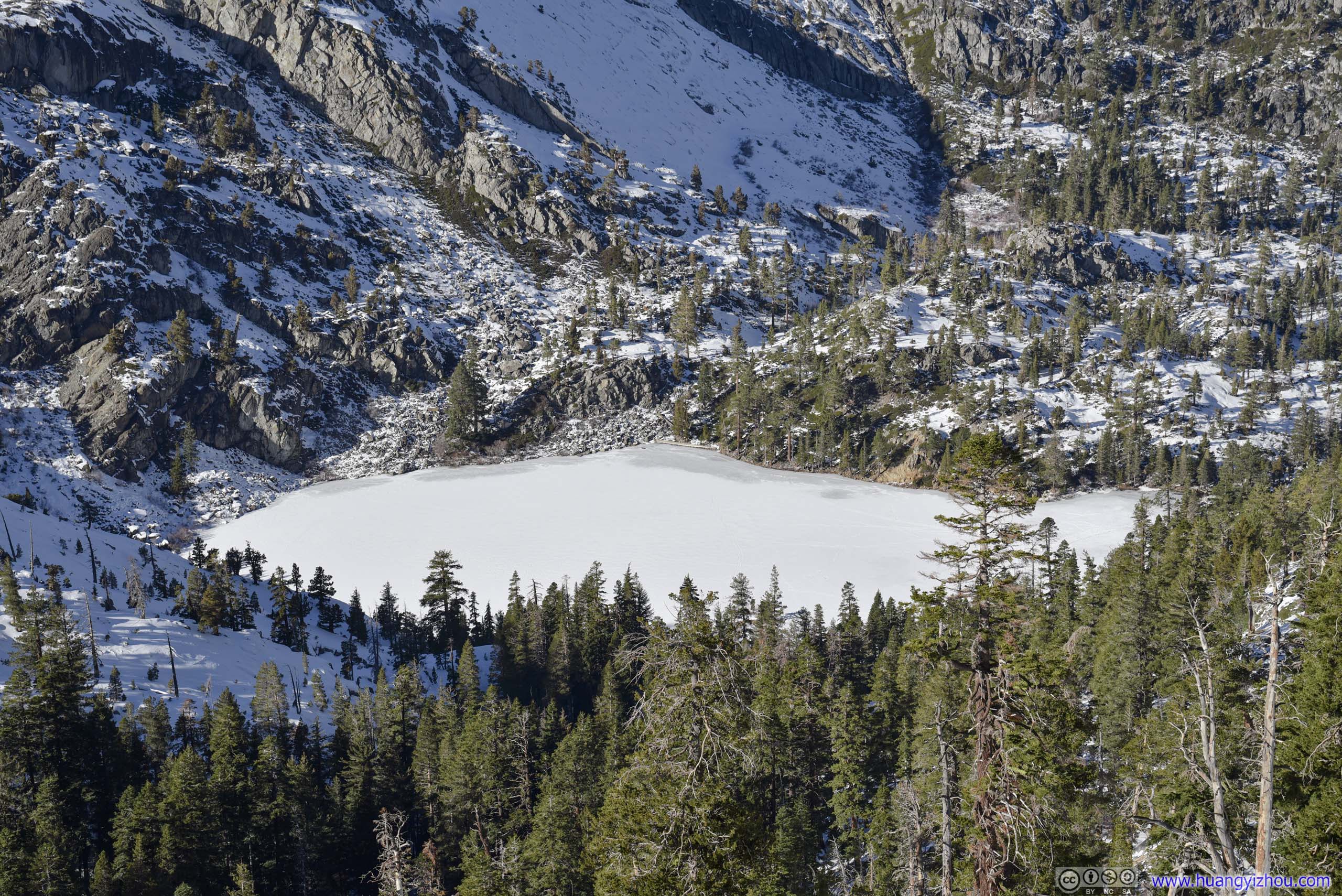
Granite Lake
Before continuing on, I decided to take a short rest at the shore of Granite Lake, an alpine lake that’s completely frozen. Yet not knowing how solid the lake ice was, I mostly stayed close to shore.
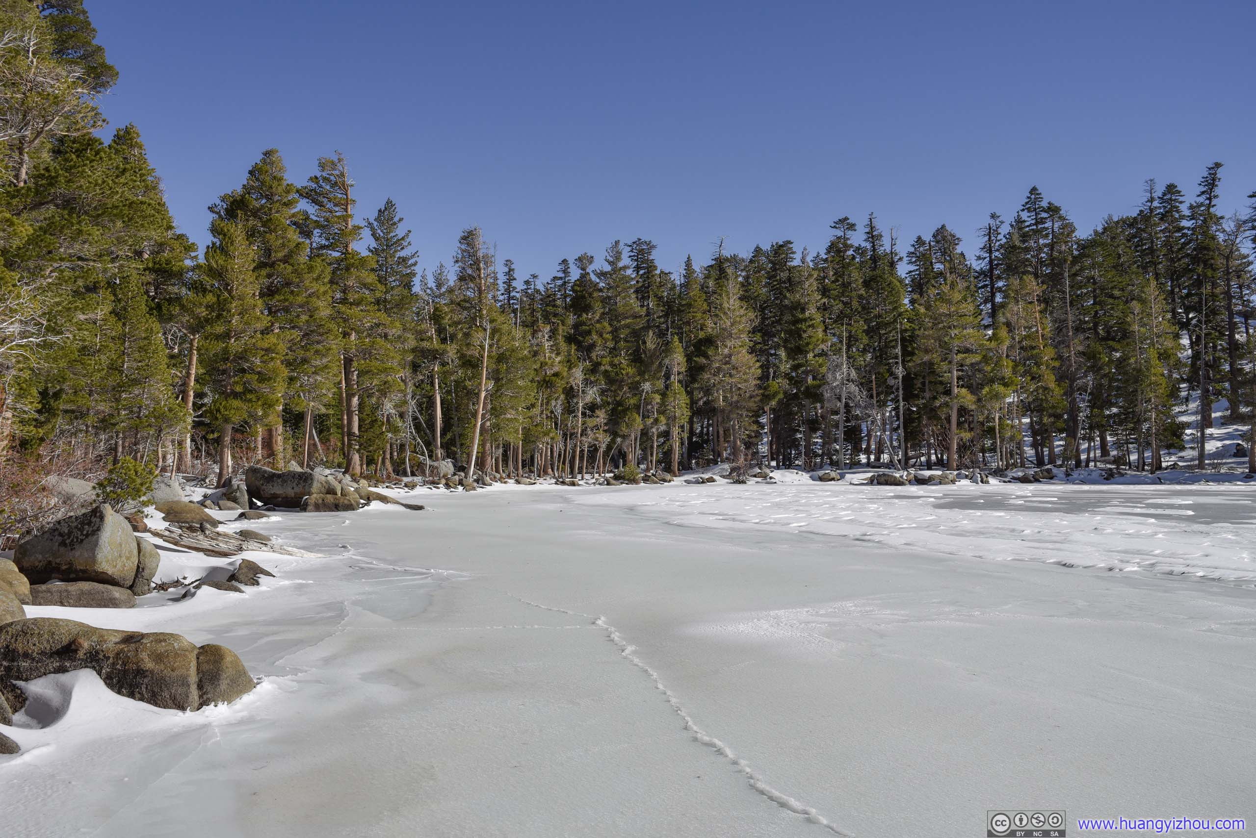
Granite Lake
Maggies Peak from Granite Lake
 Shores of Granite Lake
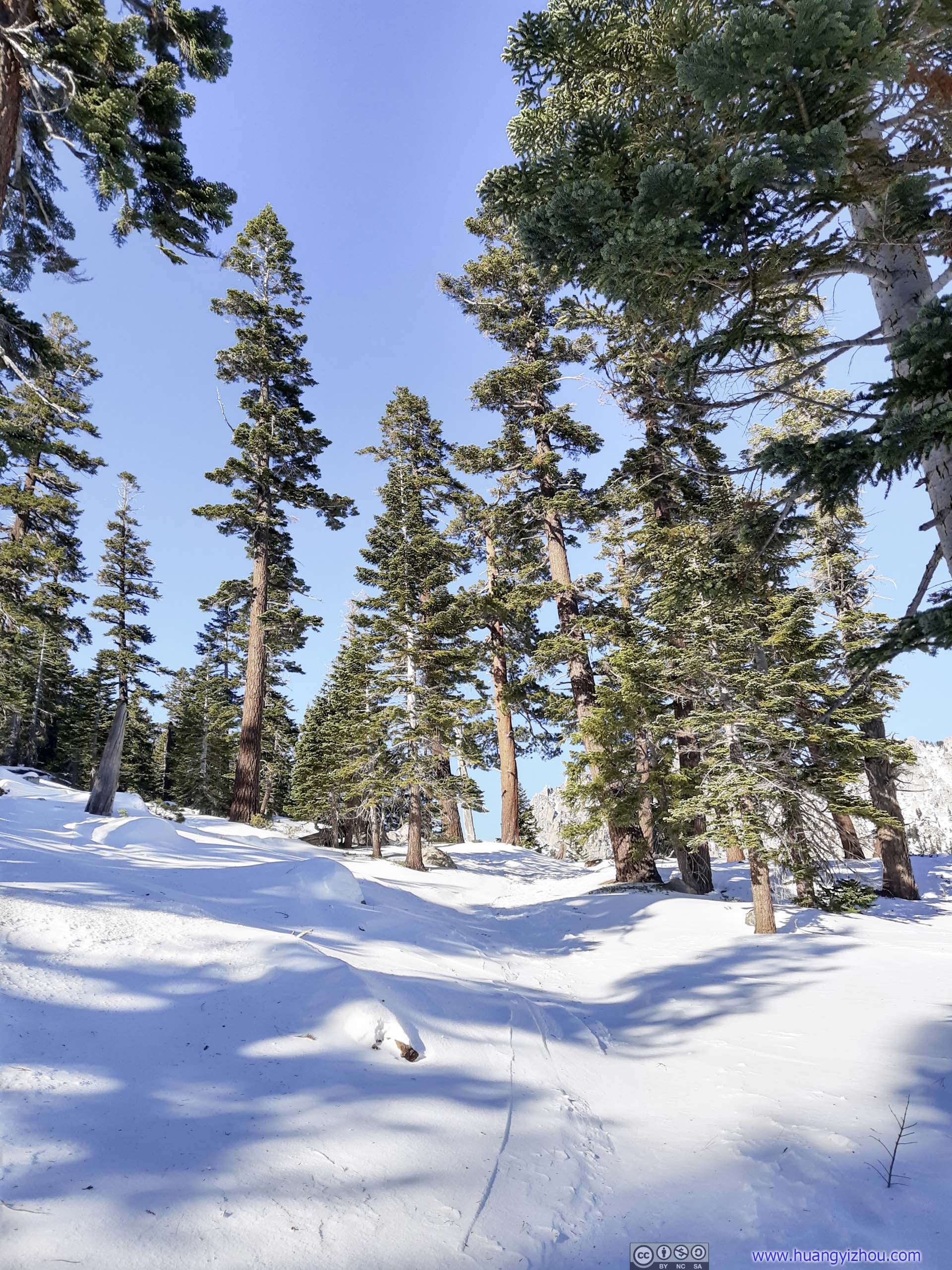
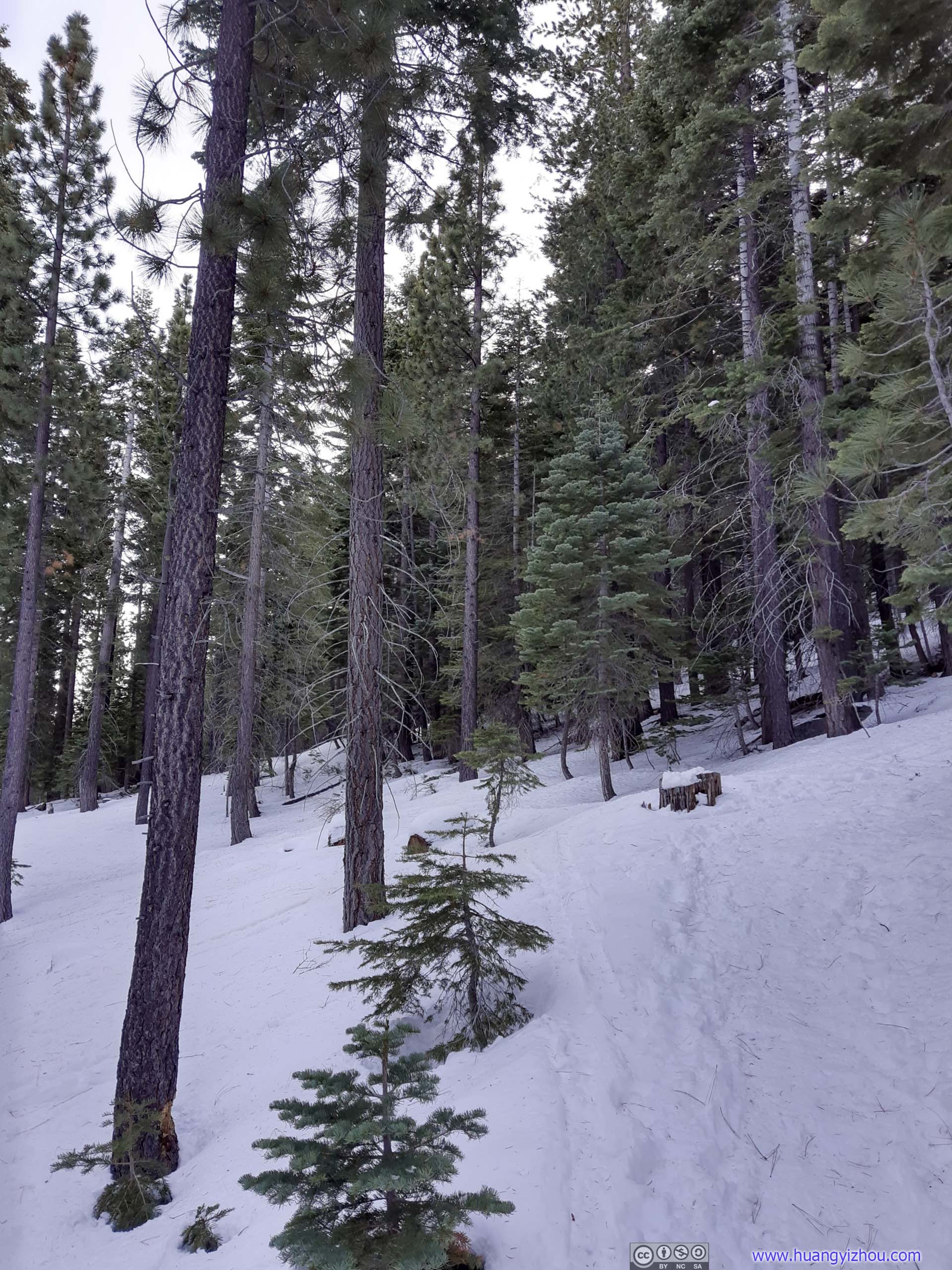
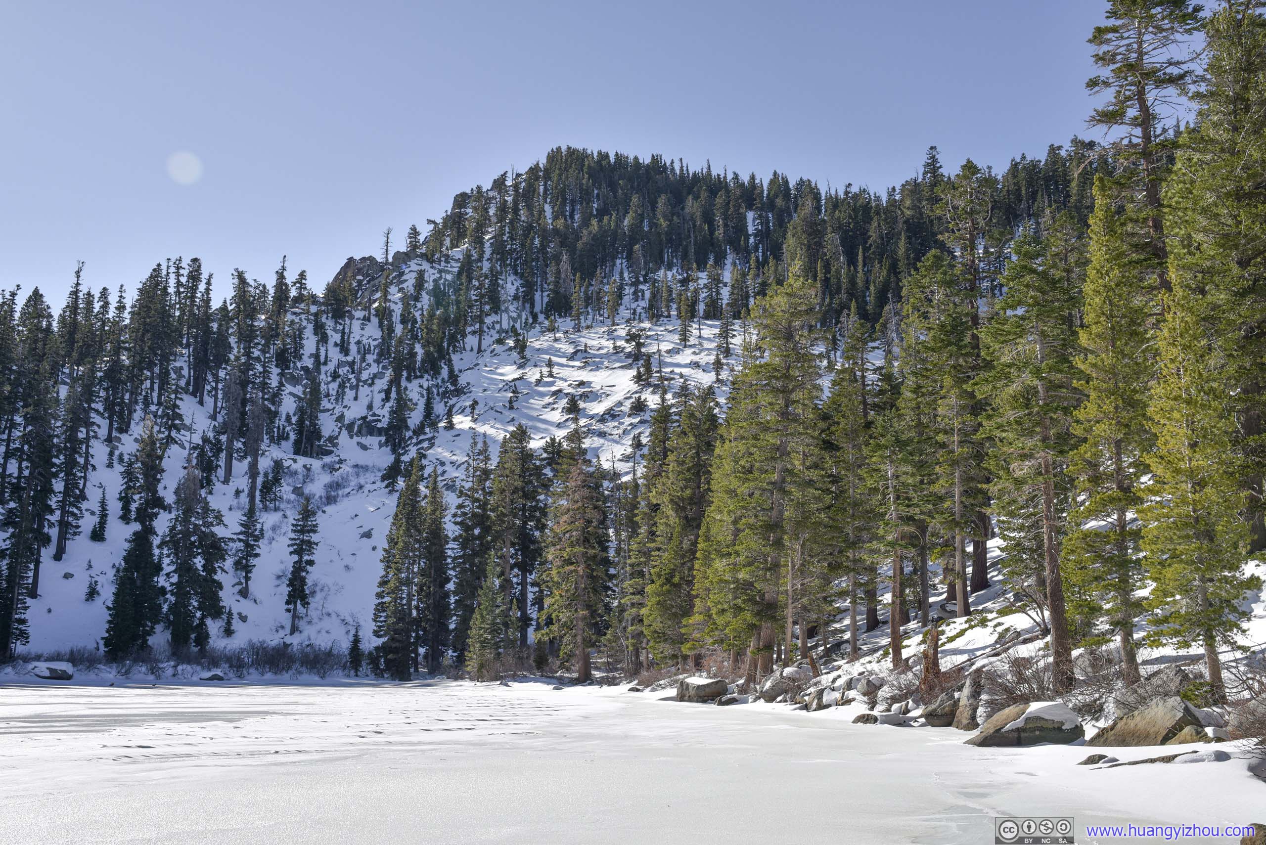
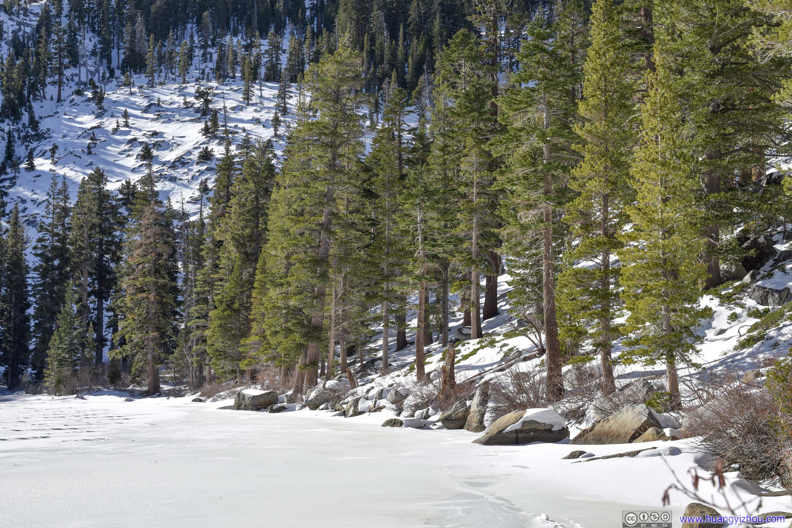
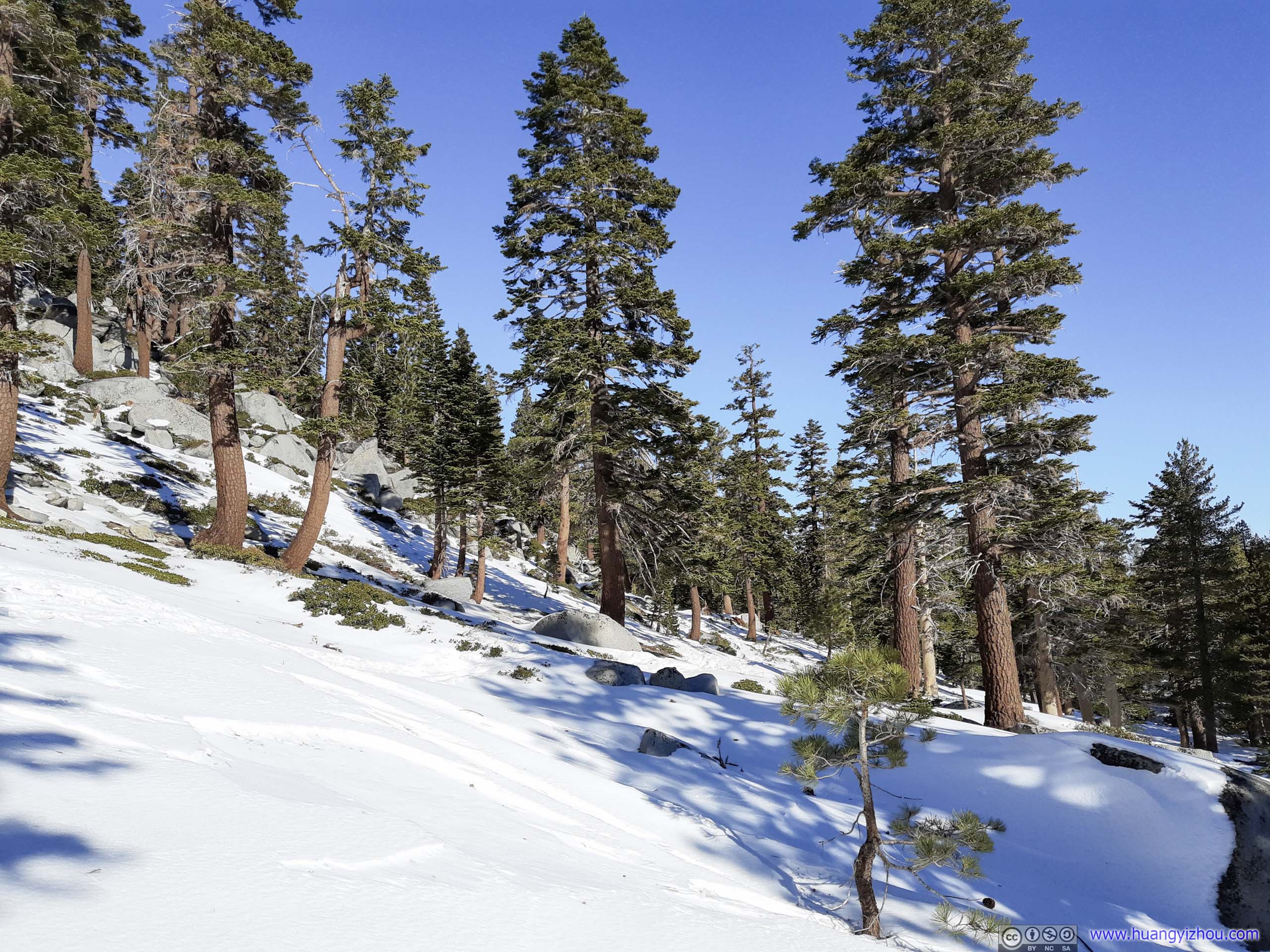
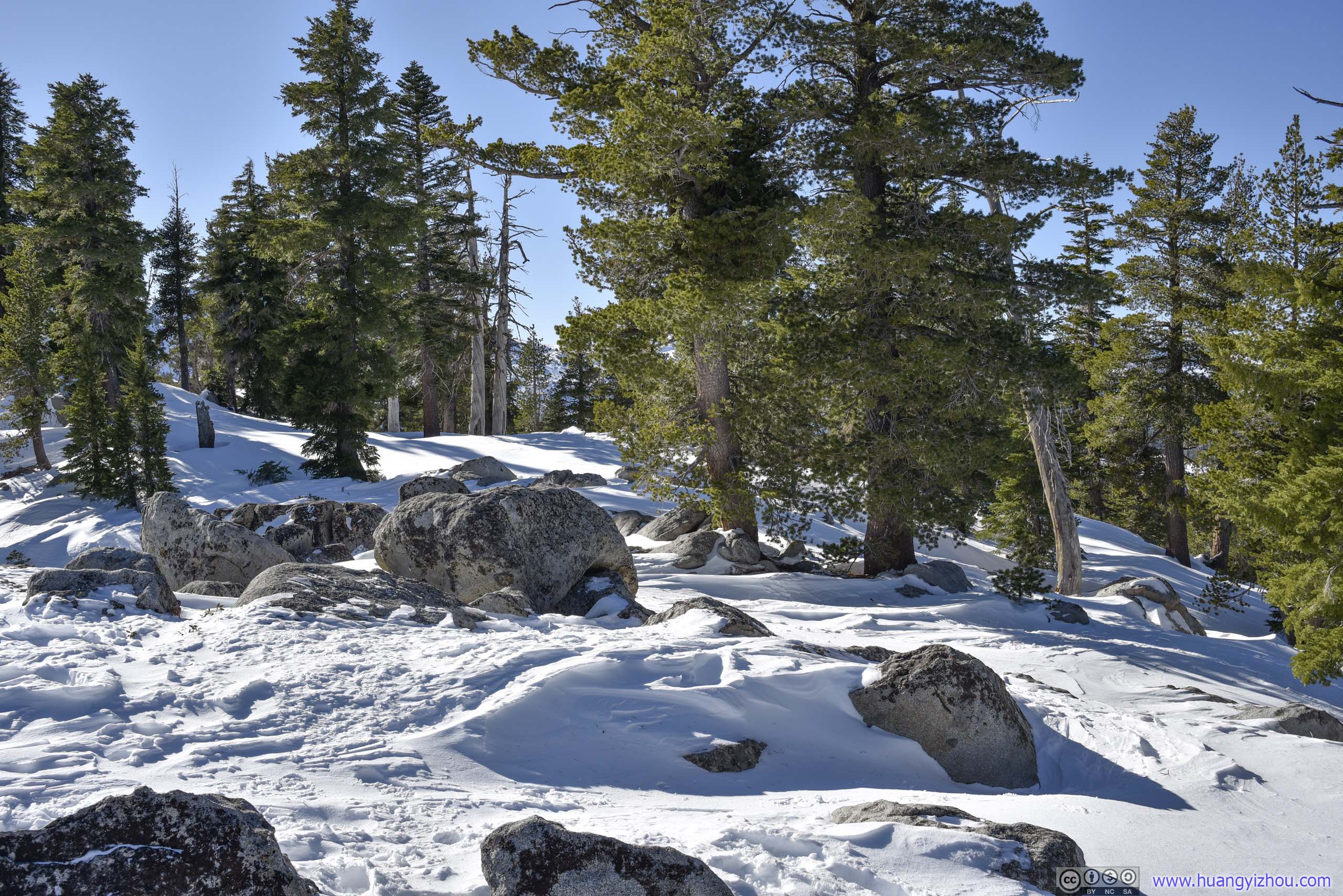
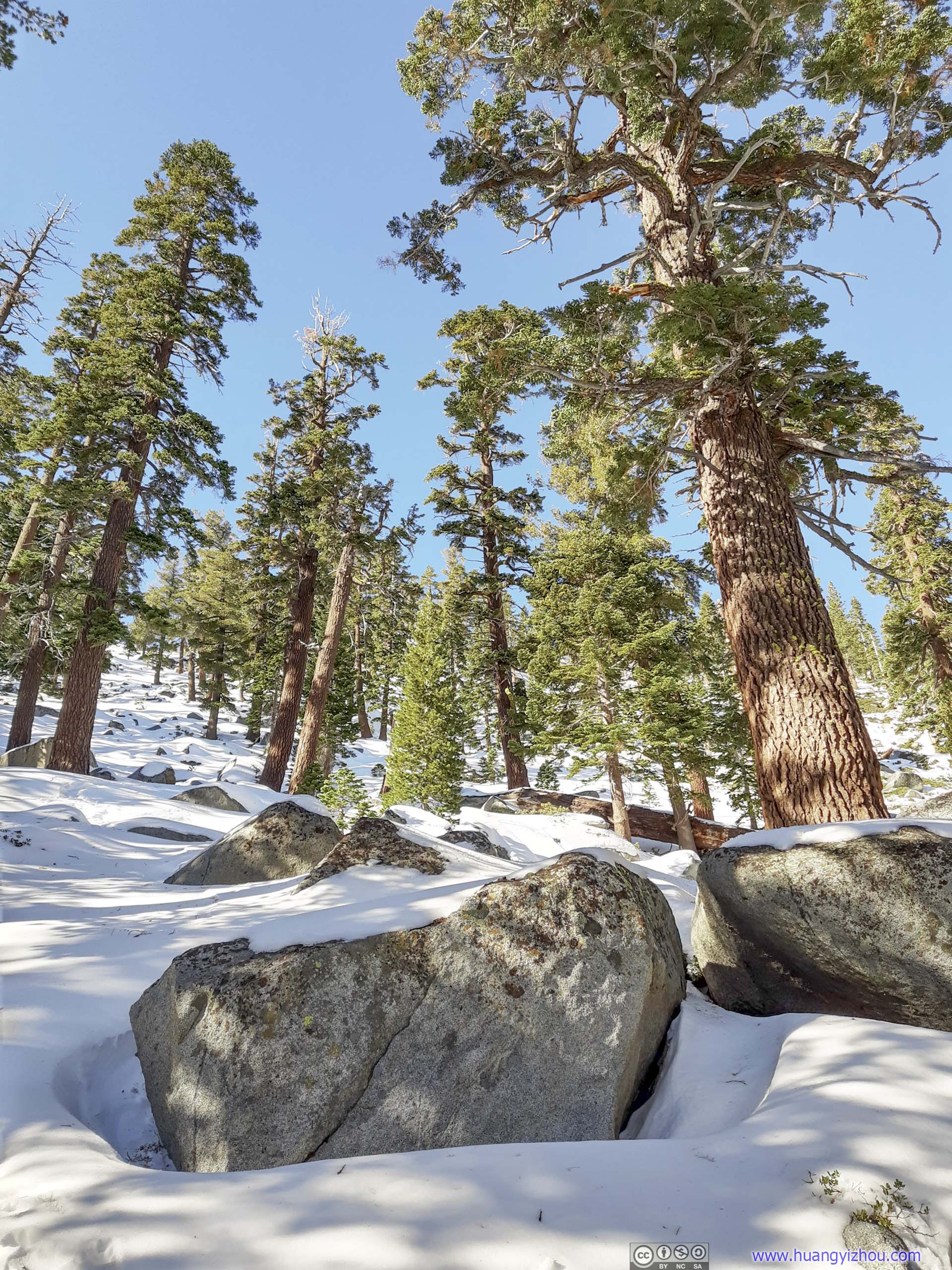
After leaving Granite Lake, the trail picked up the speed of elevation gain as it made its way up a ridge separating Granite Lake and Eagle Lake to the west.

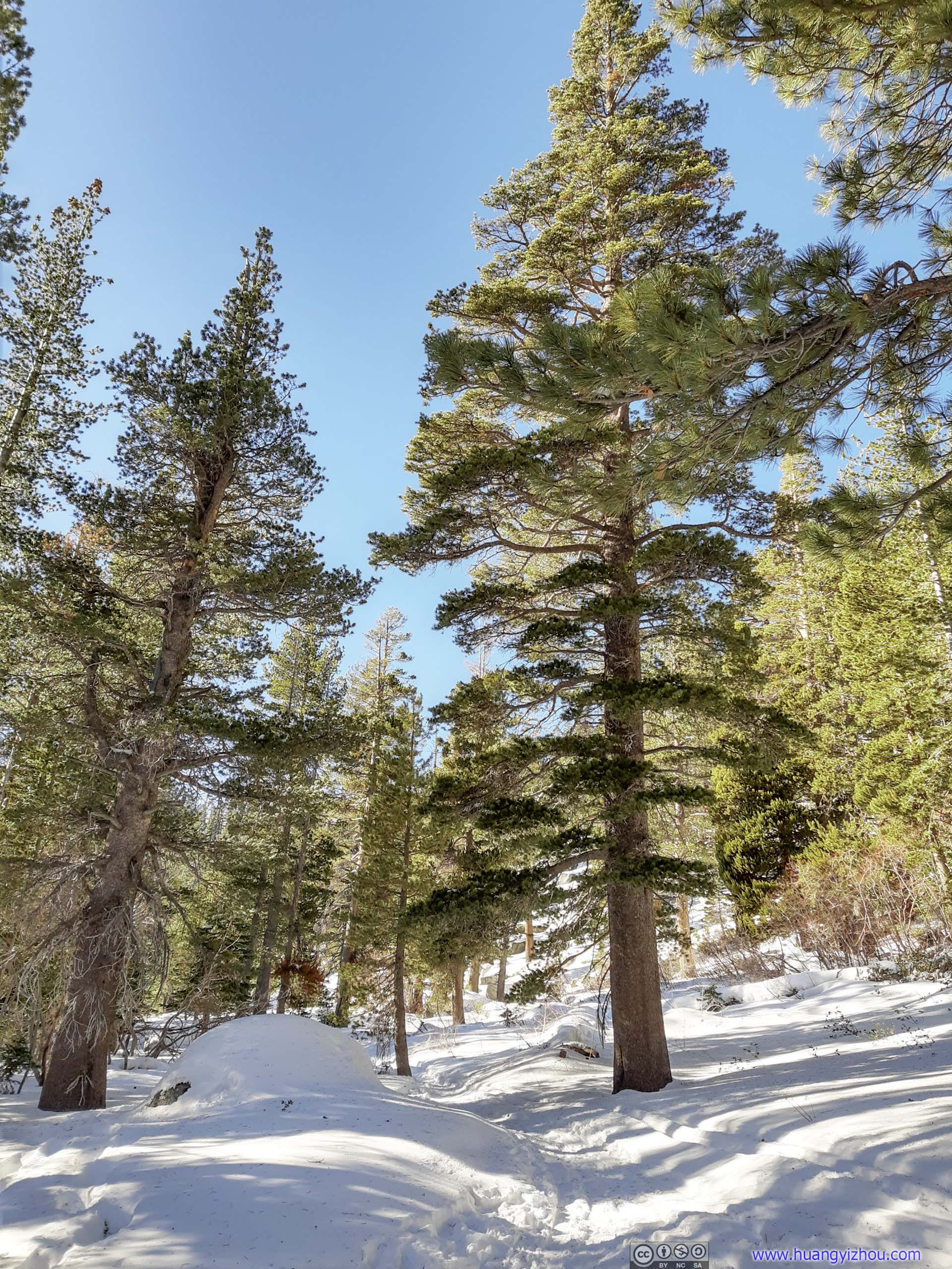
 Forest
 Trail
Trail
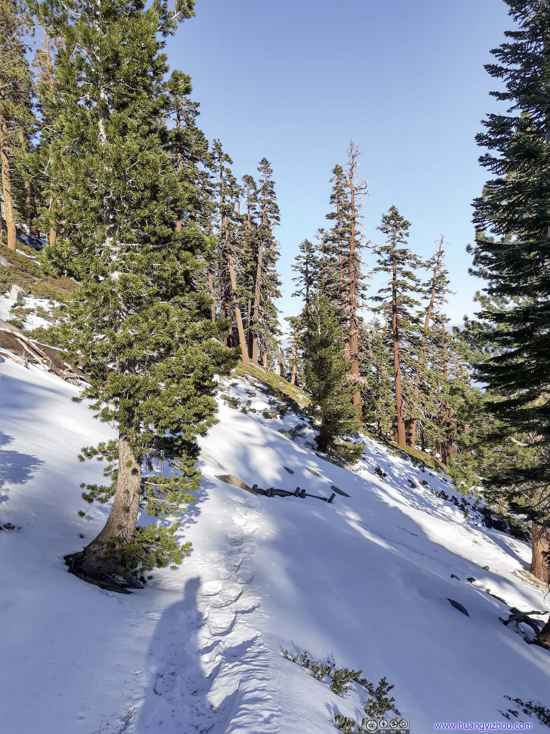
Once up the ridge there was about 100m of relatively even field, before the trail to Maggies Peak took on another slope at 30% gradient for a final 300 meters. I felt a bit tired and hungry halfway up that slope, so I stopped at a random boulder and had my lunch/rest.
 Snowy Slope
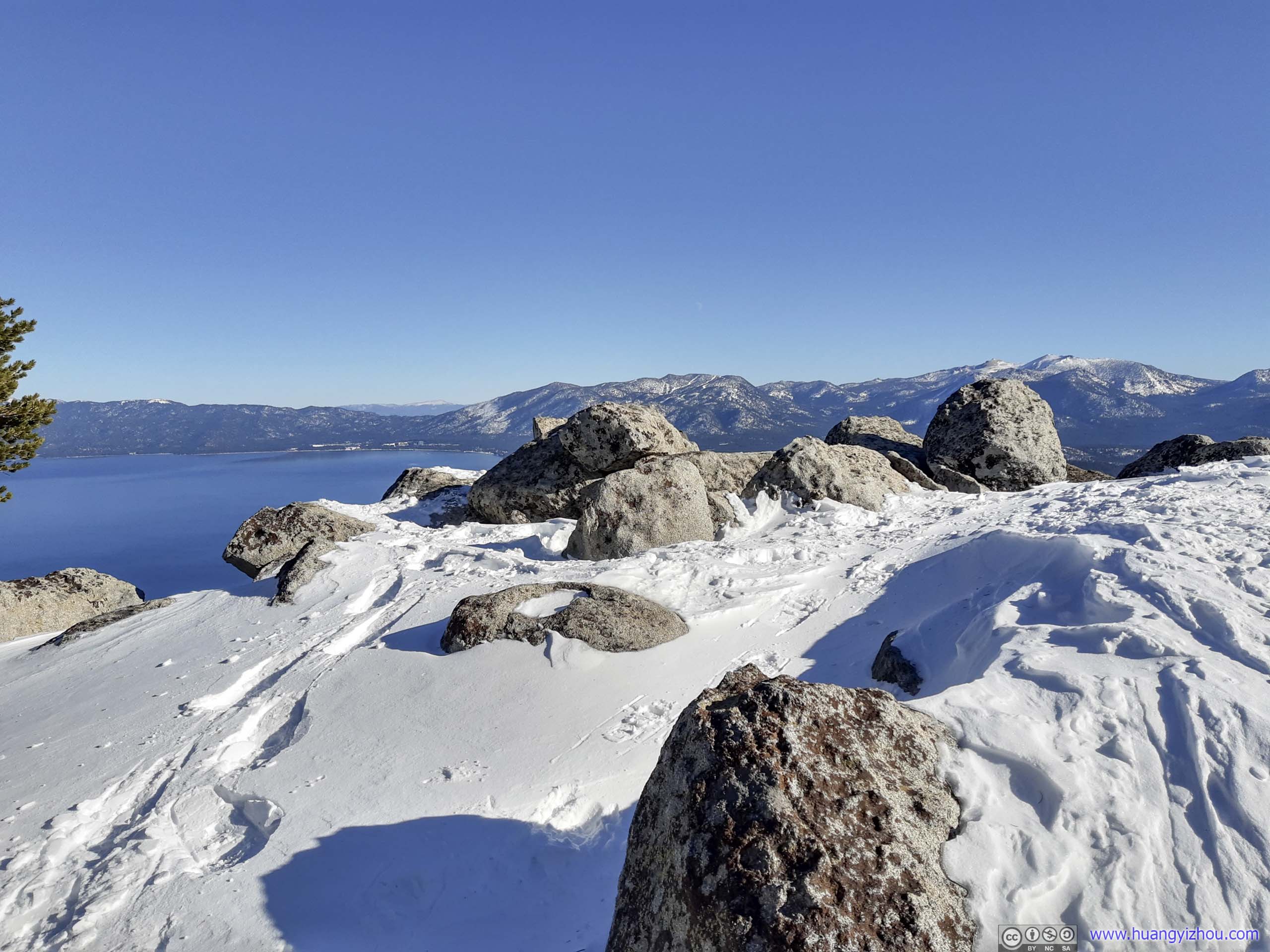
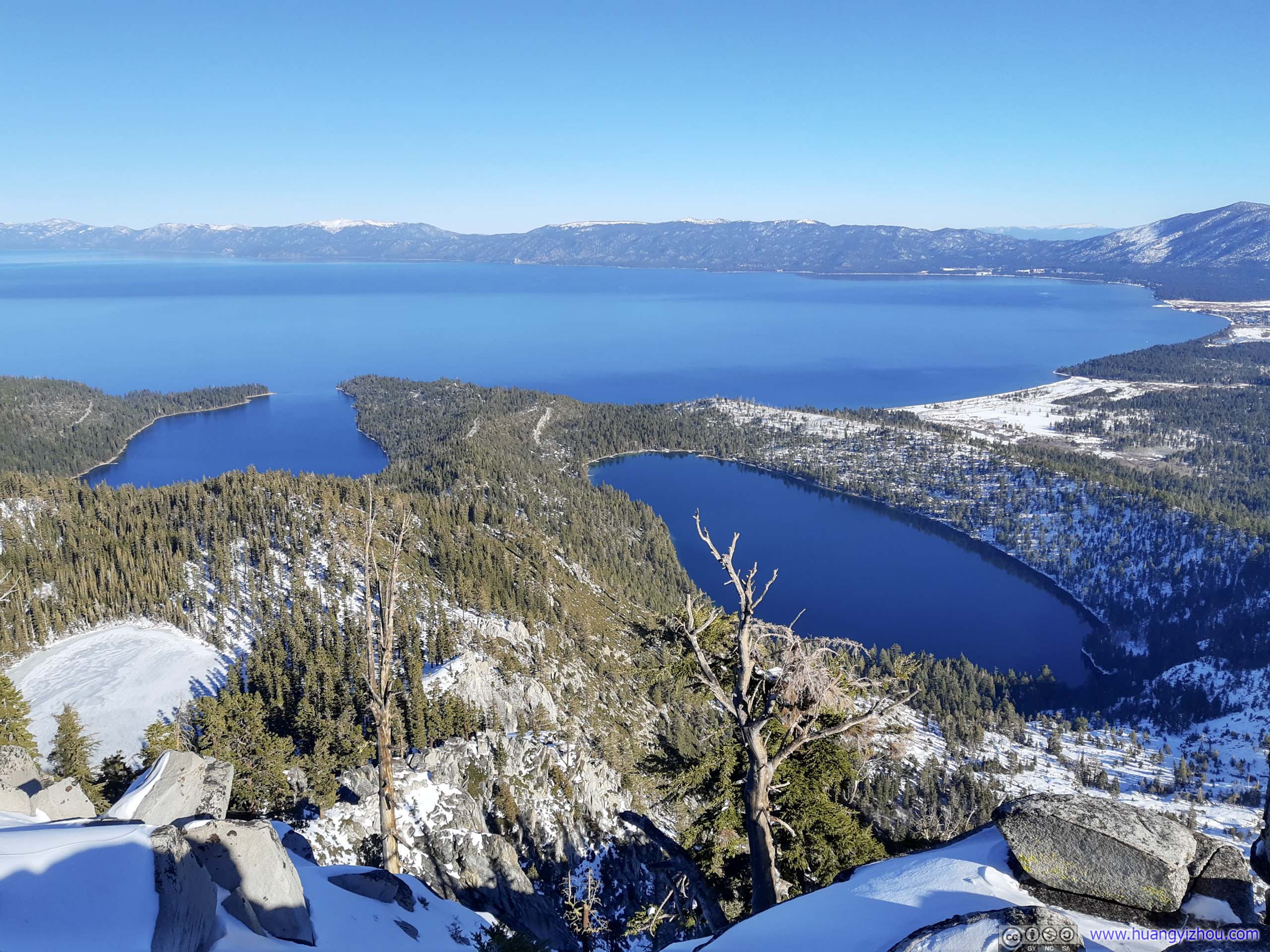
Finally, I arrived at the summit at 12:45pm, with views of Emerald Bay and Lake Tahoe right in front of me.
Summit
Unfortunately, just like the previous day at Roundtop Peak, this time I stopped short of the actual summit on map, which I only found out after I got back to hotel.
 Overlook

Gear at Summit
But nonetheless, the views at the summit were spectacular. Unlike the previous day at Roundtop, this time I was closer to the tranquil waters of Lake Tahoe. The towns on its shore, the cell phone signal that I was enjoying, and my battle for a parking spot earlier were signs of civilization that’s absent the previous day.
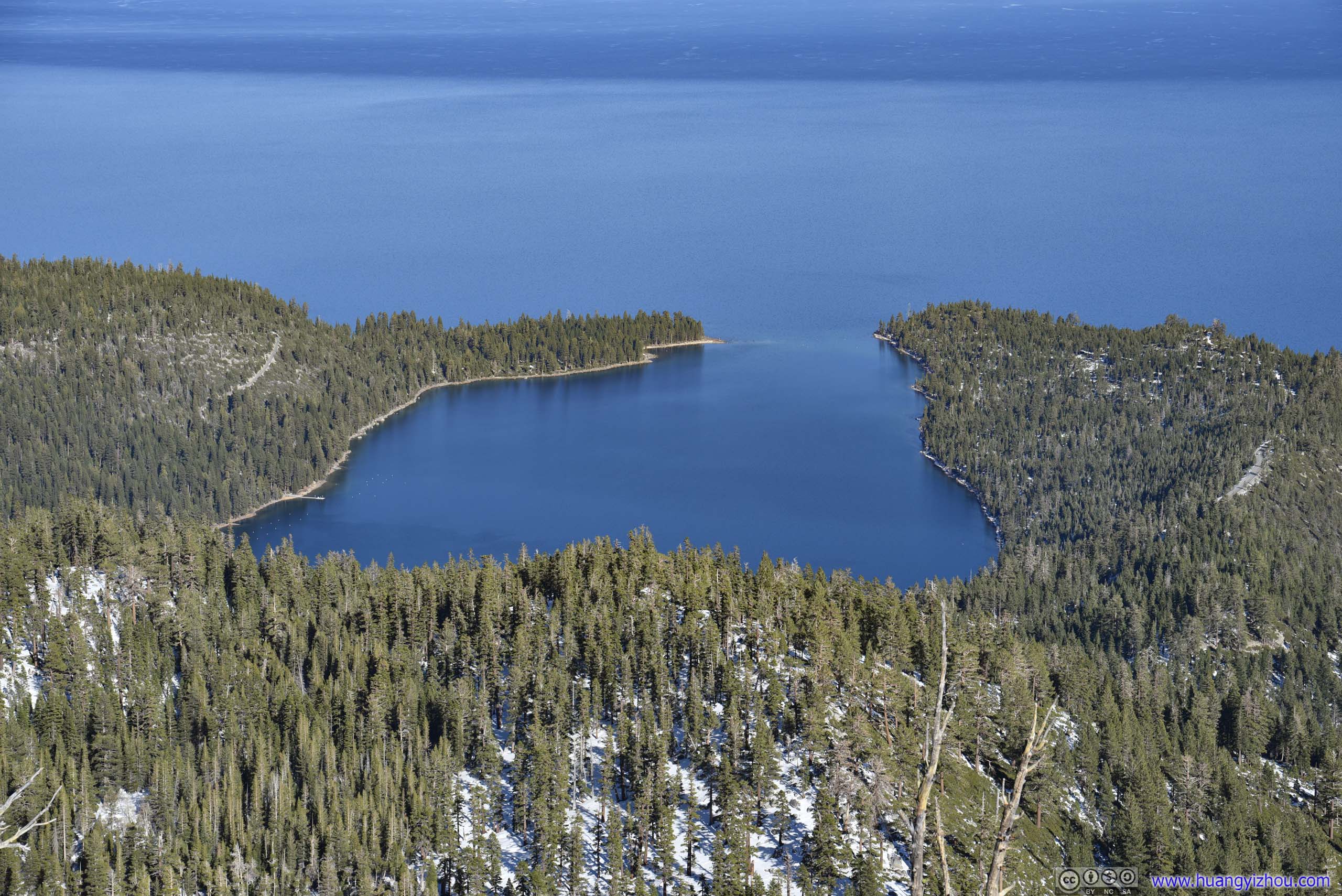
 Emerald Bay and Cascade Lake

Casinos in Stateline, NevadaMount Como in the background.
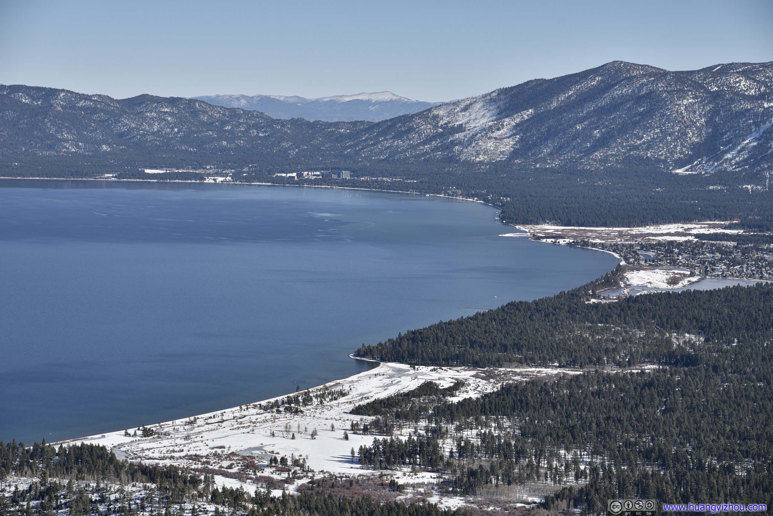
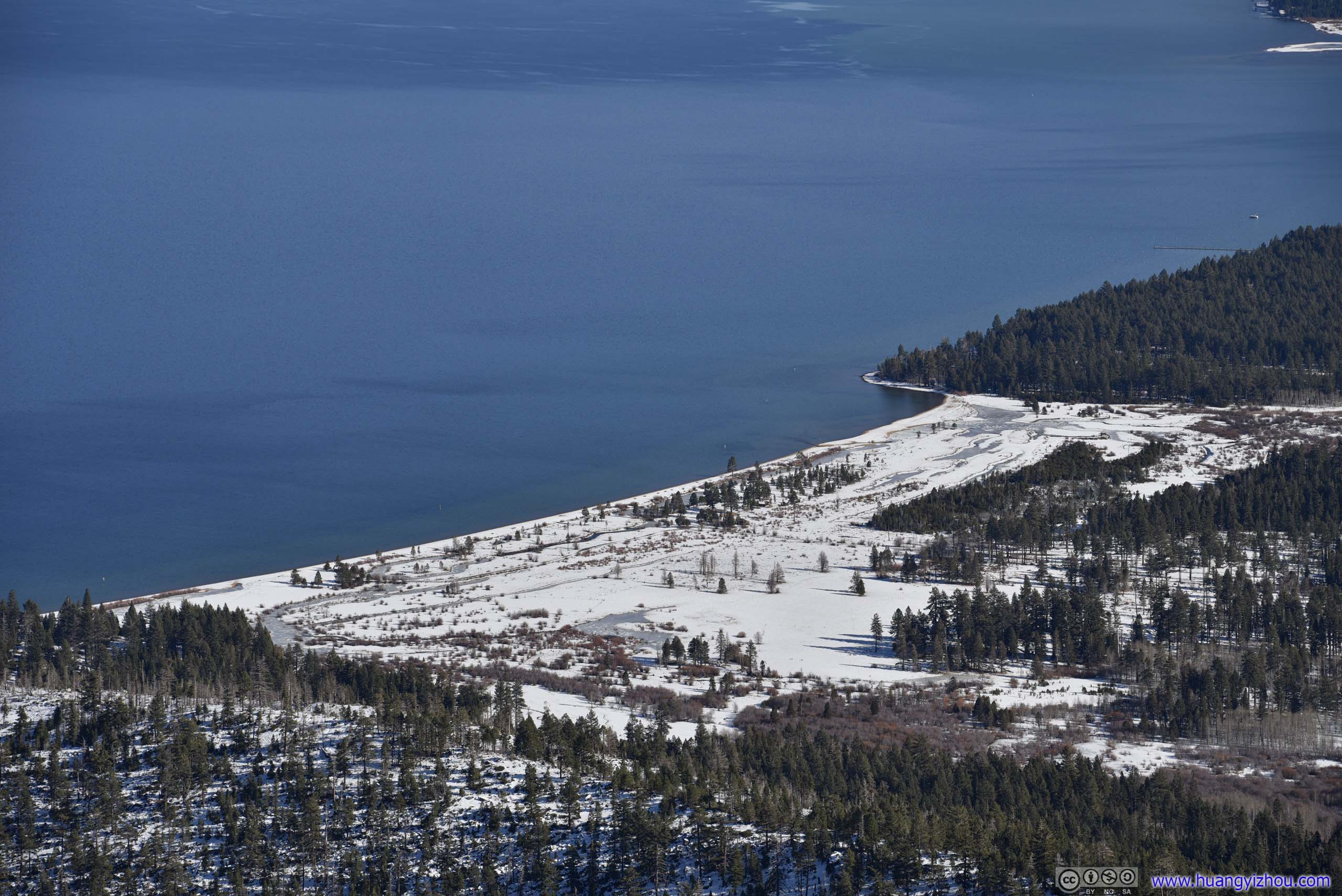 Shores of South Lake Tahoe
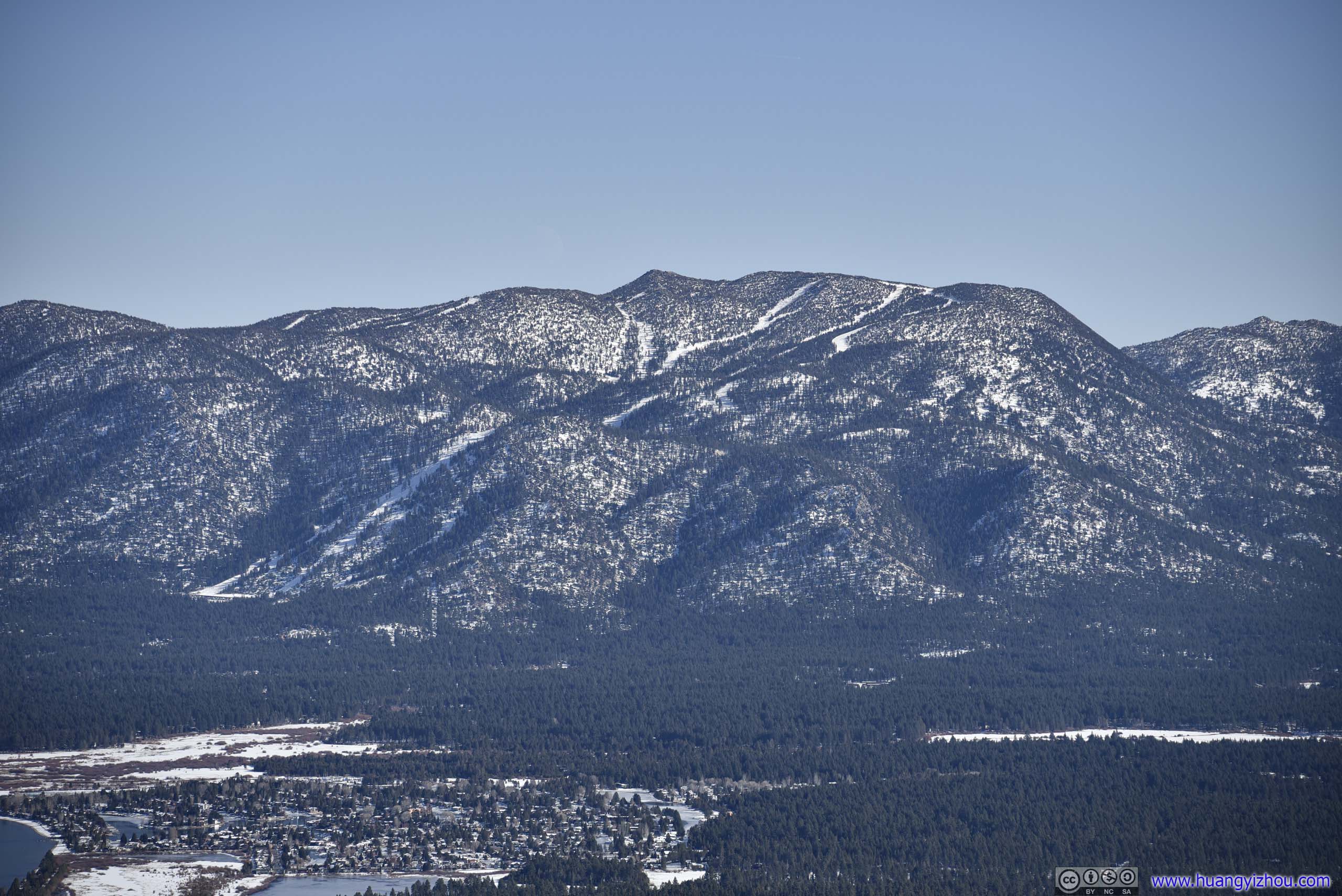
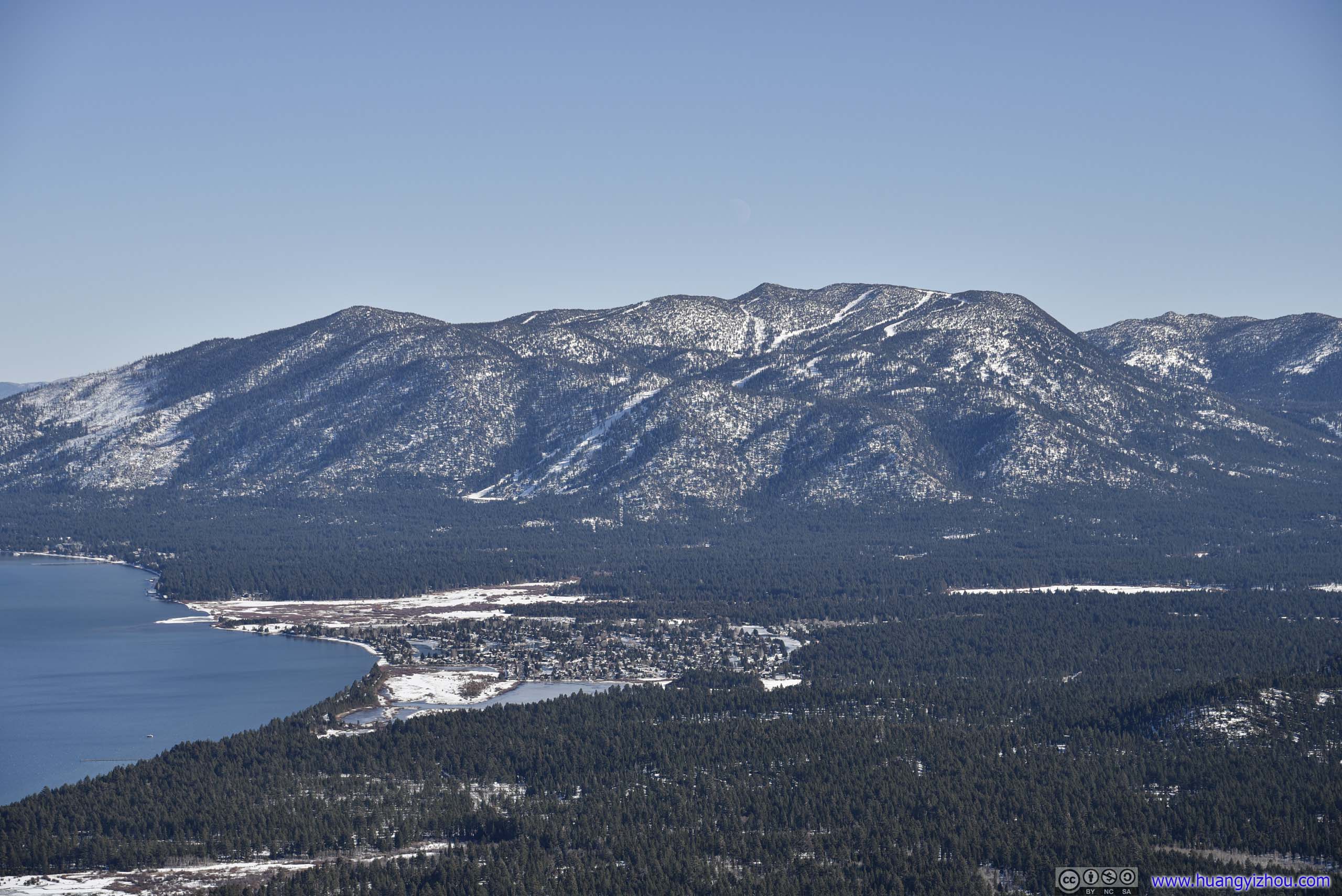 Heavenly Ski ResortA popular ski resort that straddles California and Nevada.
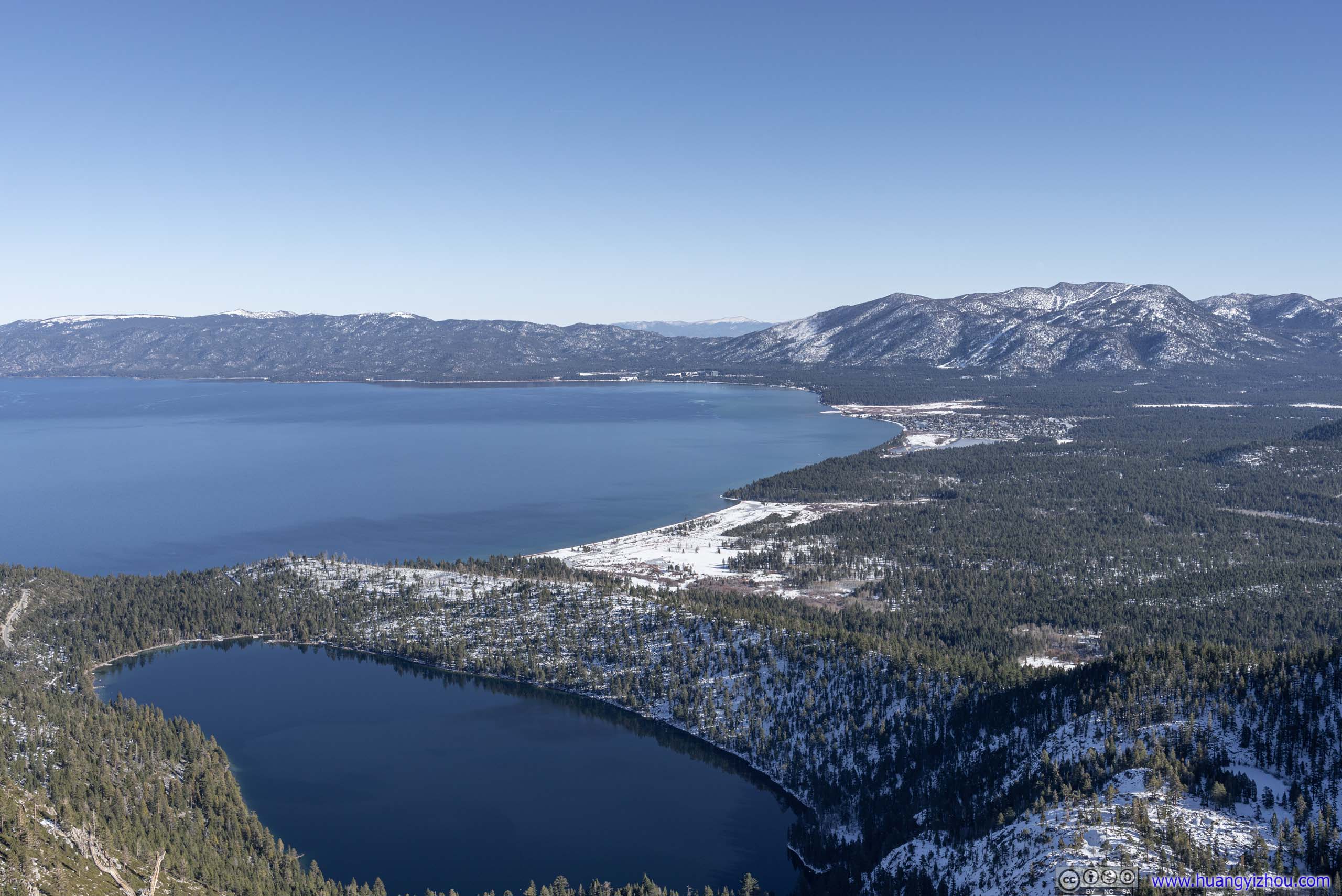
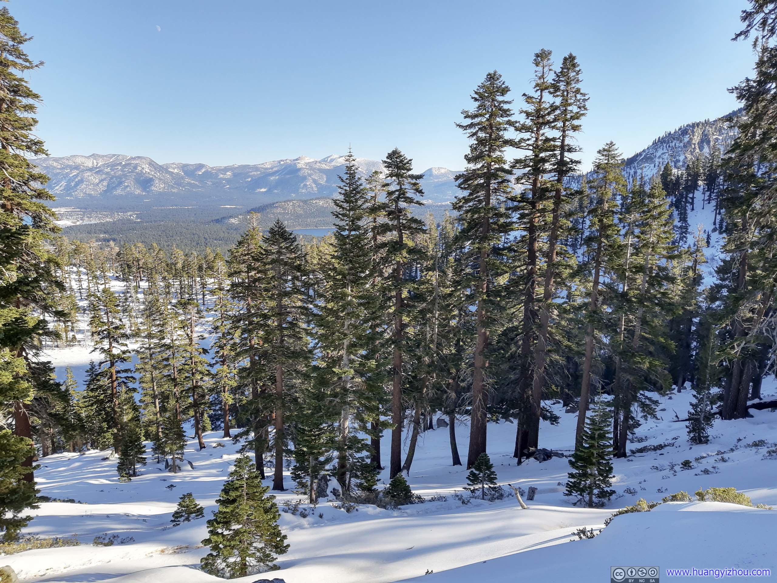
South Lake Tahoe and Cascade Lake
Distant Freel PeakFallen Leaf Lake in the foreground.

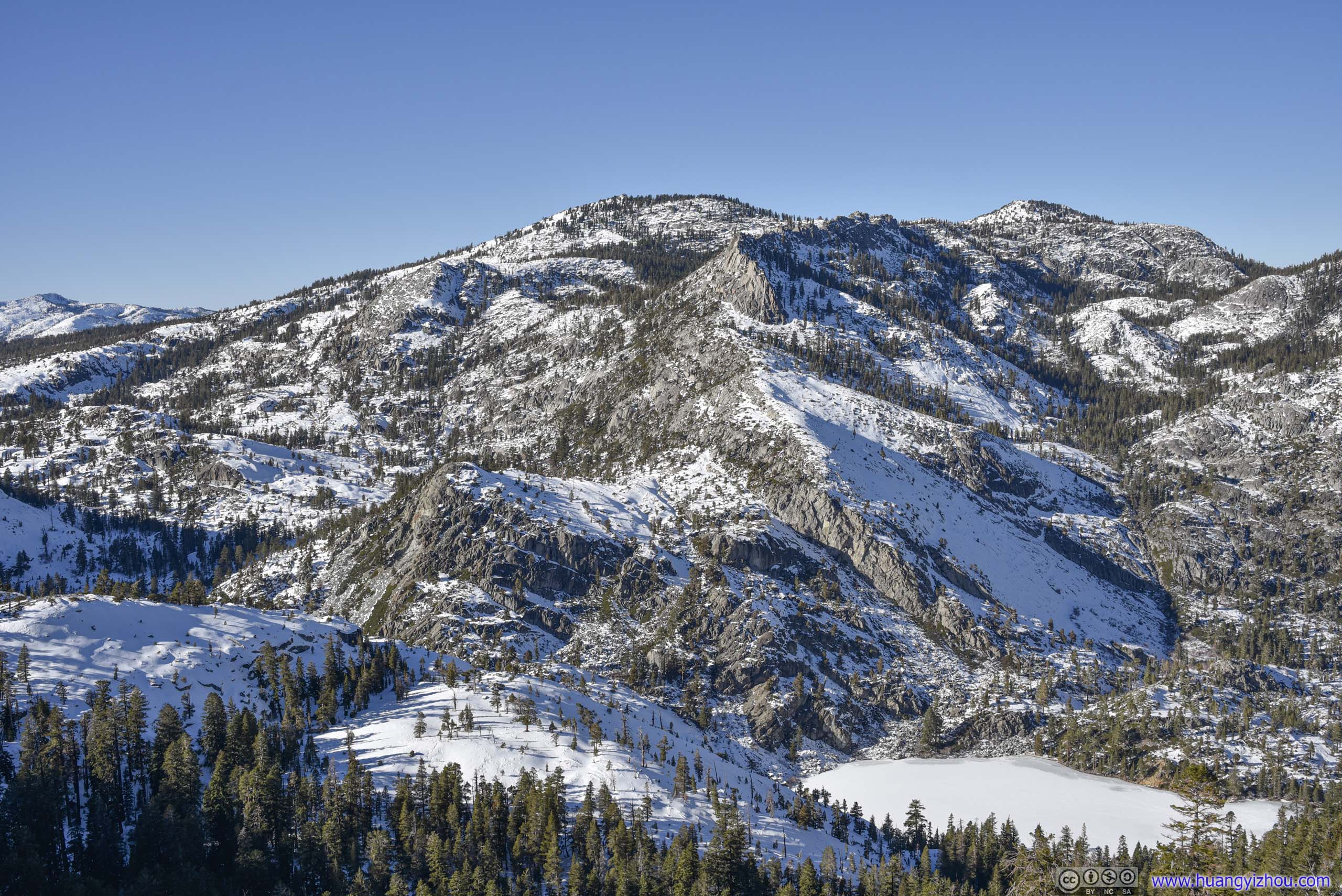
Overlooking Granite Lake
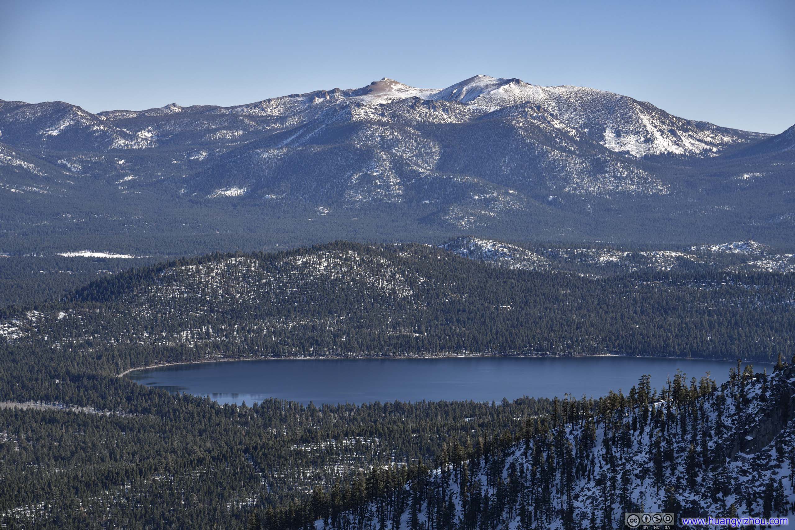
Mount Tallac
View from Maggies Peak
I spent a cozy 30 minutes at the top of Maggies Peak (maybe I should choose to have lunch there instead) before heading back down.
In the snow, it’s always more fun going downhill.
Overlook of Eagle Lake
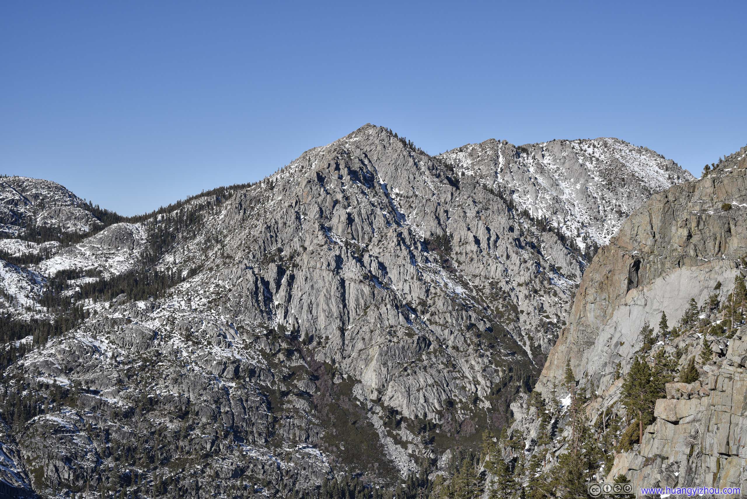
Along the ridge separating Granite Lake and Eagle Lake, there’s an unmarked overlook, the only one along the way offering views deeper into Desolation Wilderness.
MountainThe ridge between Granite Lake and Eagle Lake.
Honestly, for views of uninhabited wilderness, I enjoyed the previous day at Roundtop Better. The views here didn’t extend that far away due to limited elevation.
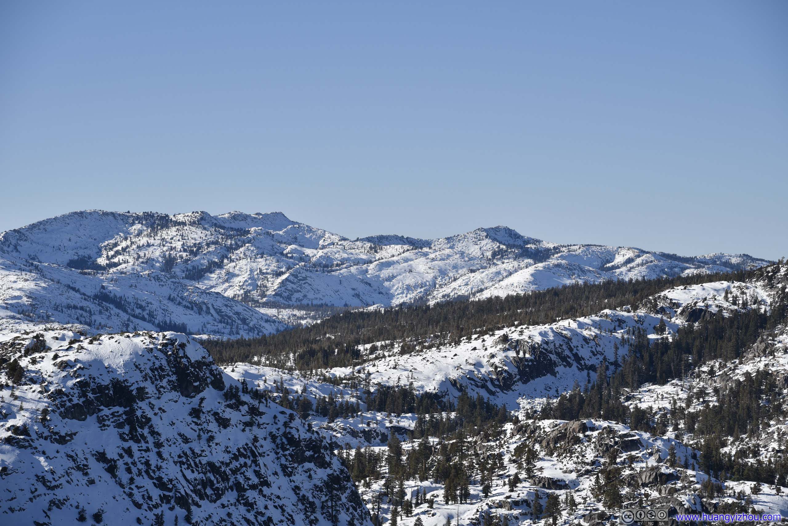
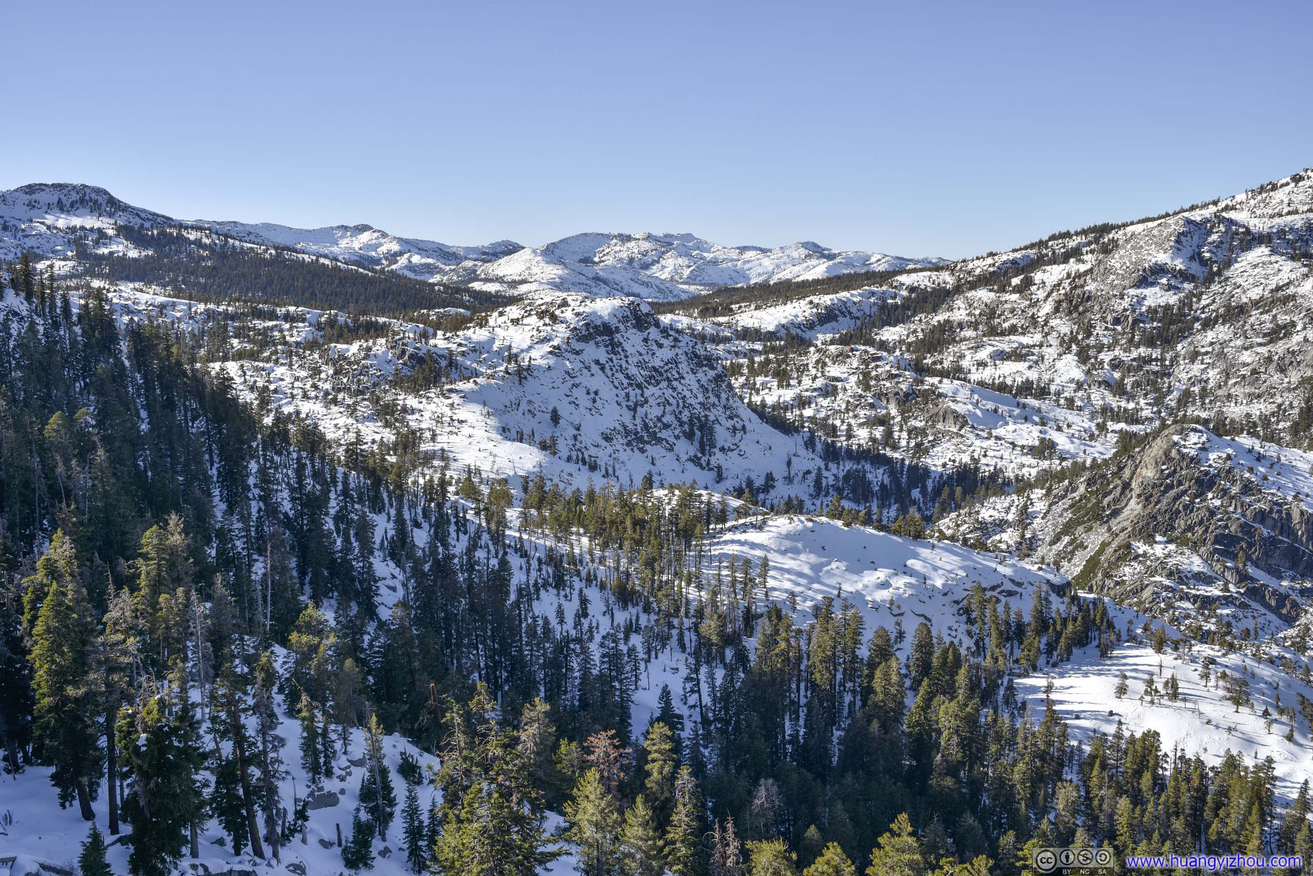
 Mountains in Desolation Wilderness
Eagle LakeAn easier trail led from Emerald Bay Road to the shores of this lake.
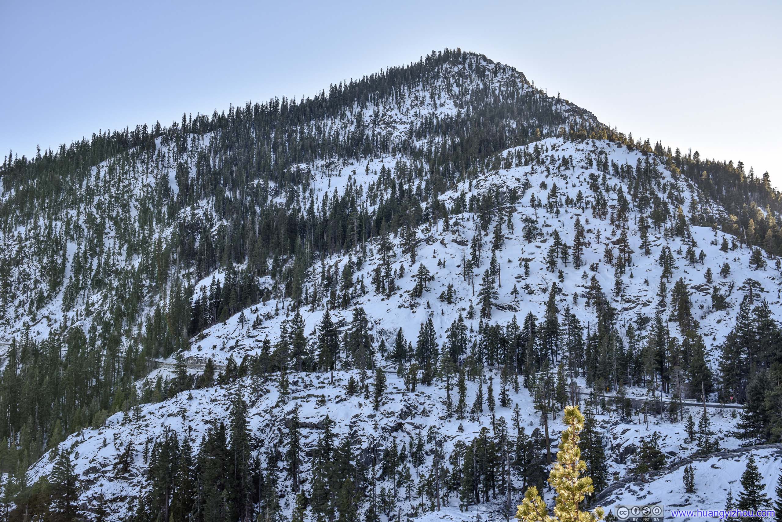
Jakes PeakA rugged presence to the north of Emerald Bay.
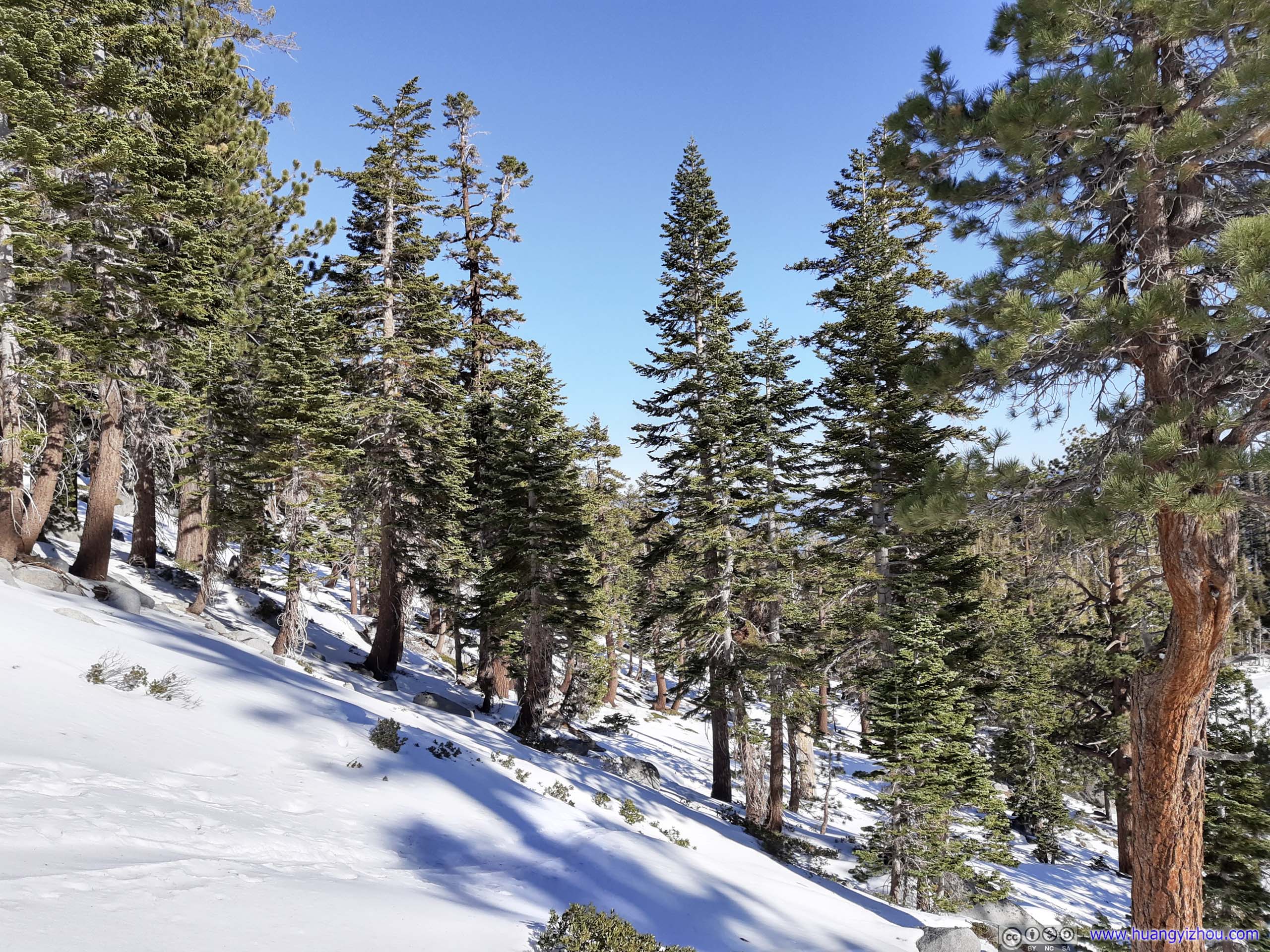
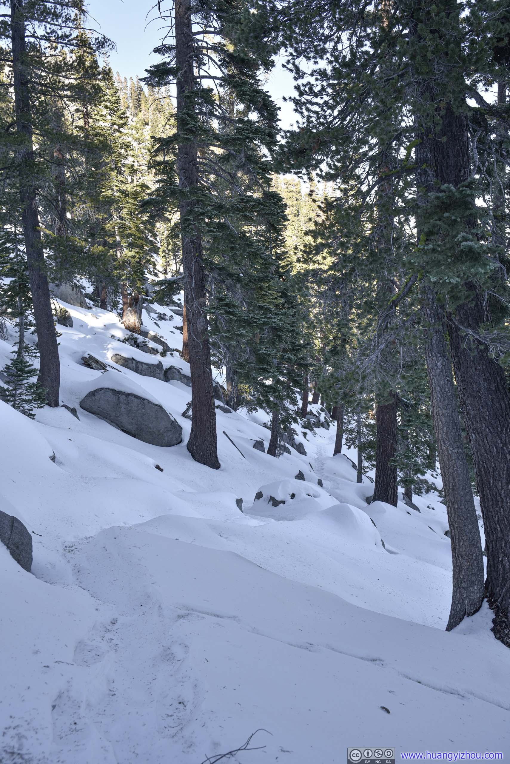
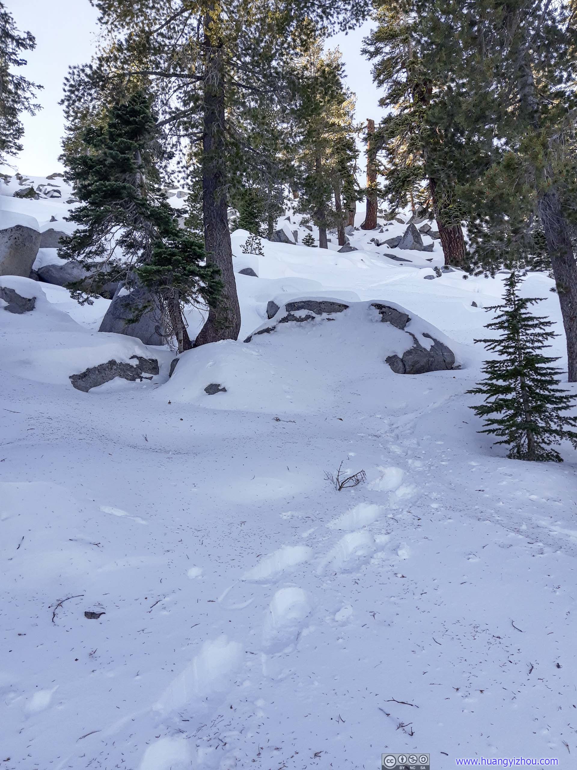
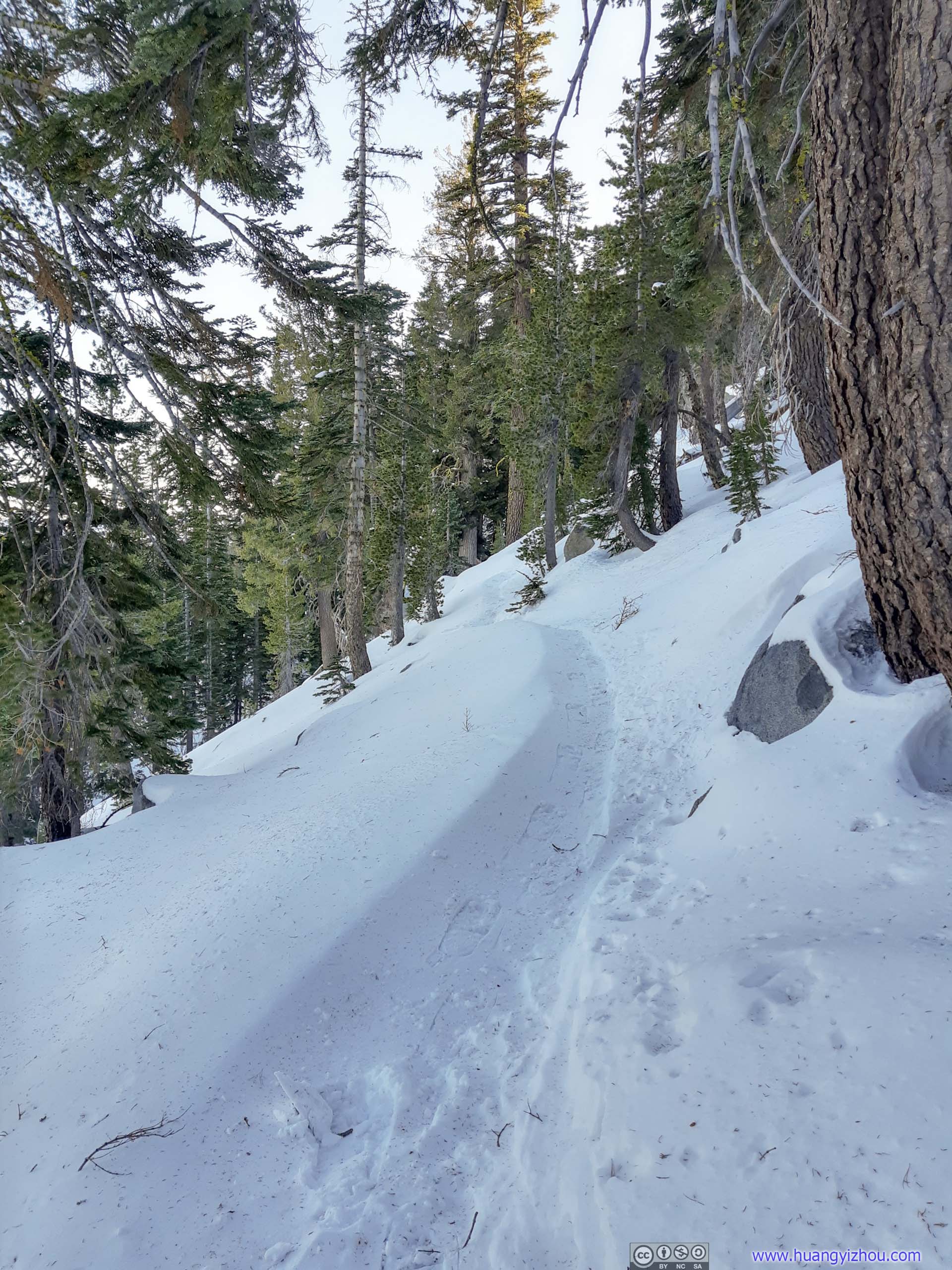
After that, I continued my way down.
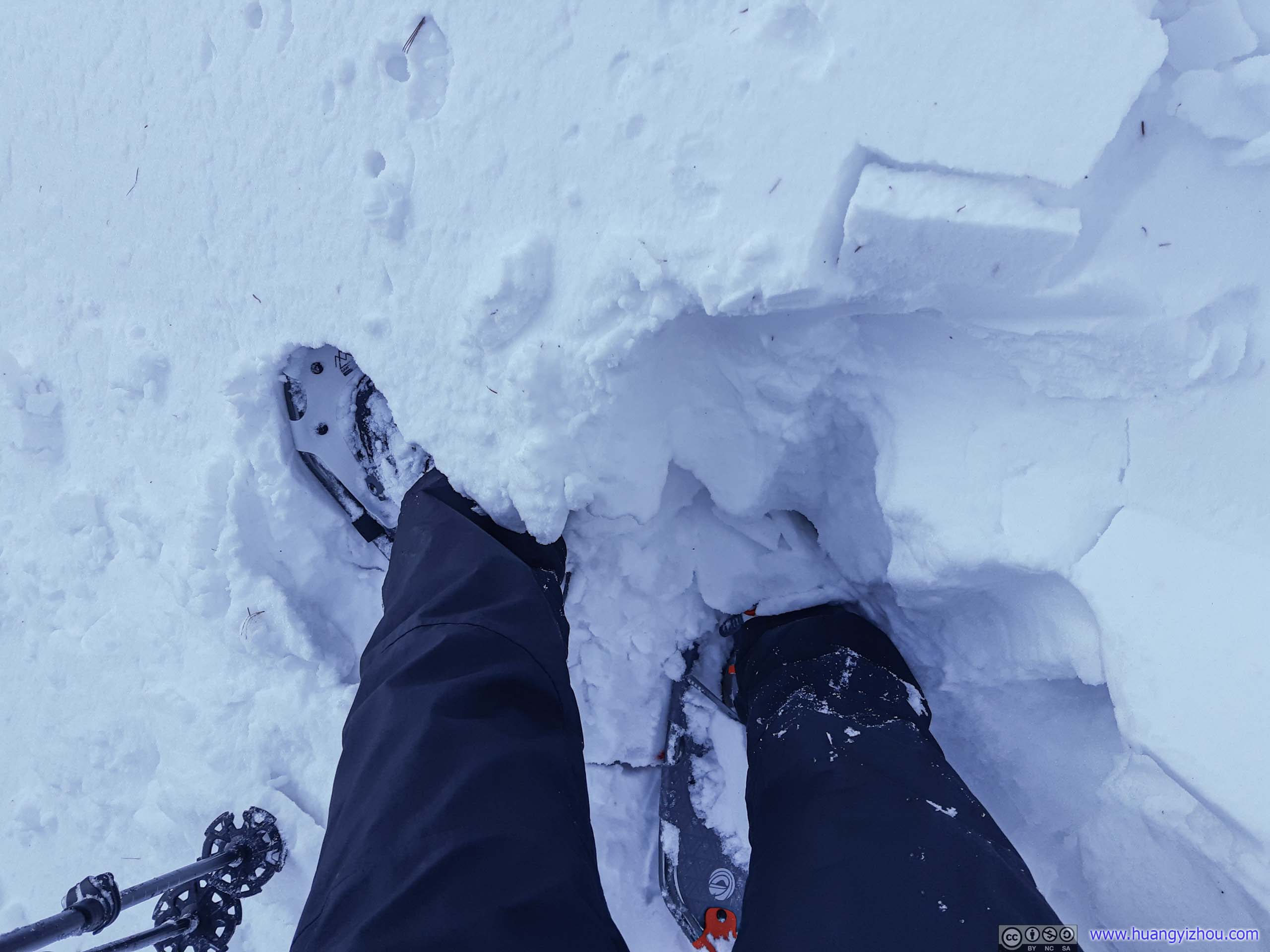
Post Holing
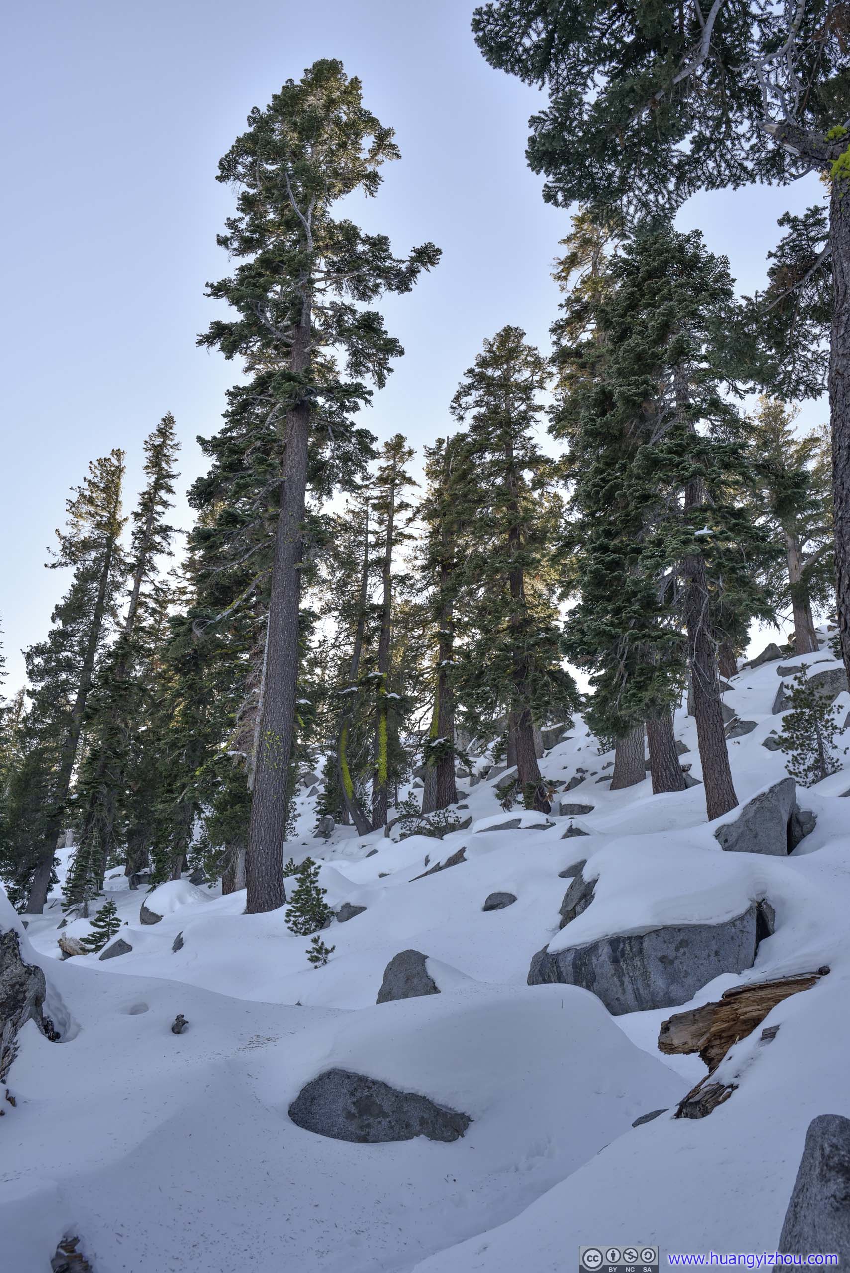
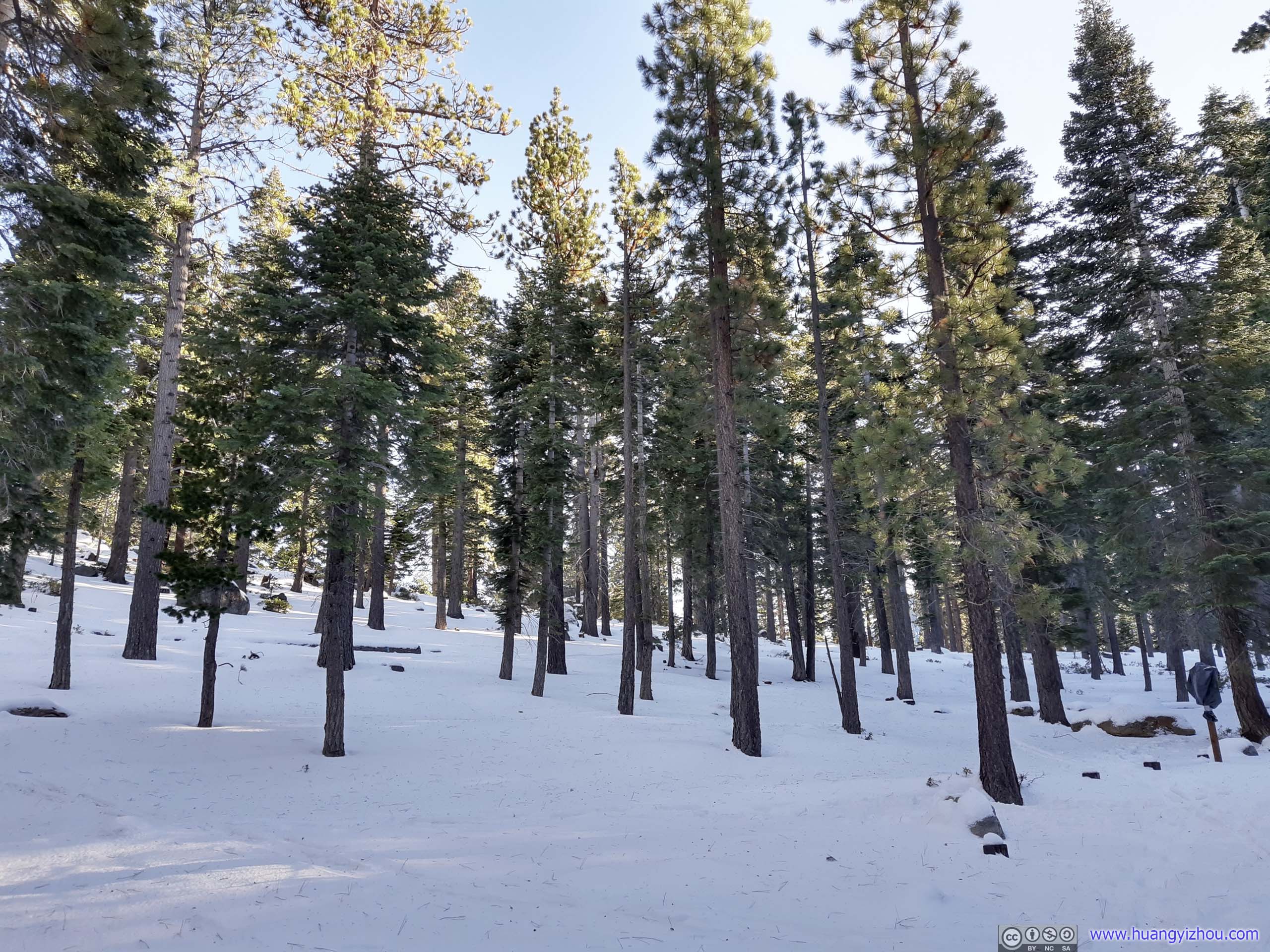
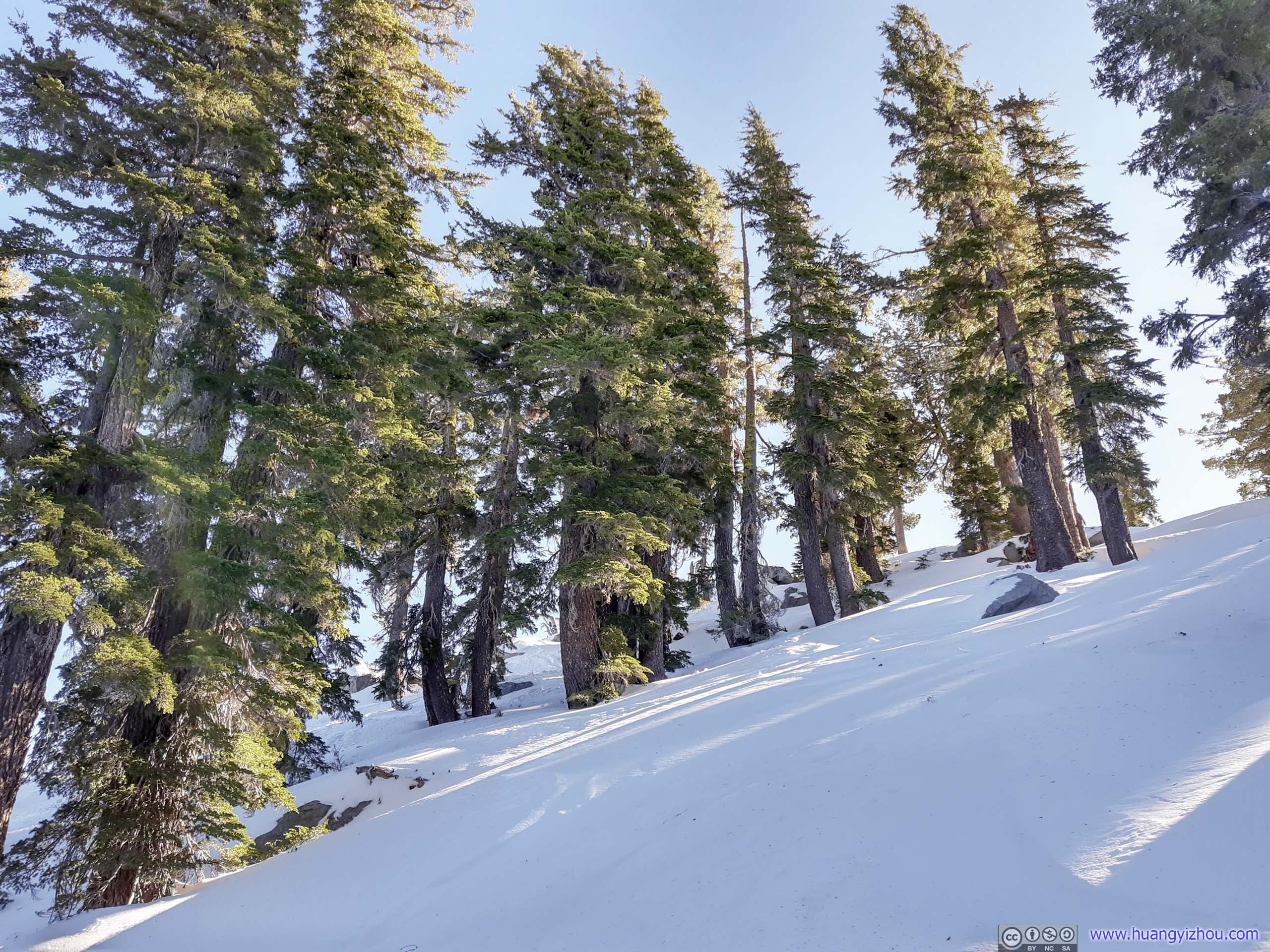
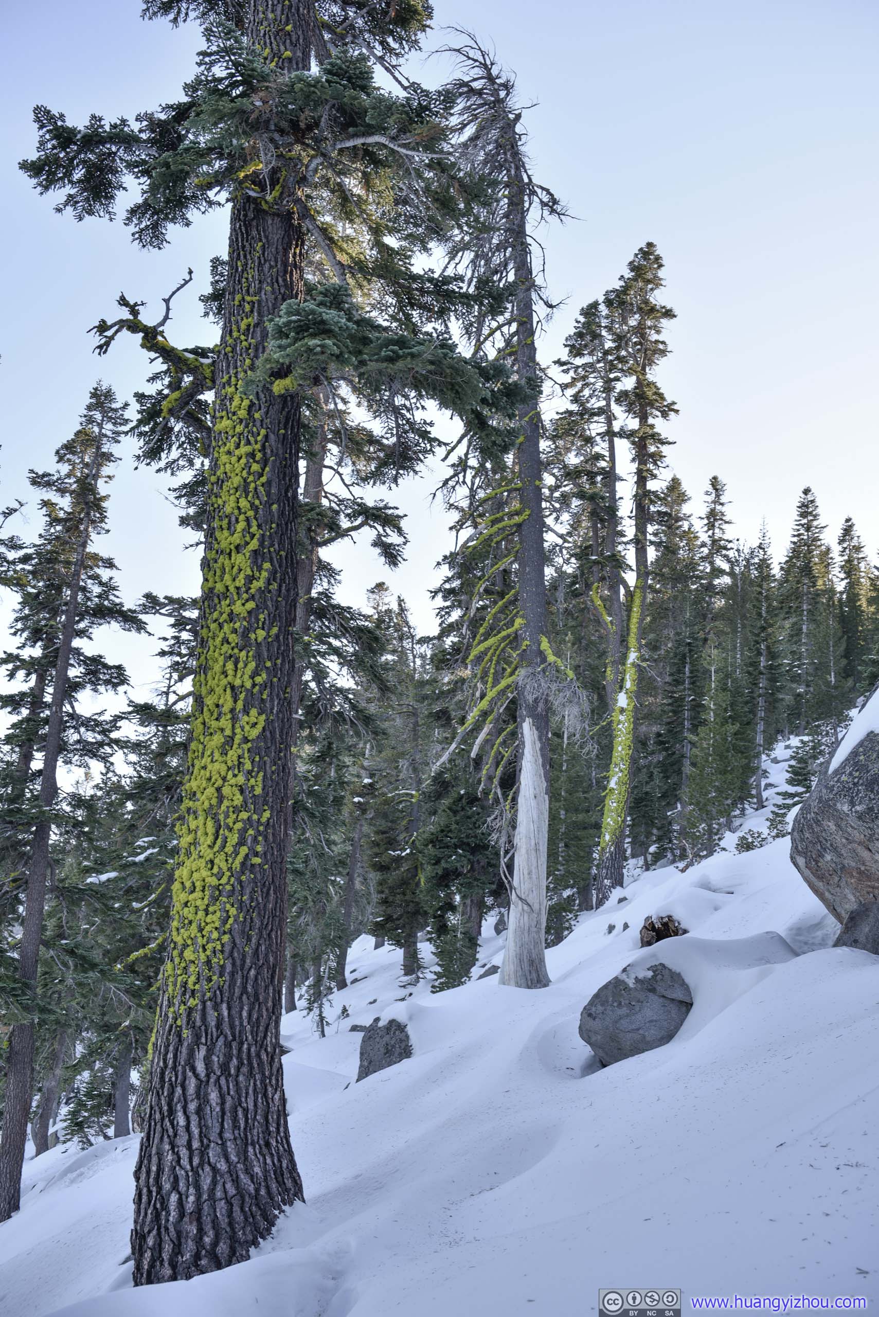 Trees
Trees

 Forest

 Trail
Trail
 Forest
Finally, 4.8 hours after I started, I was back at the roadside “parking lot”. There were much more cars parked than in the morning, but luckily no ticketing.
Keeping my microspikes on, I checked out Inspiration Point just across the road, overlooking Fannette Island in Emerald Bay. While light conditions would be ideal from Inspiration Point in the morning, it’s 3pm and the island was covered by shadows from nearby mountain. So I moved on to the large parking lot down the road, where light conditions were slightly better.

 MountainsTo the North (left) and South (right) of Emerald Bay.
Fannette Island

Emerald Bay

Overlooking Lake Tahoe outside Emerald Bay
From this overlook on its western shore, it’s possible to hike down to Vikingsholm Mansion and Lower Eagle Falls. Unfortunately due to COVID, the mansion was closed, and it’s getting late, so I decided to move on, taking the longer detour of Tahoe City / Incline Village back to my hotel in Carson City.
Tahoe City Waterfront
Half an hour after I left Emerald Bay, I reached Tahoe City, one of the few major towns along its western shore. It being 20 minutes from sunset and with both free parking and public water access, I decided to watch sunset here.
Mountains across Lake Tahoe
Well, since I was on the western shore, I couldn’t watch the sun directly. But the vivid colors on the snowy peaks across the lake were so breathtaking, that somehow I thought of this as the more enjoyable way.
Mountains to the SouthThe one marked by orange arrow should be Roundtop, which I summitted the previous day.
Mountains to the SouthMostly Desolation Wilderness.
Heavenly Mountain Ski ResortA resort that straddles two states.
Mountains beyond Tahoe City Marina
I also launched my drone and flew it to the center of Lake Tahoe, for a better view of this all-rounded colors.
Drone Overlooking Lake Tahoe
And here’s the video of its return trip:
Drone View near Tahoe City Marina
I stayed at Tahoe City for almost an hour, watching the fiery colors turning up and fading away to city lights. After that, I drove back to Carson City and ended this long day.
END
![]() Day 2 of 2020 Lake Tahoe Trip, Snowshoing to Maggies Peak in Desolation Wilderness by Huang's Site is licensed under a Creative Commons Attribution-NonCommercial-ShareAlike 4.0 International License.
Day 2 of 2020 Lake Tahoe Trip, Snowshoing to Maggies Peak in Desolation Wilderness by Huang's Site is licensed under a Creative Commons Attribution-NonCommercial-ShareAlike 4.0 International License.