
Updated on June 19, 2021
Day 5 of 2020 Lake Tahoe Trip, North Lake Tahoe, Donner Pass and Downtown Reno
Fifth day of my Lake Tahoe trip. Weather forecast indicated a storm was coming to Lake Tahoe region. Before that storm hit, I visited North Lake Tahoe and Donner Pass, before checking into another hotel in Reno for my final two nights.

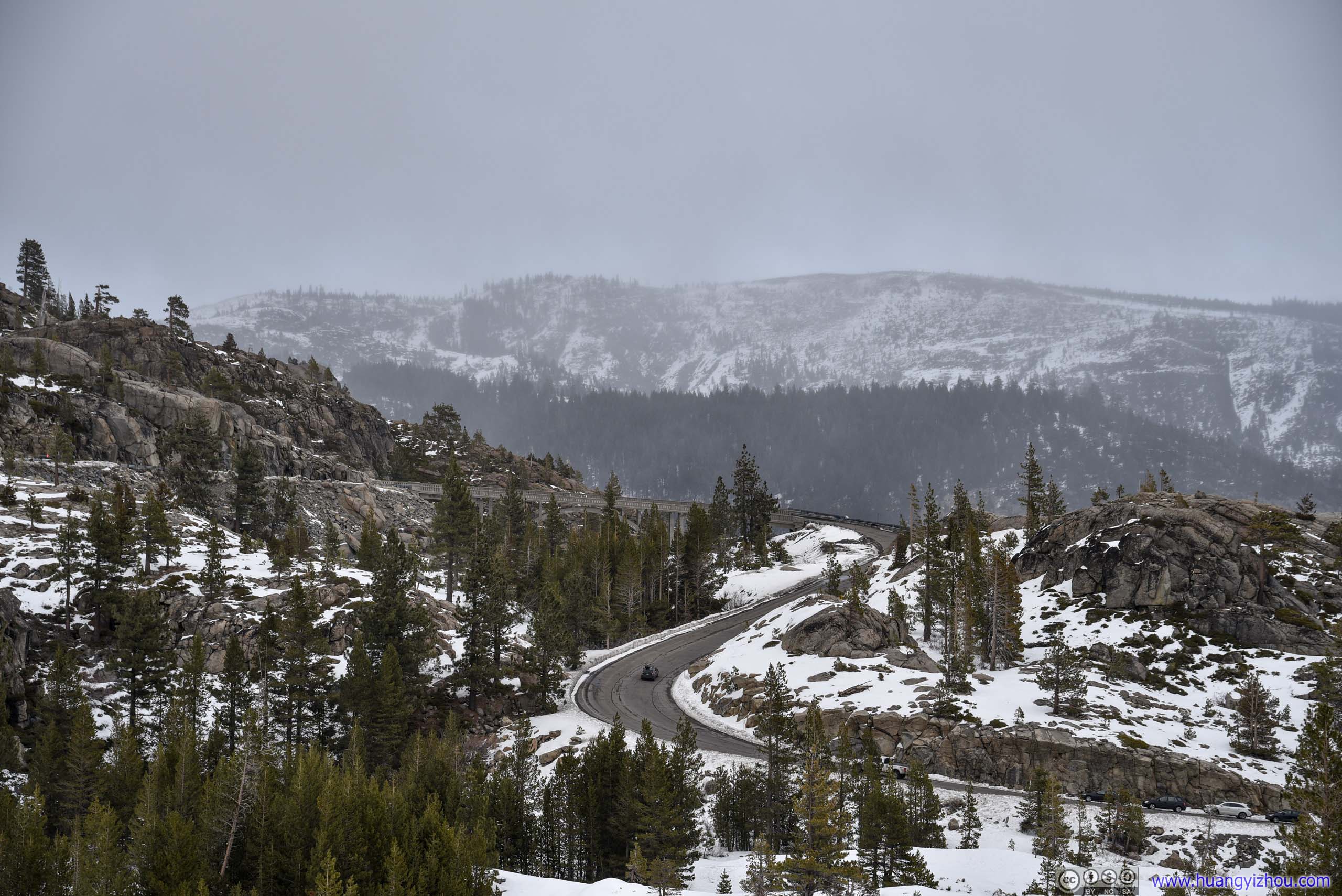
Stacked Tunnels at Donner PassTunnel #7 in front, the longer Tunnel #6 (Summit Tunnel) in the back.
For the previous four days, by and large, the weather had been nice for my snowshoeing trips around Lake Tahoe (despite having to brave high winds two days ago). Yet the weather forecast indicated a storm bringing heavy snow would be hitting Lake Tahoe for my final two days in the region, staring in the afternoon of Dec 25 into the night, ceasing in the morning of Dec 26. This weather was obviously not for back country exploration, regarding both my body and my rental car (during heavy snow, the roads surrounding Lake Tahoe could enact chain control, which did happen later today).
At the same time, not far from Lake Tahoe, Donner Pass had always been on my bucket list, a place more than once epitomized the nation’s endeavor into western frontiers. On way to Donner Pass I would pass north Lake Tahoe, where I stopped and captured a few photos of the impending storm. At Donner Pass, I watched the skies being overtaken by approaching storm as snow started to chase me off the summit. Finally, towards the end of day, I took a brief tour of downtown Reno, of its casinos that were unusually quiet given both COVID and Christmas.
Stateline Lookout Trail
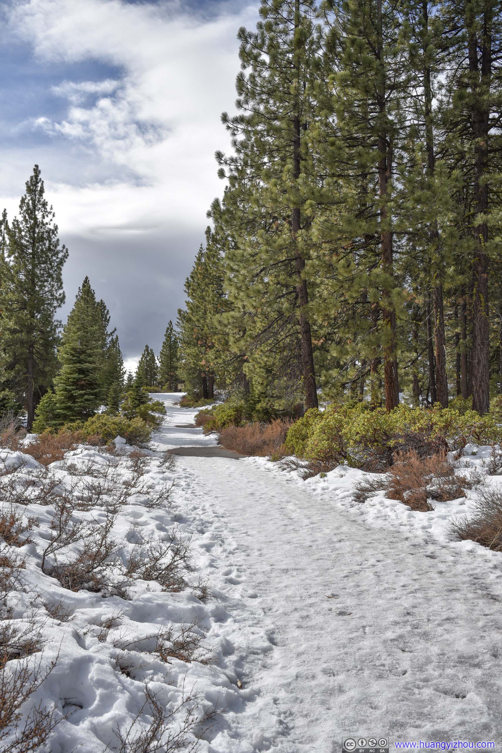
I fathomed I would have plenty of time for the day, so I added this short hike to my itinerary. Measuring only 2.2km roundtrip, the trail led to the site of a former fire tower near the state line between California and Nevada, with views overlooking Lake Tahoe (between trees).
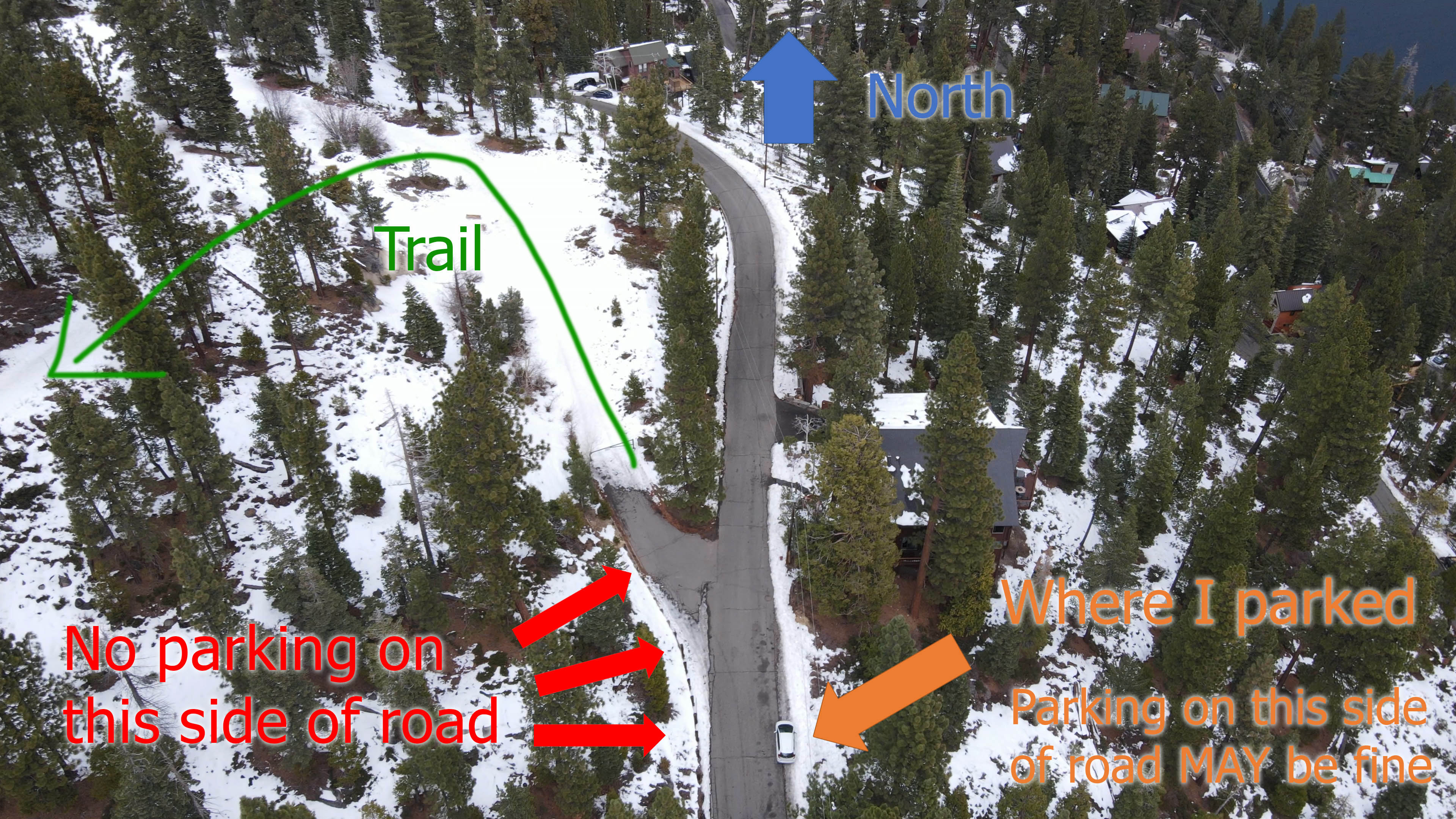
Trail Parking
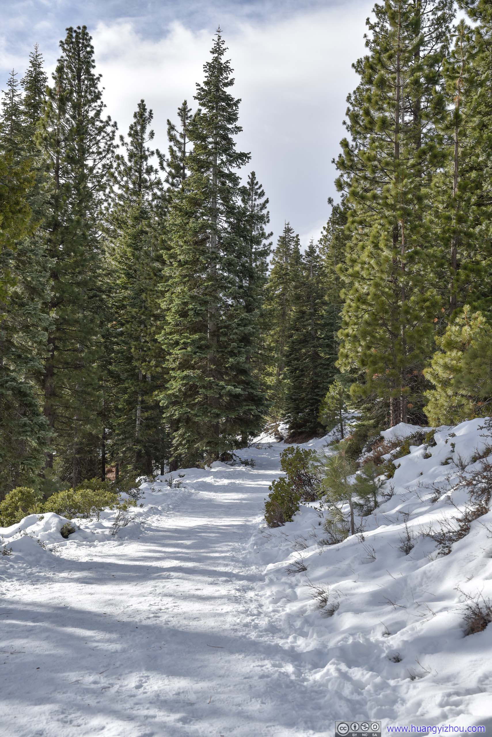
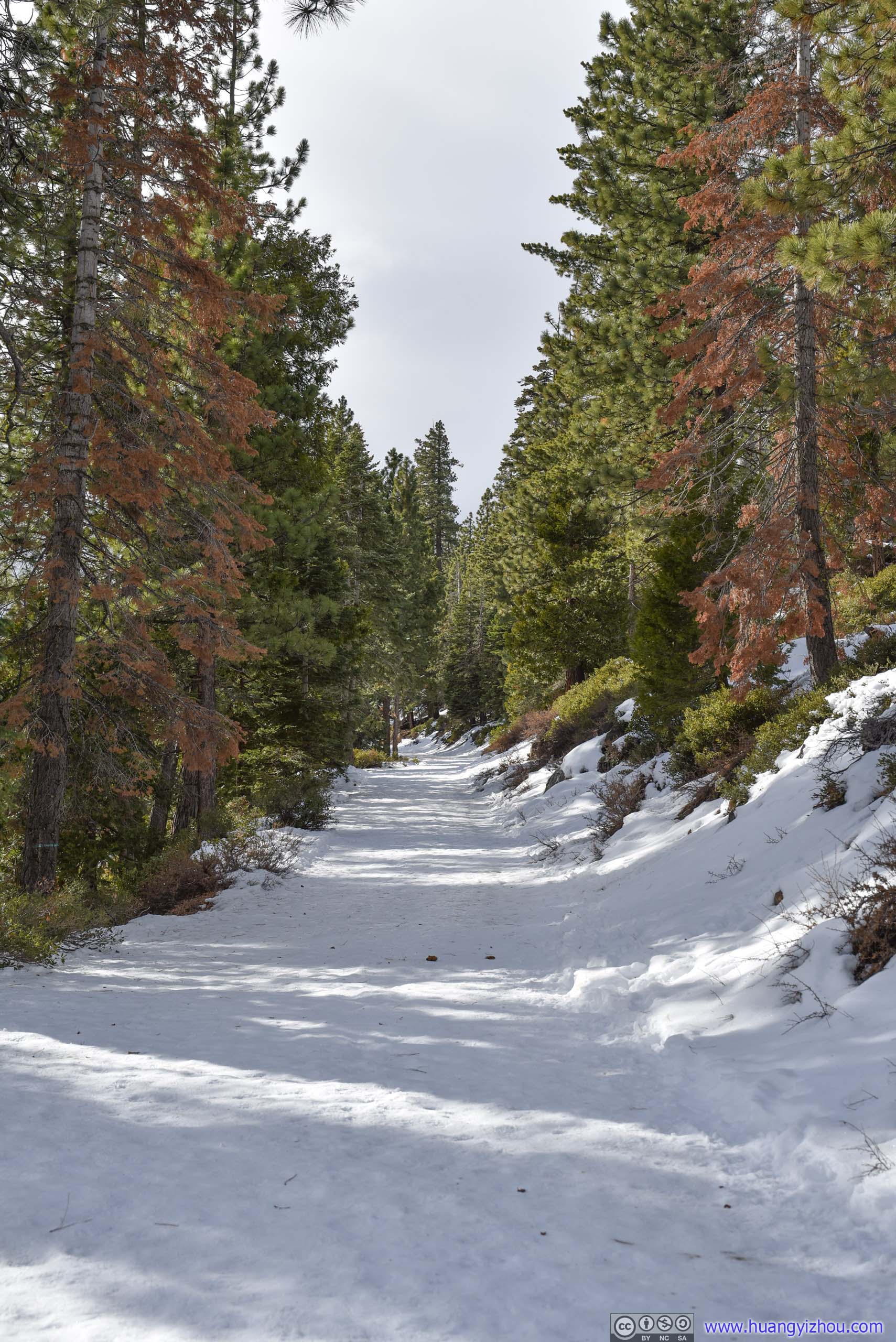
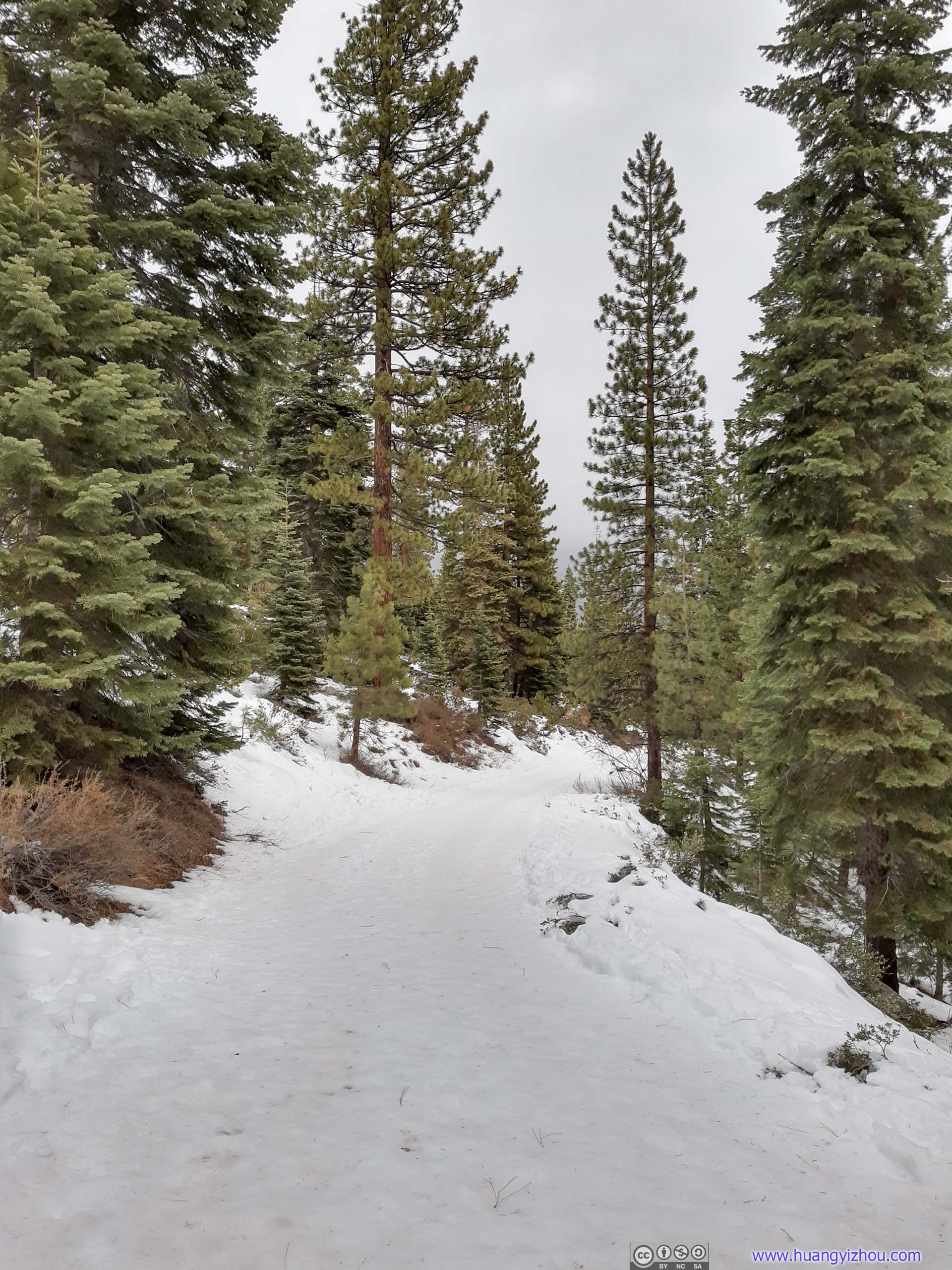 Trail
Trail
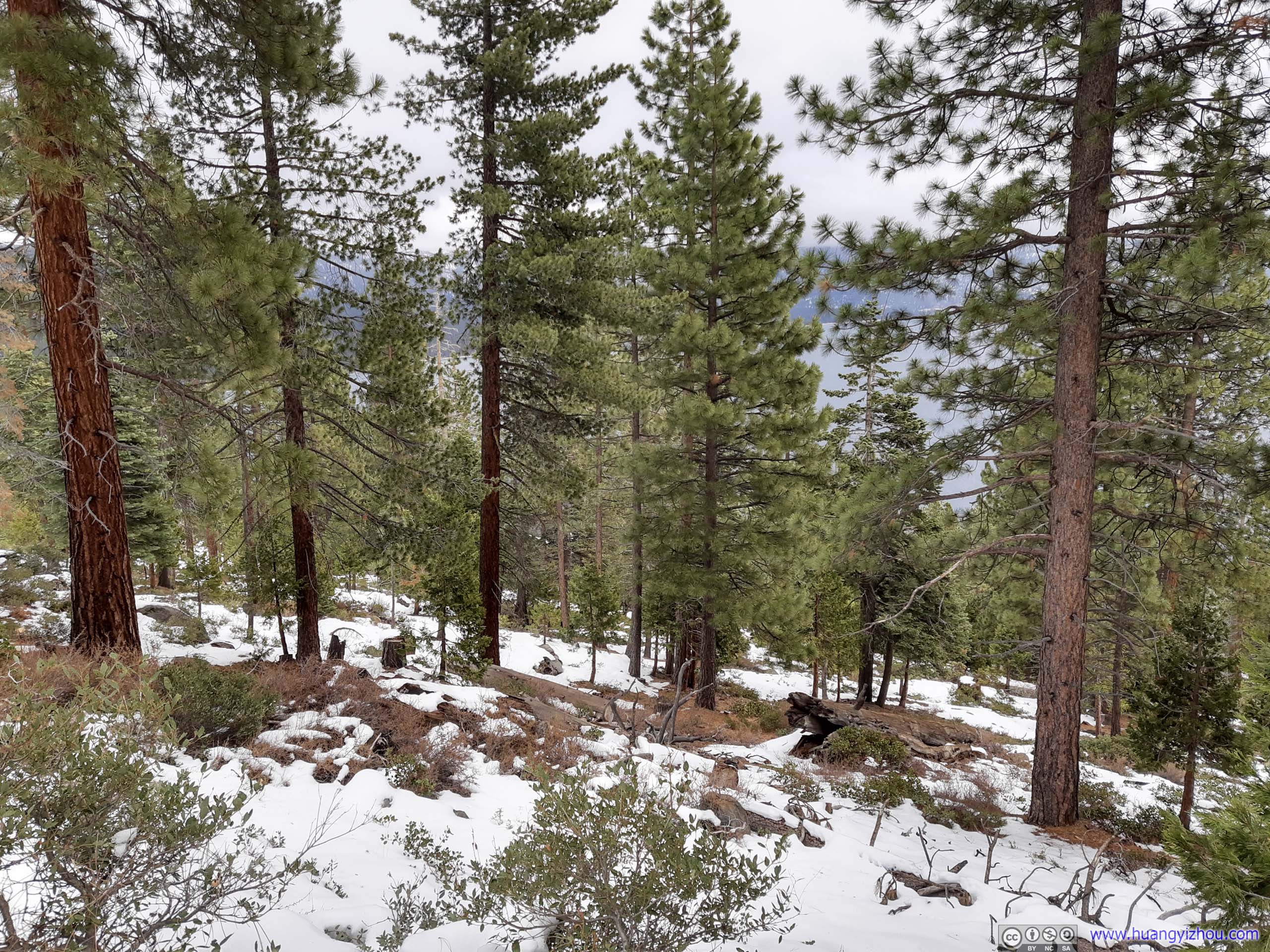
 Forest
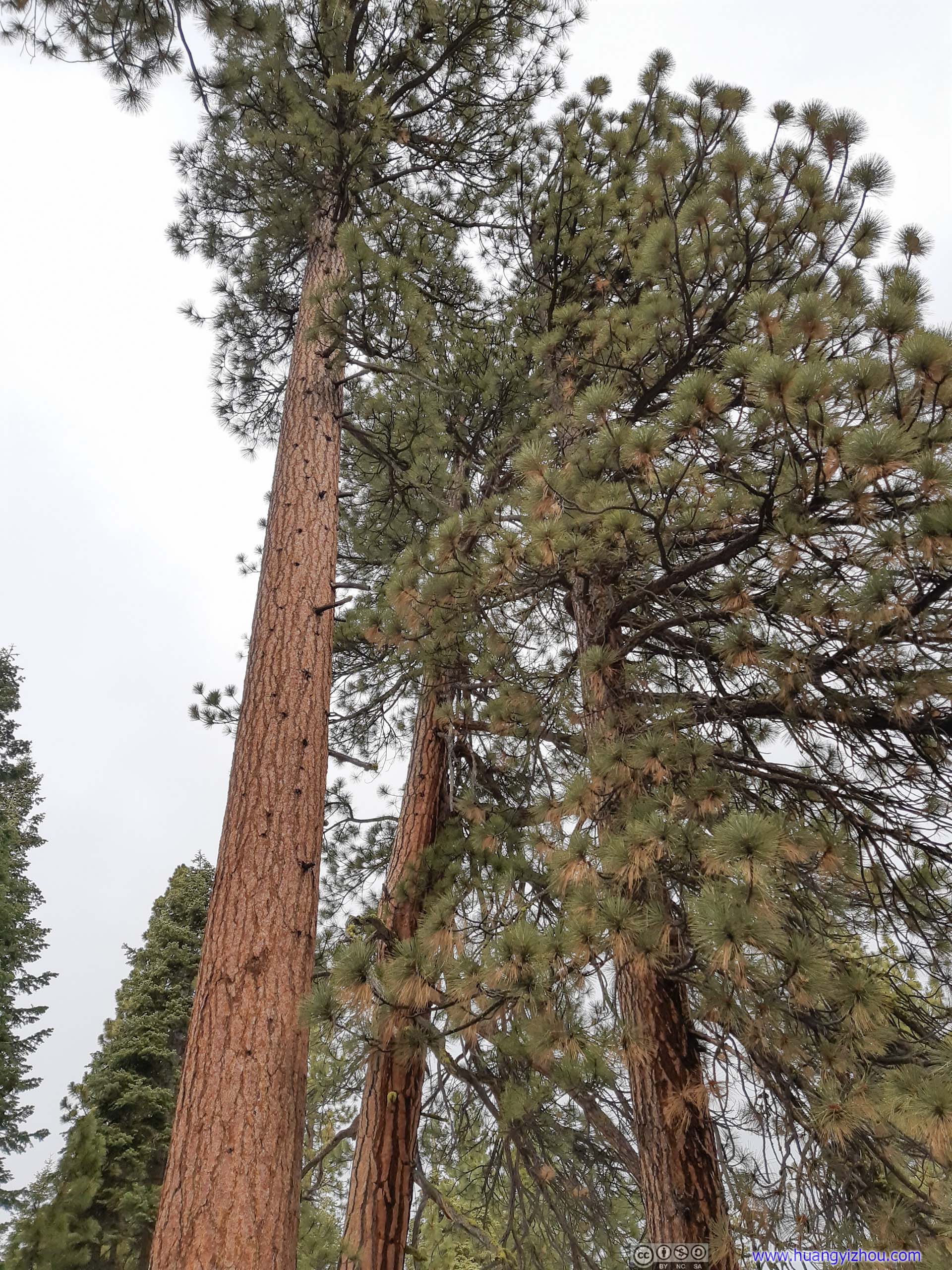
Tree
Shortly after that I was at the fire tower lookout.
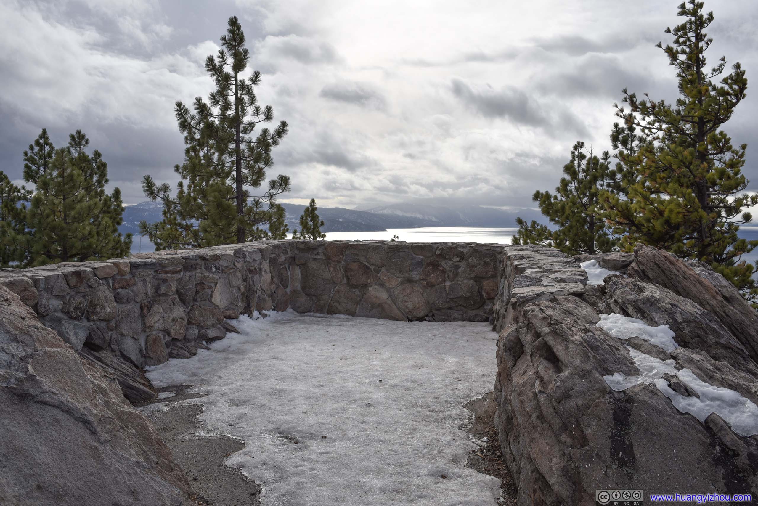
Fire Tower Lookout
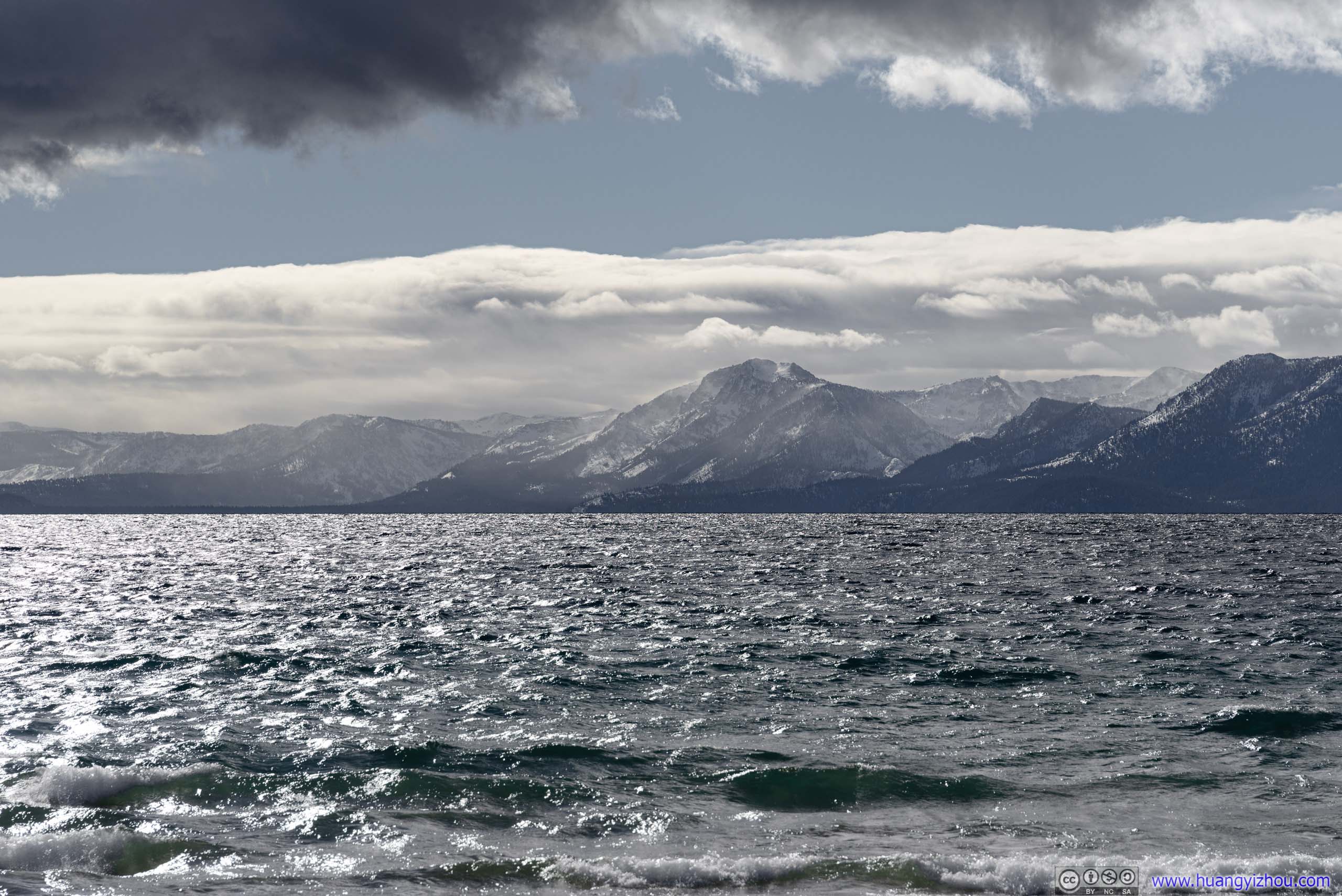
It was a windy day from the impending storm, which was hardly felt along the trail shielded by surrounding forest. But at the lookout, the wind was brutal. So I quickly snapped these photos.

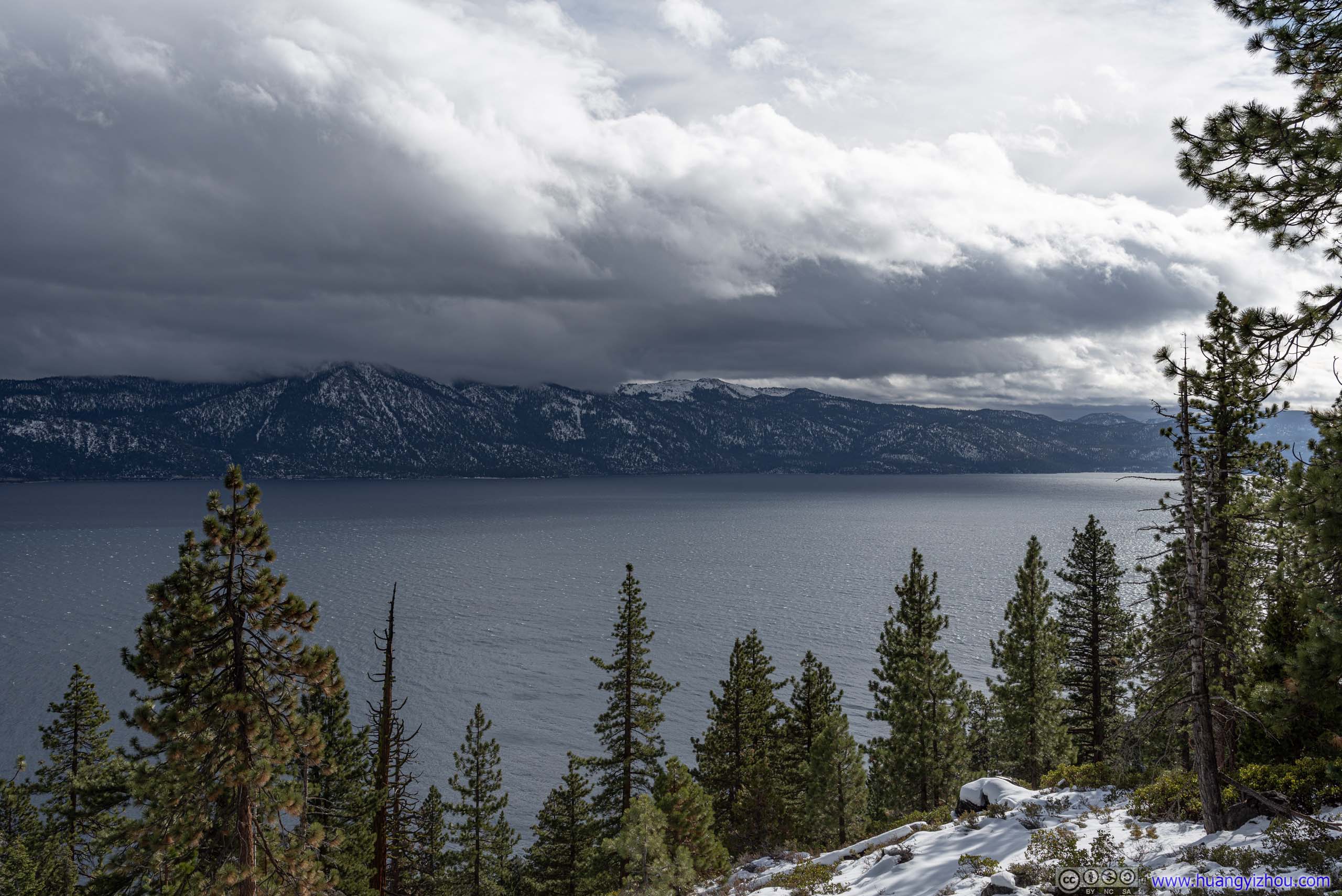
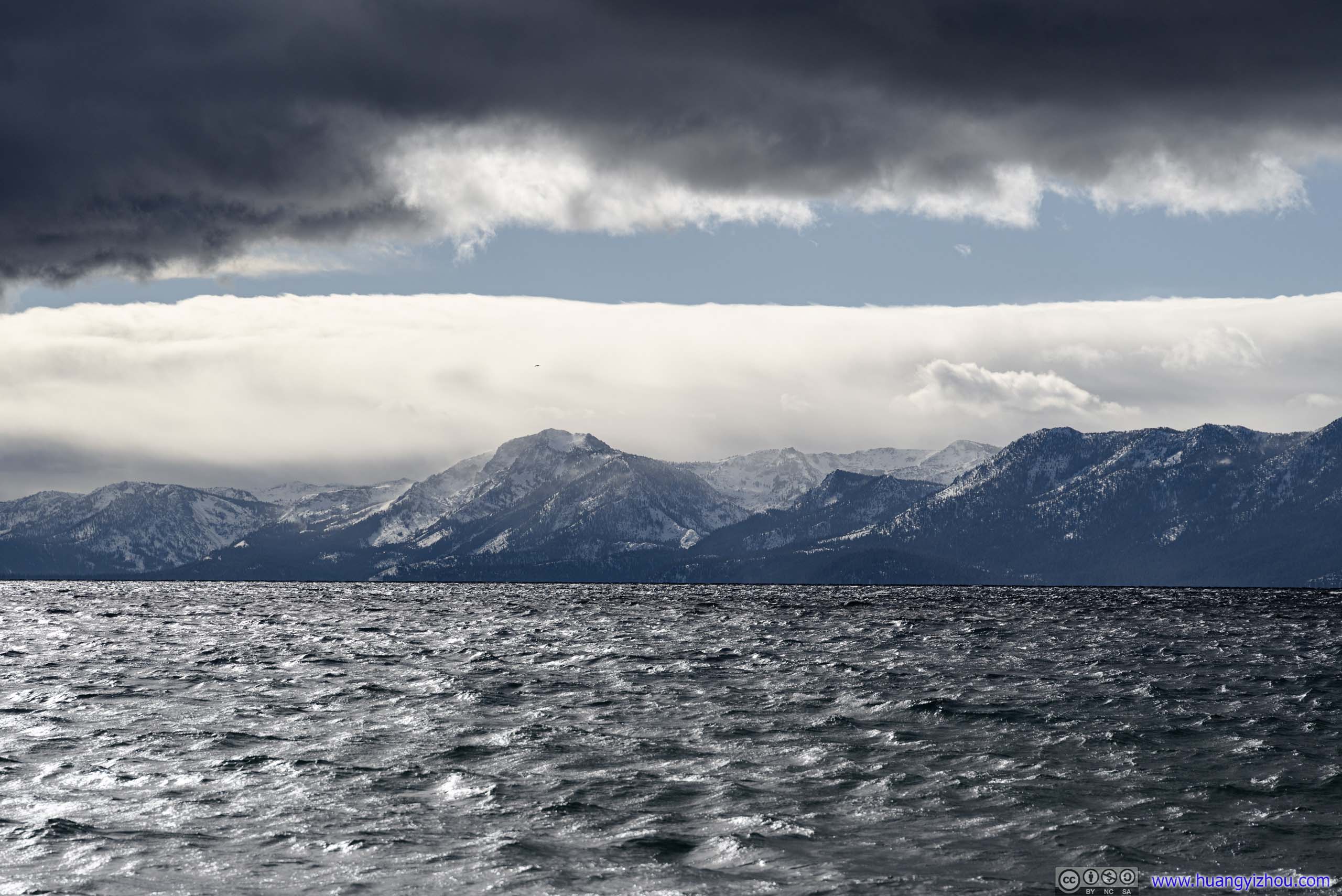
Mountains across Lake TahoeGranite Chief Wilderness.
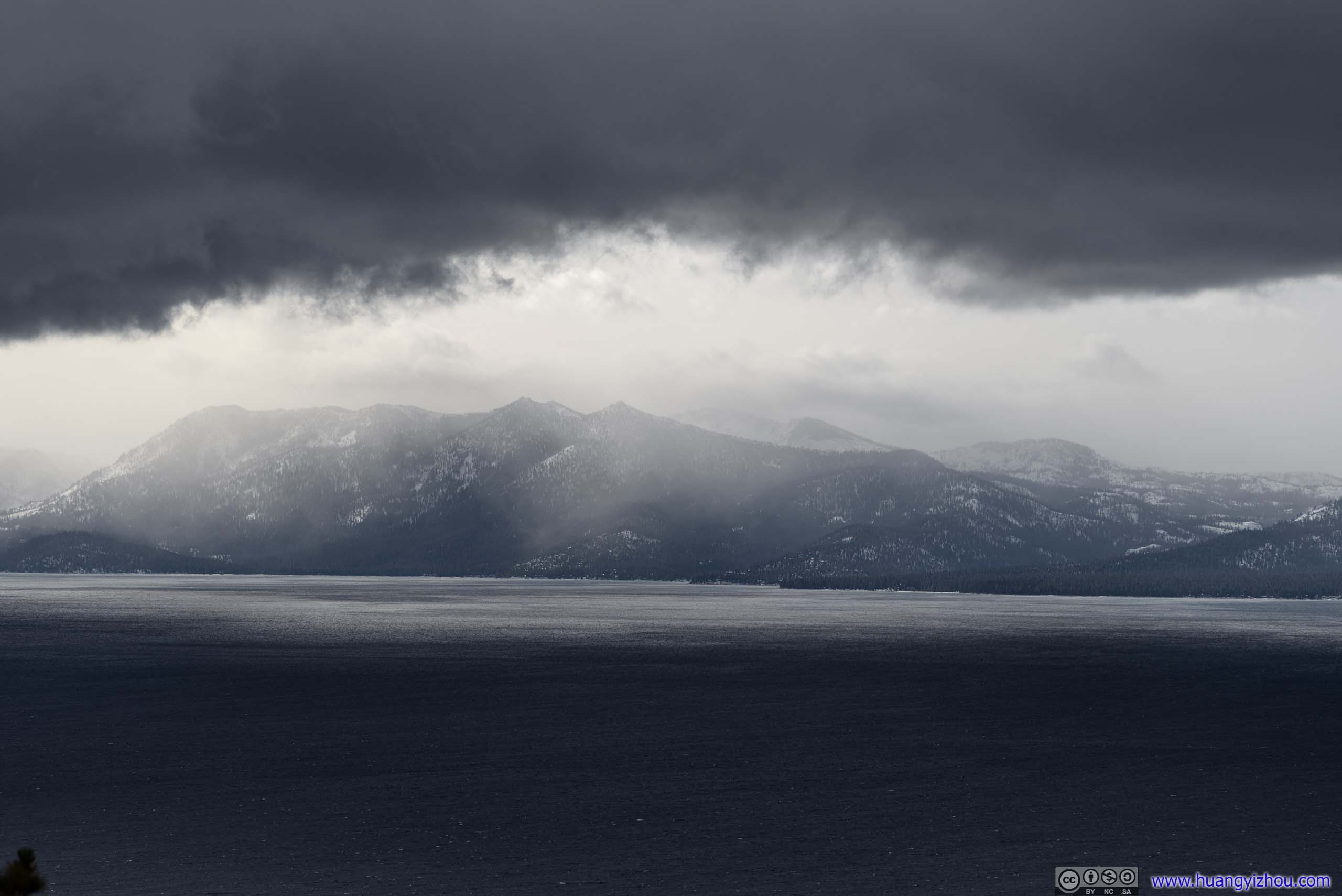
Mountains across Lake TahoeDesolation Wilderness, with overhanging ominous clouds.

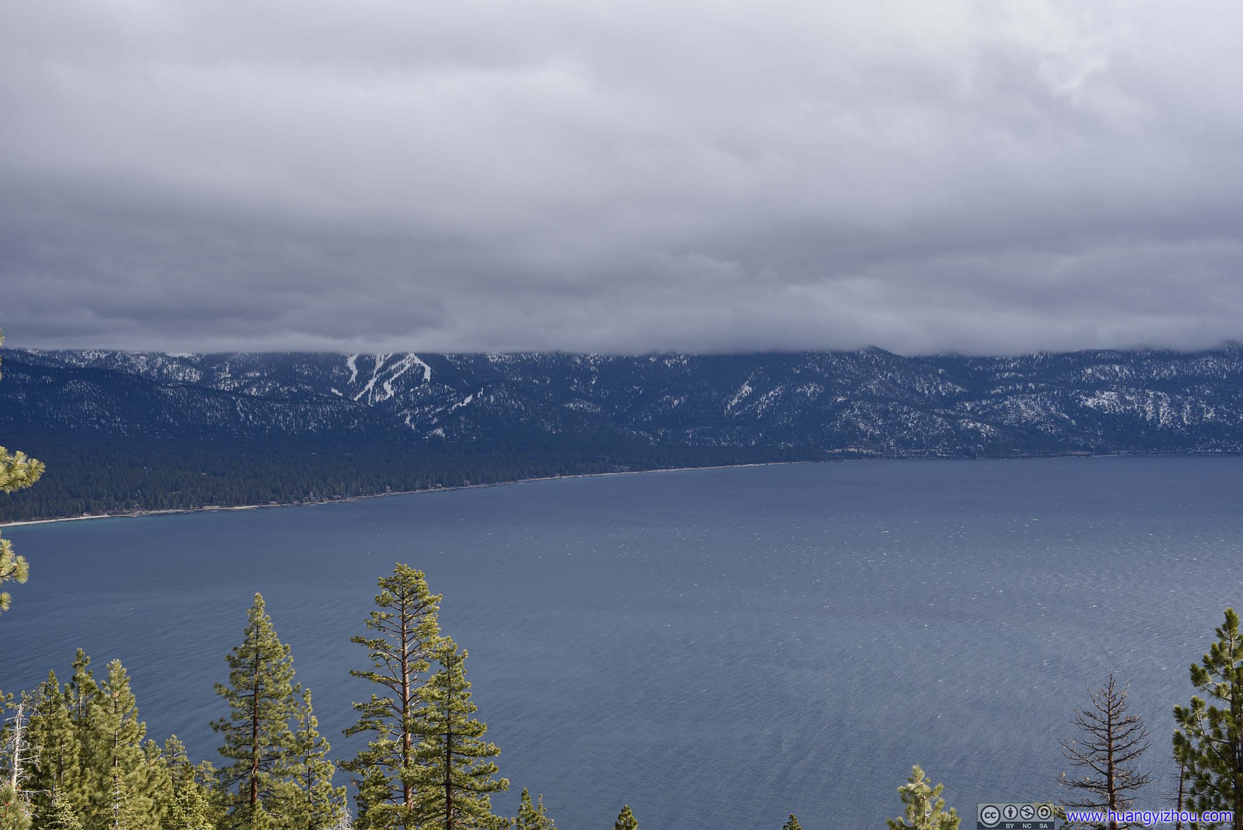
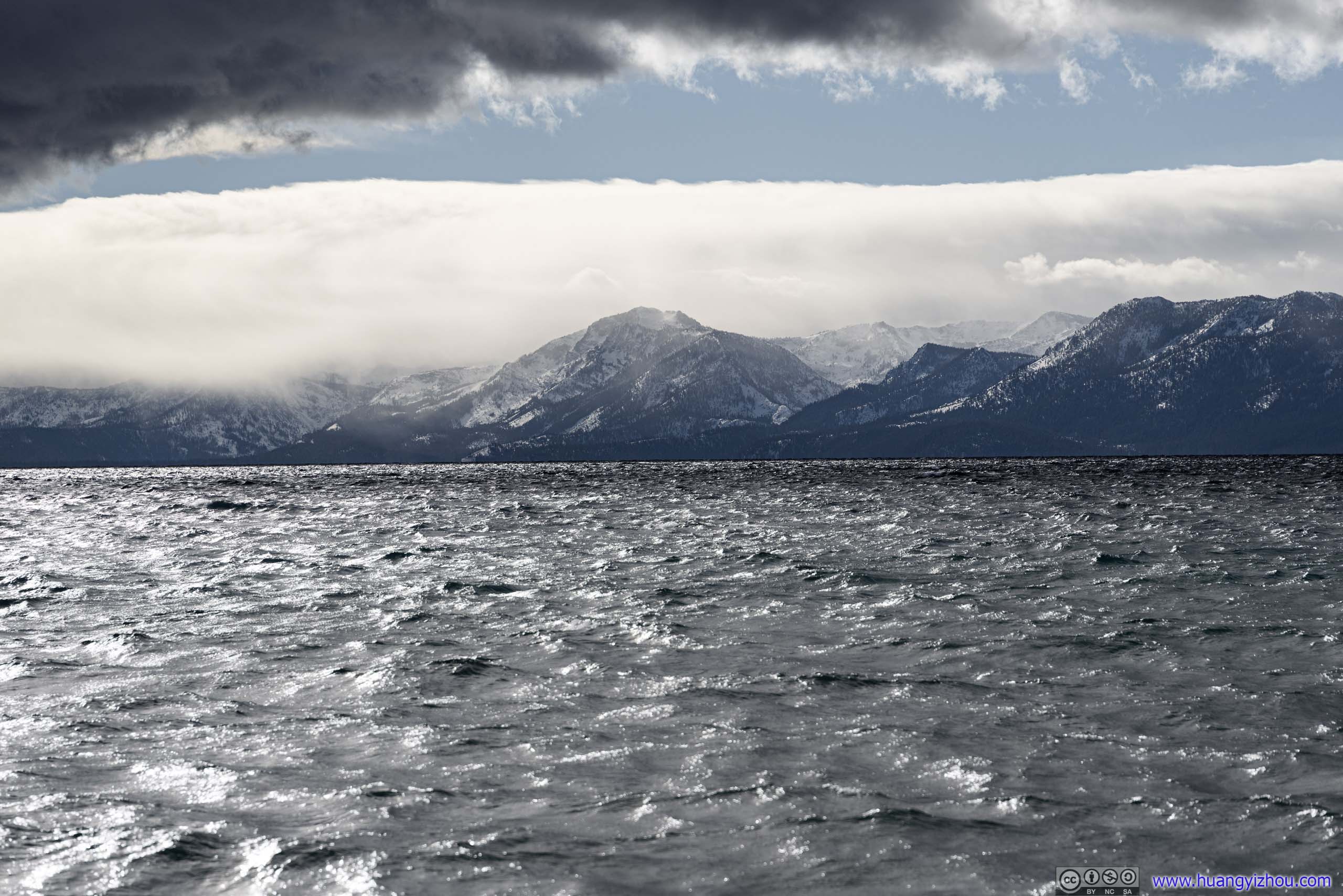
Mountains across Lake TahoeHomewood Ski Resort in the center.

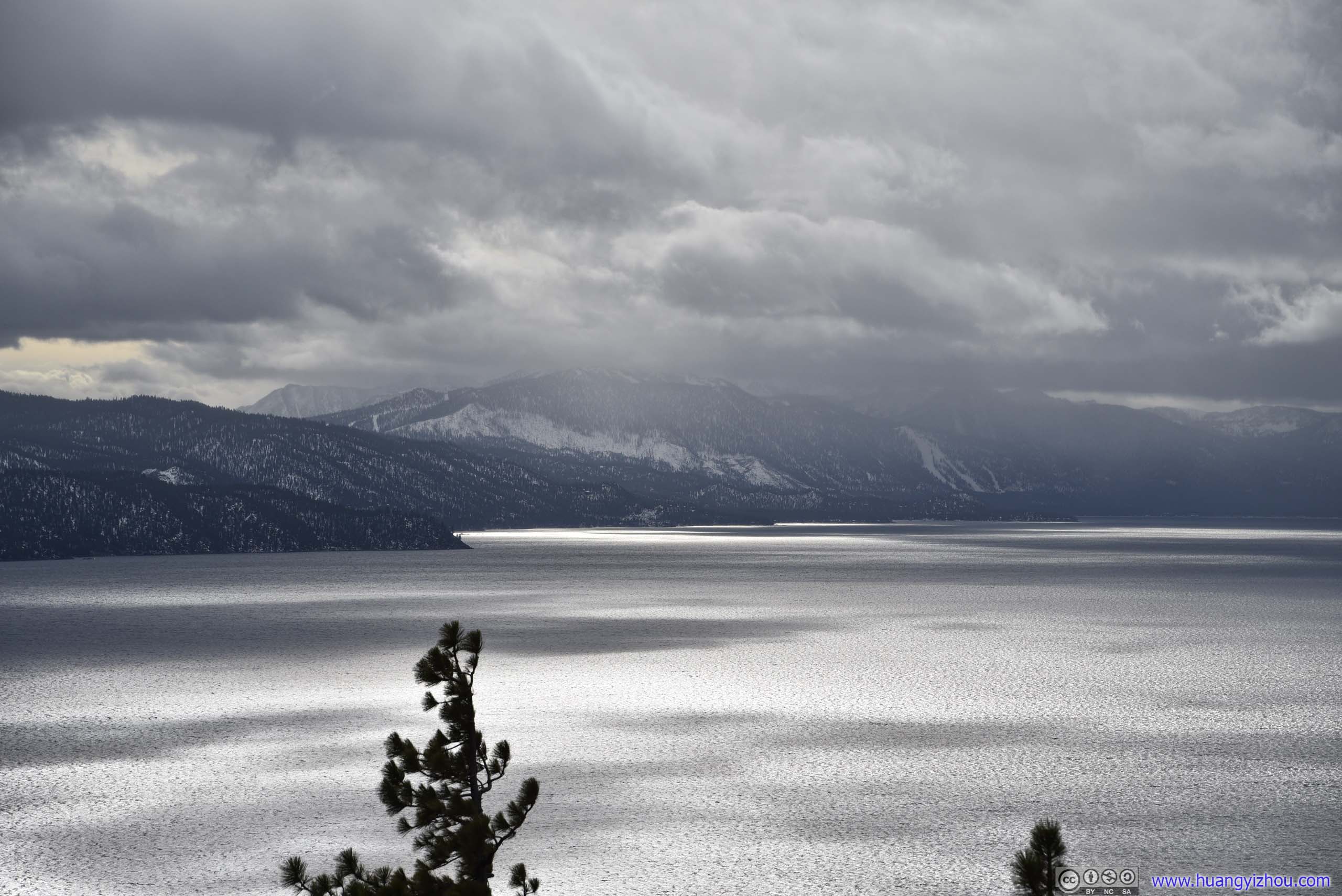
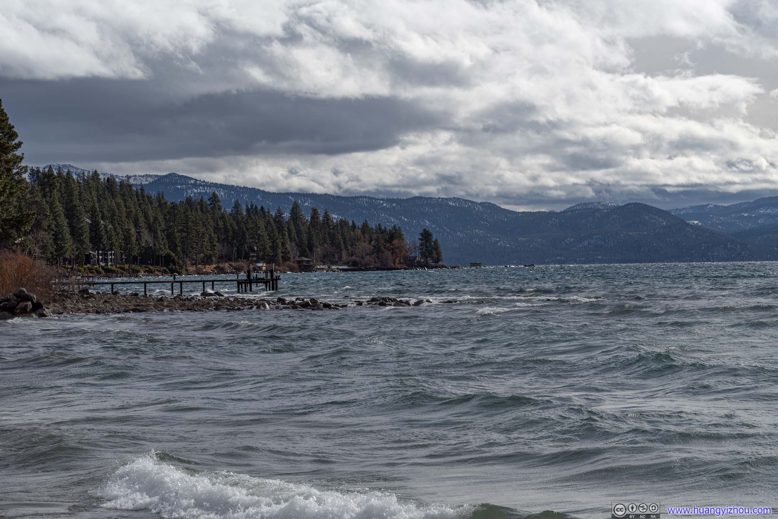
 Shores of Lake Tahoe
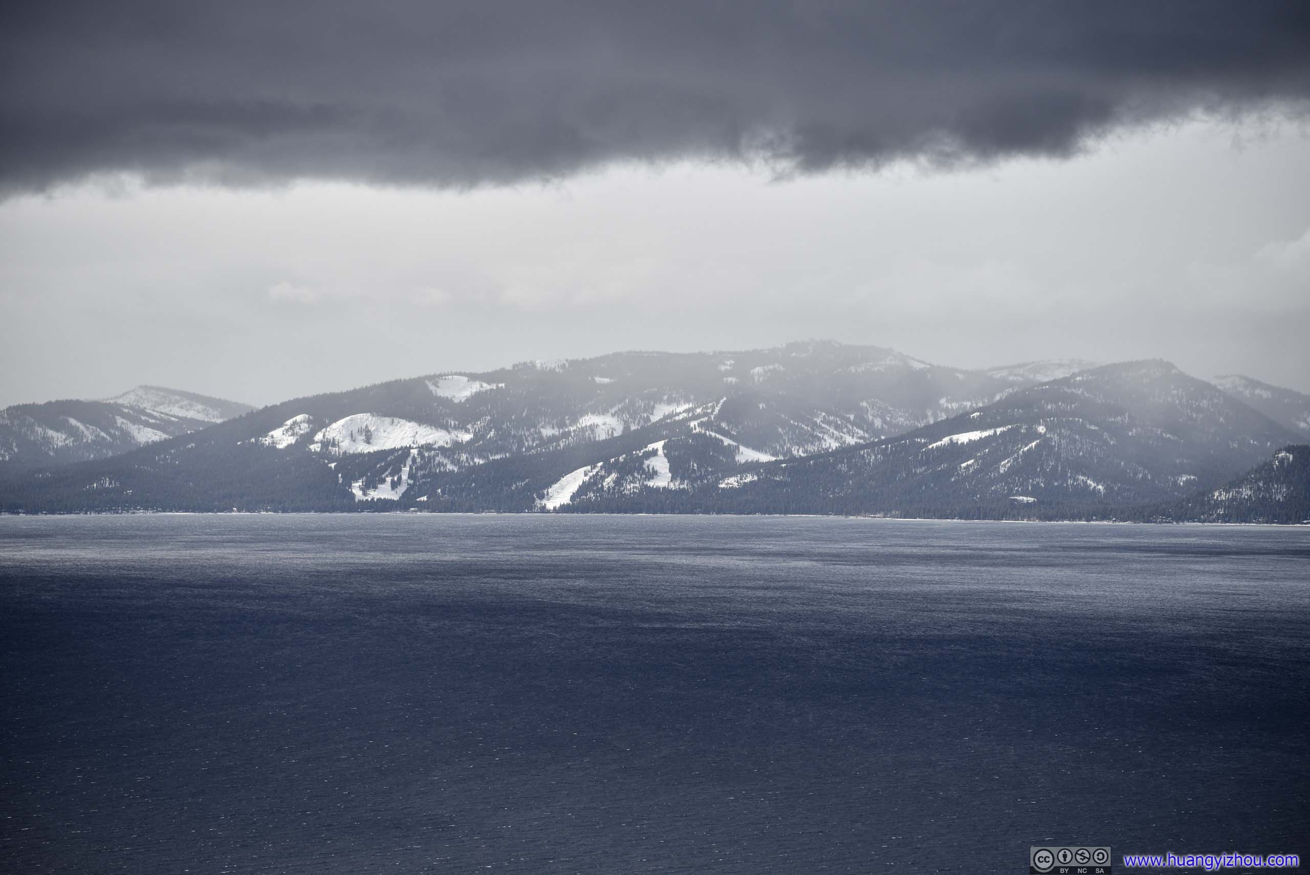
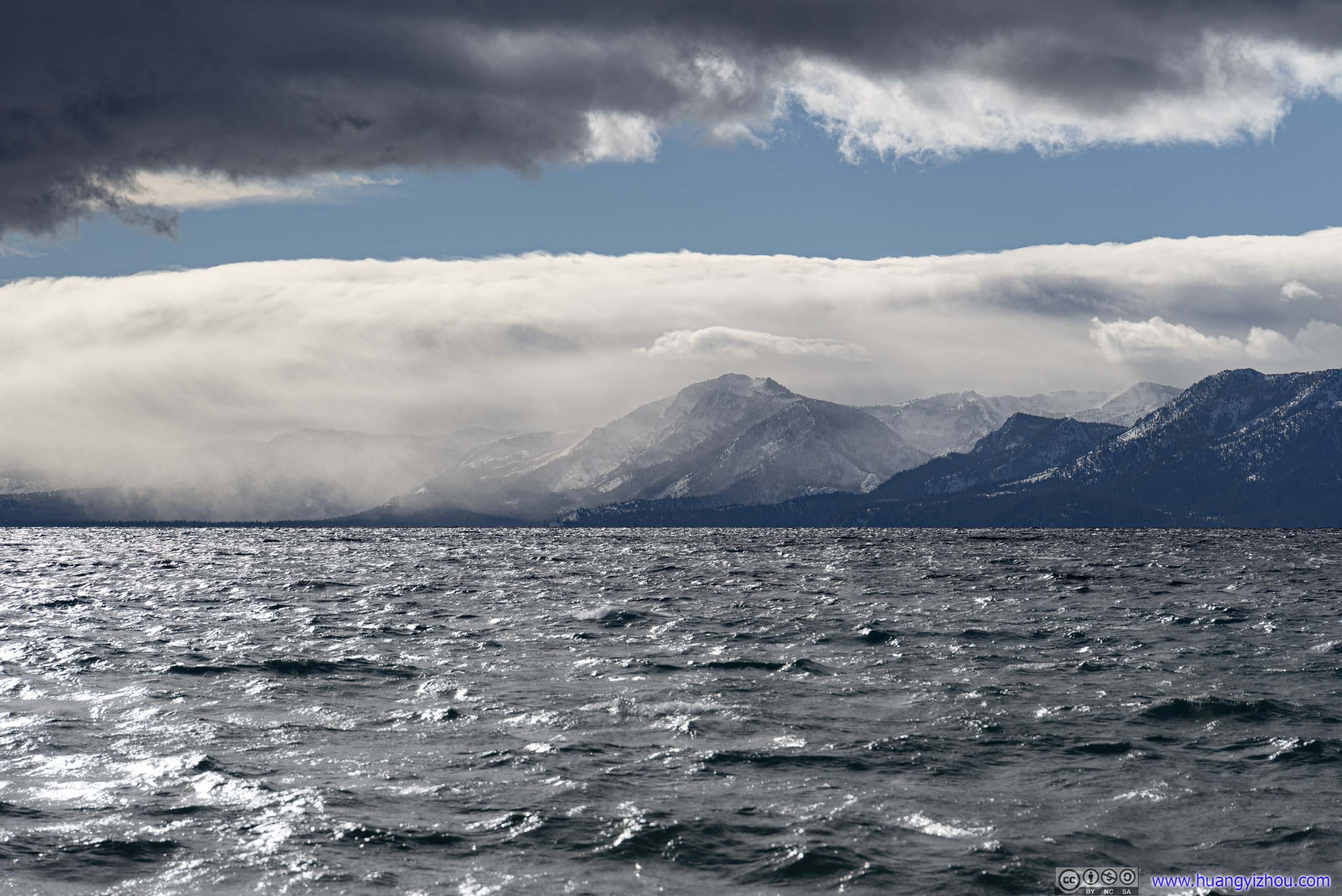
 Ski resorts around Lake TahoeHeavenly Mountain / Homewood / Squaw Valley / Diamond
To mark the moment, I launched my drone from this fire lookout site, (before quickly retreating back to the woods and away from the wind).
2x playback speed, 22 seconds, 2160p60fps, 12Mbps/32.4MB for H265, 13.3Mbps/37.2MB for H264.
While the ascent of my drone was shaky, once airborne it could barely made it way against strong headwind onto Lake Tahoe. So I took the following shot at its shore before flying it back.
Overlooking Lake Tahoe
After that, I made my way back.
 Mountains to the East
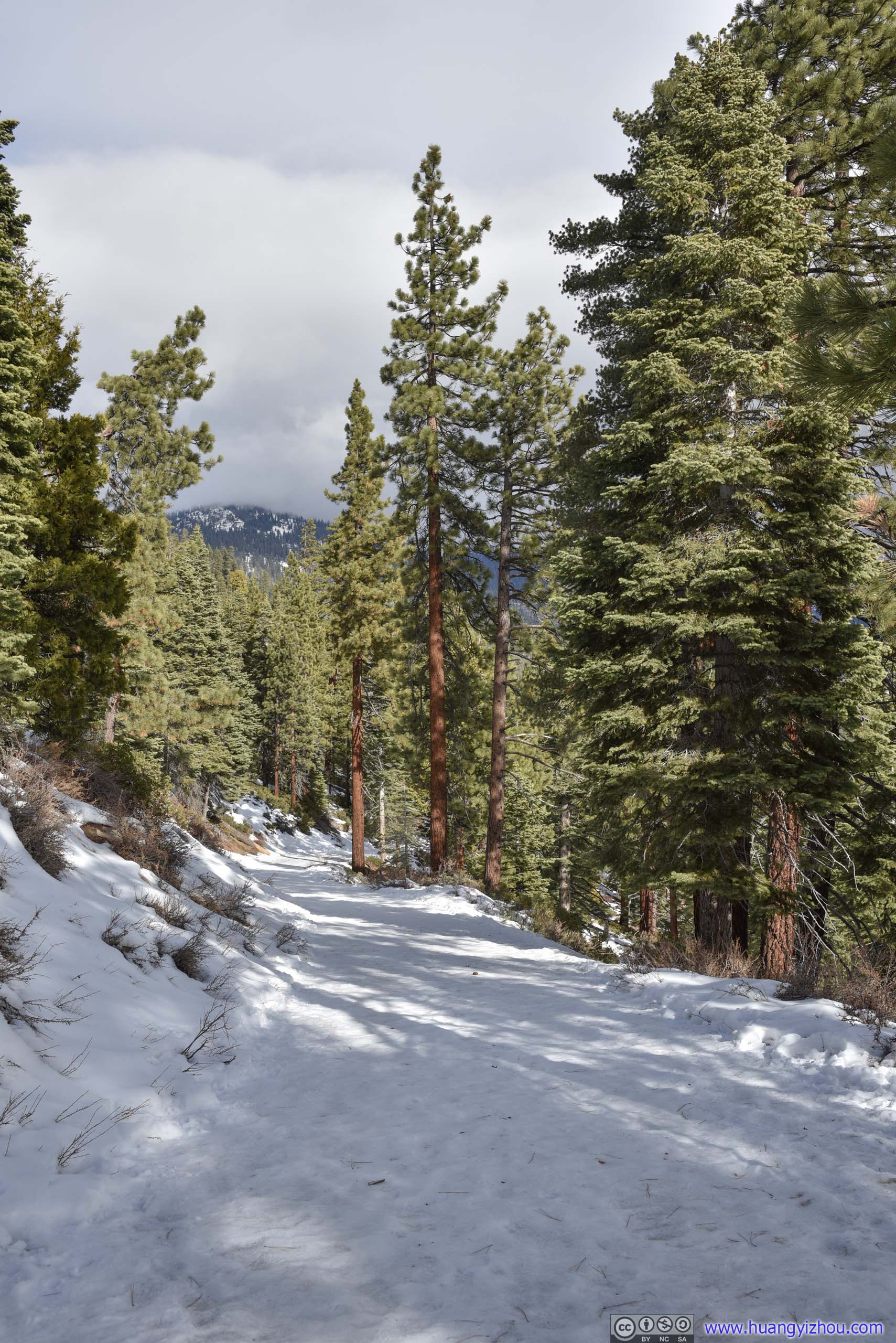
 Trail
Trail
By the time I got back to the trailhead it’s just past 11am, still early in my opinion. So instead of heading straight for Donner Pass, I made a final stop at Kings Beach, a town on the north of Lake Tahoe.
Kings Beach
There’s free street parking up to 2 hours (if I remember correctly), taking advantage of which I headed for the city’s public beach, which also offered public restrooms.
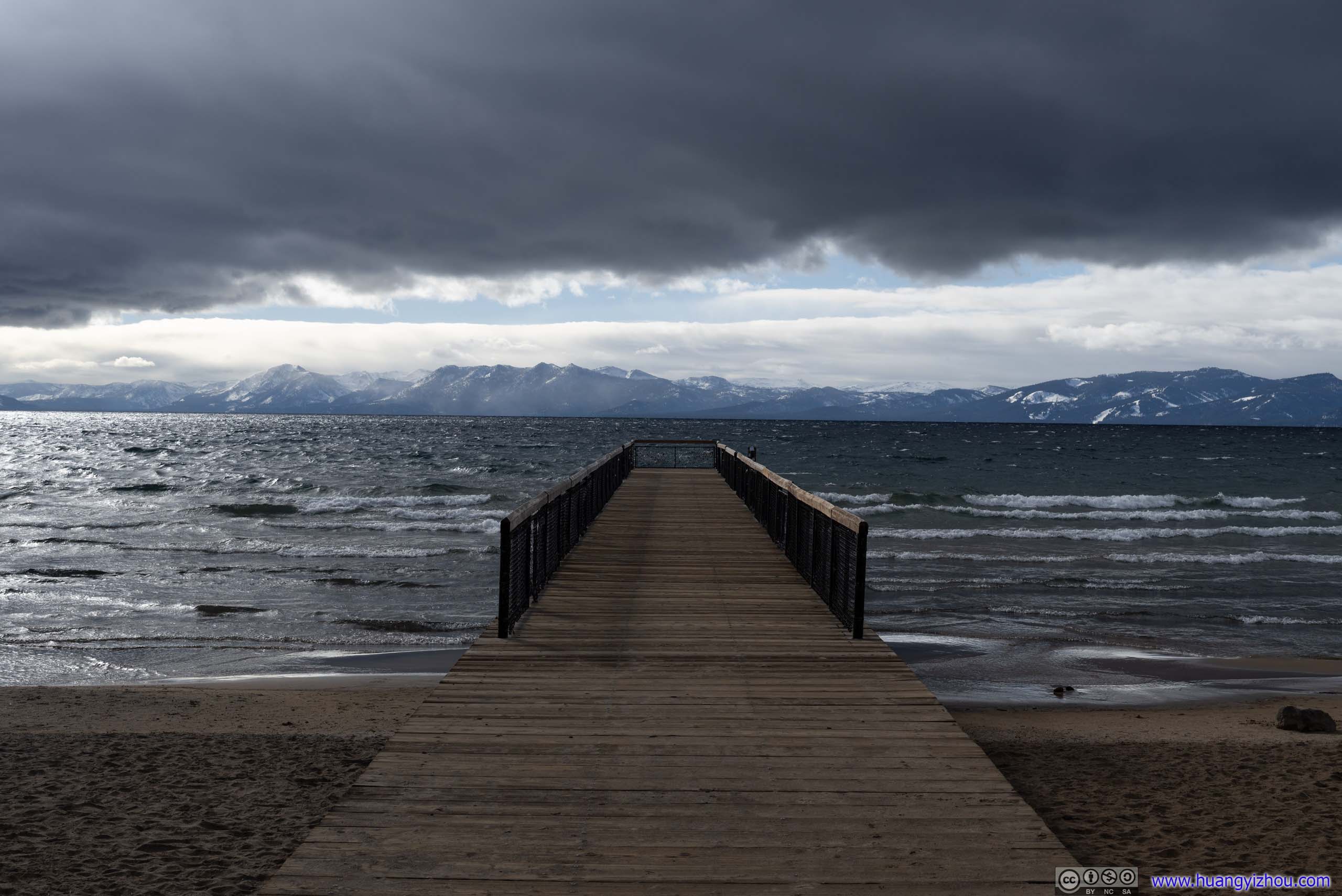
Kings Beach Pier
The splashy waves were suggestive of the strength of winds, and the bitterness that they brought along, chasing out the last warmth of sun as ominous clouds started to dominate the distant horizon.
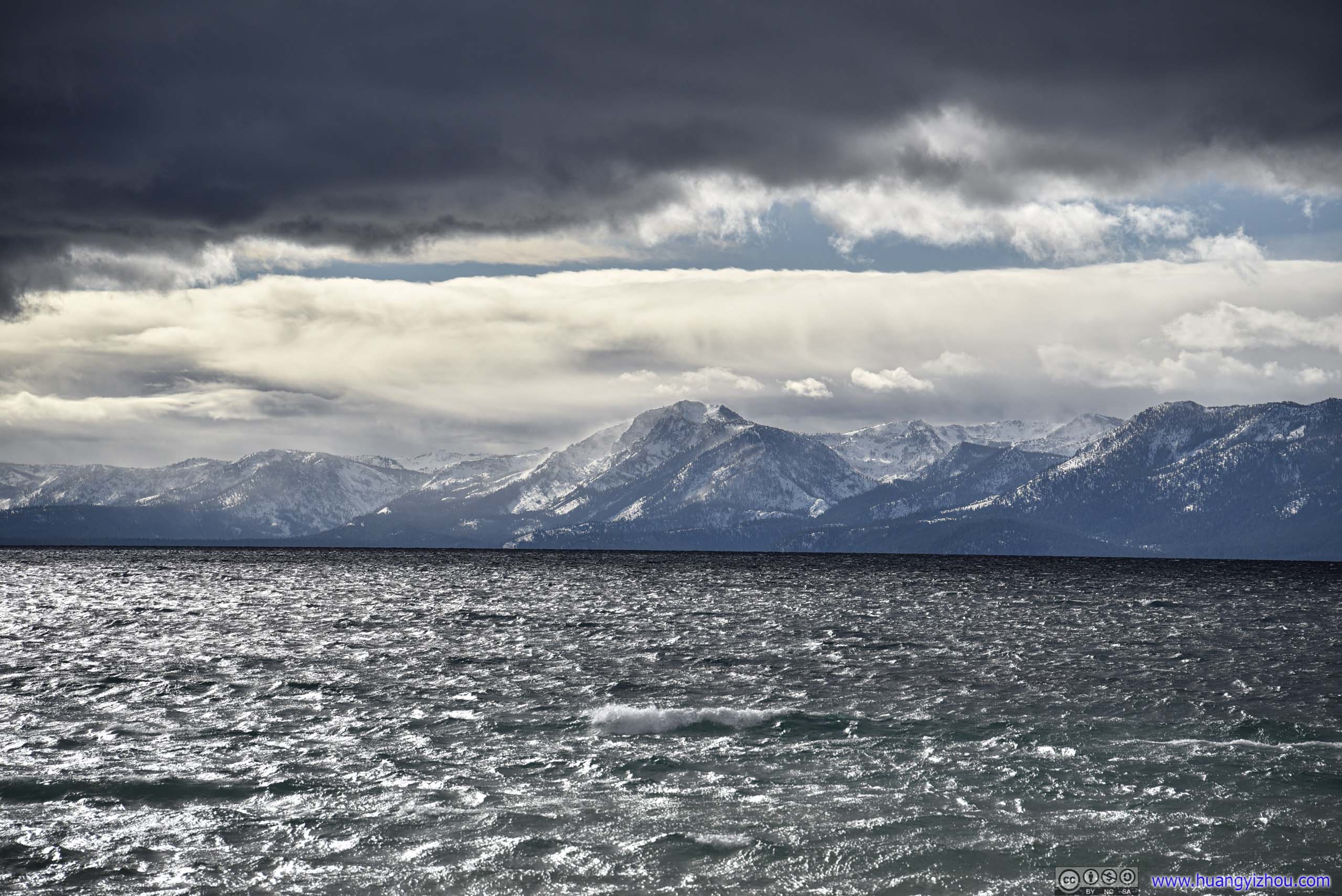
 Mount Tallac across Lake Tahoe
Mount Tallac across Lake Tahoe
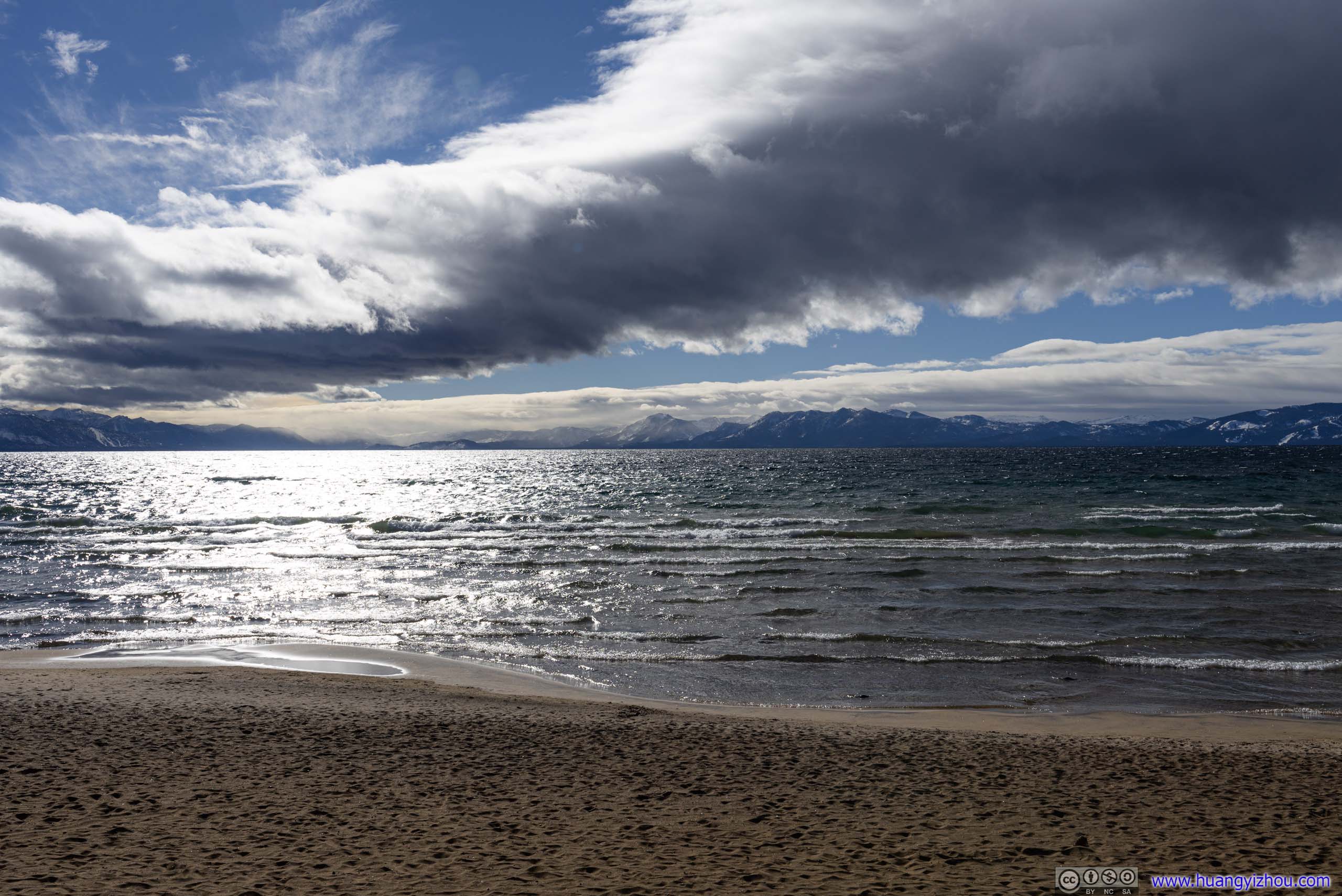
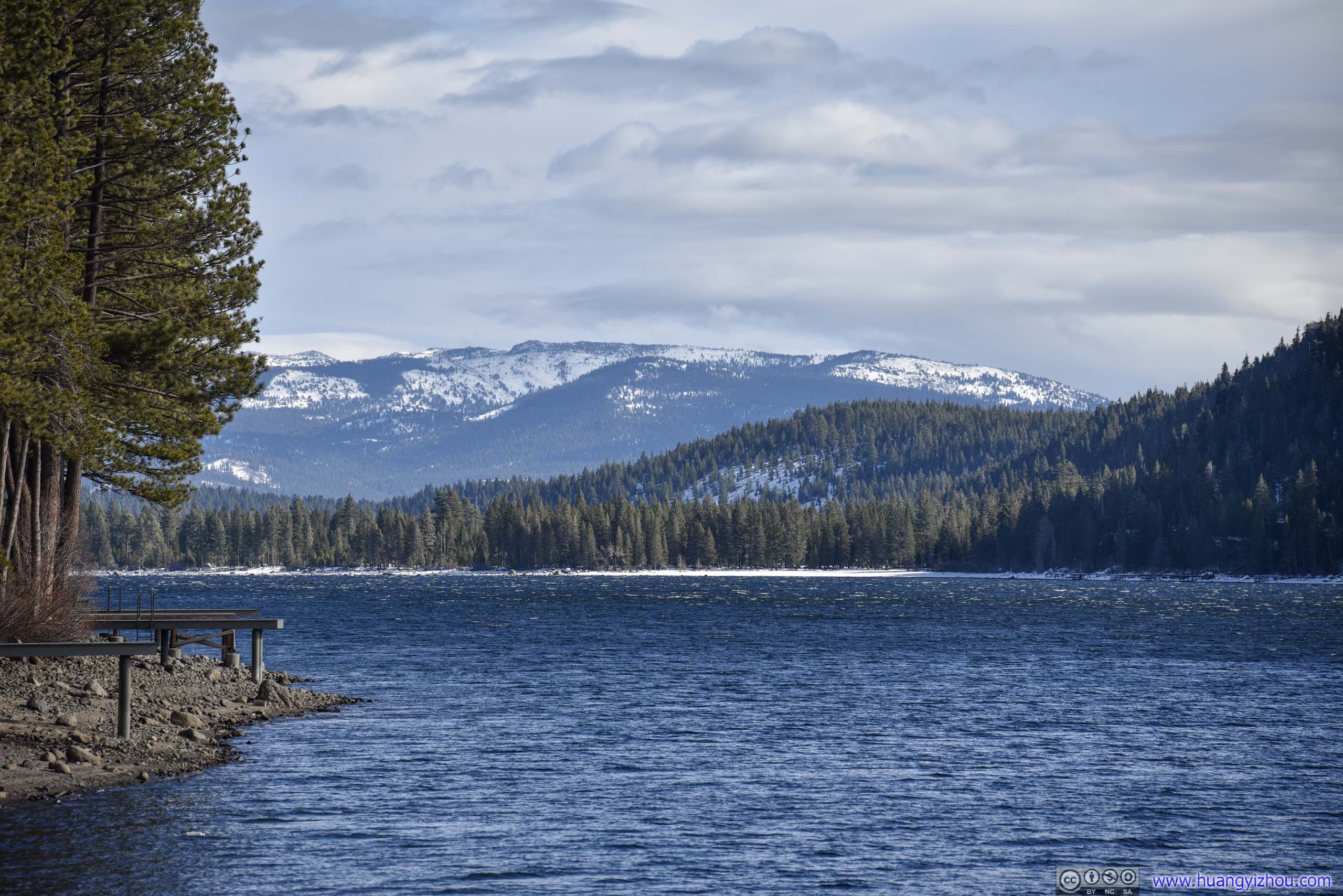
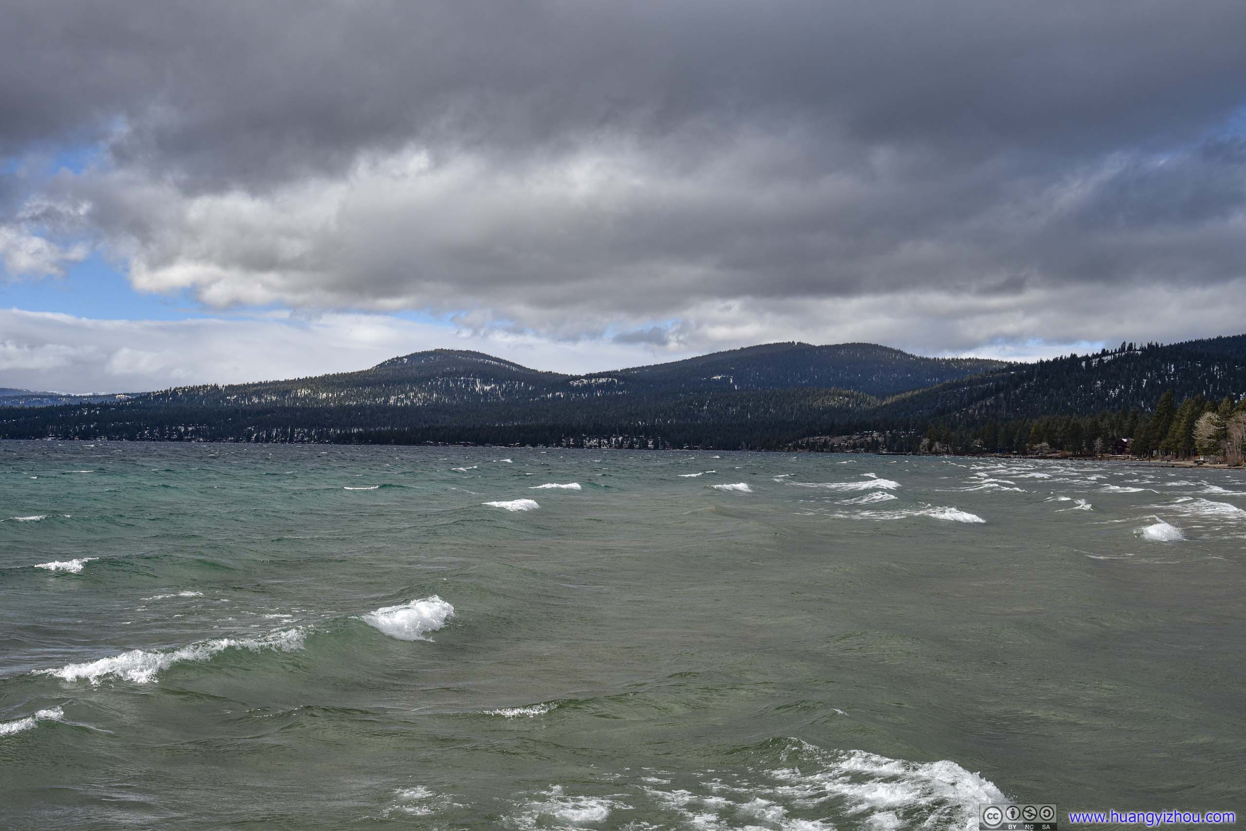 Shores of Lake Tahoe

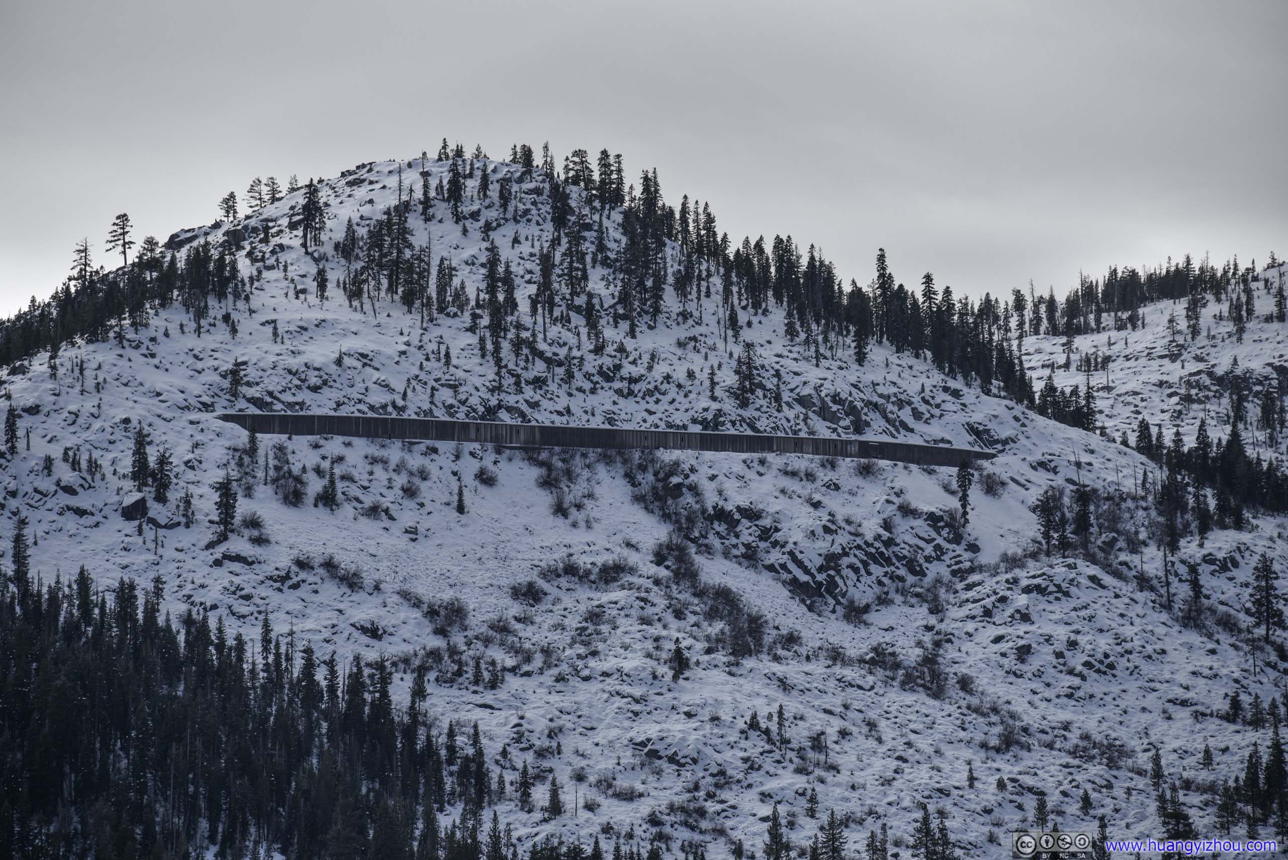
 Mountains

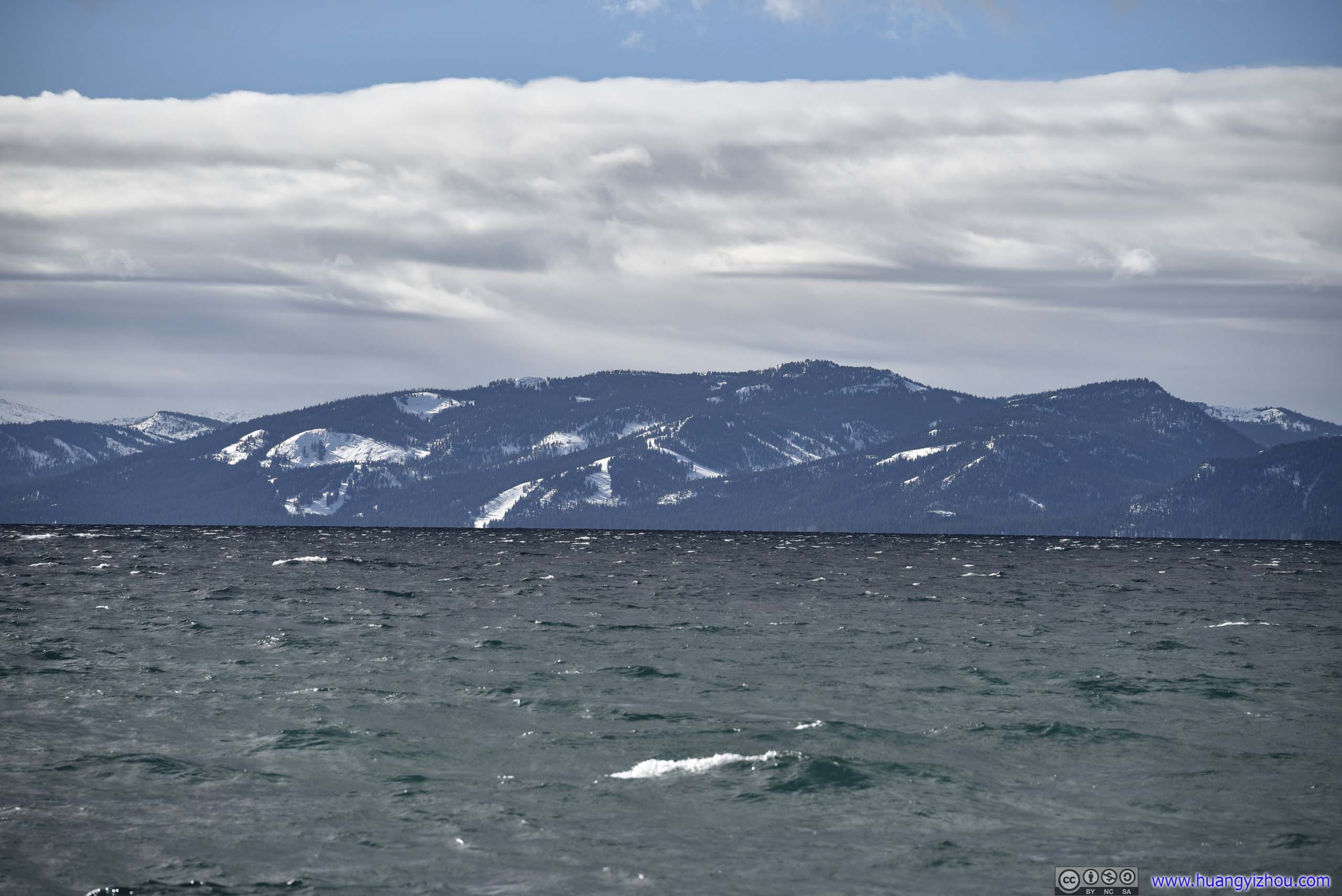
 Lake Tahoe from Kings Beach
I spent about 20 minutes at Kings Beach, before being blown away by the wind continuing on to Donner Pass.
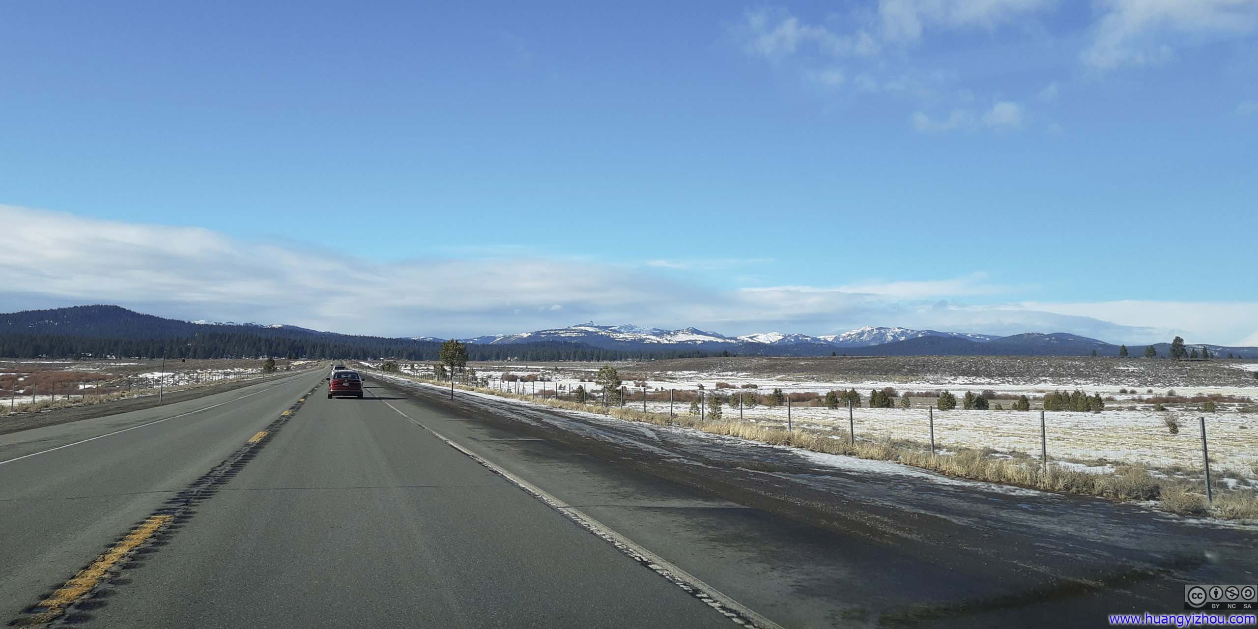
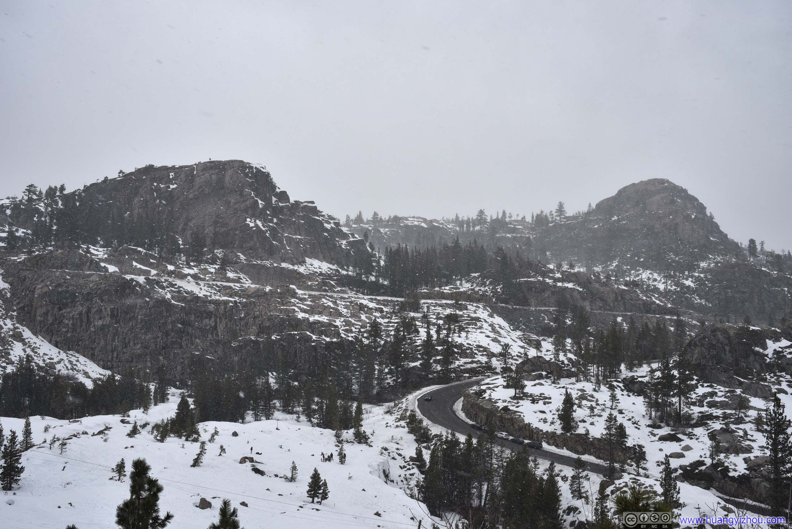
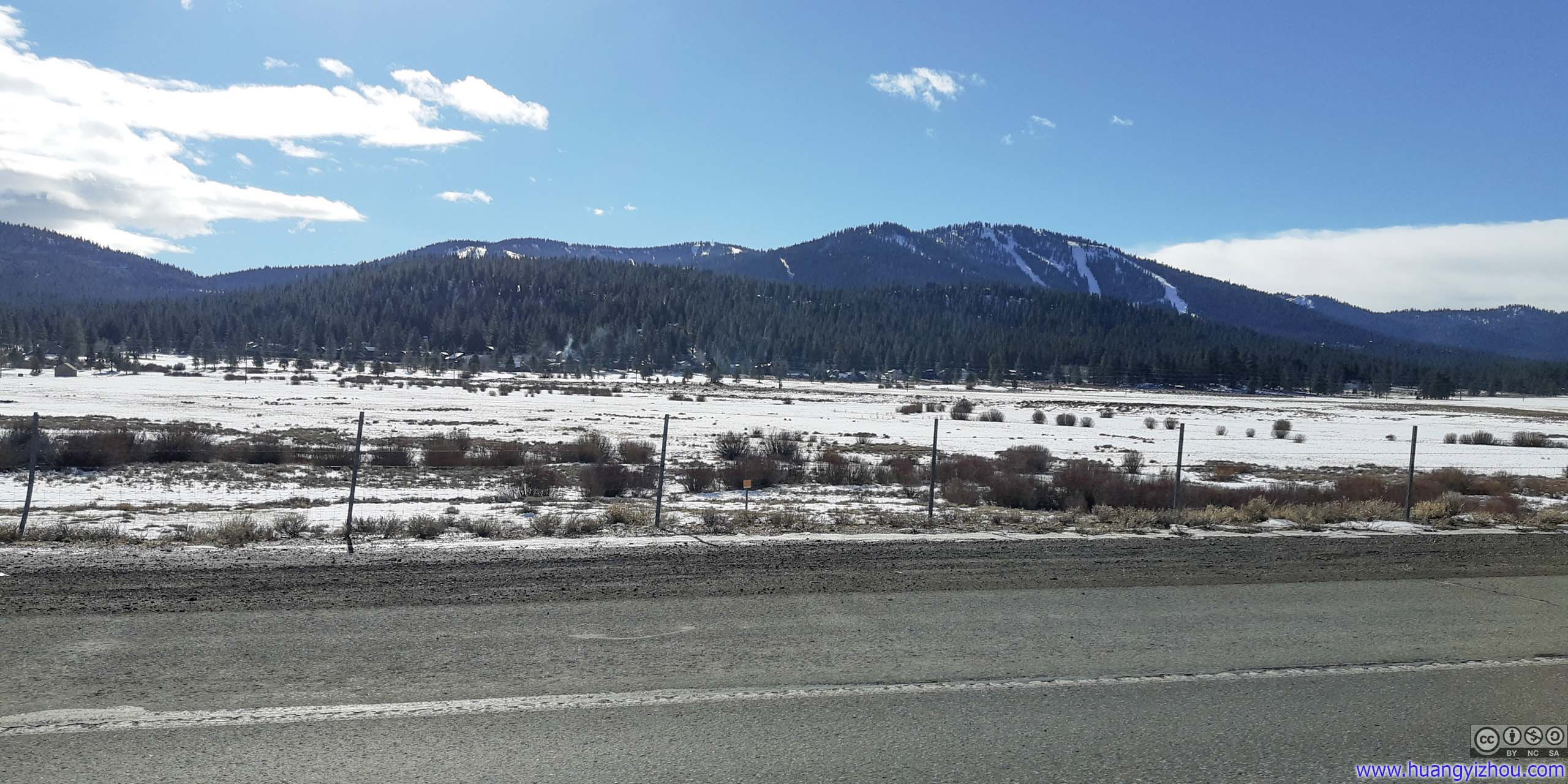 Distant Mountains and Northstar Ski ResortScenes on way to Donner Pass.
Donner Pass Area
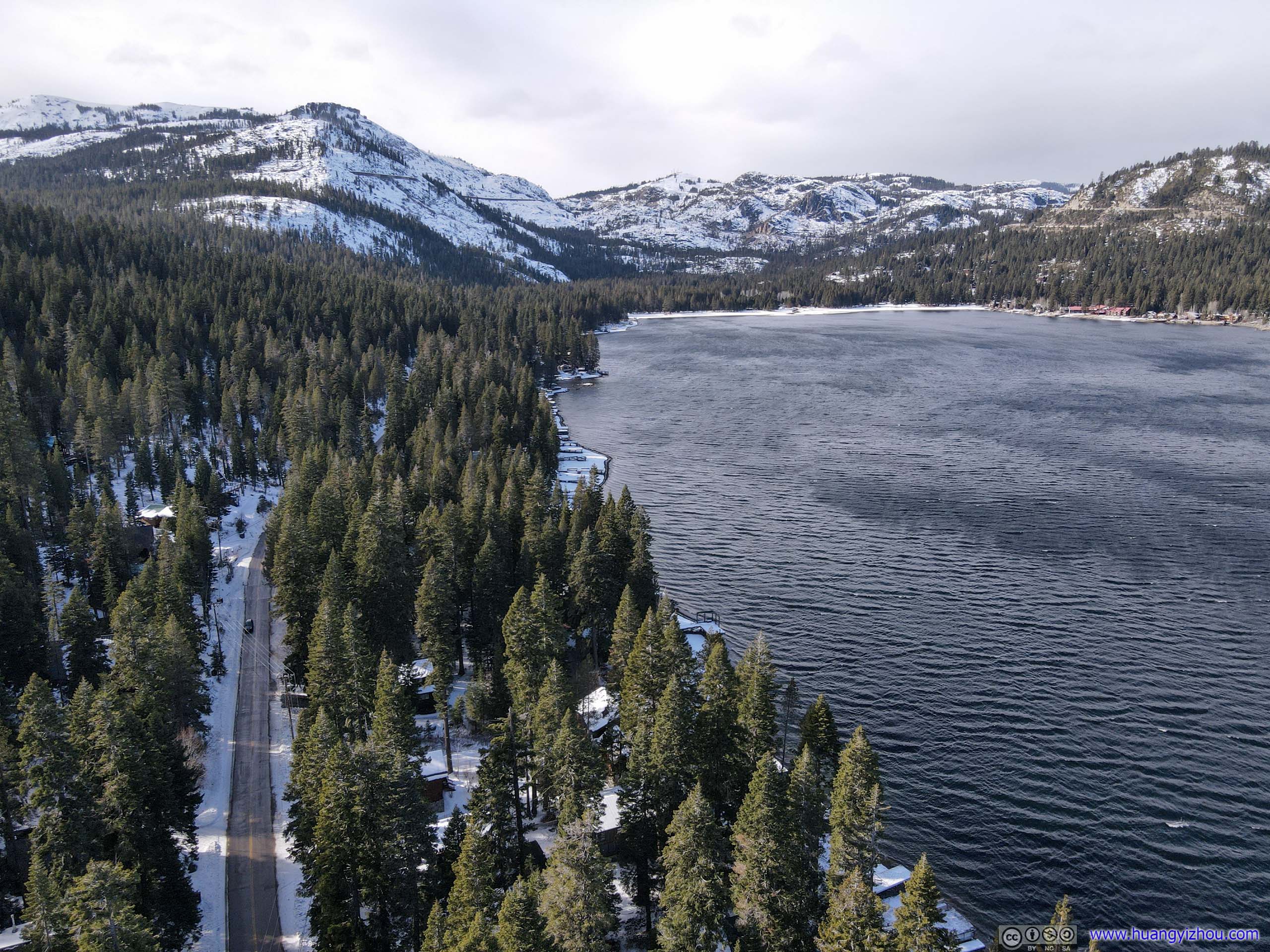
Donner Lake
Before the actual pass, the country road passed along Donner Lake, a large body of water flanked by mountains and forests. There’s a public boat launch site on the north-west of the lake, where I joined a group of others appreciating the scenery.

 Railway up Donner Pass
Distant MountainsMount Rose Wilderness, the sorts of Relay Peak and Mount Houghton, where I was the previous day.
Donner Lake
Donner Peak from Donner Lake
With few obstructions in the air, I launched my drone at that site, overflying Donner Lake and taking an aerial tour of the railroad winding up the mountains to Donner Pass.

Overlooking Donner Lake
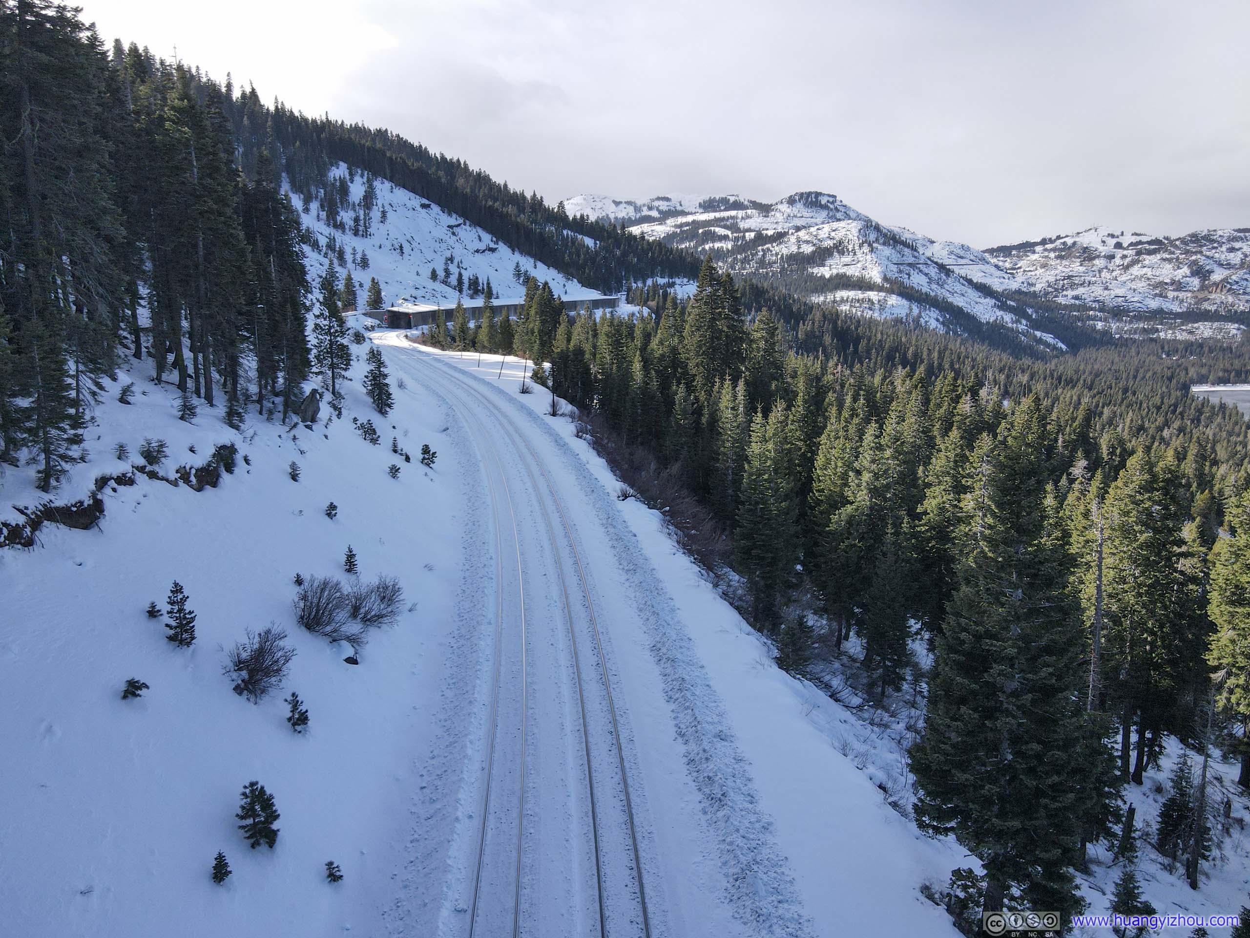 Rail TracksThese tracks are still in use today.
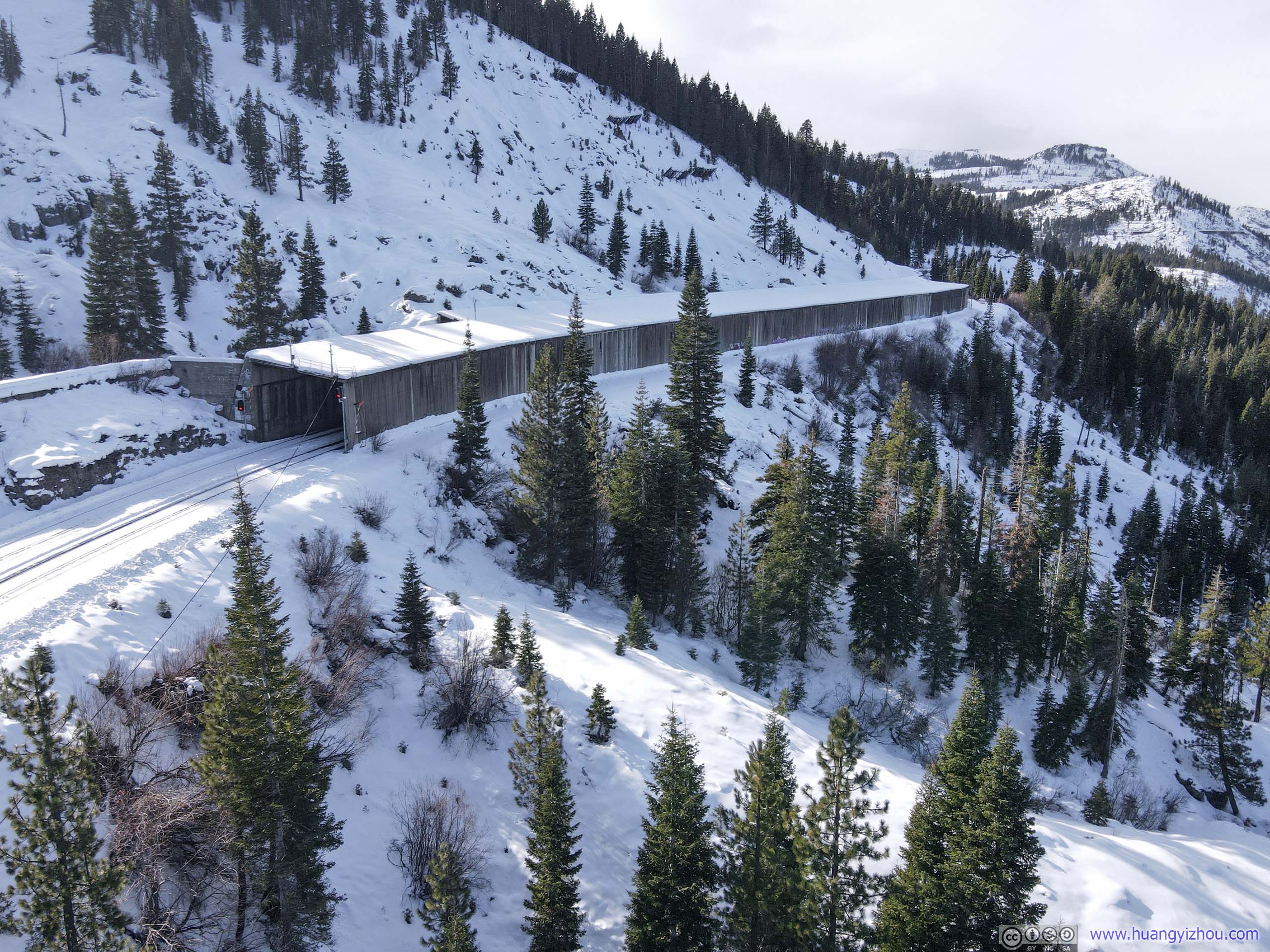
Snowshed
And here’s a video from my drone. I tried to follow the tracks as far as possible (until I lost signal). On the way back, wind was strong from the incoming storm (look at the waves on the water) that I had to lower the drone to almost water level to bring it back.
Overlooking Donner Lake
After that, I drove up the mountain to Donner Pass.
Donner Pass
If there’s a place that characterizes the peril, the bravery, the calamity and fortitude of America’s western expansion, that should be Donner Pass.
The pass was named after a group of California-bound settlers, who departed Missouri for California in 1846. Their later-than-usual departure and choice of a lengthy “shortcut” from established routes meant they only reached the foot of Sierra Nevada in early November, by which time an unusually early but heavy snowfall made the mountain route impassable. Some of the group members resorted to cannibalism for survival. Of the 87 members of the party, only 48 survived.
Later I learned the party’s winter encampments were just towards the east of Donner Lake, in what’s now Donner Memorial State Park.
Adding to that, Donner Pass was also the site of the last section of trans-continental railway. In the 1860s, about 12000, mostly Chinese, “underpaid and underappreciated”, workers, toiled all-year-round and constructed Central Pacific Railroad through the mountain pass with a series of tunnels and snowsheds. The most notable of which was tunnel #6 just by the summit. At 506m long and even with help of dynamite, the workers only managed less than a meter per day. But with years of sustained labor, the tunnel was finished and trans-continental railway opened in 1868.
Nowadays, the series of original tunnels at the summit were abandoned by the railway company in favor of a longer and more directed tunnel through the mountain at lower elevation. The rail tracks were removed and the tunnels open to the public.
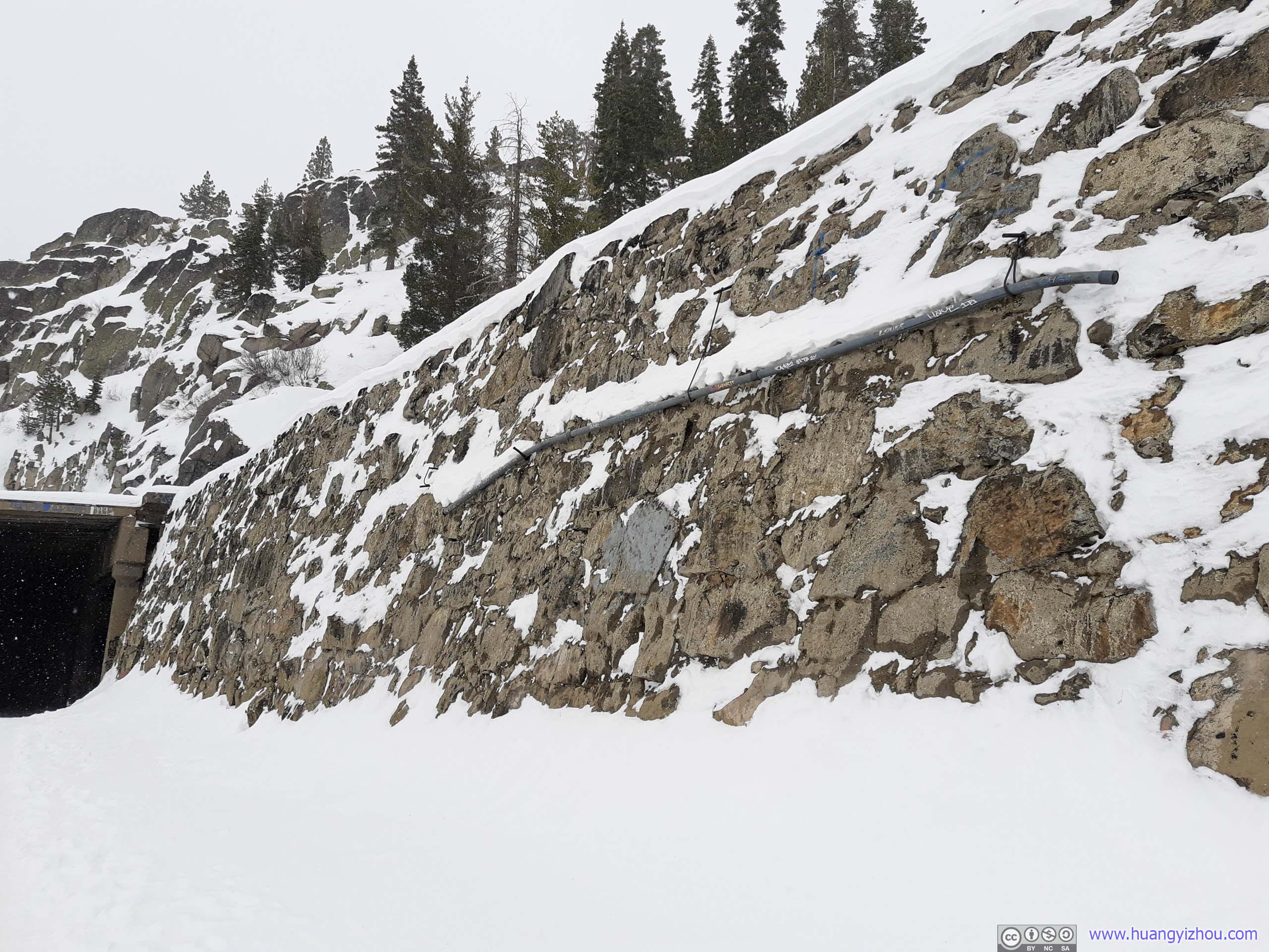
A note about parking in the area. There’s a parking lot just west of the historic summit tunnel #6, the access to which is through Sugar Bowl Road / Old Donner Summit Road. There were lots of cars parked at the lot, mostly families sledding on a nearby slope. In winter a temporary ticket/information booth was set along Sugar Bowl Road (for the ski resort down the road), the gentleman in it kindly informed me that the parking lot access road was unplowed, which might be a problem for my 2WD rental without tire chain. It didn’t seem to me that they charge any fees using that lot next to tunnel entrance.
So I resorted to my backup parking option, which was 400m away, a place called “Summit Haus” on Google Maps. The parking lot there was much smaller, luckily I pulled into the last open slot. They didn’t seem to charge any fees either.
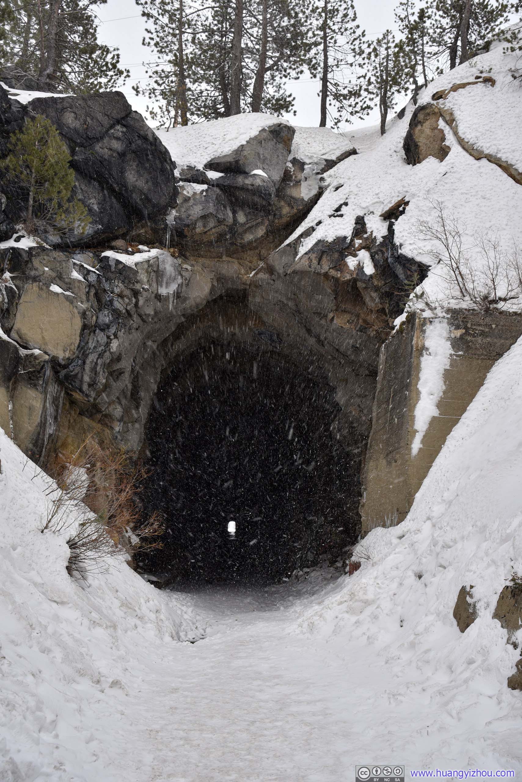
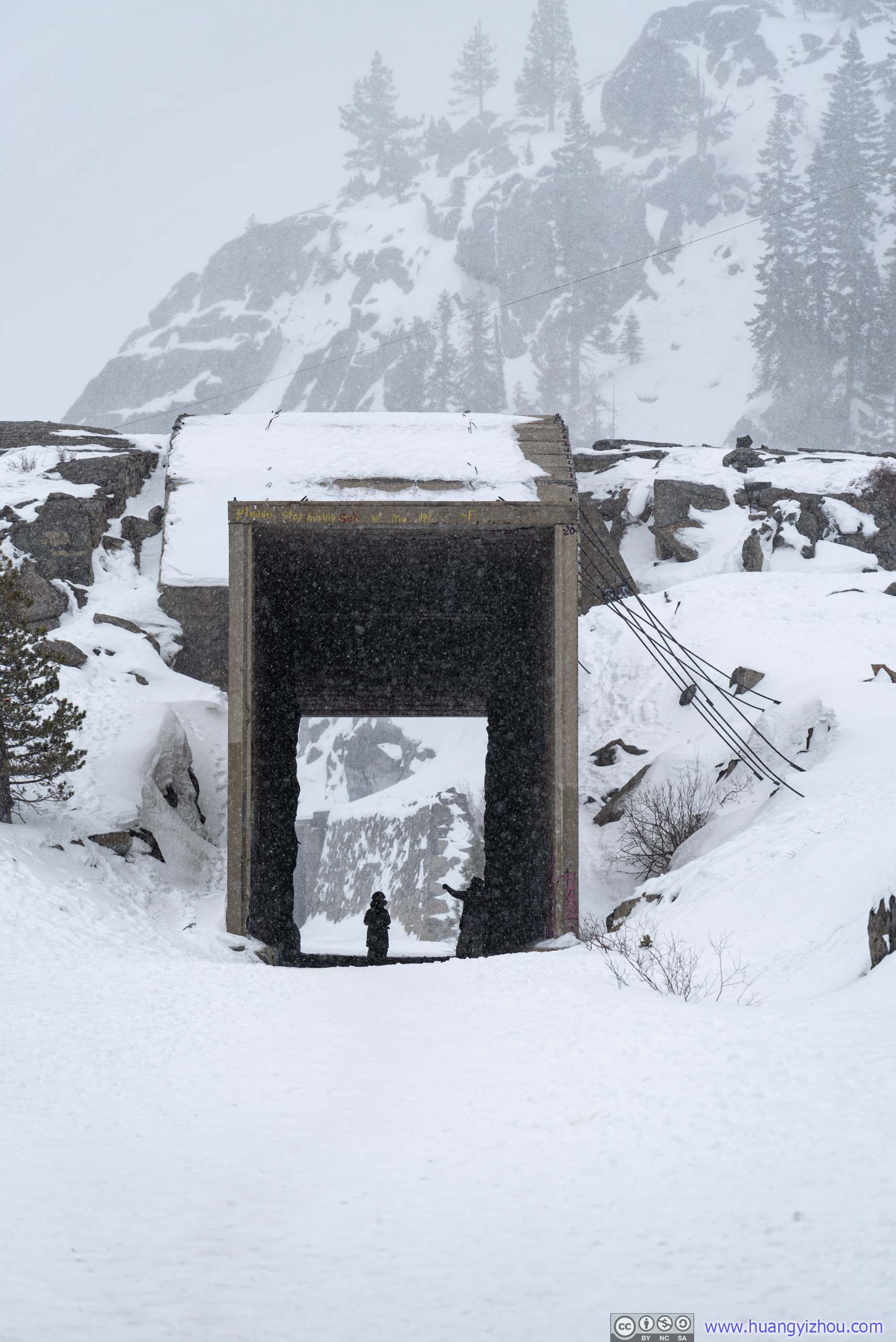
At just before 1pm, I entered Tunnel #6, not knowing that by the time I came out on the other side, snow would replace a clear blue sky.

 Donner Pass Summit Tunnel EntranceWeather changed a lot during the 45 minutes that separated these two photos.
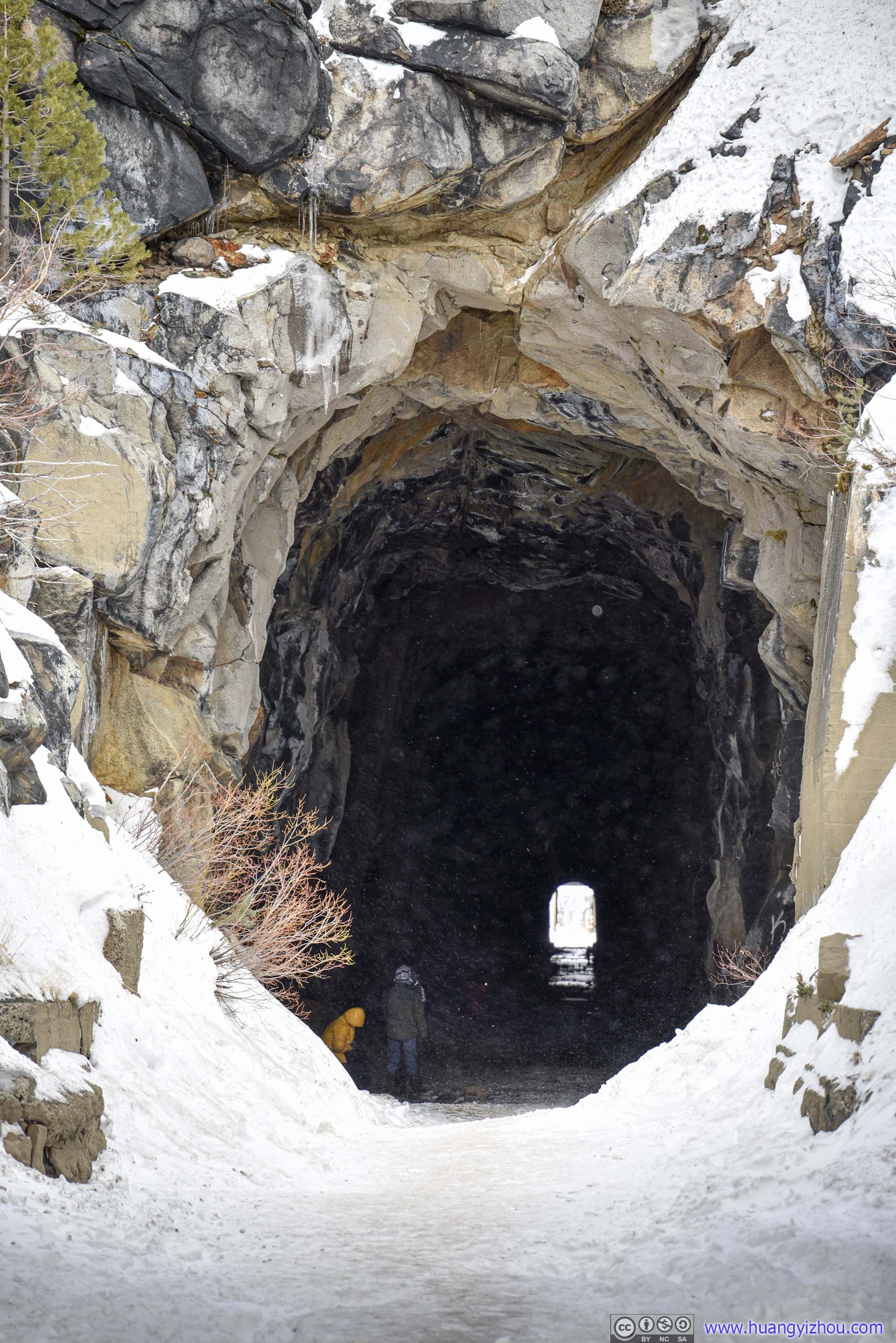
 Summit TunnelWestern (left) and eastern (right) end.
Summit Tunnel Floor

Summit Tunnel Floor
After I came out from the other side of the tunnel, clouds had overtaken Donner Pass. Soon, snow began to fall, starting lightly.
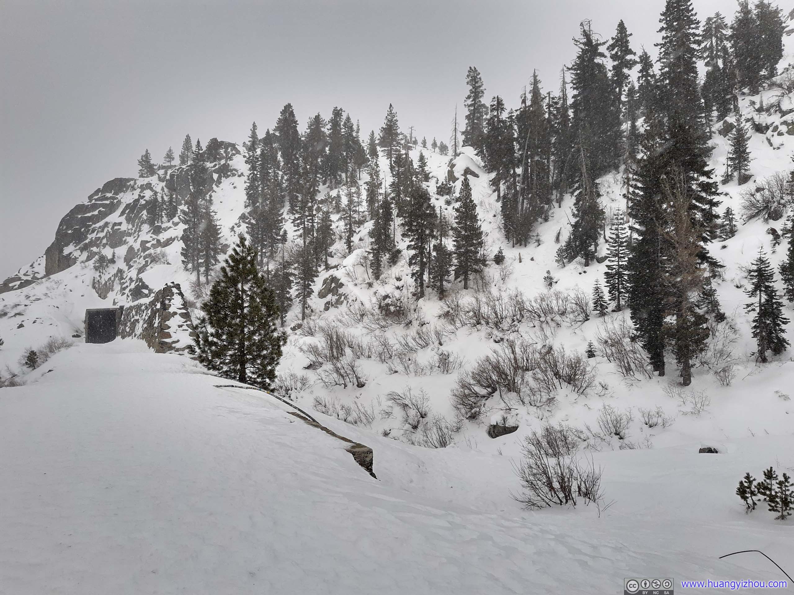 Landscape in Snow
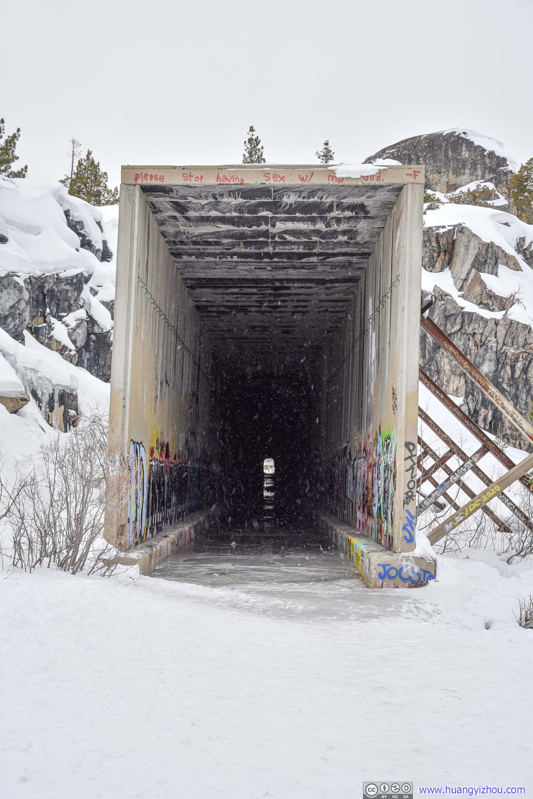
I didn’t want to drive in the snow back downhill, so I hastened my steps and decided to make the “China Wall” by Tunnel #8 my turnback point.

 Tunnel #7 / #8
Soon I arrived at the wall after passing the short Tunnel #7.
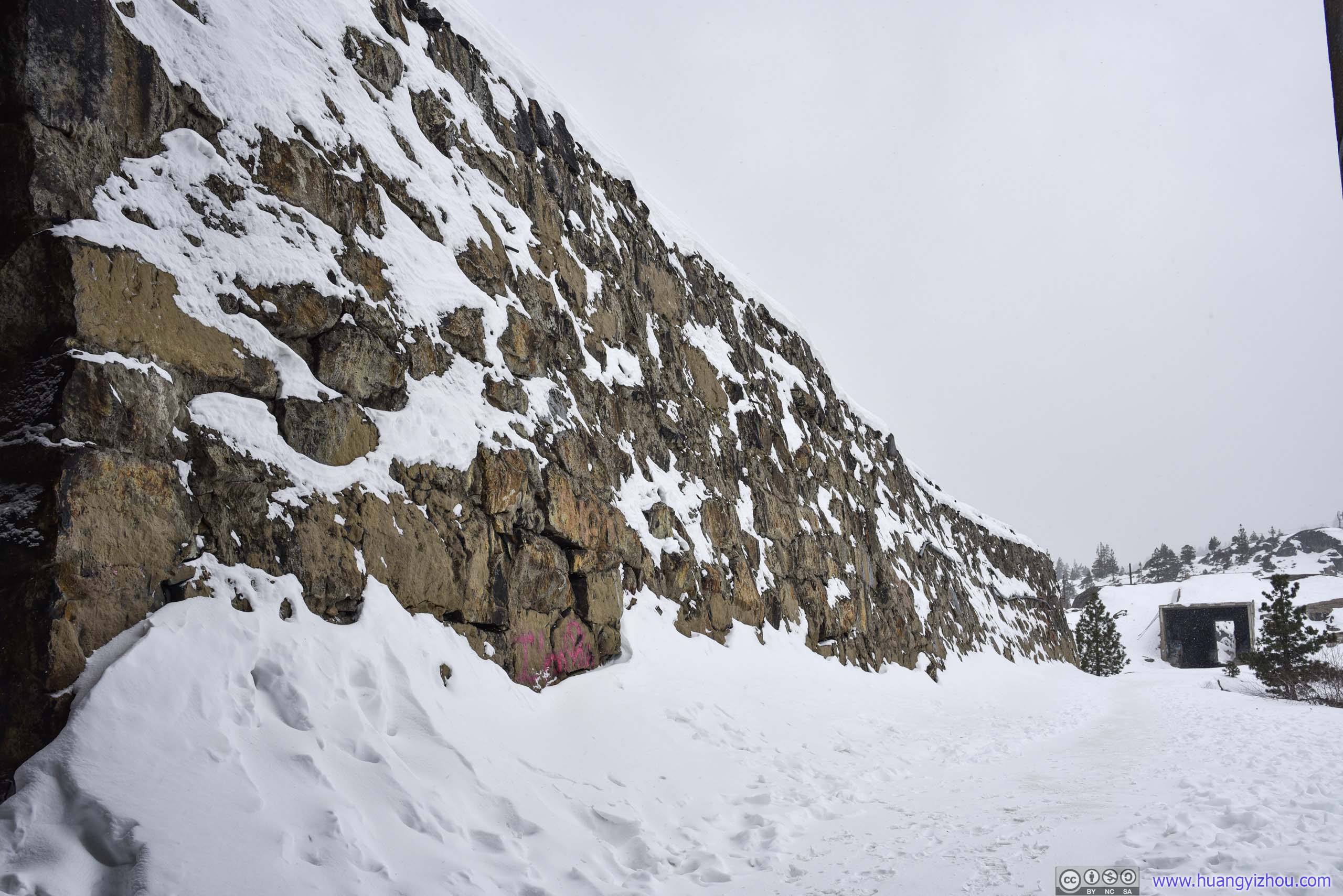
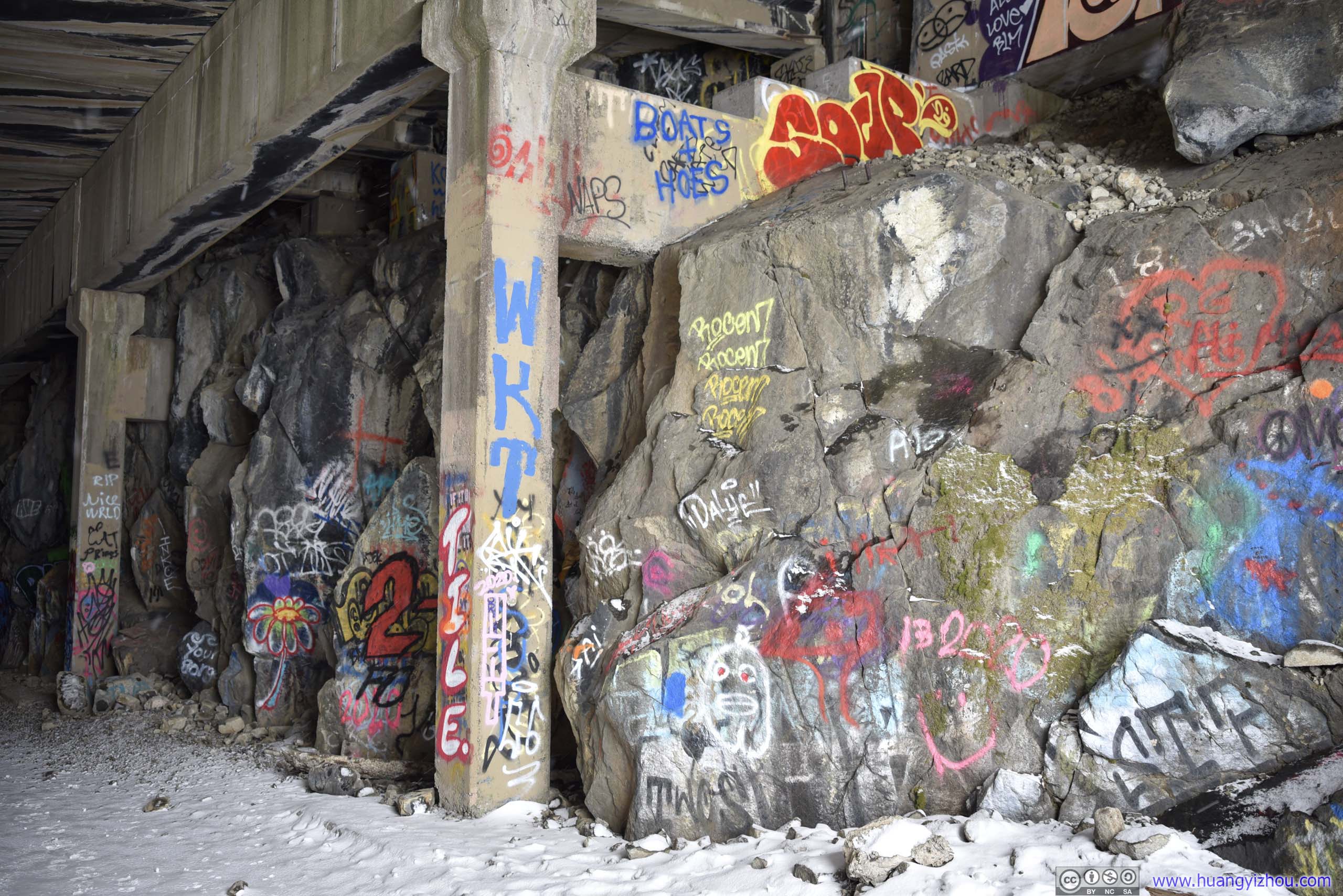
 China WallProbably used to keep avalanches off railway tracks.
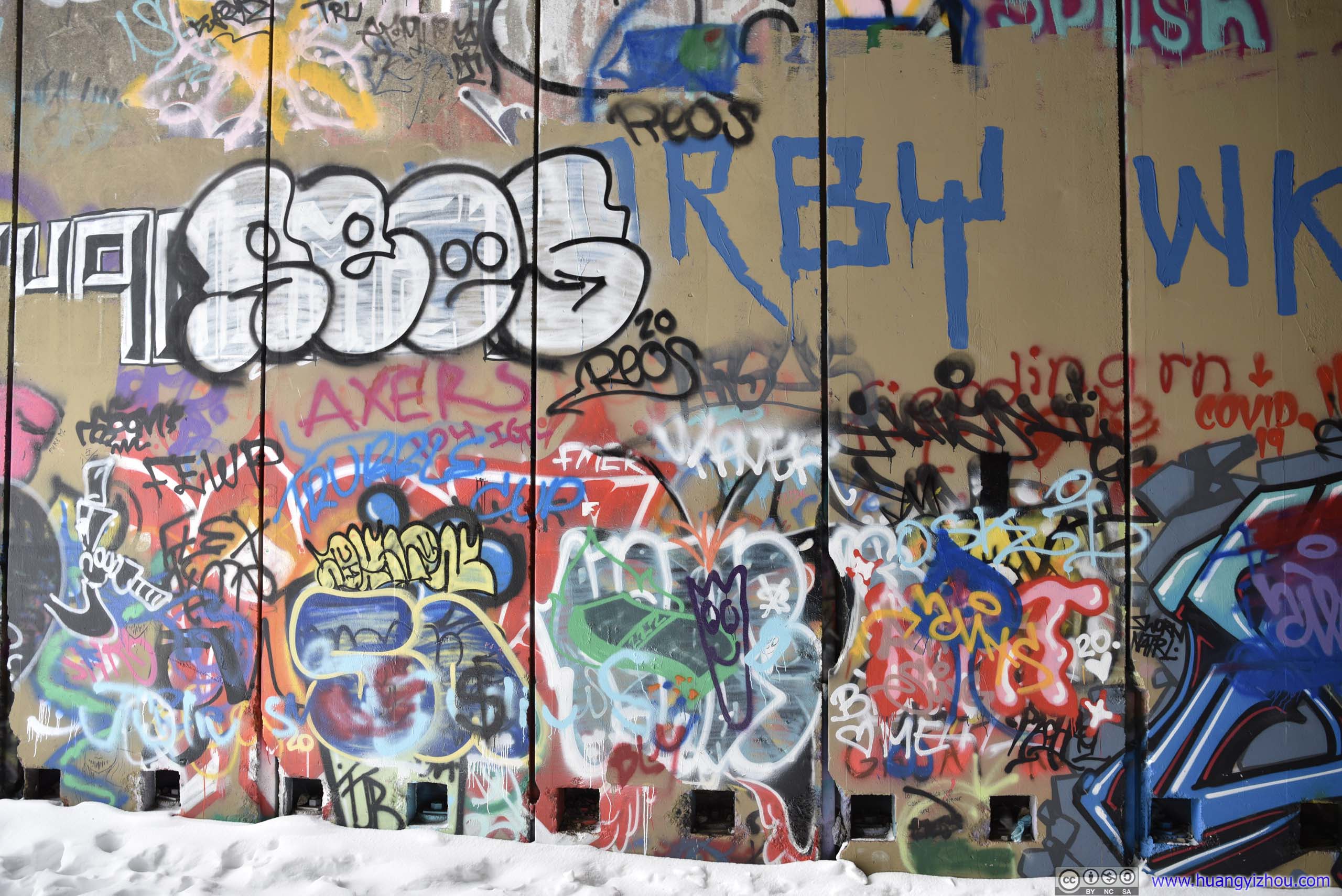
 GraffitiAt the mouth of Tunnel #8.
As the snow started to fall heavier, I made my way back.
Shelter
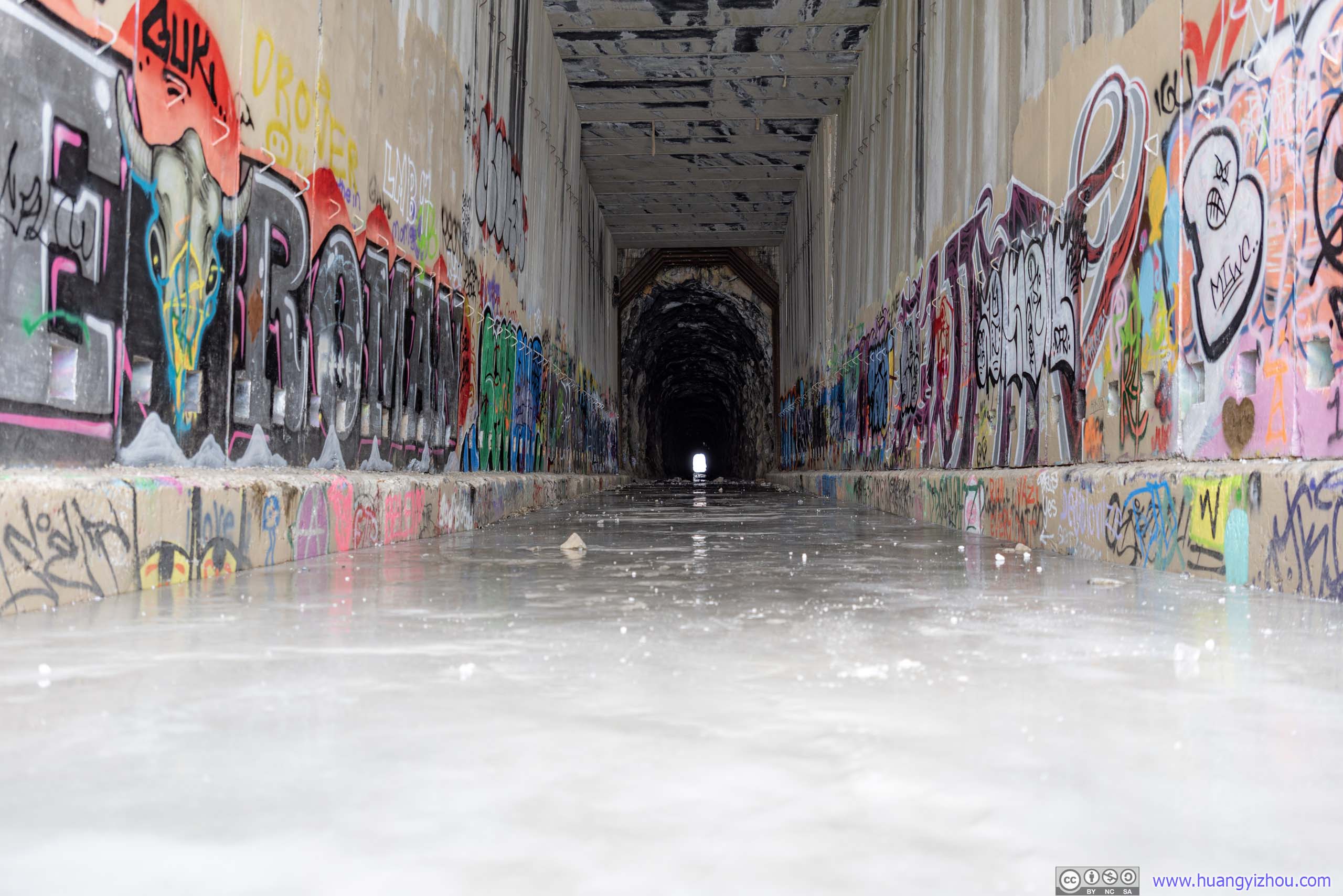
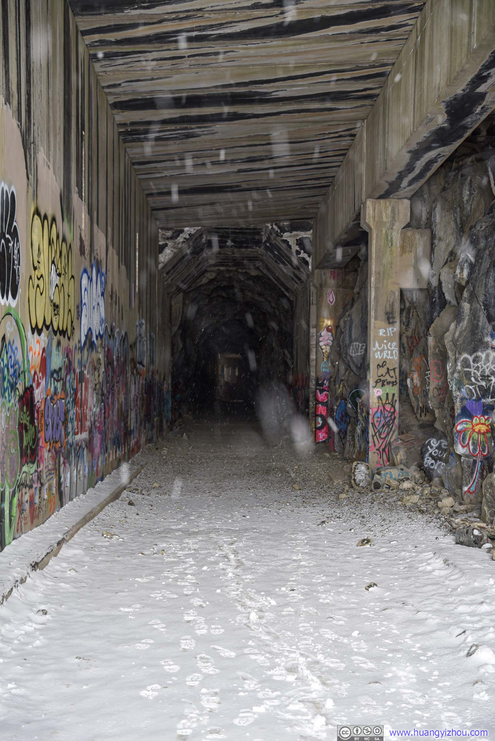
Summit Tunnel FloorTowards its eastern end with some graffiti on the concrete walls.
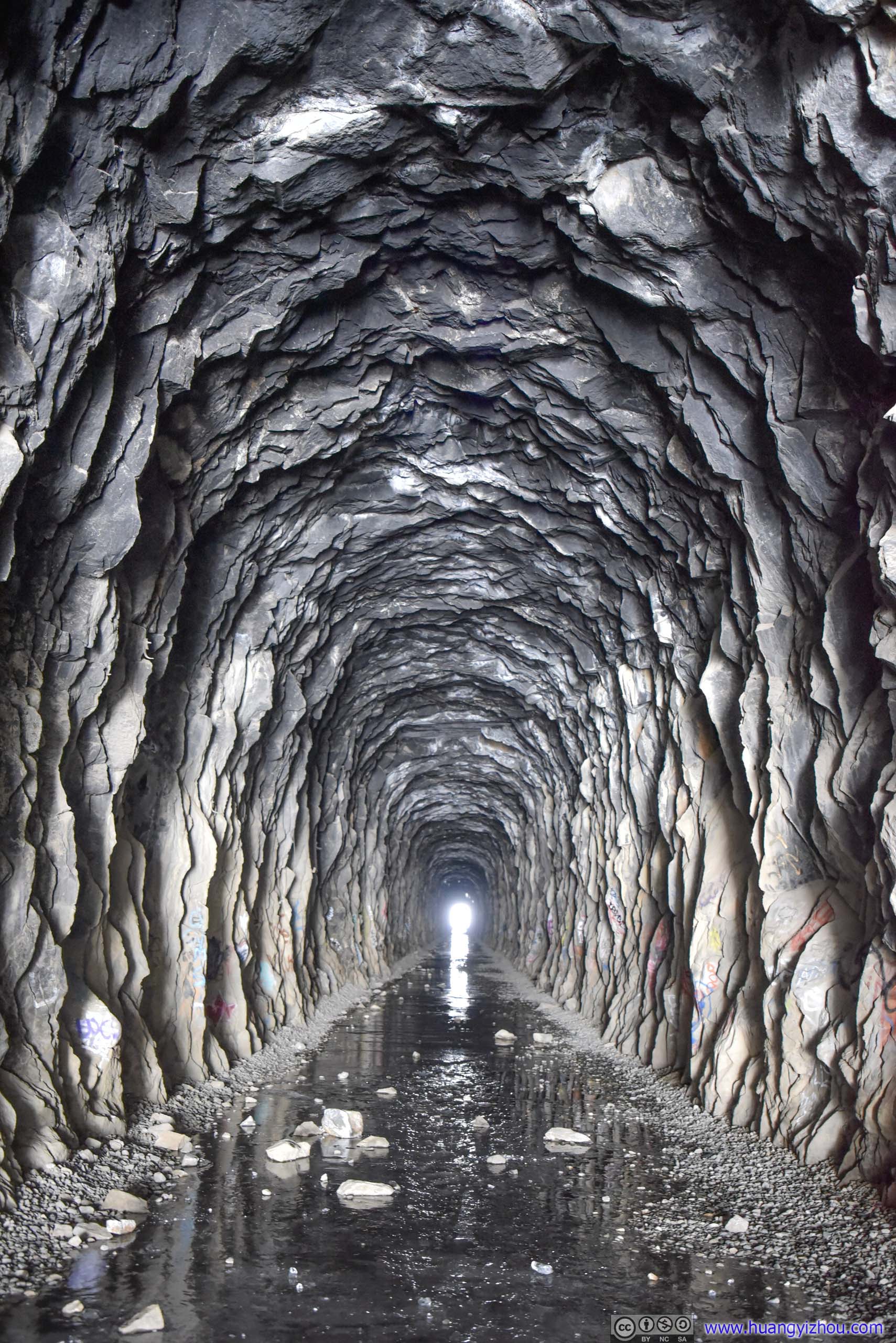
Summit Tunnel
After I came out from the other side of summit tunnel, snowflakes permeated the air. I walked back to my car and headed down the hill while the road was still snow-free, making a final stop at the summit bridge.
Summit Bridge
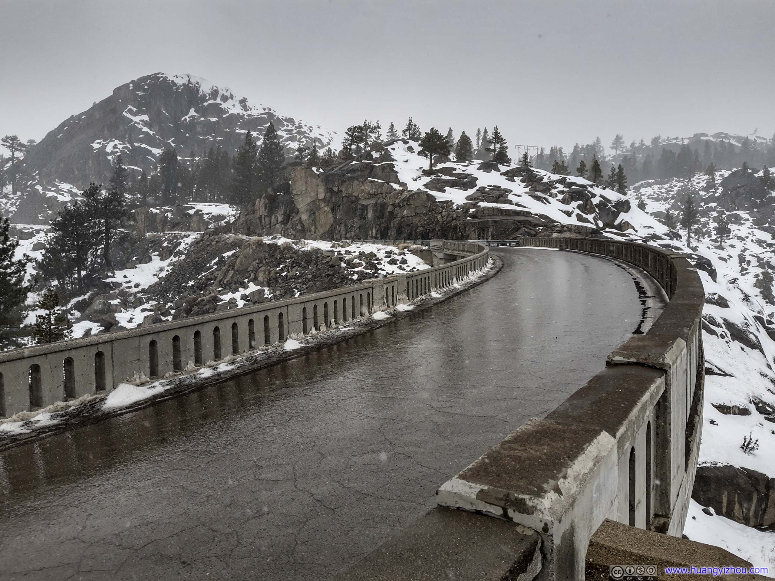
Donner Summit Bridge
A small parking lot / overlook lay next to the bridge. Snow was already limiting my visibility, so I didn’t stay there for long.
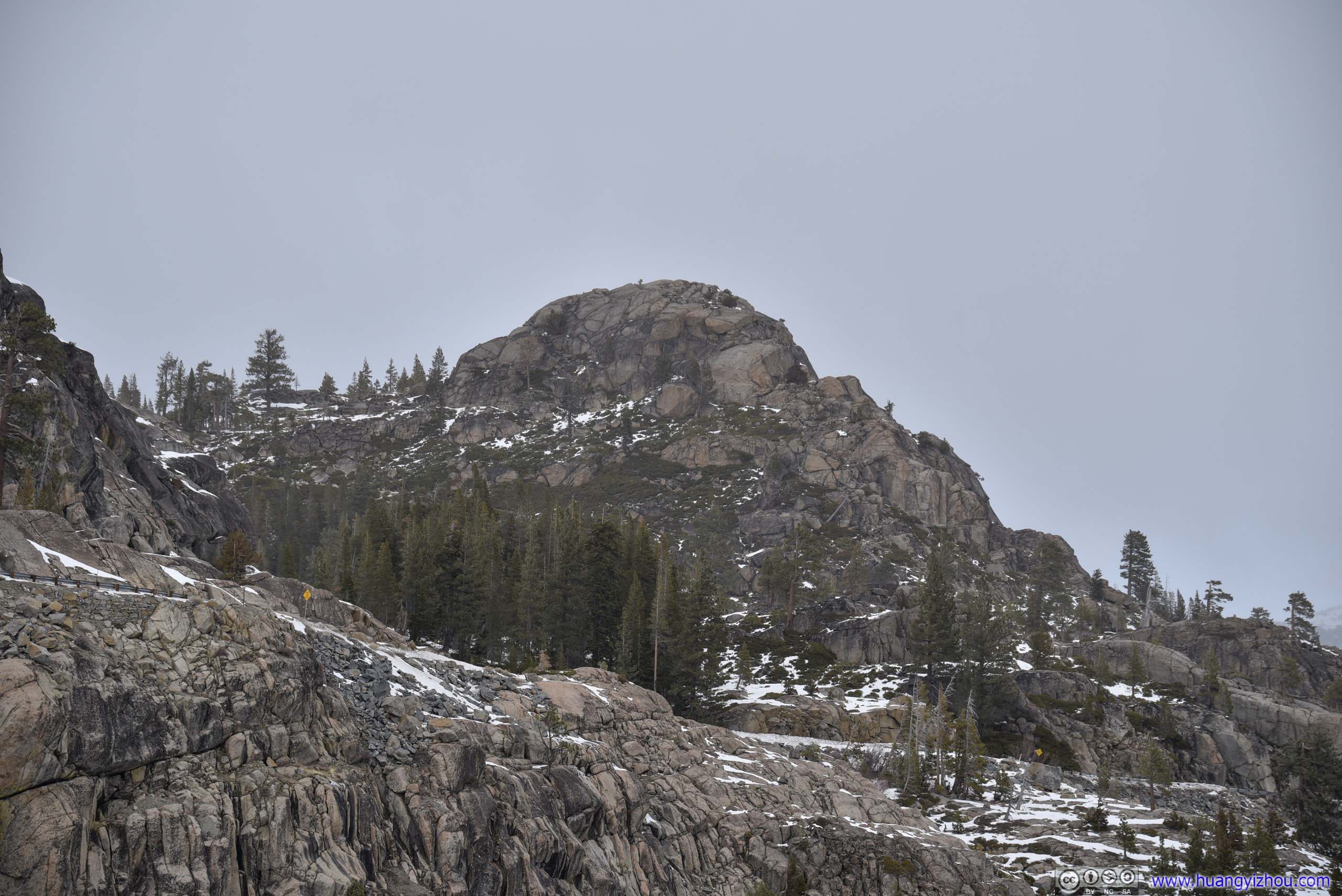
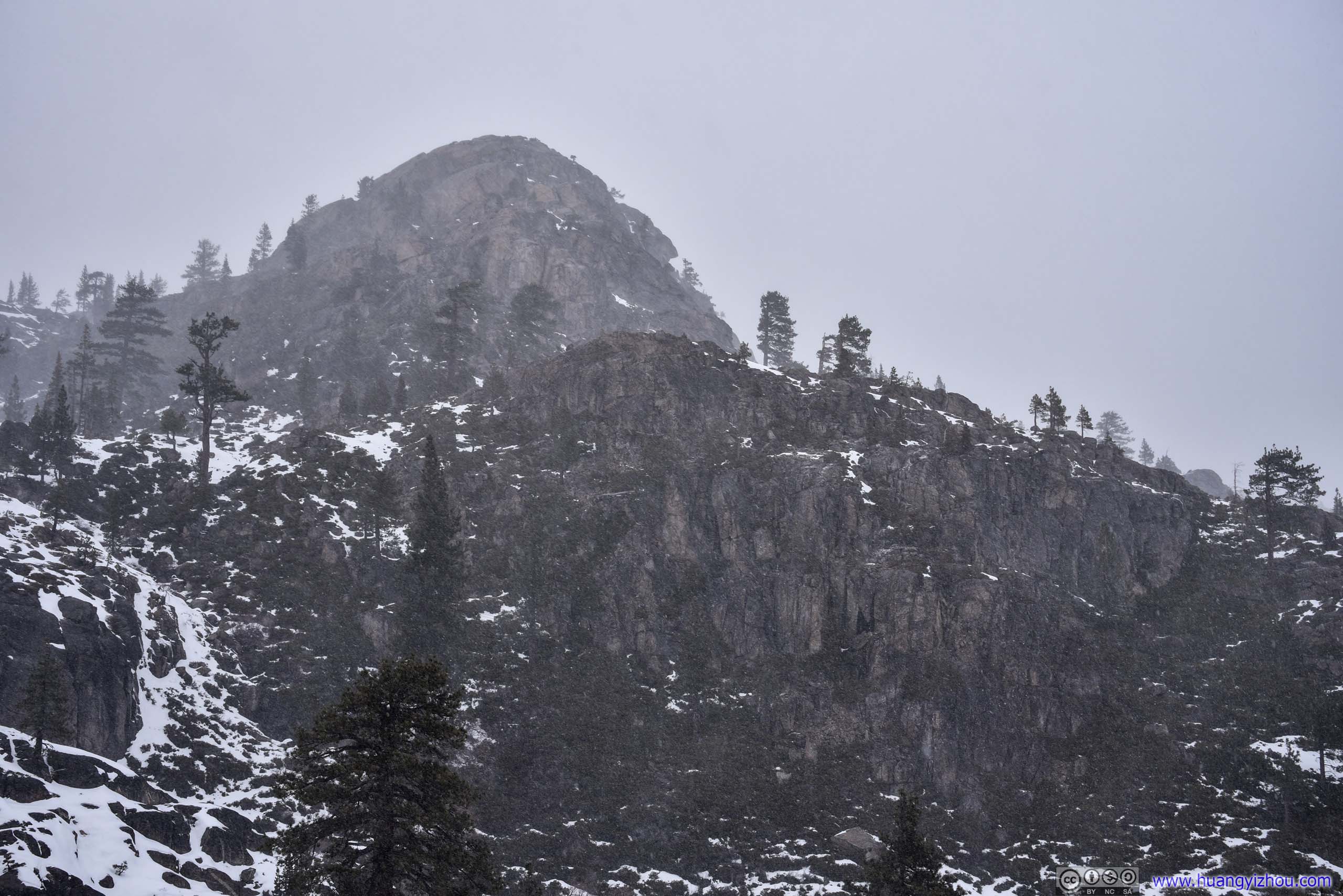 George R. Stewart PeakTaken along the tunnel trail (left) and from summit bridge (right), separated only by 40 minutes.
 Roads up Donner PassTaken along the tunnel trail (left) and from summit bridge (right), separated only by 40 minutes.
After that, I went on Interstate 80 and headed for Reno, which mostly ran along Truckee River in a valley. This was certainly one of the most enjoyable / scenic sections of roadway in my opinion.
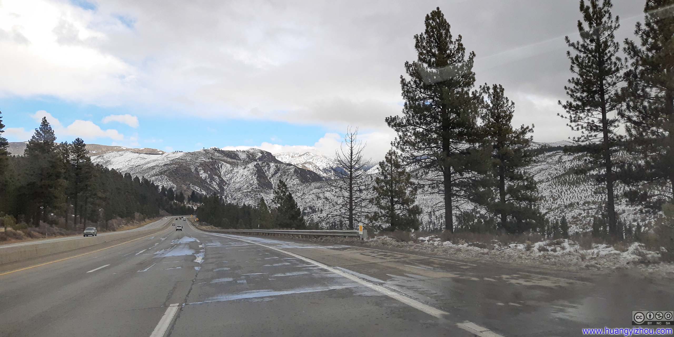
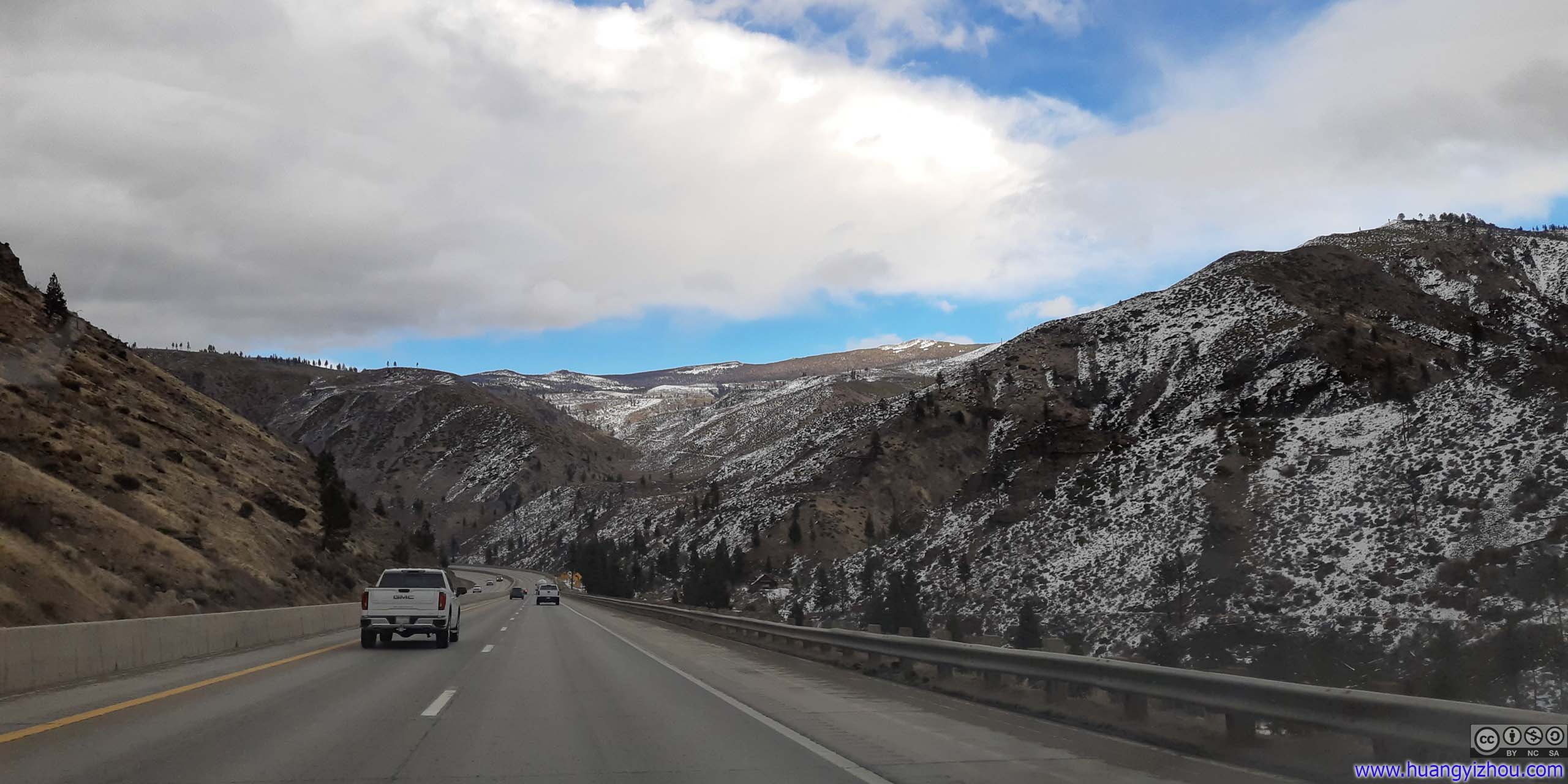 Interstate 80 in Truckee River Valley
One thing that’s not enjoyable at all were the horrendous road conditions in California. To begin with, the expressway was paved in concrete, which created a rhythmic but uncomfortable beat. Adding to that were the numerous potholes that thankfully I didn’t need to avoid as hard given the rental natural of my car. Worst of all, all of these miseries went away the moment I crossed into Nevada. It should be a shame to California, a state with the highest gasoline tax, that its roads were in such terrible shape. In fairness I should acknowledge that only a minority of road maintenance money came from gasoline tax these days.
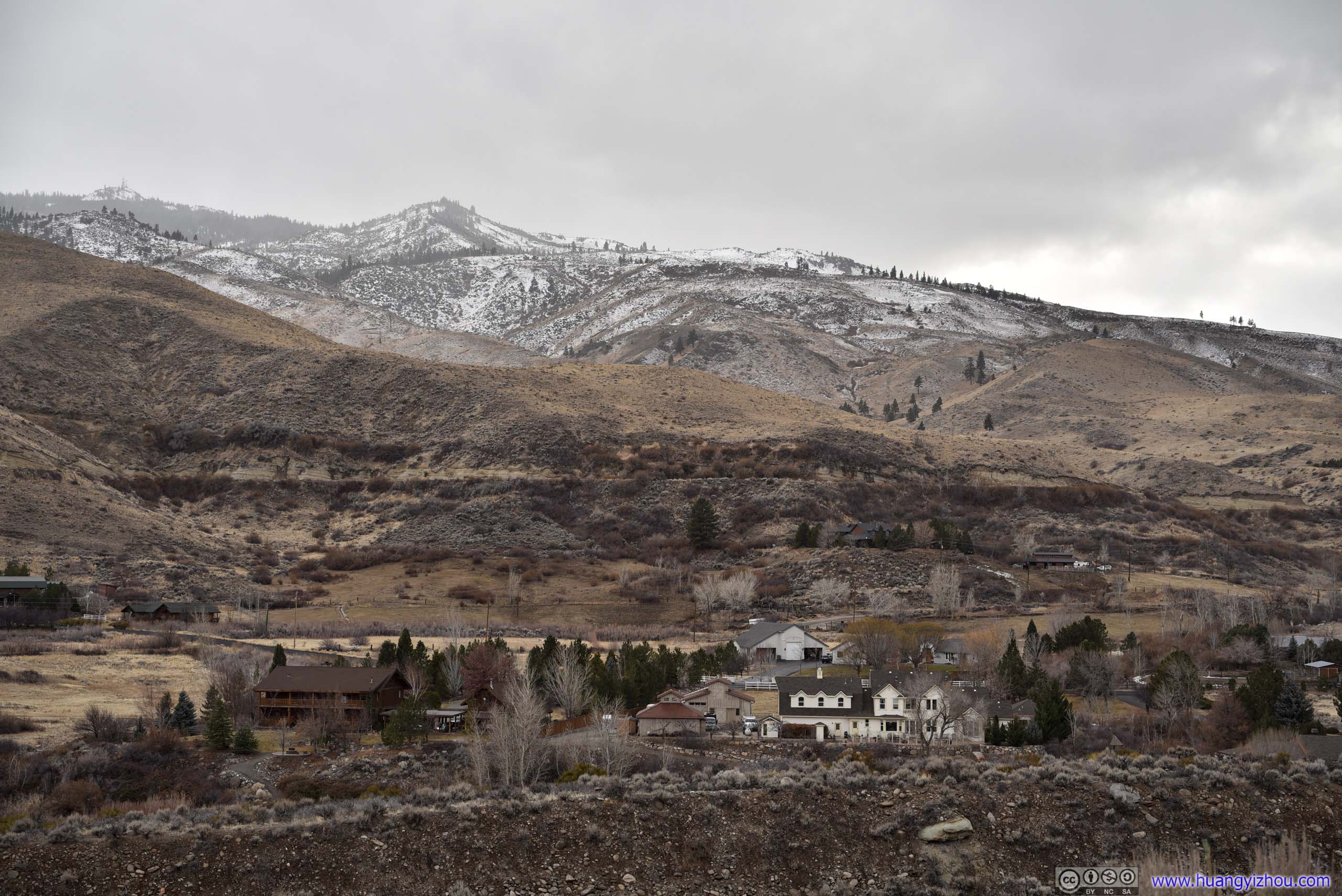
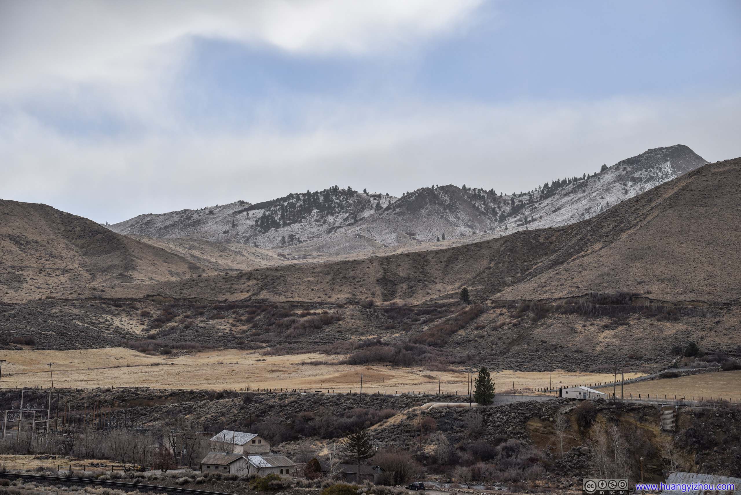 Village beneath Mountains
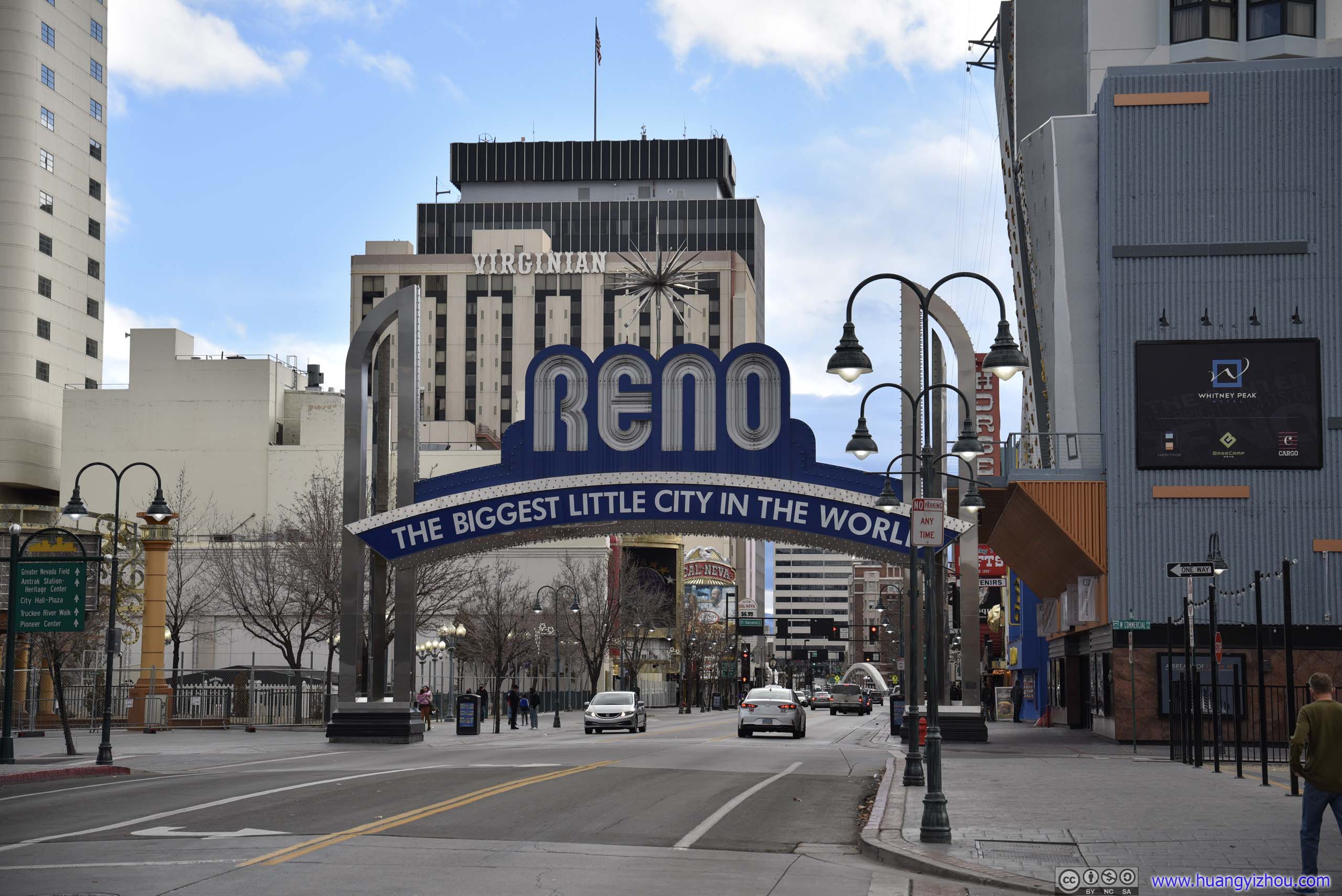
Reno
Downtown
This was my first time visiting the state of Nevada, a state famous for its casinos. So I thought it’s only appropriate for me to pay downtown Reno and its casinos a visit. Despite that guided by ration and maybe the lack of cash, I didn’t try out my luck.

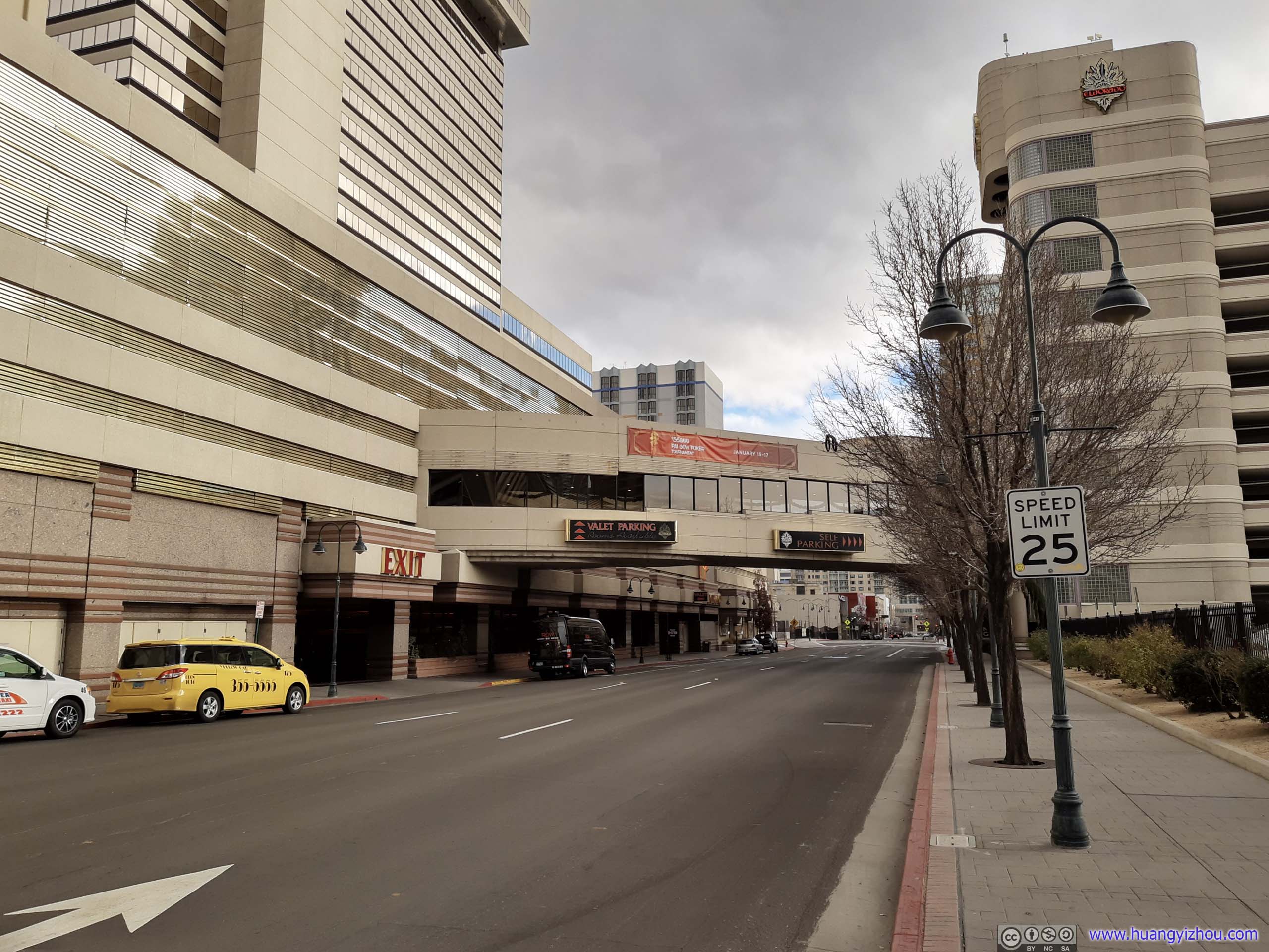 Reno Streets
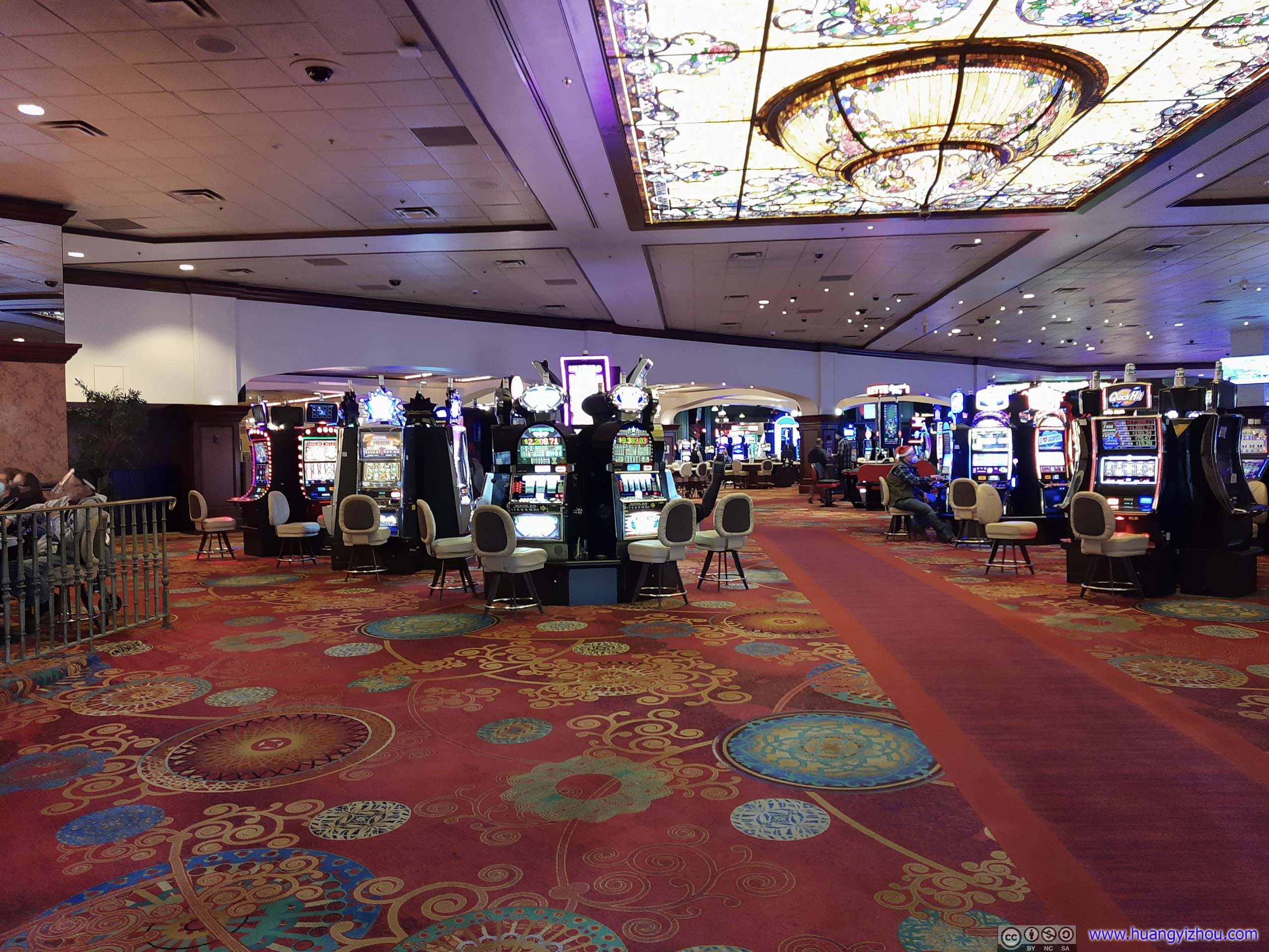
Casino Interior
Wingfield Park
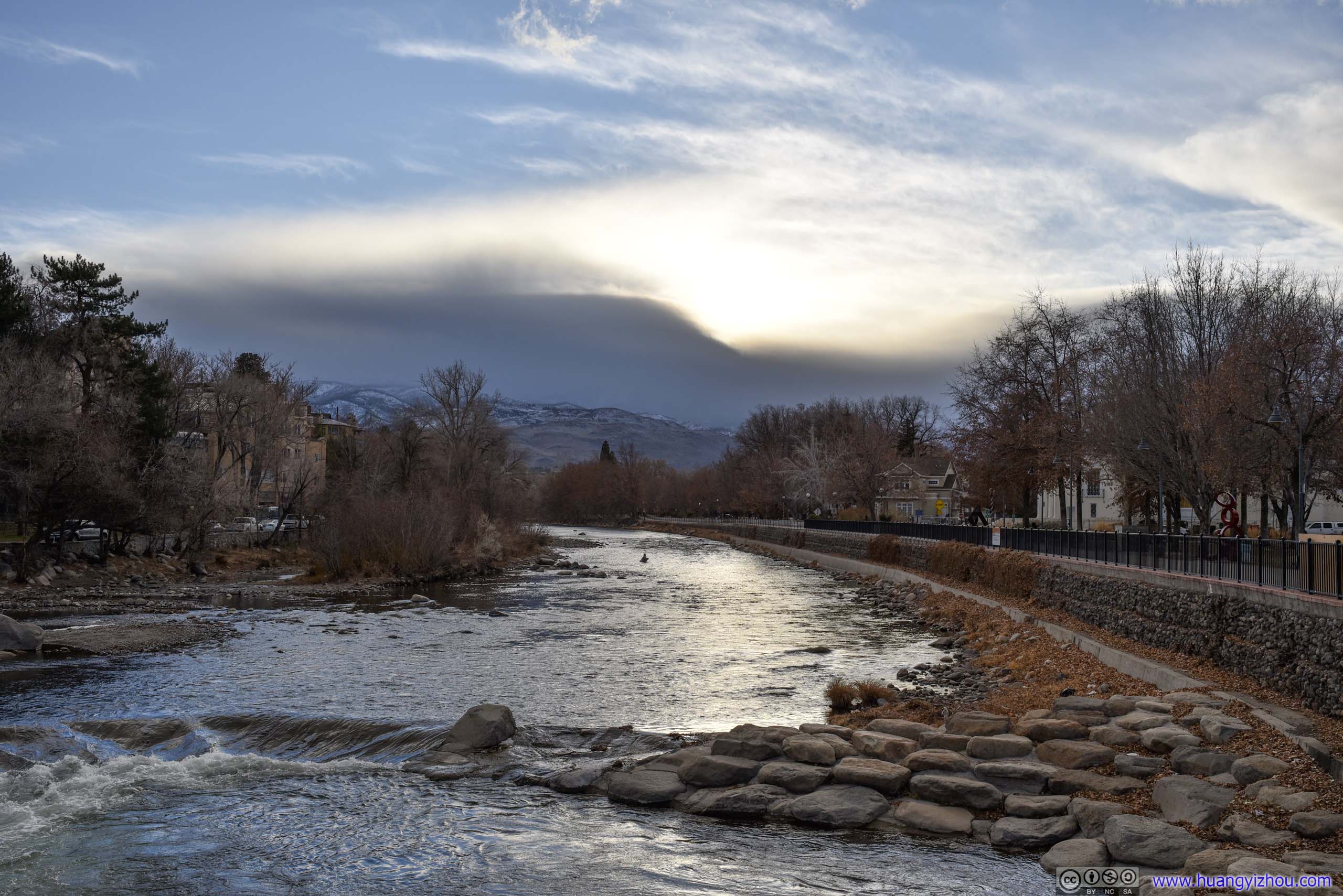
Since it’s still early in the day, I decided to visit Wingfield Park, an island in Truckee River downtown Reno.
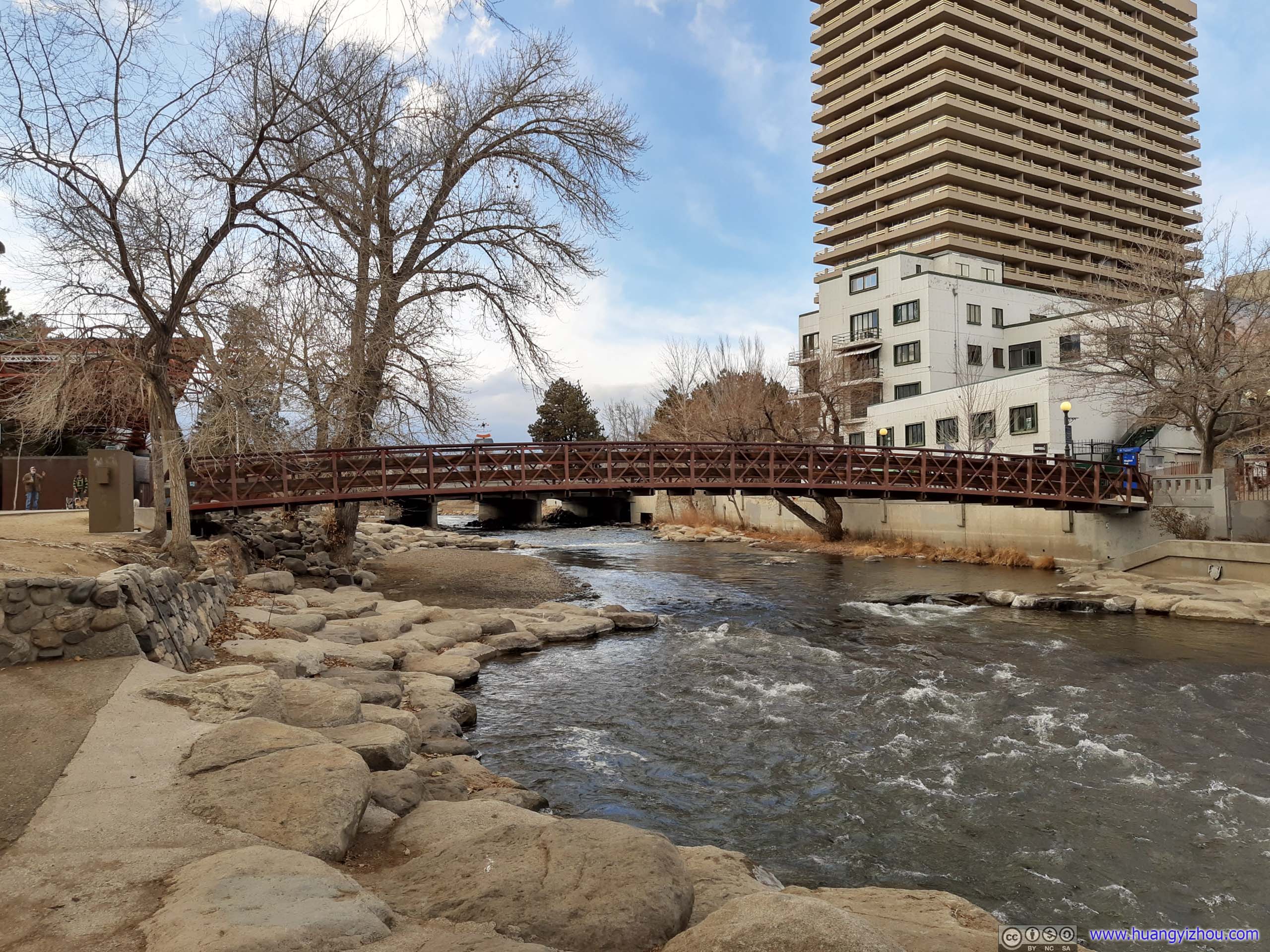
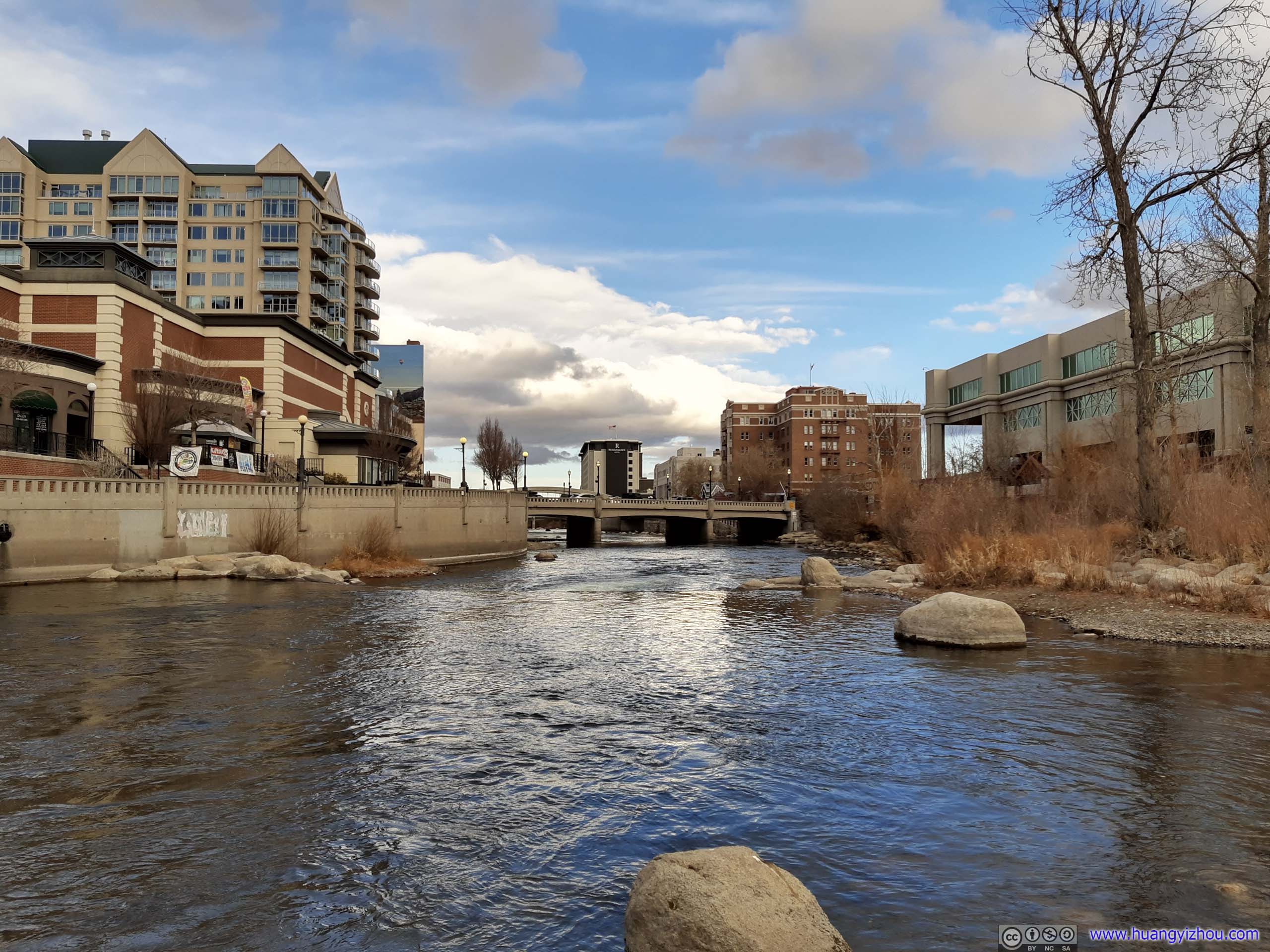 Truckee River by Wingfield Park
It’s only a small island, the combination of winter and COVID had kept it quiet. That is, except the waterbirds.
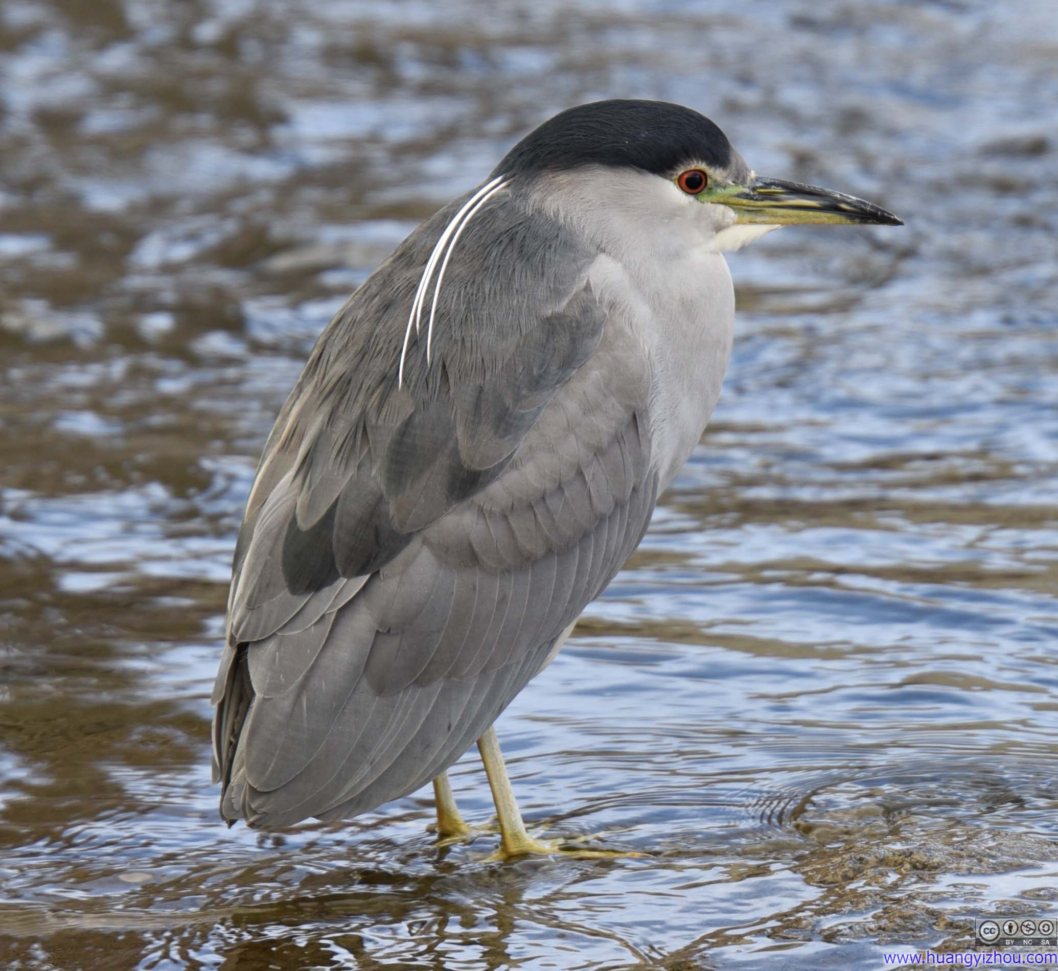
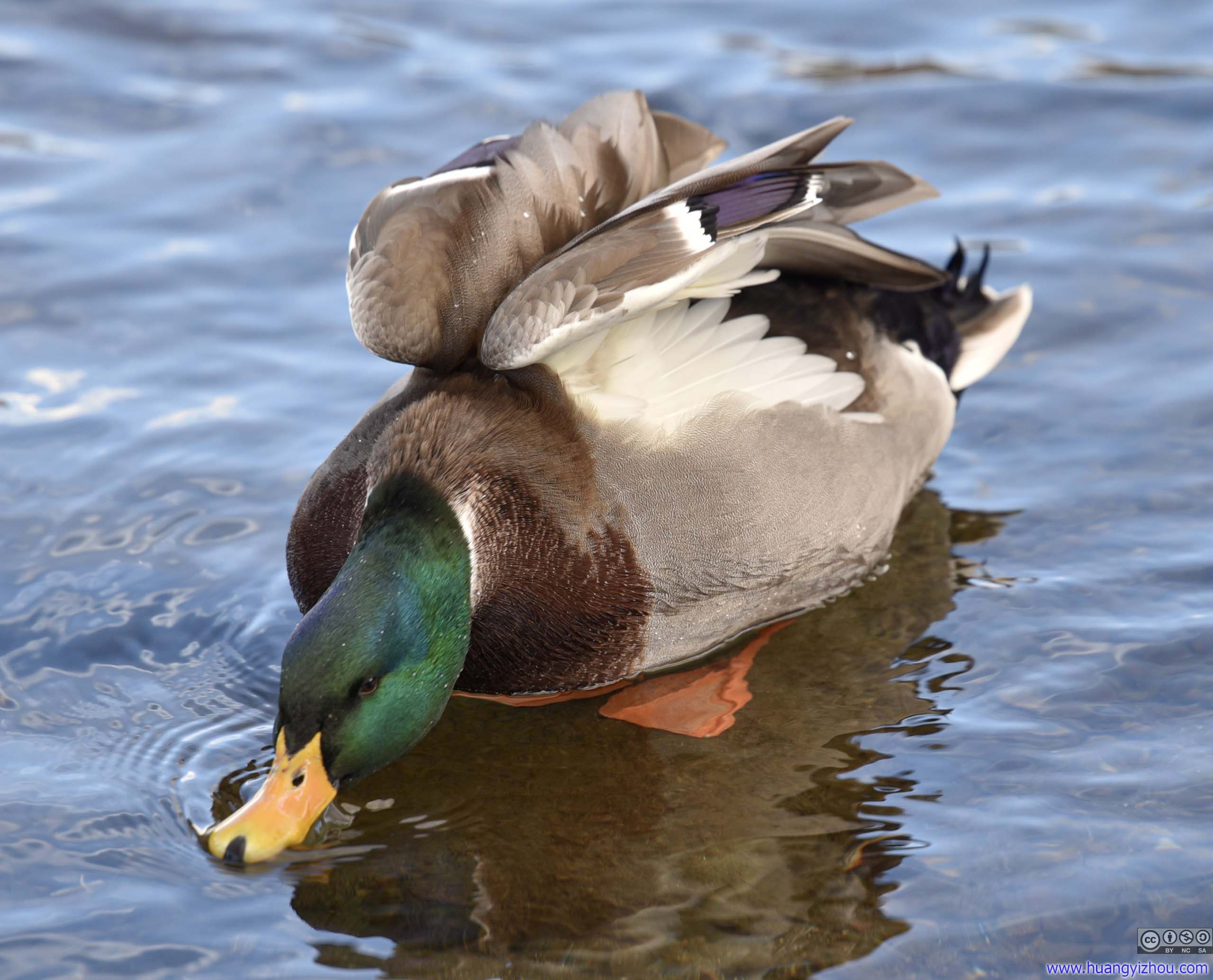
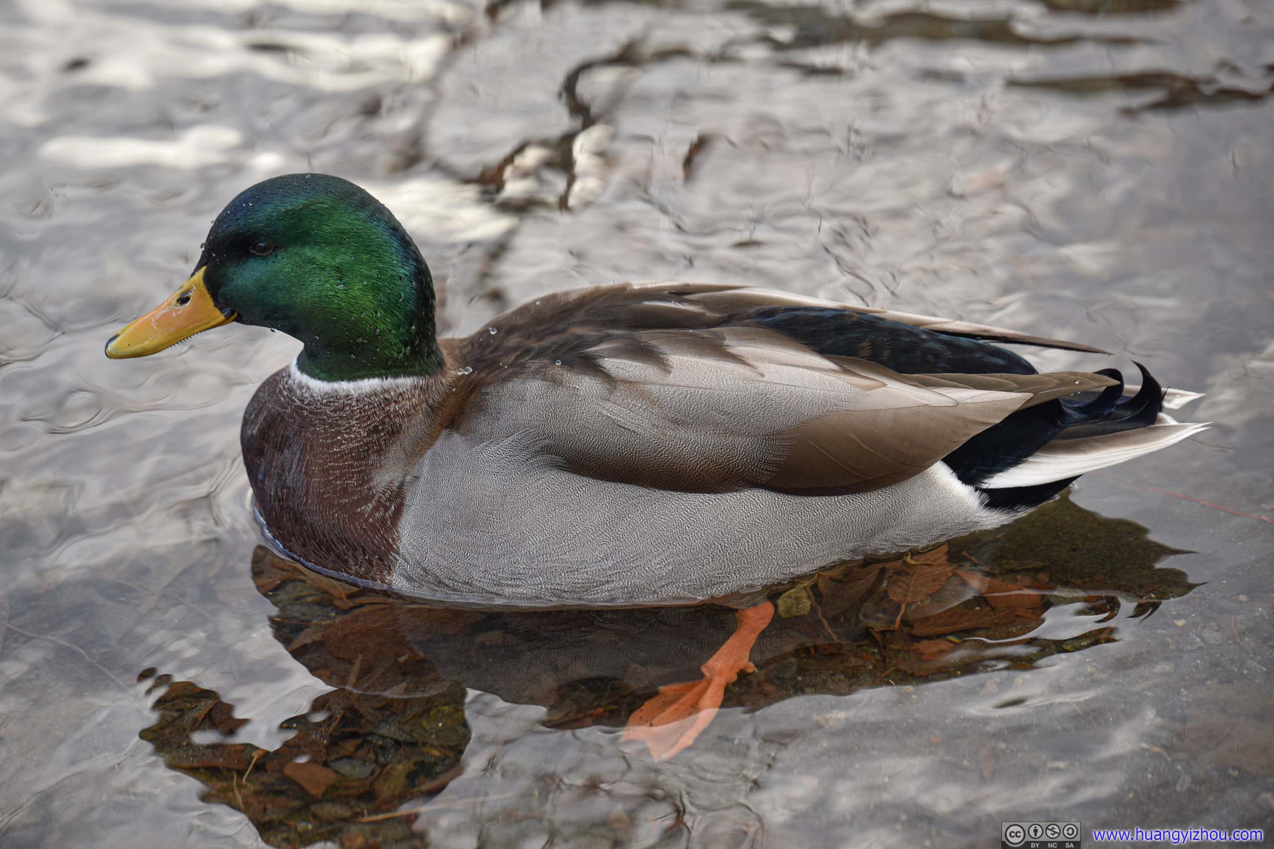
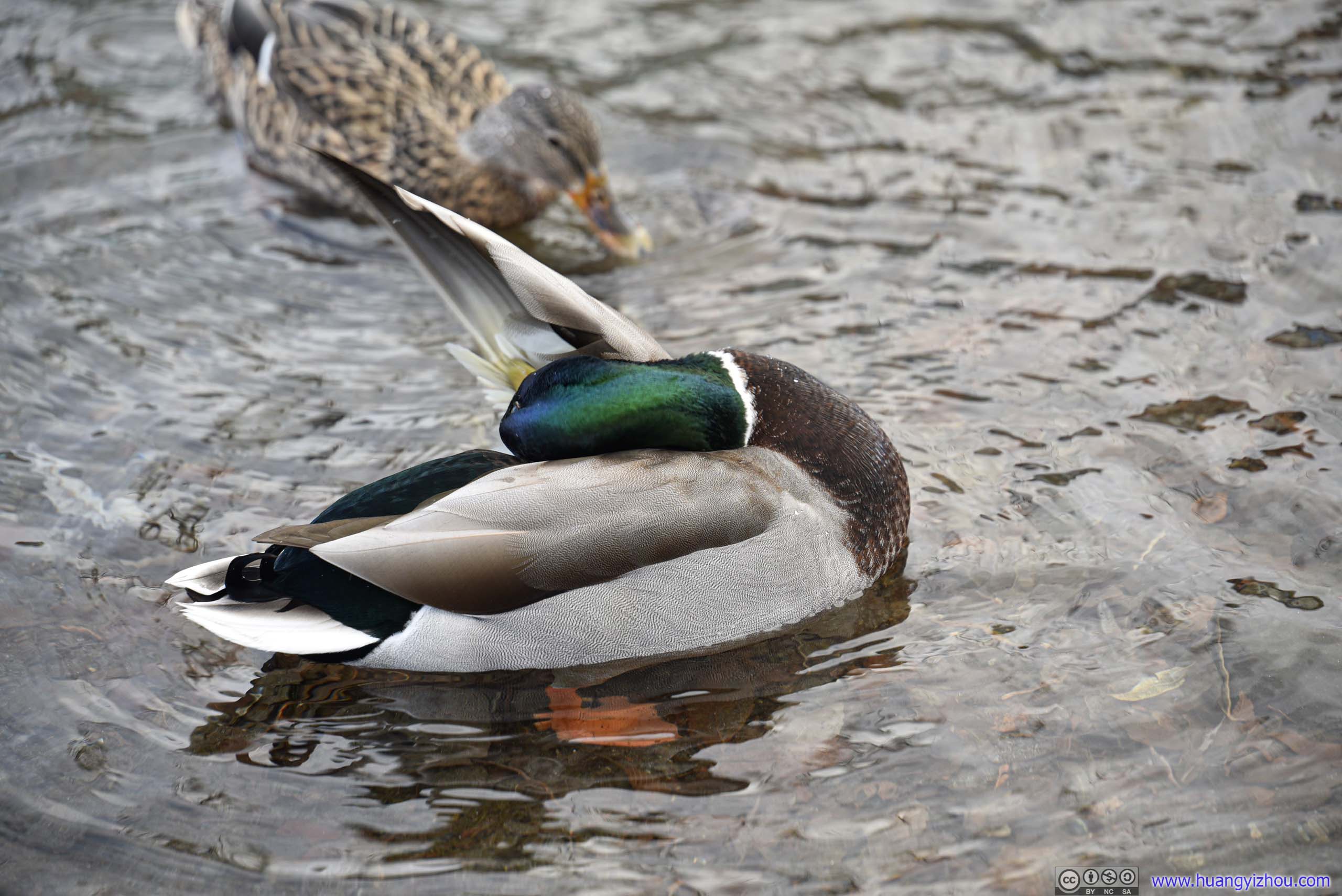 WaterbirdsThey didn’t seem afraid of human at all. I could set my camera really close to them.
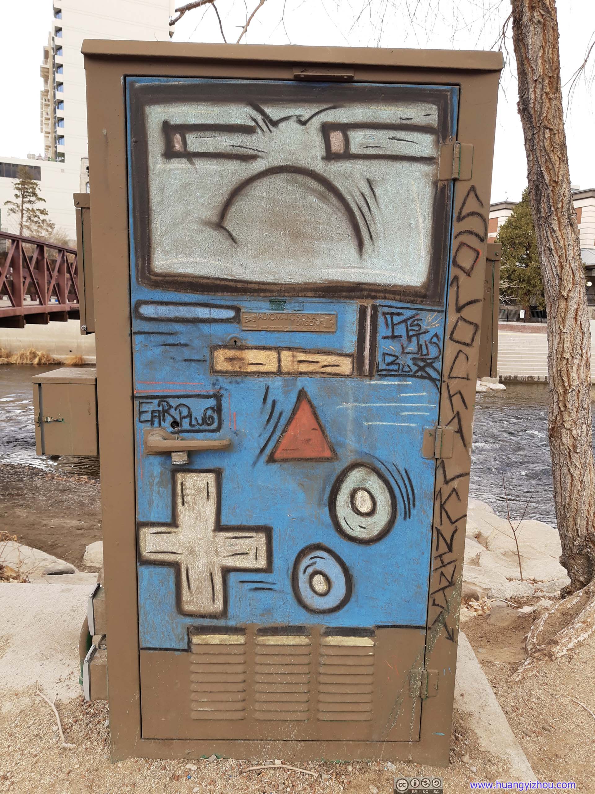
Street ArtThat’s an angry electric box.
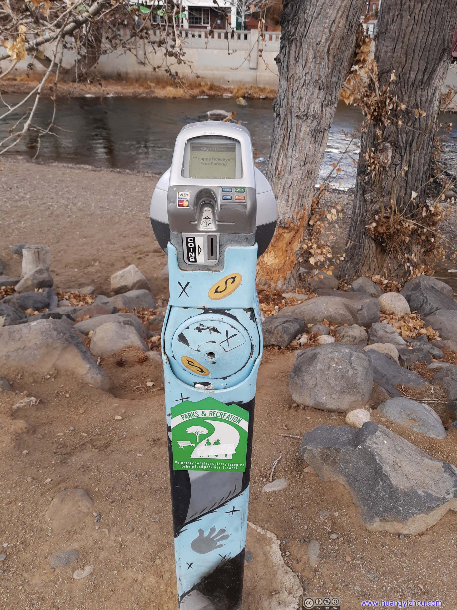
Donation Post
Distant Storm
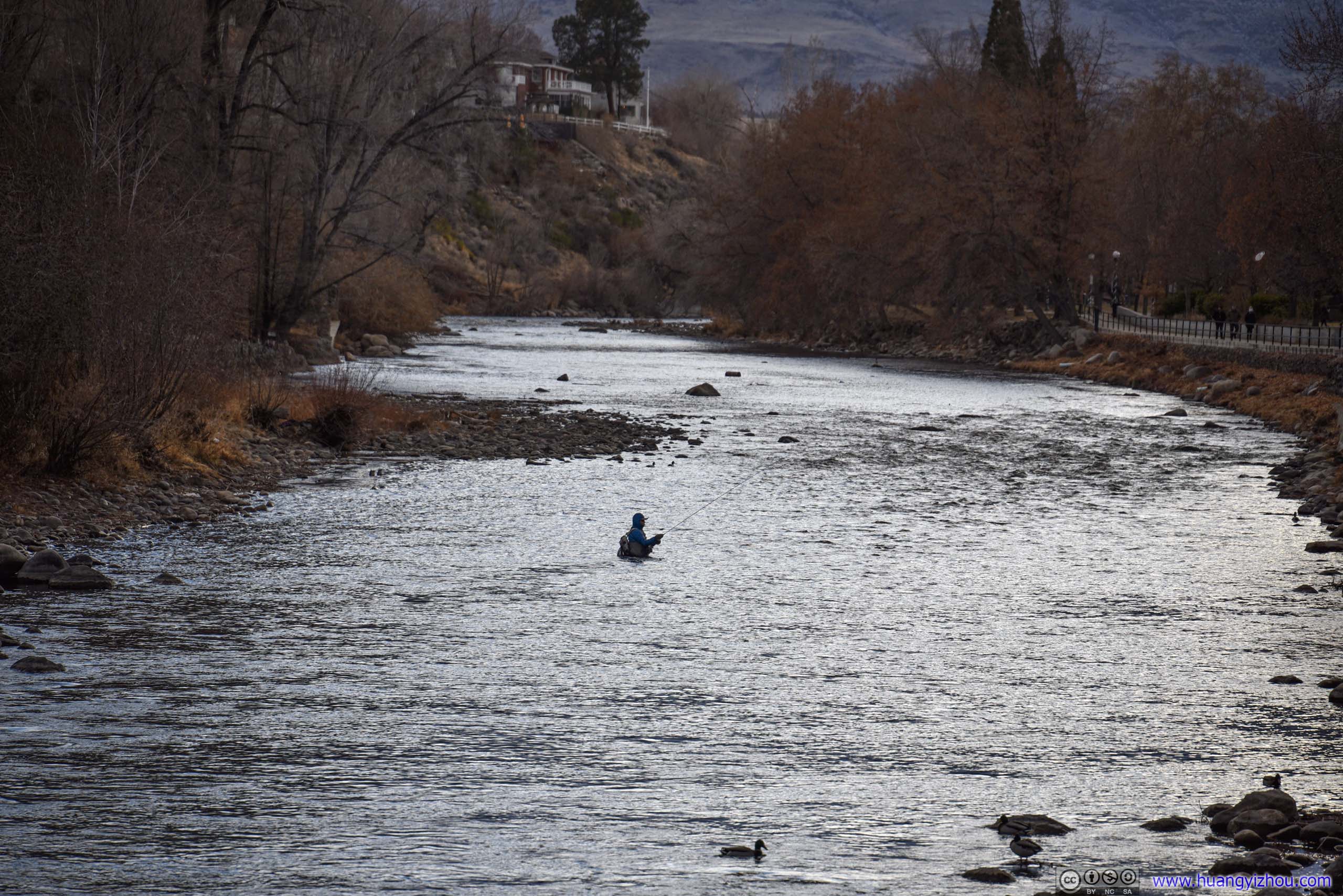
FishermanMust take some courage to get in frigid winter water like this.
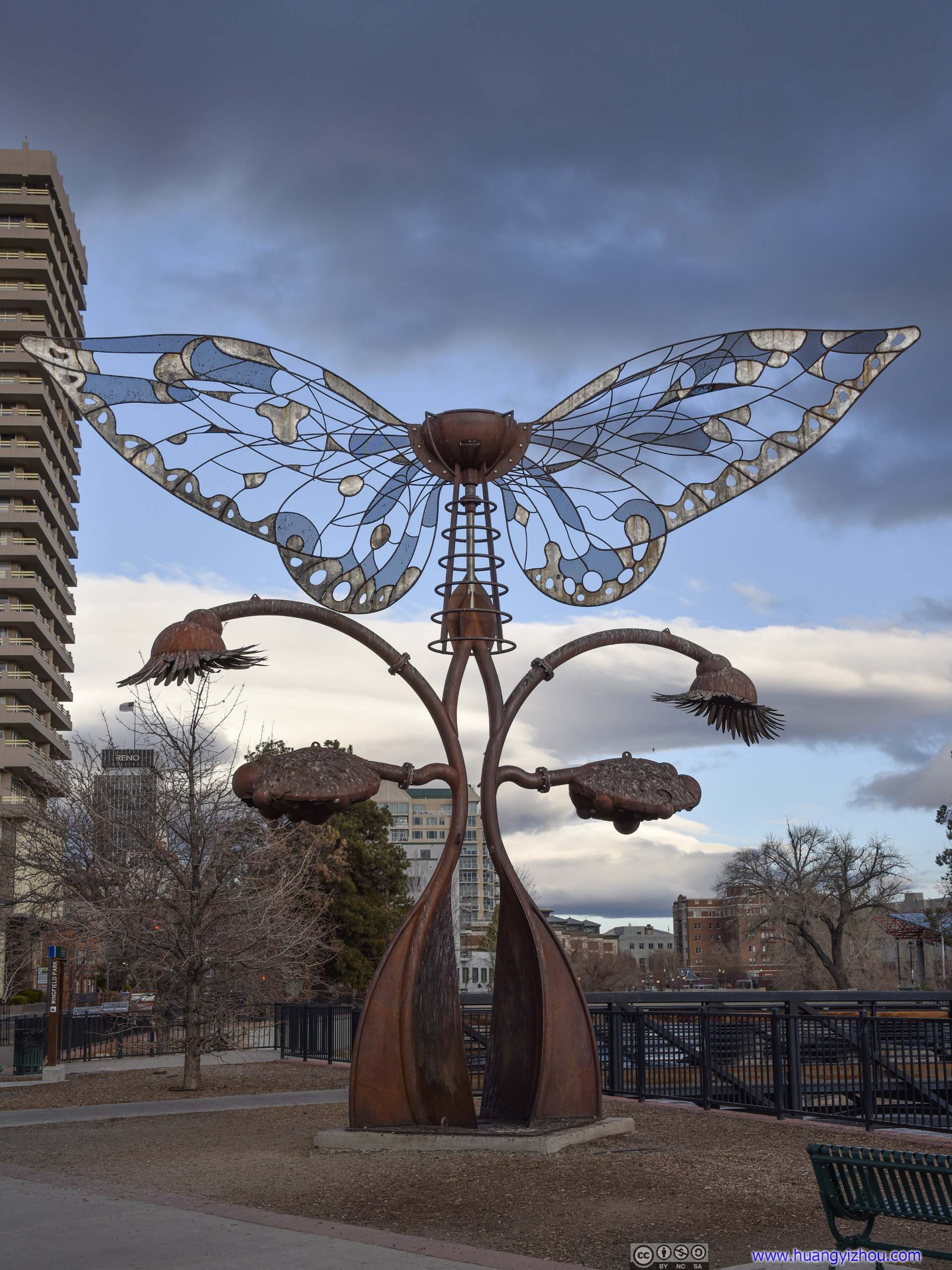
WindmillTook me a while to realize that the wings of this sculpture could rotate.
After grabbing my dinner from one of the few supermarkets that were still open on Christmas Day, I checked into Hyatt Place Reno Airport, where I would be spending the next two nights.
Hotel: Hyatt Place Reno Airport
The hotels around Reno charged higher rates during Christmas, in comparison this Cat2 Hyatt Place at 6000 points per night (after 2020Q4 promotion rebate with Chase credit card) seemed a good option. In addition to that, the two qualifying nights would roll on to 2021 as part of 2020Q4 promotion.
As for the hotel itself, its building was only 320m from airport terminal on a direct line, but 890m walking (if one chose not to jump fences and cross mediums). The hotel seemed to offer free shuttle, I didn’t need that so I didn’t ask.
Reno wasn’t a very busy airport at night, and while I could still hear airplanes running down the runway, it’s by no means loud. In comparison the noise from nearby highway was more of a nuisance. I had two sound nights of sleep with my ear plugs.
Unfortunately my room was in the corner facing north. If facing east I might be able to snap a few photos of planes…
Welcome Gift
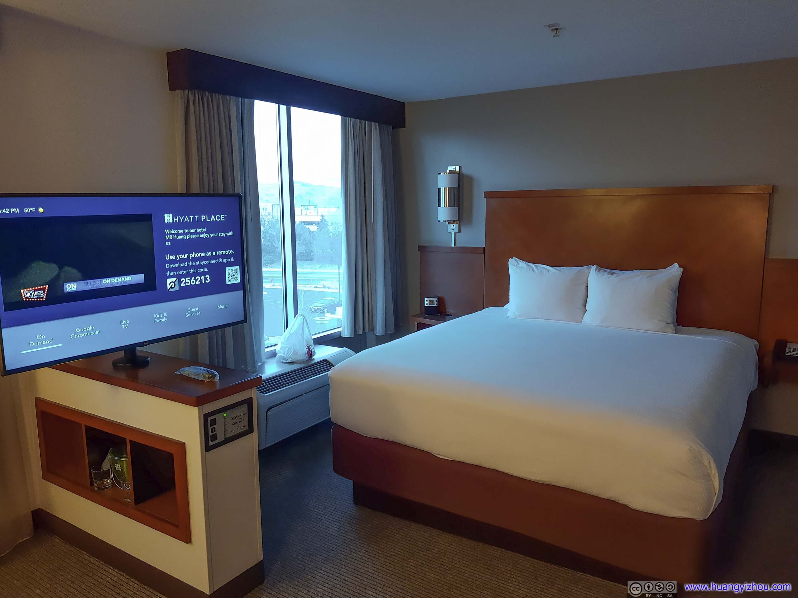
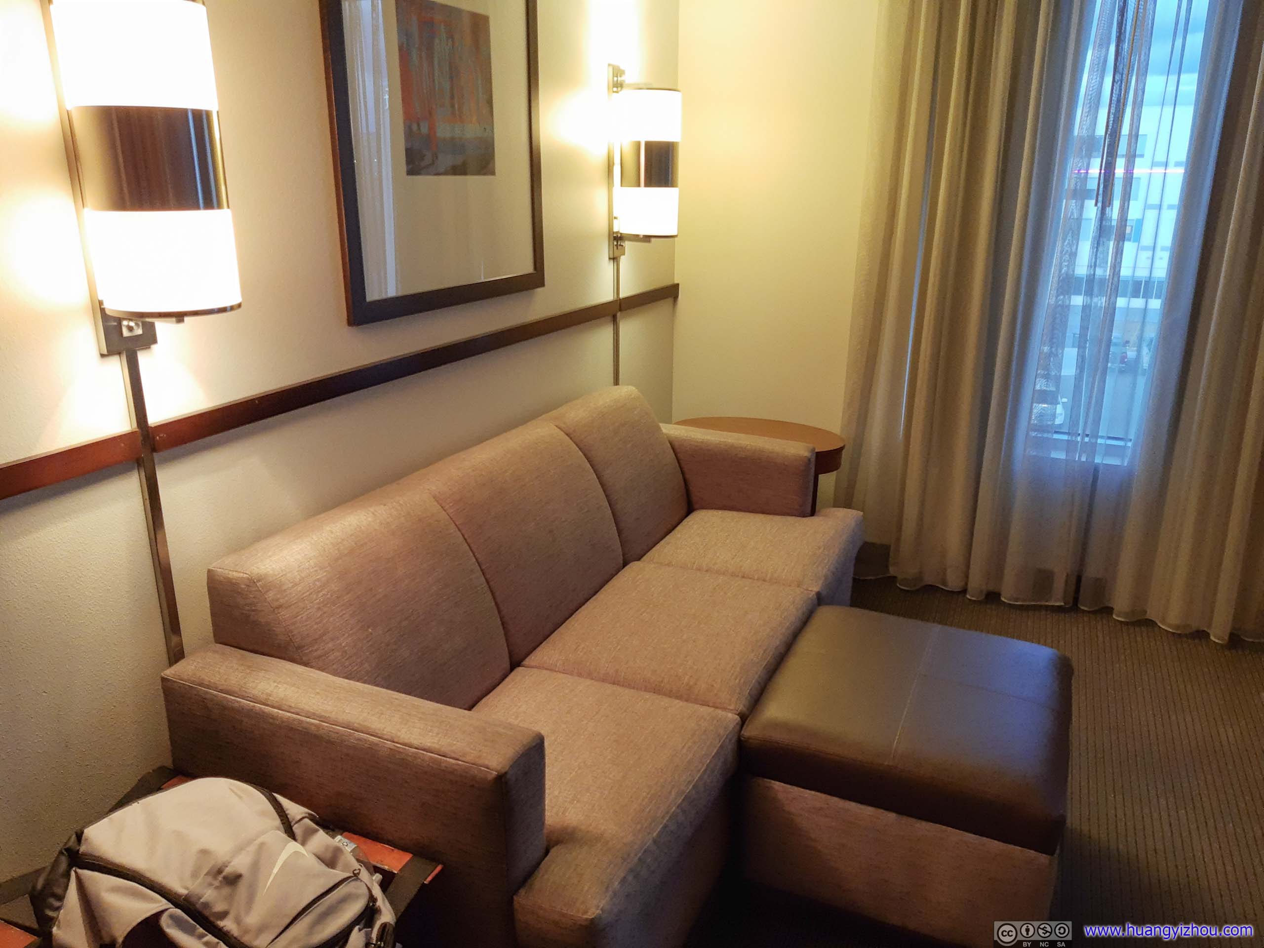
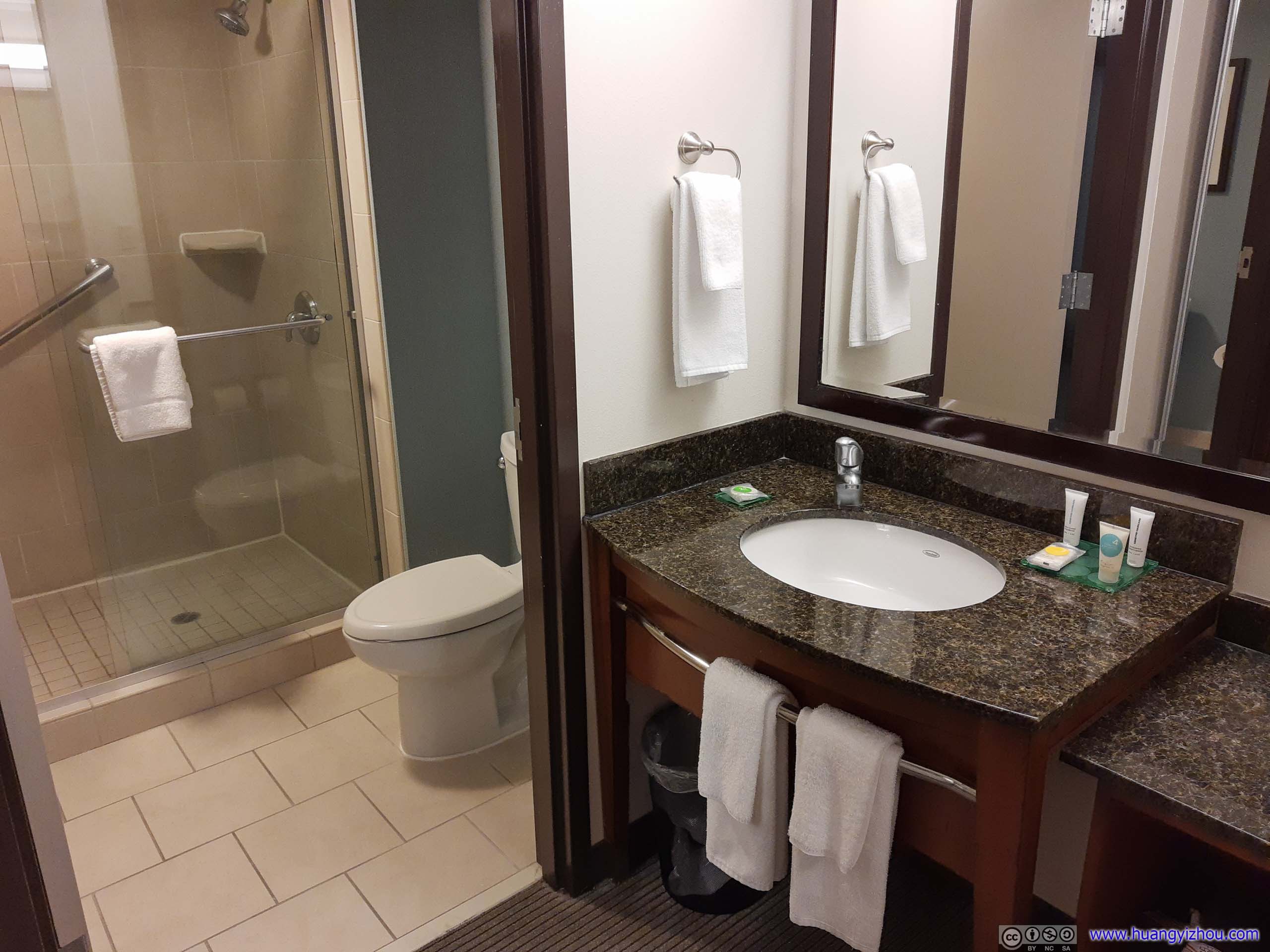 Room InteriorSeems a bit smaller than other Hyatt Place’s that I stayed at. While it’s comfortable as usual, some of the lights were not in best shape and flickered at times.
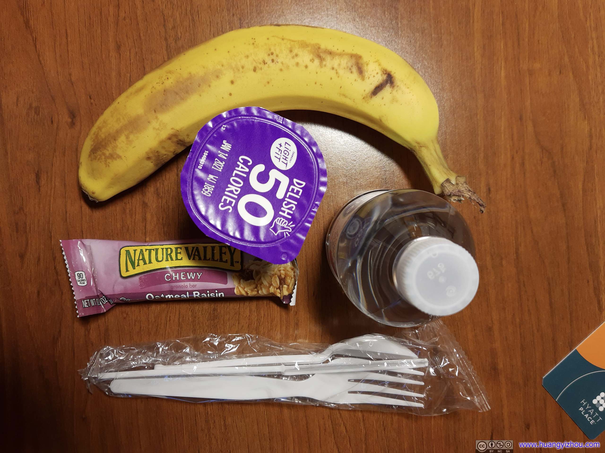
Breakfast
END
![]() Day 5 of 2020 Lake Tahoe Trip, North Lake Tahoe, Donner Pass and Downtown Reno by Huang's Site is licensed under a Creative Commons Attribution-NonCommercial-ShareAlike 4.0 International License.
Day 5 of 2020 Lake Tahoe Trip, North Lake Tahoe, Donner Pass and Downtown Reno by Huang's Site is licensed under a Creative Commons Attribution-NonCommercial-ShareAlike 4.0 International License.