
Updated on June 8, 2021
Day 4 of 2020 Lake Tahoe Trip, Snowshoing to Mount Rose
Fourth day of my Lake Tahoe trip. I would be snowshoeing to the summit of Mount Rose today. At 3285m elevation, it’s the highest mountain near Lake Tahoe in Nevada (third highest overall). It ended up being a grueling day hike from dawn to dusk, but I made it.

Lake Tahoe from Mount Rose
With a snowstorm coming at Lake Tahoe the next two days, today was my last day of snowshoeing in the region. With weather cooperating and winds smoothing down, I had been thinking about something monumental, so I had my eyes set on Mount Rose, the highest point near Lake Tahoe in Nevada.
The winter hike to Mount Rose was an arduous one, as the default route on AllTrails was 17.2km roundtrip with 730m elevation gain, despite that route included detour around Tamarack Peak on the way back. I took the shorter route back and tracked 14.4km for the day. Based on how fast I was moving on the snow in the previous few days, I fathomed I could barely fit the entire trip into the short daylight hours of late December. It ended up taking me 9.7 hours with all rests and stops included, which was slightly longer than the 9.4 hours of official daylight for the day.
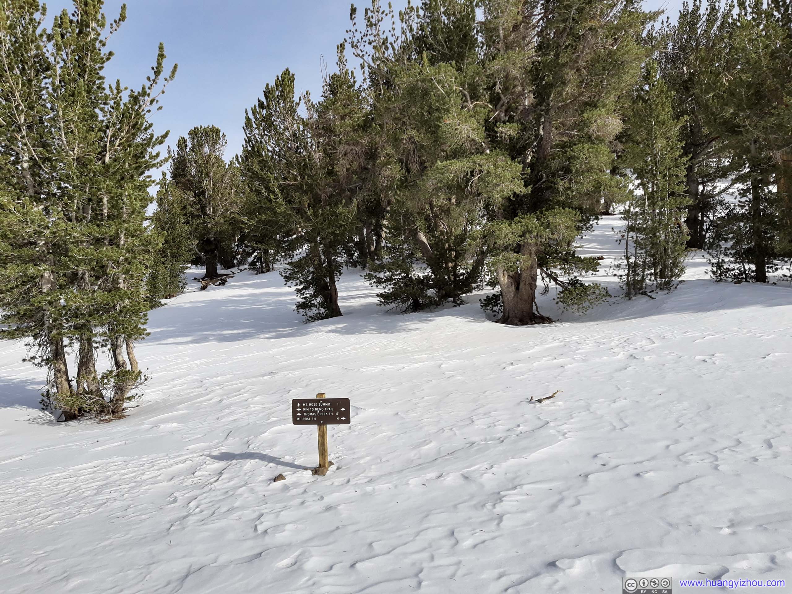
So on this Christmas Eve of 2020, I woke up early and made it to the trailhead before dawn. The trailhead was along Nevada State Route 431 as a mountain pass, deceptively called “Mount Rose Summit”. At 2716m elevation, it’s the highest year-round Sierra mountain pass. (Unlike a lot of trailheads in the region,) the parking lot at trailhead was plowed.
After gearing up and stretching out, I set off at 7:26am, about sunrise time. To avoid hiking in the dark, I made a drastic decision to leave my camera back at hotel, so that taking photos along the trail wouldn’t slow me down too much. Thus all of the day’s photos were captured by my cell phone.
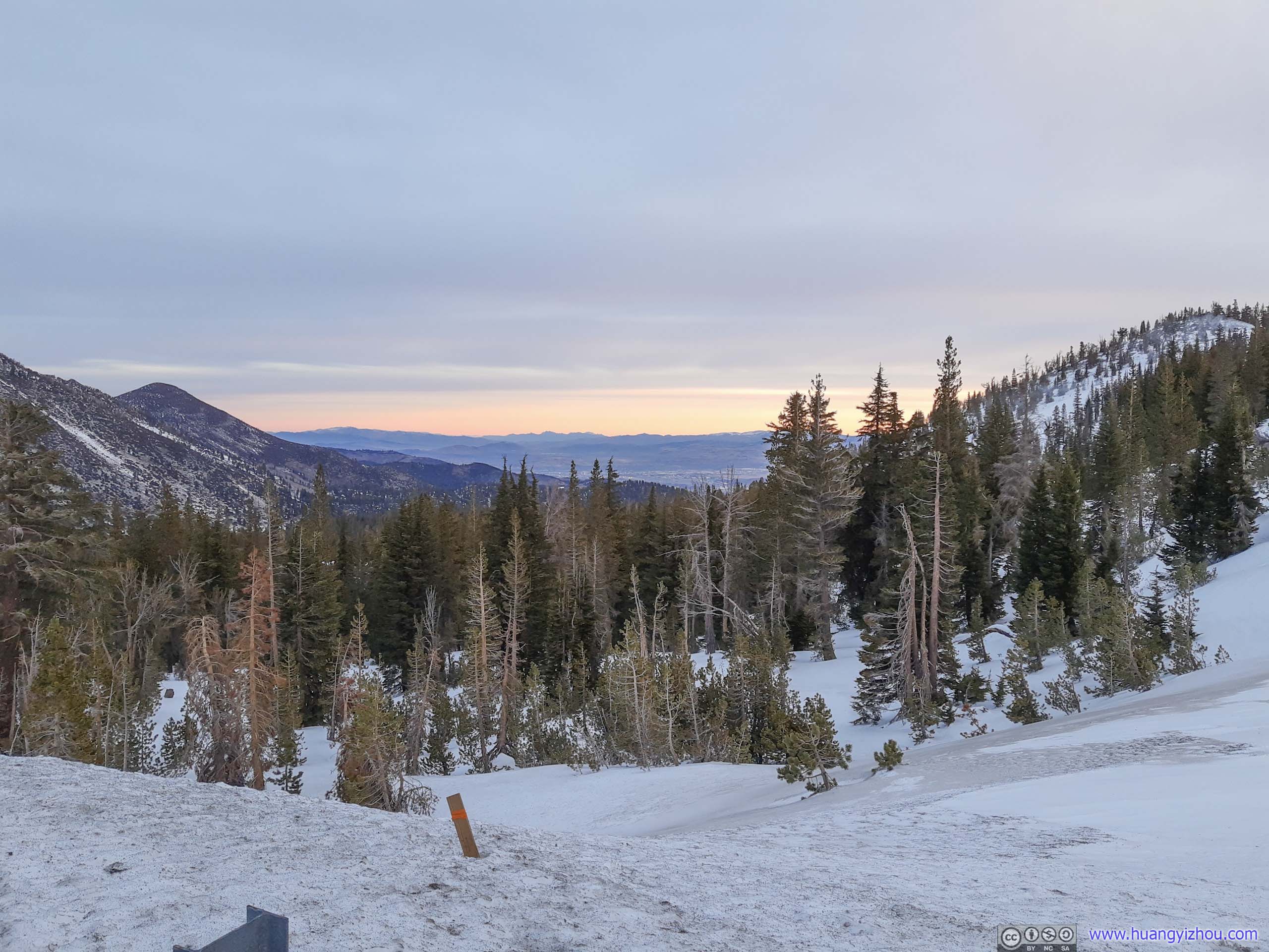
 Mountains to the East
Here’s GPS tracking:
 TrailBathing in the morning sun.
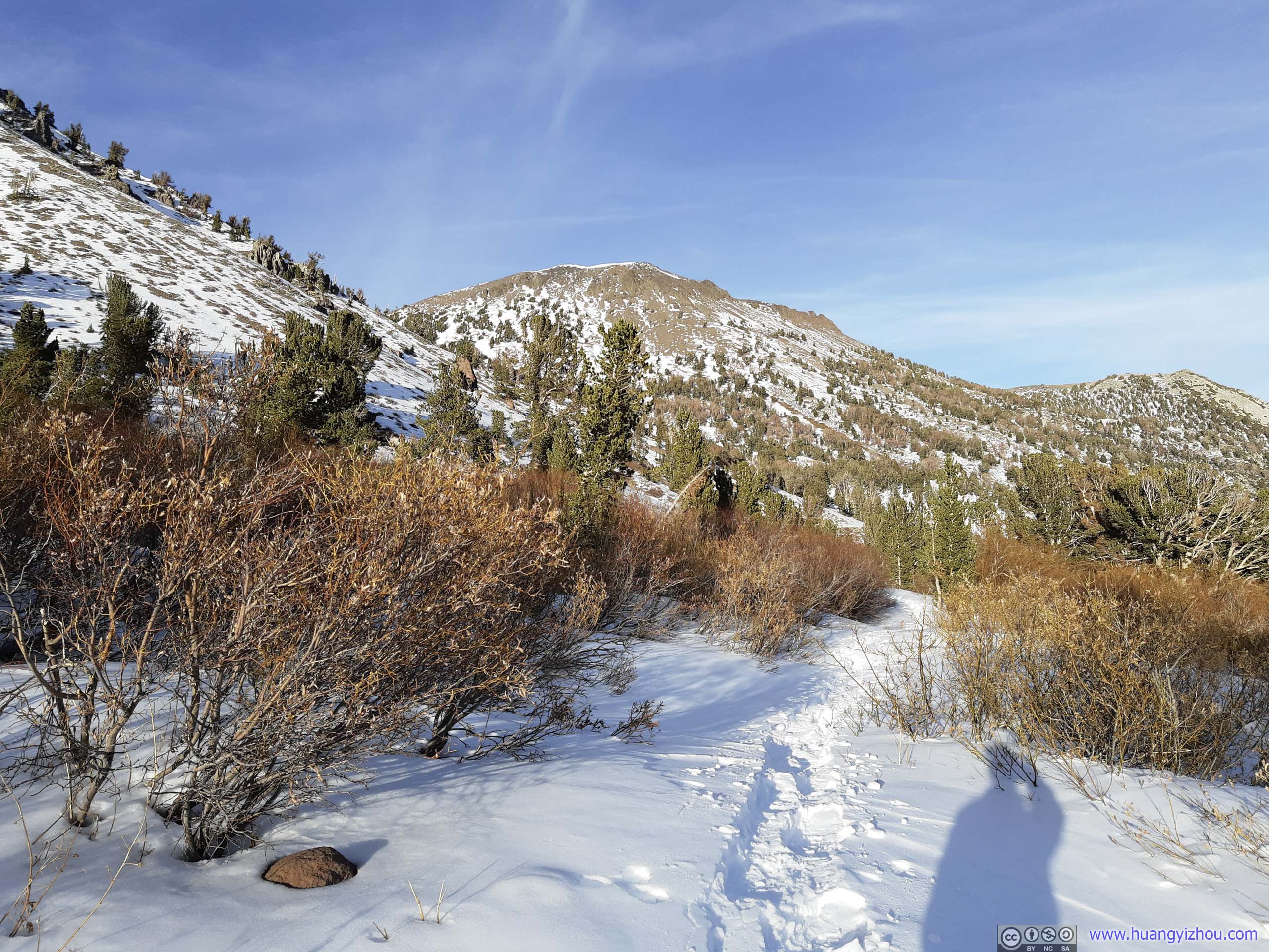
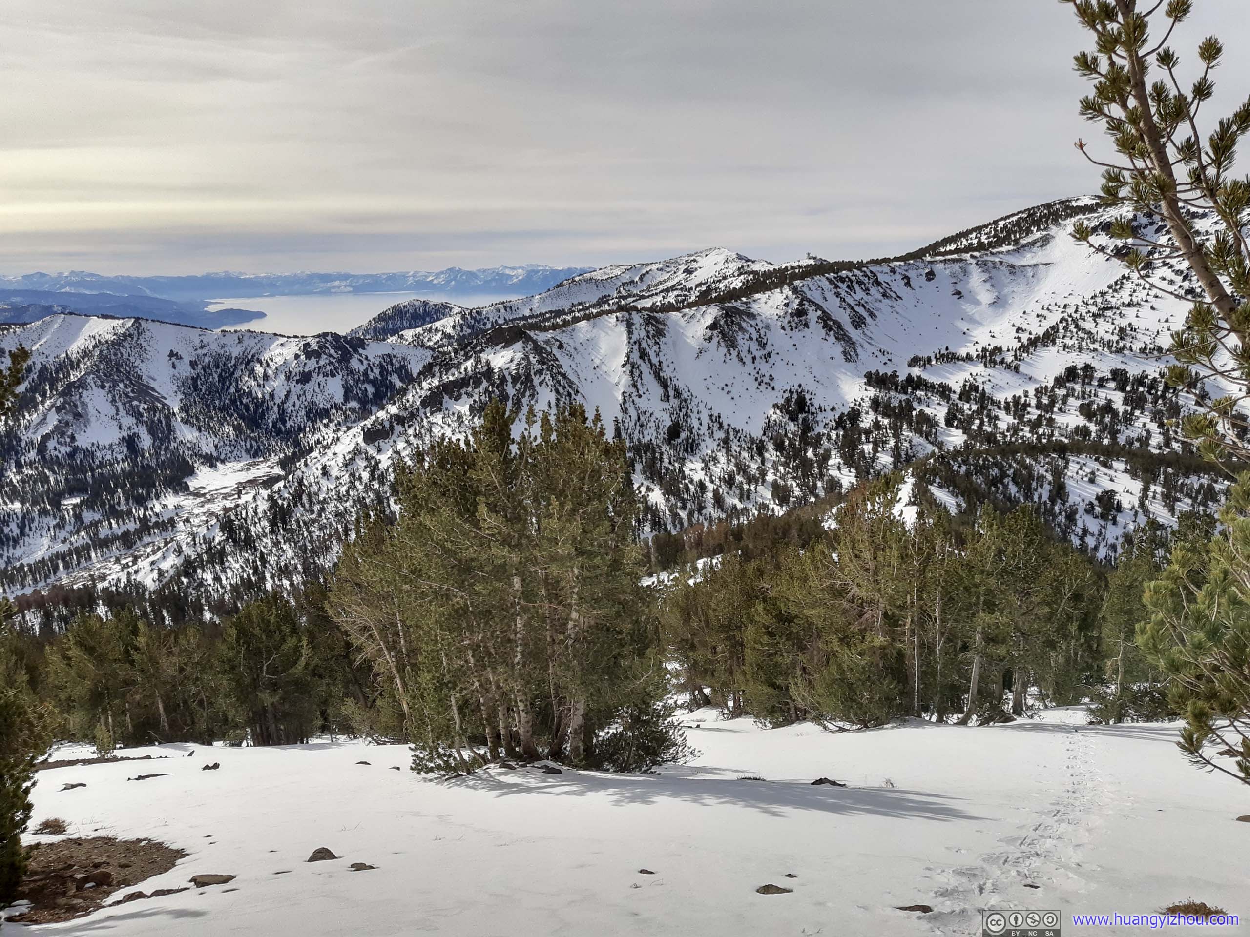
The first part of the trail to Mount Rose was to get around Tamarack Peak. There were two routes, the northern “Tahoe Rim Trail” was shorter, the southern “Forest Road 051” should come with better views of Lake Tahoe (its name also suggested it’s much wider and well maintained). They diverged soon after leaving trailhead. My strategy was to follow AllTrails onto the shorter northern route first. For my return, if I had time I would try out the other southern route, if I didn’t then I would race back along the northern. I ended up taking the northern route both ways.
Distant Lake Tahoe
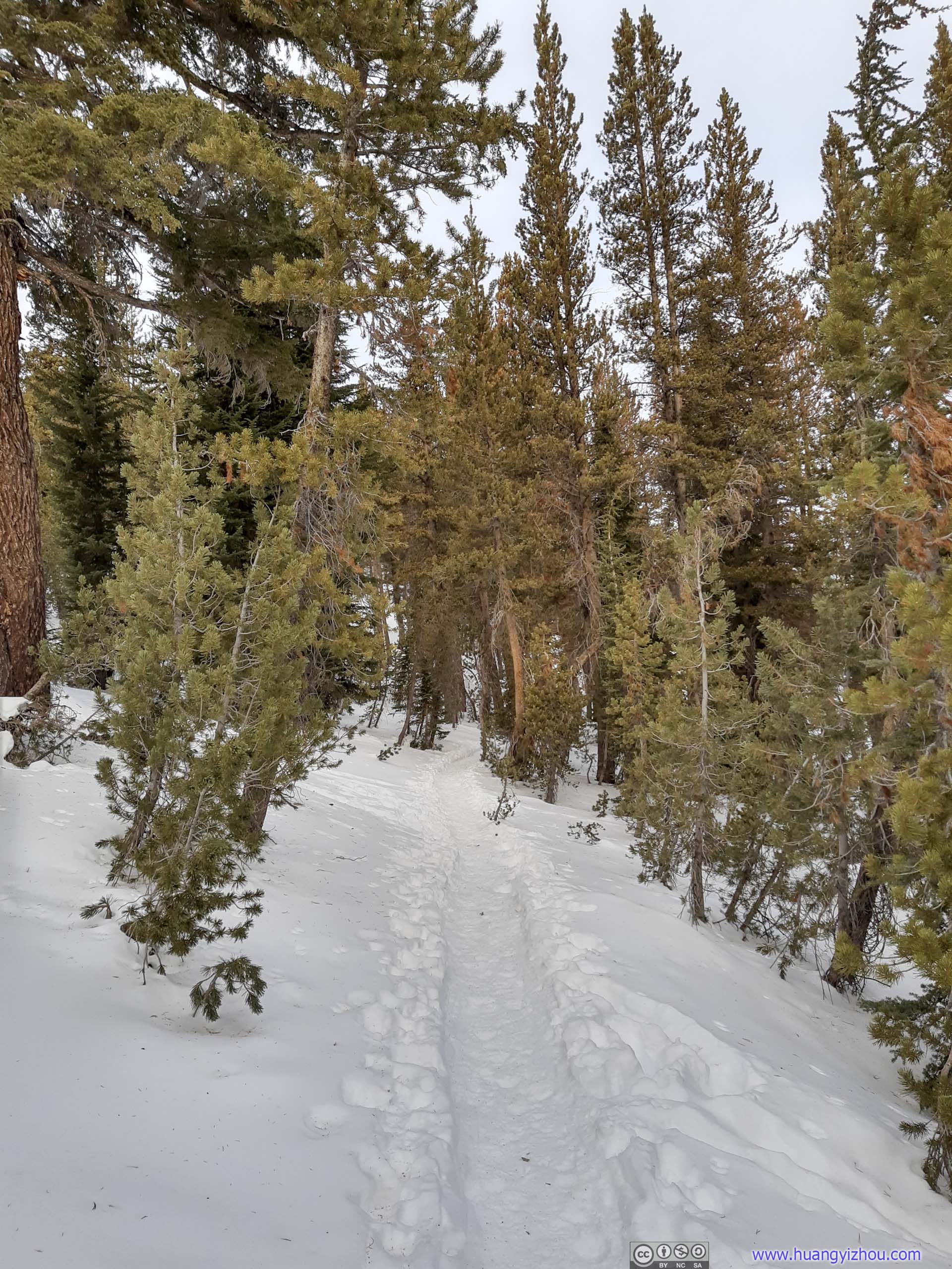
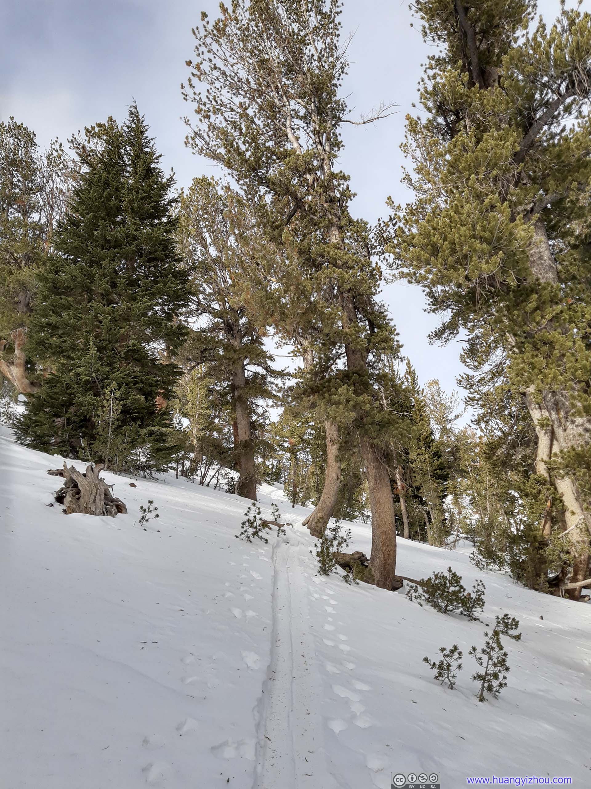
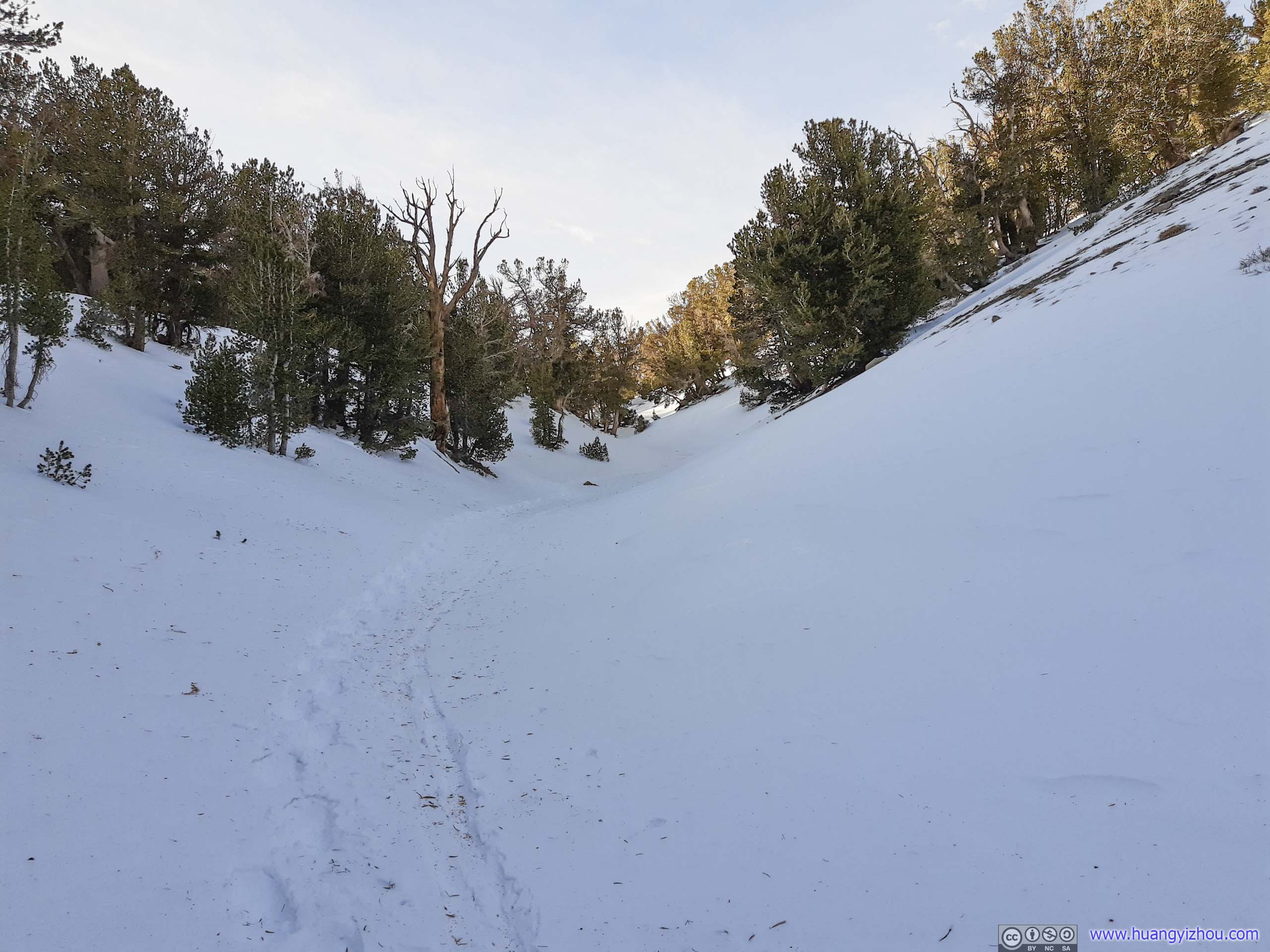
 Trail
Trail
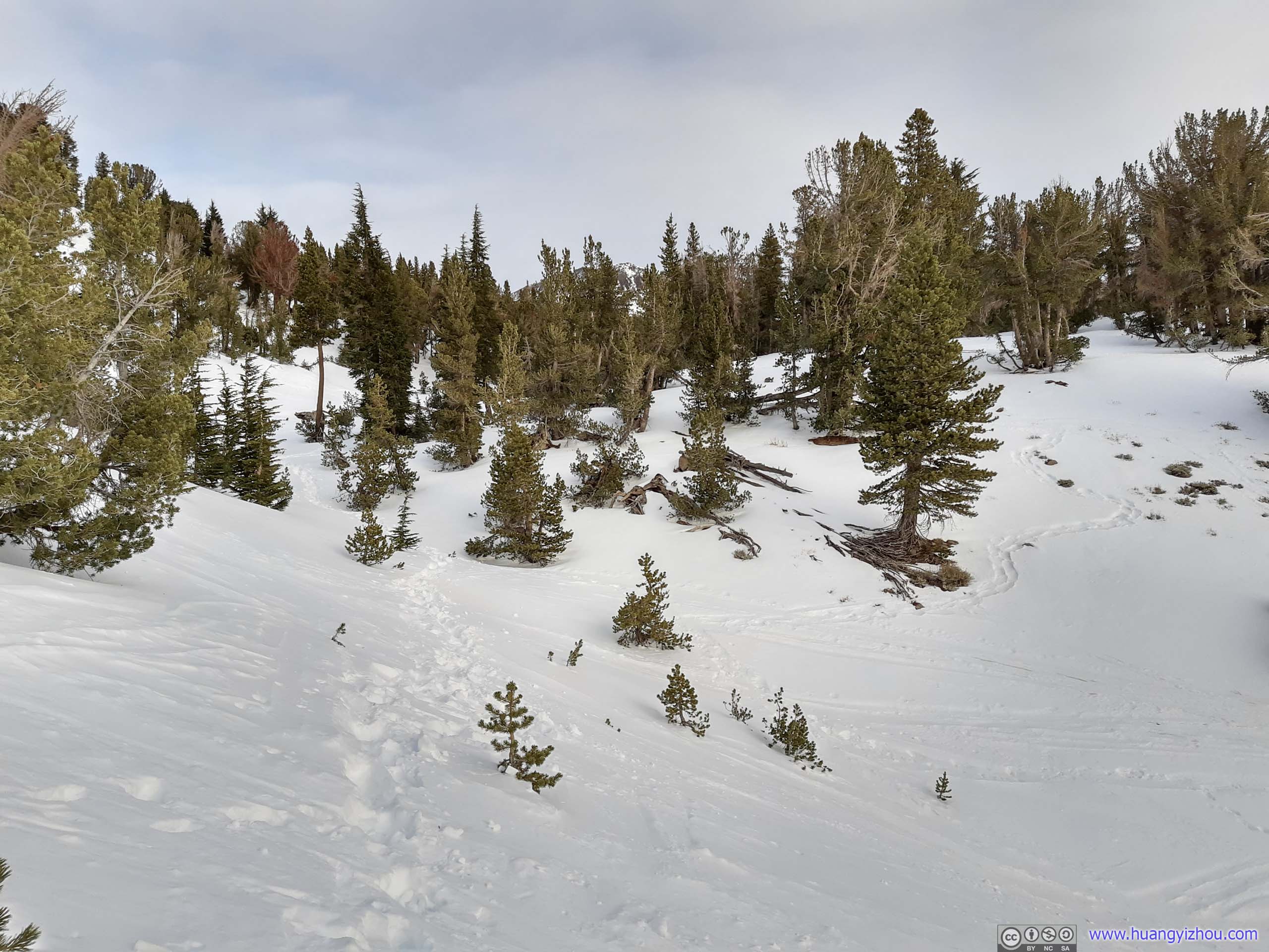
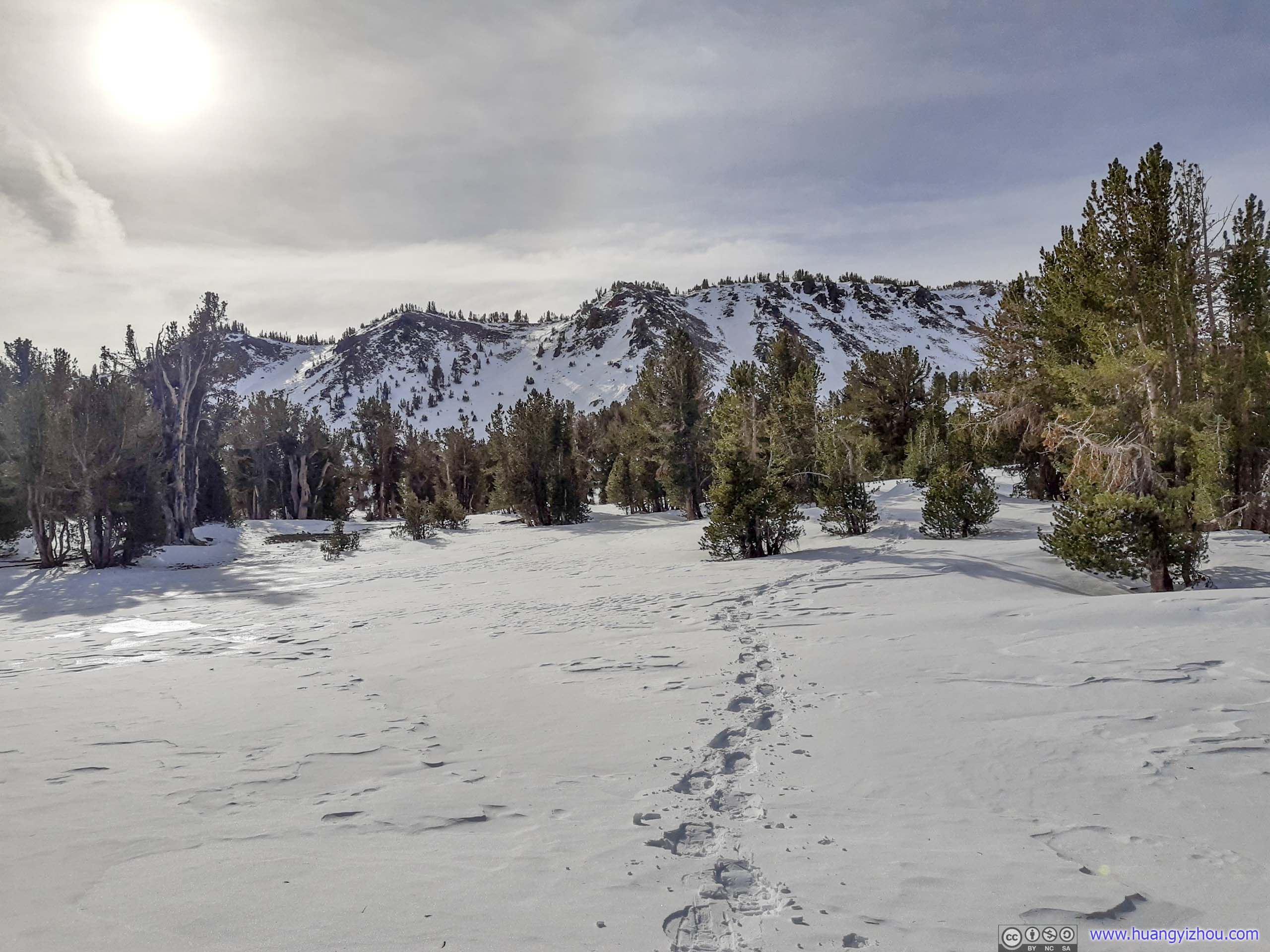
After leaving well-packed snow behind, the first of the day’s challenge emerged as I tried to navigate my route around the northern slope of Tamarack Peak. The slopes were pretty steep (pictured below) so sidehilling across them without losing elevation wasn’t easy.
In addition, these slopes seemed popular with cross-country skiers, who left lots of ski tracks. While they were easy to follow, they tend to drop in elevation, turning quickly from guidance to distraction. That’s especially true with the many tracks at lower elevation towards the north.
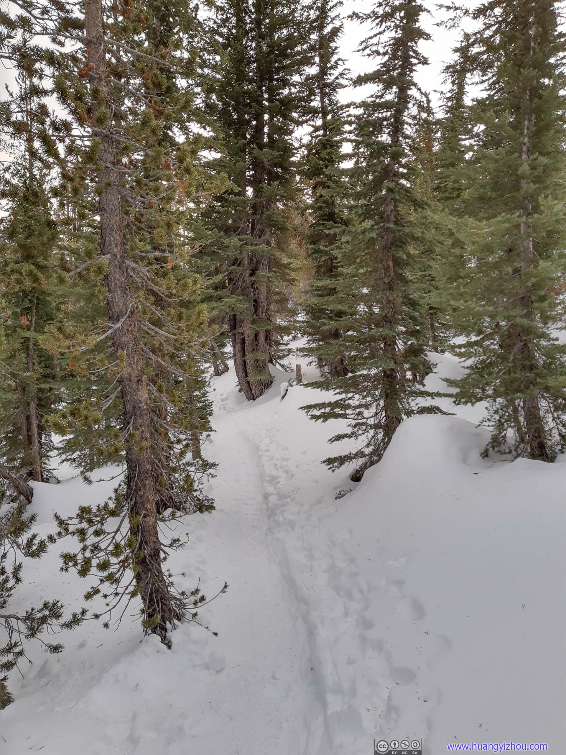
 Trail
Trail
For the record, I only proceeded 1km/0.6mi in 40 minutes navigating around these slopes.

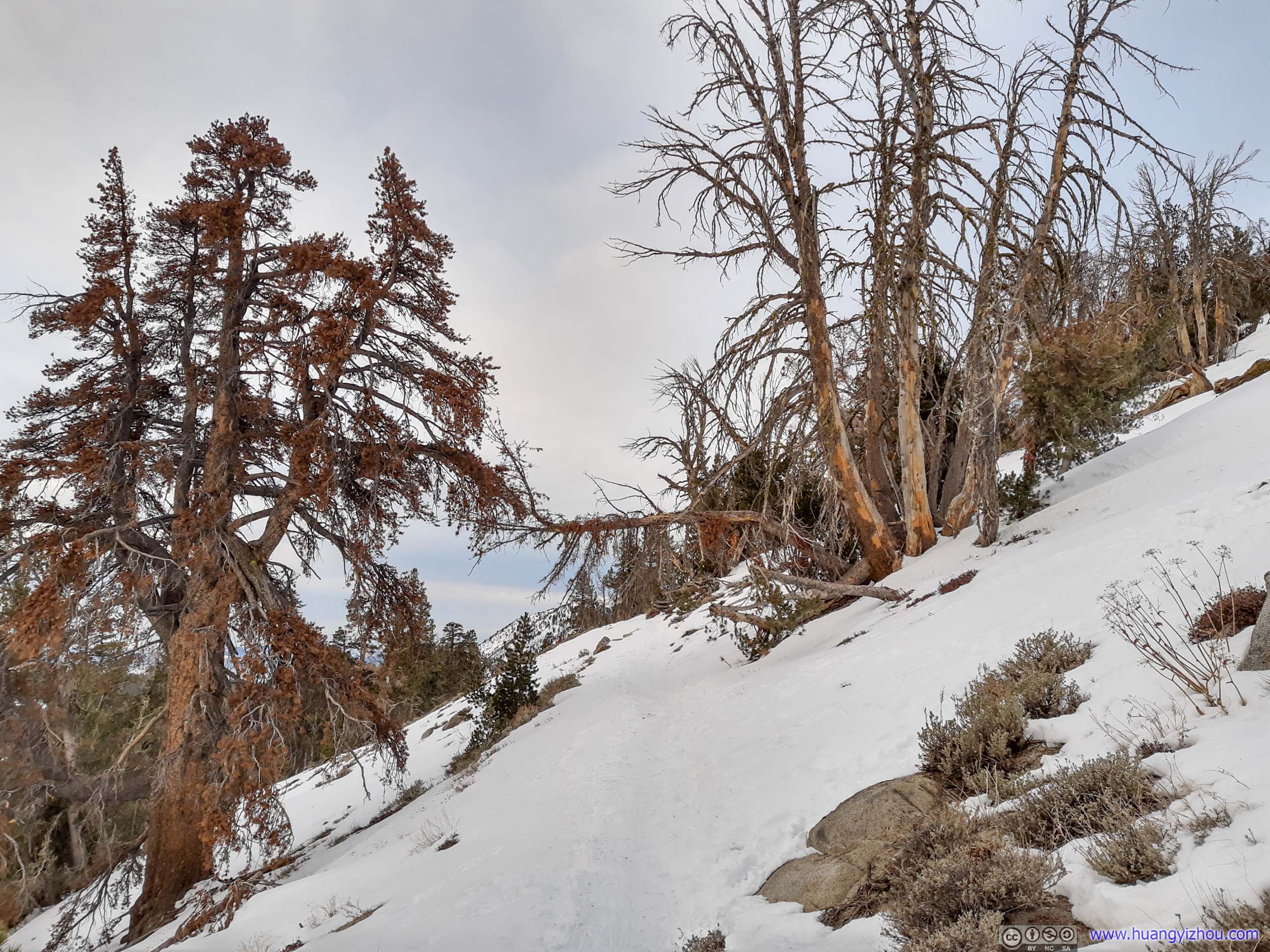
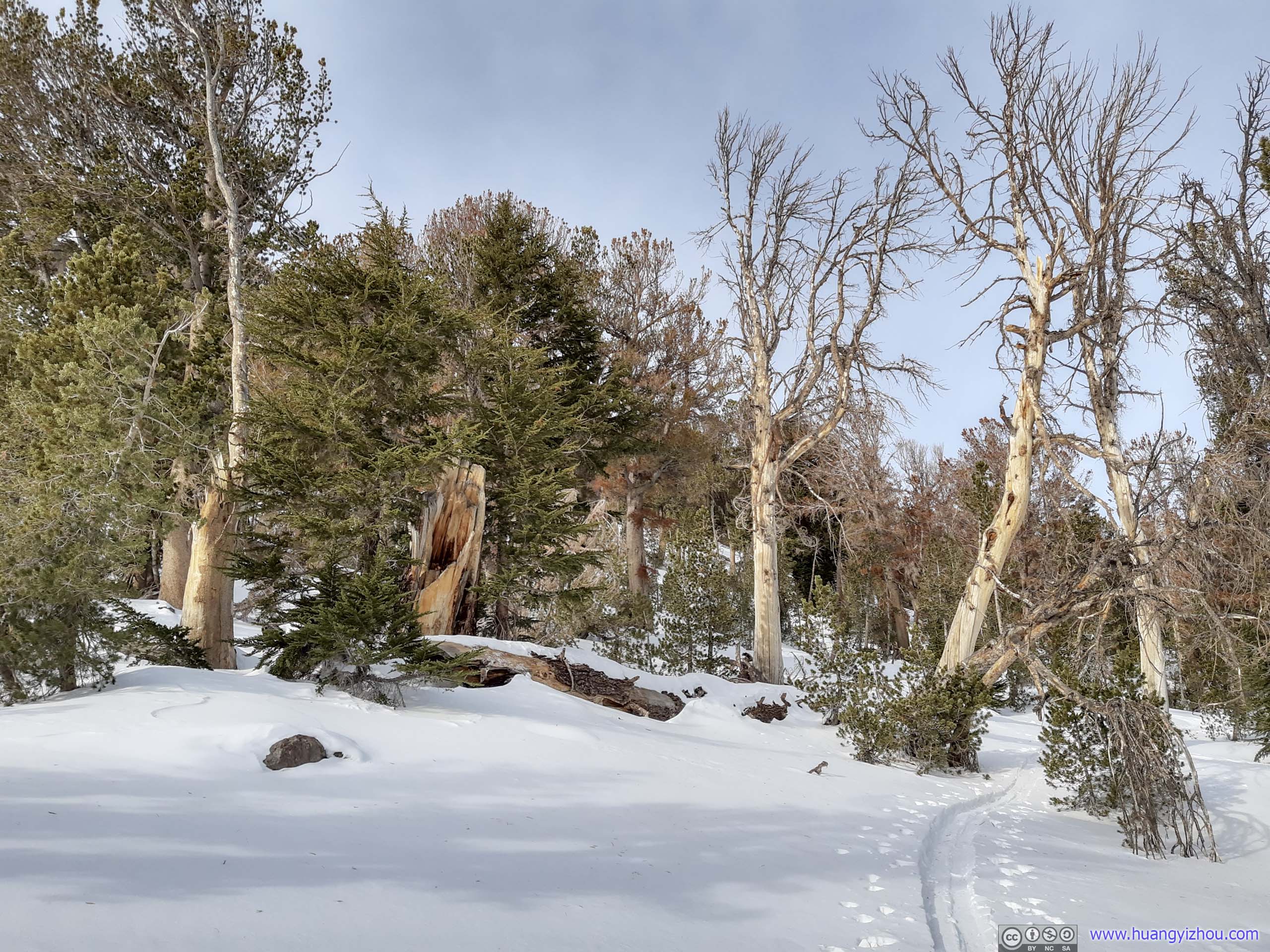
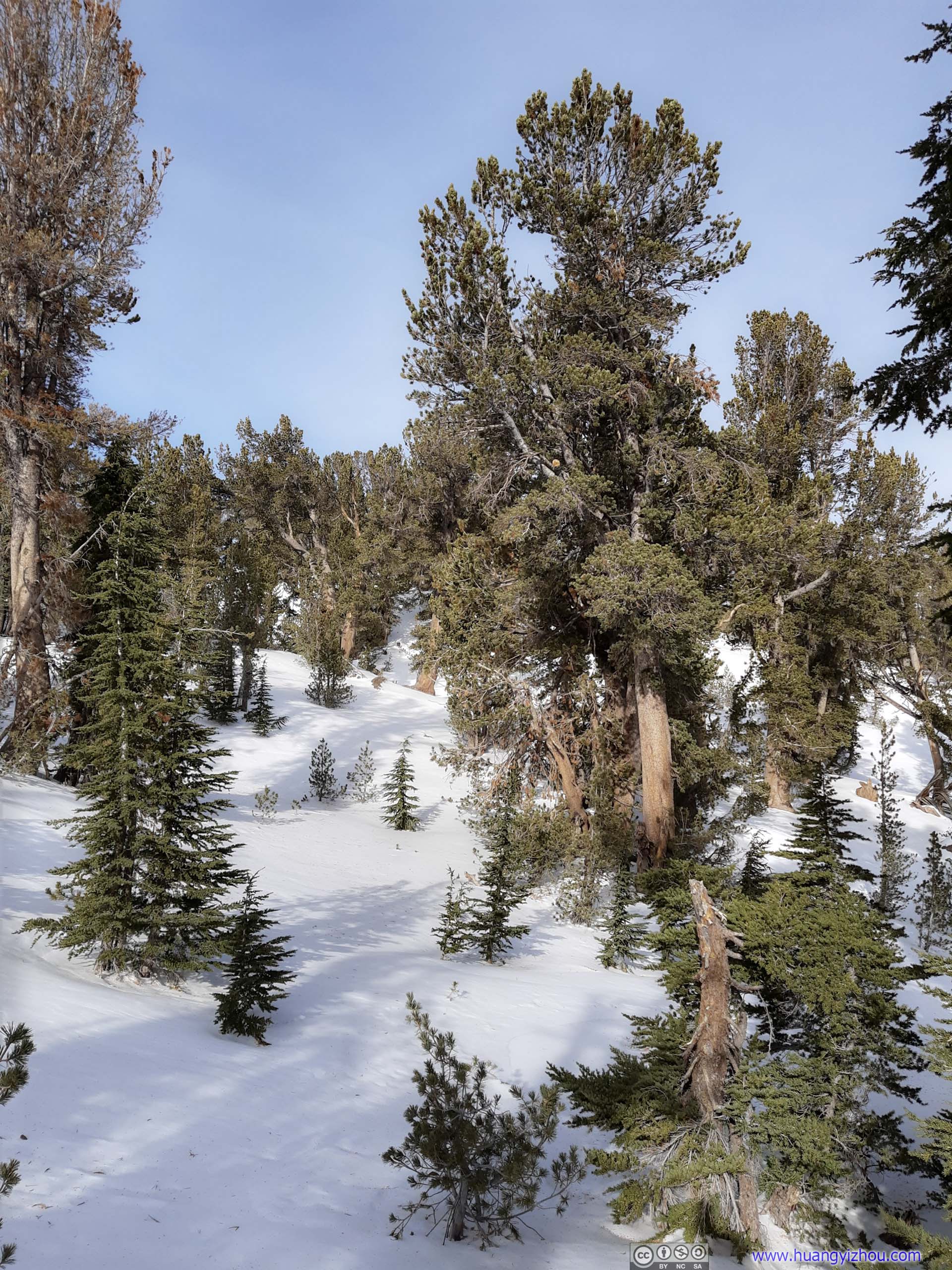
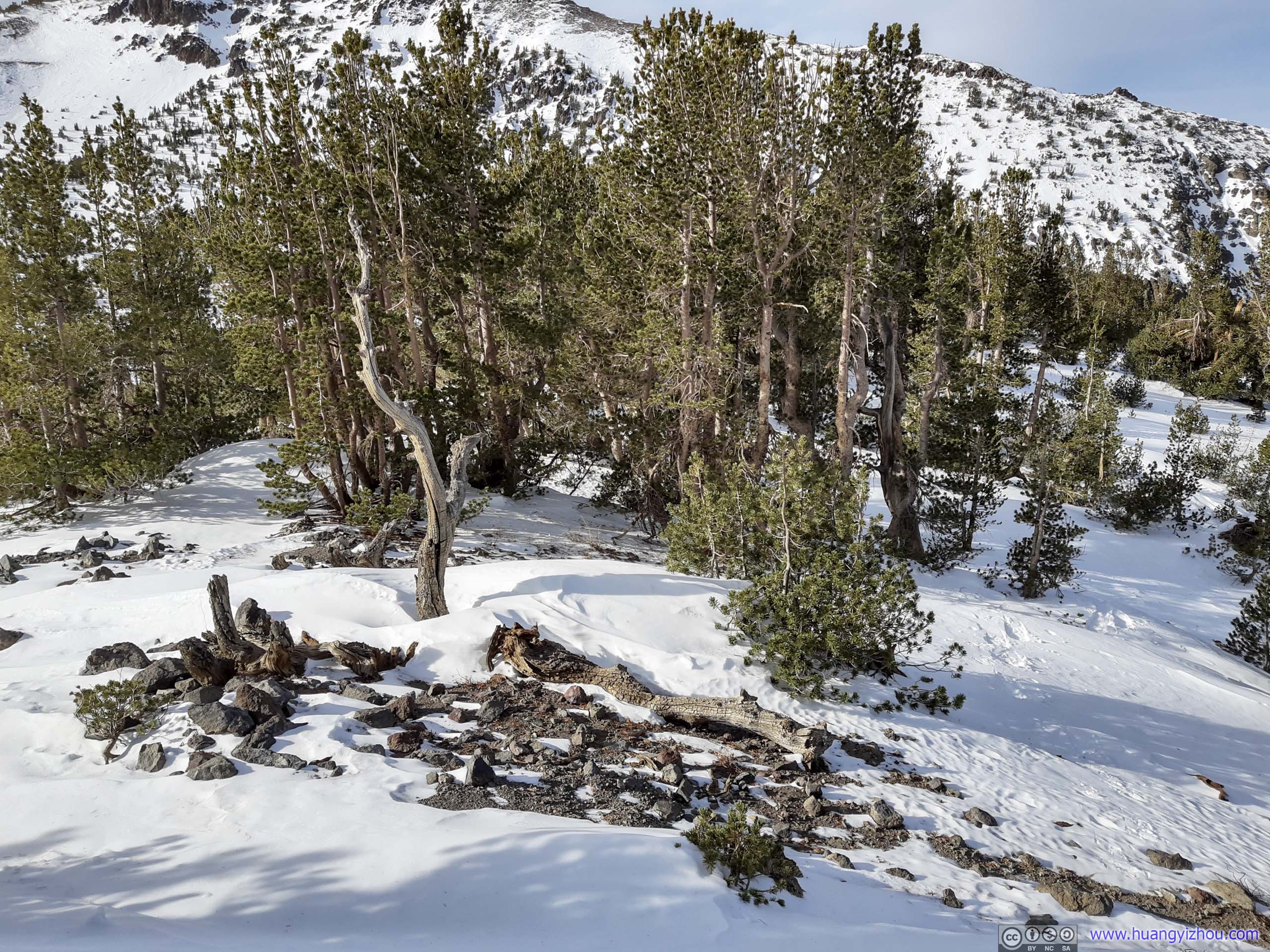
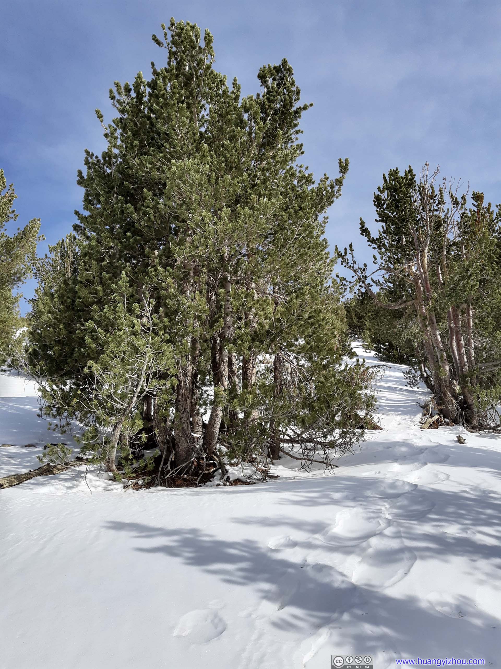
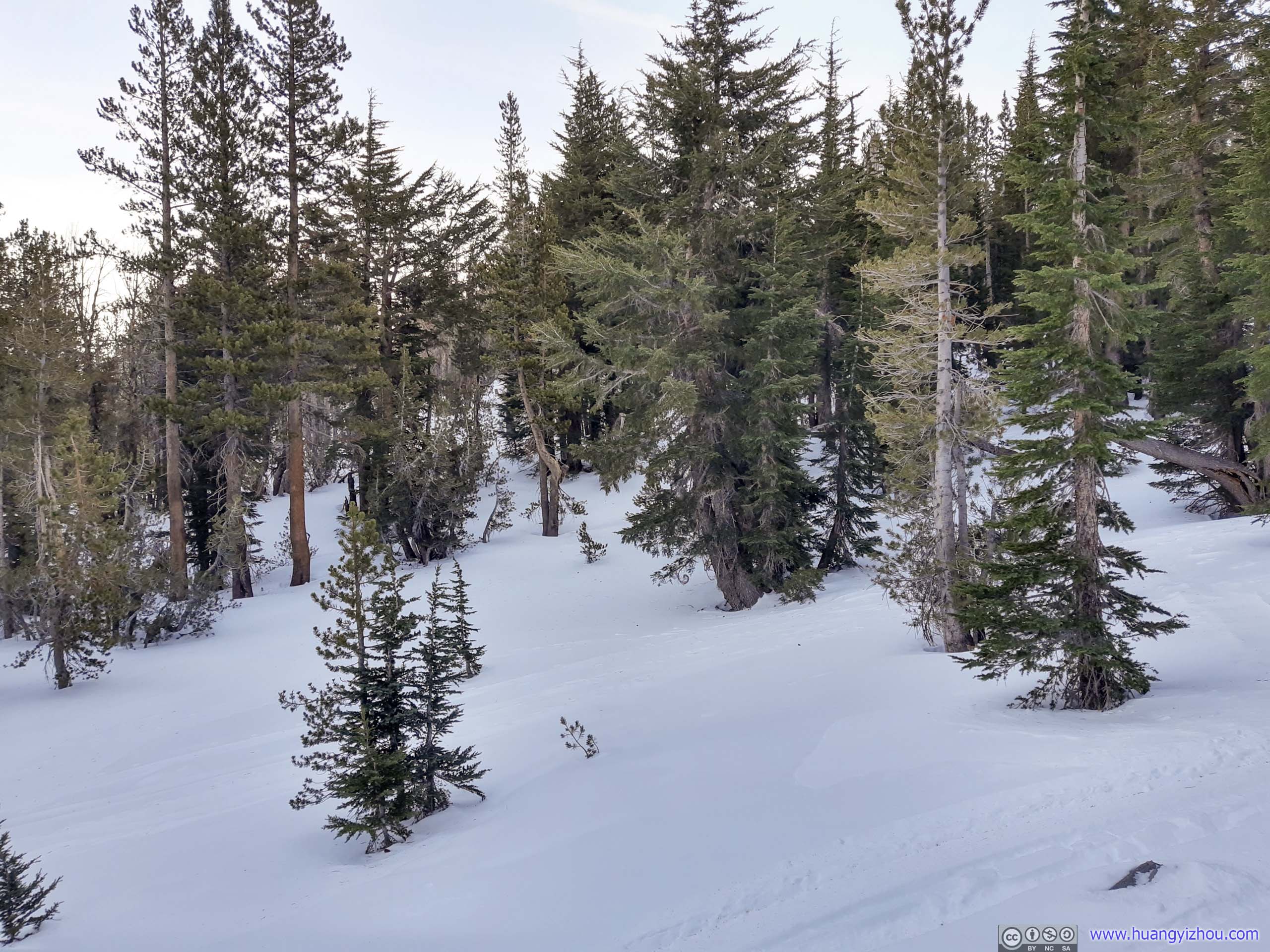 Trees
Trees
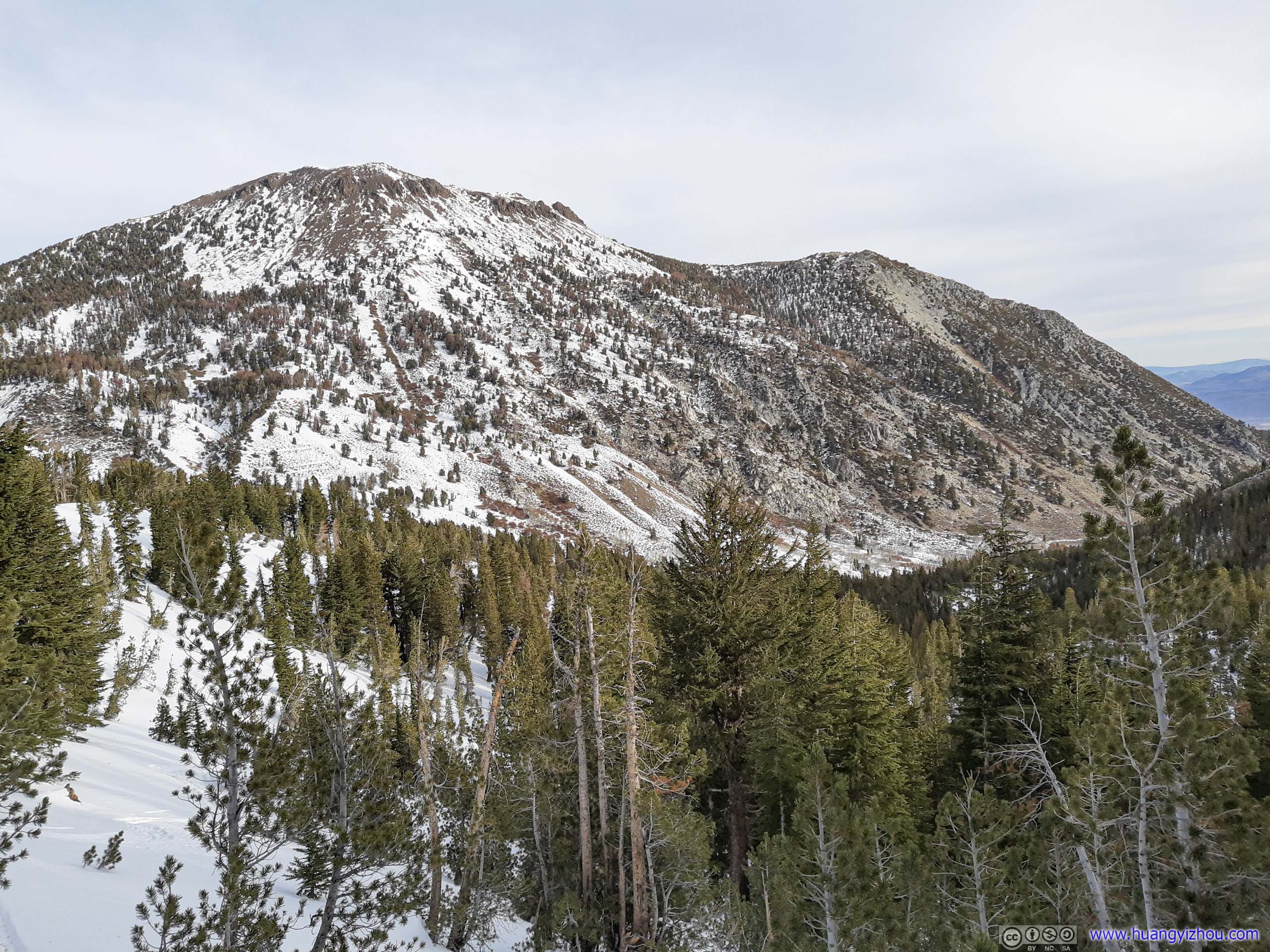
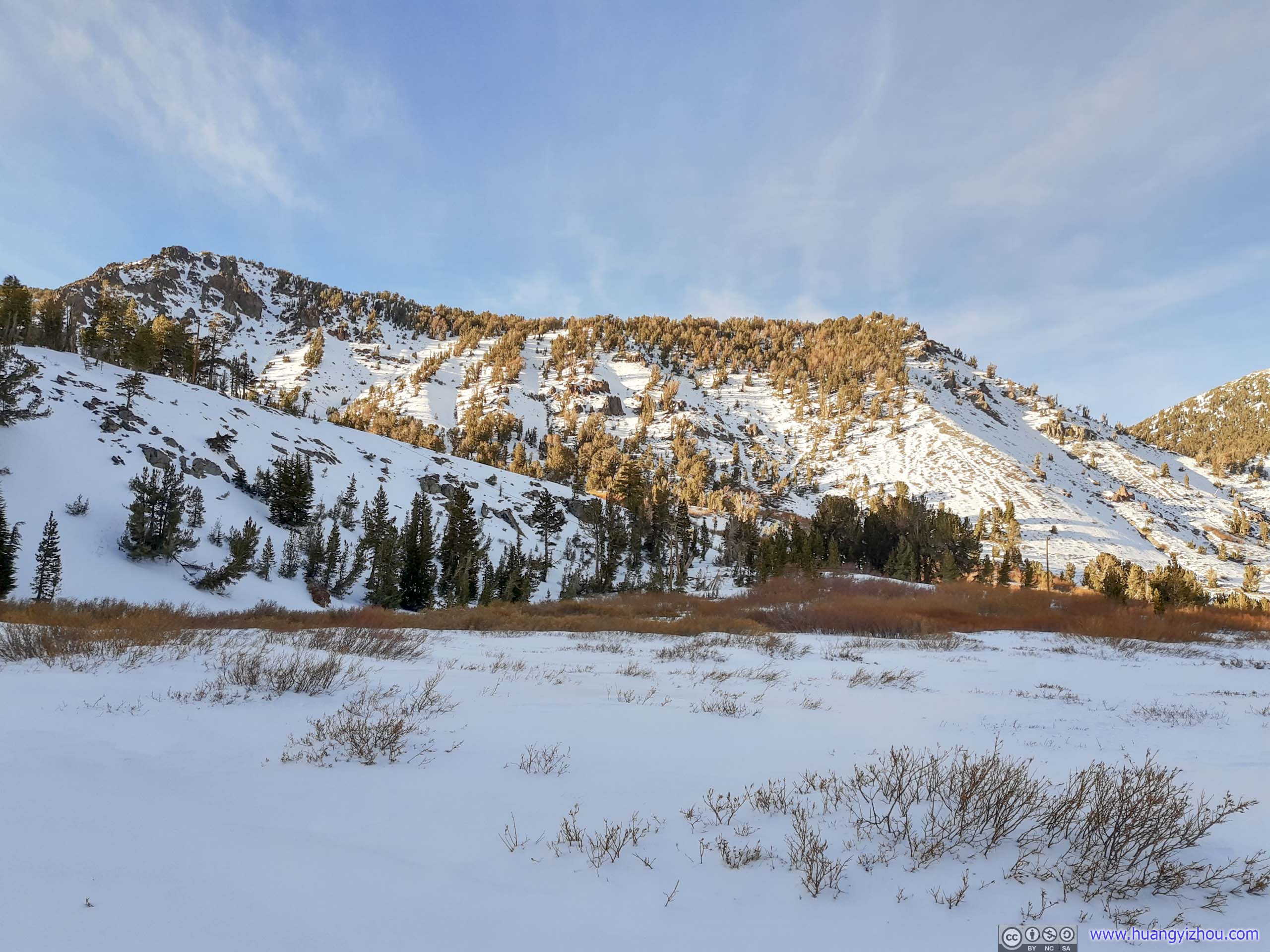
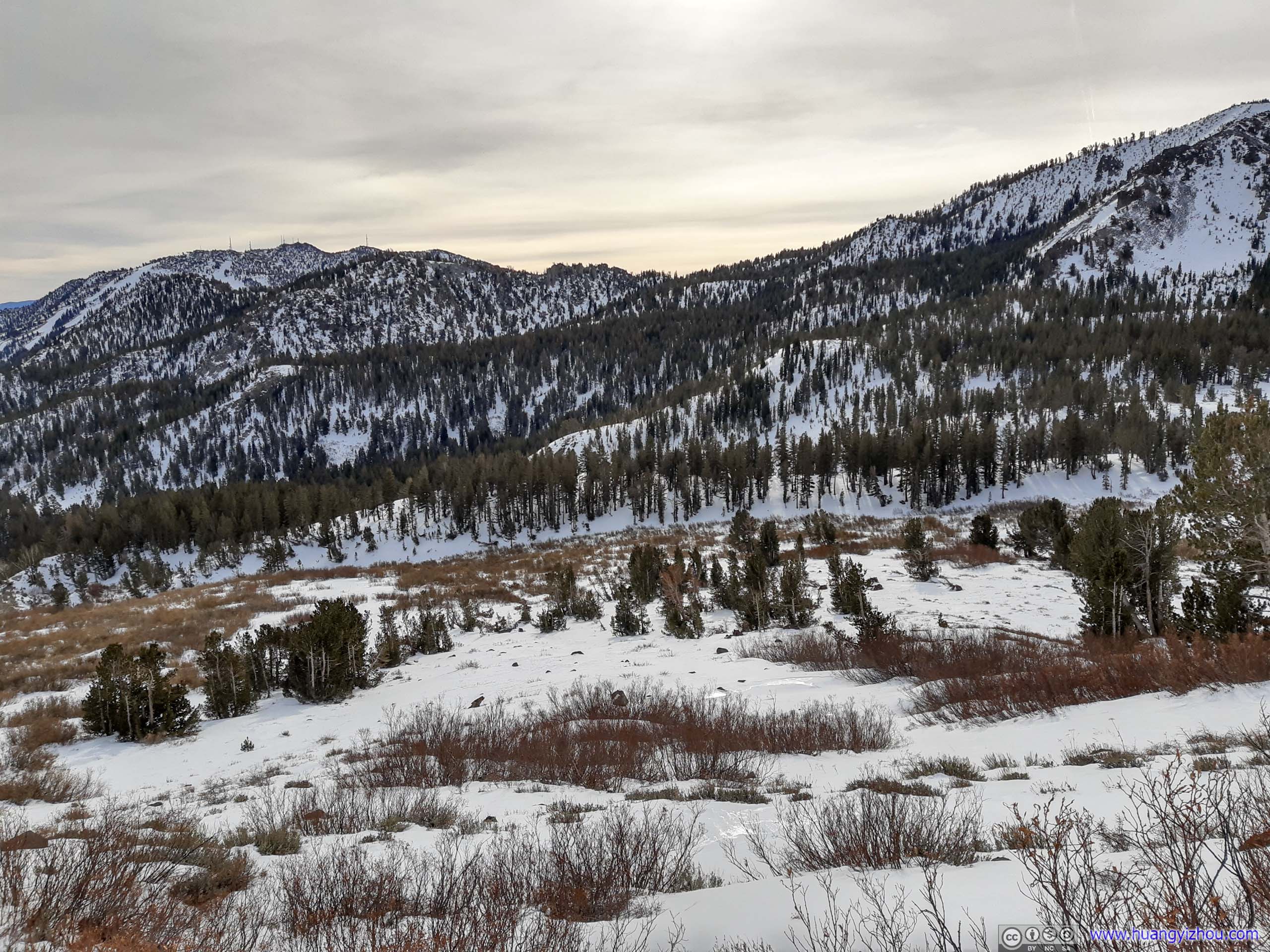
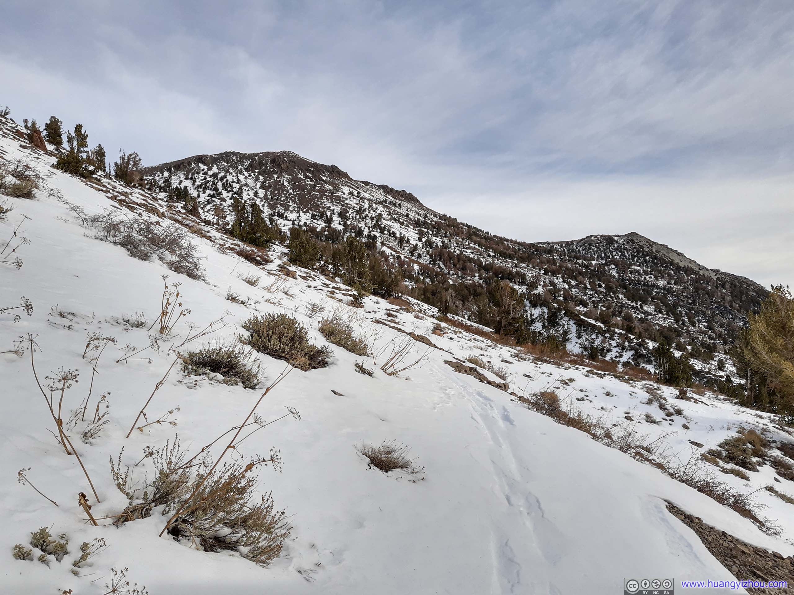
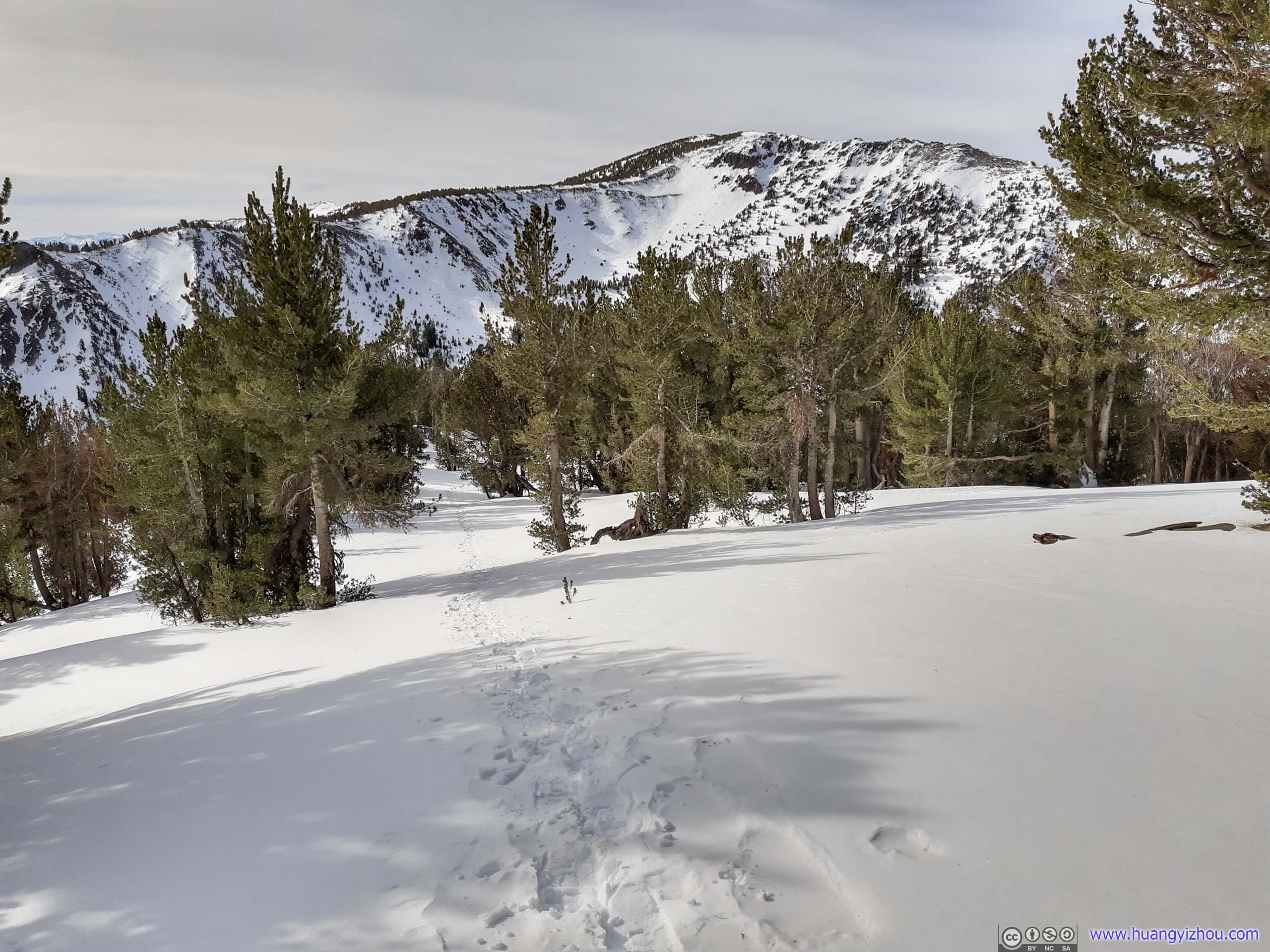
Mount RoseThe northern slopes of Tamarack Peak were the best place to view my destination in its entirety.

 TreesIn the morning (left) and afternoon (right), with Mount Rose in the background.
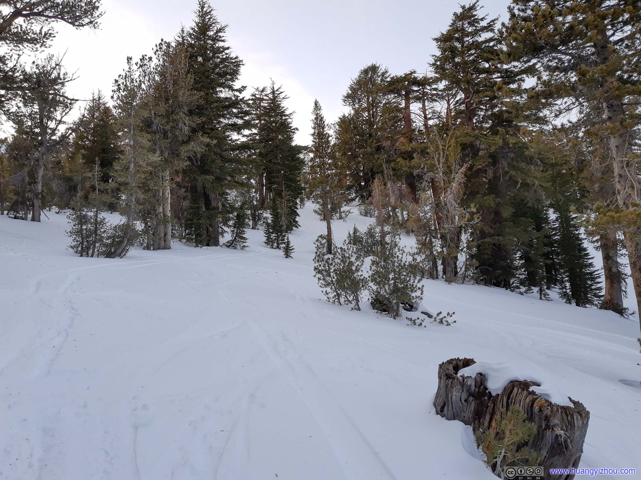
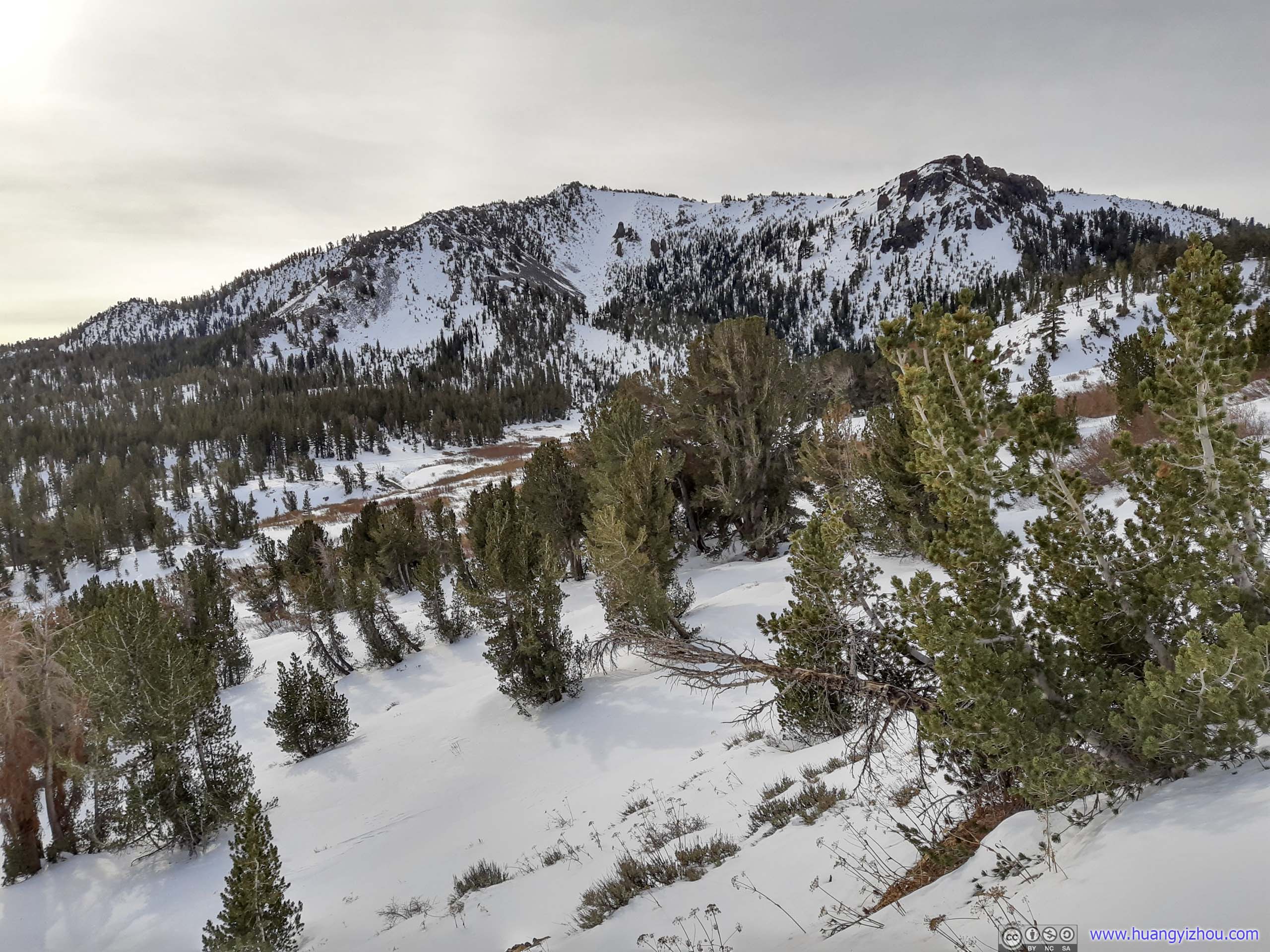
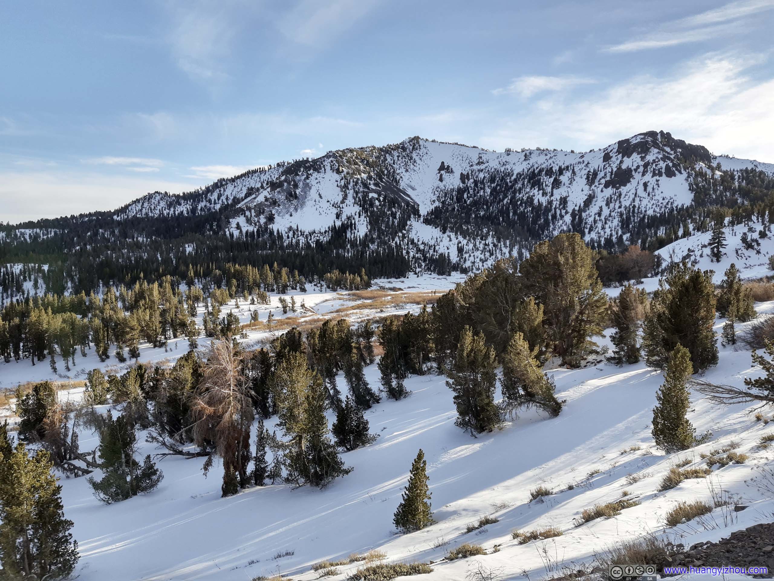
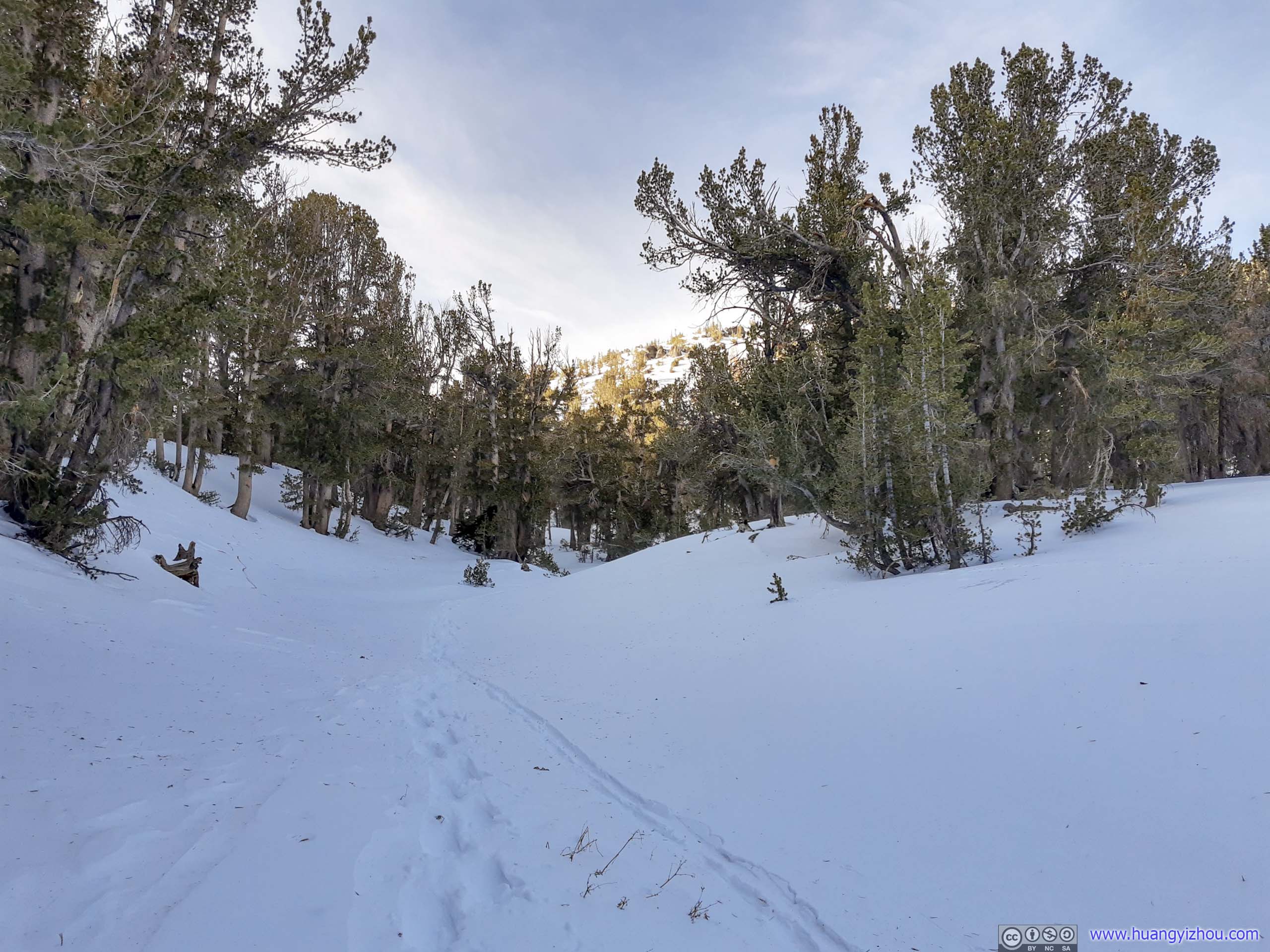
After navigating around Tamarack Peak, the trail made its way across an open field. In summer there would be a waterfall and a series of creeks around. That’s also where the two trails around Tamarack merged back into one.
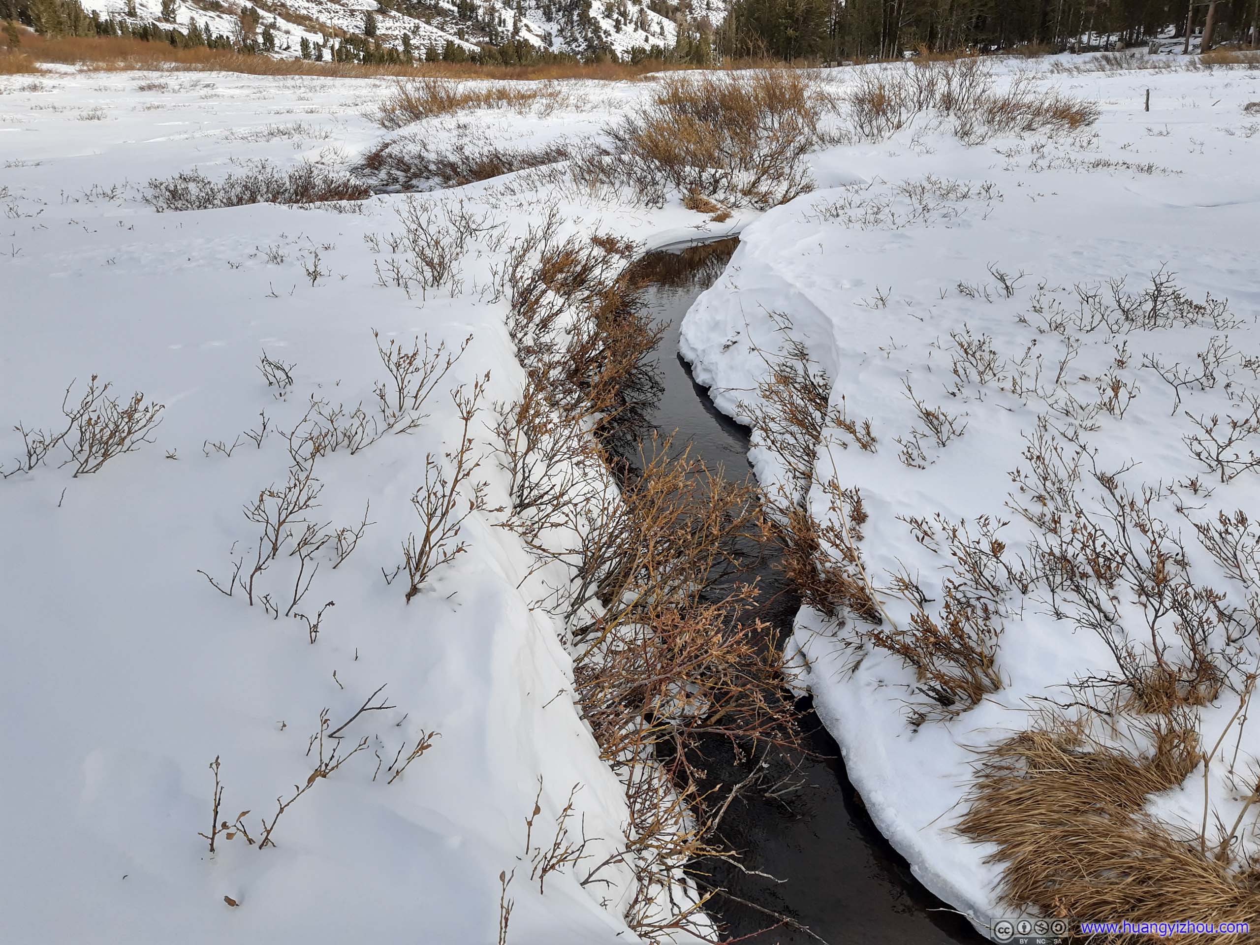
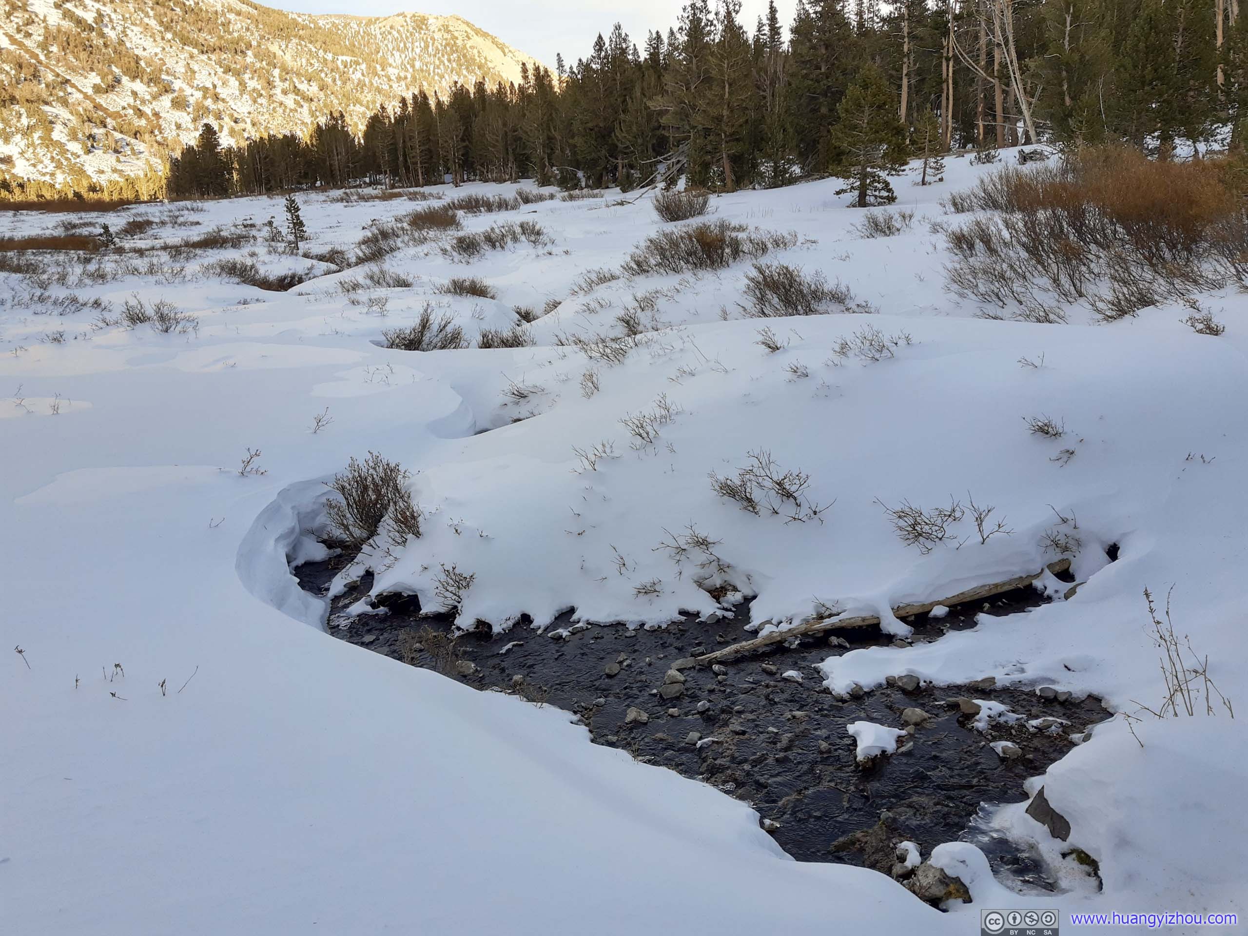 Creek
Creek
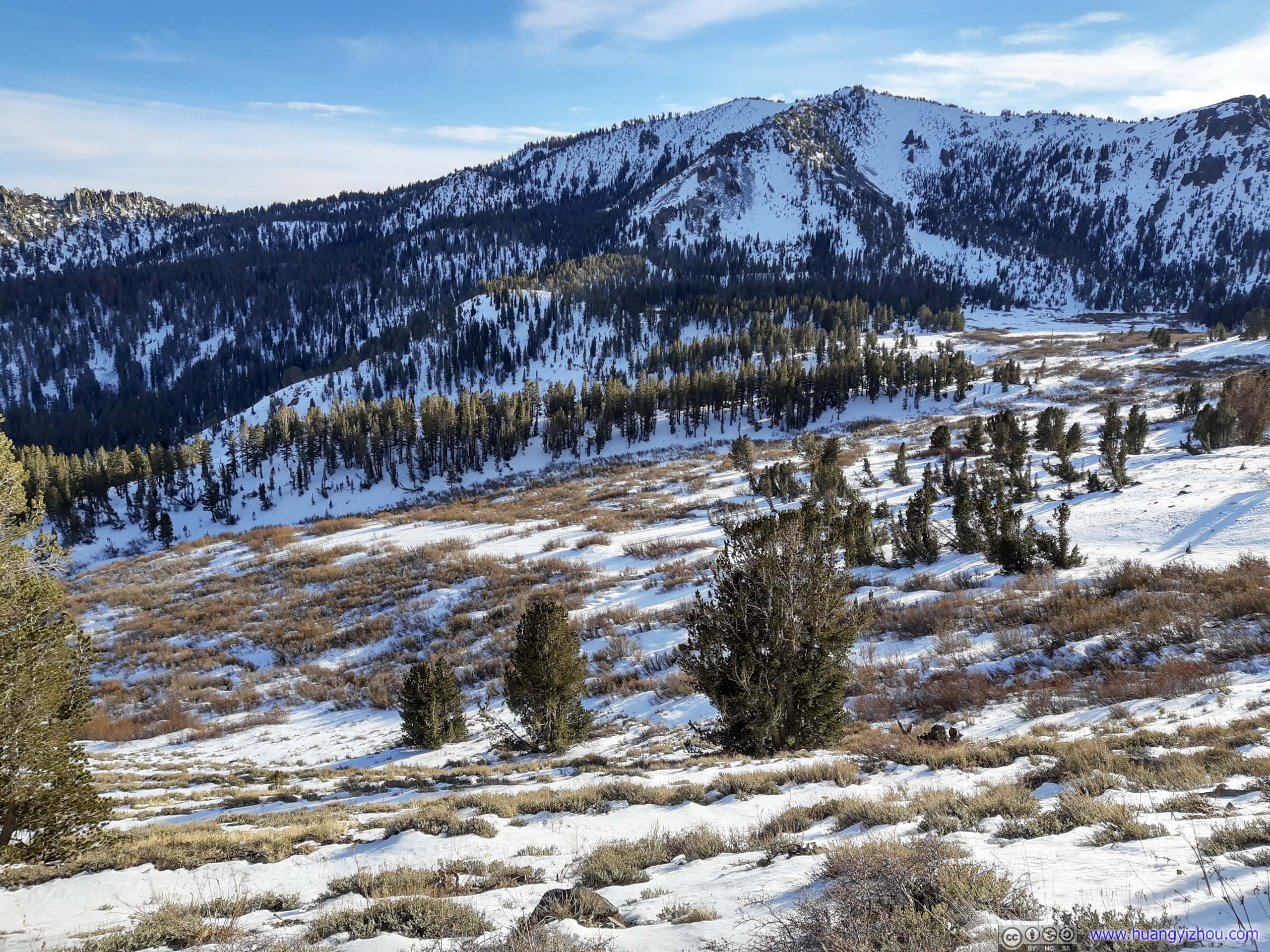
 Mount Rose across FieldIn the morning (left) and afternoon (right).
Probably due to weak support underneath, snow was rather soft across this field. Even with snowshoes, I was postholing occasionally over this field.

 Tamarack Peak Behind
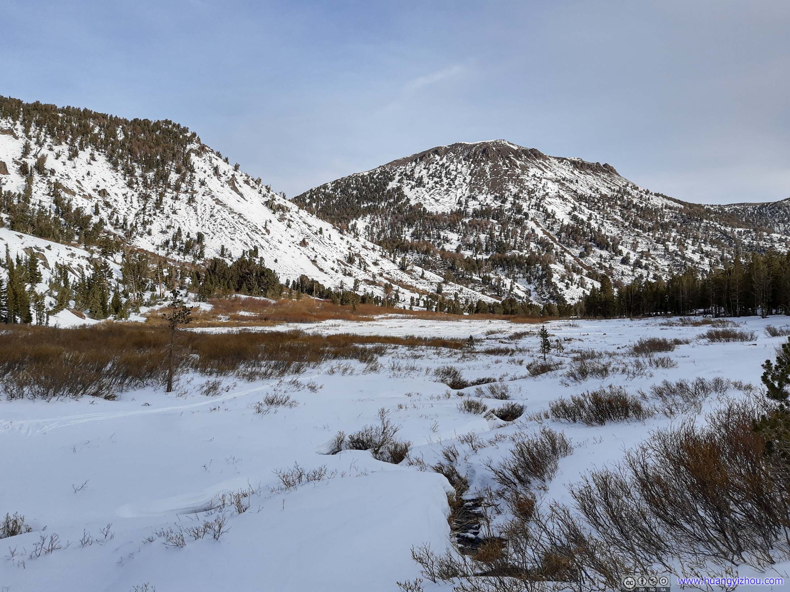
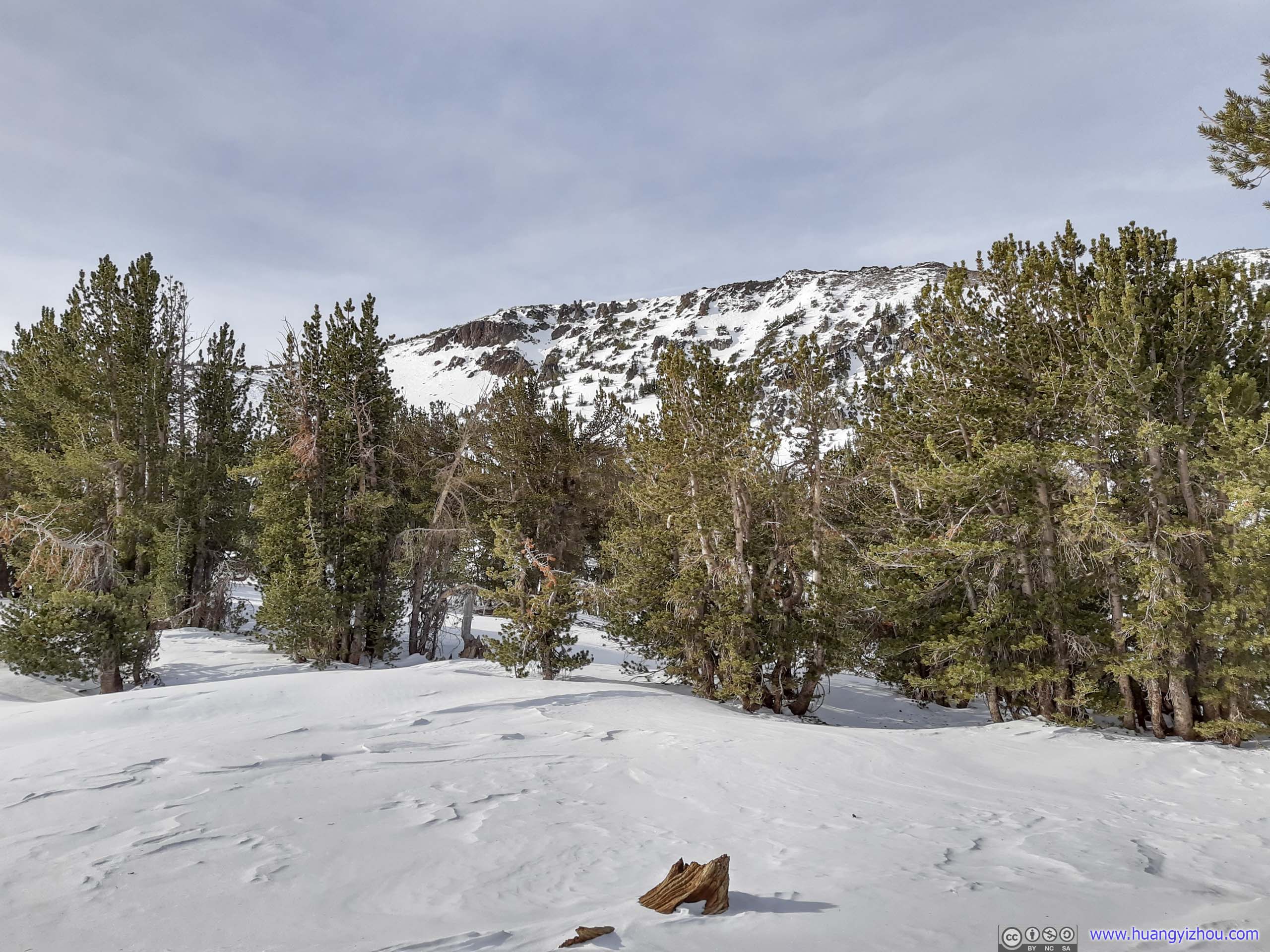
After that, the next section of the trail involved getting around Mount Houghton. It started off with a gentle incline just off that level field.
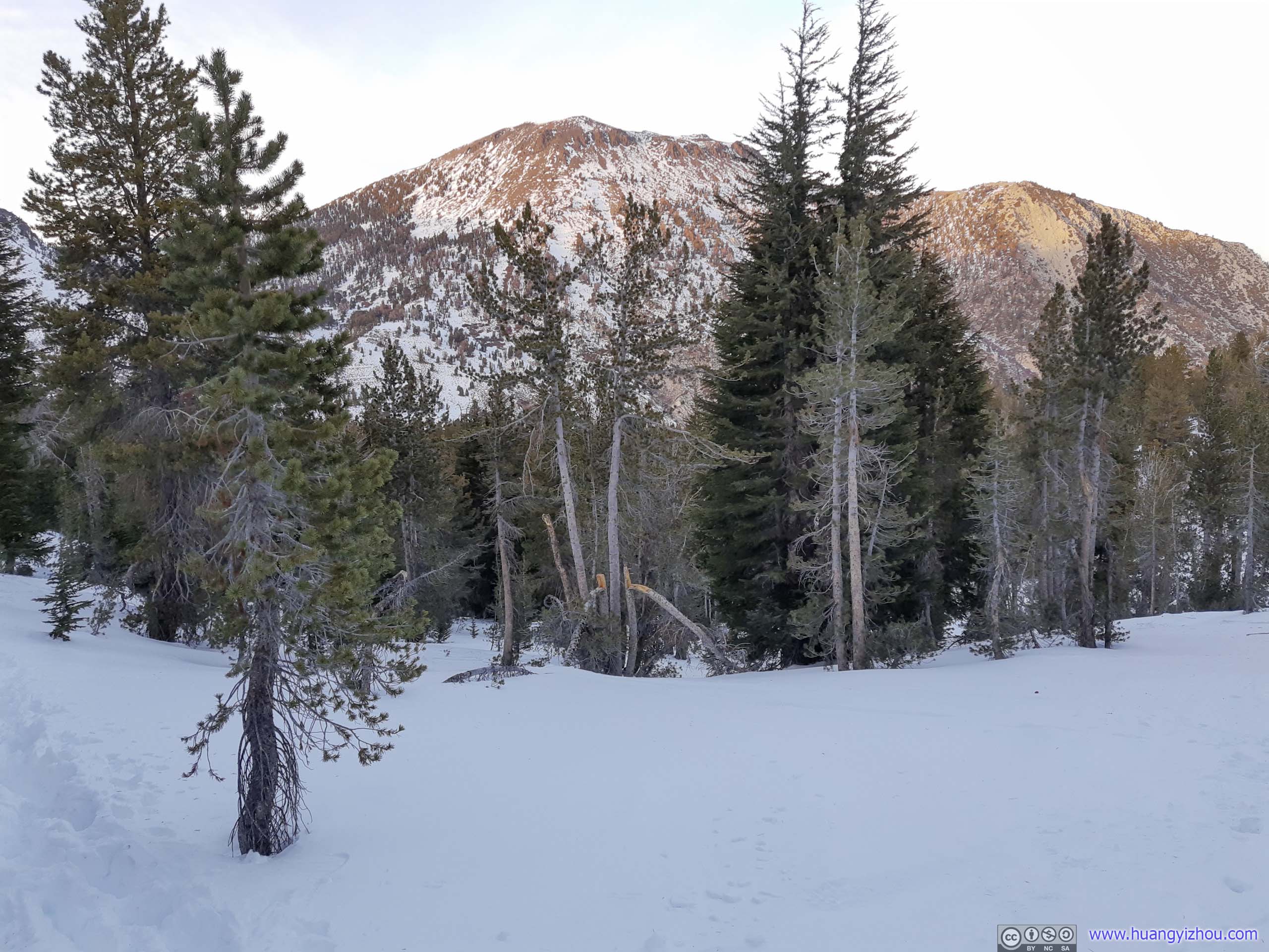
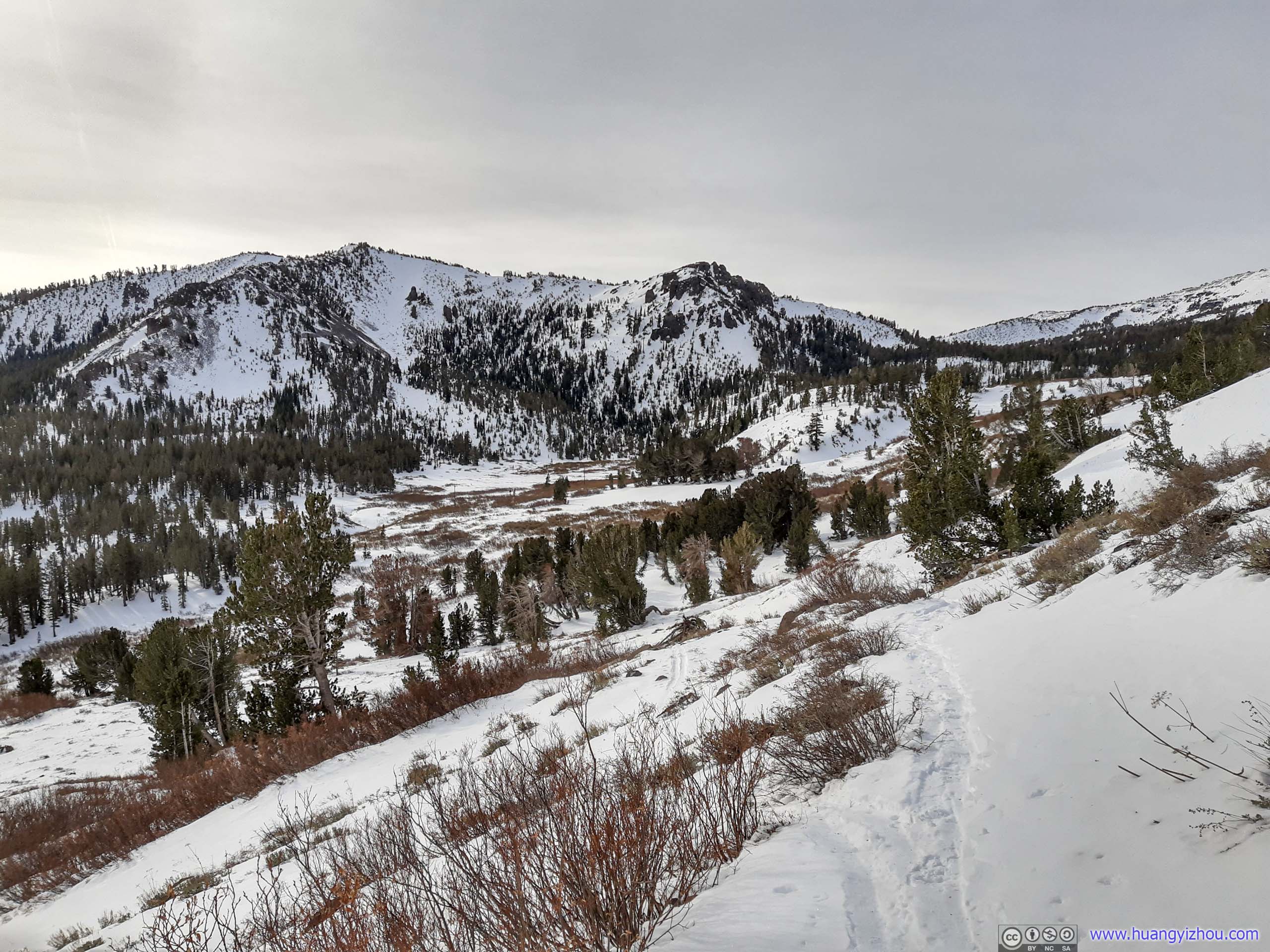
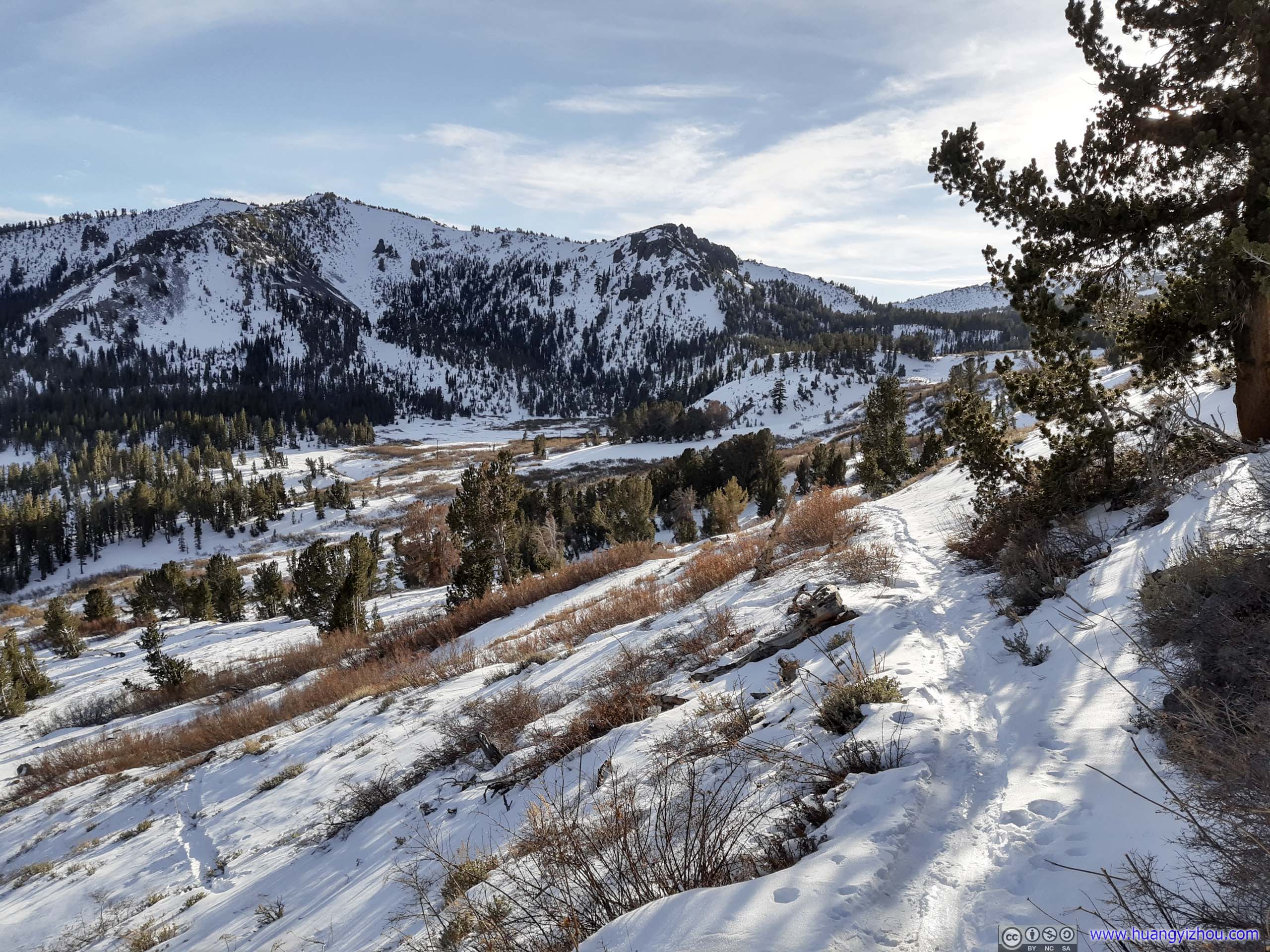
 Mount HoughtonWhich the trail would make a detour around, in the morning (left) and afternoon (right).

 TrailOne of the few easy-strolling sections on way to Mount Rose.
 Field
Field
However, parts of the trail around Mount Houghton was on thin but solid snow, that’s reminiscent of my miseries to Rose Knob Peak the previous day. Sidehilling on this solid snow was pretty taxing on ankles. Luckily, the slope was not that steep and this section not that long.
 Trail
Trail
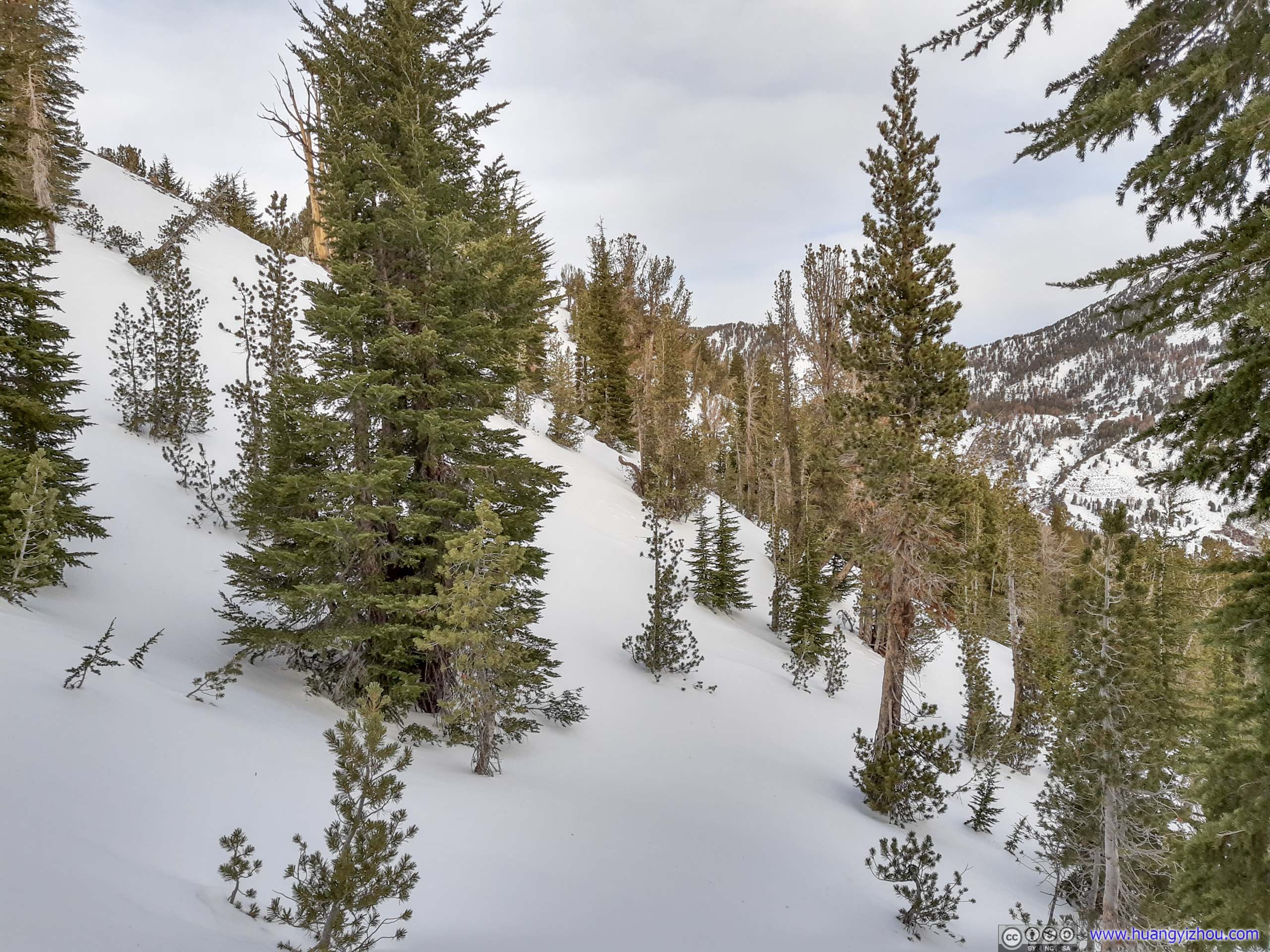
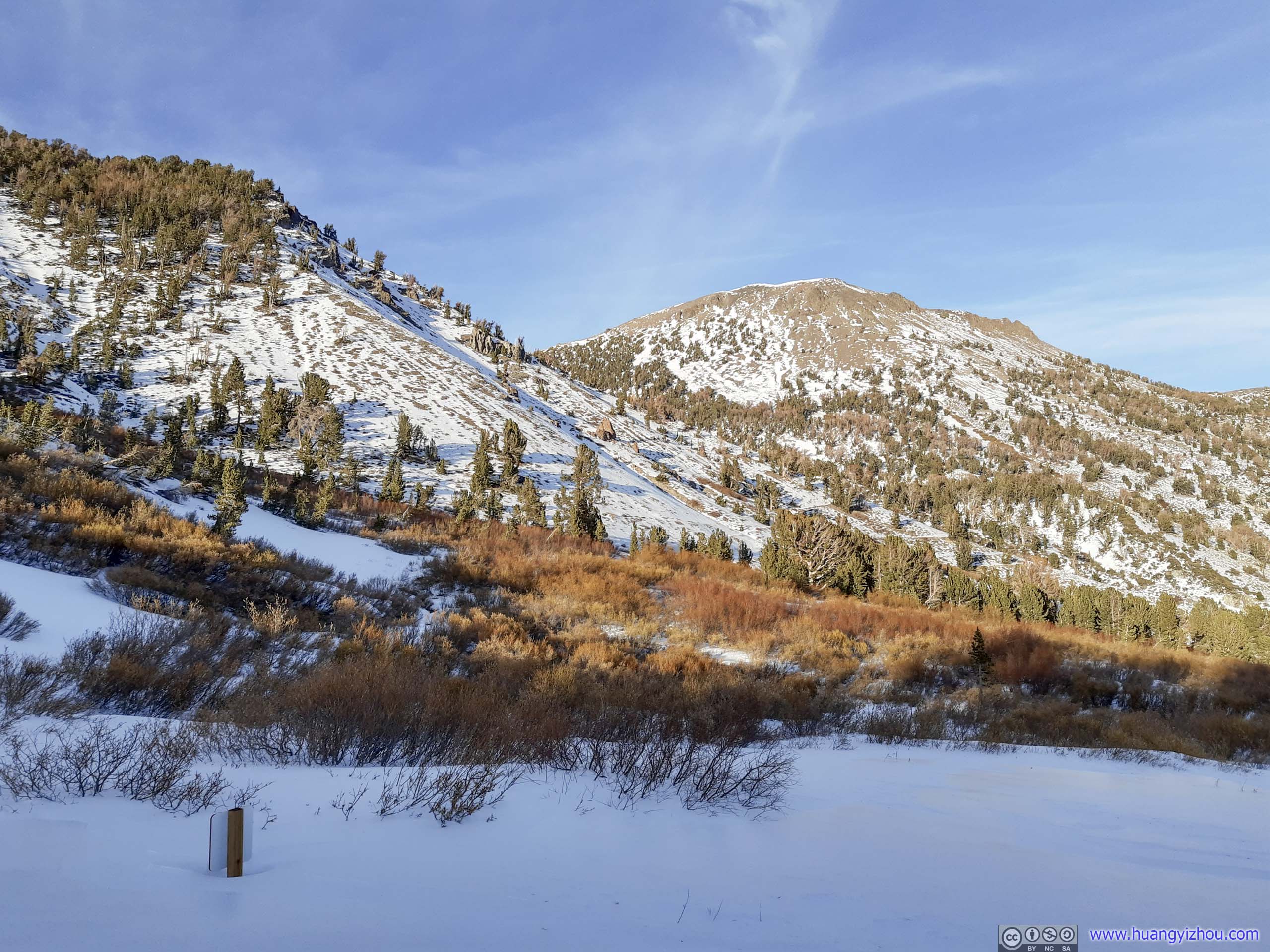
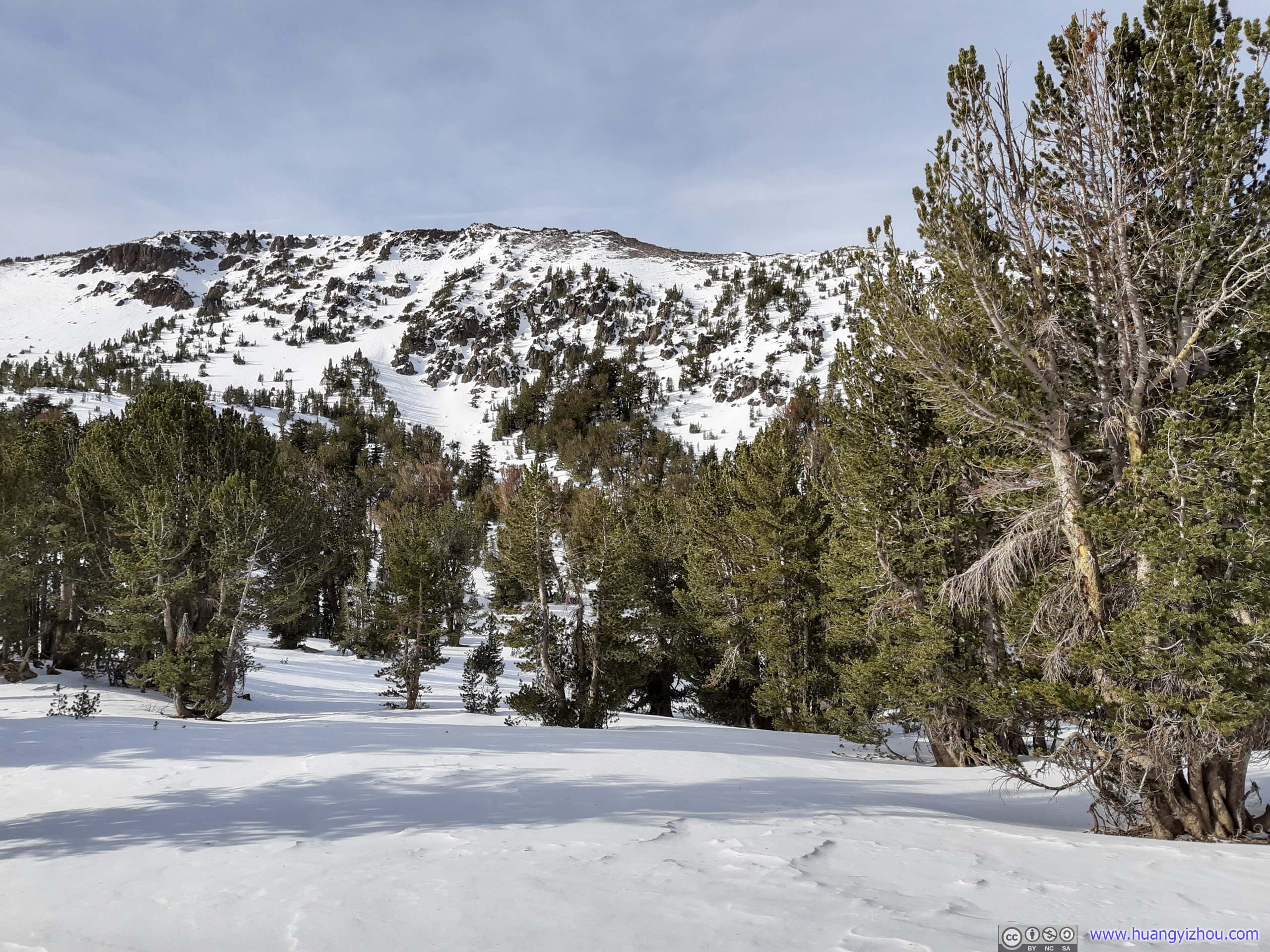
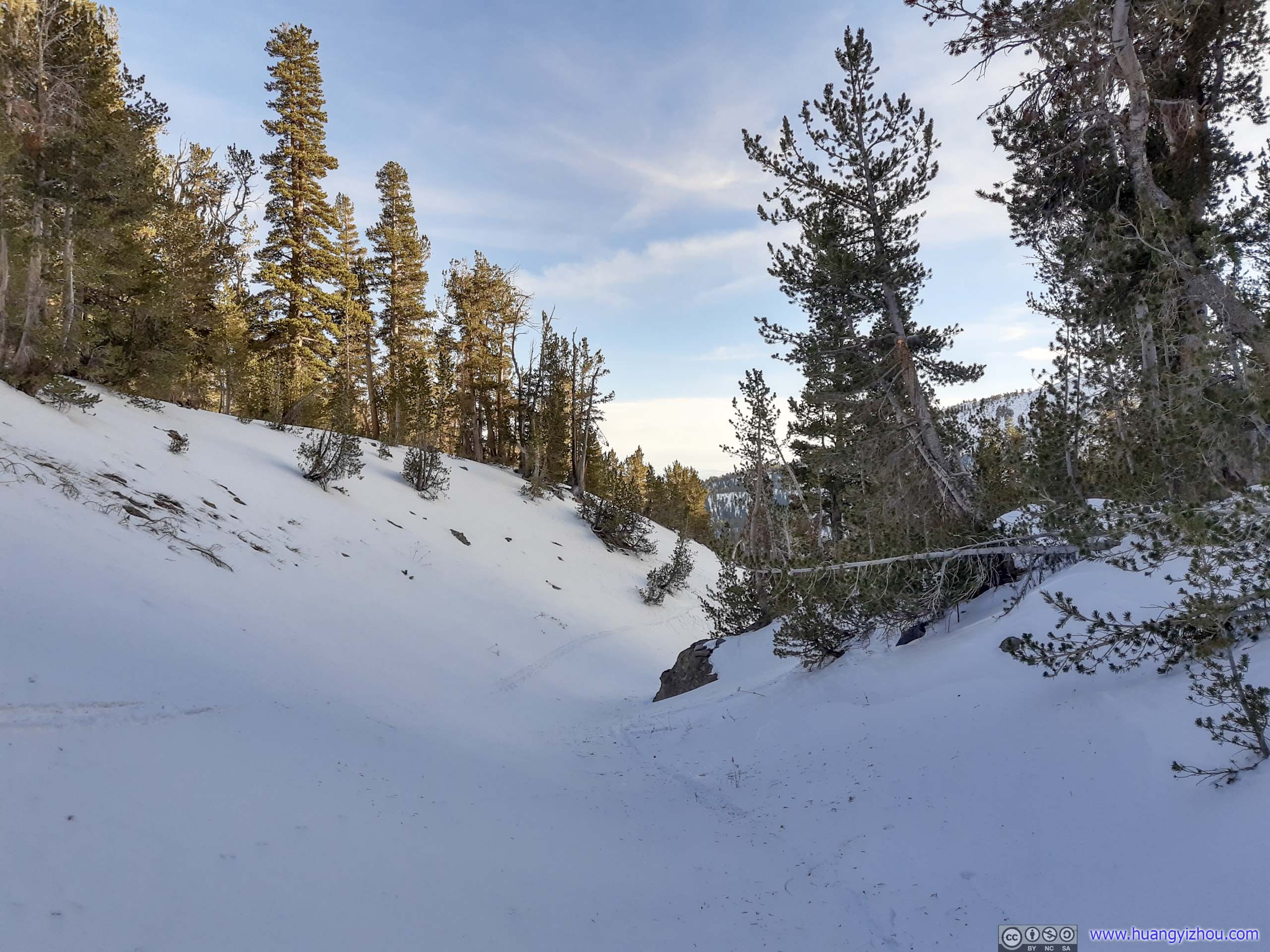
As the trail made its way around Mount Houghton, it grew steeper and steeper. Finally, at about 800m to wilderness boundary (saddle between Mount Houghton and Mount Rose), the trail went through a steep drop down to a valley, which I thought was too steep for me to proceed on. Instead, I opted to deviate from it towards the left by making my way towards Mount Houghton. It’s a steep 600m section with 20% gradient, but by following ski tracks and taking lots of rests, I made it in about half an hour.


 Trail
Trail

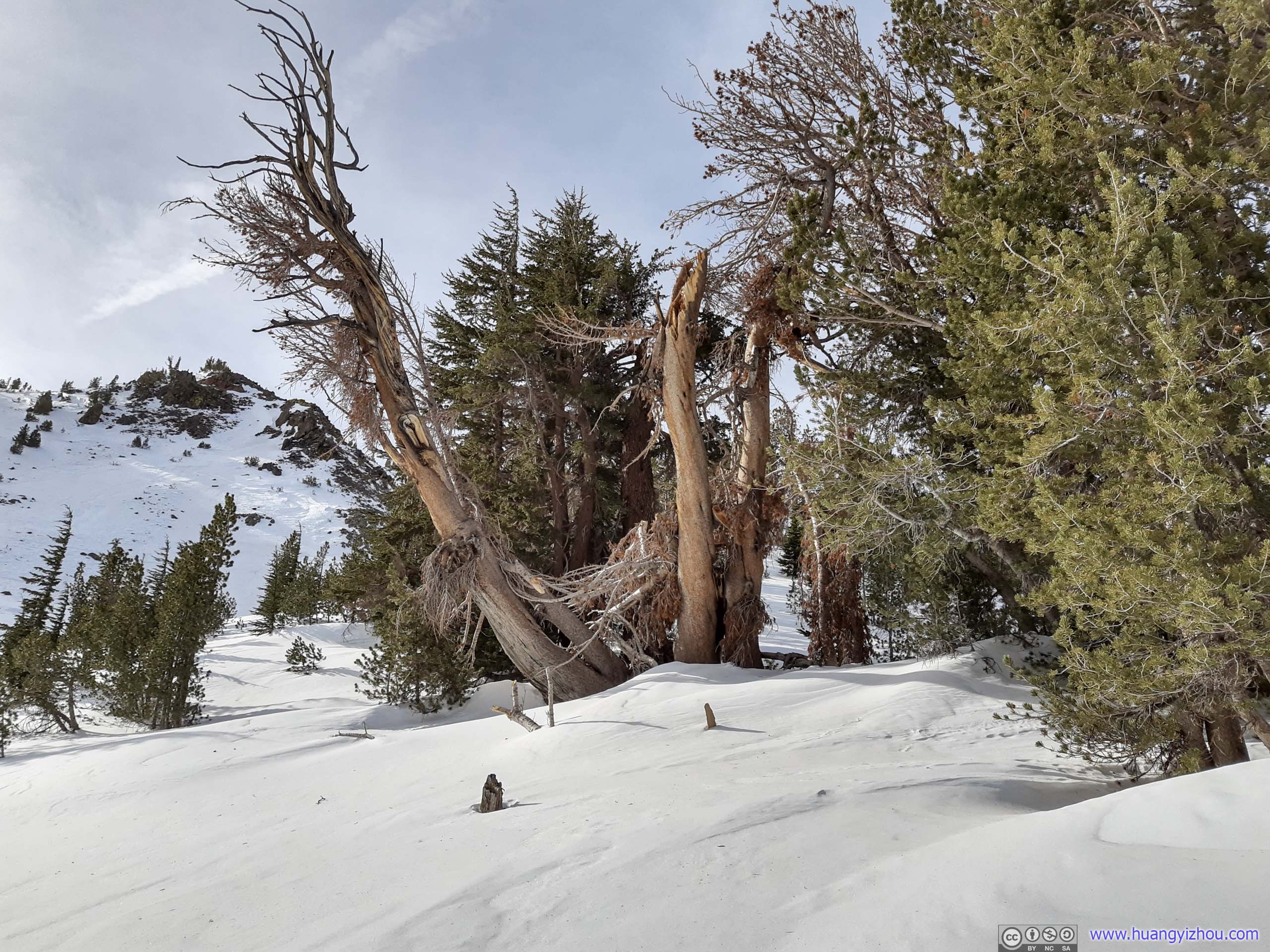
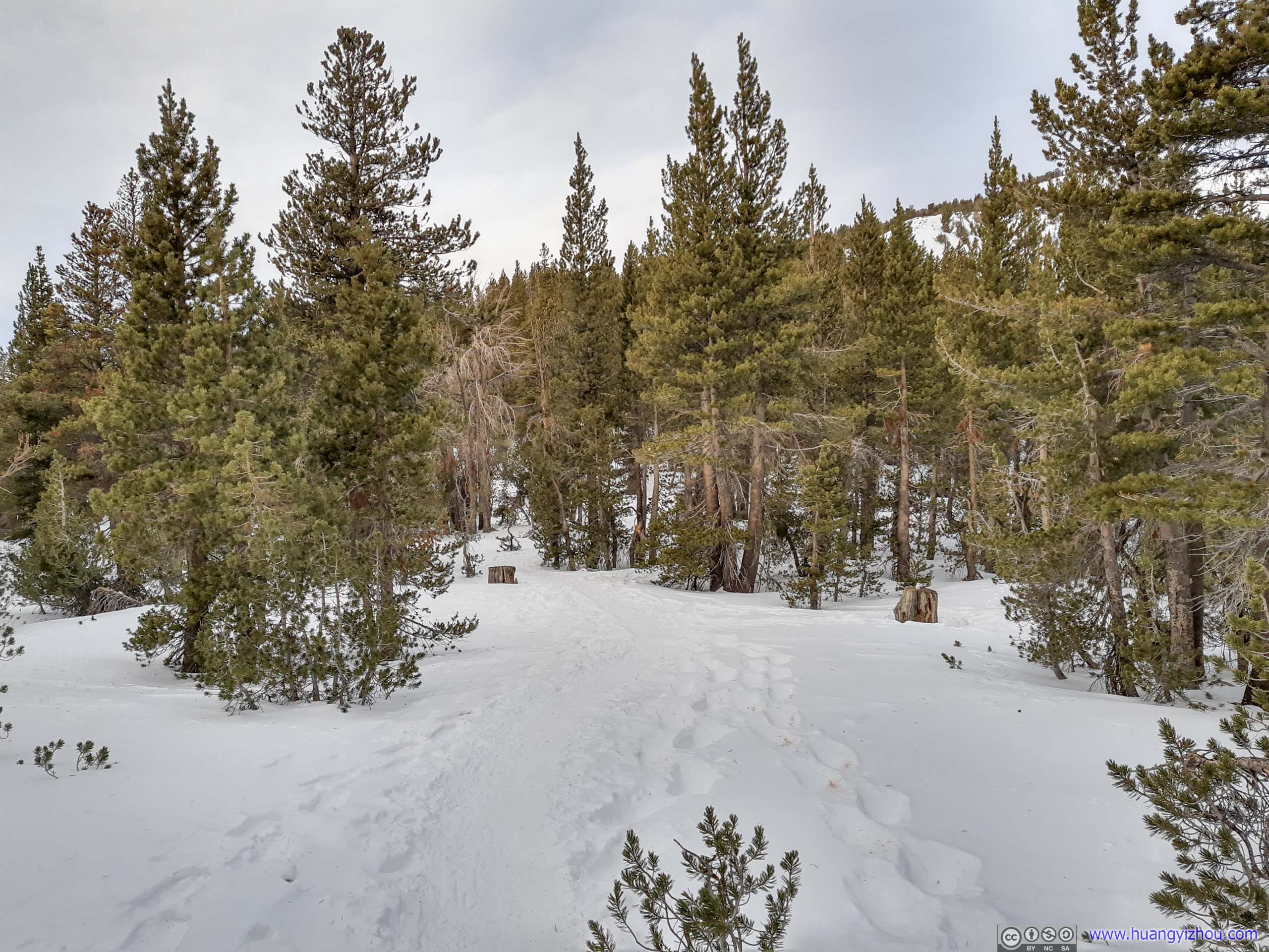
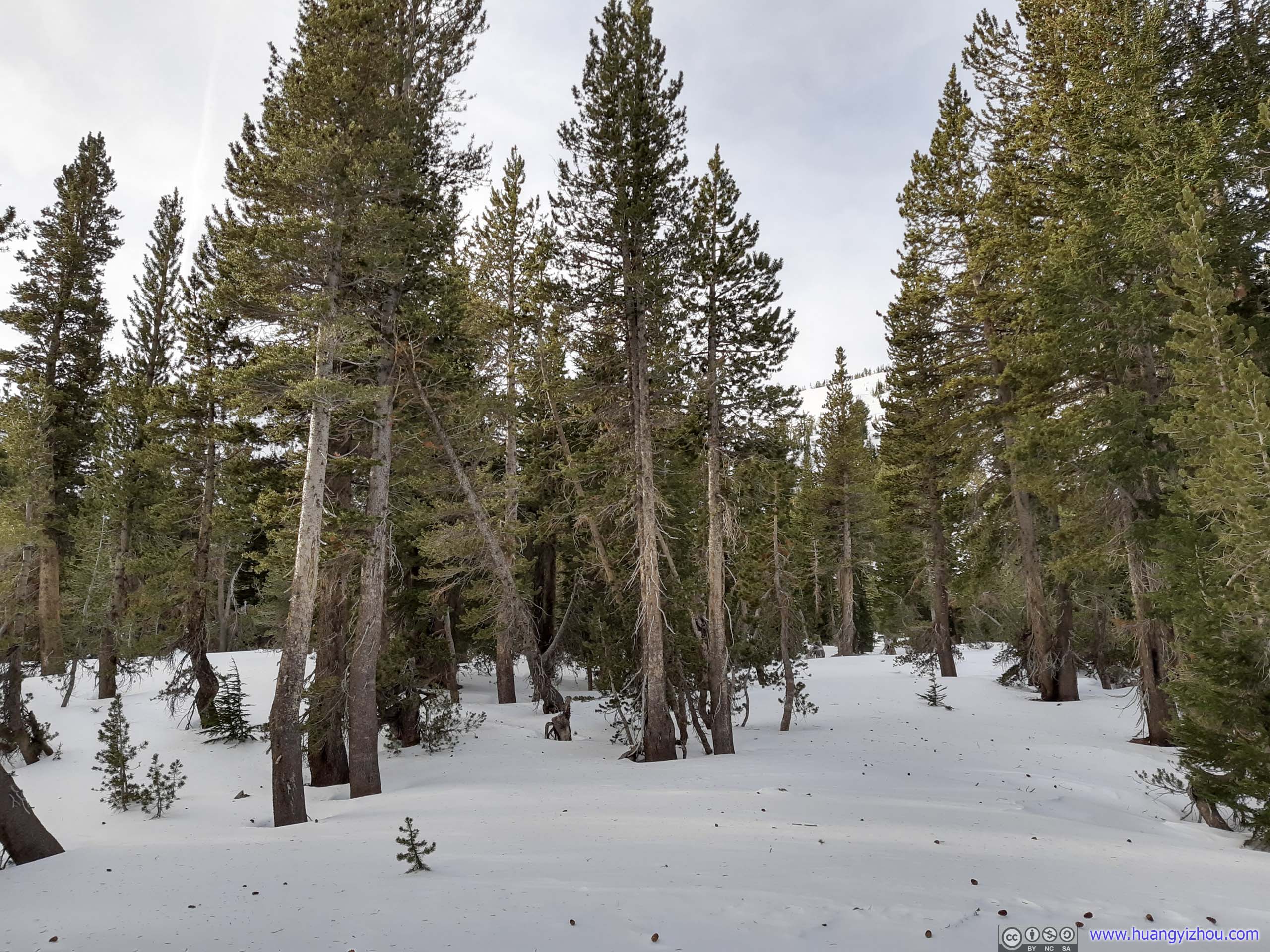
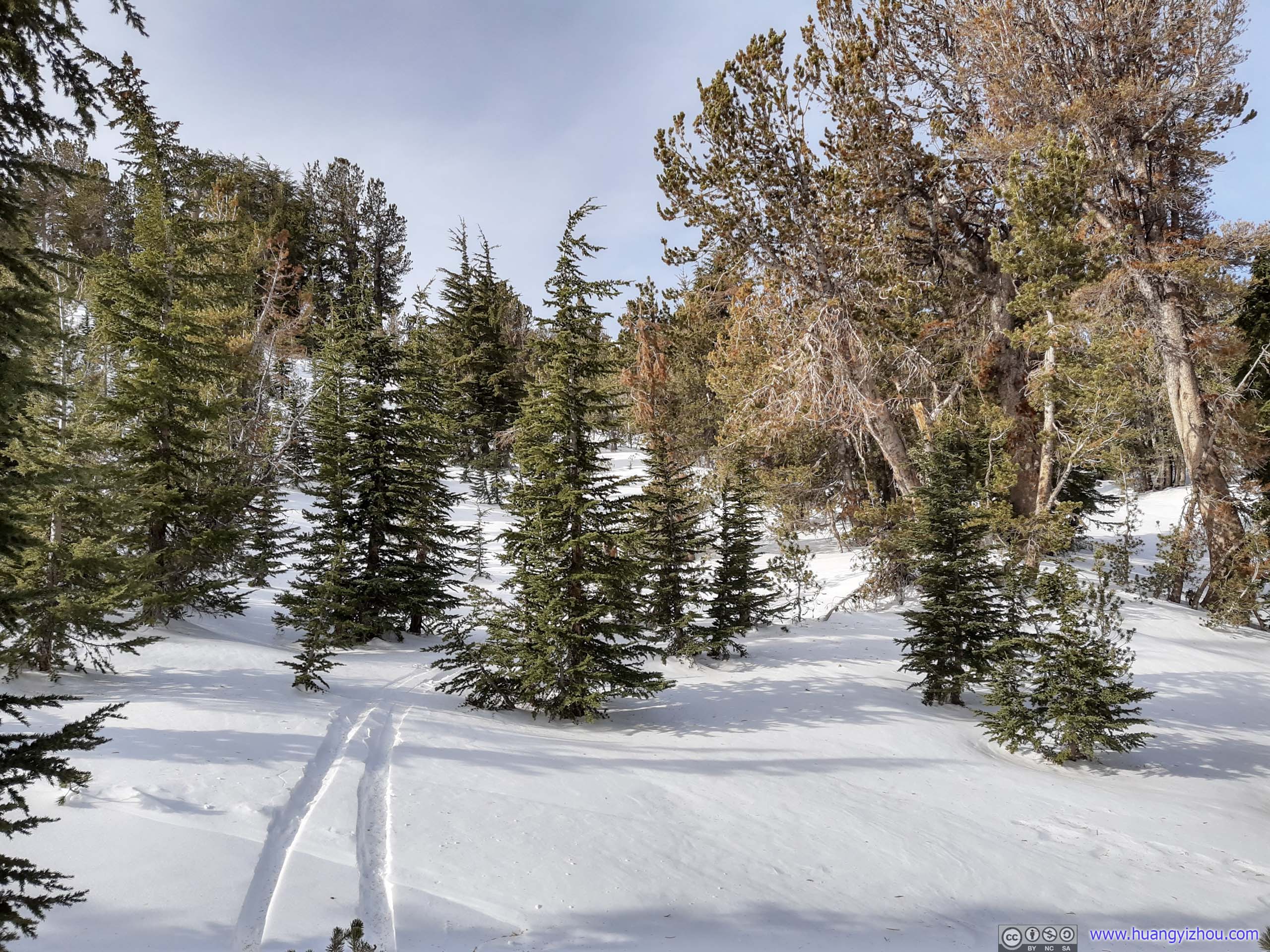
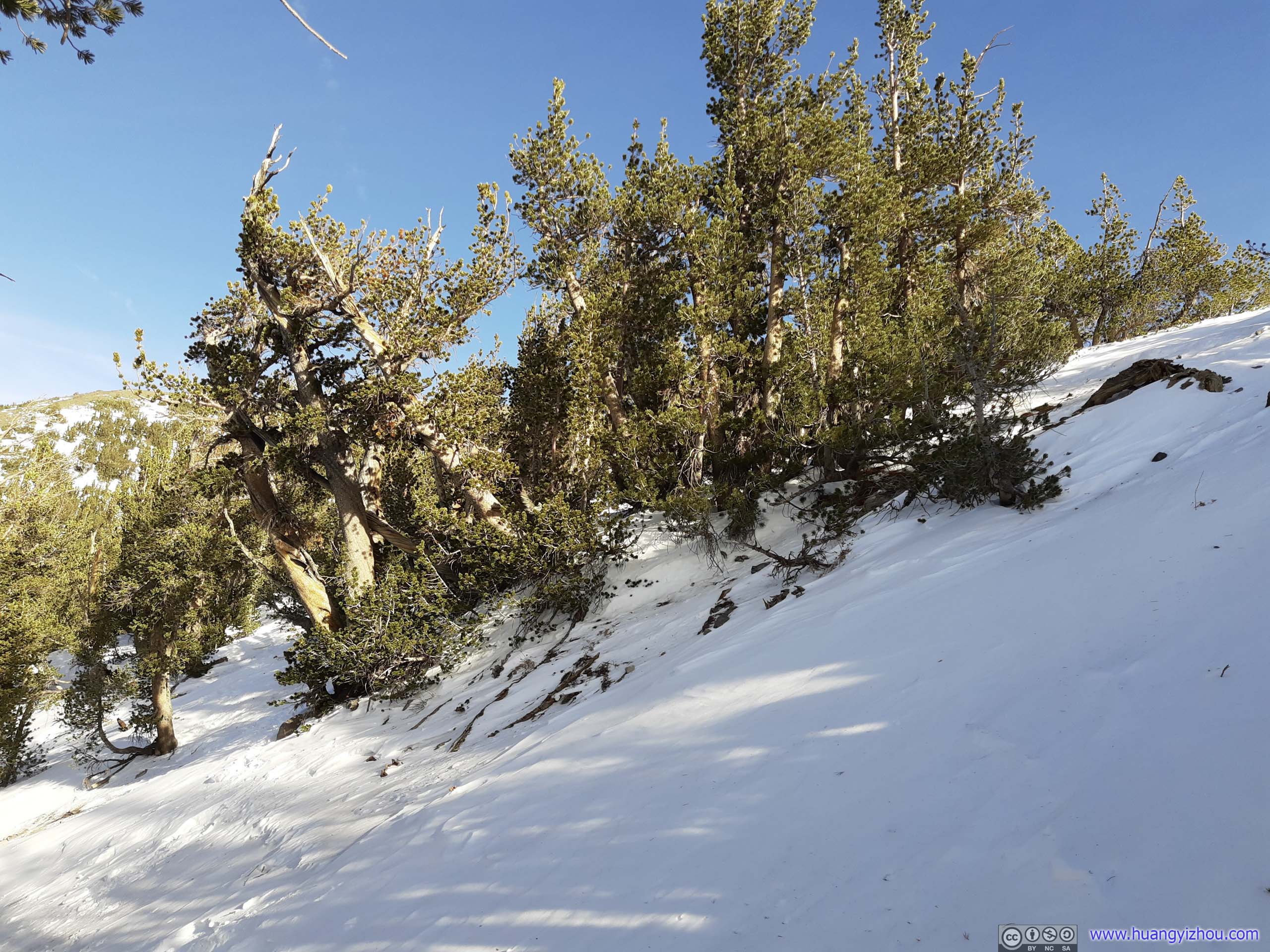
 Trees
Trees
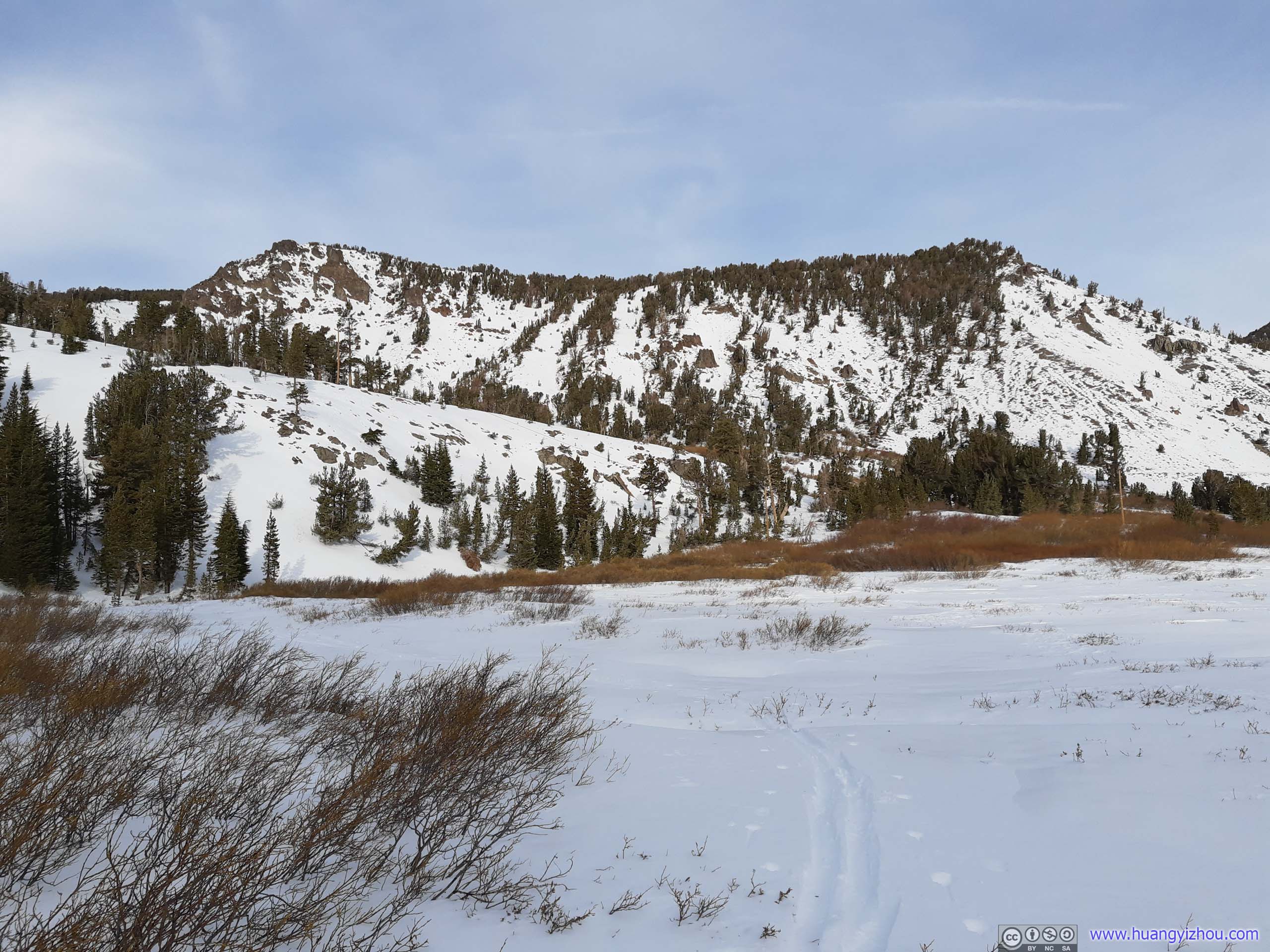
Finally, at about 10:40am, I arrived at an open field that served as intersection of two trails. It’s also the saddle point between Mount Rose and Mount Houghton. After taking a brief rest here, I continued my way towards Mount Rose.
 Open Field
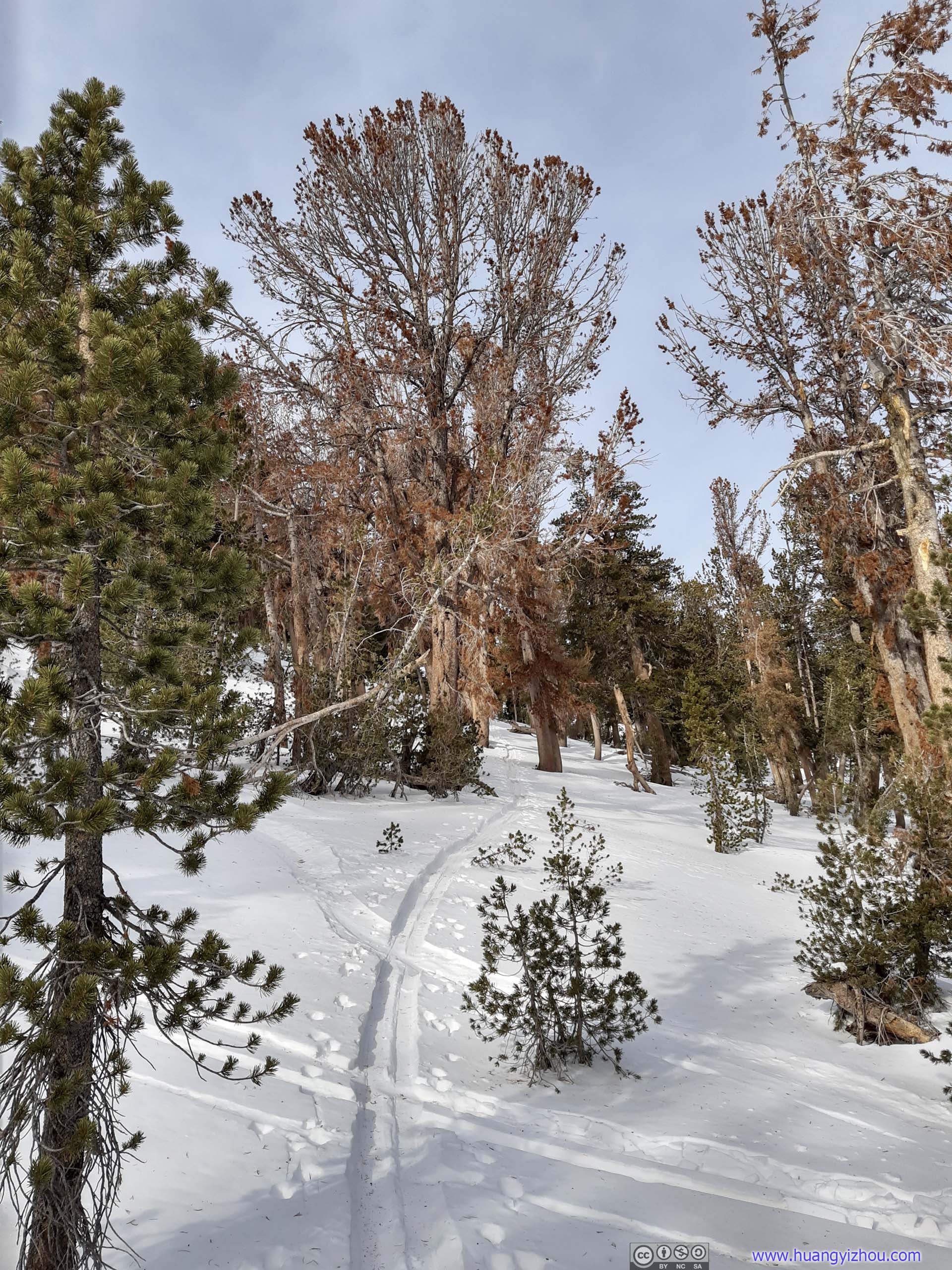
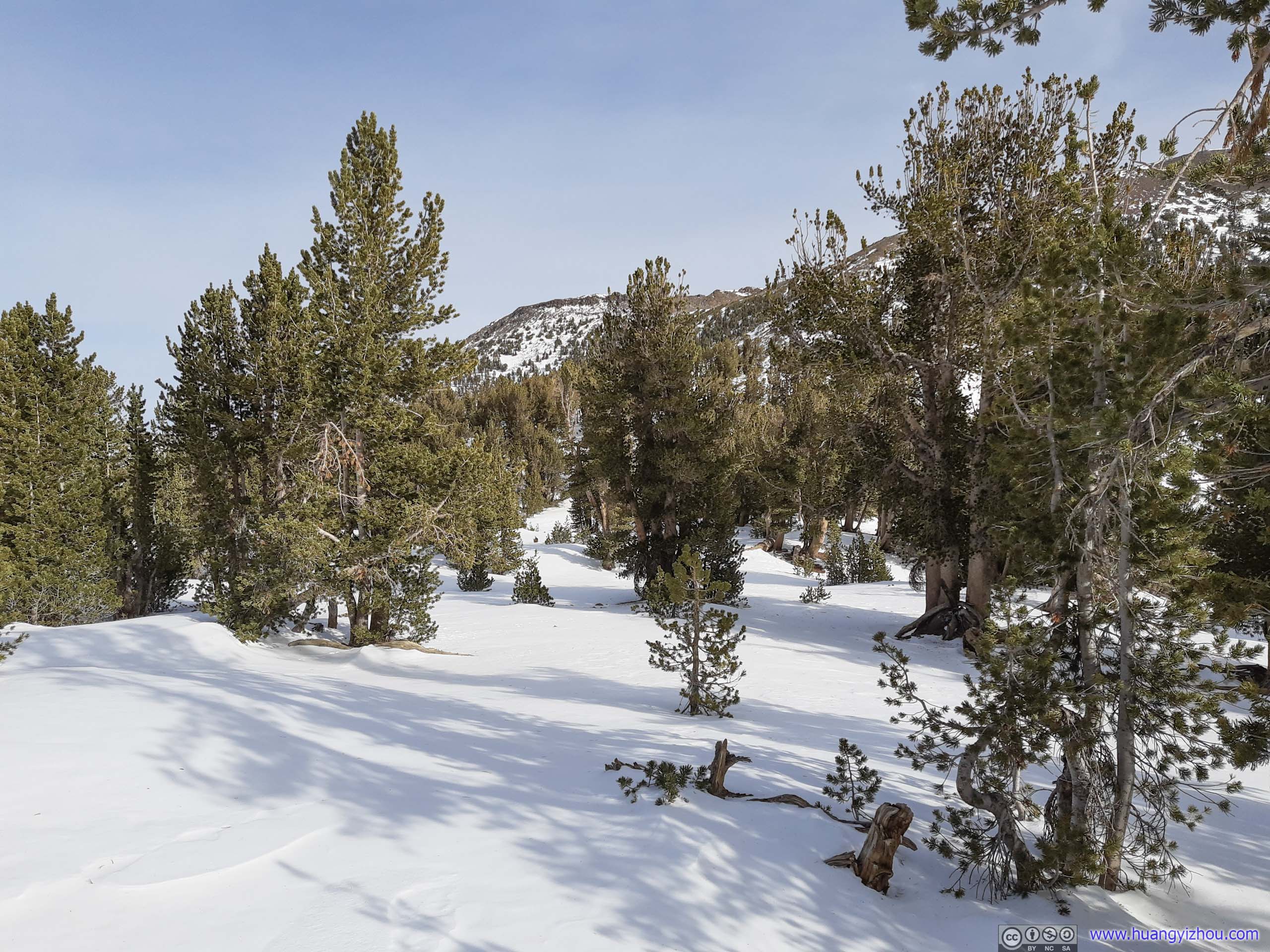
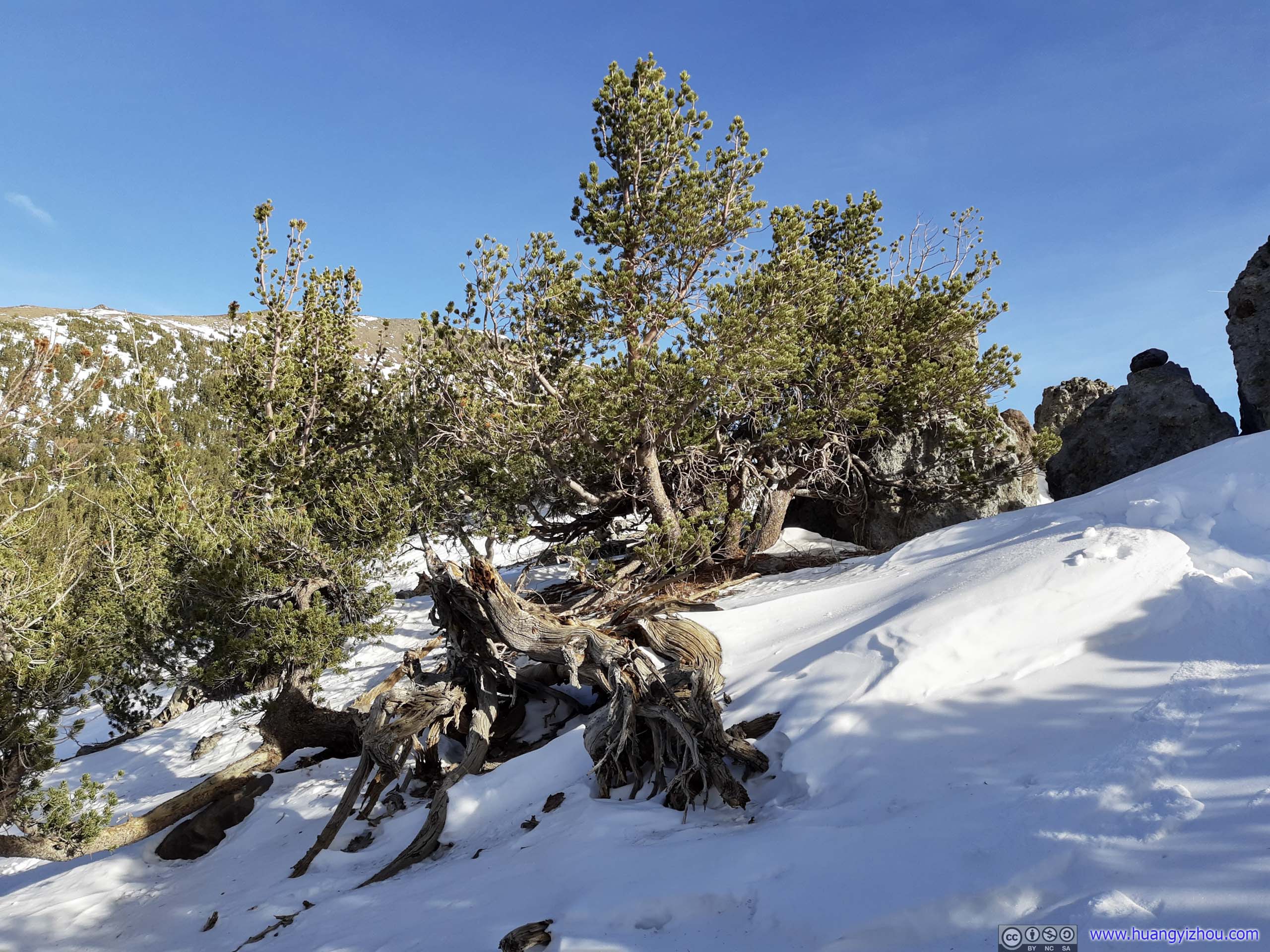
 Trees
Trees
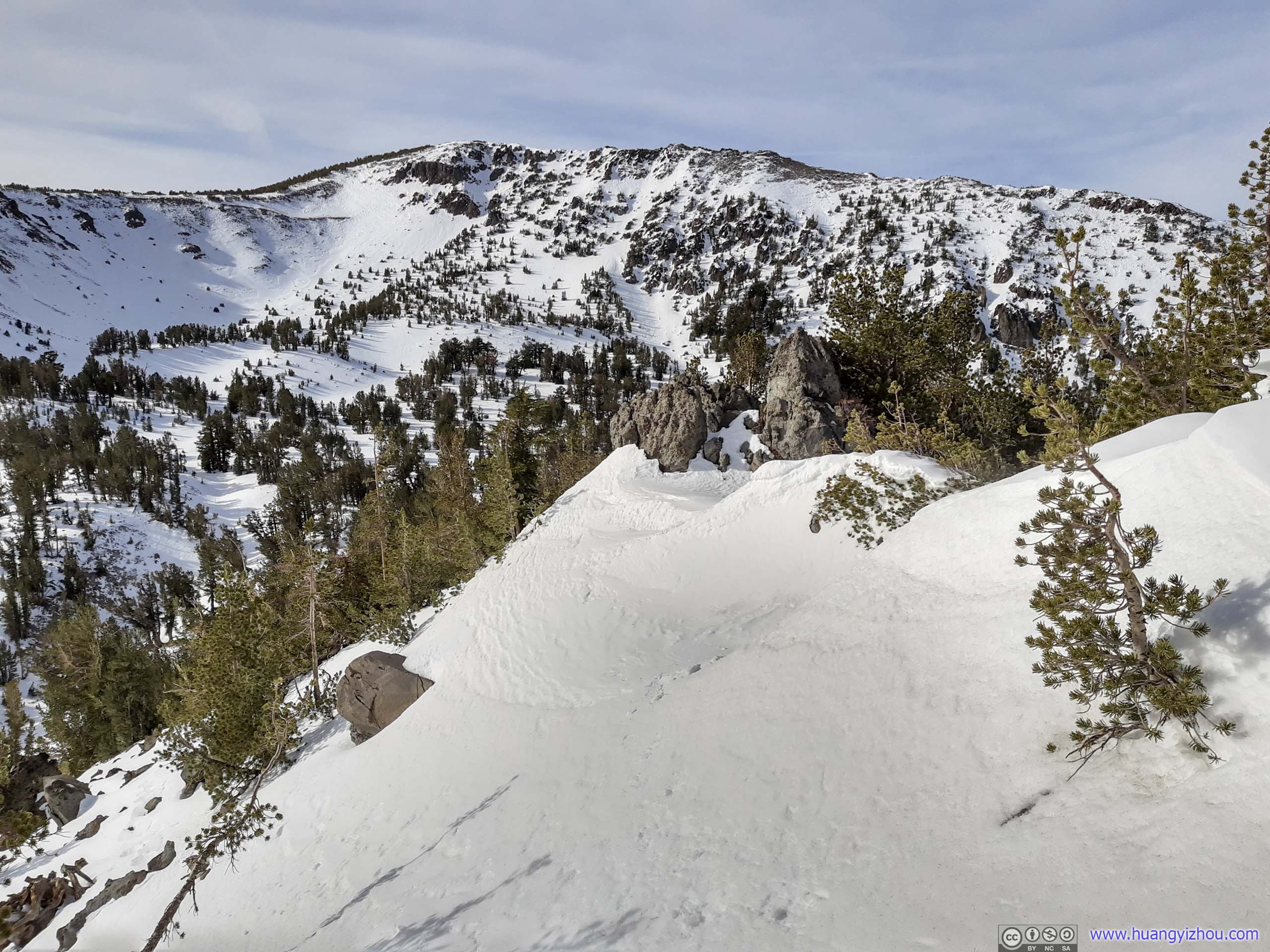
Ridgeline
 Northern Slope of Ridge


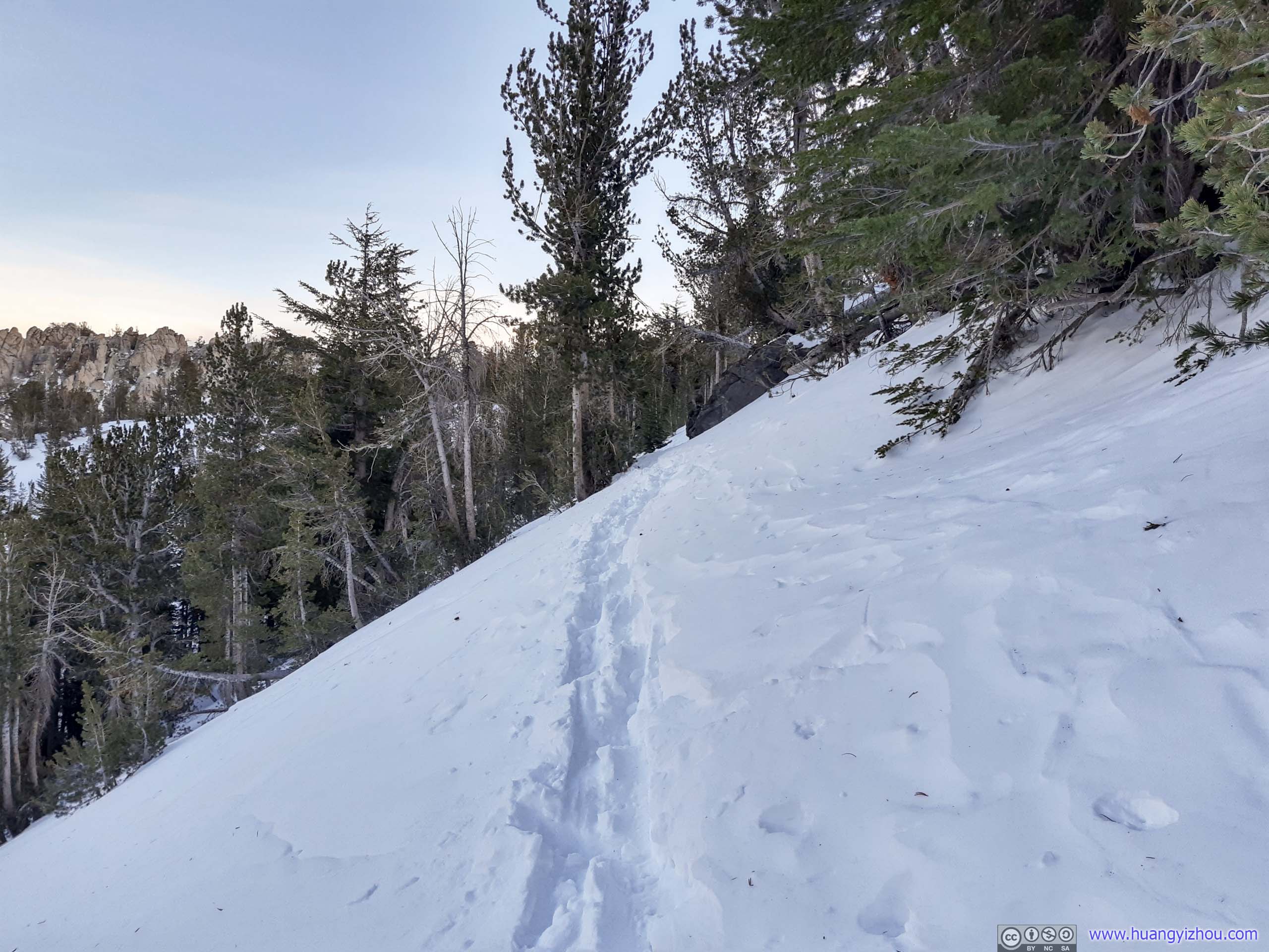
 Steep Slope
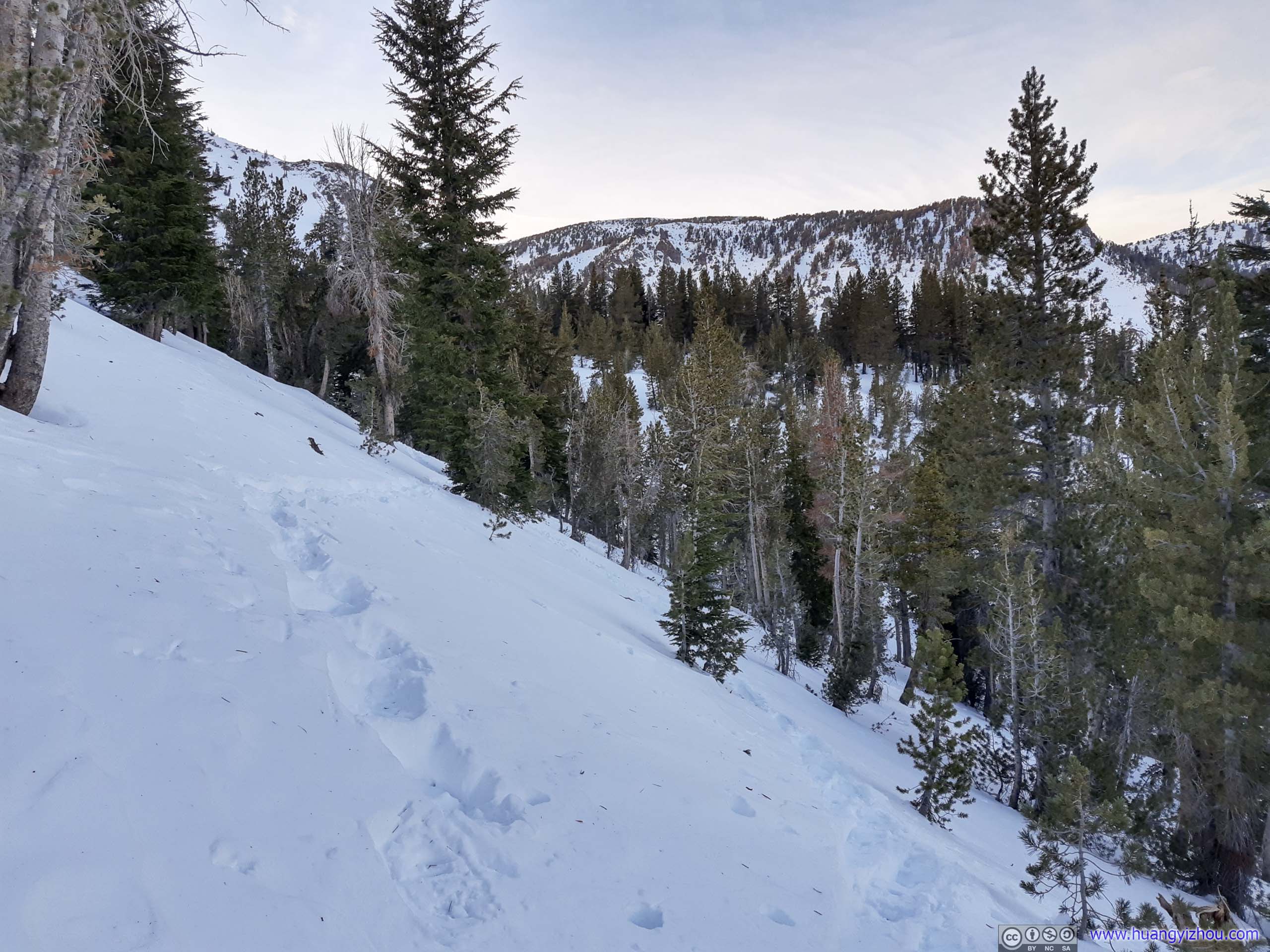
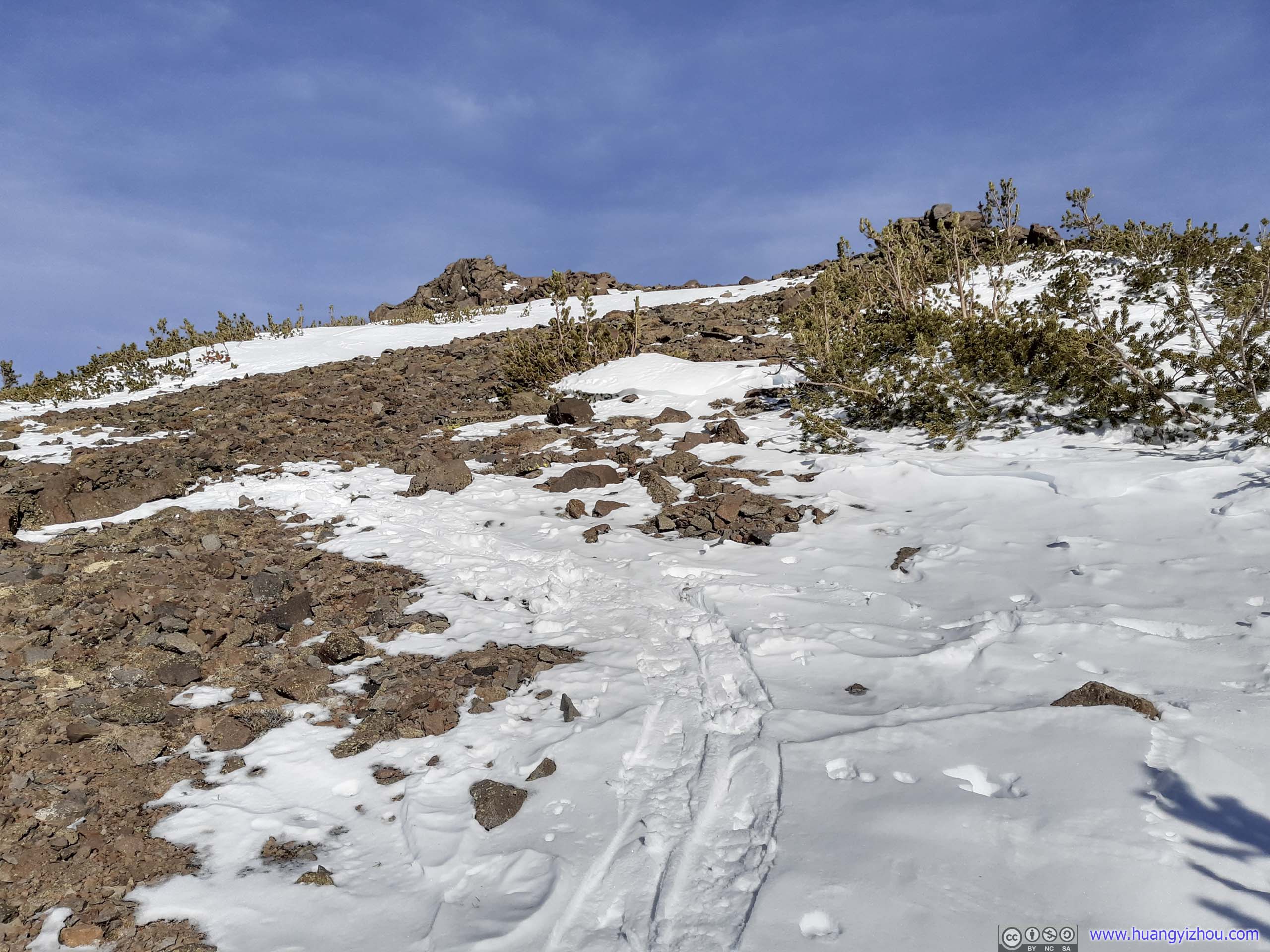
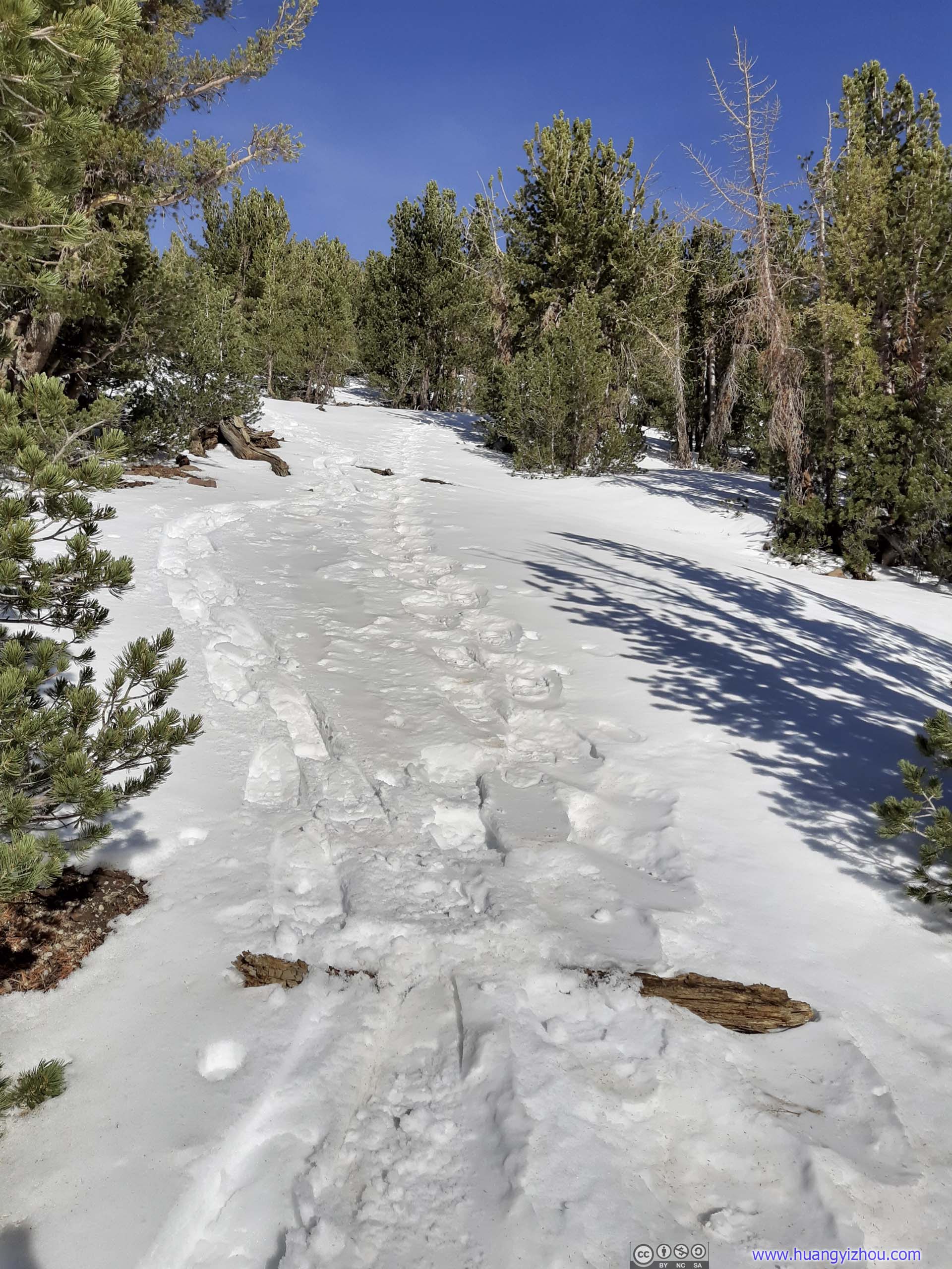 Trail
Trail
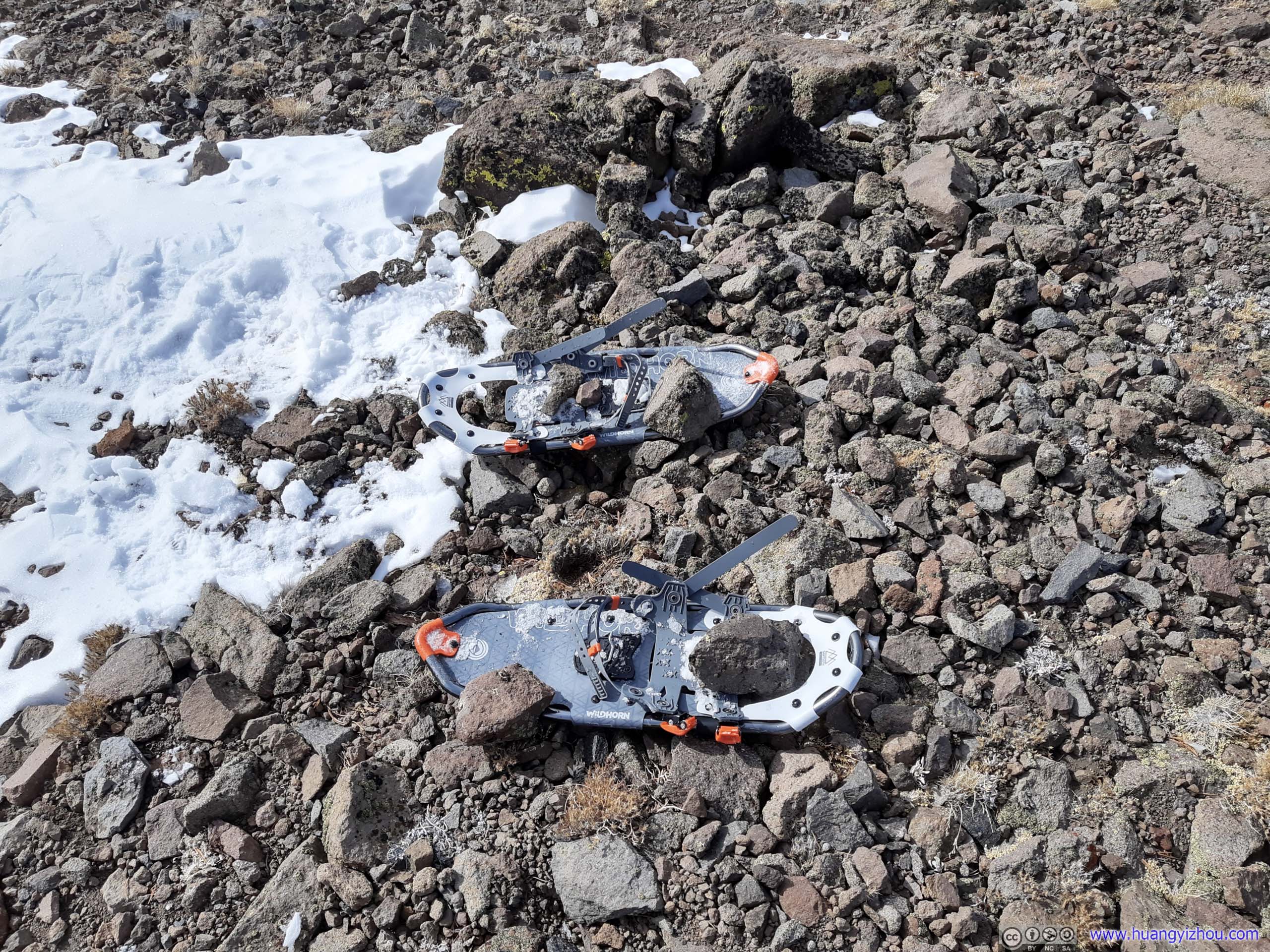
Stashing Snowshoes
Once out of the snow line, the remaining 400m of trail to summit wasn’t steep nor technical.
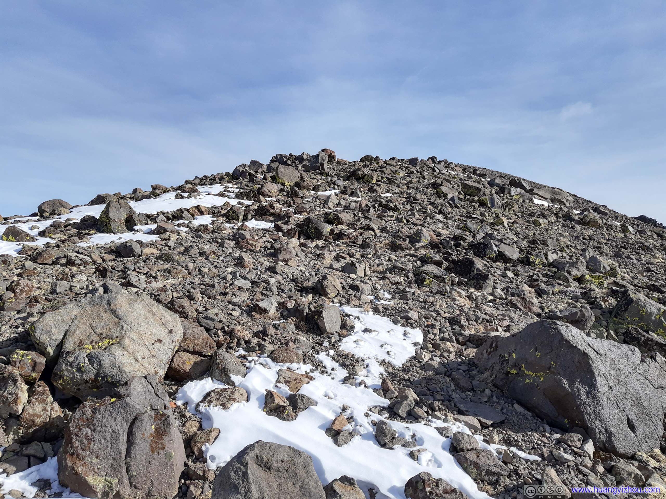
 Trail to Summit
I used my drone to capture the final few steps before summitting Mount Rose:
At 12:08pm, I reached the summit of Mount Rose. Since I didn’t see anyone else on the trail today, I assume I was the only person summitting today.
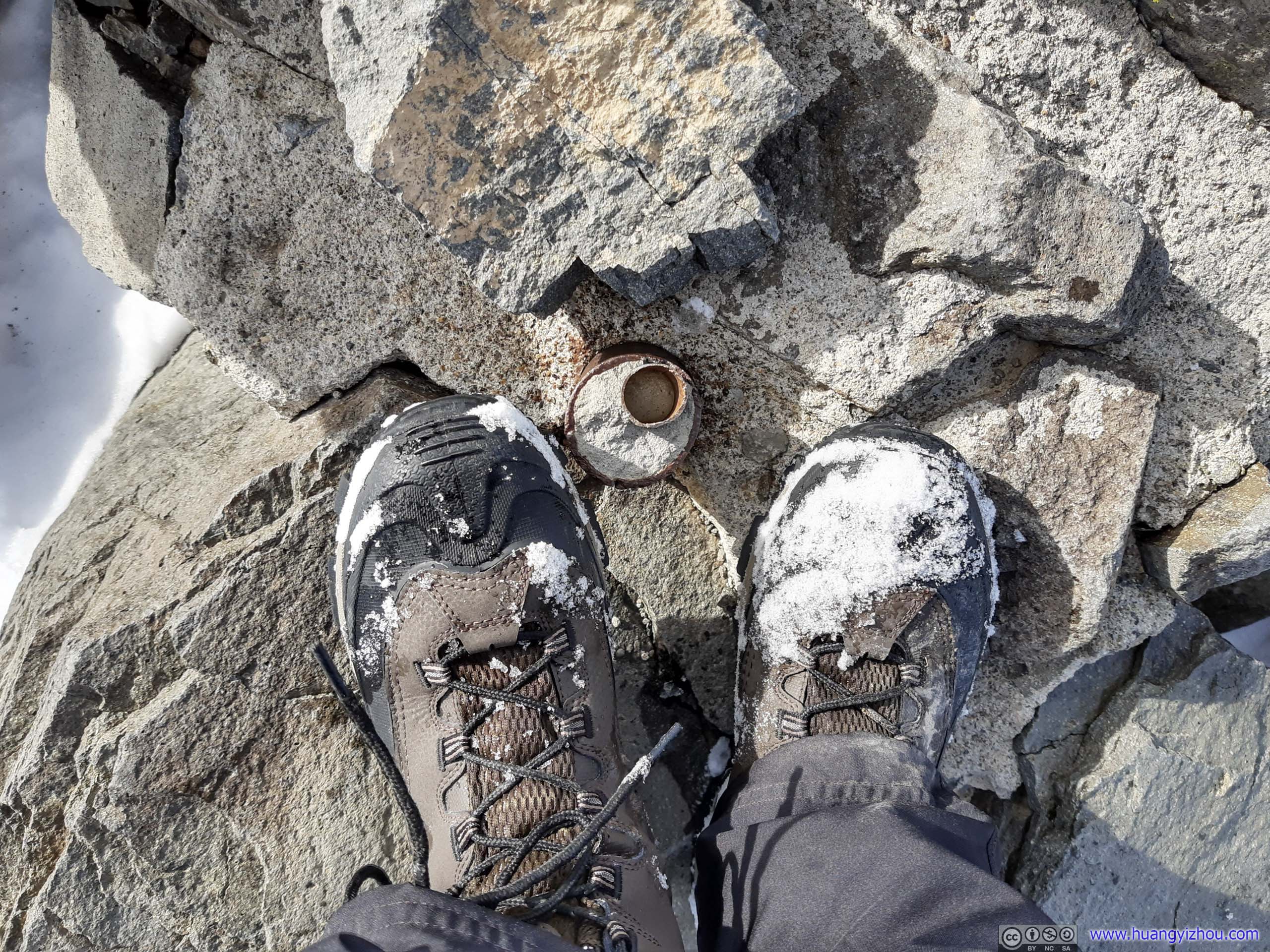
Standing on top of Mount Rose Summit
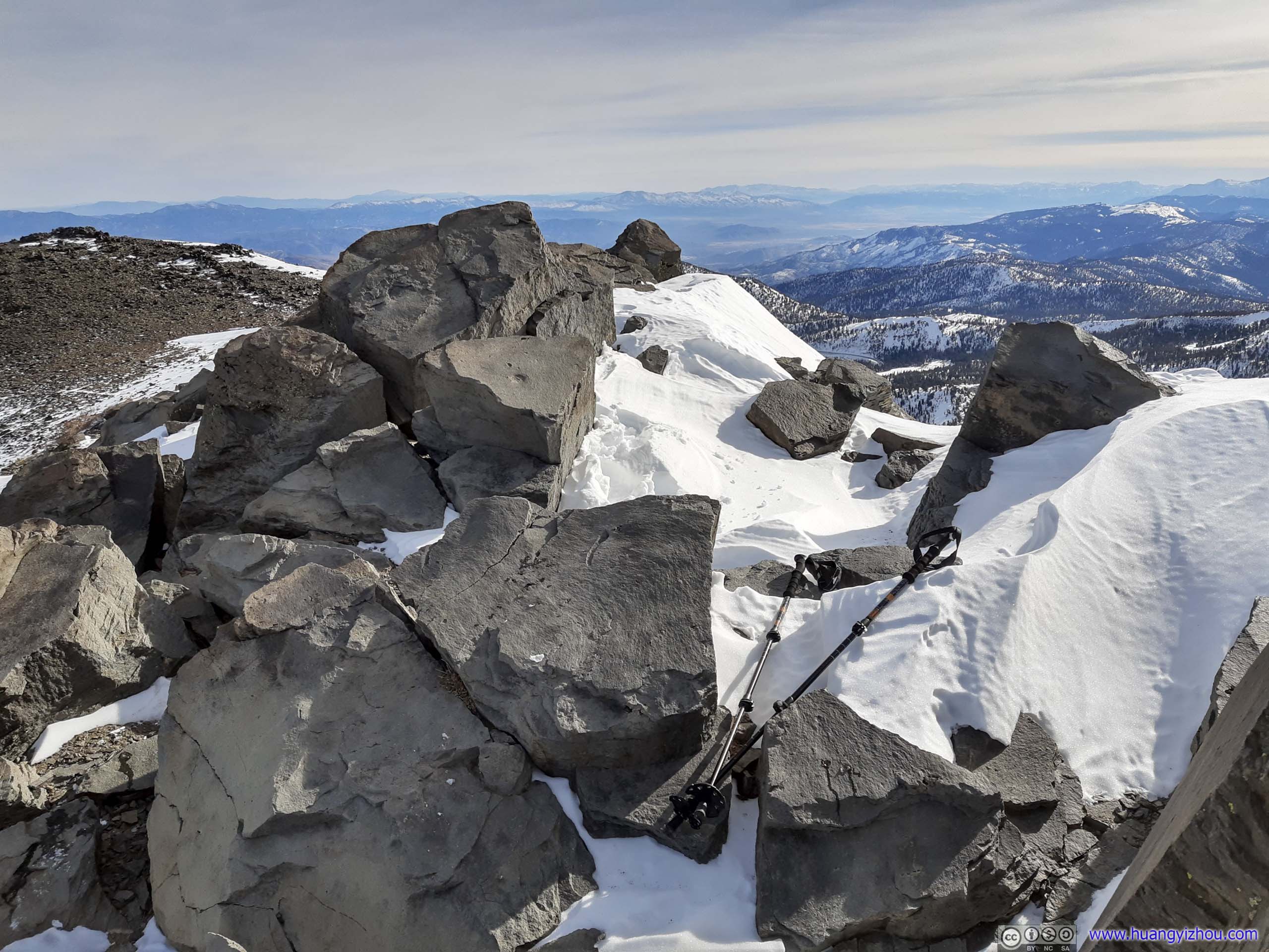
Mount Rose SummitA few rocks where I sat on, enjoying the view of Lake Tahoe while having my lunch.
Since wind wasn’t that grueling today, I chose to have my lunch at the summit, while enjoying the glittering Lake Tahoe below. After trying to shelter from wind while stuffing my stomach for the previous three days, finally it’s an enjoyable lunch with a view.

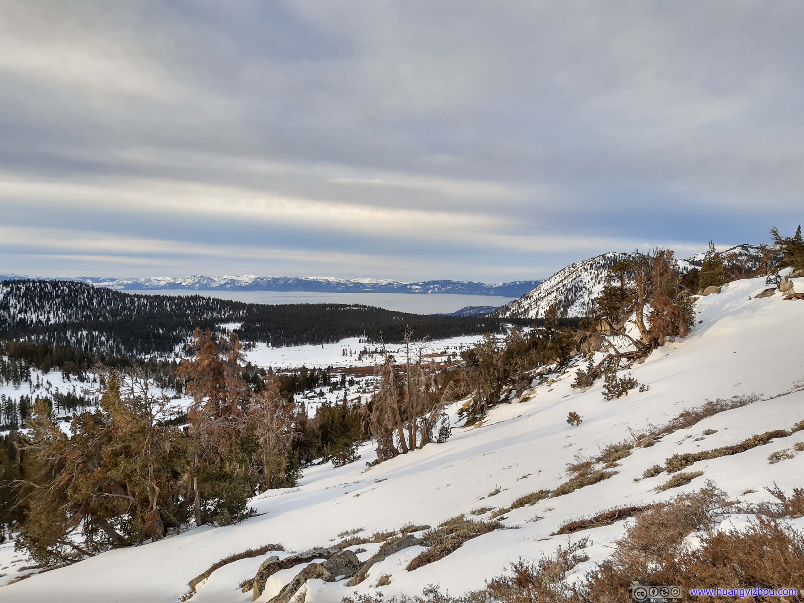
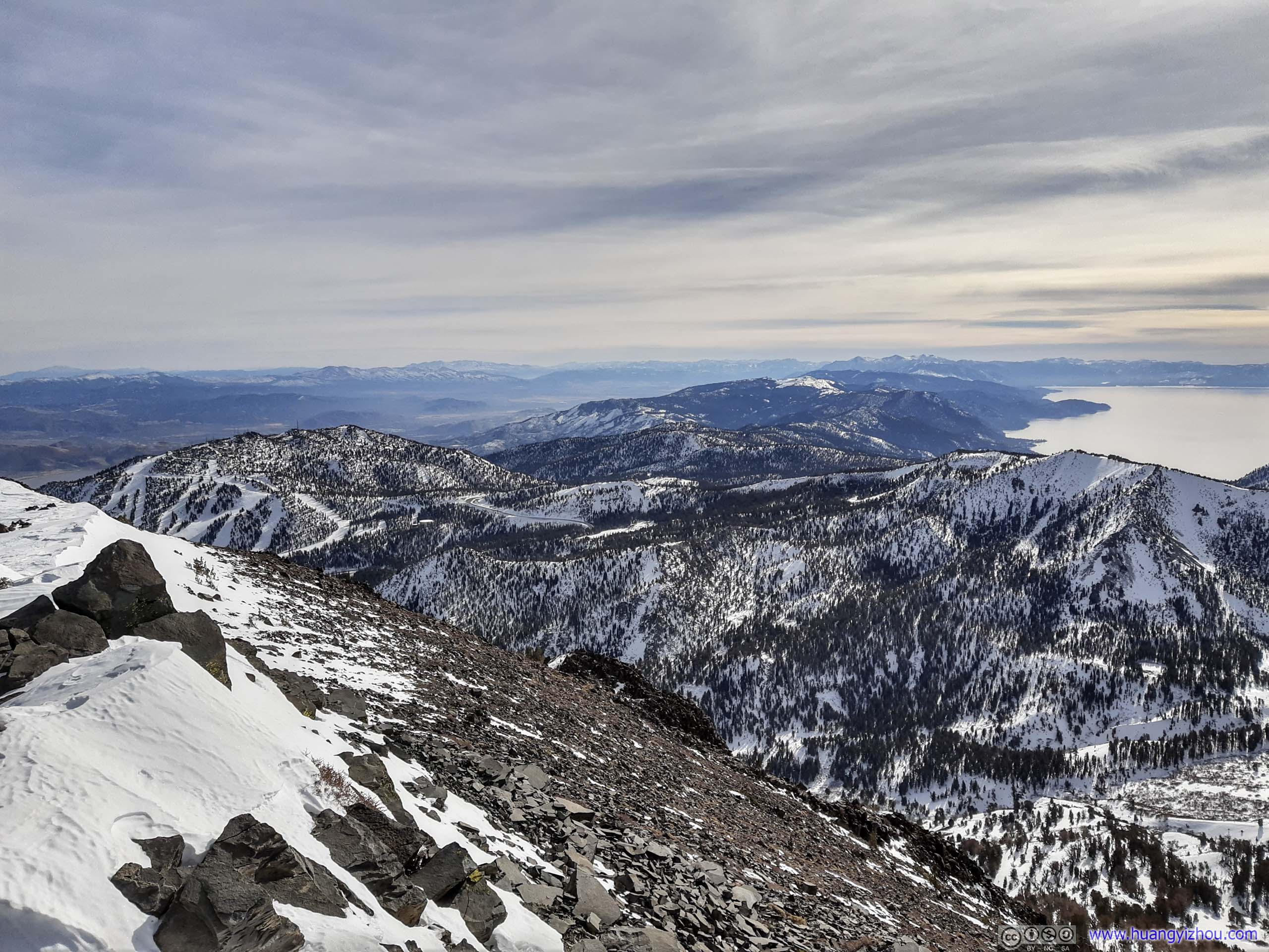
Lake Tahoe from Mount Rose
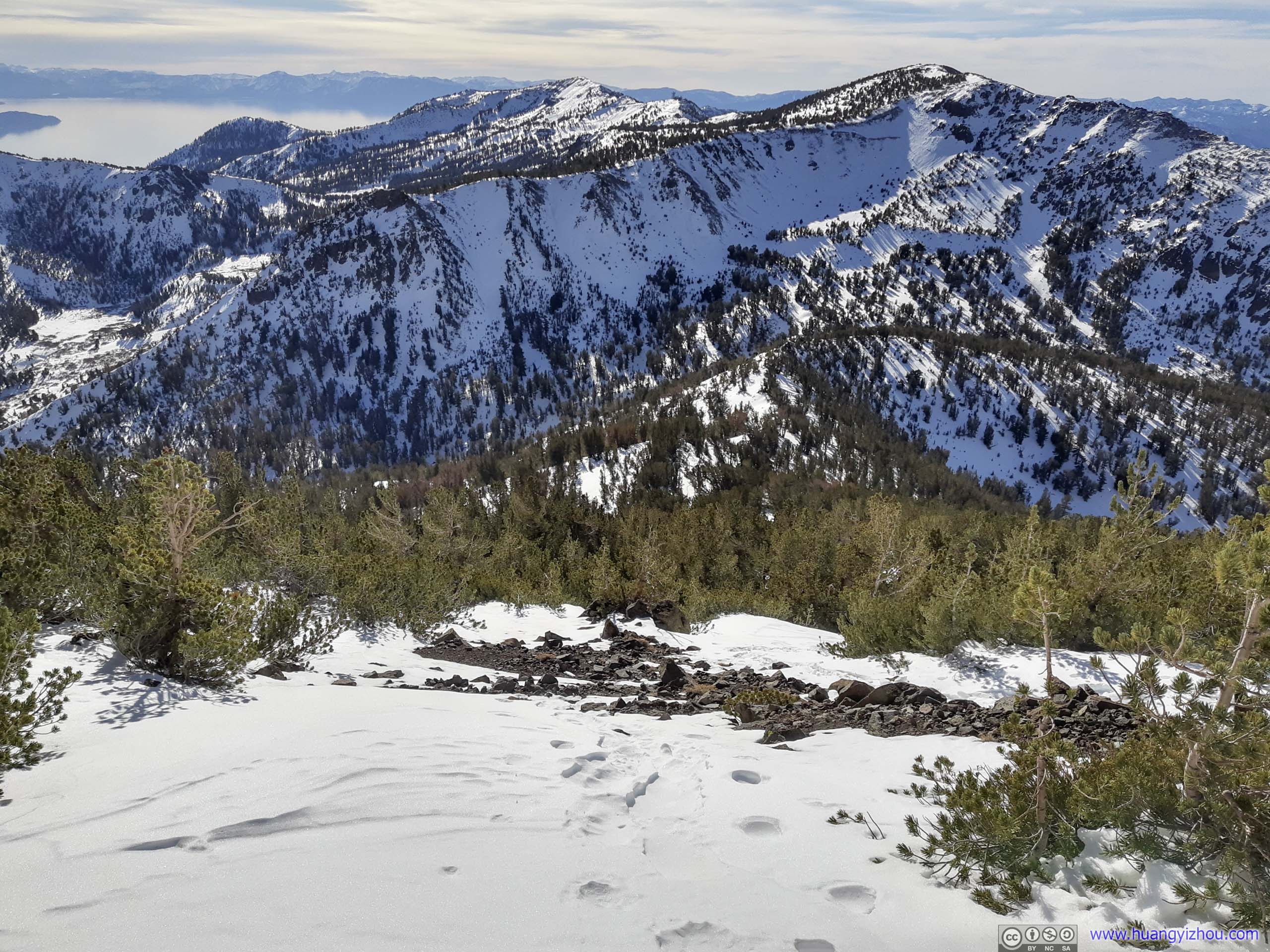
 Mountain RangesTo the south (left) and north (right).
City of Reno from Mount Rose

Mountains to the WestTahoe National Forest. Donner Pass in the center-left, which I would be visiting the next day.
Mount Houghton

Ridge to the East
Mountains and Lake Tahoe from Mount Rose Summit
In line with my tradition, I commemorated the moment with a drone video.
2x playback speed, 22 seconds, 2160p60fps, 12Mbps/33MB for H265, 13.3Mbps/37MB for H264.
Mount Rose and Lake Tahoe
After spending 50 minutes at the summit of Mount Rose, I started heading back at 1pm.
At the saddle point between Mount Rose and Mount Houghton and after leaving wilderness boundary, I had some more fun with my drone’s remaining batteries. So it’s 2:30pm by the time I left that saddle point.
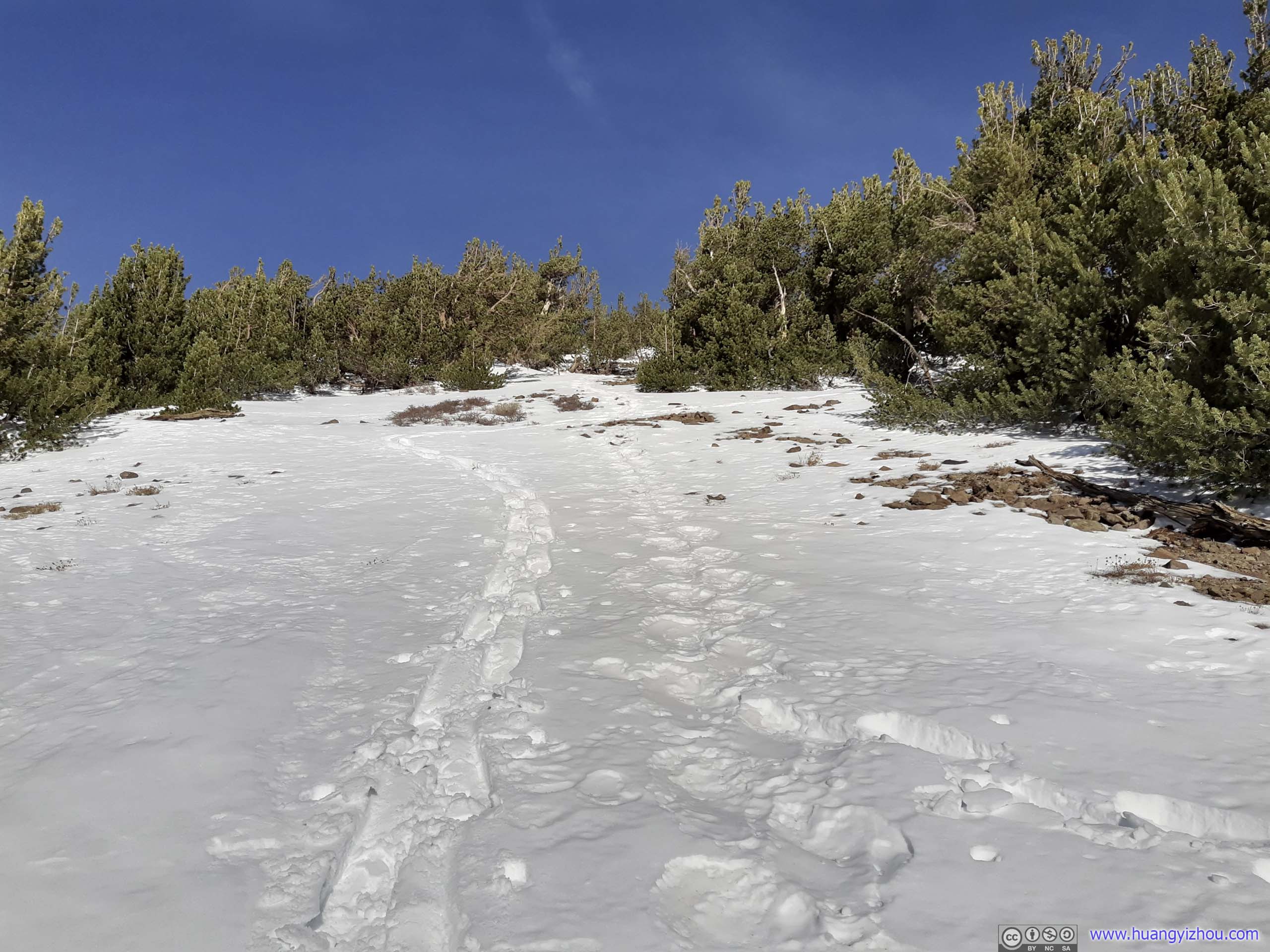
Unlike my ascent, the marked trail was following a gully downhill, which was easy to follow from the saddle point.

 Gully
Gully
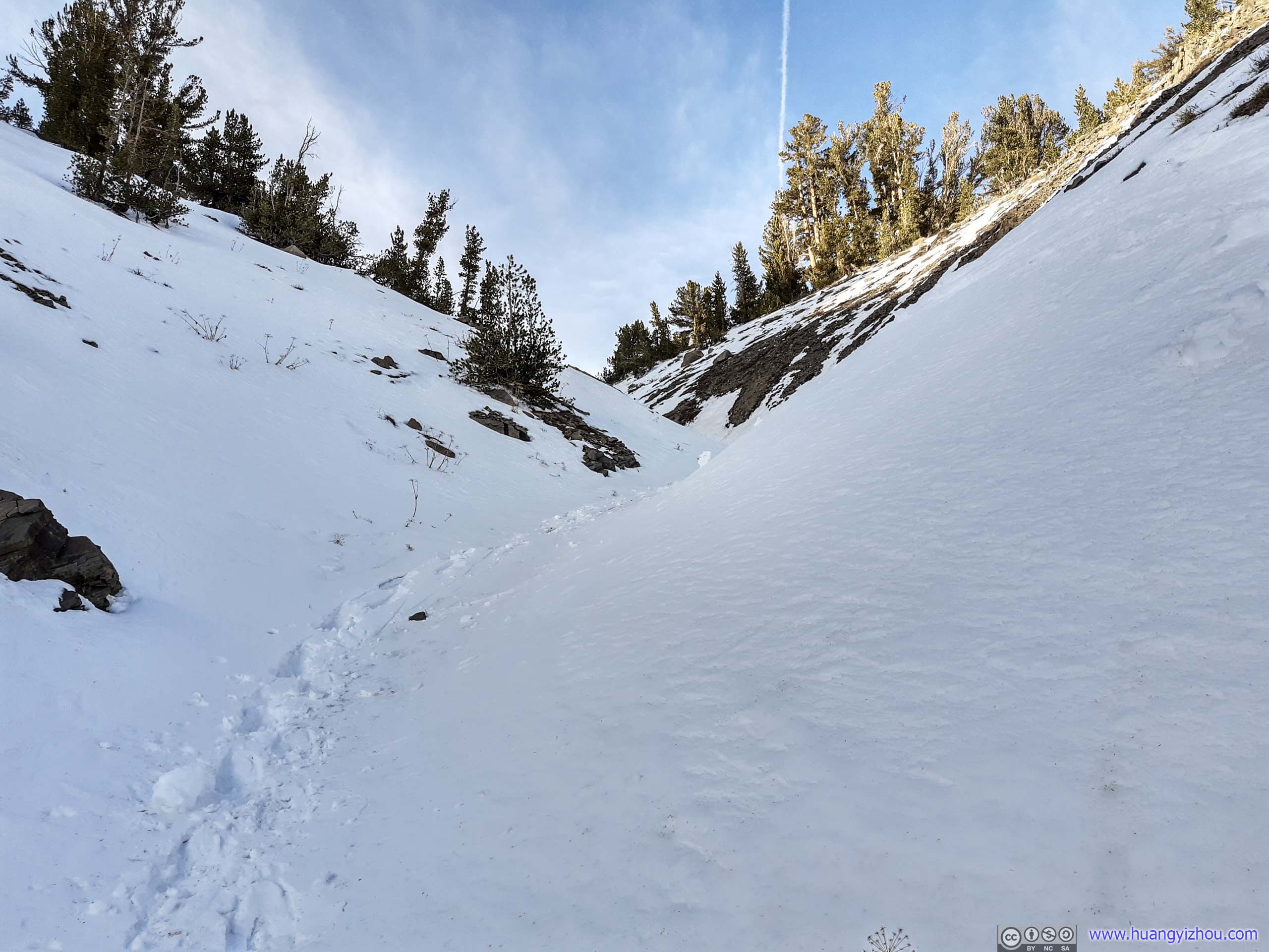
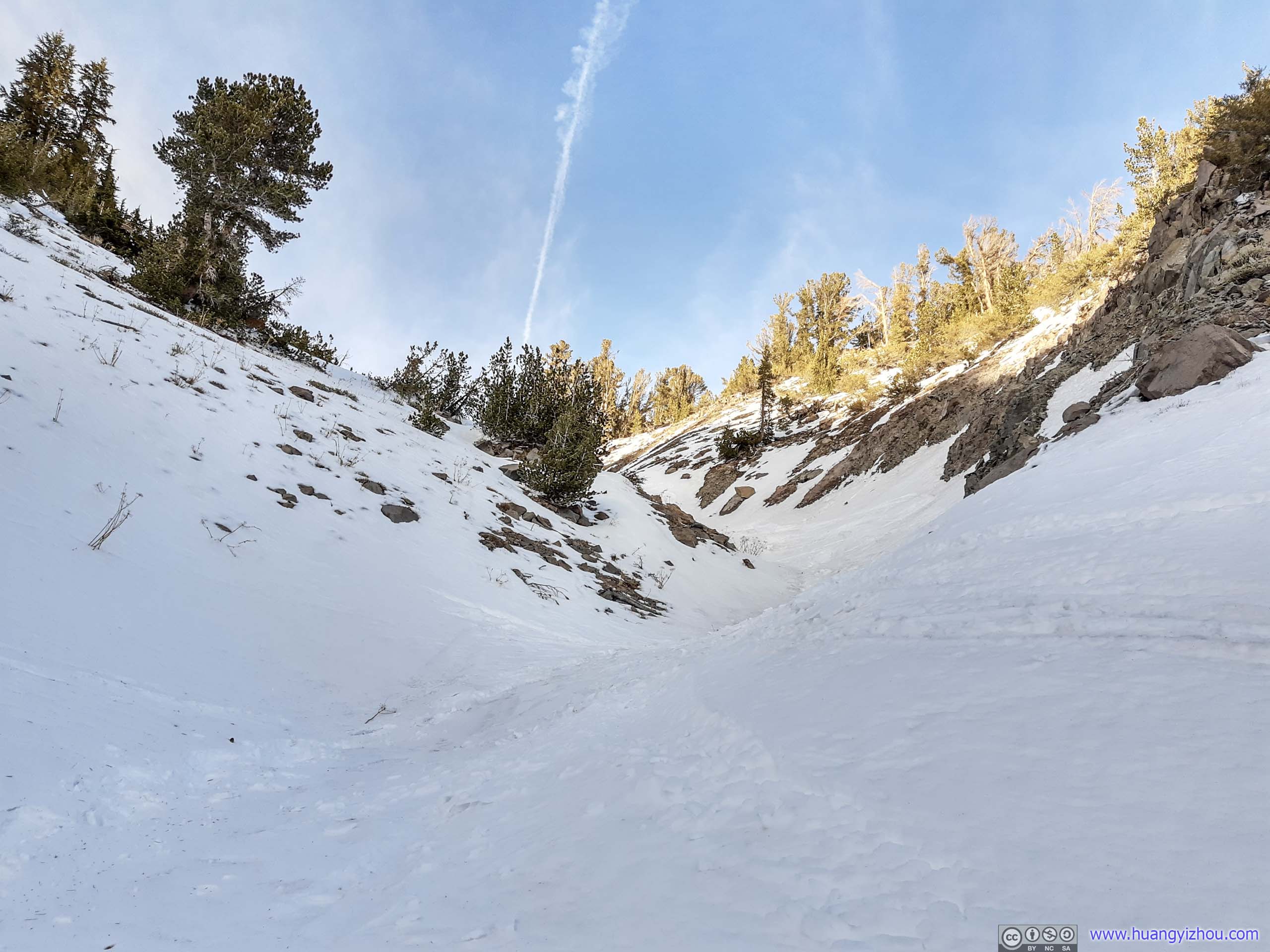
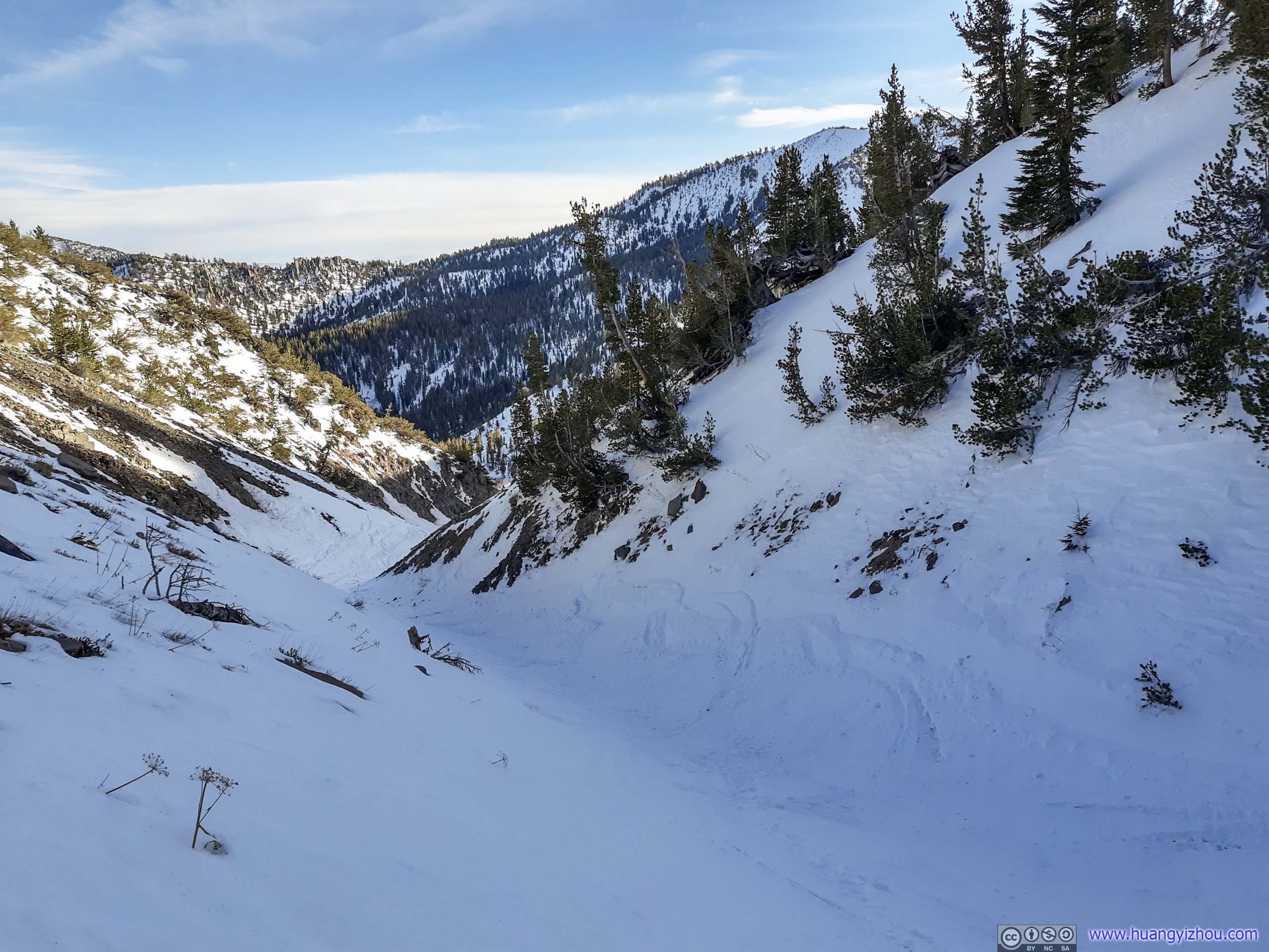
 Gully
Gully
It’s worth noting that about 700m from the saddle point, the official trail left the gully as it made its way around Mount Houghton.
Unfortunately, with all the surroundings covered in snow, I failed to identify the place of deviation. I was also having too much fun sliding down the gully, that by the time I realized I went off trail, I was 20m lower in elevation to the official trail 40m away.
It ended up taking me 20 minutes (covering only 200m) to remedy this mistake and went back on the trail, at times sidehilling in waist-deep snow that totally negated all the fun that I had sliding down the gully.
As a result of that, by the time I got to the fork of trail deciding which side of Tamarack Peak I should take heading back, it’s 3:30pm, about an hour to sunset. So without hesitancy, I picked the shorter northern route, which I was familiar with from the morning.
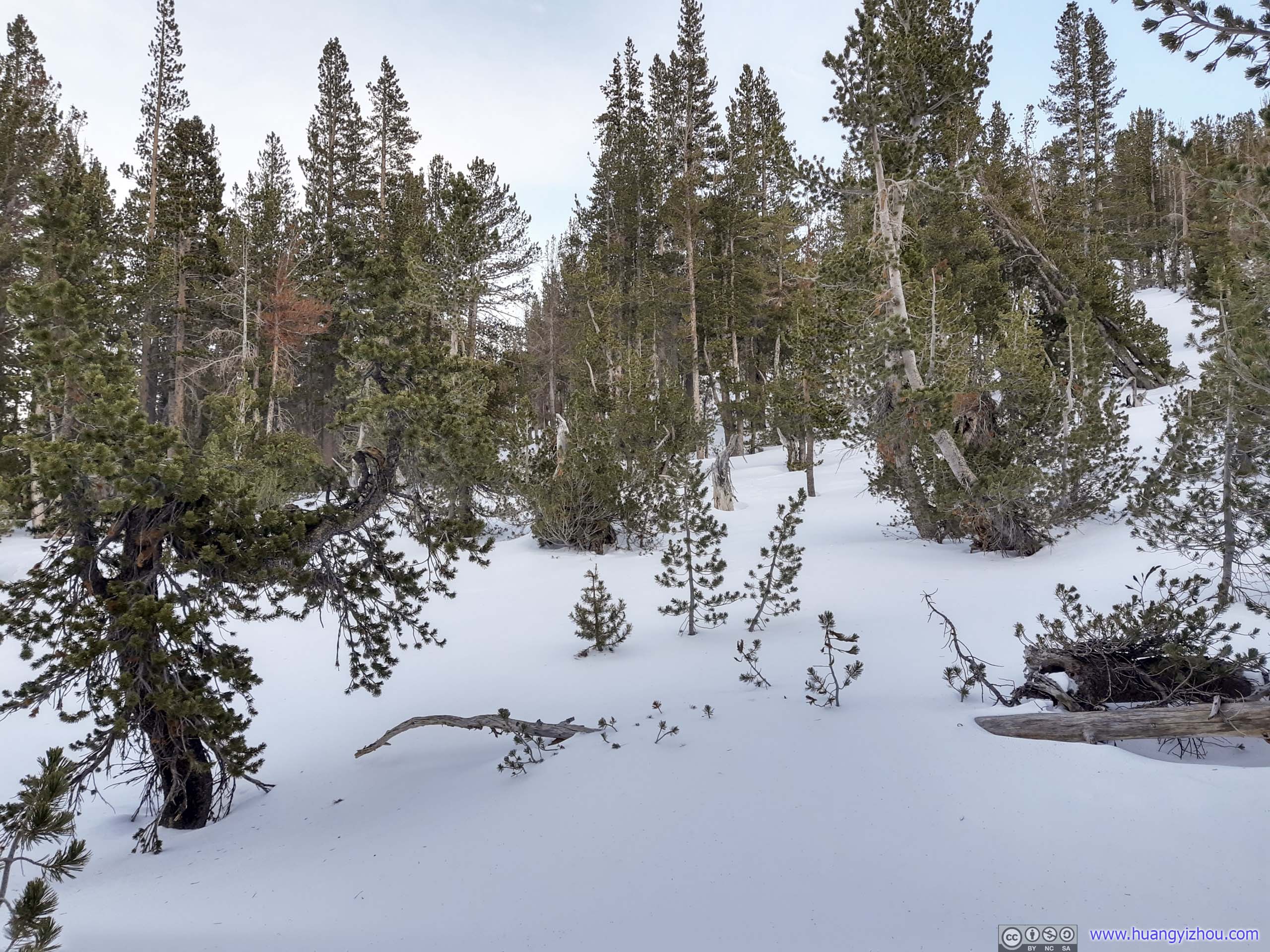

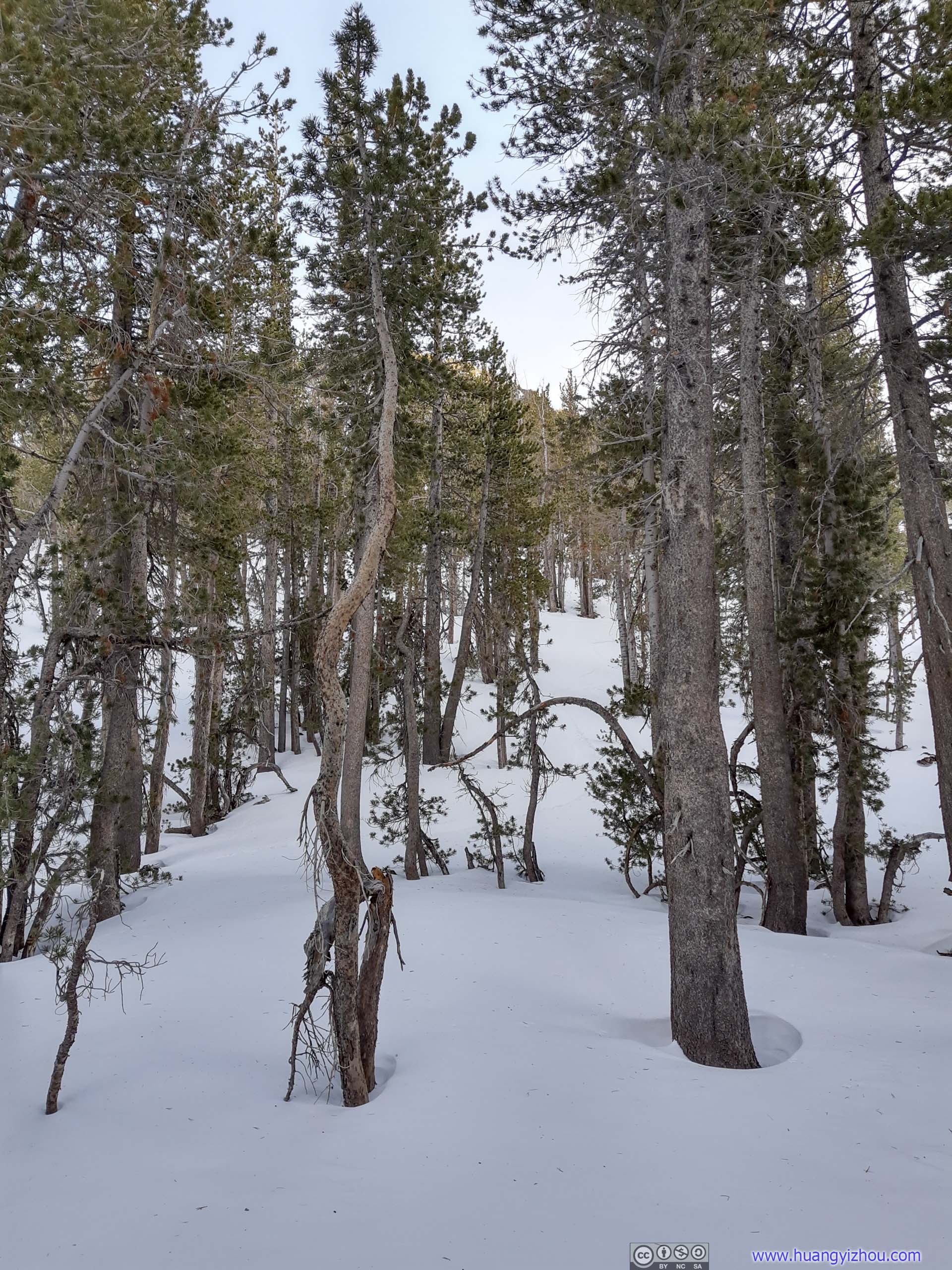
 Trees
Trees
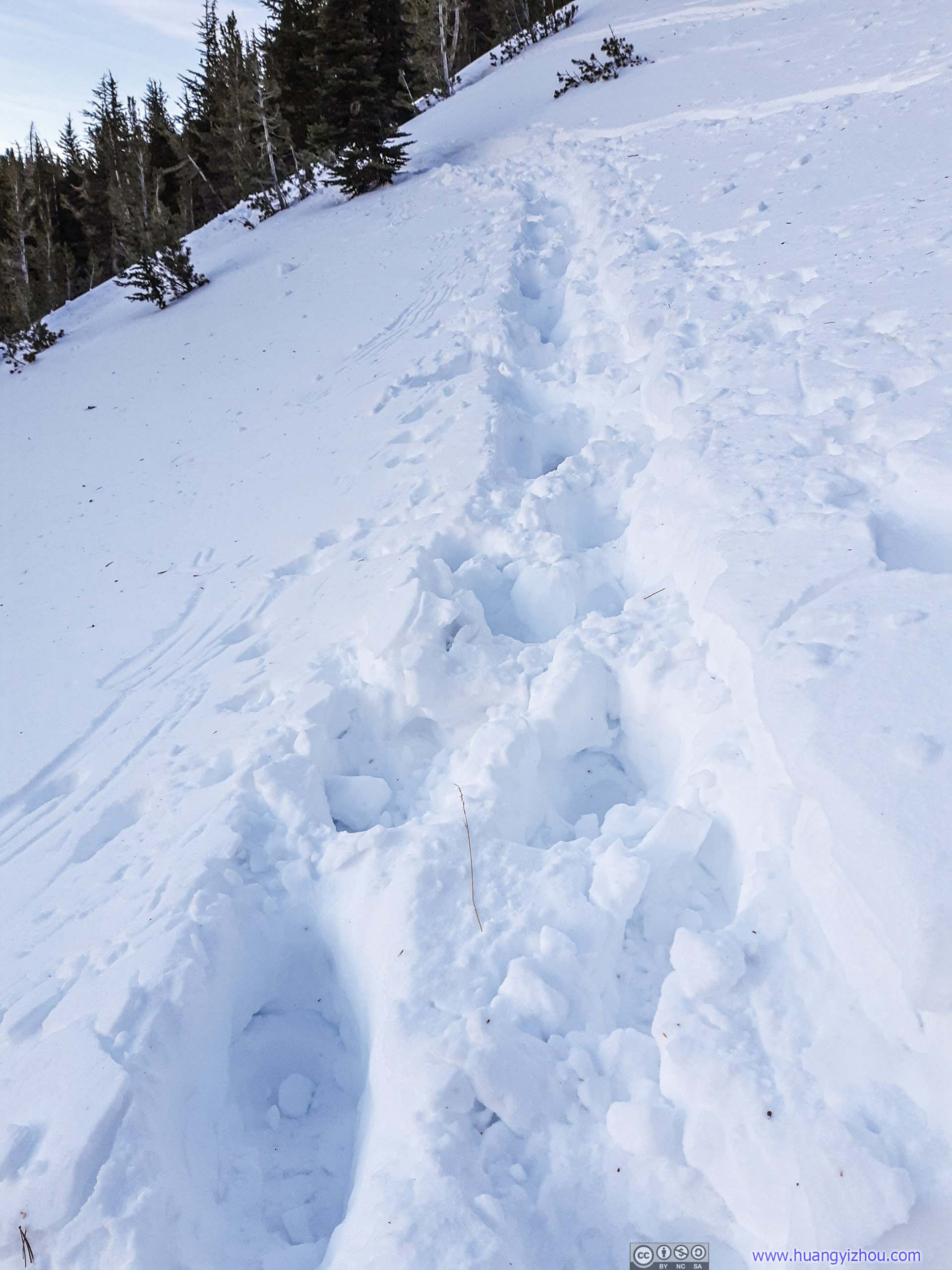
PostholingSomeone had a pretty bad day trying to make his/her way back to trailhead.
Yet with challenging sidehilling on the northern slope of Tamarack Peak, I only managed to get back to trailhead parking lot at 5:10pm, that’s about the end of civil twilight. Focusing on the bright side, the sunset glows over distant Lake Tahoe was spectacular.
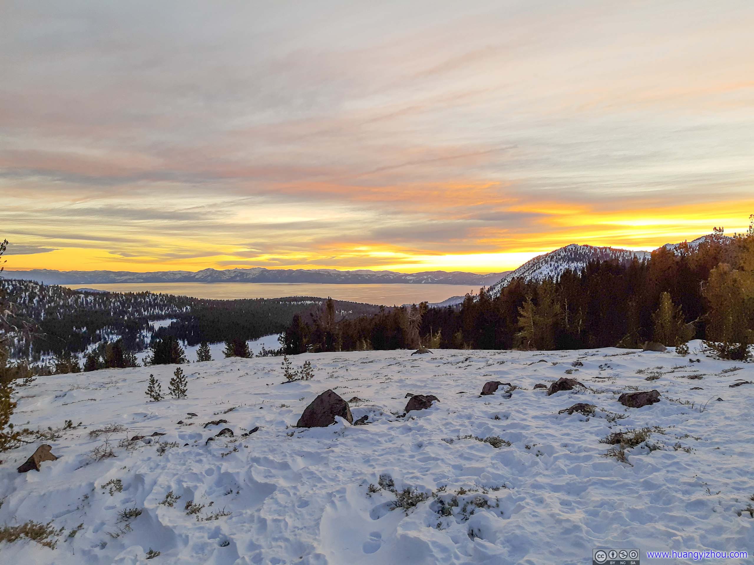
Lake Tahoe in Sunset Glow
END
![]() Day 4 of 2020 Lake Tahoe Trip, Snowshoing to Mount Rose by Huang's Site is licensed under a Creative Commons Attribution-NonCommercial-ShareAlike 4.0 International License.
Day 4 of 2020 Lake Tahoe Trip, Snowshoing to Mount Rose by Huang's Site is licensed under a Creative Commons Attribution-NonCommercial-ShareAlike 4.0 International License.