
Updated on August 30, 2021
Day 3 of 2021 Joshua Tree National Park Trip
Third day of my April 2021 southern California trip. I would spend a second full day in Joshua Tree National Park, visiting parts of the park that I left out during my first day of visit: Fortynine Palms Oasis, Split Rock, Barker Dam and Keys View.
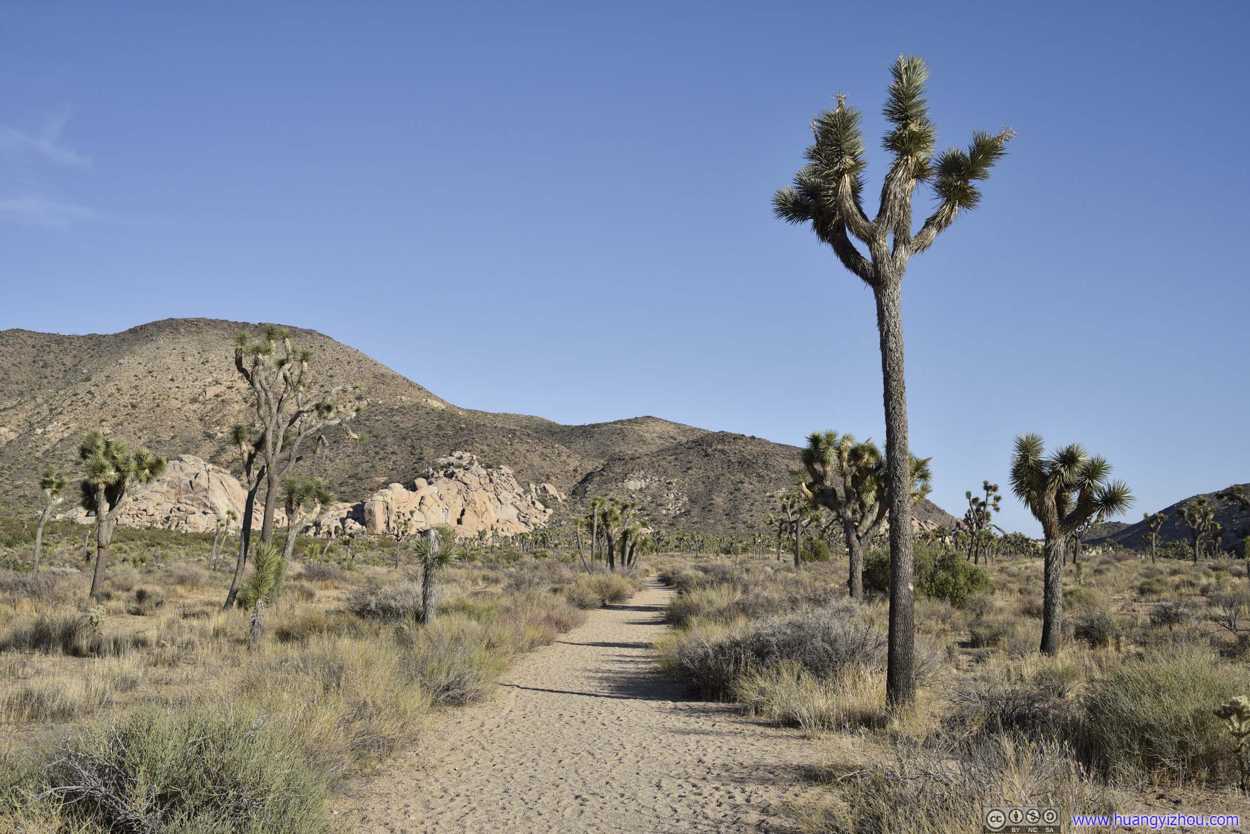
Fortynine Palms Oasis
Monday, April 12. While most attractions of Joshua Tree National Park could be visited in one full day, I had enough time for my visit to southern California this spring that I devoted two days to it. Today, I would be visiting the parts of the park that I skipped last Saturday, starting with Fortynine Palms Oasis.
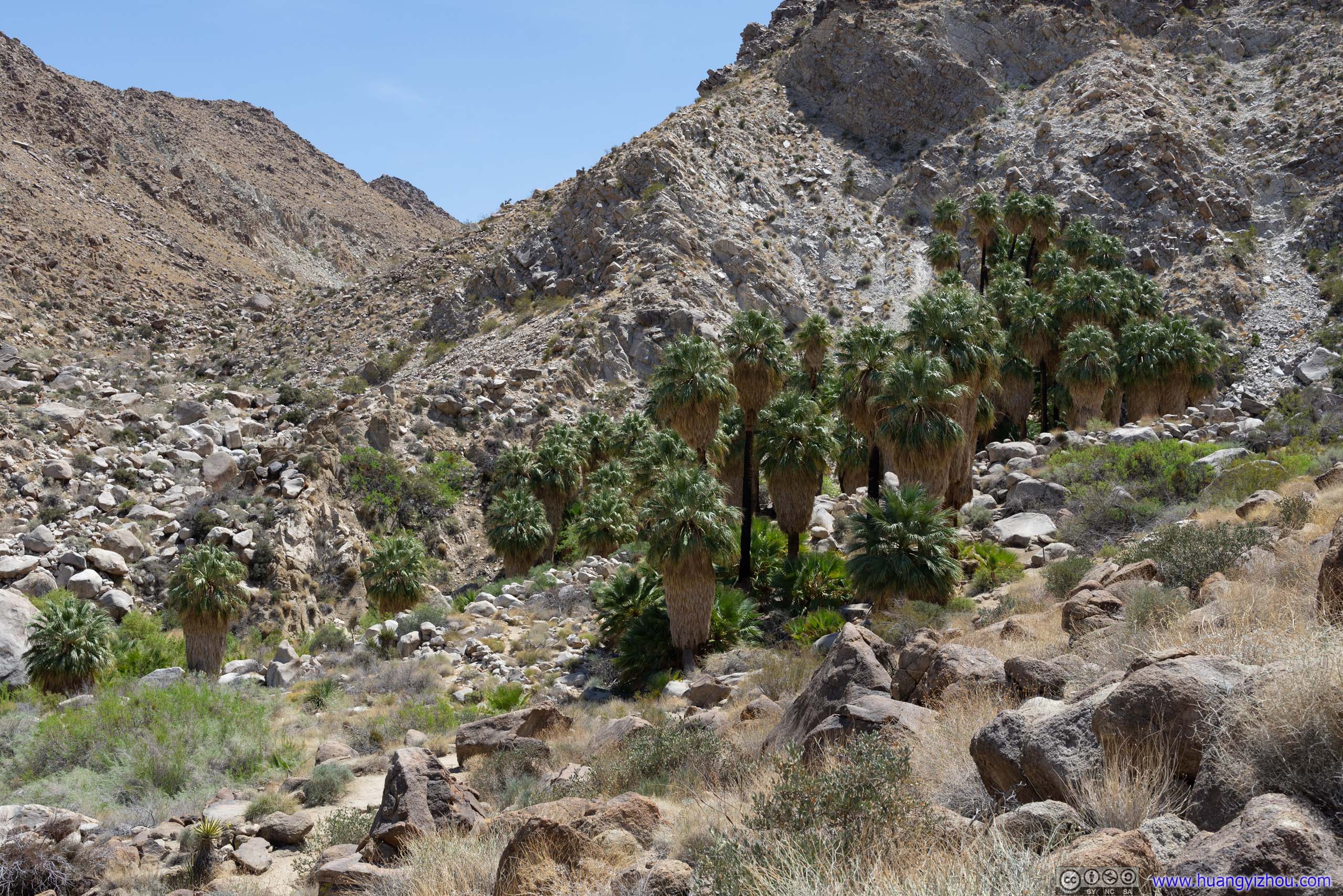
Fortynine Palms Oasis
Located off the main park road, Fortynine Palms Oasis seemed like an exclave of Joshua Tree National Park. Yet its high rating among the park’s trails spoke to its appeal and popularity. While it’s similar to Lost Palms Oasis that I hiked two days ago, where a long hike from trailhead led to an oasis in the desert with soaring palm trees, the trail is shorter at Fortynine Palm Oasis, and one could reach closer to the more spectacular cluster of palm trees here, so I definitely would recommend Fortynine Palm Oasis over Lost Palms Oasis.
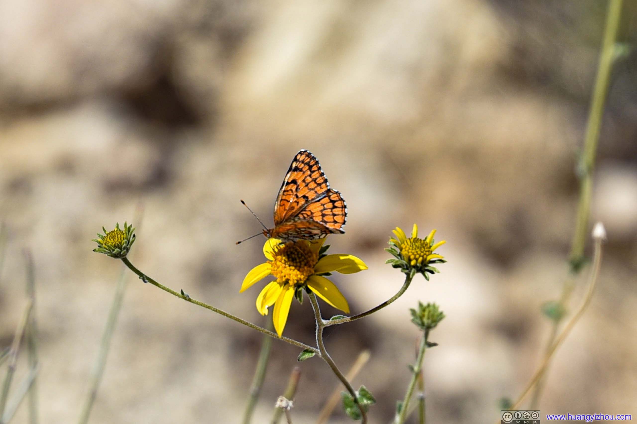
Butterfly on Flower
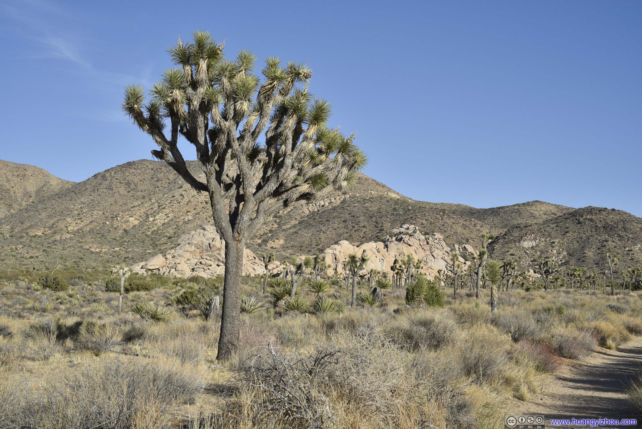
As for the trail, it’s a 5km out-and-back to Fortynine Palm Oasis with 194m of total elevation gain. Starting from trailhead, it’s a gentle slope up a small hill, before descending down to the oasis at about trailhead elevation level.
Here’s GPS tracking:
Hill
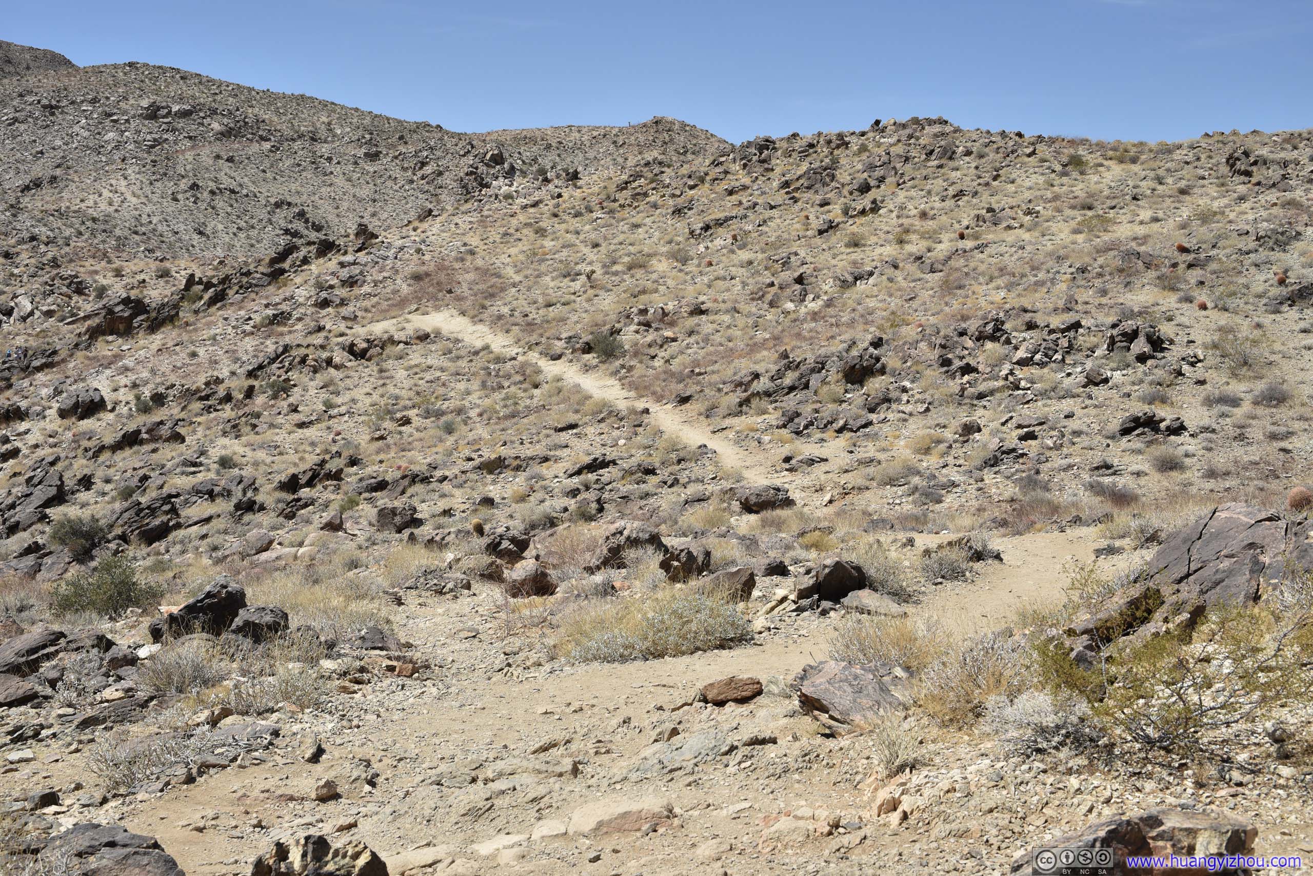
 Trail
Trail
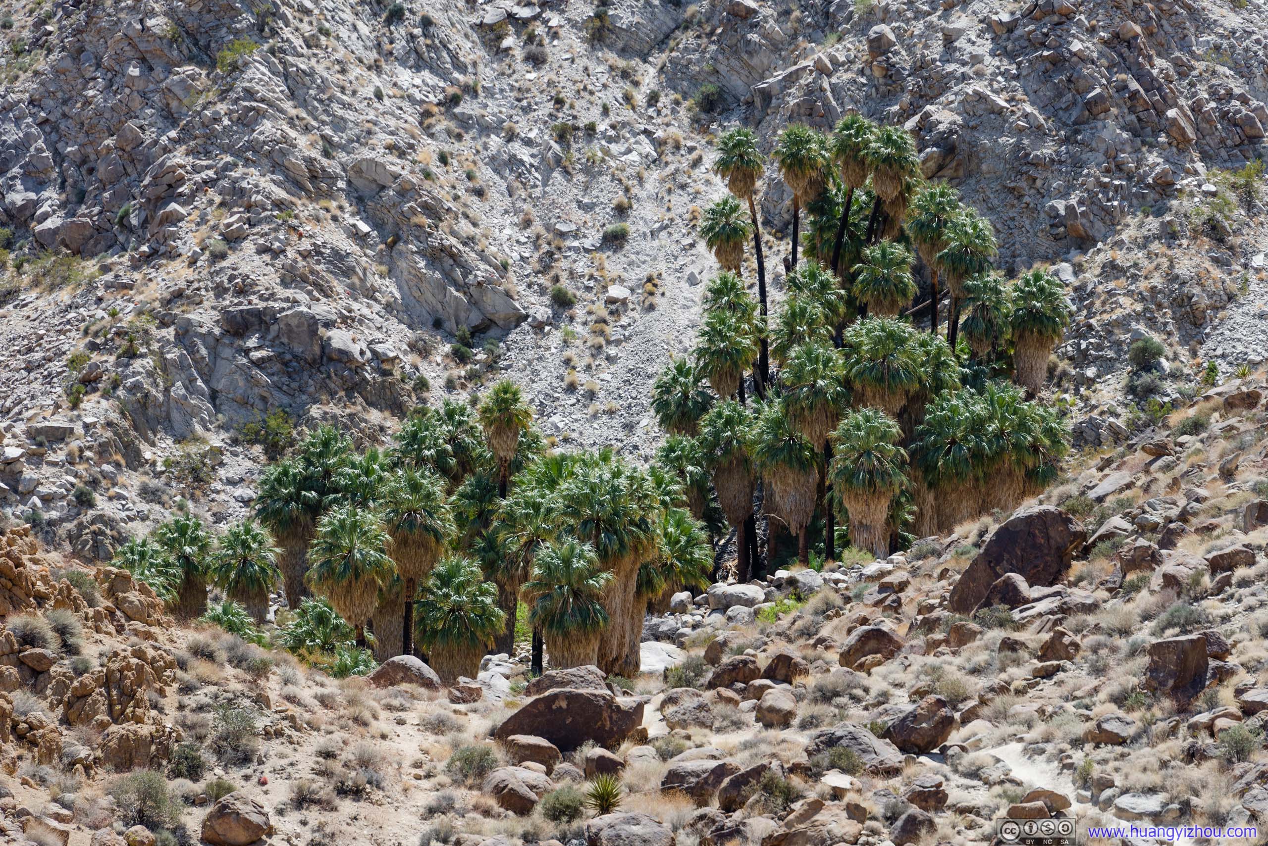
Fortynine Palms Oasis

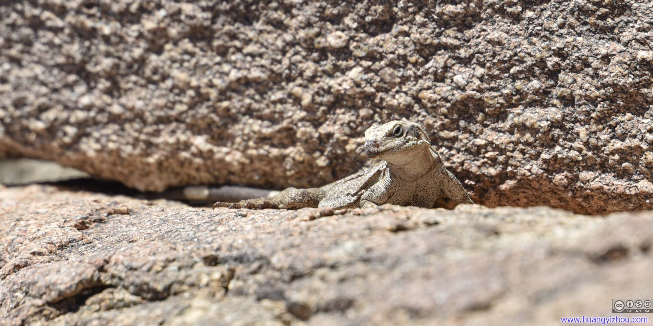
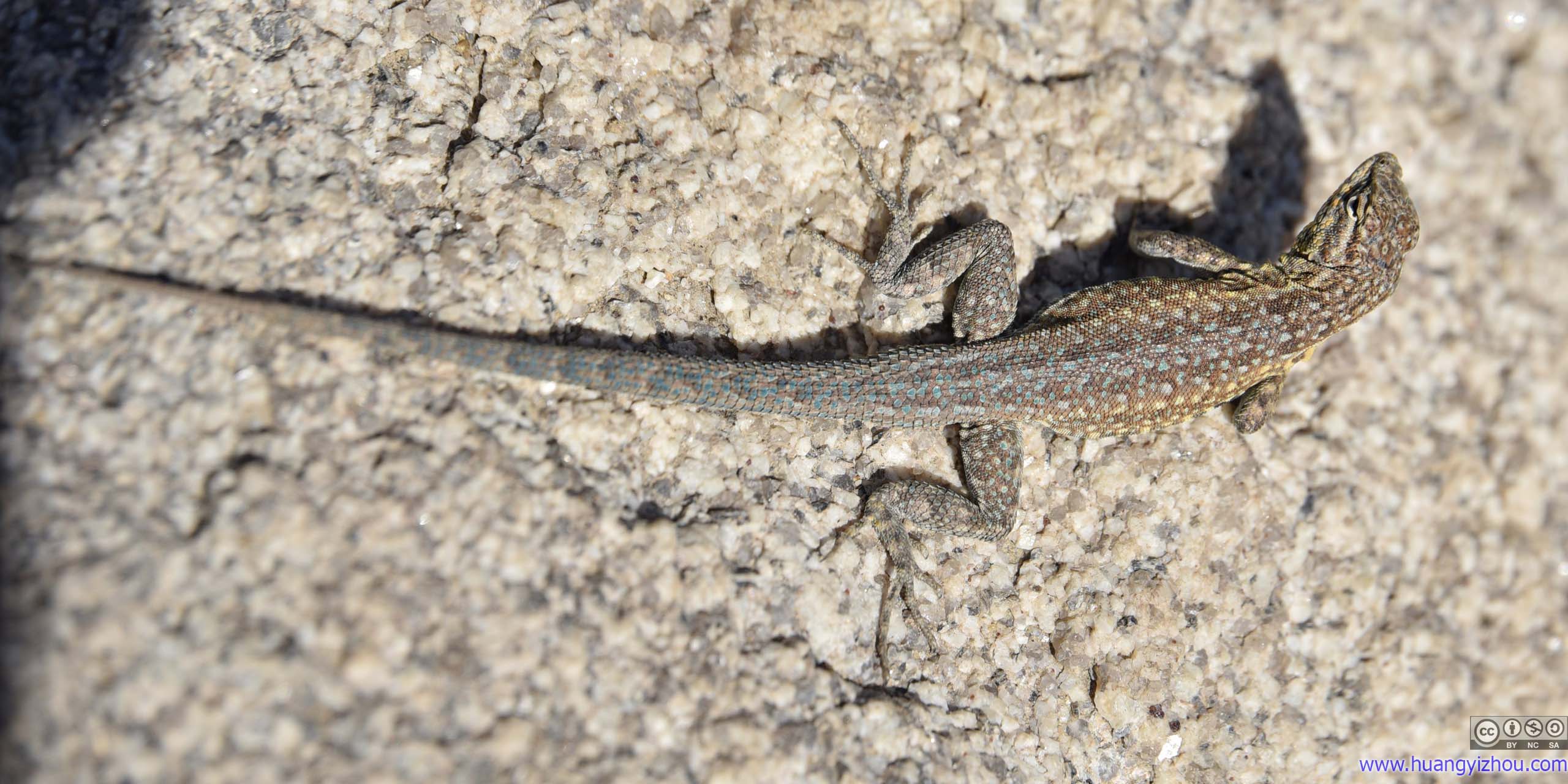
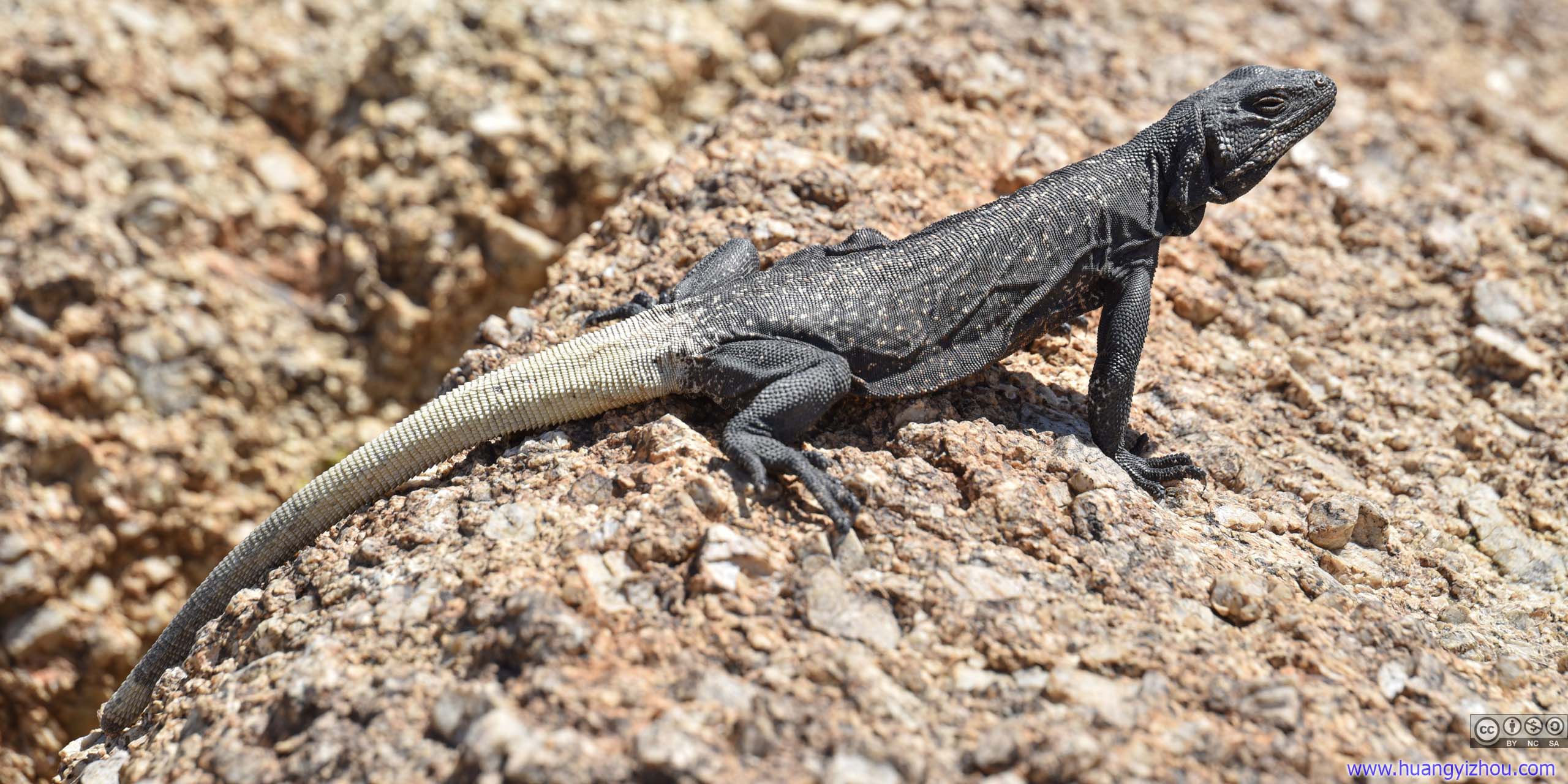 Lizard
Less than an hour after I started, I reached the end of trail, Fortynine Palms Oasis.


 Pond
Pond
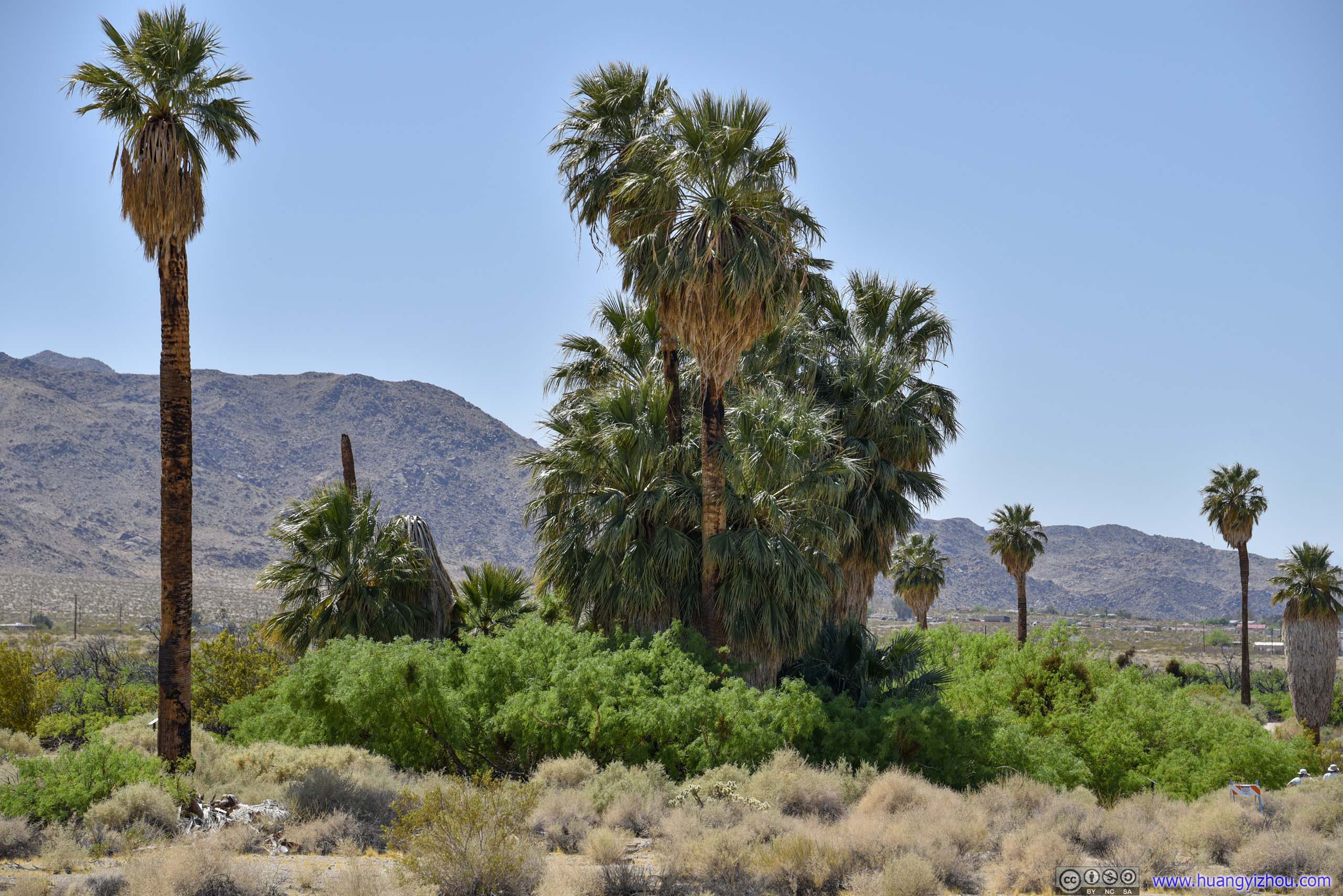
The sight of Fortynine Palm Oasis was stunning in that, it’s not located in some deep canyon that’s shaded from the sun, yet water abounded in the area to support life in its most spectacular form.
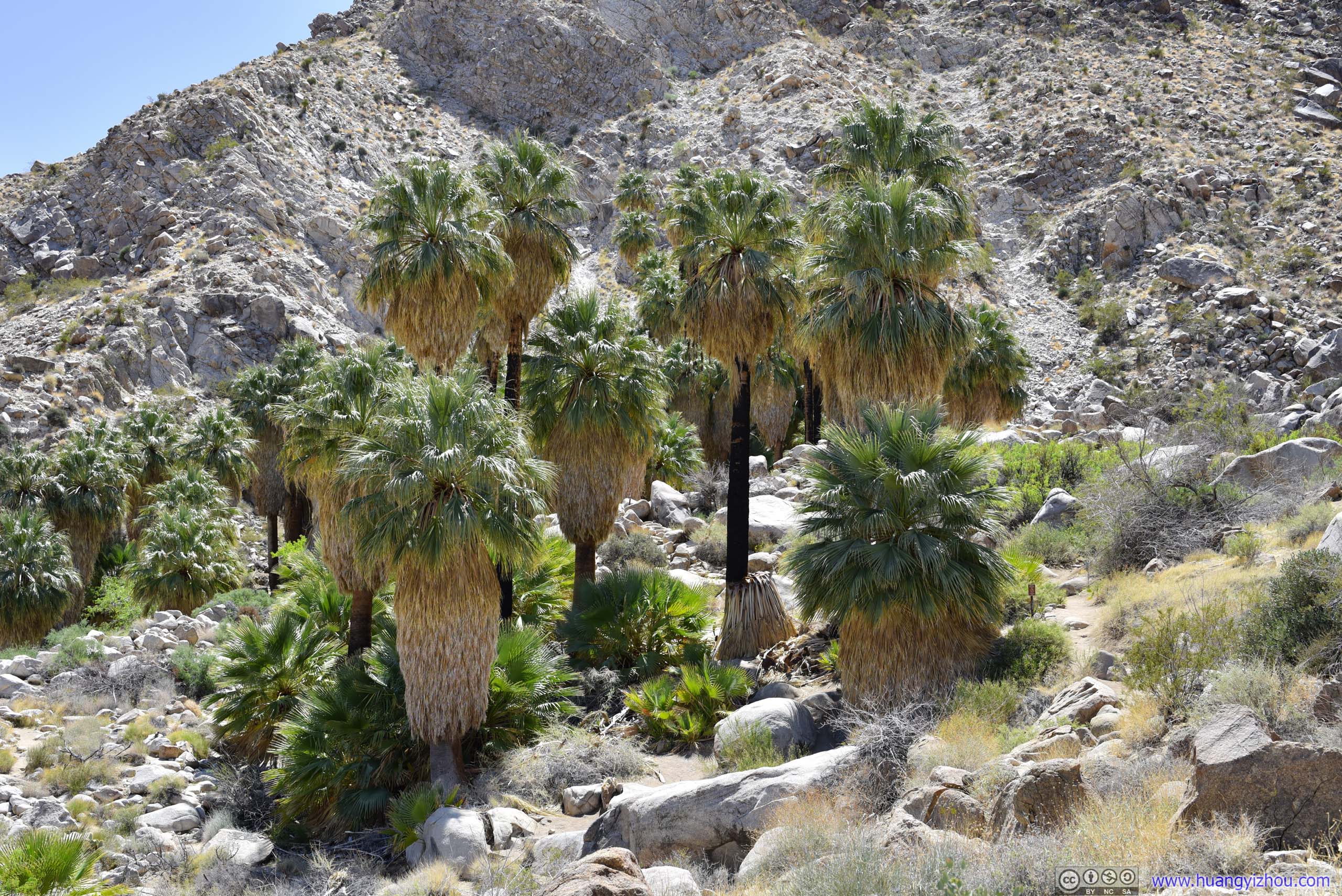
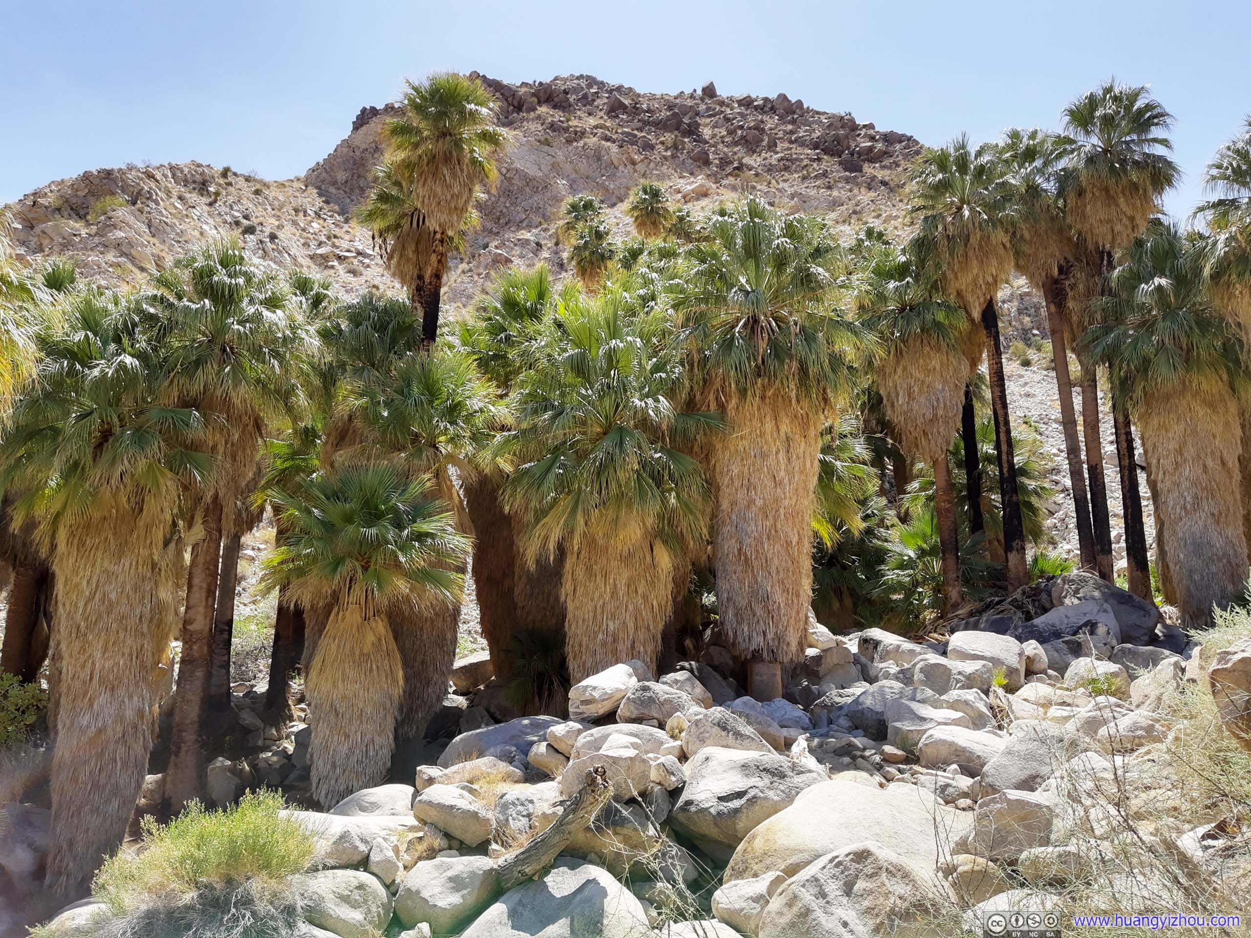
 Palm Trees
Not just palm trees, I also heard the sound of birds and frogs (I think) at Fortynine Palms Oasis, complementing the eco-system. Despite invisible, their sounds were pretty uplifting in this arid desert.
On the downside, there were a few annoying bugs near the oasis. They weren’t as bad as two days ago at Lost Palms Oasis, but a nuisance nonetheless.
 FlowersClose to oasis where there’s water. The only flowers I saw along the trail.
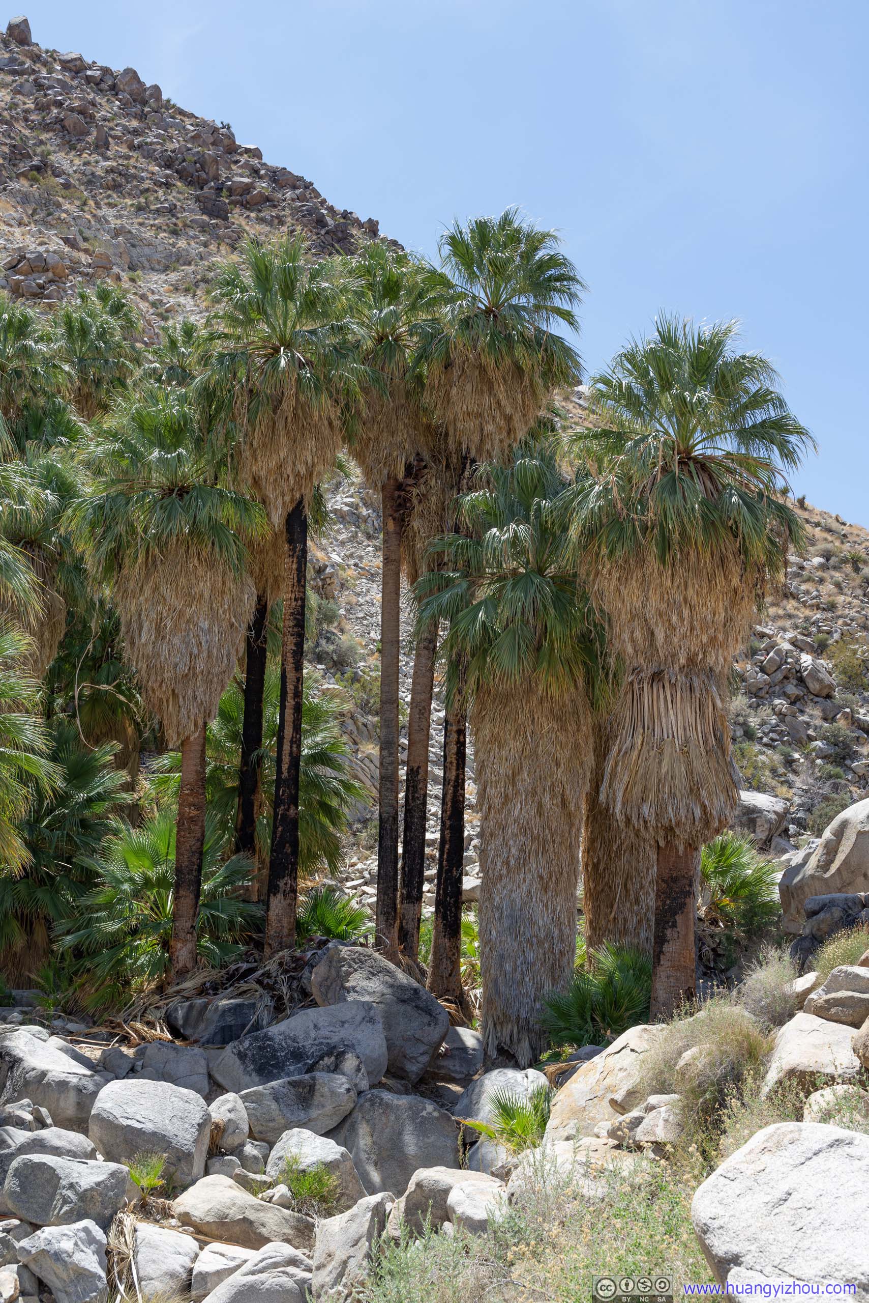
Fortynine Palms OasisI was only carrying a 35-150mm lens, which wasn’t wide enough for the breadth of the oasis, so I stitched a few photos together.

 Palm Trees
Unfortunately, the edge of the oasis was as far as the park allowed visitors to go, as the actual oasis was “fragile eco area” that’s easily disturbed by human activities. So I sat for about 15 minutes on its perimeter admiring this wondrous display of life, before heading back.
Palm Trees in Valley
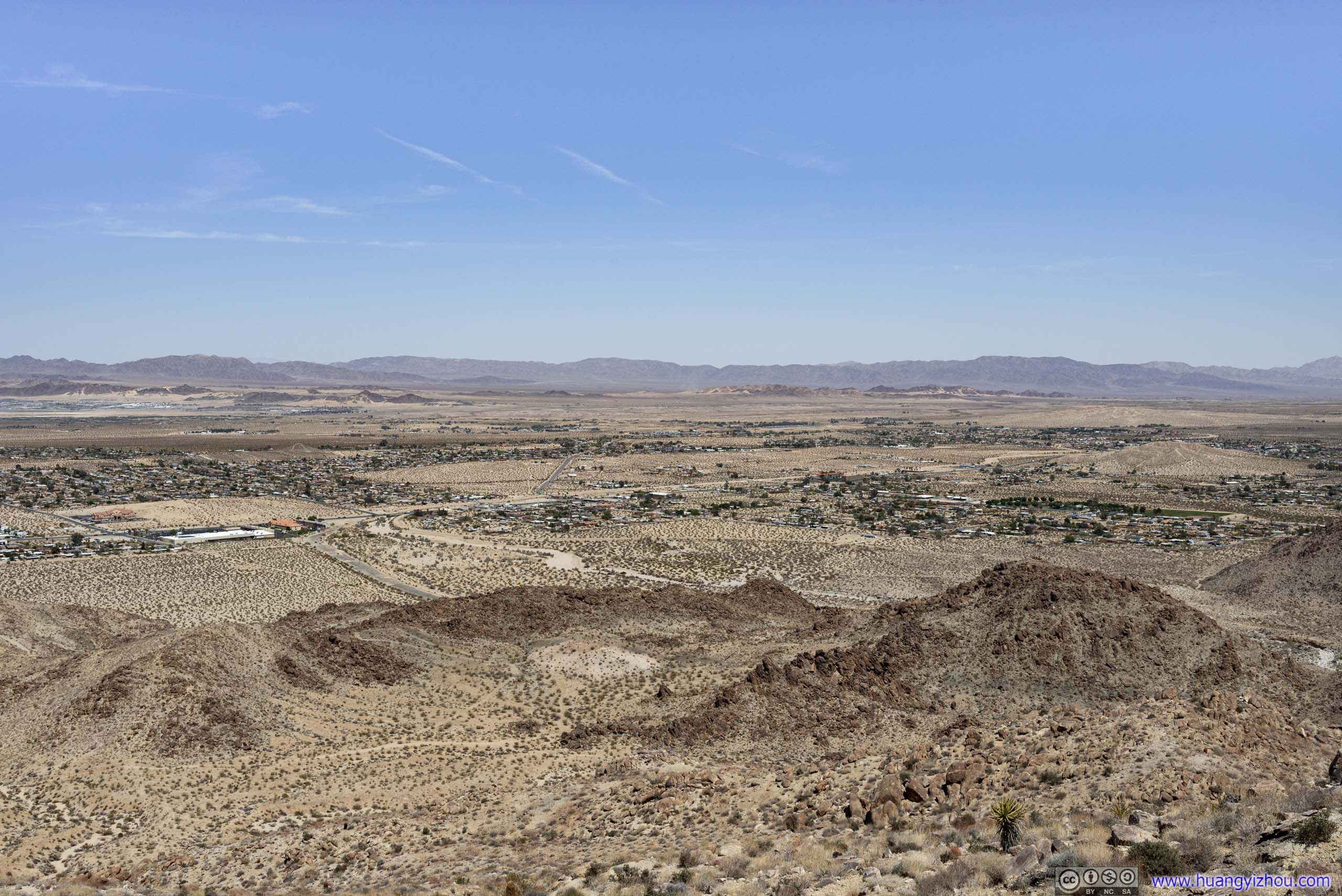 Fields to the NorthFrom the highest point of the hike with clear views of the north.
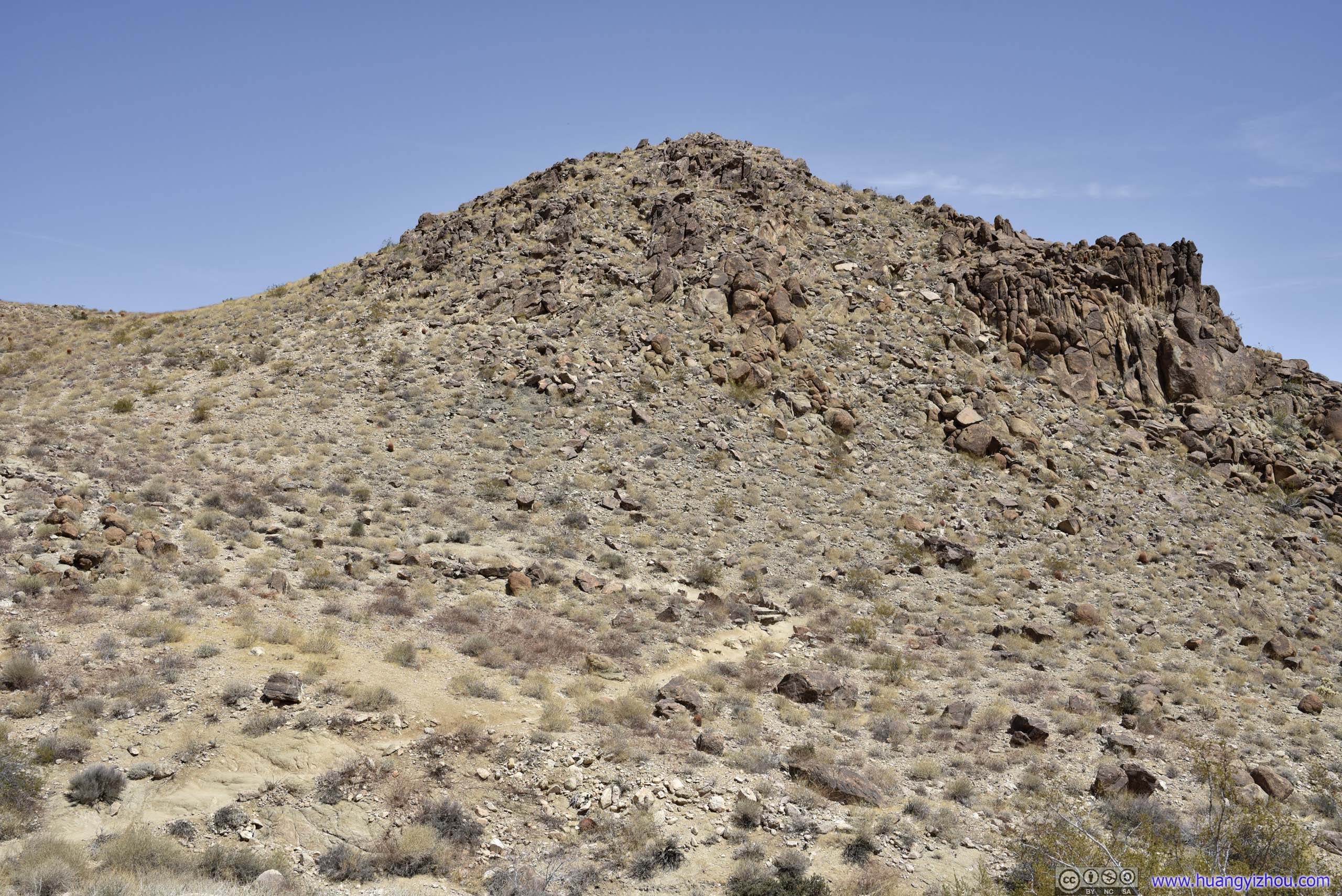
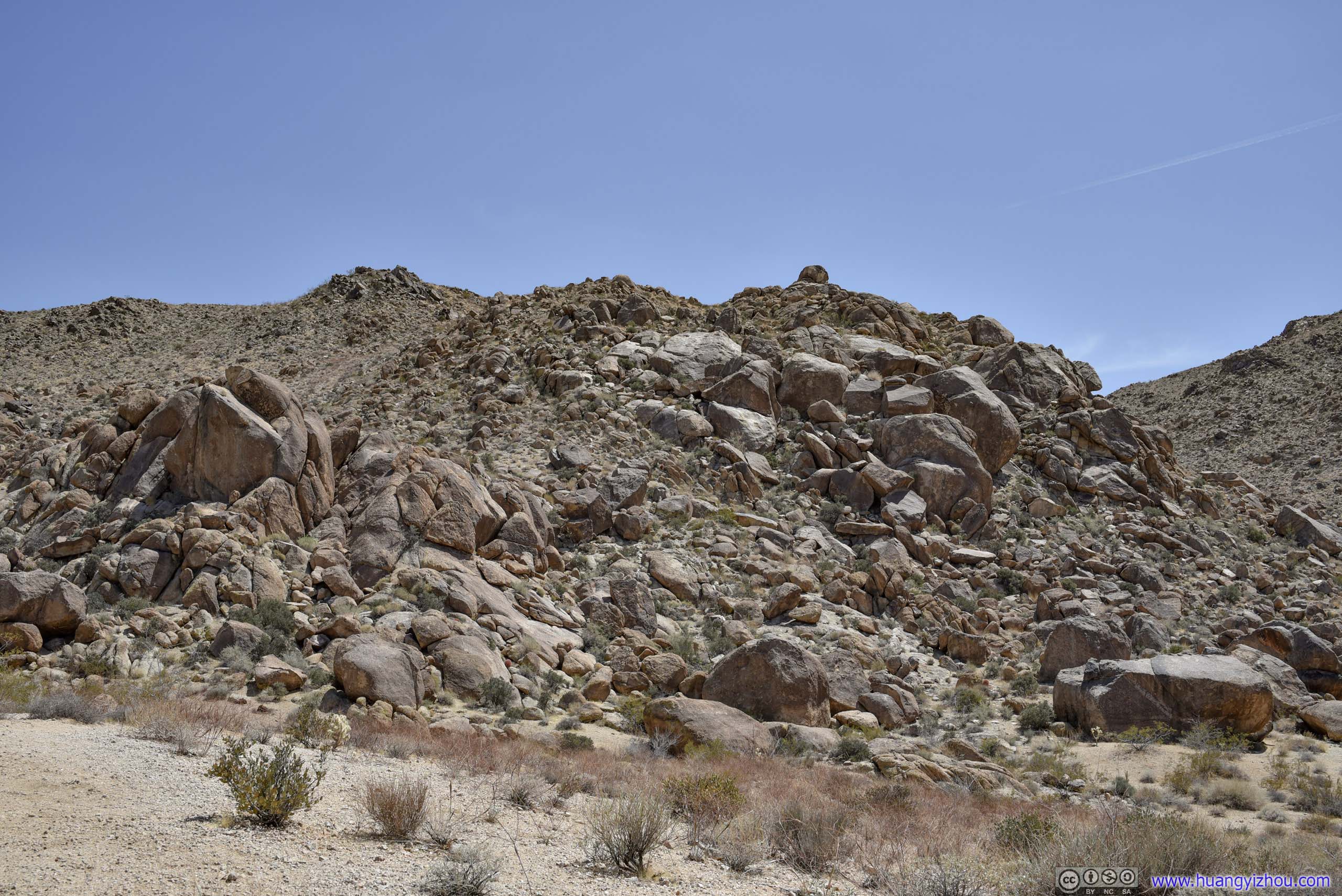 Rocks
Rocks
Including rests, Fortynine Palms Oasis Trail only took me a bit over 2 hours, and I would no doubt rate it above Lost Palms Oasis.
After that, I drove to the nearby Oasis Visitor Center of Joshua Tree National Park, took some rest and replenished my water supply, before venturing into the park. That’s also where I had my lunch.
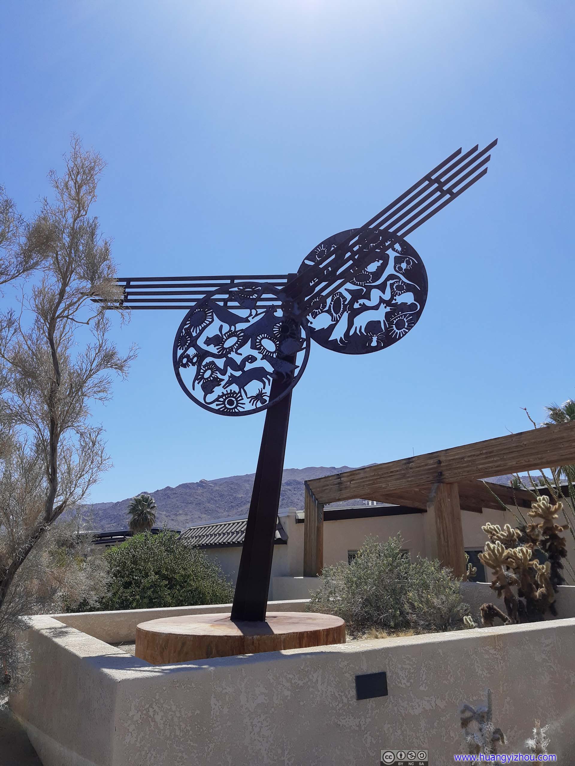
Sculpture at Visitor Center
Palm Trees
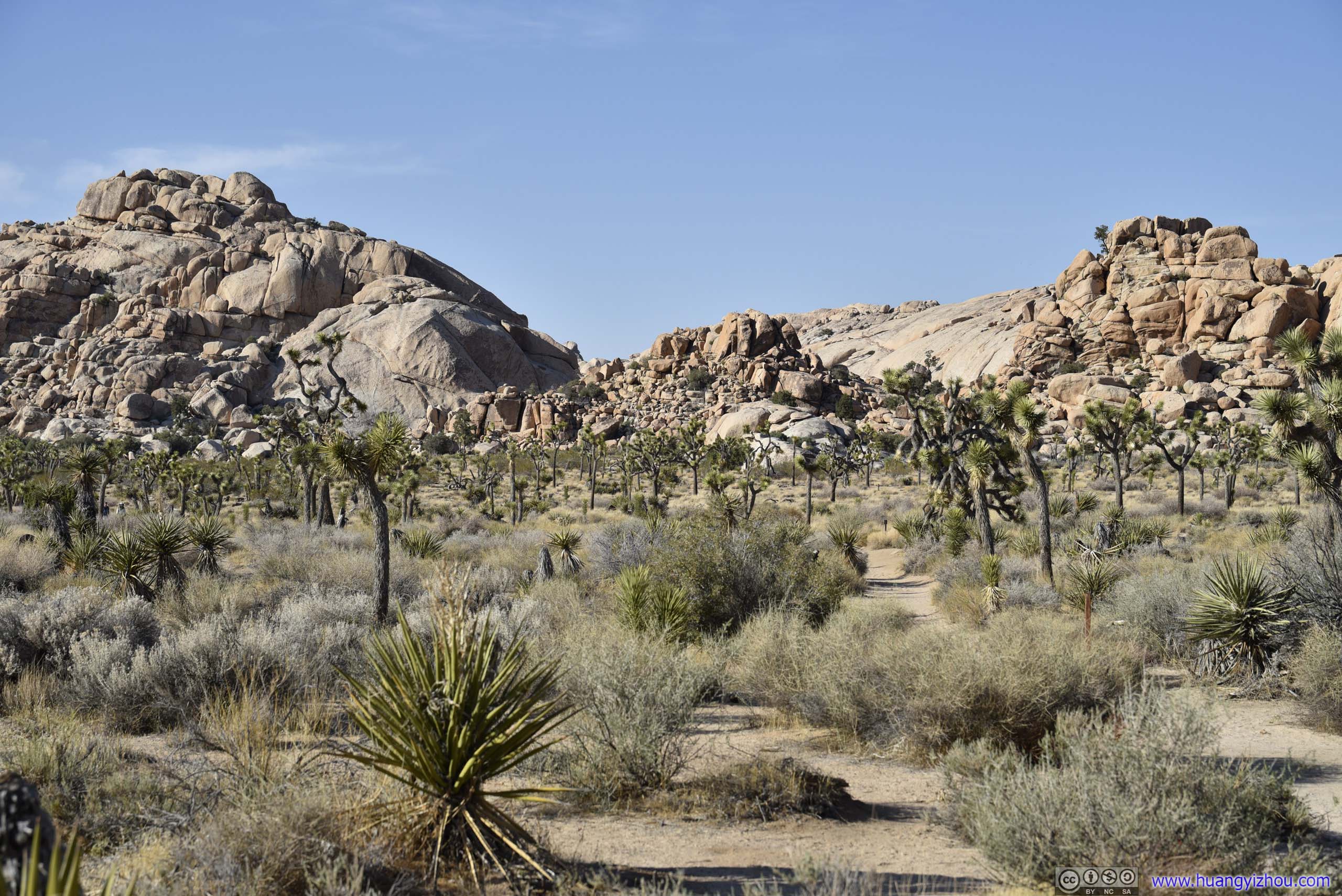
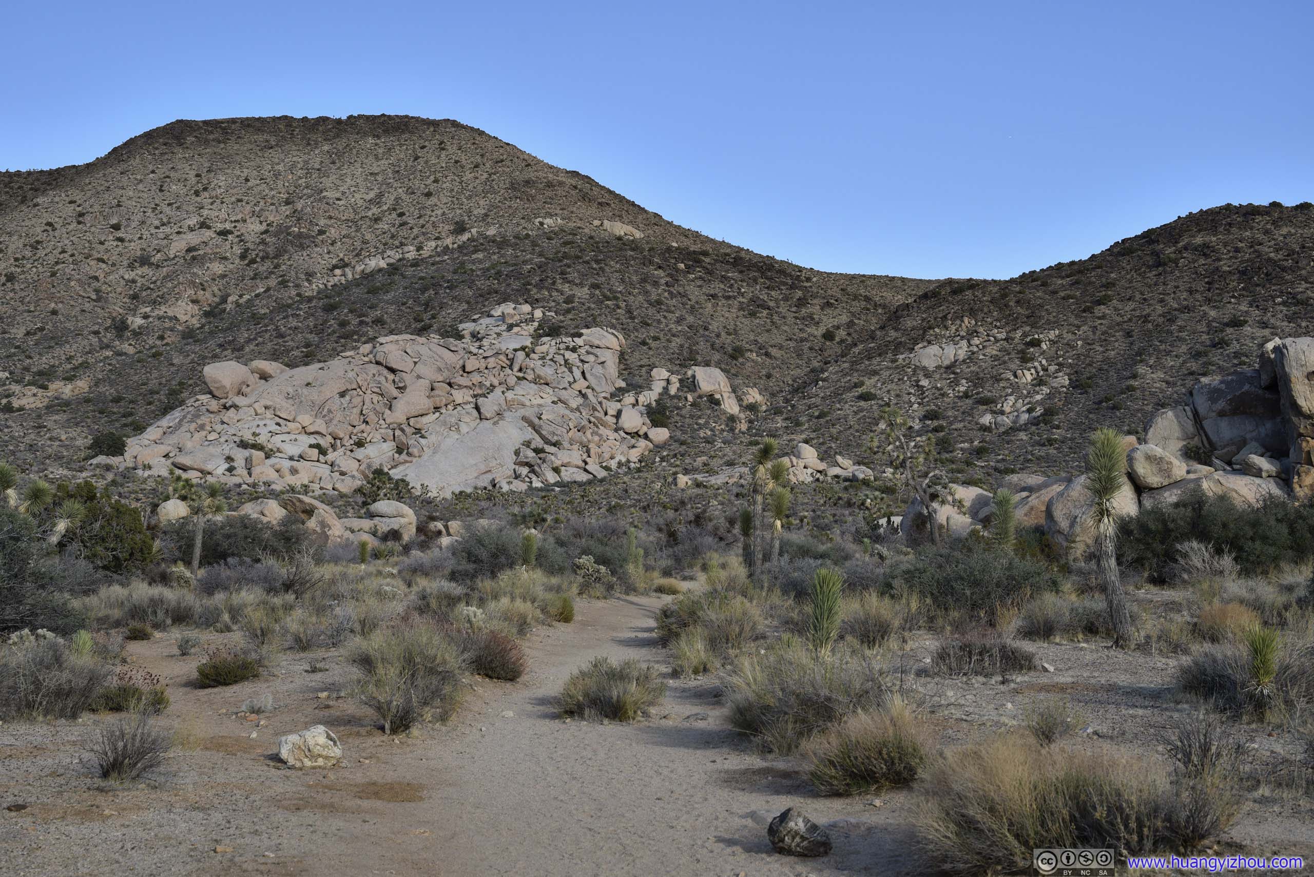
Split Rock
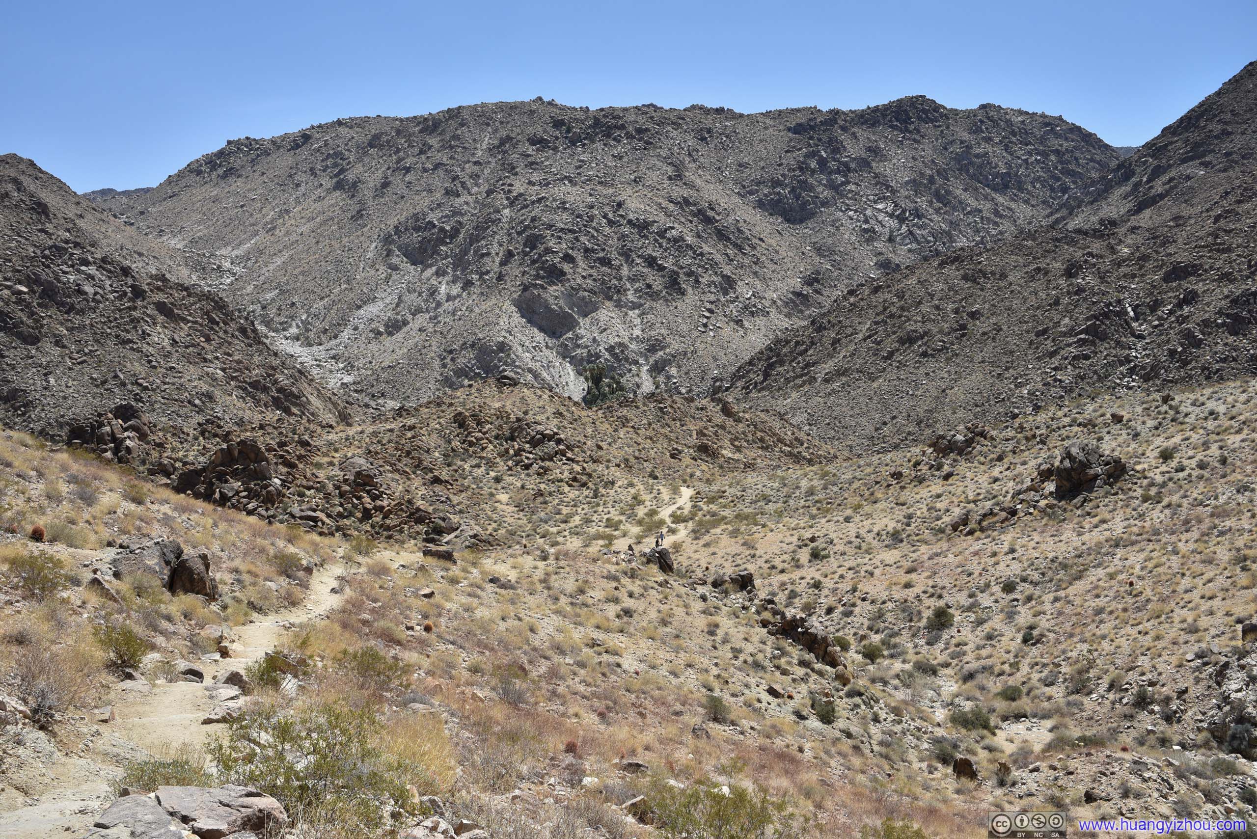
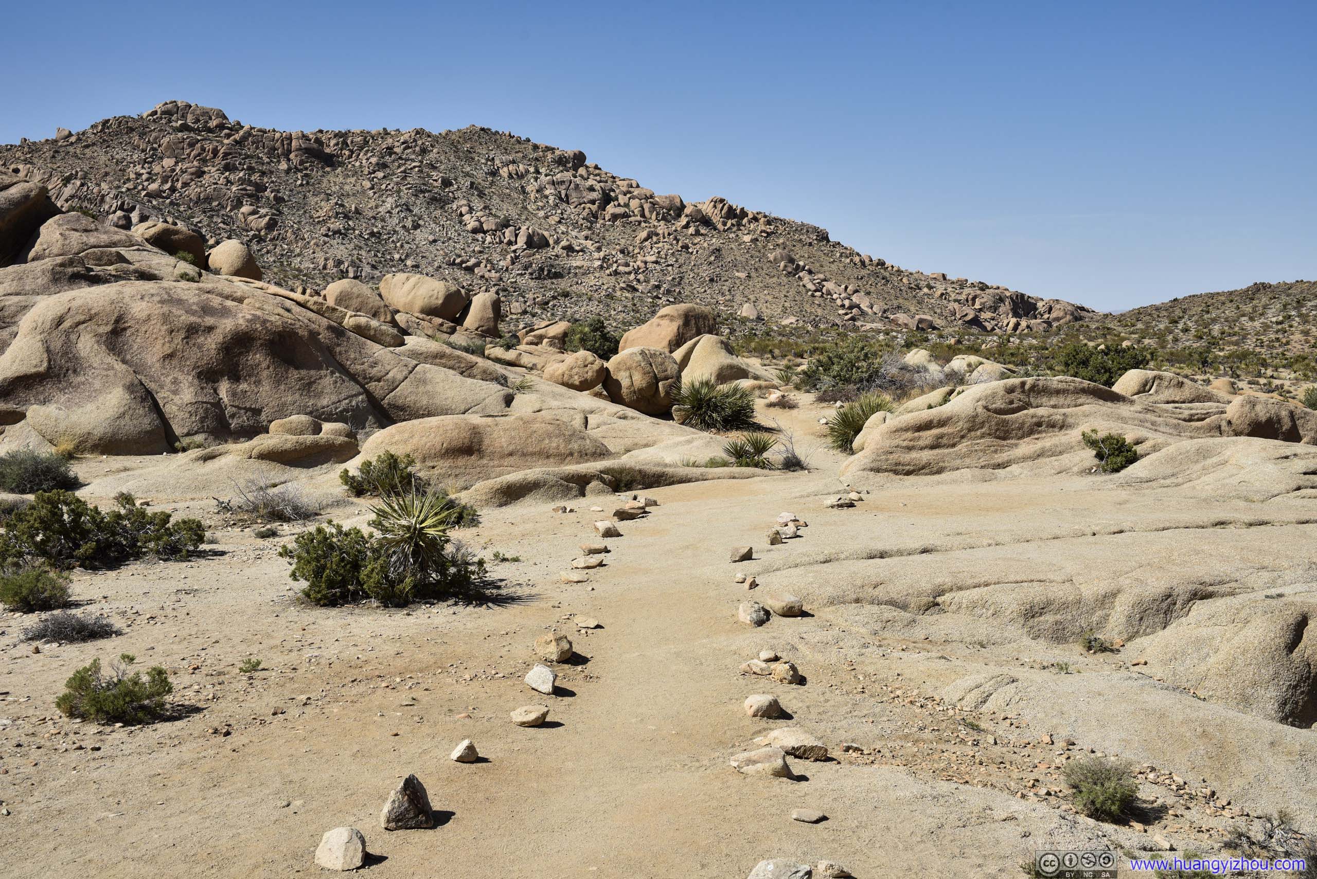
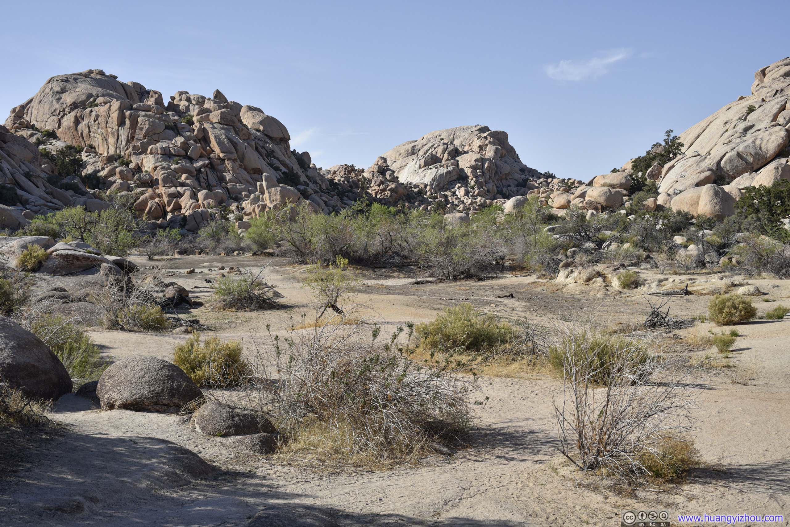
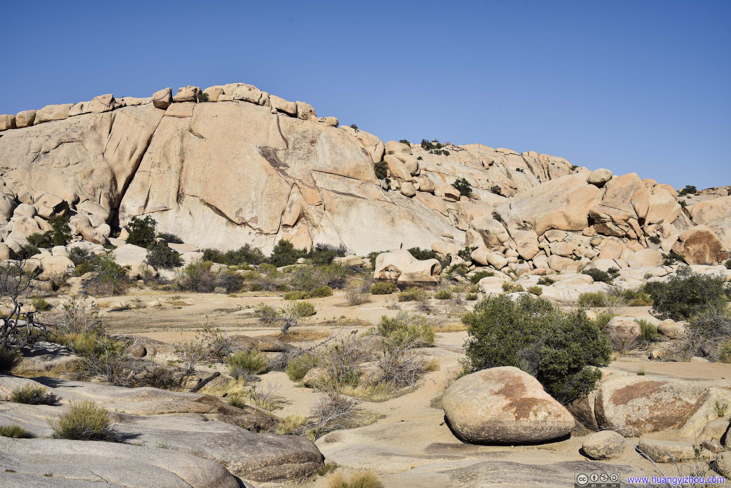
My first stop along the main park road today was “Split Rock”, the access to which actually involved a short gravel road. The official map indicated this to be a 3.1km loop trail with minimal elevation change.
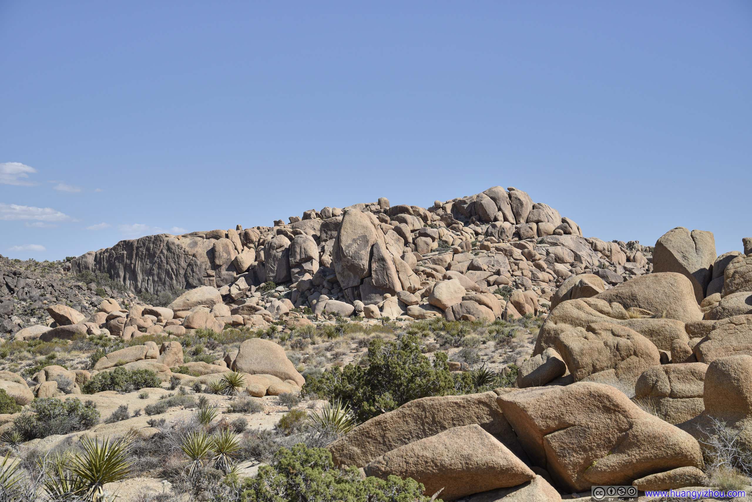

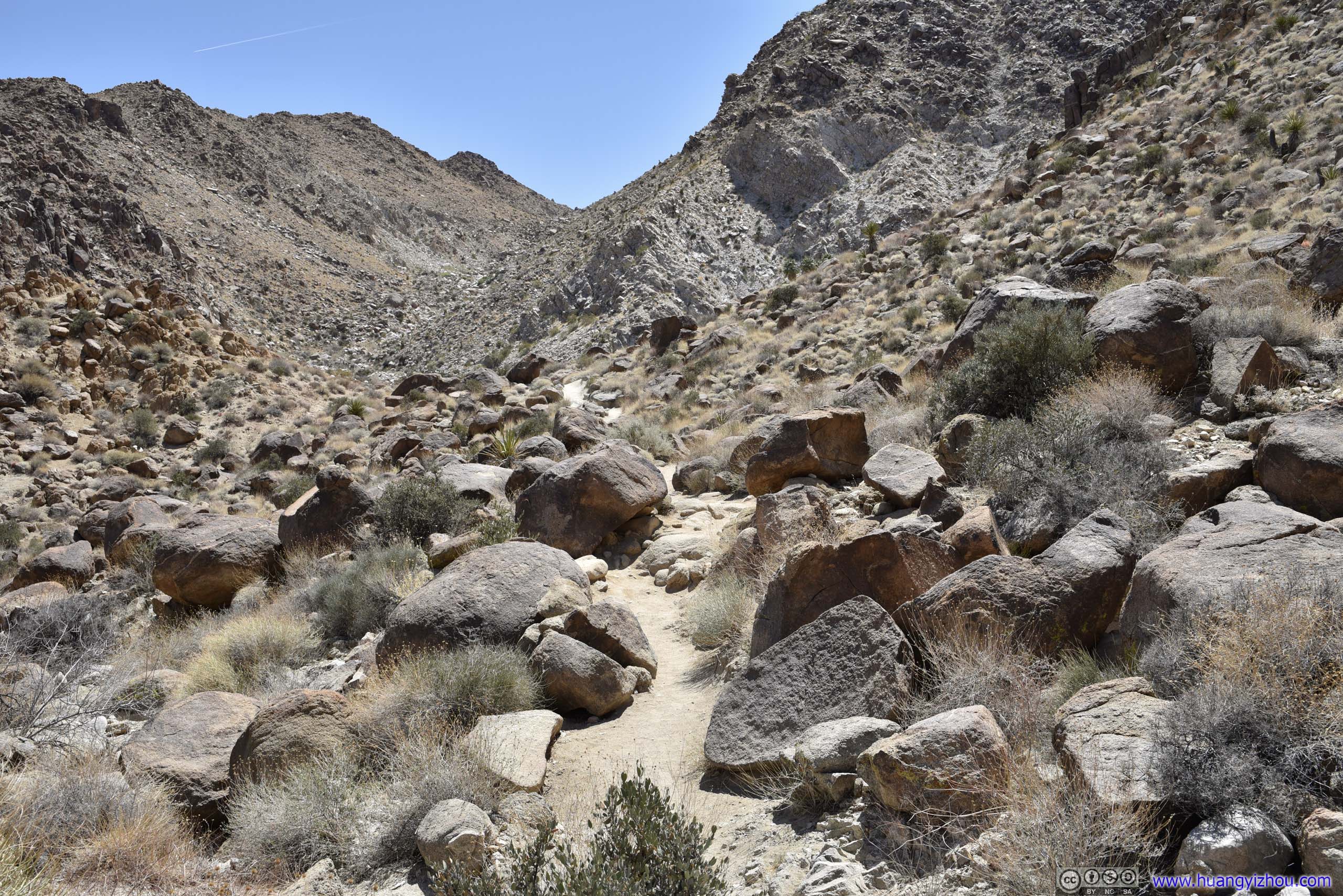
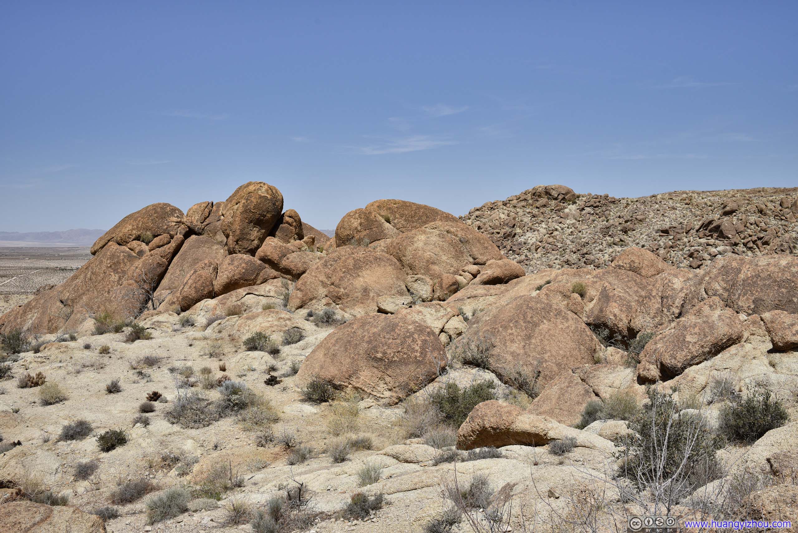
 RocksThis area had rocks of all shapes and sizes.
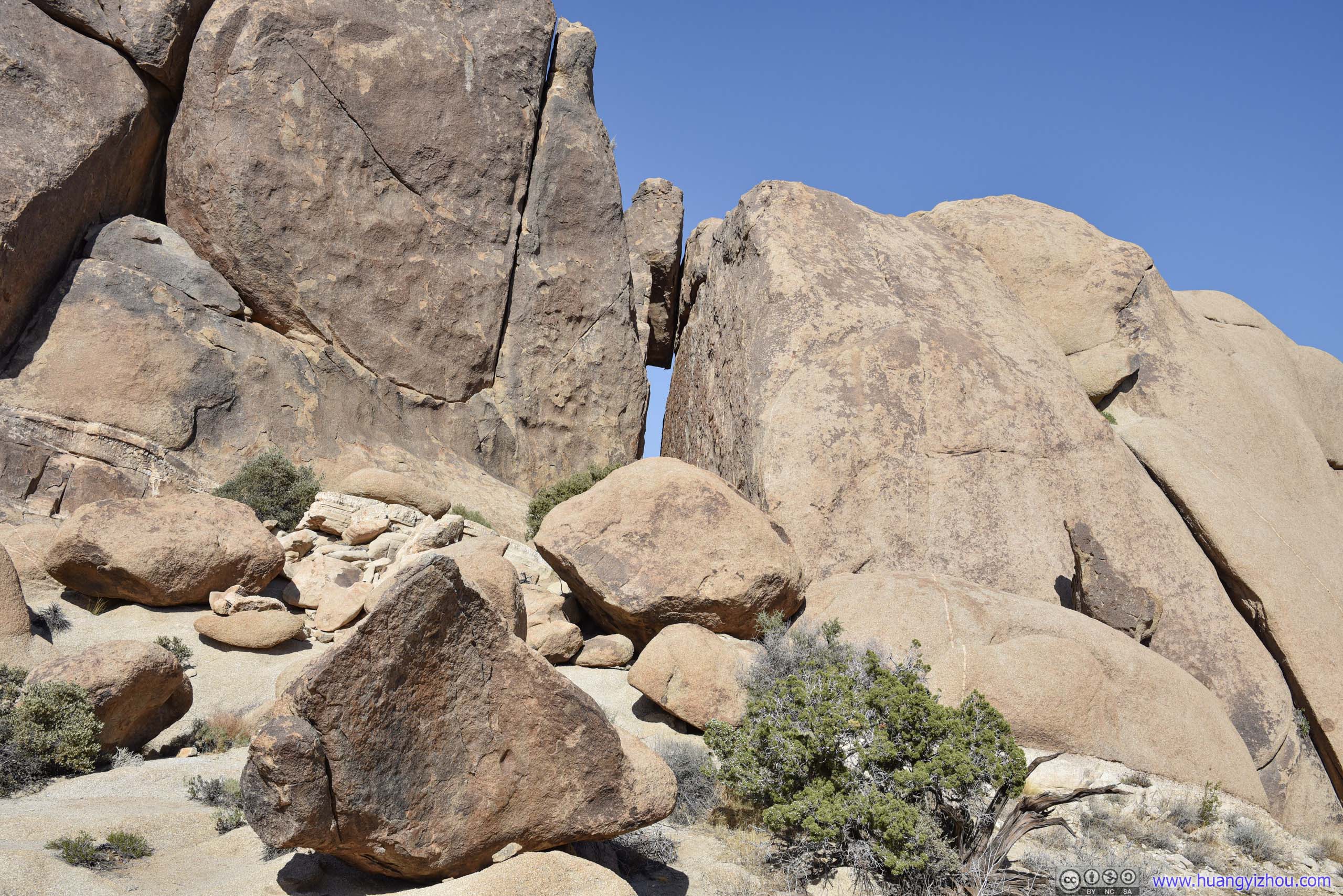
Unfortunately, I didn’t preload the trail map on my phone, so I didn’t know which piece of rock was the actual “Split Rock”. It’s even weirder that I couldn’t figure this out after I got home.
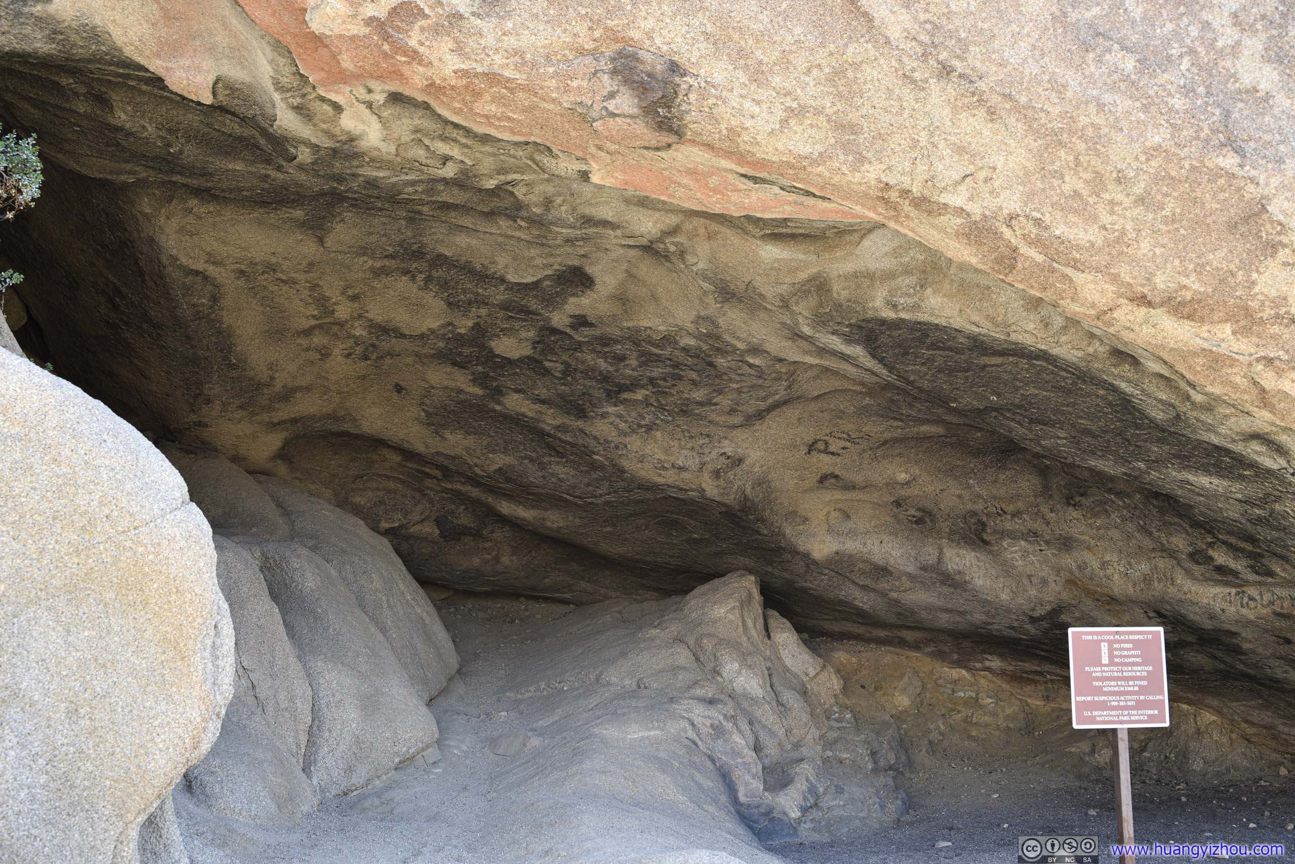
Cave
Narrow Gap between RocksI’m not sure, but these rocks would certainly live up to the name of “Split Rock” to me. They were farther from the trail though.
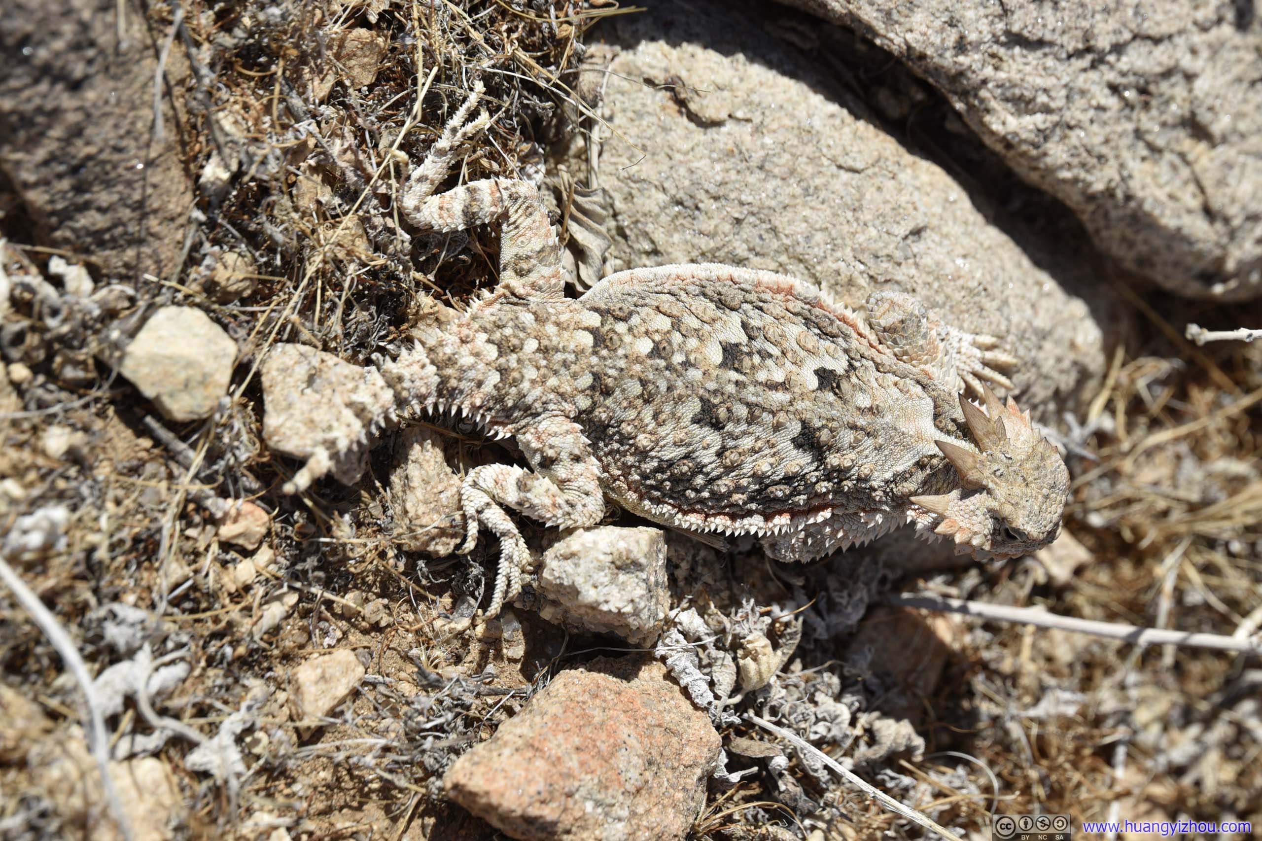
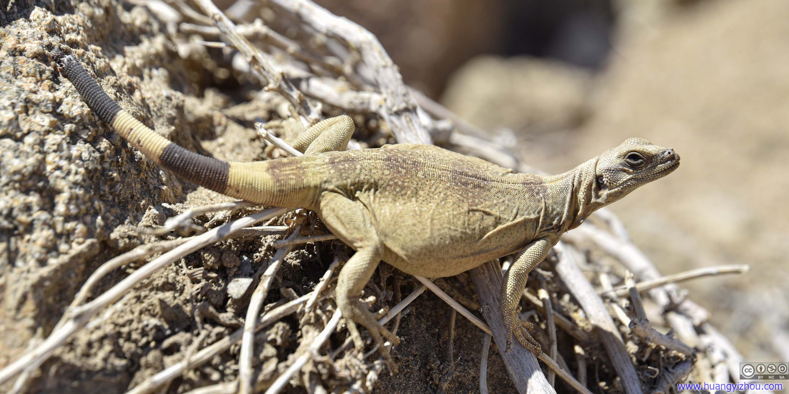
LizardThis one hid so well against the background, that I could hardly tell it apart.
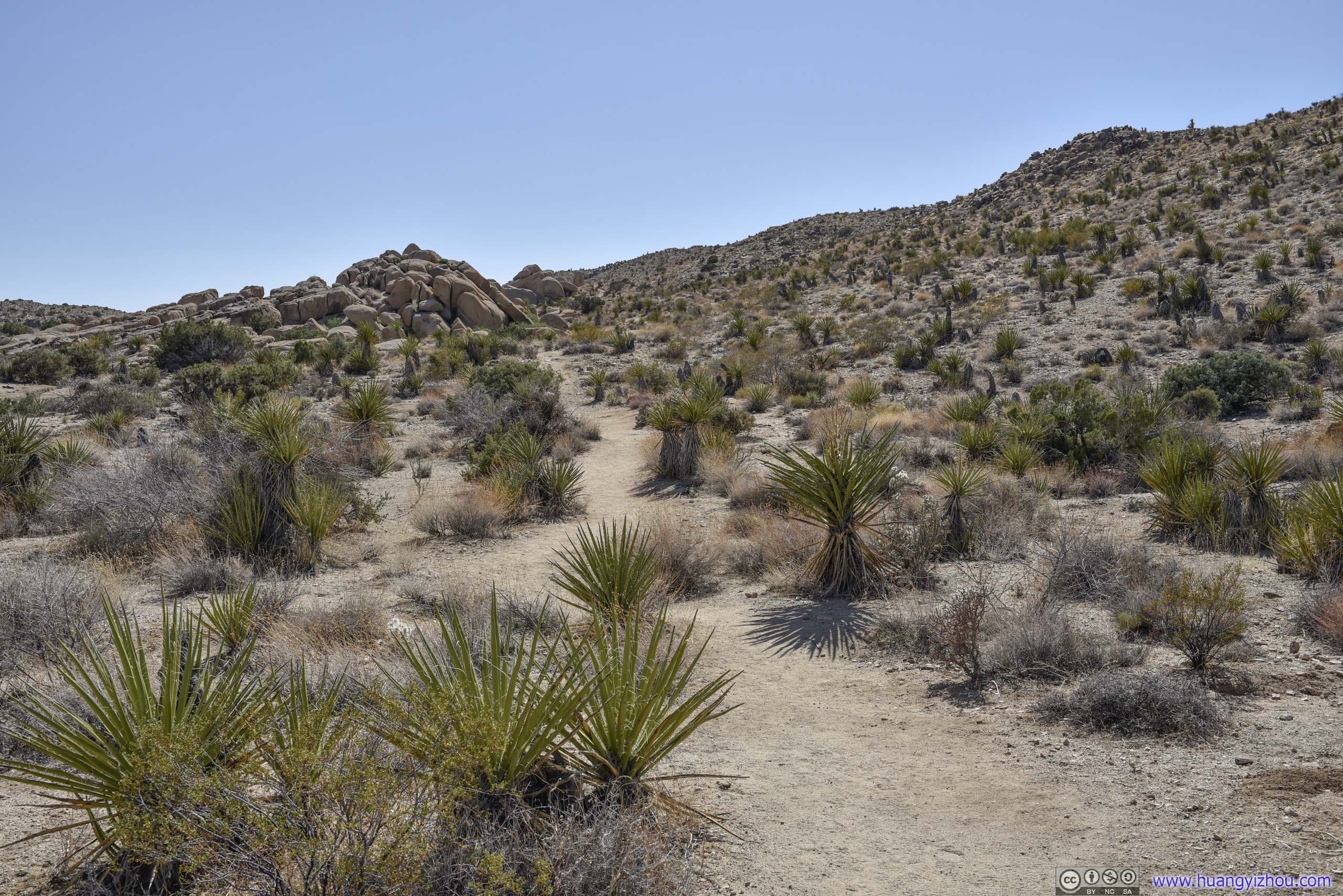
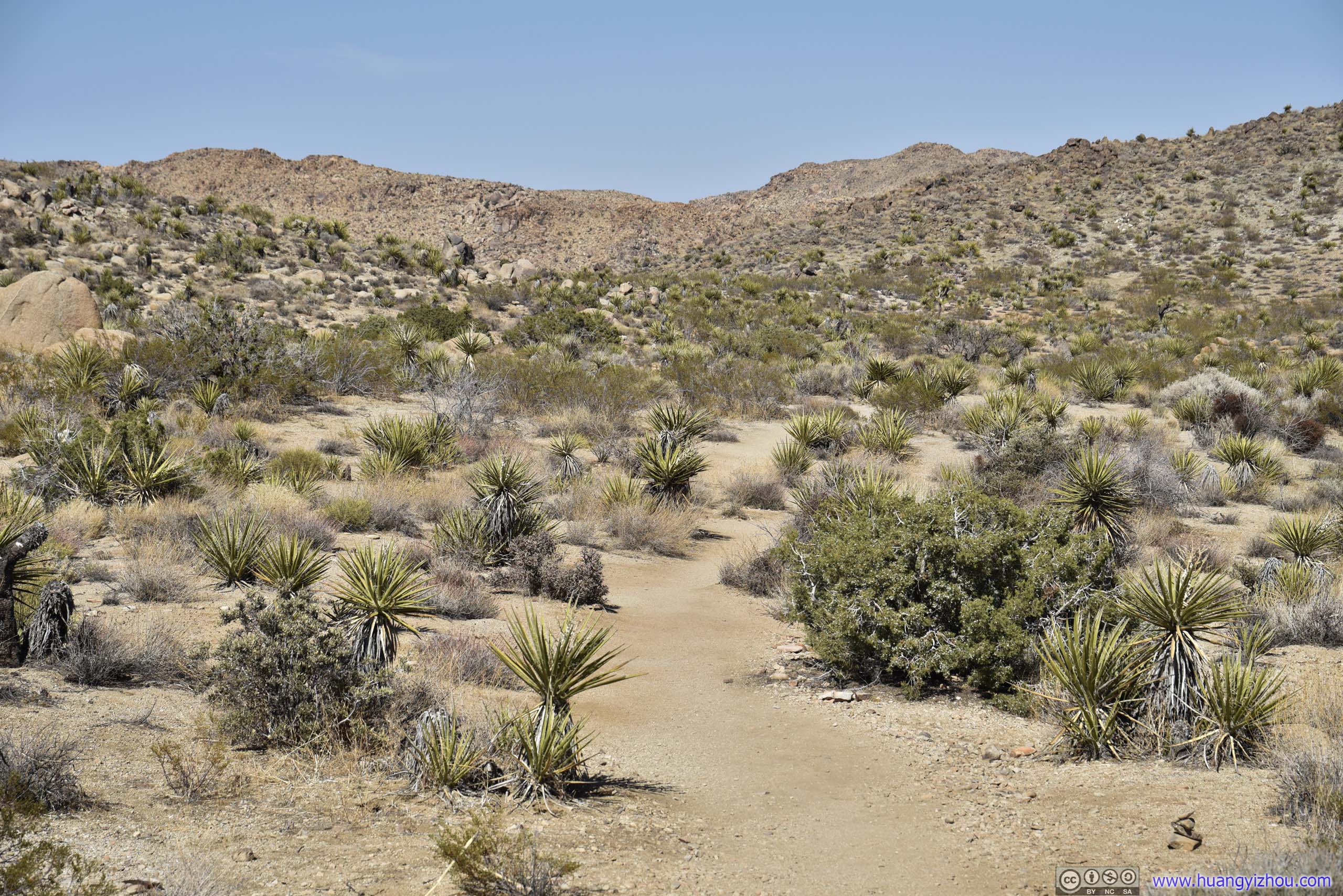 TrailFor the beginning part, the trail was easy to follow.
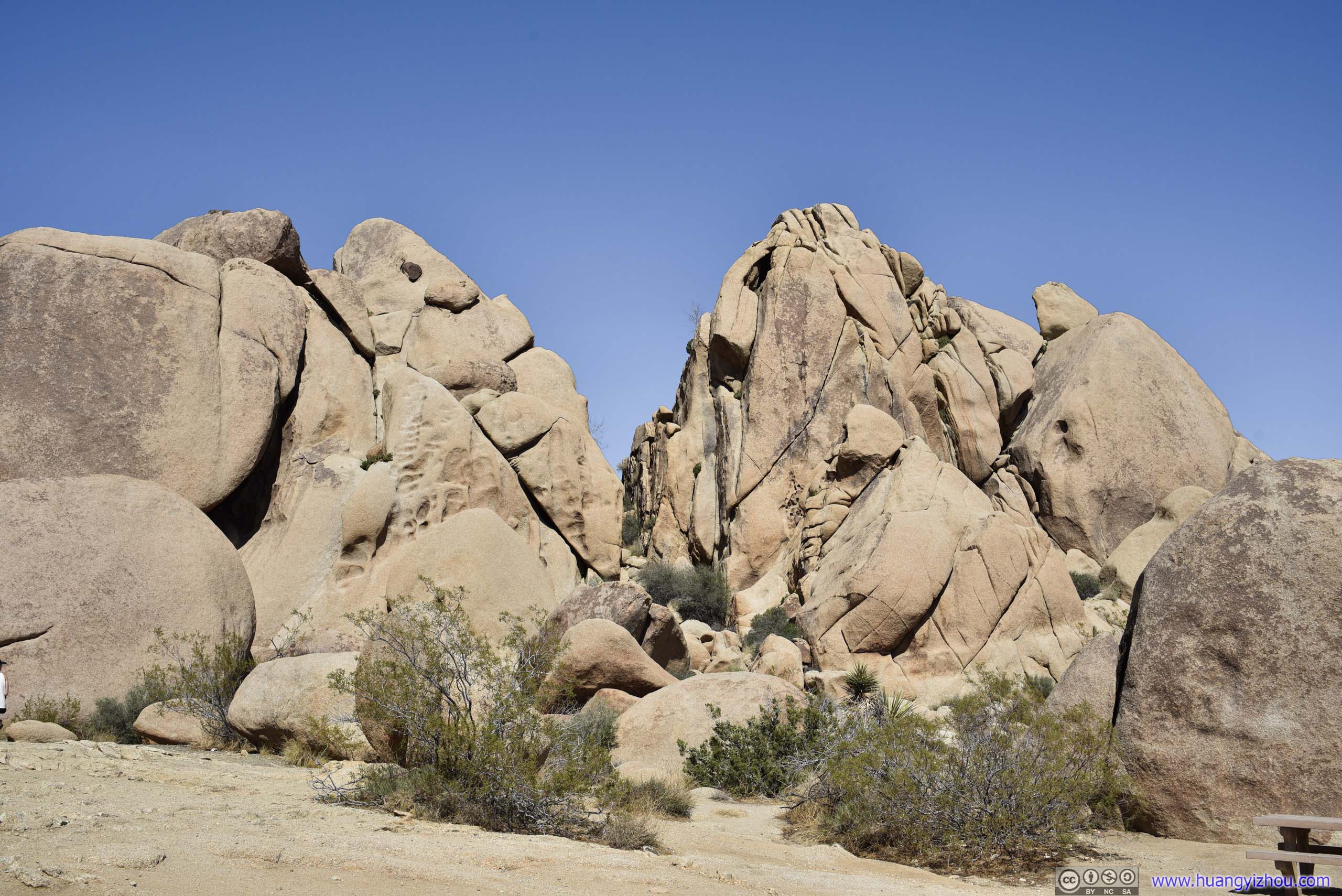
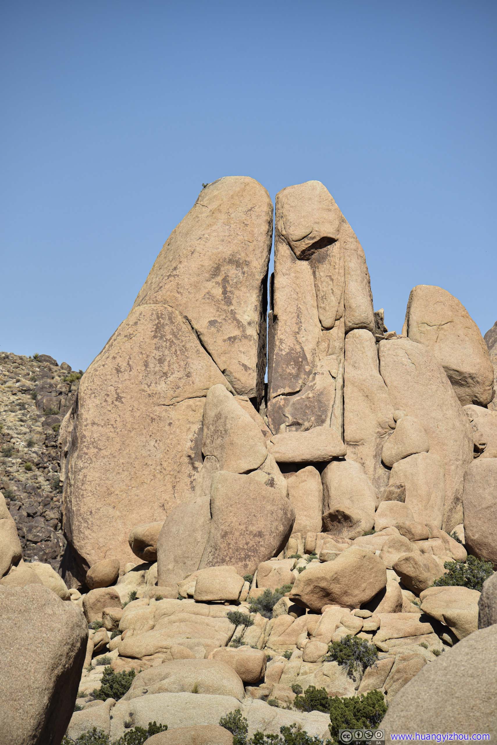
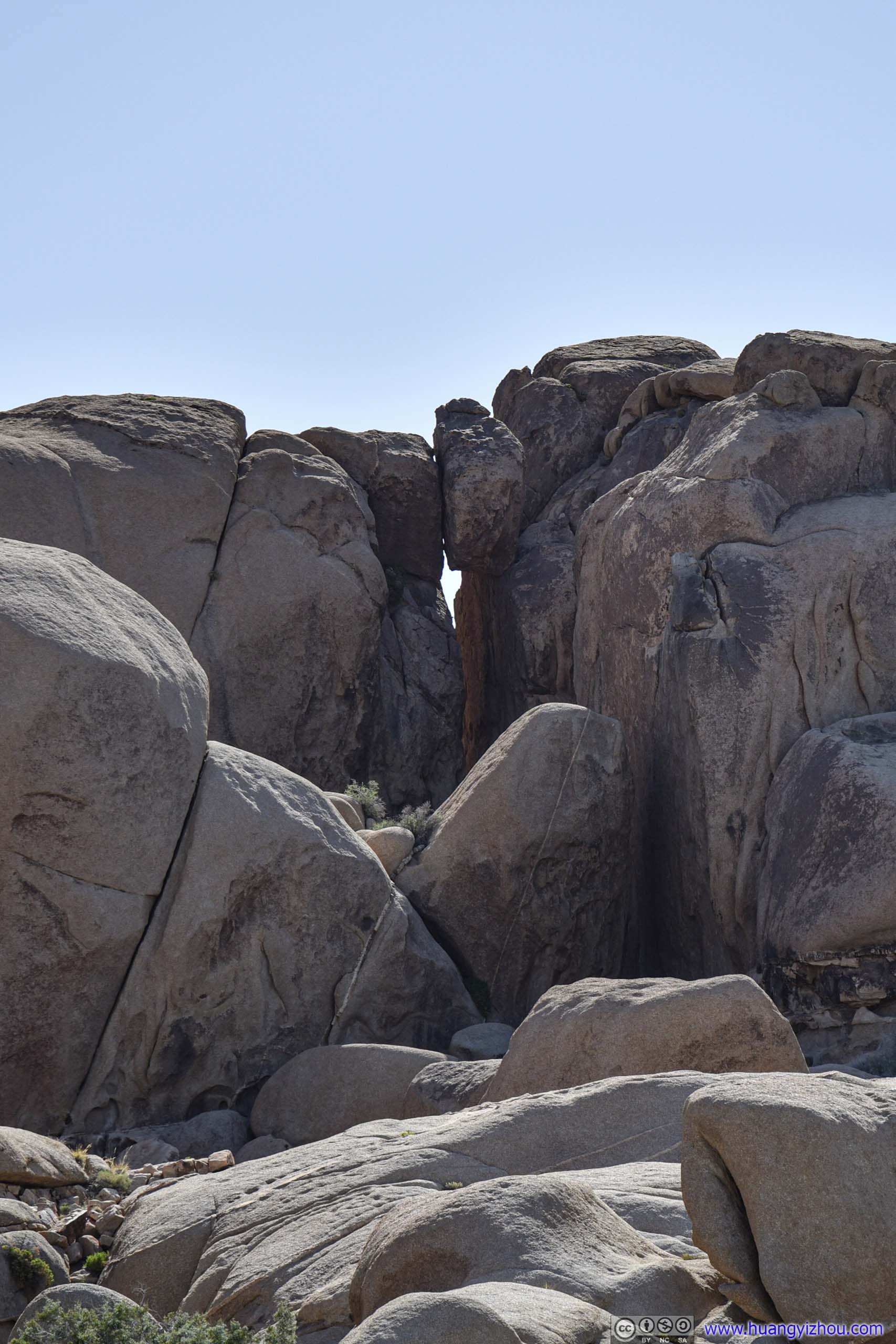
I left parking lot heading North, taking the trail in the counter-clockwise direction. After about 1.3km, the trail entered a valley of boulders and became less obvious to follow. That’s when I noticed an opening between two nearby cliffs resembling a “split”. Since this one was closer, I scrambled up the rocks and took a closer look.
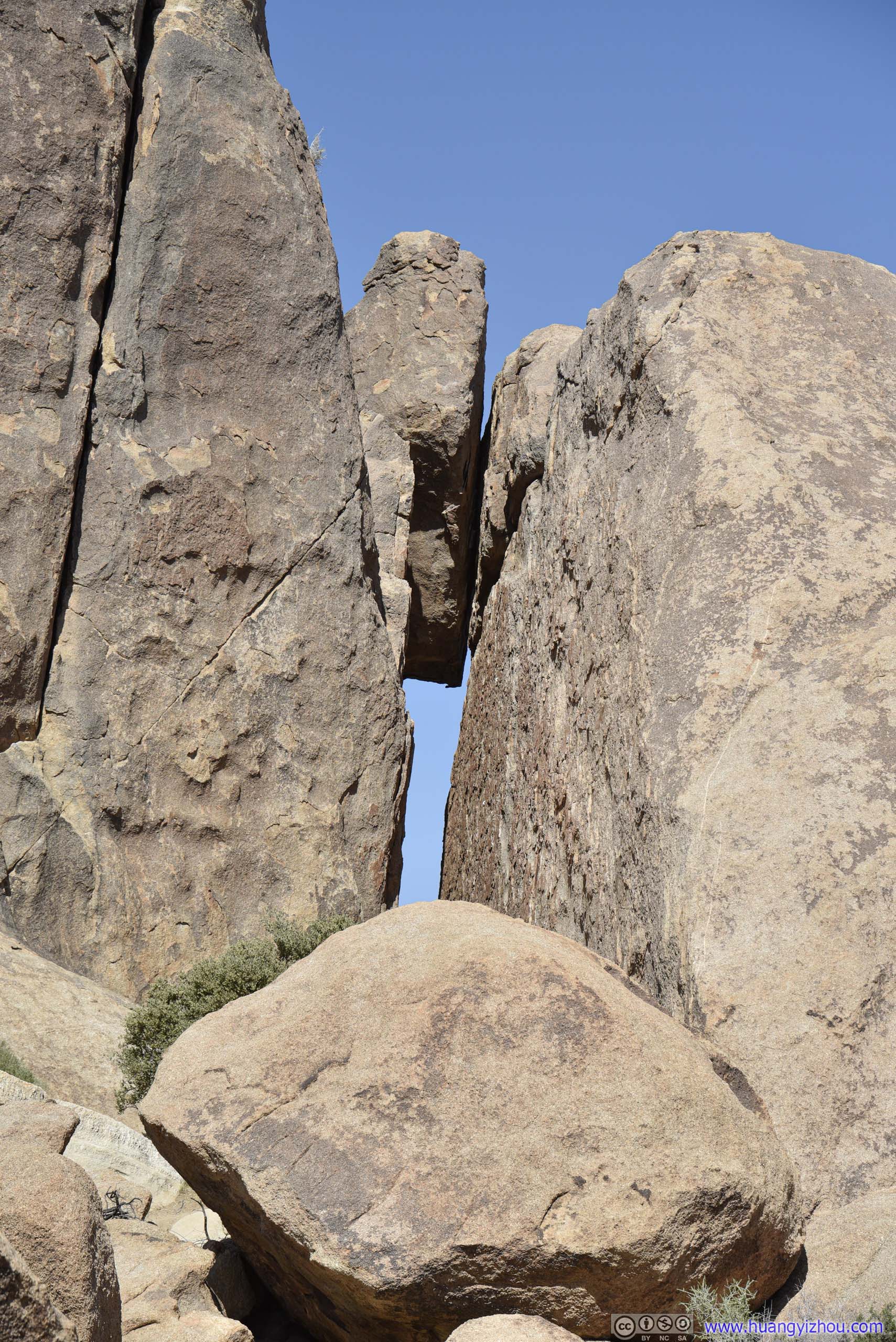
 Opening between CliffsTaken from along the trail (left) and from trailhead (right).
Opening between Cliffs

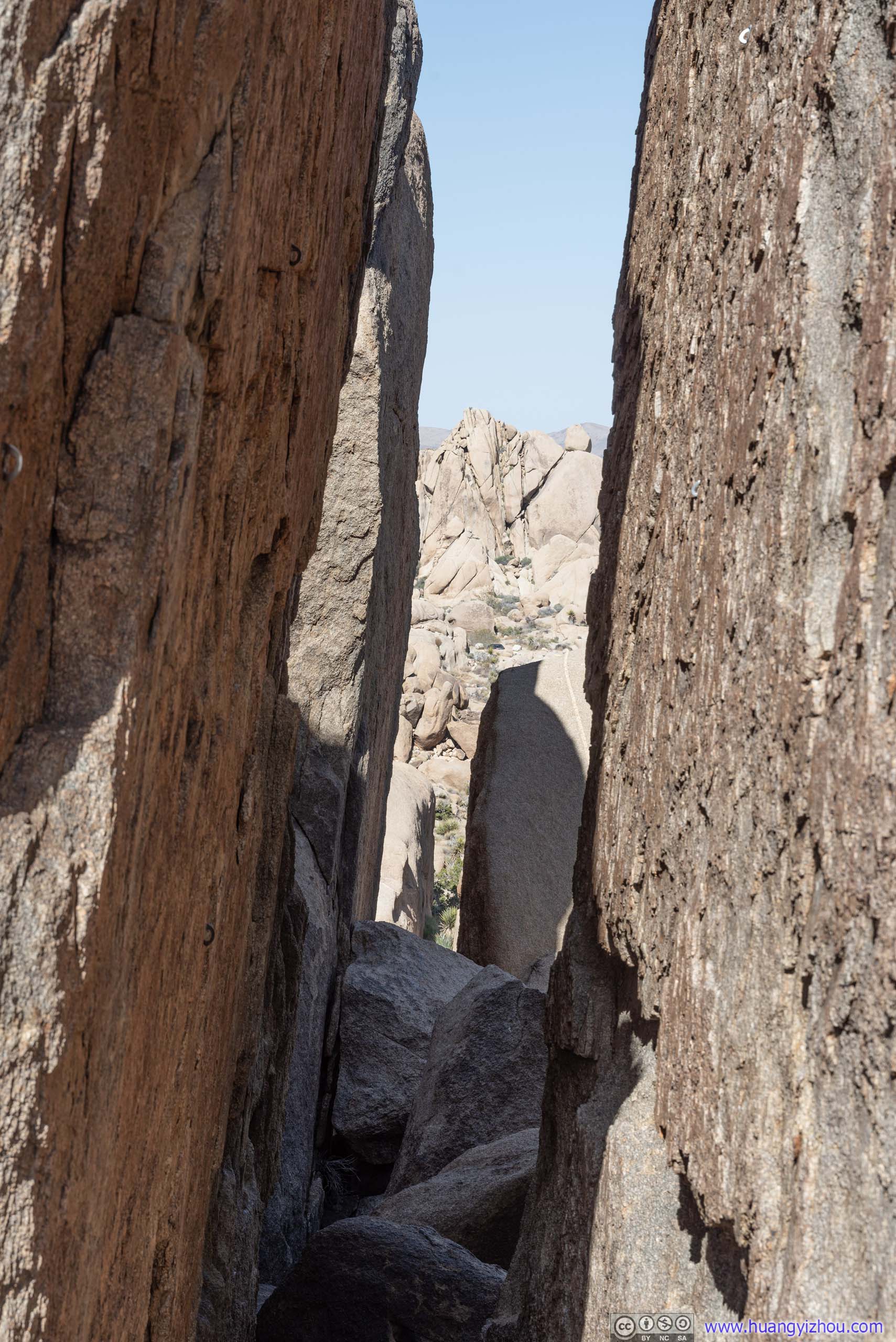 Gap between Cliffs
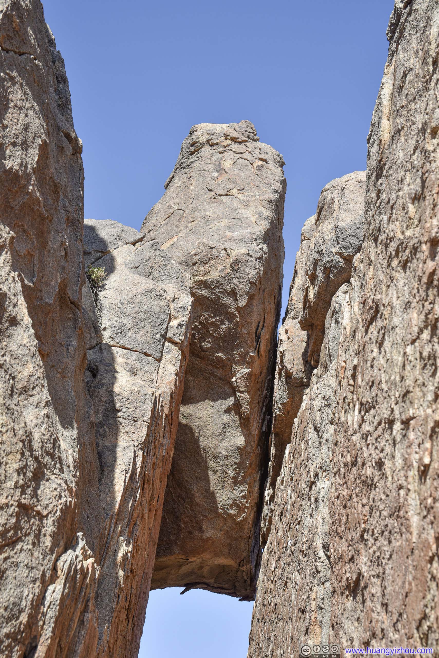
Rock atop OpeningA precariously exciting position that straddled two cliffs.
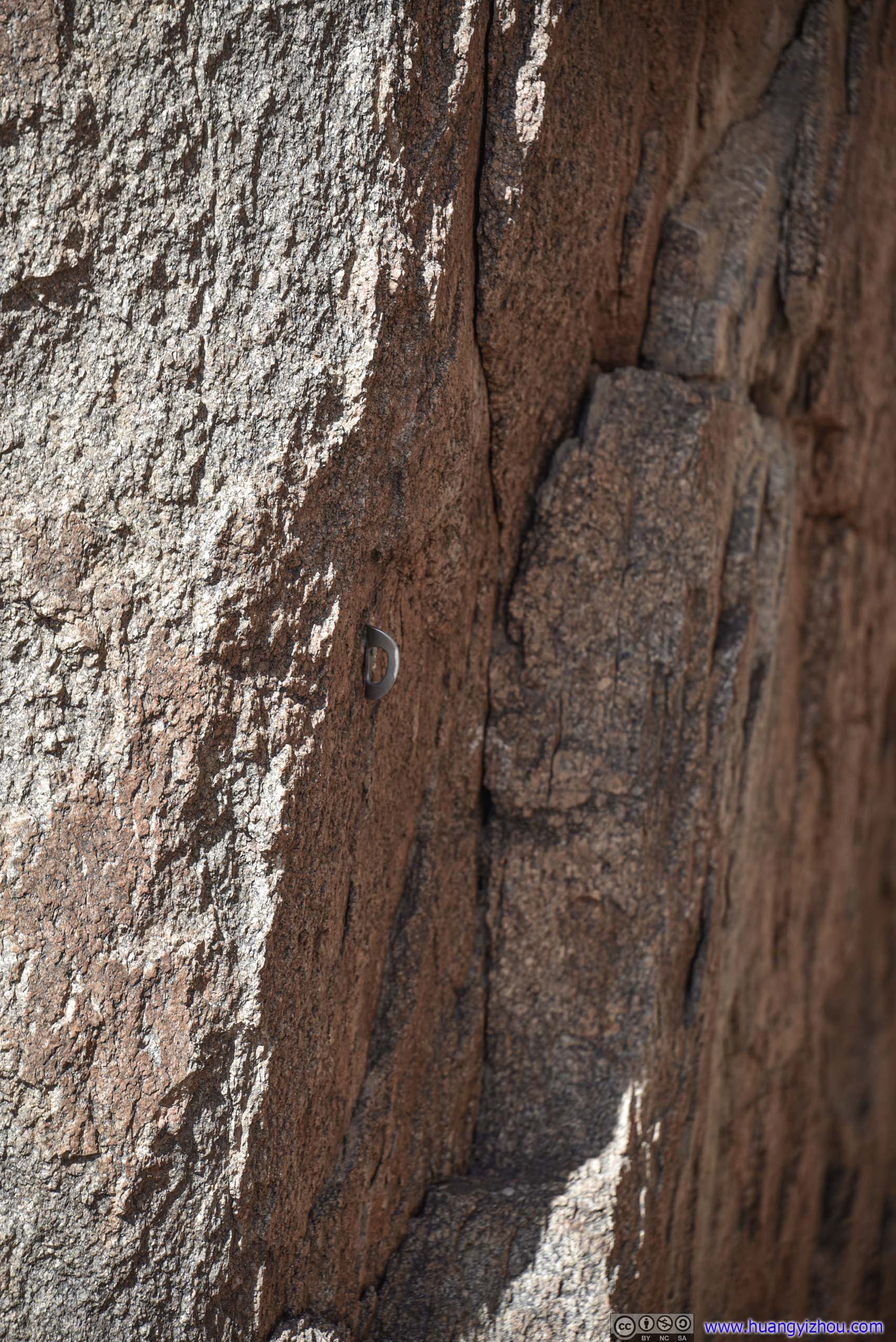
Rope Anchor PointsWhich indicates this must be a popular climbing spot.
I spent about 10 minutes here admiring this rock formation. For a moment, I convinced myself this was the official “split rock”.
Unfortunately, this small excursion meant I completely lost the official “Split Rock Trail”. With the best of my route-finding, I identified a path leading back to the parking lot, which I took. It turned out to be a shortcut back to the trailhead, so my version of “Split Rock Loop Trail” today only measured 2km long.

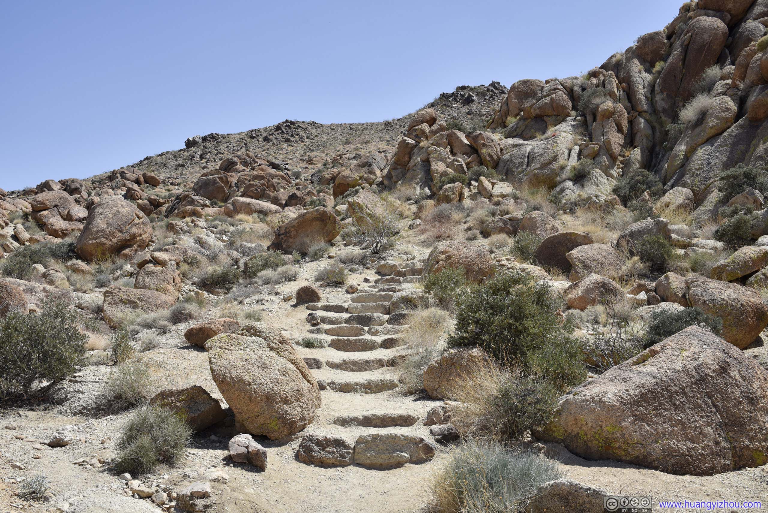
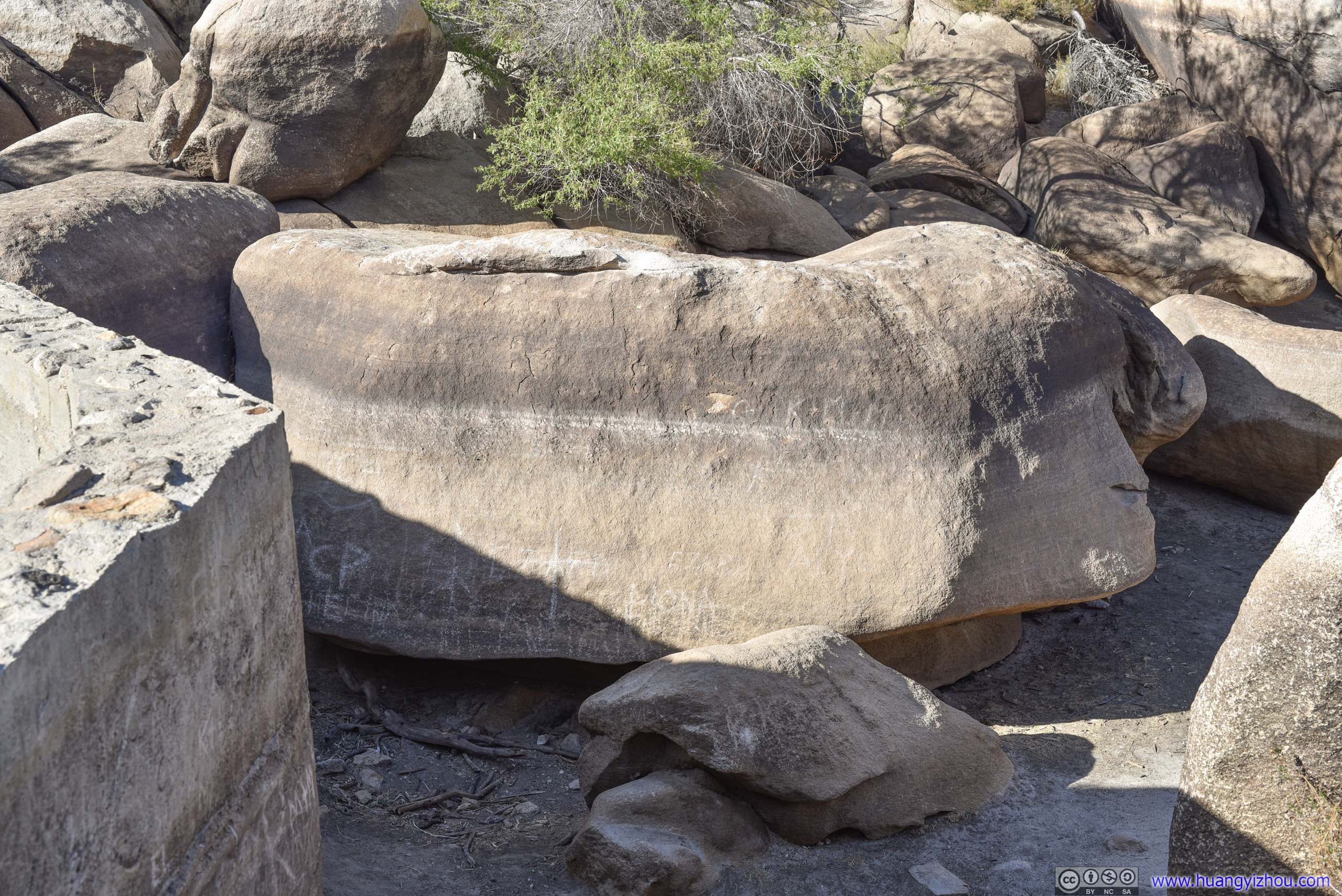
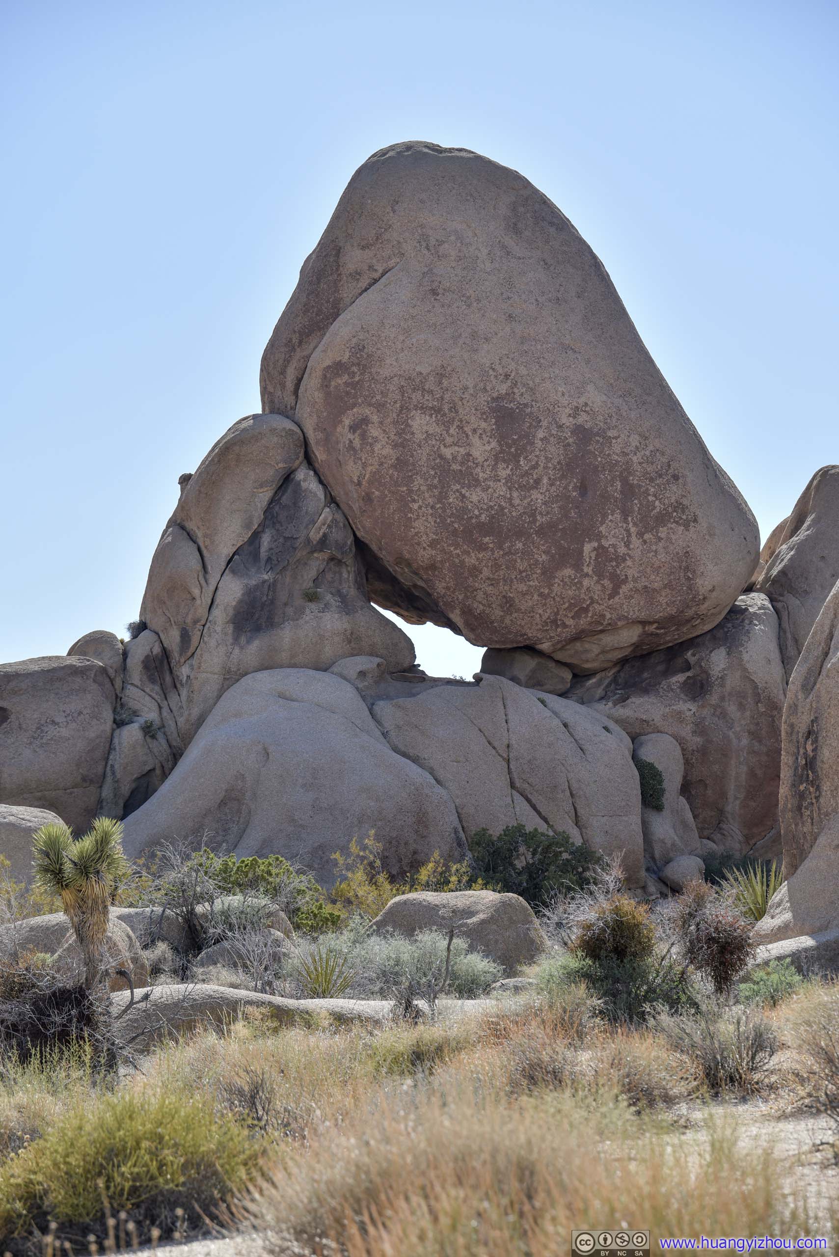 Rock with OpeningA few interesting rocks taken along the trail.
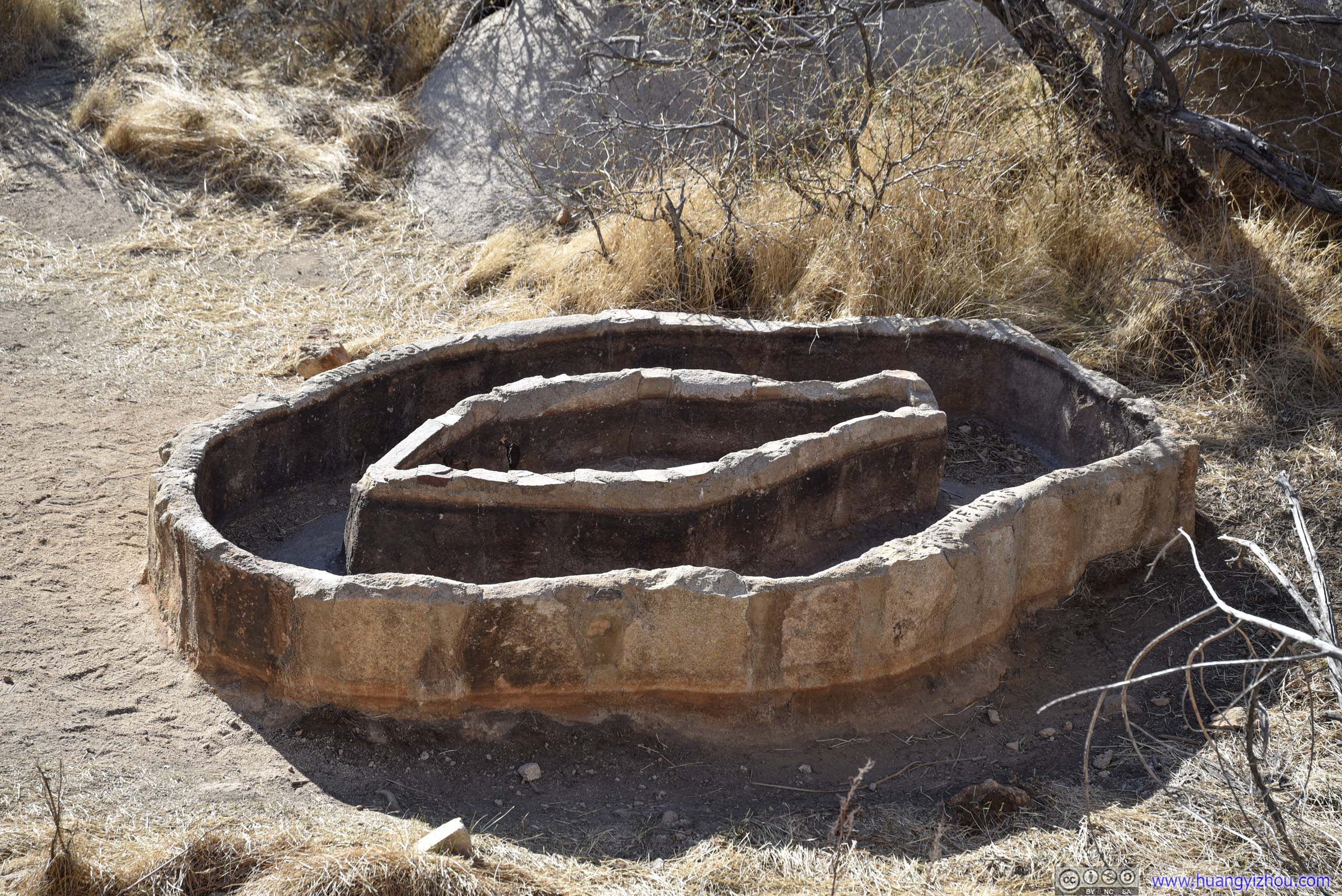
Barker Dam
After that my next stop of the day was Barker Dam. I attempted to visit it on Saturday, when its parking lot was completely full. This time, it’s still half-filled, speaking to its popularity.
In early 20th century when there’s more rainfall in the region, cattle ranchers built a dam nearby to secure water sources to their business. Today, the remnants of that dam was accessible through a 2km loop trail.

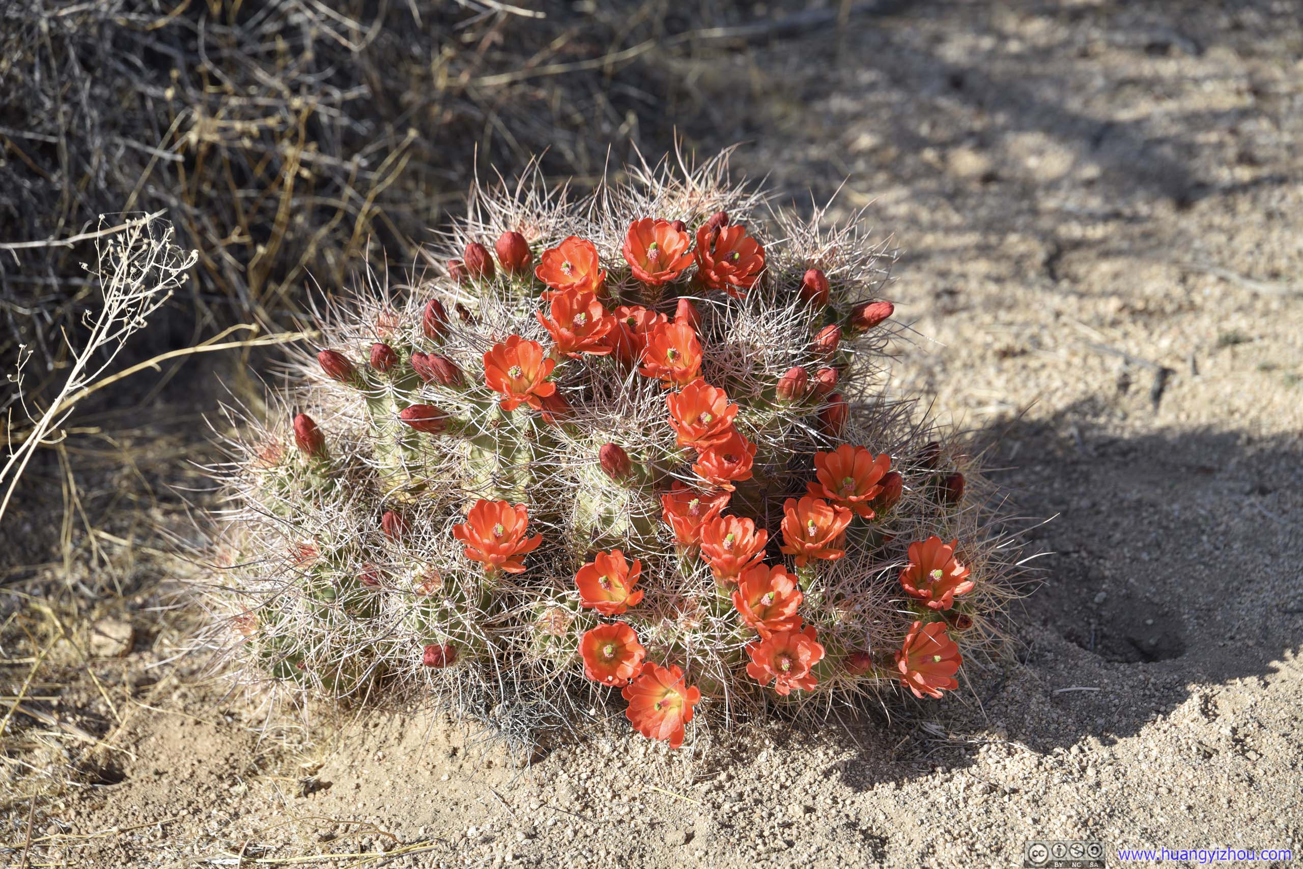 Blooming Cactus
 Barker Dam RiverbedNow completely dry and hard to tell from surrounding desert landscape apart from a few water marks.

 Rocks in Barker DamWatermarks indicating how high the water used to be.

InscriptionCommemorating Keys family’s improvement of the dam in 1949-50.

Barker Dam
Water Storage Tank
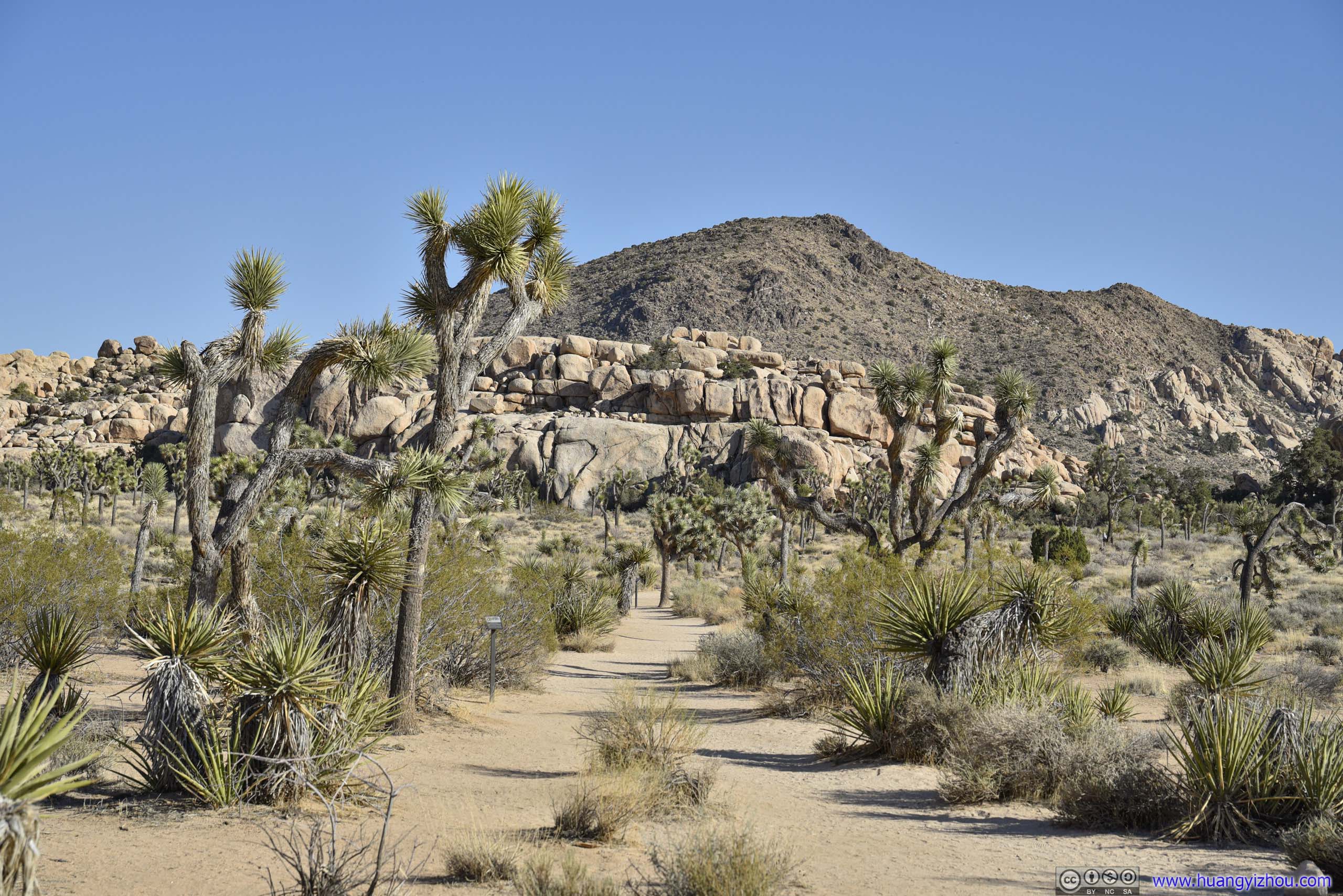
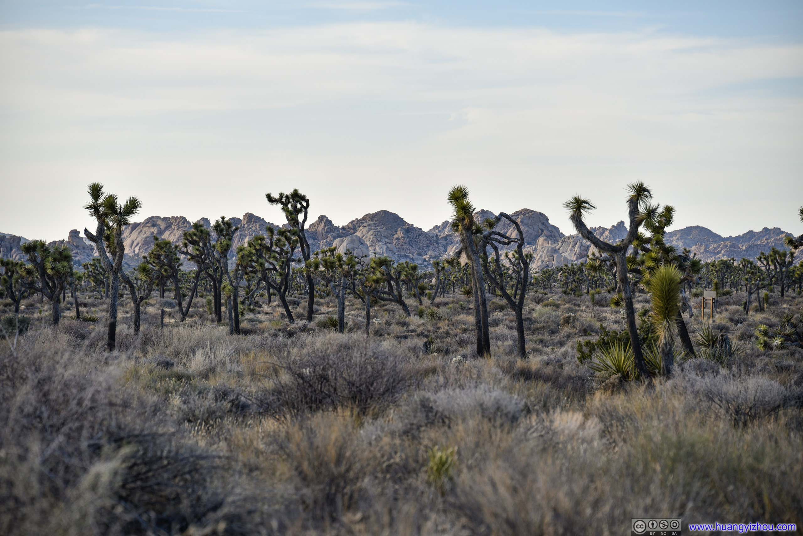
 Field of Joshua TreeAfter reaching Barker Dam, I opted for the slightly longer loop trail back to the parking lot, which passed through this extensive field of Joshua Trees.
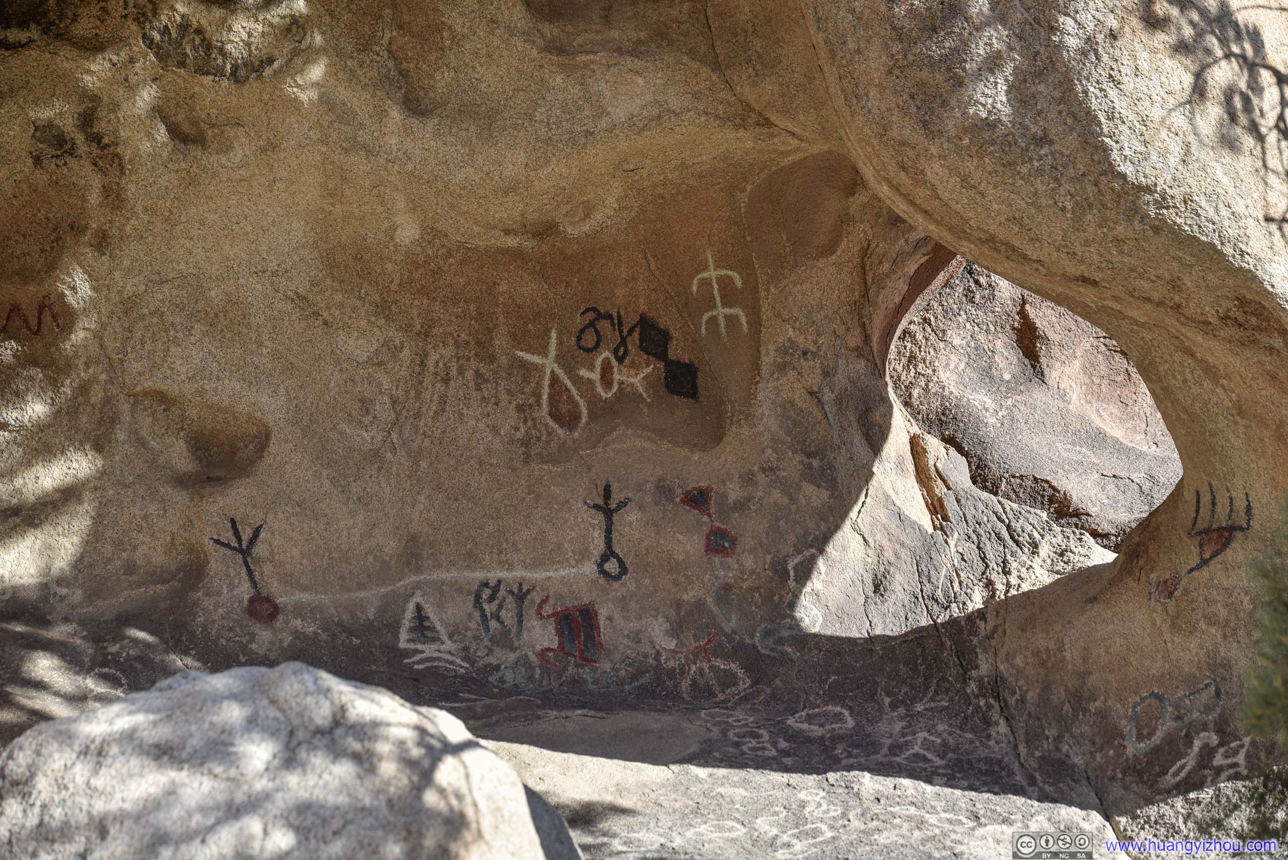
PetroglyphsAlong the loop trail.
It’s only 5:20pm by the time I got back to the trailhead. I had planned to watch sunset at Keys View, but with it being about 2 hours away, I decided to explore another short trail nearby, and that’s Ryan Ranch.
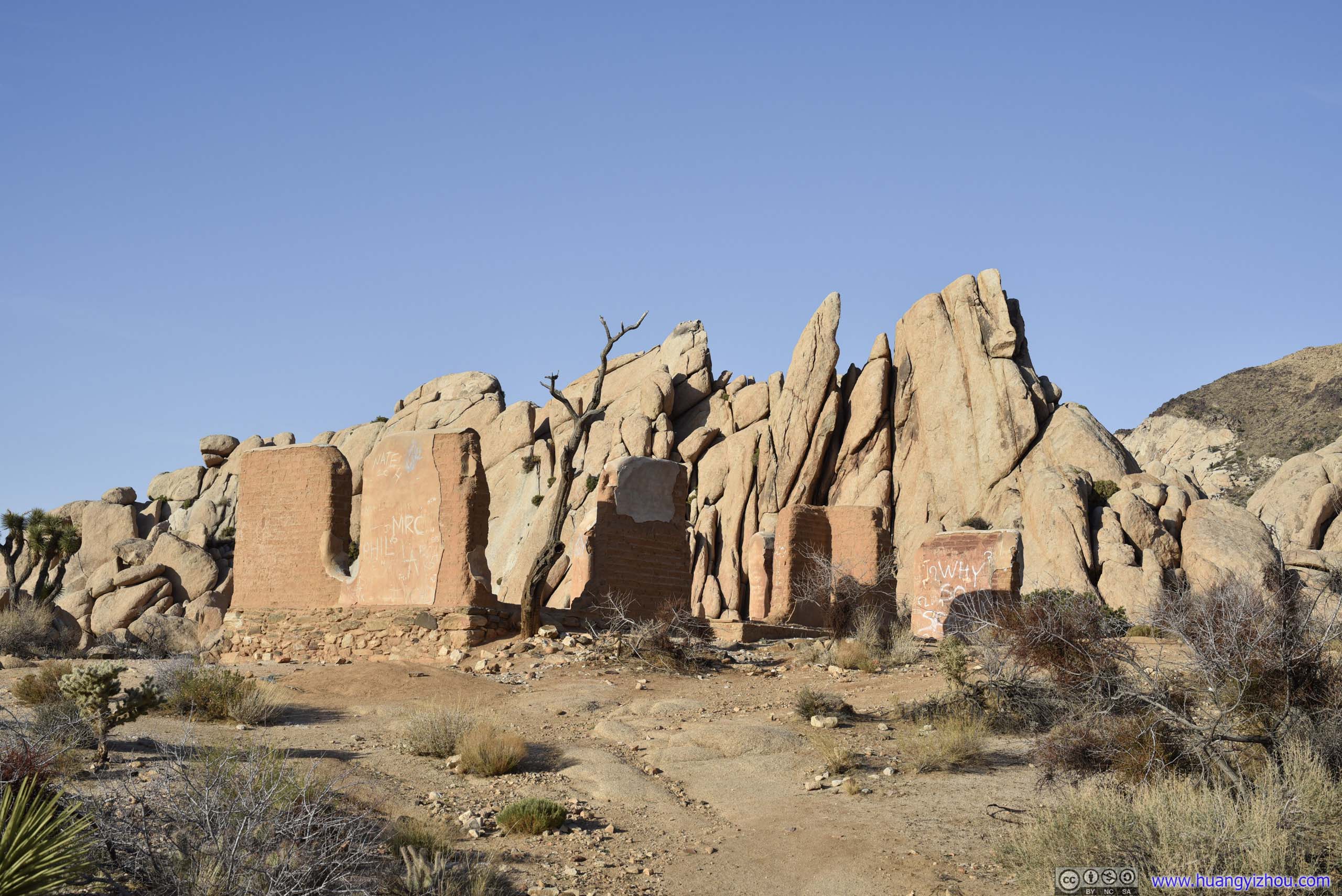
Ryan Ranch
The Ryan family first built a homestead in this region in 1896 to secure a natural spring, which provided support to nearby mining operation. The homestead became unoccupied and fell into disrepair after the establishment of Joshua Tree National Monument.
Nowadays, the ruins of the homestead was accessible via a 1.7km out-and-back trail.
 Trail
Trail

Ryan Mountain from Ryan Ranch Trail
 Field of Joshua Trees
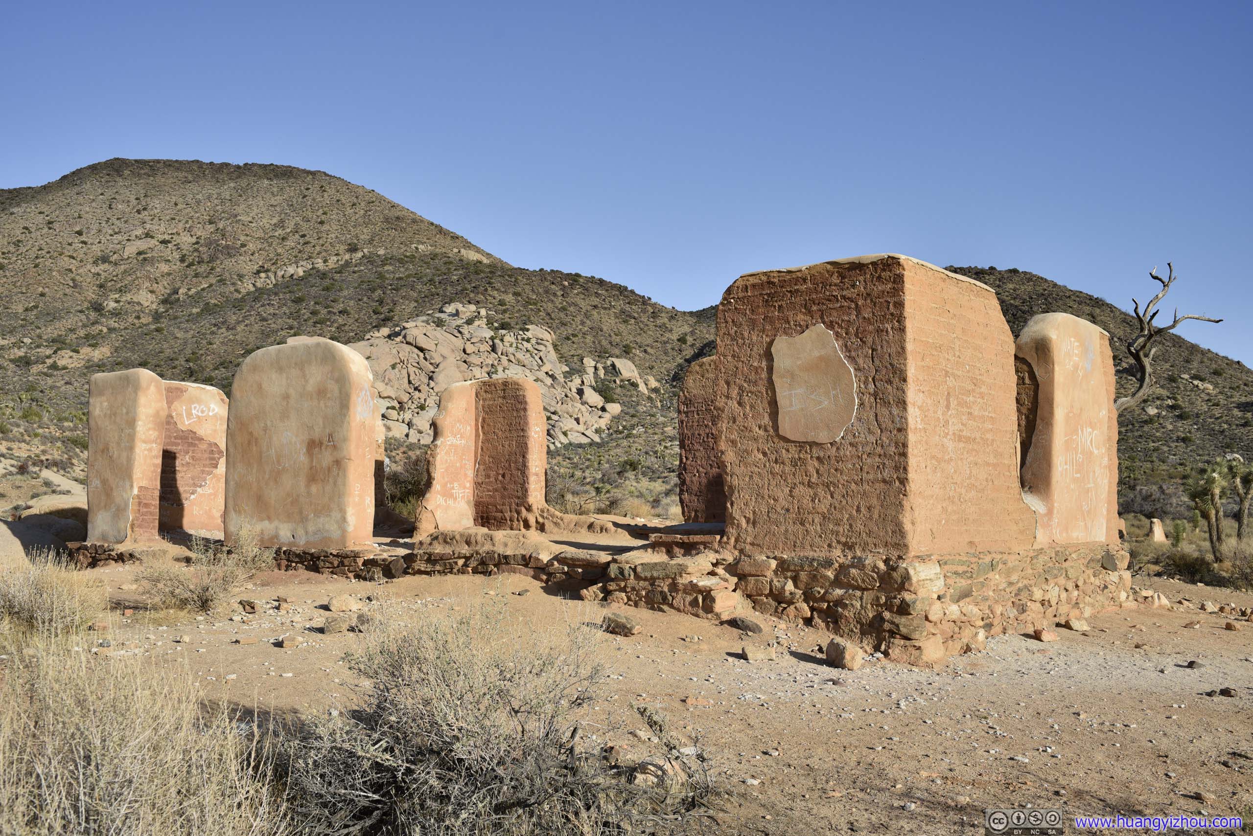
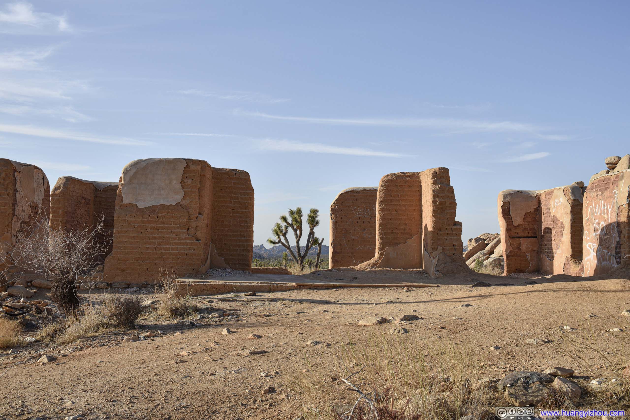 Ryan Ranch
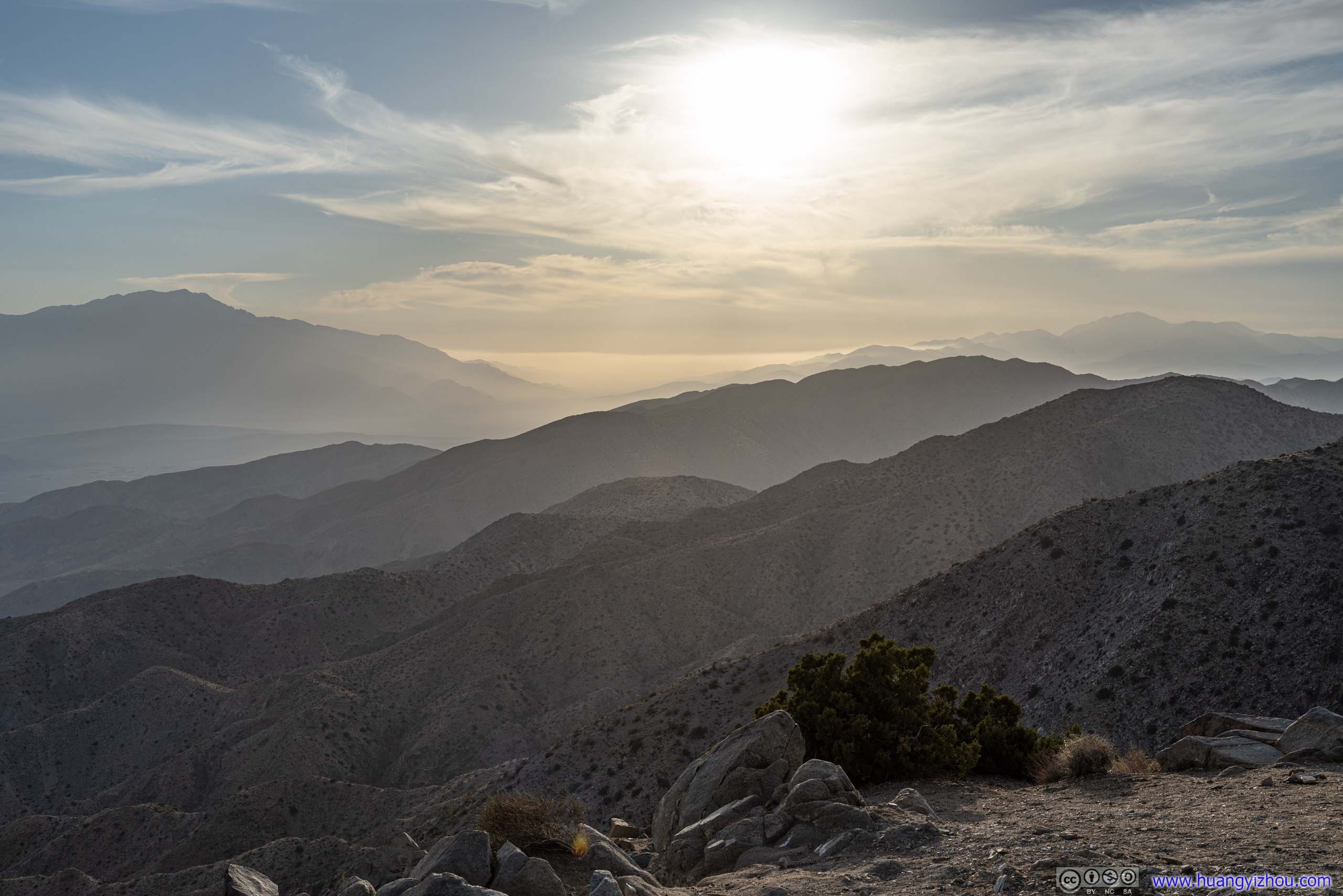
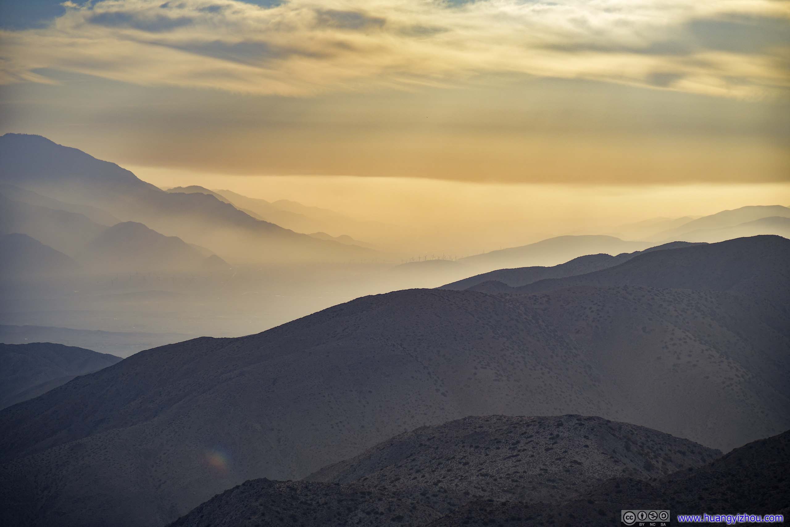
Keys View
Finally, as it neared sunset I reached Keys View. Located on the southern perimeter of the park’s wilderness boundary, it offered spectacular views of Coachella Valley to the south, together with San Bernardino and San Jacinto mountains as backdrop.
I reached Keys View an hour before sunset, with plenty of parking spaces around. Parking lot was completely full at sunset.
Mountains to the West
Coachella Valley
Unfortunately, it was a pretty hazy day, with air pollution from Los Angeles obscuring most of the views towards the west. So the views were hardly great.
Landscape from Keys View
In addition to that, situated on top of a slope, wind was strong at Keys View, so I didn’t stay there for long before retreating back to my car, waiting for sunset.
That’s when I found out there’s T-Mobile signal at Keys View overlooking Coachella Valley, but not at its parking lot located just 20m away, behind a small hill.
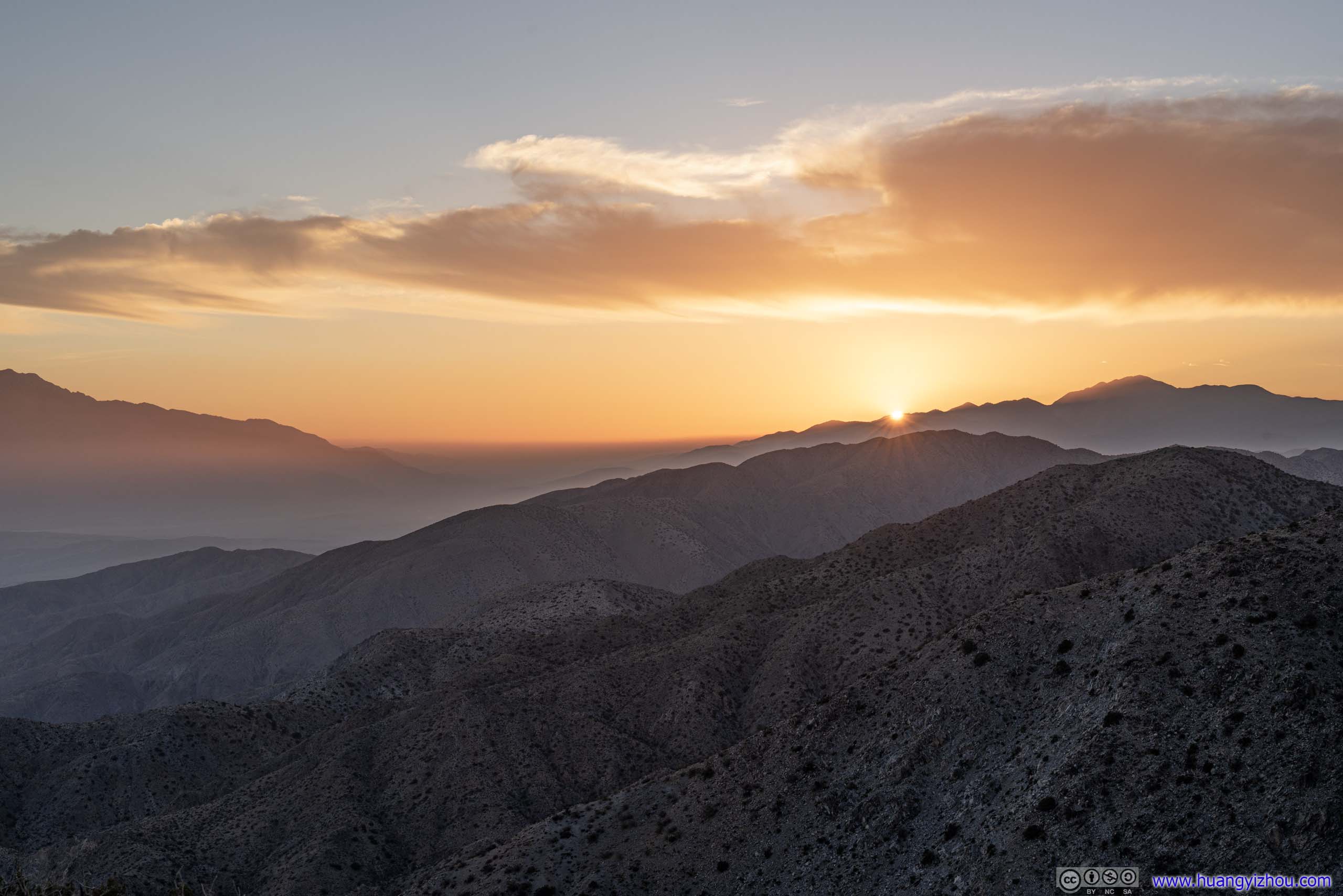
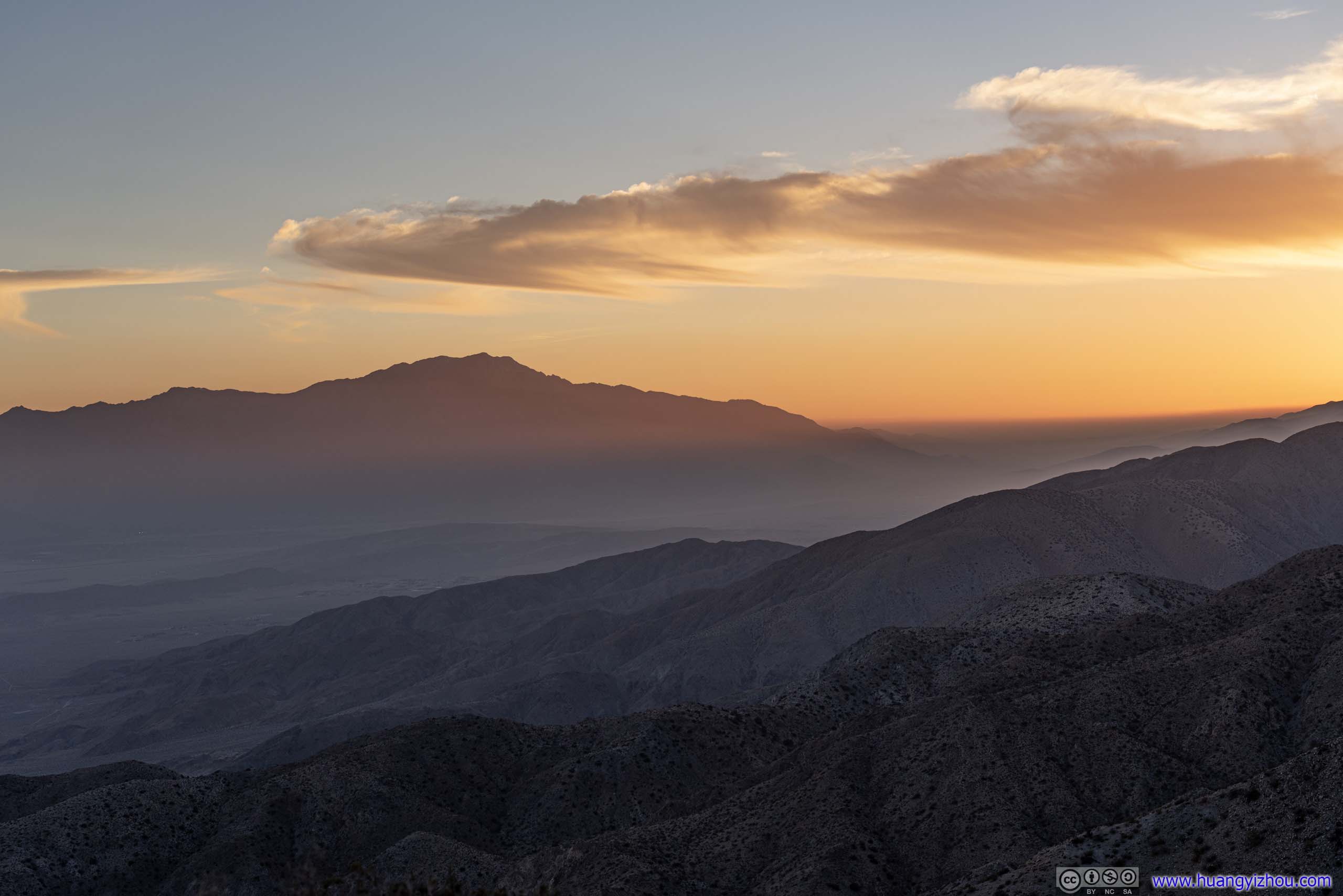
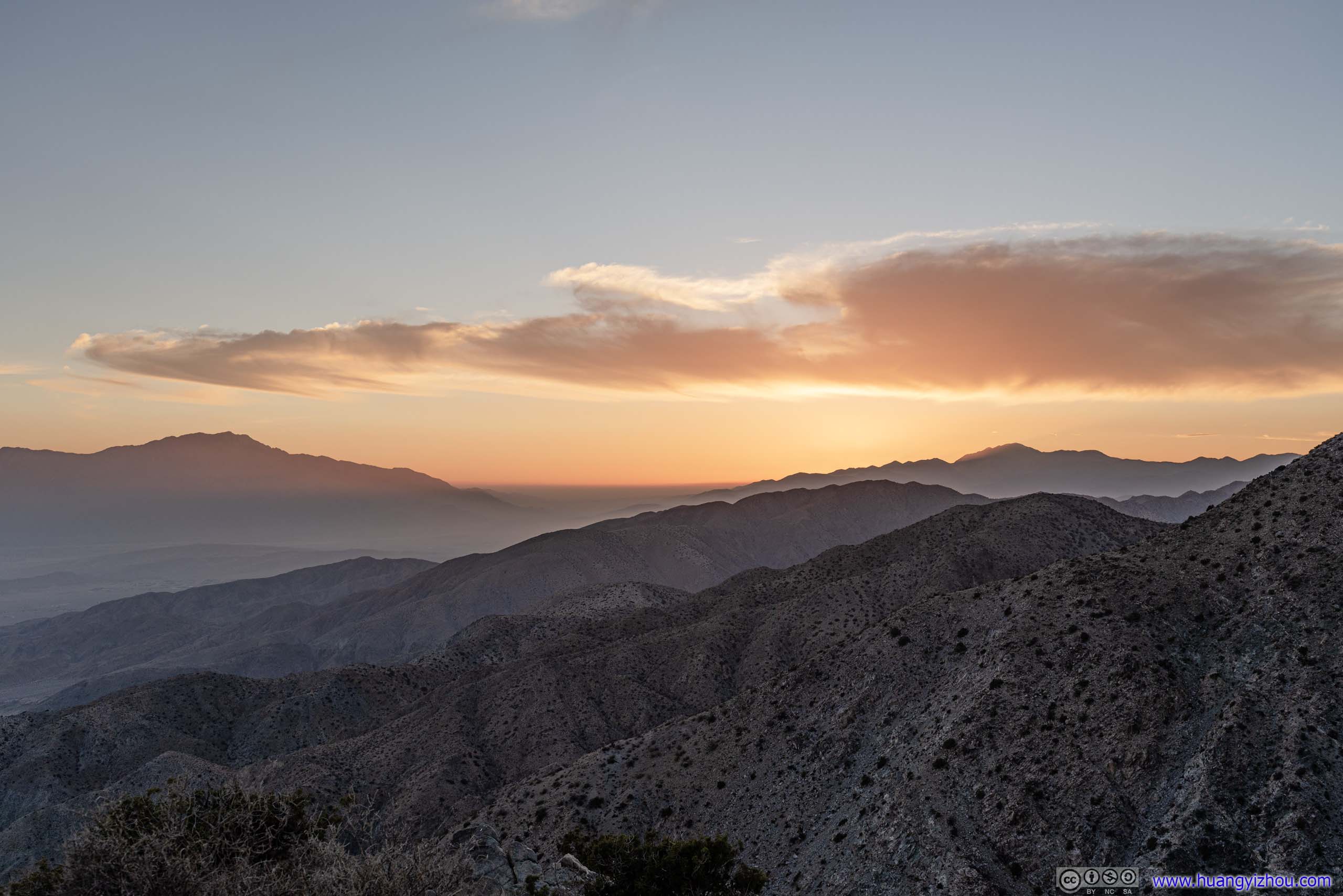
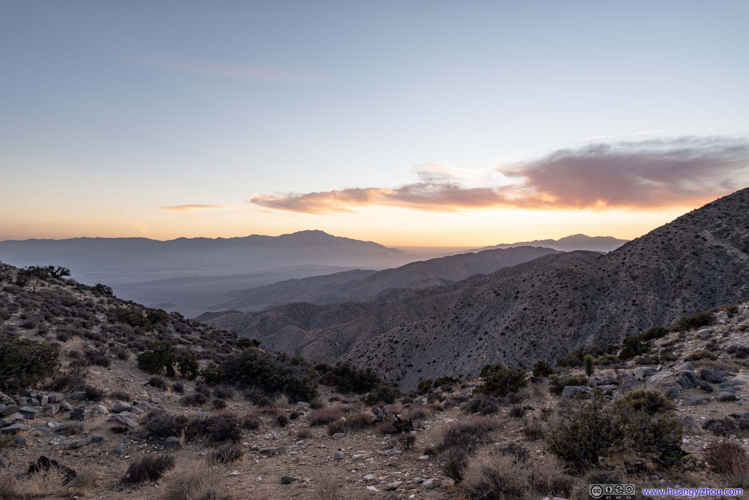
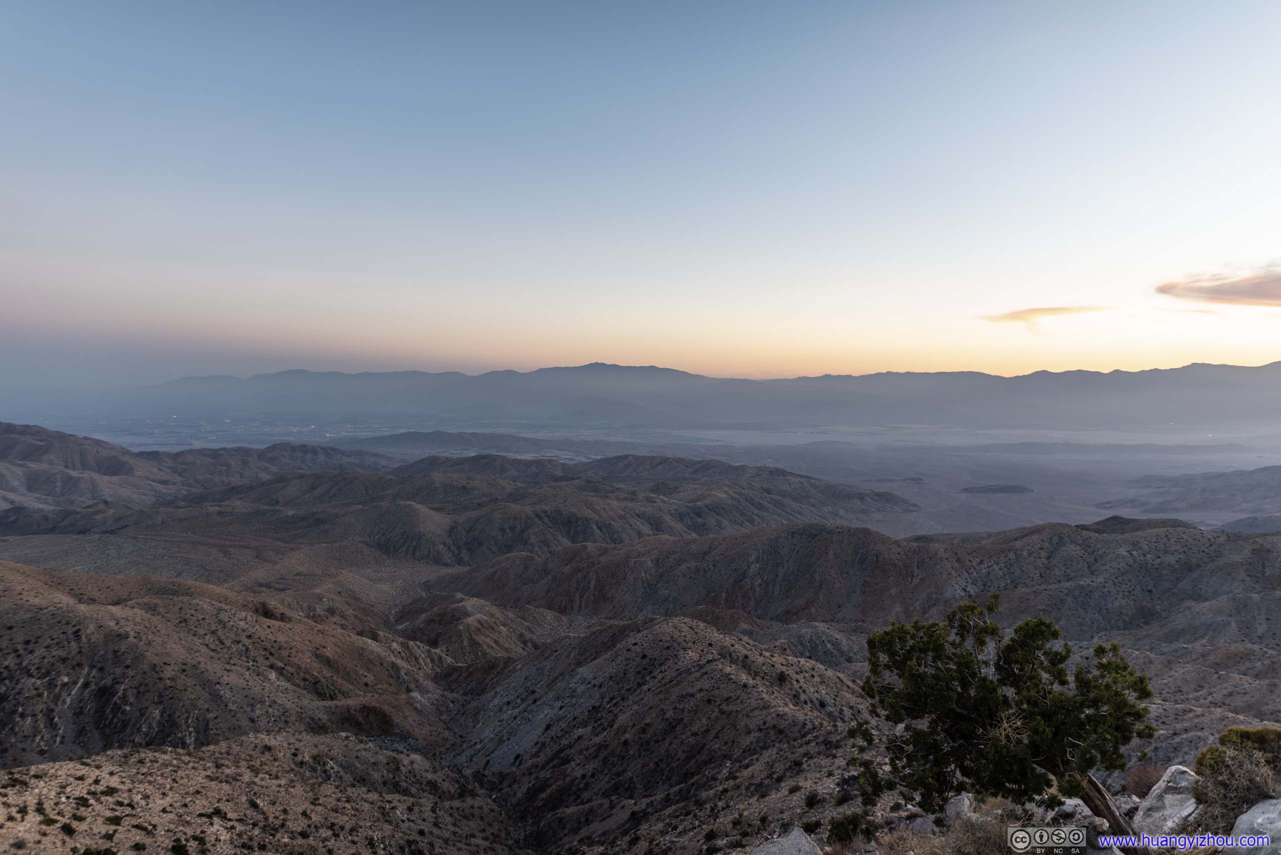
 Mountains to the EastThese two photos were separated by 30 minutes and colors were completely different.
I stayed in my car until close to sunset, and joined the throng at Keys View admiring the vivid colors of western sky.
San Gorgonio PassA hazy day as smog from Los Angeles veiled civilization behind mountains.
 Sunset
 Sunset Glow
Mountains to the West
Coachella Valley
Cholla Cactus Garden
After watching sunset at Keys View, weather forecast indicated a cloudless night ahead, so I thought it would be a great idea to watch the stars. Light pollution dropped as one headed farther east into the park, so I thought “Cholla Cactus Garden” would be a great place to do just that. In addition, the sight of Cholla Cactus clustered below a starry sky should be spectacular.
Unfortunately, lights from the distant metropolis of Los Angeles was still bright to light up the western horizons, creating unwanted distraction in my photos. To make things worse, instead of using (really) long exposures for the field of Cholla Cactus, I opted to light them up with my cell phone flashlight, which, unfortunately, was uneven and created problems for me to adjust white balances.
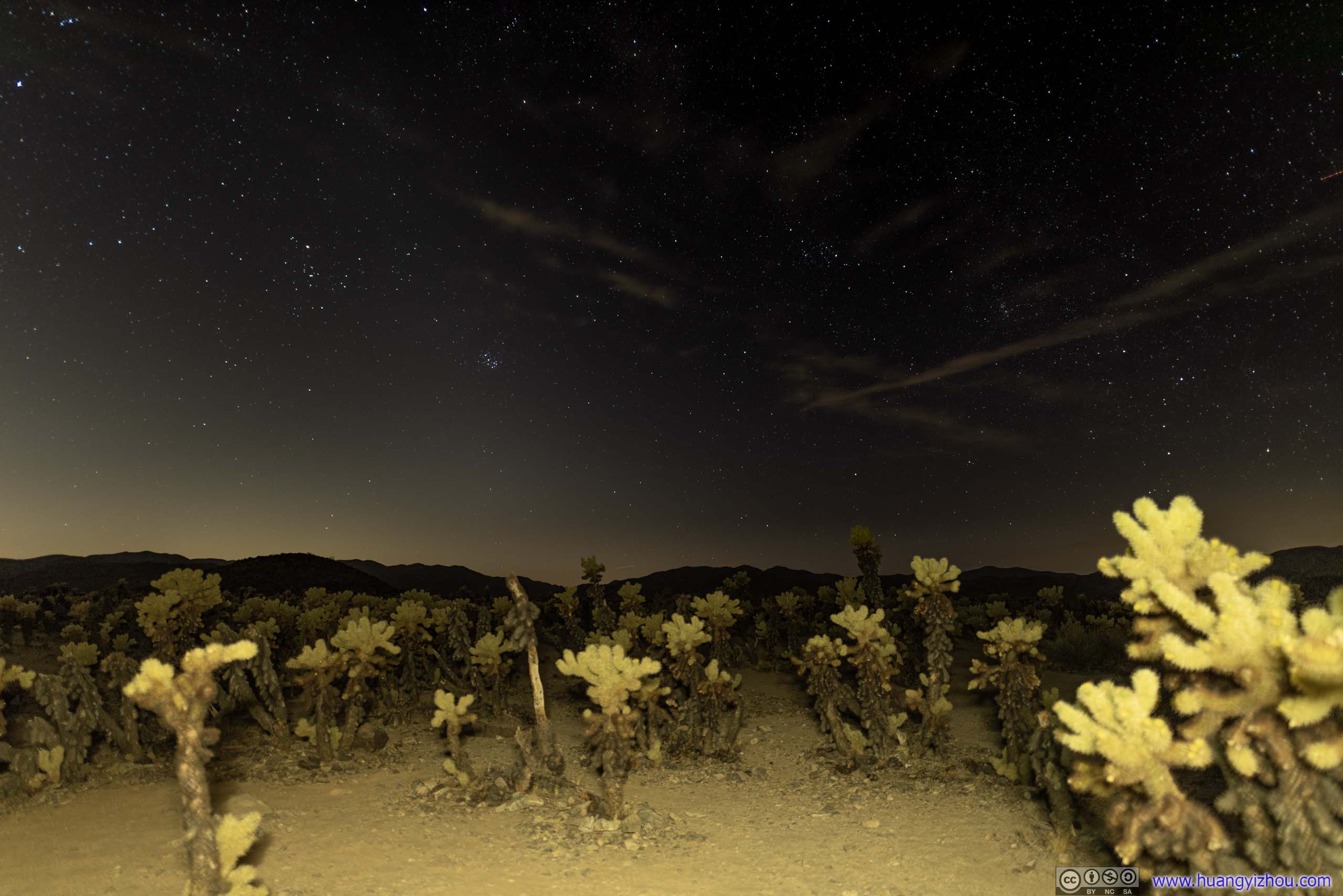
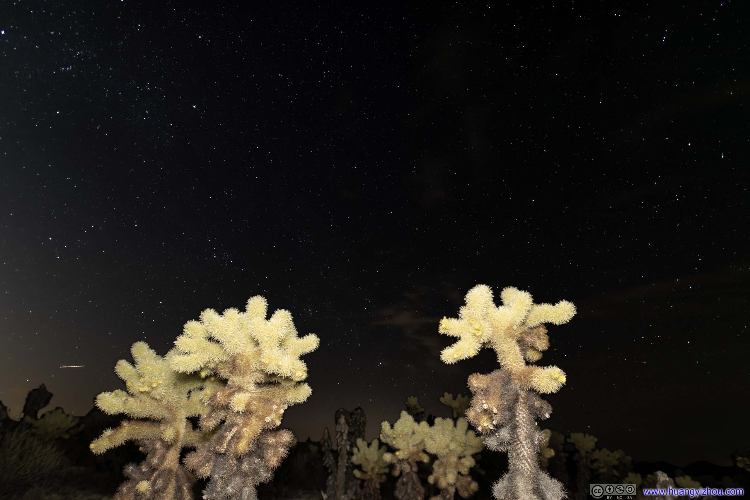

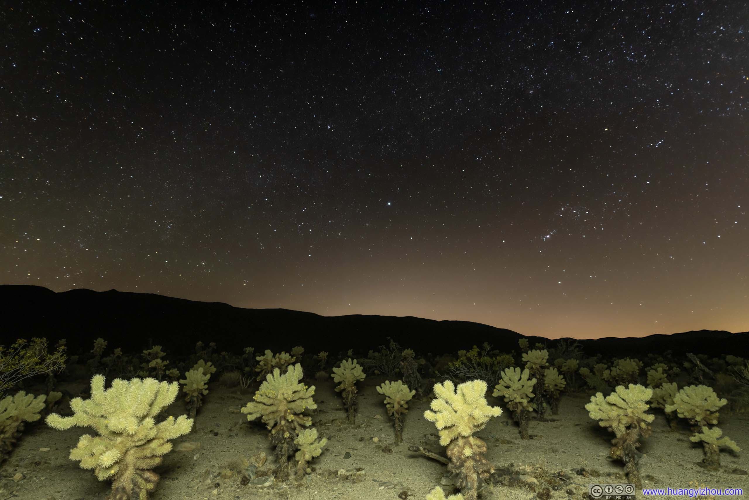 Cholla Cactus under Night Sky
So after a few disappointing shots, I headed back to my overnight lodge and called it a day.
END
![]() Day 3 of 2021 Joshua Tree National Park Trip by Huang's Site is licensed under a Creative Commons Attribution-NonCommercial-ShareAlike 4.0 International License.
Day 3 of 2021 Joshua Tree National Park Trip by Huang's Site is licensed under a Creative Commons Attribution-NonCommercial-ShareAlike 4.0 International License.