
Updated on December 11, 2021
Day 4 of 2021 Alaska Trip, South Pioneer Peak, Jewel of Chugach Mountains
Fourth day of my 2021 Alaska trip and last day in the Anchorage vicinity. I climbed and summited South Pioneer Peak, a magnificent YDS class 3 mountain on the southern bank of Knik River that’s an enchanting sight from much of the Mat-Su Valley. It’s a long day-hike with grueling elevation gains, but this time I was better prepared, mentally and physically, and it turned out to be a much memorable experience.
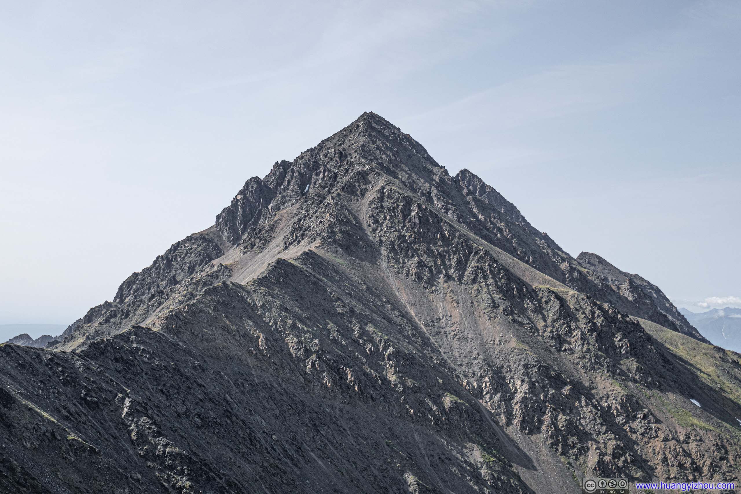
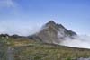
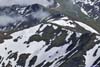
Pioneer Peak
This would be my last day in the Anchorage vicinity. Weather forecast was cooperating, so I decided to climb South Pioneer Peak. Pioneer Peaks were two peaks situated right next to each other. While their magnificent presence on Knik River’s southern shore was a constantly alluring sight from nearby towns like Palmer, the trail to South Pioneer Peak was a 22km roundtrip with 2km of vertical elevation gain, the end of which involved YDS class 3 rock scrambling. From the top of South Pioneer, one may opt to follow a traverse down and up to its taller brother of North Pioneer, which involved YDS class 4 scrambling. Like most other hikers, I decided to make South Pioneer Peak my destination of the day.
Trail Composition
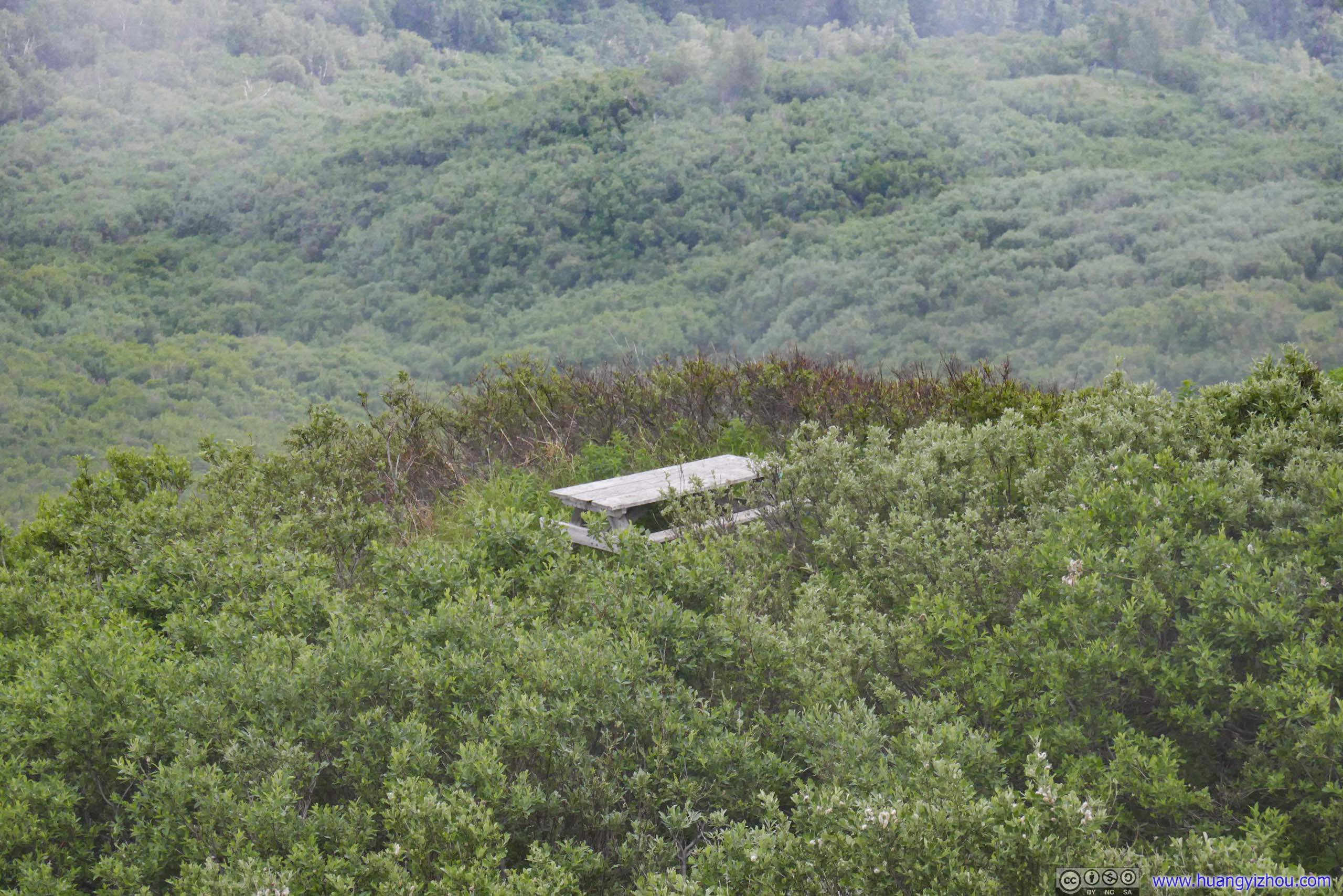
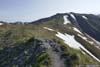
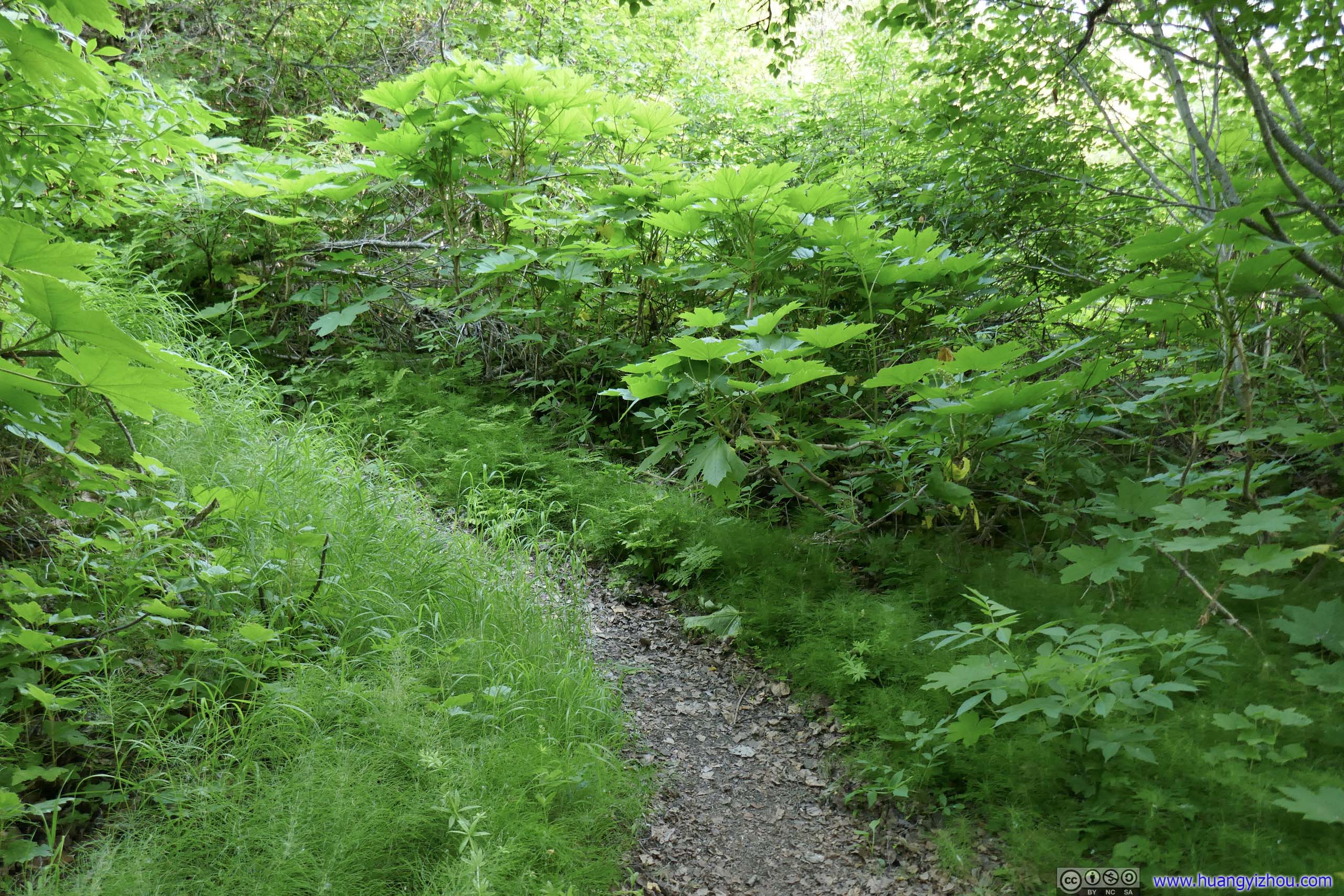
The trail to South Pioneer Peak could roughly be broken down into three parts. The first 7.5km was a constant elevation gain where one started near sea level and reached 1600m elevation. There were 2 picnic tables for one to rest along the way, both were roughly at the halfway mark. They also roughly marked the tree line along the trail. After the first part, the trail made a right turn and followed a relatively flat ridge (Pioneer Ridge). That’s when scenic mountains deeper in Chugach State Park came into view. This part lasted for about 1.5km, and didn’t have much elevation change. Finally, the ridge would grow narrower and the trail would pick up exposure, as one entered the last part and final stretch onto South Pioneer Peak, that’s when YDS class 3 scrambling came into play. The final part lasted about 1.5-2km (horizontally), depending on GPS accuracy and how much route finding was carried out. Finally, one would reach the summit of South Pioneer Peak at 1920m elevation.
So on the morning of July 4, I set off from my Airbnb in Anchorage before 8am. After stretching my legs, I started my journey at 8:45am.
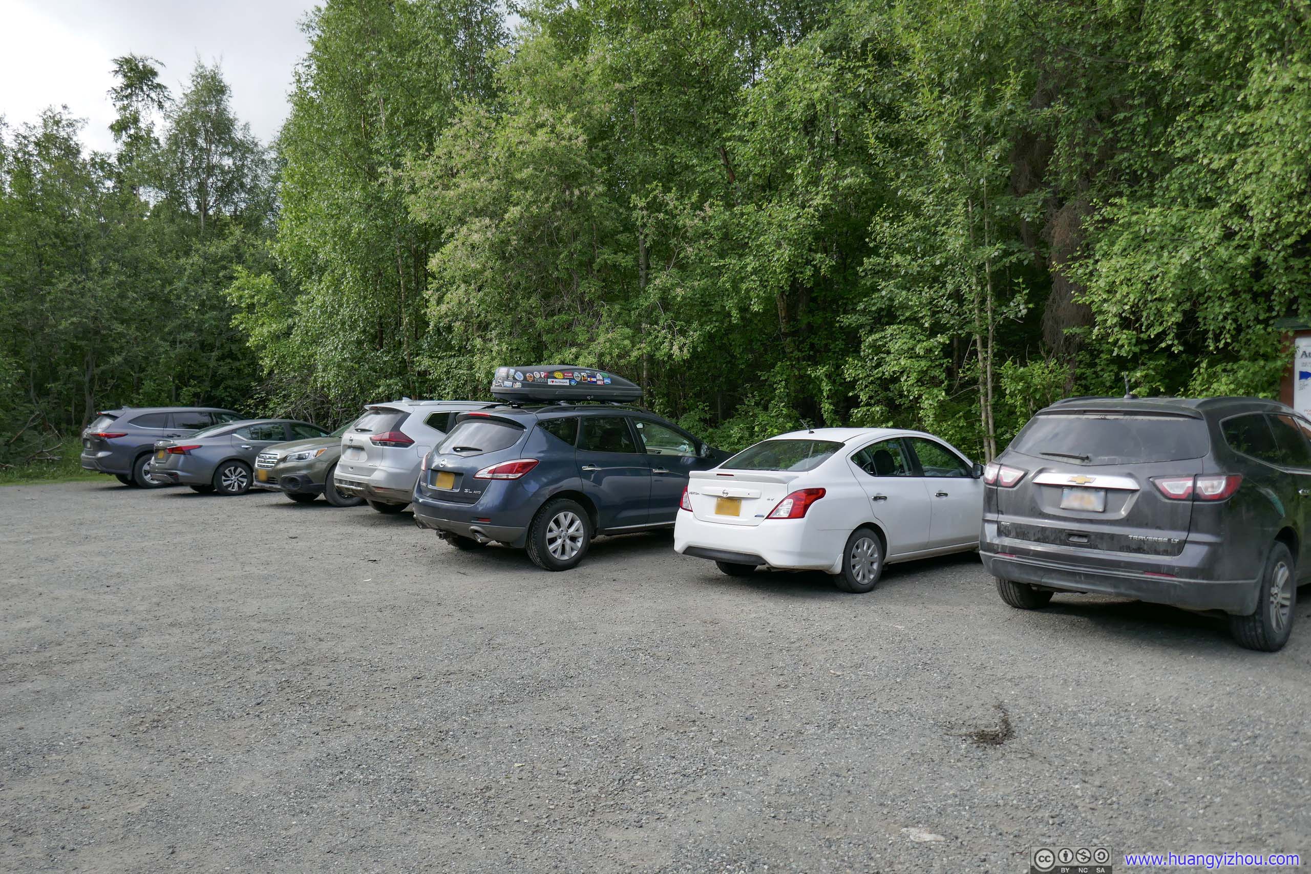
Parking Lot
Here’s GPS tracking:
Before First Picnic Table
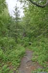
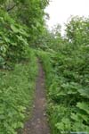
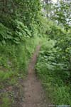
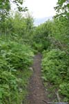
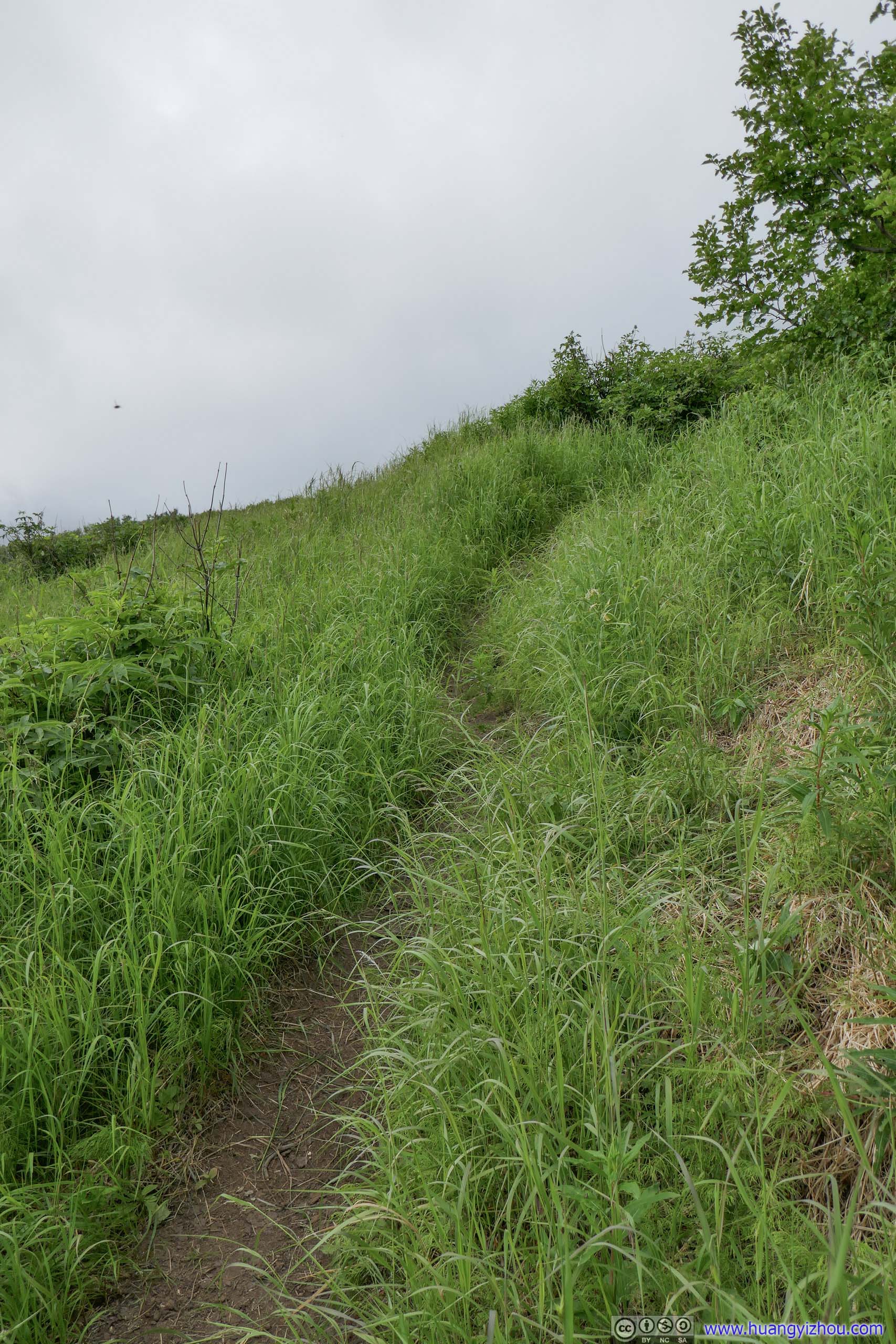
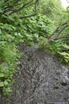
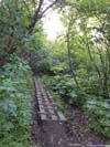
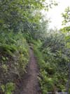
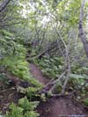
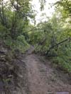
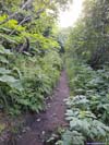
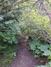
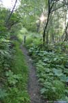
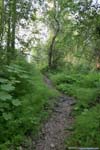
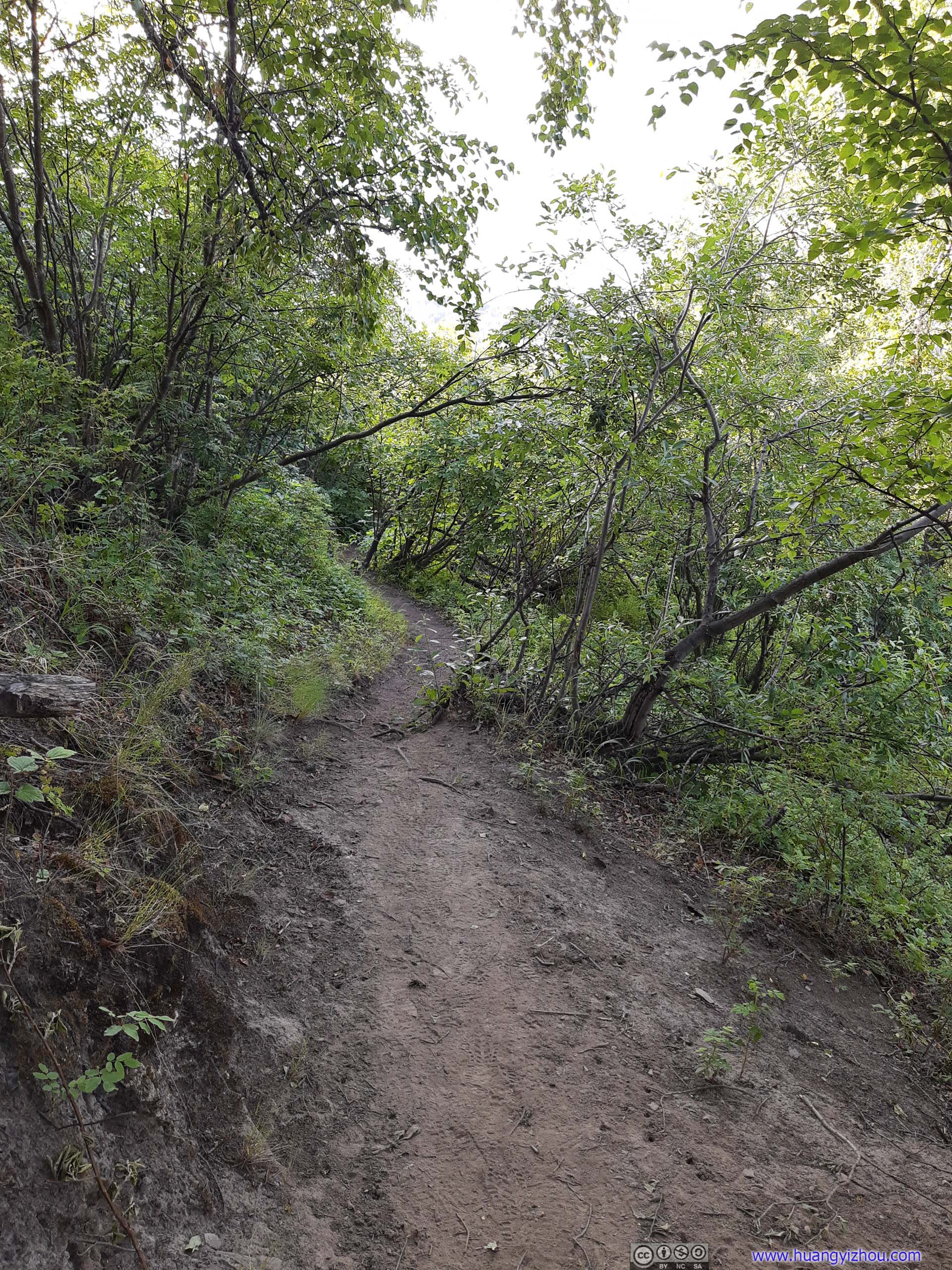
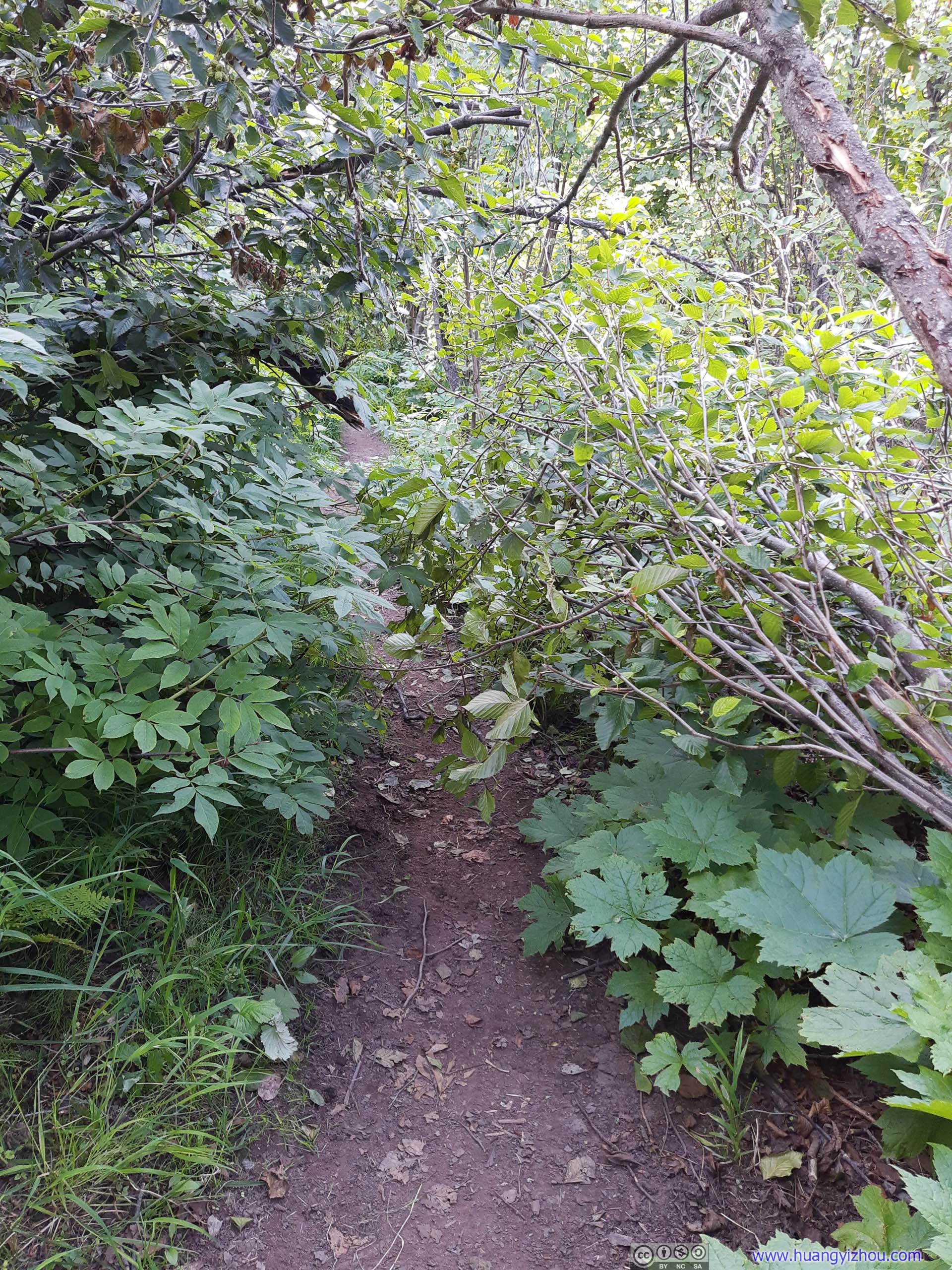
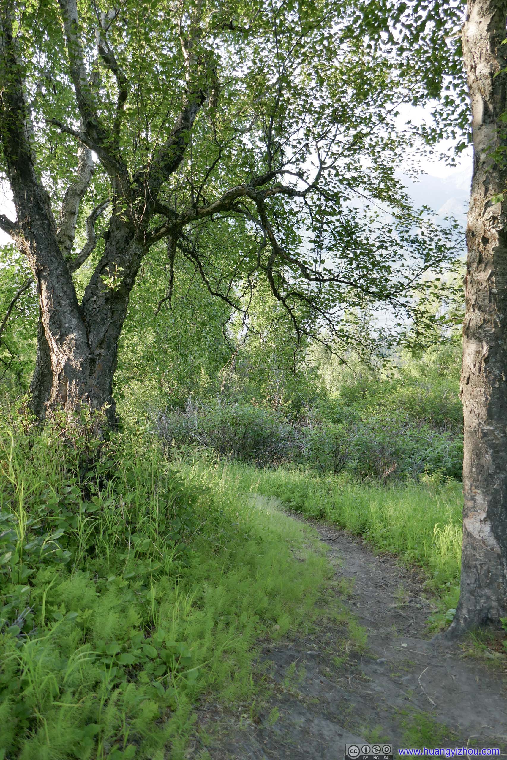
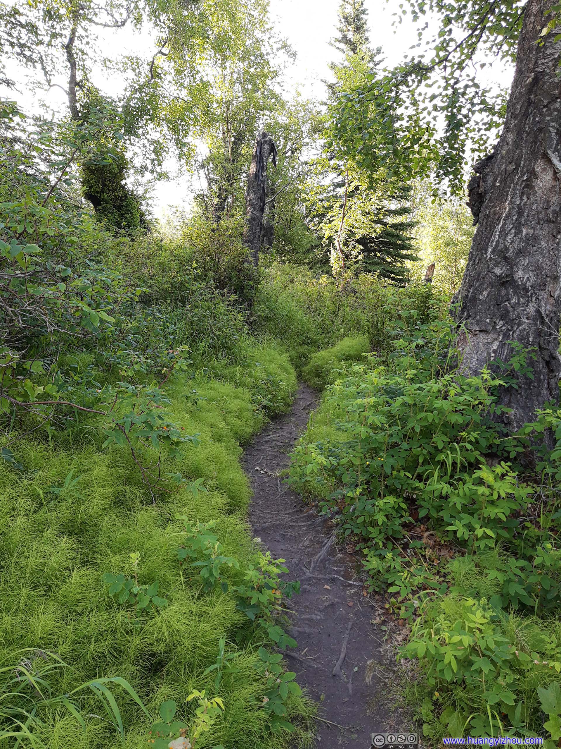
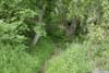
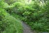
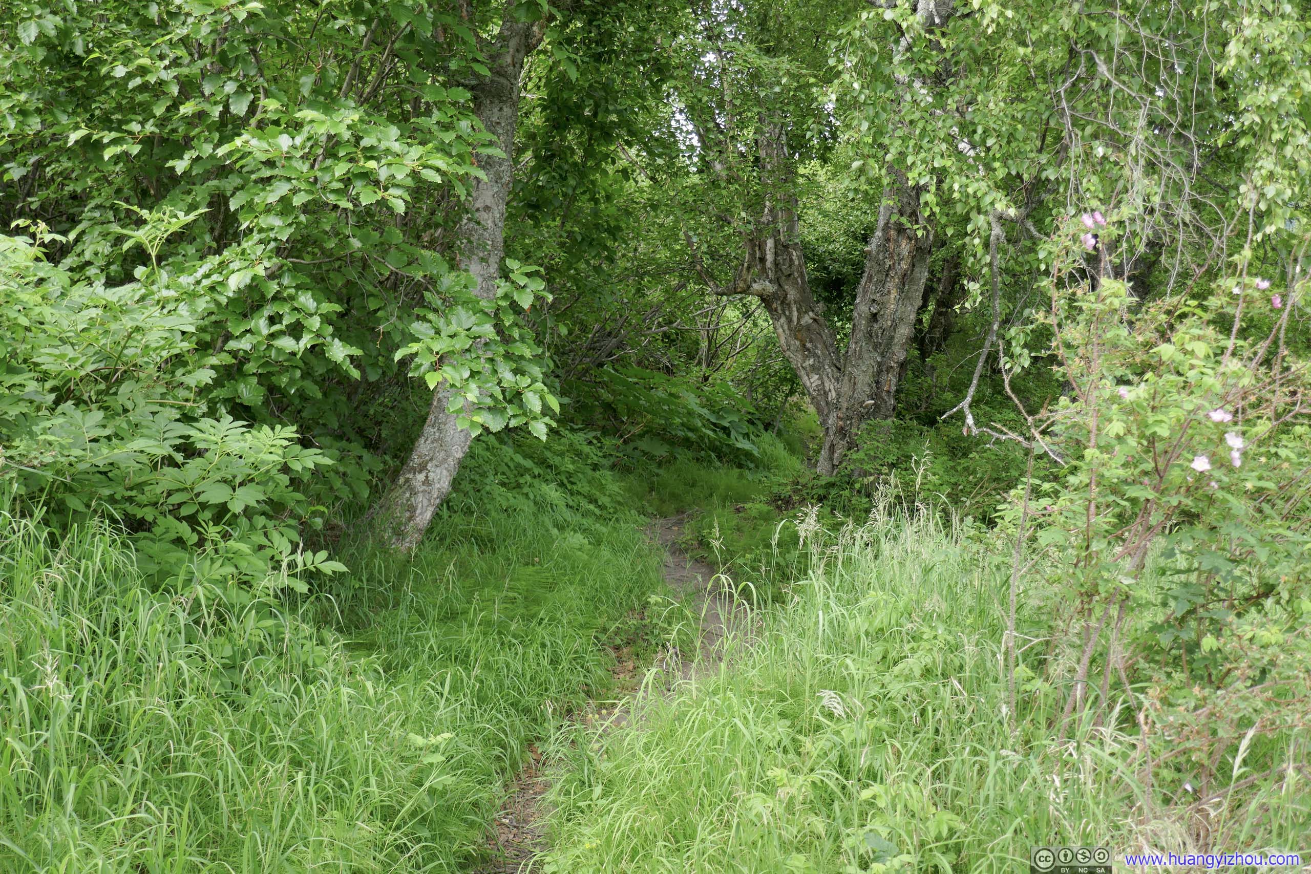
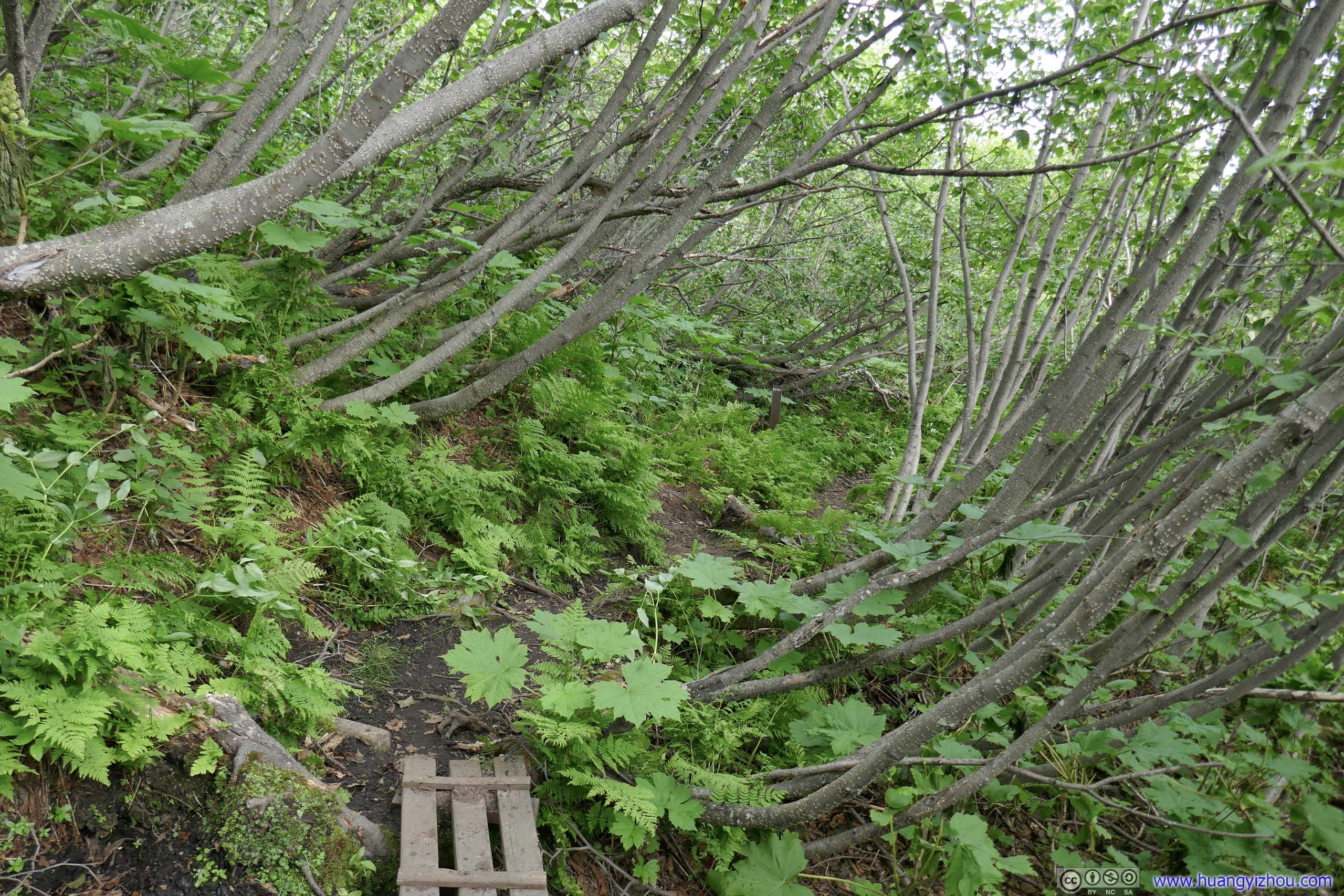
Before the first picnic table, the trail made its way through typical Alaskan woods in an unremarkable fashion. Surrounding vegetation was dense and leaves were lush. This part of the trail featured an average gradient similar to the initial part of Matanuska Peak, which I summited 3 days ago, just that it would last a lot longer. However, the trail was overgrown in many spots that required minimal bushwhacking (long pants and shirts and hiking poles would come in handy in those situations). There were also a few fallen trees that I had to navigate around. I almost cut my shirt during one on my descent.
 Trail
Trail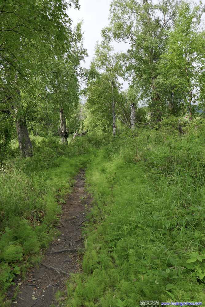 Trail
Trail Trail
Trail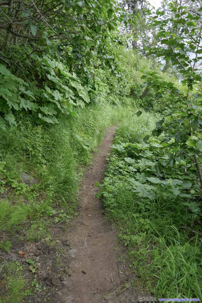 Trail
Trail Trail
Trail Trail
Trail

Click here to display photos of the trail.

Trail


 Trail
Trail
Trail
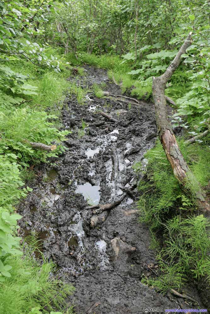
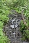
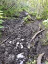
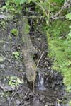
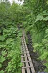
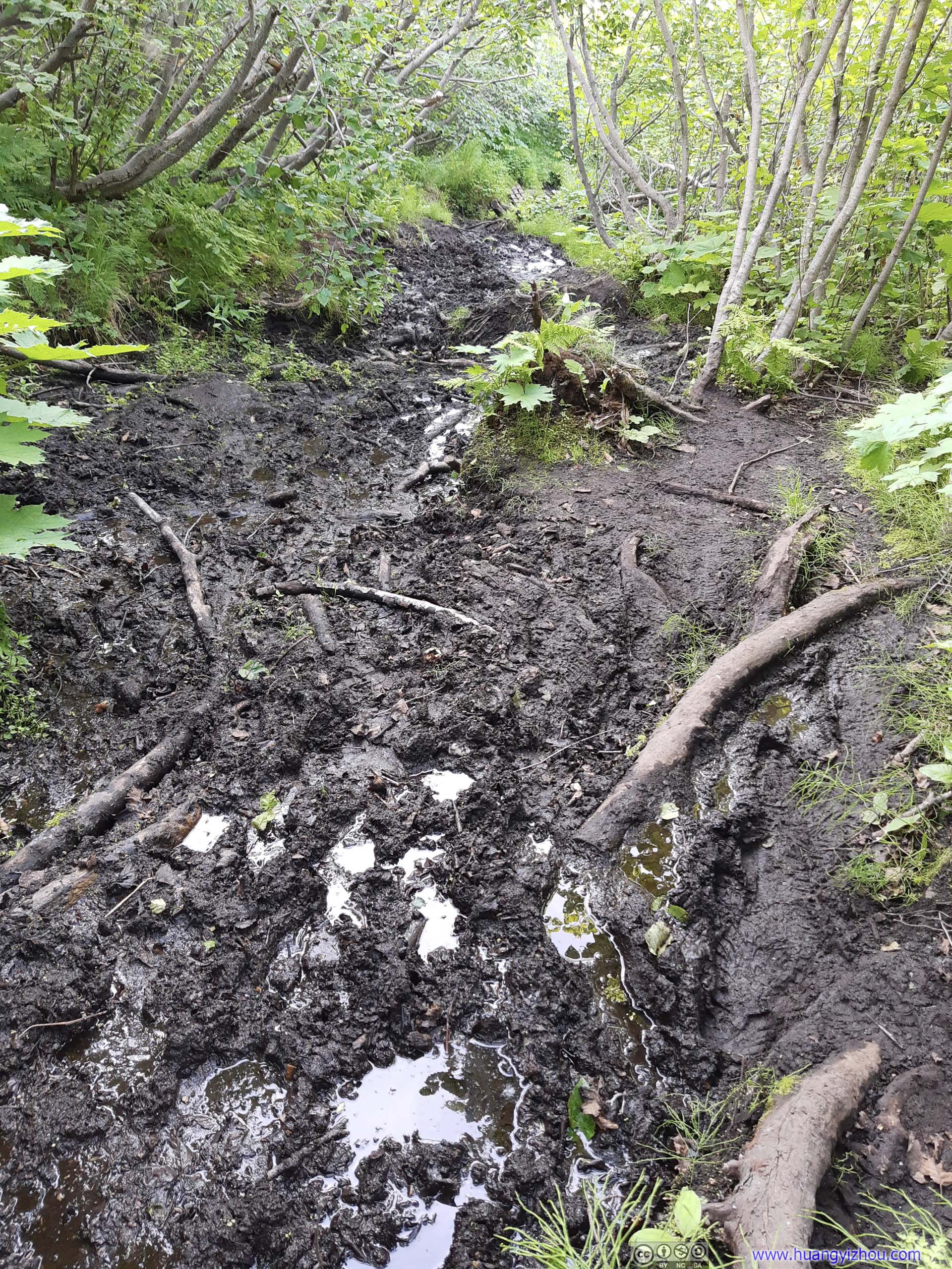
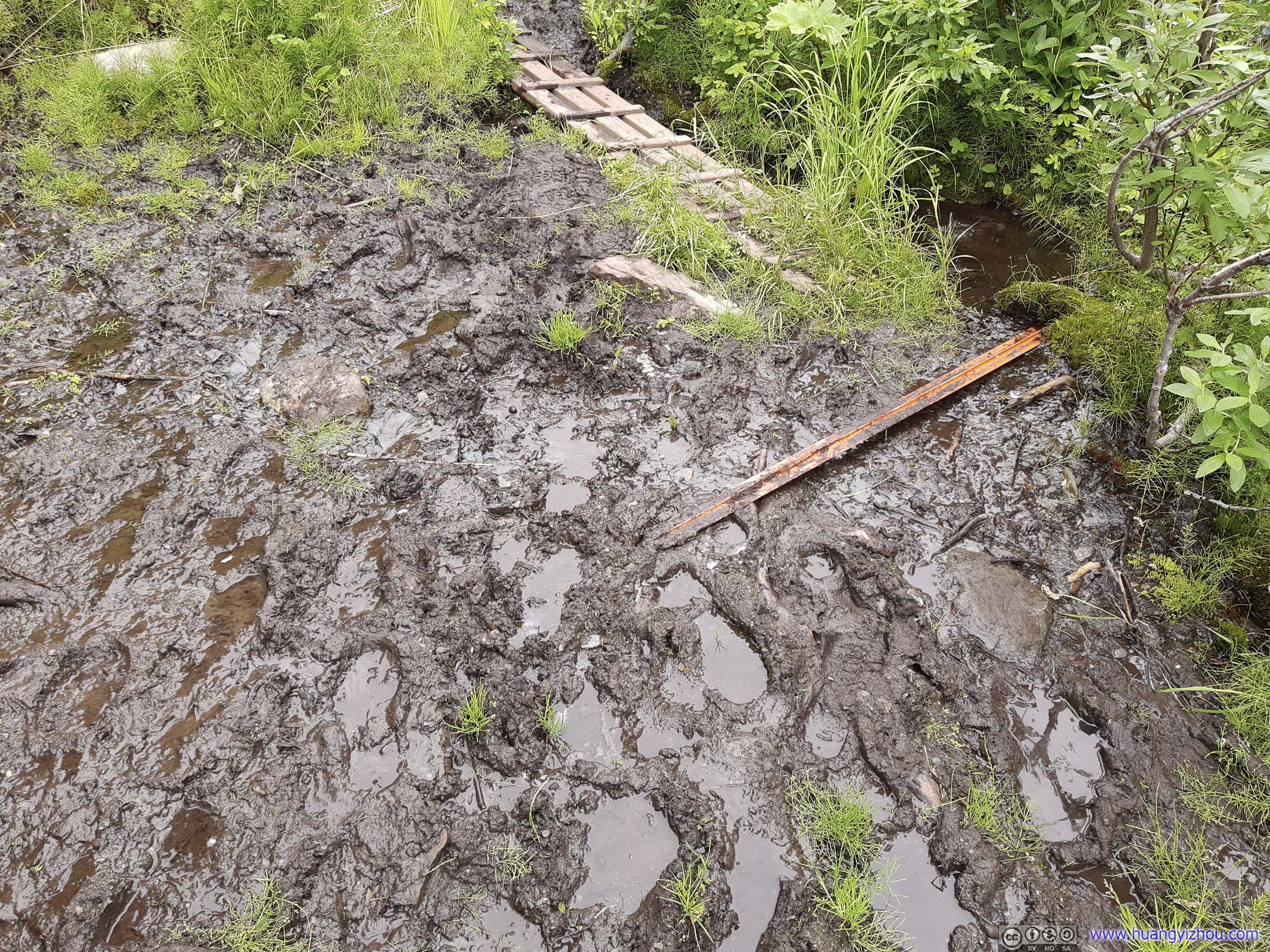
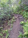
In addition to that, the trail had a few muddy spots, the worst of which being between the 10k feet distance mark and the first picnic table (p1-p3 below). Even with hiking poles, going through this section was sure to get one’s boots dirty. (During my descent I was trying to avoid them, and got my hand cut in the process.) There were some signs of trail improvement (wooden bridges, checkerboard shaped plastic) to address the mud issue, but they were woefully insufficient.
 Muddy Trail
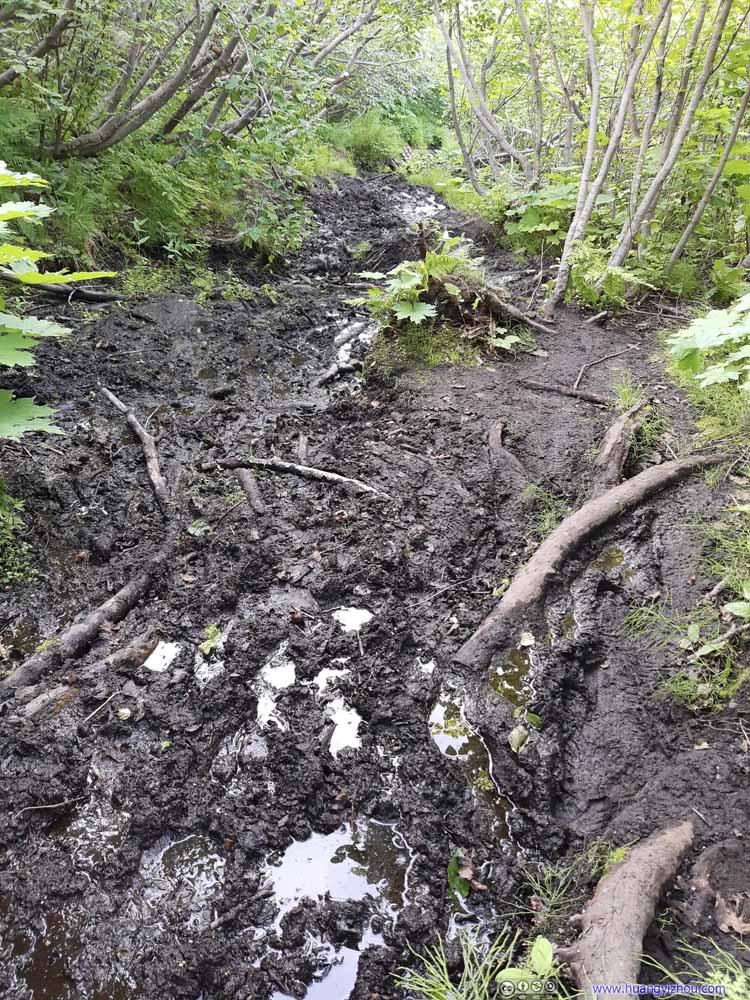 Muddy Trail
 Muddy Trail
 CreekThe likely culprit of my suffering.
 Trail Improvement
 Trail Improvement
Click here to display photos of the trail’s condition.

Muddy Trail
Muddy Trail

Muddy Trail

CreekThe likely culprit of my suffering.

 Trail Improvement
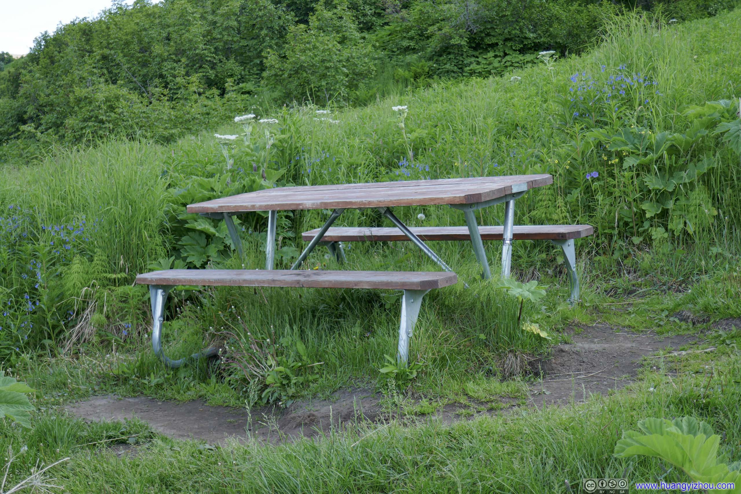
First Picnic TableAt about 2.9km from trailhead. It’s hard to find places to sit and rest below the tree line, so these picnic tables were really helpful.
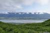
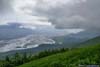
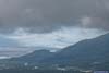
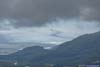
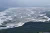
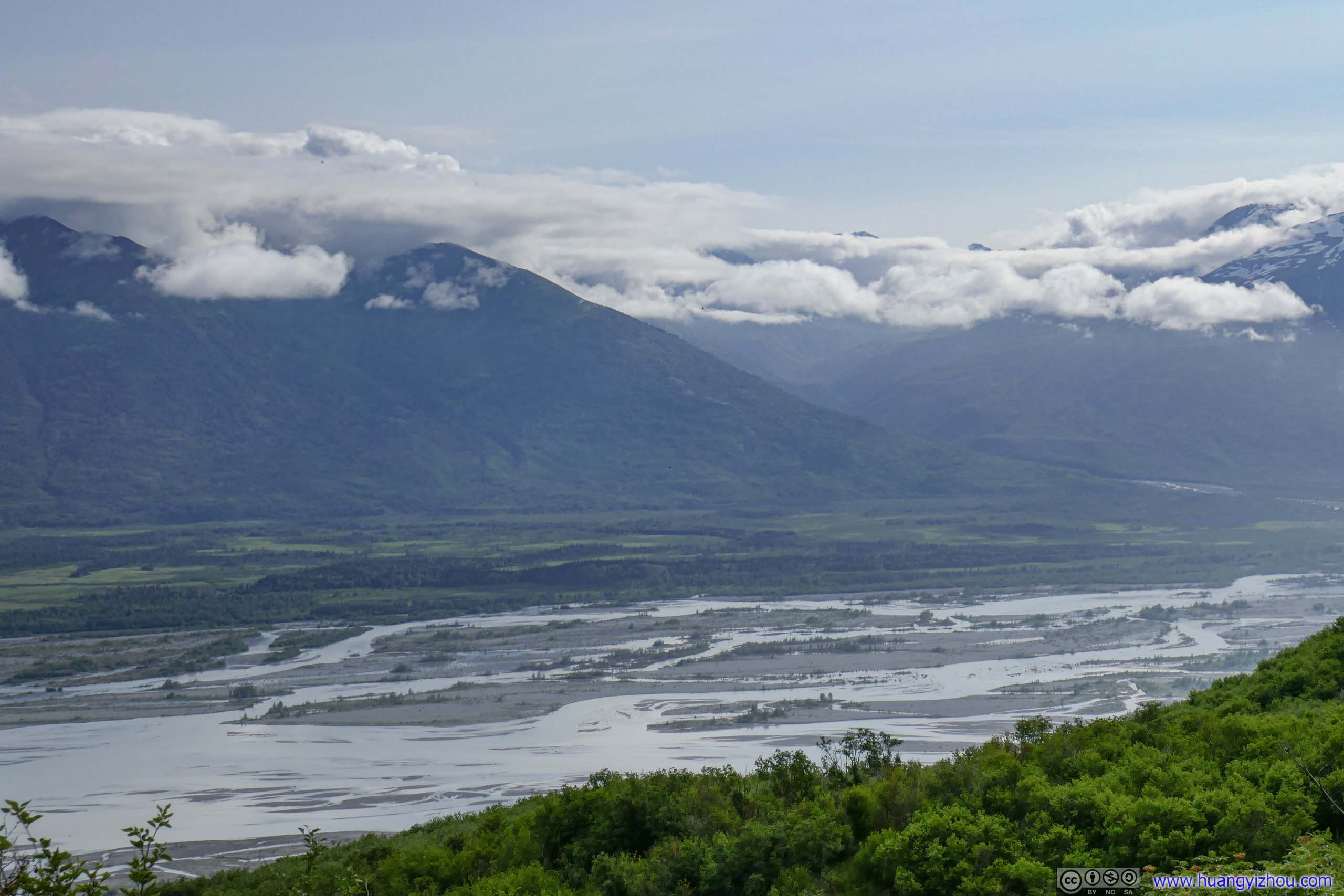
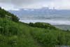
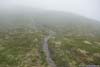
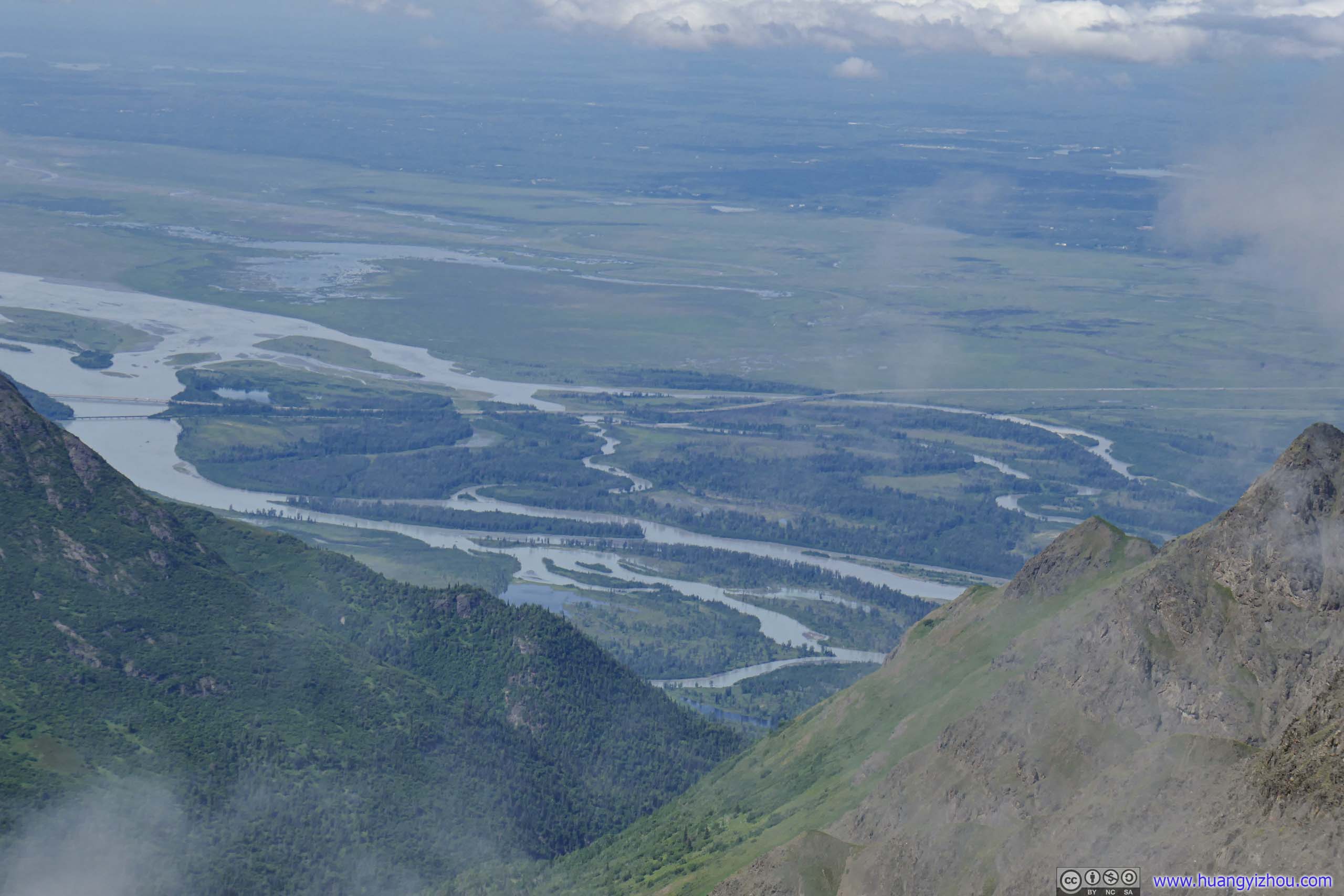
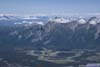
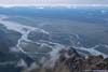
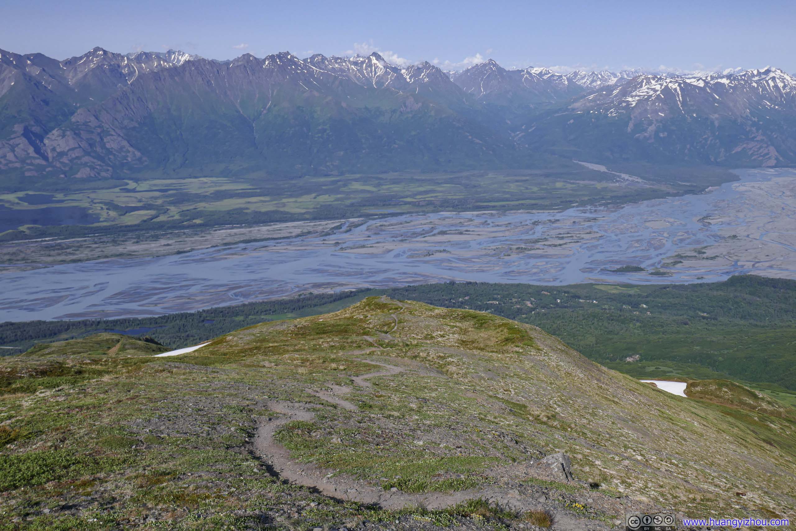
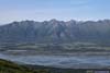
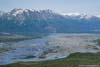
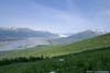
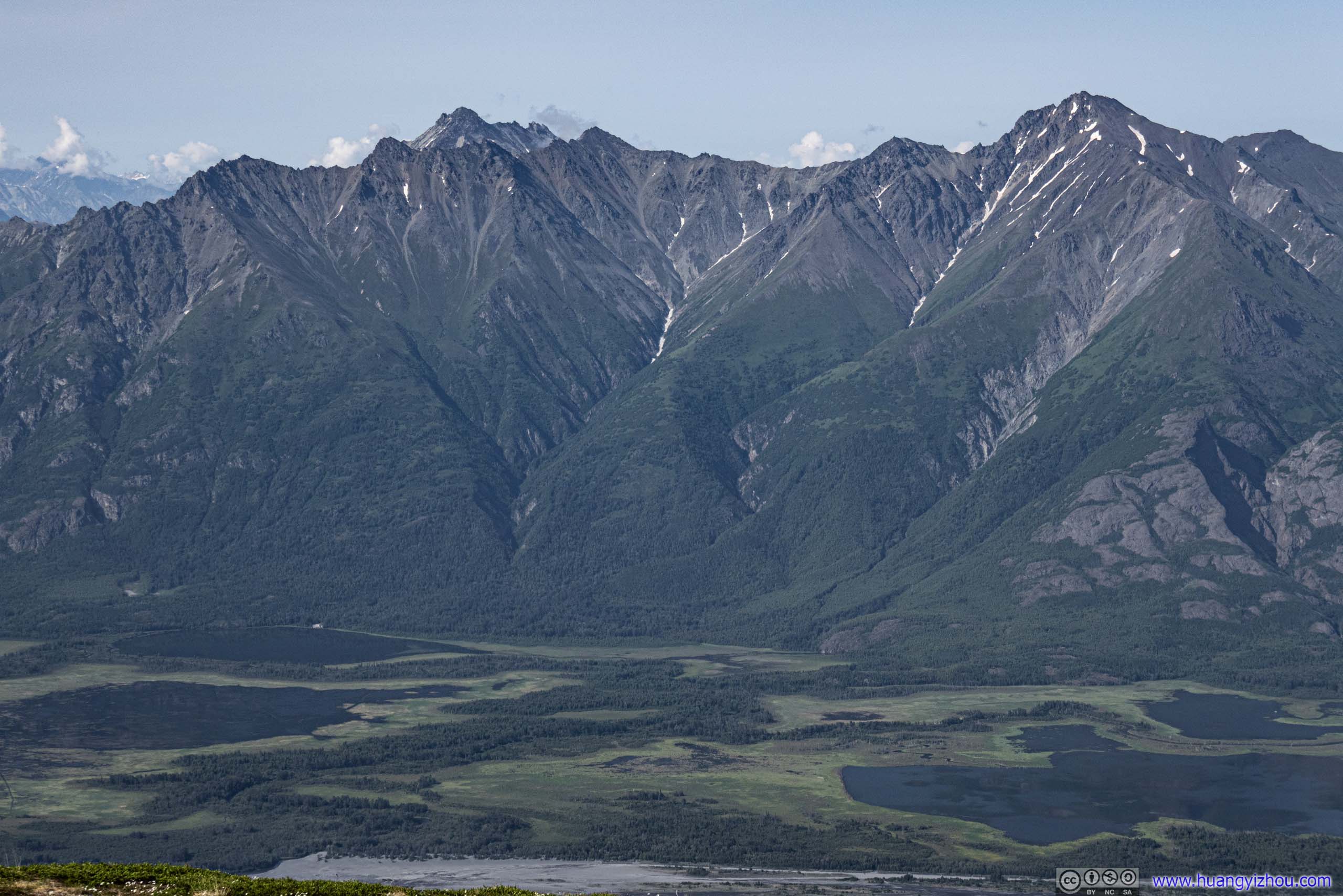
After about 1.5 hours since I started, I reached the first picnic table, where I took some rest. The table was also at an opening in the woods, which offered some views of distant Knik Glacier and mountains across Kink River. They were much-appreciated scenery from hiking in dense woods.
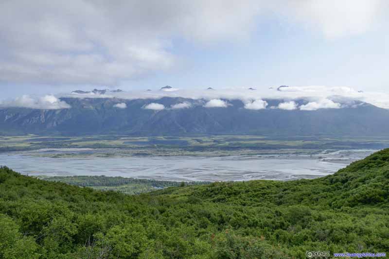 Knik River
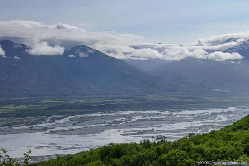 Knik River and Distant Valley
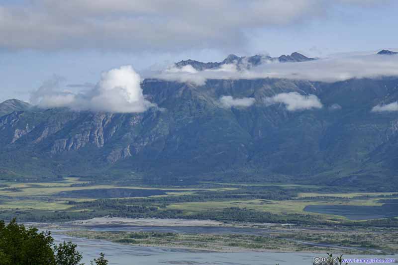 Mountains across Knik River
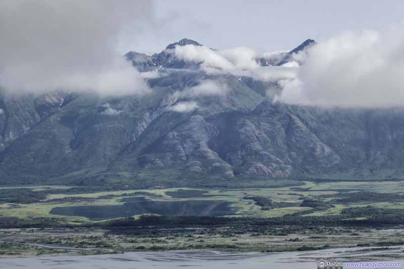 Frontier Peak across Knik River
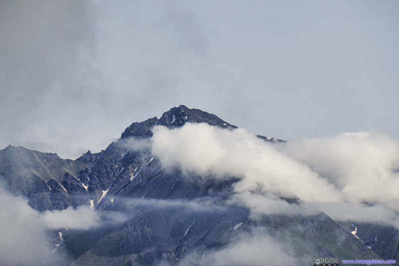 Frontier Peak across Knik River
 Knik River under Dark Clouds
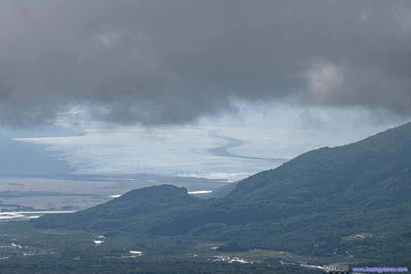 Distant Knik Glacier under Clouds
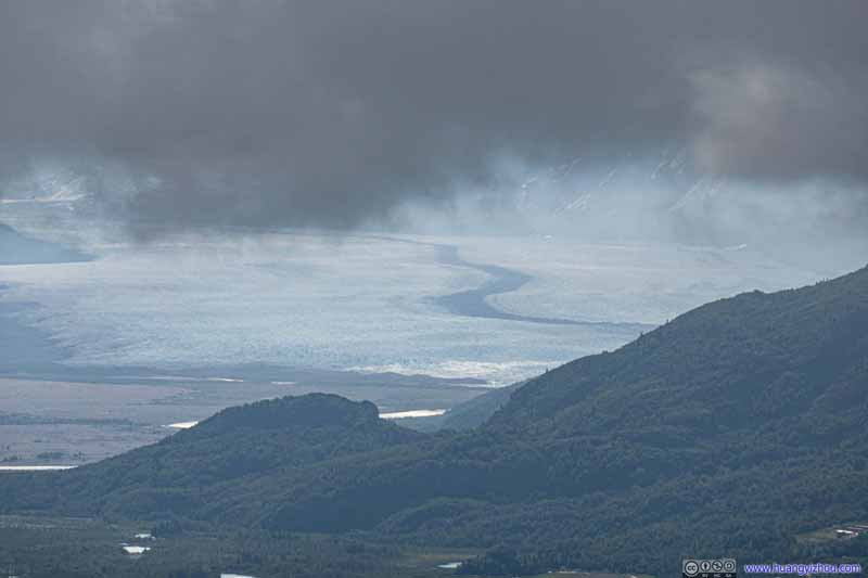 Distant Knik Glacier under Clouds
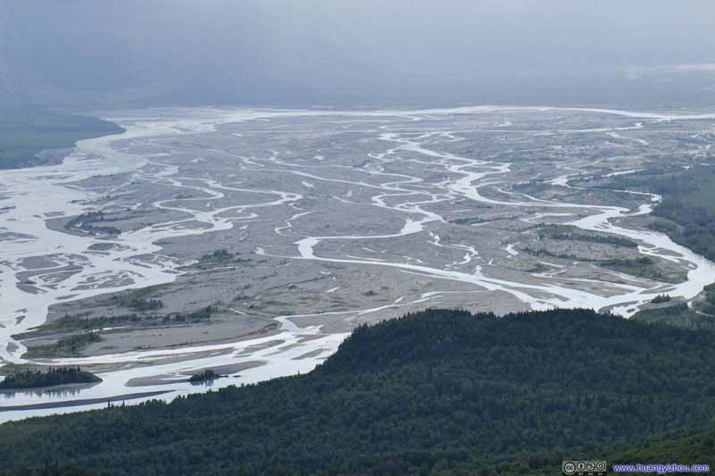 Knik River

Click here to display photos of the Knik Glacier and River.

Knik River
Knik River and Distant Valley
Mountains across Knik River

Frontier Peak across Knik River

Frontier Peak across Knik River
Knik River under Dark Clouds

 Distant Knik Glacier under Clouds
Knik River
Between First Picnic Table and Snow Crossing
After some rests, I continued my hike from the first picnic table.
Muddy SpotAnother muddy spot between the first and second picnic table.
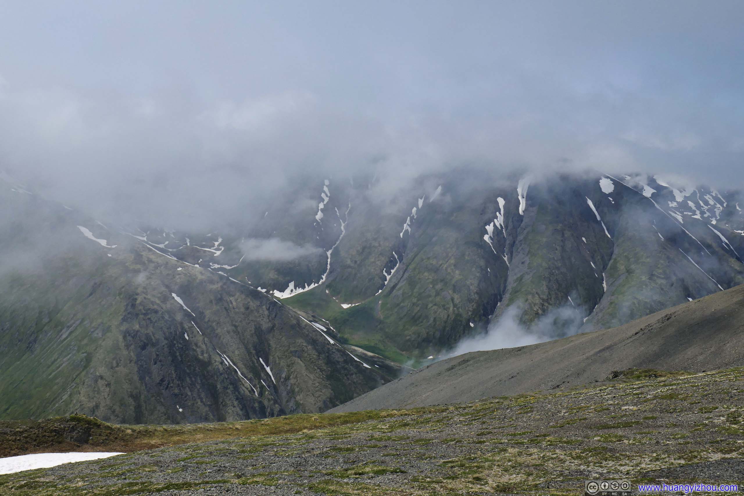
Weather forecast for today was morning clouds and afternoon sun. While I was driving towards the trailhead, I was a bit nervous seeing the top of the mountains concealed in clouds. It would be a huge pity to reach the summit after a grueling hike to find it covered in clouds.
Not long after leaving the first picnic table, I found myself heading into the clouds, putting the weather forecast to the test.
Second Picnic Table
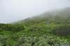
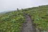
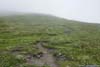
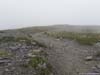
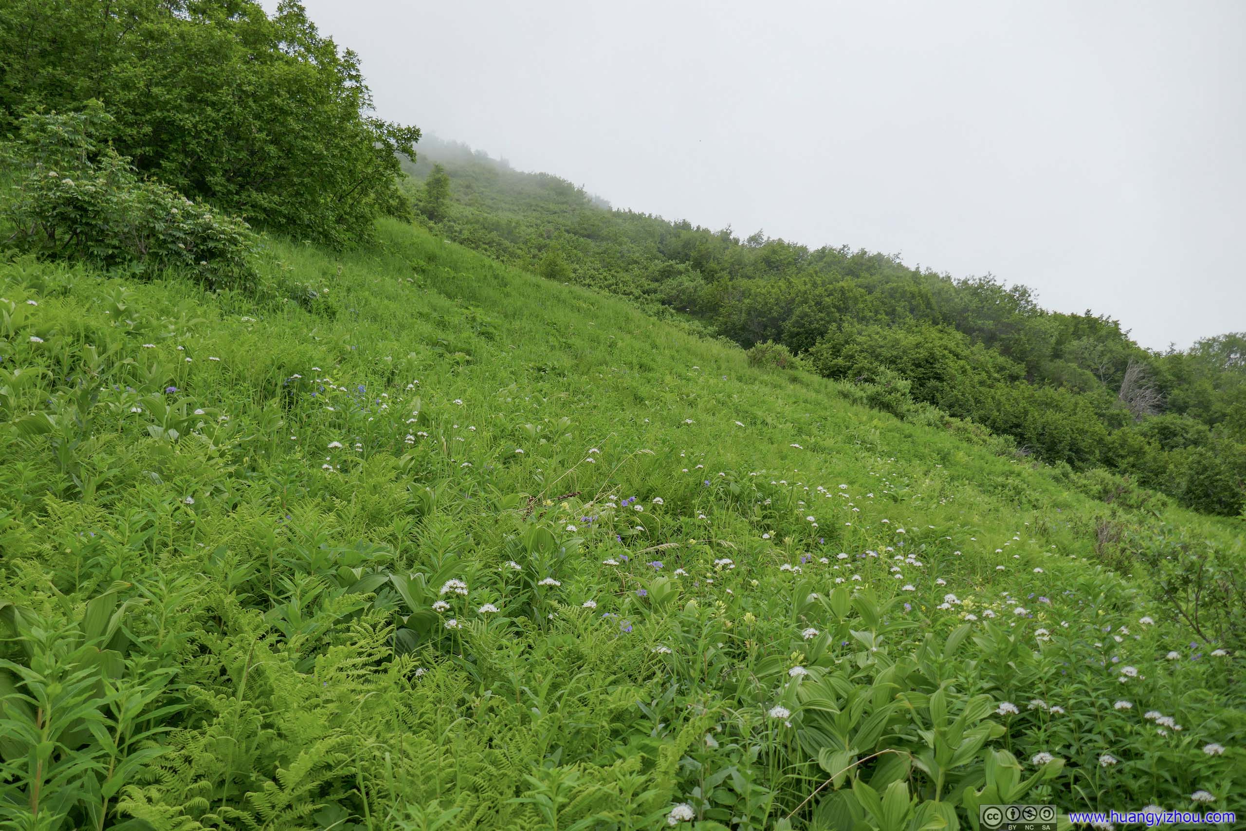
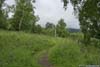
After the first picnic table and above tree line, leaves along the trail were dwindling at a visible pace. Not long after the second picnic table, grass took the place of bushes, which was then replaced by rocks. The one thing that didn’t change was the pace at which the trail gained elevation, it was still steep and began to hurt my legs.
 Trail
Trail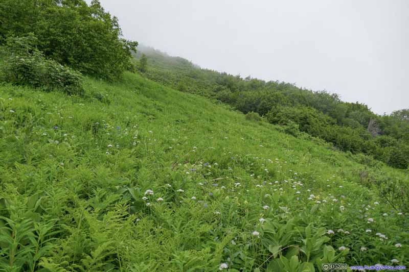 Bushes
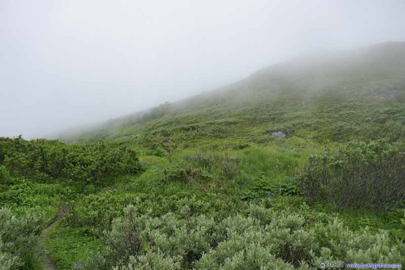 Bushes
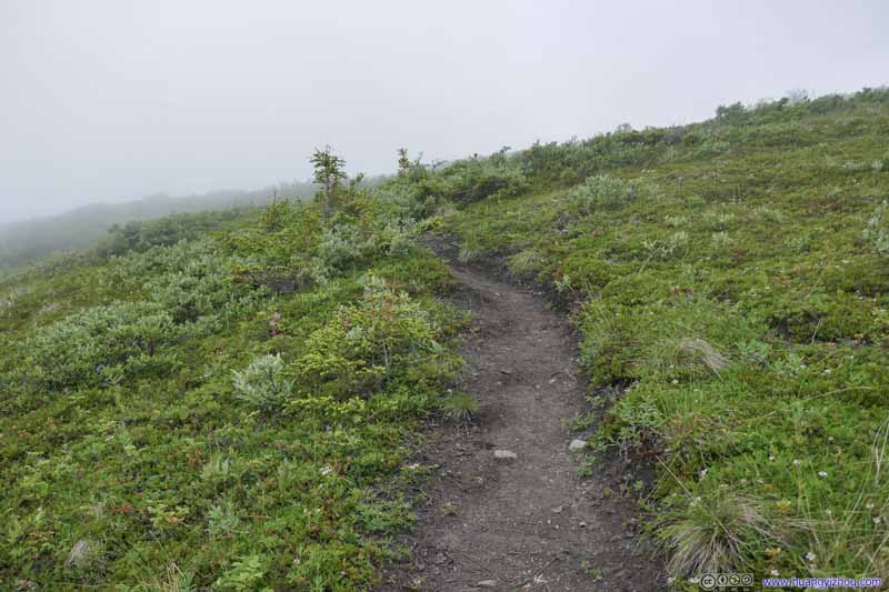 Trail
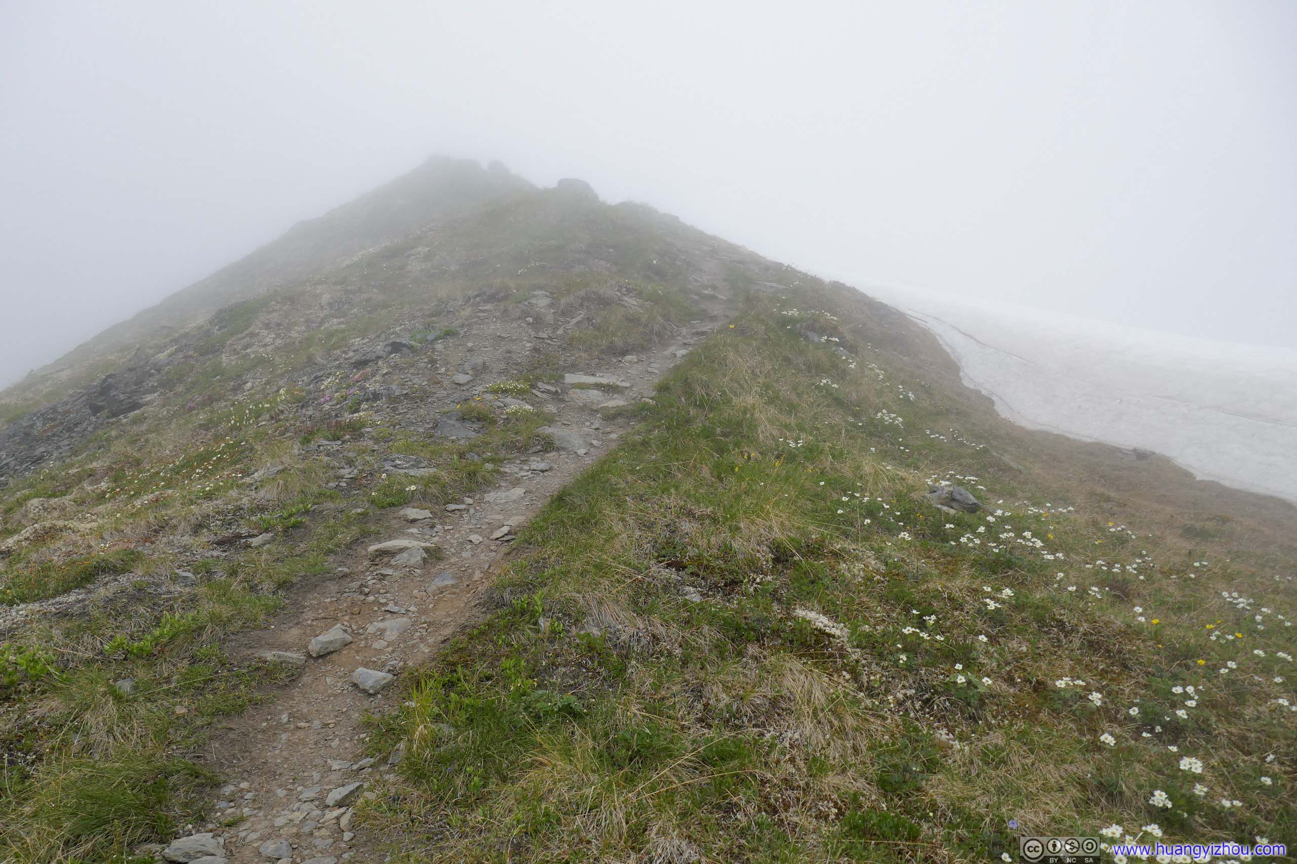
Trail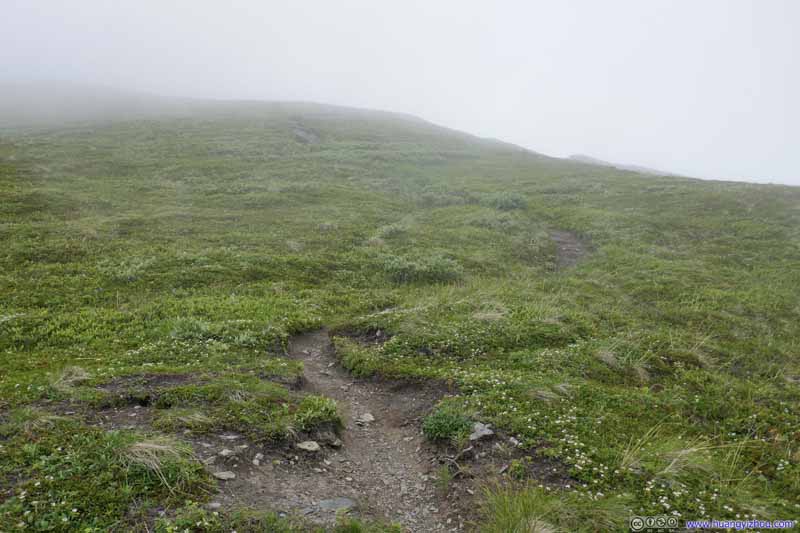 Trail in Mist
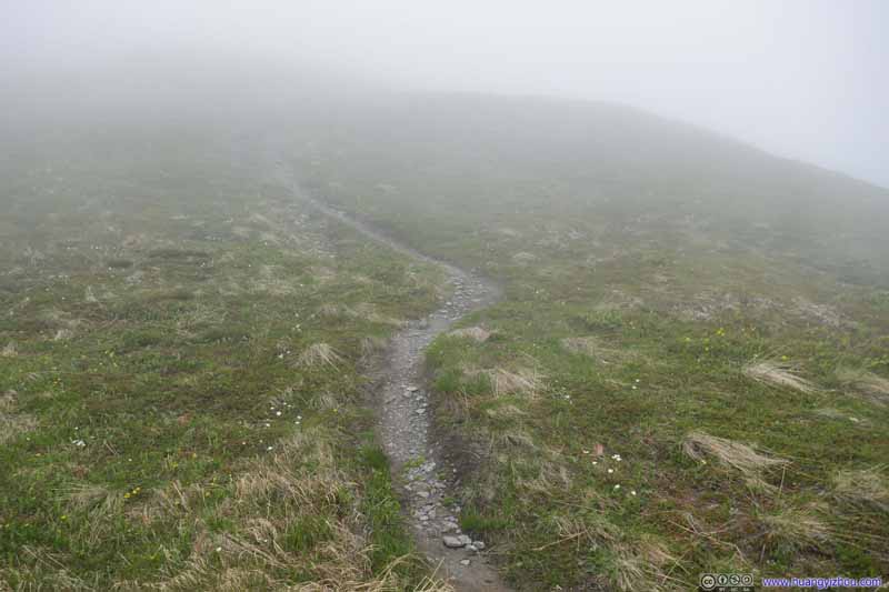 Trail in Mist
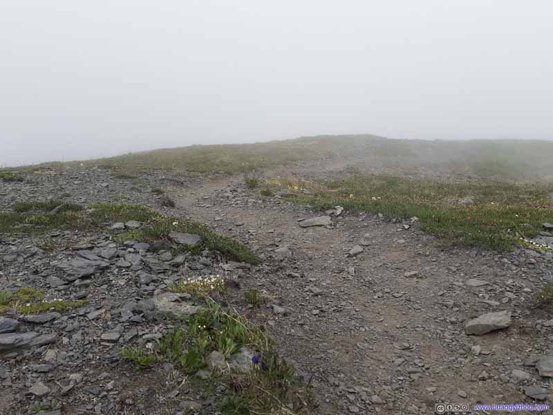 Trail in Mist
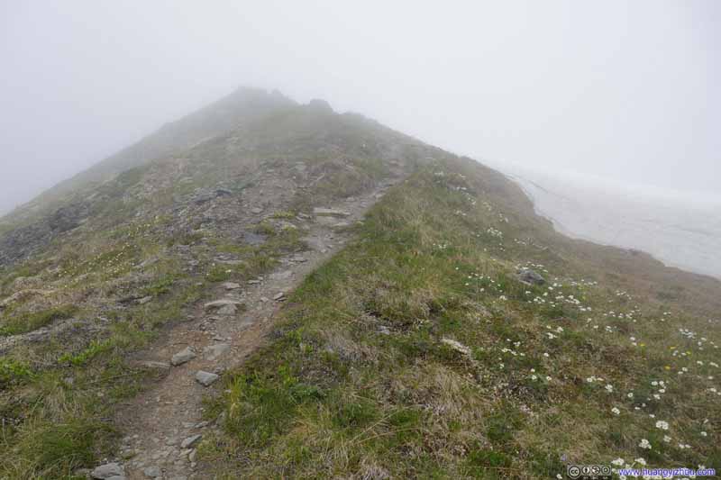 Trail in Mist
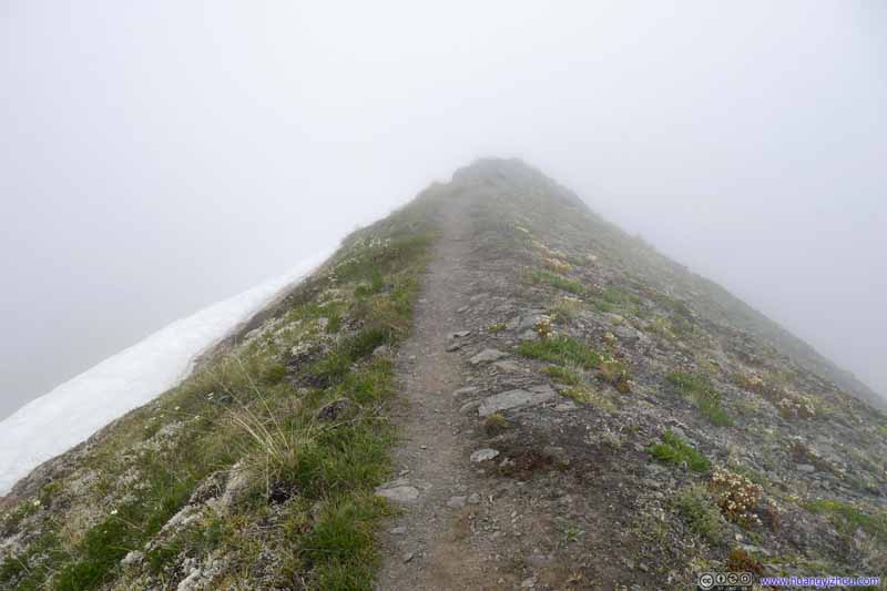 Trail in Mist
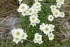
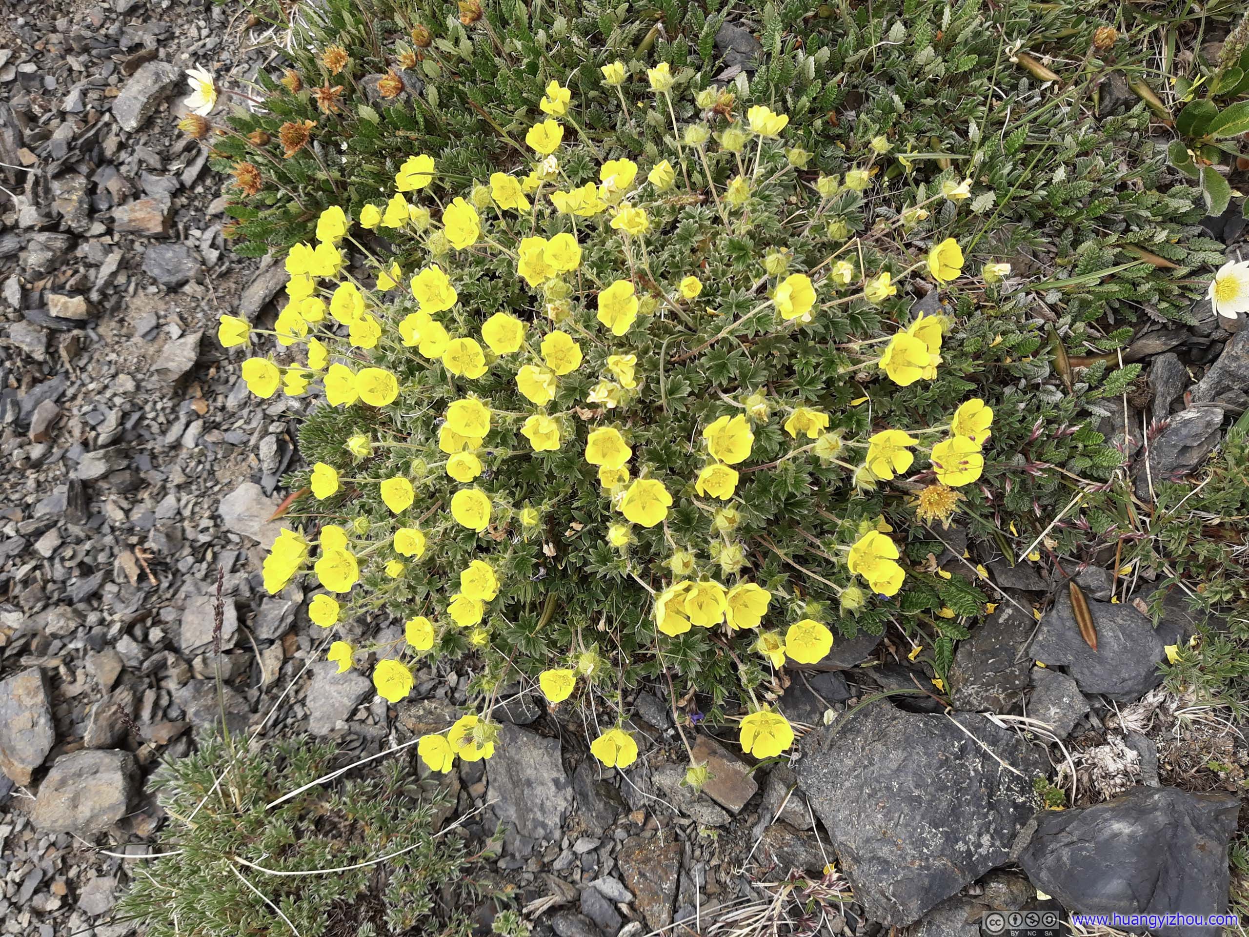
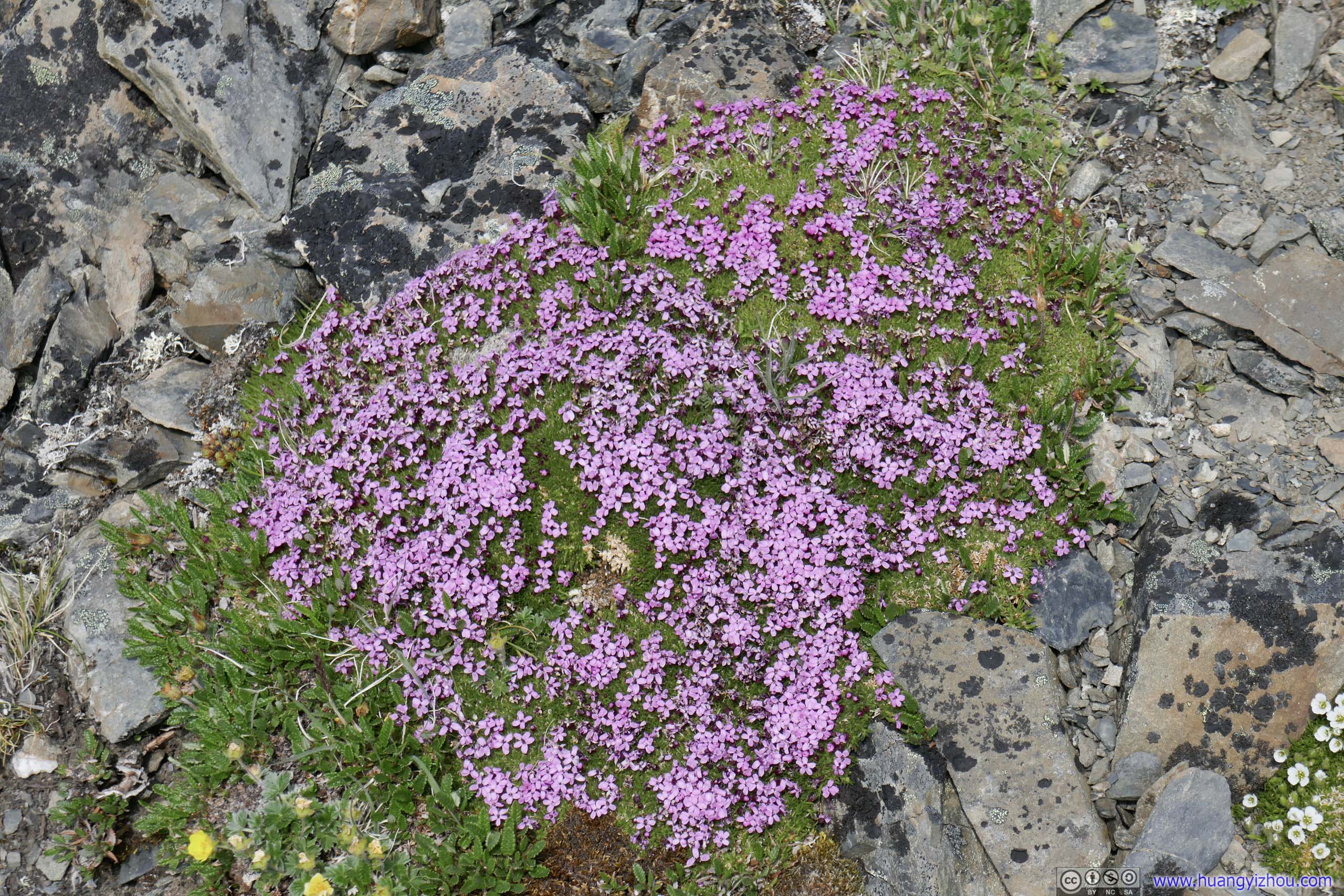
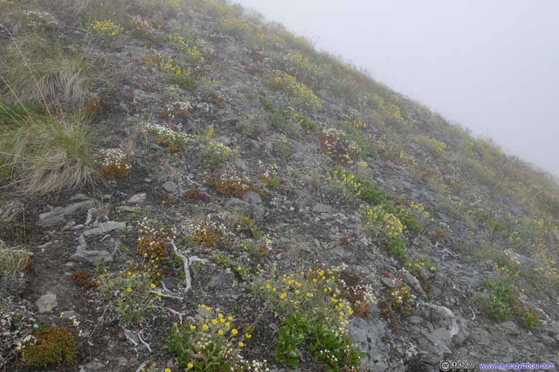 Patches of FlowersThe last set of colors along the trail before snow and rocks began to dominate the landscape.


Click here to display photos of the slideshow

Trail
 Bushes
Trail

 Trail in Mist

Trail in Mist
Trail in Mist
Trail in Mist
Patches of FlowersThe last set of colors along the trail before snow and rocks began to dominate the landscape.
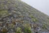
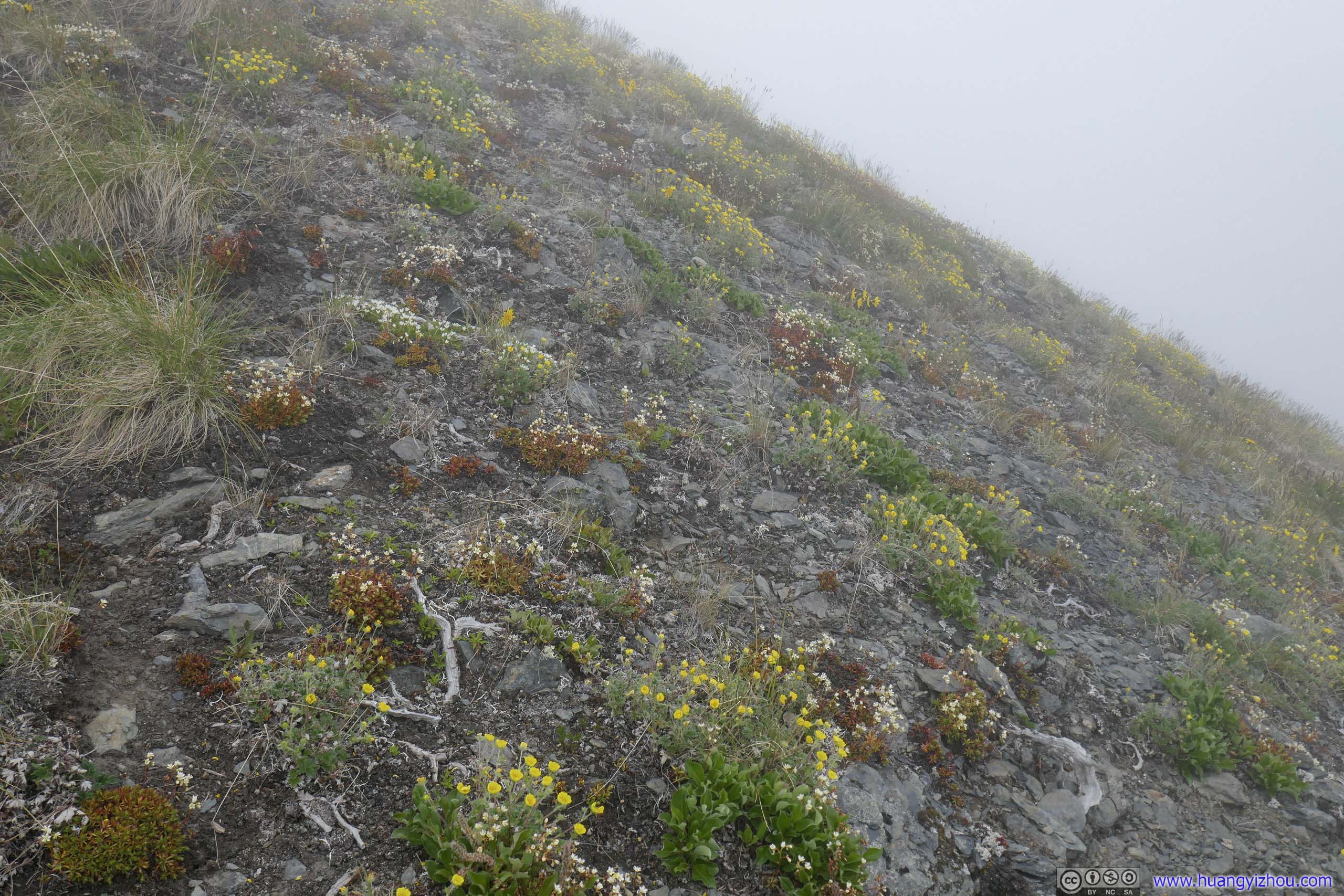
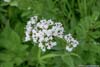
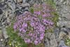
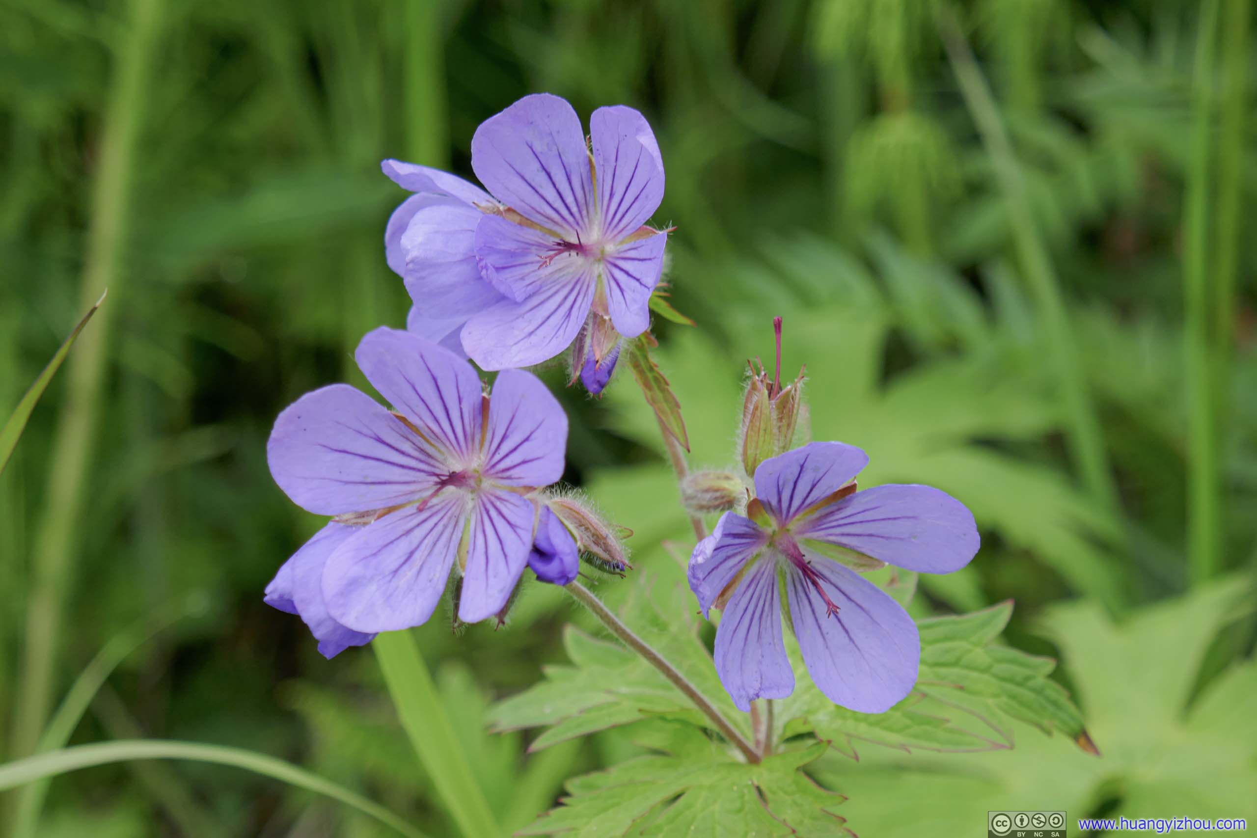
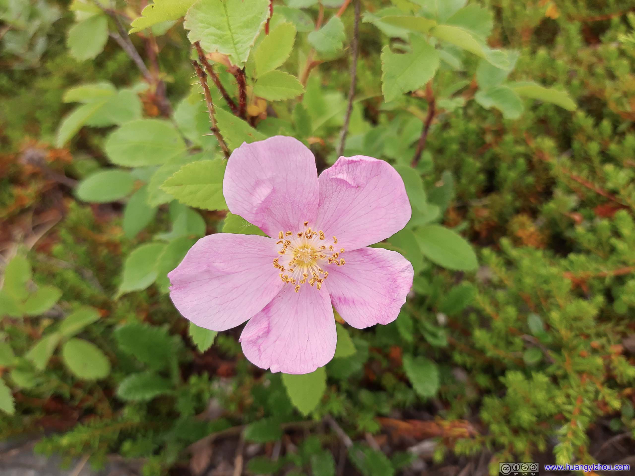
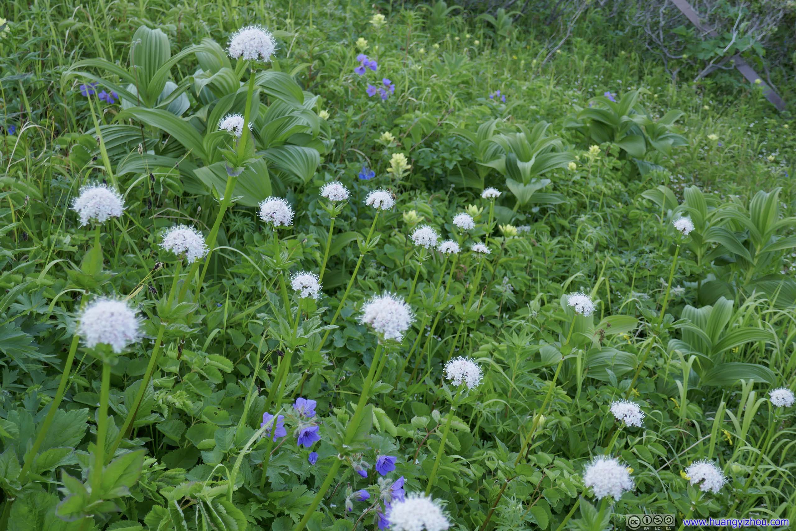
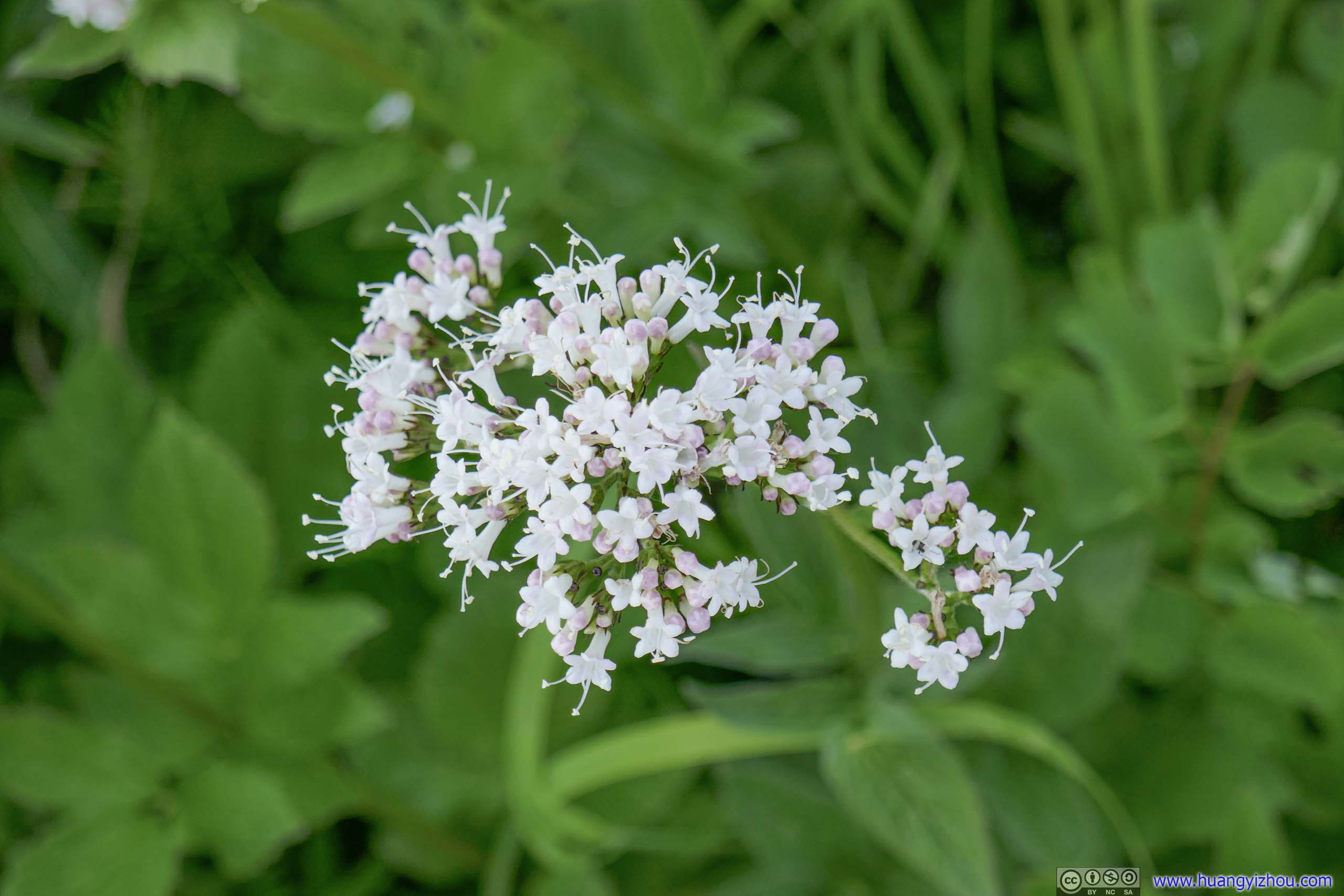
But apart from the uncertainty brought by the surrounding mist, and the obvious physical struggle, I sort of liked this section. It felt like proper alpine hiking, where I didn’t have to worry about mud. I could sit and rest by some random rock whenever I wanted, no longer having to wait for a picnic table. The sight of many flowers along the trail was certainly invigorating than the seemingly monotone forests that I just passed.
 Flowers
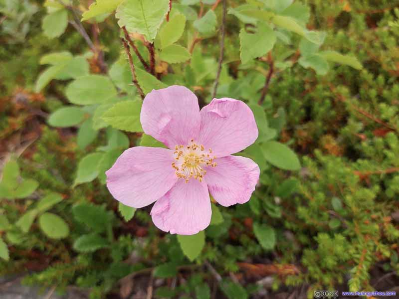 Flowers
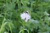
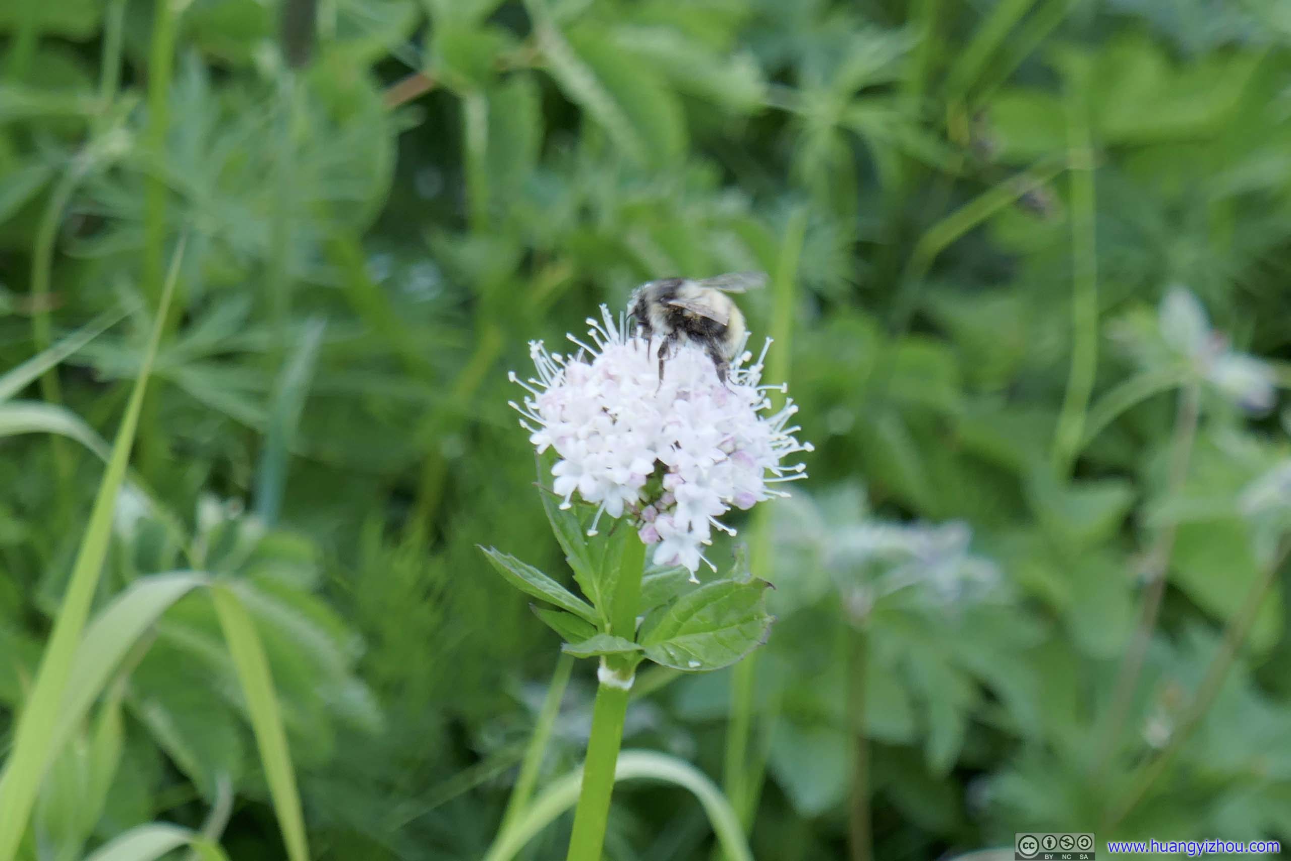
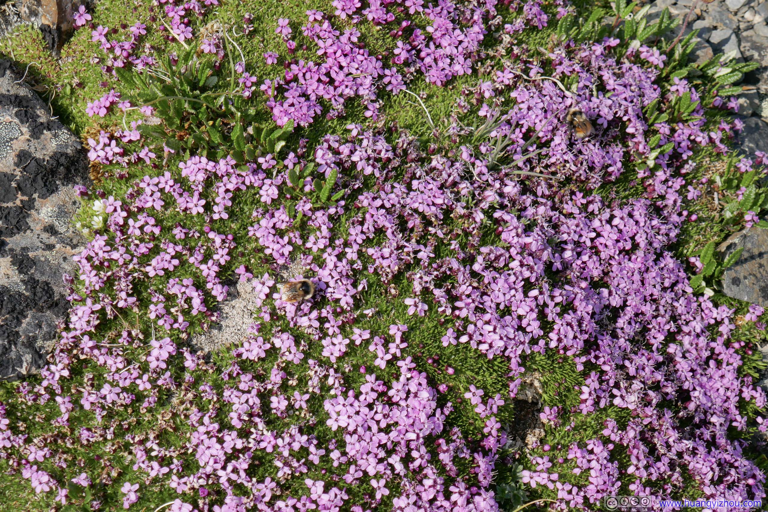
 FlowerThis one has got a bee visiting it.
 Flowers
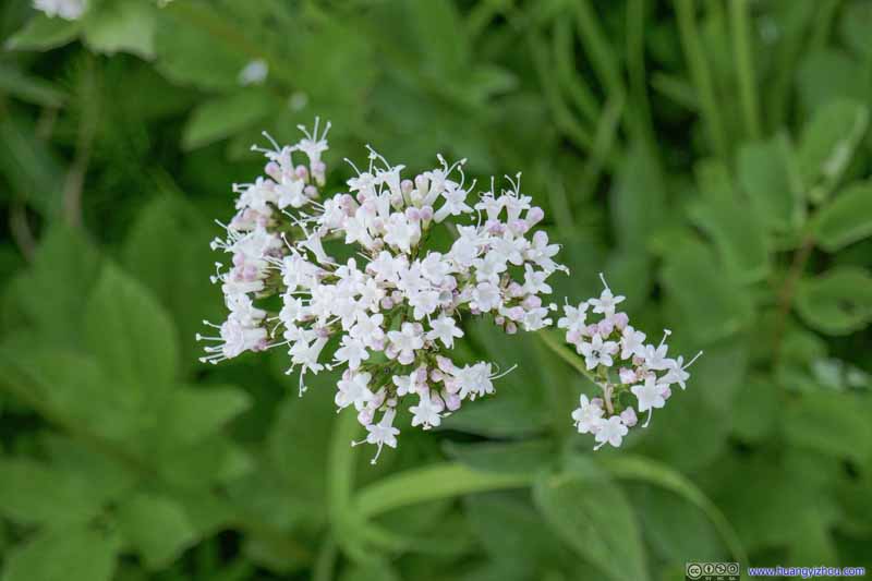 Flowers
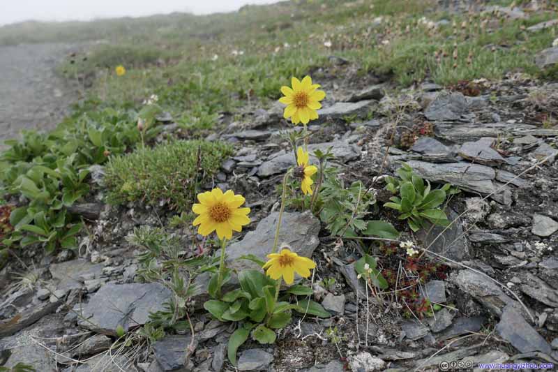 Flowers
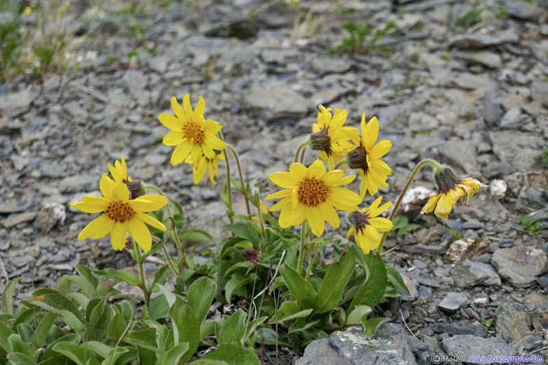 Flowers
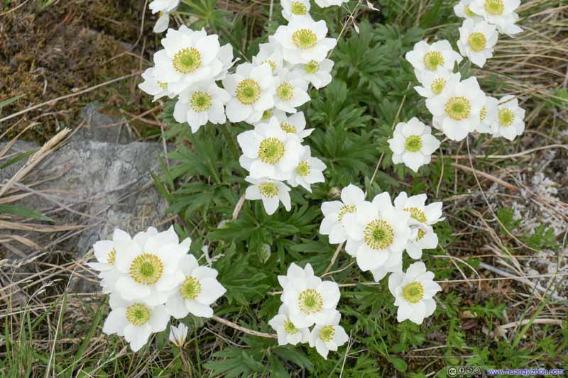 Flowers
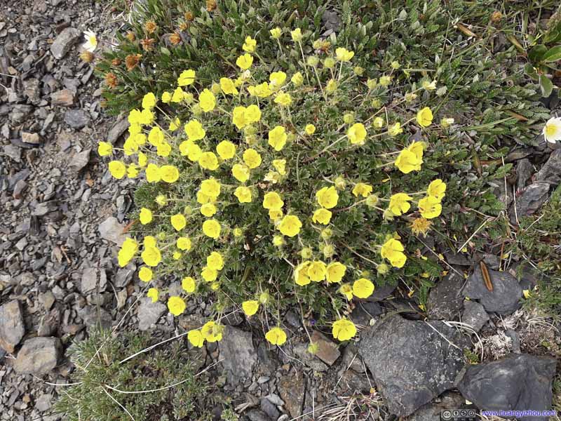 Flowers
 Flowers
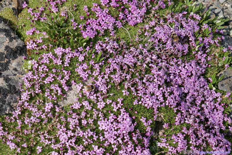 Flowers
The same batch of flowers as the previous photo, but instead taken during my descent. There were two bees in this photo.
Flowers
The same batch of flowers as the previous photo, but instead taken during my descent. There were two bees in this photo.


Click here to display photos of the flowers.
Flowers
Flowers
FlowerThis one has got a bee visiting it.
Flowers
Flowers

 Flowers

Flowers
Flowers
Flowers
Flowers
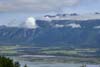
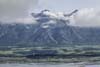
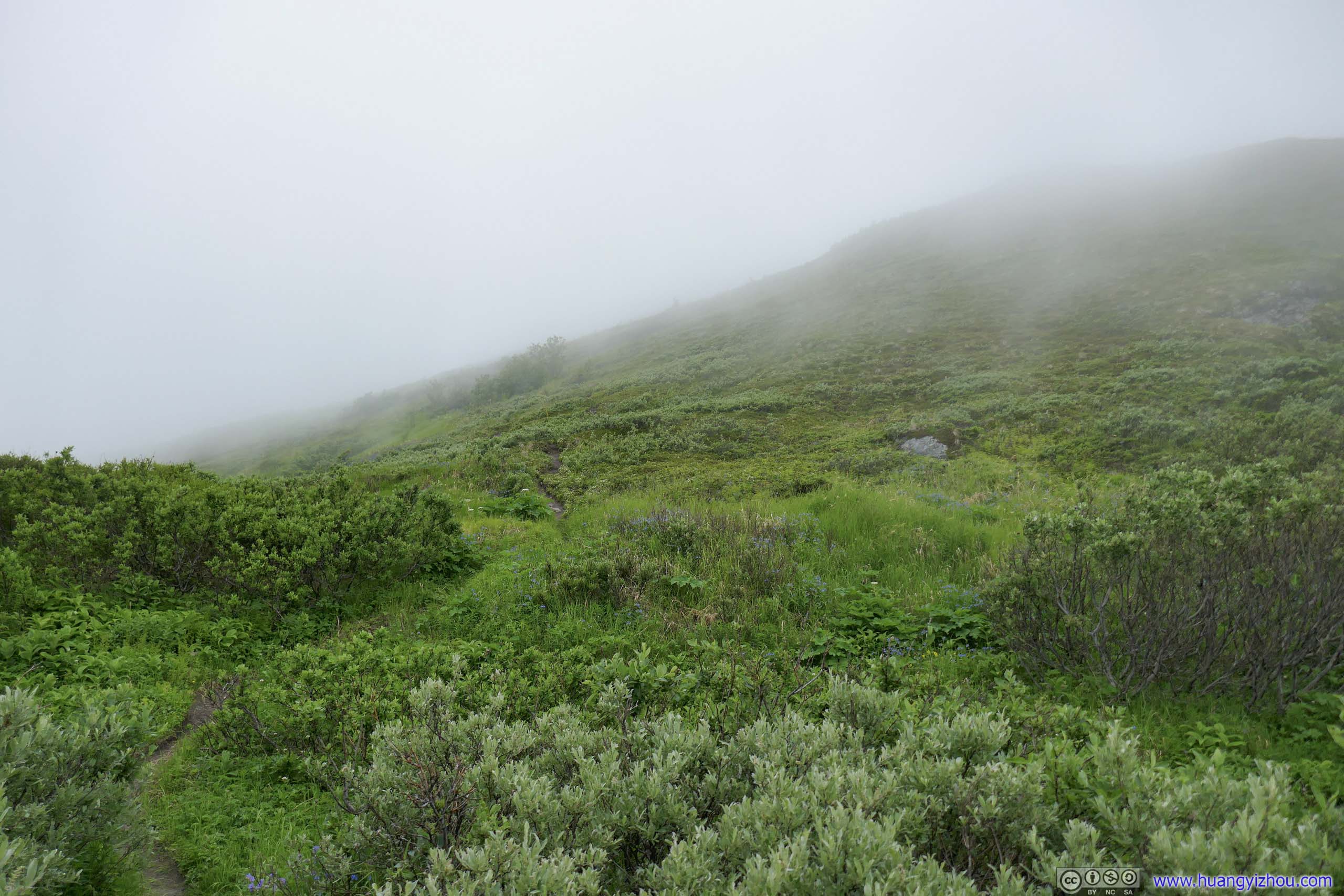
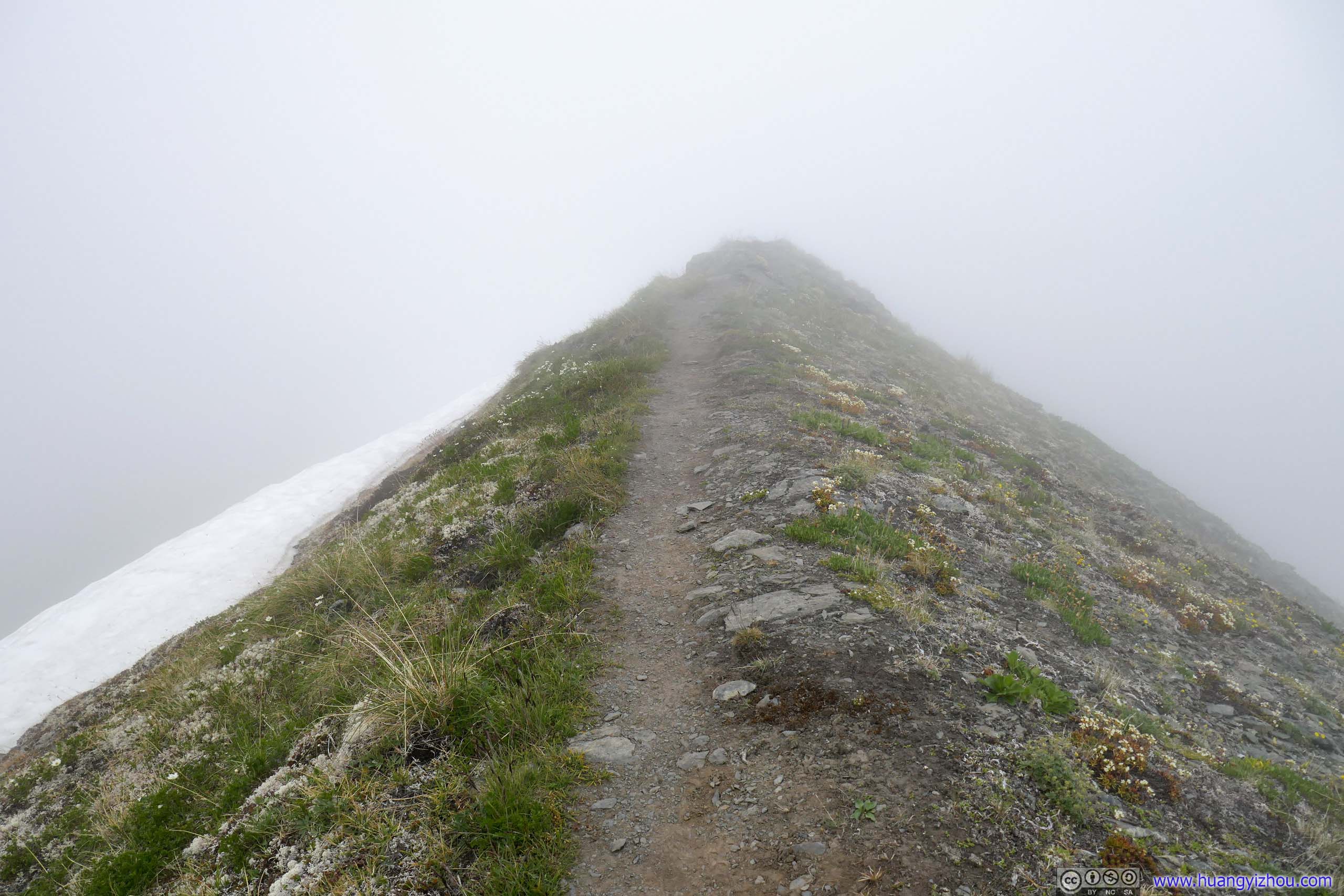
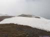
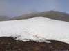
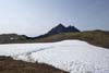
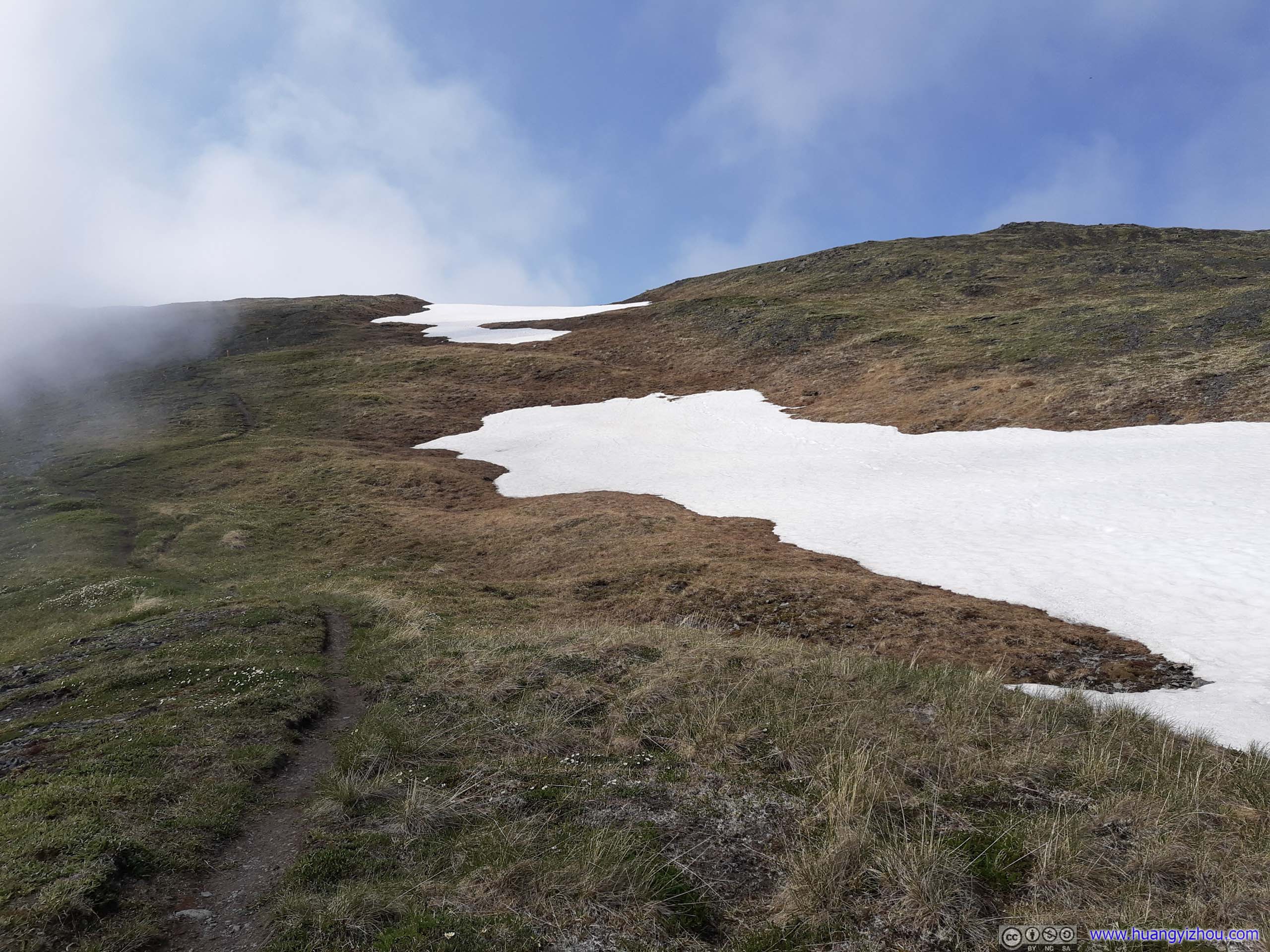
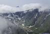
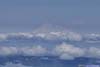
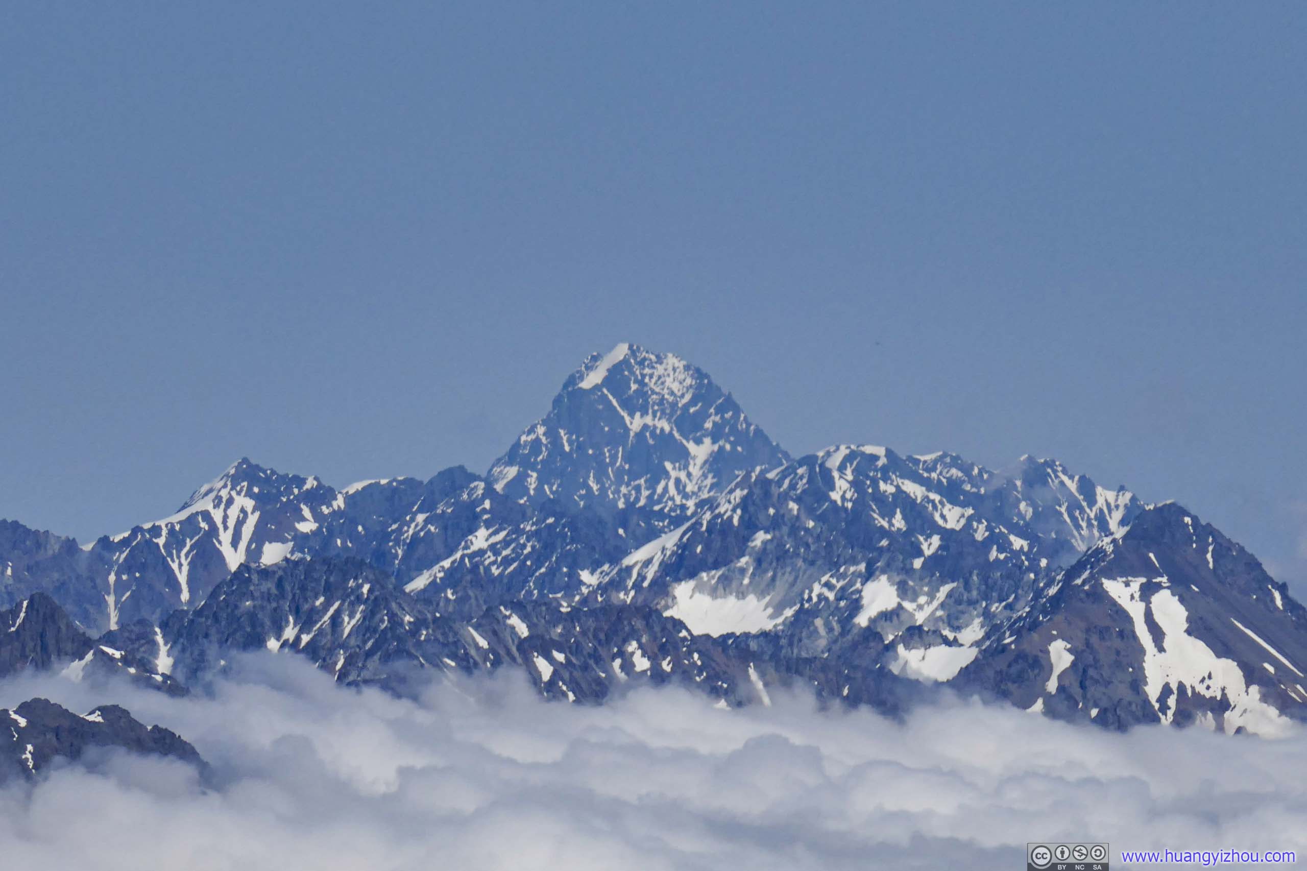
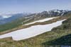
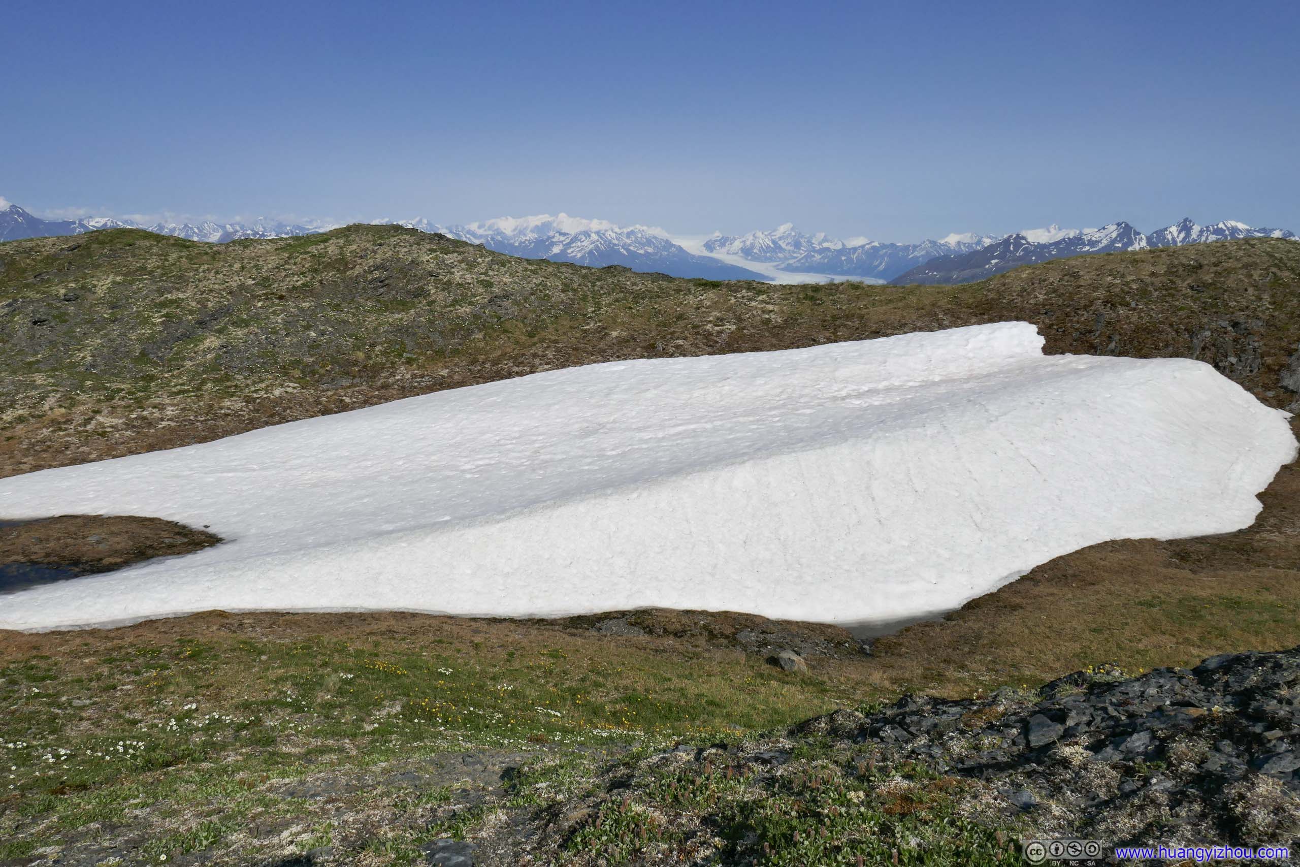
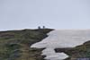
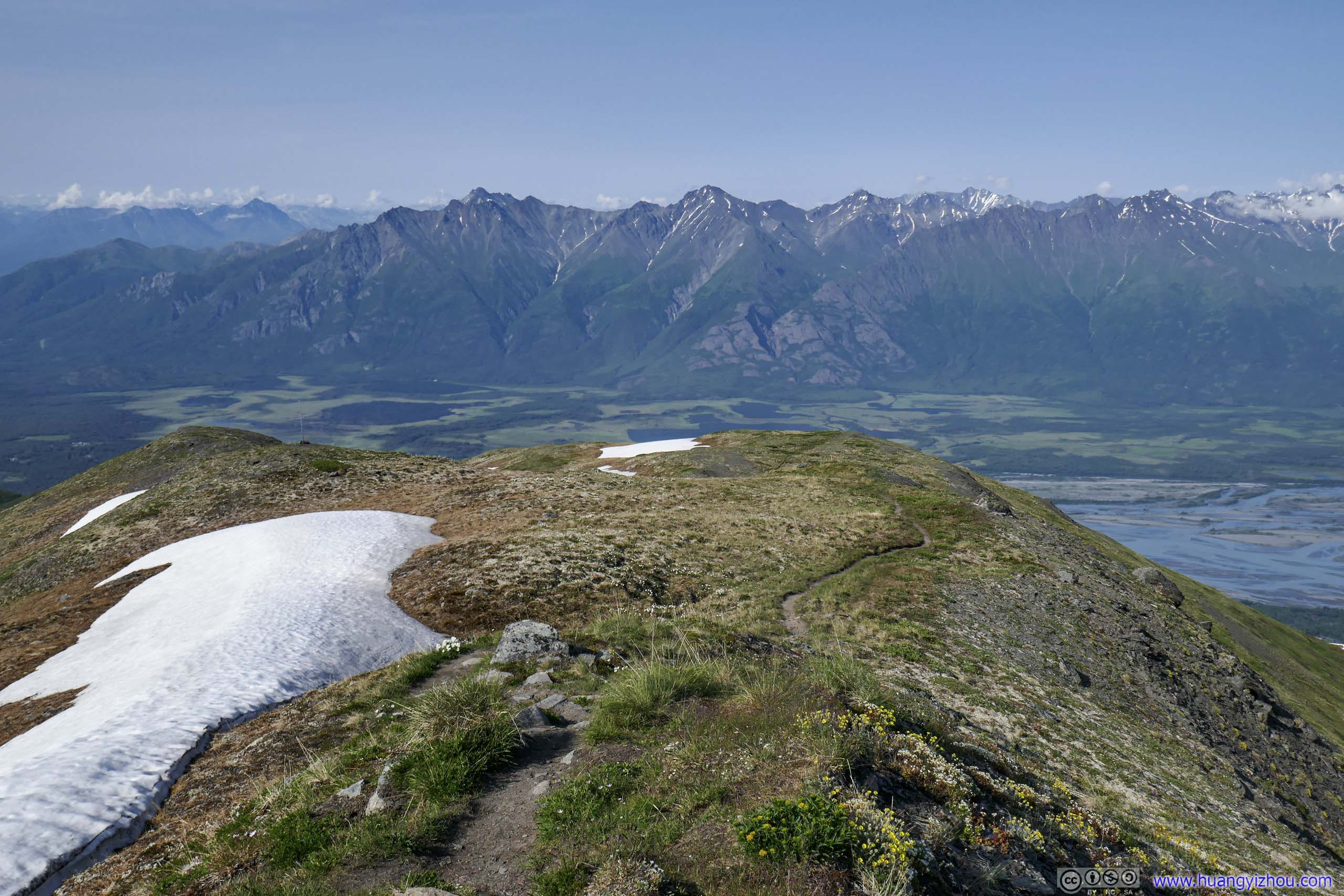
At around 12:30pm and 1560m elevation, 400m from the snow crossing, I was elated to find the clouds seemed to be clearing off around me. At first, it started with the skies getting brighter, then the sun became distinguishable among a background that’s turning from grey to white and finally to blue. It’s like the excitement of watching sunrise, that I saw the distant Pioneer Peaks rising solidly from the clouds.
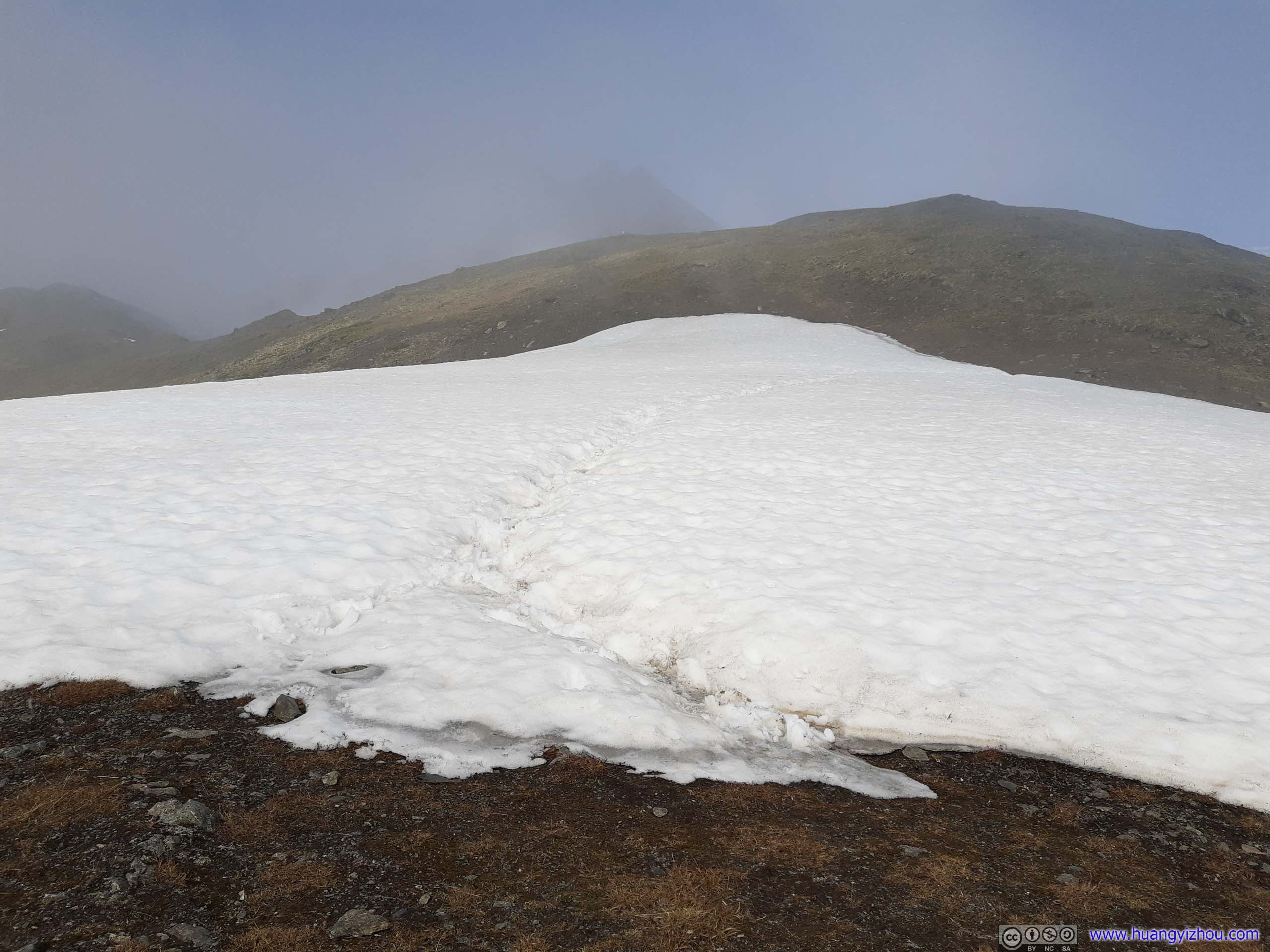
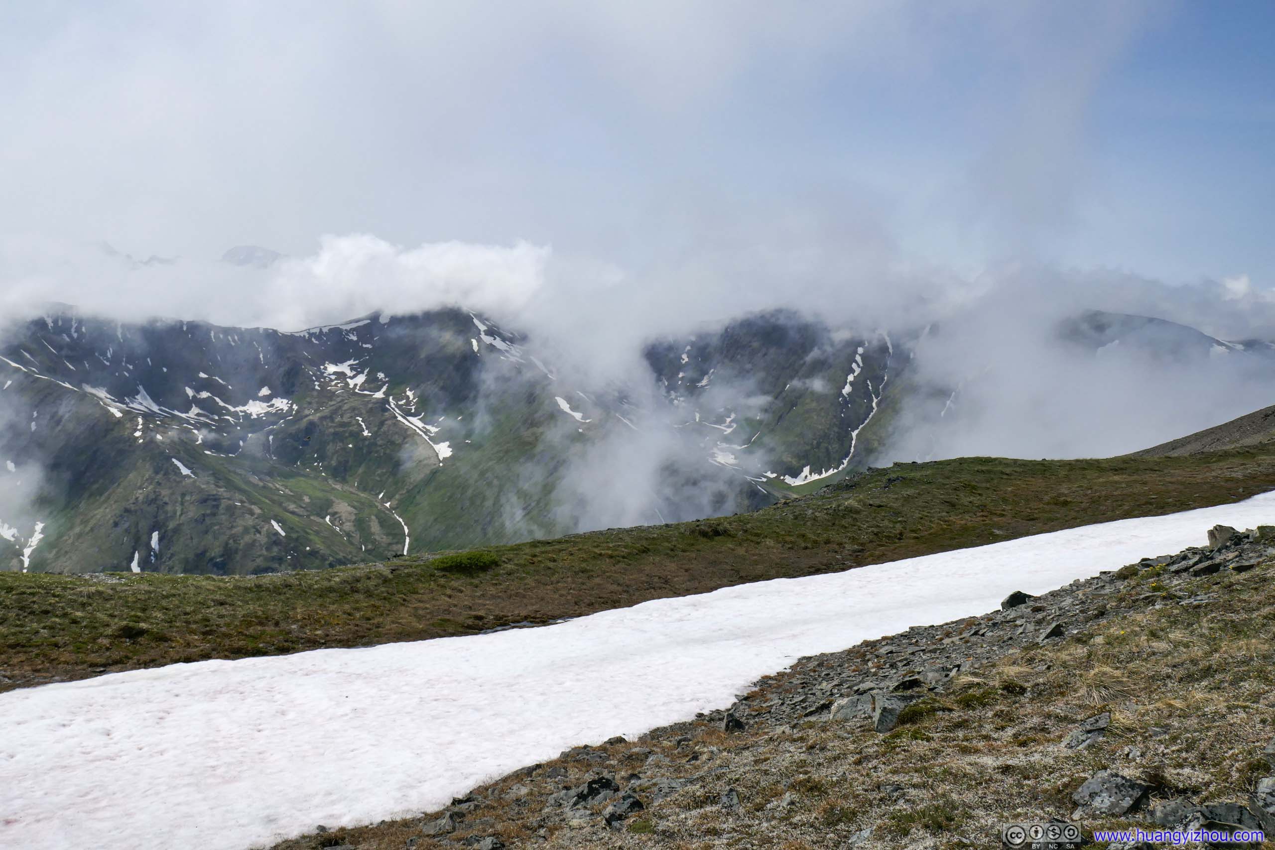
That’s when I found patches of snow began to line the trail, one of which I would be crossing later.
 Snow Patch along Trail
 Snow Patch along Trail
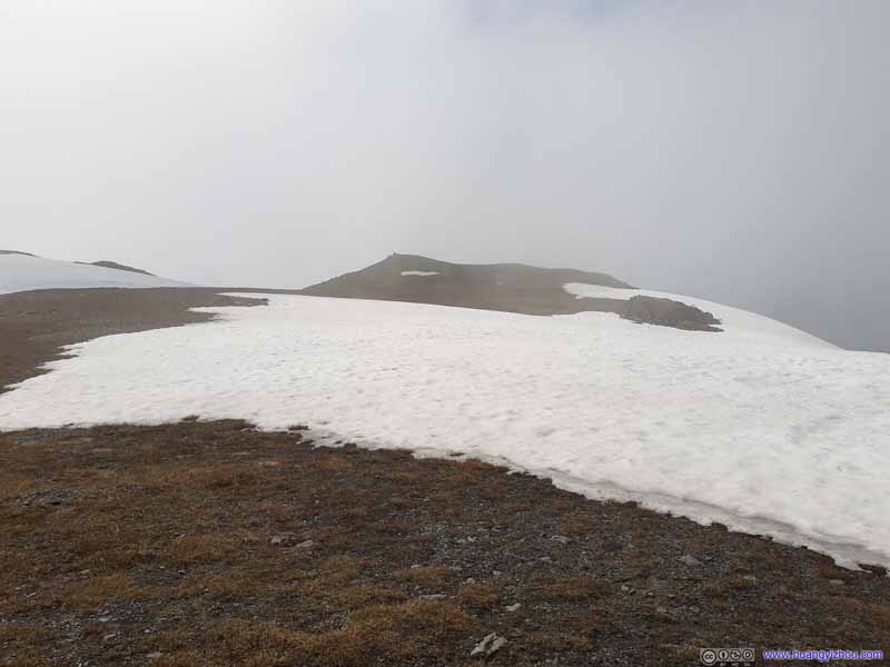 Snow Patch along Trail
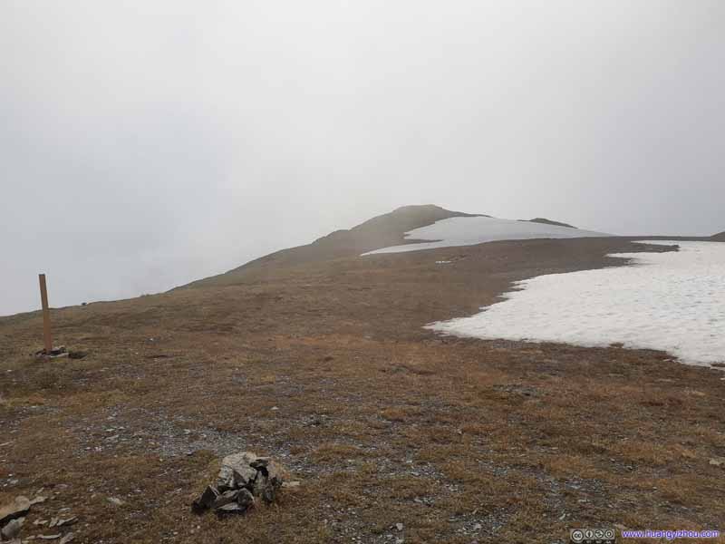 Snow Patch along Trail
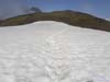
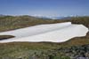
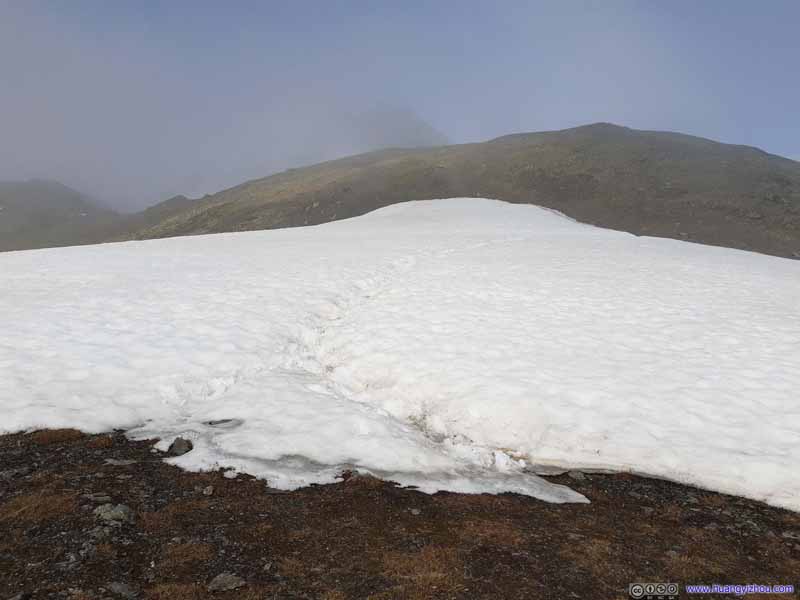 Trail on SnowThe only snow crossing along the trail. The snow was well-packed, and no specialty gear was needed.
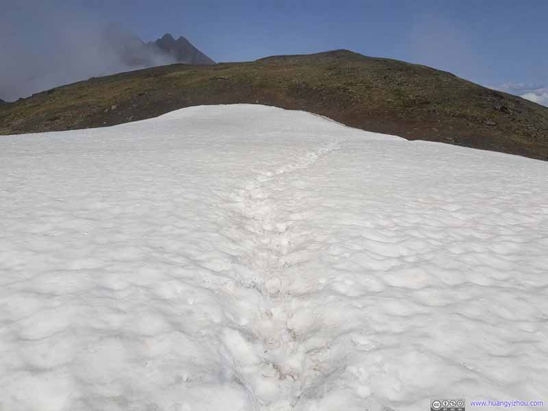 Trail on SnowThe only snow crossing along the trail. The snow was well-packed, and no specialty gear was needed.
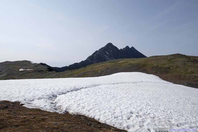 Pioneer Peak from Snow CrossingTaken during my descent when the clouds had dispersed.
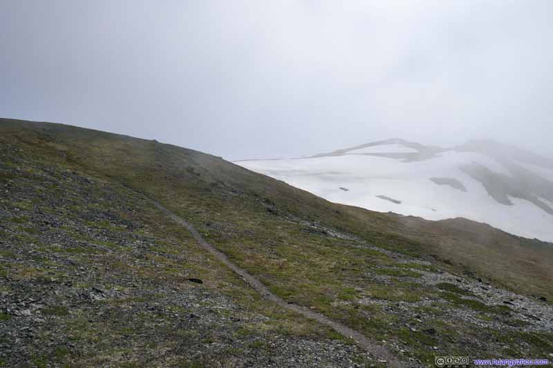 Snow Patch along Trail

Click here to display photos of the trail.

 Snow Patch along Trail
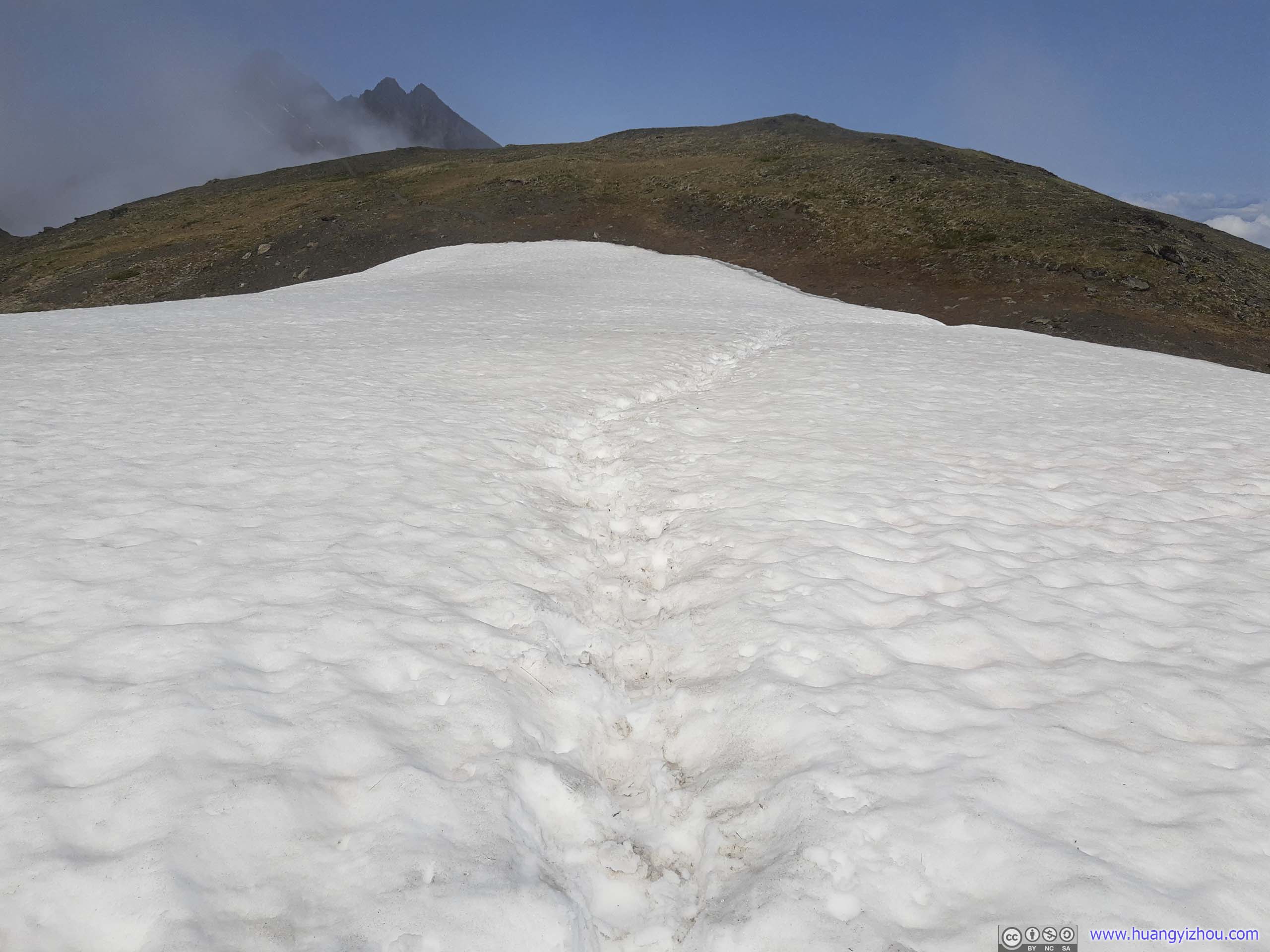 Trail on SnowThe only snow crossing along the trail. The snow was well-packed, and no specialty gear was needed.

Pioneer Peak from Snow CrossingTaken during my descent when the clouds had dispersed.

Snow Patch along Trail
Including all rests, it took me almost 4 hours to reach this snow crossing, at 7km from trailhead and 1600m elevation. These were almost similar numbers between Matanuska Peak’s trailhead and summit, but this time I was better prepared mentally. I knew the constant elevation gain would be grueling, but I never expected too much from myself, knowing the steady progress I made would get me to the summit.
From Snow Crossing to Summit
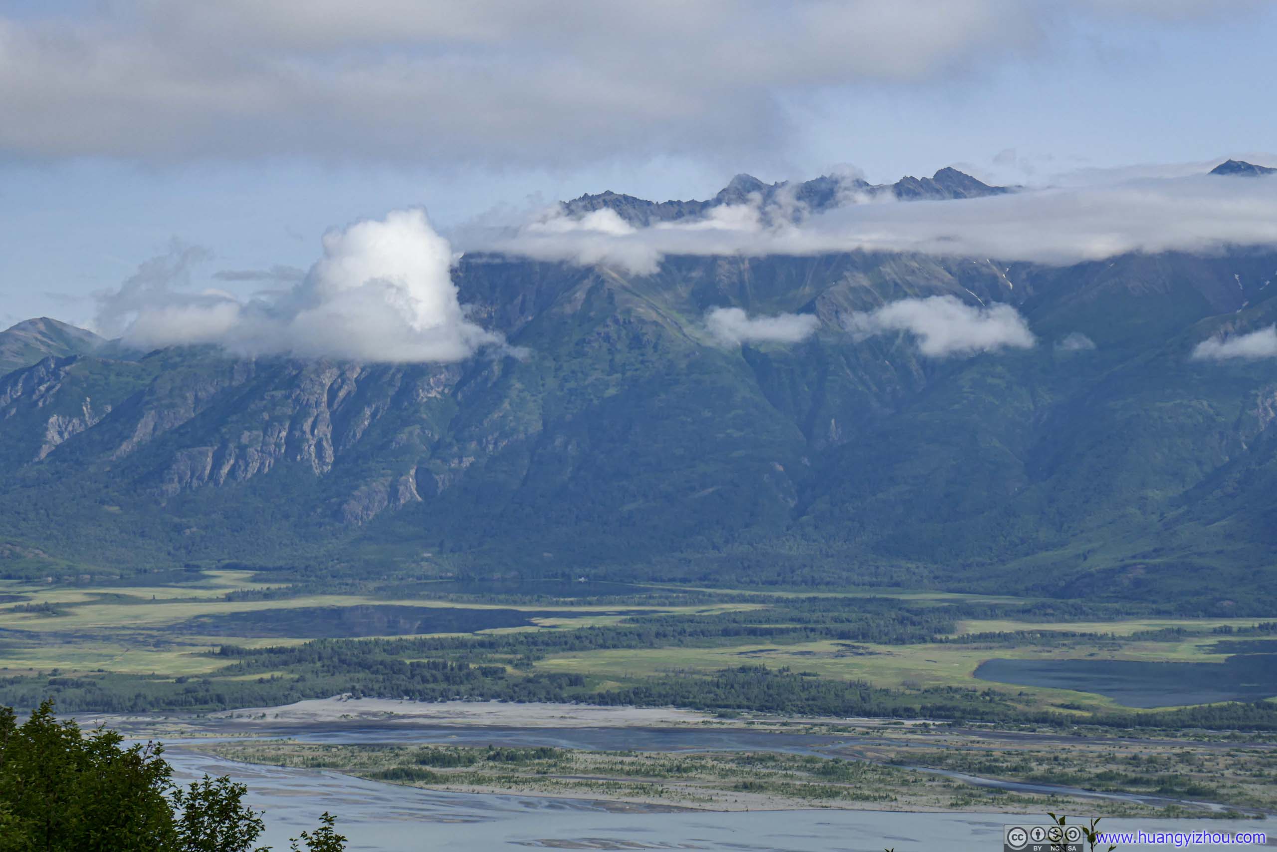
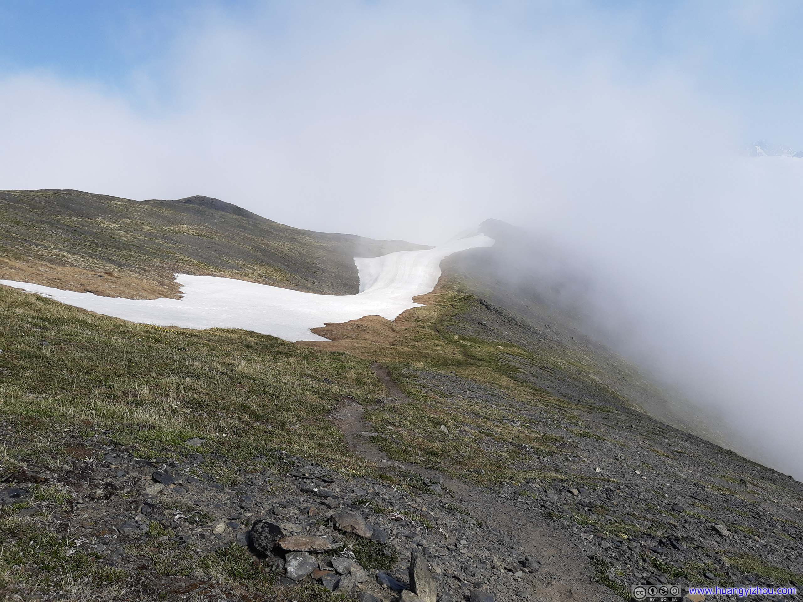
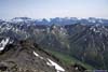
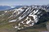
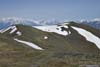
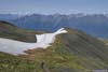
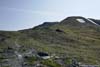
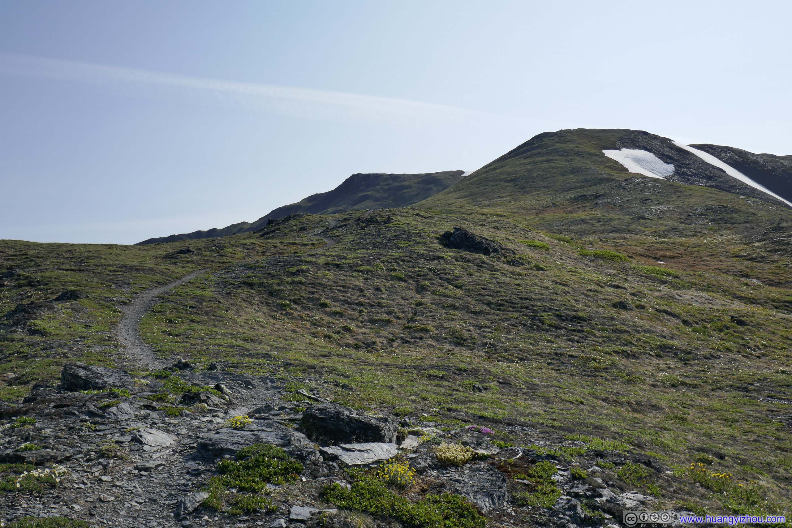
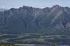
After the snow crossing, the trail made a right turn and followed along Pioneer Ridge, which later entered the boundary of Chugach State Park. This was the only section of the trail that’s relatively flat, a reprieve from the constant physical workout.
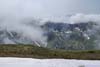
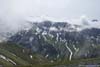
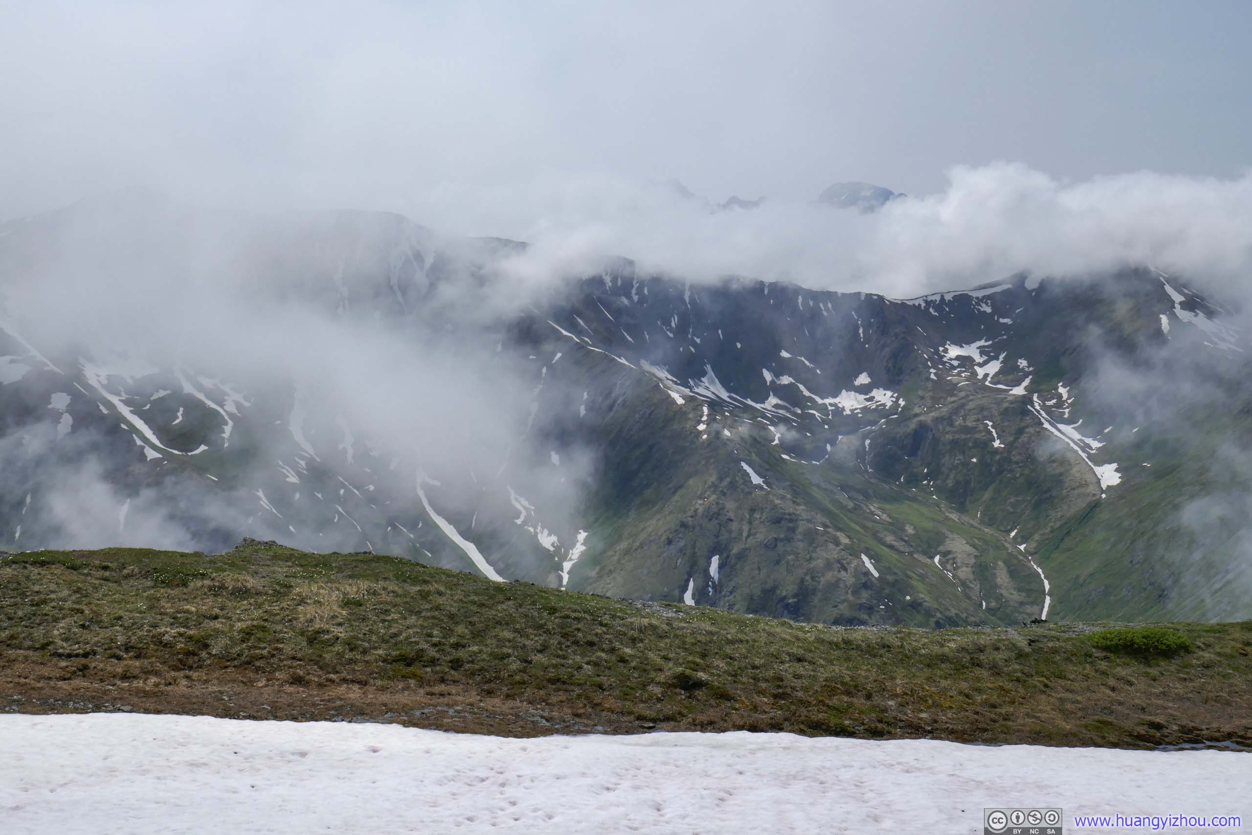
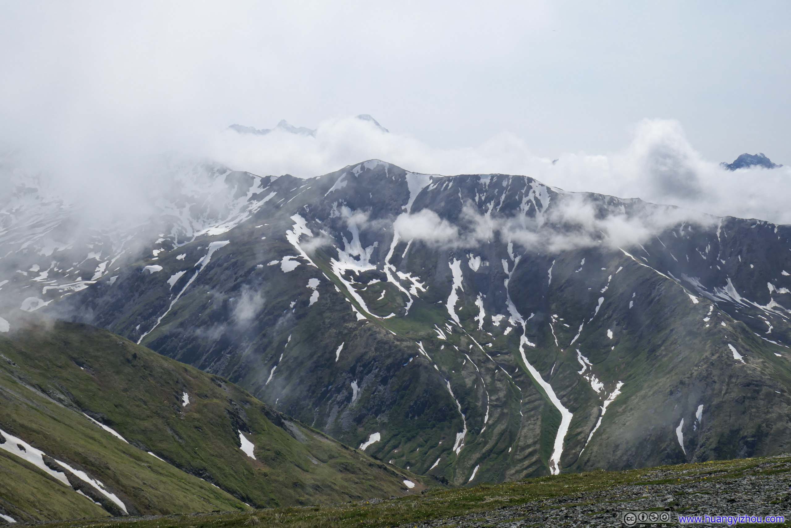
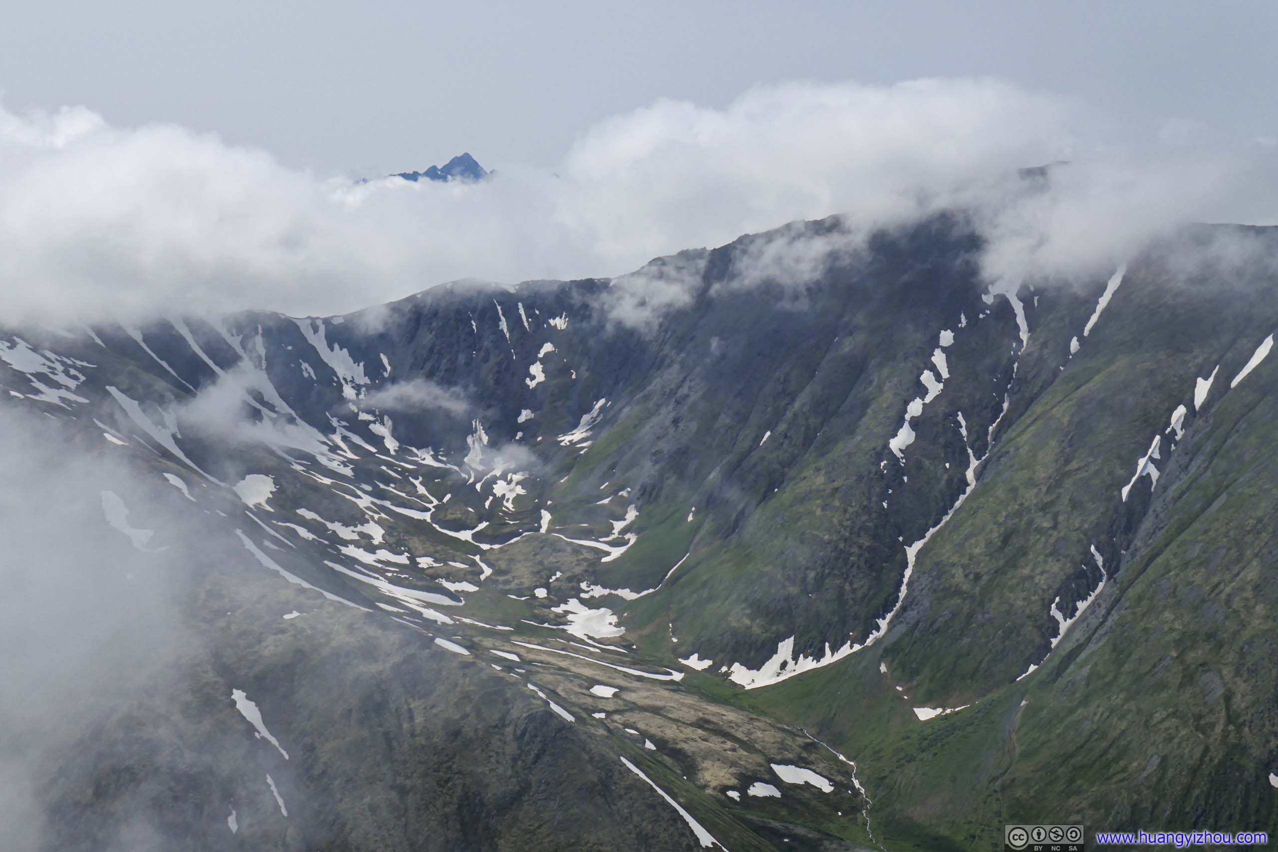
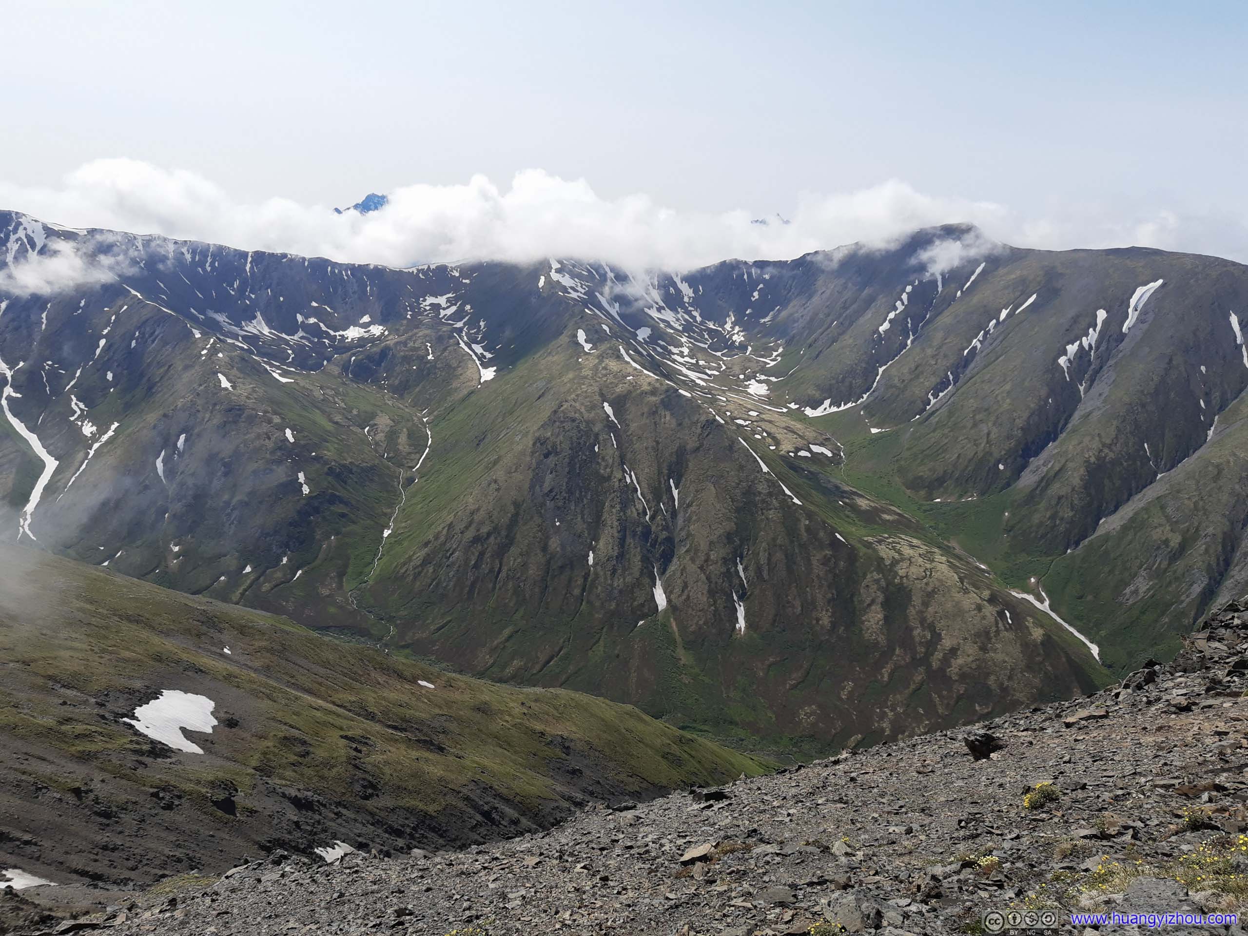
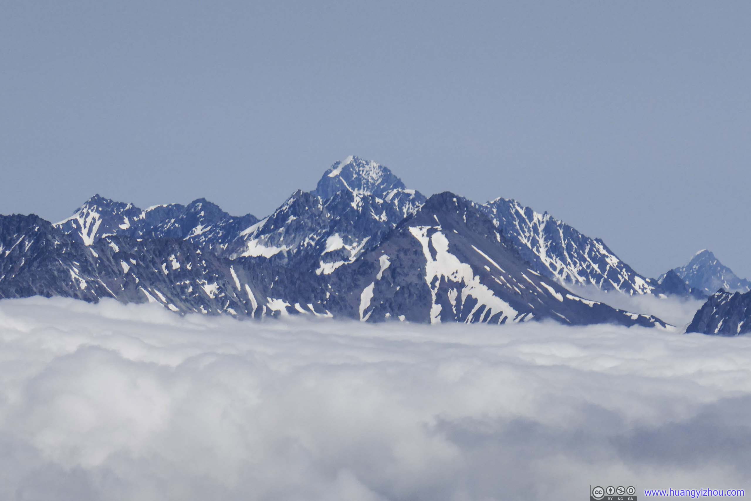
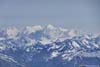
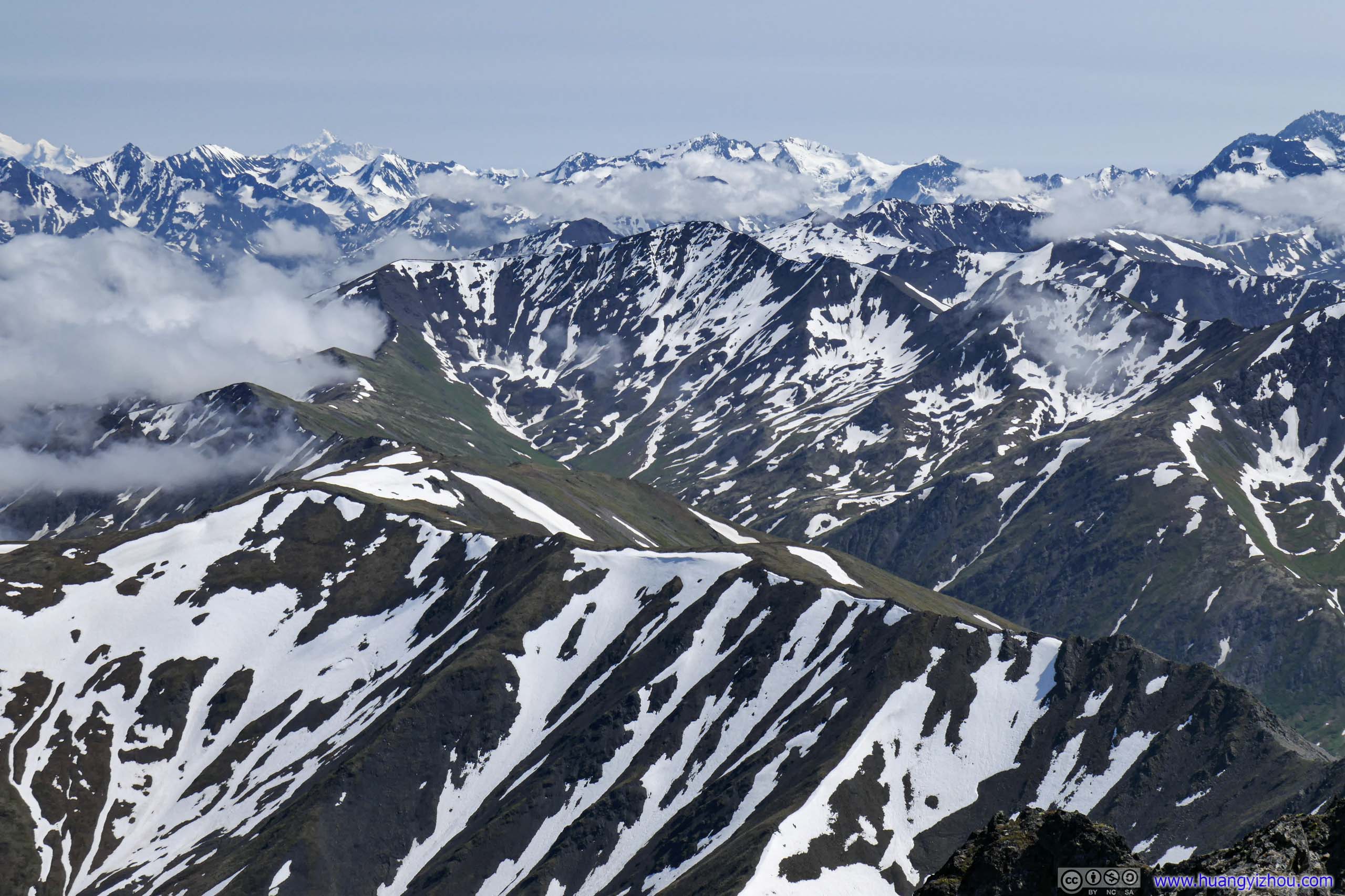
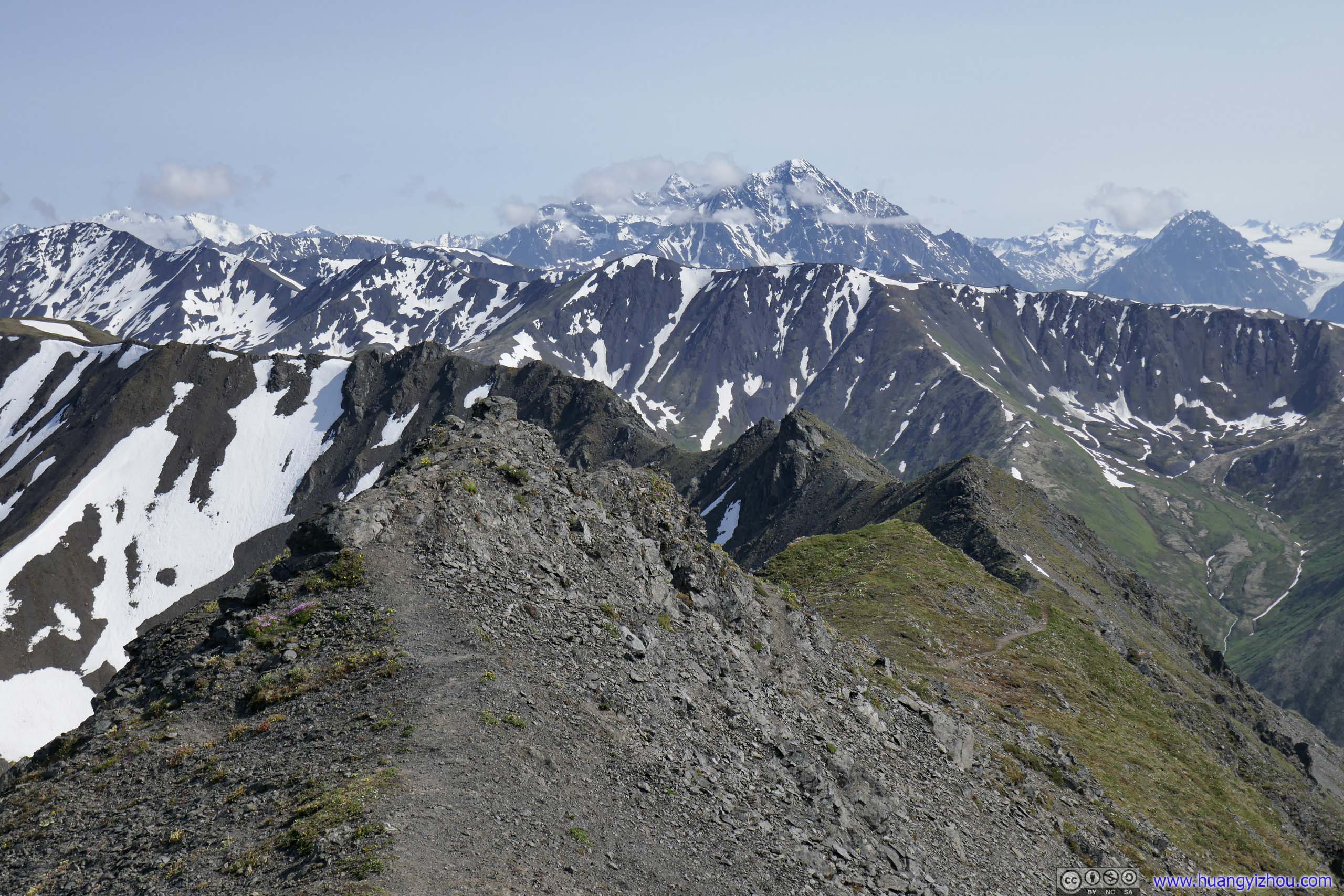
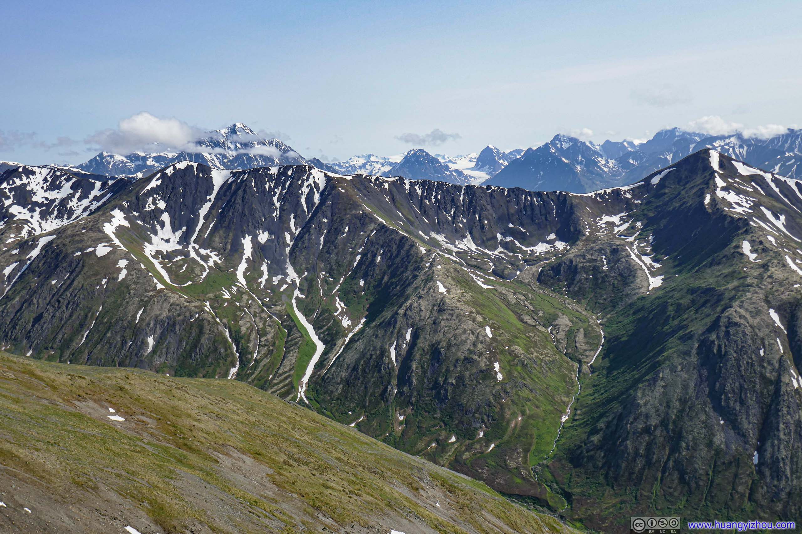
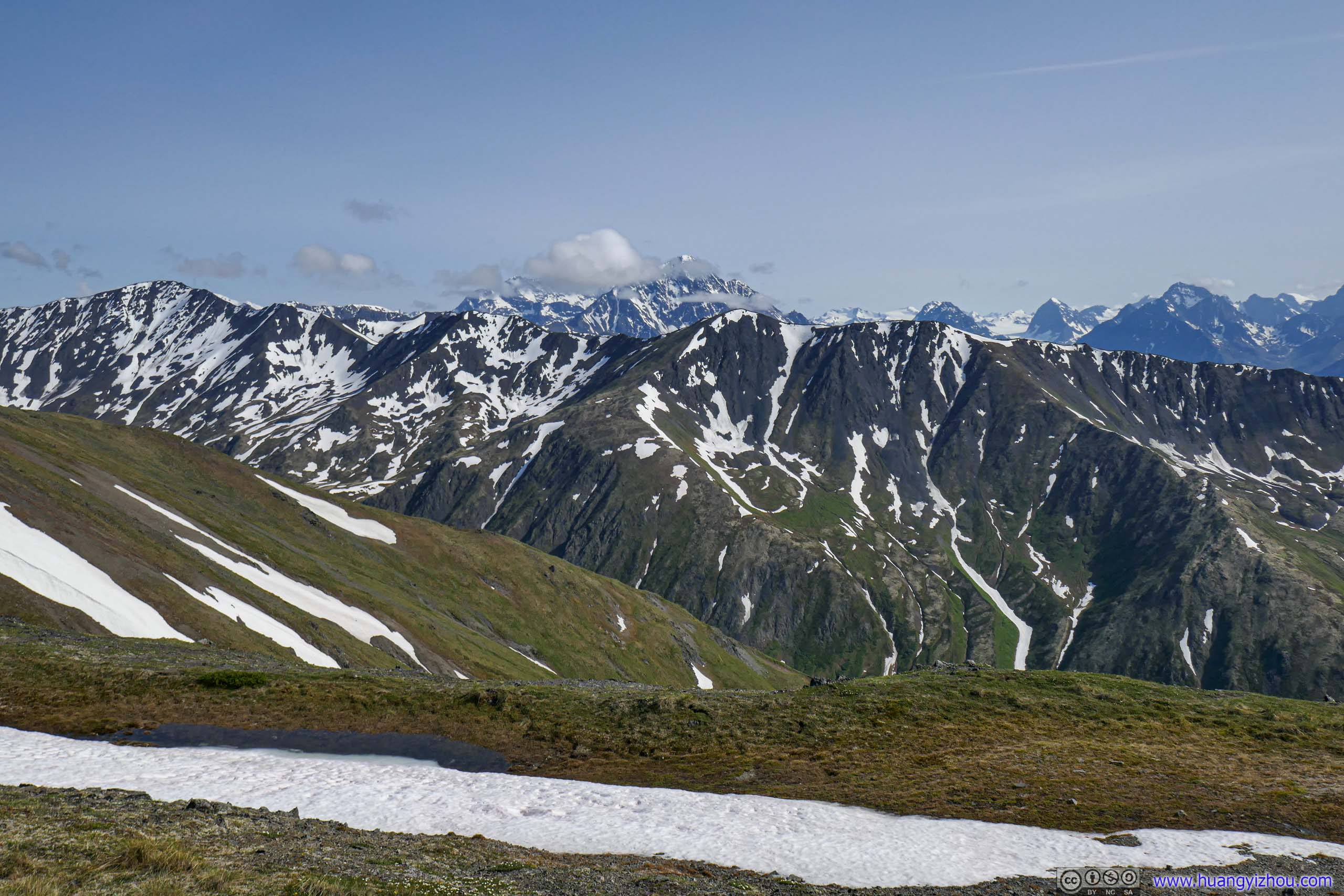
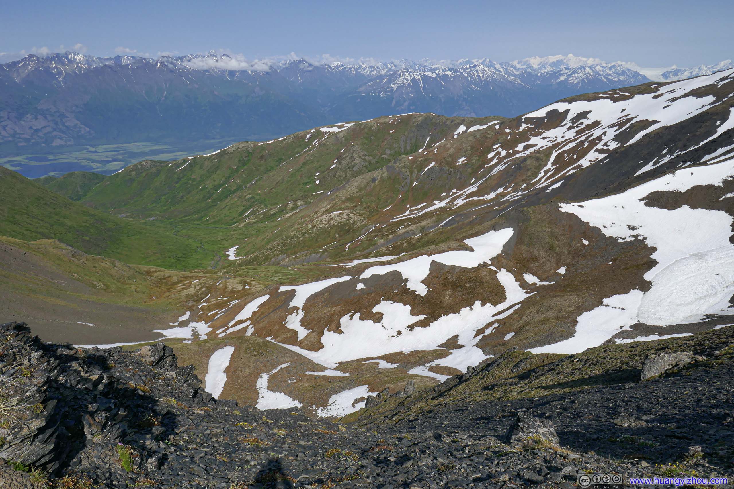
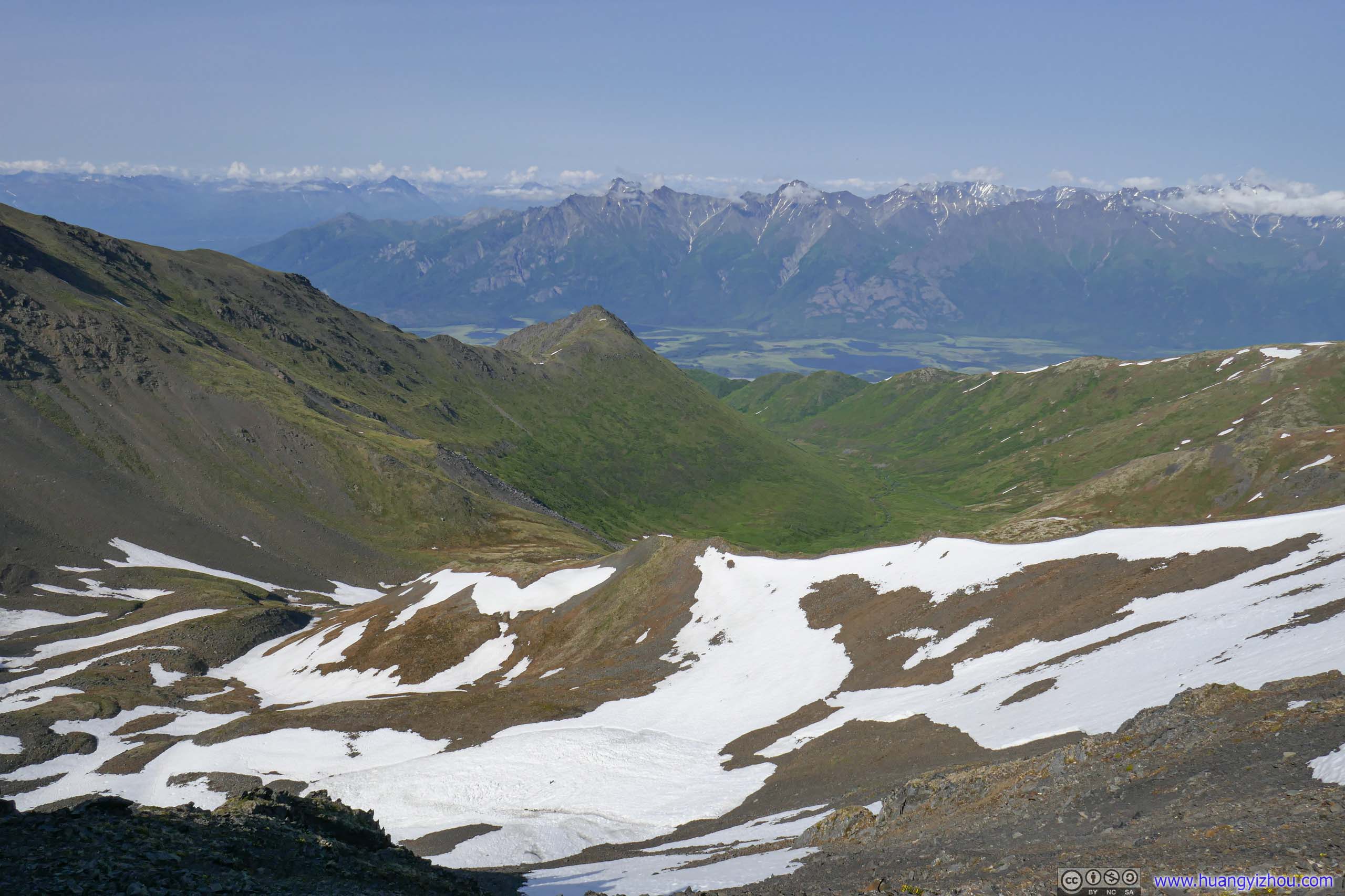
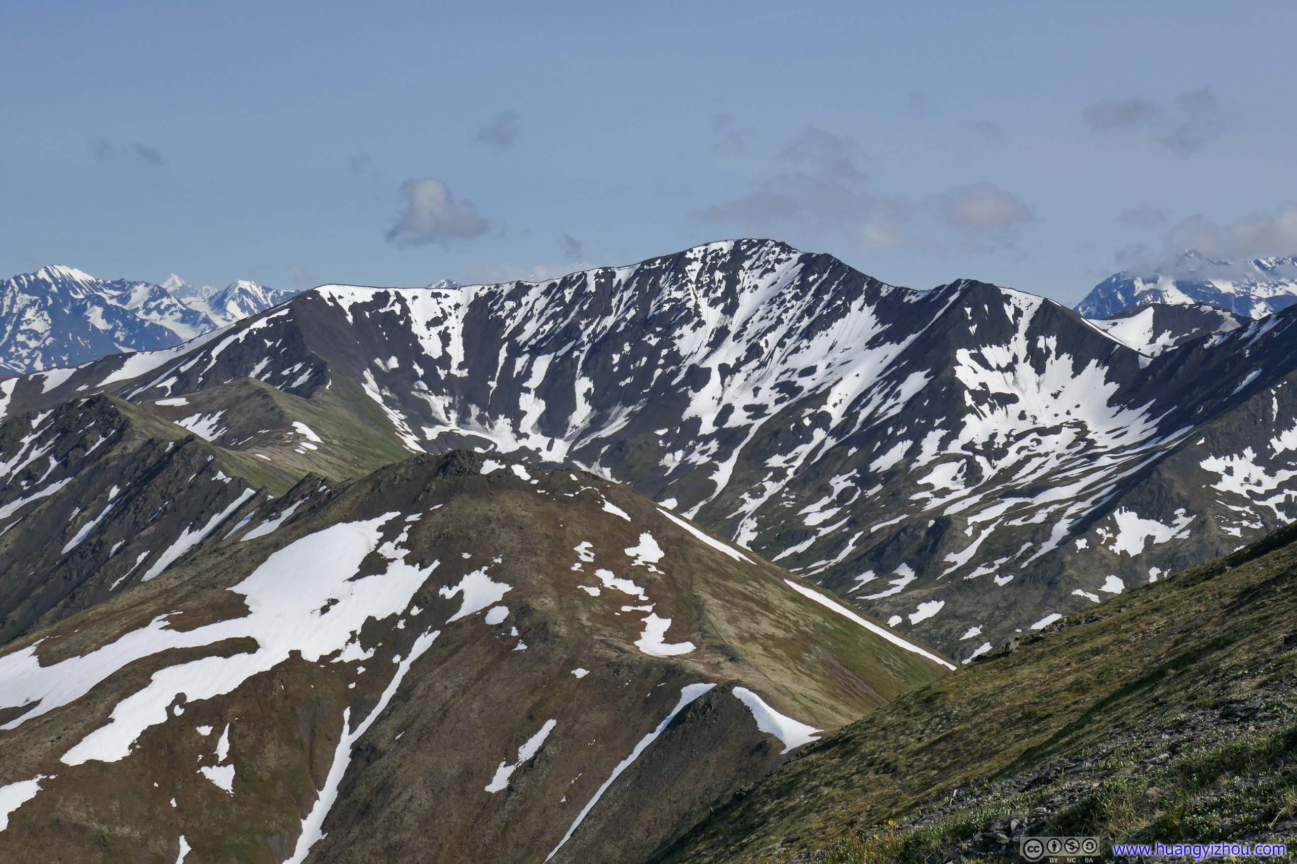
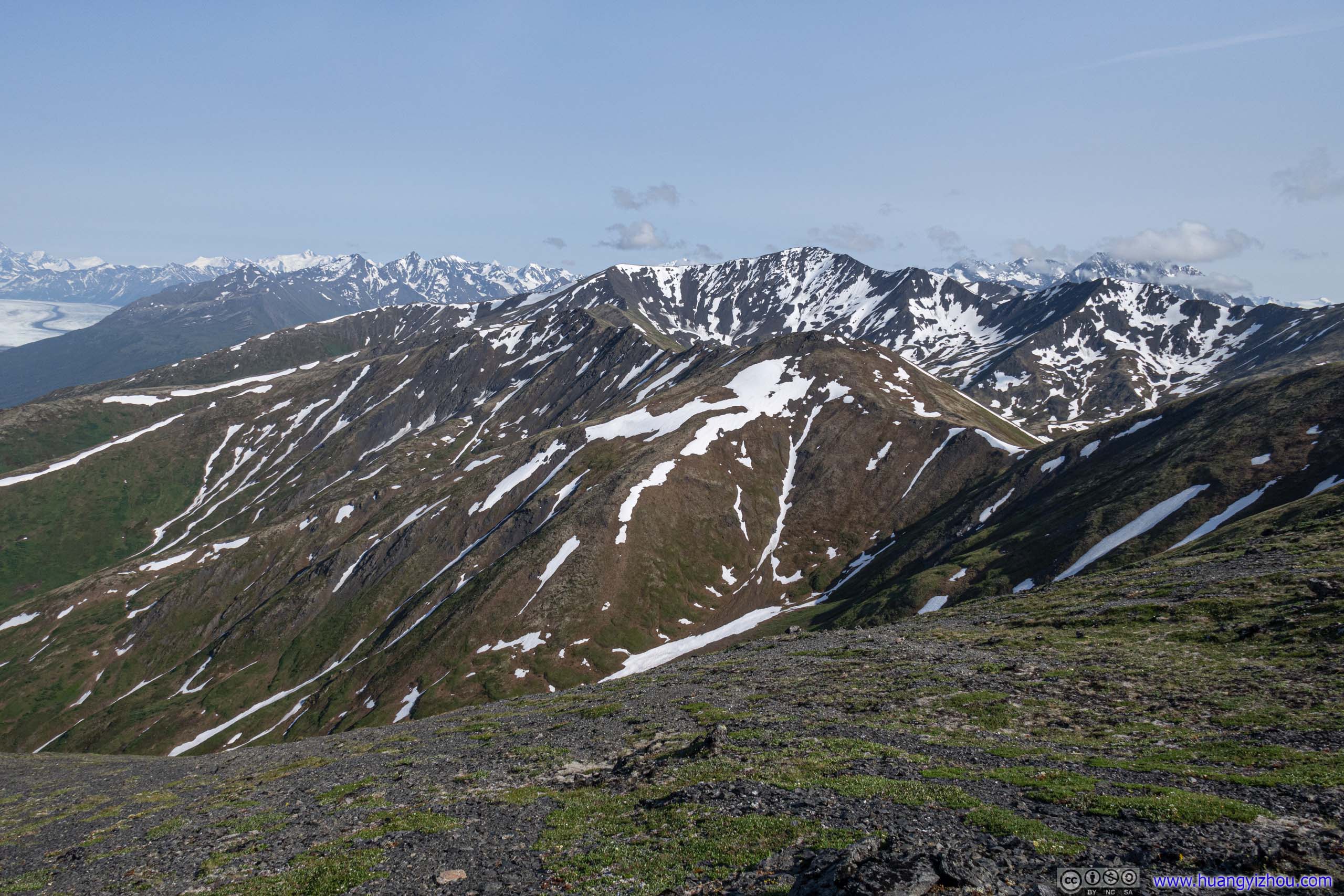
Unfortunately, while on Pioneer Ridge there was no shelter from strong winds coming from the south. Despite those mystic mountains still mostly behind clouds, one could feel the bitterness in the winds from the heart of Chugach State Park with its many glaciers and snow packs. The strong winds appeared both trial and welcome from Chugach State Park that later abated during my final stretch onto South Pioneer Peak and my descent.
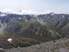
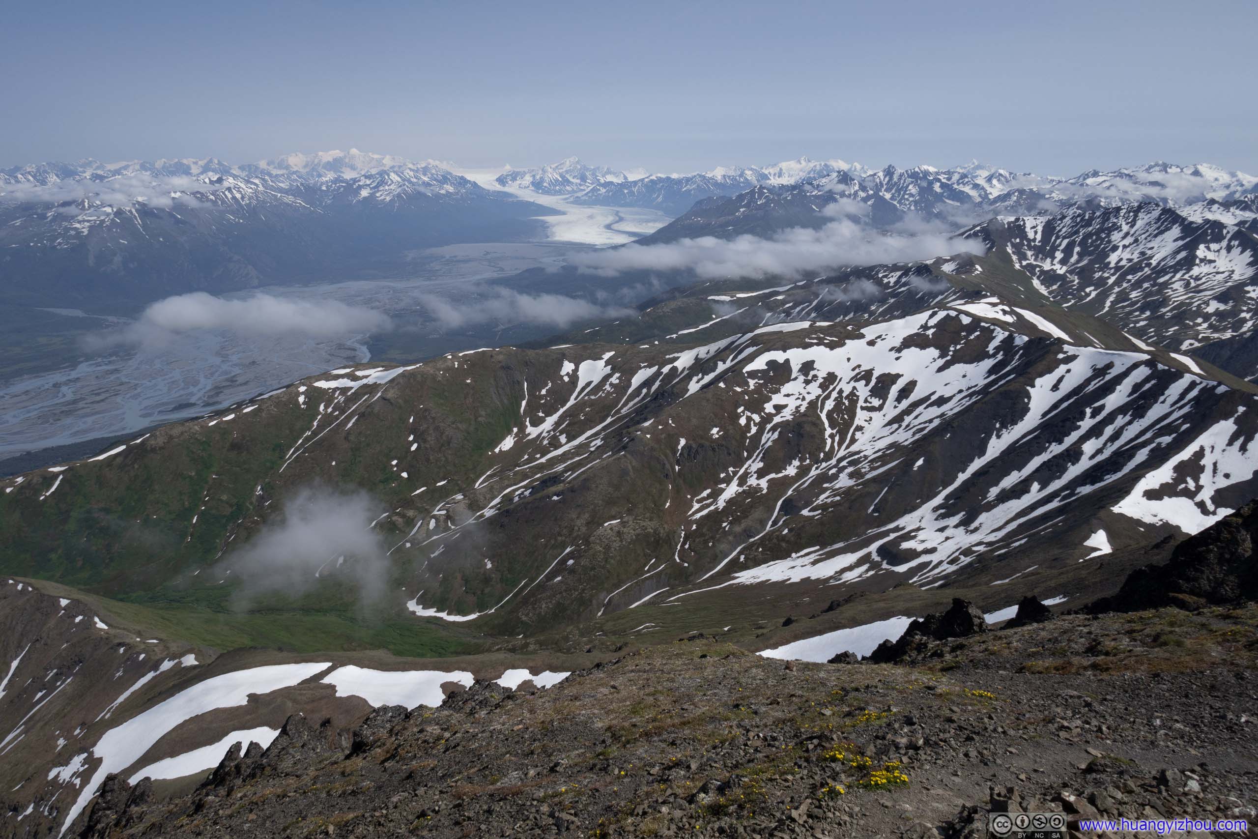
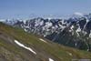
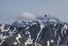
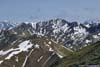
 Mountains to the SouthClouds were lifting up as time progressed.
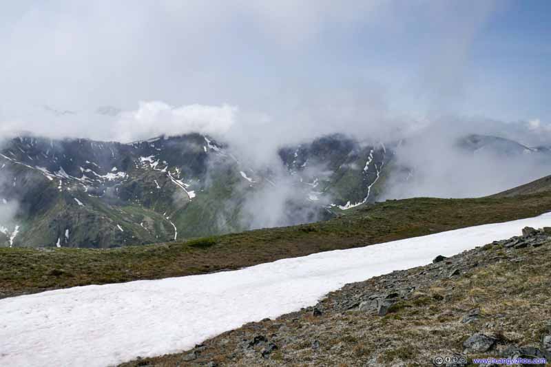 Mountains to the SouthClouds were lifting up as time progressed.
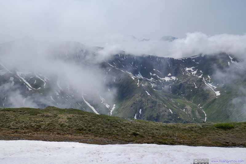 Mountains to the SouthClouds were lifting up as time progressed.
 Mountains to the SouthClouds were lifting up as time progressed.
 Mountains to the SouthClouds were lifting up as time progressed.
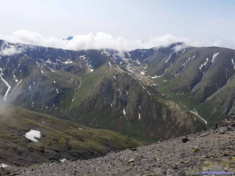 Mountains to the SouthClouds were lifting up as time progressed.
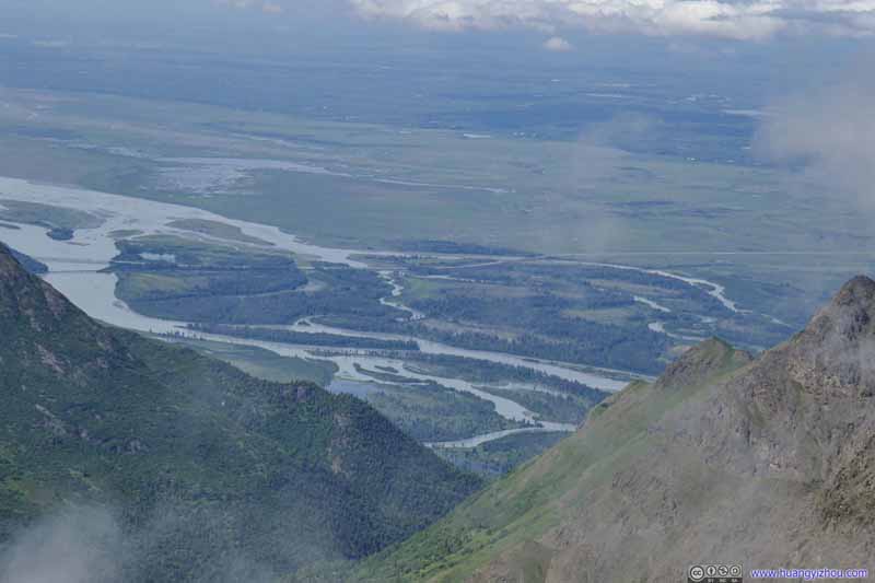 Overlooking Knik River
 Mountains to the West

Click here to display photos of mountains of Chugach State Park.
Mountains to the SouthClouds were lifting up as time progressed.
Mountains to the SouthClouds were lifting up as time progressed.
Mountains to the SouthClouds were lifting up as time progressed.
 Mountains to the SouthClouds were lifting up as time progressed.
Mountains to the SouthClouds were lifting up as time progressed.
Overlooking Knik River
Mountains to the West
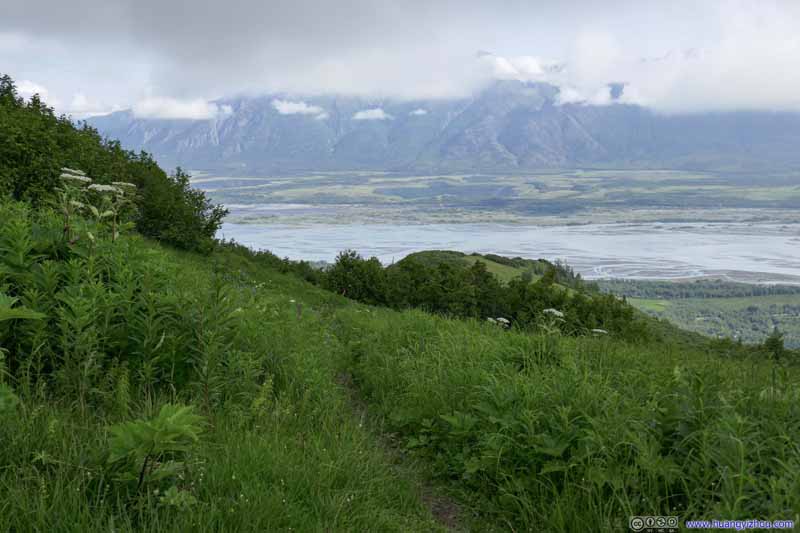
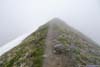
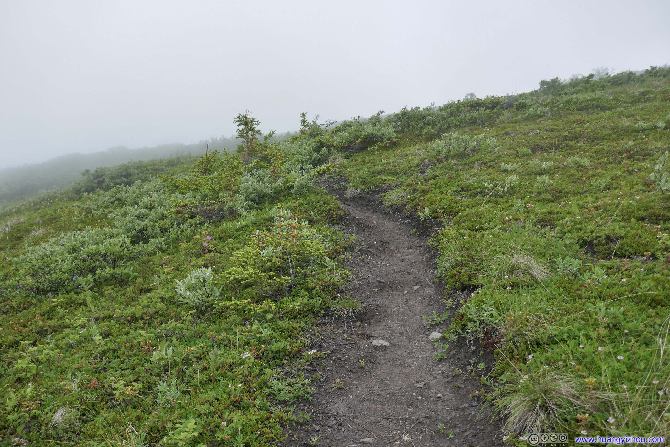
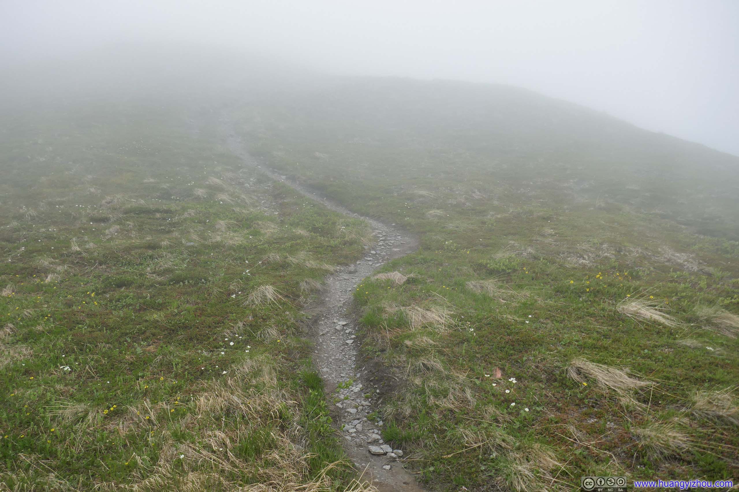
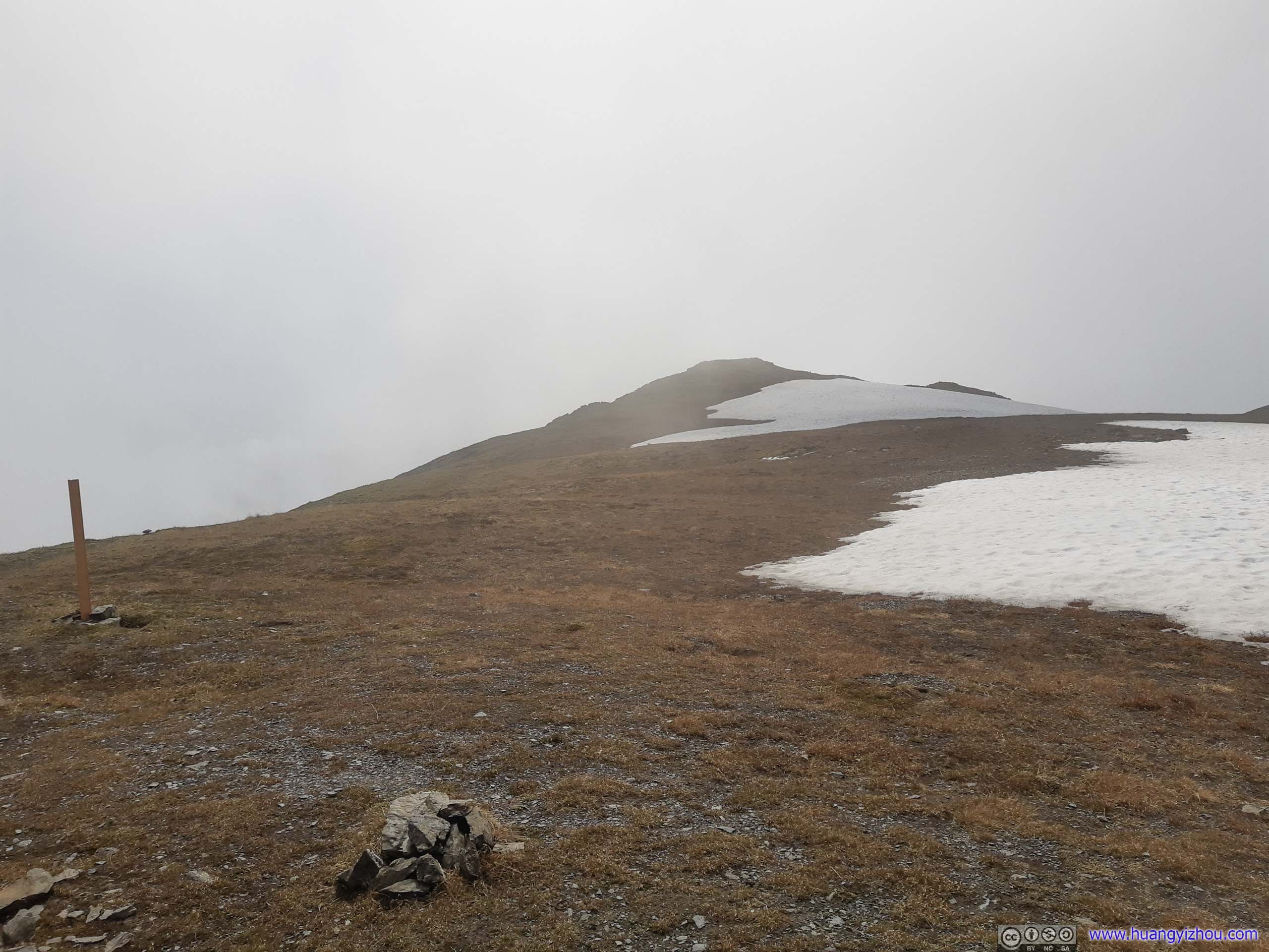
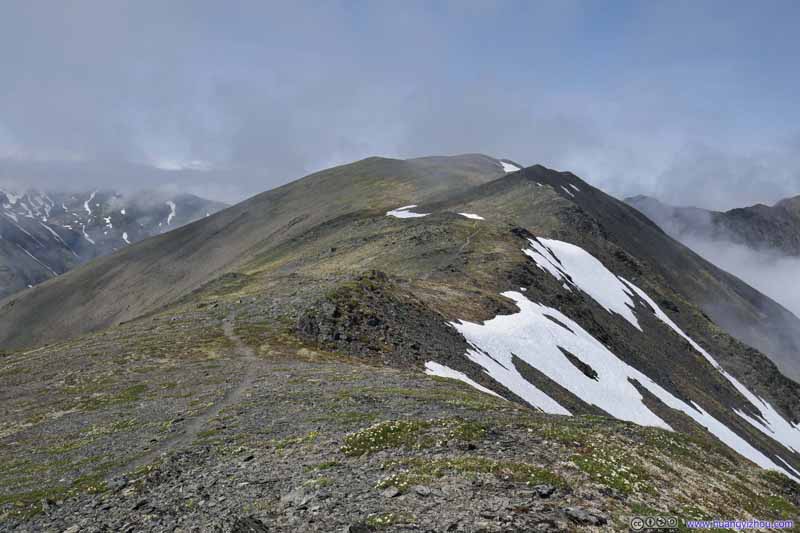
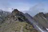
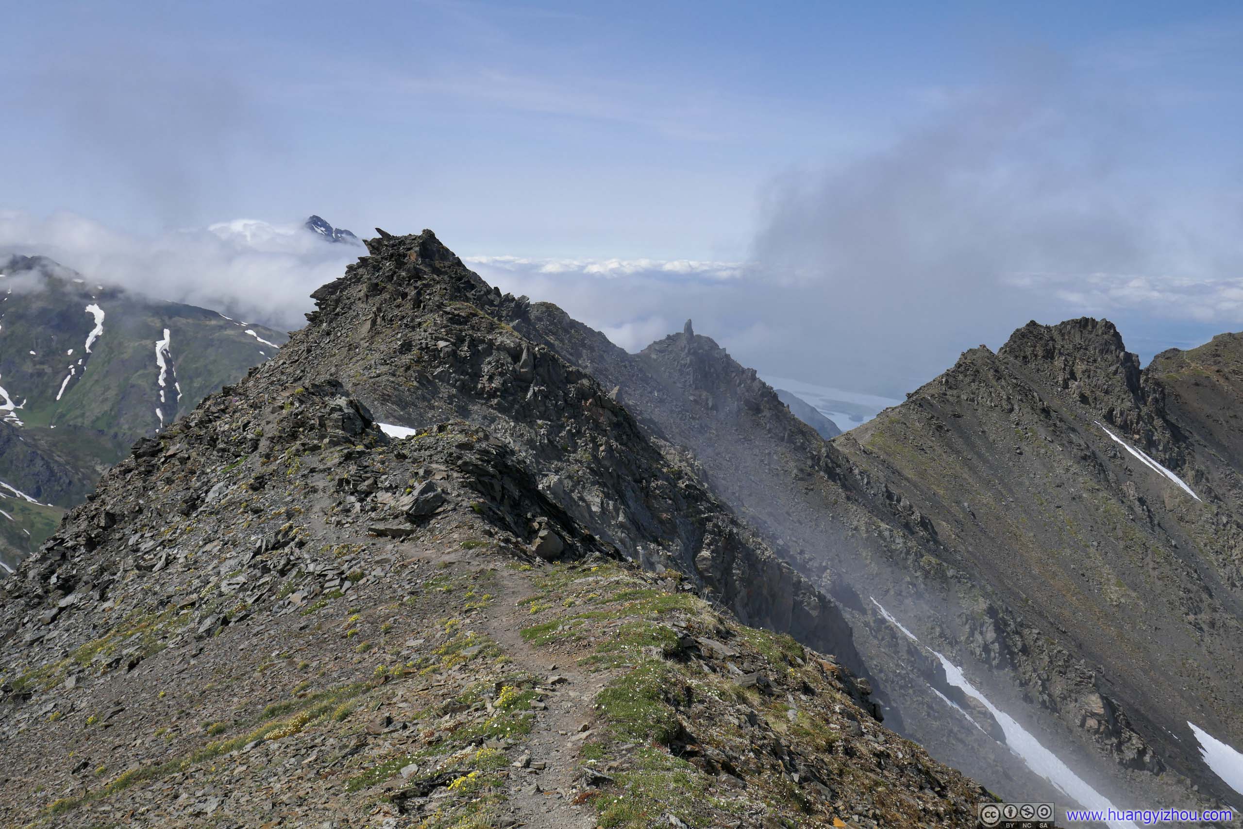
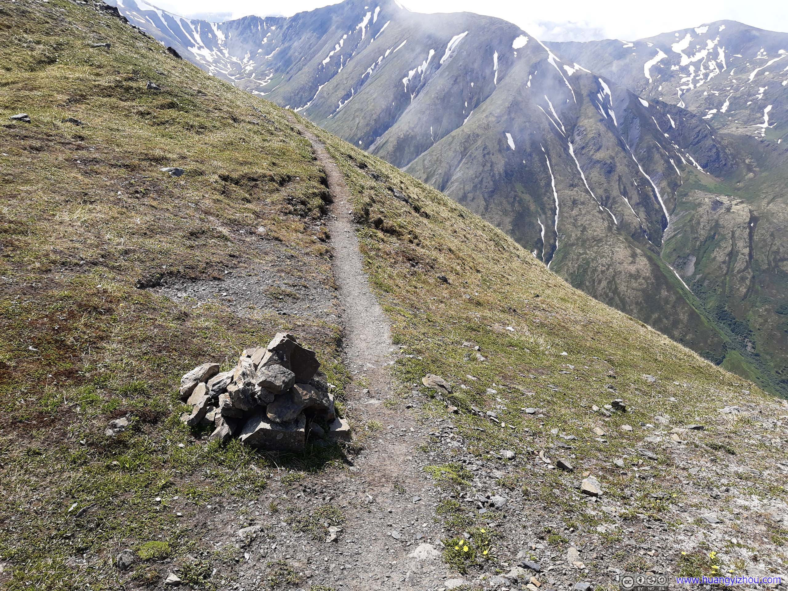
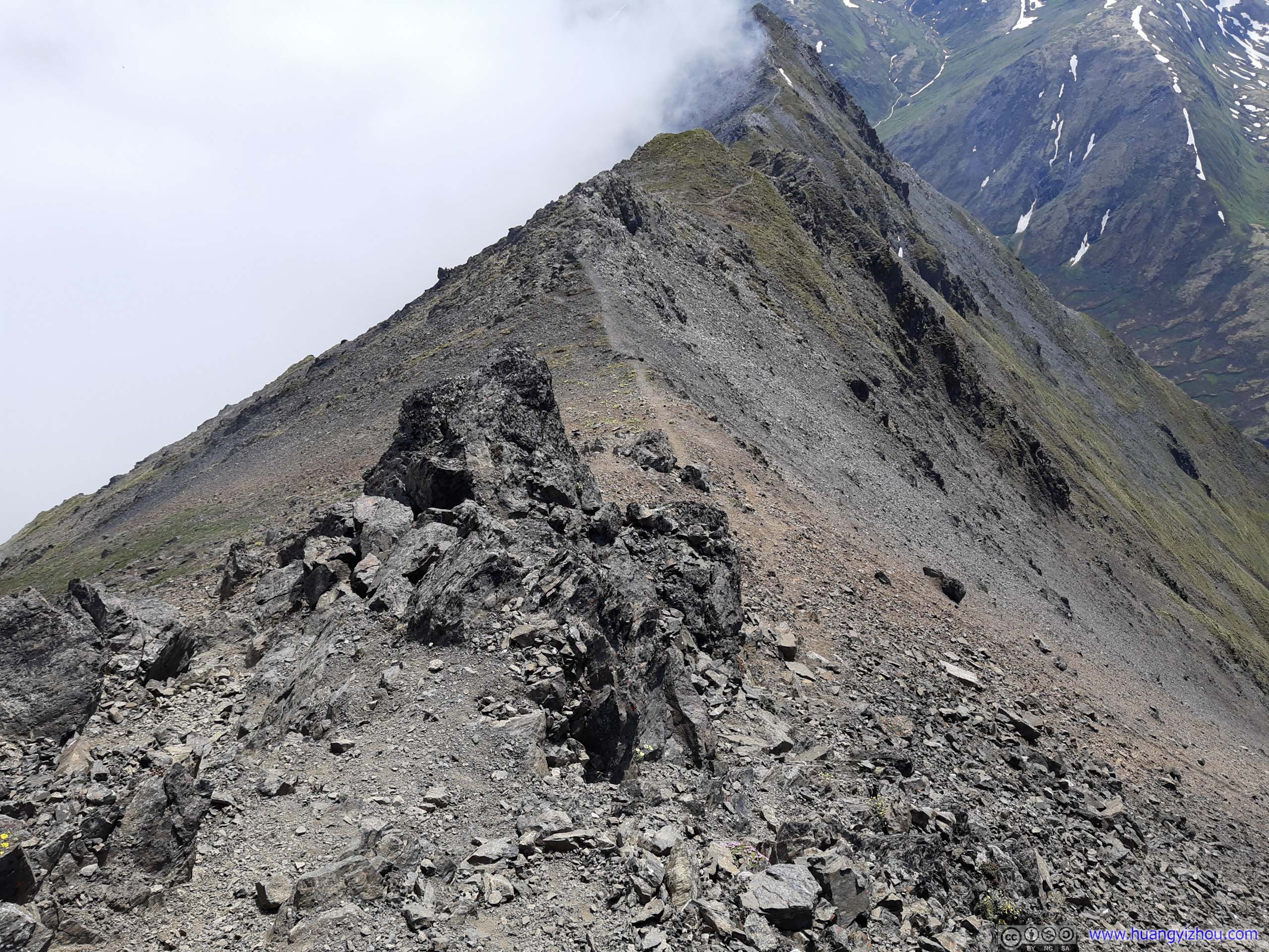
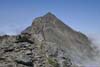
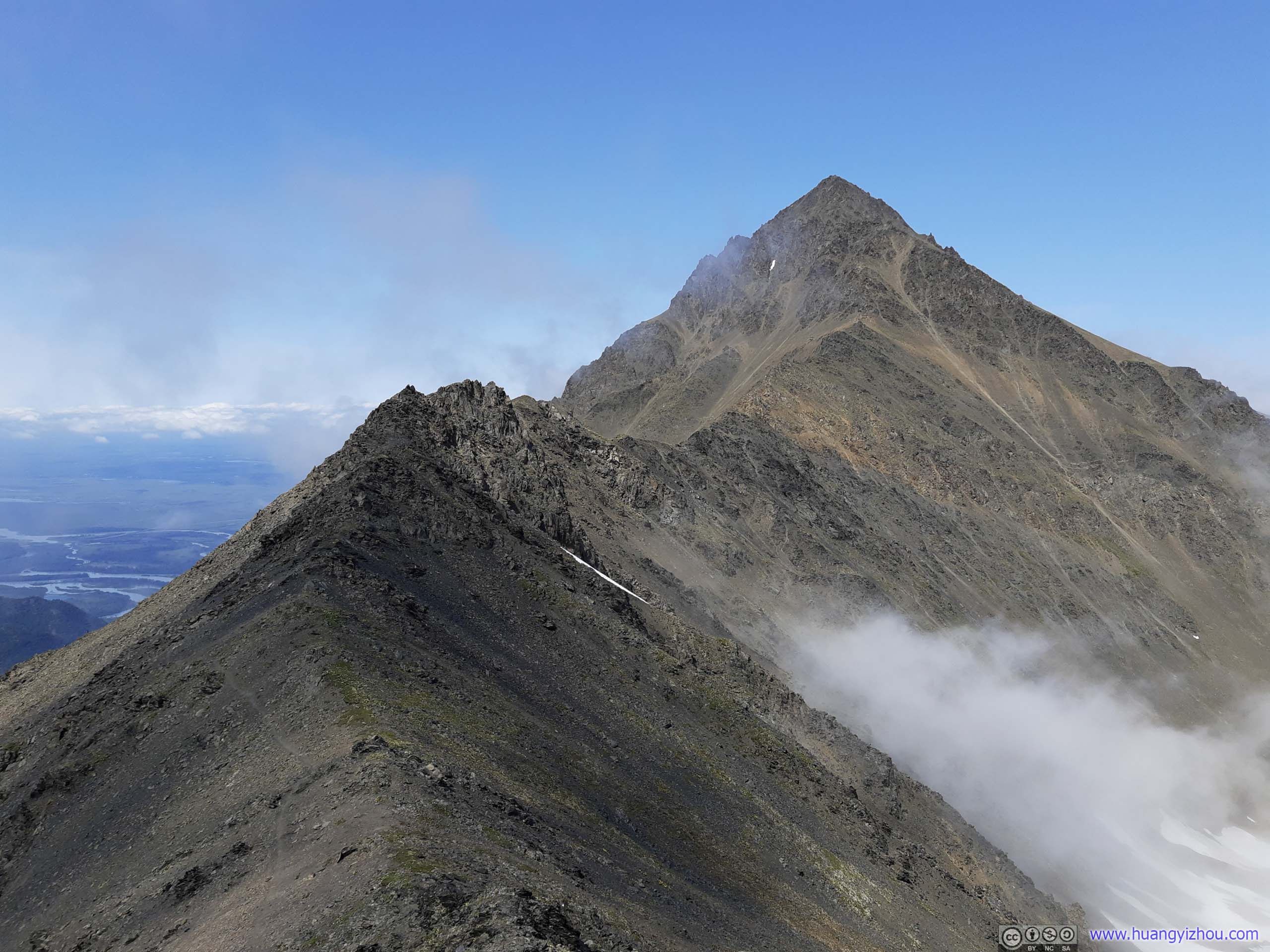
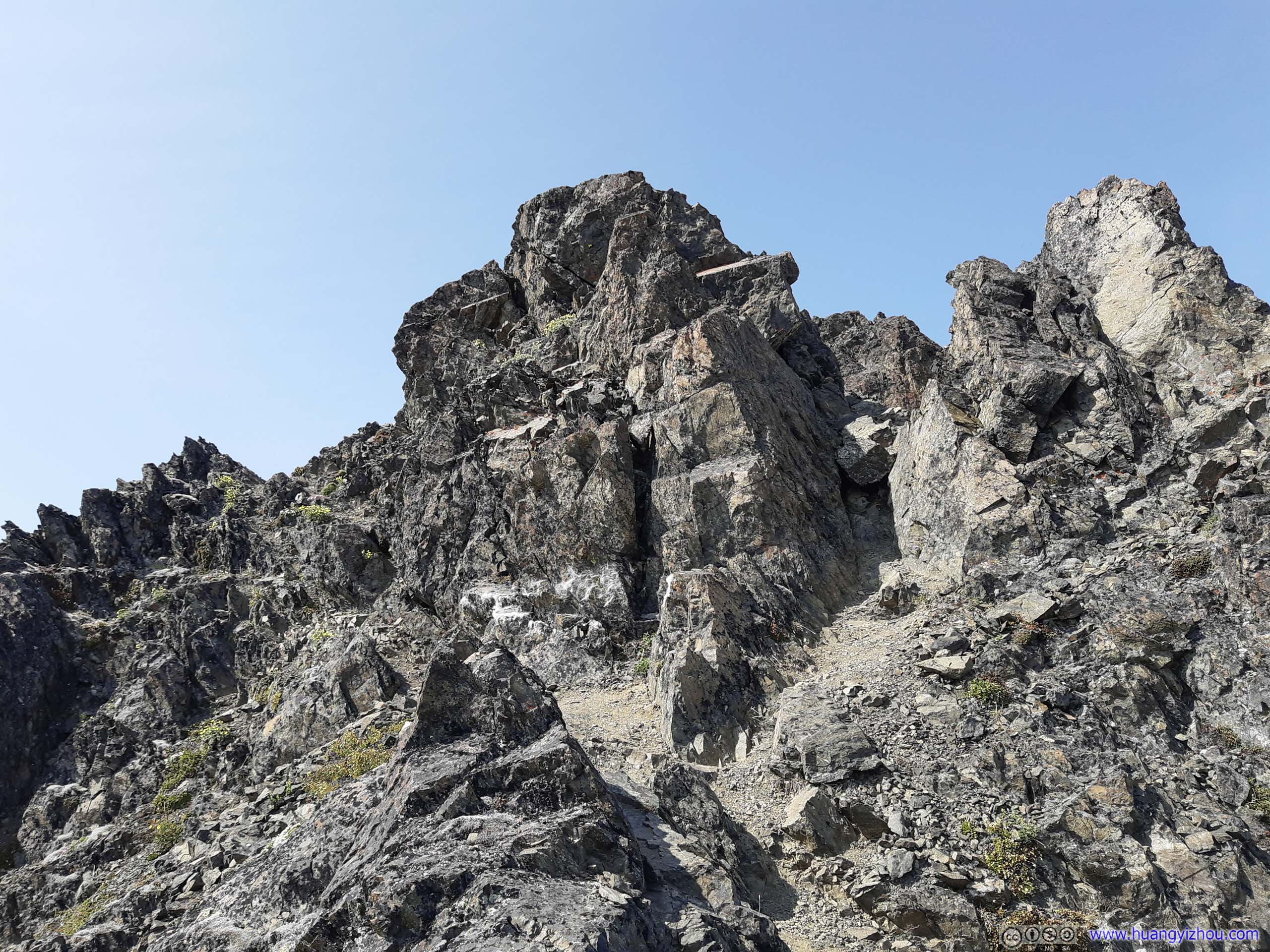
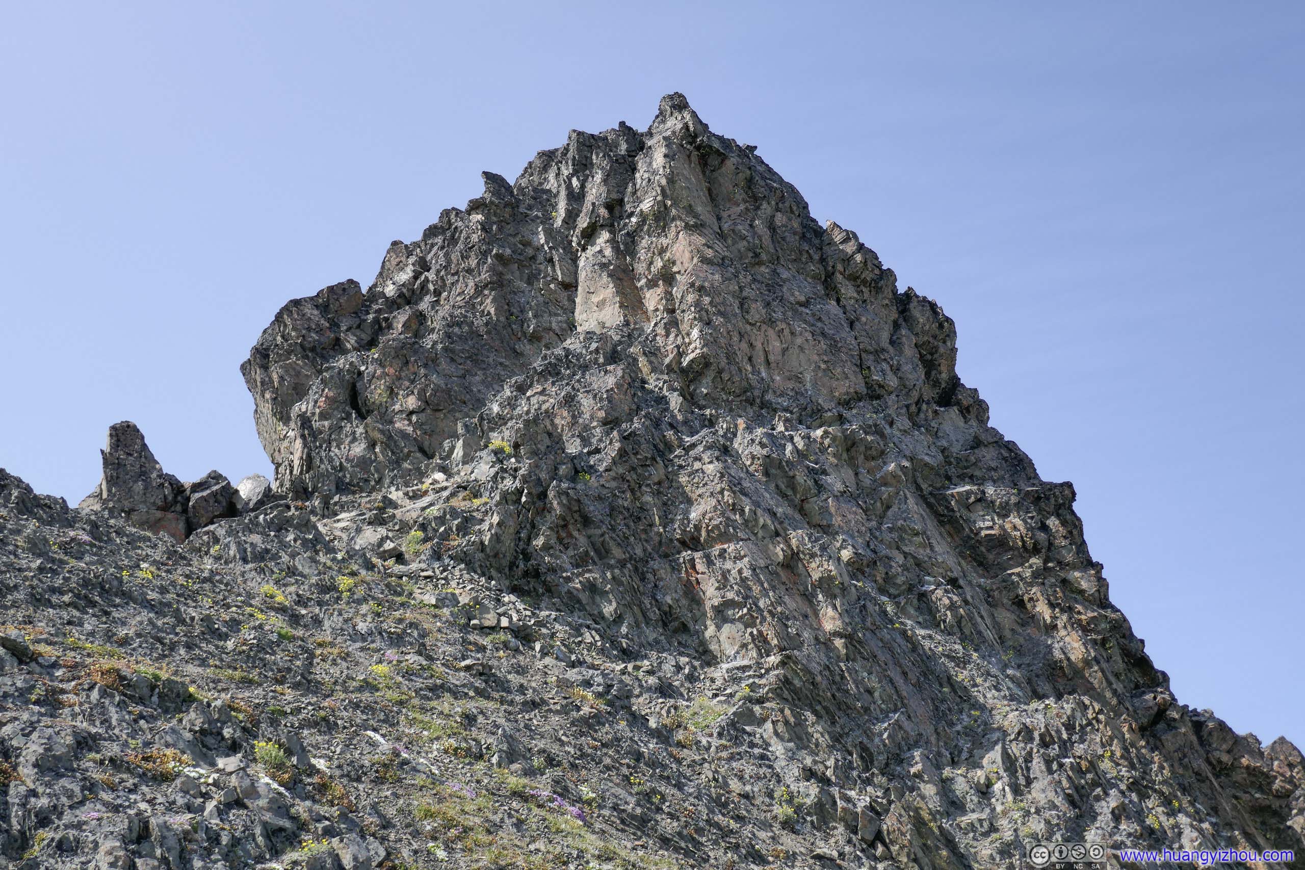
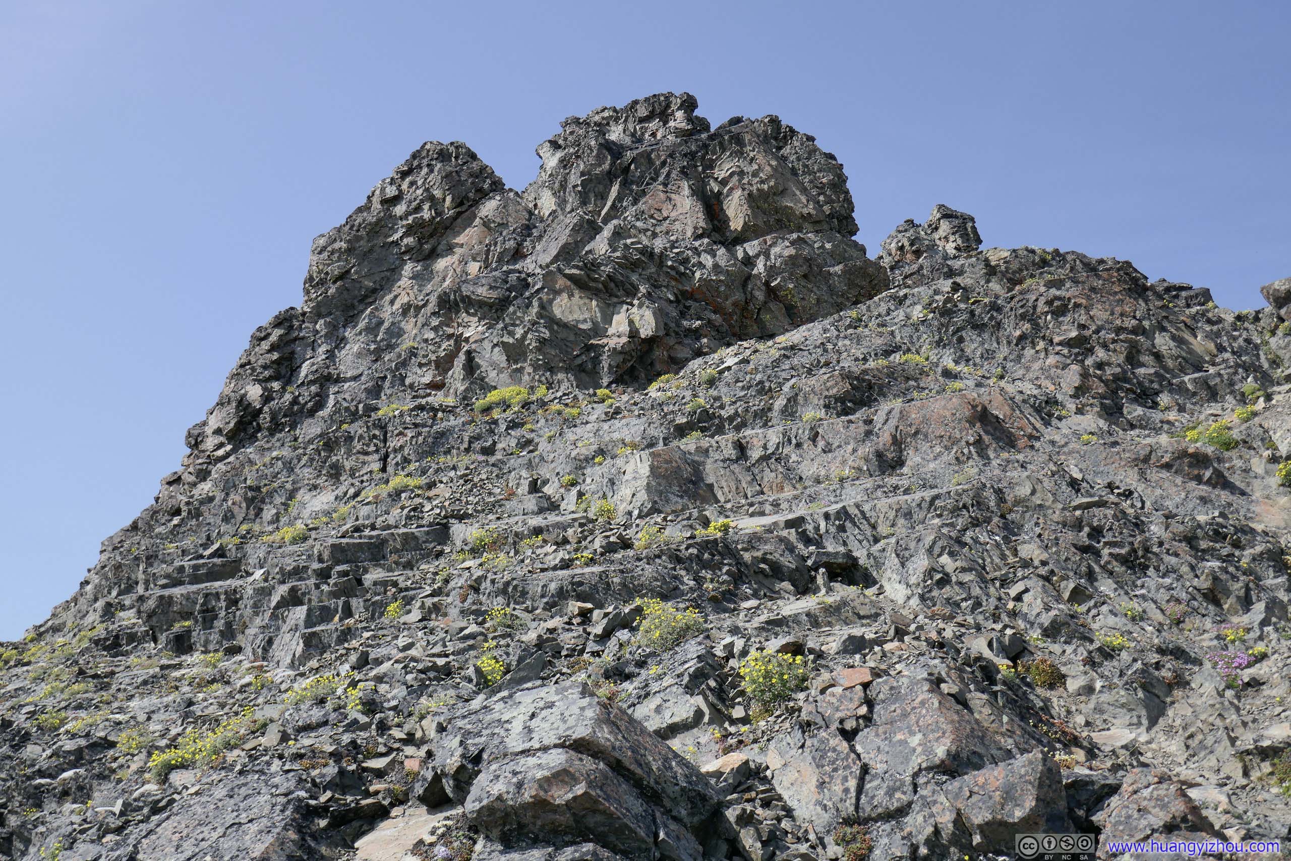
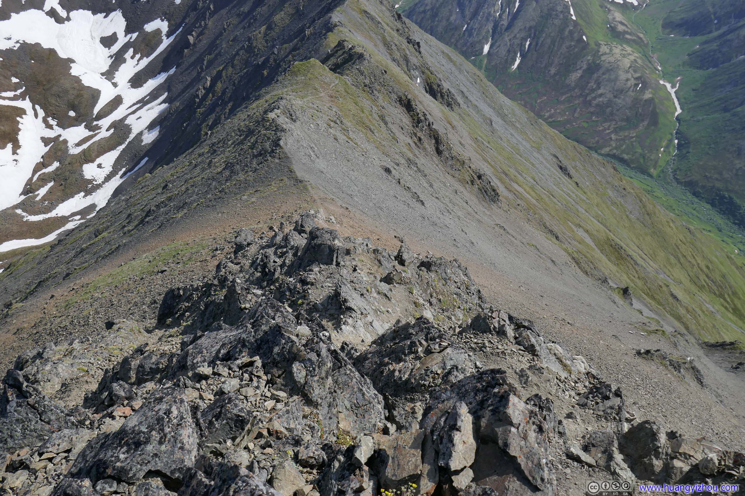
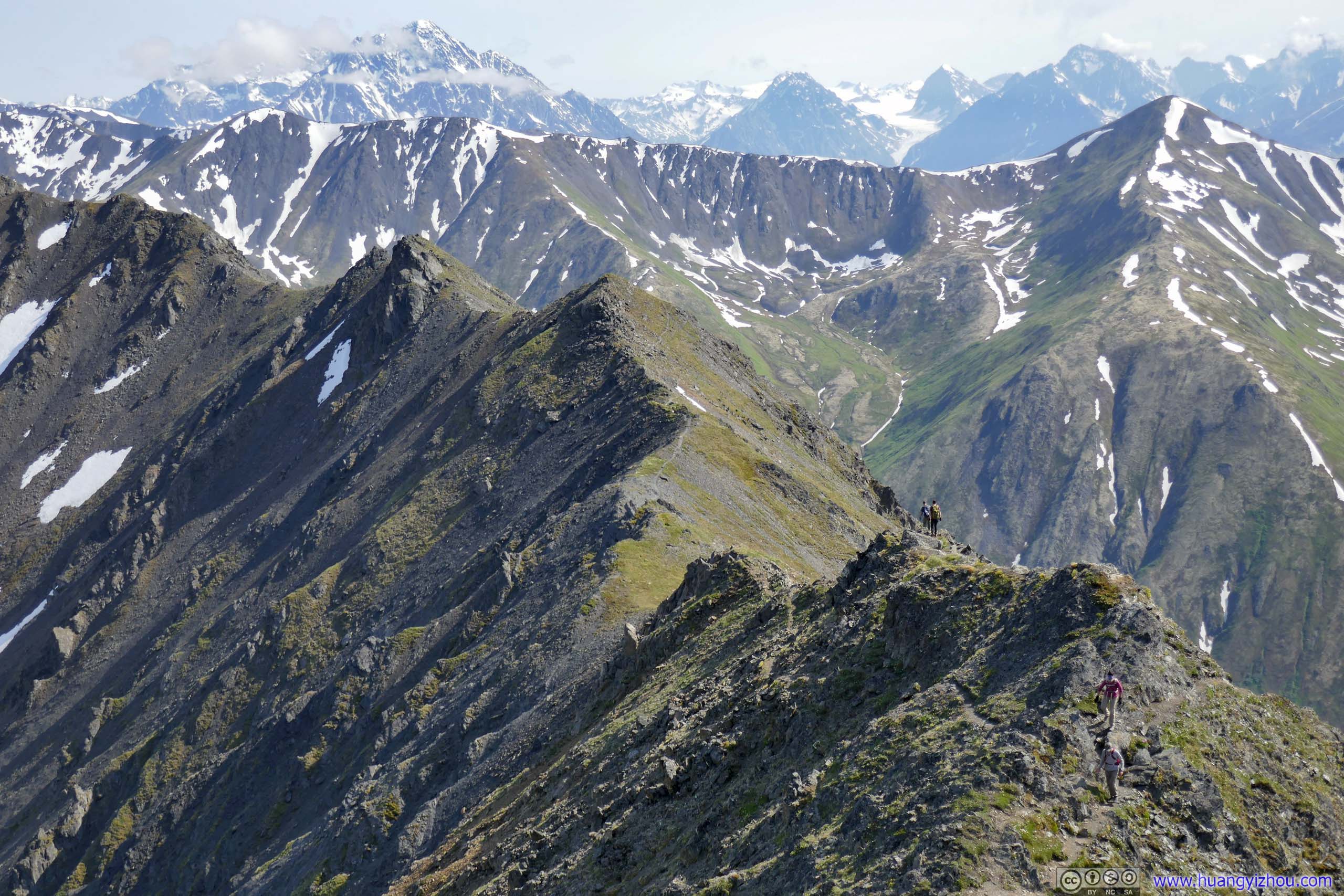
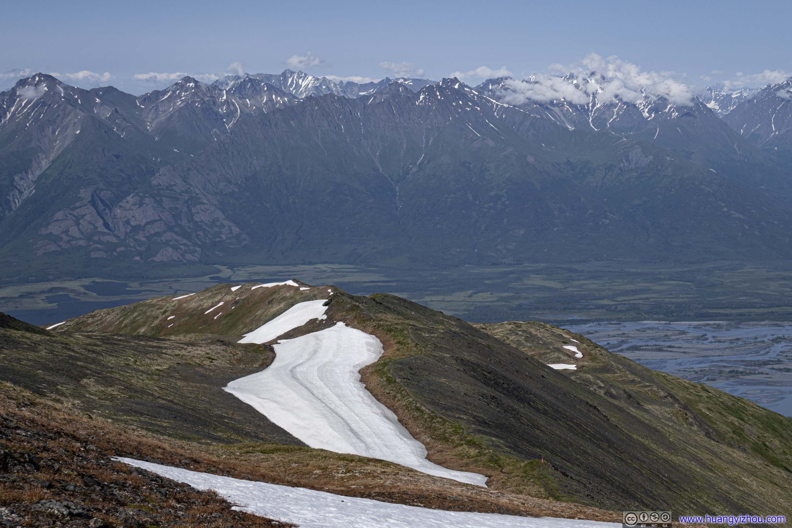
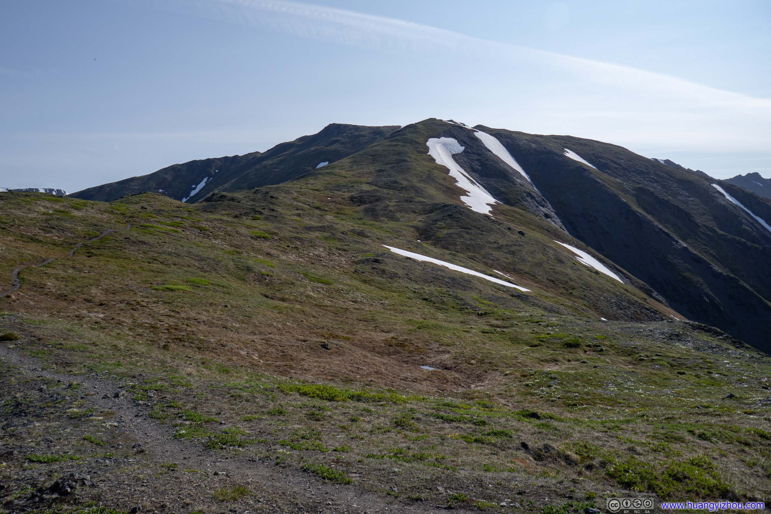
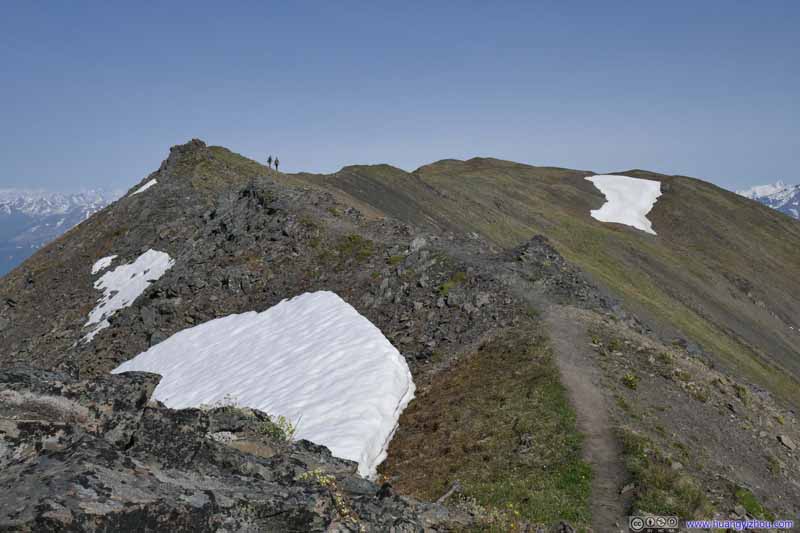
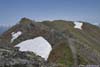
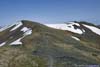
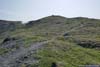
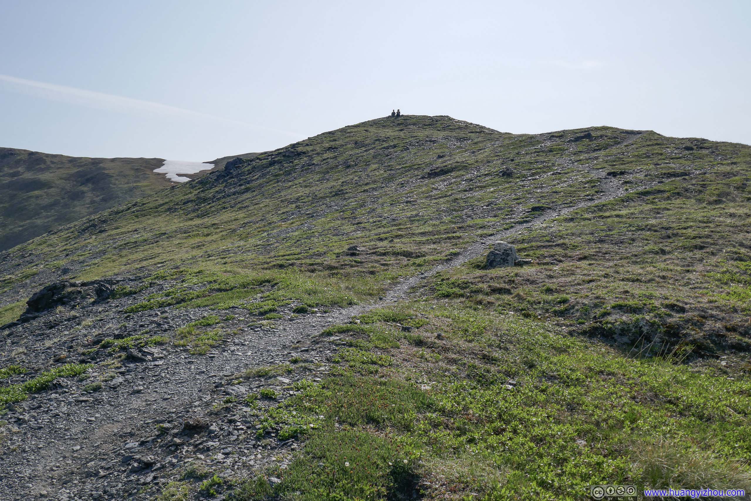
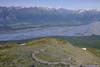
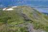
The trail passed through Pioneer Ridge in this section, which started out wide and flat. It then grew narrower and pointier as one got closer to the scrambling section.
 Trail
Trail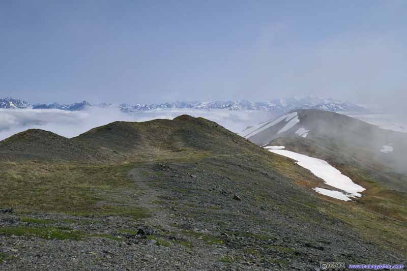 Trail
Trail Trail to Pioneer Peak
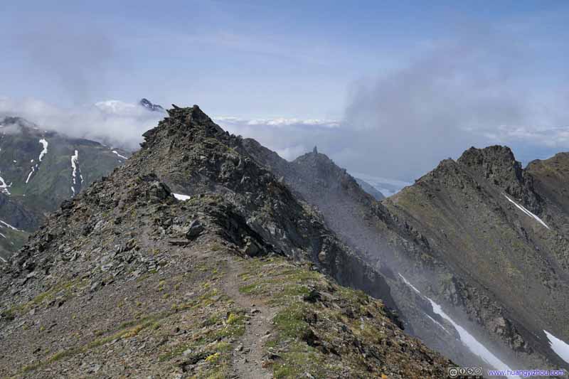 Trail
Trail Trail to Pioneer Peak
 Trail
Trail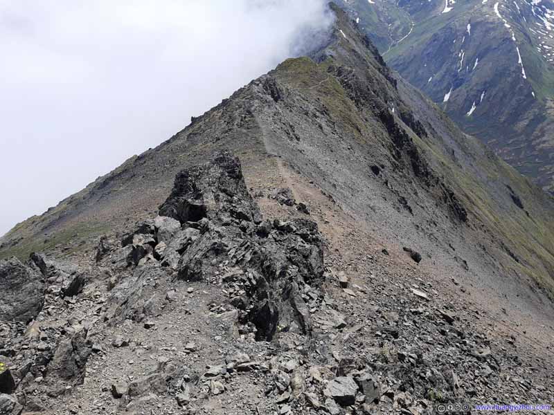 Trail
Trail
Click here to display photos of the trail.

 Trail
Trail
Trail to Pioneer Peak
Trail
Trail to Pioneer Peak
Trail
Trail
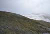
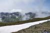
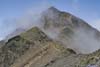
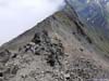
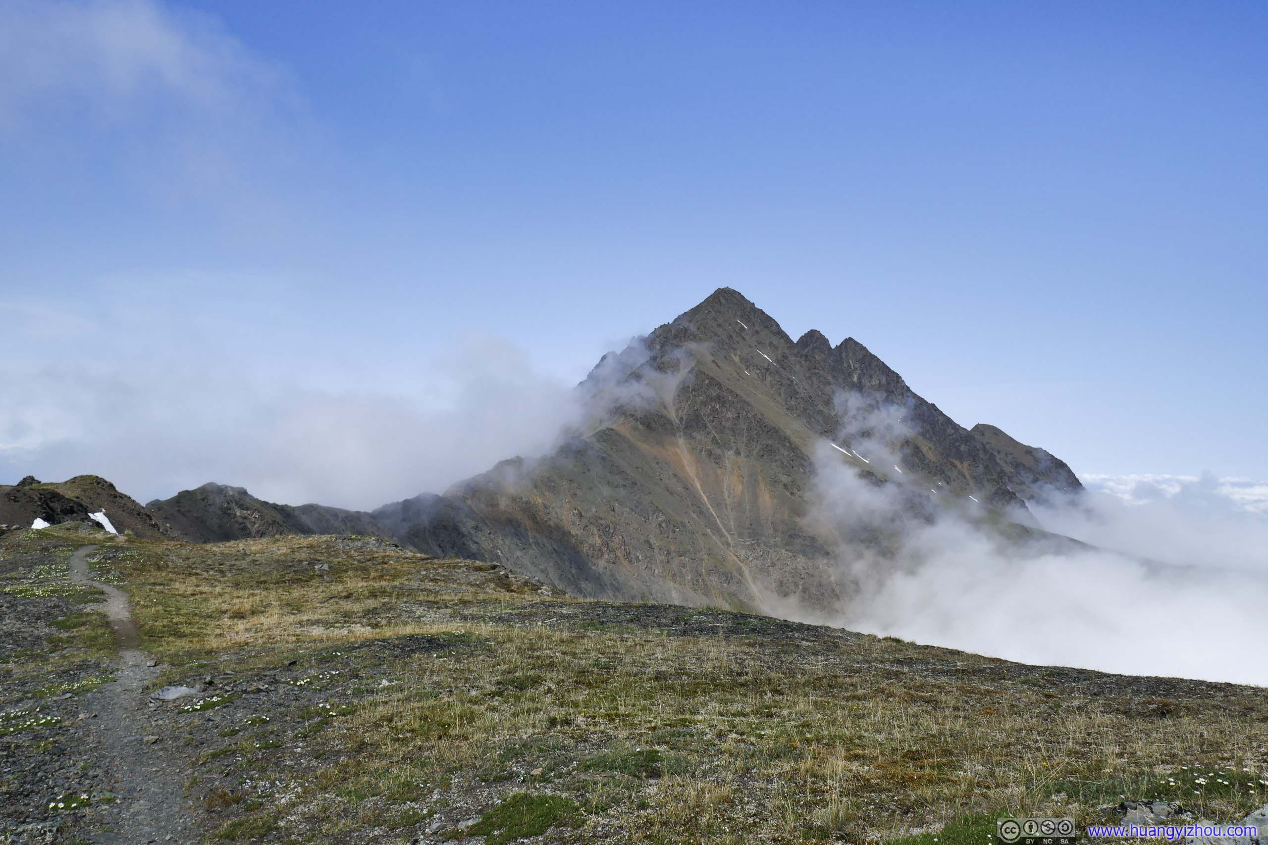
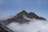
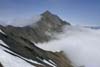
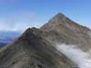
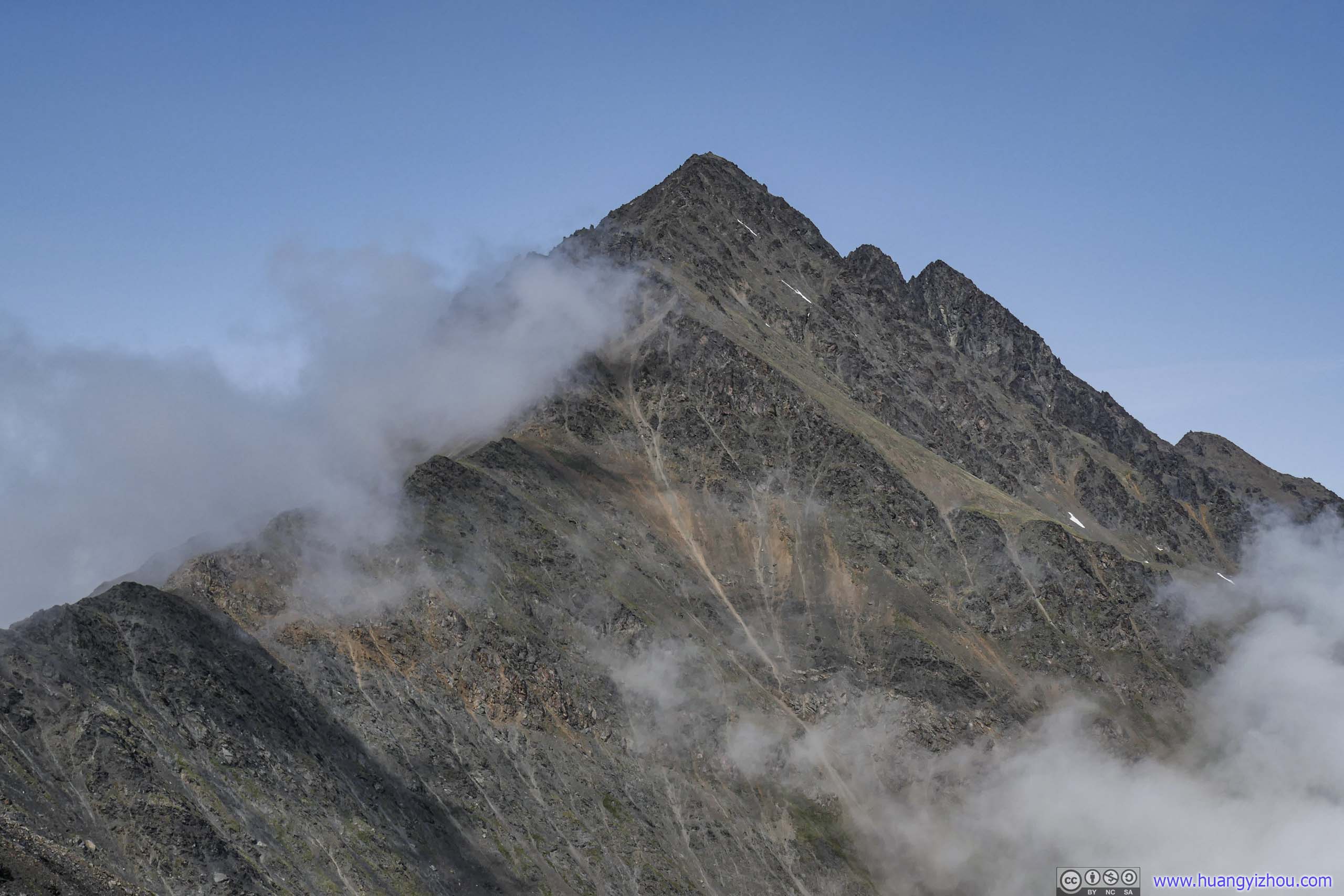
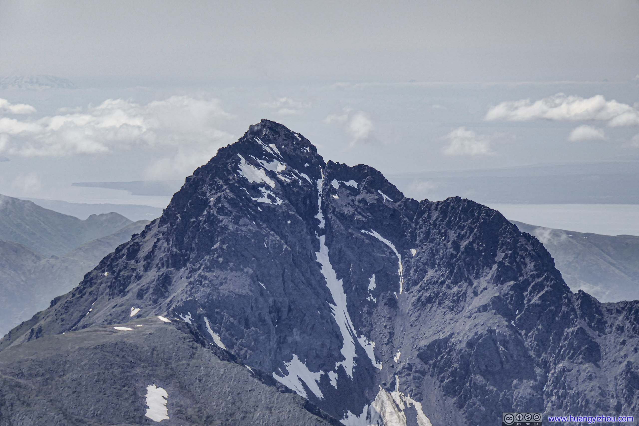
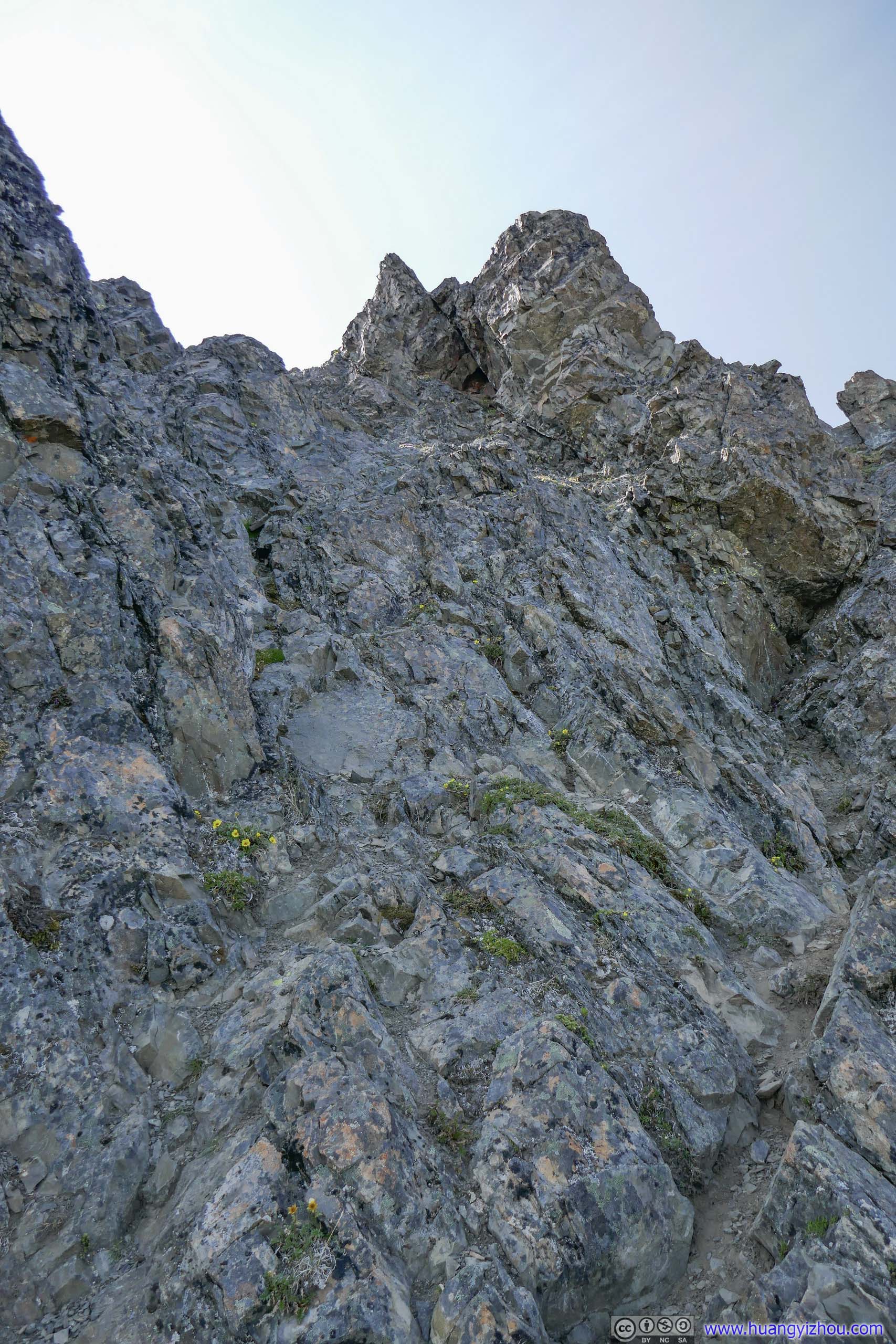
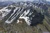
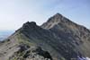
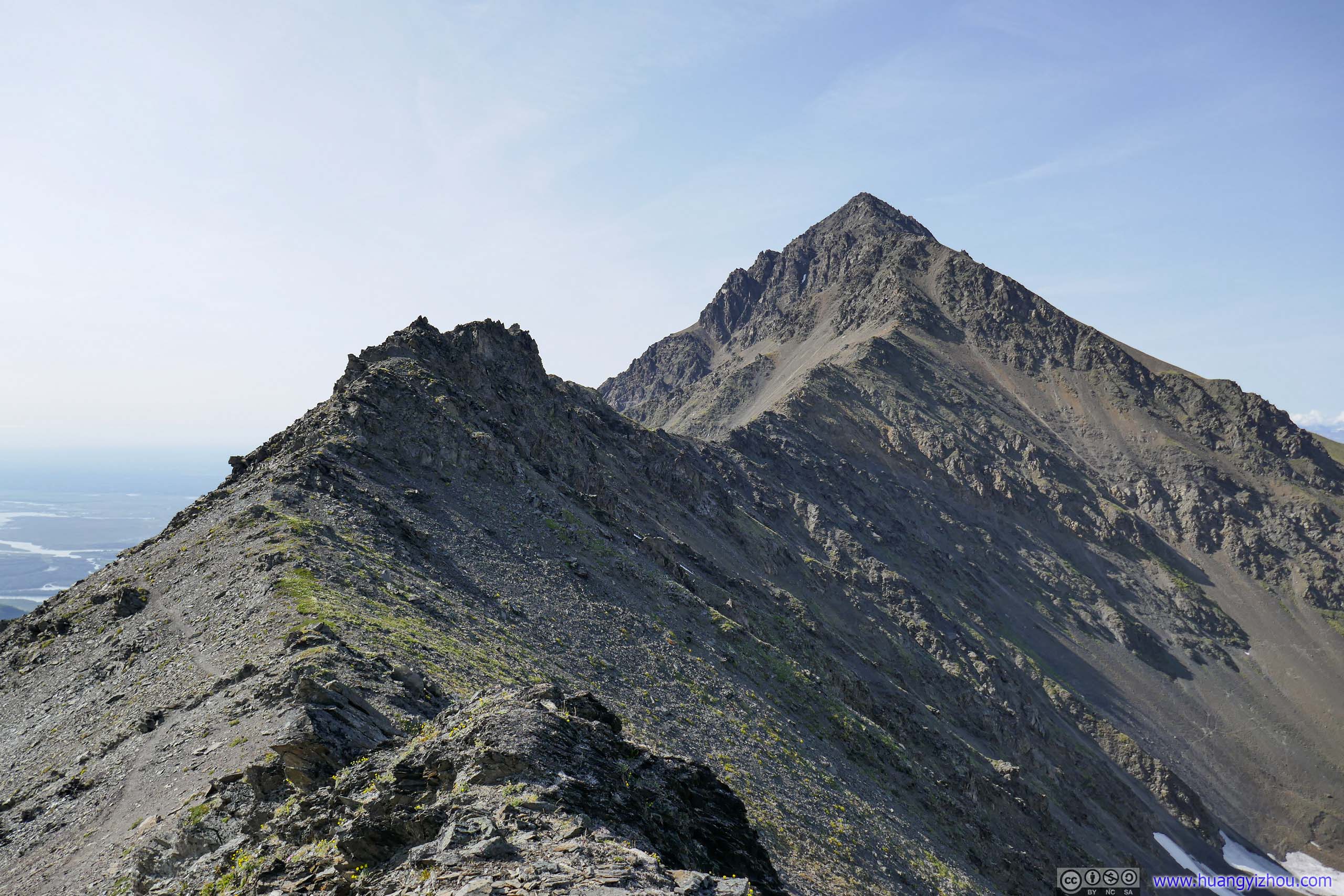
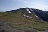
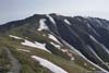
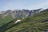
And throughout the way, Pioneer Peak had always been accompanied, but not overcome, by clouds.
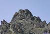
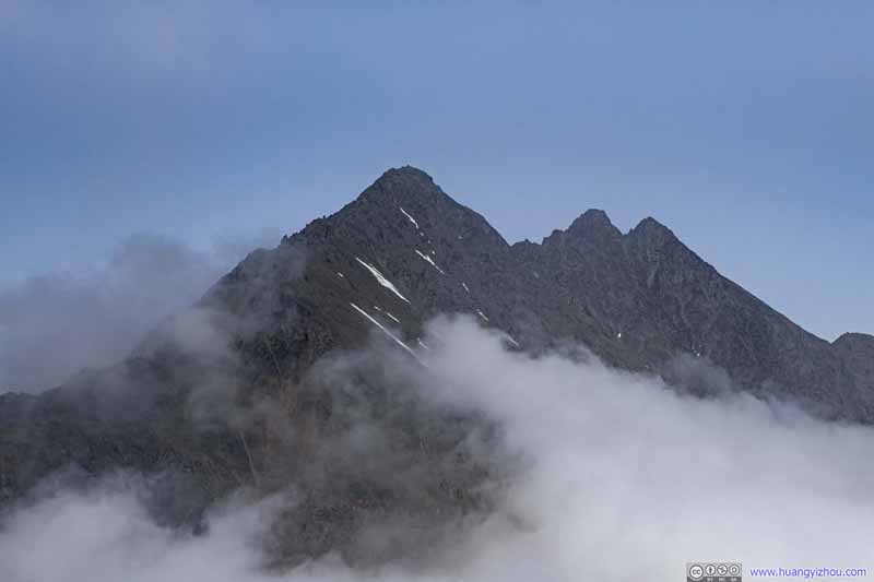 Pioneer Peak
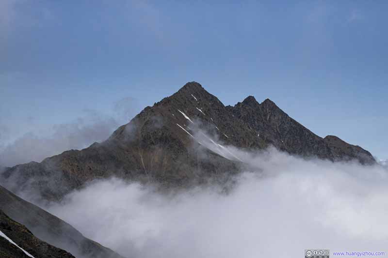 Pioneer Peak
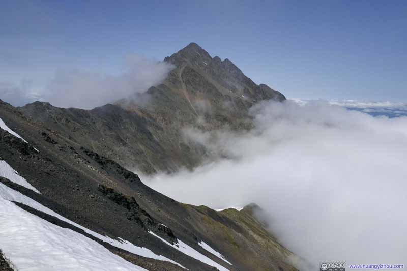 Pioneer Peak
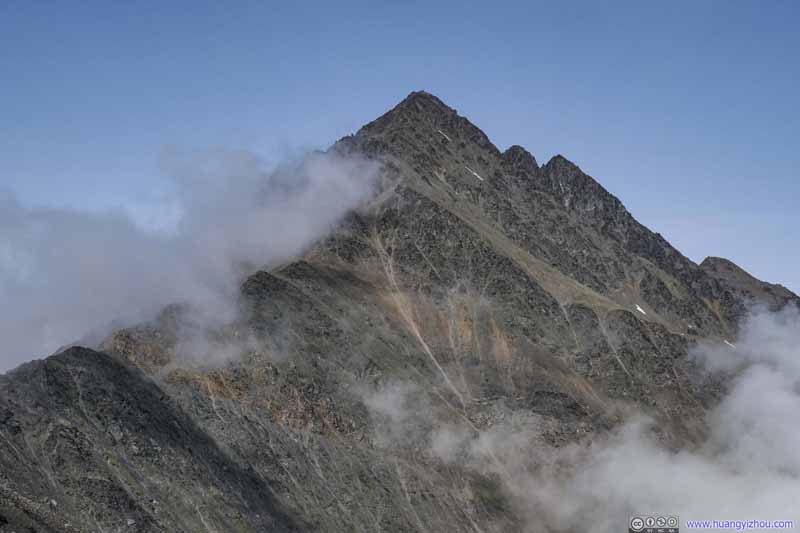 Pioneer Peak
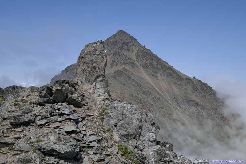 Pioneer Peak
 Pioneer Peak

Click here to display photos of Pioneer Peak.


 Pioneer Peak
Pioneer Peak

Pioneer Peak
Pioneer Peak
 Mountains across Knik RiverLeft: Ice Cream Cone Peak
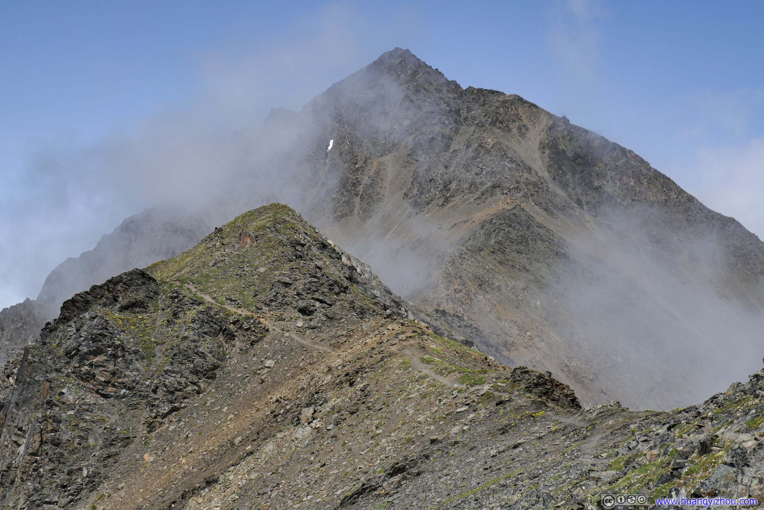
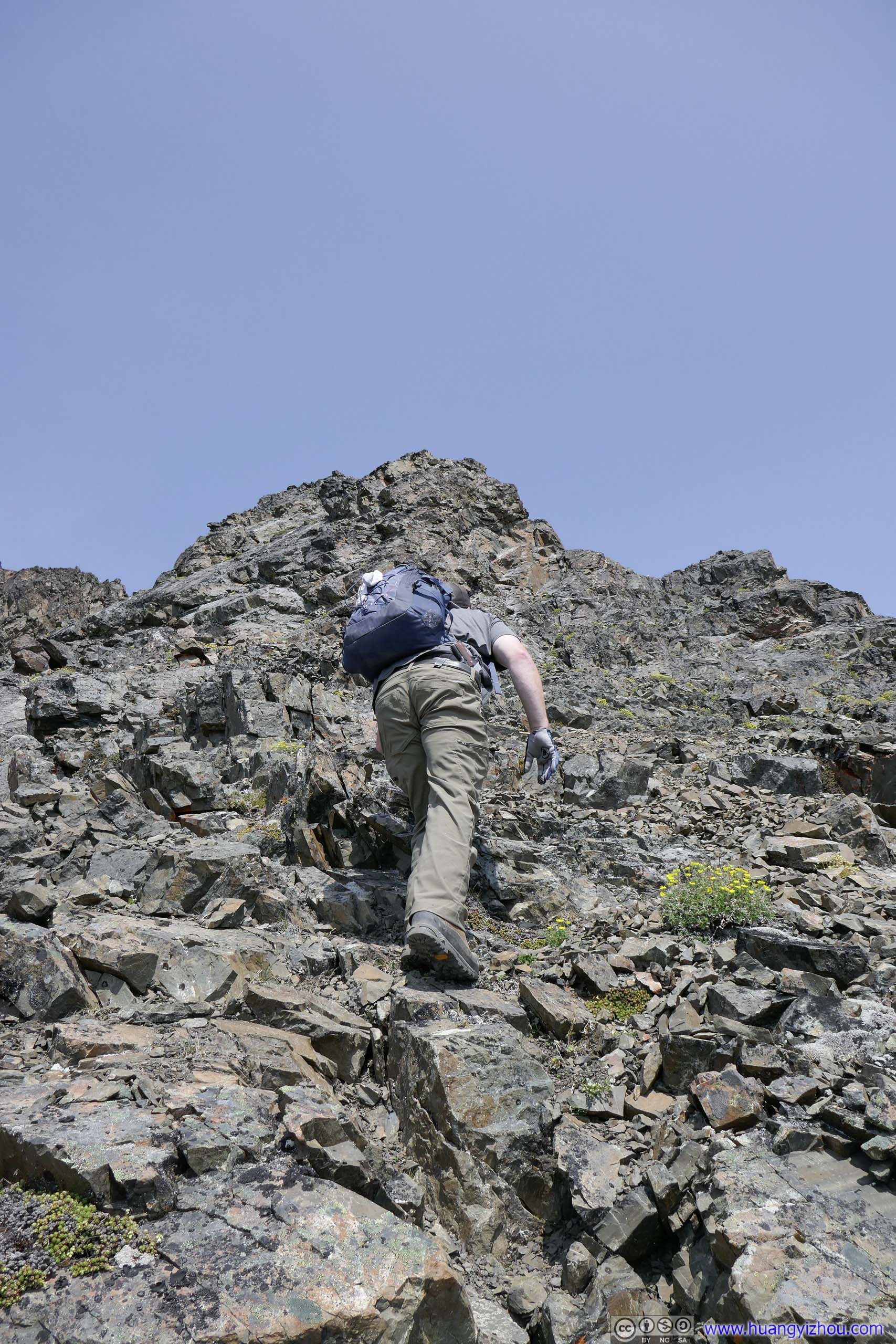
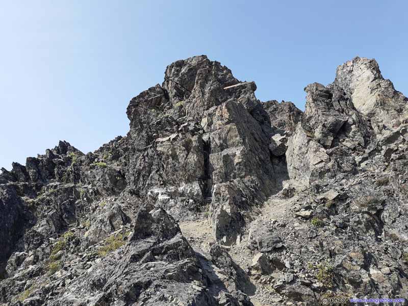
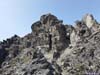
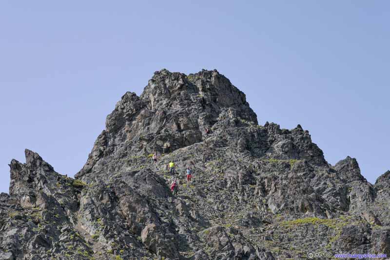
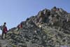
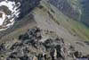
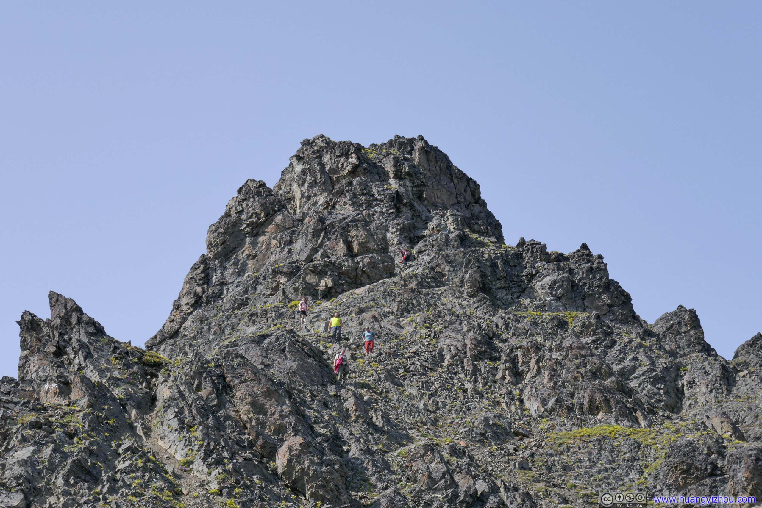
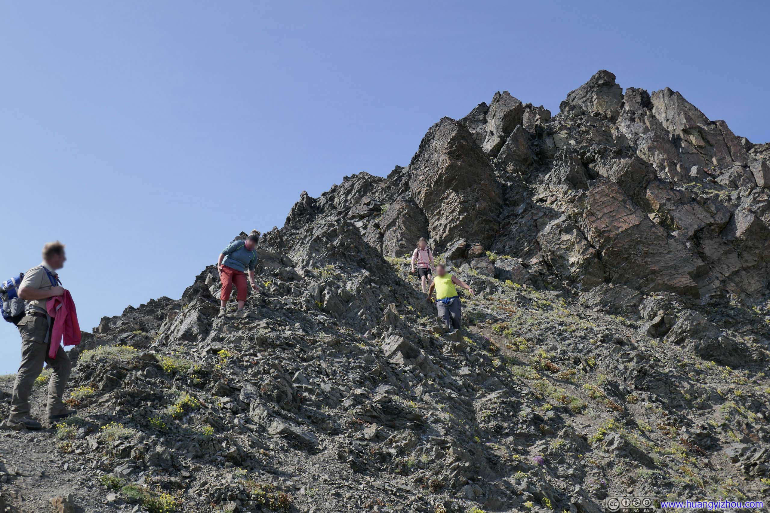
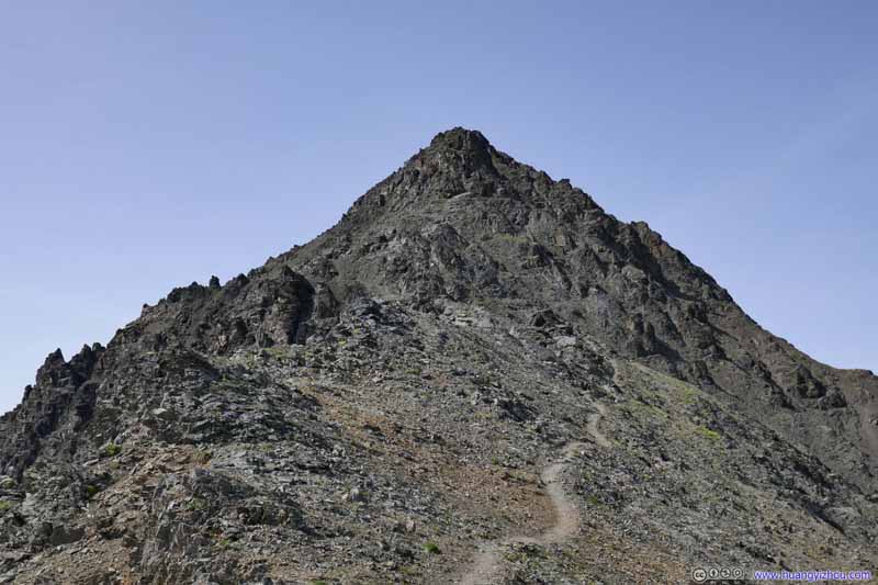
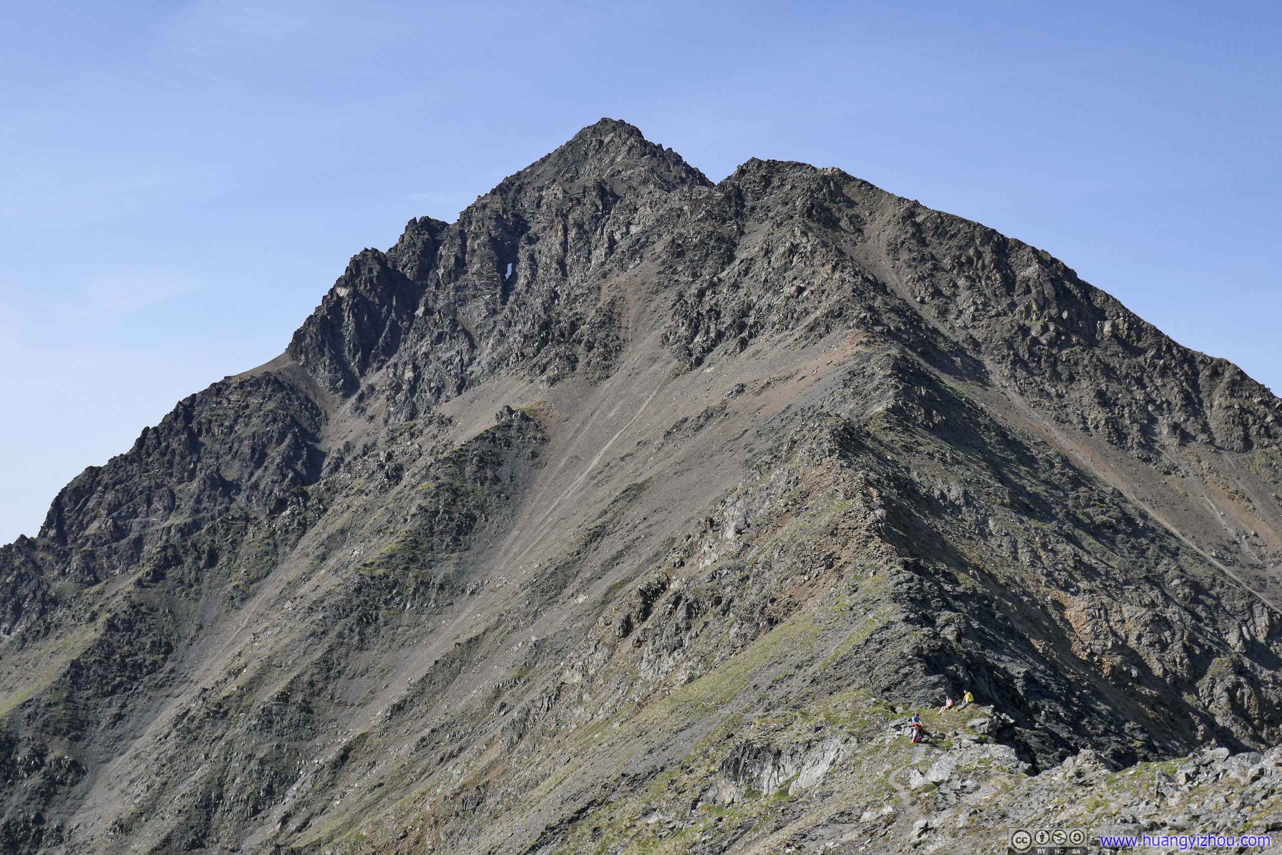
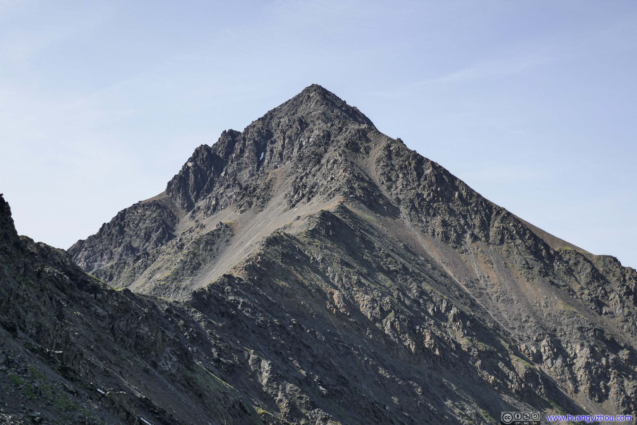
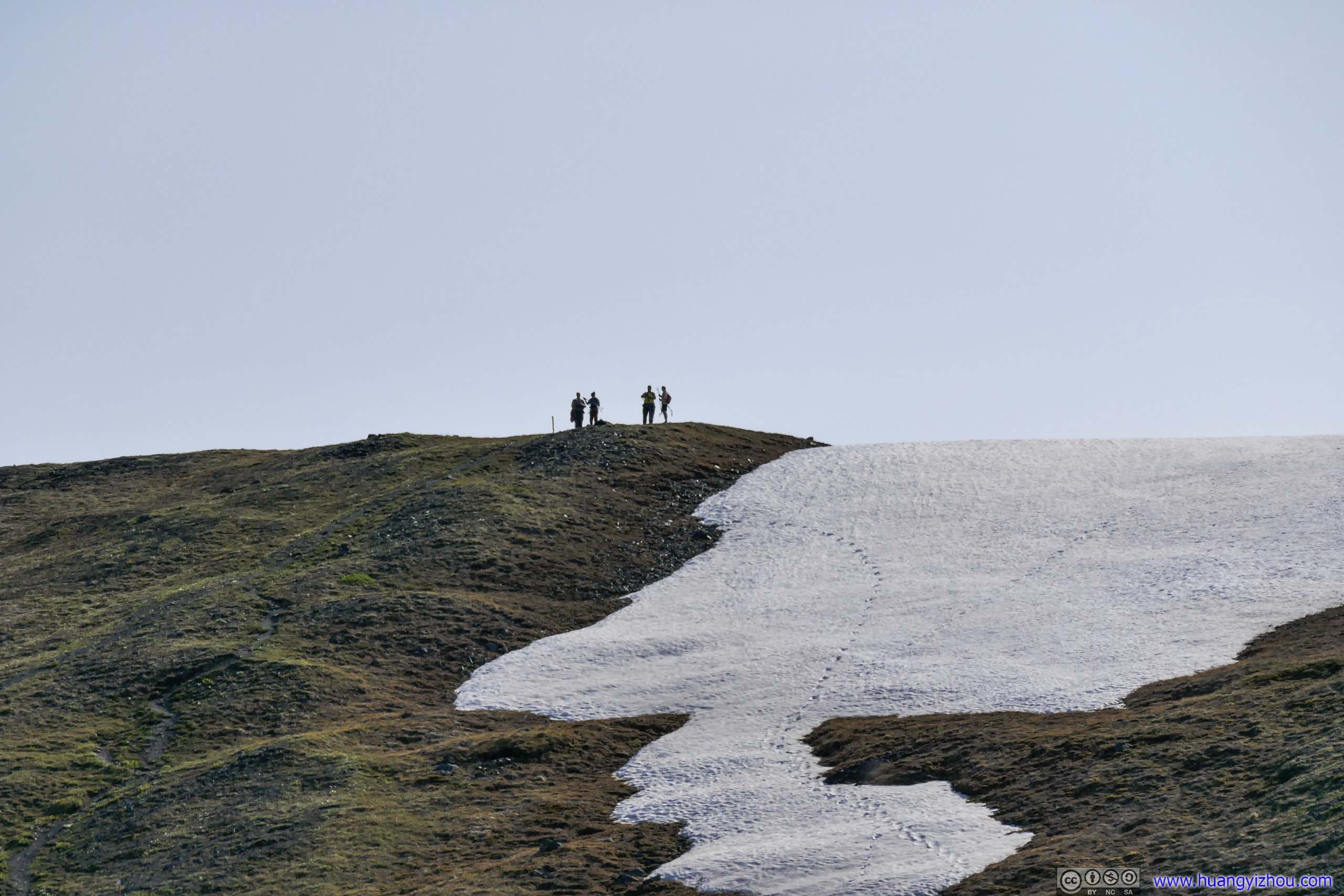
Finally, about 1km (horizontally) from summit, the trail started to grow so steep at places that it started to require rock scrambling. That’s when I met and overtook the first group of four hikers for the day. I got much assured that I was moving faster than them.
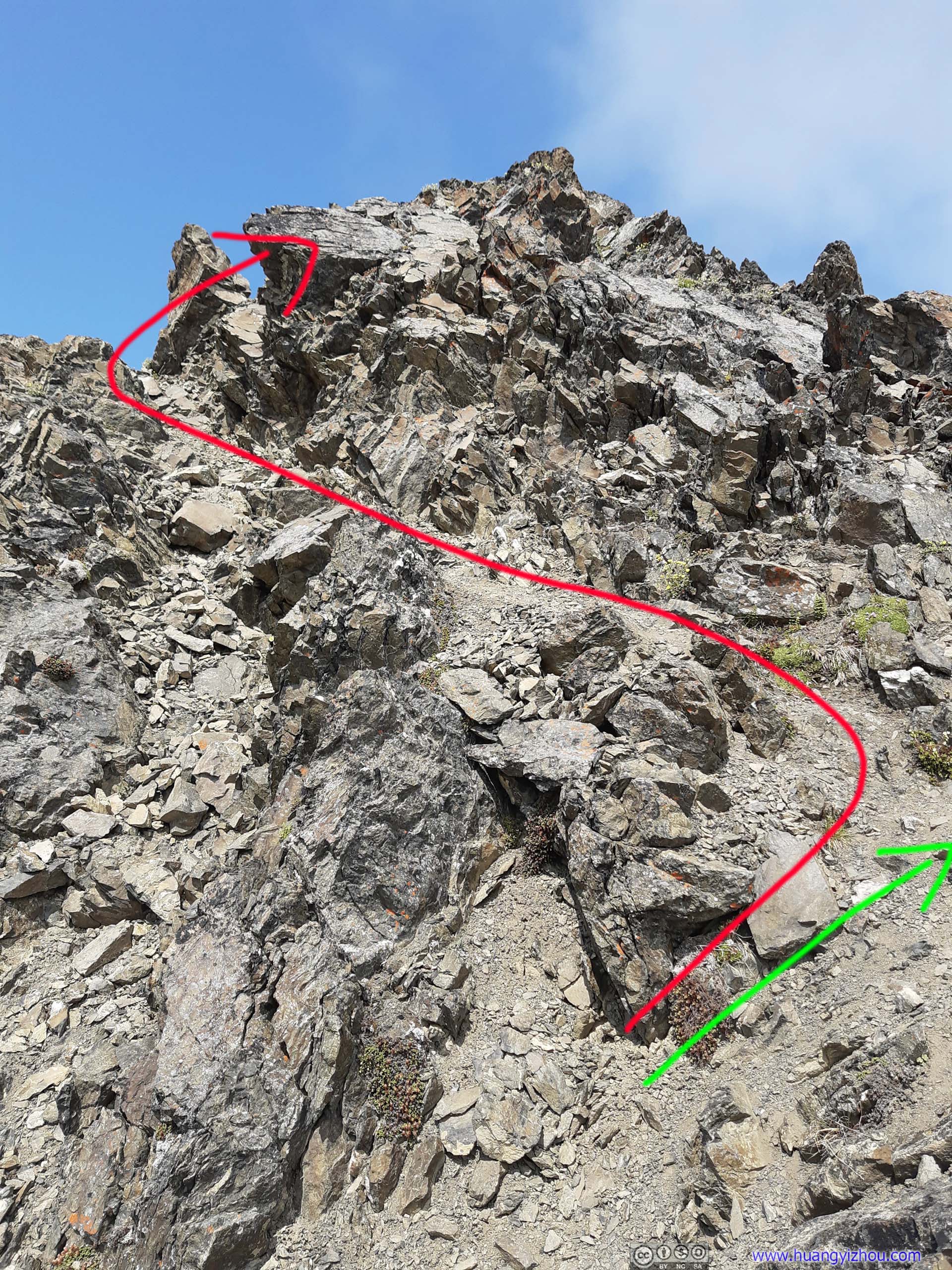
 Steep TrailRed: the path that I took. It’s possible to take another path (off the frame, green) that’s easier.
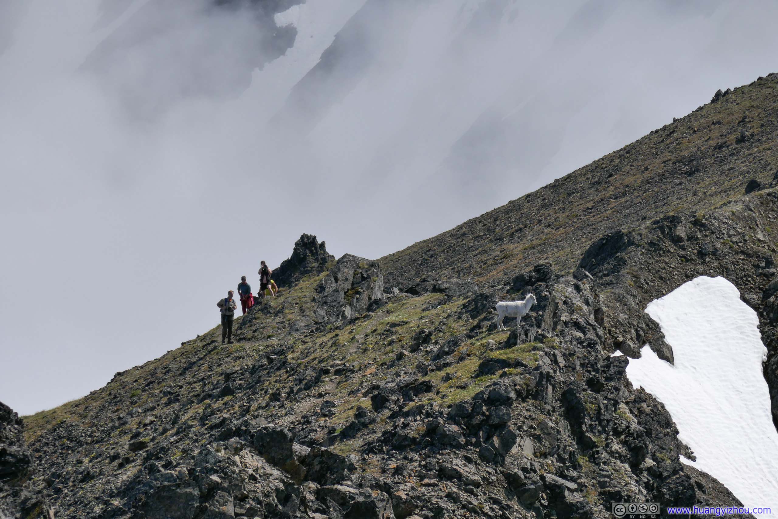
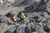
After that I caught up with another group of couple hikers. They were definitely better climbers than the previous group, and we helped each other at finding the route ahead.
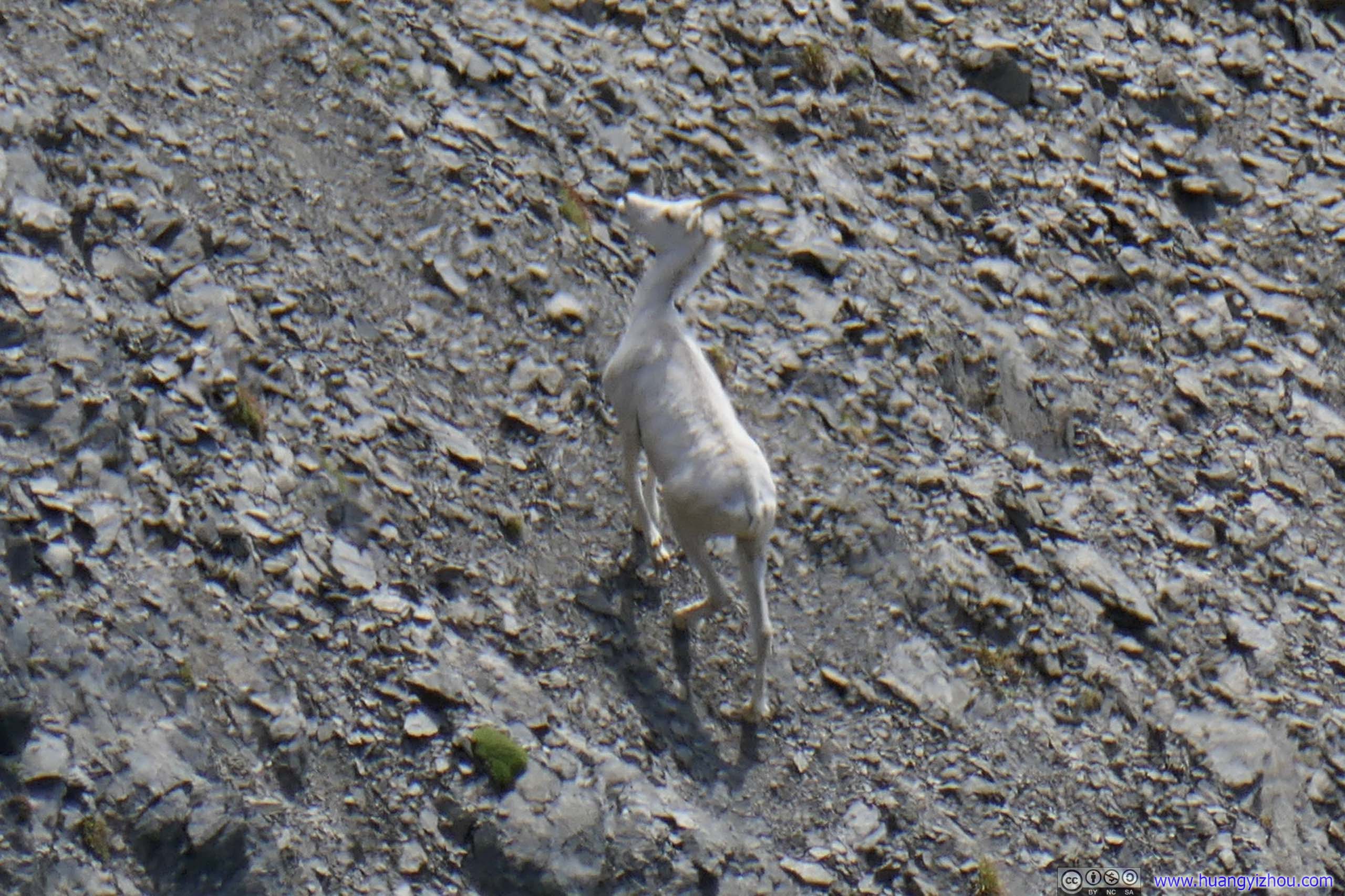
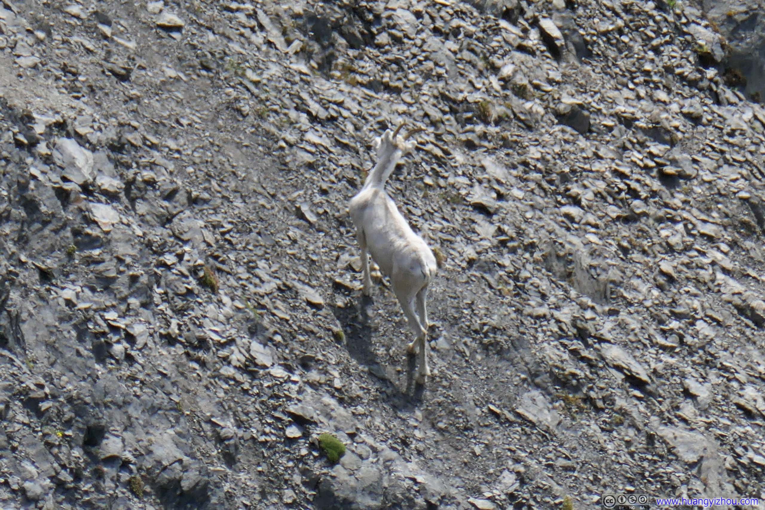
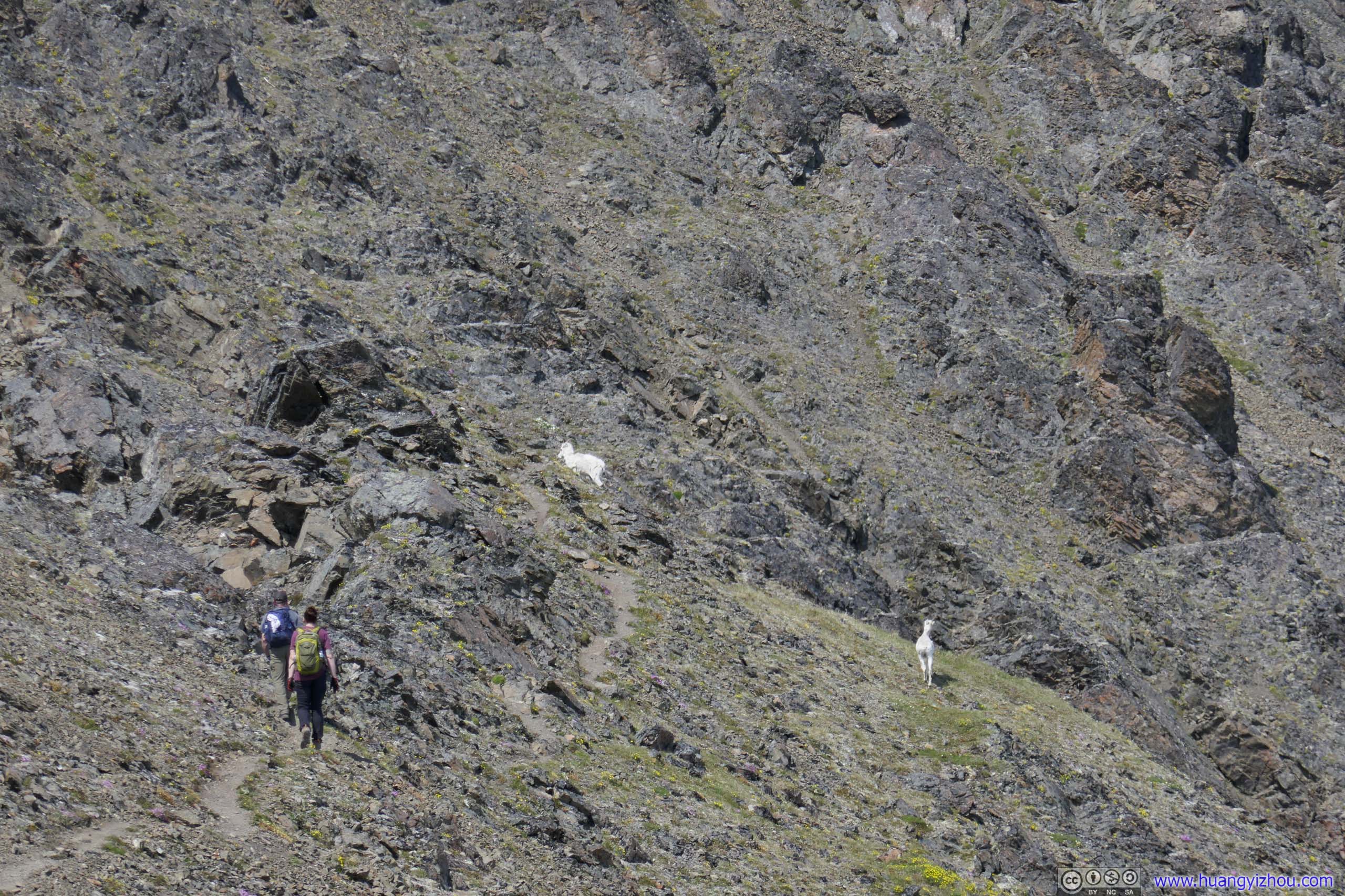 Mountain Goats and Hikers
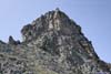
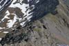
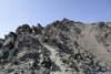
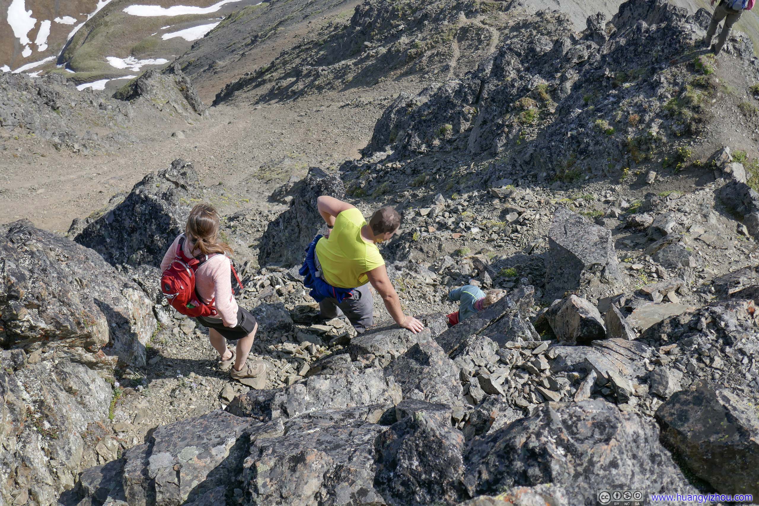
In addition to some class 3 scrambling and lots of class 2 scrambling, it’s worth noting that reaching the top of South Pioneer Peak required some route-finding skills, as (most but) not every route around the boulders was a safe YDS class 3 route and it’s extremely easy to get lost. A general advice was that whenever in doubt, try to stick to the right (east) side of the rocks.
That’s especially true at approximately 200m from summit horizontally and 1840m elevation, when the couple hiker and I didn’t stick to the right and found ourselves in a place that we didn’t like to be in.
Hikers Behind

Hikers Behind
Steep Section
Summit
Finally, at 2:40pm, 6 hours after leaving trailhead, I made it to the summit of South Pioneer Peak.
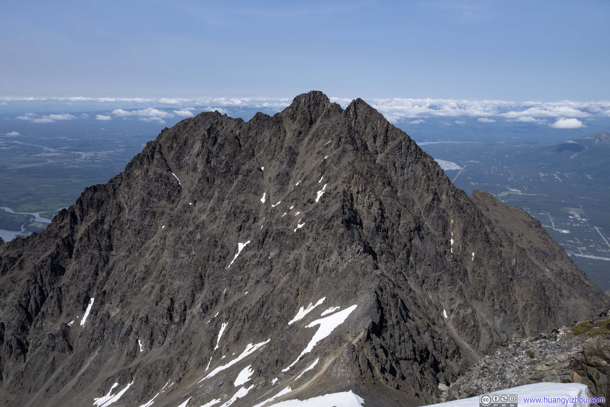
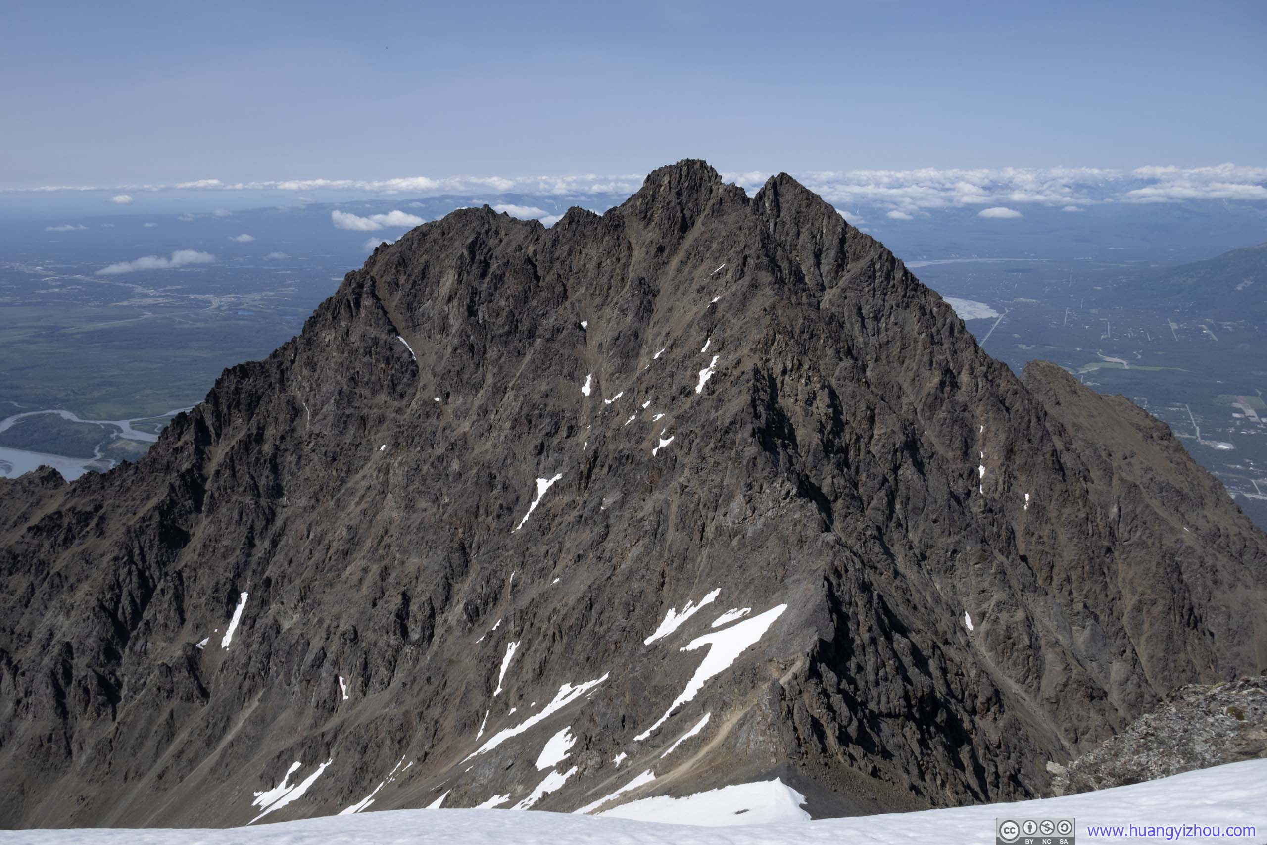
 North Pioneer PeakFresh ahead, was the bigger and more technical brother of Pioneer Peaks.
 East Twin PeaksTo the west, East Twin Peaks was another mountain that overlooked Knik Arm to the north. It featured a shorter but more technical route than South Pioneer Peak.

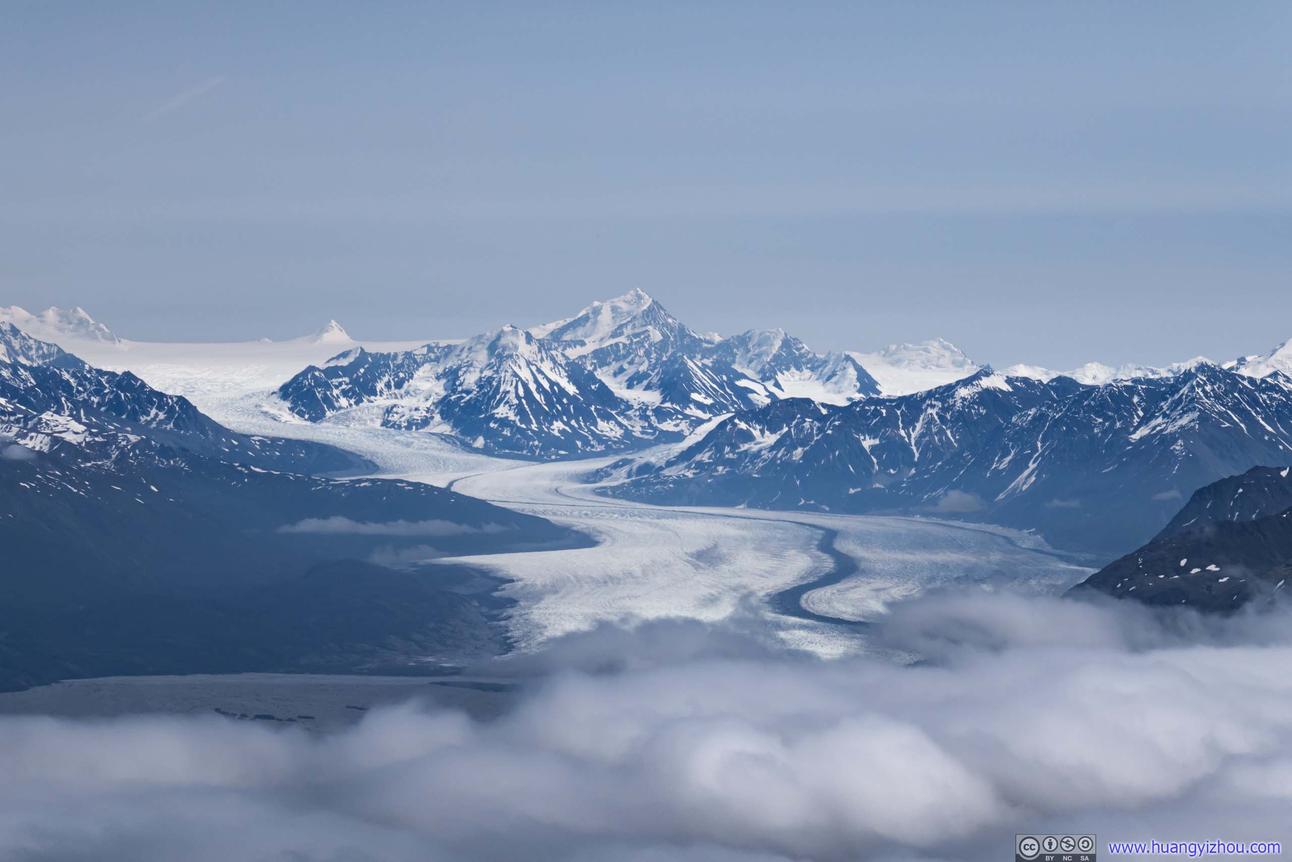
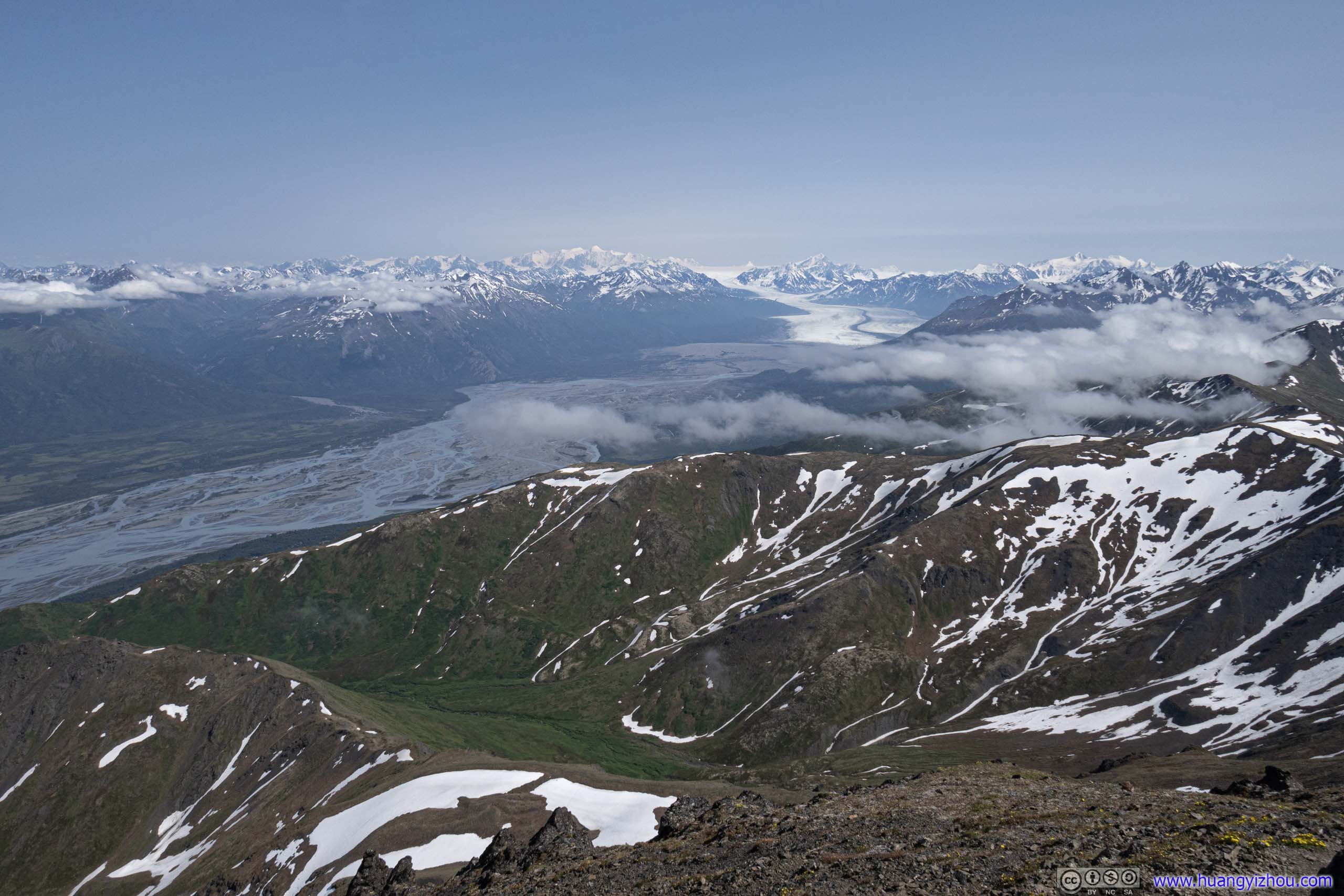
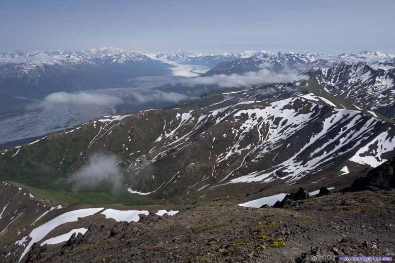
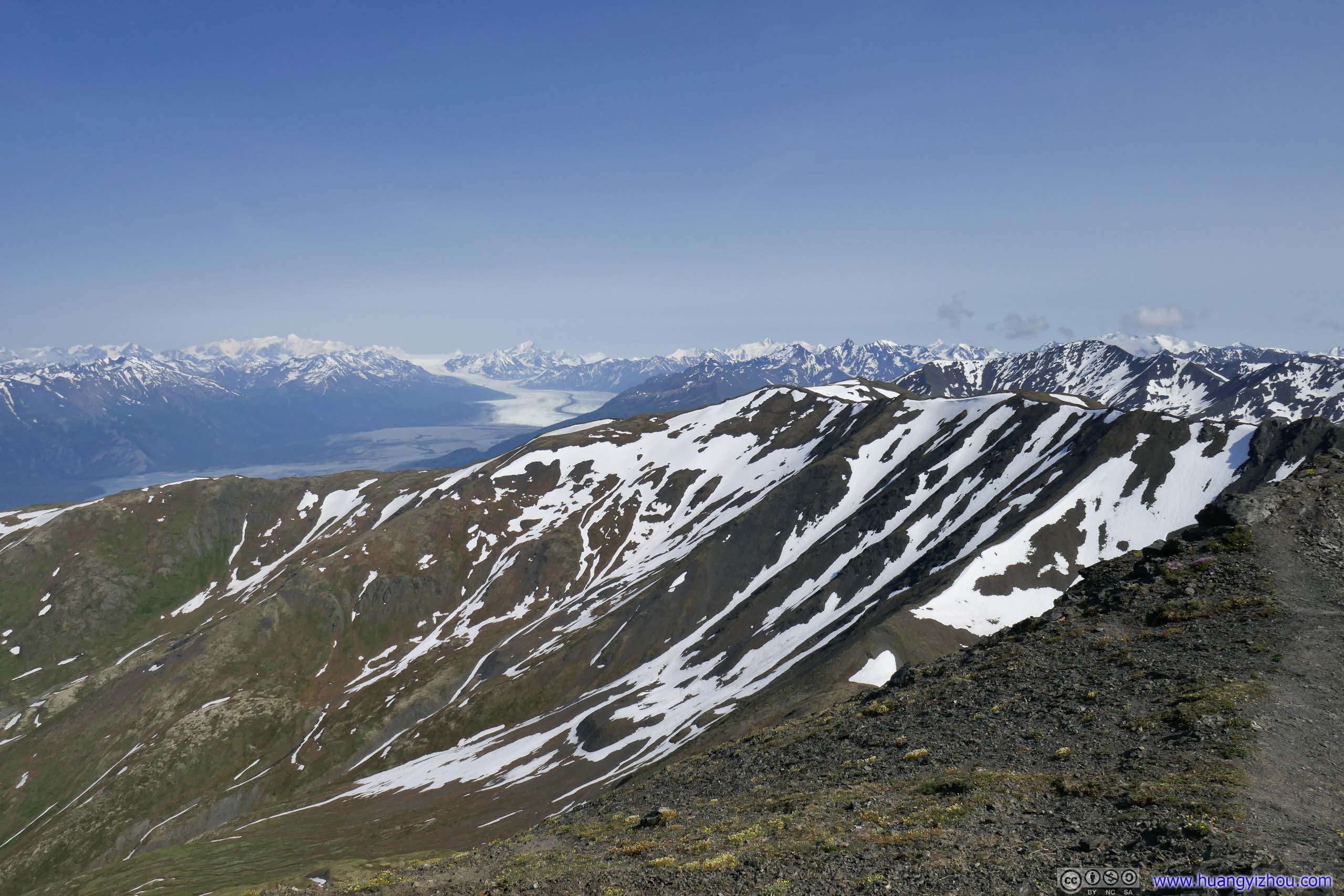
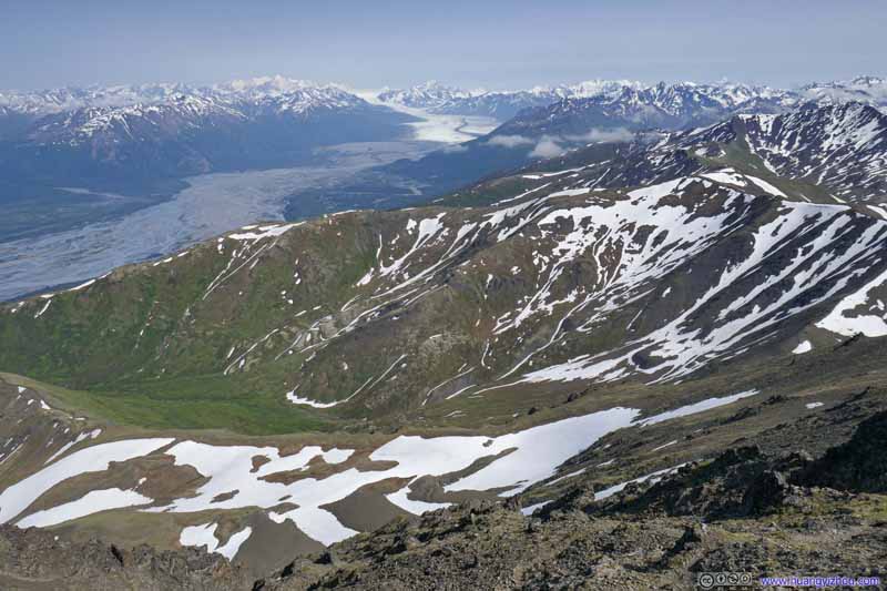
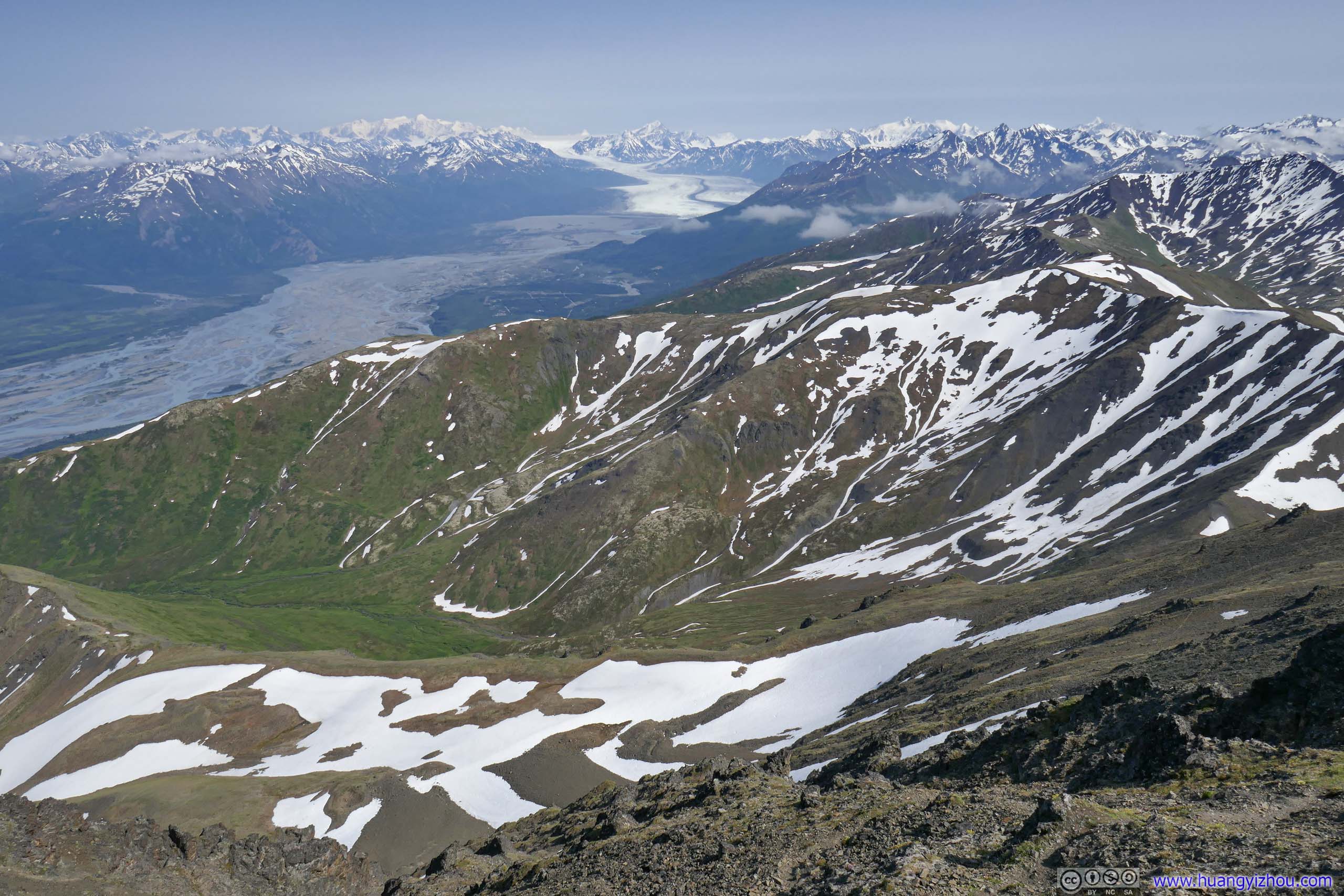
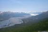
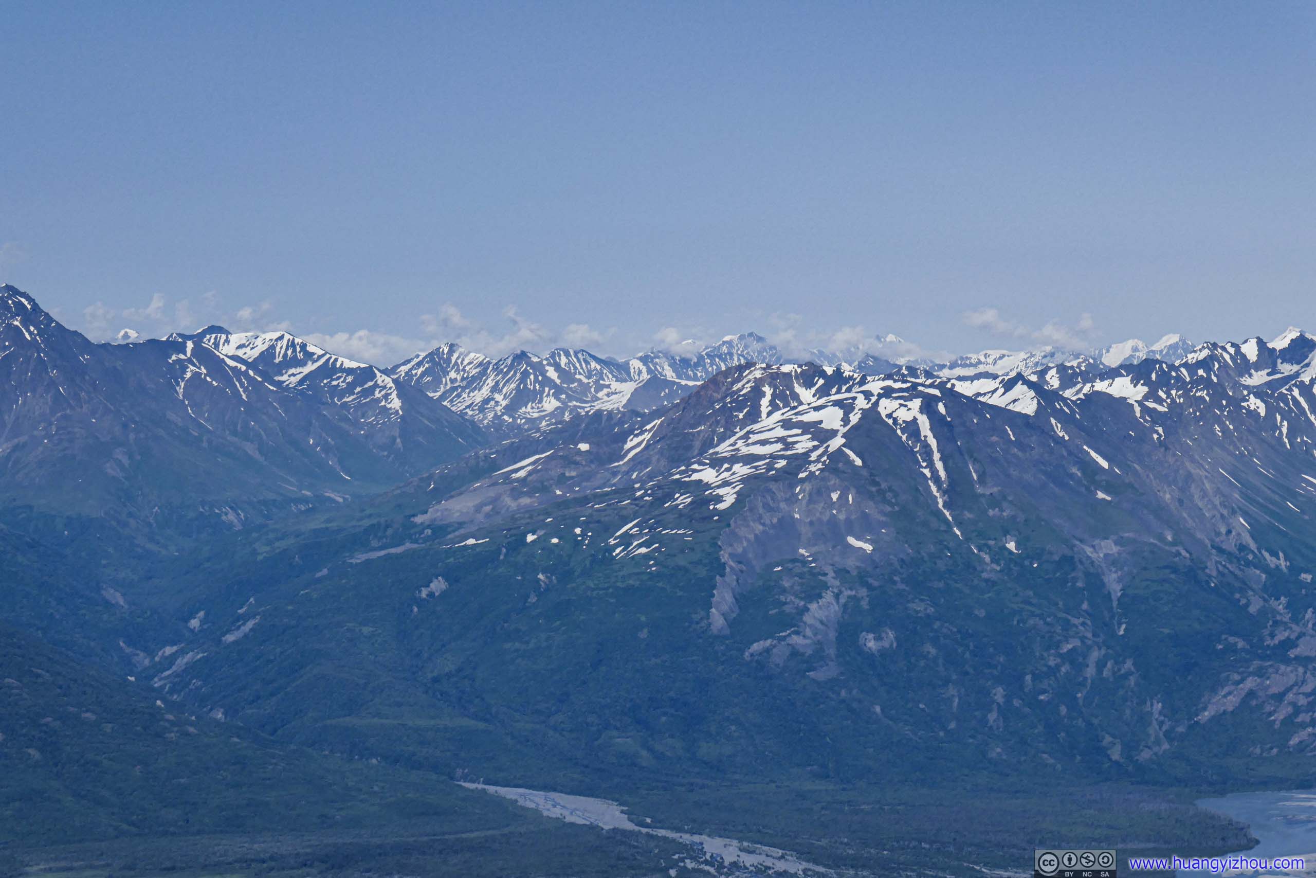
 Distant Knik GlacierTo the far east, Knik Glacier was looking spectacular from this vantage point.

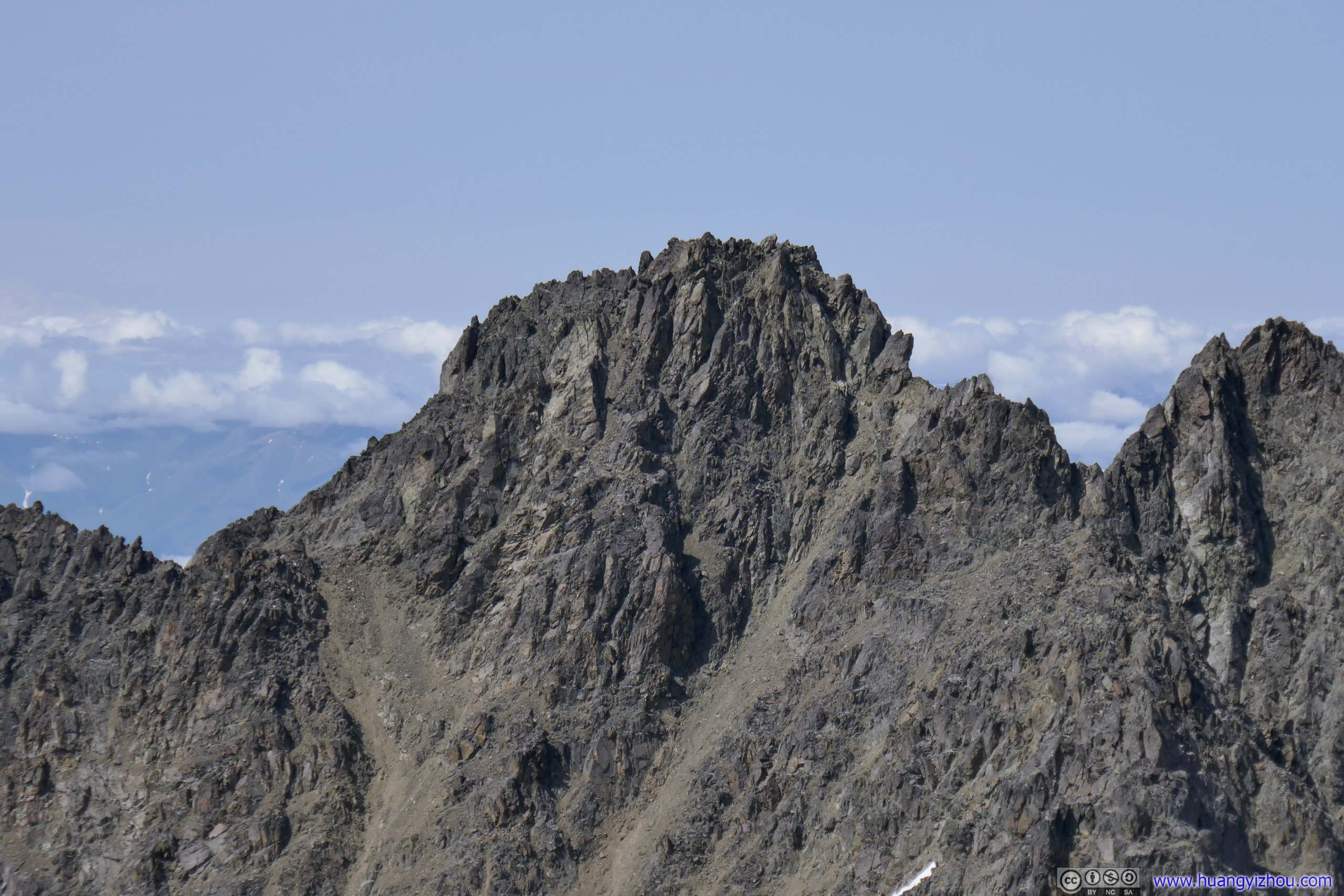
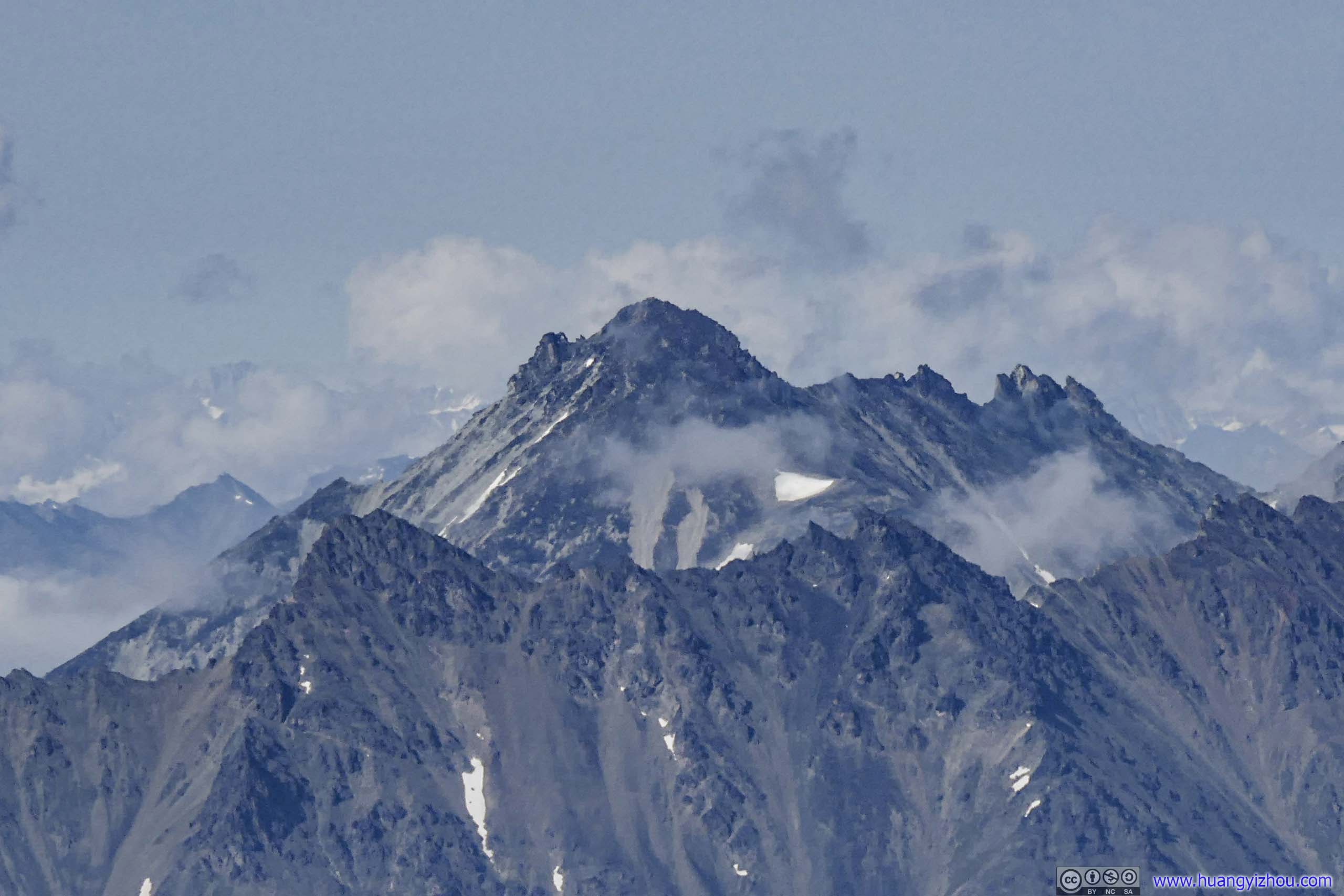
 Bashful Peak (2440m)
View from South Pioneer Peak Summit
Just as I sat down and started to enjoy the scenery, a gust of wind arrived which was just strong enough to topple one of the couple hiker’s backpacks. (It wasn’t placed in a stable manner in the first place.) So in awe, the three of us watched it tumble and disappear down the snowy slope to the north. For a moment, we thought that backpack was not retrievable. But the husband, after an already strenuous journey, still decided to head down the ridge between south and north Pioneer Peak, trying to retrieve that bag.
Even more to our awe, he did eventually come back with a backpack.
And while this unbelievable search was going on, I continued to soak in the scenery, starting with the magnificent peaks.
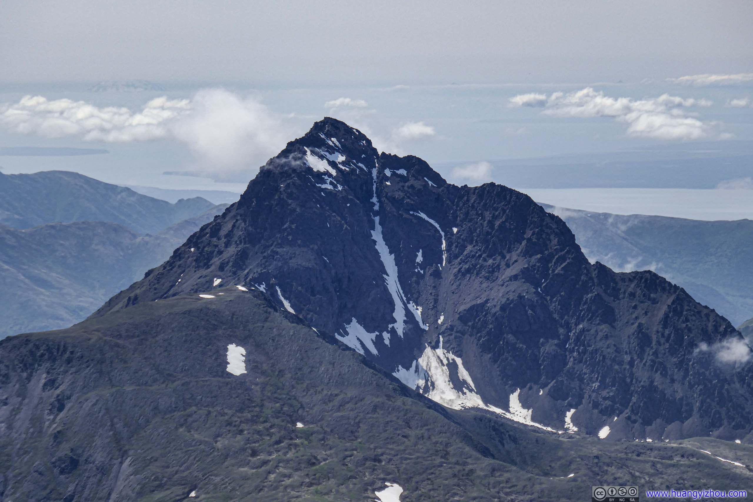
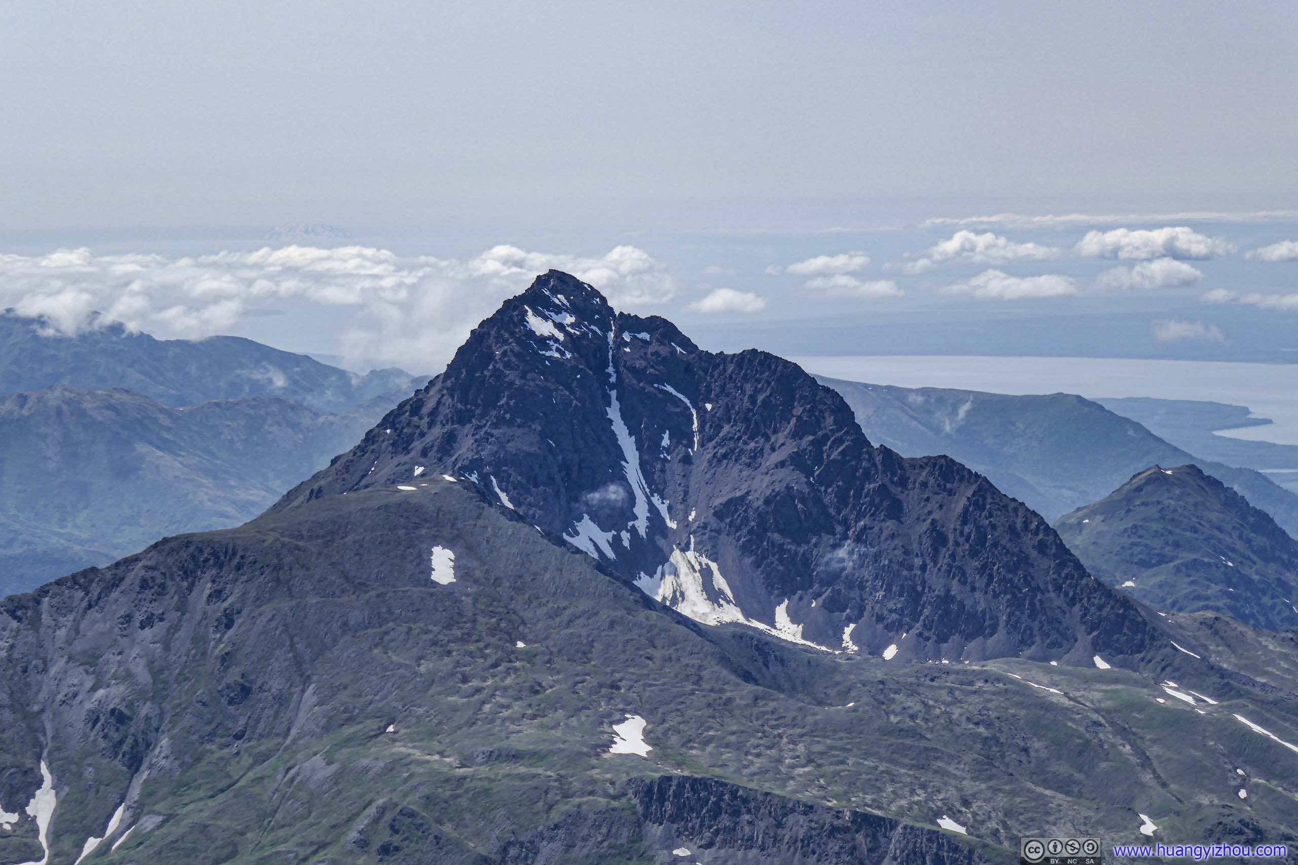
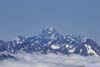
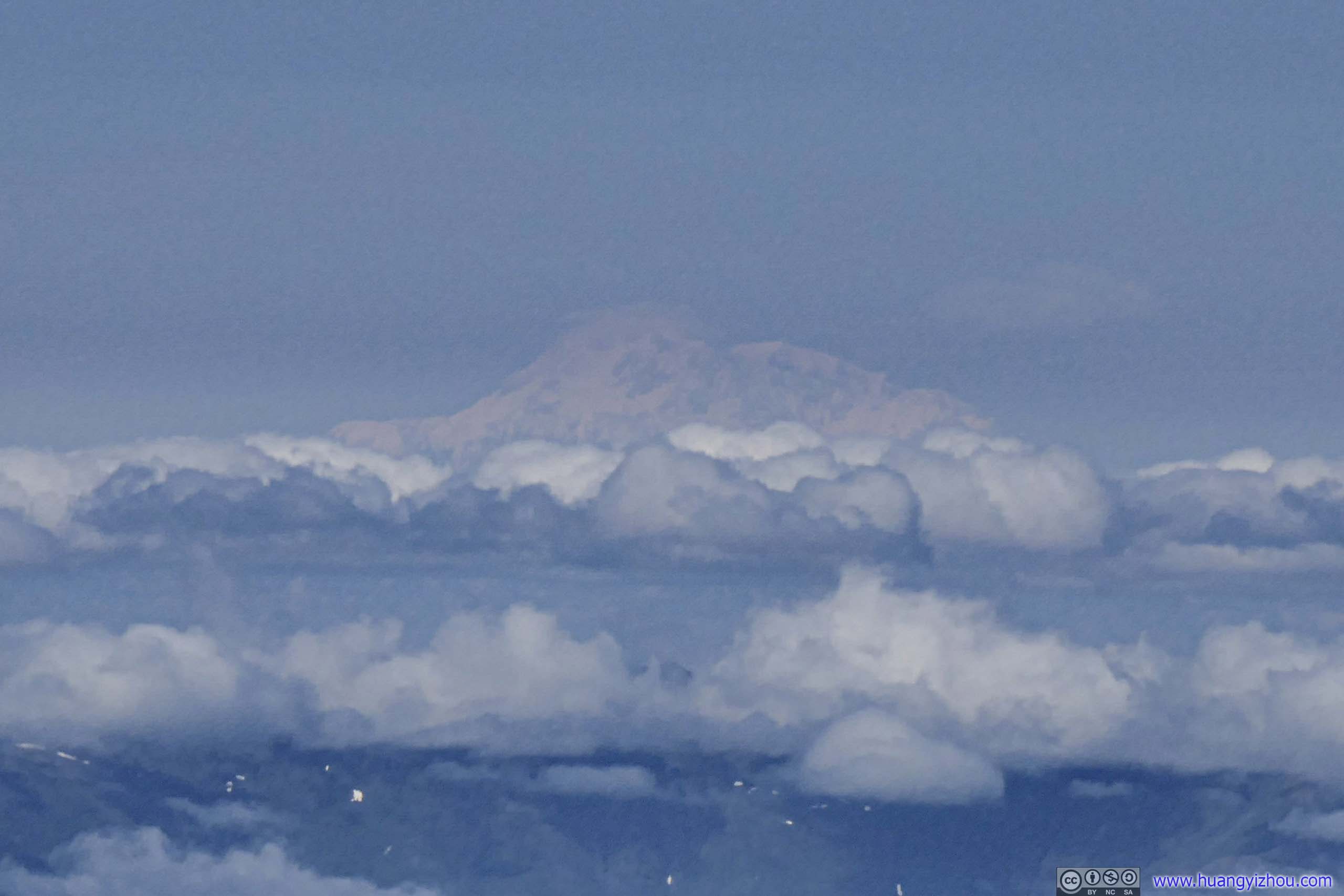
 Ice Cream Cone Mountain (2644m)35km away to the northeast.
 Distant DenaliHighest mountain in North America.
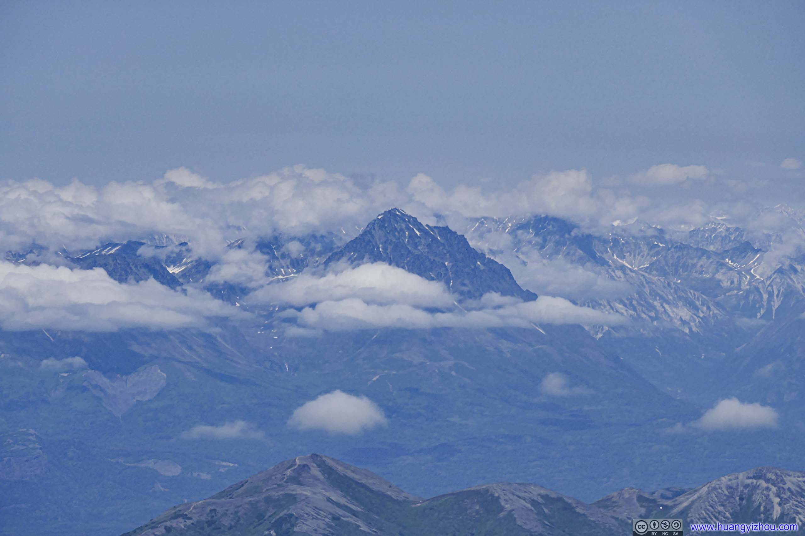
 Mount Marcus Baker (4016m)
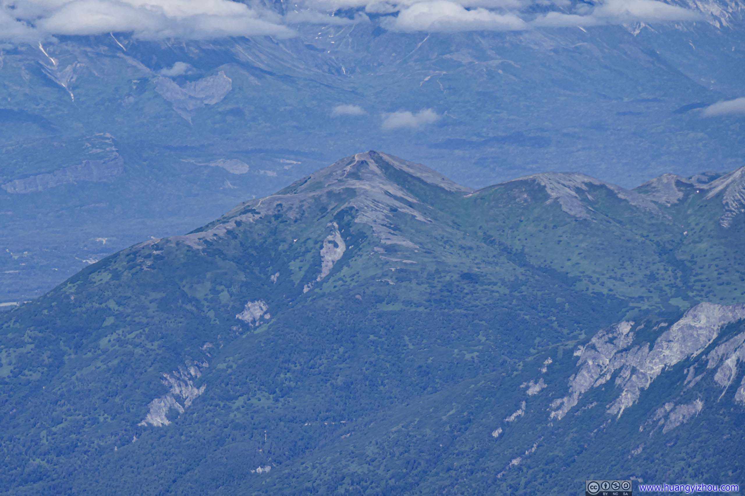
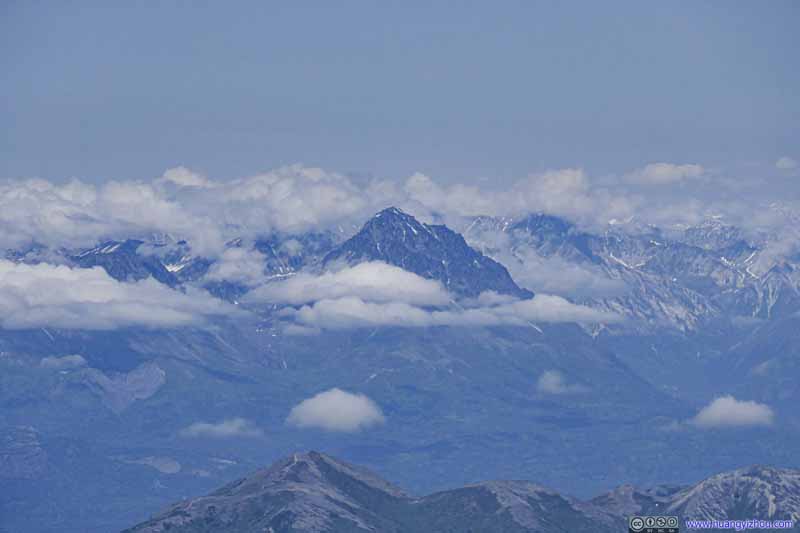 Granite Mountain (2051m)
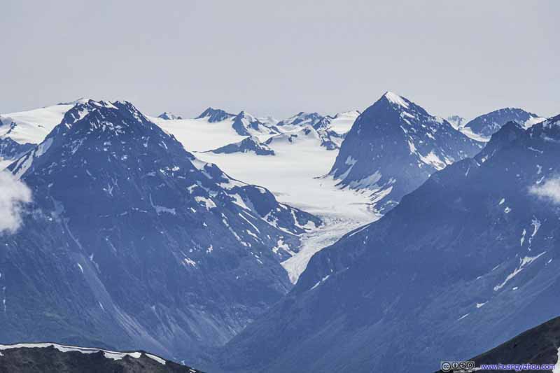 Eklutna Glacier
 Lazy MountainWhich I summited last year.
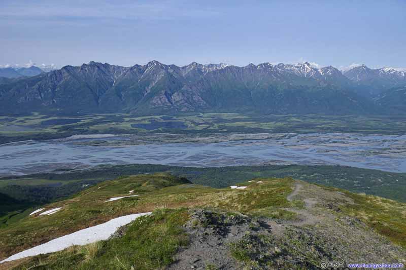
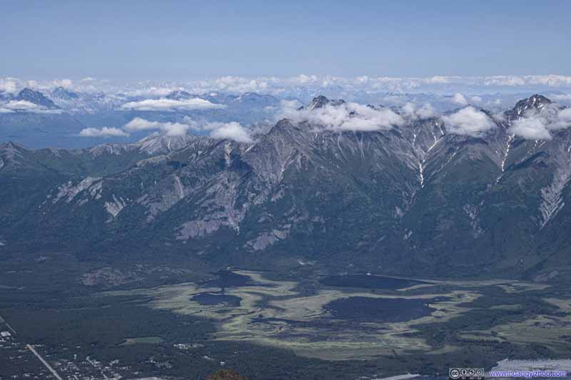 Mountains across Knik RiverMatanuska Peak, which I summited 3 days ago, in the center and thinly veiled by clouds.
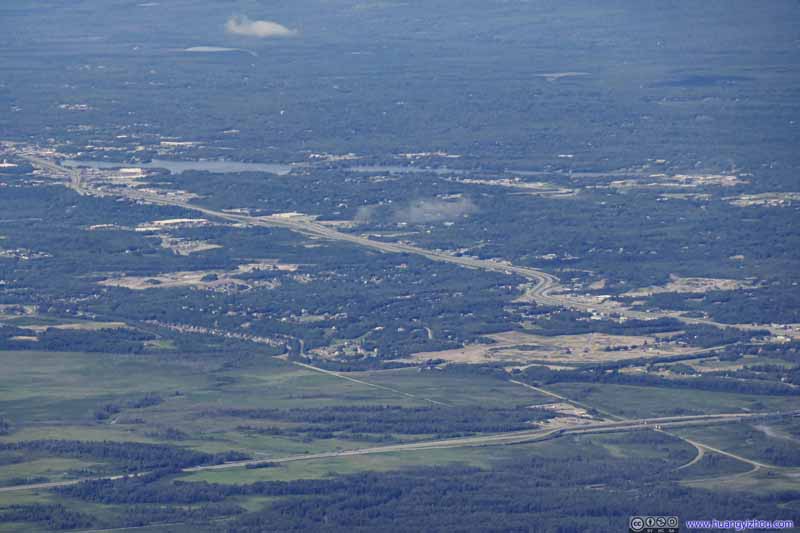 Highway to Wasilla

Click here to display photos of the mountains.
Ice Cream Cone Mountain (2644m)35km away to the northeast.
Distant DenaliHighest mountain in North America.

Mount Marcus Baker (4016m)
Granite Mountain (2051m)

Eklutna Glacier
Lazy MountainWhich I summited last year.
Mountains across Knik RiverMatanuska Peak, which I summited 3 days ago, in the center and thinly veiled by clouds.

Highway to Wasilla
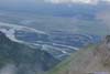
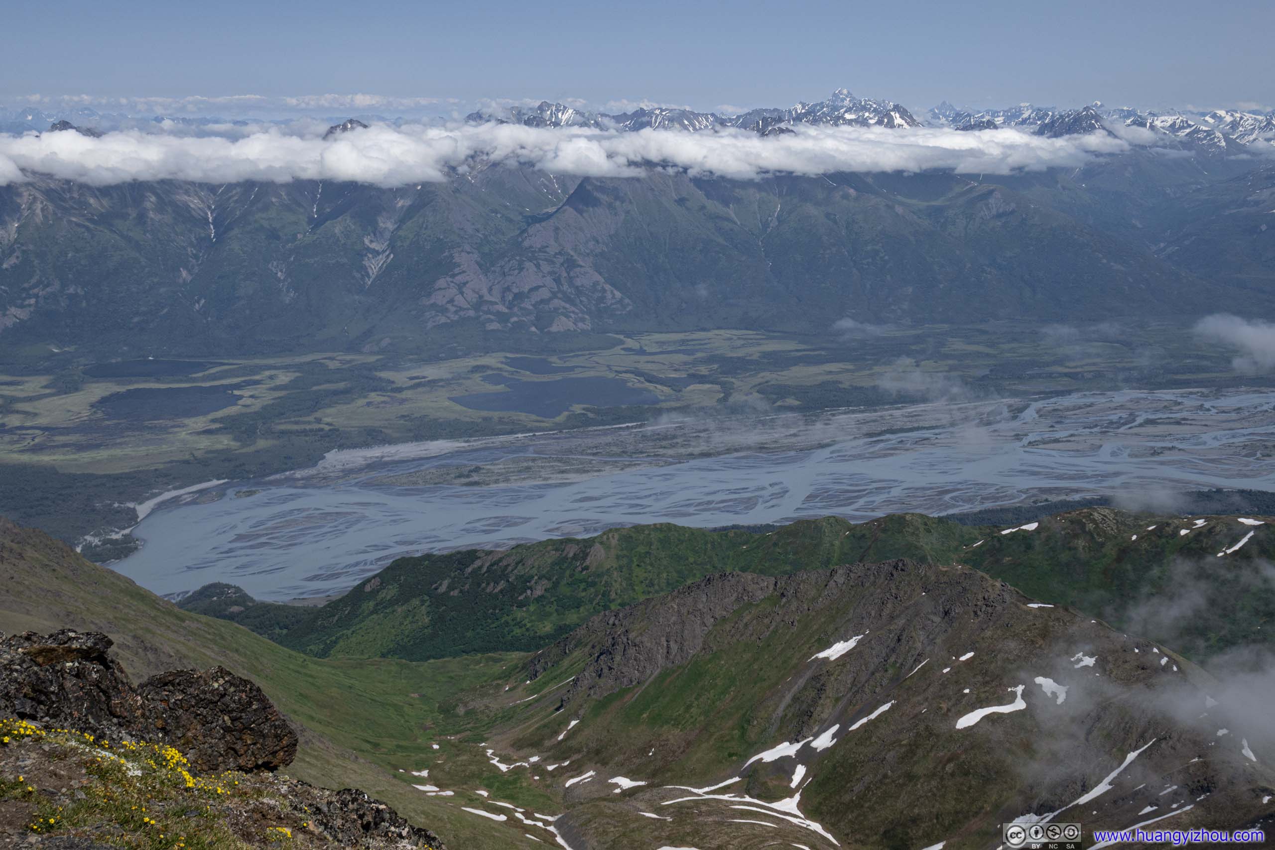
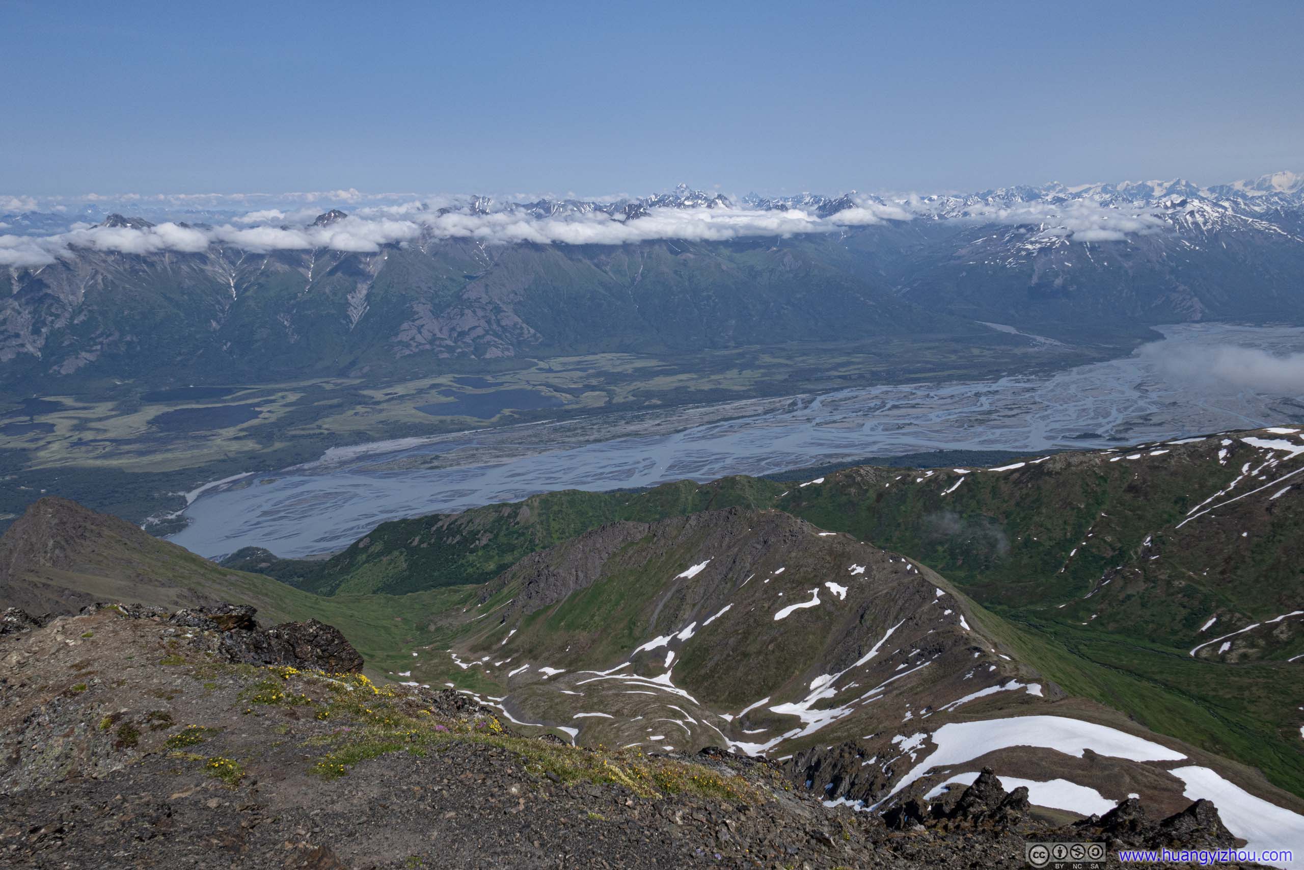
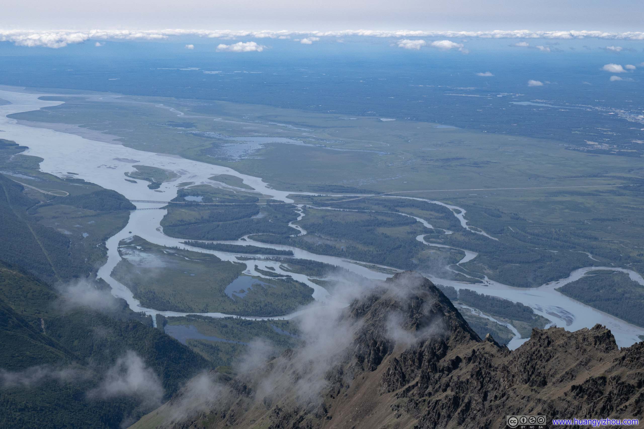
Then there’s the Kink River that flew below us.
 Overlooking Knik River
 Overlooking Knik River
 Overlooking Knik River
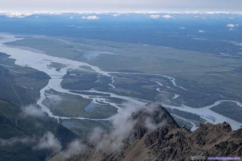 Overlooking Knik River
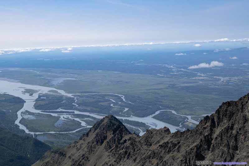 Overlooking Knik River


Click here to display photos of the Kink River.
 Overlooking Knik River
 Overlooking Knik River
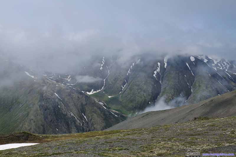
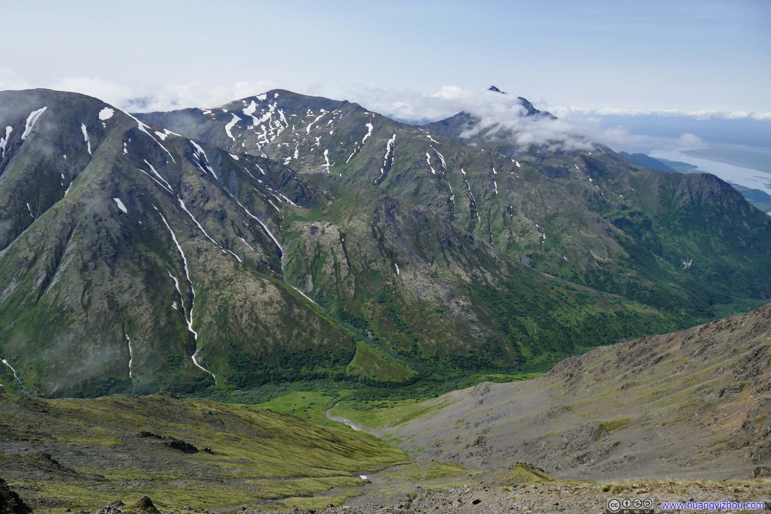
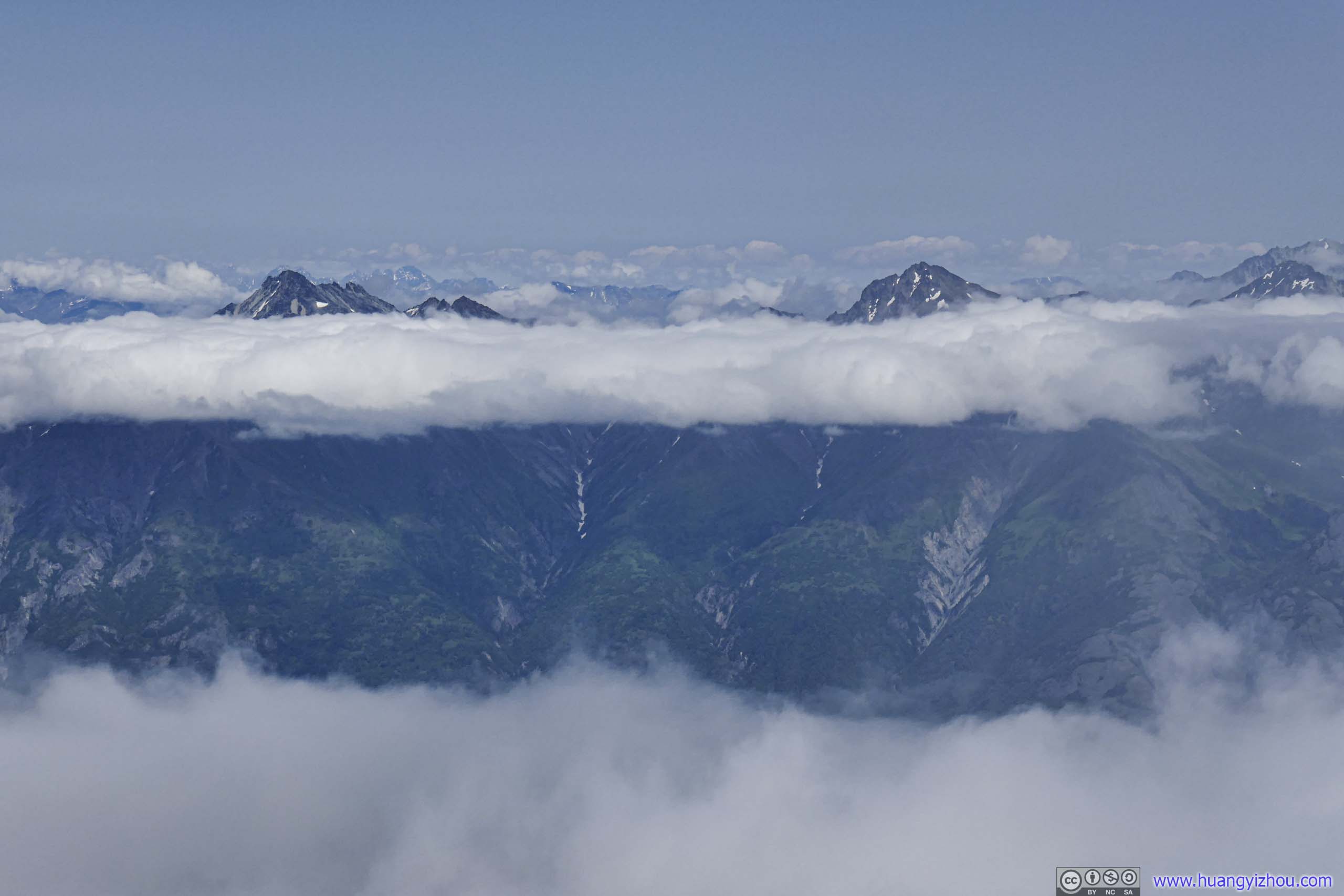
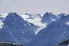
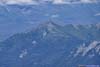
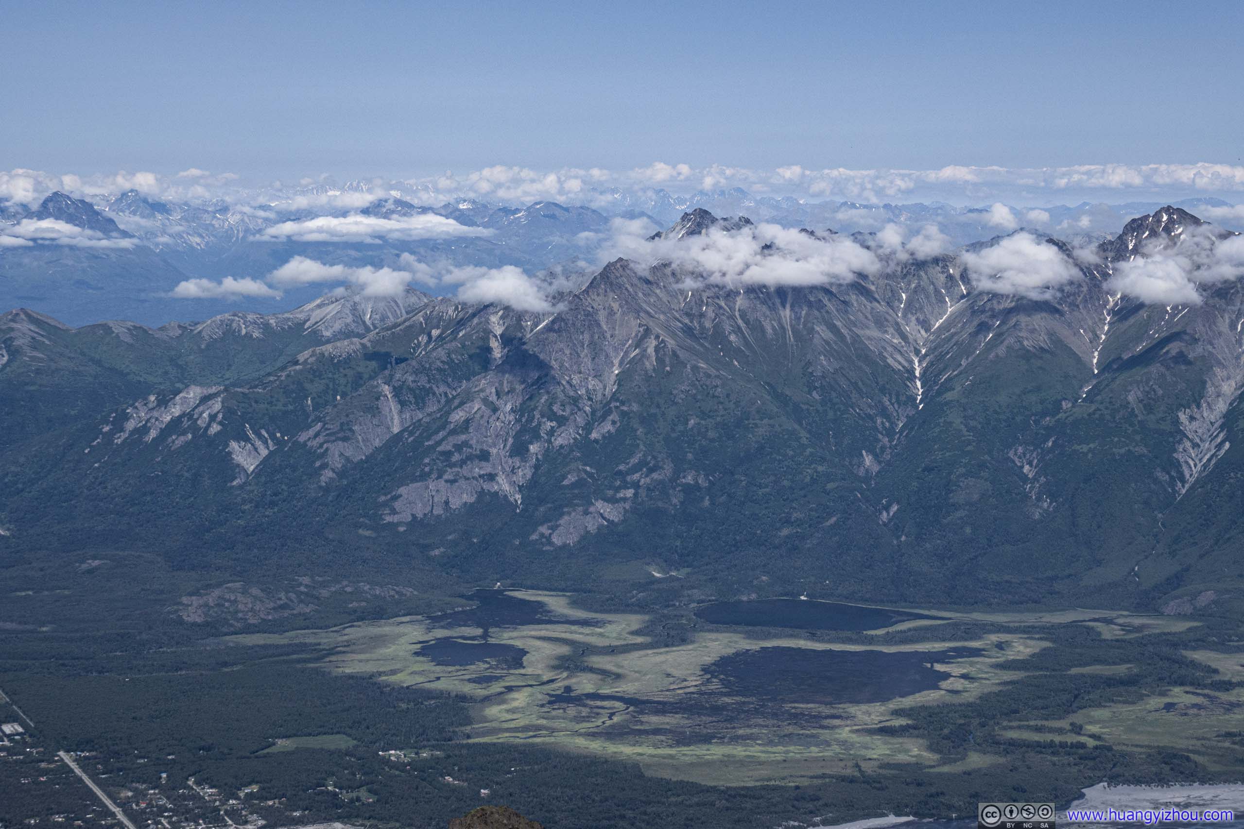
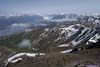
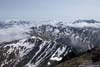
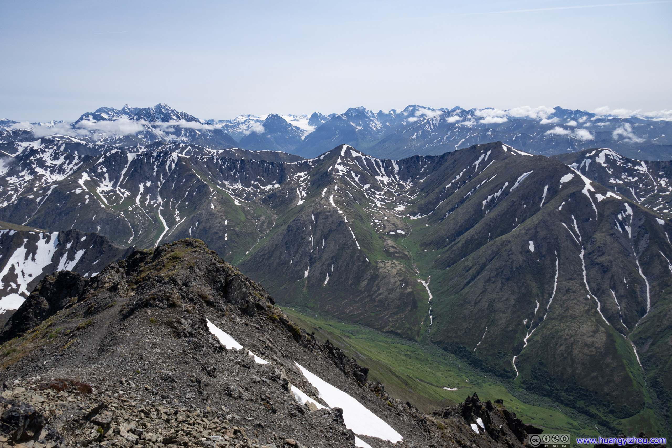
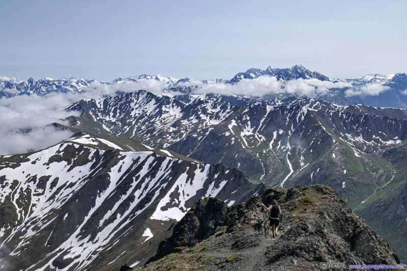
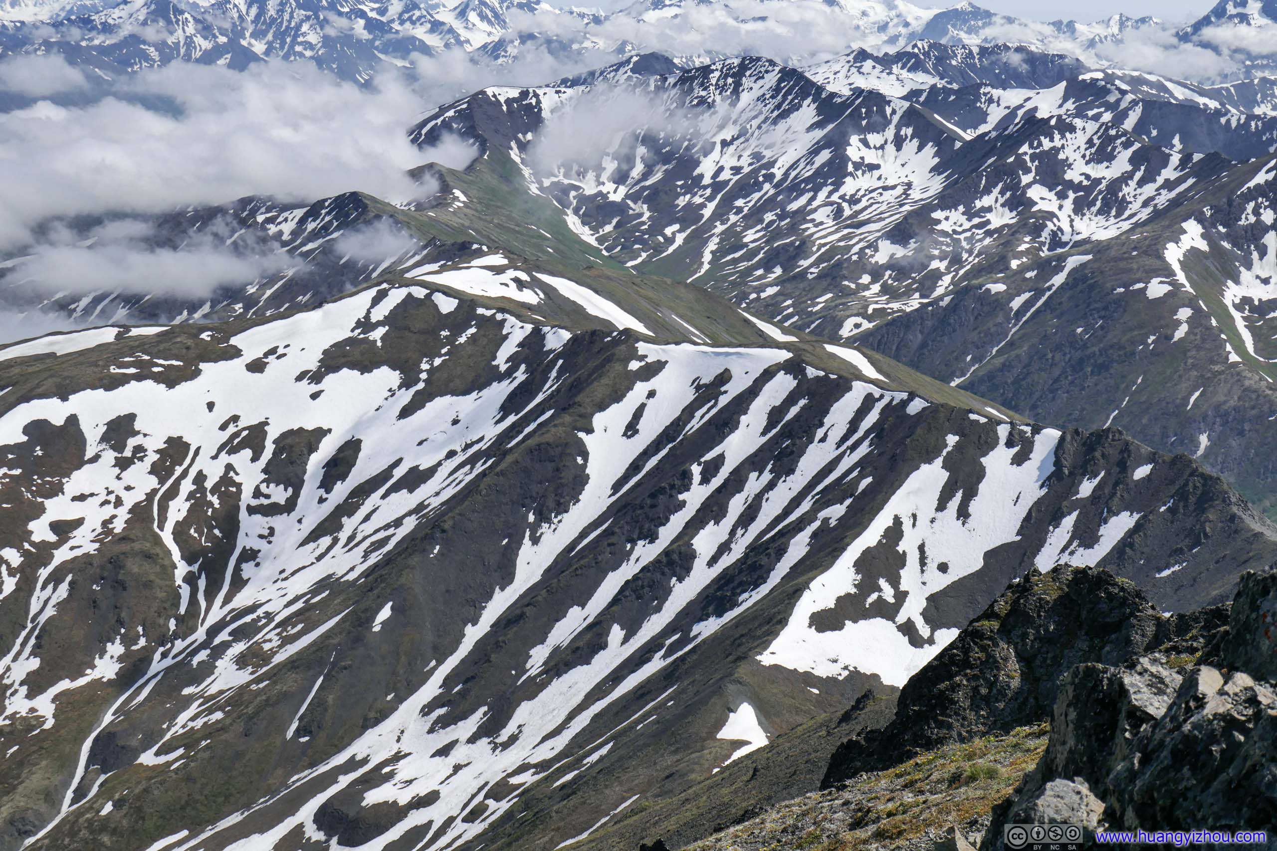
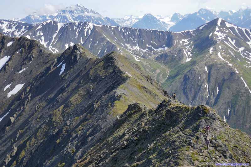
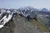
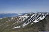
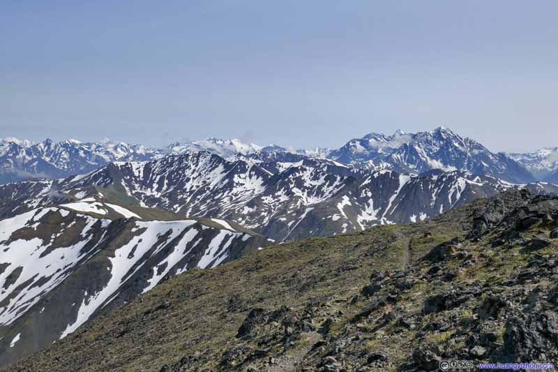
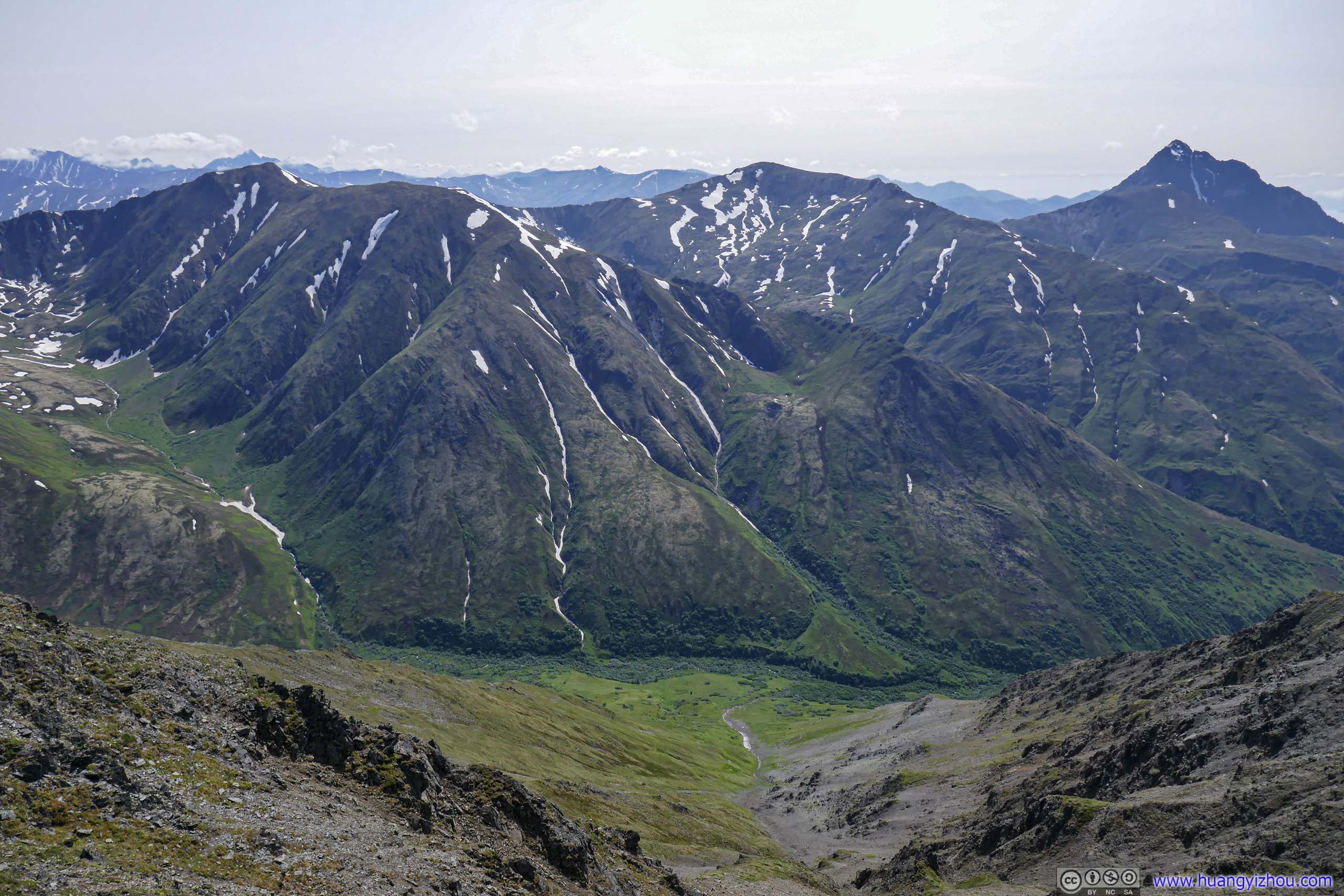
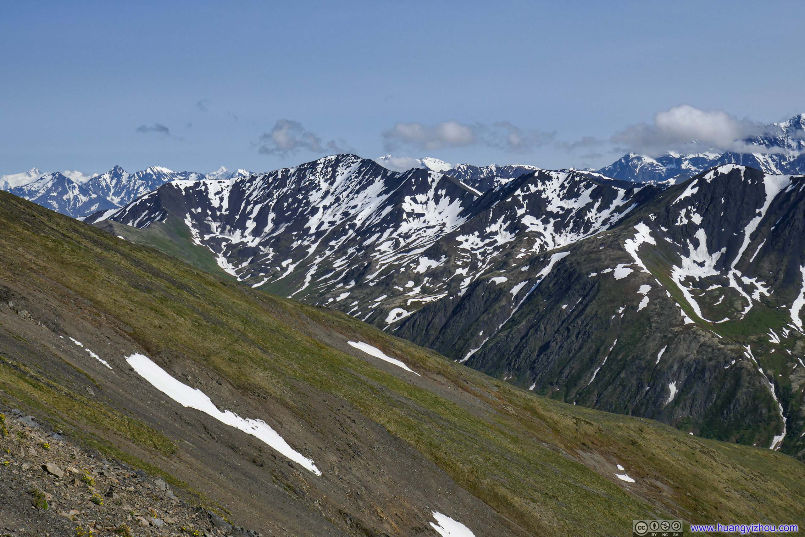
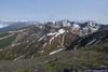
Then there were the other surrounding mountains, mostly in Chugach State Park.
 Mountain
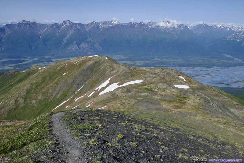
The trail to Pioneer Peak traced the ridgeline in the foreground as it made its way up the mountain.
Mountain
The trail to Pioneer Peak traced the ridgeline in the foreground as it made its way up the mountain.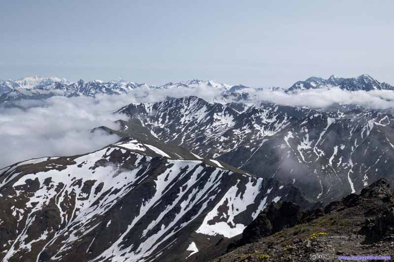 Mountains of Chugach State Park
 Mountains of Chugach State Park
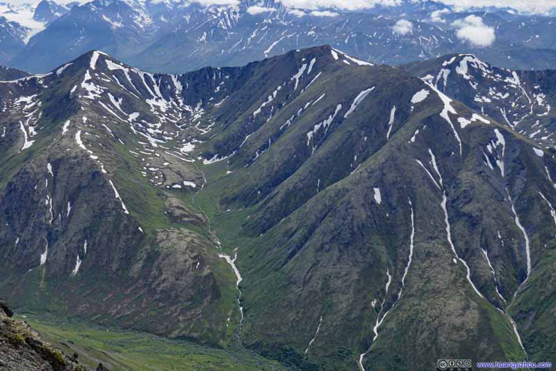 Mountains of Chugach State Park
Click here to display photos of the mountains.
Mountain

Mountains of Chugach State Park
Mountains of Chugach State Park

Mountains of Chugach State Park
Looking back at Pioneer Ridge, from this angle it’s much decorated in snow, quite the contrast to my casual stroll through it moments ago. It blended perfectly to the background of clouds and snowy mountains.
 Looking Back at Pioneer Ridge
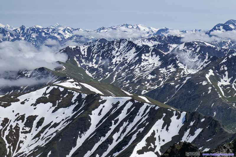 Looking Back at Pioneer Ridge
 Looking Back at Pioneer Ridge
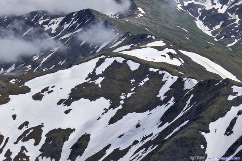 Looking Back at Pioneer Ridge
Click here to display photos of the Pioneer Ridge.

 Looking Back at Pioneer Ridge
Descent to Pioneer Ridge
After spending about an hour at the summit of South Pioneer Peak, I started my descent at 3:35pm.
Steep SlopeI probably came up this way. Looking down, it looked a bit scary.
Steep Slope
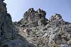
Emboldened by my successfully summitting, during the descent I paused more often for photos recording the few steep and challenging sections closer to summit.
 Steep Section
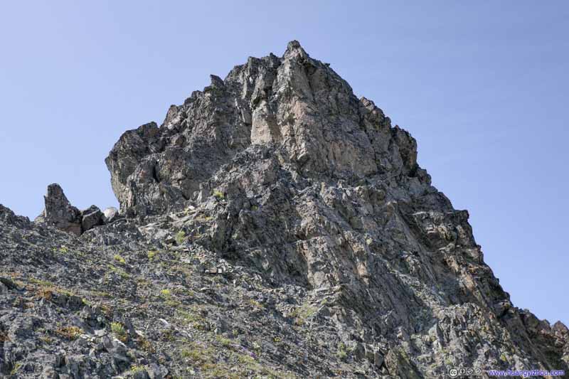 Steep Section
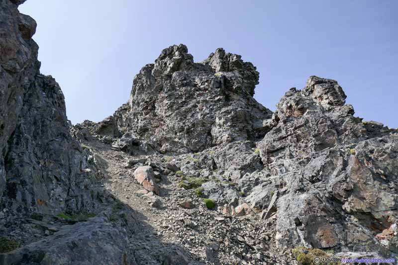 Steep Section
 Steep Section
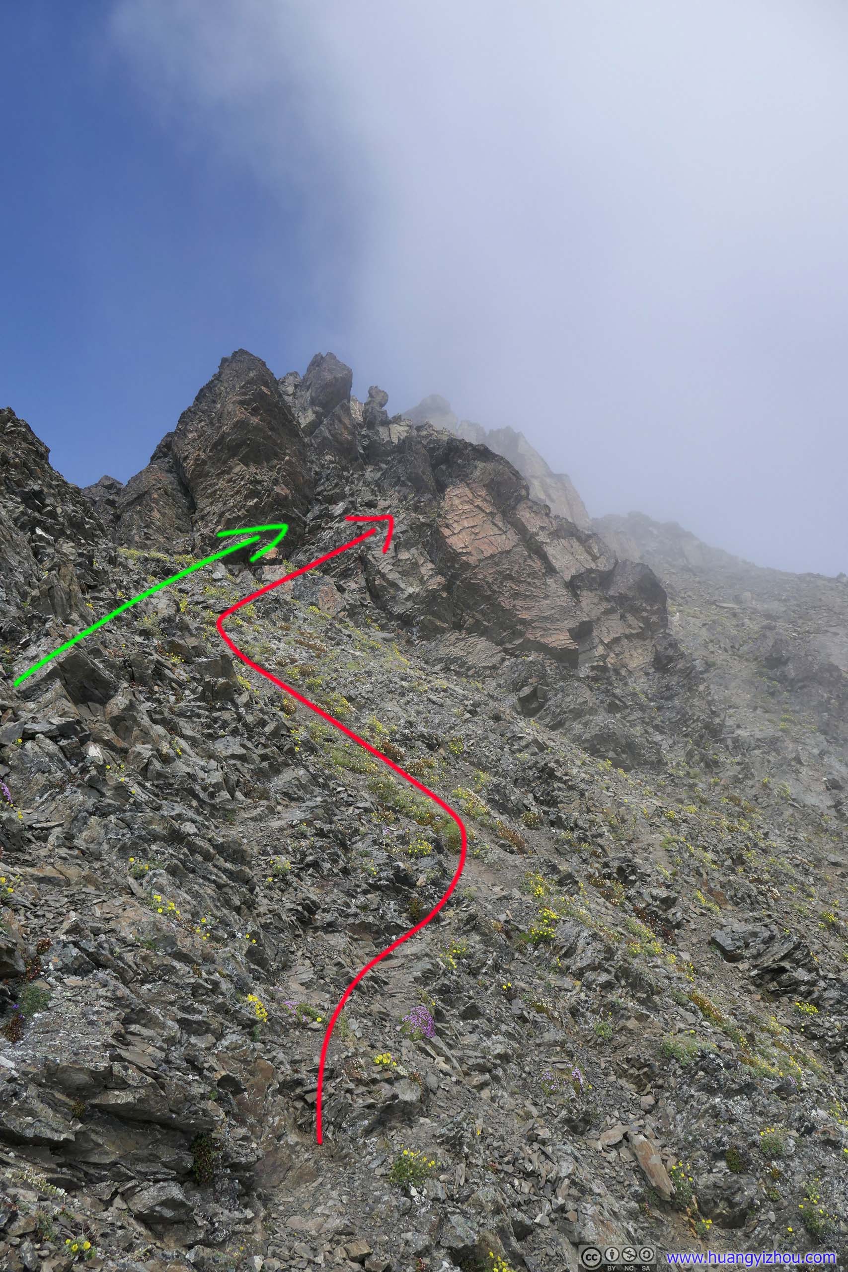
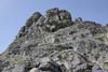
The easiest route was to the right of this big boulder. During my ascent we took to the left, and ended up with some avoidable challenges.
Steep Section
The easiest route was to the right of this big boulder. During my ascent we took to the left, and ended up with some avoidable challenges.
Click here to display photos of the steep sections.
Steep Section
Steep Section

Steep Section
Steep Section
And this section farther from the summit that’s not as steep but still technical.
 Returning Hikers
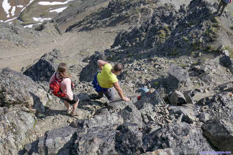 Returning HikersWe took our time clearing this steep section.
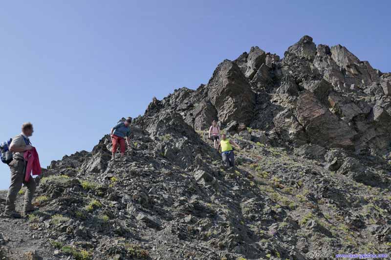 Returning Hikers
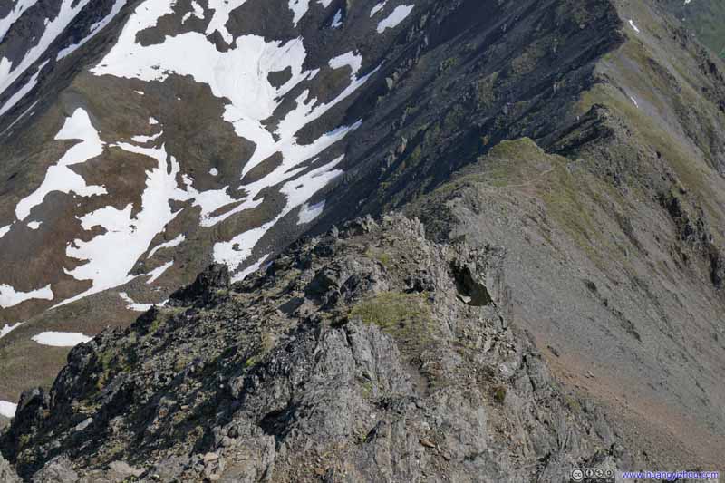 Steep SectionBefore going back to the safety of Pioneer Ridge.
 Steep SectionBefore going back to the safety of Pioneer Ridge.
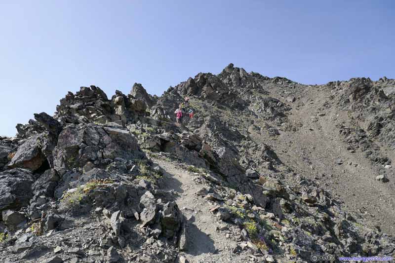 Returning Hikers
Click here to display photos of the slideshow
Returning Hikers
Returning HikersWe took our time clearing this steep section.
Returning Hikers

 Steep SectionBefore going back to the safety of Pioneer Ridge.

Returning Hikers
 Pioneer RidgeLooking magnificent from this angle.
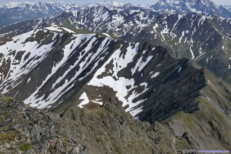 Pioneer Ridge
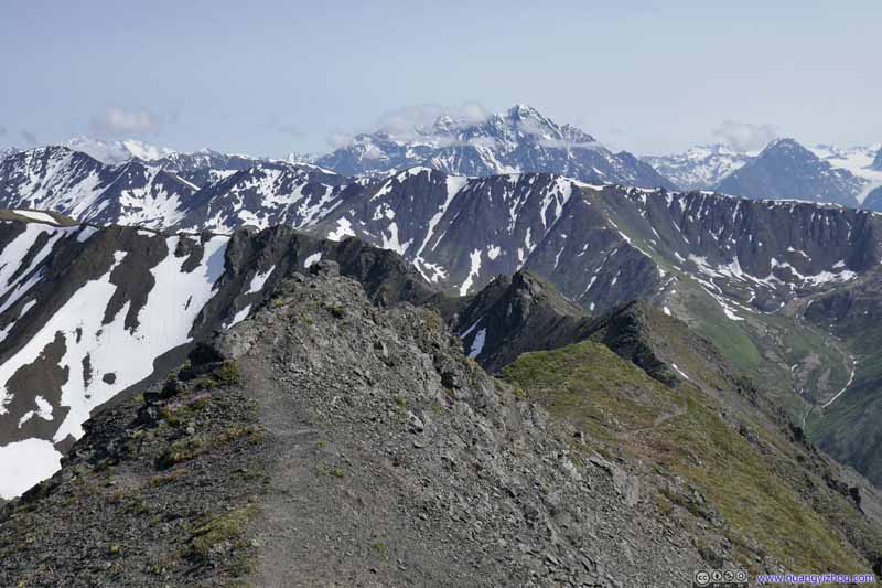 Pioneer Ridge
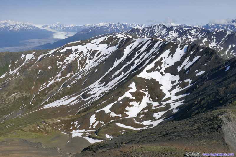 Pioneer Ridge
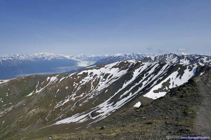 Pioneer Ridge
Click here to display photos of the Pioneer Ridge.
Pioneer RidgeLooking magnificent from this angle.

Pioneer Ridge
Pioneer Ridge

 Pioneer Ridge
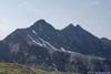
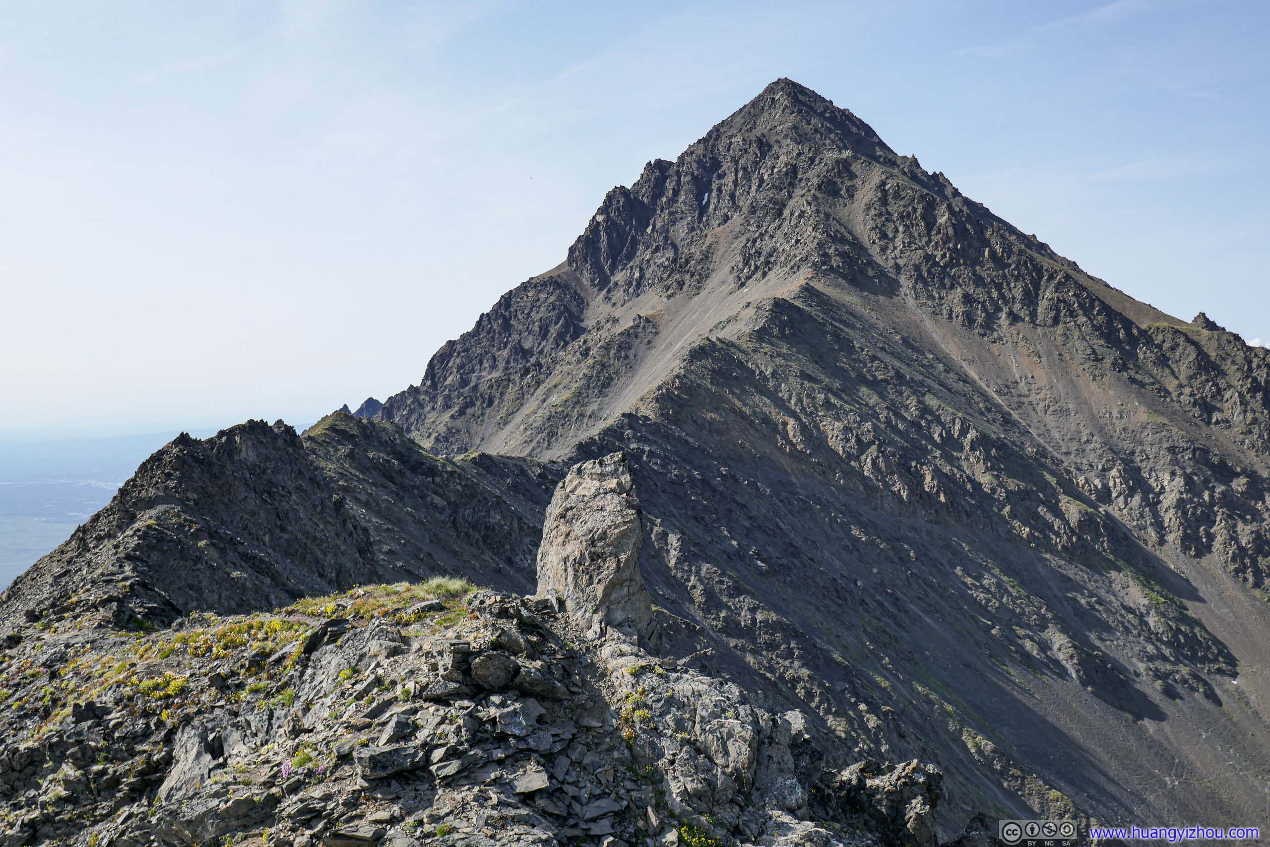
With the clouds cleared and under afternoon sun, I felt the imposing contour and rugged surface of Pioneer Peak was more intriguing than earlier in the day.
 South Pioneer Peak
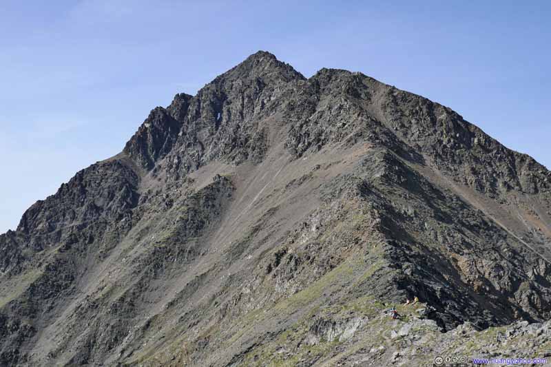 South Pioneer Peak
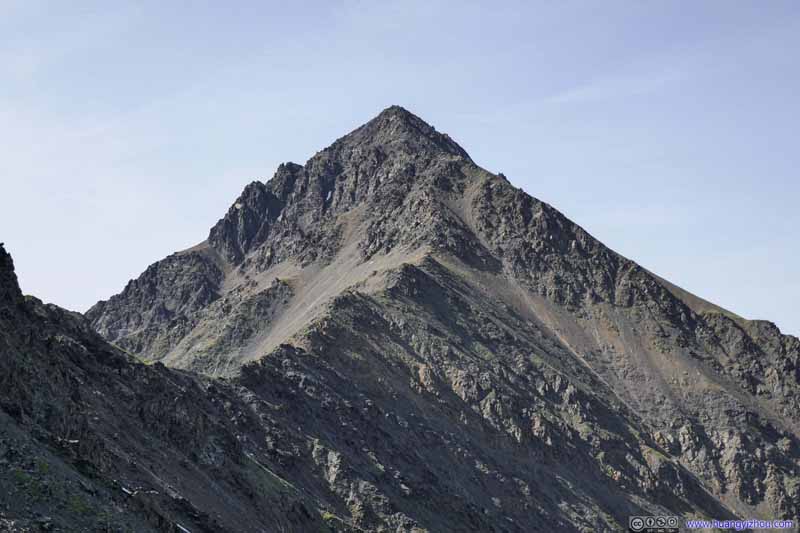 South Pioneer Peak
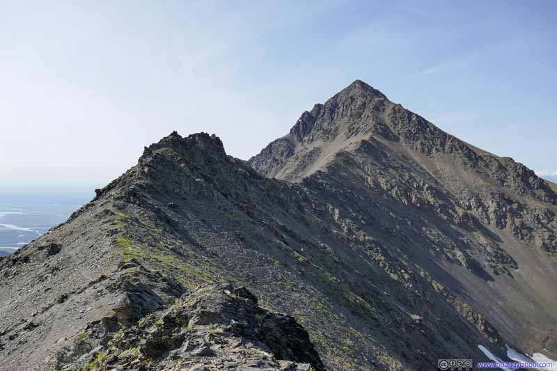 South Pioneer Peak
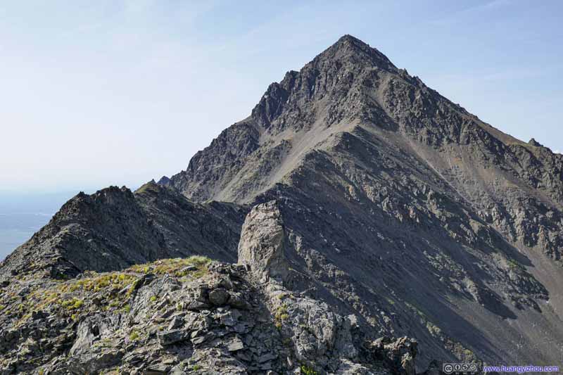 South Pioneer Peak
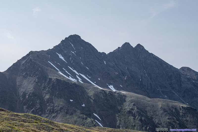 Pioneer Peaks

Click here to display photos of the Pioneer Peaks in the afternoon.

South Pioneer Peak
 South Pioneer Peak
 South Pioneer Peak

Pioneer Peaks
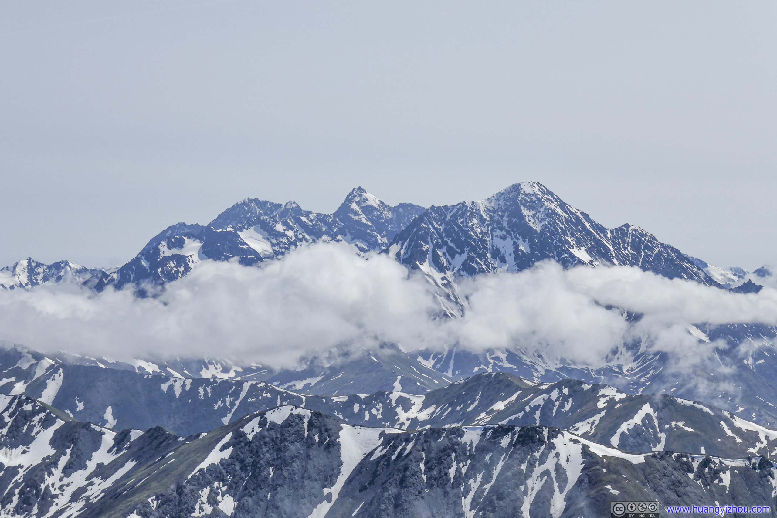
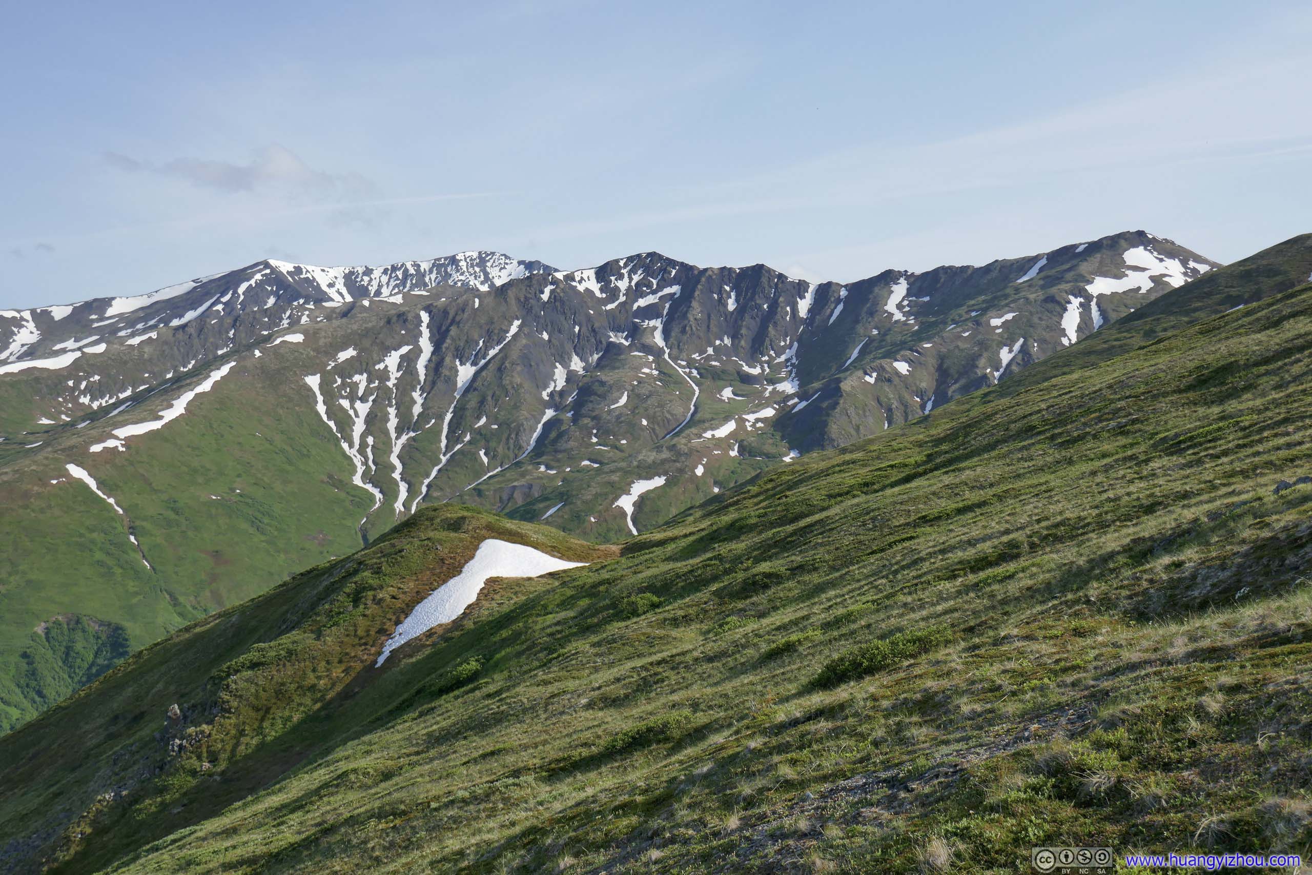
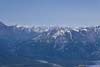
In a similar way, once out of the clouds, the grass coating made the surrounding mountains put on a warmer color underneath the sun.
 Mountains to the South
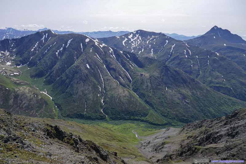 Mountains to the West
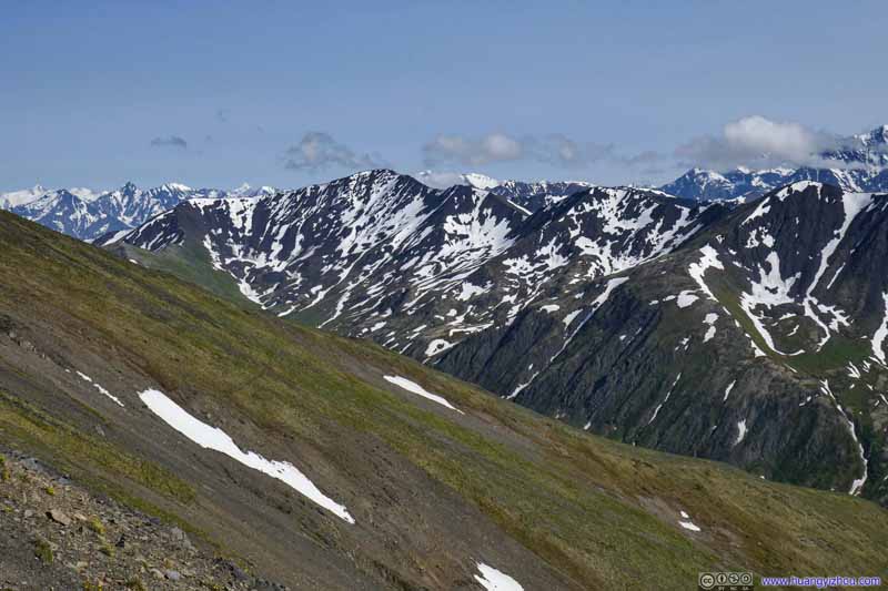 Mountains to the South
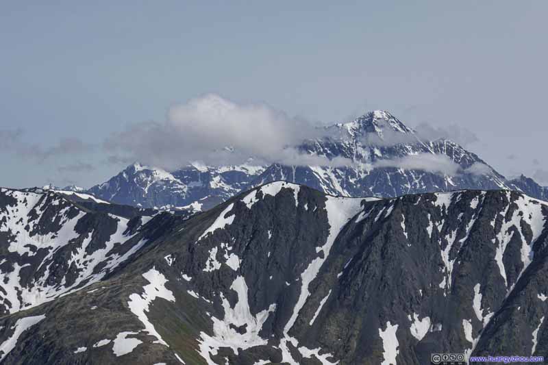 Bashful Peak behind Clouds
 Mountains to the South
 Mountains to the South


Click here to display photos of the mountains.

Mountains to the South
Mountains to the West
Mountains to the South

Bashful Peak behind Clouds
 Mountains to the South

 Mountains across Knik River
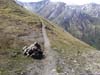
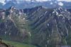
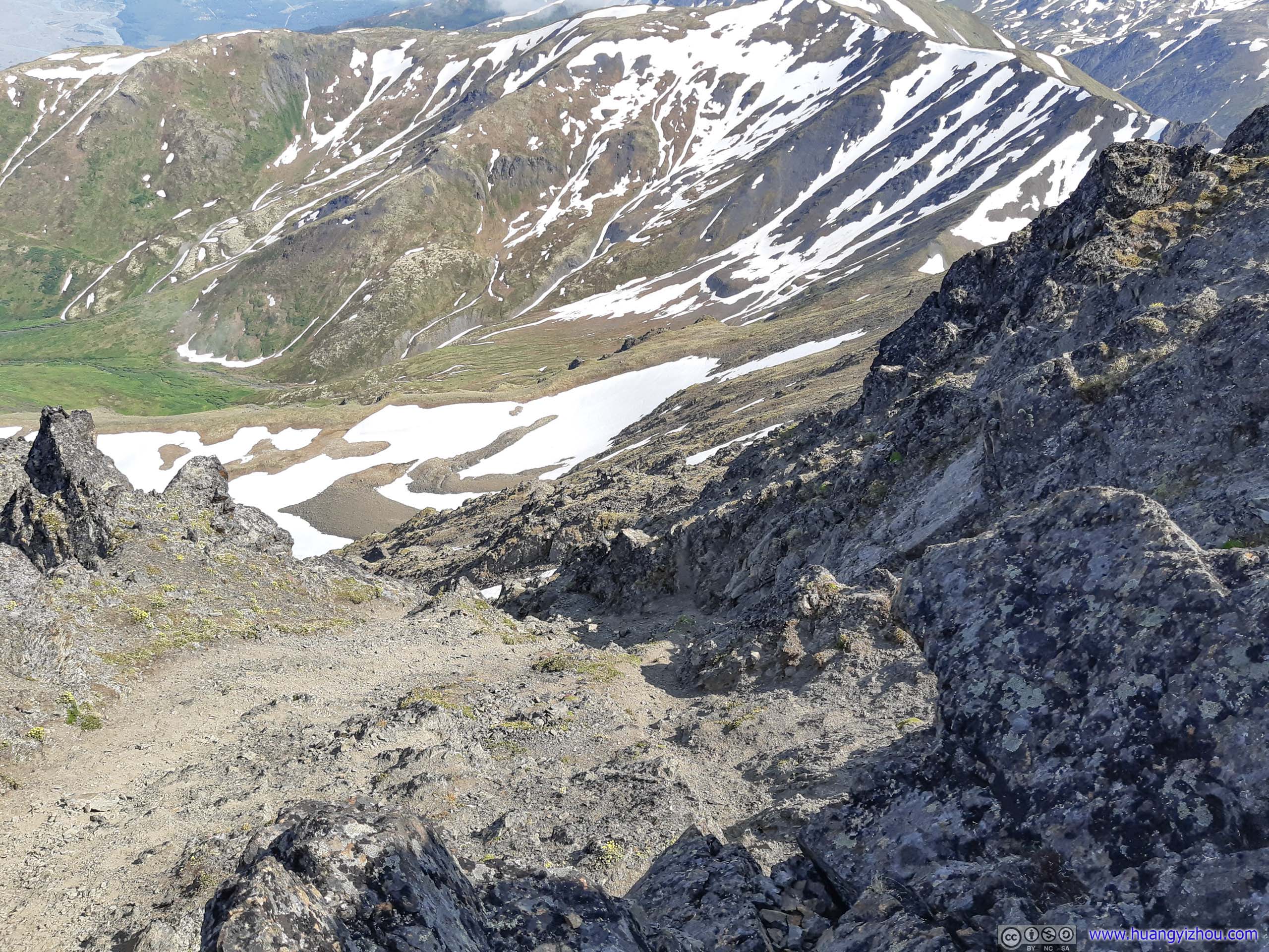
From Pioneer Ridge to Picnic Tables
Once down to the safety of Pioneer Ridge, the remainder of the trial felt like an easy stroll to me. The morning clouds had cleared, and the wonderful scenery around seemed like a reward for all the hard work that I previously put into climbing this mountain.
 ValleyEncircled by Pioneer Ridge
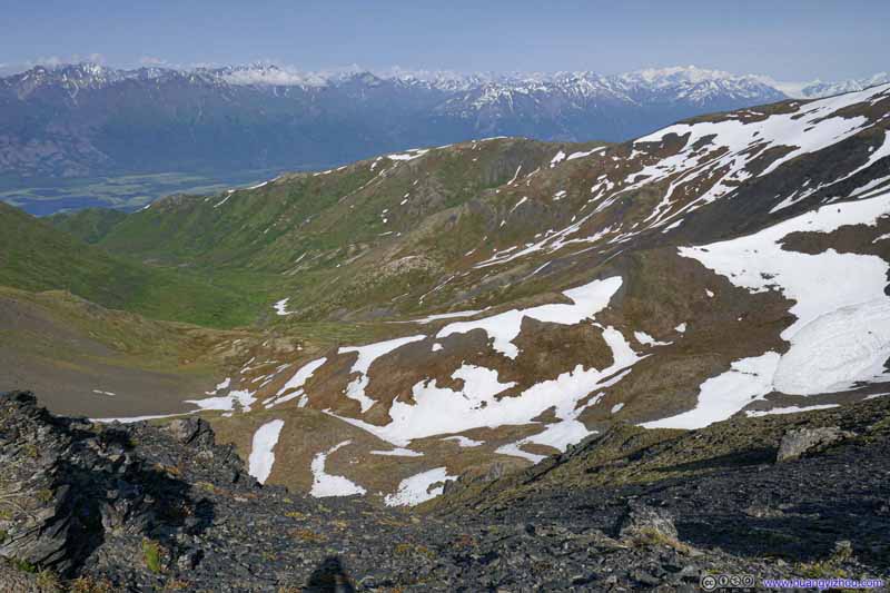 ValleyEncircled by Pioneer Ridge
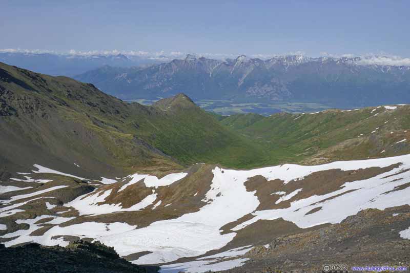 ValleyEncircled by Pioneer Ridge
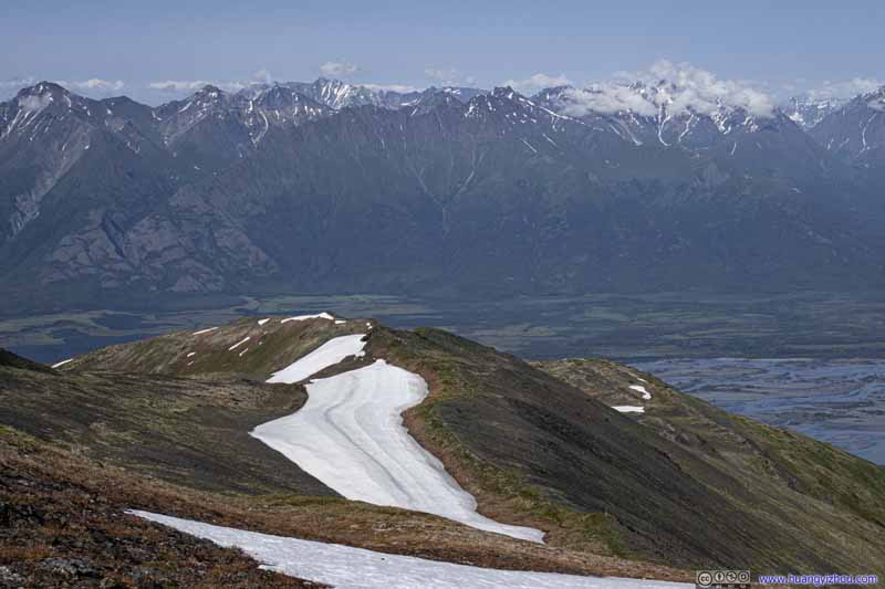 Landscape
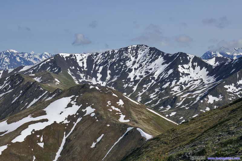 Mountains
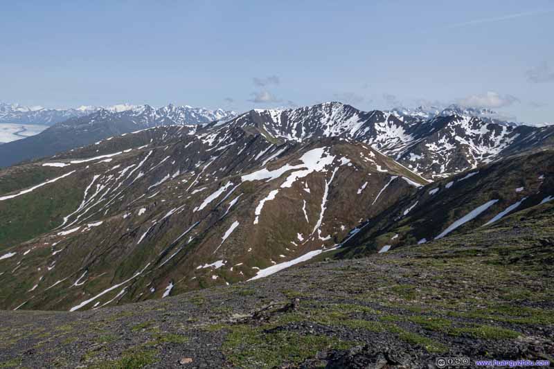 Mountains
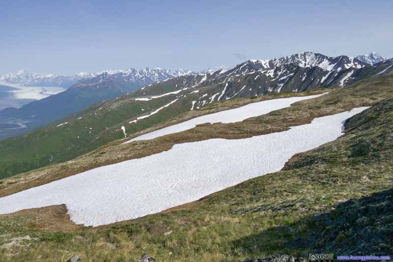 Landscape
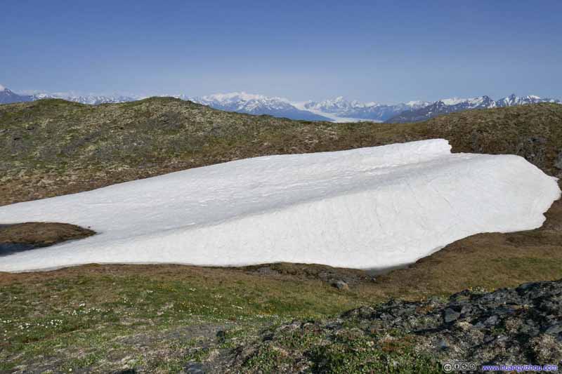 Snow Patch
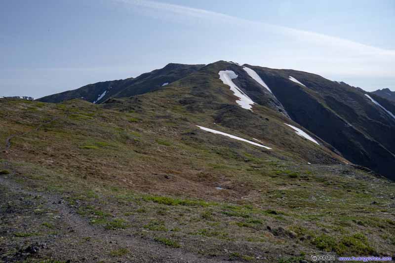 Landscape
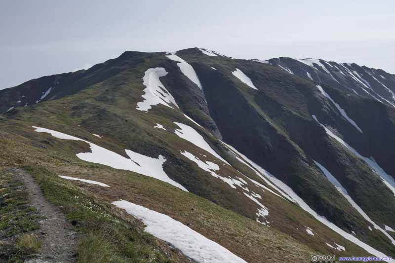 Landscape
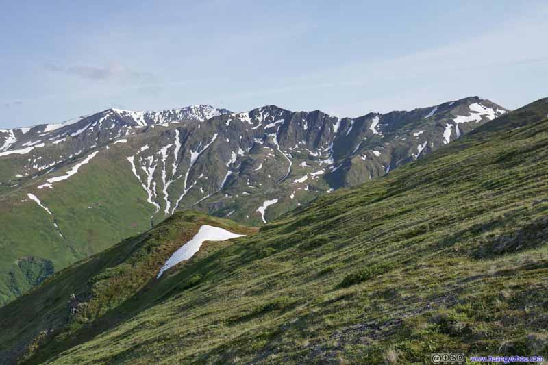 Mountains


Click here to display photos of the scenery.
 ValleyEncircled by Pioneer Ridge
Landscape
 Mountains

Landscape
Snow Patch
 Landscape
Mountains
 Trail
Trail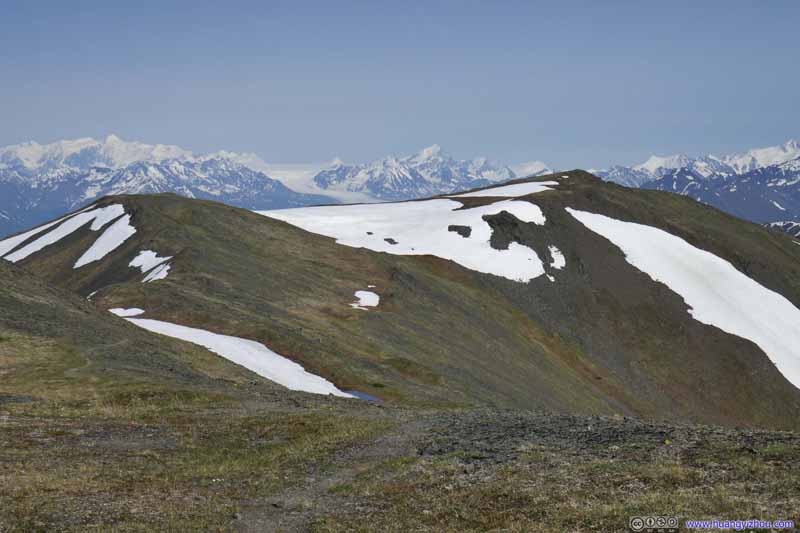 Trail
Trail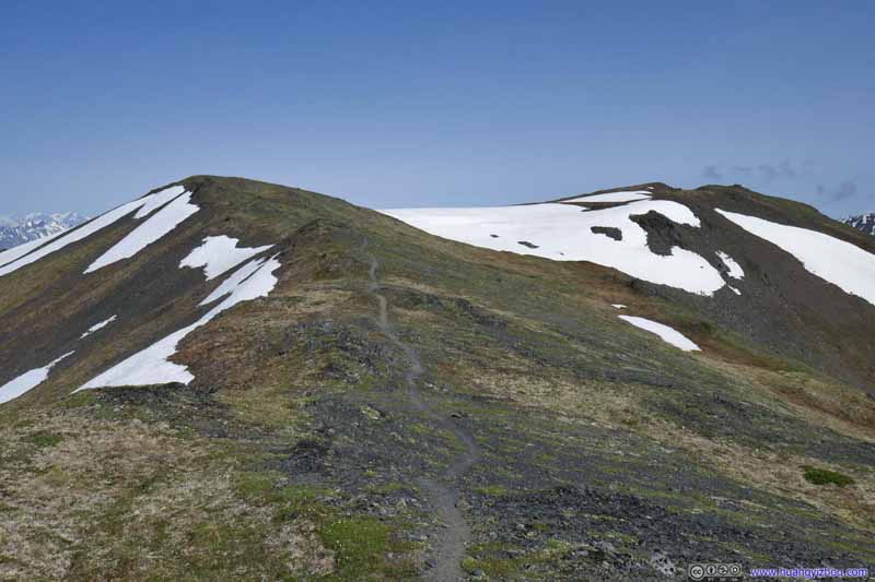 Trail
Trail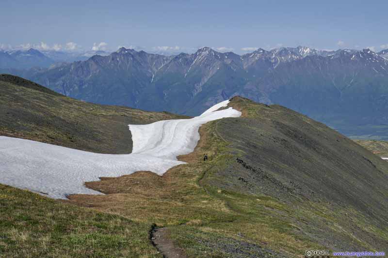 Trail
Trail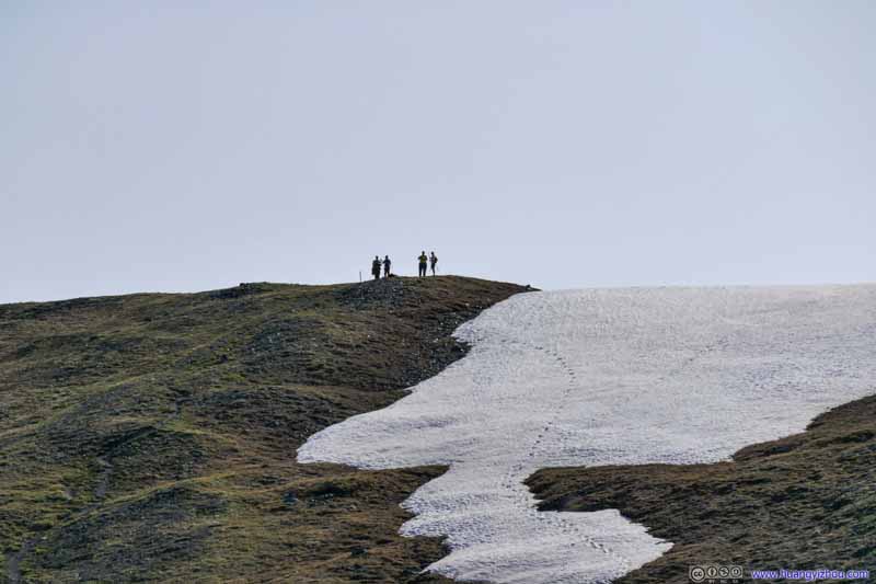 TrailThe group of 4 friends just crossed back the snow patch.
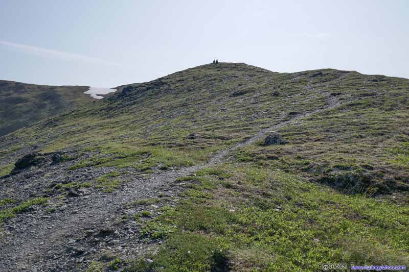 TrailThe couple took some rest at a place overlooking Knik River.
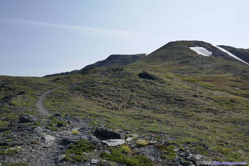 Trail
Trail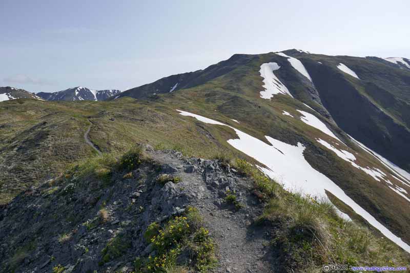 Trail
Trail
Click here to display photos of the trail.

Trail

 Trail
Trail

Trail
TrailThe group of 4 friends just crossed back the snow patch.
TrailThe couple took some rest at a place overlooking Knik River.
Trail

Trail
Now that the mist had cleared in the afternoon, I began to appreciate the beauty of this section of the trail above tree line, with magnificent mountains across Knik River in sight as I headed back down.
 Trail
Trail Trail
Trail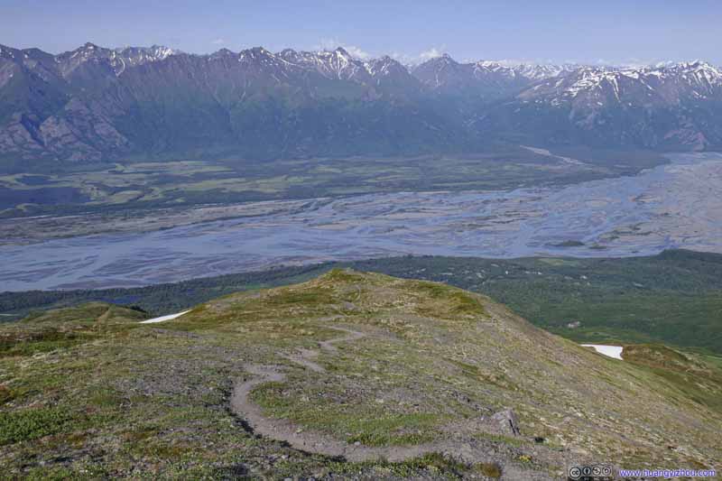 Trail
Trail Trail
Trail


Click here to display photos of the trail.

Trail
 Trail
Trail

Trail
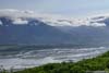
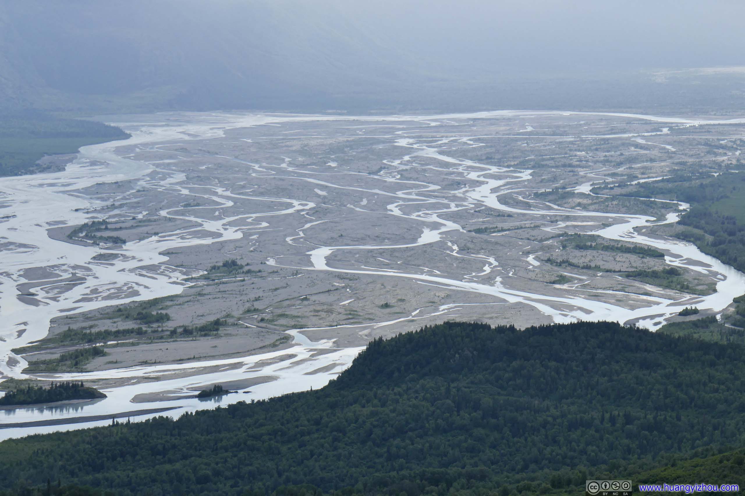
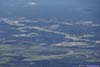
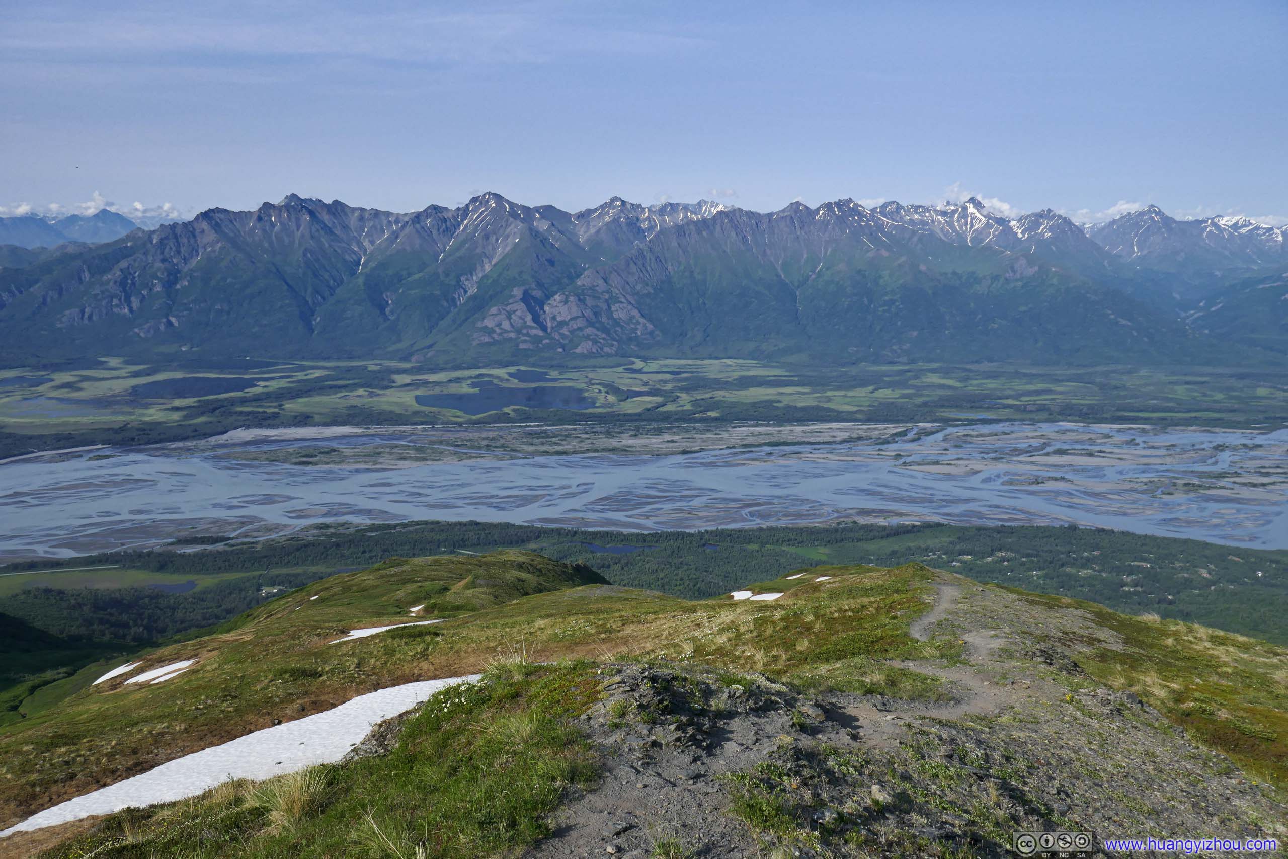
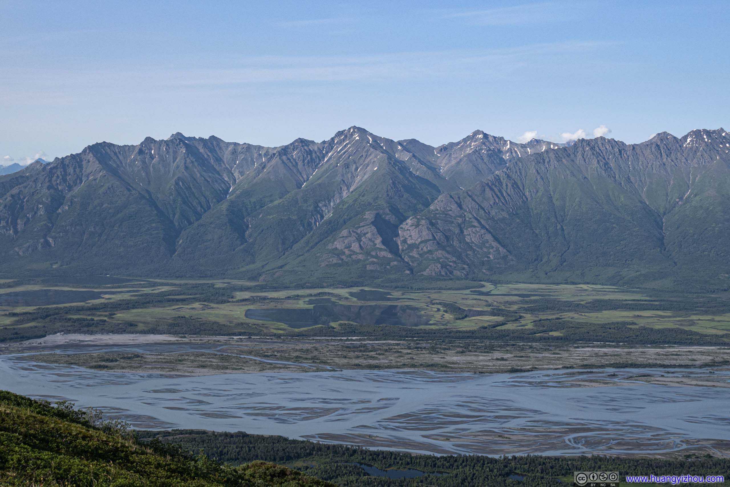
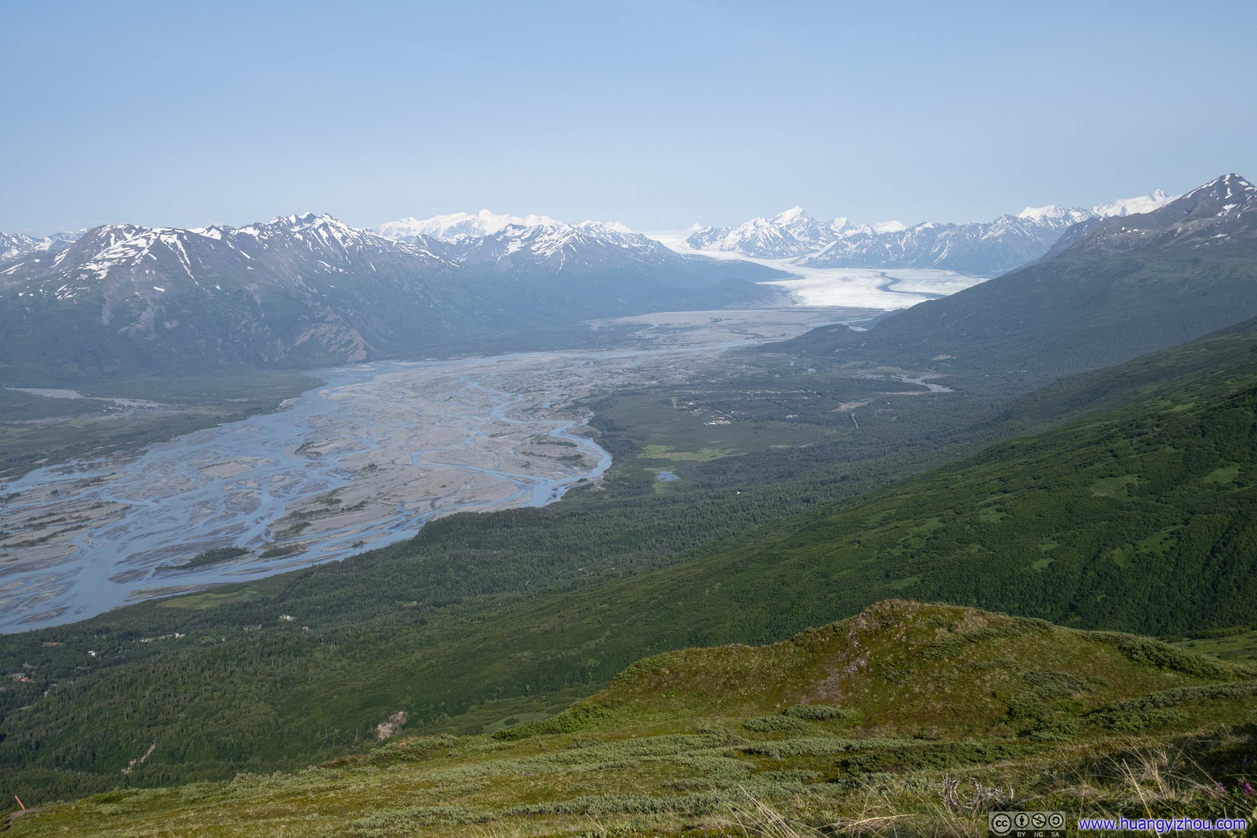
Lower in elevation, one would catch a better sight of Knik River.
 Trail
It’s a pleasure heading down this section of the trail, with majestic mountains across Knik River in clear sight right in front.
Trail
It’s a pleasure heading down this section of the trail, with majestic mountains across Knik River in clear sight right in front. Mountains across Knik River
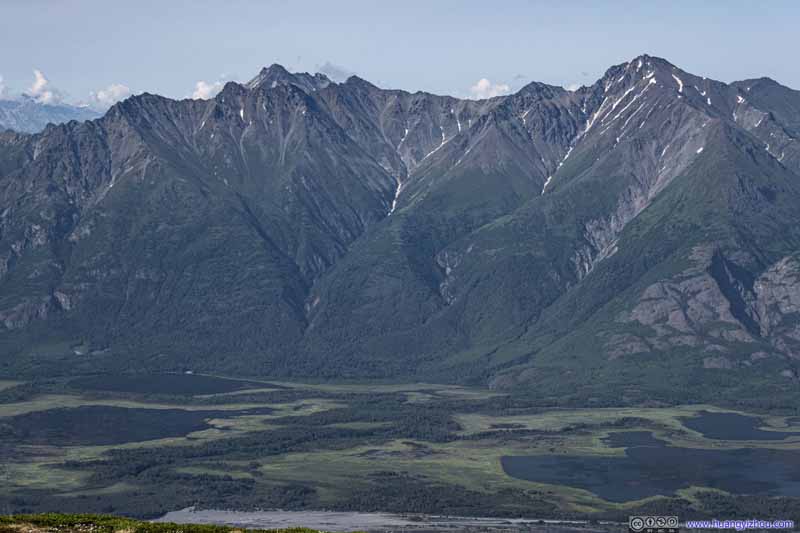 Mountains across Knik RiverFrontier Peak in the right, Matanuska Peak which I summited 3 days ago, in the left background.
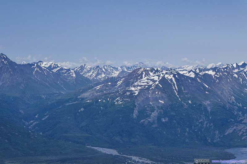 Distant Mountains
 Distant Knik Glacier
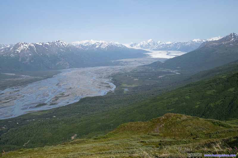 Knik River and Distant Knik Glacier
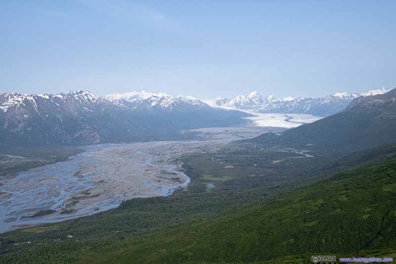 Knik River and Distant Knik Glacier
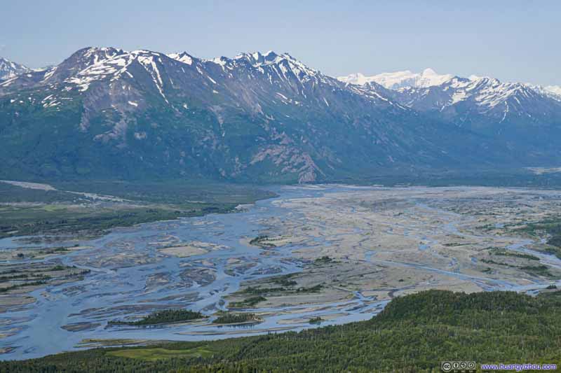 Knik River before Distant Snowy Mountains
 Overlooking Knik River


Click here to display photos of the slideshow
Trail
Mountains across Knik River
Mountains across Knik RiverFrontier Peak in the right, Matanuska Peak which I summited 3 days ago, in the left background.
Distant Mountains
Distant Knik Glacier
 Knik River and Distant Knik Glacier

Knik River before Distant Snowy Mountains
Overlooking Knik River
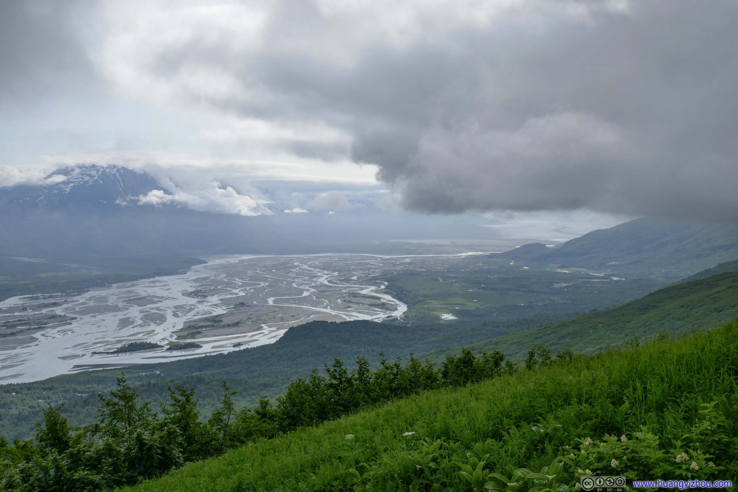
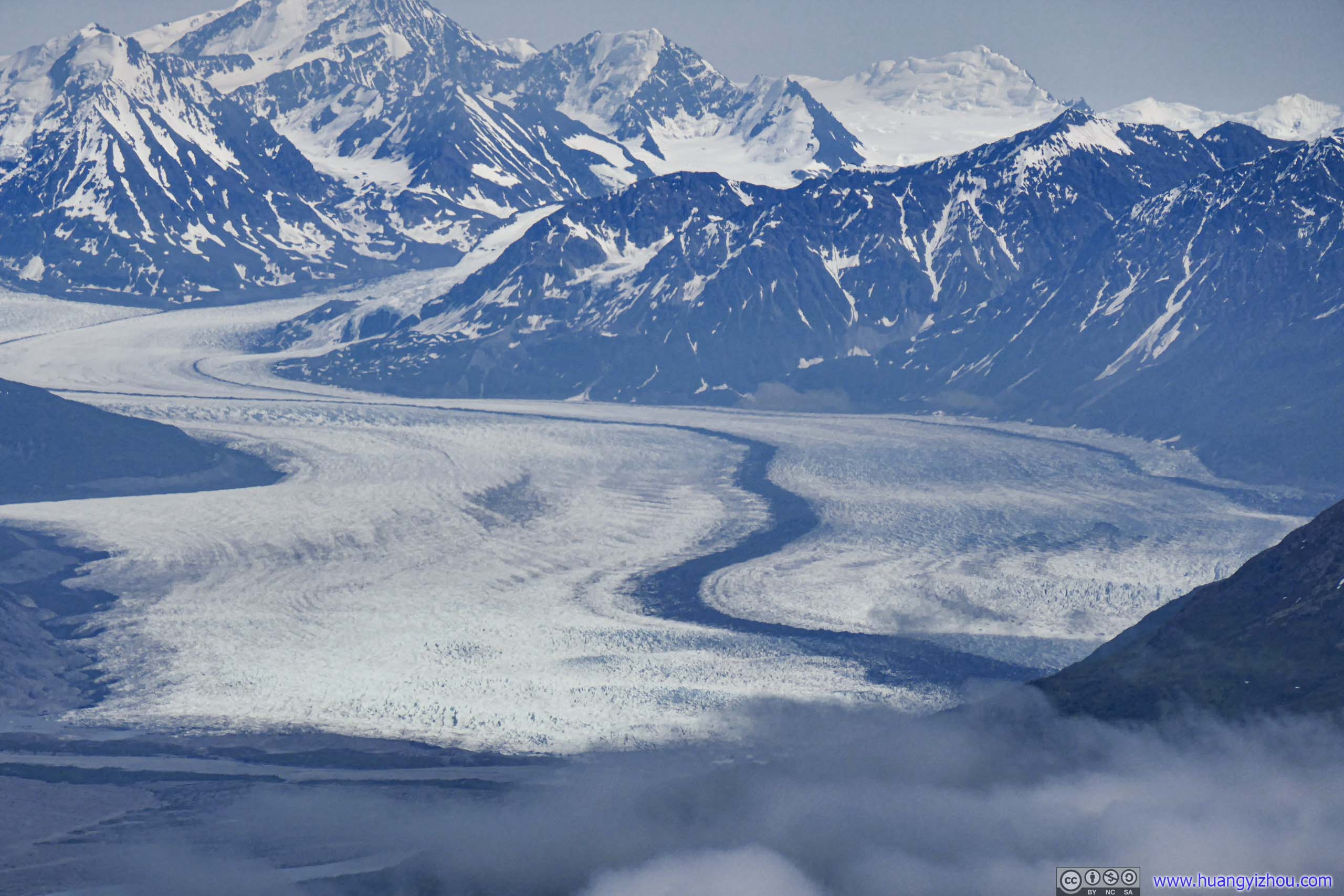
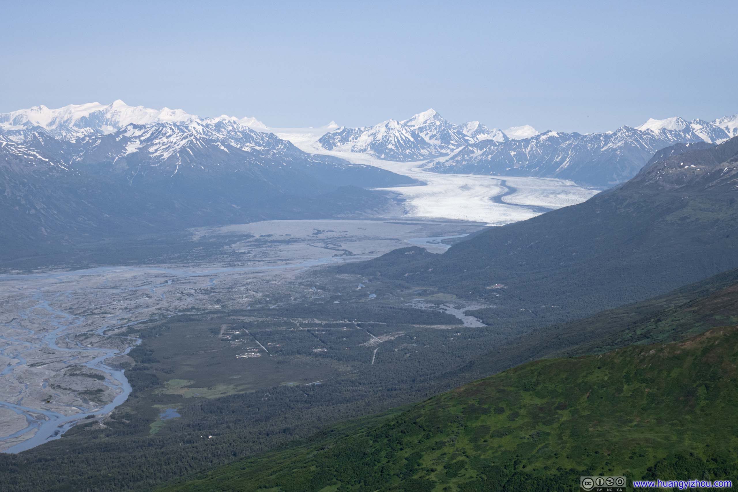
Distant Knik GlacierA constant spectacle in the distance during my descent, now that the clouds had cleared.
Just after 7pm I reached the second picnic table. With the clouds cleared it offered spectacular views of Knik River and the mountains across it. It’s the last (or first, depending on direction) spot that offered such great views along the trail, after which the trail would descend below the tree line. With the long downhill track punishing my knees and ankles, I took a long rest there.
Overlooking Knik River and Mountains across
From Picnic Tables to Trailhead
There was cellular signal at the picnic tables, so I was elated to find on Google Maps that I might be able to make it to my favorite chain restaurant to grab a dinner before it closed for its regular hours. So armed with the prospect of my favorite, I dashed through the woods as far as I could.
 Trail
Trail Trail
Trail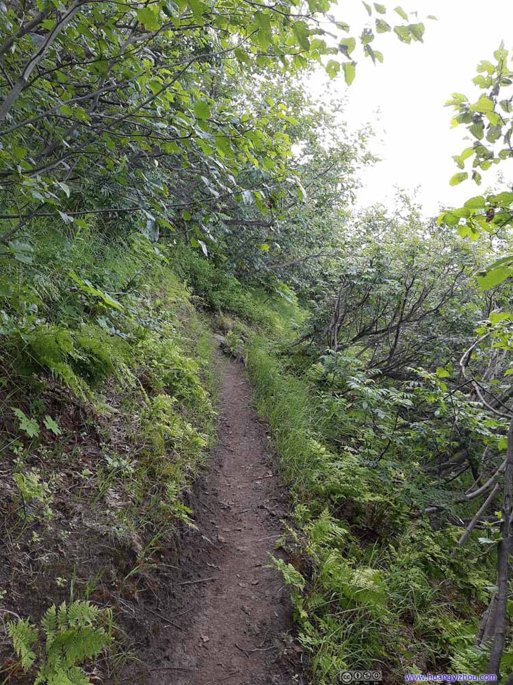 Trail
Trail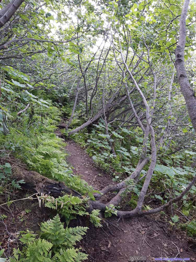 Trail
Trail Trail
Trail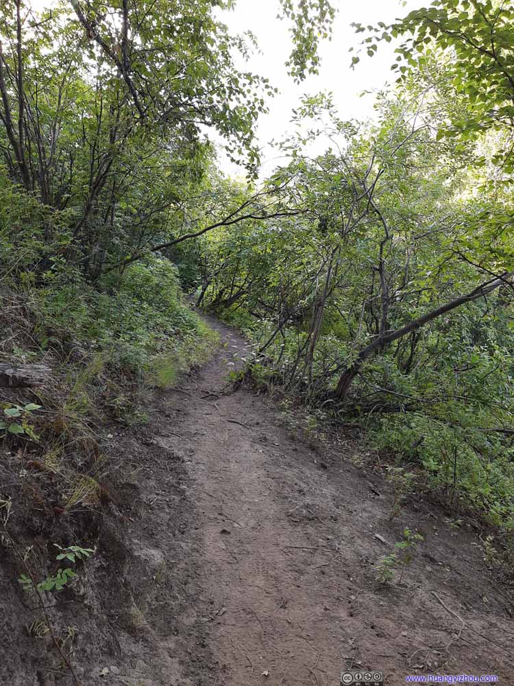 Trail
Trail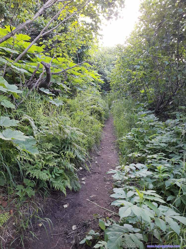 Trail
Trail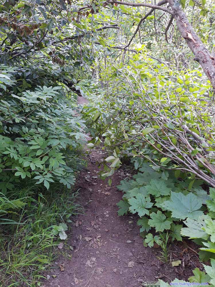 Trail
Trail Trail
Trail Trail
Trail Trail
Trail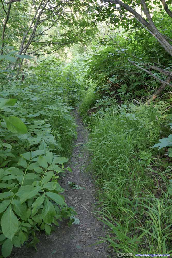 Trail
Trail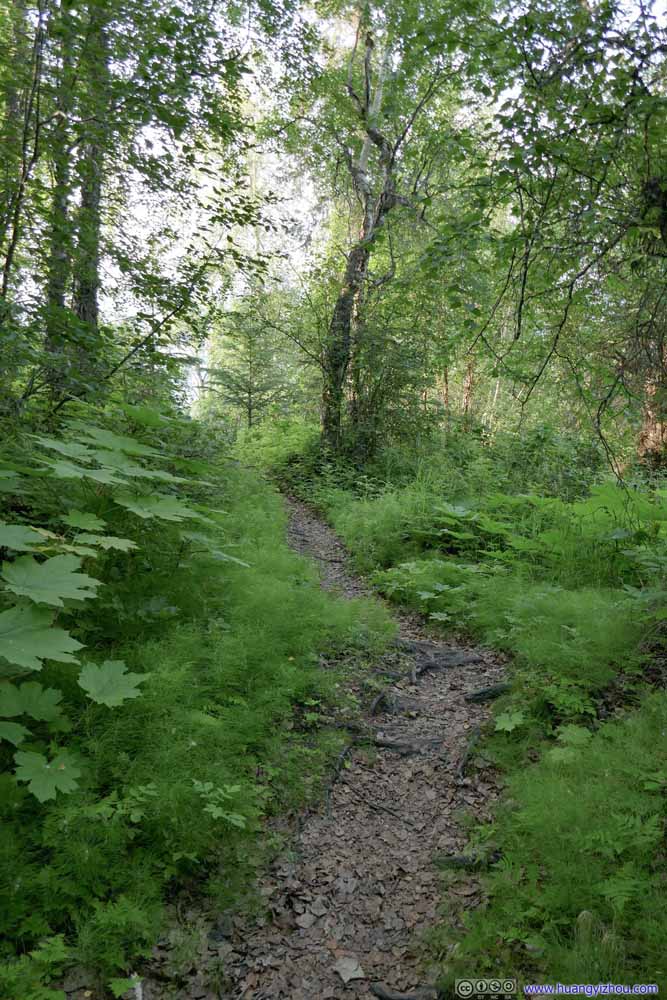 Trail
Trail


Click here to display photos of the slideshow

Trail

 Trail
Trail

Trail

Trail
Trail

Trail
Trail
Trail
Trail

Trail

 Trail
Trail
Another reason for my rush was that I encountered some bugs along the trail. They weren’t as annoying as my experience in Utah last summer, but they were still an unwelcoming distraction, that I wanted to get rid of as soon as possible.
That meant, I was probably going too fast at places, that I made a cut on my hand (very minor), and almost cut my shirt.
 Trail
Trail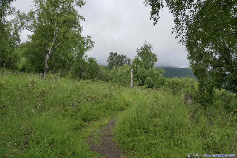 Trail
Trail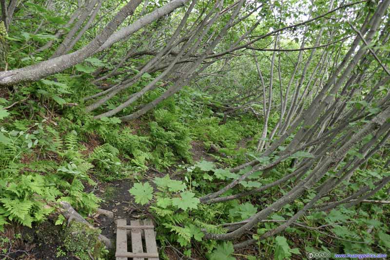 Trail
Trail Trail
Trail

Click here to display photos of the trail.
 Trail
Trail
Trail
Trail
Finally, just before 9pm, I was back at the trailhead parking lot, spending just over 12 hours on the trail including all rests.
After that, I raced back to Anchorage to my favorite restaurant, and found it closed for Independence Day. Obviously they didn’t update information on Google Maps.
That’s a most disappointing way to end an epic day.
END
![]() Day 4 of 2021 Alaska Trip, South Pioneer Peak, Jewel of Chugach Mountains by Huang's Site is licensed under a Creative Commons Attribution-NonCommercial-ShareAlike 4.0 International License.
Day 4 of 2021 Alaska Trip, South Pioneer Peak, Jewel of Chugach Mountains by Huang's Site is licensed under a Creative Commons Attribution-NonCommercial-ShareAlike 4.0 International License.