
Updated on December 16, 2021
Day 5-6 of 2021 Alaska Trip, Utqiagvik, Northern-most American Town
Fifth and sixth day of my 2021 Alaska trip. During these two days I visited Utqiagvik, the northern-most town of United States, where I experienced a polar day in this isolated town surrounded by tundra and arctic sea ice, before taking a connecting flight to Juneau where I would make a stopover on my way back to Washington DC.

Midnight
Finally, it’s the highlight of this year’s Alaska trip as I would be making an overnight trip to Utqiagvik, the northern-most town of United States.
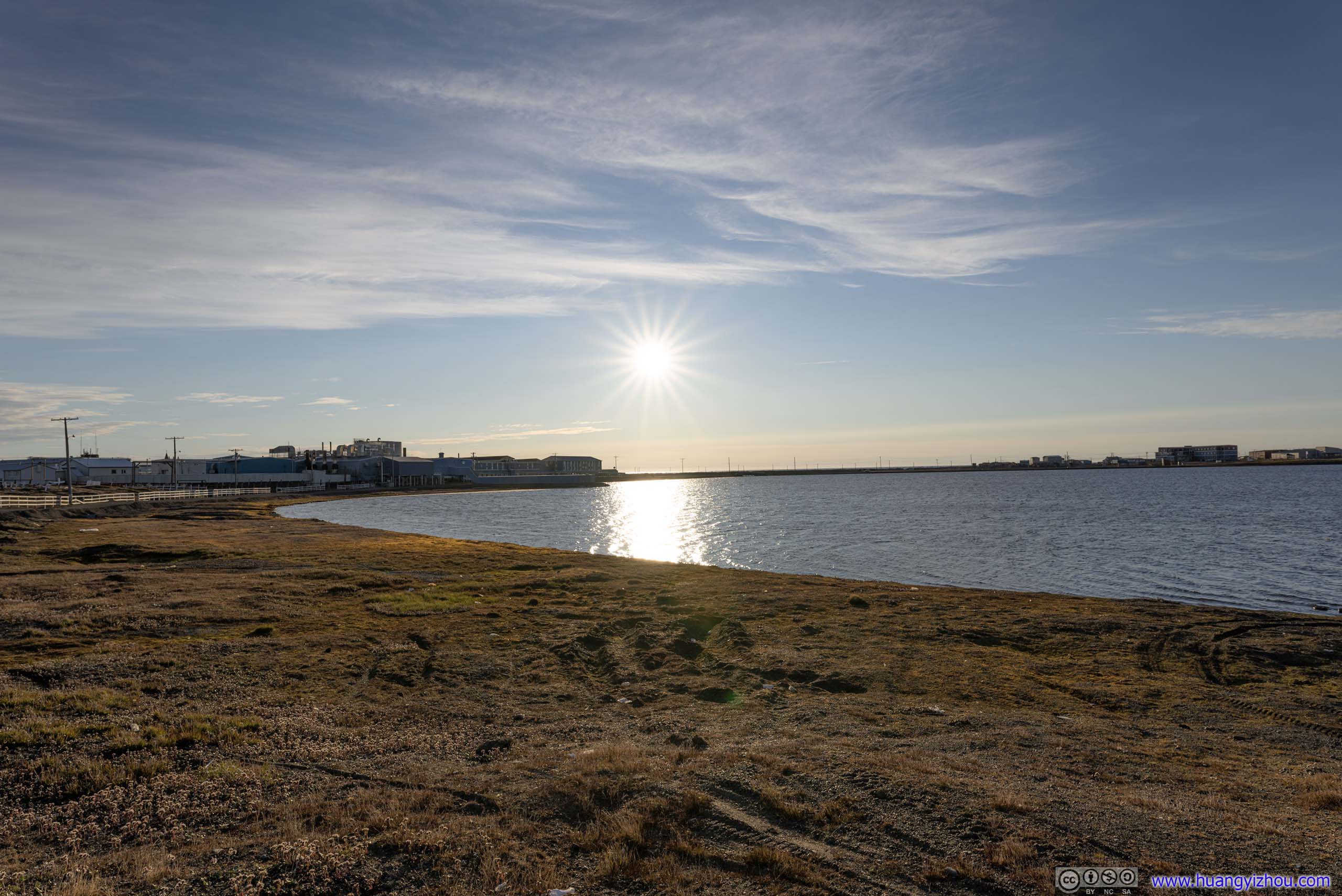
With a population of almost 5000, it’s the largest town in Alaska’s North Slope Borough. Located at a latitude of 71.3 degrees north, there was no other town on earth farther north with a higher population*. The town had been called “Barrow” until 2016 where the locals decided to rename it in their own native language. The roads in town was unpaved due to permafrost underneath, and no roads connected the town to the rest of Alaska.
After learning so many fascinating traits of the Utqiagvik, I would certainly love to check it out. The set of award ticket with Alaska Airlines was actually a roundtrip between Washington DC and Utqiagvik, with stopovers at Anchorage and Juneau respectively. While Alaska Airlines used to operate two daily flights between Anchorage and Utqiagvik (with stopover at Prudhoe Bay), which would make it a perfect day trip from Anchorage, in summer 2021 it changed its schedule to one daily nonstop flight from Anchorage. As a result, I was forced to spend a night in town. Yet on the bright side, it gave me a polar day experience.
Flight AS51 from Anchorage to Utqiagvik
On the morning of July 5, I checked out of the Airbnb room in Anchorage’s suburb, returned the rental car, and made my way to Anchorage Airport. Unfortunately, I didn’t get a good night’s sleep last night, which was disquieting since it was a strenuous journey to South Pioneer Peak the previous day. I blamed that on the festive Alaskan people (and my room’s poor sound isolation), as scattered fireworks for Independence Day somehow managed to stretch into the early morning hours of July 5.
Even more to my dismay, after getting to the airport, I learned that my flight was delayed due to the plane’s late arrival from Seattle, which was sadly pretty consistent with my other Alaska Airlines flights on this trip. Trying to kill time, I watched replay of F1 Austrian Grand Prix with the airport’s miserable WiFi at 1Mbps, among bustling ambient noise as the airport was full of families presumably returning from their Independence Day holiday.
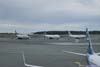
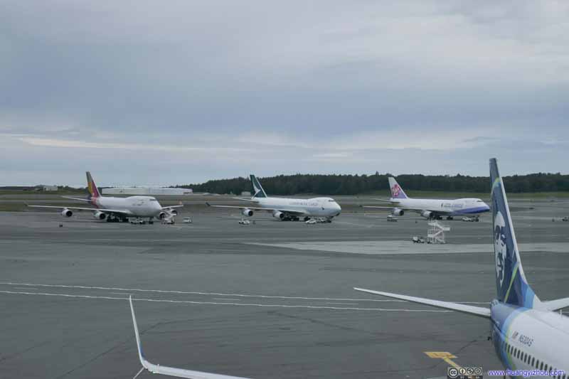 Cargo Planes at Anchorage Airport
Anchorage was a strategical refueling stop for cargo flights between Asia and North America. This area near the passenger terminal was for the planes to refuel and set off quickly without rearranging cargo.
Cargo Planes at Anchorage Airport
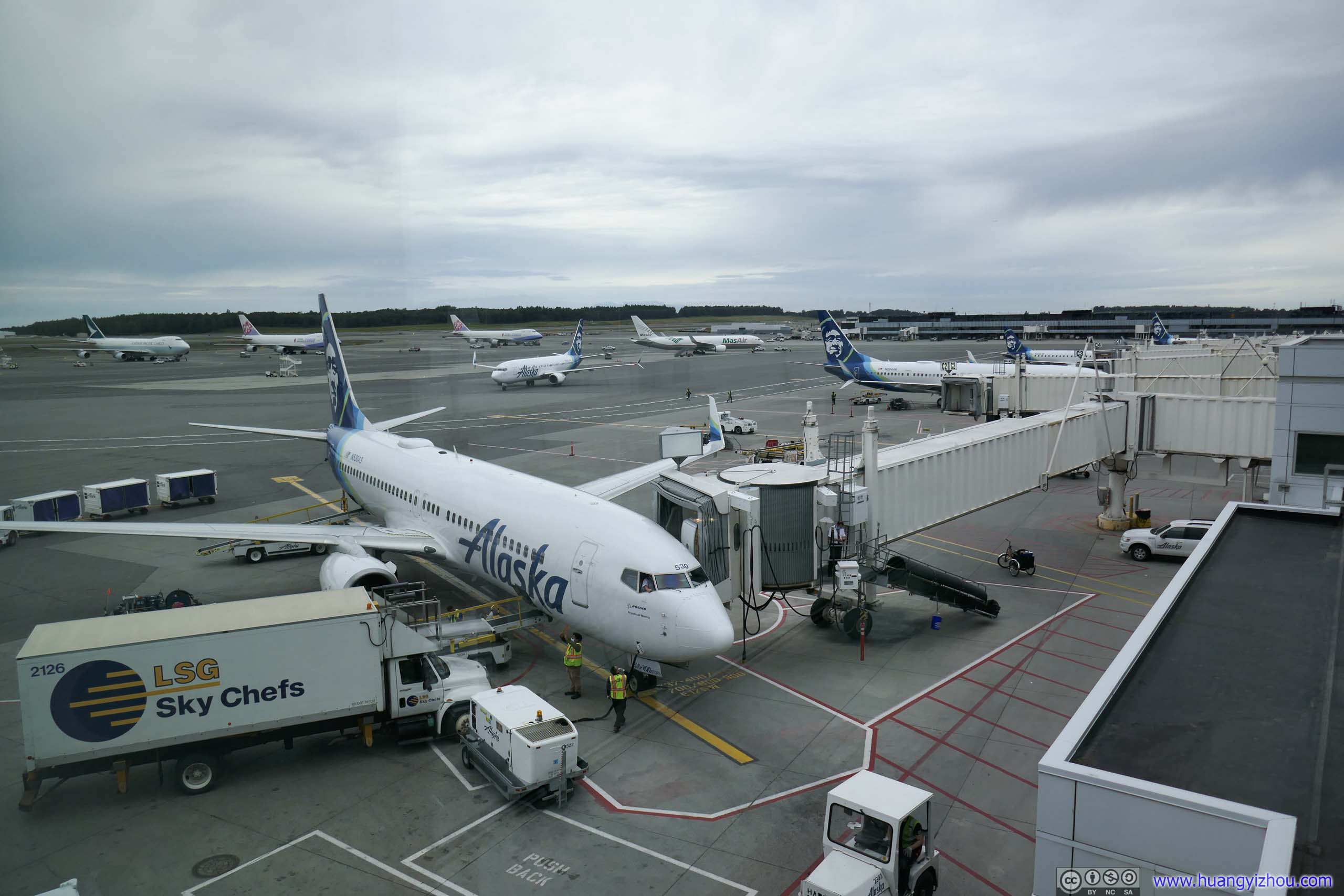
Anchorage was a strategical refueling stop for cargo flights between Asia and North America. This area near the passenger terminal was for the planes to refuel and set off quickly without rearranging cargo. Alaska Airlines Fleet at Anchorage Airport
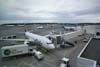
I was a bit shocked to learn that in the state’s largest airport, Alaska Airlines only operated out of a mere 9 gates, which was fewer than its other hubs. Before this I thought the airline was pretty essential to serving the state’s many isolated communities.
Alaska Airlines Fleet at Anchorage Airport
I was a bit shocked to learn that in the state’s largest airport, Alaska Airlines only operated out of a mere 9 gates, which was fewer than its other hubs. Before this I thought the airline was pretty essential to serving the state’s many isolated communities.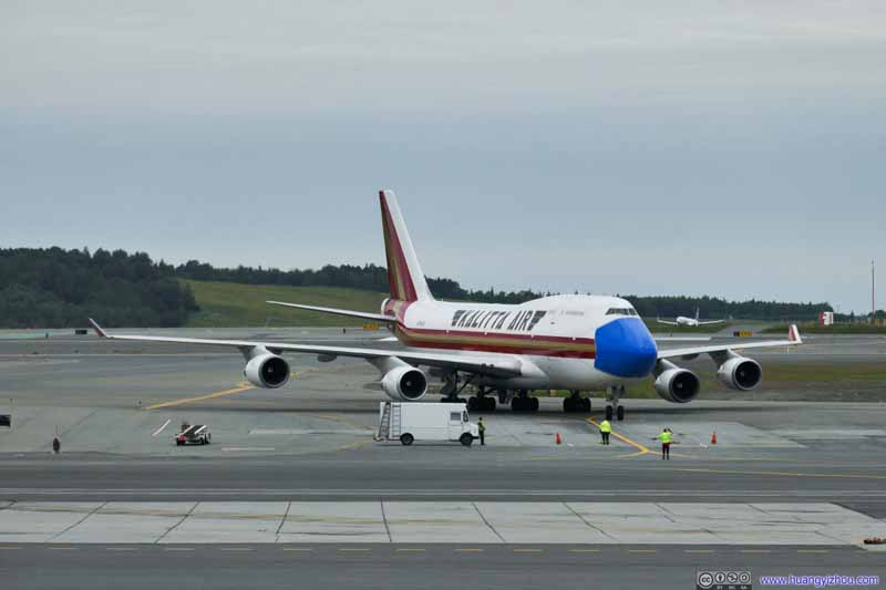 Kalitta Air B744 (N744CK)A giant mask was painted in front of the plane in times of COVID.
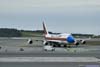
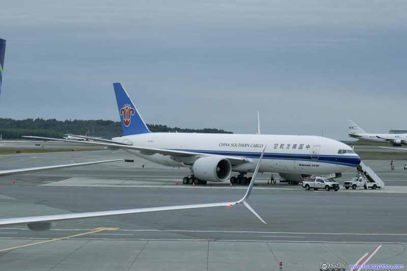 China Southern Cargo B77F (B-2073)
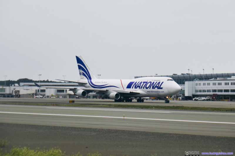 National Cargo B744 (N729CA)
Click here to display photos of planes at Anchorage Airport.

Cargo Planes at Anchorage Airport
Alaska Airlines Fleet at Anchorage Airport

Kalitta Air B744 (N744CK)A giant mask was painted in front of the plane in times of COVID.
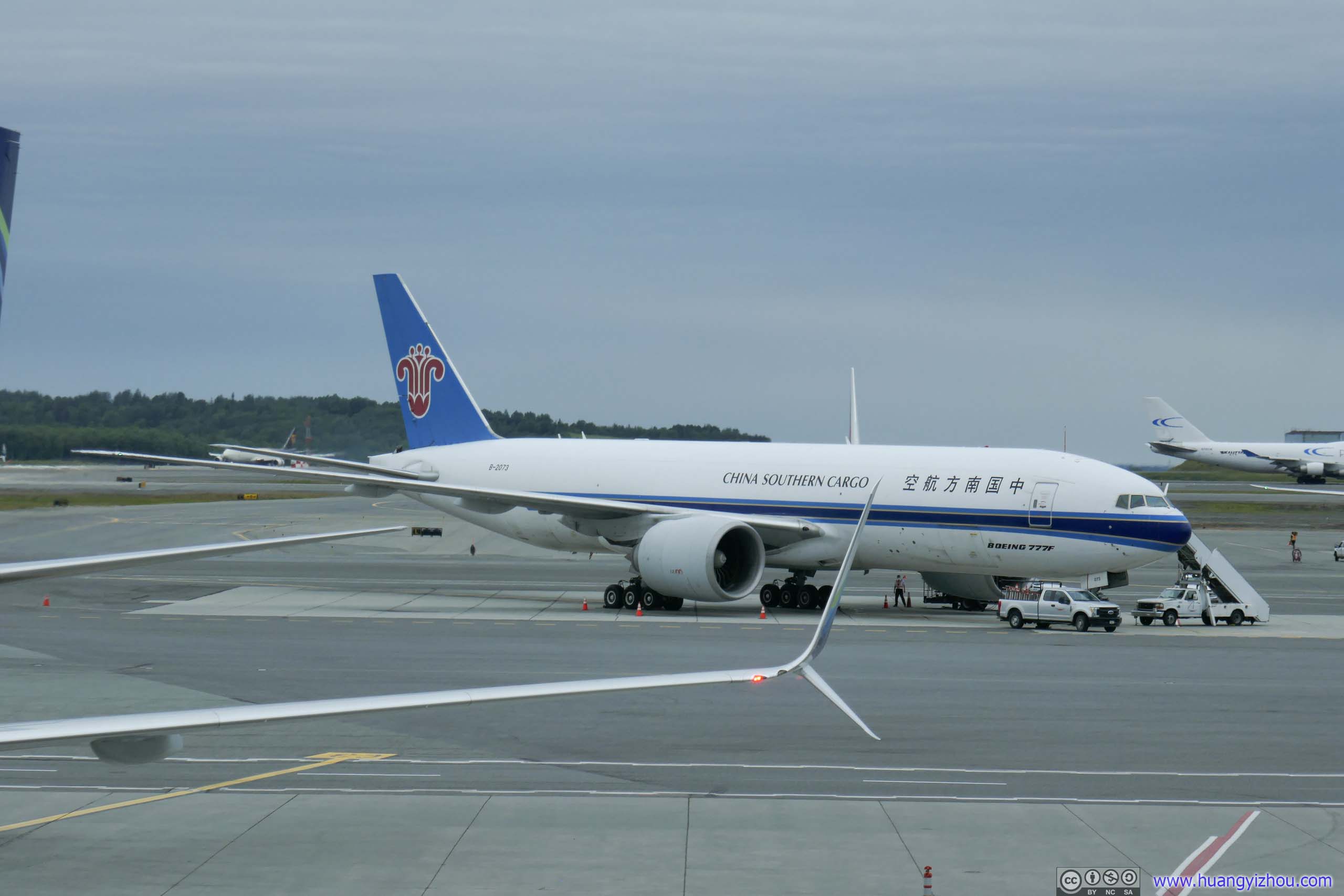
China Southern Cargo B77F (B-2073)
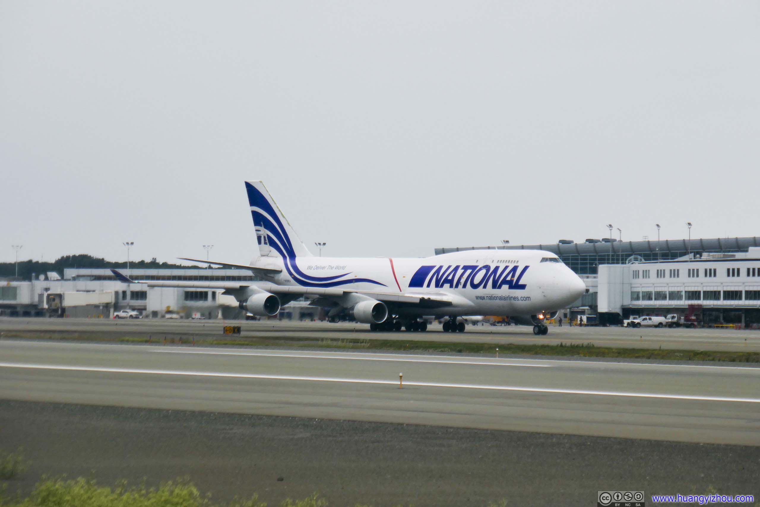
National Cargo B744 (N729CA)
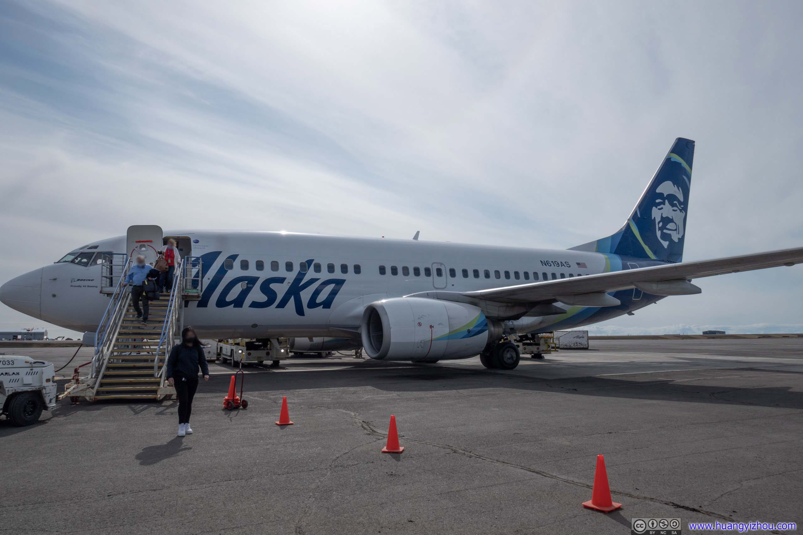
Finally, it’s boarding time. The flight to Utqiagvik was pretty full, with lots of families presumably returning from Independence Day holiday. As a result, I only had very limited selections of seats, and I picked the one with most legroom. There were only a couple of empty seats left, but amazingly I got an empty middle seat next to me.
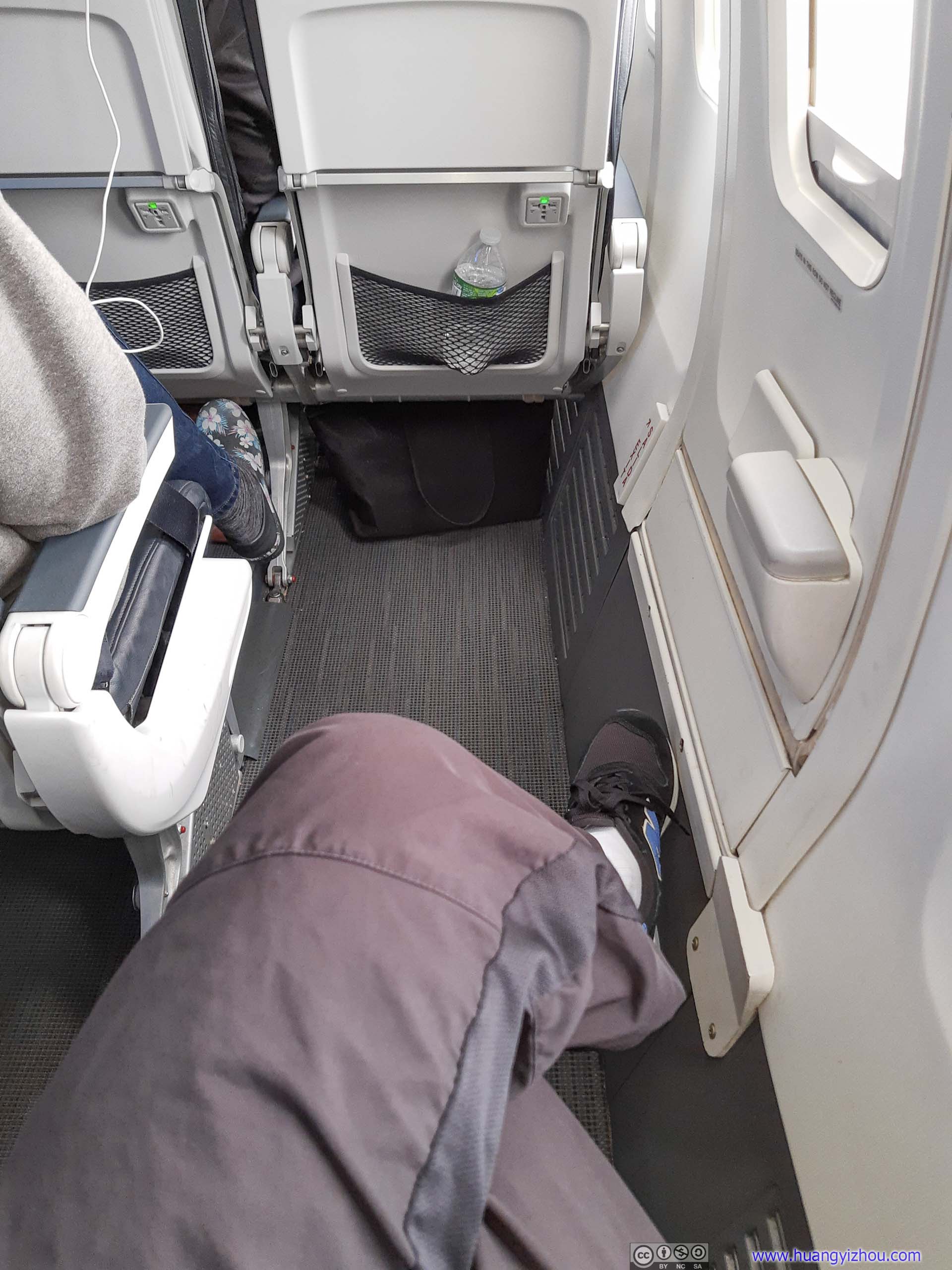
Exit Row Legroom
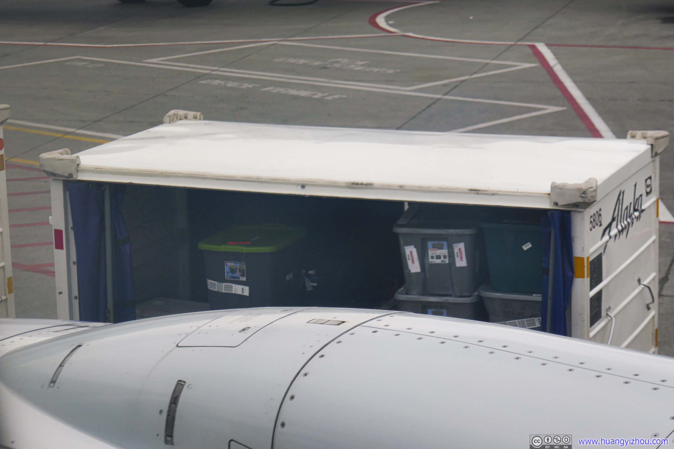
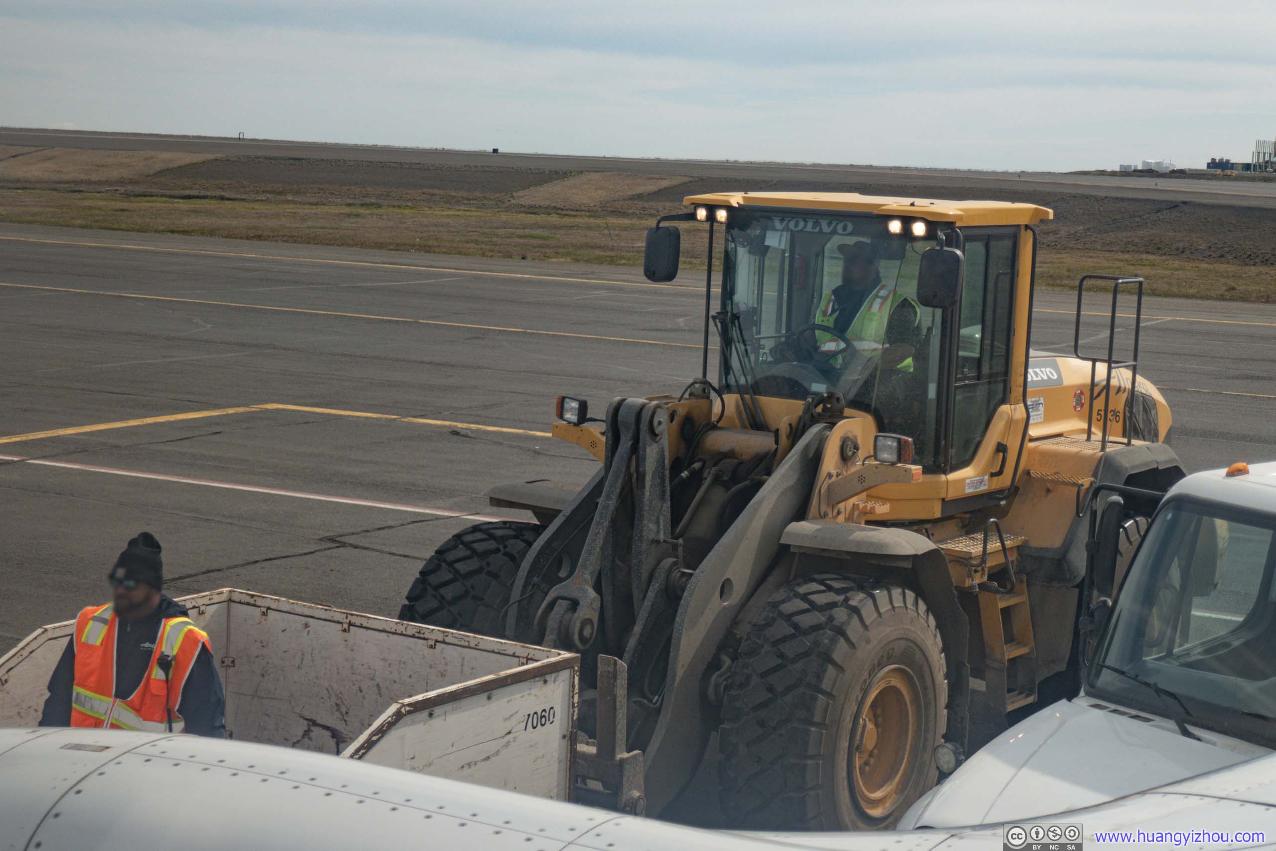
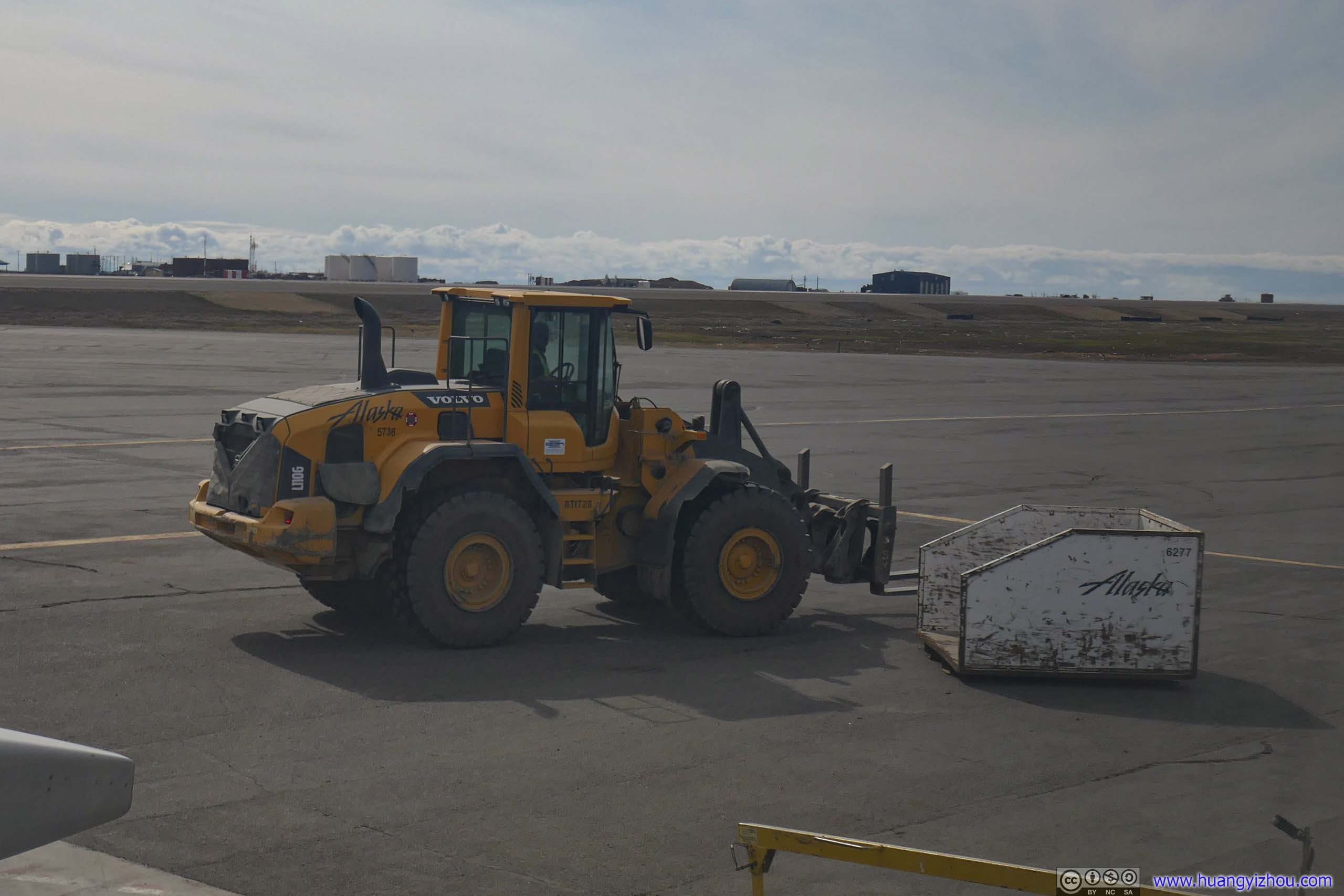
Cargo Loading
I recalled that Alaska Airlines once used 737-400 combo for flights to isolated communities like Utqiagvik. I soon understood why by watching cargo loading through the windows. Later after we landed Utqiagvik, I was more enlightened than shocked to learn that 23 bags didn’t make it with the flight, likely due to 737-700’s limited cargo capacity.
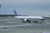
Alaska Airlines 51
Anchorage, AK (ANC) – Utqiagvik, AK (BRW)
Boeing 737-700 (N619AS)
Seat 17F
Scheduled Departure – 11:55am
Actual Departure – 1:56pm
Scheduled Arrival – 1:47pm
Actual Arrival – 3:28pm
1 hours and 32 minutes
Here’s GPS tracking:

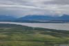
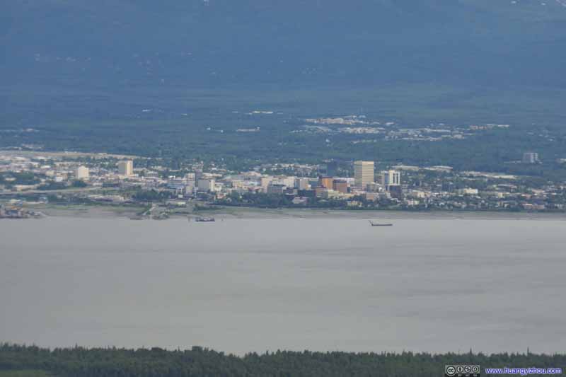
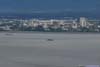
Downtown Anchorage before Chugach Mountains
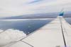
It was a very shaky climb after takeoff, with clouds between 2200m and 6900m in elevation. I was glad that I didn’t hike South Pioneer Peak today, otherwise the high winds would probably blow me away.
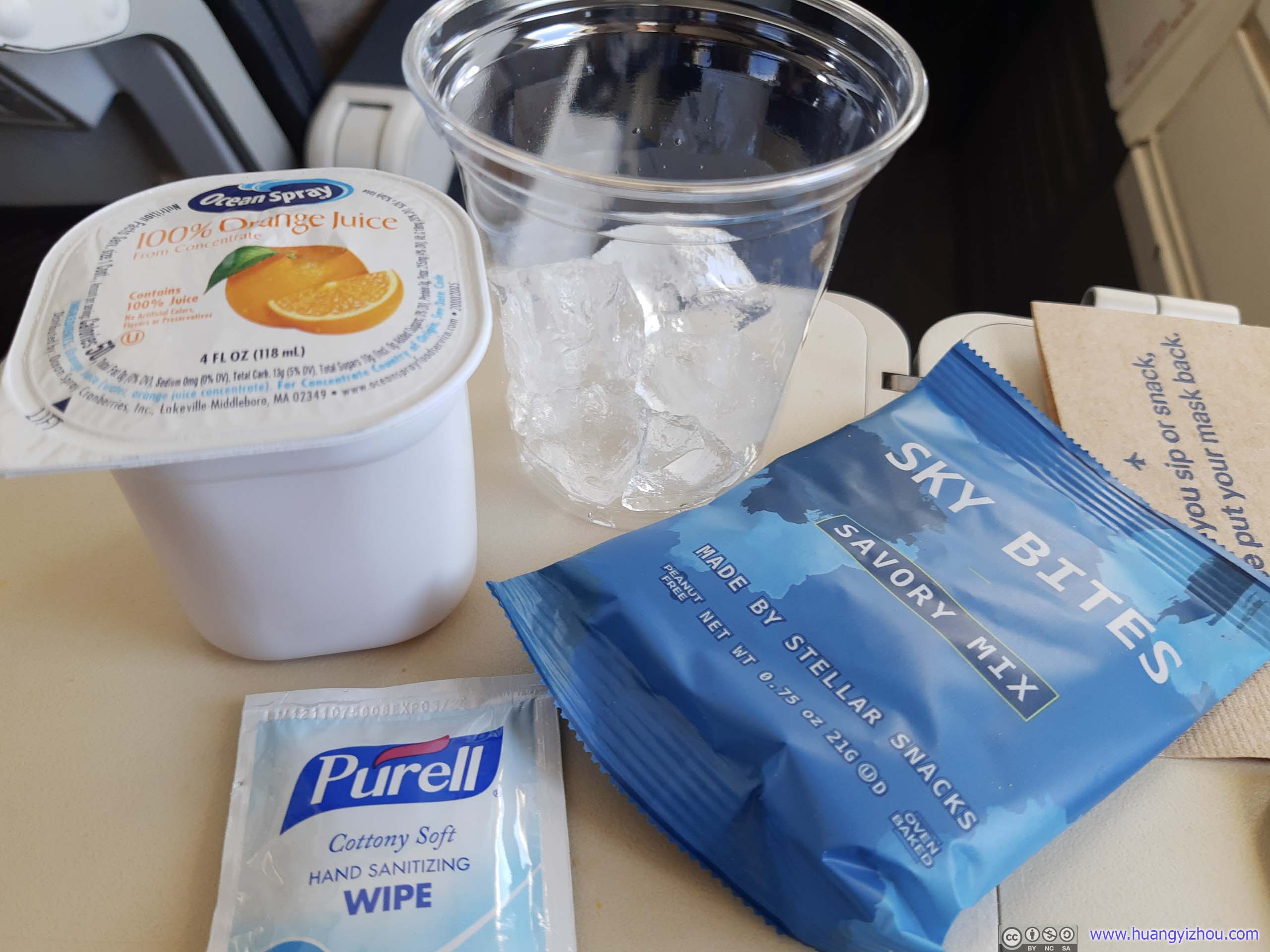
Drinks and Snacks
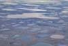
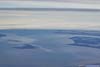
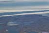
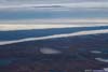
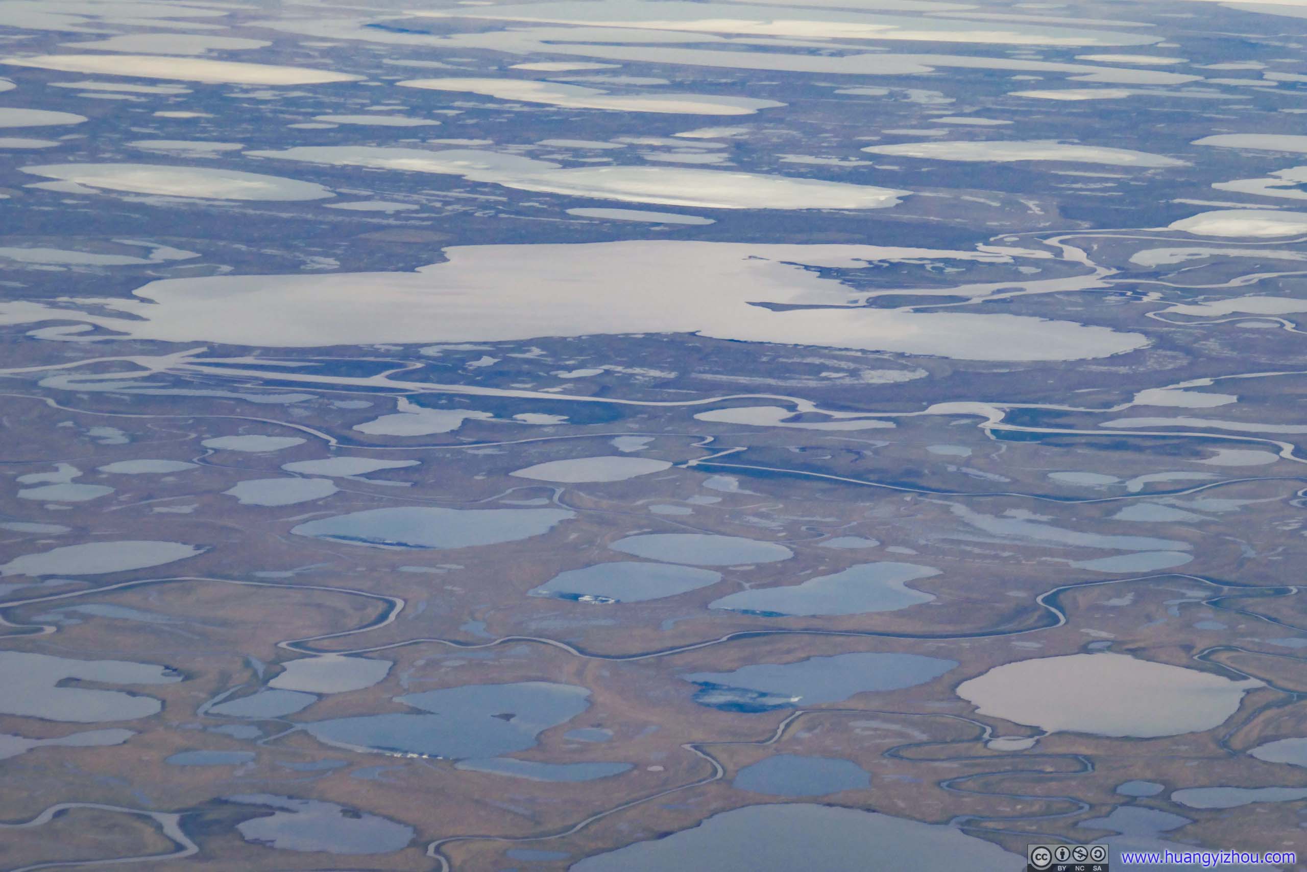
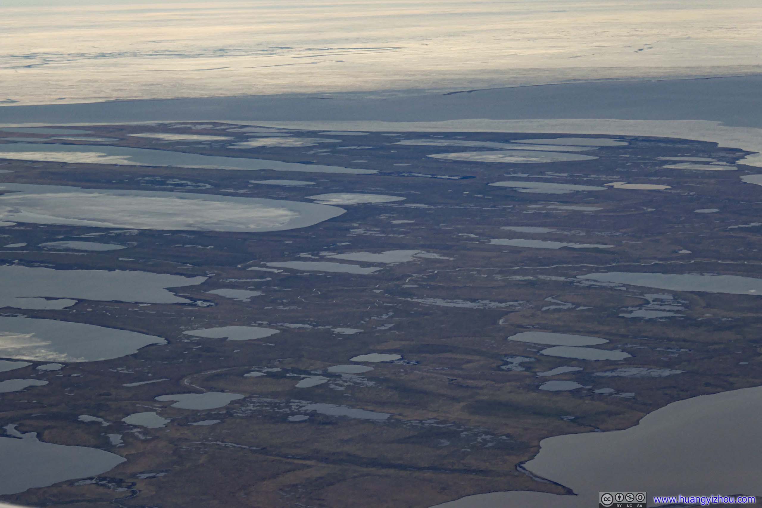
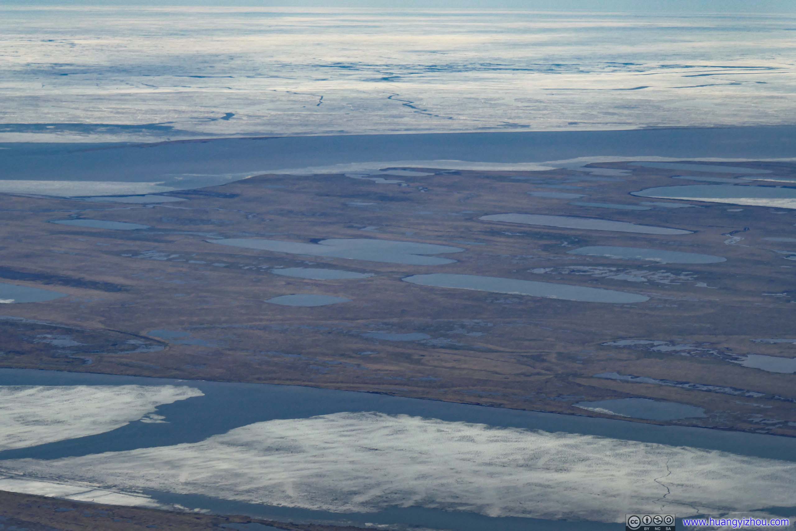
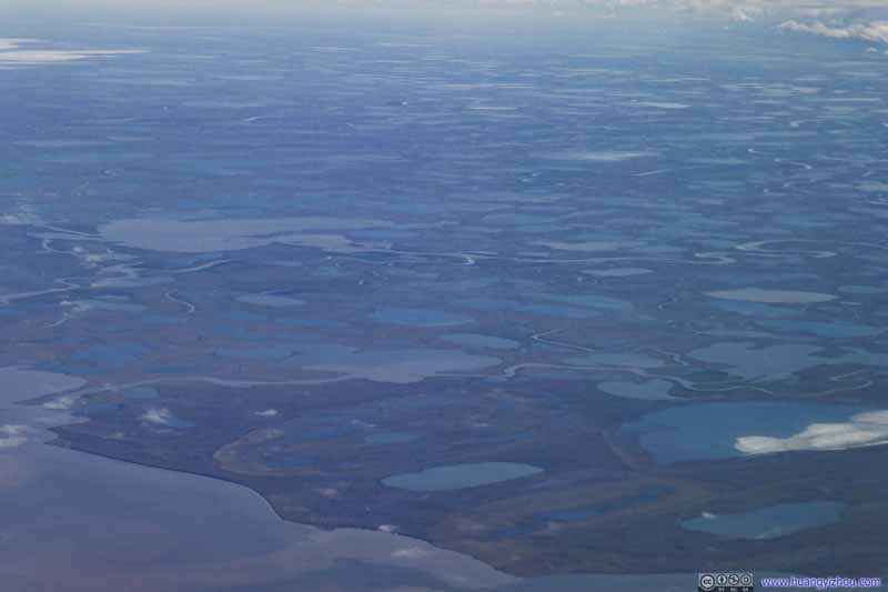
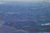
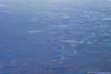
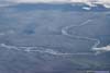
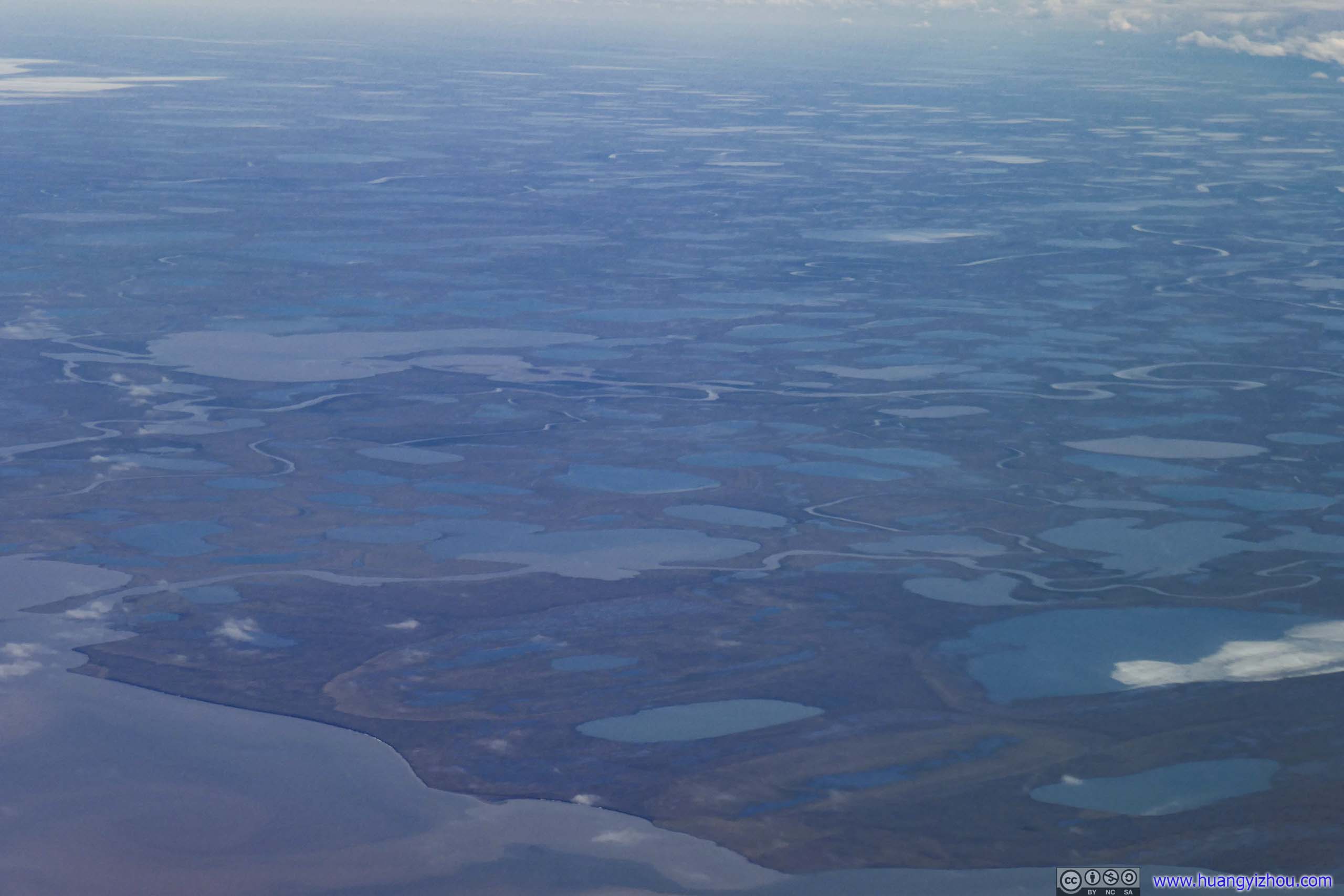
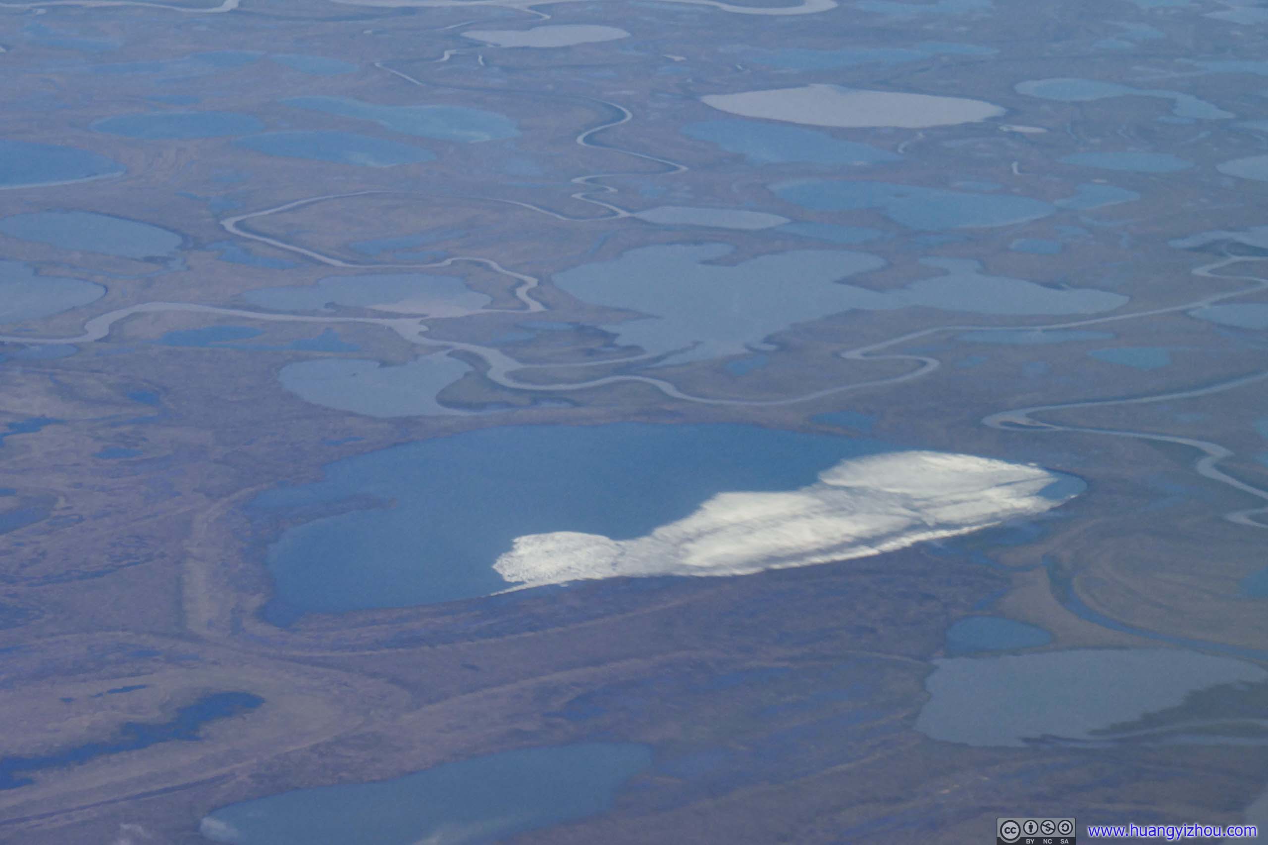
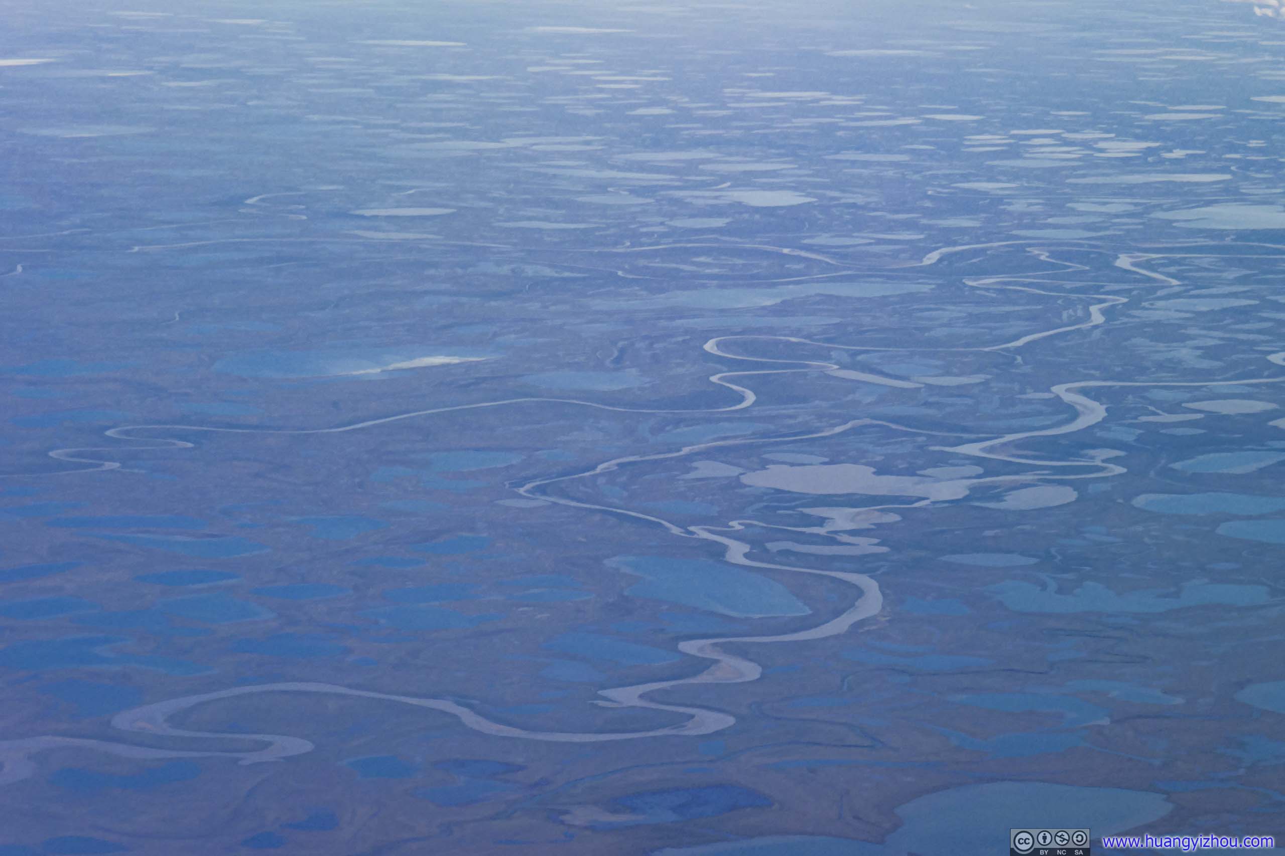
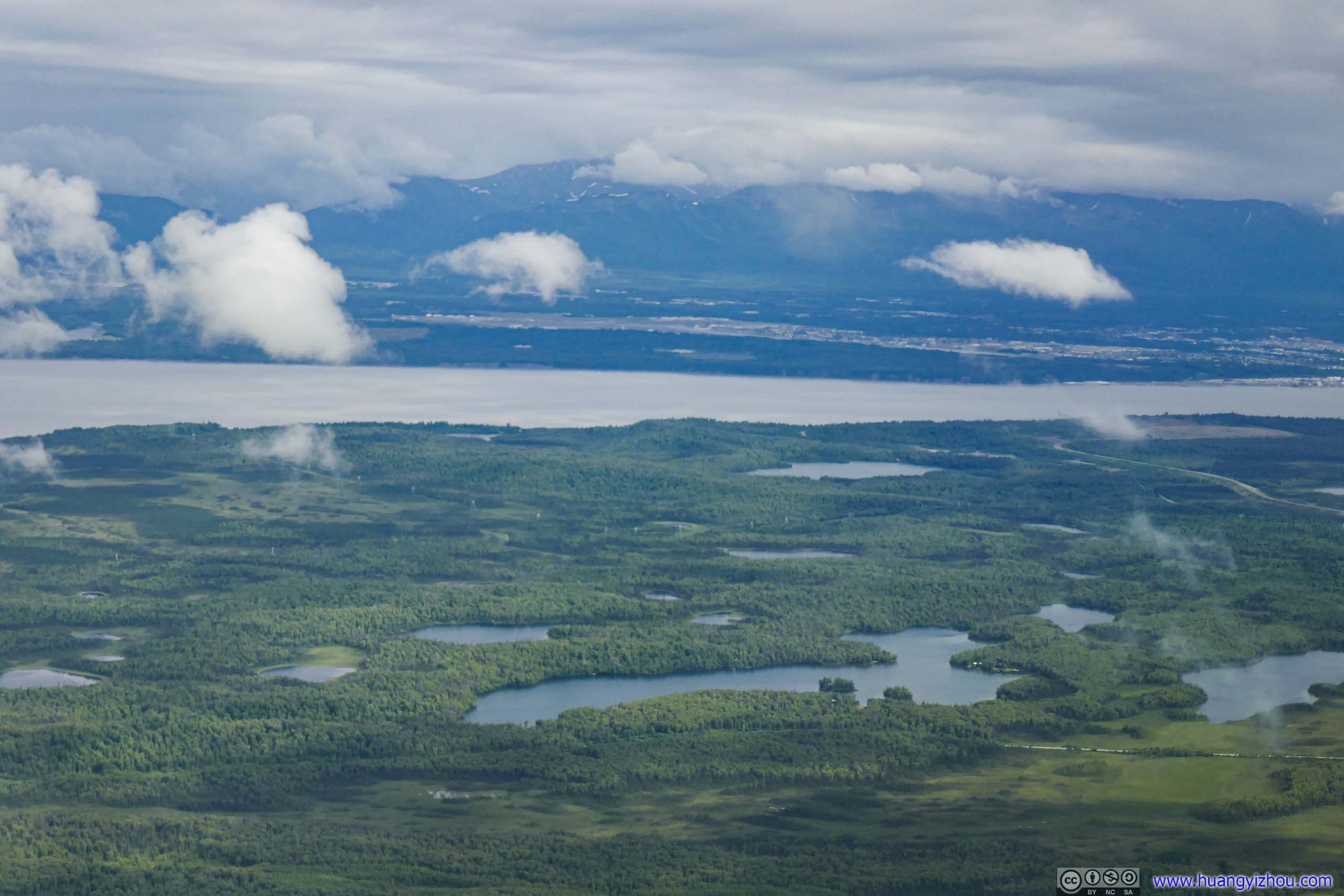
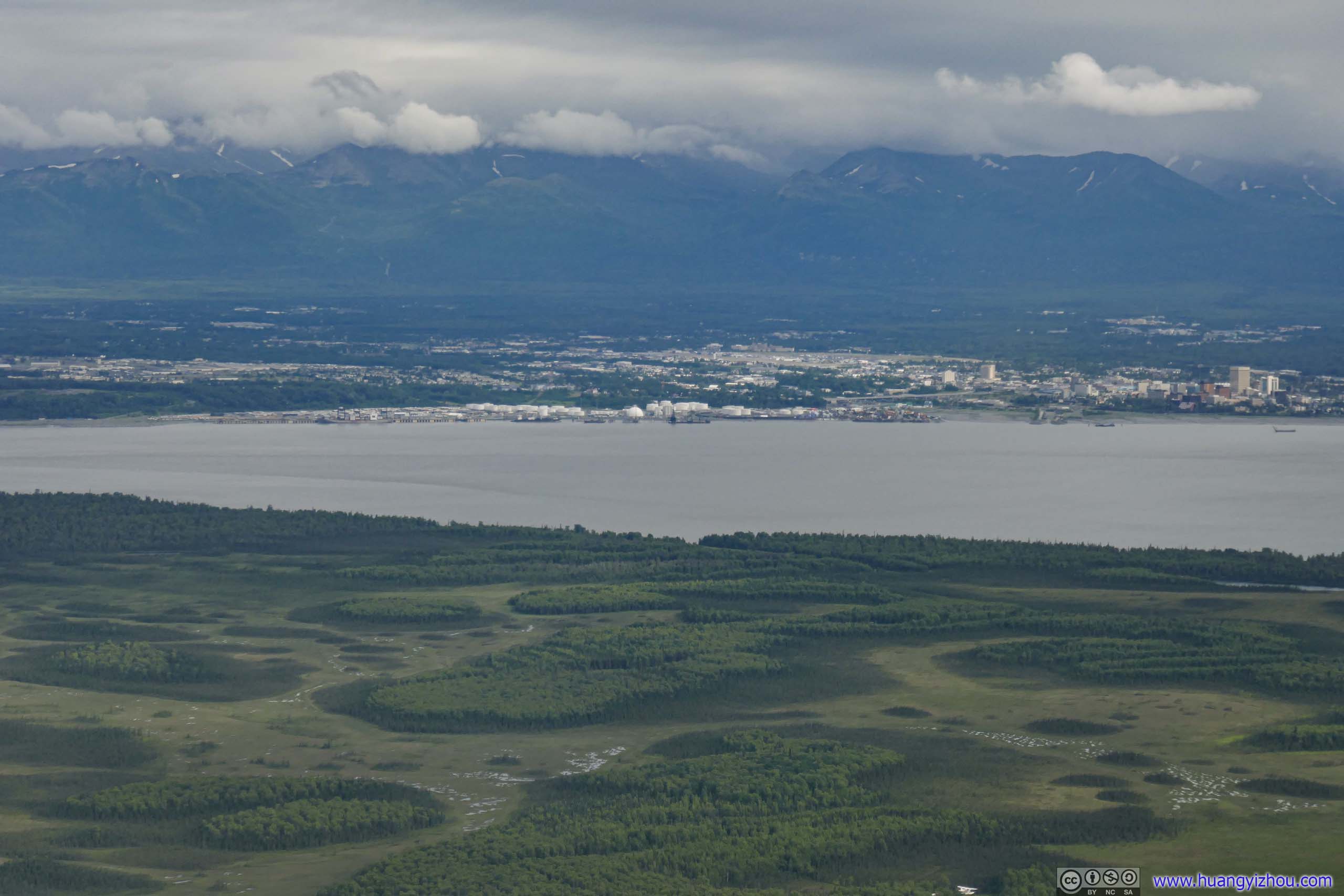
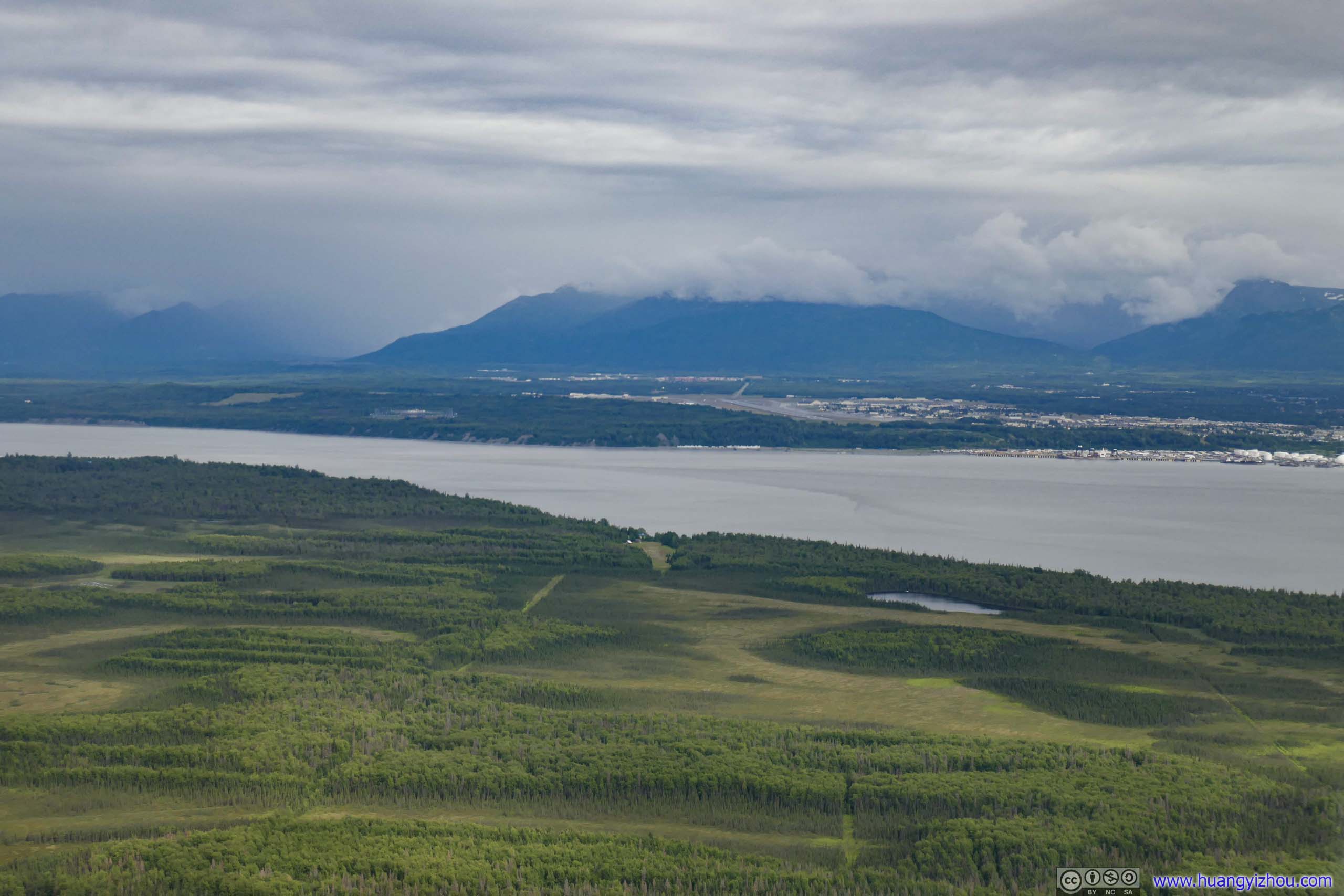
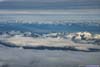
Most of central Alaska was covered in clouds, I only got glimpses of the tundra field underneath after we started descent.
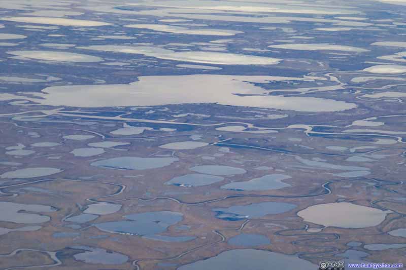 Tundra
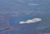
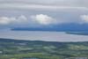
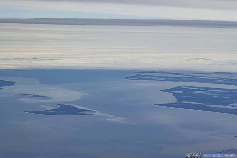 Oarlock Island in Admiralty Bay
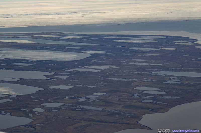 Tundra
 Tundra
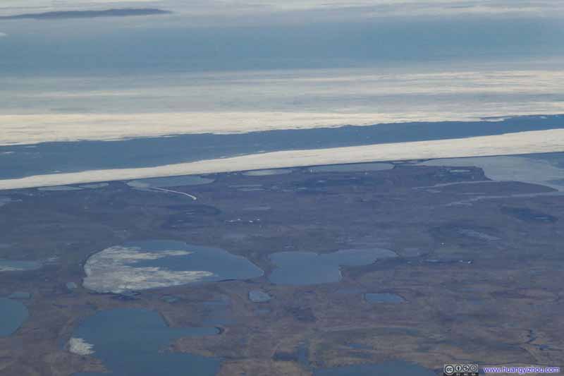 Tundra
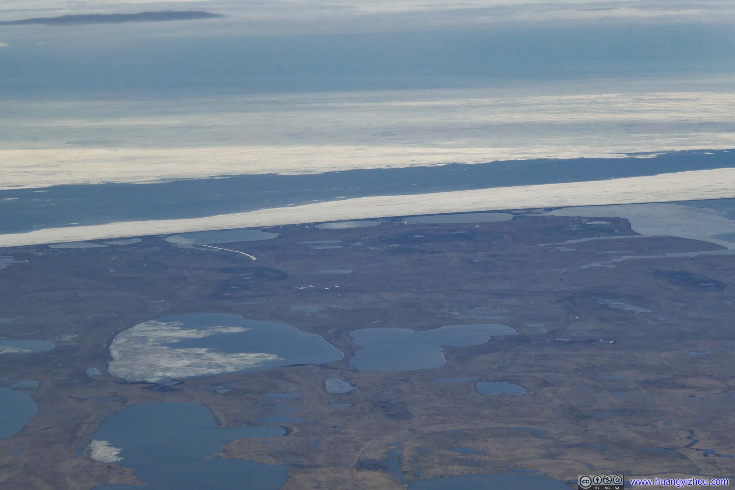
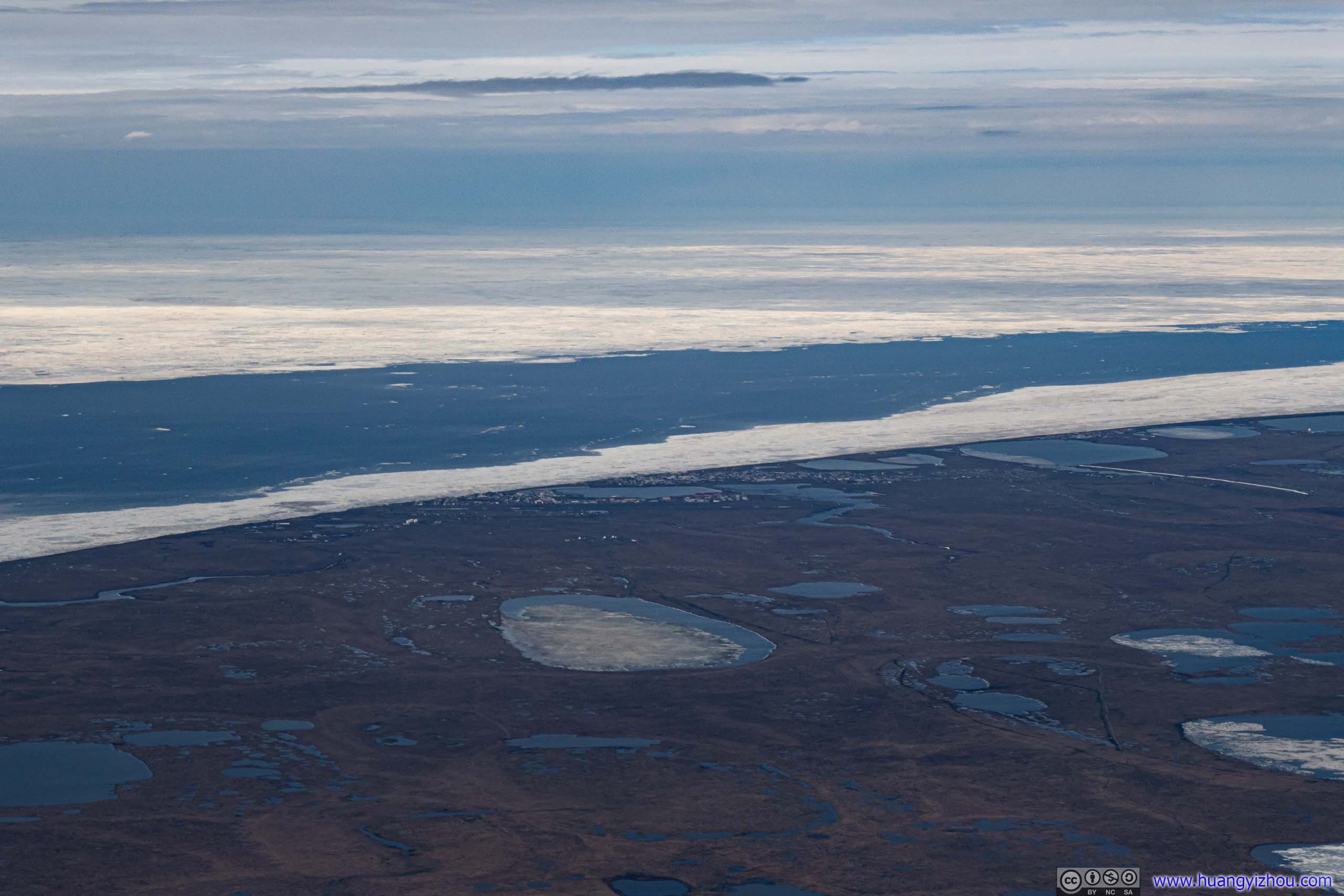
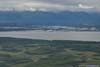
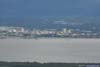
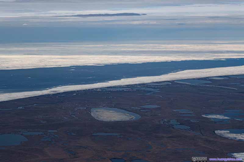 Overlooking Utqiagvik
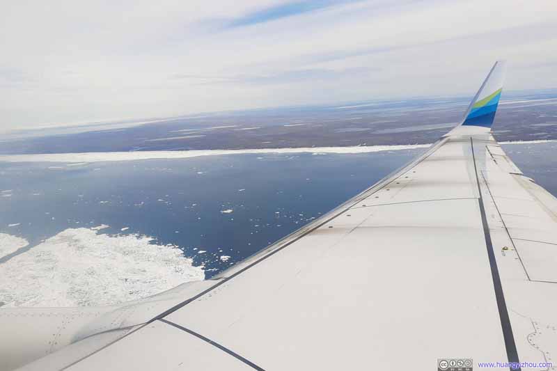 Flying into Utqiagvik


Click here to display photos of the slideshow
Tundra
Oarlock Island in Admiralty Bay
 Tundra
Overlooking Utqiagvik
Flying into Utqiagvik
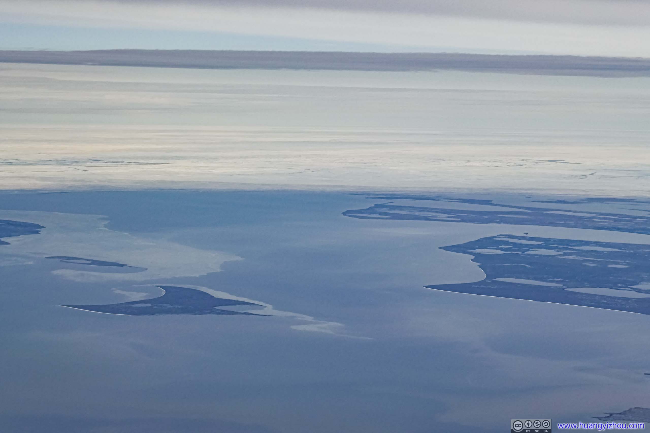
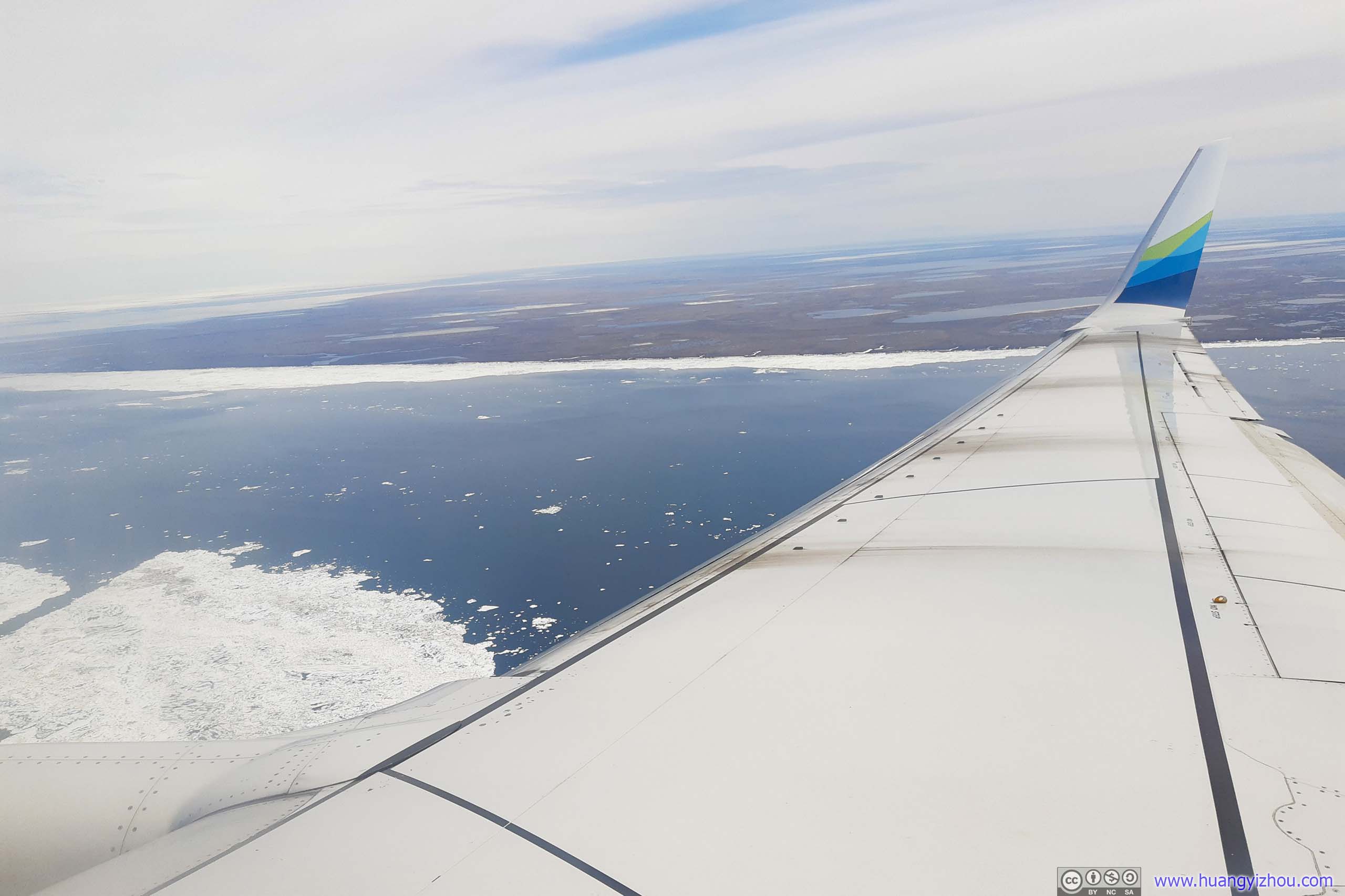
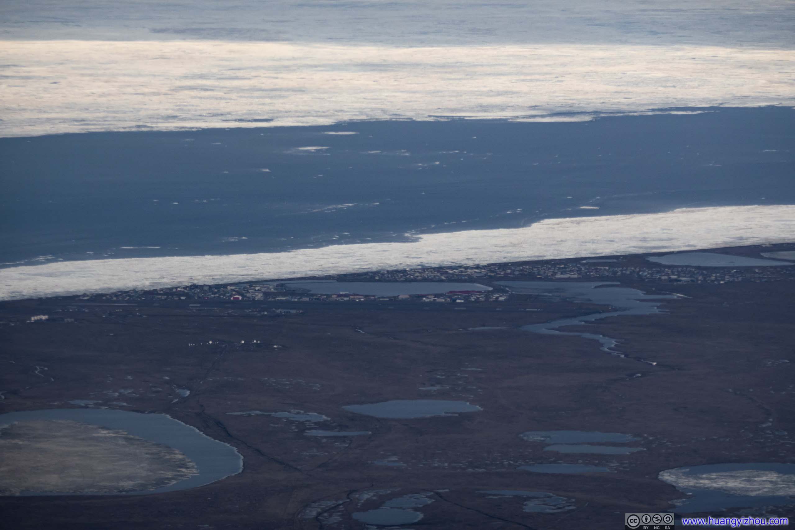
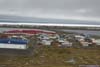
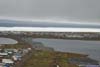
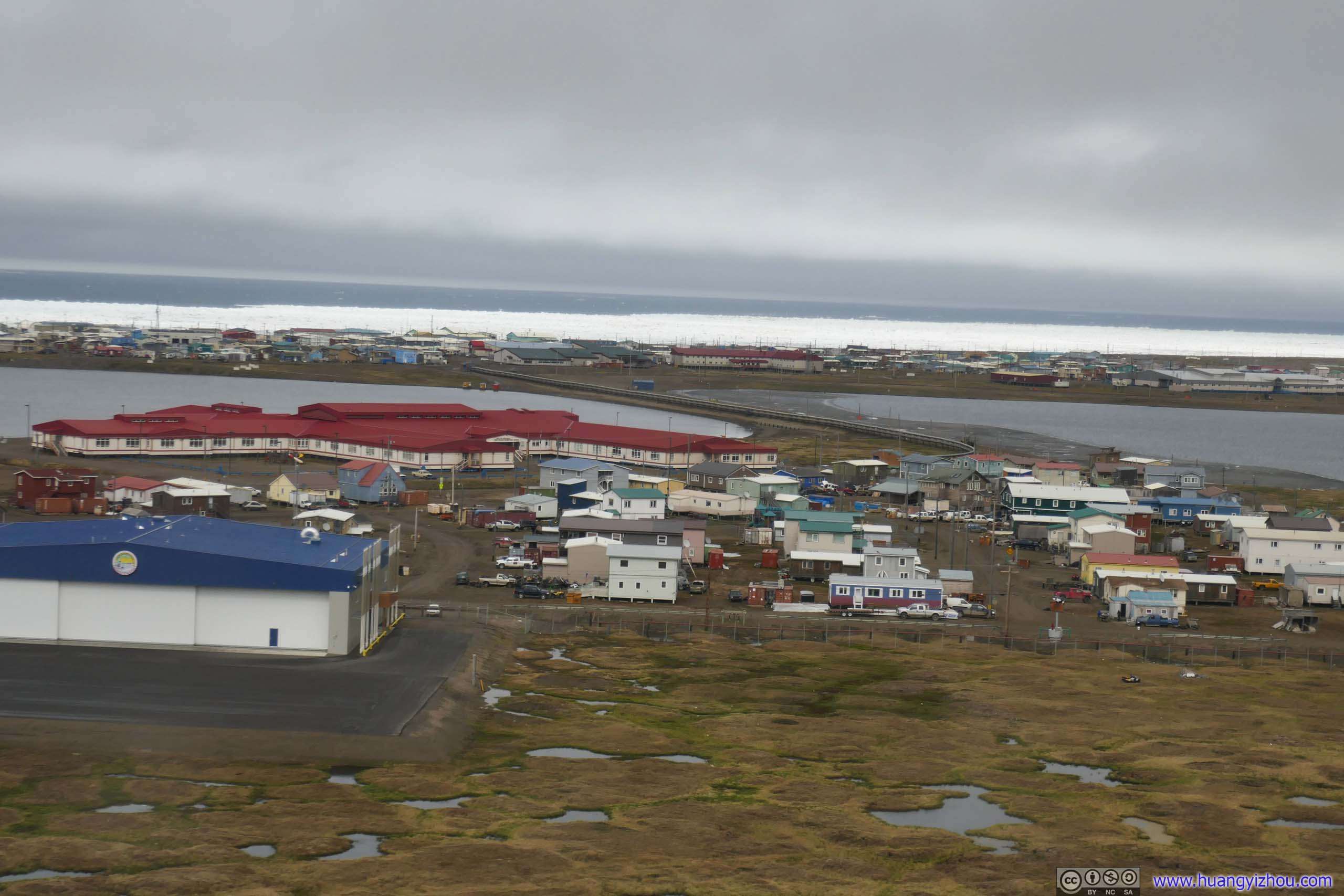
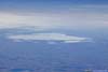
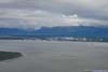
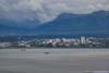
However, it’s such a fascinating sight as I recognized the arctic sea ice that marked the shores of northern Alaska, where the town of Utqiagvik emerged into view.

Elson LagoonPoint Barrow, the northernmost point of United States, in the center of this photo.
Overlooking Utqiagvik
And here’s a video that I took for the final moments before landing.
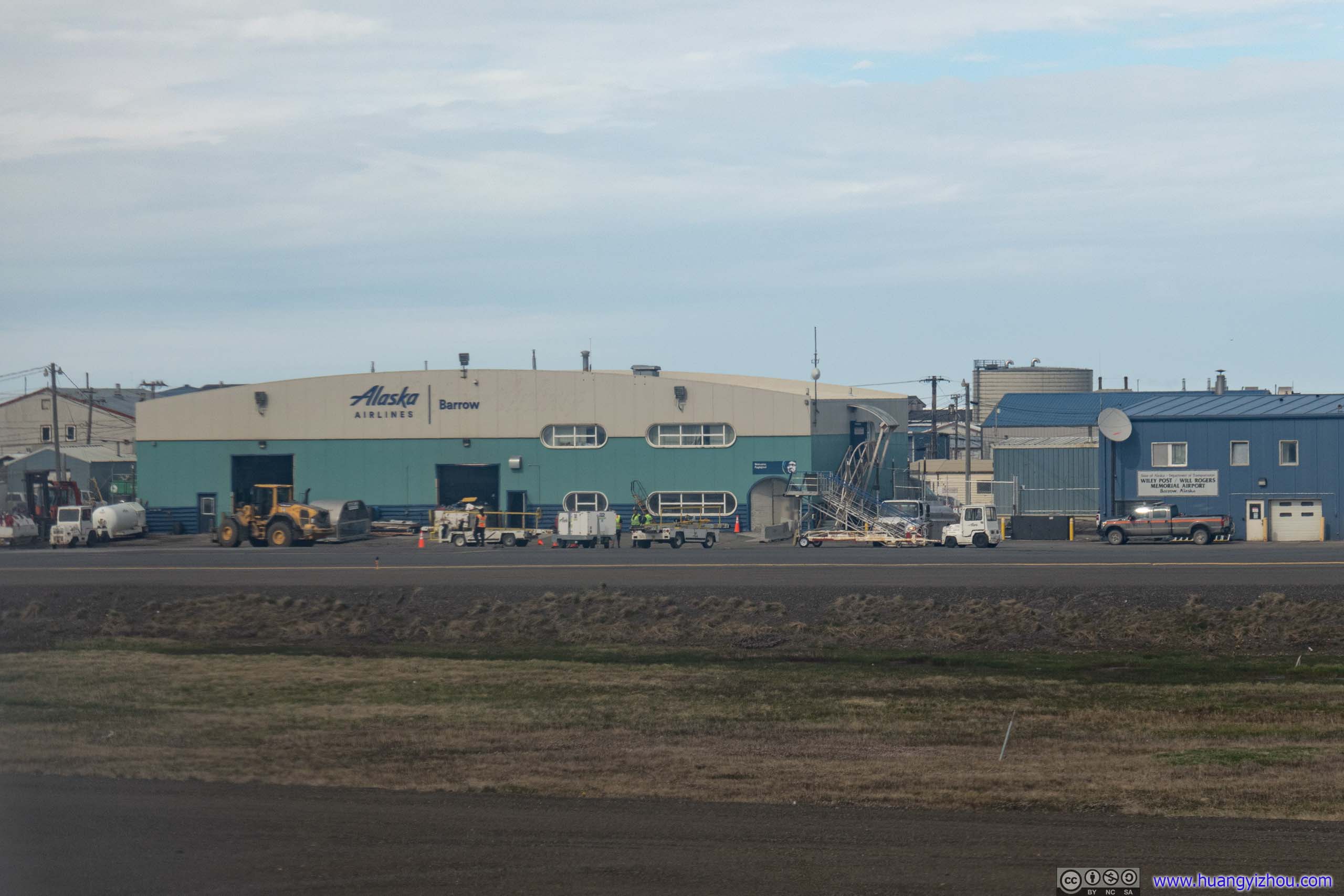
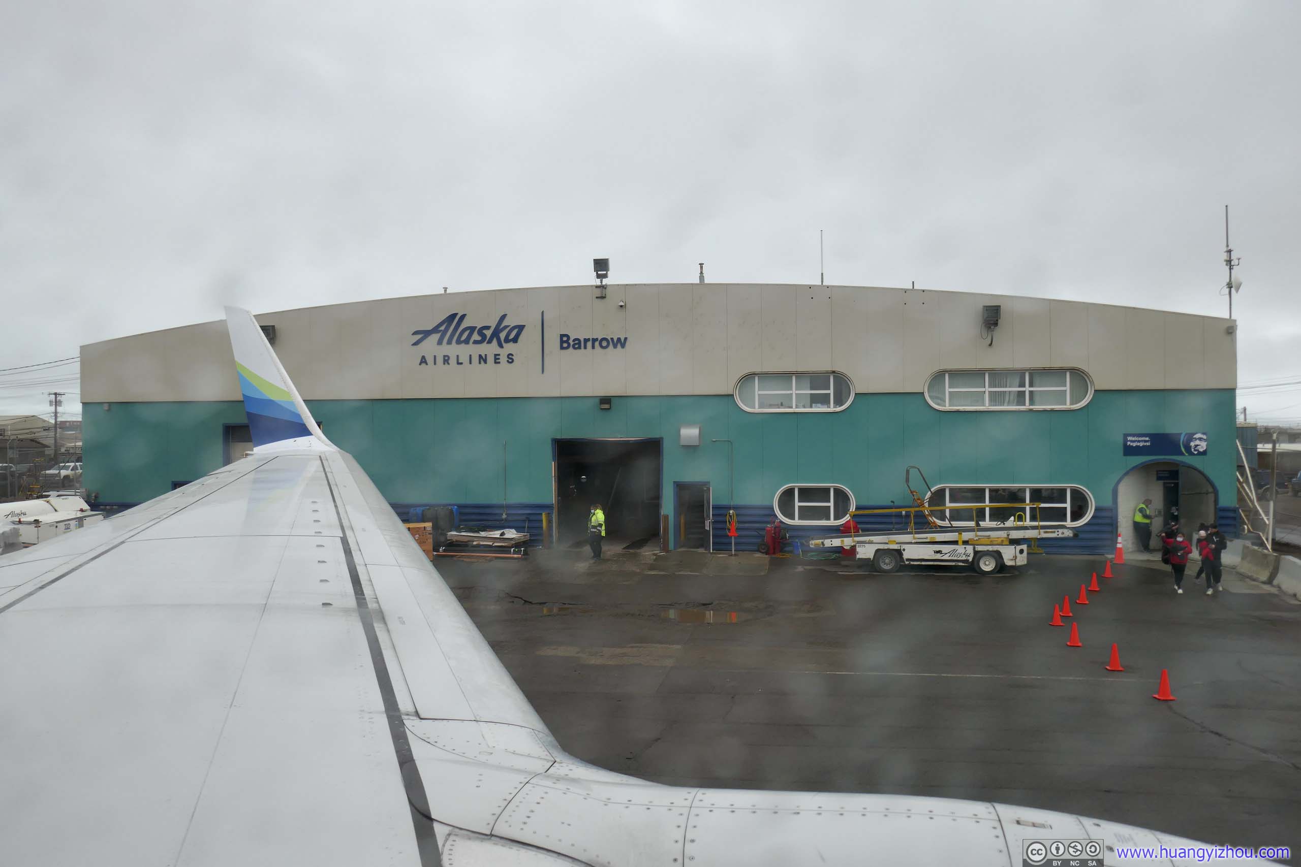
Alaska Airline Terminal of Utqiagvik Airport
Upton touchdown, I turned on my phone and was both shocked and delighted to find that I had internet service. Since I used a MVNO under T-Mobile at home, I had no service in Alaska during my trip last year. This time, I purchased a line from RedPocket (another MVNO) under AT&T, which had coverage near Anchorage. But in Utqiagvik the only mobile service should come from GCI (an Alaska native carrier), where AT&T marked as “partner coverage”. Since I used a MVNO, it surprised me that I had internet service as good.
 Baggage Handling
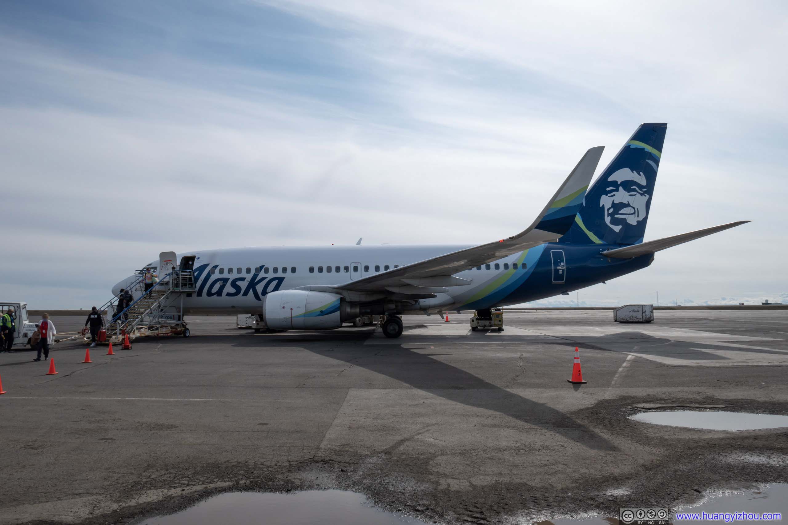 Deplane
In theory, Alaska Airlines had “20-minute baggage guarantee”, which guaranteed checked bags to claimable within 20 minutes of gate arrival, otherwise customers could claim miles or future flight discount. But with rather basic baggage handling facilities here at Utqiagvik, the fact was that no bag ever came out before that time mark*. So imagine two plane-ful of people (including people on the outbound flight) crowded in a space that’s about half a tennis court in size, it’s not pleasant experience.
But luckily, out of the only three hotels in town (which Utqiagvik actually boasted about in its museum), I chose to stay at King Eider Inn which was just steps from the airport. So I decided to race to the hotel to finish the checkin. And “race” I mean since I was no match for Utqiagvik’s bitter wind with my clothes in checked bags.
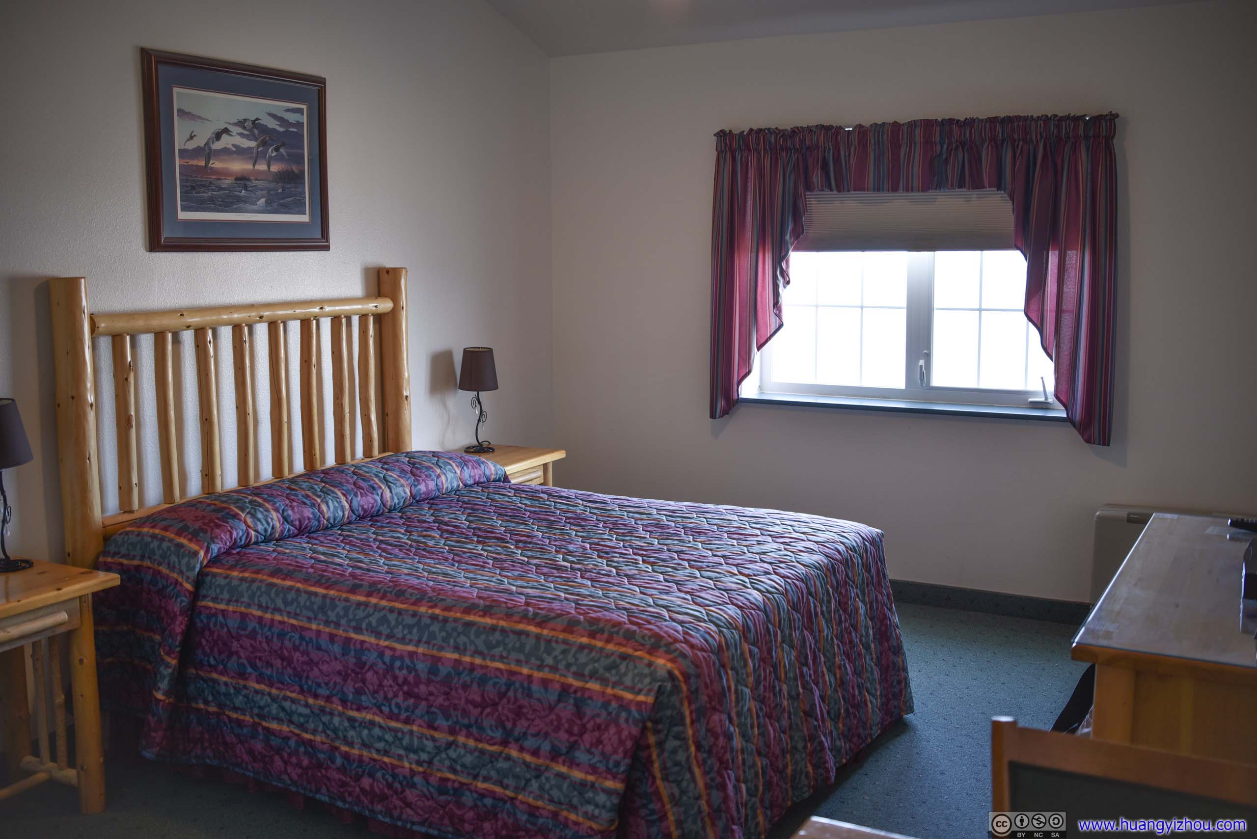
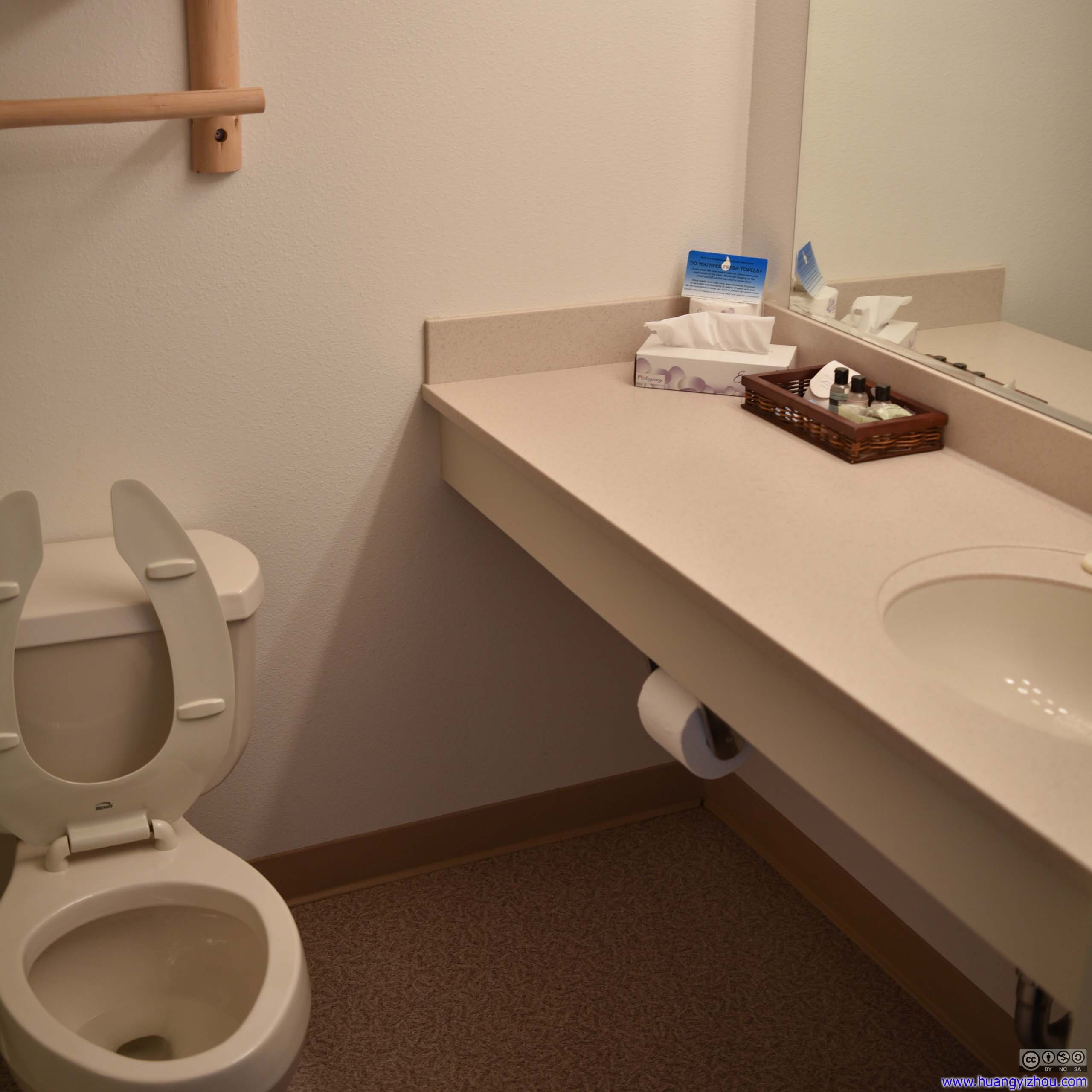
 Hotel Room
 Hotel Room
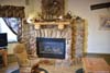
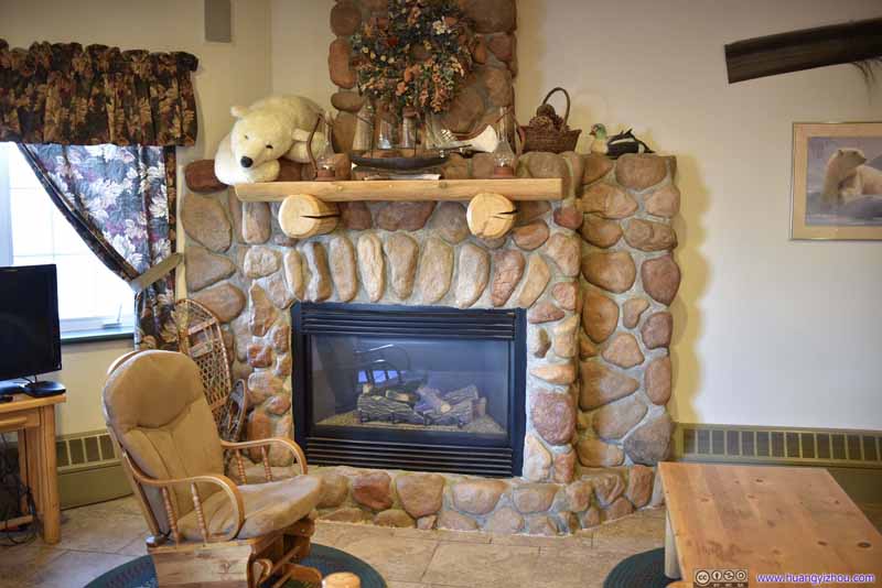 Lobby Fireplace
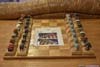
 ChessboardWith difference pieces made of local birds.

Click here to display photos of the hotel.
Hotel Room
Hotel Room

Lobby Fireplace

ChessboardWith difference pieces made of local birds.
The hotel room actually turned out to be much better than I expected. In particular, there wasn’t much sign of wear on the furniture and everything was sparklingly clean (probably due to its no-shoes policy). It felt a bit out of place to the harshness that the town would otherwise present itself.
After finishing hotel checkin, I got back to the airport and retrieved my checked bags. The Alaska Airlines staff announced that 23 bags didn’t make it onto the plane. But since I checked wheeled luggage bags rather than storage boxes which distinguished me from the locals, or because I was Alaska Airlines’ elite, both of my checked bags made it to Utqiagvik. So I joined the locals who proficiently* formed a line at the airline counter, and got my voucher for “baggage delay”, which I redeemed for 2500 Alaska Airlines miles. (The entire flight from Washington DC only cost me 12500 miles.)
Repairable Damage
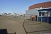
Town of Utqiagvik
For approximately the next 21 hours, I wandered about in the town of Utqiagvik.
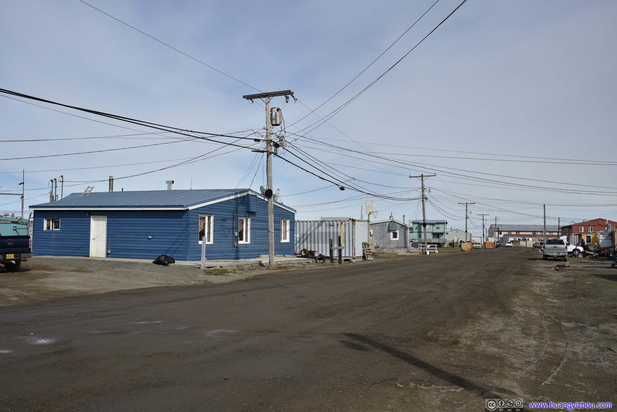
Buildings
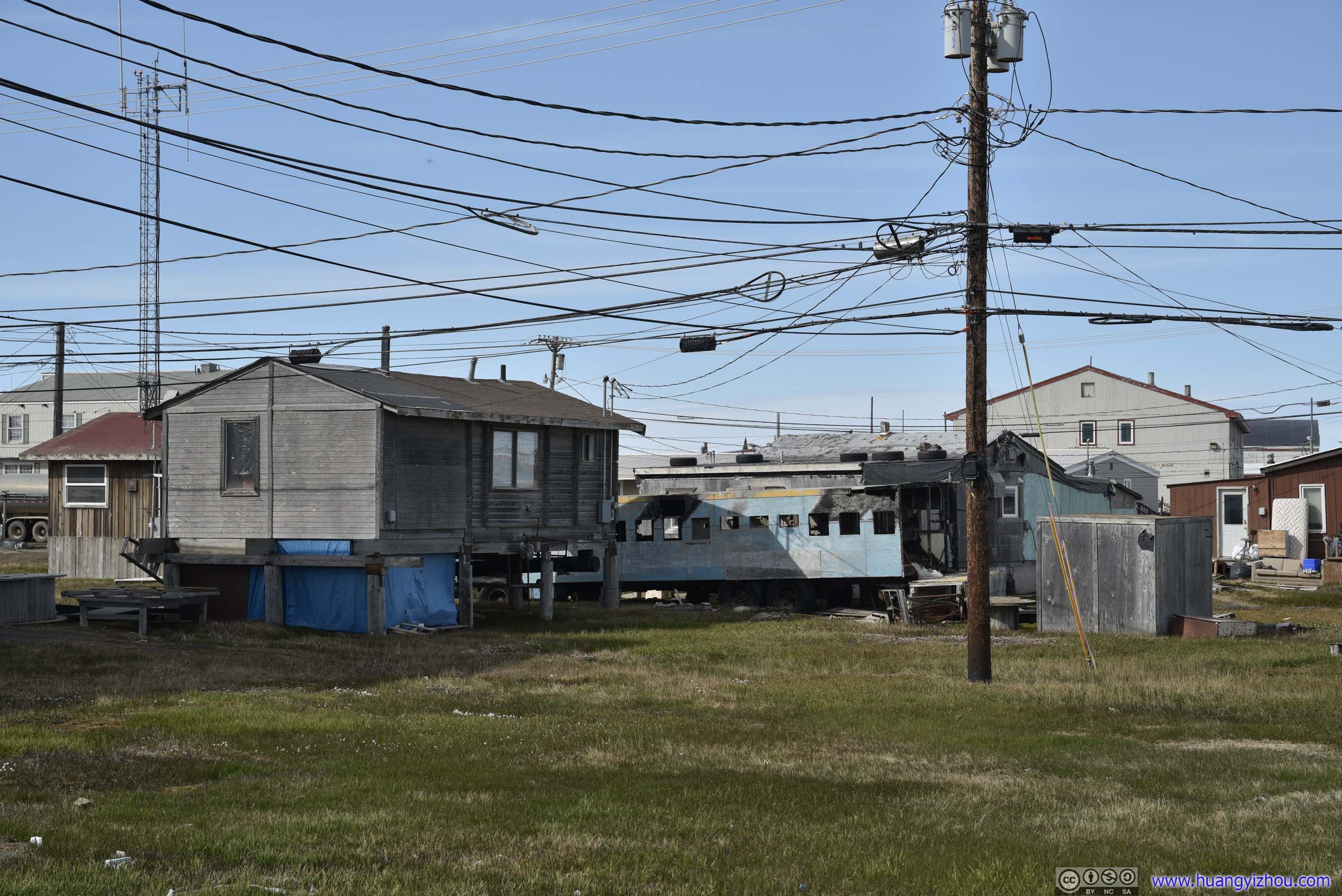

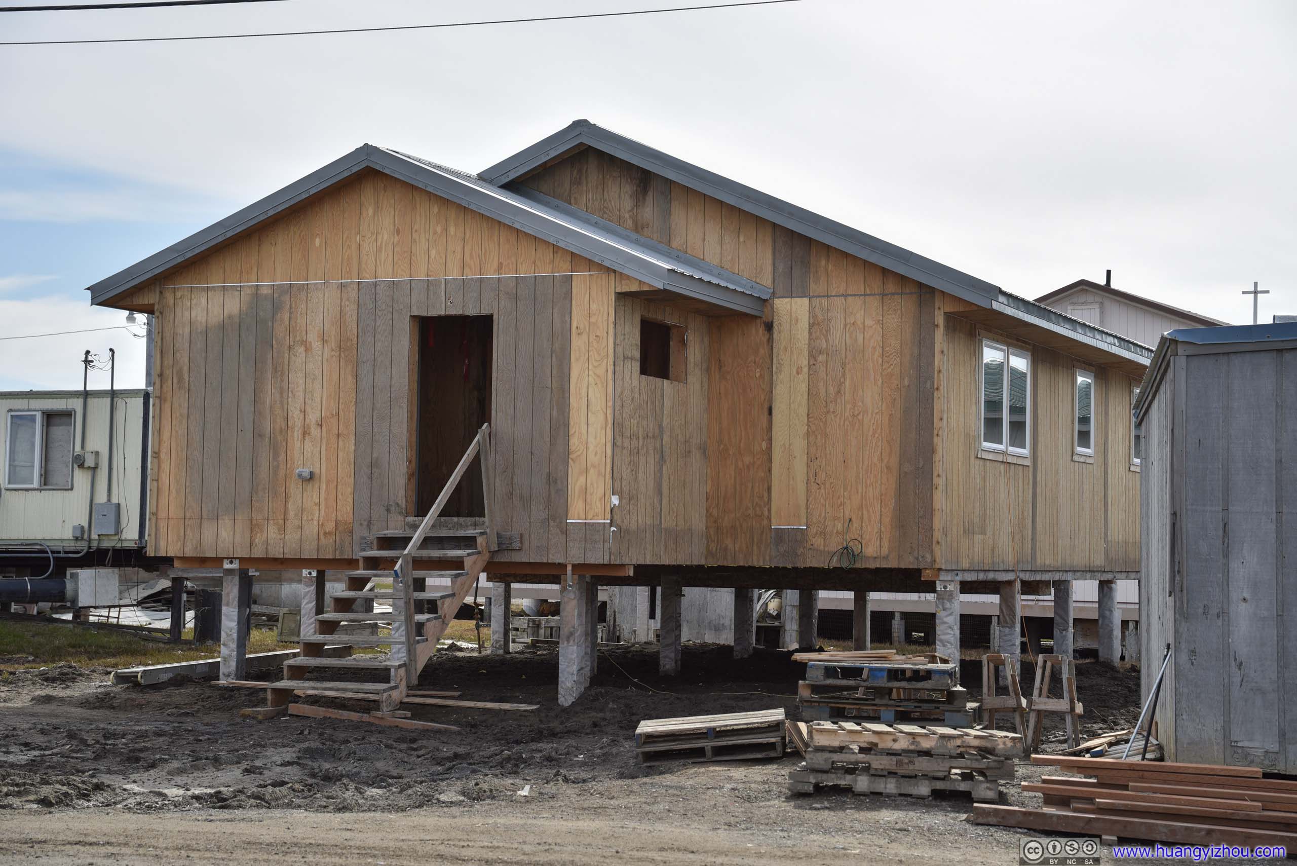
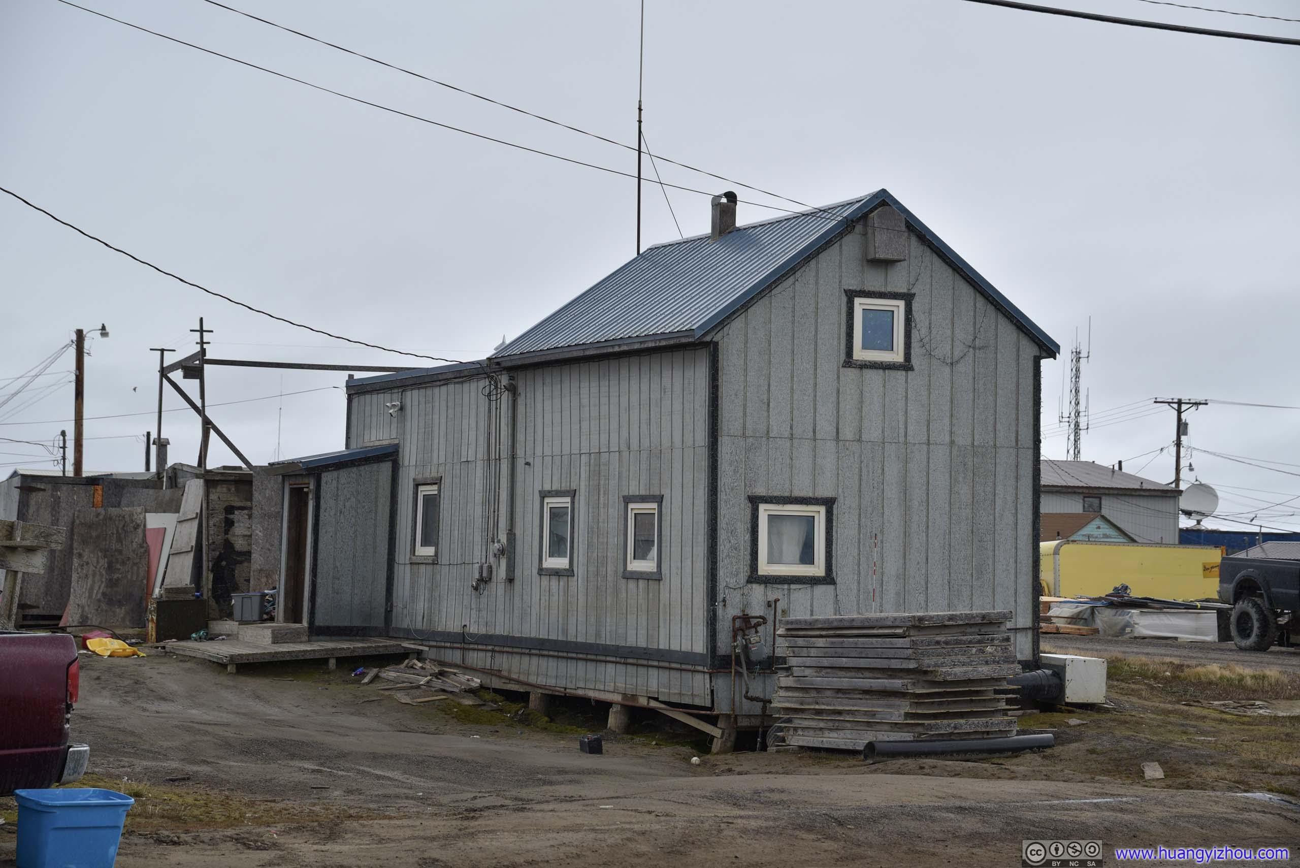
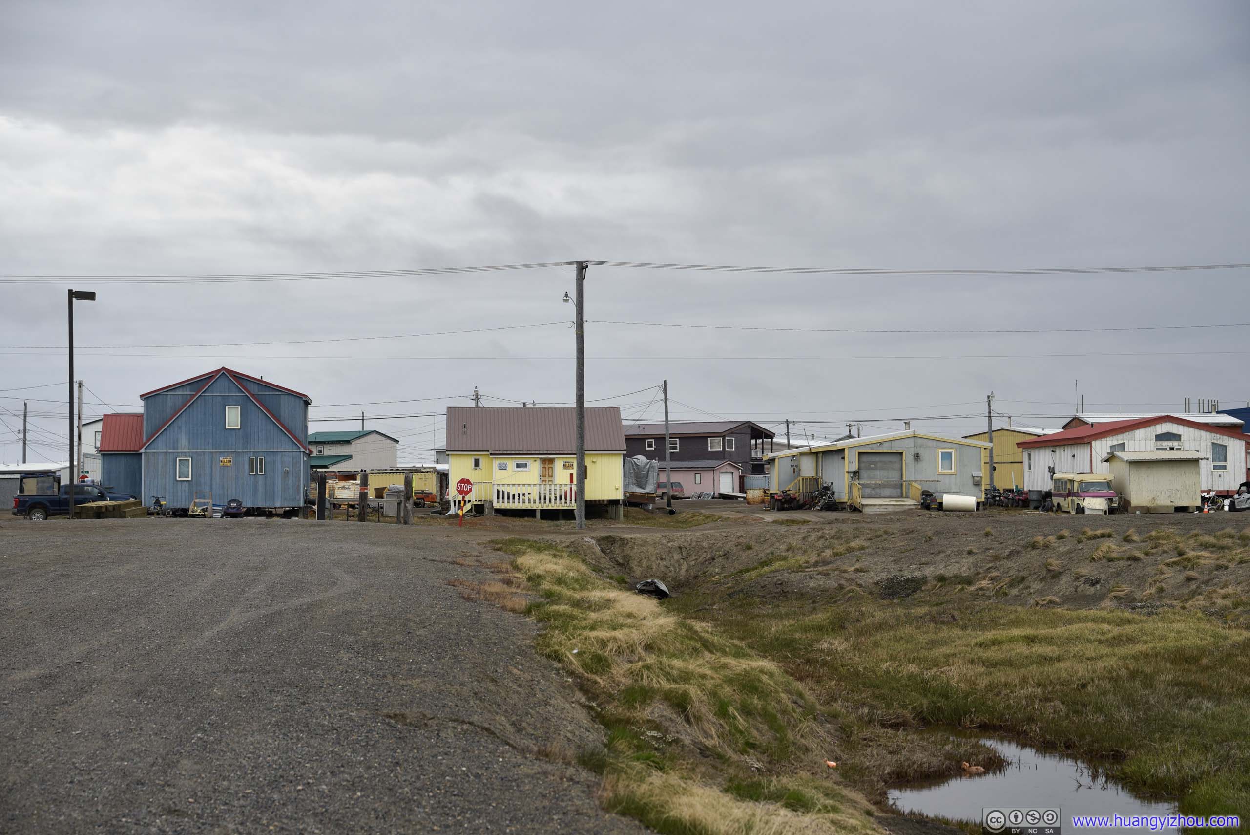
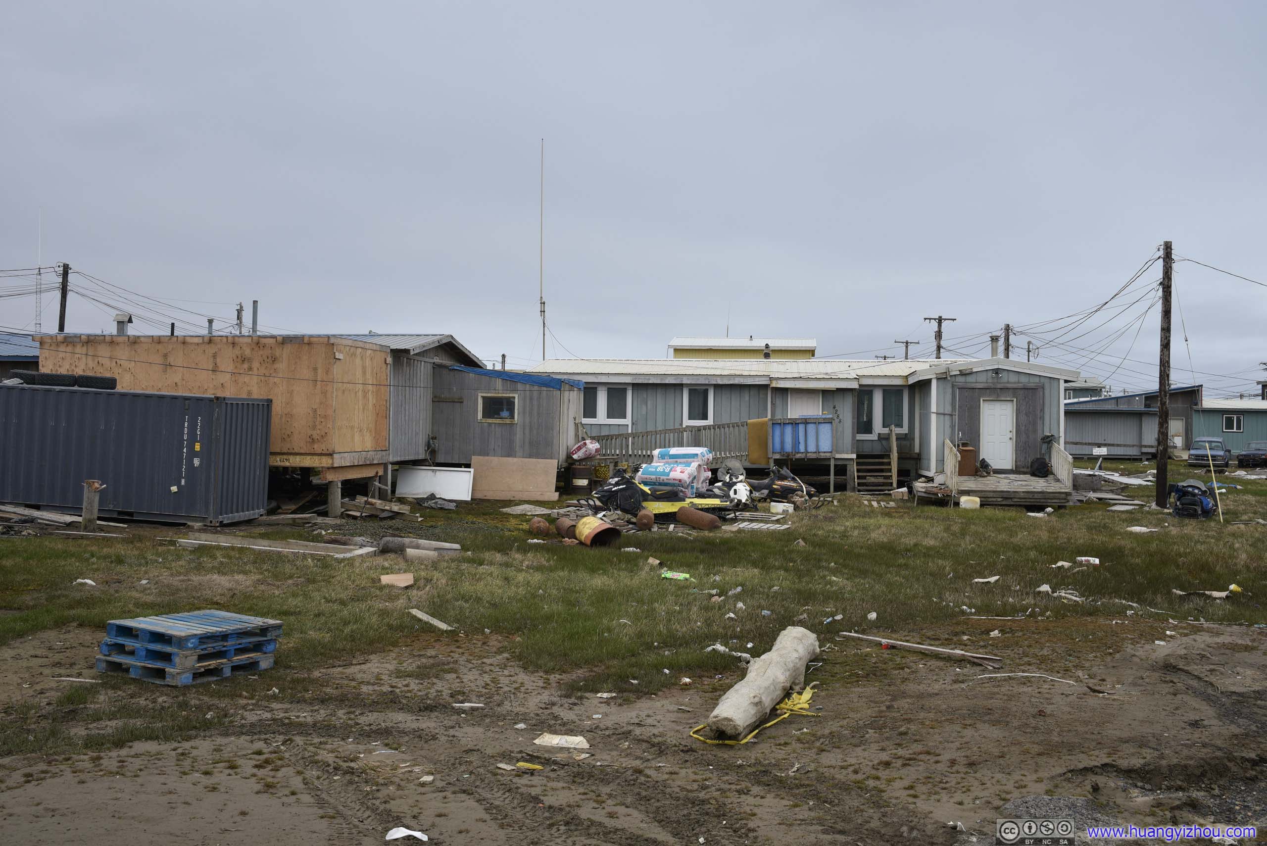 Houses
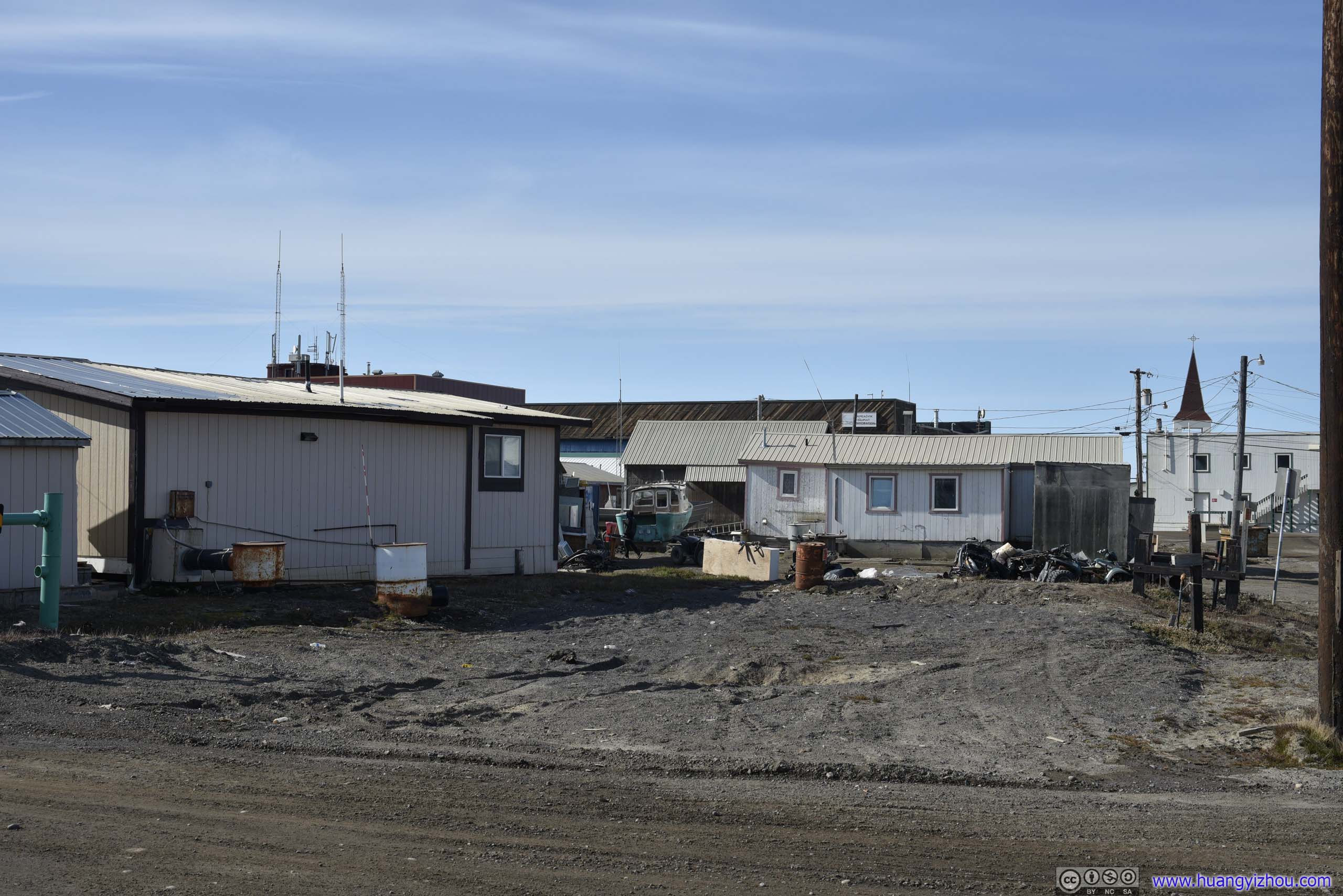
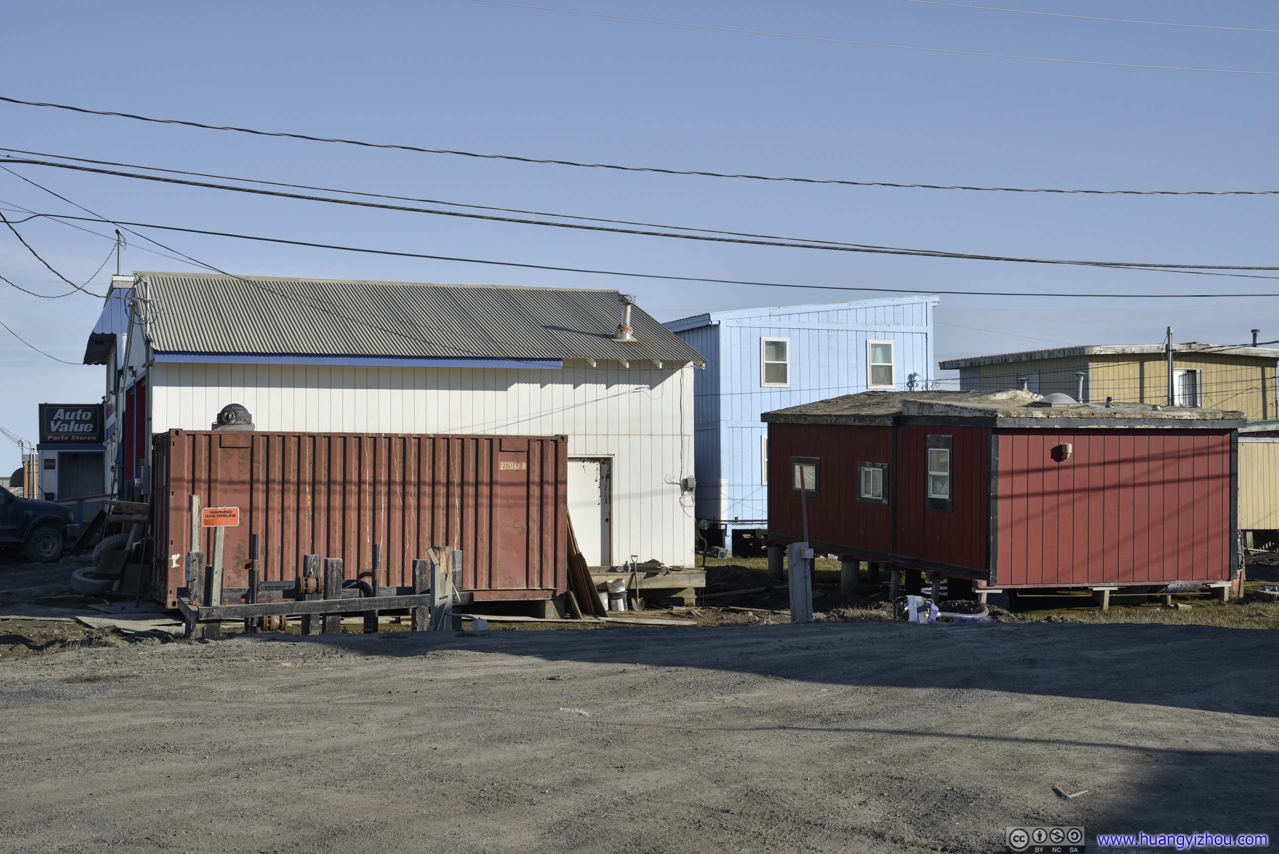
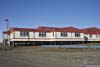
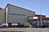
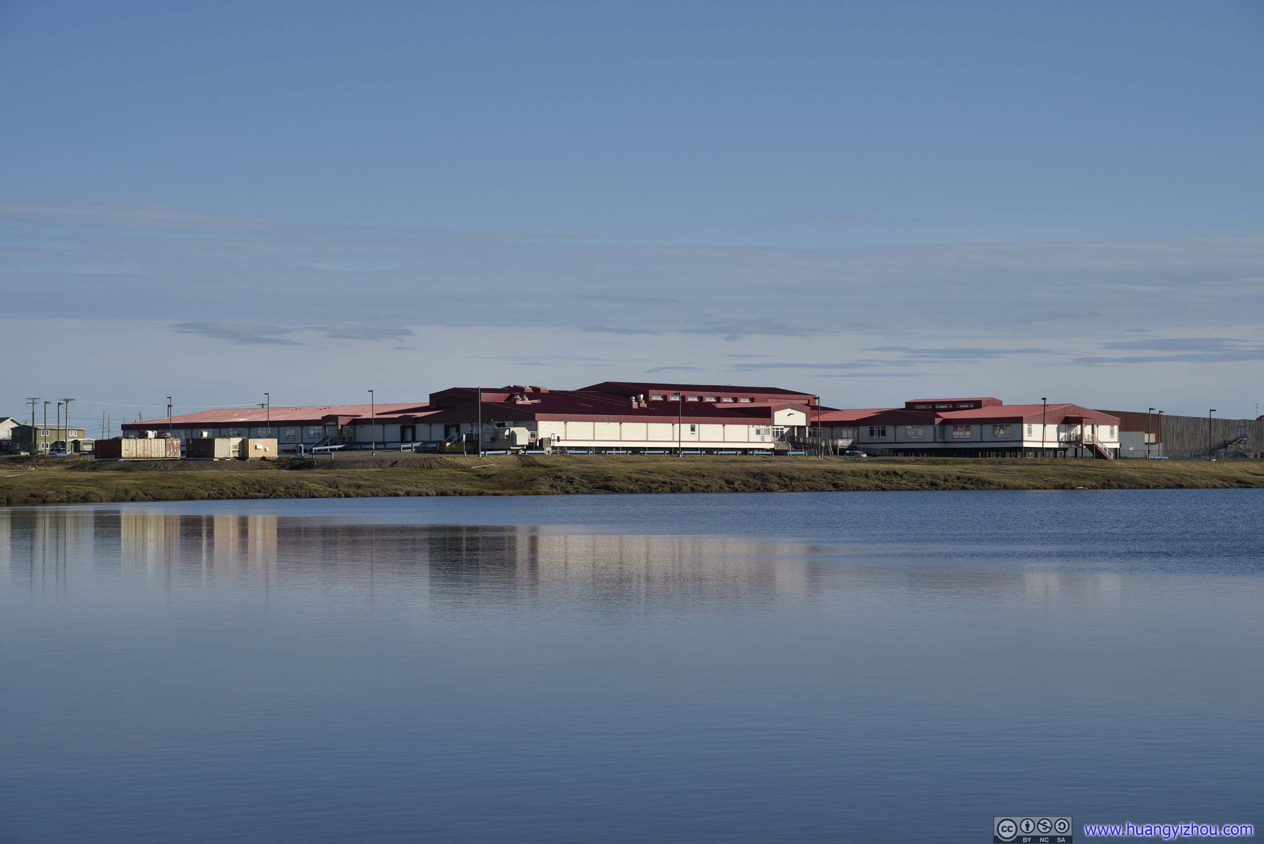
Apart from individual houses, there were a few other buildings that were more prominent.
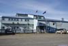
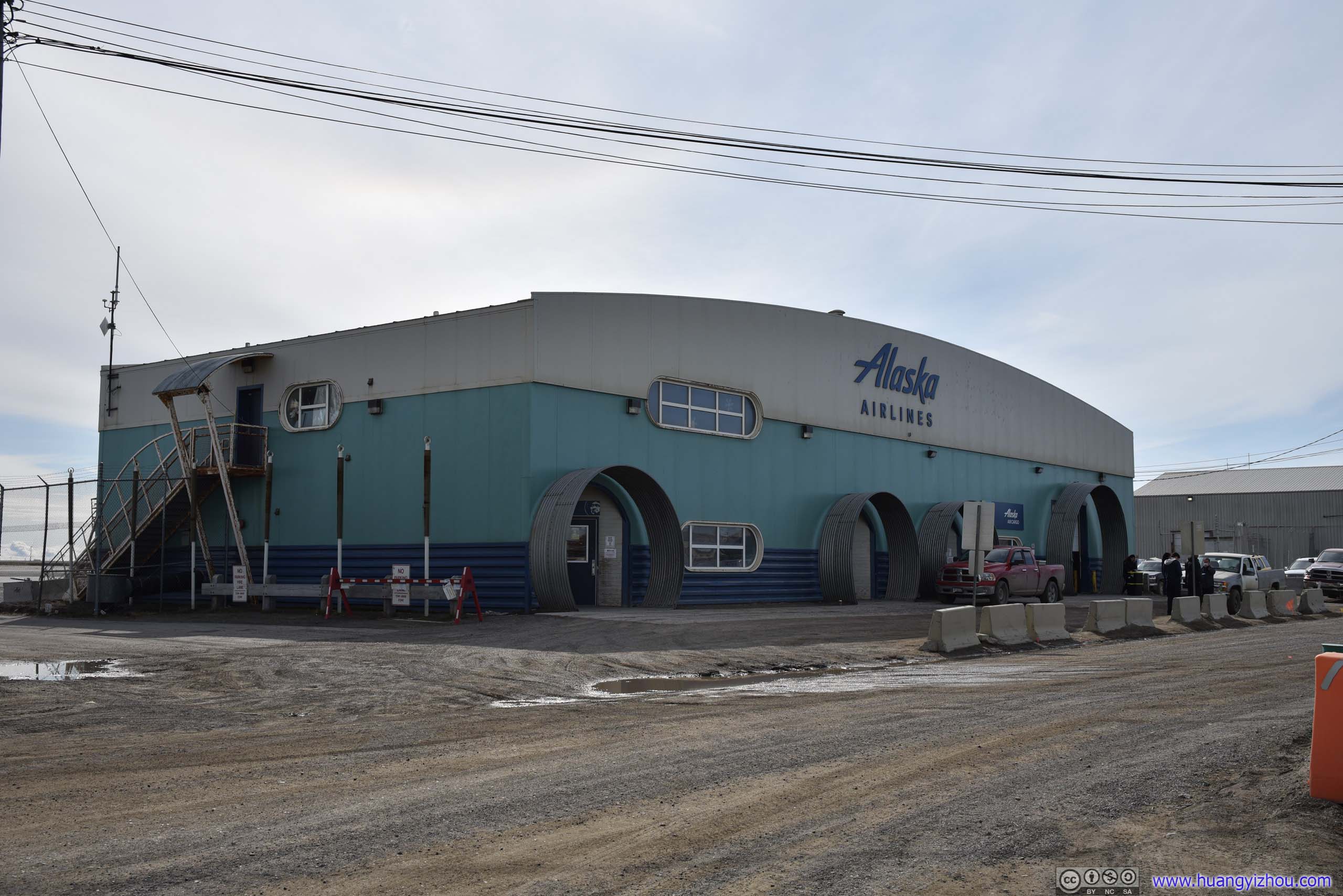
 Utqiagvik Airport Alaska Airlines Terminal
In the afternoons where the only daily flight from Anchorage arrived, there would be a bustling scene in front of this terminal that’s almost foreign to this small and remote town which felt otherwise secluded.
Utqiagvik Airport Alaska Airlines Terminal
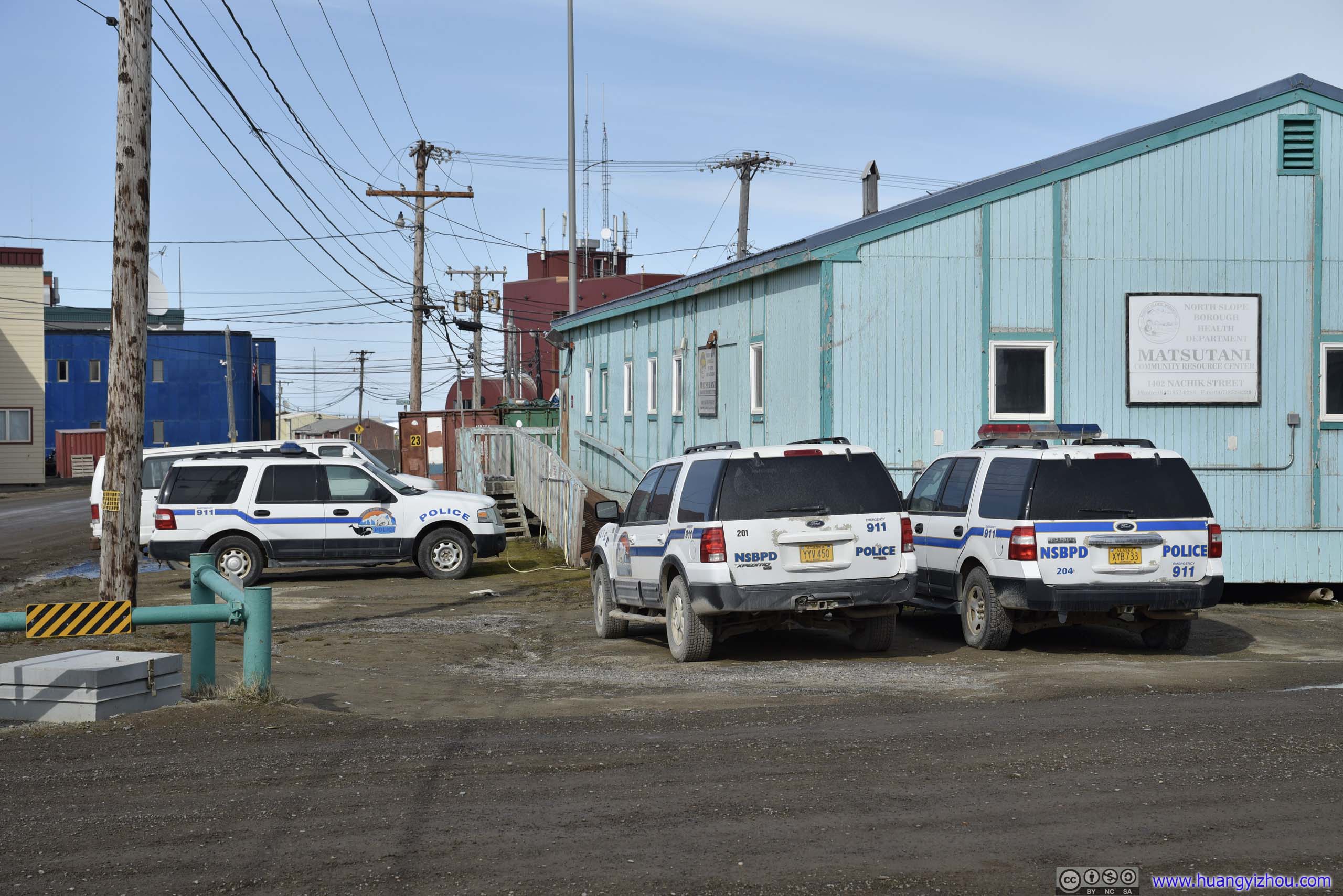
In the afternoons where the only daily flight from Anchorage arrived, there would be a bustling scene in front of this terminal that’s almost foreign to this small and remote town which felt otherwise secluded.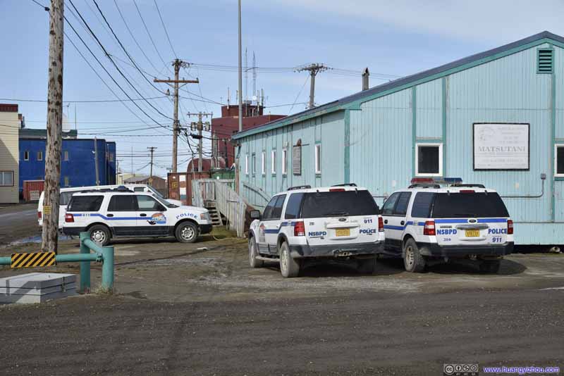 Police Cars
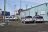
Ford expeditions, rather old model years. It might be that cars, new or old, would require a lot of maintenance here in the north, so the police department just decided to stick to these older vehicles rather than buying new ones to save budget. It’s also interesting that despite there’s a police station down the road, these cars were parked at a “Community Resource Center”.
Police Cars
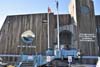
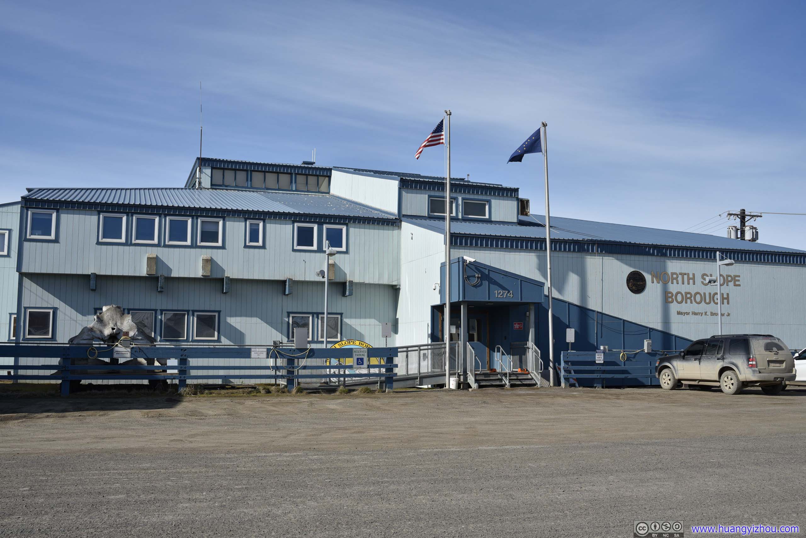
Ford expeditions, rather old model years. It might be that cars, new or old, would require a lot of maintenance here in the north, so the police department just decided to stick to these older vehicles rather than buying new ones to save budget. It’s also interesting that despite there’s a police station down the road, these cars were parked at a “Community Resource Center”.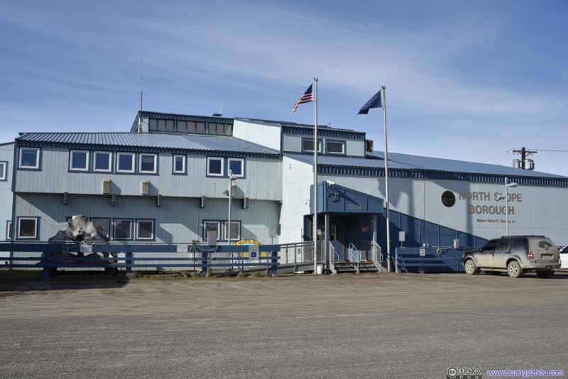 North Slope Borough Government Building
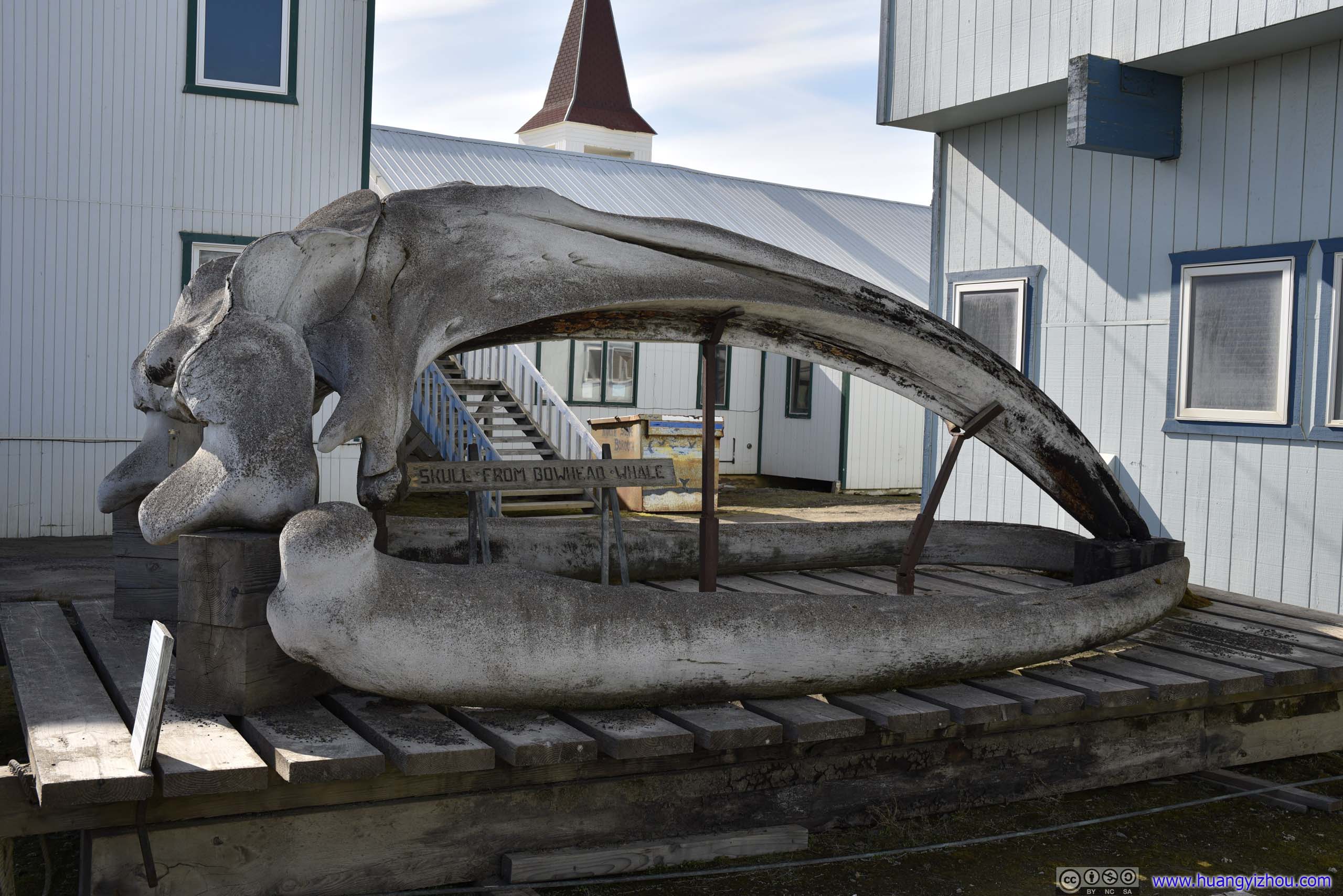
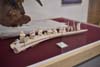
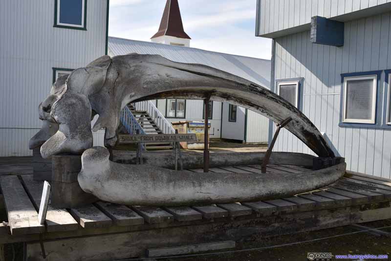 Whale Skull Bone outside North Slope Borough Government BuildingHarvested by Captain Joash Tukle on May 20, 1987, about 3 miles from this site.
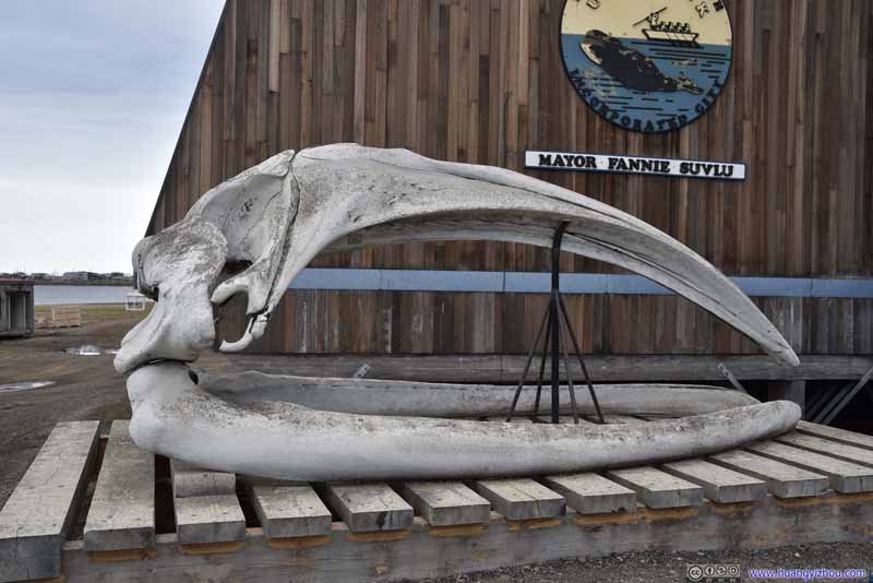 Whale Skull Bones outside City Hall
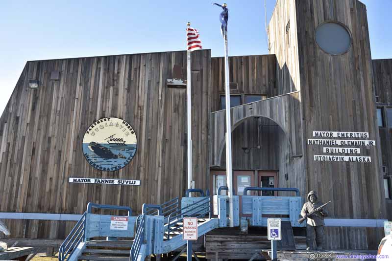 City Hall


Click here to display photos of buildings in town.
Utqiagvik Airport Alaska Airlines Terminal
Police Cars
North Slope Borough Government Building
Whale Skull Bone outside North Slope Borough Government BuildingHarvested by Captain Joash Tukle on May 20, 1987, about 3 miles from this site.

Whale Skull Bones outside City Hall

City Hall
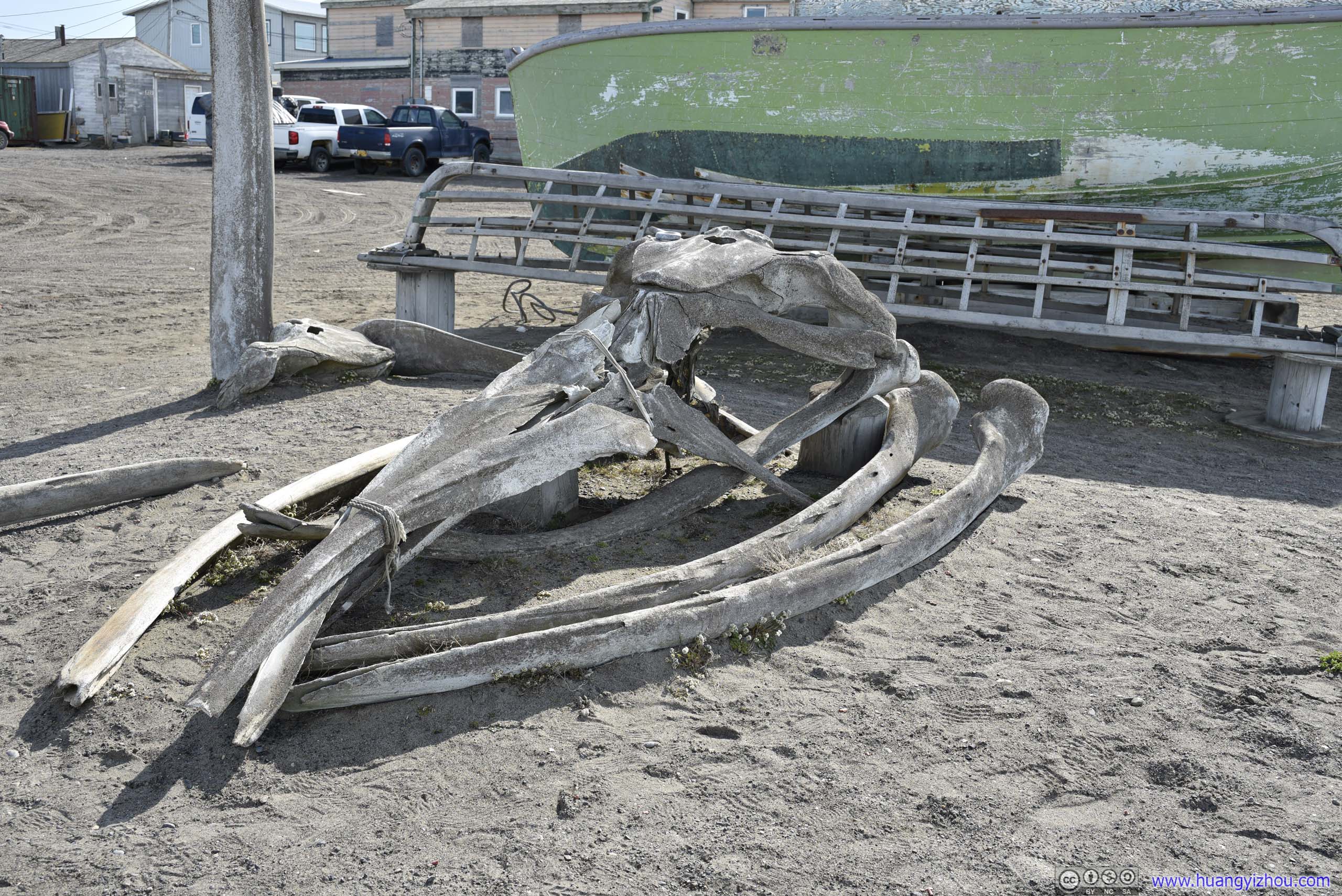
Whale hunting was such an integral part of local life at Utqiagvik, that there was a set of whale skull bone outside every important building in town, including City Hall and Borough government building.
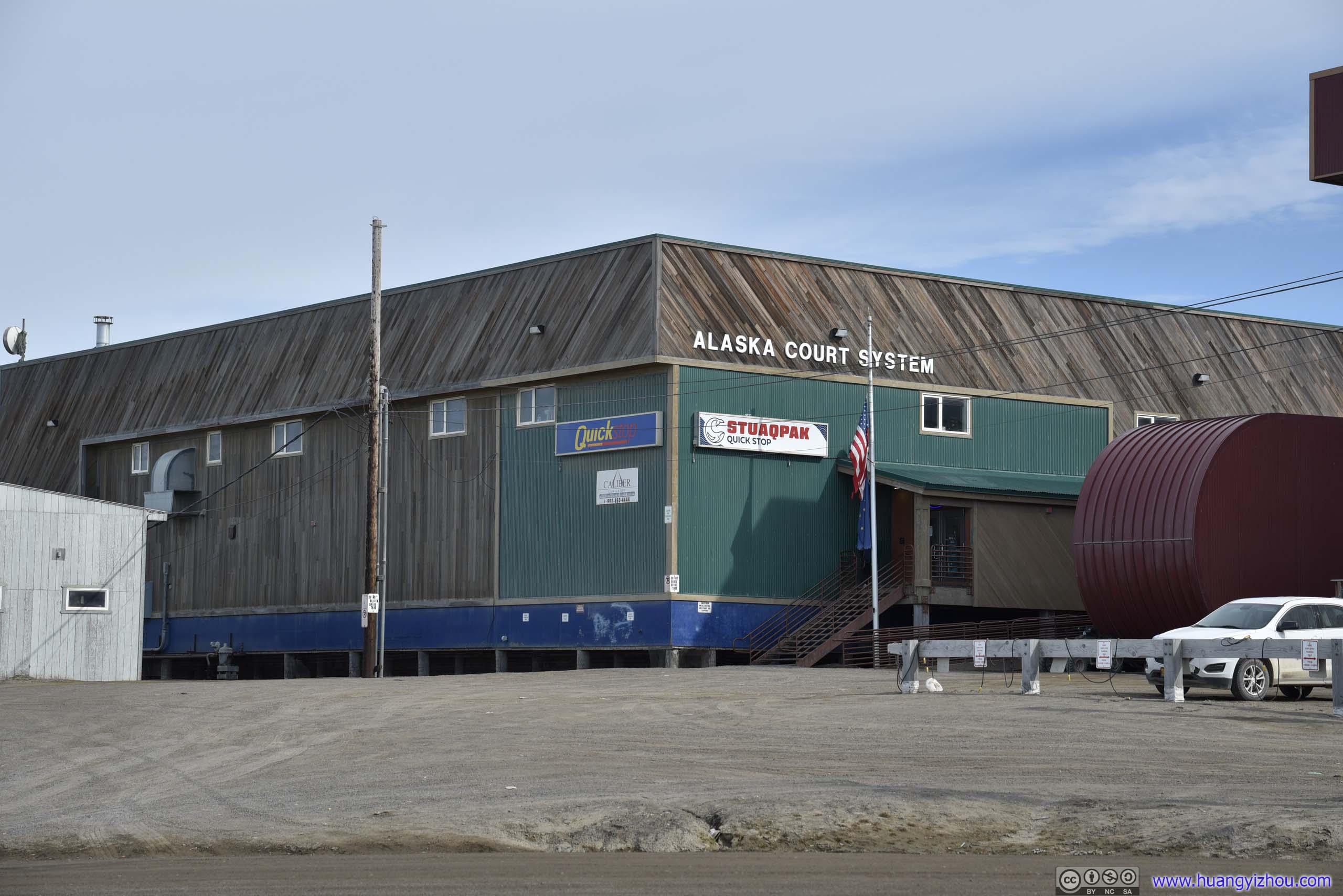
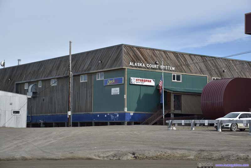 Courtroom
I didn’t head inside the building, but it seemed unproportionally large for a rural courtroom. Amazingly, I didn’t find any whale bones outside this building. Maybe this court building was next on the list?
Courtroom
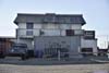
I didn’t head inside the building, but it seemed unproportionally large for a rural courtroom. Amazingly, I didn’t find any whale bones outside this building. Maybe this court building was next on the list?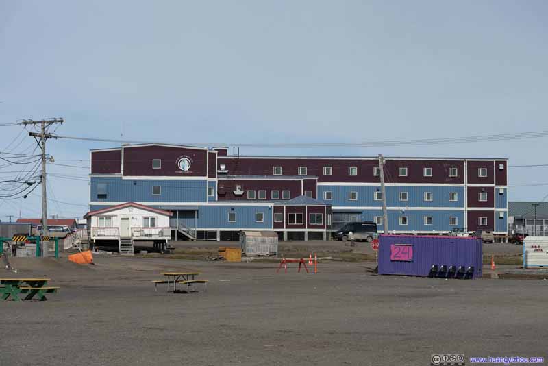 Top of the World Hotel
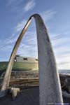
The largest and most luxurious hotel in town, right next to Whale Bone Arch, which was essentially the only tourist attraction in town.
Top of the World Hotel
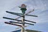
The largest and most luxurious hotel in town, right next to Whale Bone Arch, which was essentially the only tourist attraction in town. Distance Marker
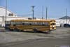
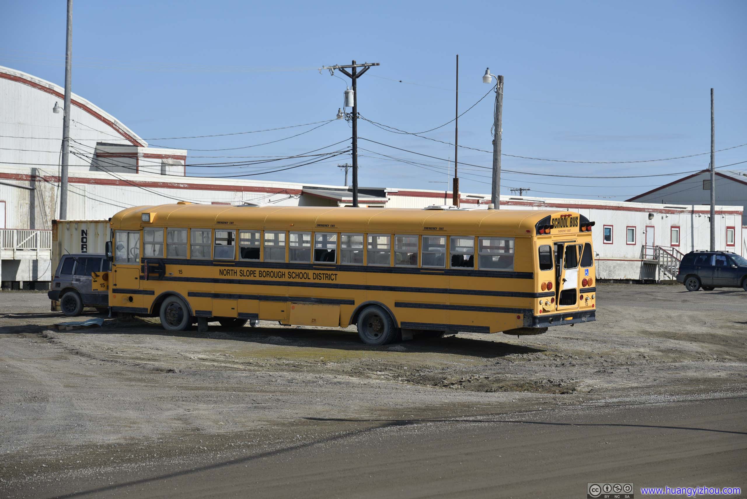
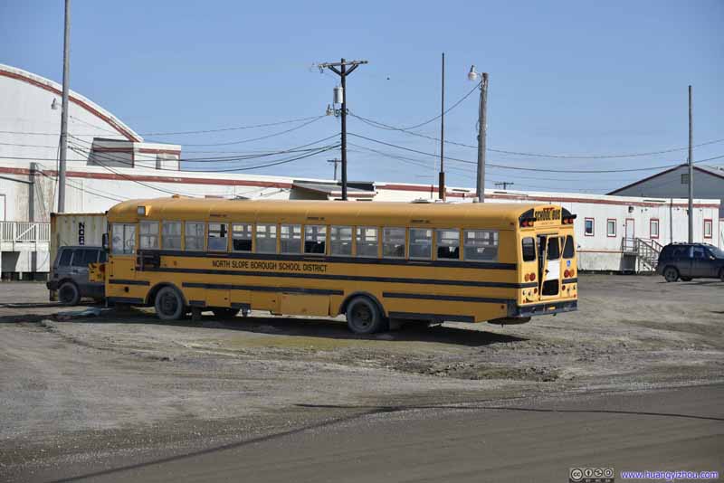 School Bus
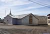
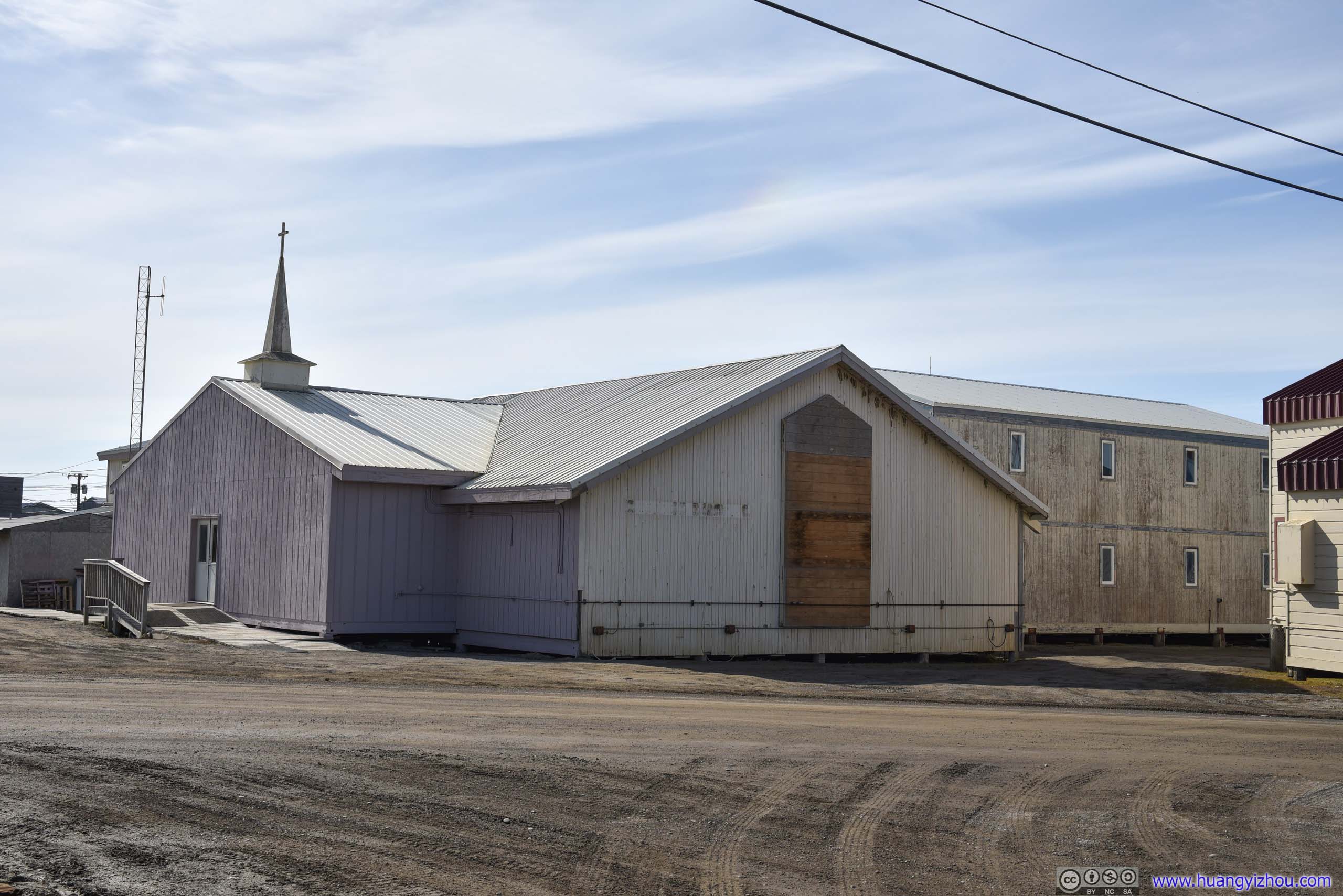
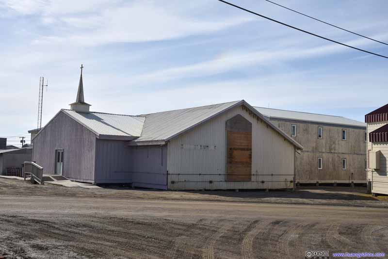 Church
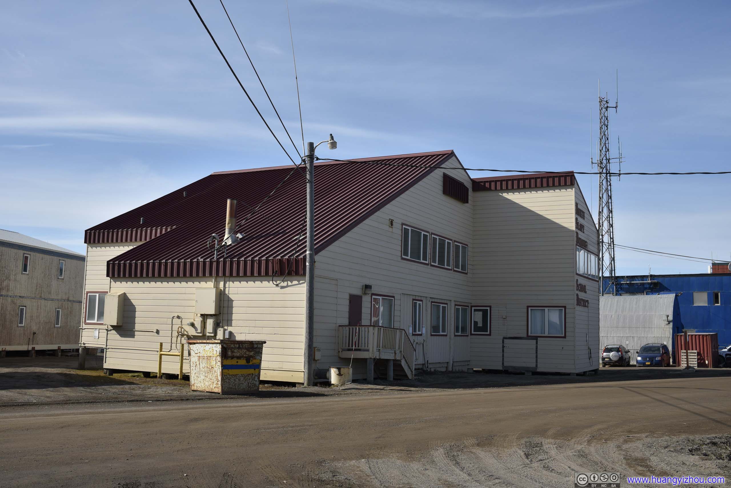
 School District Office
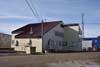
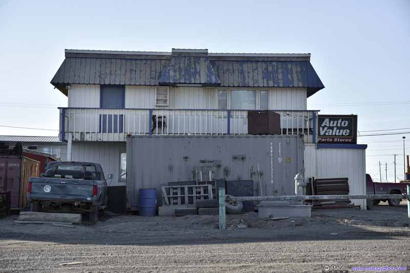 Auto Parts StoreThis store just didn’t have the reassuring professional look from the outside.

Click here to display photos of buildings in town.
Courtroom

Top of the World Hotel

Distance Marker
School Bus
Church
School District Office

Auto Parts StoreThis store just didn’t have the reassuring professional look from the outside.
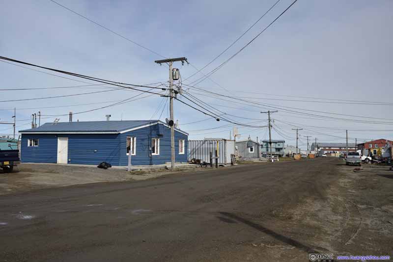
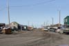
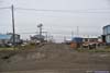
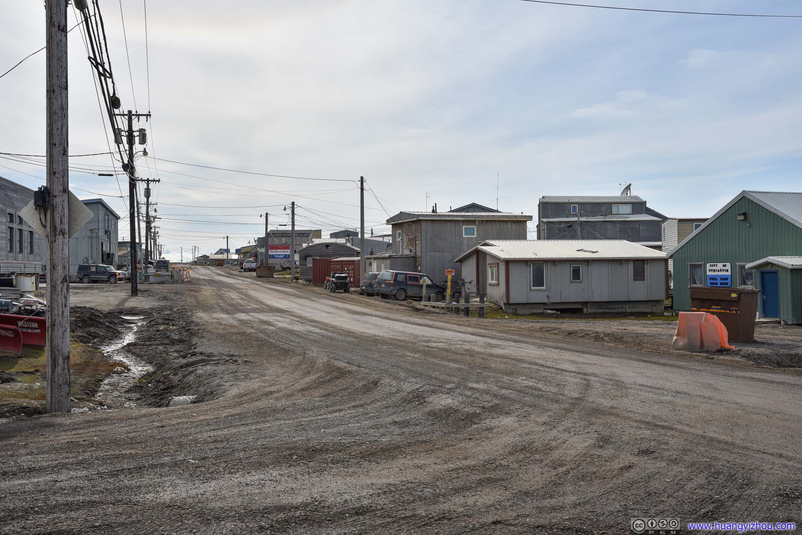
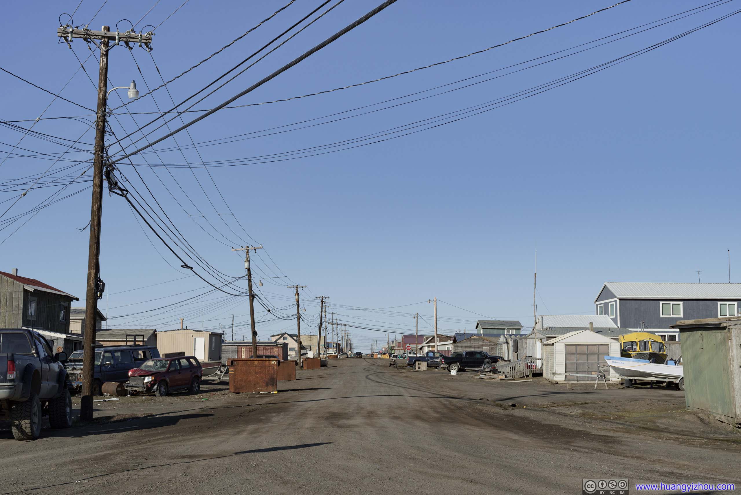
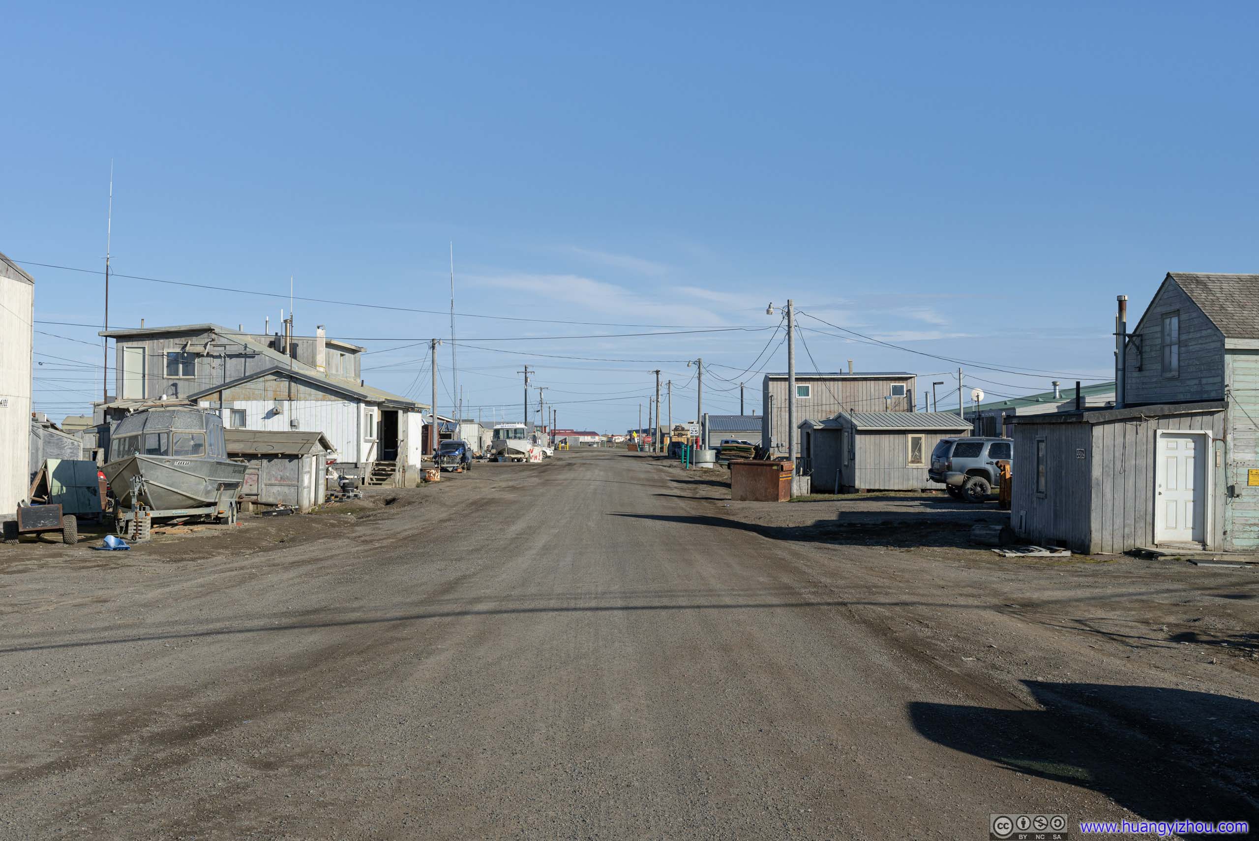
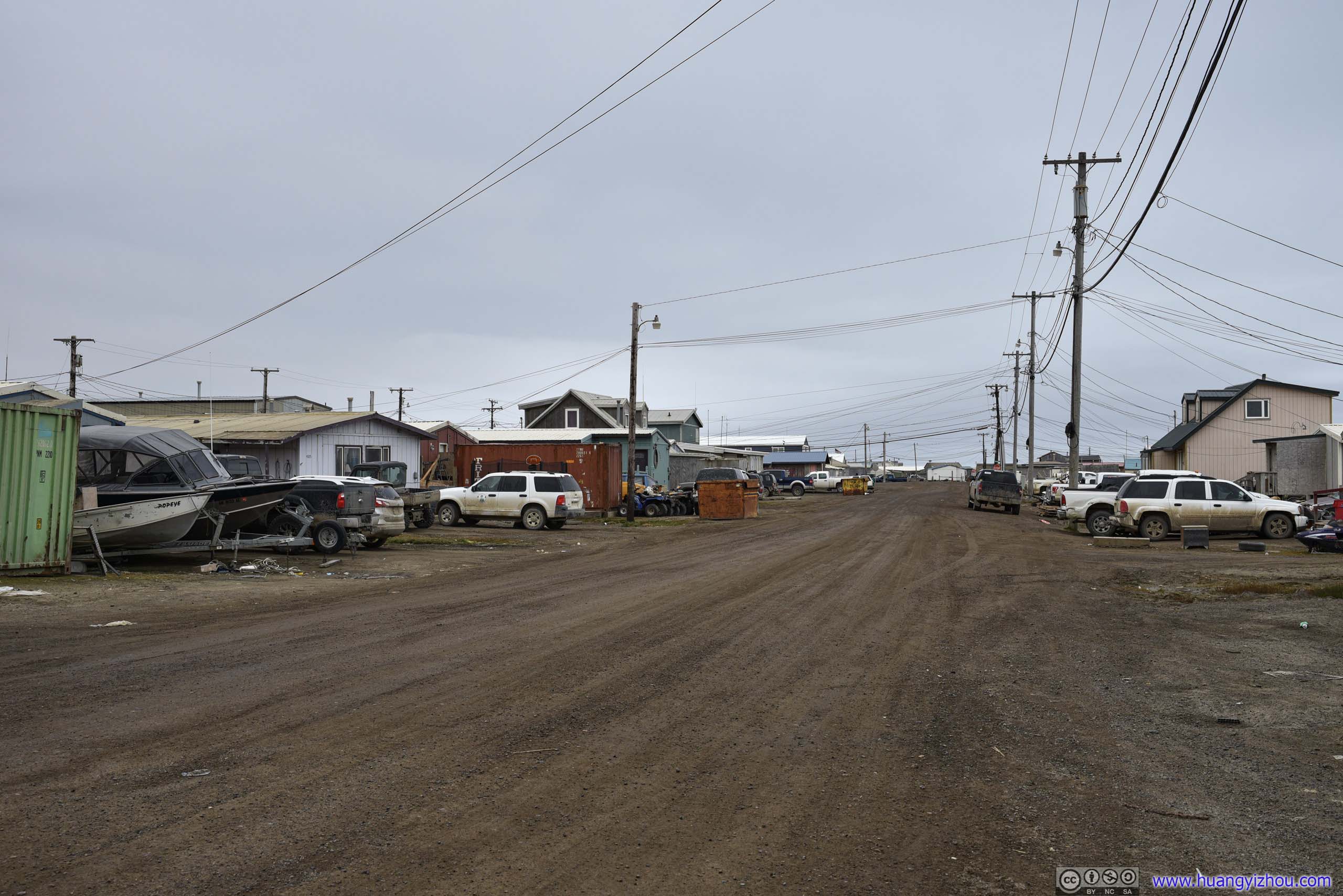
Streets
Due to permafrost underneath, the streets of Utqiagvik were all unpaved. Yet while I was roaming around, I was frequently passed by cars and ATV’s, that I felt the town was pretty alive and well, just like any other small American town, despite its isolation. In addition, the town was so flat, that distant horizon was so far away yet so enchanting, as if I could reach the north pole by continuing down the street long enough.
Besides that, I ran into children of all ages on these roads riding their bicycles and wearing big smiles, and was glad their childhood hadn’t been conquered by video games.
The only downside, Utqiagvik seemed to have a pretty decent domestic dog population, and they certainly didn’t fancy me wandering around in their territory.
 Street
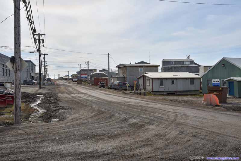 Street
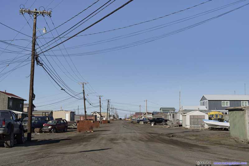 Street
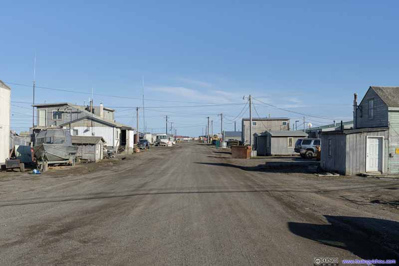 Street
 Street
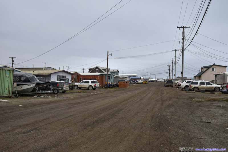 Street
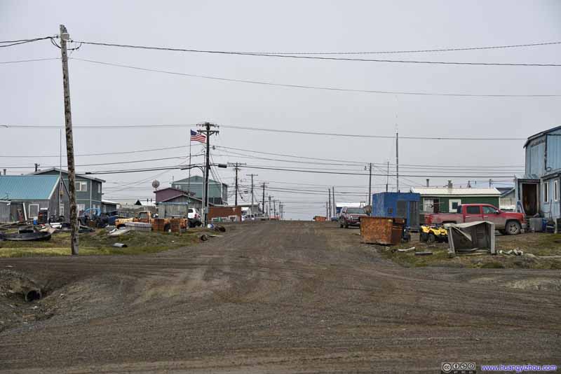 Street


Click here to display photos of the streets.
 Street
 Street
 Street
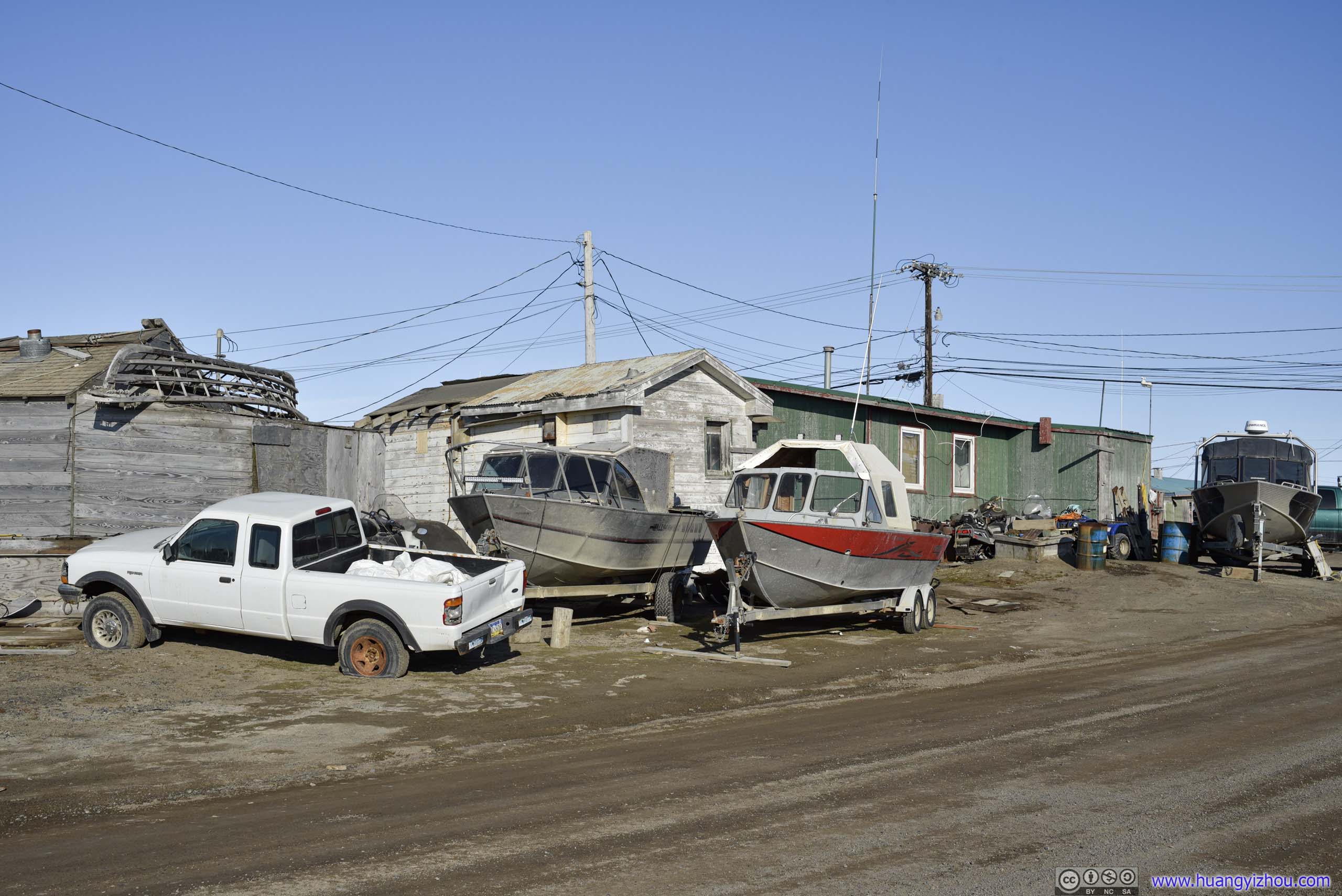
Transportation
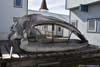
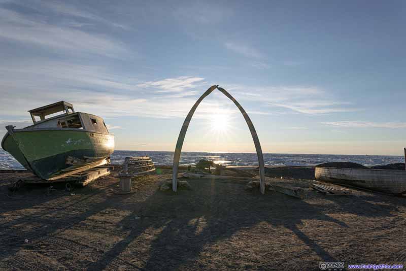
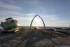
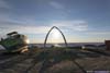
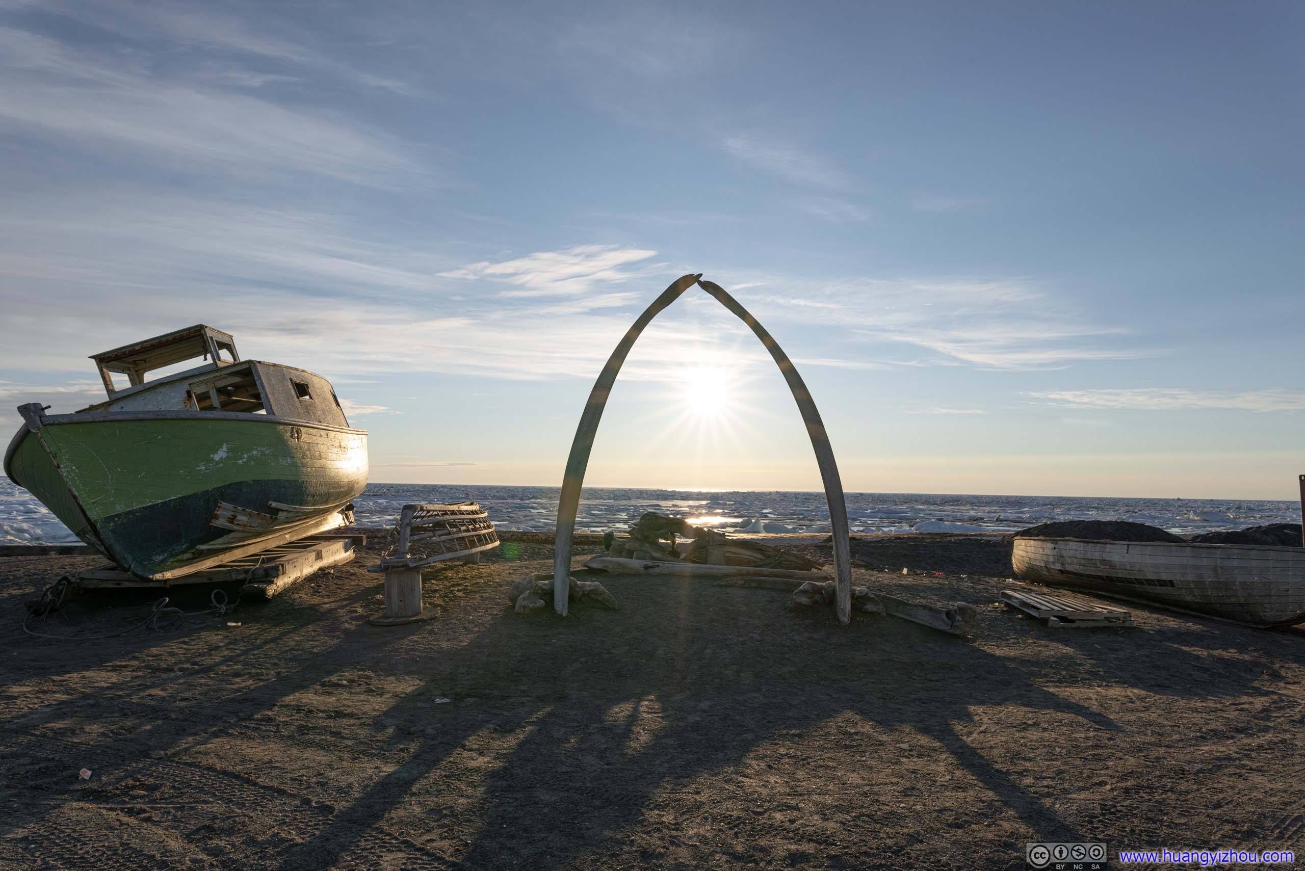
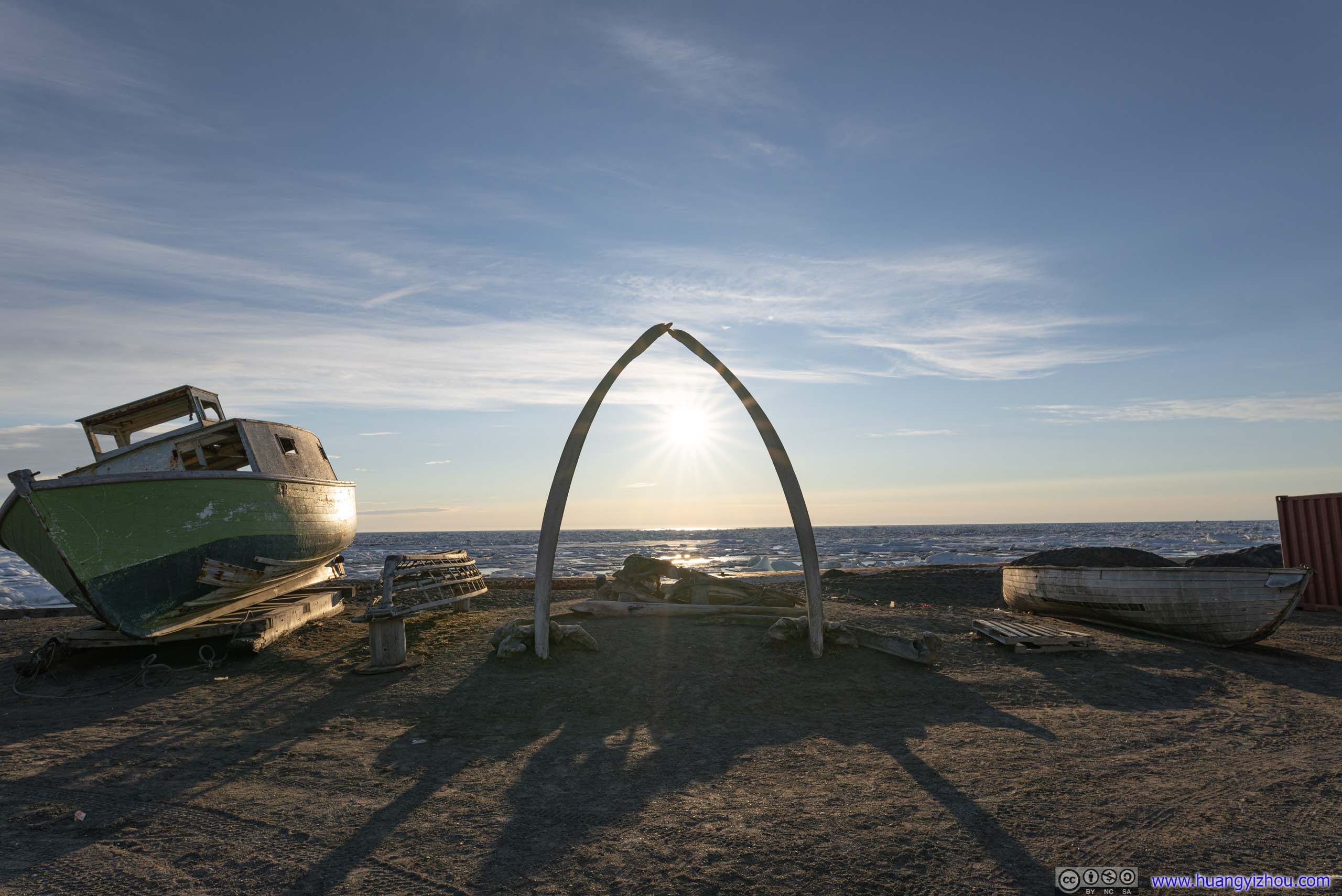
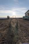
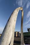
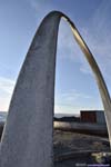
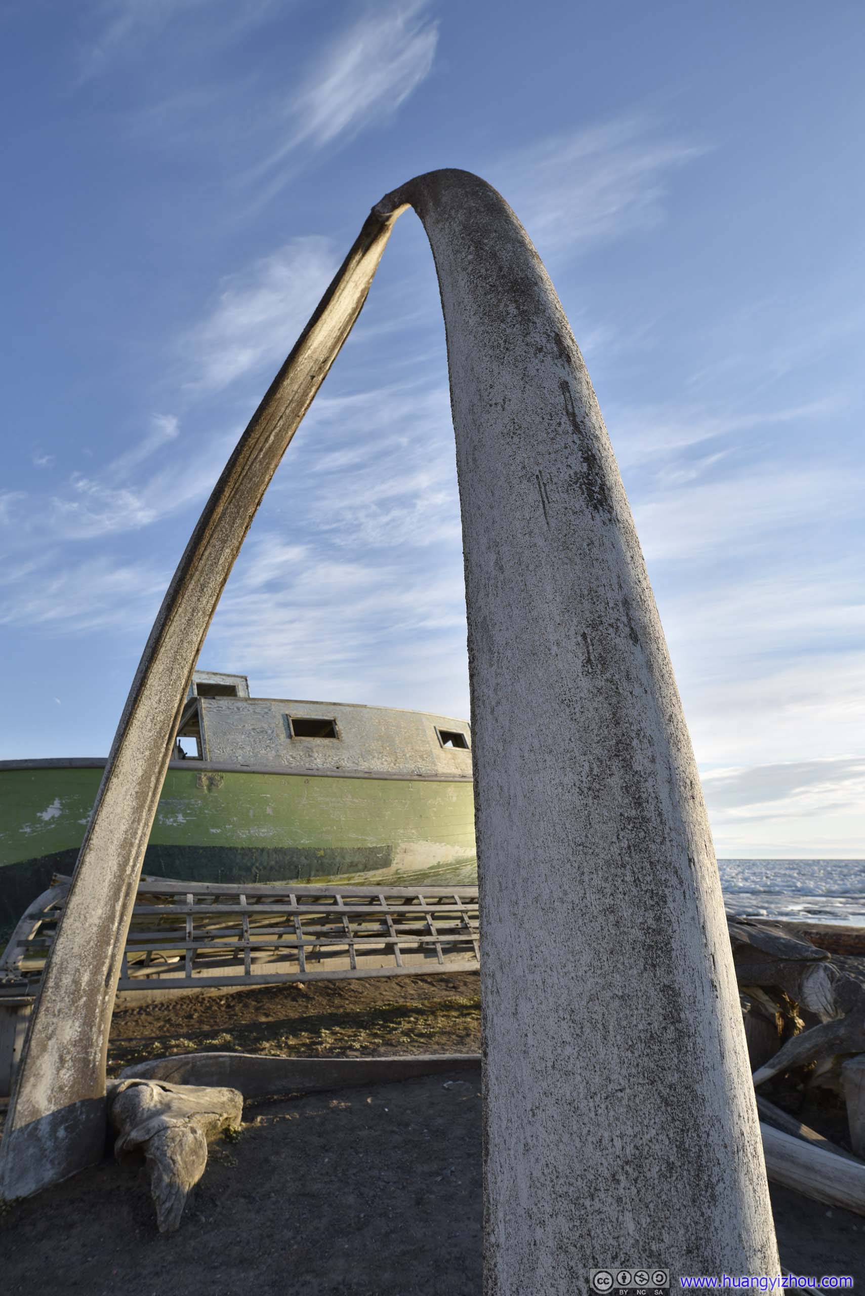
Whale Bone Arch
Next to Top of the World Hotel was arguably Utqiagvik’s only tourist attraction, an arch made of whale bones on the town’s coastline, flanked by two whaling boats as the town’s whaling culture was in full display.
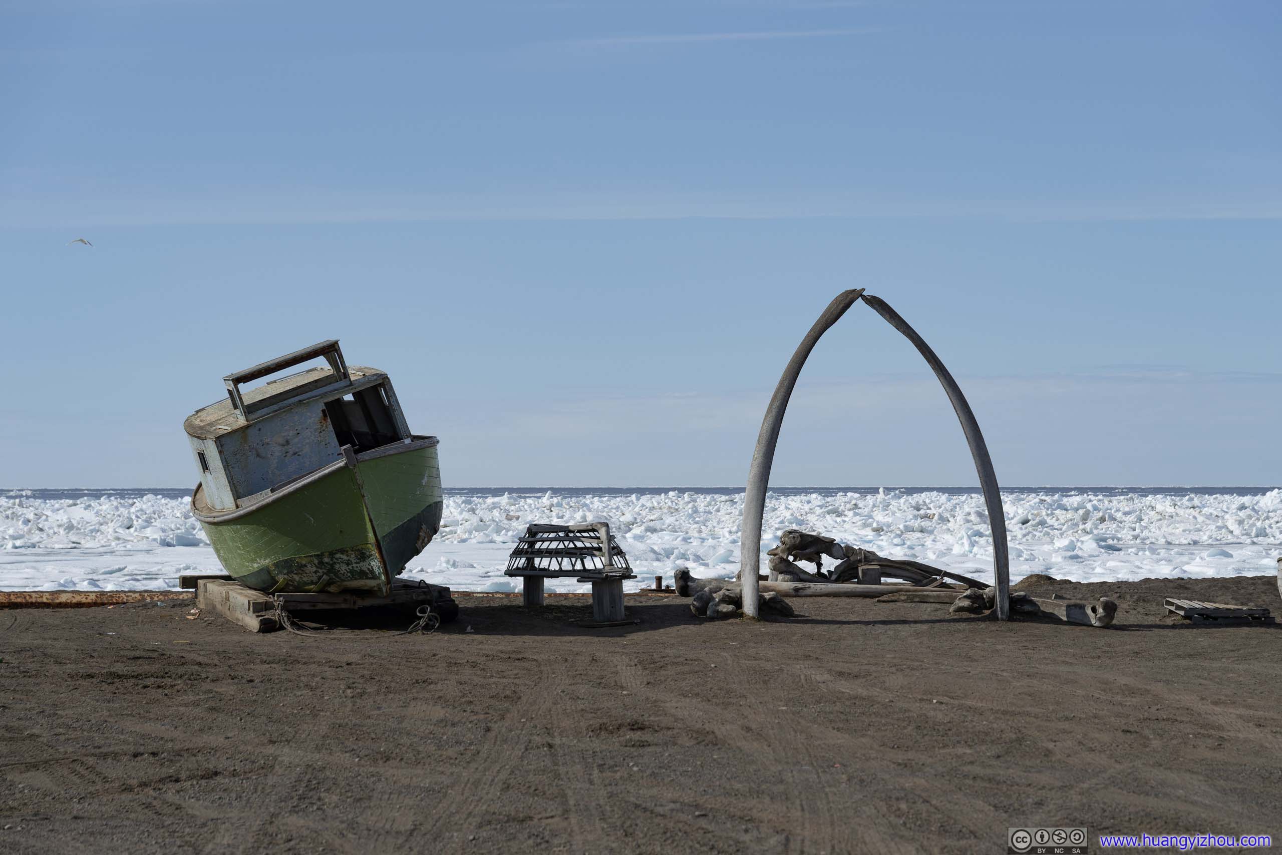
Utqiagvik Whale Bone Arch
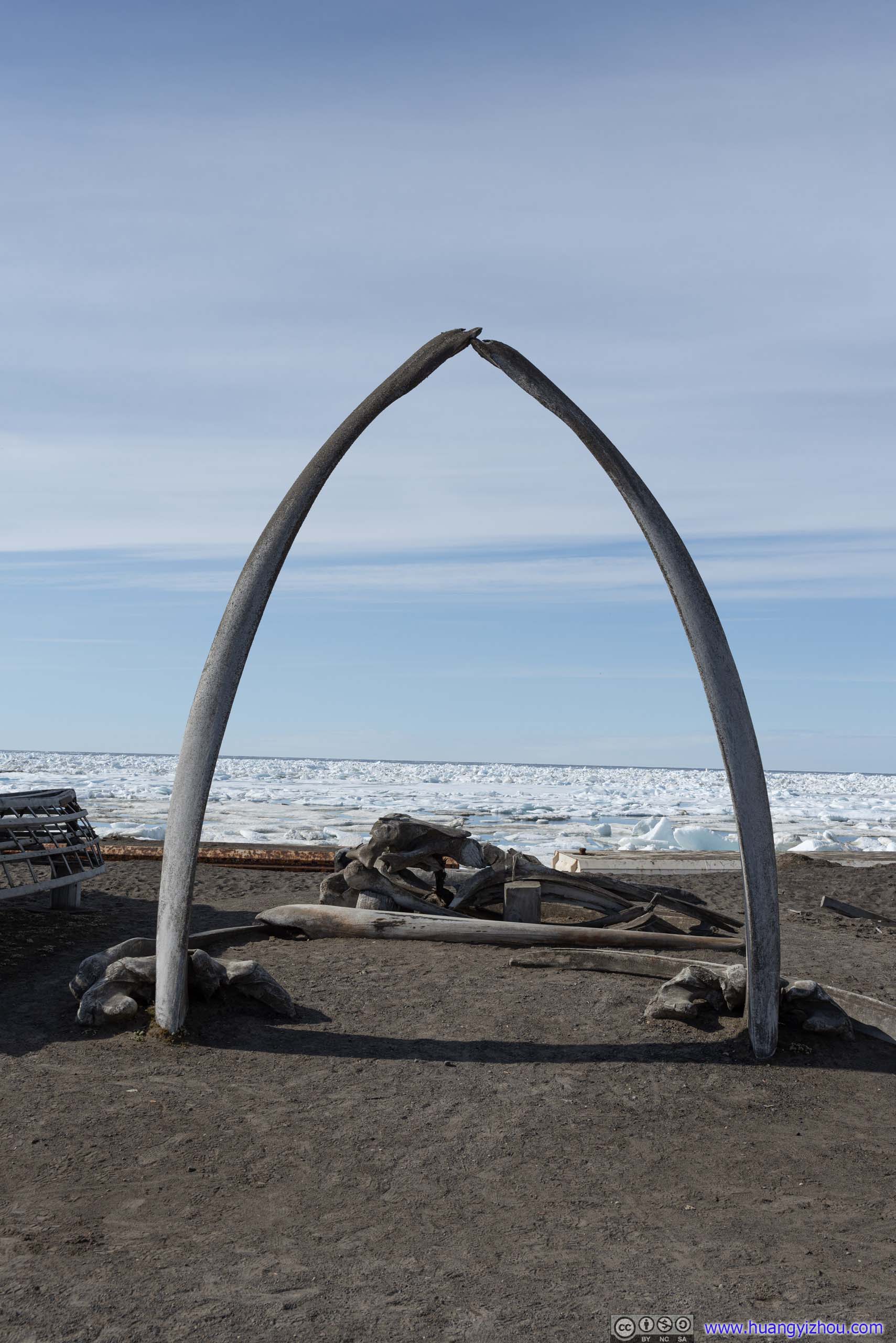
Utqiagvik Whale Bone Arch

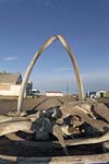
 Whale Skull BoneNext to the bone arch.
Speaking of tourist attraction, I visited Key West’s Southernmost Point Buoy about 2 years ago, so I thought it would be fitting for me to visit Point Barrow, about 10 miles north of town as United State’s northernmost point. Unfortunately, Point Barrow seemed only accessible via guided tours from a select amount of native people, and I failed to get in touch with one during my brief visit.
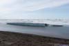
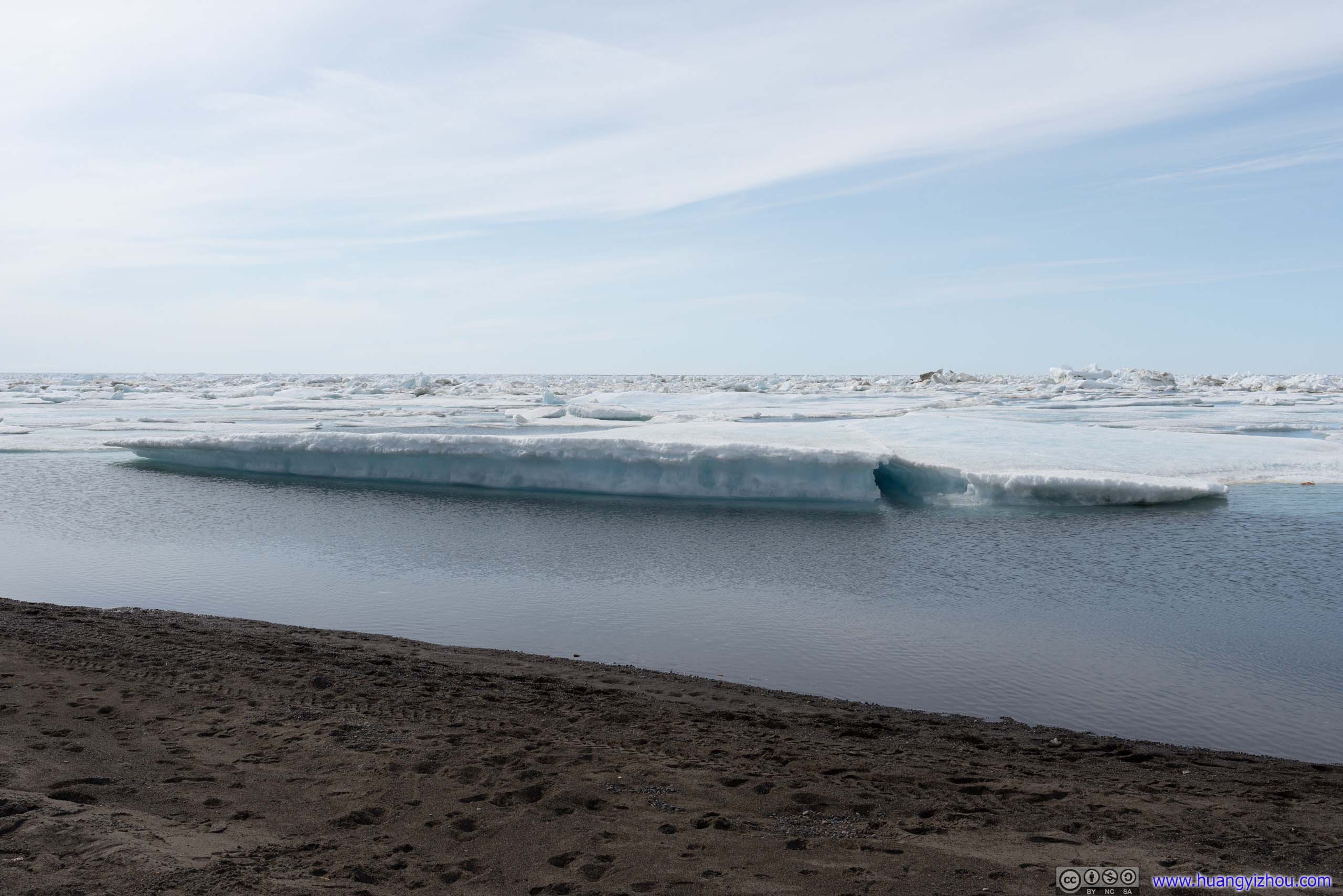
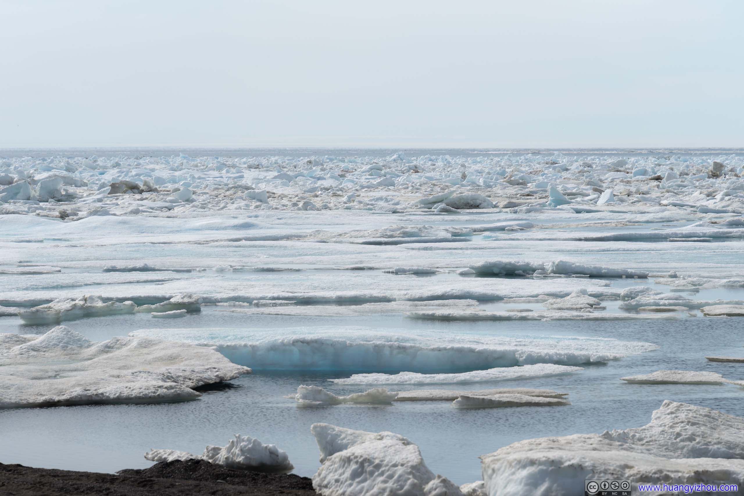
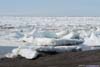
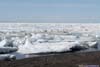
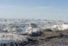
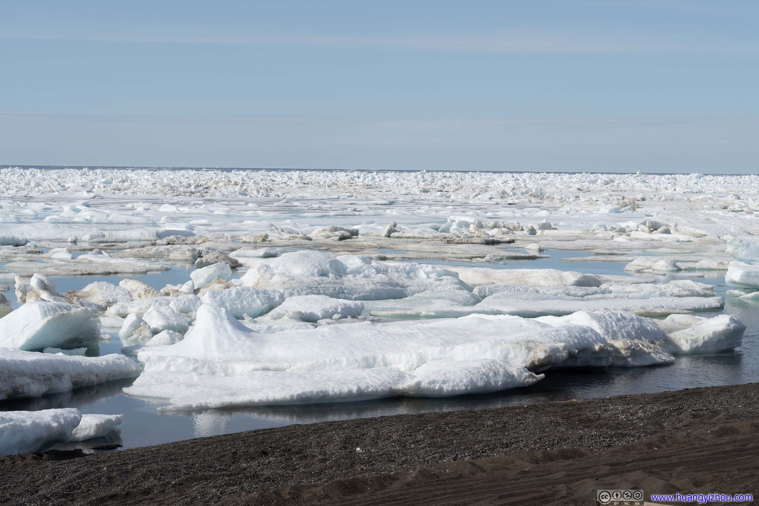
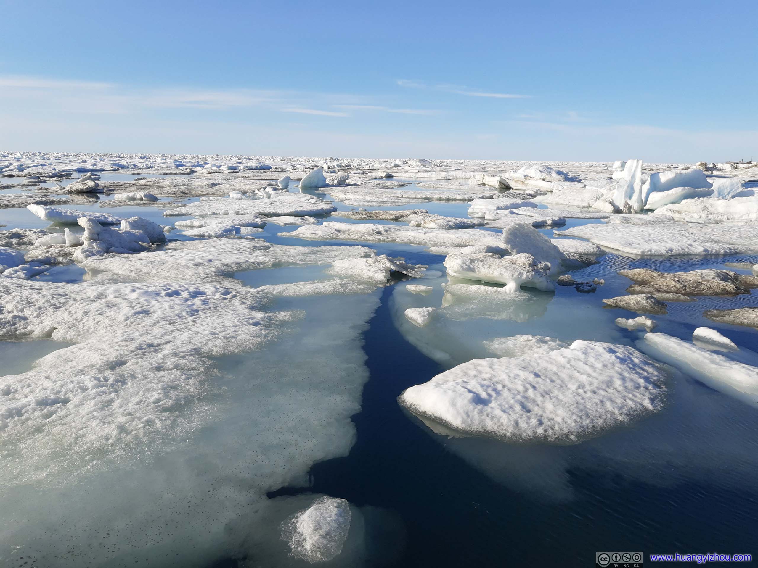
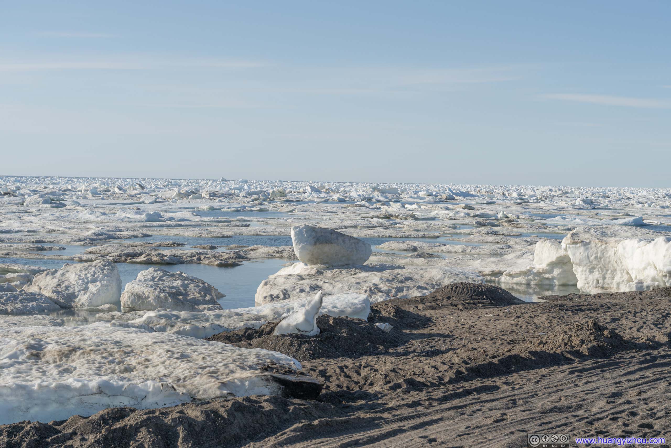
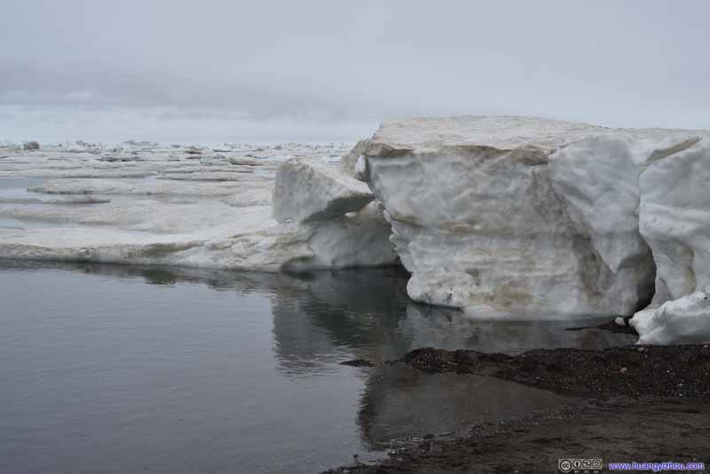
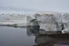
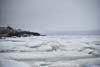
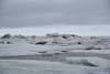
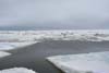
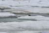
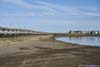
Shore with Arctic Ice
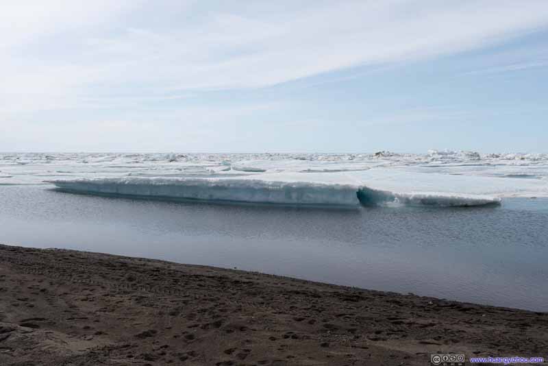
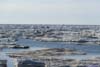
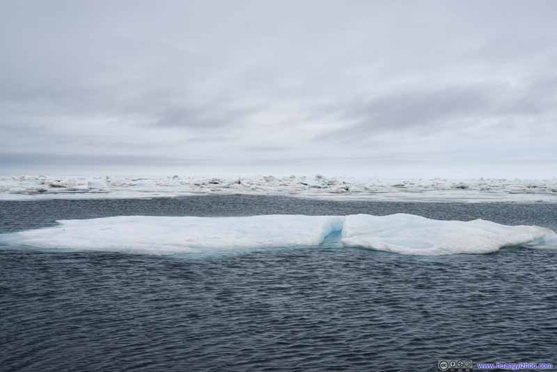
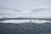
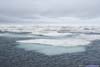
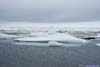
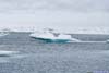
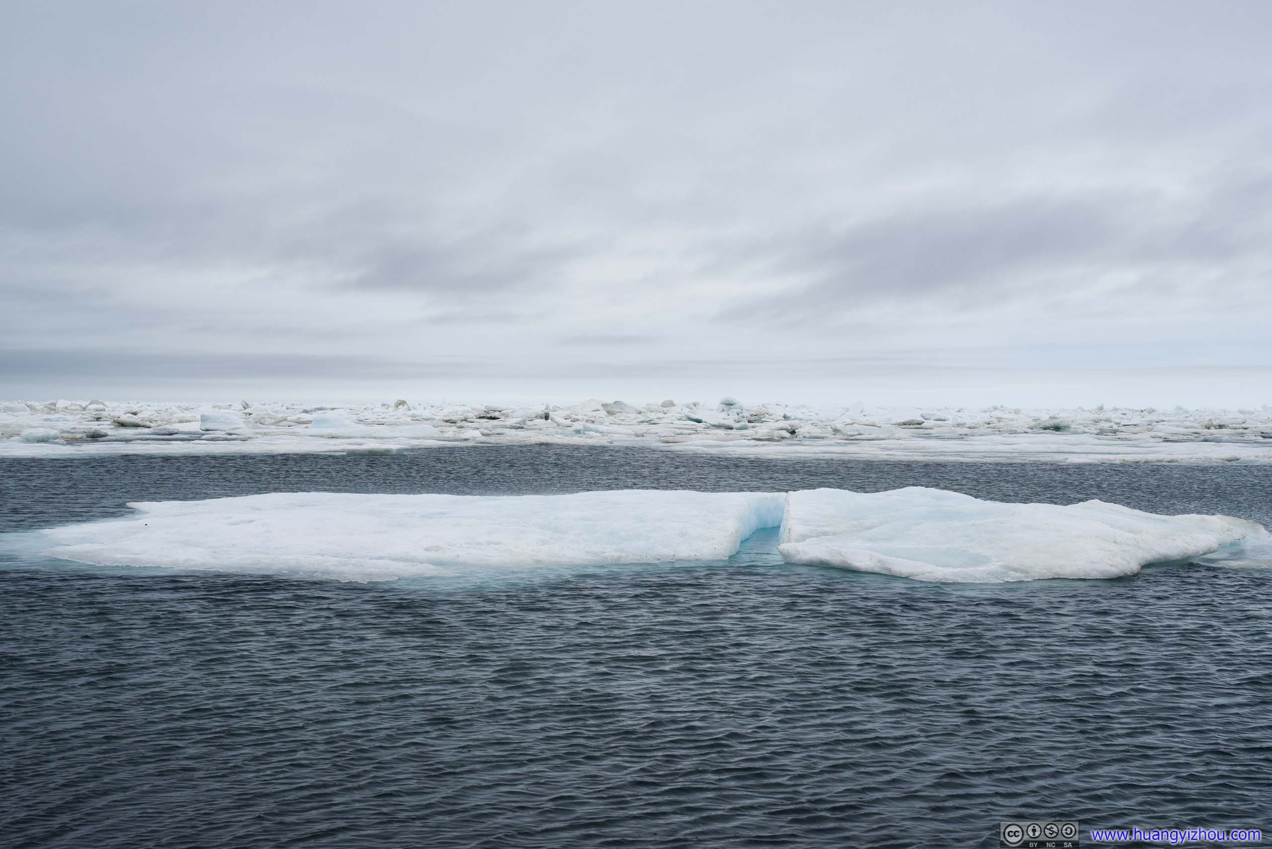
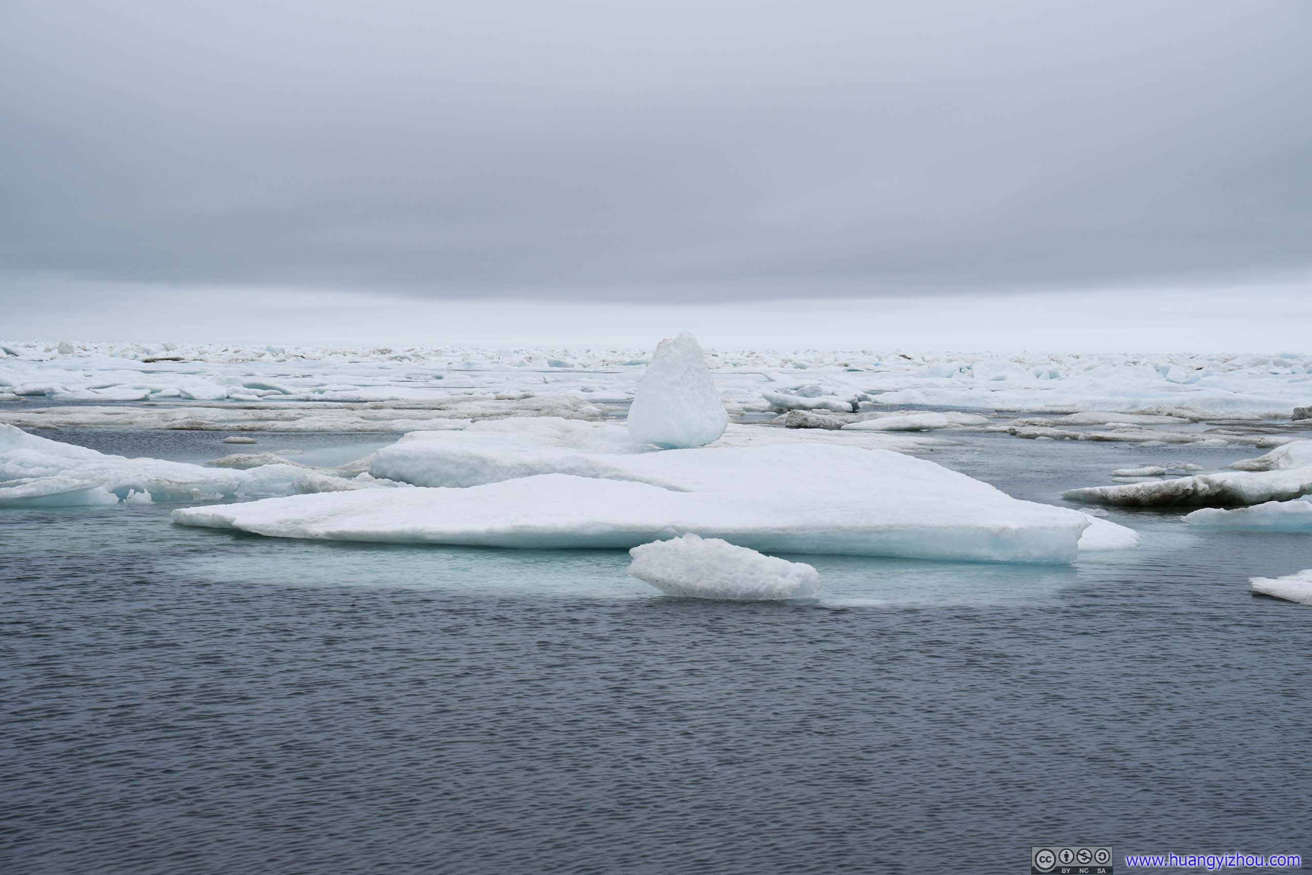
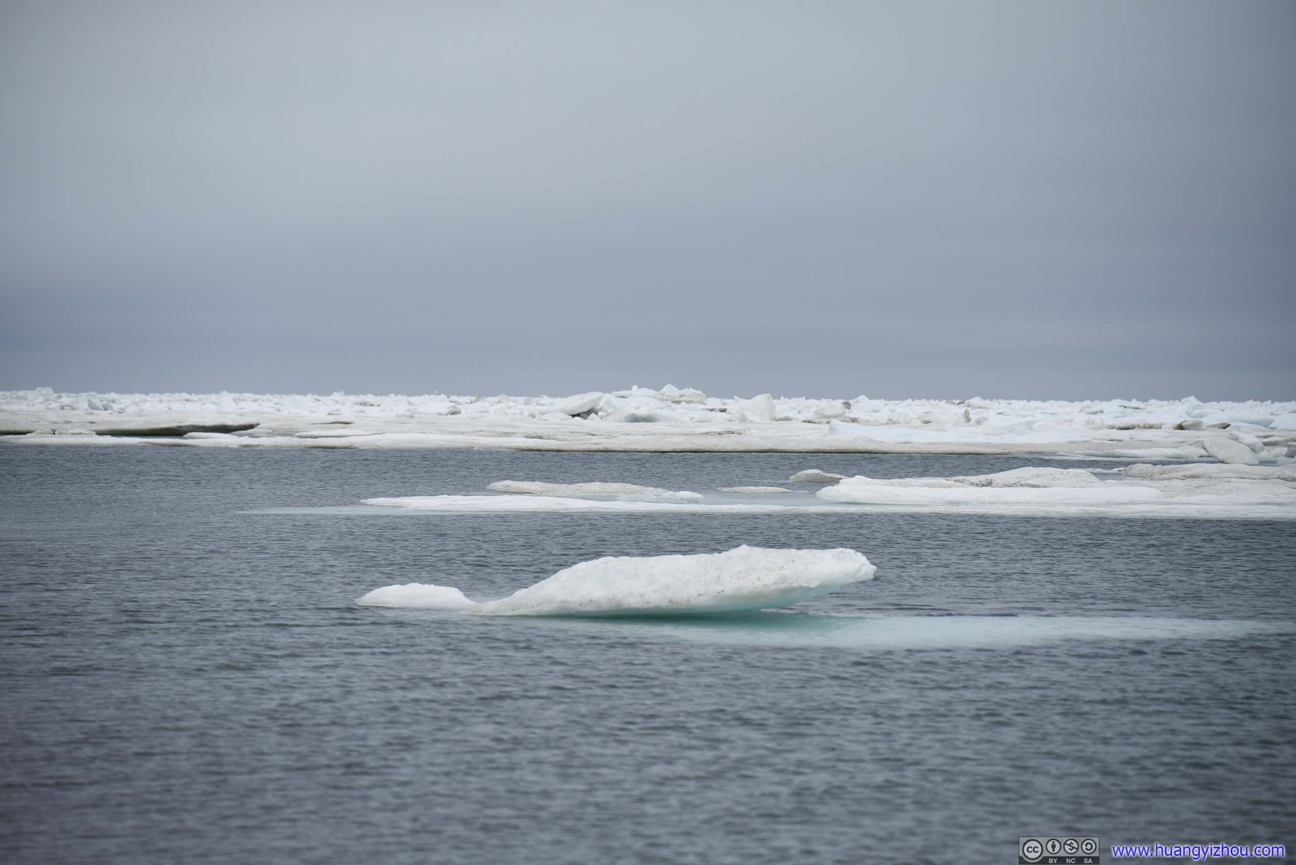
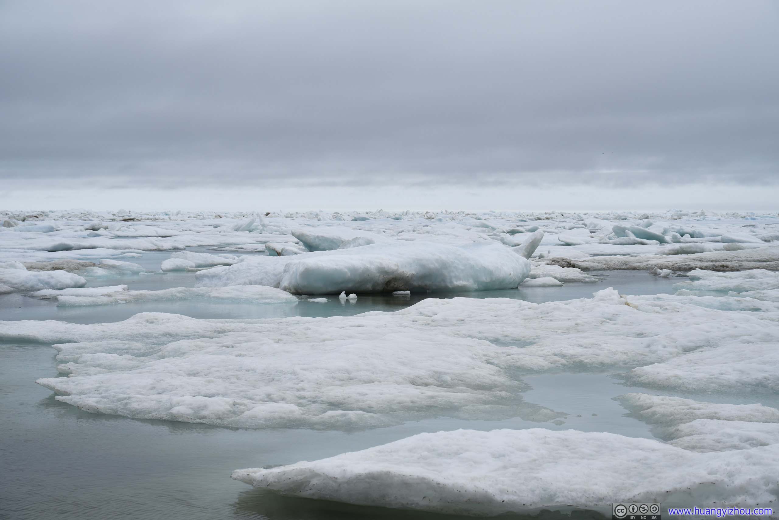
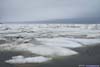
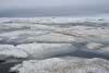
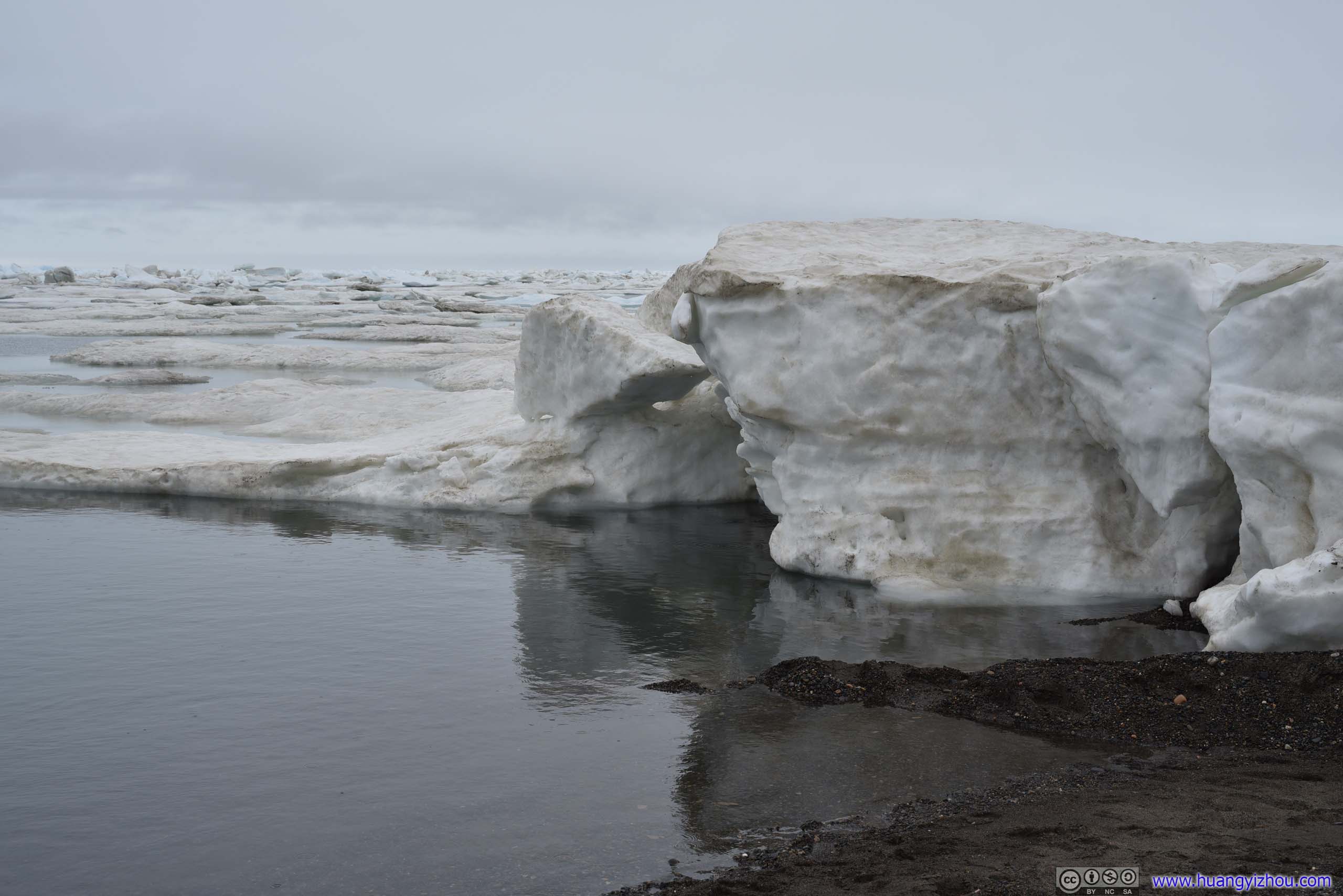
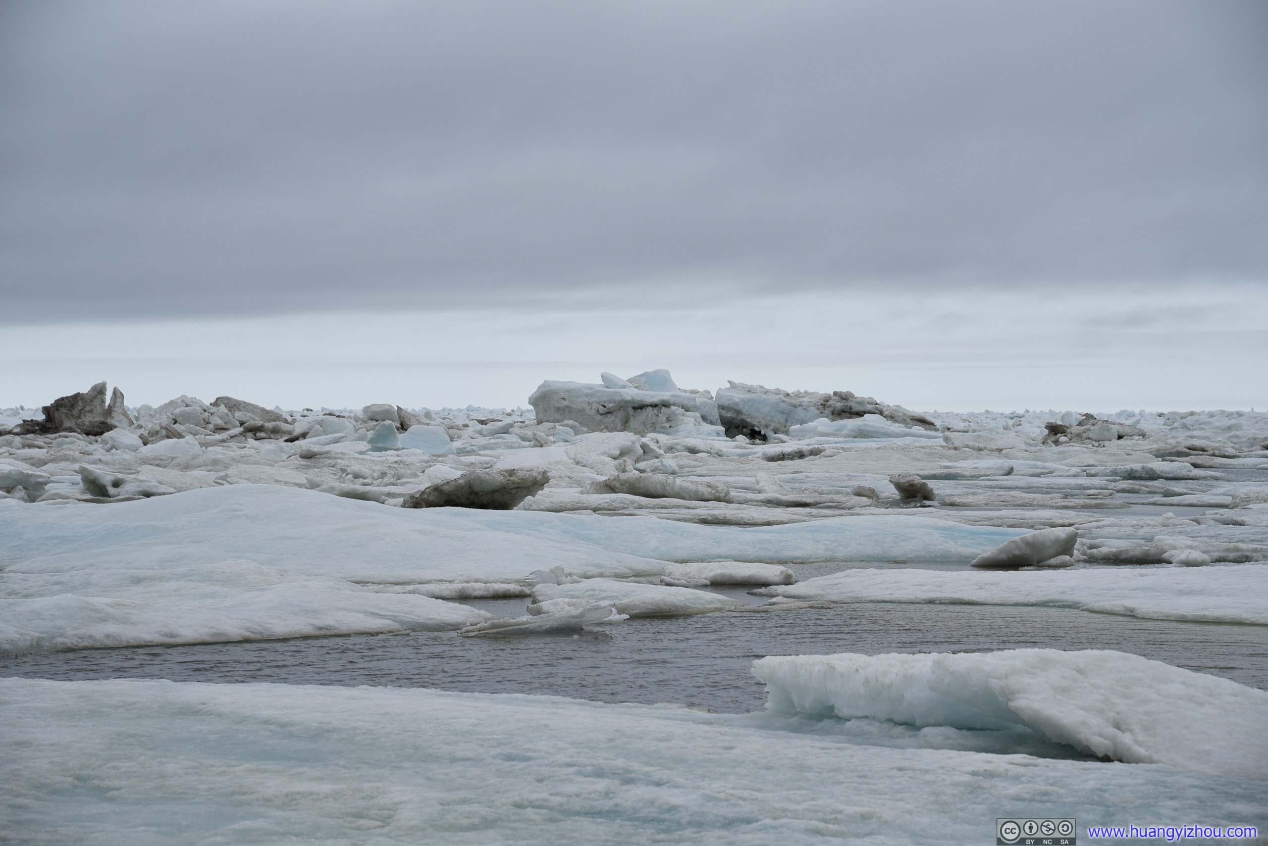
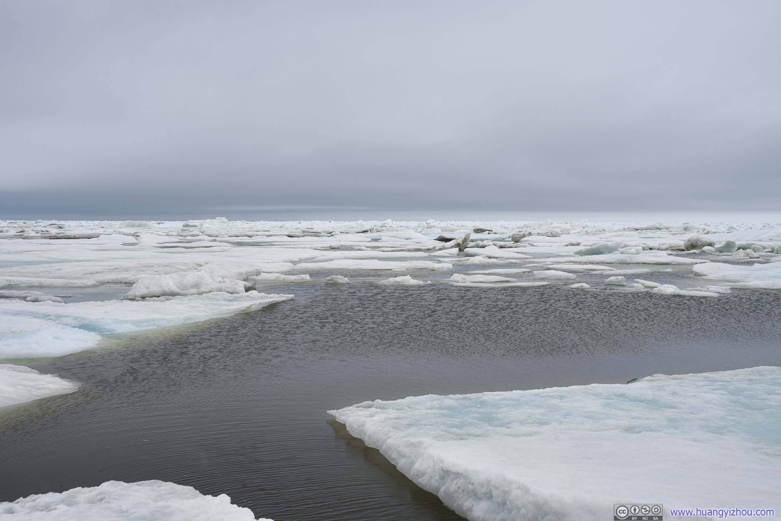
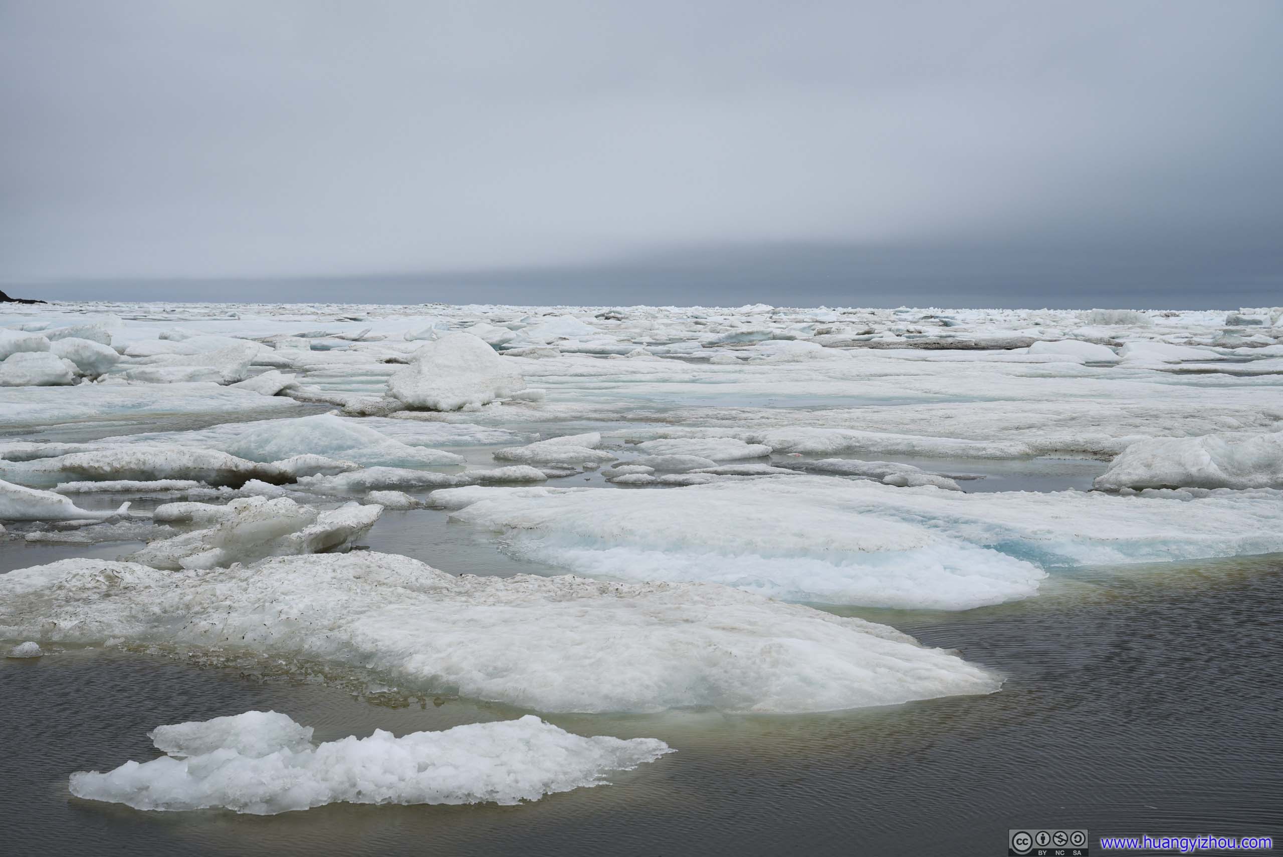
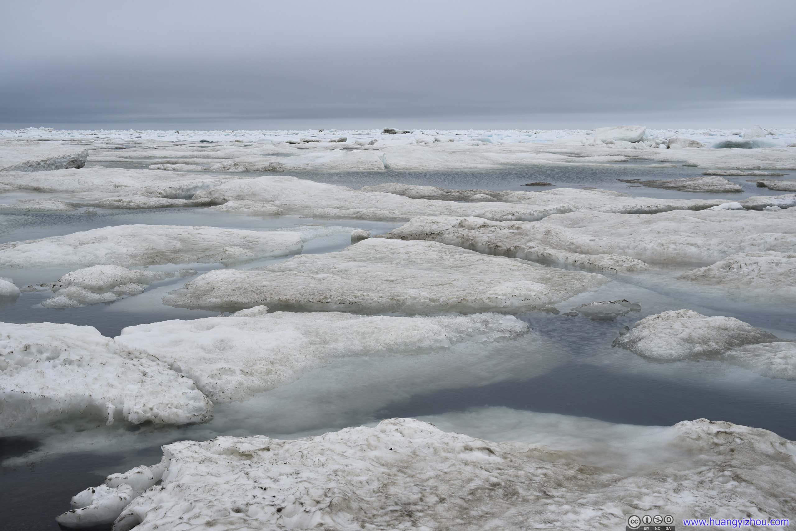
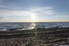
If I was asked about the most memorable part of this trip to Utqiagvik, I would probably say it’s the sea ice floating off the shores of Utqiagvik in Arctic sea. The polar sun and whale bone arch were spectacular at first sight, but they quickly turned boring if watched continuously. Instead, the many sea ice off its shore offered countless imaginations as I roamed along Utqiagvik’s beach.
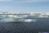
 Arctic Sea Ice
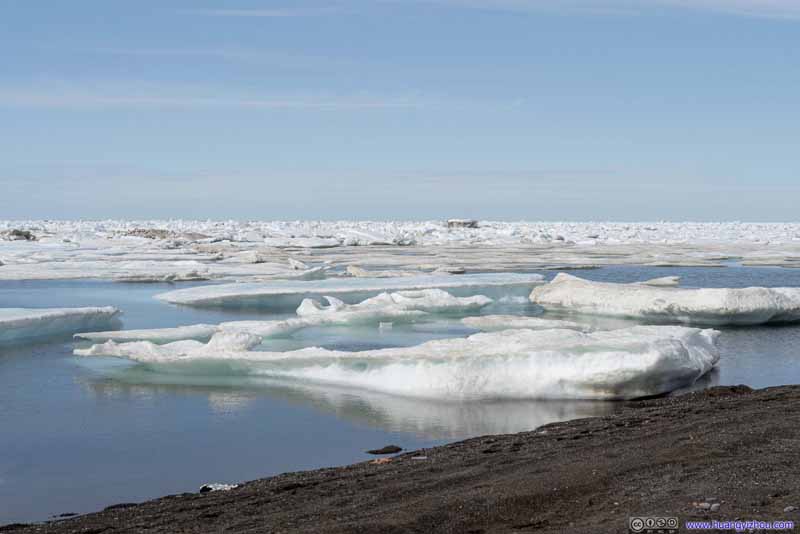 Arctic Sea Ice
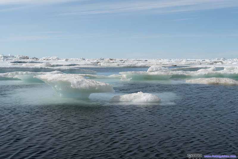 Arctic Sea Ice
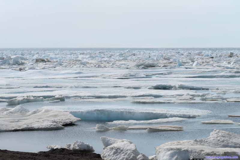 Arctic Sea Ice
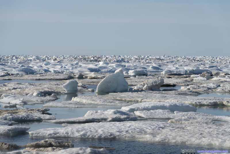 Arctic Sea Ice

Click here to display photos of arctic sea ice.
Arctic Sea Ice

Arctic Sea Ice

Arctic Sea Ice
Arctic Sea Ice

Arctic Sea Ice
In particular, I was so fond of their aqua color as their crystal surface reflected the soft arctic sun. It’s the color unique to this northern land, of its glaciers and sea ice that much spellbound me.
Knowing there’s probably not much to do for my entire day in Utqiagvik, I envisioned me sitting on the beach reading some book while enjoying the warmth of polar sun and mesmerizing colors of arctic sea ice. Unfortunately, winds were strong during my visit, and I had to keep moving to stay warm with my limited clothing, so unfortunately I had to give up that thought.
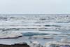
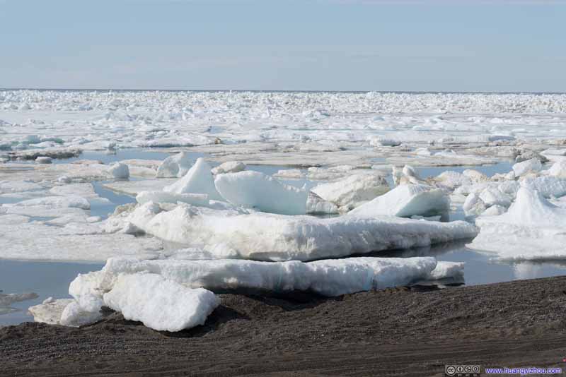 Arctic Sea Ice along Shore
 Arctic Sea Ice along Shore
 Arctic Sea Ice
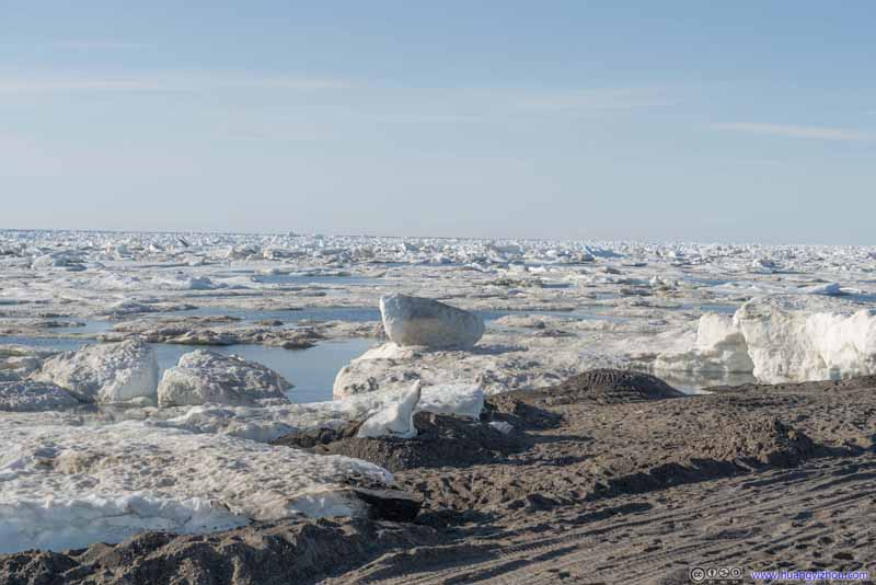 Arctic Sea Ice along Shore
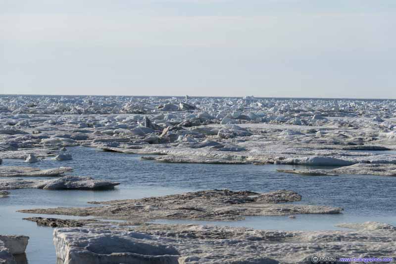 Arctic Sea Ice

Click here to display photos of arctic sea ice along shore.

Arctic Sea Ice along Shore
Arctic Sea Ice along Shore
Arctic Sea Ice
Arctic Sea Ice along Shore

Arctic Sea Ice
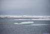
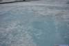
I made a few excursions out of the hotel room to the beach during my stay in Utqiagvik. It was mostly sunny on the first day (above), and cloudy with drizzle on the second, where the colors were smoother and more approachable.
 Arctic Sea Ice
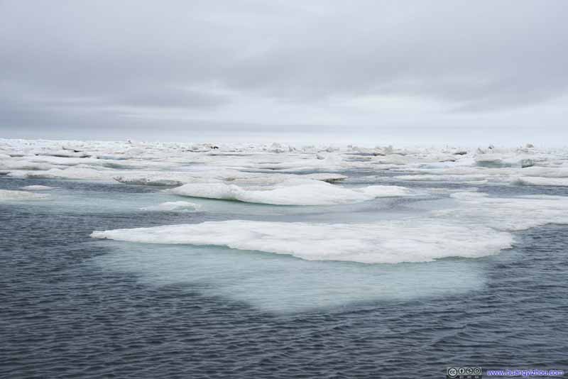 Arctic Sea Ice
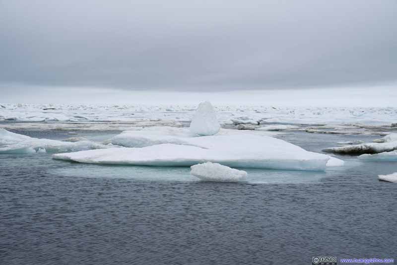 Arctic Sea Ice
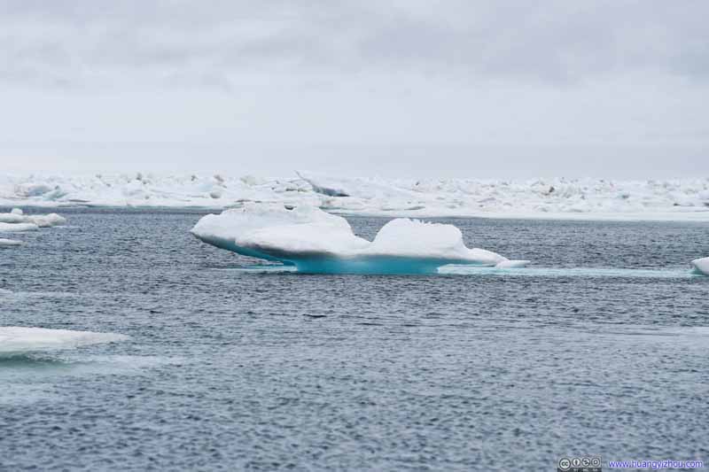 Arctic Sea Ice
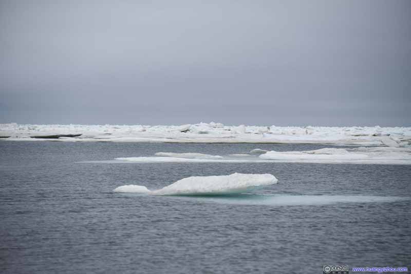 Arctic Sea Ice
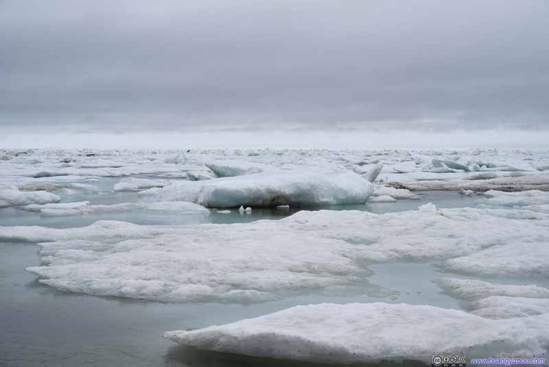 Arctic Sea Ice
Click here to display photos of arctic sea ice.
 Arctic Sea Ice
 Arctic Sea Ice
 Arctic Sea Ice
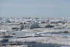
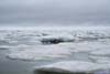
On the first day I saw someone actually setting foot onto these floating ice, which was both heroic and scary (one slip would end up being in the freezing arctic water). So I held off my adventurous spirit, until the second day when I was overcome by the guilt of regret and decided to give those ice a try.
So I put on my microspikes, carefully jumped between a few pieces of floating ice (that felt like polar bear simulator), and took the following video:
 Arctic Sea Ice along Shore
 Arctic Sea Ice
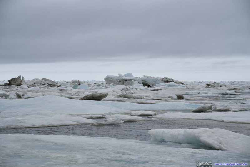 Arctic Sea Ice
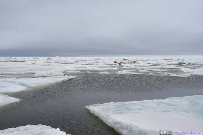 Arctic Sea Ice
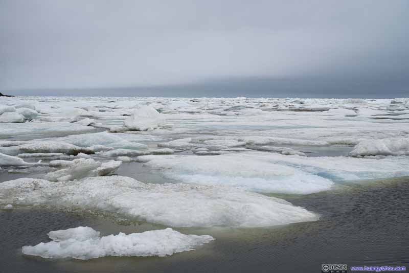 Arctic Sea Ice
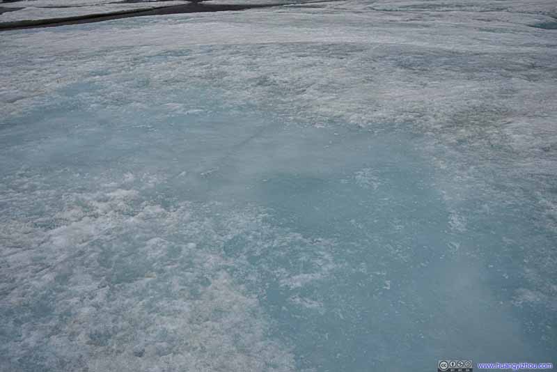 Surface of Sea IceThe chunk that I was standing on.
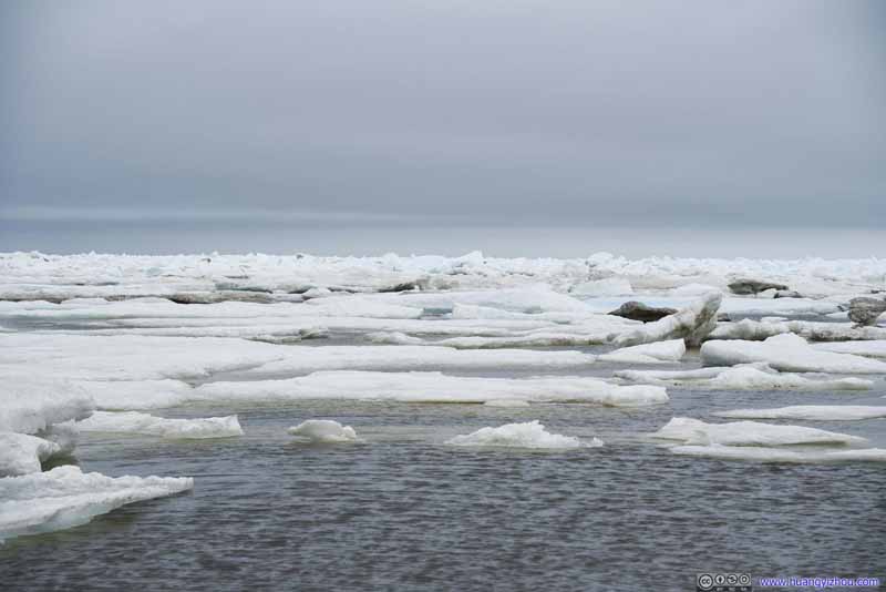 Arctic Sea Ice
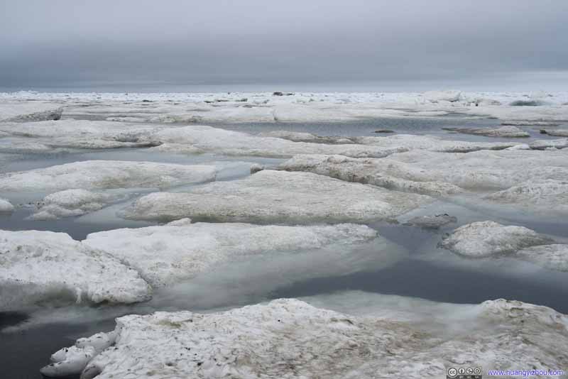 Arctic Sea Ice
Click here to display photos of the arctic sea ice.
Arctic Sea Ice along Shore

Arctic Sea Ice
Arctic Sea Ice
Arctic Sea Ice
Arctic Sea Ice

Surface of Sea IceThe chunk that I was standing on.

Arctic Sea Ice
Arctic Sea Ice
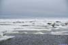
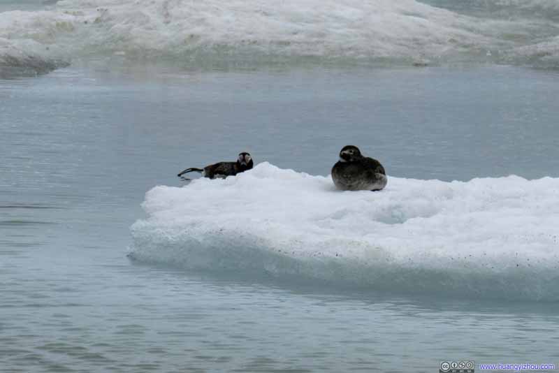
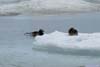
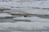
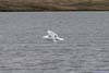
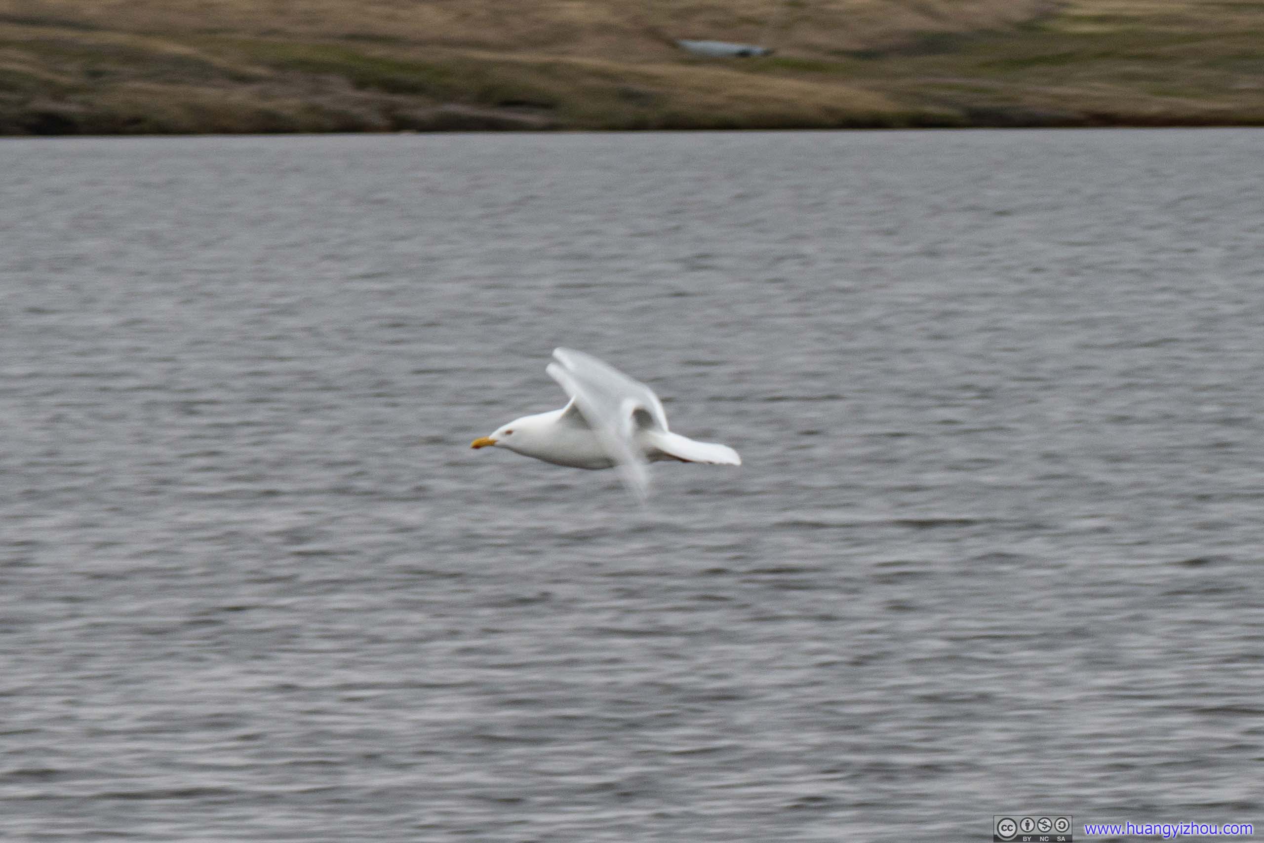
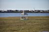
It’s also during stroll along the shore on the second gloomy day that I spotted a pair of ducks not far from shore. Combined with the gull that I spotted earlier that day crossing Isatkoak Lagoon were the only two animal sightings of this trip.
 Ducks
Ducks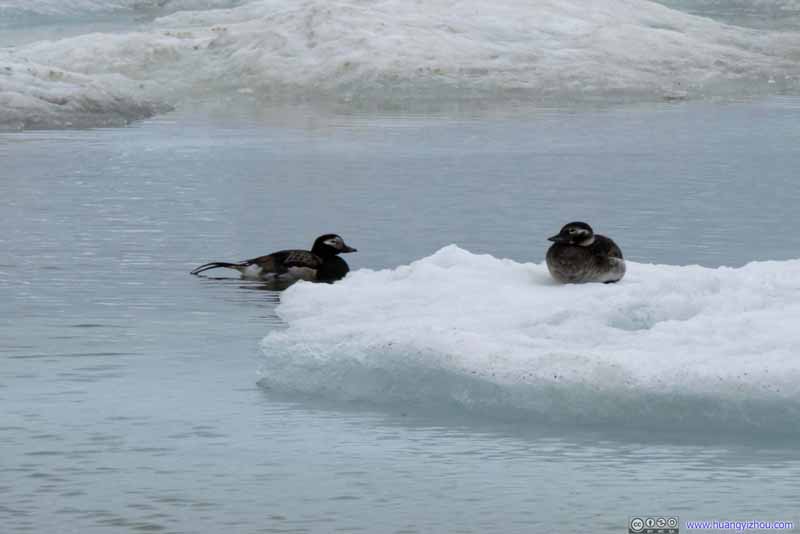 Ducks
Ducks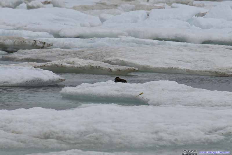 Duck
Duck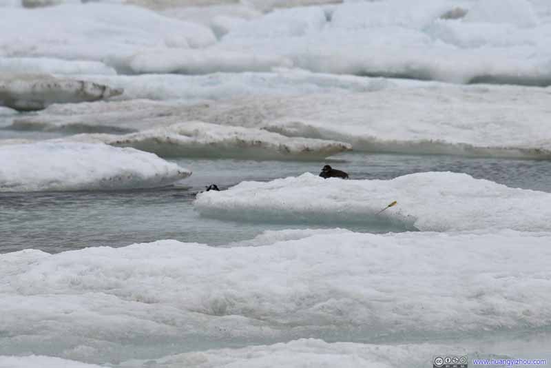 Ducks
Ducks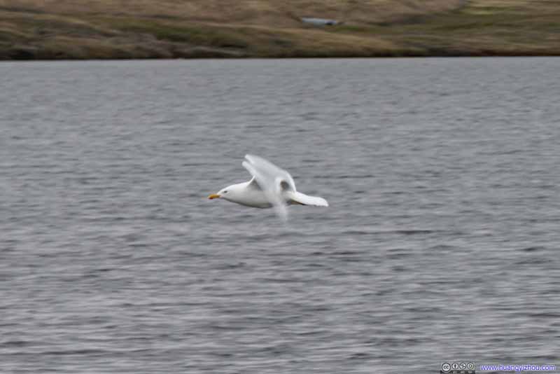 Gull
Gull

Click here to display photos of the ducks and gull that I spotted.

 Ducks
Ducks

 Ducks
Ducks
Gull
Food Options
Being such a small and isolated town, I didn’t have high expectations on the places where I could stuff my belly. I was delighted to learn there was a Subway in town. Yet when I arrived at the address I sadly found it closed, together with many other restaurants around town, probably due to COVID. However, there was two Asian restaurants (They were actually located close to each other.), Osaka (Japanese) and Sam and Lee (Korean), that were still open. (The town of Utqiagvik wasn’t that far from Asia to begin with.) Sam and Lee was marked as “takeout only” on Google Maps, and I liked the pictures of food from Osaka, so I decided to try out Osaka.
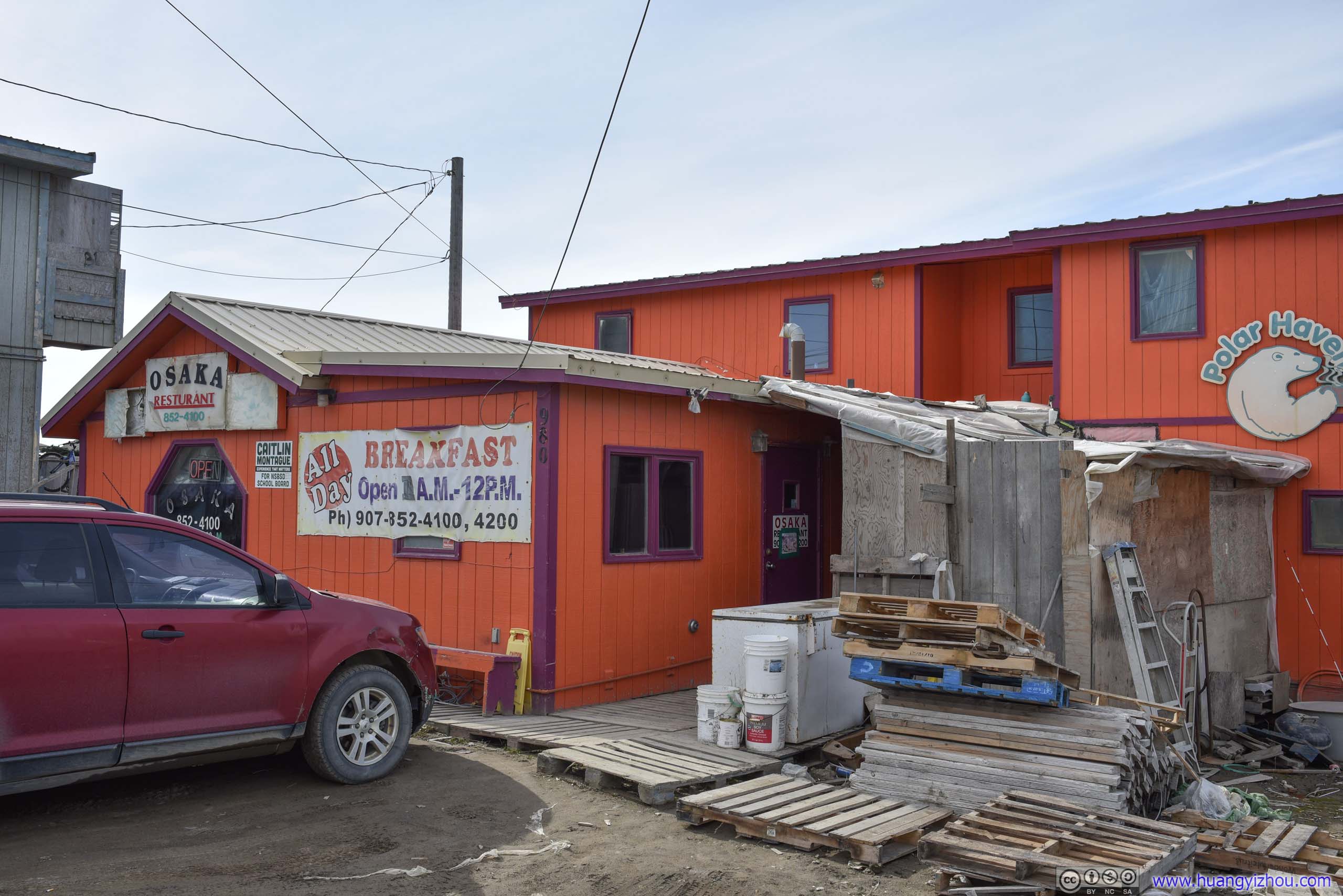
Osaka Restaurant
However, only after I knocked on the door of Osaka did I find out they were takeout-only too. I was kind of unhappy, so I decided to patronize Sam and Lee, which had correct information.
Which was very popular on its own, as I joined a group of construction workers ordering their dinner, which ended up being a rather long wait.
There was also a hiccup with this meal, as I ordered a beef entrée, and it says on the menu “includes soup and steamed or fried rice”. Thus I told the lady over the counter “beef entrée with fried rice”, which must be misunderstood as the lady didn’t speak very good English. (On the plus side, that might be an indication of authentic Korean tastes.) So I was surprised when it’s time to pick up the bill that I got charged double, even more surprised that she handed me two boxes of food instead of one. Later I found “fried rice” was an entry of its own on the menu.
To focus on the bright side, I didn’t have to worry about breakfast next morning.
Meals
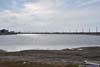
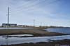
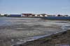
Isatkoak Lagoon
It’s the day after Independence Day, and according to a flyer in the hotel, the local people would hold various events in celebration, commencing with a dance party at Simmonds Field (by the whale bone arch) at 8pm today. So after dinner, I headed out again hoping to catch some cultural feast.
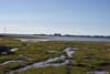
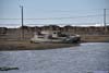
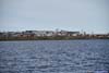
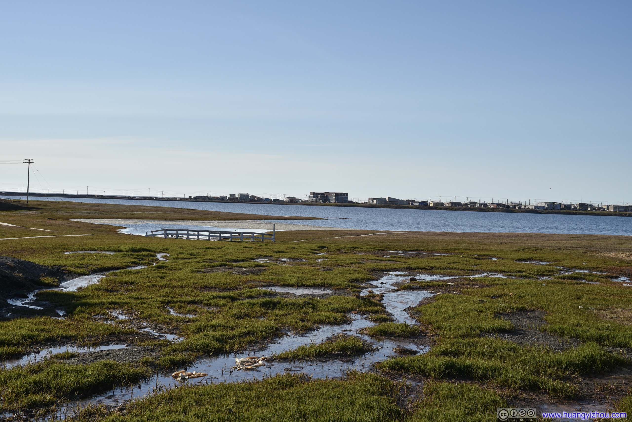
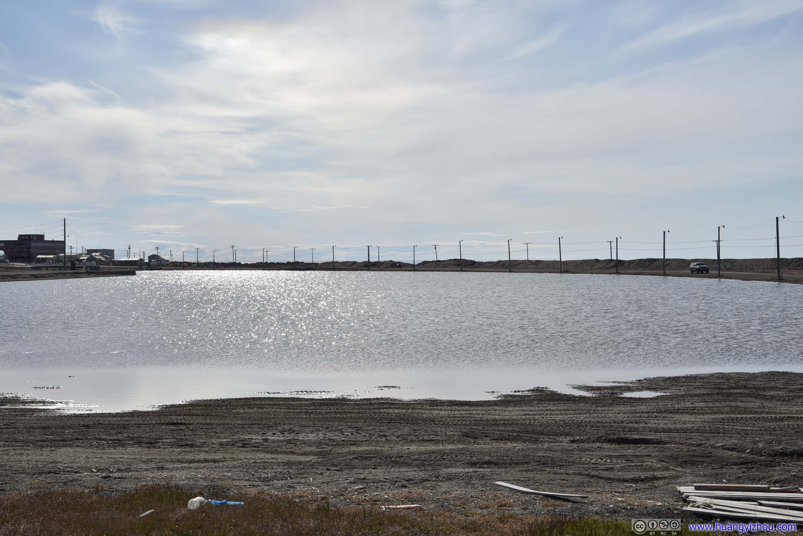
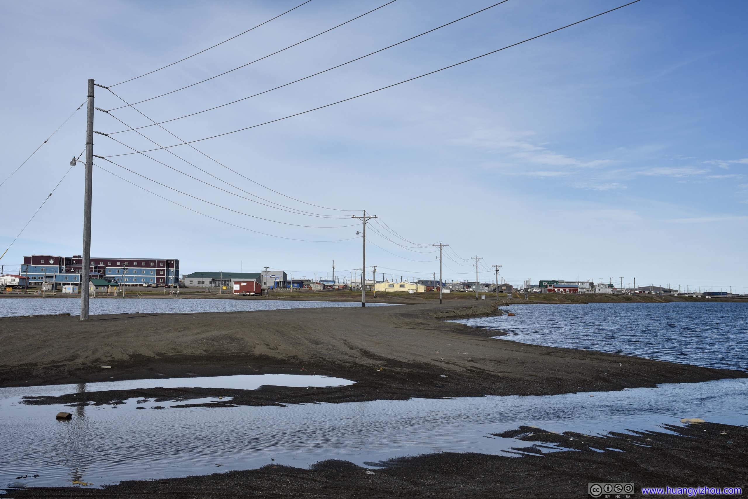
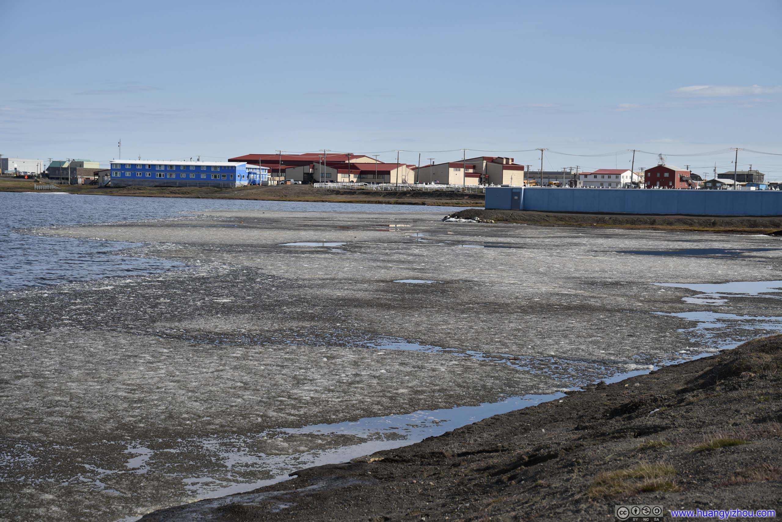
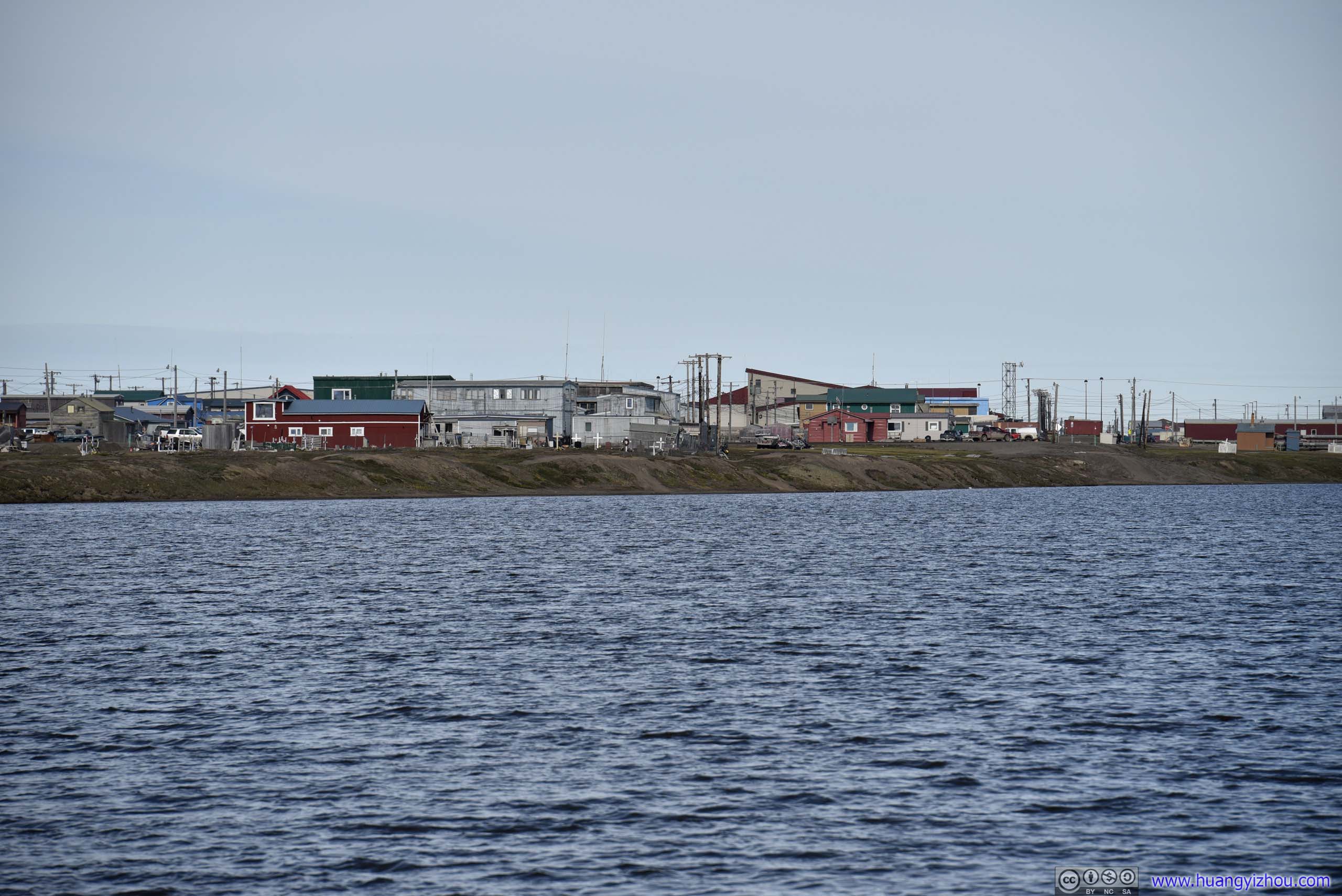
Along the way, I passed by Isatkoak Lagoon that separated Utqiagvik’s southern downtown with its central Browerville. It’s a sign of the many lakes of the tundra landscape as I viewed from the flight above.
 Isatkoak Lagoon
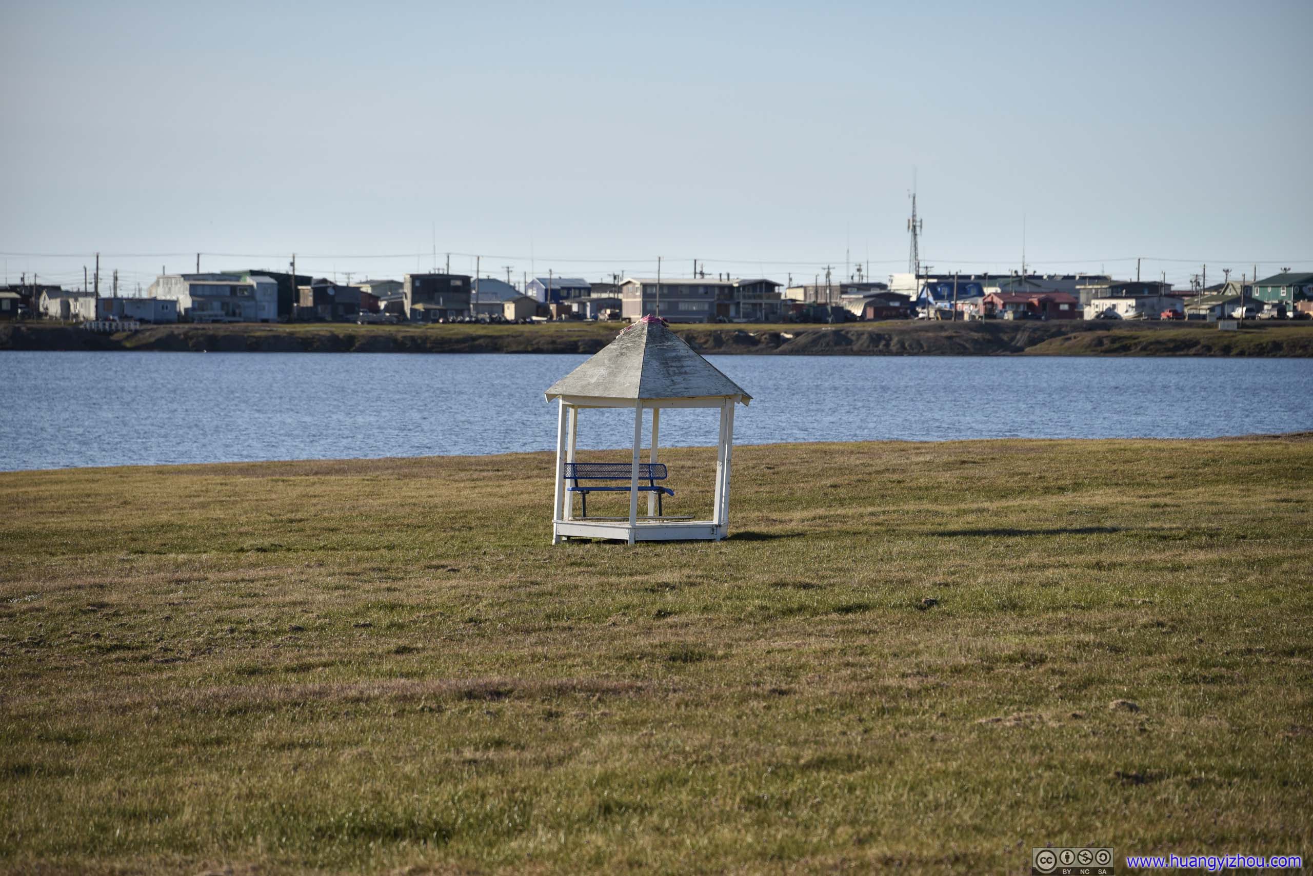
 Pavilion
At first, I though the bench should be facing Isatkoak Lagoon, as we usually associate lakes with aesthetic views. Then I realized being so far north, sunshine from the south was a luxury here, and that’s where the bench was facing.
Pavilion
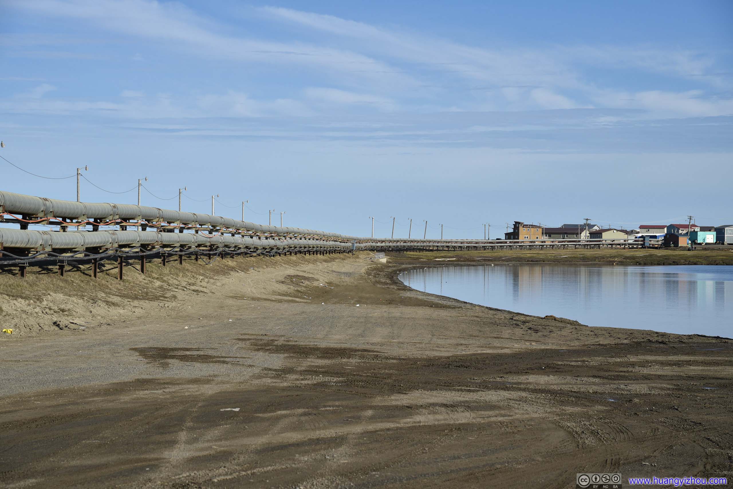
At first, I though the bench should be facing Isatkoak Lagoon, as we usually associate lakes with aesthetic views. Then I realized being so far north, sunshine from the south was a luxury here, and that’s where the bench was facing. Pipeline along Isatkoak LagoonI didn’t know what these pipes were for. My best guess was water?
 Isatkoak Lagoon
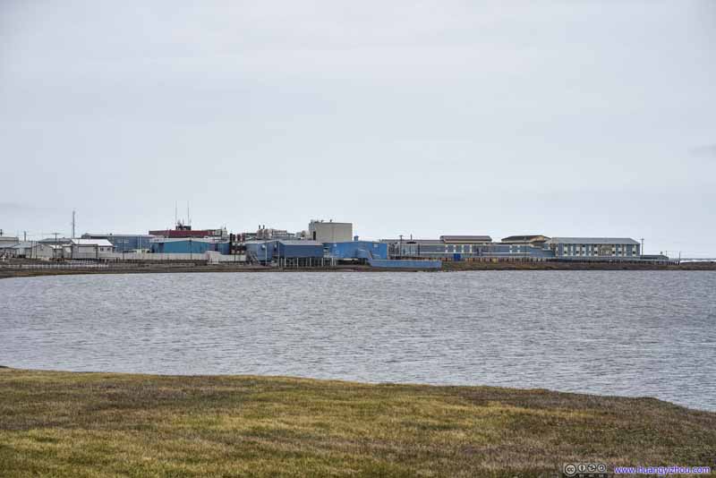 Power StationBuilt next to the lagoon for easy access of water.
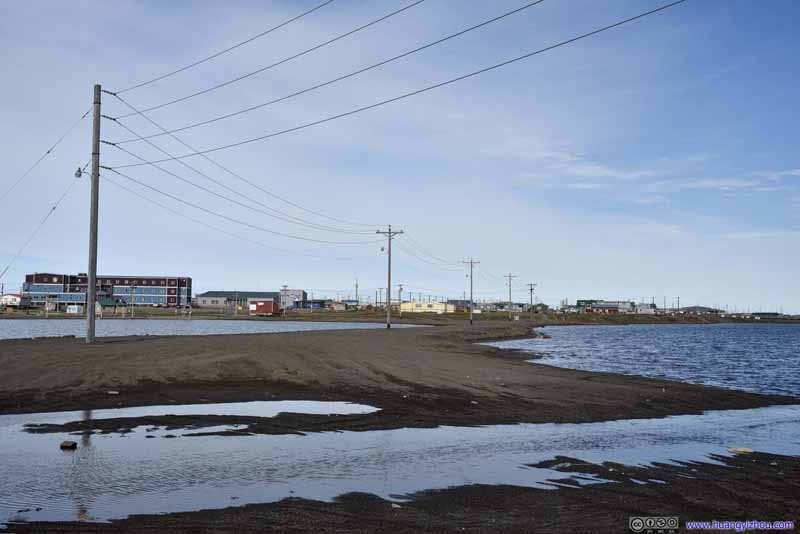 Causeway
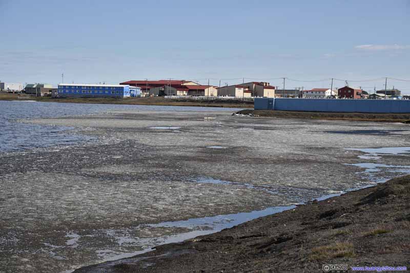 Floating Ice
Most of the ice in the lagoon had melted. The remaining ones got blown by the prevalent east wind to the shore.
Floating Ice
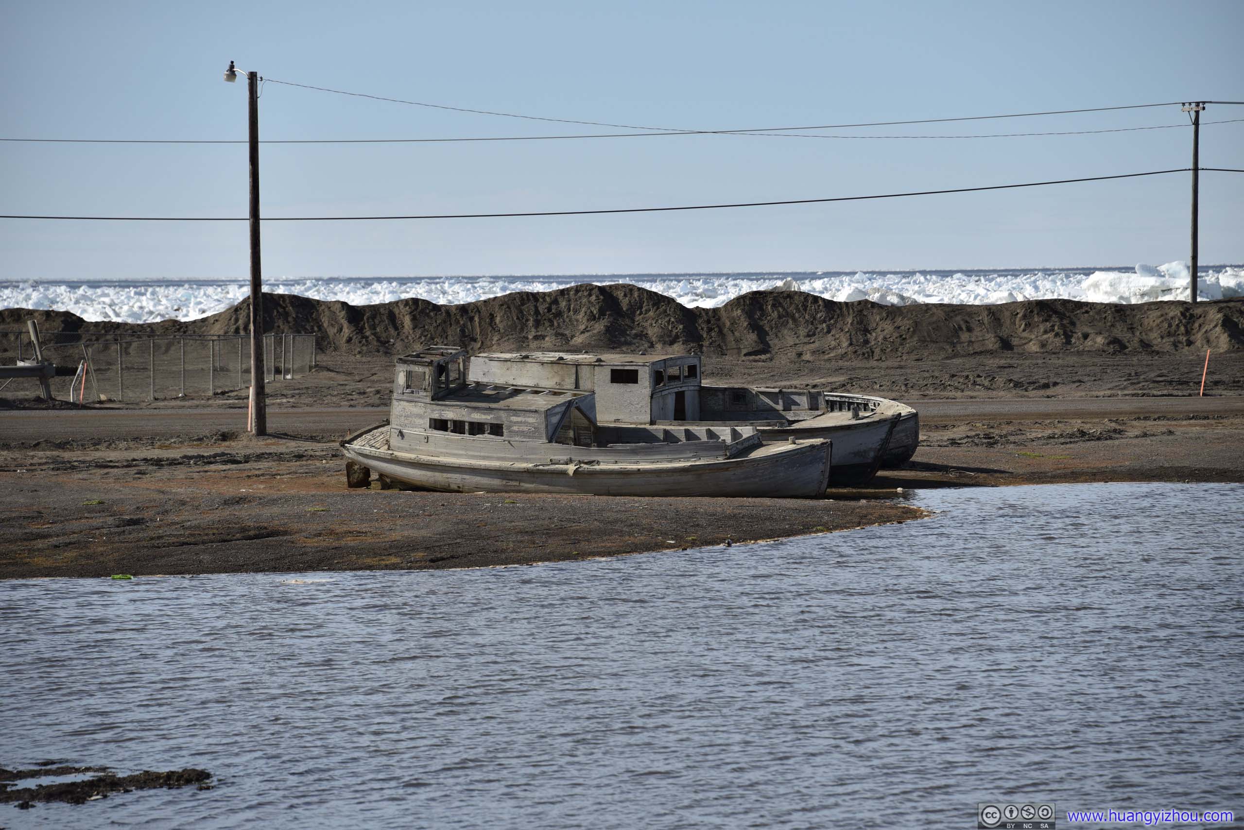
Most of the ice in the lagoon had melted. The remaining ones got blown by the prevalent east wind to the shore.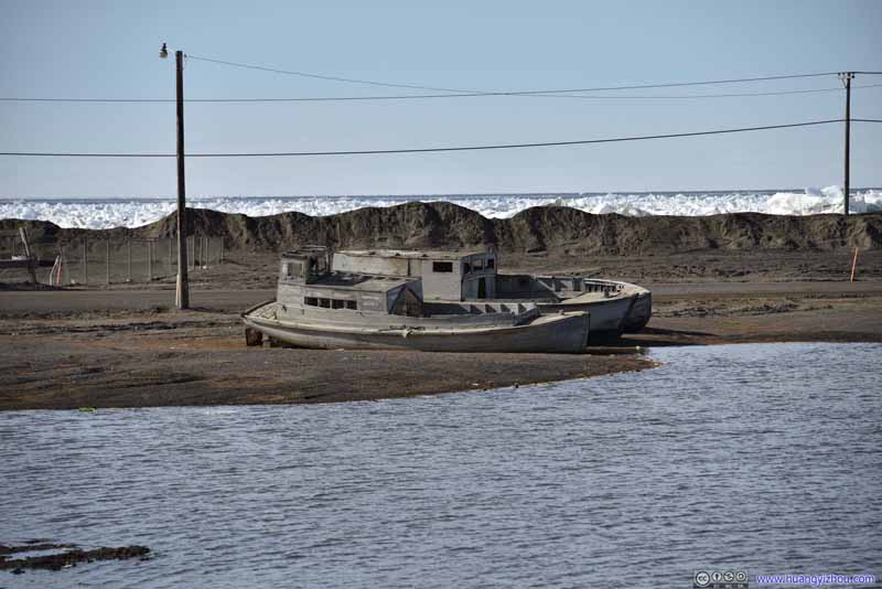 Ruin of Boats
These boats must have seen better days battling the arctic sea ice in the background. Now they rested by Isatkoak Lagoon. It’s like they had water in their destiny.
Ruin of Boats
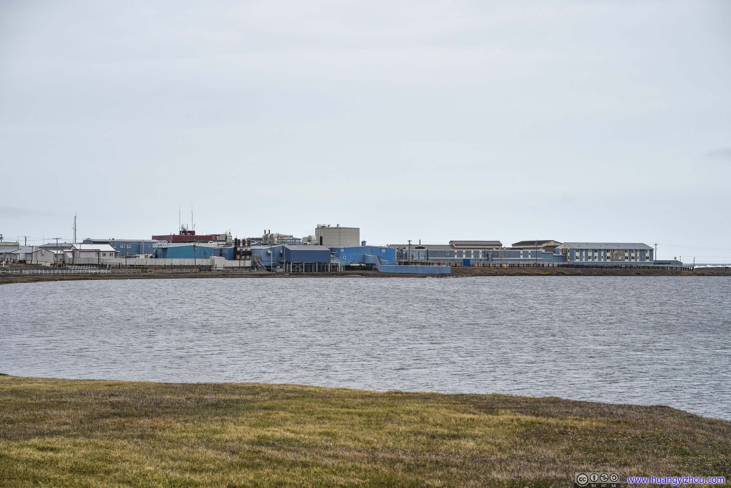
These boats must have seen better days battling the arctic sea ice in the background. Now they rested by Isatkoak Lagoon. It’s like they had water in their destiny.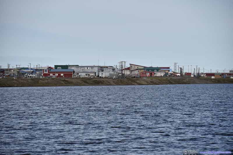 Buildings by Isatkoak Lagoon
Click here to display photos of Isatkoak Lagoon and its surroundings.
Isatkoak Lagoon
Pavilion
Pipeline along Isatkoak LagoonI didn’t know what these pipes were for. My best guess was water?
Isatkoak Lagoon
Power StationBuilt next to the lagoon for easy access of water.
Causeway
Floating Ice
Ruin of Boats
Buildings by Isatkoak Lagoon
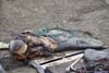
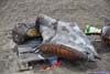
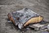
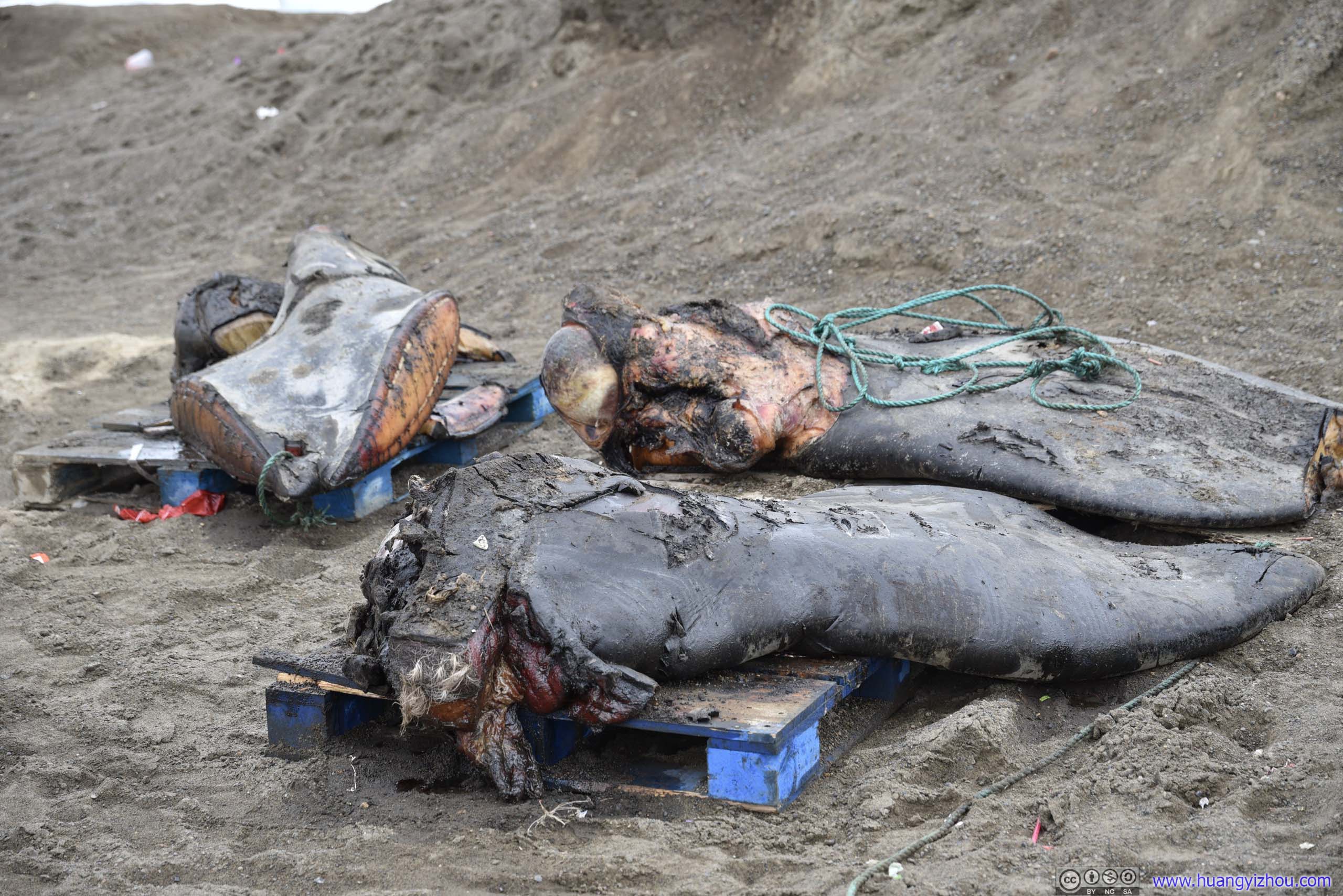
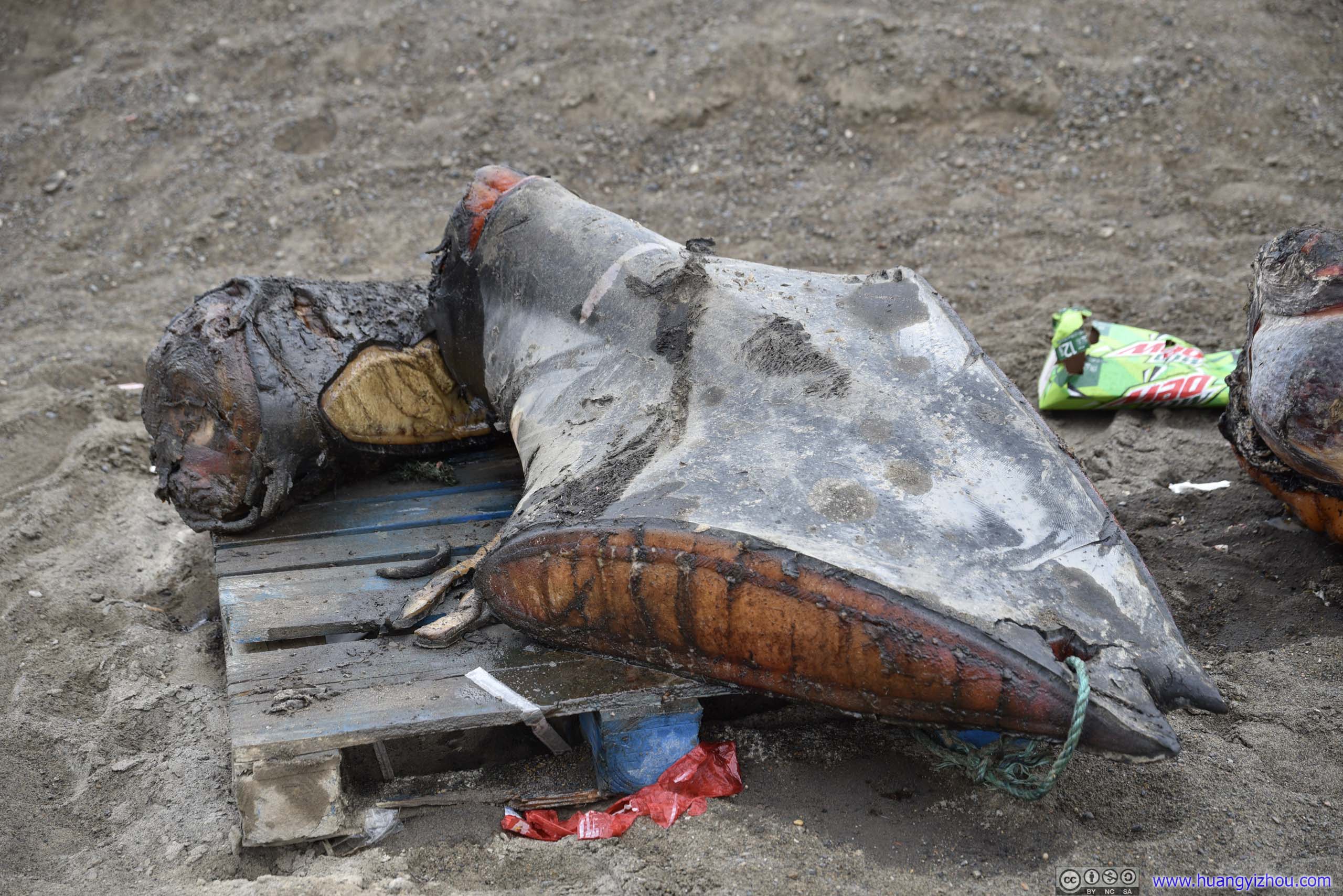
Unfortunately, by the time I arrived at Simmonds Field, I didn’t find any dance party. I guessed the locals changed their mind. I did, however, find a few body parts of a whale. A whale must have been caught and distributed among the community here at Simmonds Field. What I saw were the remnants of such distribution, and a reminder of the important role whaling played in the local culture.
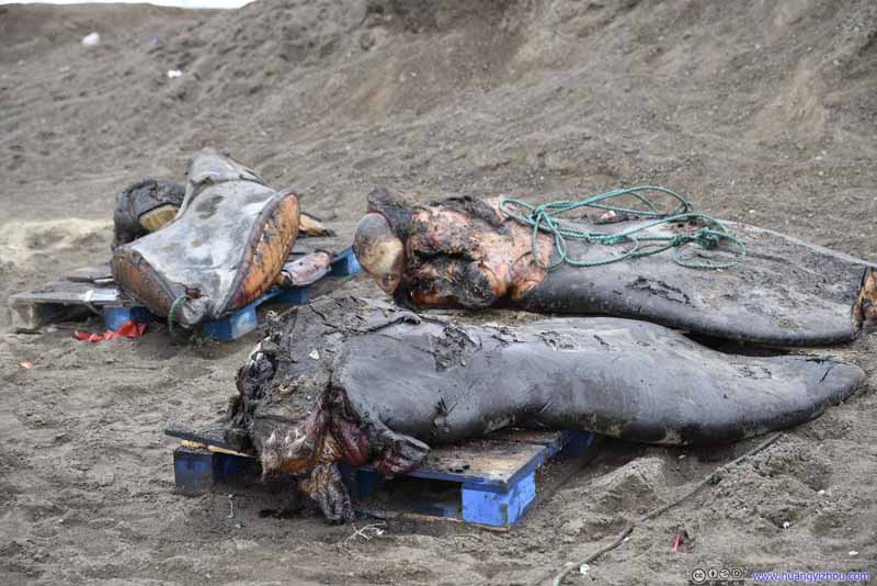 Whale Body Parts
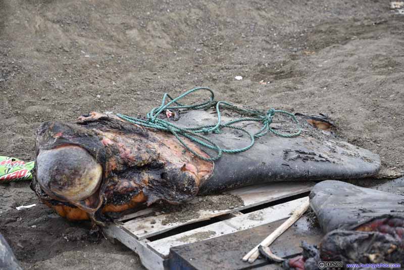 Whale Body Parts
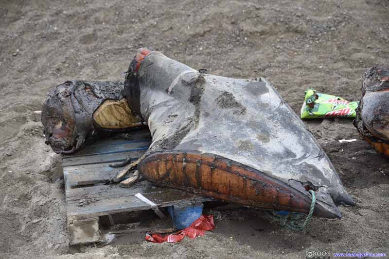 Whale Body Parts
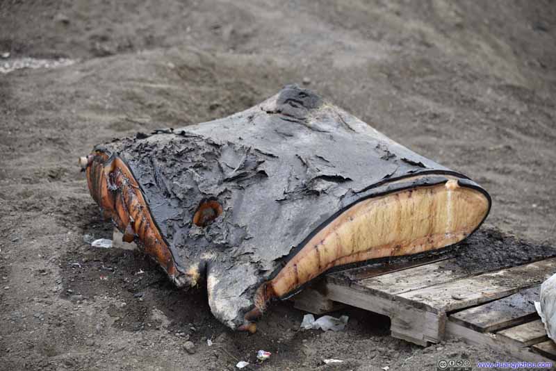 Whale Body Parts
Click here to display photos of whale body parts.
Whale Body Parts

Whale Body Parts
Whale Body Parts

Whale Body Parts
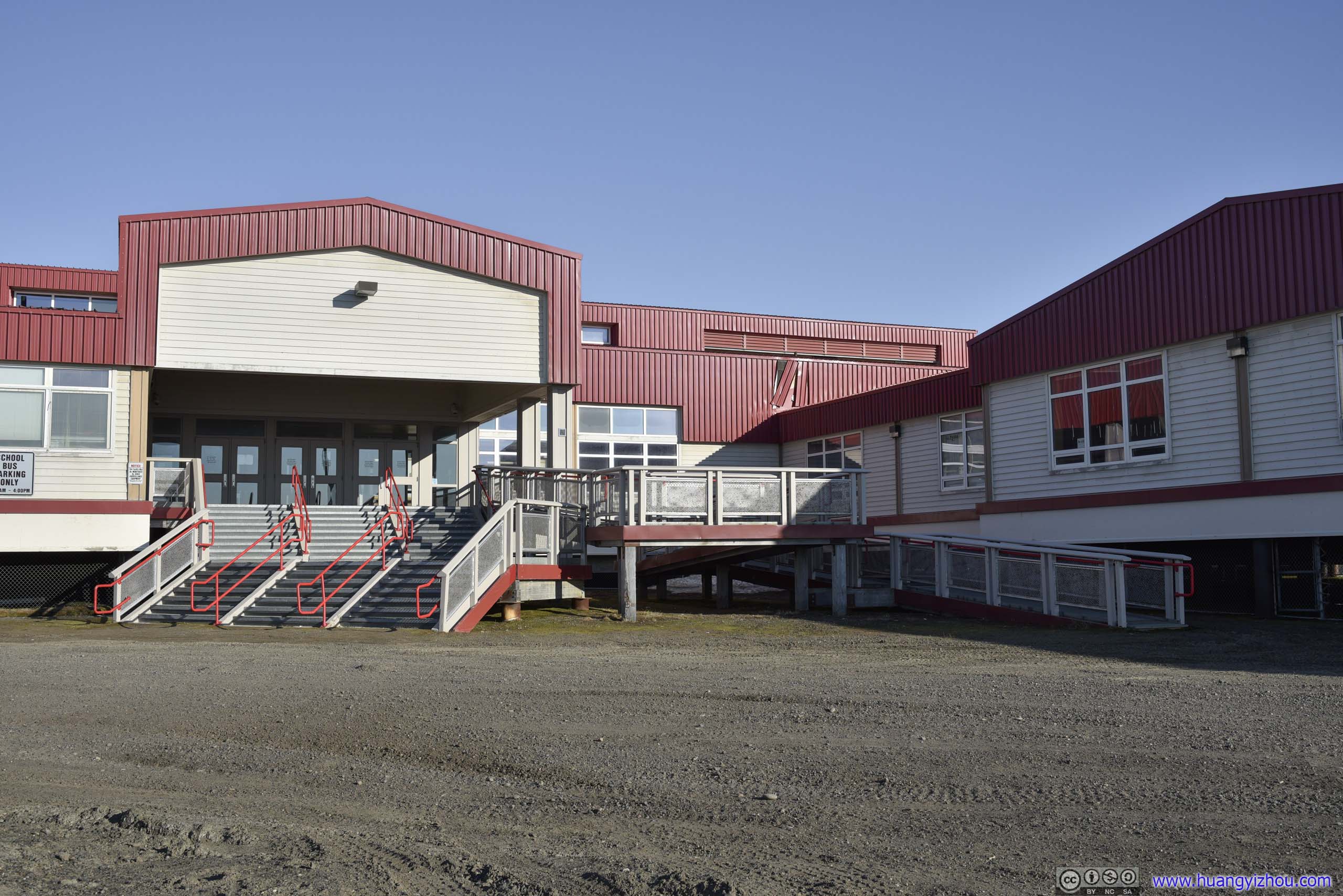
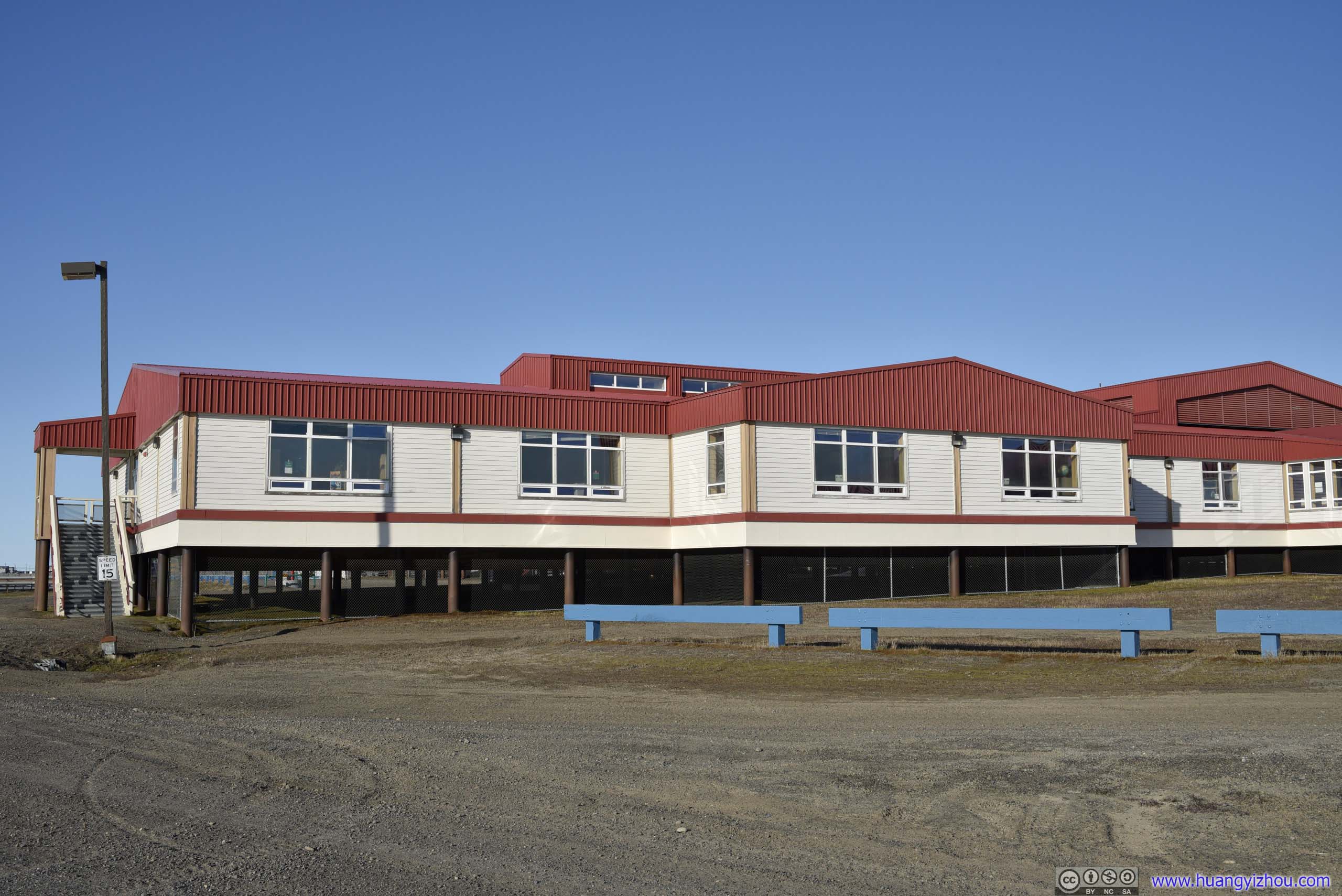
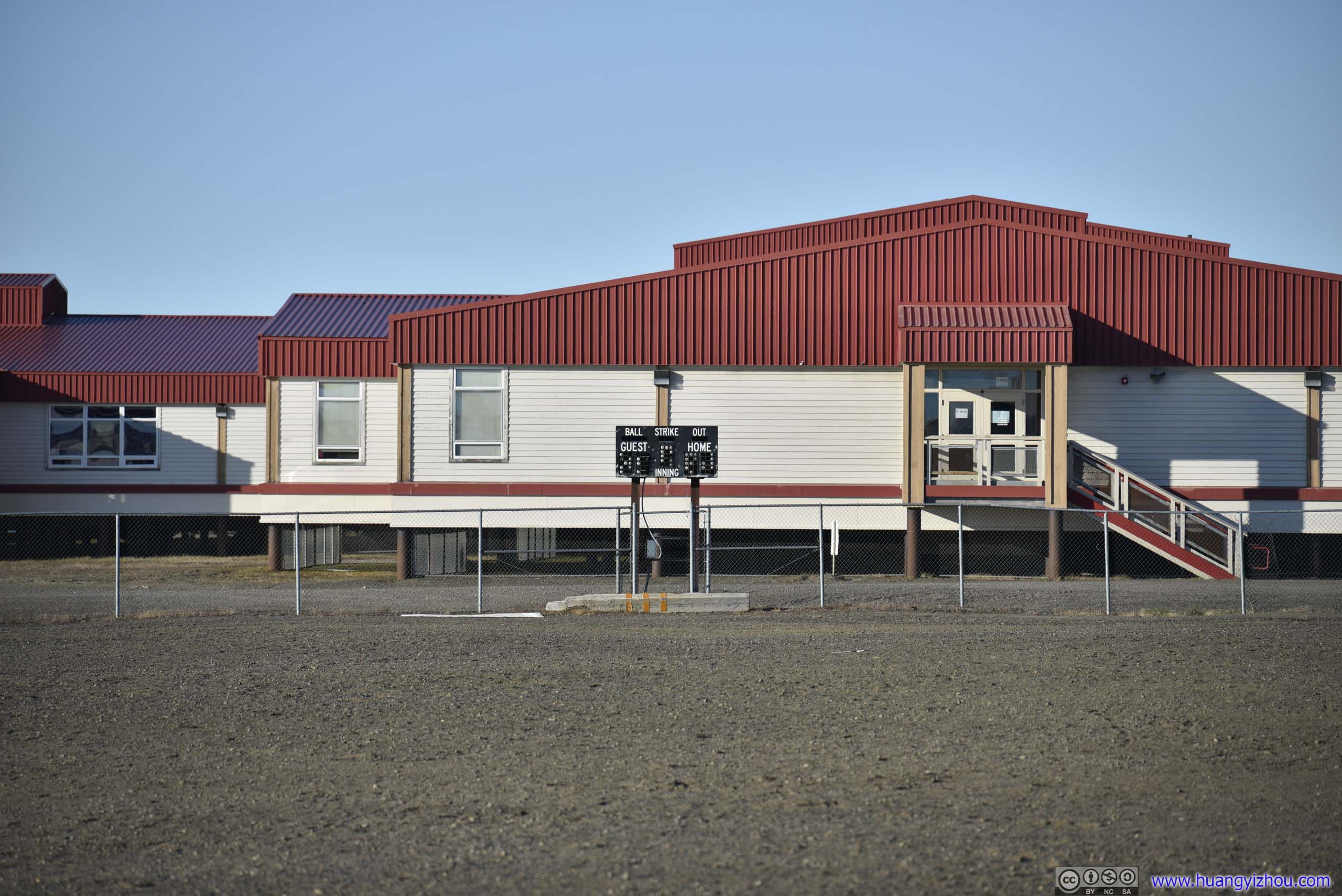
On my way back, I took the path on the other side of Isatkoak Lagoon, and happened to pass the local elementary school. Amazingly, in its backyard I found a baseball field, despite there were no bases nor pitcher’s mound, probably due to difficulties in getting those materials shipped here. The field was made of gravel, the same material as the town’s roads, so I guess there was no sliding.
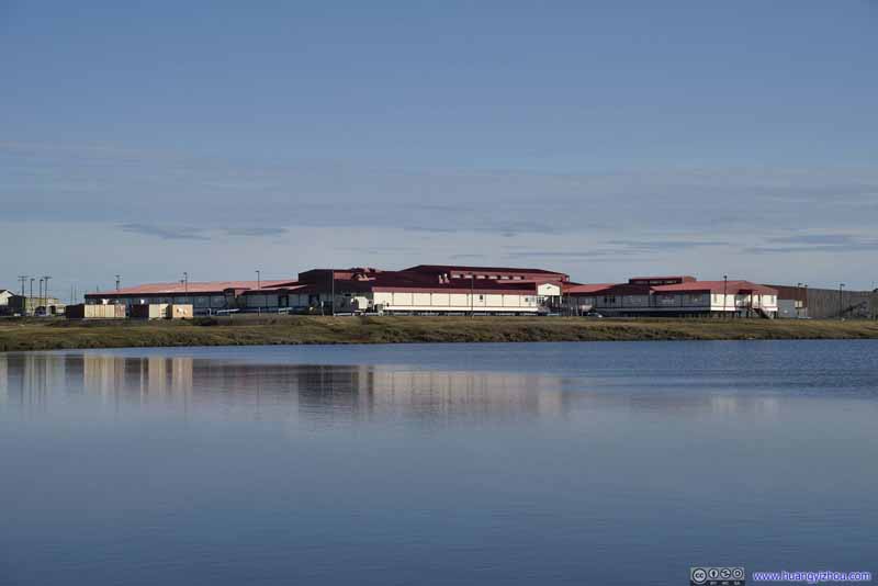 Elementary School
 Elementary School
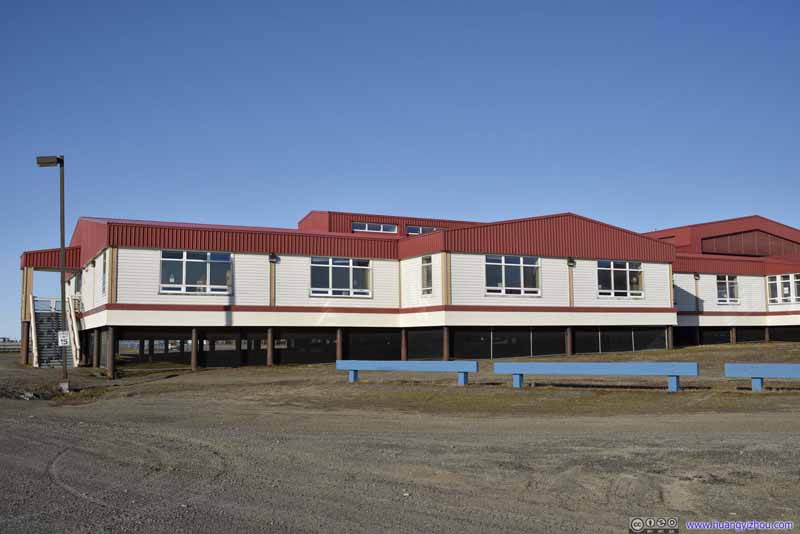 Elementary School
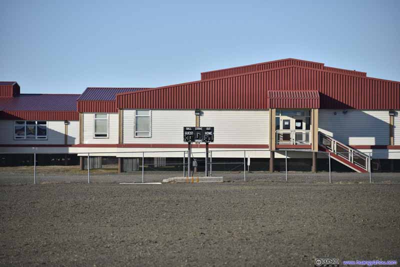 Baseball FieldThat’s made of the same material as the town’s streets.
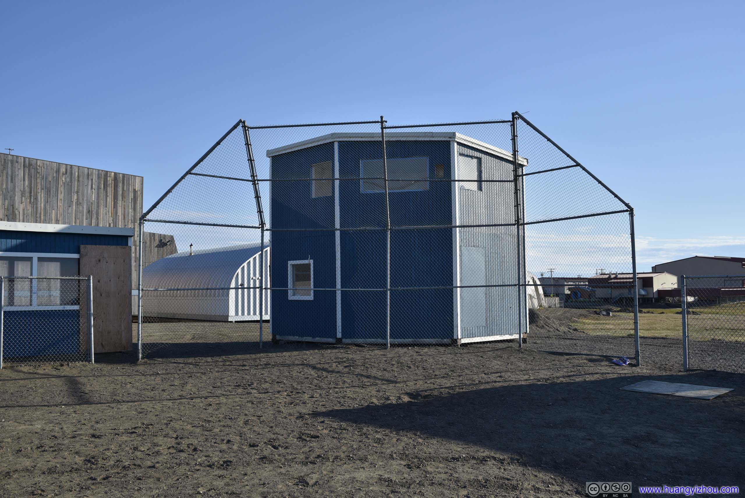
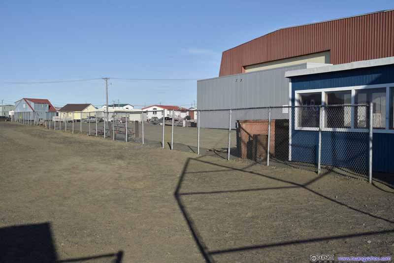 First Base SideWith a few strategically placed cafeteria tables where the few spectators could rest.
 Home Base
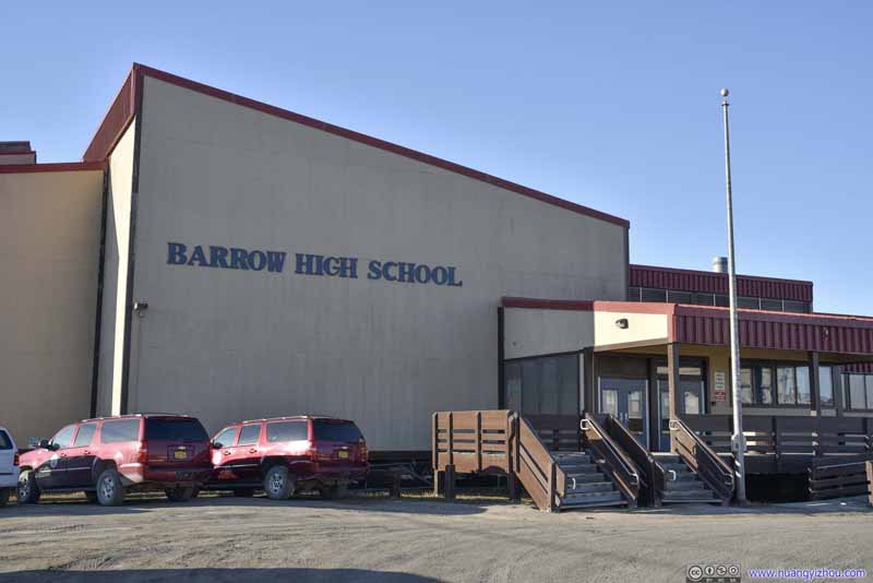 Barrow High SchoolNext to the elementary school.


Click here to display photos of the elementary school and baseball field.
Elementary School
Elementary School
Elementary School
Baseball FieldThat’s made of the same material as the town’s streets.

First Base SideWith a few strategically placed cafeteria tables where the few spectators could rest.
Home Base

Barrow High SchoolNext to the elementary school.
Midnight Sun
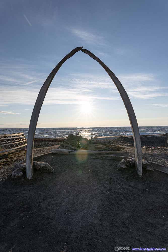
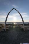
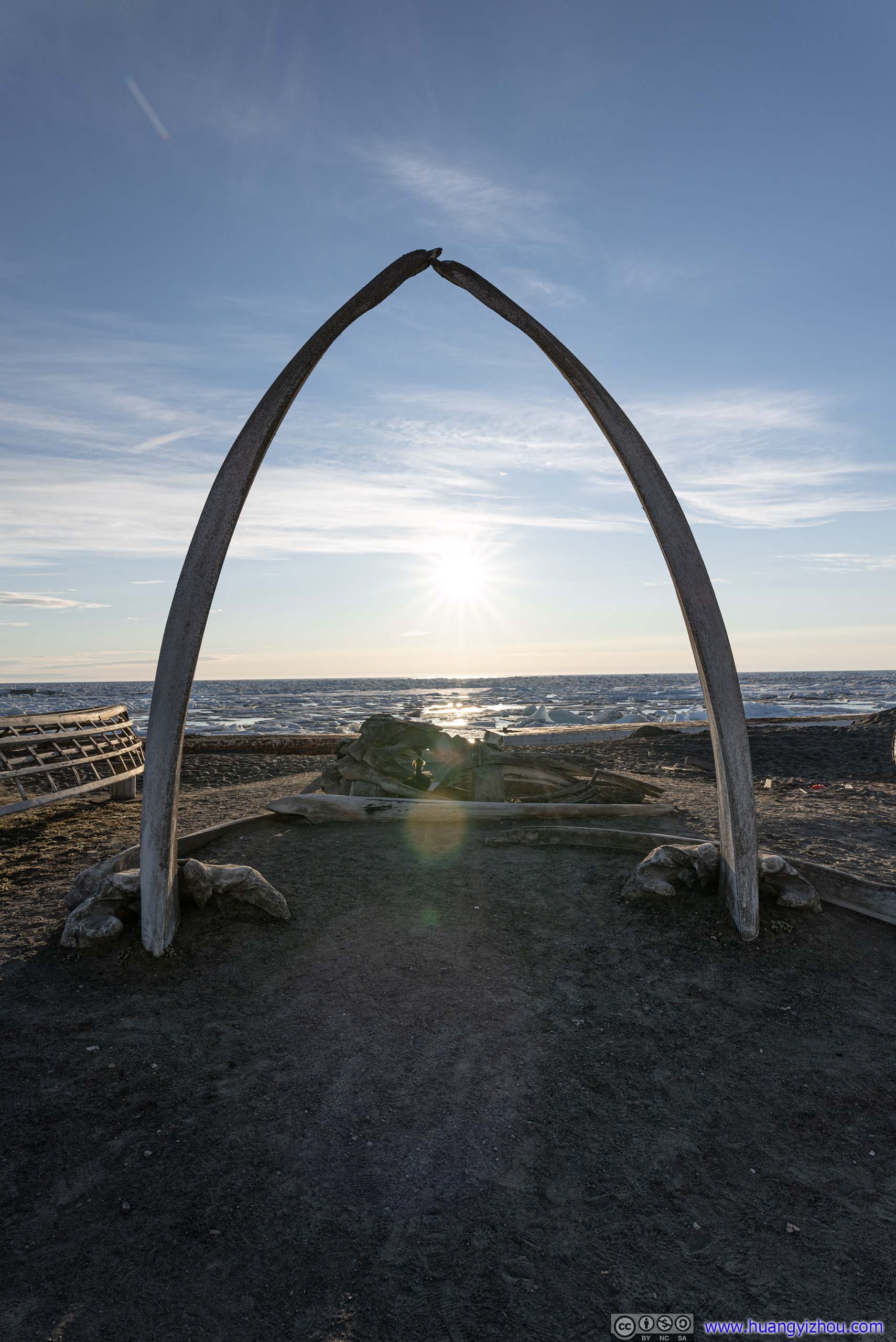
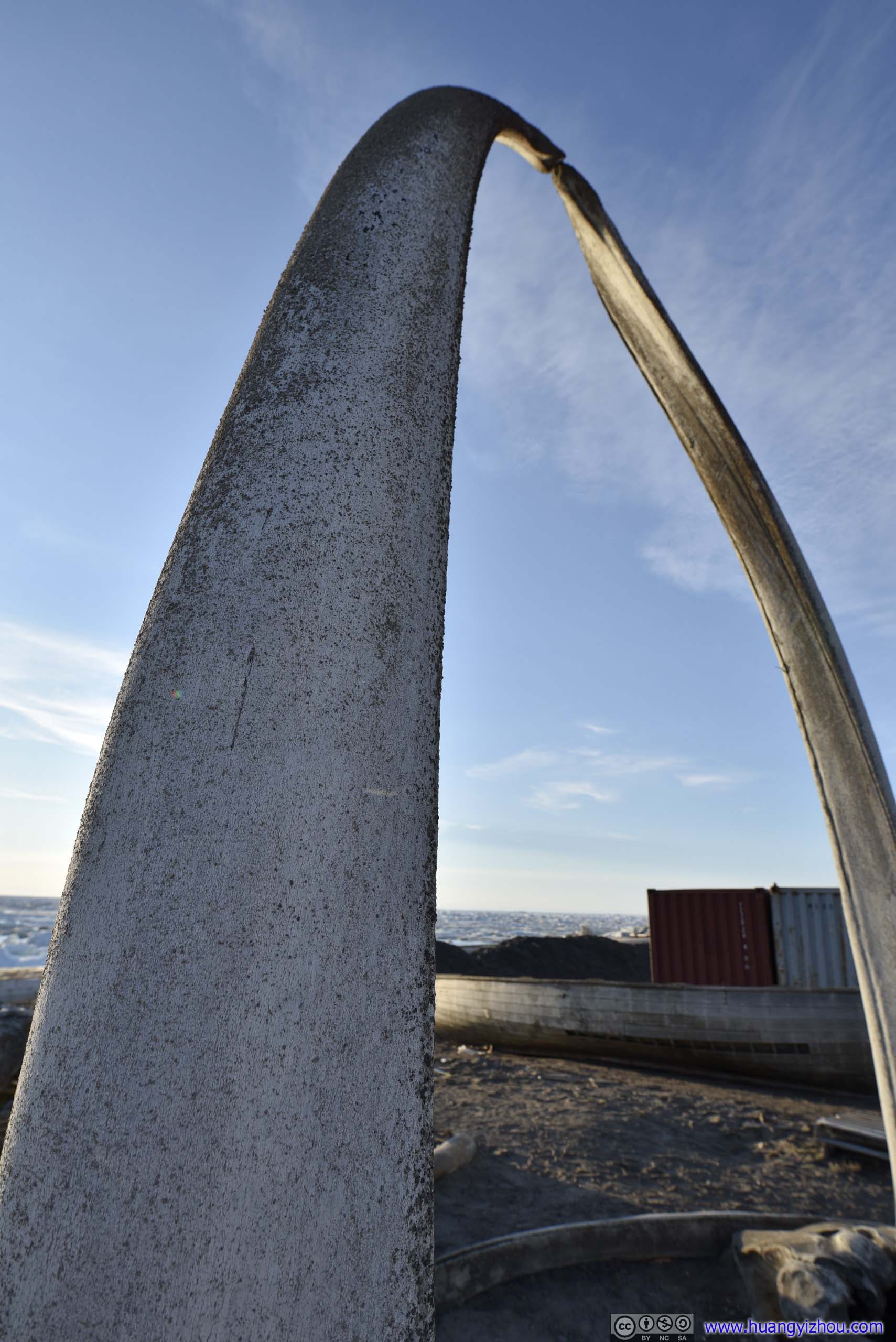
Fast forward to midnight. Located at a latitude of 71 degrees, Utqiagvik enjoys about 80 days of polar day when the sun didn’t set below the horizon. This included tonight and I thought I should do something to mark the moment, and there’s no better place more iconic than Utqiagvik’s whale bone arch.
Midnight Sun over Isatkoak Lagoon
 Midnight
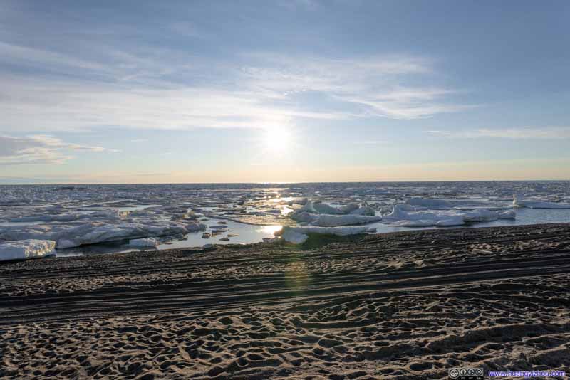 Midnight Sun over Arctic Sea Ice
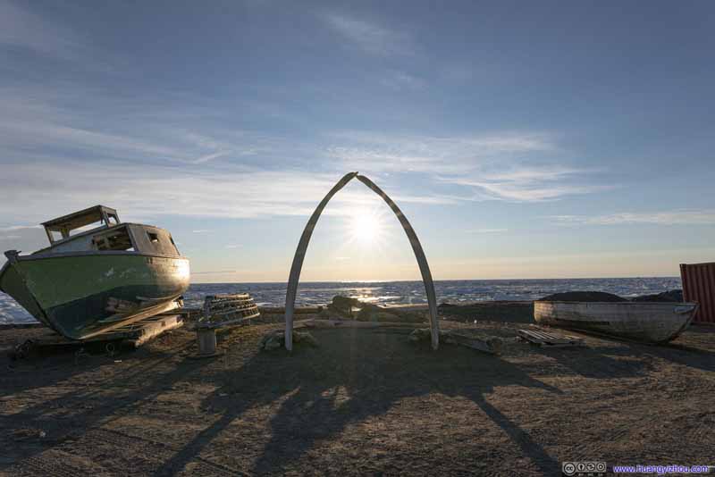 Midnight
Click here to display photos of the midnight sun from whale bone arch.
Midnight

Midnight Sun over Arctic Sea Ice
Midnight
At midnight, the sun was at a heading of 325 degrees, about the same direction as the whale bone arch, and it’s phenomenal to watch it shine through this symbol of the north. Ideally one would want to arrive slightly earlier than midnight so that the sun was more perpendicular to the arch.
 Utqiagvik Whale Bone Arch
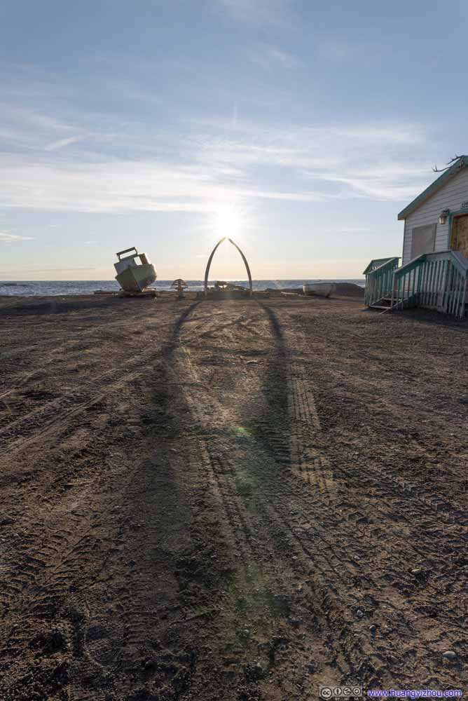 Shadows of Whale Bone Arch
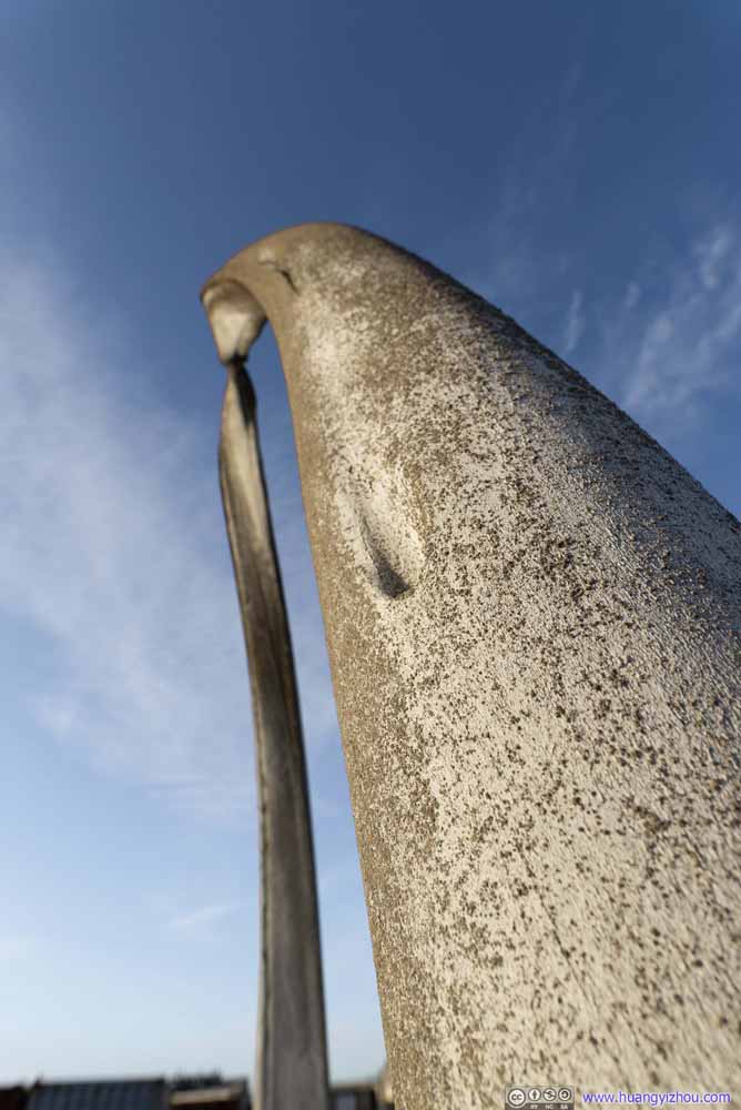 Utqiagvik Whale Bone Arch
 Utqiagvik Whale Bone Arch
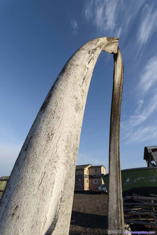 Utqiagvik Whale Bone Arch
 Utqiagvik Whale Bone Arch
 Utqiagvik Whale Bone Arch

Click here to display photos of the whale bone arch at midnight.
Utqiagvik Whale Bone Arch

Shadows of Whale Bone Arch

 Utqiagvik Whale Bone Arch

 Utqiagvik Whale Bone Arch

Utqiagvik Whale Bone Arch
The next morning, after waking up and finishing the remainder of last night’s oversized dinner, I checked out of the hotel and made my way towards Iñupiat Heritage Center. The weather forecast predicted a cloudy “night” starting from midnight, but clouds didn’t show up till 9am. (So the polar sun reassuringly watched over my entire night’s sleep.) There was occasional drizzle accompanying winds after that, nothing my coat couldn’t handle.
Iñupiat Heritage Center
Iñupiat Heritage Center was the only museum in town with exhibits of the local Iñupiat people. It’s more organized like an event venue for many of the native festivals, at least that’s what the picture exhibit showed. It opened for limited hours in summer 2021 with a lunch break between 12 and 1. Unfortunately my flight delay yesterday meant I only had about an hour to visit it today before its lunch break and my flight back to Anchorage.
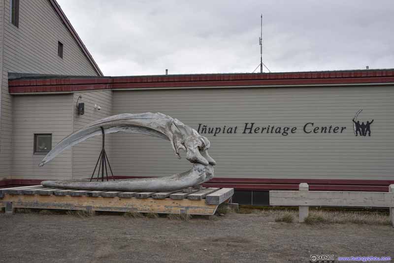 Whale Bone outside Inupiat Heritage CenterJust like every other major building in town, this one had a whale bone on its doorstep.
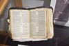
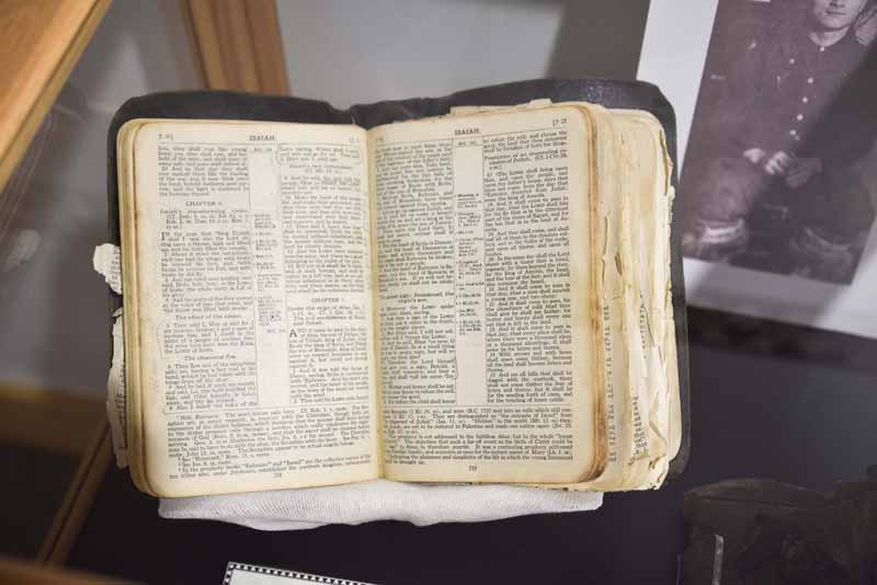 Bible
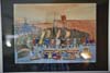
Bible Art from Walrus TuskDepicting daily life in the north.
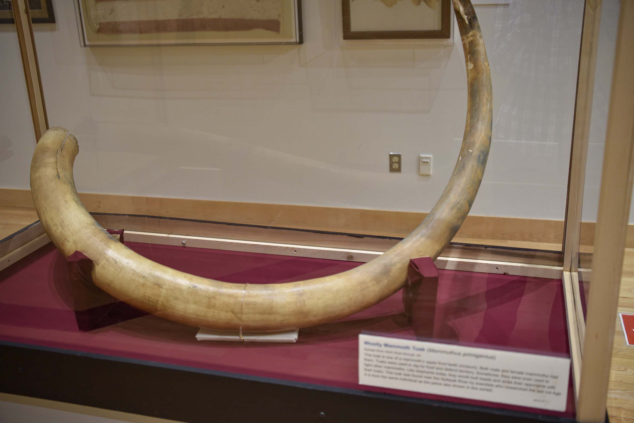
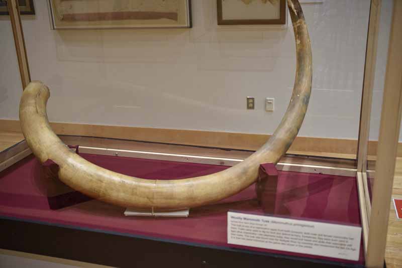 Woolly Mammoth Tusk
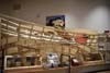
 Butchering the Bowhead Whale
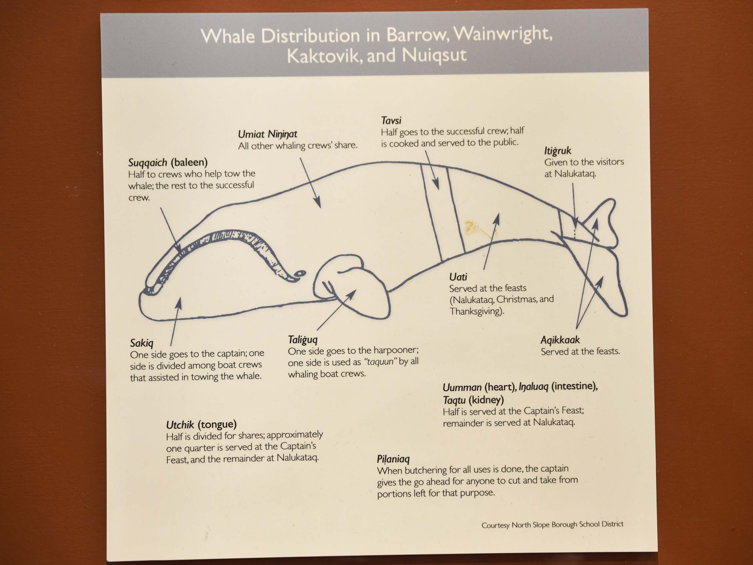
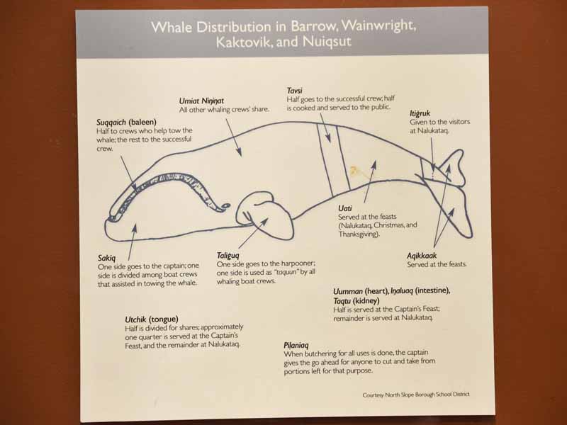 Whale Distribution
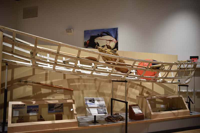 Frame of Whaling Boat
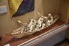
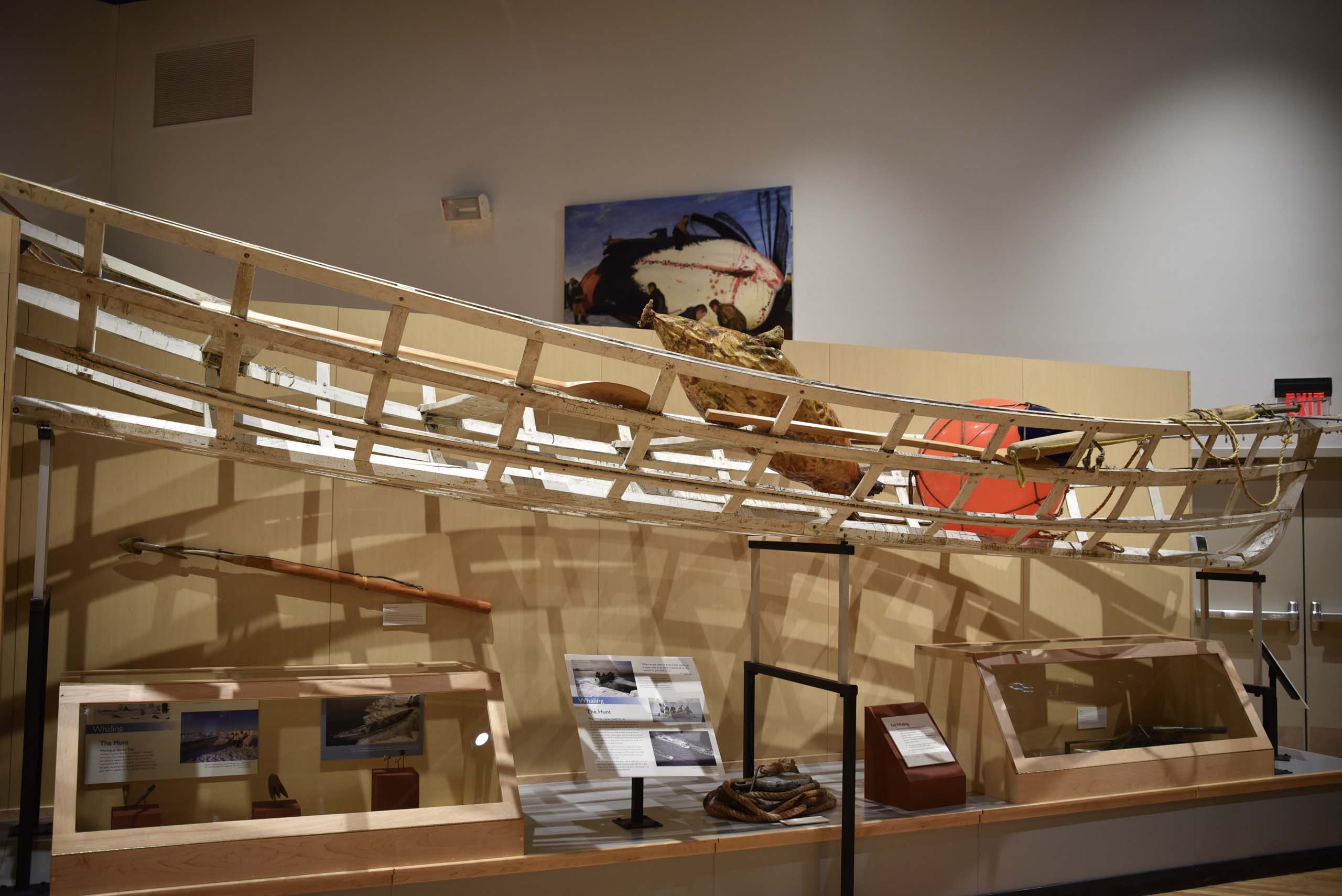
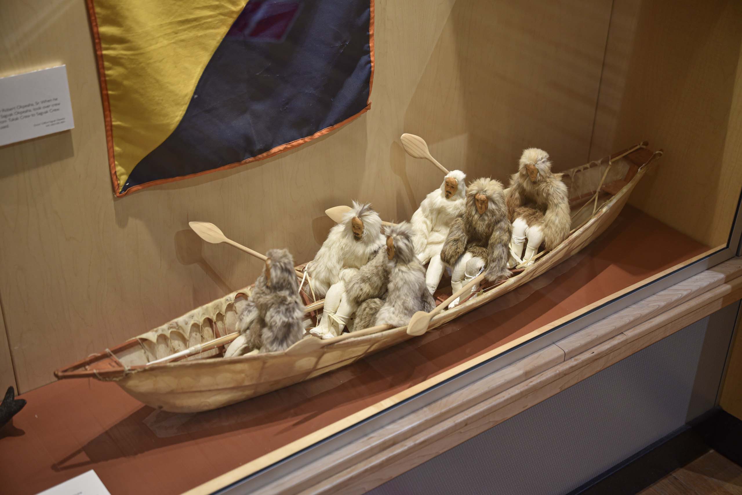
 Sample Whaling Boat Loadup
 Sample TentUsed for overnight whaling trips.
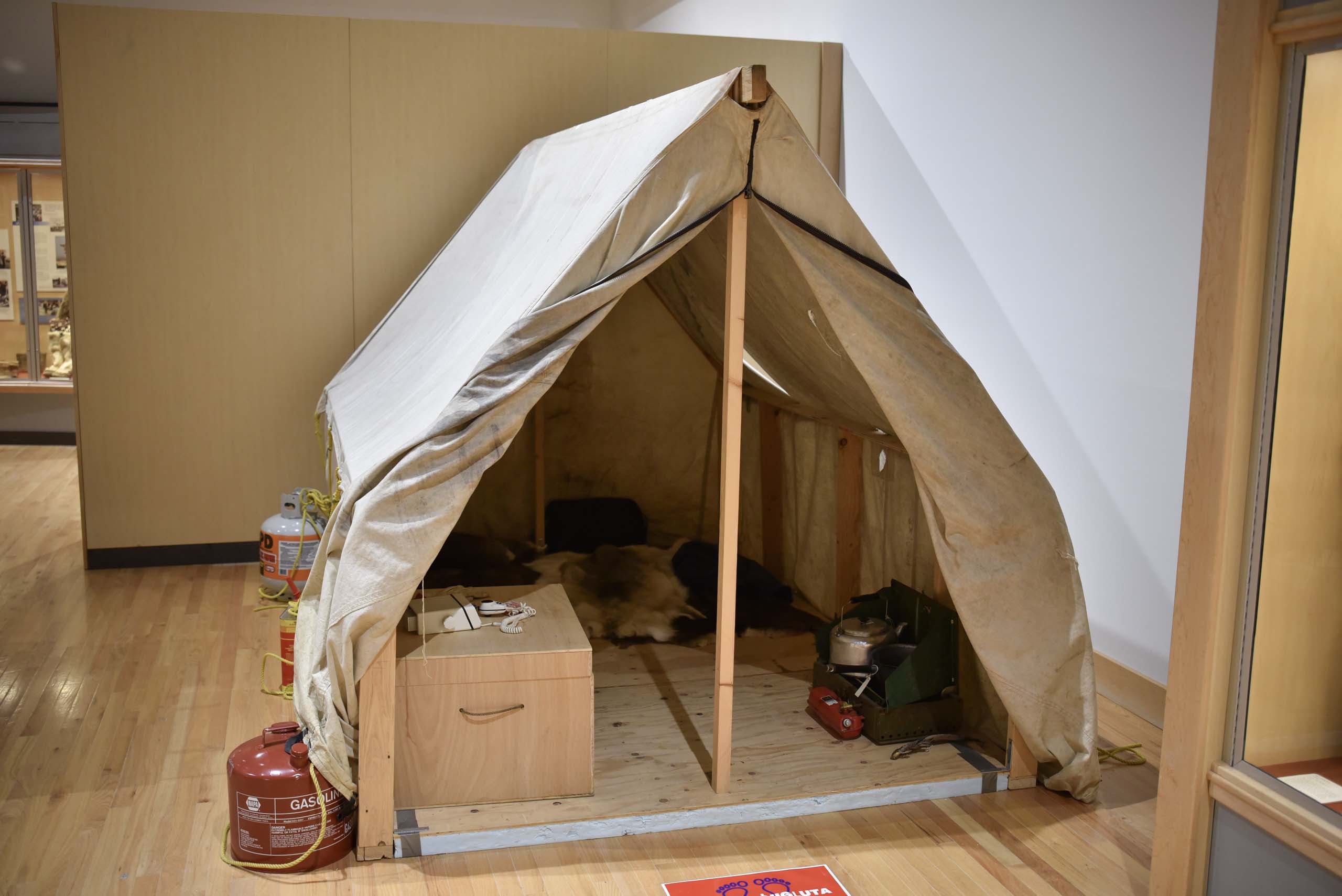


Click here to display photos of the Iñupiat Heritage Center.

Whale Bone outside Inupiat Heritage CenterJust like every other major building in town, this one had a whale bone on its doorstep.

Bible

Art from Walrus TuskDepicting daily life in the north.
Woolly Mammoth Tusk

Butchering the Bowhead Whale
Whale Distribution
Frame of Whaling Boat
Sample Whaling Boat Loadup
Sample TentUsed for overnight whaling trips.
In my opinion, the best part of Iñupiat Heritage Center was its gallery about whaling, which I didn’t find at first. Not just a hunt for food, here whaling was portrayed as a culture event where “the whale offered itself to the people”. The exhibits emphasized respect for the whale during the entire process, after which distribution of the whale was among the whole community, where no parts went to waste. And given the town’s isolation, whaling provided much needed food to the community.
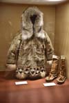
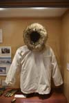
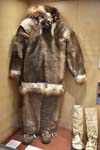
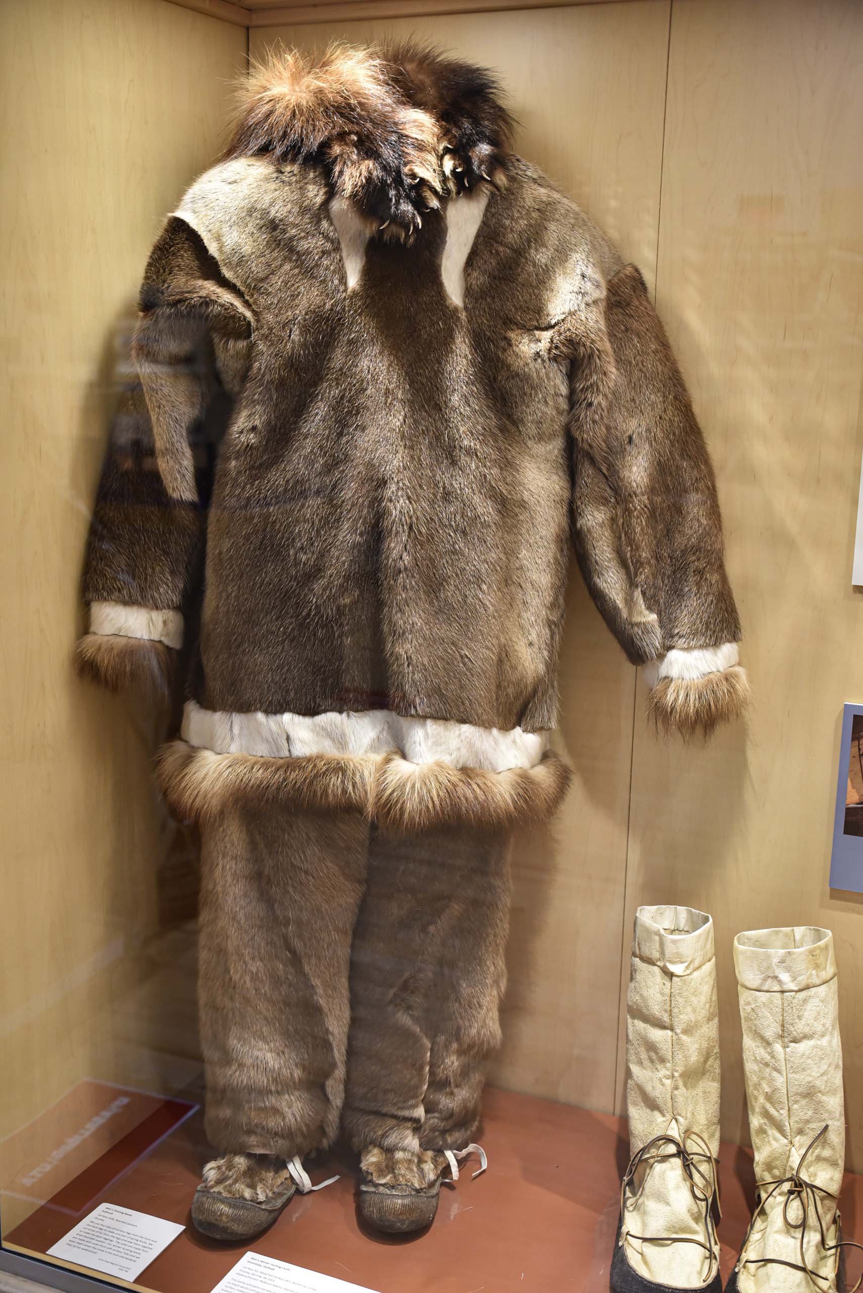
 Clothing
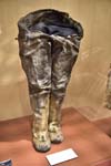
 Men’s Waterproof Boots
Inupiaq men wear waterproof boots when they go whaling or summer hunting. Women boot makers sew the hairless sealskin leggings to the stiff bearded sealskin soles with caribou sinew using waterproof stitches. Then they saturate the boots with seal oil to make them even more waterproof.
Men’s Waterproof Boots
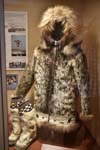
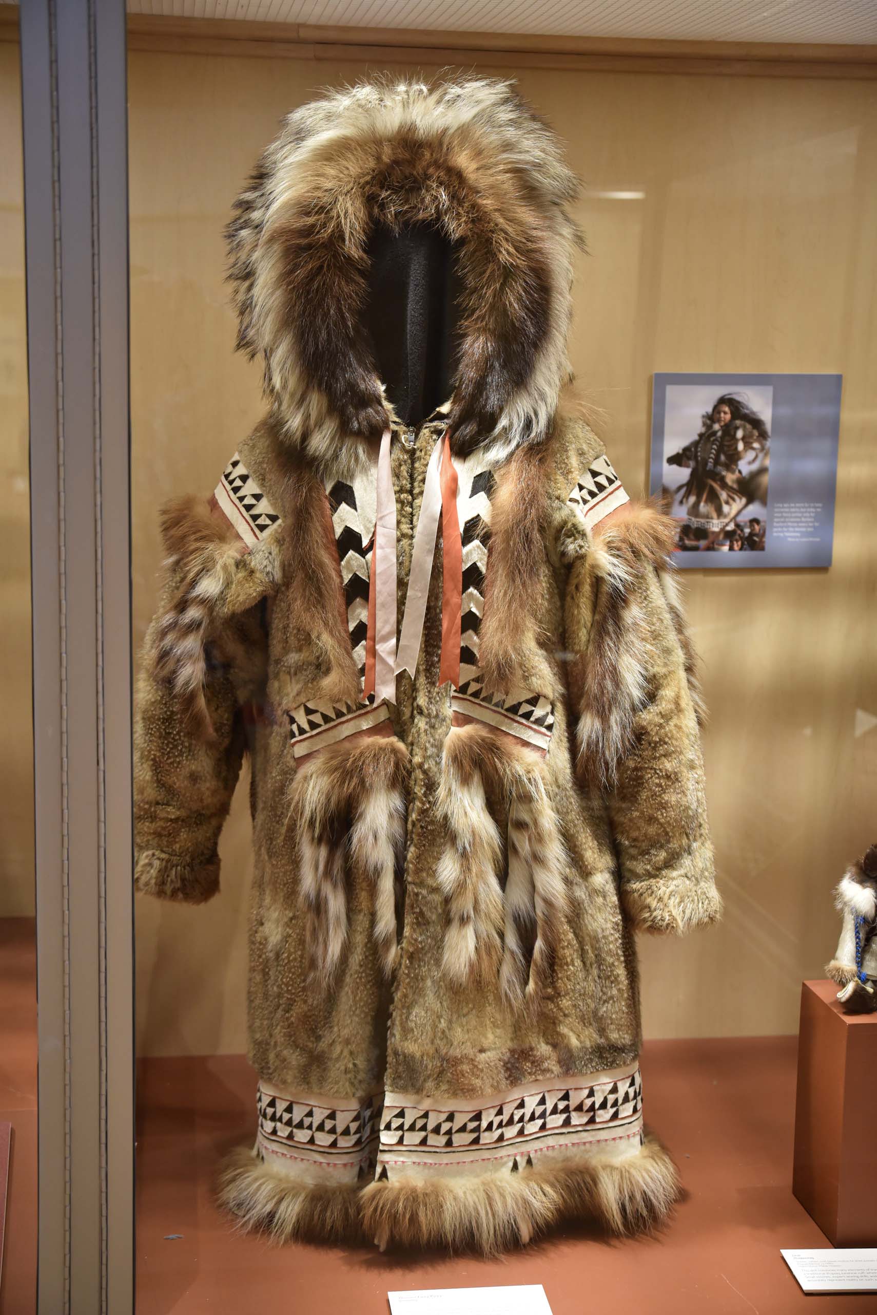
Inupiaq men wear waterproof boots when they go whaling or summer hunting. Women boot makers sew the hairless sealskin leggings to the stiff bearded sealskin soles with caribou sinew using waterproof stitches. Then they saturate the boots with seal oil to make them even more waterproof.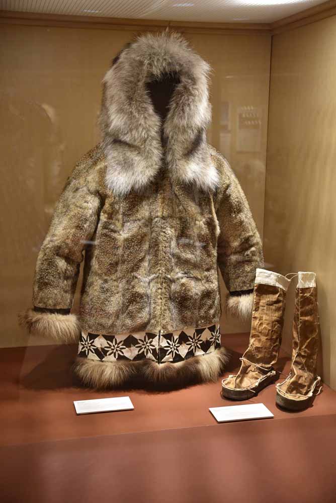 Man’s Parka
This fancy parka was worn only on special occasions or celebrations. Traditionally, ground squirrels, or siksrik, were trapped on the tundra using snares made of sinew or baleen. In more modern times, we have used steel leg-hold traps to catch the squirrels.
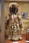
Man’s Parka
This fancy parka was worn only on special occasions or celebrations. Traditionally, ground squirrels, or siksrik, were trapped on the tundra using snares made of sinew or baleen. In more modern times, we have used steel leg-hold traps to catch the squirrels.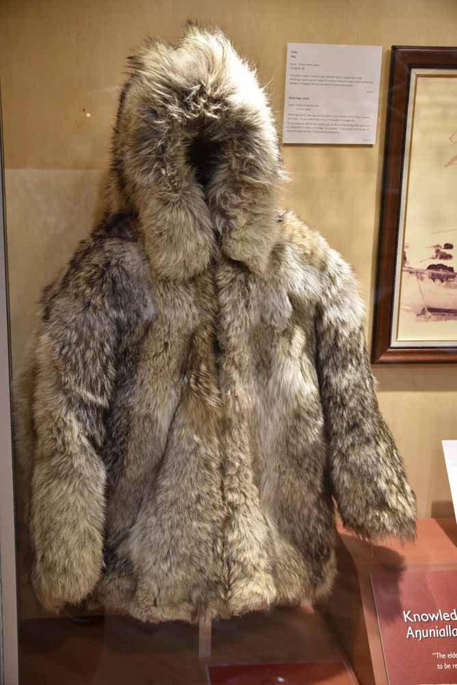 Clothing
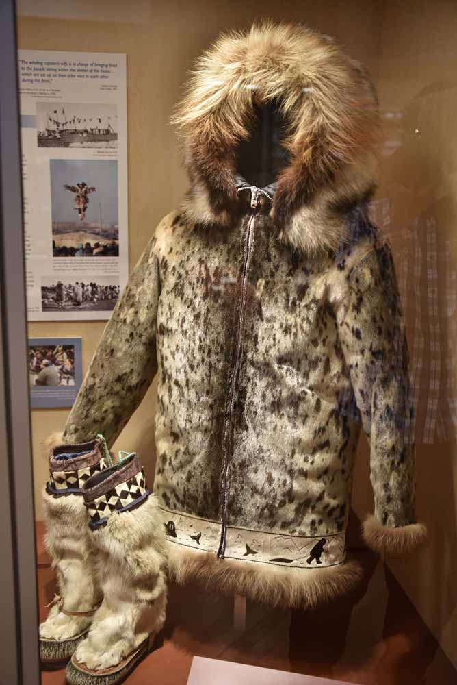 Clothing
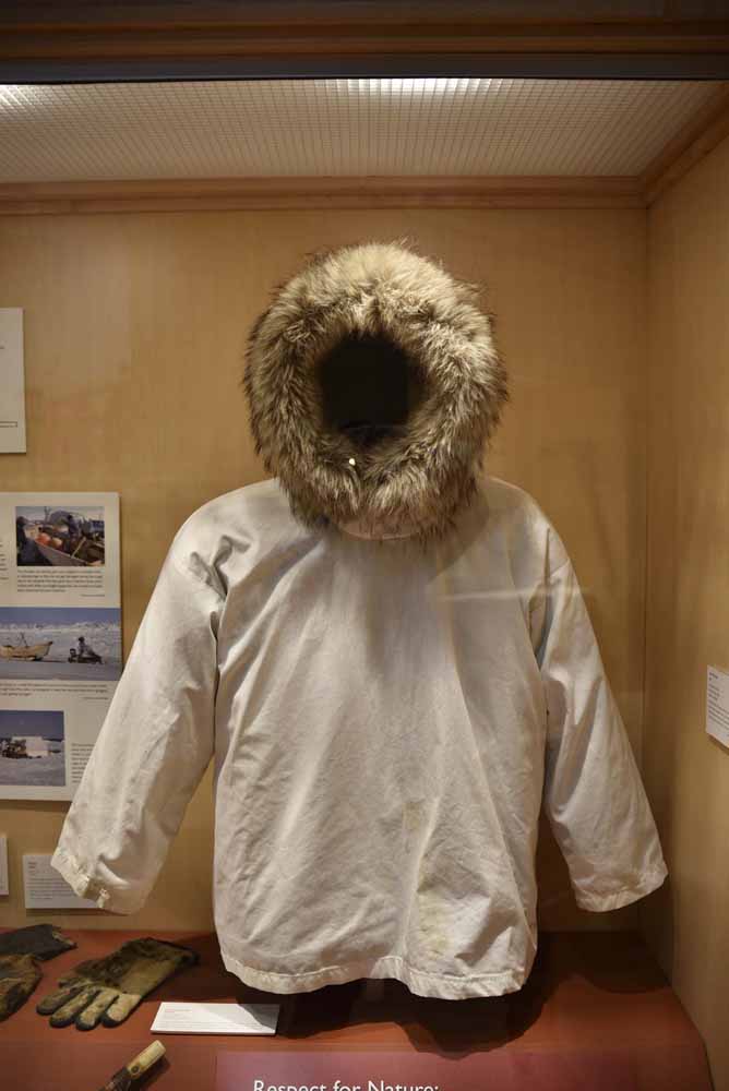 Clothing
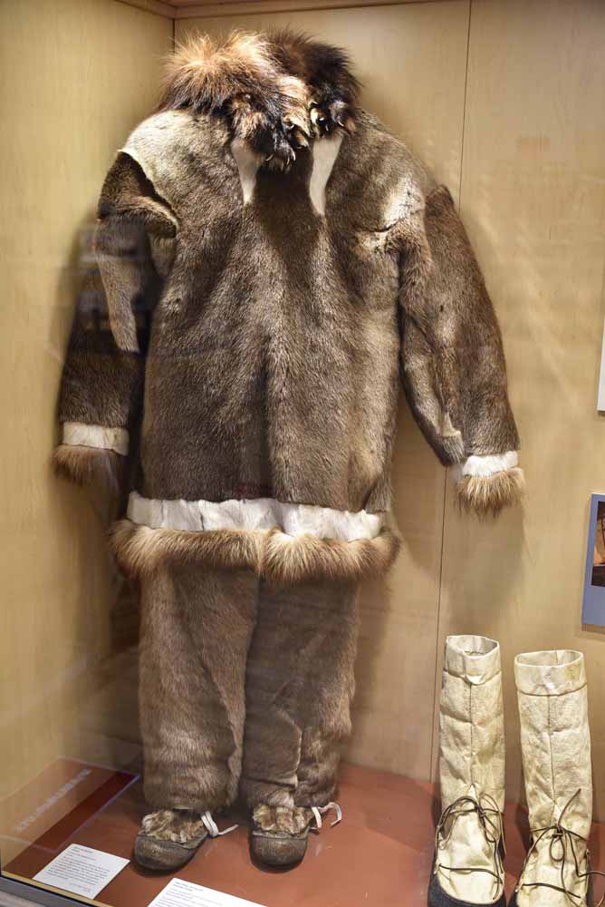 Clothing

Click here to display photos of the slideshow
Clothing

Men’s Waterproof Boots

Man’s Parka

Clothing

Clothing

Clothing
Clothing
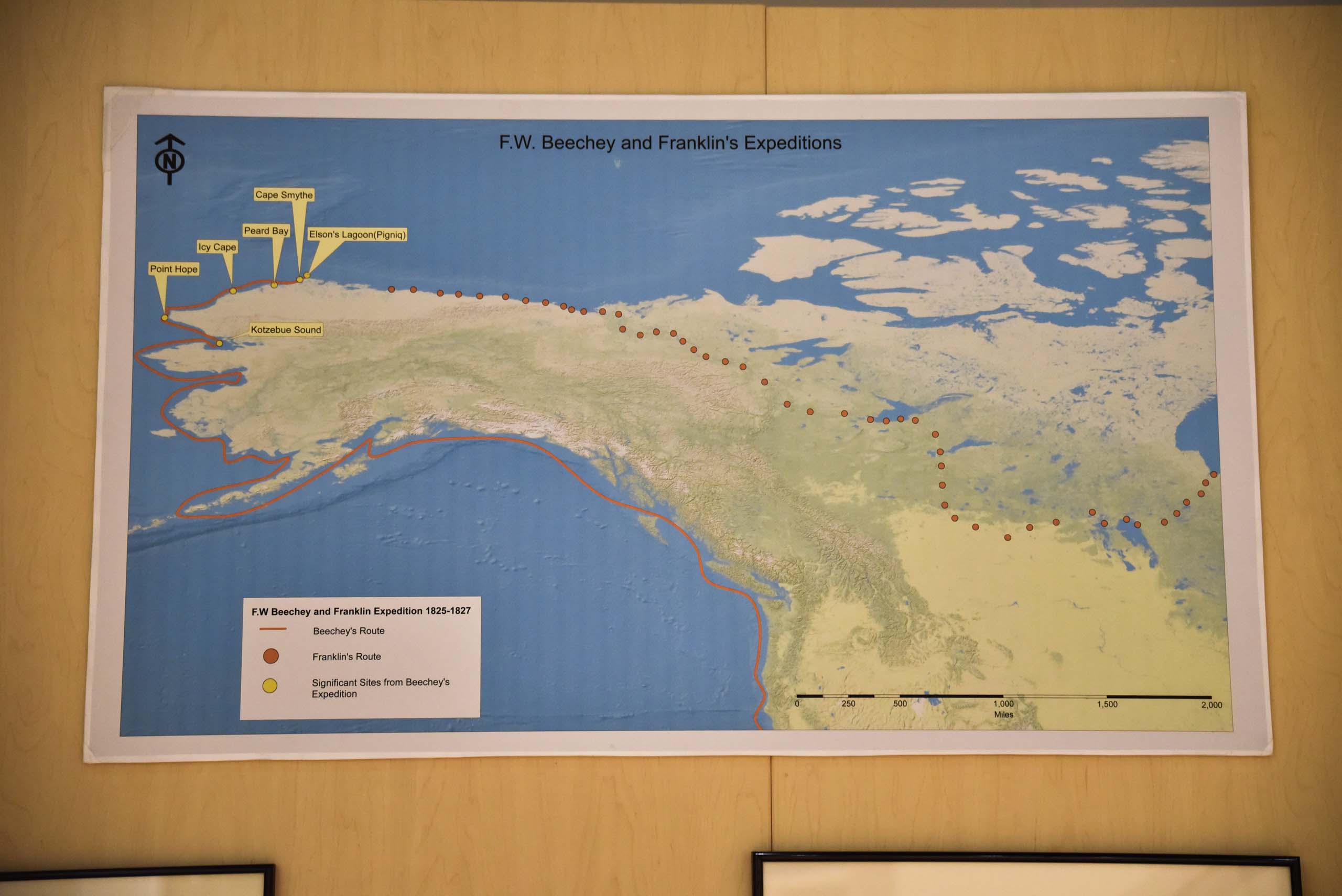
Beechey and Franklin’s Expeditions
How the various places got its name. Click for details.
The HMS Blossom was commanded by Frederick William Beechey, a naval officer, an accomplished artist (F.W.) who was no stranger to the Arctic. Beechey joined the British navy at the age of 10 and went on several Arctic explorations. The HMS Blossom was sent out in 1825 to approach the Arctic through the Bering Straits to meet-up with Captain John Franklin, who was to have headed west from the mouth of the Mackenzie River. Beechey successfully reached Kotzebue Sound in July 1826, which was the proposed meeting point with Captain John Franklin. There they encountered the Native Inupiat, who came to trade by umiat (which Beechey calls “baidars”). Since Franklin was not there, the Blossom continued on. When the ship was eventually blocked by ice, Beechey sent ahead what he called a “barge,” which was actually a schooner that he had on board, small enough to be able to move along the Shore. Also aboard was William Smyth, another capable artist.The schooner reached a major headland, which Beechey would later name Point Barrow, which would turn out to be the northern-most point on the American continent west of Boothia. Since they saw no signs of Franklin, they erected several marker posts, turned around, and headed back, often having to pull the barge by hand, or “track” it along the shore. Smyth recorded all this in his sketchbook.“I named it Point Barrow to mark the progress of northern discovery on each Side the American continent which has been so perseveringly advocated by that distinguished member of our naval administration [Sir John Barrow (1764-1848)]…The bay which appeared to be formed to the eastward of this point I named Elson’s Bay, in compliment to the officer in command of the barge.”- (Beechey, 1832, p.258). Beechey concluded in August of 1826 that, “The western coast of America terminates at Point Barrow. Beyond this it extends to the eastward, and hitherto has been untraversed by any sailing vessel. Even Point Barrow itself cannot always be approached by boats during the open season.”.On the 1825 to 1827 voyage, Beechey gave many of the western place names still in use today, such as Point Hope, Point Barrow, Cape Smyth, Peard Bay, and Elson’s [Lagoon] Bay. Beechey Point near the mouth of Colville River, east of Point Barrow was named by Sir John Franklin in 1826 after his friend Captain Frederick William Beechey. Cape Smyth was named by Beechey for William Smyth.
Supermarket
After the culture center closed for its lunch break at noon, I decided to check out the only supermarket in town which was right across the street to get a peek into the local life.
Much to my surprise, the supermarket was well-stocked just like any other one I’d seen in the rest of the country. Yes the prices were higher given the long journey it took for goods to arrive. Catalog-wise, it stocked store brands from Walmart, Safeway, Kroger and Giant right next to each other, which was certainly an interesting sight, but apart from that it had everything one would expect from a typical American supermarket.
And a bit more, its deli department was certainly larger and more popular since the half the town’s restaurants were closed, and it priced pizzas and hamburgers competitively compared to the other half. Apart from that, it’s also the town’s Best Buy and Ikea, with some interesting items on sale below:
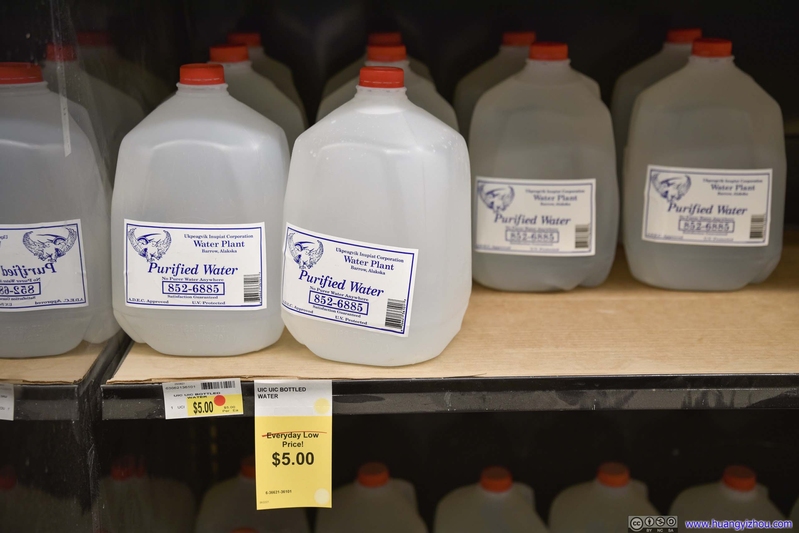
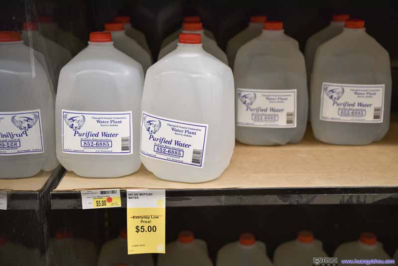 Bottled Water on Sale
5 dollars per gallon was hardly a low price elsewhere in the states. Amazingly, later today I walked past a fuel station, where gasoline was on sale at 5.5 dollars per gallon.
Bottled Water on Sale
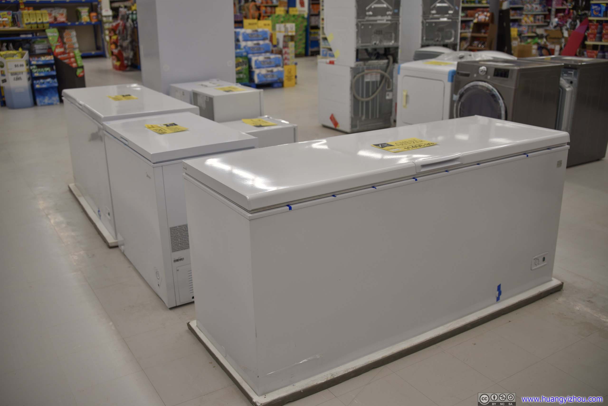
5 dollars per gallon was hardly a low price elsewhere in the states. Amazingly, later today I walked past a fuel station, where gasoline was on sale at 5.5 dollars per gallon. Freezers
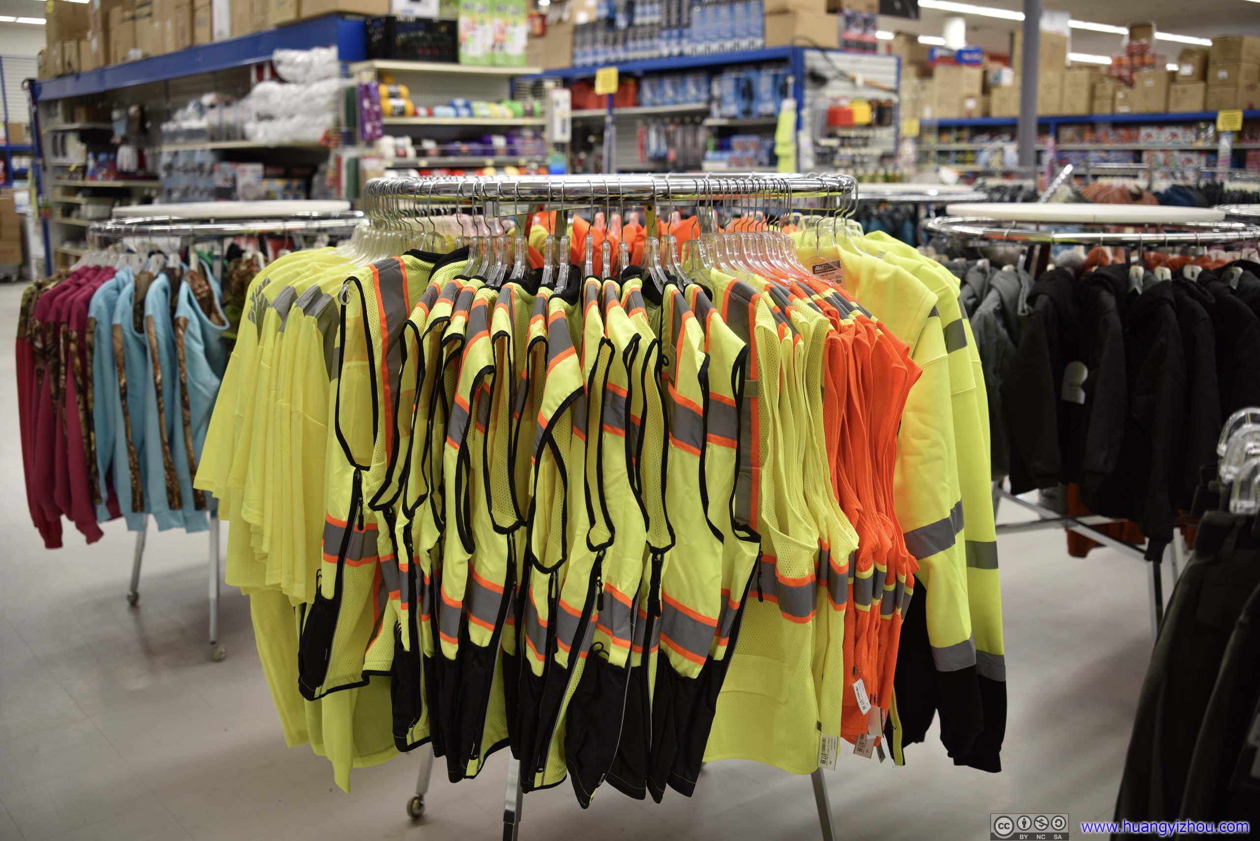
 Safety JacketsHard to envision these on sale next to fashion clothing.
 TelevisionsThey were actually pretty well stocked given the small population of the town.
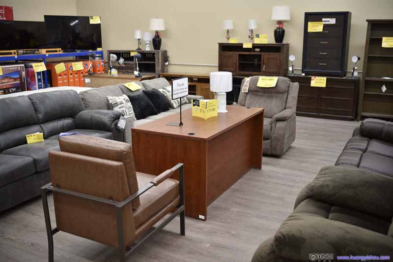 Furniture


Click here to display photos of items in the supermarket.
Bottled Water on Sale
Freezers
Safety JacketsHard to envision these on sale next to fashion clothing.

TelevisionsThey were actually pretty well stocked given the small population of the town.

Furniture
After this window-shopping trip, it’s about time I headed back to the airport for my flight back to Anchorage, and I took a final tour of the town on my way back.
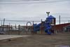
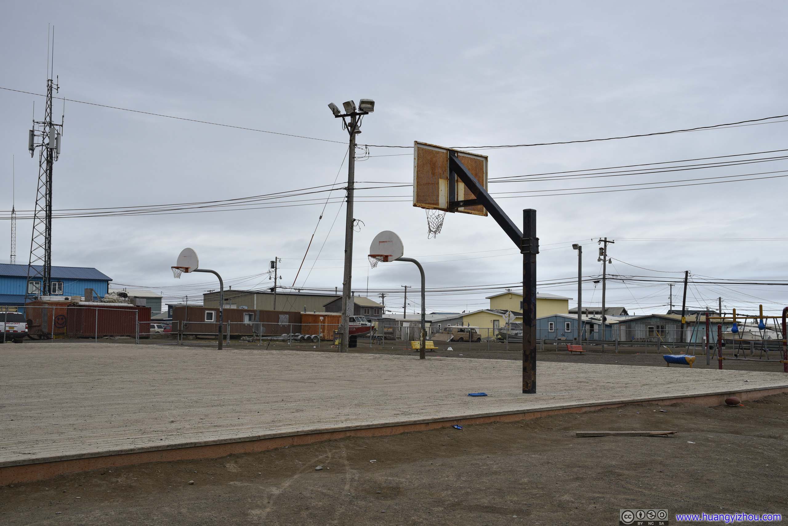
 Playground
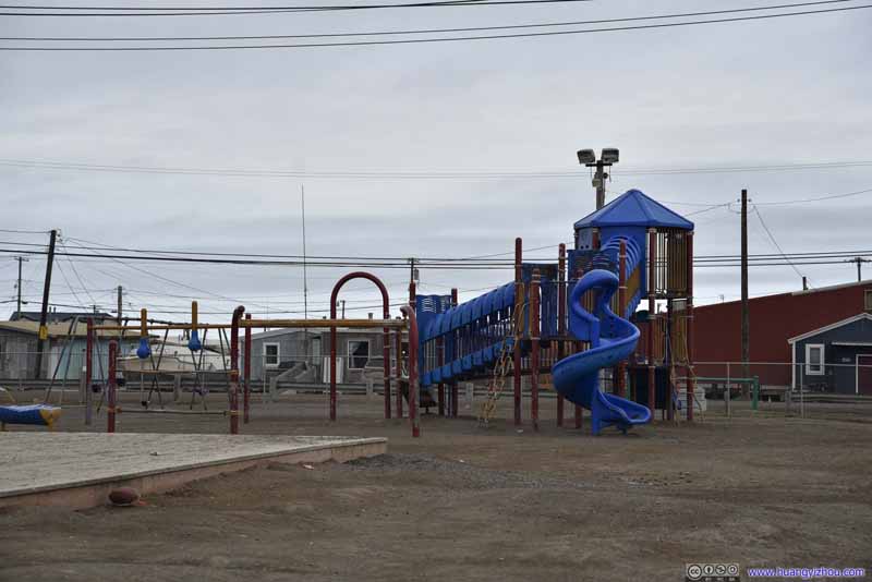 Playground
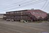
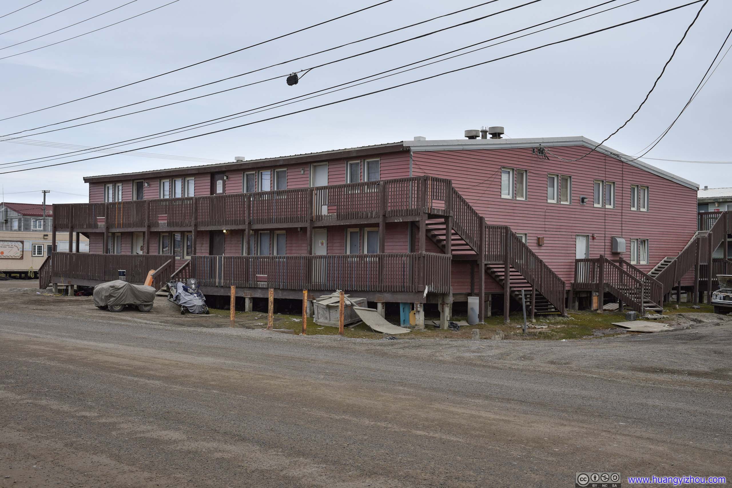
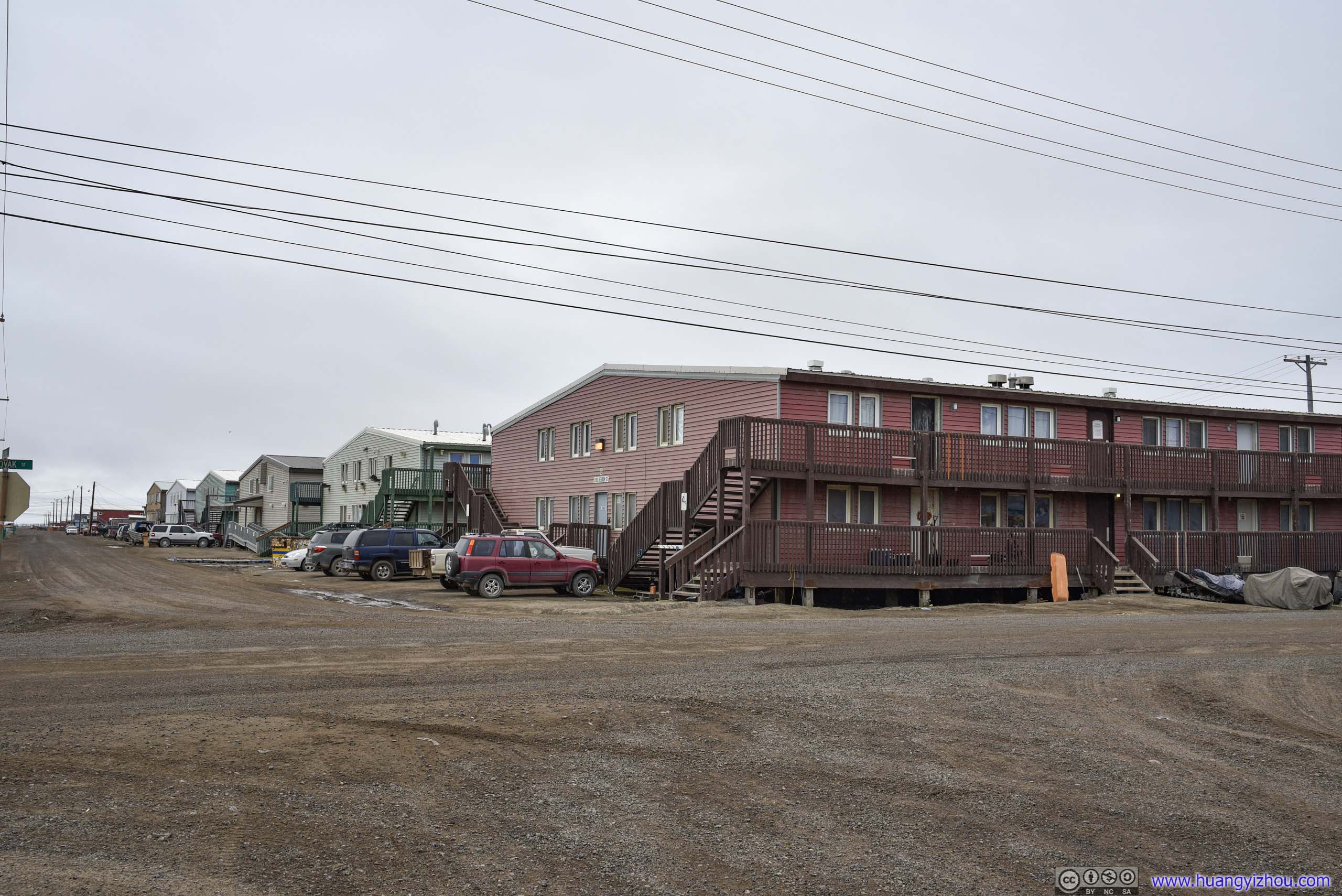
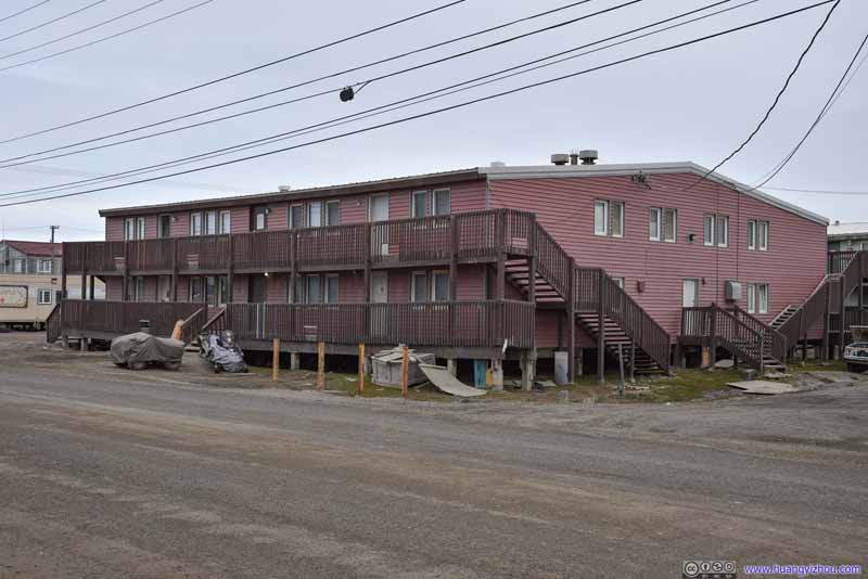 Multi-family Unit
Land was obviously plentiful around, so I felt almost un-American to see a multi-family residential unit in Utqiagvik.
Multi-family Unit
Land was obviously plentiful around, so I felt almost un-American to see a multi-family residential unit in Utqiagvik.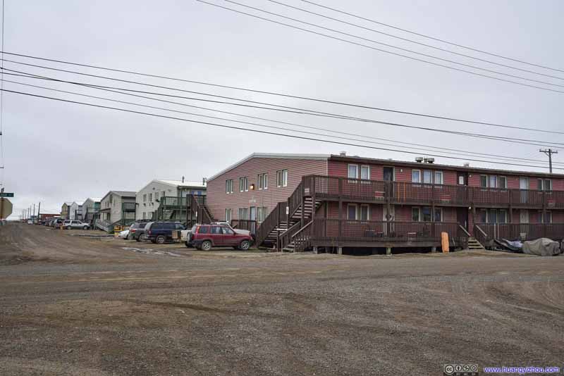 Street of Multi-family Unit
I was even more surprised to find there was more than one of these multi-family houses.
Street of Multi-family Unit
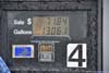
I was even more surprised to find there was more than one of these multi-family houses.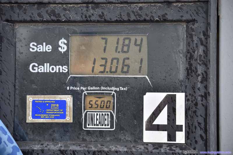 Gasoline Price
Given the town’s remoteness, 5.5 dollars per gallon seemed to be a reasonable price. Anyways, the town wasn’t huge so it’s not that expensive for the locals to get around.
Gasoline Price
Given the town’s remoteness, 5.5 dollars per gallon seemed to be a reasonable price. Anyways, the town wasn’t huge so it’s not that expensive for the locals to get around.
Click here to display photos of the slideshow
Playground

Playground
Multi-family Unit
Street of Multi-family Unit

Gasoline Price
Flight AS50 from Utqiagvik to Anchorage
Finally, it’s time for me to fly back to Anchorage, concluding my brief time spent at this northernmost town of United States. The airport had the town’s only bustling moment each day when the daily flight from Anchorage was turning around. It’s also a showcase for small airport operation.
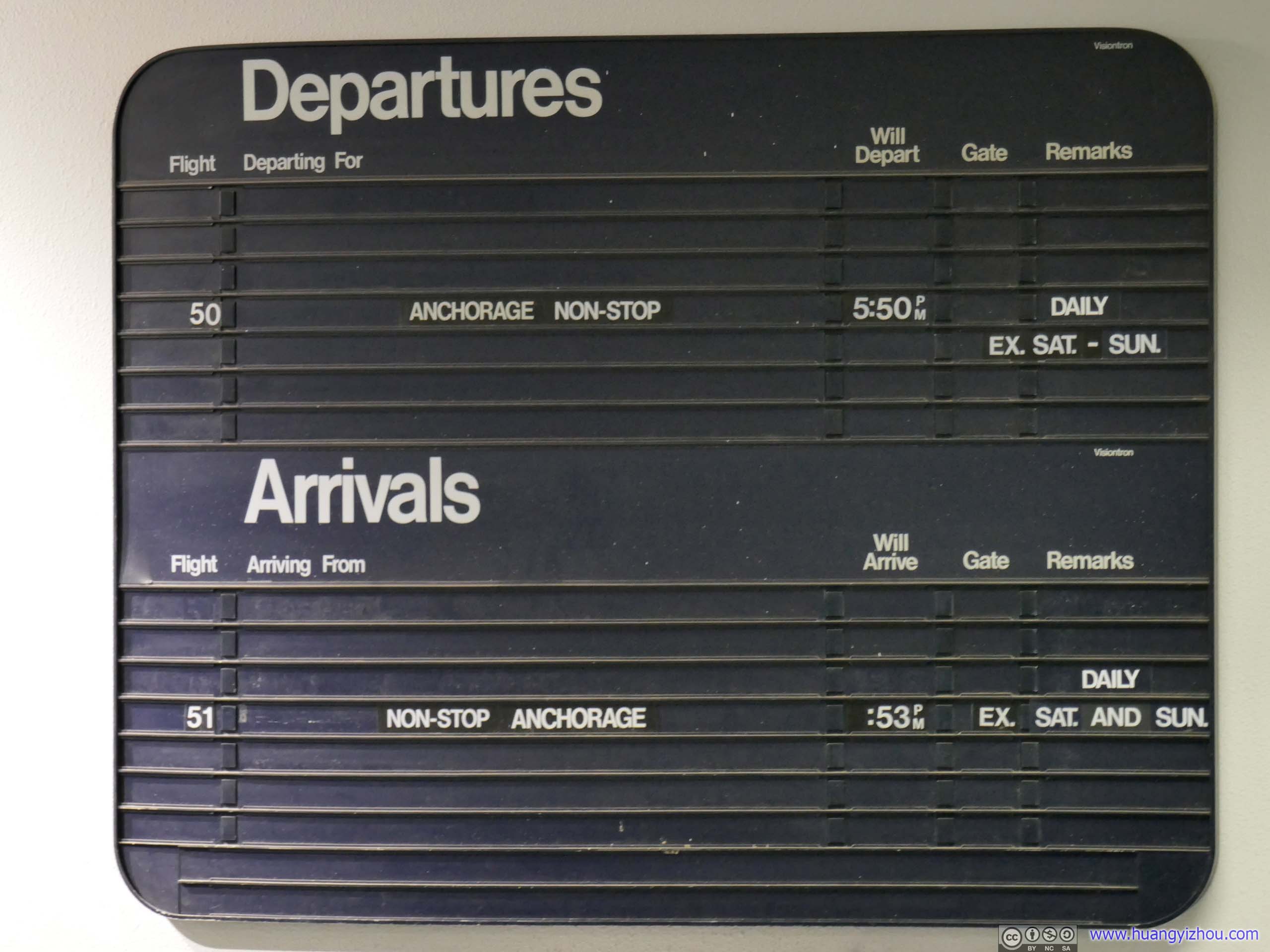
Schedule Board
After checking my bags to Juneau, I was sort of surprised to find a TSA agent manually opening each checked bag and going through the contents with an explosive detector. And it’s quite a physical workout with the number of bags she needed to go through. I guessed space constrains meant they couldn’t install another x-ray machine here in Utqiagvik.
 Terminal Interior
Arriving passengers waiting for their luggage and departing passengers waiting for boarding announcement.
Terminal Interior
Arriving passengers waiting for their luggage and departing passengers waiting for boarding announcement.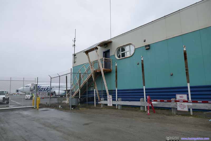 Terminal Exterior
I felt the small terminal building was too crowded with people waiting for their bags. So I headed out for some fresh air, while watching more people arriving in Utqiagvik through the airport fence.
Terminal Exterior
I felt the small terminal building was too crowded with people waiting for their bags. So I headed out for some fresh air, while watching more people arriving in Utqiagvik through the airport fence.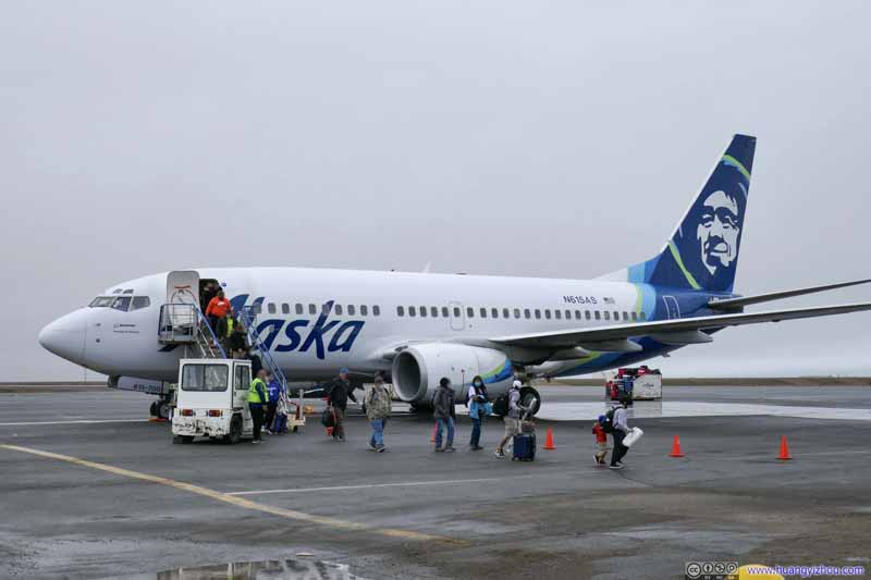 People Arriving
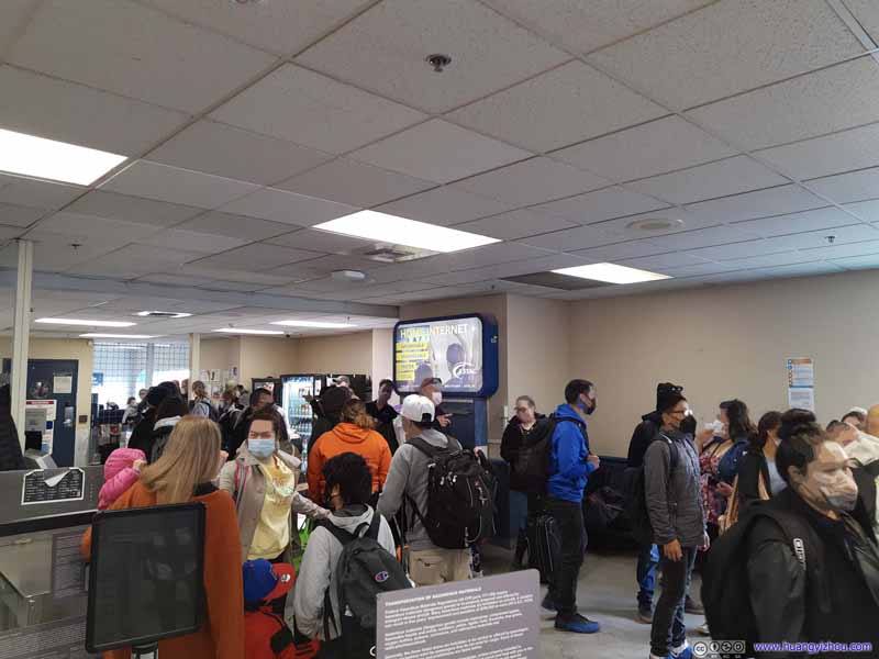
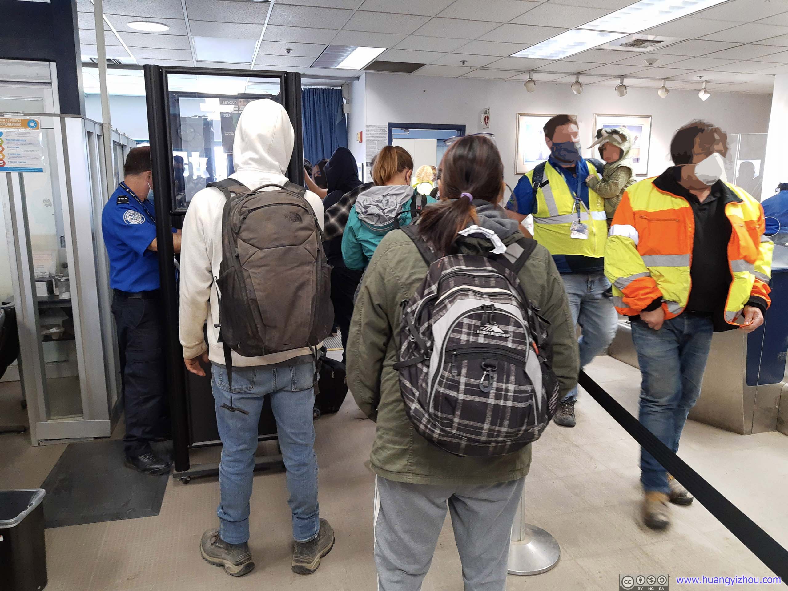
 In Line for Security Checkpoint


Click here to display photos of the slideshow

Terminal InteriorArriving passengers waiting for their luggage and departing passengers waiting for boarding announcement.

Terminal Exterior

People Arriving
In Line for Security Checkpoint
The airport was so small that there wasn’t any space for people to rest past the security checkpoint. As a result, the agent waited till most arriving passengers had left the plane before ushering outgoing passengers through the checkpoint.
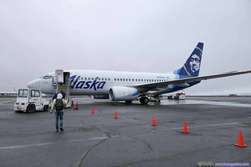 Boarding Plane to Anchorage
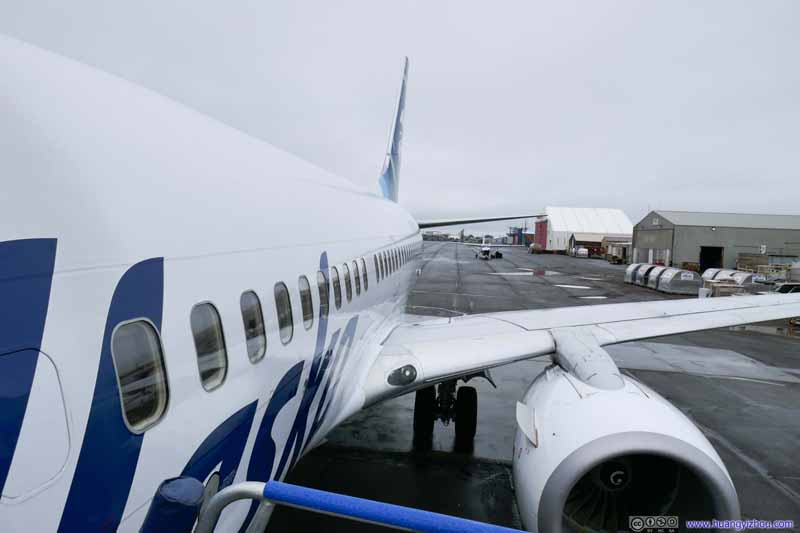 Boarding Plane to Anchorage
 Terminal Building
Right after passing through security checkpoint, passengers came out from the small door on the right and boarded the outbound plane. The small door in the center of the terminal was for arriving passengers.
Terminal Building
Right after passing through security checkpoint, passengers came out from the small door on the right and boarded the outbound plane. The small door in the center of the terminal was for arriving passengers. Luggage Tractor at Work
 Luggage Tractor at Work

Click here to display photos of the slideshow

Boarding Plane to Anchorage

Boarding Plane to Anchorage
Terminal Building

 Luggage Tractor at Work
The flight back to Anchorage wasn’t very full today, in fact, I had the entire row to myself. As a result, we didn’t have to wait long before all the passengers had cleared security checkpoint before leaving. In fact, we took off 5 minutes earlier than scheduled.
Alaska Airlines 50
Utqiagvik, AK (BRW) – Anchorage, AK (ANC)
Boeing 737-700 (N615AS)
Seat 10A
Scheduled Departure – 2:40pm
Actual Departure – 2:35pm
Scheduled Arrival – 4:26pm
Actual Arrival – 4:12pm
1 hours and 37 minutes
Here’s GPS tracking:
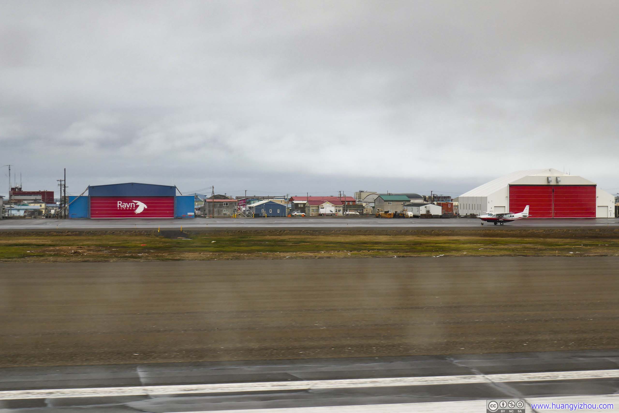
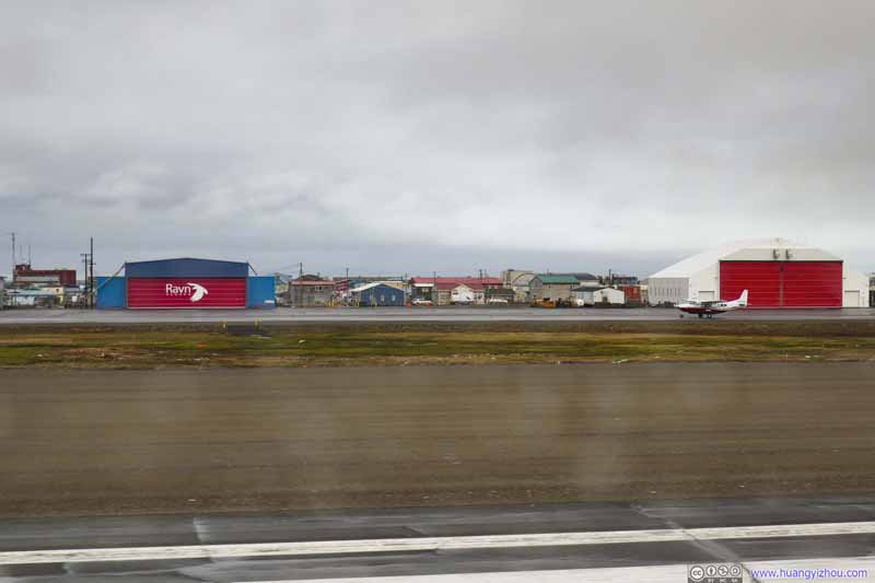 Raven Alaska Terminal
Before its bankruptcy in 2020 Raven Alaska was providing the only transportation to many smaller rural communities.
Raven Alaska Terminal
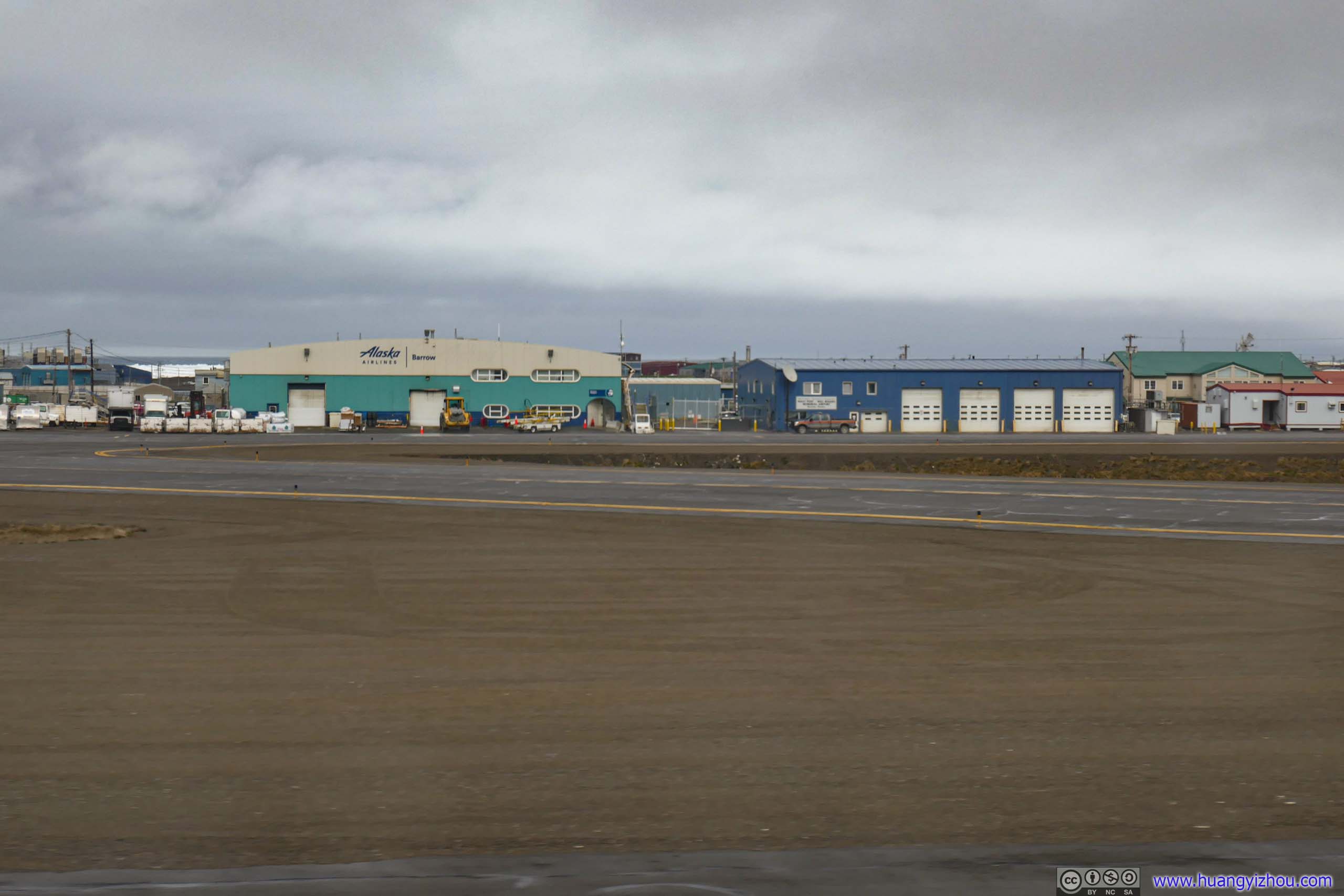
Before its bankruptcy in 2020 Raven Alaska was providing the only transportation to many smaller rural communities.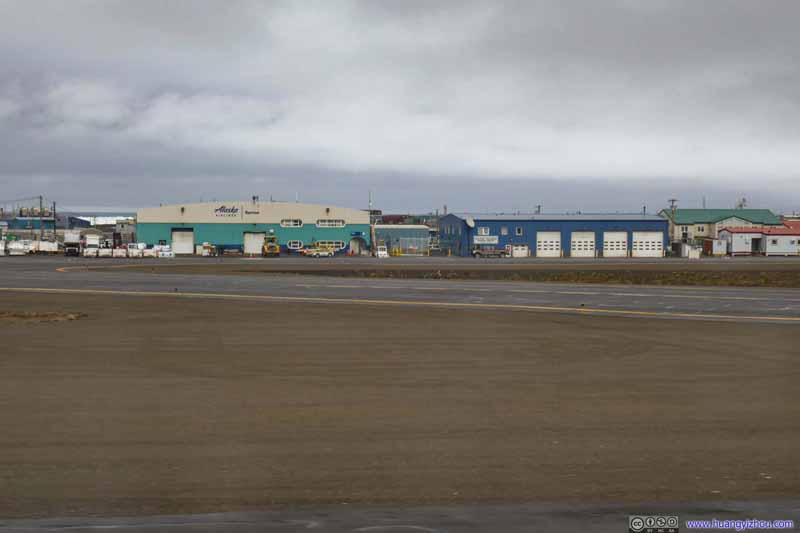 Alaska Airlines Terminal
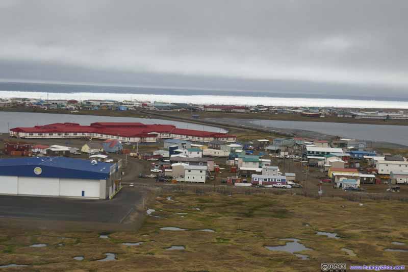 Overlooking Utqiagvik
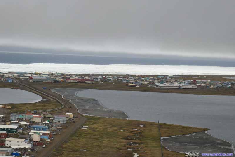 Overlooking Utqiagvik
Click here to display photos during takeoff.
Raven Alaska Terminal
Alaska Airlines Terminal
 Overlooking Utqiagvik
At only 200m elevation, clouds were very low over Utqiagvik, which was consistent with on-and-off drizzle earlier in the day. But they quickly cleared out a few minutes into the flight as I found myself flying over the massive tundra field again.
 TundraSouthern shore of Admiralty Bay.
 TundraOne of the few lakes with ice left.
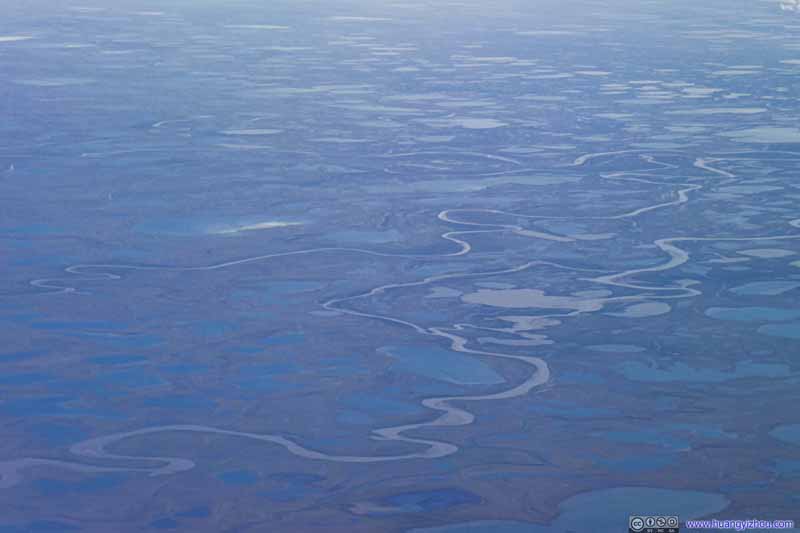 Tundra
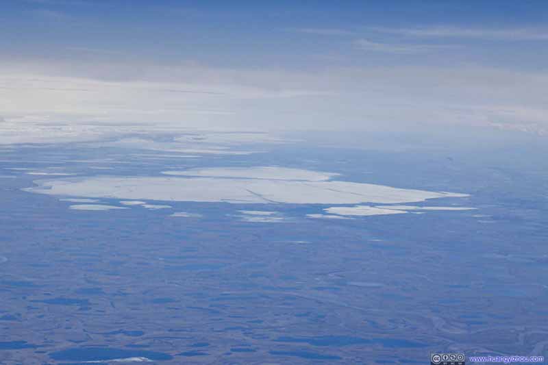 Teshekpuk Lake
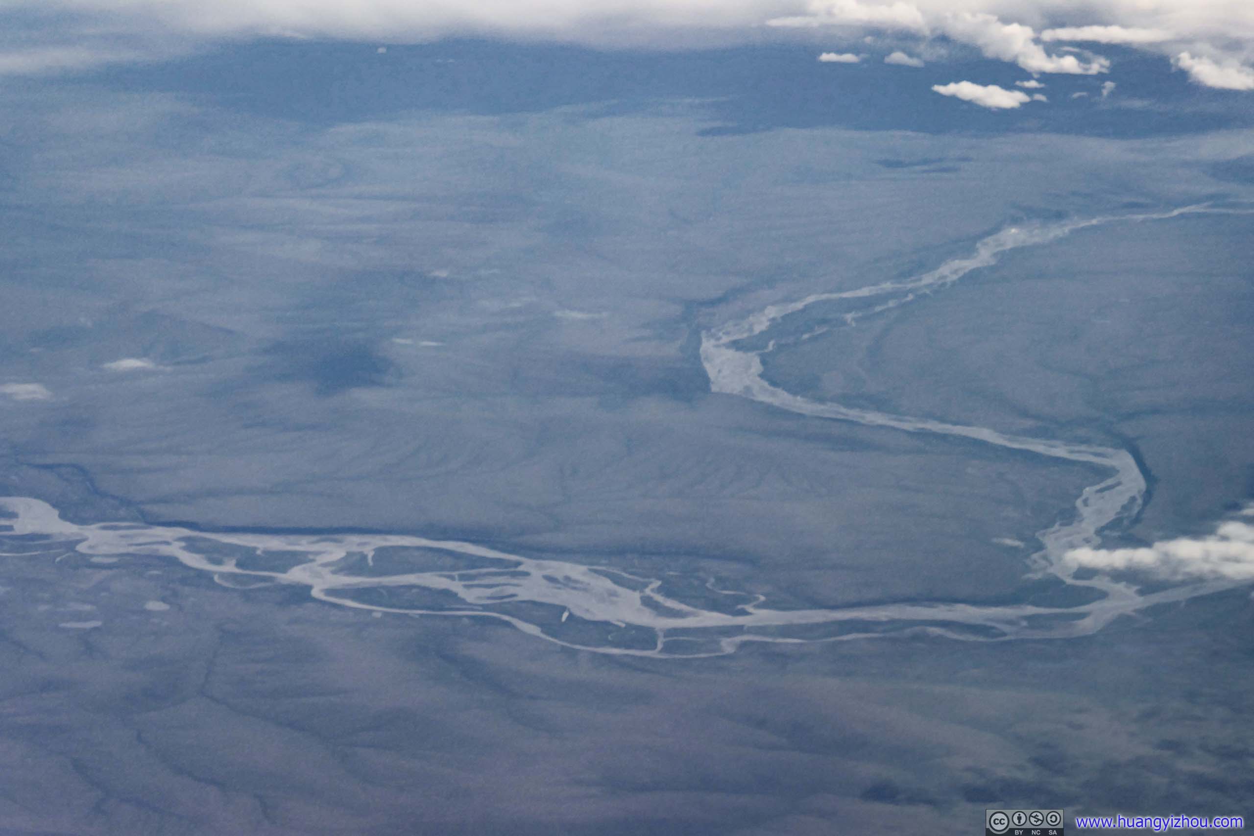
 Killik River (top) Joining Colville River (bottom)
Click here to display photos of the landscape.
TundraSouthern shore of Admiralty Bay.
TundraOne of the few lakes with ice left.
Tundra

Teshekpuk Lake
Killik River (top) Joining Colville River (bottom)
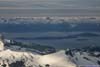
Just like my flight the previous day, once we were over central Alaska, there were thick clouds. I happened to notice that we were cruising at a very high altitude of 12500m, which was 737’s service ceiling.
We also took a route slightly to the east than normal. As a result, we passed Denali, North America’s highest mountain, on the right side of the plane so I missed its sight, again.
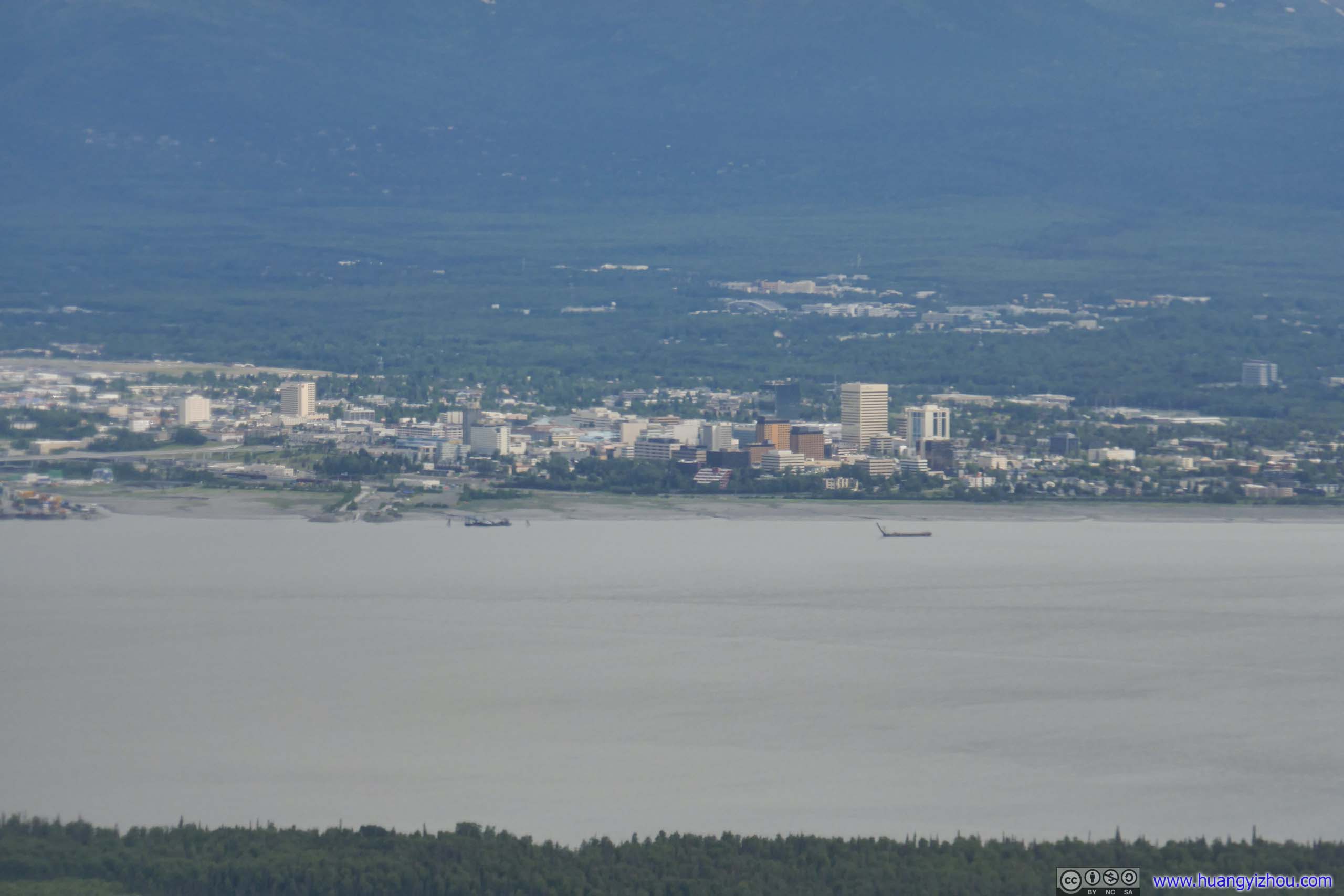
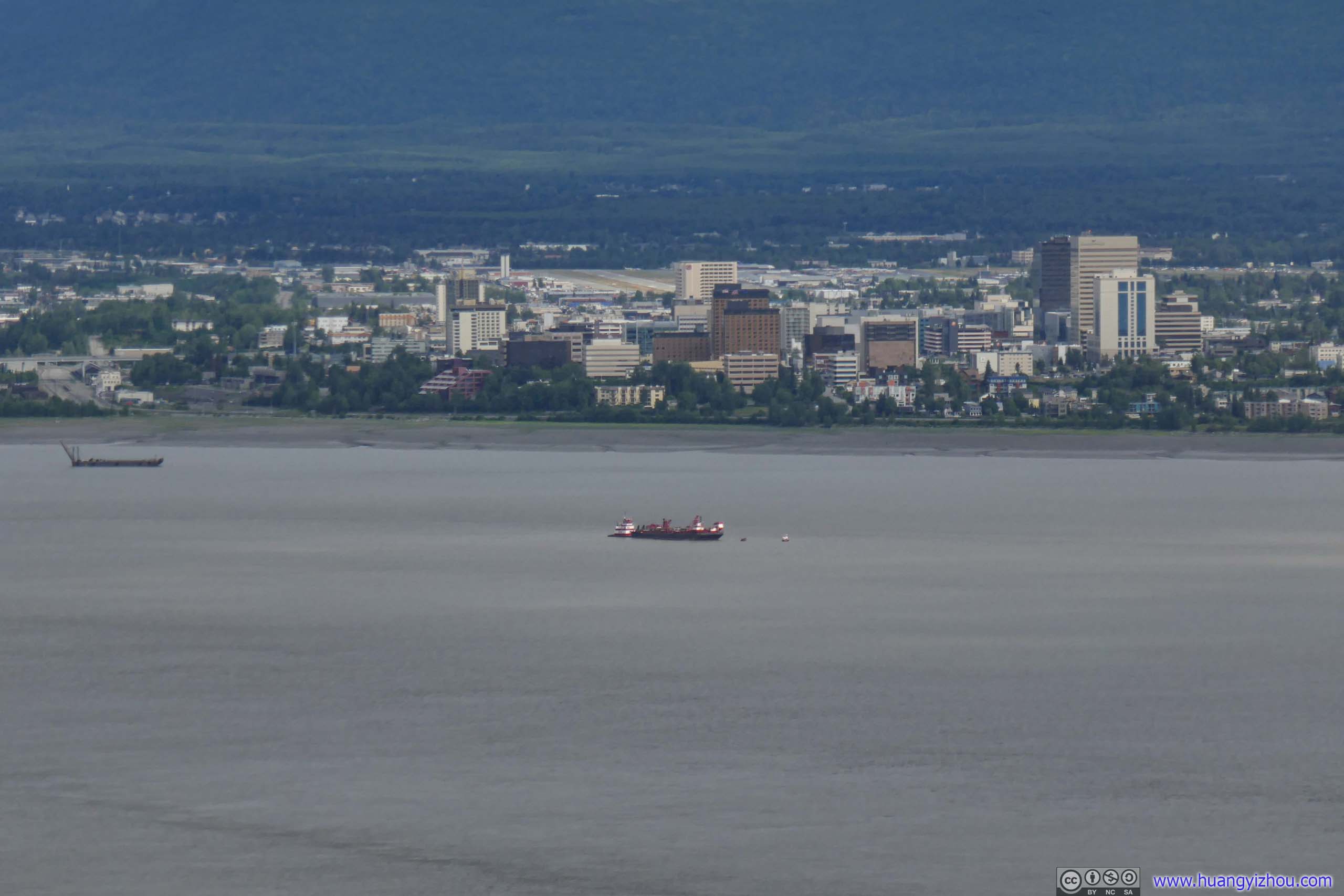
Finally, clouds ended at approximately 4000m elevation over Anchorage, so I caught a few glimpses of the lush and extensive wetlands before crossing Knik Arm.
 Wetland across Anchorage
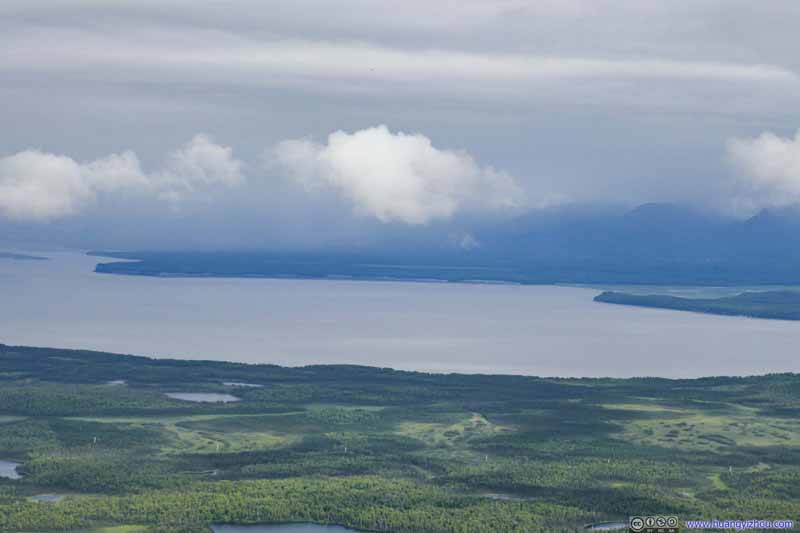 Knik Arm
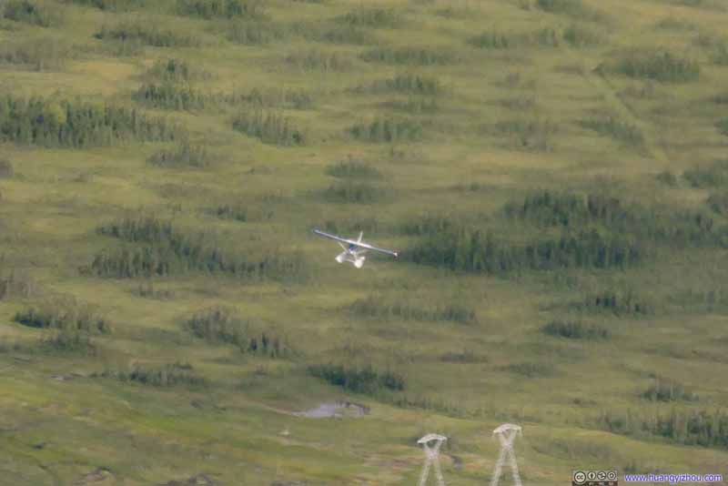 Seaplane Below
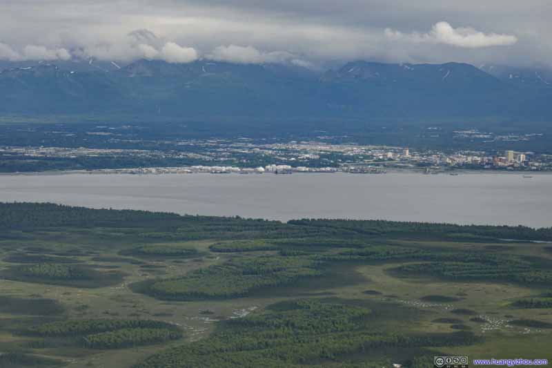 Wetland across Anchorage
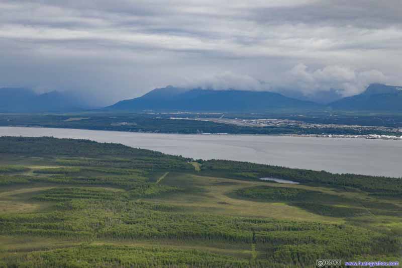 Wetland across Anchorage

Click here to display photos of the slideshow
Wetland across Anchorage

Knik Arm

Seaplane Below
Wetland across Anchorage
Wetland across Anchorage
And that’s followed by sights of downtown Anchorage, with majestic mountains at its backdrop.
 Downtown Anchorage
 Downtown Anchorage
 Downtown Anchorage
 Downtown Anchorage
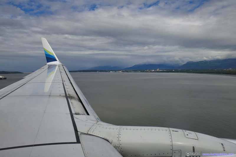 Flying across Knik ArmSeconds before touchdown.
Click here to display photos of downtown Anchorage before landing.


 Downtown Anchorage
Flying across Knik ArmSeconds before touchdown.
Arrival
Flight AS70 from Anchorage to Juneau
After touching down in Anchorage, I had over 2 hours before my next flight to Juneau, the state’s capitol, which I spent on working on my laptop. For the second time in this post, I will complain about the airport’s free but rather slow WiFi.
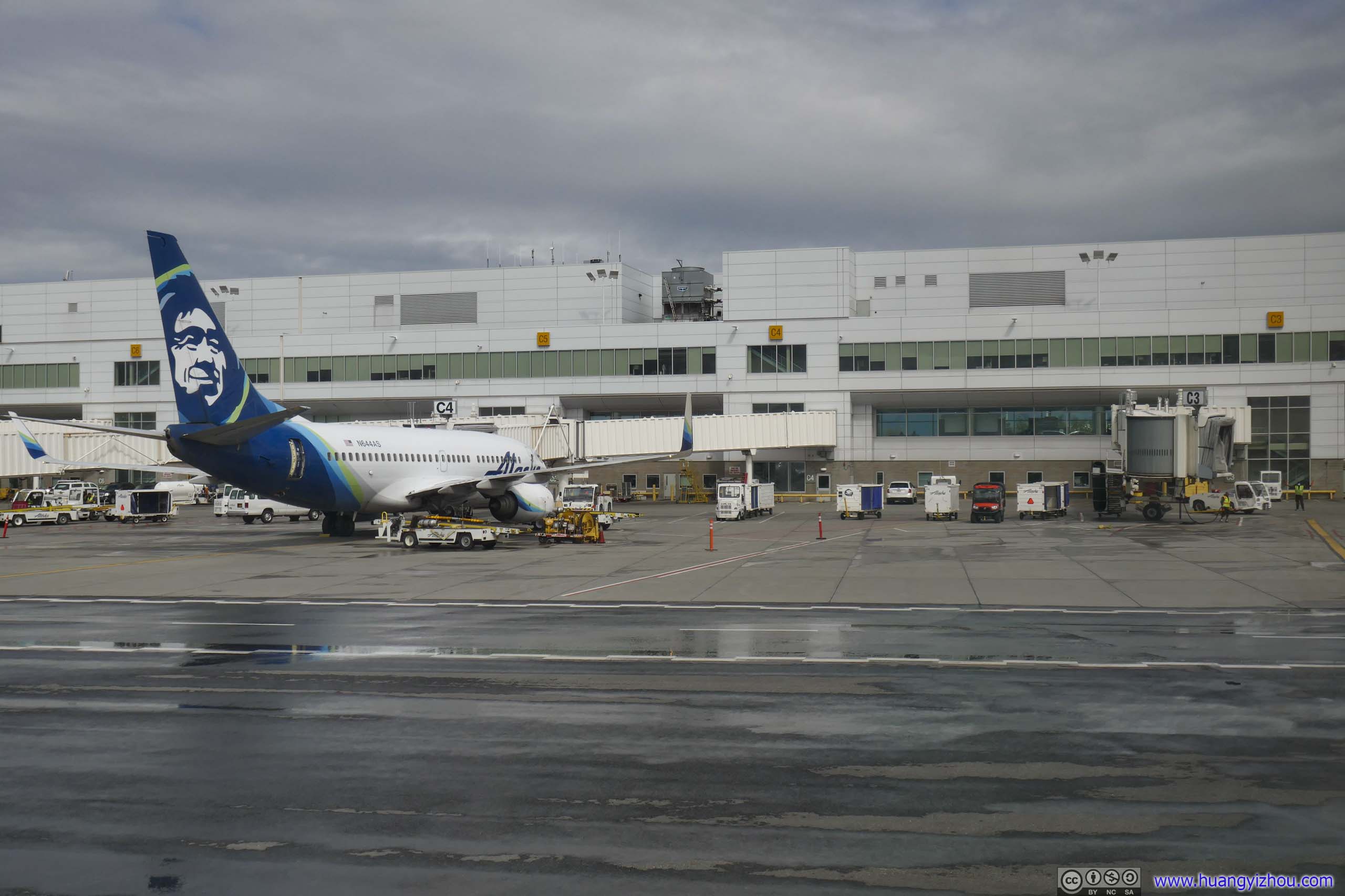
Fast forward to my flight to Juneau. It’s a fairly full flight, but I still got an empty seat next to me on the exit row. Alaska Airlines started boarding pretty early so we took off 2 minutes early.
Alaska Airlines 70
Anchorage, AK (ANC) – Juneau, AK (JNU)
Boeing 737-700 (N644AS)
Seat 17A
Scheduled Departure – 6:55pm
Actual Departure – 6:53pm
Scheduled Arrival – 8:30pm
Actual Arrival – 8:10pm
1 hours and 17 minutes
Here’s GPS tracking:
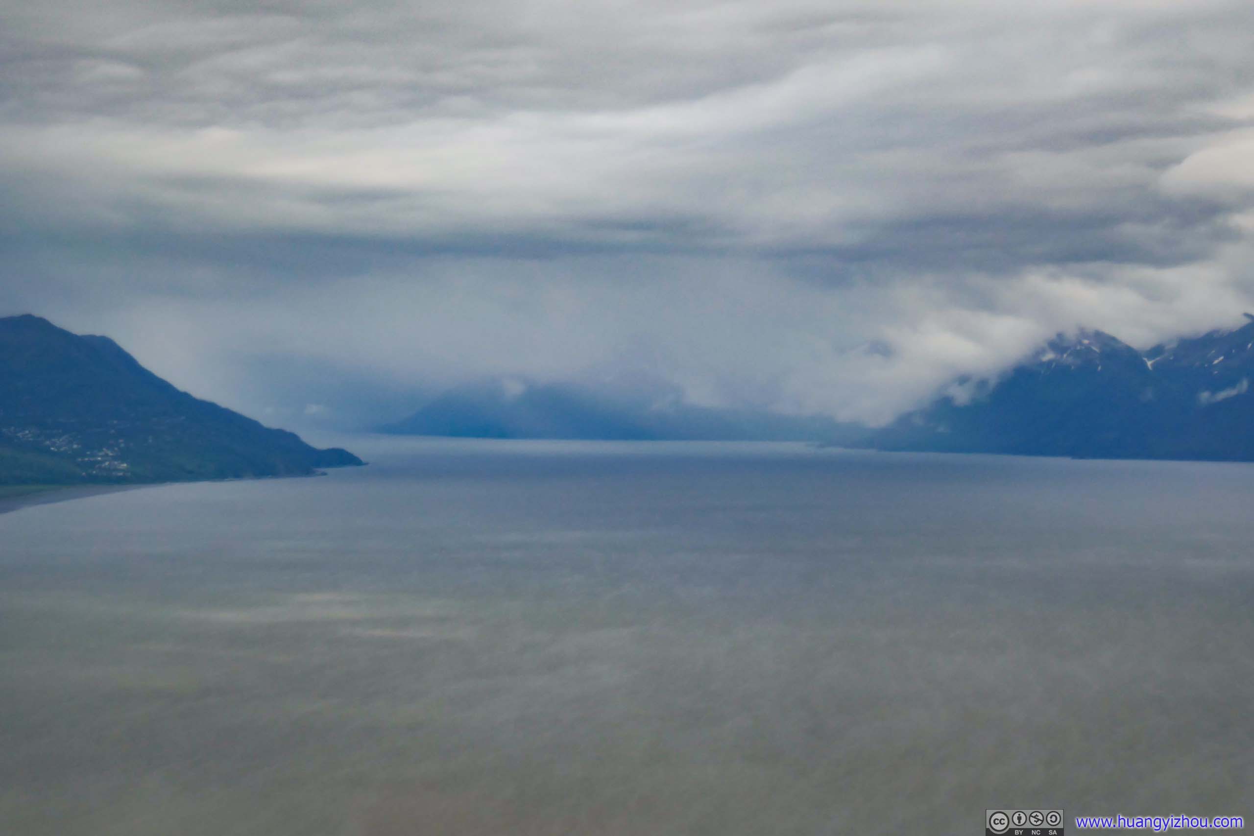
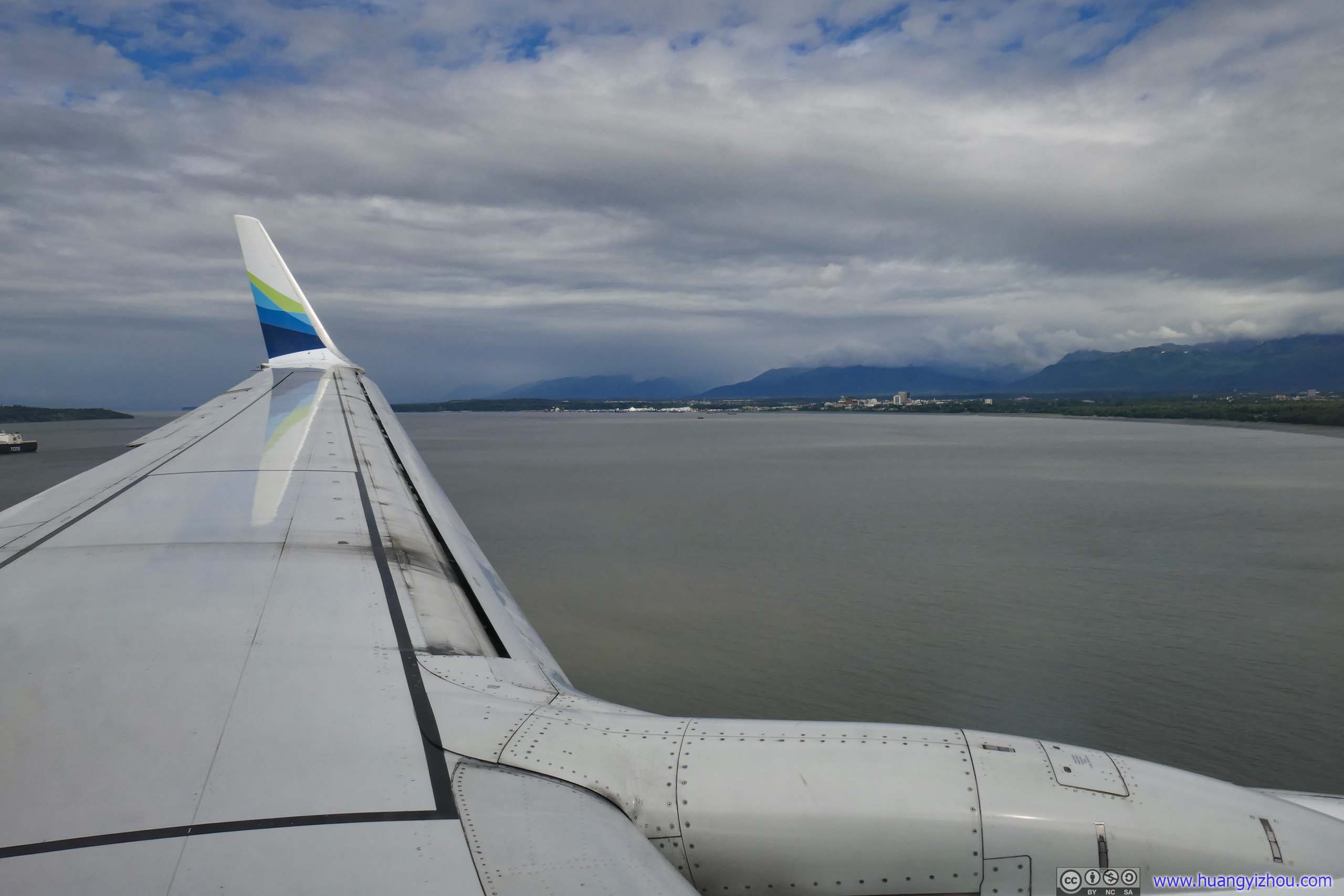
 Turnagain Arm and Mountains
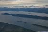
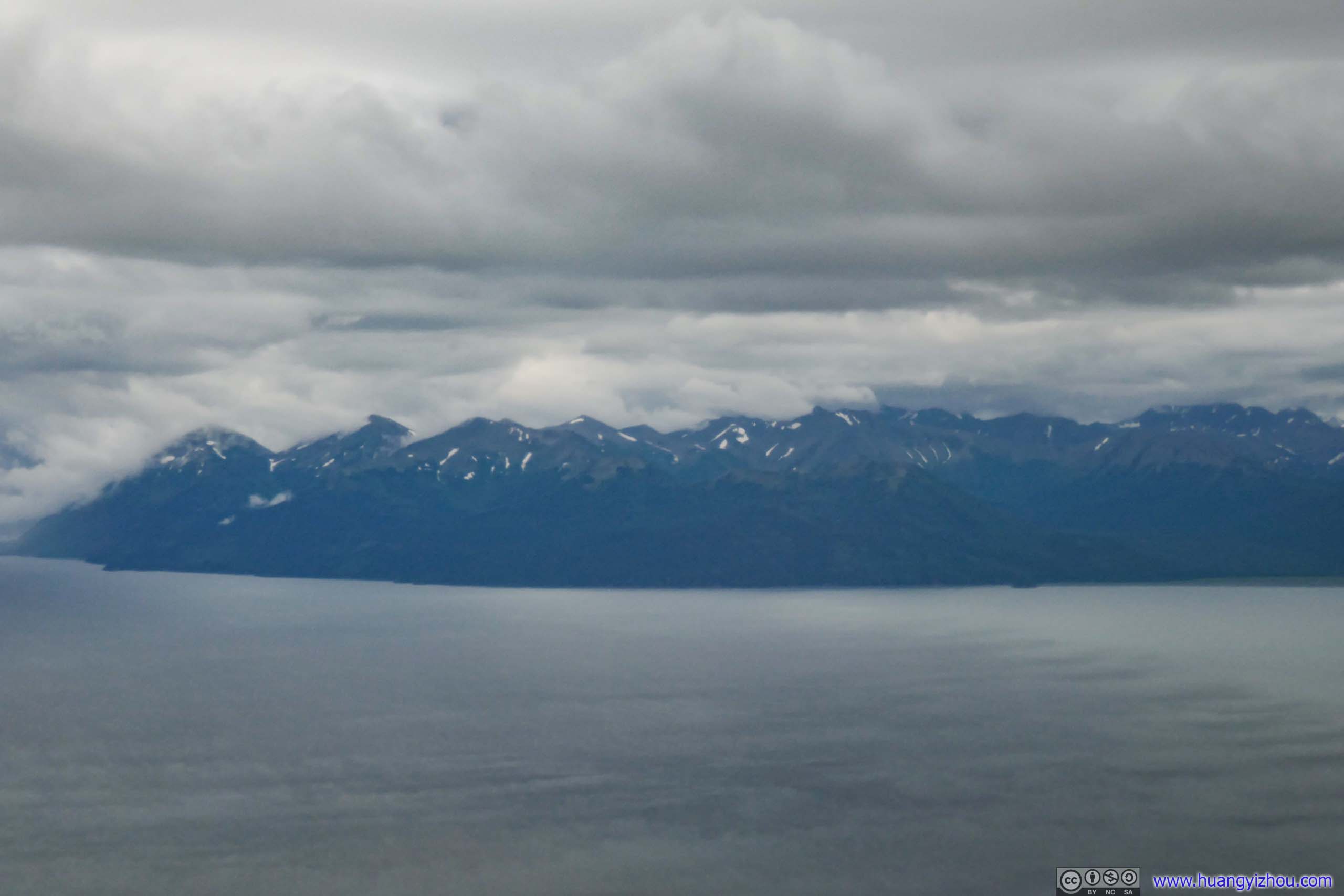
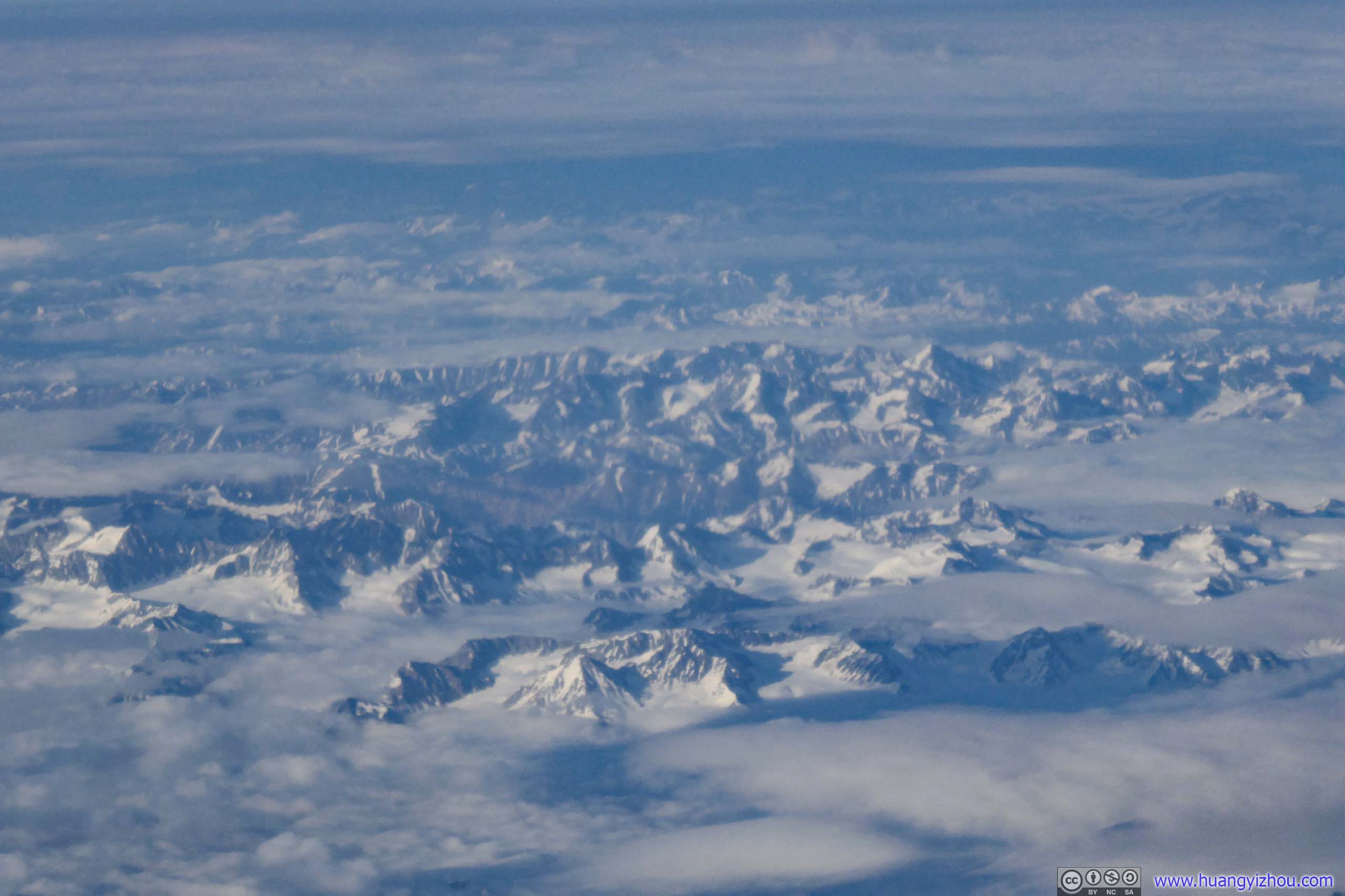
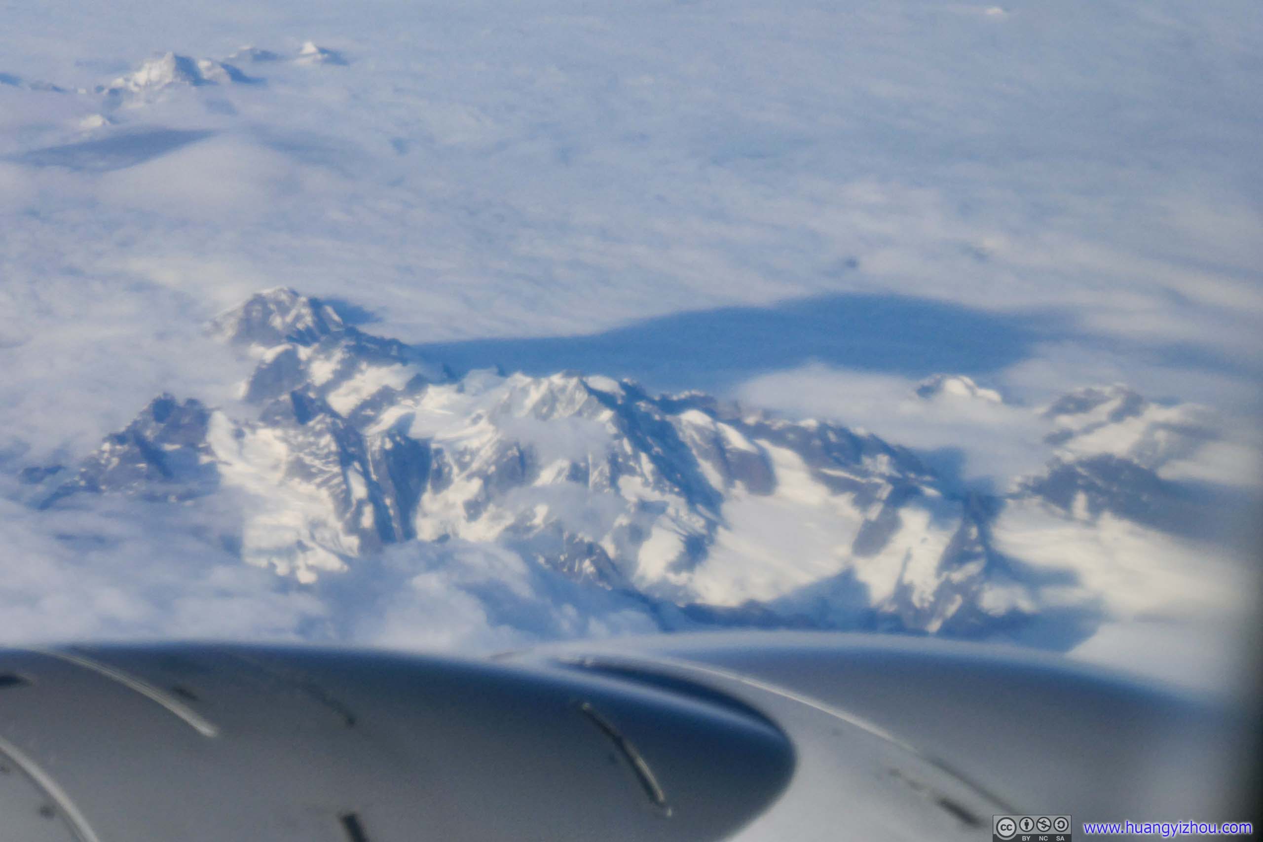
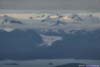
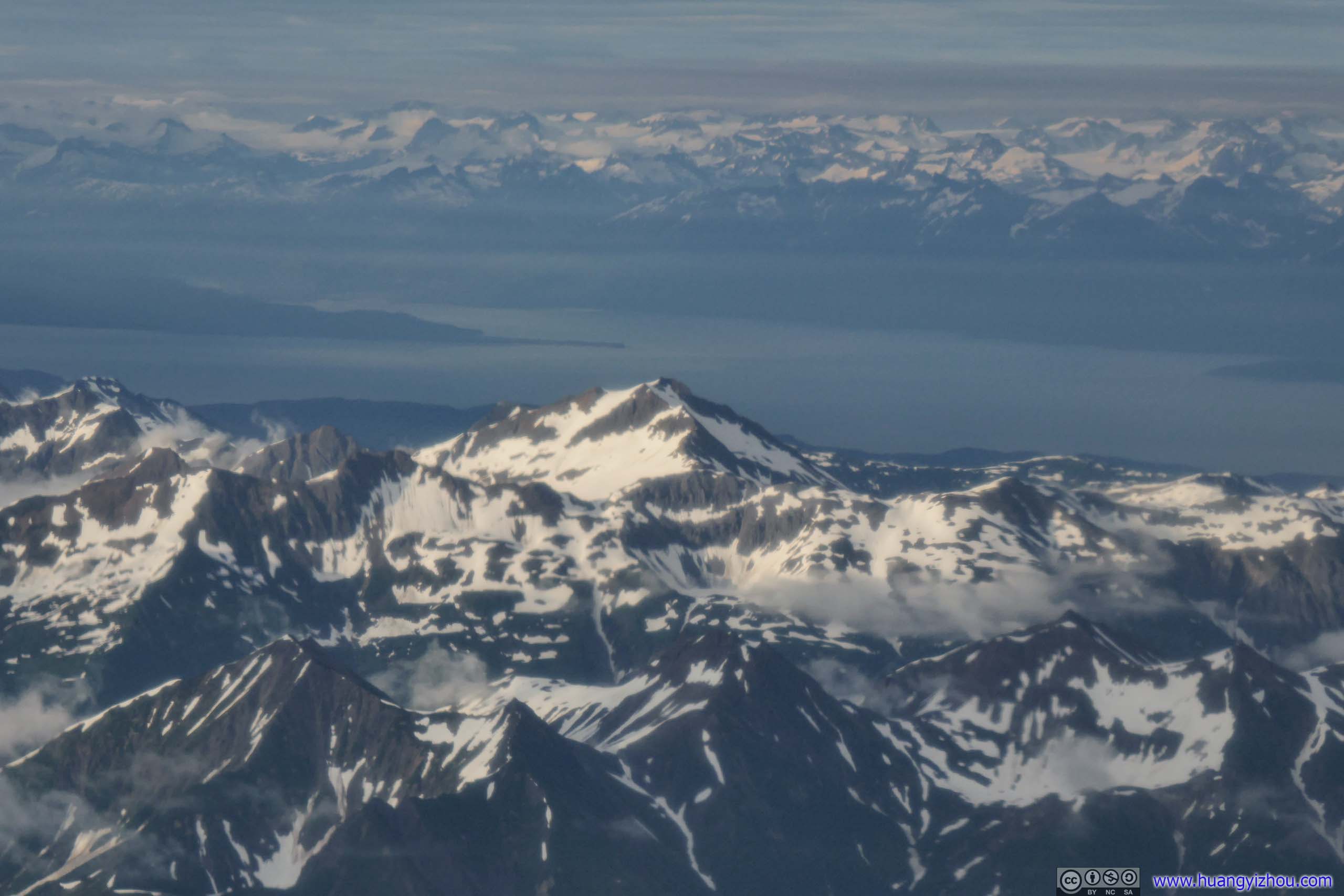
Clouds were between 1900 and 2500m in elevation outside Anchorage, which covered any view outside as we passed Turnagain Arm. I got some moments of rest, till we approached Saint Elias Mountains near Glacier Bay, which was home to North America’s second highest mountain. Here, snowy mountains outside the windows once again kindled my curiosity.
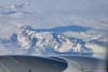
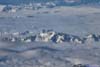
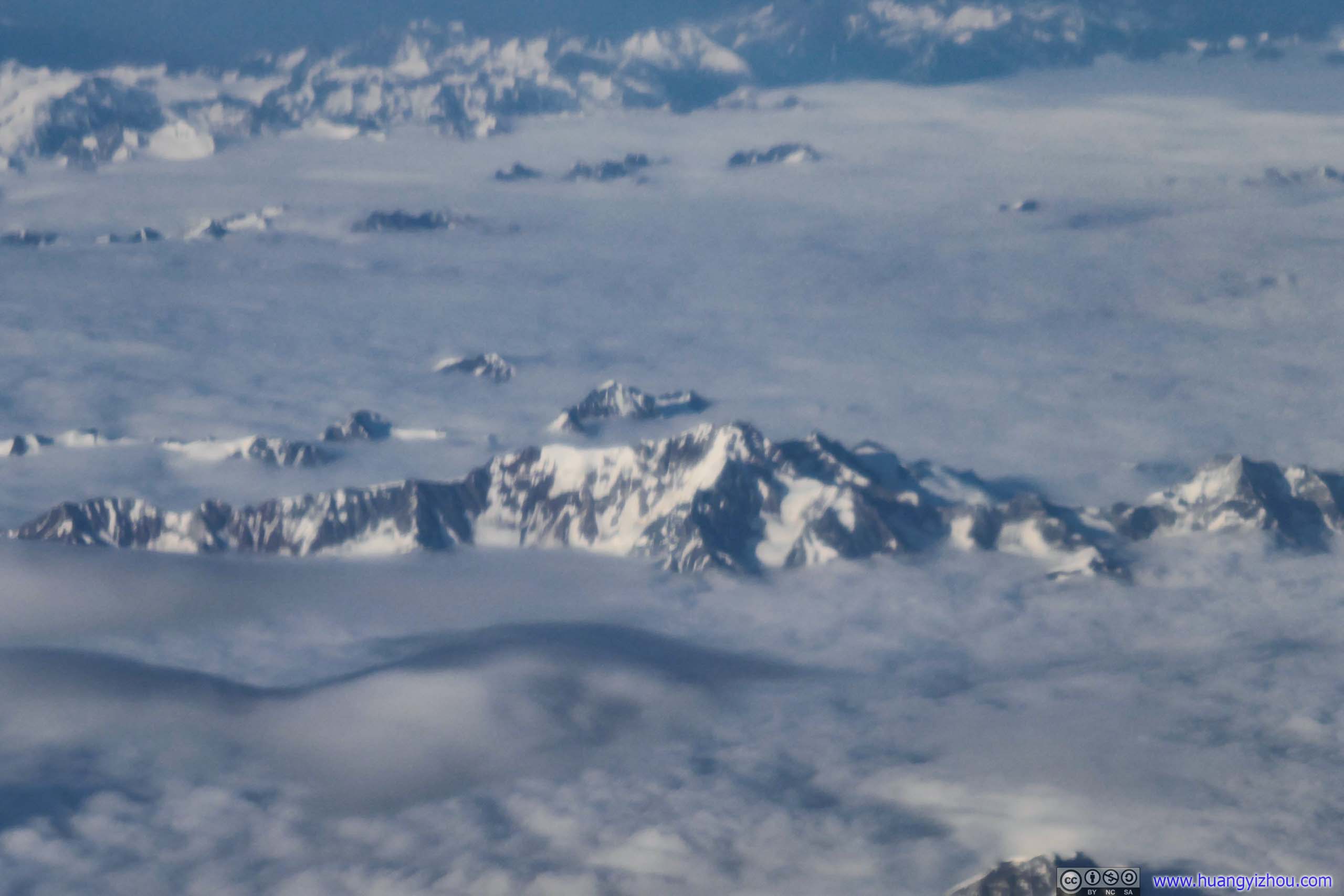
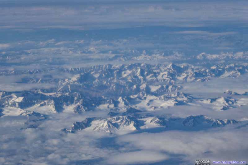 Mountains in British ColumbiaNear the border with United States in Tatshenshini-Alsek Provincial Park.
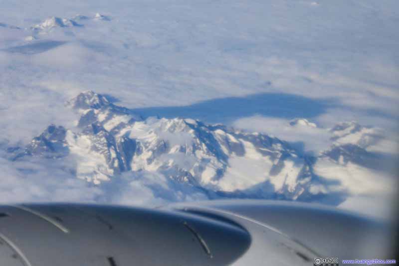 Mountains in British ColumbiaNear the border with United States in Tatshenshini-Alsek Provincial Park.
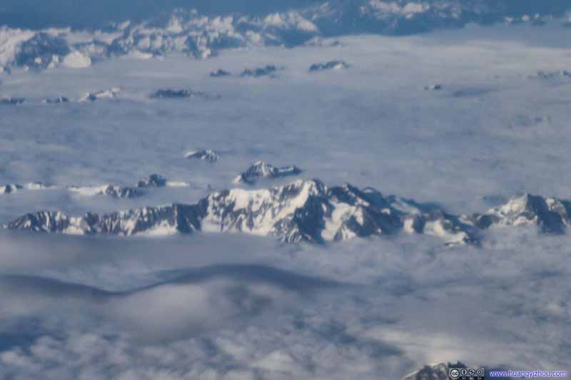 Mountains in British ColumbiaNear the border with United States in Tatshenshini-Alsek Provincial Park.
Click here to display photos of the snowy mountains.
 Mountains in British ColumbiaNear the border with United States in Tatshenshini-Alsek Provincial Park.
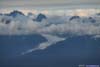
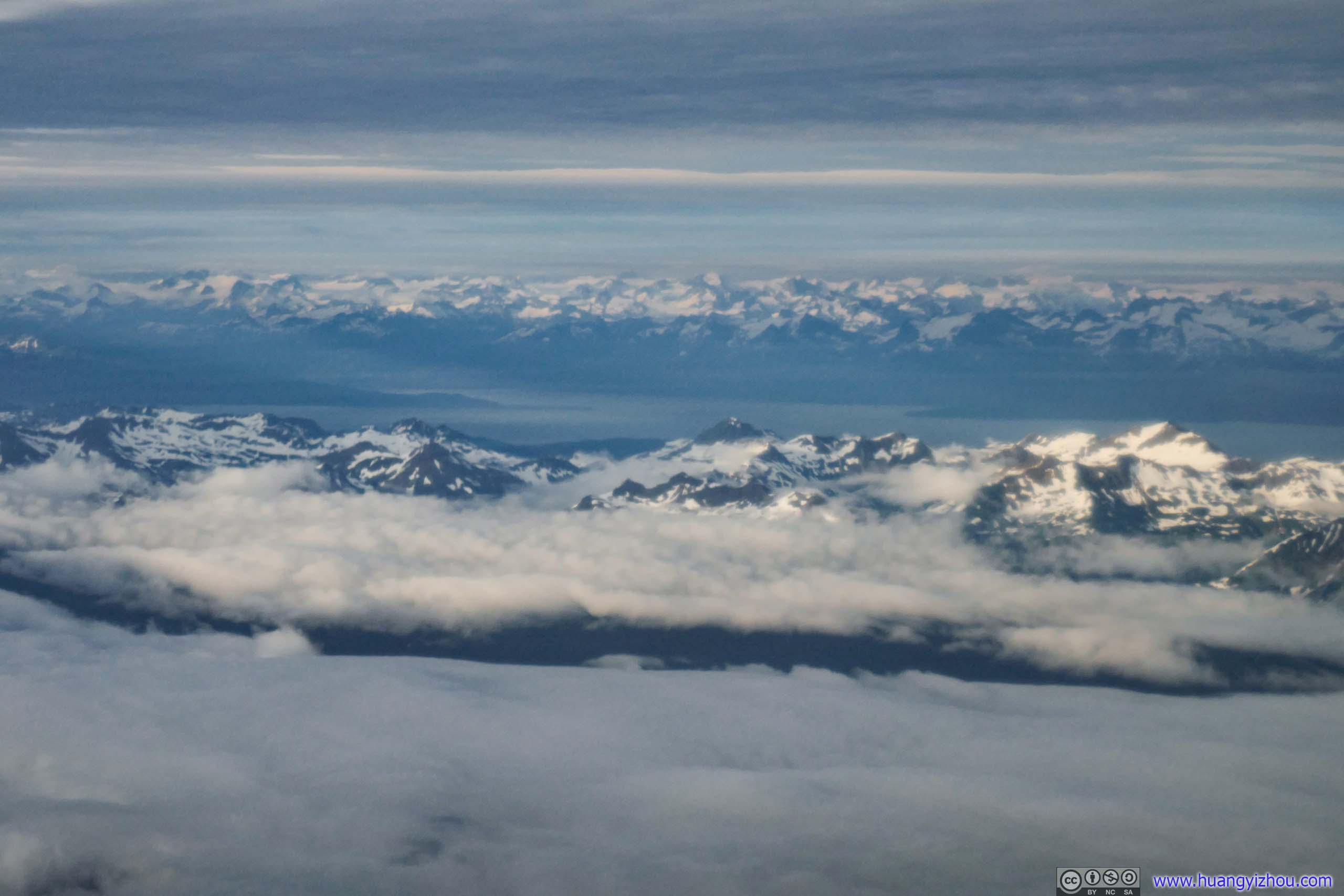
As we descended further, more snowy mountains along Lynn Canal popped into view. Clouds were more scattered so these mountains felt more approachable. The setting sun cast a thin layer of enchanting gold on the snow, which brightened up their colors.
 Mountain
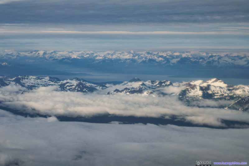 Mountains
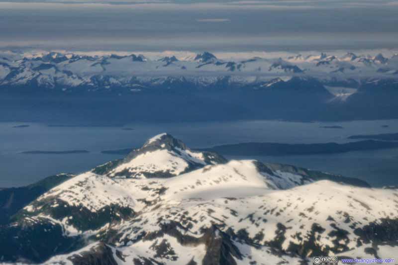 Mountain
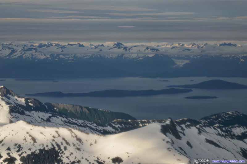 Lincoln Island and Shelter Island in Lynn Canal
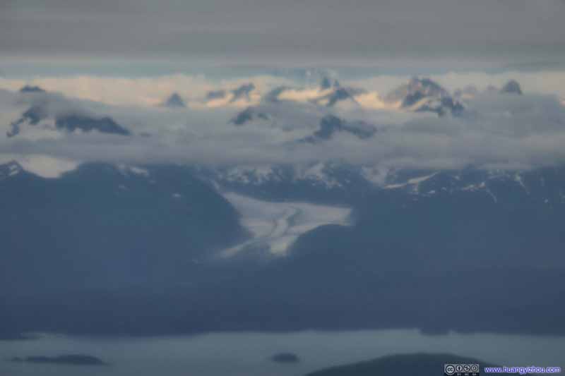 Herbert Glacier
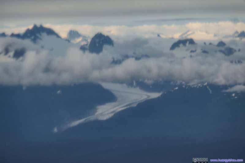 Herbert Glacier
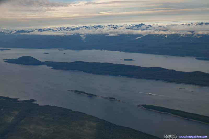 Lynn Canal

Click here to display photos of the slideshow
Mountain
Mountains

Mountain

Lincoln Island and Shelter Island in Lynn Canal

 Herbert Glacier

Lynn Canal
We had spoiler on for most of the descent. I guessed that had to do with our approach into Juneau Airport as we made a sharp U-turn over northern Douglas Island and took a short final before landing onto runway 26 of Juneau Airport. I recalled seeing most landings on runway 26 by flying around Douglas Island and over Gastineau Channel on flight tracking websites. I guessed this short approach meant we had to descend faster than initially planned.
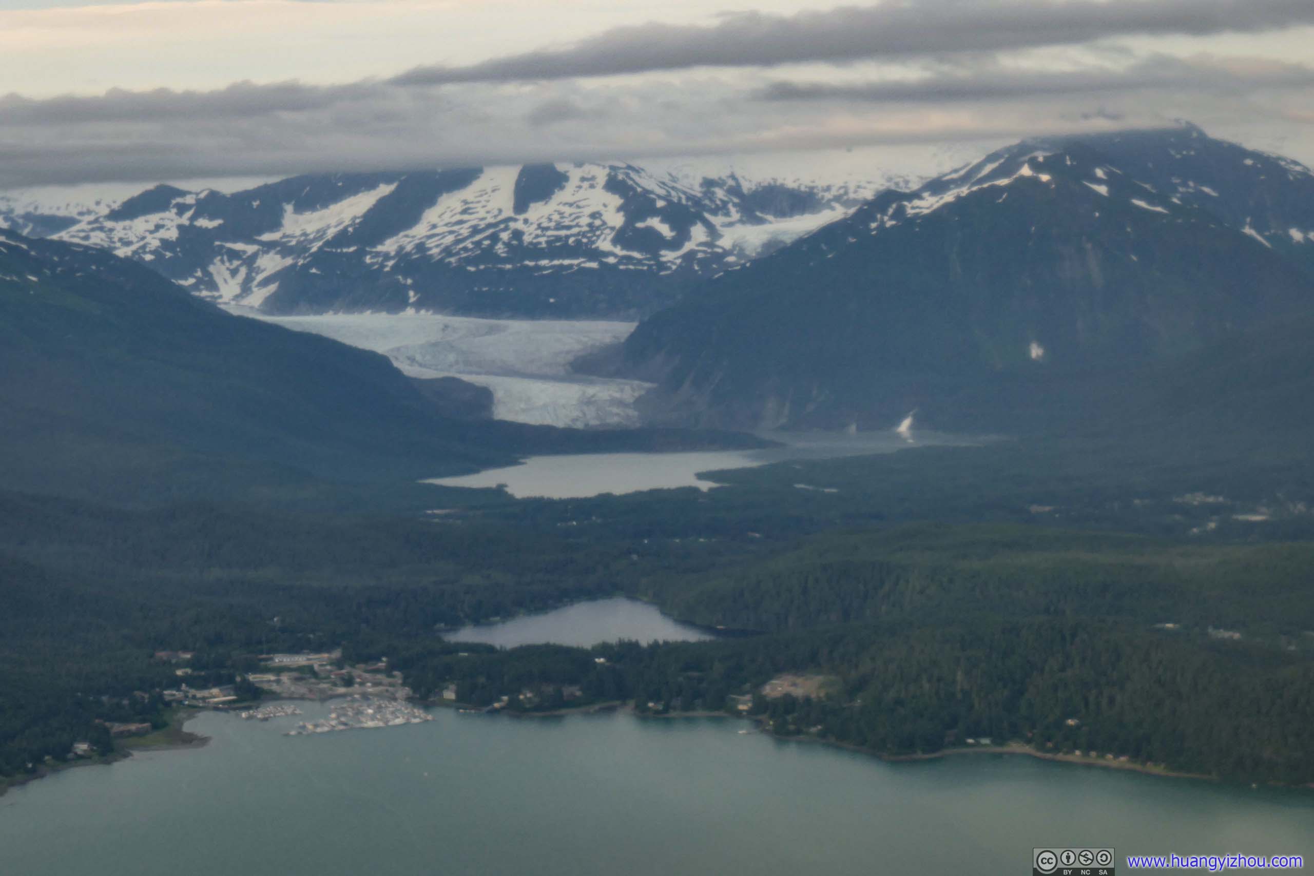
But that’s probably only good news to me, as I caught glimpses of Mendenhall Glacier (which was largely why I chose to visit Juneau in the first place), followed by a stunning video of the landing.
 Distant Mendenhall GlacierMendenhall Lake, Auke Lake in the foreground.
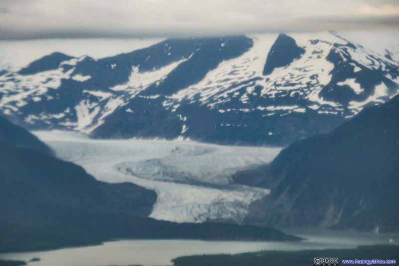 Mendenhall Glacier
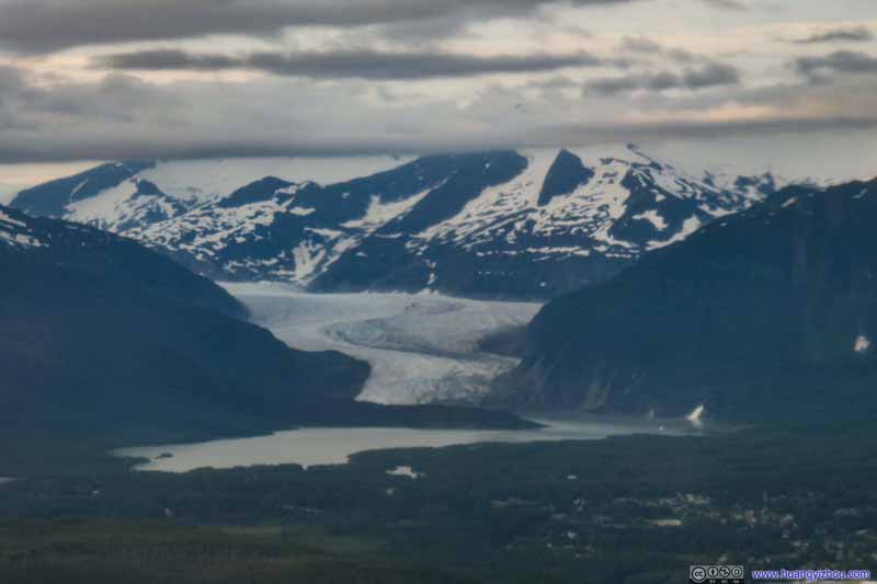 Mendenhall Glacier
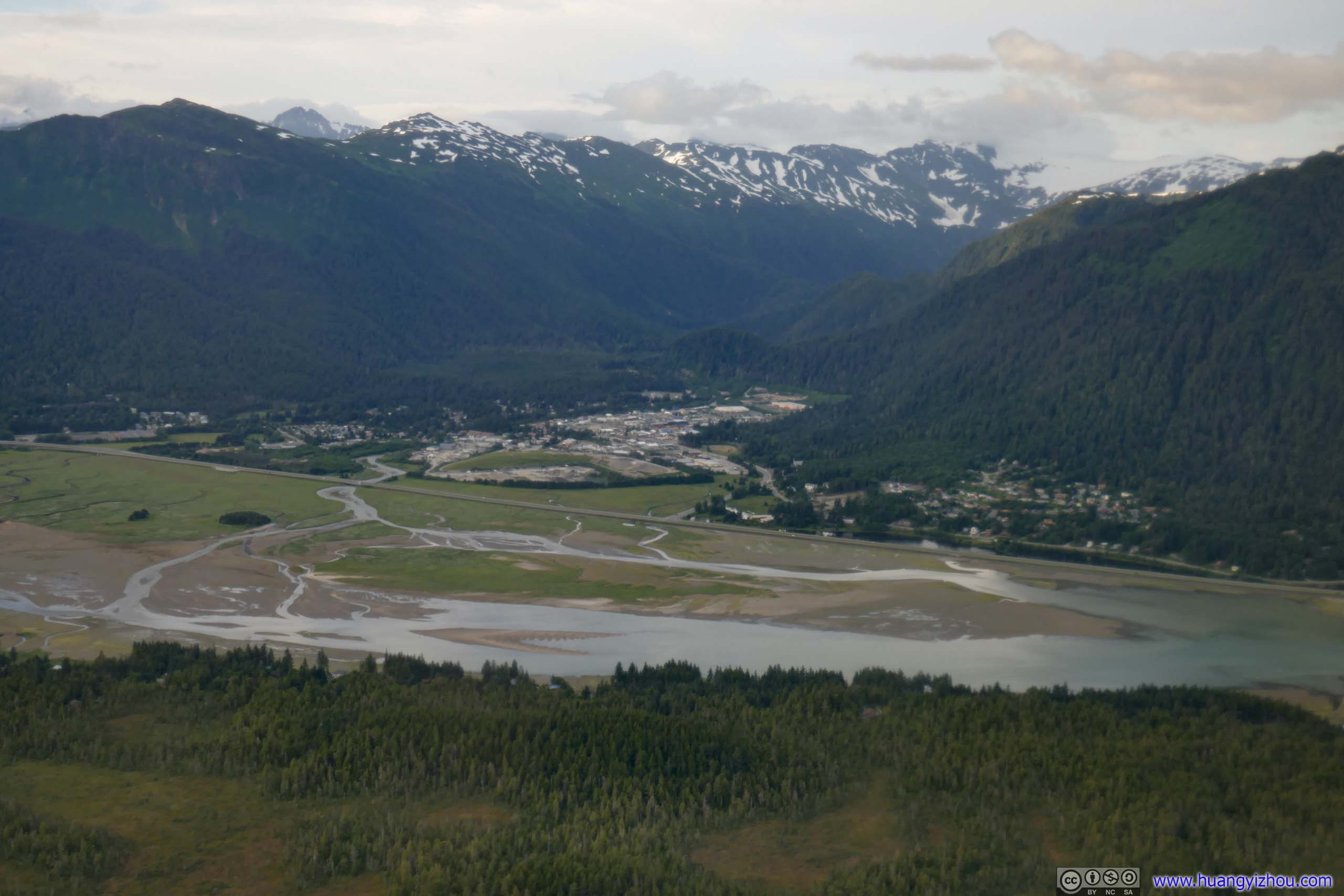
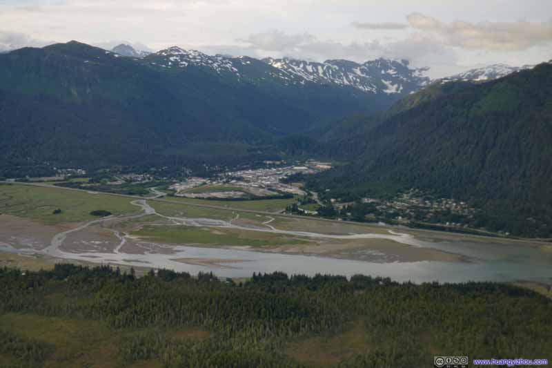 Lemon Creek Community
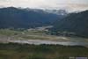

Click here to display photos of the slideshow
Distant Mendenhall GlacierMendenhall Lake, Auke Lake in the foreground.

 Mendenhall Glacier
Lemon Creek Community
And here’s a video of the final moments before landing. The U-turn started at 600m elevation and ended at 170m elevation and 2km from runway start, with no room for error. But our captain executed it perfectly.
After landing I retrieved my checked bags and got my rental car, this time from Avis, because Enterprise, which my employer had the best rental agreement with, was booked out when I searched. The lady at Avis counter was rather friendly, but I felt weird that they required me to fill up an additional form upon vehicle return, which basically asked to me write down mileage and fuel level, which was meaningless as they would check that anyways.
And they gave me a Toyota Prius, which boasted its fuel efficiency. Yet Juneau was a small town so most rentals didn’t cover a lot of distances. They probably should send the Prius to lower 48 if they were really carbon conscious.
But anyway, amazingly, today’s two flights were the only ones that went without a hitch during this Alaska trip. So I grabbed the rental car, headed to my Airbnb house, and called it a day.
END
![]() Day 5-6 of 2021 Alaska Trip, Utqiagvik, Northern-most American Town by Huang's Site is licensed under a Creative Commons Attribution-NonCommercial-ShareAlike 4.0 International License.
Day 5-6 of 2021 Alaska Trip, Utqiagvik, Northern-most American Town by Huang's Site is licensed under a Creative Commons Attribution-NonCommercial-ShareAlike 4.0 International License.